Perry-Castañeda Library
Map Collection
Central African Republic Maps
The following maps were produced by the U.S. Central Intelligence Agency, unless otherwise indicated.
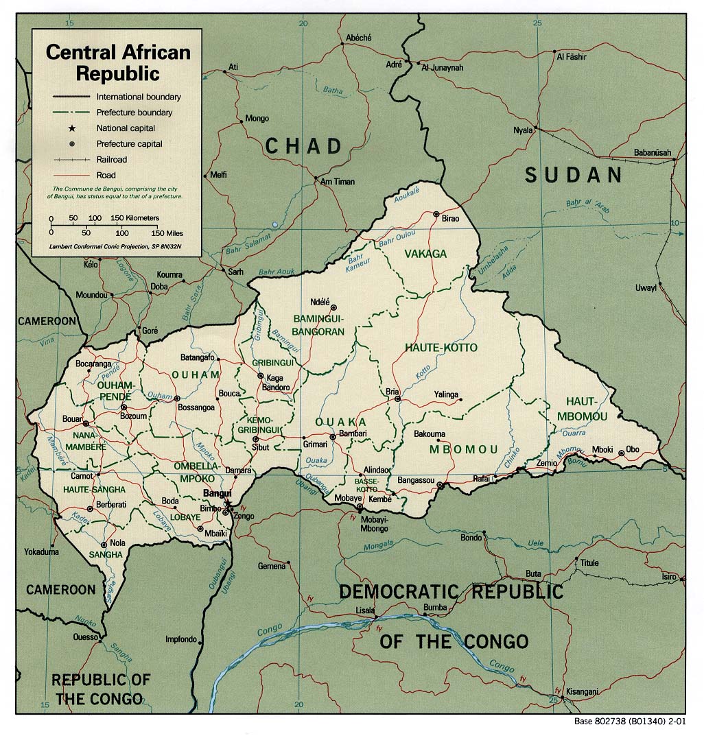
Country Maps- Central African Republic (Political) 2001 (249K) and pdf format (255K)
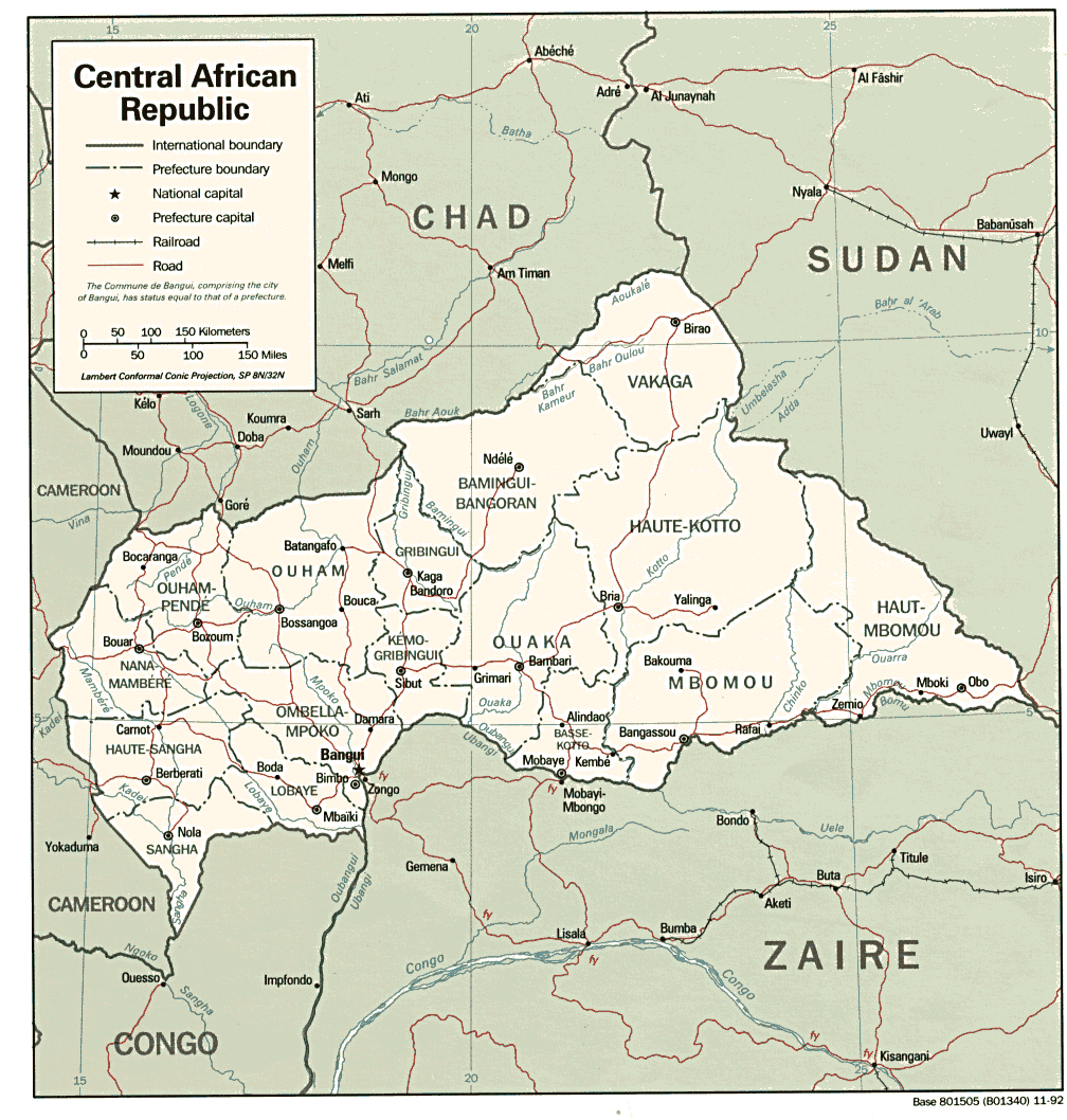
- Central African Republic (Political) 1992 (216K)and pdf format (239K)
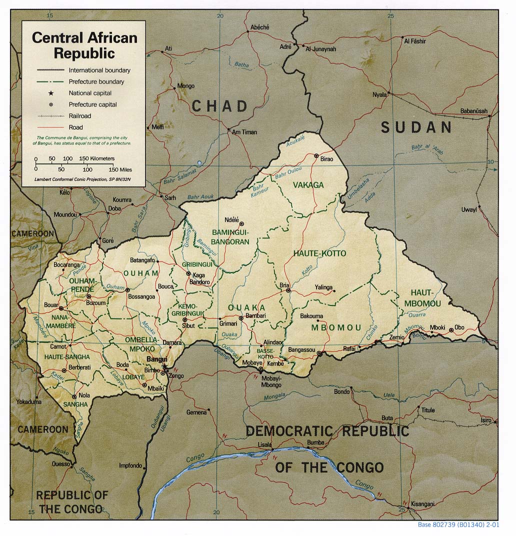
- Central African Republic (Shaded Relief) 2001 (249K) and pdf format (265K)
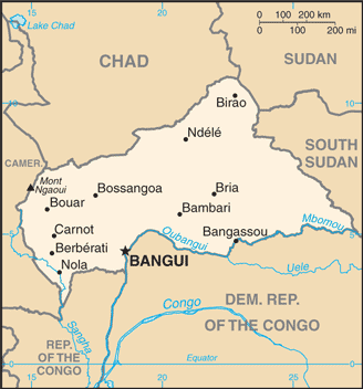
- Central African Republic (Small Map) 2016 (21.5K)
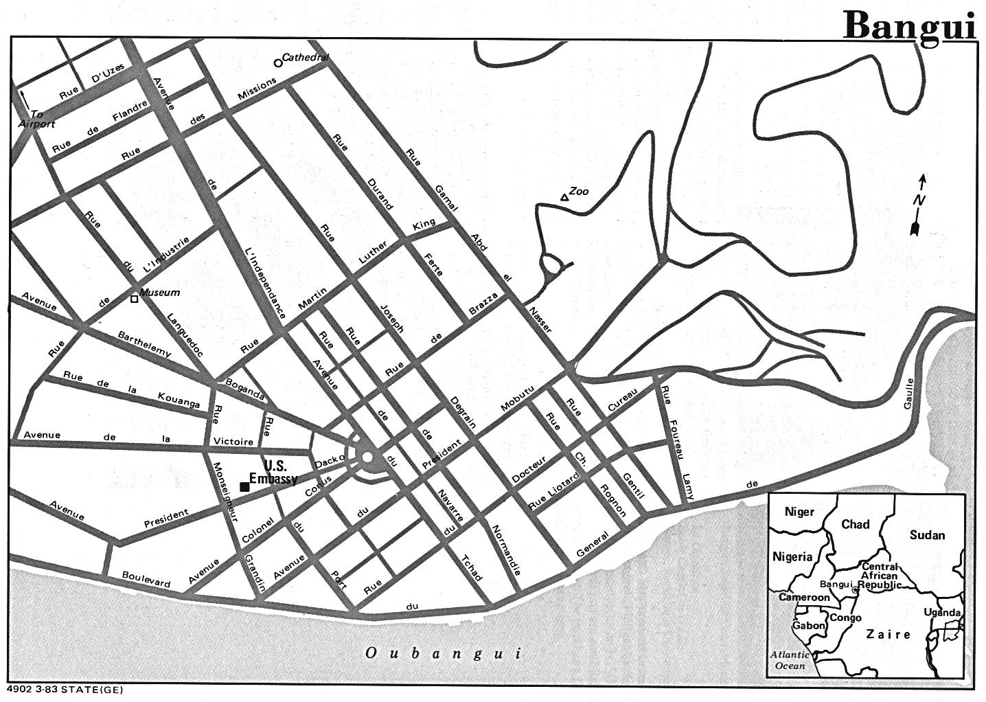
- Bangui U.S. Dept. of State 1983 (236K)
- 1:1,000,000 - Operational Navigation Charts (ONC) U.S. Defense Mapping Agency Aerospace Center. Not for navigational use
- This series covers all of the Central African Republic
- 1:1,000,000 - International Map of the World (IMW) U.S. Army Map Service
- This series covers most of the Central African Republic
- 1:500,000 - Tactical Pilotage Charts U.S. National Imagery and Mapping Agency. Not for navigational use
- This series covers parts of Central African Republic
- 1:250,000 - Joint Operations Graphic (Air) Series 1501, U.S. Defense Intelligence Agency Not for navigational use
- Four sheets of this series cover parts of the country, including Bangui. Courtesy of T. R. Smith Map Collection, University of Kansas Libraries
- 1:250,000 - West Africa - Topographic Maps Series N504, U.S. Army Map Service, 1955-
- Five sheets of this series cover peripheral parts of Central African Republic
- This series covers all of the Central African Republic
Maps on Other Web Sites