Perry-Castañeda Library
Map Collection
New Mexico Historical Topographic Maps
All maps on this page were published by the U.S. Geological Survey and are in the public domain. The date given for each map is the date of latest survey. More information about these maps is available on the Topographic Maps Home Page.
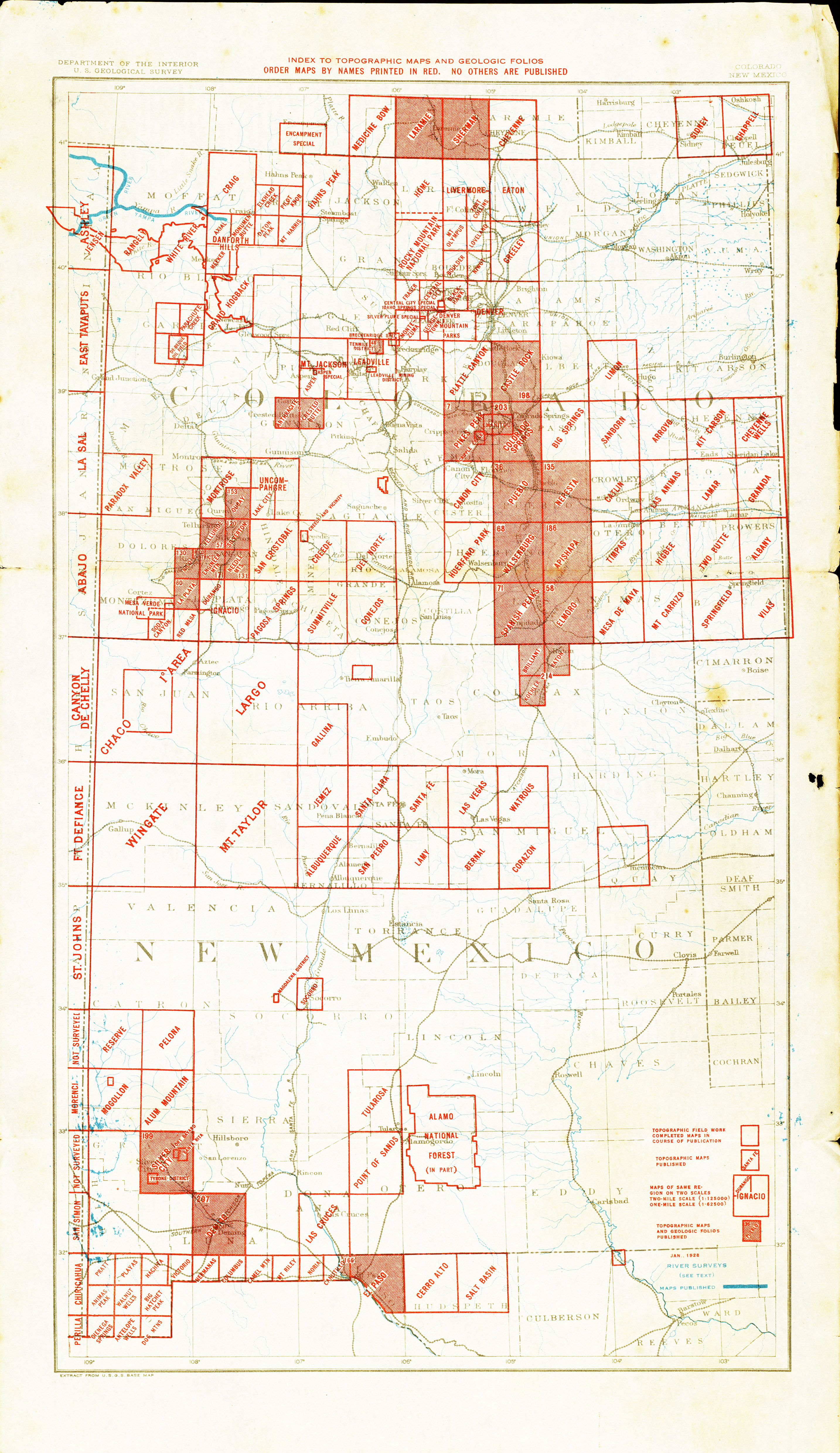
- New Mexico - Topographic Map Index 1928 (4.4MB)
- Aden 1:62,500 1942 (2.6MB)
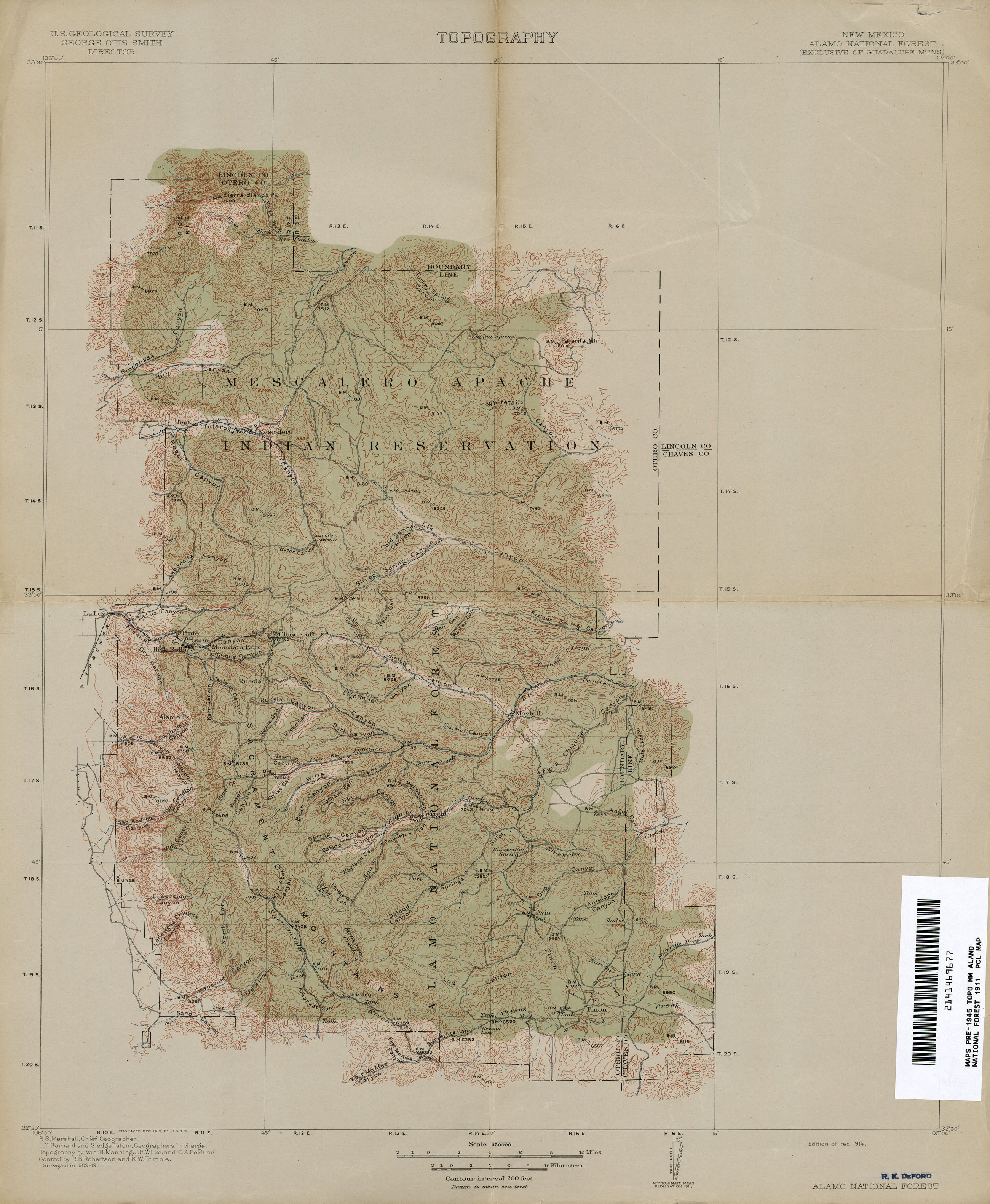
- Alamo National Forest 1:250,000 1911 (1.9MB)
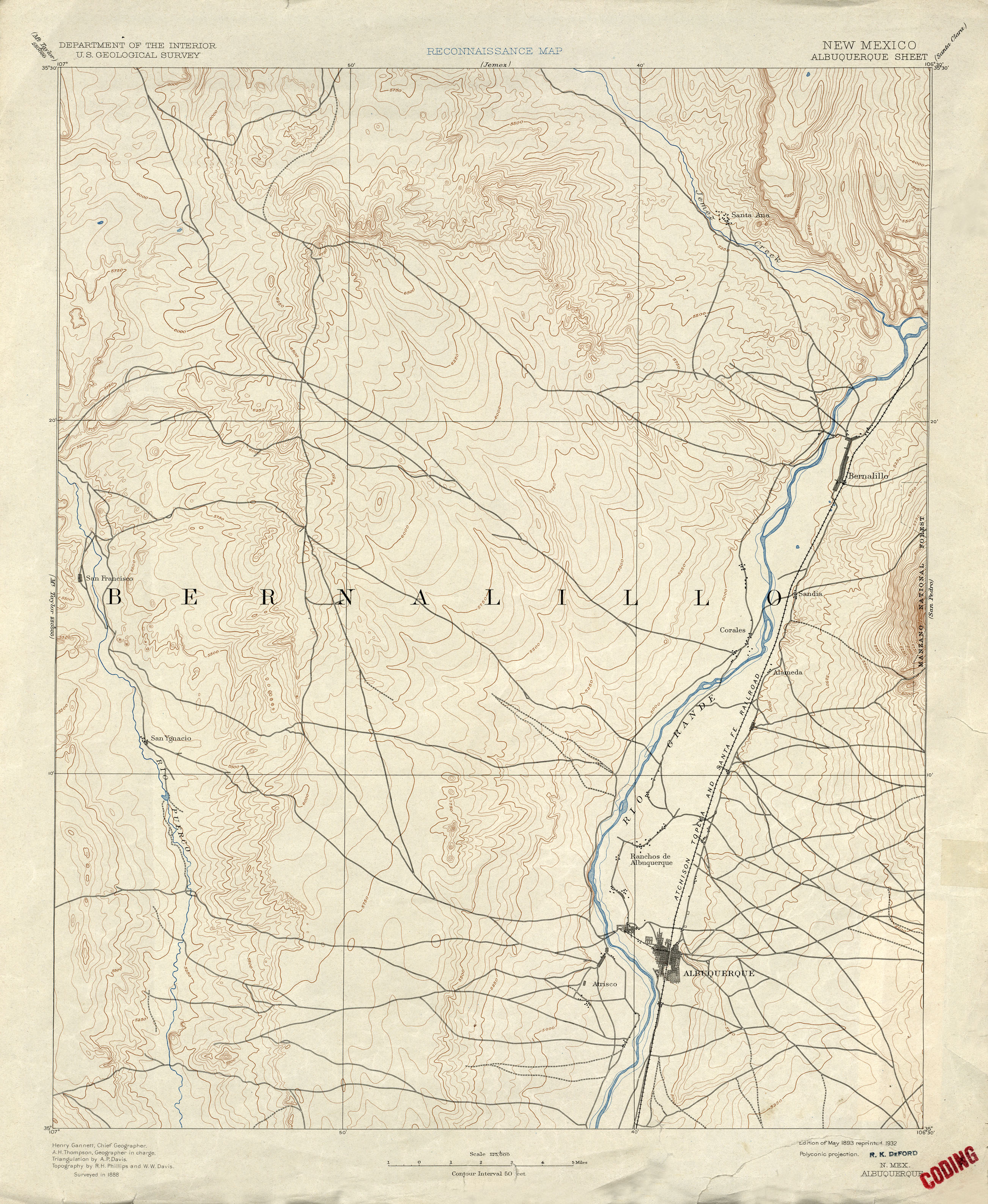
- Albuquerque 1:125,000 1888 (2.4MB)
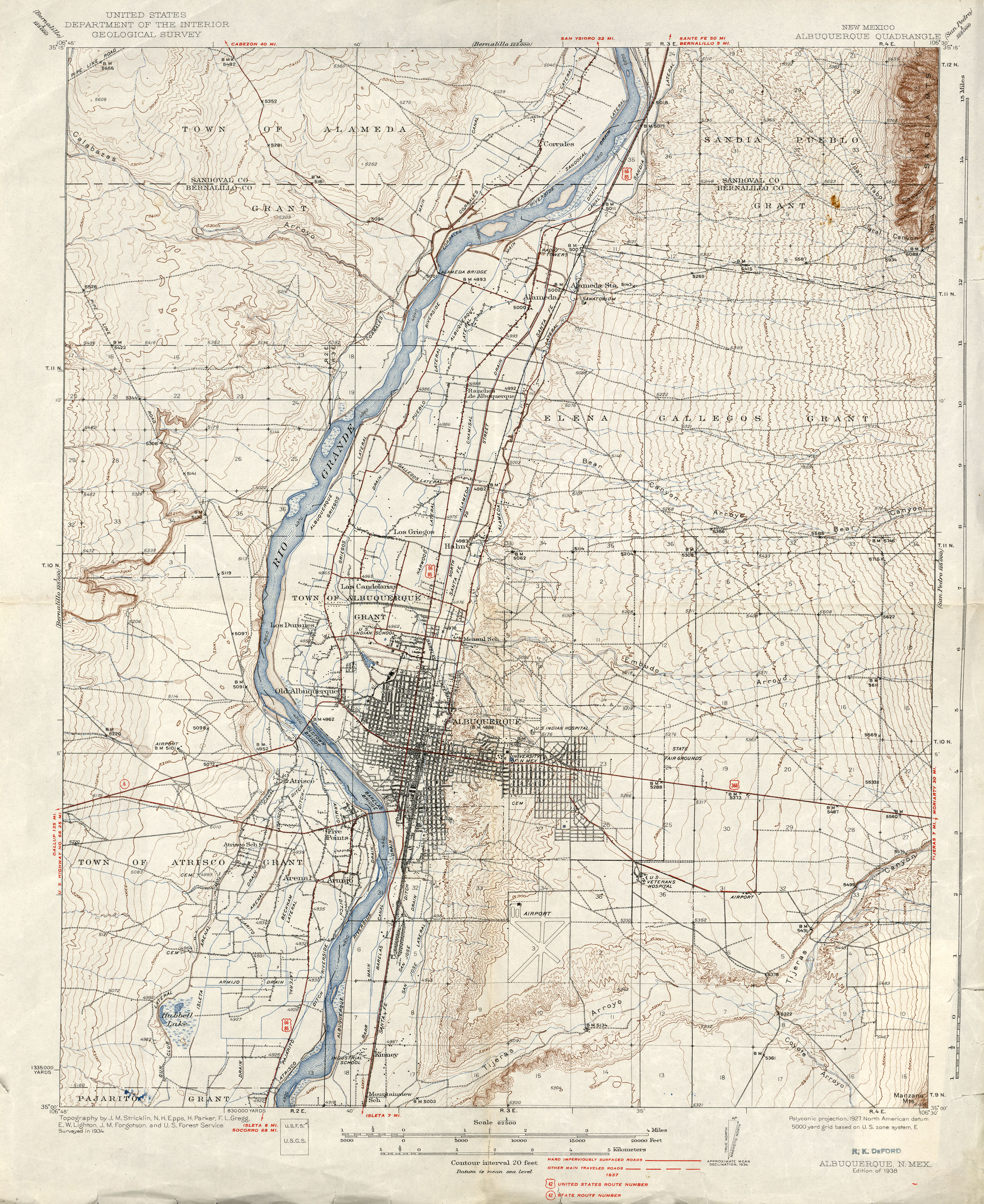
- Albuquerque 1:62,500 1937 (2.8MB)
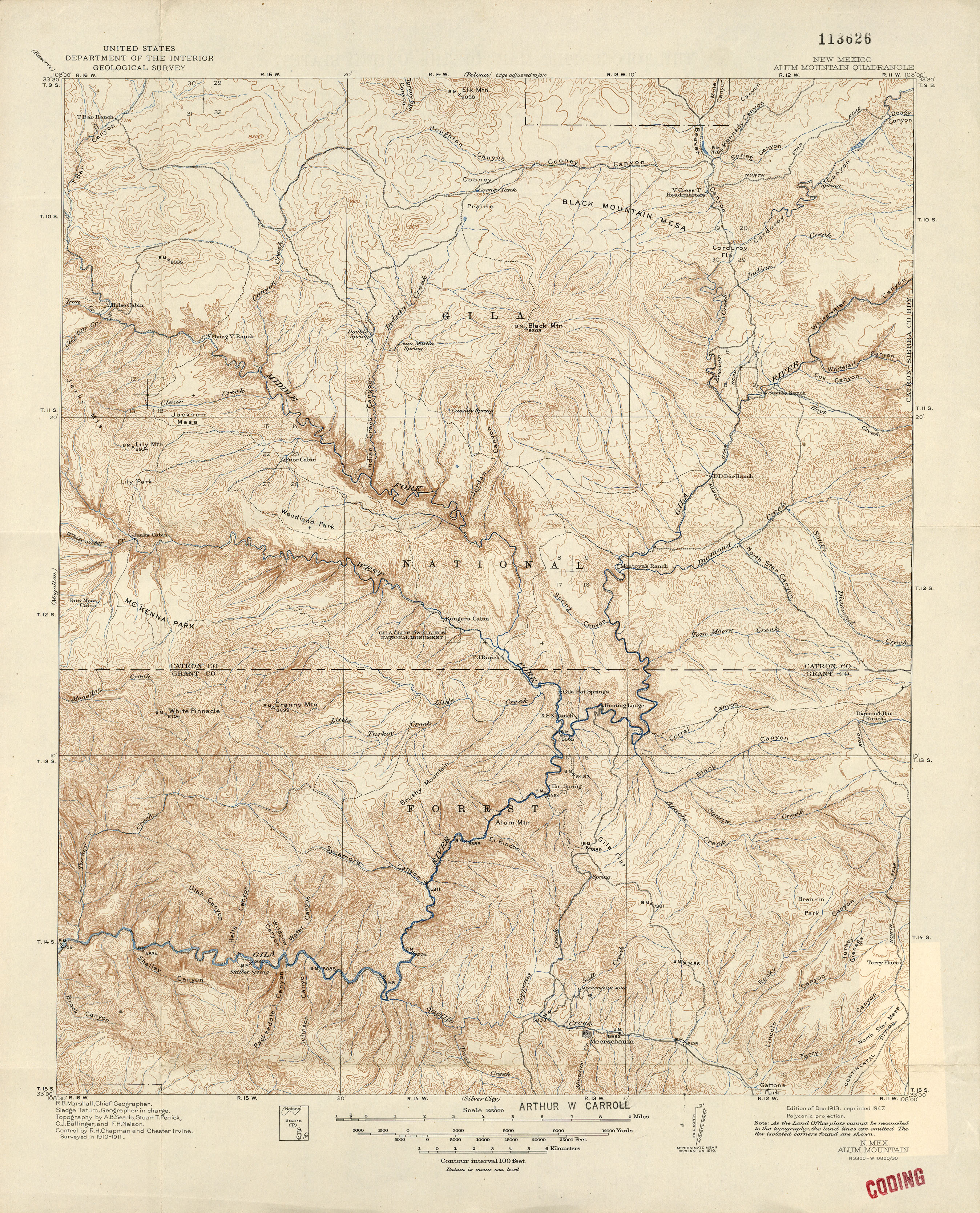
- Alum Mountain 1:125,000 1911 (3.5MB)
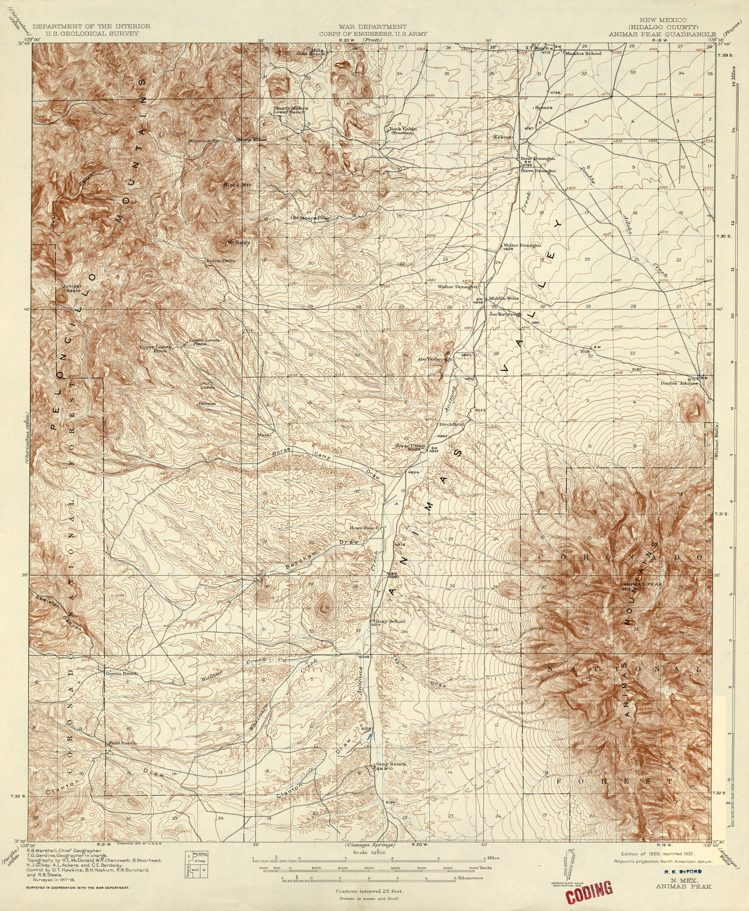
- Animas Peak 1:62,500 1918 (3.6MB)
- Antelope Wells 1:62,500 1917 (2.1MB)
- Arabela 1:62,500 1942 (3.4MB)
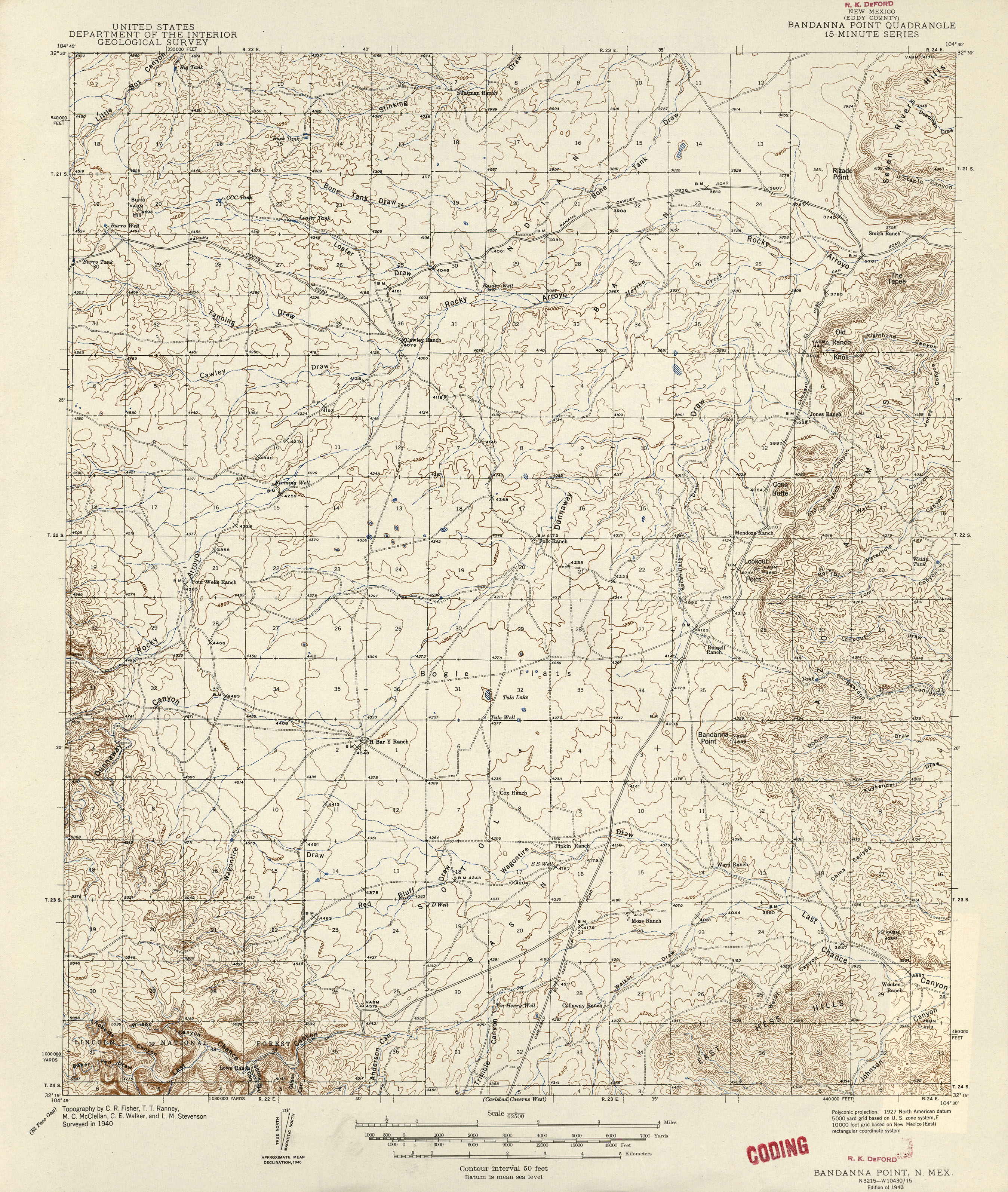
- Bandanna Point 1:62,500 1940 (2.9MB)
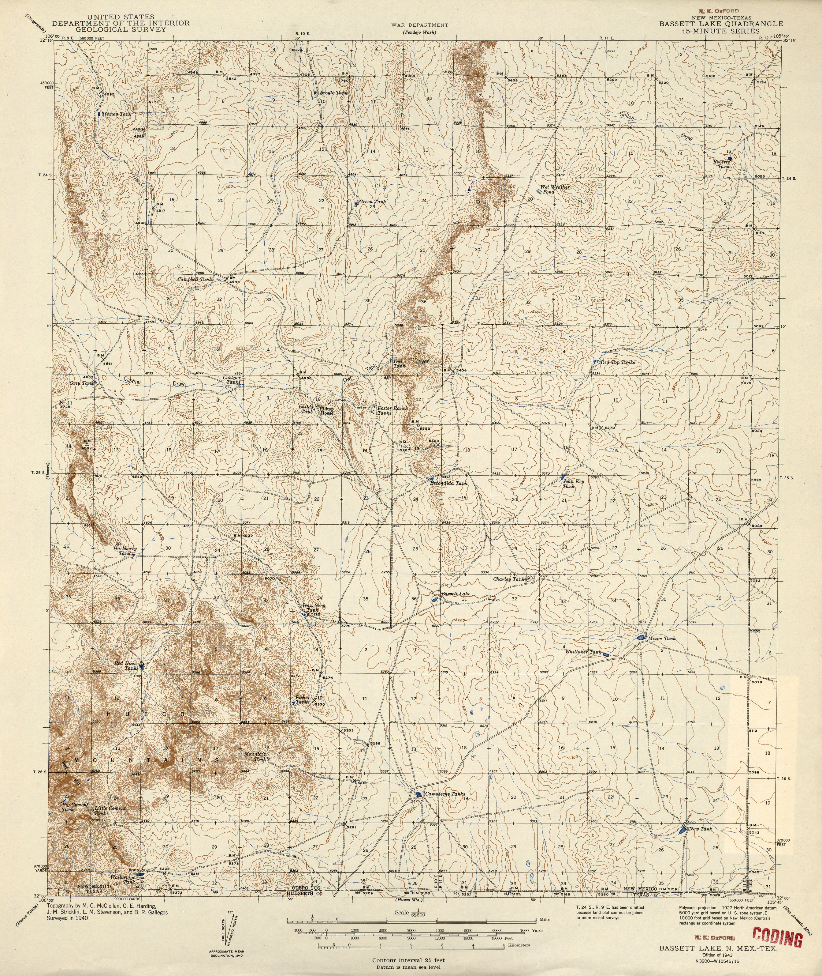
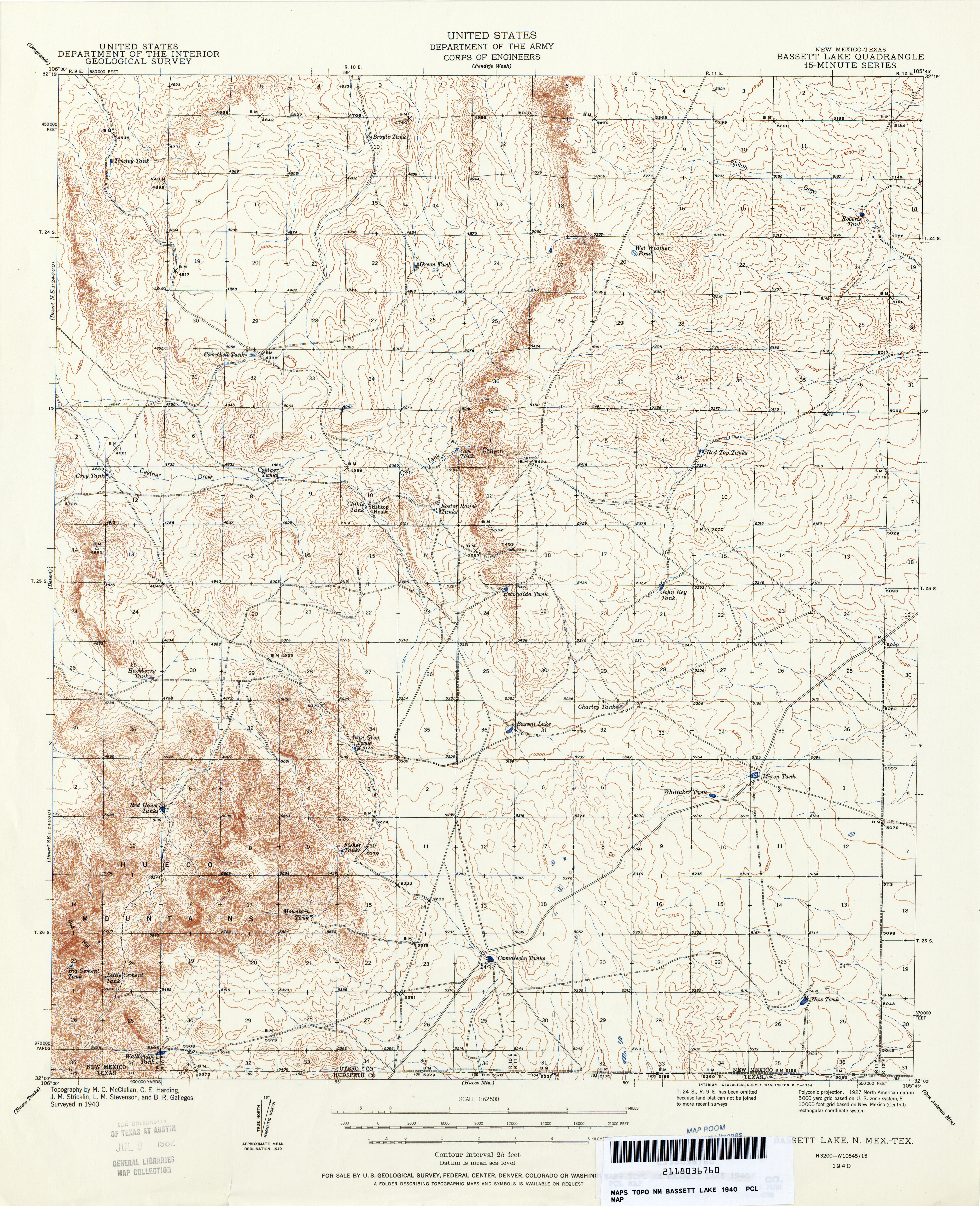
- Bassett Lake [New Mexico, Texas] 1:62,500 1940 (2.9MB) [1943 edition]
- Bassett Lake 1:62,500 1940 (5.9MB) [1940 edition]
- Bernal 1:125,000 1890 (2.5MB)
- Big Hatchet Peak 1:62,500 1918 (2.8MB)
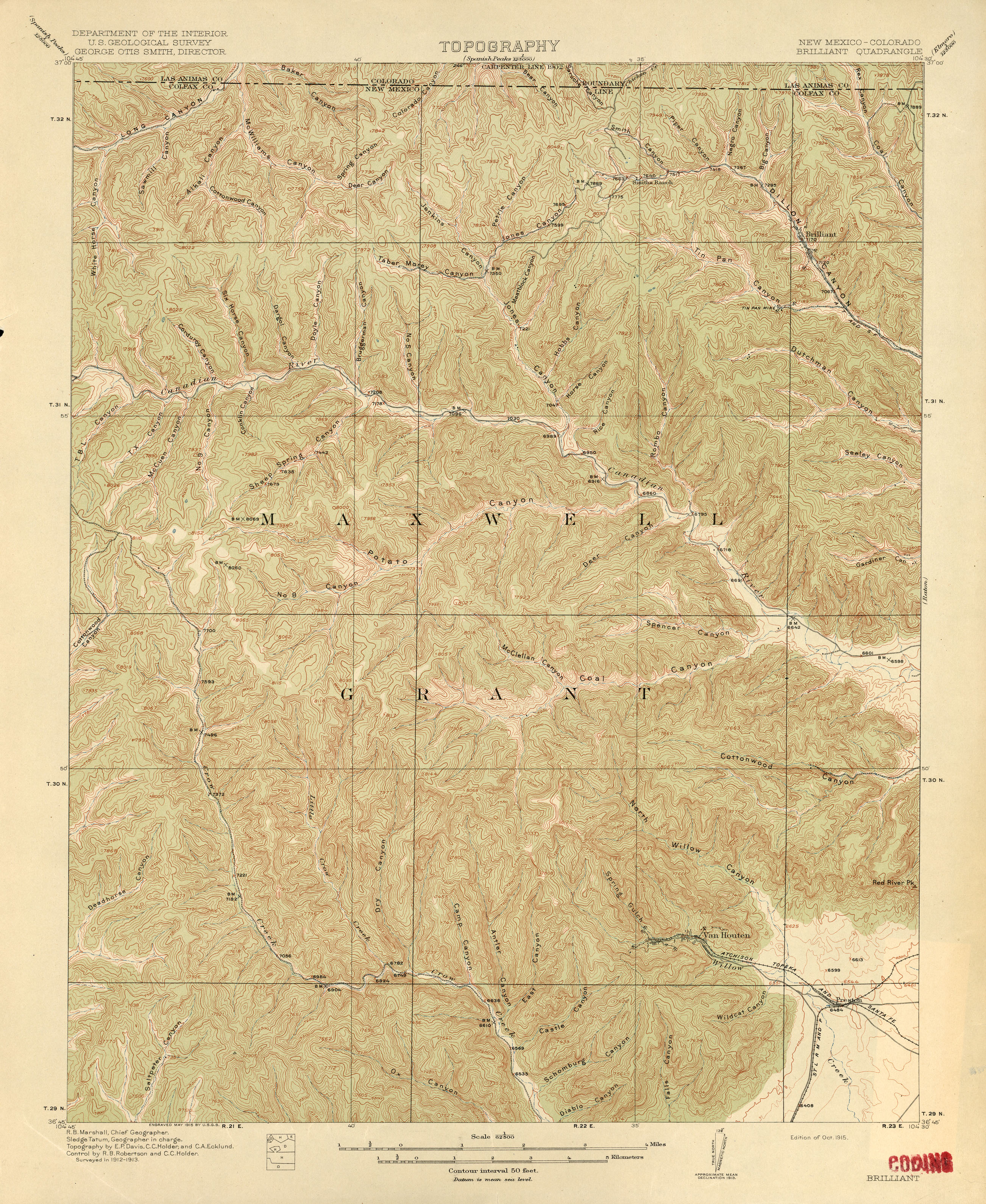
- Brilliant [New Mexico, Colorado] 1:62,500 1913 (3.5MB)
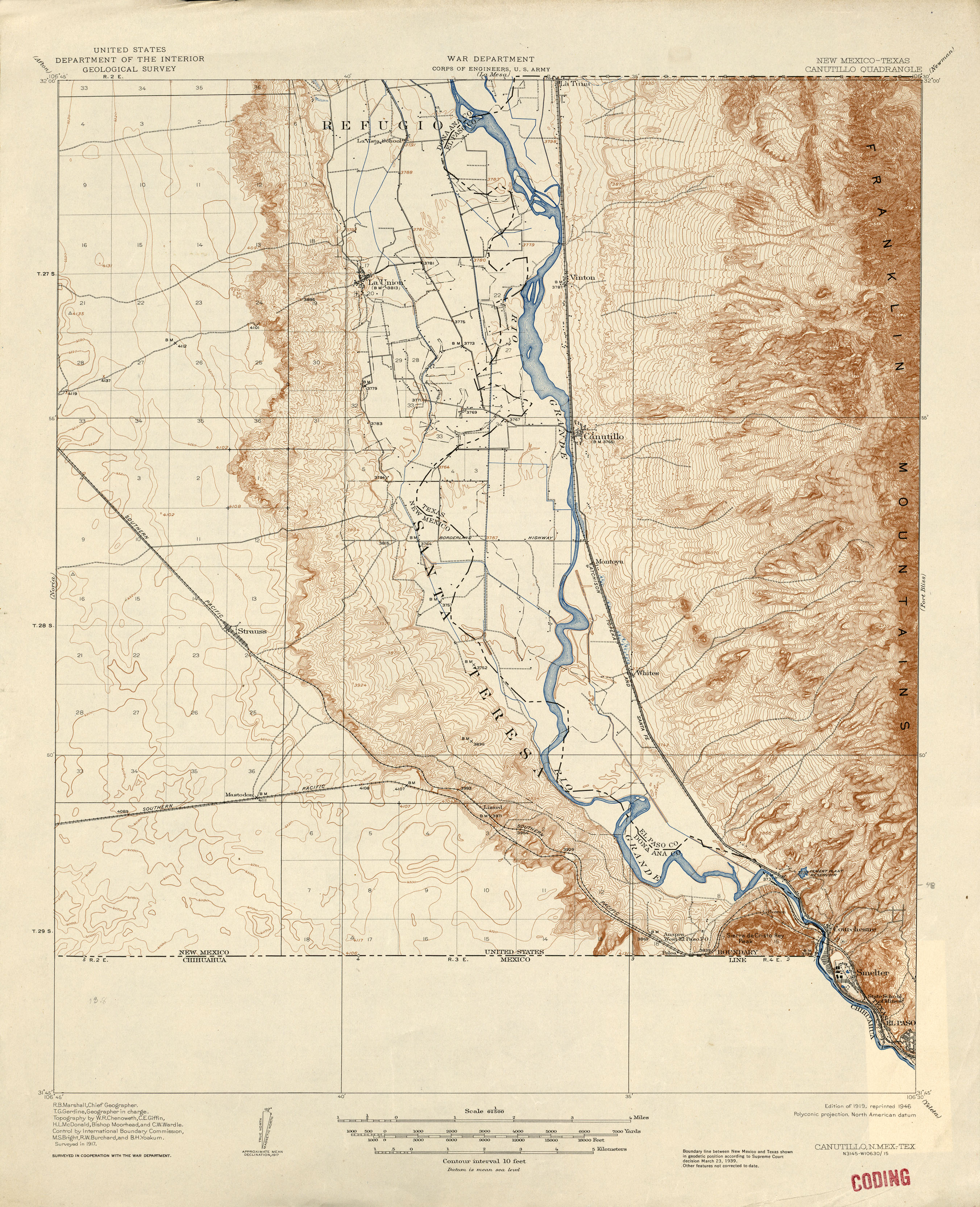
- Canutillo [New Mexico, Texas] 1:62,500 1917 (2.7MB)
- Capitan 1:62,500 1936 (3.8MB)
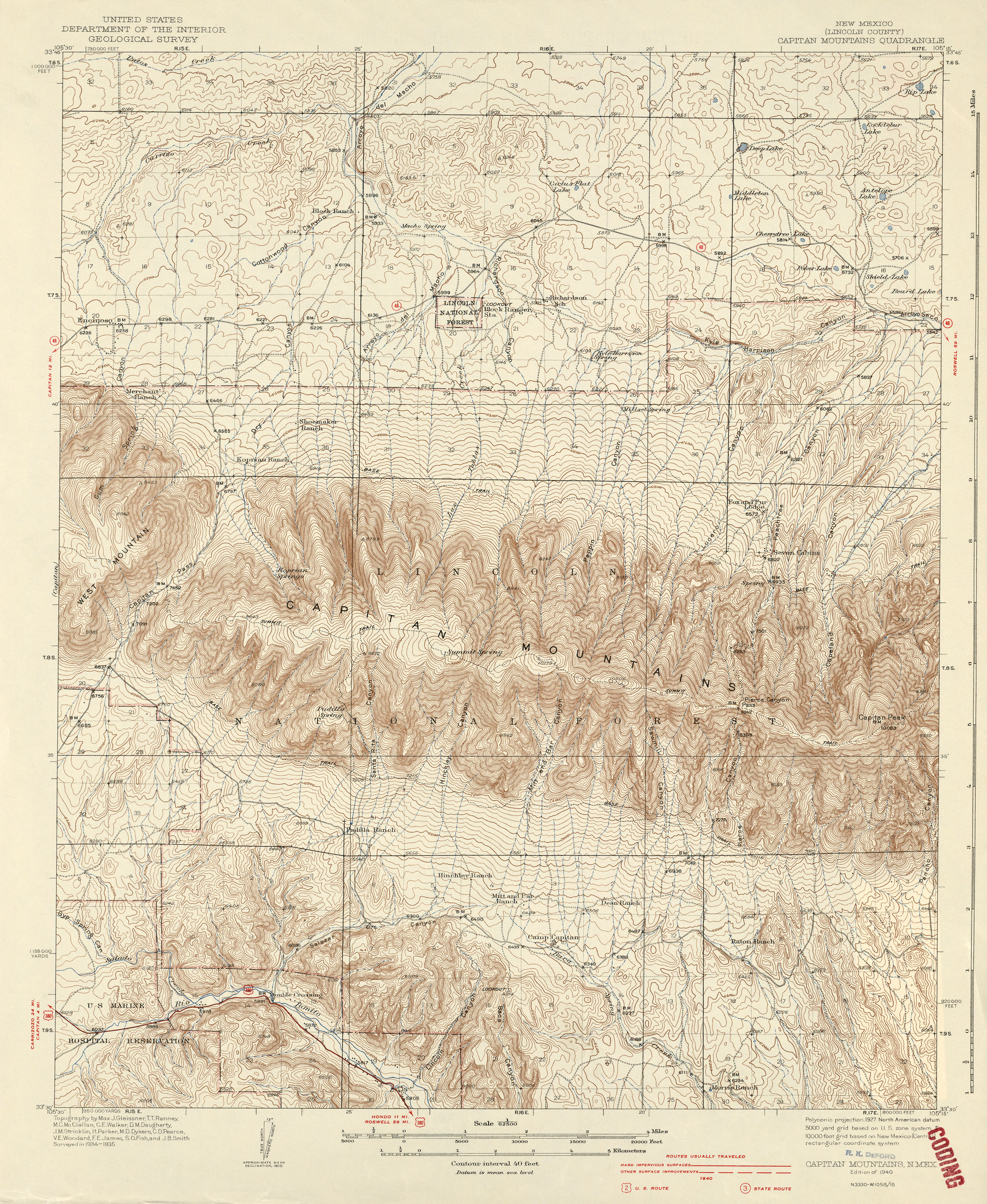
- Capitan Mountains 1:62,500 1940 (3.6MB)
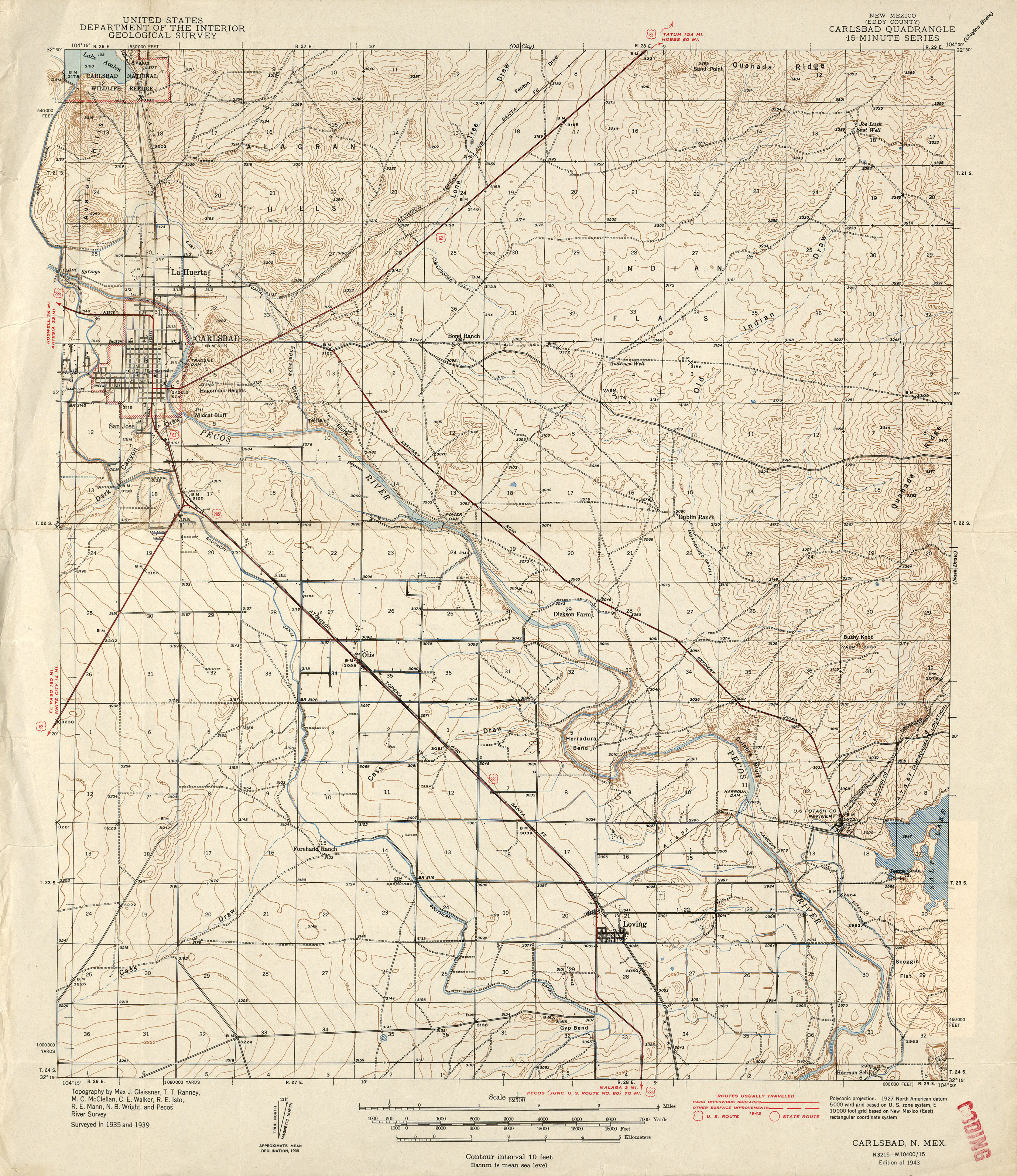
- Carlsbad 1:62,500 1942 (2.9MB)
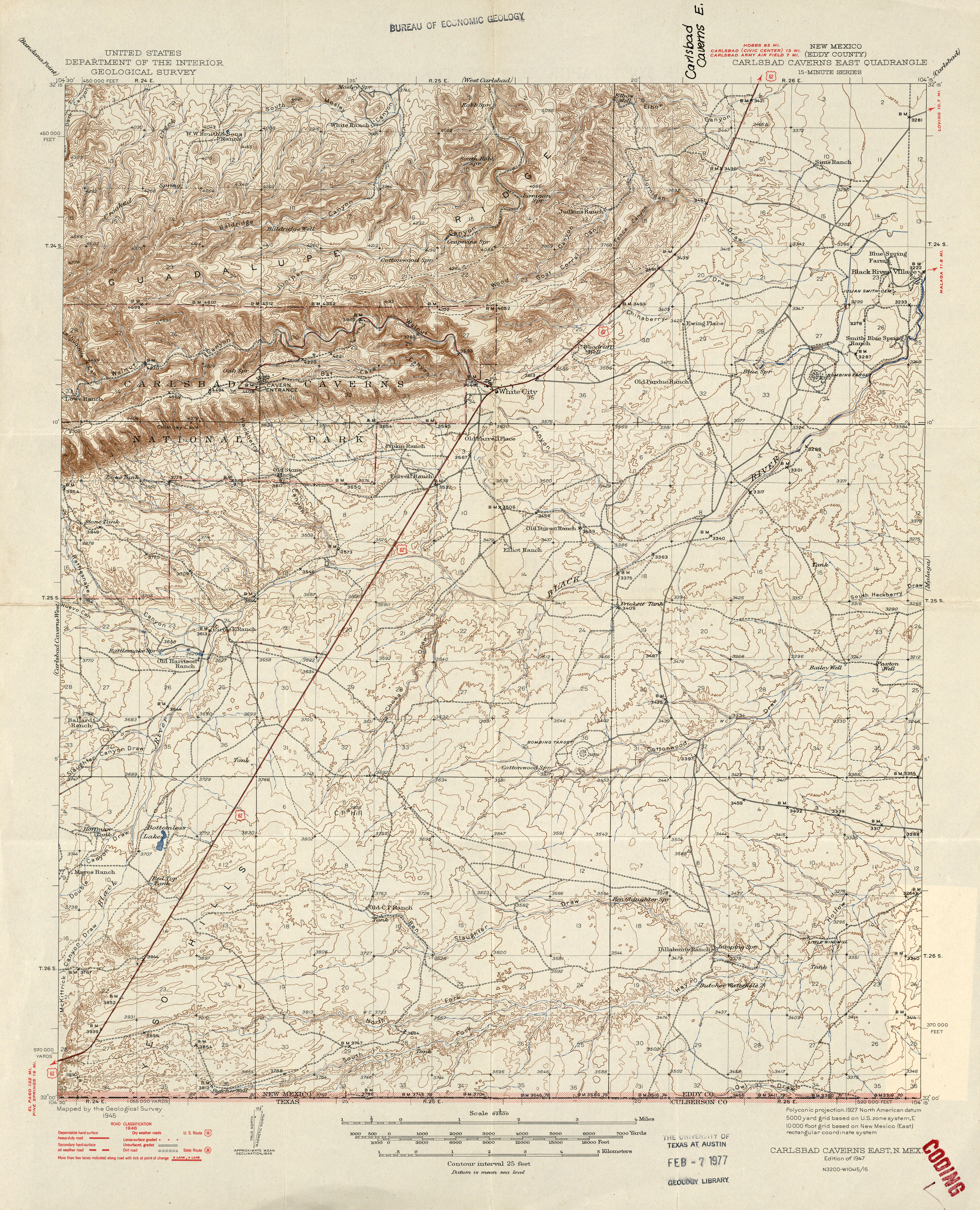
- Carlsbad Caverns East 1:62,500 1946 (3.4MB)
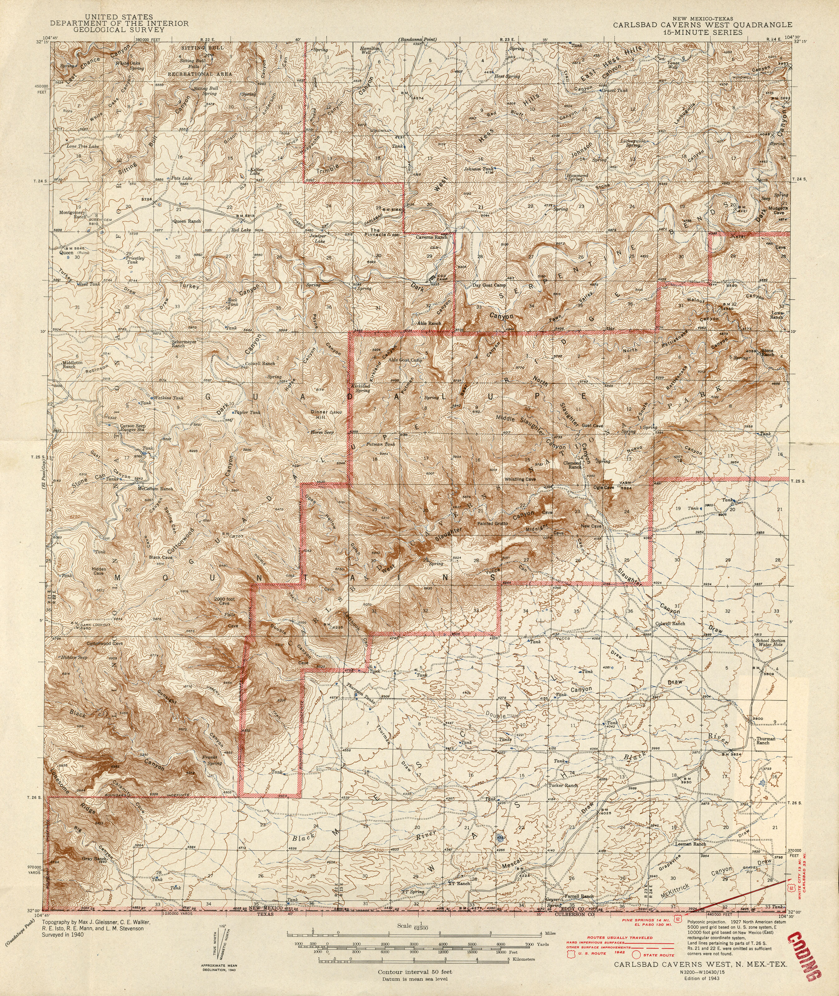
- Carlsbad Caverns West [New Mexico, Texas] 1:62,500 1942 (4MB)
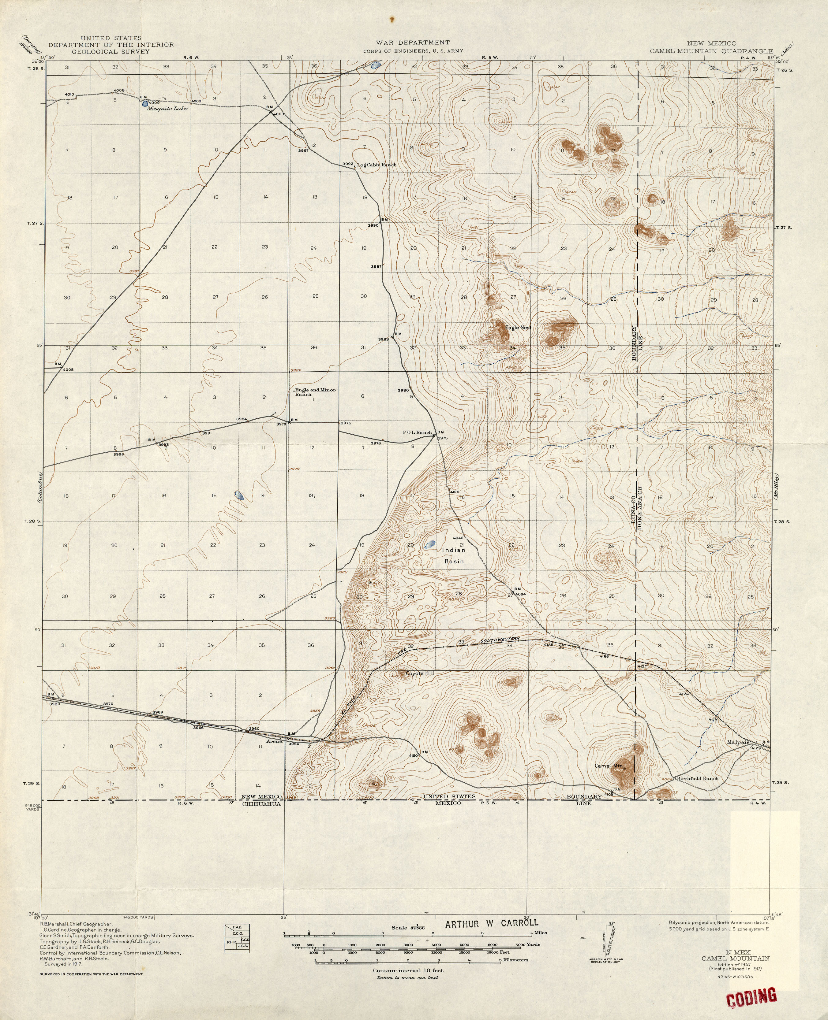
- Camel Mountain 1:62,500 1917 (2MB)
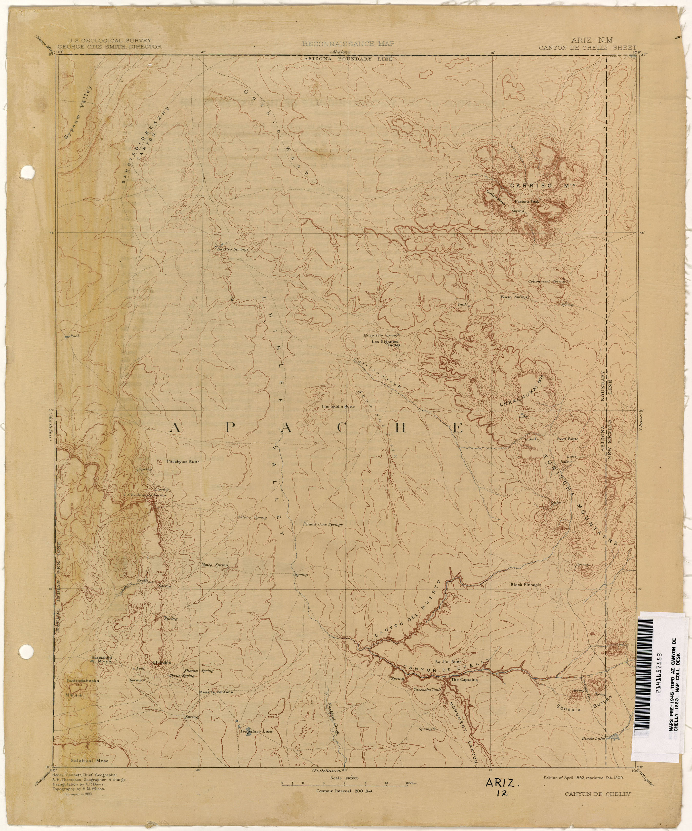
- Canyon de Chelly [Arizona, New Mexico] 1:250,000 1883 (1.6MB)
- Carrizozo 1:48,000 1938 (4.9MB)
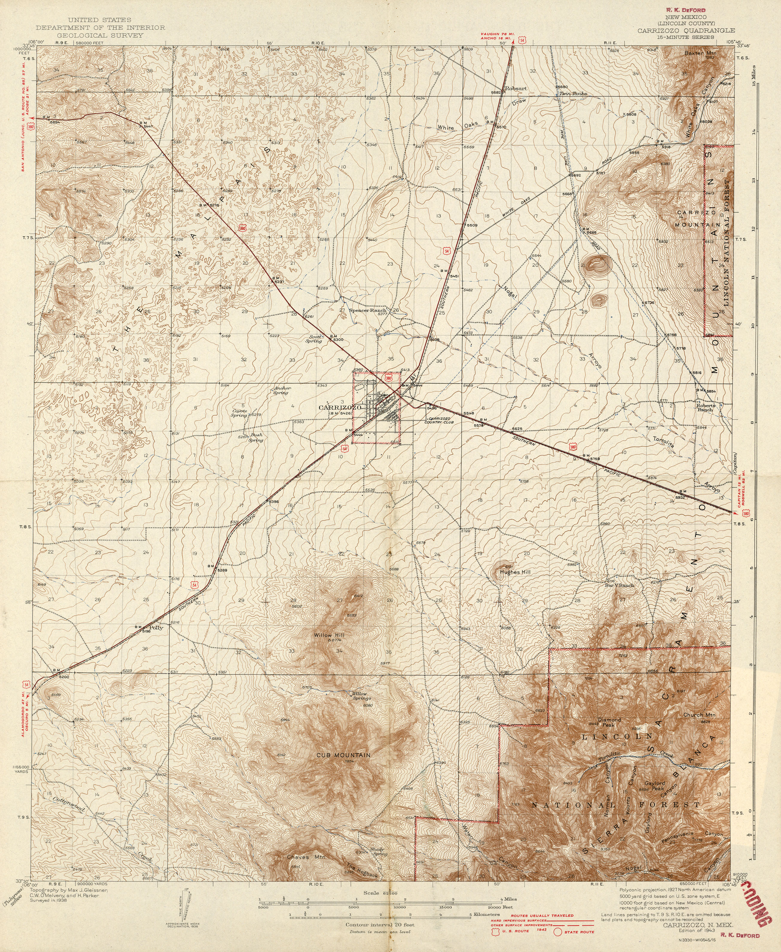
- Carrizozo 1:62,500 1943 (3MB)
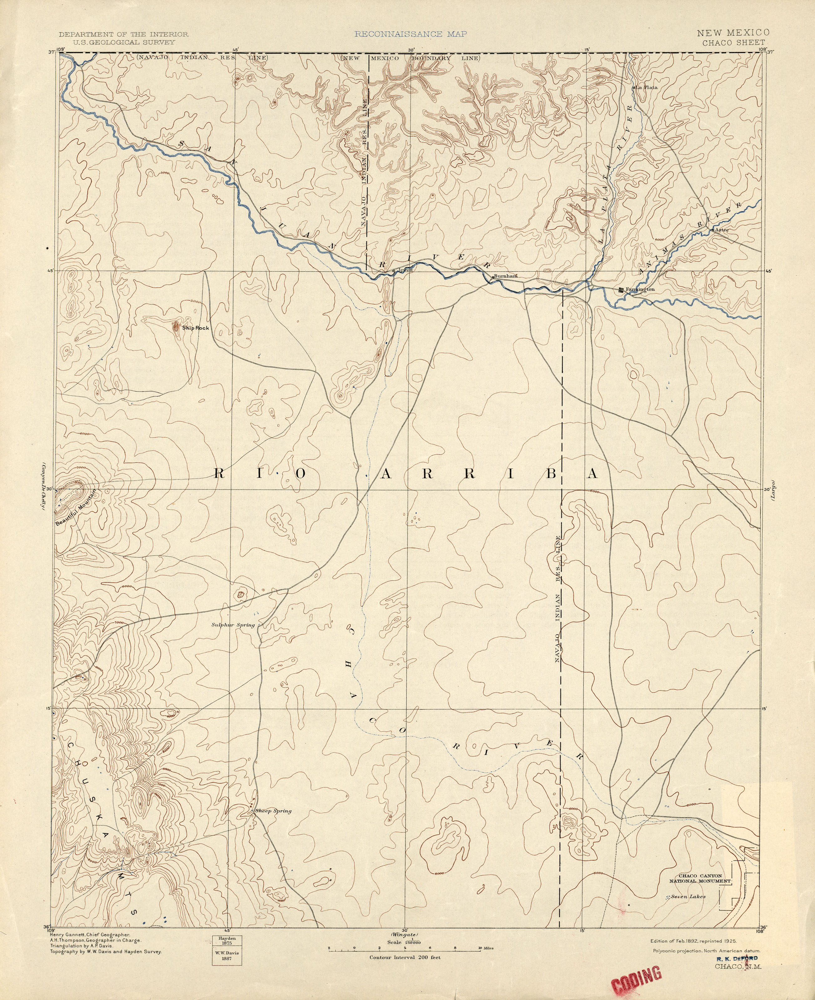
- Chaco 1:250,000 1892 (1.8MB)
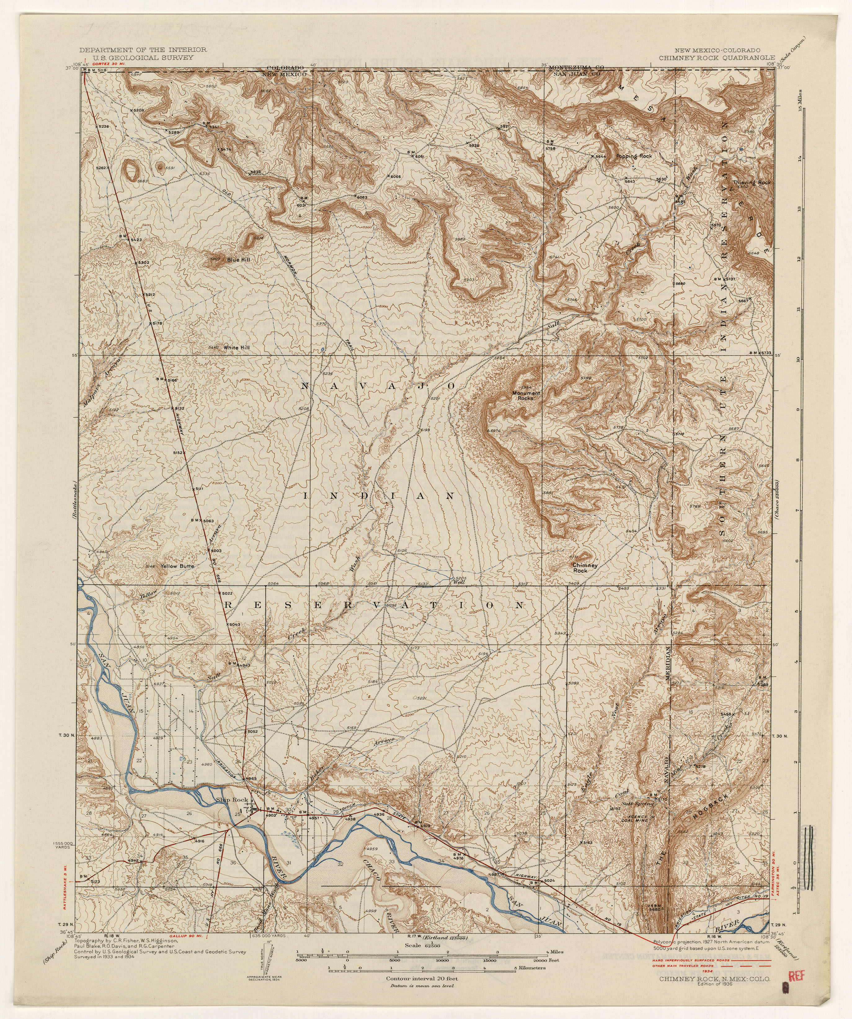
- Chimney Rock [New Mexico, Colorado] 1934 (3.0MB)
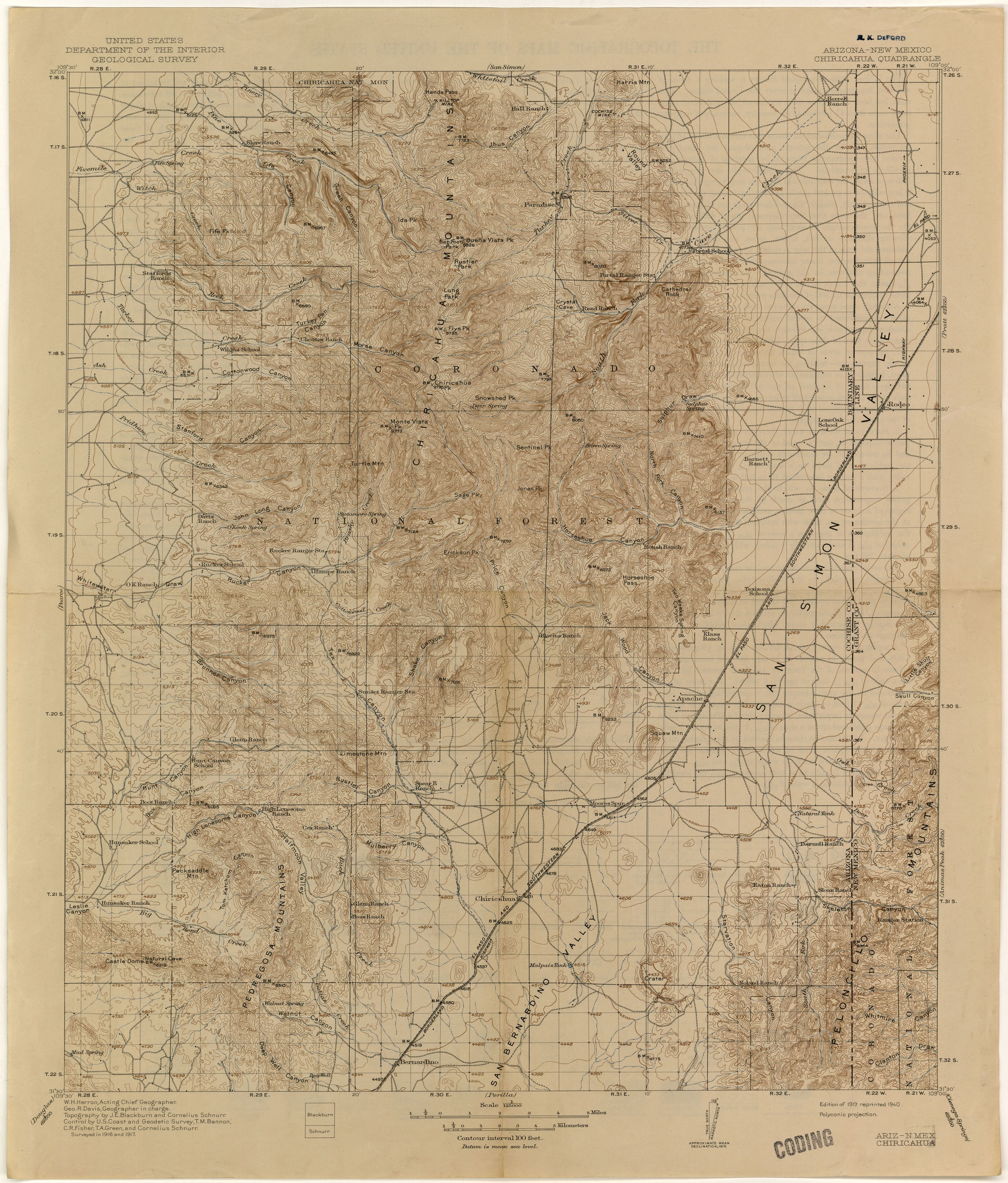
- Chiricahua [Arizona, New Mexico] 1:125,000 1917 (2.5MB)
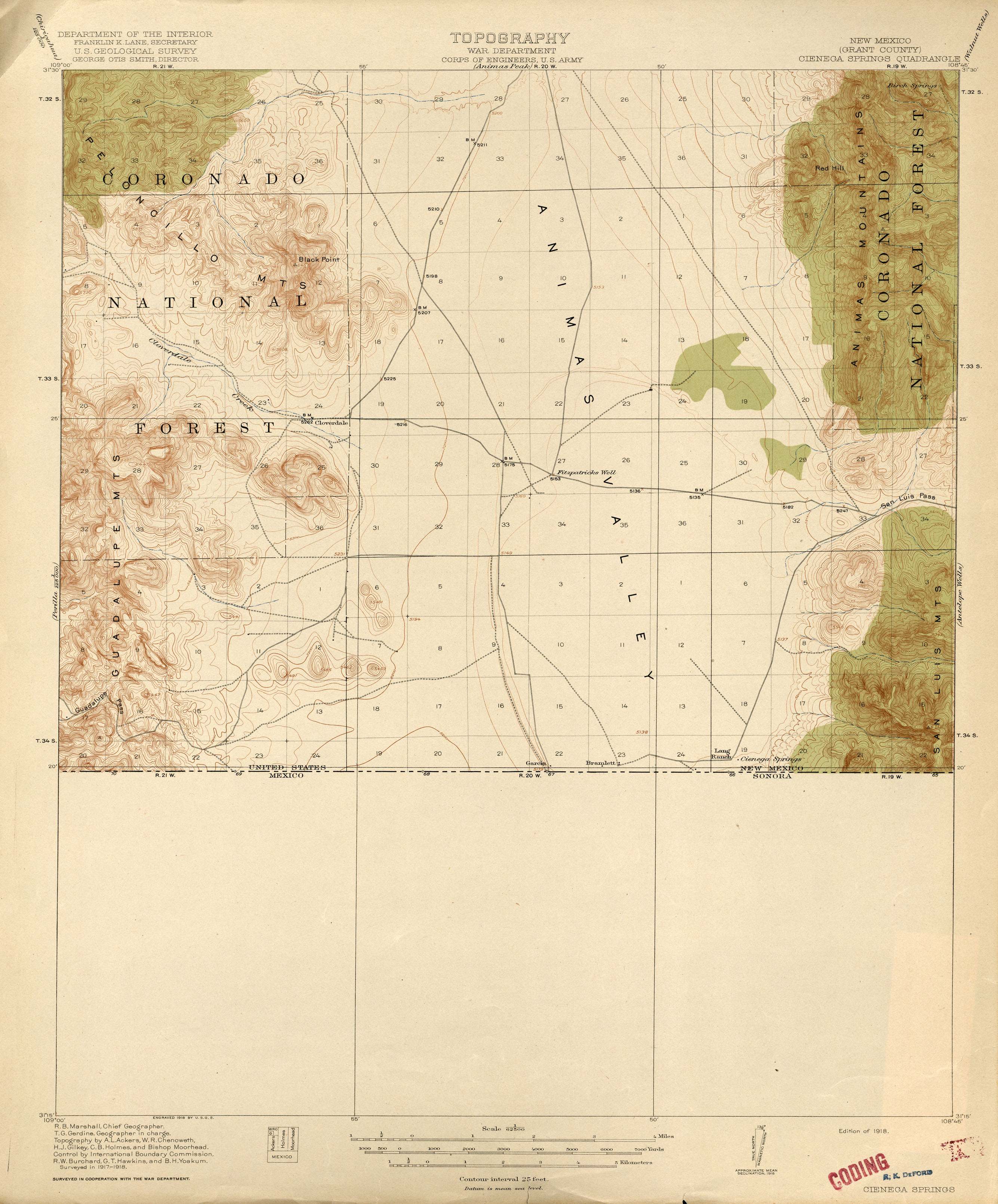
- Cienega Springs 1:62,500 1918 (1.9MB)
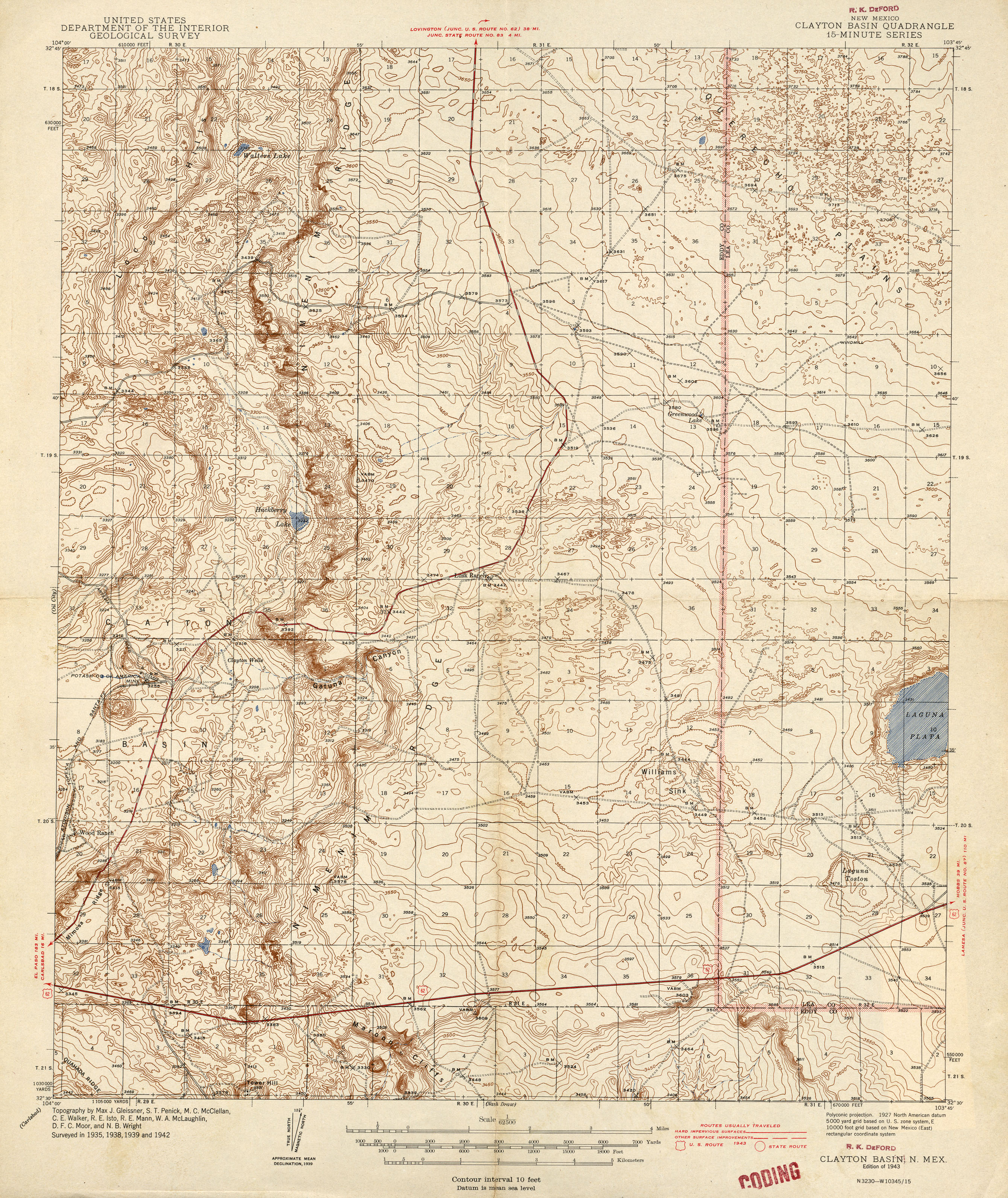
- Clayton Basin 1:62,500 1943 (3.2MB)
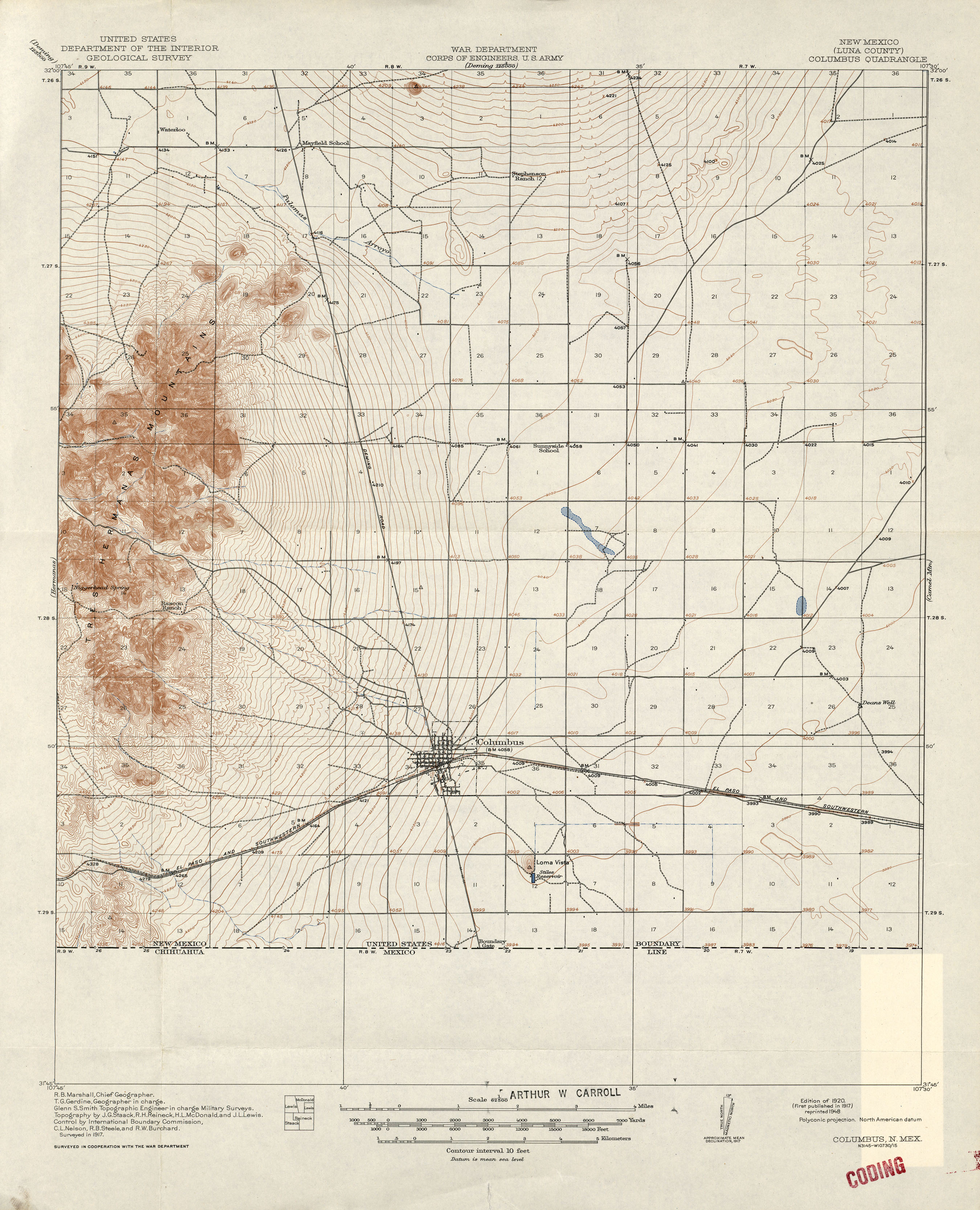
- Columbus 1:62,500 1917 (2.1MB)
- Corazon 1:125,000 1890 (2.3MB)
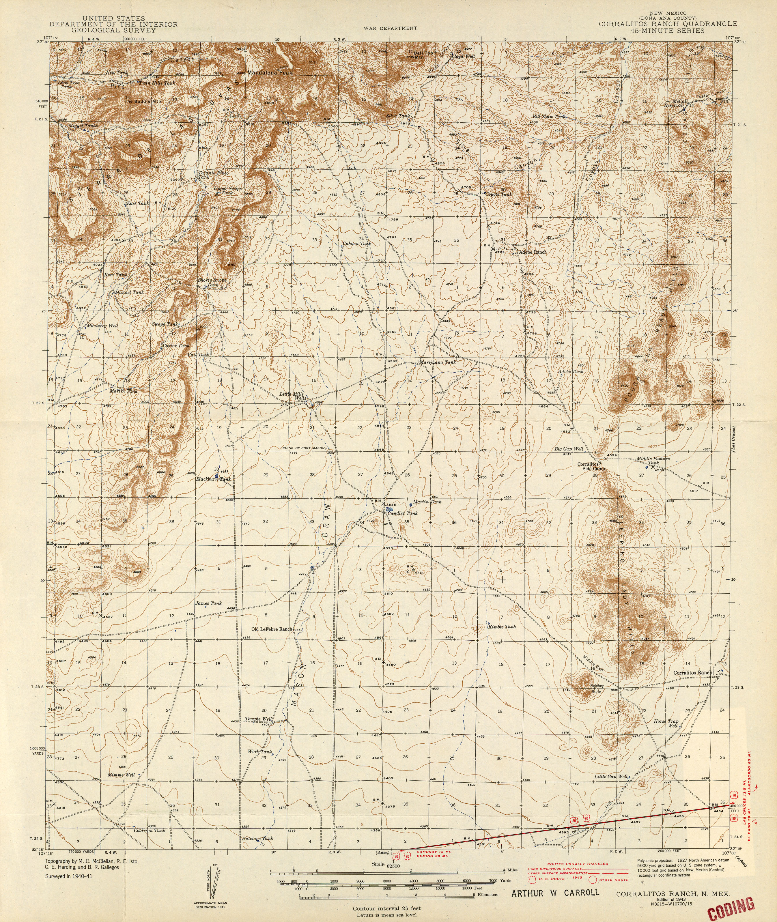
- Corralitos Ranch 1:62,500 1943 (2.9MB)
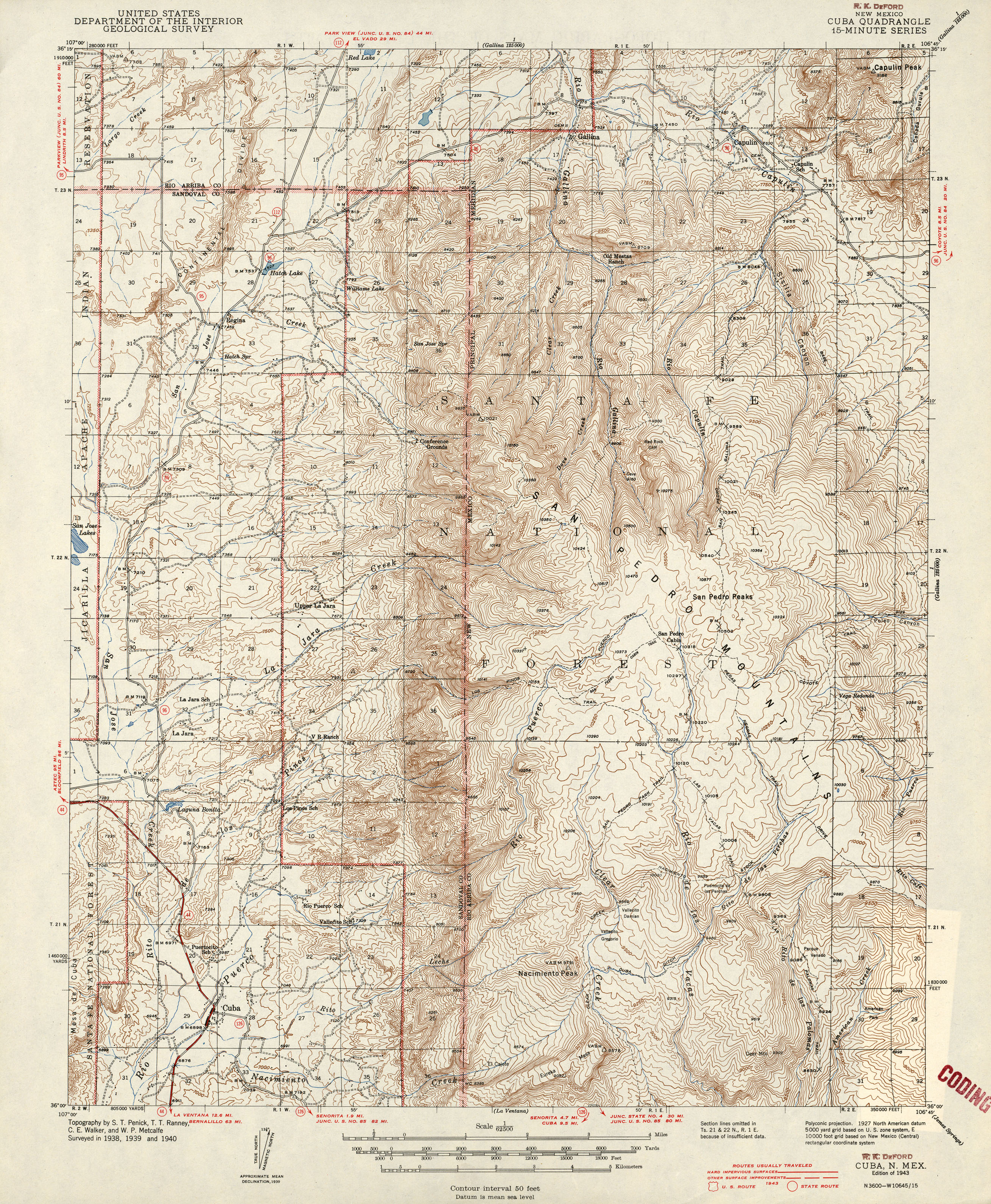
- Cuba 1:62,500 1943 (3.7MB)
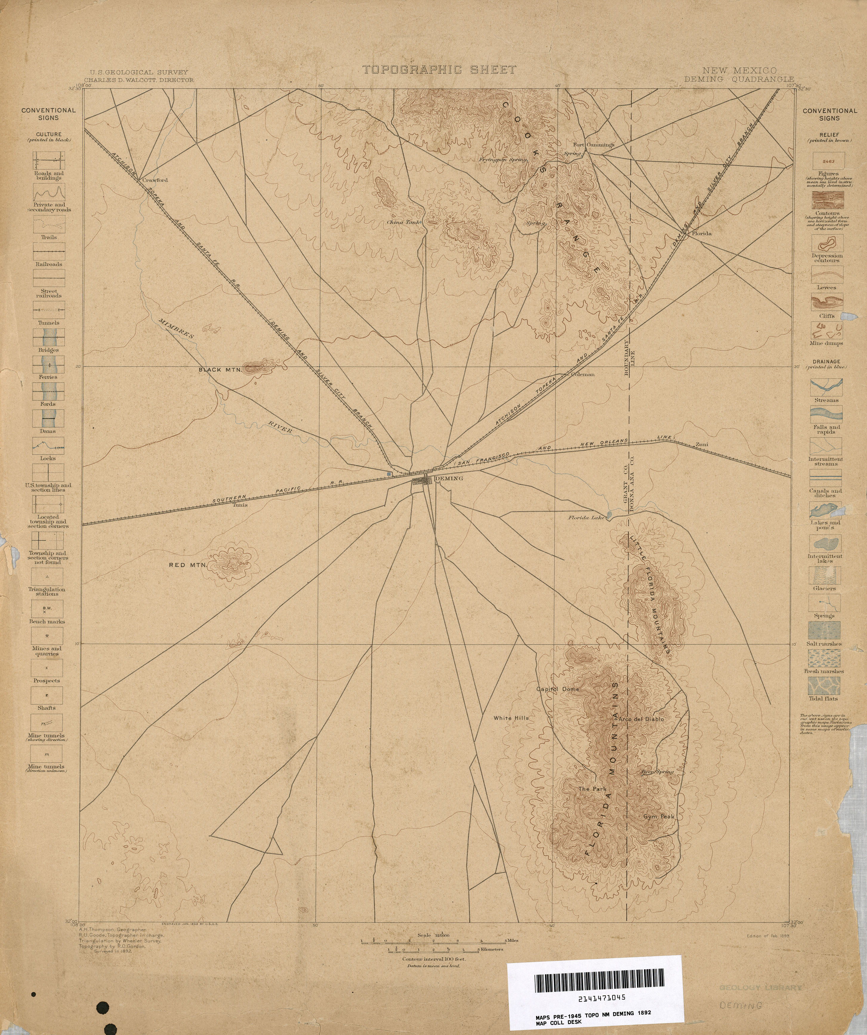
- Deming 1:125,000 1892 (2MB)
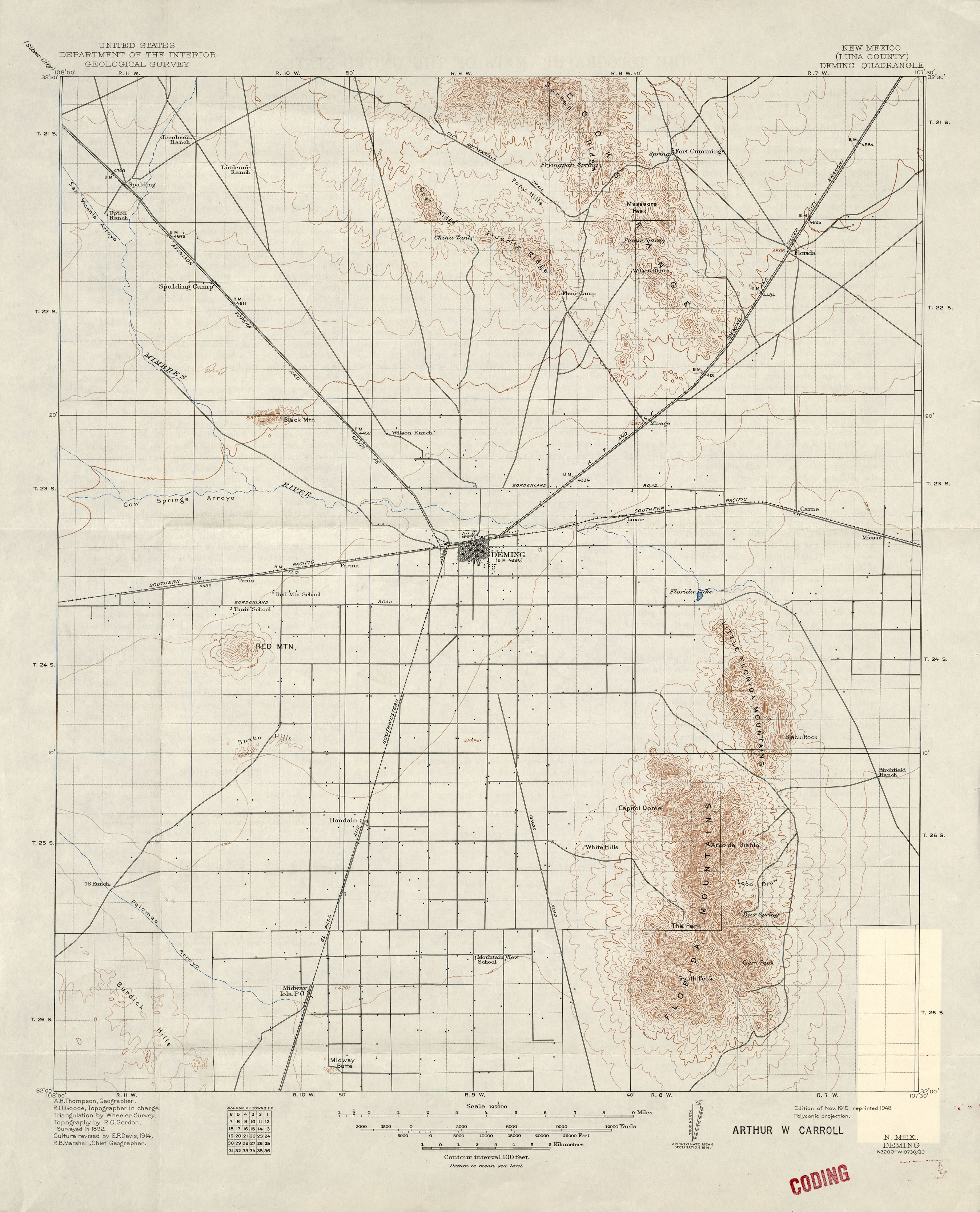
- Deming 1:125,000 1914 (1.9MB)
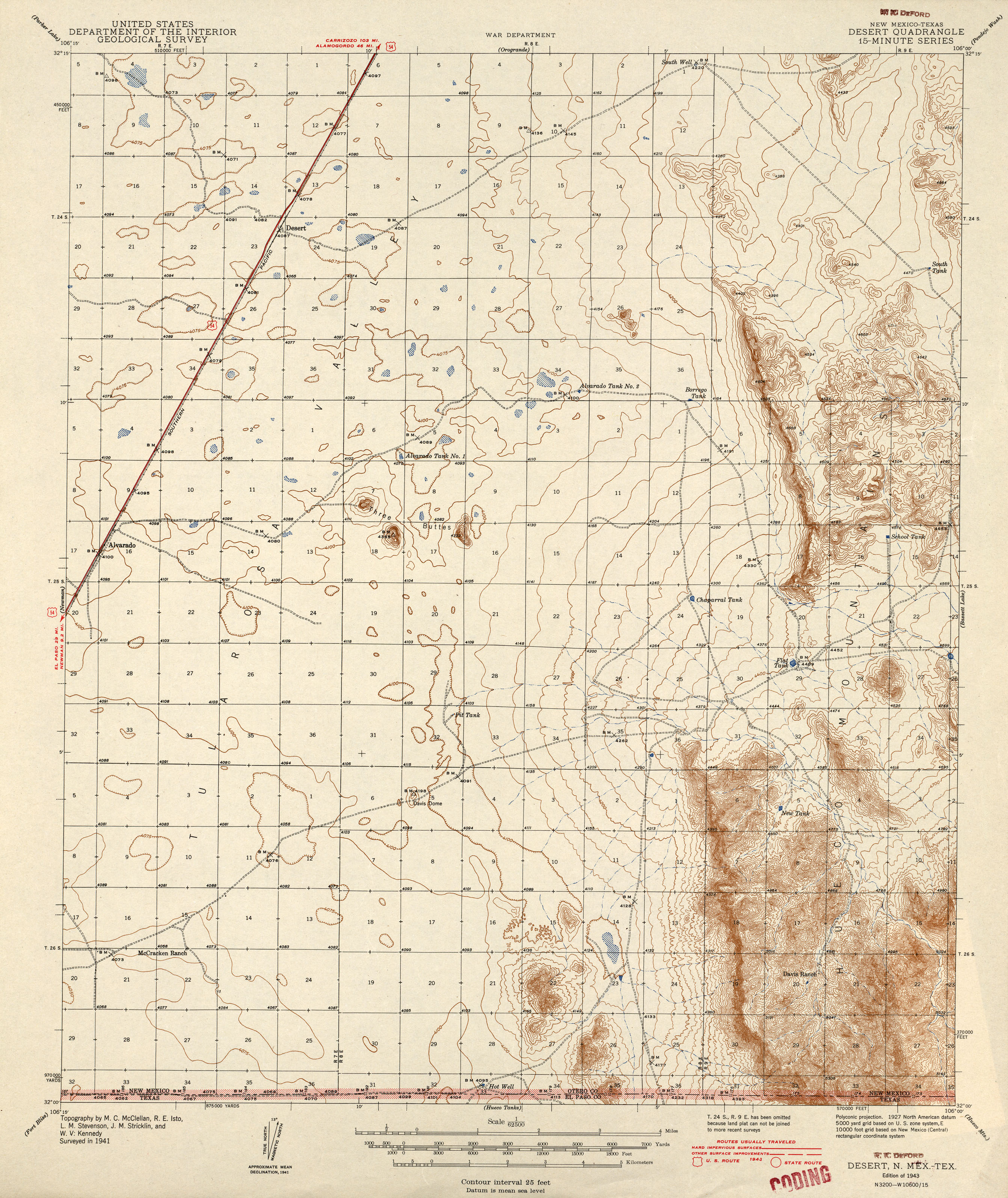
- Desert [New Mexico, Texas] 1:62,500 1943 (2.5MB)
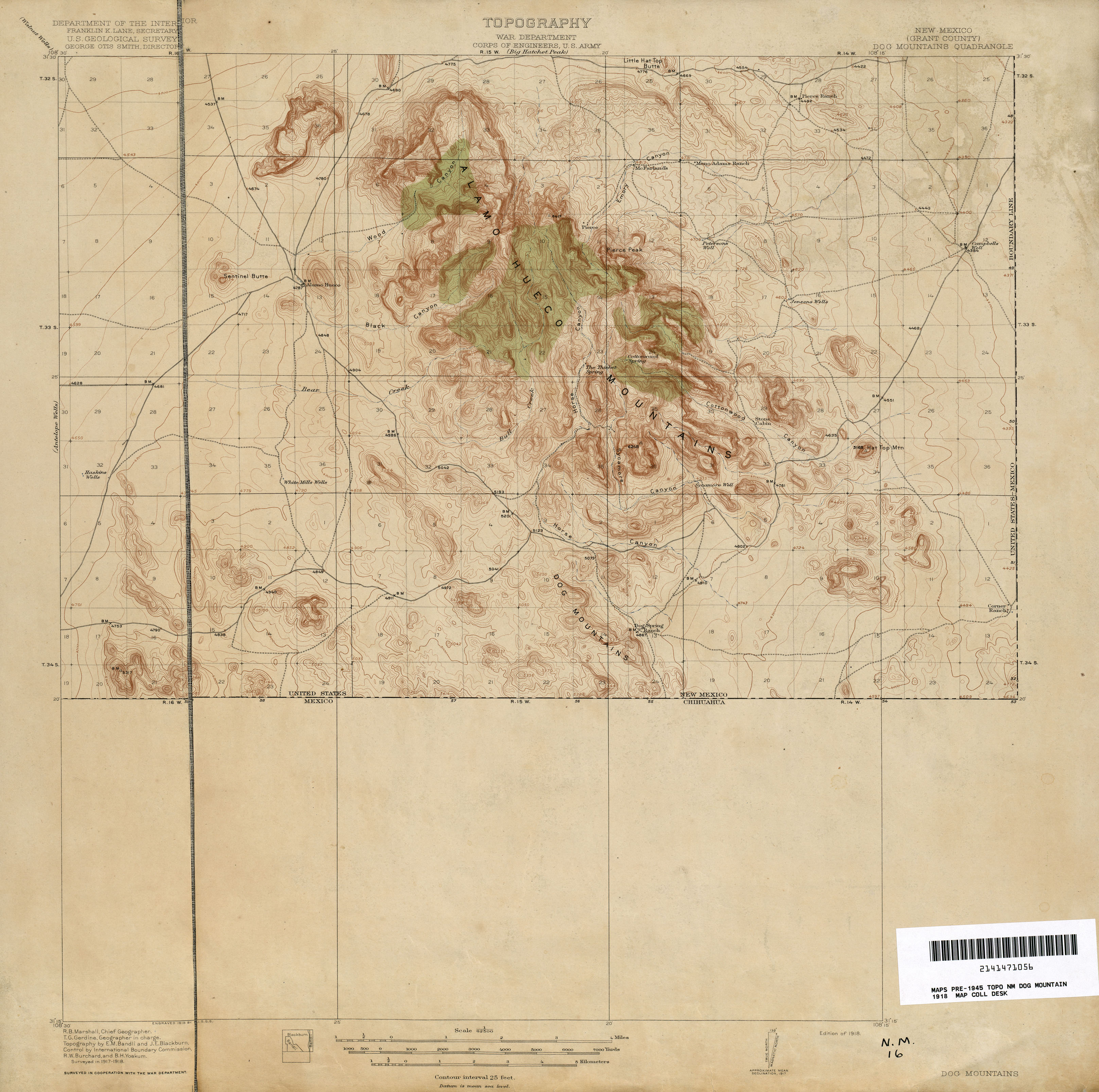
- Dog Mountains 1:62,500 1918 (2.2MB)
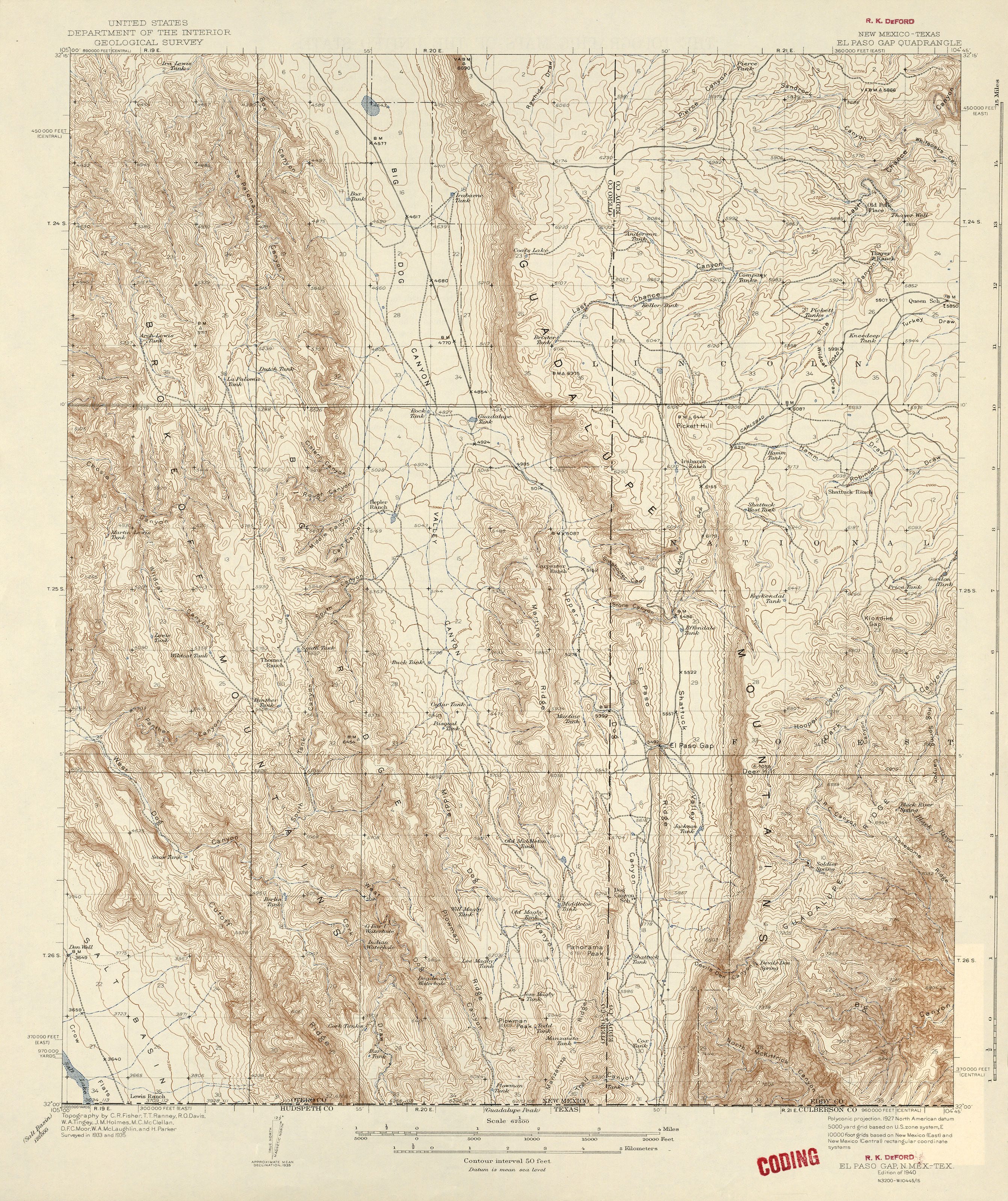
- El Paso Gap [New Mexico, Texas] 1:62,500 1935 (3.7MB)
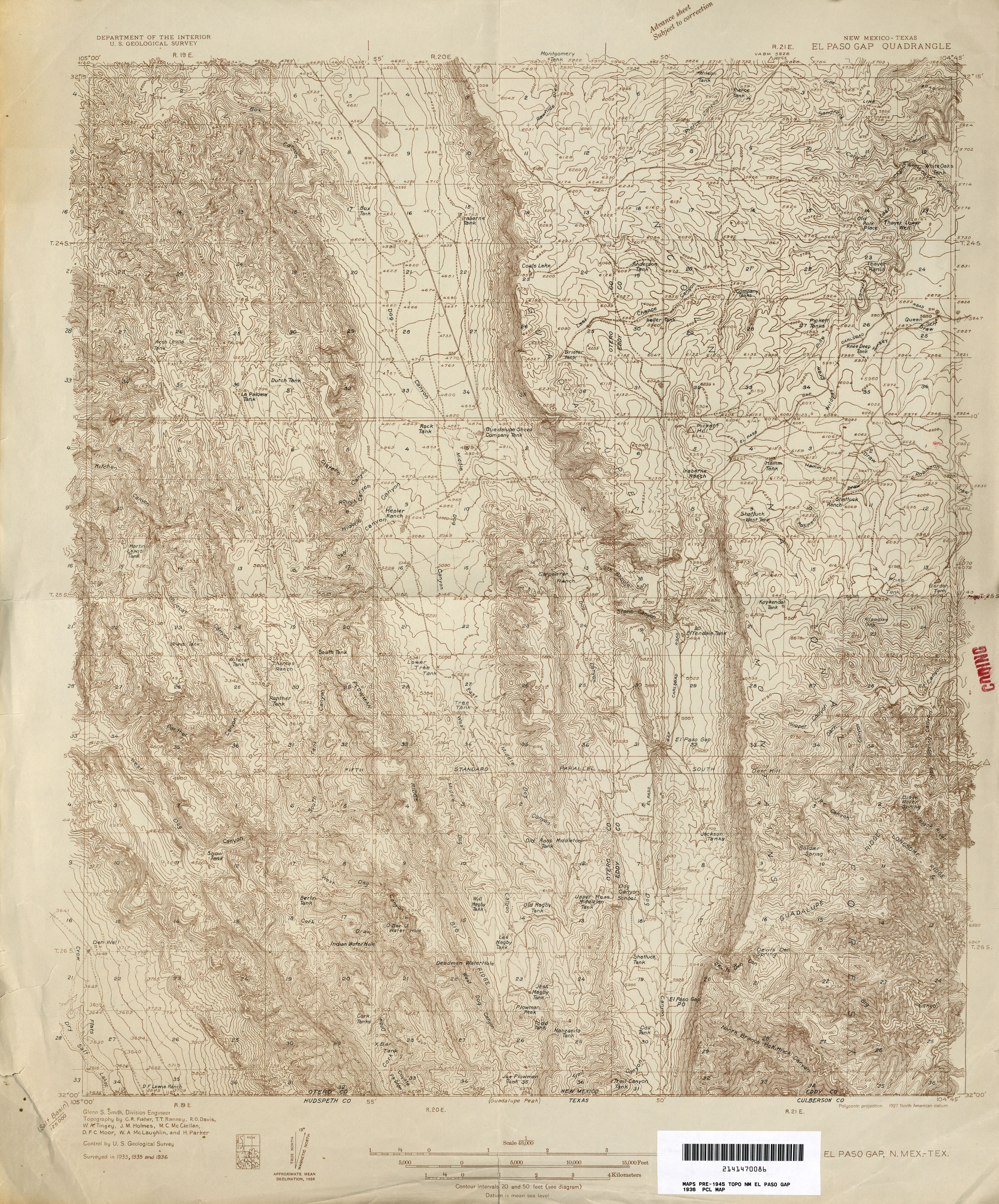
- El Paso Gap [New Mexico, Texas] 1:48,000 1936 (5.1MB)
- Estancia 1:125,000 1917 (2.1MB)
- Fort Bayard 1:12,000 1908 (12.1MB)
- Fort Defiance [Arizona, New Mexico] 1:250,000 1883 (1.3MB)
- Gallina 1:125,000 1907 (2.2MB)
- Hachita 1:62,500 1918 (2.7MB)
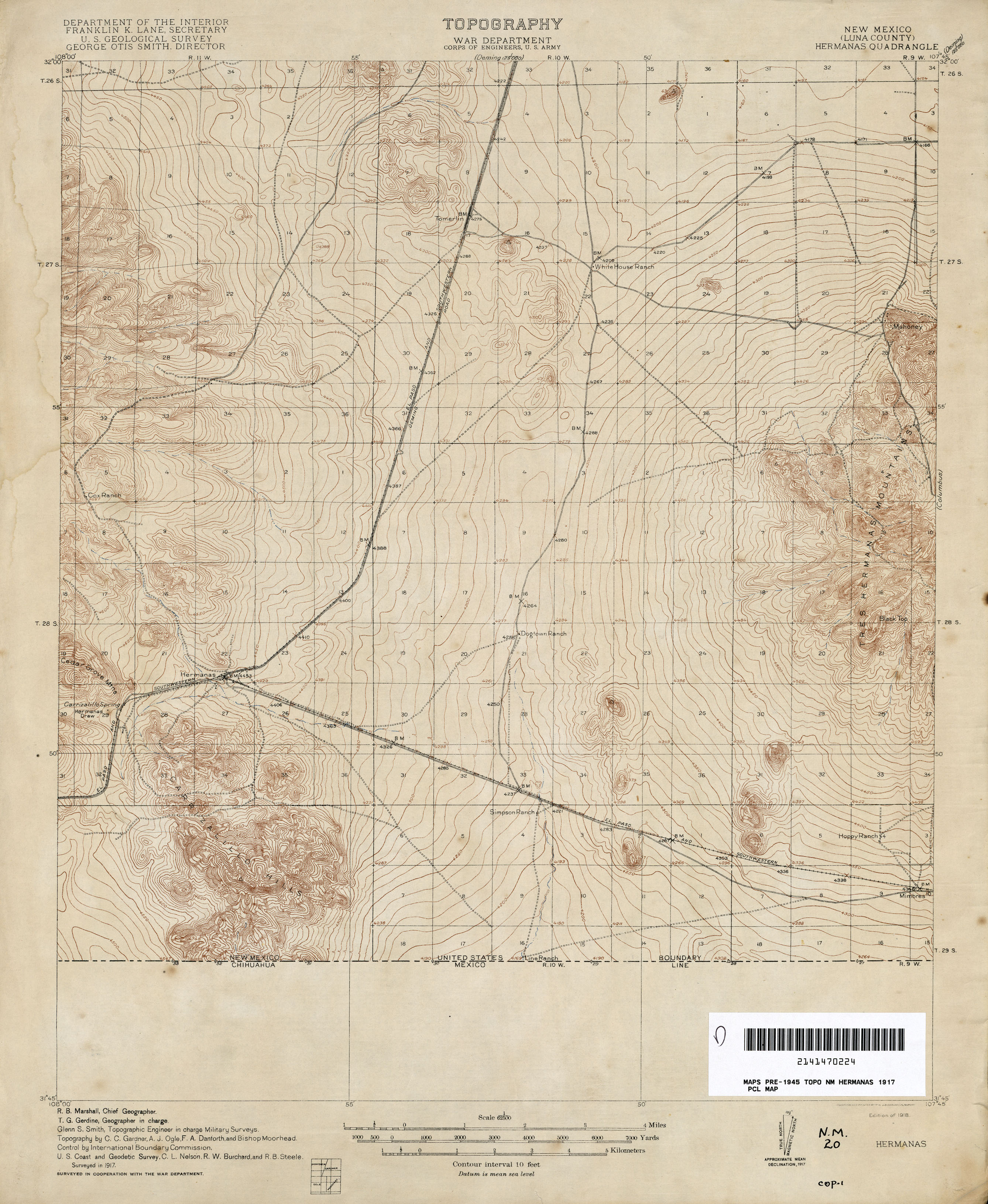
- Hermanas 1:62,500 1917 (2.2MB)
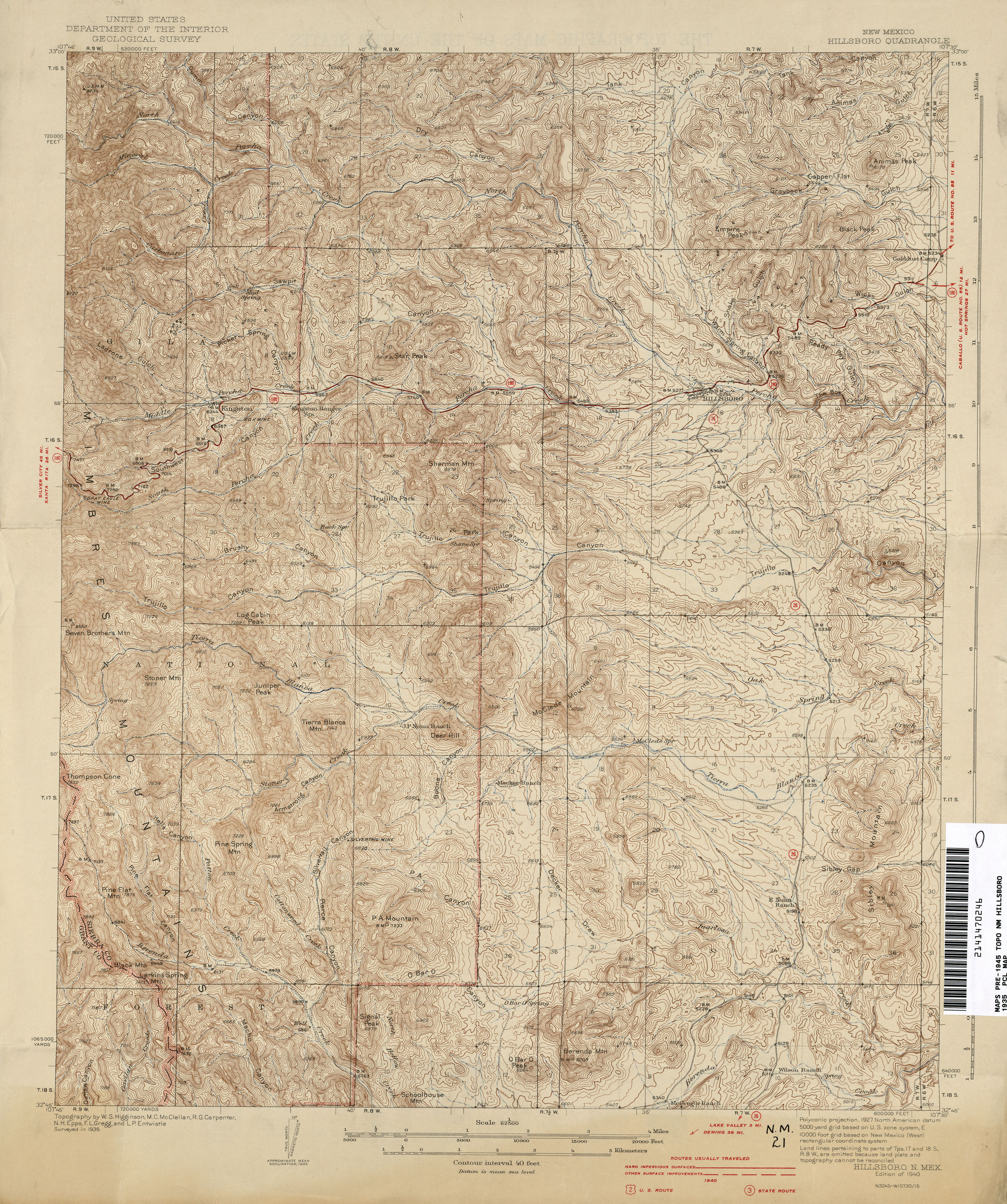
- Hillsboro 1:62,500 1940 (3.6MB)
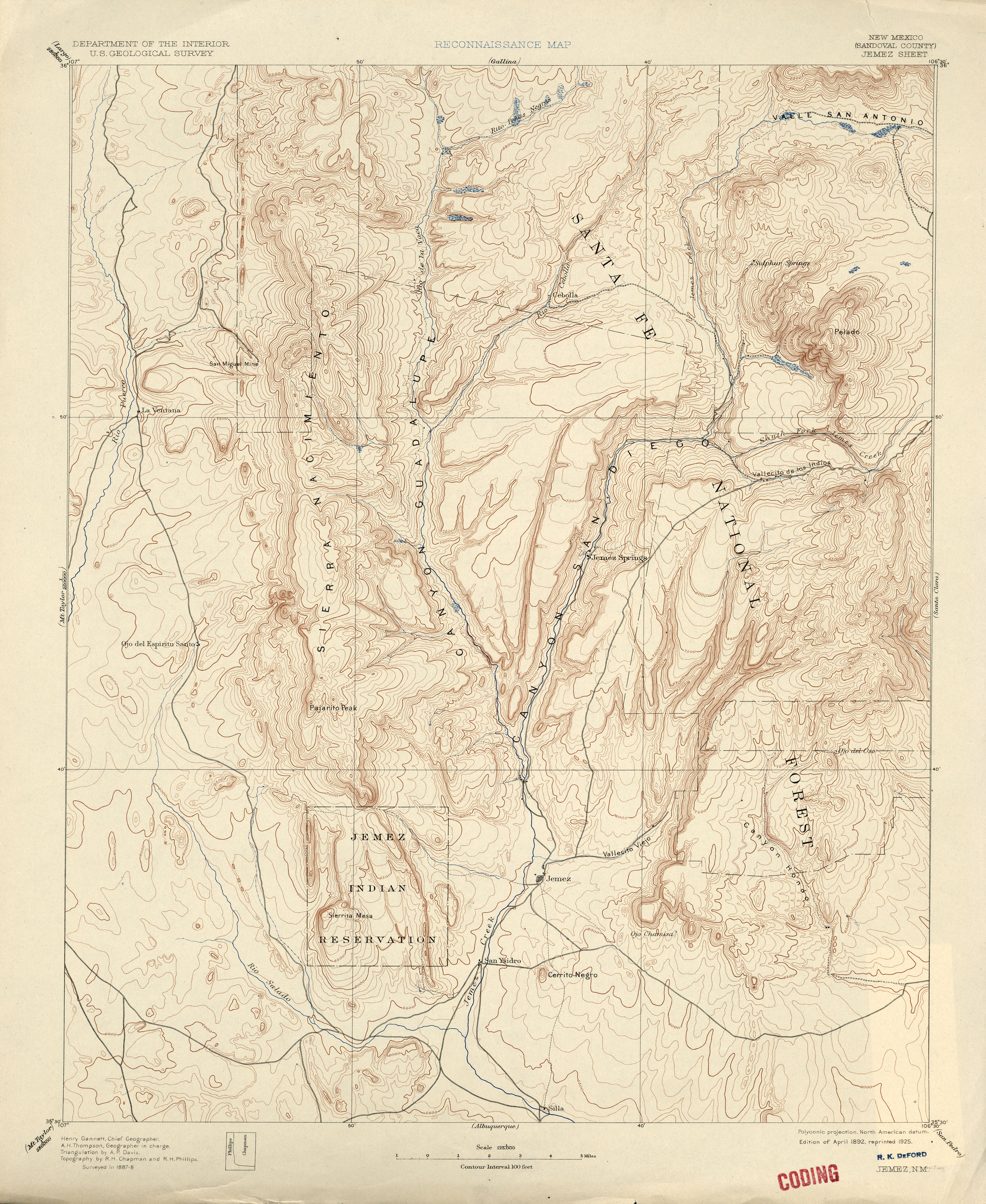
- Jemez 1:125,000 1888 (2.6MB)
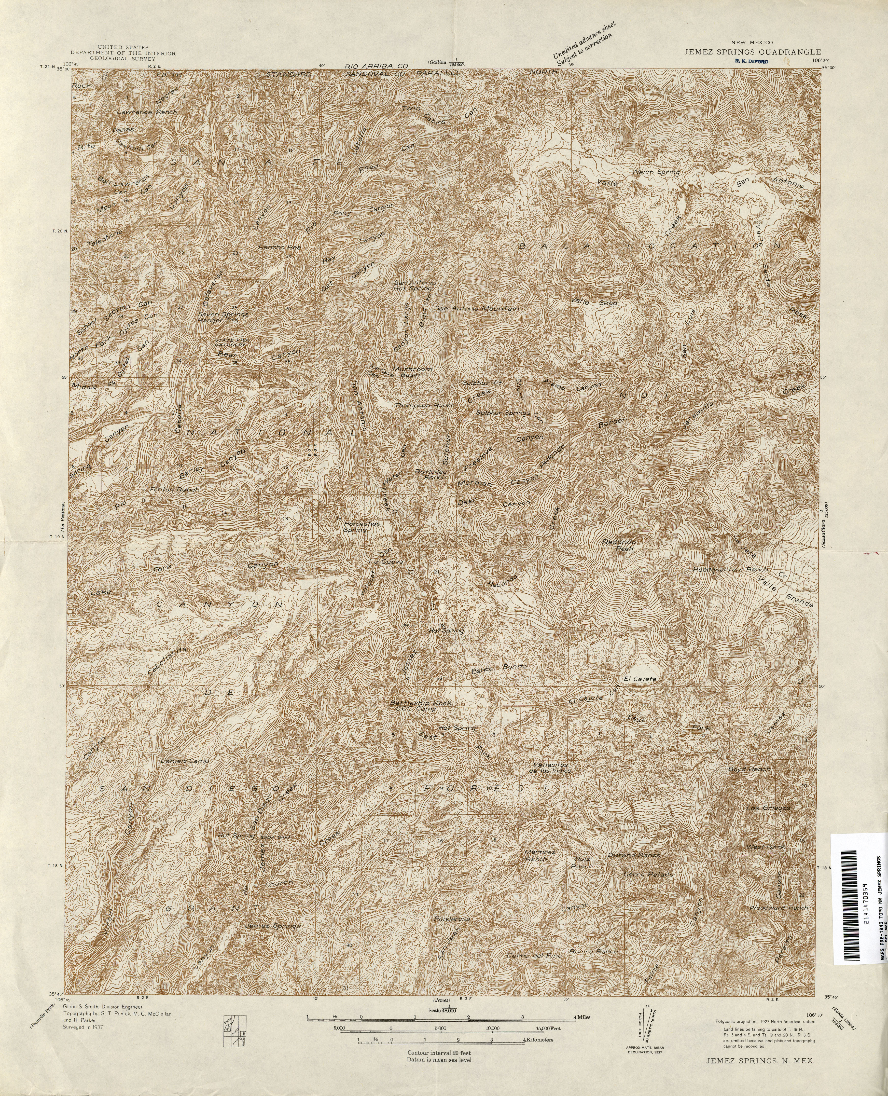
- Jemez Springs 1:48,000 1937 (6.7MB)
- Jemez Springs 1:62,500 1943 (3.7MB)
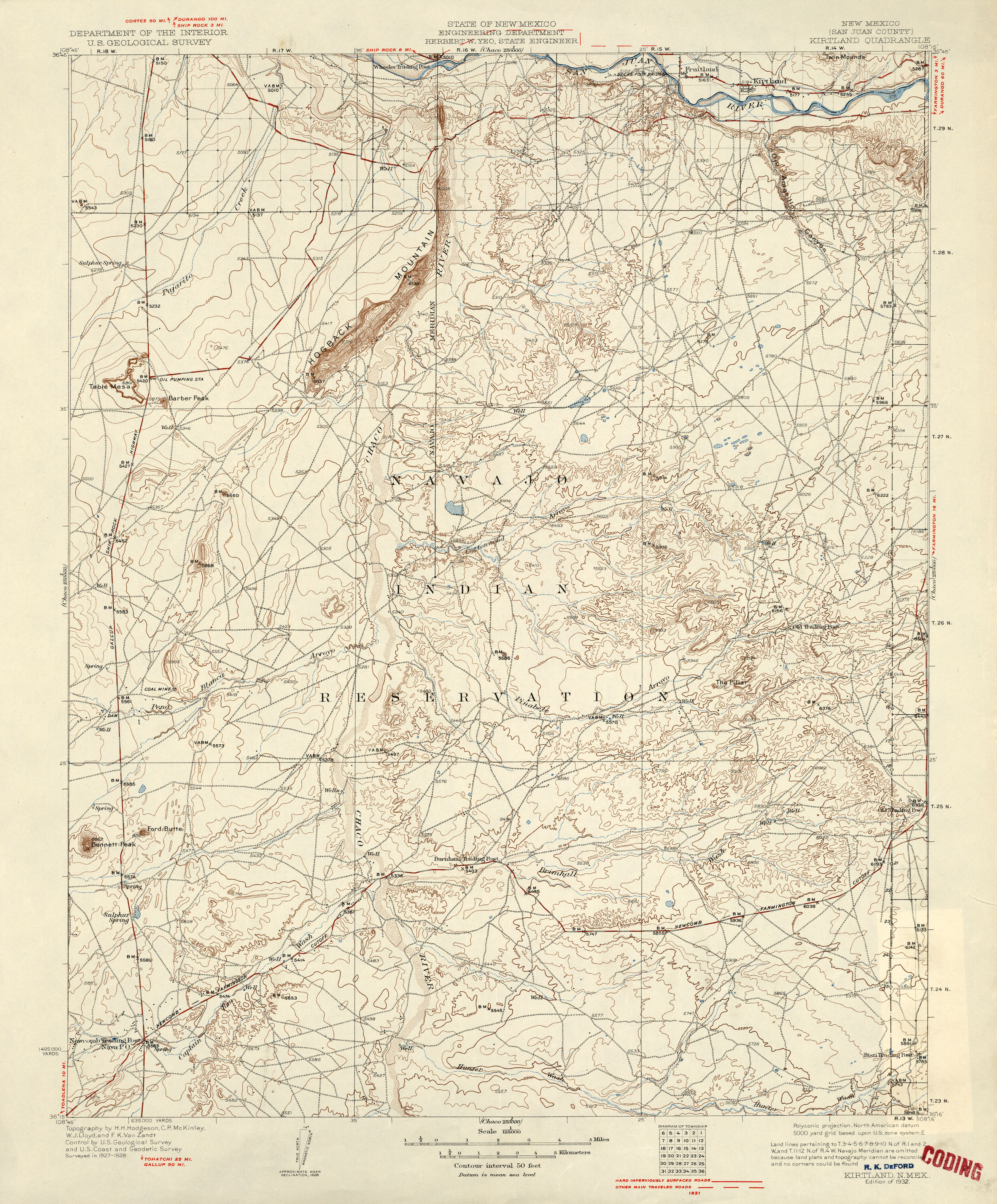
- Kirtland 1:125,000 1931 (2.7MB)
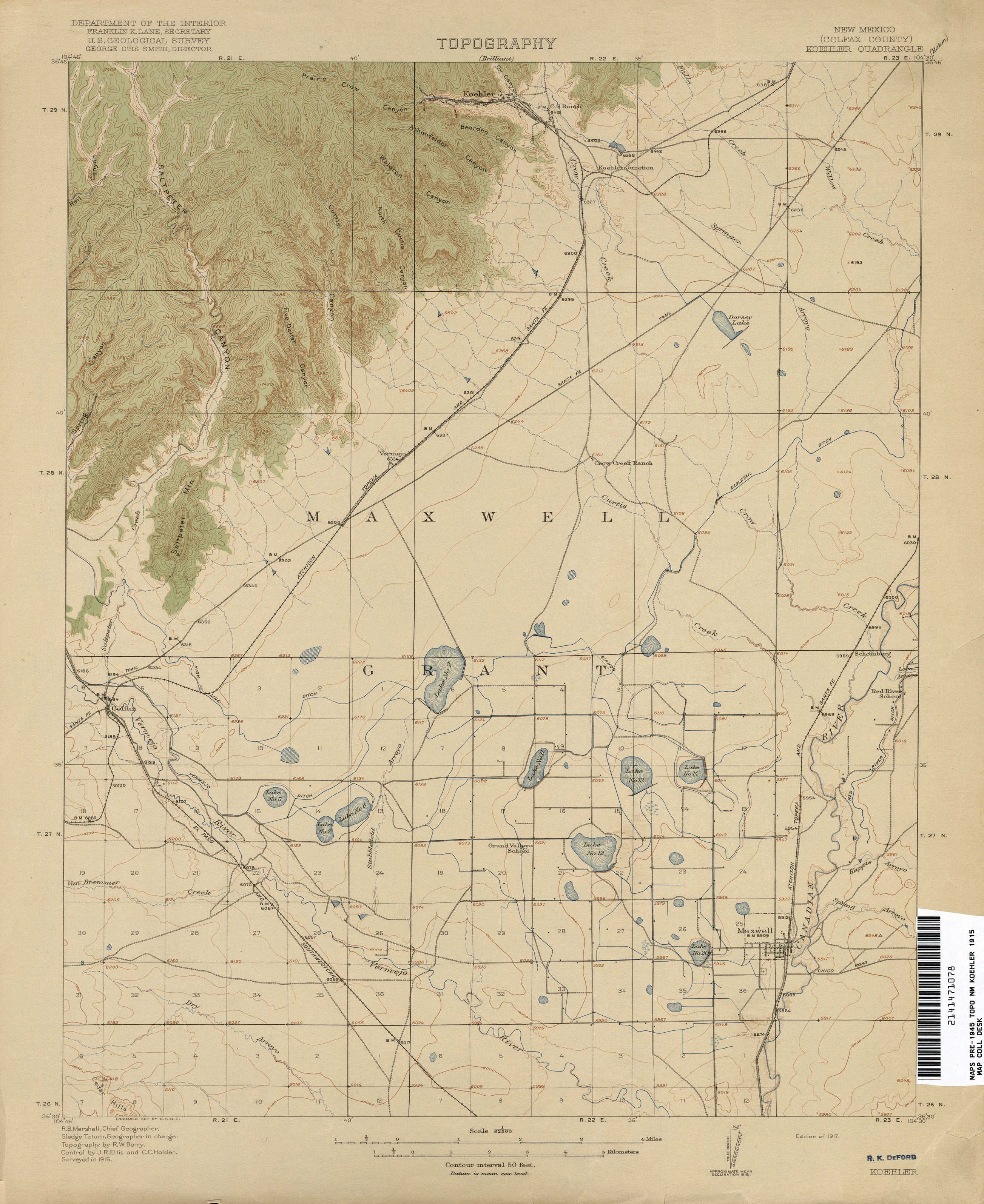
- Koehler 1:62,500 1915 (1.9MB)
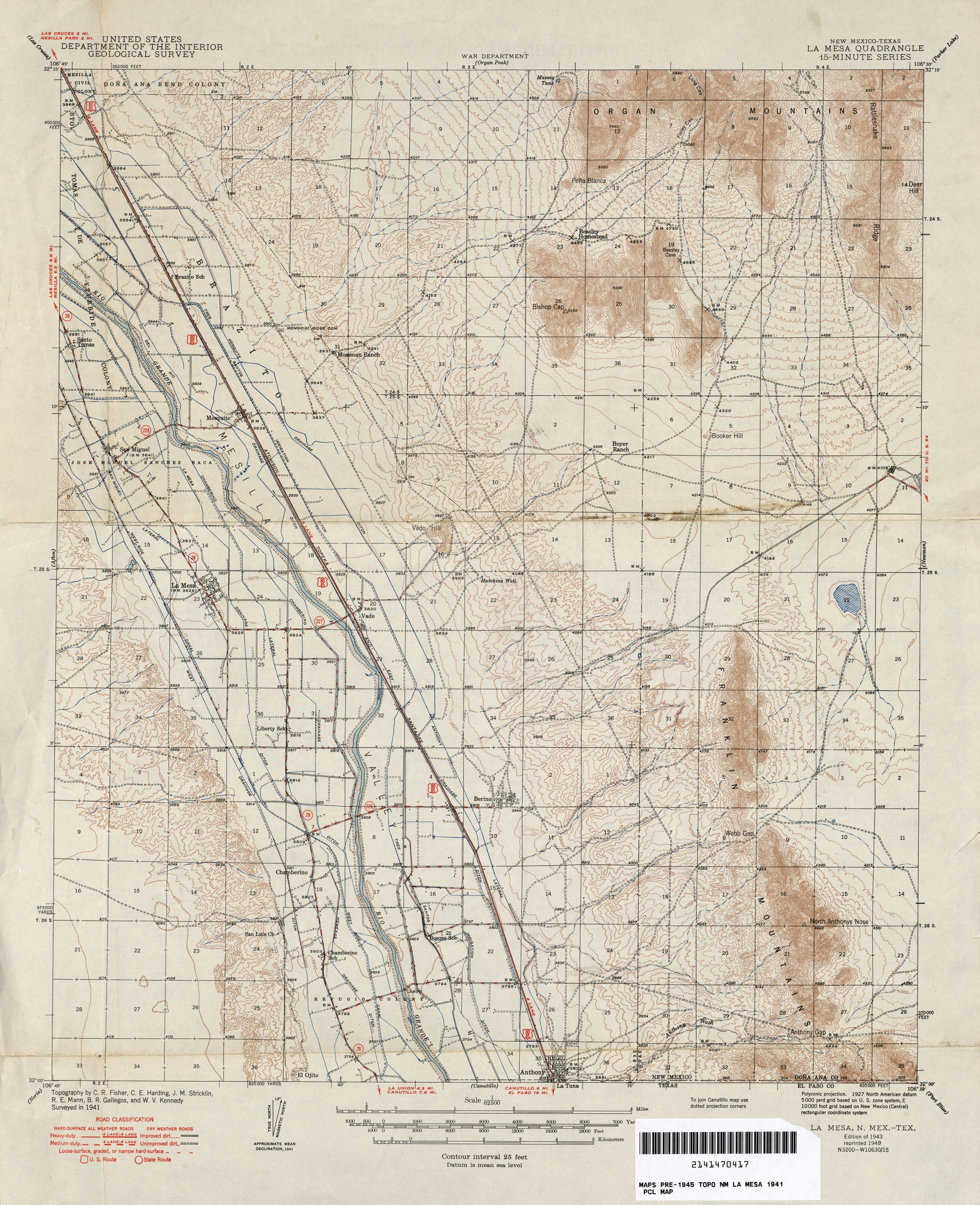
- La Mesa [New Mexico, Texas] 1:62,500 1941 (2.5MB)
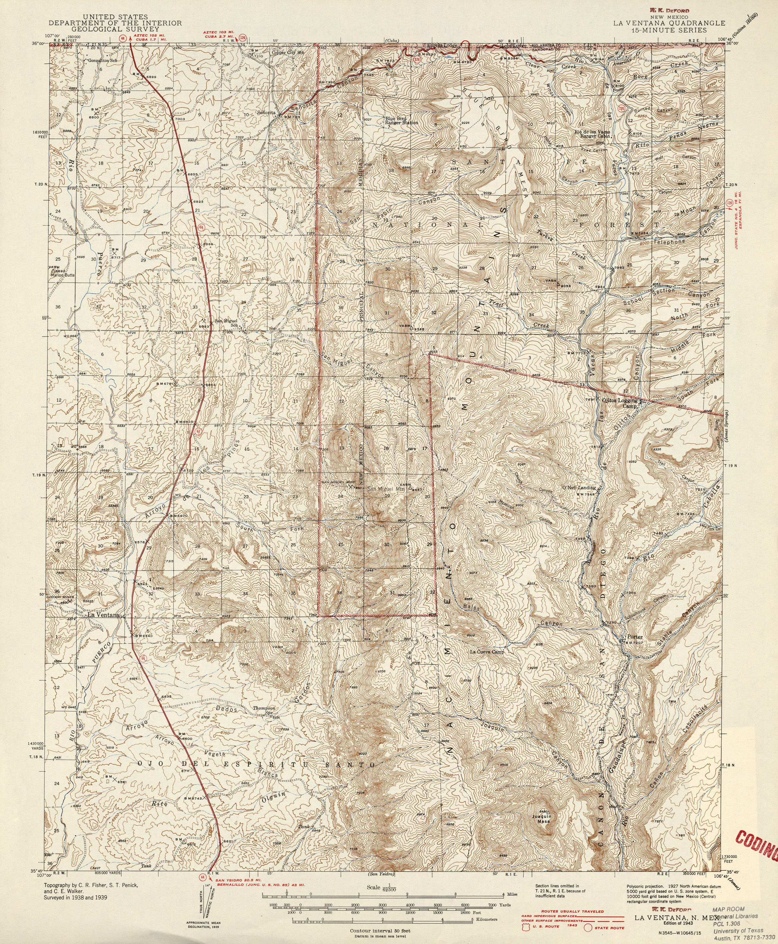
- La Ventana 1:62,500 1943 (3.8MB)
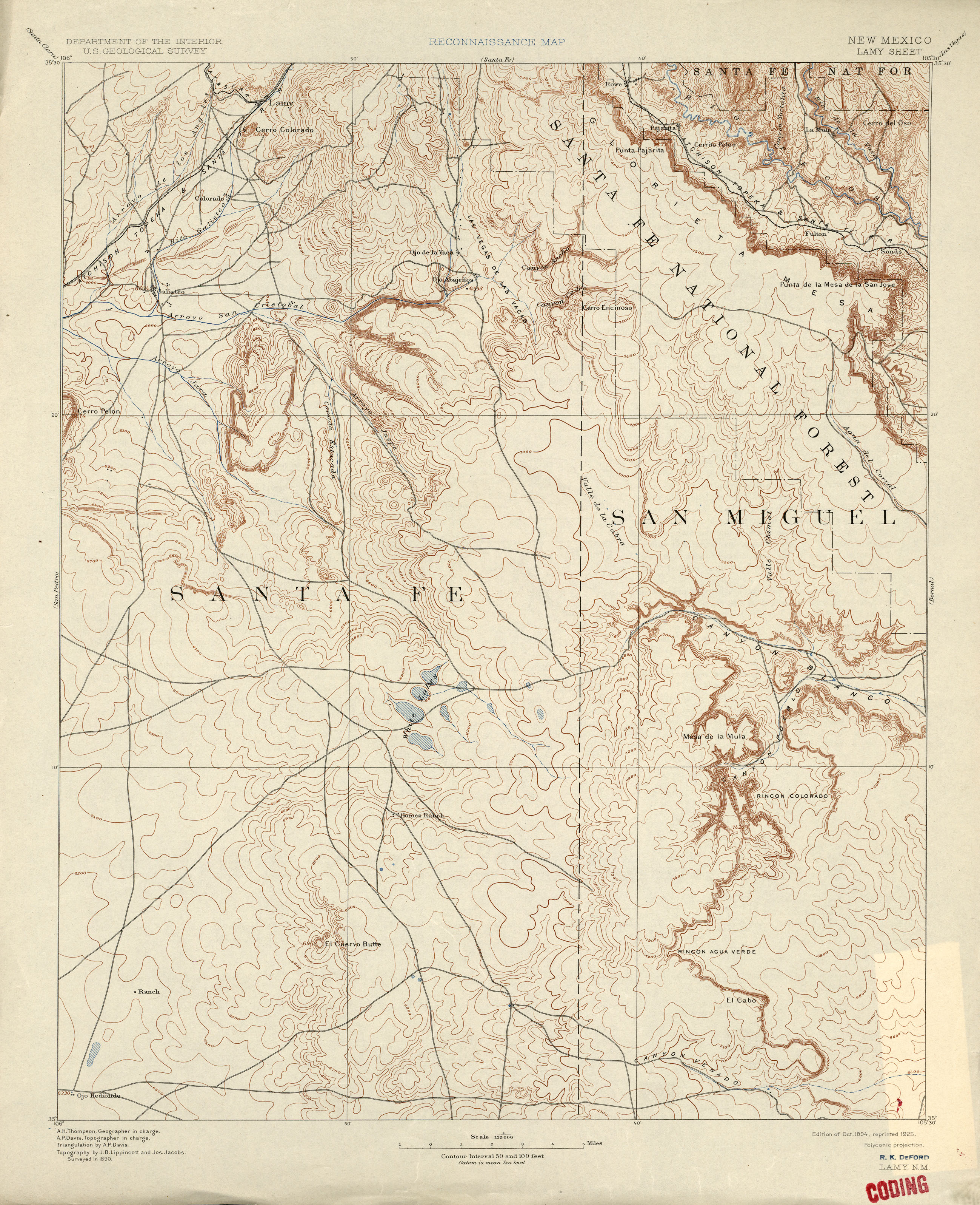
- Lamy 1:125,000 1890 (2.5MB)
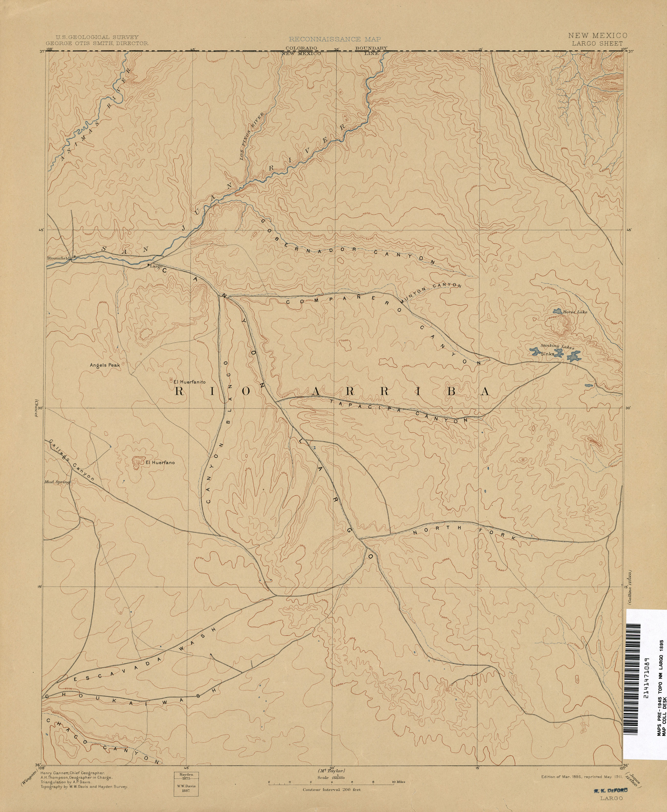
- Largo 1:250,000 1895 (1.6MB)
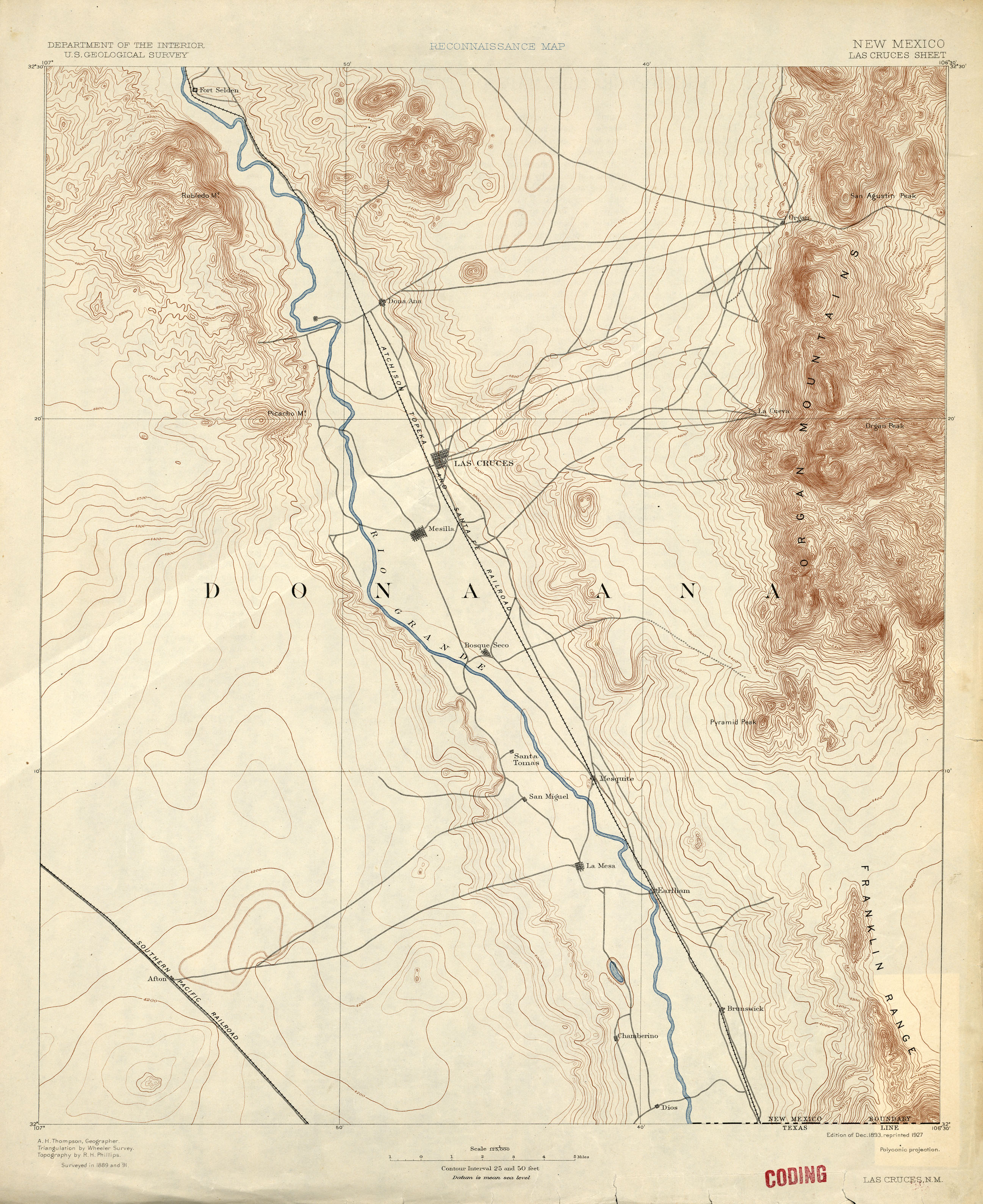
- Las Cruces 1:125,000 1891 (2.3MB)
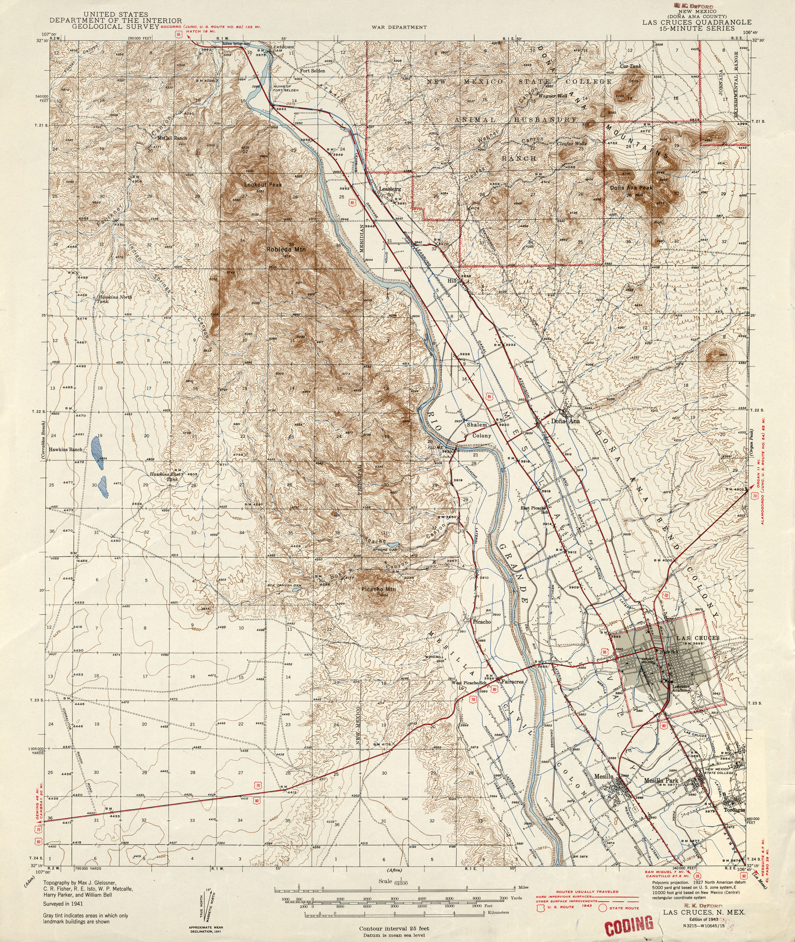
- Las Cruces 1:62,500 1943 (3.3MB)
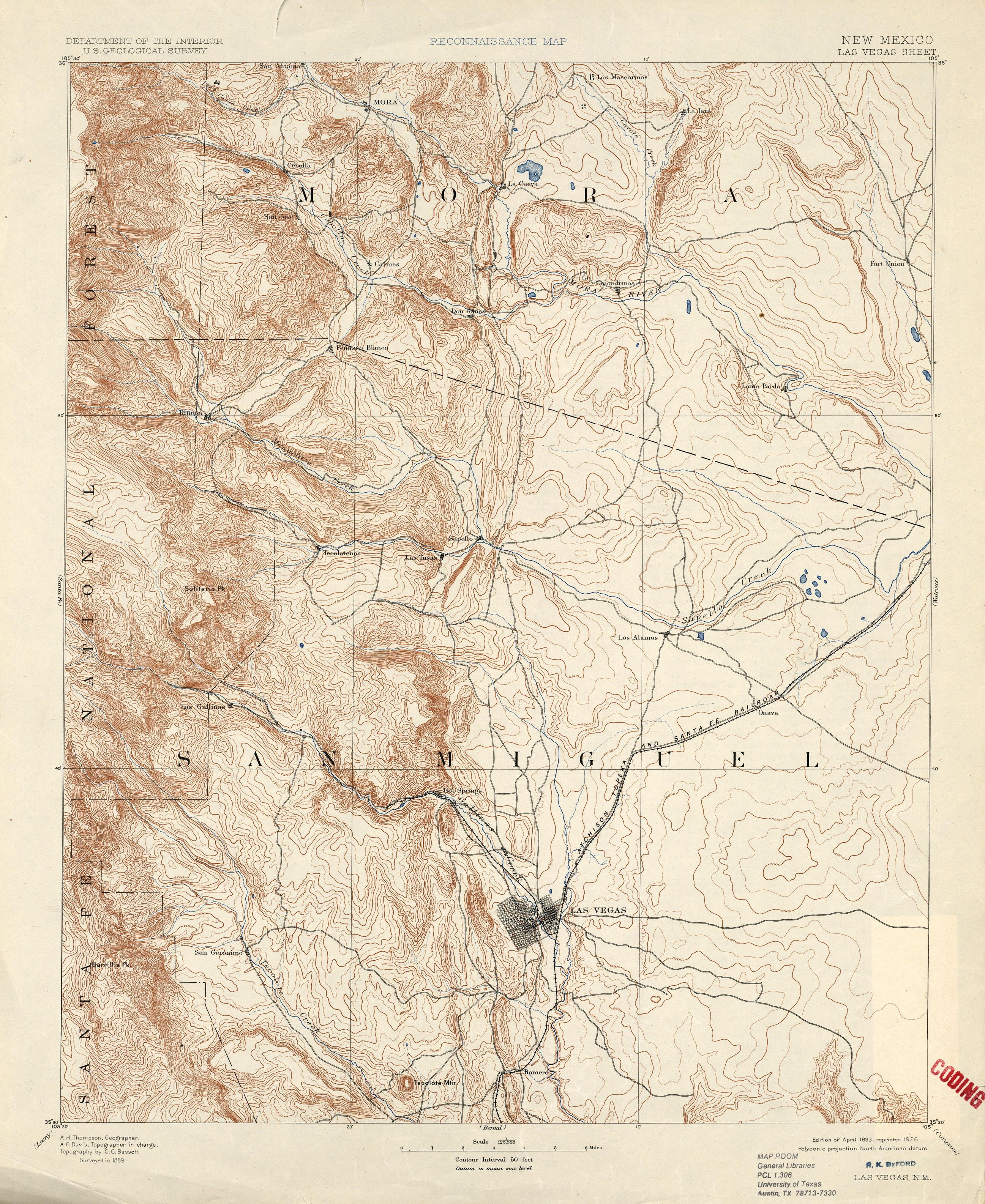
- Las Vegas 1:125,000 1889 (3.2MB)
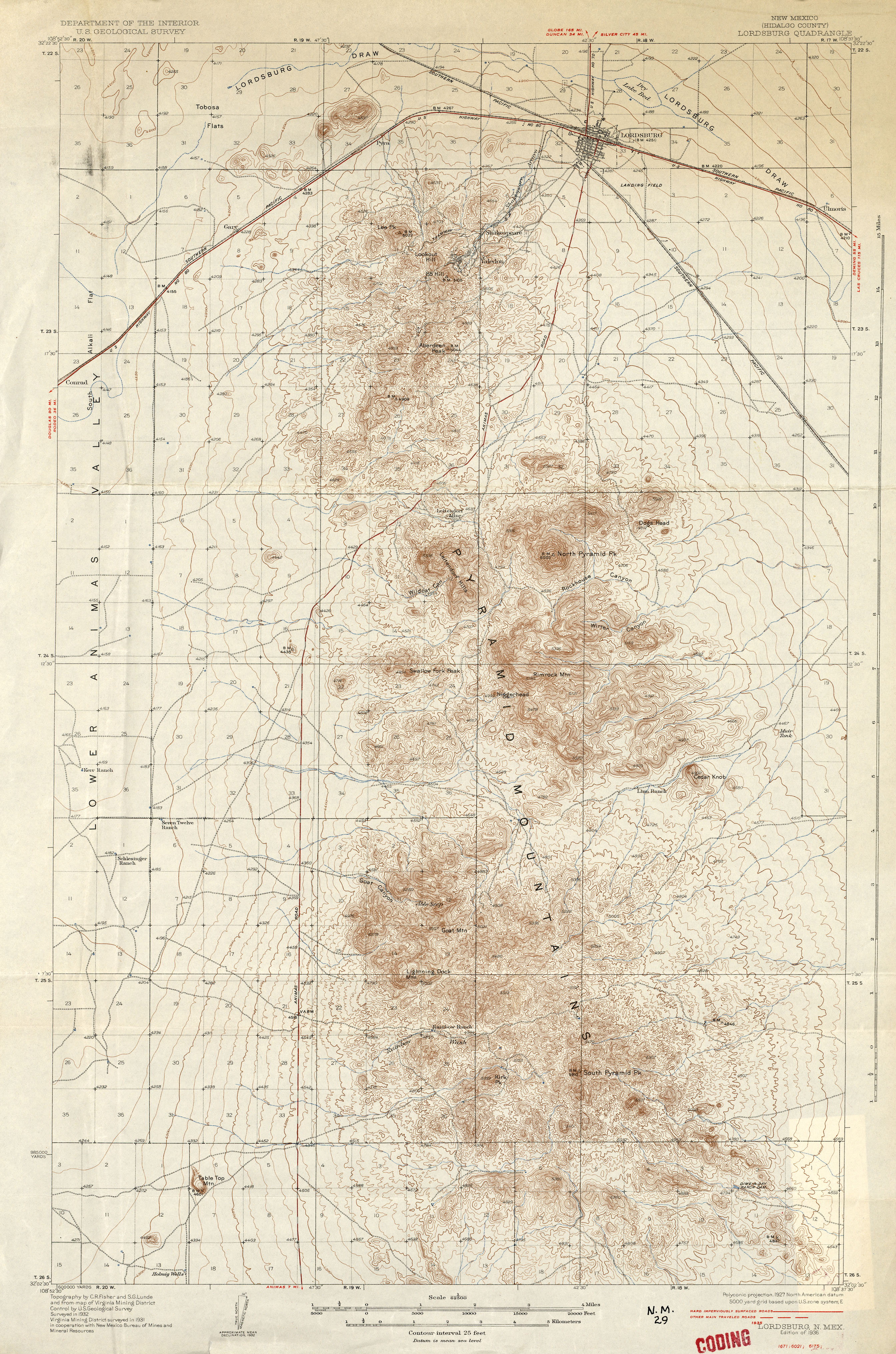
- Lordsburg 1:62,500 1935 (3.6MB)
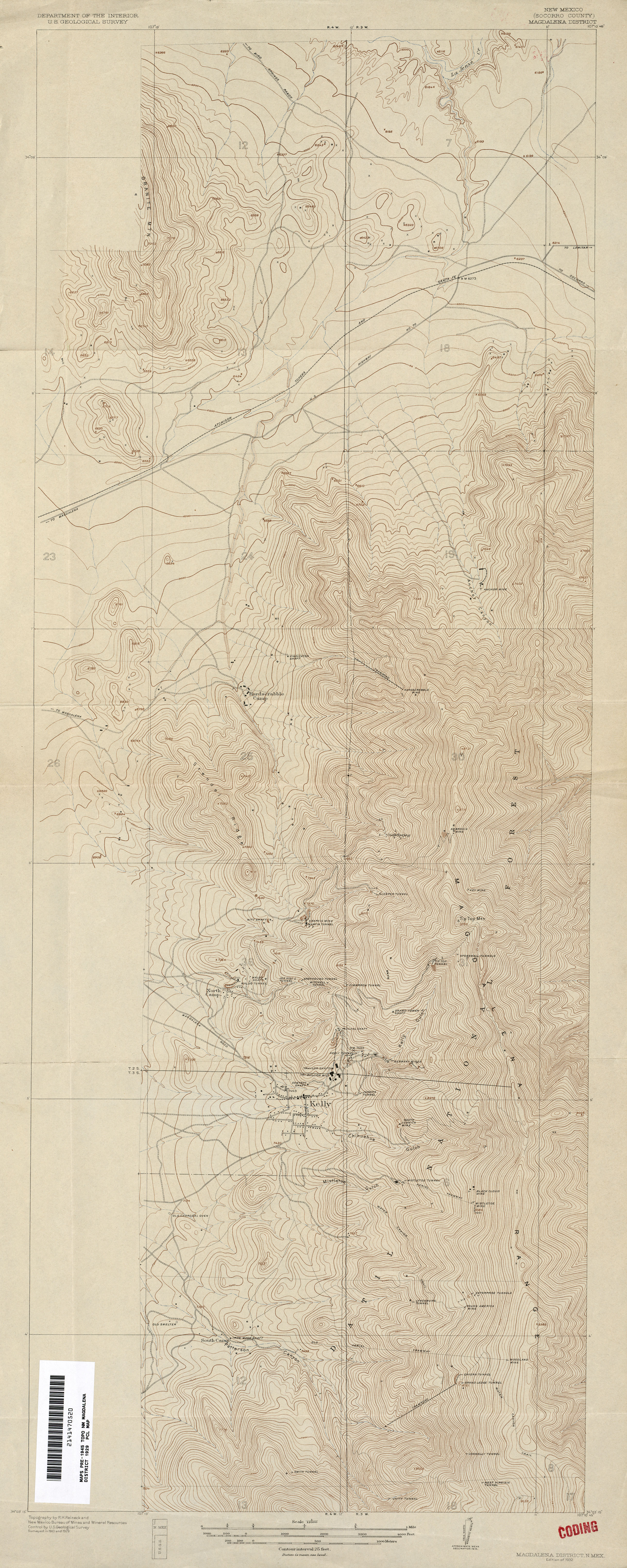
- Magdalena District 1:12,000 1929 (4.7MB)
- Malaga 1:62,500 1946 (2.9MB)
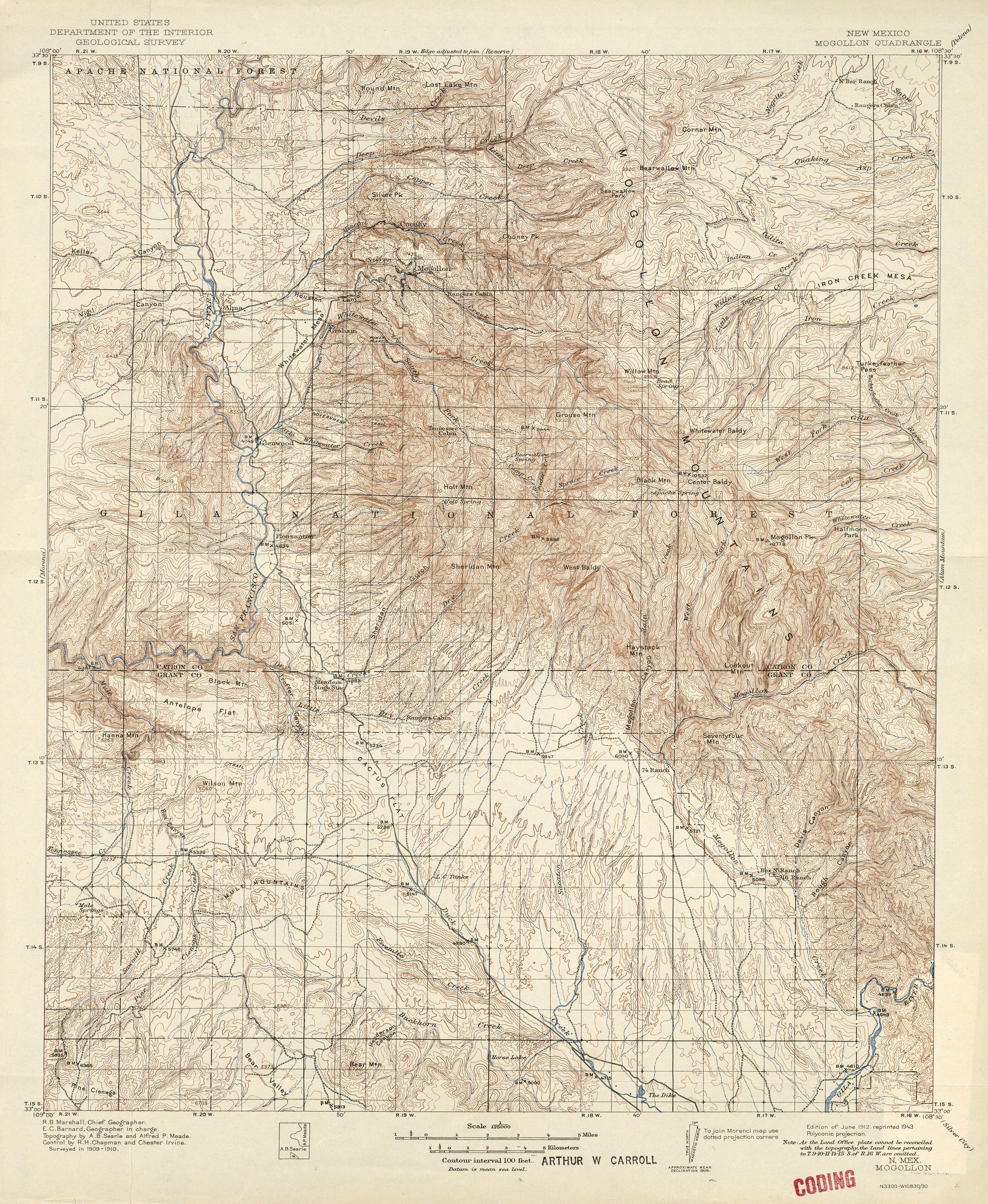
- Mogollon 1:125,000 1910 (3.8MB)
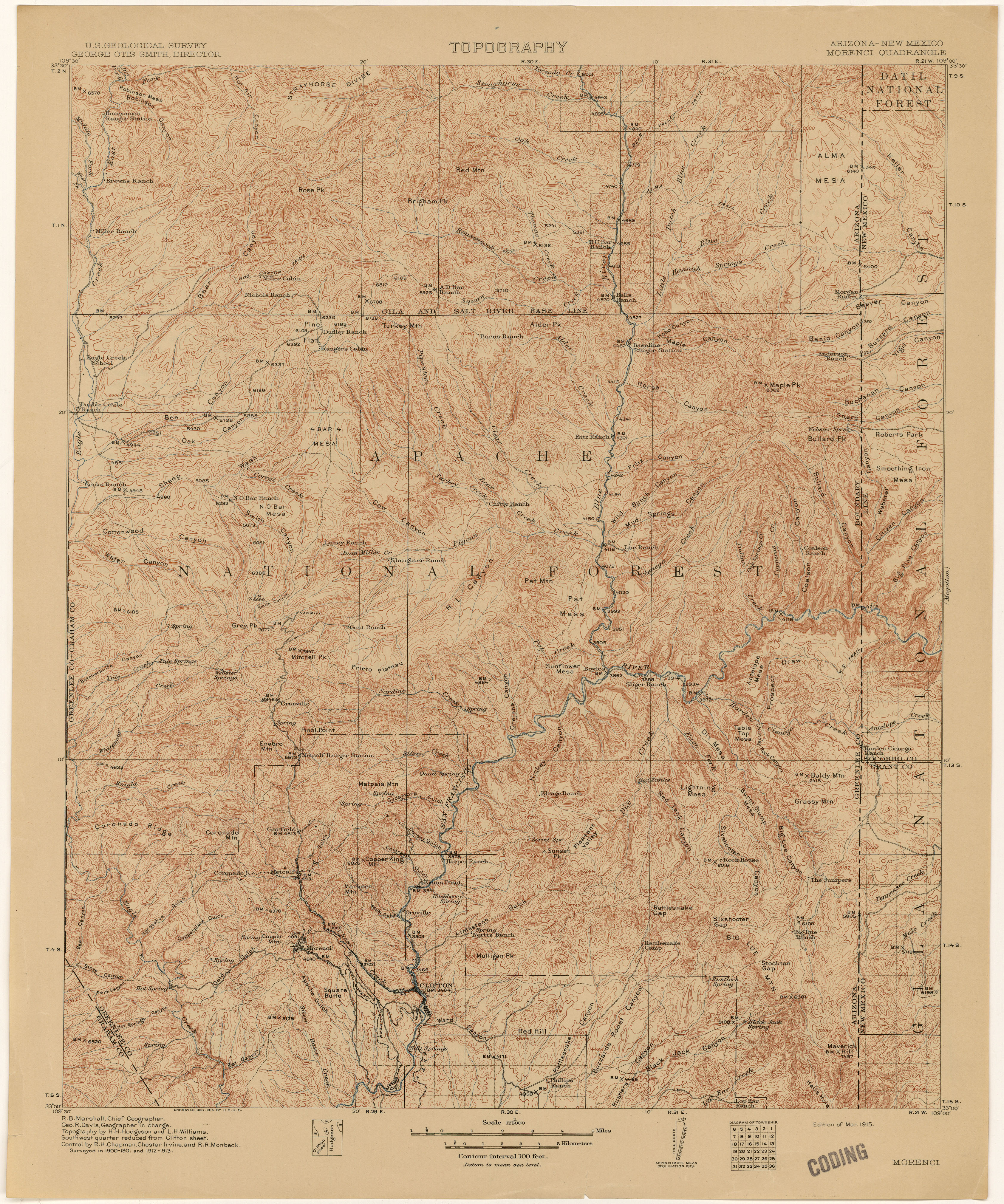
- Morenci [Arizona, New Mexico] 1:125,000 1913 (5.2MB)
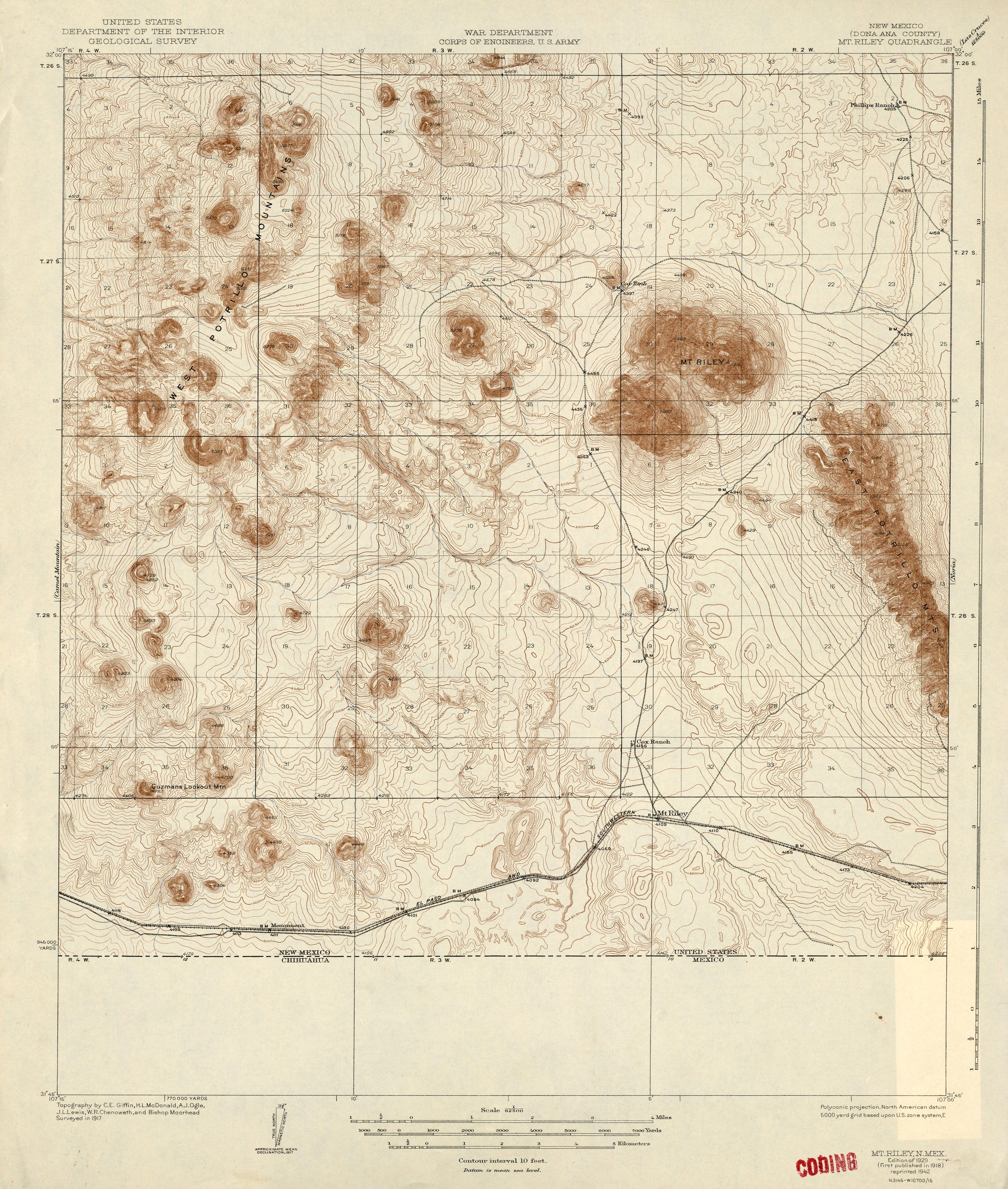
- Mt Riley 1:62,500 1917 (2.8MB)
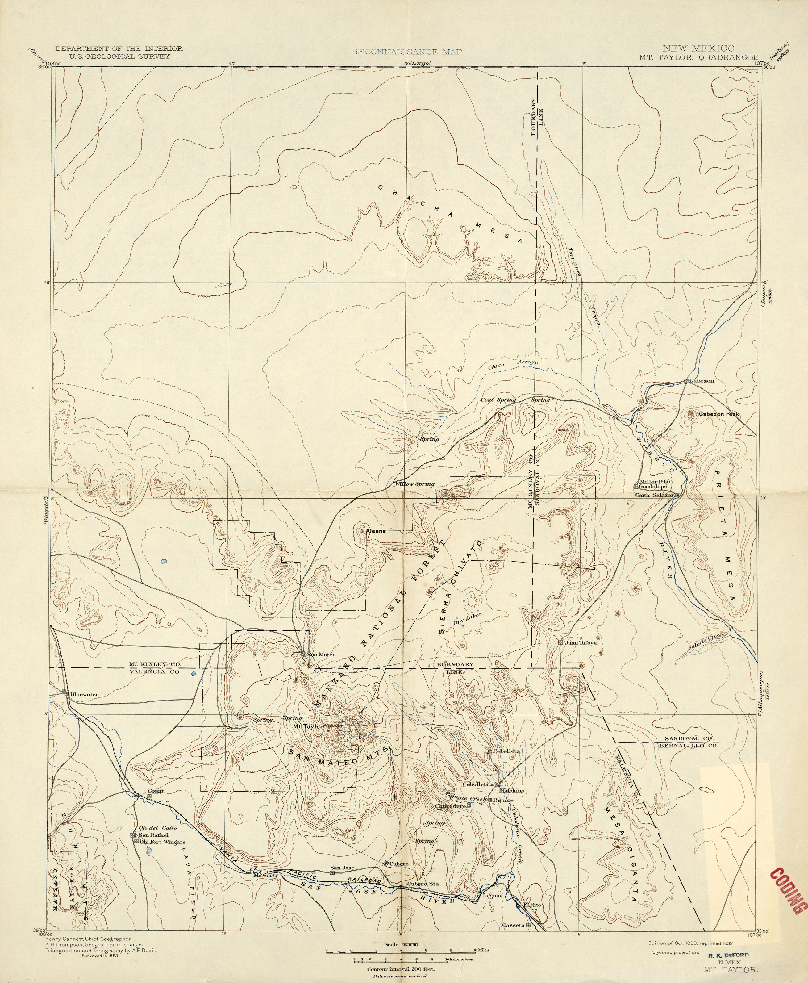
- Mt Taylor 1:250,000 1883 (1.7MB)
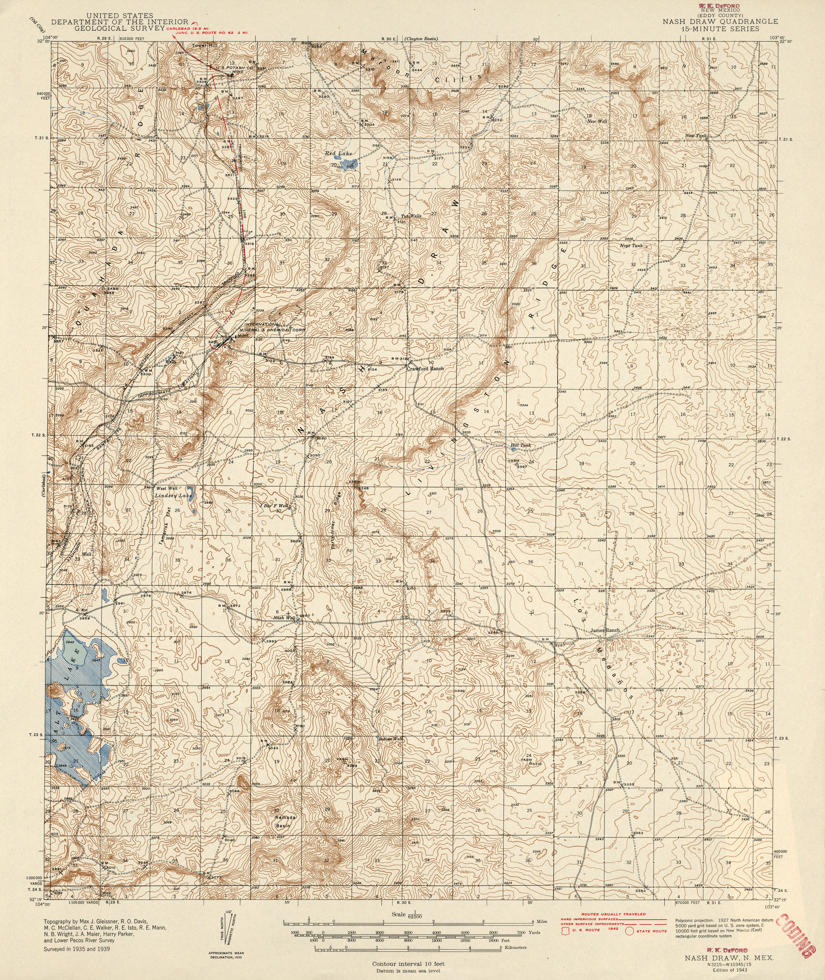
- Nash Draw 1:62,500 1942 (3.3MB)
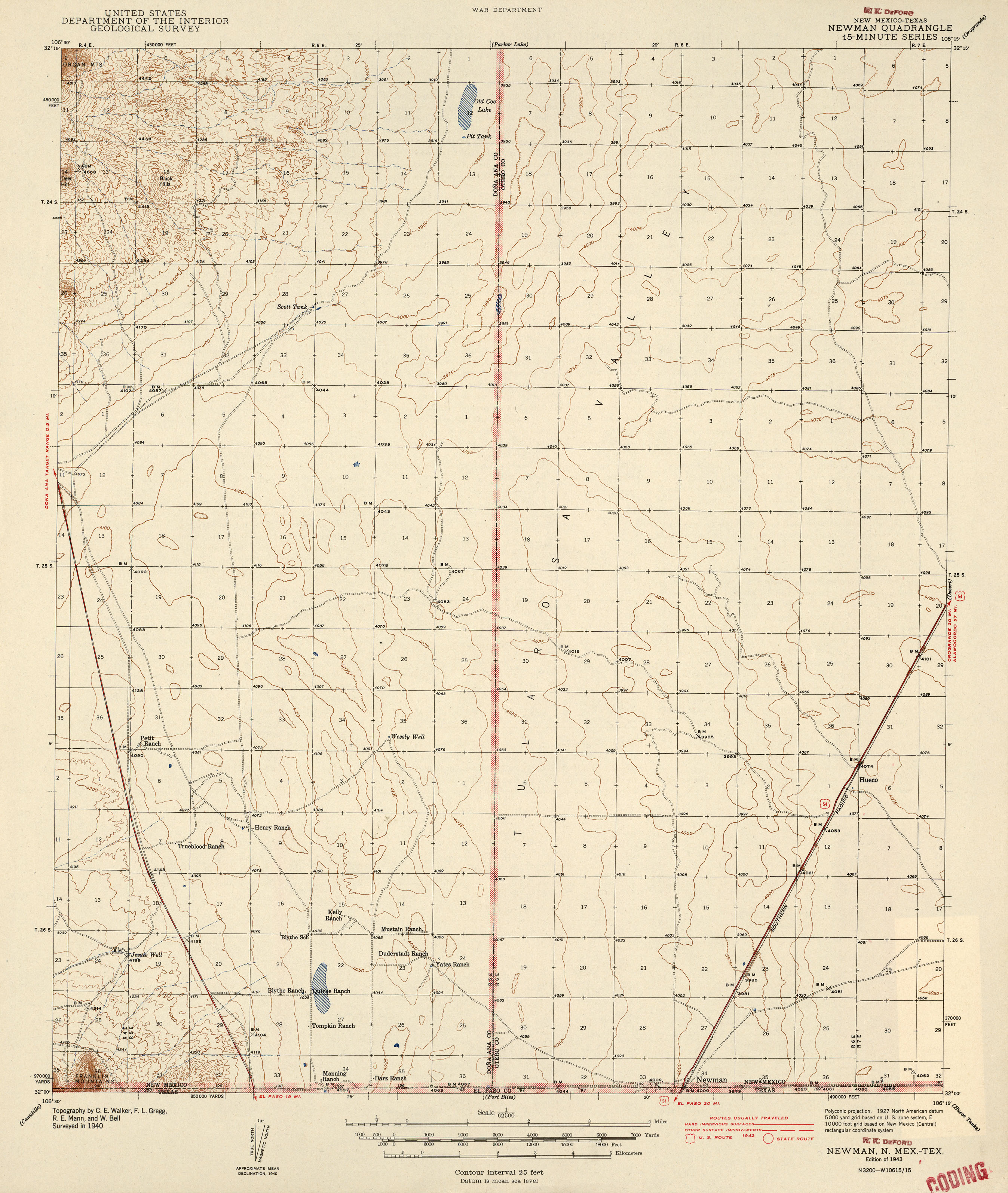
- Newman [New Mexico, Texas] 1:62,500 1942 (2MB)
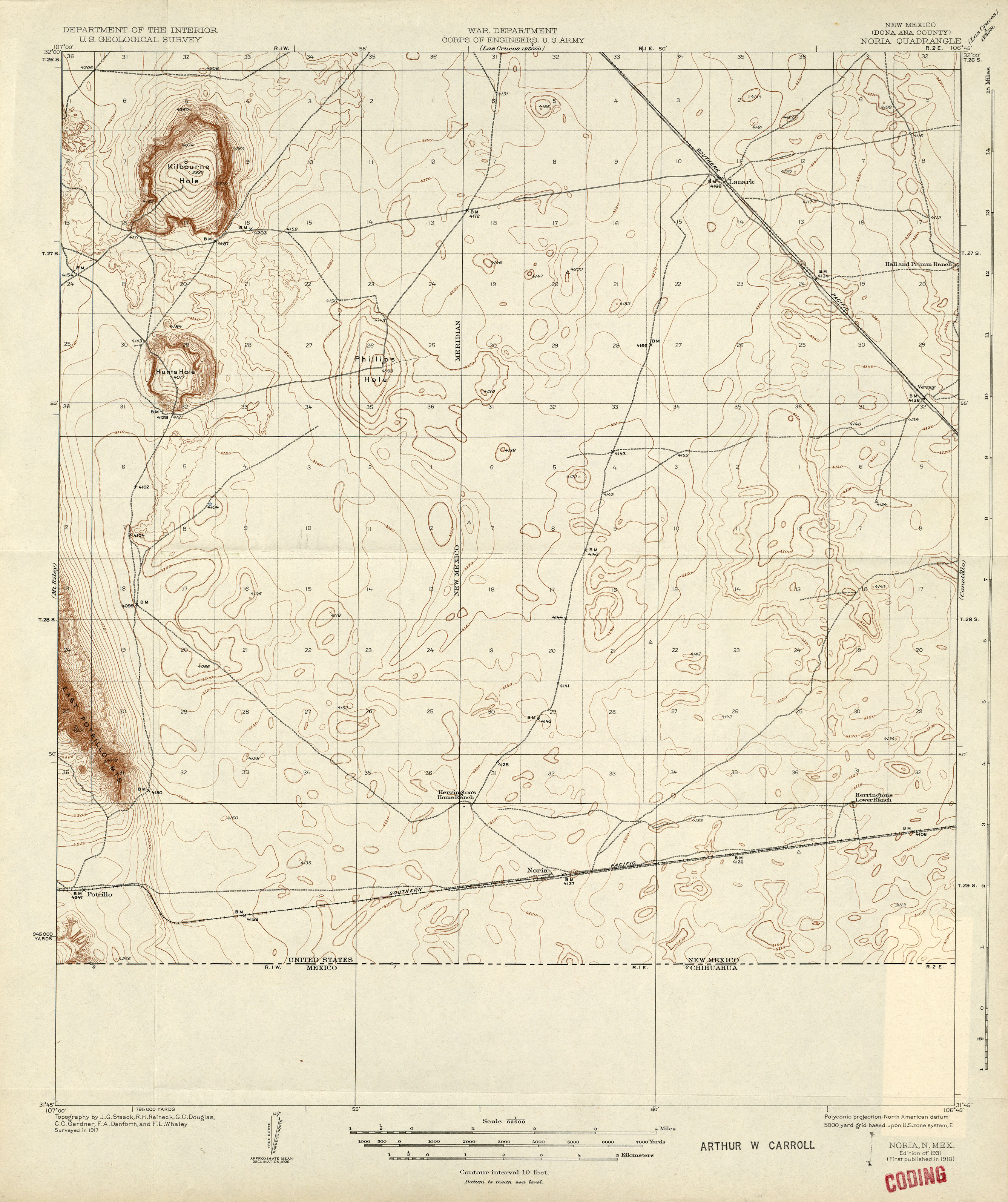
- Noria 1:62,500 1917 (2.1MB)
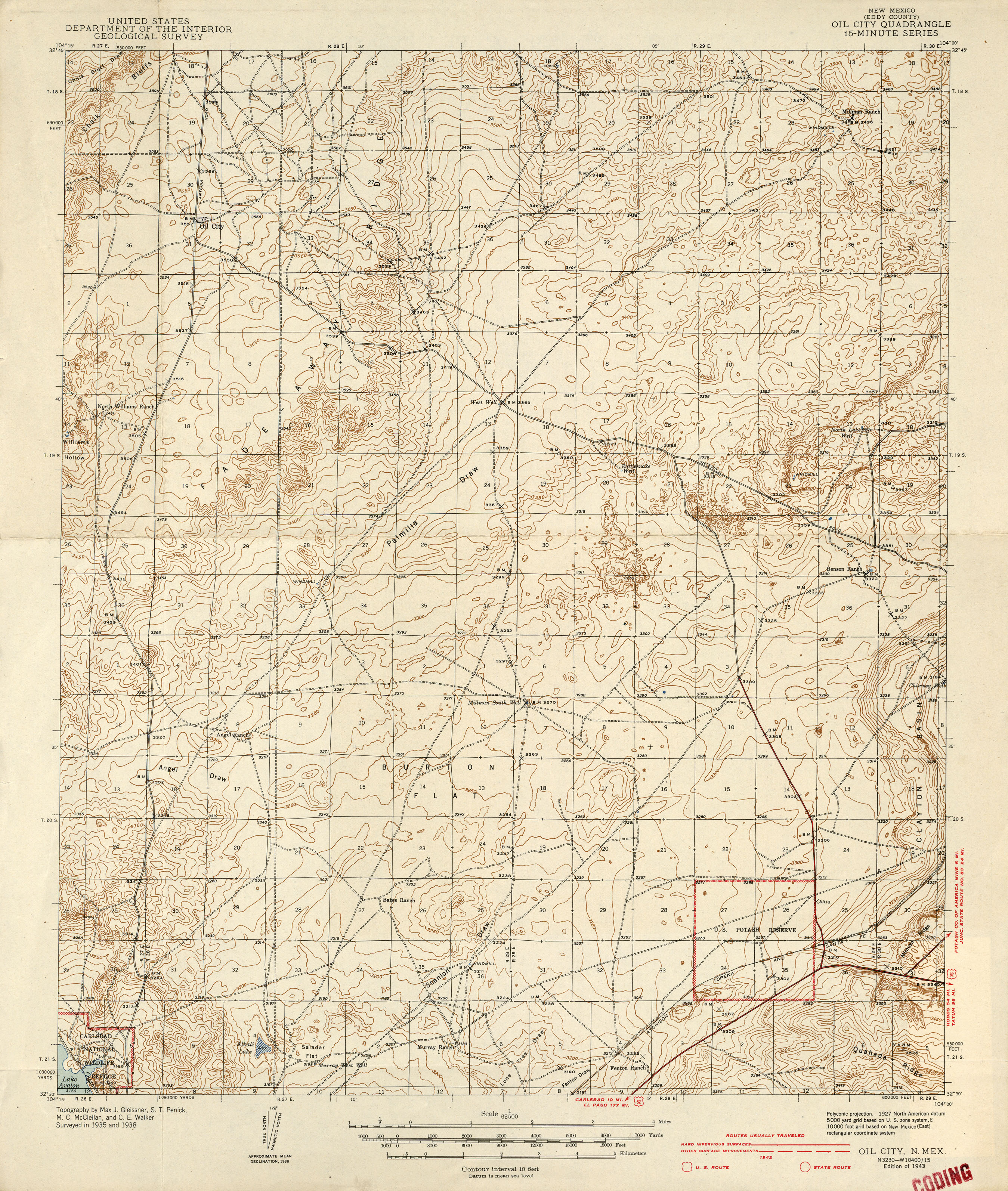
- Oil City 1:62,500 1942 (3MB)
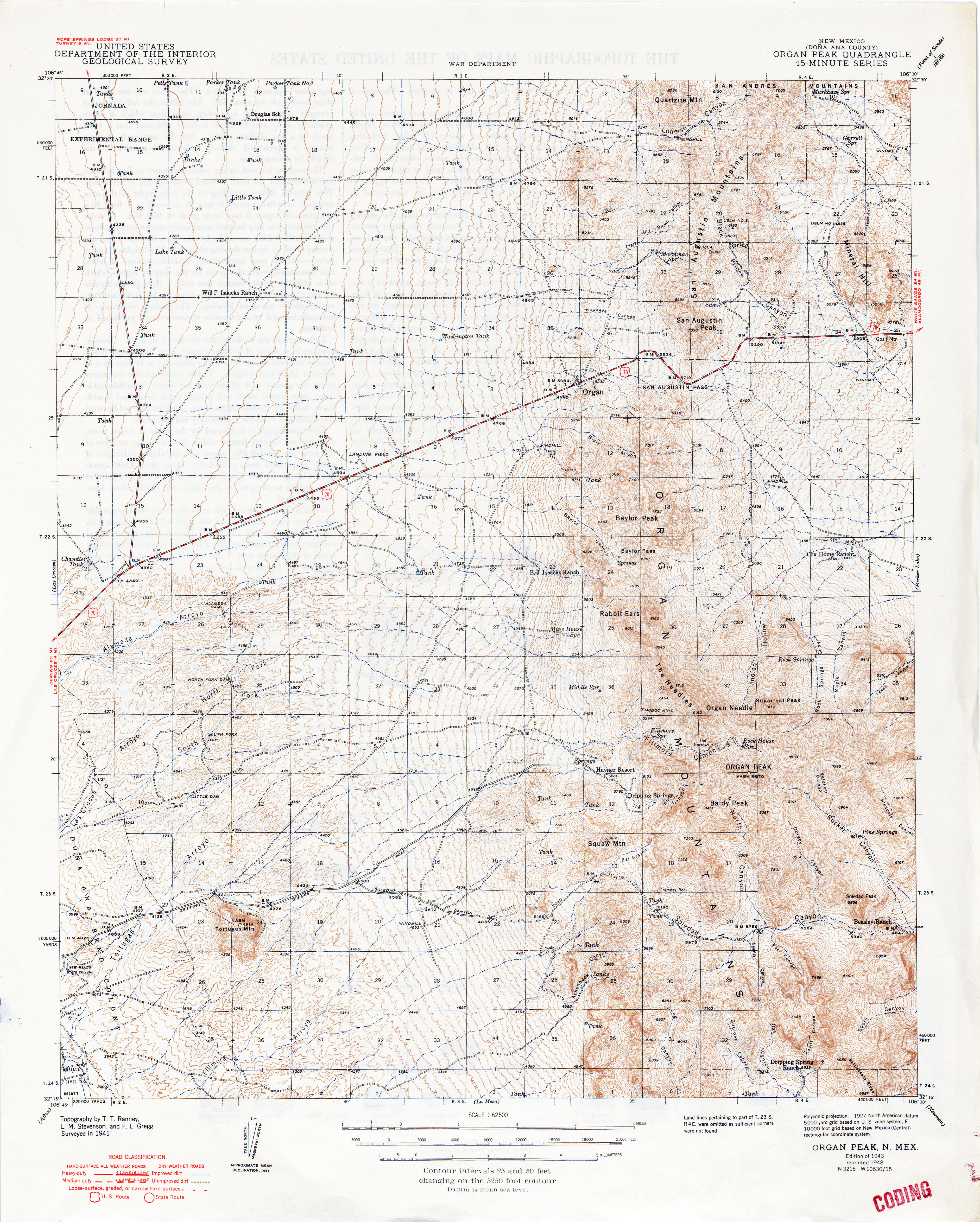
- Organ Peak 1:62,500 1941 (6.4MB)
- Orogrande 1:62,500 1943 (2MB)
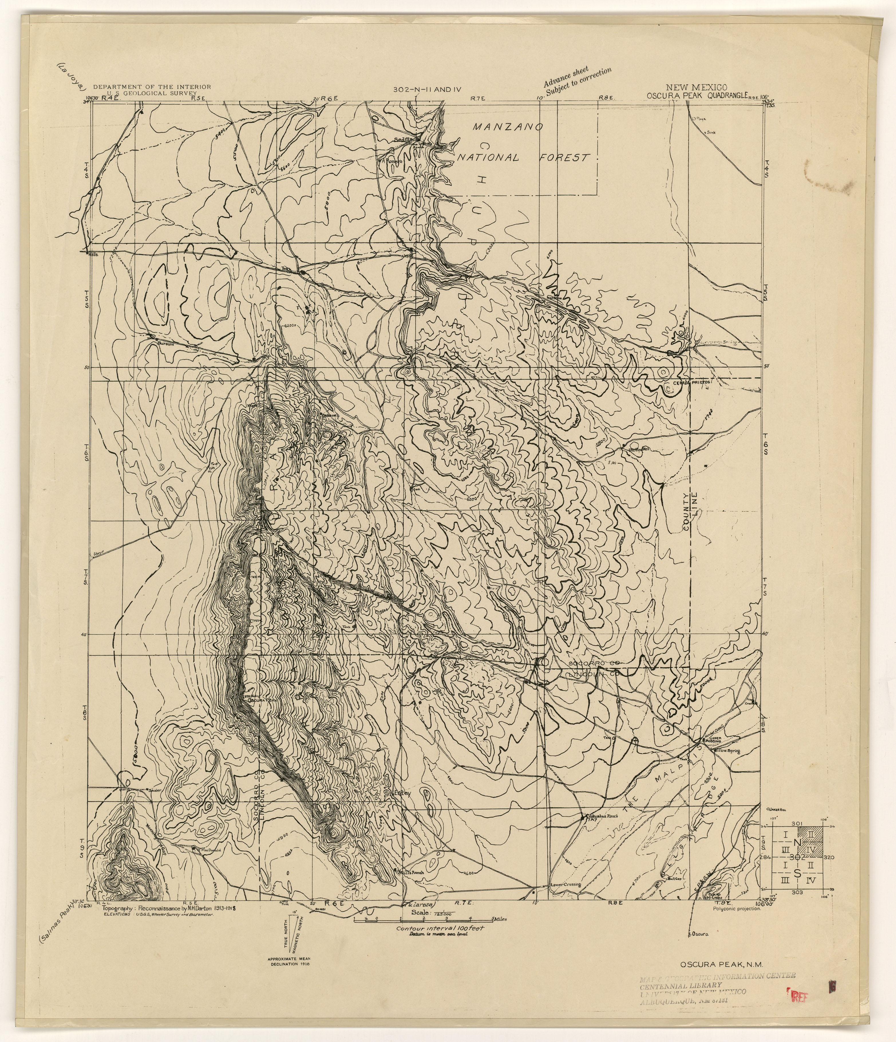
- Oscura Peak 1918 (2.3MB)
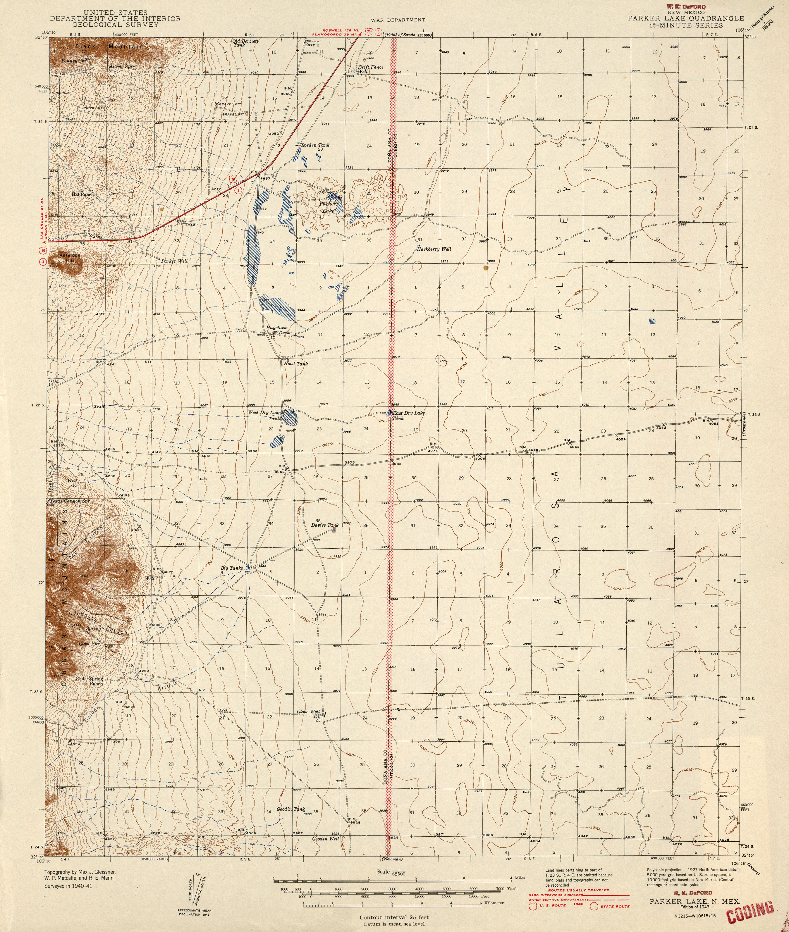
- Parker Lake 1:62,500 1942 (2.2MB)
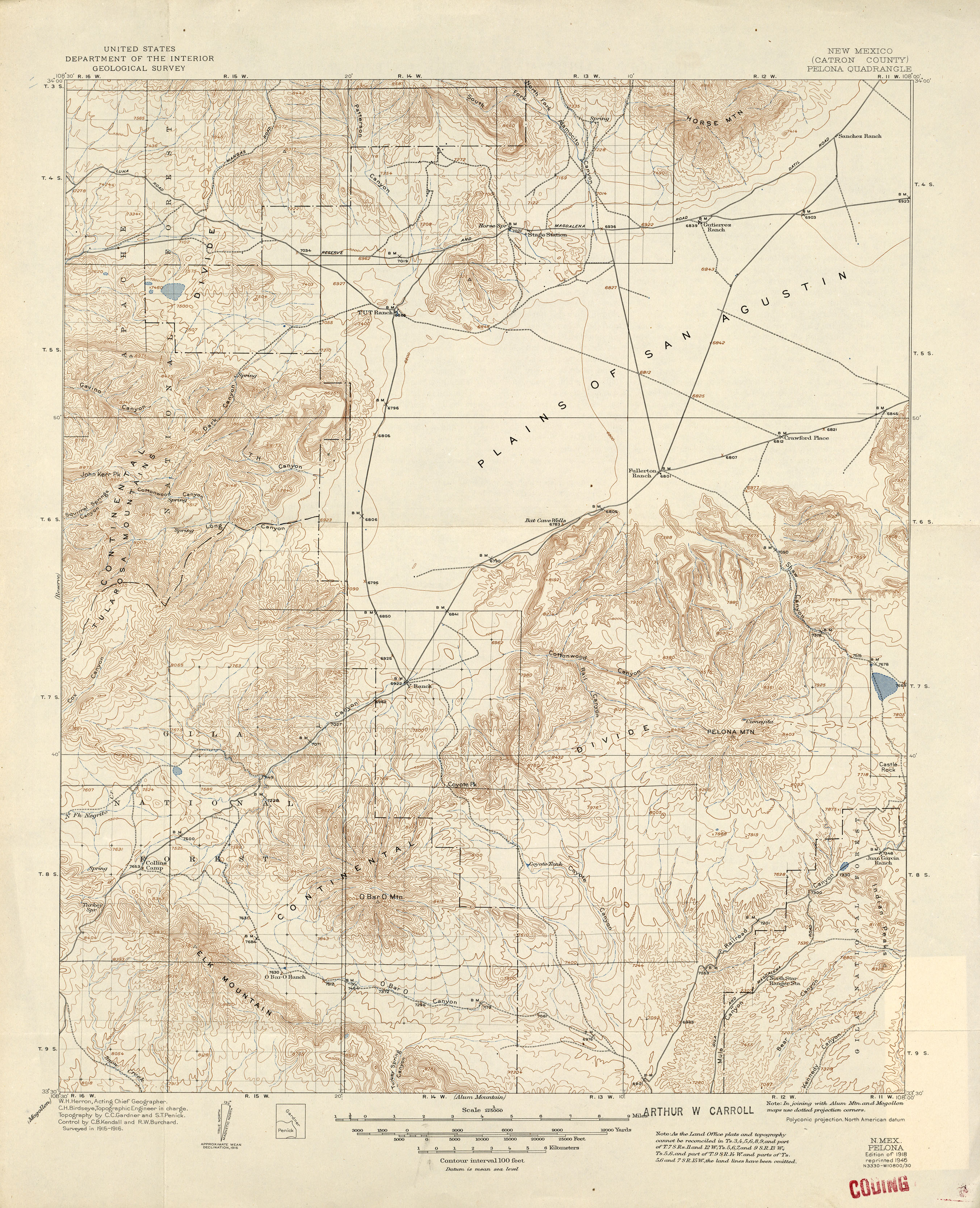
- Pelona 1:125,000 1916 (3MB)
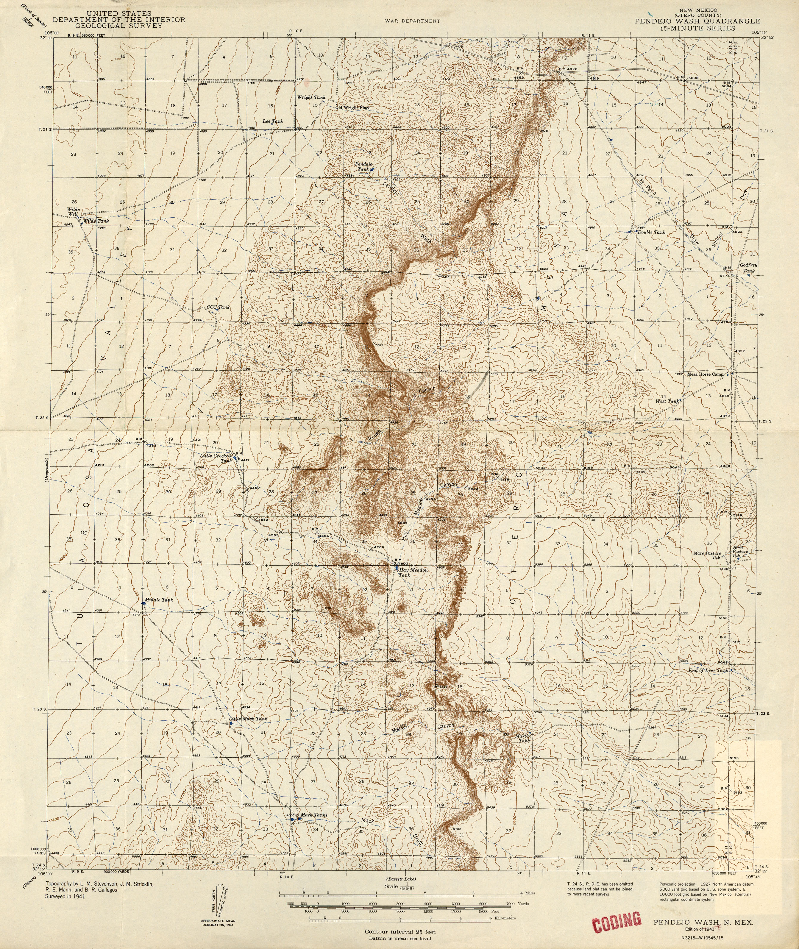
- Pendejo Wash 1:62,500 1941 (2.7MB)
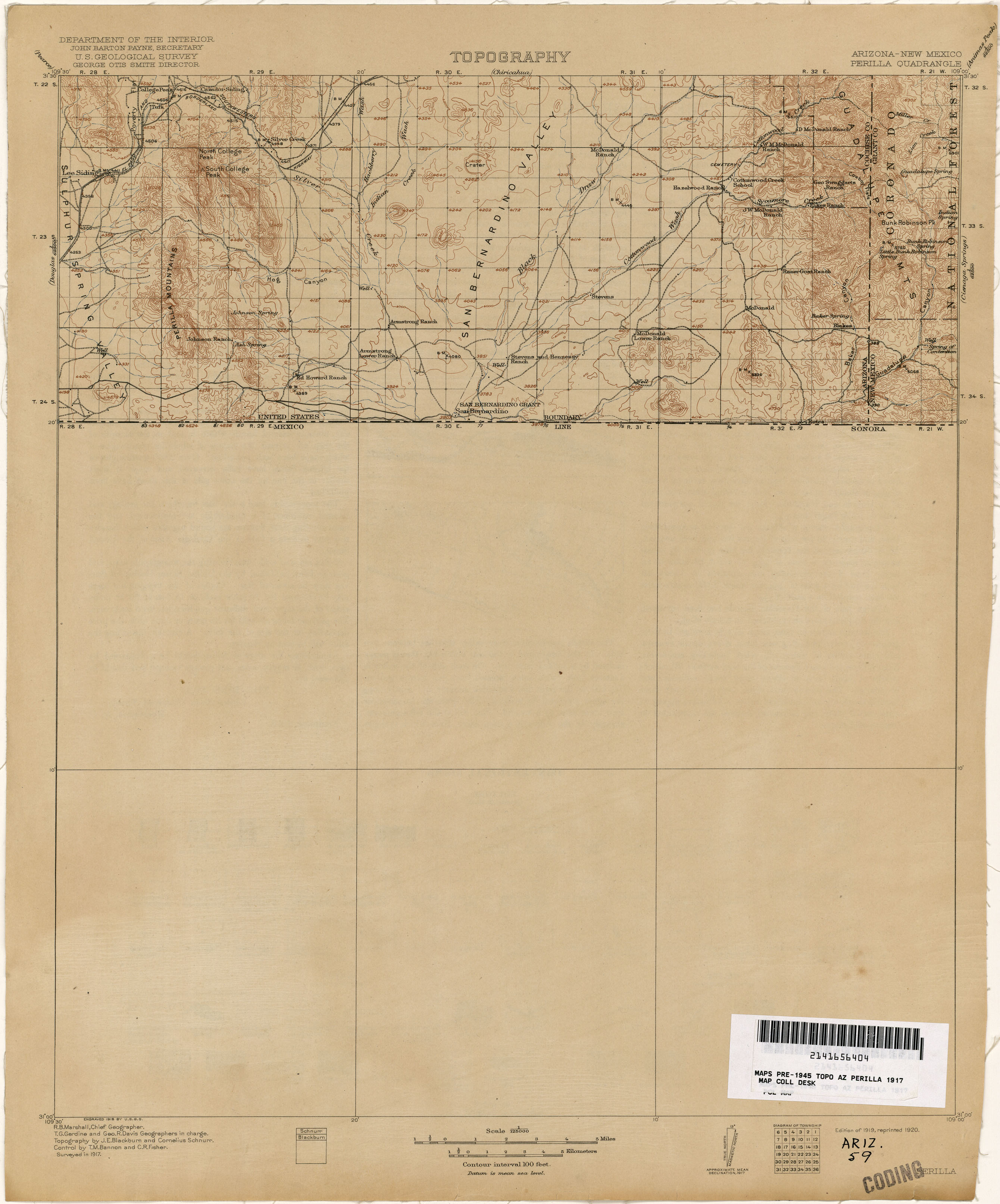
- Perilla [Arizona, New Mexico] 1:125,000 1917 (1.4MB)
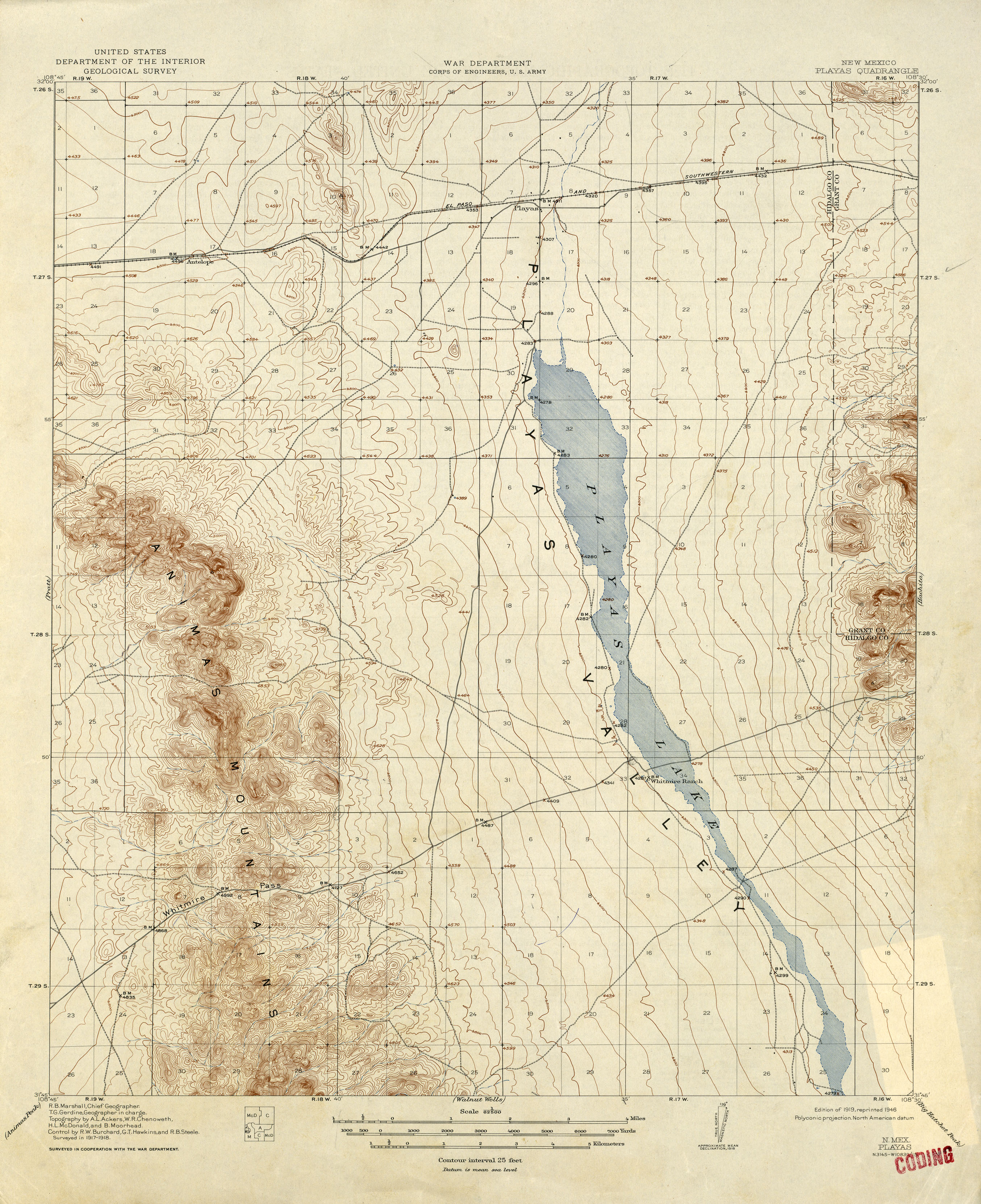
- Playas 1:62,500 1918 (2.6MB)
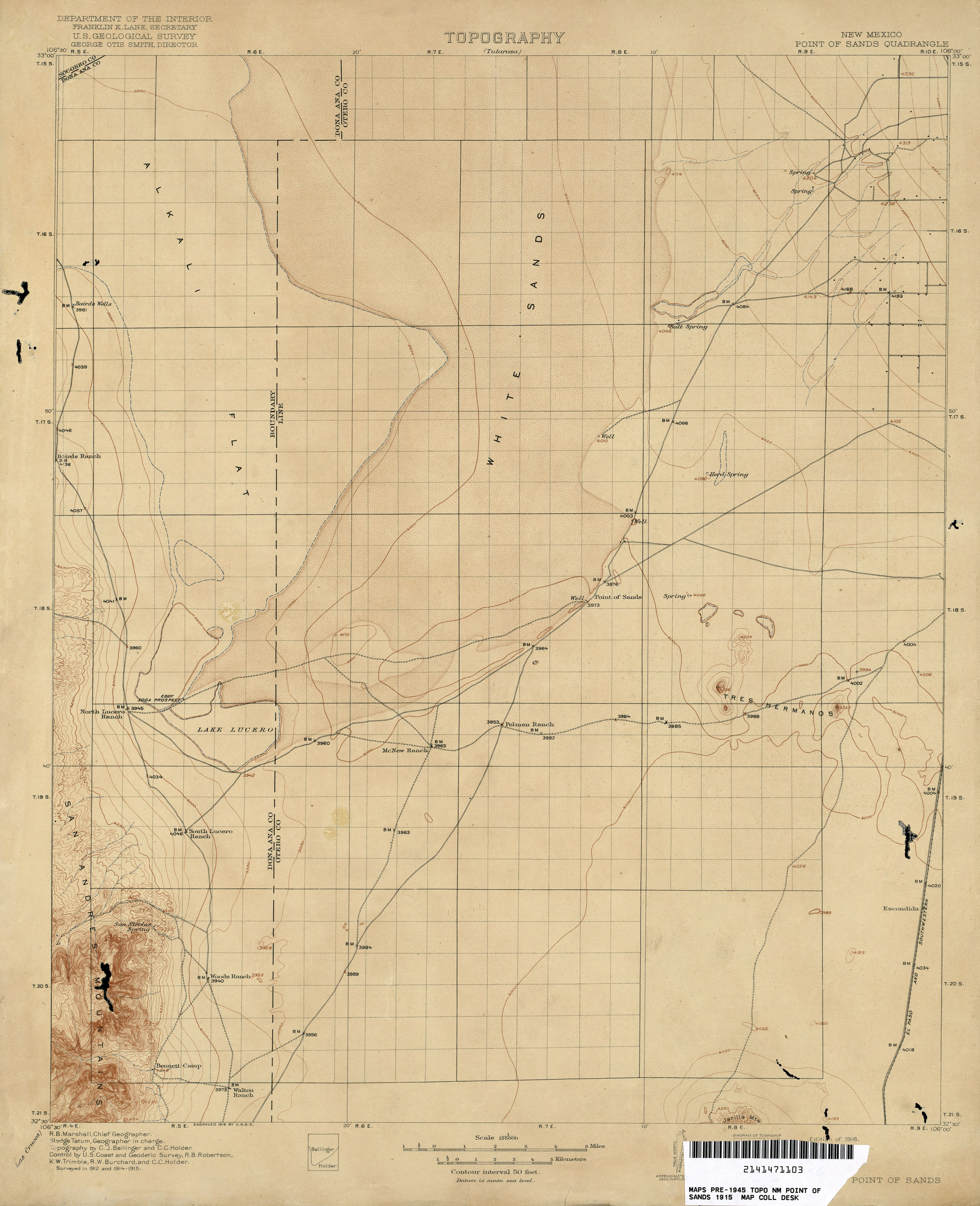
- Point of Sands 1:125,000 1915 (1.7MB)
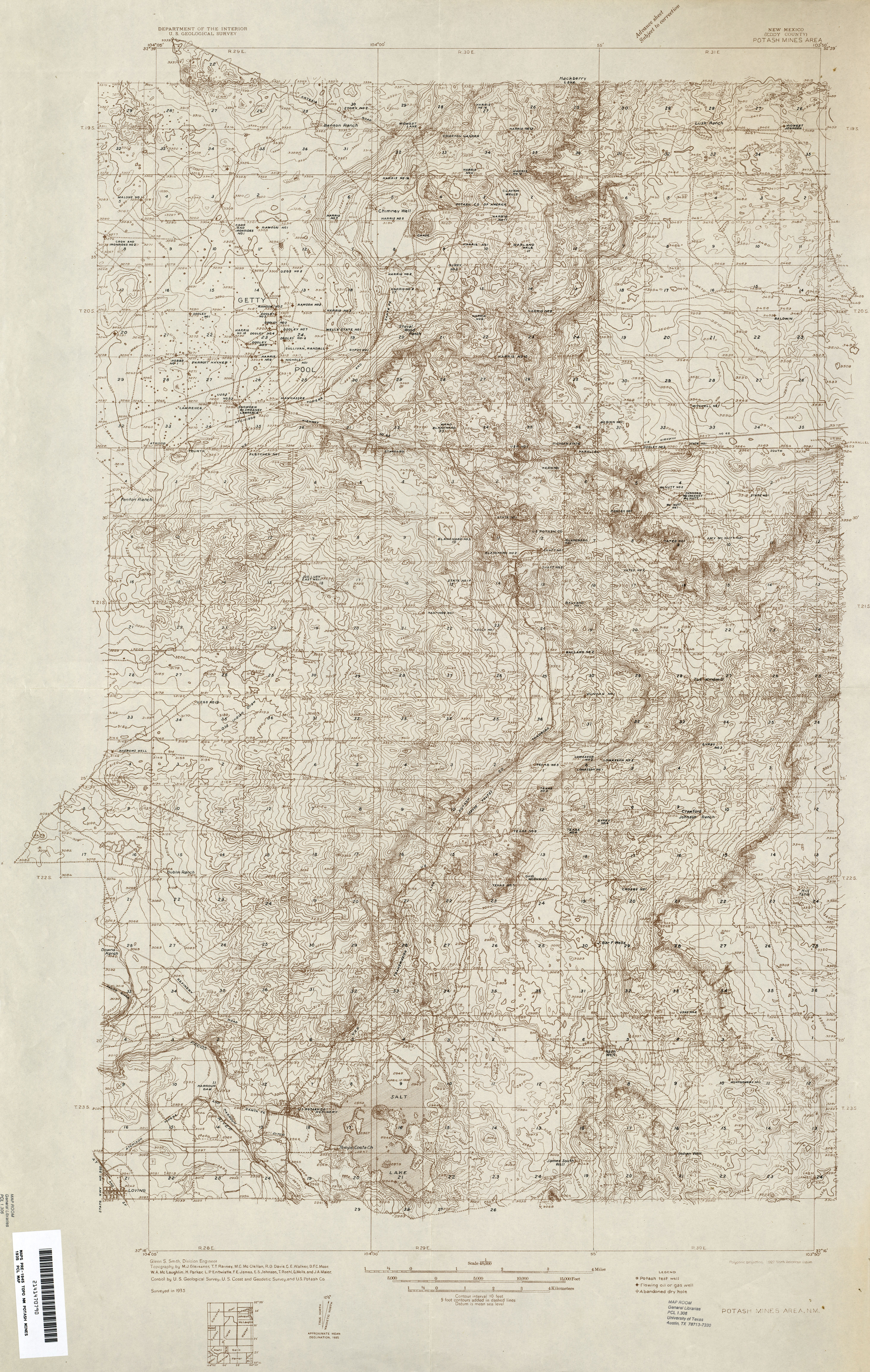
- Potash Mines Area 1:48,000 1935 (7.3MB)
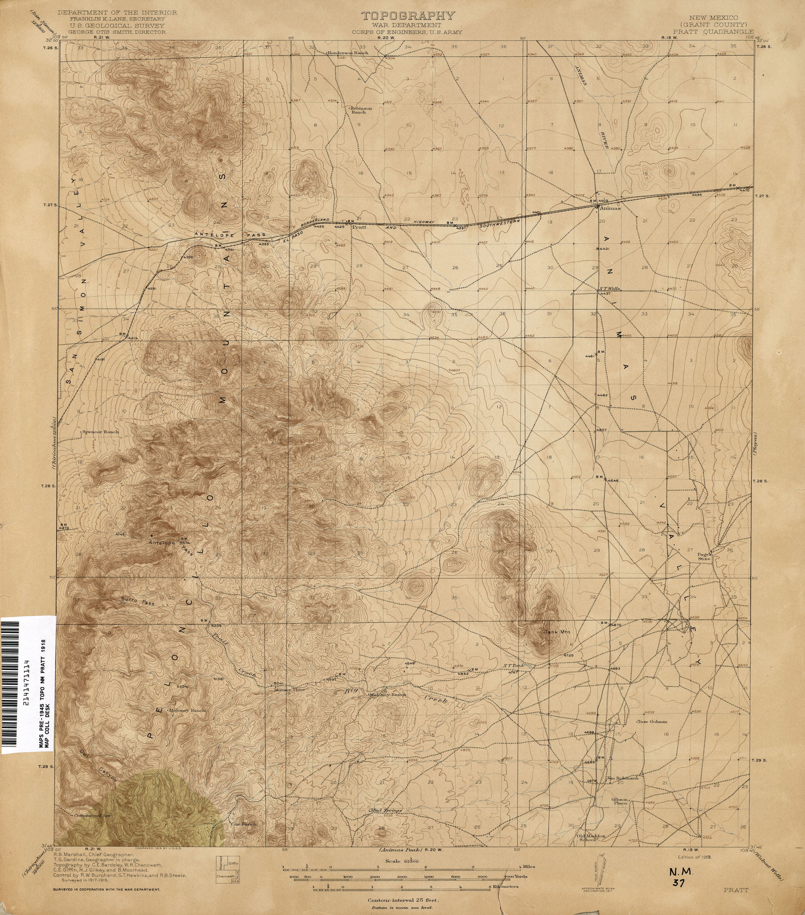
- Pratt 1:62,500 1918 (2.3MB)
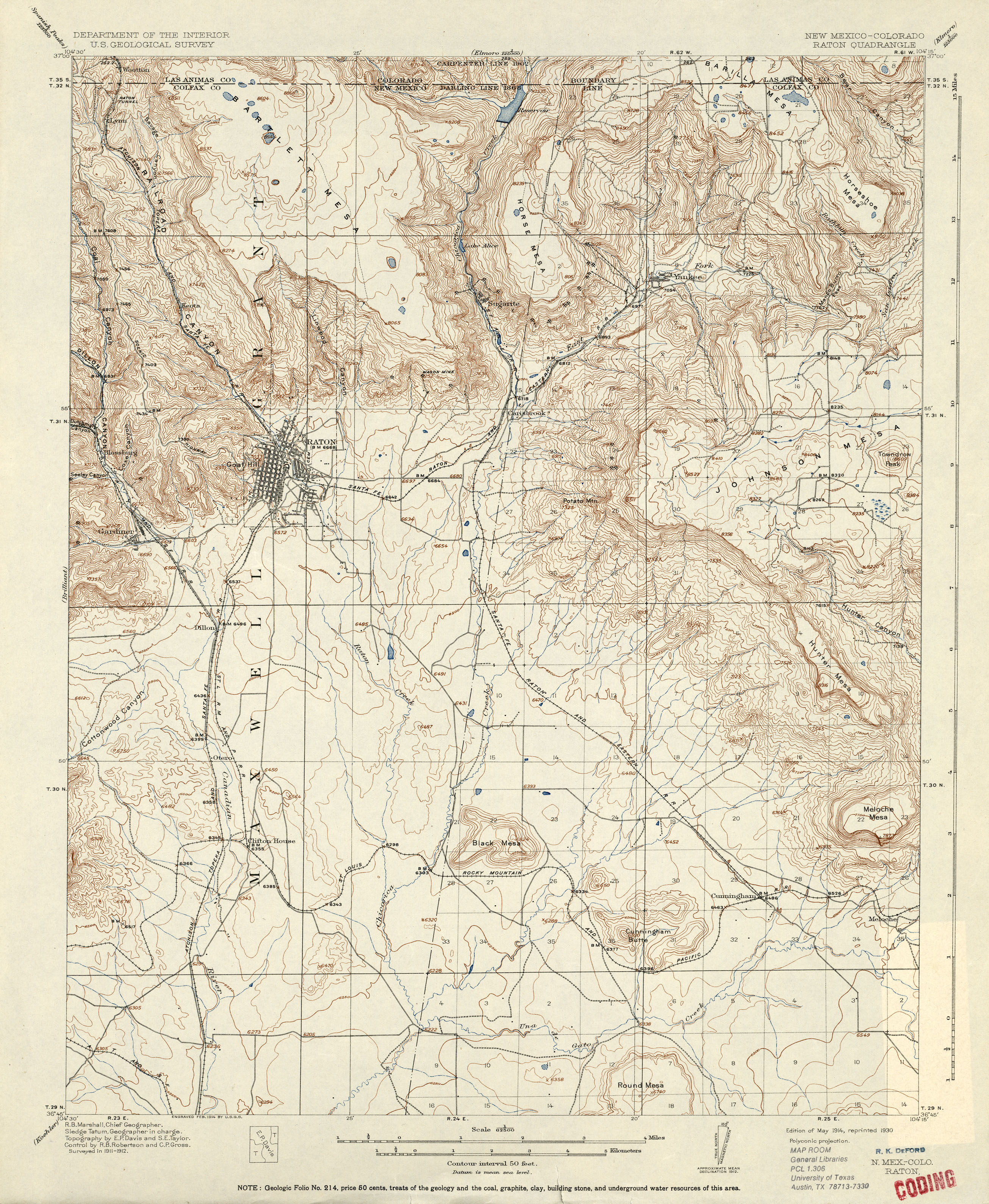
- Raton [New Mexico, Colorado] 1:62,500 1912 (3MB)
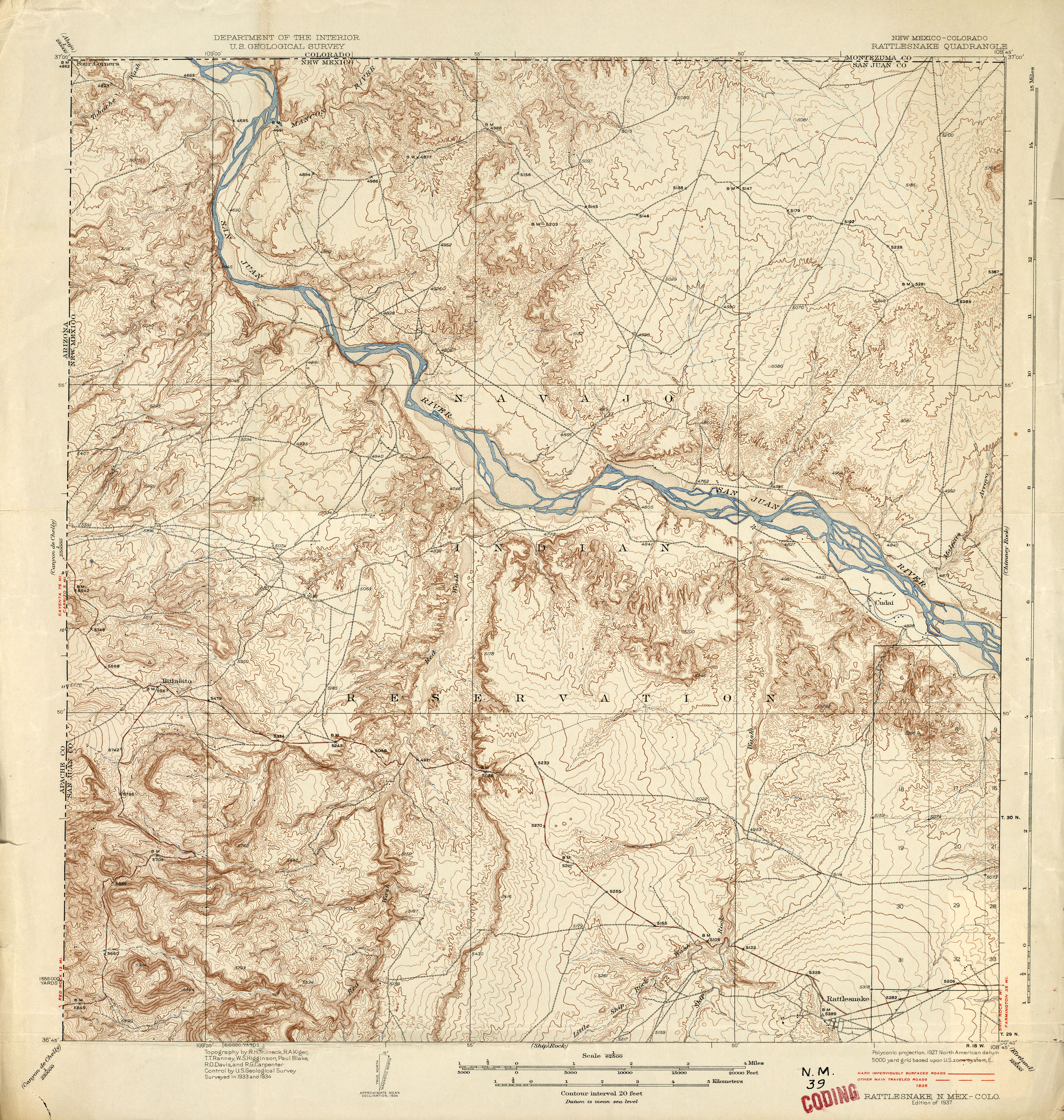
- Rattlesnake [New Mexico, Colorado] 1:62,500 1935 (3.7MB)
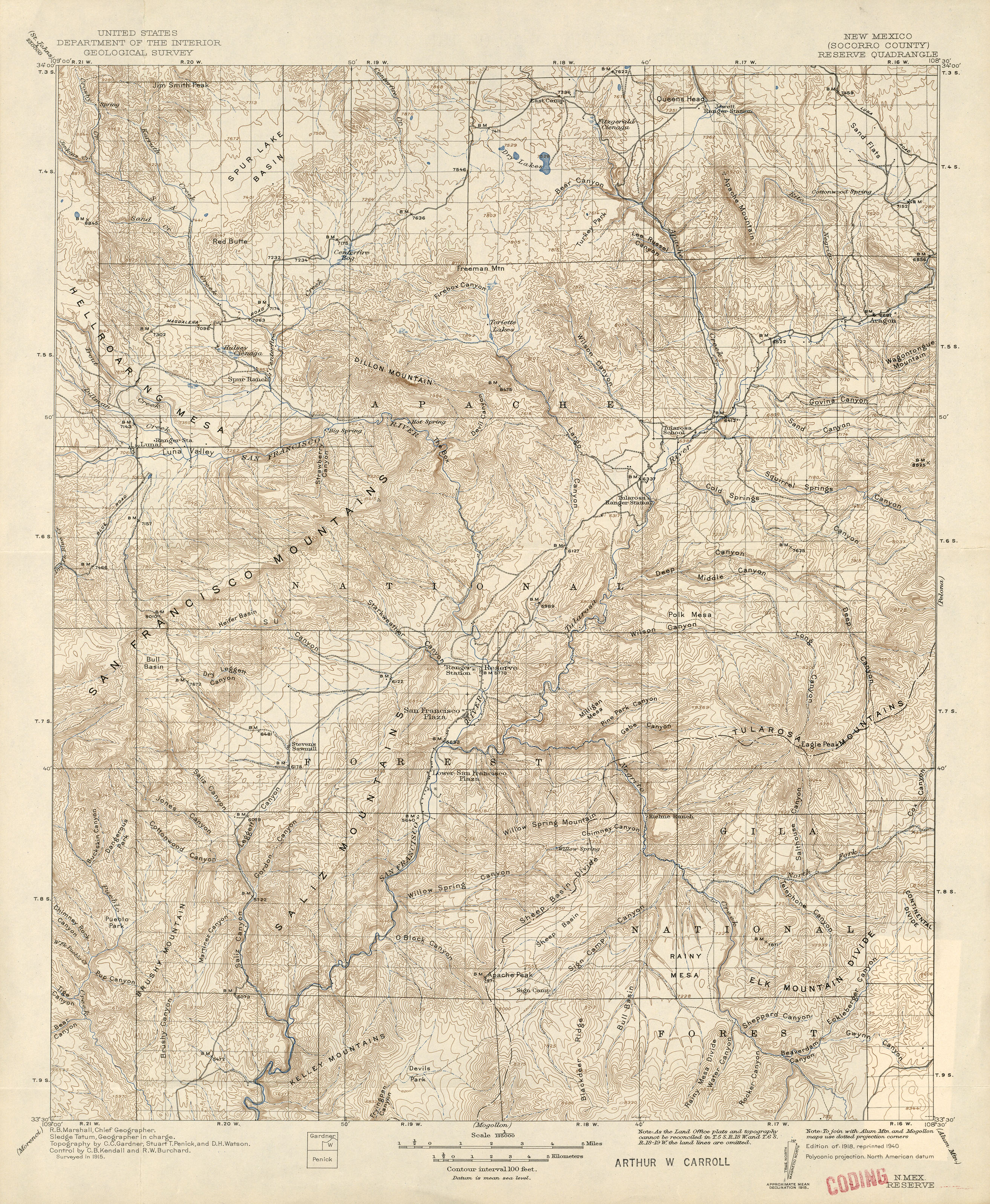
- Reserve 1:125,000 1915 (3.5MB)
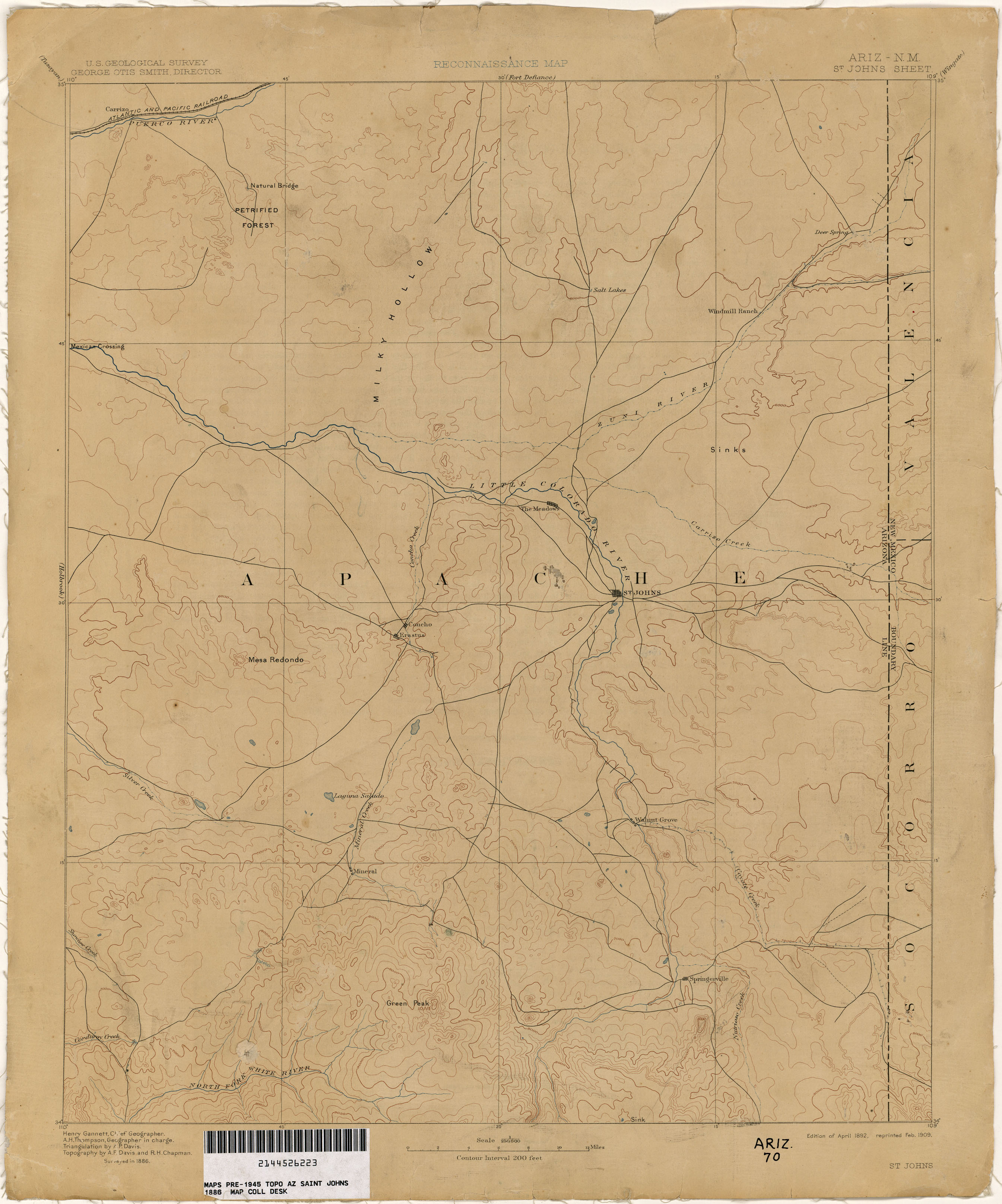
- Saint Johns [Arizona, New Mexico] 1:250,000 1886 (1.4MB)
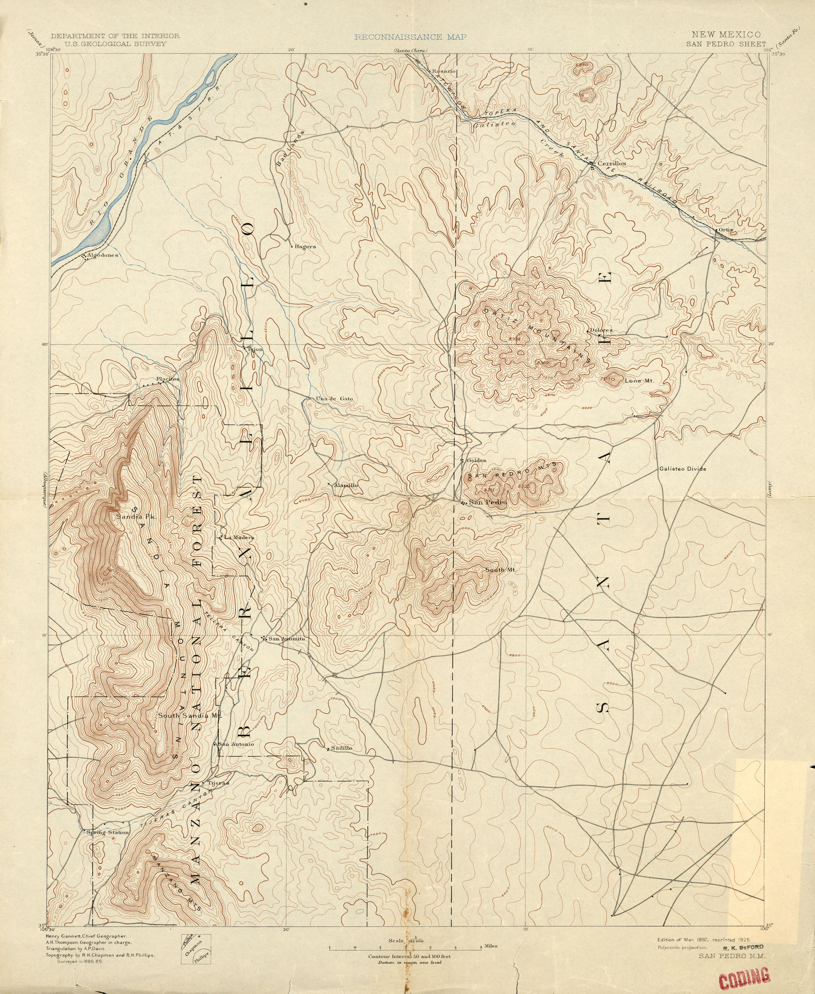
- San Pedro 1:125,000 1889 (2.3MB)
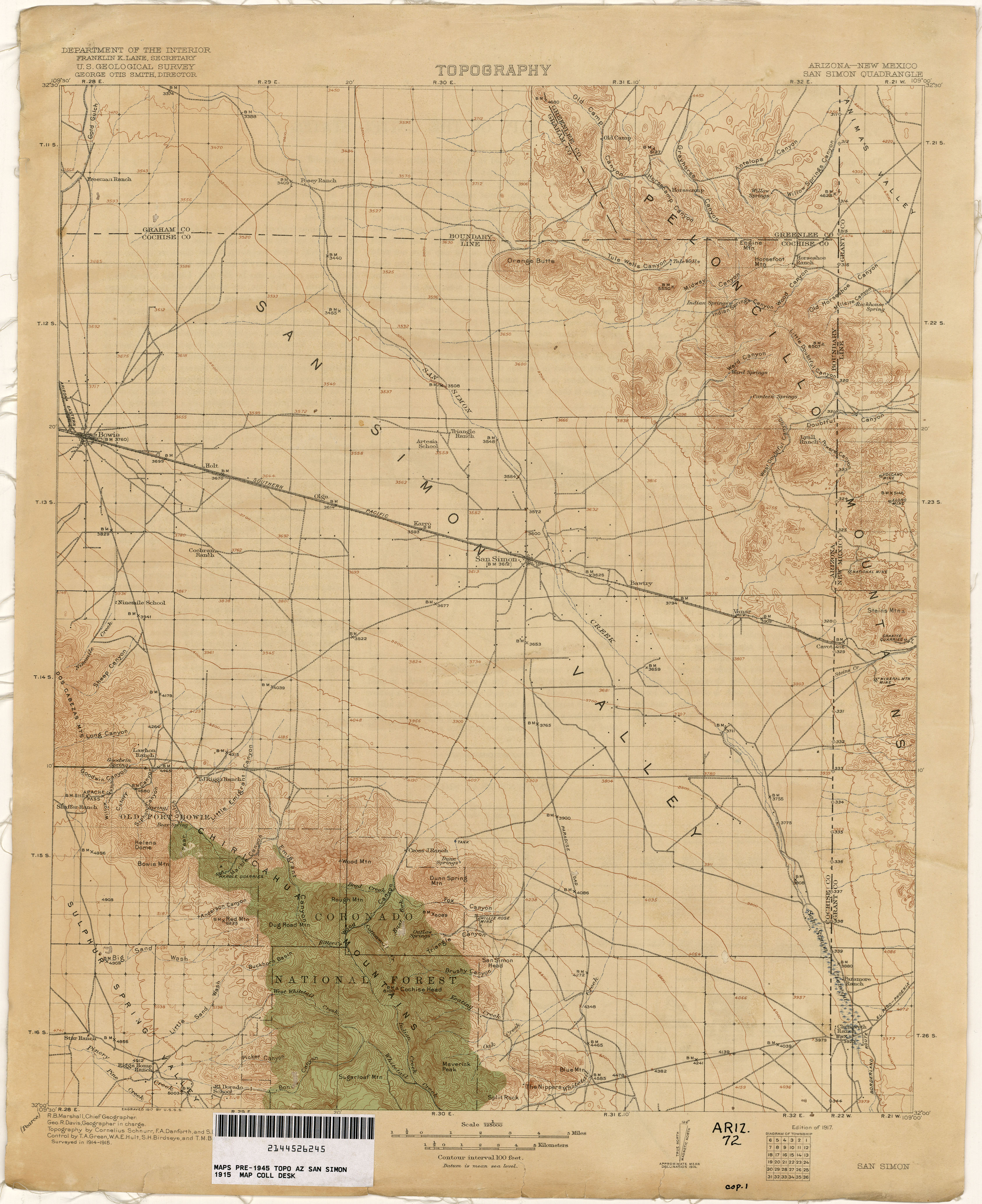
- San Simon [Arizona, New Mexico] 1:125,000 1915 (3.4MB)
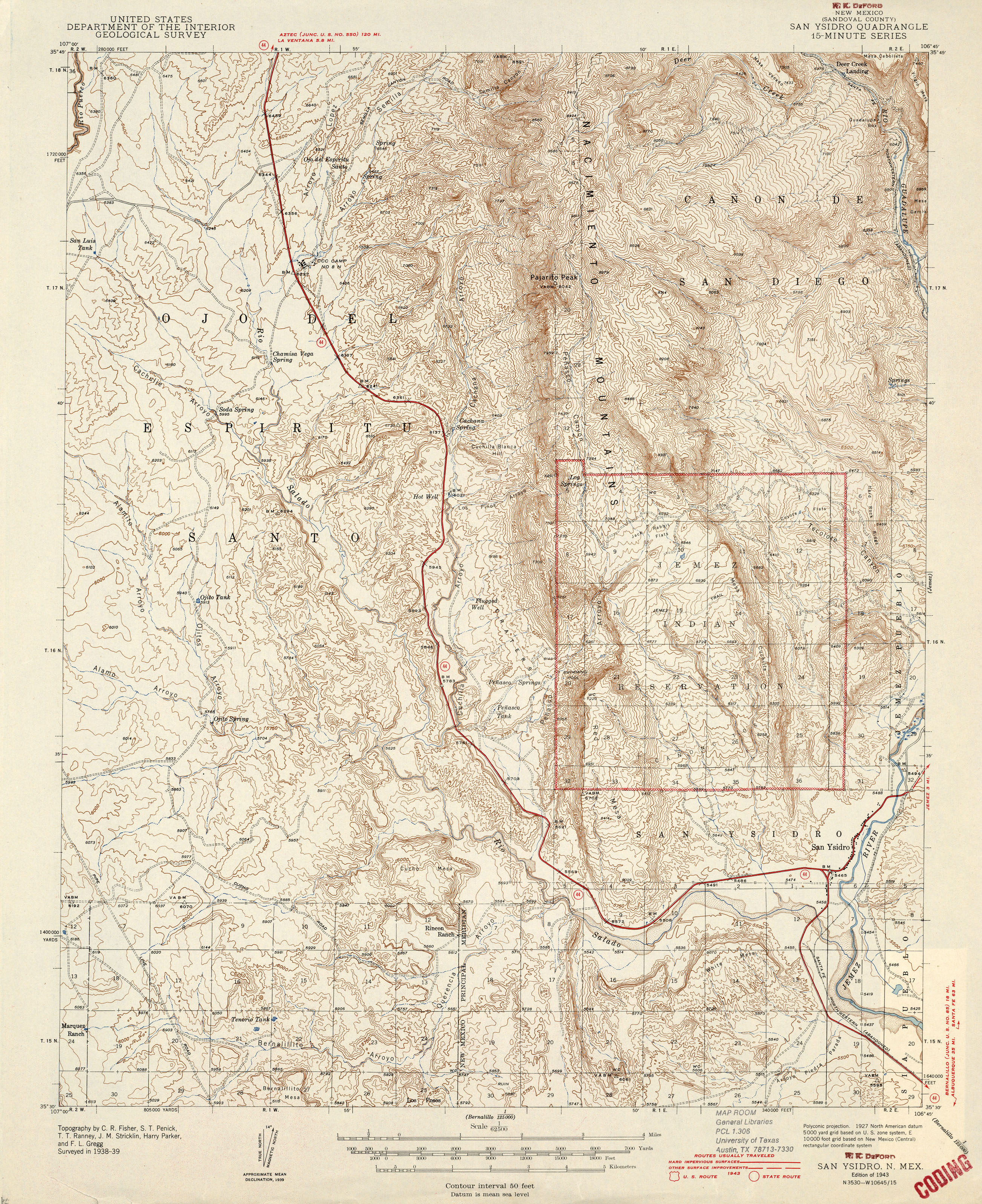
- San Ysidro 1:62,500 1943 (3.6MB)
- Santa Clara 1:125,000 1888 (2.1MB)
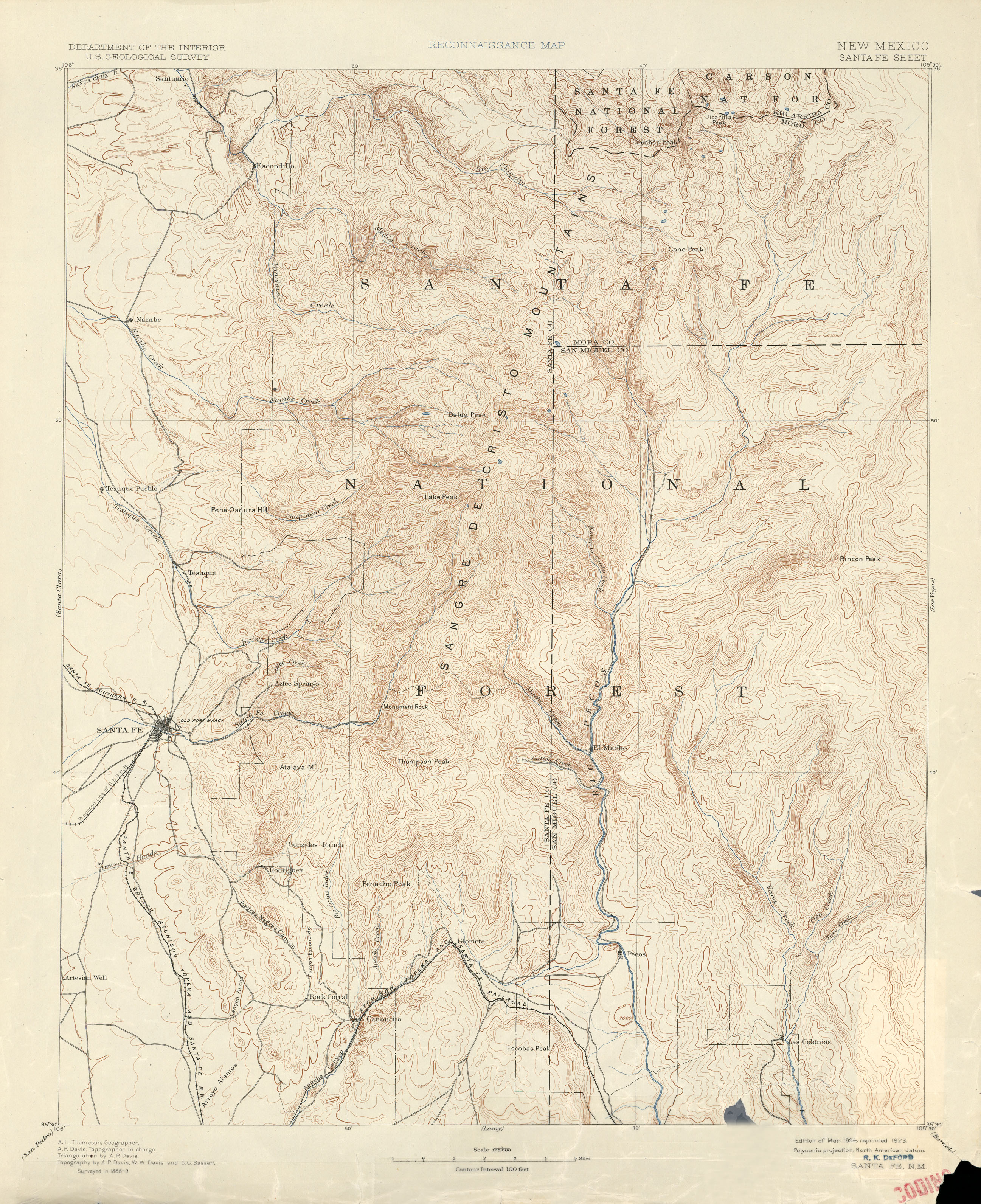
- Santa Fe 1:125,000 1889 (2.7MB)
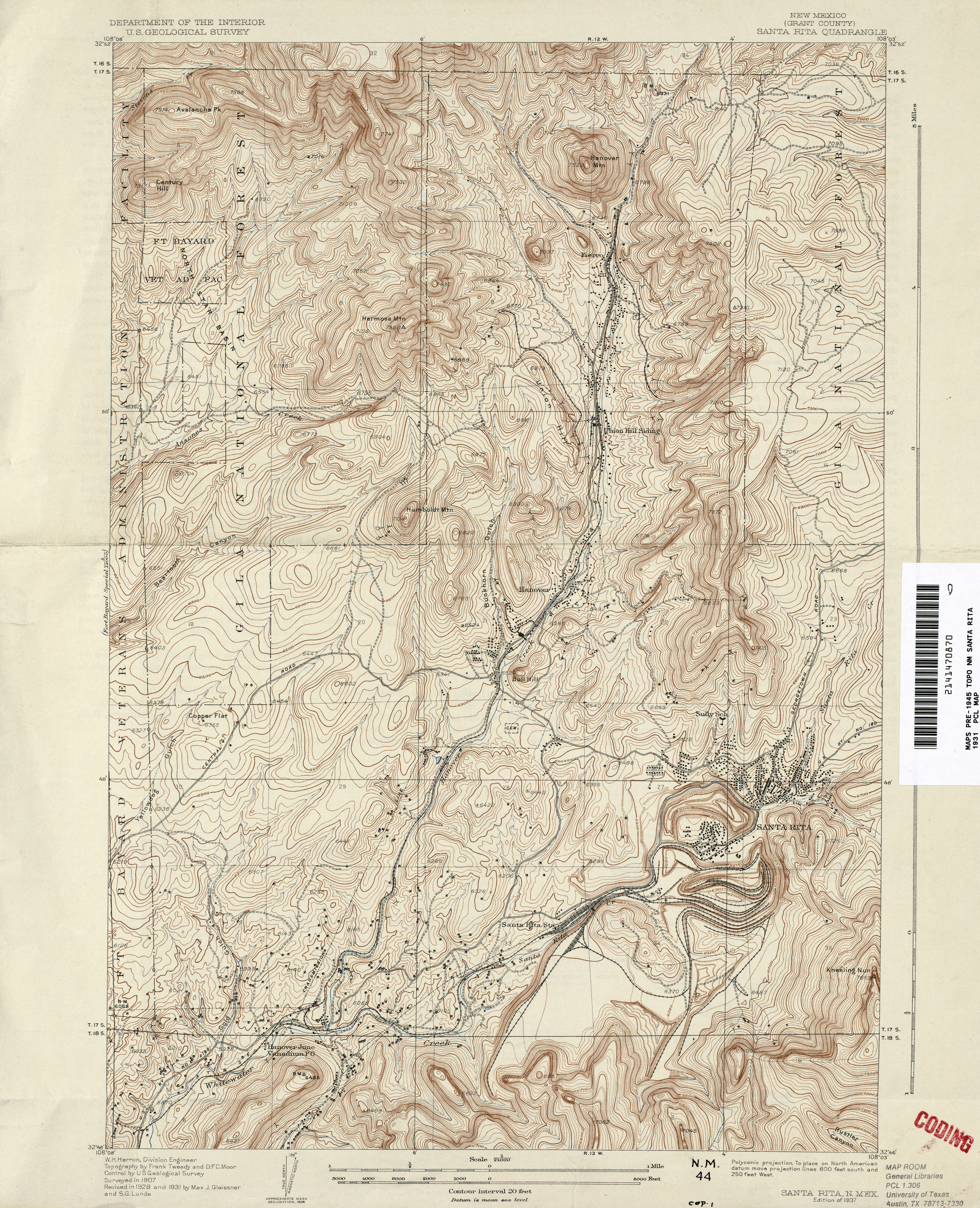
- Santa Rita 1:24,000 1931 (3.3MB)
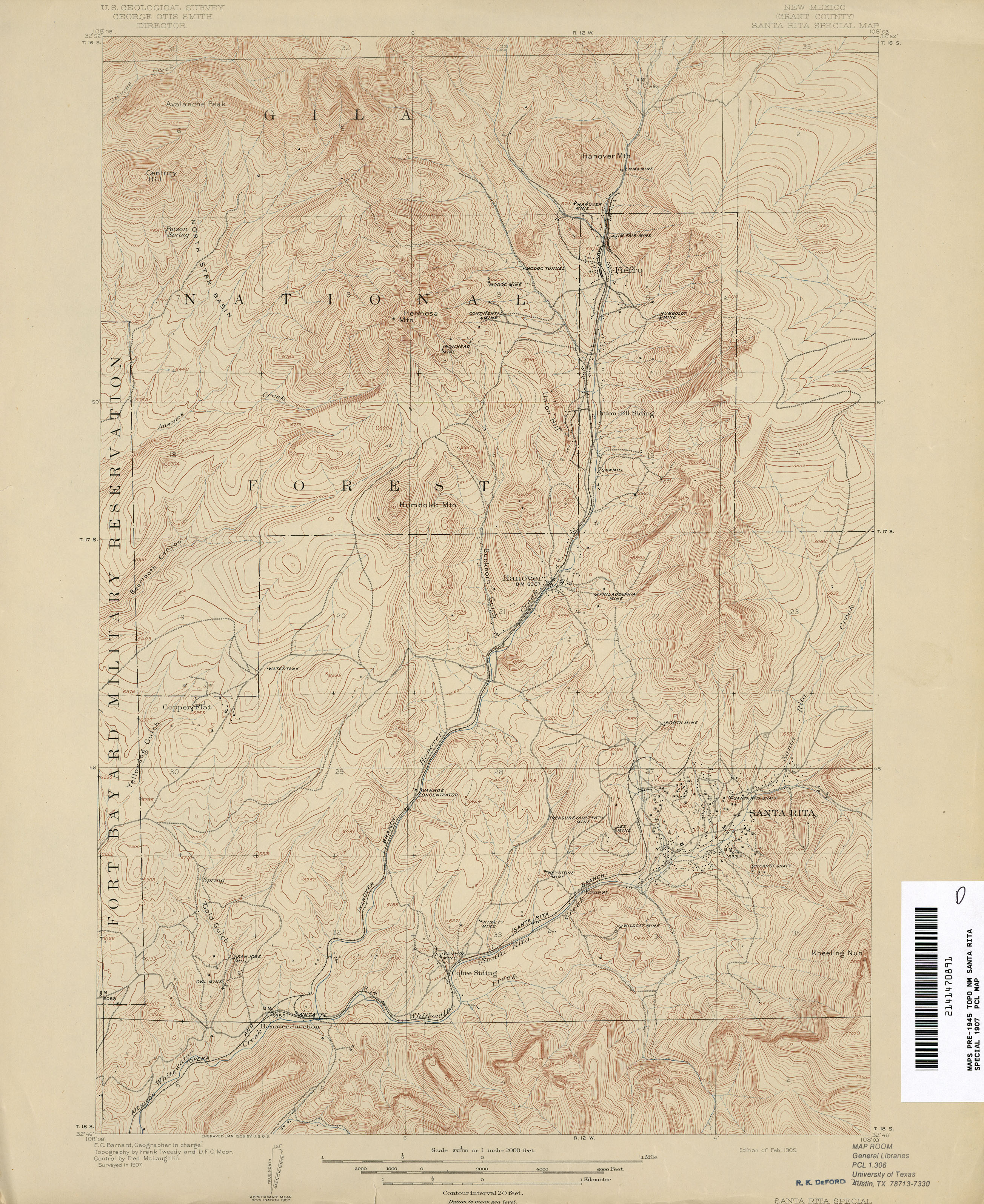
- Santa Rita Special 1:24,000 1907 (2.7MB)
- Ship Rock 1:62,500 1943 (3.5MB)
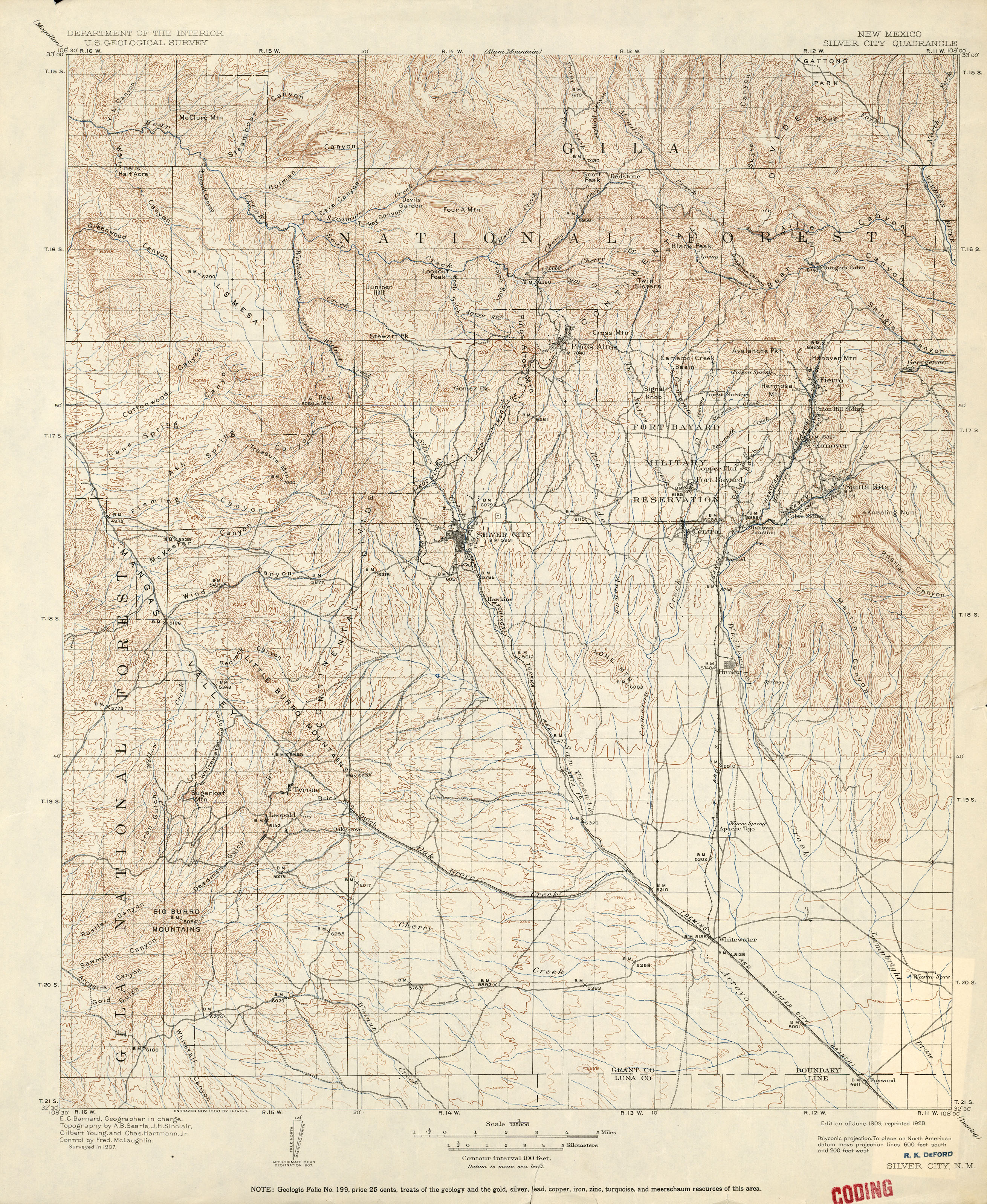
- Silver City 1:125,000 1907 (3.4MB)
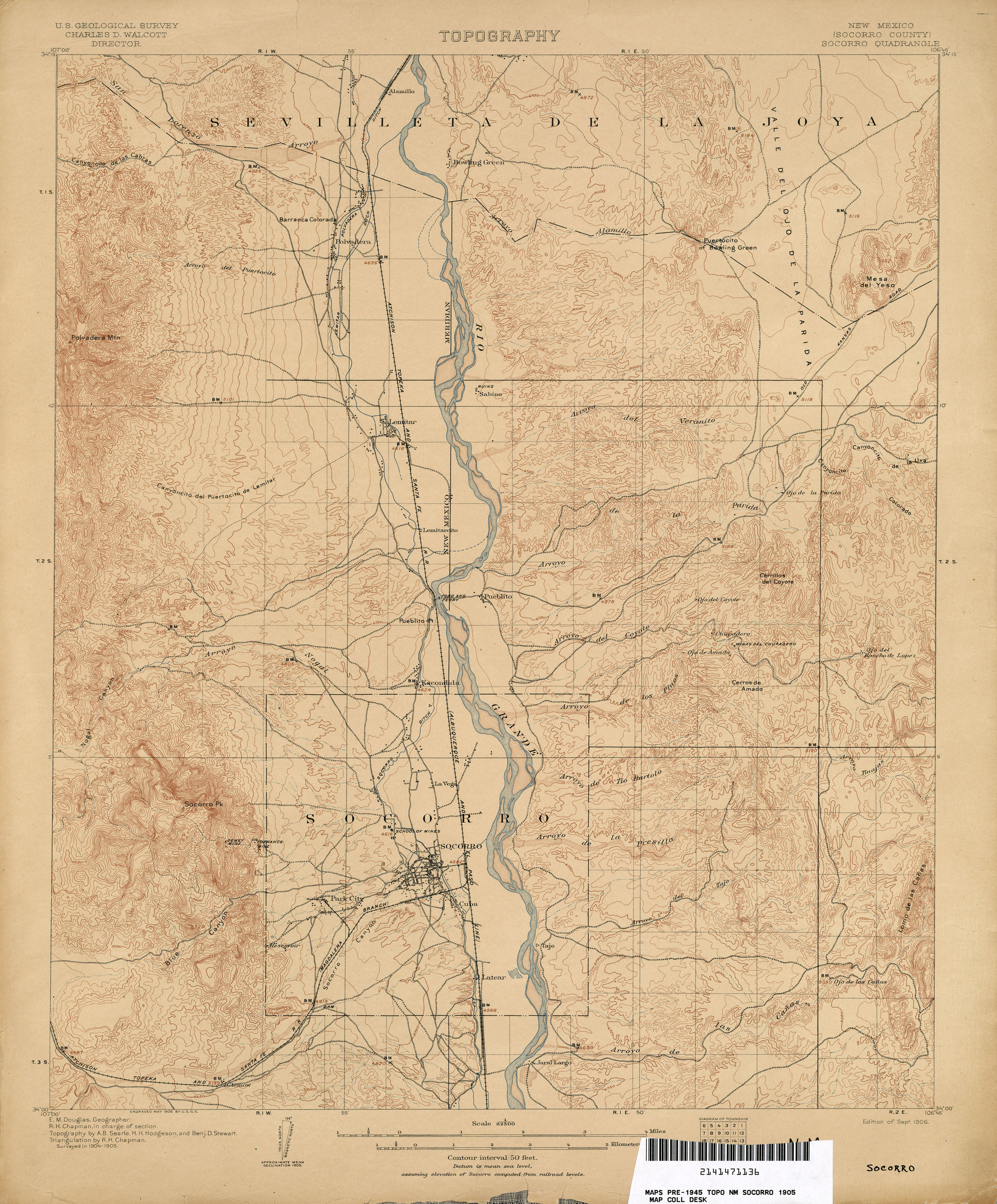
- Socorro 1:62,500 1905 (2.5MB)
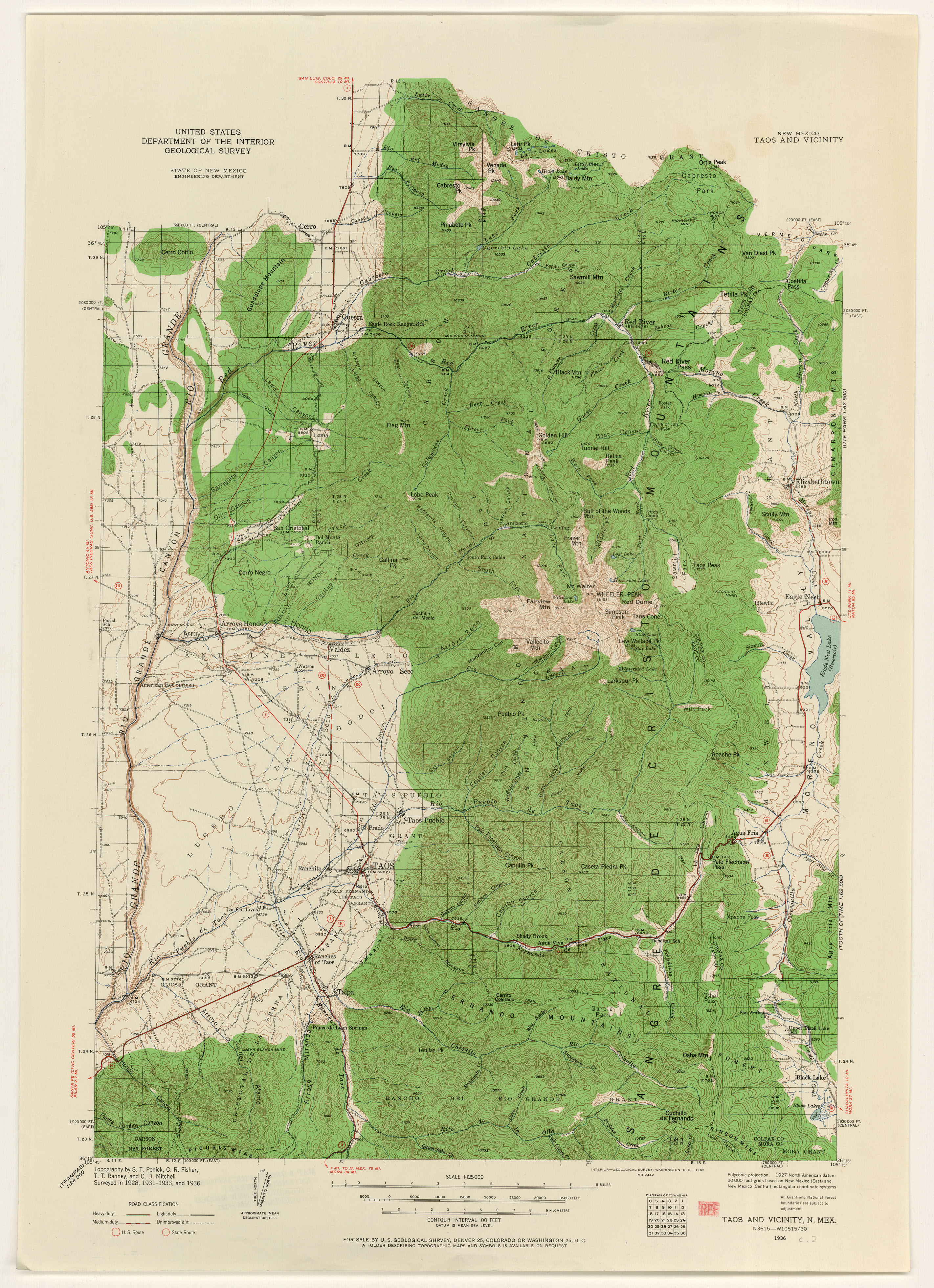
- Taos 1936 (3.1MB)
- Texas Hill 1:62,500 1943 (4MB)
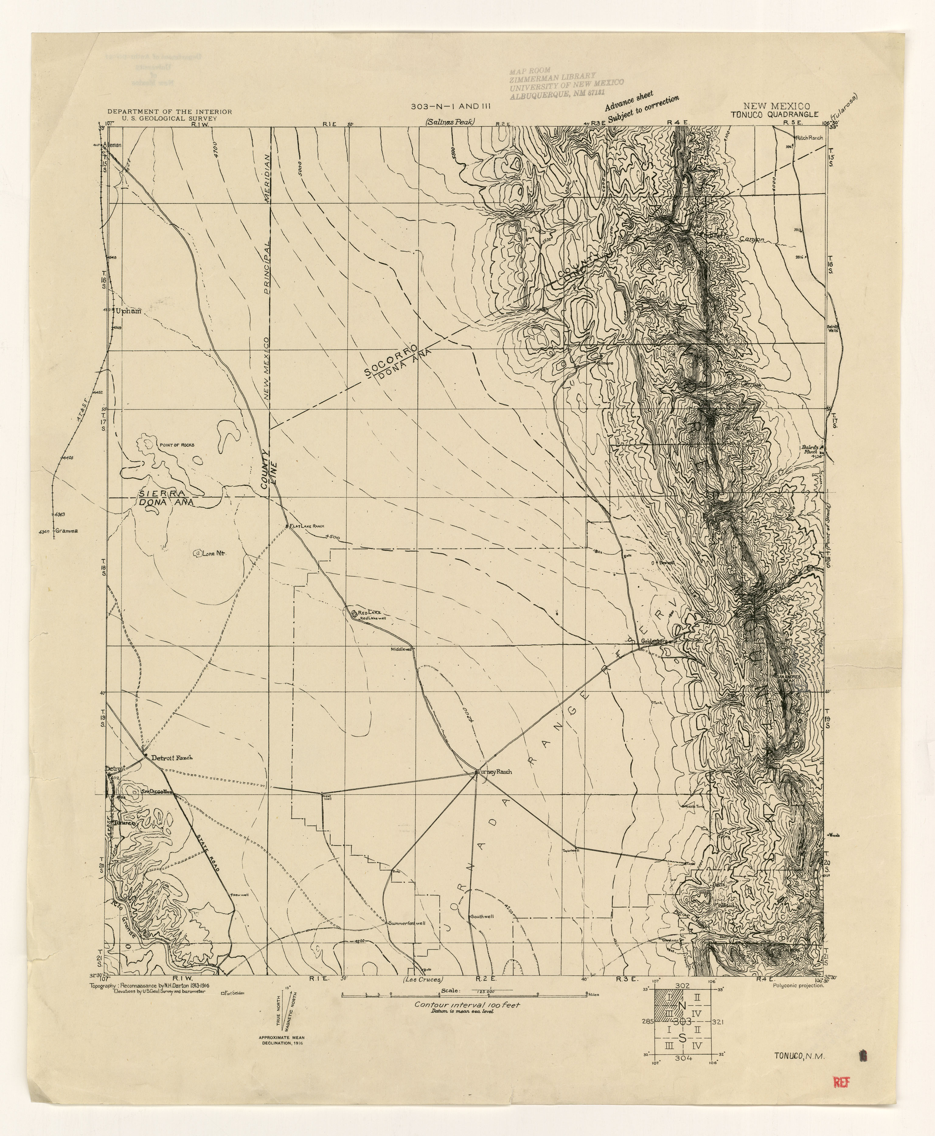
- Tonuco 1916 (2.0MB)
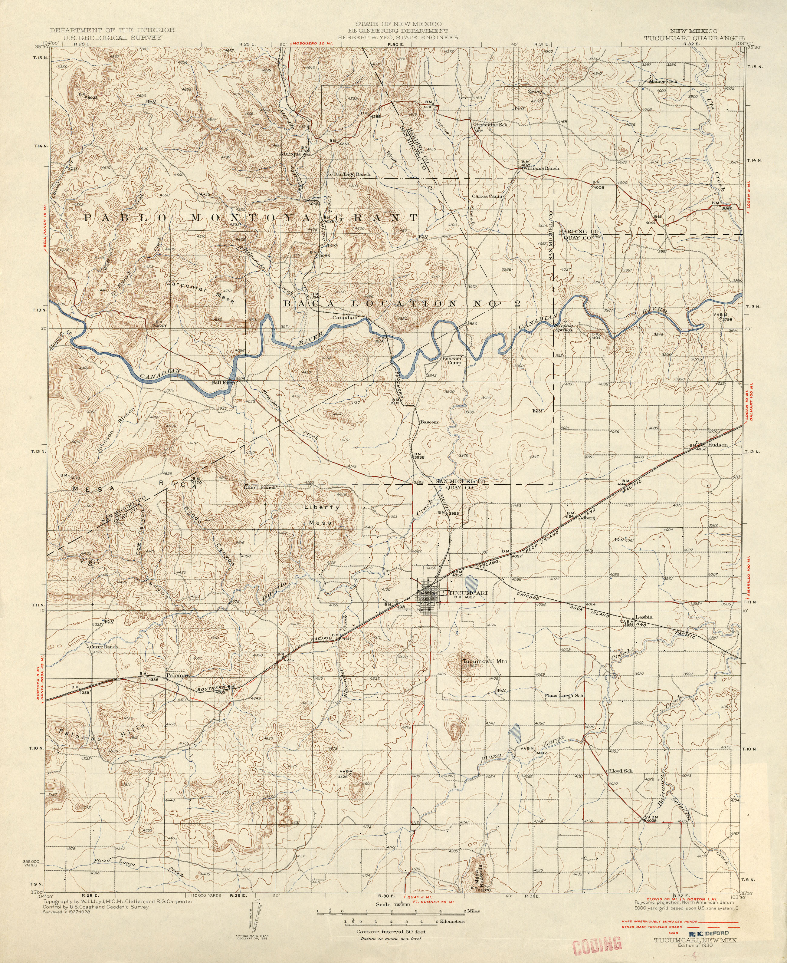
- Tucumcari 1:125,000 1929 (2.7MB)
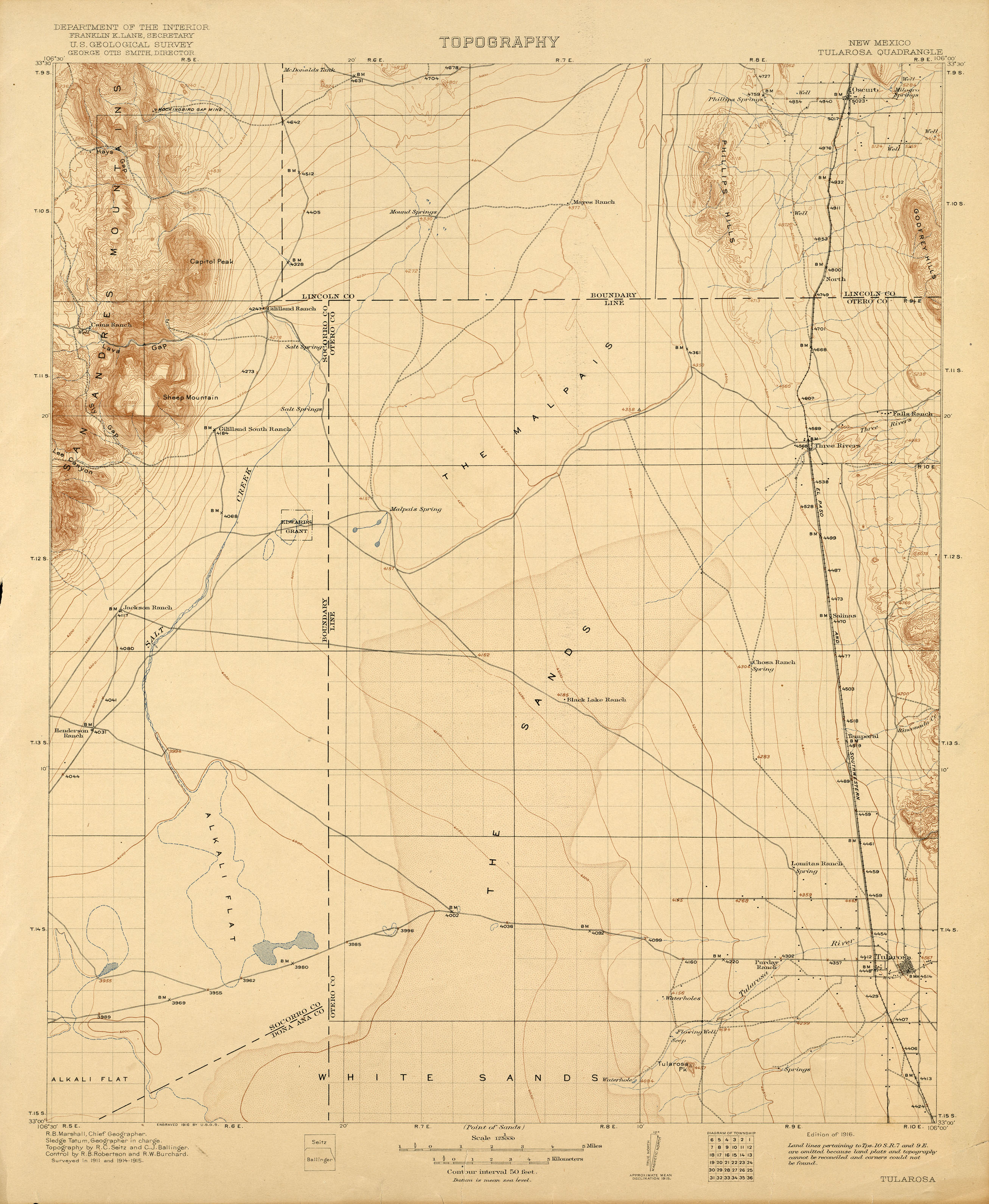
- Tularosa 1:125,000 1915 (2MB)
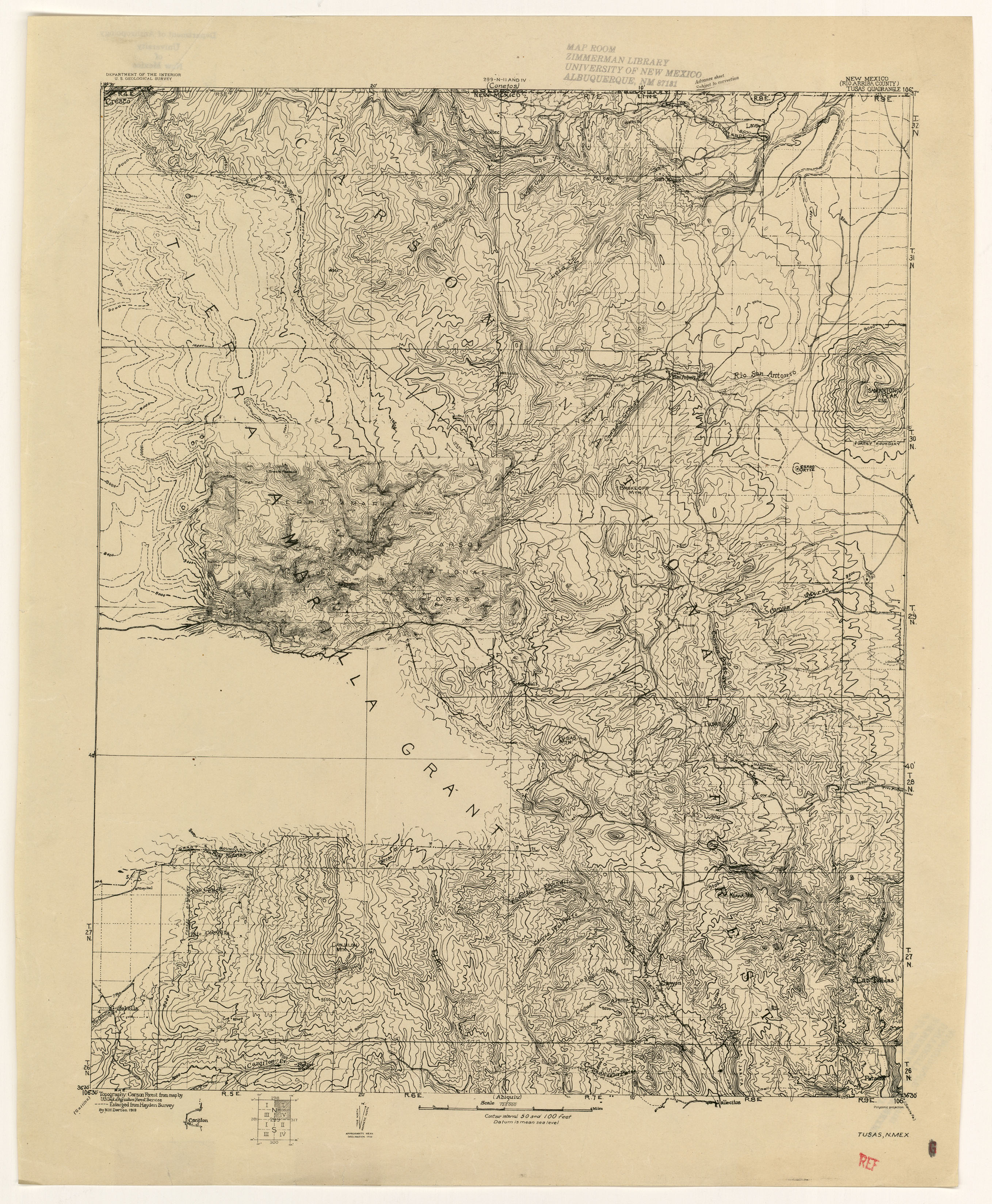
- Tusas 1918 (2.6MB)
- Tyrone District 1:24,000 1916 (2.6MB)
- Victorio 1:62,500 1917 (2.3MB)
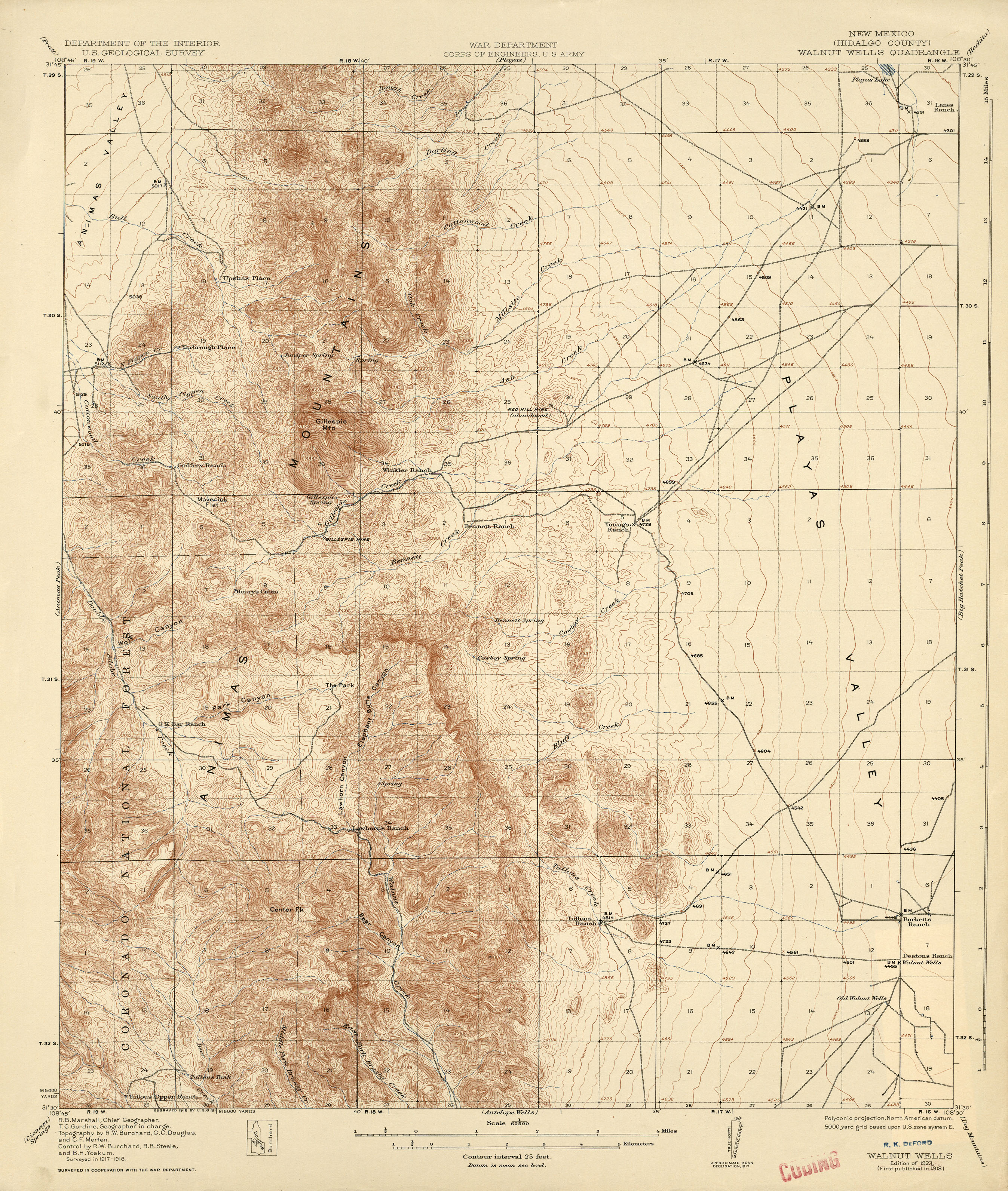
- Walnut Wells 1:62,500 1918 (3MB)
- Watrous 1:125,000 1889 (2.3MB)
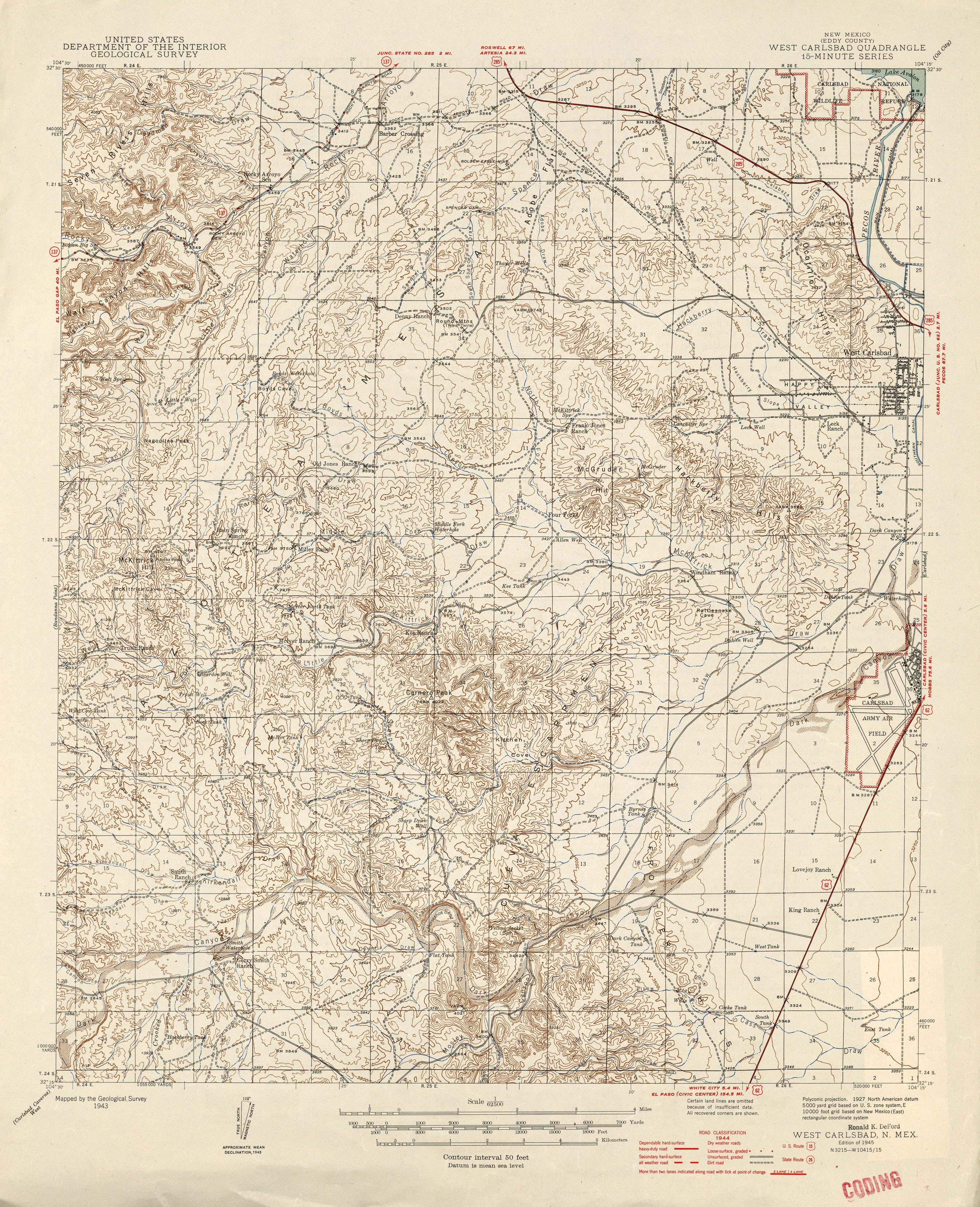
- West Carlsbad 1:62,500 1944 (3.4MB)
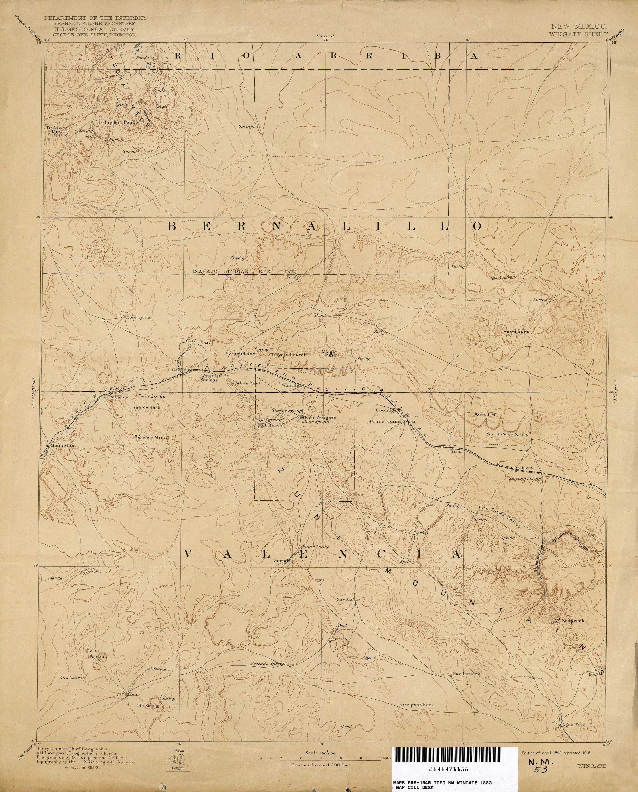
- Wingate 1:250,000 1883 (1.8MB)
Return to the top