Perry-Castañeda Library
Map Collection
Argentina Maps
The following maps were produced by the U.S. Central Intelligence Agency, unless otherwise indicated. Country Maps
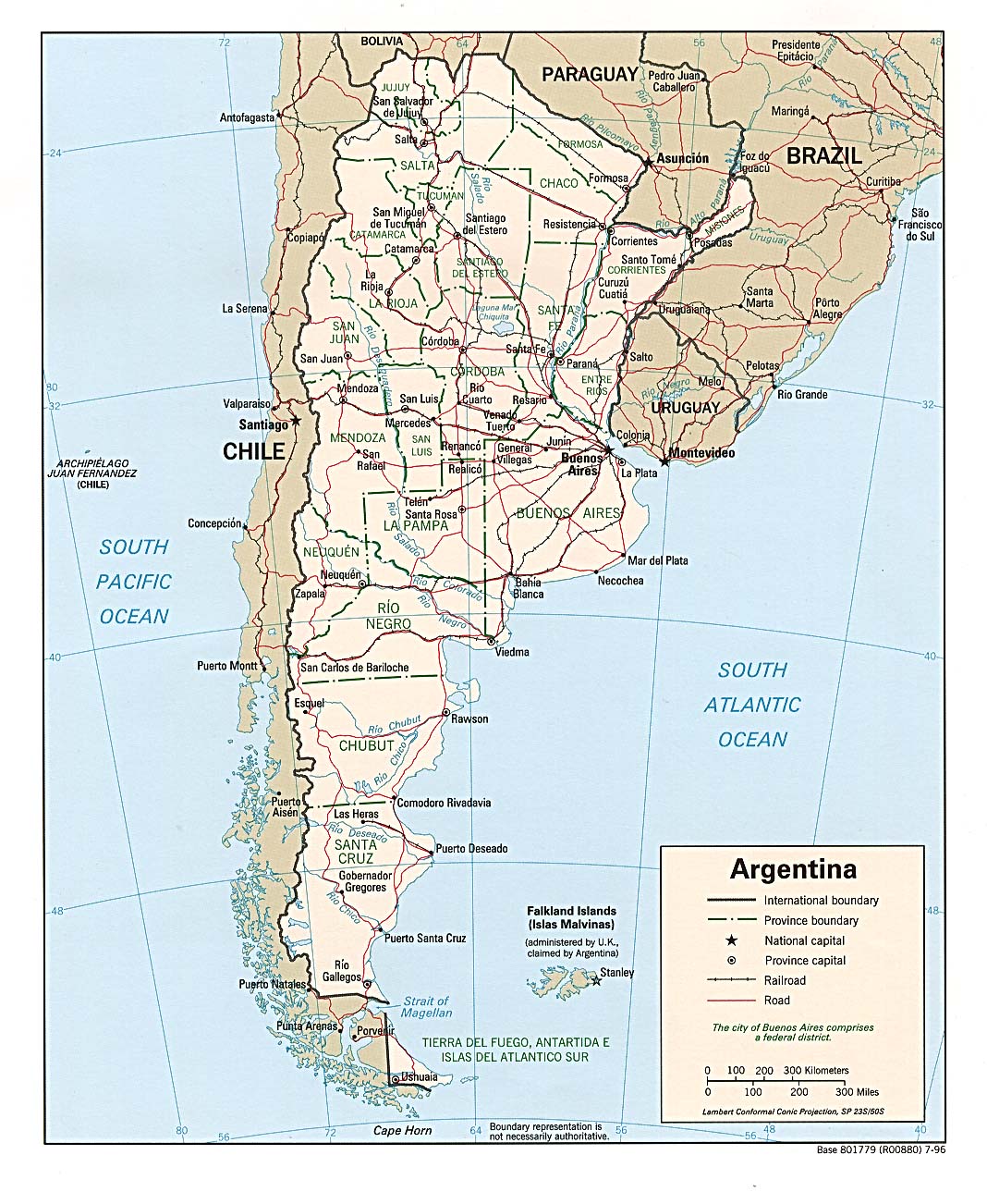
- Argentina (Political) 1996 (305K) and pdf format (303K)
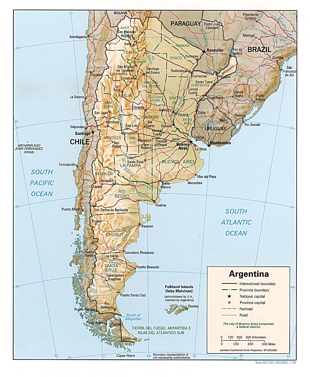
- Argentina (Shaded Relief) 1996 (311K) and pdf format (314K)
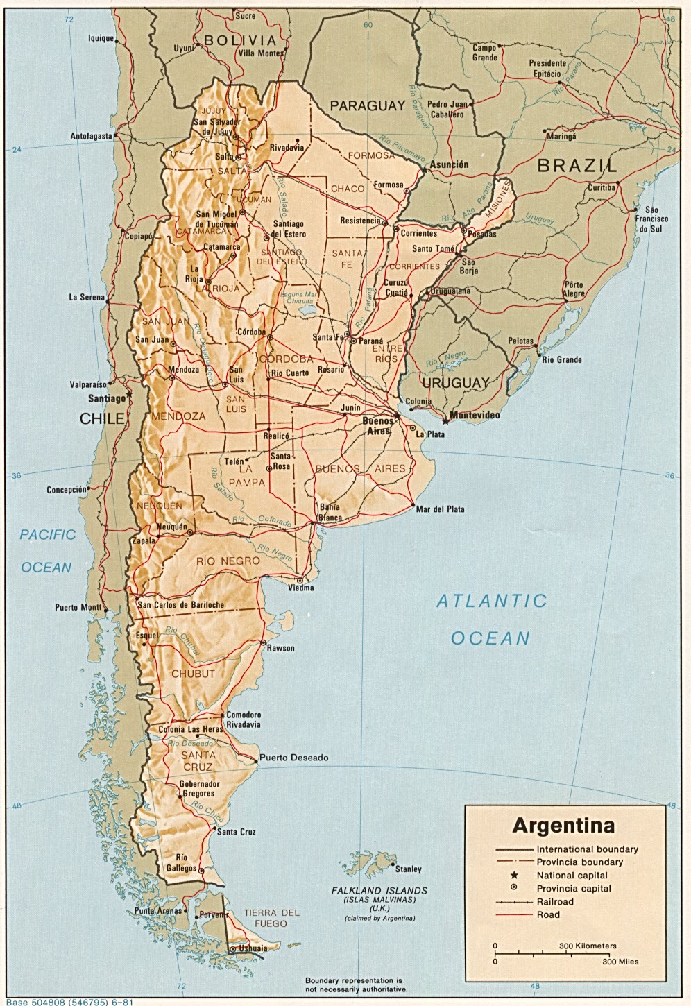
- Argentina (Shaded Relief) 1981 (440K) and pdf format (442K)
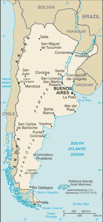
- Argentina (Small Map) 2016 (39.4K)
- Falkland Islands (Islas Malvinas) (Shaded Relief) 1982 (177K)
- Falkland Islands (Islas Malvinas) (Small Map) 2013 (11K)
- Buenos Aires U.S. Dept. of State 1985 (127K)
- 1:1,000,000 - Latin America Operational Navigation Chart Series, U.S. Defense Mapping Agency (dates vary) clickable index map for this series Not for navigational use
- This series covers all of mainland Argentina and Falkland Islands (Islas Malvinas)
- 1:250,000 - Falkland Islands (Islas Malvinas) Tactical Pilotage Chart, U.S. Defense Mapping Agency, 1988 (7.9MB) Not for navigational use
- 1:250,000 - Latin America Joint Operations Graphic, U.S. National Imagery and Mapping Agency (dates vary) Not for navigational use
- This series covers a small part of Argentina
- This series covers all of mainland Argentina and Falkland Islands (Islas Malvinas)
Maps at Other Web Sites