Perry-Castañeda Library
Map Collection
French Guiana Maps
The following maps were produced by the U.S. Central Intelligence Agency, unless otherwise indicated.
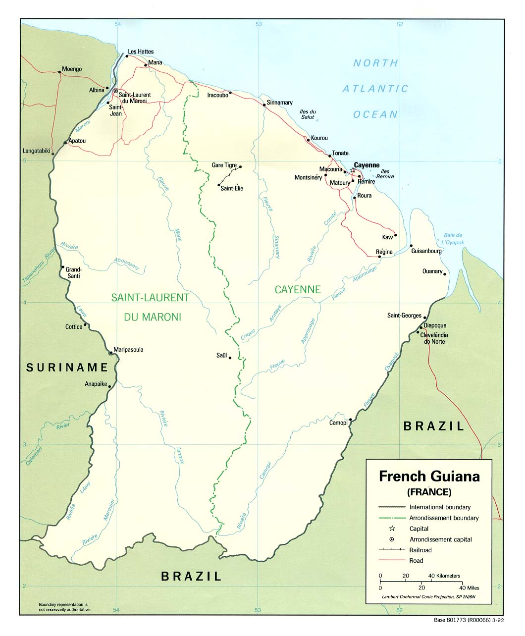
Country Maps- French Guiana (Political) 1992 (147K) and pdf format (153K)
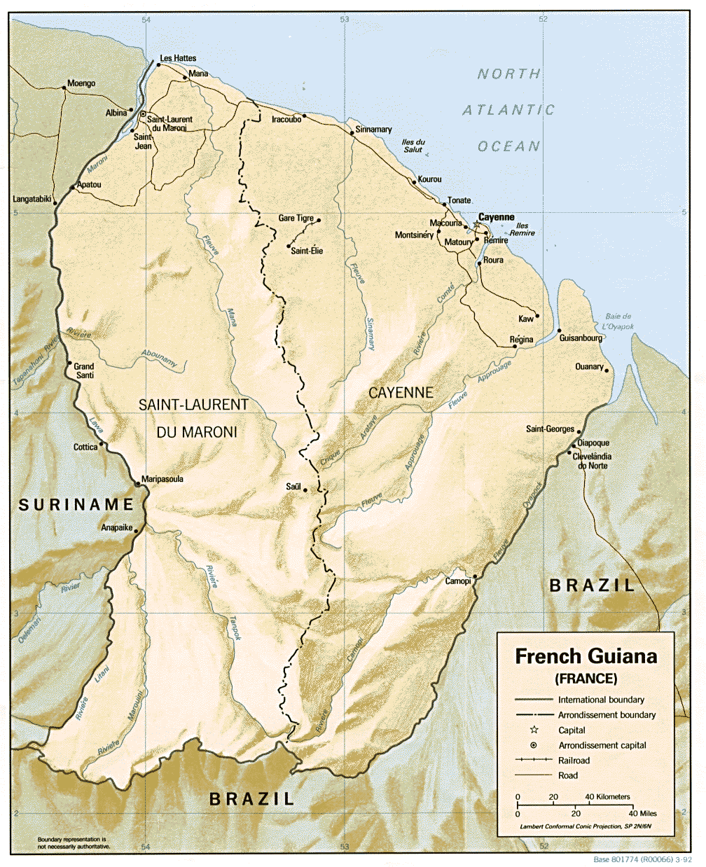
- French Guiana (Shaded Relief) 1992 (278K) and pdf format (301K)
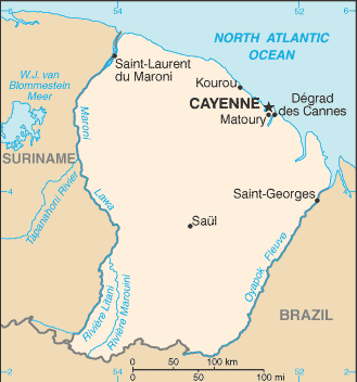
- French Guiana (Small Map) 2006 (8K)
- French Guiana - Economic Activity from Map No. 500460 1972 (70K)
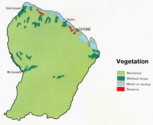
- French Guiana - Vegetation from Map No. 500460 1972 (80K)
- 1:1,000,000 - Operational Navigation Chart L-28
- This sheet includes French Guiana
- 1:500,000 - Tactical Pilotage Charts U.S. National Imagery and Mapping Agency. Not for navigational use
- This series covers French Guiana
- This sheet includes French Guiana
Maps on Other Web Sites