Central Africa, Series 1501, Joint Operations Graphic (Air) 1:250,000 [Not for navigational use]
U.S. Defense Intelligence Agency
Maps Courtesy of T. R. Smith Map Collection, University of Kansas Libraries unless otherwise noted
Note: These maps cover much of the Democratic Republic of the Congo [known as Congo (Leopoldville) or Congo (Kinshasa) or Zaire when these maps were published] and portions of Angola, Burundi, Central African Republic, Republic of the Congo [known as Congo (Brazzaville)], Rwanda, Uganda, Tanzania and Zambia. Most of the maps were printed in the 1960s, are based on earlier mapping, and are Not for Navigational Use.Complete list of map images in this collection:
- Clickable Index Map (29K)
- NA 32-2 Fernando Poo [Bioko], (Spain) [Equatorial Guinea] (3.4MB) [GeoPDF]
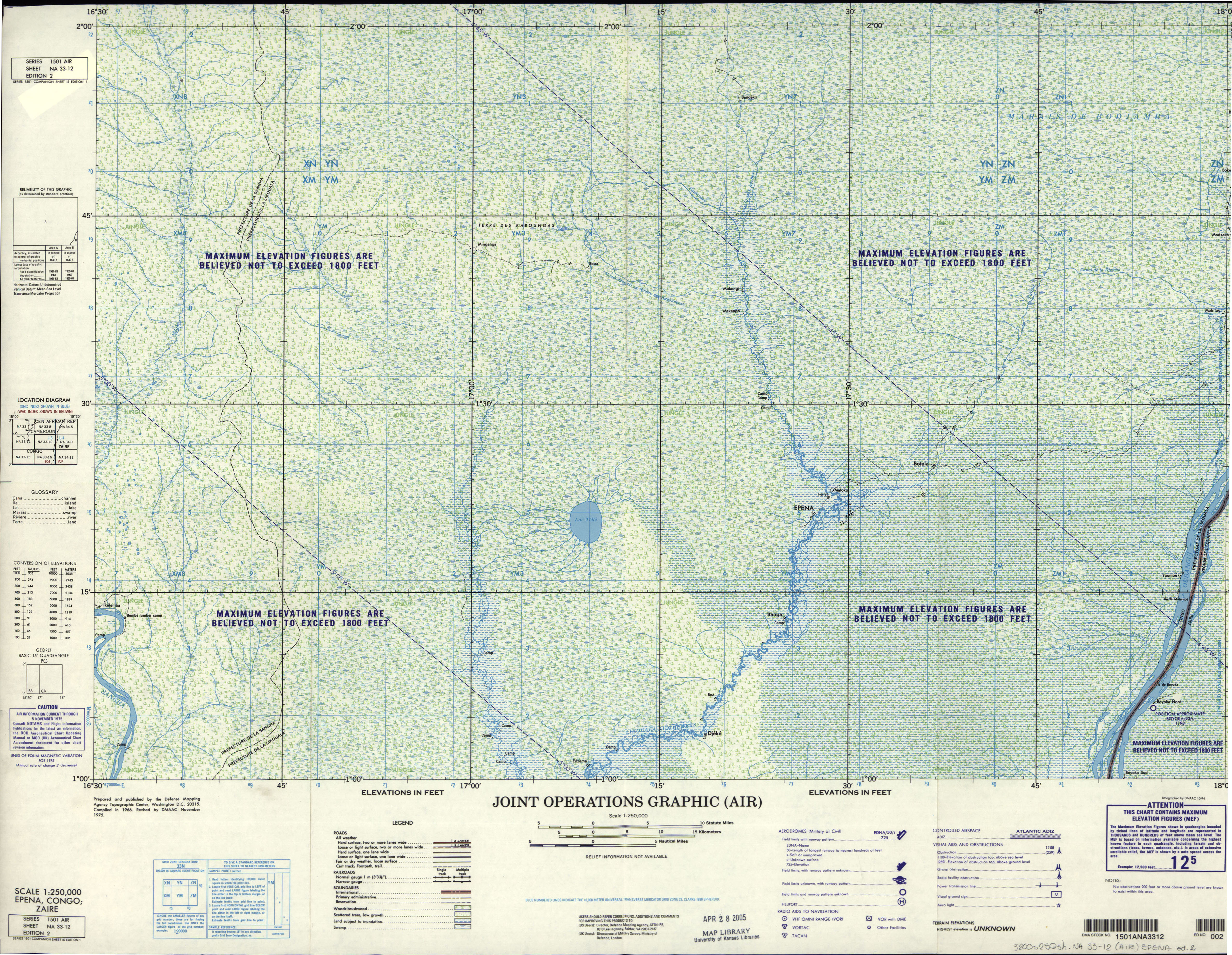
- NA 33-12 Epena, Congo; Zaire (9.2MB) [GeoPDF]
- NA 33-12 Epena, Congo; Zaire (5.2 MB) [JPEG]
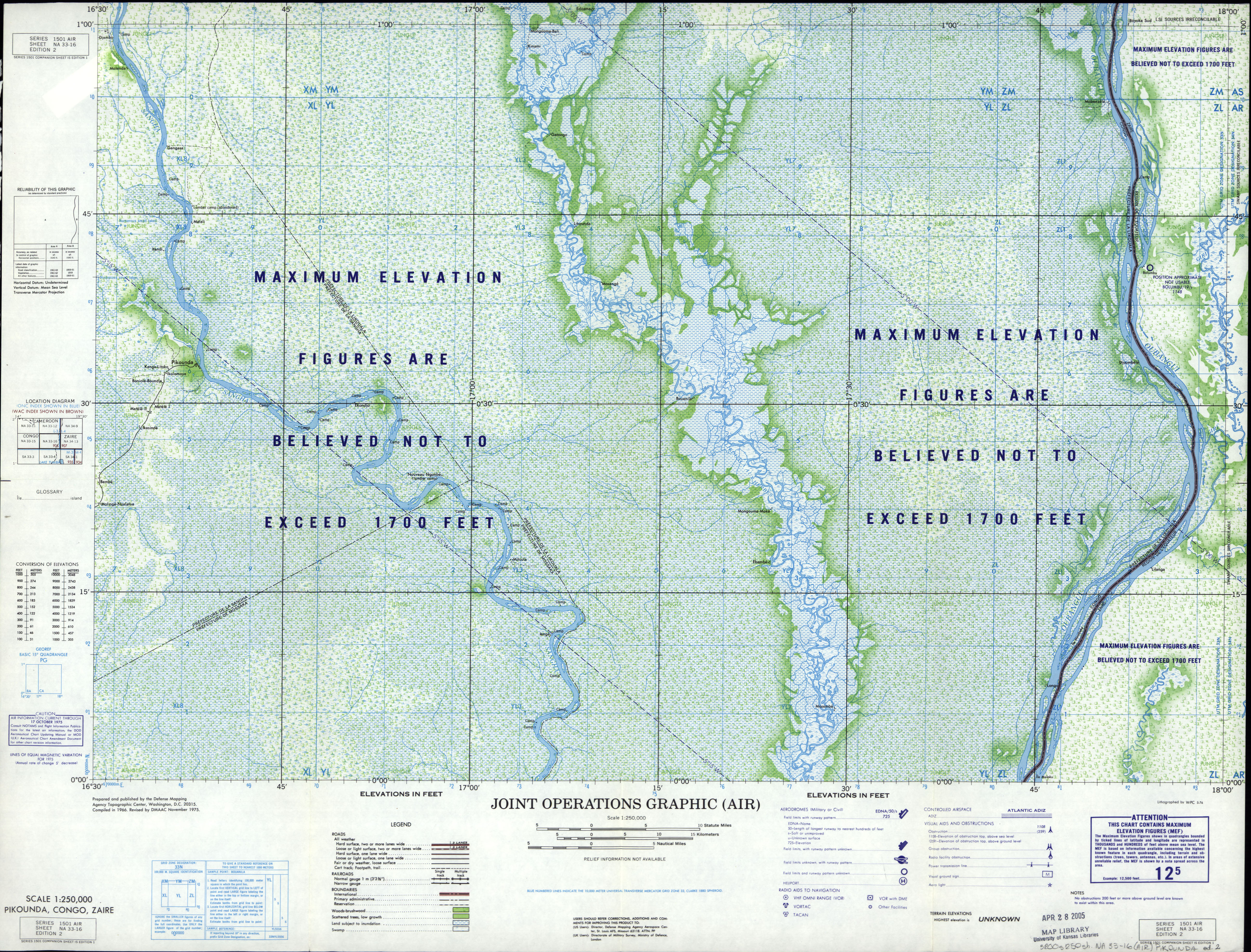
- NA 33-16 Pikounda, Congo; Zaire (9.8MB) [GeoPDF]
- NA 33-16 Pikounda, Congo; Zaire (5.9 MB) [JPEG]
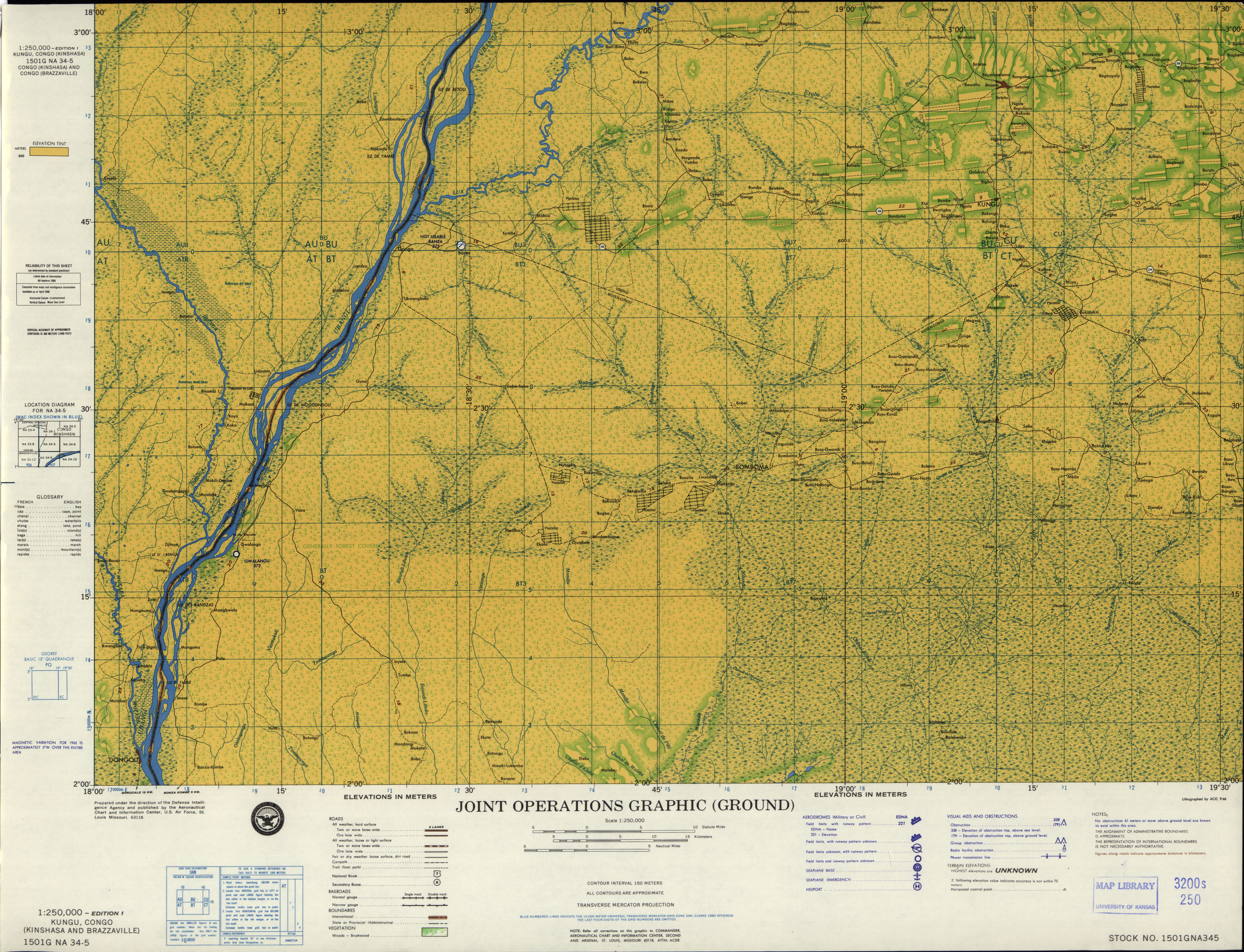
- NA 34-5 Kungu, Congo (Kinshasa and Brazzaville) (7.9MB) [GeoPDF]
- NA 34-5 Kungu, Congo (Kinshasa and Brazzaville) (4.8 MB) [JPEG]
- NA 34-6 Budjala, Congo (Kinshasa) (5.0 MB) [JPEG]
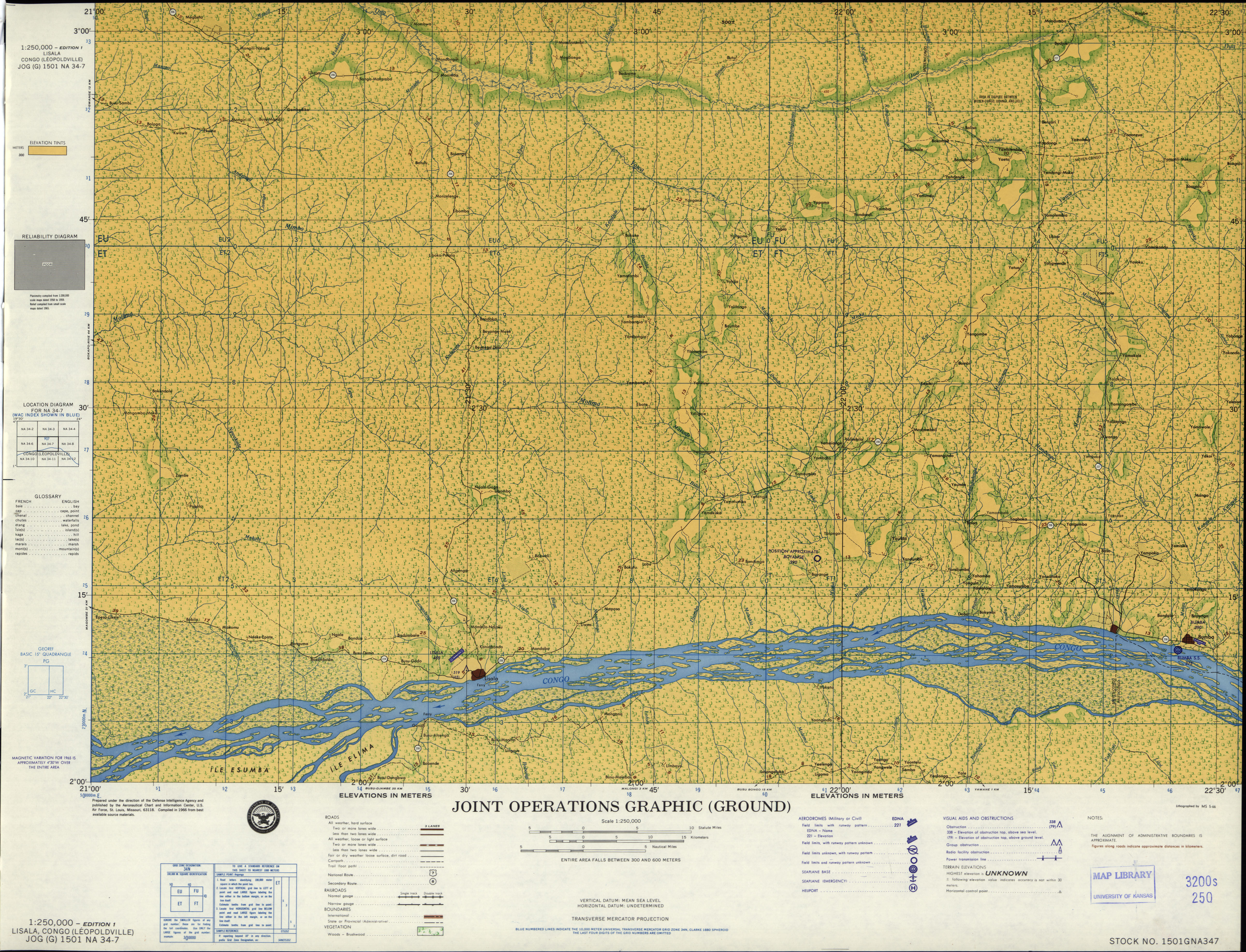
- NA 34-7 Lisala, Congo (Leopoldville) (5.1 MB) [JPEG]
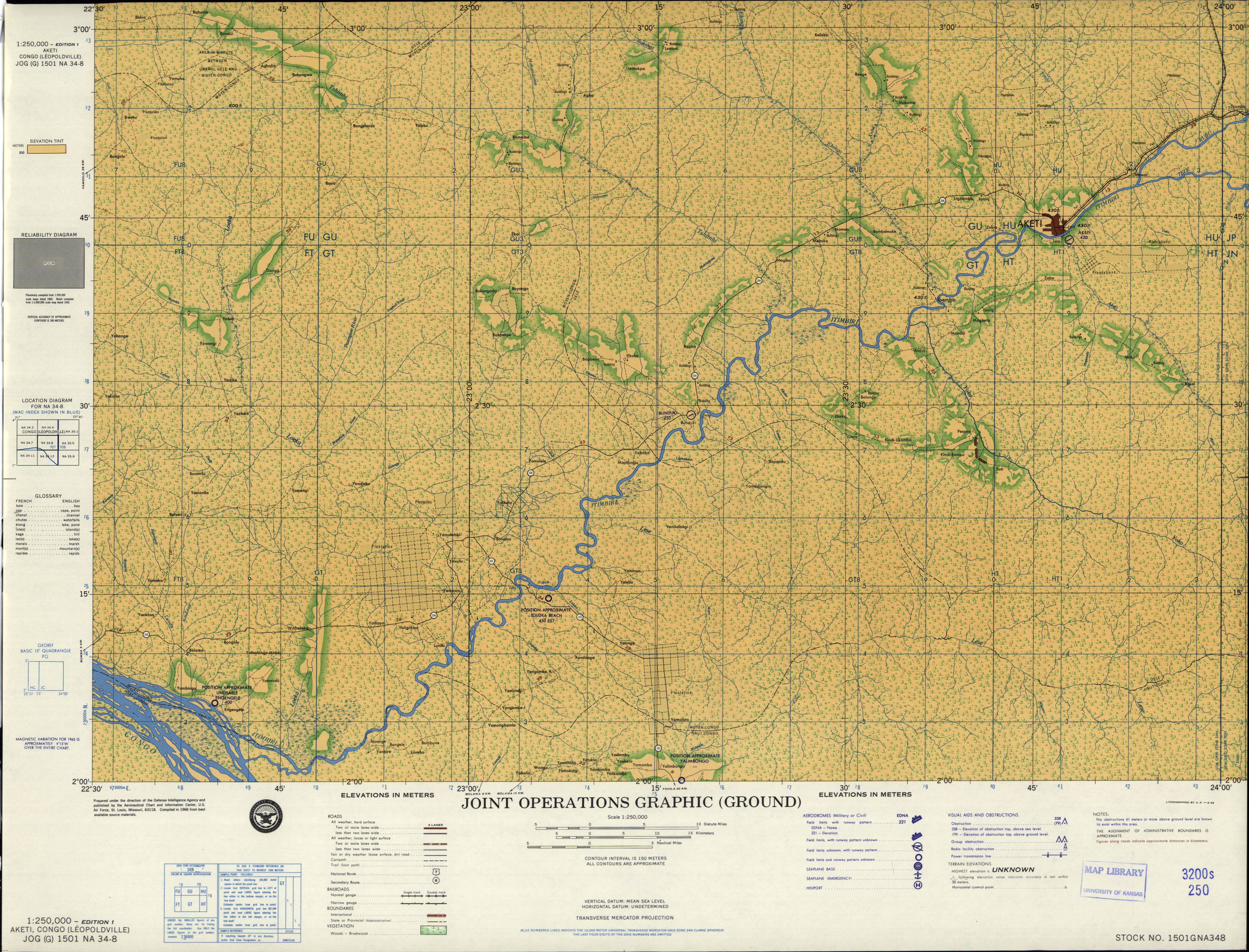
- NA 34-8 Aketi, Congo (Leopoldville) (4.9 MB) [JPEG]
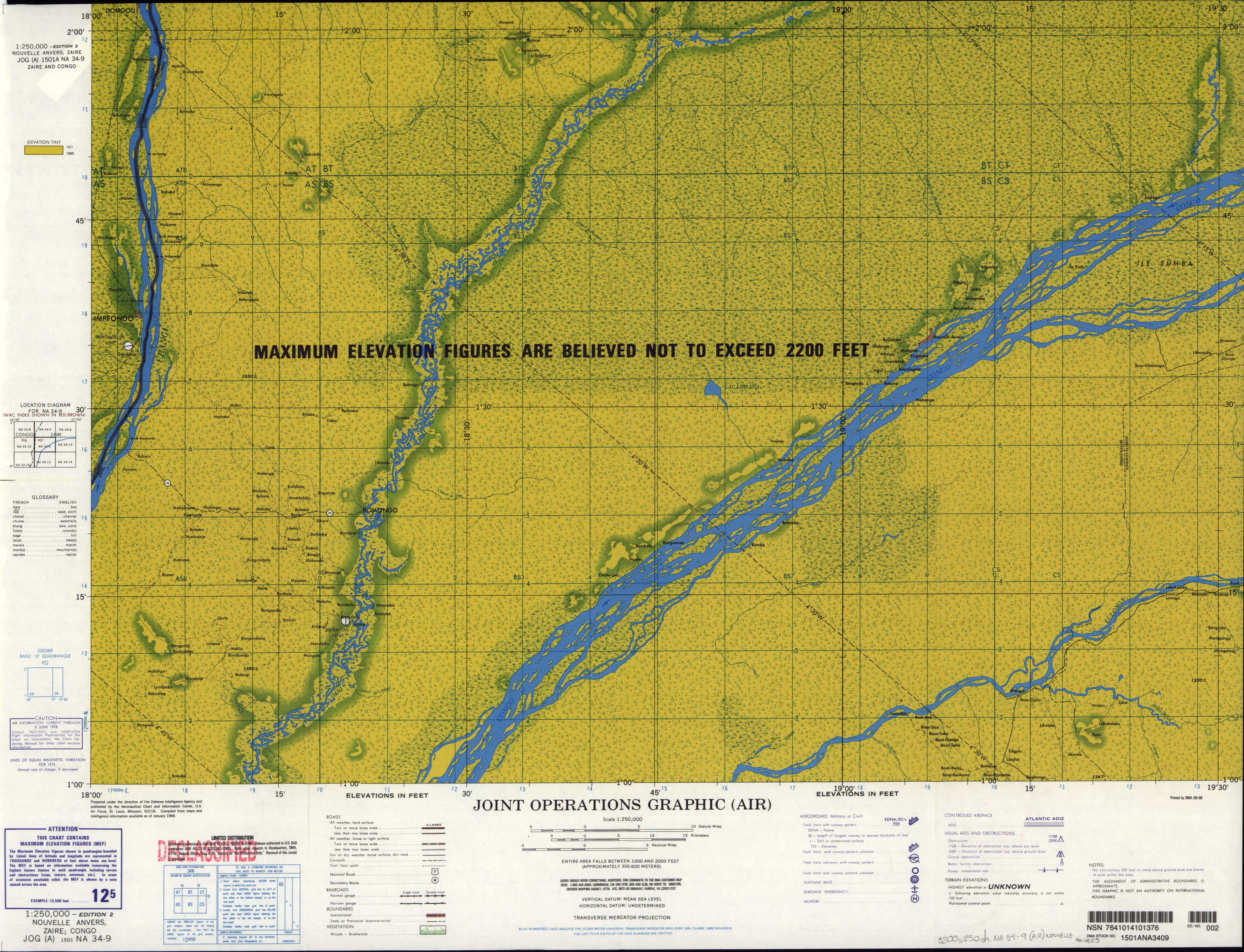
- NA 34-9 Nouvelle Anvers, Zaire; Congo (7.0MB) [GeoPDF]
- NA 34-9 Nouvelle Anvers, Zaire; Congo (4.9 MB) [JPEG]
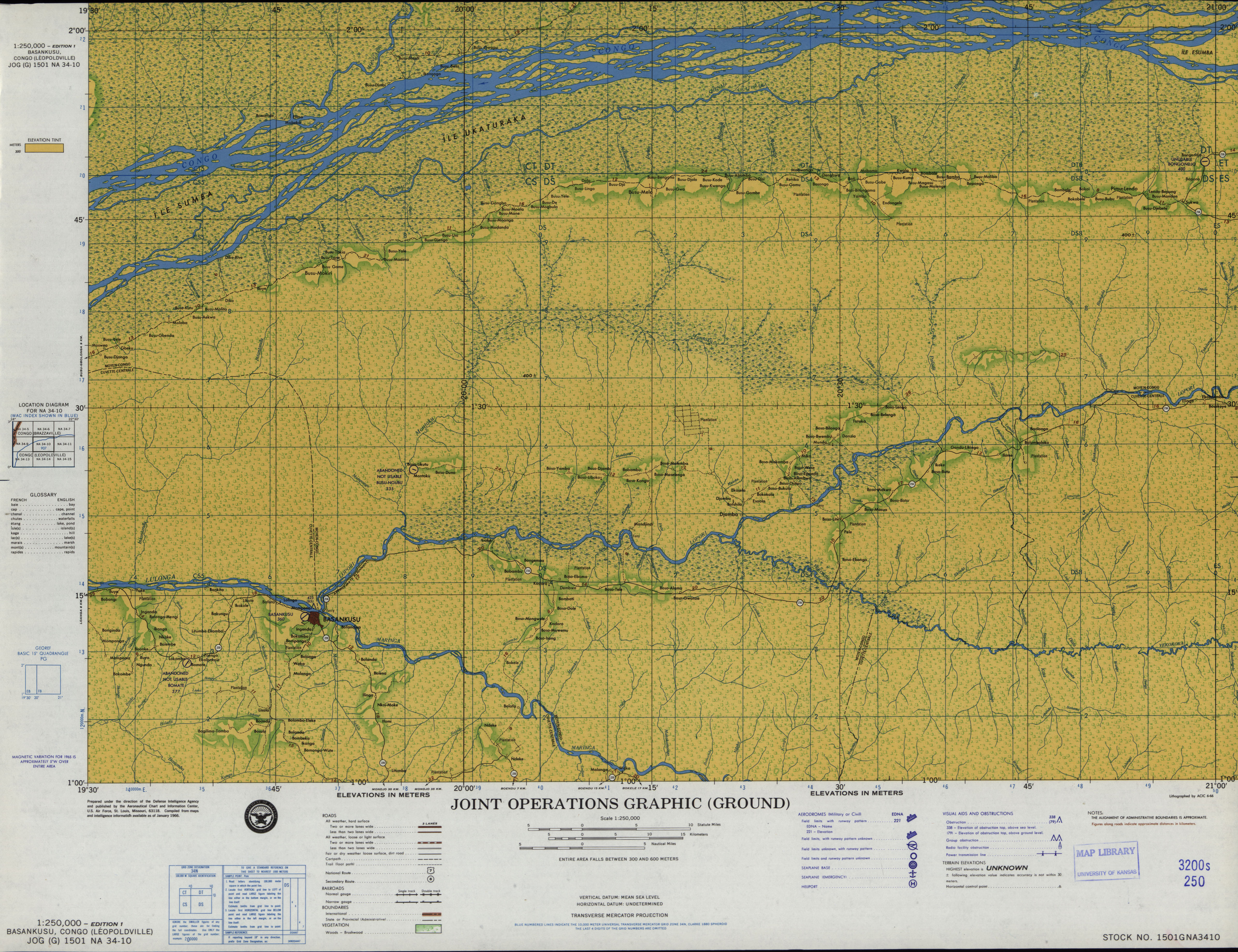
- NA 34-10 Basankusu, Congo (Leopoldville) (4.3 MB) [JPEG]
- NA 34-11 Bongandanga, Congo (Leopoldville) (4.4 MB) [JPEG]
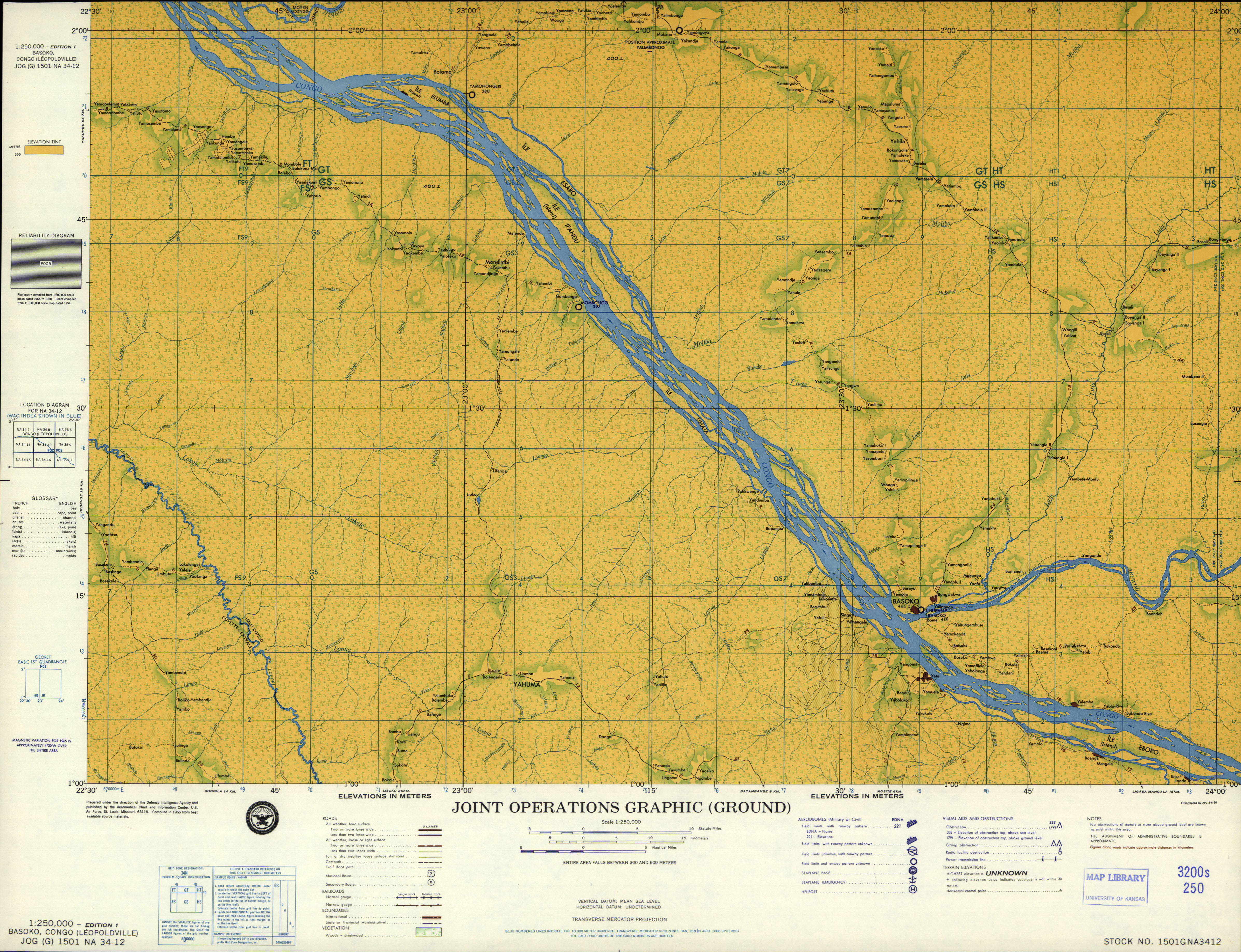
- NA 34-12 Basoko, Congo (Leopoldville) (4.2 MB) [JPEG]
- NA 34-13 Mbandaka, Zaire (6.8MB) [GeoPDF]
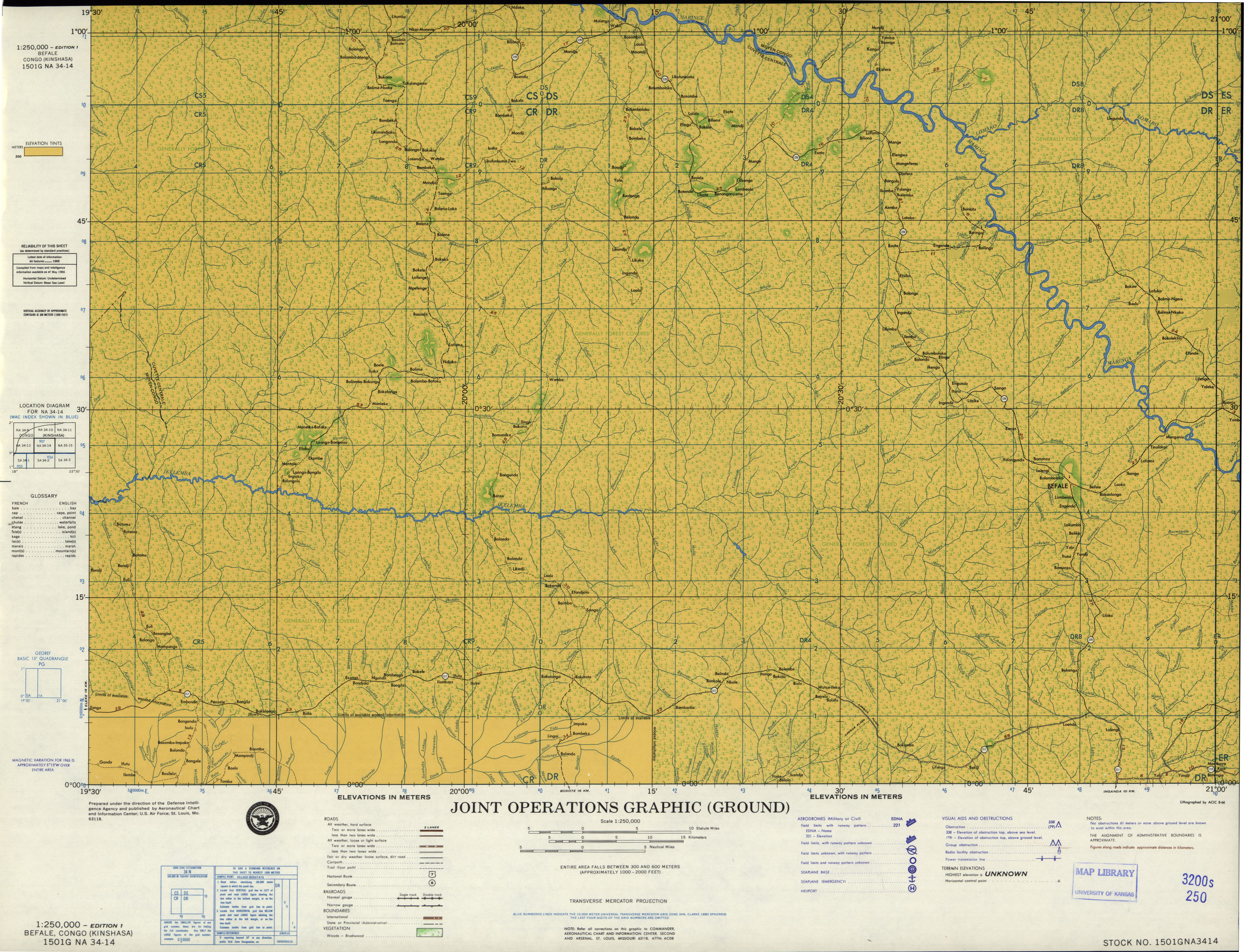
- NA 34-14 Befale, Congo (Kinshasa) (4.3 MB) [JPEG]
- NA 34-15 Djolu, Congo (Leopoldville) (4.5 MB) [JPEG]
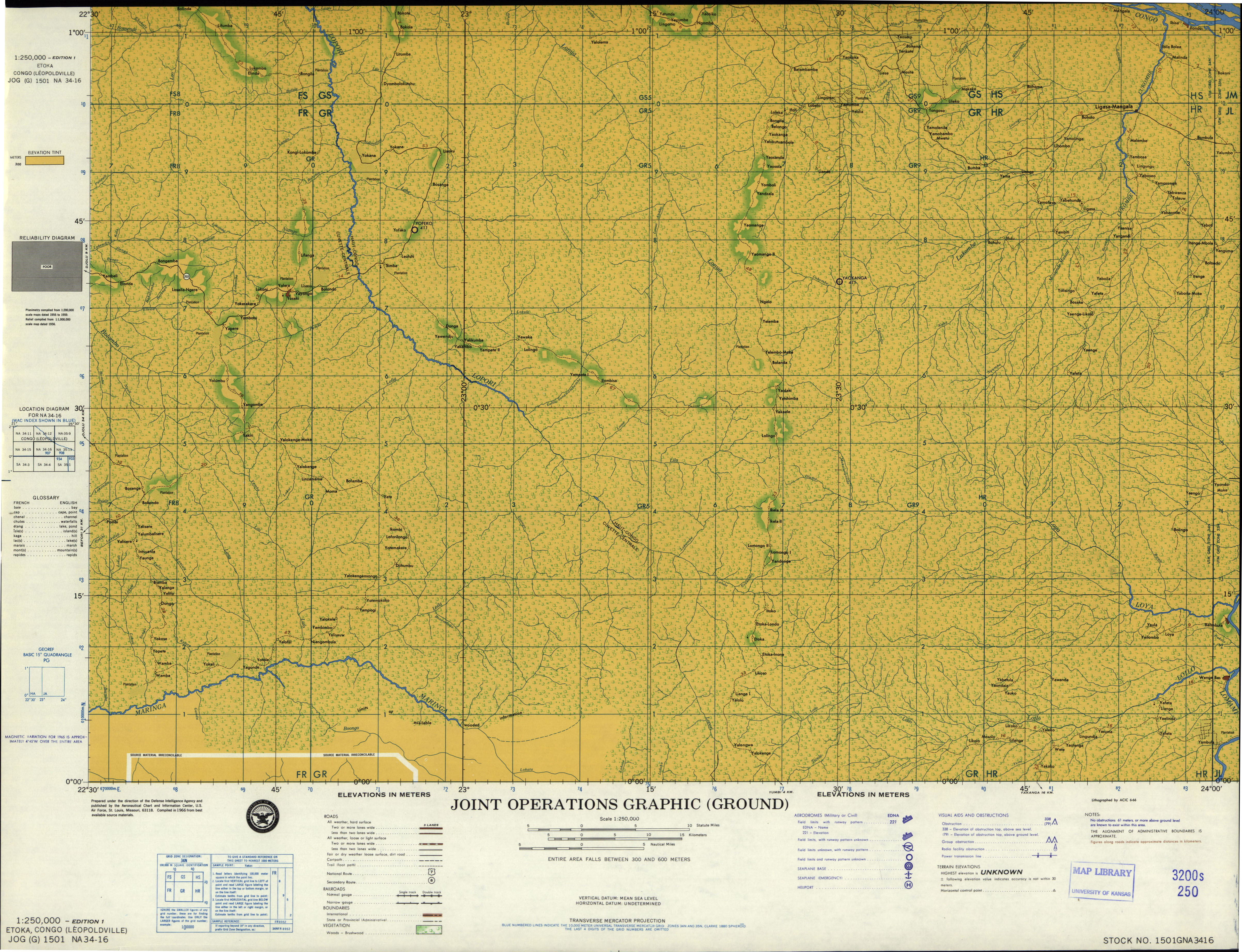
- NA 34-16 Etoka, Congo (Leopoldville) (4.4 MB) [JPEG]
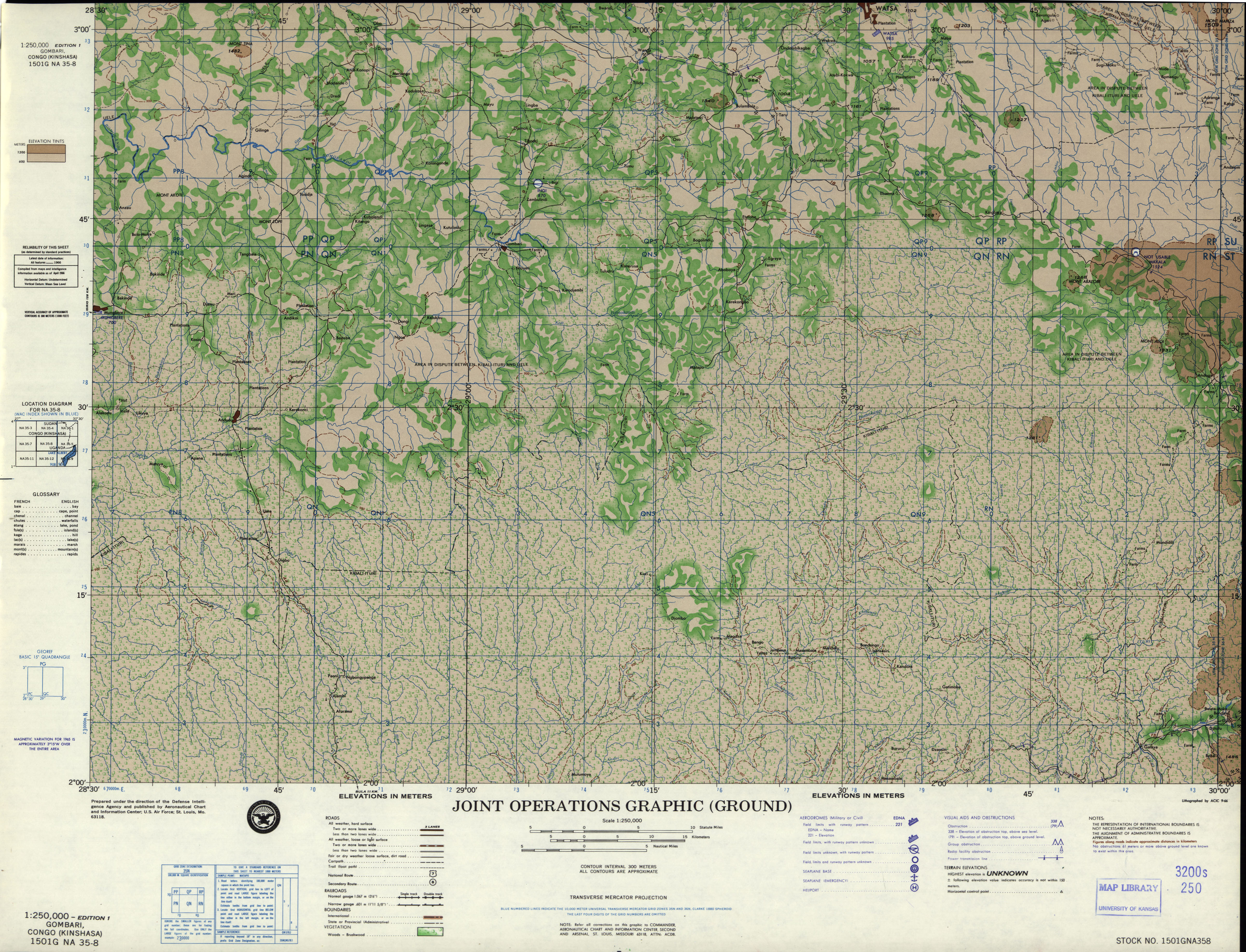
- NA 35-8 Gombari, Congo (Kinshasa) (5.7 MB) [JPEG]
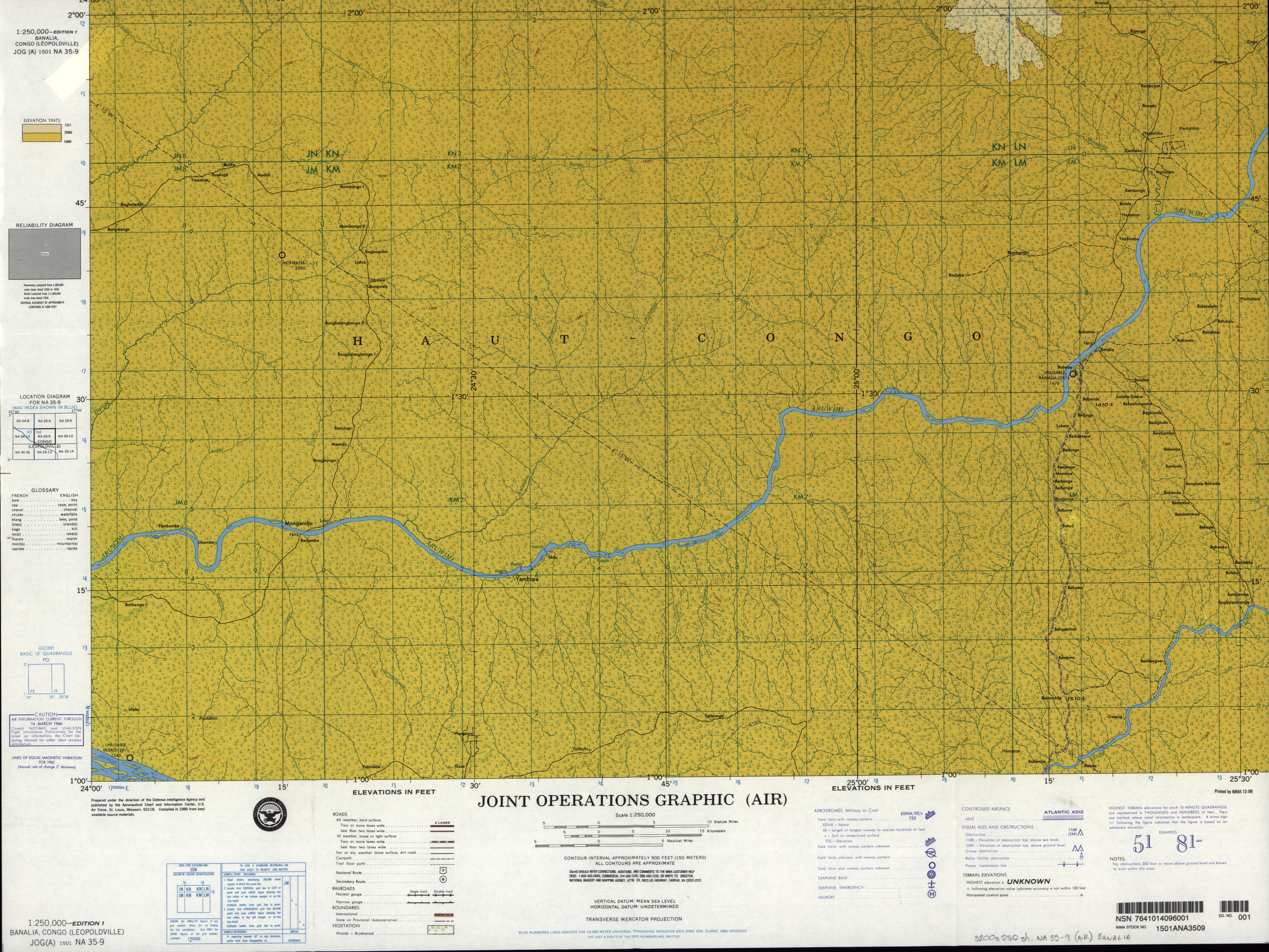
- NA 35-9 Banalia, Congo (Leopoldville) (4.5 MB) [JPEG]
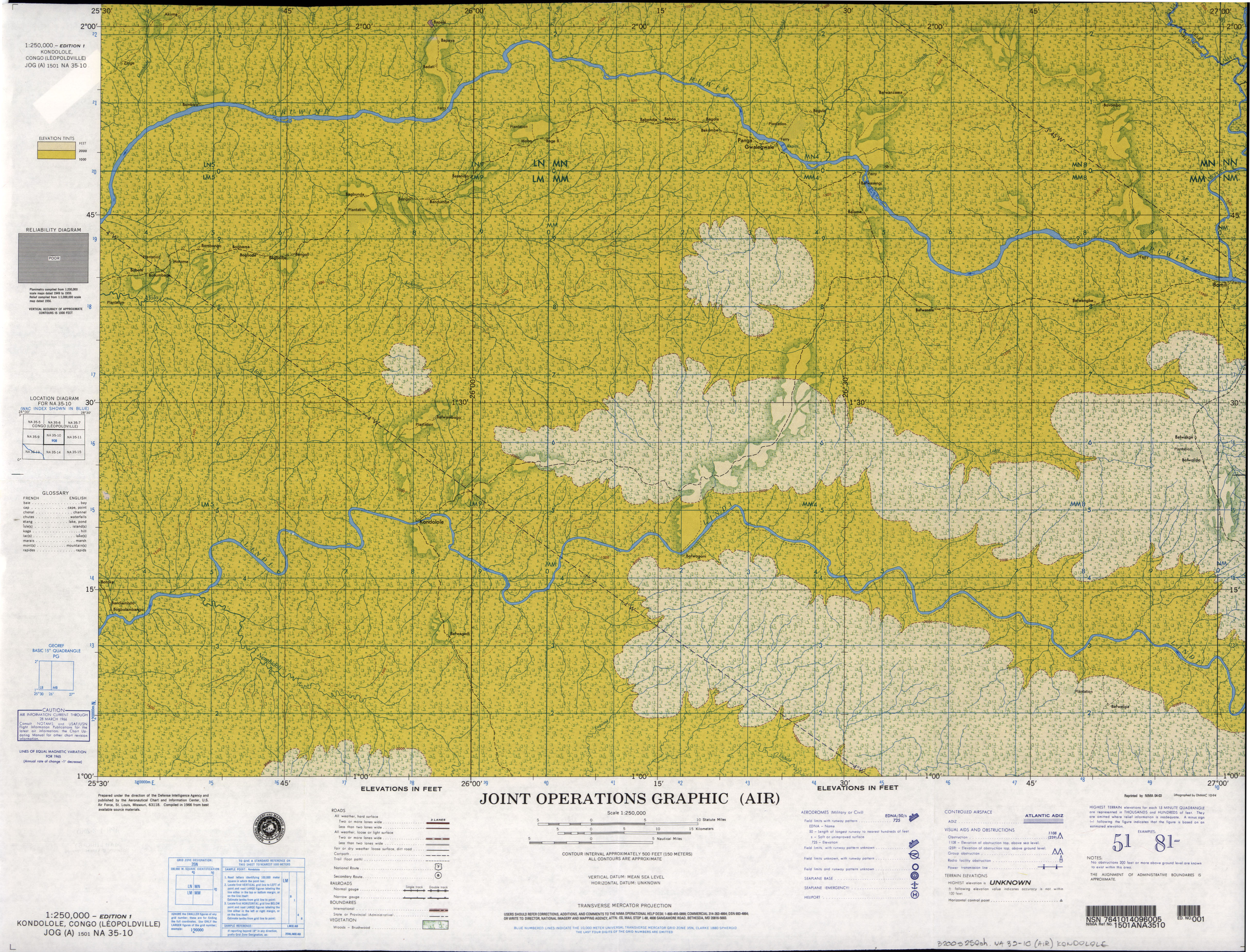
- NA 35-10 Kondolole, Congo (Leopoldville) (6.4MB) [GeoPDF]
- NA 35-10 Kondolole, Congo (Leopoldville) (4.9 MB) [JPEG]
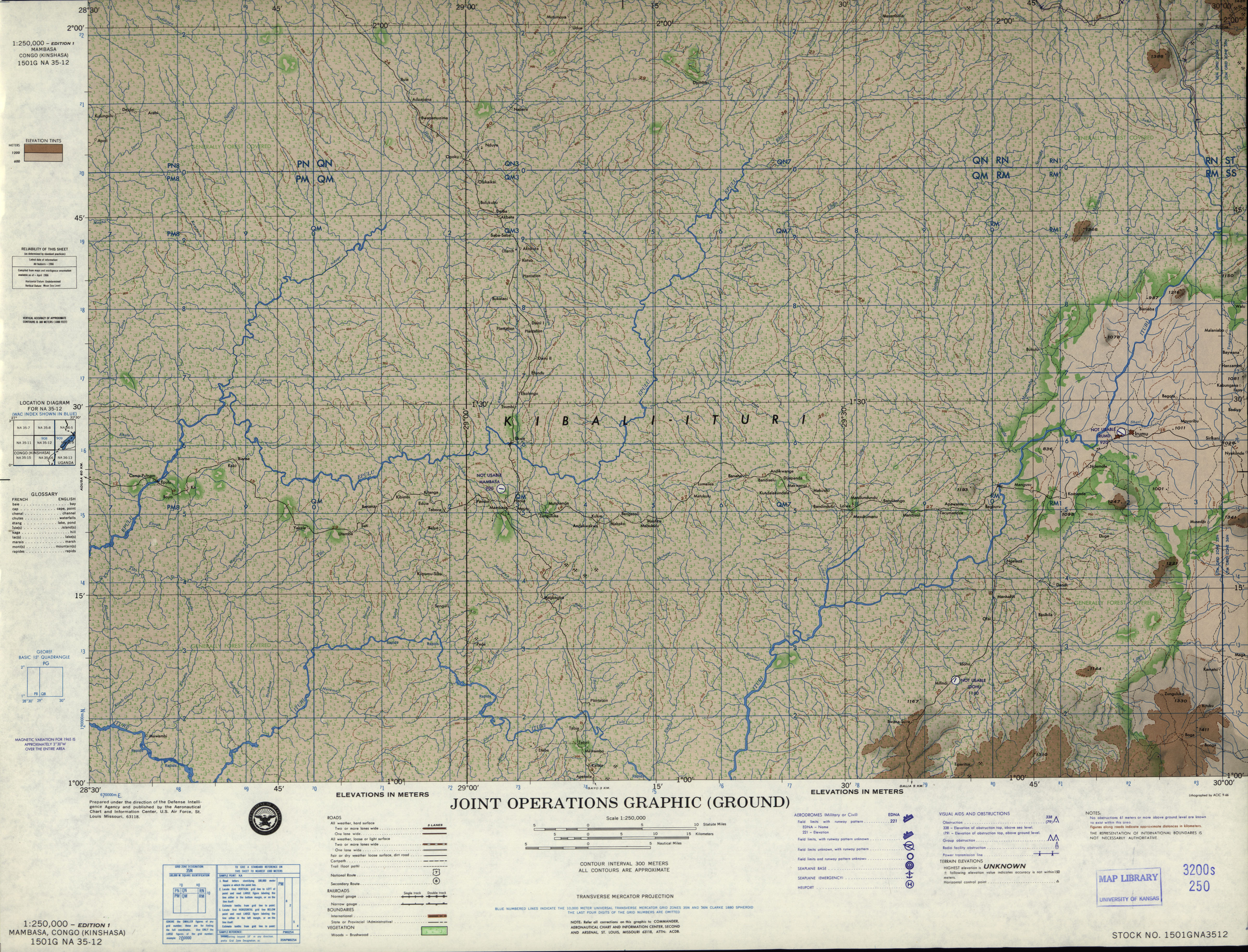
- NA 35-12 Mambasa, Congo (Kinshasa) (6.1 MB) [JPEG]
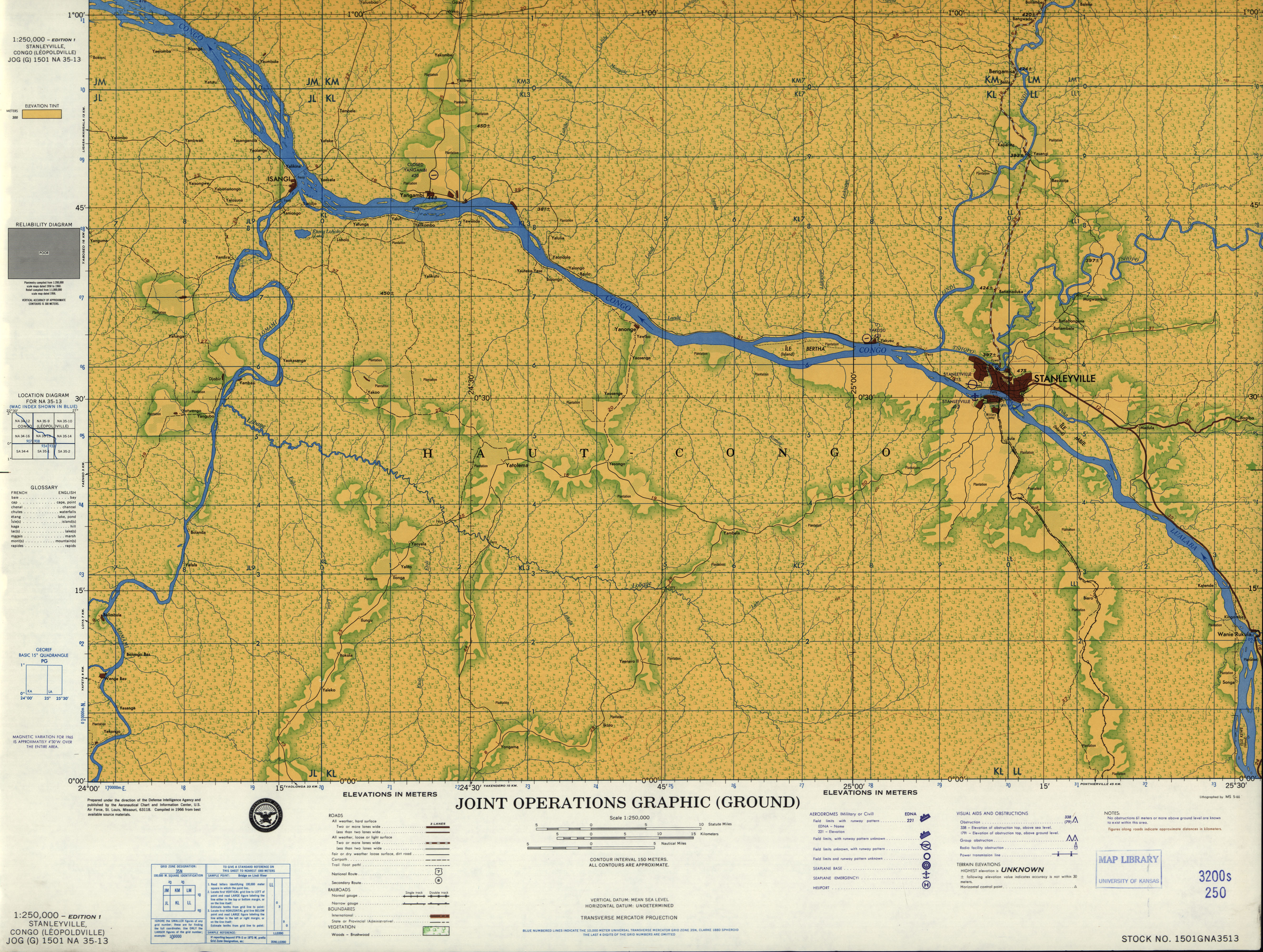
- NA 35-13 Stanleyville [Kisangani], Zaire (7.6MB) [GeoPDF]
- NA 35-13 Stanleyville [Kisangani], Congo (Leopoldville) (4.5 MB) [JPEG]
- NA 35-14 Bafwaboli, Zaire (7.2MB) [GeoPDF]
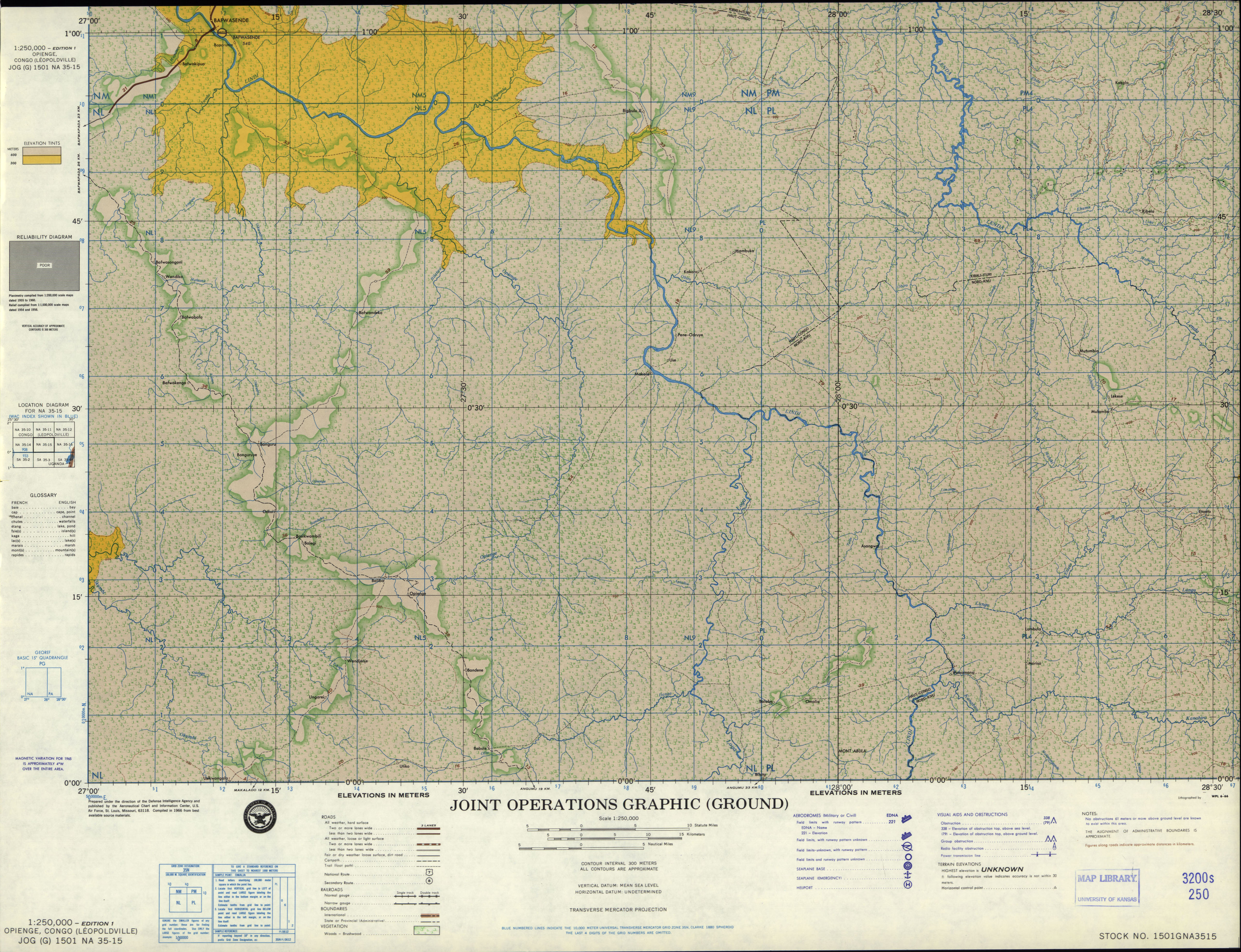
- NA 35-15 Opienge, Congo (Leopoldville) (5.5 MB) [JPEG]
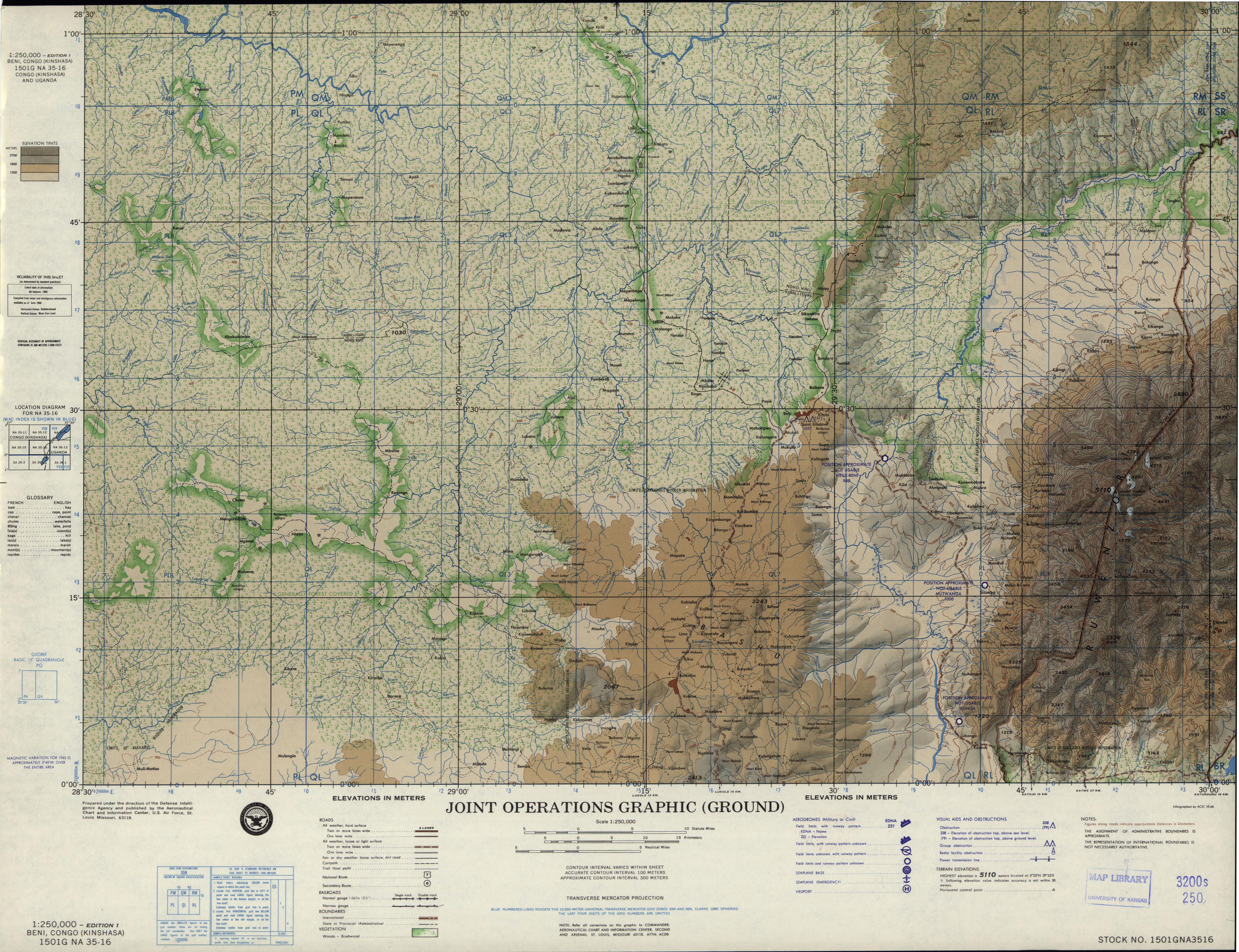
- NA 35-16 Beni, Congo (Kinshasa) (4.9 MB) [JPEG]
- NA 36-1 Arua, Uganda (Ground) (4.3 MB) [JPEG]
- NA 36-1 Arua, Uganda (Air) (6.2 MB) [GeoPDF]
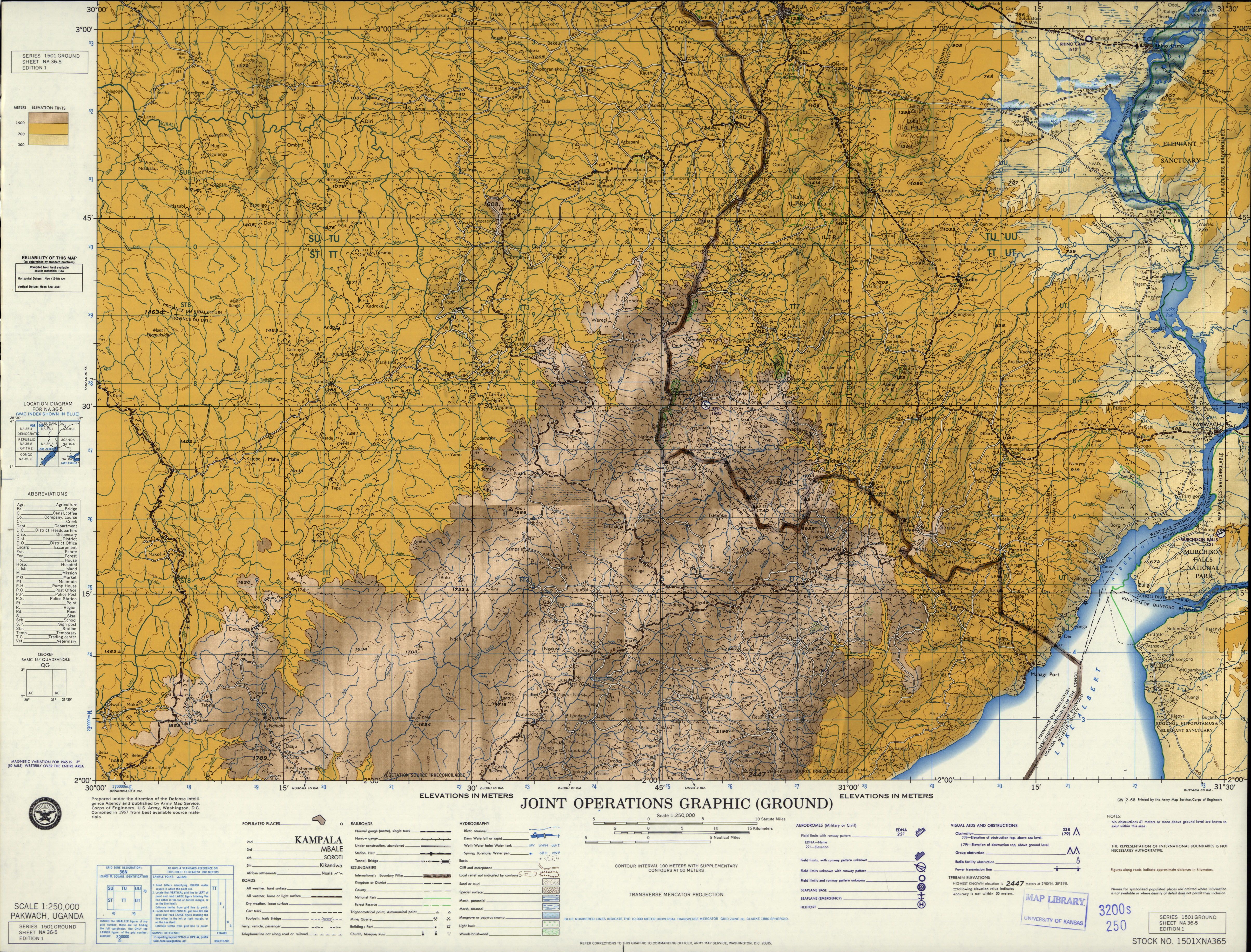
- NA 36-5 Pakwach, Uganda (6.0 MB) [JPEG]
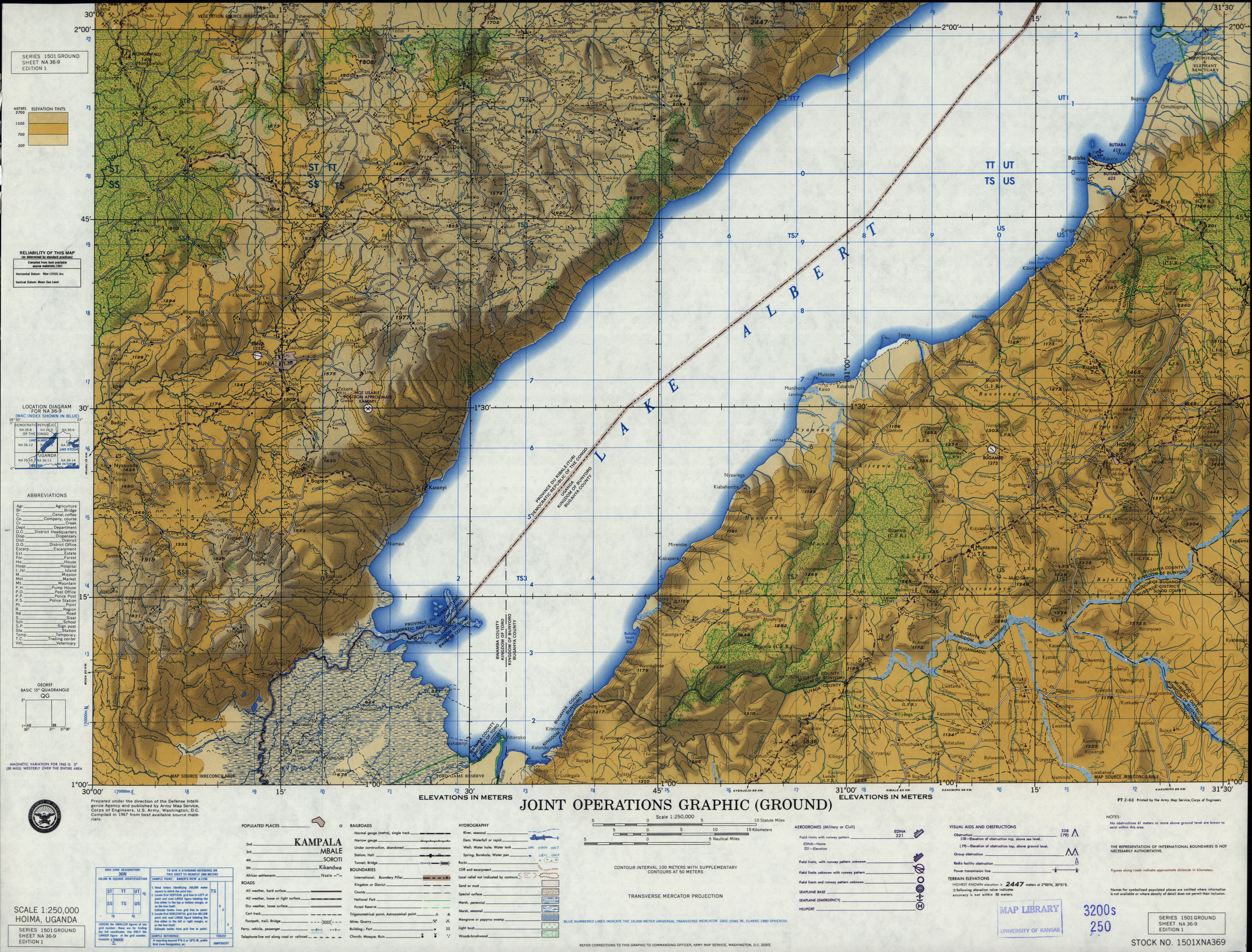
- NA 36-9 Hoima, Uganda (4.4 MB) [JPEG]
- NB 33-1 Tignere, Cameroon; Nigeria (10.6MB) [GeoPDF]
- NB 33-3 Baibokoum, Chad (12.0MB) [GeoPDF]
- NB 33-6 Meiganga, Cameroon (12.1MB) [GeoPDF]
- NB 33-7 Bozoum, Central African Republic; Cameroon (12.5MB) [GeoPDF]
- NB 33-9 Yoko, Cameroon (10.4MB) [GeoPDF]
- NB 34-9 Fort Sibut, Central African Republic; Zaire (9.0MB) [GeoPDF]
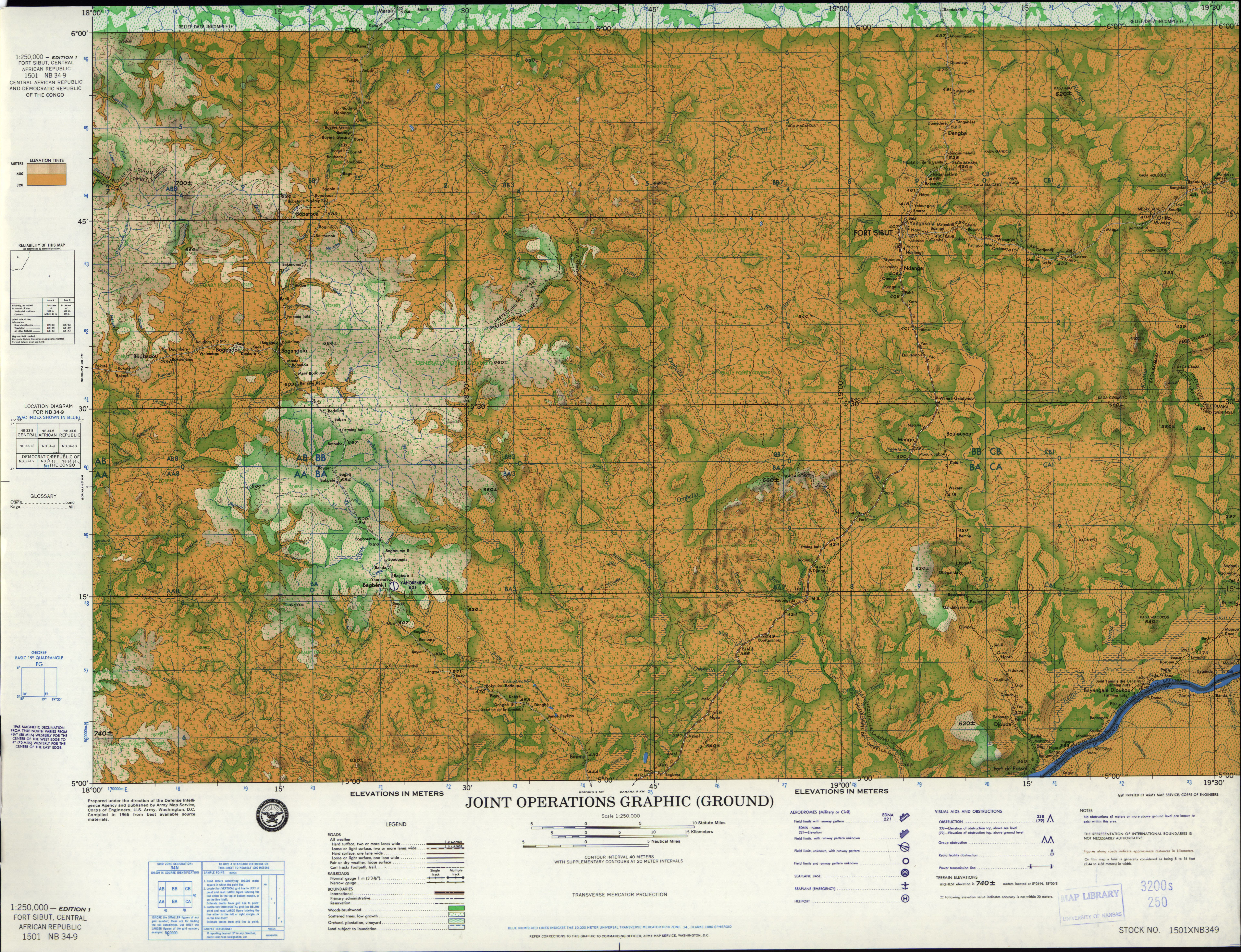
- NB 34-9 Fort Sibut, Central African Republic; Democratic Republic of the Congo (7.5 MB) [JPEG]
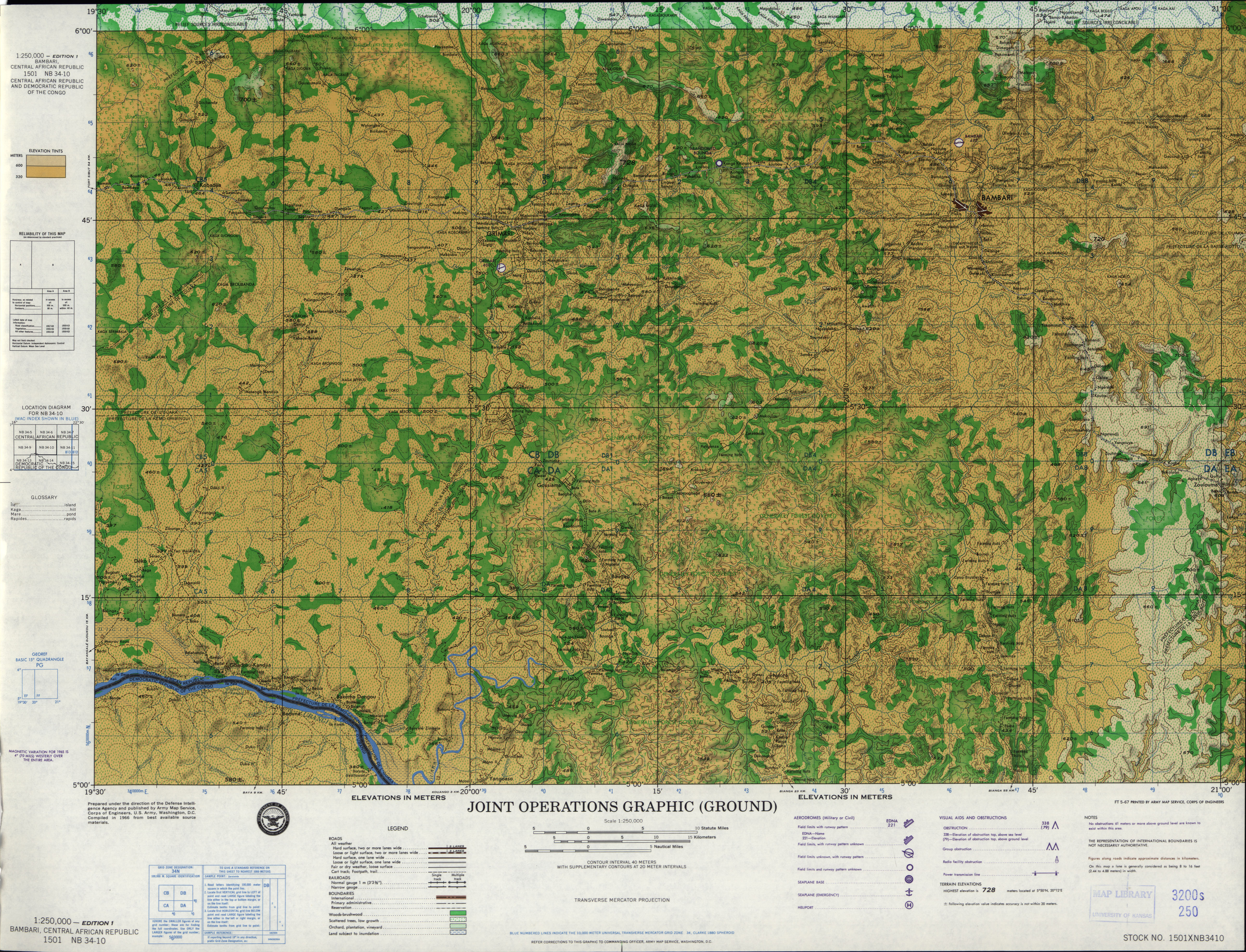
- NB 34-10 Bambari, Central African Republic (5.5 MB) [JPEG]
- NB 34-13 Bangui, Central African Empire (6.7MB) [GeoPDF]
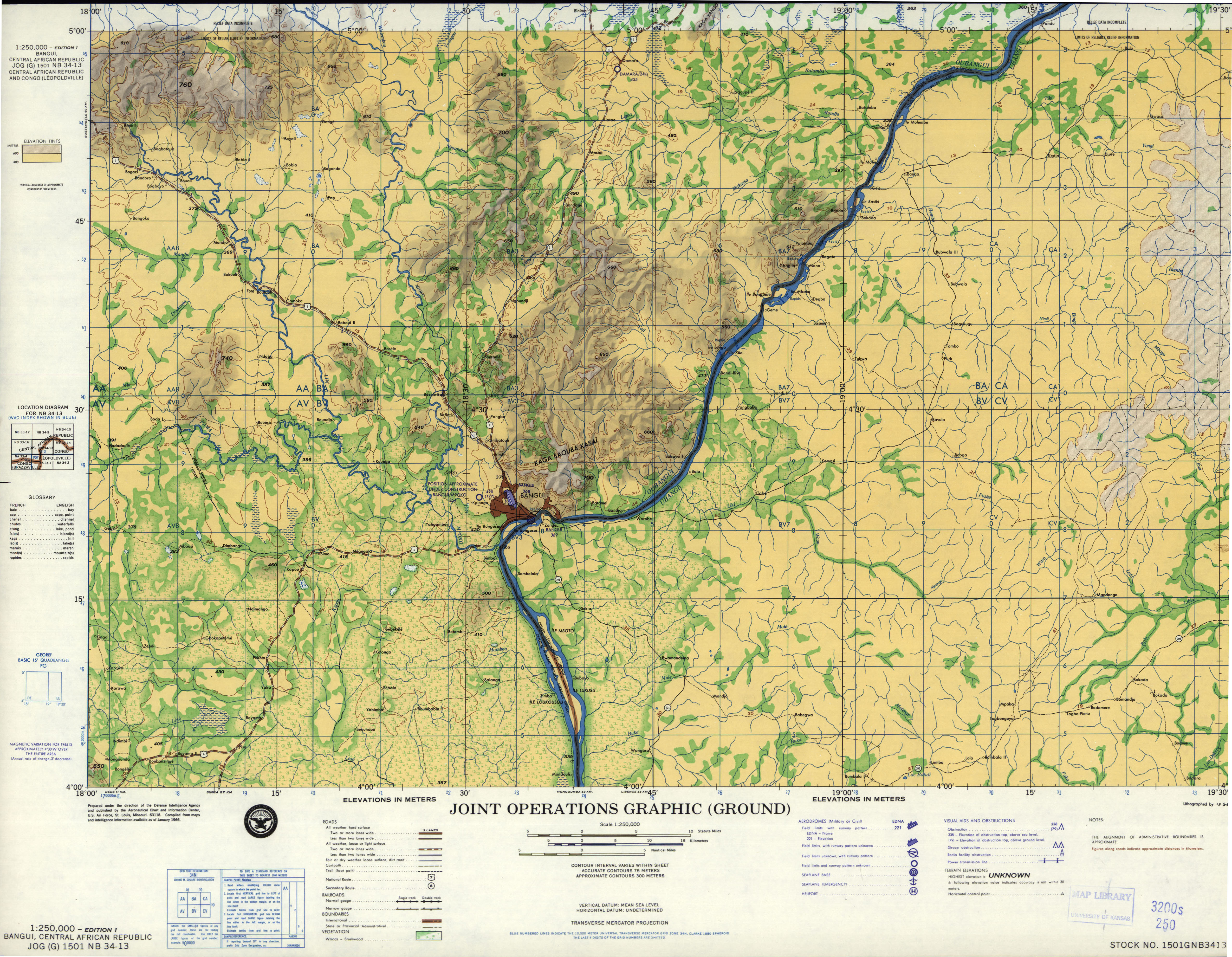
- NB 34-13 Bangui, Central African Republic (3.8 MB) [JPEG]
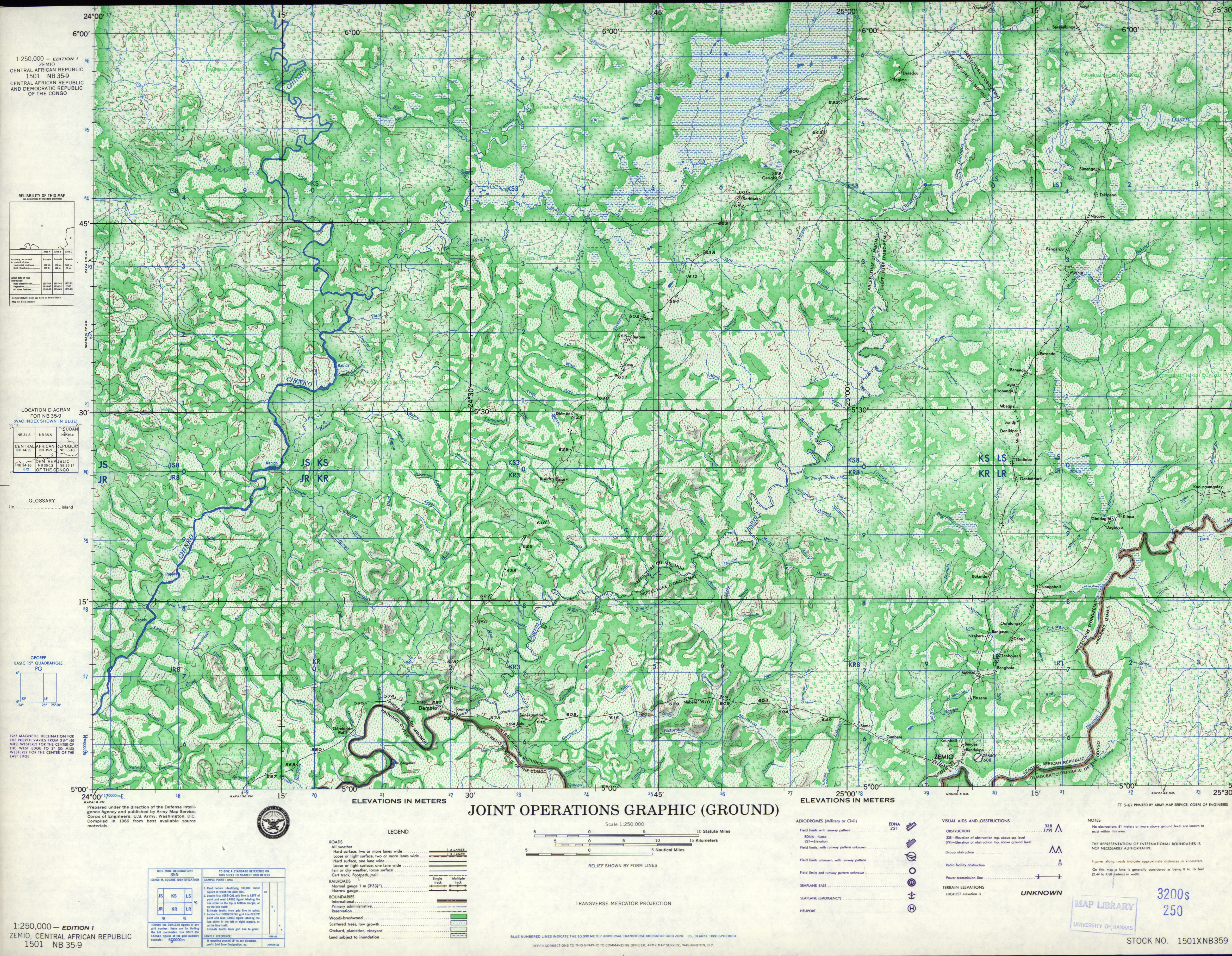
- NB 35-9 Zemio, Central African Republic (5.1 MB) [JPEG]
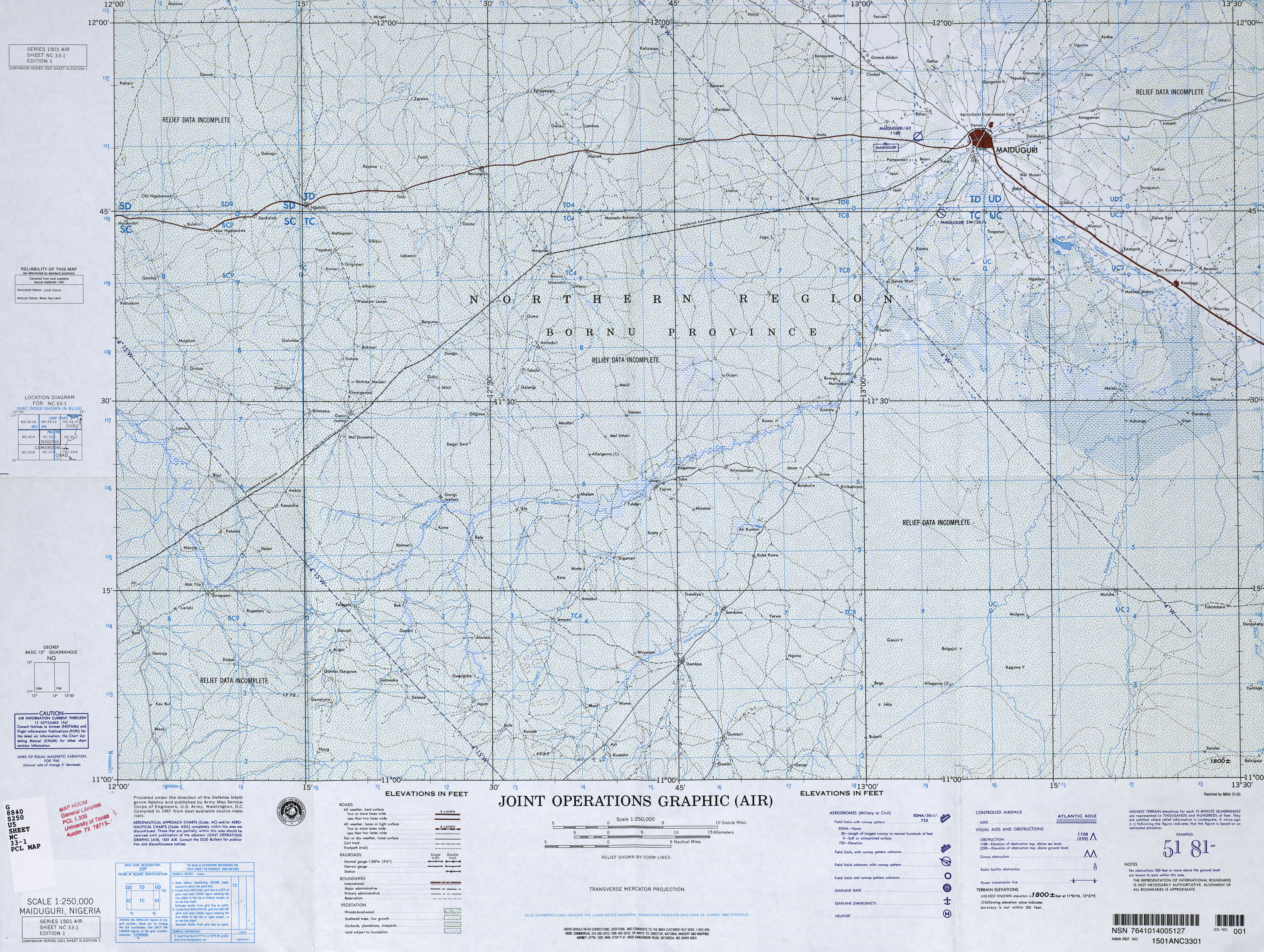
- NC 33-1 Maiduguri, Nigeria (7.3MB) [JPEG]
- NC 33-2 Bama, Nigeria (7.6MB) [JPEG]
- NC 33-3 Massenya, Chad (9.3MB) [GeoPDF]
- NC 33-4 Melfi, Chad (10.3MB) [GeoPDF]
- NC 33-5 Mubi, Nigeria; Cameroon (6.5MB) [JPEG]
- NC 33-6 Maroua, Cameroon (11.7MB) [GeoPDF]
- NC 33-7 Bongor, Chad (9.7MB) [GeoPDF]
- NC 33-8 Bousso, Chad (11.0MB) [GeoPDF]
- NC 33-10 Lere, Chad; Cameroon (9.8MB) [GeoPDF]
- NC 33-11 Gounou Gaya, Chad; Cameroon (9.0MB) [GeoPDF]
- NC 33-13 Dalami, Nigeria (8.9MB) [JPEG]
- NC 33-14 Tchollire, Cameroon (10.4MB) [GeoPDF]
- NC 34-1 Abou Deia, Chad (6.5MB) [GeoPDF]
- NC 34-3 Aboukousoum, Chad; Central African Republic (7.9MB) [GeoPDF]
- NC 34-5 Lac Iro, Chad (7.5MB) [GeoPDF]
- NC 34-7 Mangeigne, Chad; Central African Republic (7.1MB) [GeoPDF]
- NC 34-9 Fort Archambault, Chad (7.5MB) [GeoPDF]
- NC 34-10 Haraze, Central African Republic; Chad (8.8MB) [GeoPDF]
- NC 34-11 Parc Saint-Floris, Central African Republic; Chad (7.3MB) [GeoPDF]
- NC 34-13 Moussafoyo, Chad; Central African Republic (7.5MB) [GeoPDF]
- NC 34-15 Ouadda, Central African Republic (9.3MB) [GeoPDF]
- SA 32-12 Tchibanga, Gabon (10.2MB) [GeoPDF]
- SA 32-16 Mayumba, Gabon; Congo; Zaire (7.6MB) [GeoPDF]
- SA 33-4 Irebu, Congo (Leopoldville) (4.0 MB) [JPEG]
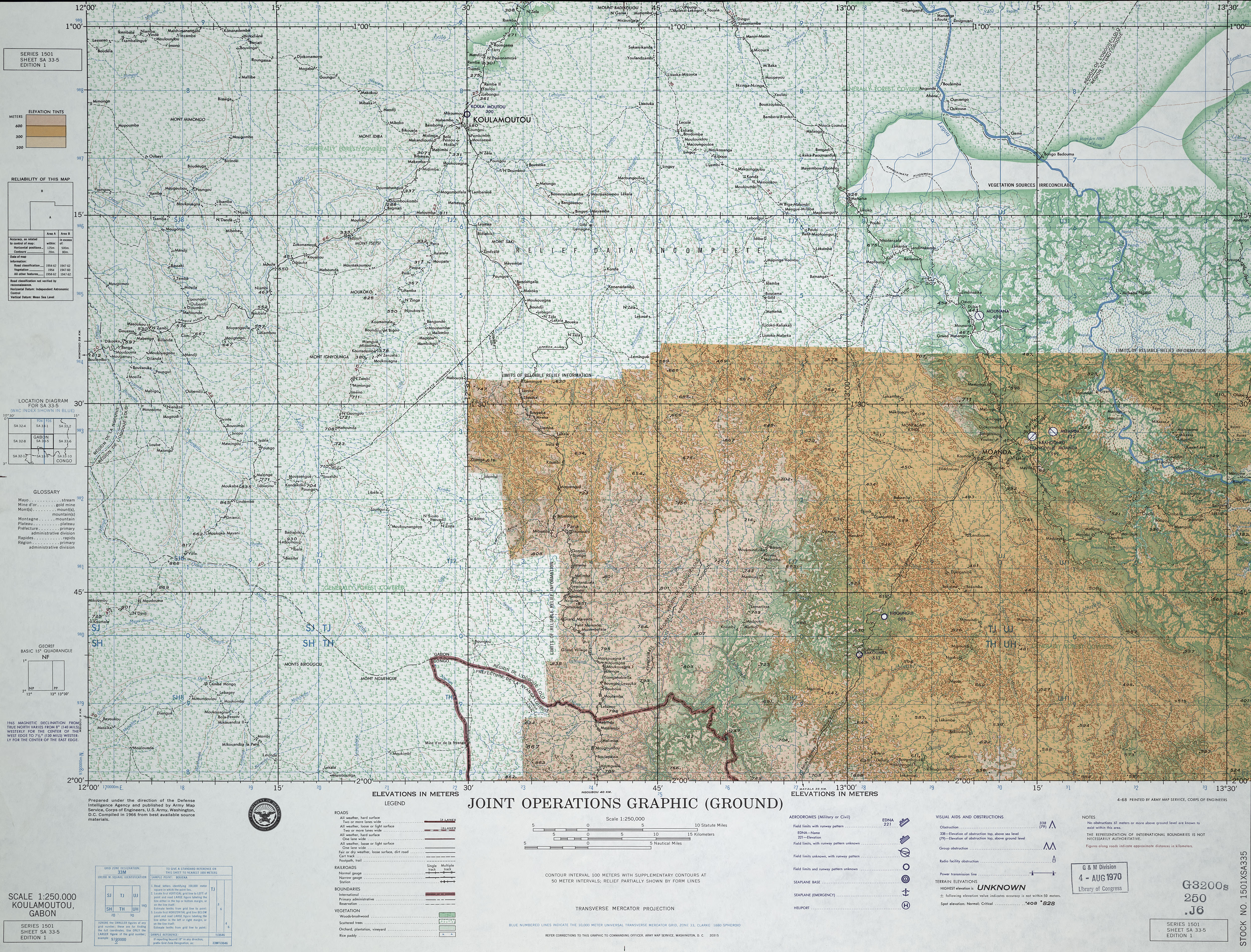
- SA 33-5 Koulamoutou, Gabon (6.4MB) [JPEG] This map is from the collection of the Library of Congress, Geography and Map Division
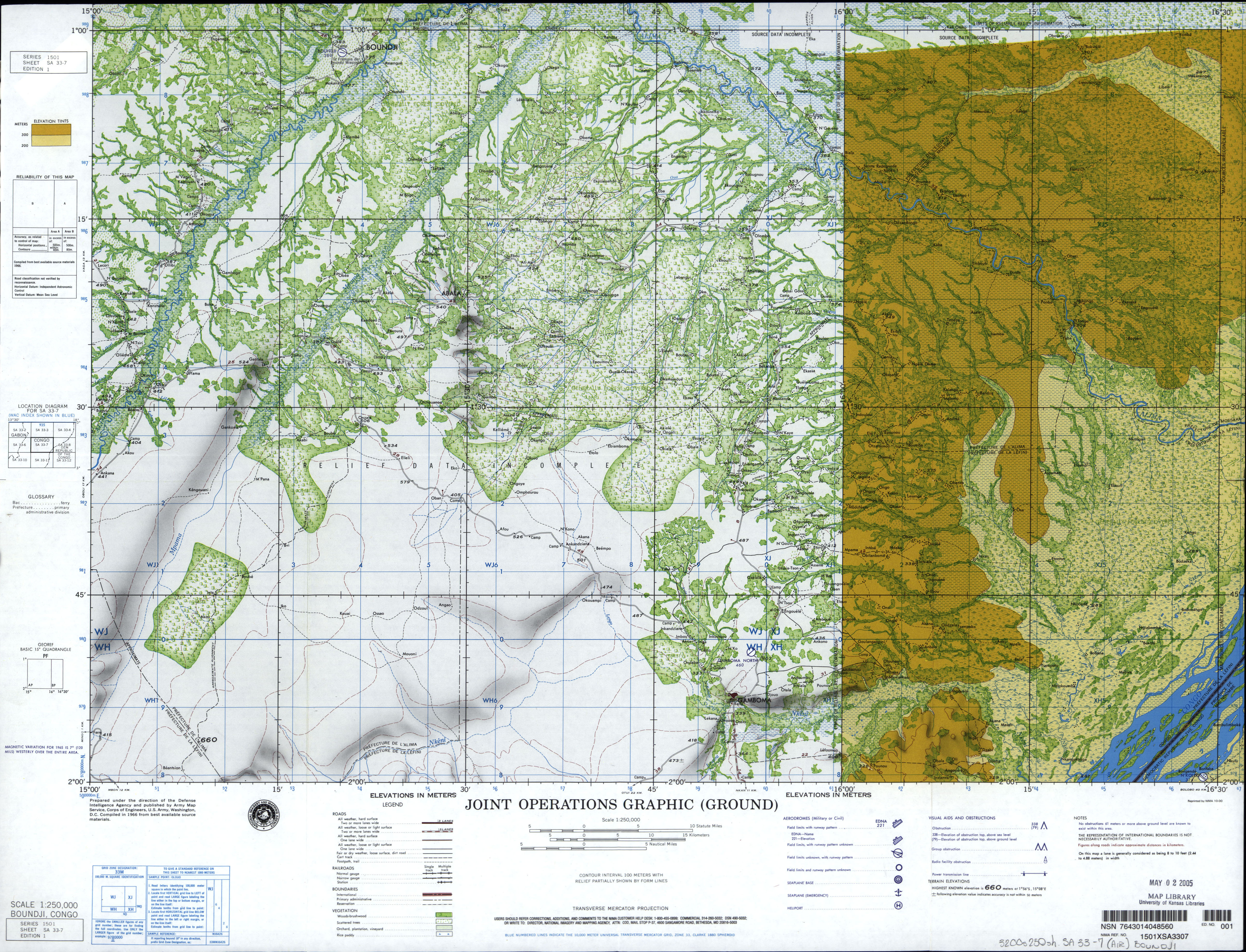
- SA 33-7 Boundji, Congo (8.6MB) [GeoPDF]
- SA 33-7 Boundji, Congo (5.1 MB) [JPEG]
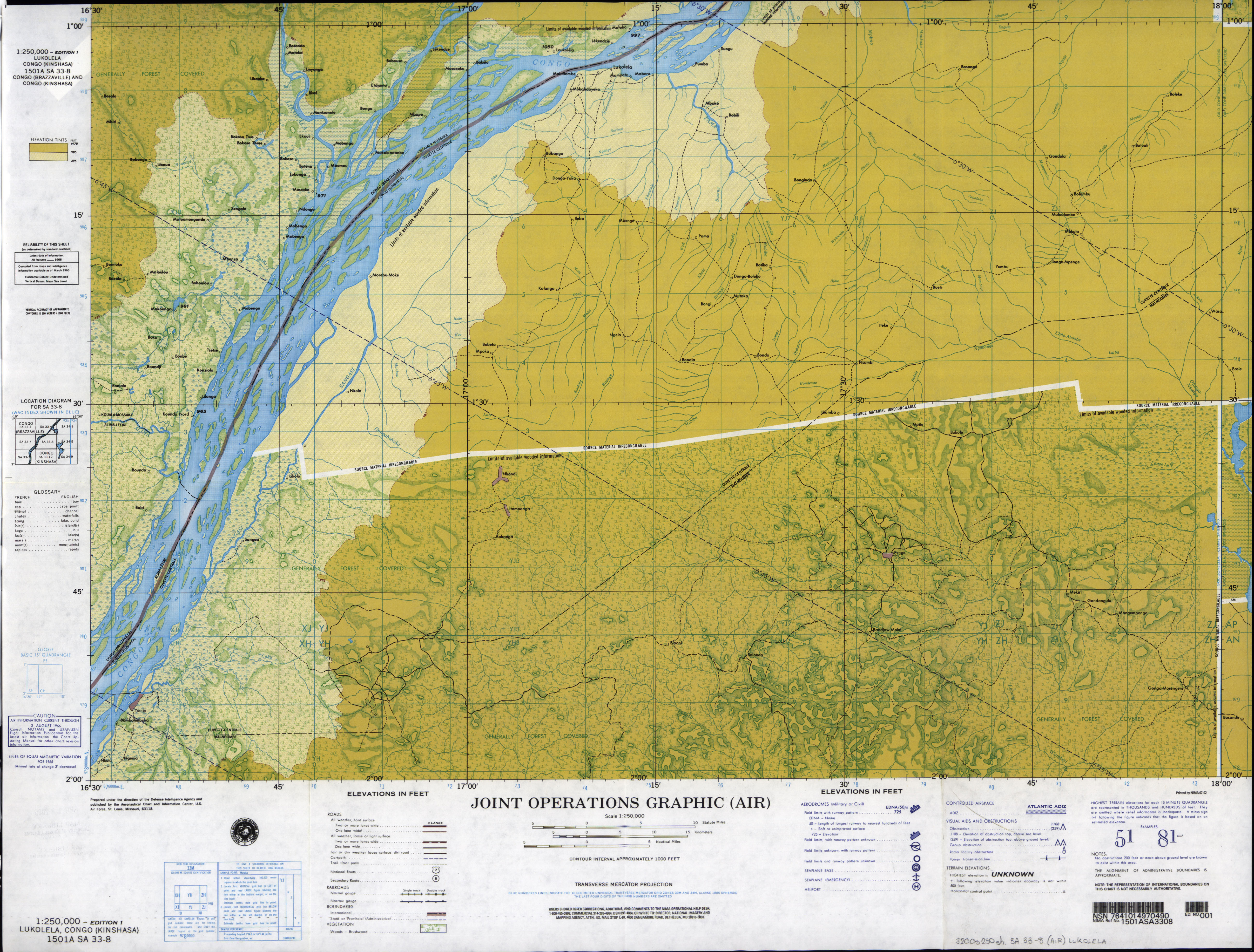
- SA 33-8 Lukolela, Congo (Kinshasa) (7.0MB) [GeoPDF]
- SA 33-8 Lukolela, Congo (Kinshasa) (4.1 MB) [JPEG]
- SA 33-9 Mossendjo, Congo; Gabon (9.4MB) [GeoPDF]
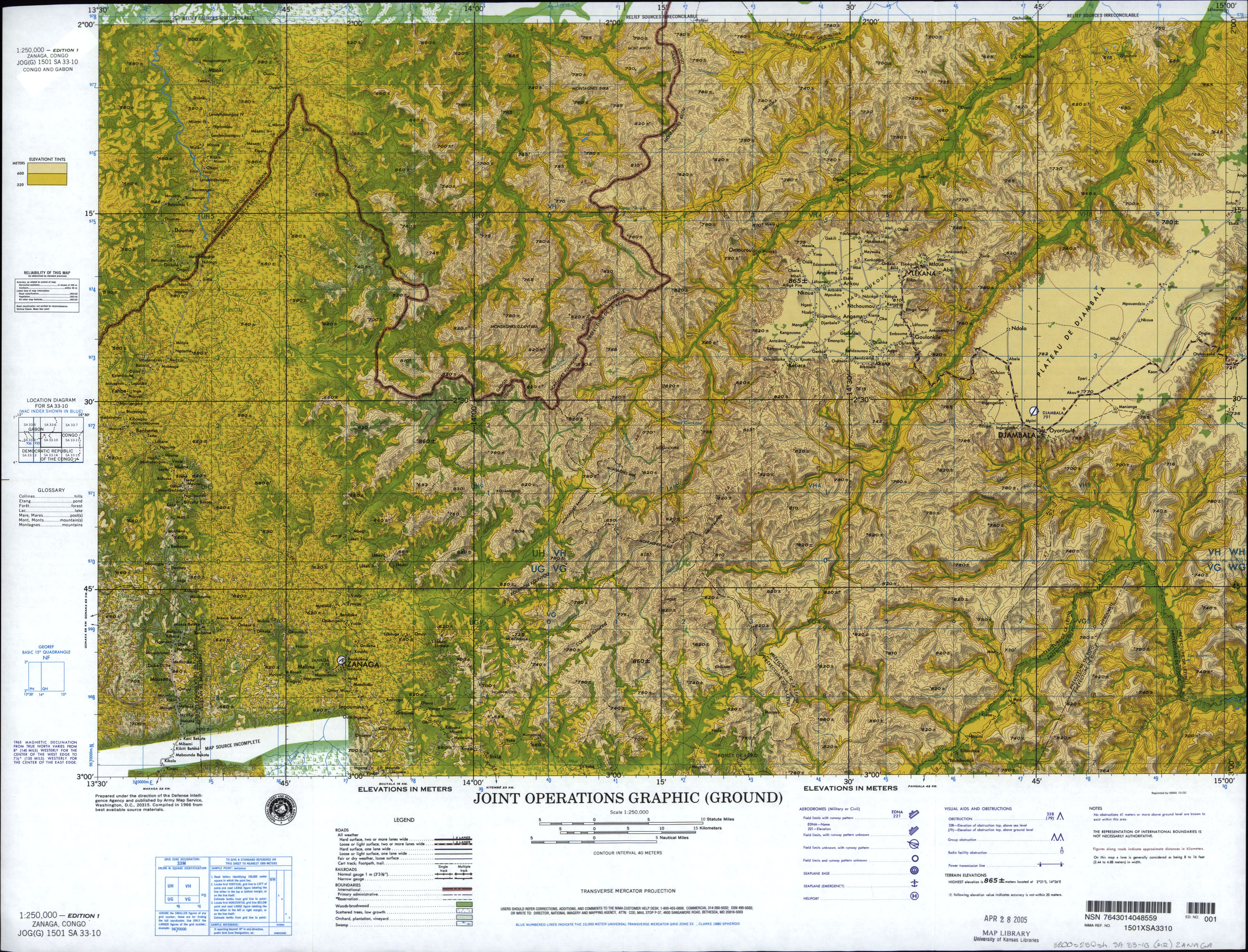
- SA 33-10 Zanaga, Congo; Gabon (3.9 MB) [JPEG]
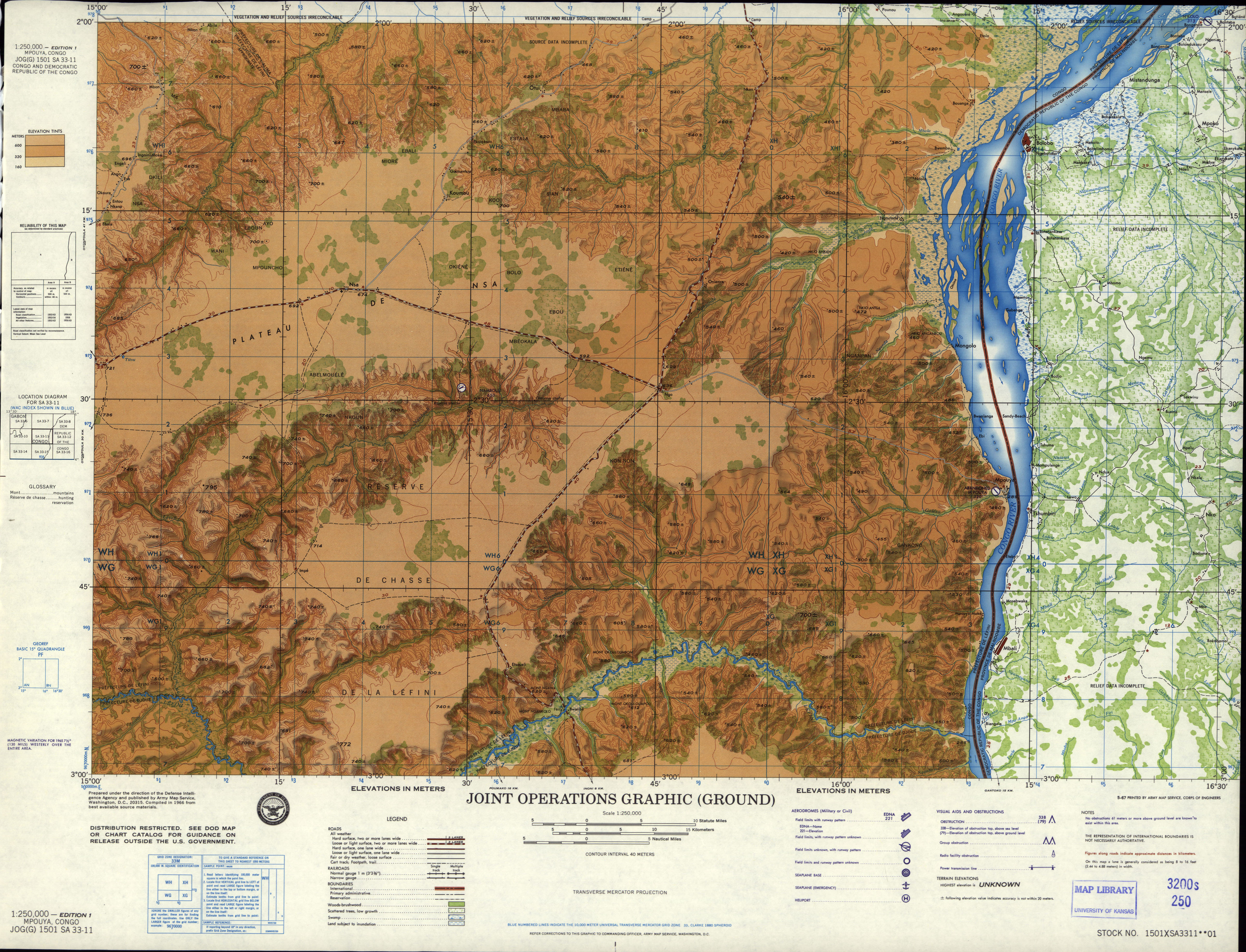
- SA 33-11 Mpouya, Congo (4.8 MB) [JPEG]
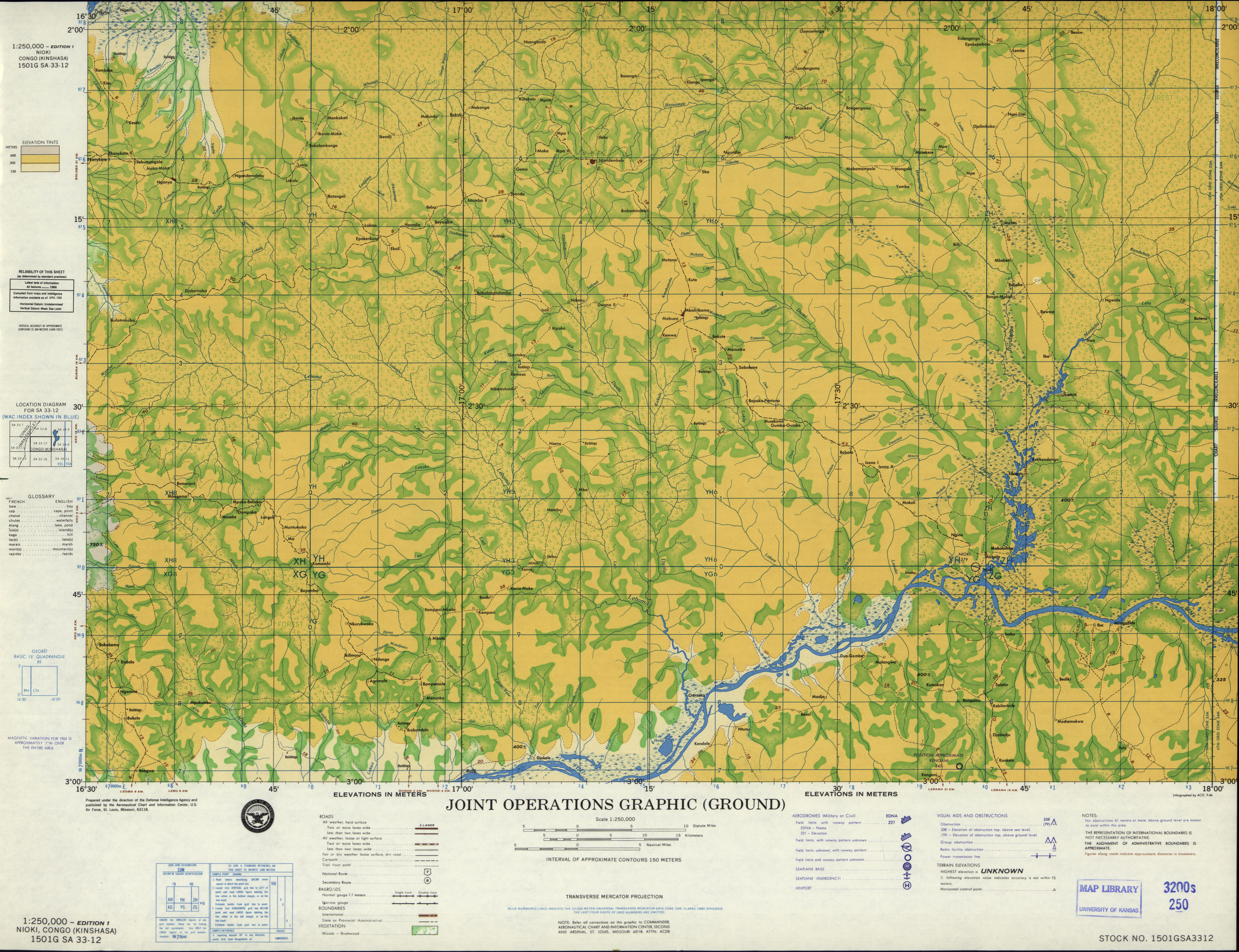
- SA 33-12 Nioki, Congo (Kinshasa) (3.6 MB) [JPEG]
- SA 33-14 Mayama, Congo (9.8MB) [GeoPDF]
- SA 33-15 Ngabe, Congo; Zaire (8.8MB) [GeoPDF]
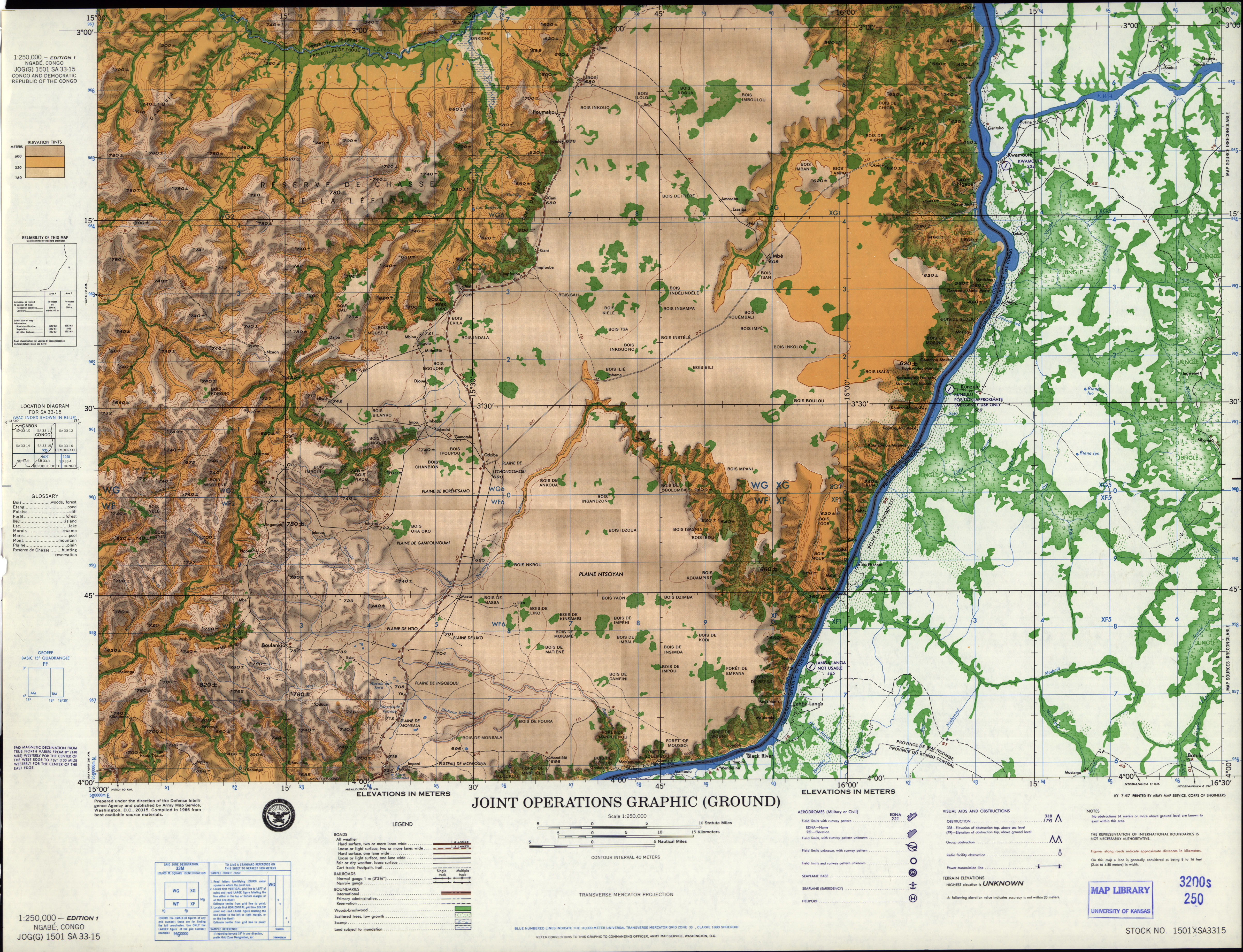
- SA 33-15 Ngabe, Congo; Democratic Republic of the Congo (5.1 MB) [JPEG]
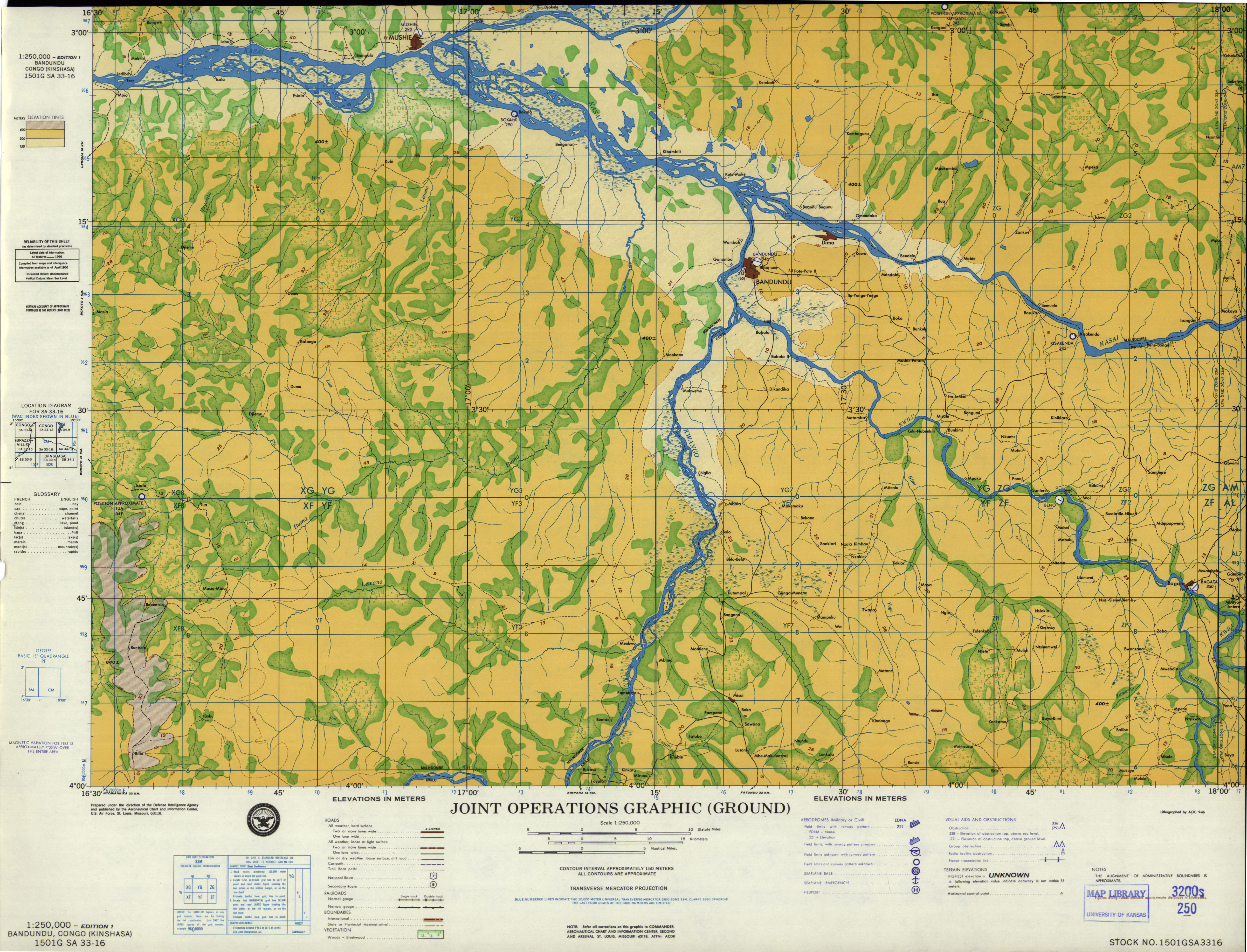
- SA 33-16 Bandundu, Congo (Kinshasa) (3.5 MB) [JPEG]
- SA 34-1 Bikoro, Congo (Leopoldville) (3.7 MB) [JPEG]
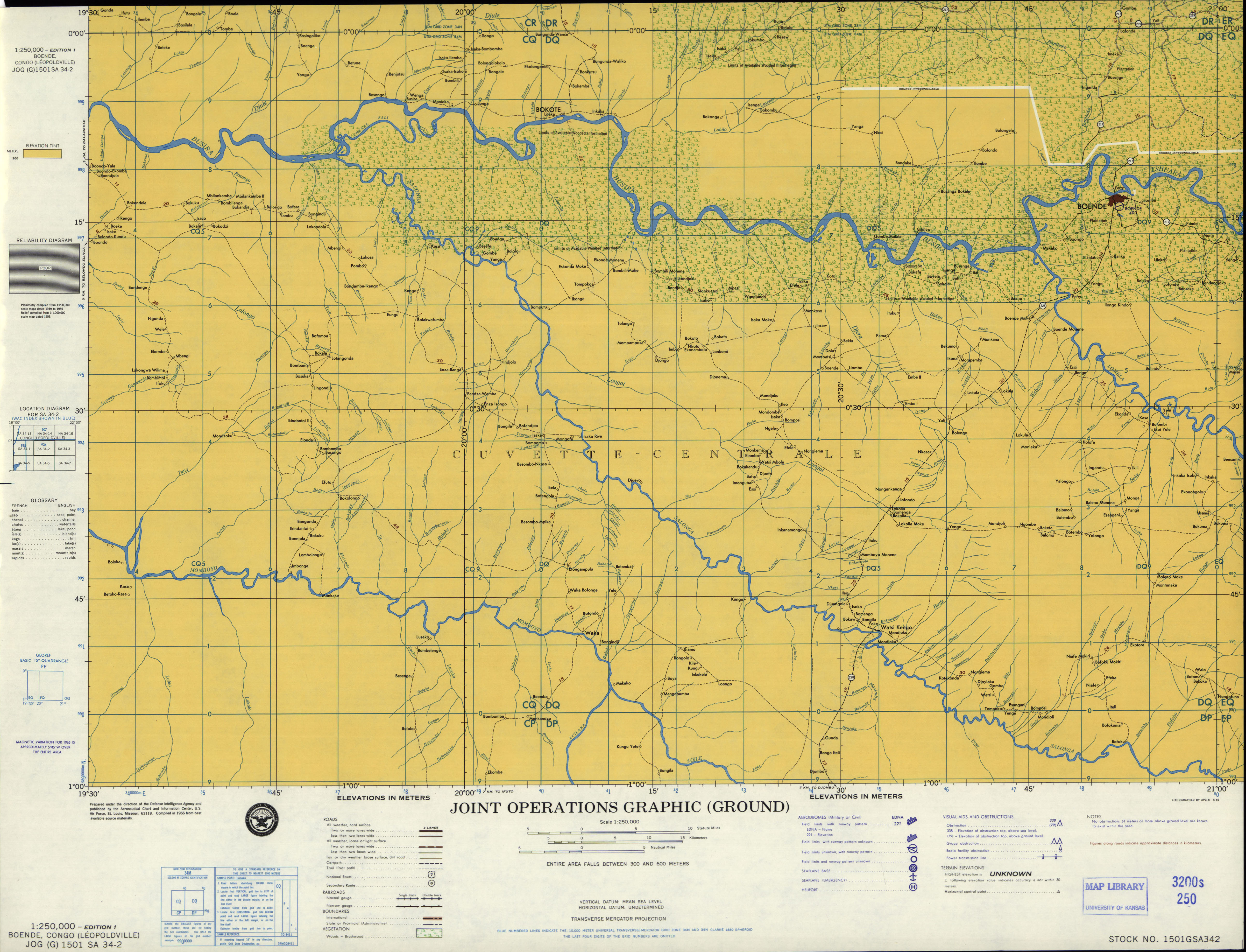
- SA 34-2 Boende, Congo (Leopoldville) (3.3 MB) [JPEG]
- SA 34-3 Bokungu, Congo (Leopoldville) (3.5 MB) [JPEG]
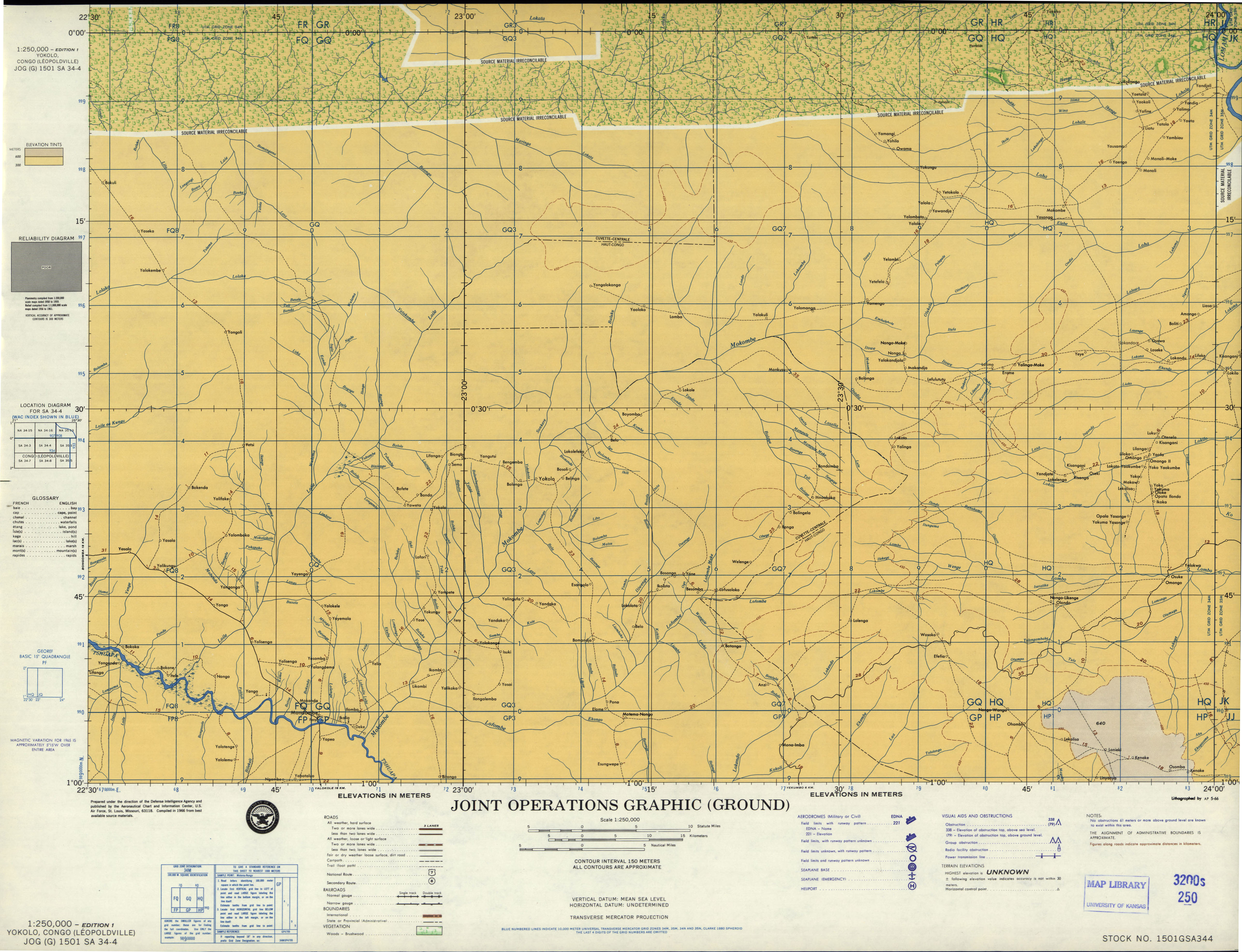
- SA 34-4 Yokolo, Congo (Leopoldville) (3.1 MB) [JPEG]
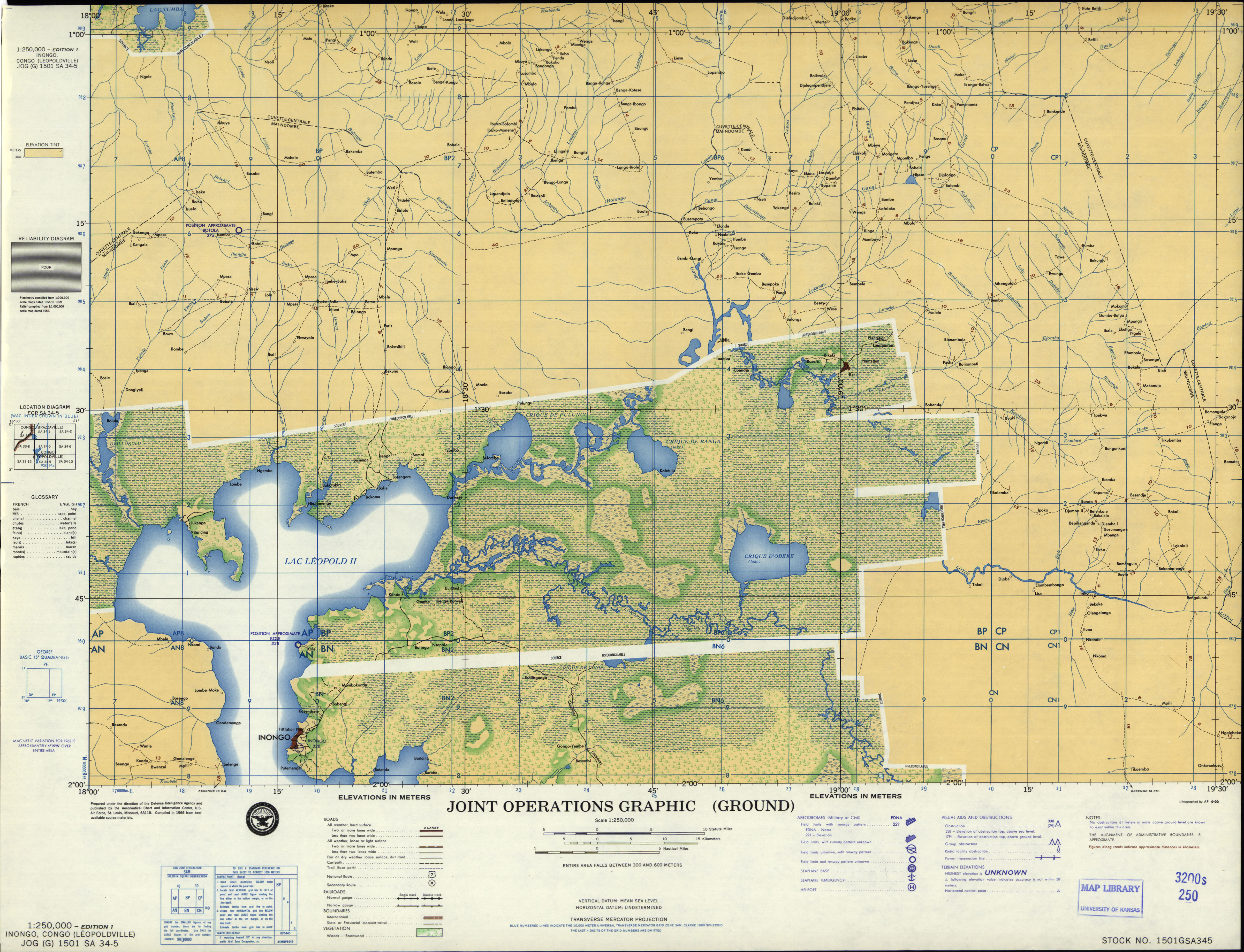
- SA 34-5 Inongo, Congo (Leopoldville) (3.6 MB) [JPEG]
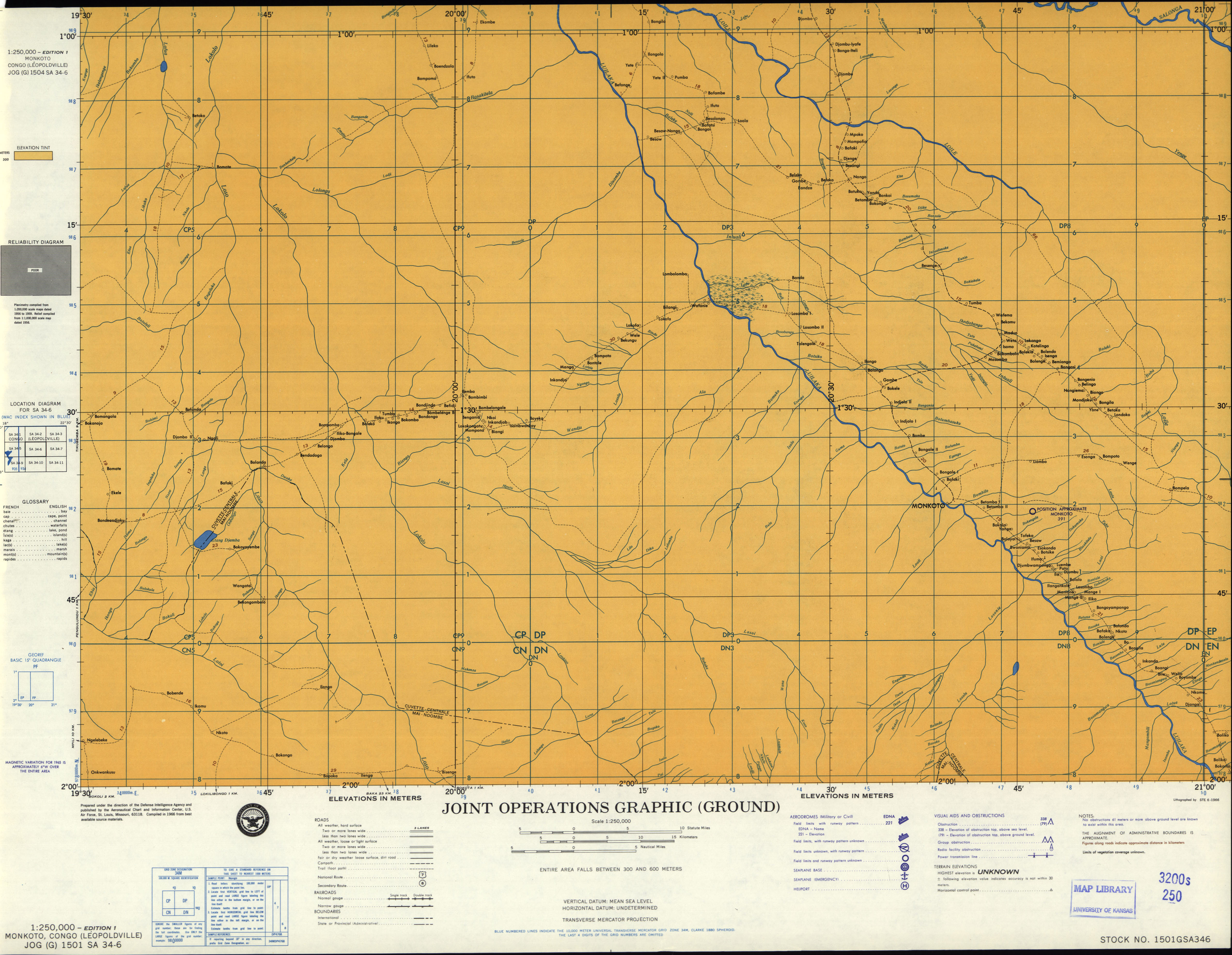
- SA 34-6 Monkoto, Congo (Leopoldville) (2.8 MB) [JPEG]
- SA 34-7 Isanga, Congo (Leopoldville) (2.8 MB) [JPEG]
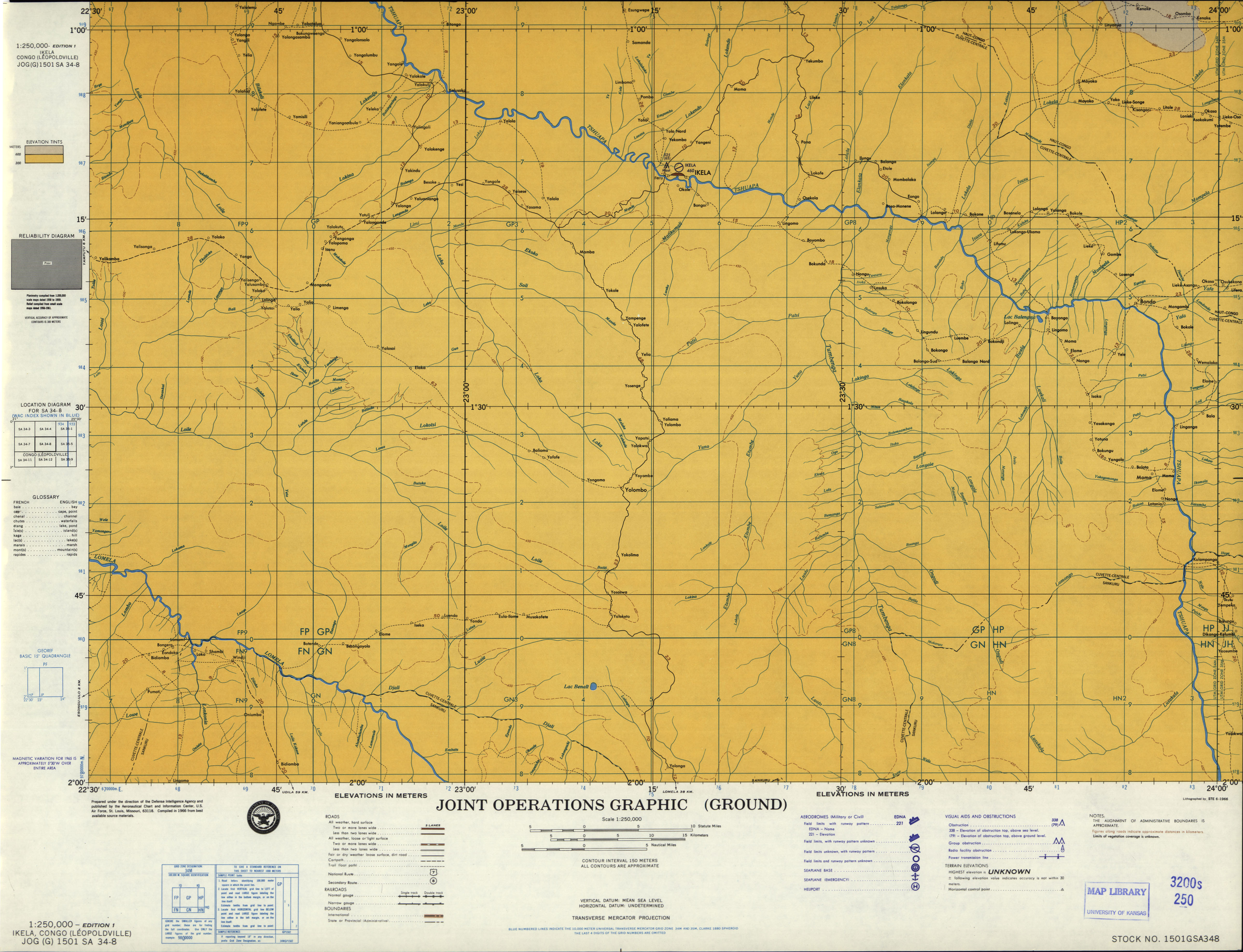
- SA 34-8 Ikela, Congo (Leopoldville) (2.8 MB) [JPEG]
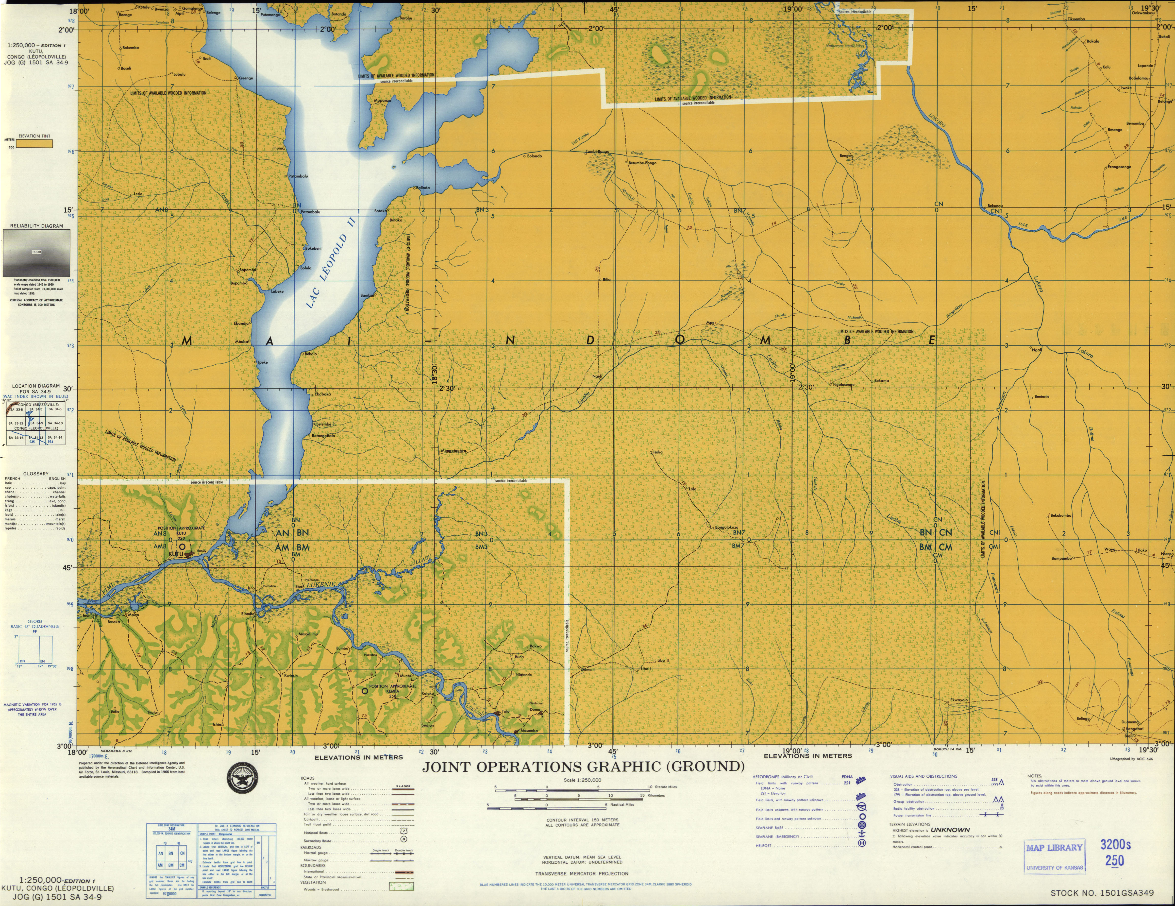
- SA 34-9 Kutu, Congo (Leopoldville) (3.3 MB) [JPEG]
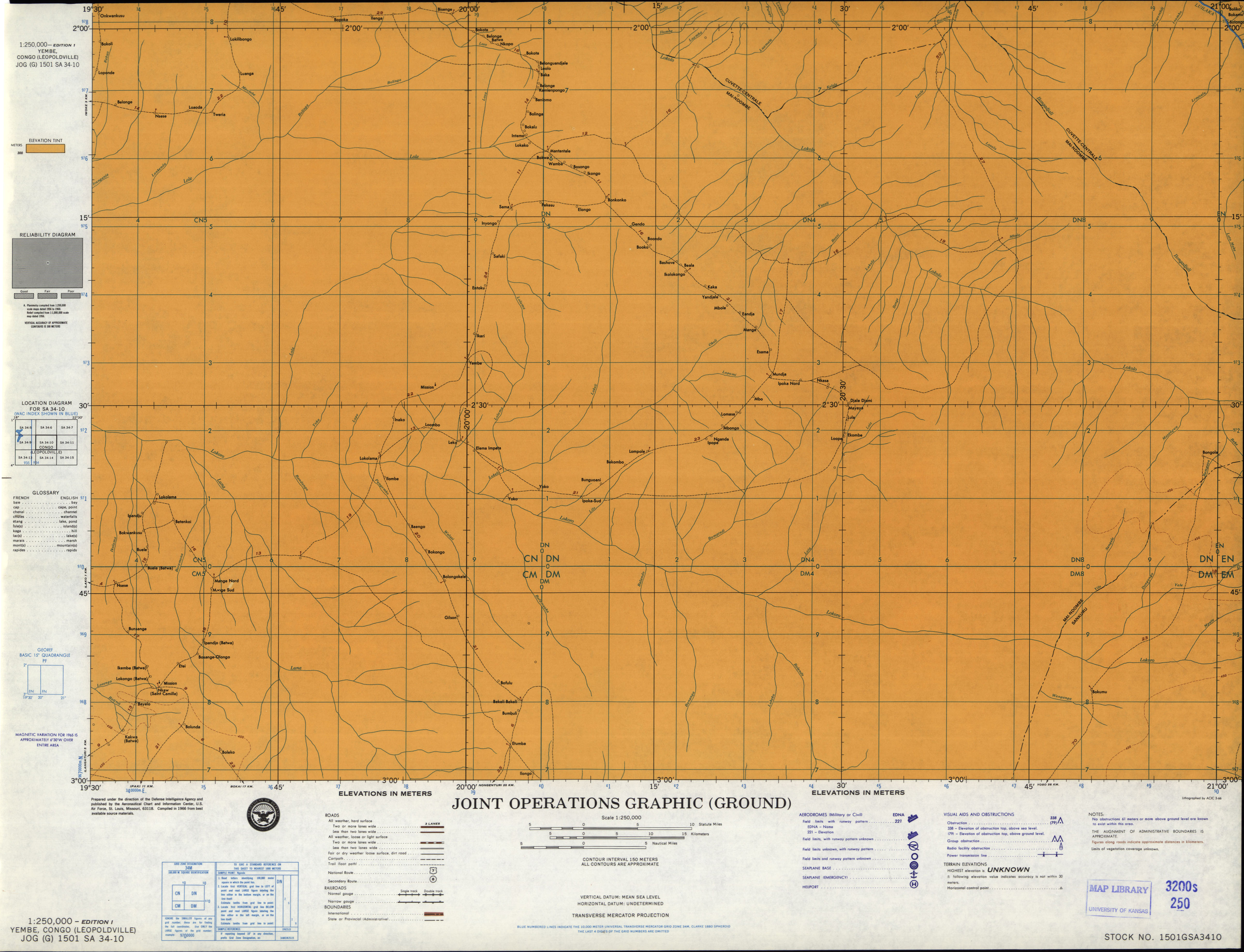
- SA 34-10 Yembe, Congo (Leopoldville) (2.5 MB) [JPEG]
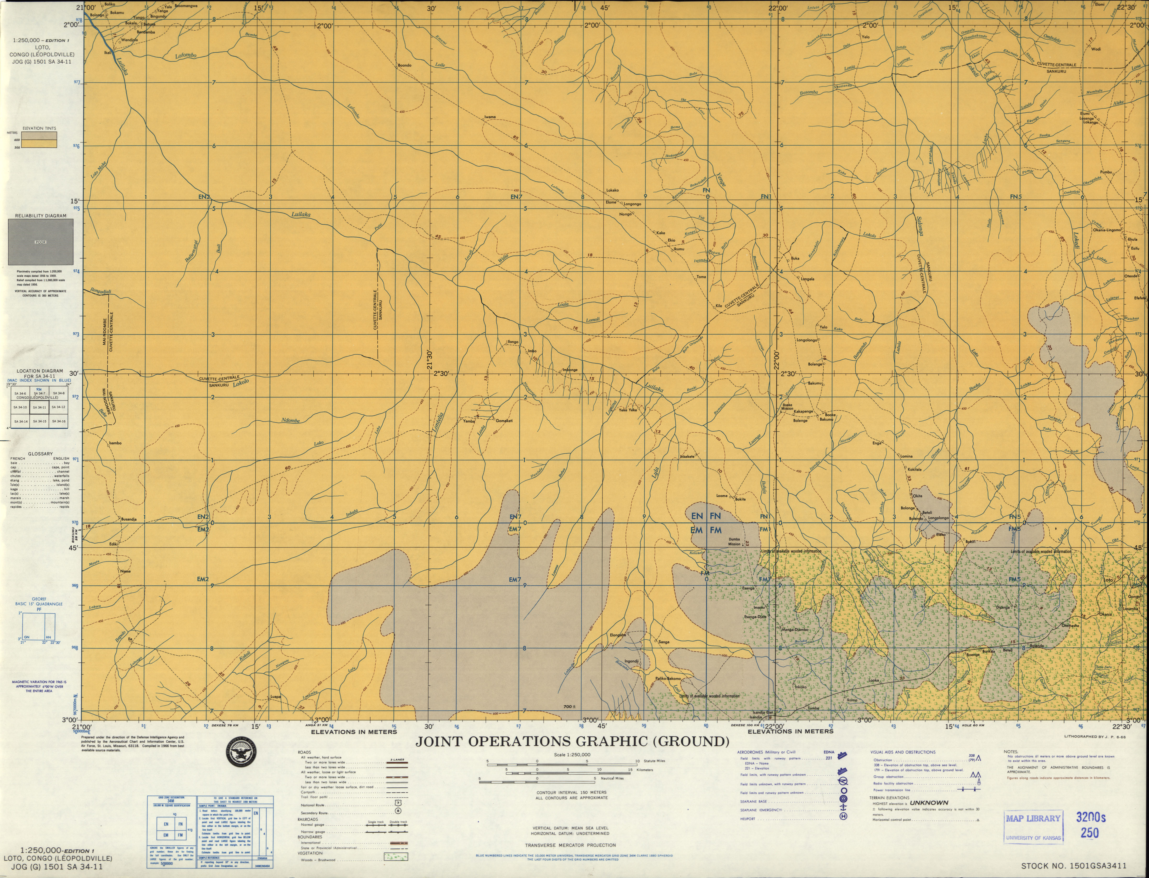
- SA 34-11 Loto, Congo (Leopoldville) (3.3 MB) [JPEG]
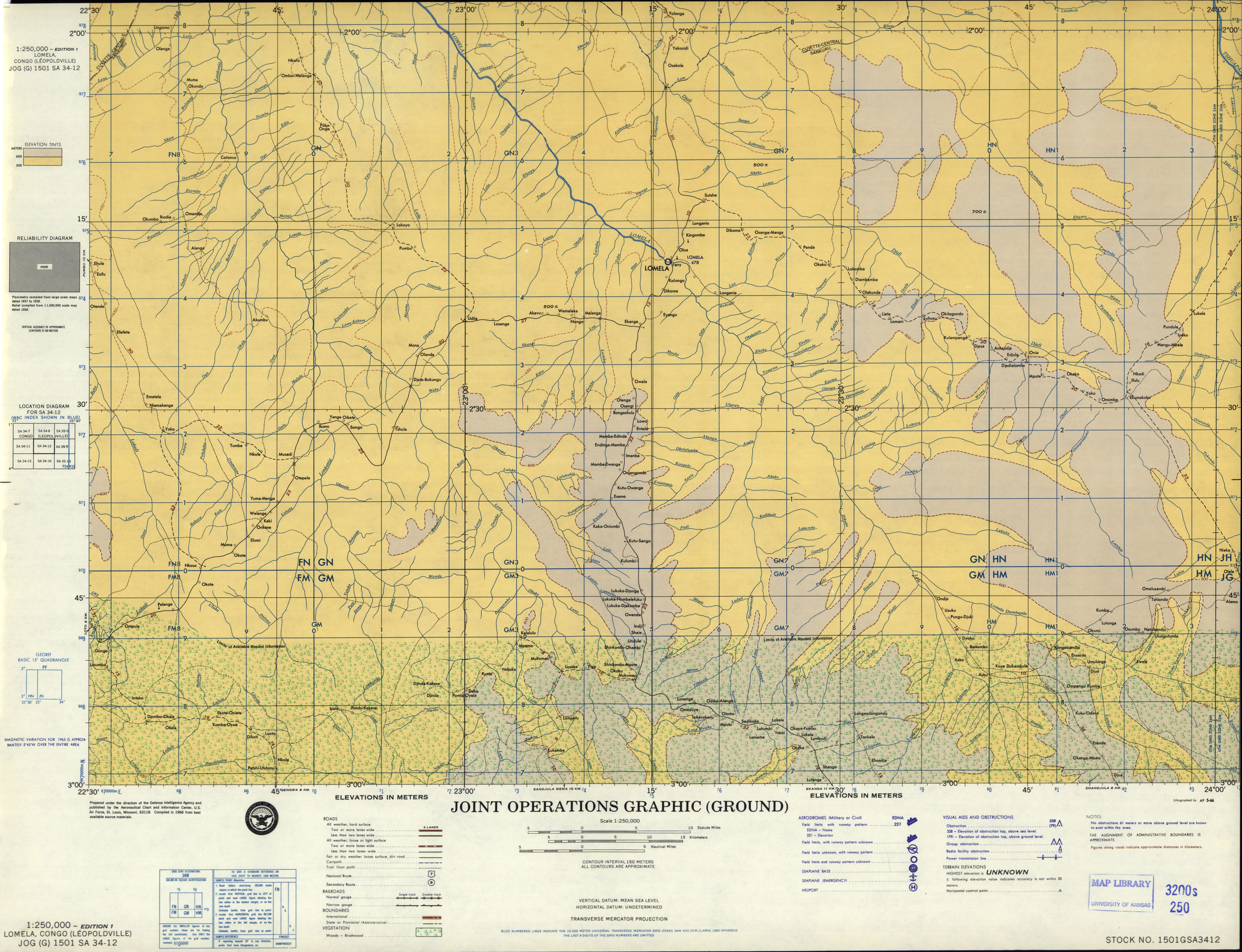
- SA 34-12 Nomela, Congo (Leopoldville) (3.7 MB) [JPEG]
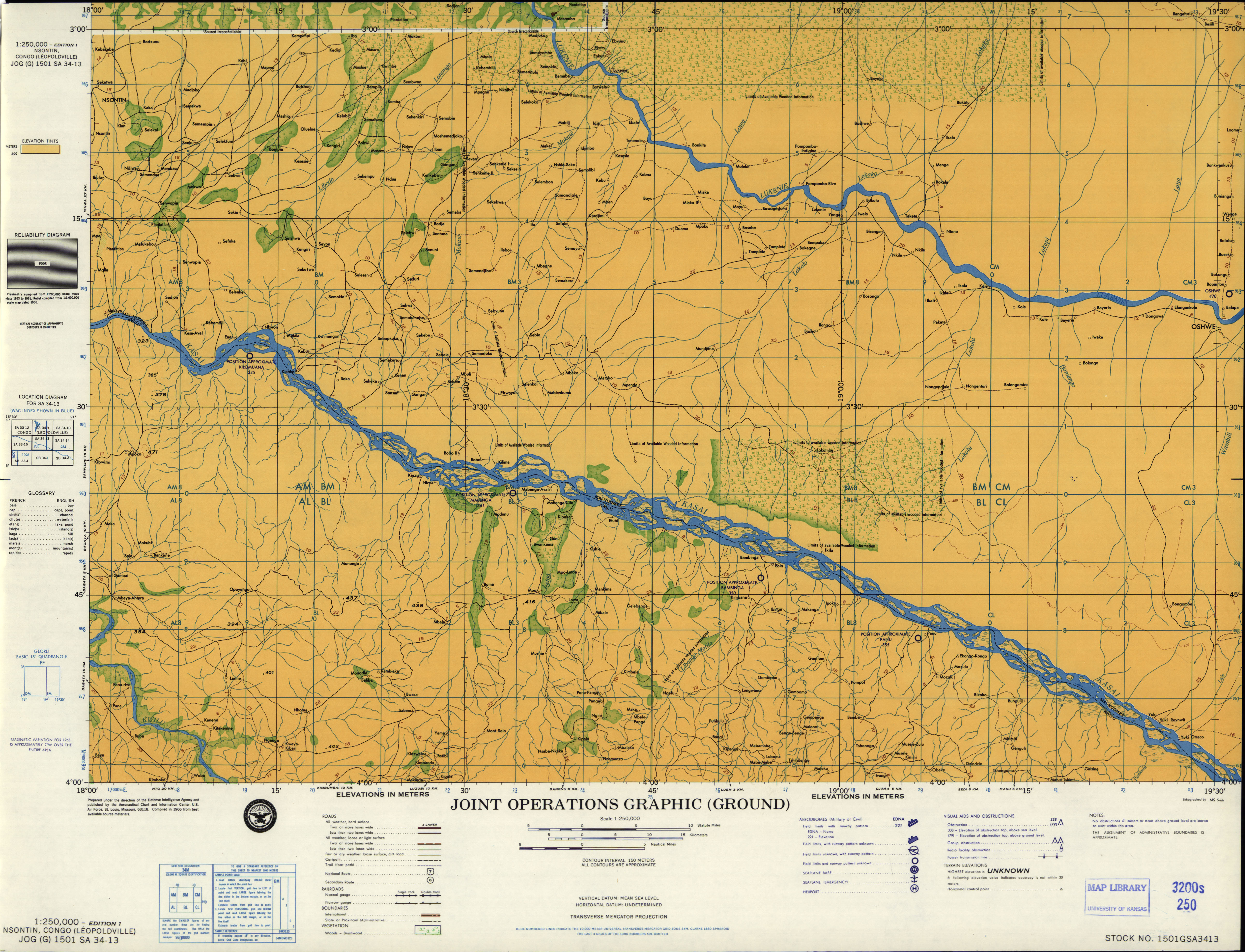
- SA 34-13 Nsontin, Congo (Leopoldville) (3.6 MB) [JPEG]
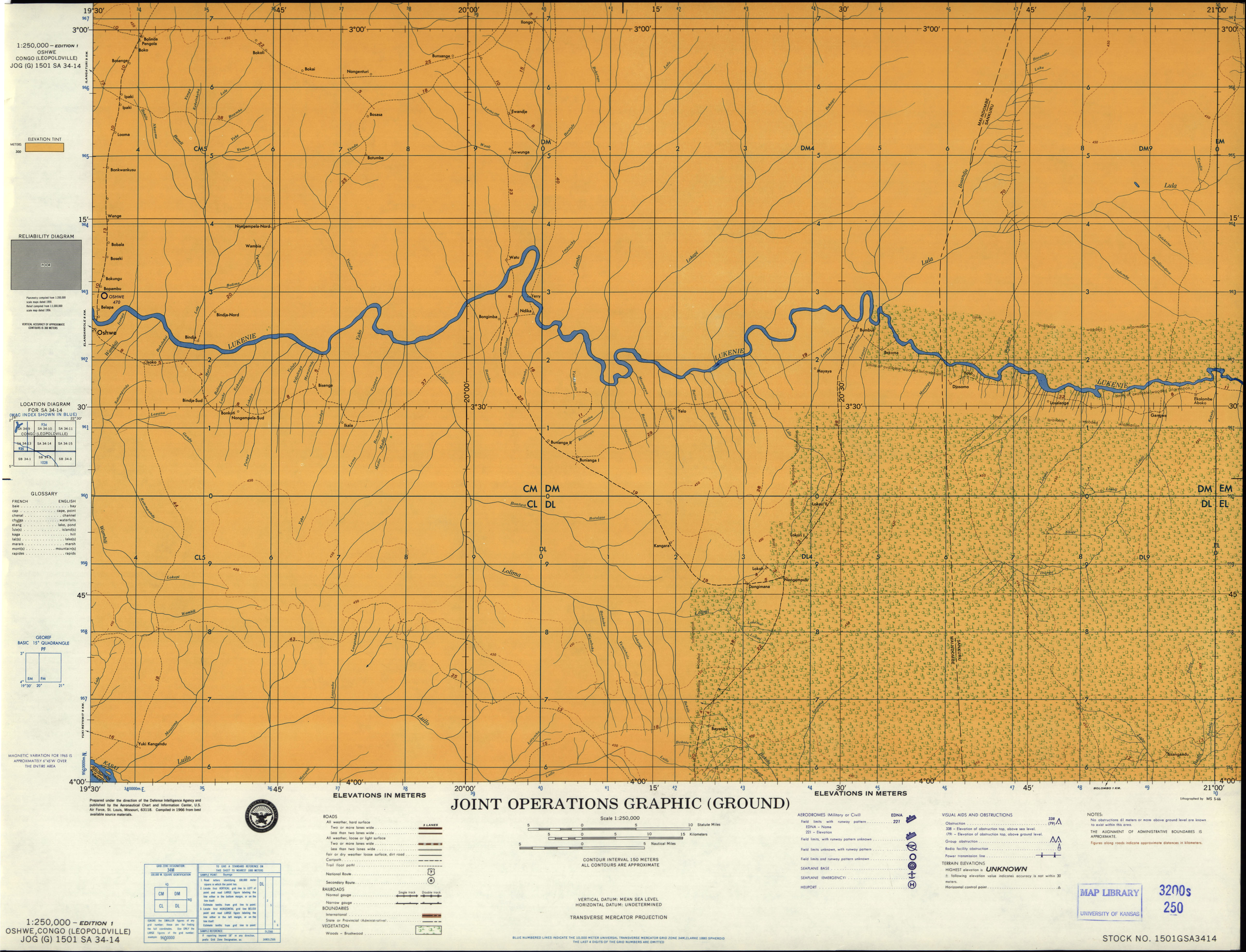
- SA 34-14 Oshwe, Congo (Leopoldville) (3.0 MB) [JPEG]
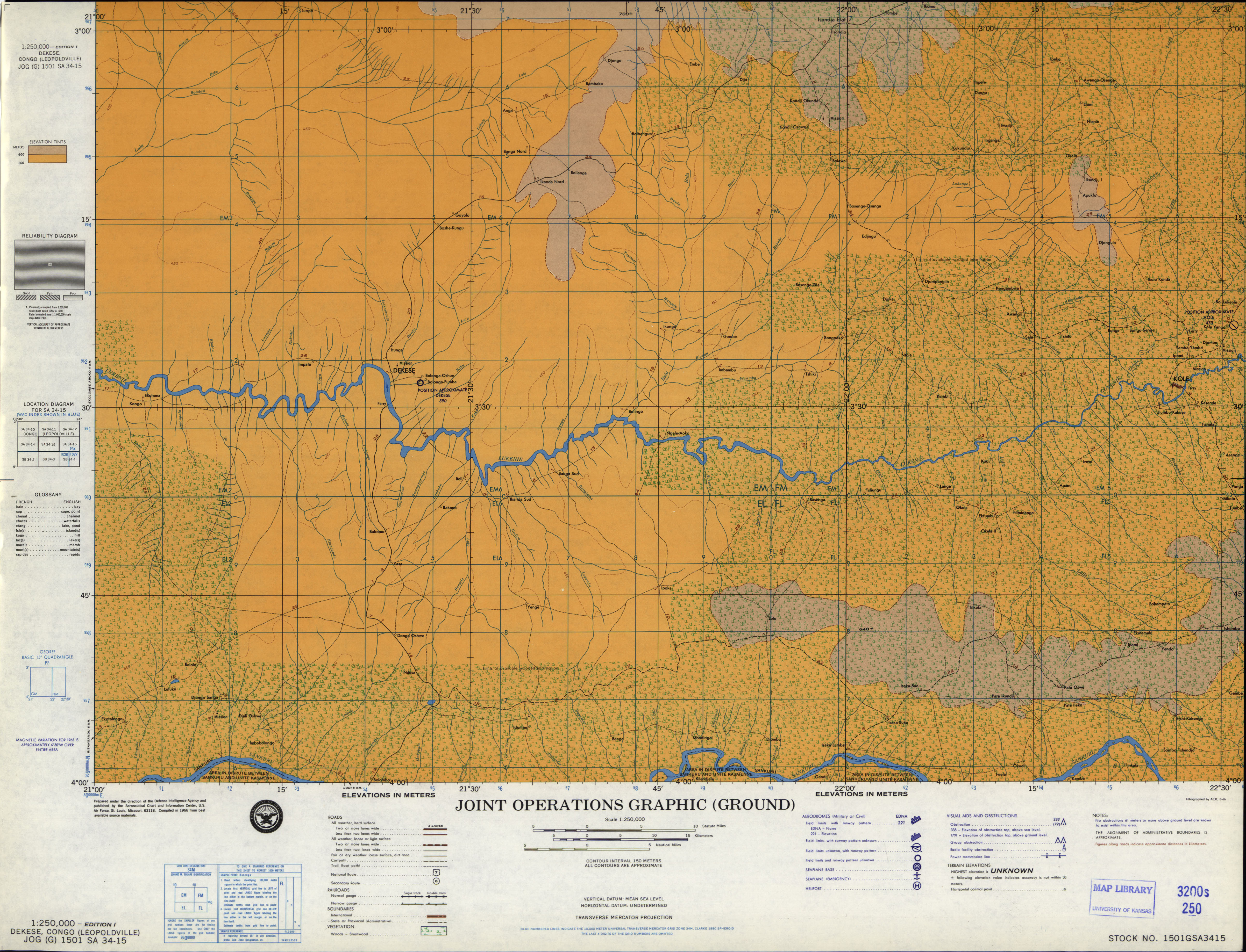
- SA 34-15 Dekese, Congo (Leopoldville) (3.9 MB) [JPEG]
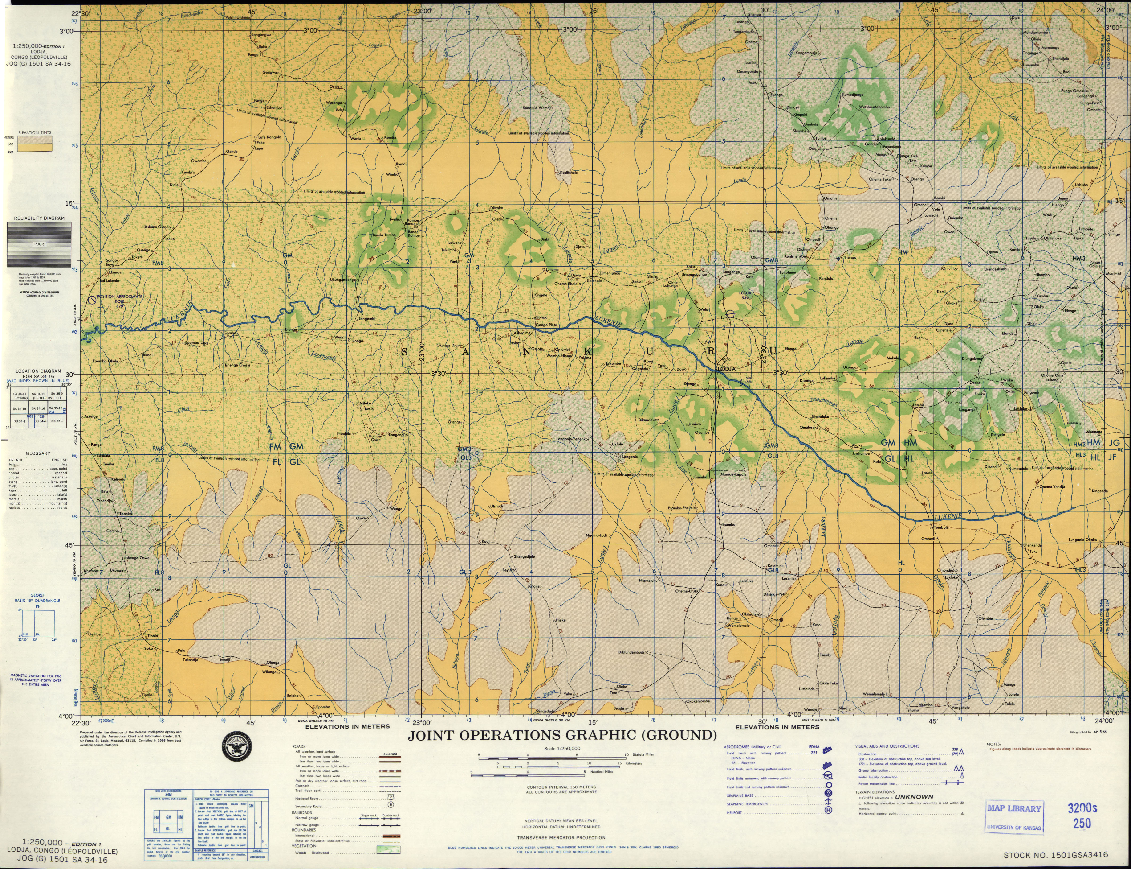
- SA 34-16 Lodja, Congo (Leopoldville) (4.4 MB) [JPEG]
- SA 35-1 Ponthierville, Congo (Leopoldville) (2.8 MB) [JPEG]
- SA 35-2 Lubutu, Congo (Leopoldville) (3.7 MB) [JPEG]
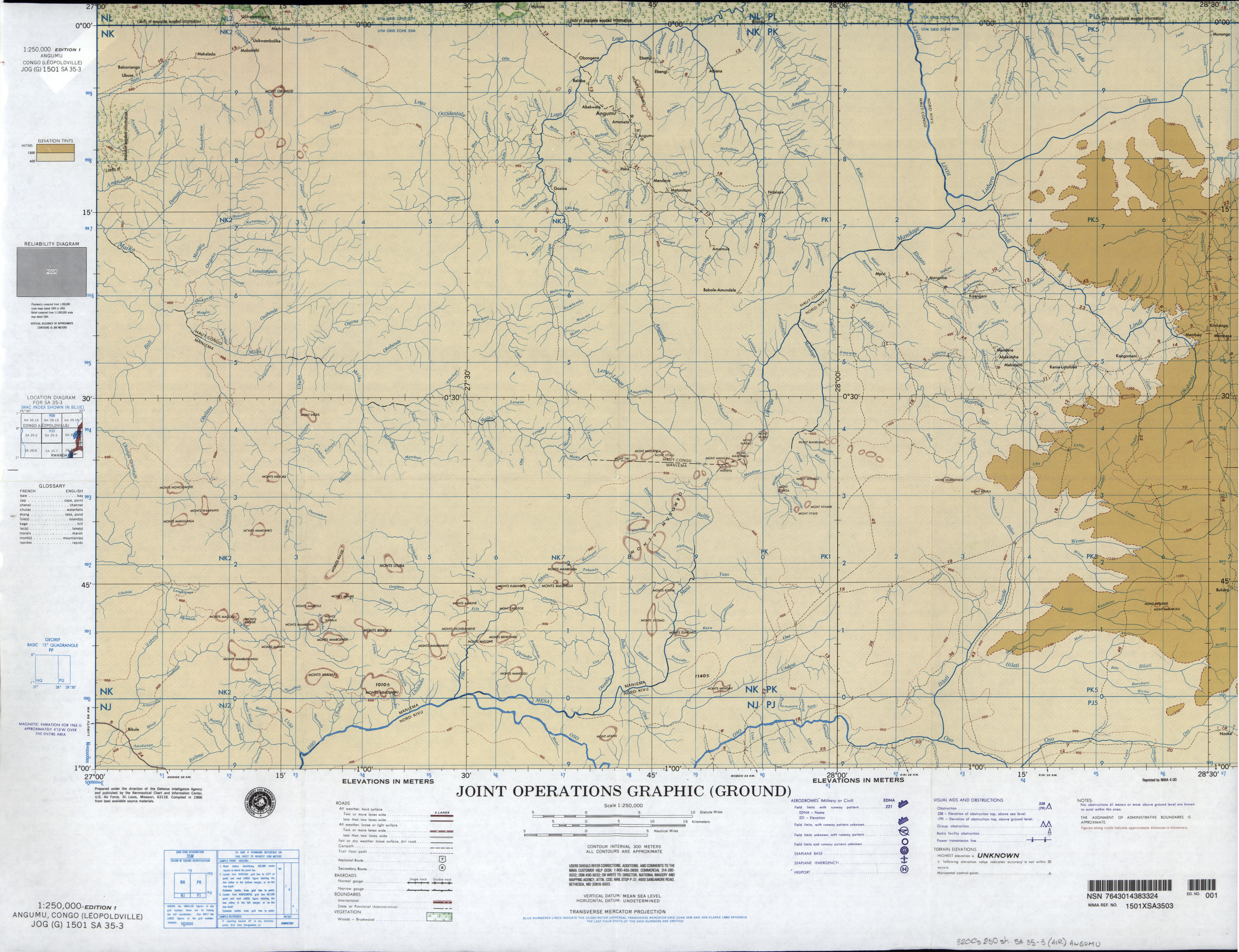
- SA 35-3 Angumu, Congo (Leopoldville) (4.4 MB) [JPEG]
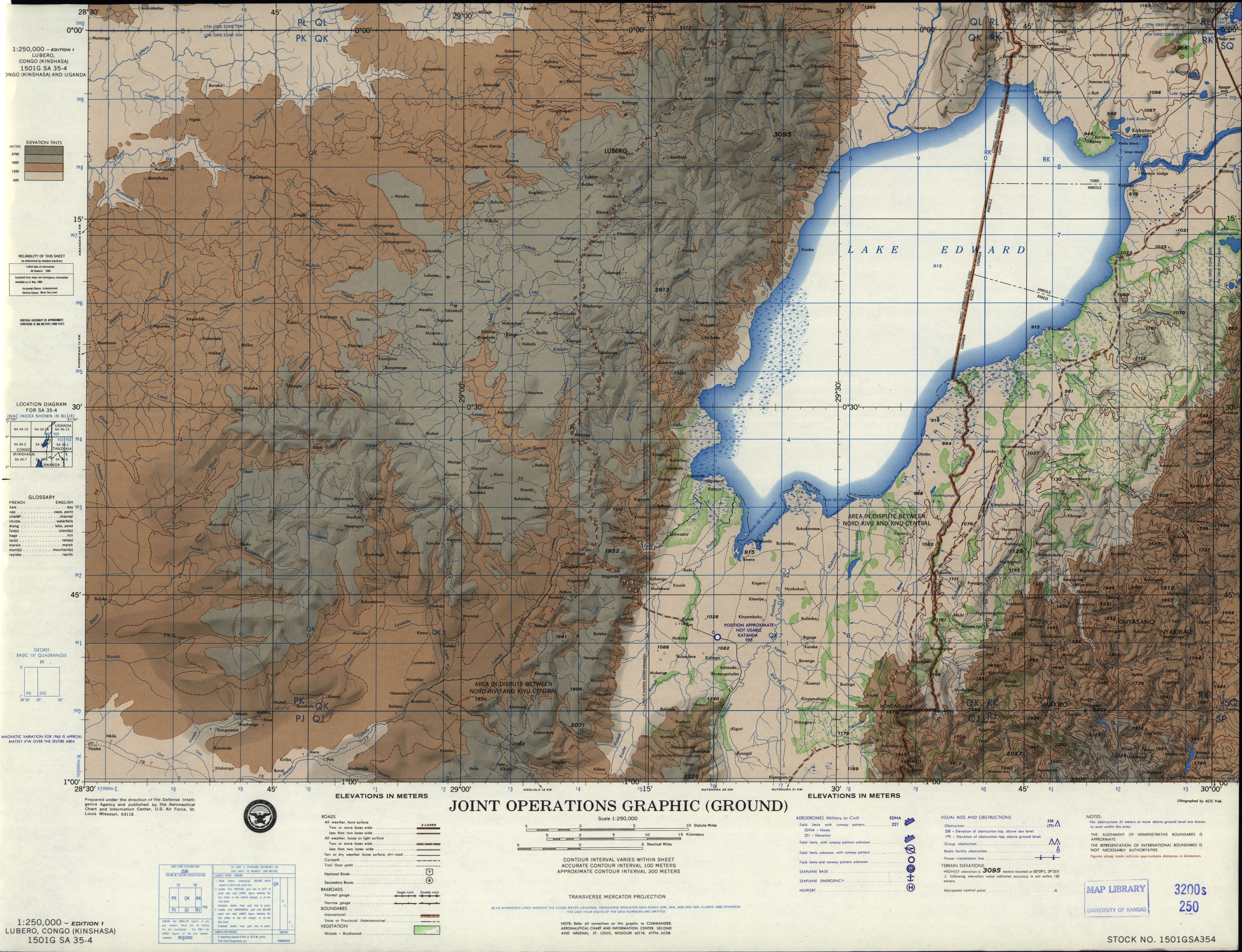
- SA 35-4 Lubero, Congo (Kinshasa) (4.0 MB) [JPEG]
- SA 35-5 Otelakoi, Congo (Leopoldville) (2.4 MB) [JPEG]
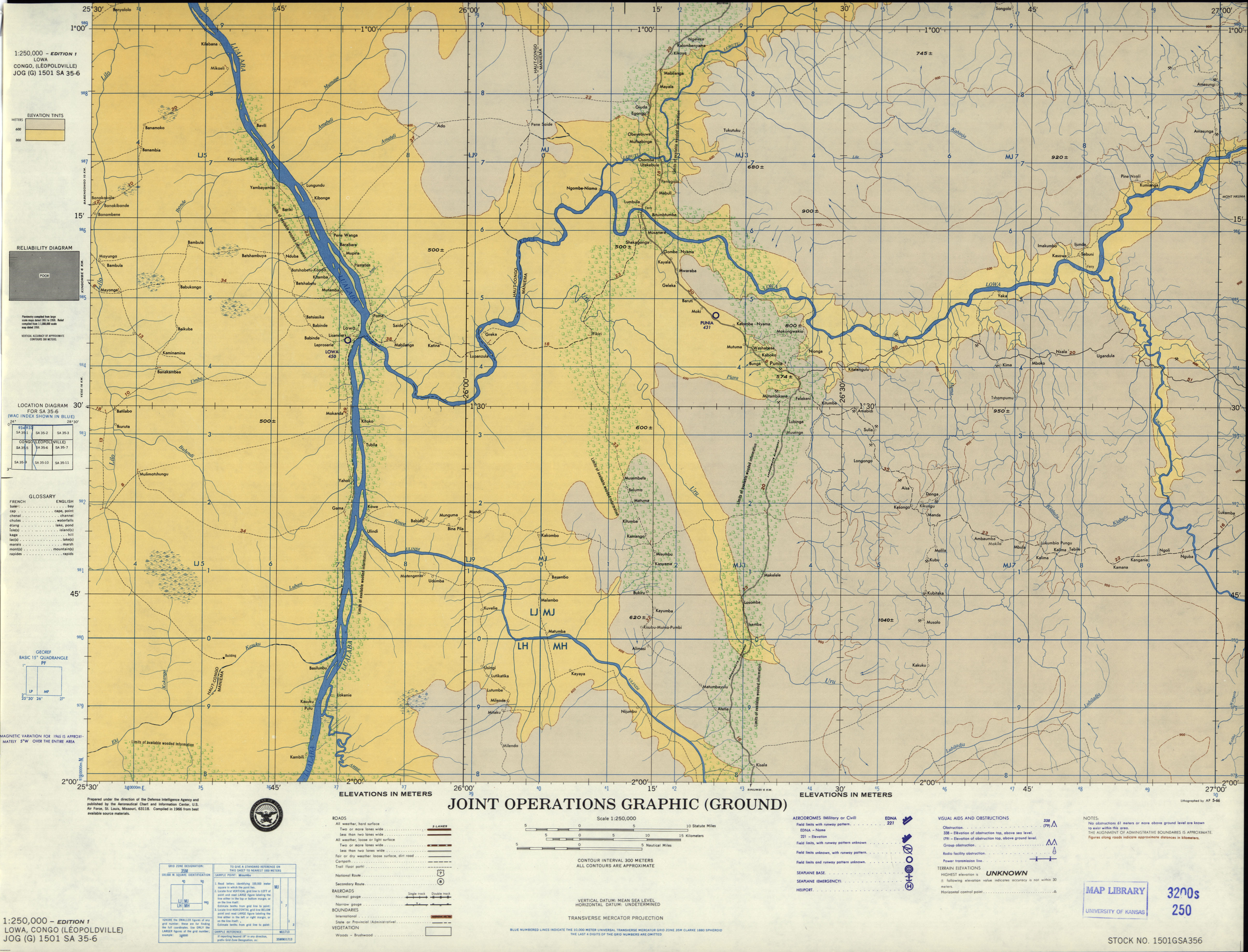
- SA 35-6 Lowa, Congo (Leopoldville) (3.9 MB) [JPEG]
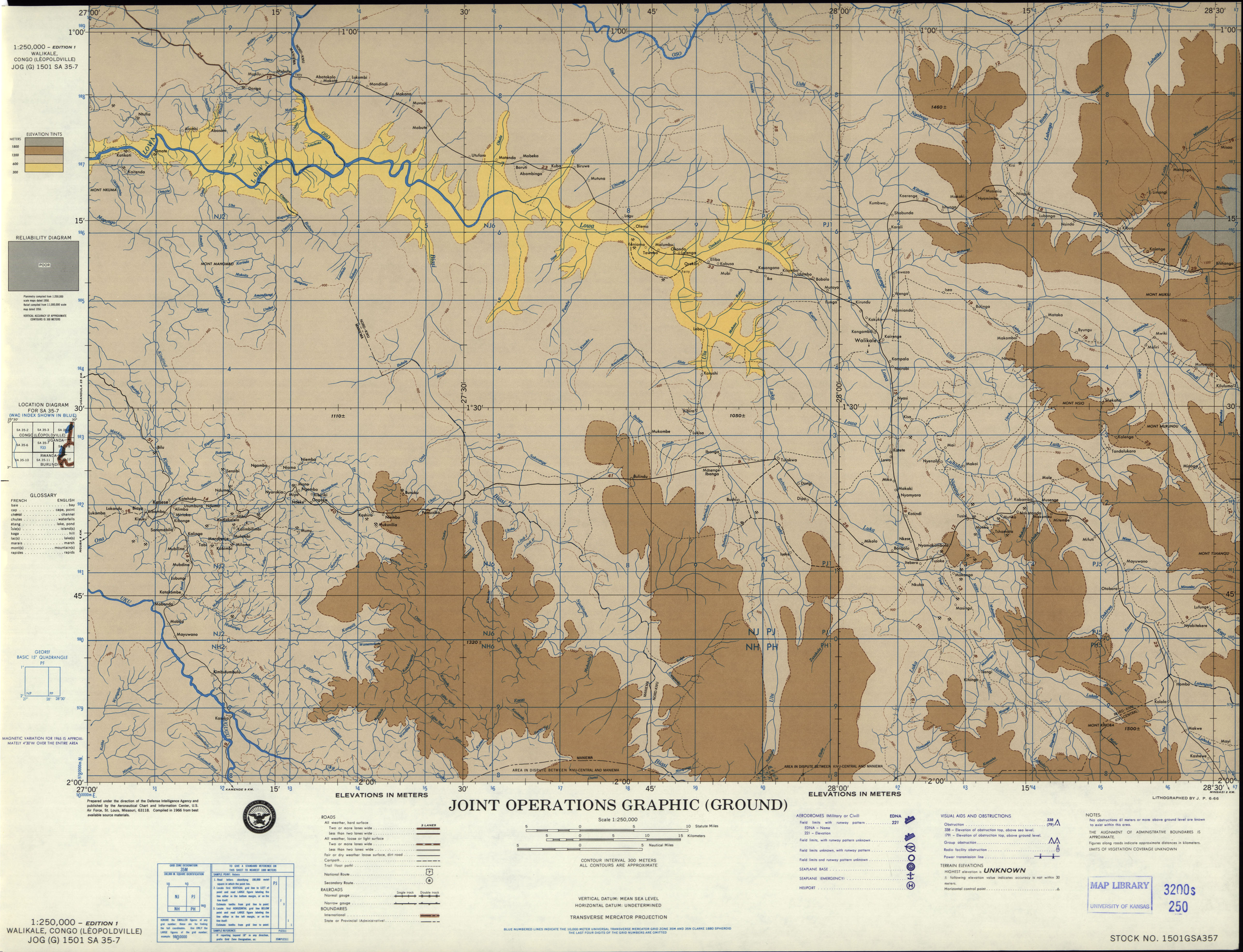
- SA 35-7 Walikale, Congo (Leopoldville) (7.9MB) [GeoPDF]
- SA 35-7 Walikale, Congo (Leopoldville) (4.5 MB) [JPEG]
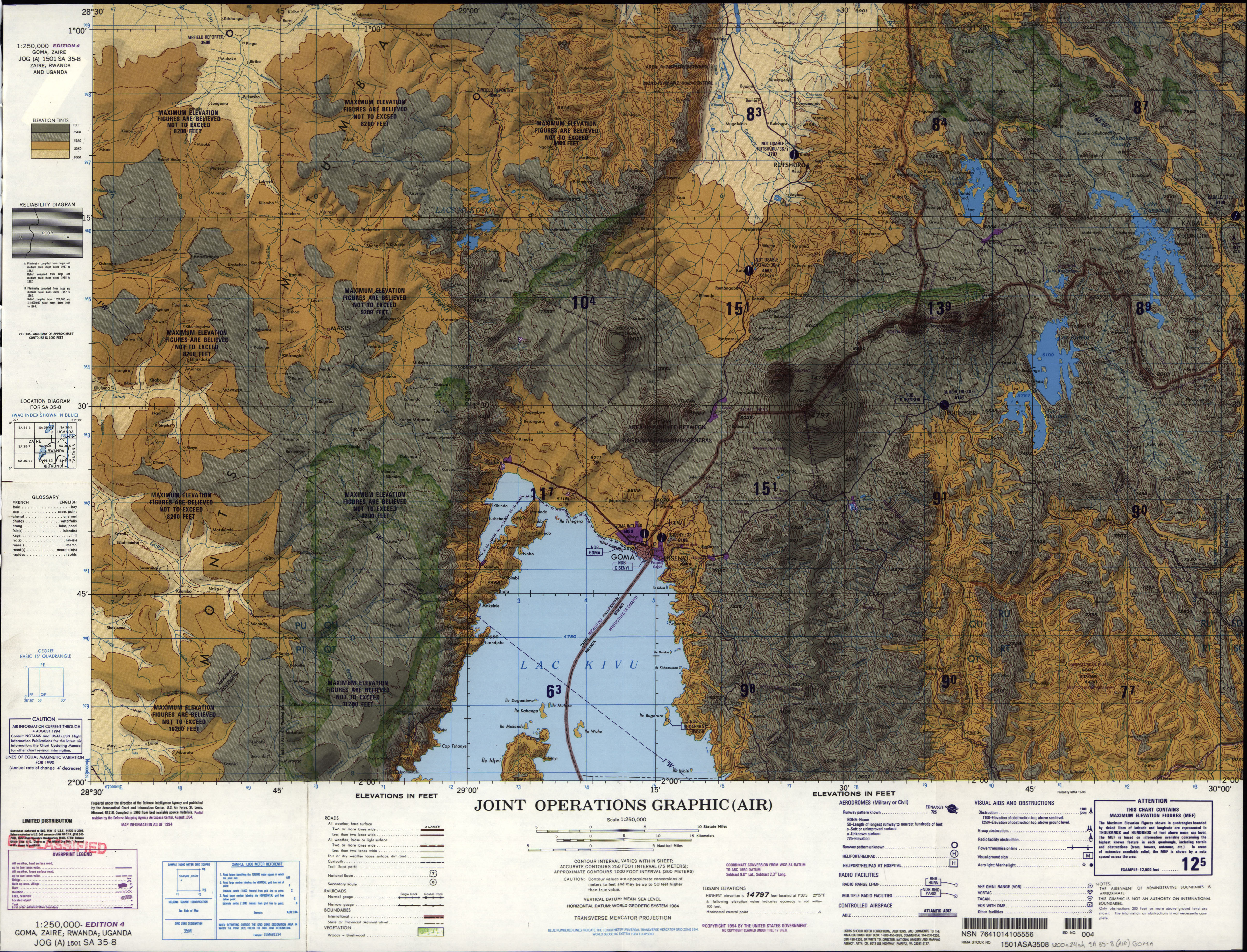
- SA 35-8 Goma, Zaire; Rwanda; Uganda (10.4MB) [GeoPDF]
- SA 35-8 Goma, Zaire; Rwanda; Uganda (4.8 MB) [JPEG]
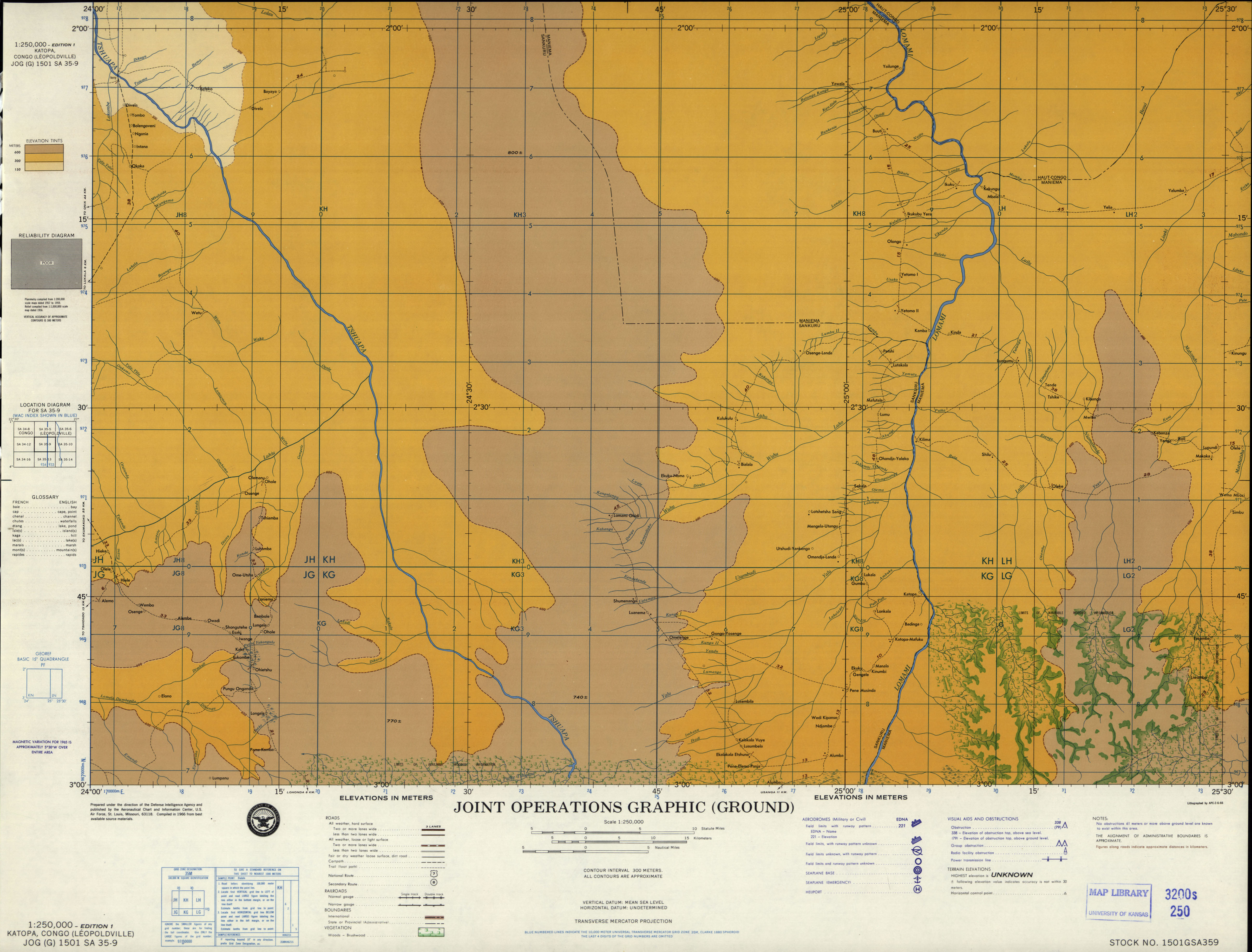
- SA 35-9 Katopa, Congo (Leopoldville) (2.6 MB) [JPEG]
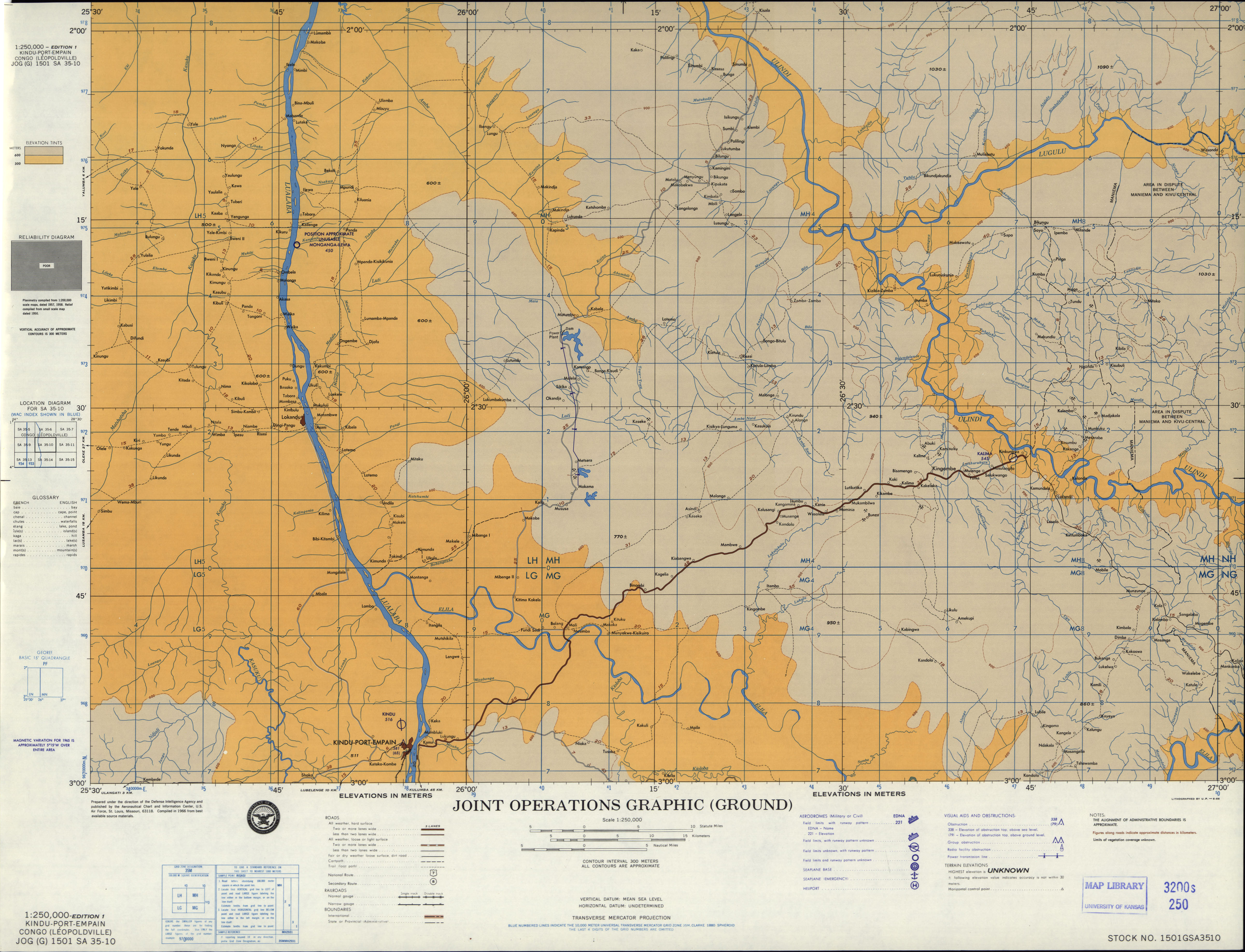
- SA 35-10 Kindu-Port-Empain, Congo (Leopoldville) (6.3MB) [GeoPDF]
- SA 35-10 Kindu-Port-Empain, Congo (Leopoldville) (3.8 MB) [JPEG]
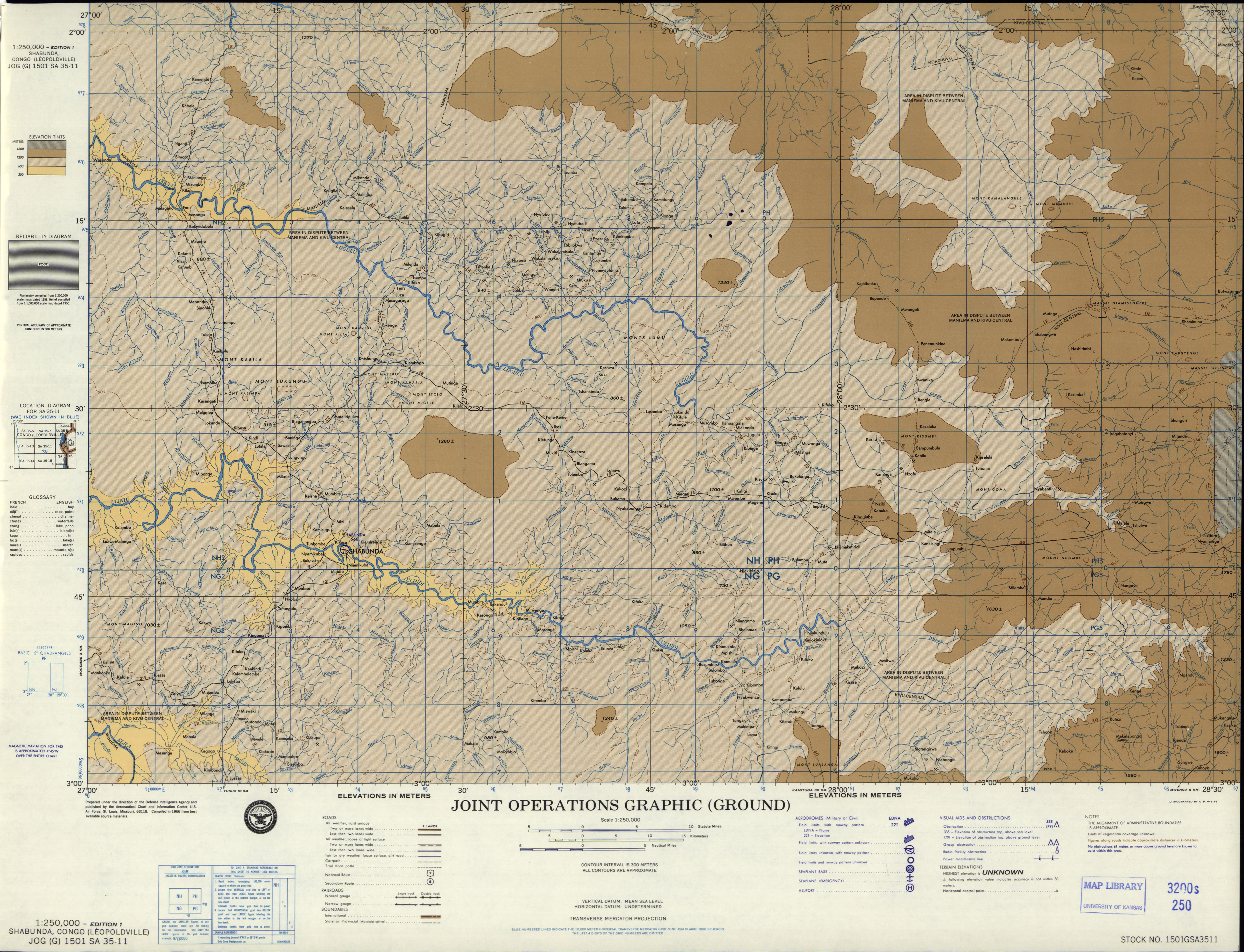
- SA 35-11 Shabunda, Congo (Leopoldville) (4.6 MB) [JPEG]
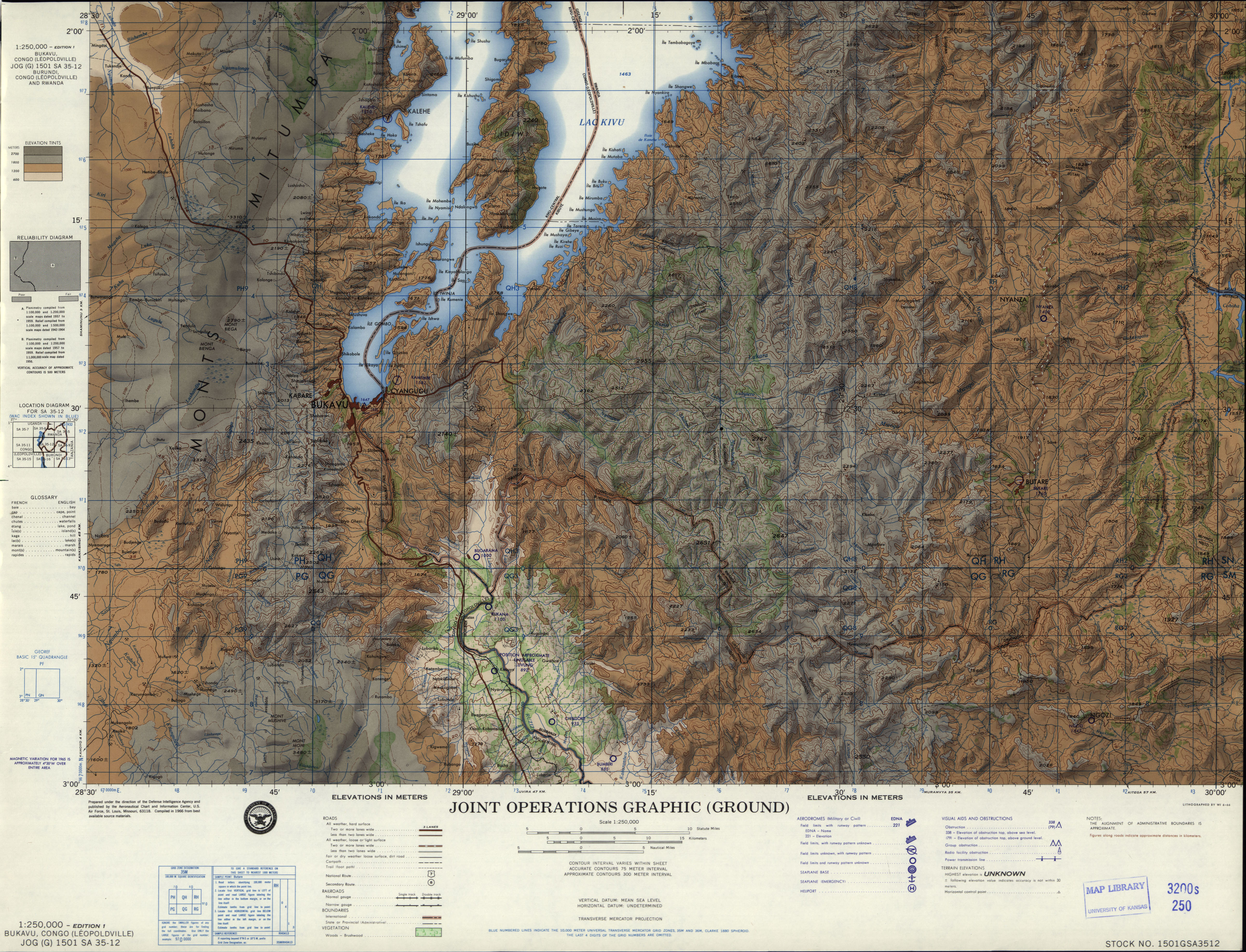
- SA 35-12 Bukavu, Zaire; Rwanda; Burundi (11.0MB) [GeoPDF]
- SA 35-12 Bukavu, Congo (Leopoldville); Rwanda; Burundi (4.6 MB) [JPEG]
- SA 35-13 Katako-Kombe, Congo (Leopoldville) (4.7 MB) [JPEG]
- SA 35-14 Kibombo, Congo (Leopoldville) (5.2 MB) [JPEG]
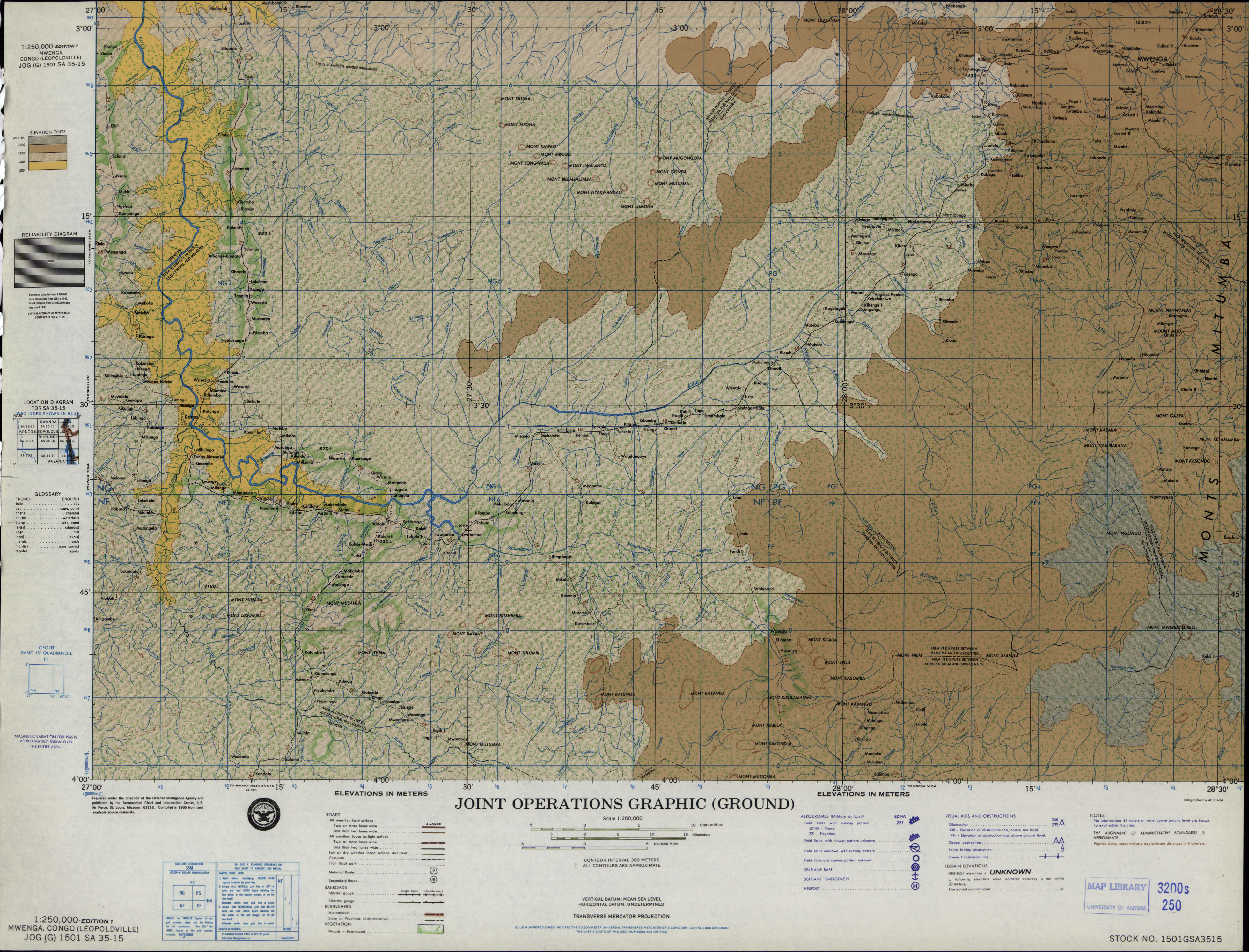
- SA 35-15 Mwenga, Congo (Leopoldville) (9.8MB) [GeoPDF]
- SA 35-15 Mwenga Congo (Leopoldville) (4.6 MB) [JPEG]
- SA 35-16 Bujumbura, Burundi; Zaire (11.2MB) [GeoPDF]
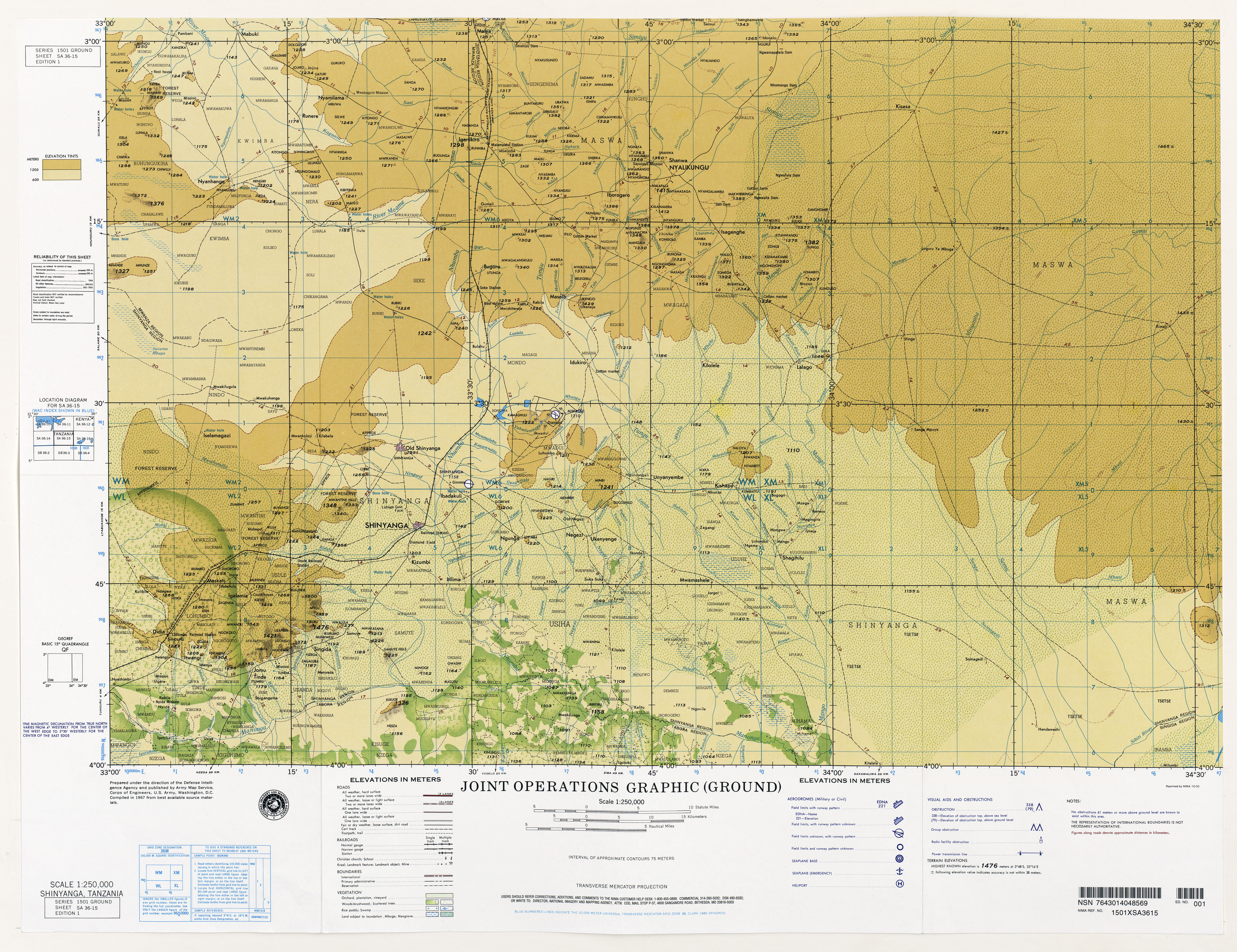
- SA 36-15 Shinyanga, Tanzania (10.0MB) [JPEG]
- SB 32-4 Pointe Noire, Congo (4.3MB) [GeoPDF]
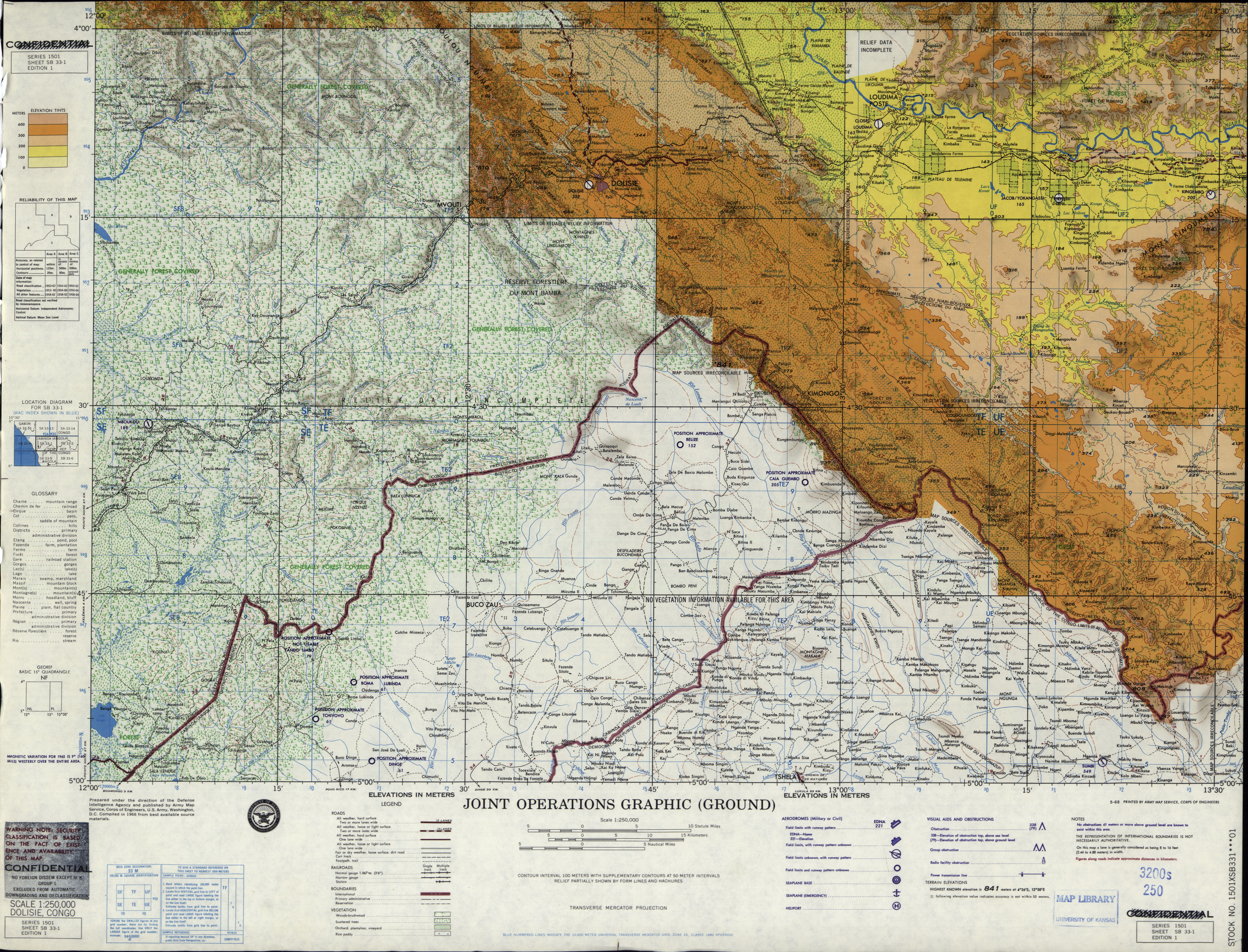
- SB 33-1 Dolisie, Congo (5.2 MB) [JPEG]
- SB 33-2 Kinkala, Congo (9.3MB) [GeoPDF]
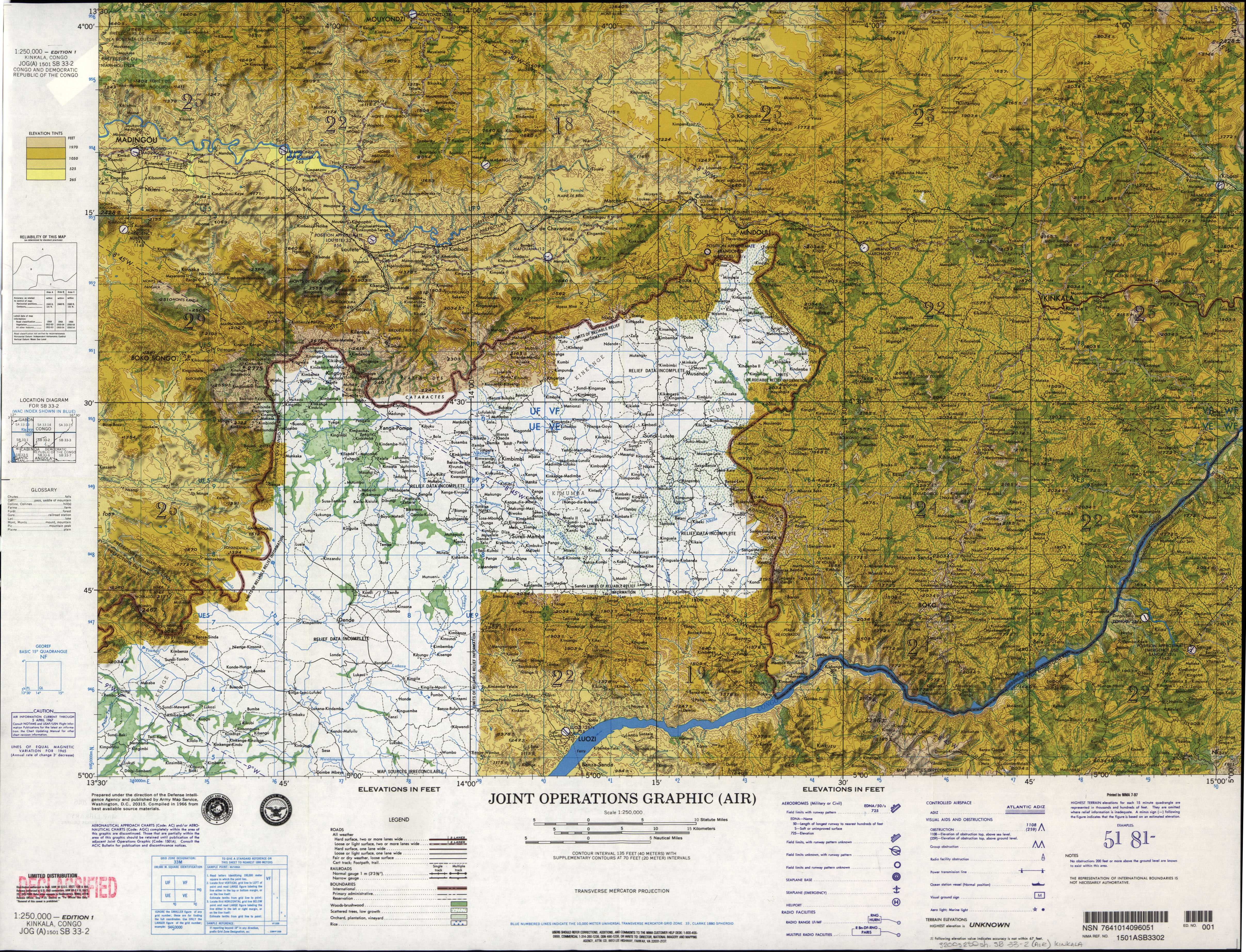
- SB 33-2 Kinkala, Congo (5.8 MB) [JPEG]
- SB 33-3 Kinshasa, Zaire; Congo (6.4MB) [GeoPDF]
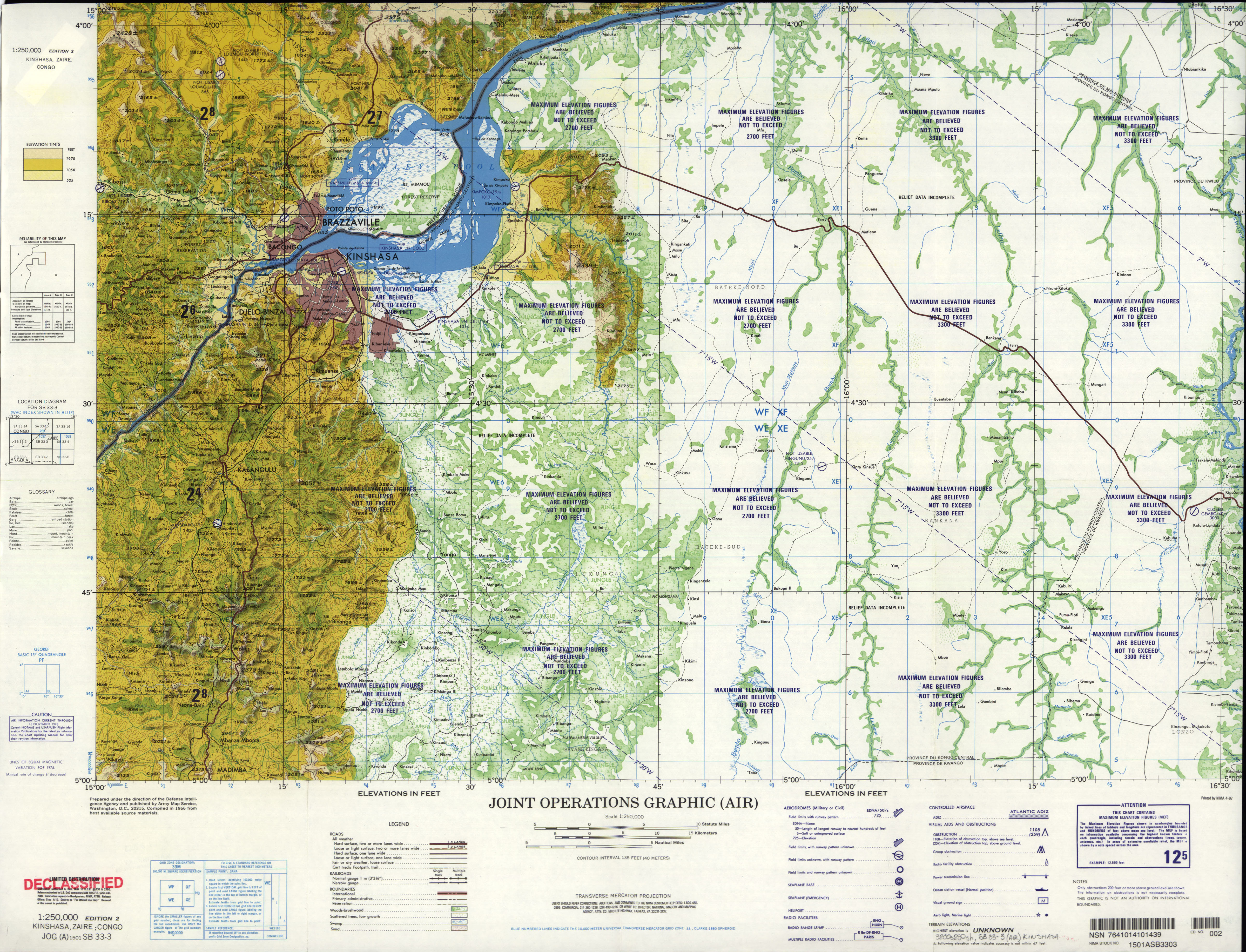
- SB 33-3 Kinshasa, Zaire; Congo (4.1 MB) [JPEG]
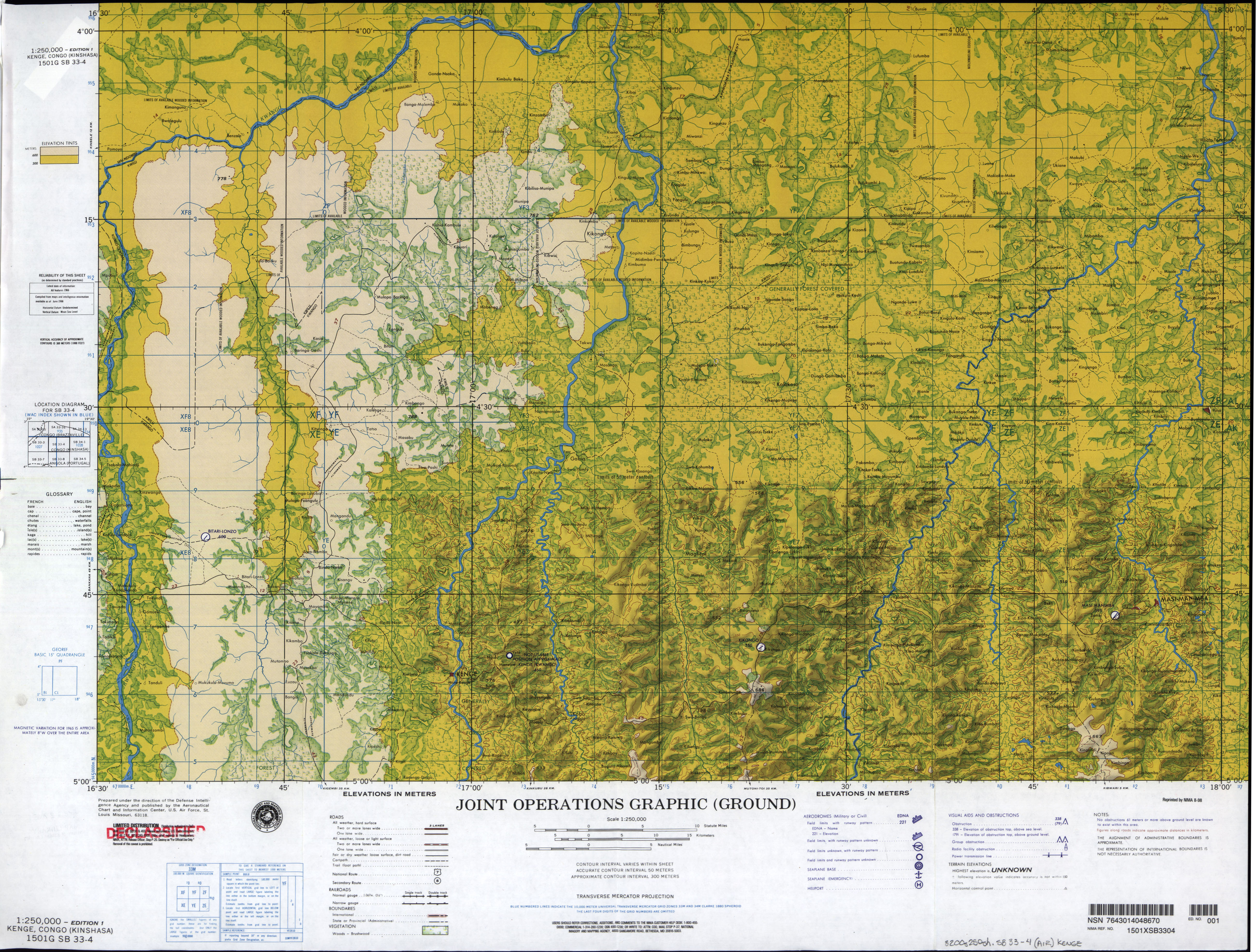
- SB 33-4 Kenge, Congo (Kinshasa) (4.7 MB) [JPEG]
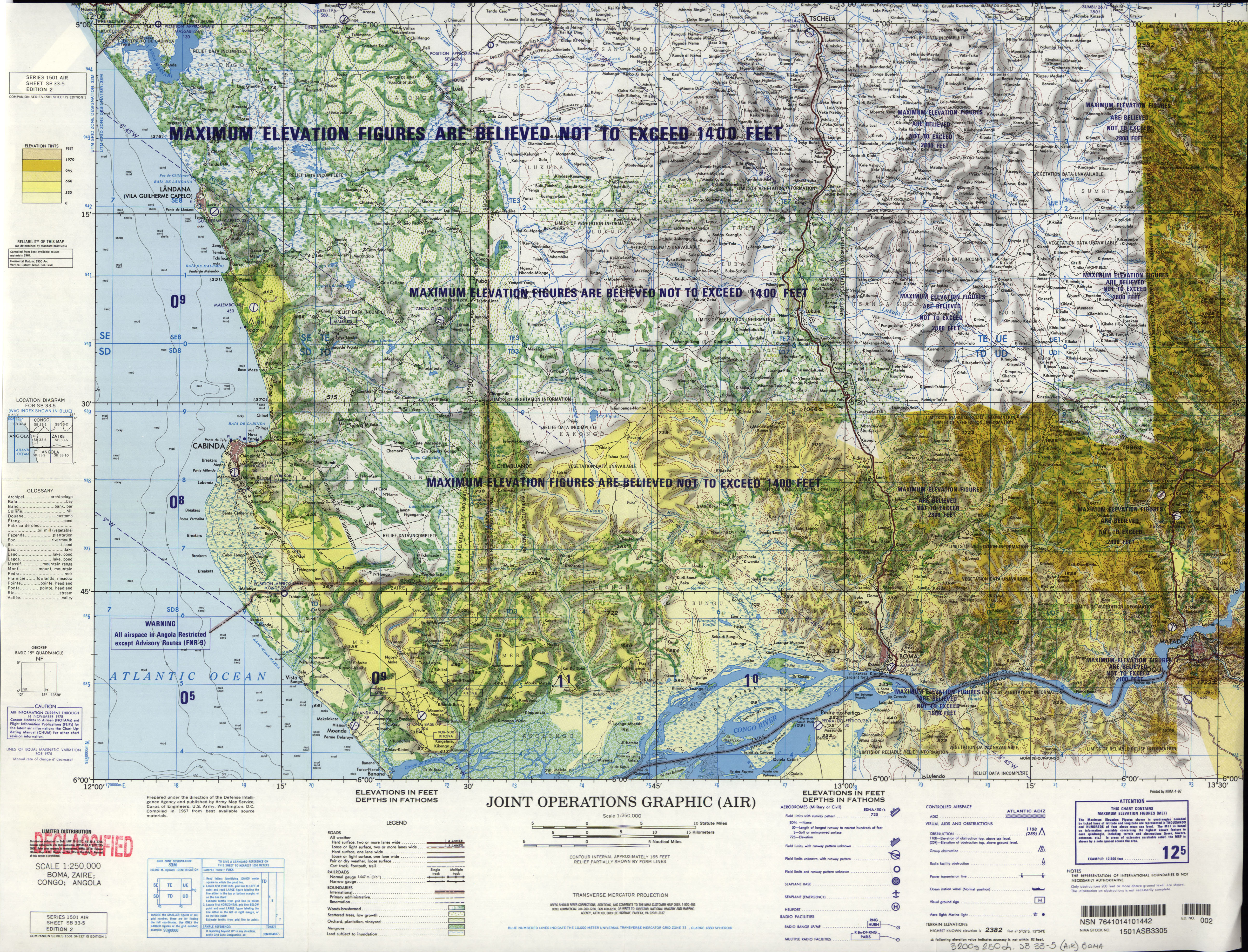
- SB 33-5 Boma, Zaire; Congo; Angola (9.6MB) [GeoPDF]
- SB 33-5 Boma, Zaire; Congo; Angola (5.2 MB) [JPEG]
- SB 33-6 Songololo, Zaire; Angola (9.3MB) [GeoPDF]
- SB 33-6 Songololo, Zaire; Angola (5.7 MB) [JPEG]
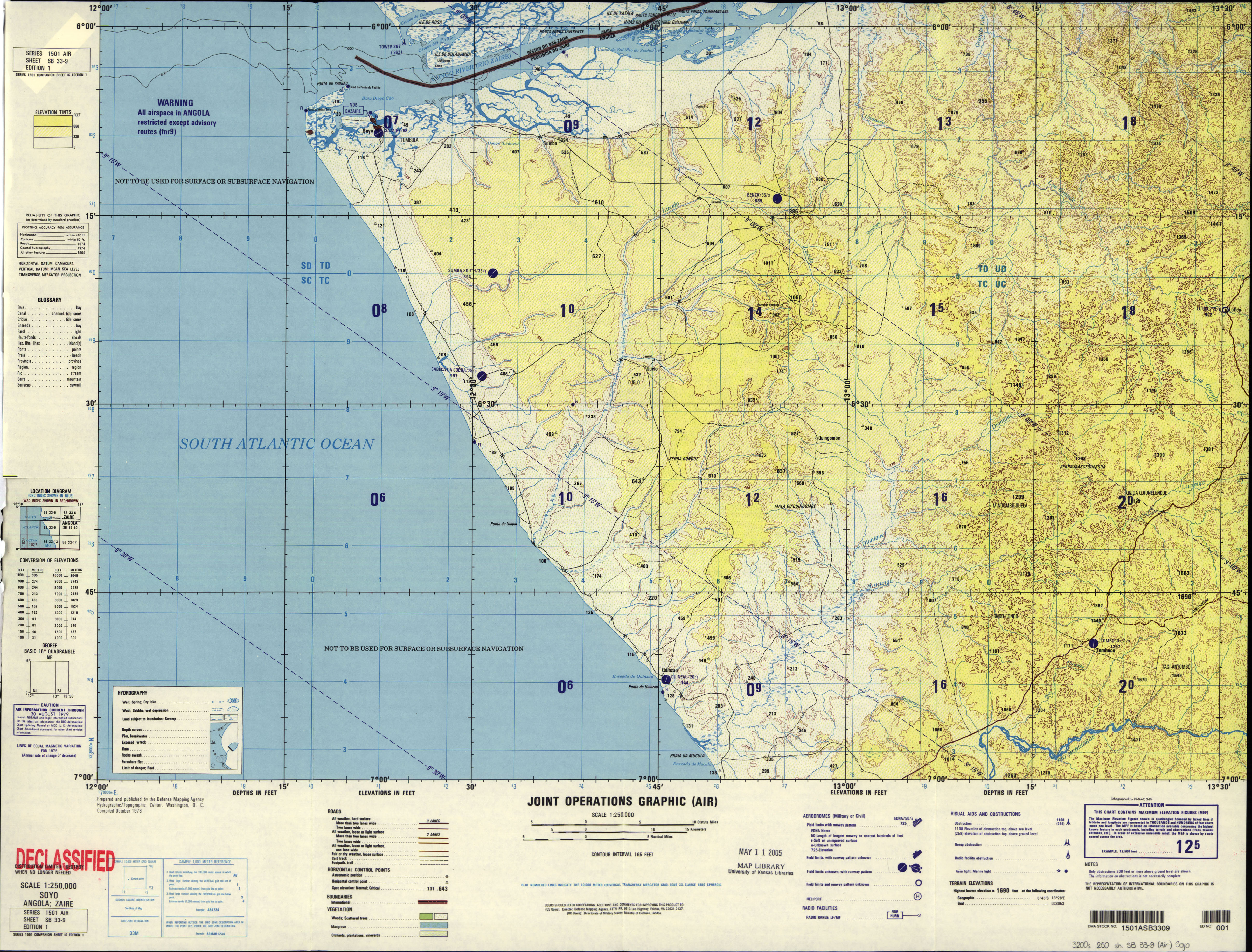
- SB 33-9 Soyo, Angola; Zaire (4.7 MB) [JPEG]
- SB 33-10 Mbanza, Congo; Angola (7.7MB) [GeoPDF]
- SB 33-10 Mbanza, Congo; Angola (9.6MB) [JPEG]
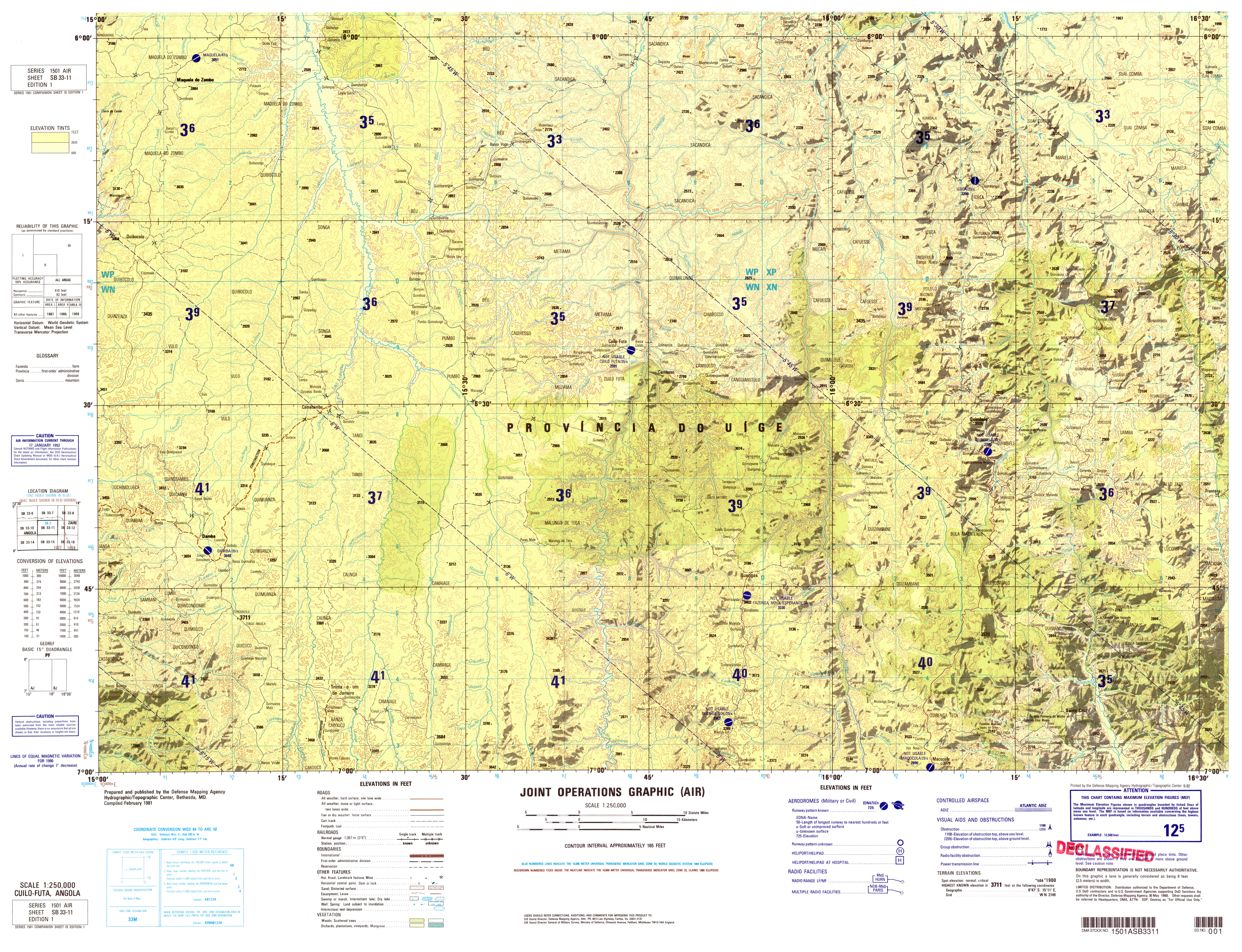
- SB 33-11 Cuilo Futa, Angola (8.3MB) [GeoPDF]
- SB 33-11 Cuilo Futa, Angola (9.1MB) [JPEG]
- SB 33-13 Nzeto, Angola (9.3MB) [GeoPDF]
- SB 33-13 Nzeto, Angola (5.4MB) [JPEG]
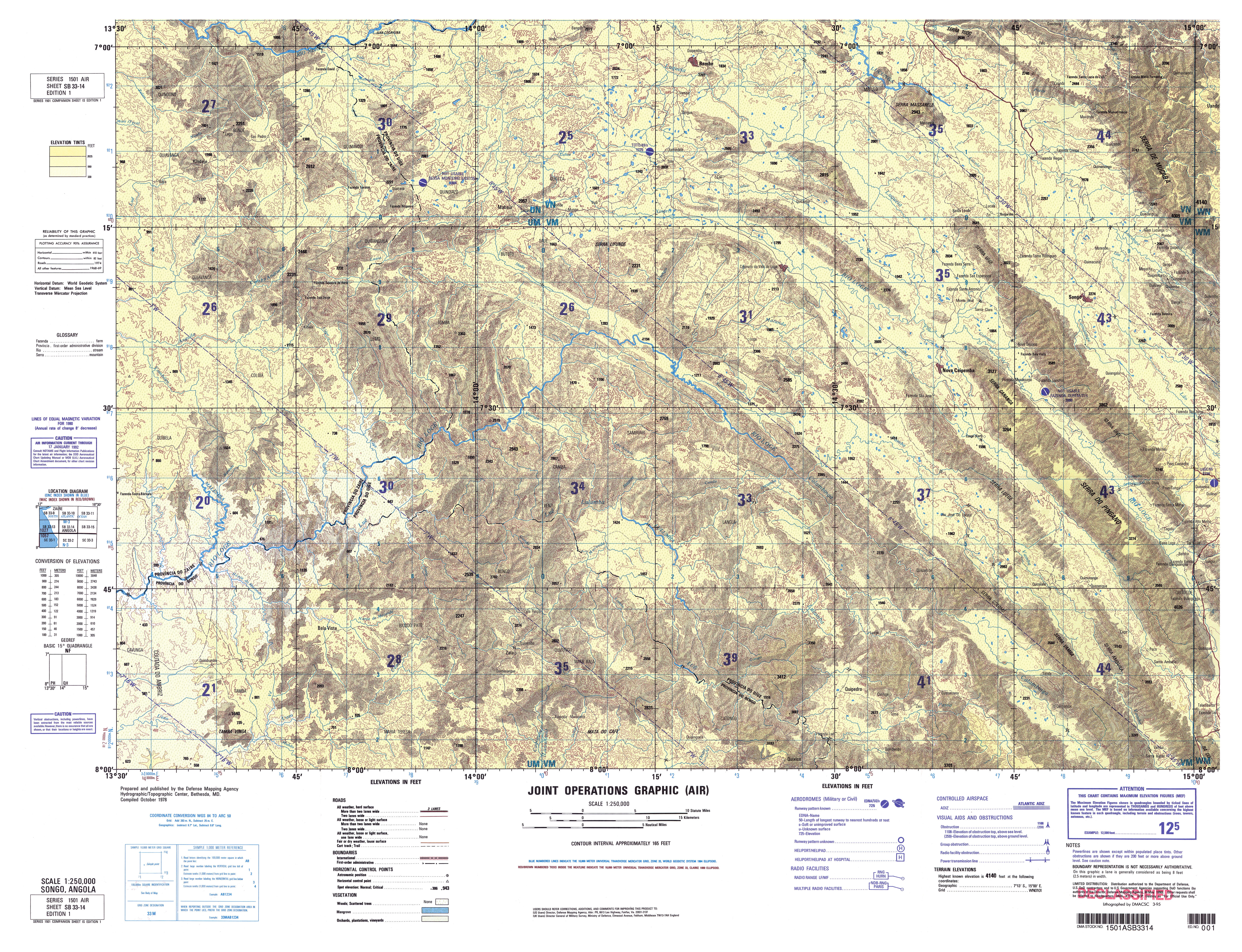
- SB 33-14 Songo, Angola (9.2MB) [GeoPDF]
- SB 33-14 Songo, Angola (9.8MB) [JPEG]
- SB 33-15 Uige, Angola (8.6MB) [GeoPDF]
- SB 33-15 Uige, Angola (8.6MB) [JPEG]
- SB 34-1 Leverville, Congo (Kinshasa) (4.9 MB) [JPEG]
- SB 34-2 Fort Francquil, Congo (Leopoldville) (4.4 MB) [JPEG]
- SB 34-3 Mweka, Congo (Leopoldville) (4.7 MB) [JPEG]
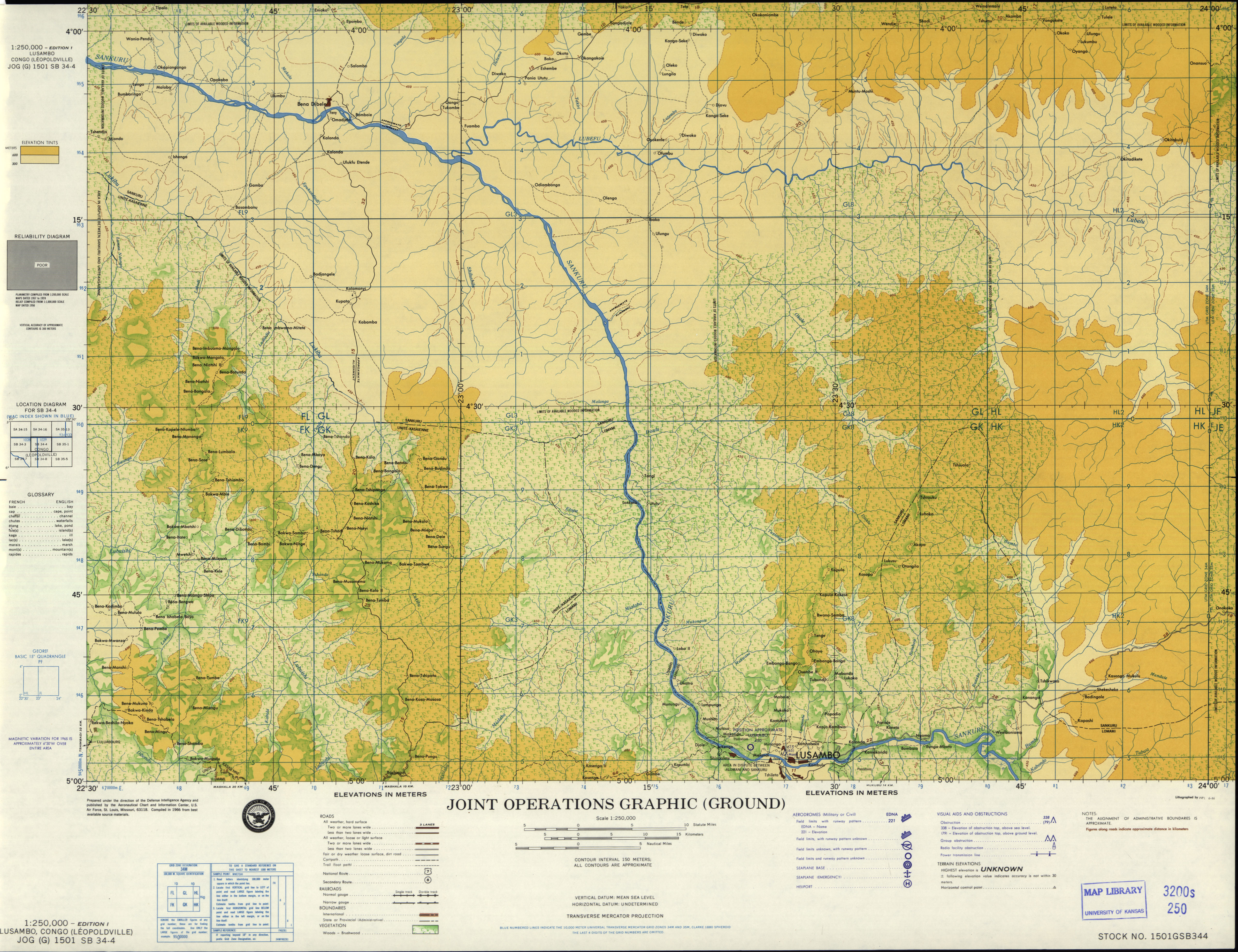
- SB 34-4 Lusambo, Congo (Leopoldville) (4.8 MB) [JPEG]
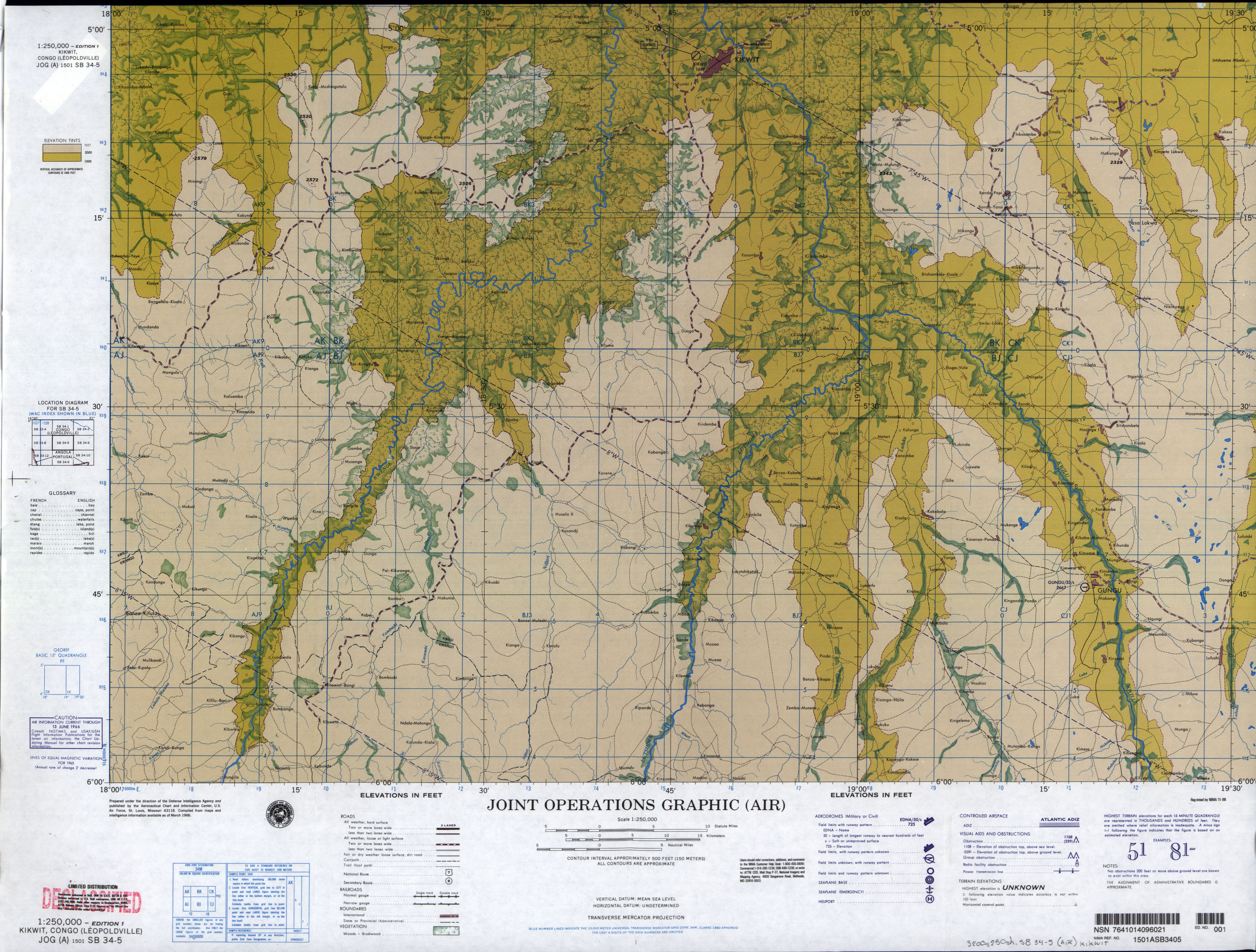
- SB 34-5 Kikwit, Congo (Leopoldville) (9.5MB) [GeoPDF]
- SB 34-5 Kikwit, Congo (Leopoldville) (5.0 MB) [JPEG]
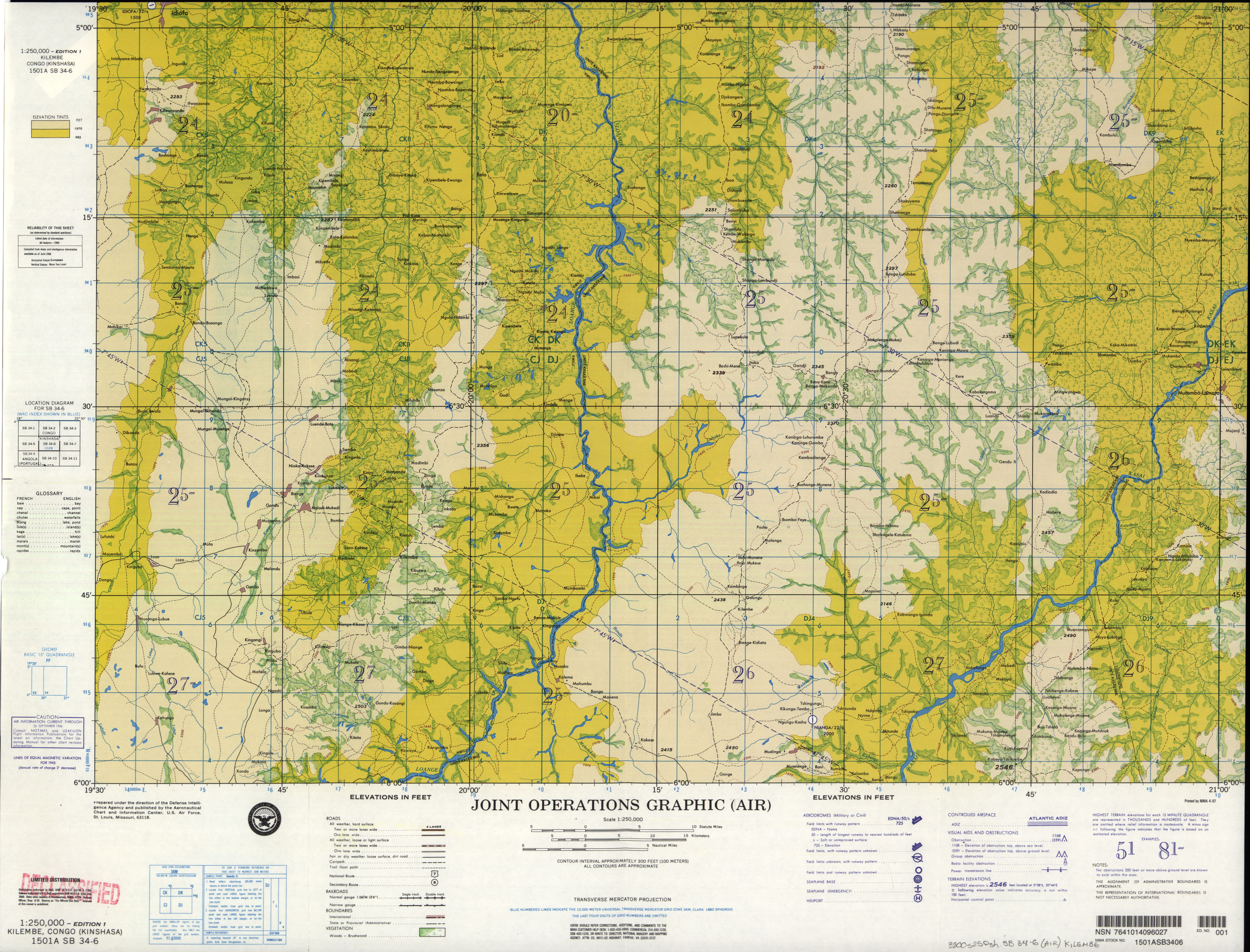
- SB 34-6 Kilembe, Congo (Kinshasa) (7.4MB) [GeoPDF]
- SB 34-6 Kilembe, Congo (Kinshasa) (4.6 MB) [JPEG]
- SB 34-7 Kananga, Zaire (7.9MB) [GeoPDF]
- SB 34-8 Dimbelenge, Zaire (9.3MB) [GeoPDF]
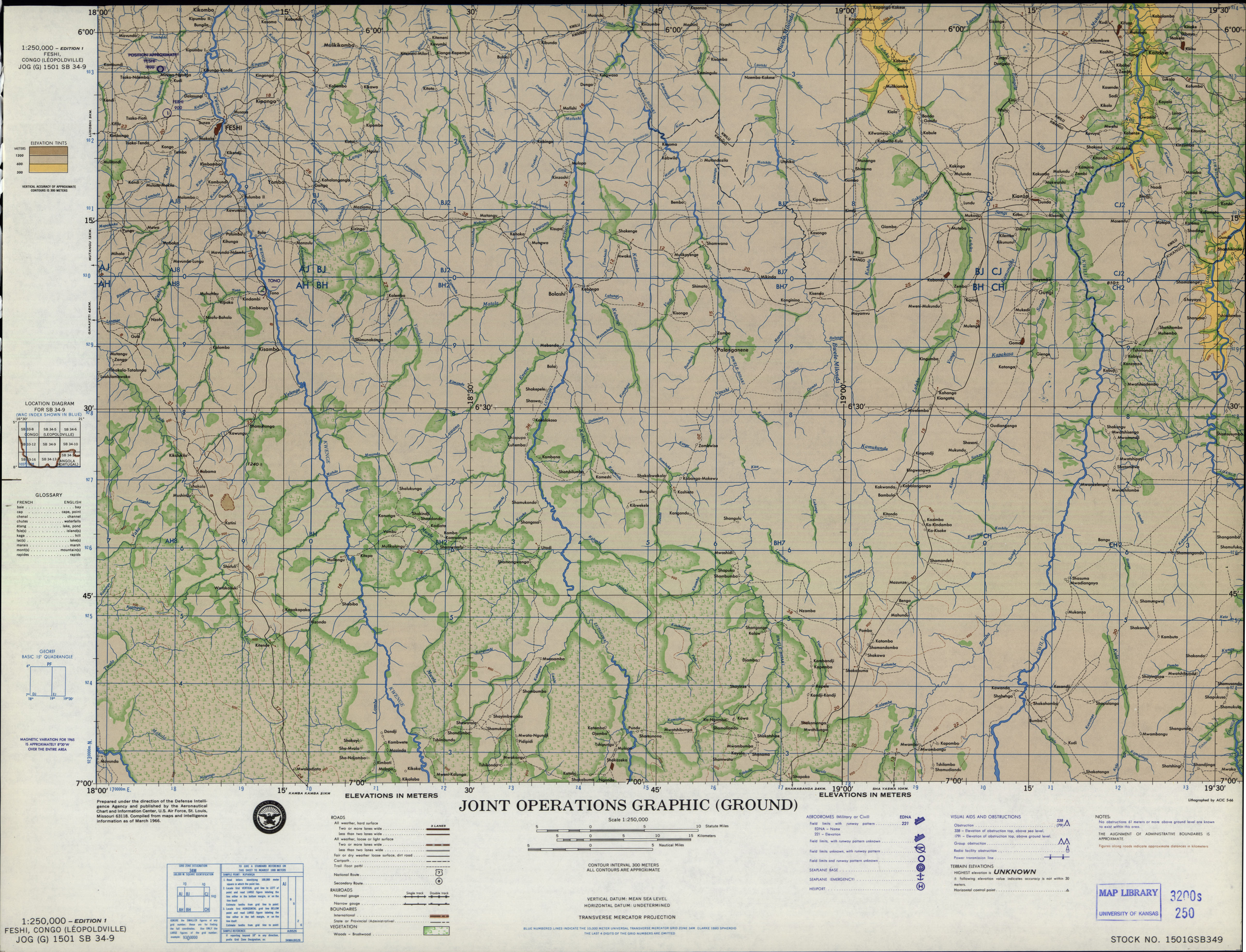
- SB 34-9 Feshi, Congo (Leopoldville) (4.8 MB) [JPEG]
- SB 34-11 Kazumba, Zaire (9.8MB) [GeoPDF]
- SB 34-12 Mbuji-Mayi, Zaire (8.7MB) [GeoPDF]
- SB 34-15 Luiza, Zaire; Angola (11.2MB) [GeoPDF]
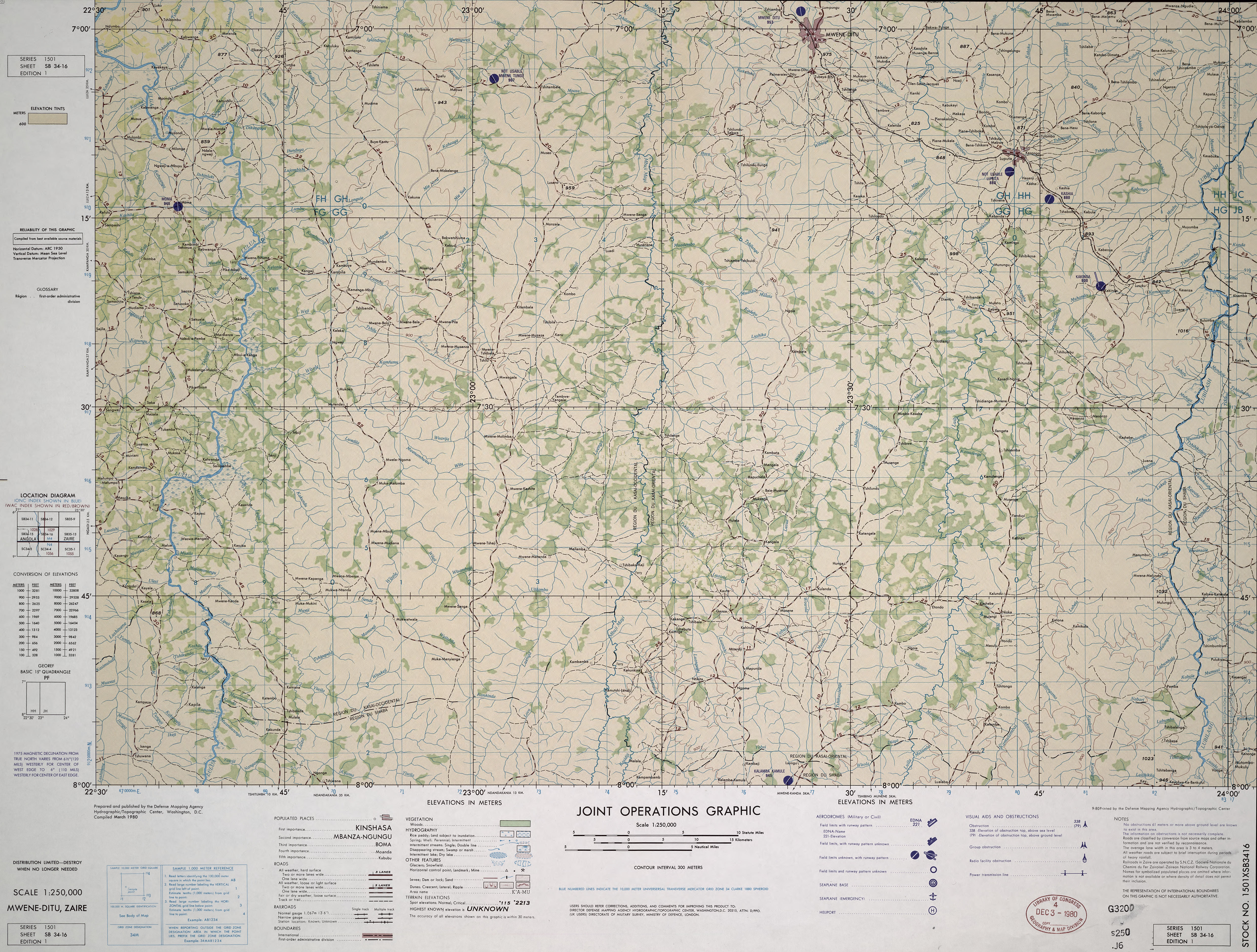
- SB 34-16 Mwene Ditu, Zaire (7.0MB) [JPEG] This map is from the collection of the Library of Congress, Geography and Map Division
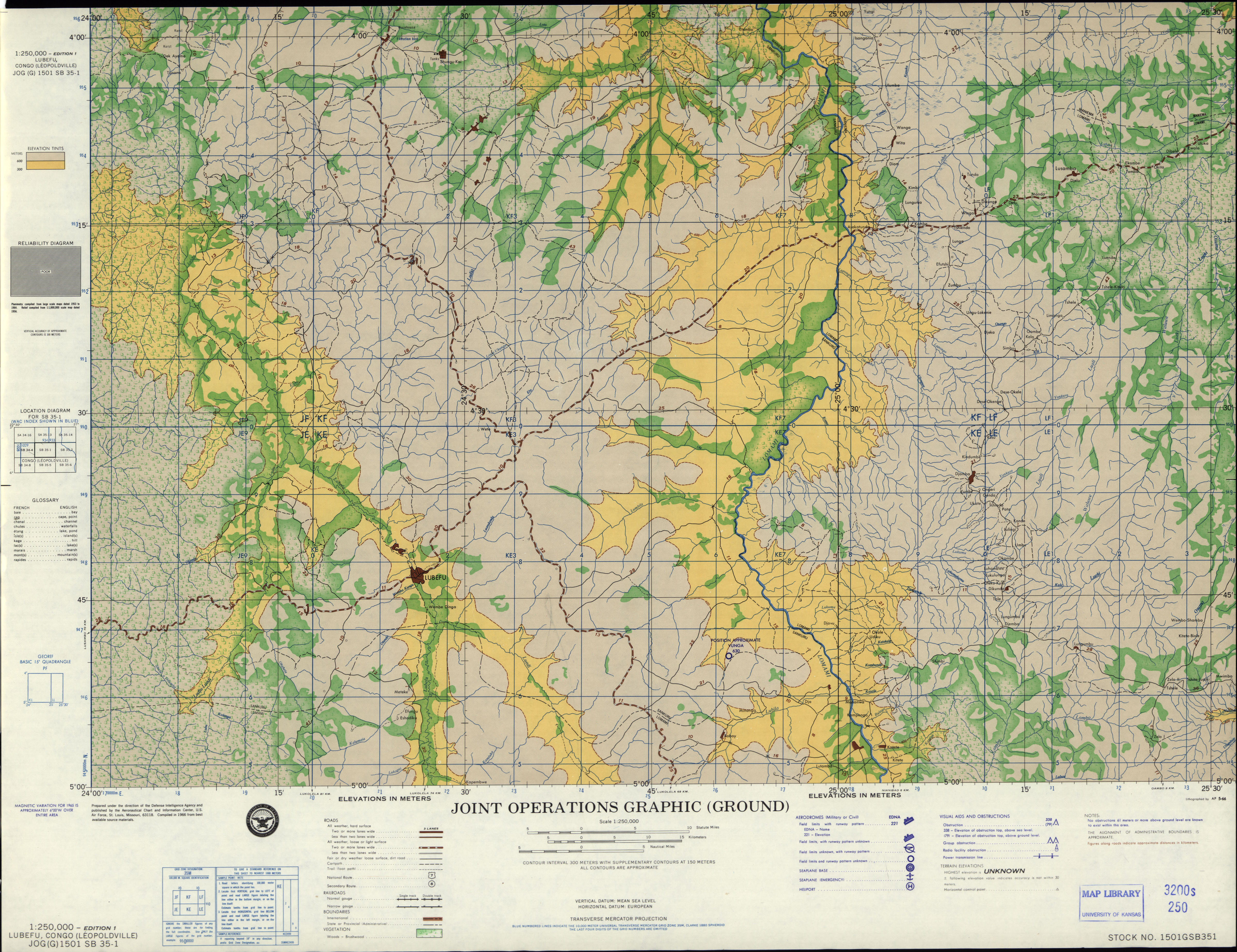
- SB 35-1 Lubefu, Congo (Leopoldville) (4.9 MB) [JPEG]
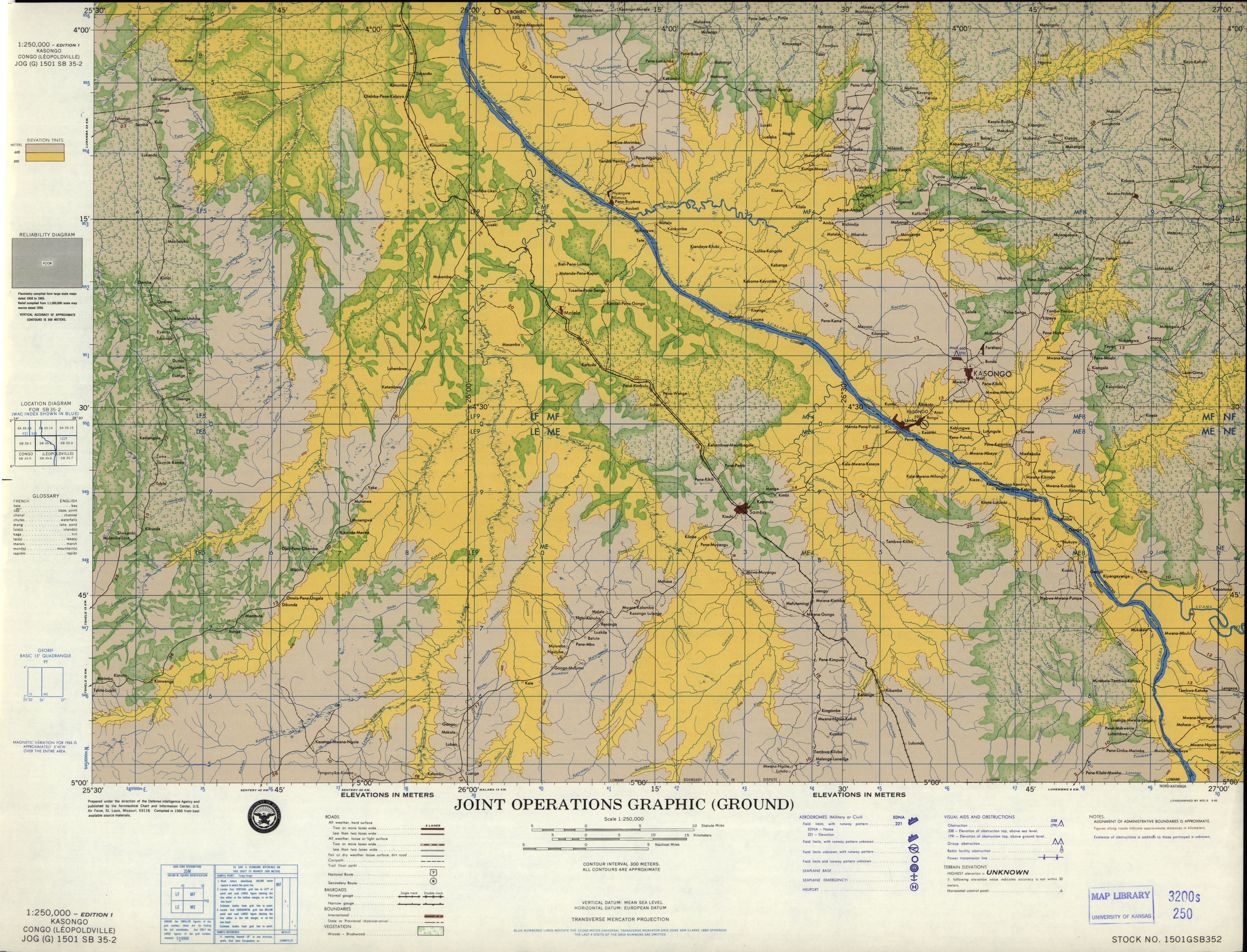
- SB 35-2 Kasango, Congo (Leopoldville) (4.9 MB) [JPEG]
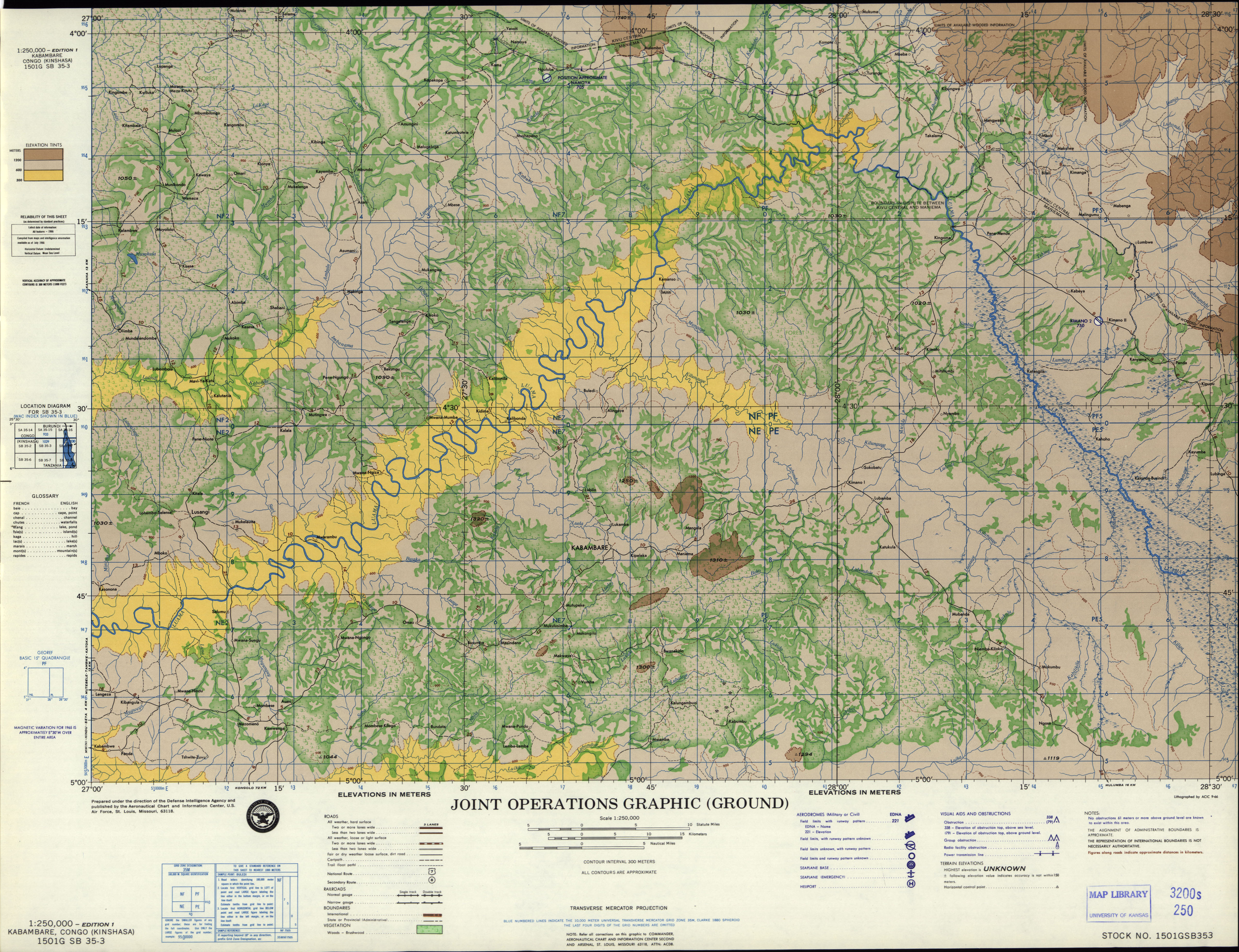
- SB 35-3Kabambare, Congo (Kinshasa) (5.5 MB) [JPEG]
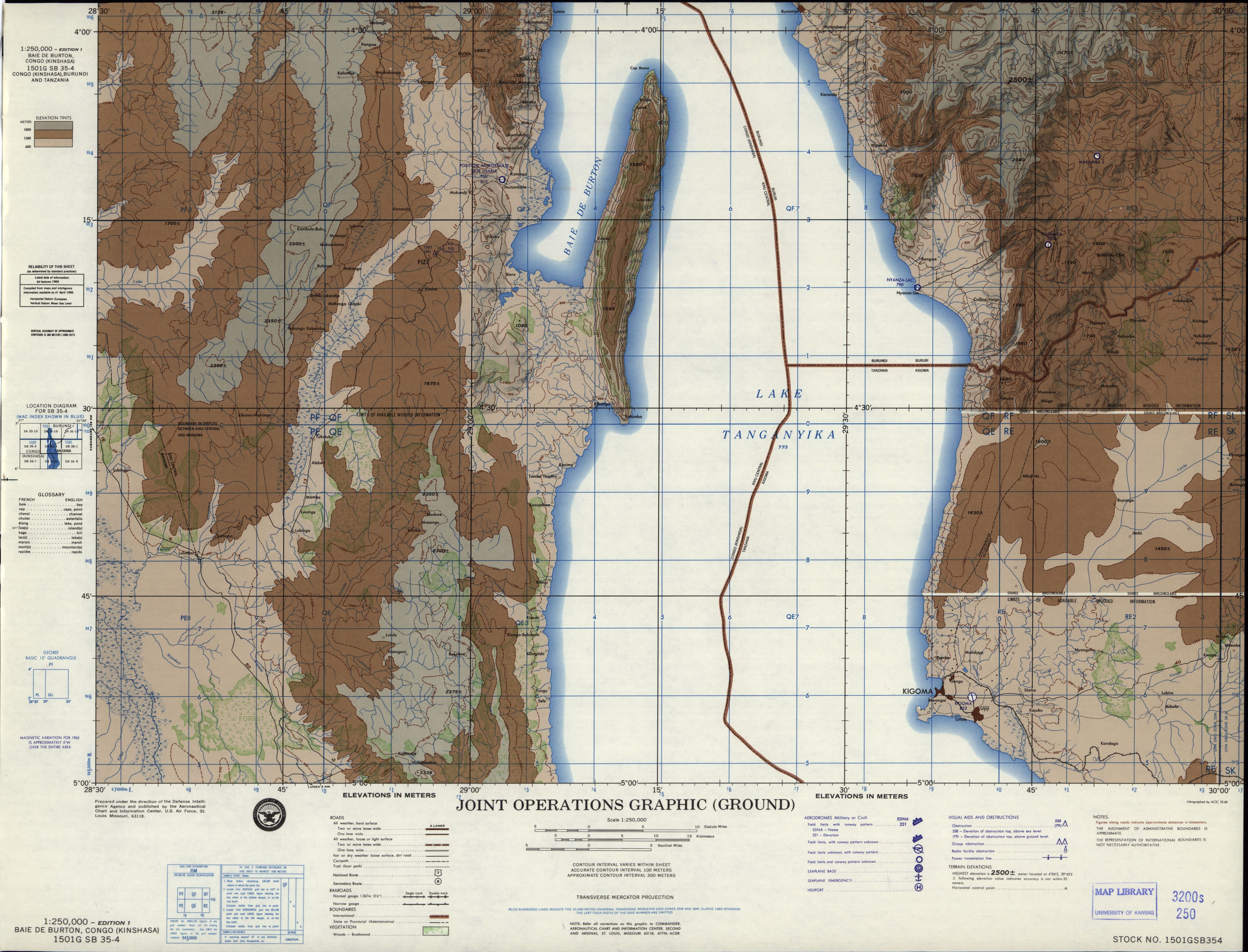
- SB 35-4 Baie de Burton, Congo (Kinshasa) (7.2MB) [GeoPDF]
- SB 35-4 Baie de Burton, Congo (Kinshasa) (3.8 MB) [JPEG]
- SB 35-7 Kongolo, Zaire (9.5MB) [GeoPDF]
- SB 35-12 Mpala, Zaire; Tanzania (19.1MB) [GeoPDF]
- SB 35-13 Kaniama, Zaire (12.0MB) [GeoPDF]
- SB 35-14 Kabongo, Zaire (8.1MB) [GeoPDF]
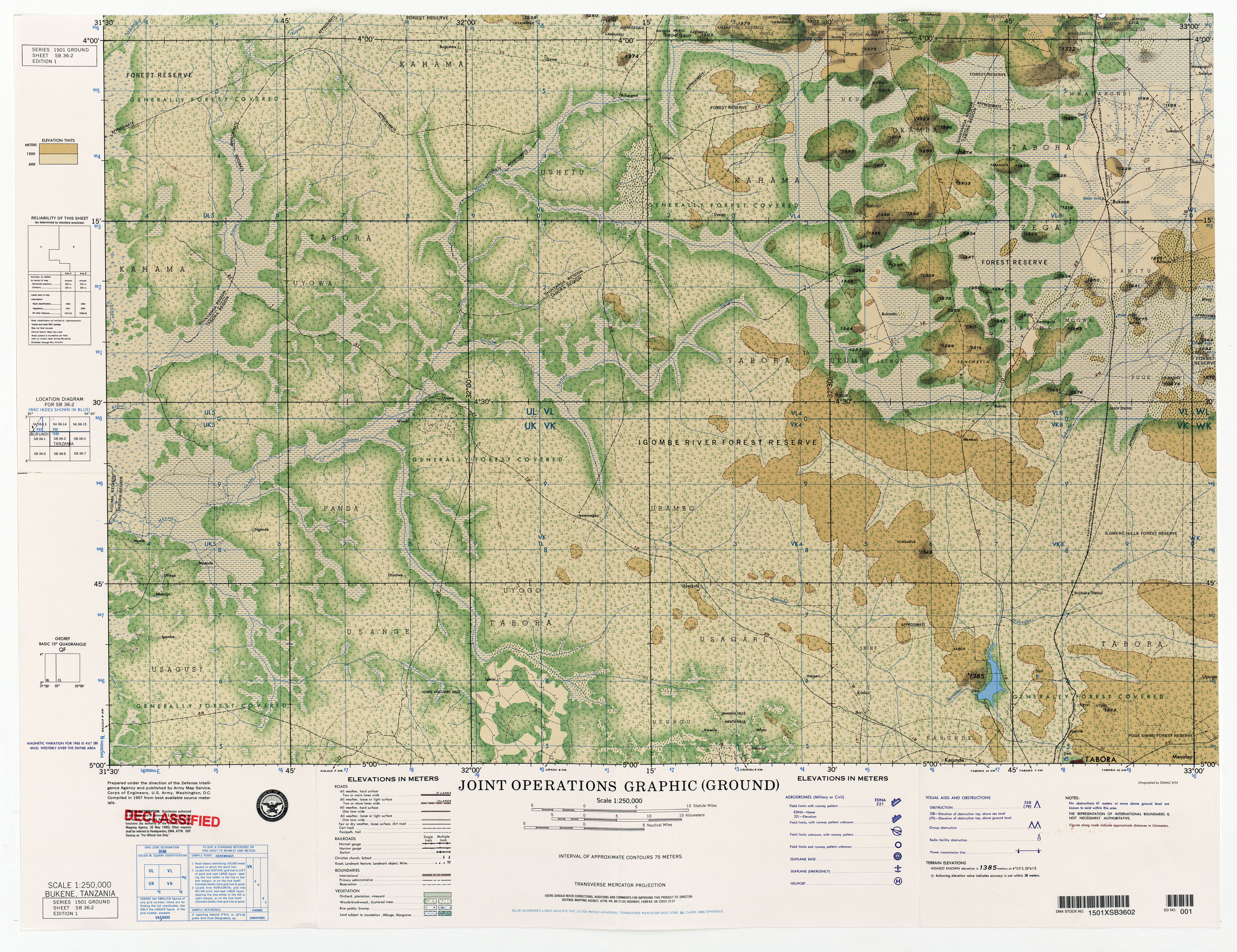
- SB 36-2 Bukene, Tanzania (11.3MB) [JPEG]
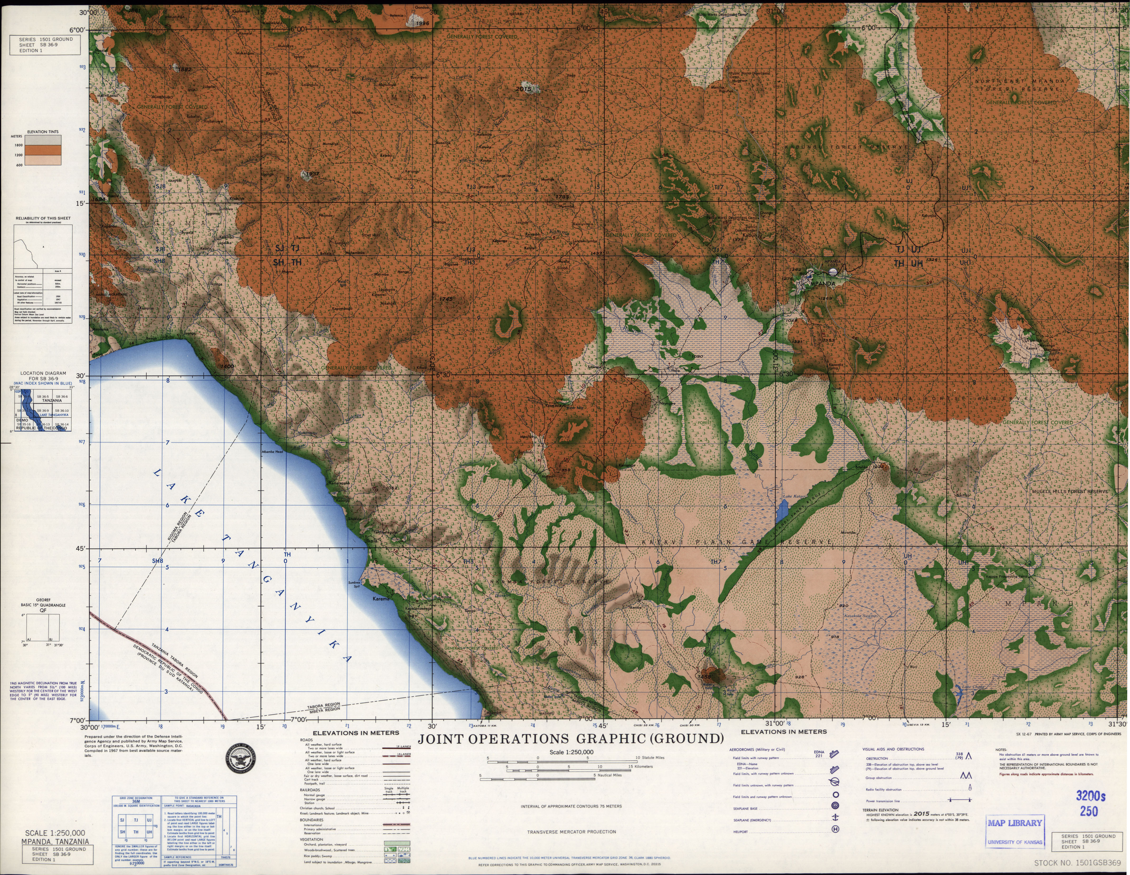
- SB 36-9 Mpanda, Tanzania (4.9 MB) [JPEG]
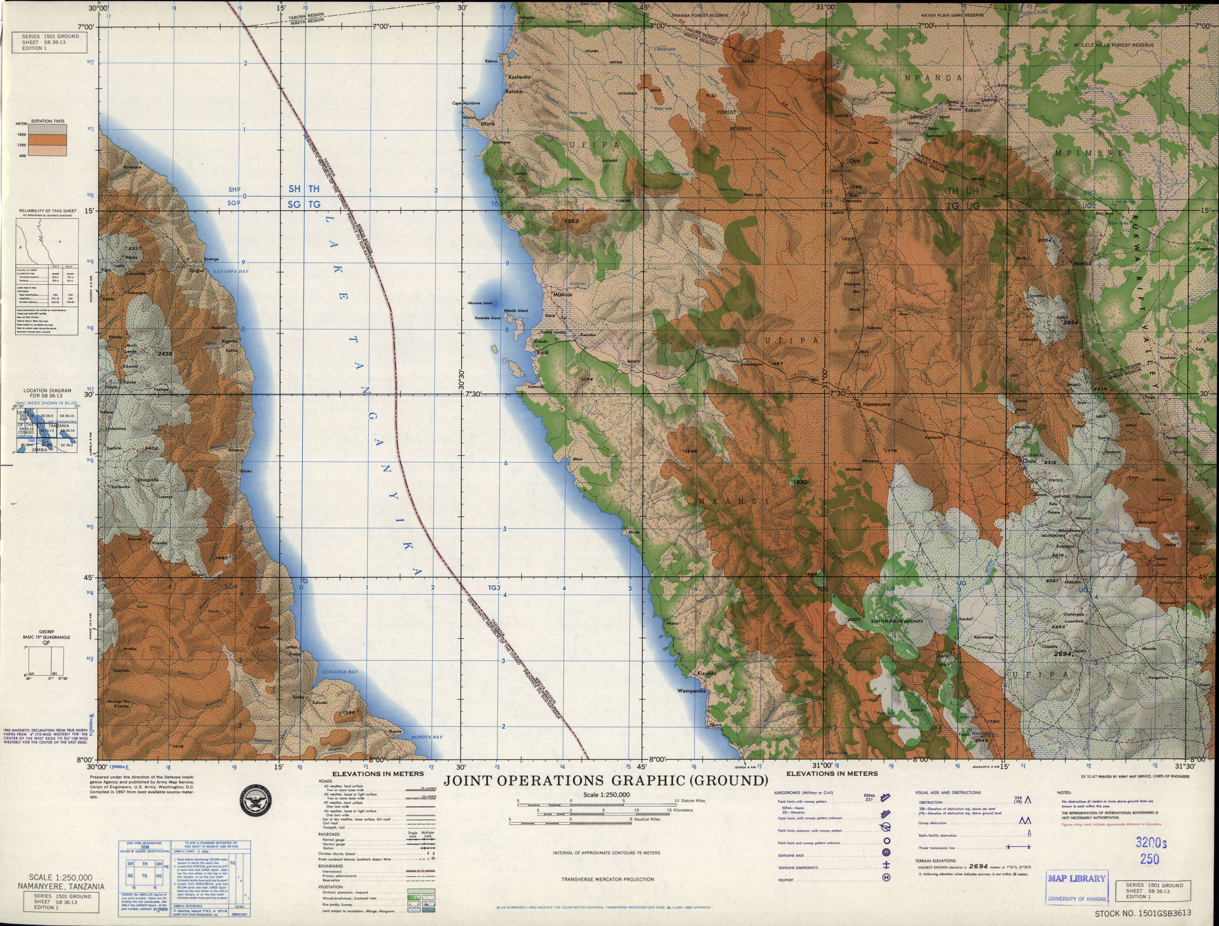
- SB 36-13 Namanyere, Tanzania (4.1 MB) [JPEG]
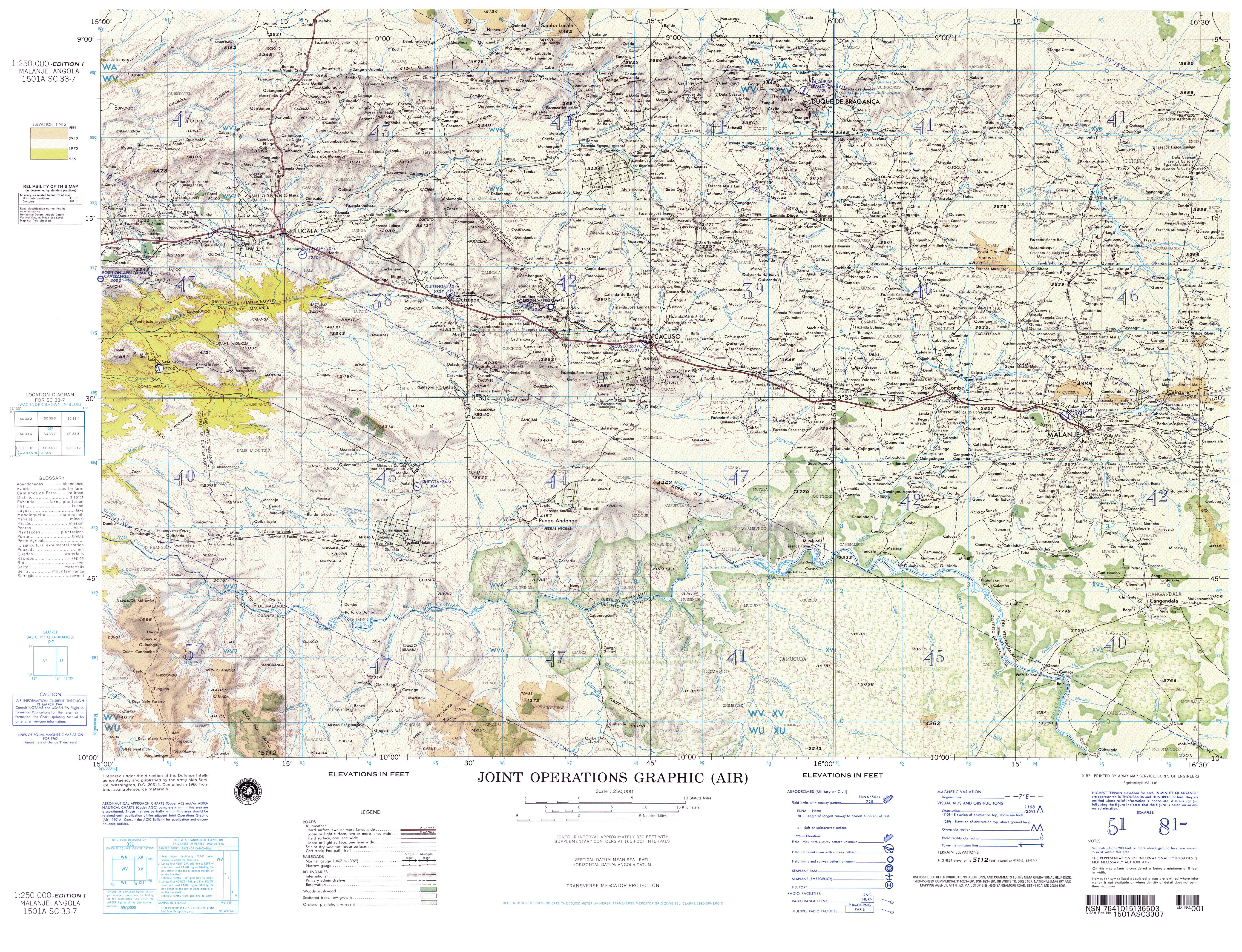
- SC 33-7 Malanje, Angola (8.1MB) [JPEG]
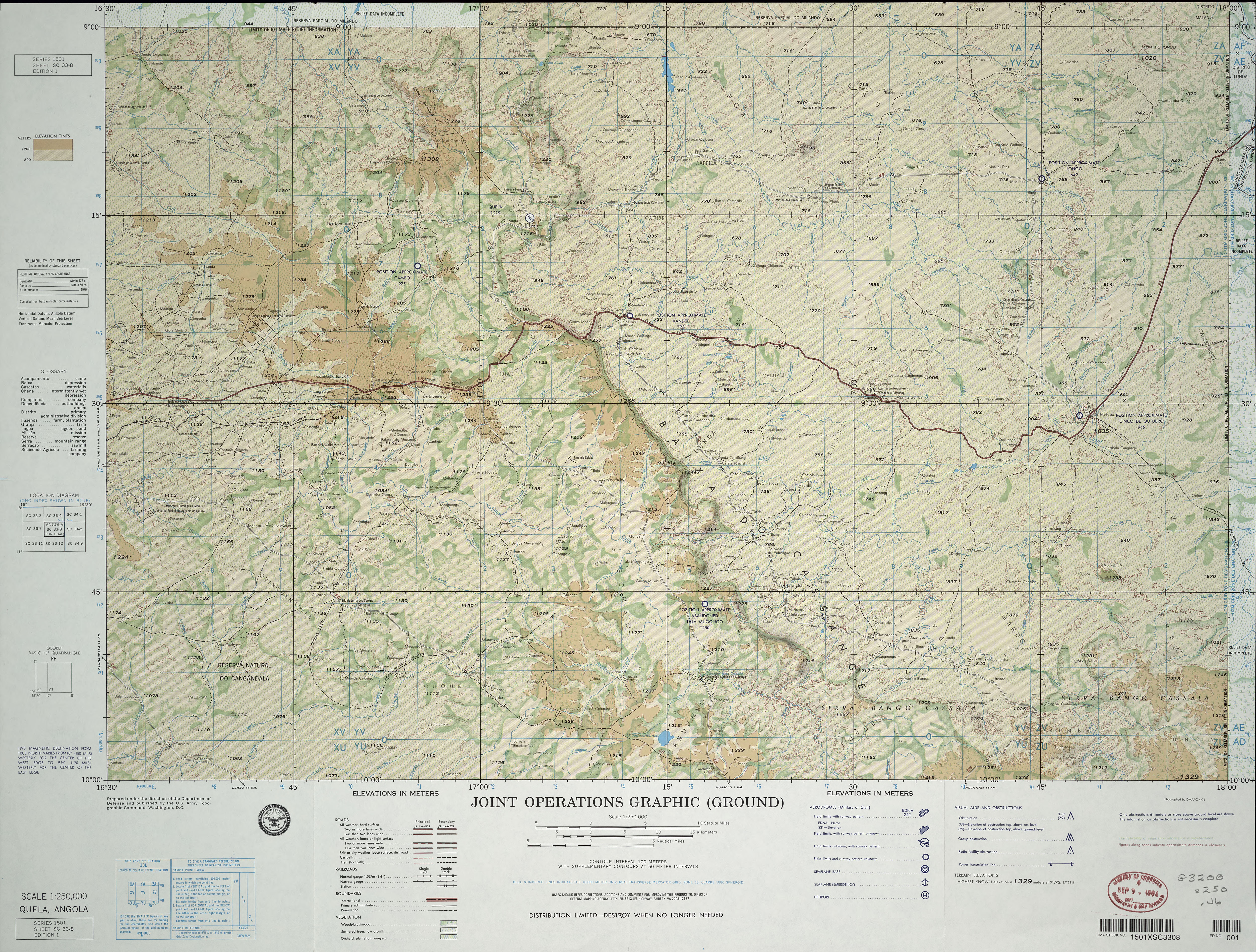
- SC 33-8 Quela, Angola (6.9MB) [JPEG] This map is from the collection of the Library of Congress, Geography and Map Division
- SC 33-8 Quela, Angola (8.8MB) [JPEG]
- SC 33-11 Mussende, Angola (73.9MB) [GeoPDF]
- SC 33-11 Mussende, Angola (8.6MB) [JPEG]
- SC 33-12 Nova Gaia, Angola (6.4MB) [JPEG] This map is from the collection of the Library of Congress, Geography and Map Division
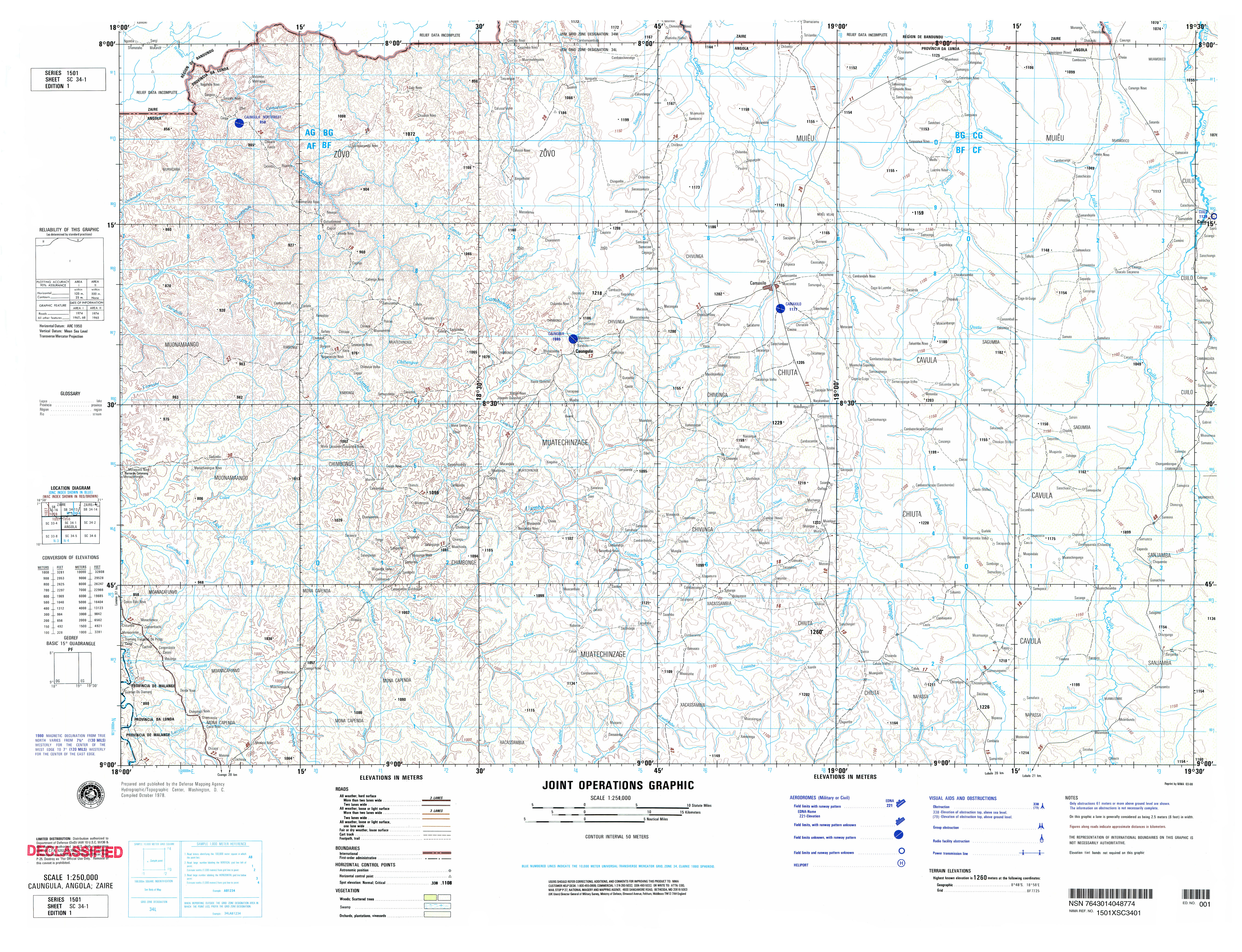
- SC 34-1Caungula, Angola; Zaire (6.5MB) [GeoPDF]
- SC 34-1 Caungula, Angola (5.9MB) [JPEG]
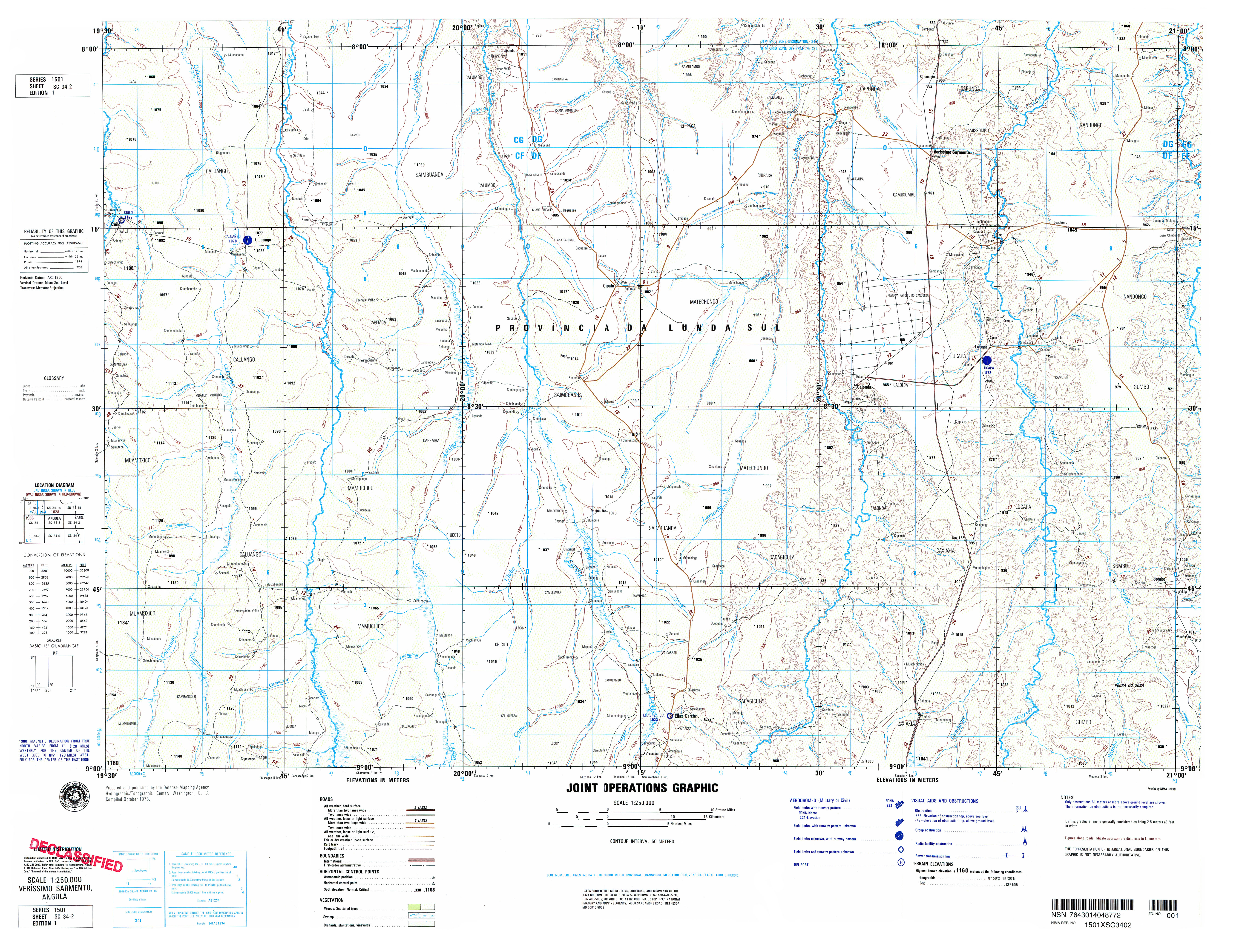
- SC 34-2 Verissimo Sarmento, Angola (5.9MB) [GeoPDF]
- SC 34-2 Verissimo Sarmento, Angola (5.6MB) [JPEG]
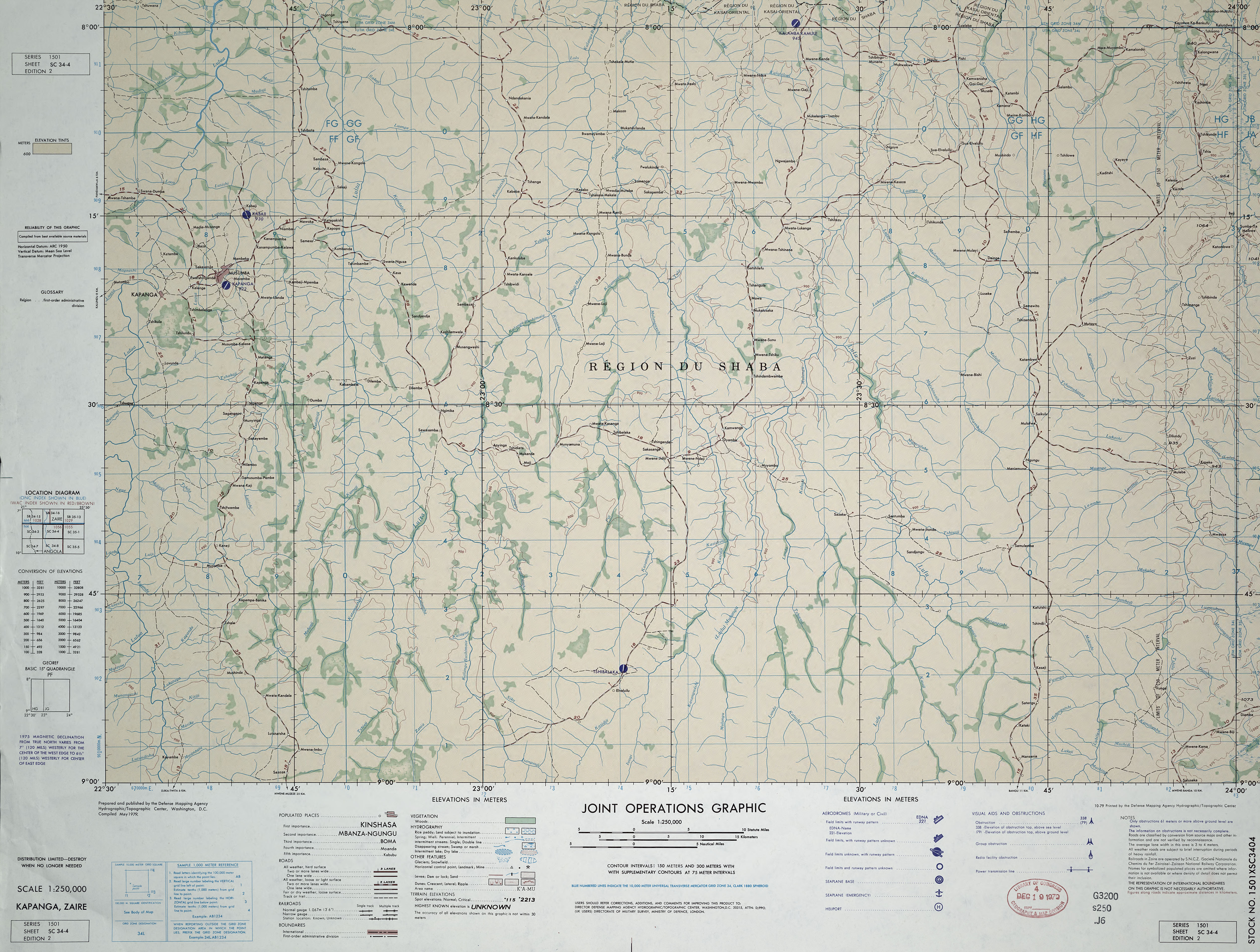
- SC 34-4 Kapanga, Zaire (6.8MB) [JPEG] This map is from the collection of the Library of Congress, Geography and Map Division
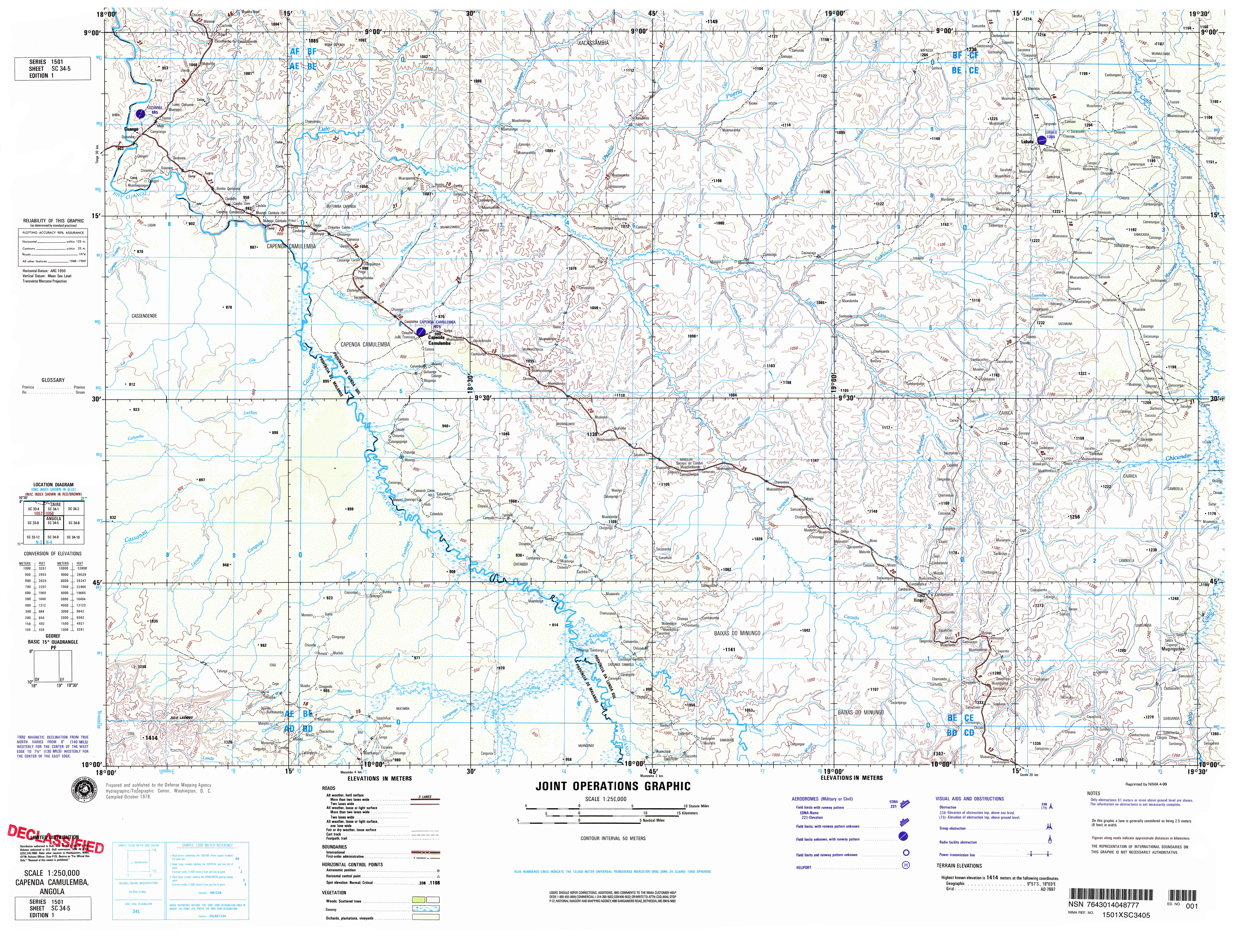
- SC 34-5 Capenda Camulemba, Angola (6.4MB) [GeoPDF]
- SC 34-5 Capenda Camulemba, Angola (6.3MB) [JPEG]
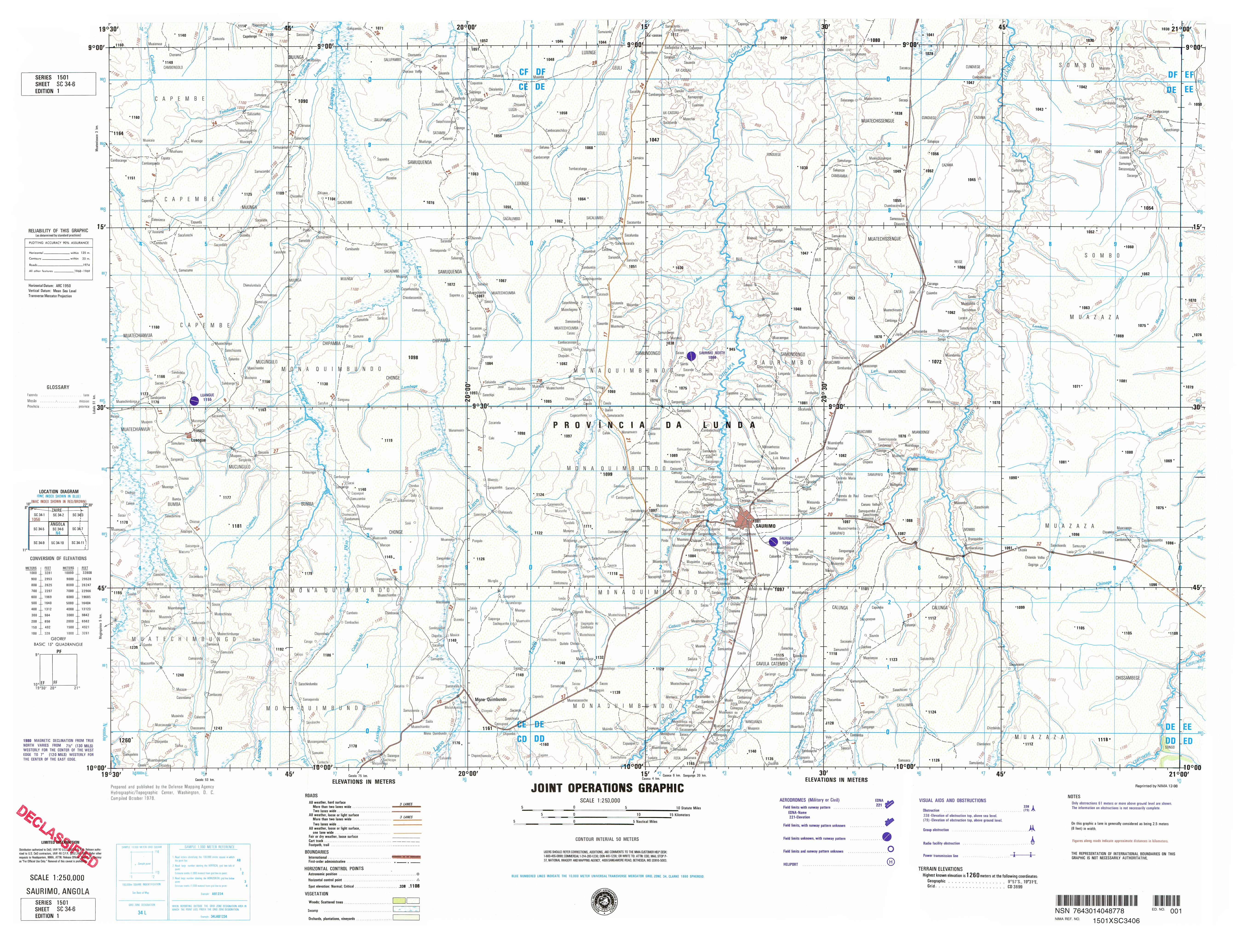
- SC 34-6 Saurimo, Angola (6.5MB) [GeoPDF]
- SC 34-6 Saurimo, Angola (5.1MB) [JPEG]
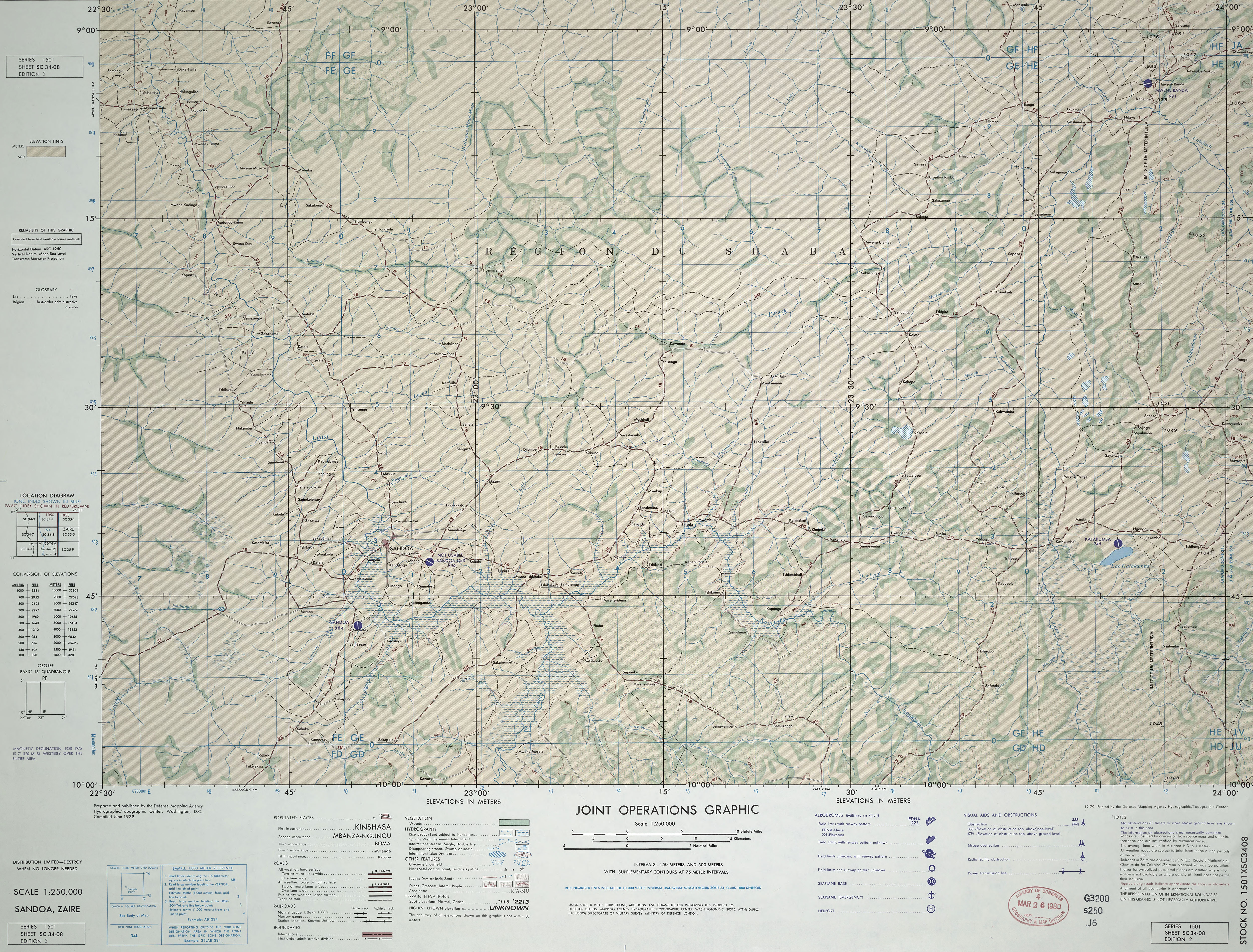
- SC 34-08 Sandoa, Zaire (6.6MB) [JPEG] This map is from the collection of the Library of Congress, Geography and Map Division
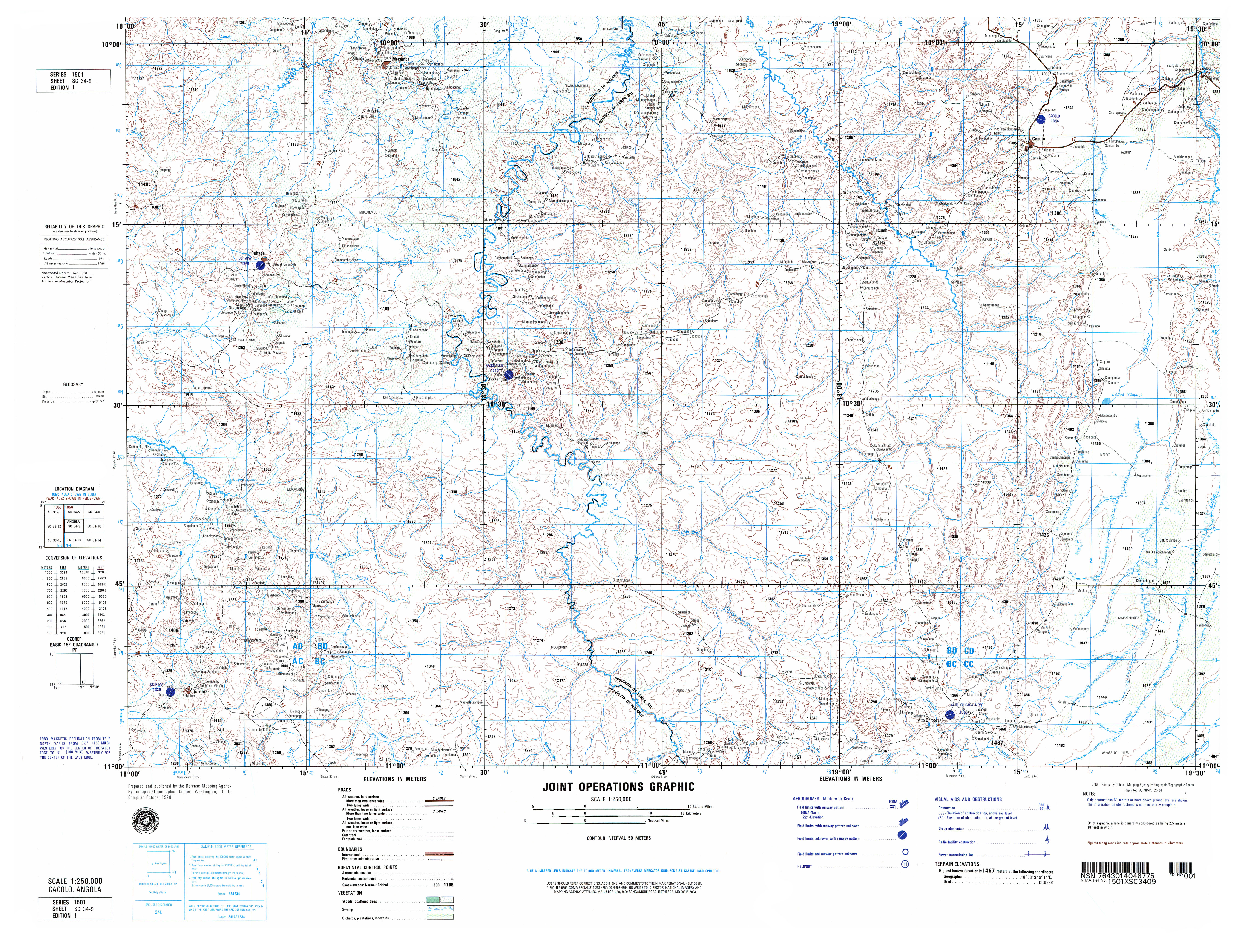
- SC 34-9 Cacolo, Angola (7.1MB) [GeoPDF]
- SC 34-9 Cacolo, Angola (6.7MB)[JPEG]
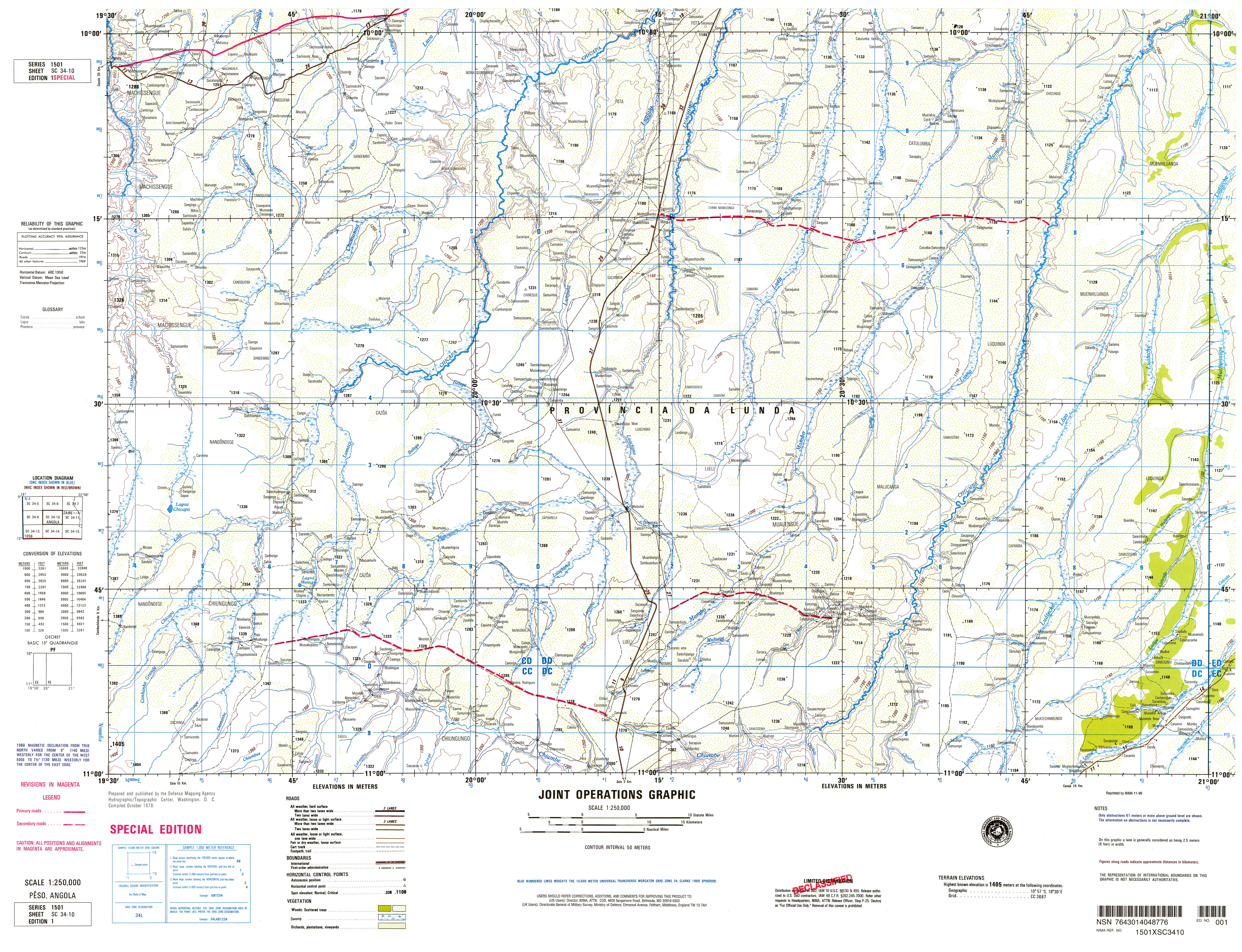
- SC 34-10 Peso, Angola (6.2MB) [GeoPDF]
- SC 34-10 Peso, Angola (7.1MB) [JPEG]
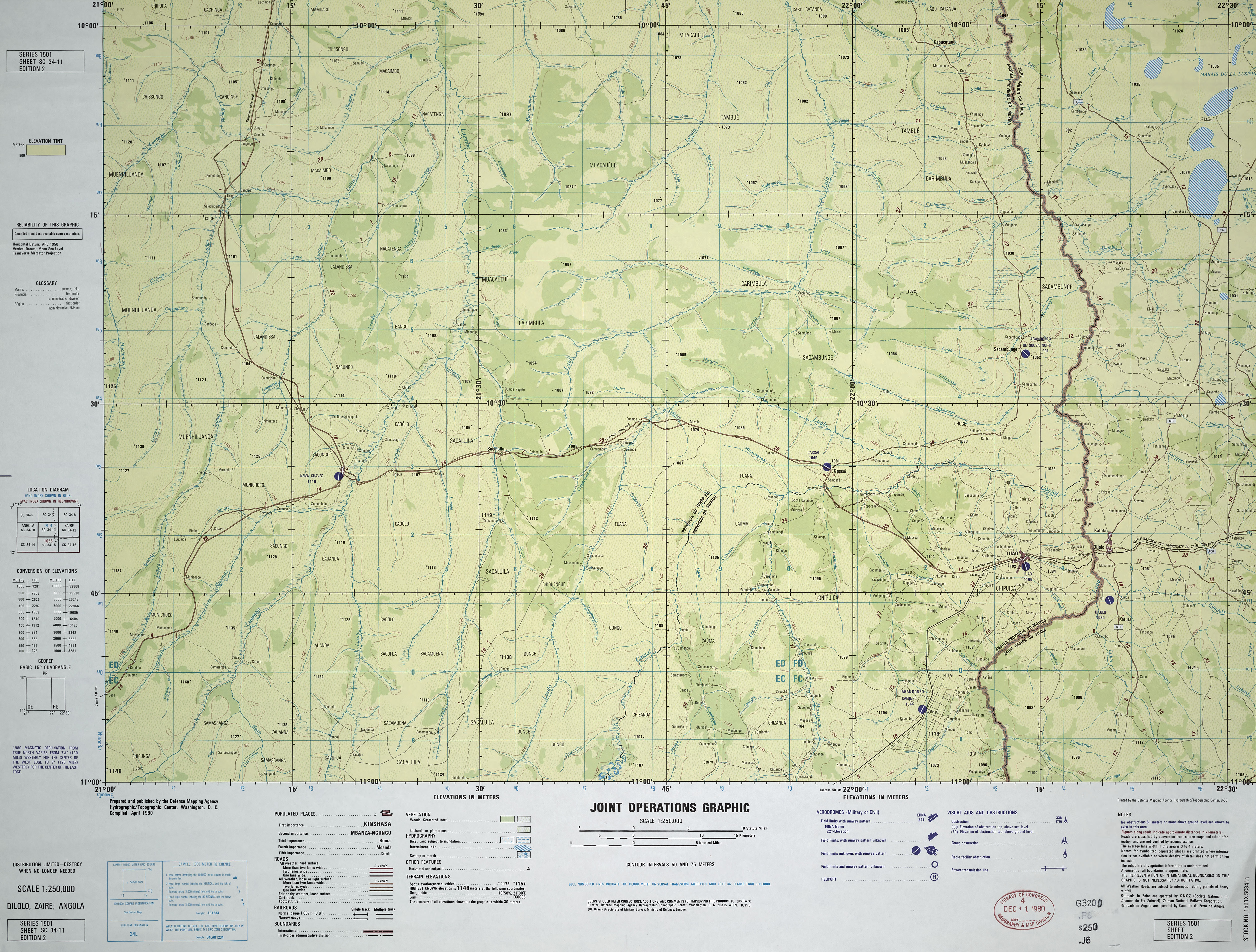
- SC 34-11 Dilolo, Zaire; Angola (4.4MB) [JPEG] This map is from the collection of the Library of Congress, Geography and Map Division
- SC 34-12 Luashi, Zaire; Angola; Zambia (6.7MB) [JPEG] This map is from the collection of the Library of Congress, Geography and Map Division
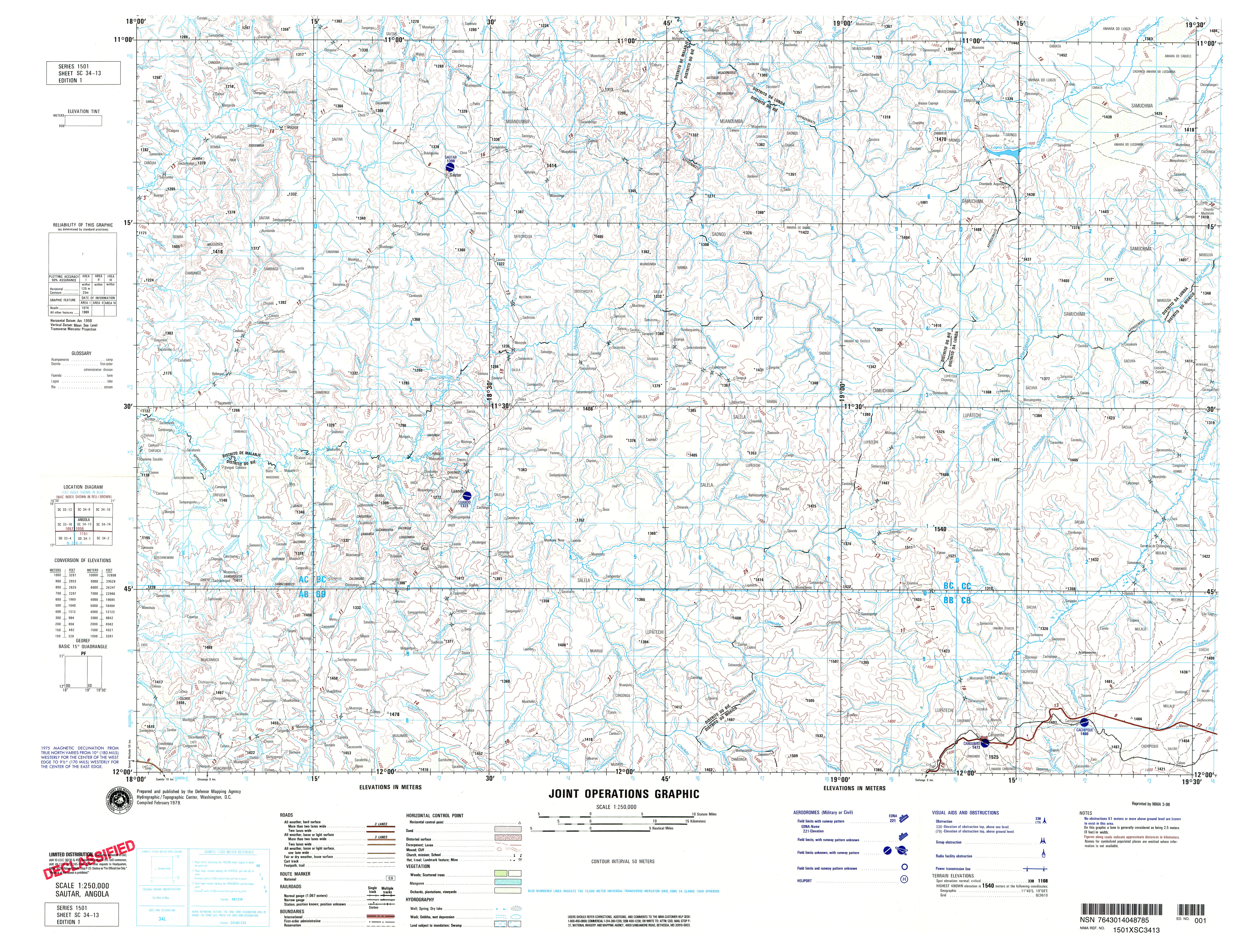
- SC 34-13 Sautar, Angola (6.5MB) [GeoPDF]
- SC 34-13 Sautar, Angola (6.1MB) [JPEG]
- SC 35-14 Shinkolobwe, Zaire; Zambia (18.6MB) [GeoPDF]
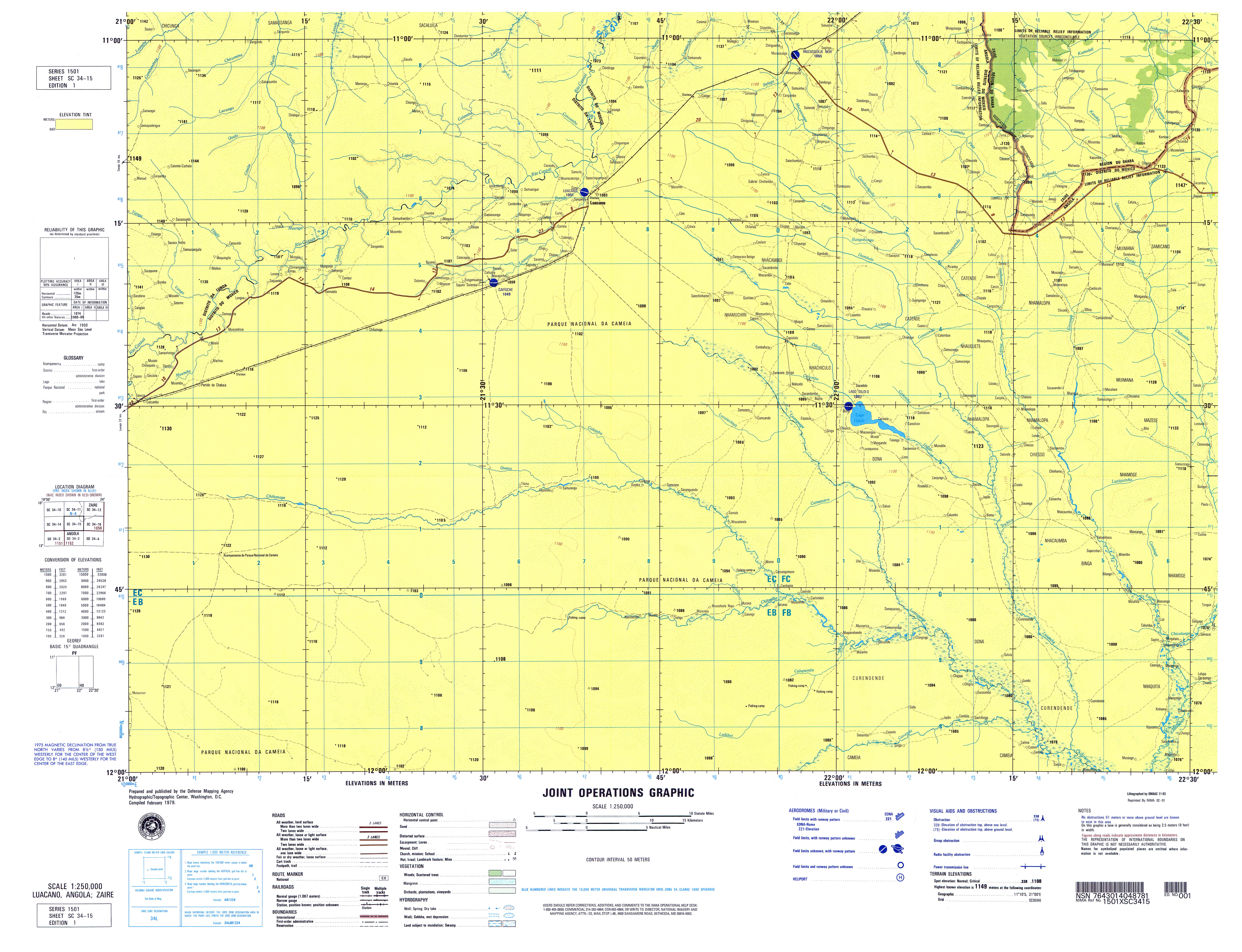
- SC 34-15 Luacano, Angola; Zaire (4.2MB) [GeoPDF]
- SC 34-15Luacano, Angola (5.2MB) [JPEG]
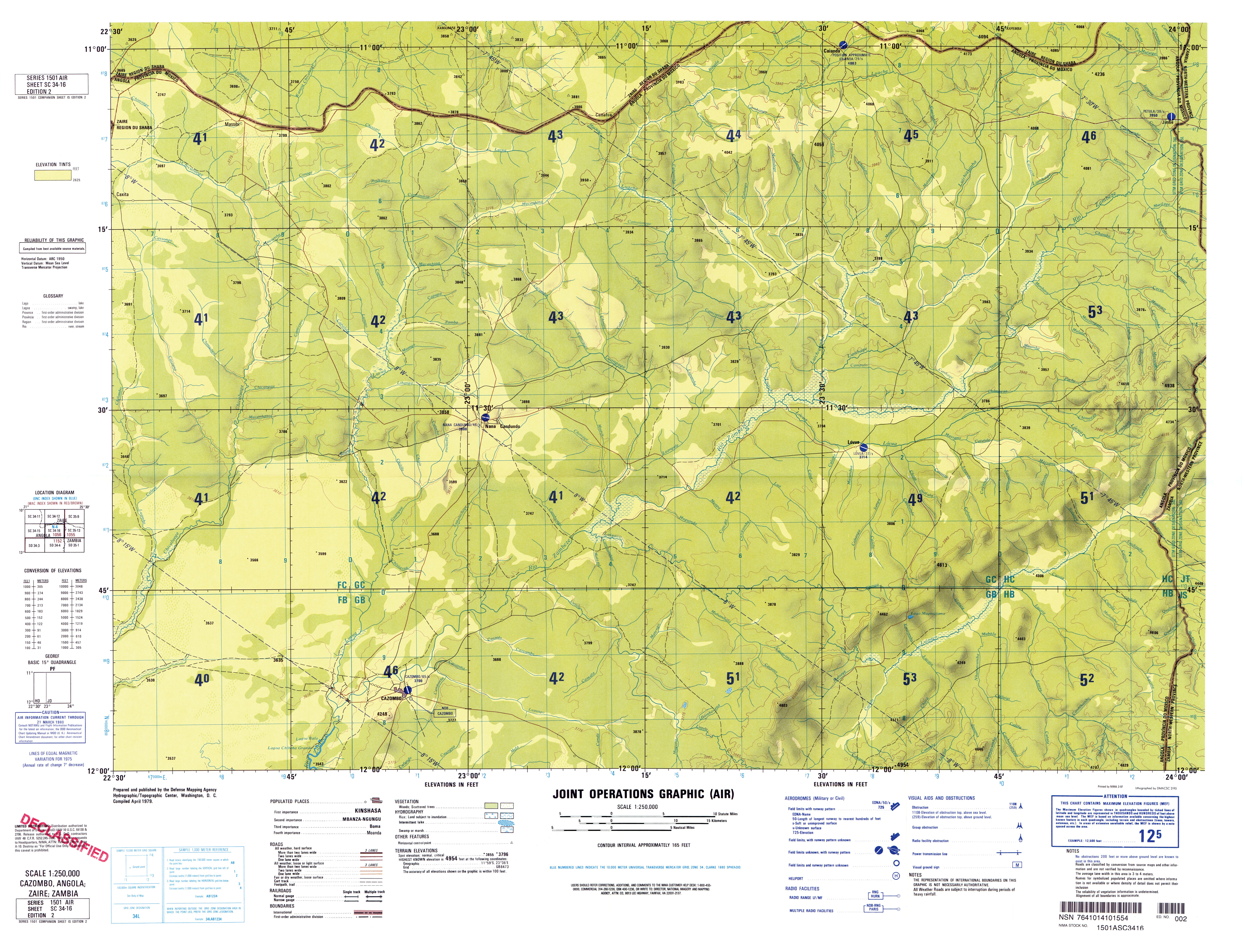
- SC 34-16 Cazombo, Angola; Zaire; Zambia (6.7MB) [GeoPDF]
- SC 34-16 Cazombo, Angola (5.4MB) [JPEG]
- SC 35-1 Kamina, Zaire (10.1MB) [GeoPDF]
- SC 35-2 Lac Upemba, Zaire (9.3MB) [GeoPDF]
- SC 35-5 Kinda, Zaire (8.6MB) [GeoPDF]
- SC 35-6 Bukama, Zaire (8.7MB) [GeoPDF]
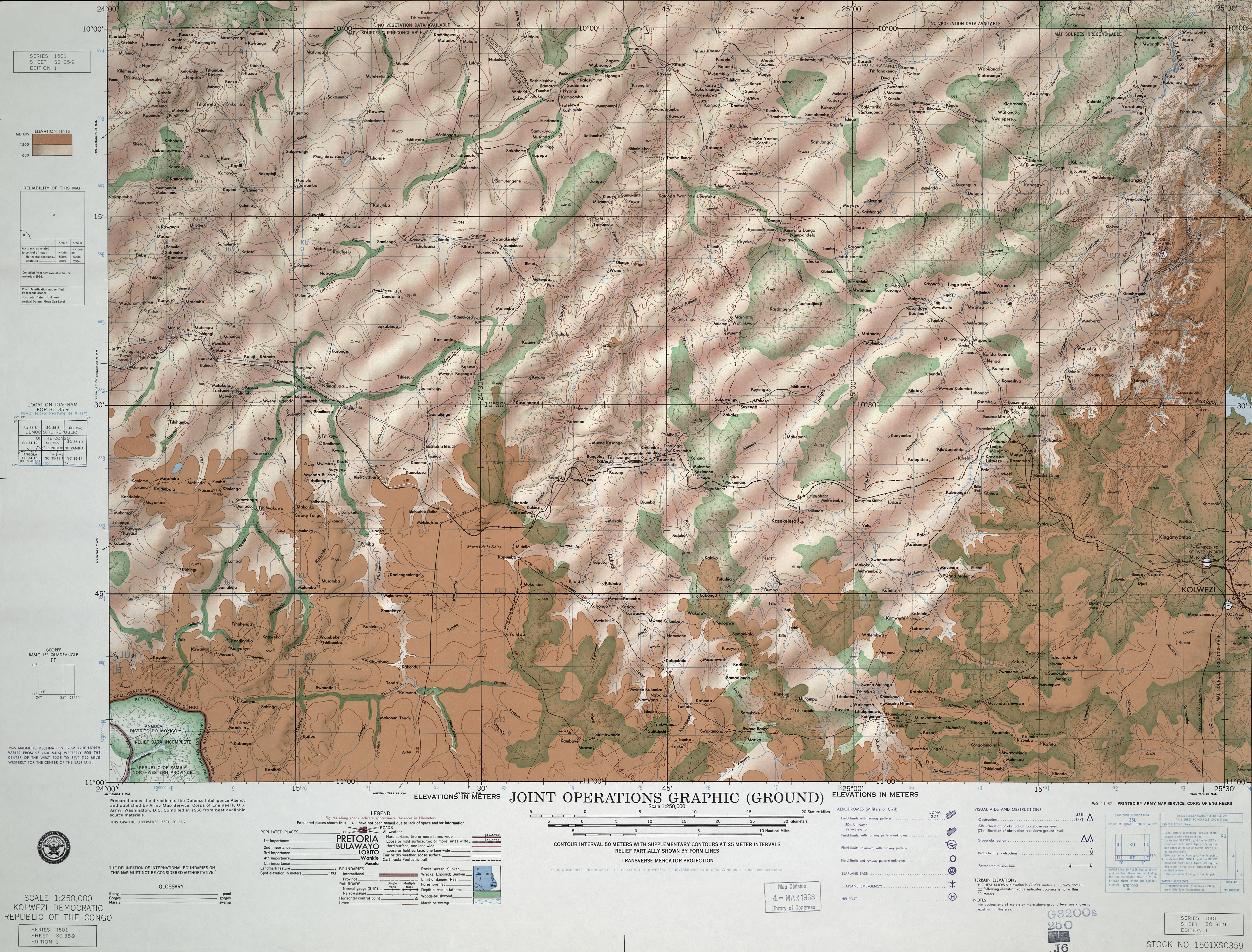
- SC 35-9 Kolwezi, Democratic Republic of Congo (7.2MB) [JPEG] This map is from the collection of the Library of Congress, Geography and Map Division
- SC 35-10 Likasi, Zaire (9.5MB) [GeoPDF]
- SC 35-11 Mwadingusha, Zaire (11.1MB) [GeoPDF]
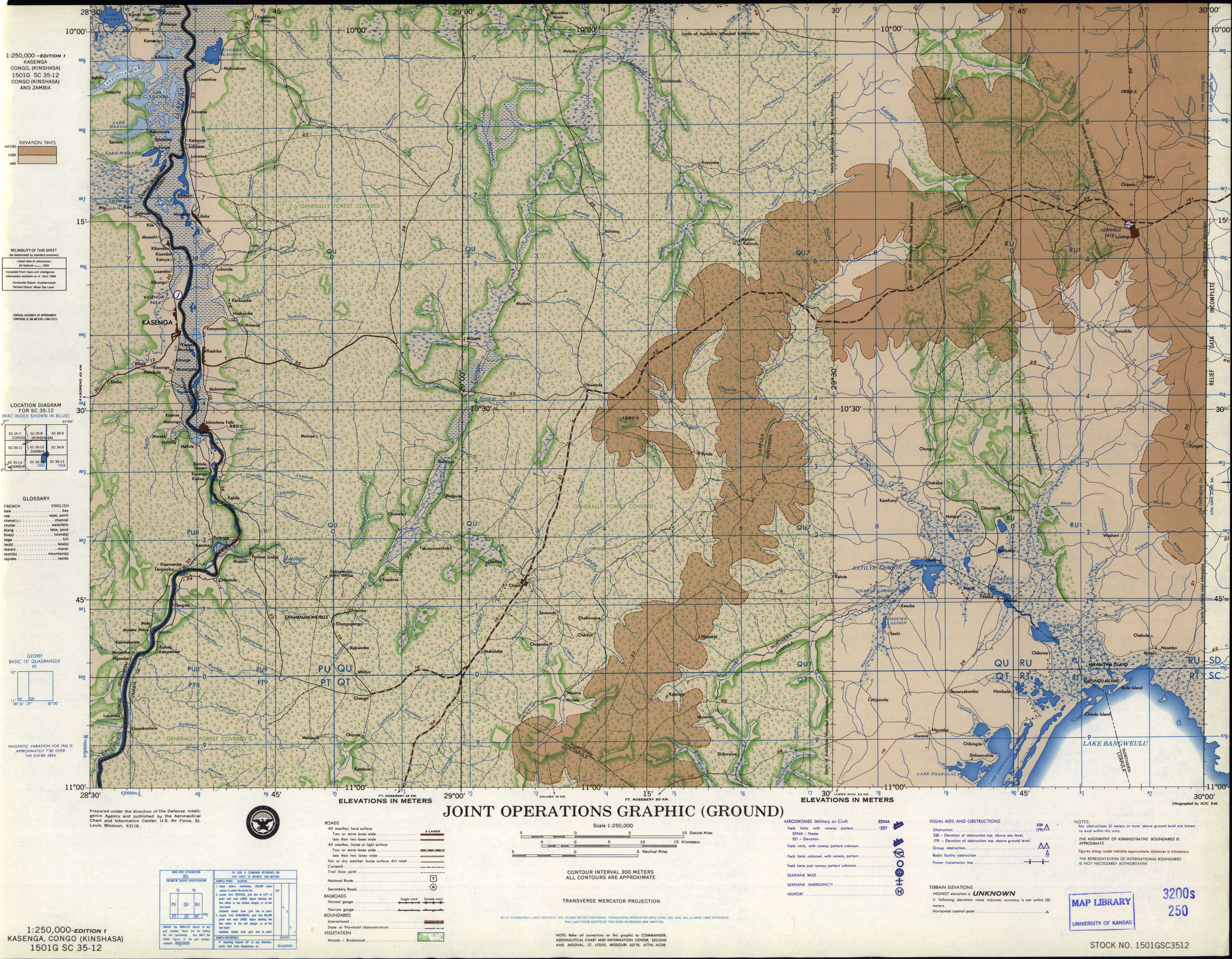
- SC 35-12 Kasenga, Congo (Kinshasa) (5.0 MB) [JPEG]
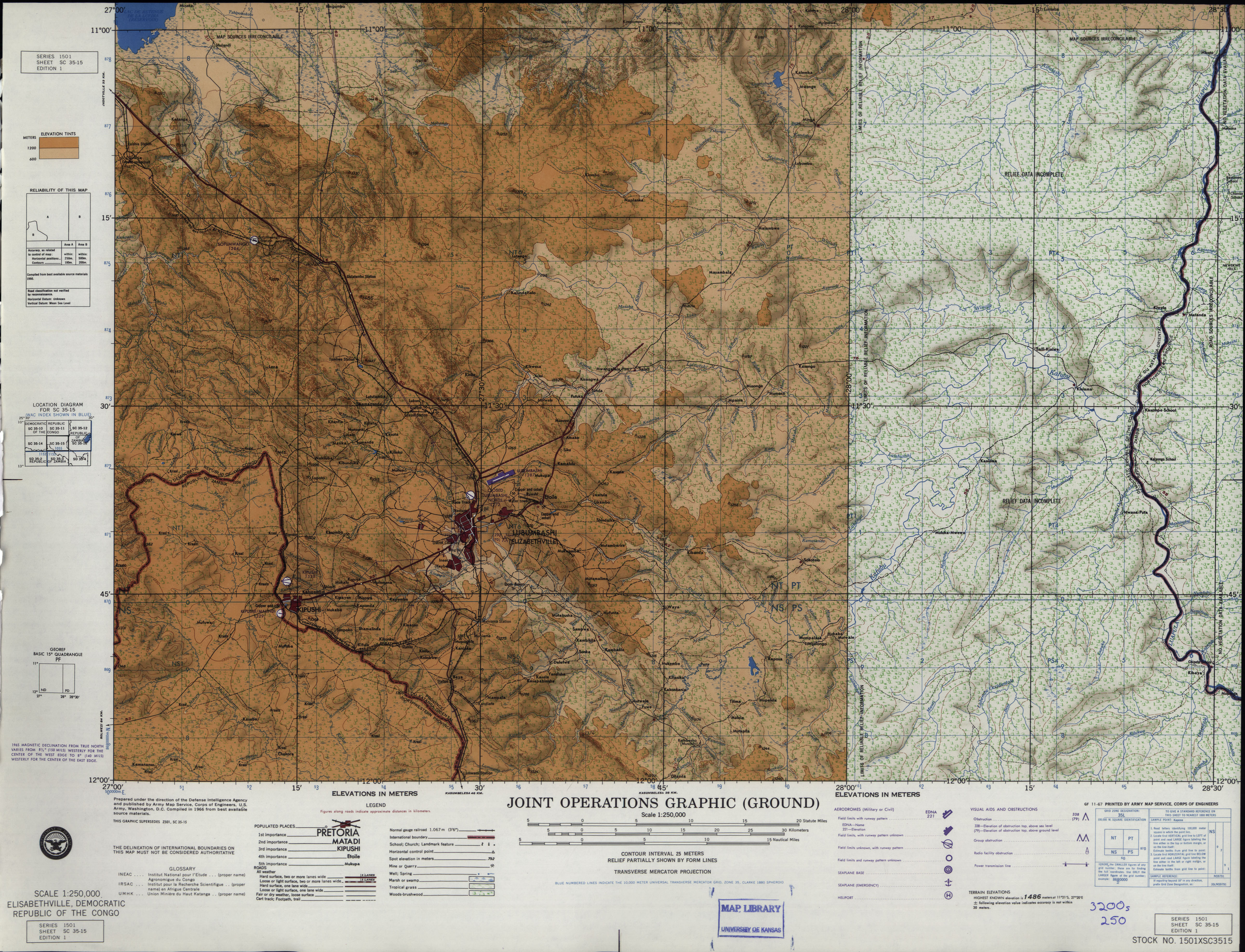
- SC 35-15 Elisabethville, Democratic Republic of the Congo (4.7 MB) [JPEG]
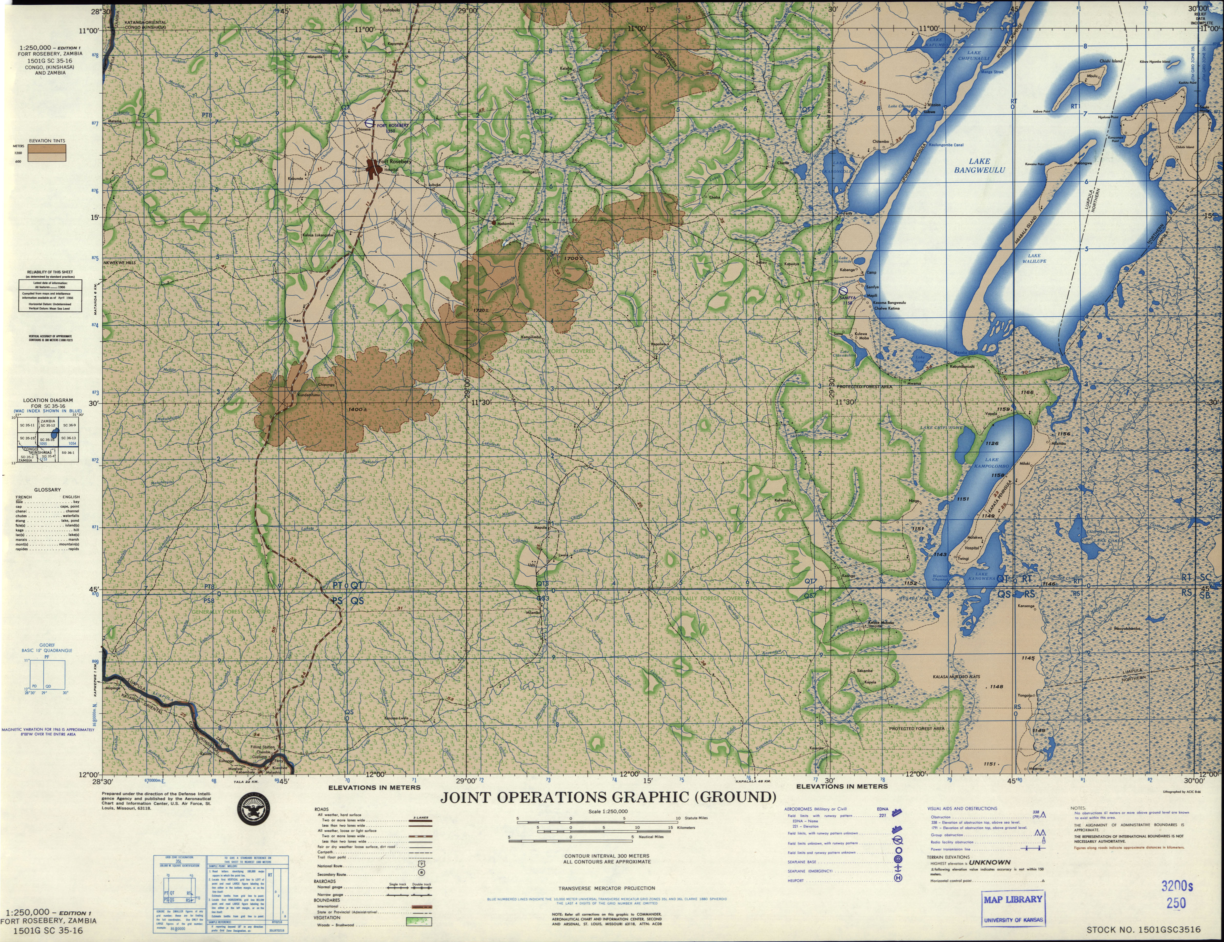
- SC 35-16 Fort Rosebery, Zambia (5.3 MB) [JPEG]
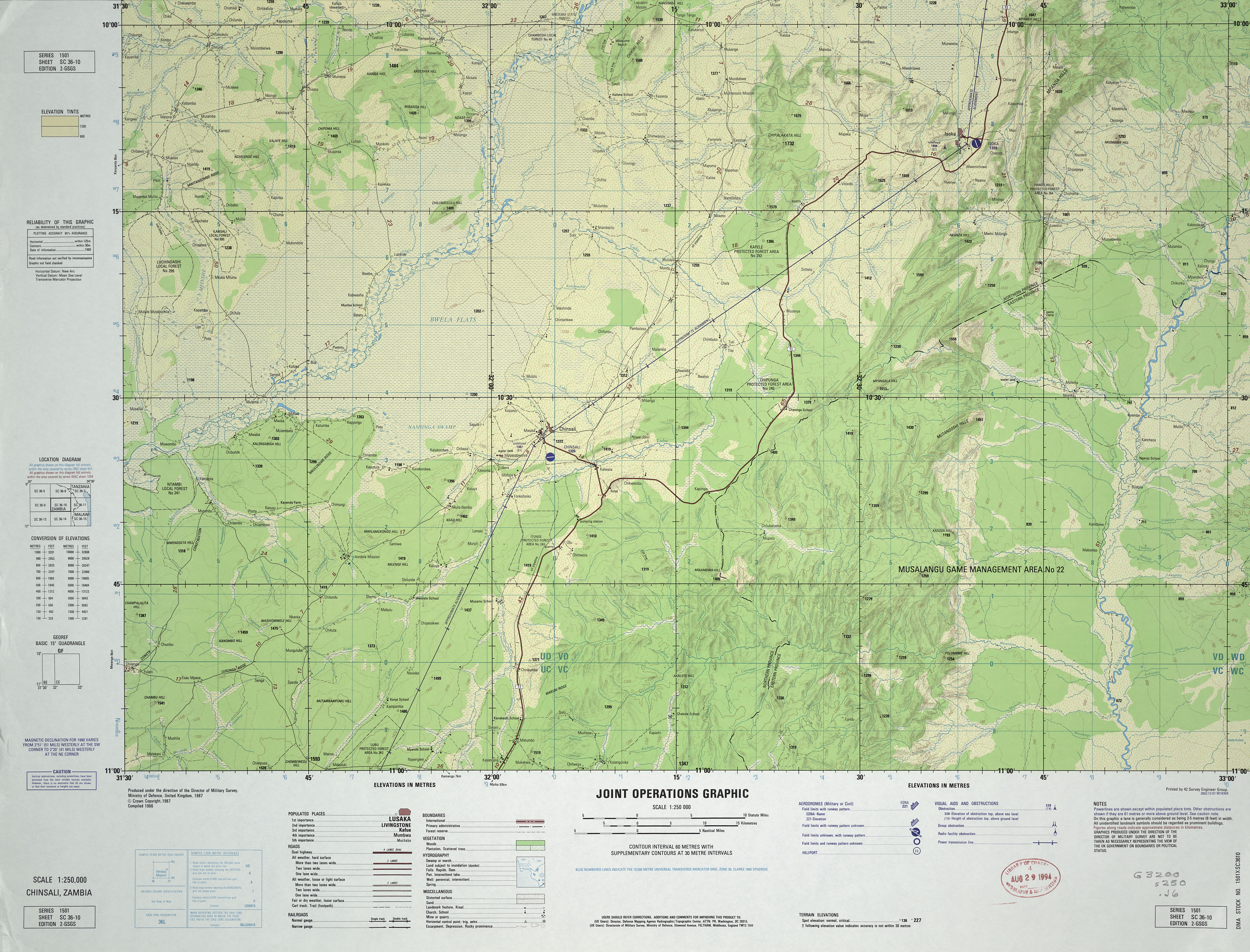
- SC 36-10 Chinsali, Zambia (5.1MB) [JPEG] This map is from the collection of the Library of Congress, Geography and Map Division
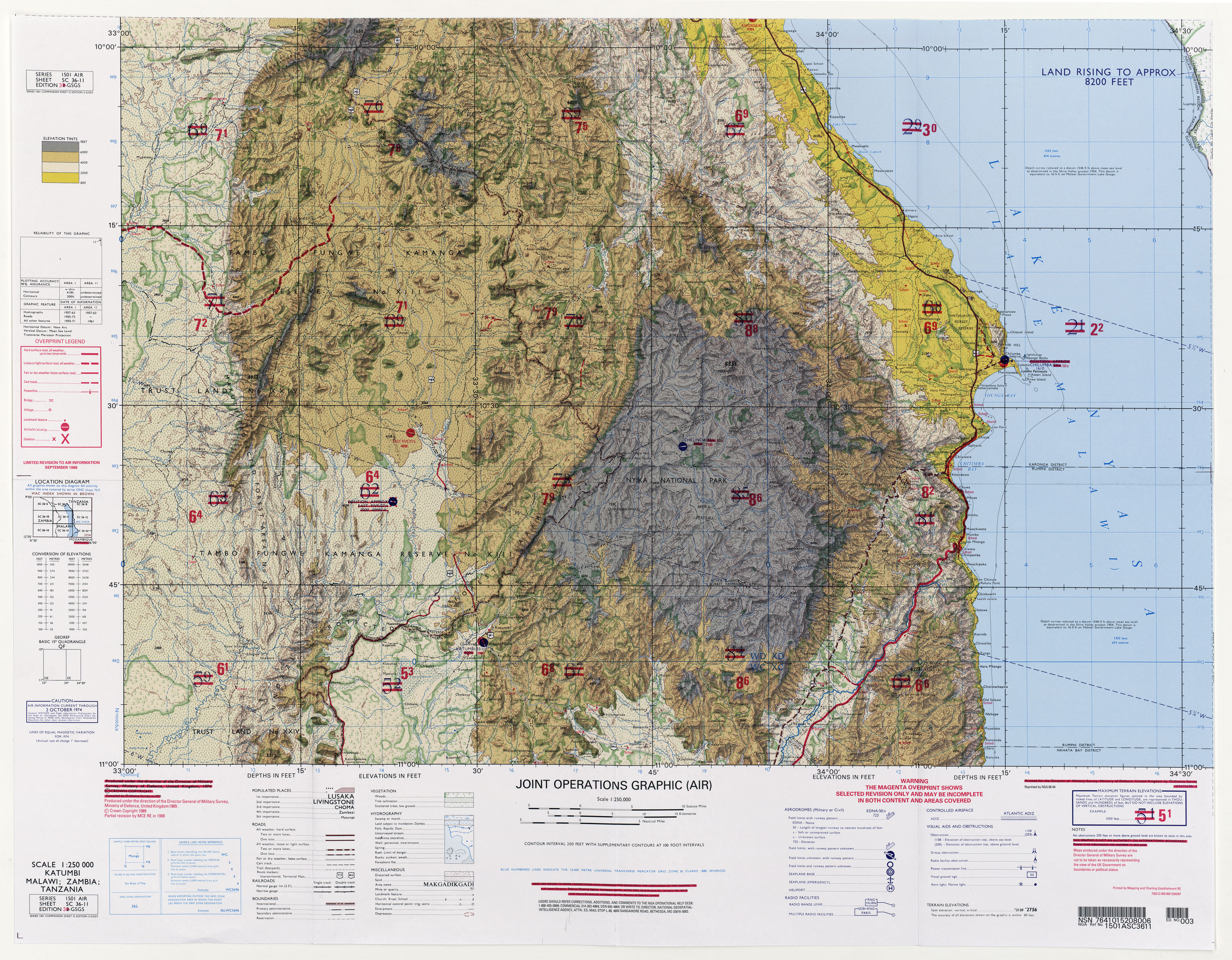
- SC 36-11 Katumbi, Malawi; Zambia; Tanzania (9.3MB) [JPEG] [JPEG]
- SC 36-14 Shiwa Ngandu, Zambia (4.4MB) [JPEG] This map is from the collection of the Library of Congress, Geography and Map Division
- SC 36-16 Mbamba Bay, Tanzania; Malawi (4.6MB) [JPEG] This map is from the collection of the Library of Congress, Geography and Map Division
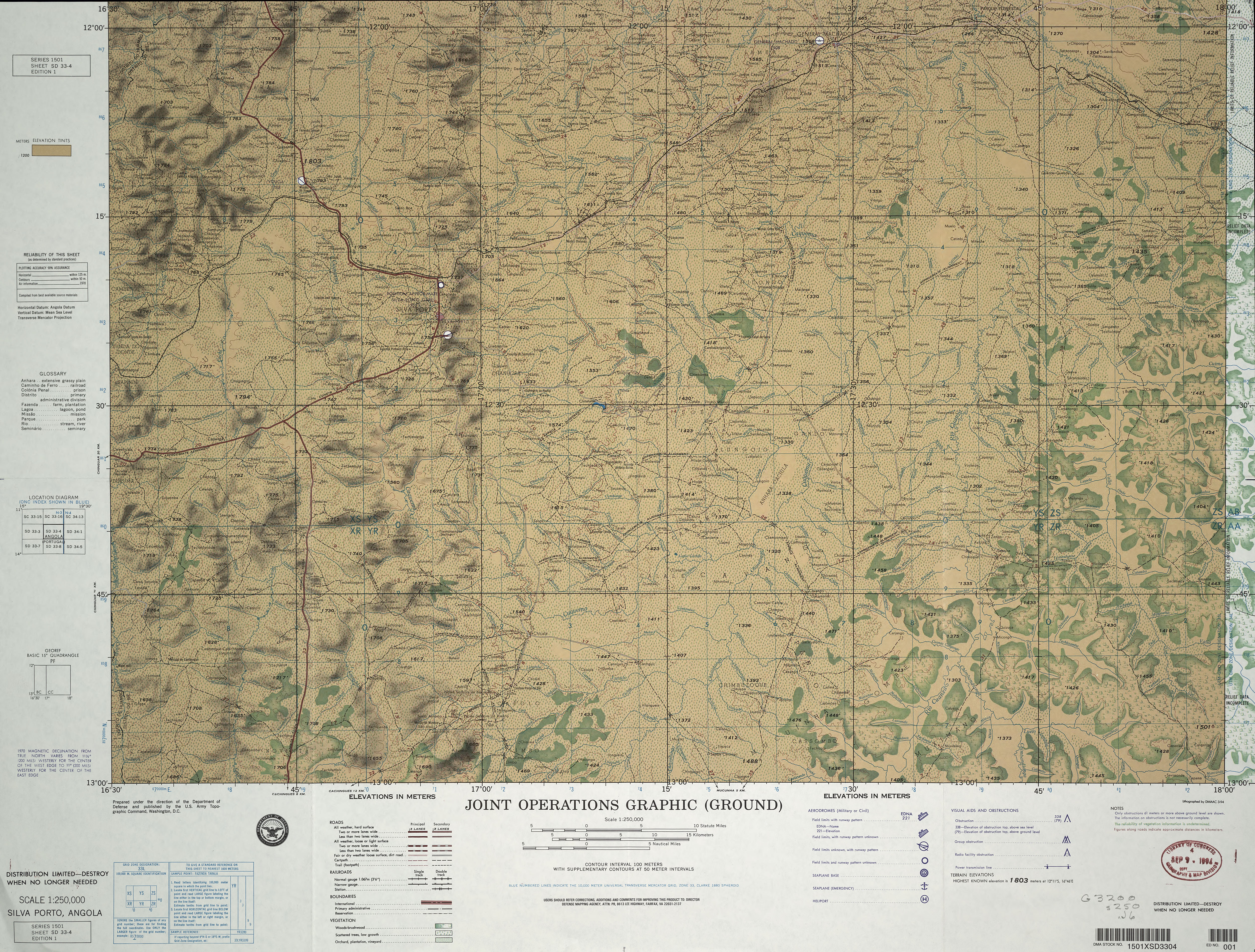
- SD 33-4 Silva Porto, Angola (6.3MB) [JPEG] This map is from the collection of the Library of Congress, Geography and Map Division
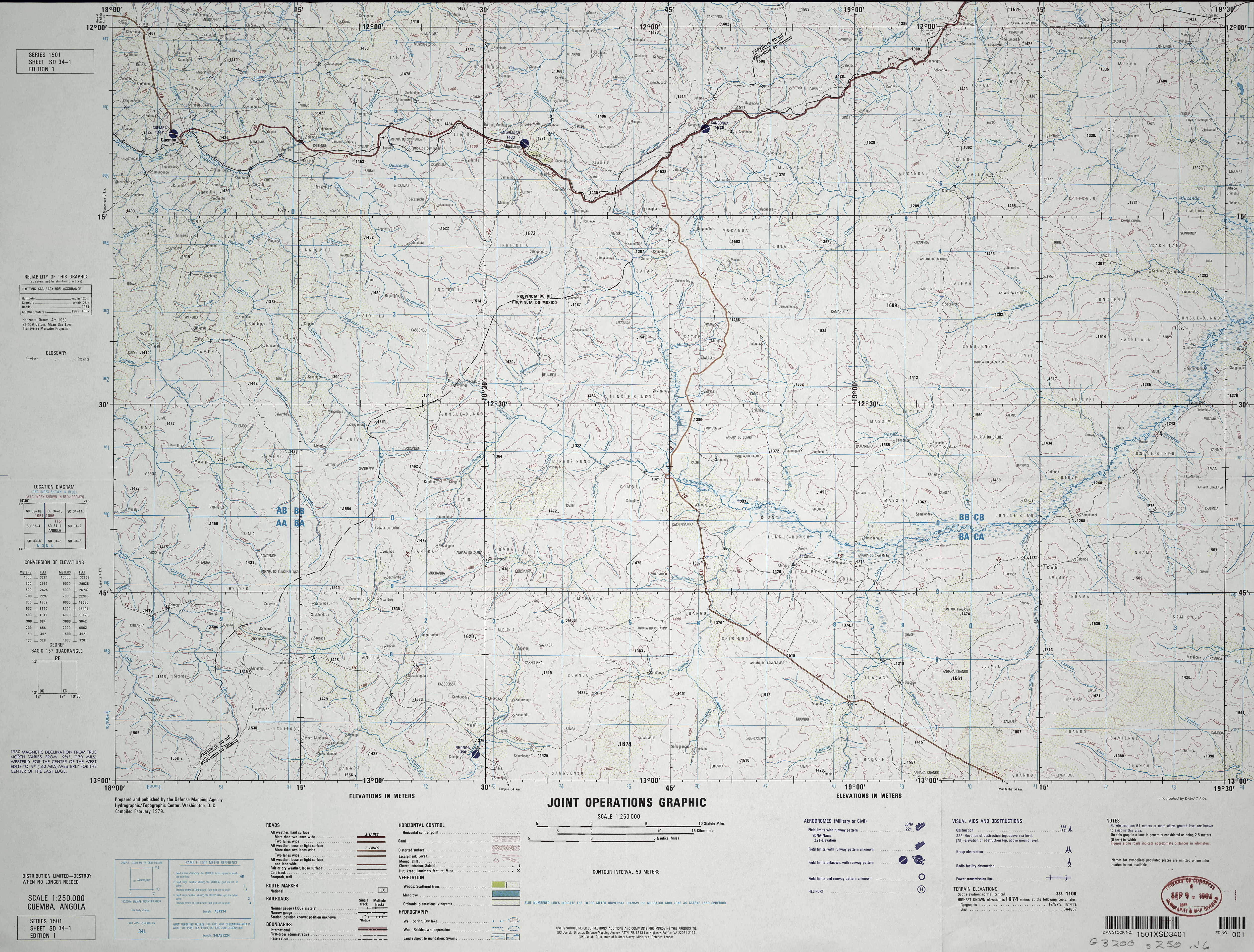
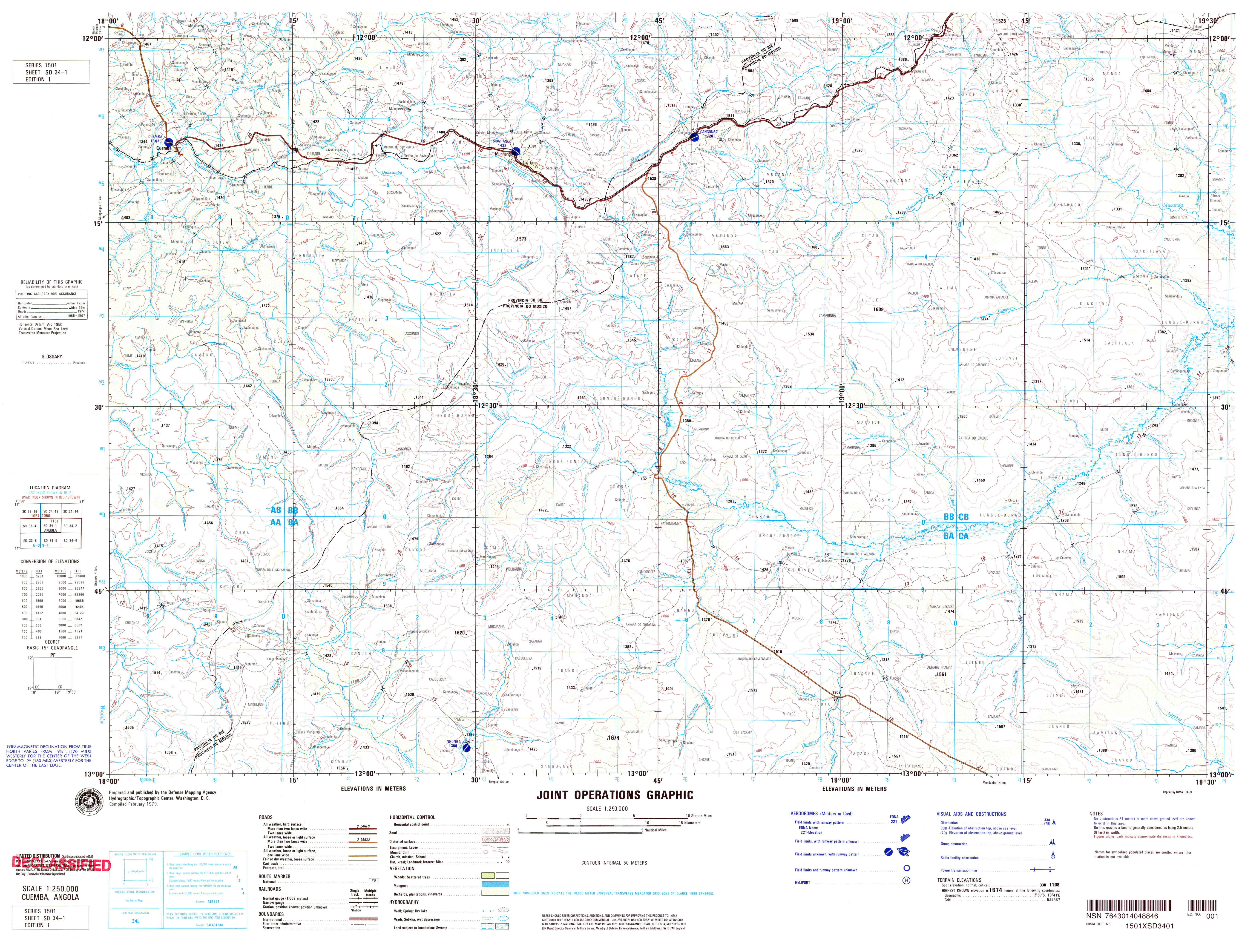
- SD 34-1 Cuemba, Angola (5.8MB) [JPEG] [GeoPDF]
- SD 34-1 Cuemba, Angola (4.8MB) [JPEG] This map is from the collection of the Library of Congress, Geography and Map Division
- SD 34-1 Cuemba, Angola (5.3MB) [JPEG] Map from store.usgs.gov [JPEG]
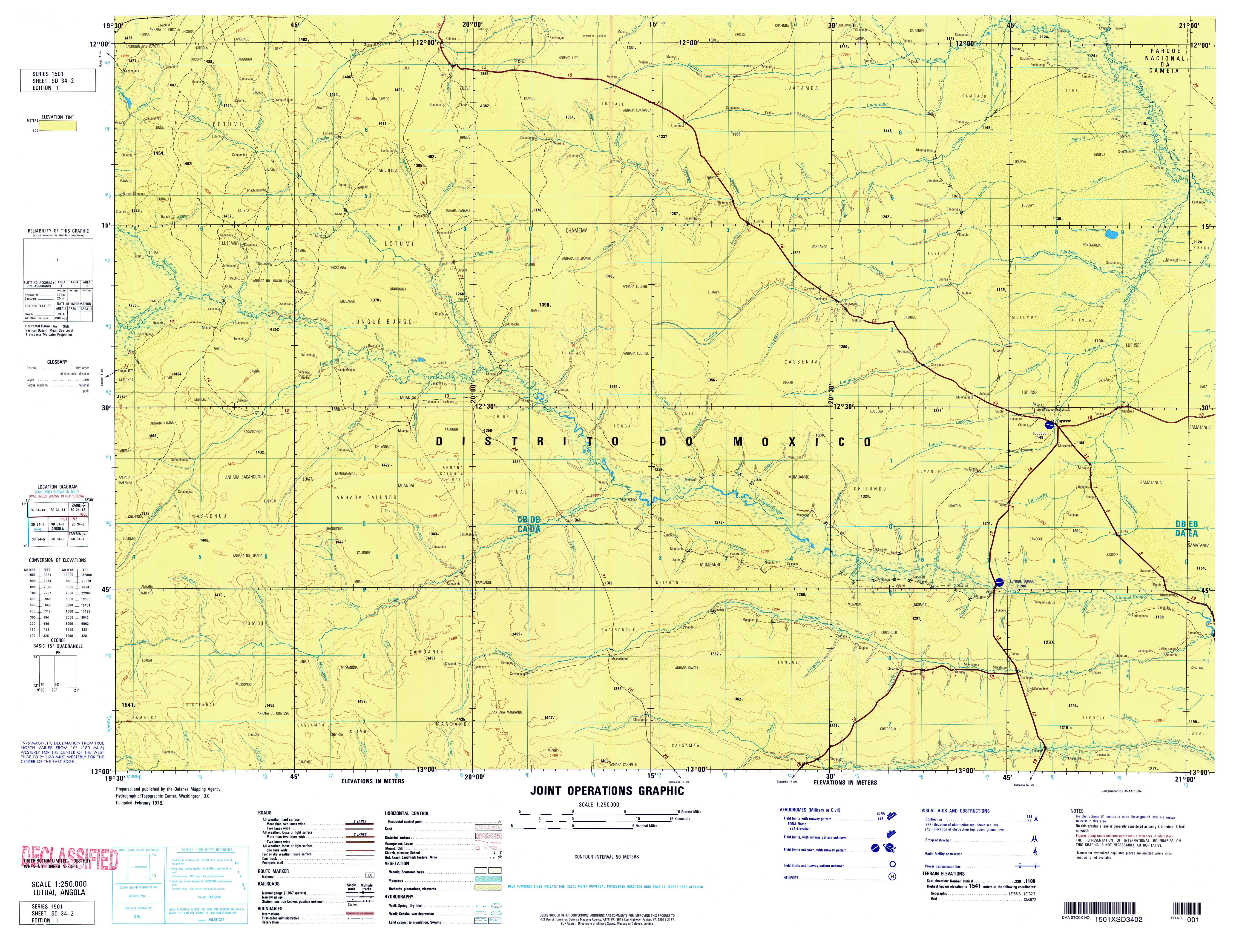
- SD 34-2 Lutual, Angola (4.6MB) [GeoPDF]
- SD 34-2 Lutuai, Angola (5.4MB) [JPEG]
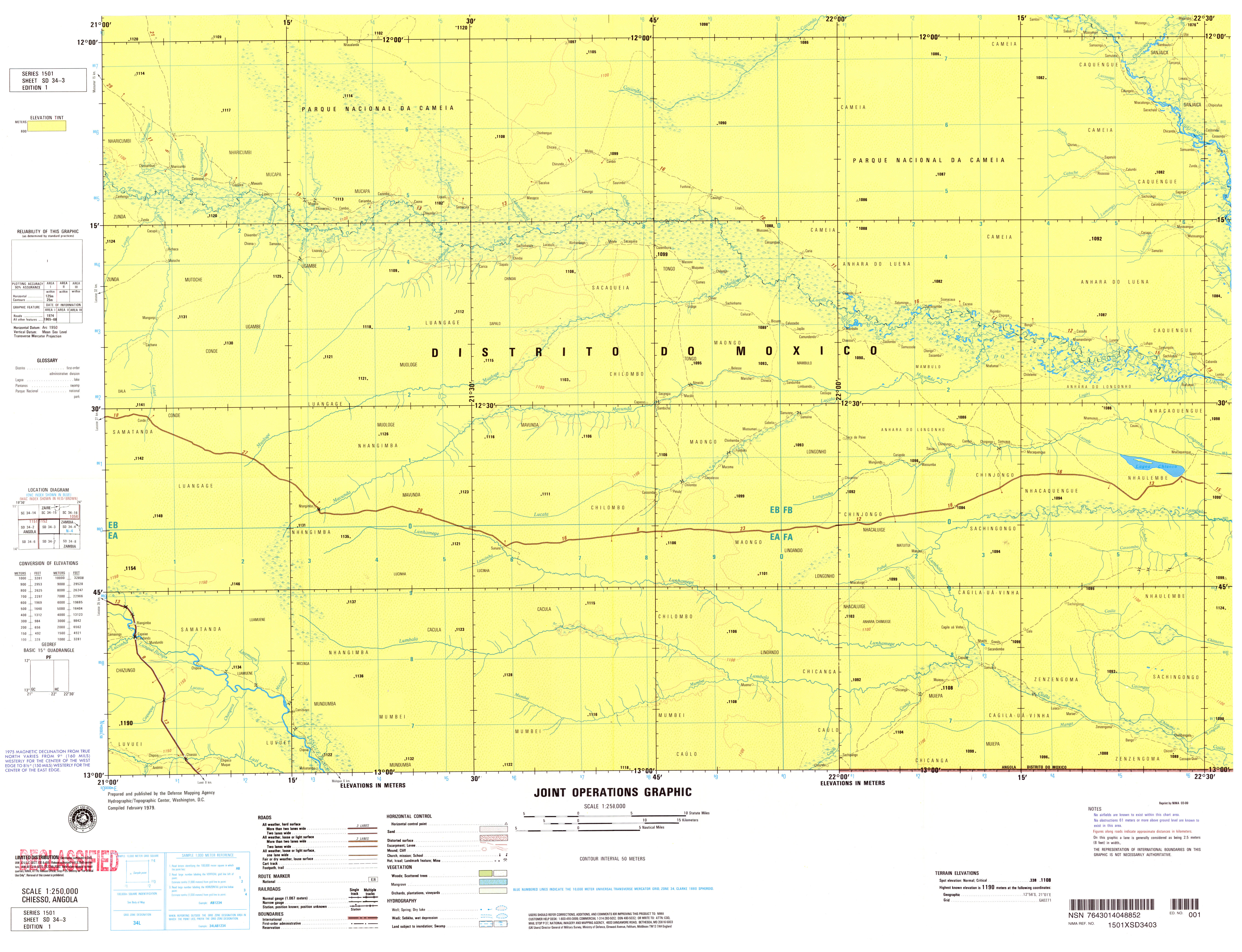
- SD 34-3 Chiesso, Angola (4.4MB) [GeoPDF]
- SD 34-3 Chiesso, Angola (4.1MB) [JPEG]
- SD 34-4 Lumbala, Angola; Zambia (5.0MB) [GeoPDF]
- SD 34-4 Lumbala, Angola (4.5MB) [JPEG]
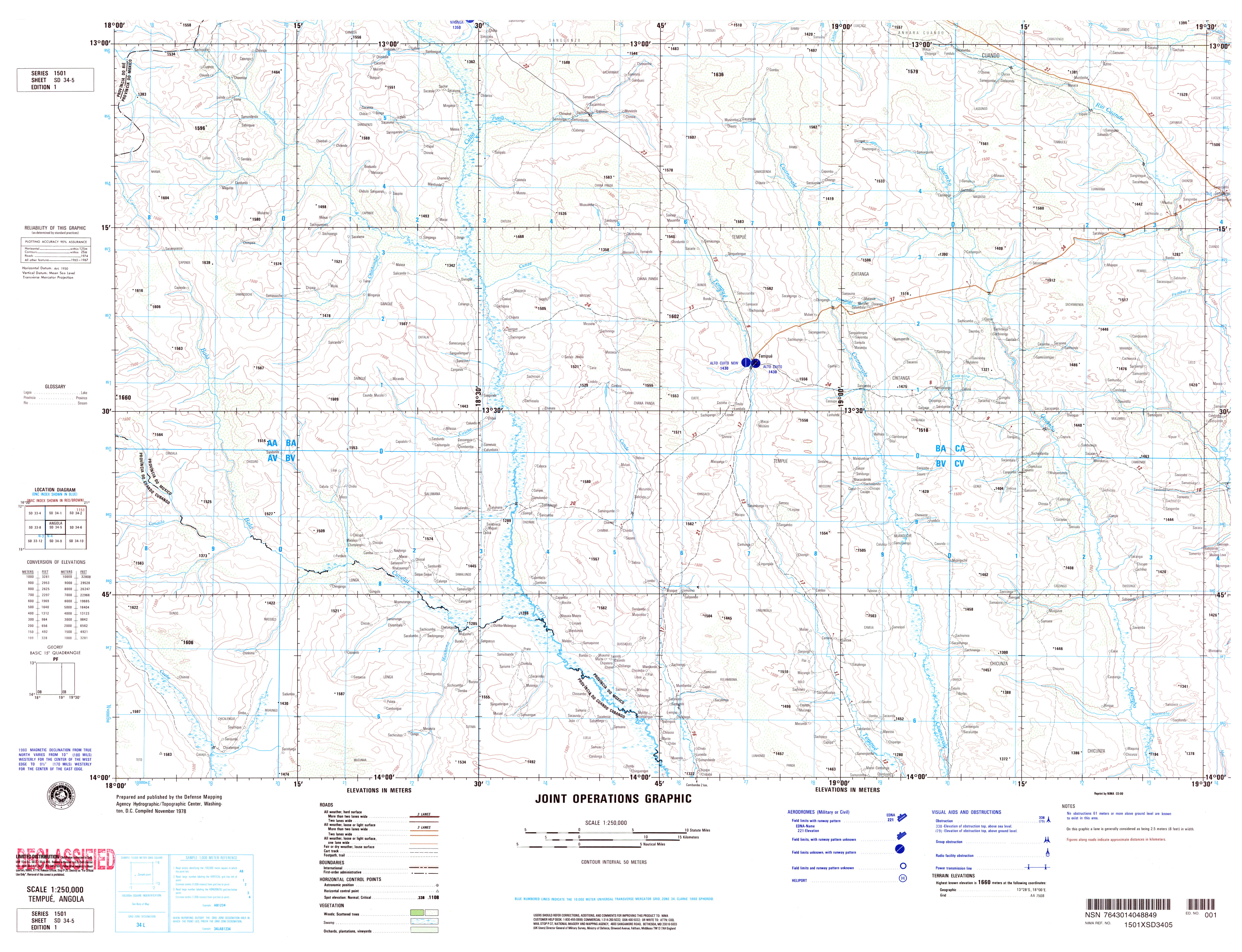
- SD 34-5 Tempue, Angola (6.5MB) [GeoPDF]
- SD 34-5 Tempue, Angola (4.7MB)[JPEG]
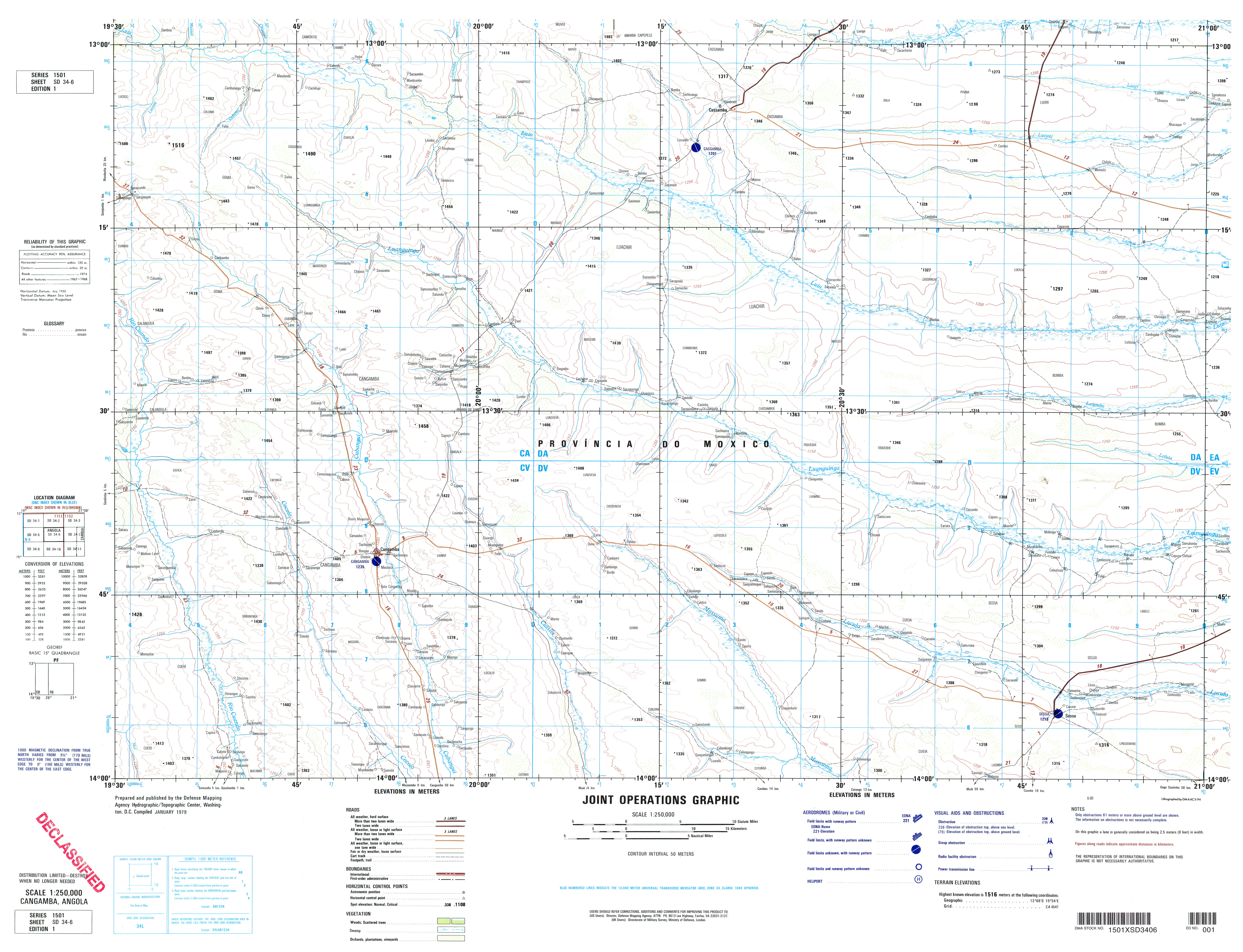
- SD 34-6 Cangamba, Angola (4.6MB) [GeoPDF]
- SD 34-6 Cangamba, Angola (4.1MB) [JPEG]
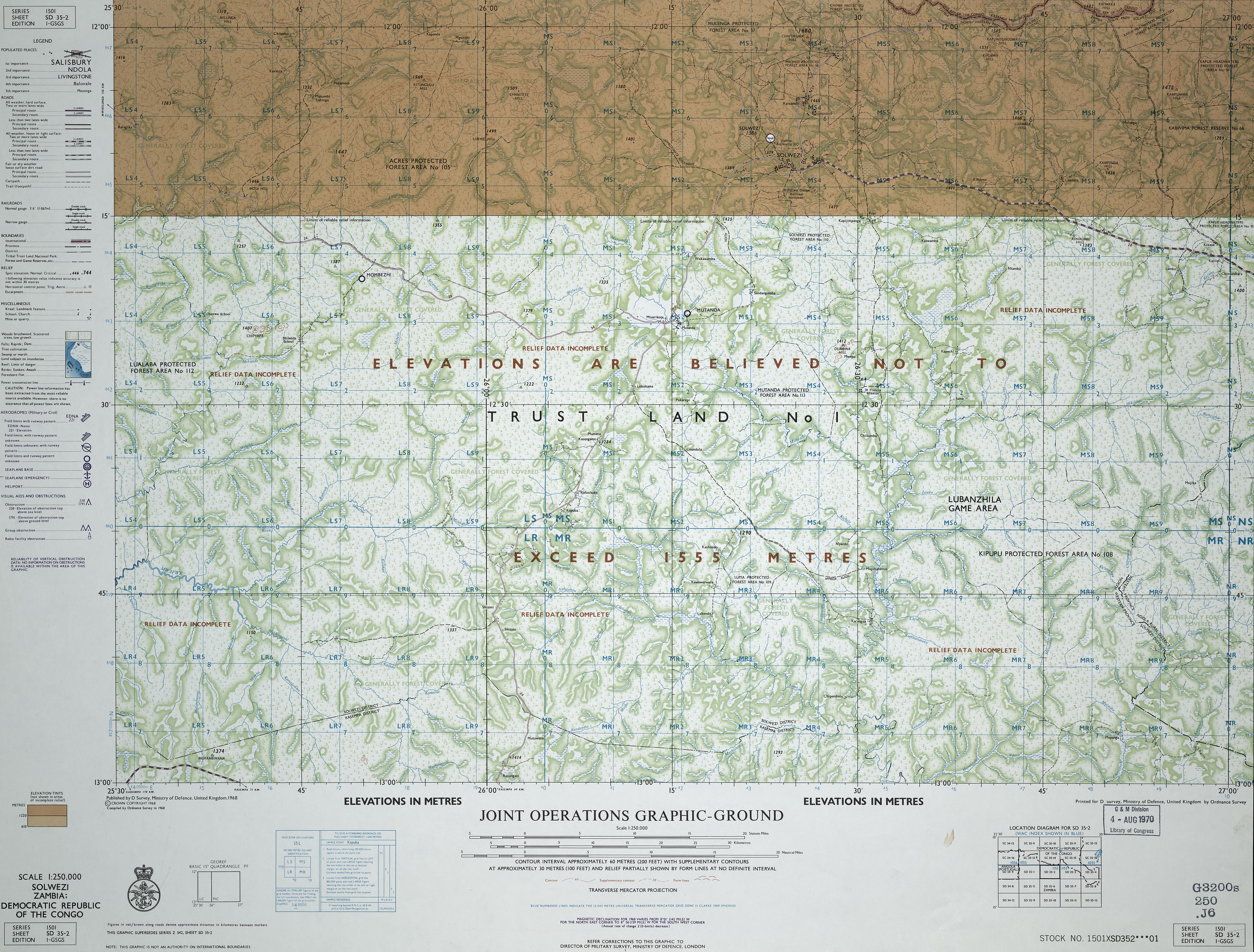
- SD 35-2 Solwezi, Zambia; Democratic Republic of the Congo (4.9MB) [JPEG] This map is from the collection of the Library of Congress, Geography and Map Division
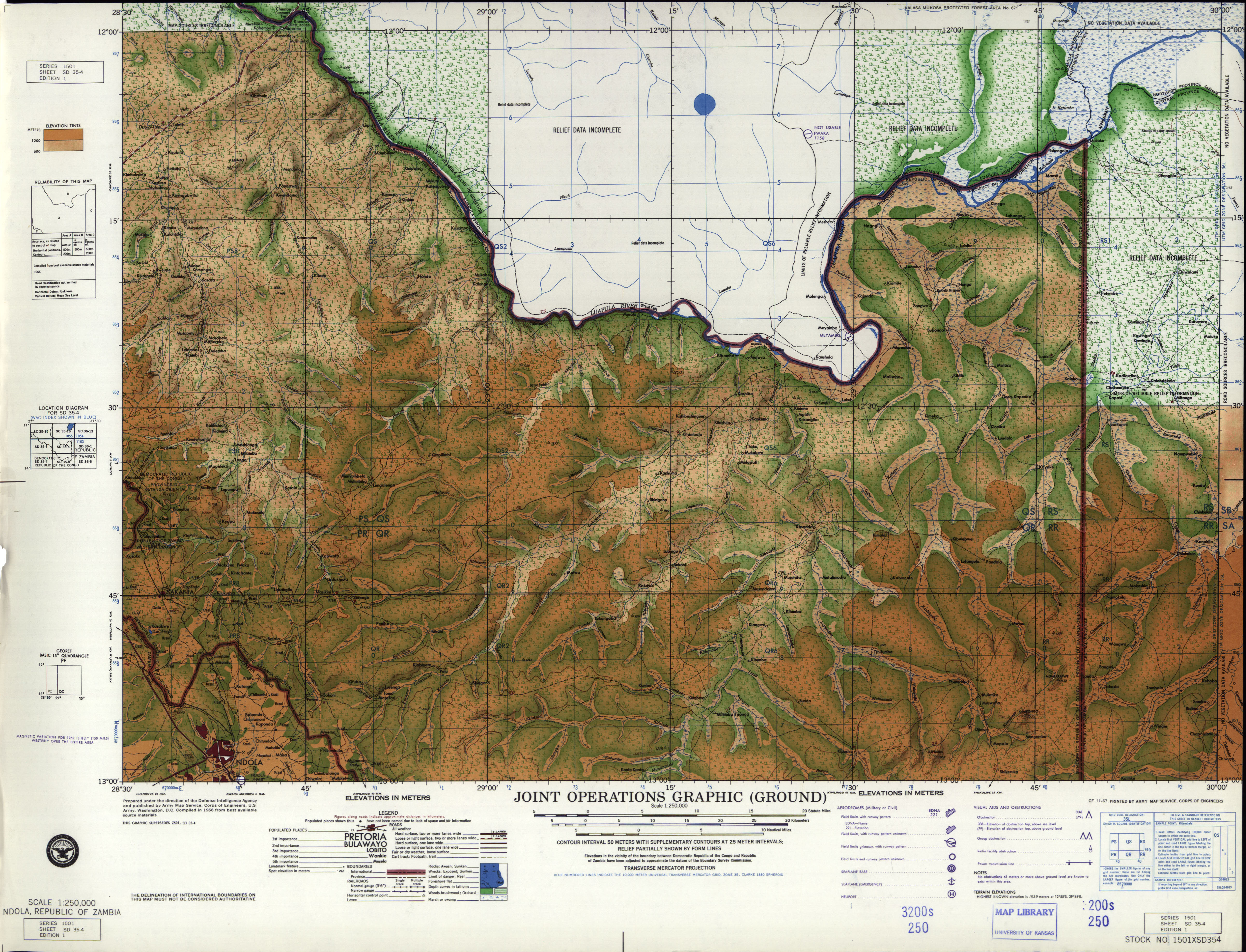
- SD 35-4 Ndola, Zambia (4.7 MB) [JPEG]
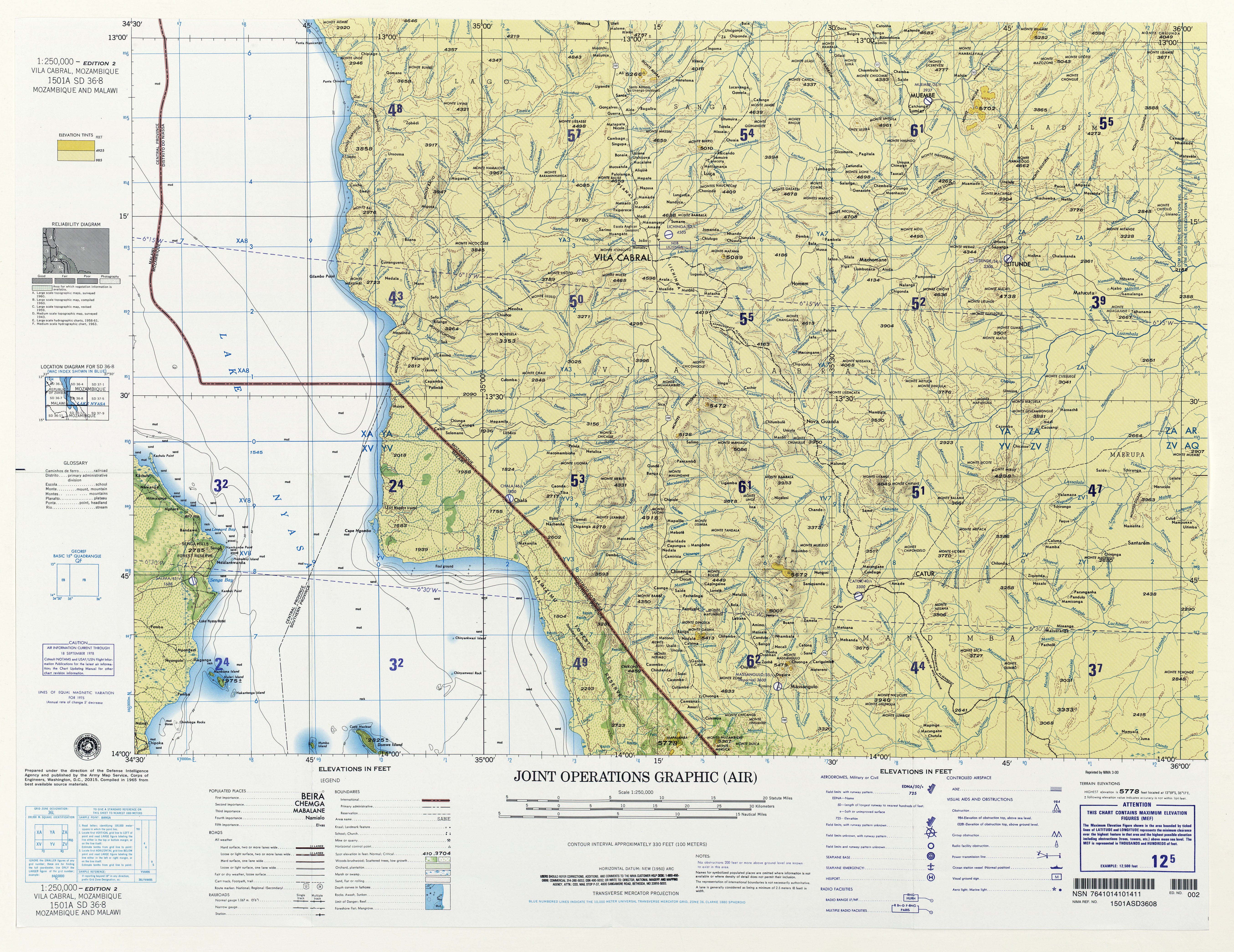
- SD 36-8 Vila Cabral, Mozambique and Malawi (10.5 MB) [JPEG]
- NA 32-2 Fernando Poo [Bioko], (Spain) [Equatorial Guinea] (3.4MB) [GeoPDF]