Chad, Joint Operations Graphic 1:250,000 [Not for navigational use]
U.S. National Imagery and Mapping Agency
Complete list of map images in this collection:
- Index Map (99KB)
- NB 33-3 Baibokoum, Chad (12.0MB) [GeoPDF]
- NC 33-3 Massenya, Chad (9.3MB) [GeoPDF]
- NC 33-4 Melfi, Chad (10.3MB) [GeoPDF]
- NC 33-7 Bongor, Chad (9.7MB) [GeoPDF]
- NC 33-8 Bousso, Chad (11.0MB) [GeoPDF]
- NC 33-10 Lere, Chad; Cameroon (9.8MB) [GeoPDF]
- NC 33-11 Gounou Gaya, Chad; Cameroon (9.0MB) [GeoPDF]
- NC 34-1 Abou Deia, Chad (6.5MB) [GeoPDF]
- NC 34-3 Aboukousoum, Chad; Central African Republic (7.9MB) [GeoPDF]
- NC 34-5 Lac Iro, Chad (7.5MB) [GeoPDF]
- NC 34-7 Mangeigne, Chad; Central African Republic (7.1MB) [GeoPDF]
- NC 34-9 Fort Archambault, Chad (7.5MB) [GeoPDF]
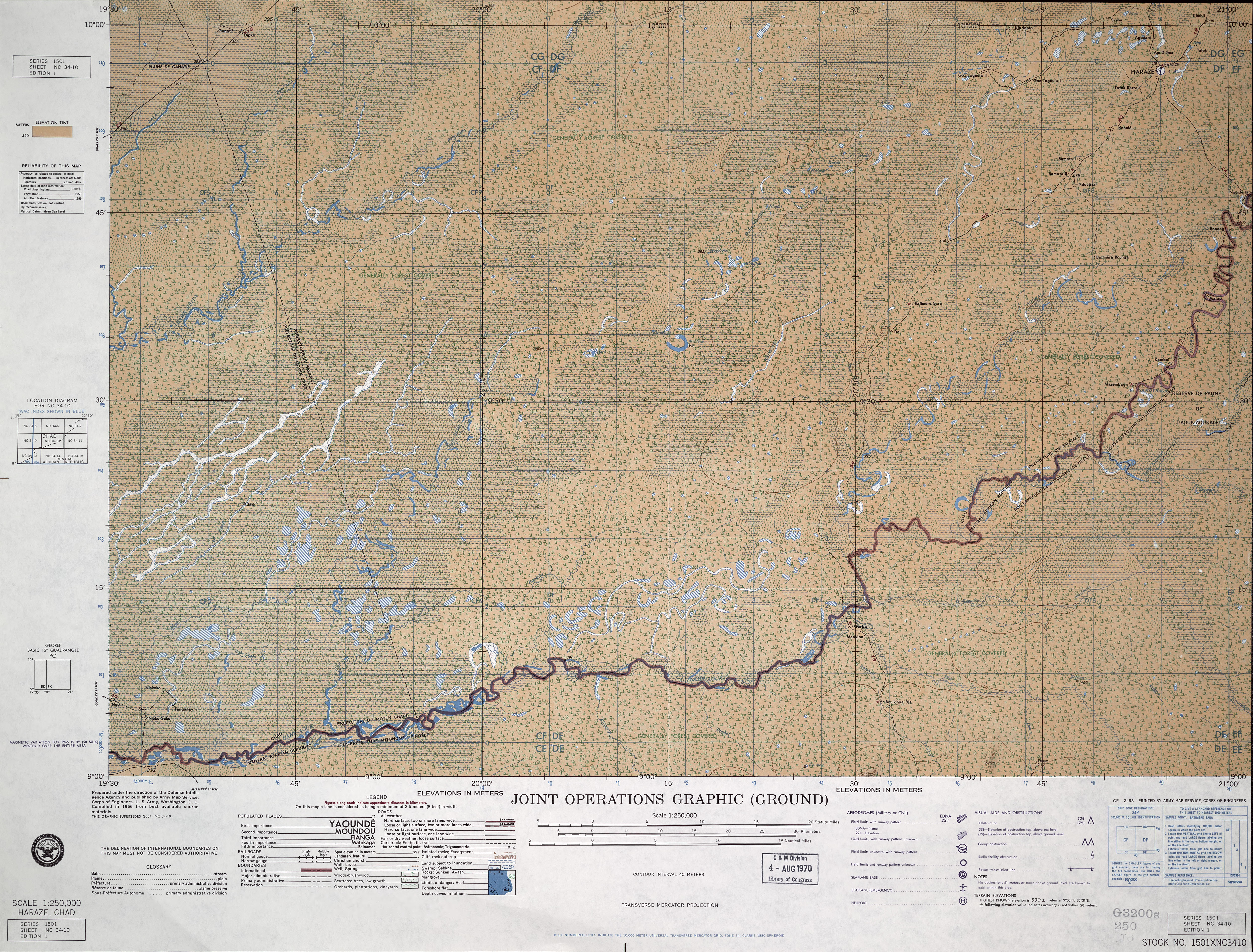
- NC 34-10 Haraze, Central African Republic; Chad (8.8MB) [GeoPDF]
- NC 34-10, Haraze, Chad This map is from the collection of the Library of Congress, Geography and Map Division. (6.3MB) [JPEG]
- NC 34-11 Parc Saint-Floris, Central African Republic; Chad (7.3MB) [GeoPDF]
- NC 34-13 Moussafoyo, Chad; Central African Republic (7.5MB) [GeoPDF]
- NC 34-15 Ouadda, Central African Republic (9.3MB) [GeoPDF]
- ND 33-7 Mao, Chad (9.4MB) [GeoPDF]
- ND 33-8 Salal, Chad (9.0MB) [GeoPDF]
- ND 33-10 Lake Chad, Nigeria; Niger; Chad; Cameroon (5.0MB) This map is from the collection of the Library of Congress, Geography and Map Division
- ND 33-12 Am Djemena, Chad (8.8MB) [GeoPDF]
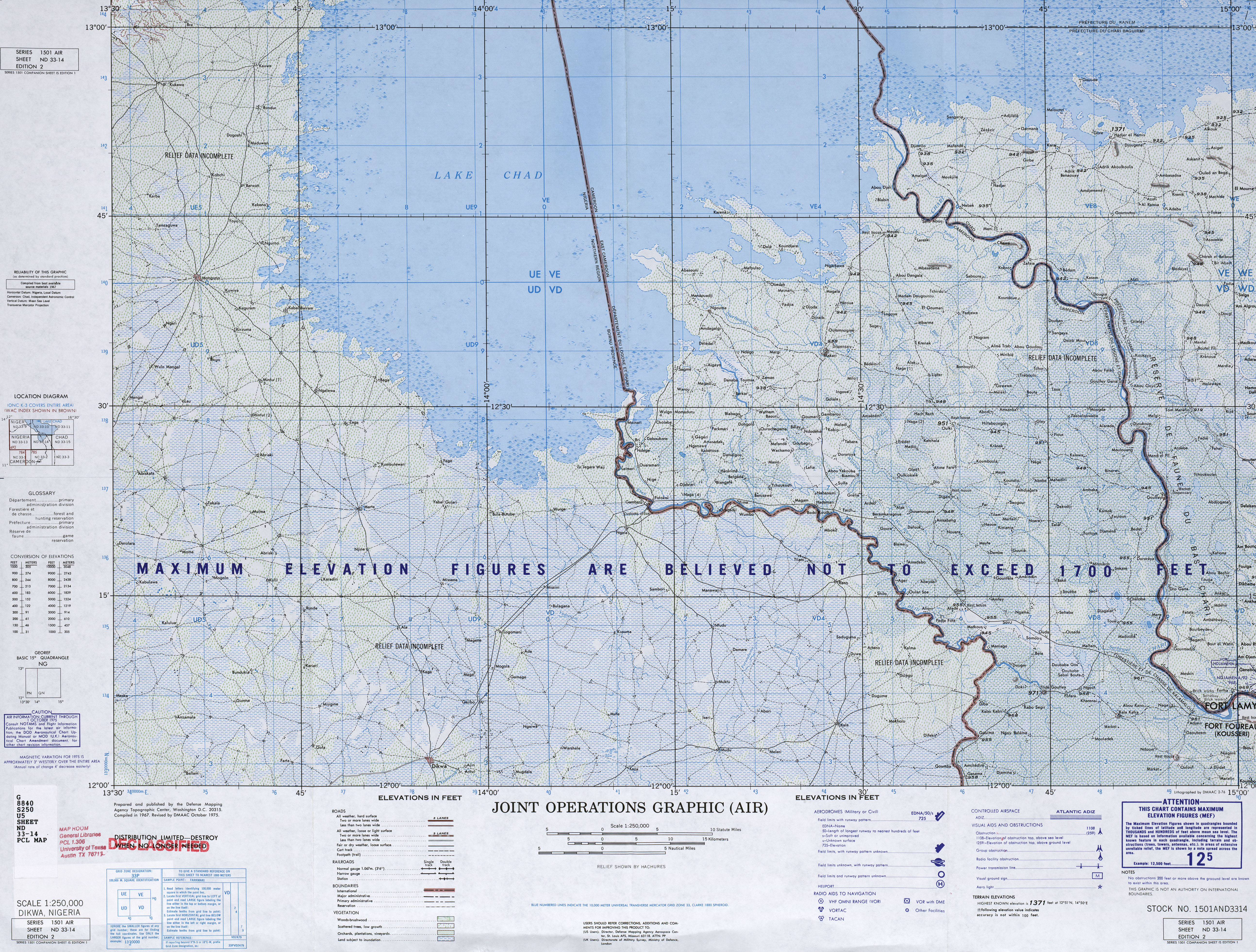
- ND 33-14 Dikwa, Nigeria; Cameroon; Chad (11.5MB) [GeoPDF]
- ND 33-14, Dikwa, Nigeria; Cameroon; Chad Joint Operations Graphic (7.1MB) [JPEG]
- ND 33-15 Fort Lamy, Chad (11.1MB) [GeoPDF]
- ND 33-16 Bokoro, Chad (8.8MB) [GeoPDF]
- ND 34-2 Oum Chalouba, Chad (11.0MB) [GeoPDF]
- ND 34-3 Iriba, Chad (10.1MB) [GeoPDF]
- ND 34-6 Biltine, Chad (11.2MB) [GeoPDF]
- ND 34-7 Guereda, Chad; Sudan (9.4MB) [GeoPDF]
- ND 34-9 Ati, Chad (10.3MB) [GeoPDF]
- ND 34-10 Abeche, Chad (11.8MB) [GeoPDF]
- ND 34-11 Adre, Chad; Sudan (8.9MB) [GeoPDF]
- ND 34-13 Mongo, Chad (8.2MB) [GeoPDF]
- NE 34-4 Erdi Fochini, Chad; Libya; Sudan (8.9MB) [GeoPDF]
- NE 34-8 Agoza, Chad; Sudan (10.0MB) [GeoPDF]
- NF 33-2 Ras Meghi Madua, Libya; Niger; Chad (9.2MB) [GeoPDF]
- NF 33-3 Gara Kourni, Chad; Libya (10.2MB) [GeoPDF]
- NF 33-4 Sarir Tibisti, Libya; Chad (9.7MB) [GeoPDF]
- NF 33-8 Ehi Aray, Chad; Libya (7.7MB) [GeoPDF]
- NF 34-5 Oiuru, Libya; Chad (14.8MB) [GeoPDF]
- NF 34-9 Aozi, Chad; Libya (9.5MB) [GeoPDF]
- NF 34-10 Ouri Sao, Chad; Libya (9.3MB) [GeoPDF]
- NF 34-11 Qarat Abu Ndougay, Libya; Chad (9.4MB) [GeoPDF]
- NF 34-15 Jef-Jef El Kebir, Chad; Libya (9.8MB) [GeoPDF]
- NB 33-3 Baibokoum, Chad (12.0MB) [GeoPDF]