Maps
Maps FAQ

Map Room Guide
World
Africa
Americas
Asia
Australia/Pacific
Europe
Middle East
Polar/Oceans
Russia/Republics
U.S.
Texas
Historical
Thematic
Topographic
Other Map Sites
Map Sites
Map Dealers
Cartographic Reference
City Map Sites
Country Map Sites
Historical Map Sites
Outline Map Sites
Route Planning Sites
State Map Sites
Weather Map Sites
Topical Map Sites
Avian Influenza
Oil and Gas Maps
More Topical Maps
Perry-Castañeda Library
All maps on this page were published by the U.S. Geological Survey and are in the public domain. The date given for each map is the date of latest survey. More information about these maps is available on the Topographic Maps Home Page.
Maps FAQ
Map Room Guide
World
Africa
Americas
Asia
Australia/Pacific
Europe
Middle East
Polar/Oceans
Russia/Republics
U.S.
Texas
Historical
Thematic
Topographic
Other Map Sites
Map Sites
Map Dealers
Cartographic Reference
City Map Sites
Country Map Sites
Historical Map Sites
Outline Map Sites
Route Planning Sites
State Map Sites
Weather Map Sites
Topical Map Sites
Avian Influenza
Oil and Gas Maps
More Topical Maps
Perry-Castañeda Library
Map Collection
Arkansas Historical Topographic Maps
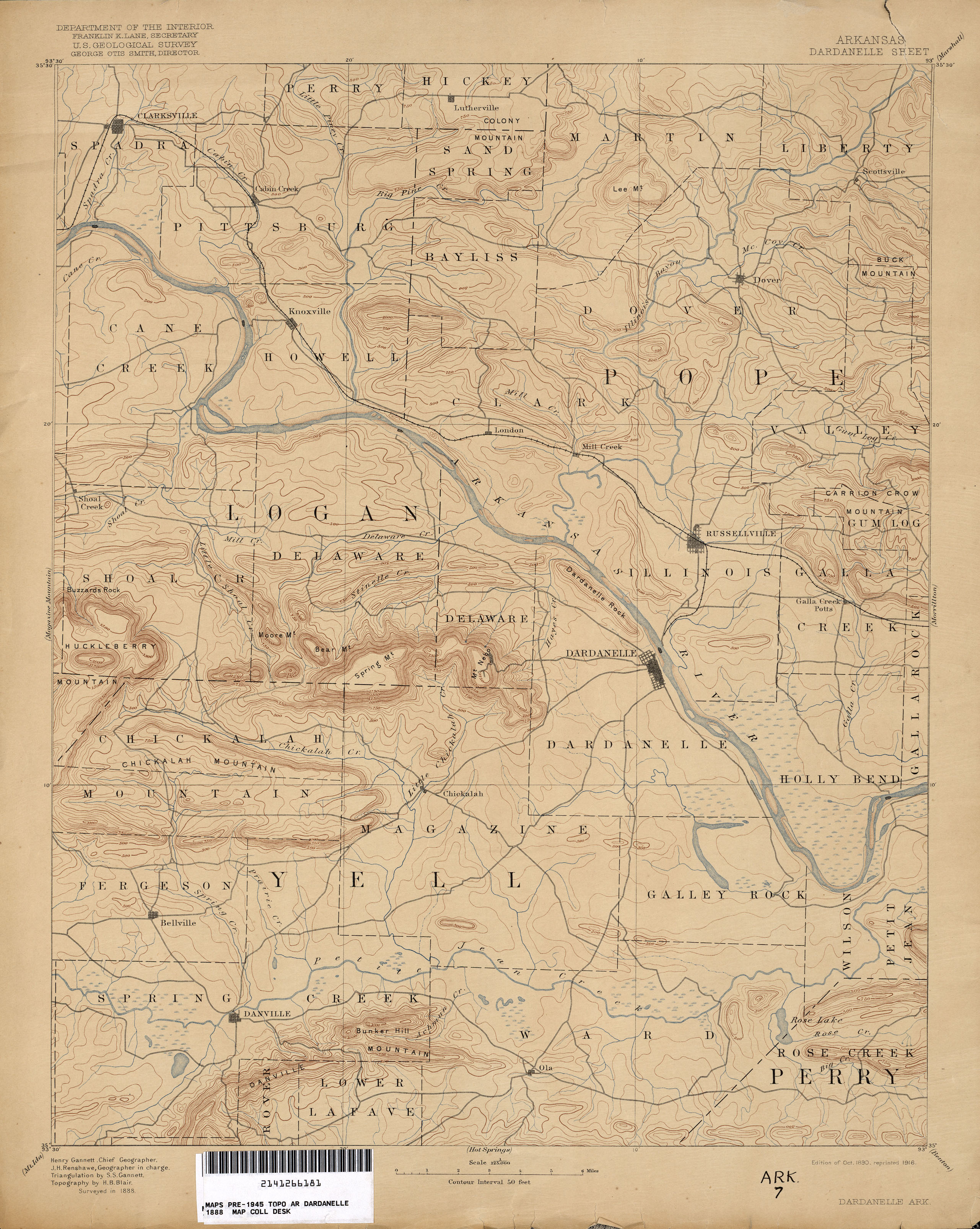
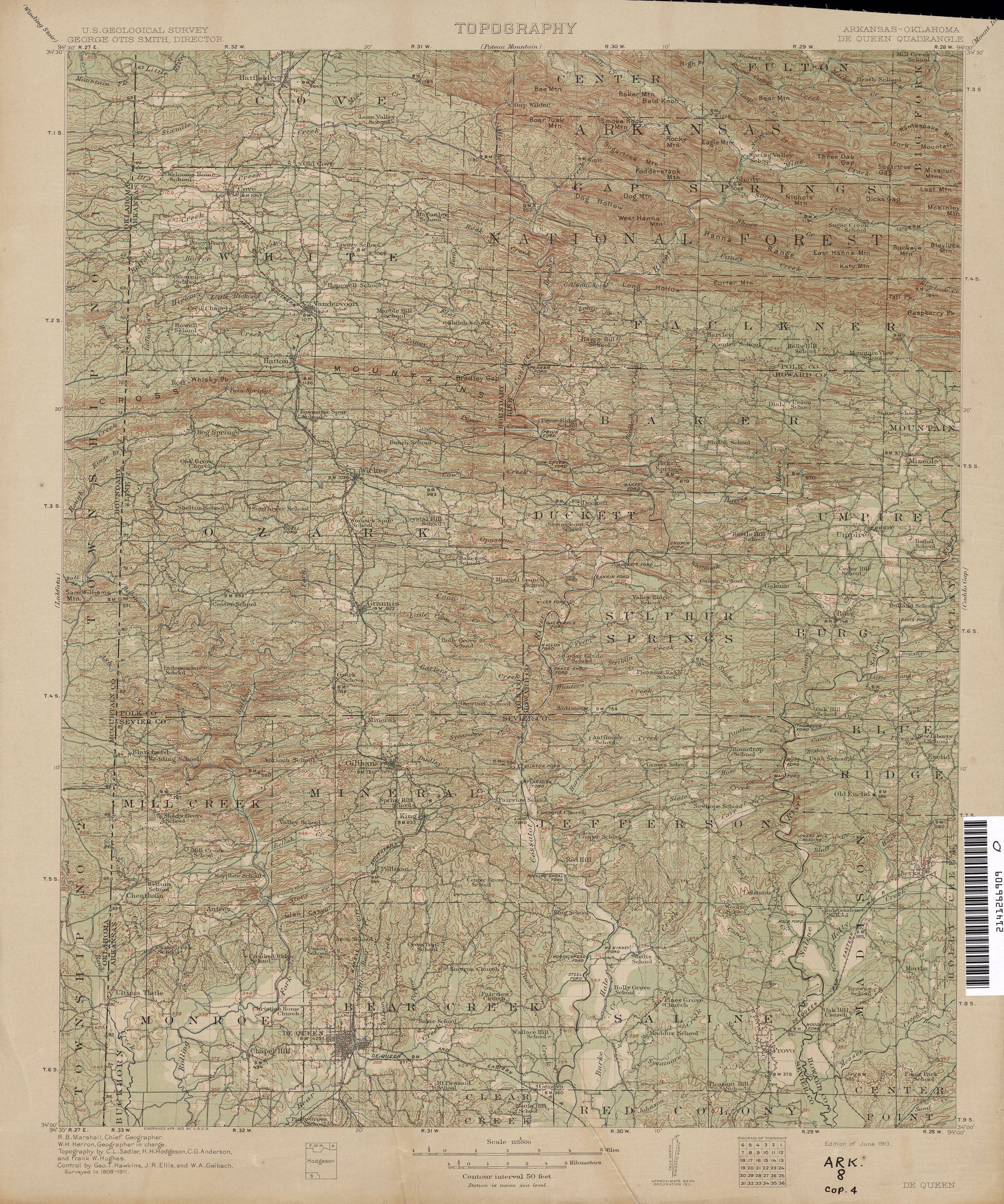
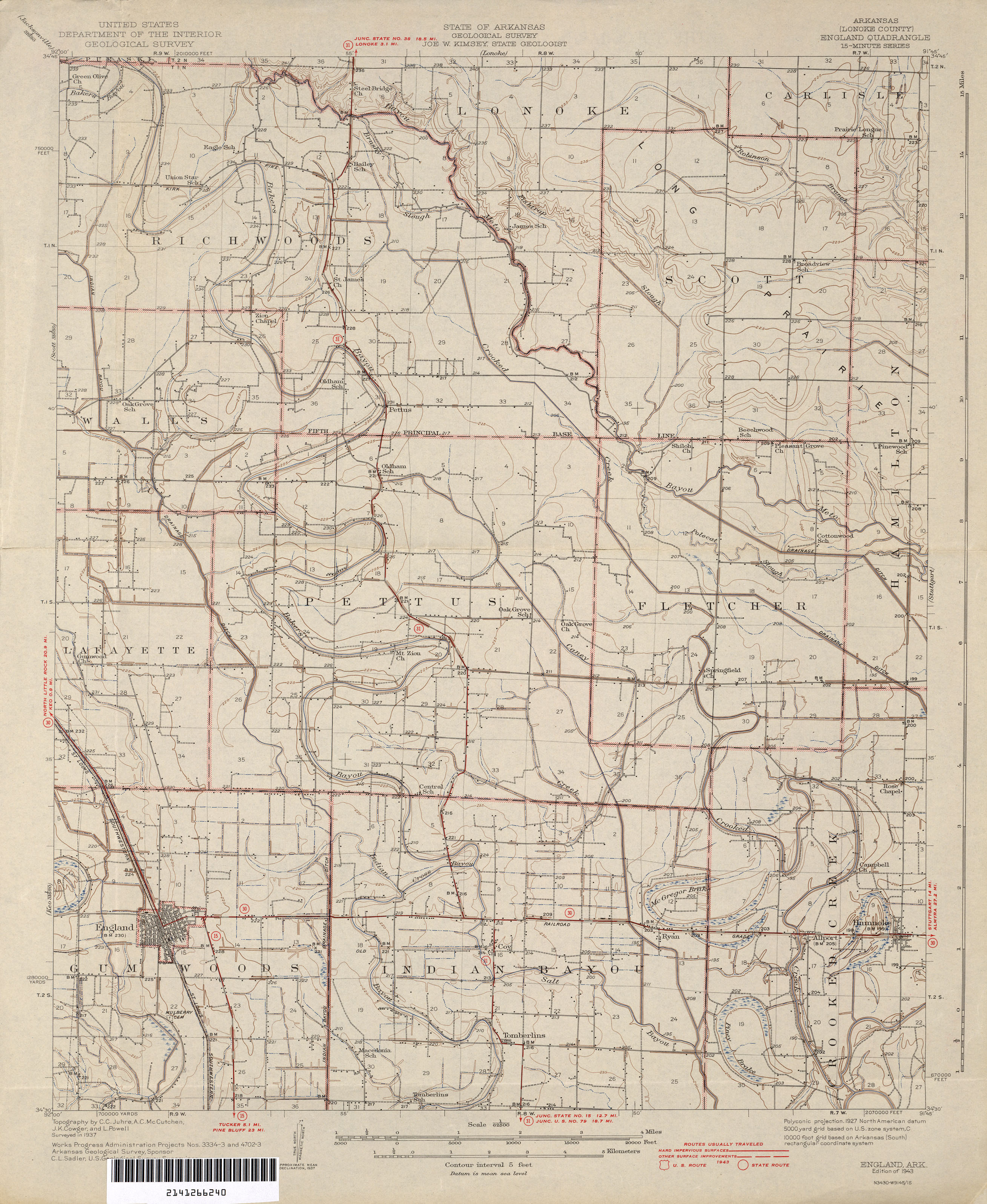
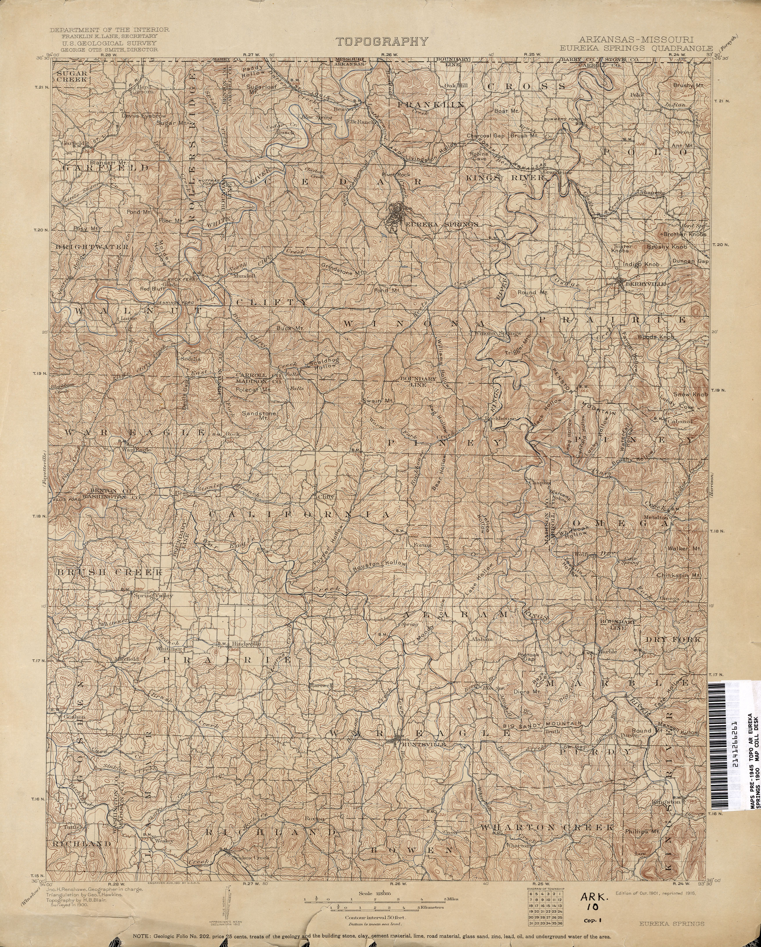
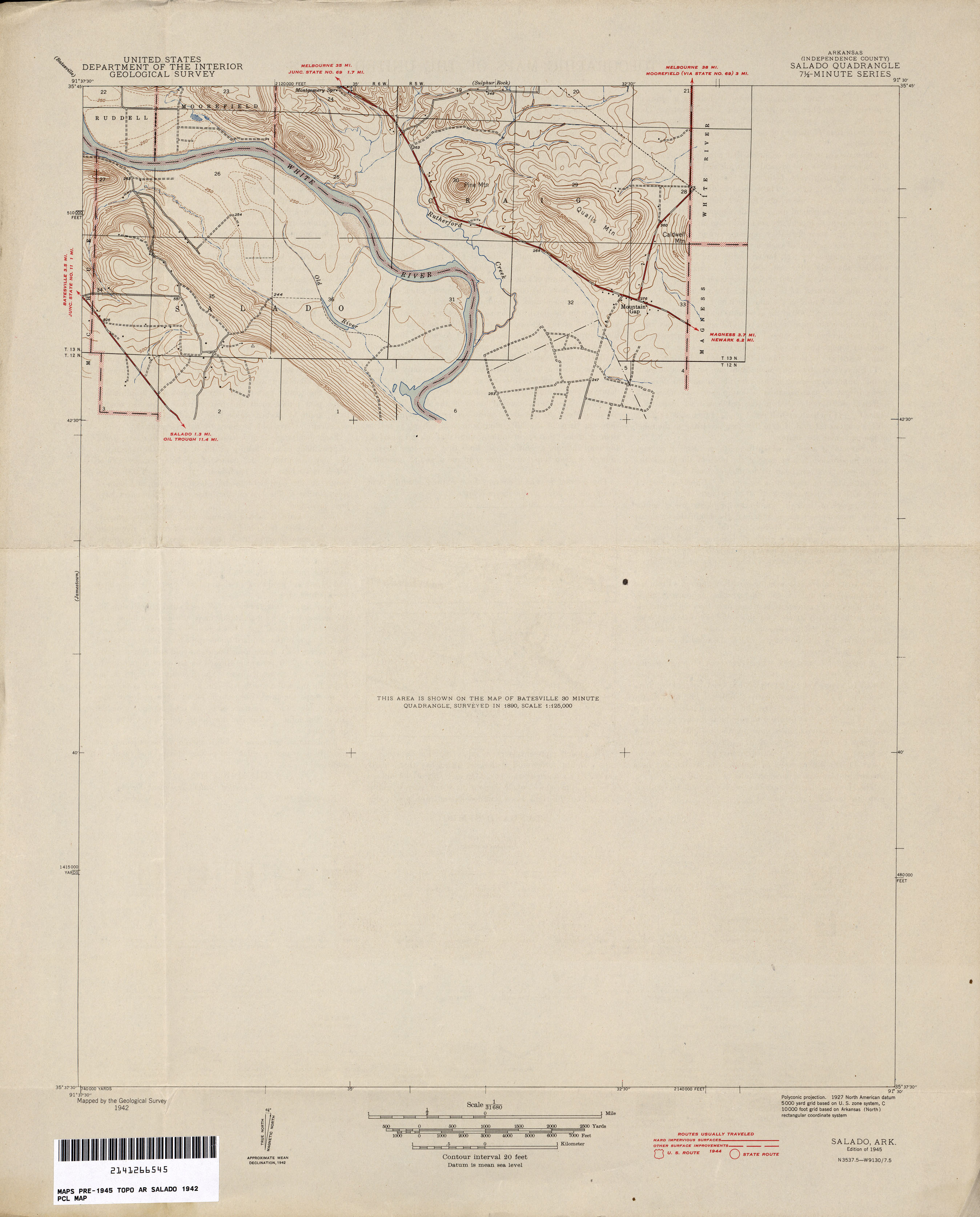
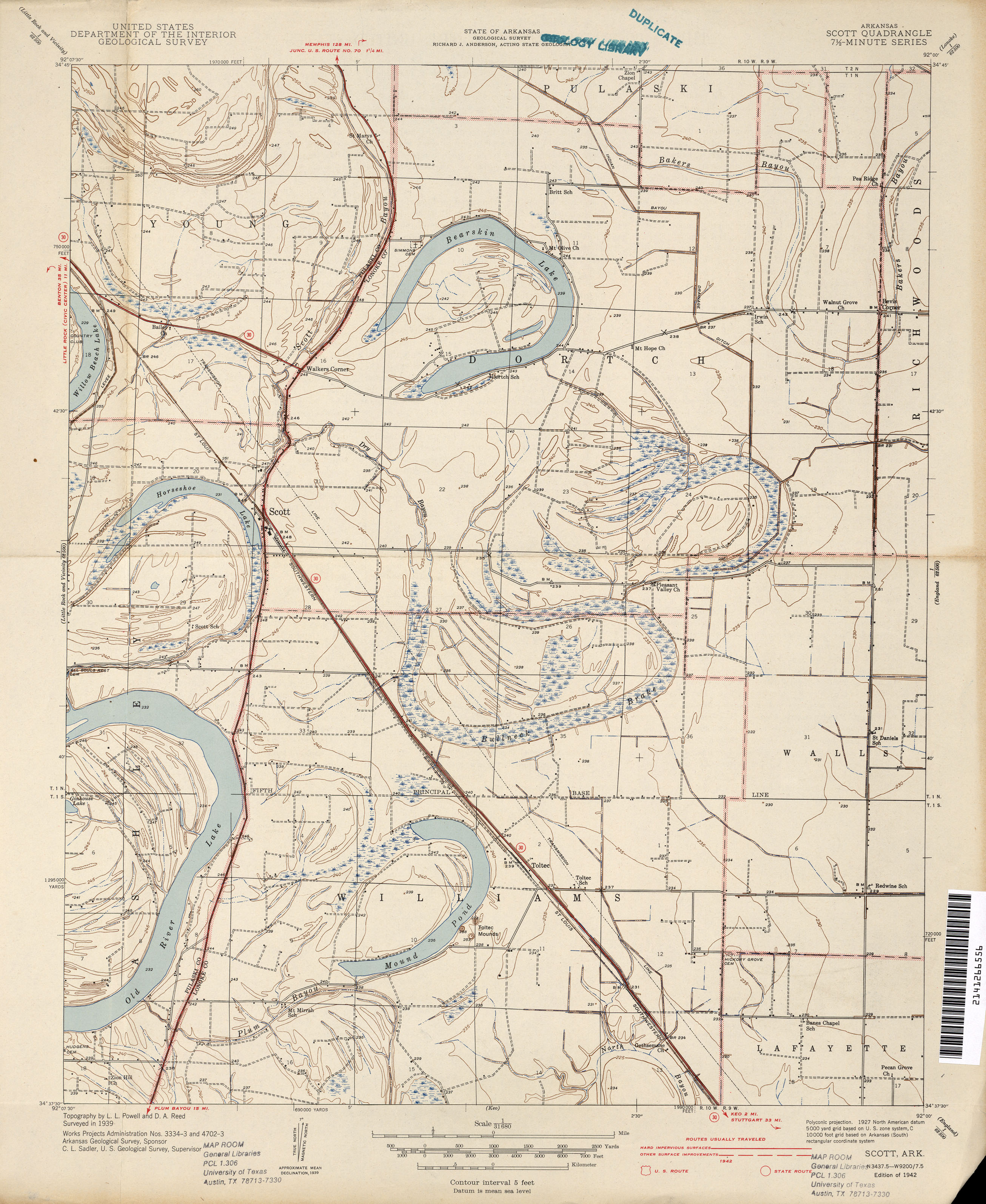
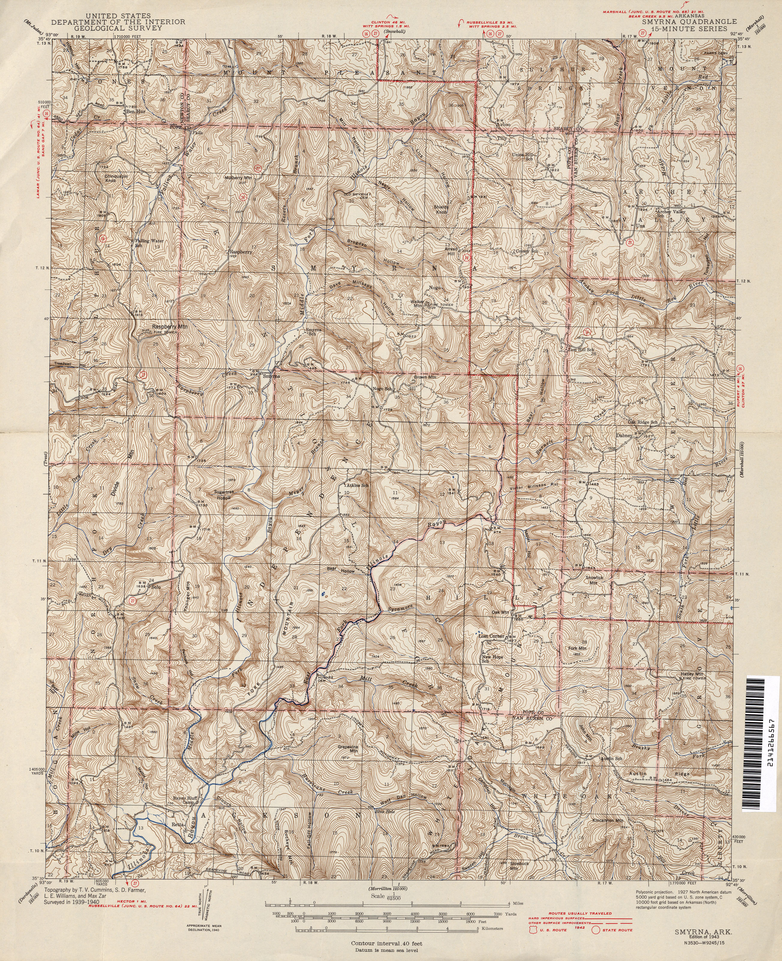
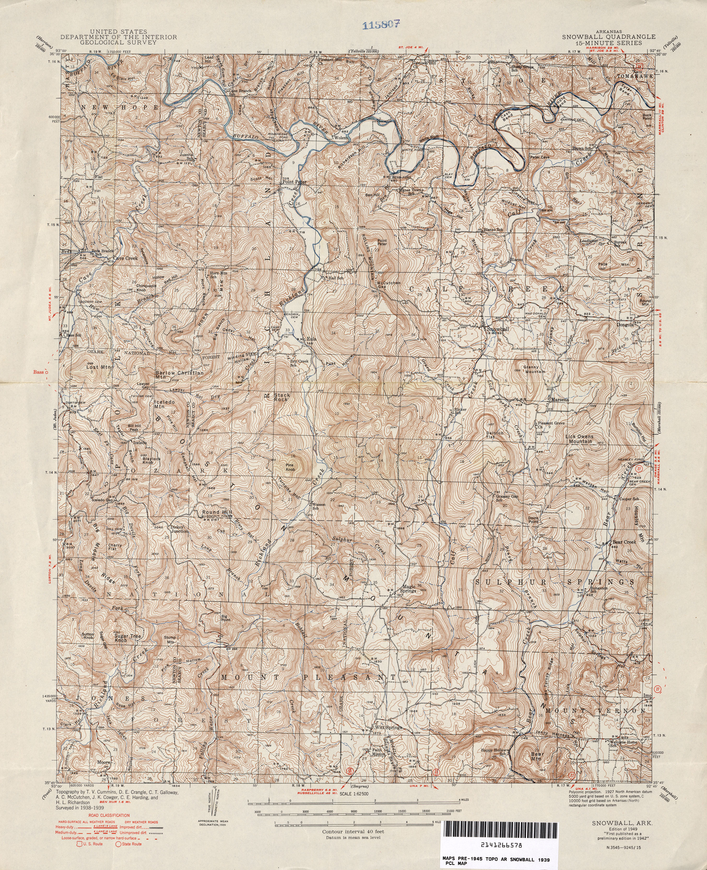
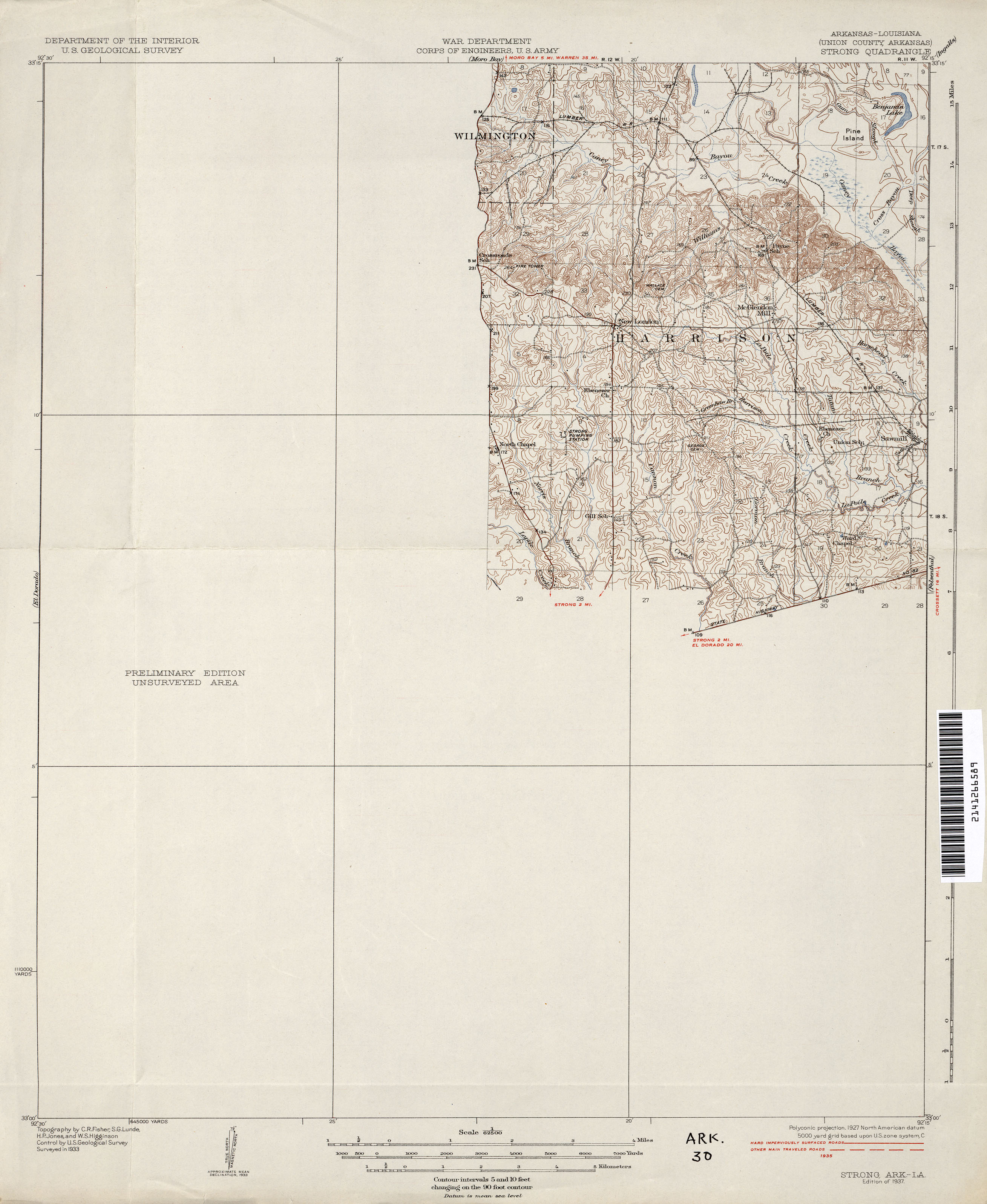
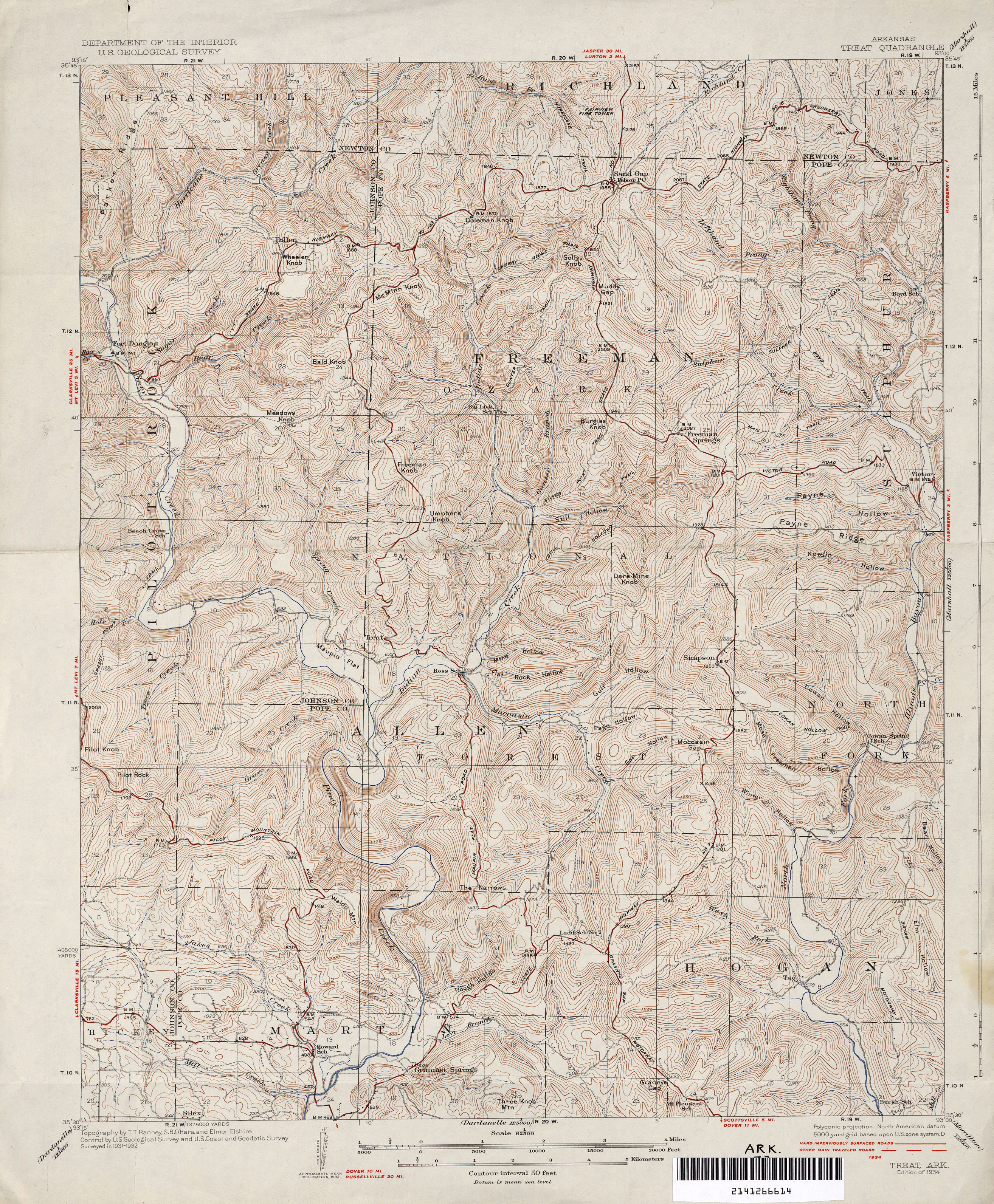
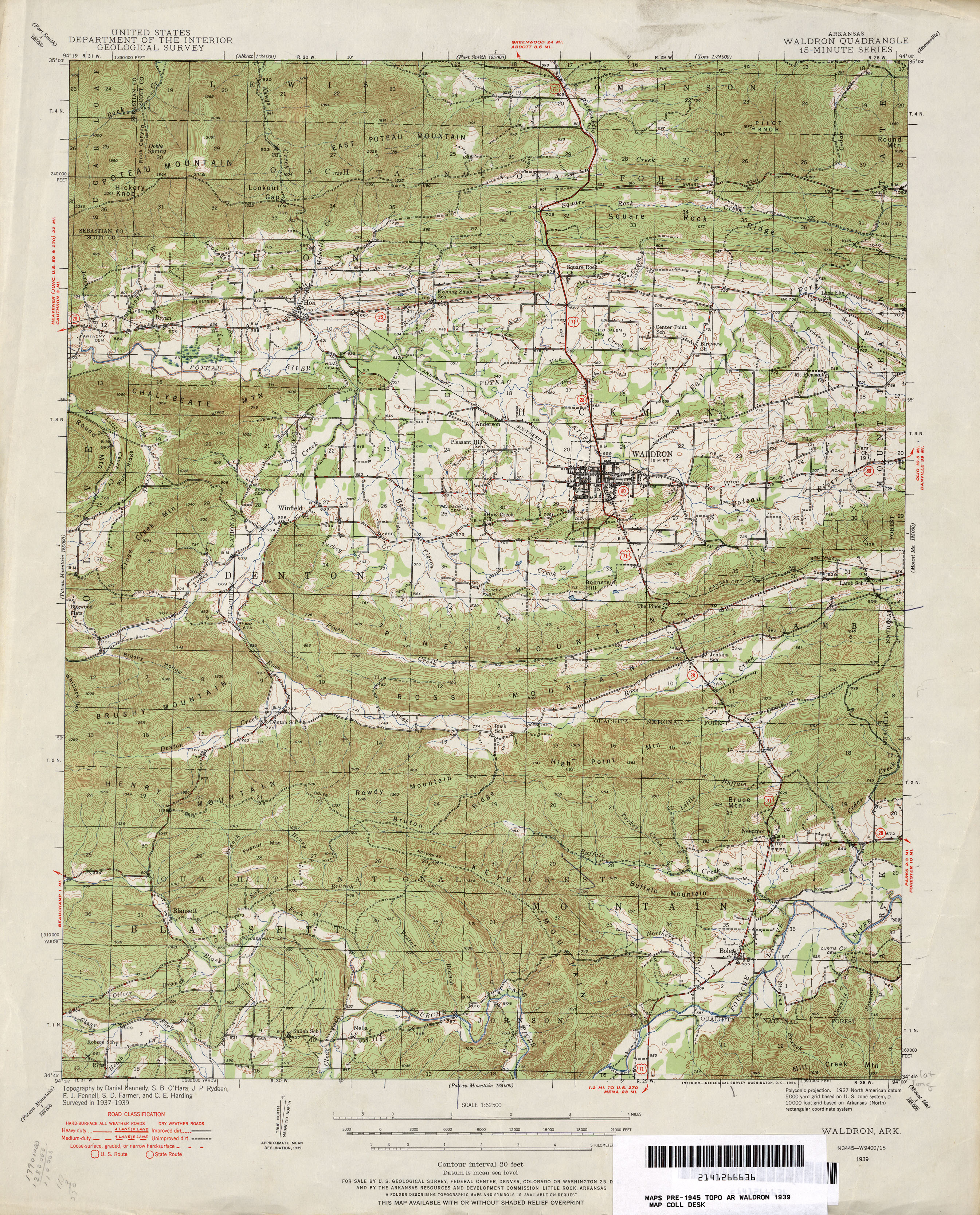
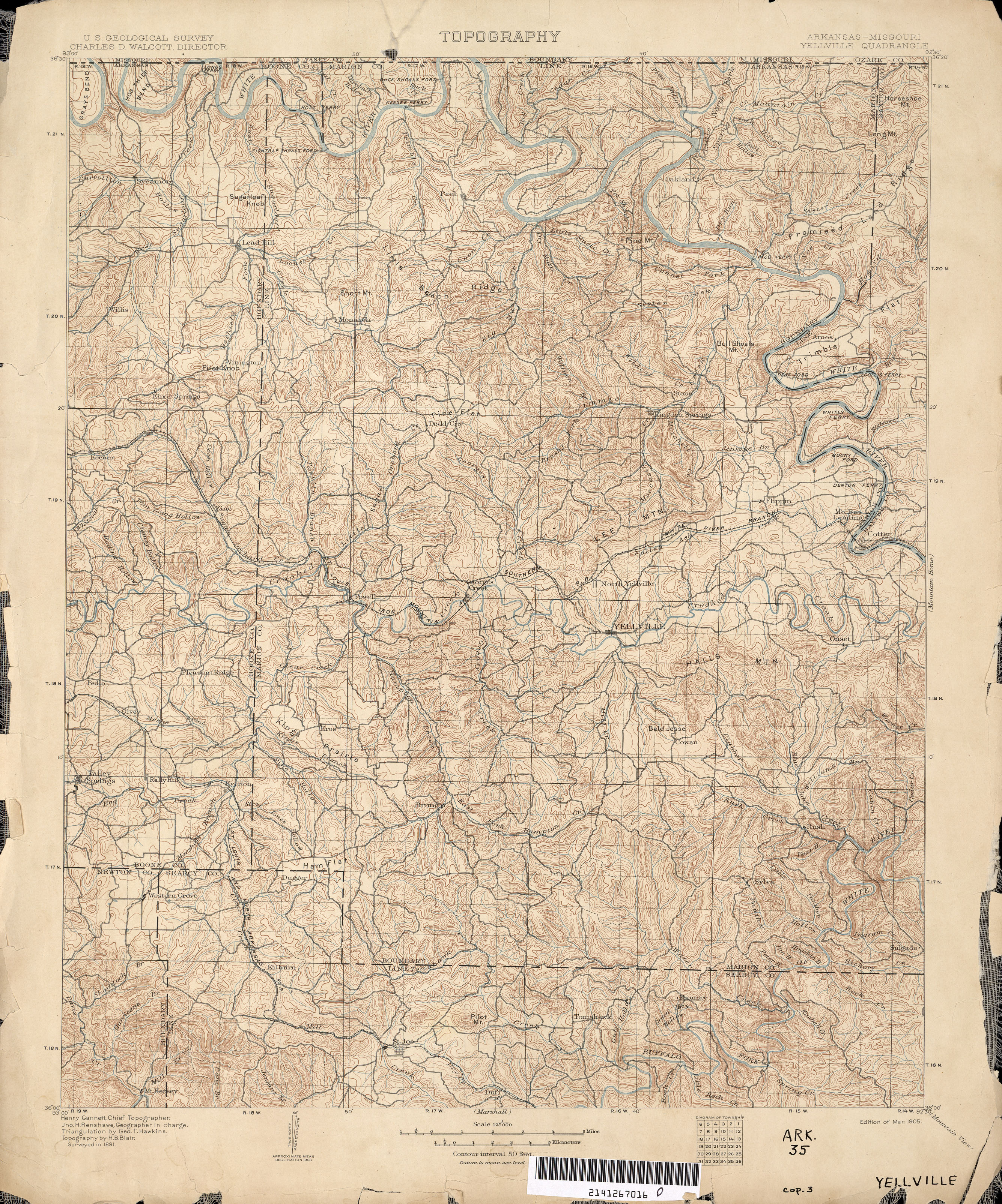
All maps on this page were published by the U.S. Geological Survey and are in the public domain. The date given for each map is the date of latest survey. More information about these maps is available on the Topographic Maps Home Page.
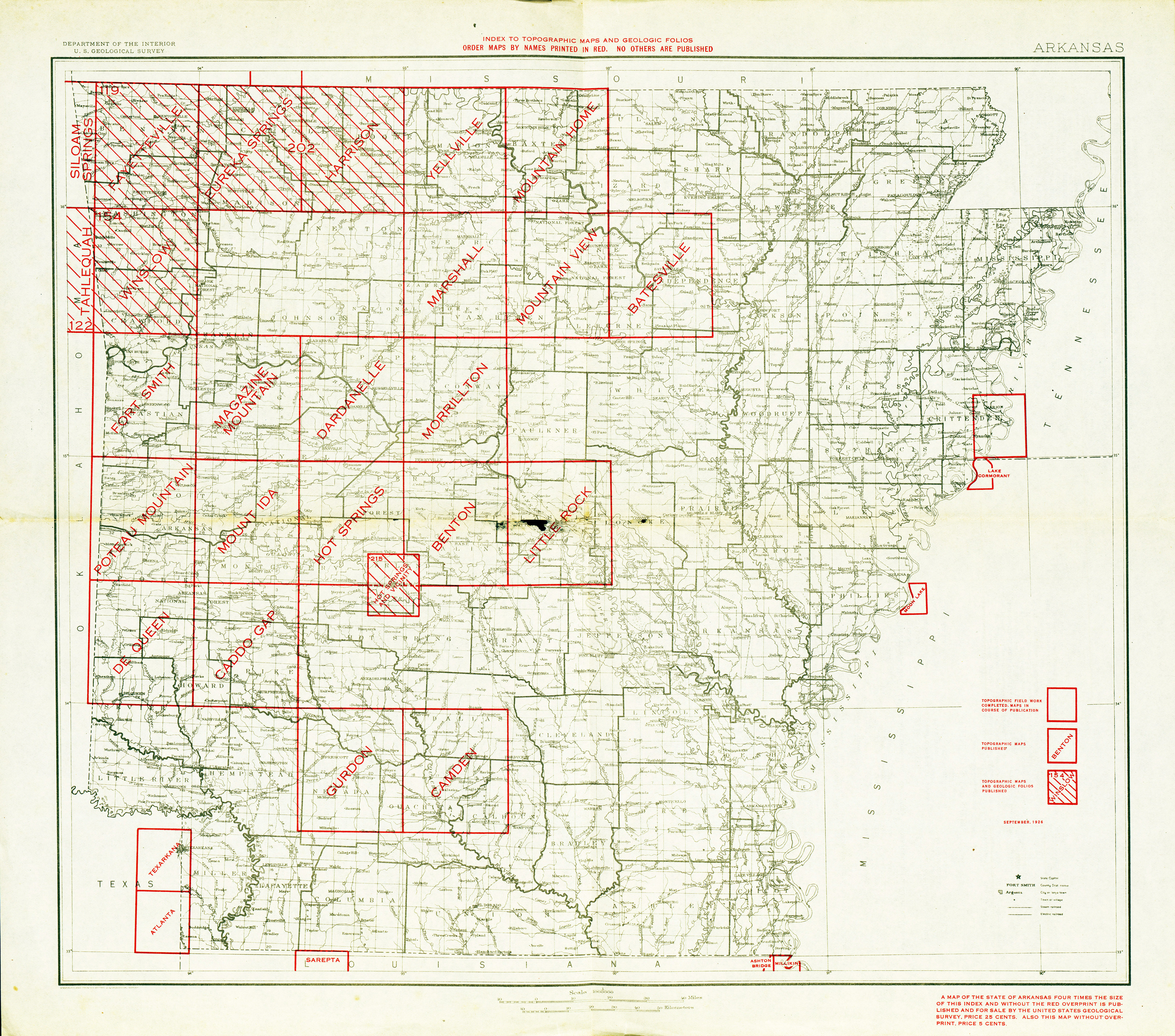
- Arkansas - Topographic Map Index 1926 (7.1MB)
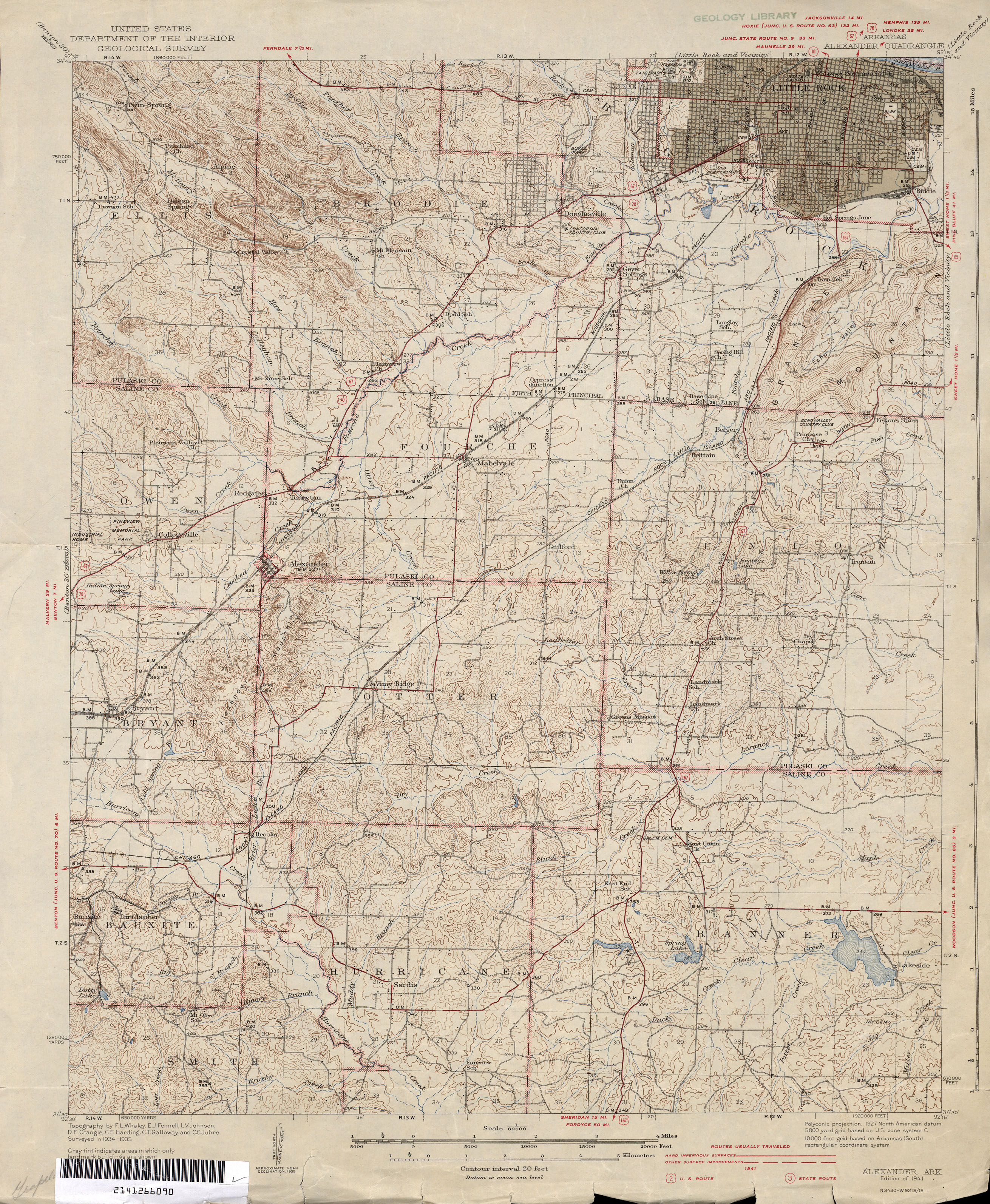
- Alexander 1:62,500 1941 (3.1MB) [includes south Little Rock]
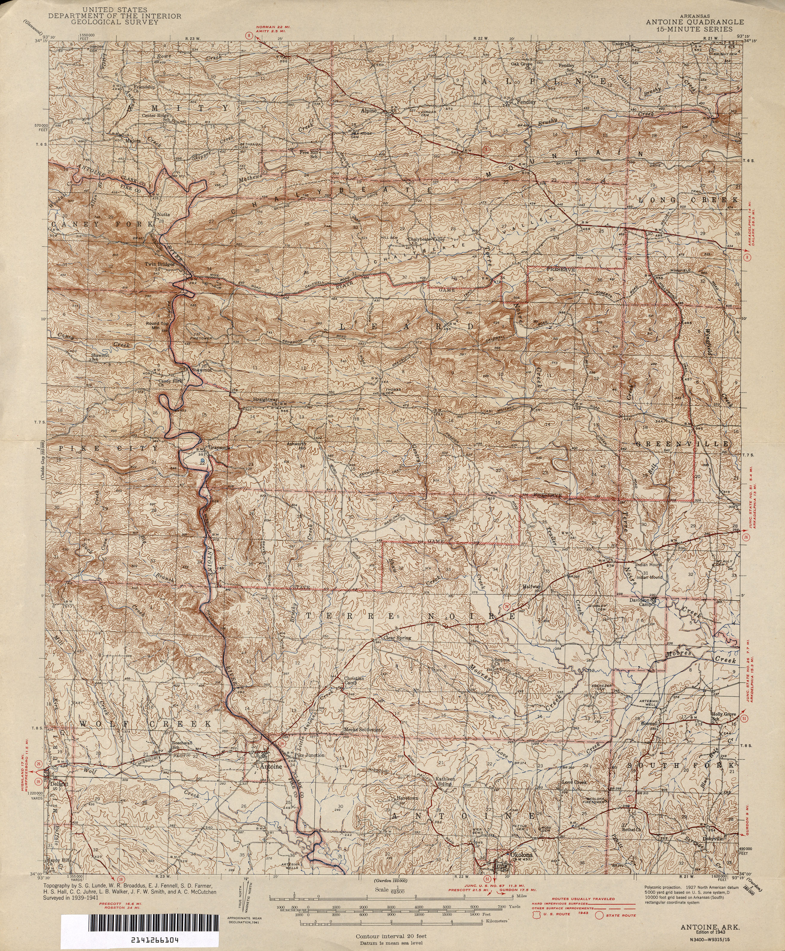
- Antoine 1:62,500 1943 (3.8MB)
- Athens 1:62,500 1942 (3.9MB)
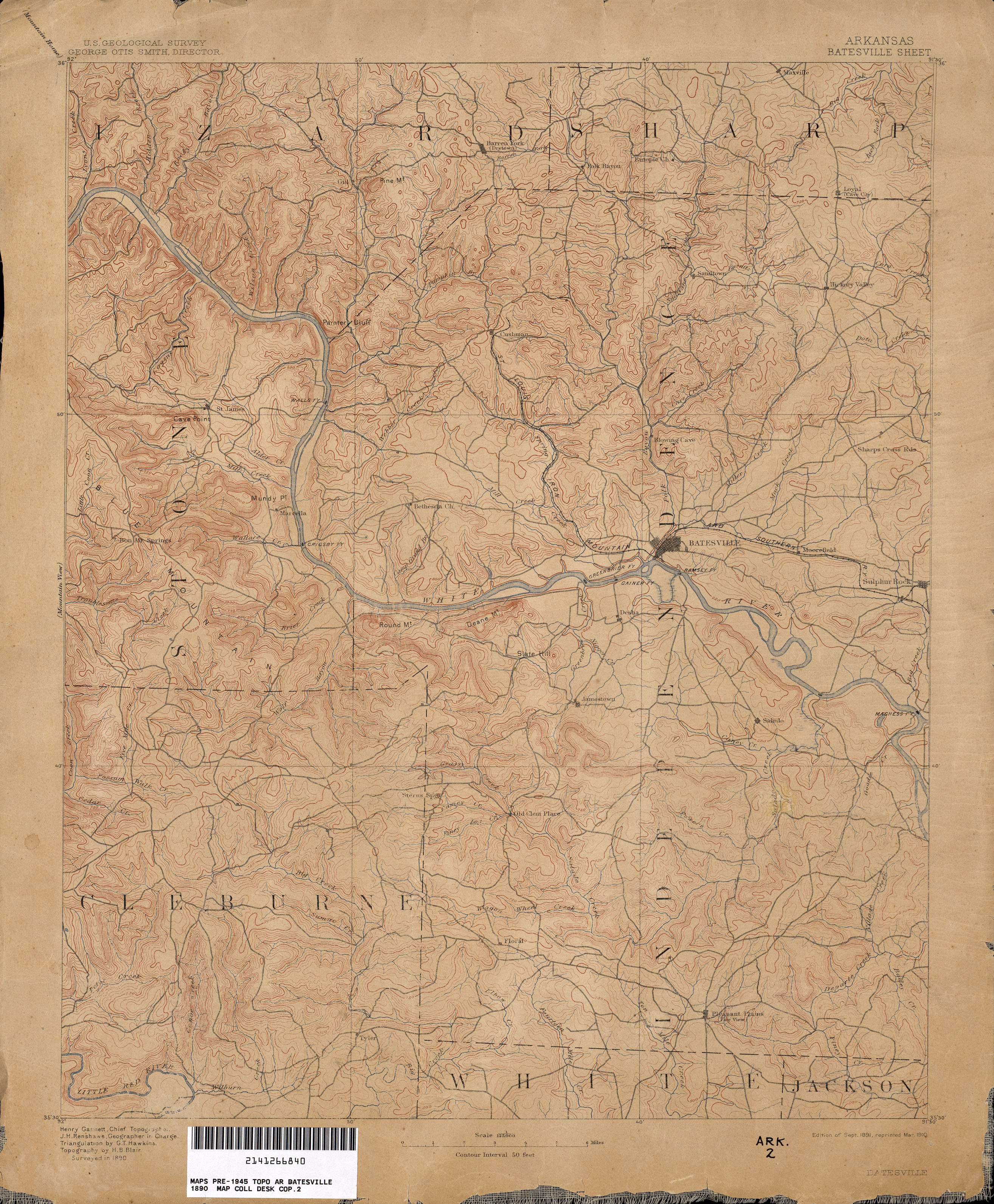
- Batesville 1:125,000 1890 (2.7MB)
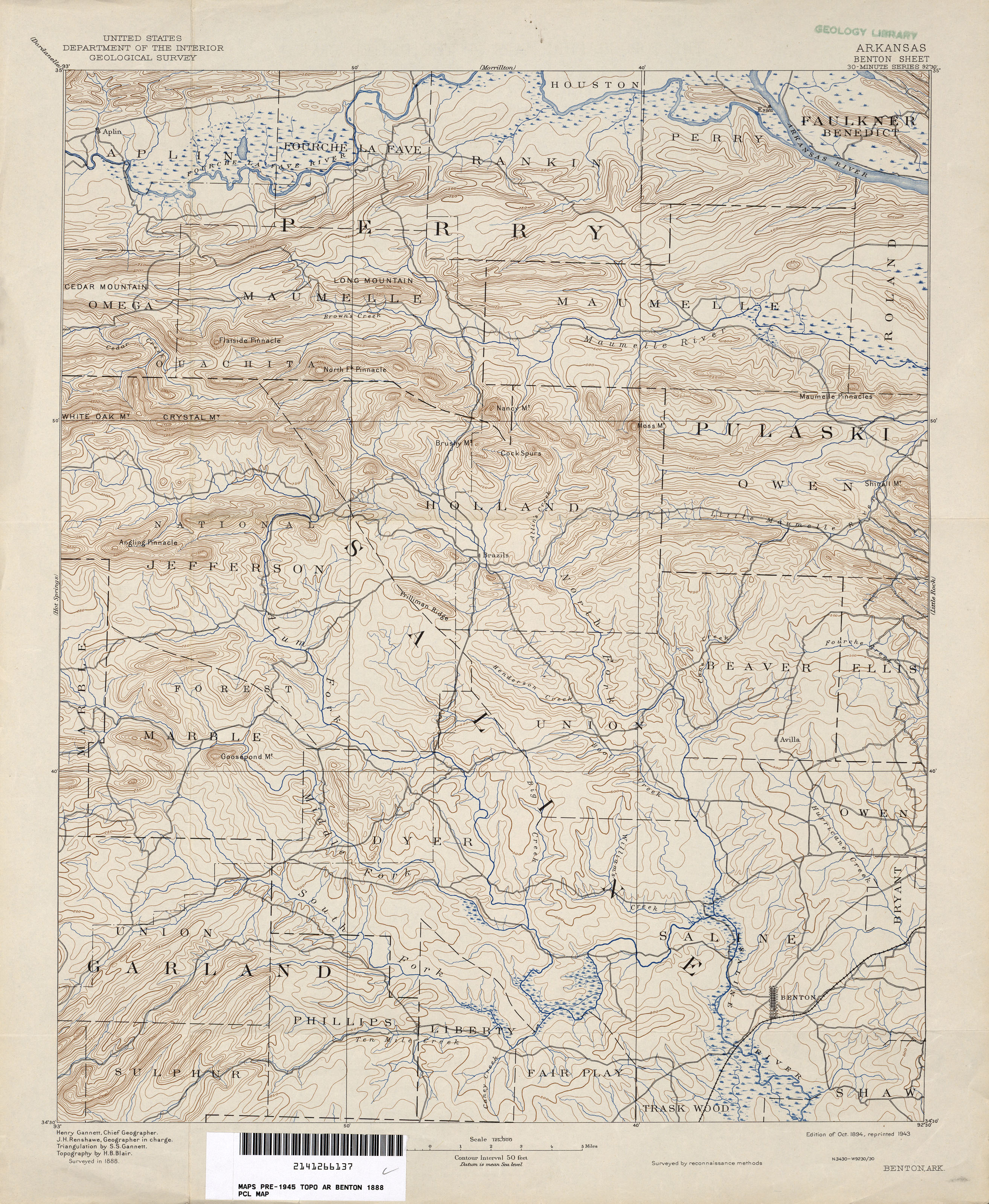
- Benton 1:125,000 1888 (2.9MB)
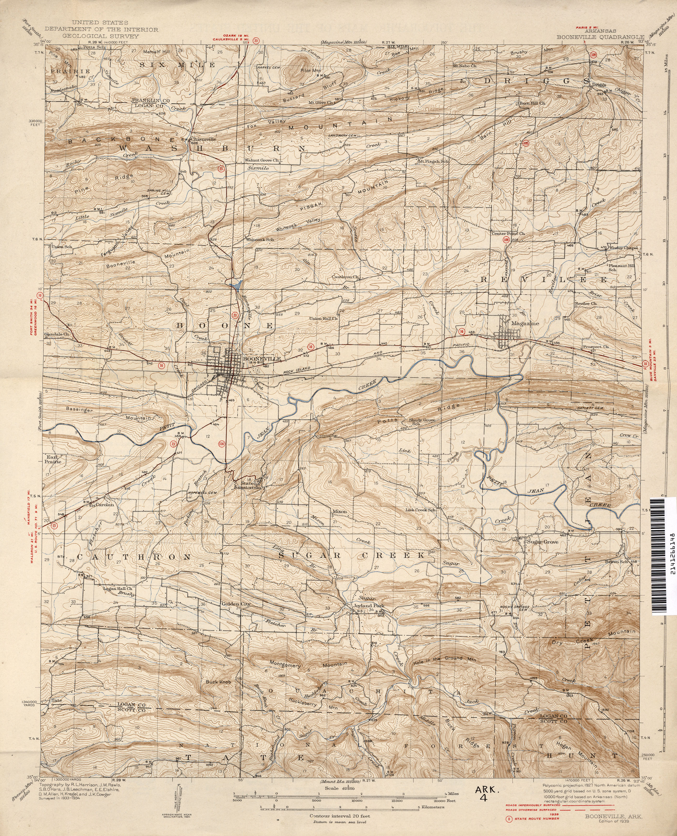
- Booneville 1:62,500 1939 (3.3MB)
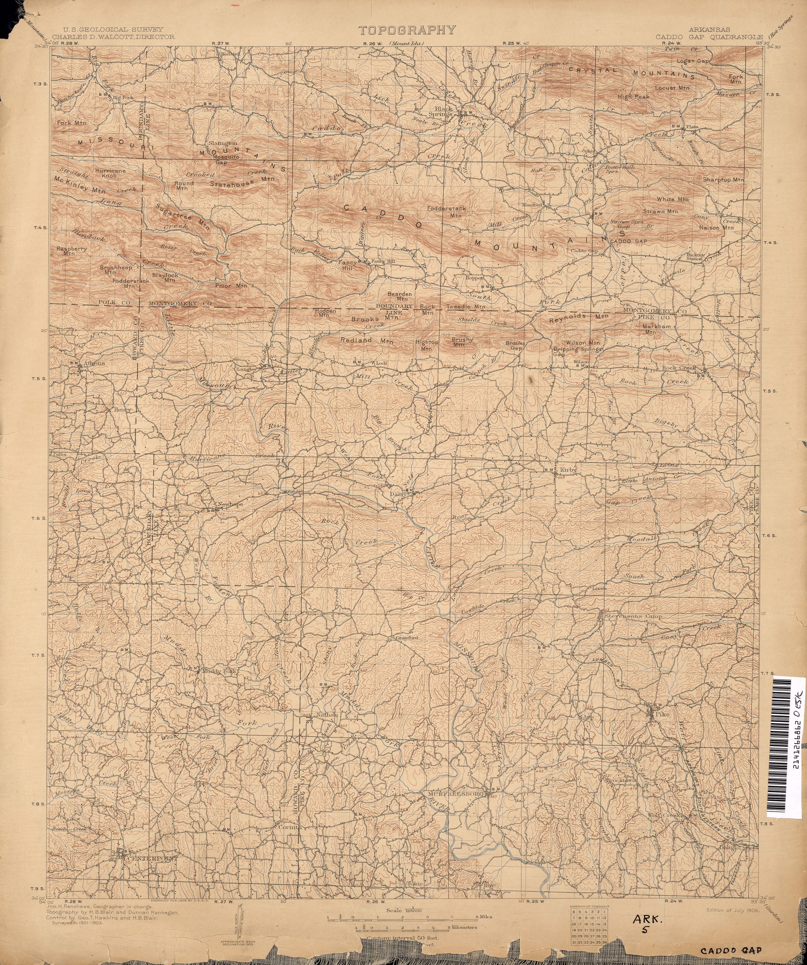
- Caddo Gap 1:125,000 1903 (3.0MB)
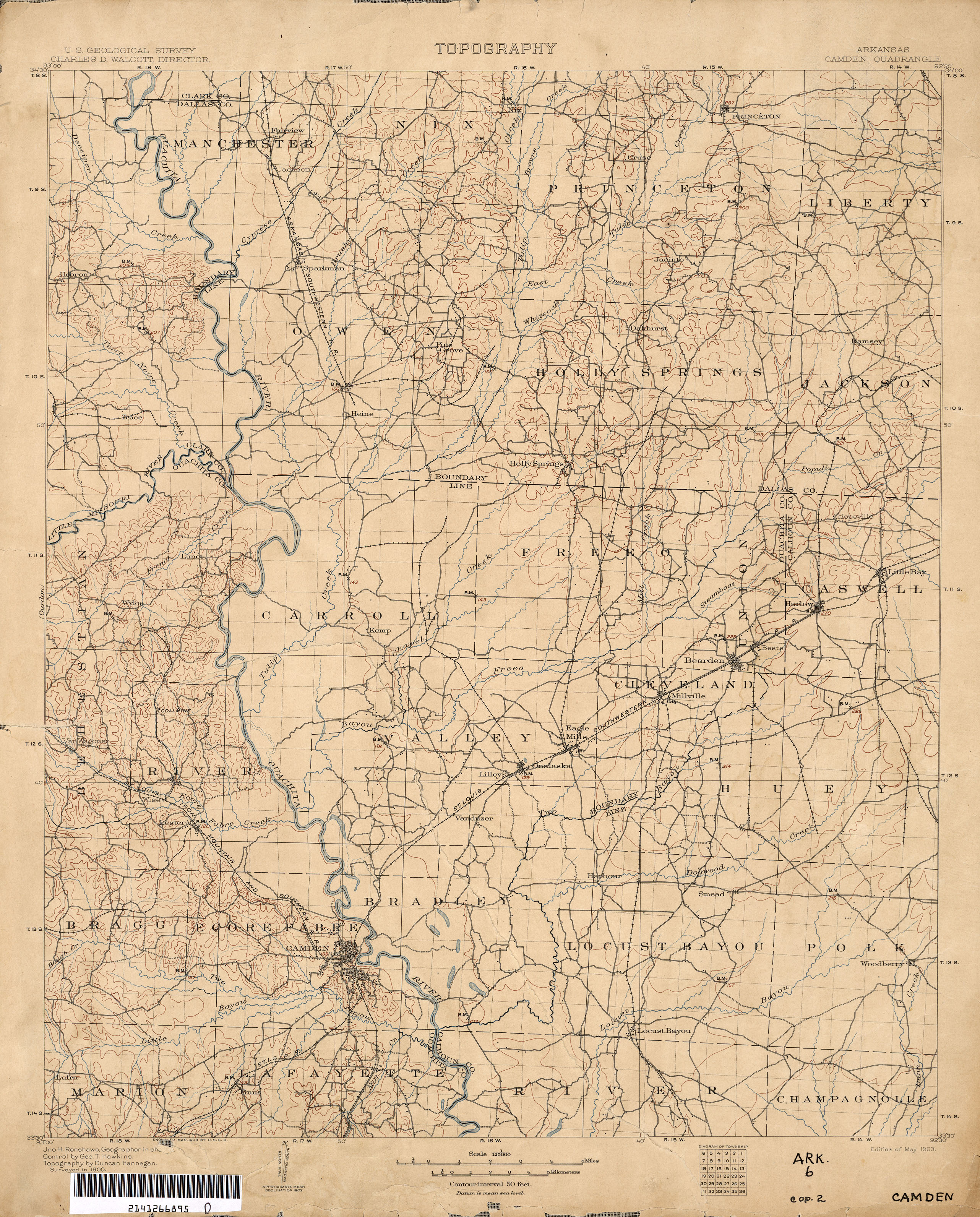
- Camden 1:125,000 1900 (2.6MB)
- Dardanelle 1:125,000 1888 (2.2MB)
- De Queen [Arkansas, Oklahoma] 1:125,000 1911 (3.2MB)
- El Dorado [Arkansas, Louisiana] 1:62,500 1929 (3.0MB)
- England 1:62,500 1943 (2.2MB)
- Eureka Springs [Arkansas, Missouri] 1:125,000 1900 (3.6MB)
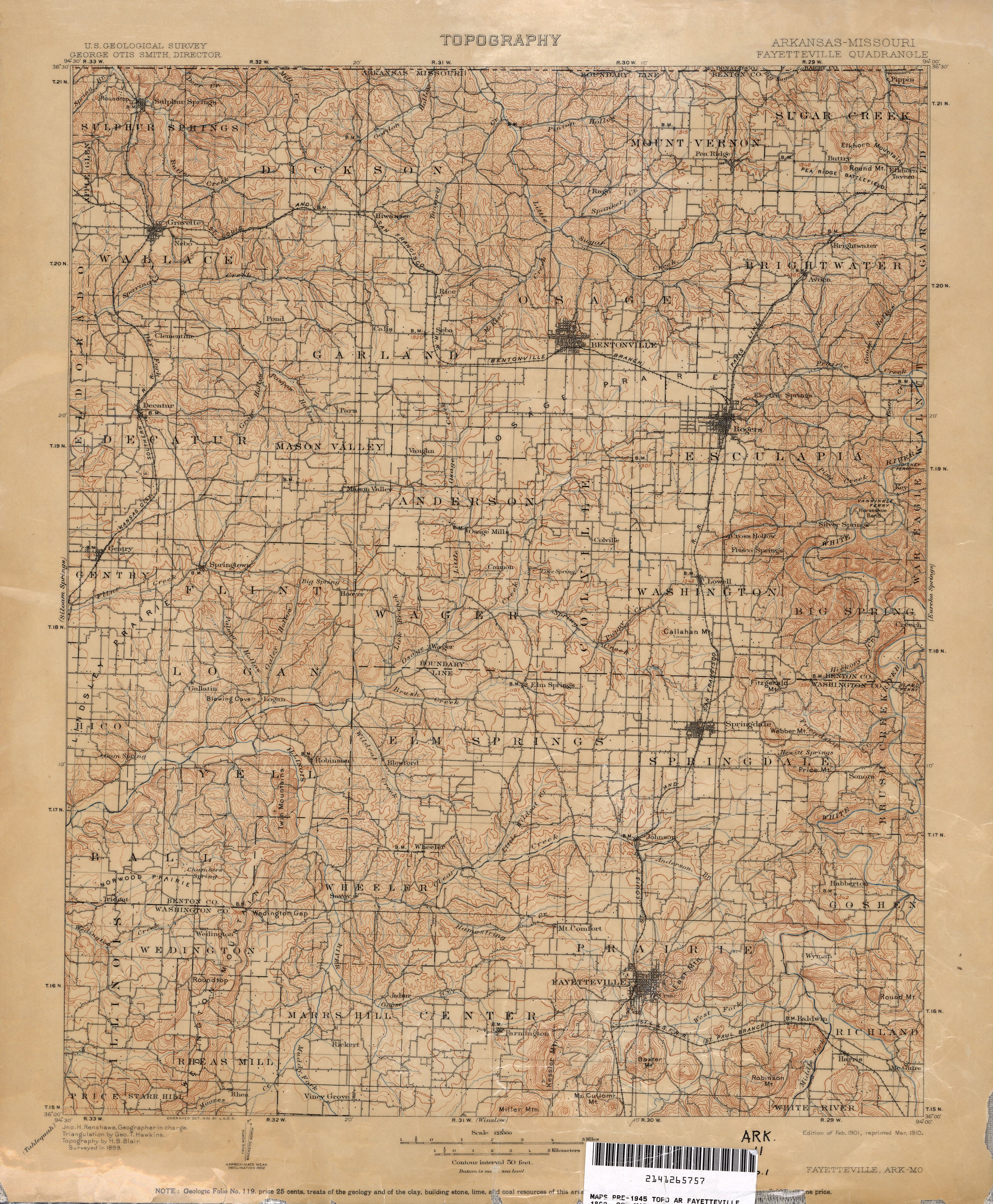
- Fayetteville [Arkansas, Missouri] 1:125,000 1899 (2.8MB)
- Felsenthal [Arkansas, Louisiana] 1:62,500 1937 (2.9MB)
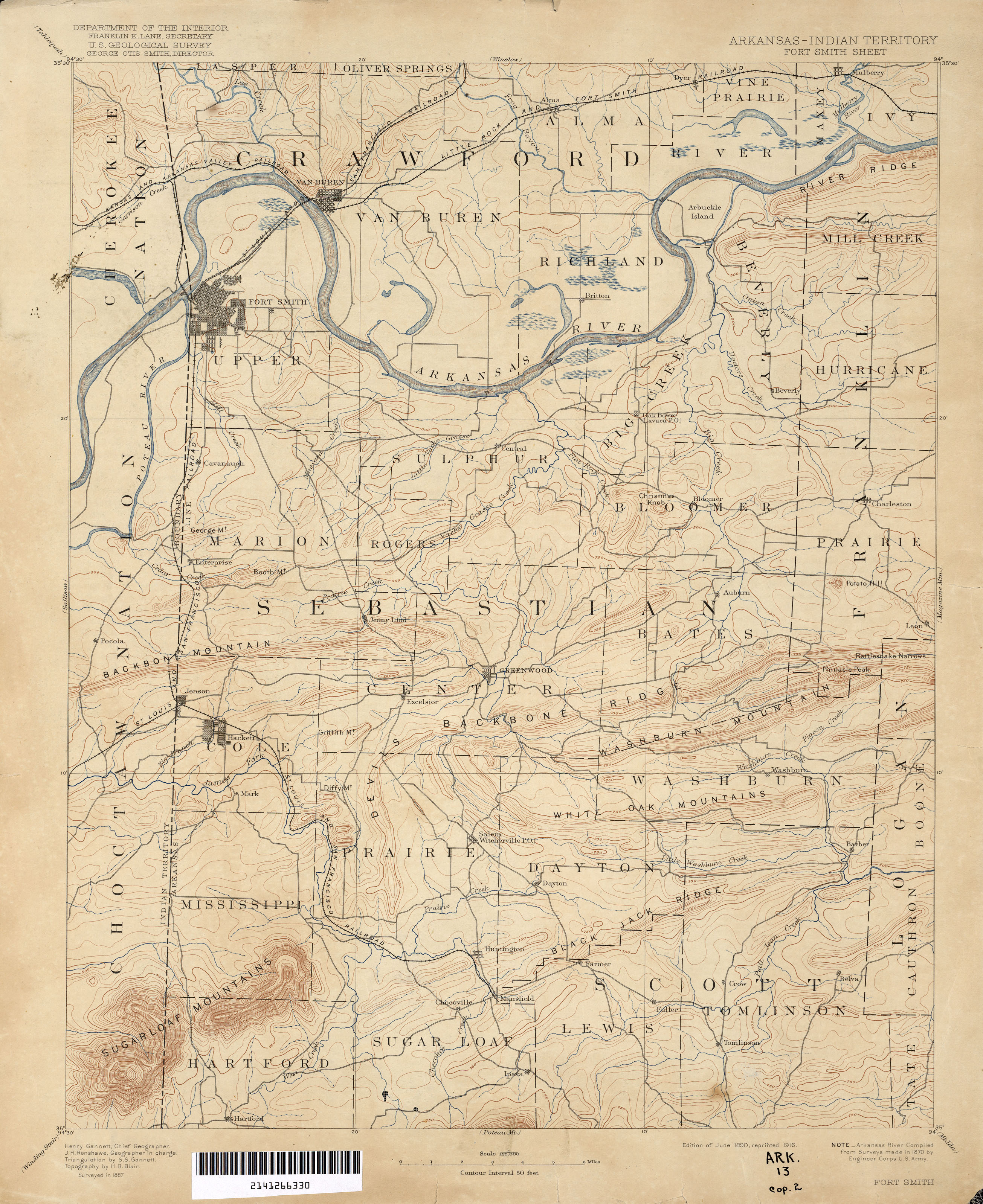
- Fort Smith [Arkansas, Indian Territory] 1:125,000 1887 (2.3MB)
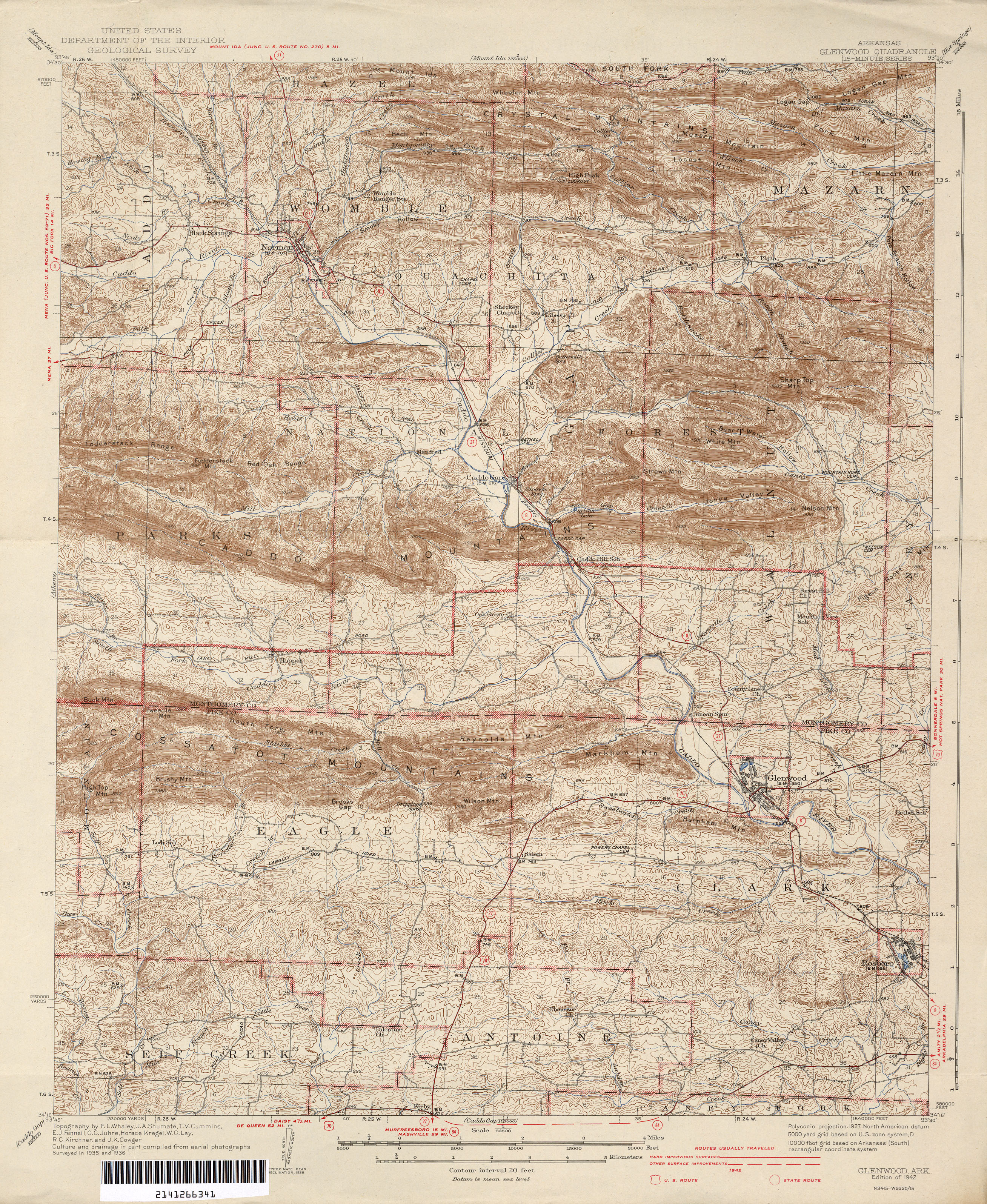
- Glenwood 1:62,500 1942 (4.1MB)
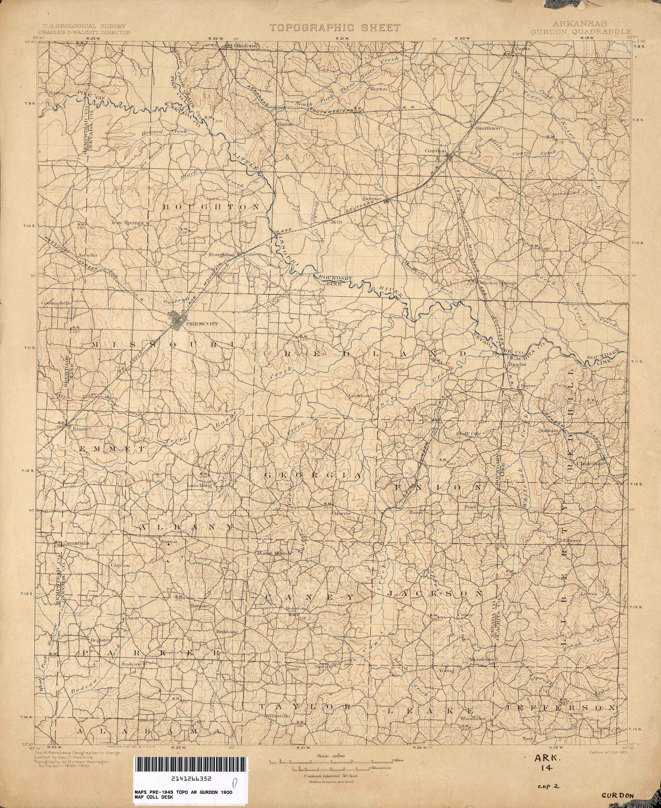
- Gurdon 1:125,000 1900 (2.7MB)
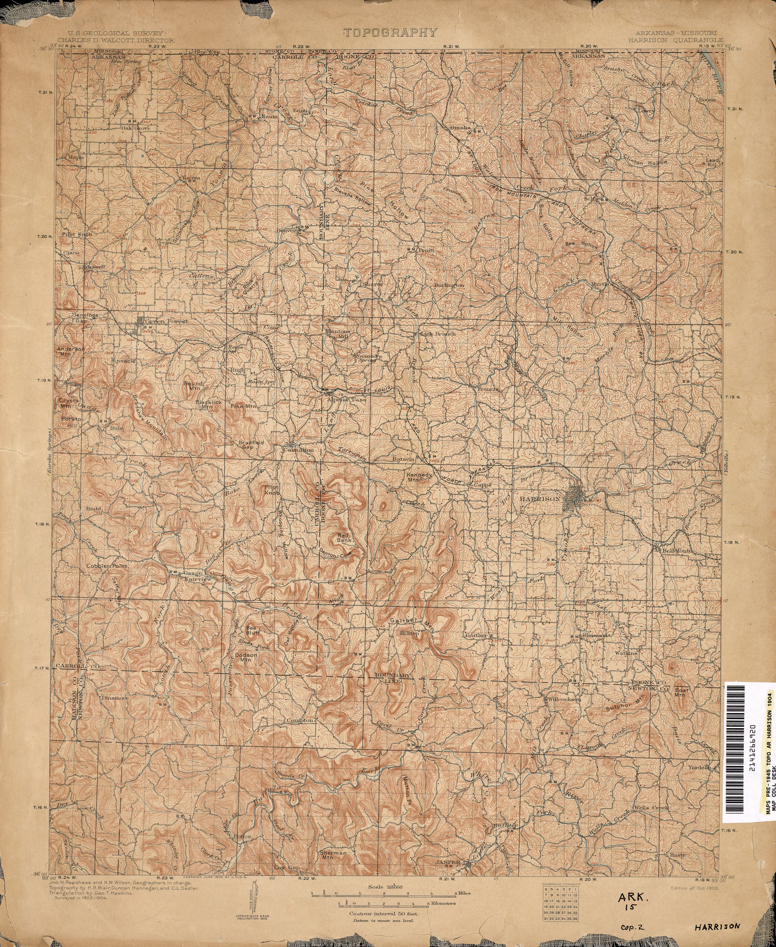
- Harrison [Arkansas, Missouri] 1:125,000 1904 (3.5MB)
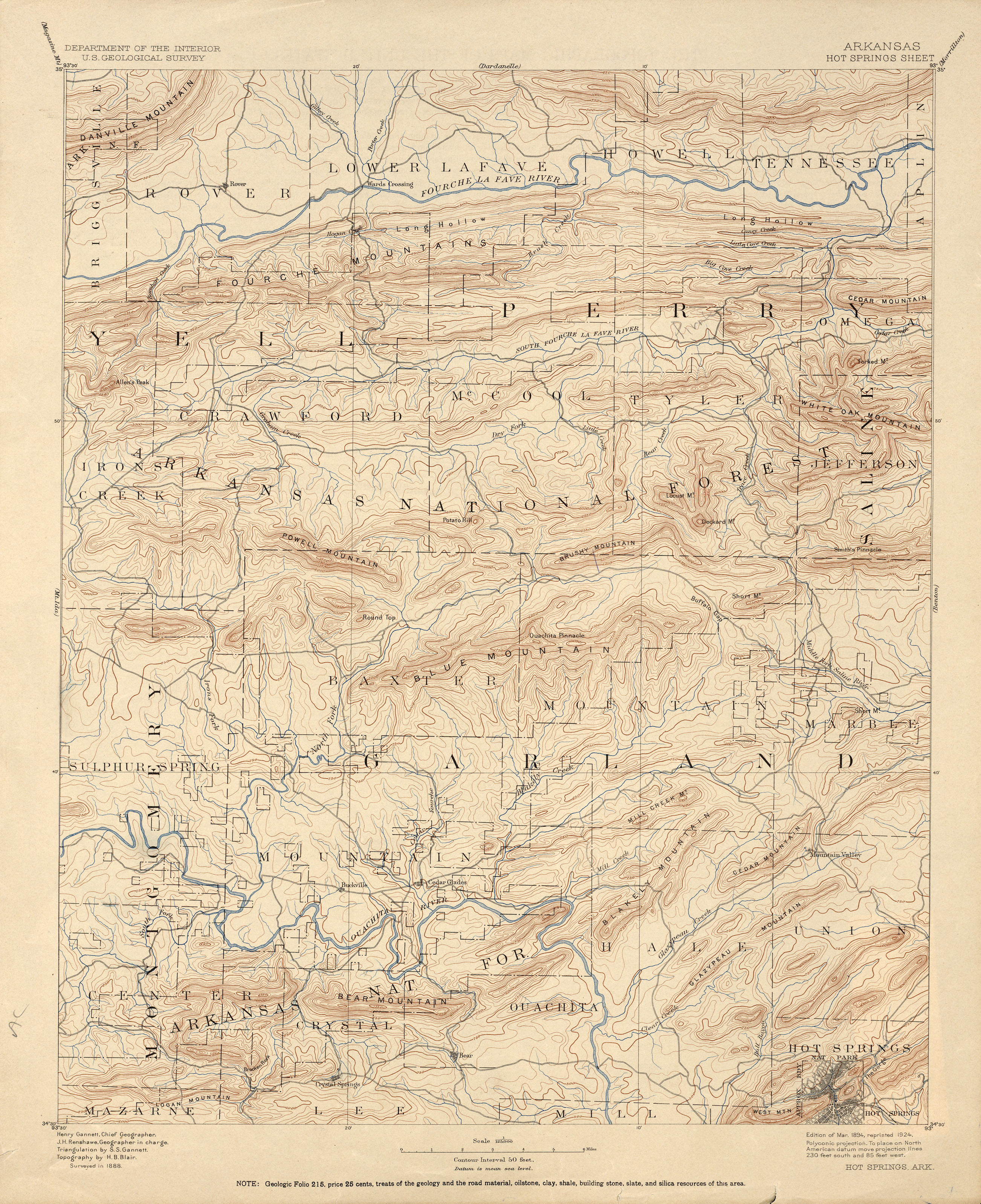
- Hot Springs 1:125,000 1888 (3.1MB)
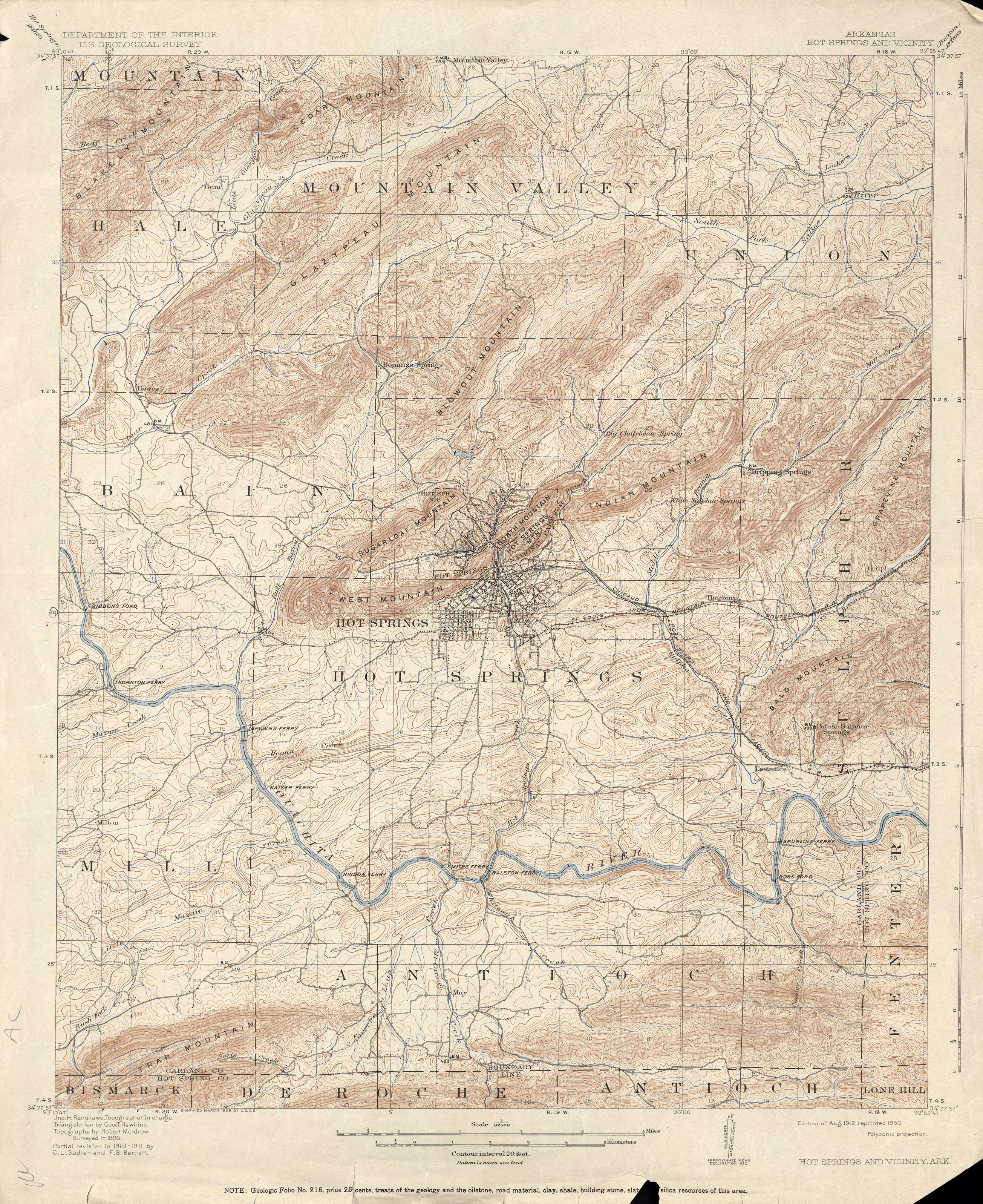
- Hot Springs and Vicinity 1:62,500 1911 (3.4MB)
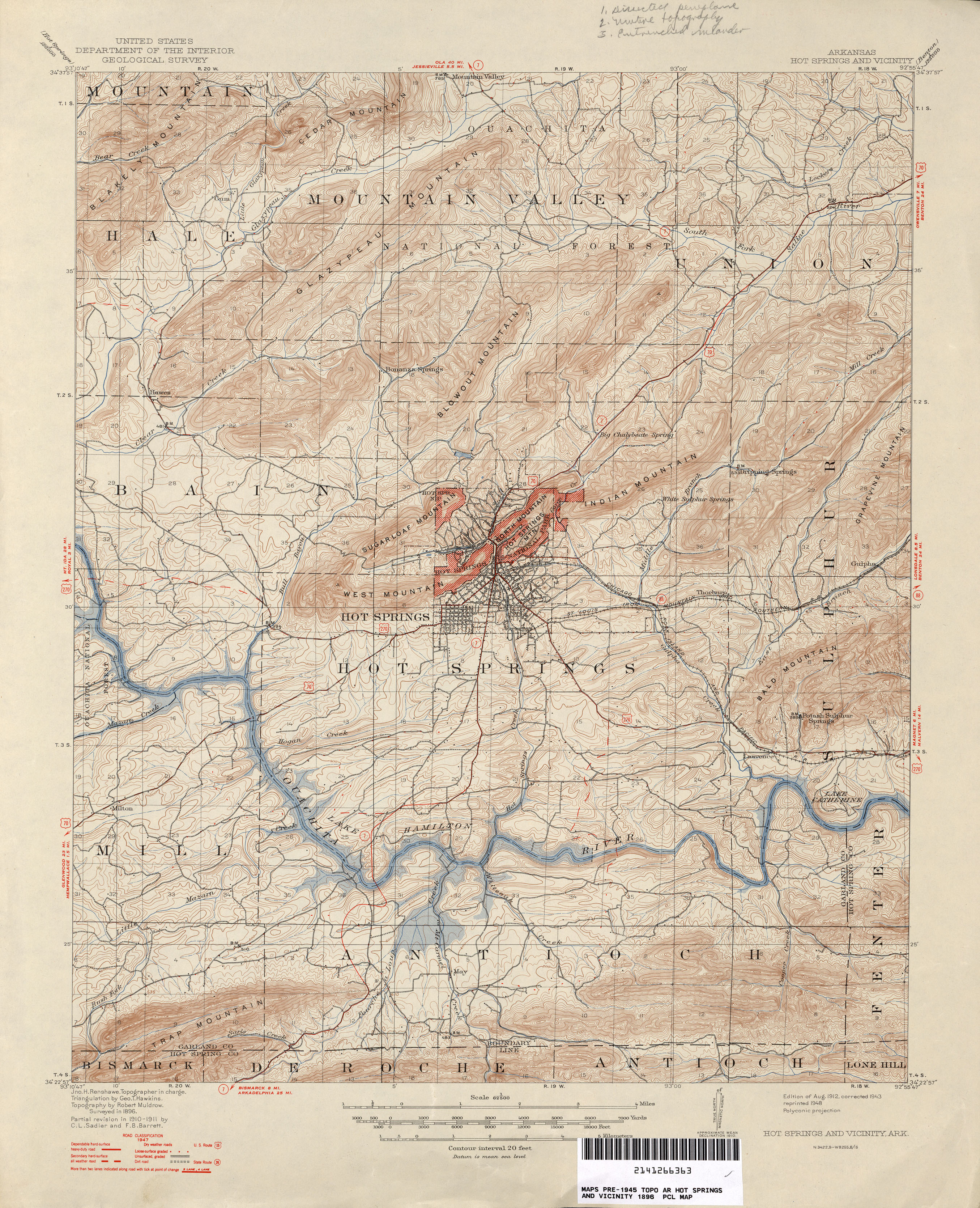
- Hot Springs and Vicinity 1:62,500 1947 (3.6MB)
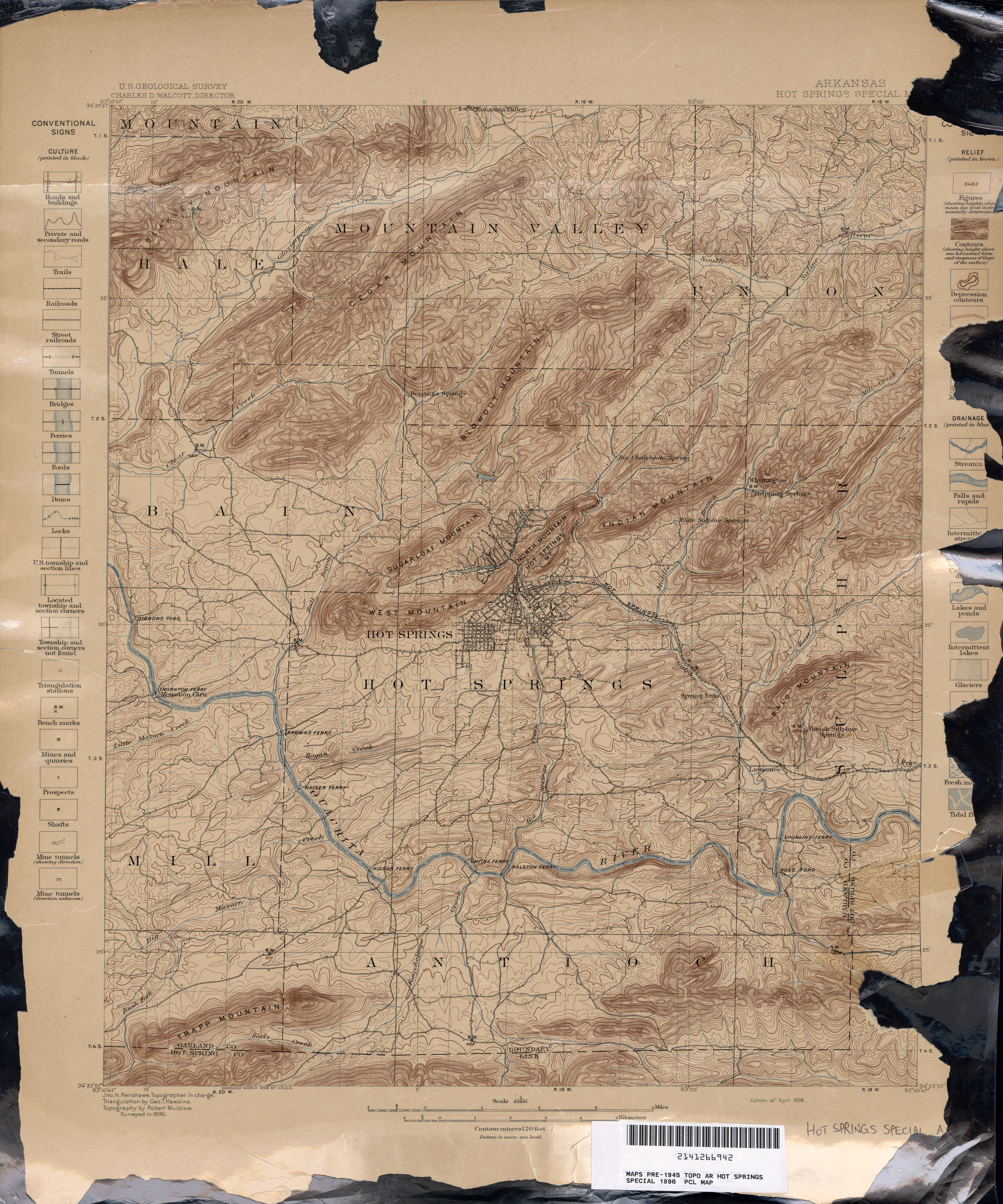
- Hot Springs Special 1:62,500 1896 (3.1MB)
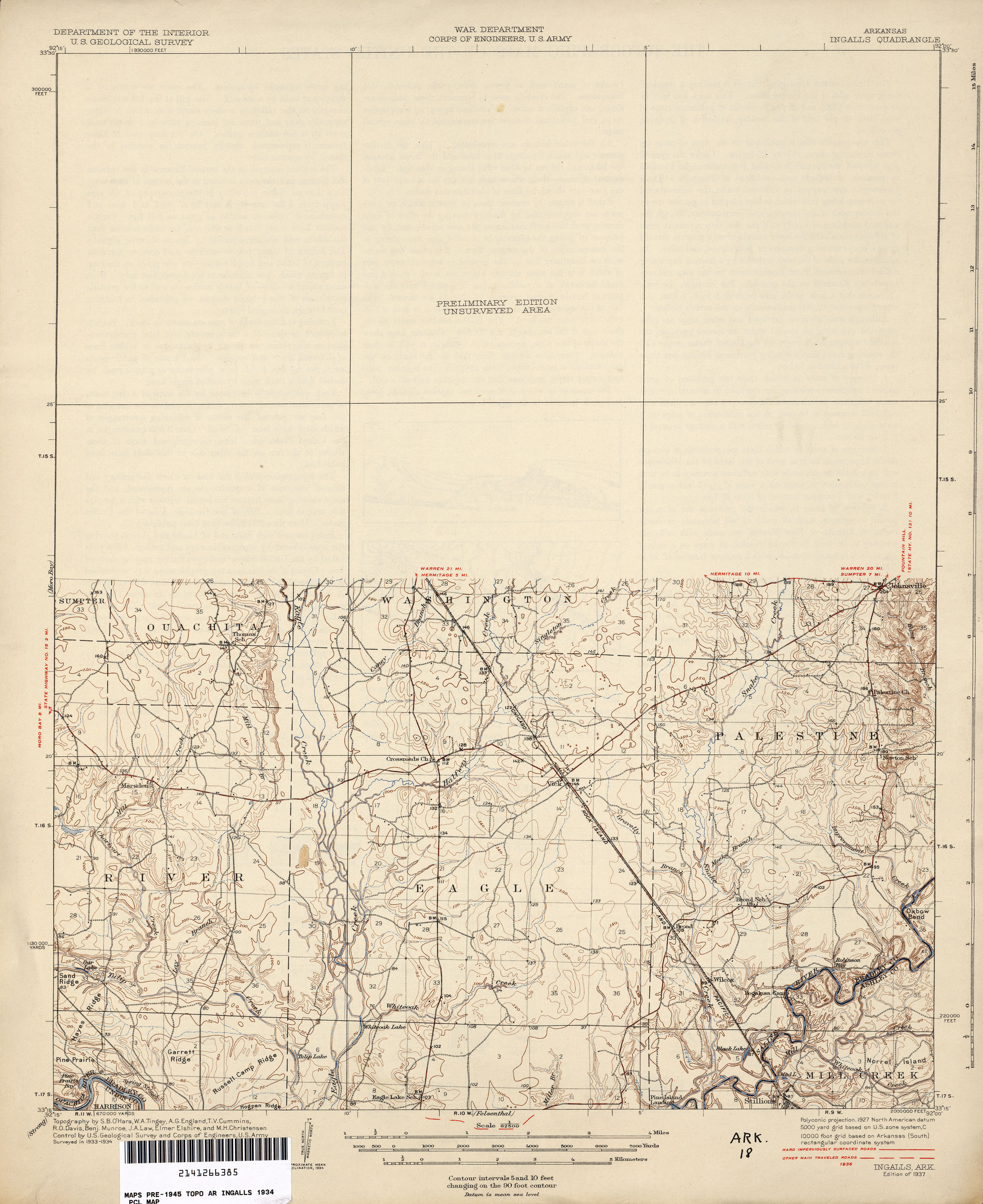
- Ingalls 1:62,500 1936 (1.9MB)
- Little Rock 1:125,000 1918 (2.7MB)
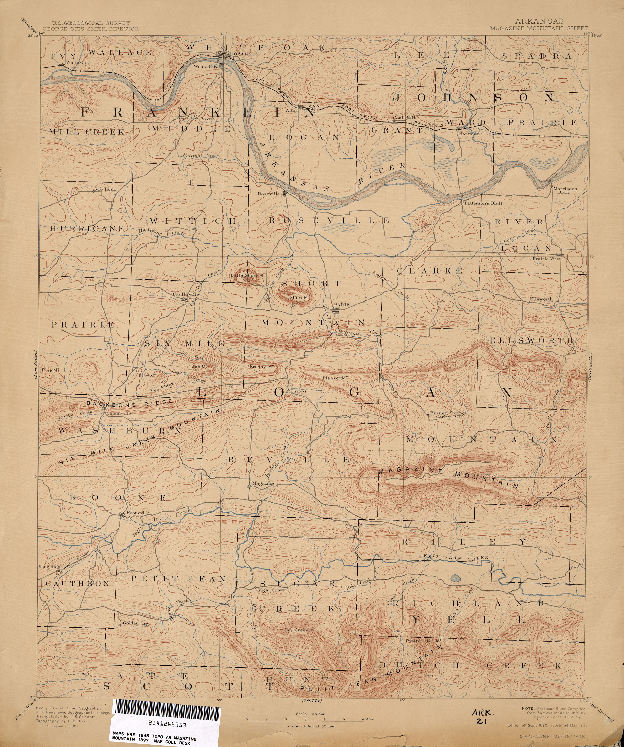
- Magazine Mountain 1:125,000 1887 (2.3MB)
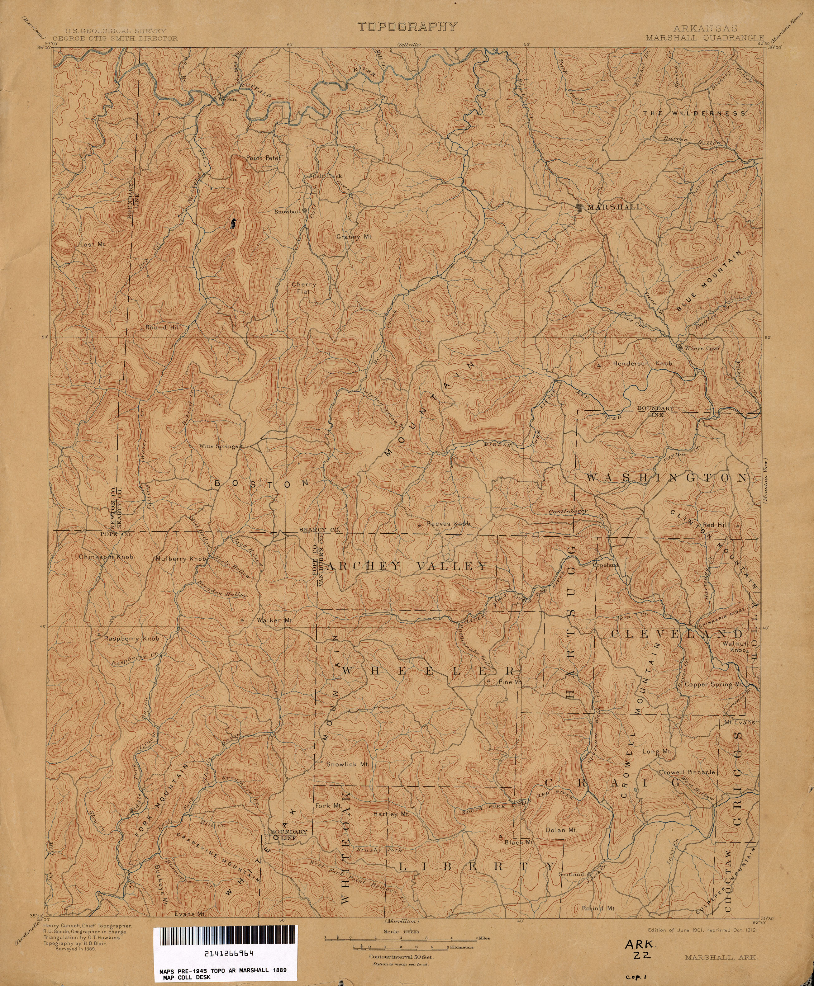
- Marshall 1:125,000 1889 (2.8MB)
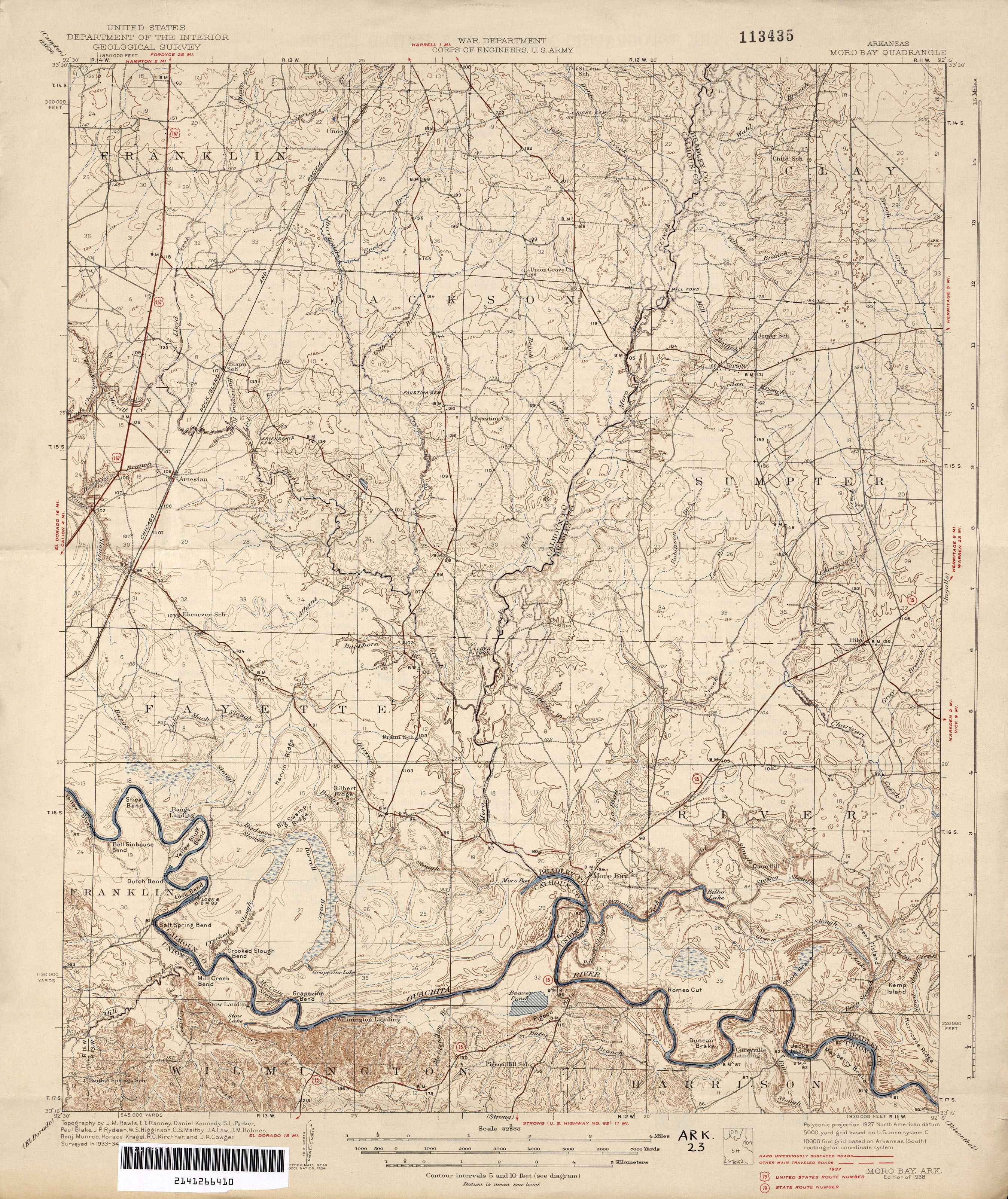
- Moro Bay 1:62,500 1937 (3.0MB)
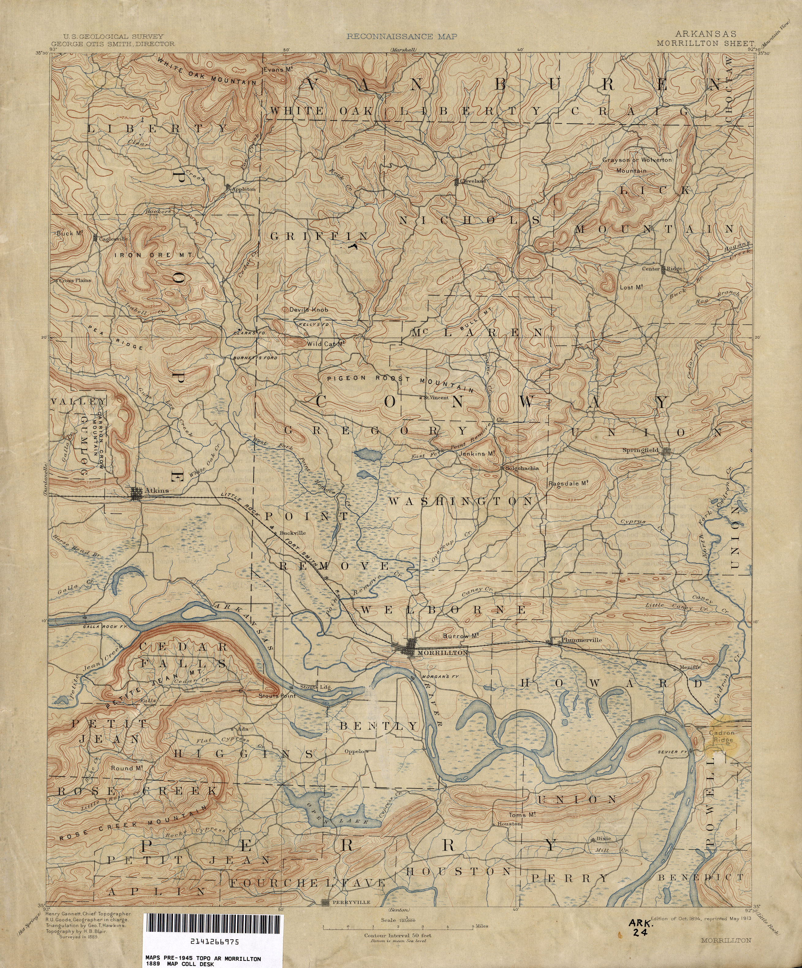
- Morrillton 1:125,000 1889 (2.6MB)
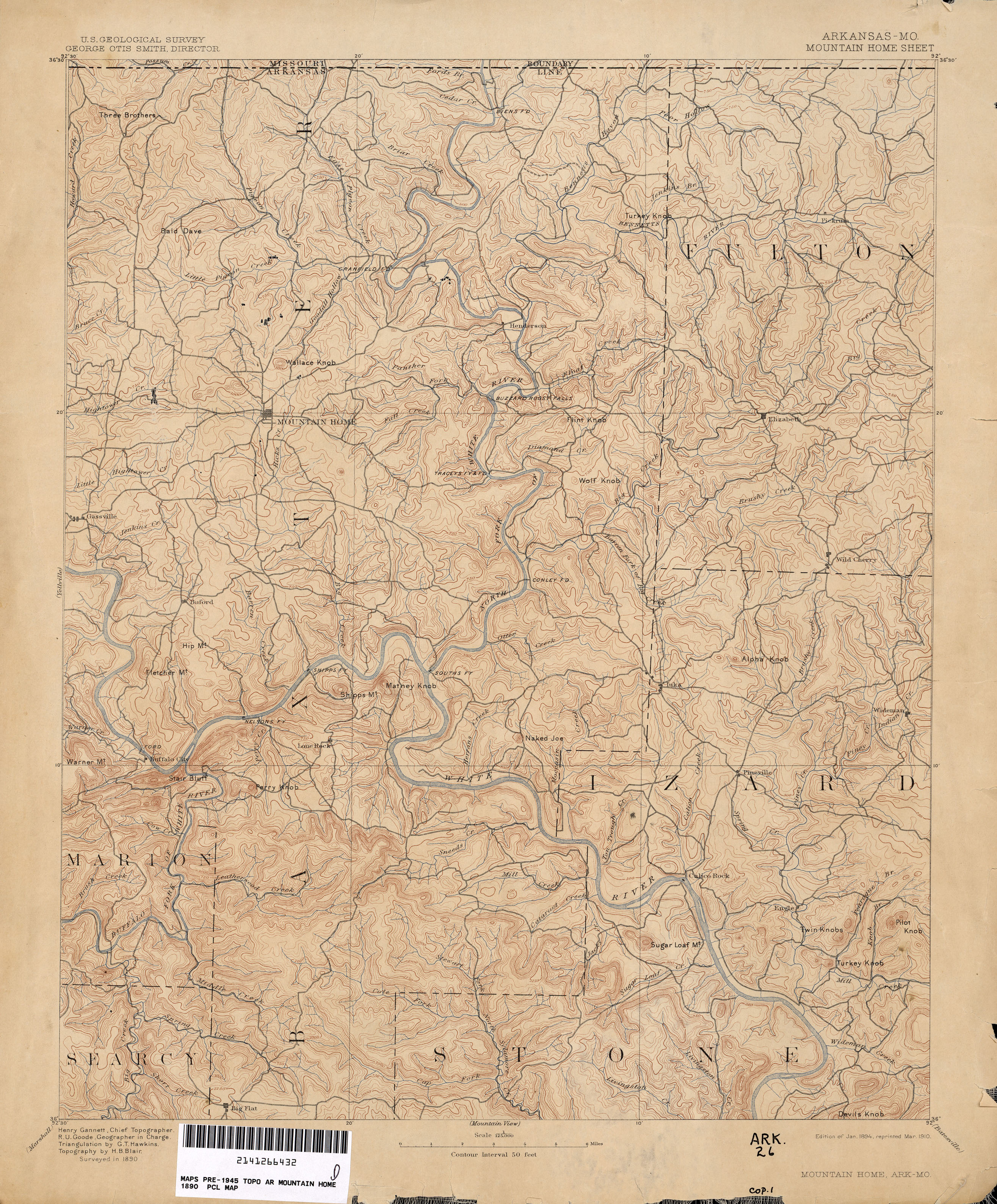
- Mountain Home [Arkansas, Missouri] 1:125,000 1890 (2.9MB)
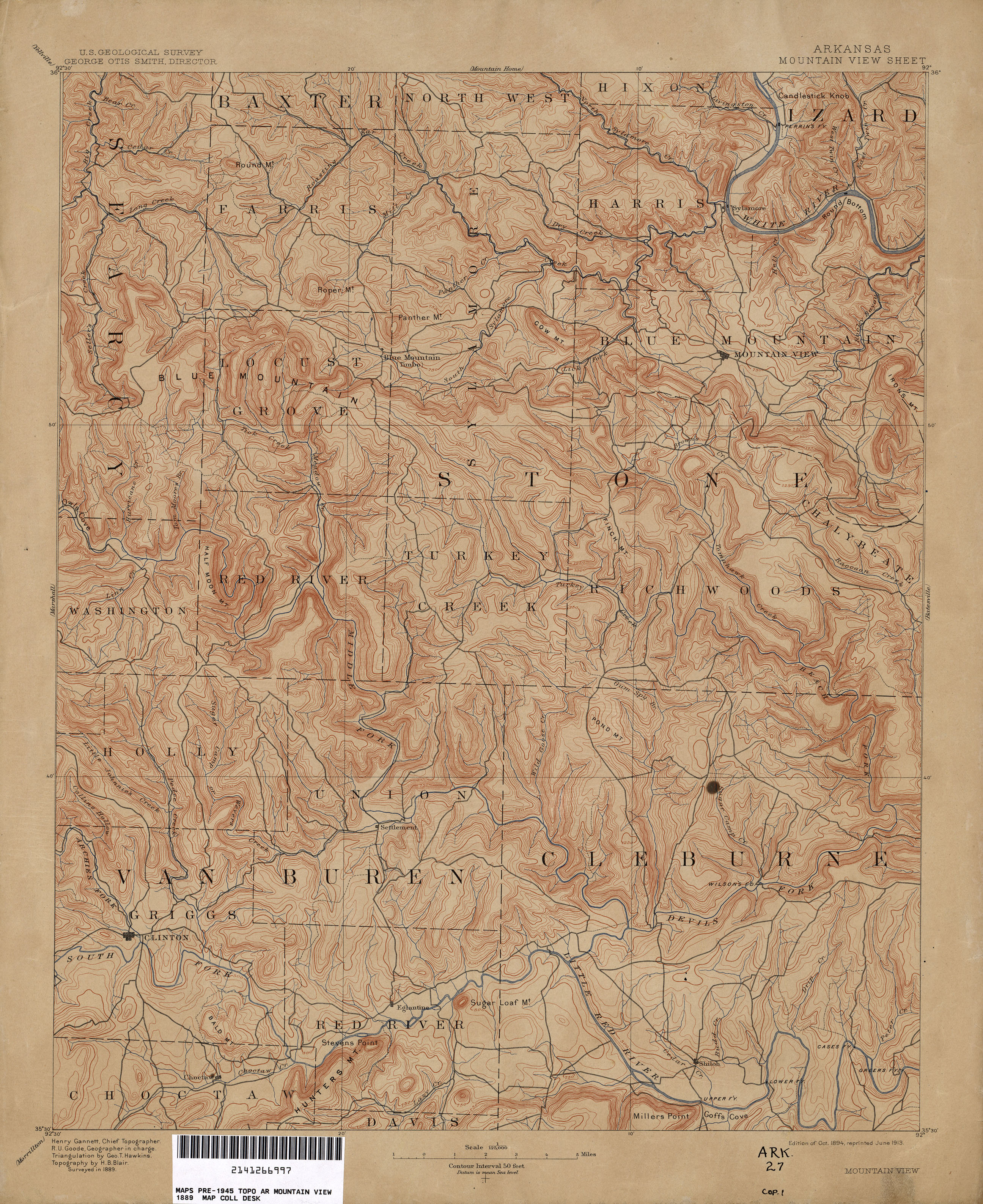
- Mountain View 1:125,000 (3.2MB)
- Mt. Ida 1:125,000 1887 (2.6MB)
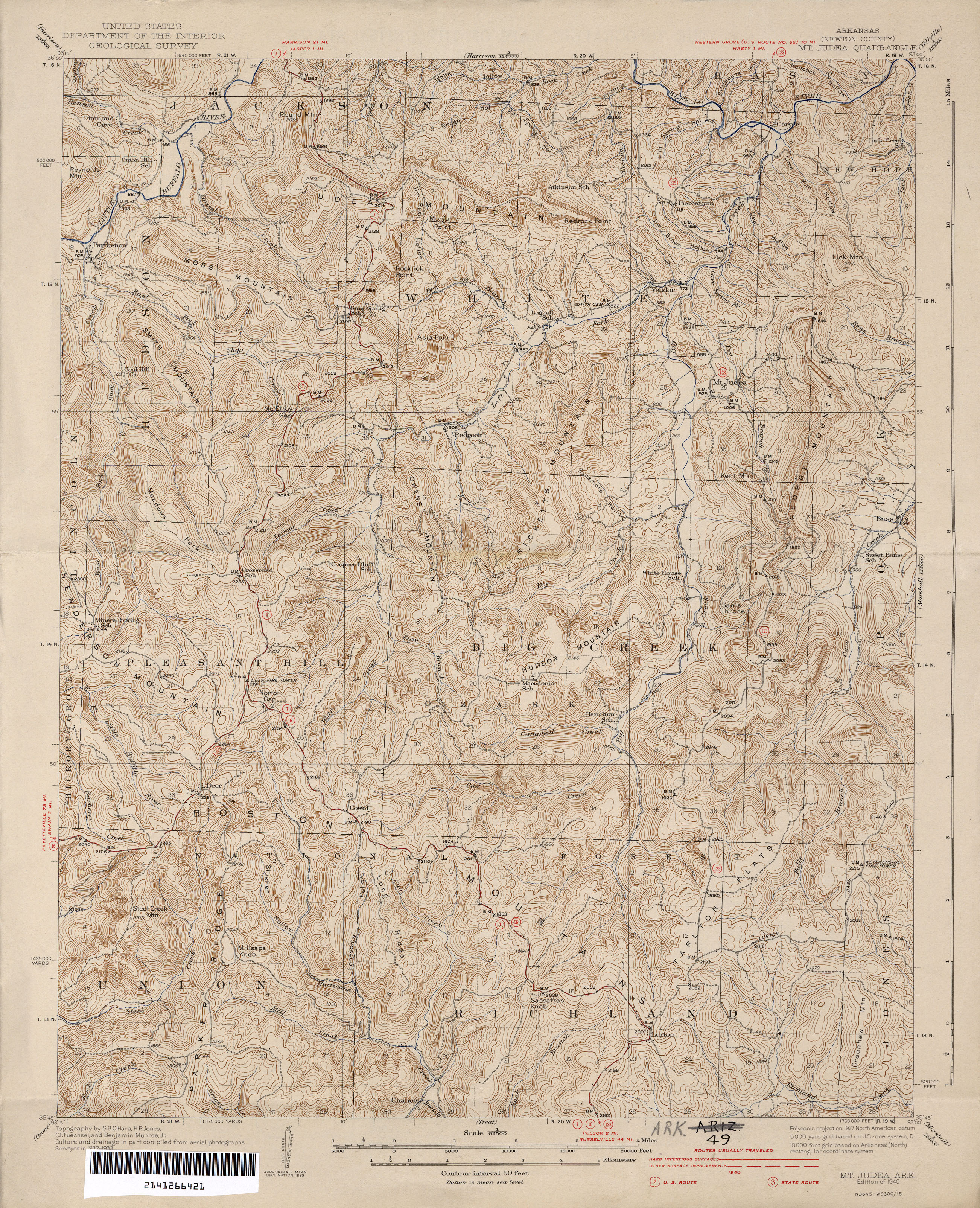
- Judea 1:62,500 1940 (3.7MB)
- Mt. Pleasant 1:31,680 1944 (3.9MB)
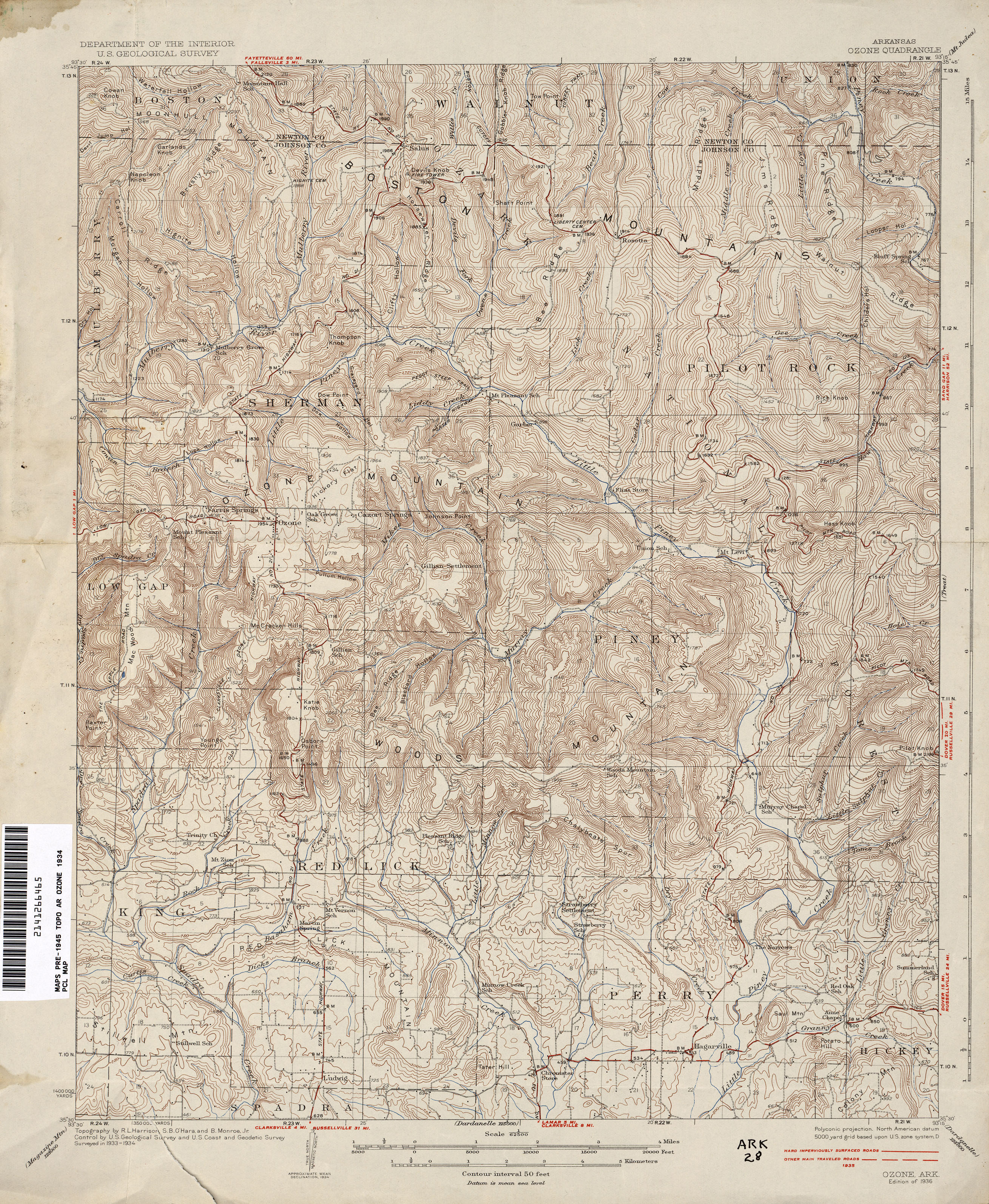
- Ozone 1:62,500 1935 (3.7MB)
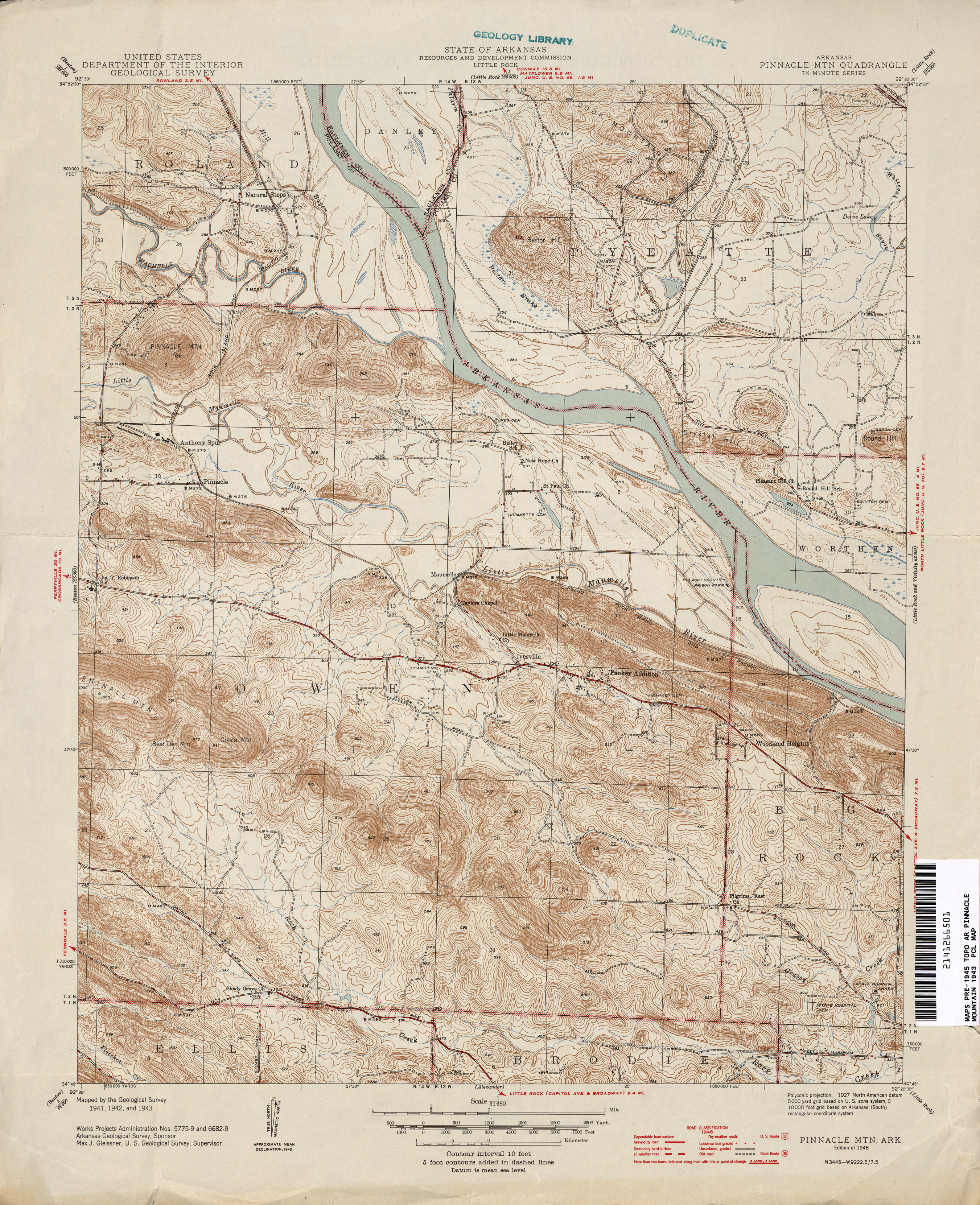
- Pinnacle Mountain 1:31,680 1946 (3.4MB)
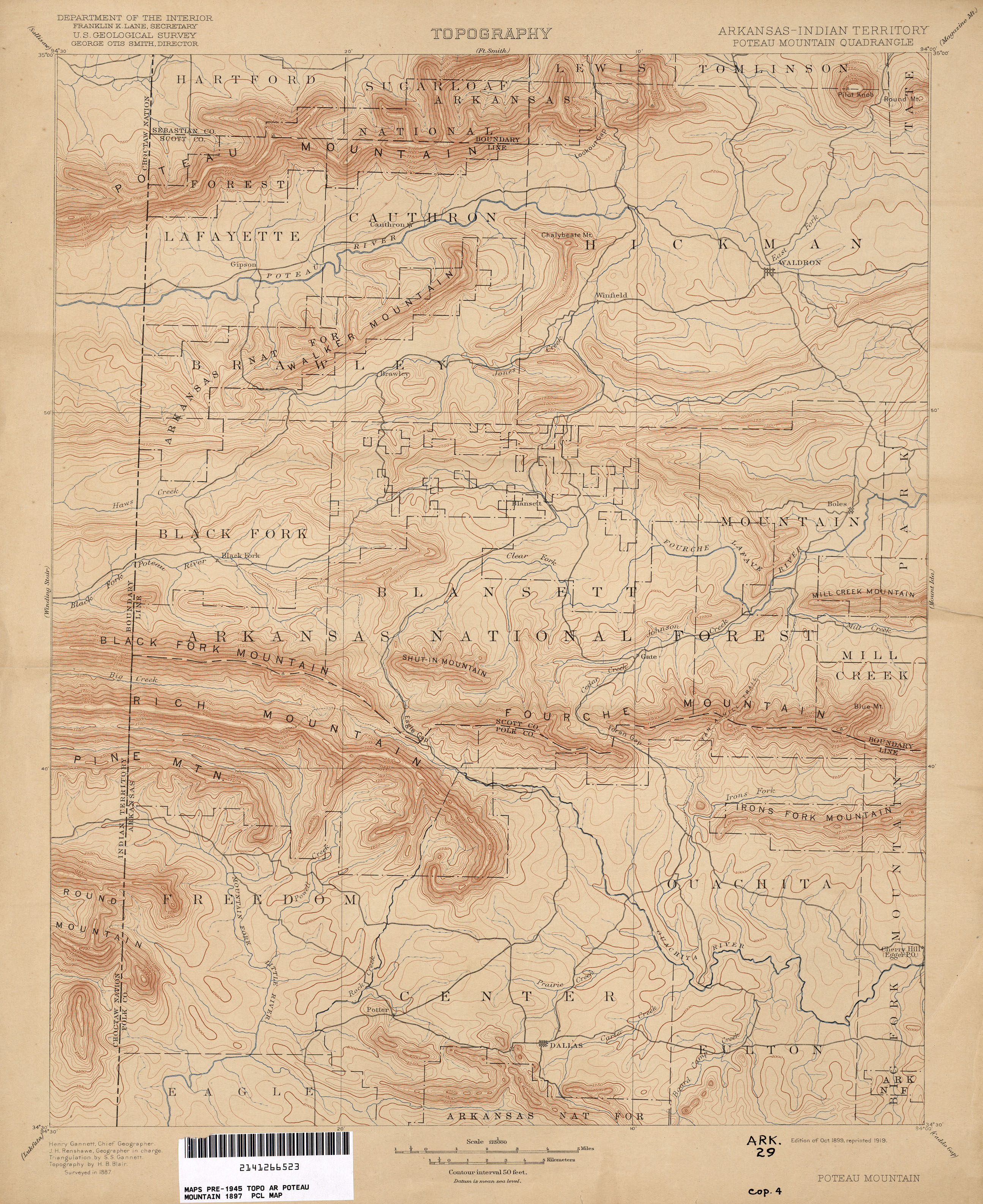
- Poteau Mountain [Arkansas, Indian Territory] 1:125,000 1887 (2.6MB)
- Salado 1:31,680 1944 (1.4MB)
- Scott 1:31,680 1942 (2.2MB)
- Smyrna 1:62,500 1942 (3.9MB)
- Snowball 1:62,500 1939 (3.9MB)
- Strong [Arkansas, Louisiana] 1:62,500 1935 (1.6MB)
- Stuttgart 1:62,500 1935 (2.3MB)
- Treat 1:62,500 1934 (3.9MB)
- Waldron 1:62,500 1939 (3.5MB)
- Winslow [Arkansas, Indian Territory] 1:125,000 1898 (3.3MB)
- Yellville [Arkansas, Missouri] 1:125,000 1891 (3.6MB)
Return to the top