Perry-Castañeda Library
Map Collection
California Topographic Maps
All maps on this page were published by the U.S. Geological Survey and are in the public domain. The date given for each map is the date of latest survey. More information about these maps is available on the Topographic Maps Home Page.
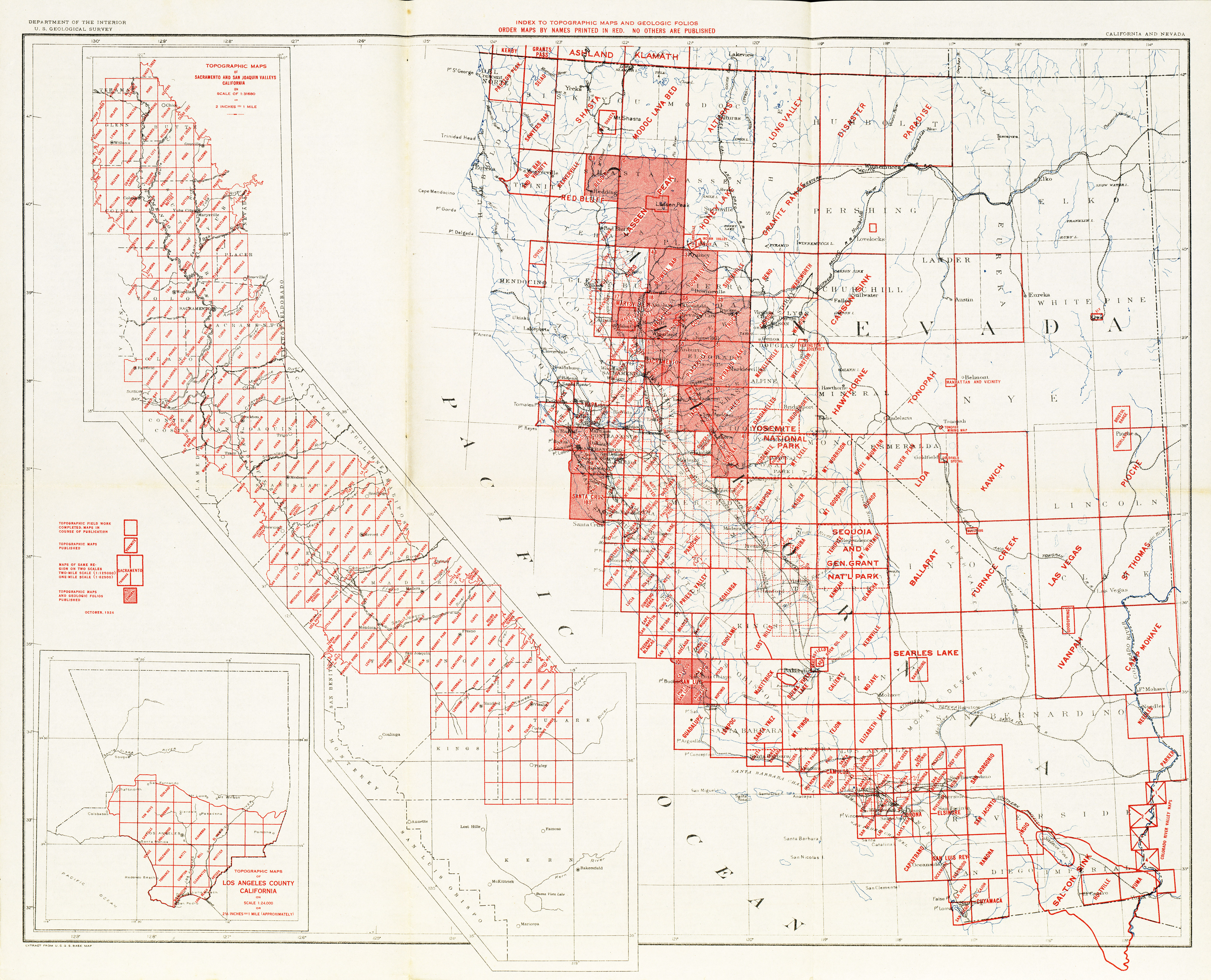
- California - Topographic Map Index 1926 (8.2MB)
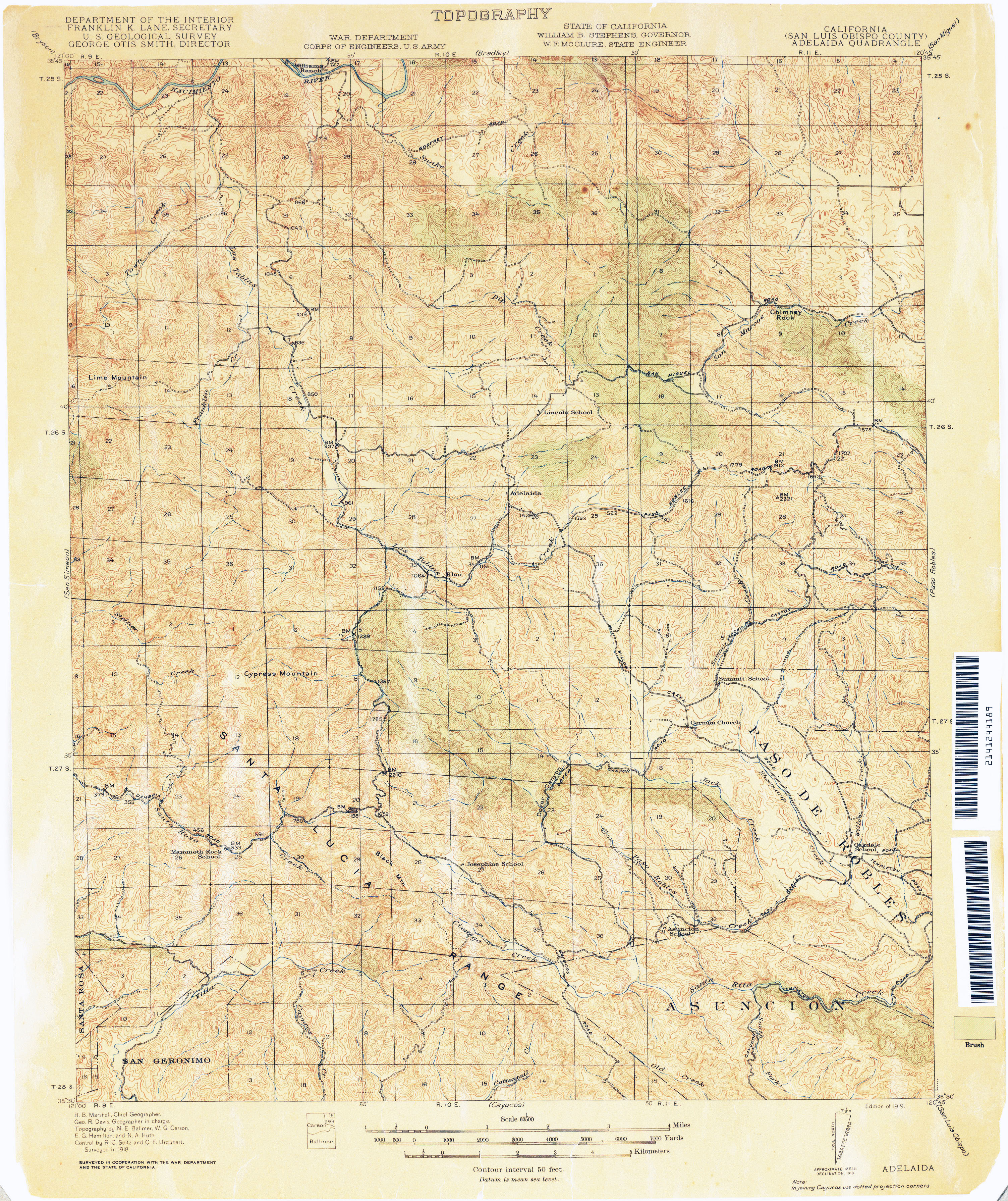
- Adelaida (San Luis Obispo County) 1918 1:62,500 (3.7MB)
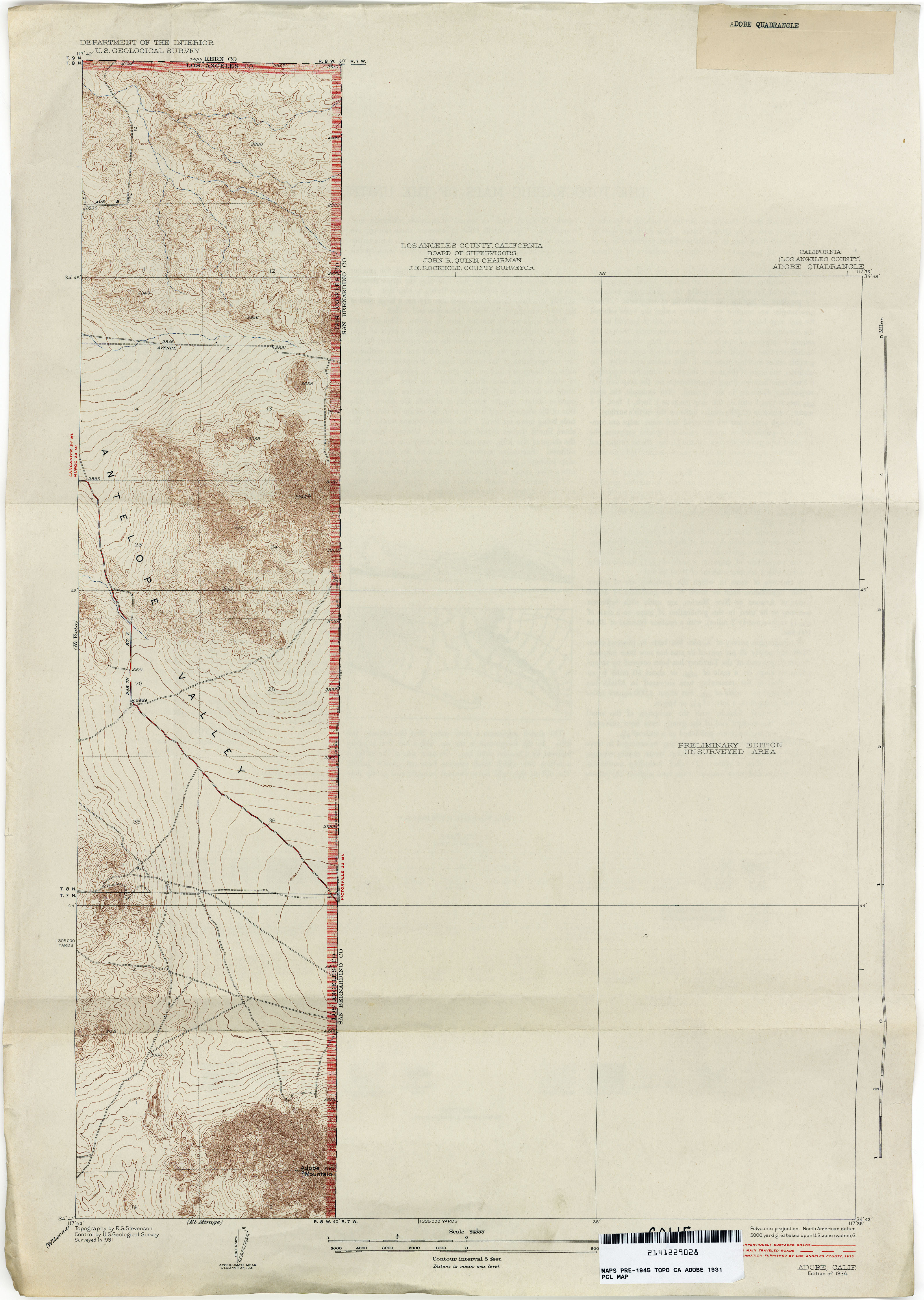
- Adobe (Los Angeles County) 1931 1:24,000 (2.6MB)
- Agua Dulce (Los Angeles County) 1948 1:24,000 (5.6MB)
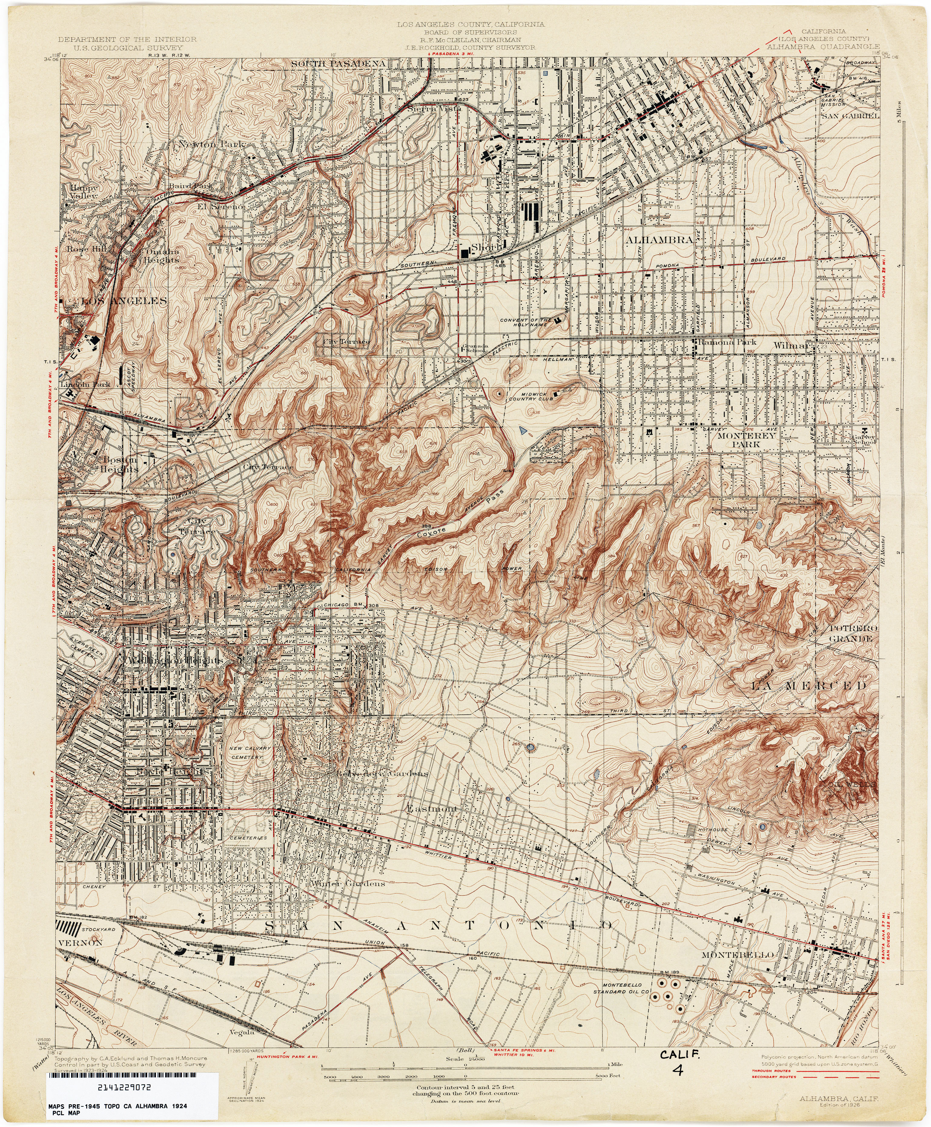
- Alhambra (Los Angeles County) 1924 1:24,000 (4.5MB)
- Altadena (Los Angeles County) 1924 1:24,000 (5.0MB)
- Alturas 1892 1:250,000 (2.6MB)
- Amargosa [Nevada, California] 1905 1:250,000 (7.1MB)
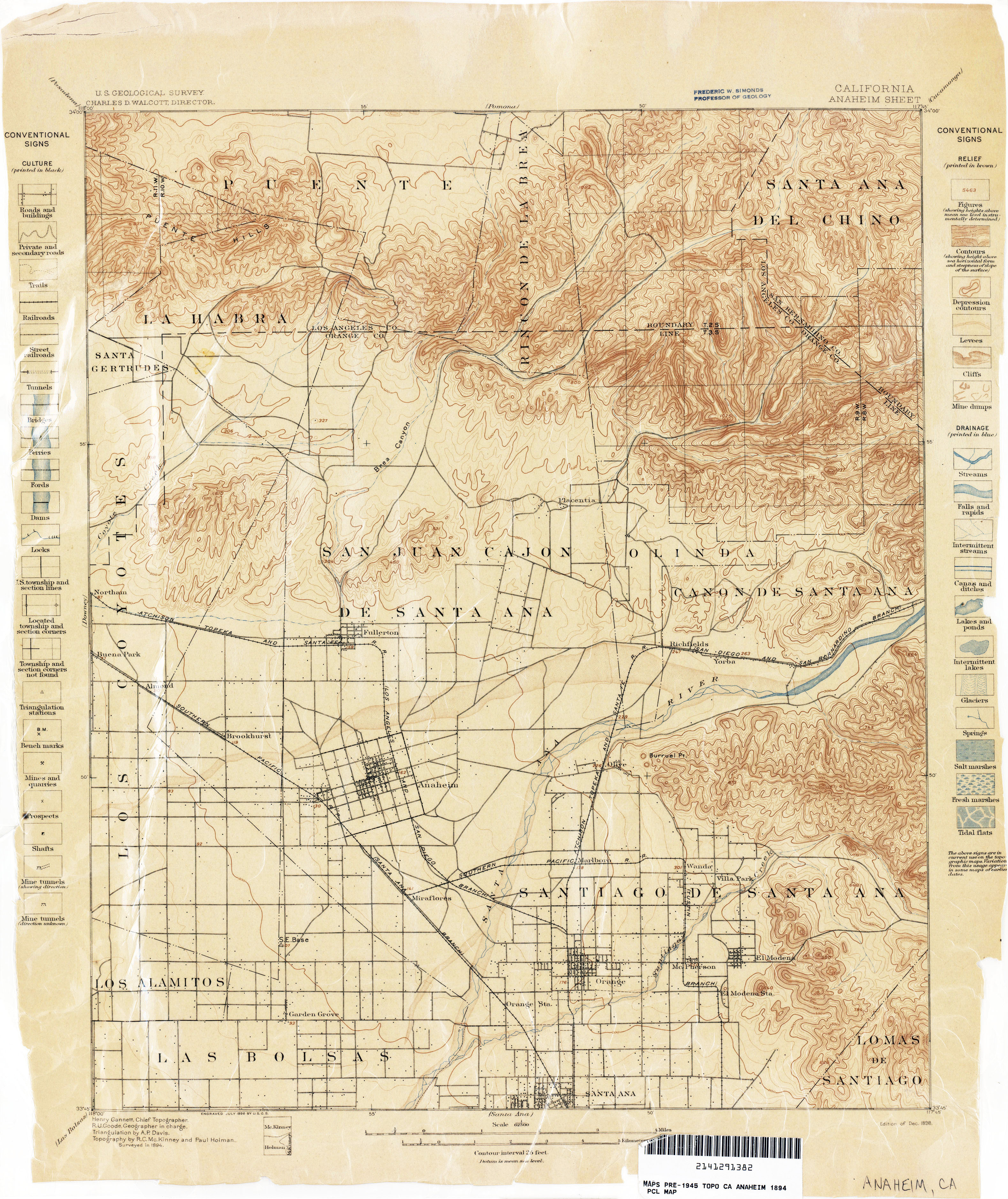
- Anaheim 1894 1:62,500 (3.1MB)
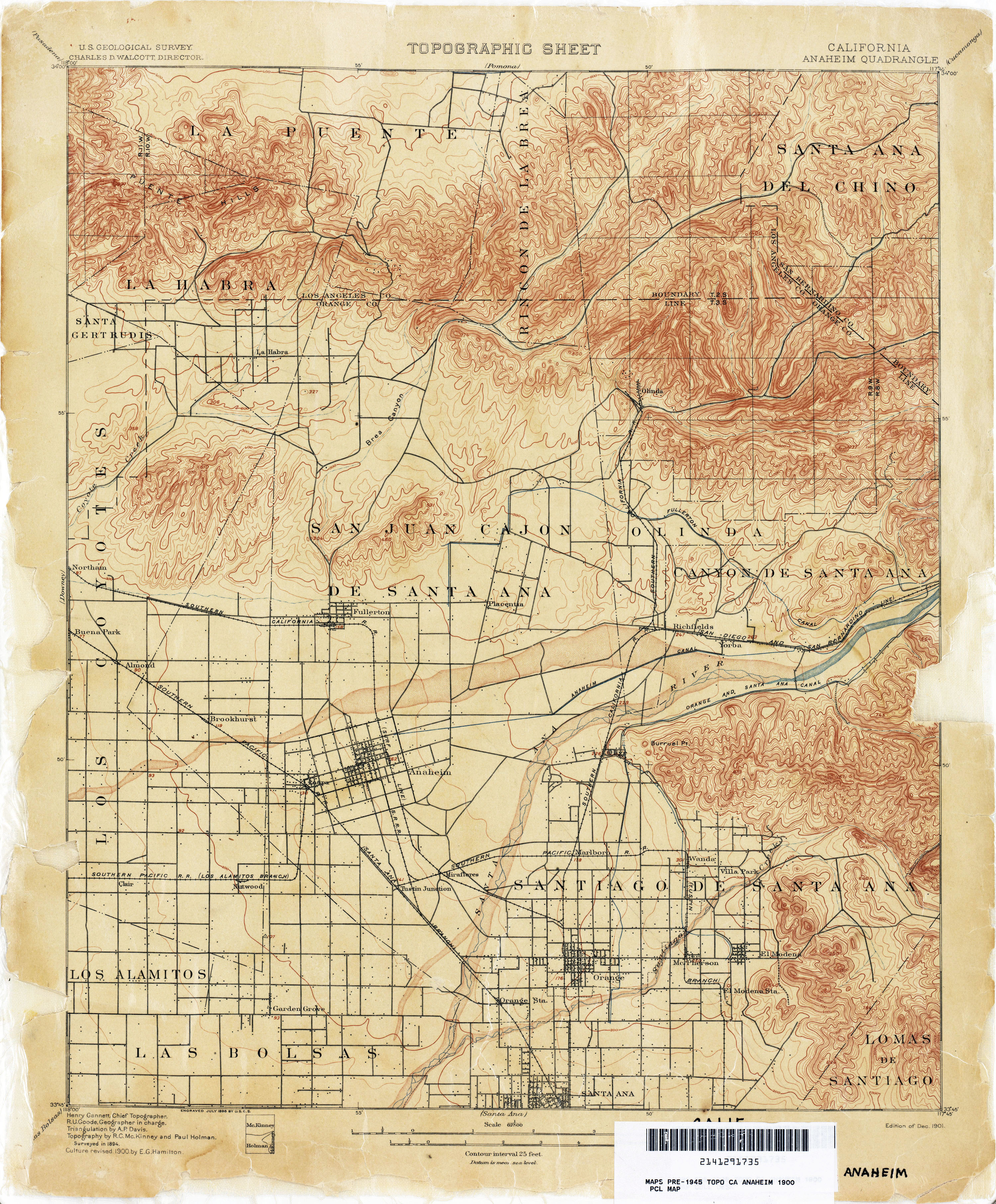
- Anaheim 1900 1:62,500 (3.3MB)
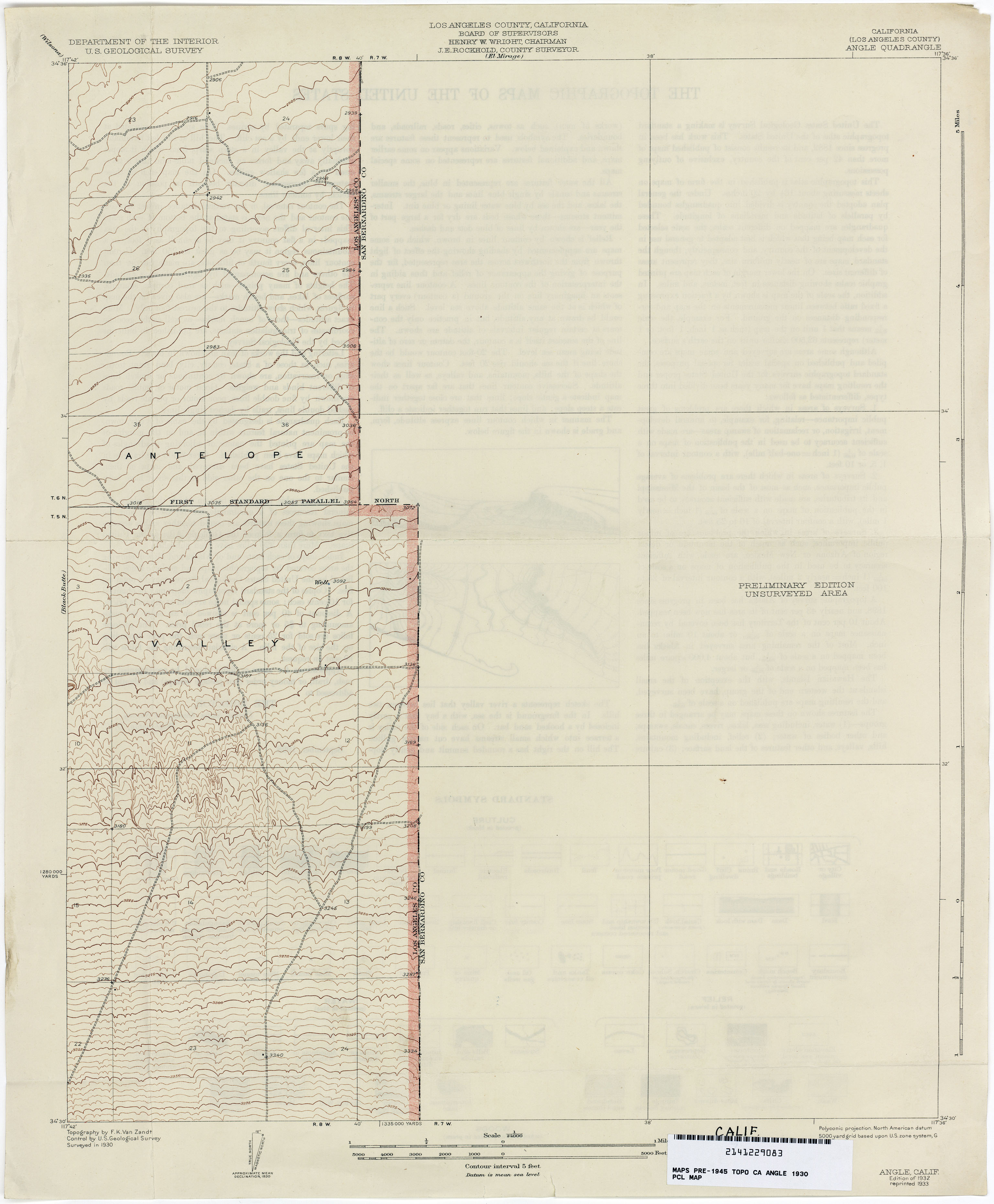
- Angle (Los Angeles County) 1930 1:24,000 (1.6MB)
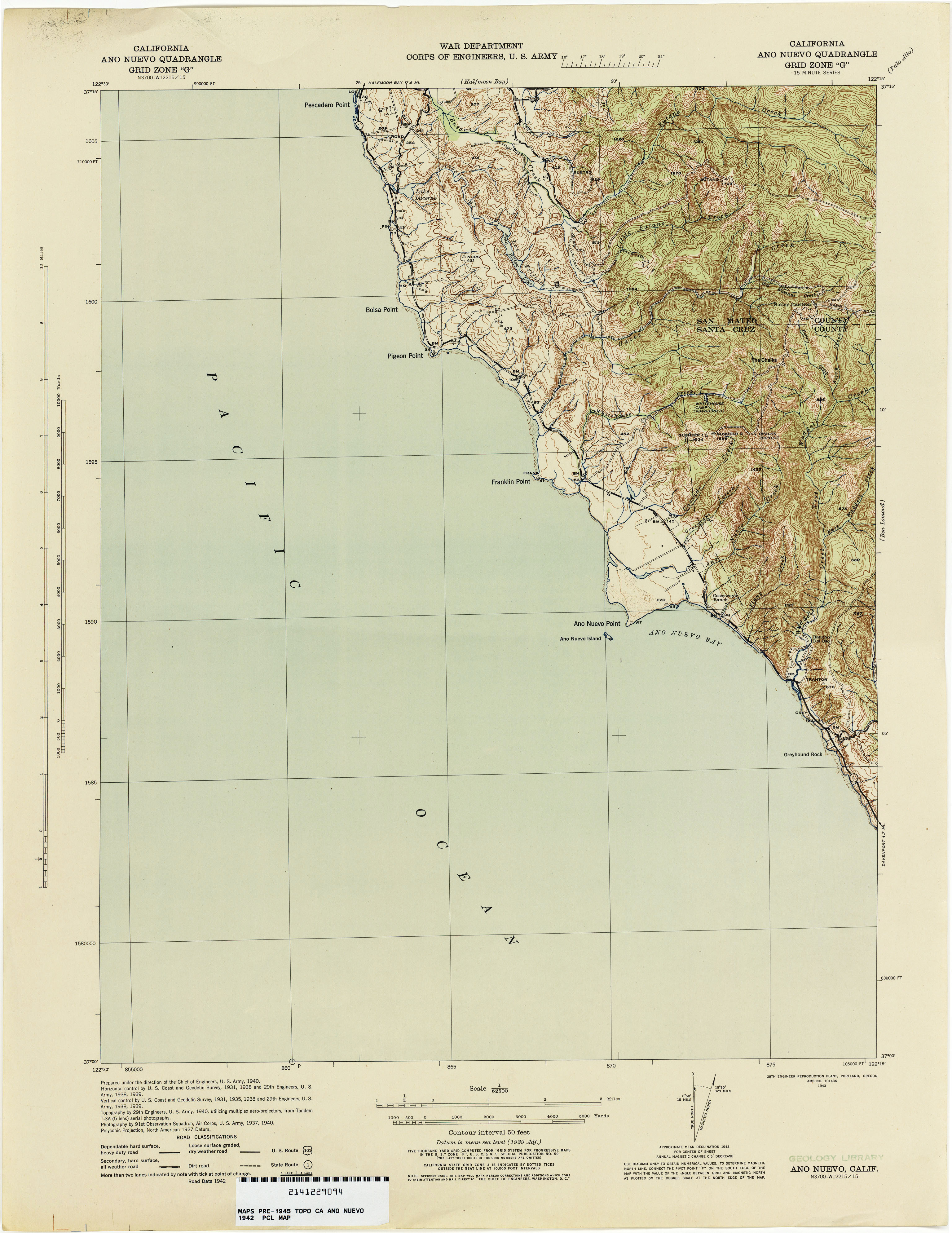
- Ano Nuevo 1942 1:62,500 (2.3MB)
- Antioch 1907 1:62,500 (4.4MB)
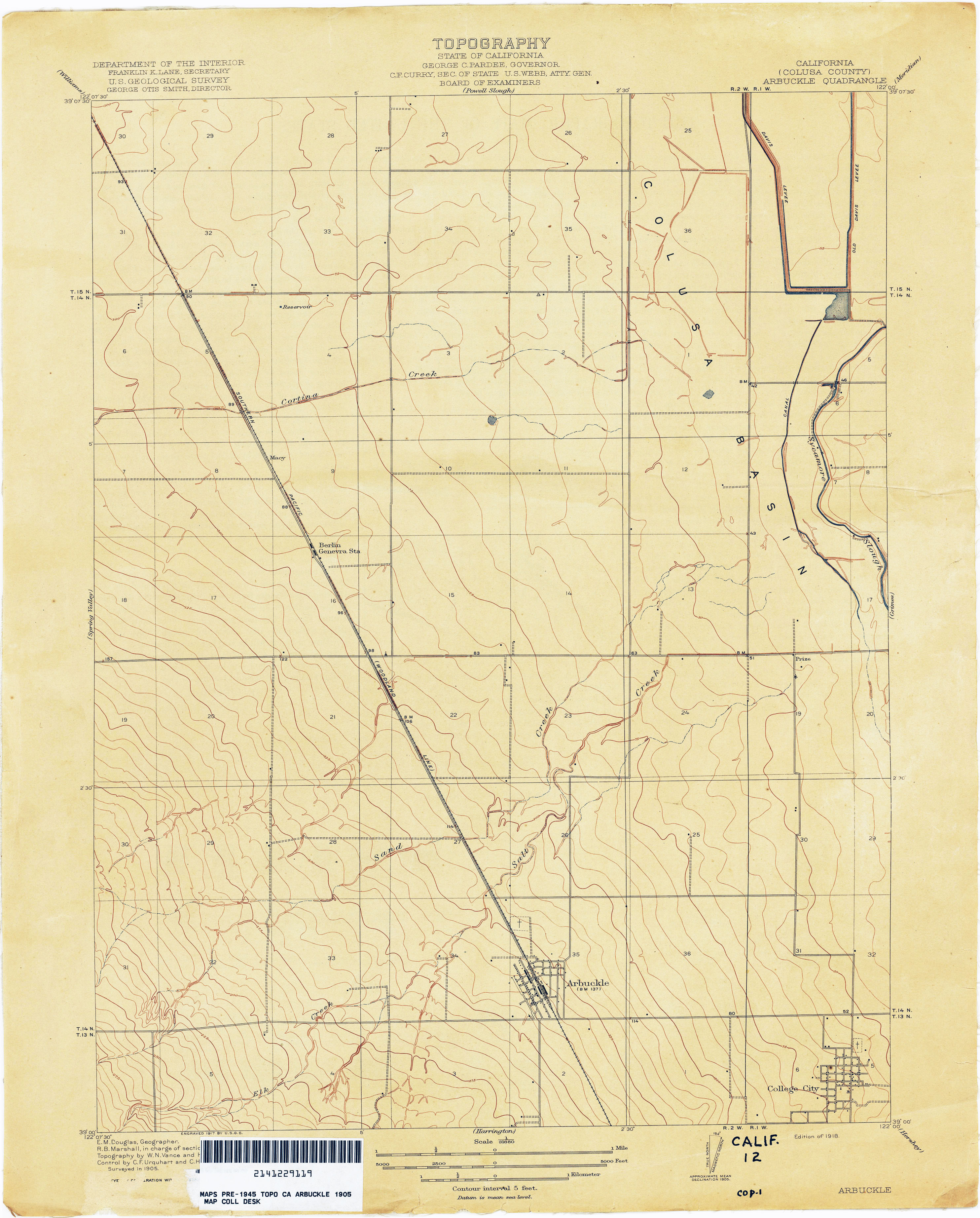
- Arbuckle (Colusa County) 1905 1:31,680 (2.0MB)
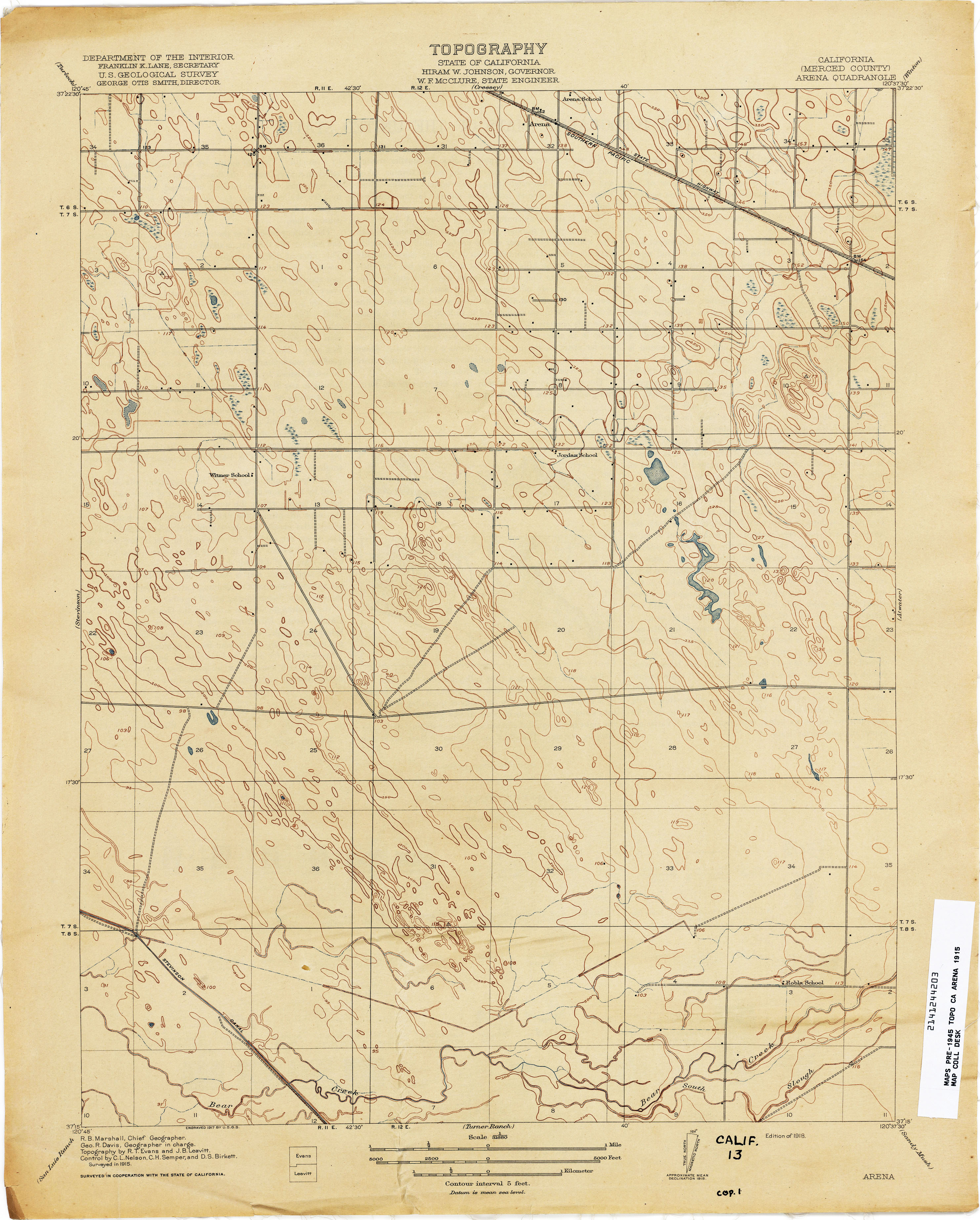
- Arena (Merced County) 1915 1:31,680 (2.4MB)
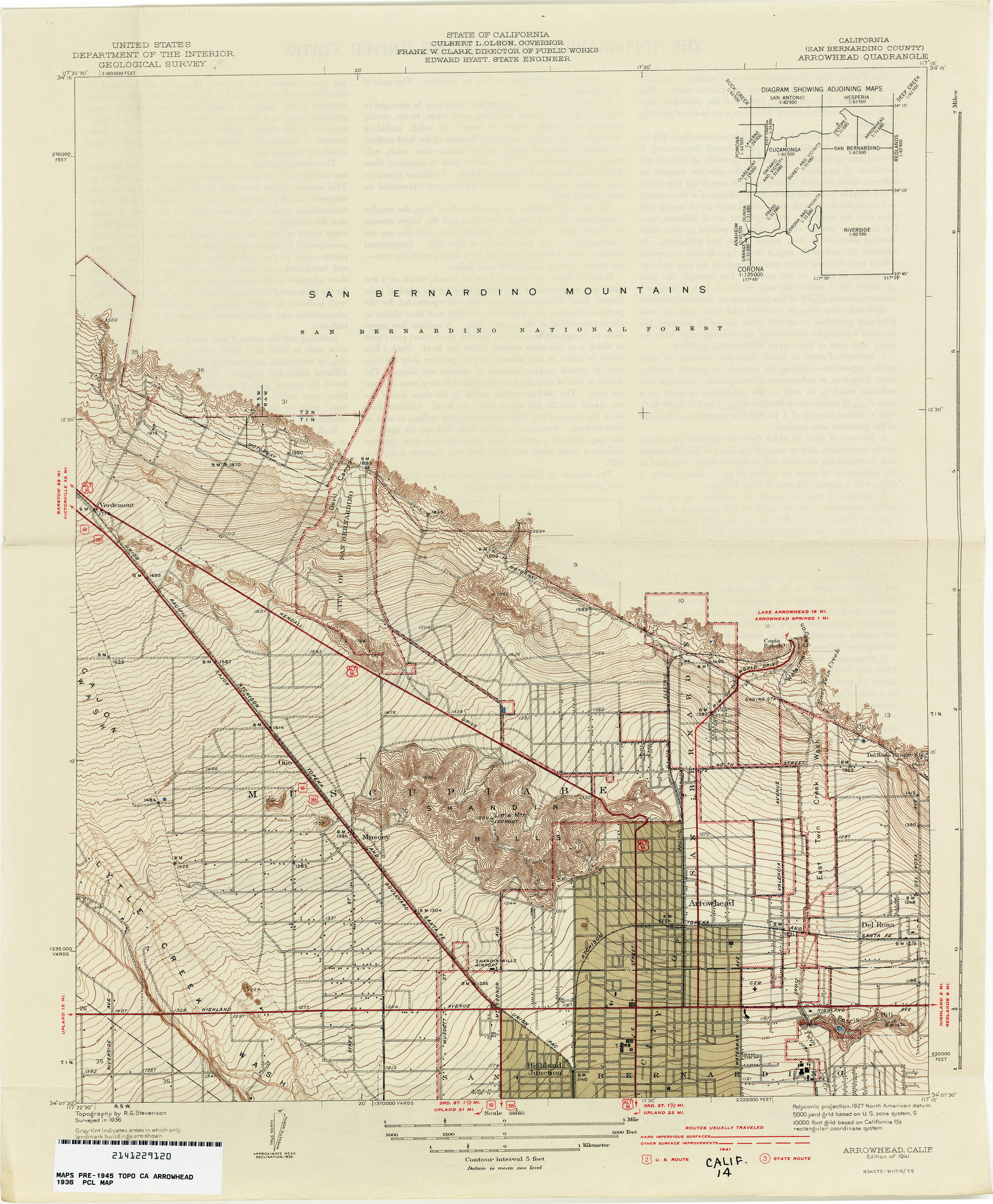
- Arrowhead (San Bernardino County) 1936 1:31,680 (2.6MB)
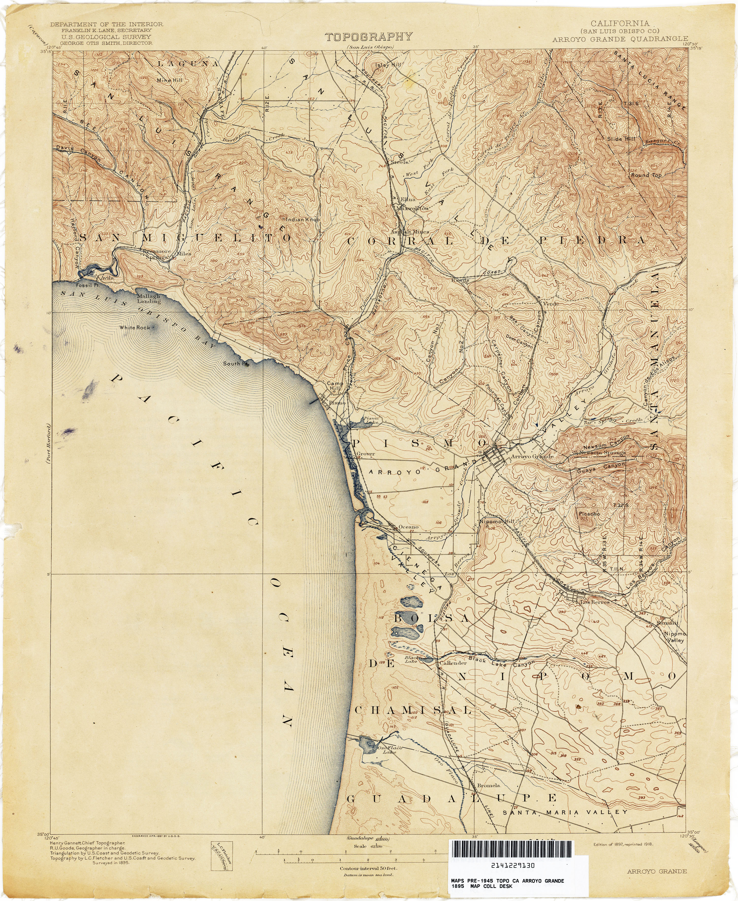
- Arroyo Grande (San Luis Obispo County) 1895 1:62,500 (3.3MB)
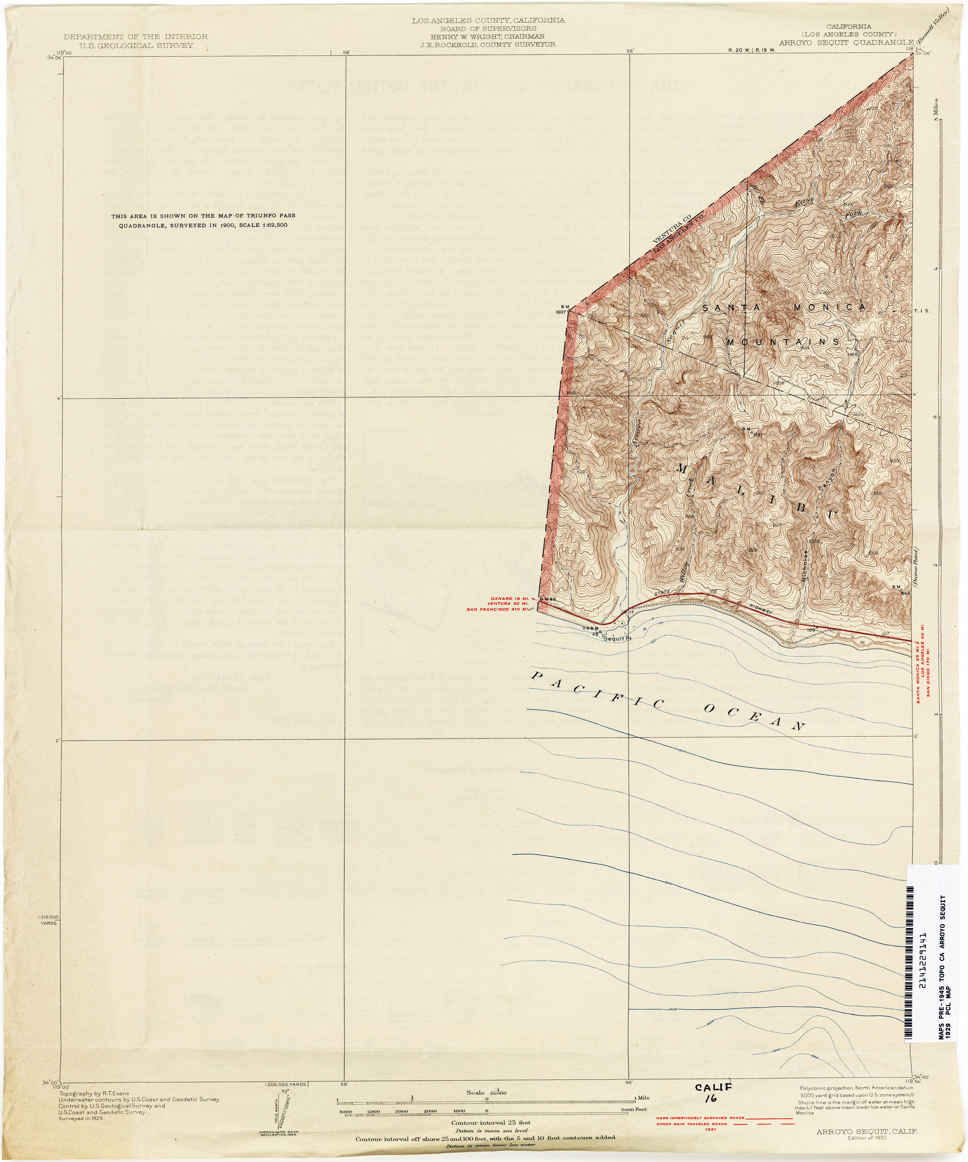
- Arroyo Sequit (Los Angeles County) 1929 1:24,000 (2.1MB)
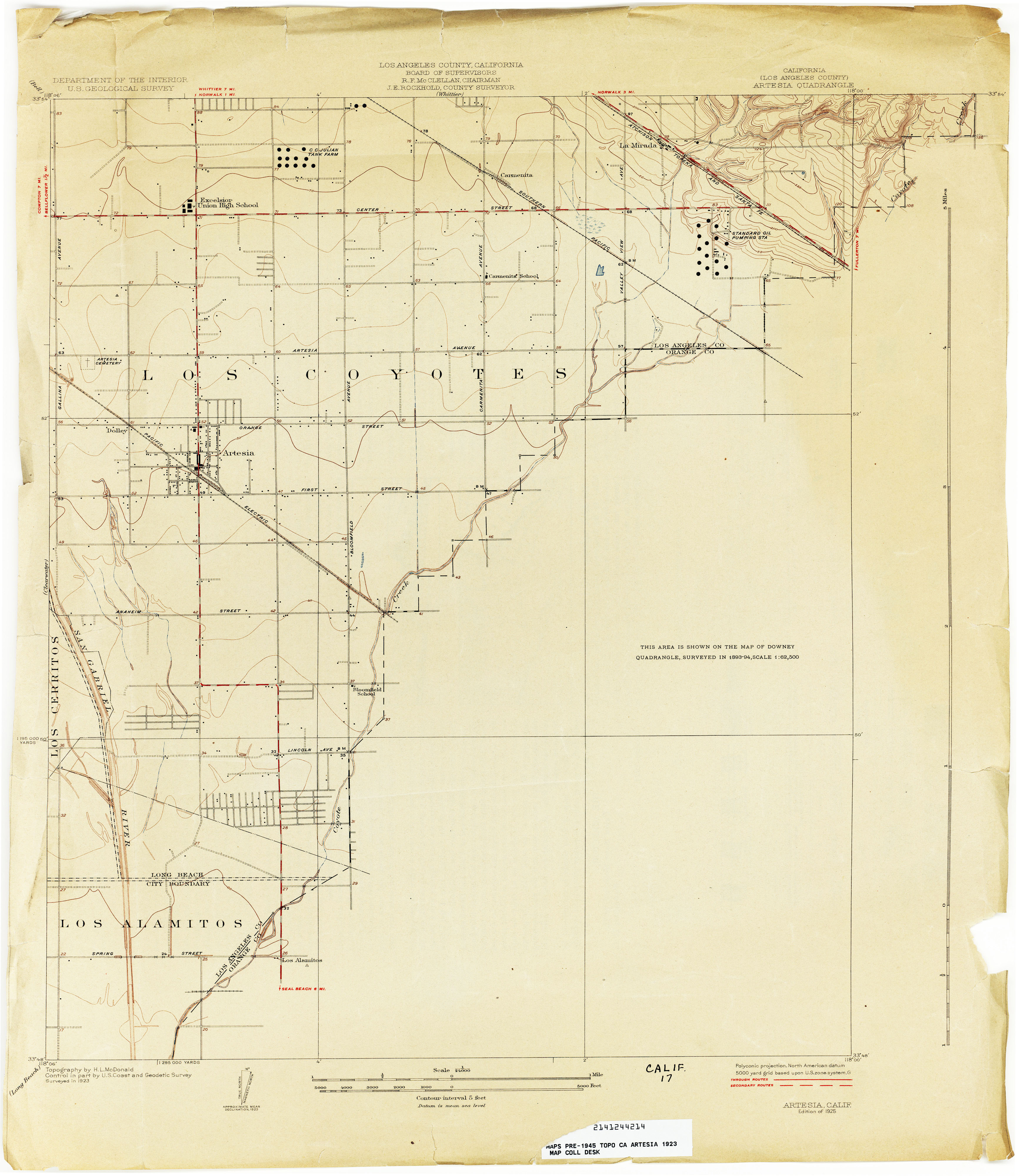
- Artesia (Los Angeles County) 1923 1:24,000 (2.2MB)
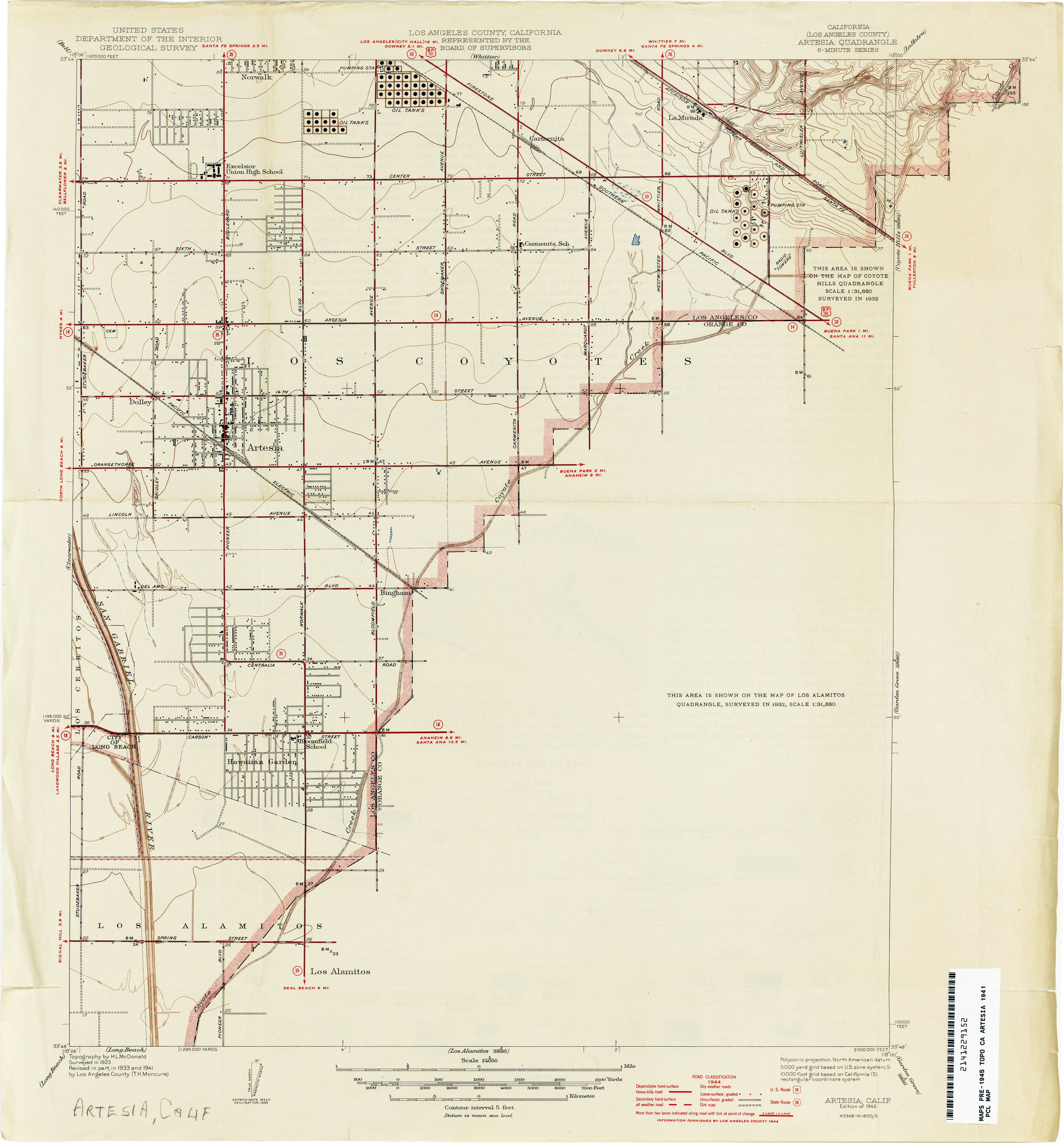
- Artesia (Los Angeles County) 1941 1:24,000 (2.2MB)
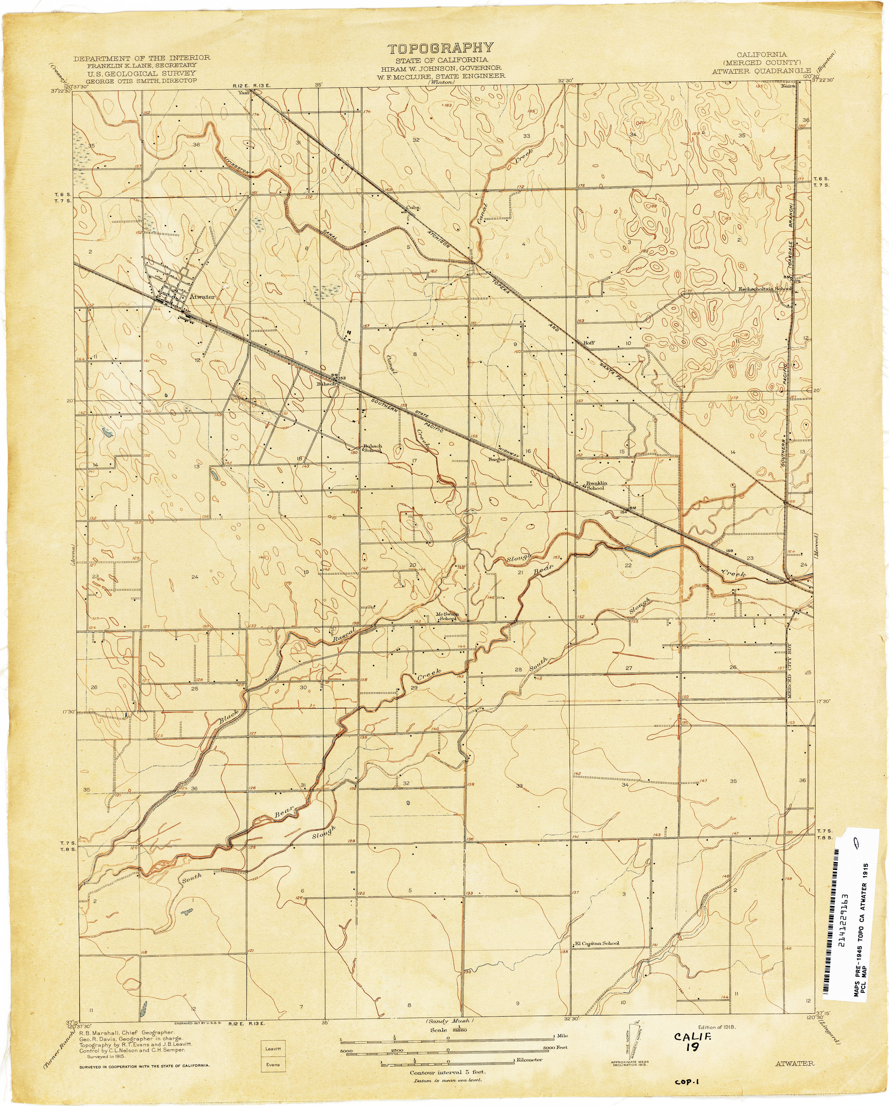
- Atwater (Merced County) 1915 1:31,680 (2.4MB)
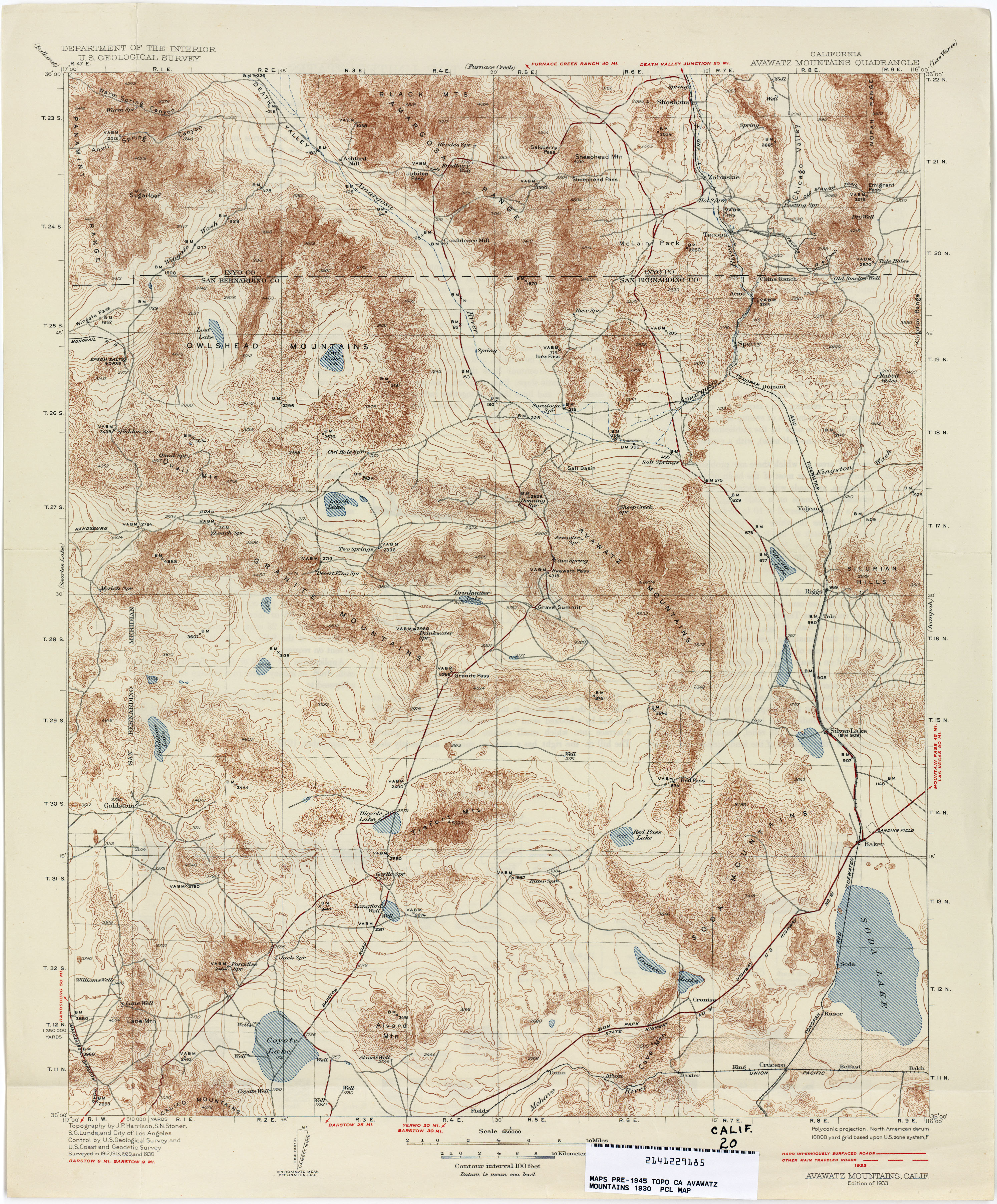
- Avawatz Mountains 1930 1:250,000 (4.2MB)
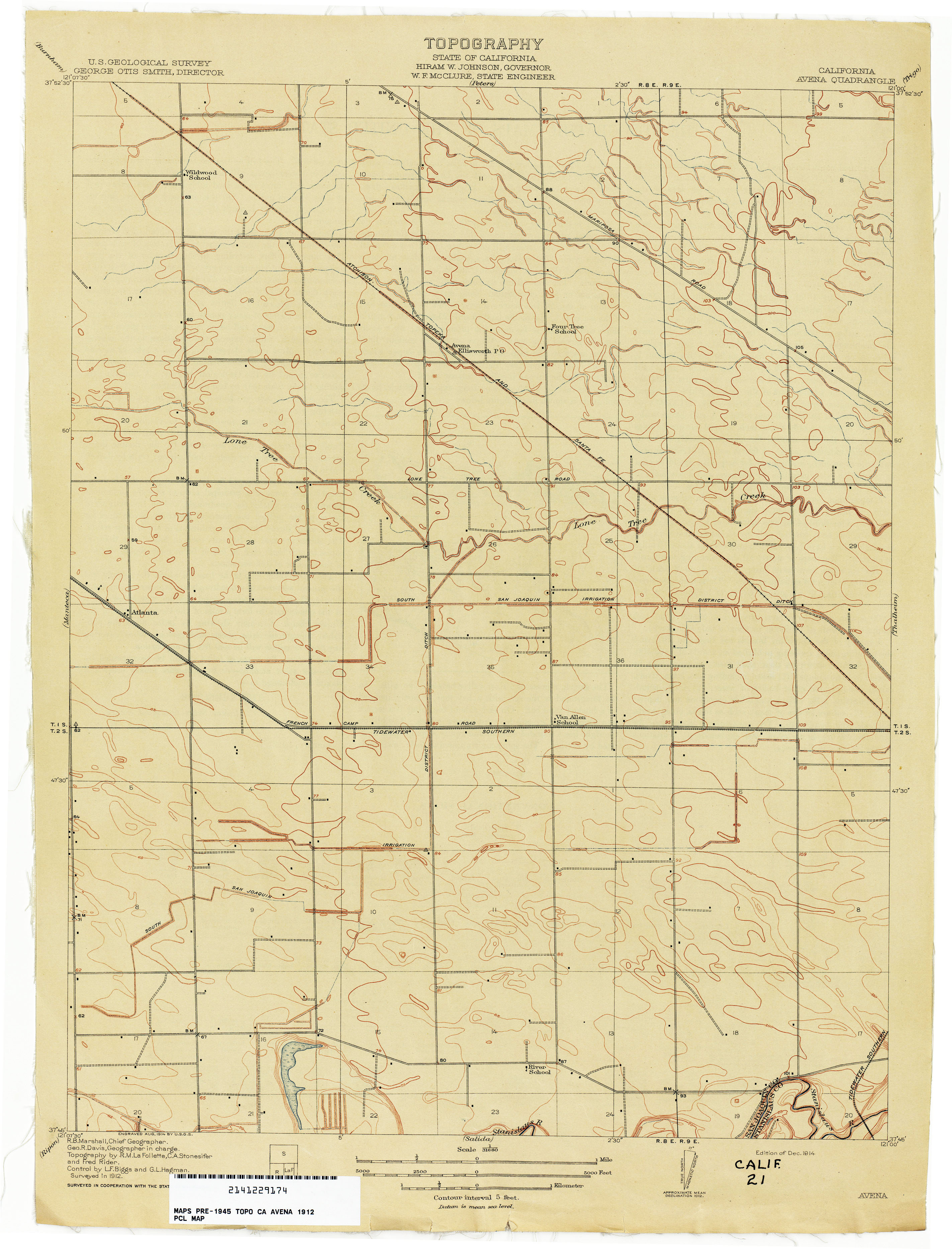
- Avena 1912 1:31,680 (2.0MB)
- Azusa (Los Angeles County) 1935 1:24,000 (4.8MB)
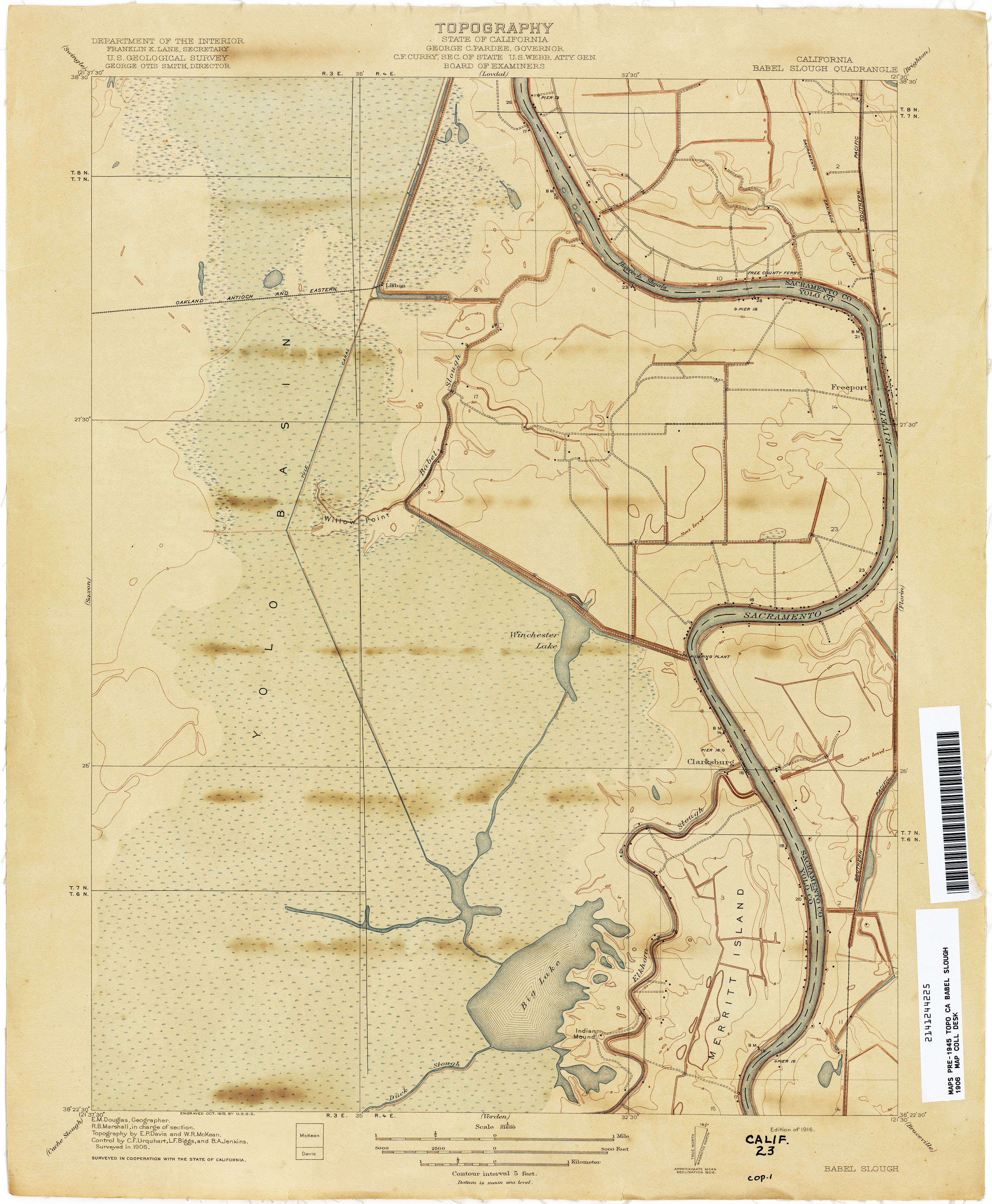
- Babel Slough 1906 1:31,680 (2.1MB)
- Bachelor Valley 1913 1:31,680 (4.2MB)
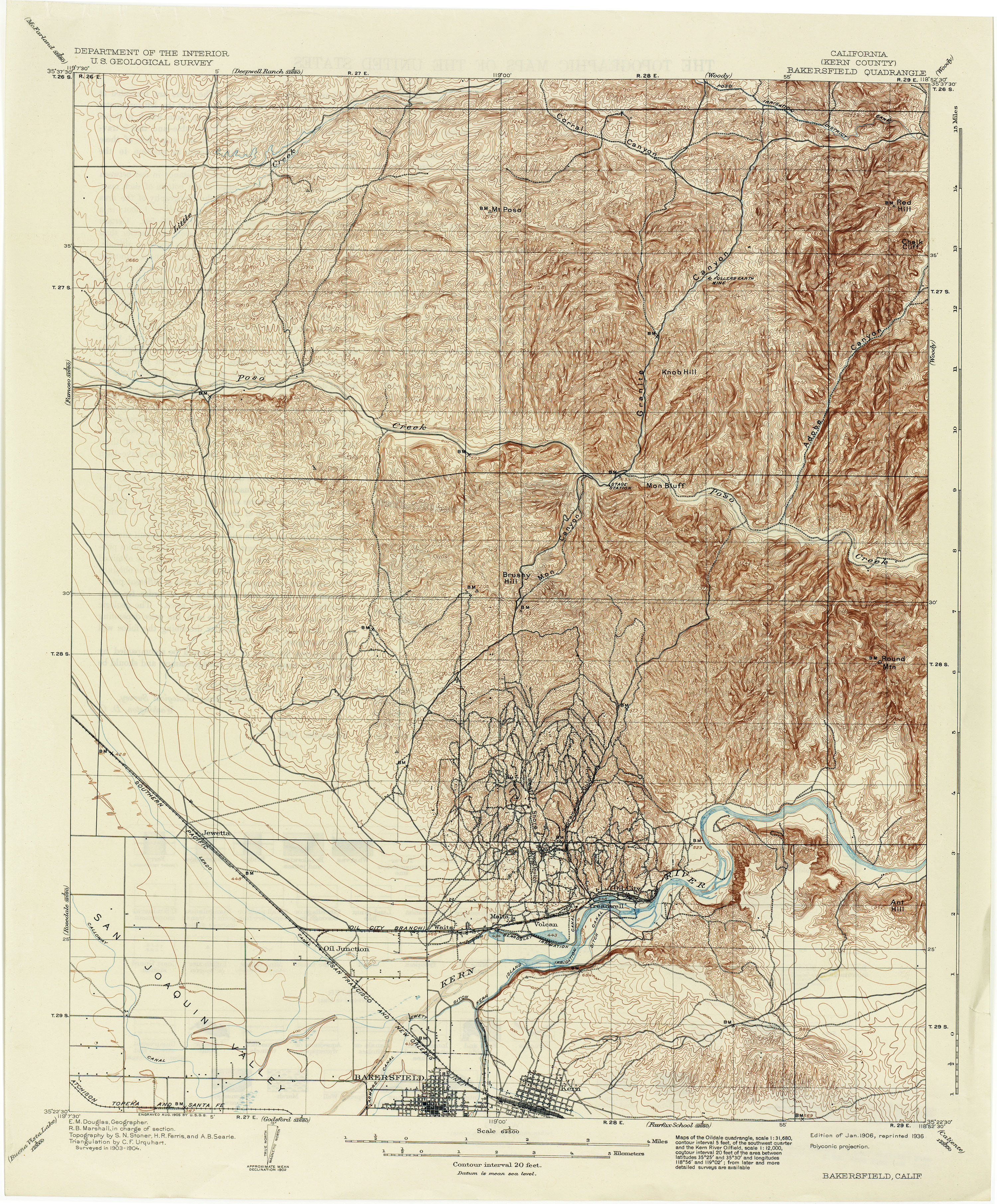
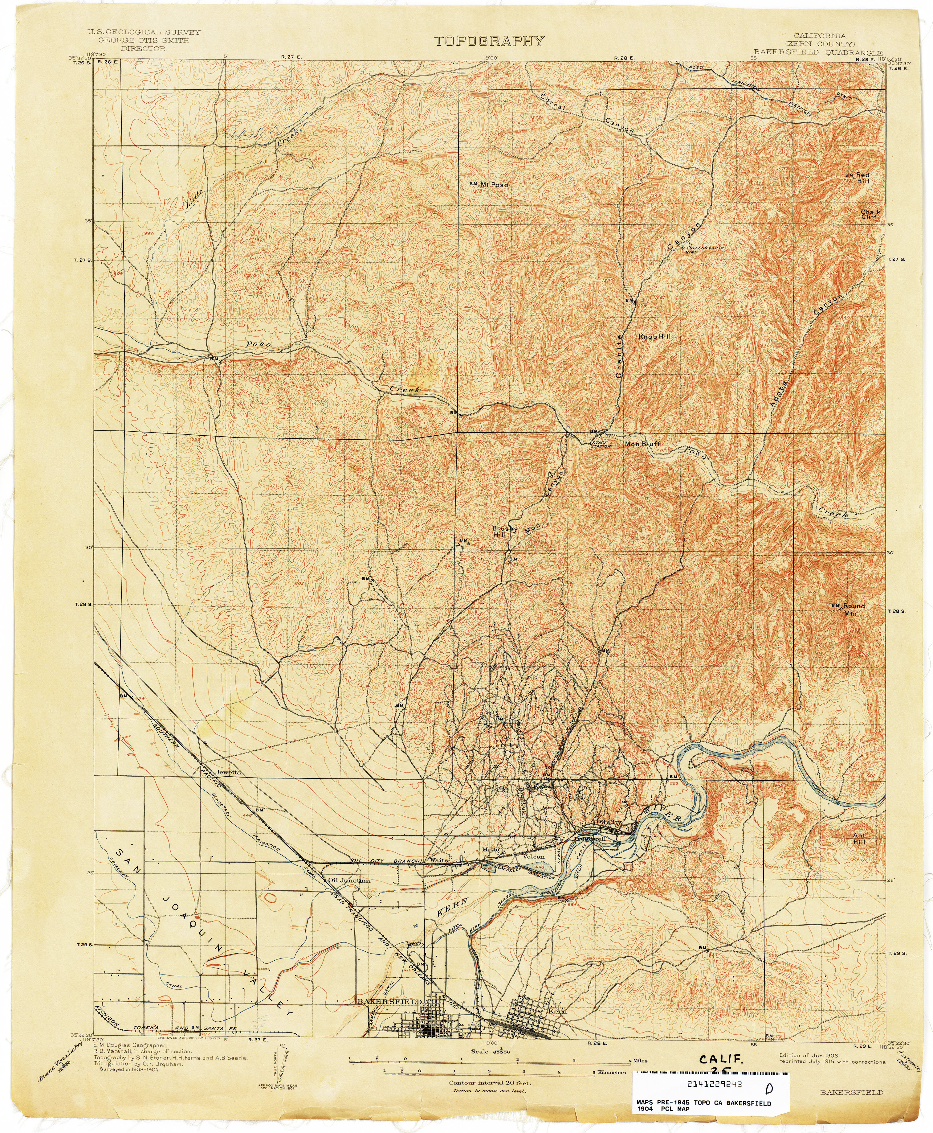
- Bakersfield (Kern County) 1904 1:62,500 (4.1MB)
- Bakersfield (Kern County) 1904 1:62,500 (4.3MB)
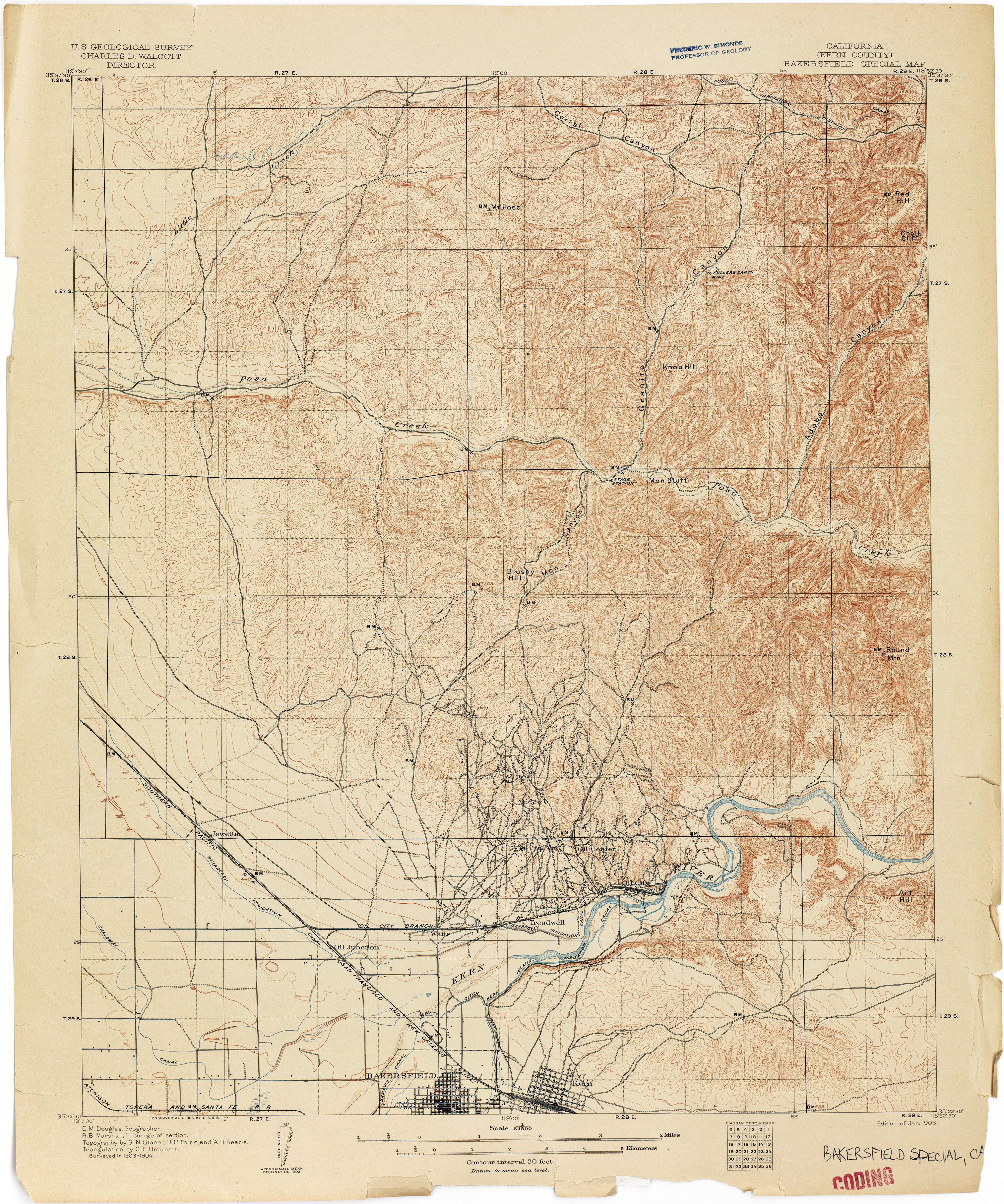
- Bakersfield Special (Kern County) 1904 1:62,500 (4.1MB)
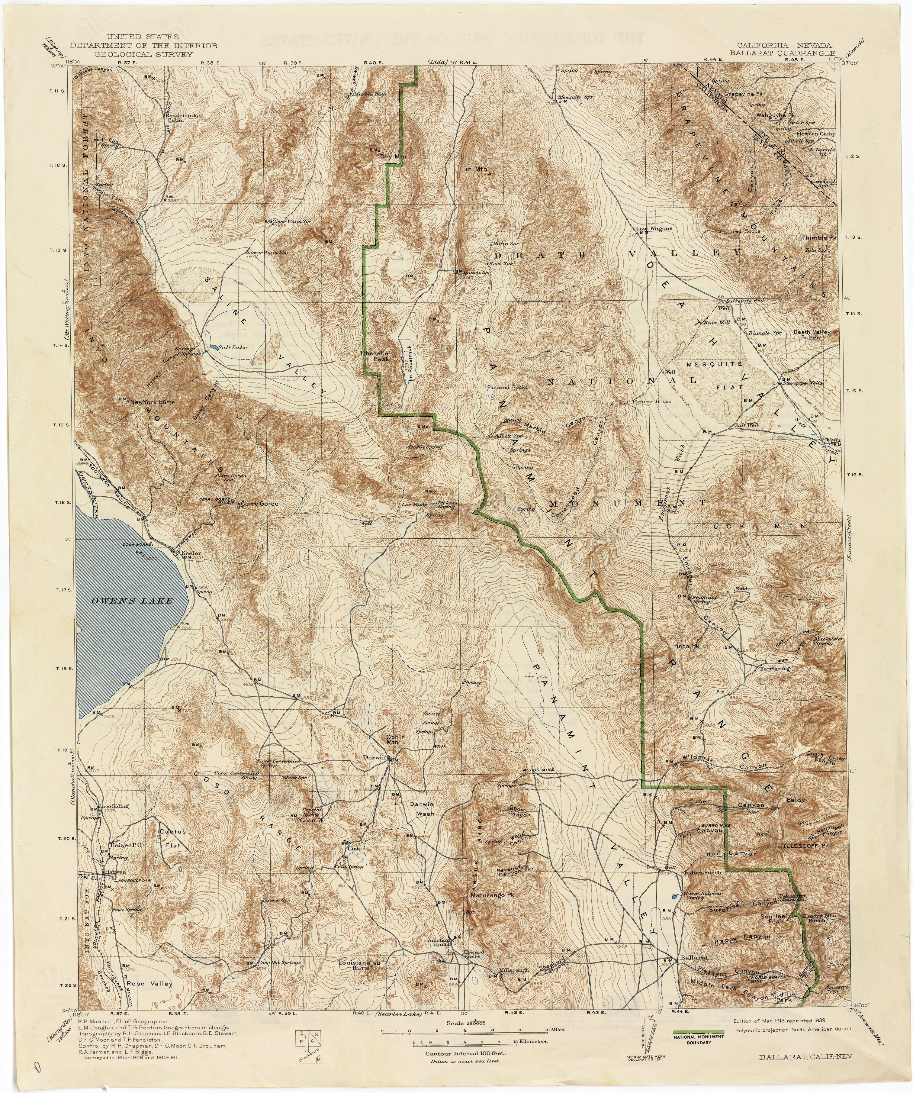
- Ballarat [California, Nevada] 1911 1:250,000 (4.2MB)
- Banner Hill Special (Nevada County) 1892 1:14,400 (2.9MB)
- Banning (Riverside County) 1941 1:62,500 (4.9MB)
- Bartlett Springs 1944 1:62,500 (5.2MB)
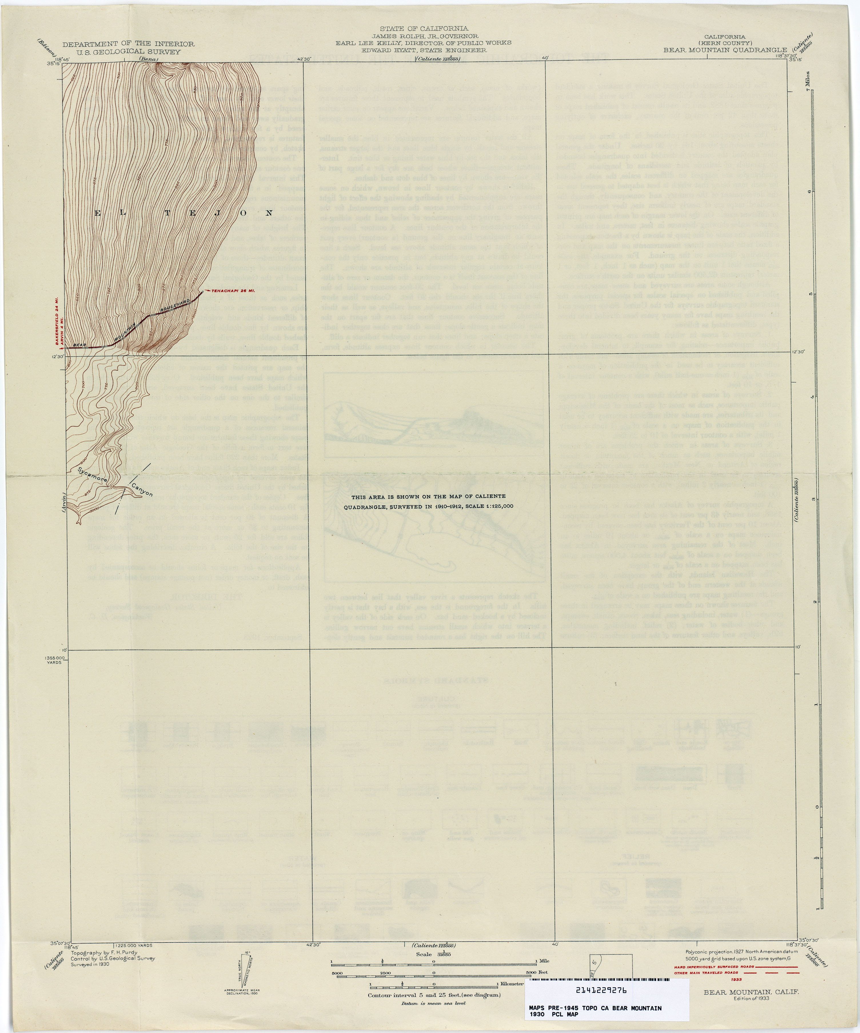
- Bear Mountain (Kern County) 1930 1:31,680 (1.3MB)
- Beartrap Canyon (Los Angeles County) 1932 1:24,000 (5.7MB)
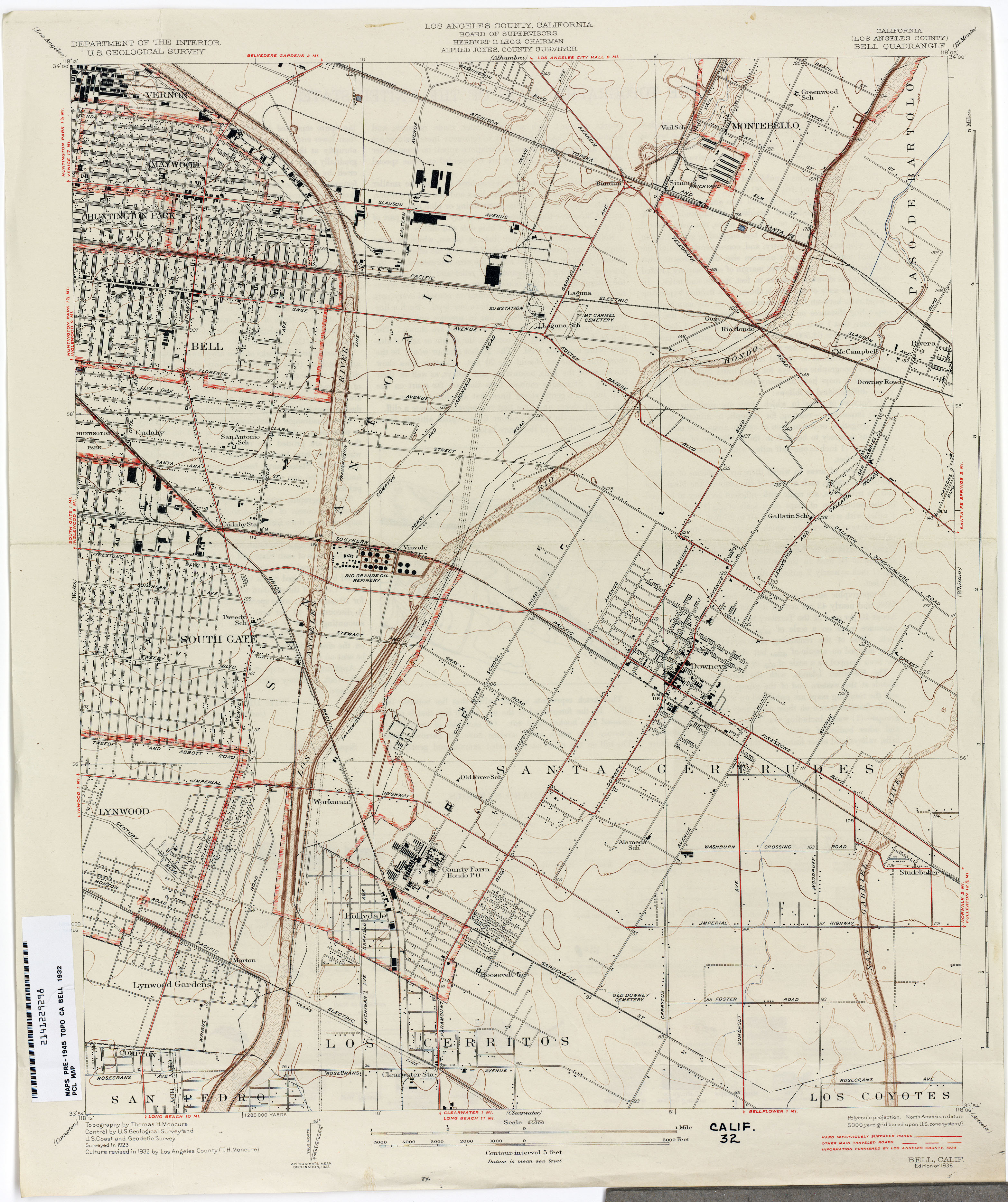
- Bell (Los Angeles County) 1932 1:24,000 (2.9MB)
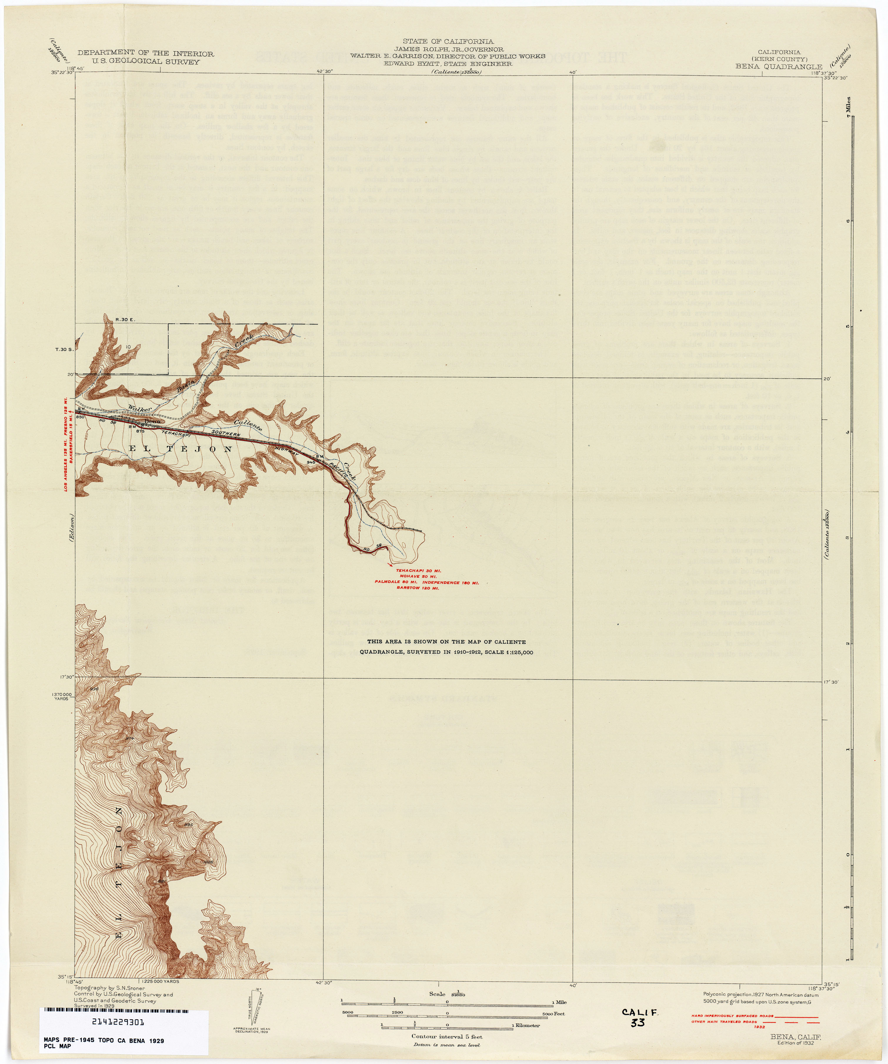
- Bena (Kern County) 1929 1:31,680 (1.3MB)
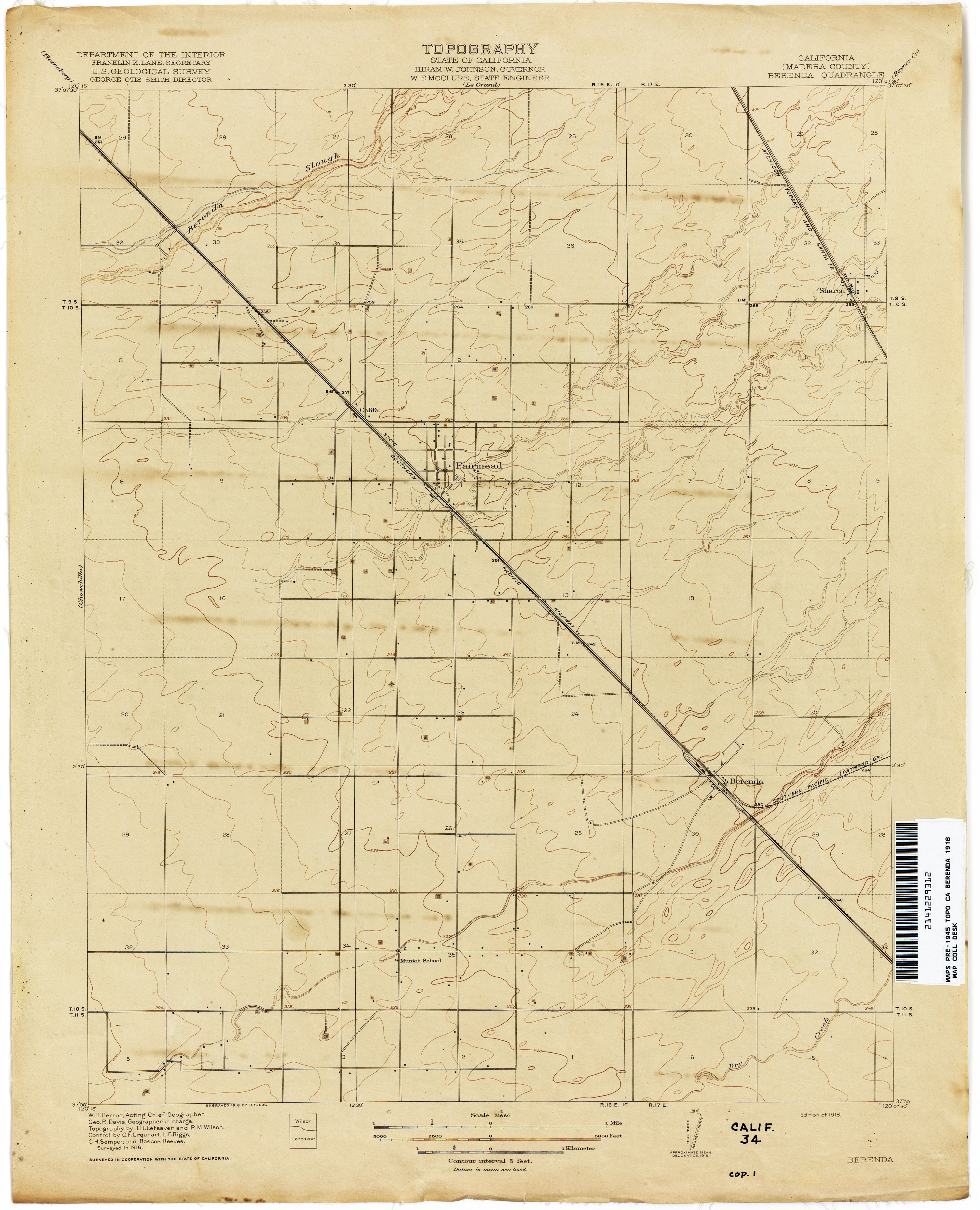
- Berenda (Madera County) 1916 1:31,680 (1.9MB)
- Bethany 1911 1:31,680 (2.6MB)
- Bidwell Bar 1888 1:250,000 (4.7MB)
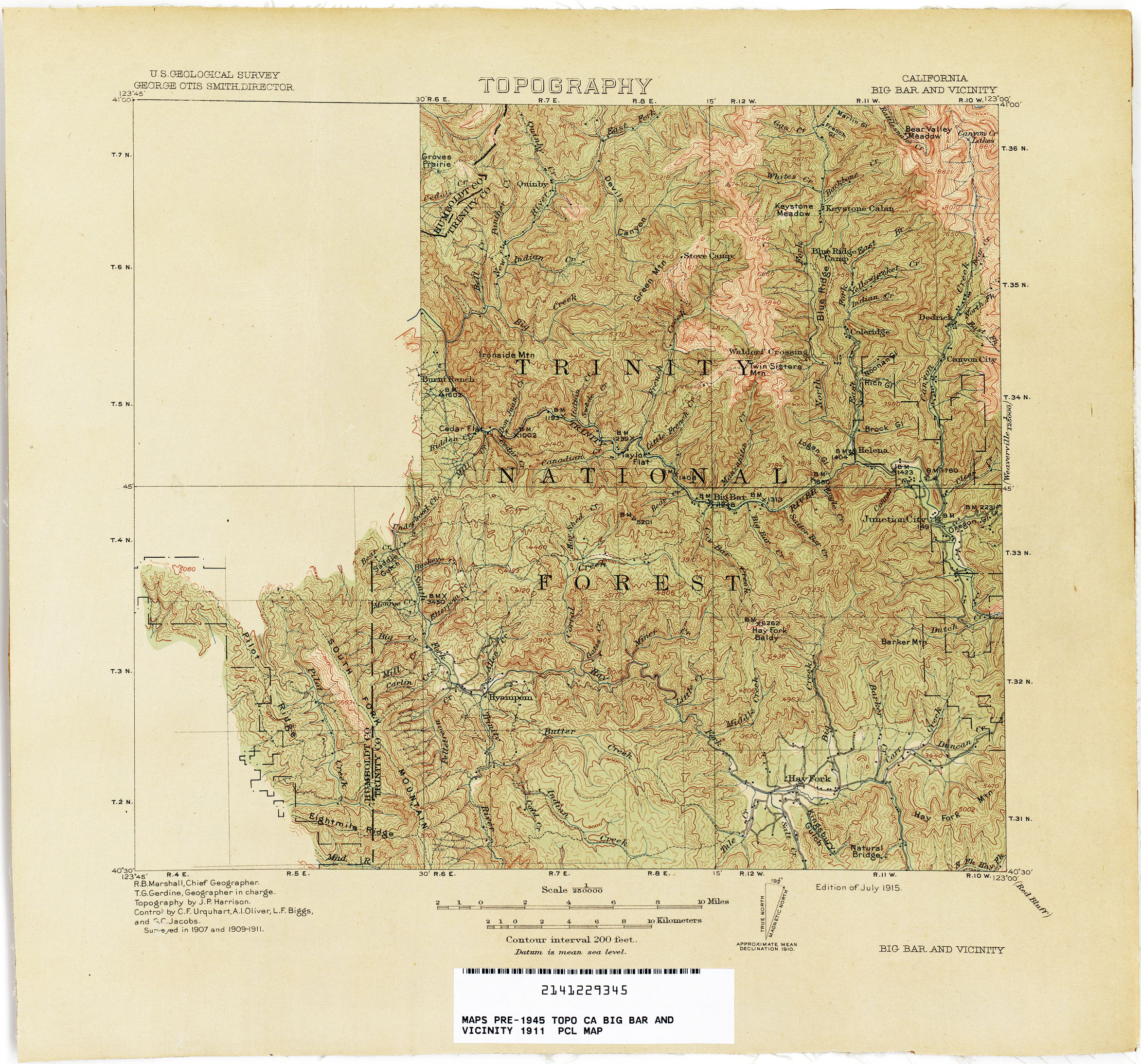
- Big Bar And Vicinitiy 1911 1:250,000 (1.6MB)
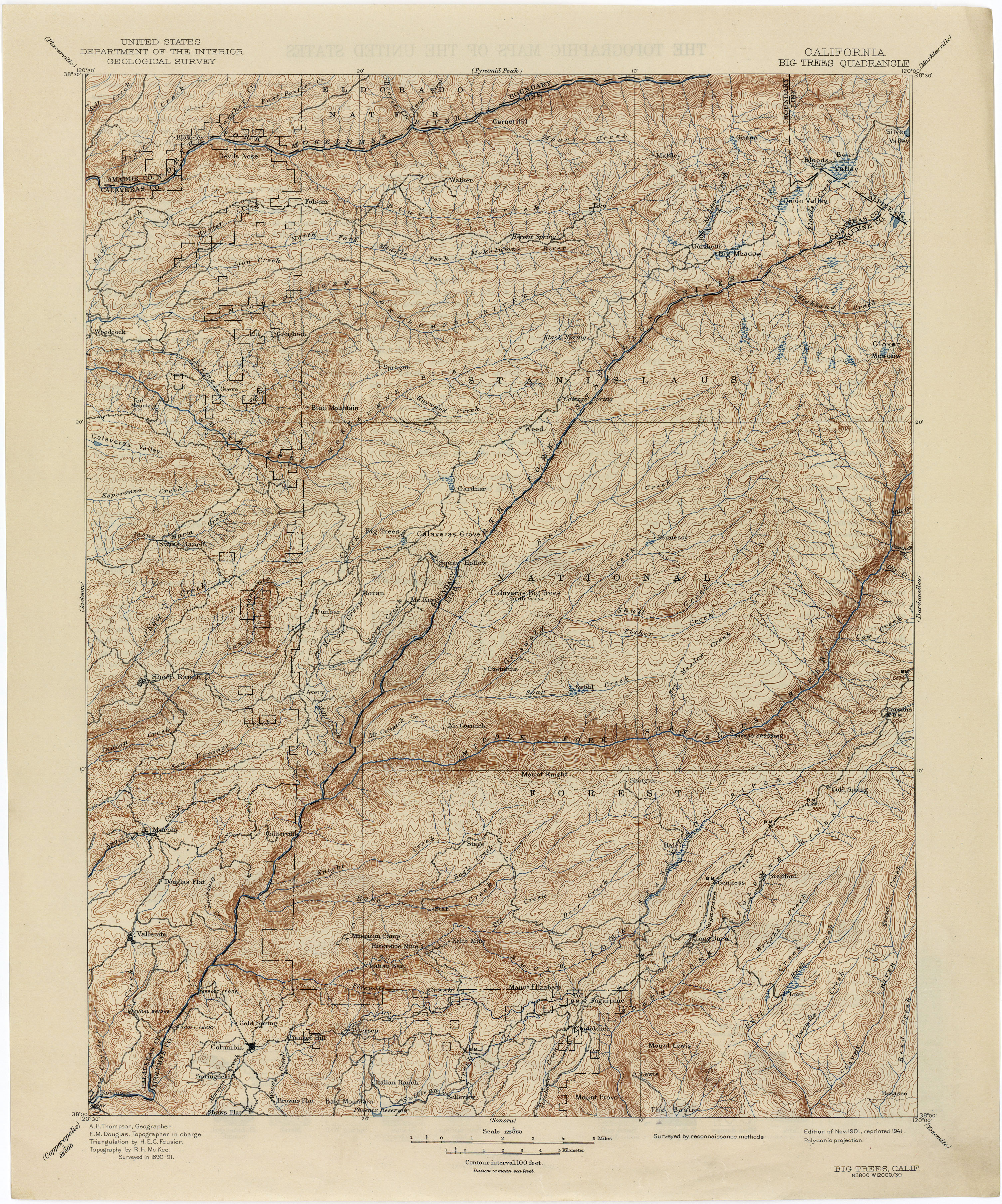
- Big Trees 1891 1:250,000 (4.7MB)
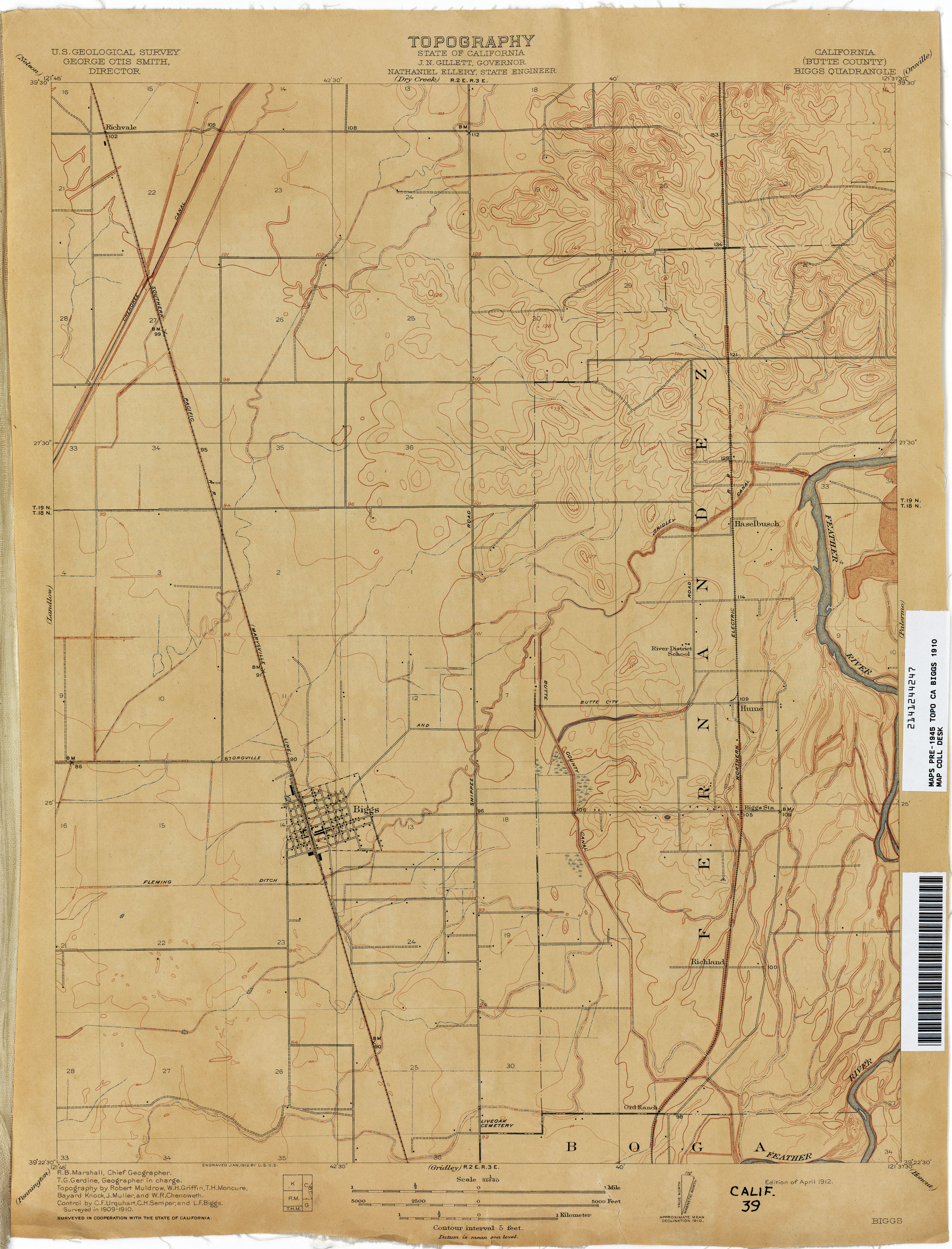
- Biggs (Butte County) 1910 1:31,680 (2.2MB)
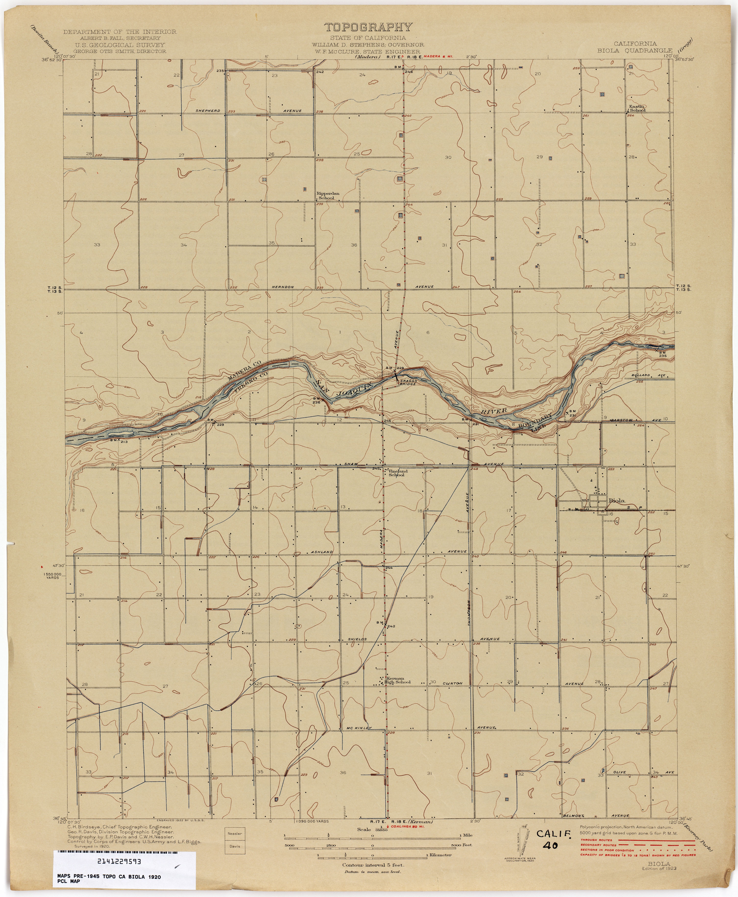
- Biola 1920 1:31,680 (1.8MB)
- Birds Landing (Solano County) 1907 1:31,680 (3.4MB)
- Bishop 1911 1:250,000 (4.9MB)
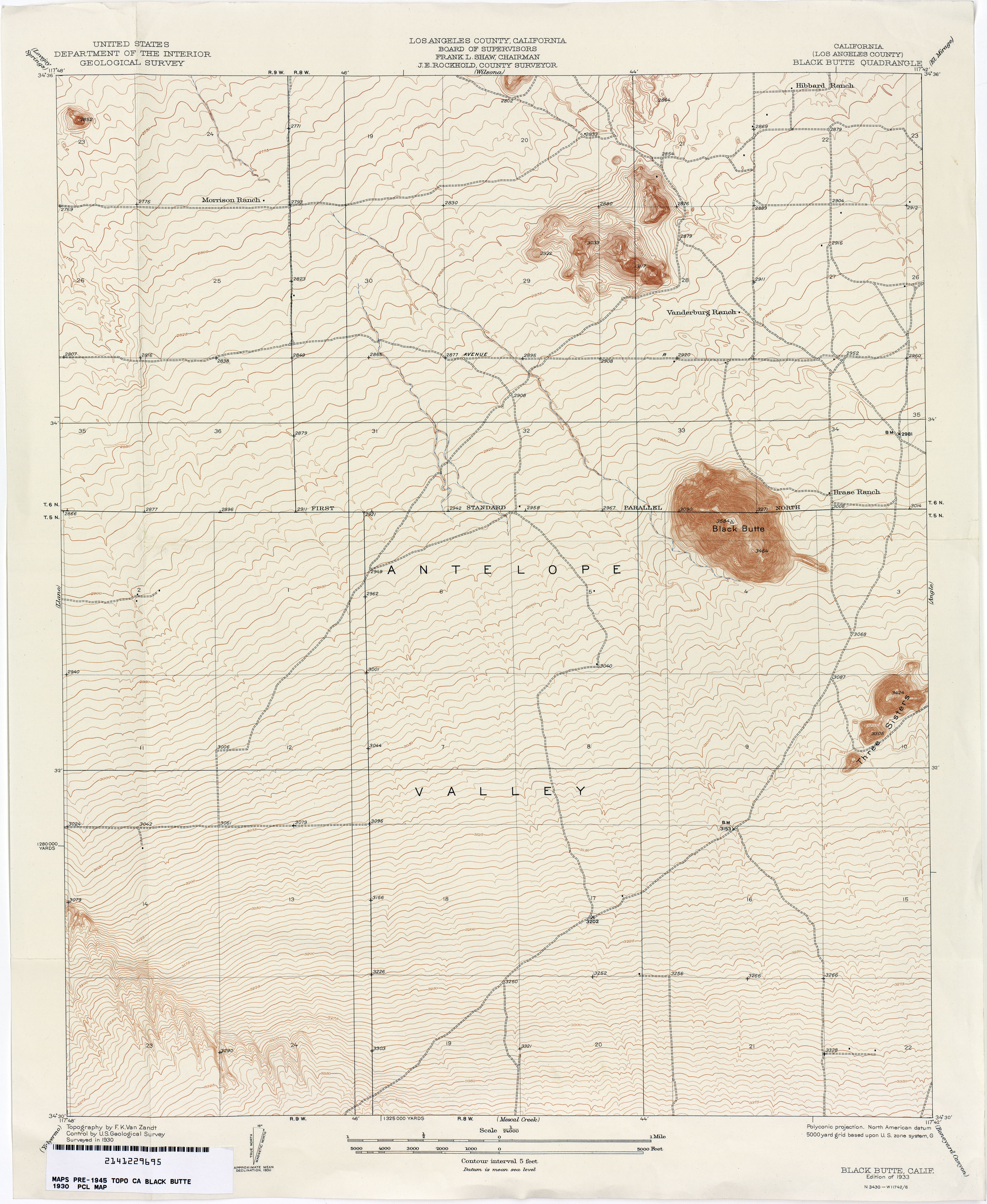
- Black Butte (Los Angeles County) 1930 1:24,000 (2.7MB)
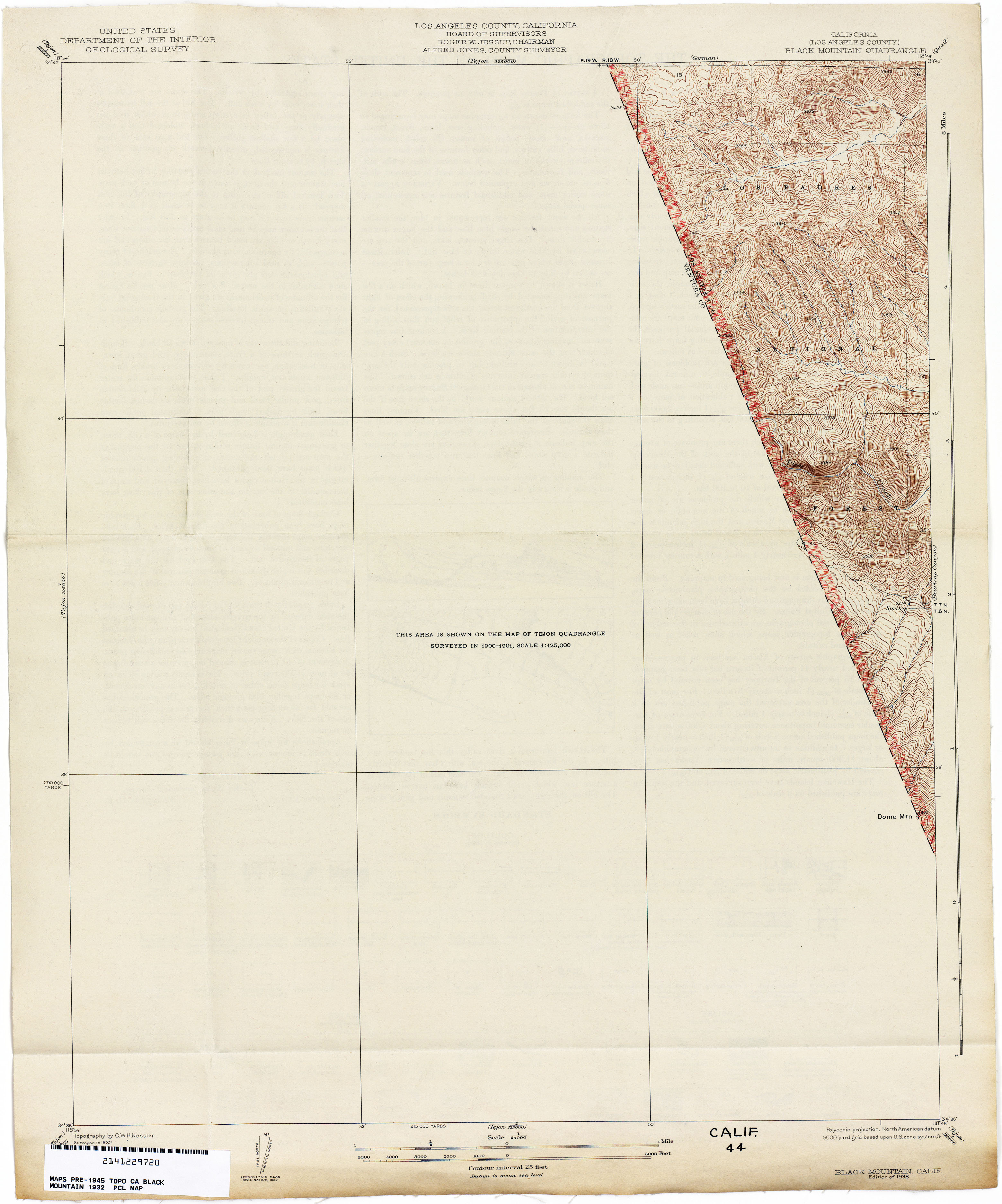
- Black Mountain (Los Angeles County) 1932 1:24,000 (1.9MB)
- Bliss Ranch 1916 1:31,680 (2.1MB)
- Bodega Head 1942 1:31,680 (2.3MB)
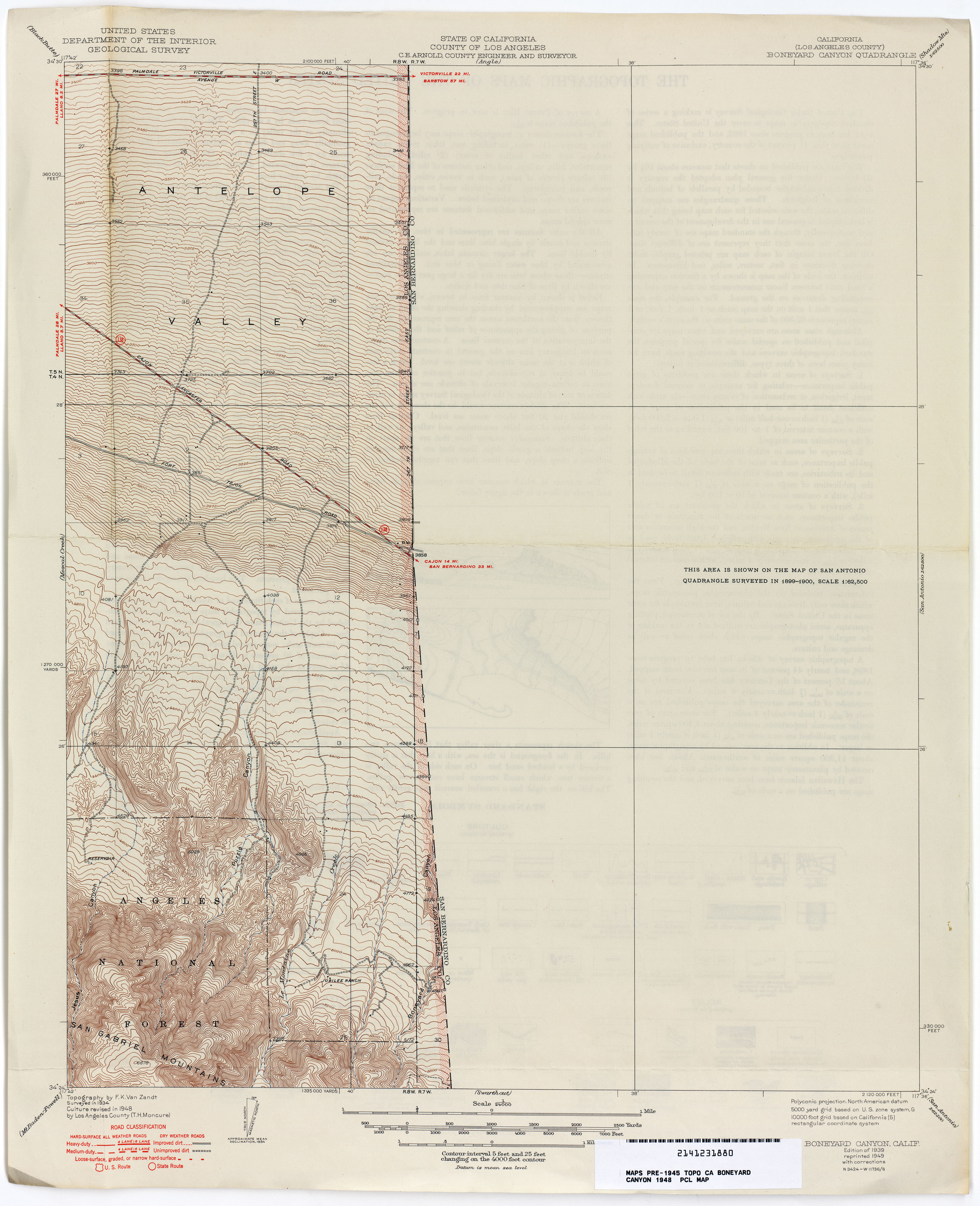
- Boneyard Canyon (Los Angeles County) 1948 1:24,000 (2.5MB)
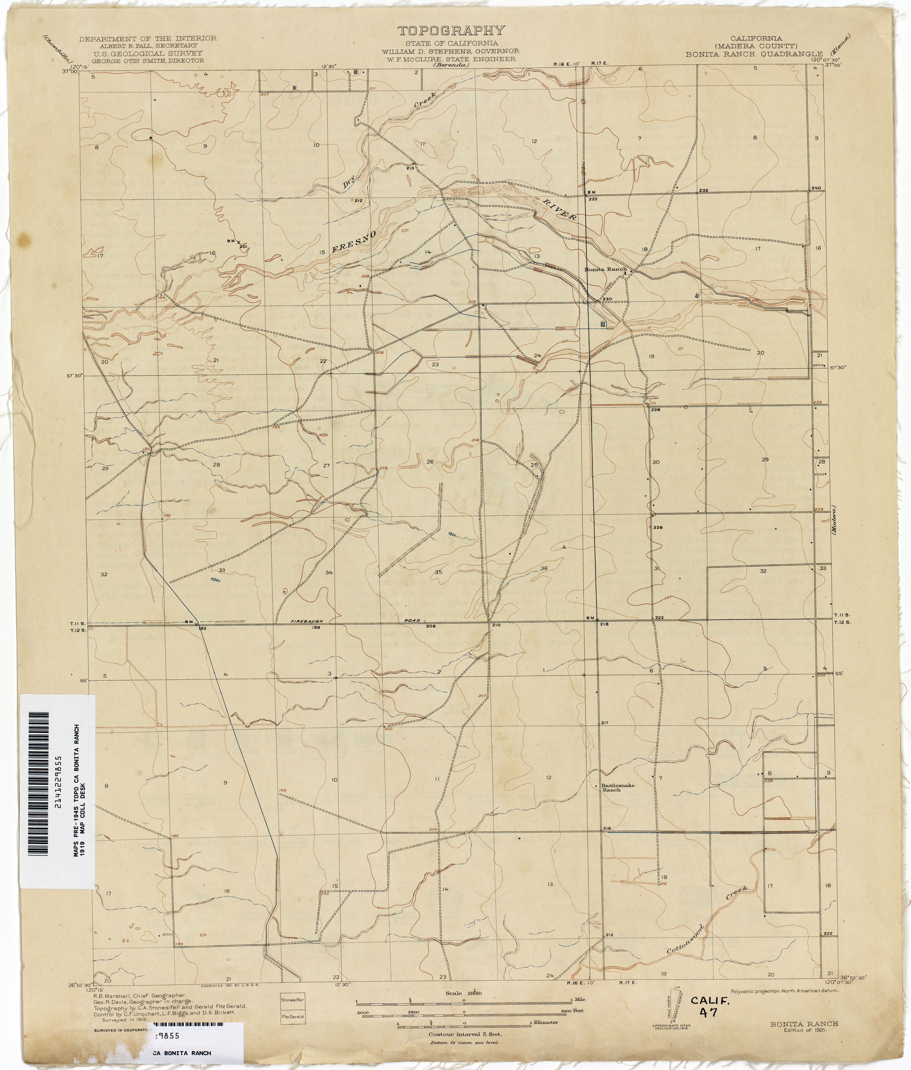
- Bonita Ranch (Madera County) 1919 1:31,680 (1.8MB)
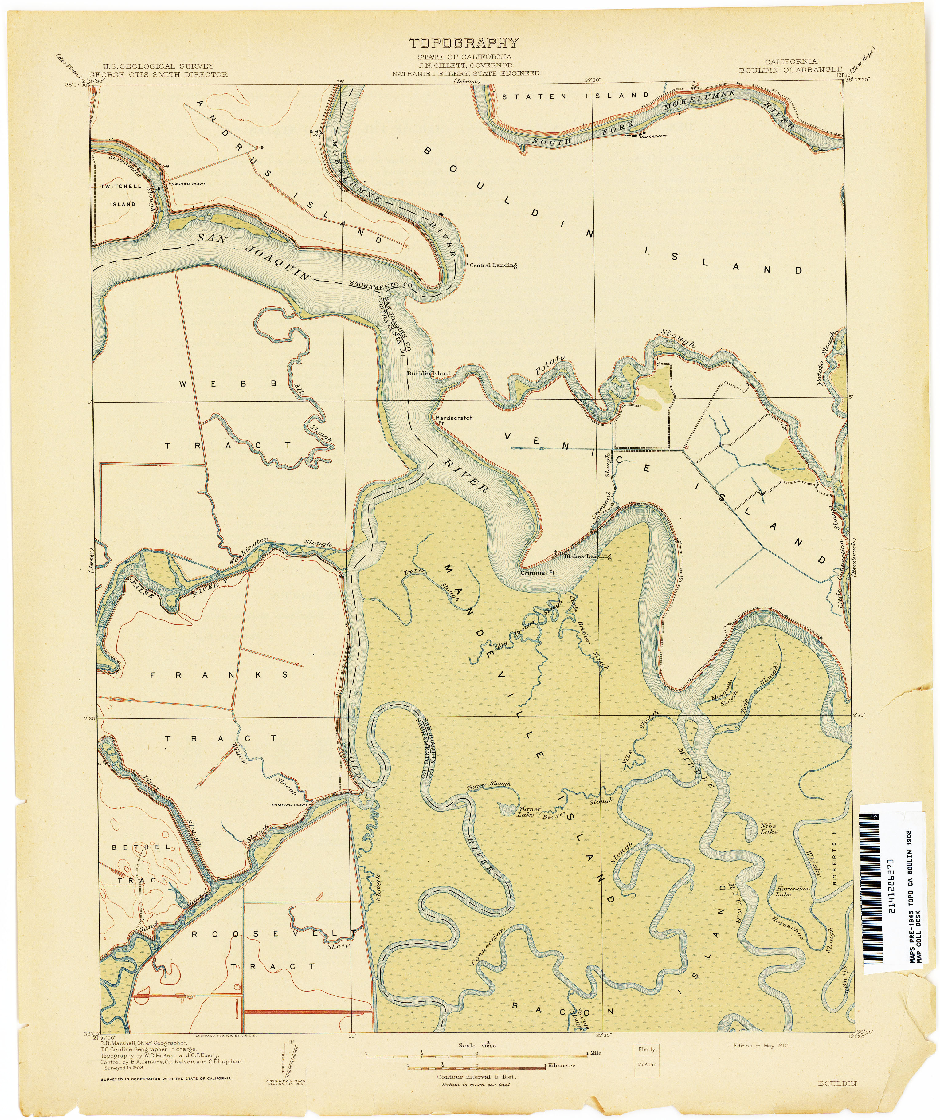
- Bouldin 1908 1:31,680 (2.3MB)
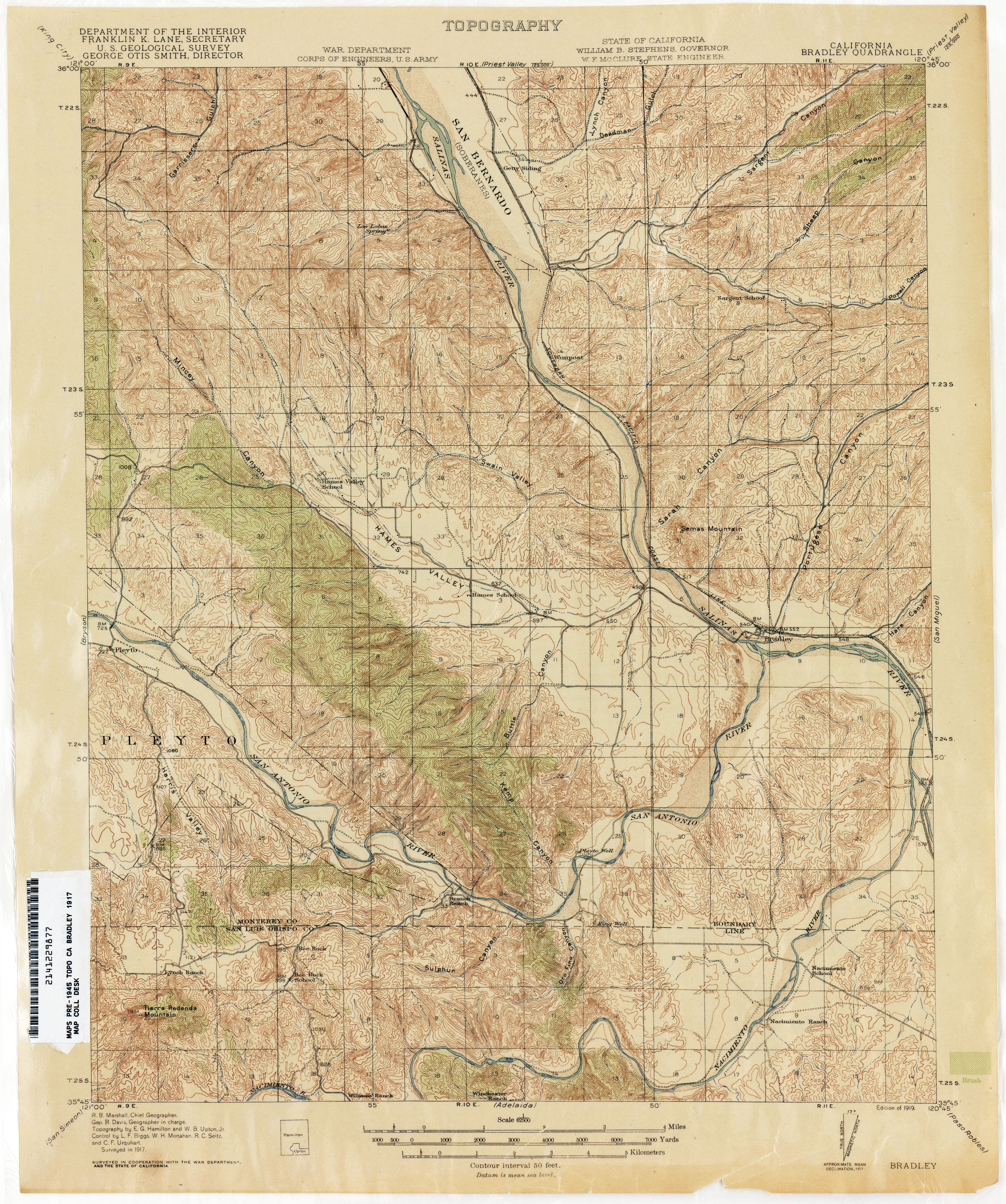
- Bradley 1917 1:62,500 (3.7MB)
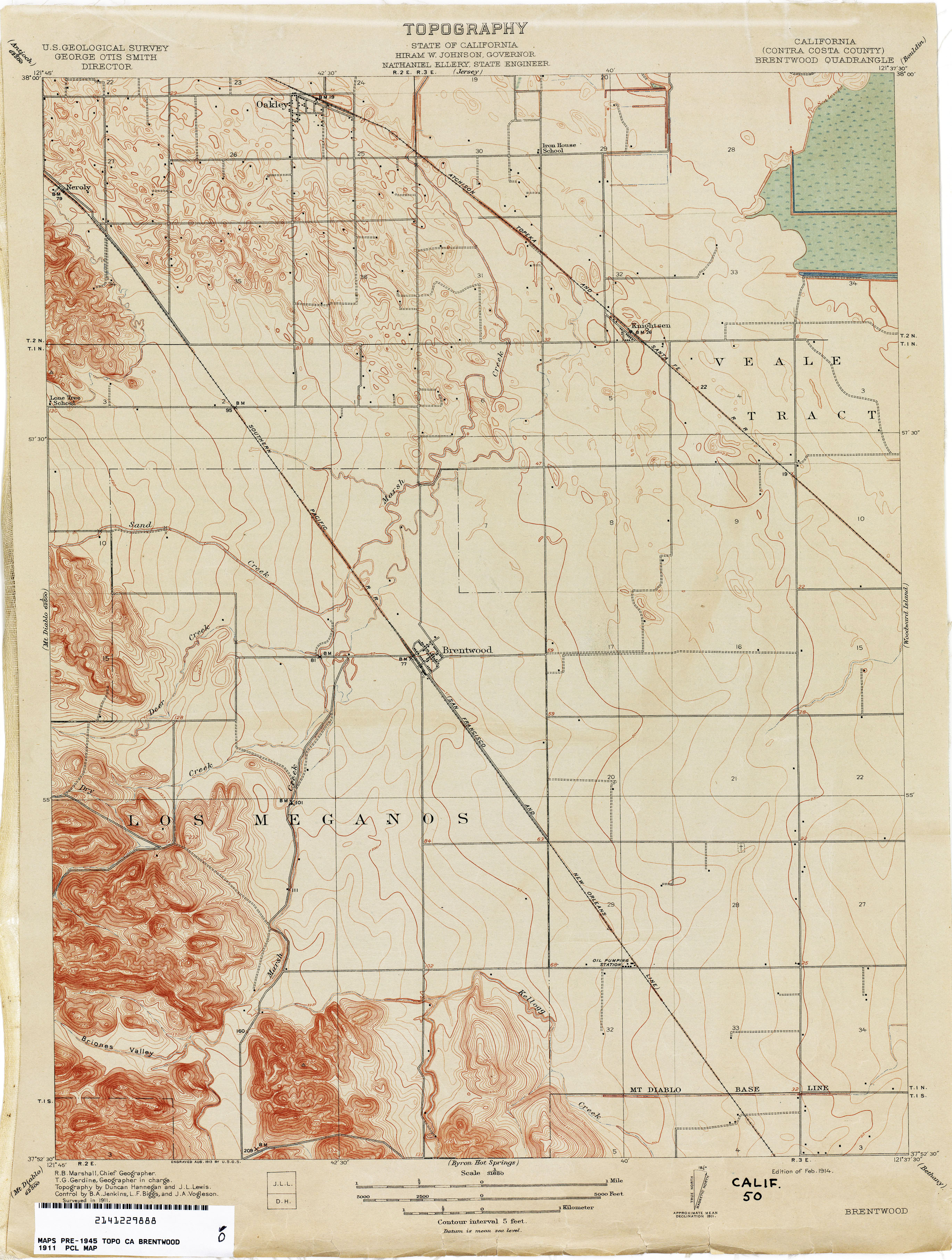
- Brentwood (Contra Costa County) 1911 1:31,680 (2.5MB)
- Bridgeport [California, Nevada] 1909 1:250,000 (4.6MB)
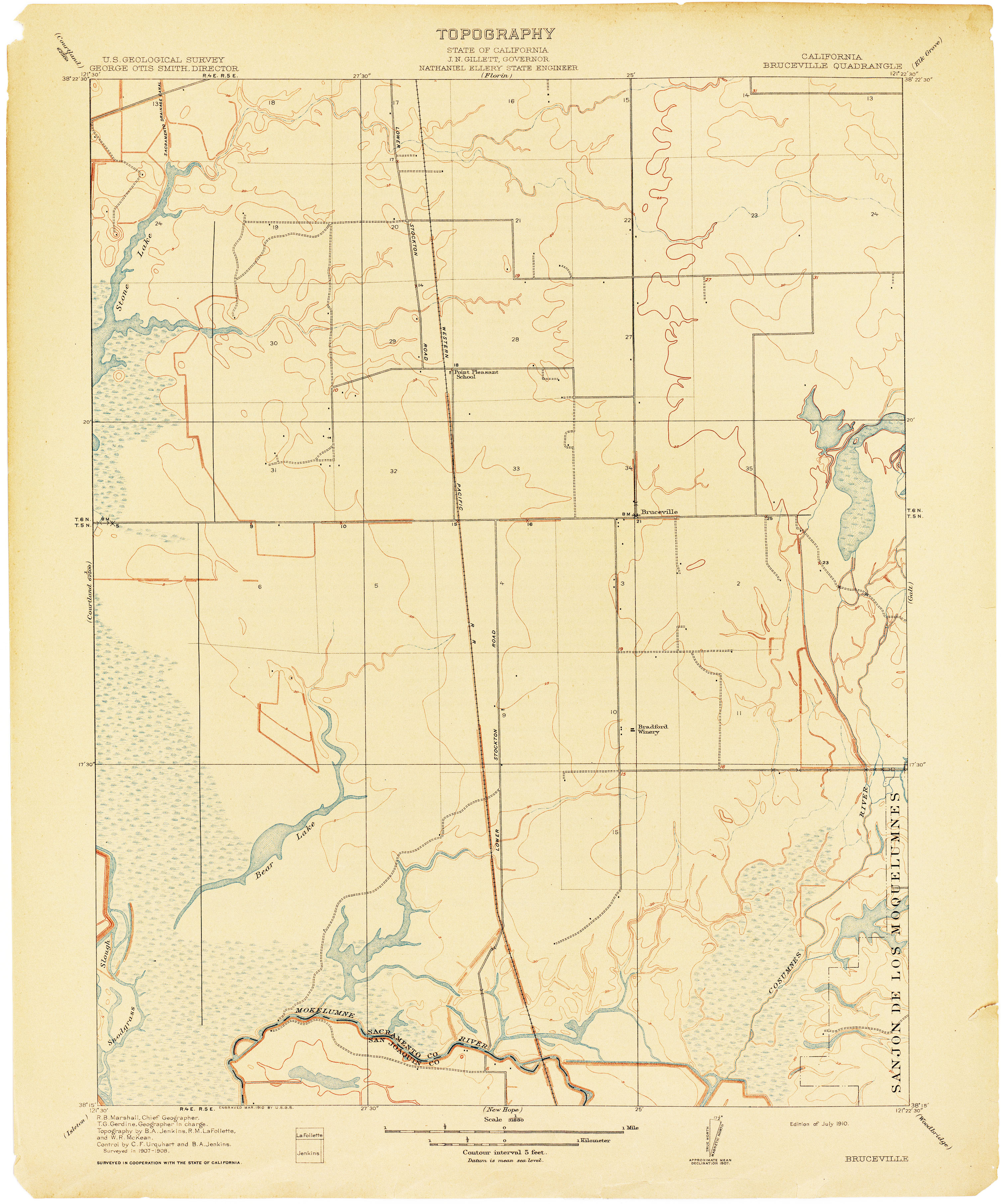
- Bruceville 1908 1:31,680 (2.1MB)
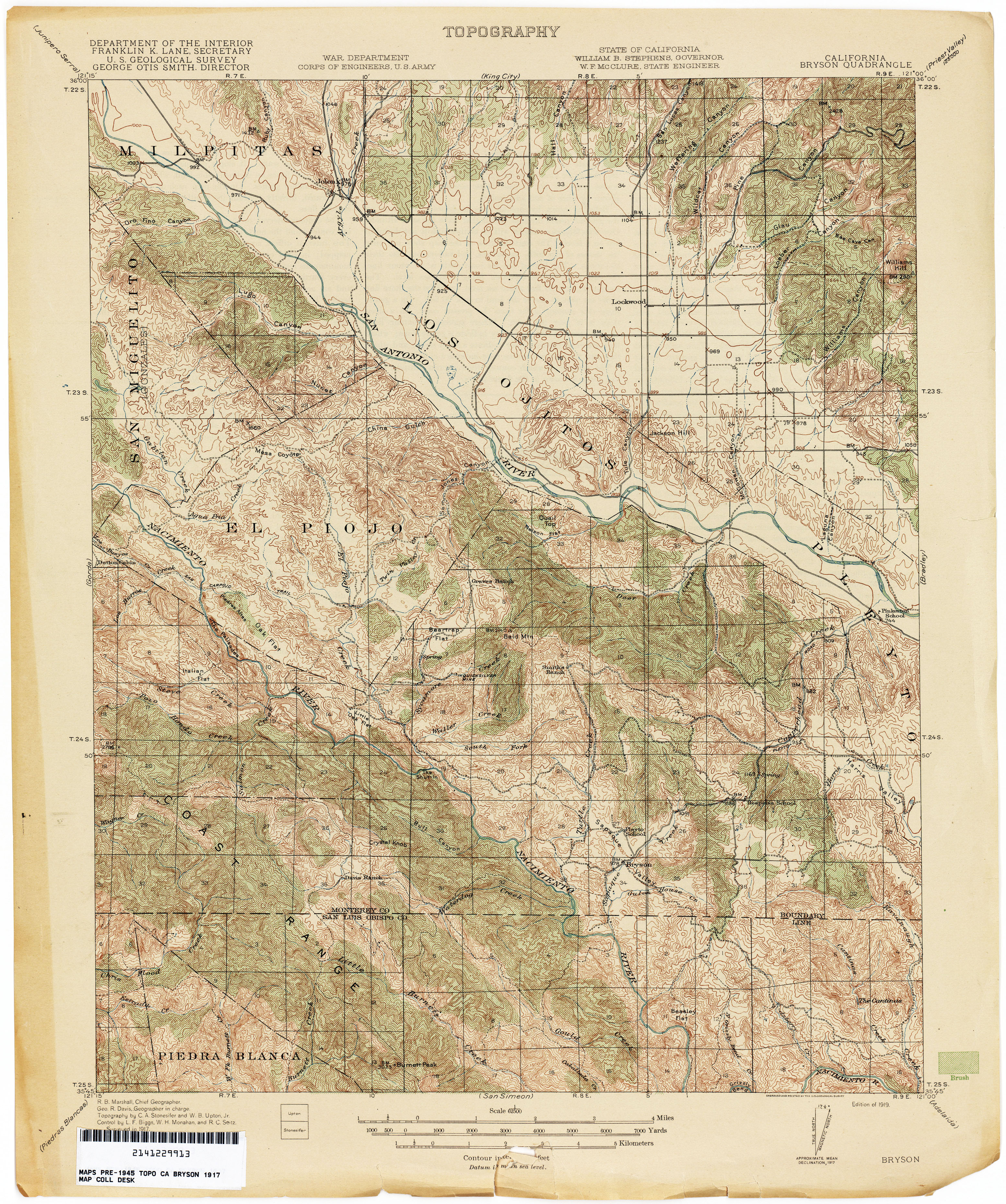
- Bryson 1917 1:62,500 (4.7MB)
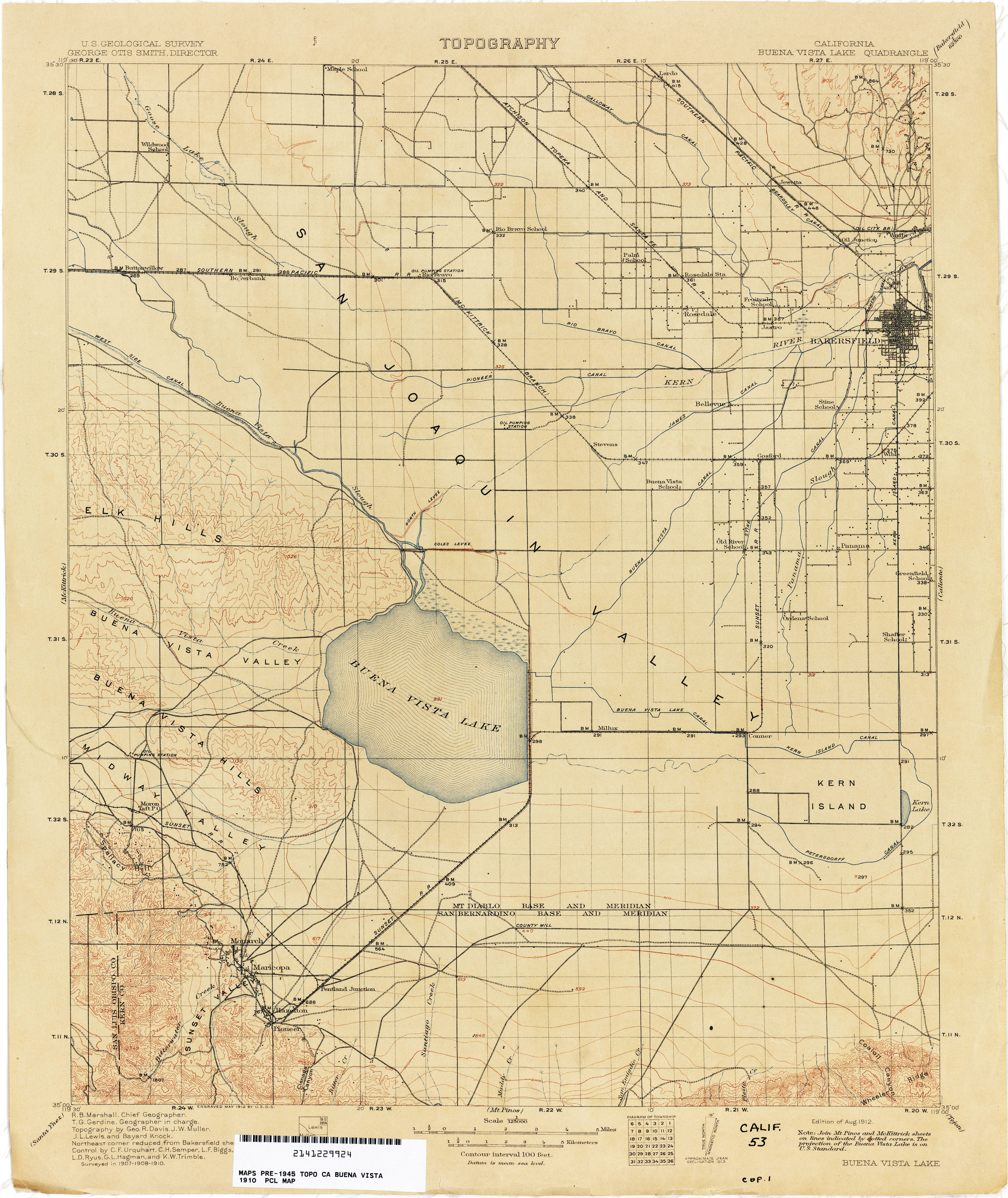
- Buena Vista Lake 1910 1:250,000 (2.7MB)
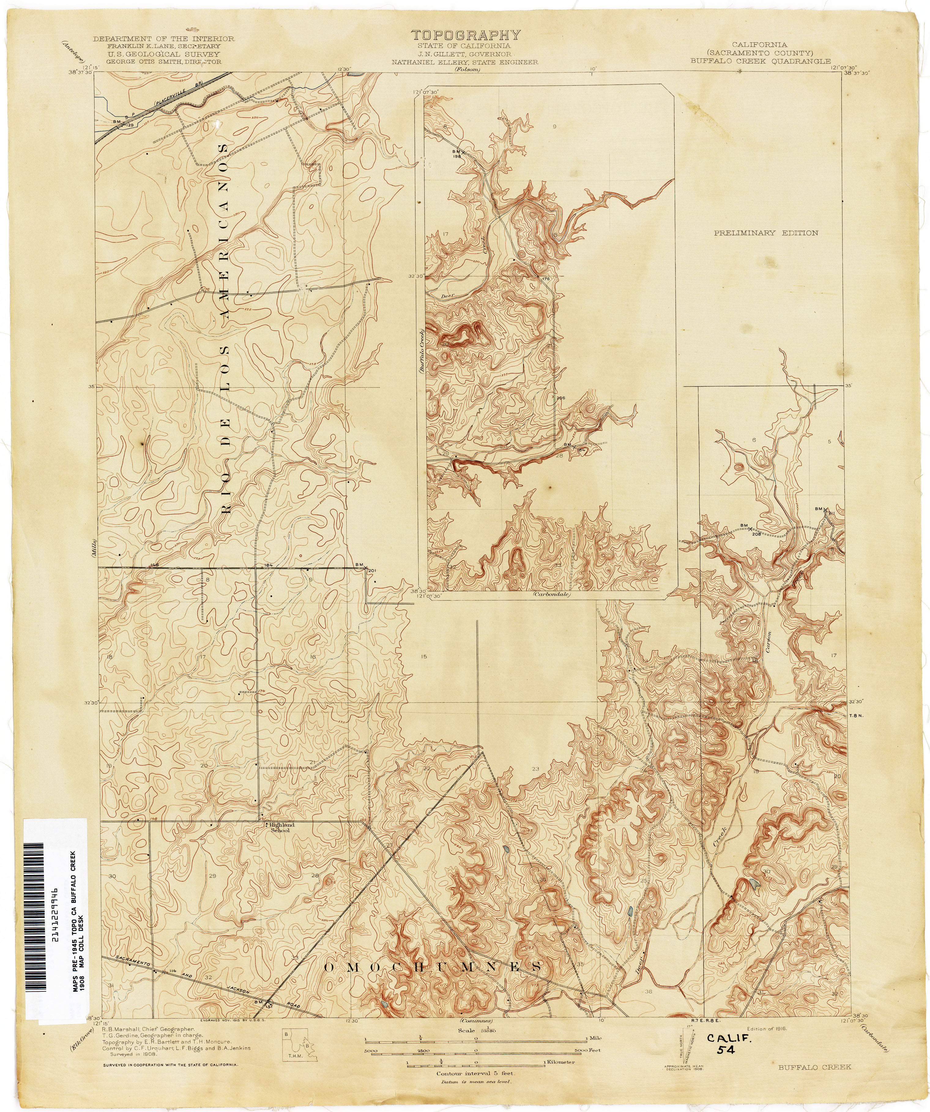
- Buffalo Creek (Sacramento County) 1908 1:31,680 (2.7MB)
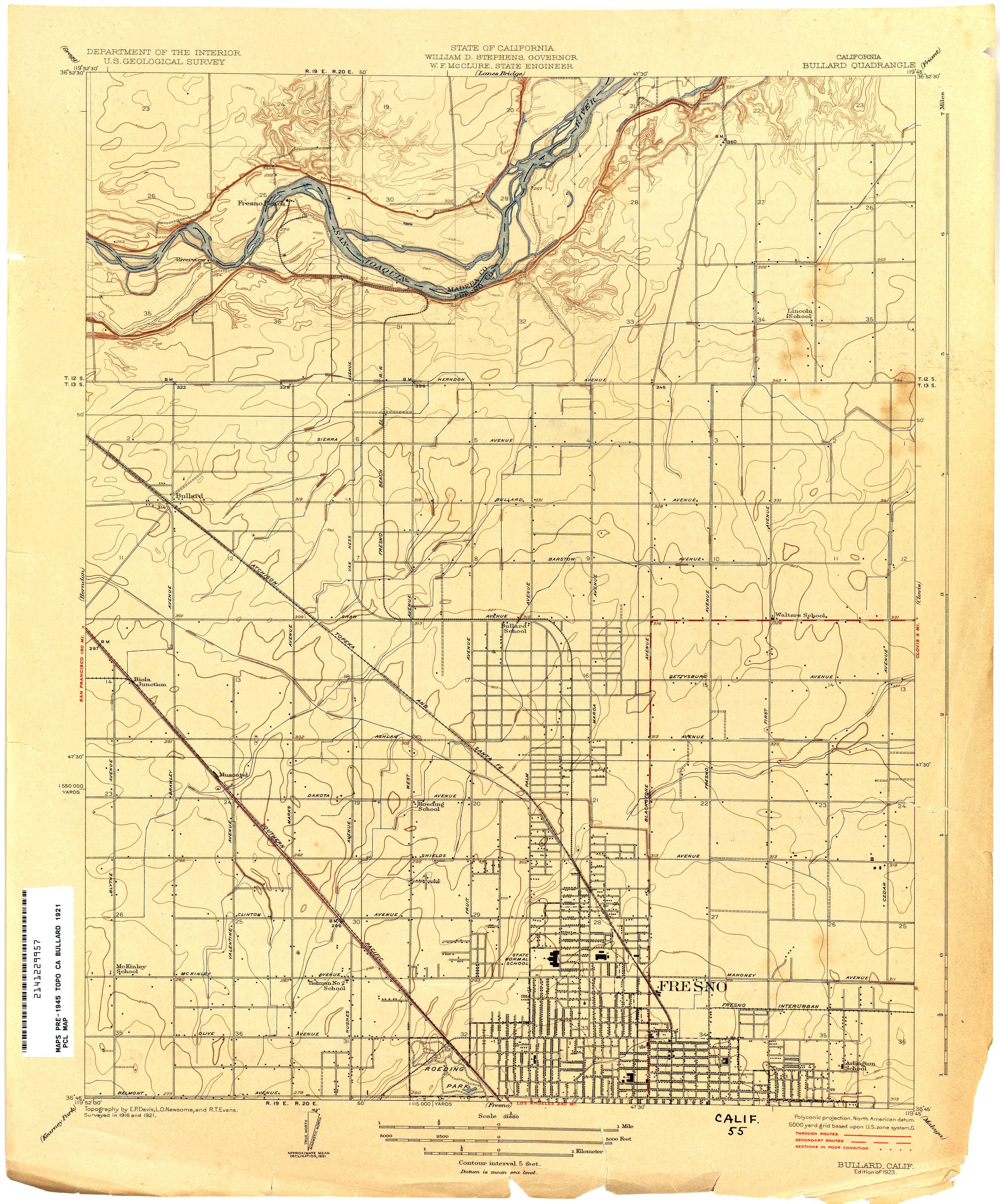
- Bullard 1921 1:31,680 (2.6MB)
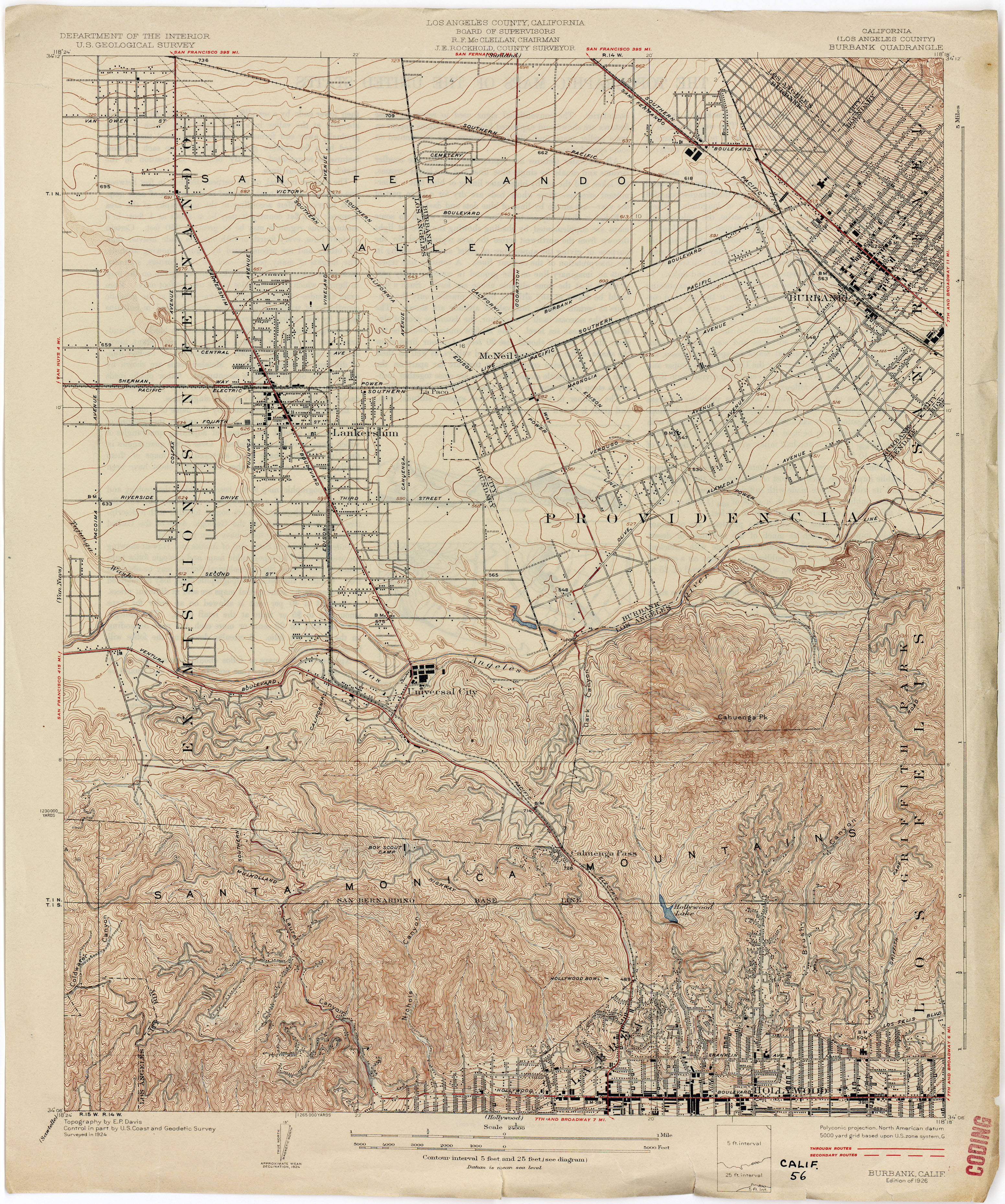
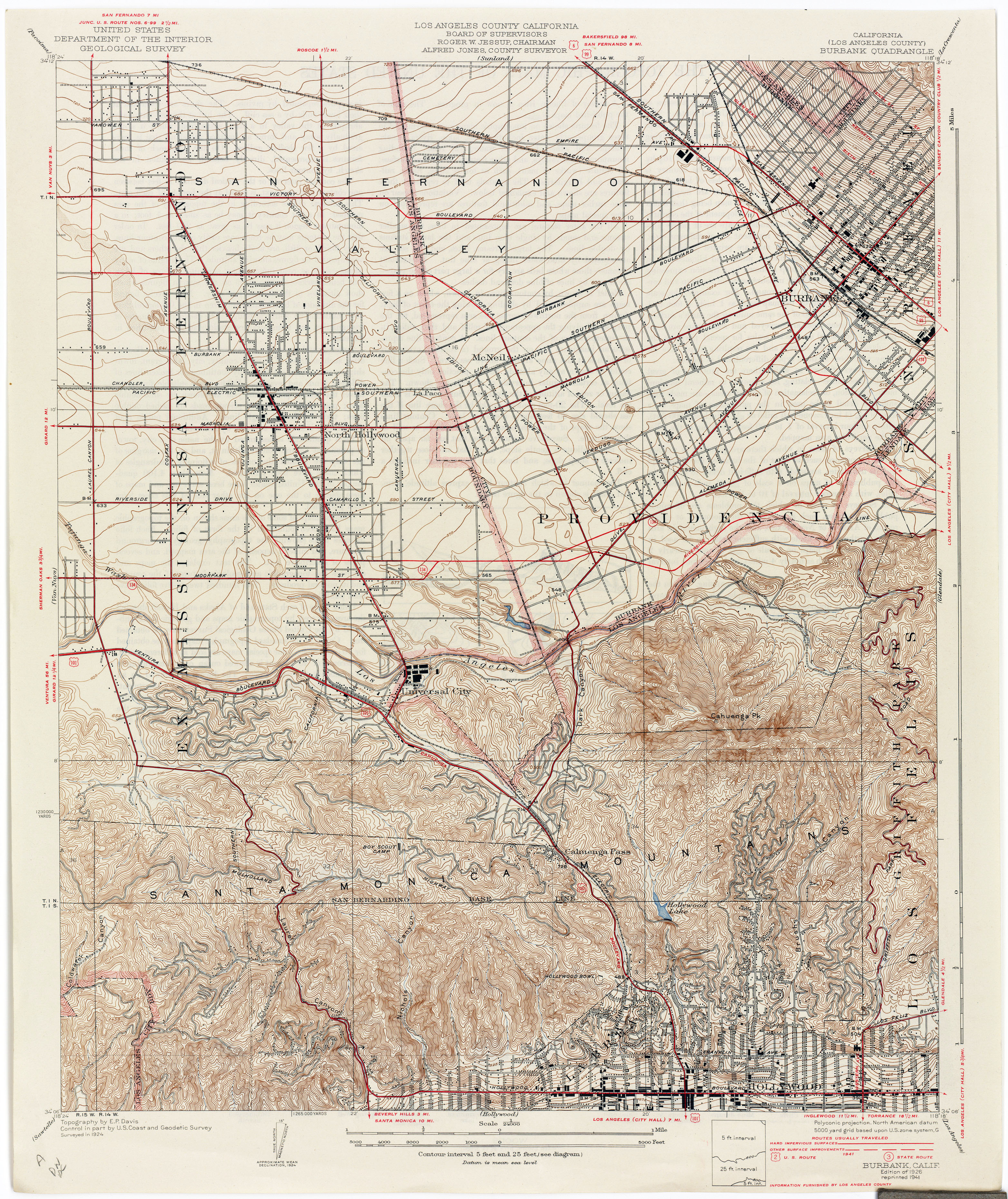
- Burbank (Los Angeles County) 1924 1:24,000 (4.4MB)
- Burbank (Los Angeles County) 1924 1:24,000 (4.7MB)
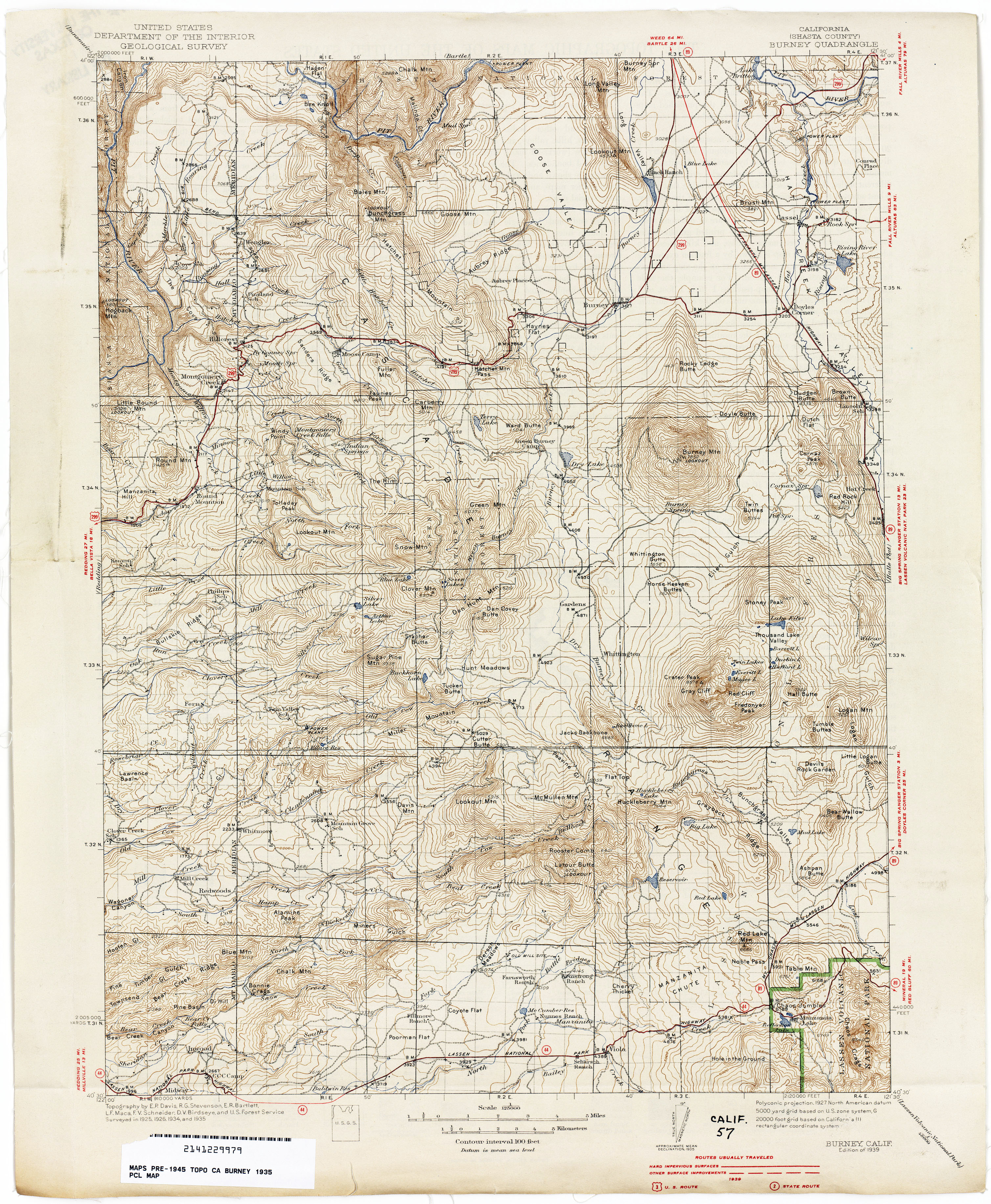
- Burney (Shasta County) 1935 1:250,000 (4.0MB)
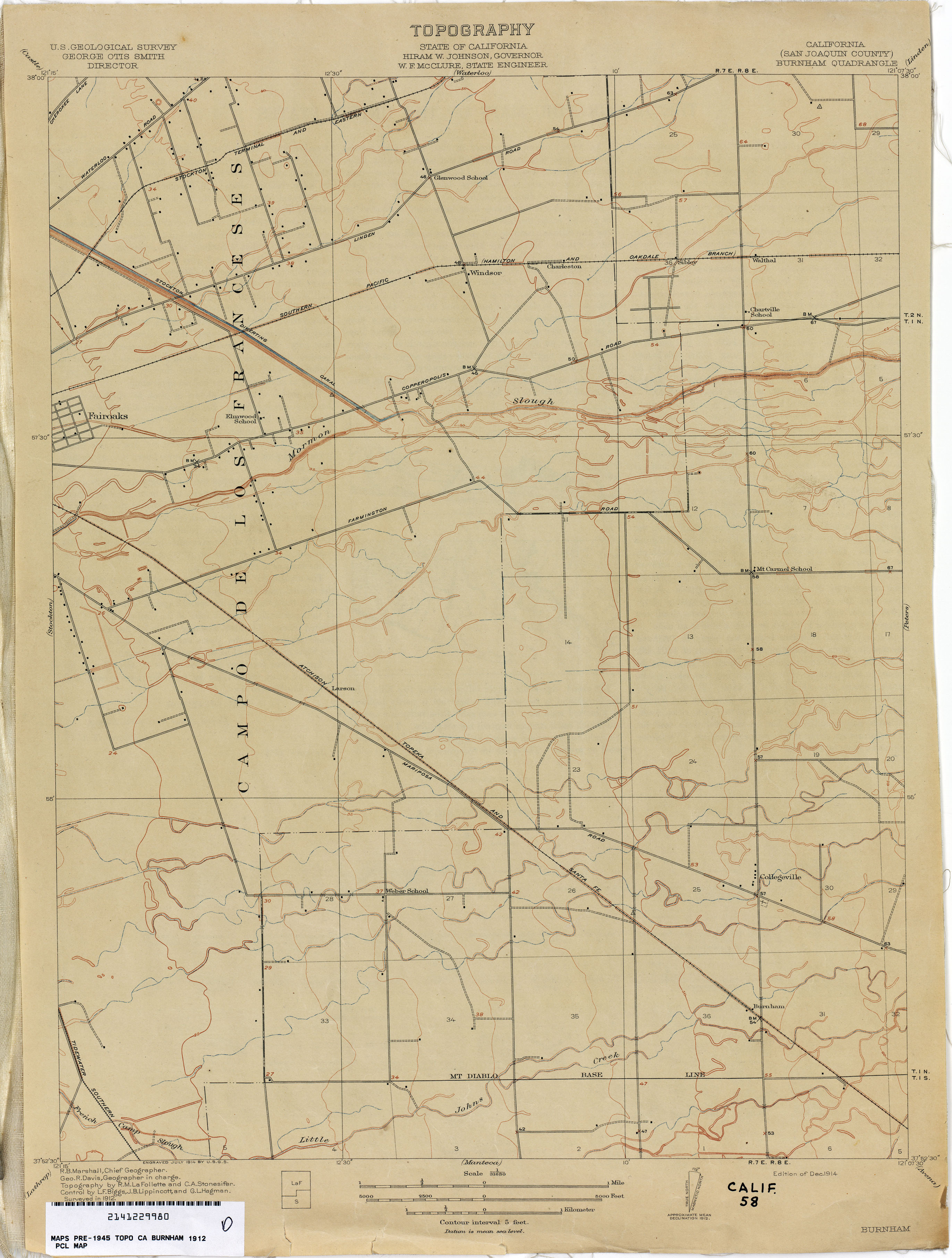
- Burnham (San Joaquin County) 1912 1:31,680 (1.9MB)
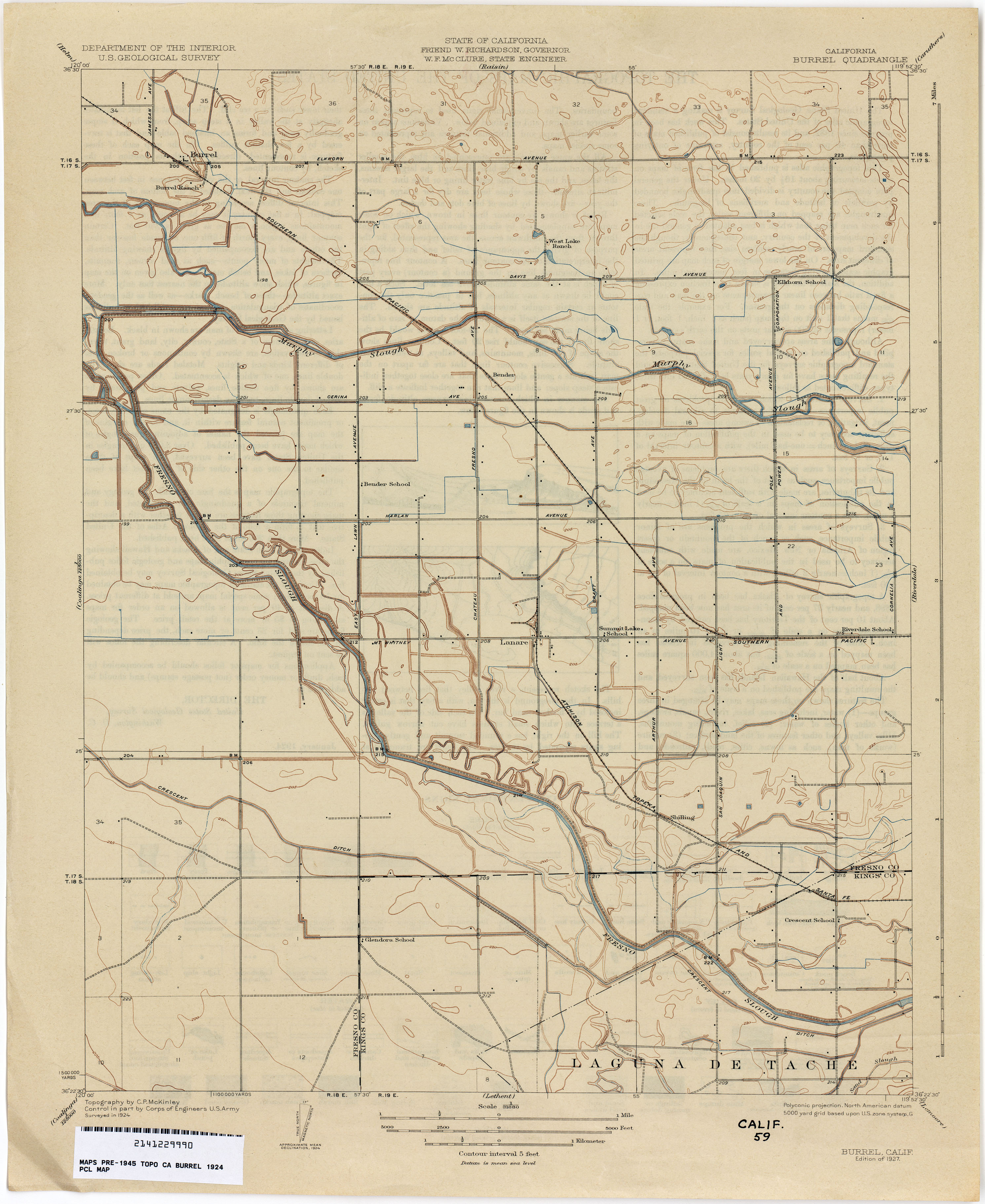
- Burrel 1924 1:31,680 (2.2MB)
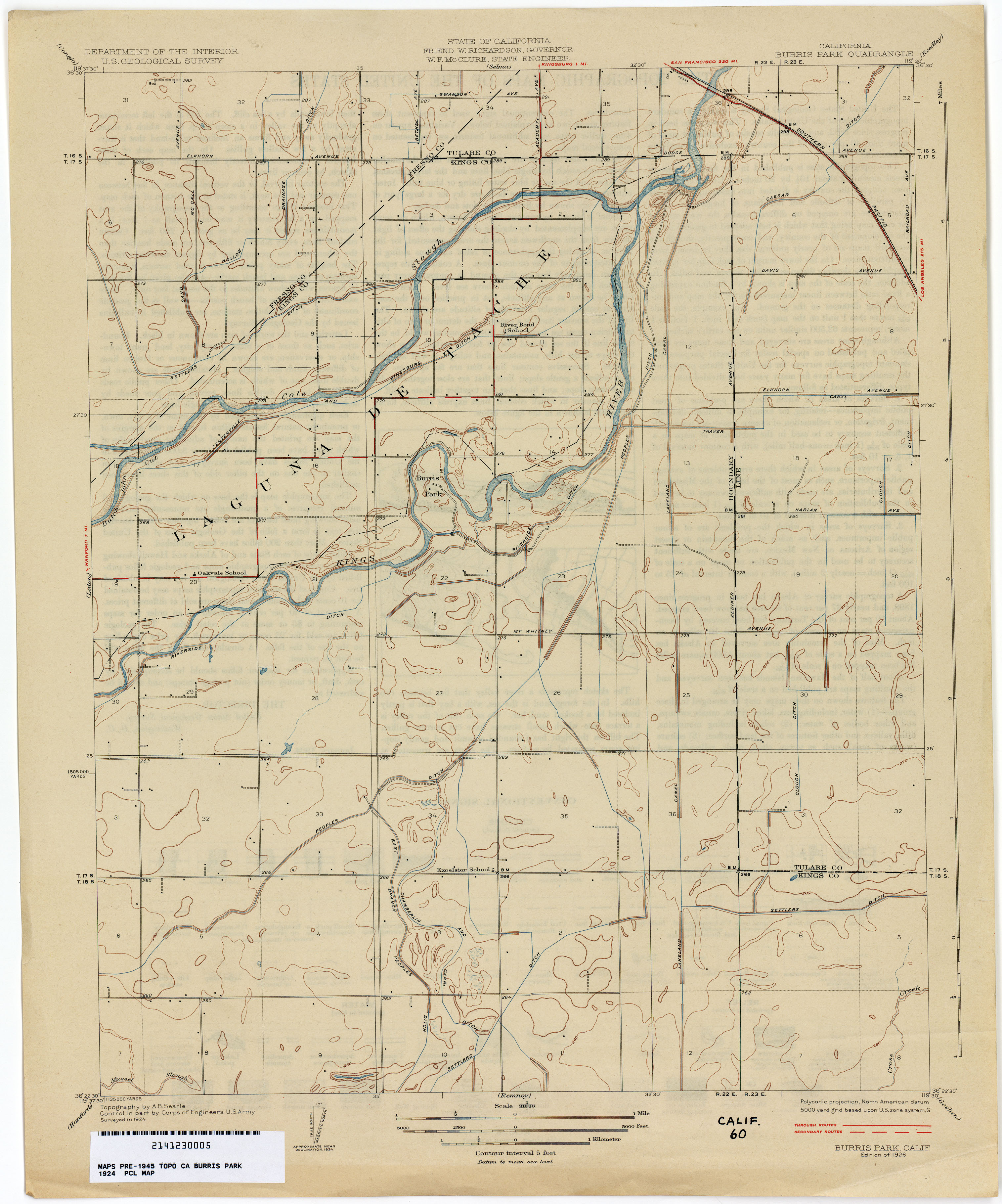
- Burris Park 1924 1:31,680 (2.1MB)
- Butte City 1910 1:31,680 (2.0MB)
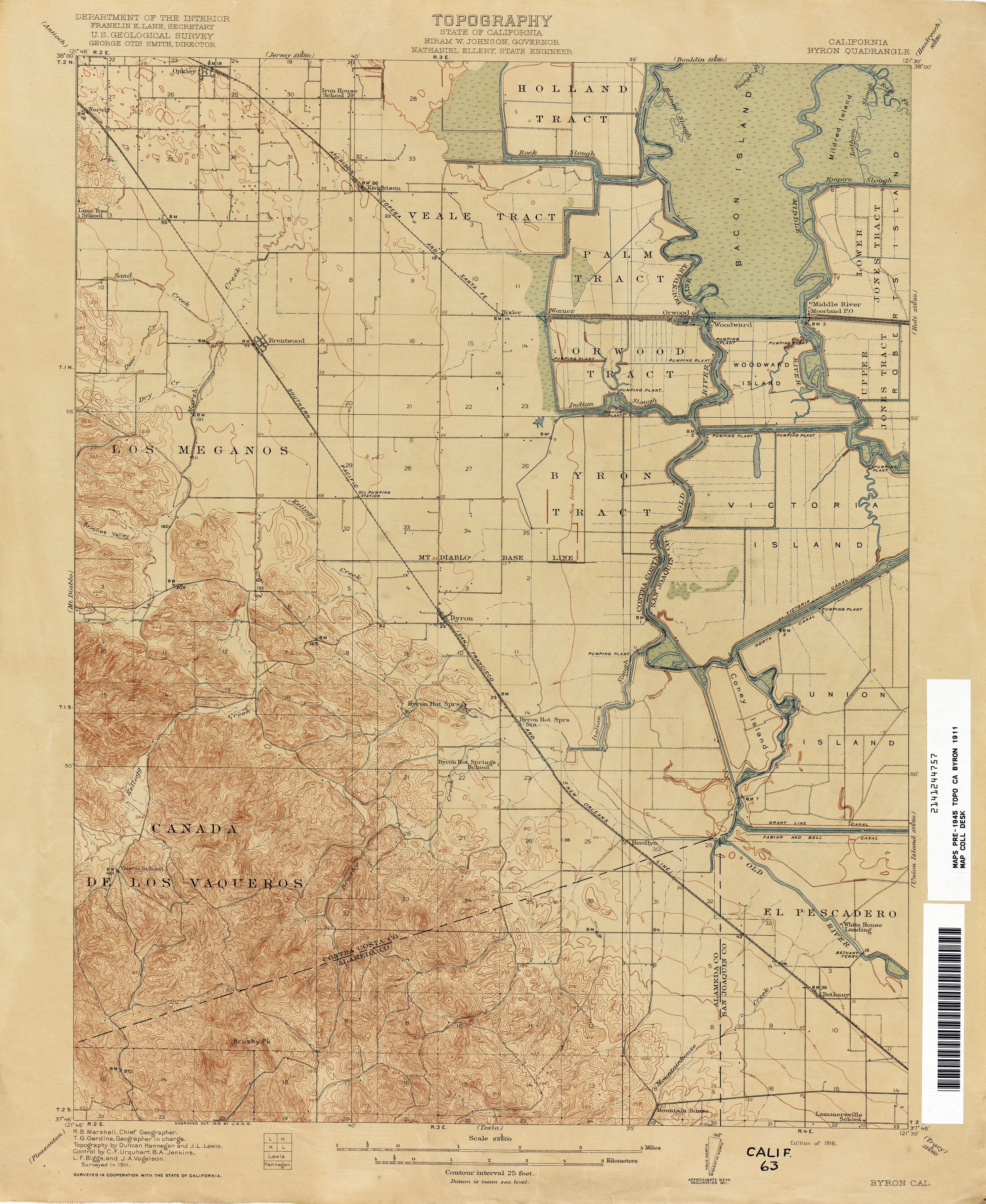
- Byron 1911 1:62,500 (1.7MB)
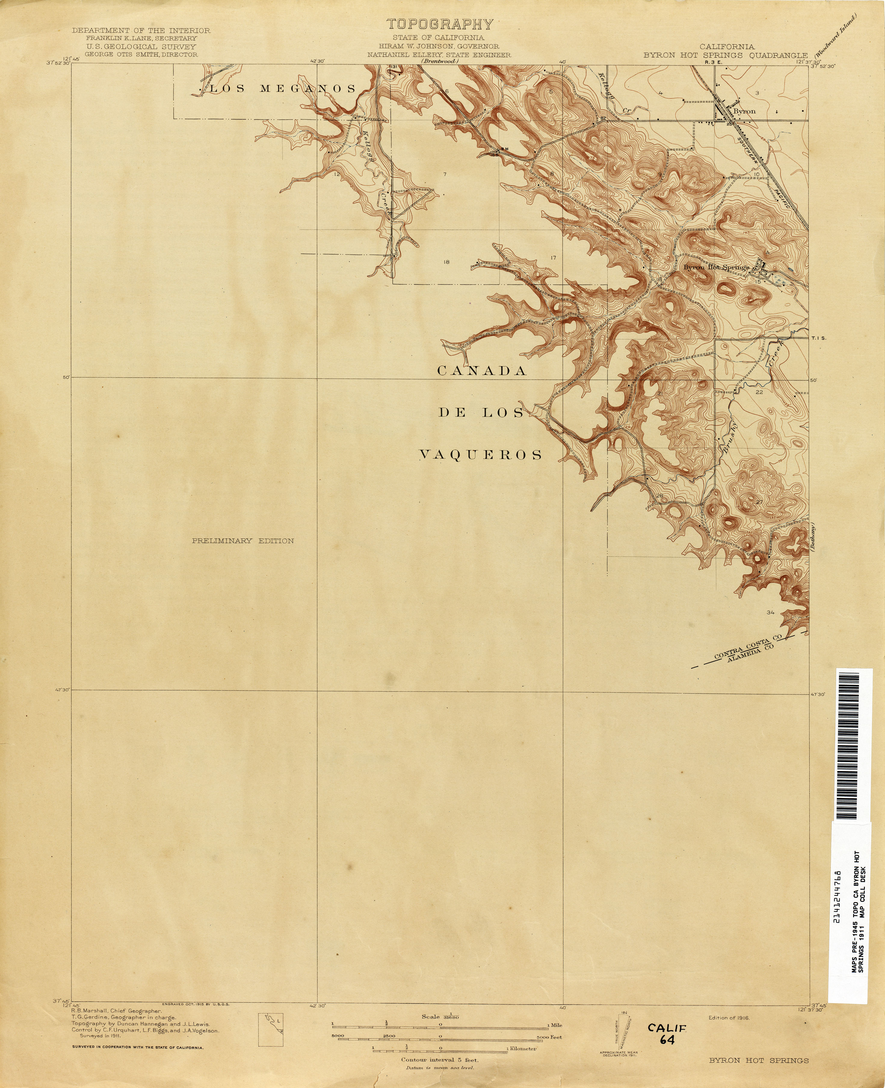
- Byron Hot Springs 1911 1:31,680 (2.9MB)
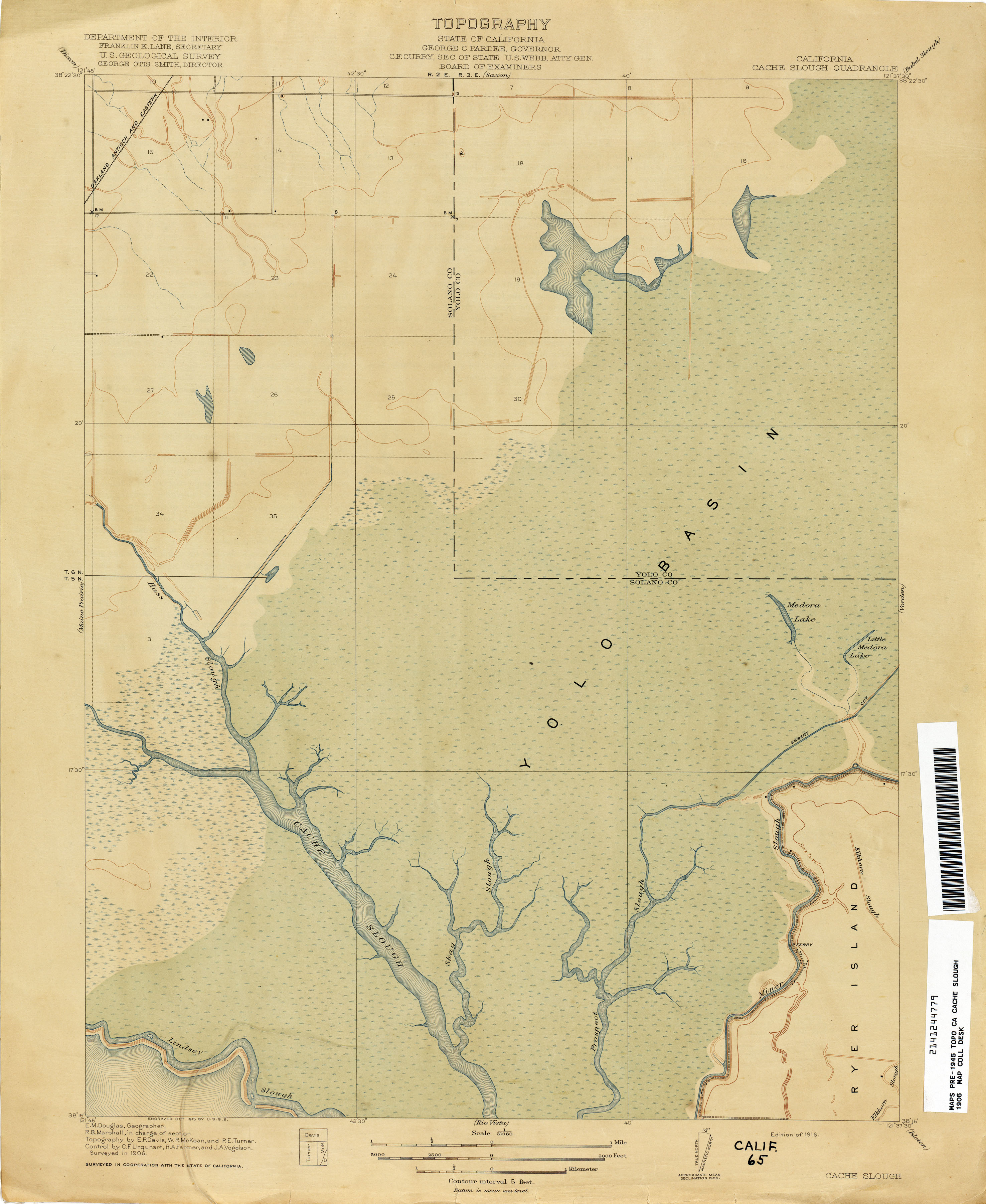
- Cache Slough 1906 1:31,680 (1.7MB)
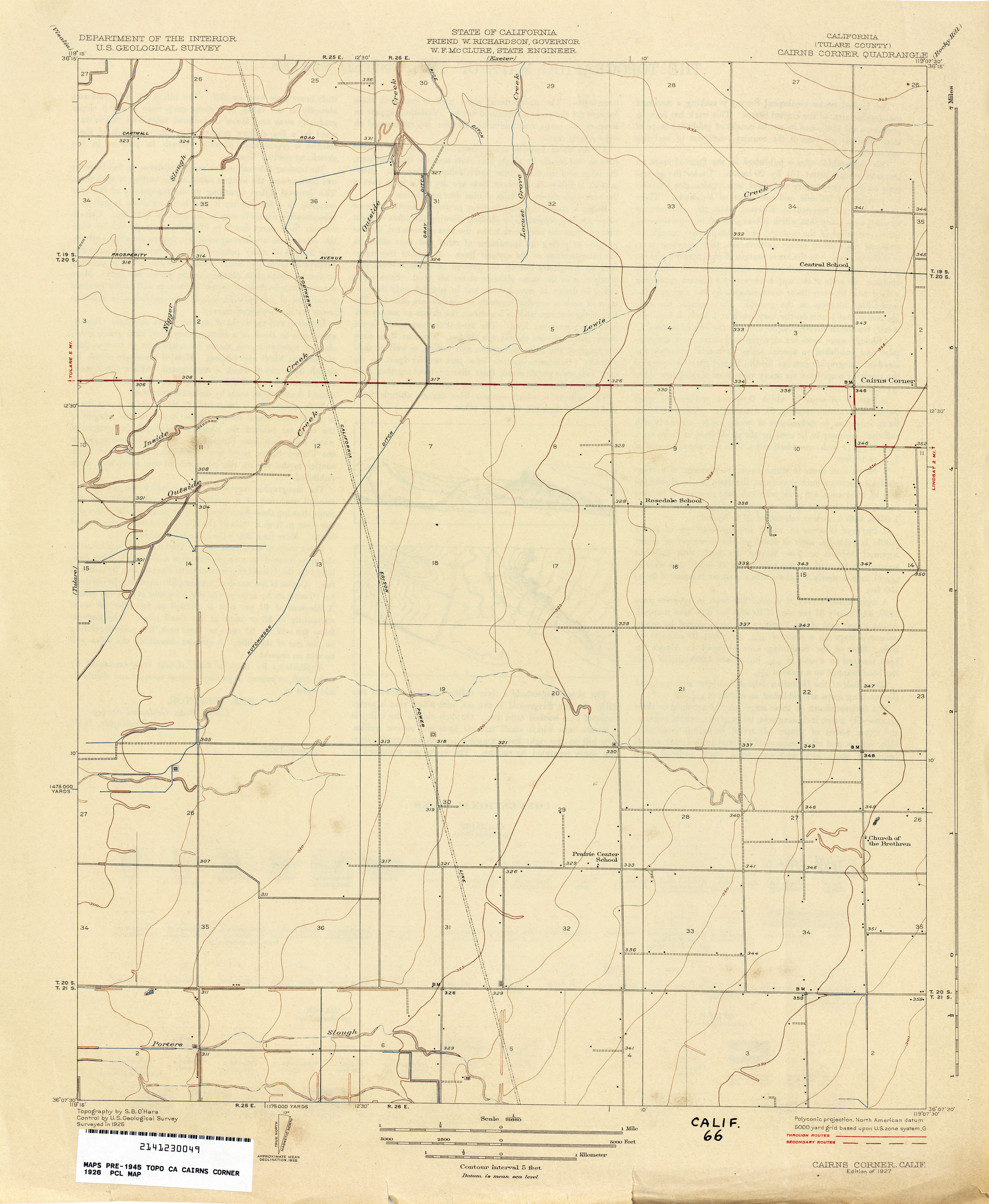
- Cairns Corner (Tulare County) 1926 1:31,680 (1.7MB)
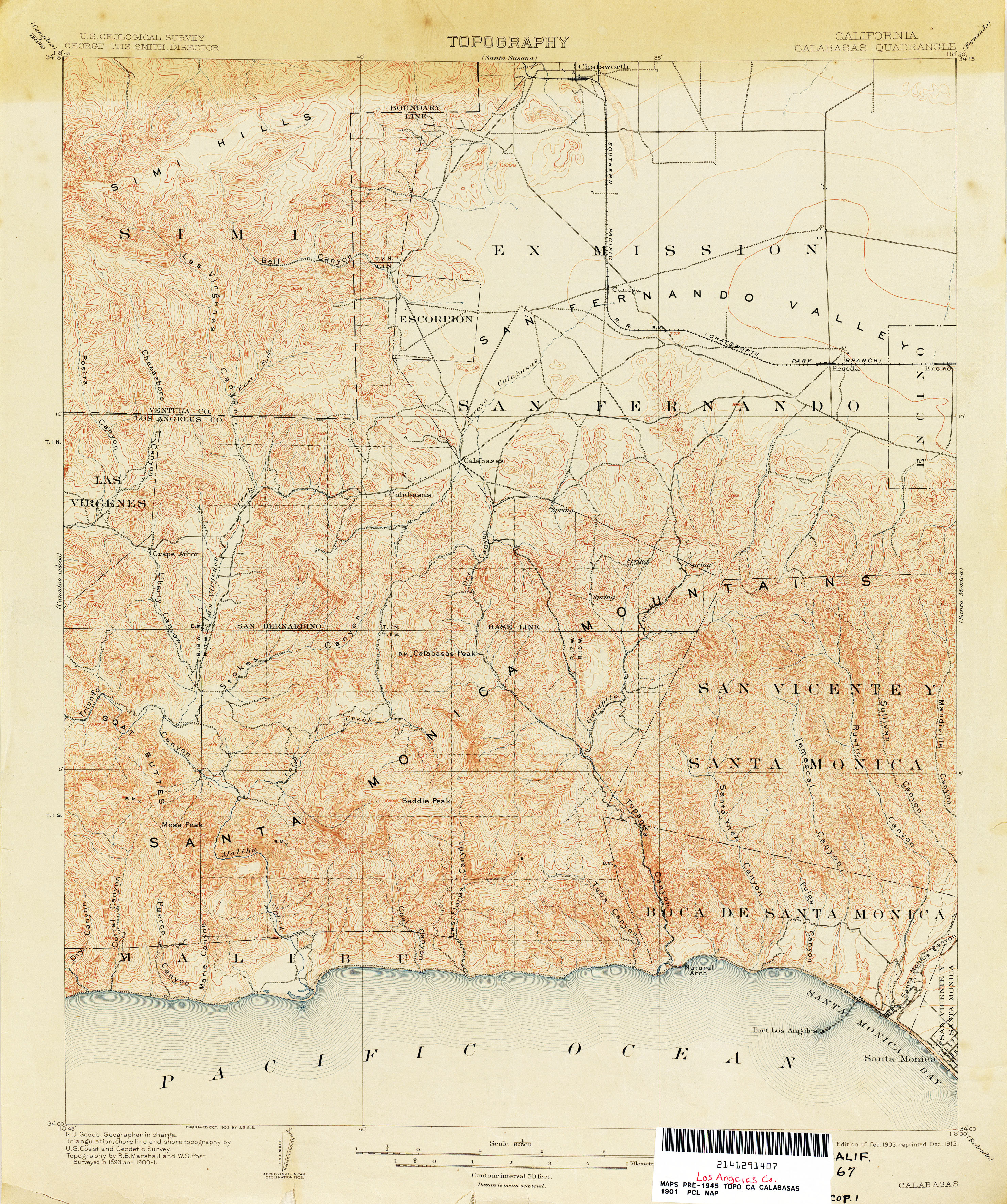
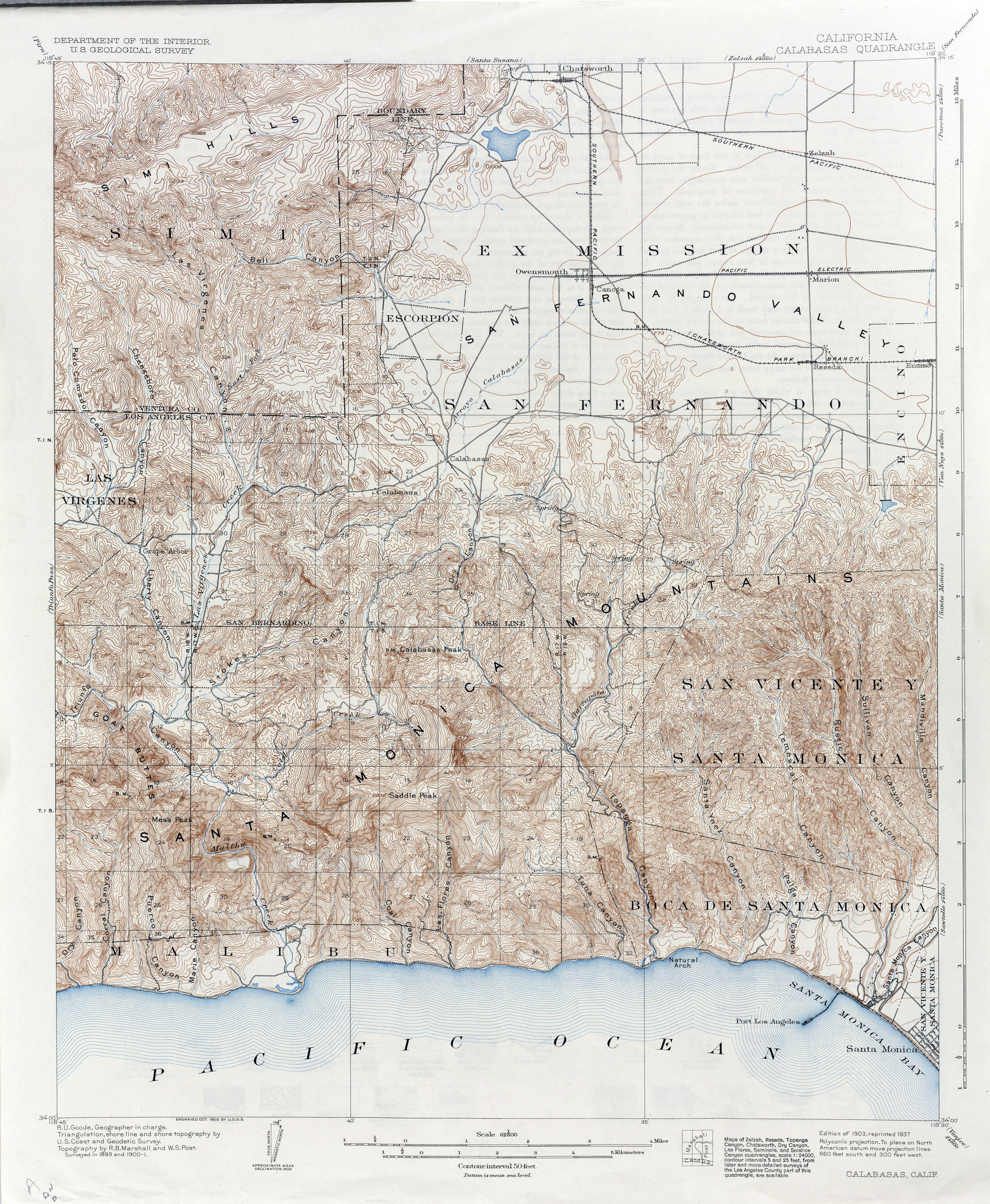
- Calabasas 1901 1:62,500 (3.8MB)
- Calabasas 1901 1:62,500 (4.3MB)
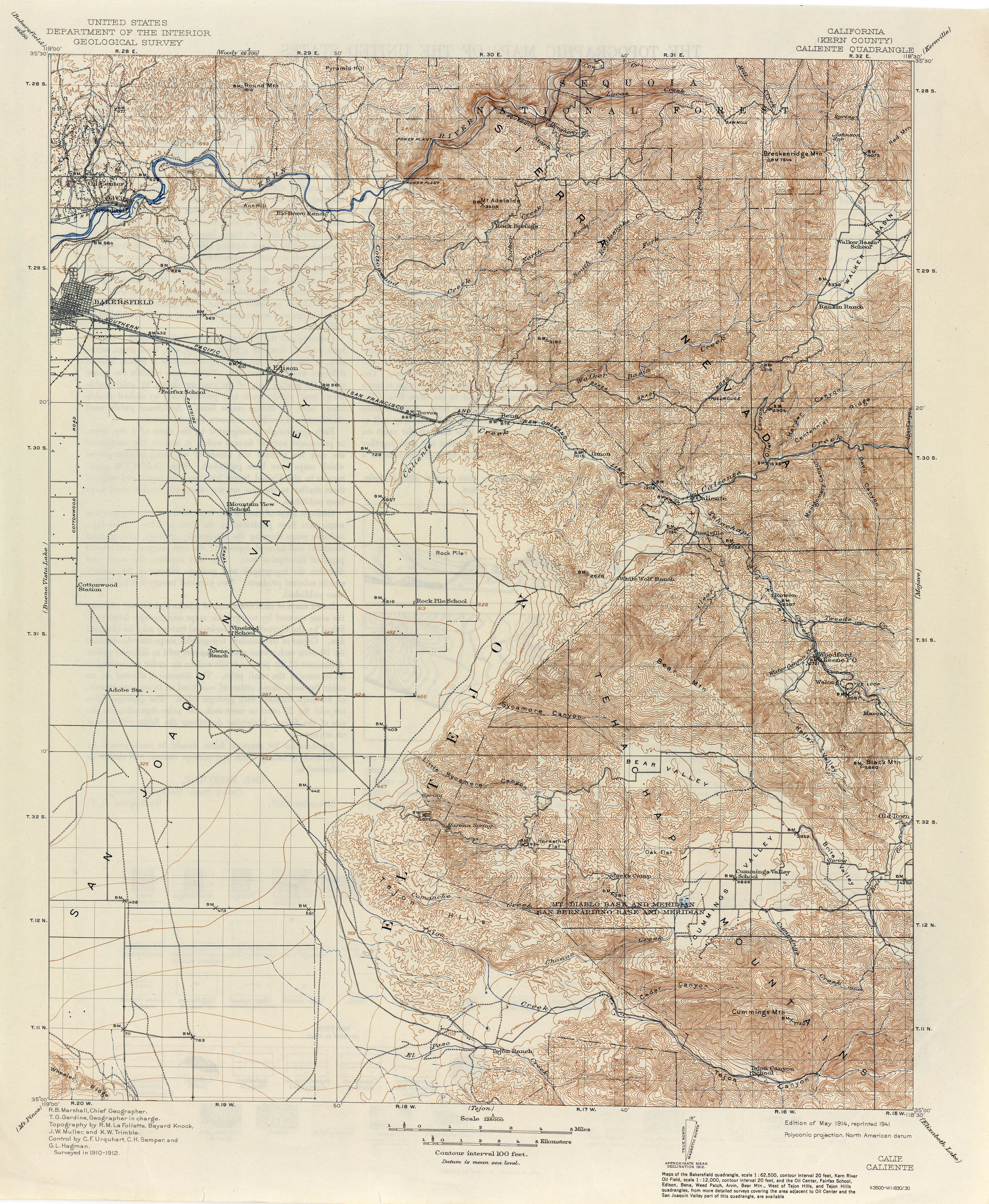
- Caliente (Kern County) 1912 1:250,000 (4.1MB)
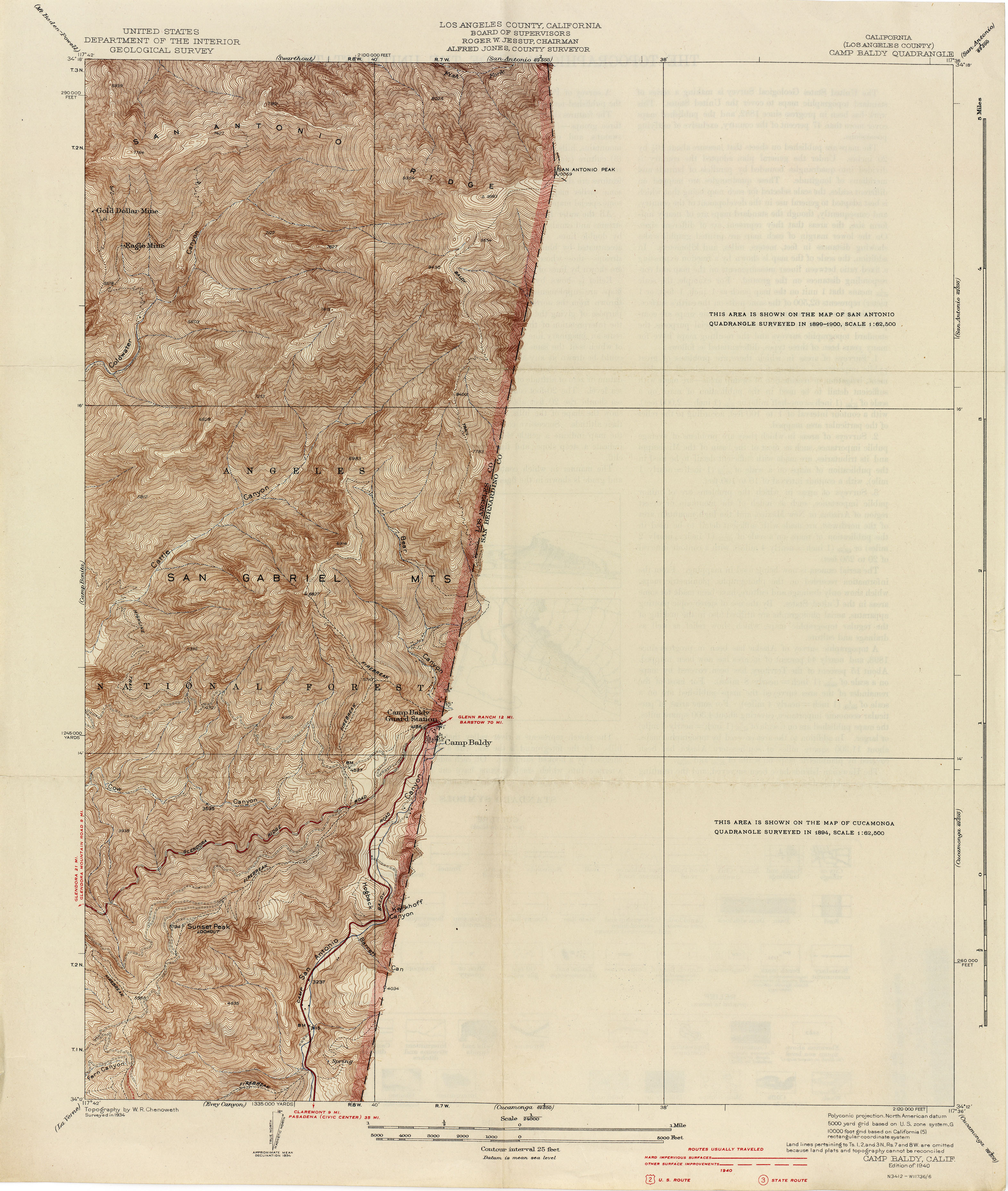
- Camp Baldy (Los Angeles County) 1934 1:24,000 (3.3MB)
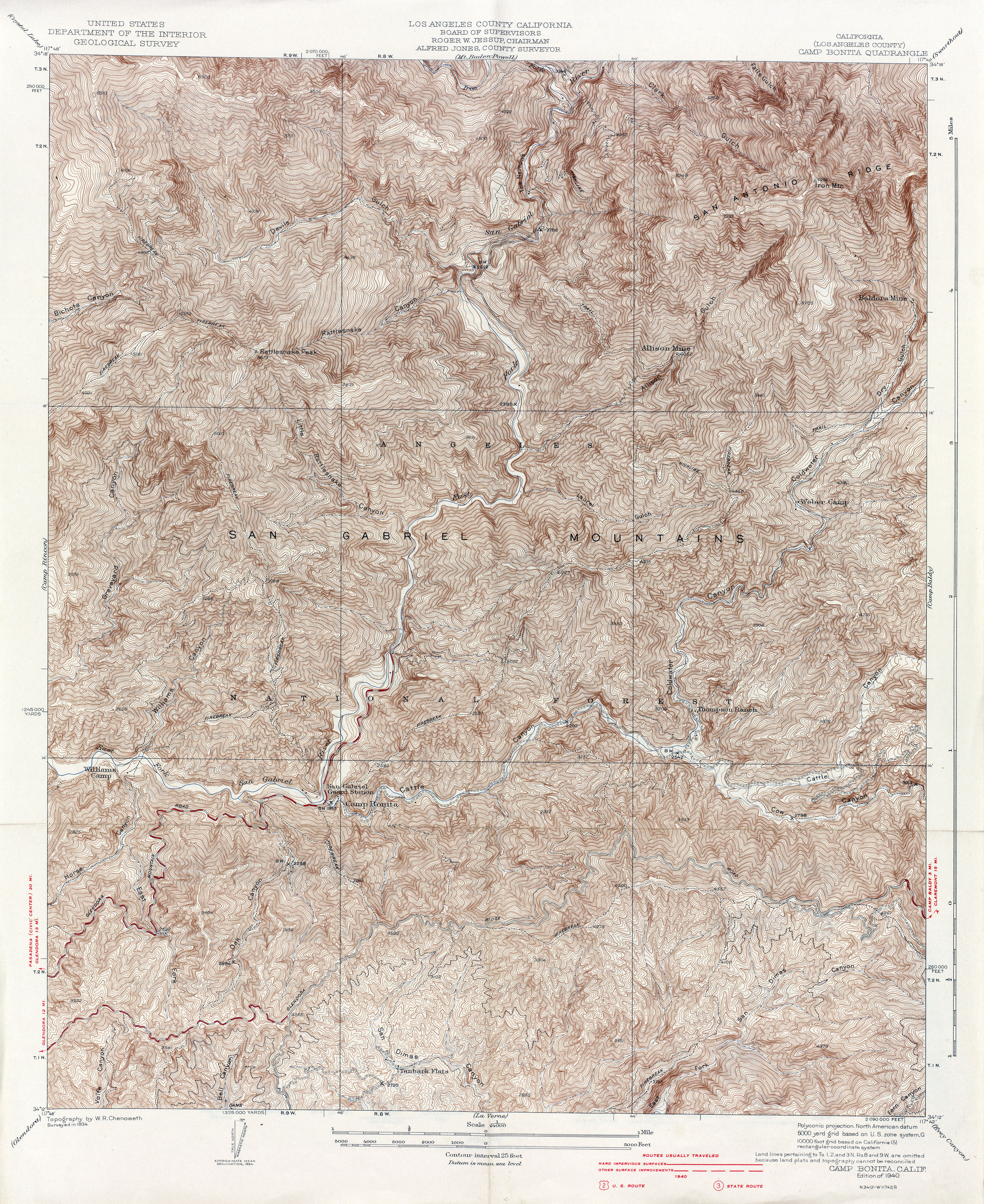
- Camp Bonita (Los Angeles County) 1934 1:24,000 (6.4MB)
- Camp Rincon (Los Angeles County) 1934 1:24,000 (5.8MB)
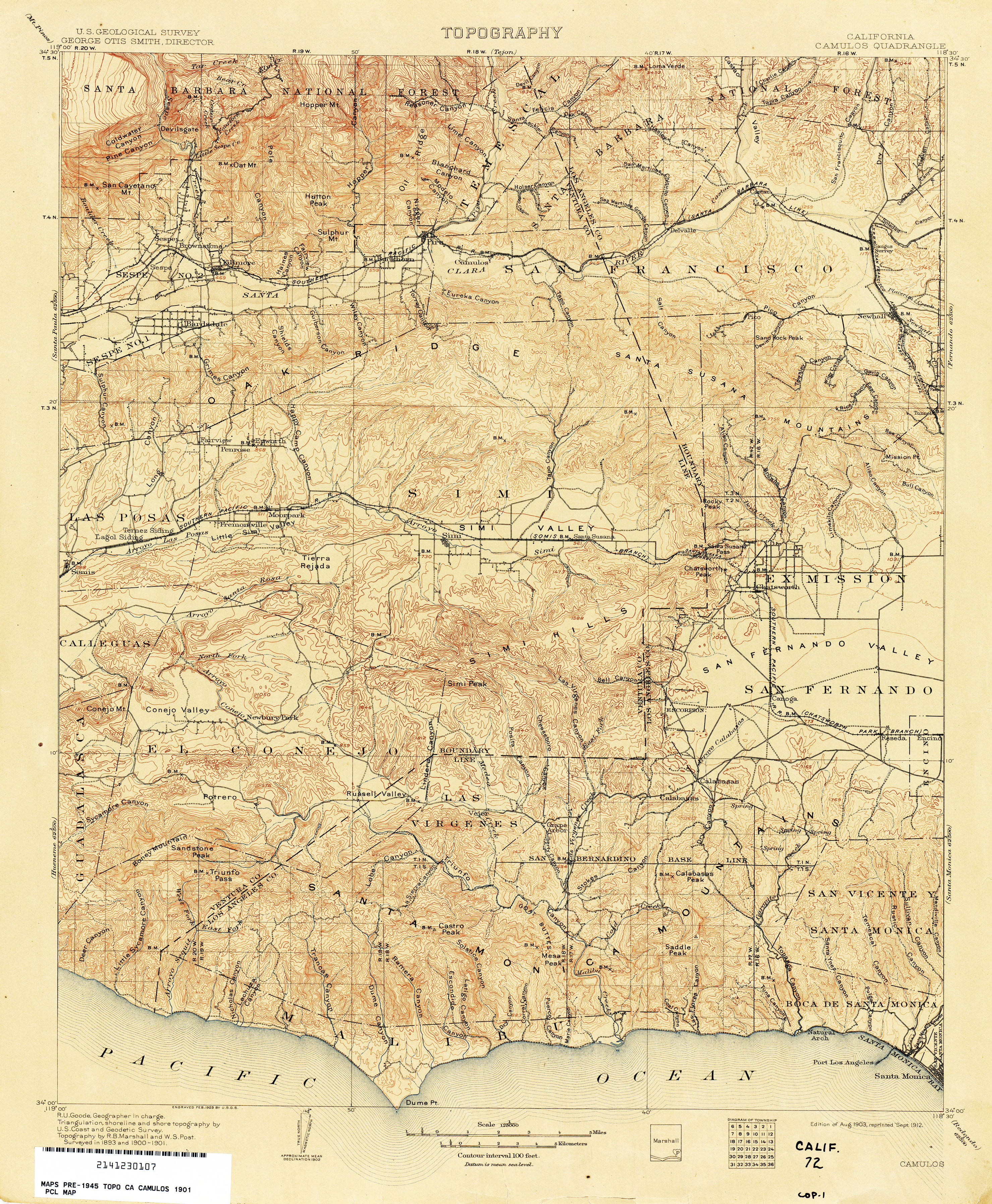
- Camulos 1901 1:125,000 (4.5MB)
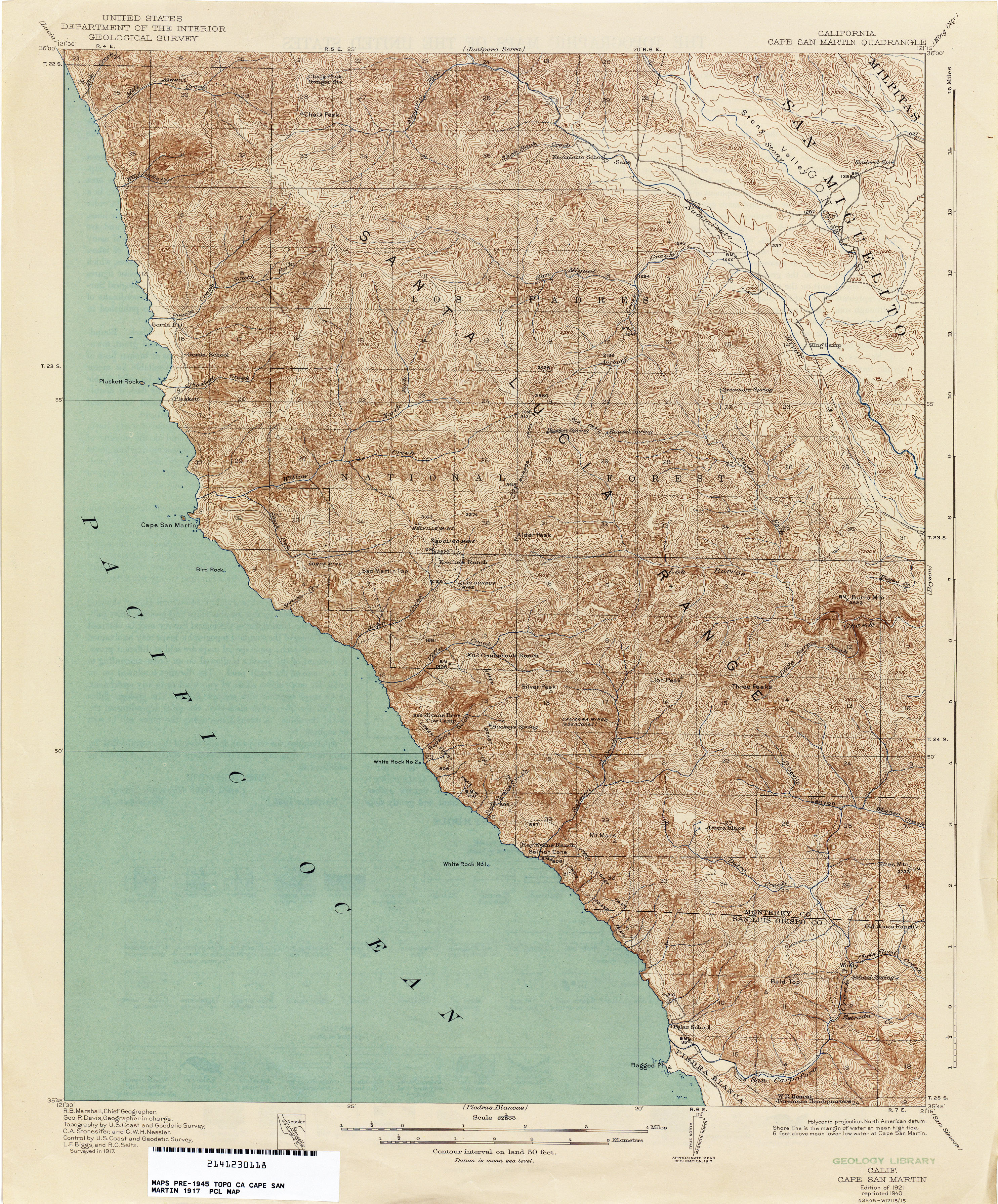
- Cape San Martin 1917 1:62,500 (4.0MB)
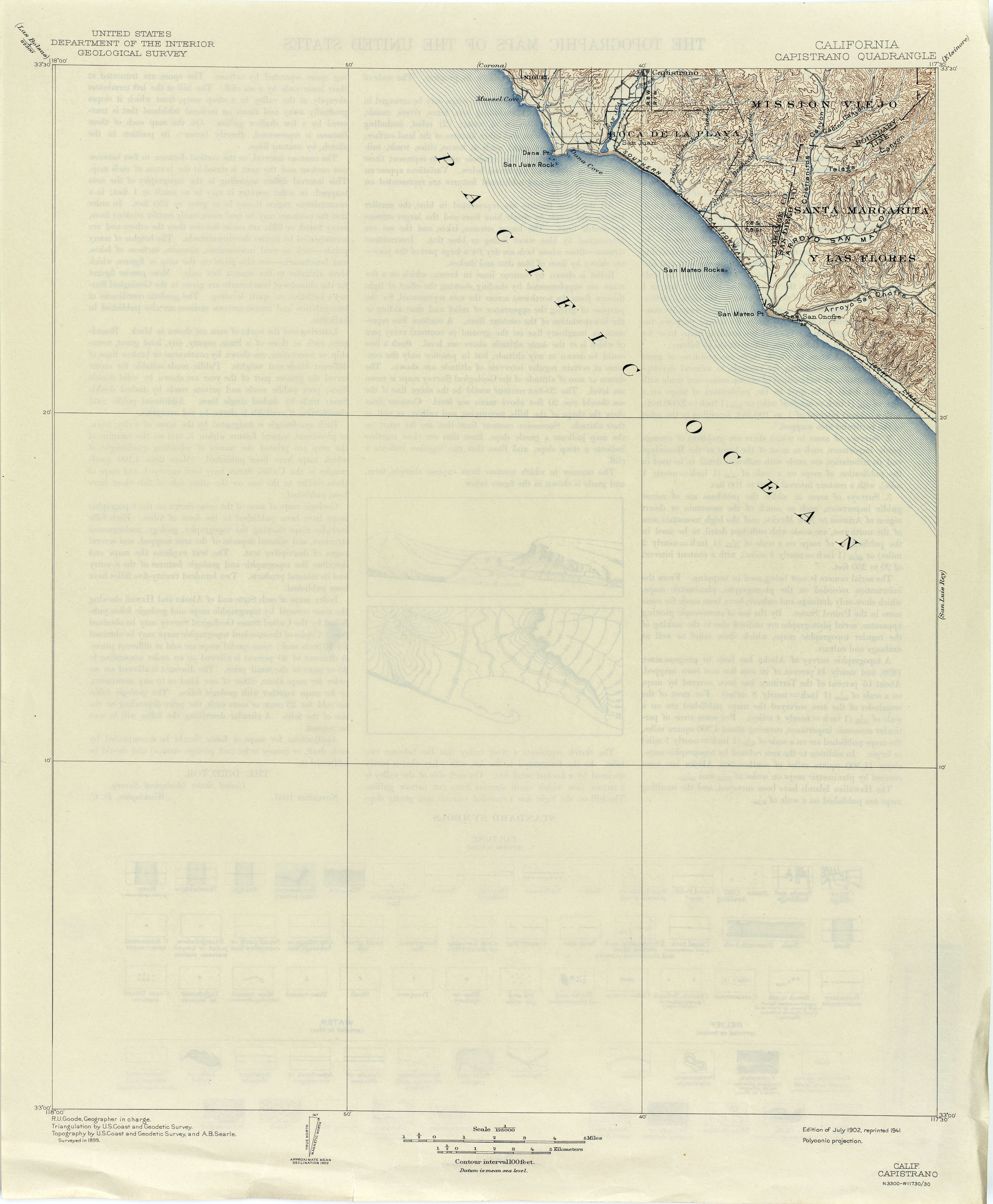
- Capistrano 1899 1:125,000 (1.6MB)
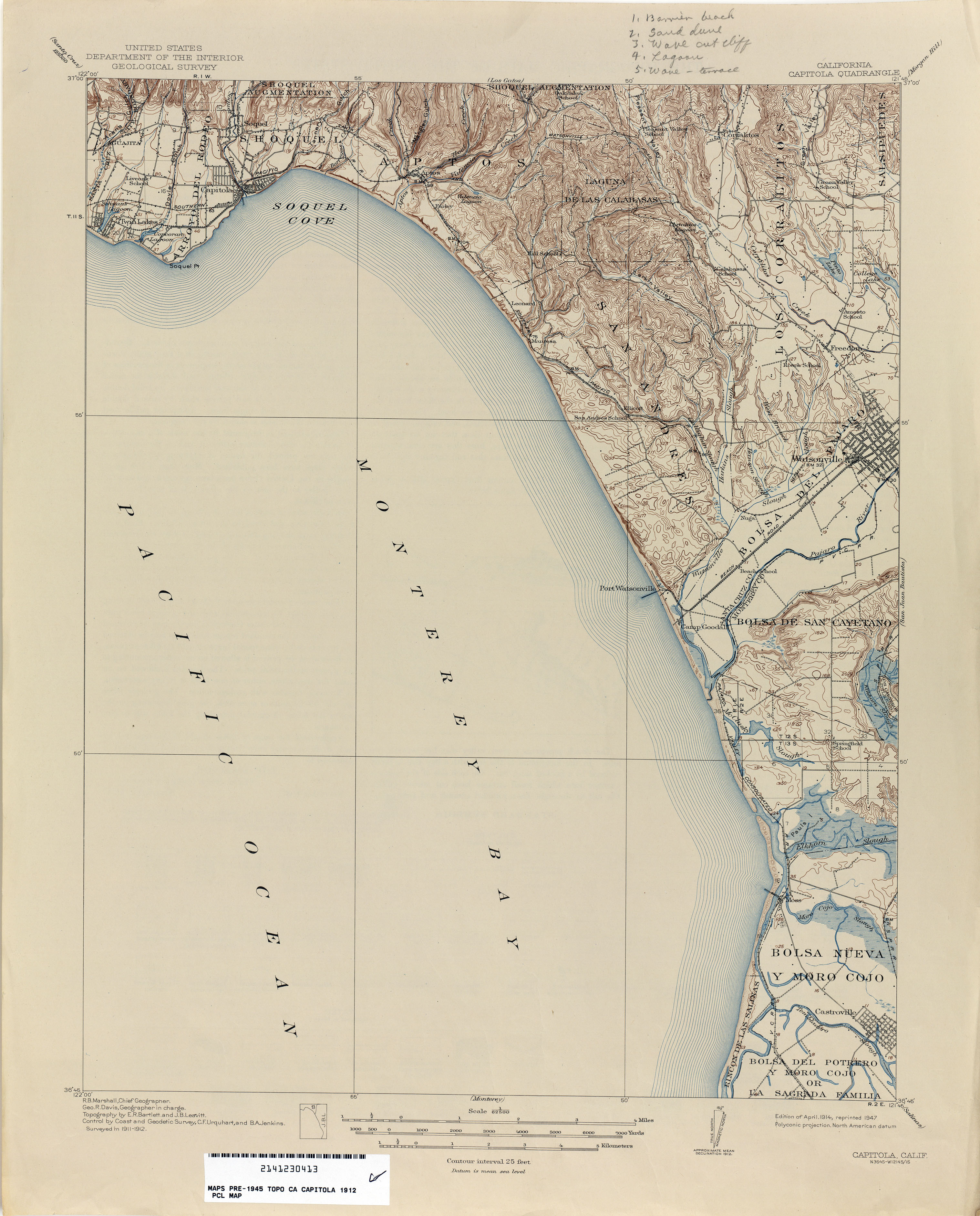
- Capitola 1912 1:62,500 (2.5MB)
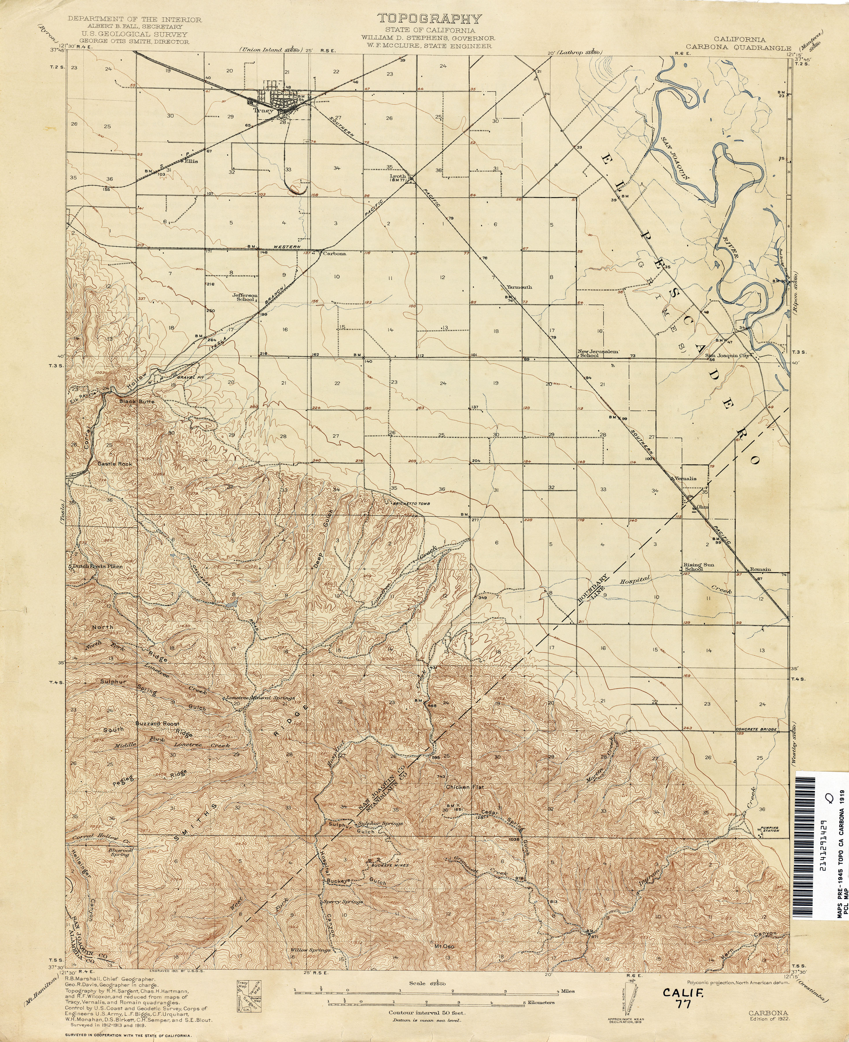
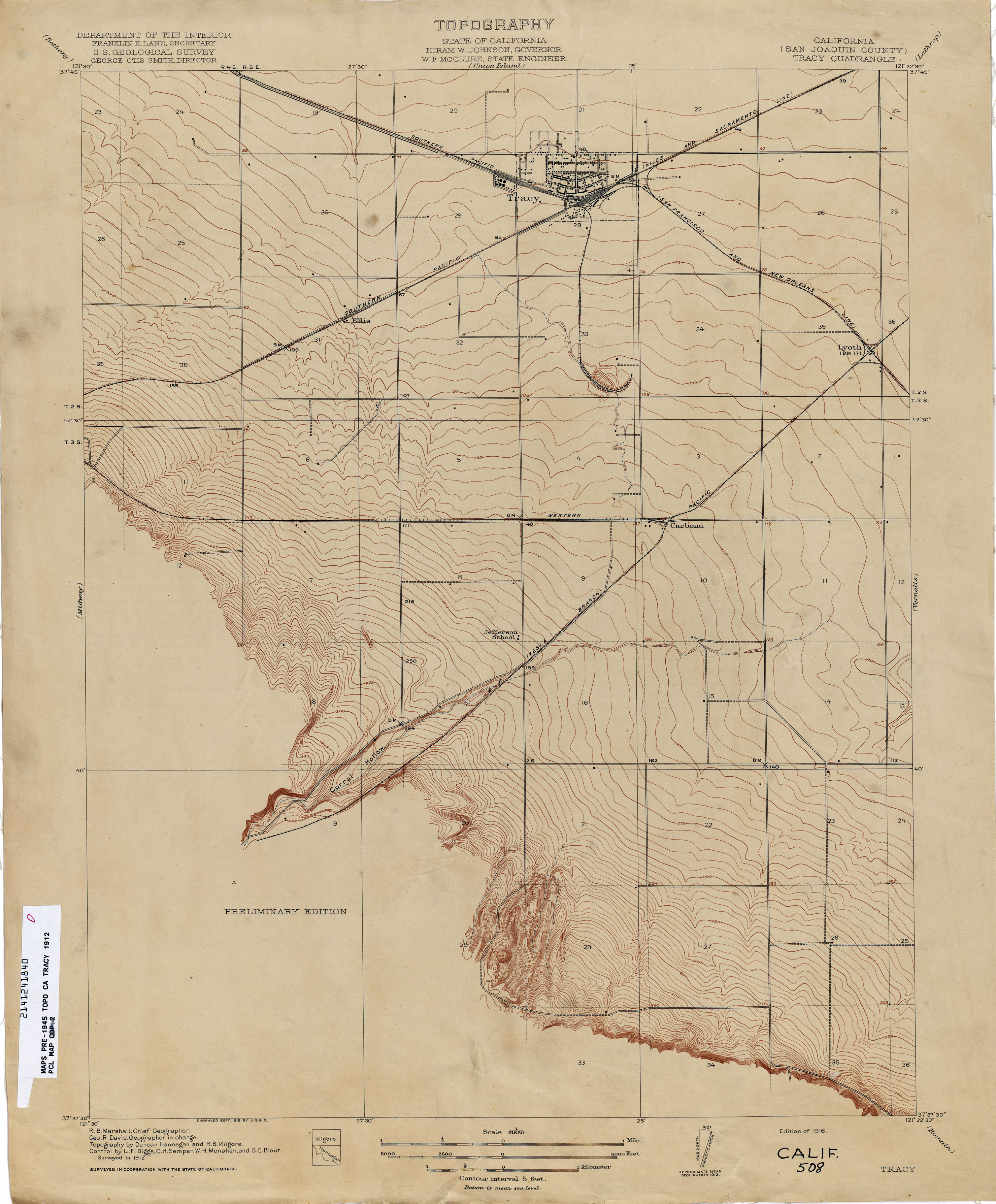
- Carbona 1919 1:62,500 (3.3MB)
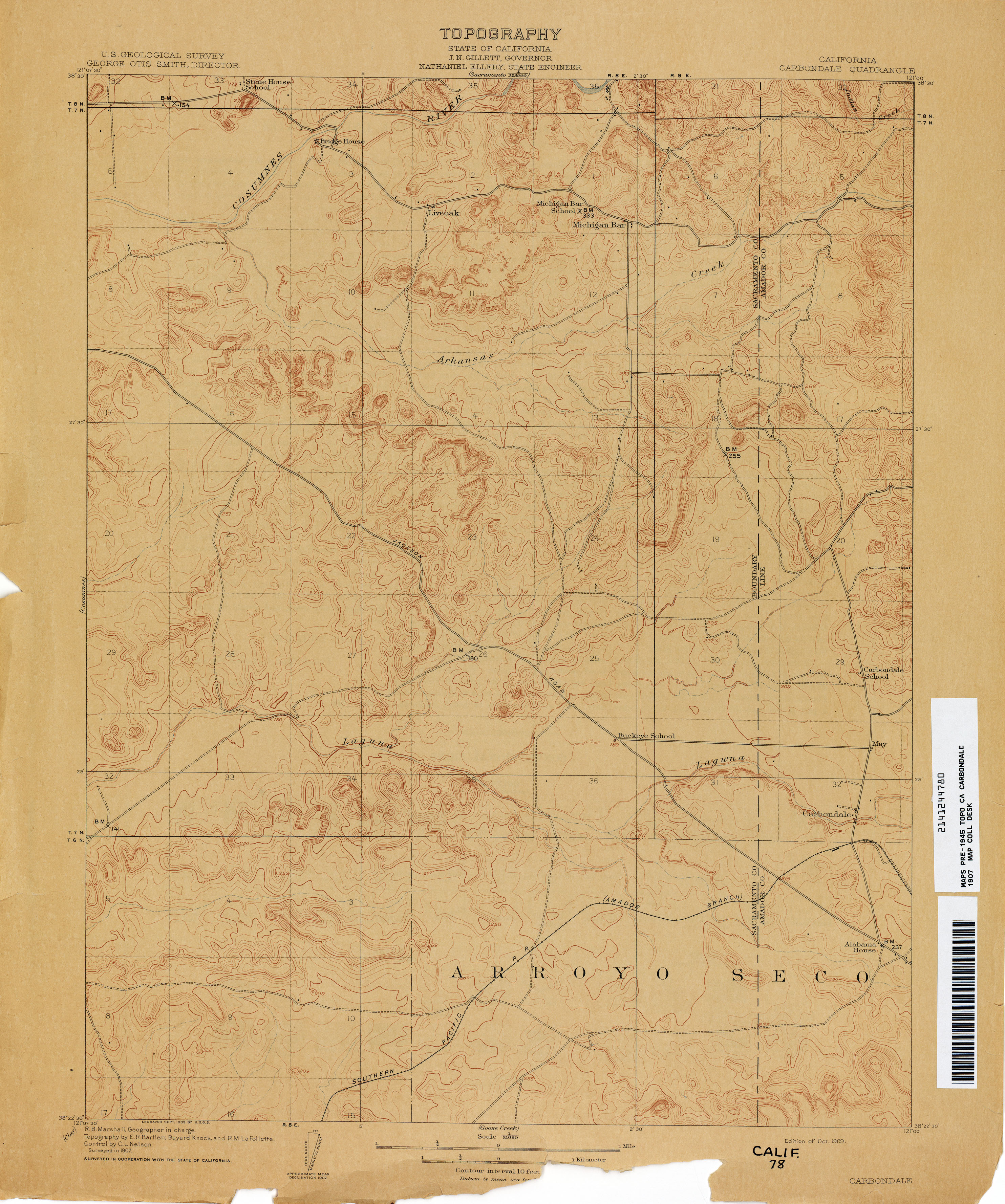
- Carbondale 1907 1:31,680 (2.6MB)
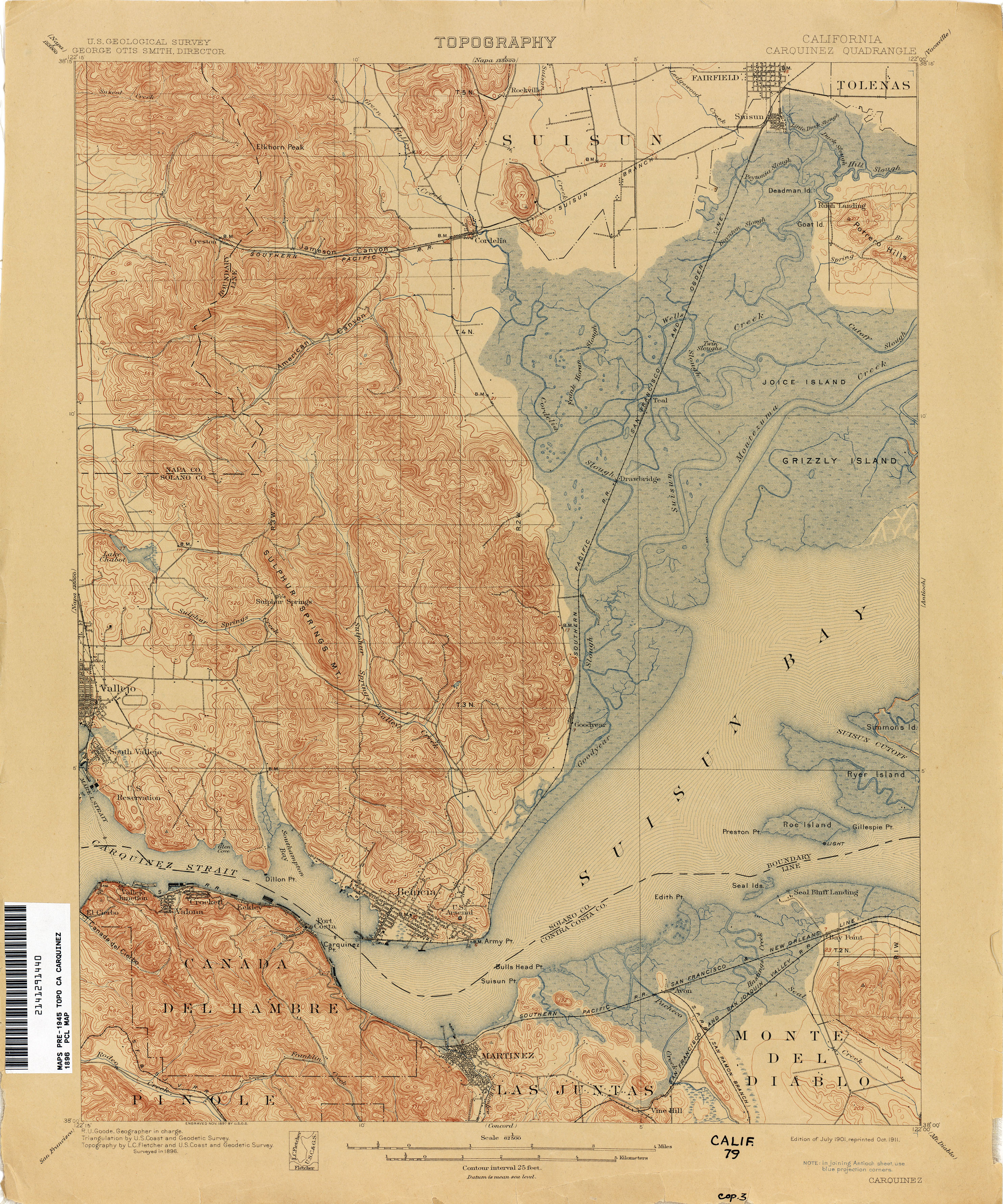
- Carquinez 1896 1:62,500 (3.9MB)
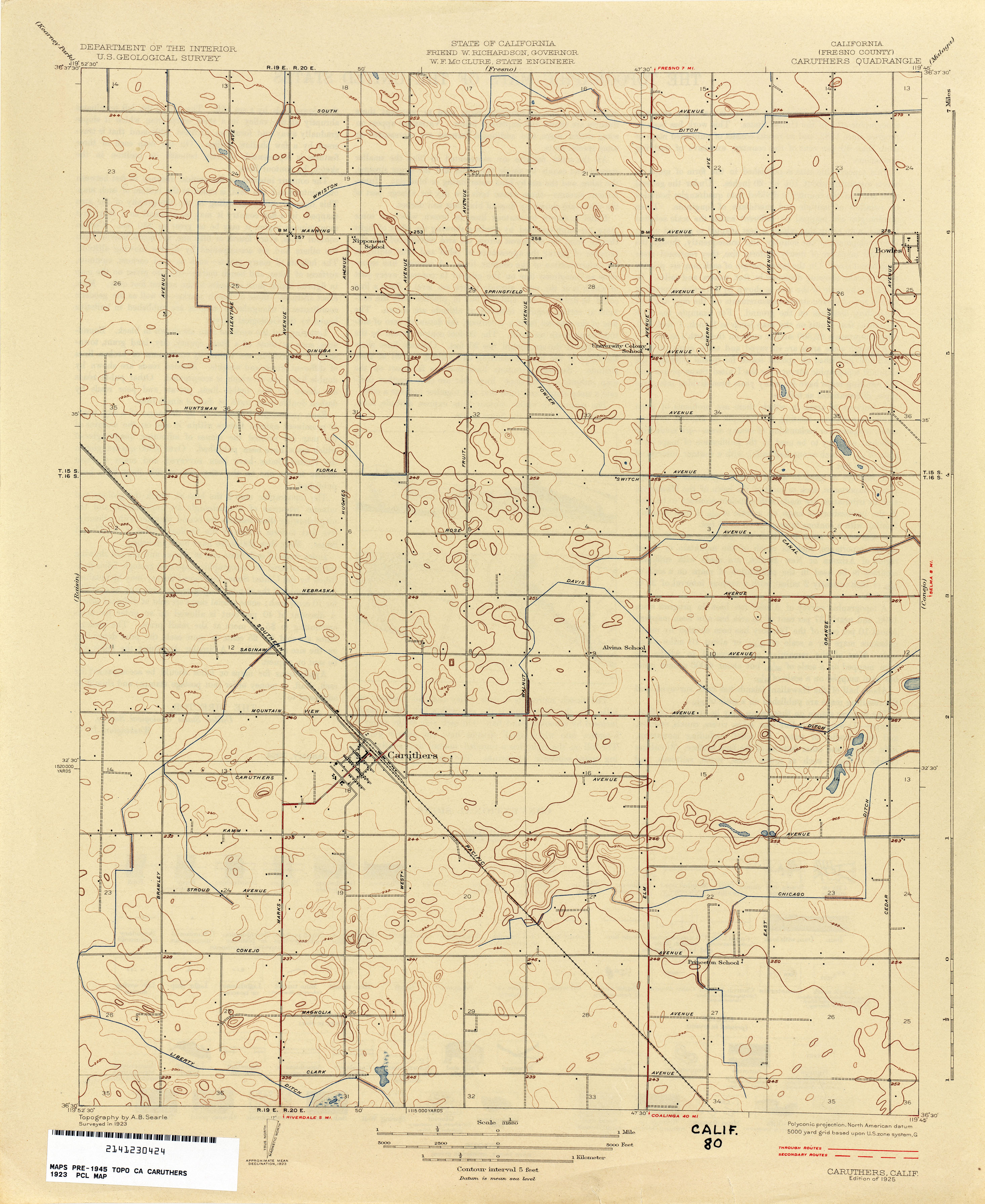
- Caruthers (Fresno County) 1923 1:31,680 (2.3MB)
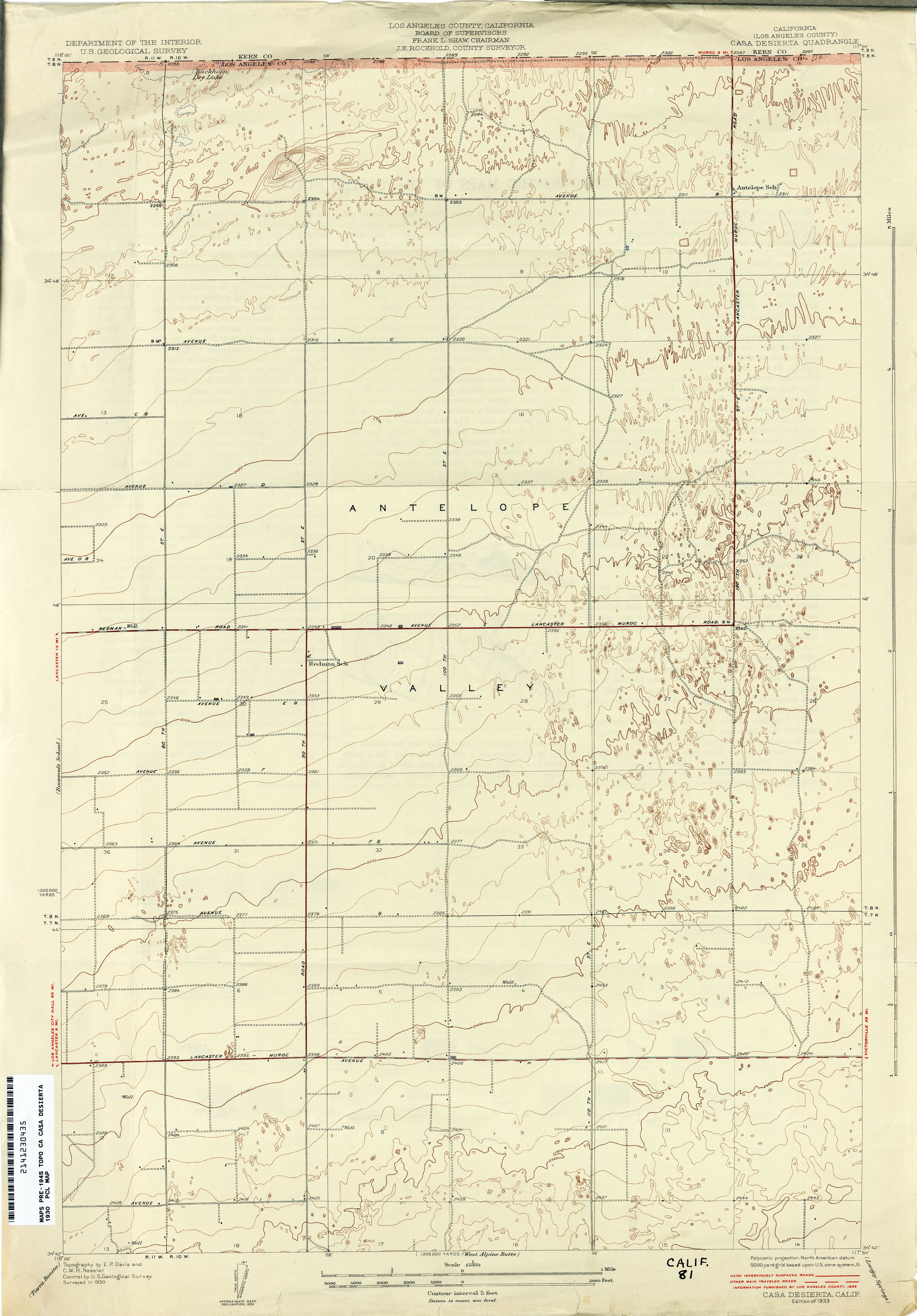
- Casa Desierta (Los Angeles County) 1930 1:24,000 (2.6MB)
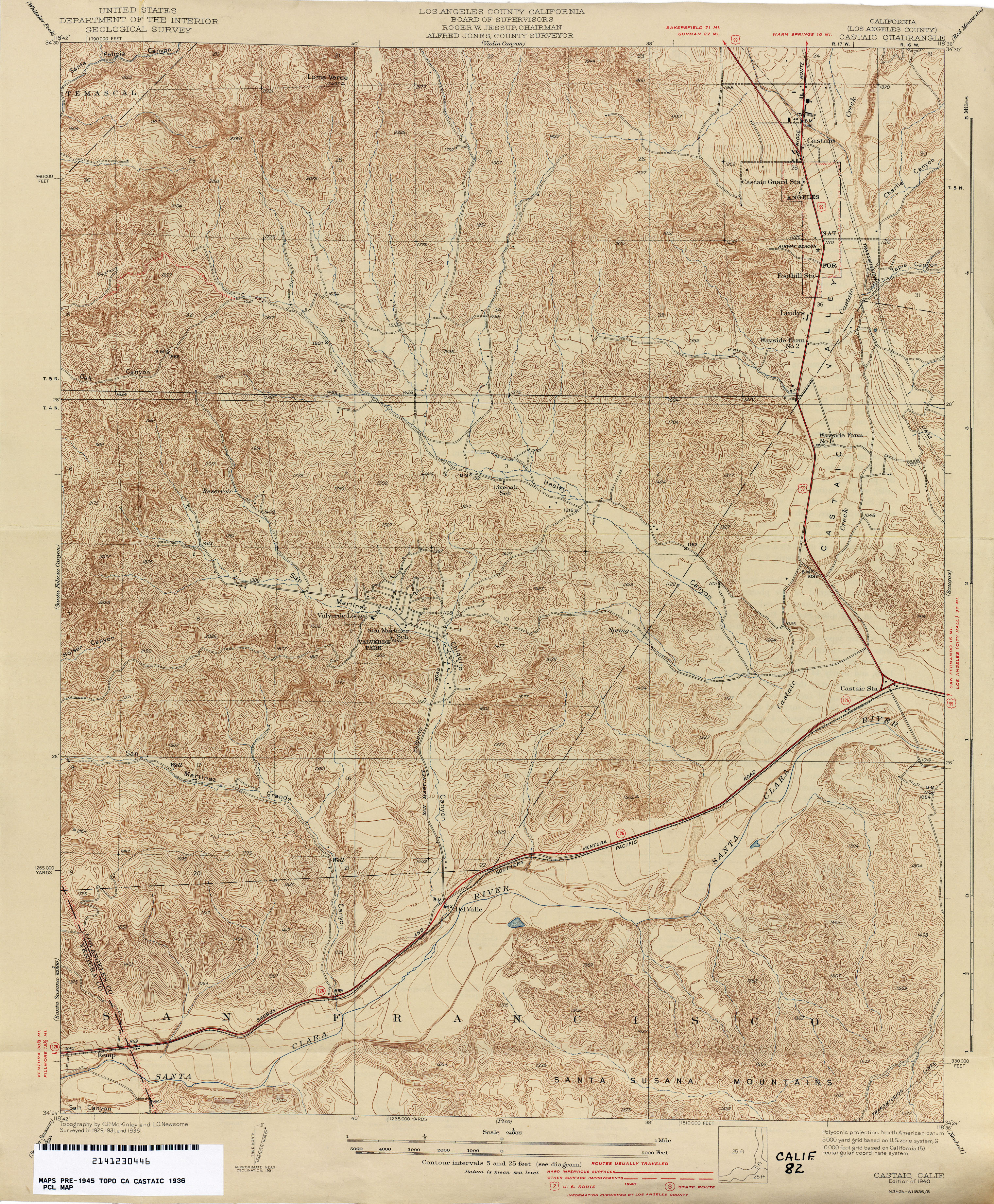
- Castaic (Los Angeles County) 1936 1:24,000 (4.7MB)
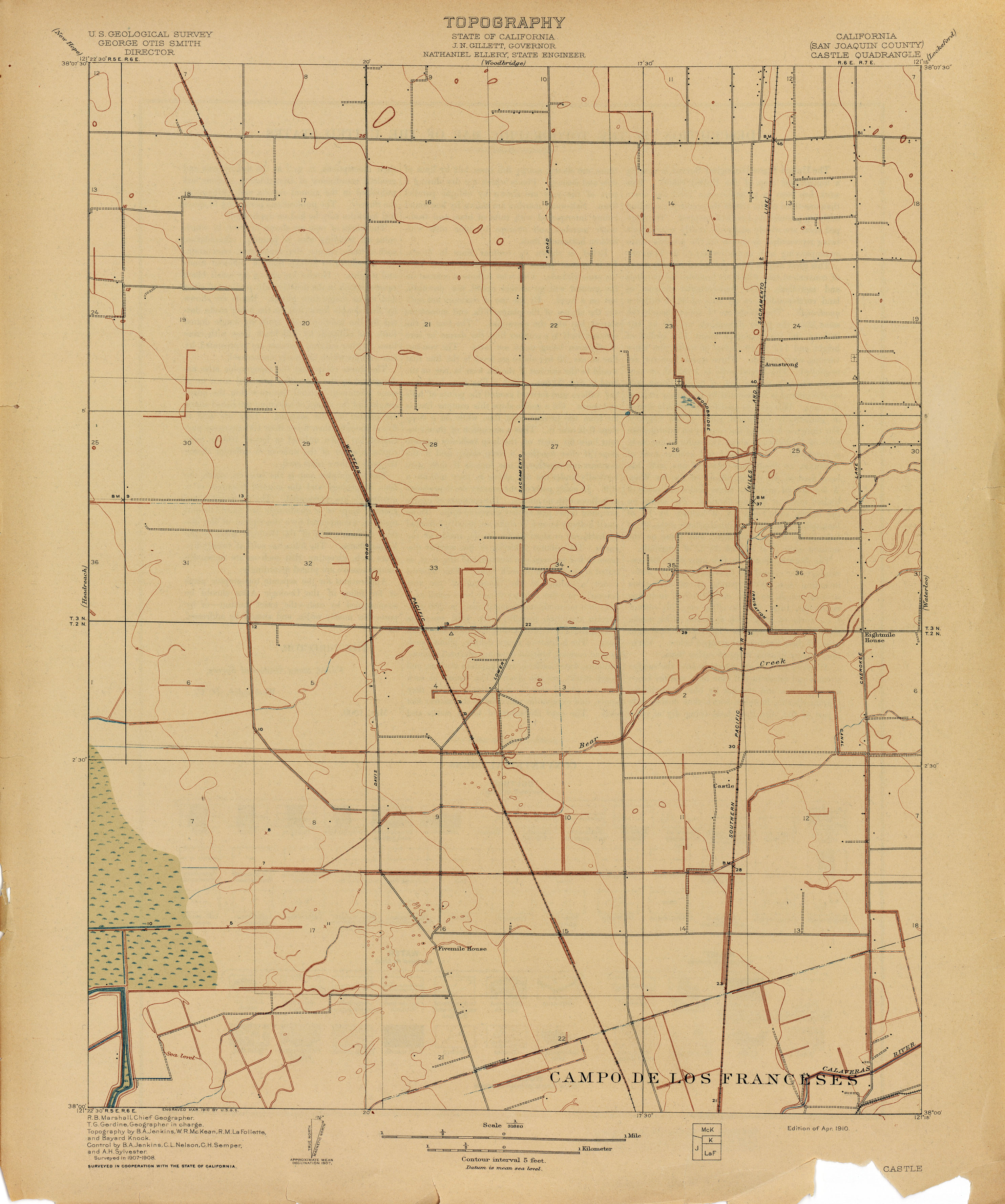
- Castle (San Joaquin County) 1908 1:62,500 (1.7MB)
- Castle (San Joaquin County) 1908 1:31,680 (1.9MB)
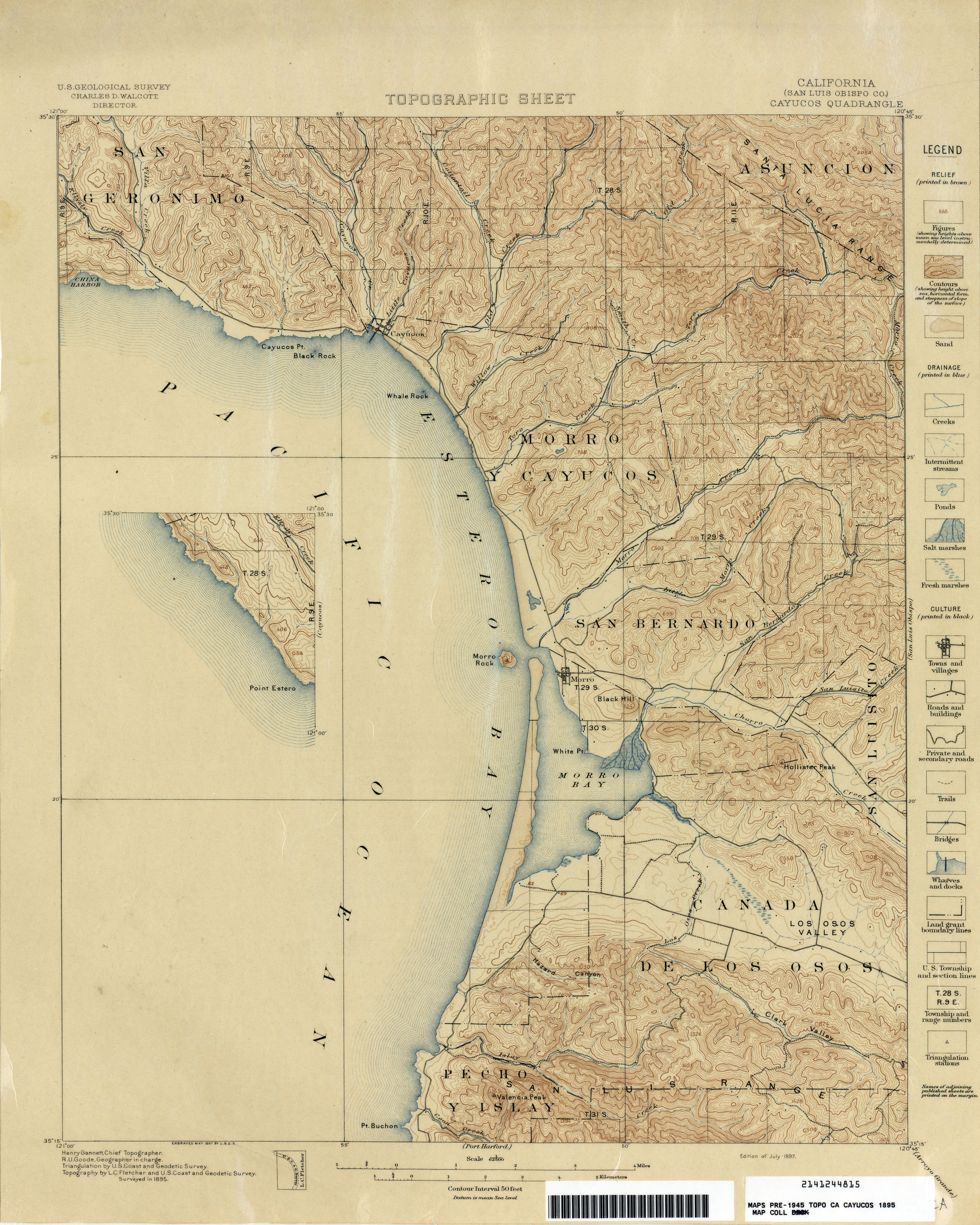
- Cayucos (San Luis Obispo County) 1895 1:62,500 (3.0MB)
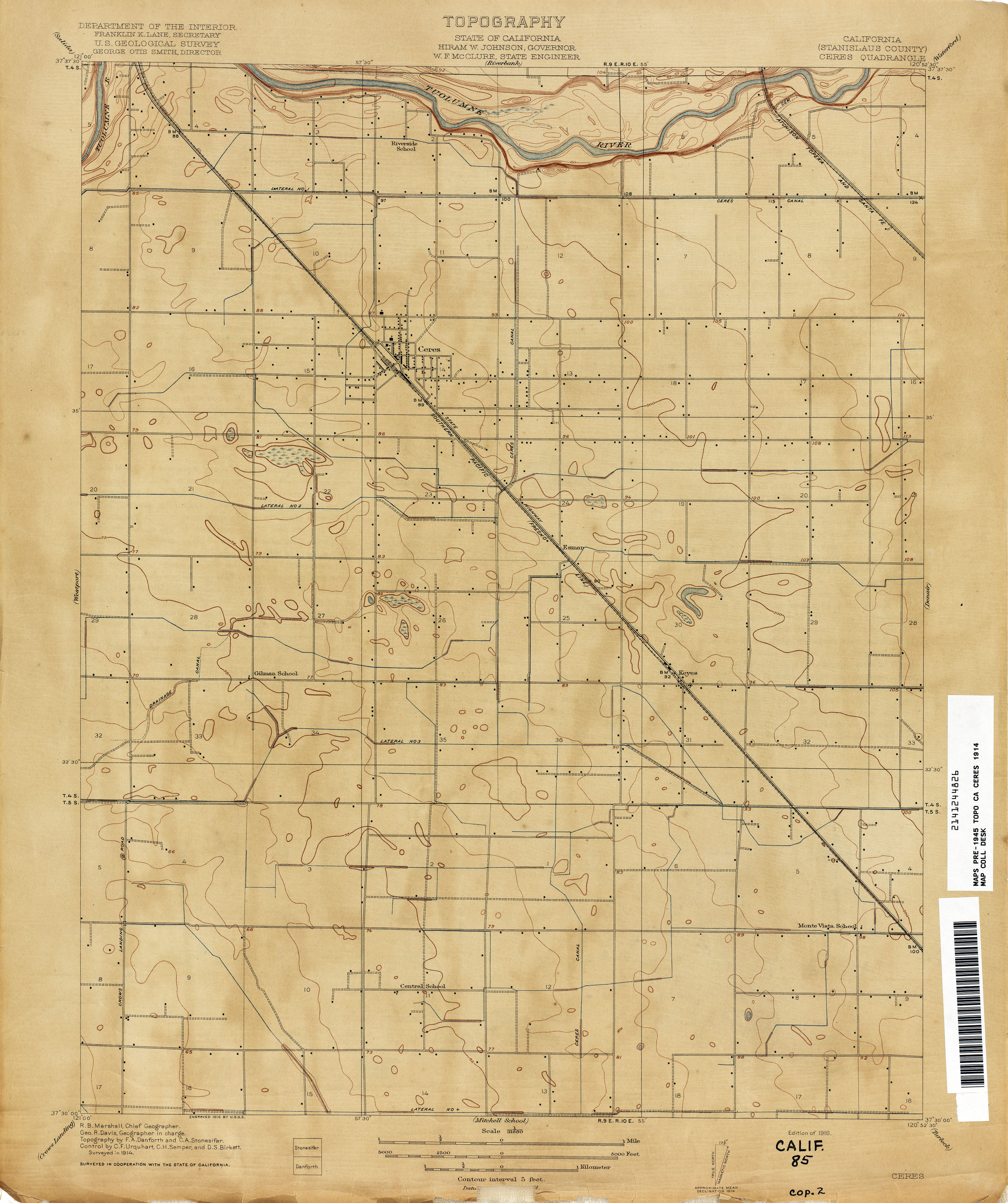
- Ceres (Stanislaus County) 1914 1:31,680 (2.0MB)
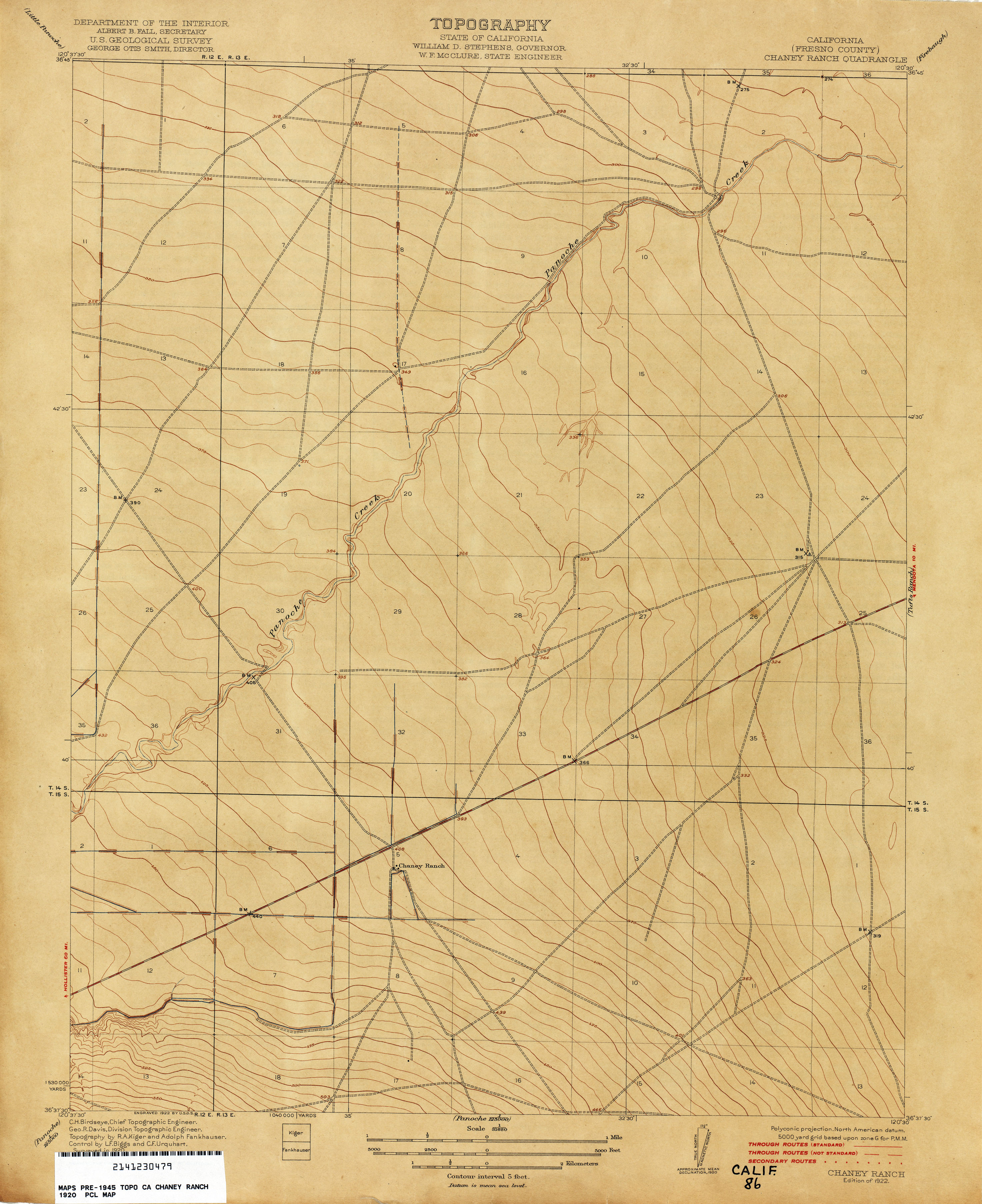
- Chaney Ranch (Fresno County) 1920 1:31,680 (2.1MB)
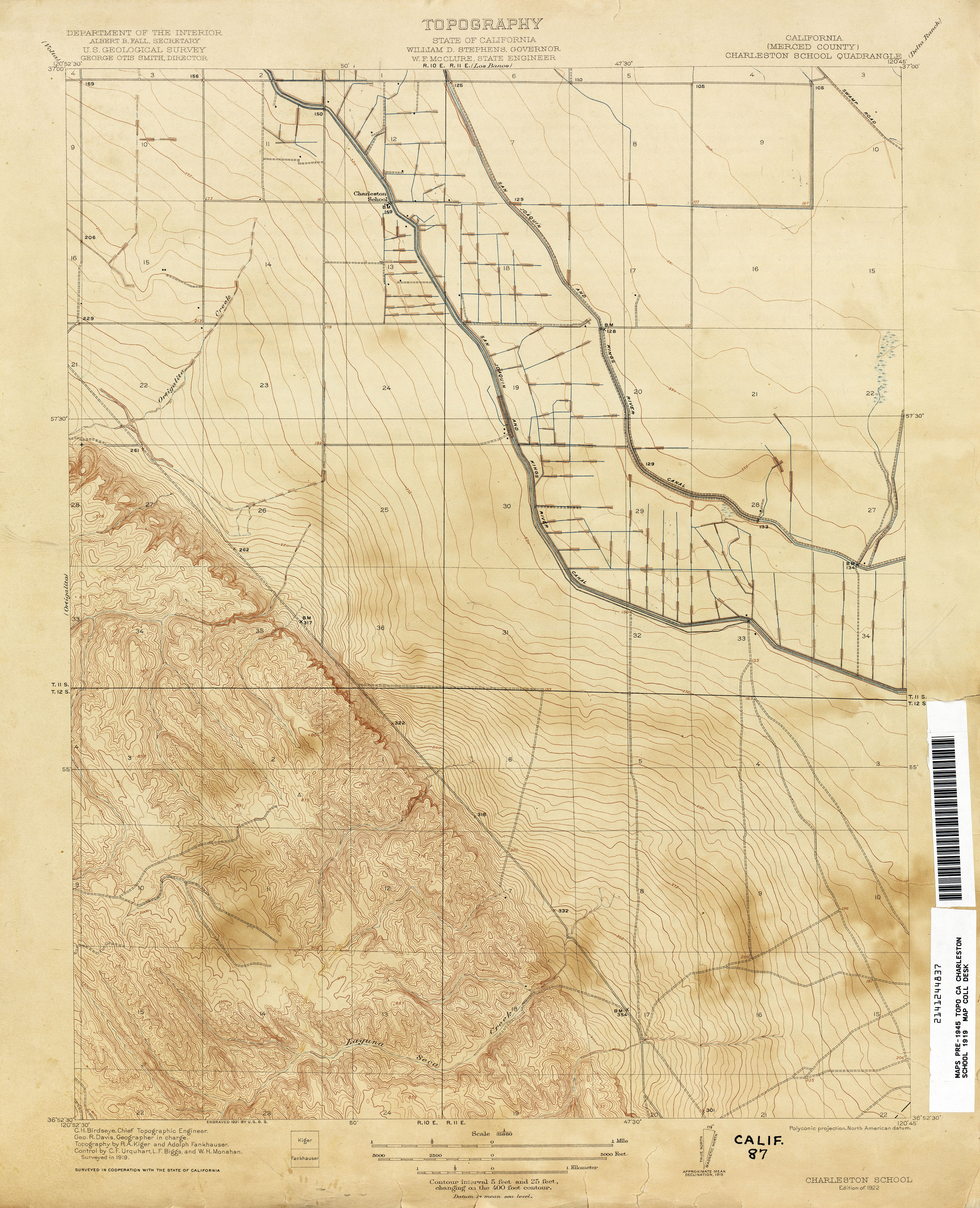
- Charleston School (Merced County) 1919 1:31,680 (2.7MB)
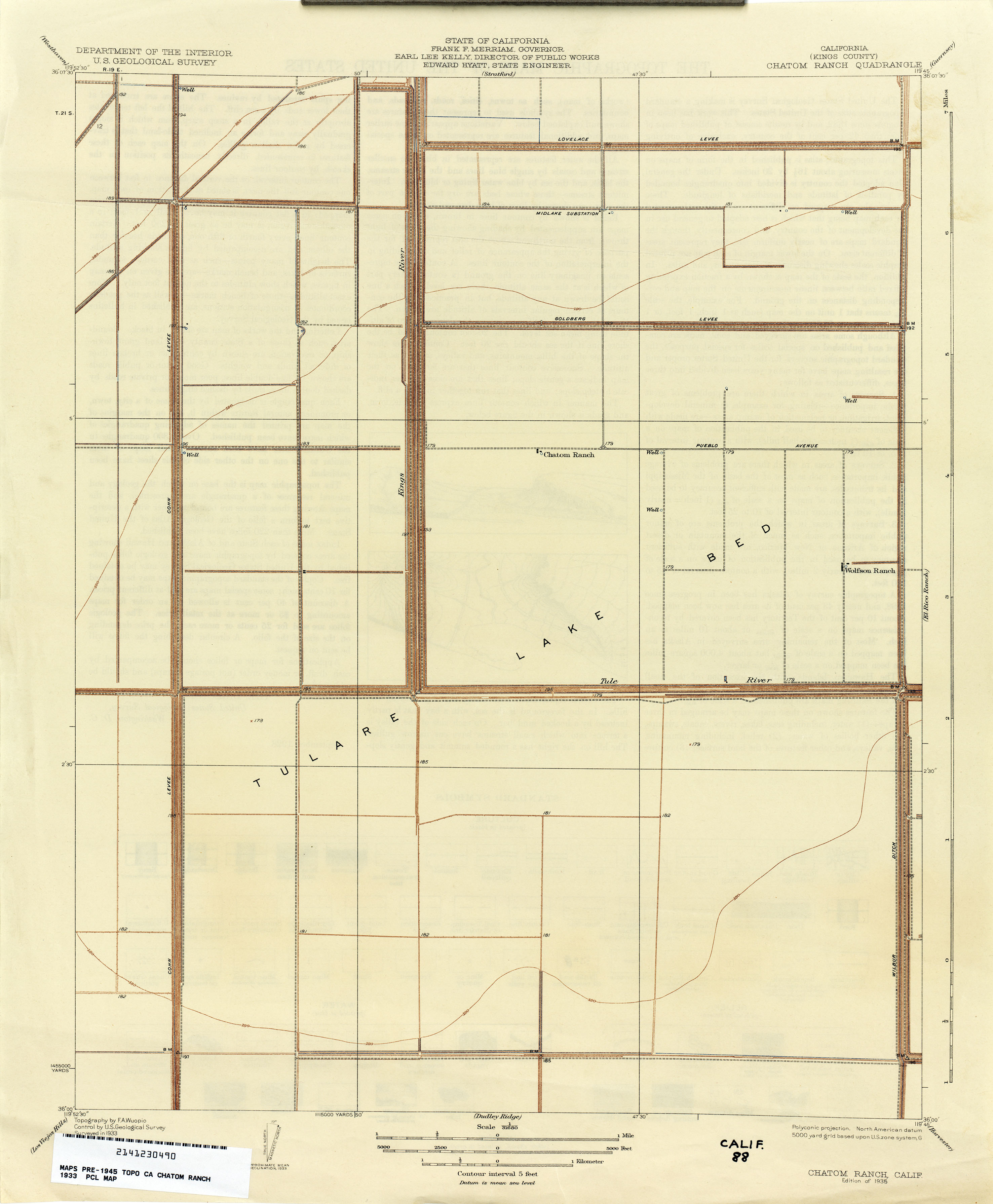
- Chatom Ranch (Kings County) 1933 1:31,680 (1.4MB)
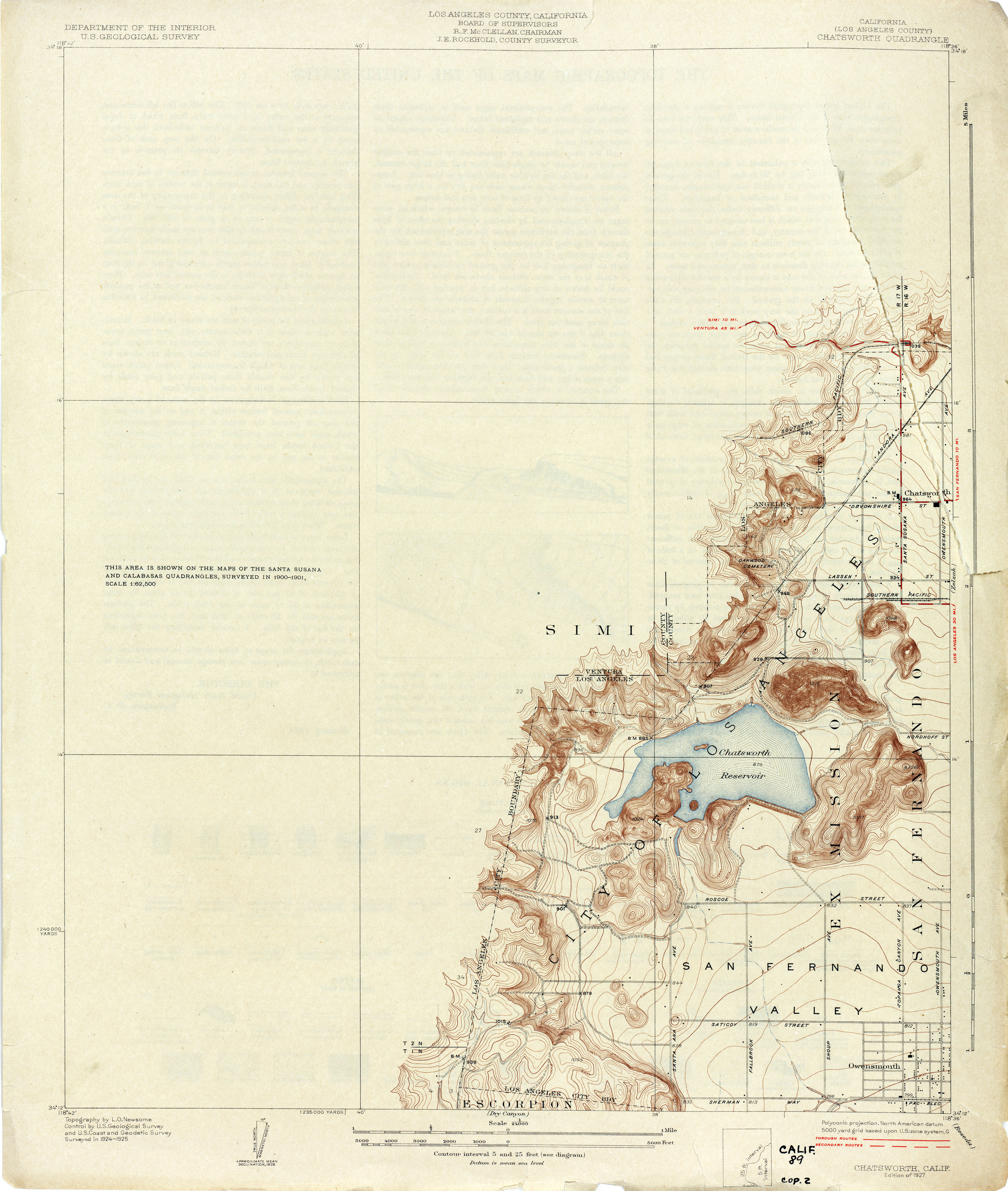
- Chatsworth (Los Angeles County) 1925 1:24,000 (2.2MB)
- Chatsworth (Los Angeles County) 1939 1:24,000 (2.8MB)
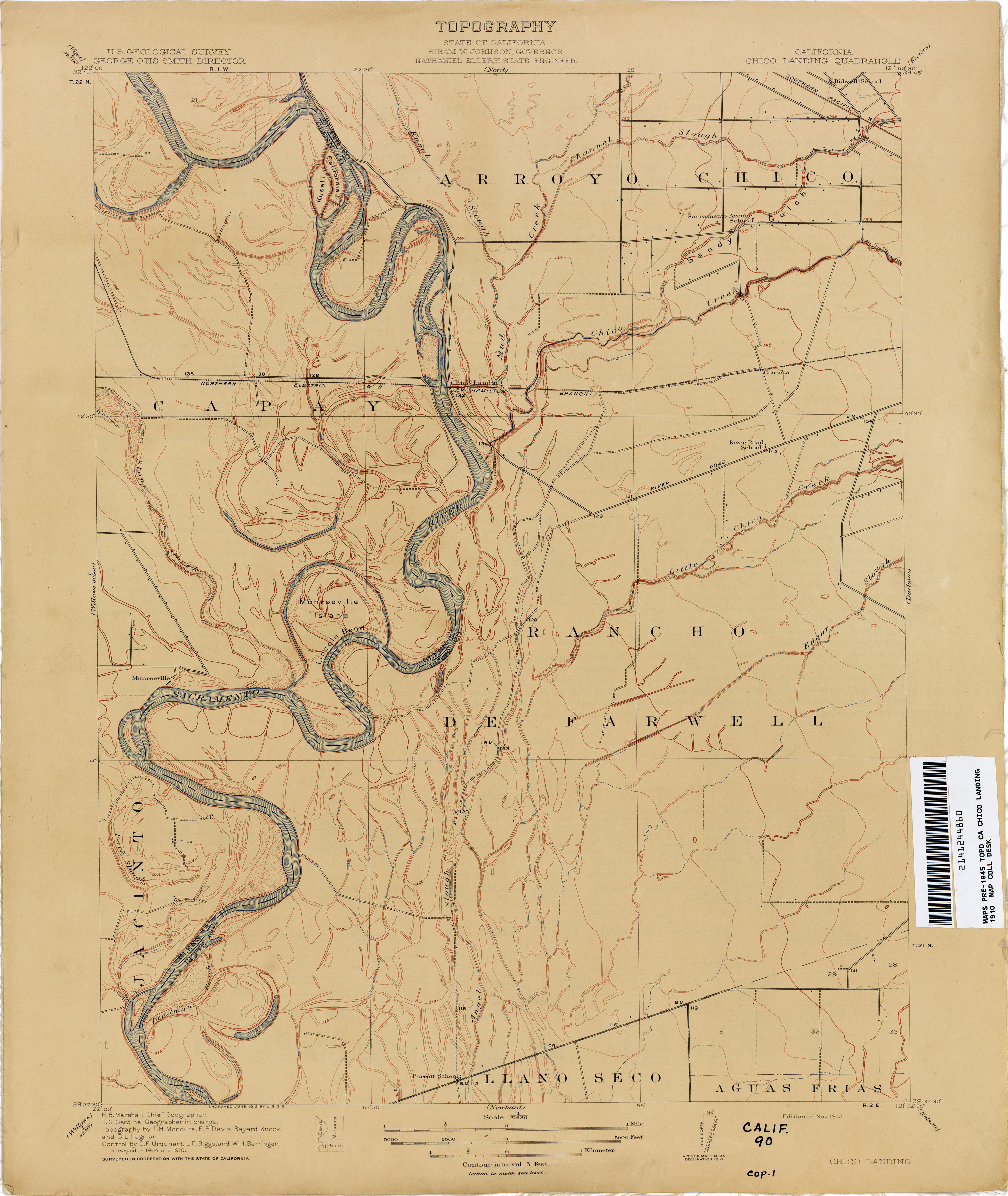
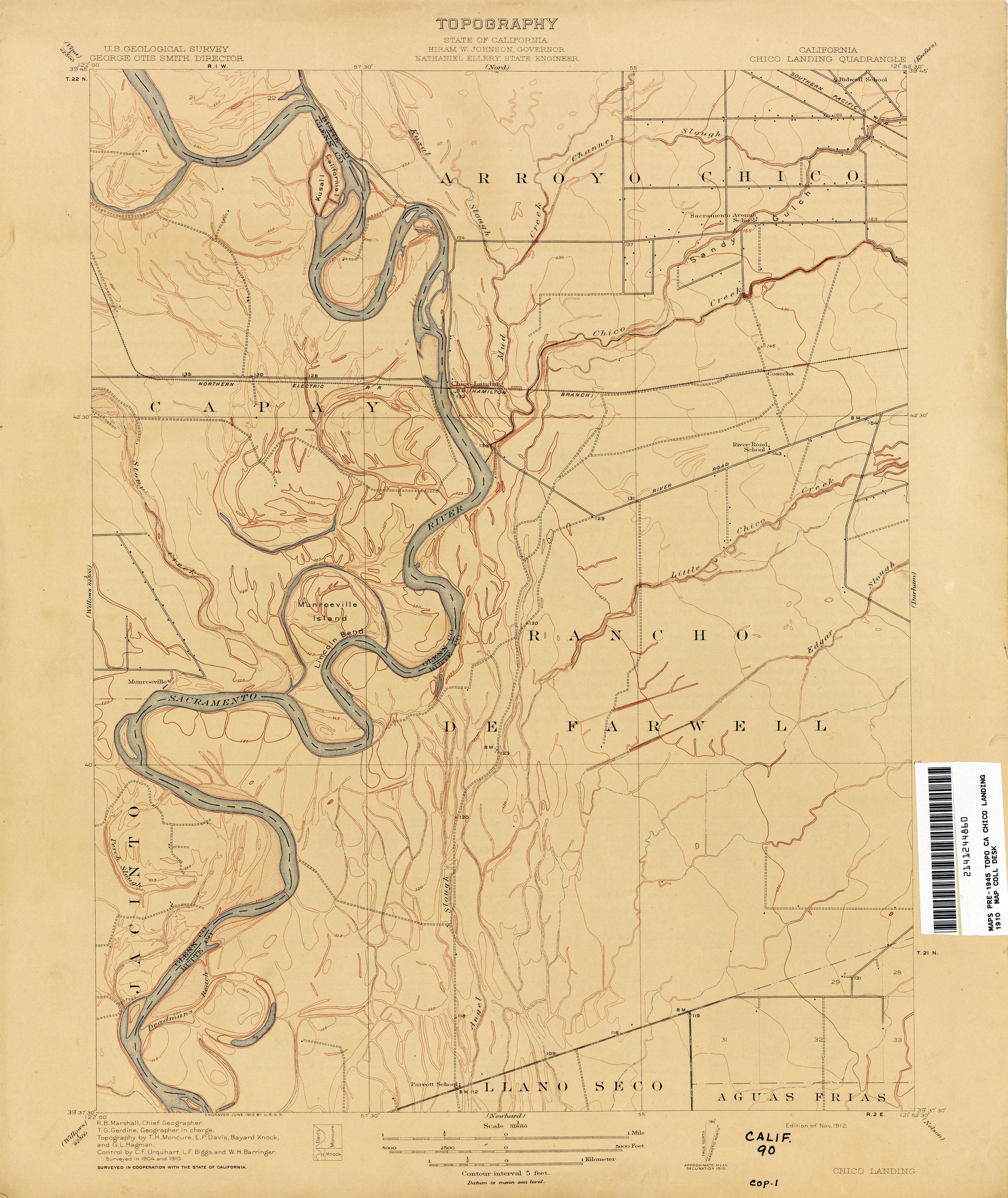
- Chico Landing 1910 1:31,680 (2.2MB)
- Chico Landing 1910 1:31,680 (2.2MB)
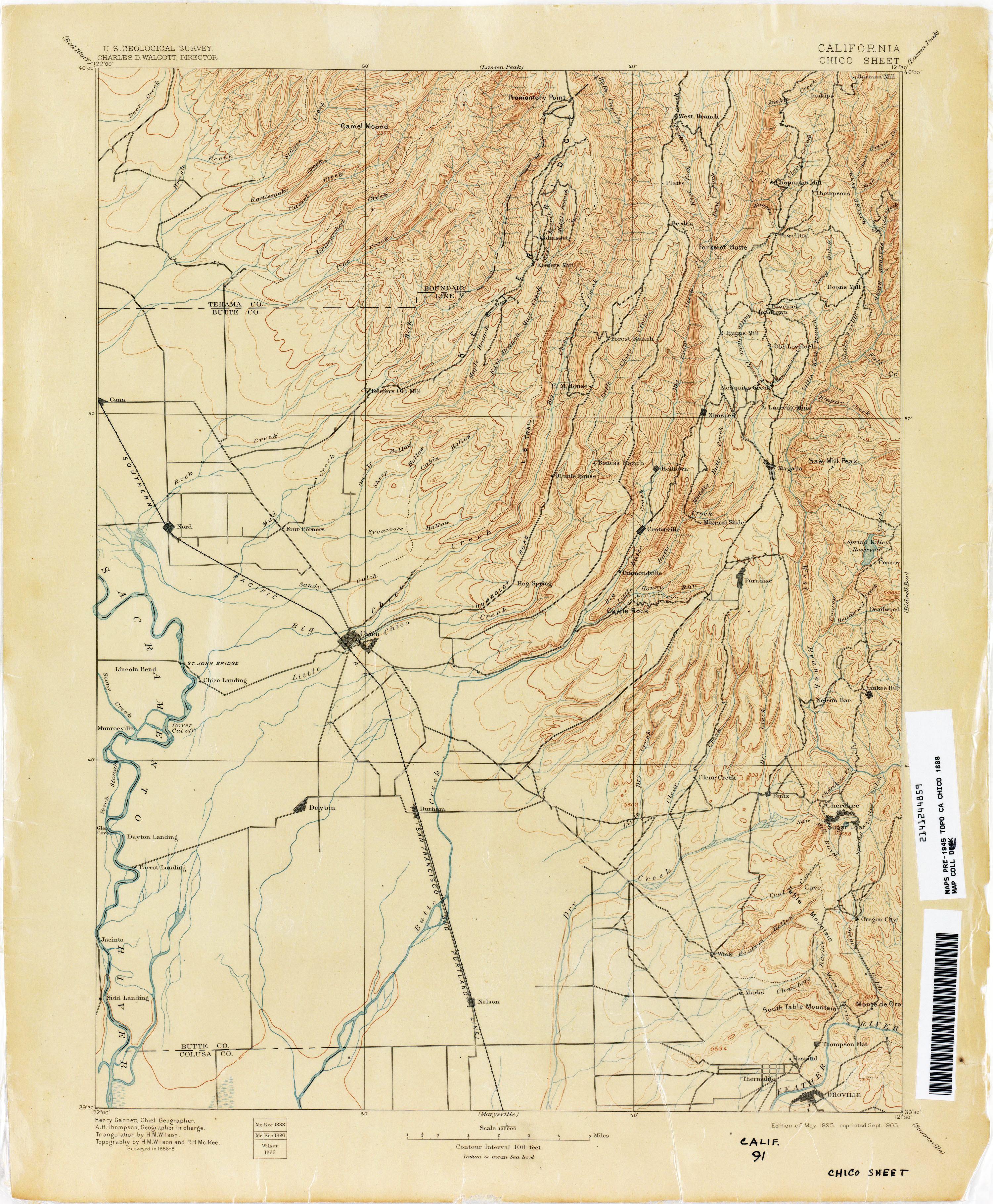
- Chico Sheet 1888 1:125,000 (2.7MB)
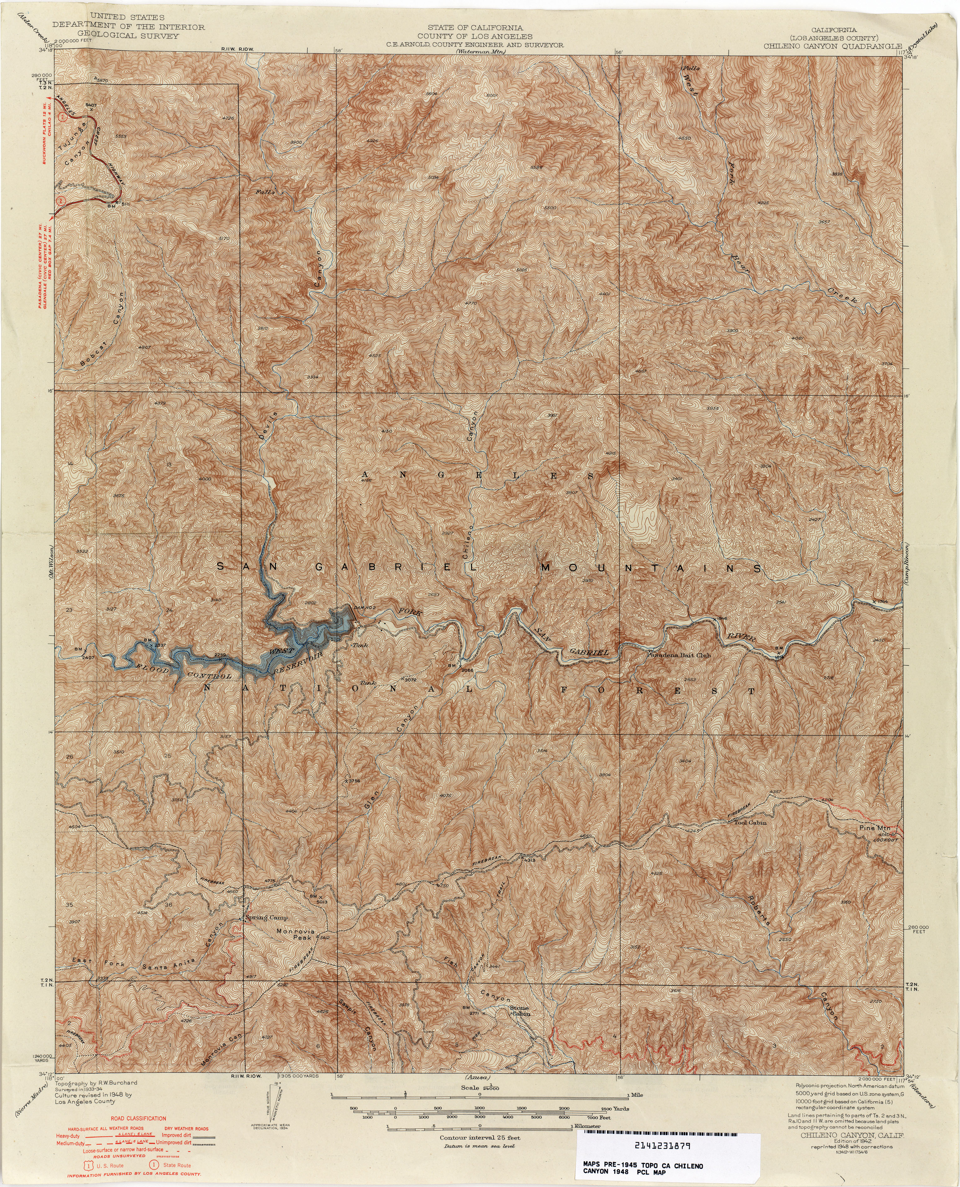
- Chileno Canyon (Los Angeles Canyon) 1948 1:24,000 (6.0MB)
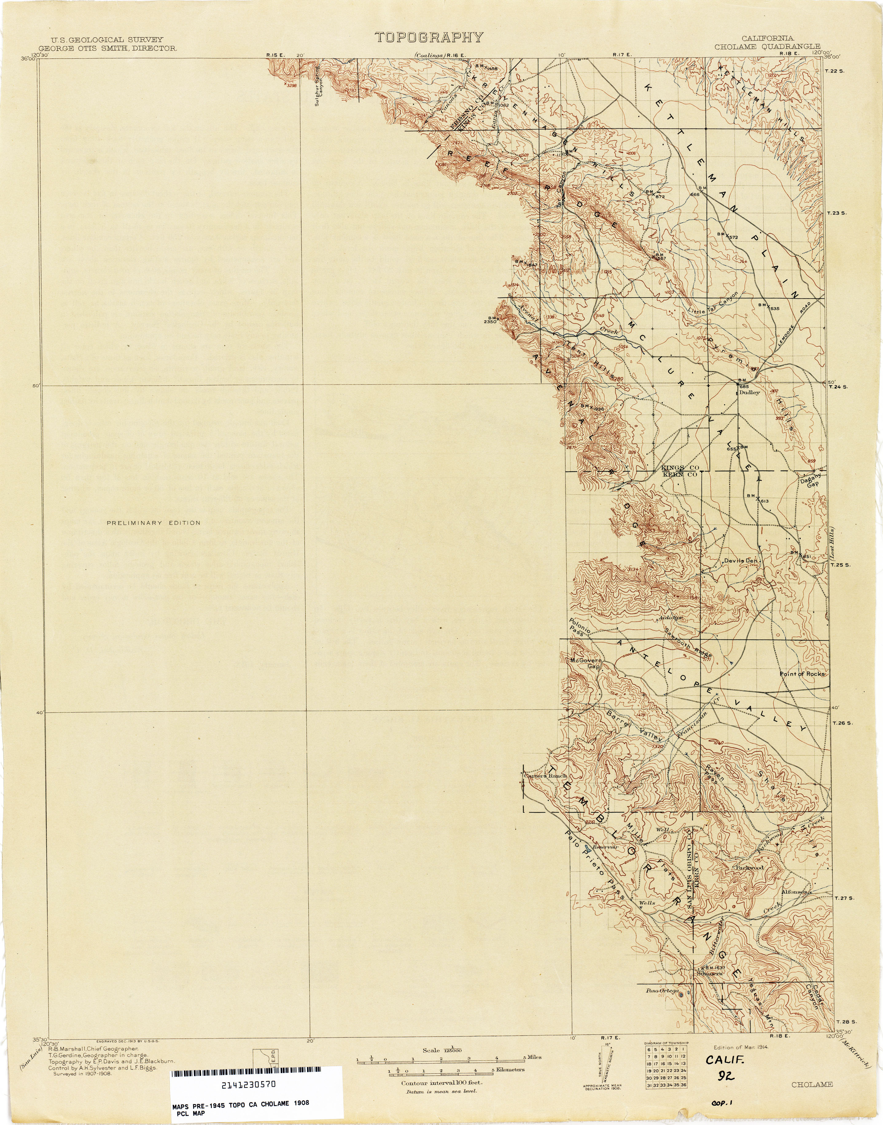
- Cholame 1908 1:125,000 (2.0MB)
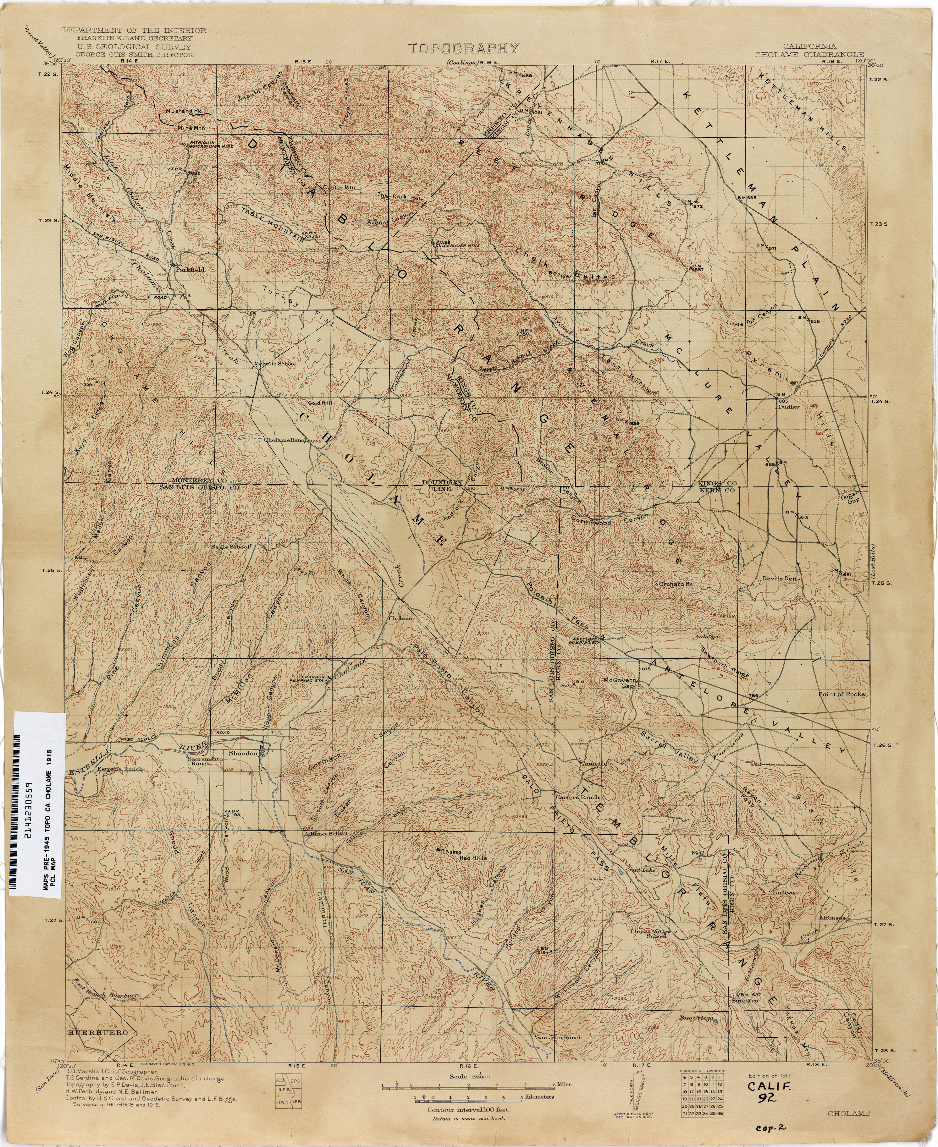
- Cholame 1915 1:125,000 (3.6MB)
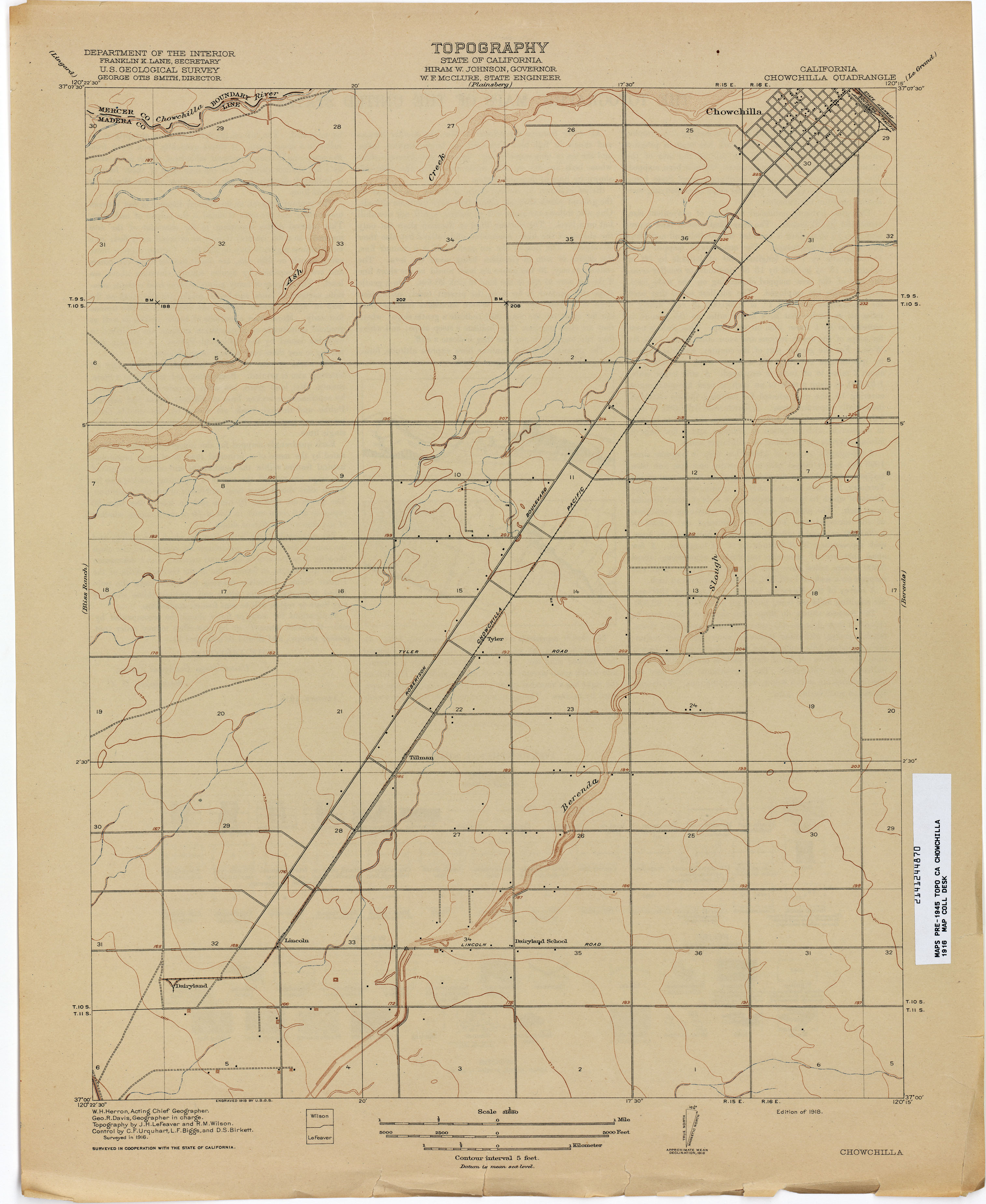
- Chowchilla 1916 1:31,680 (1.8MB)
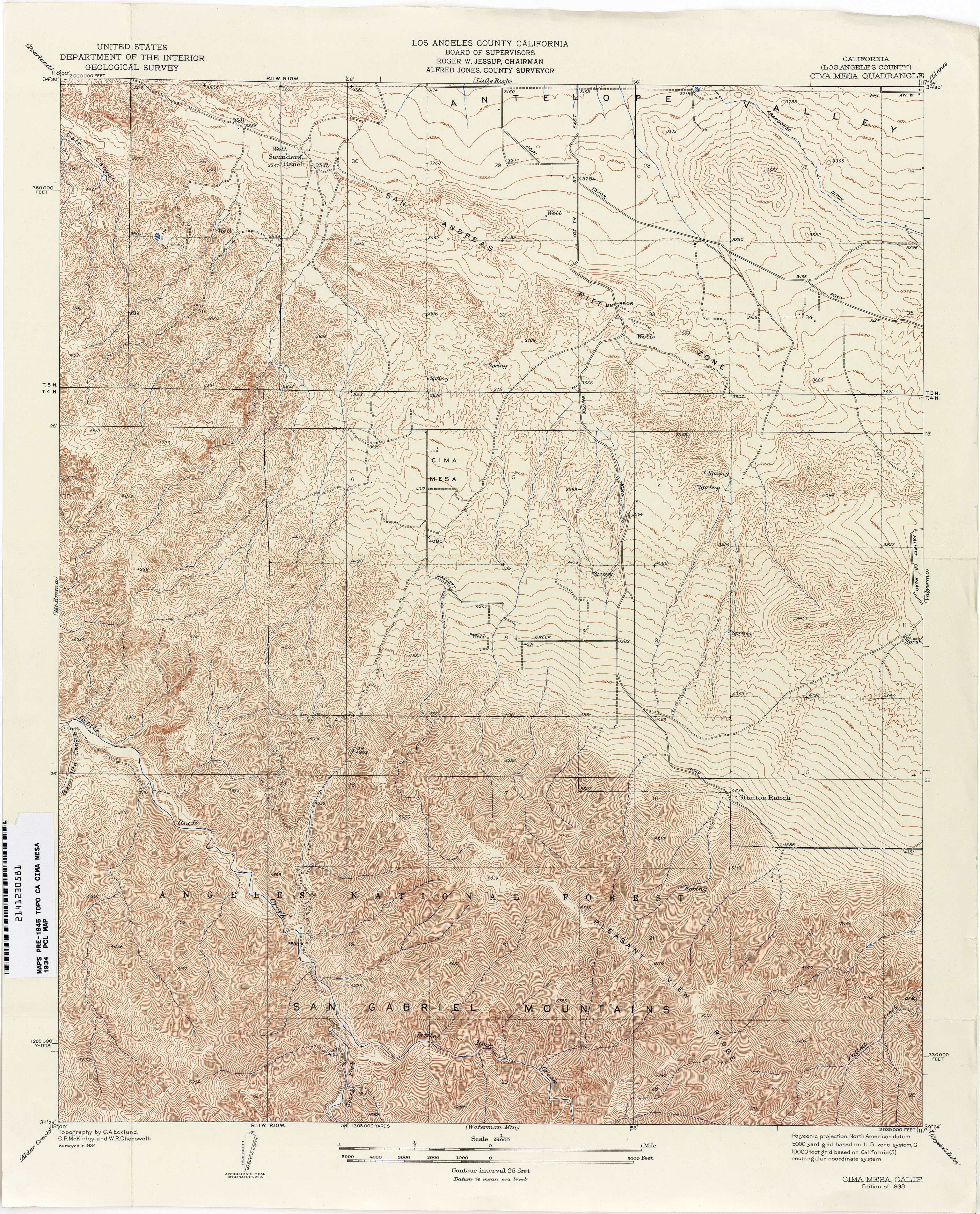
- Cima Mesa (Los Angeles County) 1934 1:24,000 (5.0MB)
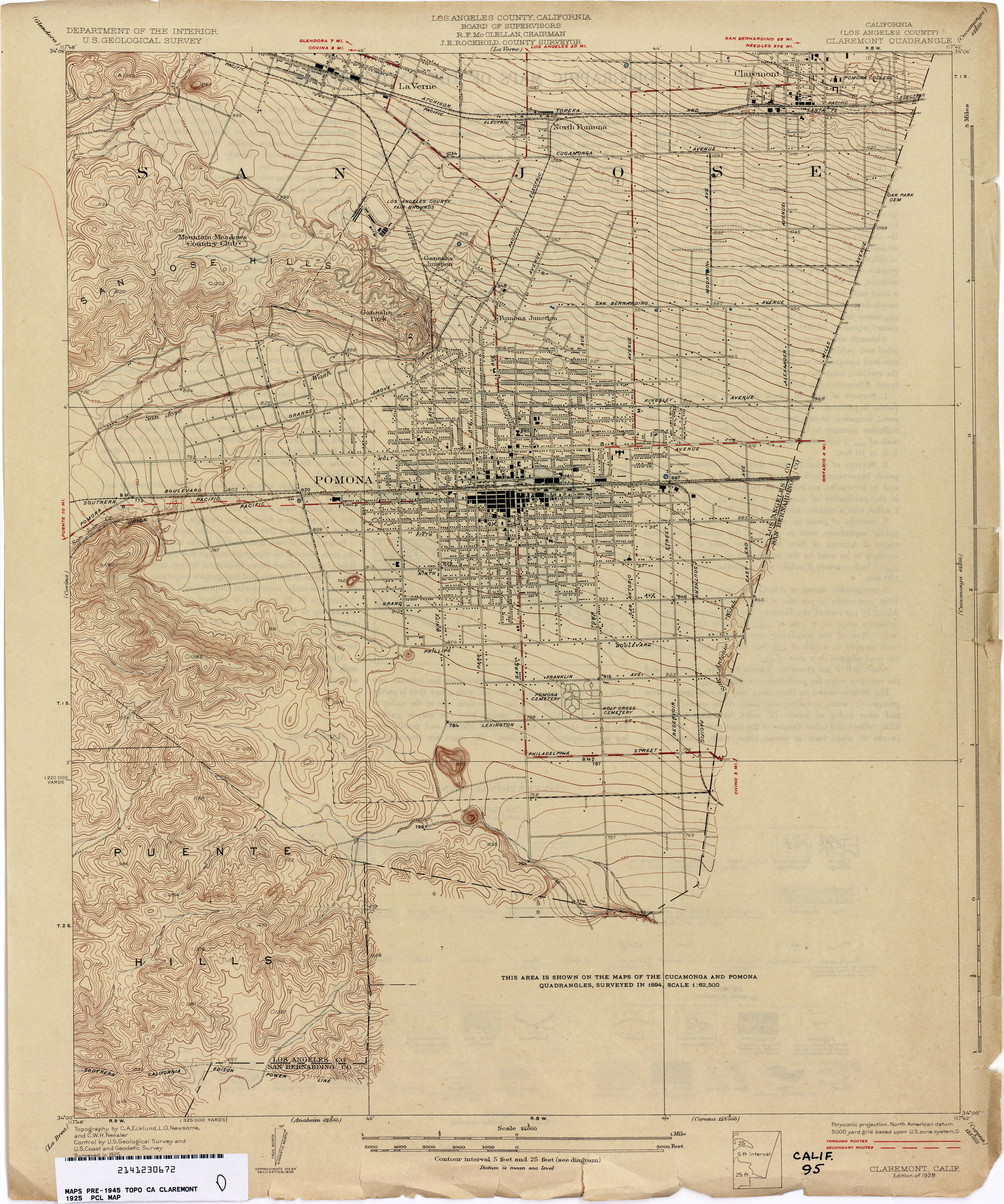
- Claremont (Los Angeles County) 1925 1:24,000 (3.0MB)
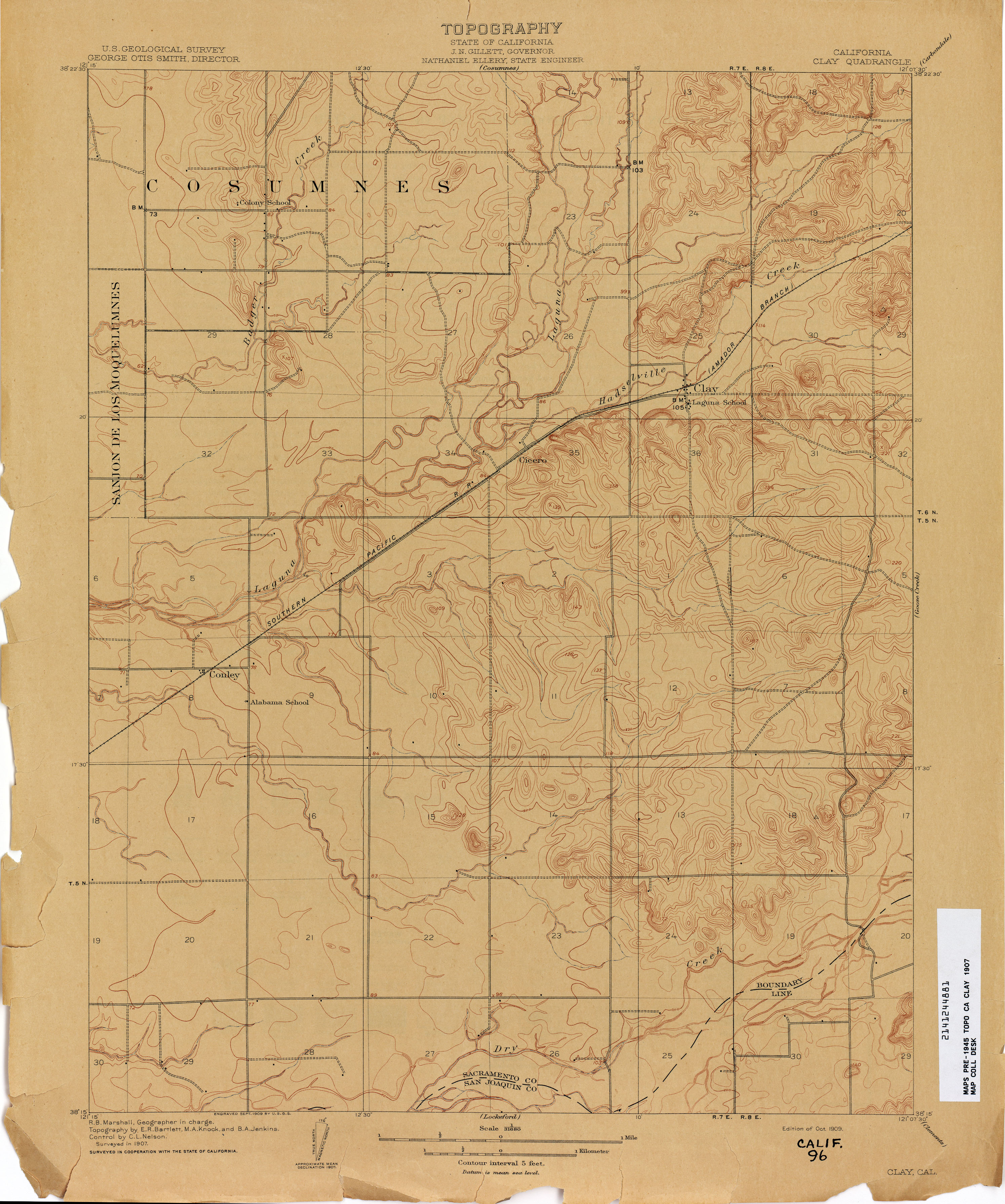
- Clay 1907 1:31,680 (2.5MB)
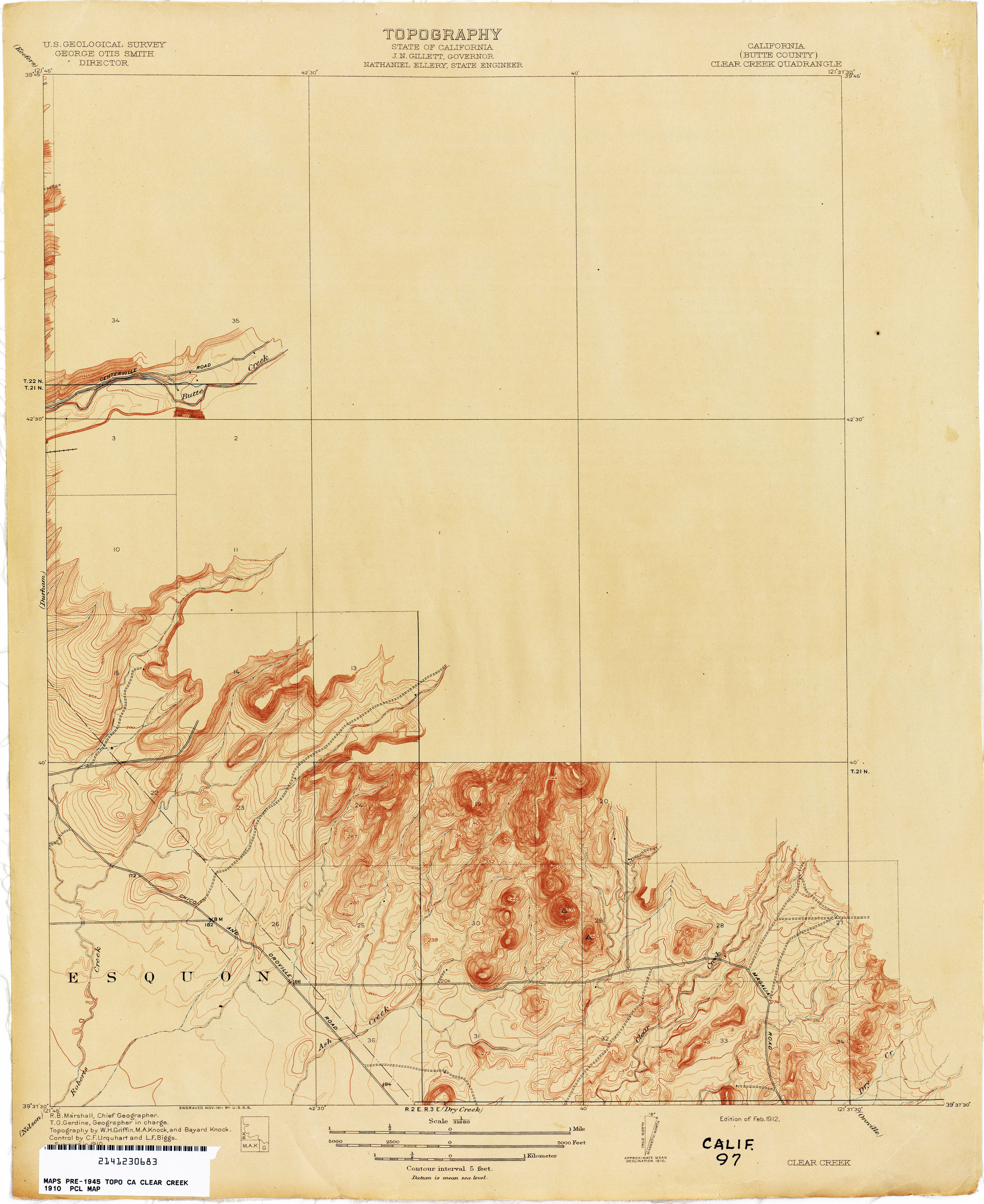
- Clear Creek (Butte County) 1910 1:31,680 (2.0MB)
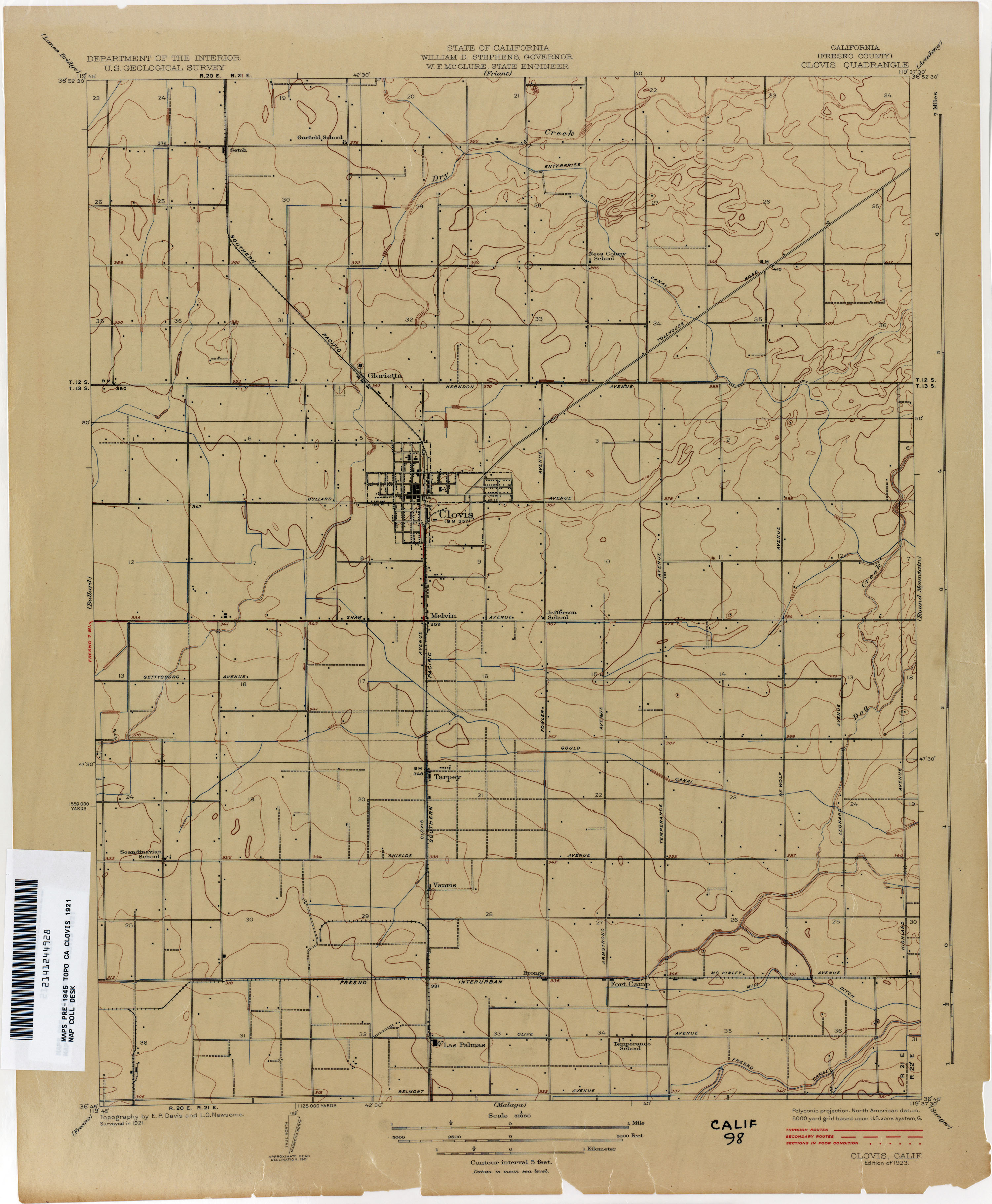
- Clovis (Fresno County) 1921 1:31,680 (1.9MB)
- Coalinga 1910 1:125,000 (3.1MB)
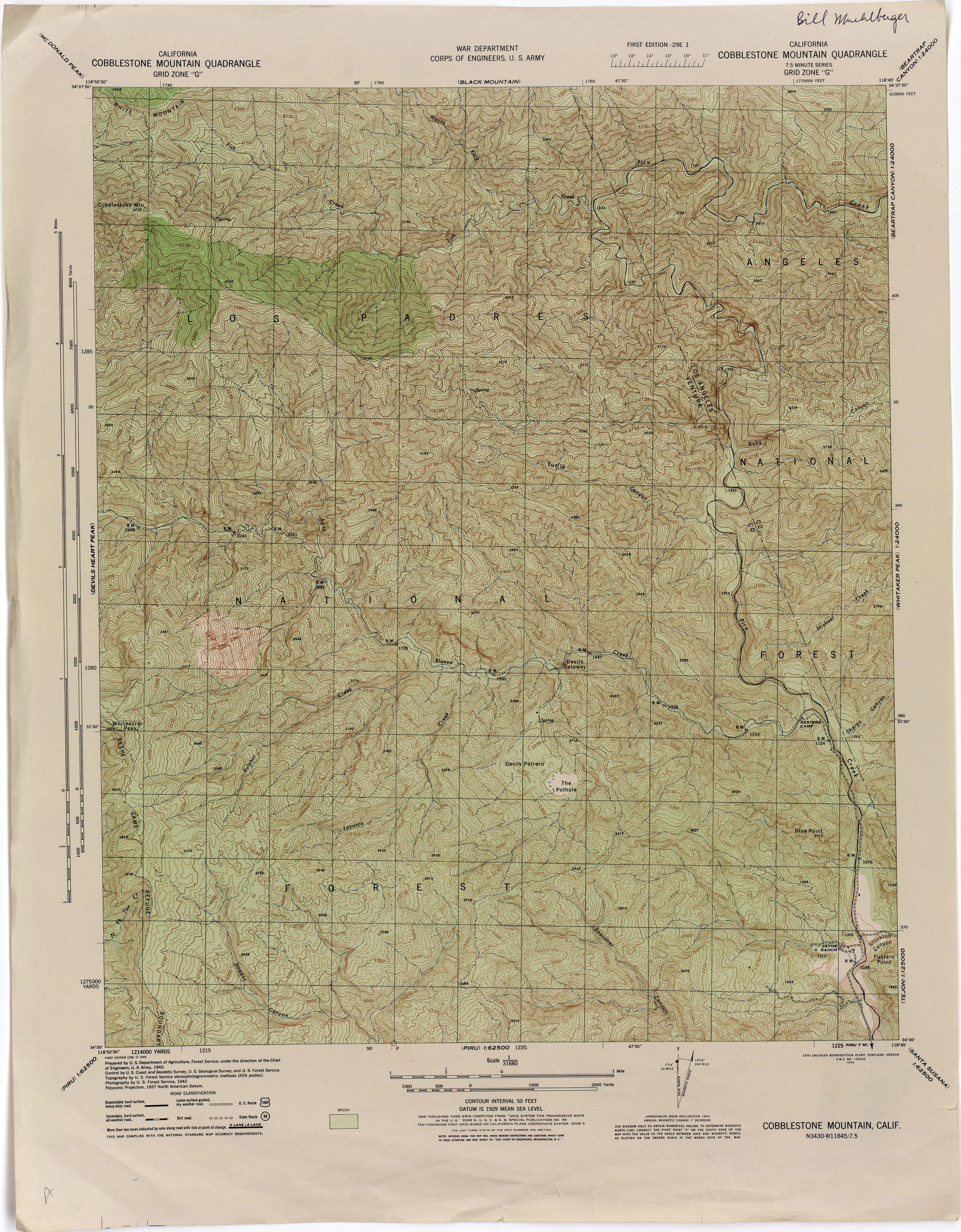
- Cobblestone Mountain 1942 1:31,680 (4.7MB)
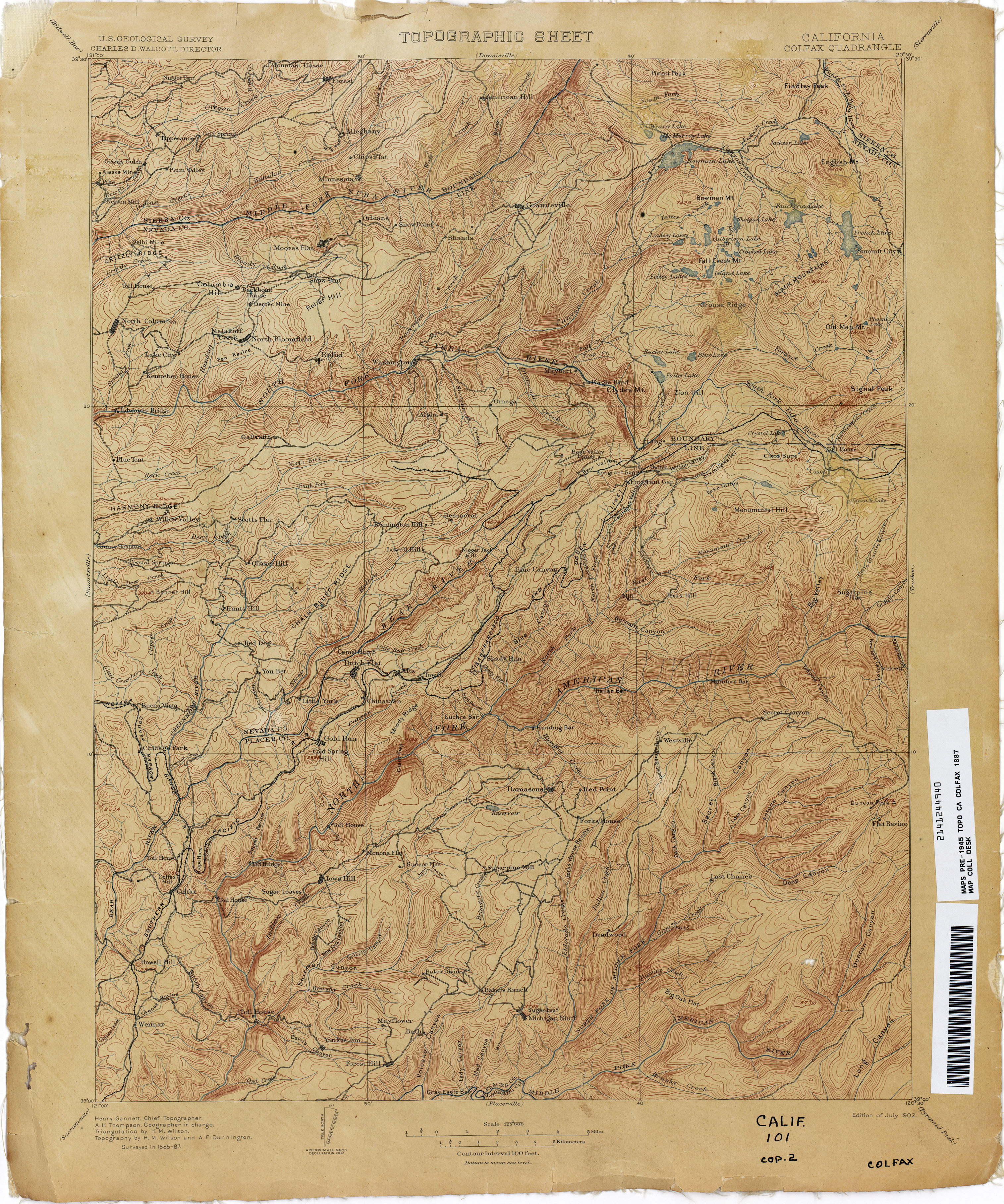
- Colfax 1887 1:125,000 (4.1MB)
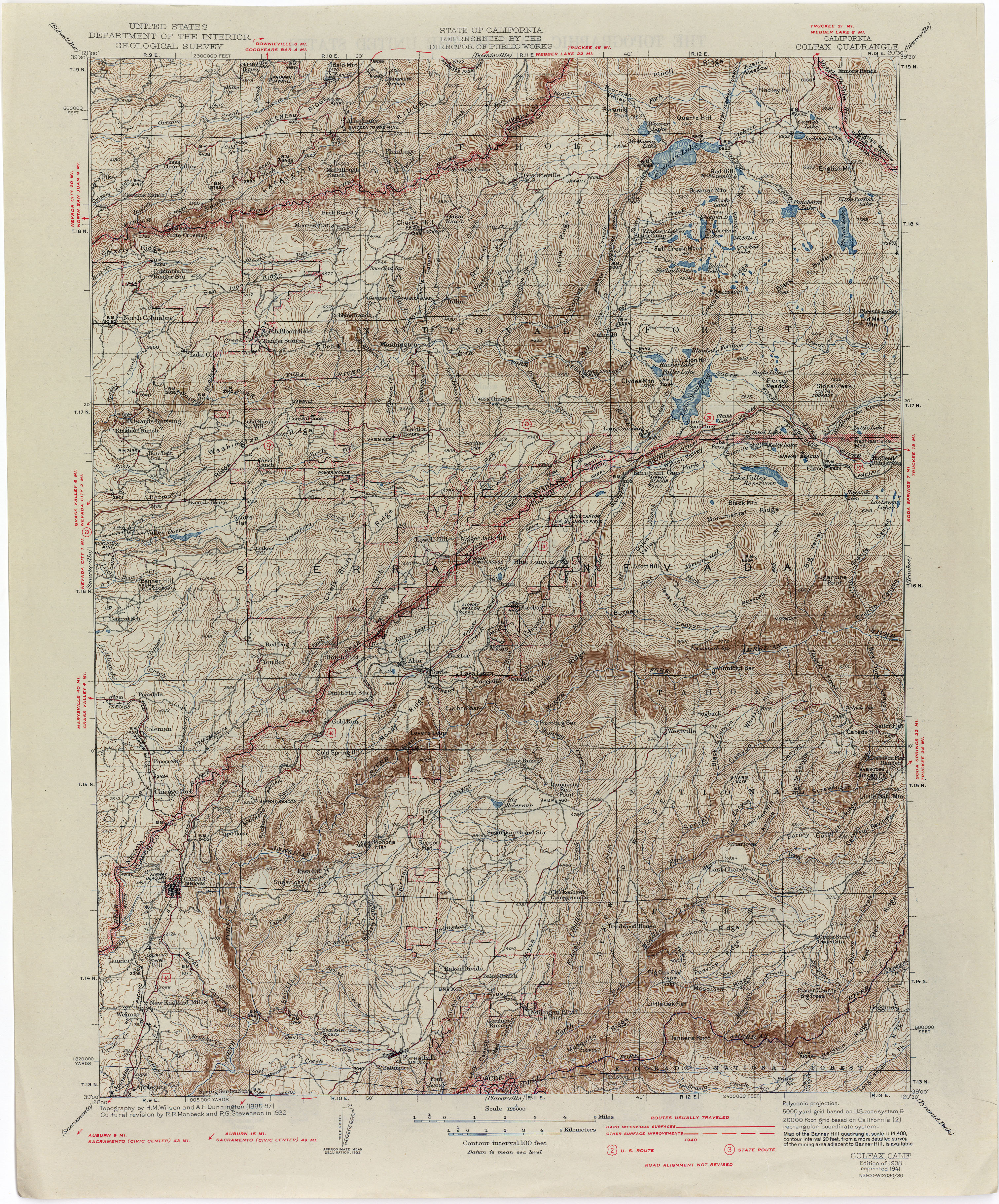
- Colfax 1932 1:125,000 (4.8MB)
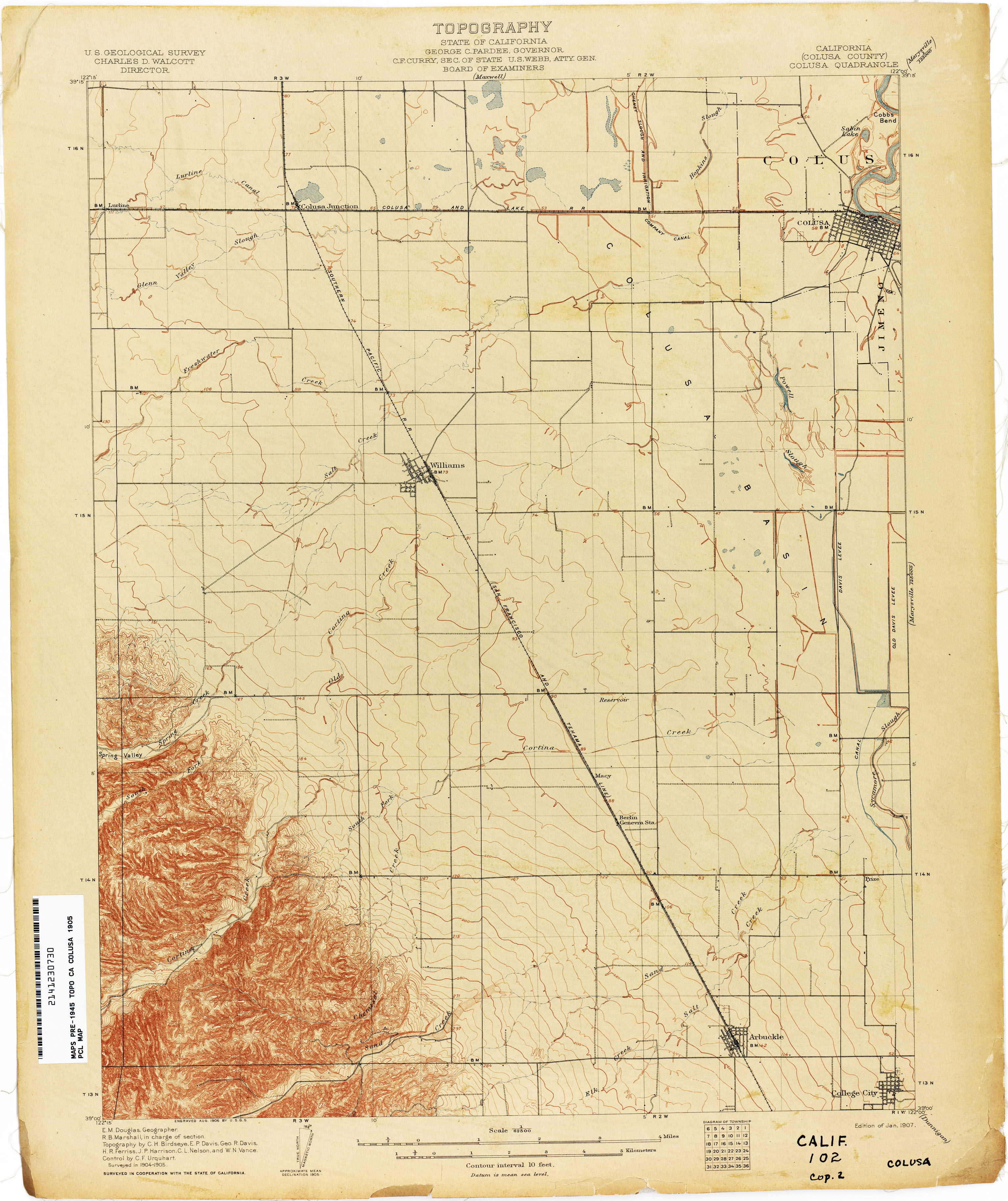
- Colusa (Colusa County) 1905 1:62,500 (2.4MB)
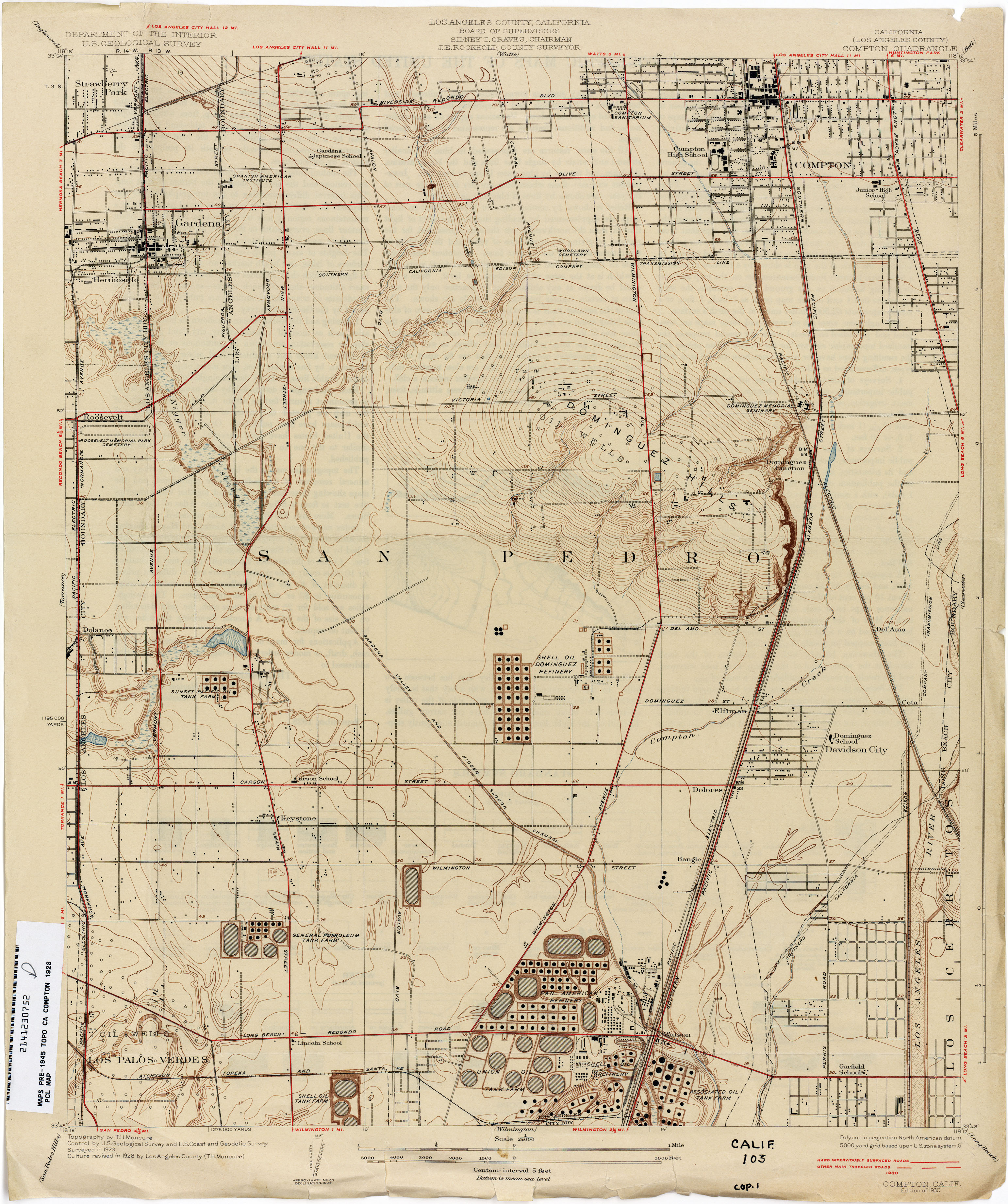
- Compton (Los Angeles County) 1928 1:24,000 (2.9MB)
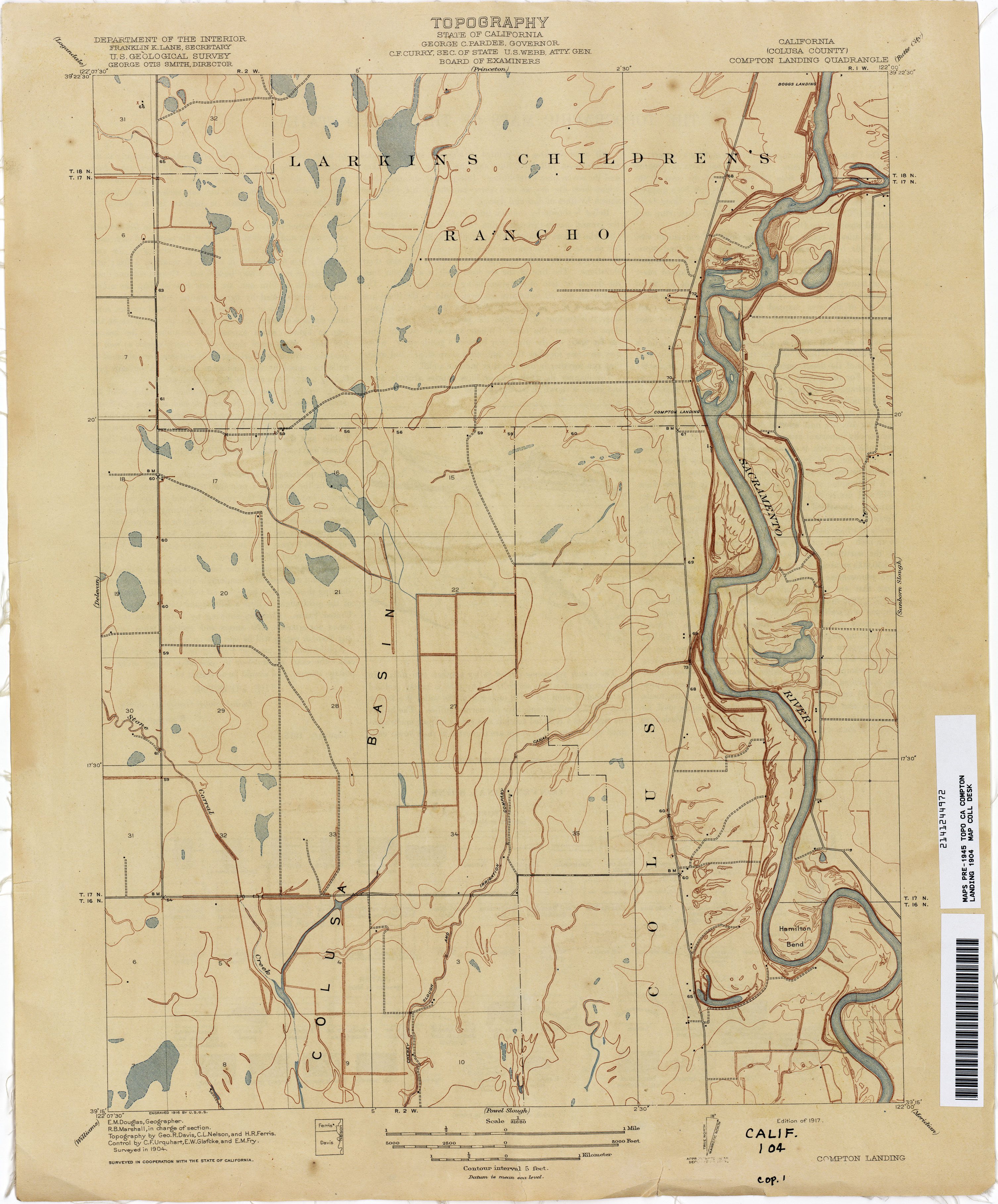
- Compton Landing (Colusa County) 1904 1:31,680 (2.1MB)
- Concord 1894 1:62,500 (3.8MB)
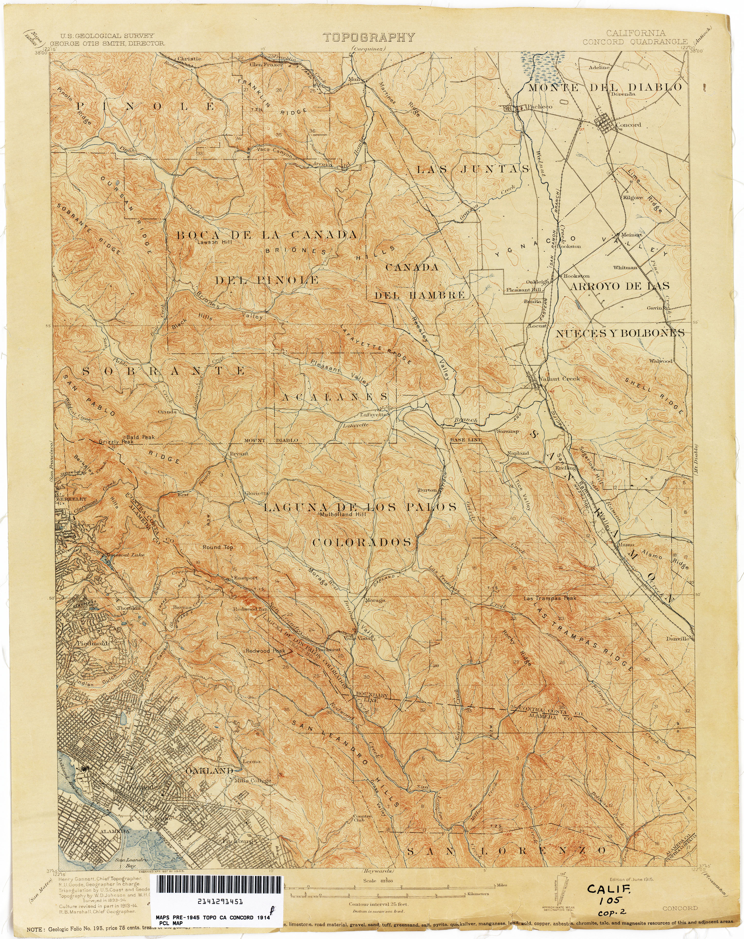
- Concord 1914 1:62,500 (4.0MB)
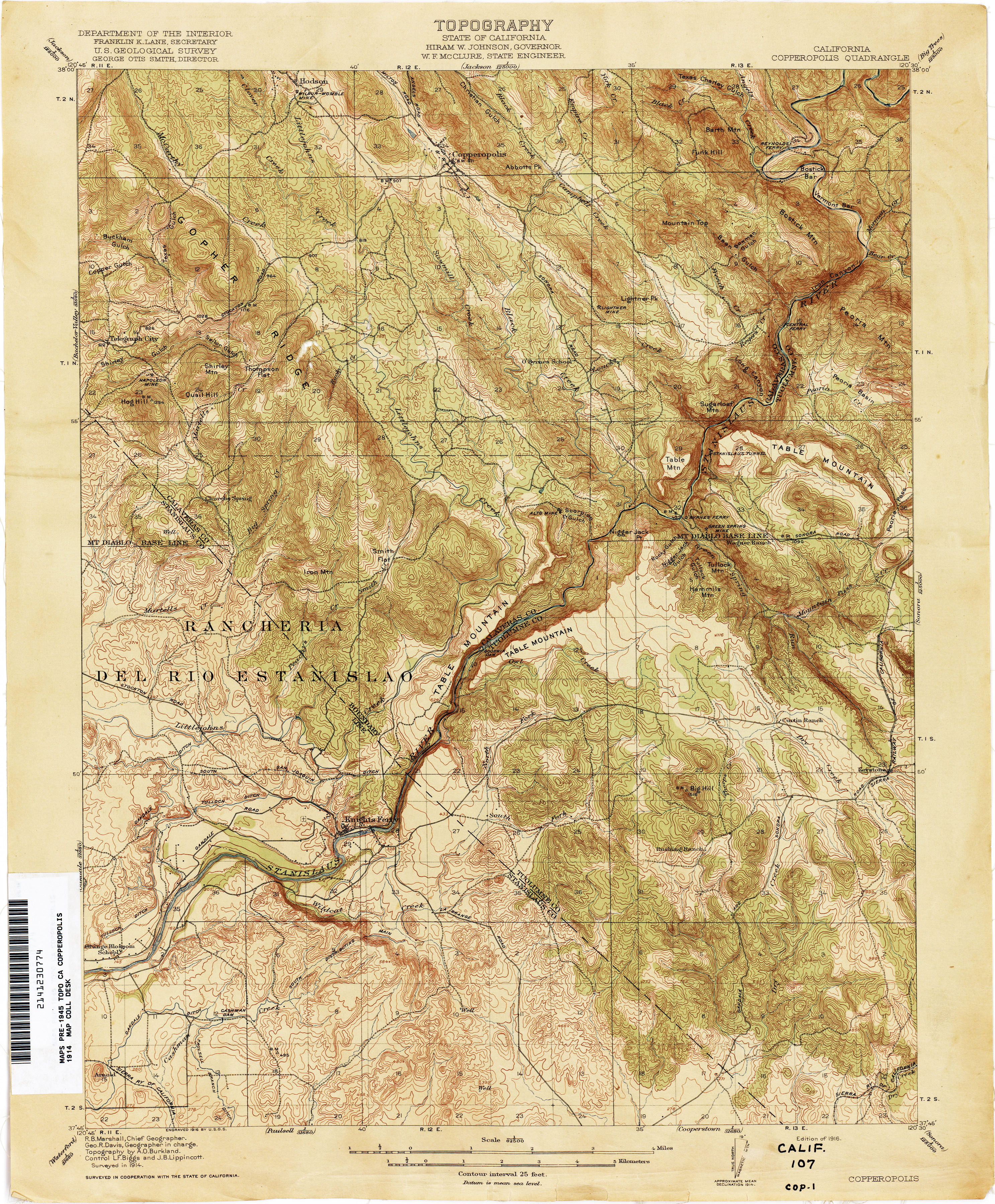
- Copperopolis 1914 1:62,500 (4.3MB)
- Corona 1899 1:125,000 (3.1MB)
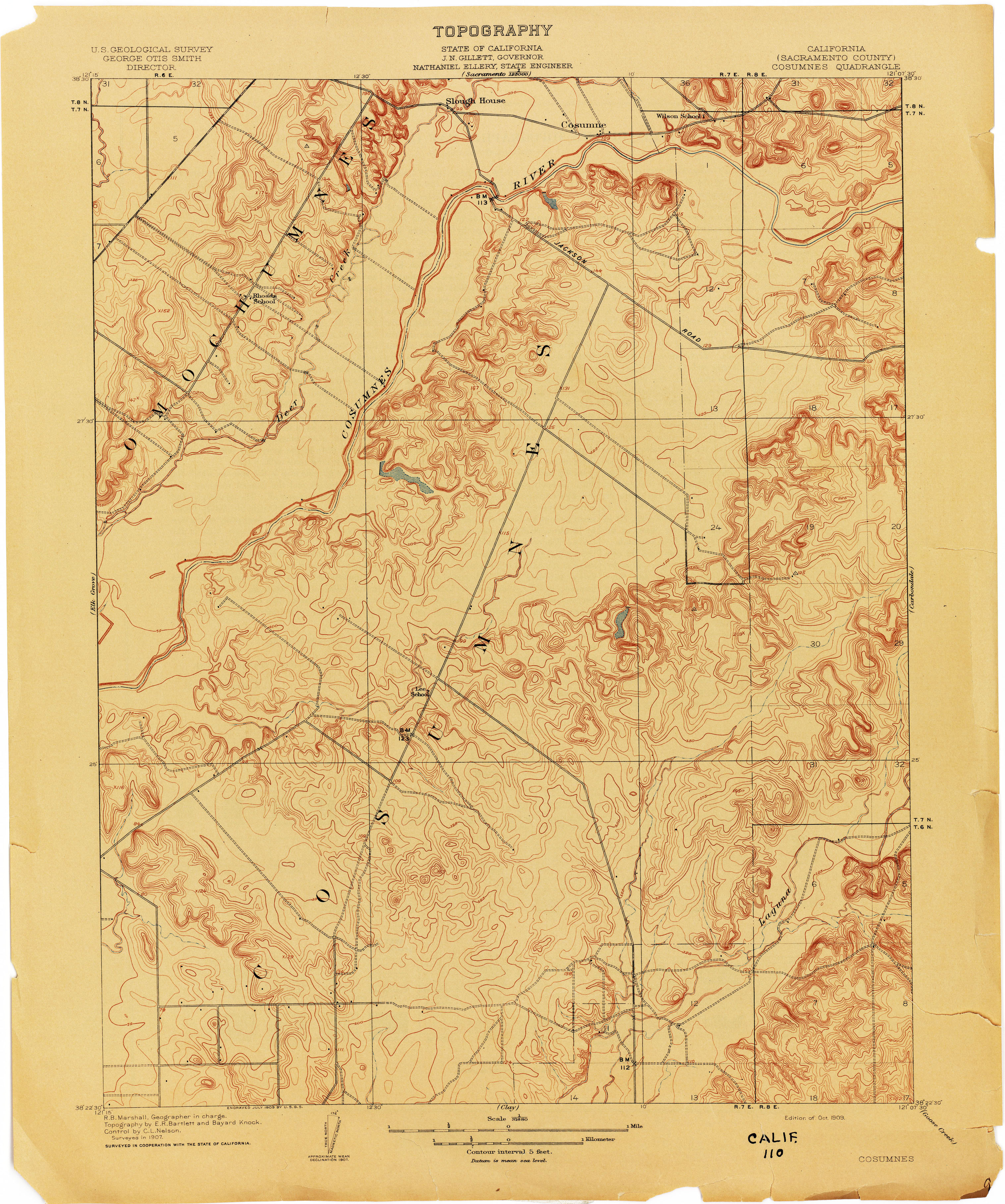
- Cosumnes (Sacramento County) 1907 1:31,680 (2.9MB)
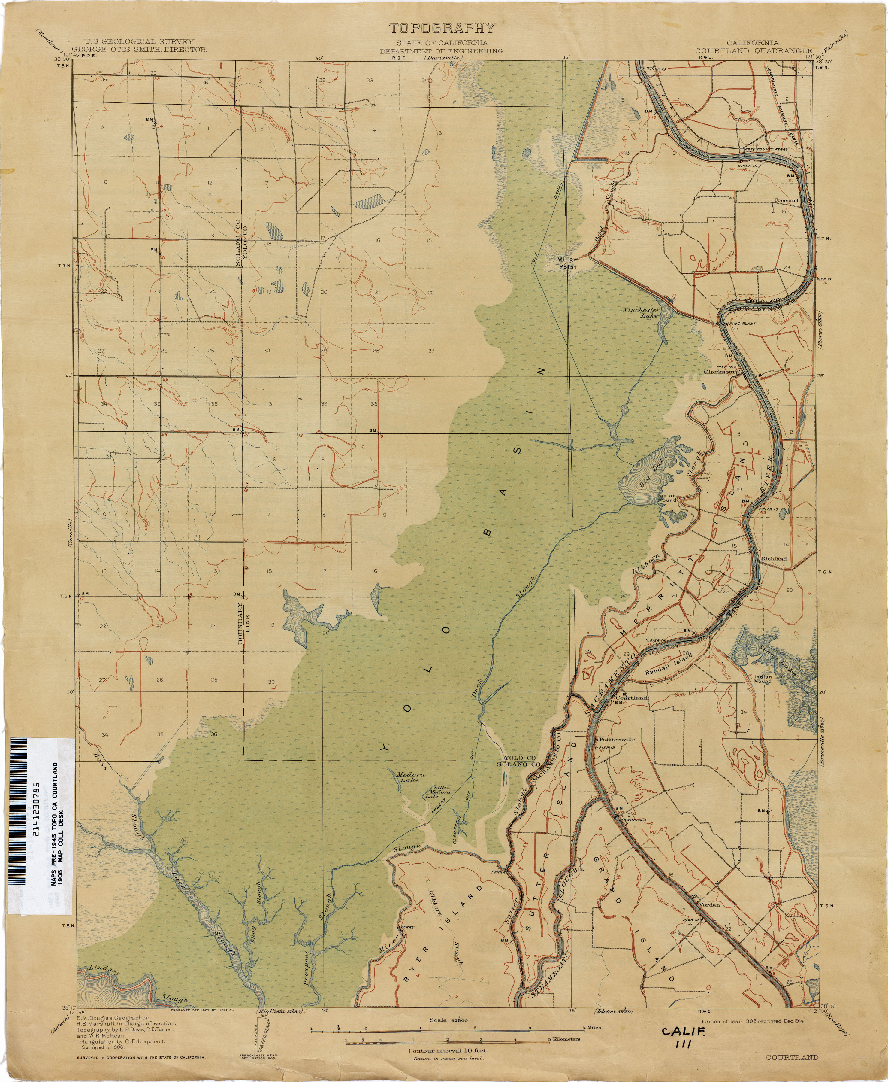
- Courtland 1906 1:62,500 (2.1MB)
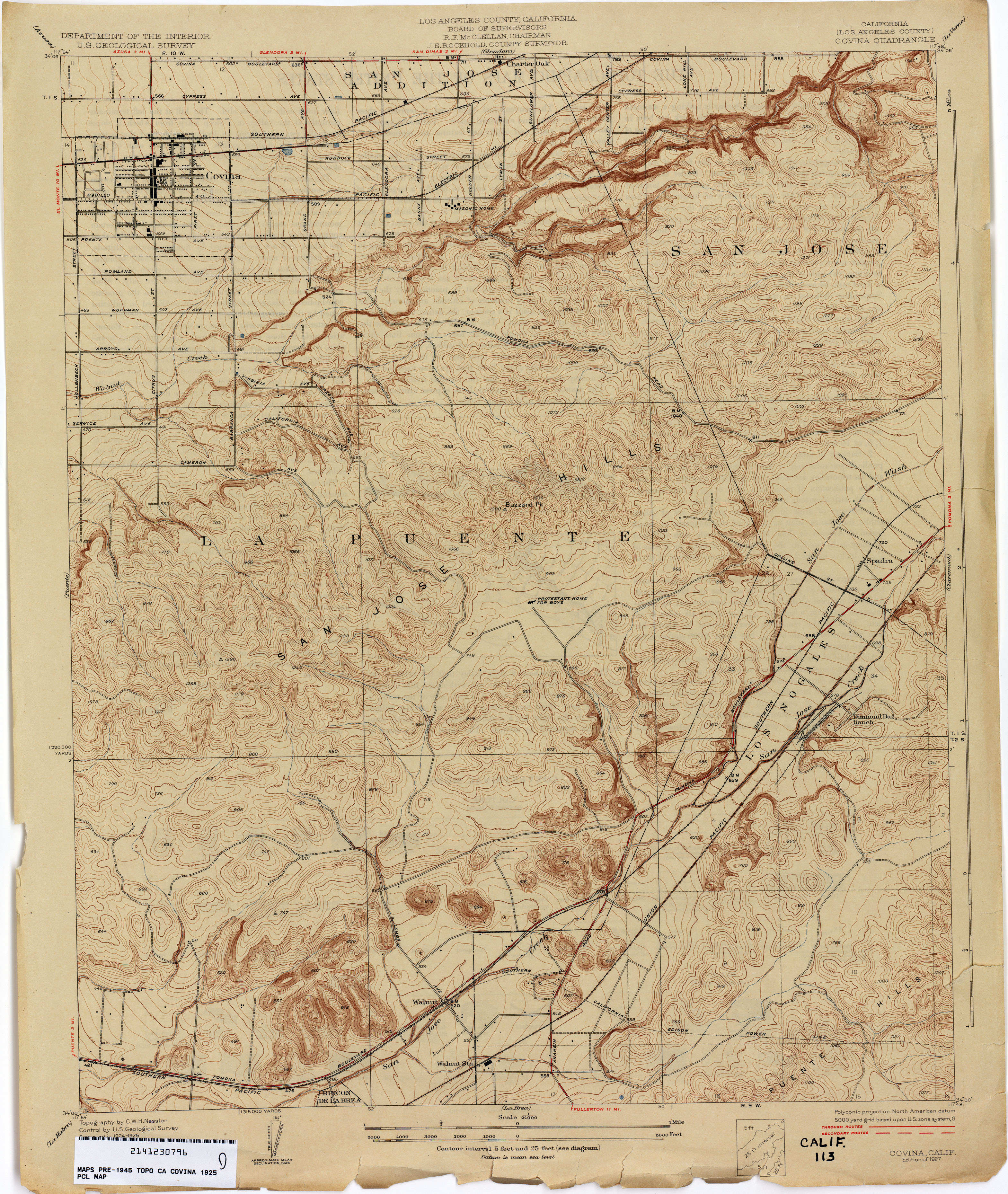
- Covina (Los Angeles County) 1925 1:24,000 (3.7MB)
- Cressey 1914 1:31,680 (2.7MB)
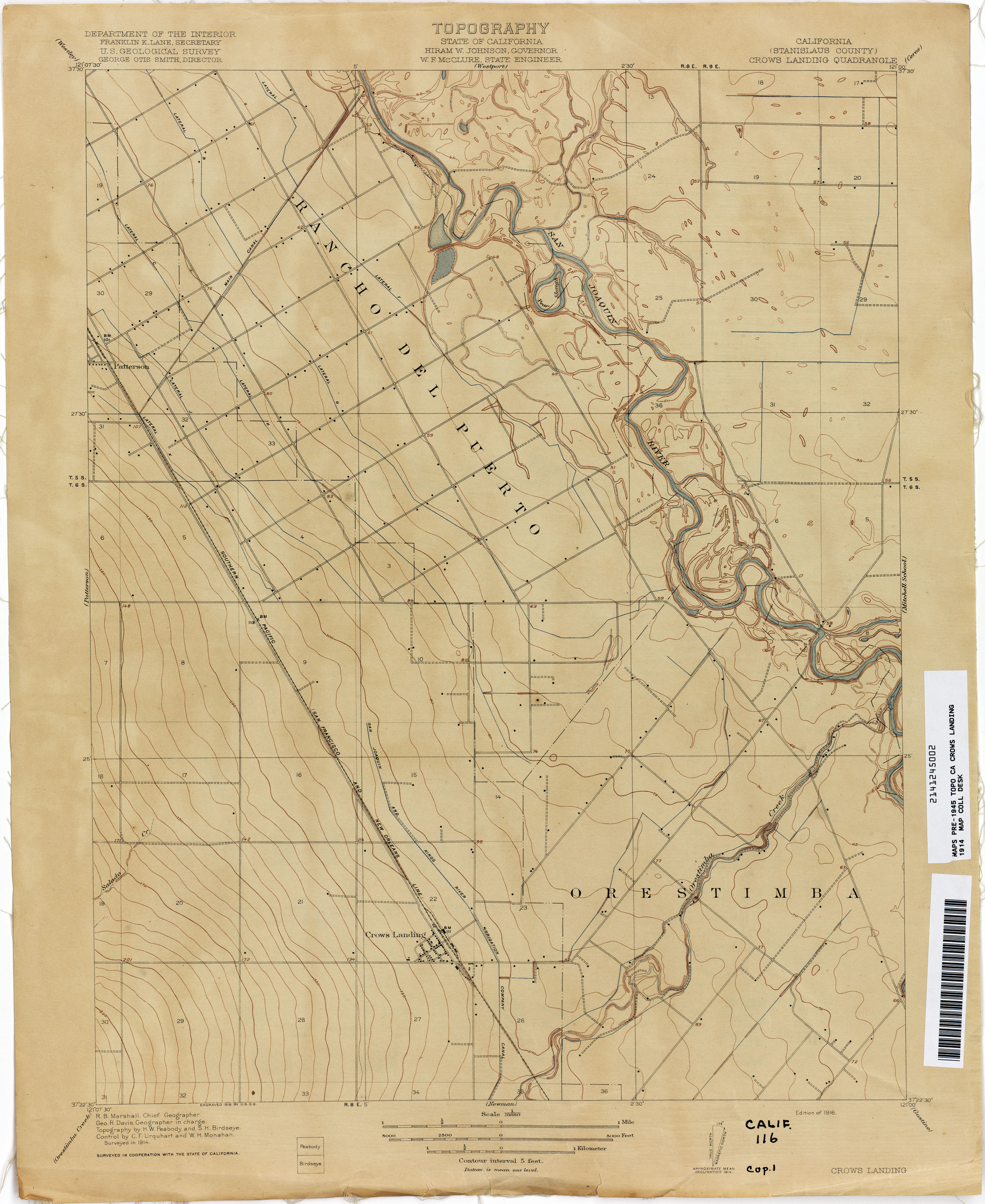
- Crows Landing (Stanislaus County) 1914 1:31,680 (2.1MB)
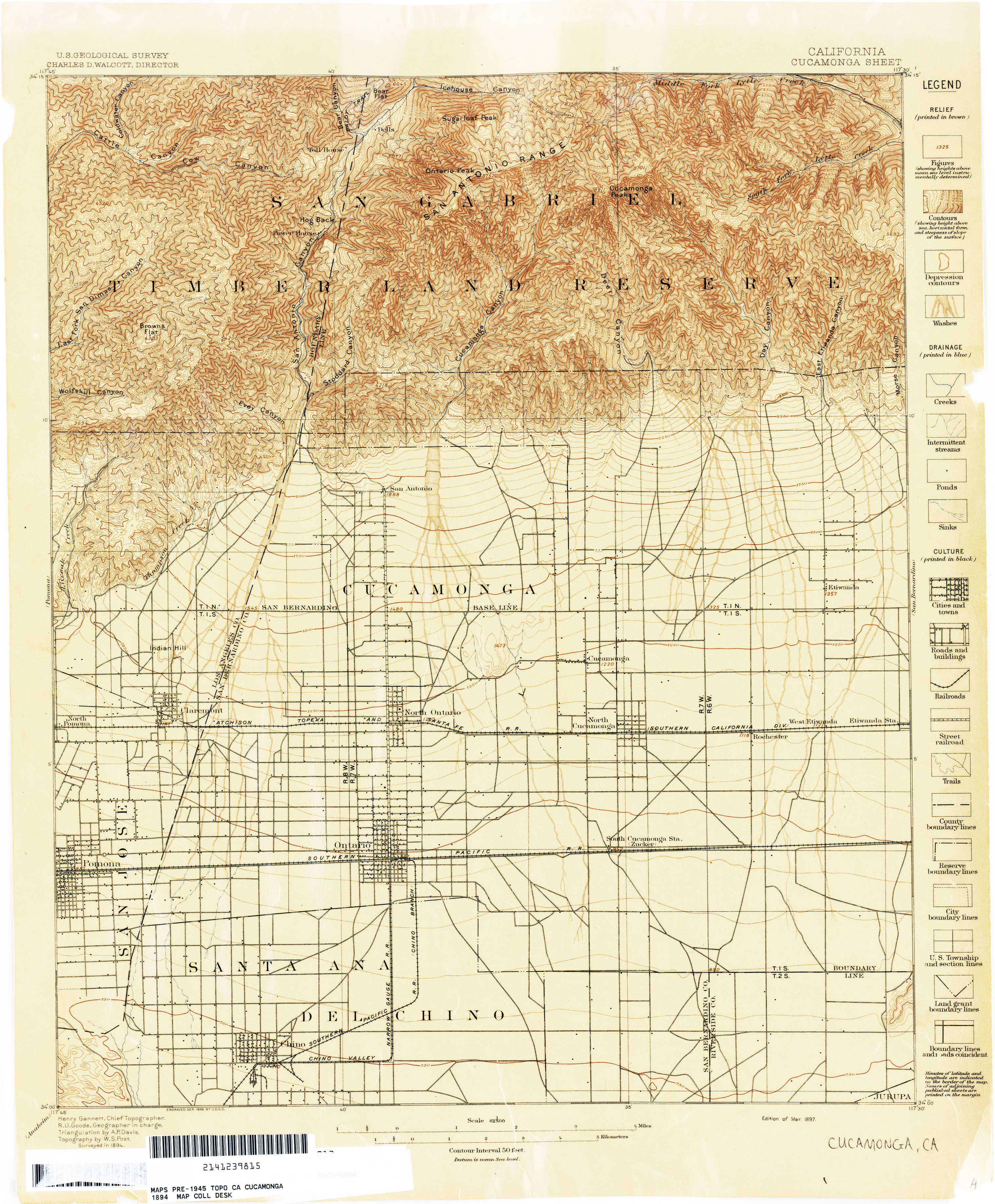
- Cucamonga 1894 1:62,500 (3.4MB)
- Cucamonga 1894 1:62,500 (3.2MB)
- Cucamonga 1894 1:62,500 (3.2MB)
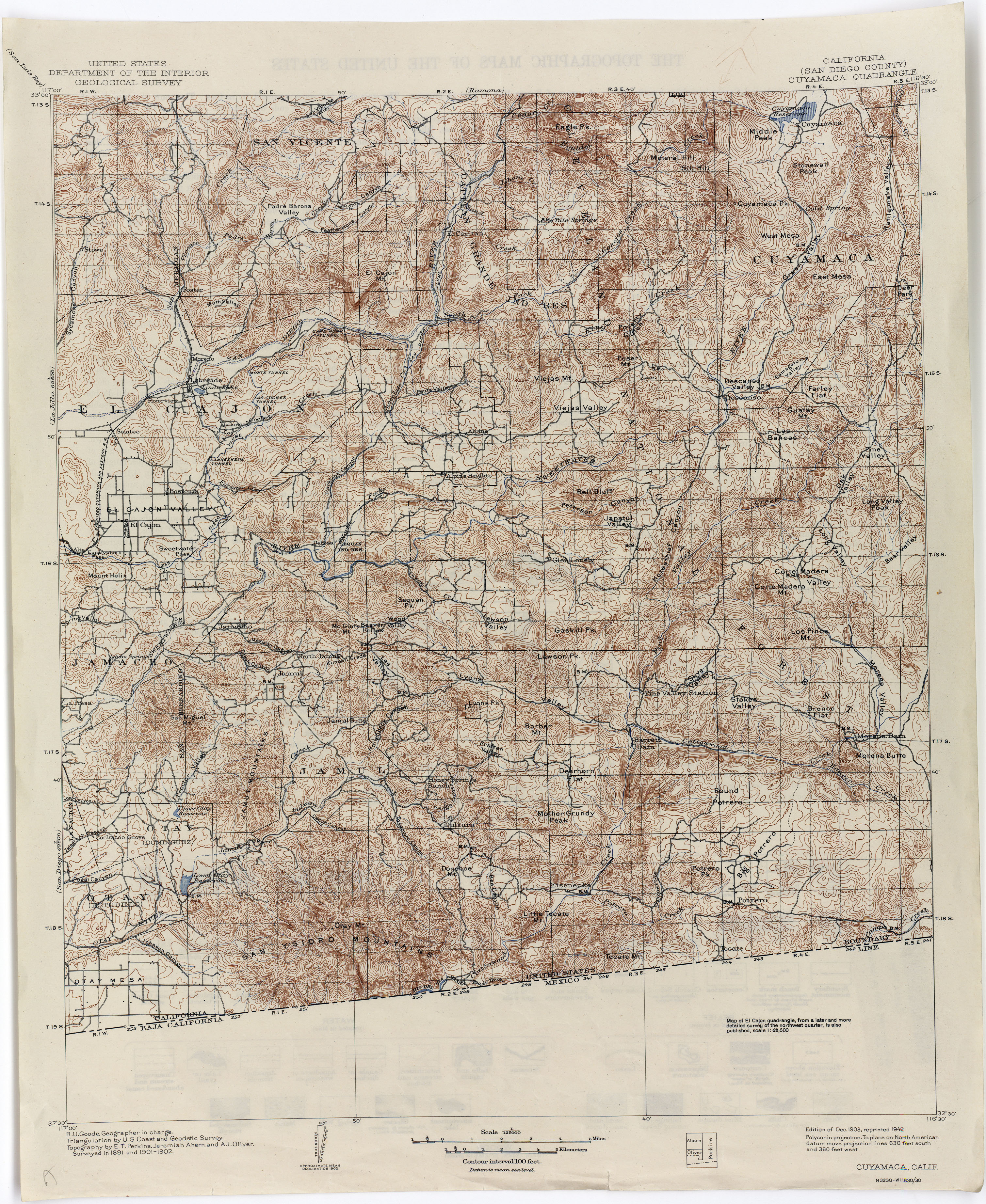
- Cuyamaca (San Diego County) 1902 1:125,000 (4.4MB)
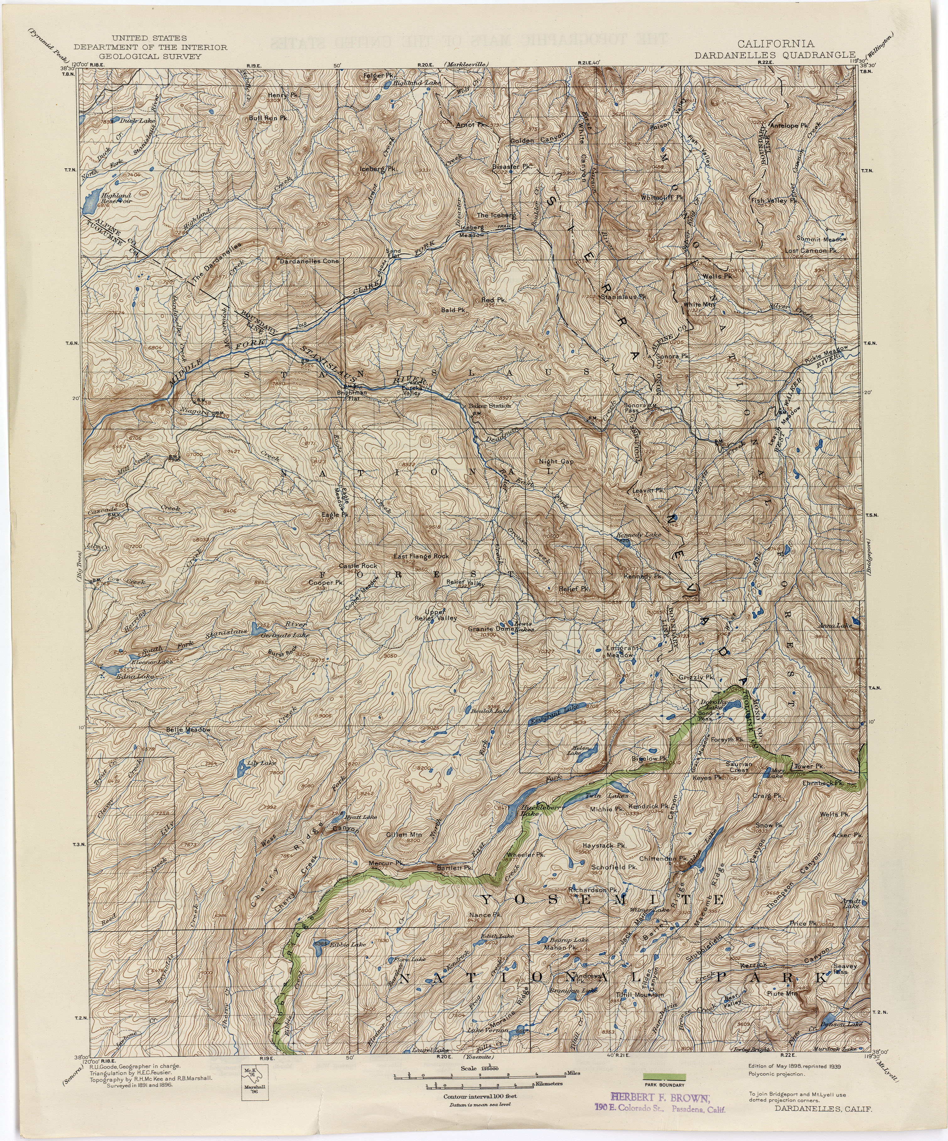
- Dardanelles 1896 1:125,000 (4.6MB)
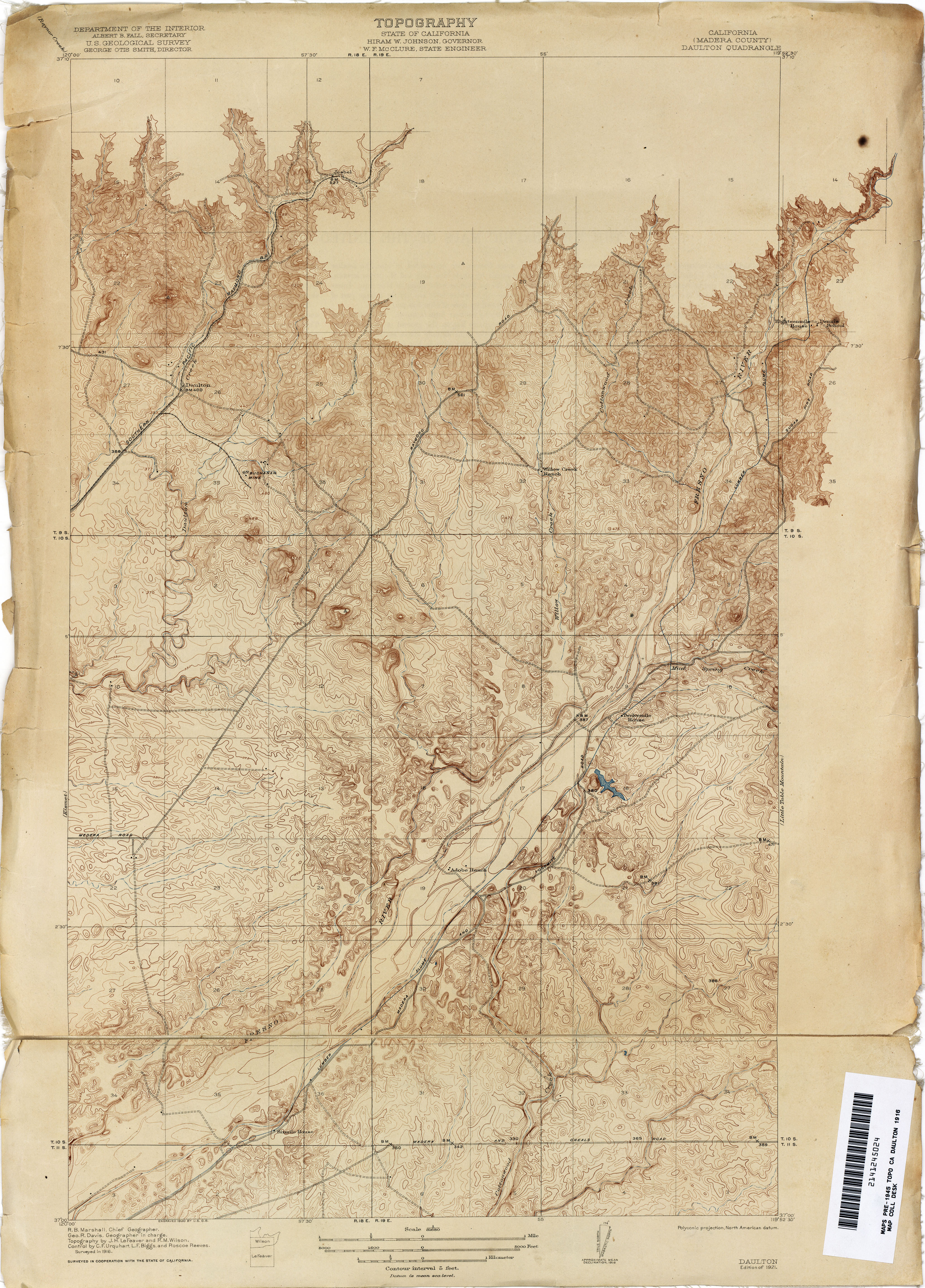
- Daulton (Madera County) 1916 1:31,680 (4.7MB)
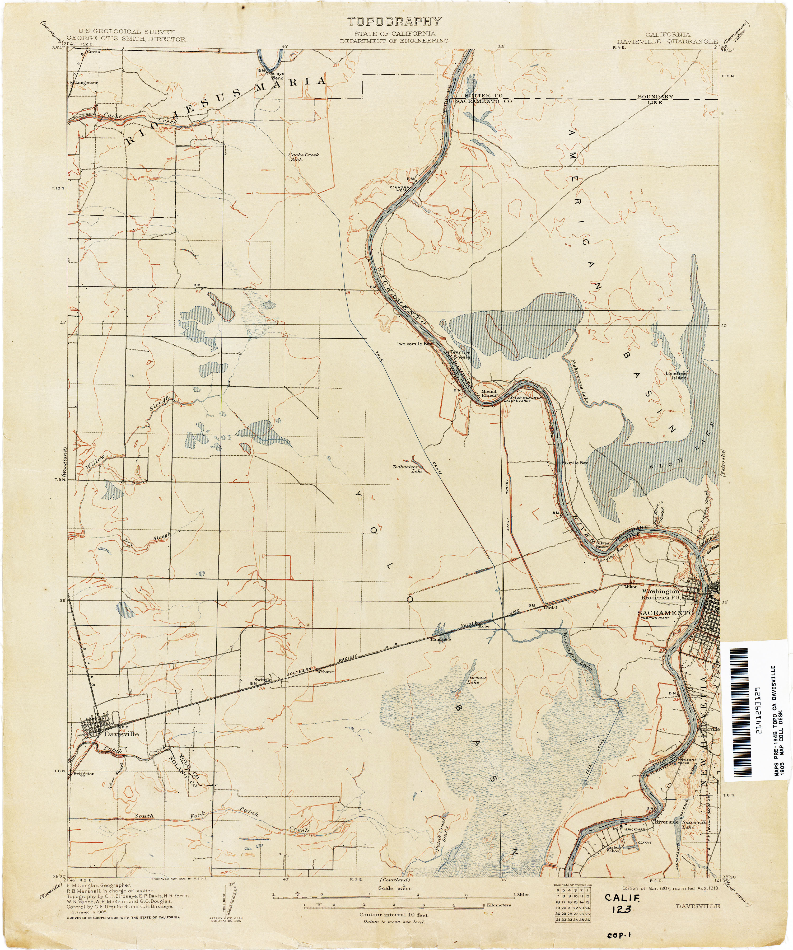
- Davisville 1905 1:62,500 (2.2MB)
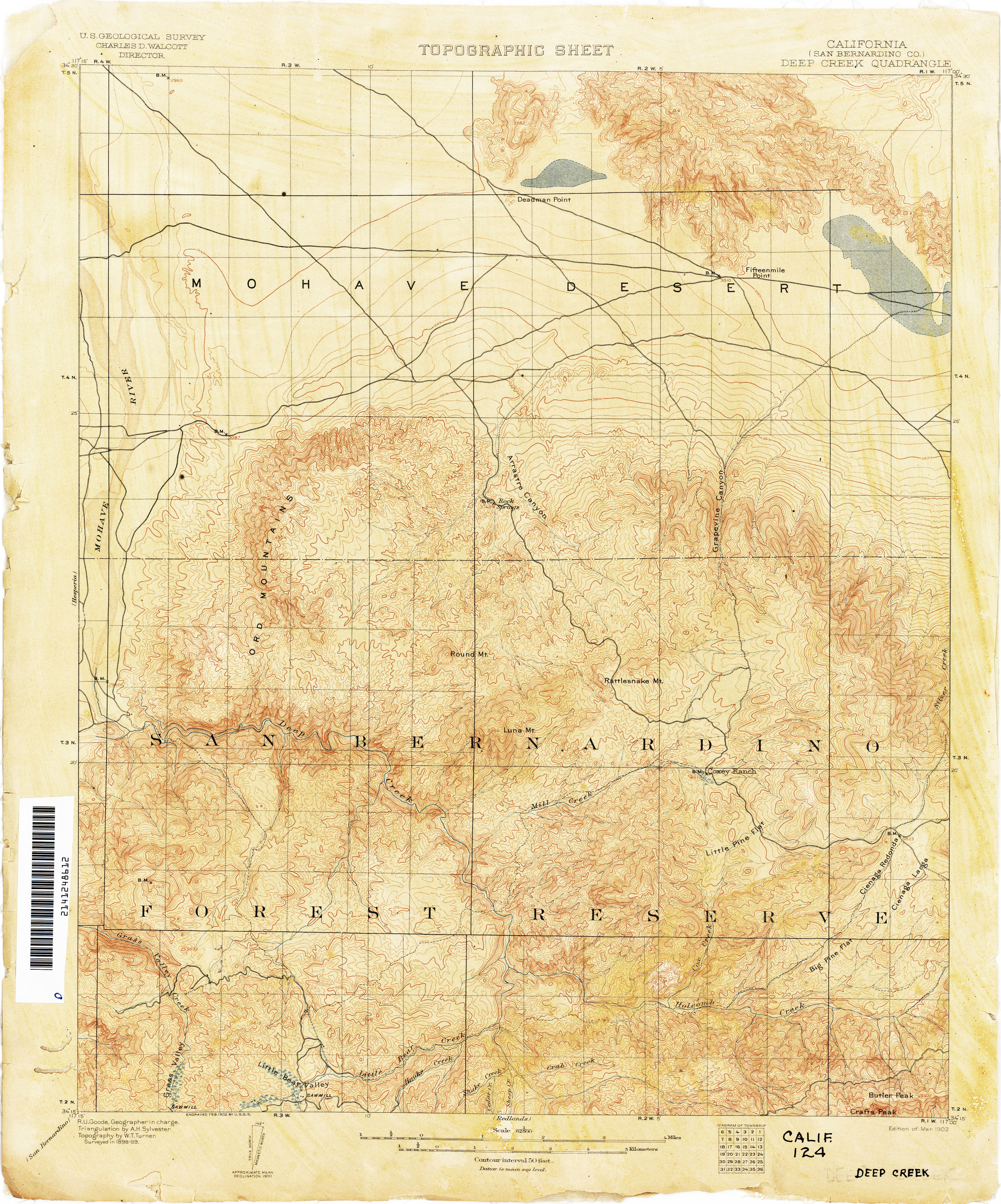
- Deep Creek (San Bernardino County) 1899 1:62,500 (3.7MB)
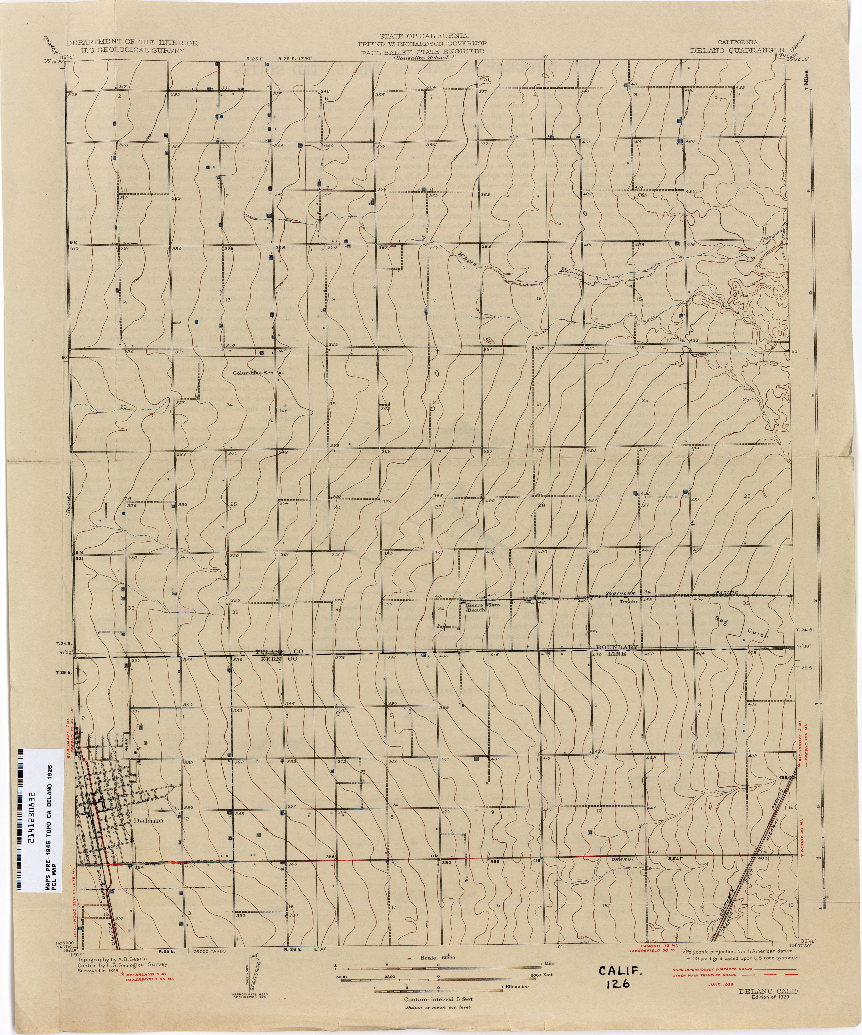
- Delano 1926 1:31,680 (2.0MB)
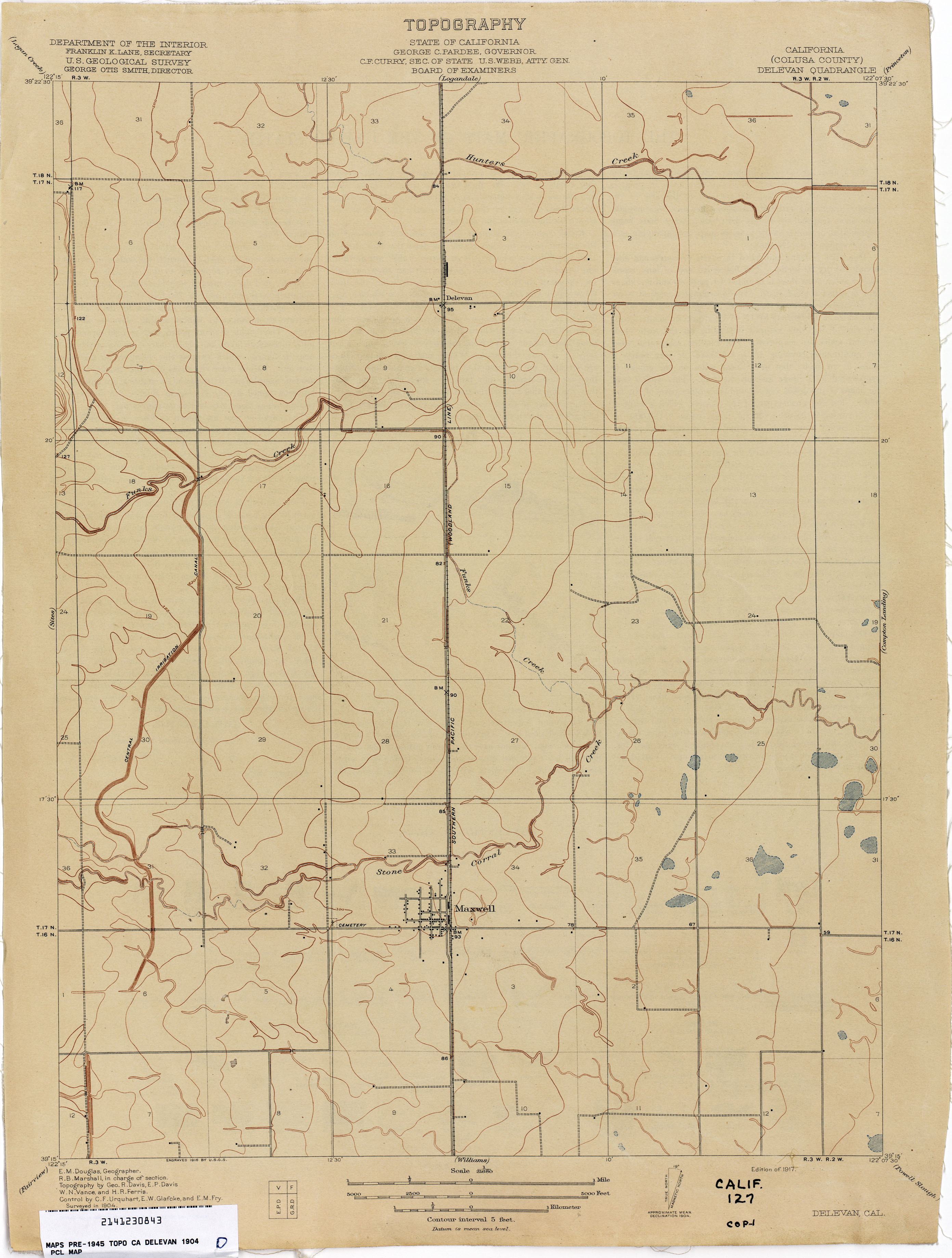
- Delevan (Colusa County) 1904 1:31,680 (1.7MB)
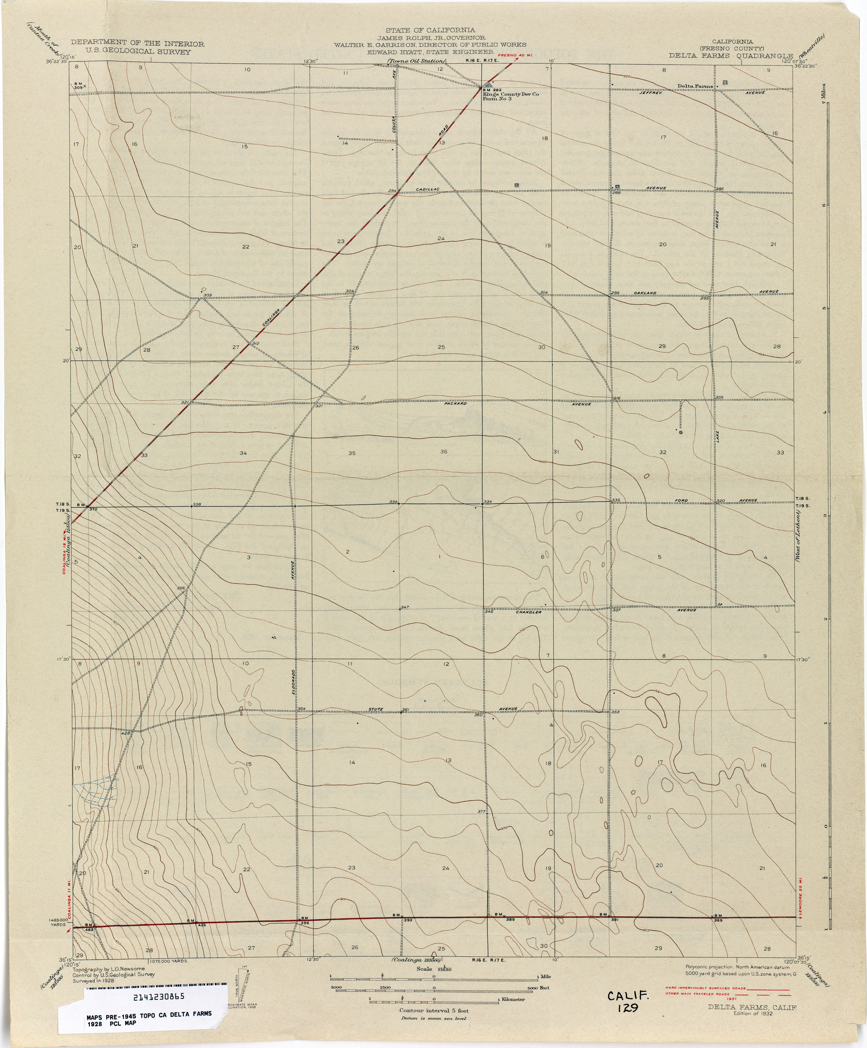
- Delta Farms (Fresno County) 1928 1:31,680 (1.9MB)
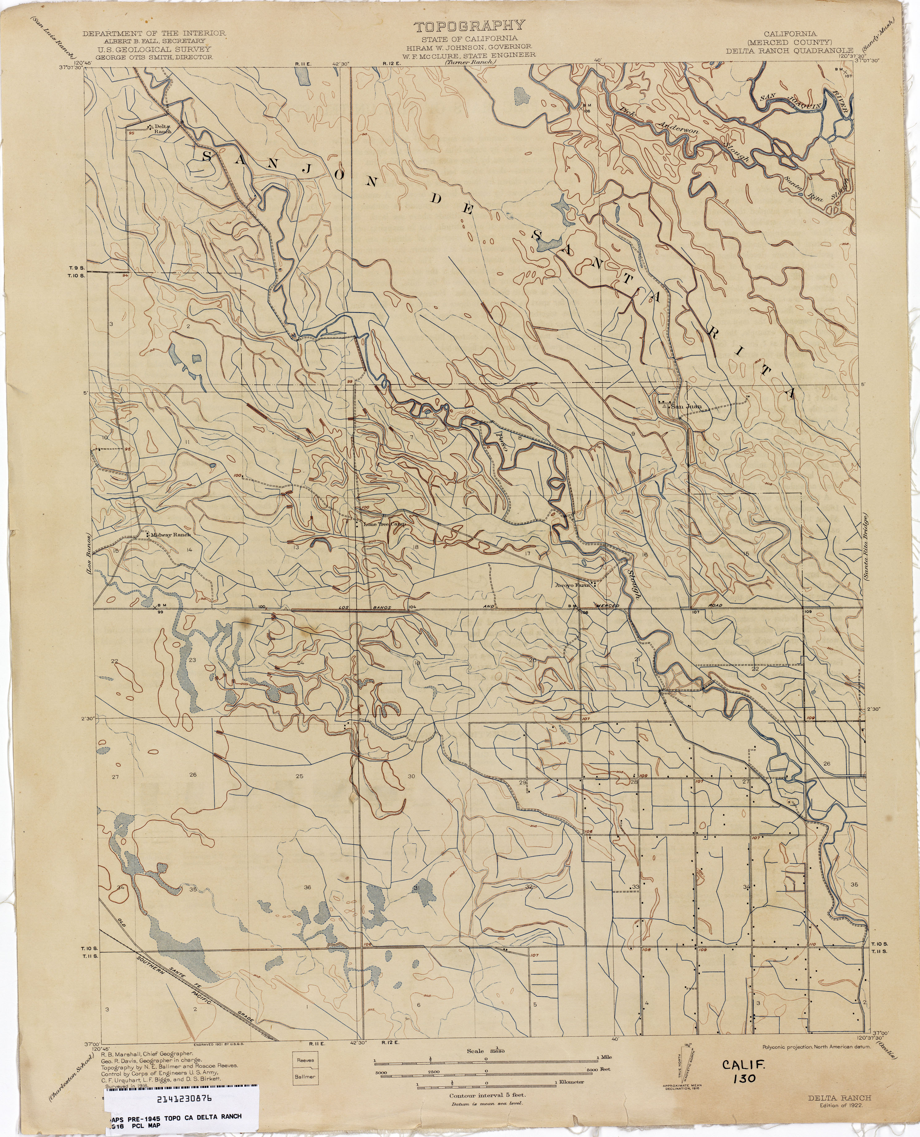
- Delta Ranch (Merced County) 1916 1:31,680 (2.4MB)
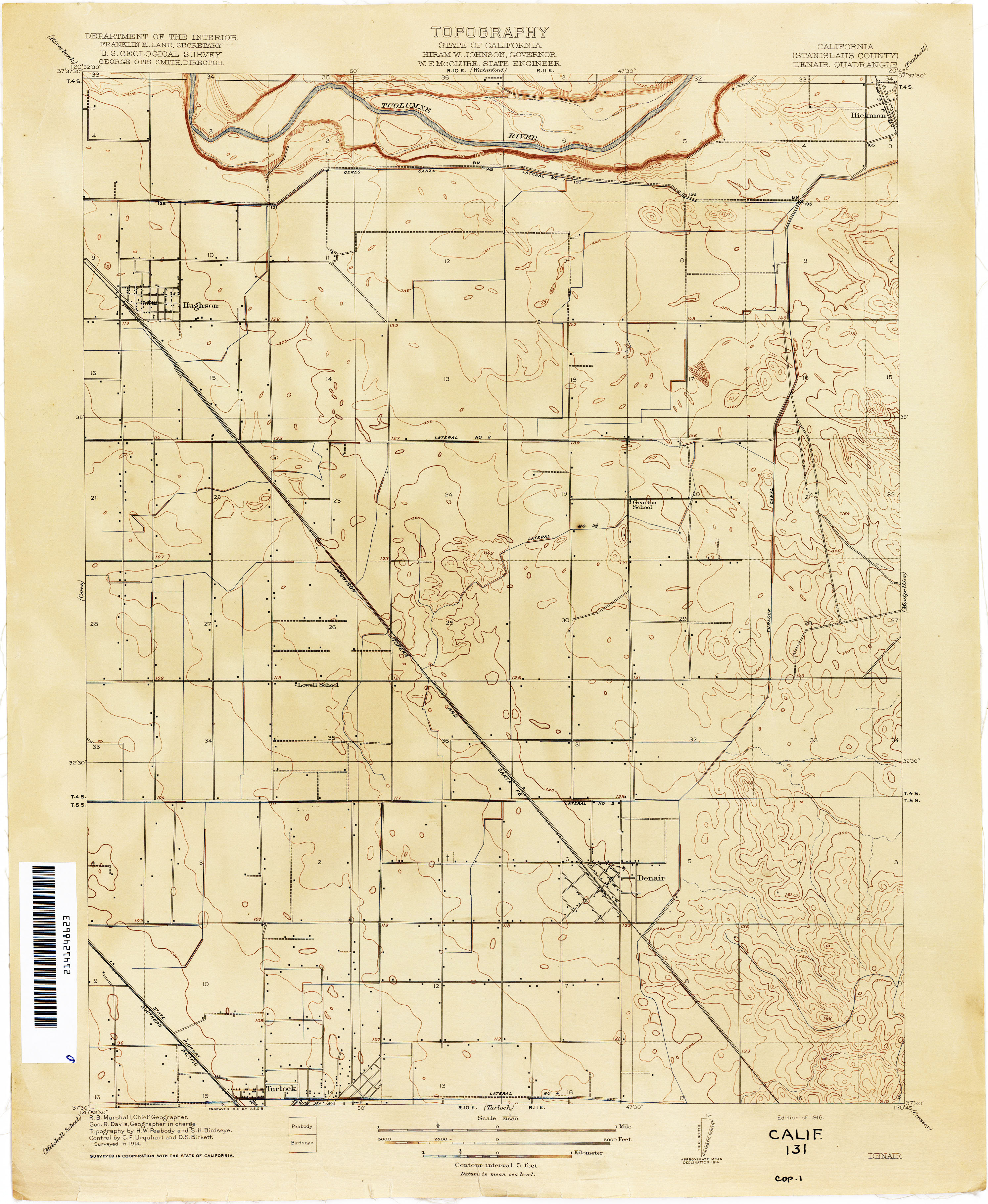
- Denair (Stanislaus County) 1914 1:31,680 (2.1MB)
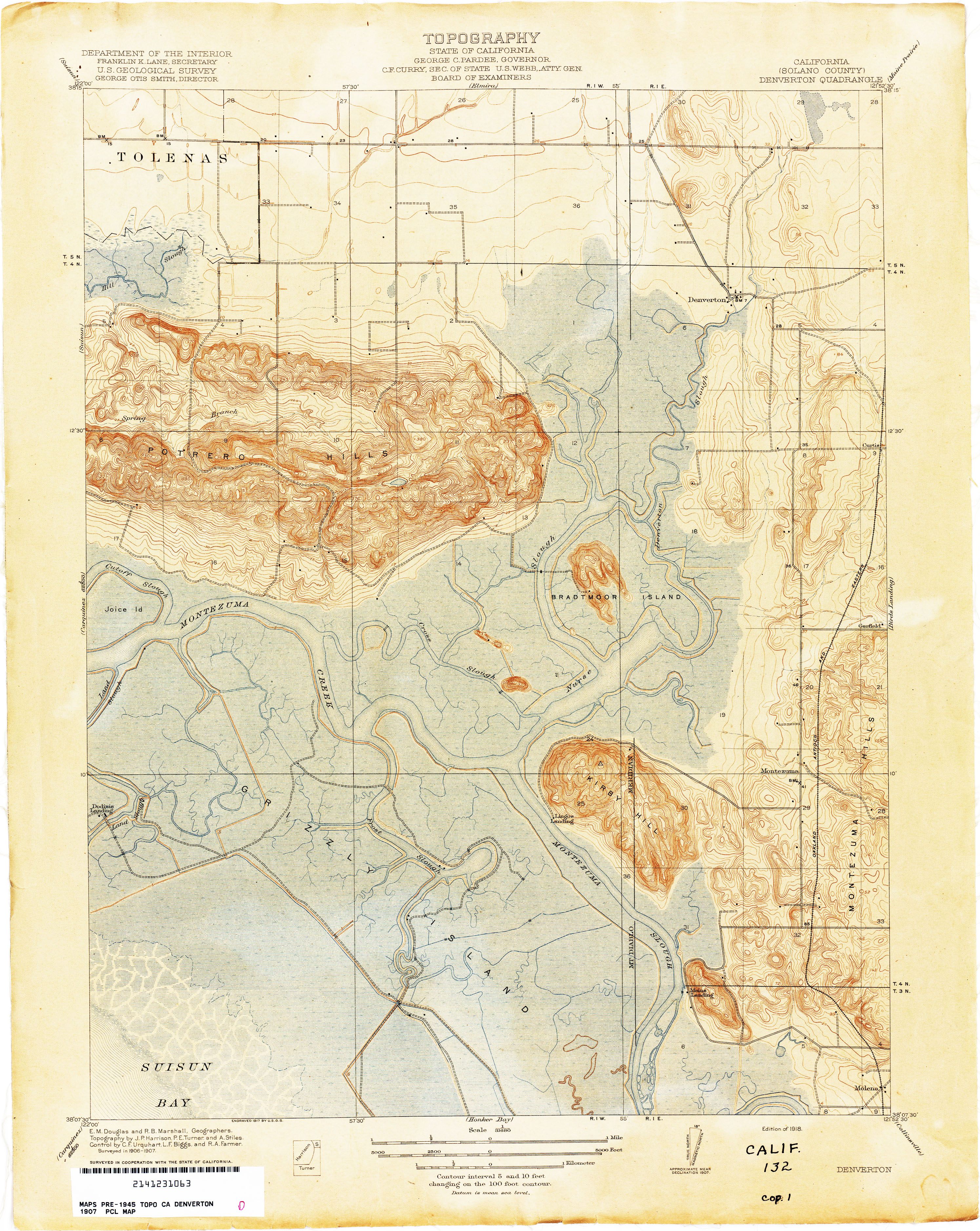
- Denverton (Solano County) 1907 1:31,680 (3.6MB)
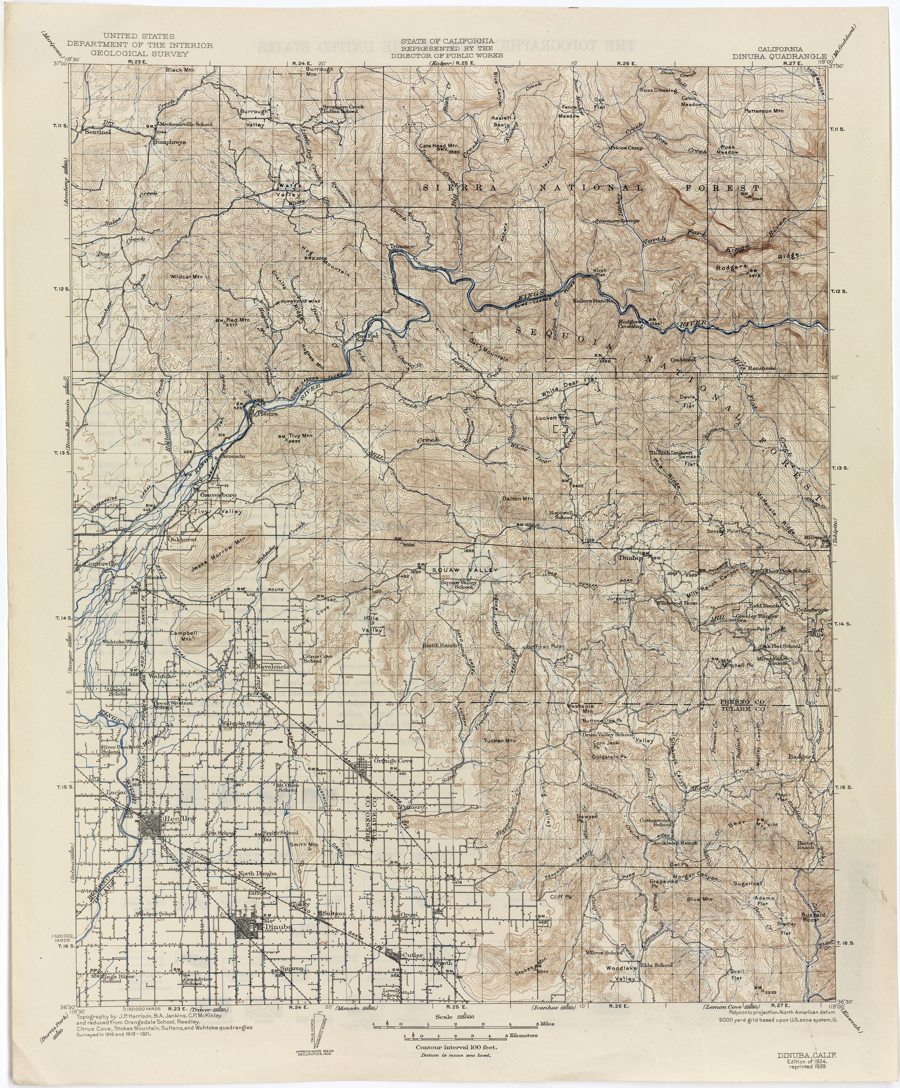
- Dinuba 1921 1:125,000 (4.1MB)
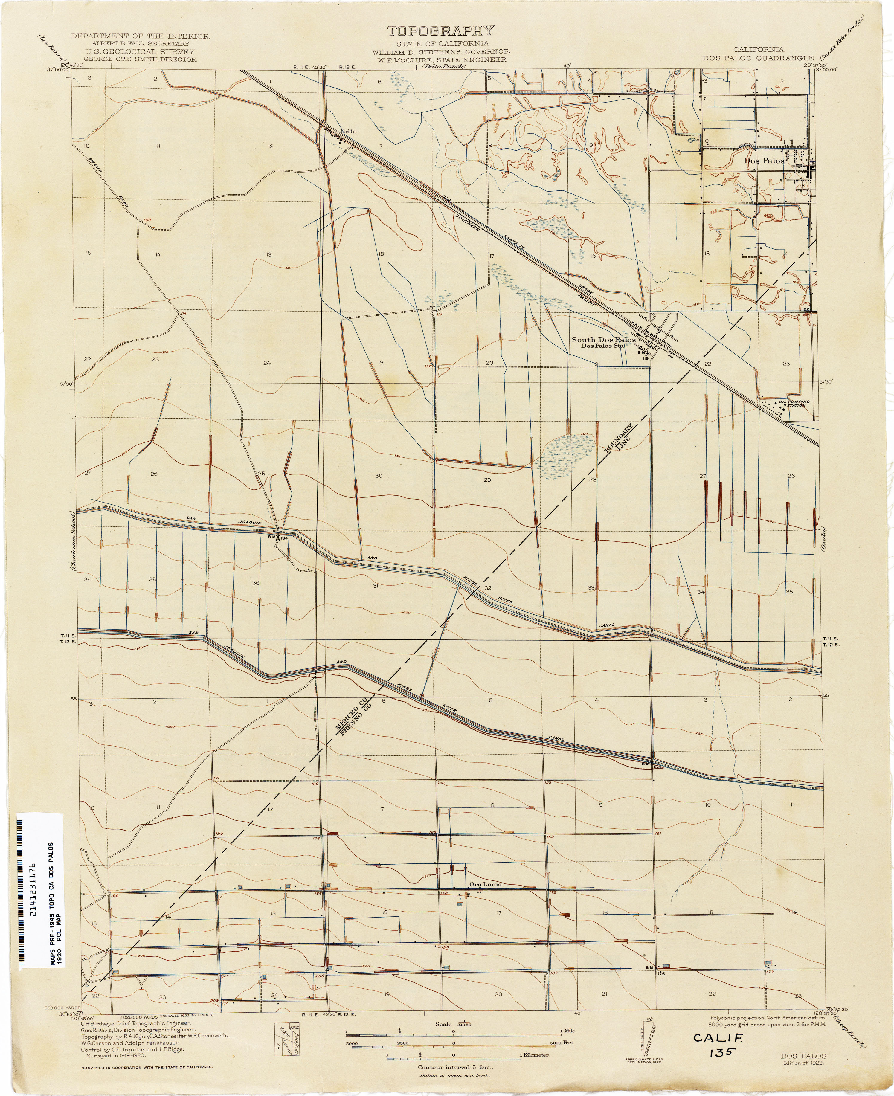
- Dos Palos 1920 1:31,680 (1.9MB)
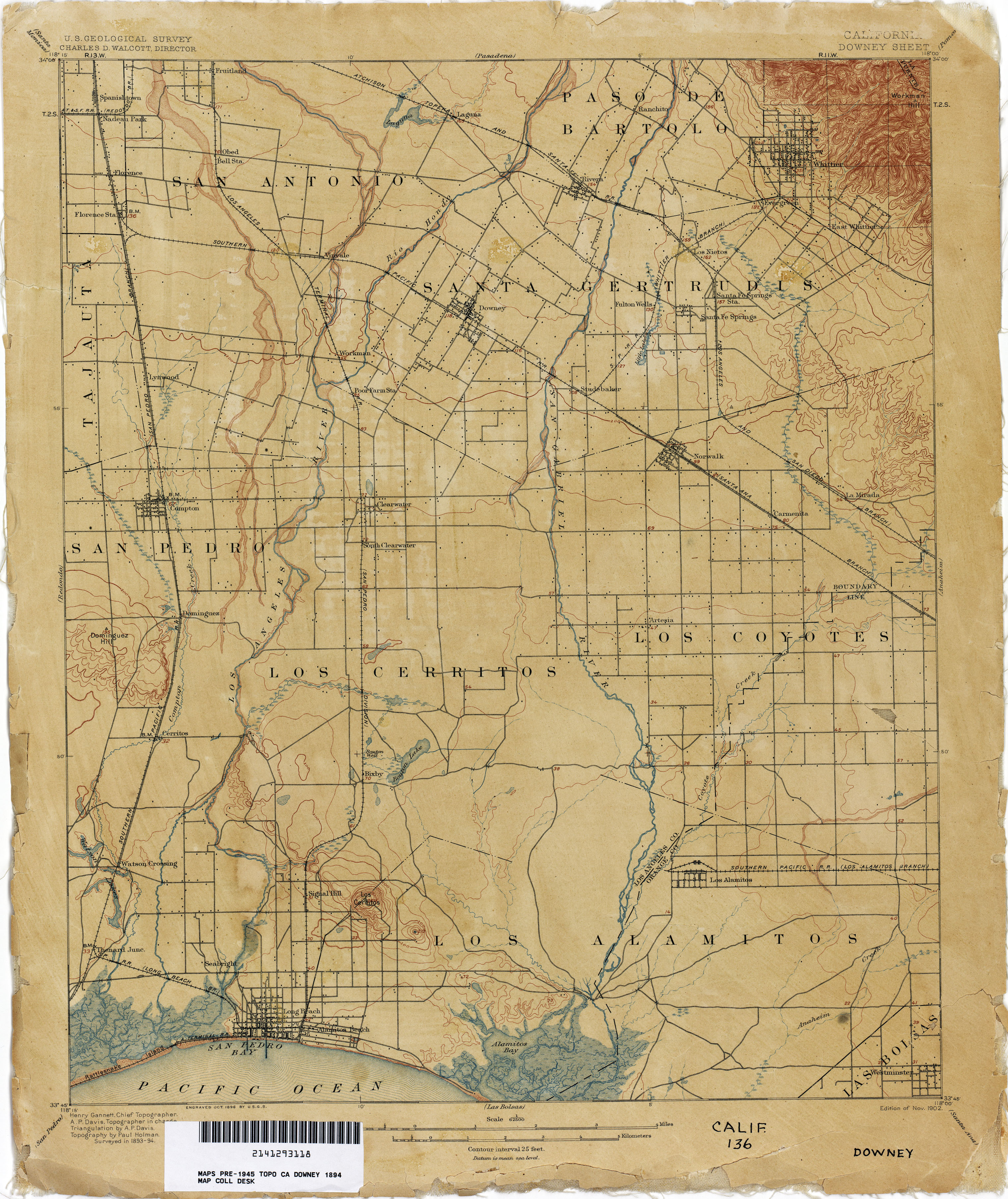
- Downey 1894 1:62,500 (2.7MB)
- Downey 1927 1:62,500 (3.3MB)
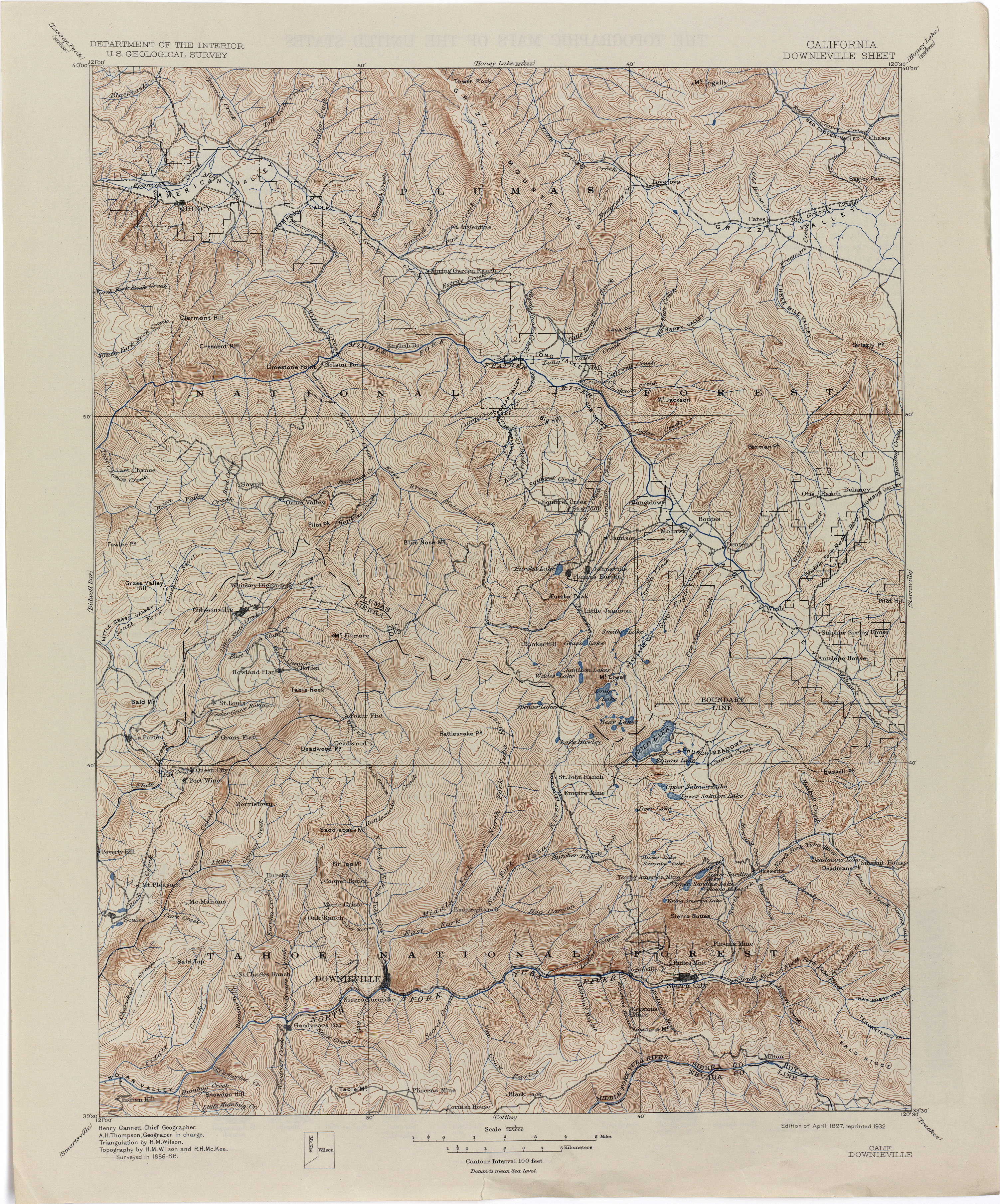
- Downieville 1888 1:125,000 (4.4MB)
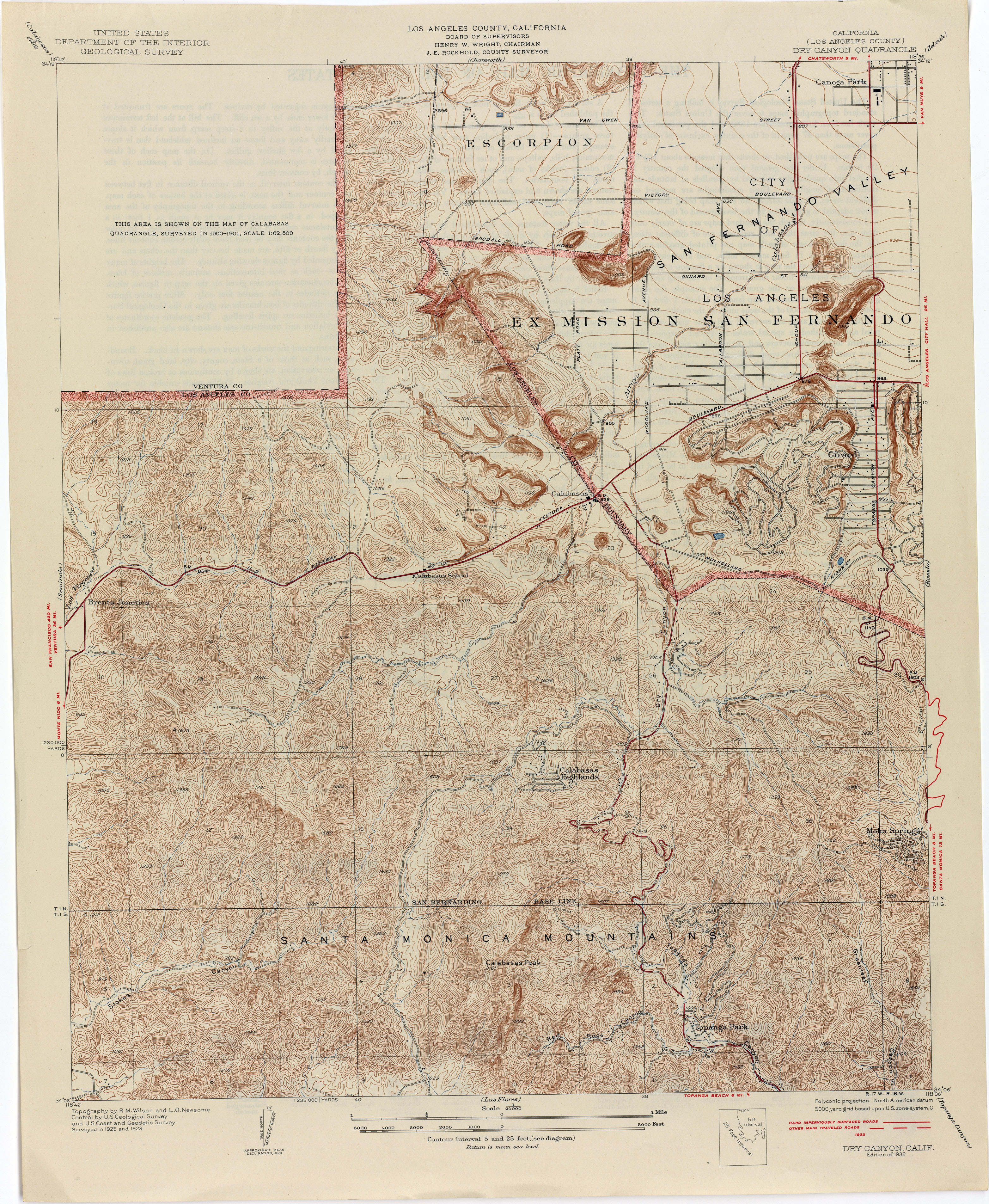
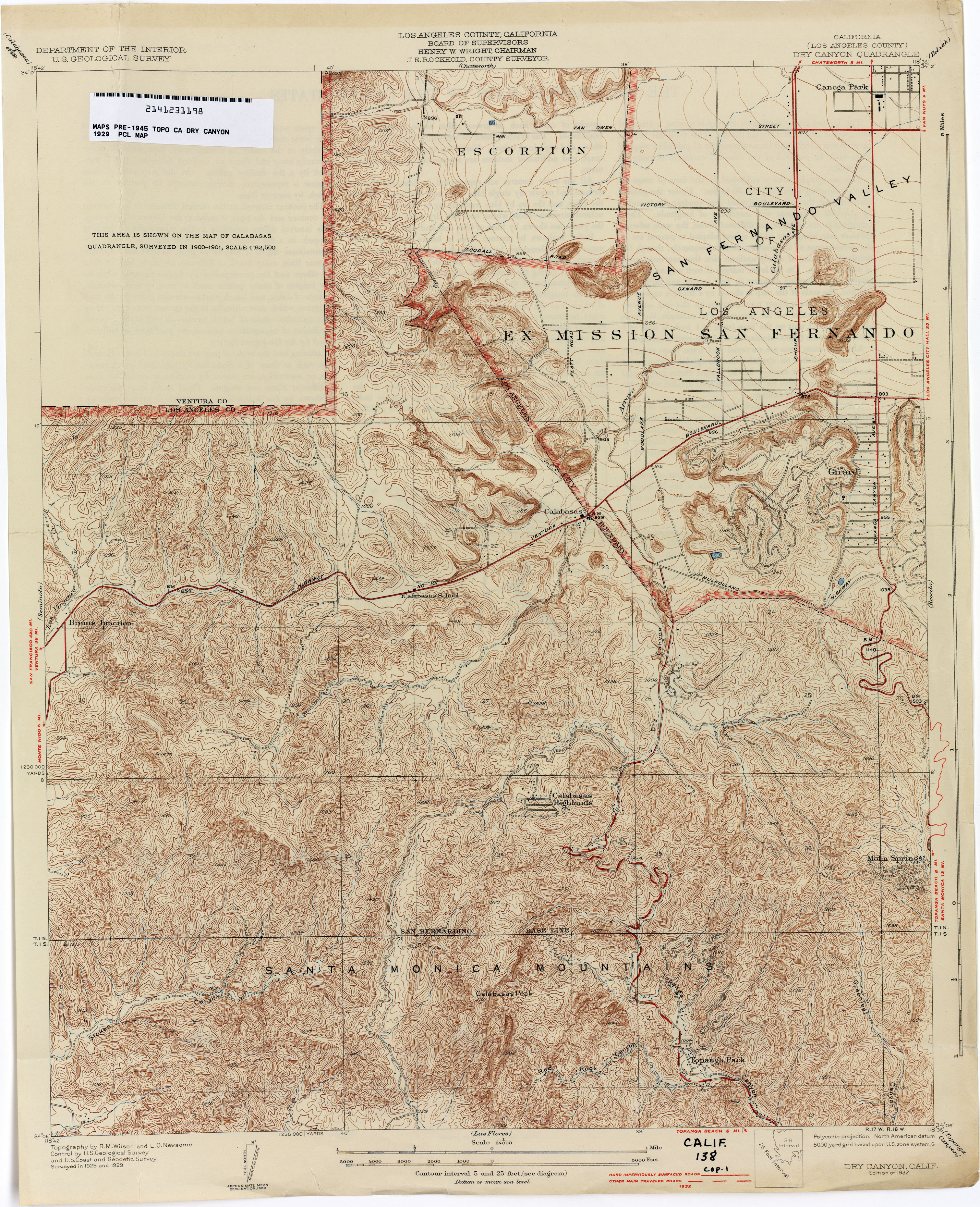
- Dry Canyon (Los Angeles County) 1925 1:24,000 (4.5MB)
- Dry Canyon (Los Angeles County) 1929 1:24,000 (4.3MB)
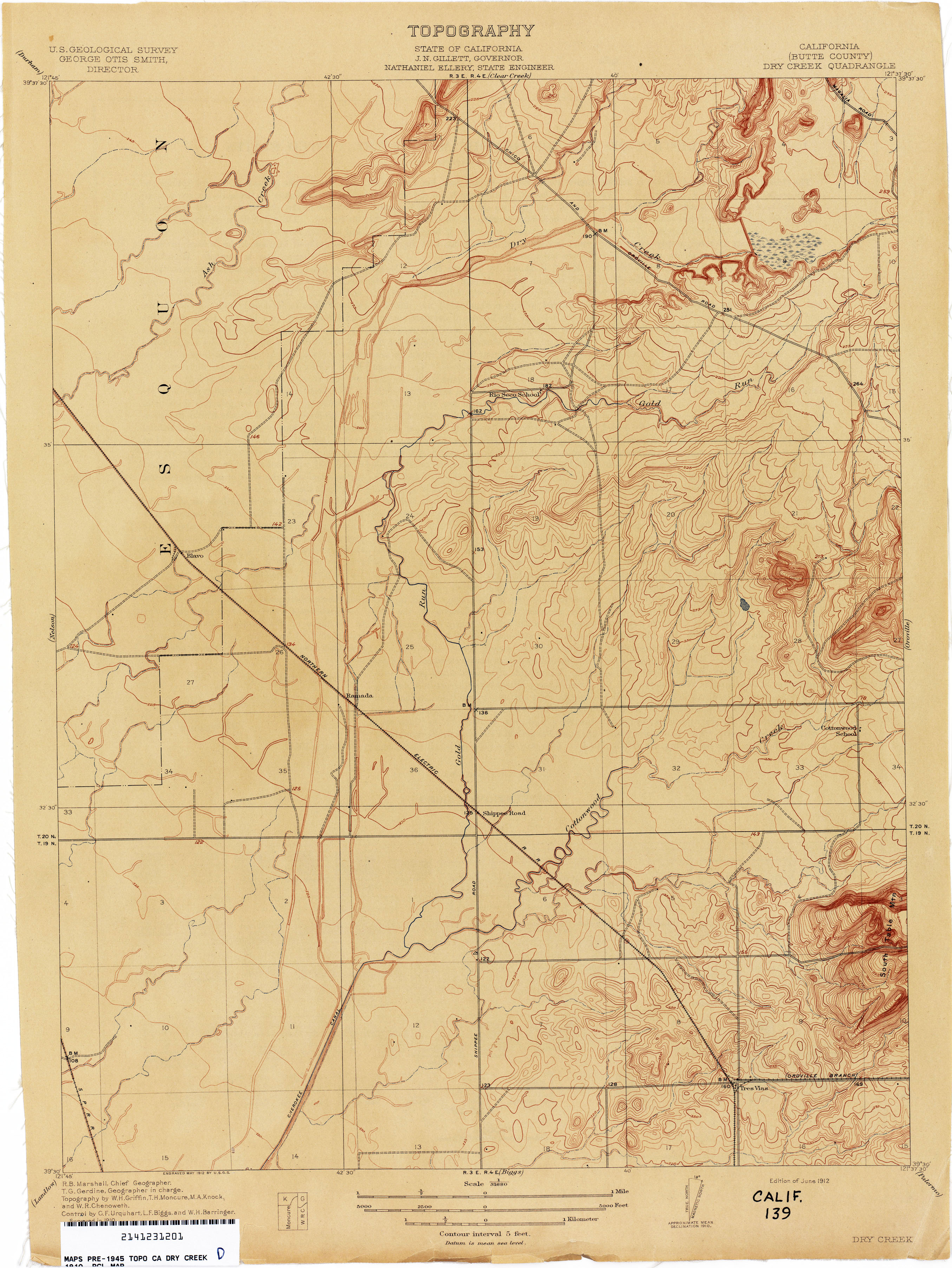
- Dry Creek (Butte County) 1910 1:31,680 (2.3MB)
- Ducor (Tulare County) 1926 1:31,680 (2.6MB)
- Dume Point (Los Angeles County) 1929 1:24,000 (4.3MB)
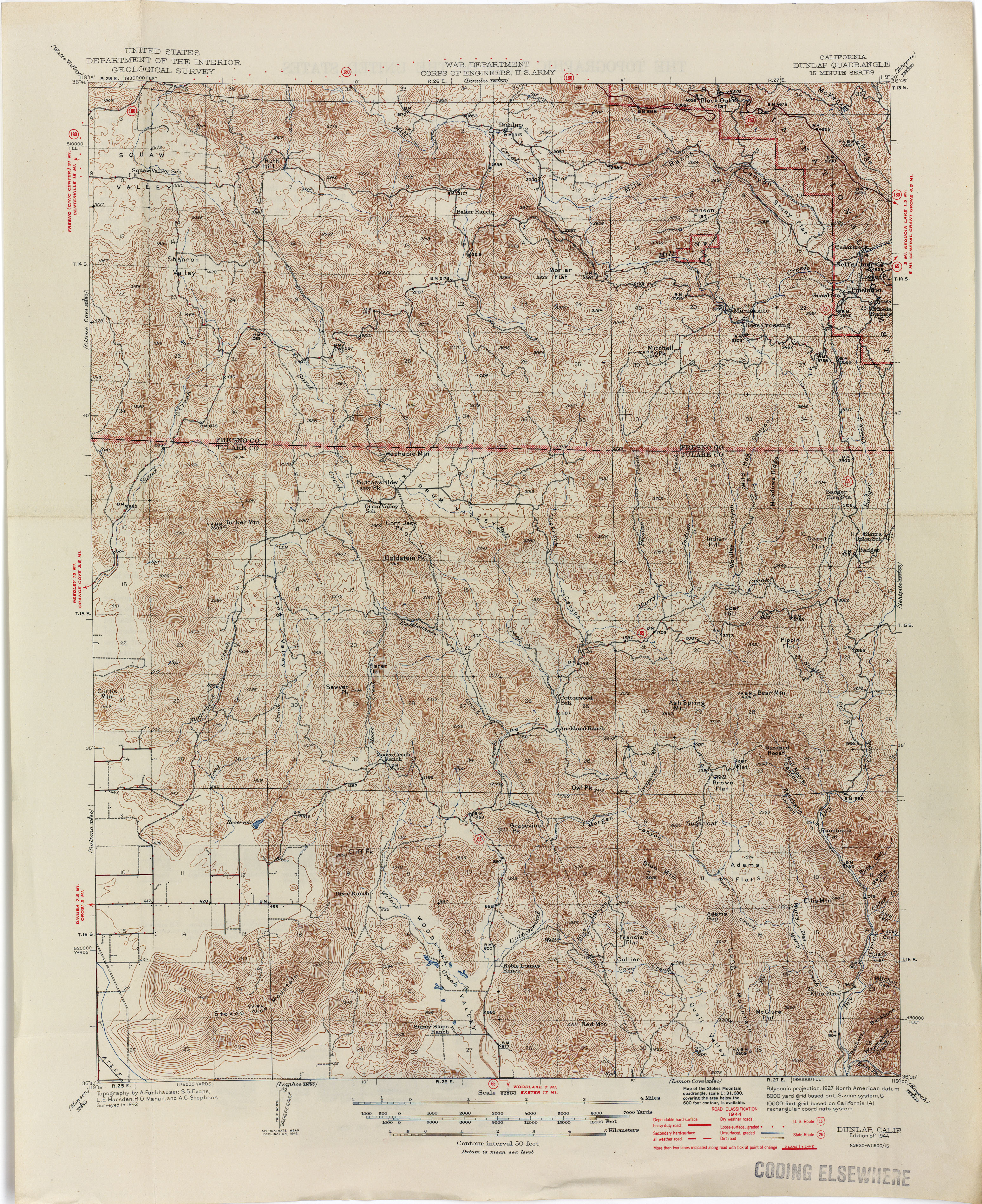
- Dunlap 1944 1:62,500 (4.9MB)
- Dunnigan 1905 1:62,500 (2.3MB)
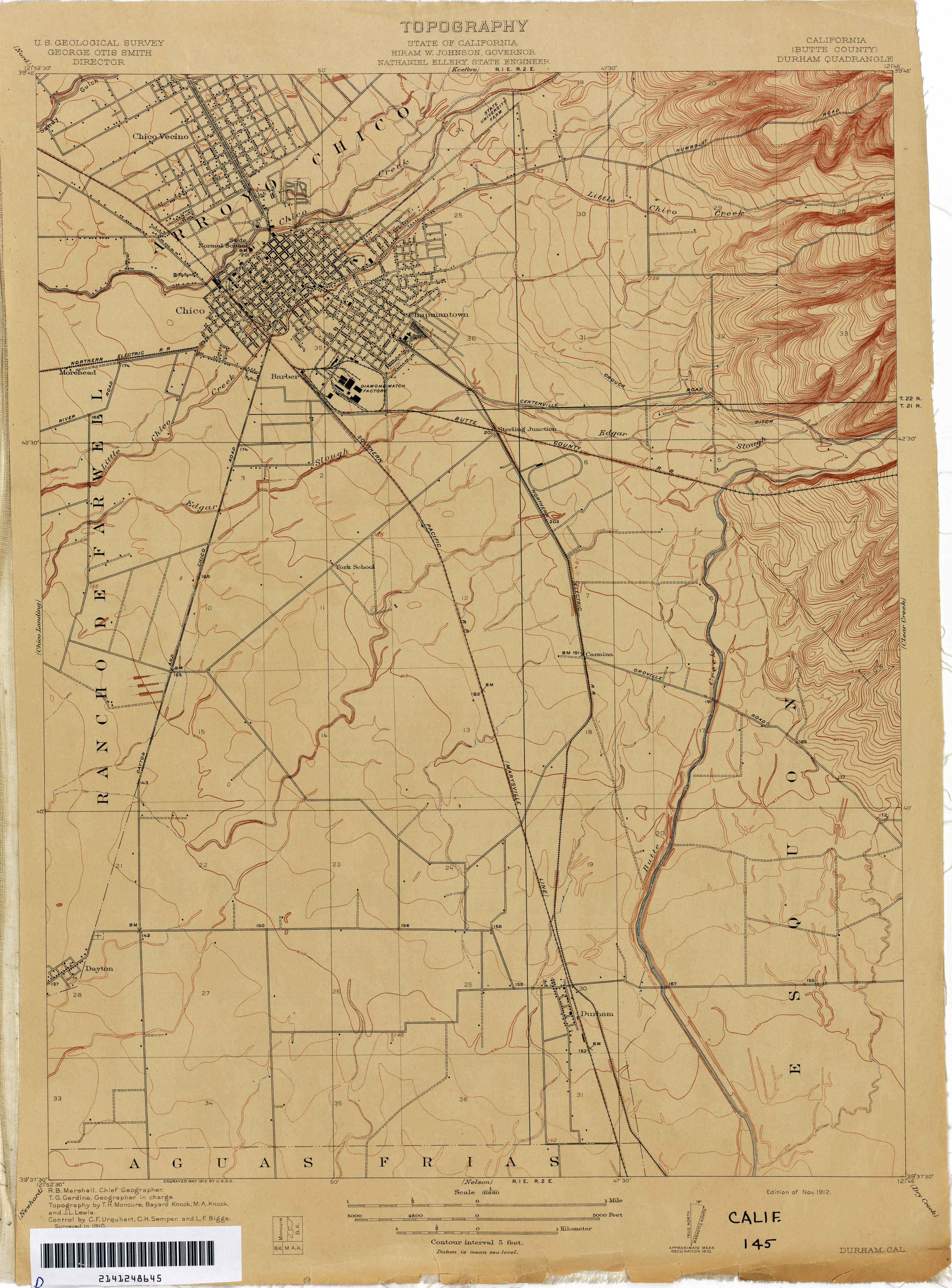
- Durham (Butte County) 1910 1:31,680 (2.3MB)
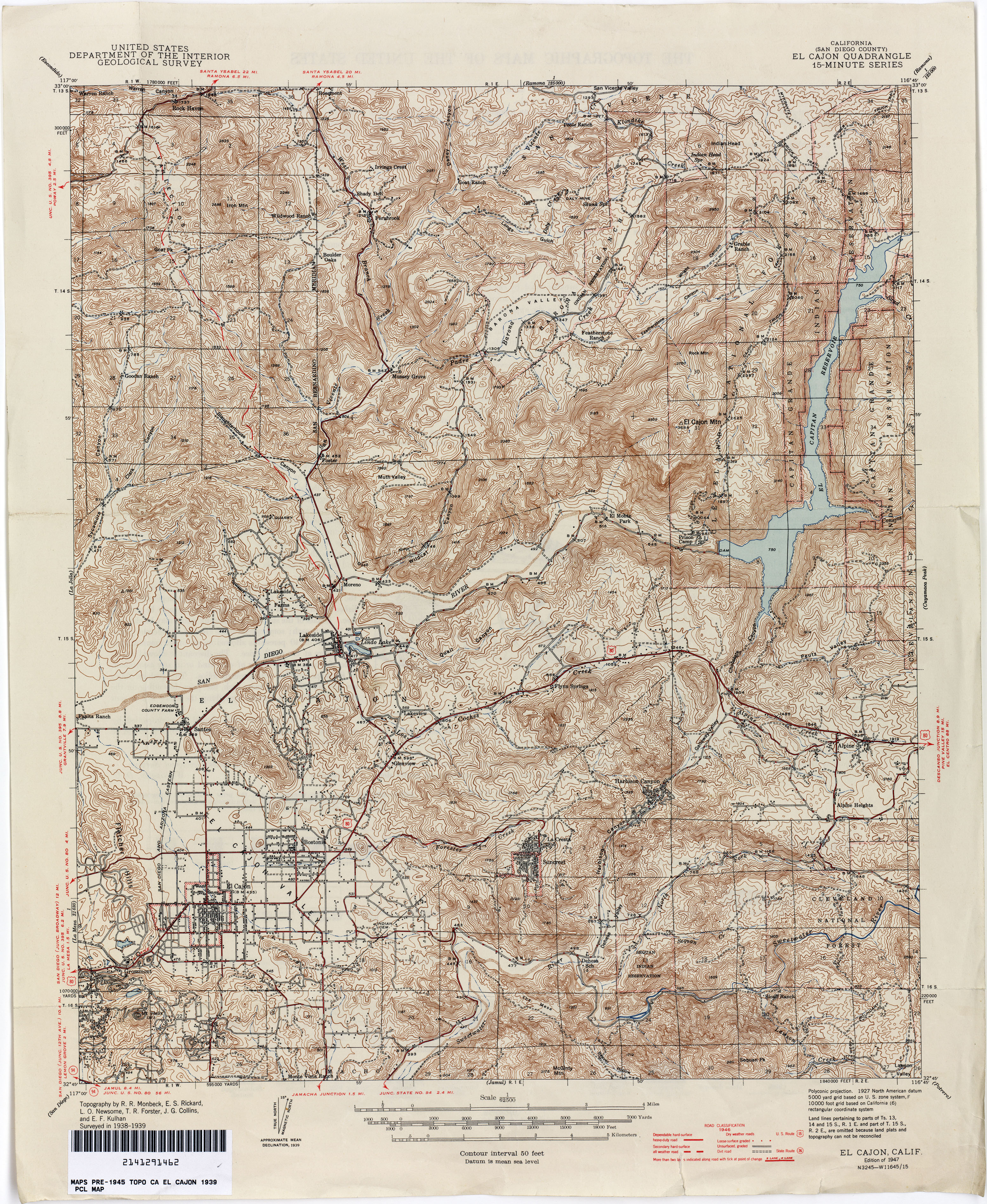
- El Cajon (San Diego County) 1939 1:62,500 (4.9MB)
- [El Cajon] Elcajon (San Diego County) 1891 1:62,500 (4.7MB)
- Elizabeth Lake 1915 1:125,000 (3.1MB)
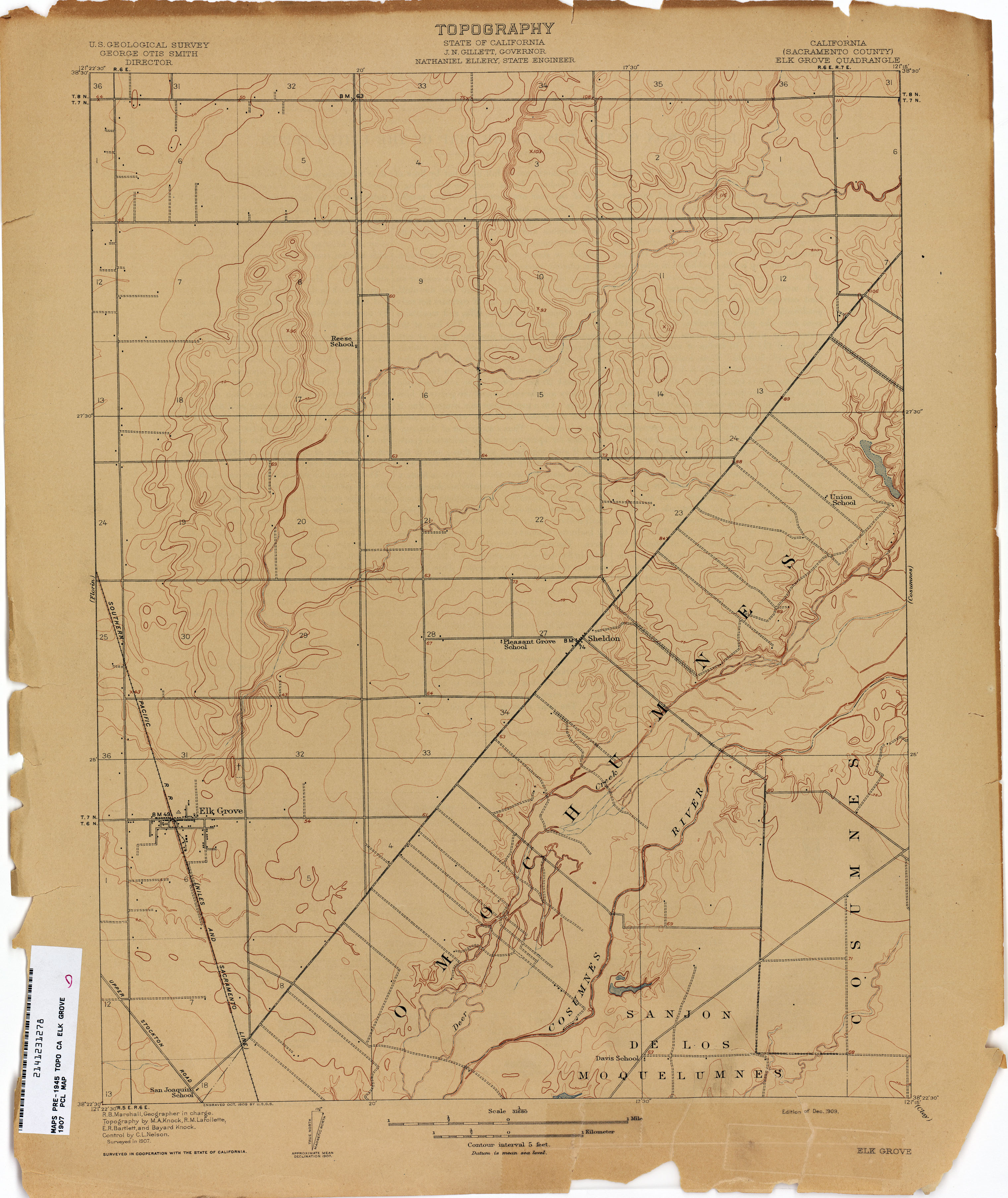
- Elk Grove (Sacramento County) 1907 1:31,680 (2.2MB)
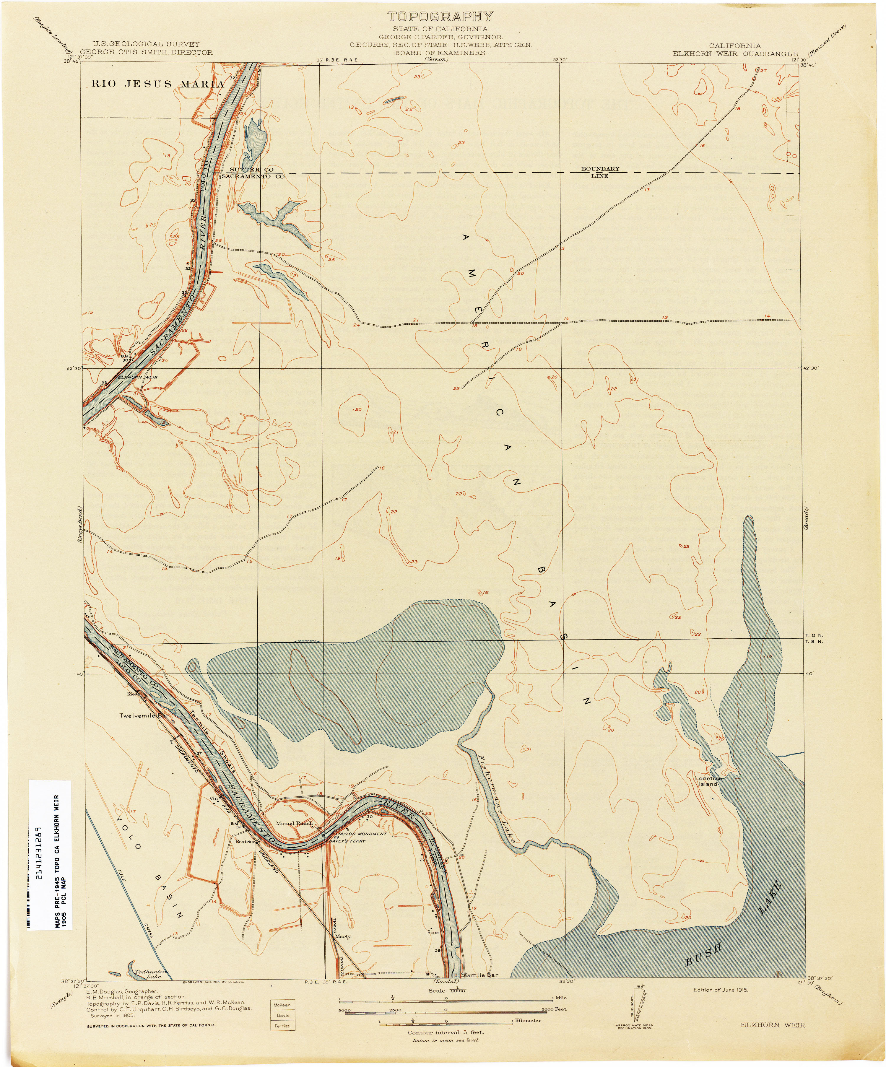
- Elkhorn Weir 1905 1:31,680 (2.2MB)
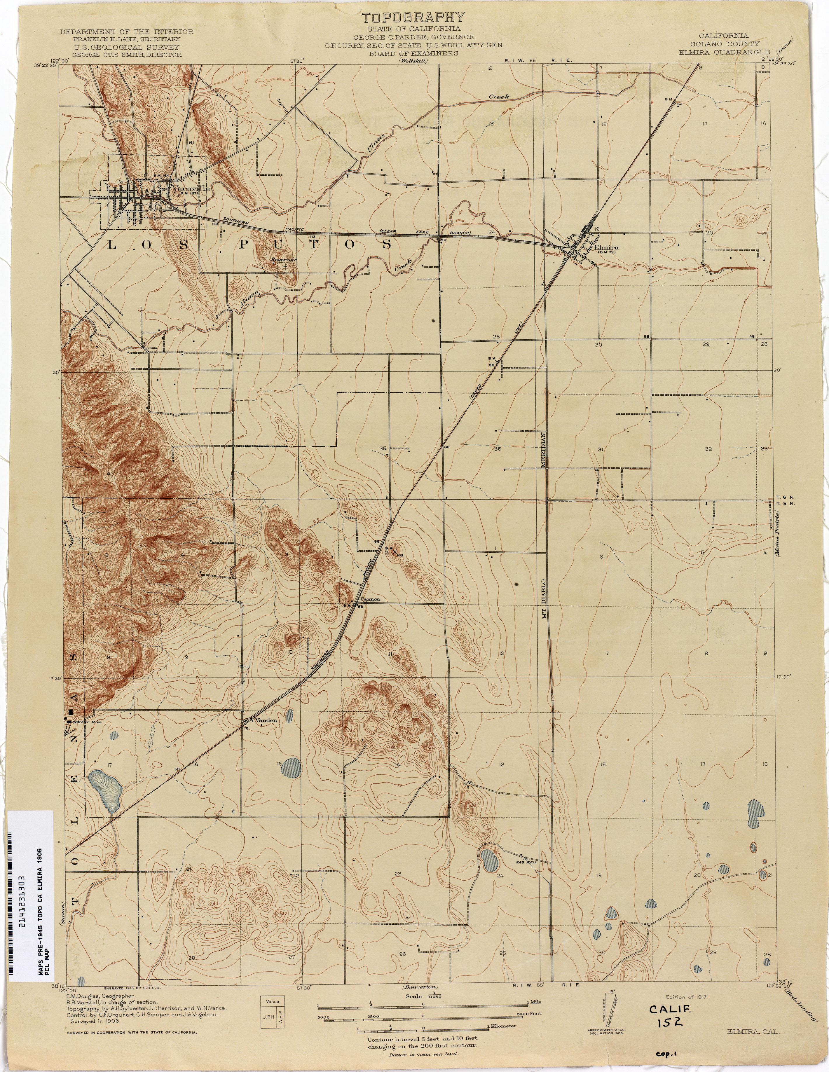
- Elmira (Solano County) 1906 1:31,680 (2.3MB)
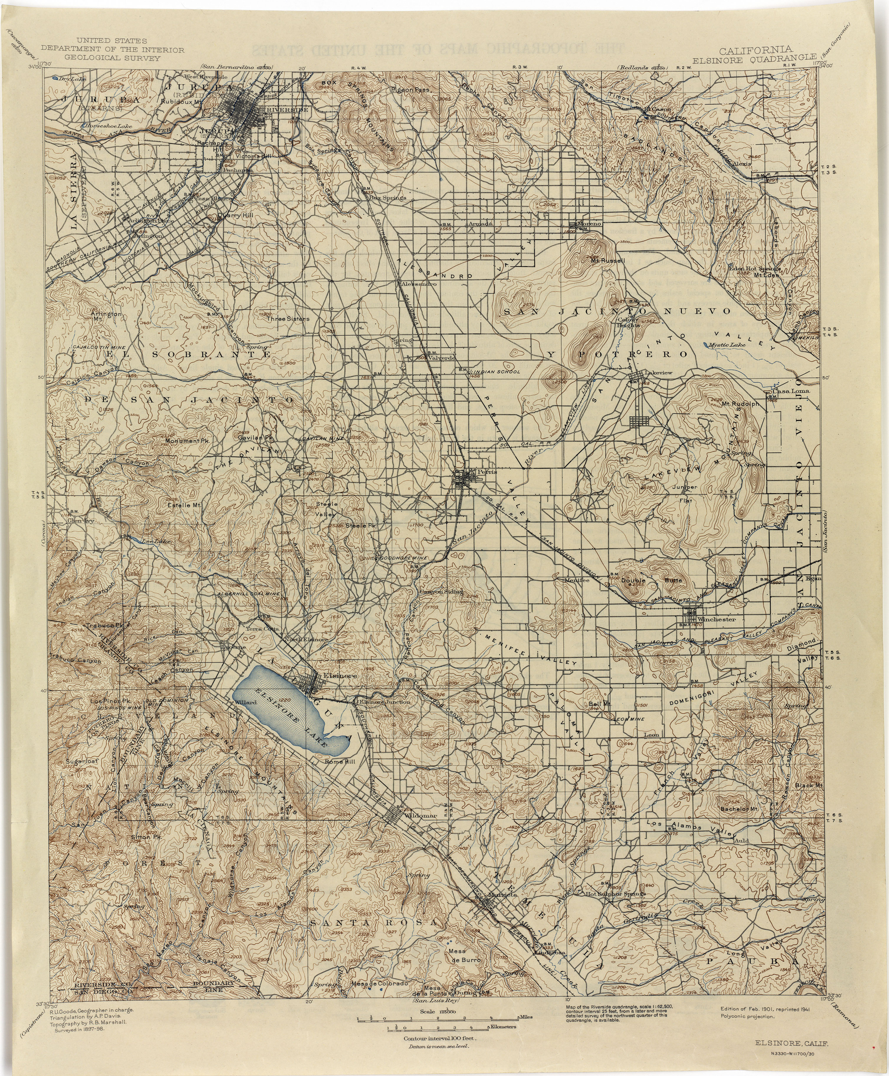
- Elsinore 1898 1:125,000 (3.7MB)
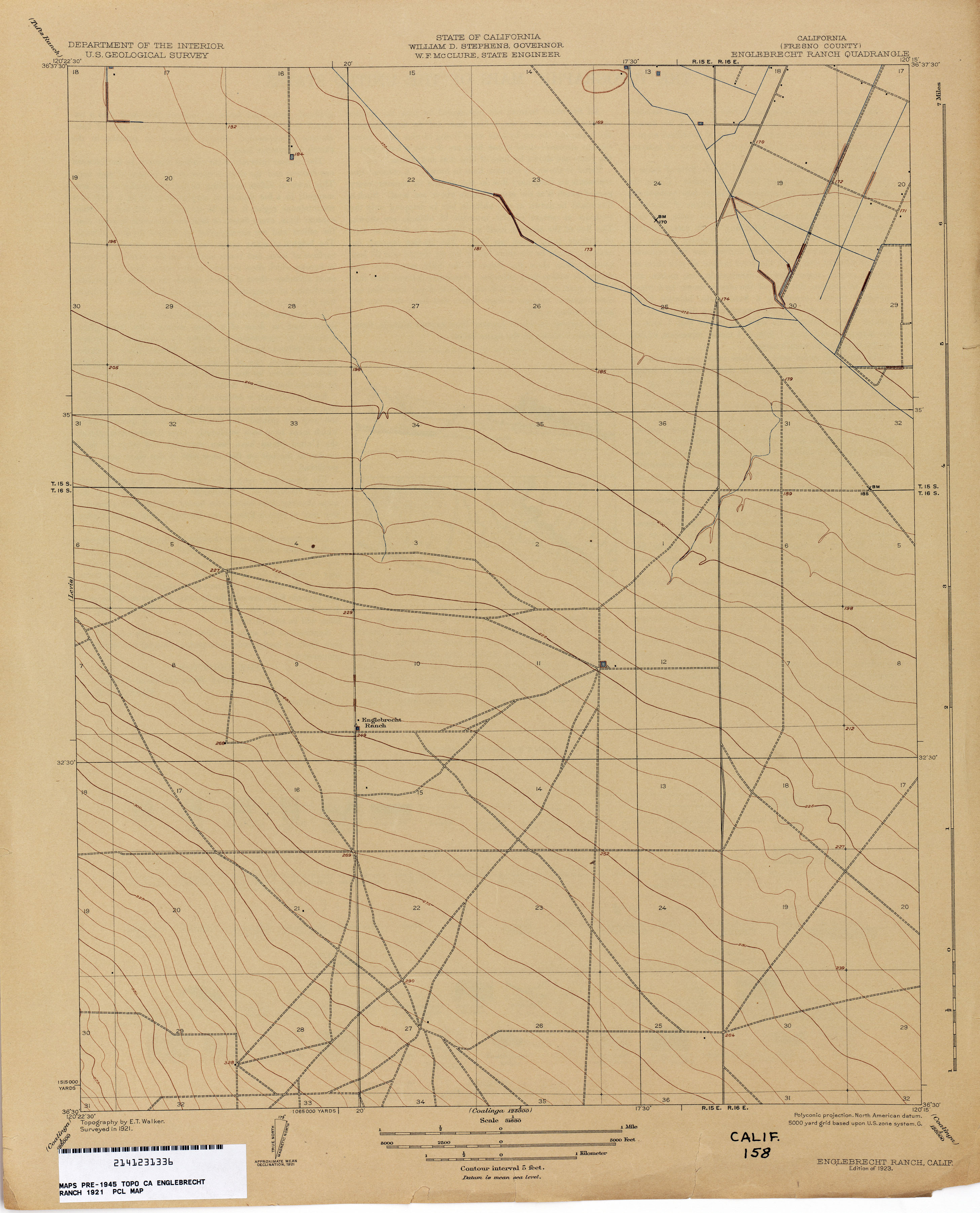
- Englebrecht Ranch (Fresno County) 1921 1:31,680 (1.8MB)
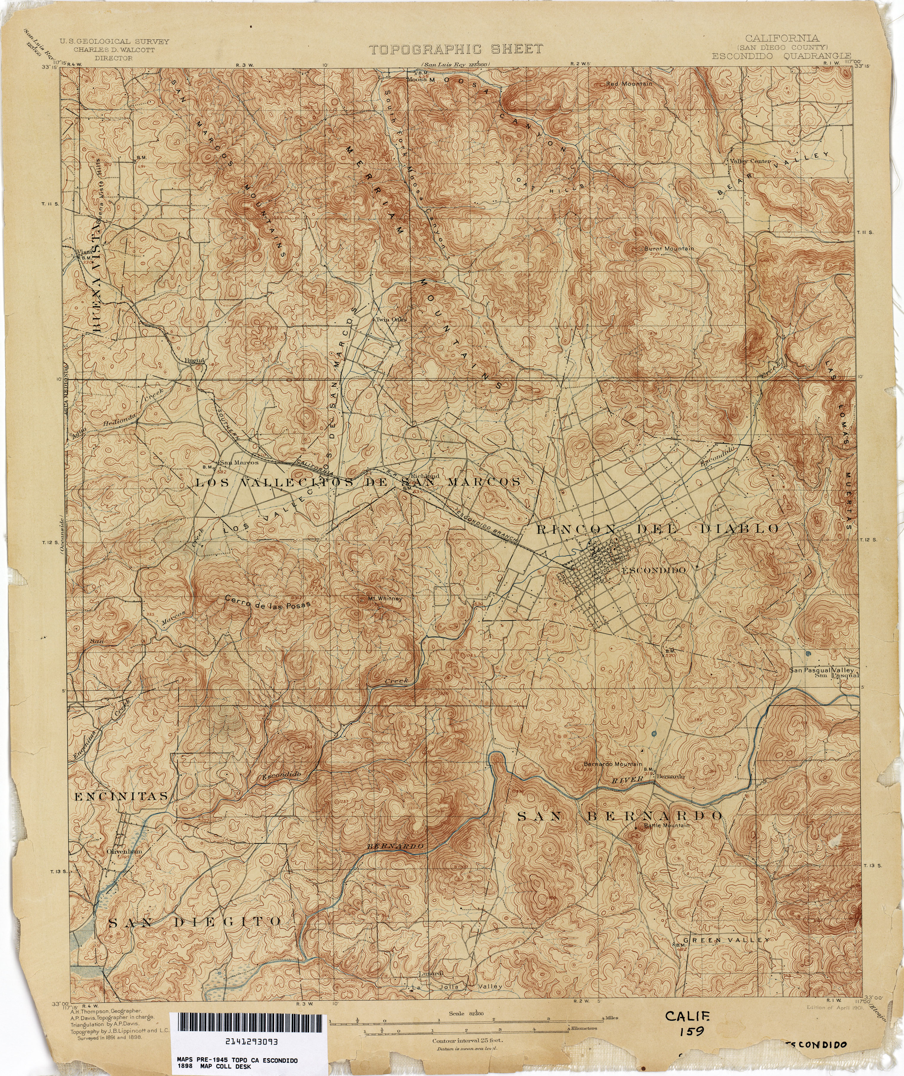
- Escondido (San Diego County) 1898 1:62,500 (4.3MB)
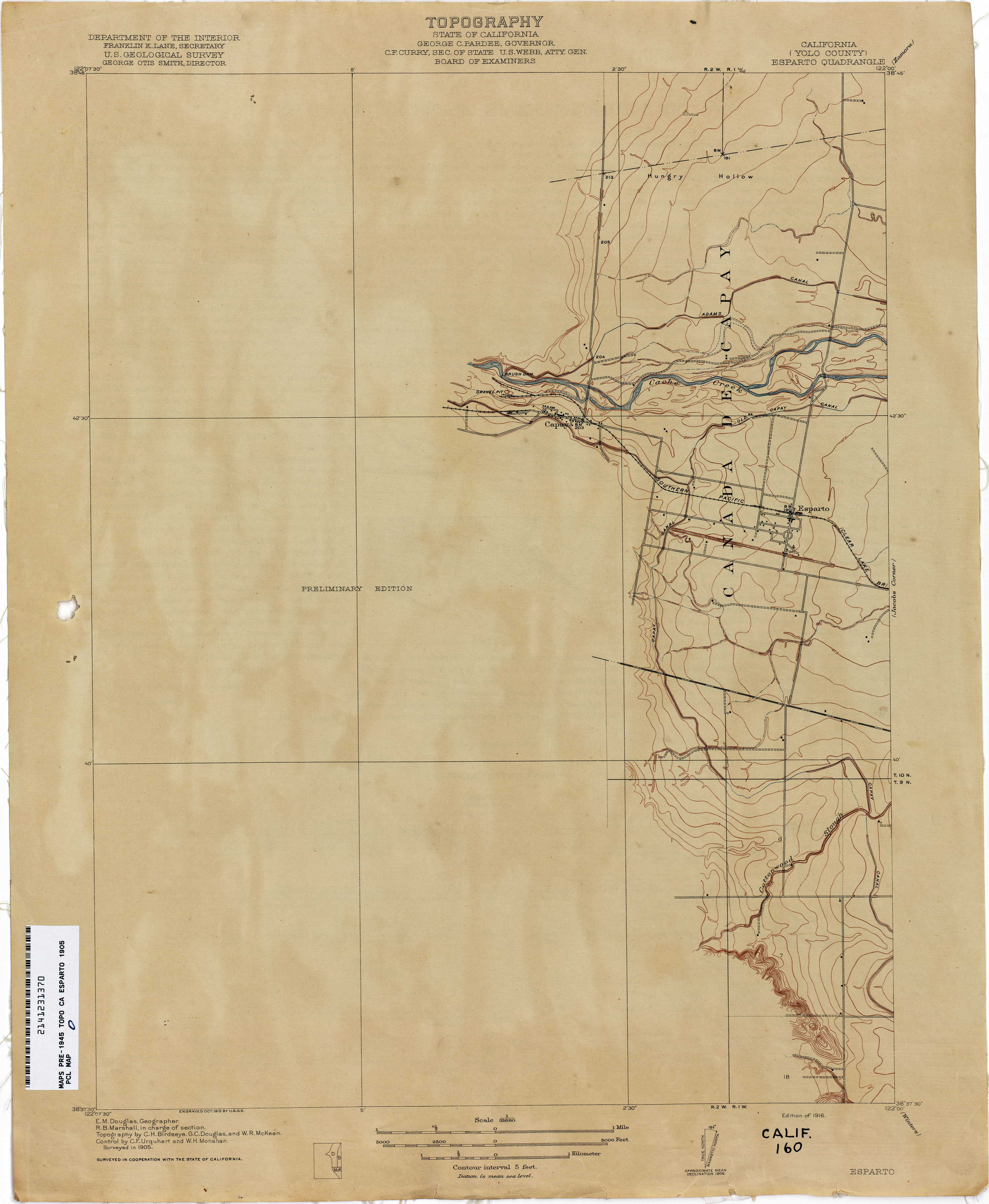
- Esparto (Yolo County) 1905 1:31,680 (1.5MB)
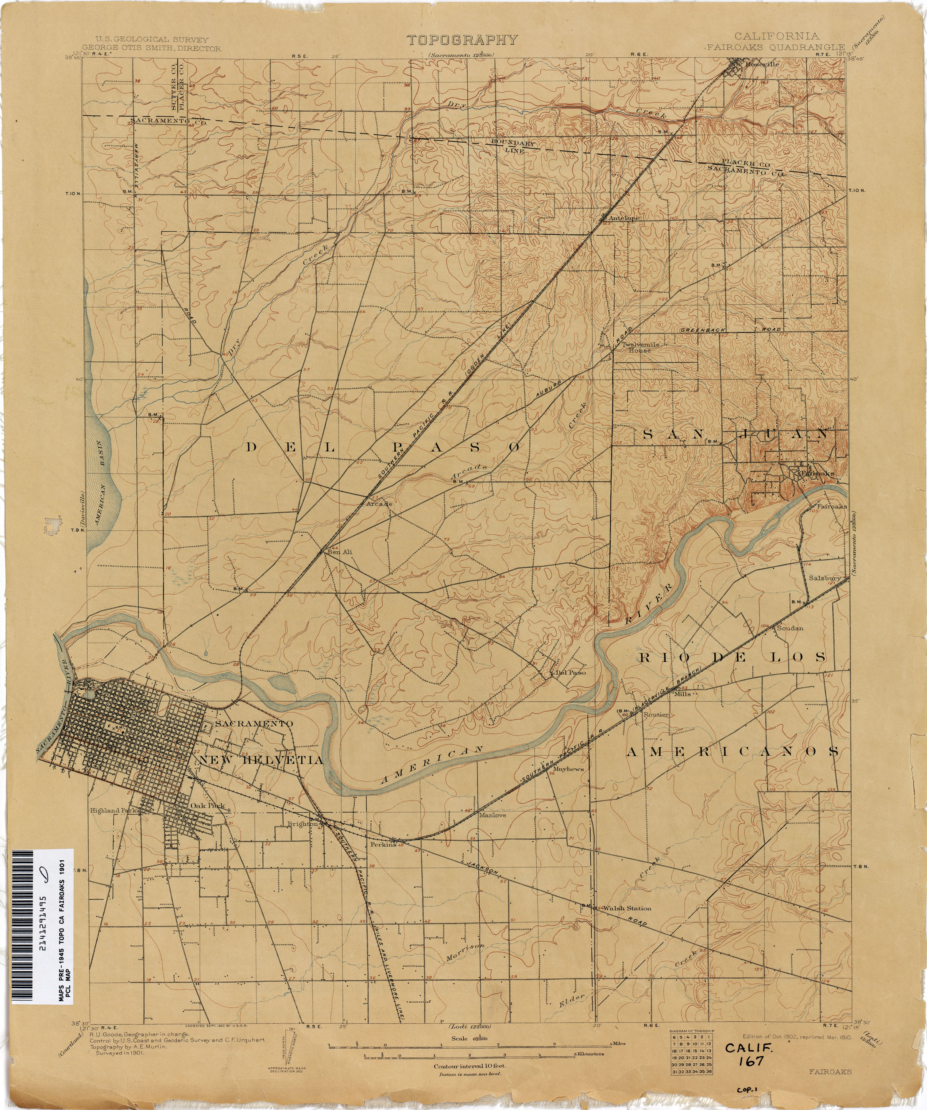
- Fairoaks 1901 1:62,500 (2.6MB)
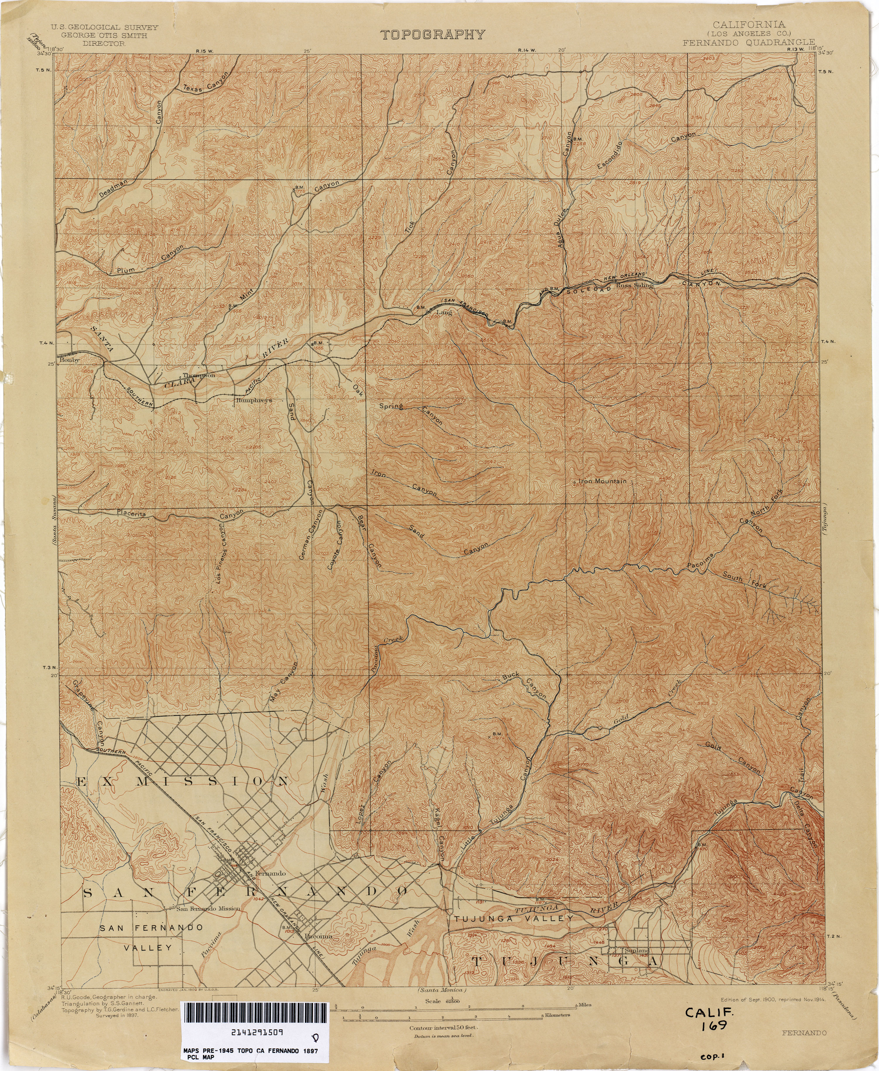
- Fernando (Los Angeles County) 1897 1:62,500 (4.2MB)
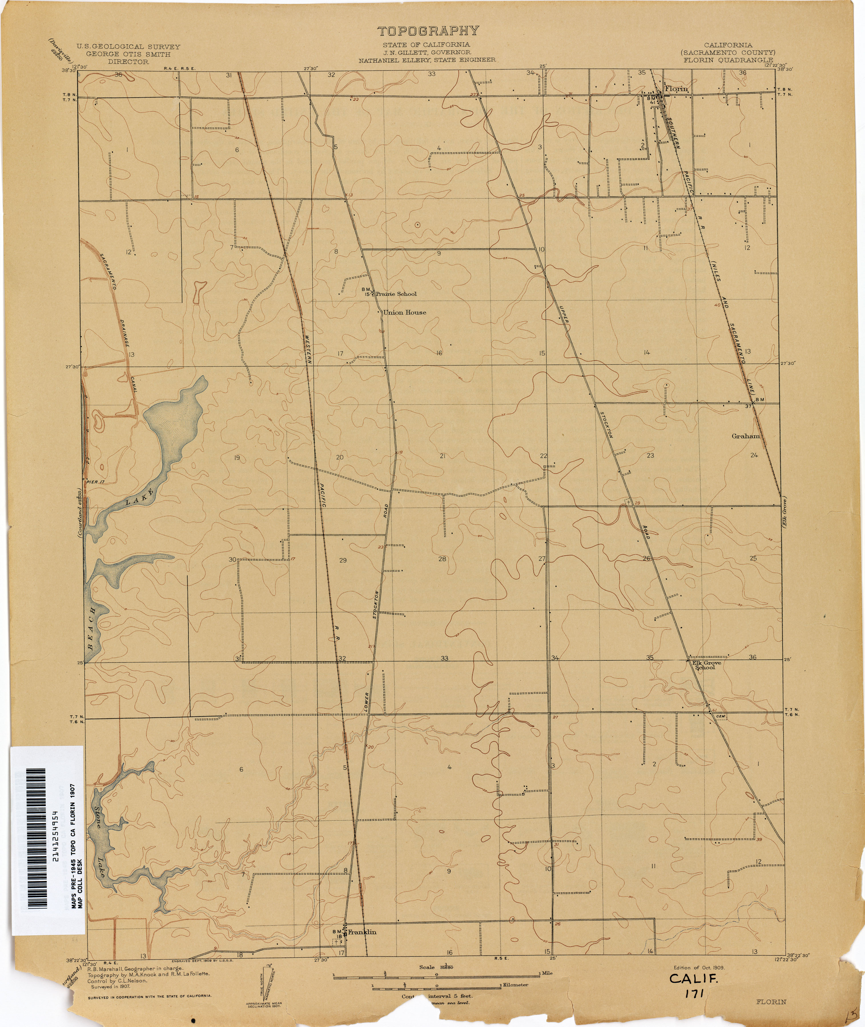
- Florin (Sacramento County) 1907 1:31,680 (1.7MB)
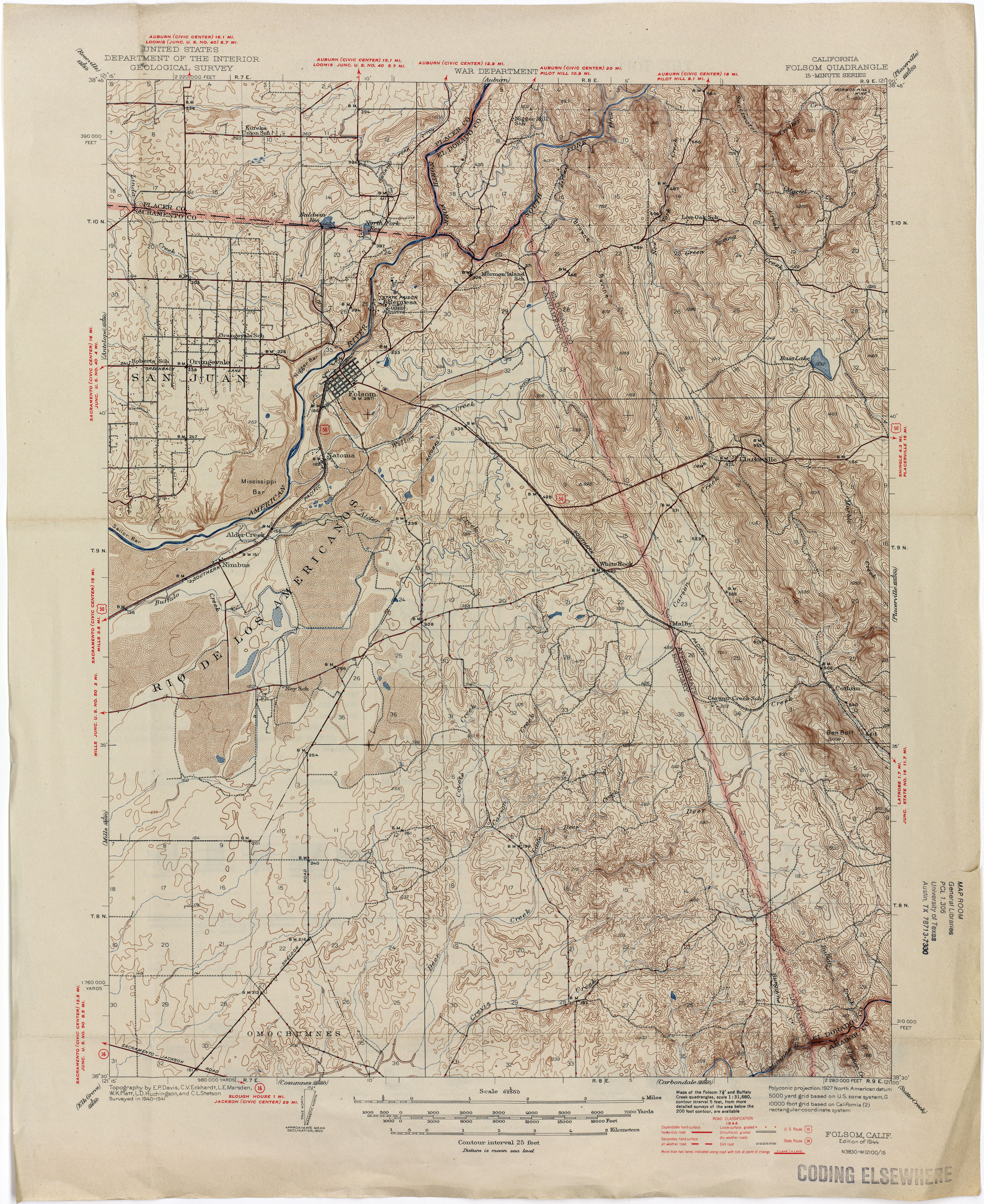
- Folsom 1944 1:62,500 (4.0MB)
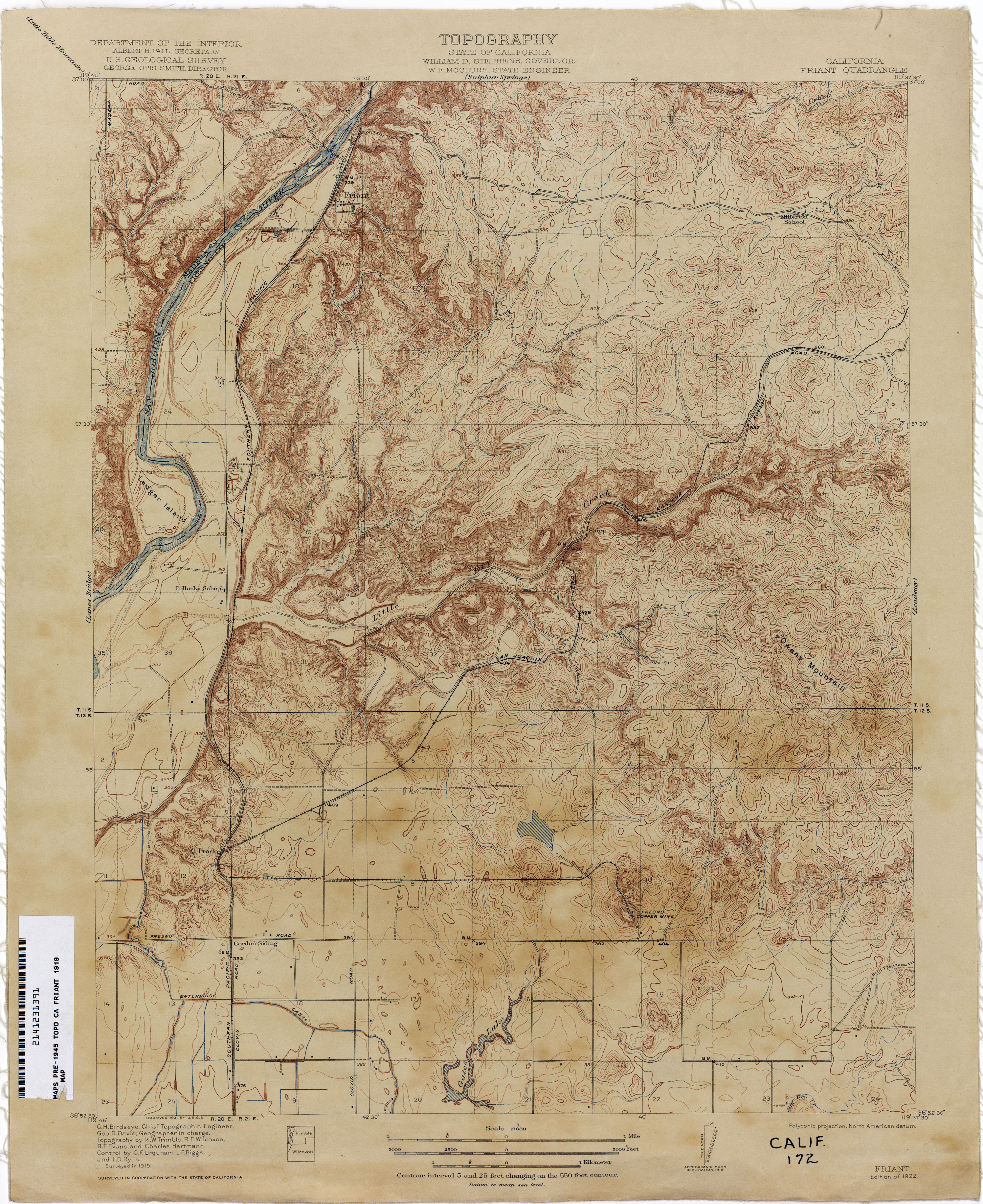
- Friant 1919 1:31,680 (3.3MB)
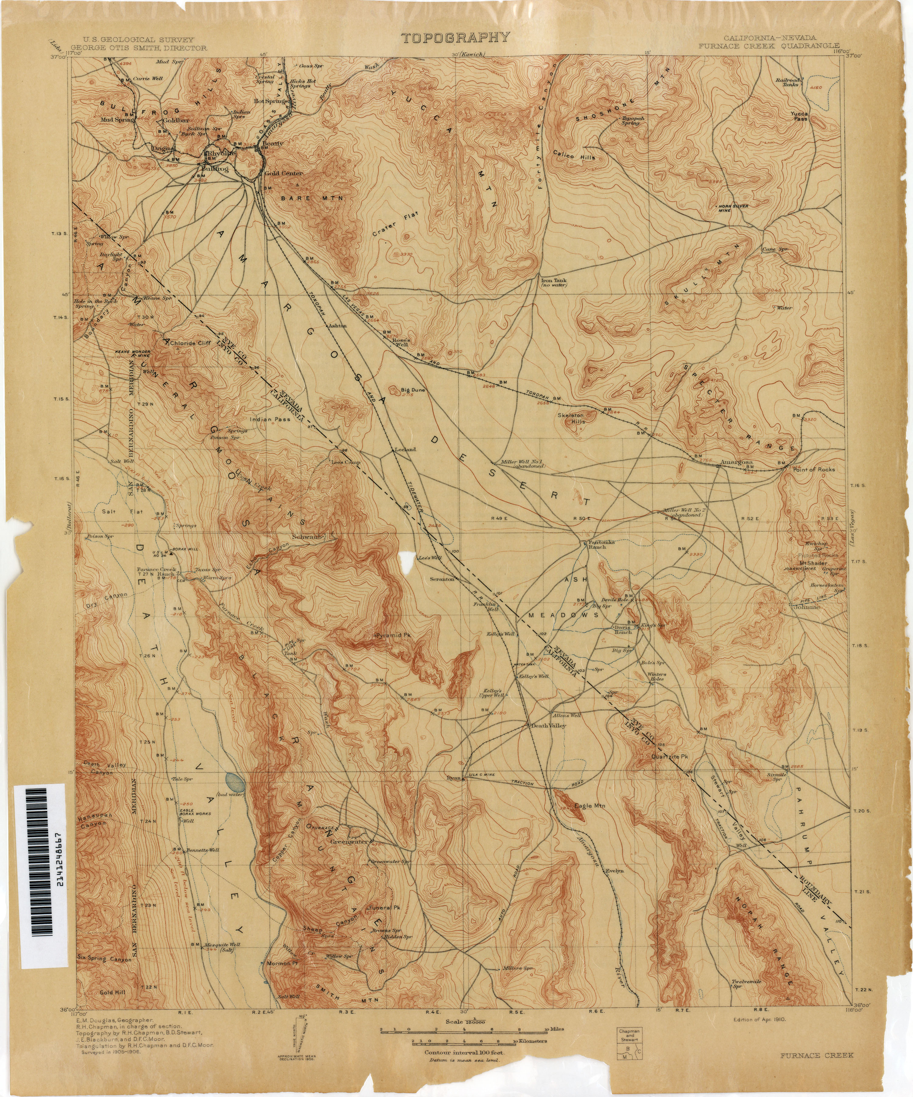
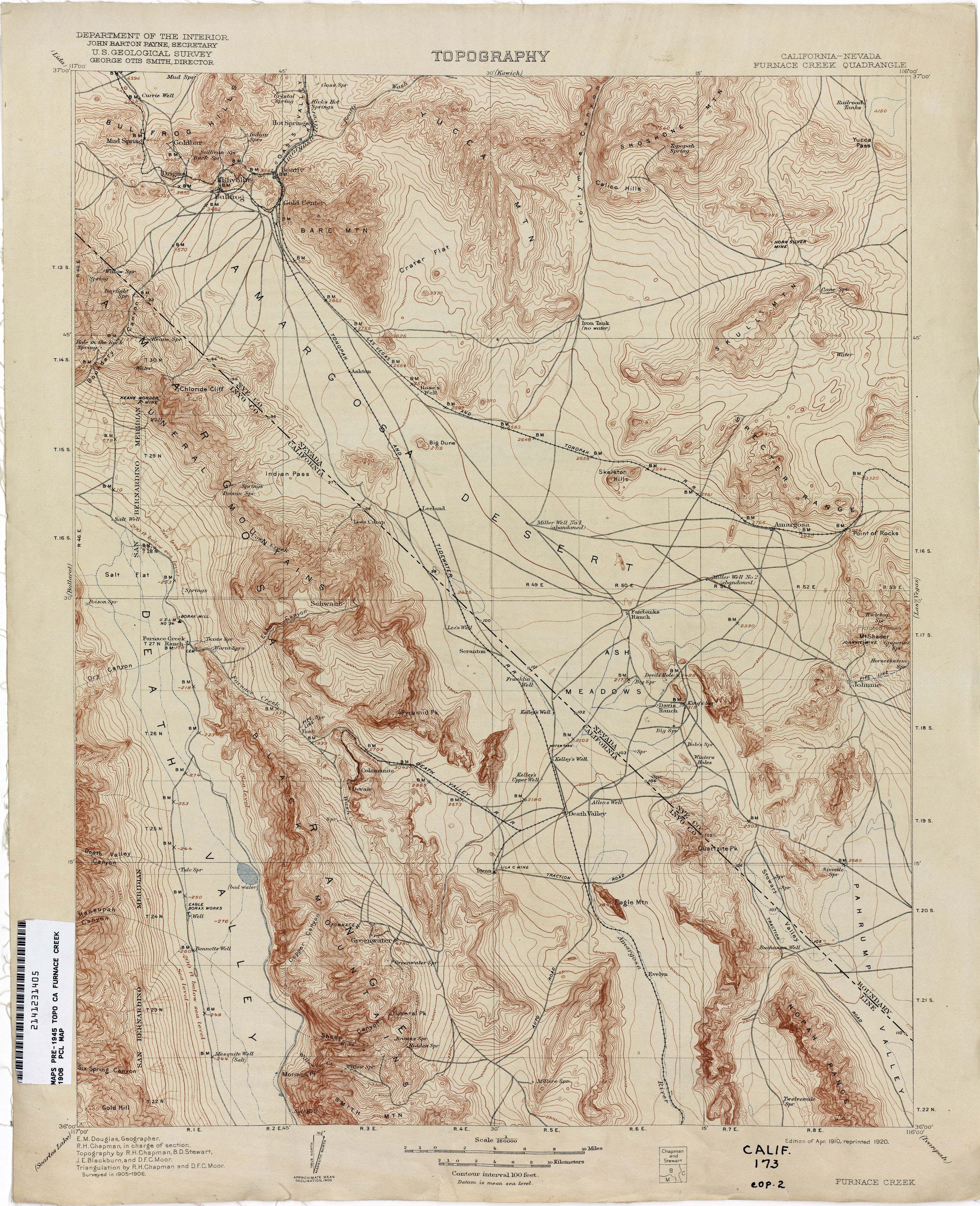
- Furnace Creek [California, Nevada] 1906 1:250,000 (2.7MB)
- Furnace Creek [California, Nevada] 1906 1:250,000 (3.5MB)
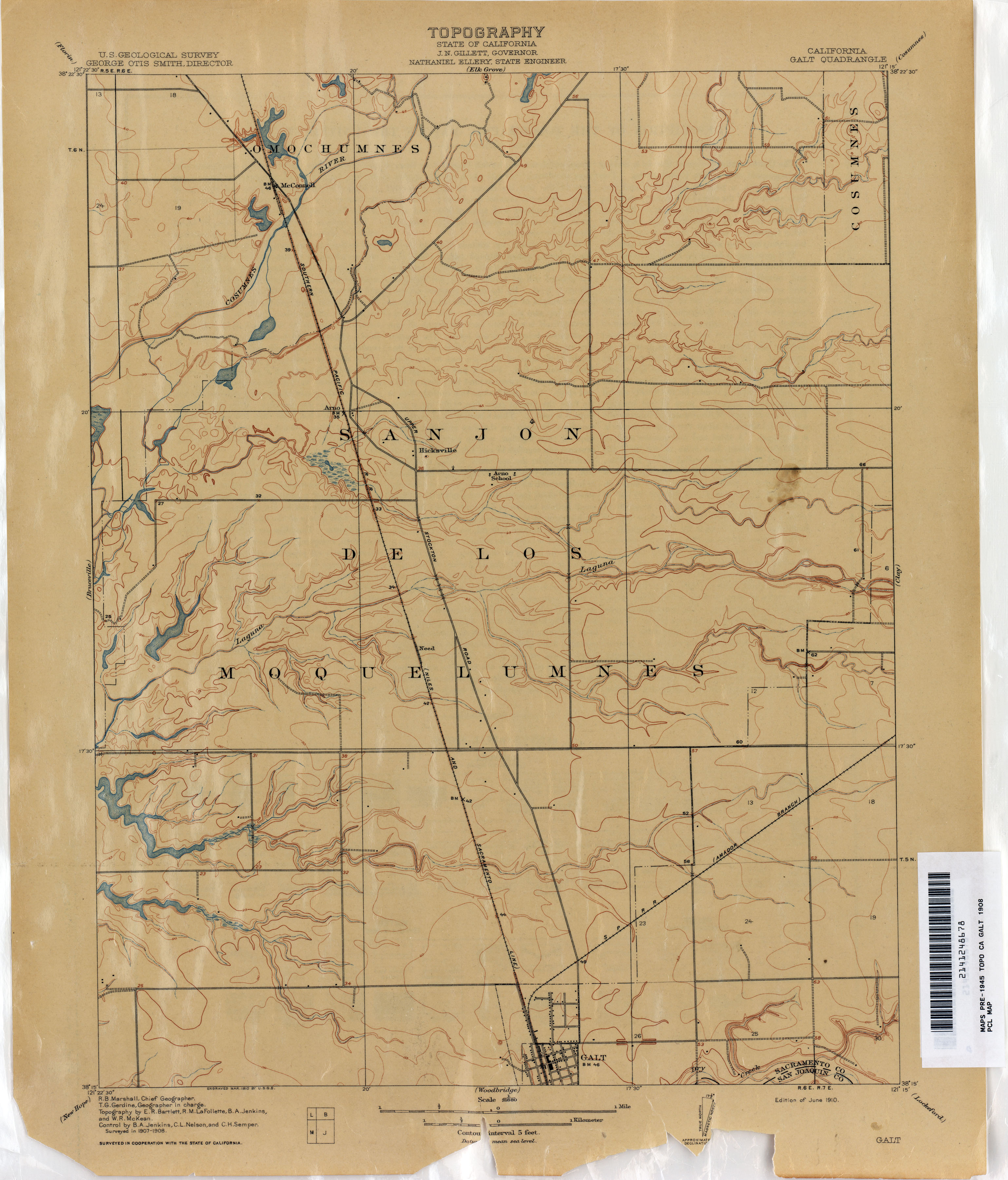
- Galt 1908 1:31,680 (2.0MB)
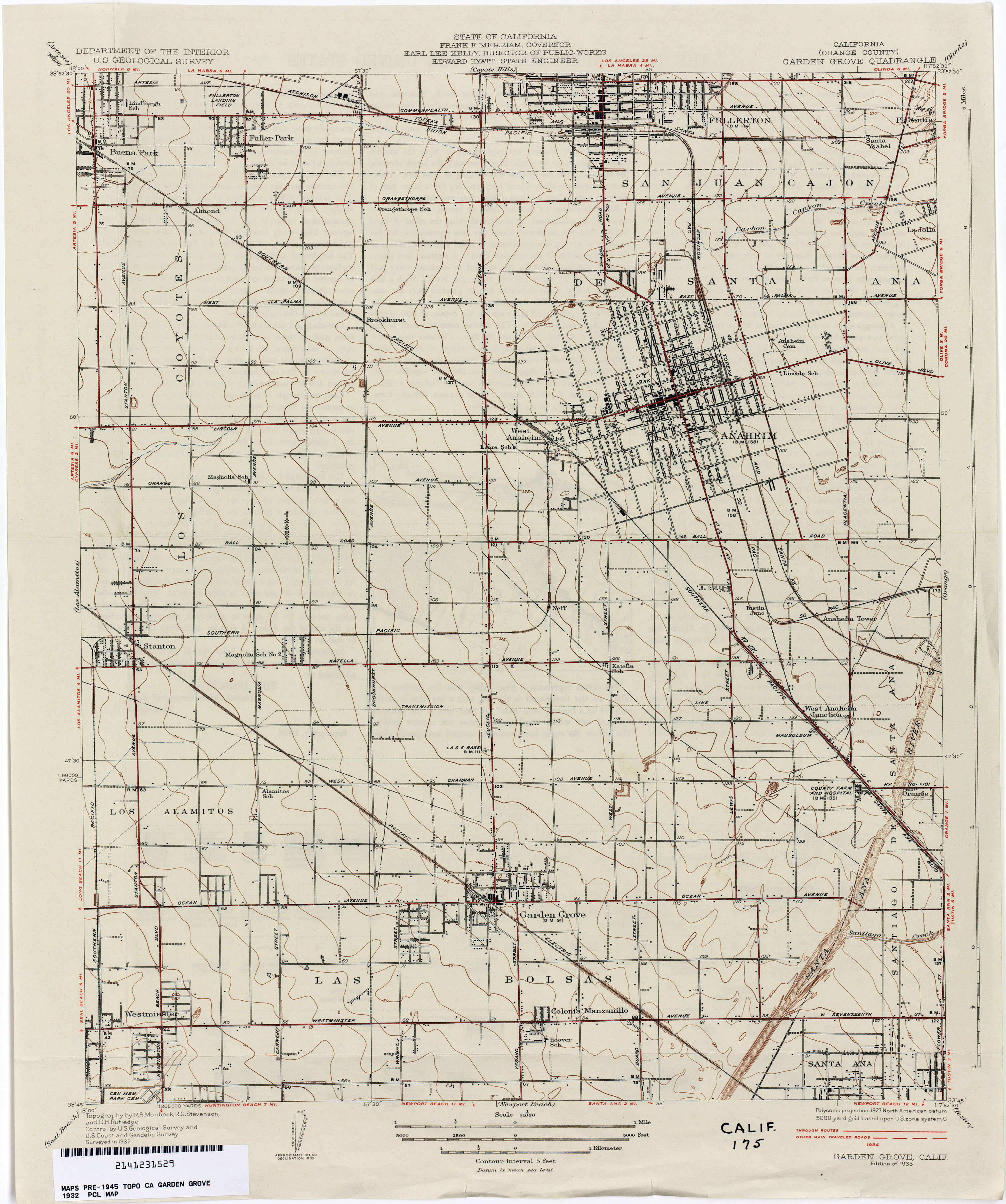
- Garden Grove (Orange County) 1932 1:31,680 (2.4MB)
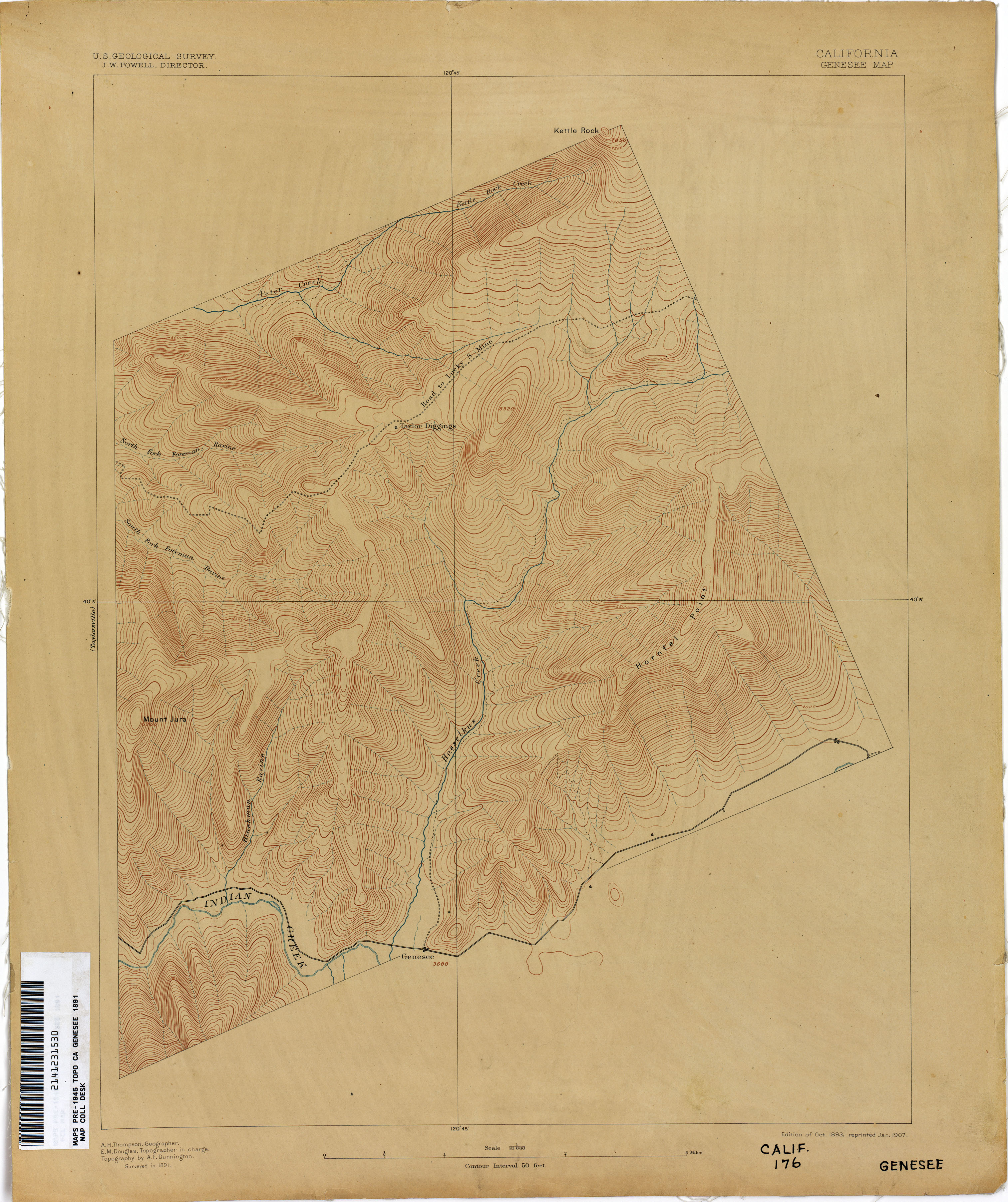
- Genesee 1891 1:31,680 (2.4MB)
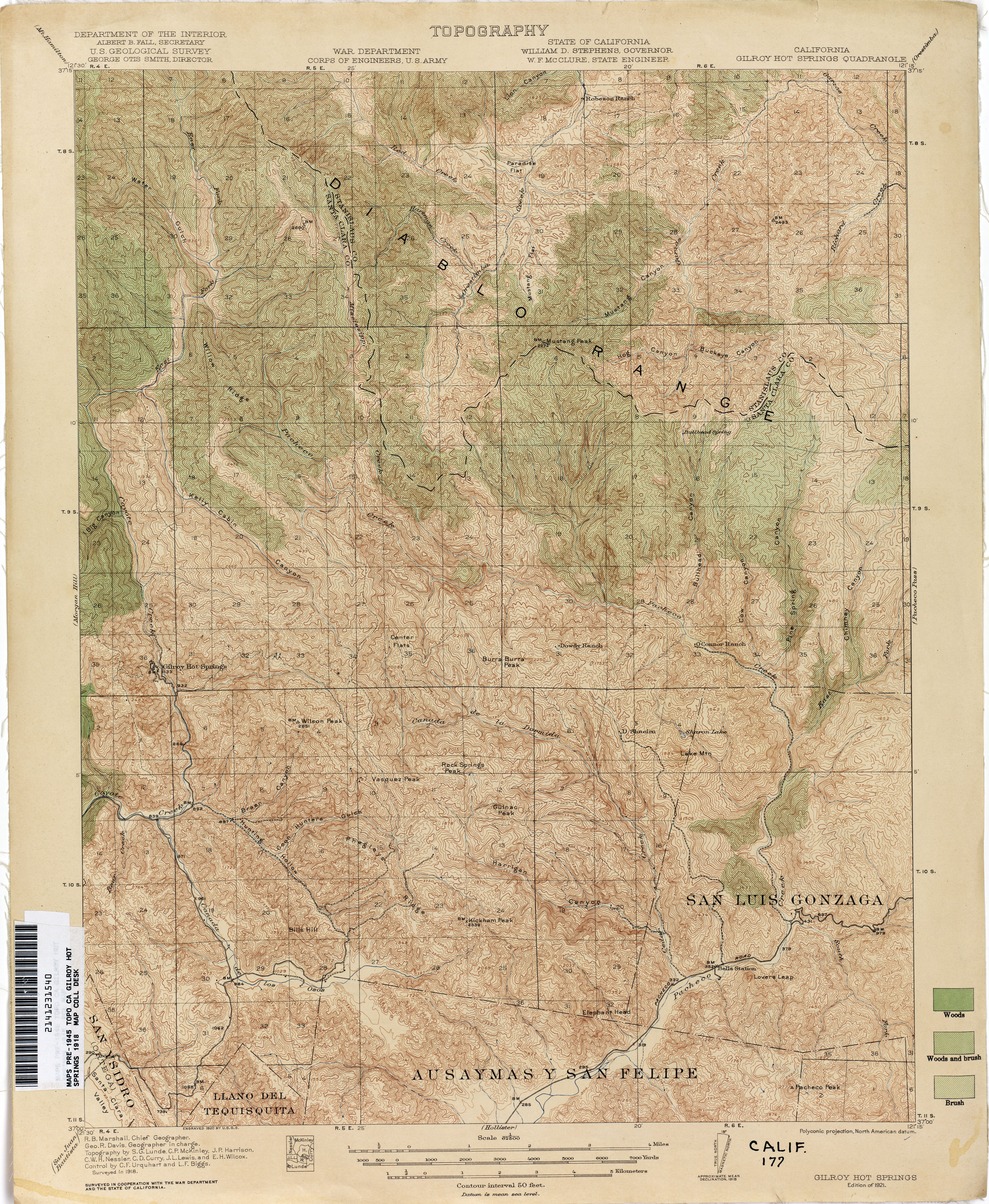
- Gilroy Hot Springs 1918 1:62,500 (4.7MB)
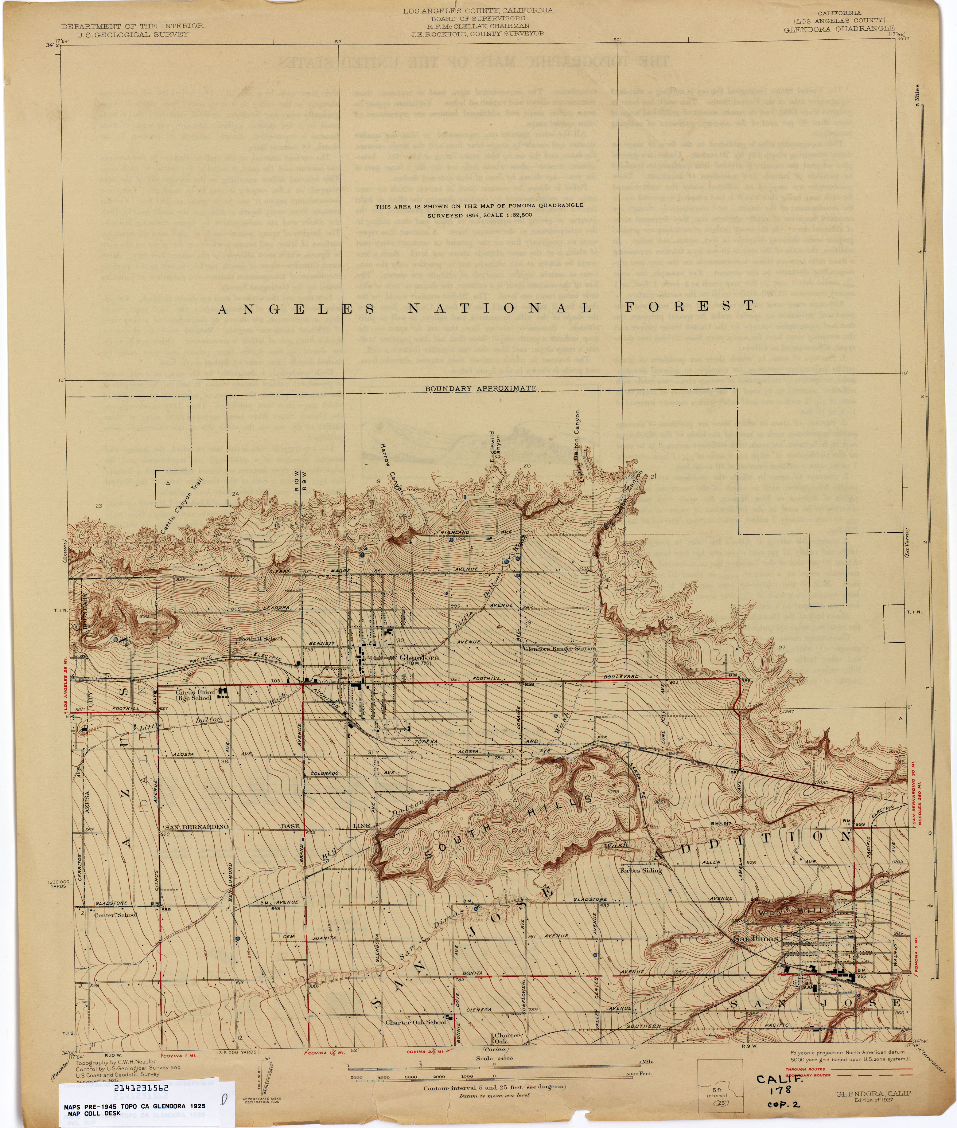
- Glendora (Los Angeles County) 1925 1:24,000 (2.4MB)
- Glendora (Los Angeles County) 1935 1:24,000 (4.7MB)
- Glendora (Los Angeles County) 1947 1:24,000 (4.9MB)
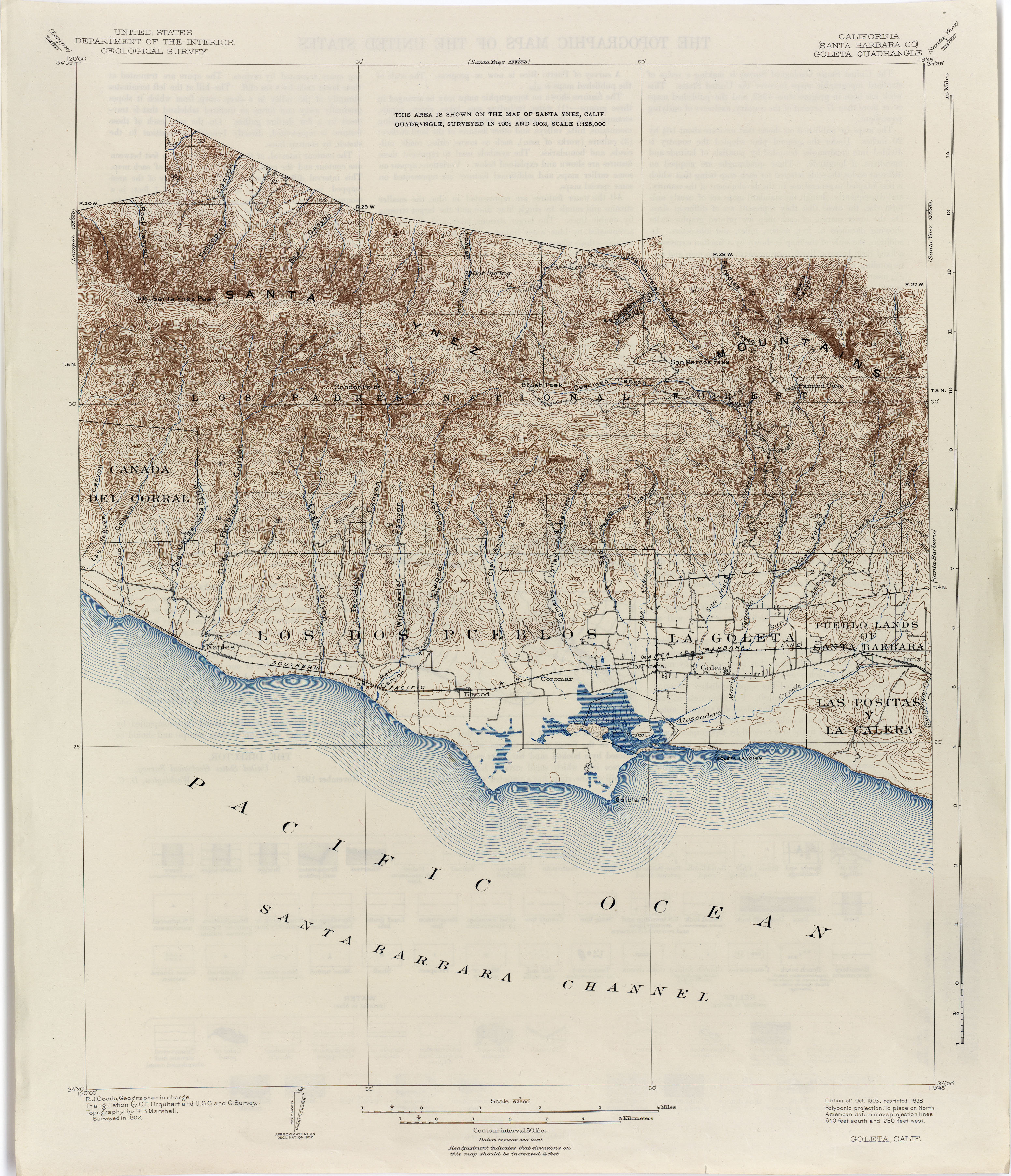
- Goleta (Santa Barbara County) 1902 1:62,500 (3.1MB)
- Gonzales 1917 1:62,500 (4.5MB)
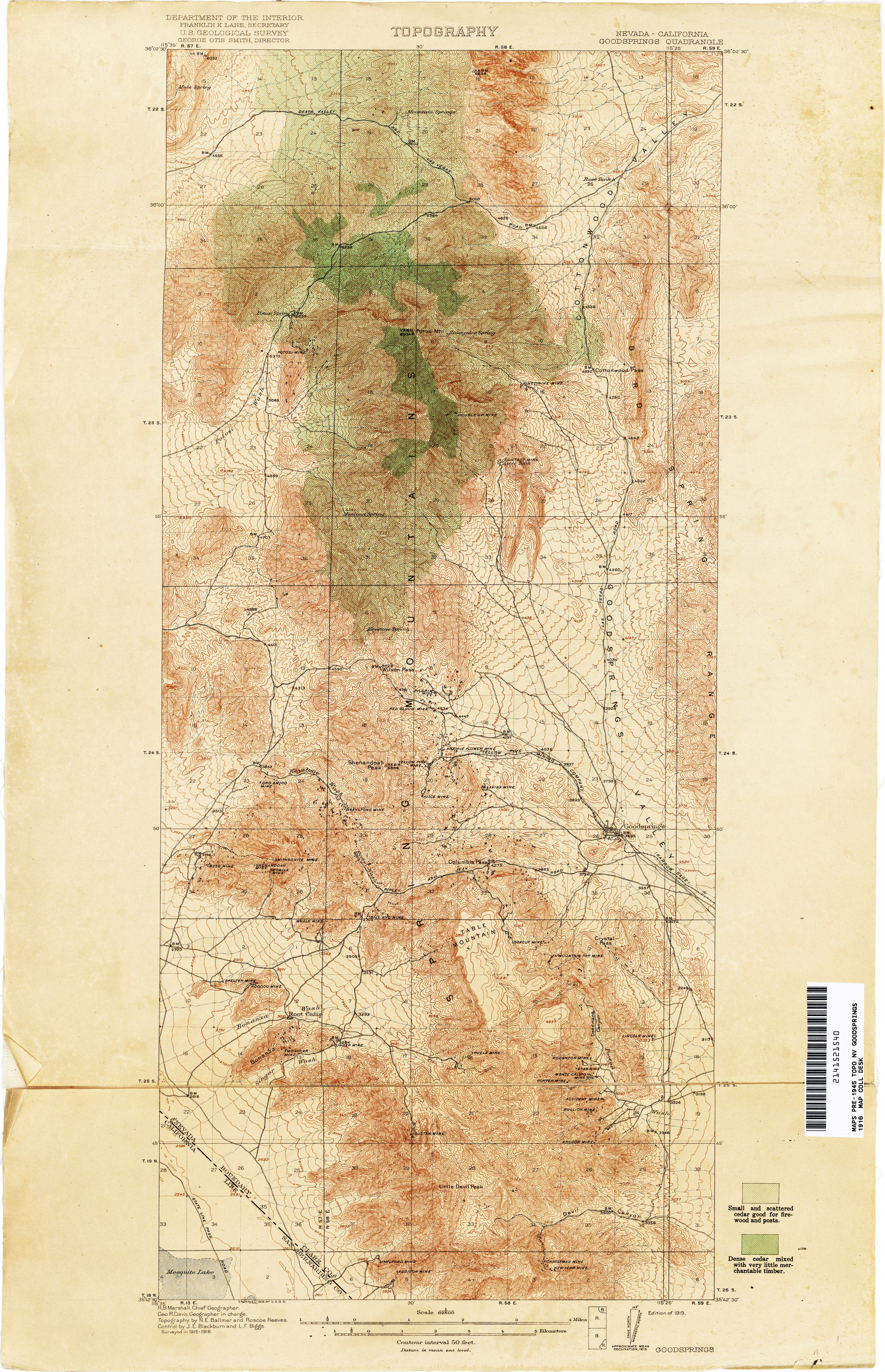
- Goodsprings [Nevada, California] 1916 1:62,500 (5.0MB)
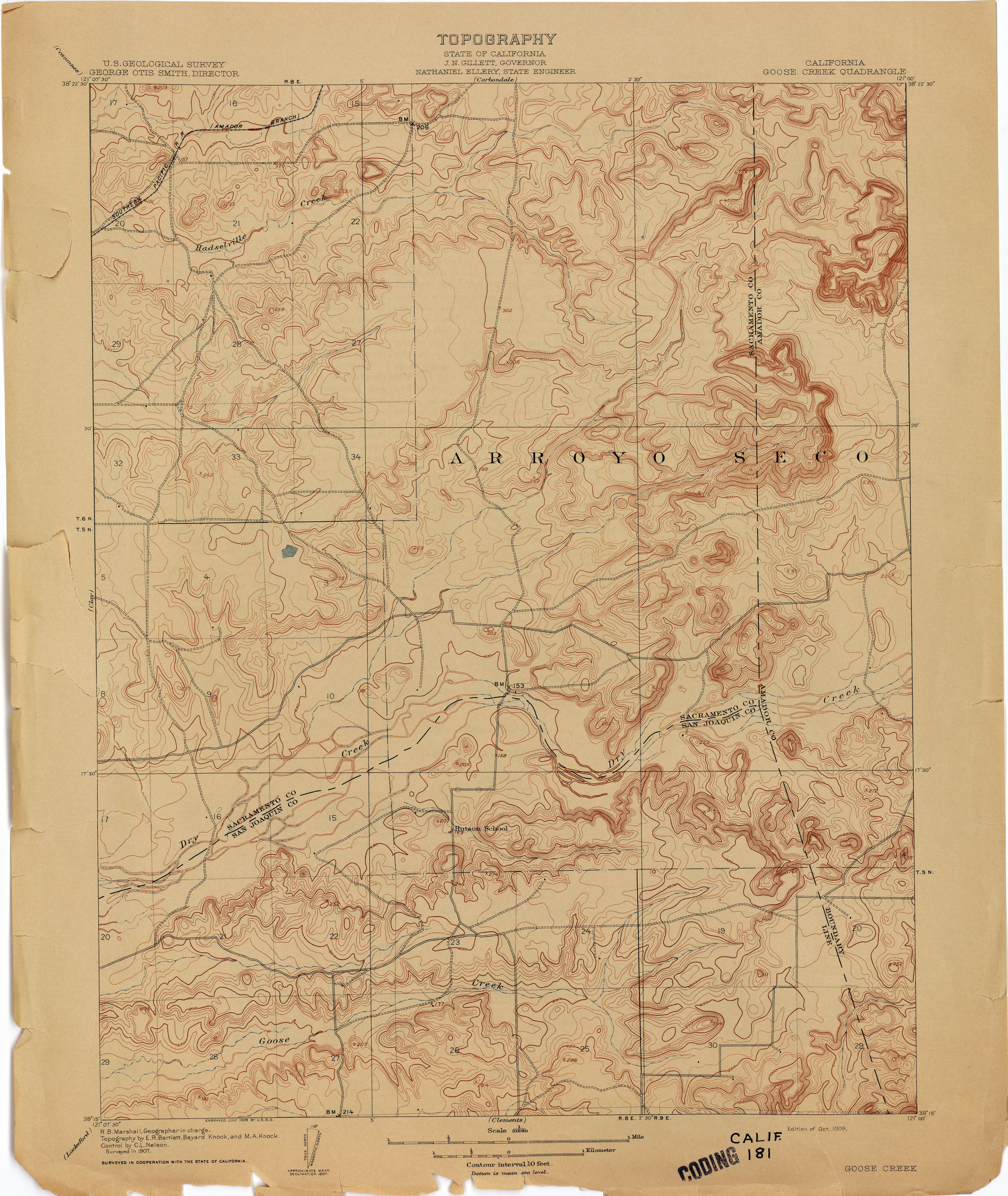
- Goose Creek 1907 1:31,680 (2.9MB)
- Goshen 1924 1:31,680 (1.7MB)
- Grass Valley (Nevada County) 1:14,400 (2.8MB)
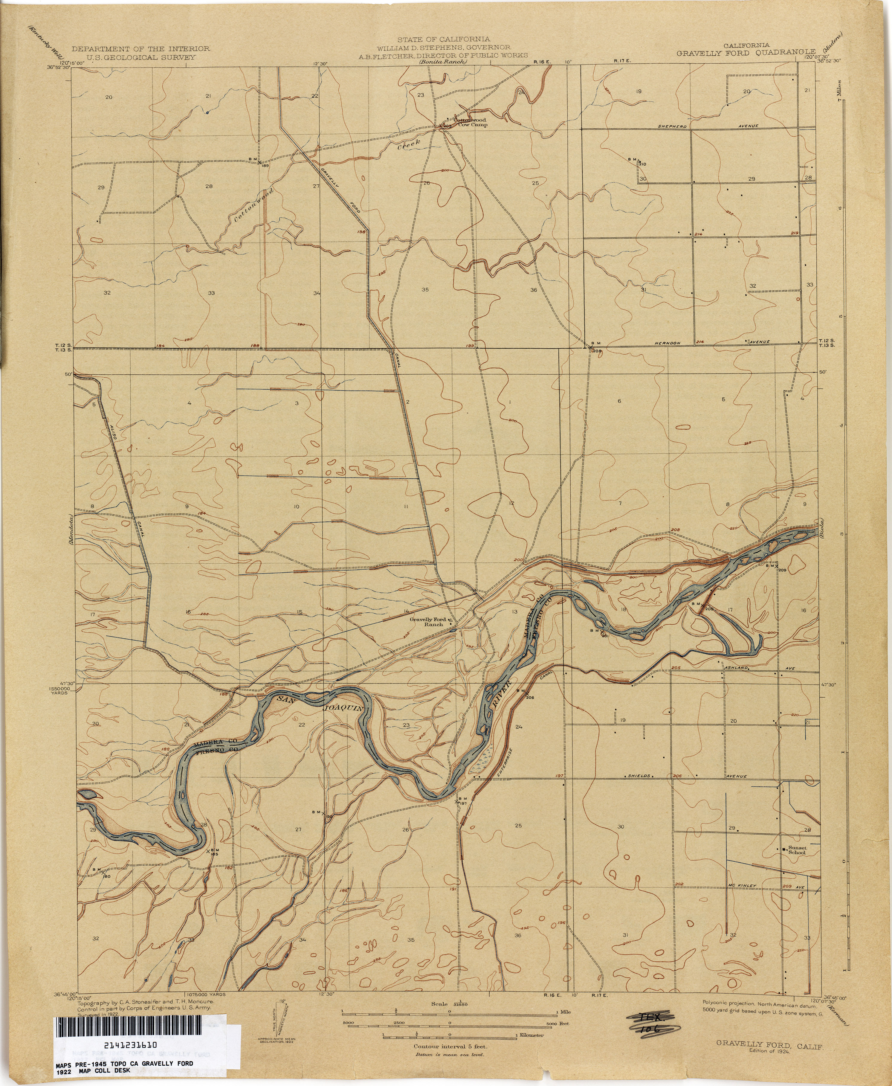
- Gravelly Ford 1922 1:31,680 (2.3MB)
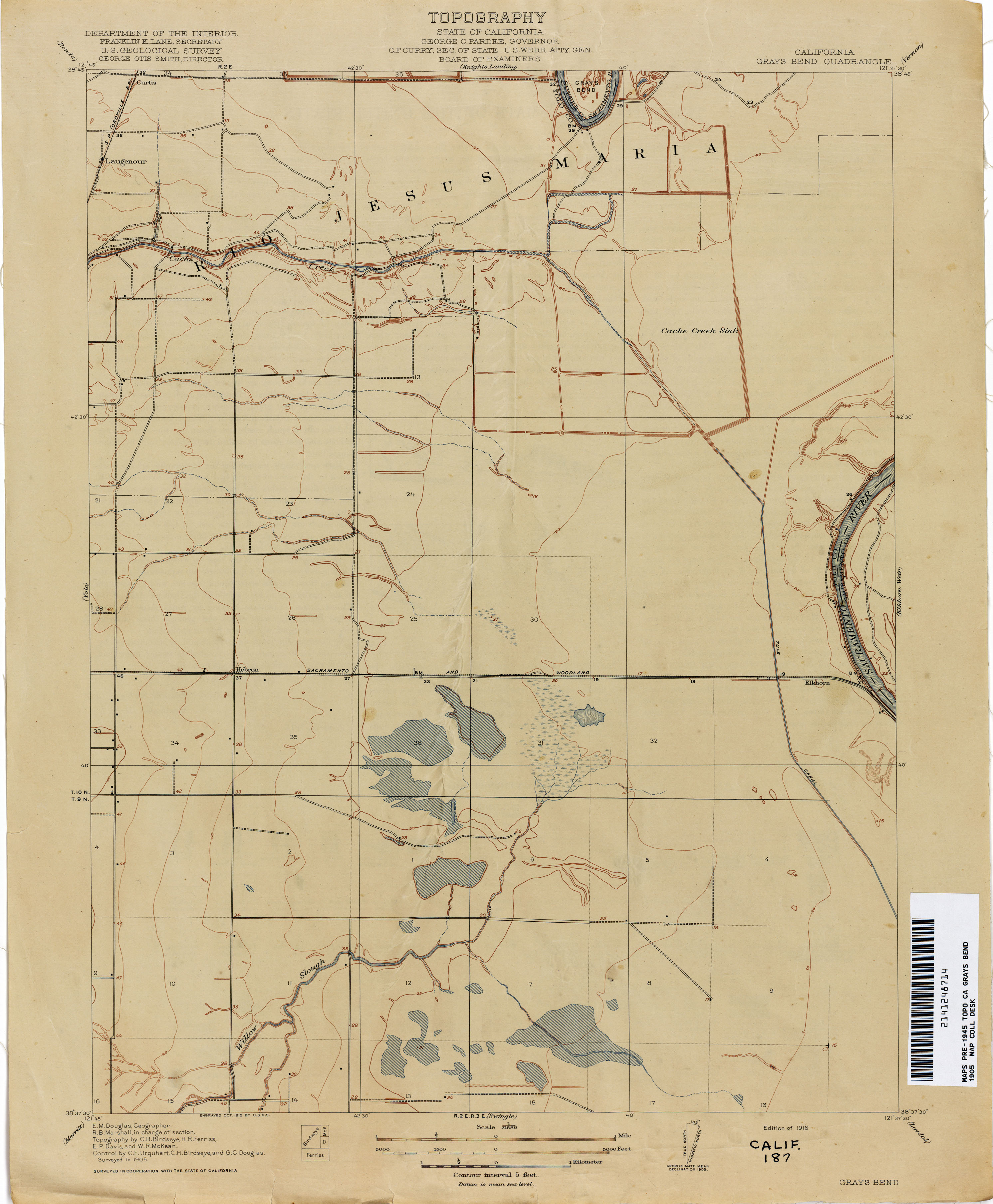
- Grays Bend 1905 1:31,680 (1.7MB)
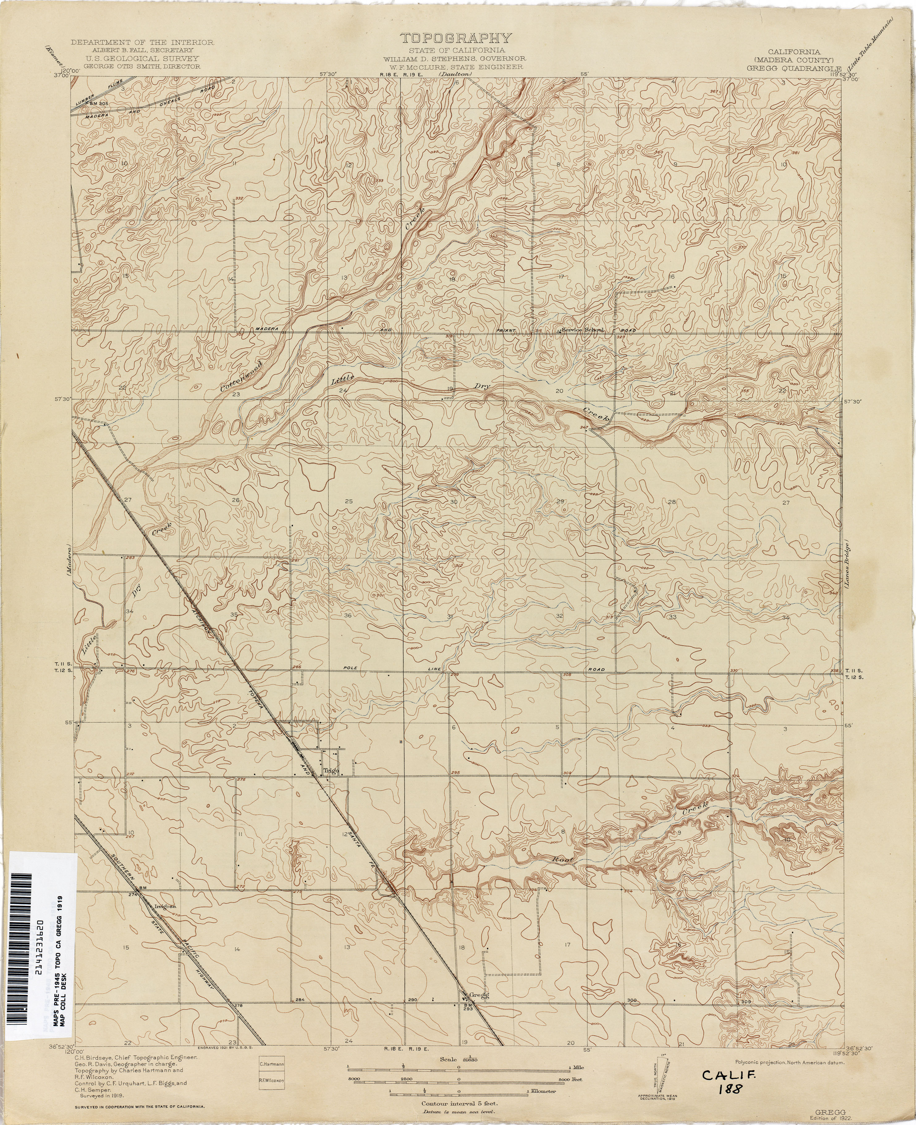
- Gregg (Madera County) 1919 1:31,680 (2.8MB)
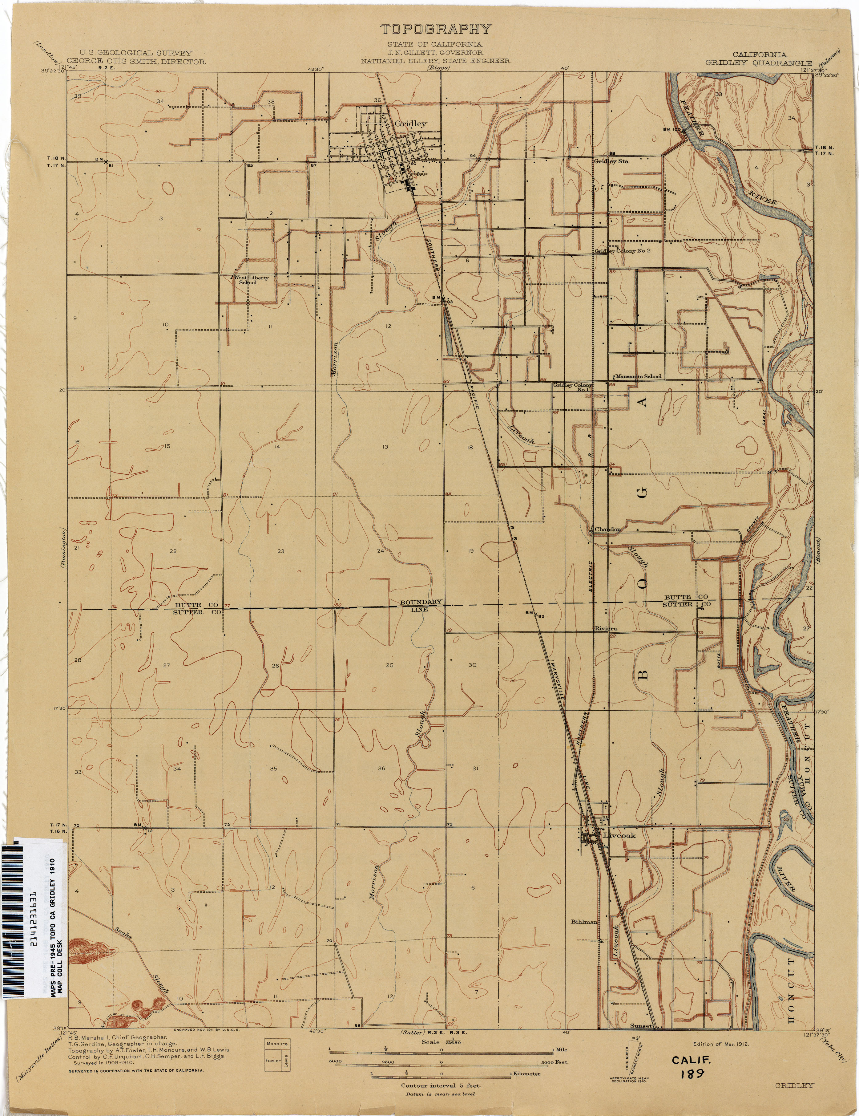
- Gridley 1910 1:31,680 (1.9MB)
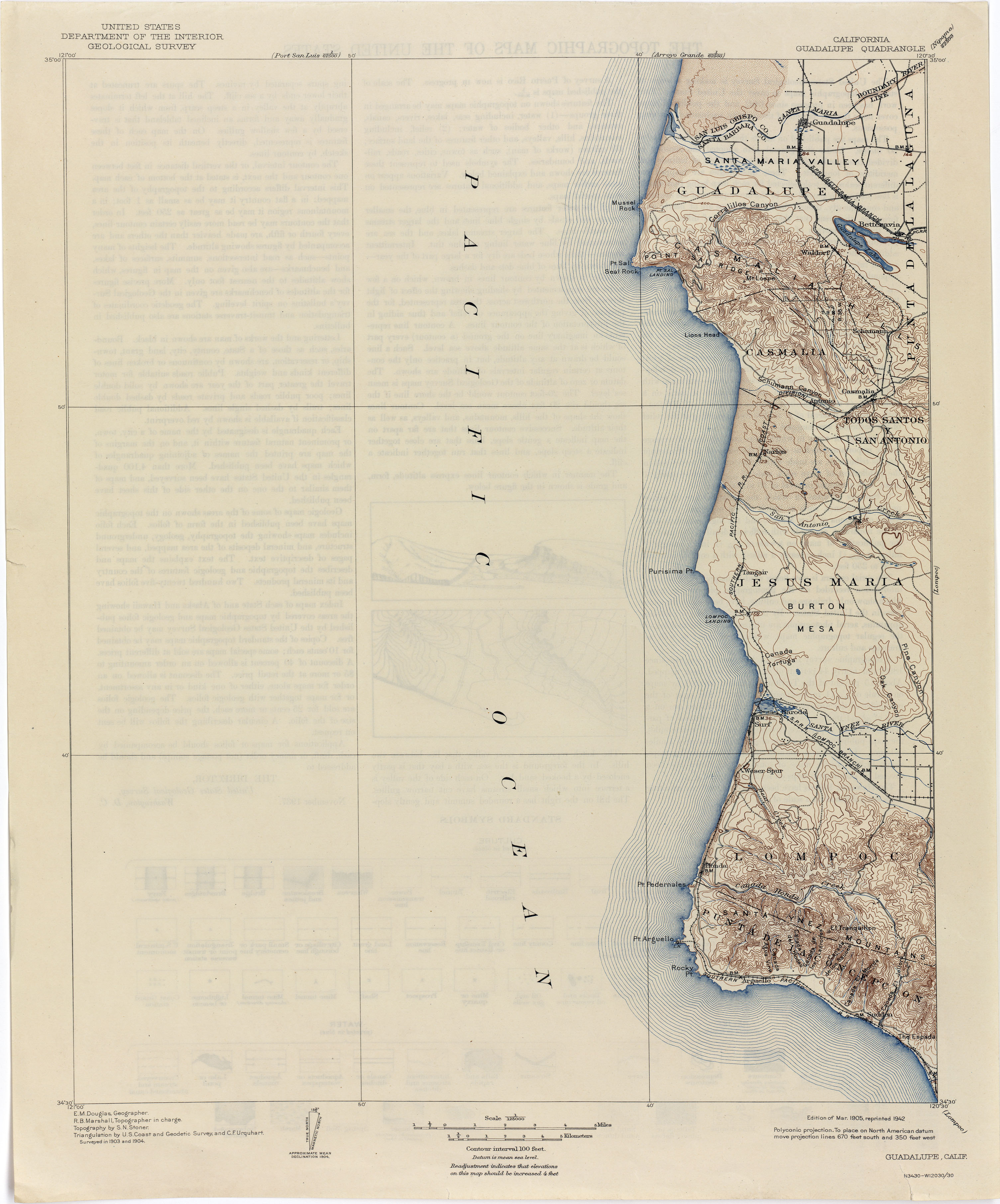
- Guadalupe 1904 1:125,000 (2.0MB)
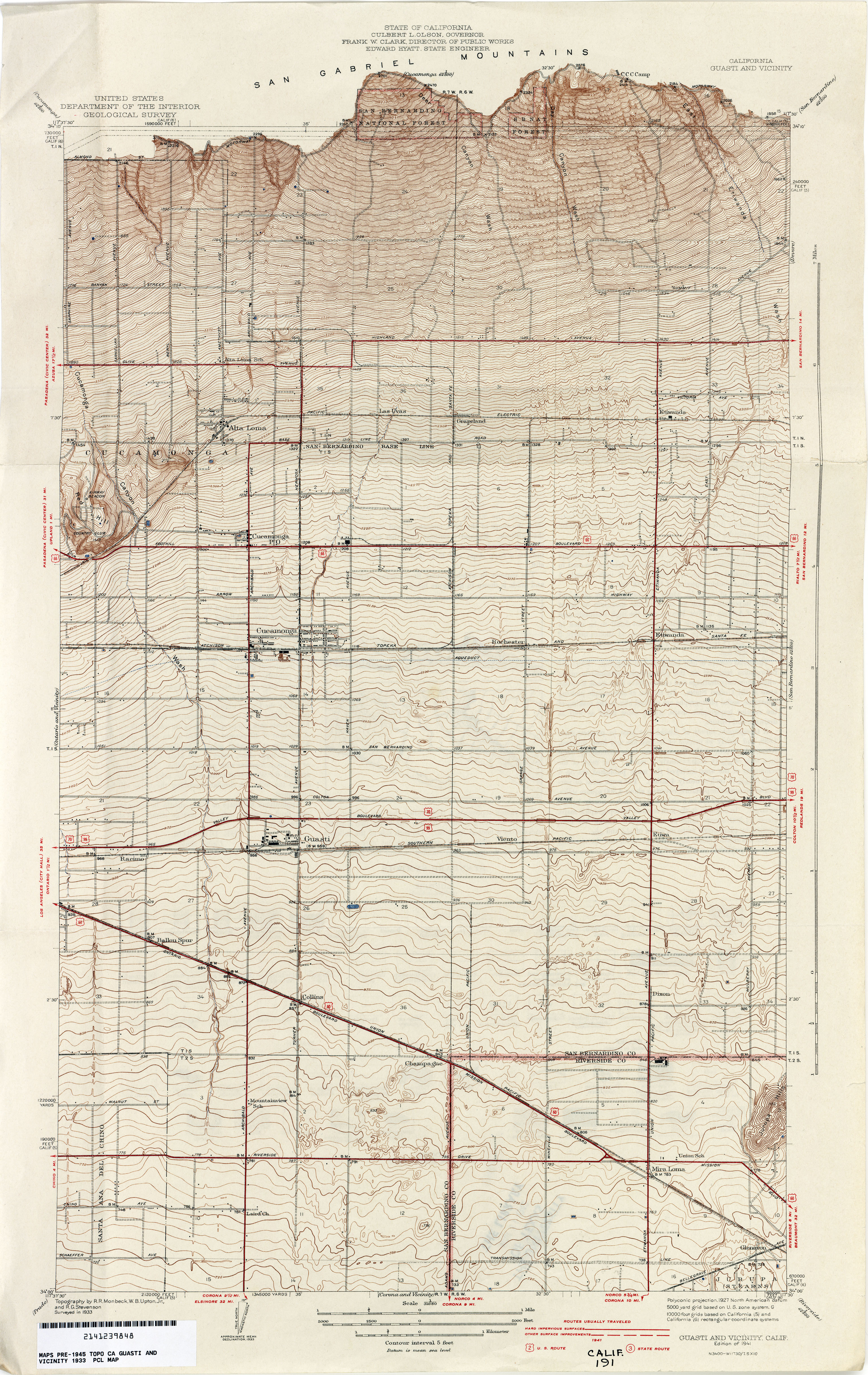
- Guasti and Vicinity 1933 1:31,680 (4.7MB)
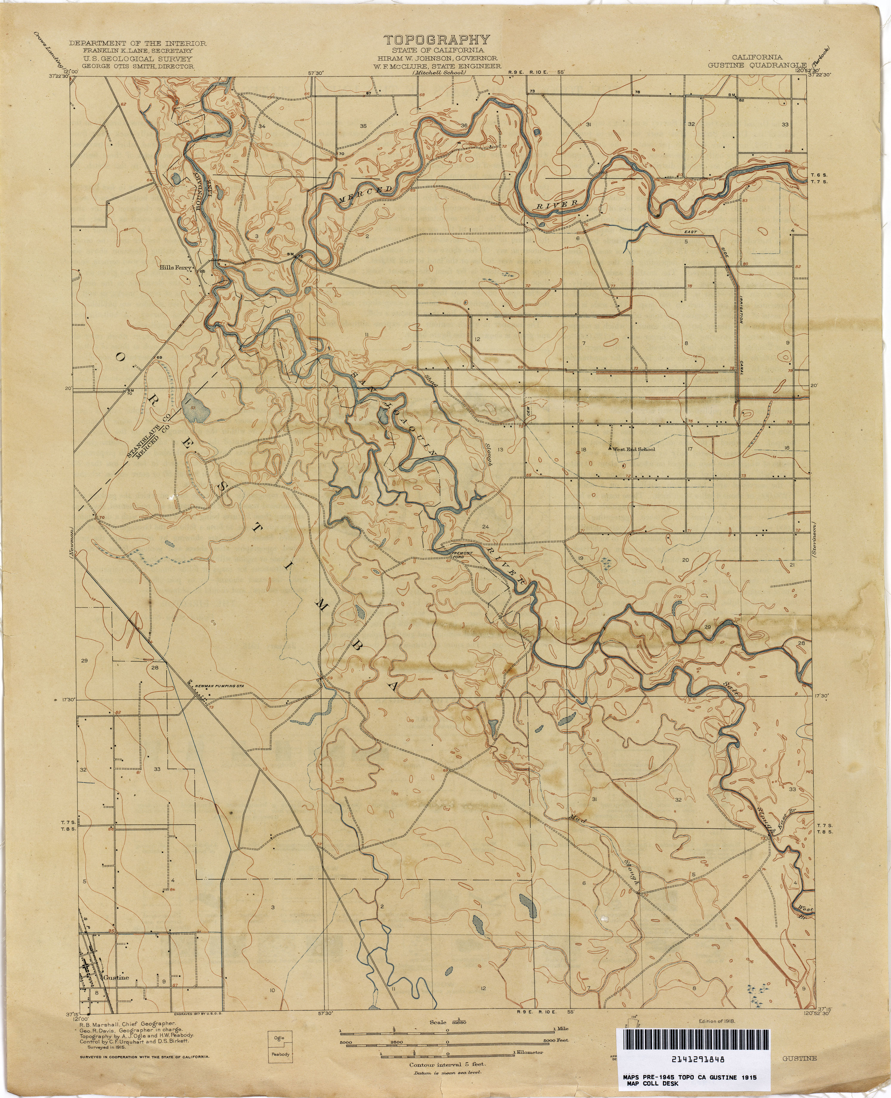
- Gustine 1915 1:31,680 (2.2MB)
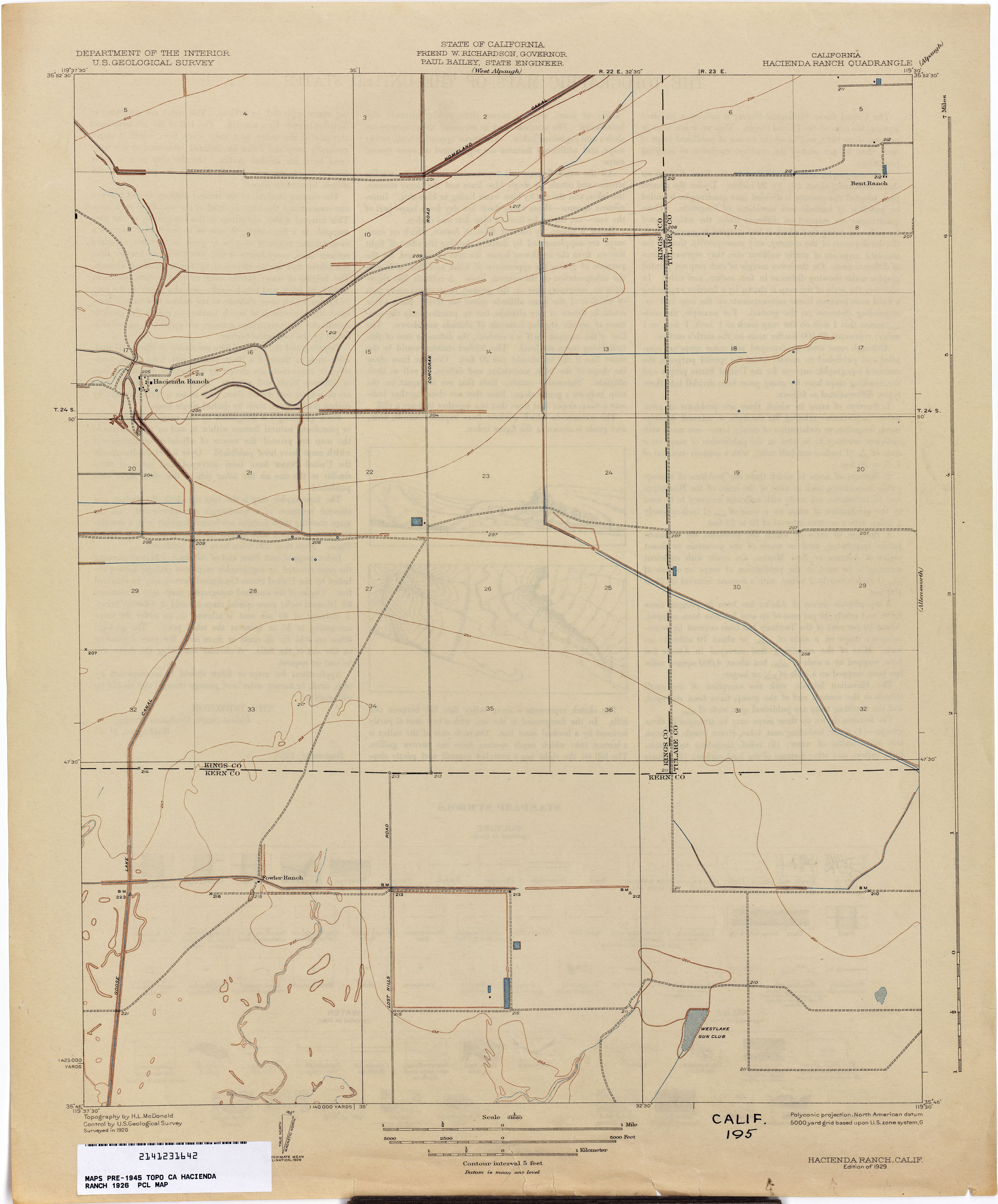
- Hacienda Ranch 1926 1:31,680 (1.5MB)
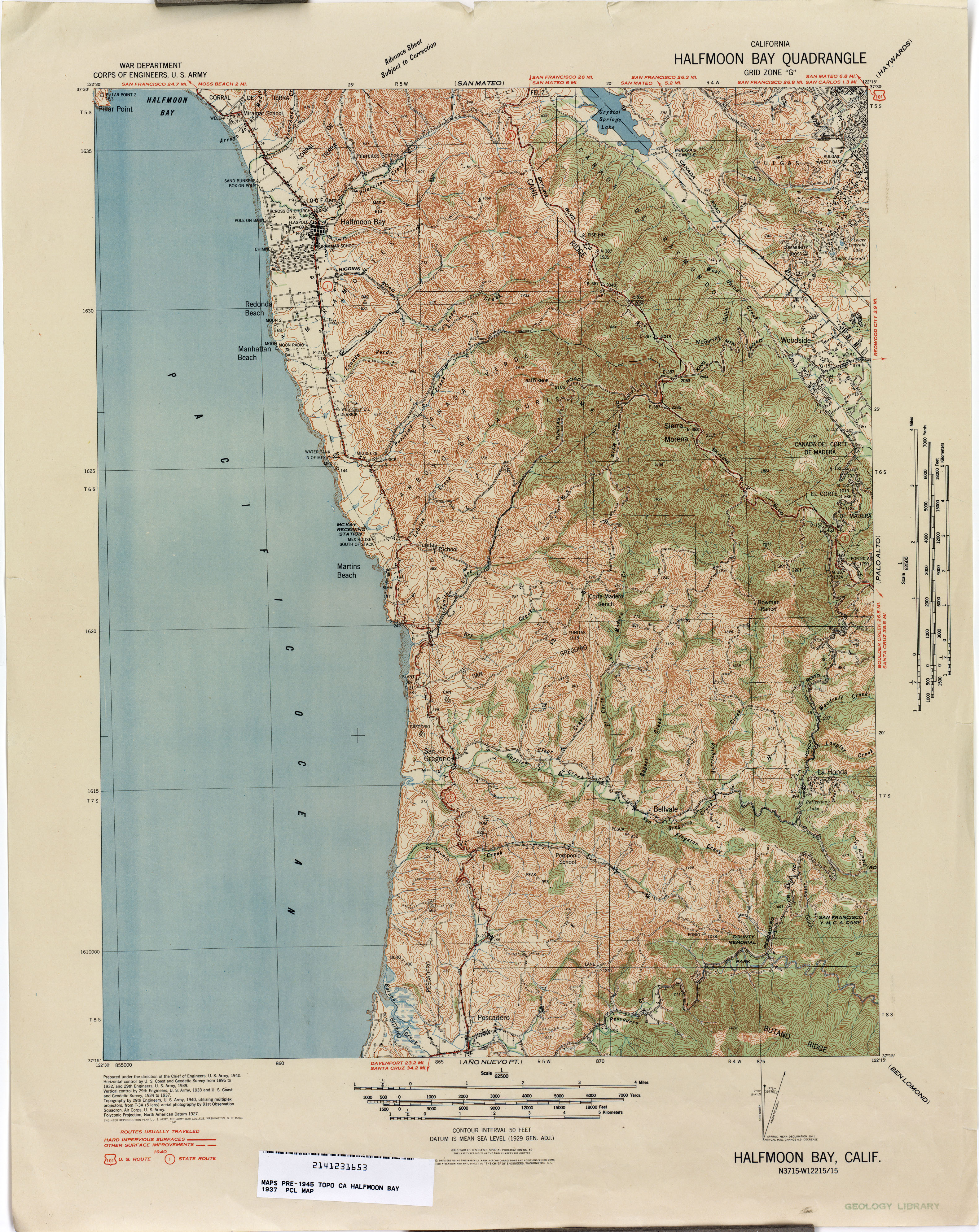
- Halfmoon Bay 1937 1:62,500 (4.0MB)
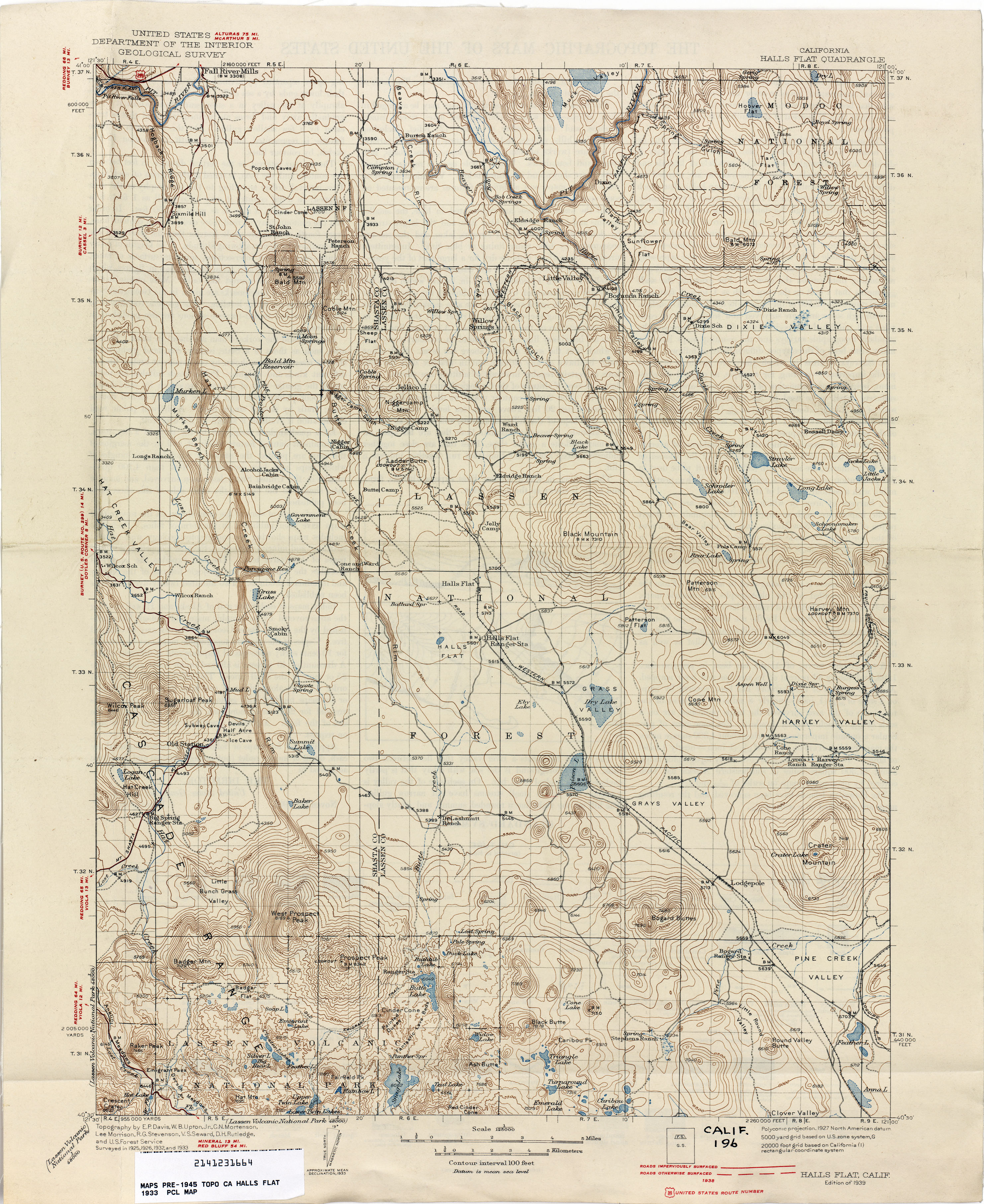
- Halls Flat 1933 1:125,000 (3.3MB)
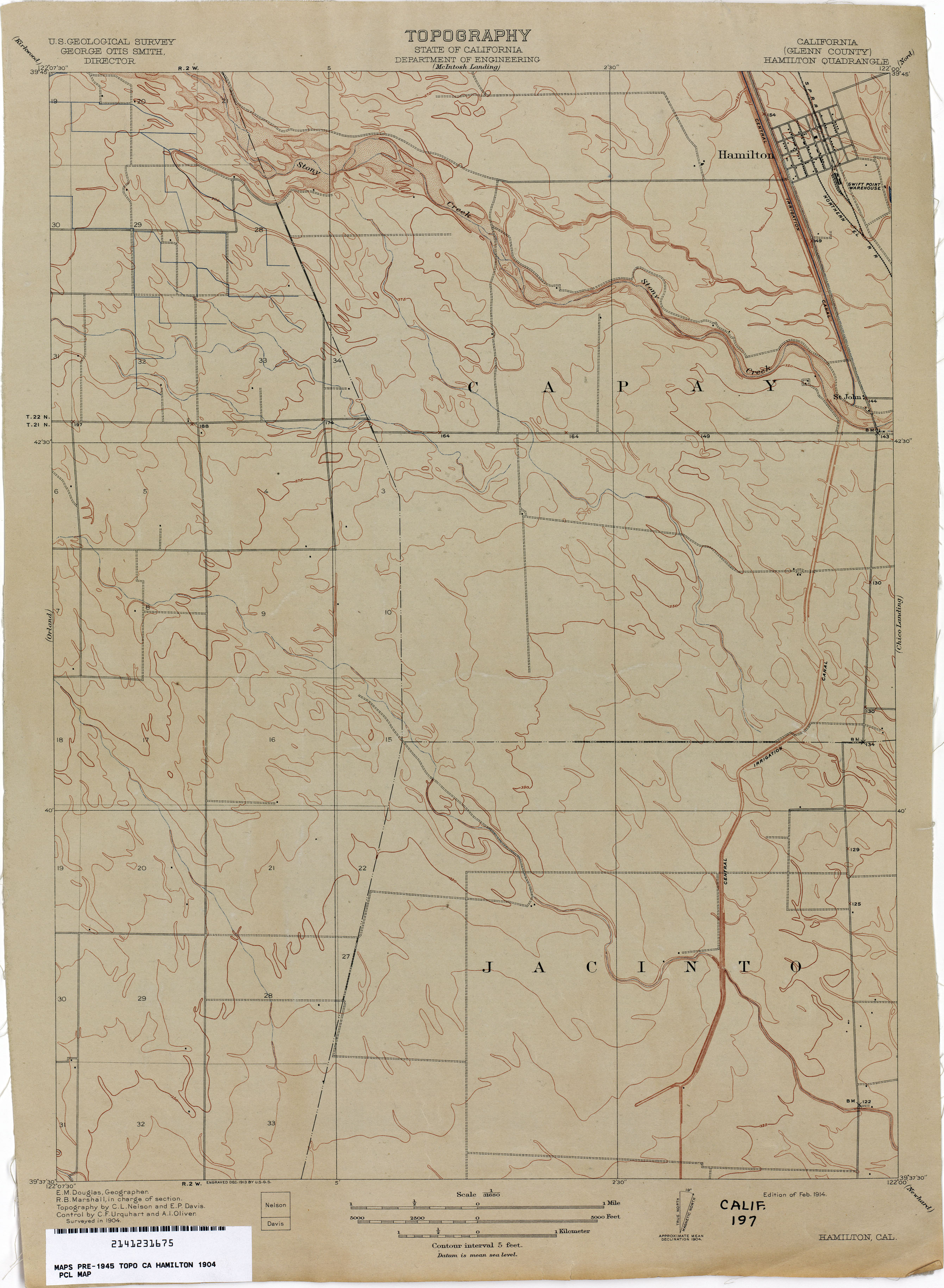
- Hamilton (Glenn County) 1904 1:31,680 (1.9MB)
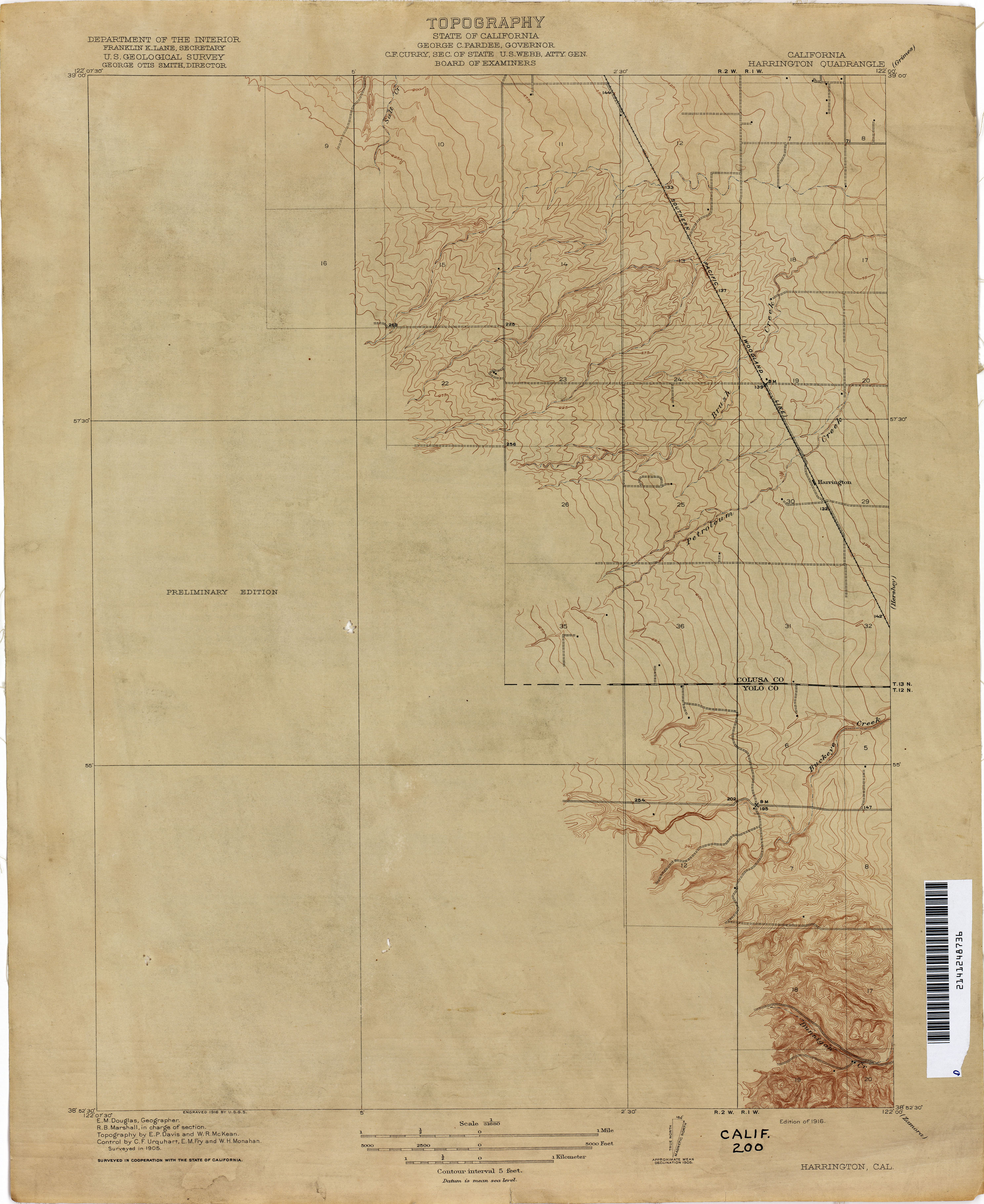
- Harrington 1905 1:31,680 (1.9MB)
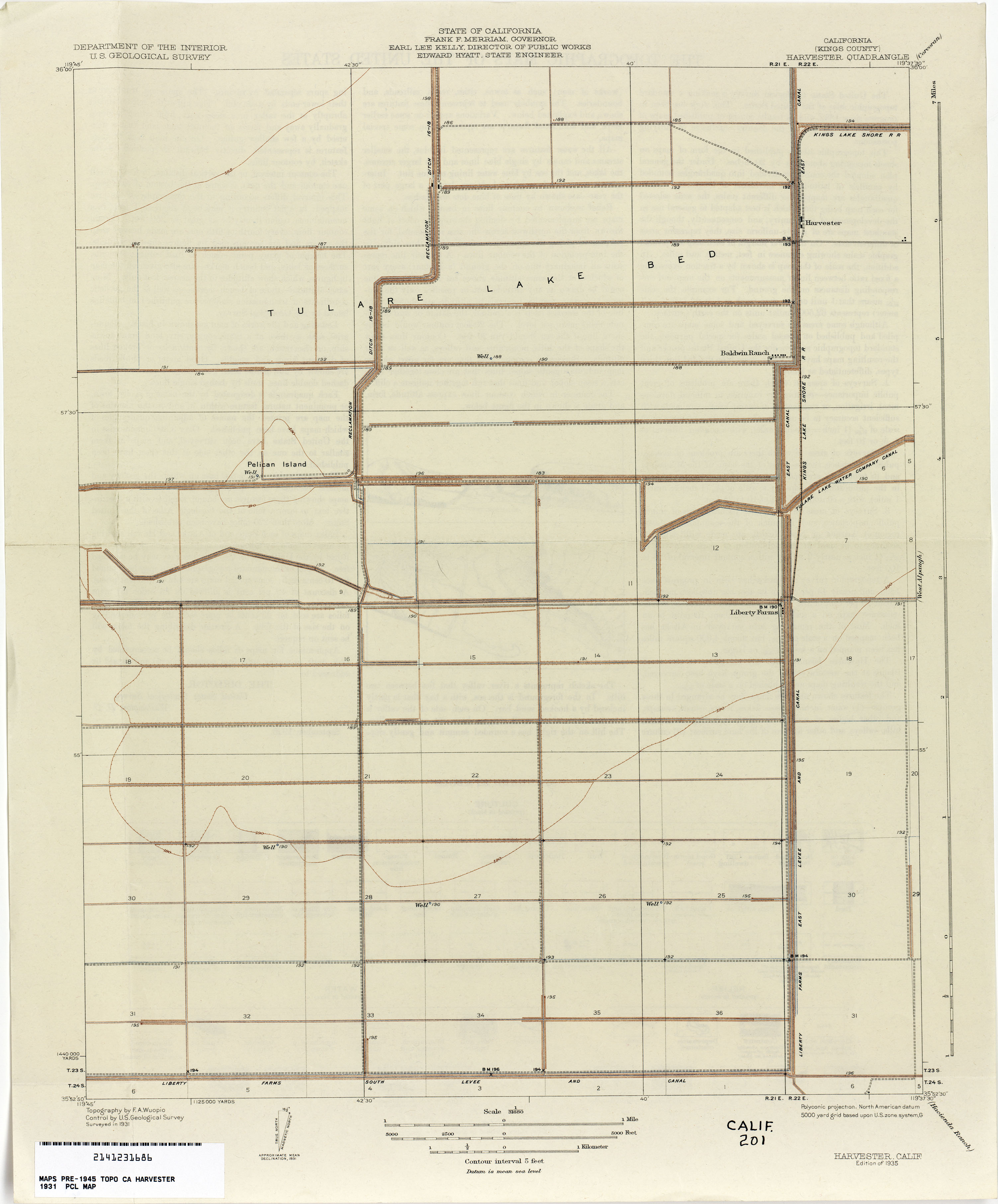
- Harvester (Kings County) 1931 1:31,680 (1.4MB)
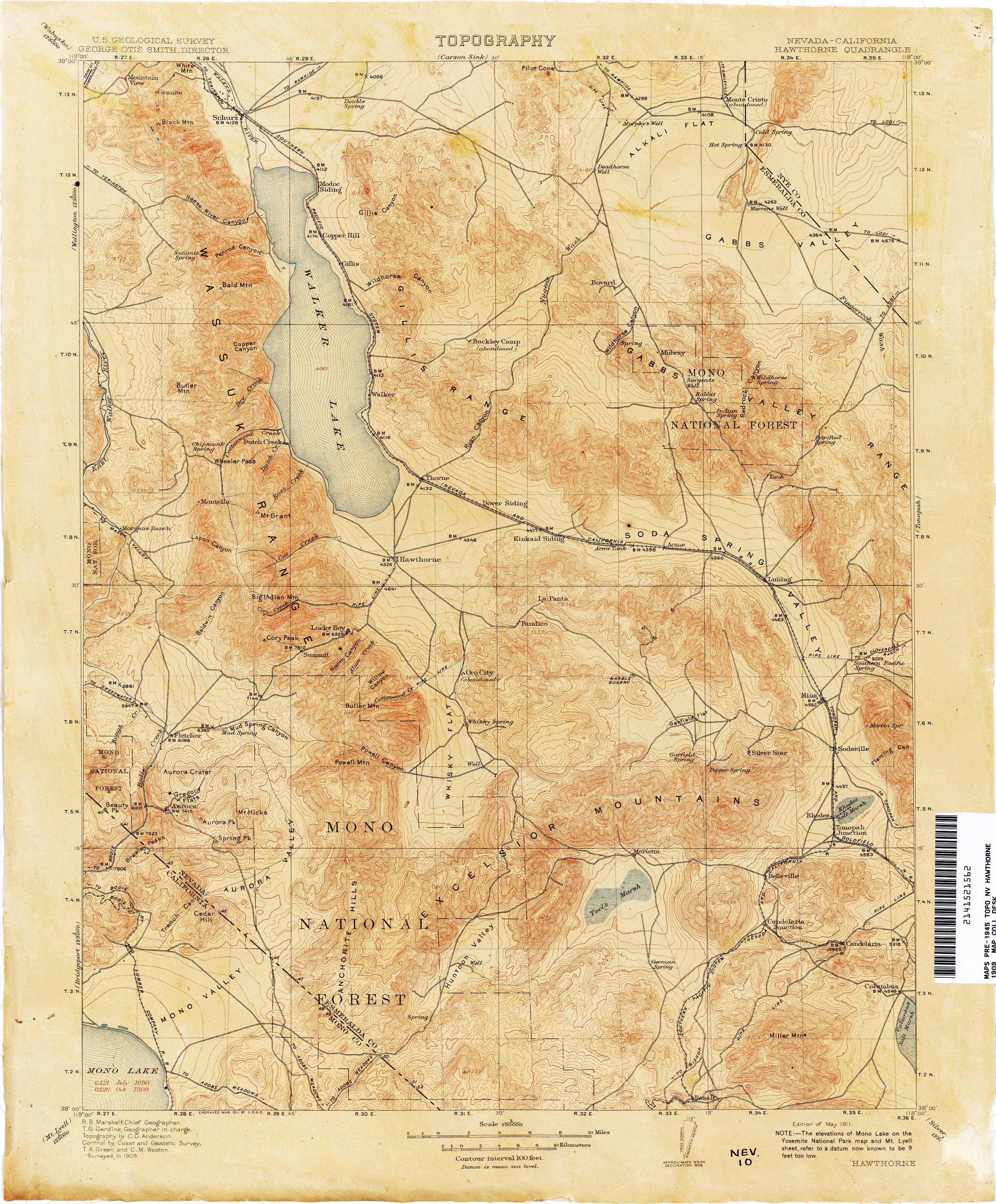
- Hawthorne [Nevada, California] 1909 1:250,000 (3.7MB
- Hayes Ranch (Kern County) 1931 1:31,680 (2.6MB)
- Haystack Mountain 1916 1:31,680 (4.0MB)
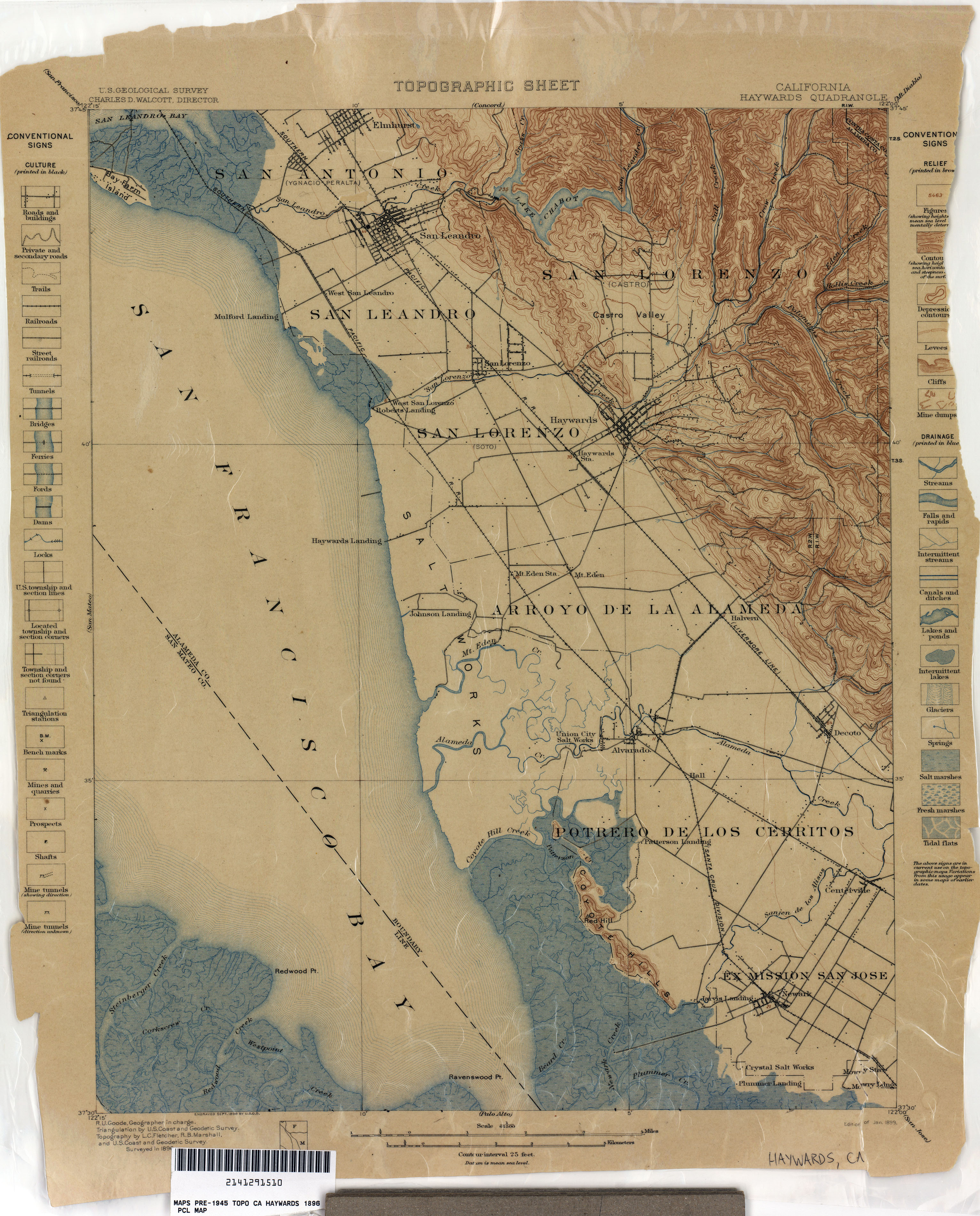
- Haywards 1896 1:62,500 (2.7MB)
- Haywards 1914 1:62,500 (2.9MB)
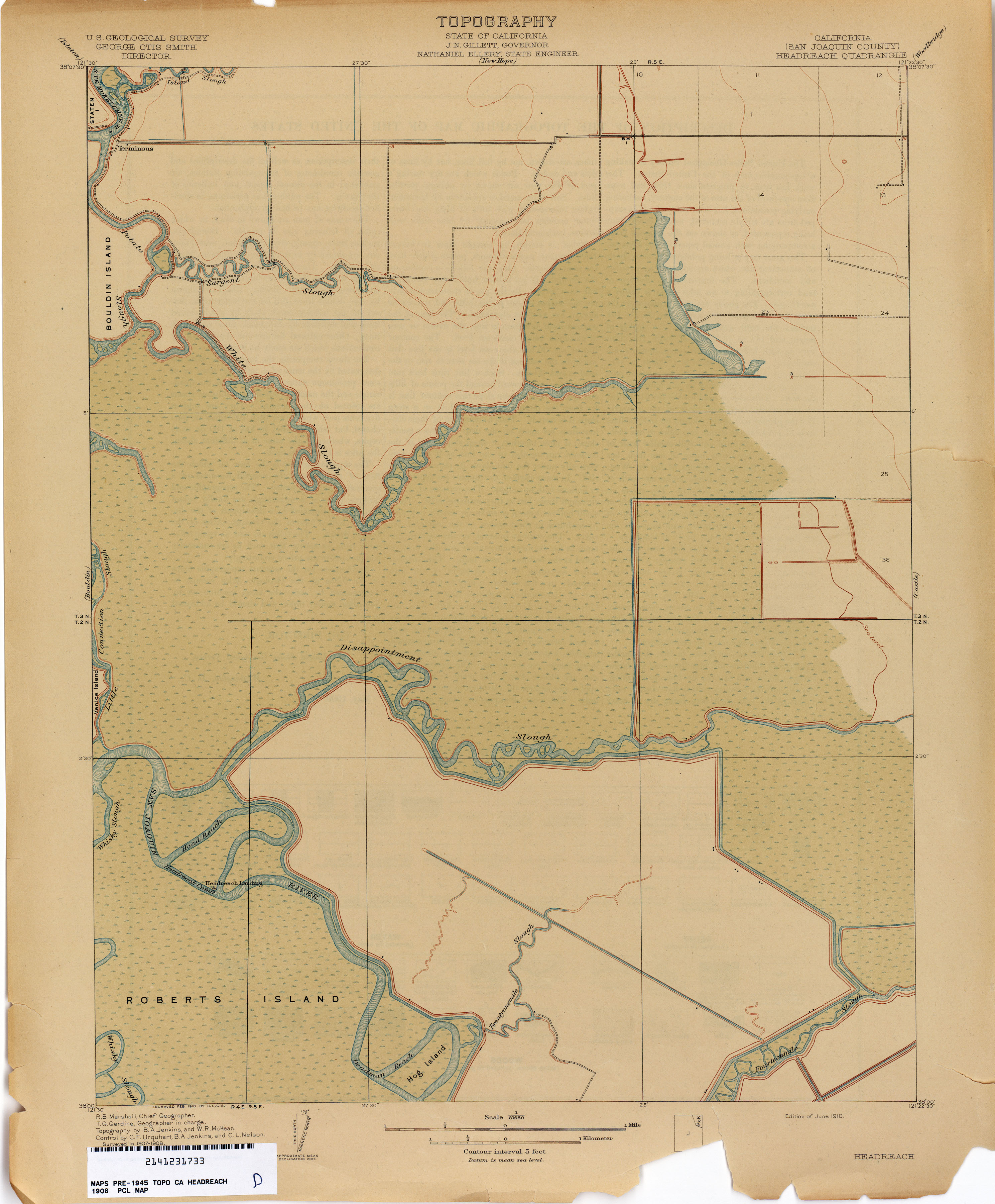
- Headreach (San Joaquin County) 1908 1:31,680 (1.9MB)
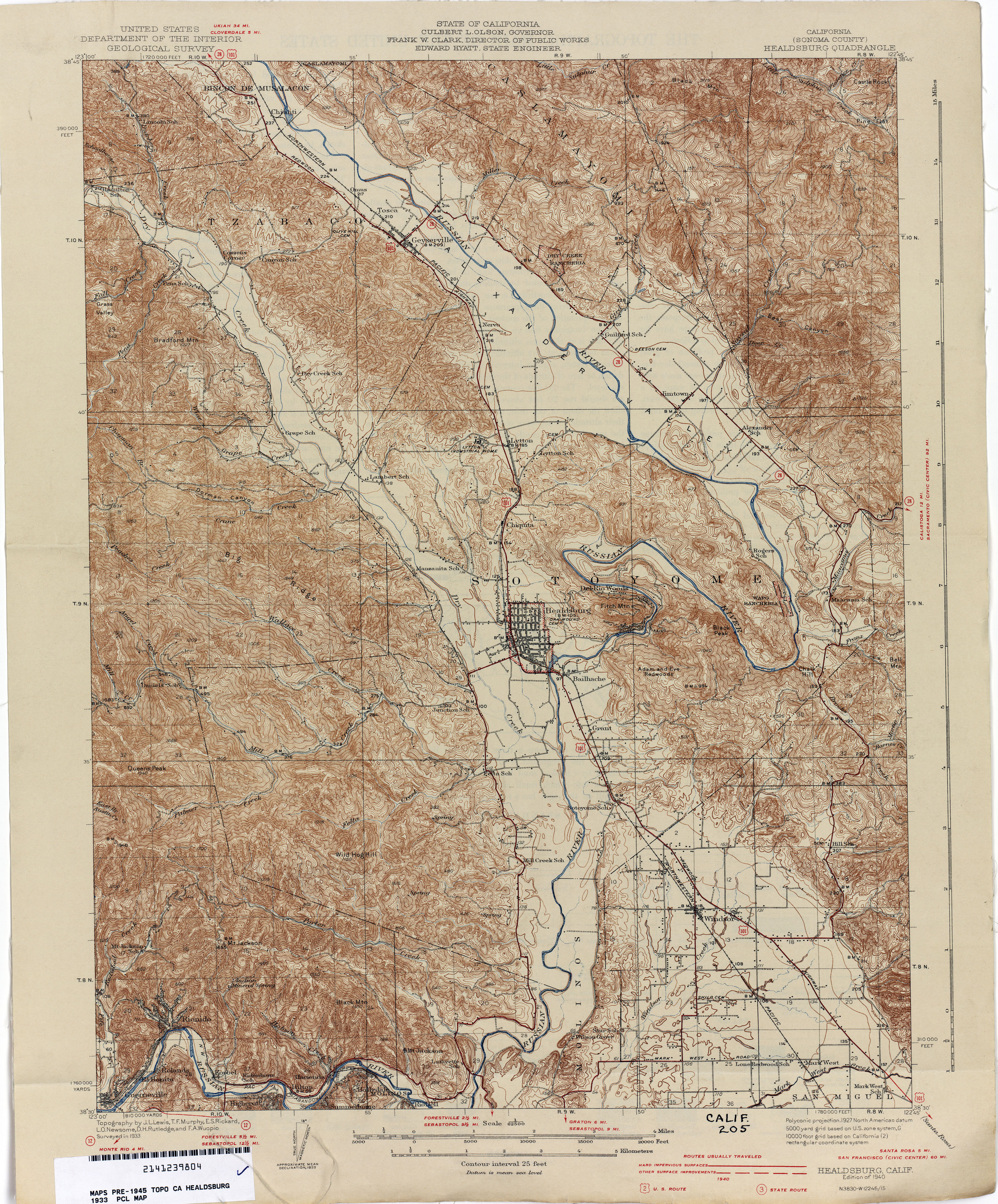
- Healdsburg (Sonoma County) 1933 1:62,500 (4.6MB)
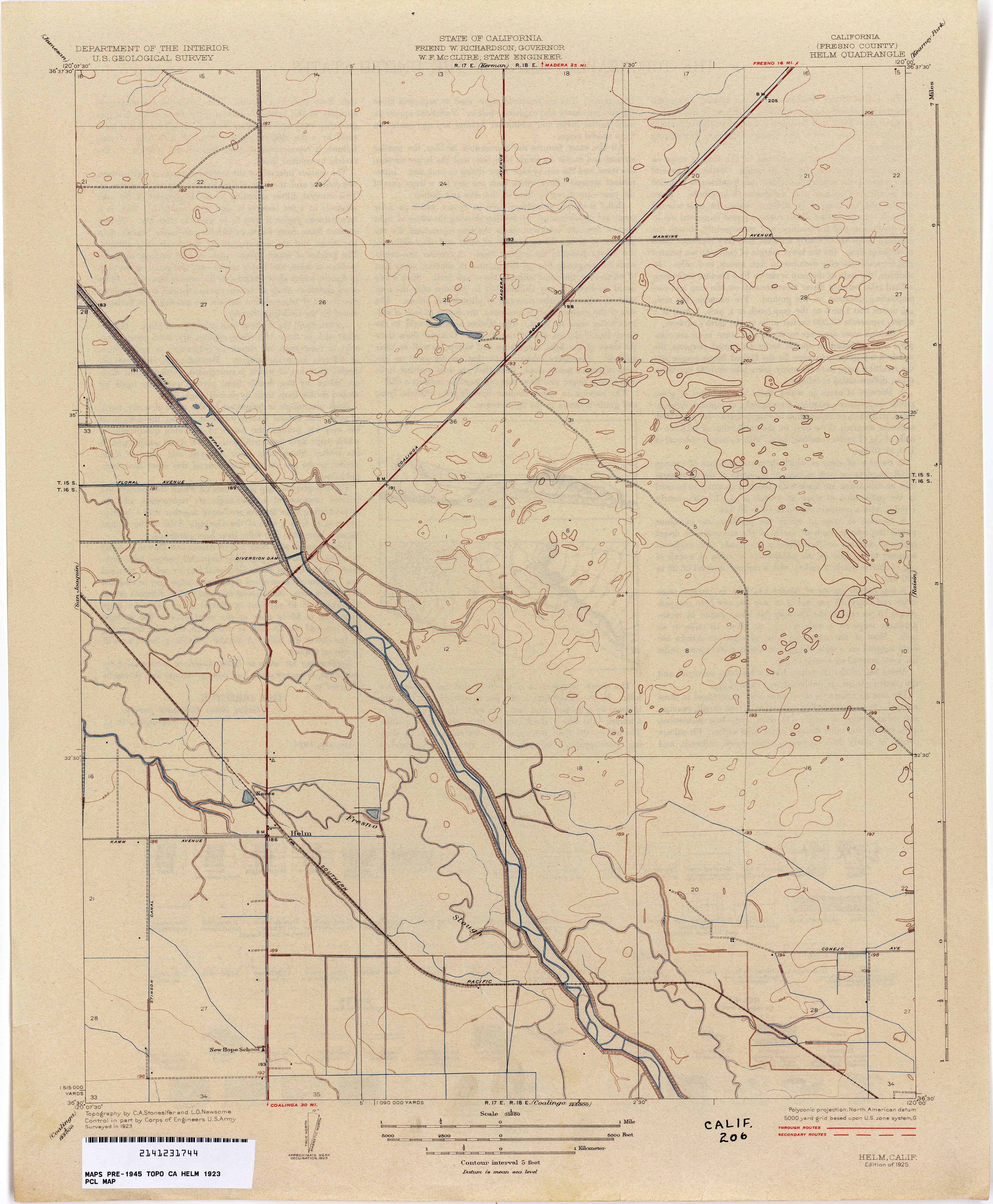
- Helm (Fresno County) 1923 1:31,680 (2.1MB)
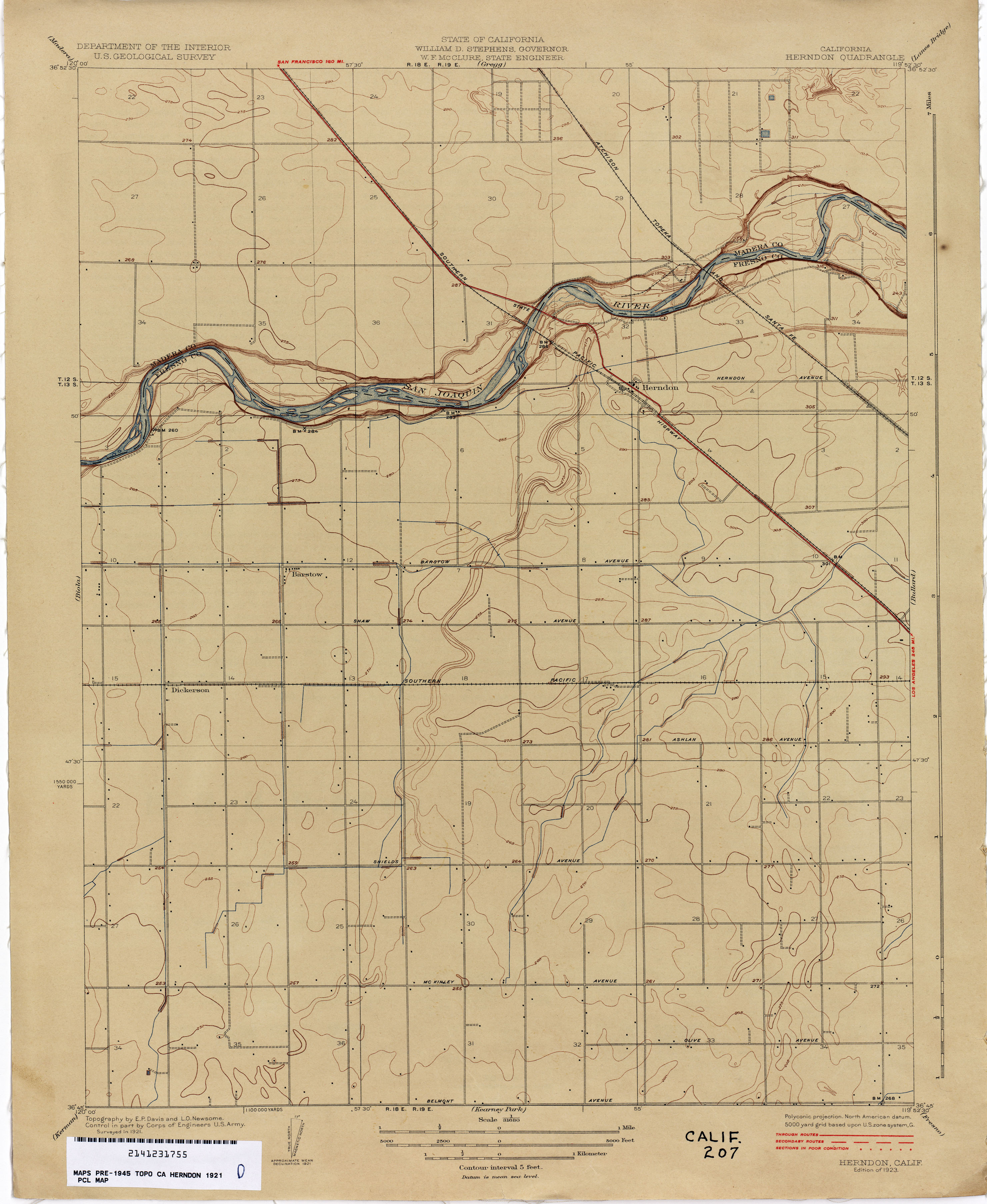
- Herndon 1921 1:31,680 (2.0MB)
- Hesperia (San Bernardino County) 1898 1:62,500 (3.4MB)
- Hesperia (San Bernardino County) 1941 1:62,500 (3.8MB)
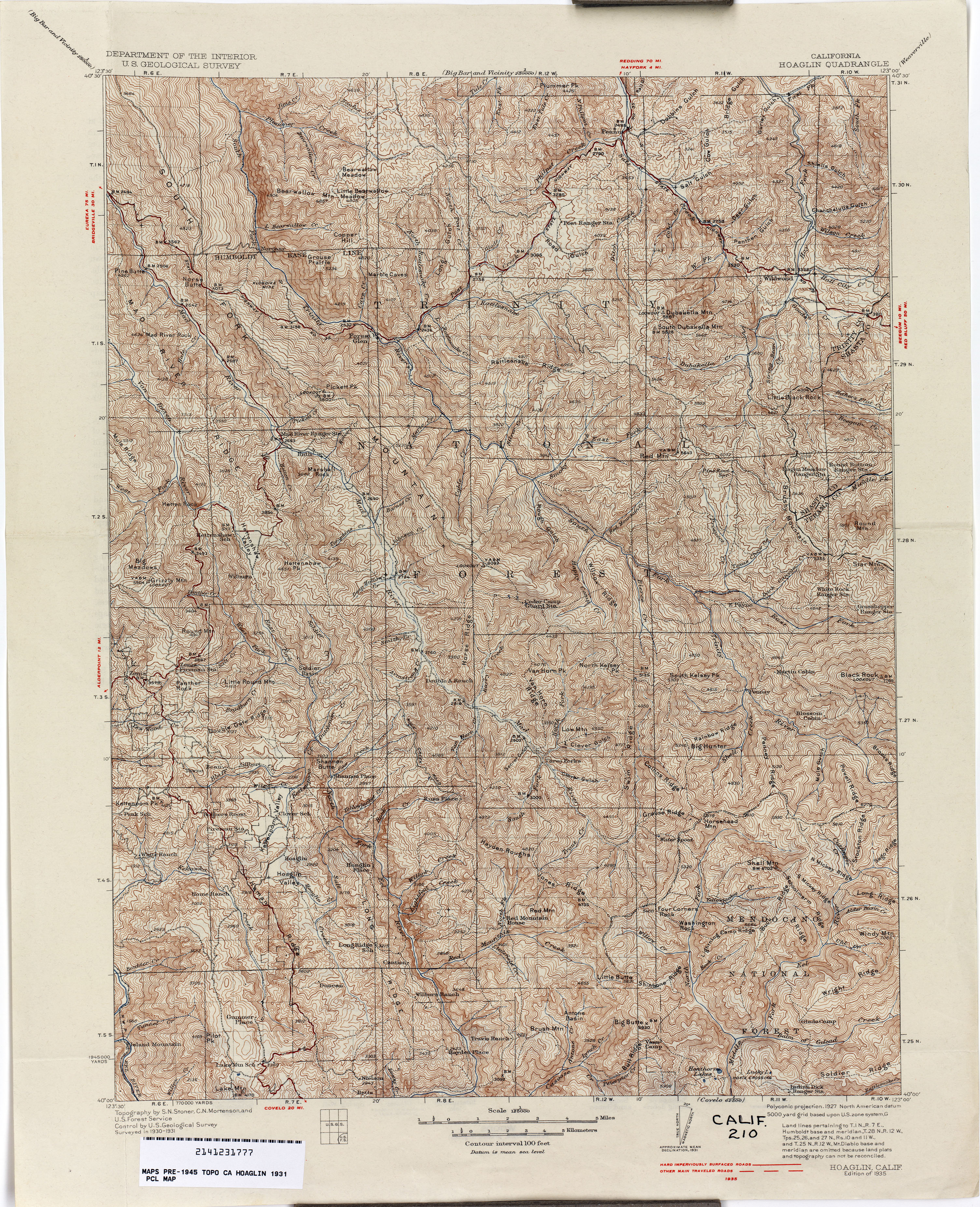
- Hoaglin 1931 1:125,000 (5.1MB)
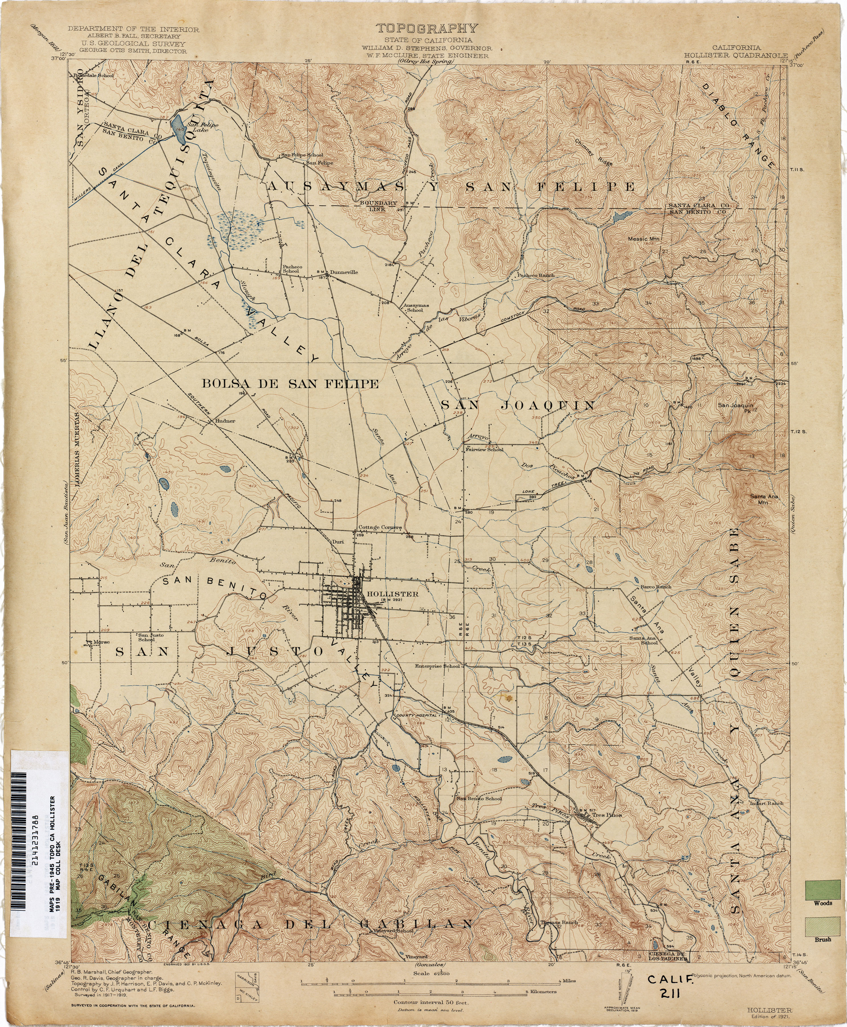
- Hollister 1919 1:62,500 (3.5MB)
- Hollywood (Los Angeles County) 1924 1:24,000 (4.0MB)
- Holt (San Joaquin County) 1911 1:31,680 (2.0MB)
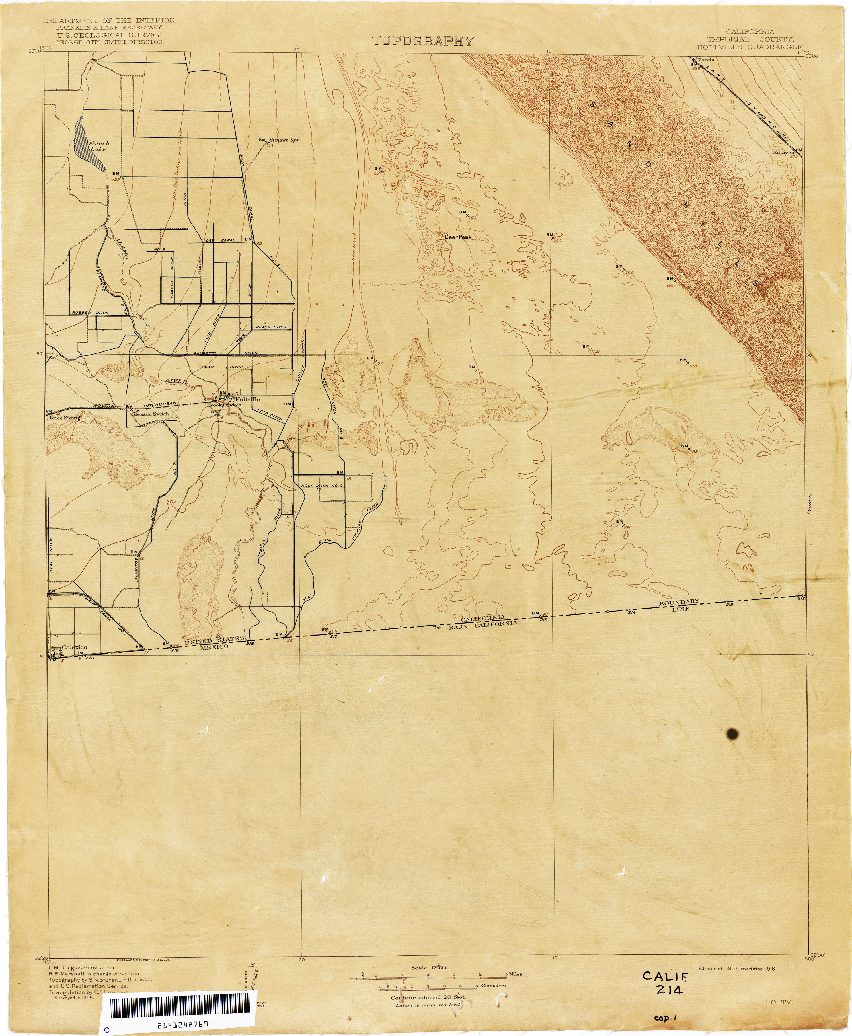
- Holtville (Imperial County) 1905 1:125,000 (2.0MB)
- Honcut 1910 1:31,680 (2.1MB)
- Honey Lake 1882 1:250,000 (3.0MB)
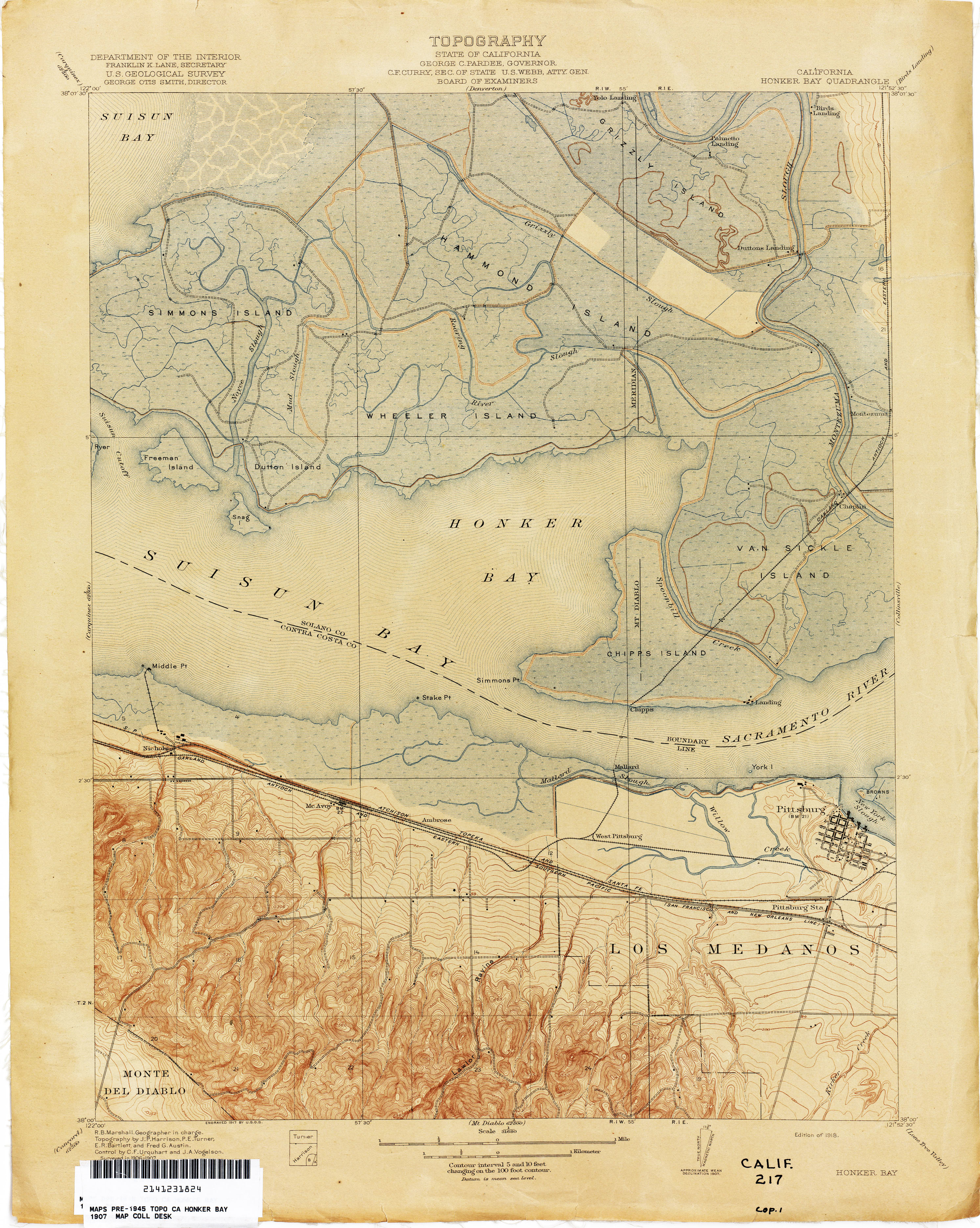
- Honker Bay 1907 1:31,680 (3.4MB)
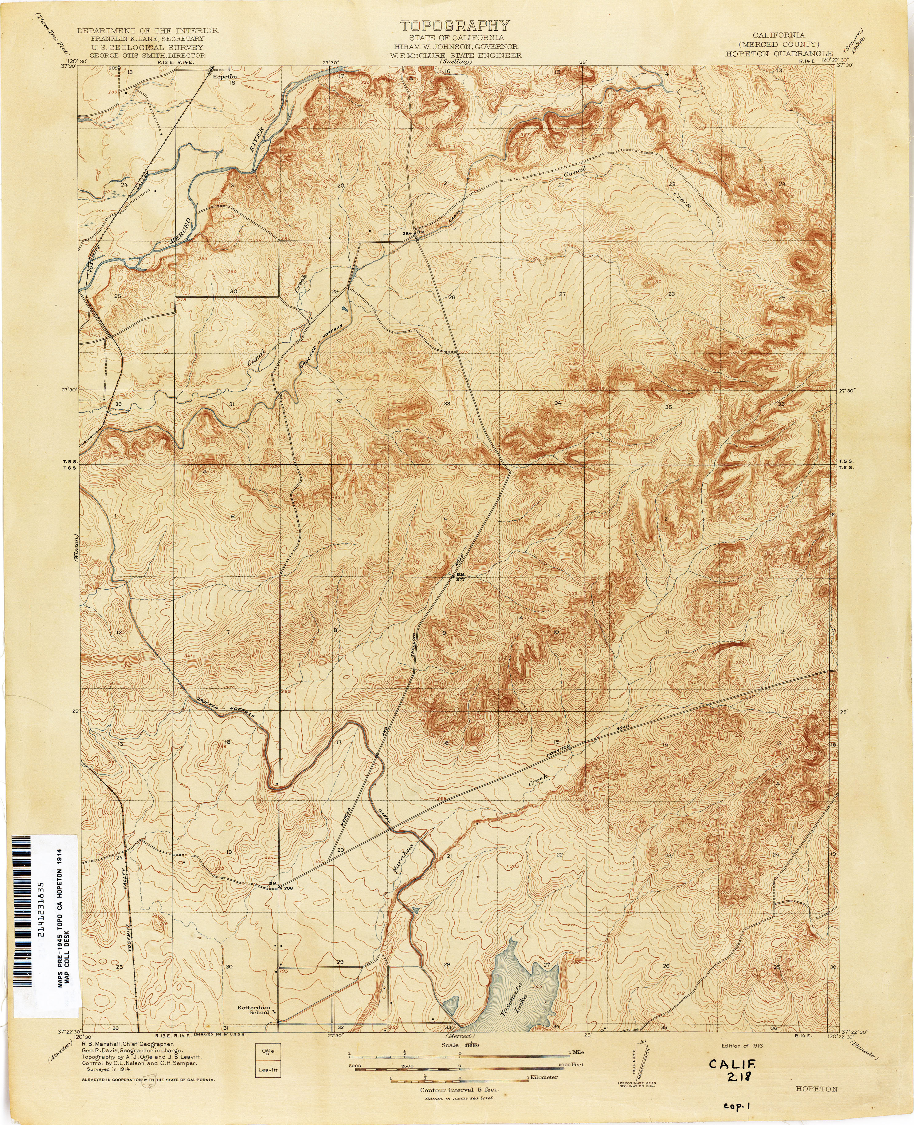
- Hopeton (Merced County) 1914 1:31,680 (3.5MB)
- Howard Ranch 1916 1:31,680 (3.0MB)
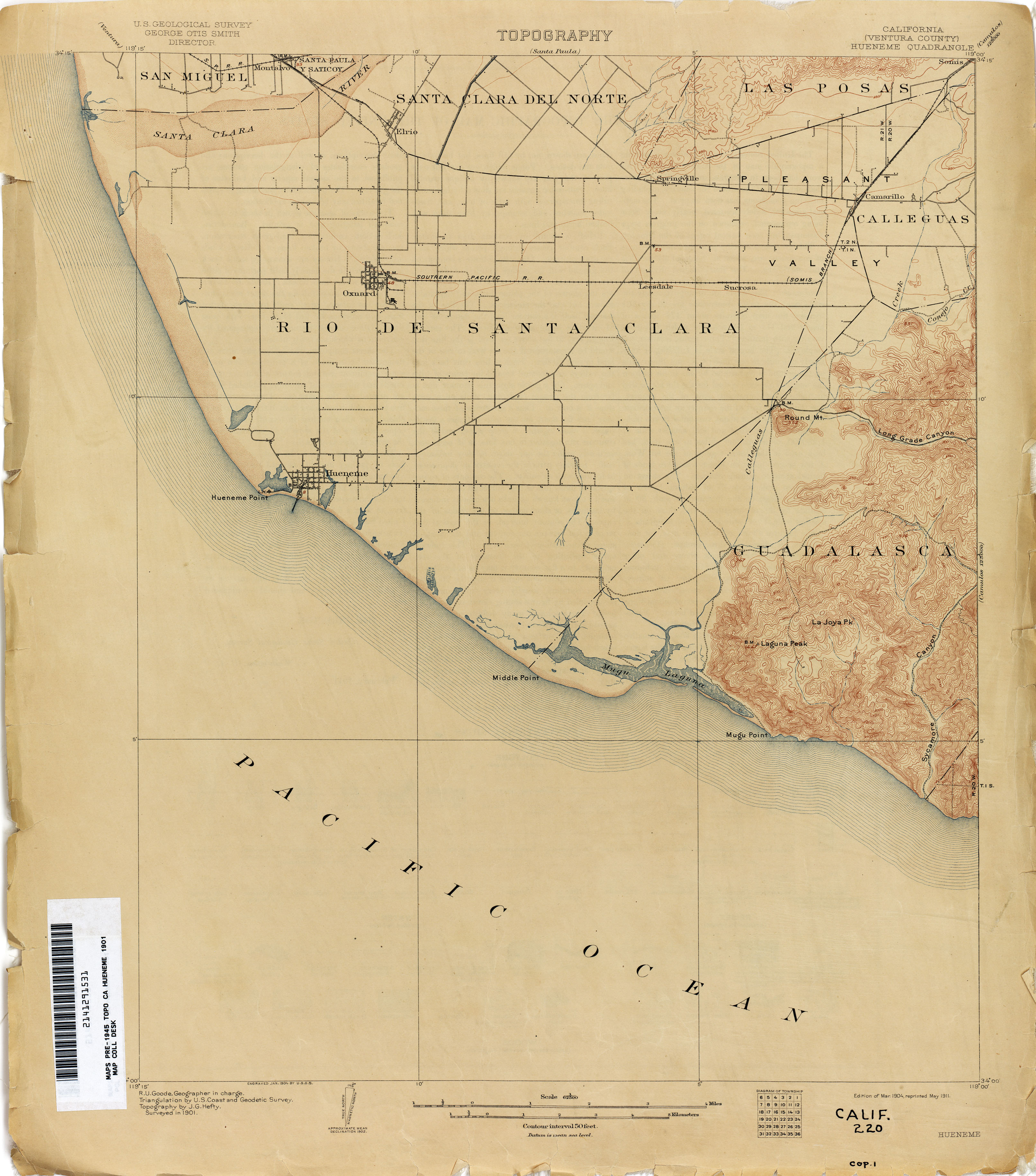
- Hueneme (Ventura County) 1901 1:62,500 (2.2MB)
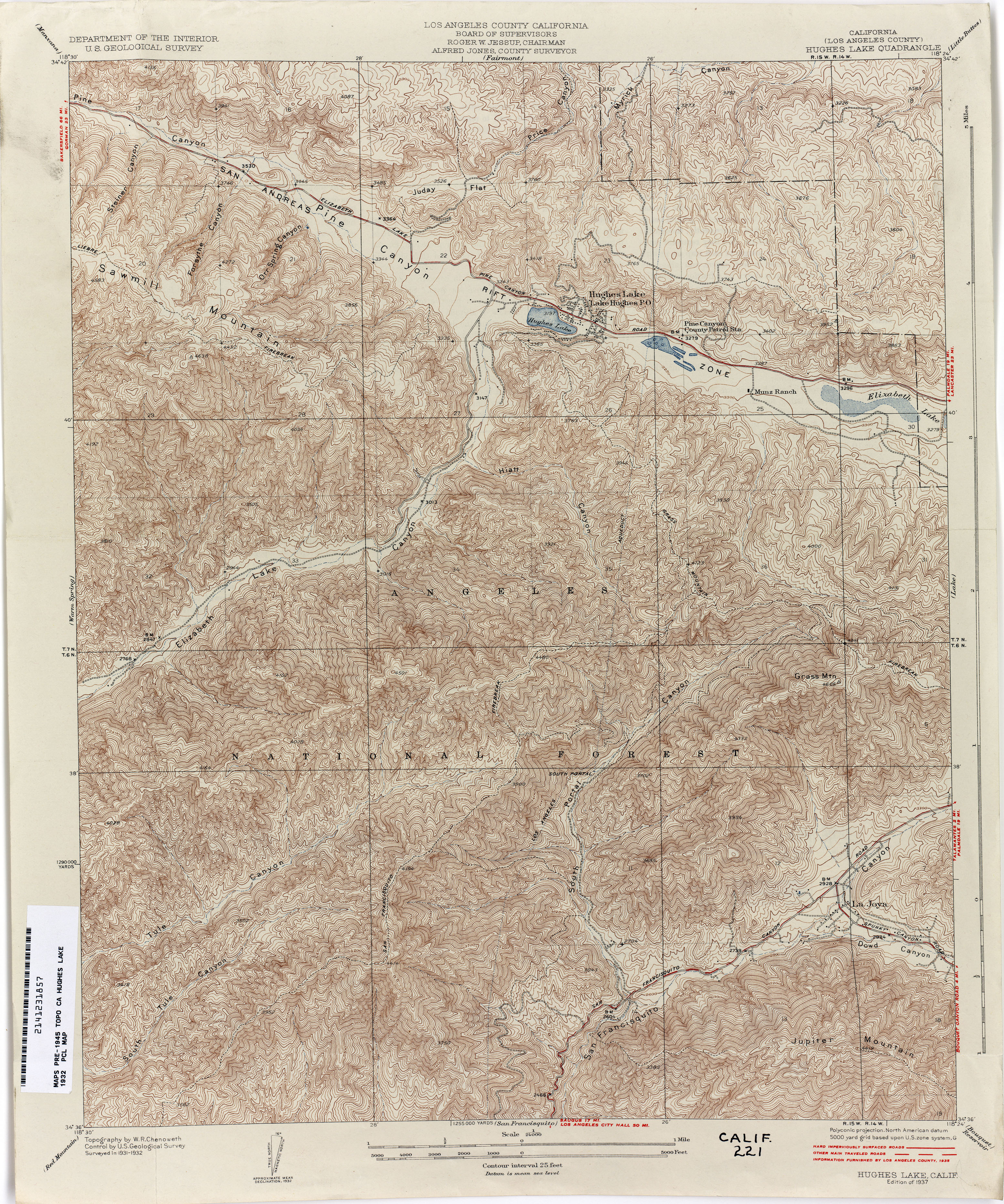
- Hughes Lake (Los Angeles County) 1932 1:24,000 (5.3MB)
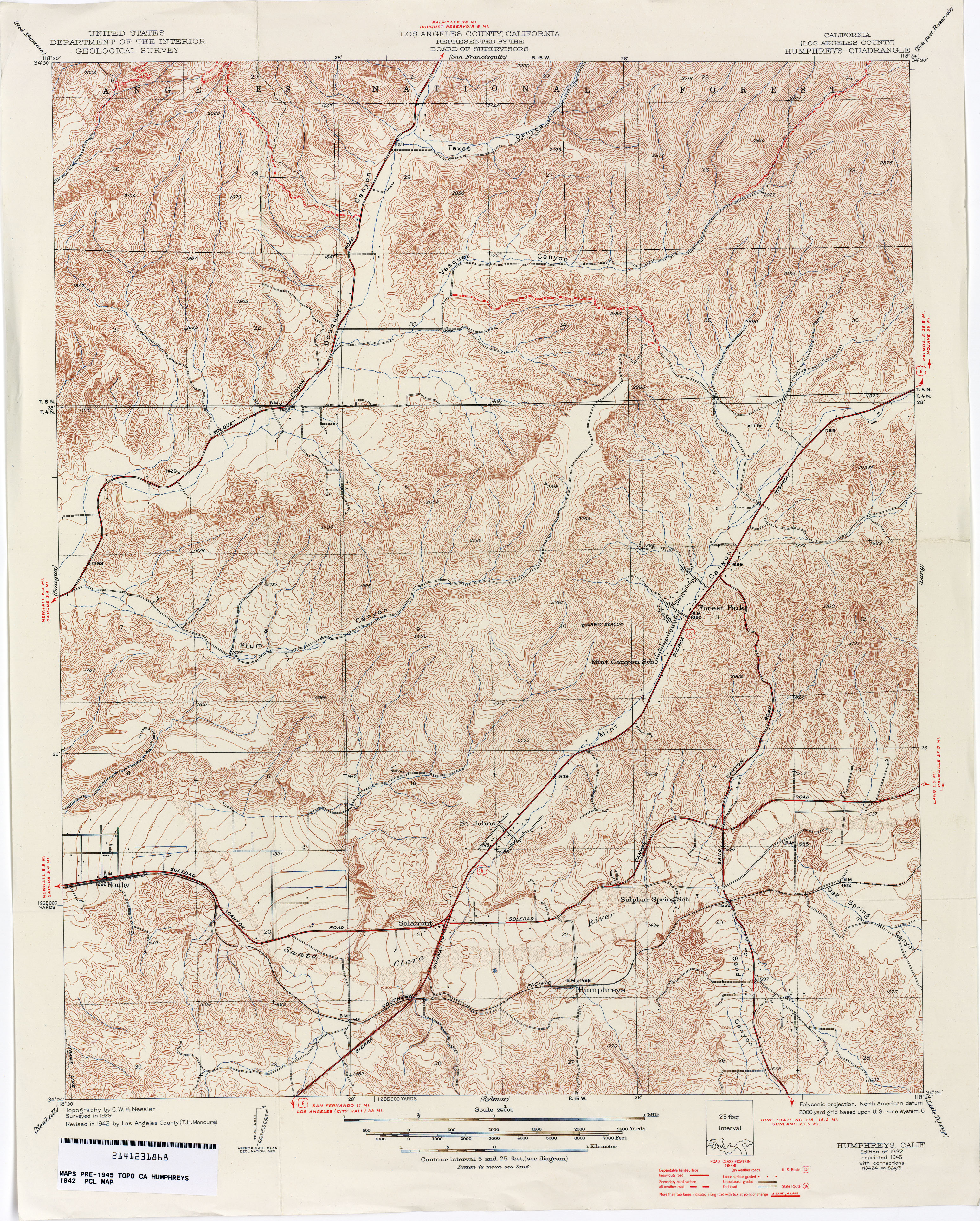
- Humphreys (Los Angeles County) 1942 1:24,000 (5.1MB)
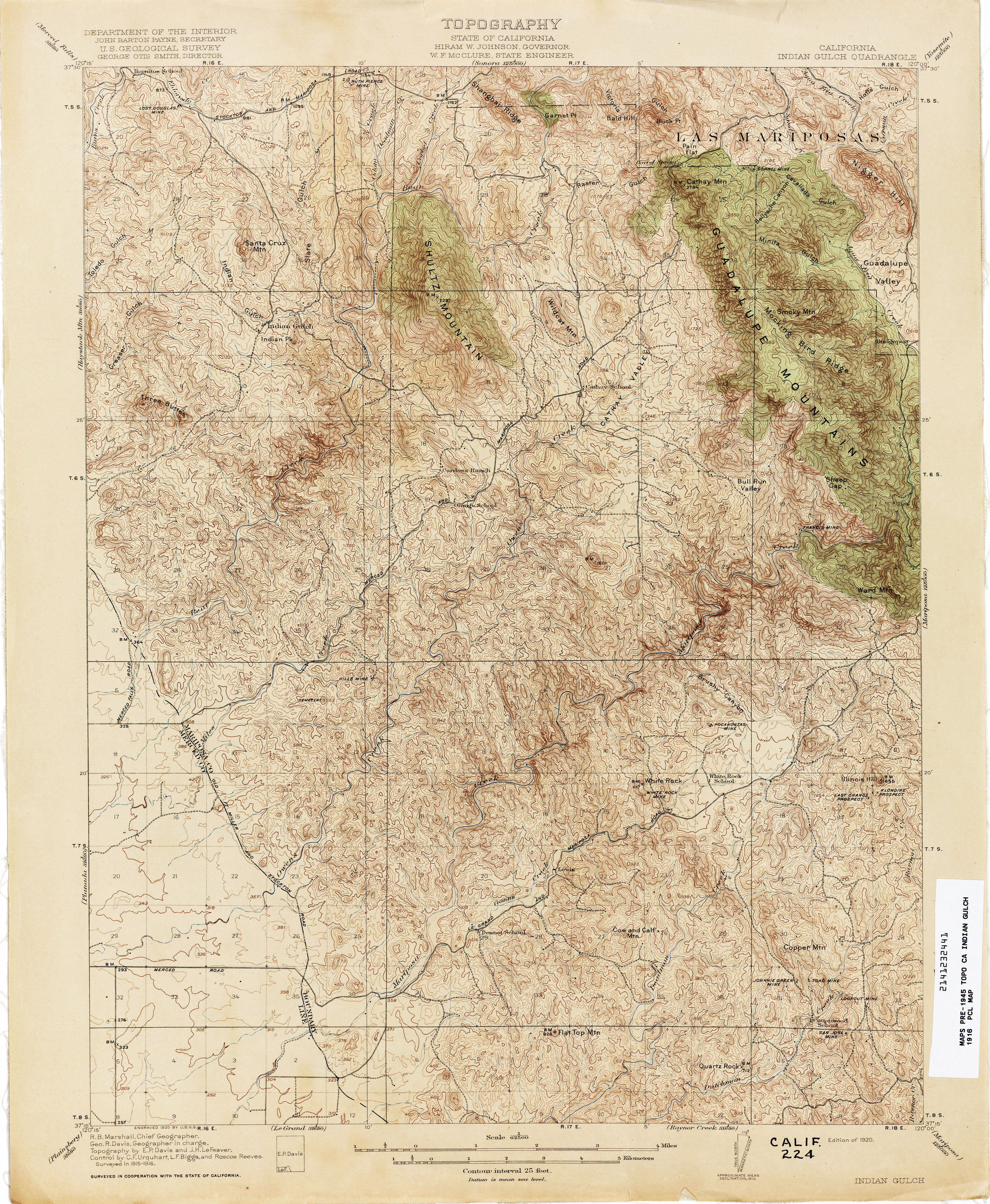
- Indian Gulch 1916 1:62,500 (4.1MB)
- Indian Valley 1891 1:65,500 (3.4MB)
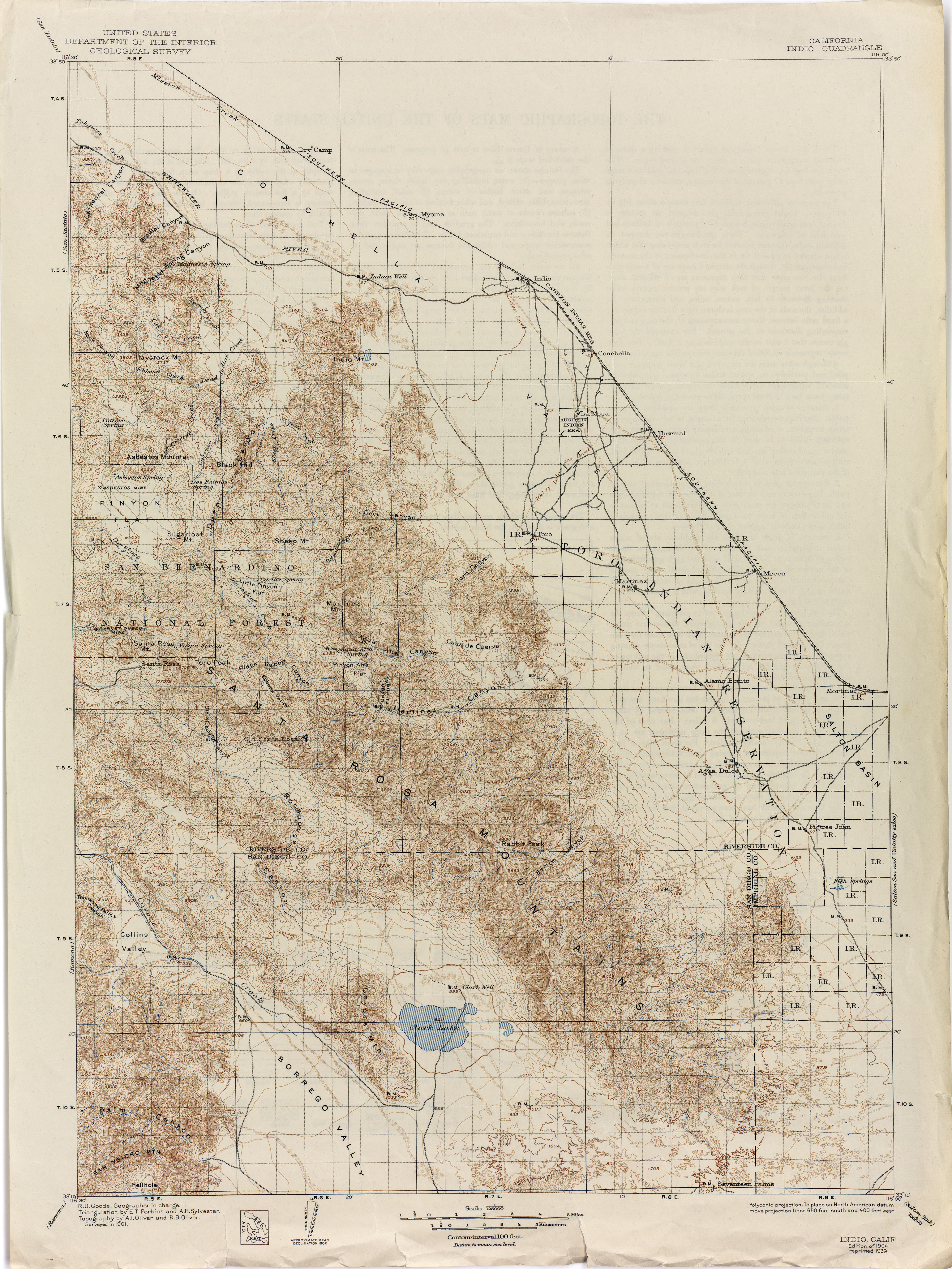
- Indio 1901 1:125,000 (3.7MB)
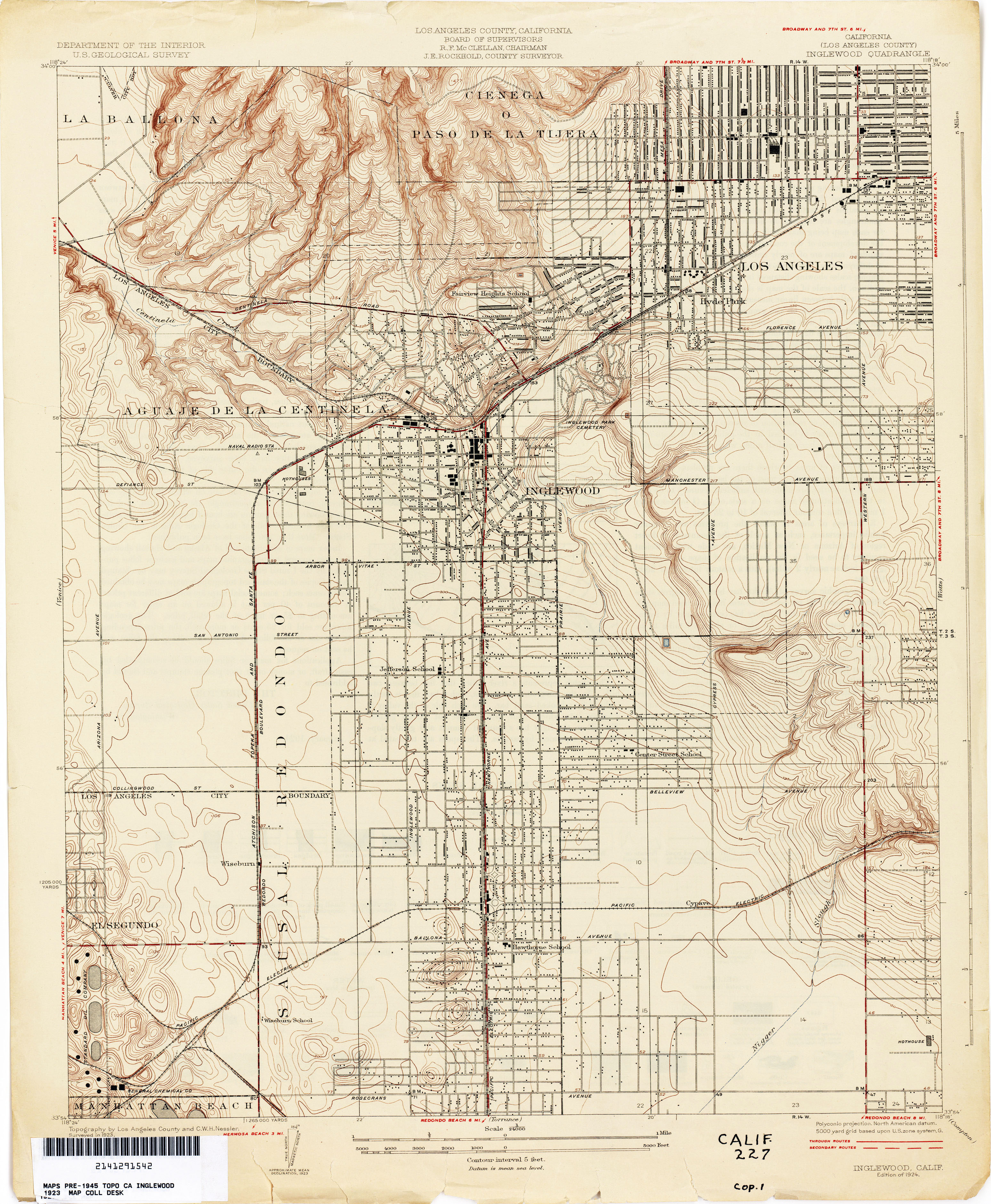
- Inglewood (Los Angeles County) 1923 1:24,000 (3.3MB)
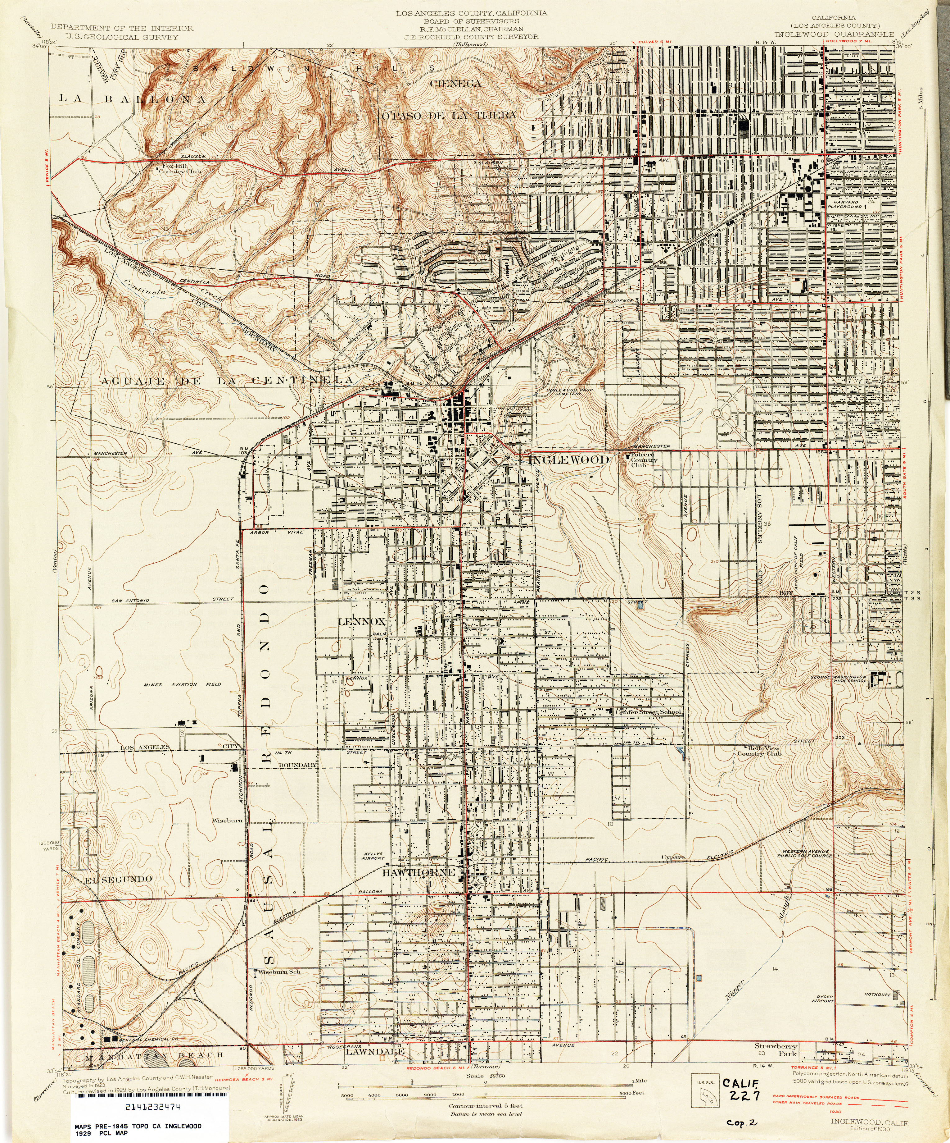
- Inglewood (Los Angeles County) 1929 1:24,000 (3.6MB)
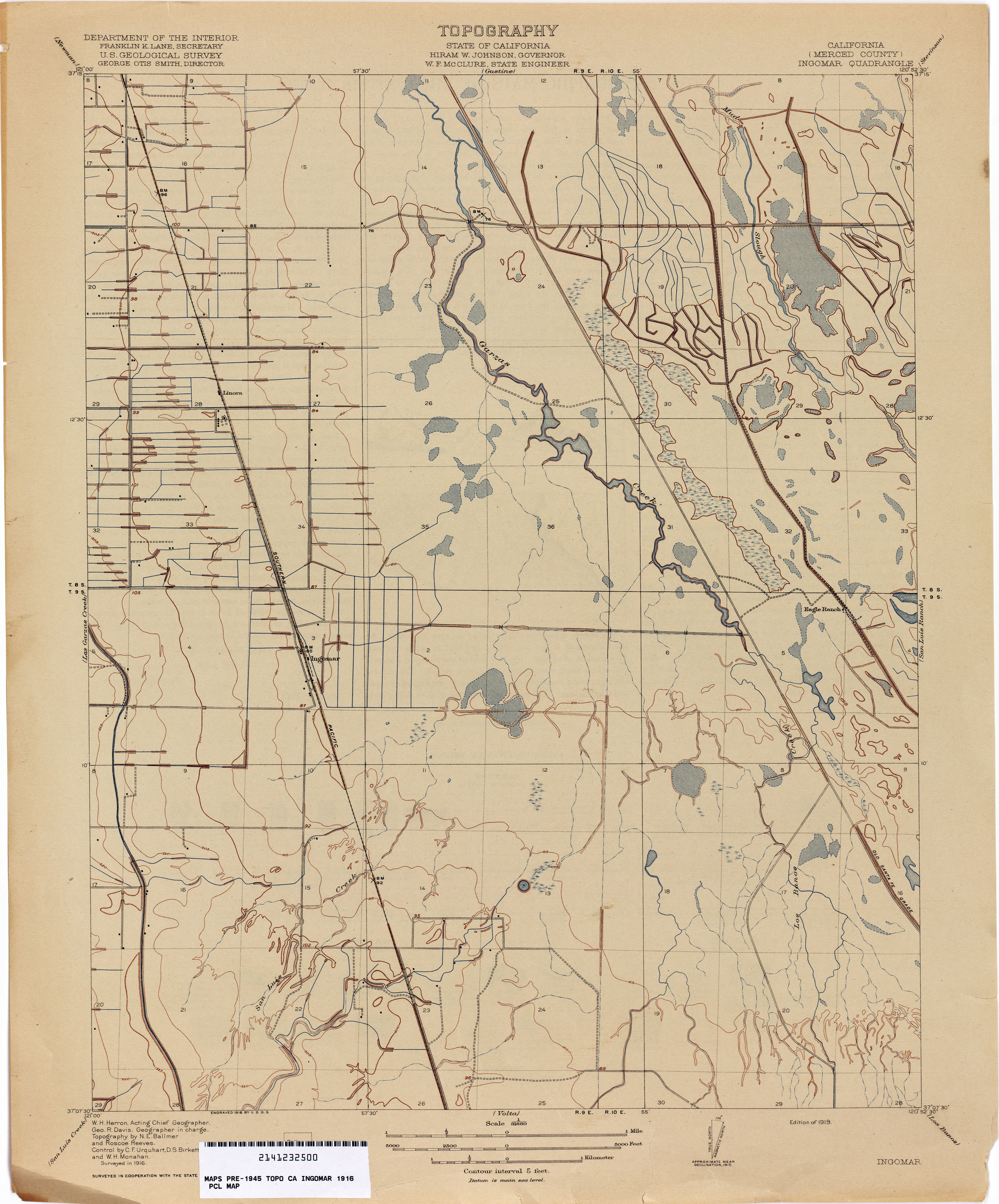
- Ingomar (Merced County) 1916 1:31,680 (2.2MB)
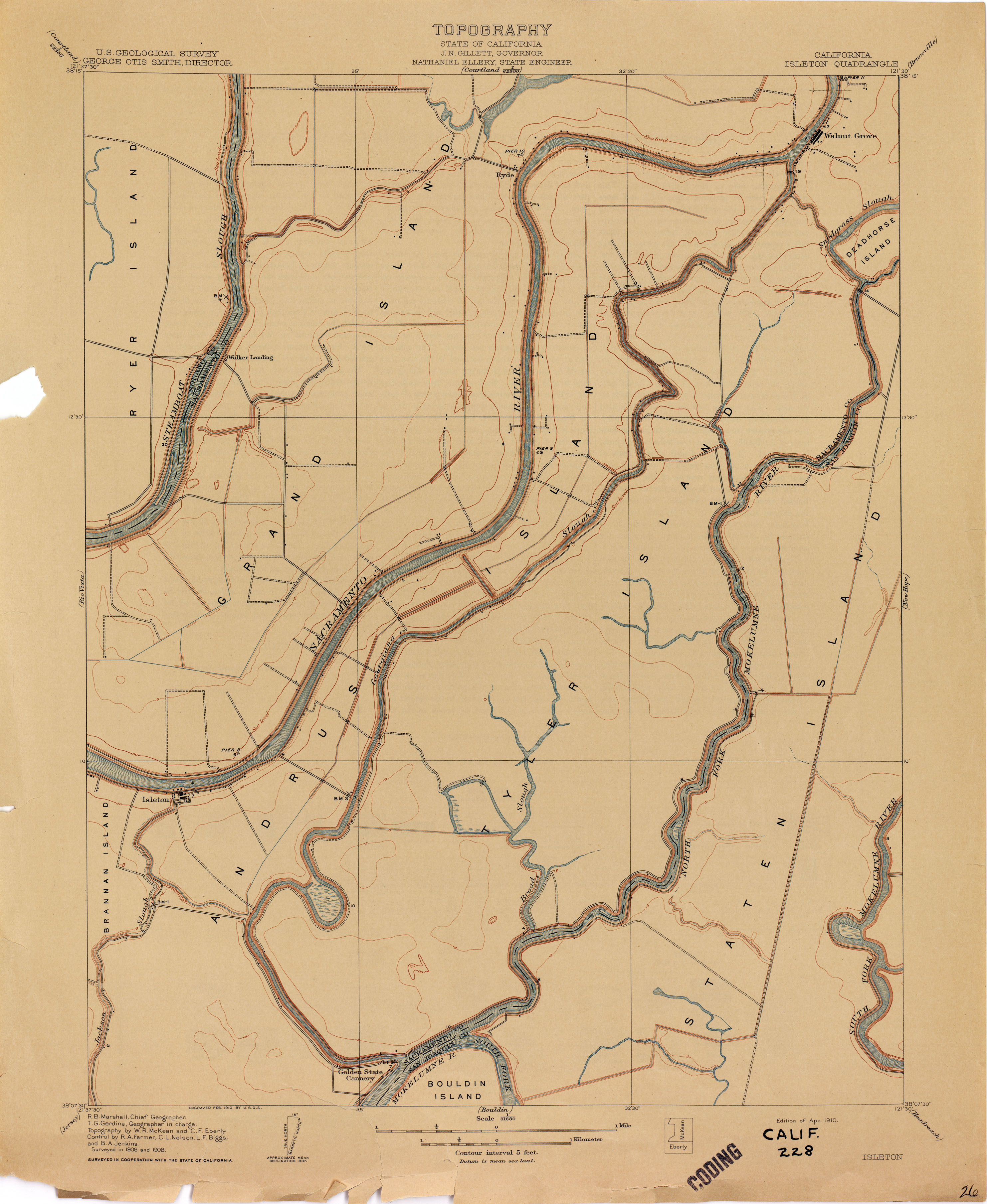
- Isleton 1908 1:31,680 (2.1MB)
- Ivanpah [California, Nevada] 1910 1:250,000 (3.1MB)
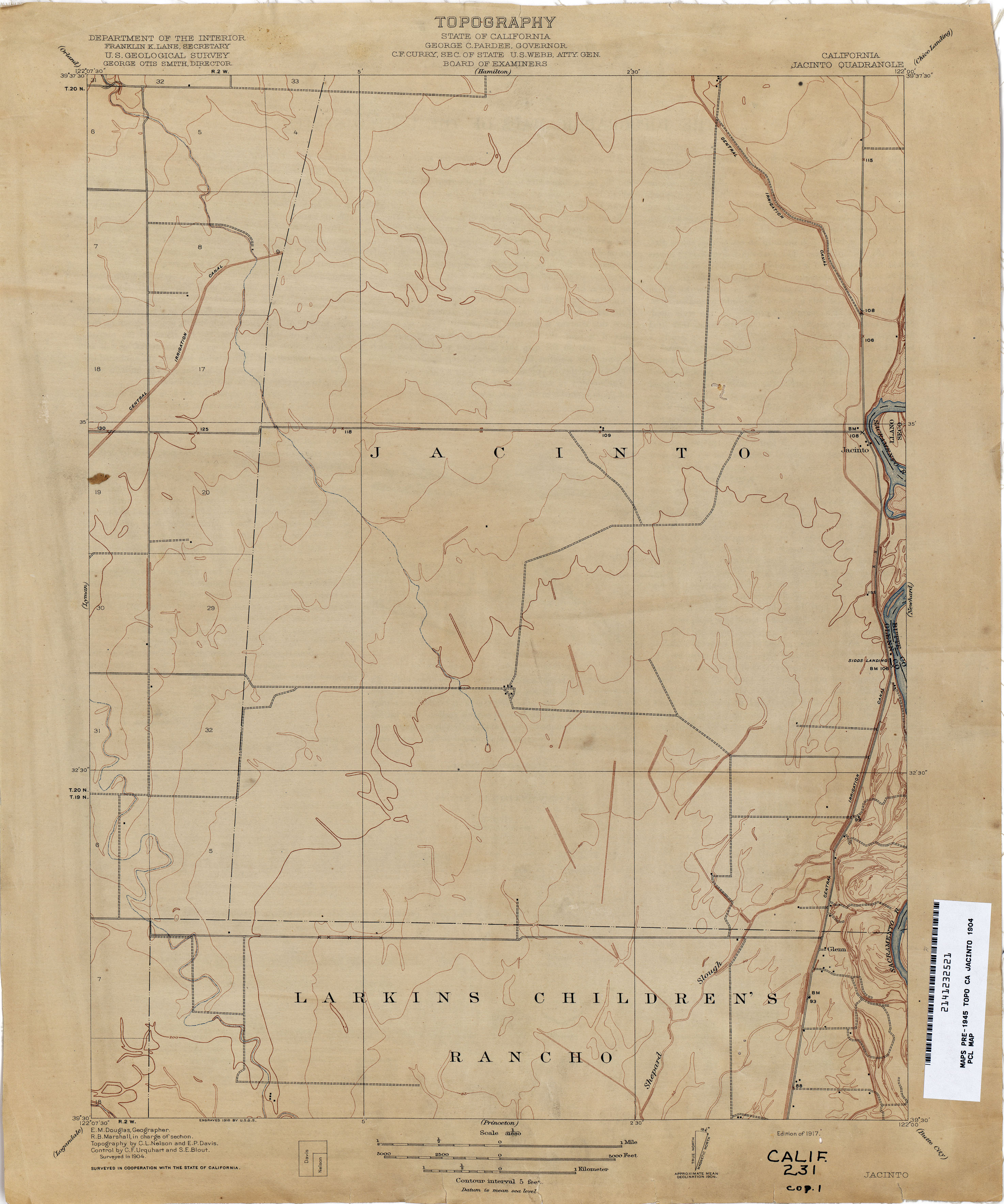
- Jacinto 1904 1:31,680 (1.8MB)
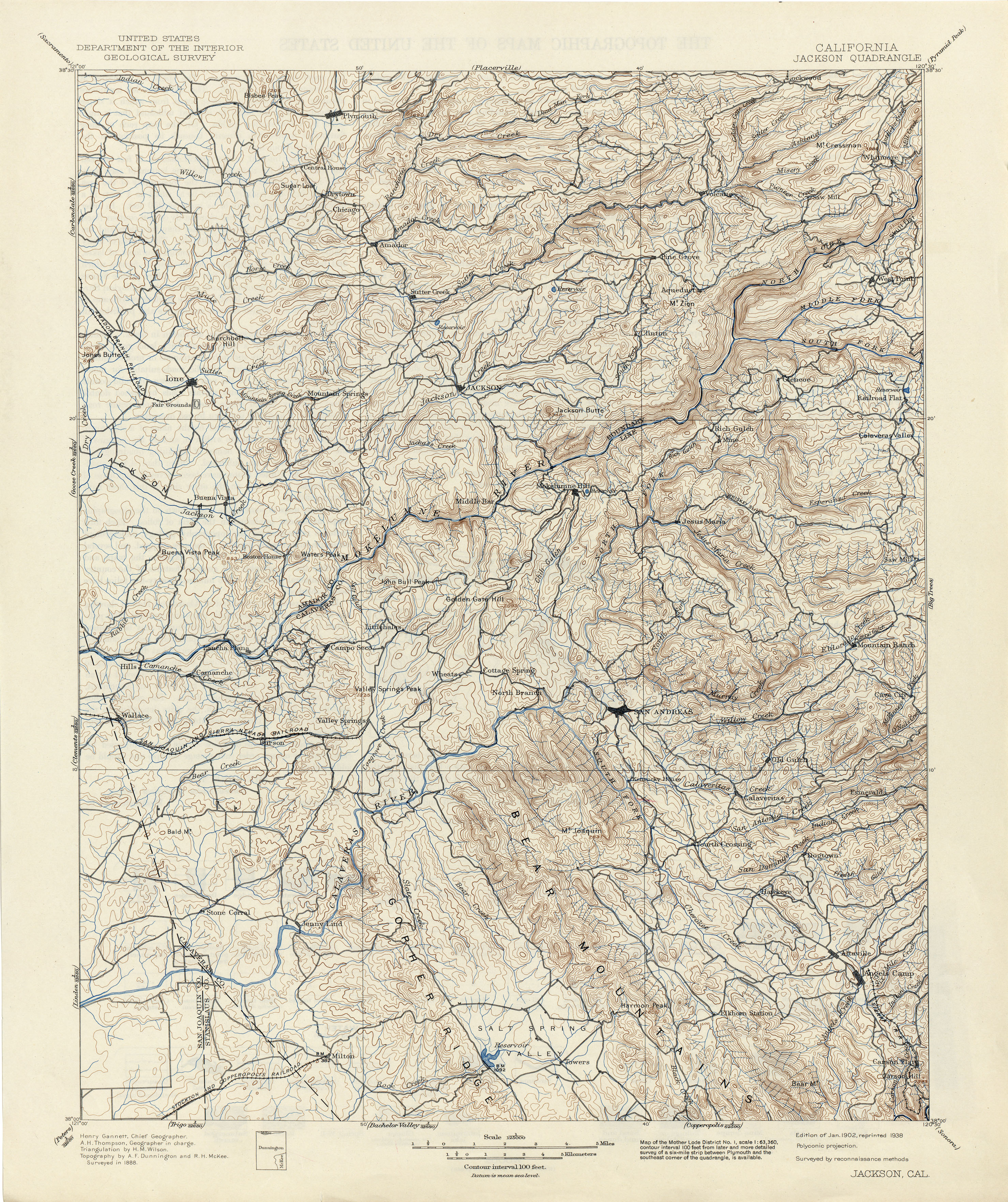
- Jackson 1888 1:125,000 (4.6MB)
- Jacobs Corner (Yolo County) 1905 1:31,680 (2.3MB)
- Jamesan (Fresno County) 1922 1:31,680 (2.1MB)
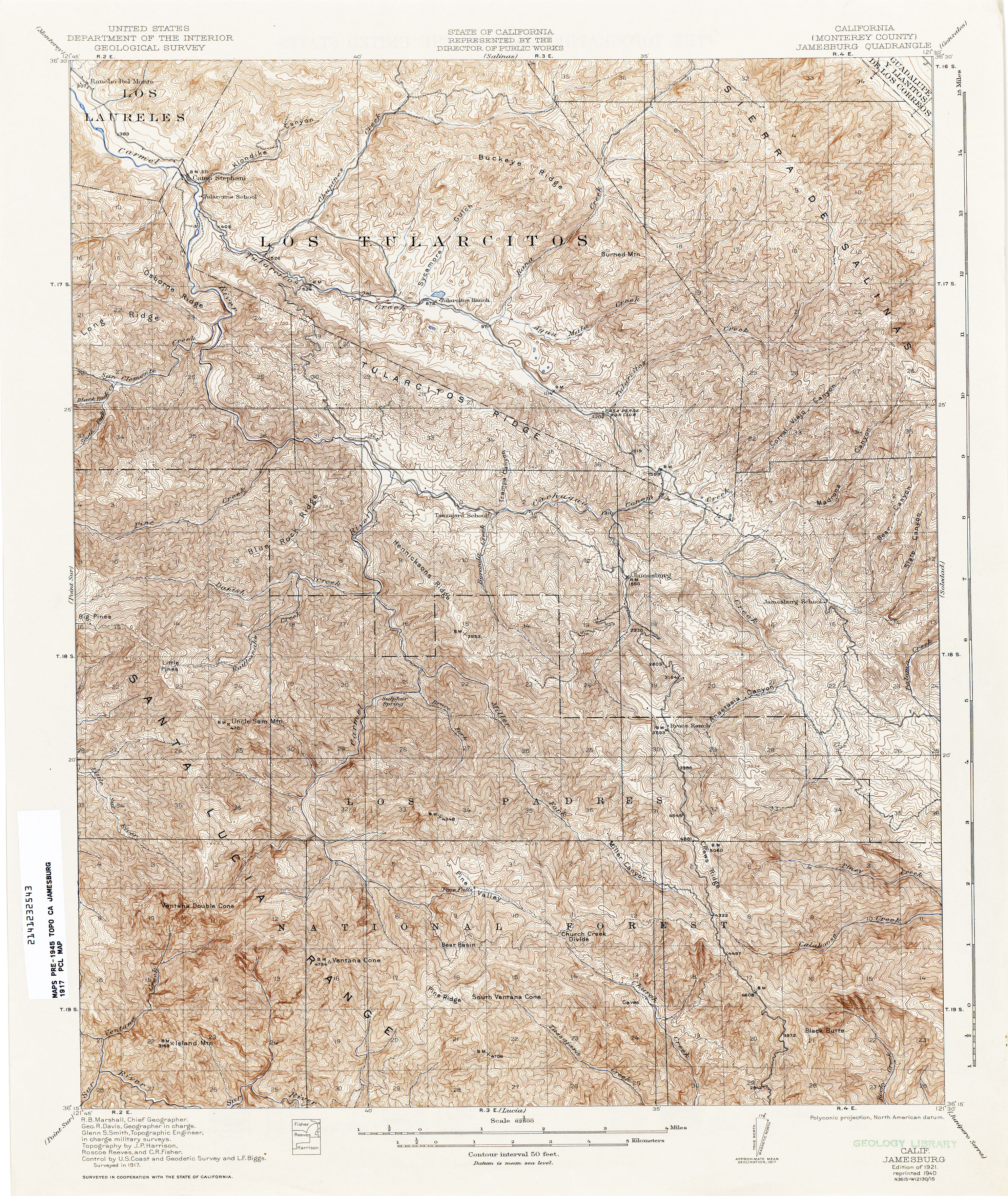
- Jamesburg (Monterey County) 1917 1:62,500 (6.0MB)
- Jersey 1908 1:31,680 (2.4MB)
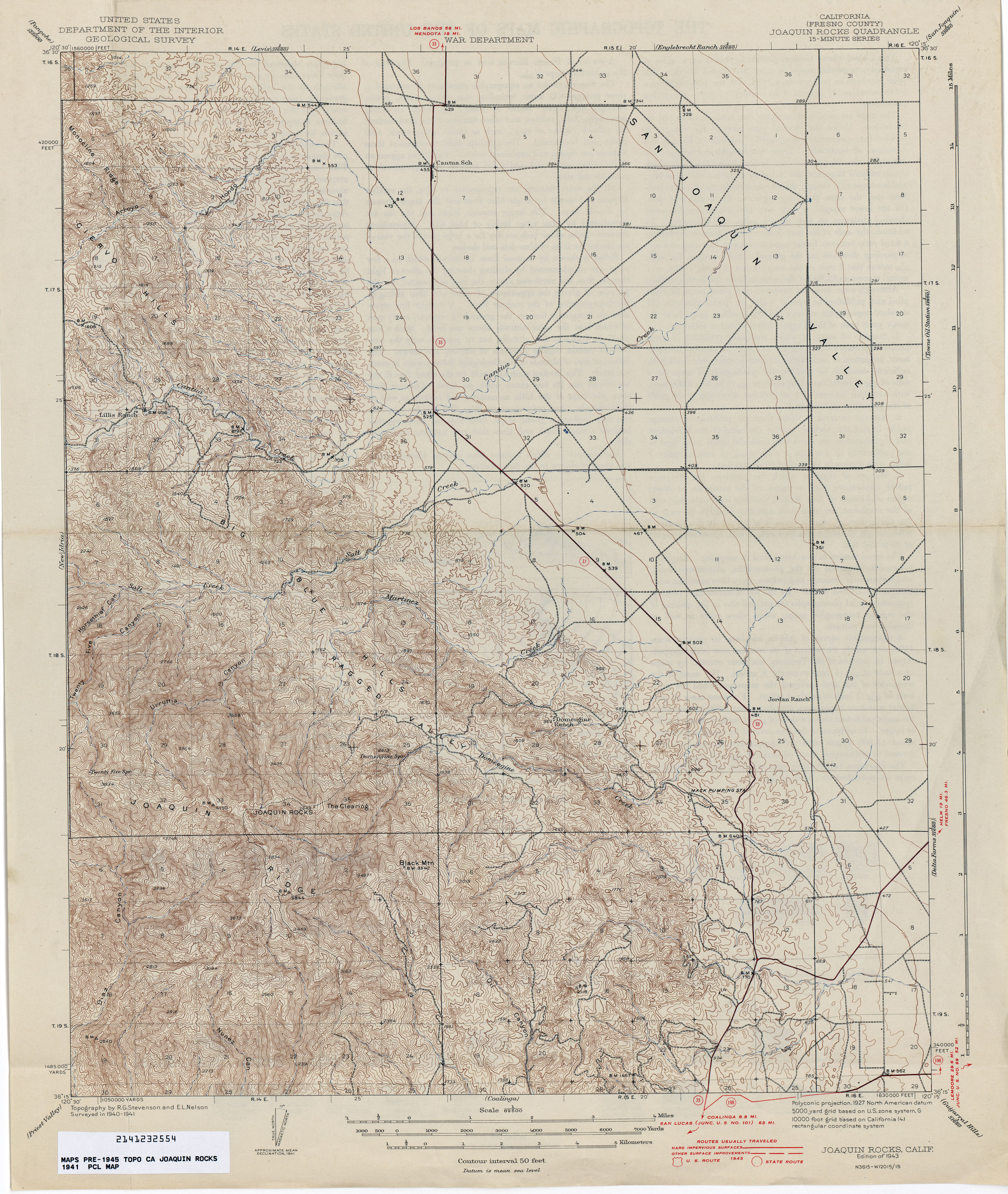
- Joaquin Rocks (Fresno County) 1941 1:62,500 (3.6MB)
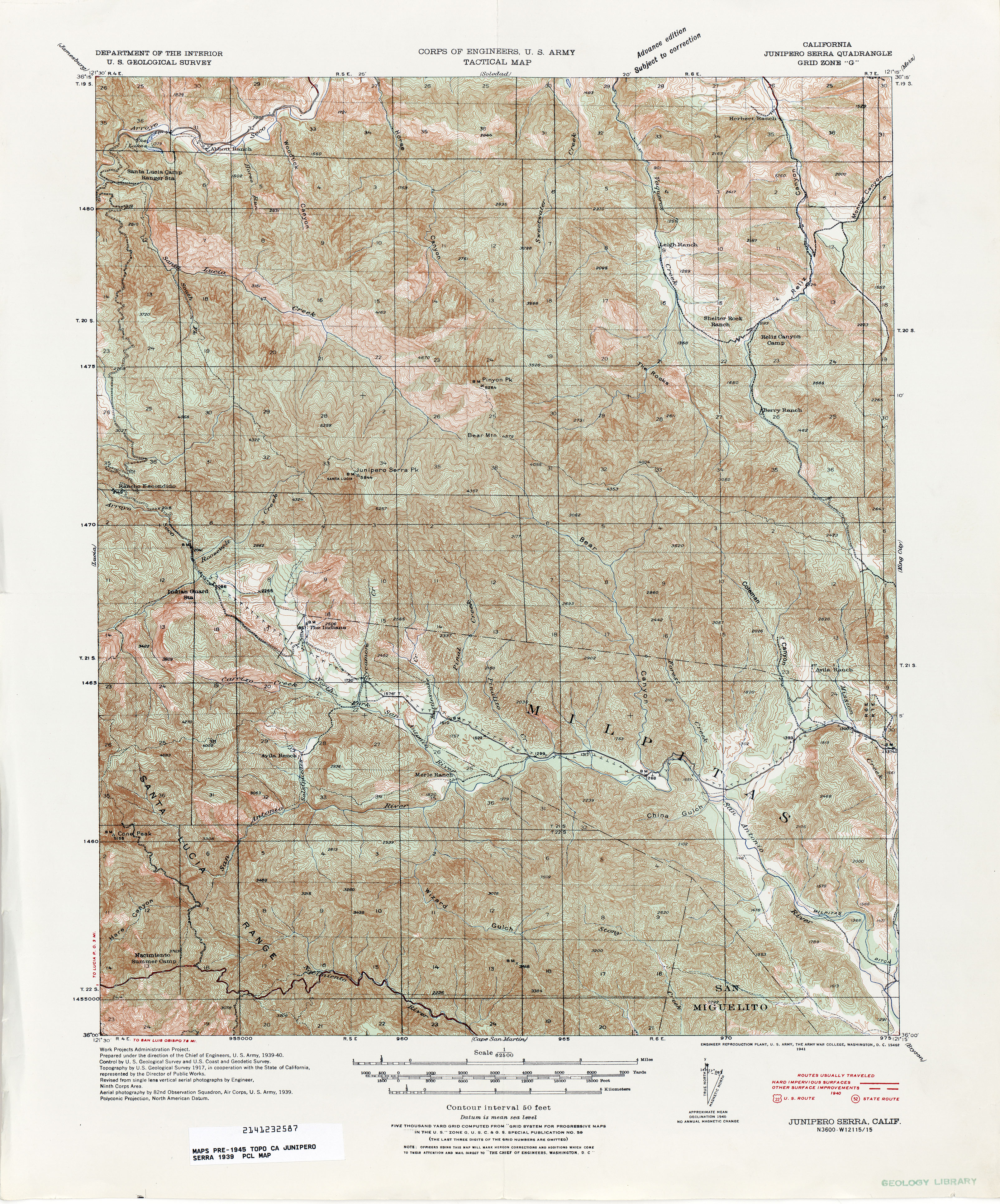
- Junipero Serra (Monterey County) 1917 1:62,500 (6.0MB)
- Junipero Serra (Monterey County) 1939 1:62,500 (6.5MB)
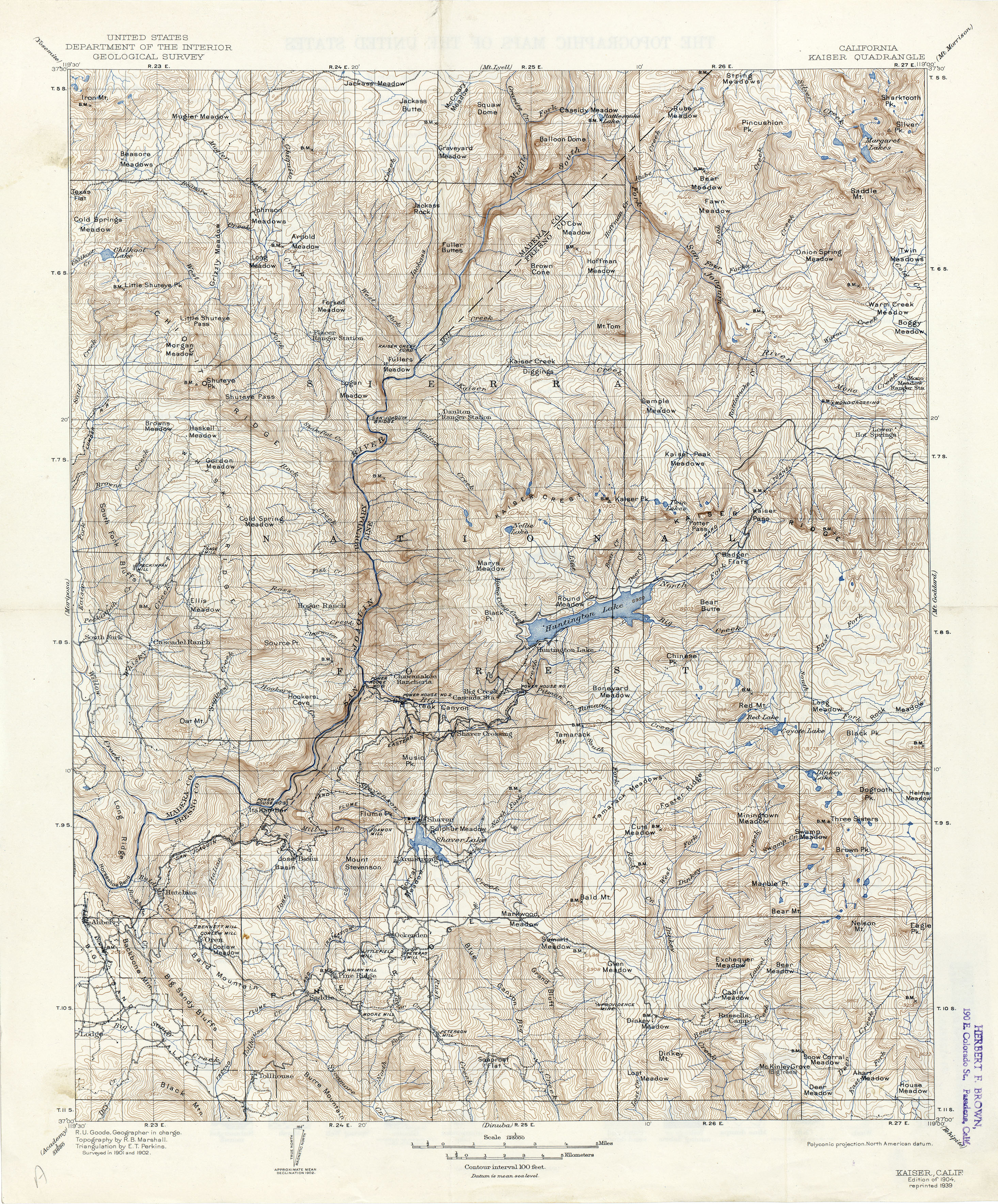
- Kaiser 1902 1:125,000 (5.4MB)
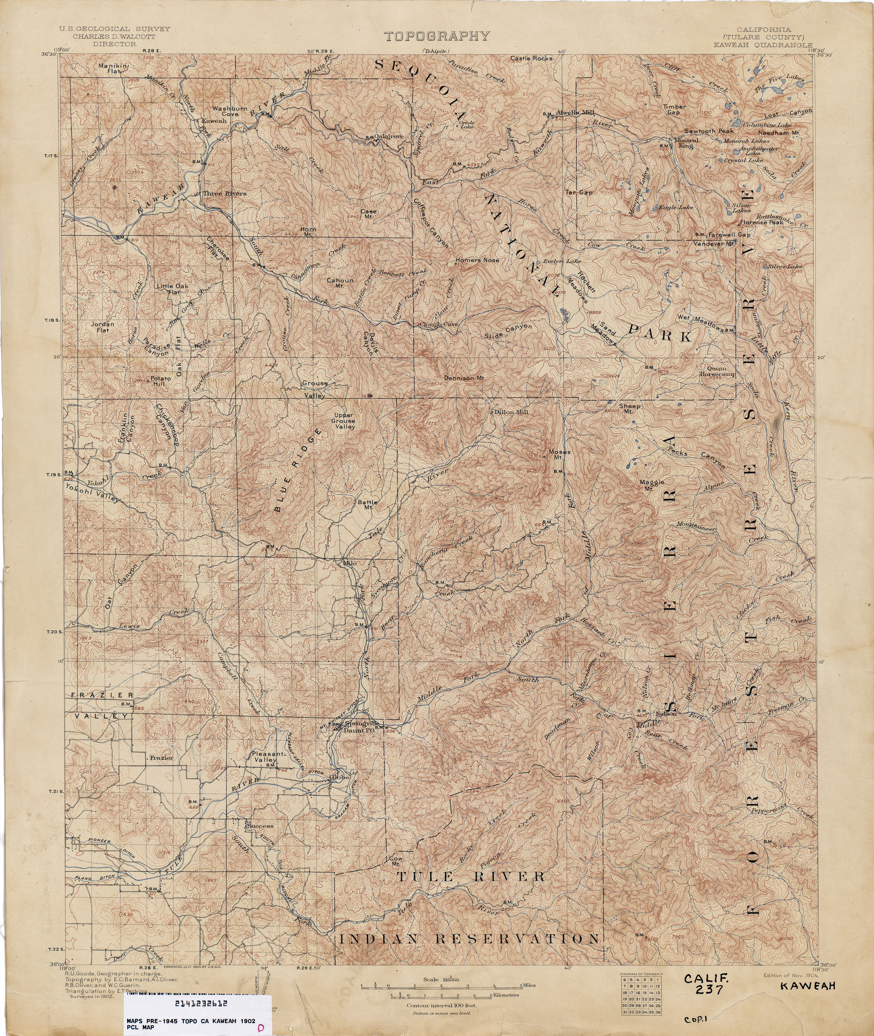
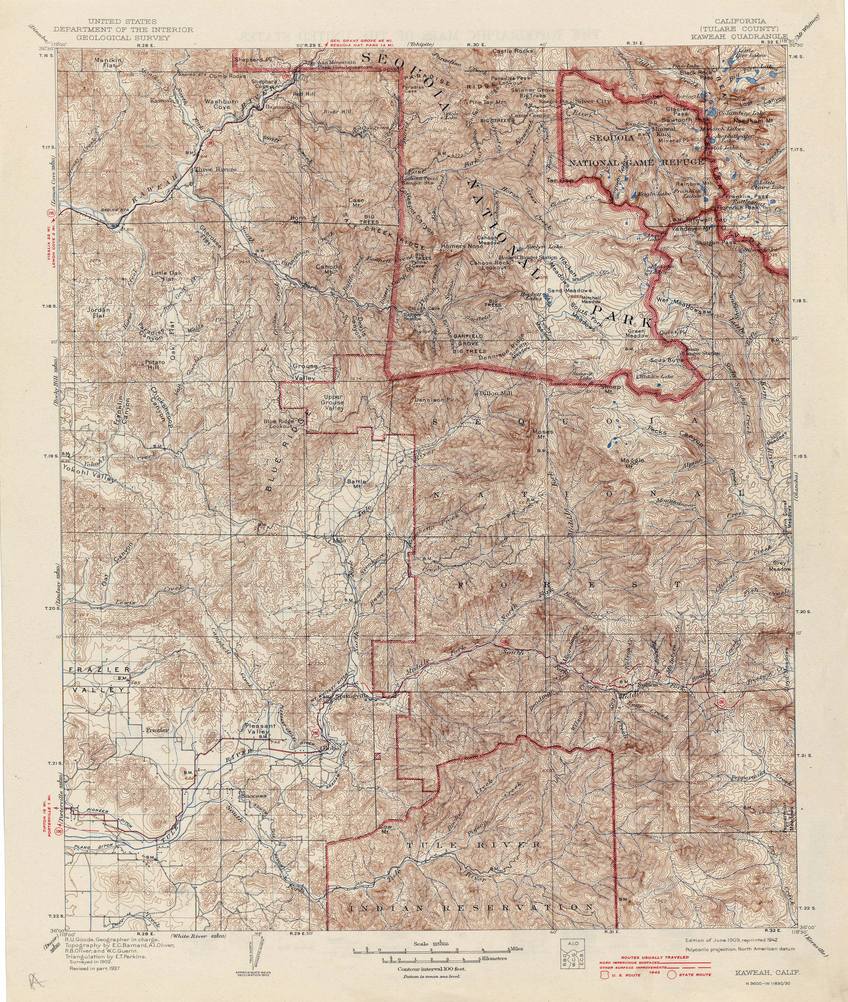
- Kaweah (Tulare County) 1902 1:125,000 (4.7MB)
- Kaweah (Tulare County) 1902 1:125,000 (6.0MB)
- Kearney Park (Fresno County) 1920 1:31,680 (1.9MB)
- Kentucky Well (Madera County) 1919 1:31,680 (1.9MB)
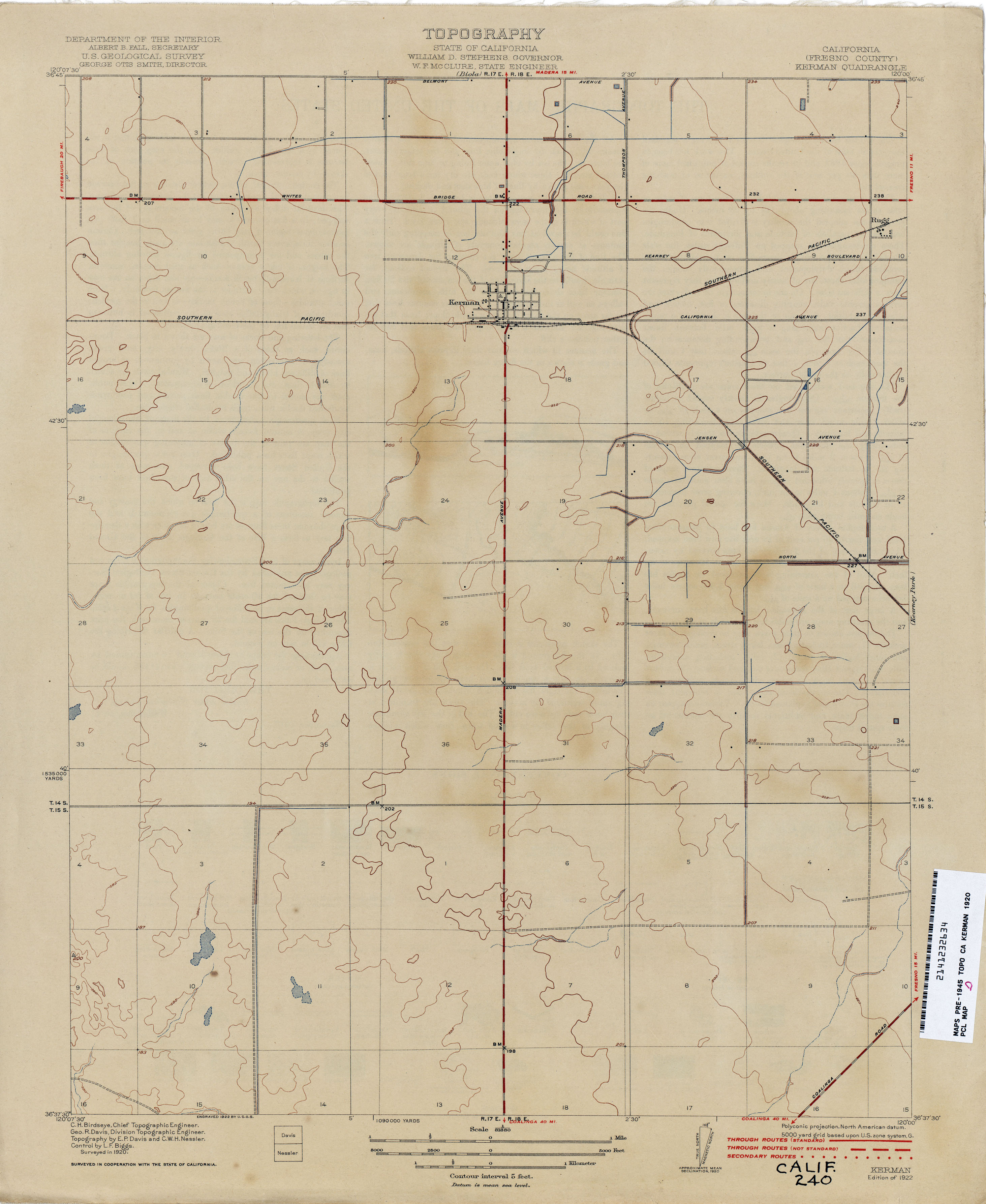
- Kerman (Fresno County) 1920 1:31,680 (1.6MB)
- Kern River Oil Field 1904 1:12,000 (11.2MB)
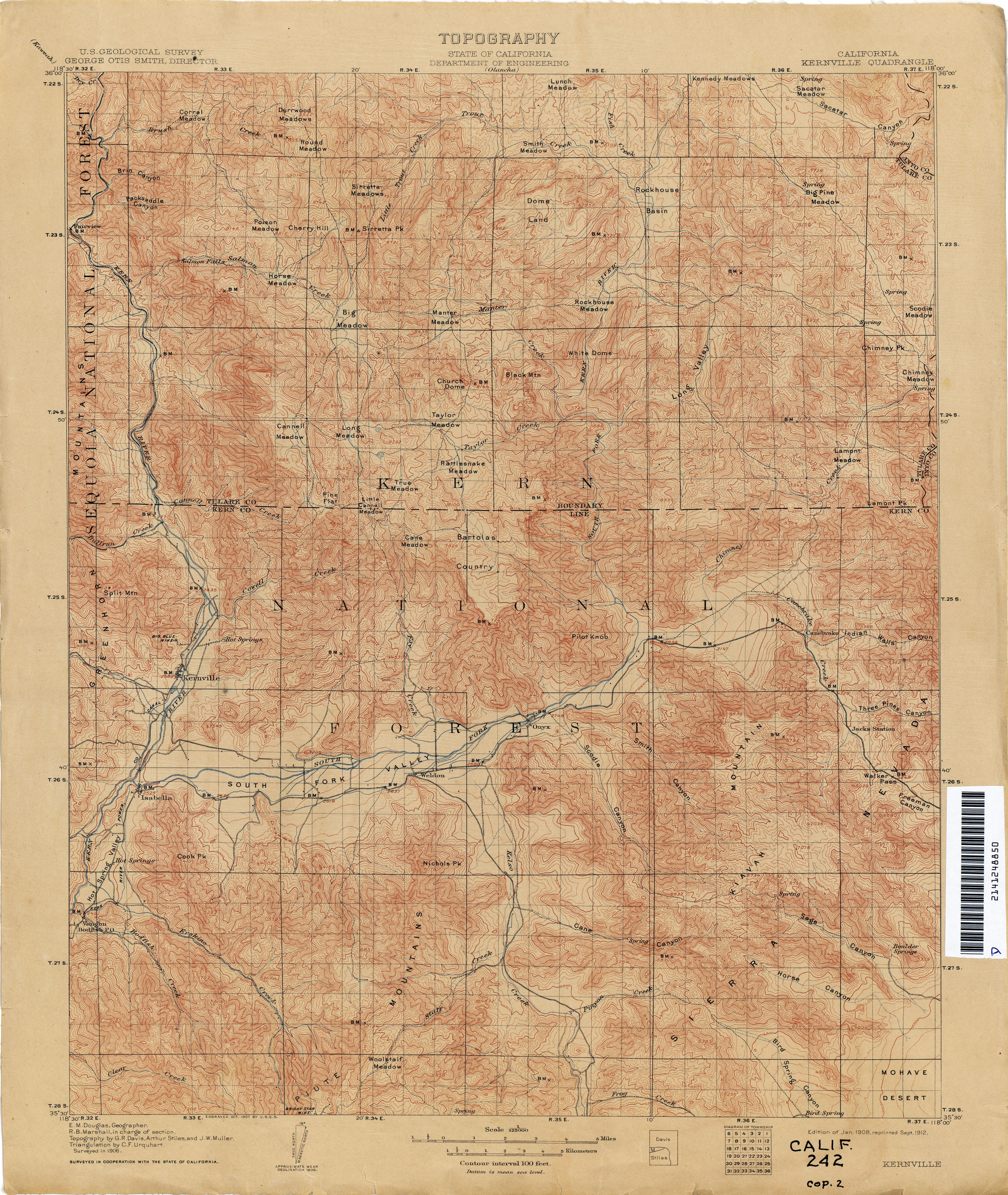
- Kernville 1906 1:125,000 (4.6MB)
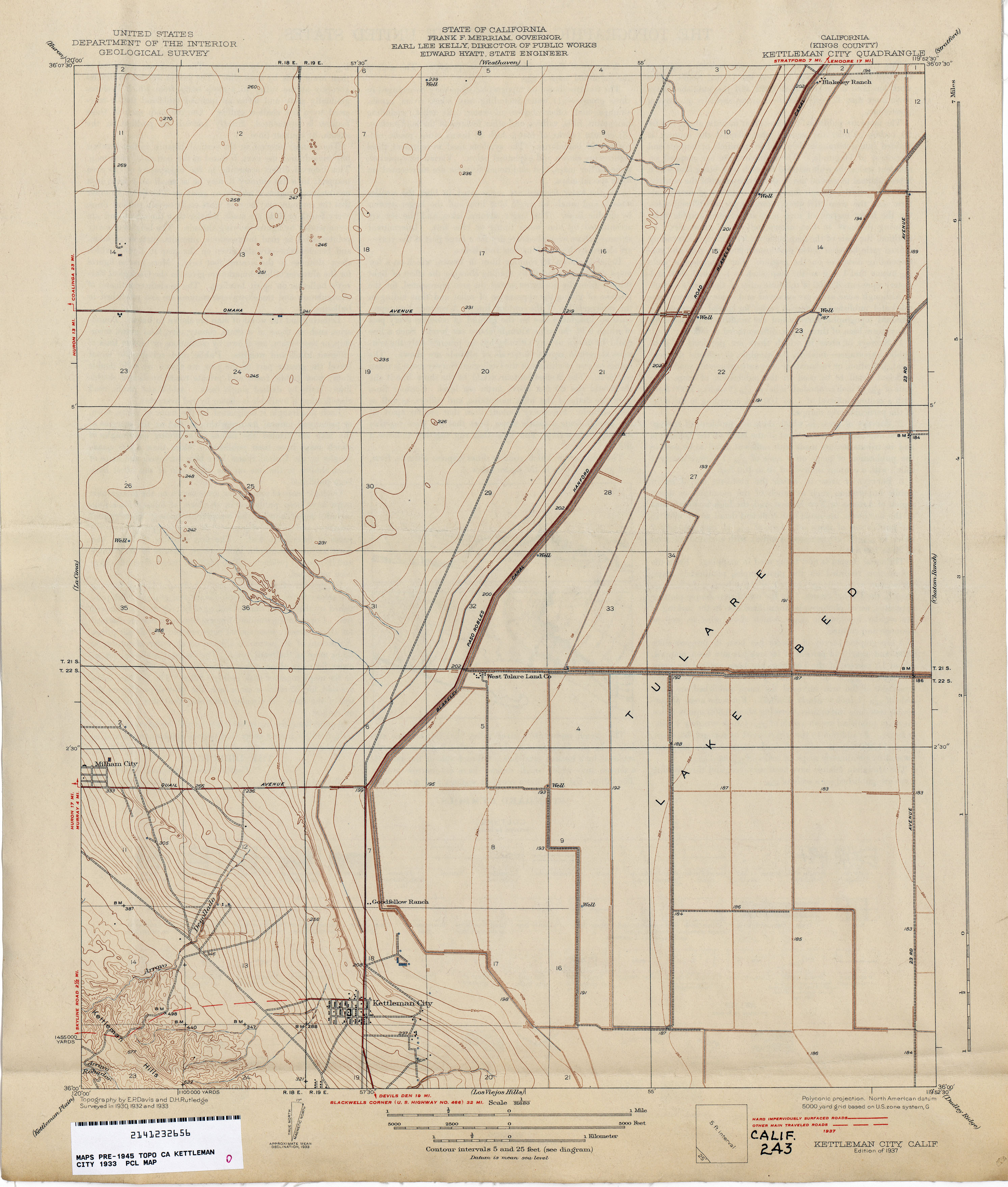
- Kettleman City (Kings County) 1933 1:31,680 (2.1MB)
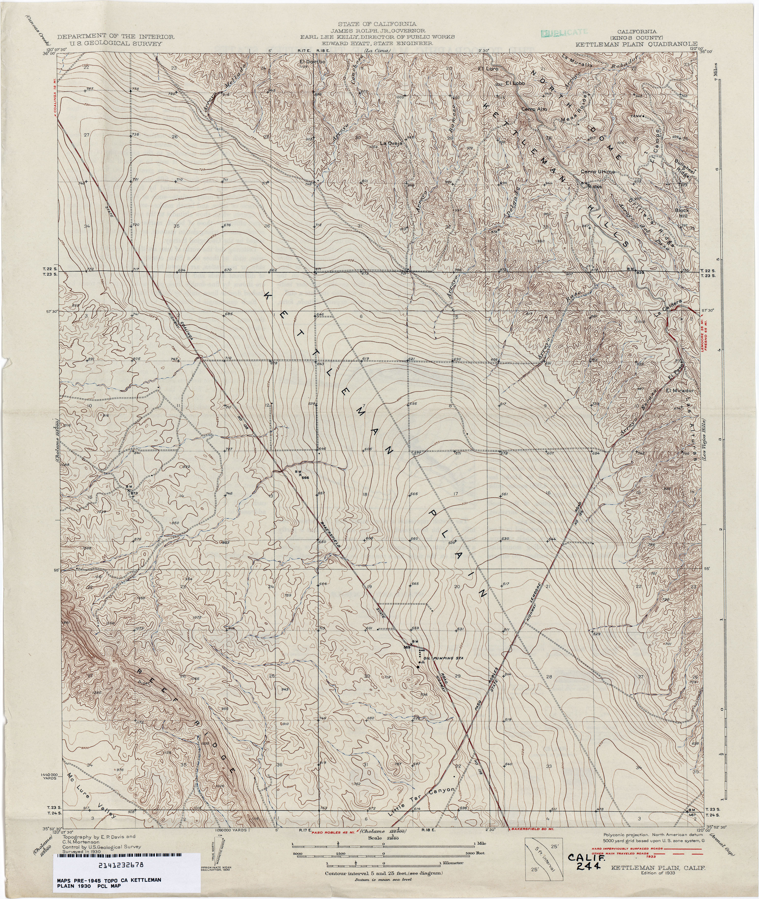
- Kettleman Plain (Kings County) 1930 1:31,680 (3.6MB)
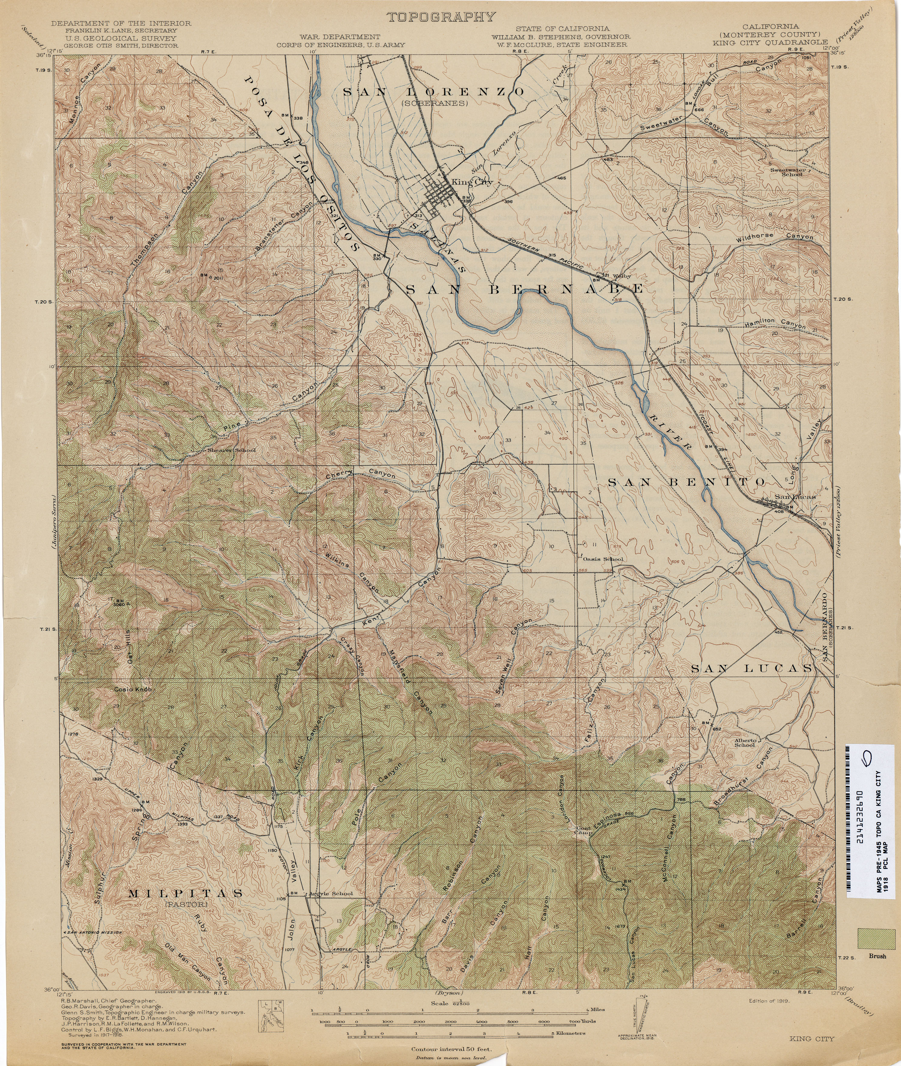
- King City (Monterey County) 1918 1:62,500 (4.4MB)
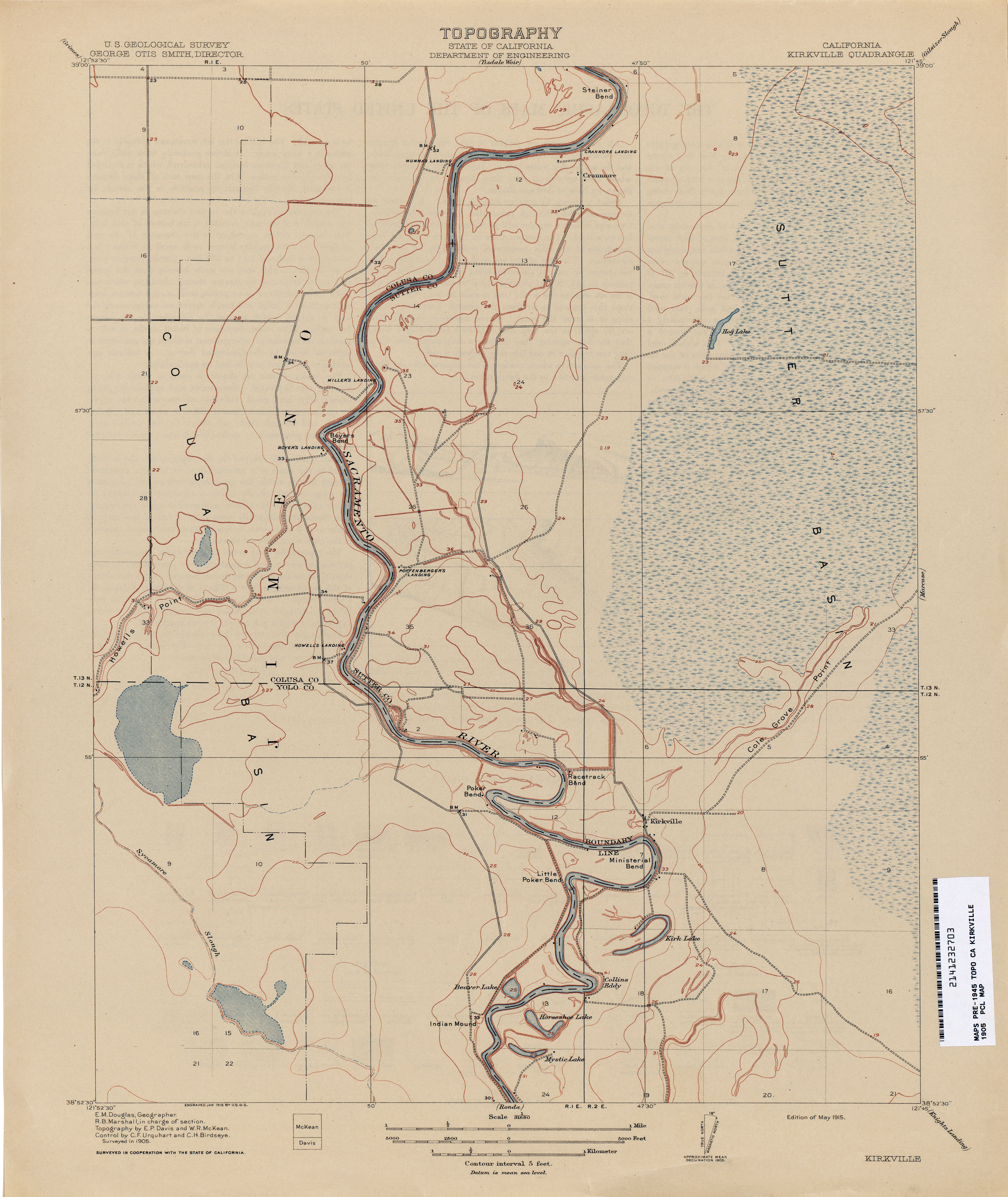
- Kirkville 1905 1:62,500 (2.1MB)
- Kirkwood 1904 1:31,680 (3.0MB)
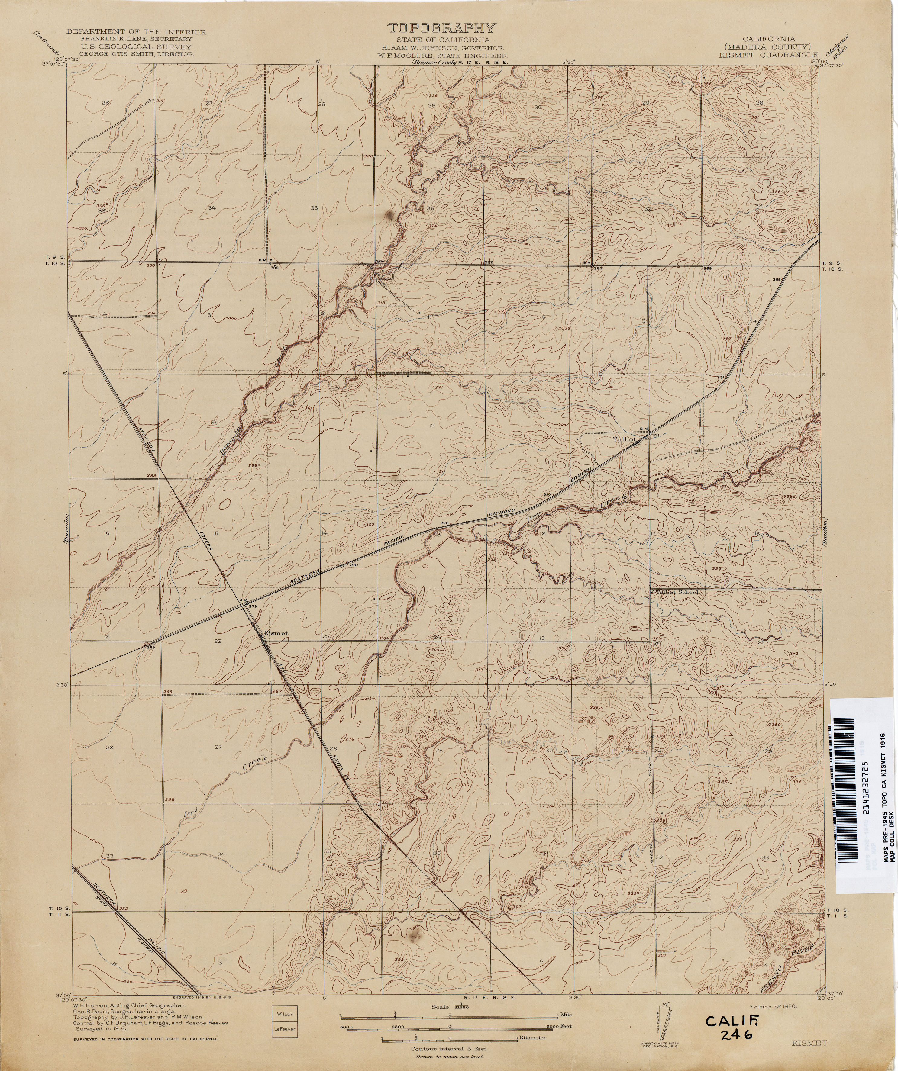
- Kismet (Madera County) 1916 1:31,680 (2.6MB)
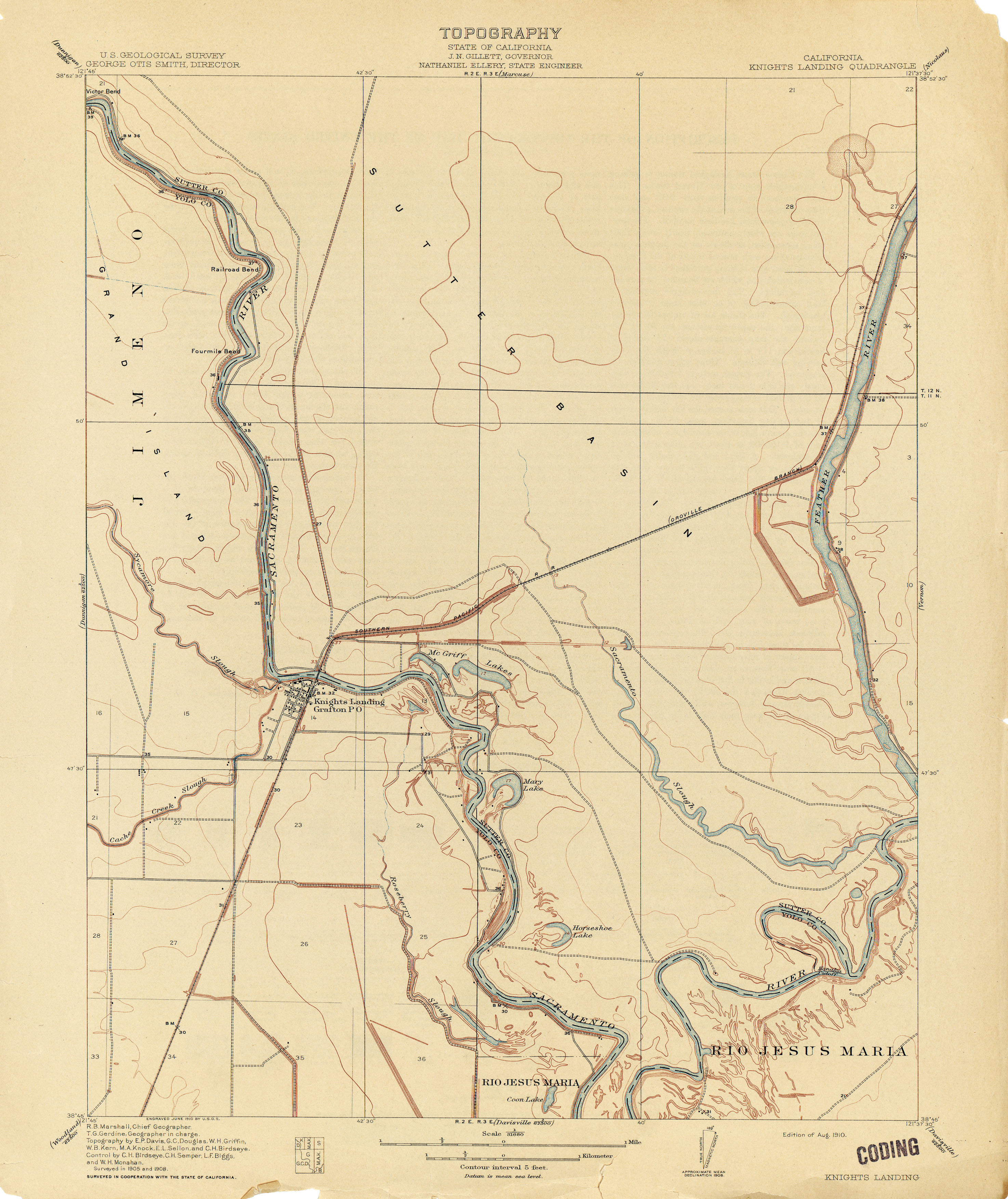
- Knights Landing 1908 1:31,680 (2.2MB)
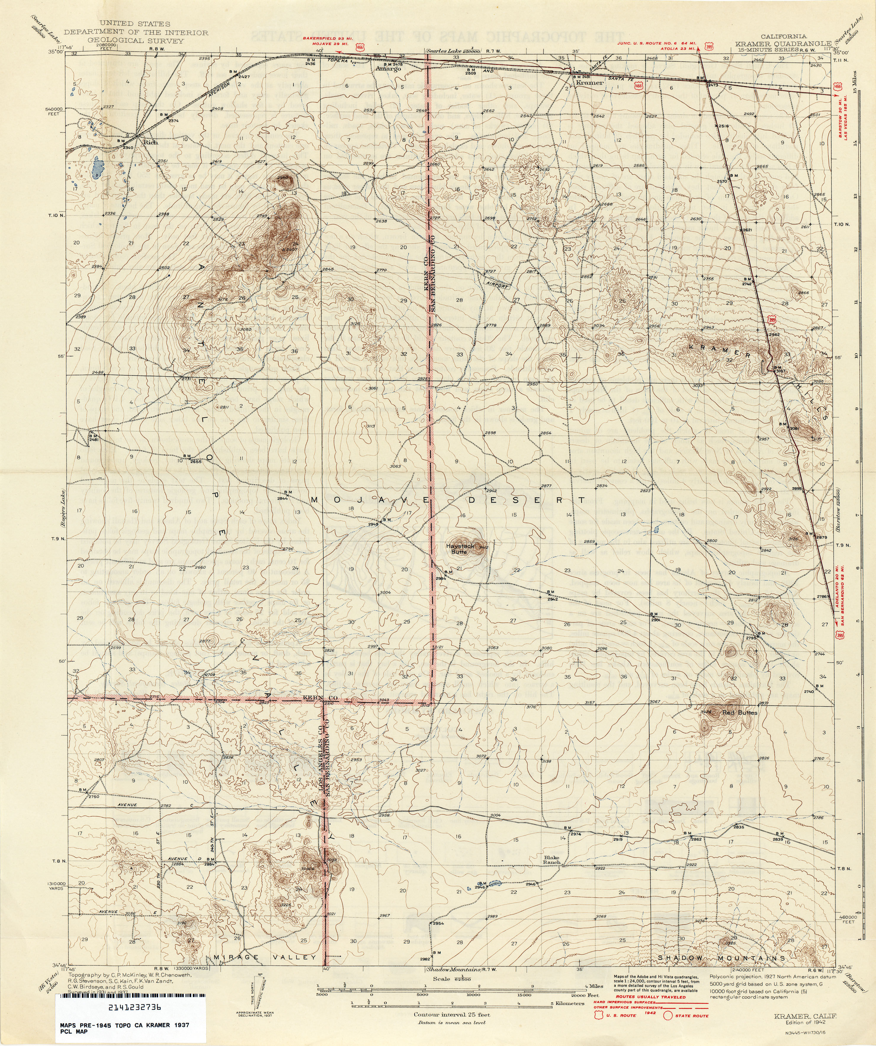
- Kramer 1937 1:62,500 (2.9MB)
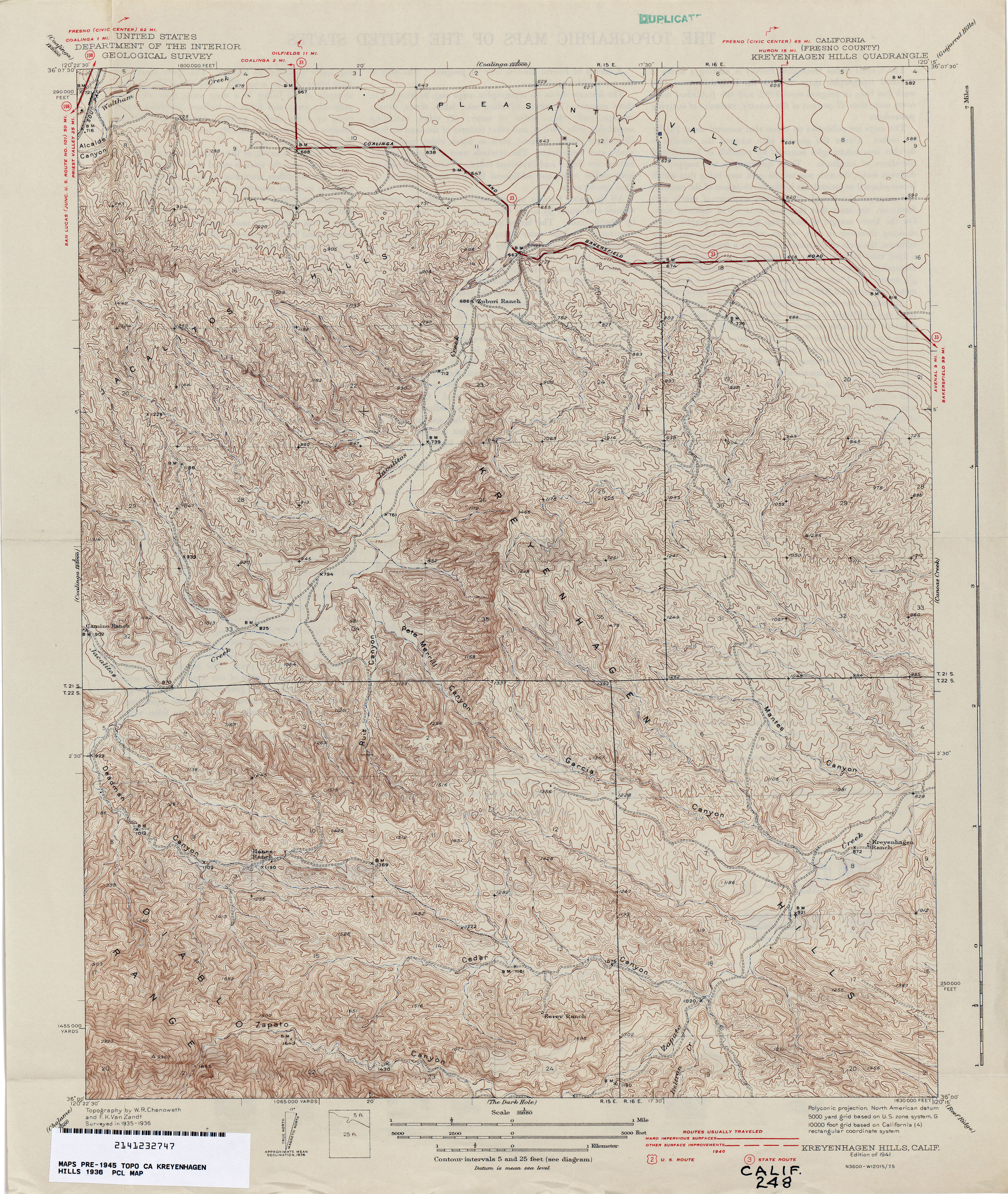
- Kreyenhagen Hills (Fresno County) 1936 1:31,680 (4.3MB)
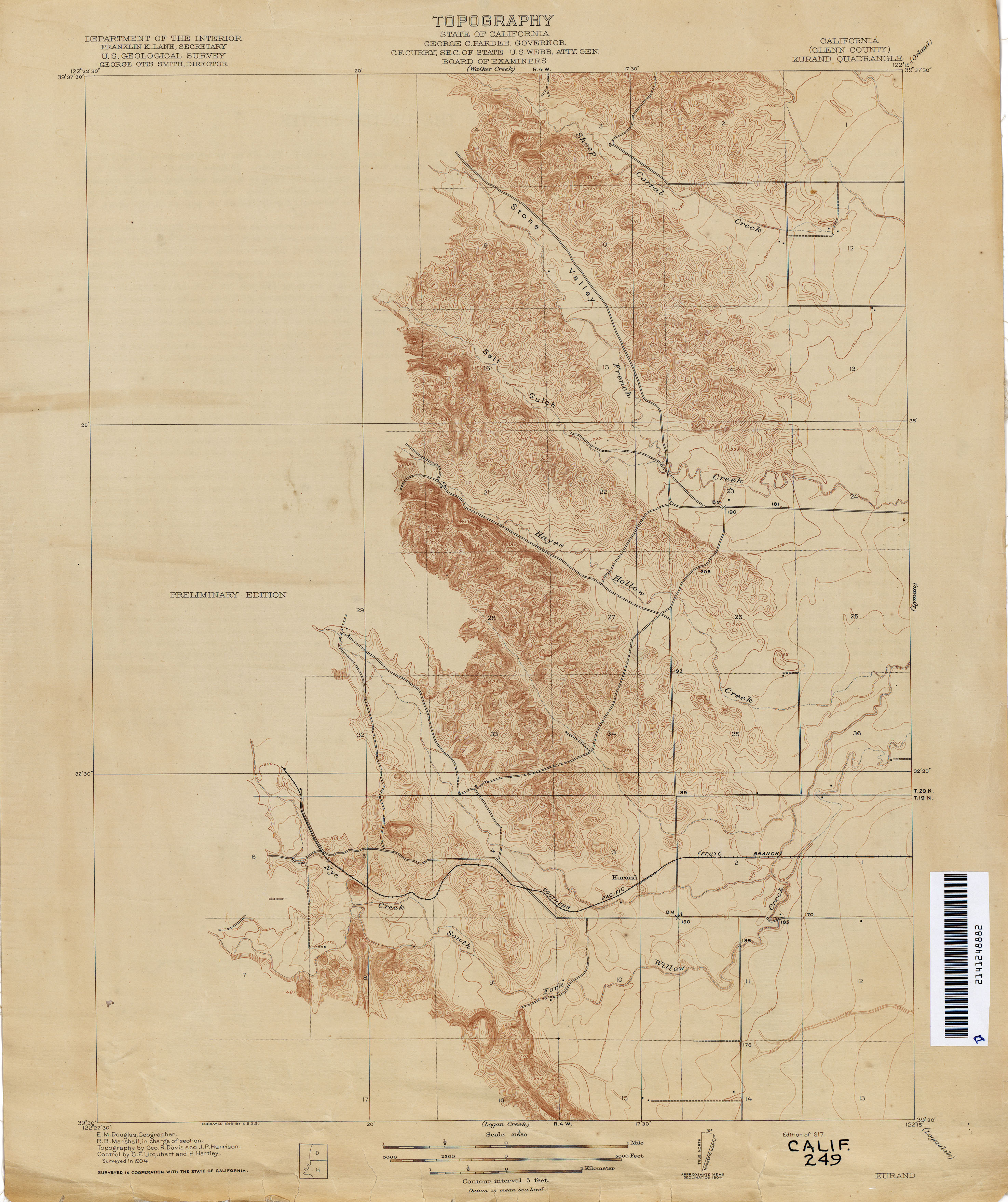
- Kurand (Glenn County) 1904 1:31,680 (2.3MB)
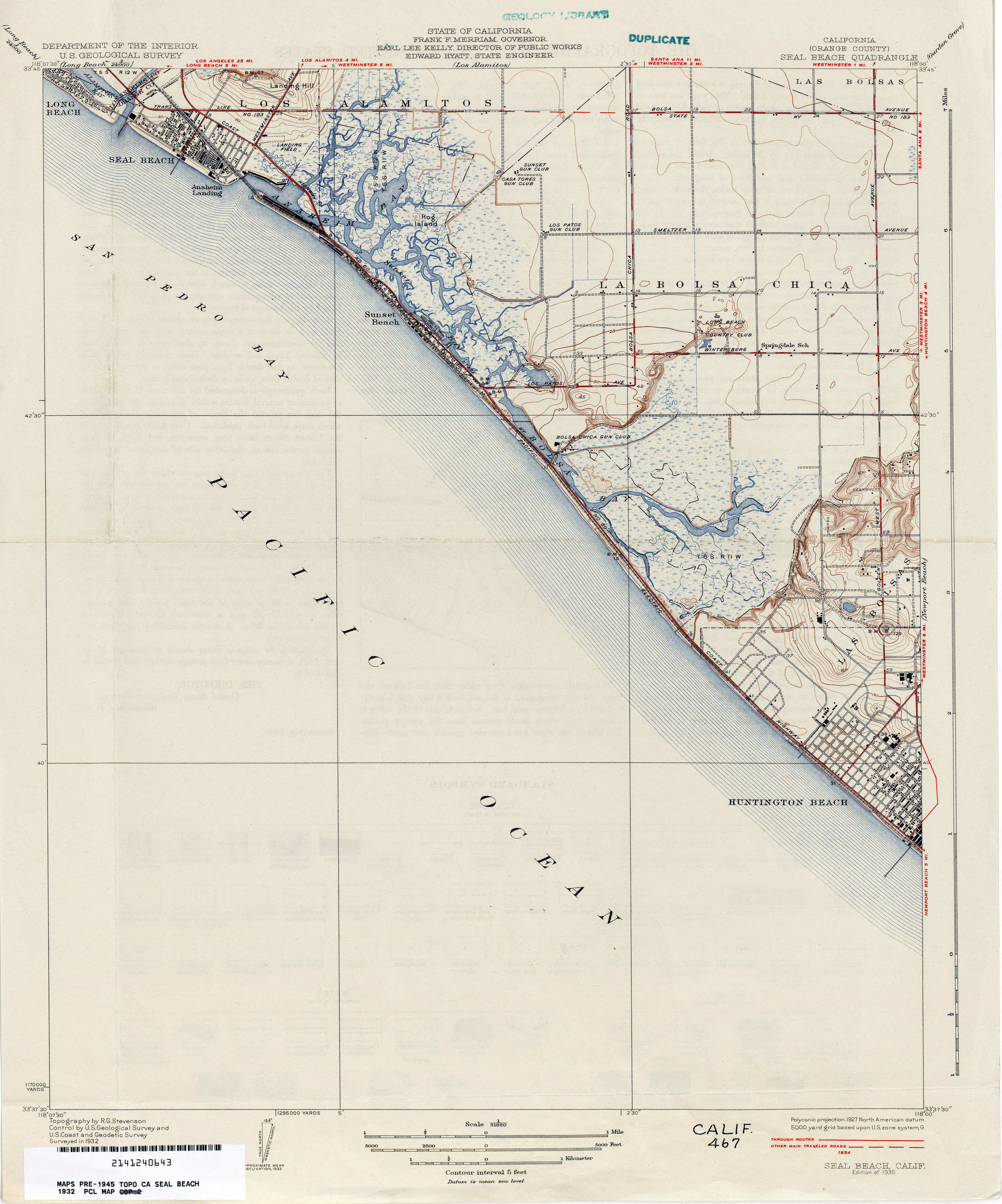
- Las Bolsas 1894 1:62,500 (1.4MB)
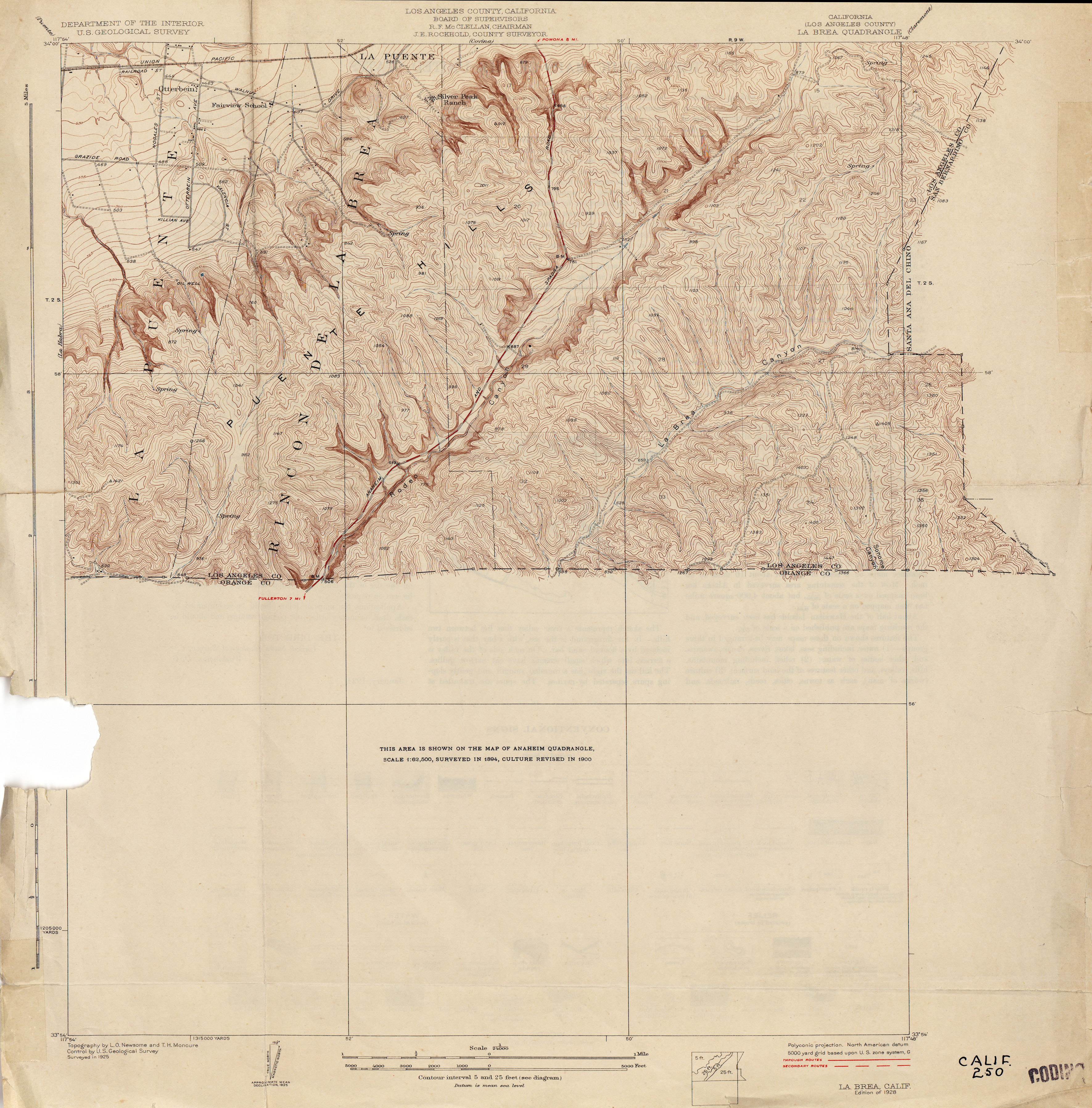
- La Brea (Los Angeles County) 1925 1:24,000 (3.3MB)
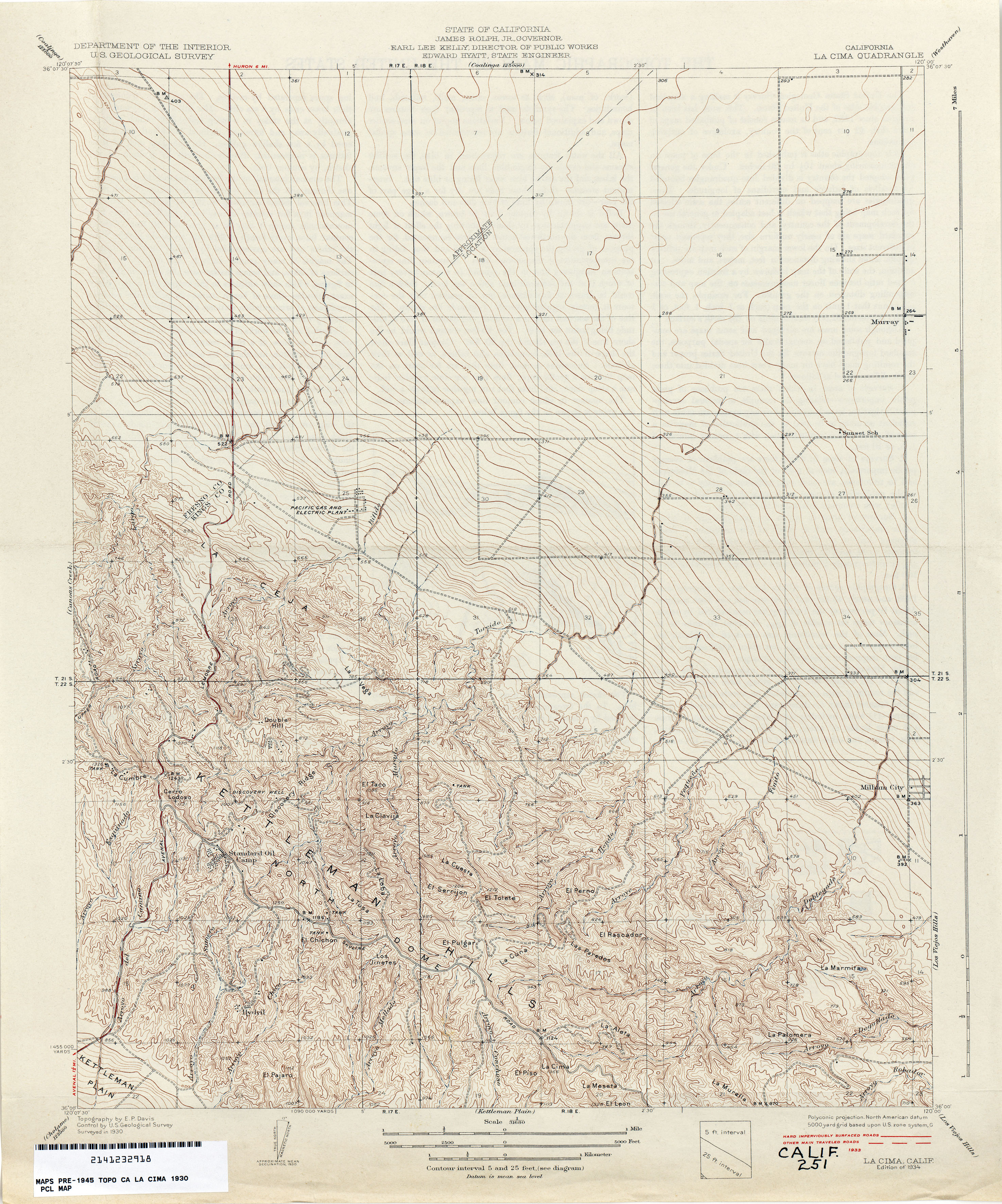
- La Cima 1930 1:31,680 (3.7MB)
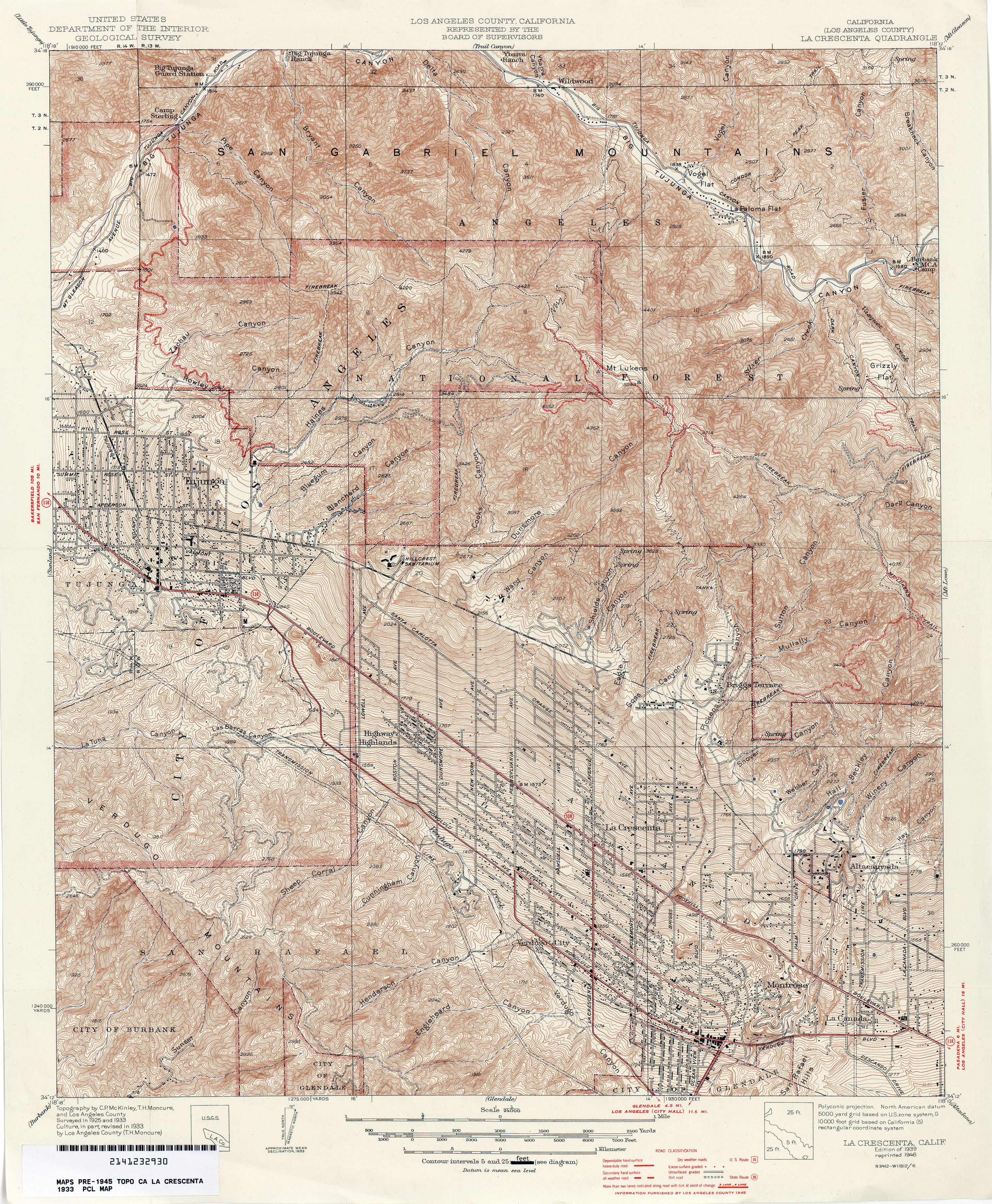
- La Crescenta (Los Angeles County) 1933 1:24,000 (6.8MB)
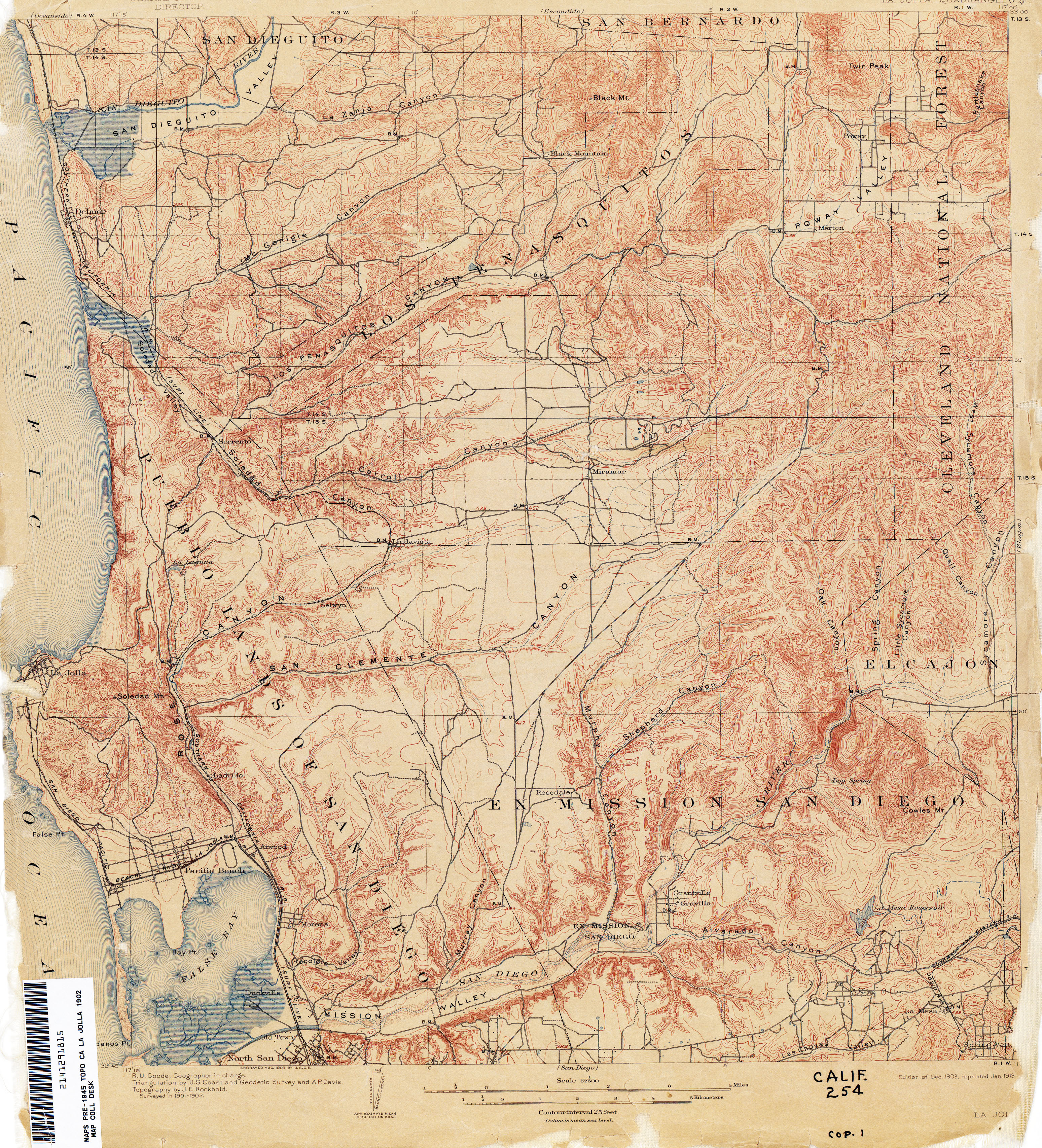
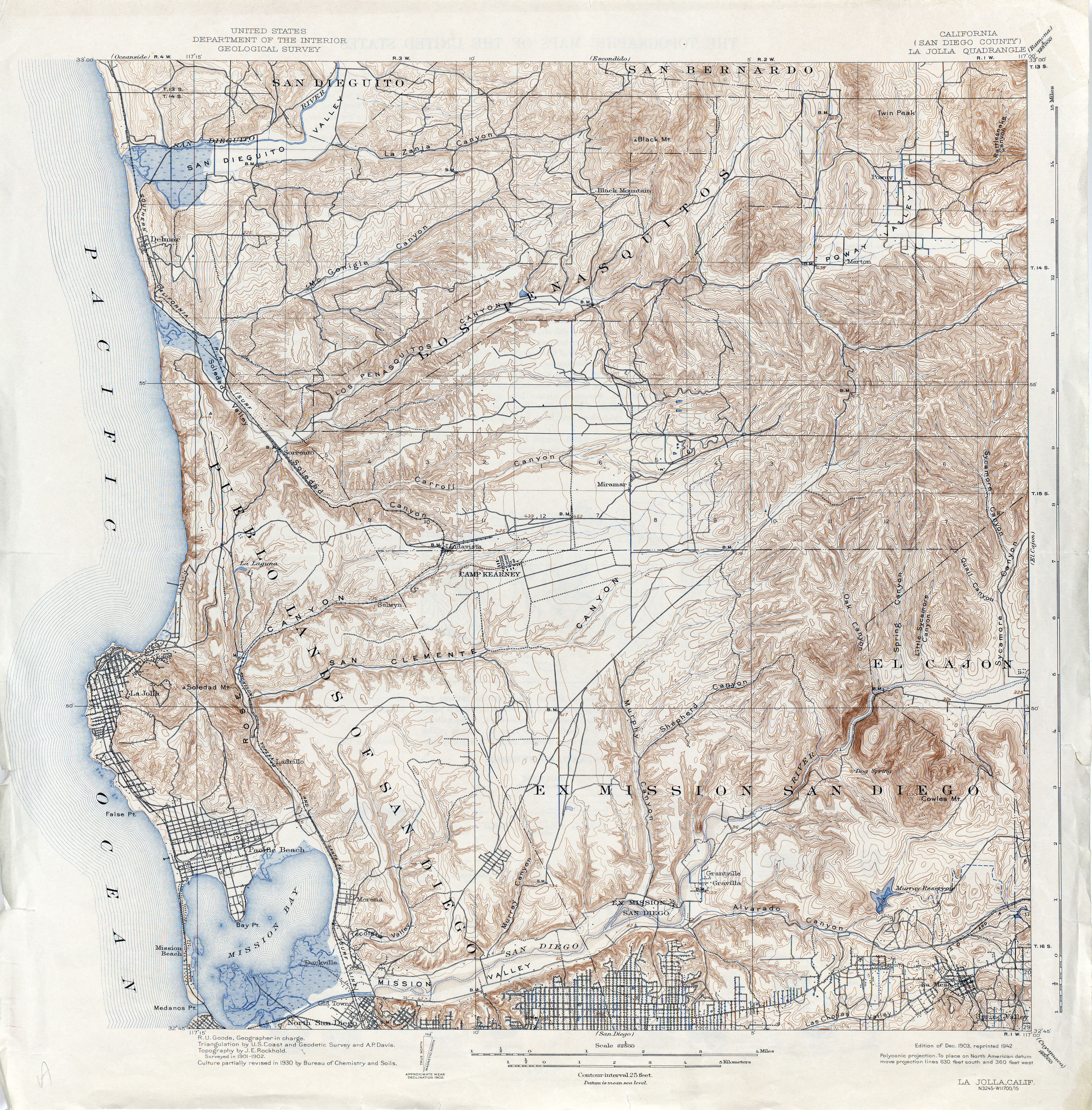
- La Jolla (San Diego County) 1902 1:62,500 (4.8MB)
- La Jolla (San Diego County) 1930 1:62,500 (6.0MB)
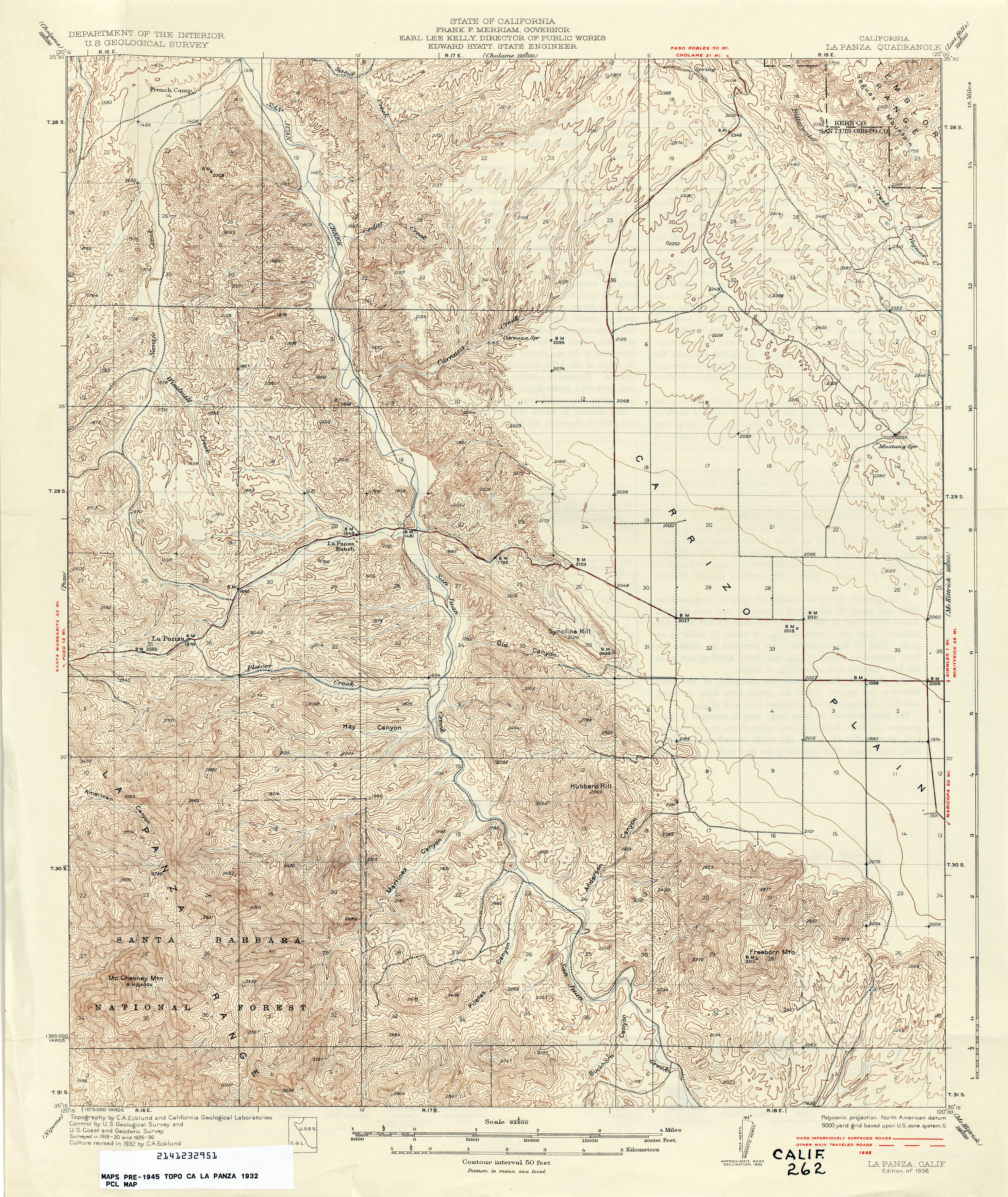
- La Panza 1932 1:62,500 (4.6MB)
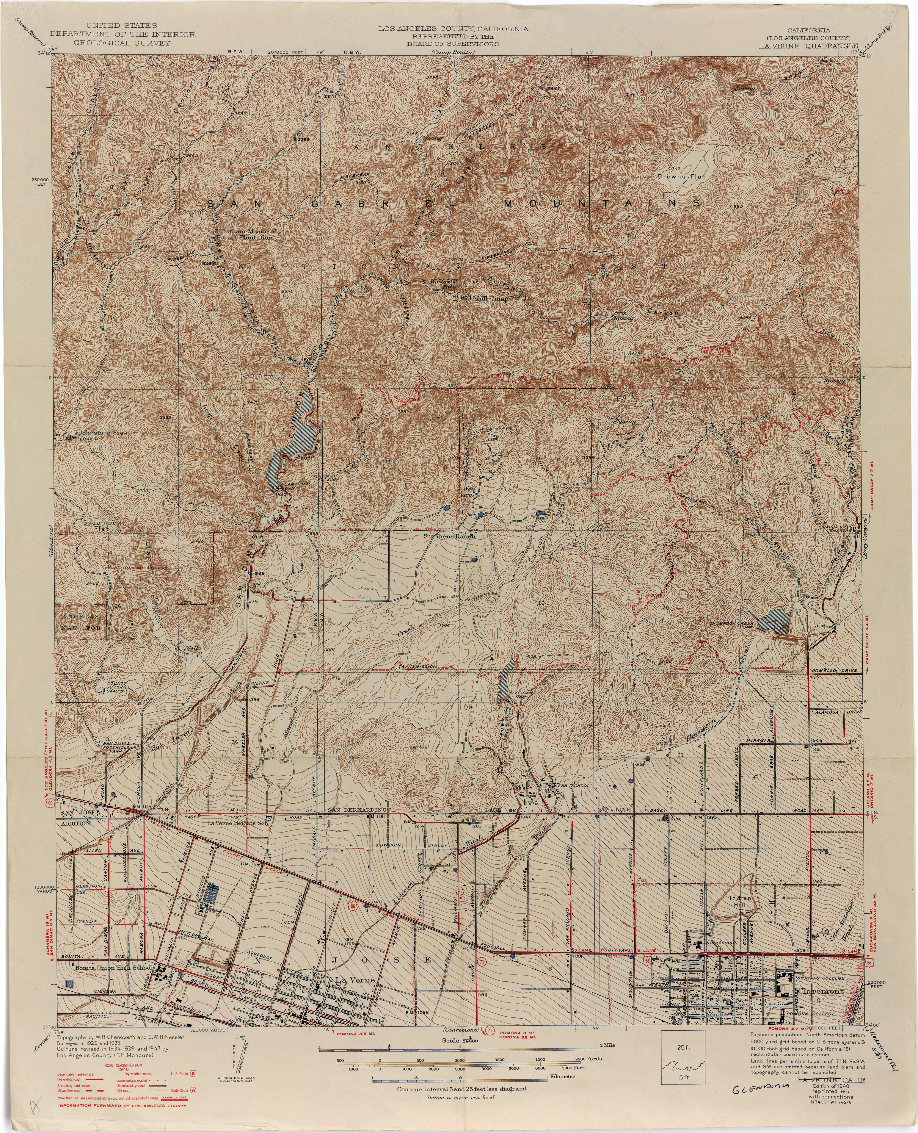
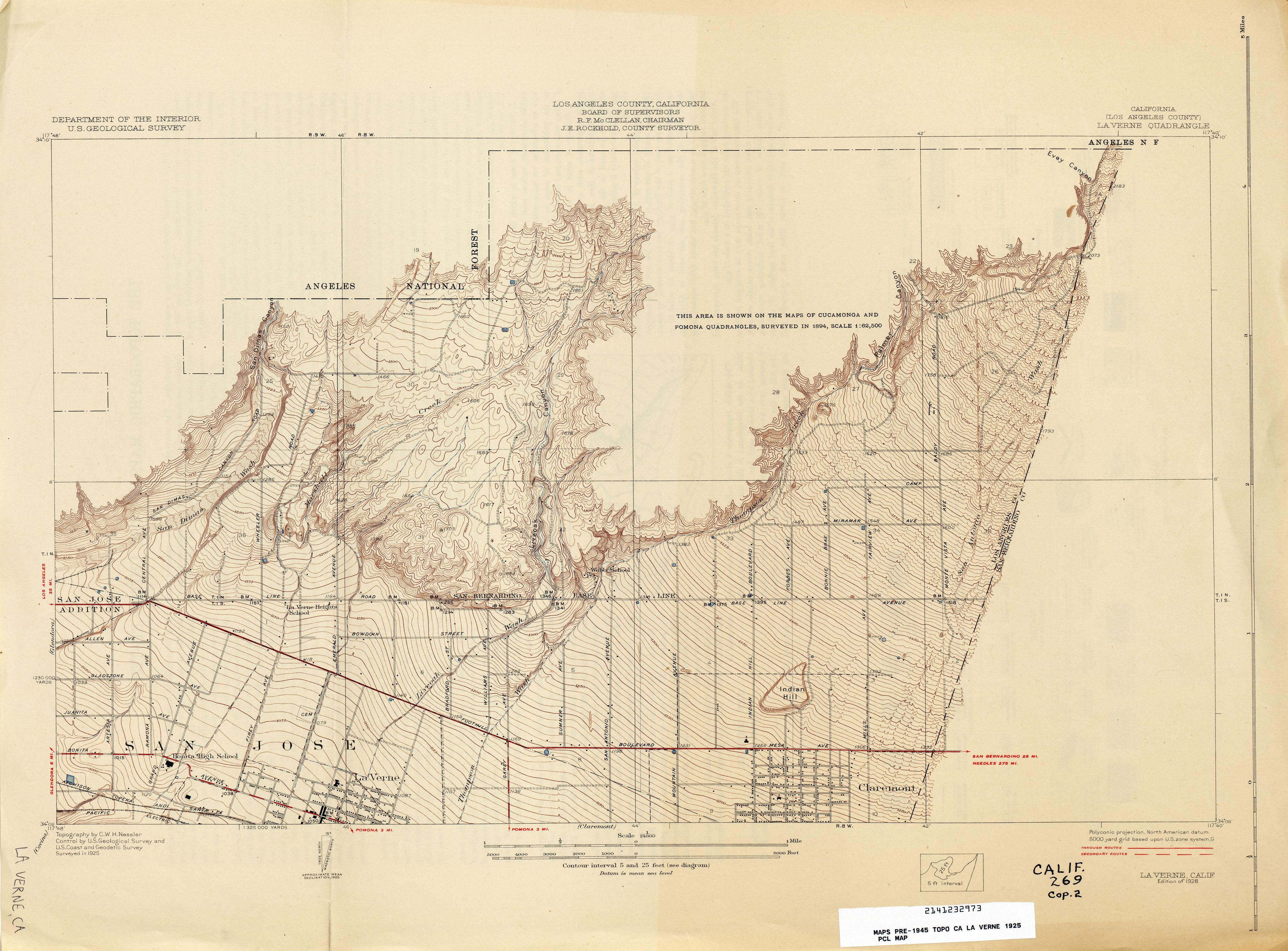
- La Verne (Los Angeles County) 1925 1:24,000 (3.0MB)
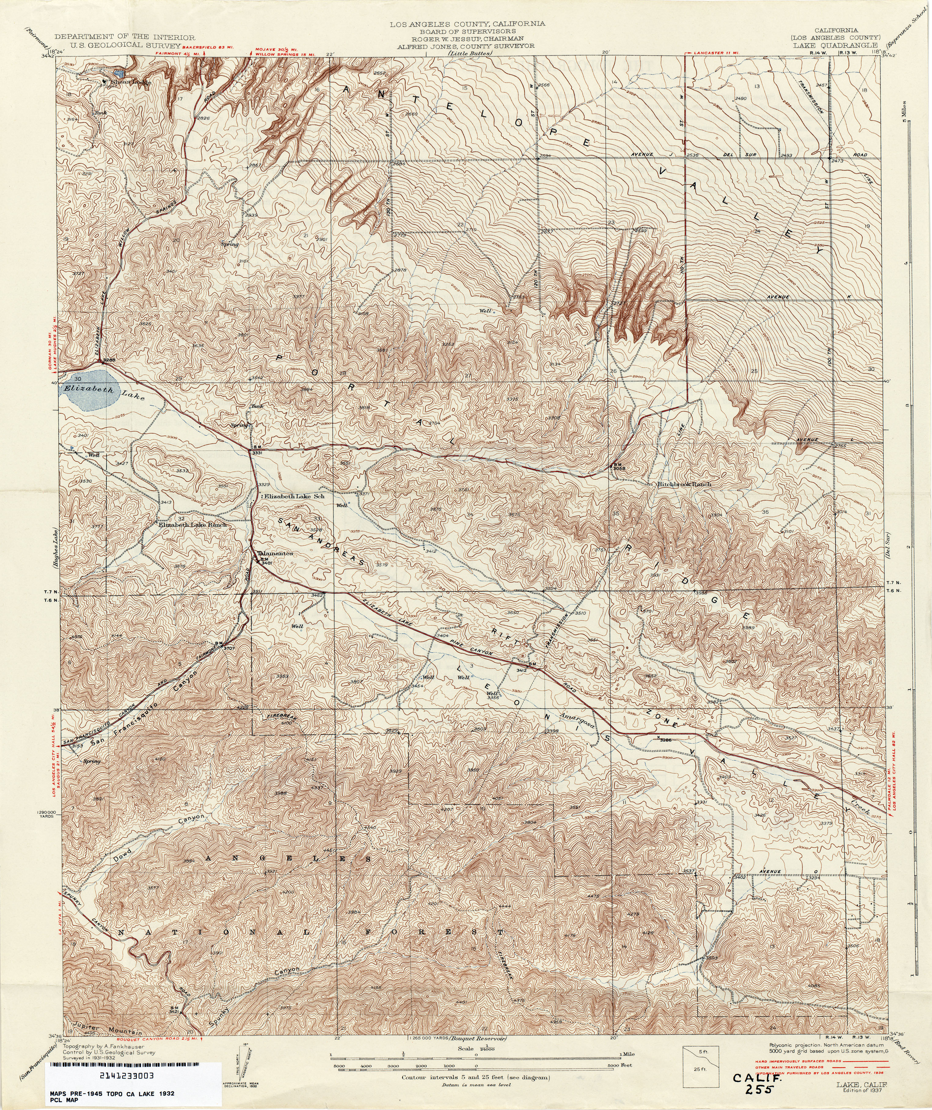
- Lake (Los Angeles County) 1932 1:24,000 (1.8MB)
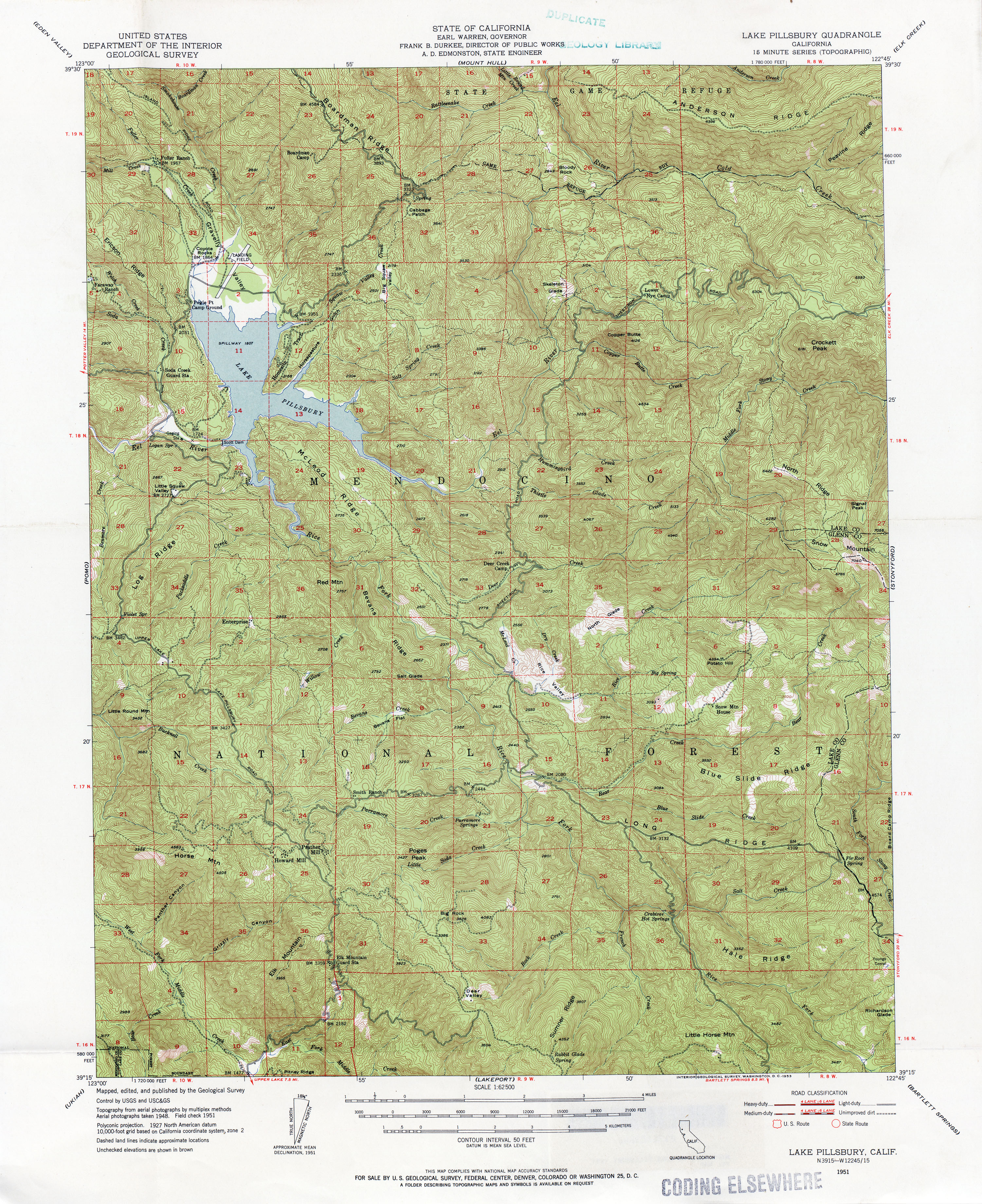
- Lake Pillsbury 1951 1:62,500 (4.6MB)
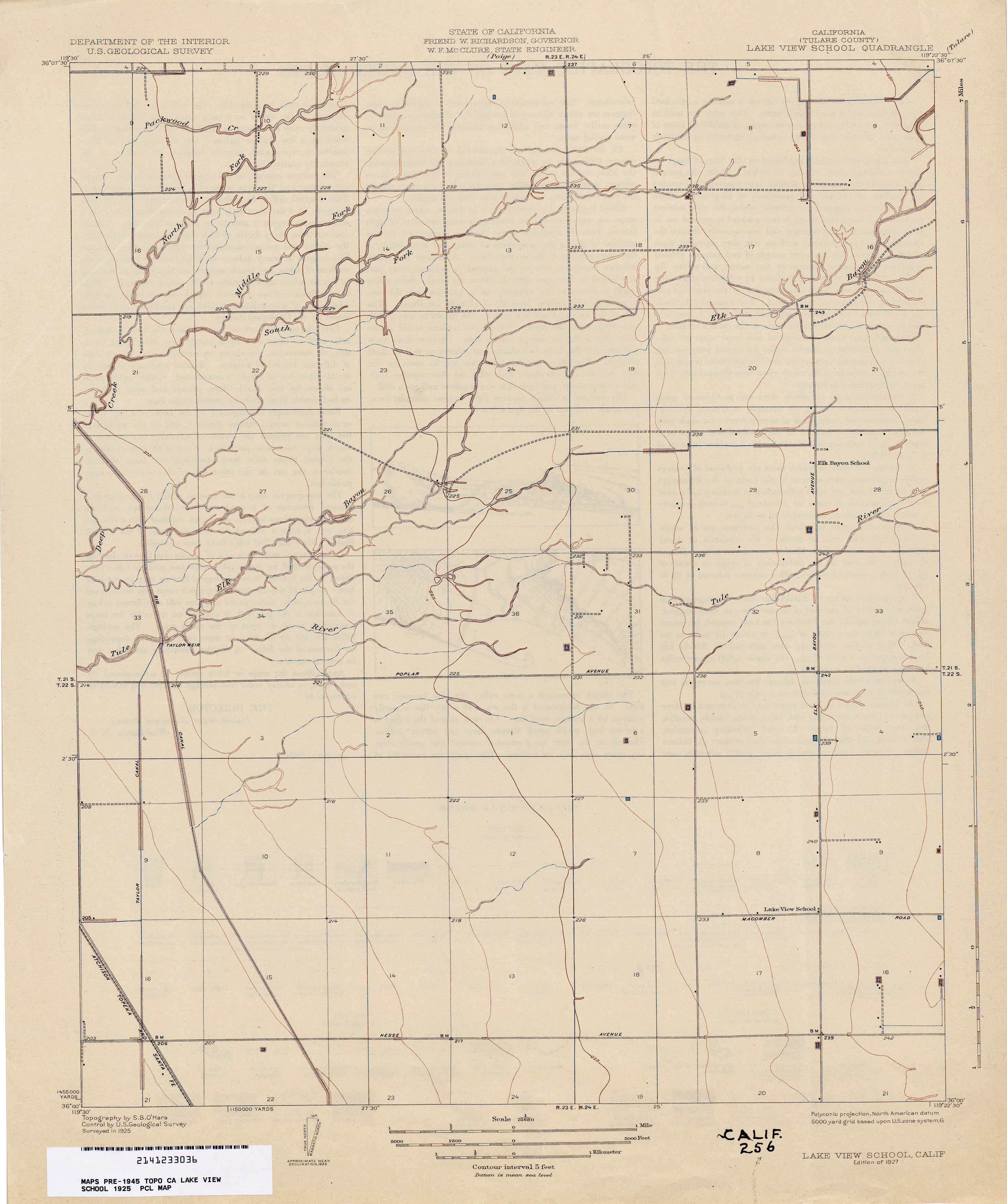
- Lake View School (Tulare County) 1925 1:31,680 (1.8MB)
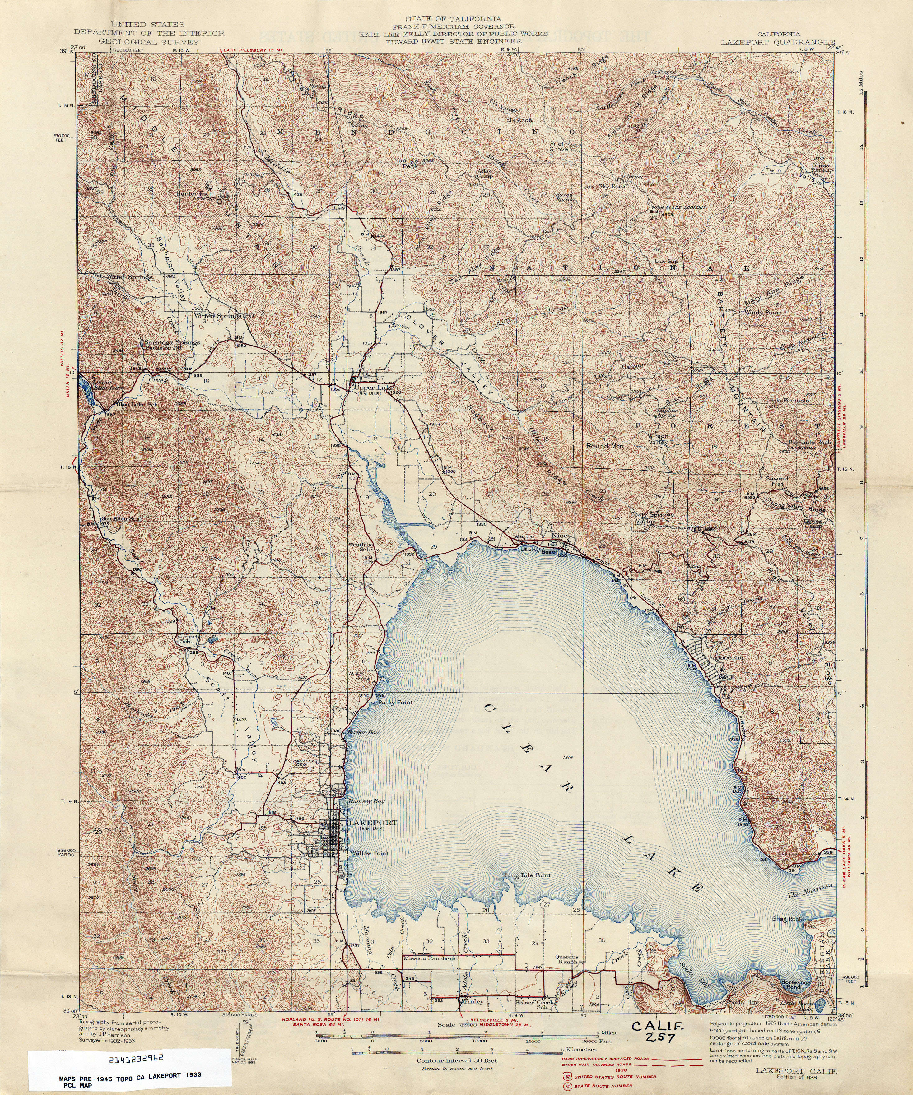
- Lakeport 1933 1:62,500 (4.8MB)
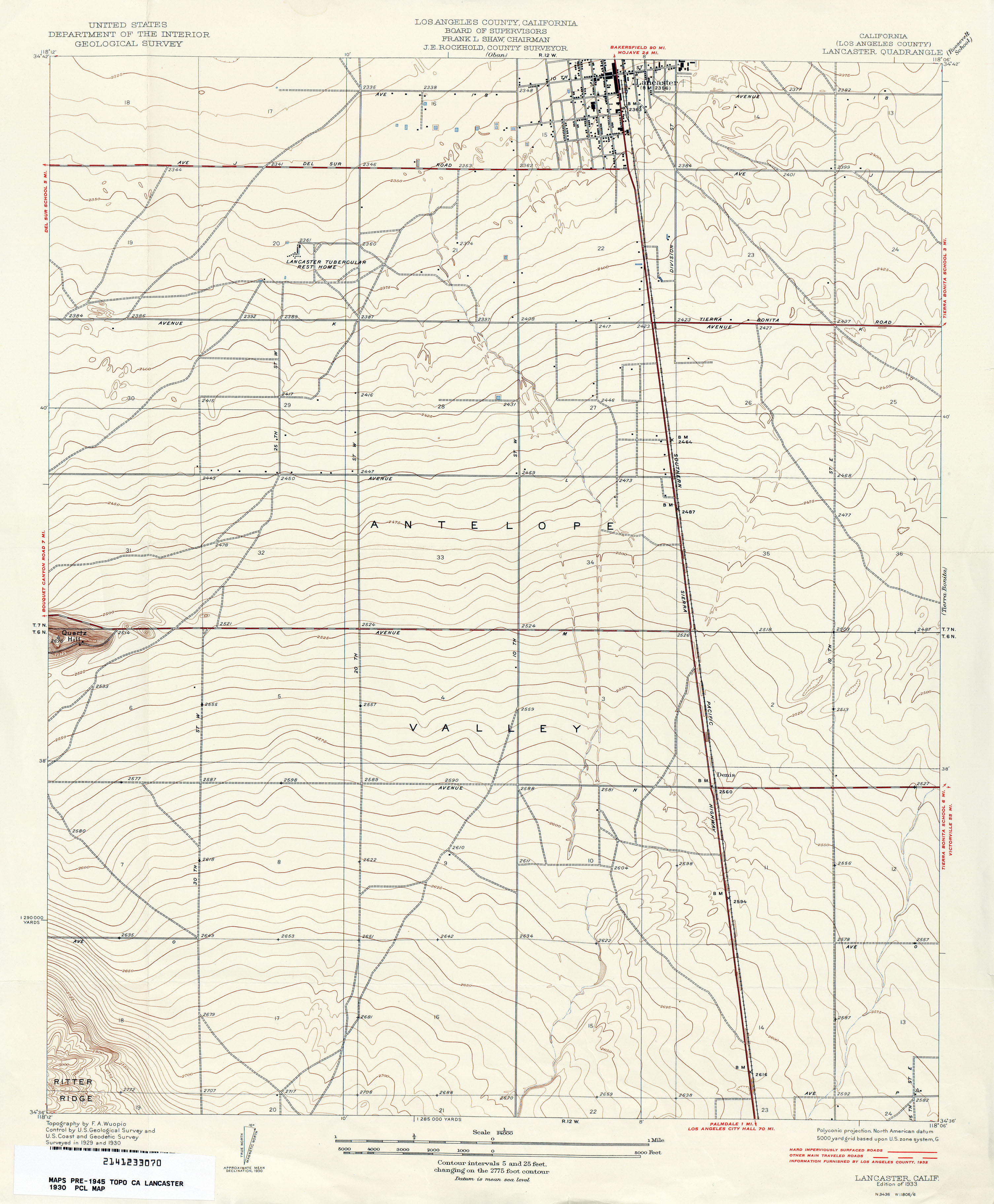
- Lancaster (Los Angeles County) 1930 1:24,000 (2.4MB)
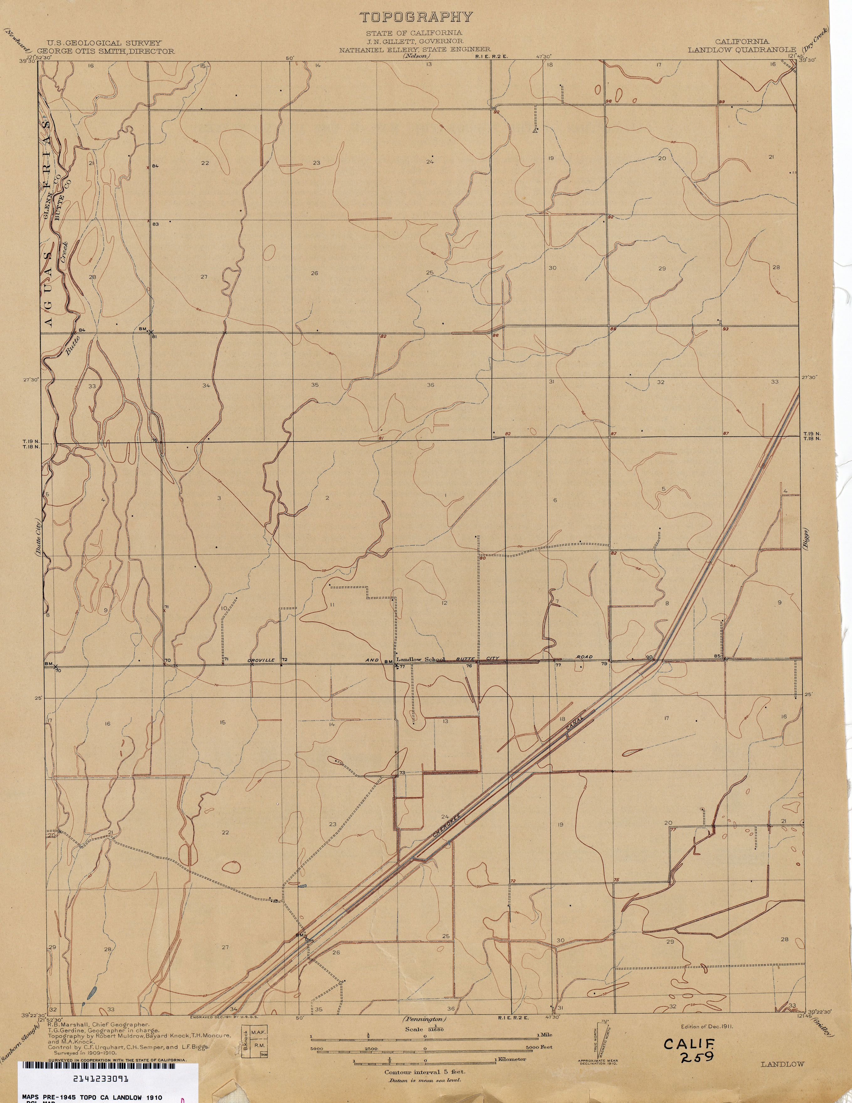
- Landlow 1910 1:31,680 (1.8MB)
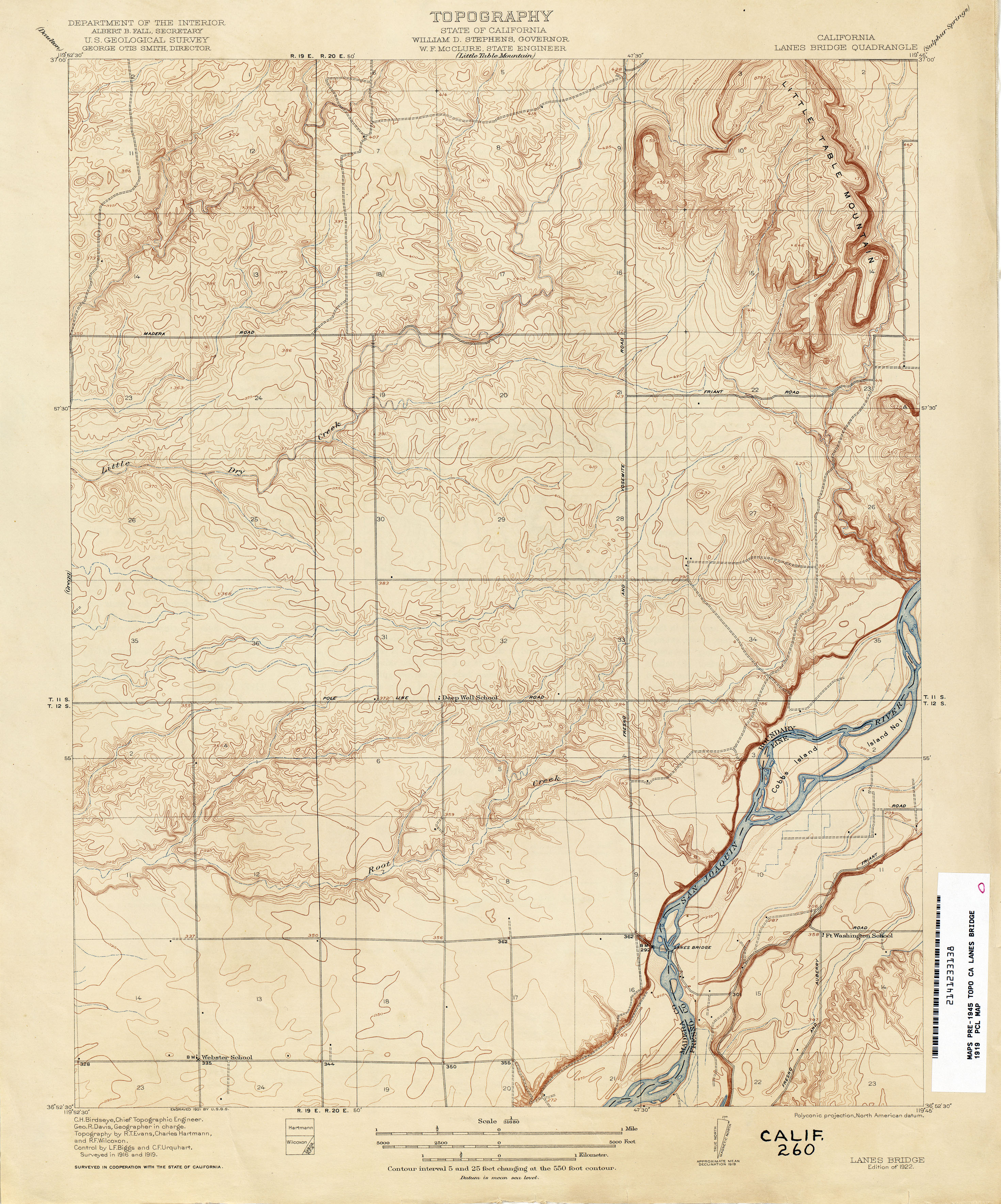
- Lanes Bridge 1919 1:31,680 (3.3MB)
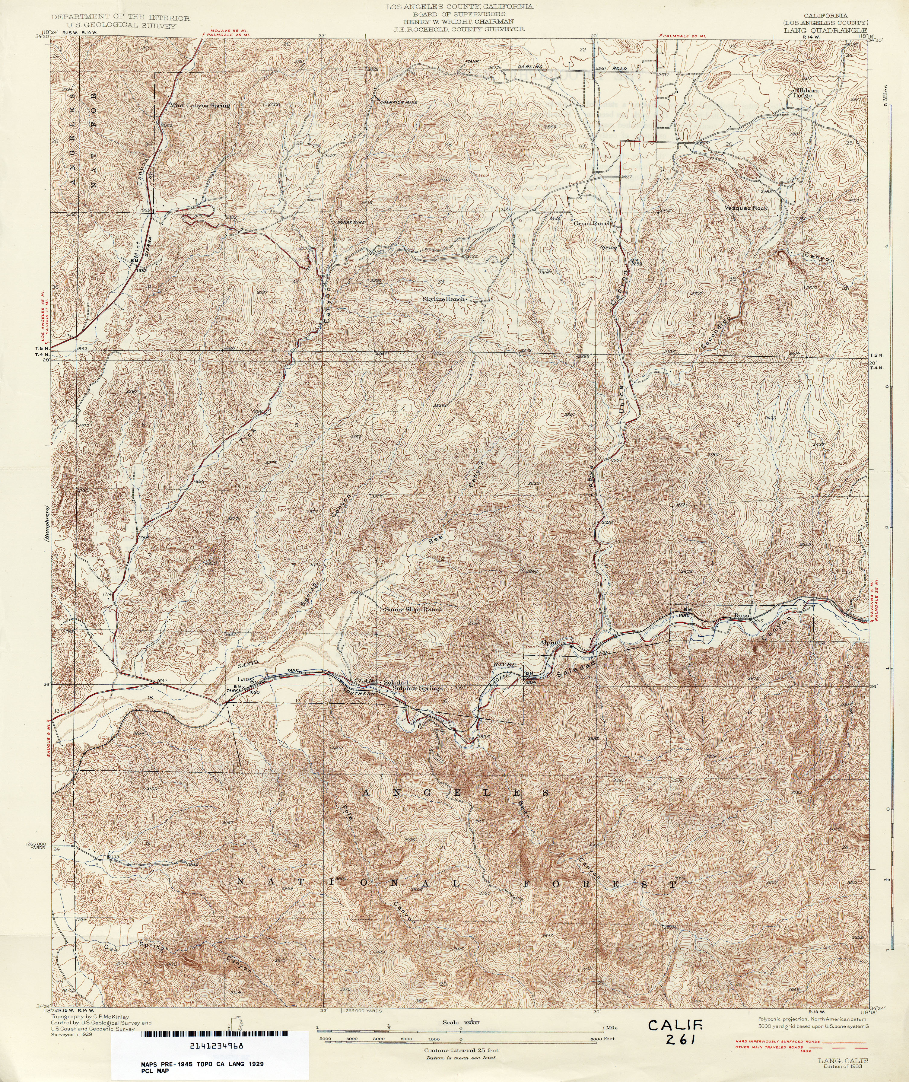
- Lang (Los Angeles County) 1929 1:24,000 (6.2MB)
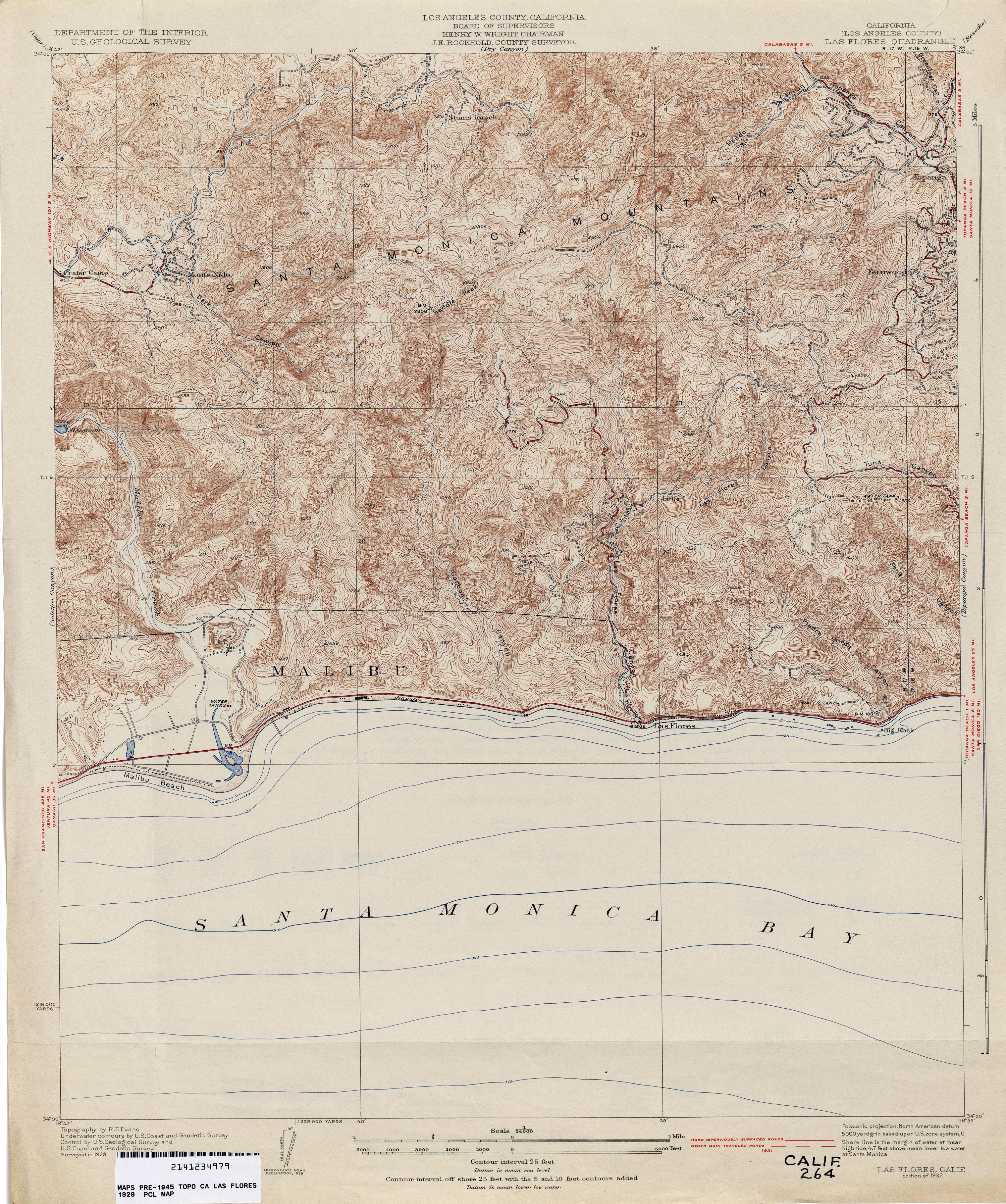
- Las Flores (Los Angeles County) 1929 1:24,000 (4.5MB)
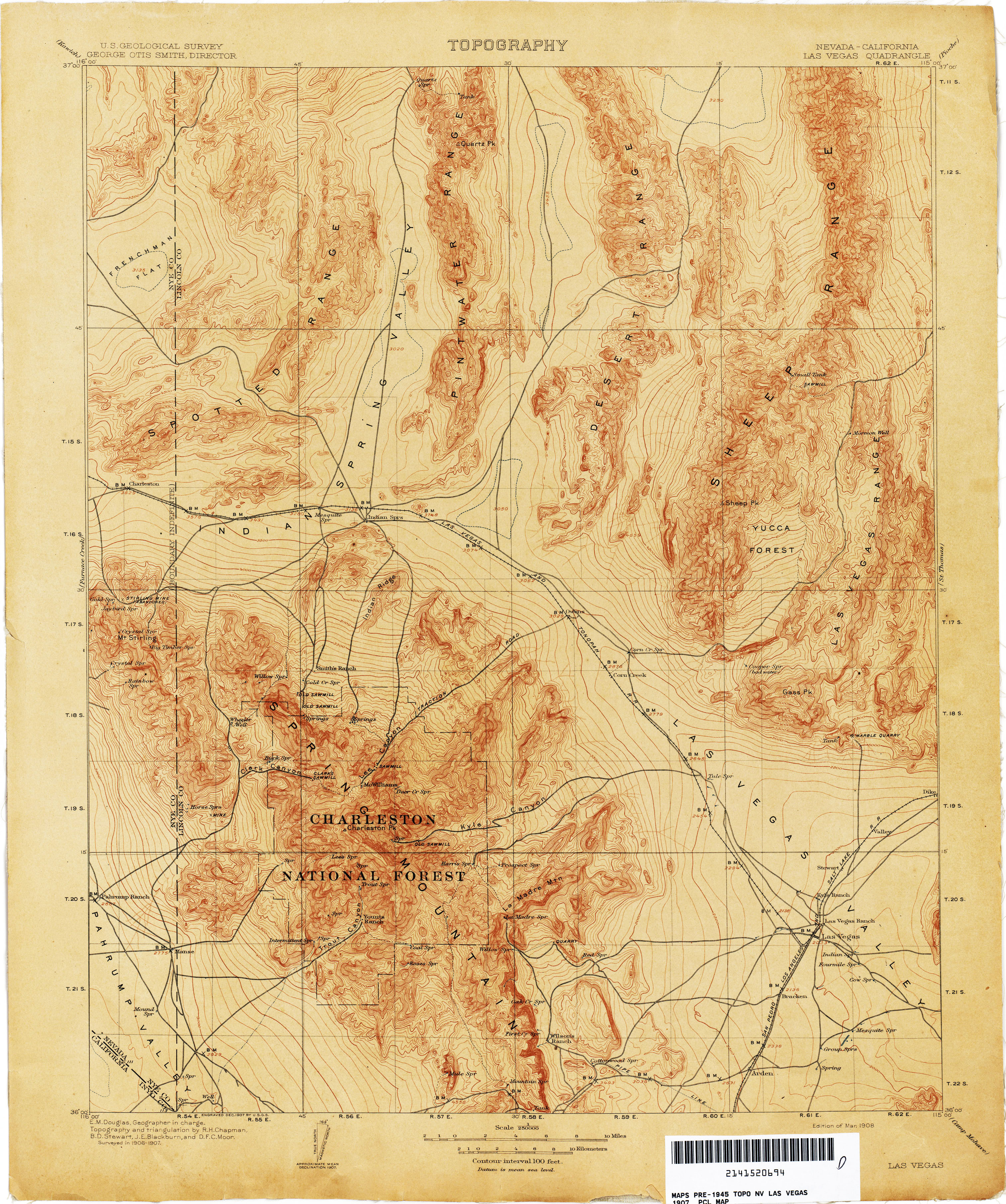
- Las Vegas [Nevada, California] 1907 1:250,000 (3.5MB)
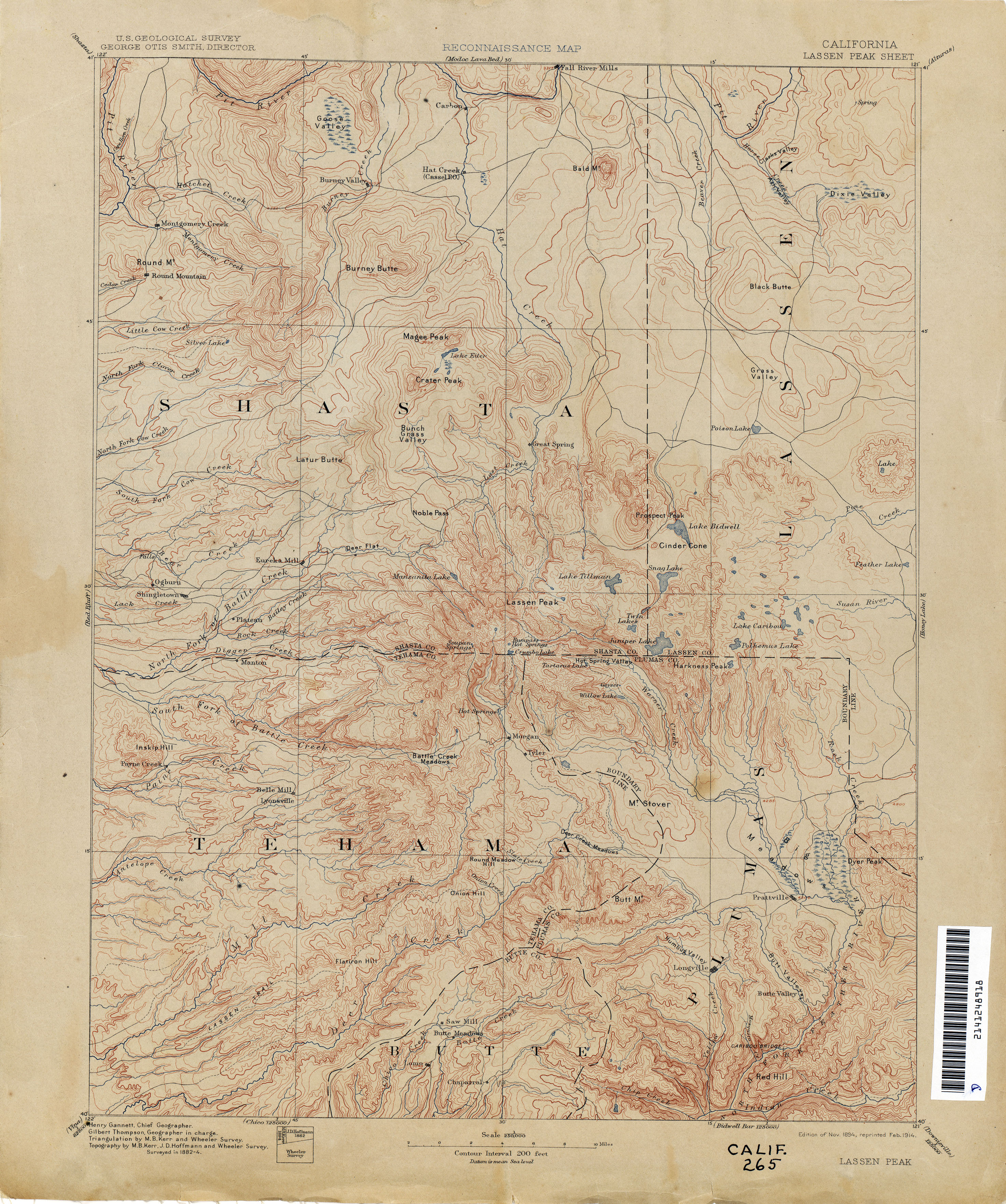
- Lassen Peak 1884 1:250,000 (3.4MB)
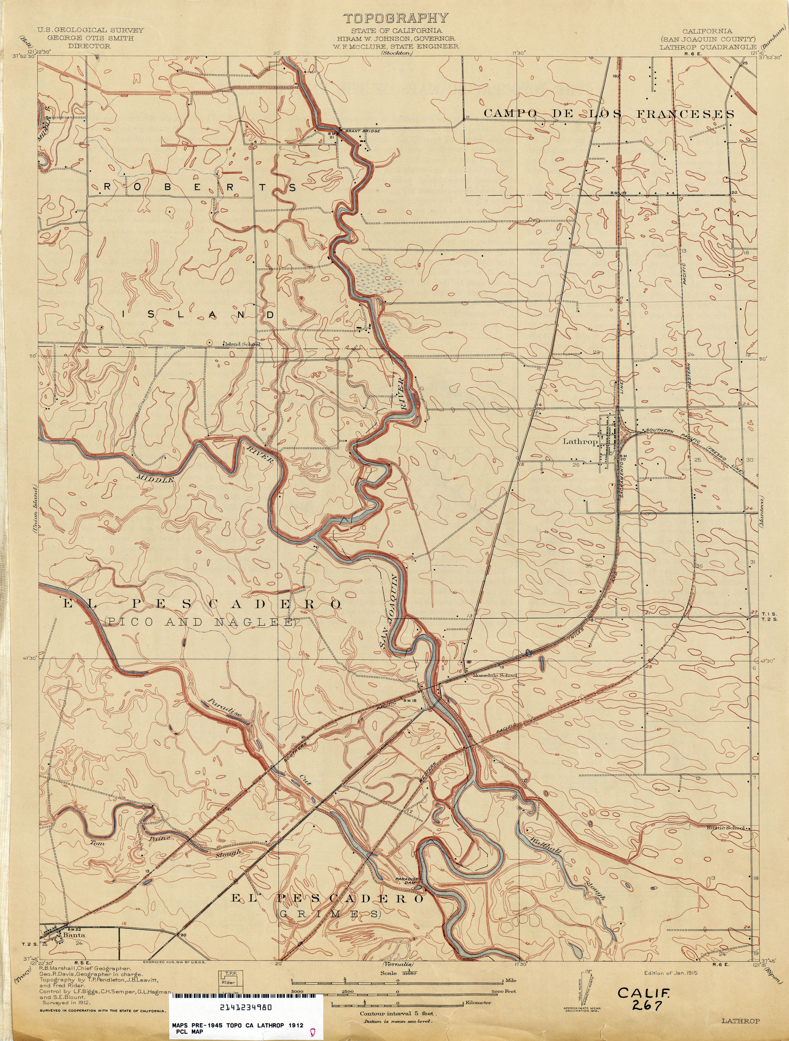
- Lathrop (San Joaquin County) 1912 1:31,680 (2.5MB)
- Le Grand 1915 1:31,680 (3.0MB)
- Lemon Cove (Tulare County) 1925 1:31,680 (4.0MB)
- Lethent 1924 1:31,680 (1.6MB)
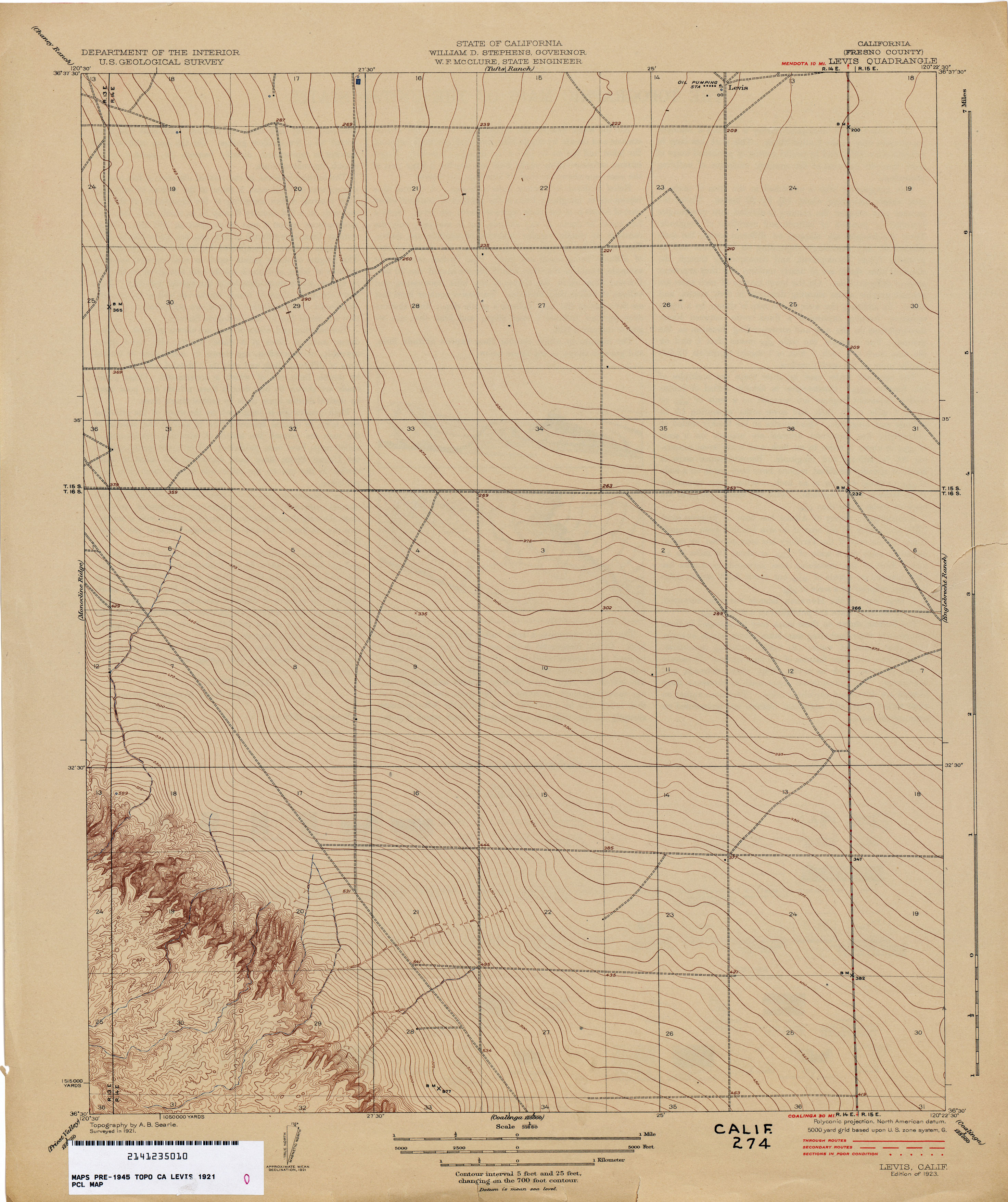
- Levis (Fresno County) 1921 1:31,680 (2.4MB)
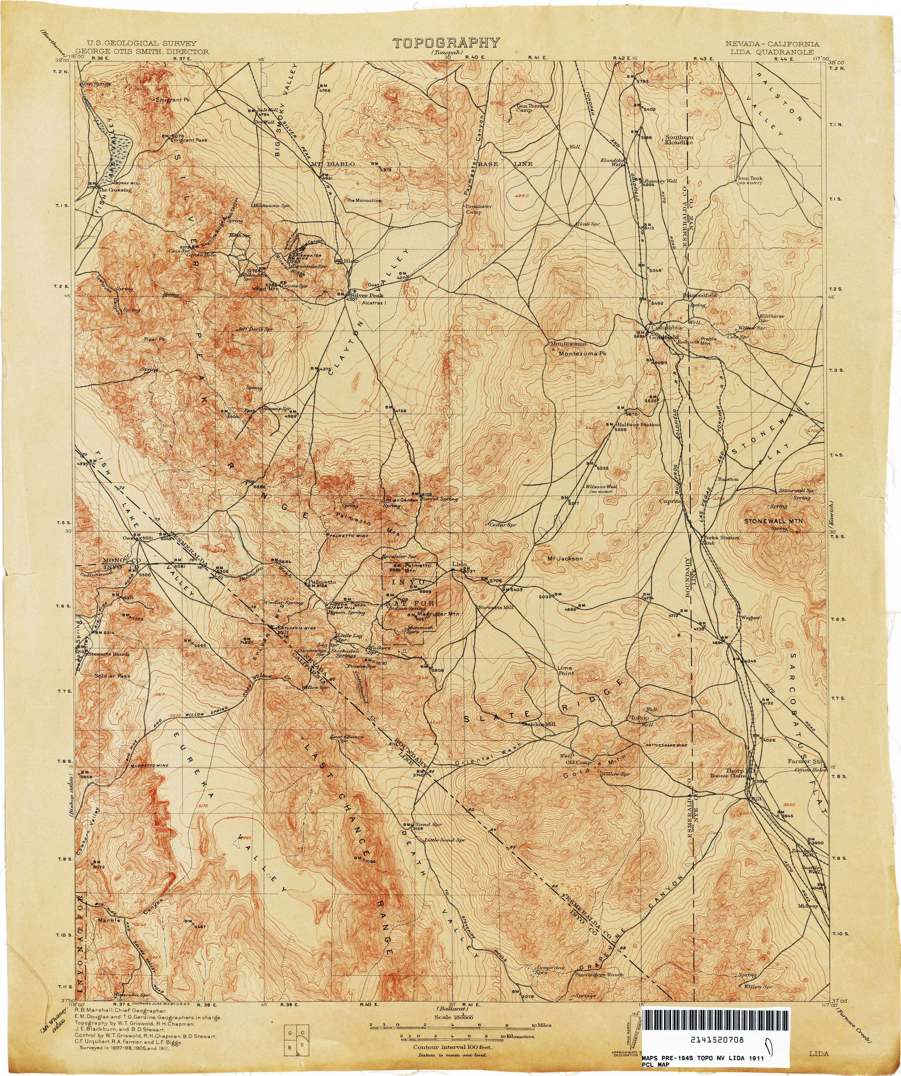
- Lida [Nevada, California] 1905 1:250,000 (2.3MB)
- Lida [Nevada, California] 1911 1:250,000 (3.7MB)
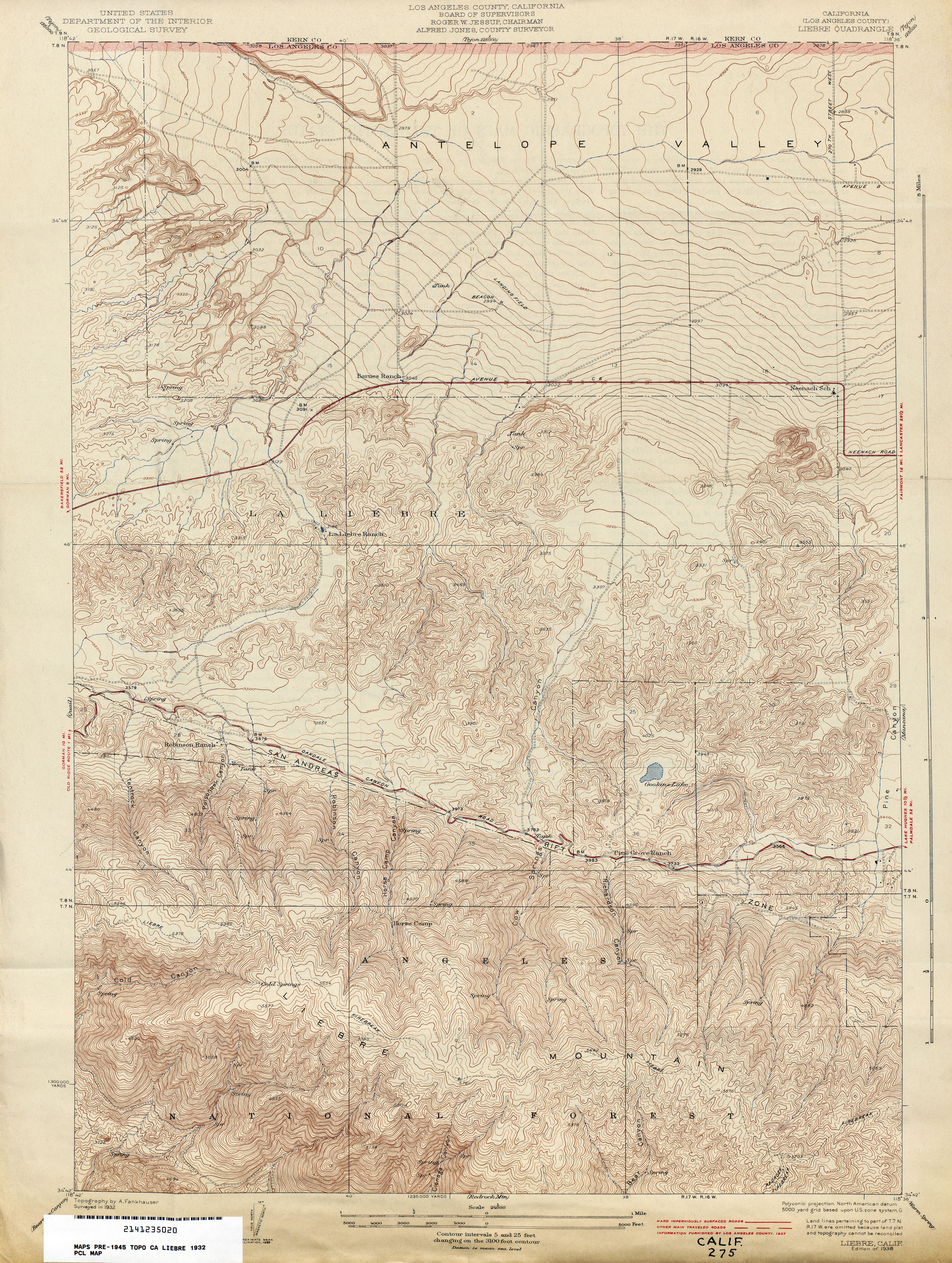
- Liebre (Los Angeles County) 1932 1:24,000 (5.5MB)
- Lincoln (Placer County) 1908 1:31,680 (2.9MB)
- Lingard (Merced County) 1916 1:31,680 (1.8MB)
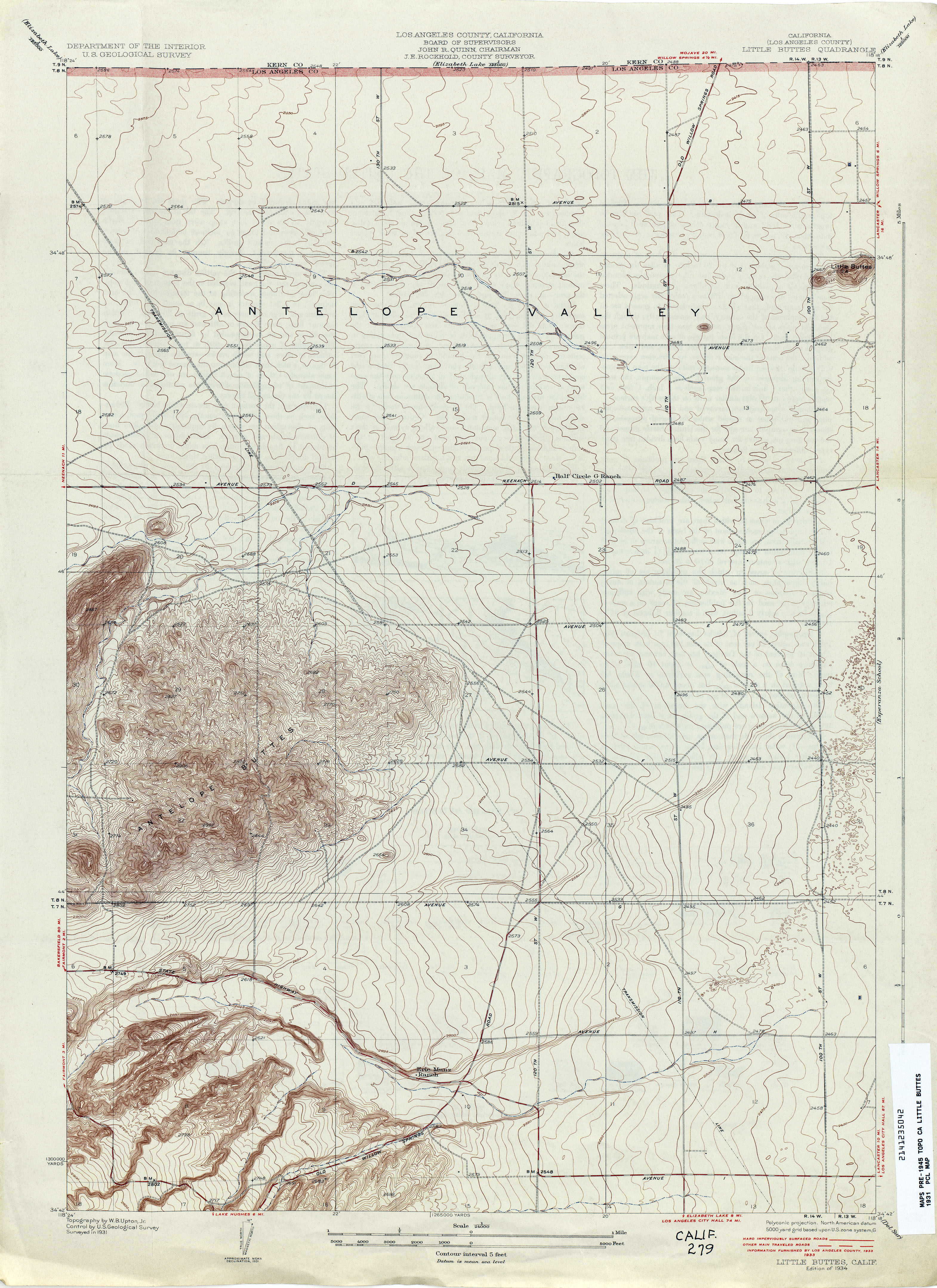
- Little Buttes (Los Angeles County) 1931 1:24,000 (4.1MB)
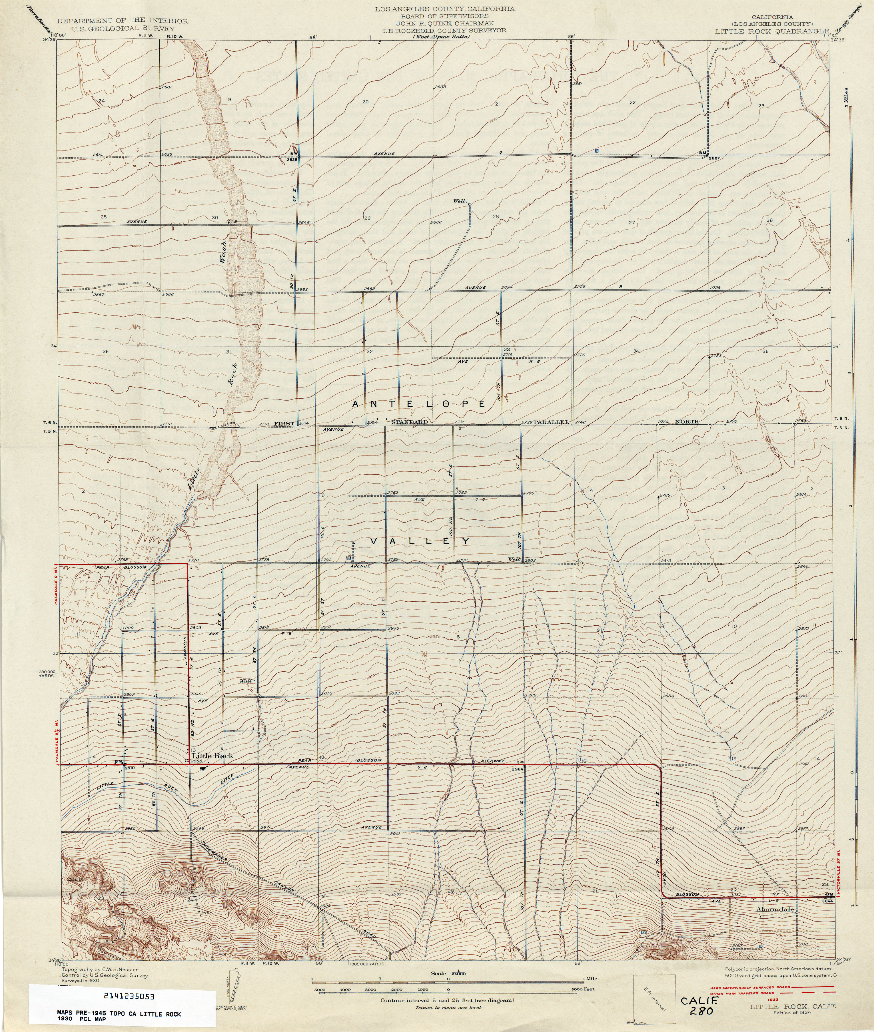
- Little Rock (Los Angeles County) 1930 1:24,000 (2.9MB)
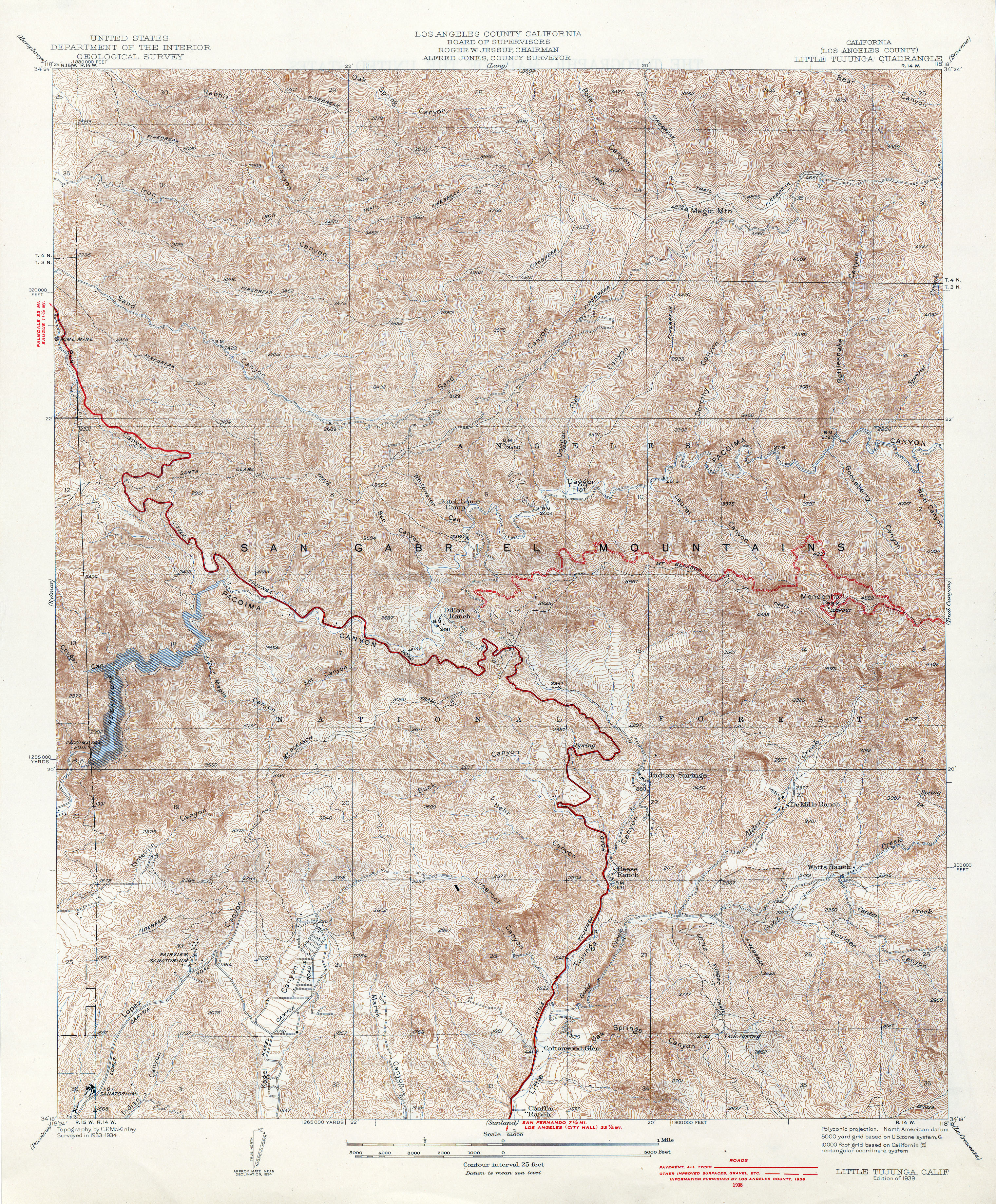
- Little Tujunga (Los Angeles County) 1934 1:24,000 (7.0MB)
- Llano (Los Angeles County) 1930 1:24,000 (3.1MB)
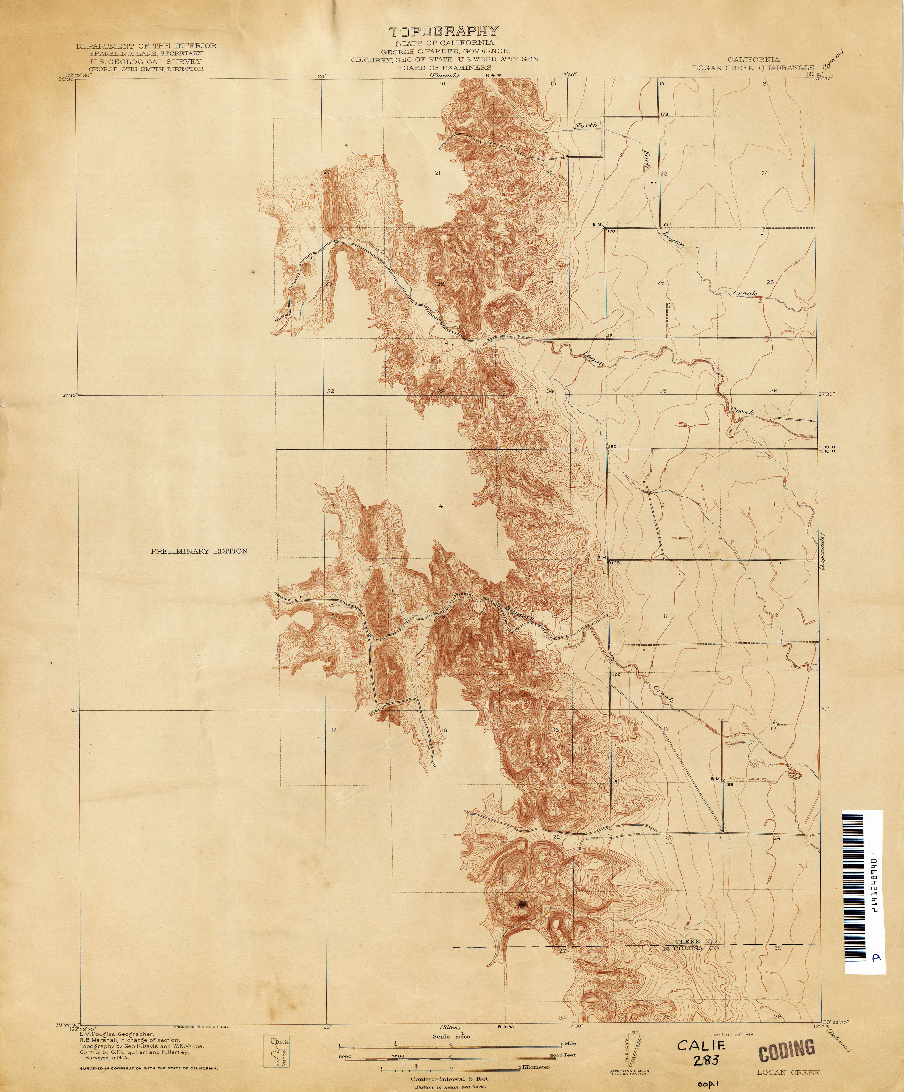
- Logan Creek 1904 1:31,680 (2.3MB)
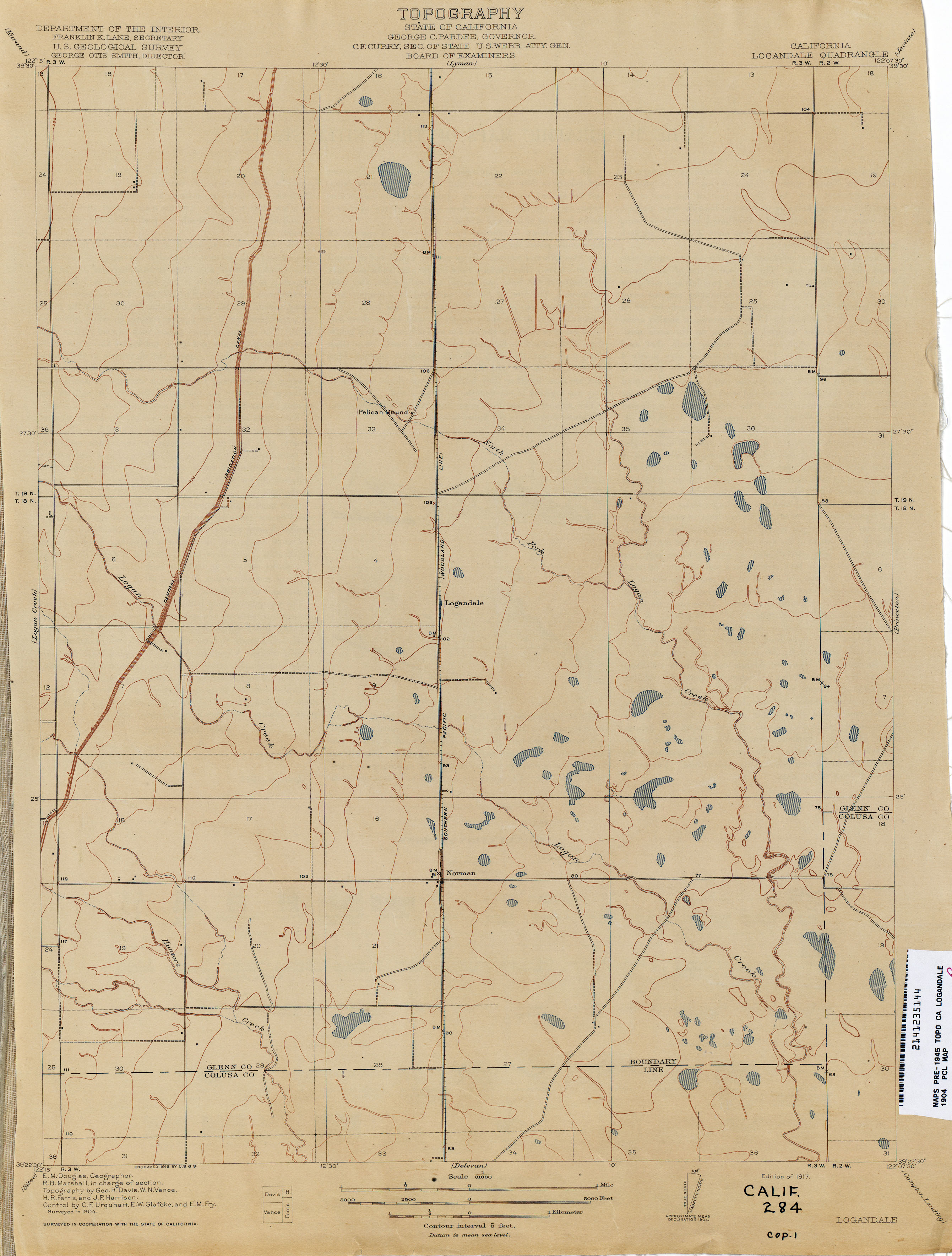
- Logandale 1904 1:31,680 (1.8MB)
- Lompoc 1903 1:125,000 (5.6MB)
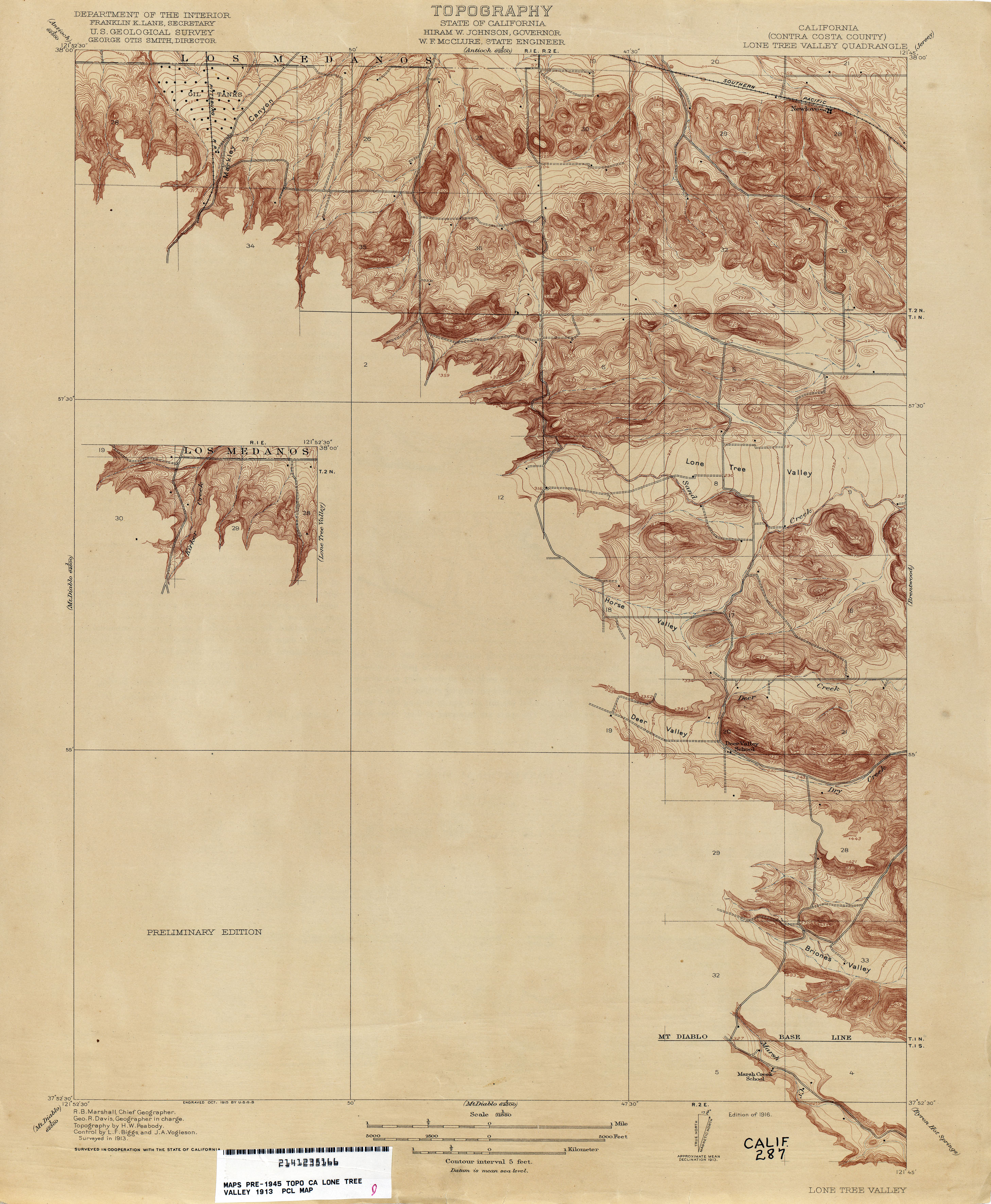
- Lone Tree Valley (Contra Costa County) 1913 1:31,680 (2.6MB)
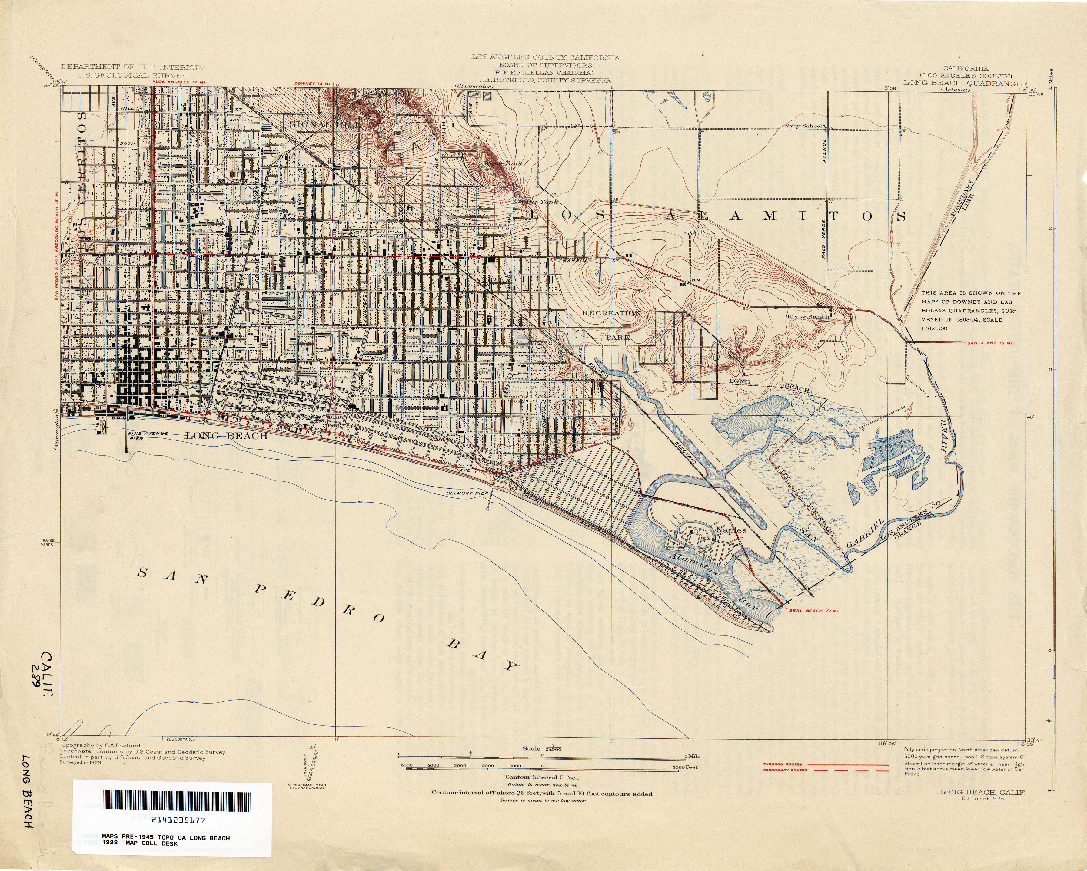
- Long Beach (Los Angeles County) 1923 1:24,000 (2.7MB)
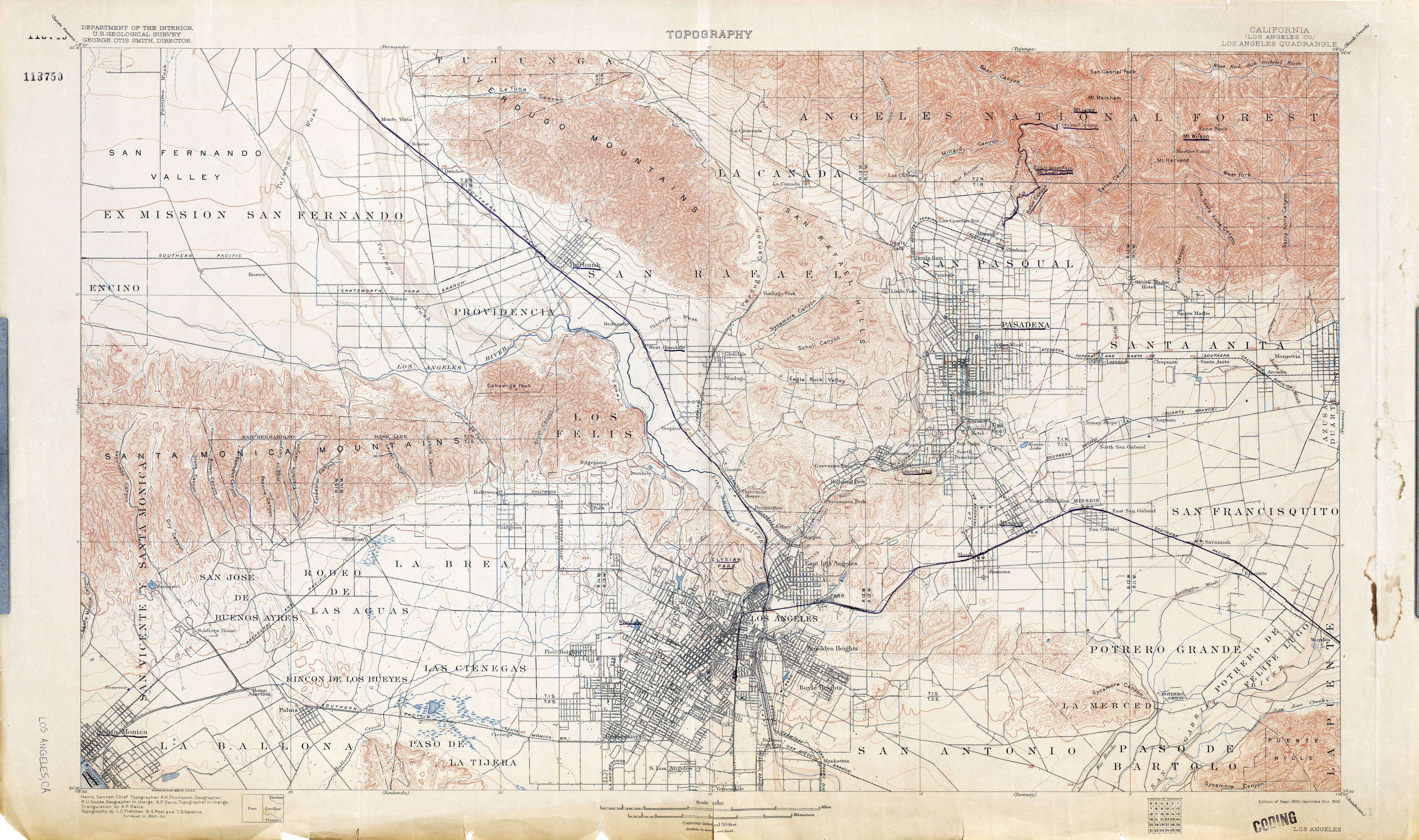
- Los Angeles (Los Angeles County) 1894 1:62,500 (8.6MB)
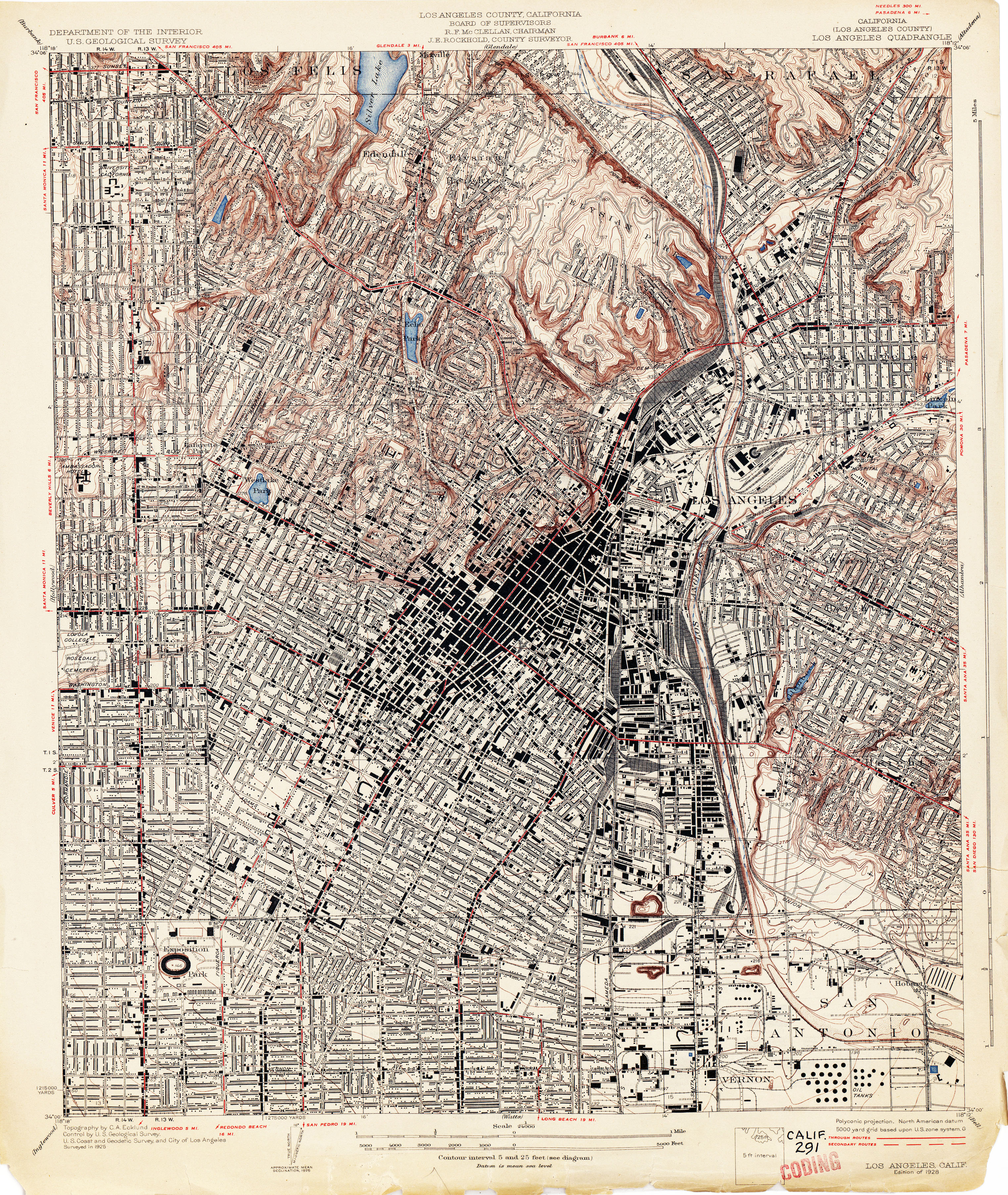
- Los Angeles (Los Angeles County) 1926 1:24,000 (5.8MB)
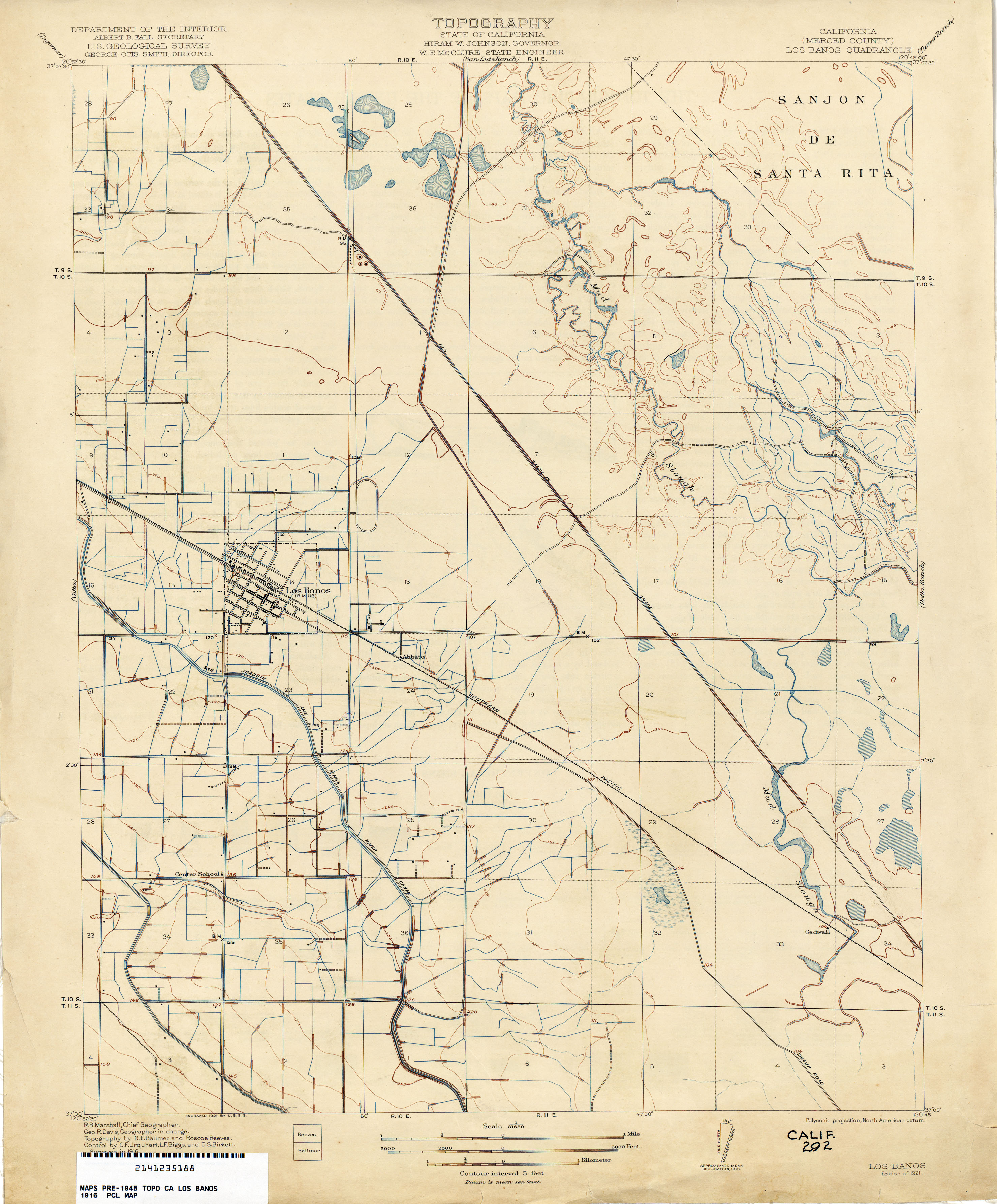
- Los Banos (Merced County) 1916 1:31,680 (2.2MB)
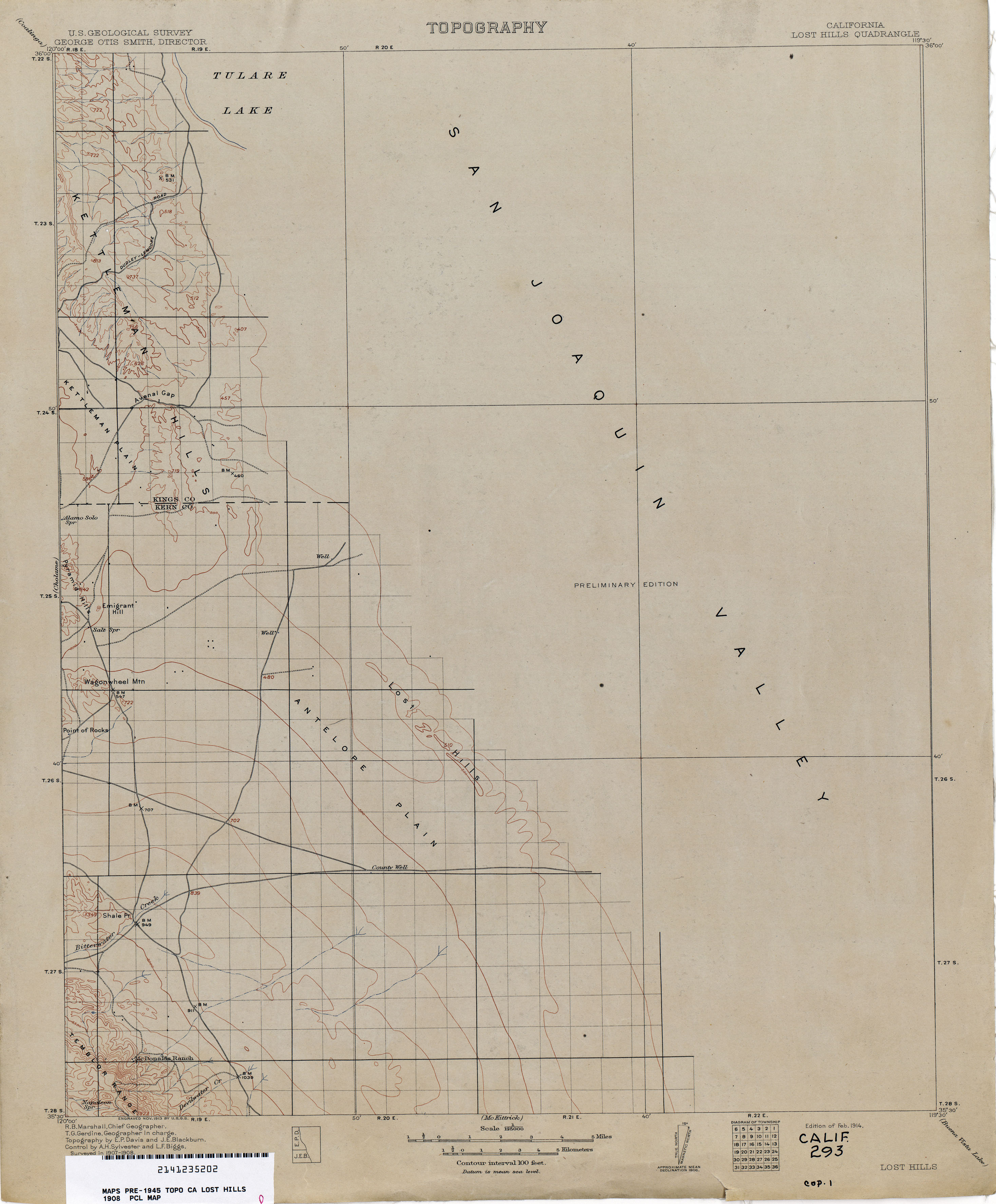
- Lost Hills 1908 1:125,000 (1.6MB)
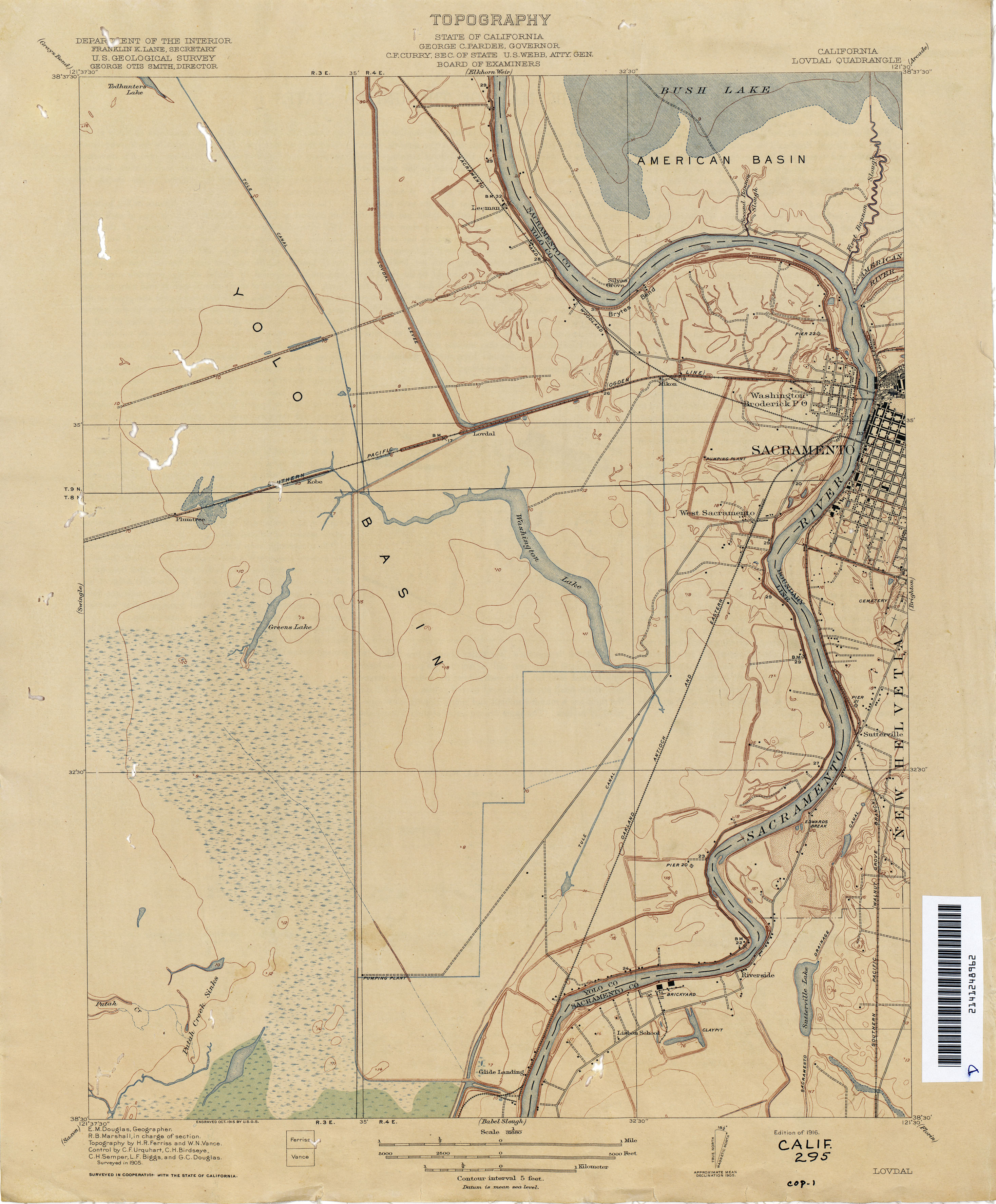
- Lovdal 1905 1:31,680 (2.3MB)
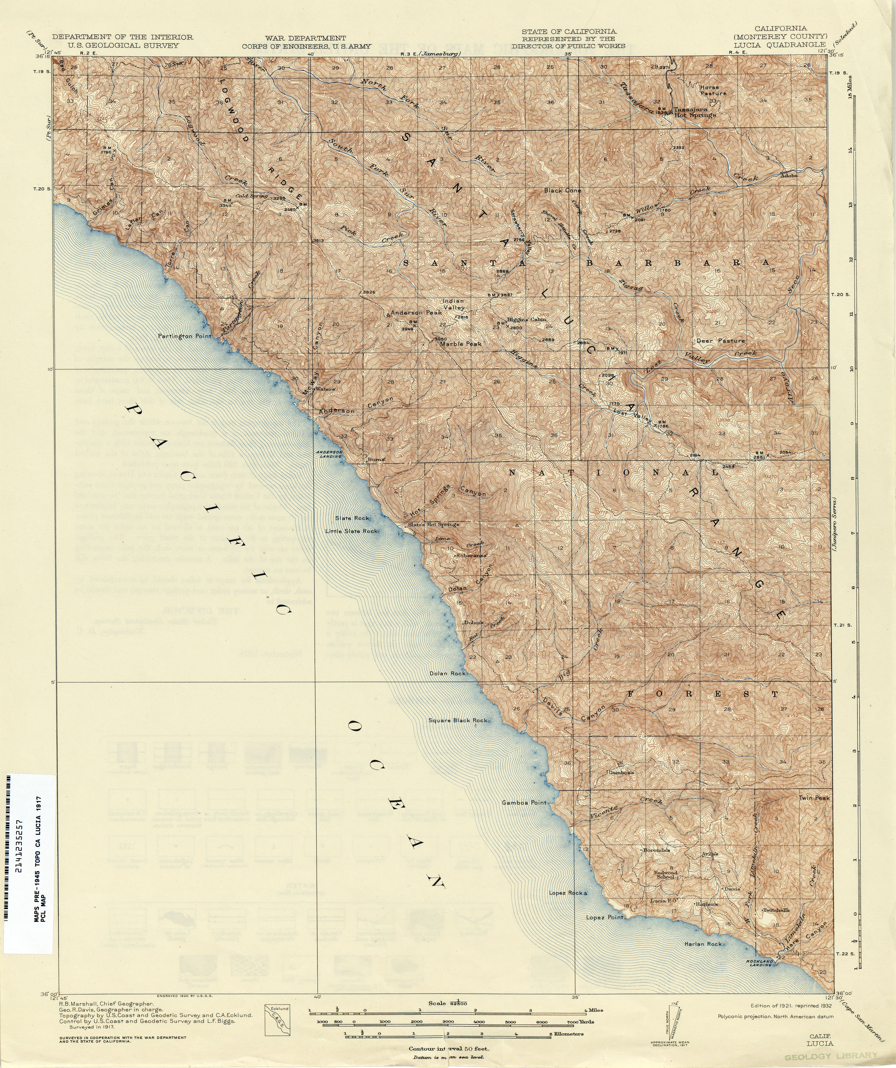
- Lucia (Monterey County) 1917 1:62,500 (4.7MB)
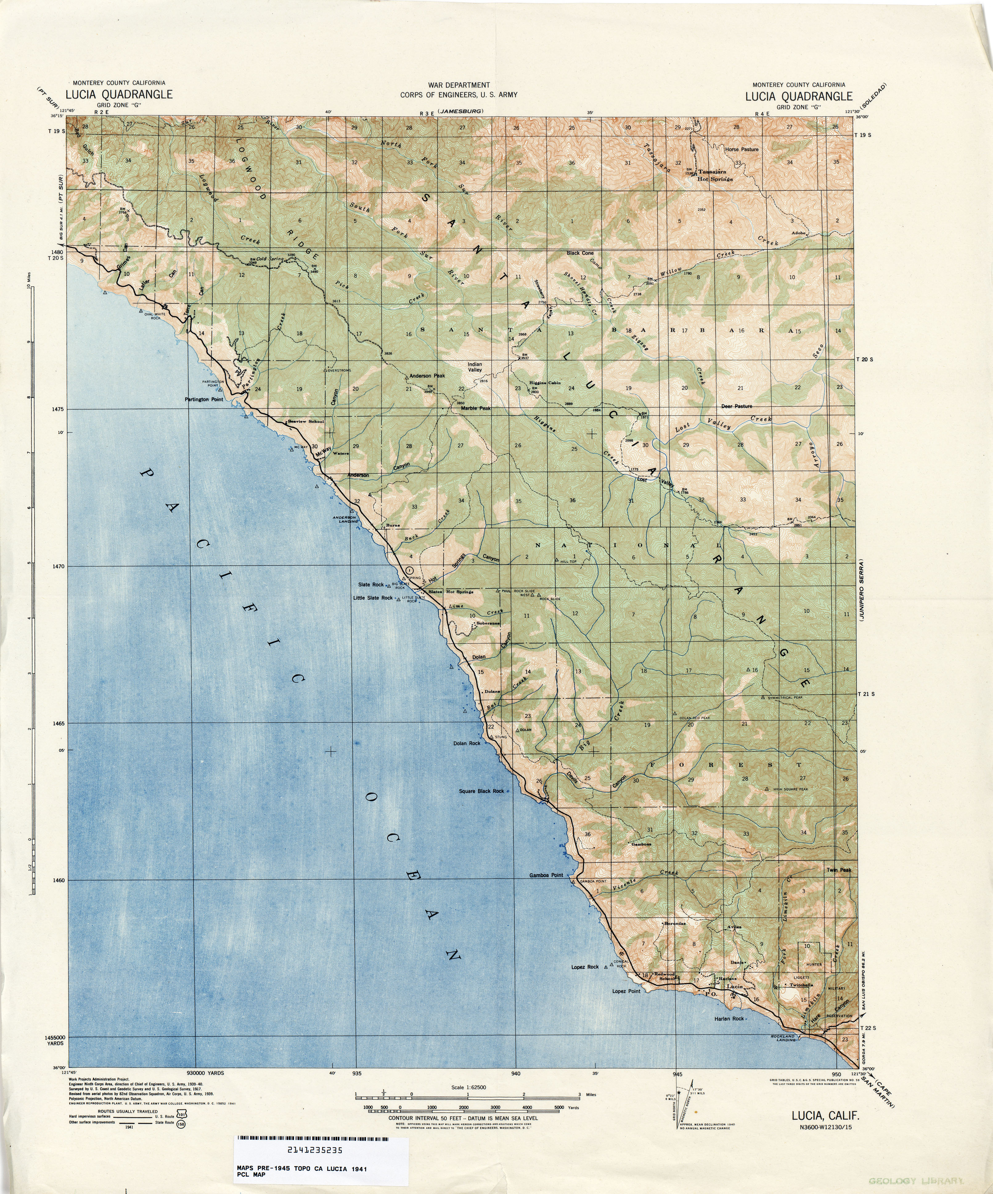
- Lucia (Monterey County) 1941 1:62,500 (4.2MB)
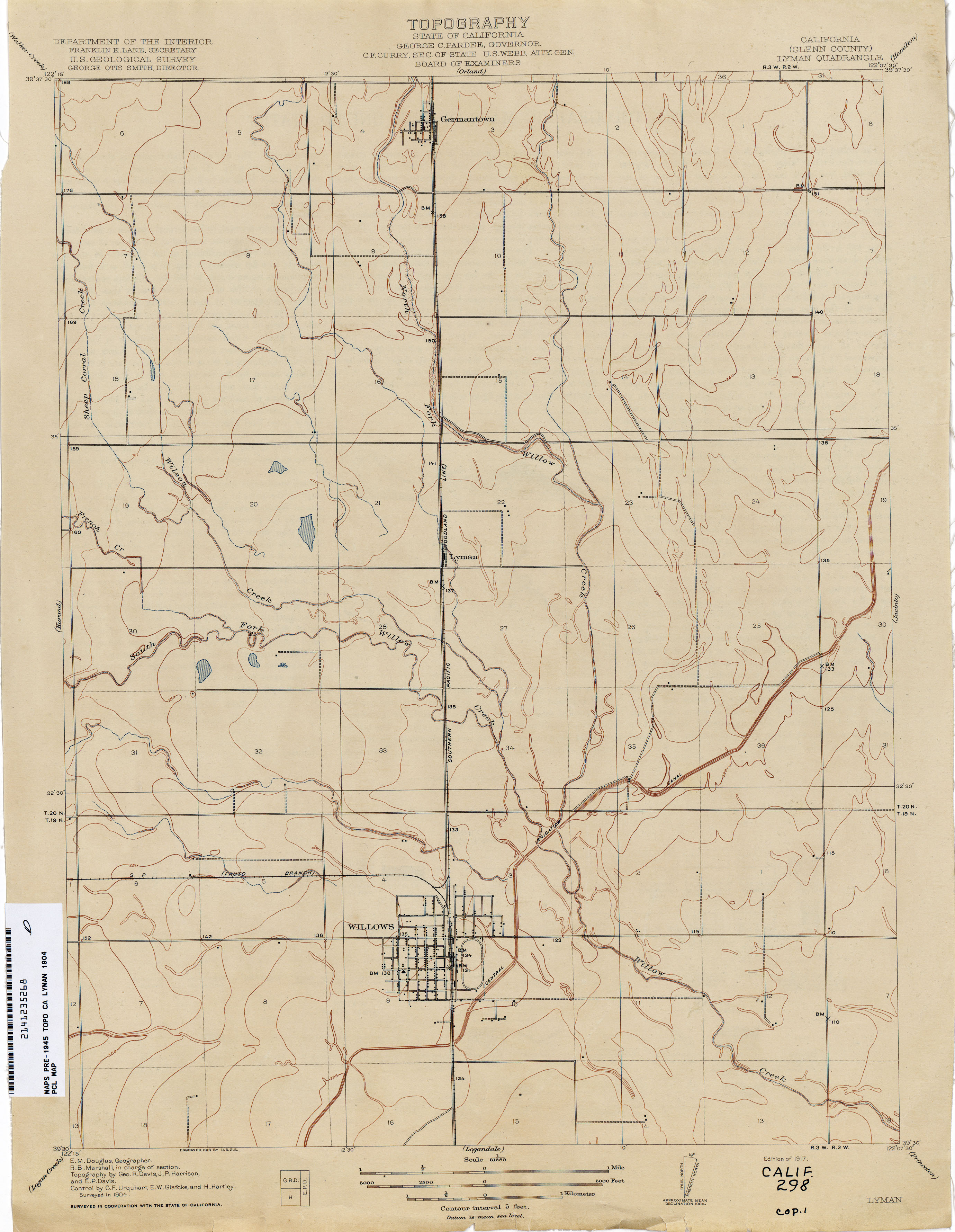
- Lyman (Glenn County) 1904 1:31,680 (1.9MB)
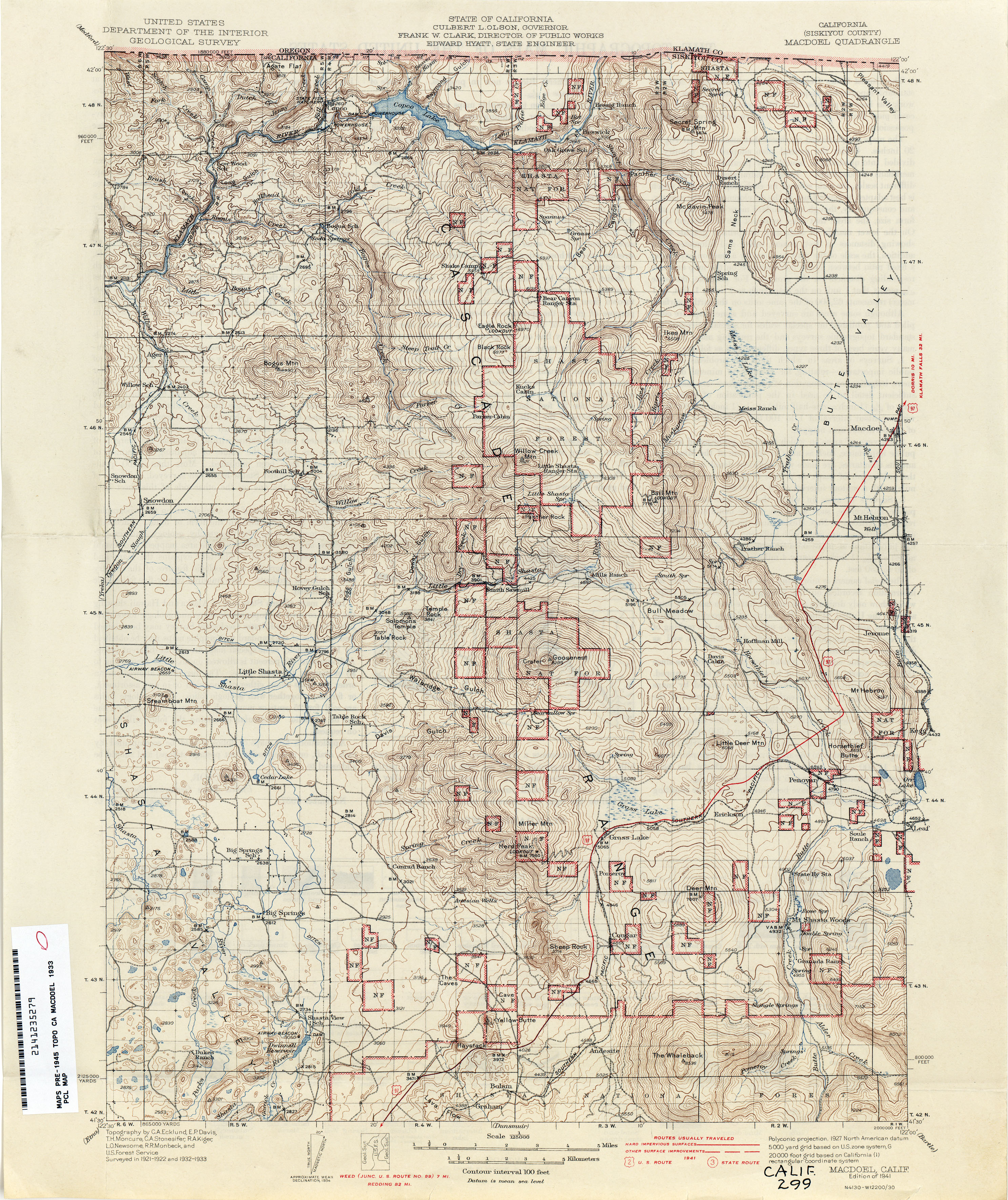
- Macdoel (Siskiyou County) 1933 1:125,000 (4.2MB)
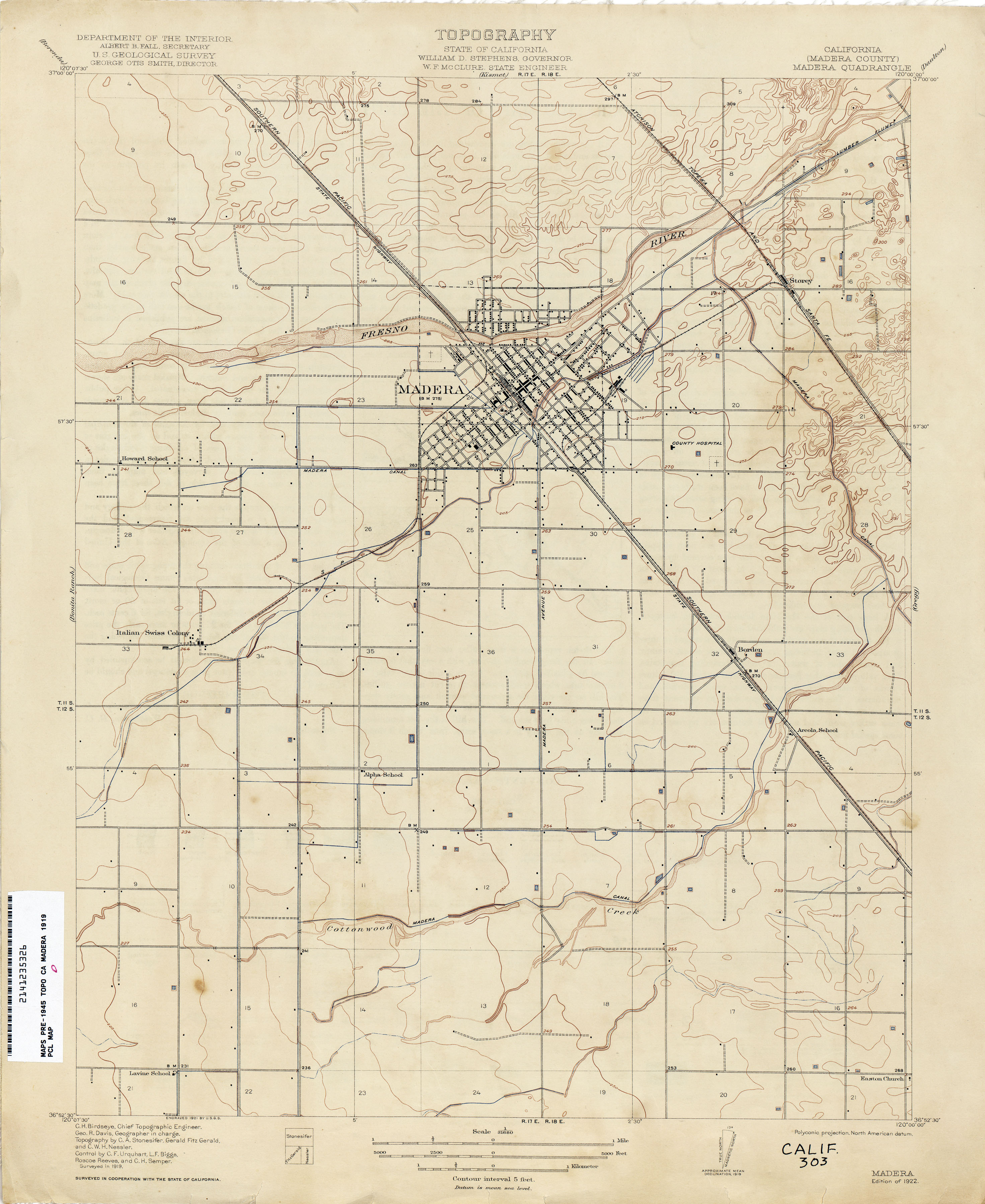
- Madera (Madera County) 1919 1:31,680 (2.1MB)
- Maine Prairie (Solano County) 1906 1:31,680 (2.2MB)
- Malaga (Fresno County) 1921 1:31,680 (2.1MB)
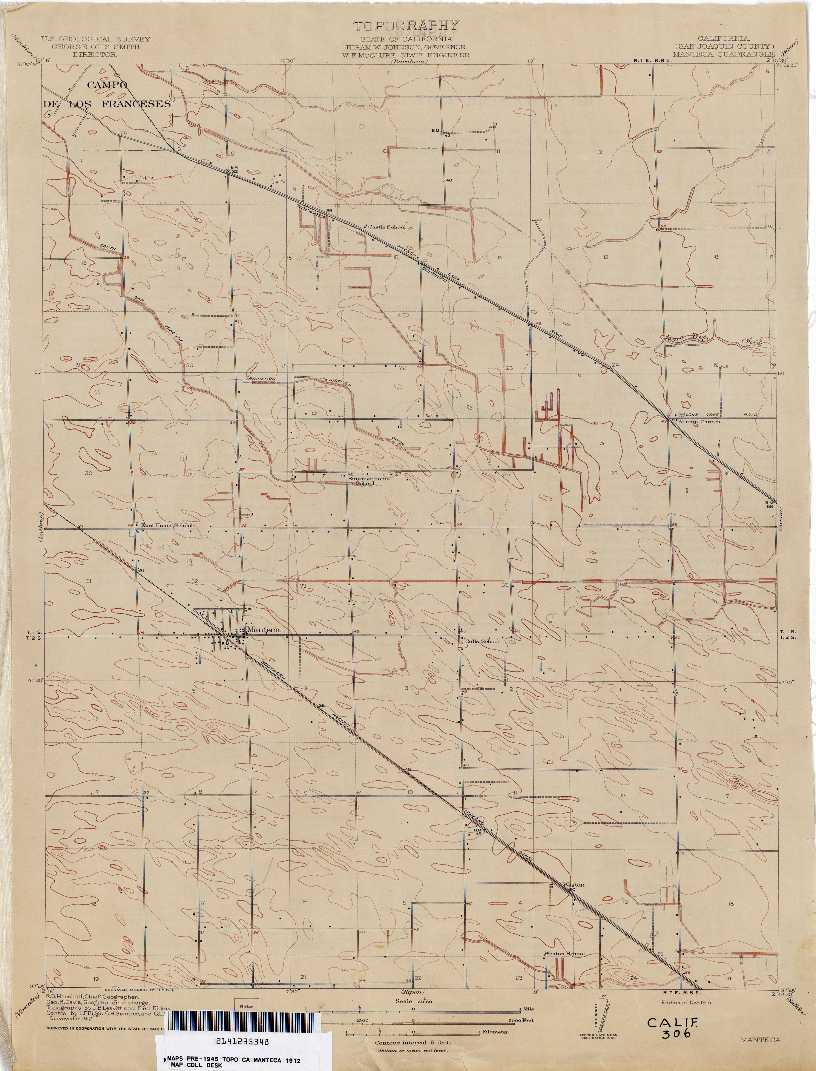
- Manteca (San Joaquin County) 1912 1:31,680 (1.9MB)
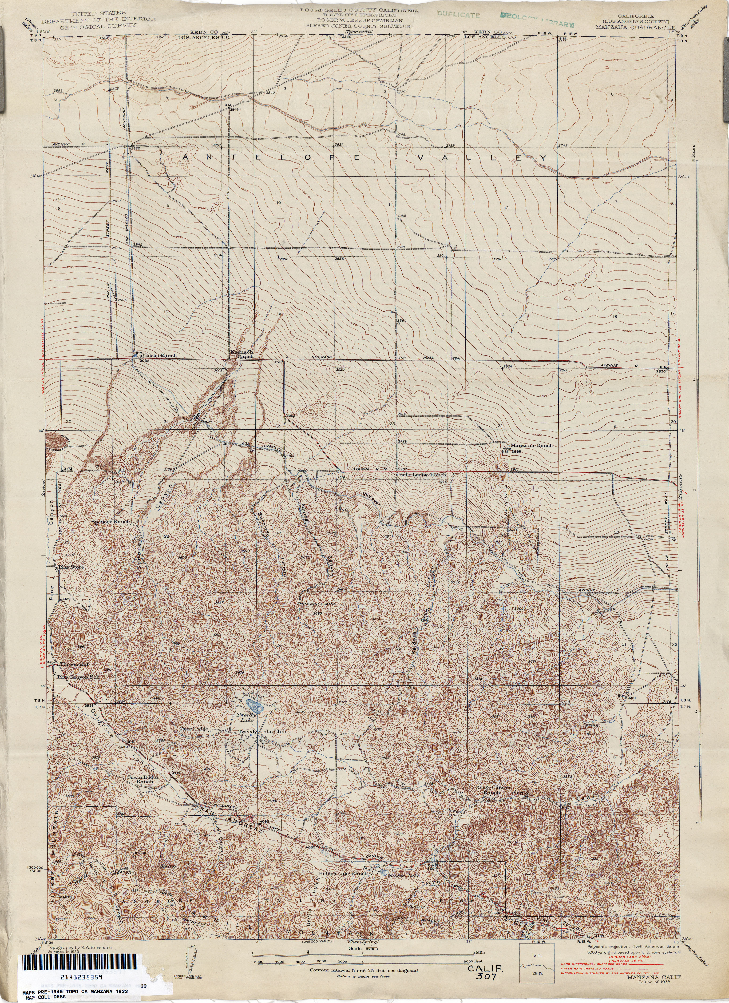
- Manzana (Los Angeles County) 1933 1:24,000 (5.2MB)
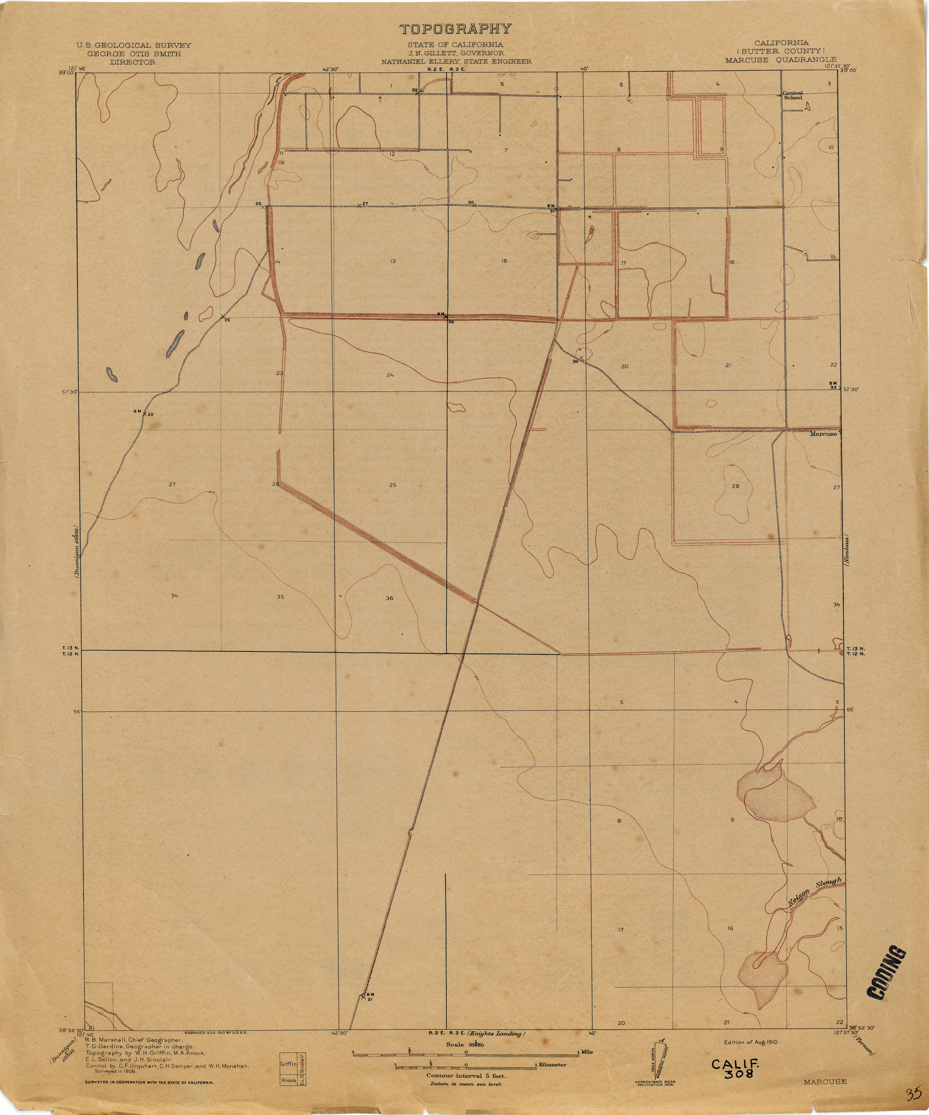
- Marcuse (Sutter County) 1:31,680 (1.8MB)
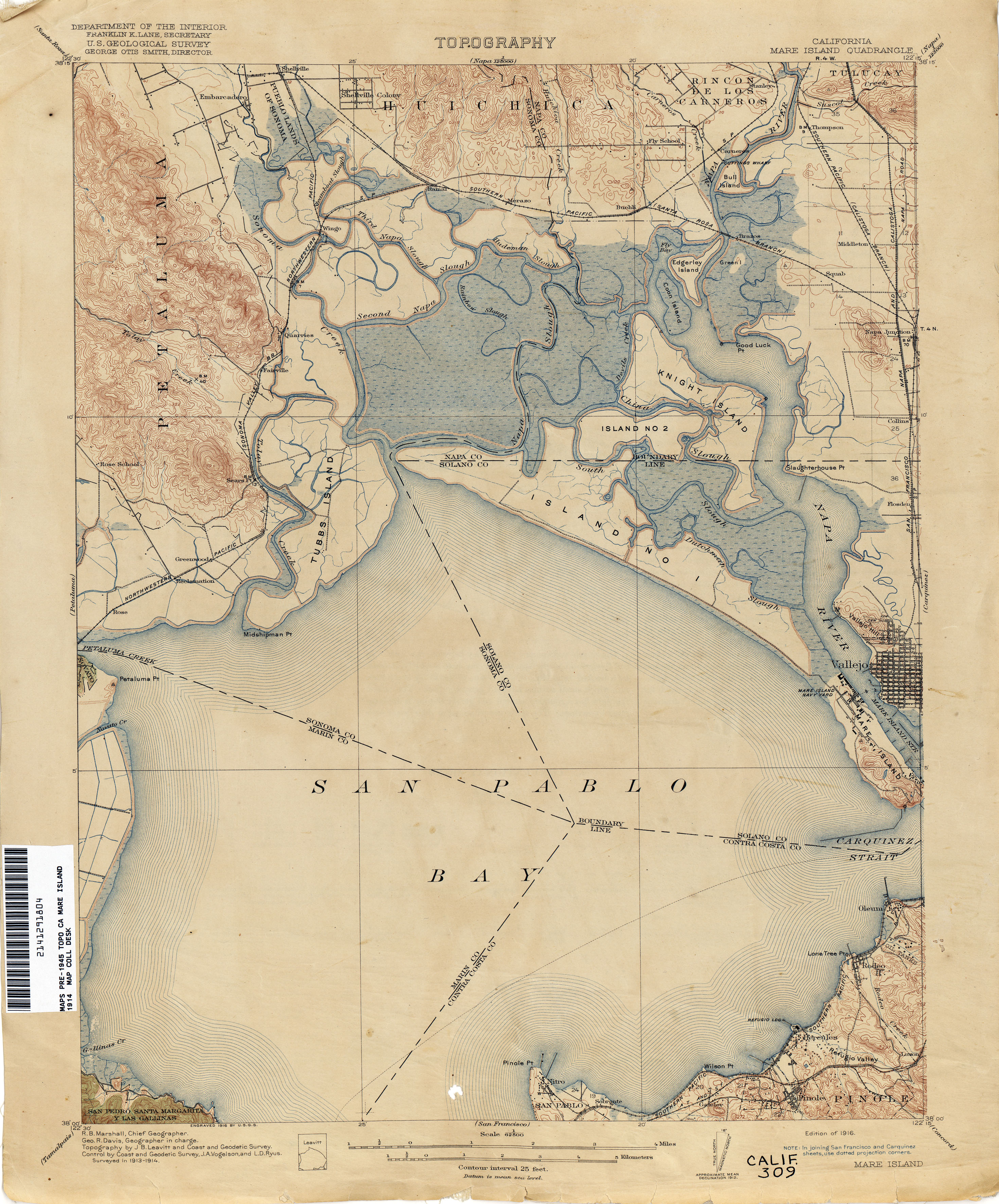
- Mare Island 1914 1:62,500 (3.2MB)
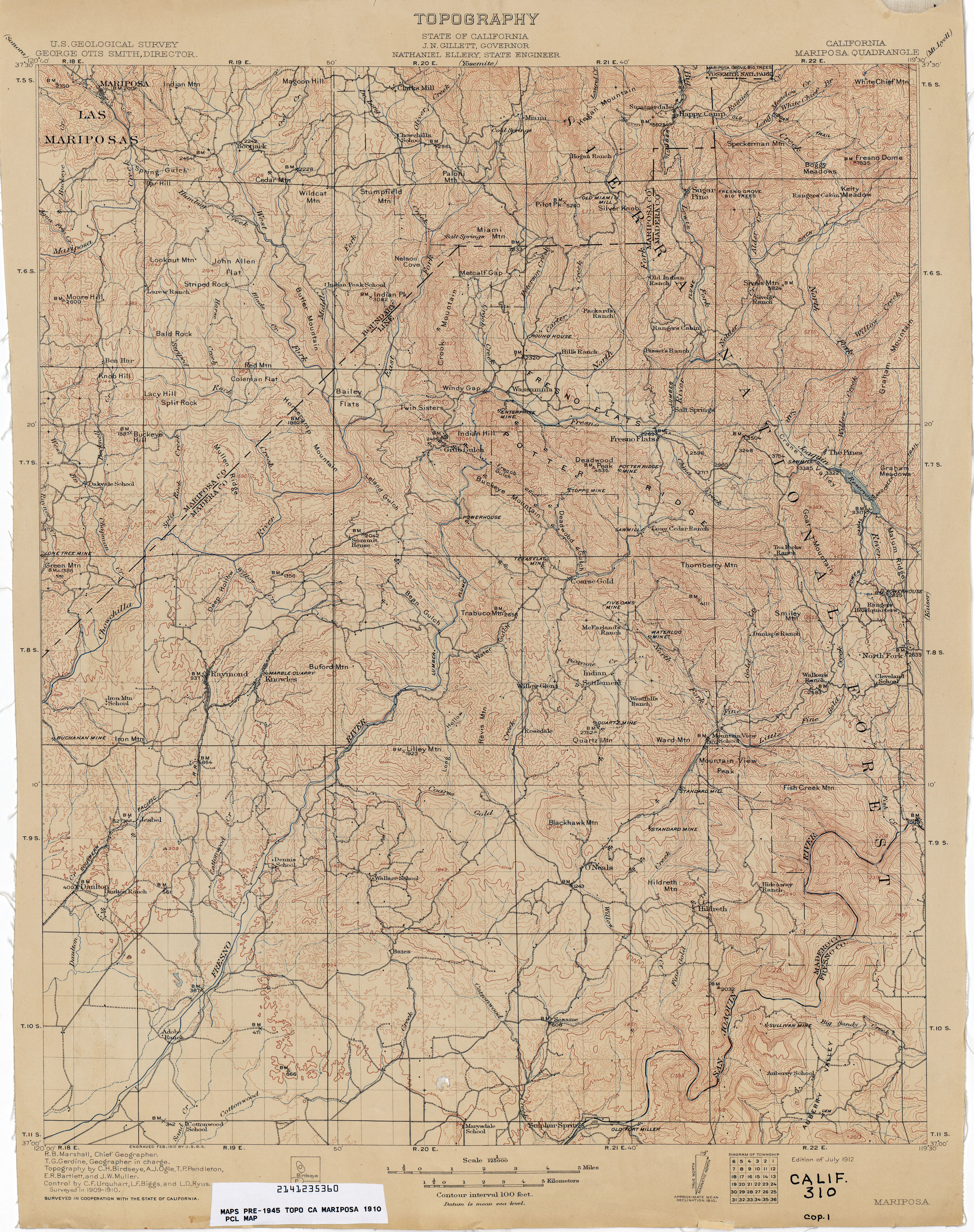
- Mariposa 1910 1:125,000 (3.9MB)
- Mariposa 1910 1:125,000 (4.9MB)
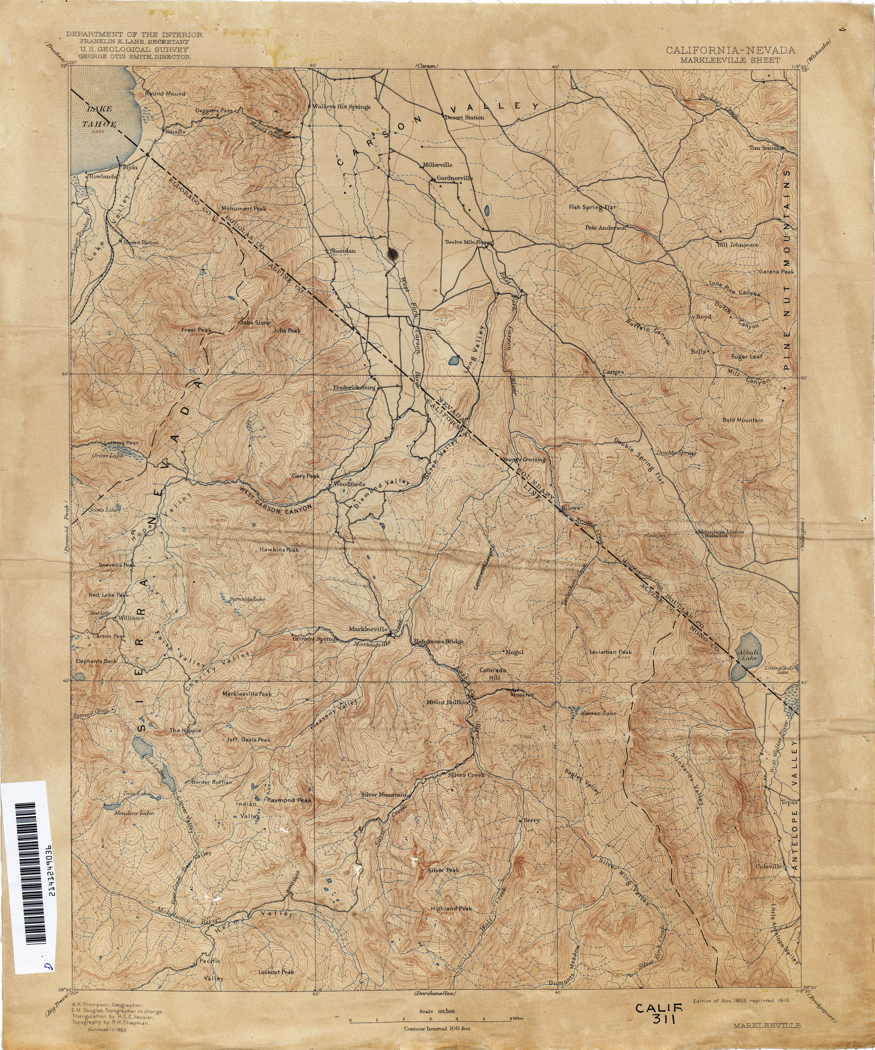
- Markleeville 1889 1:125,000 (3.9MB)
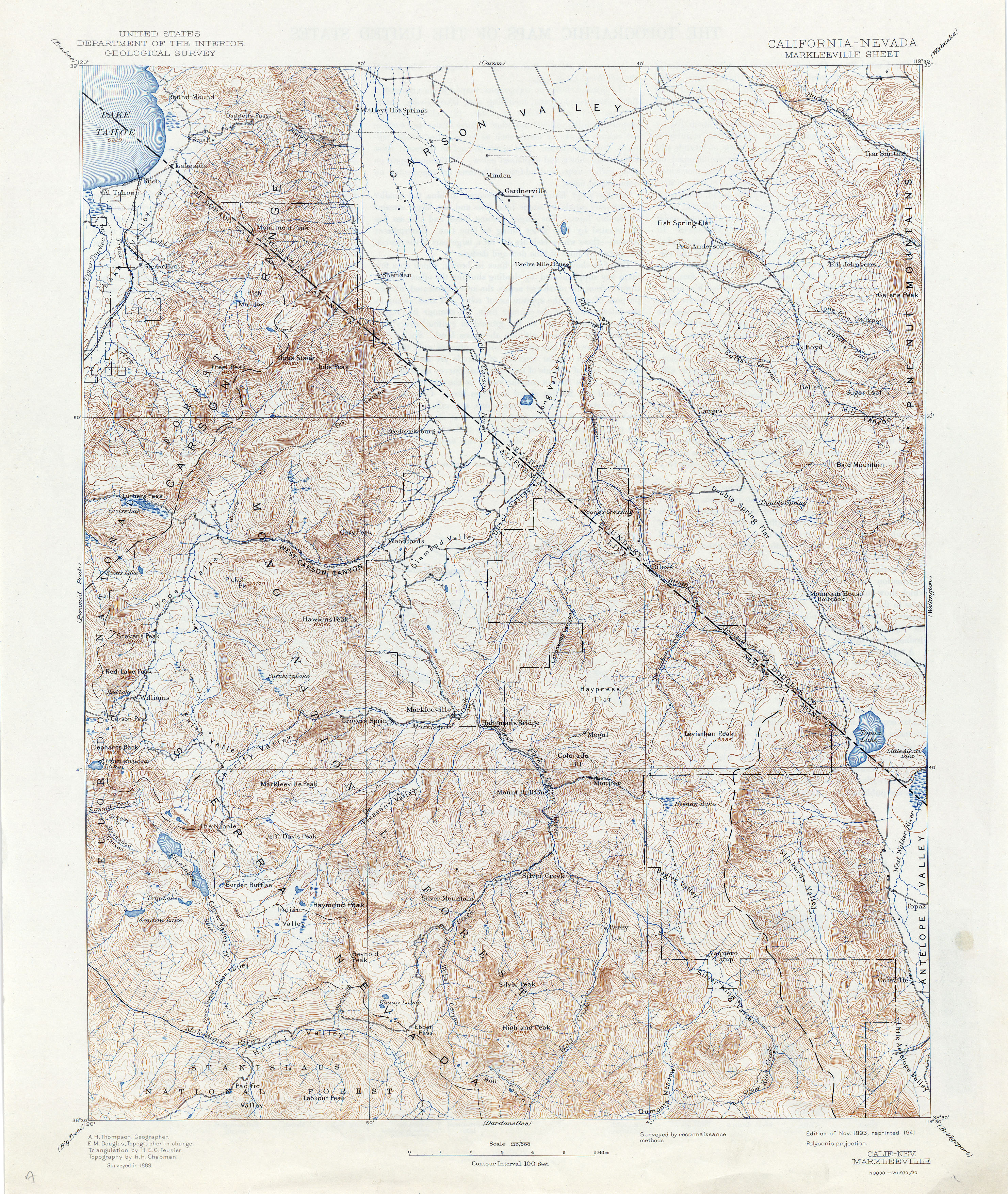
- Markleeville 1889 1:125,000 (5.0MB)
- Marysville 1886 1:125,000 (2.2MB)
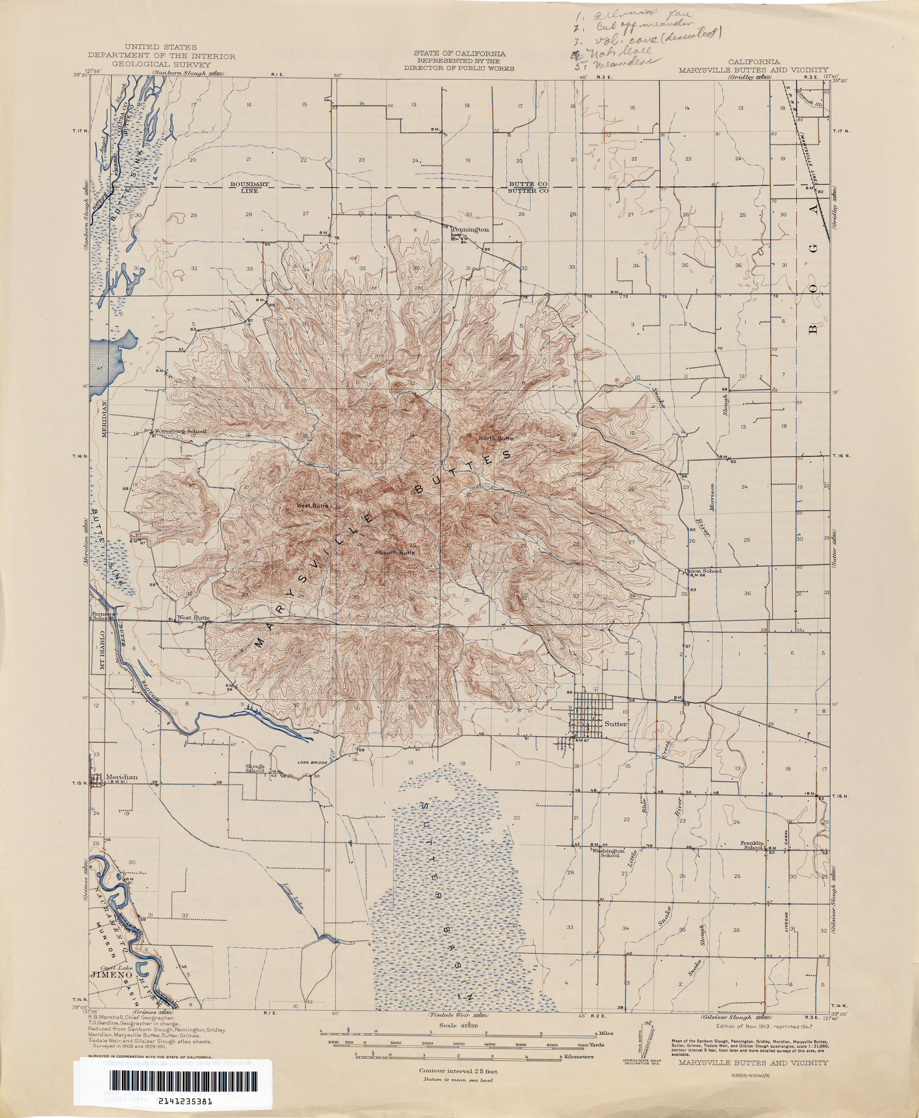
- Marysville Buttes (Sutter County) 1911 1:31,680 (2.6MB)
- Marysville Buttes (Sutter County) 1991 1:31,680 (2.3MB)
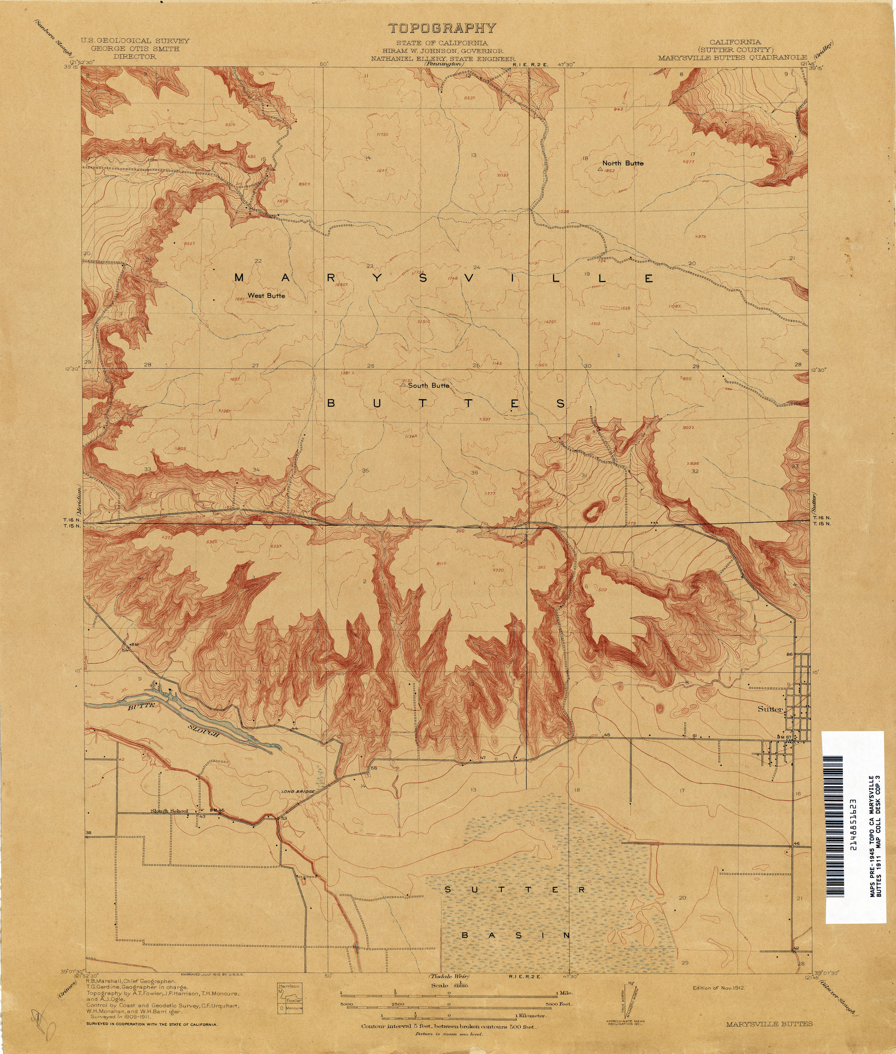
- Marysville Buttes and Vicinity 1911 1:62,500 (2.8MB)
- Maxwell 1904 1:62,500 (2.1MB)
- McIntosh Landing 1904 1:31,680 (2.4MB)
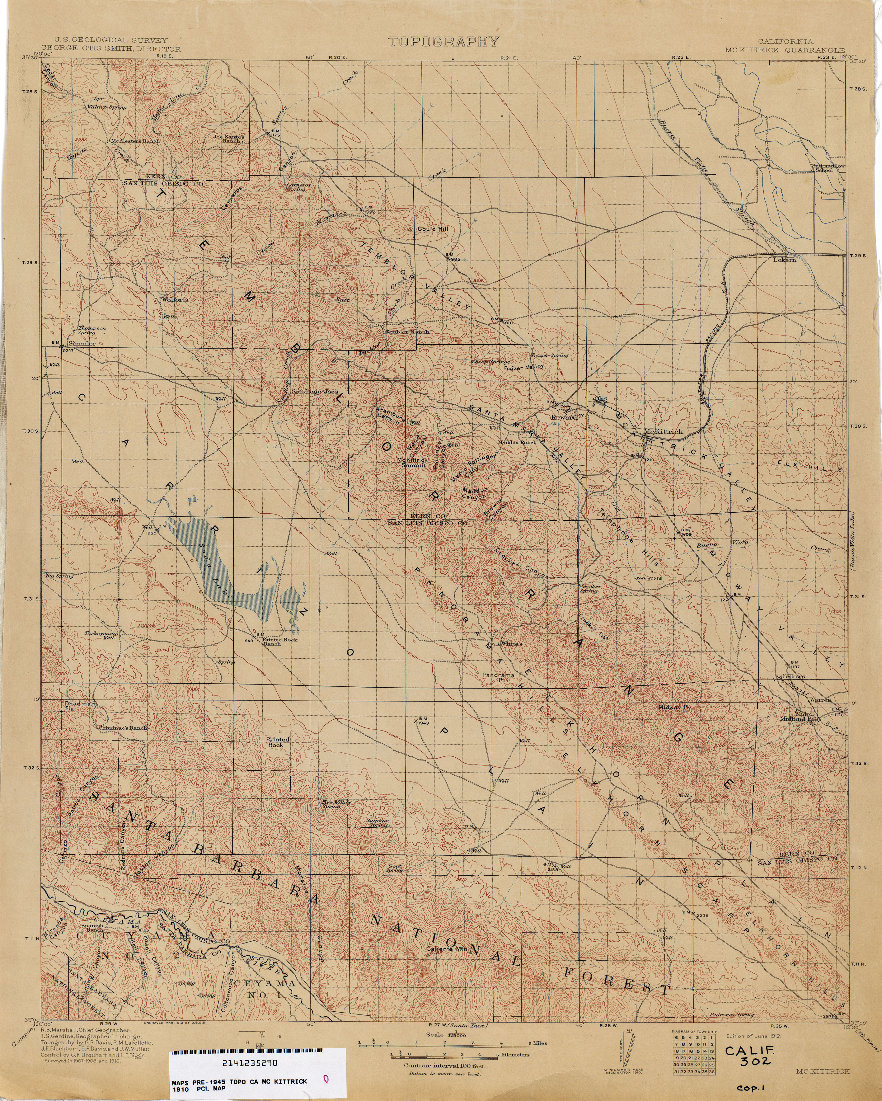
- McKittrick 1910 1:125,000 (3.5MB)
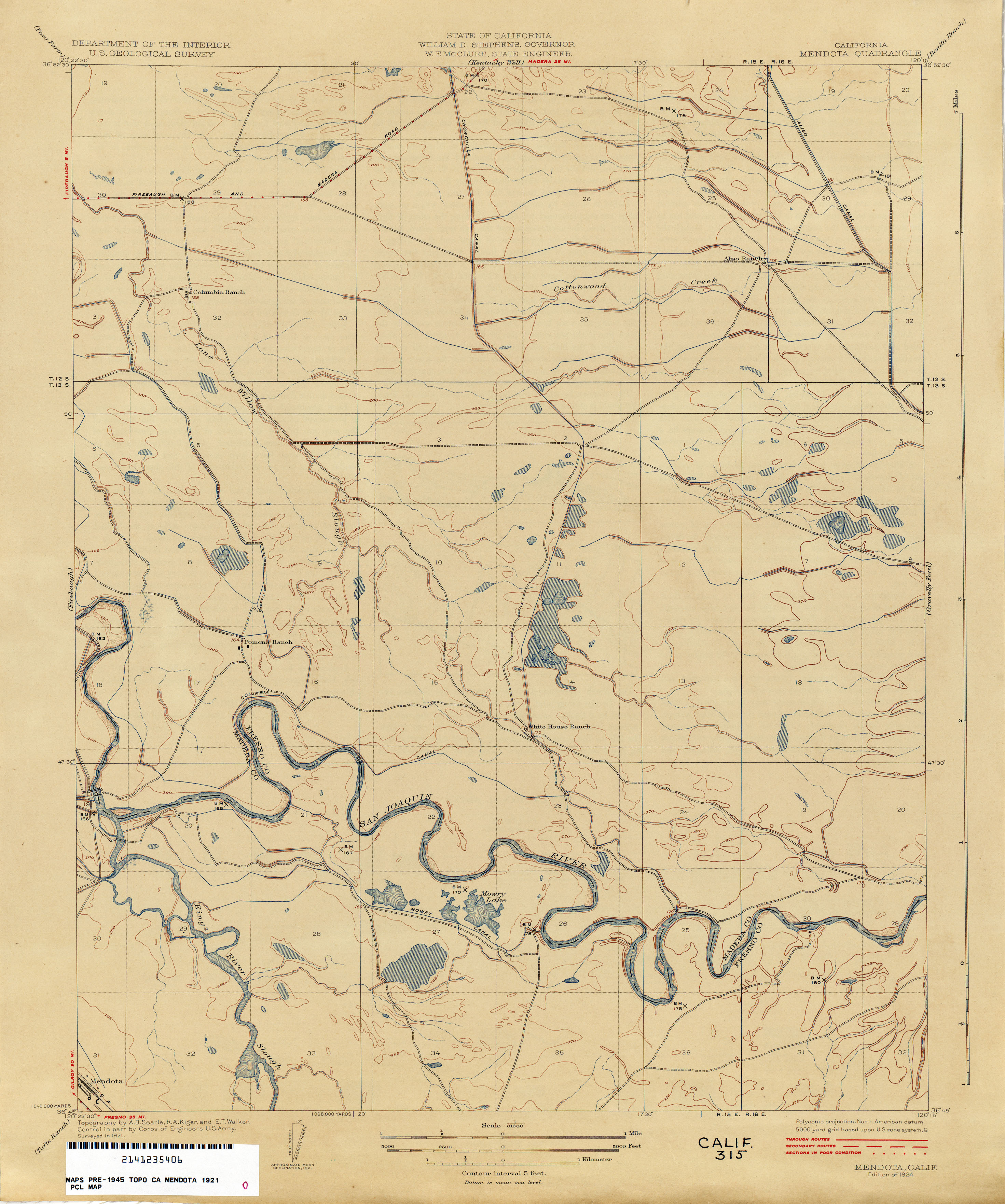
- Mendota 1921 1:31,680 (2.3MB)
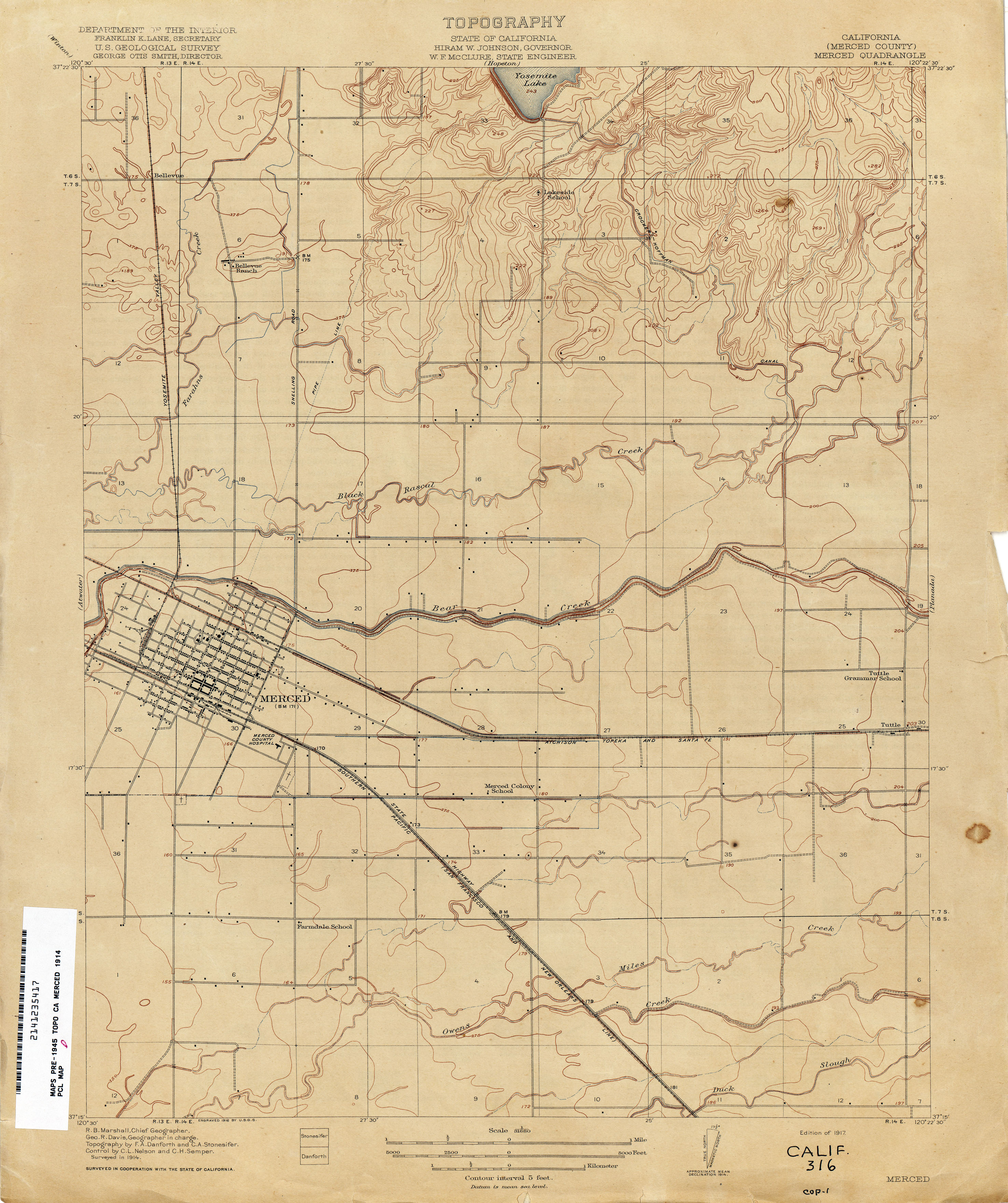
- Merced (Merced County) 1914 1:31,680 (2.4MB)
- Meridian 1910 1:31,680 (2.2MB)
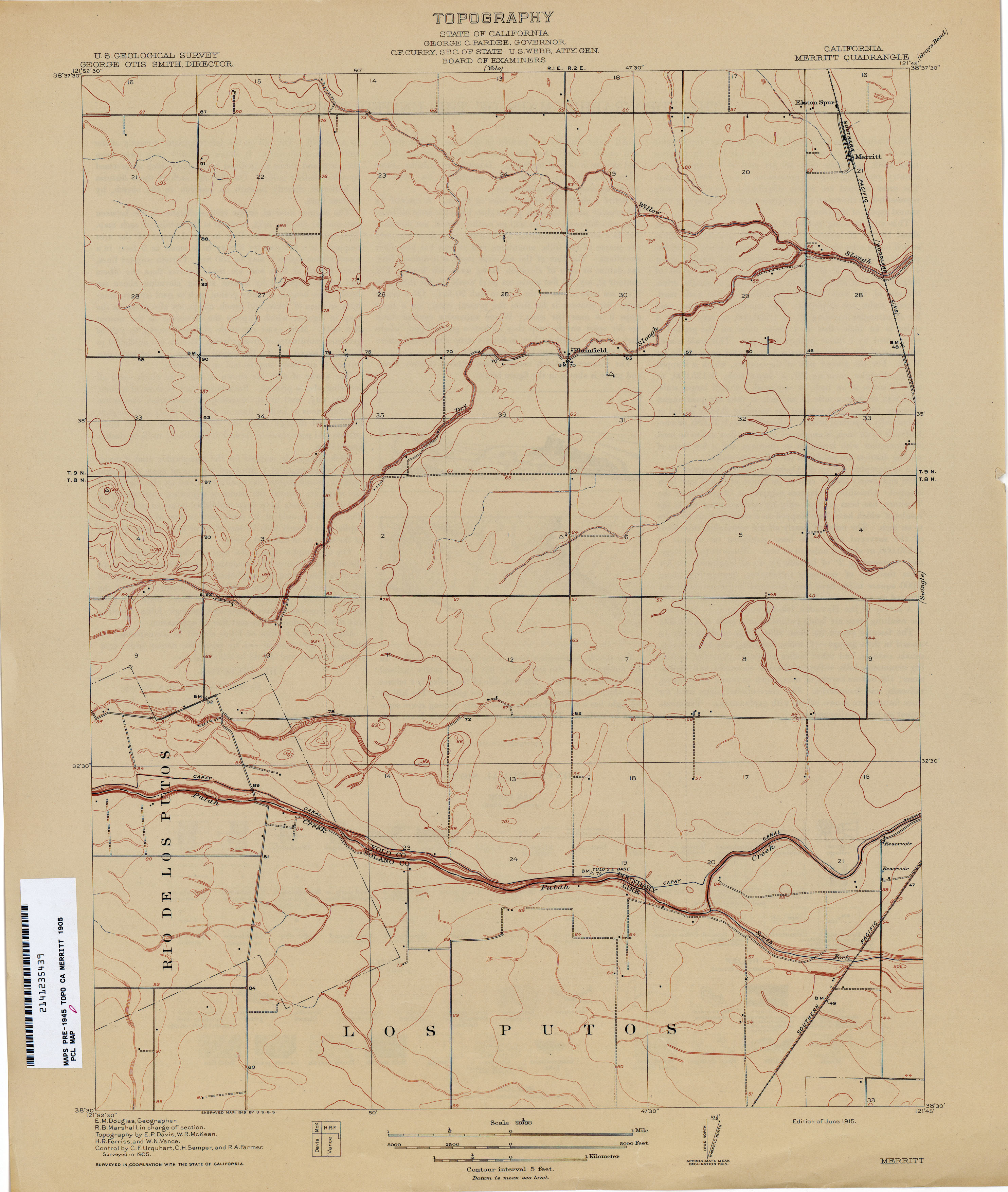
- Merritt 1905 1:31,680 (1.9MB)
- Mescal Creek (Los Angeles County) 1934 1:24,000 (4.5MB)
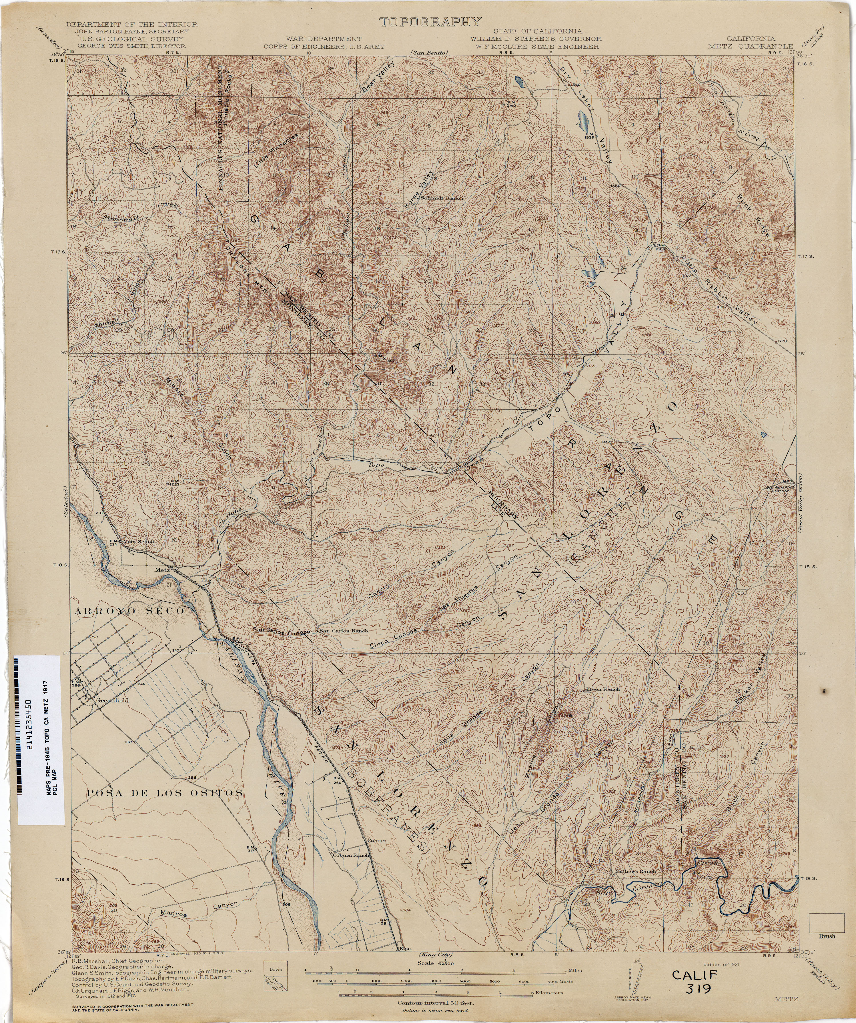
- Metz 1917 1:62,500 (4.2MB)
- Millux (Kern County) 1930 1:31,680 (2.2MB)
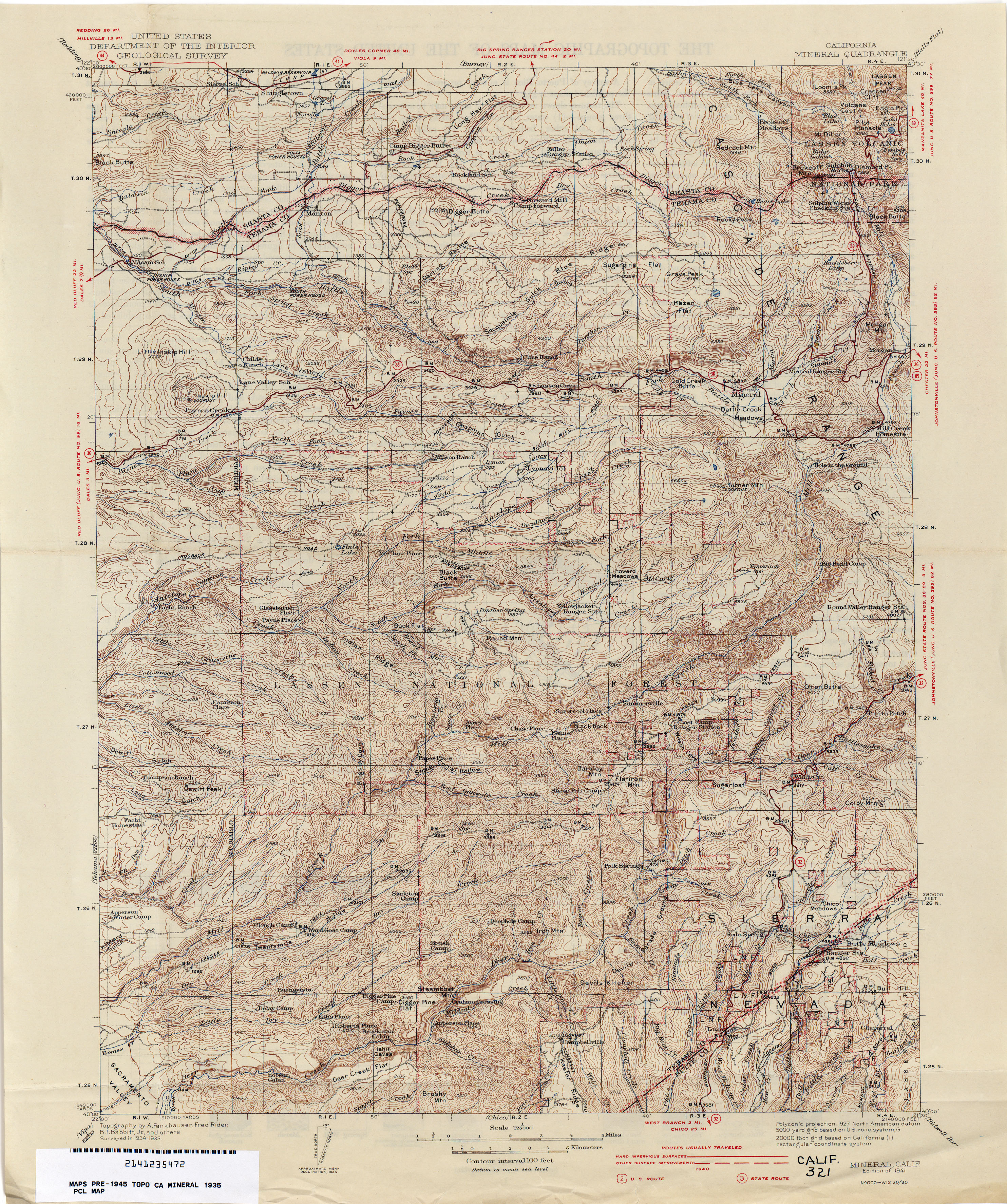
- Mineral 1935 1:125,000 (4.8MB)
- Miramonte Ranch (Kern County) 1927 1:31,680 (2.2MB)
- Mitchell School 1914 1:31,680 (2.0MB)
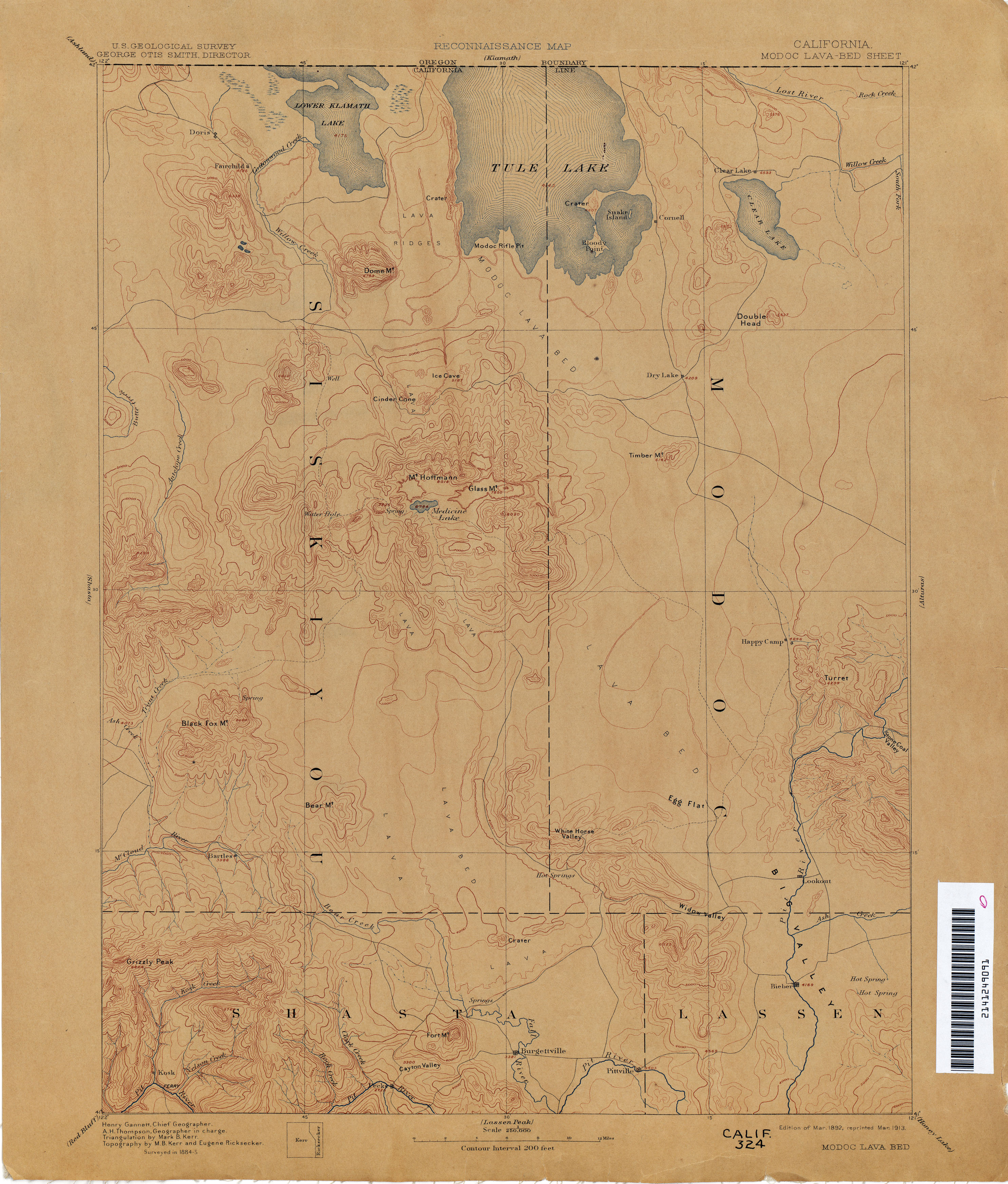
- Modoc Lava-Bed 1885 1:250,000 (2.4MB)
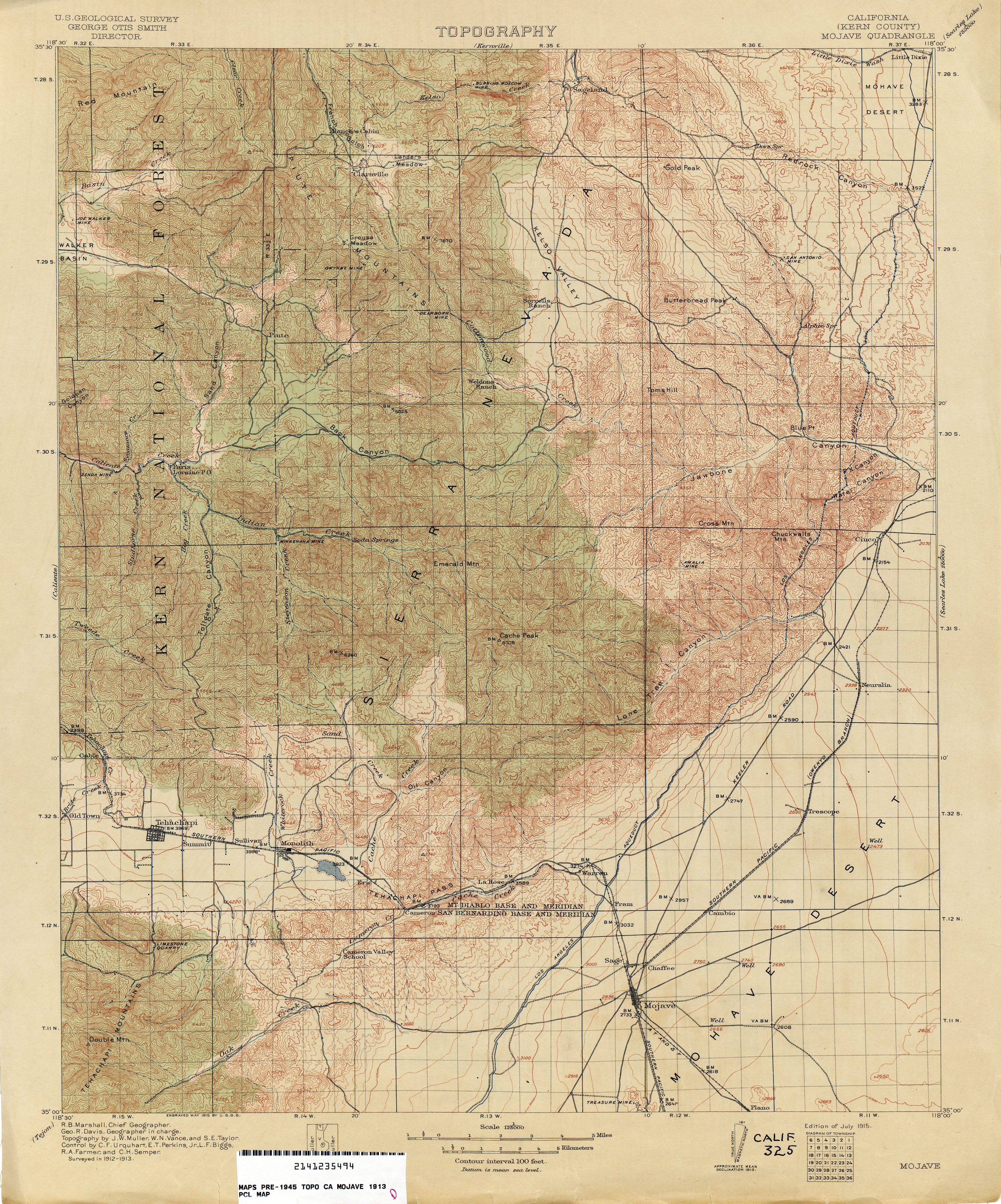
- Mojave (Kern County) 1913 1:125,000 (4.4MB)
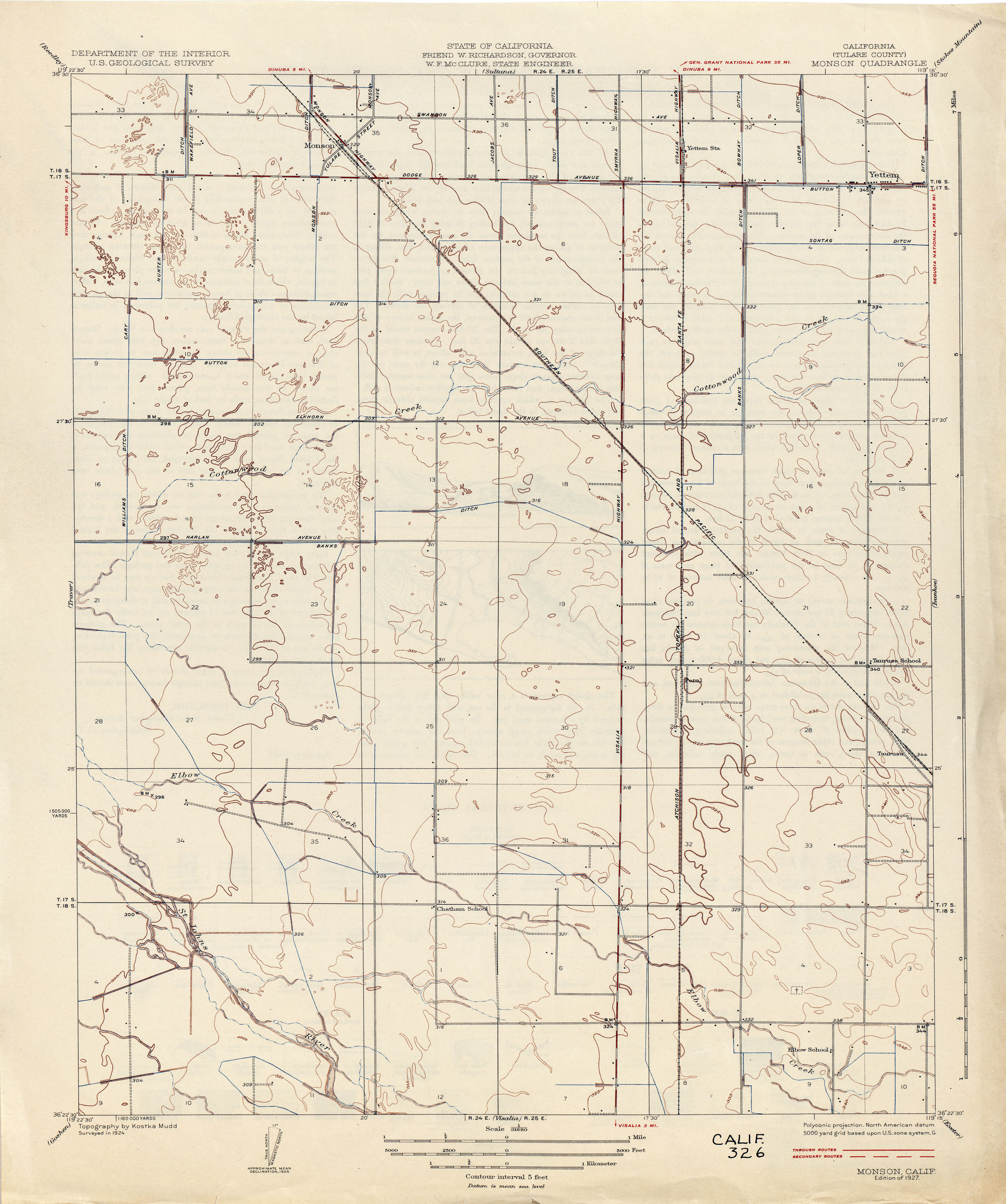
- Monson (Tulare County) 1924 1:31,680 (2.0MB)
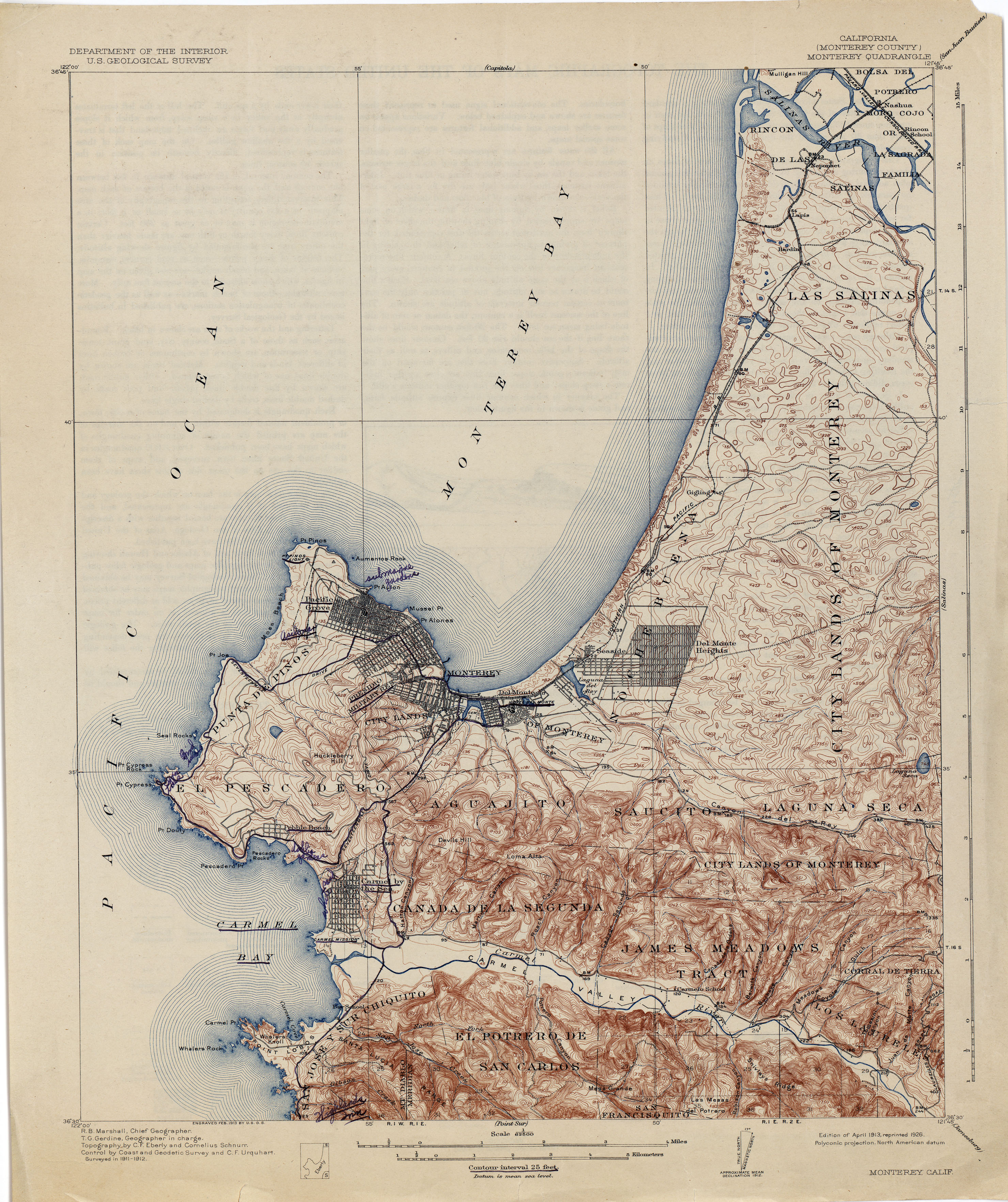
- Monterey (Monterey County) 1912 1:62,500 (3.7MB)
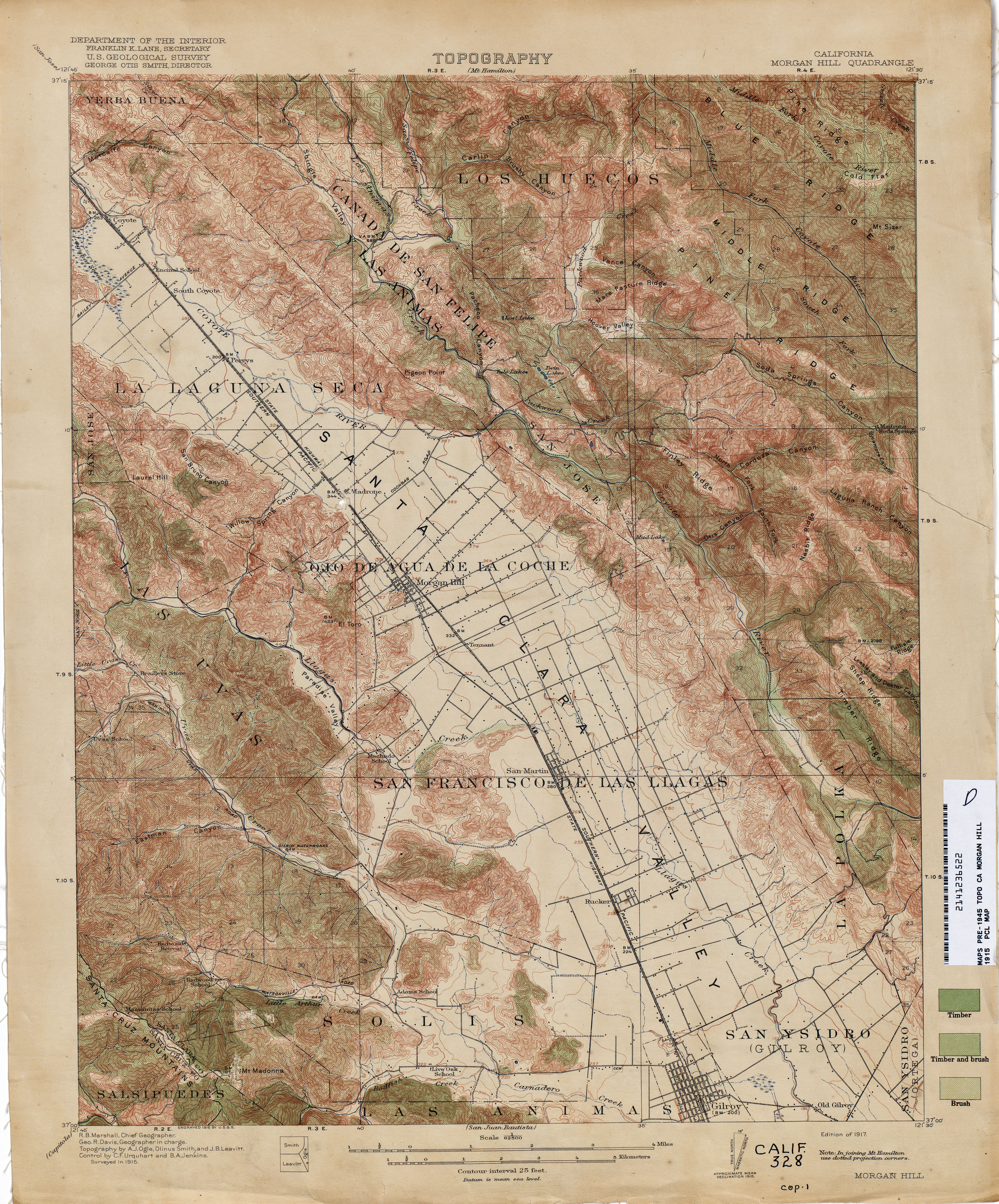
- Morgan Hill 1915 1:62,500 (4.7MB)
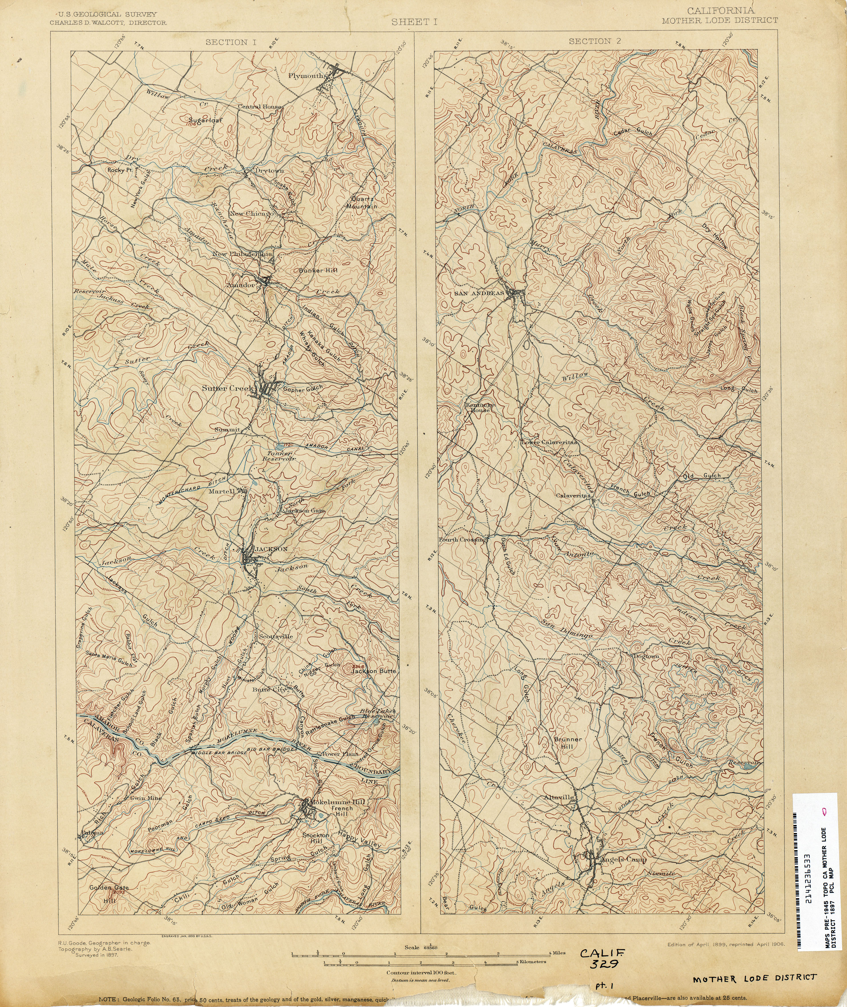
- Mother Lode District 1897 1:63,360 (3.7MB)
- Mount Baden-Powell (Los Angeles County) 1936 1:24,000 (6.4MB)
- Mount Diablo 1896 1:62,500 (3.8MB)
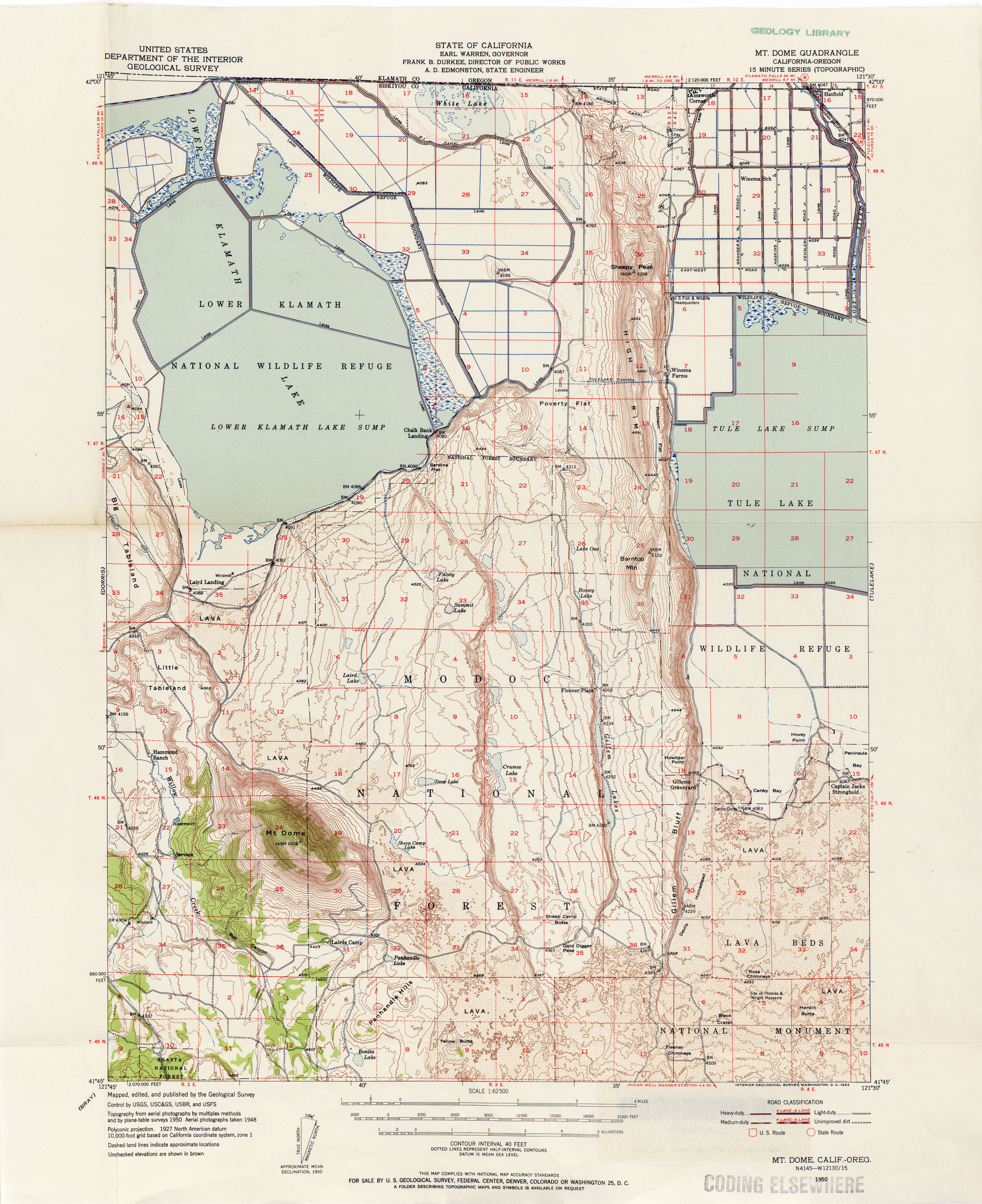
- Mount Dome 1950 1:62,500 (3.3MB)
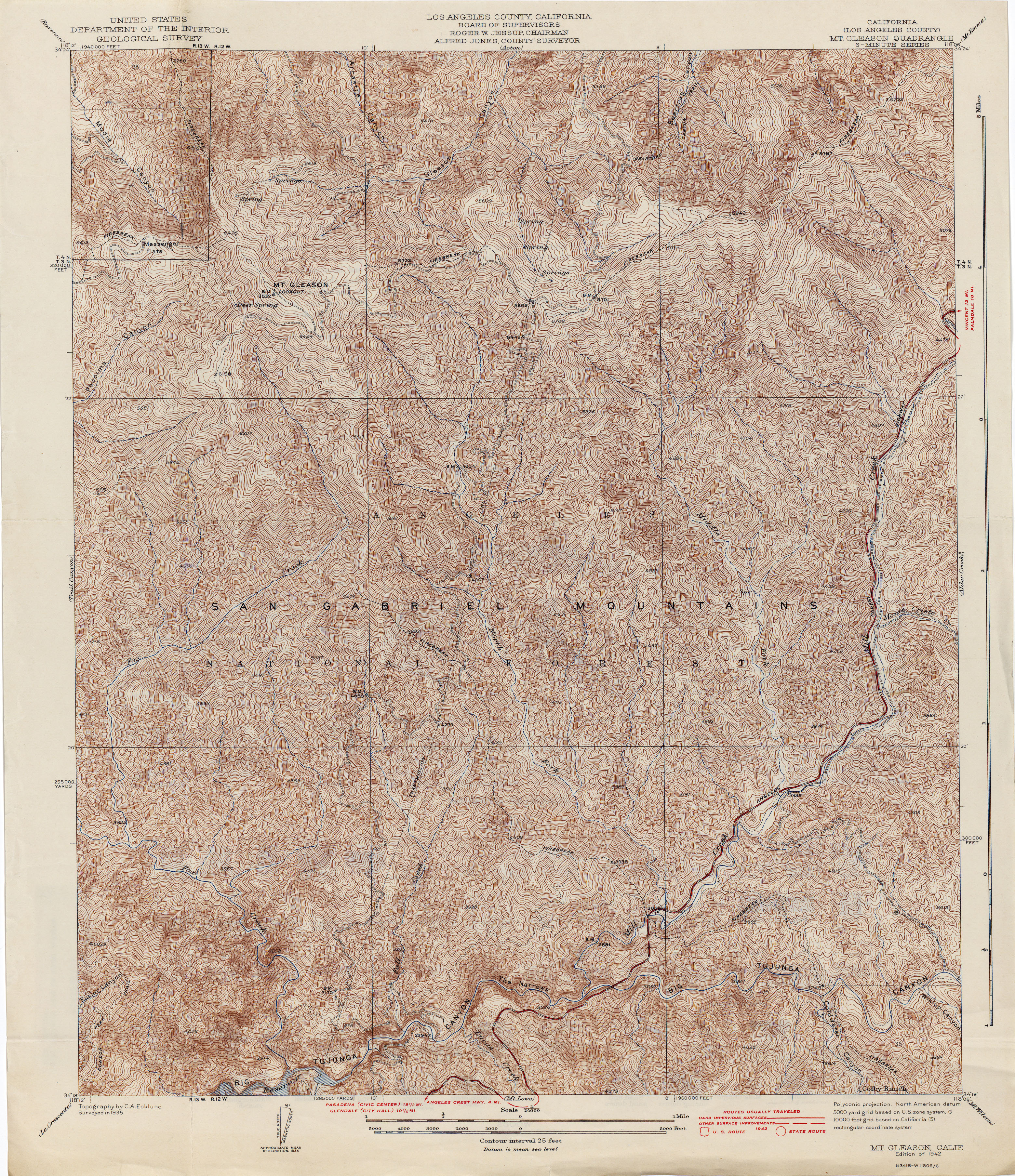
- Mount Gleason (Los Angeles County) 1935 1:24,000 (6.4MB)
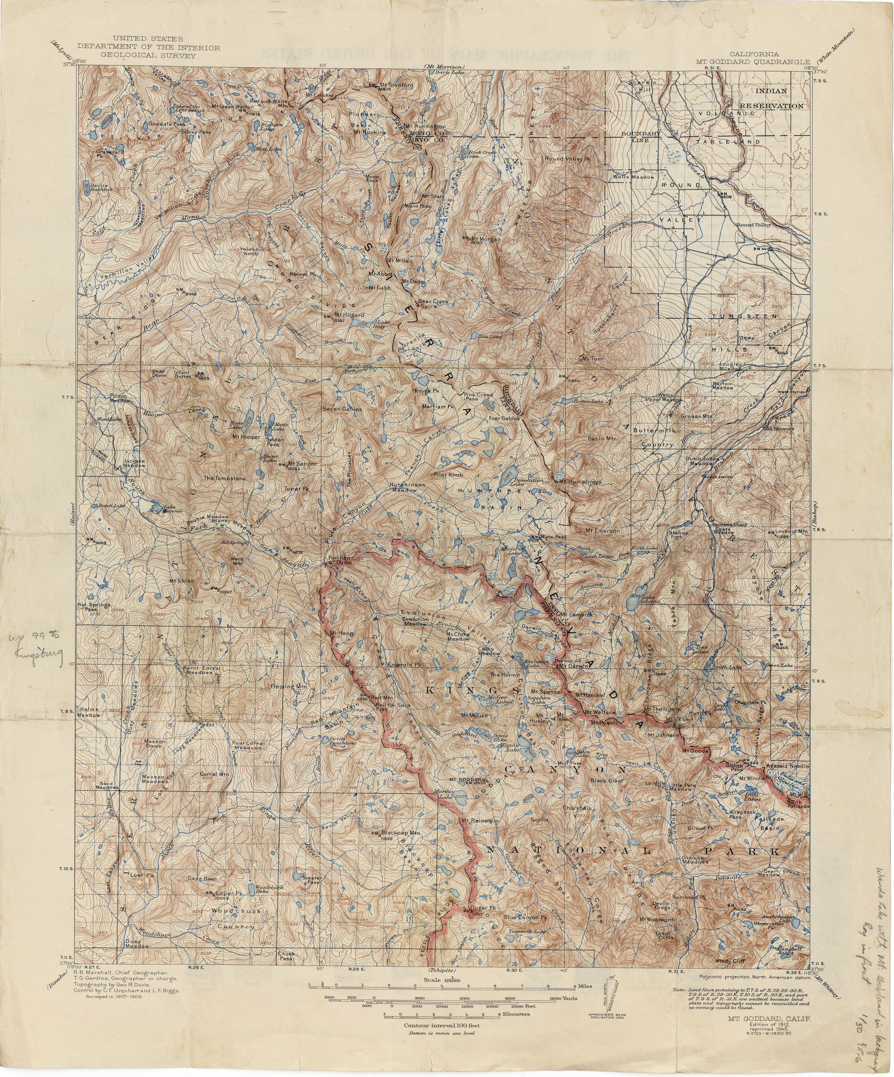
- Mount Goddard 1909 1:125,000 (5.1MB)
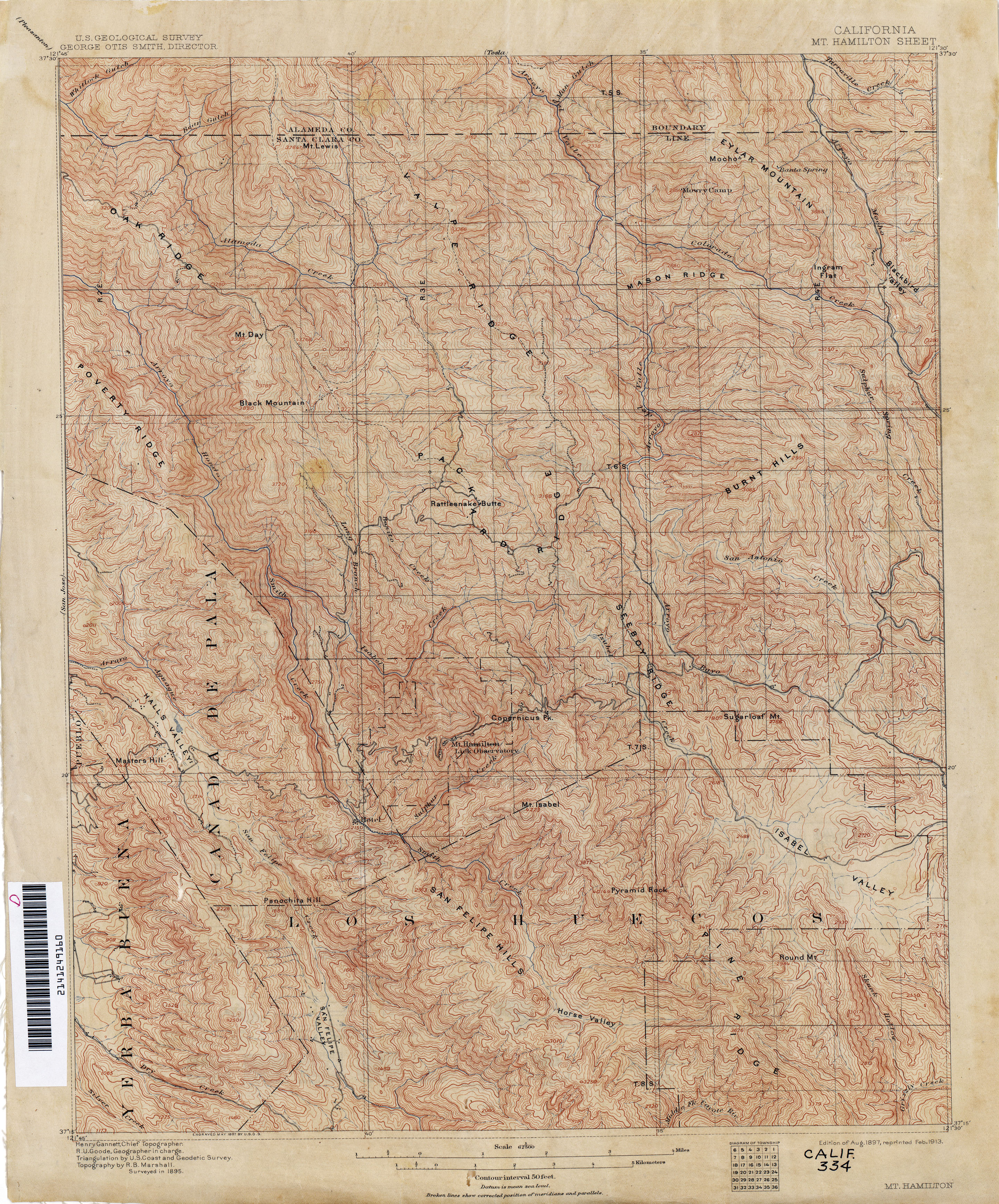
- Mount Hamilton 1895 1:62,500 (4.4MB)
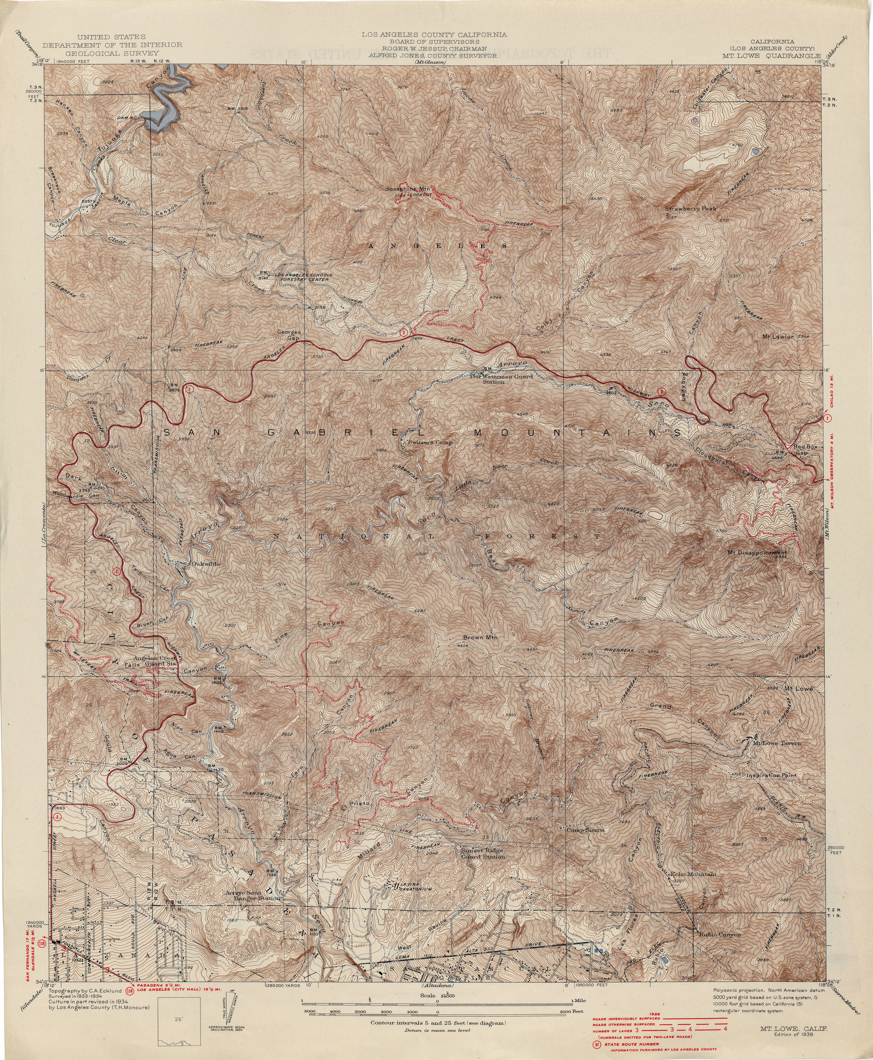
- Mount Lowe (Los Angeles County) 1934 1:24,000 (6.3MB)
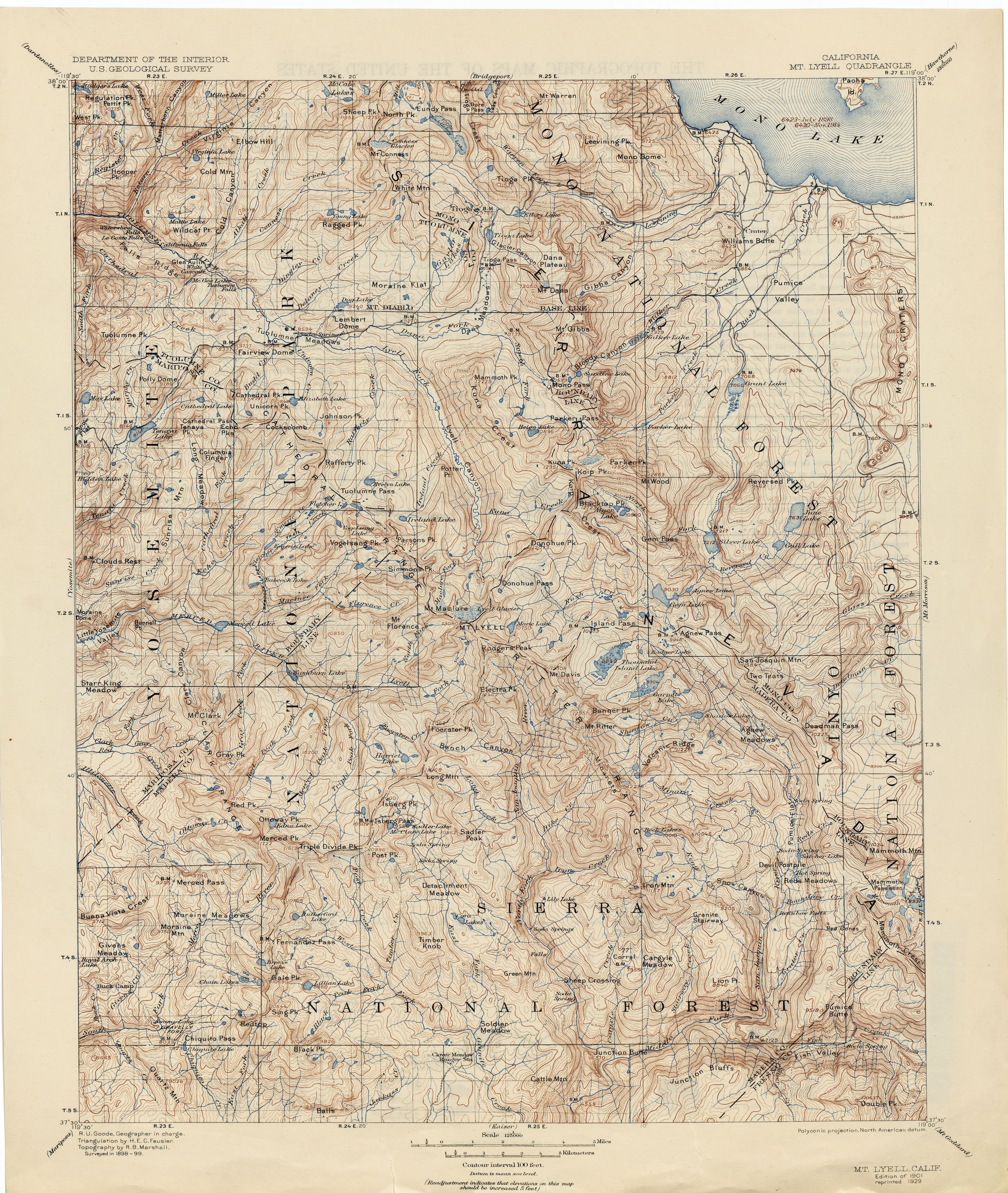
- Mount Lyell 1899 1:125,000 (4.5MB)
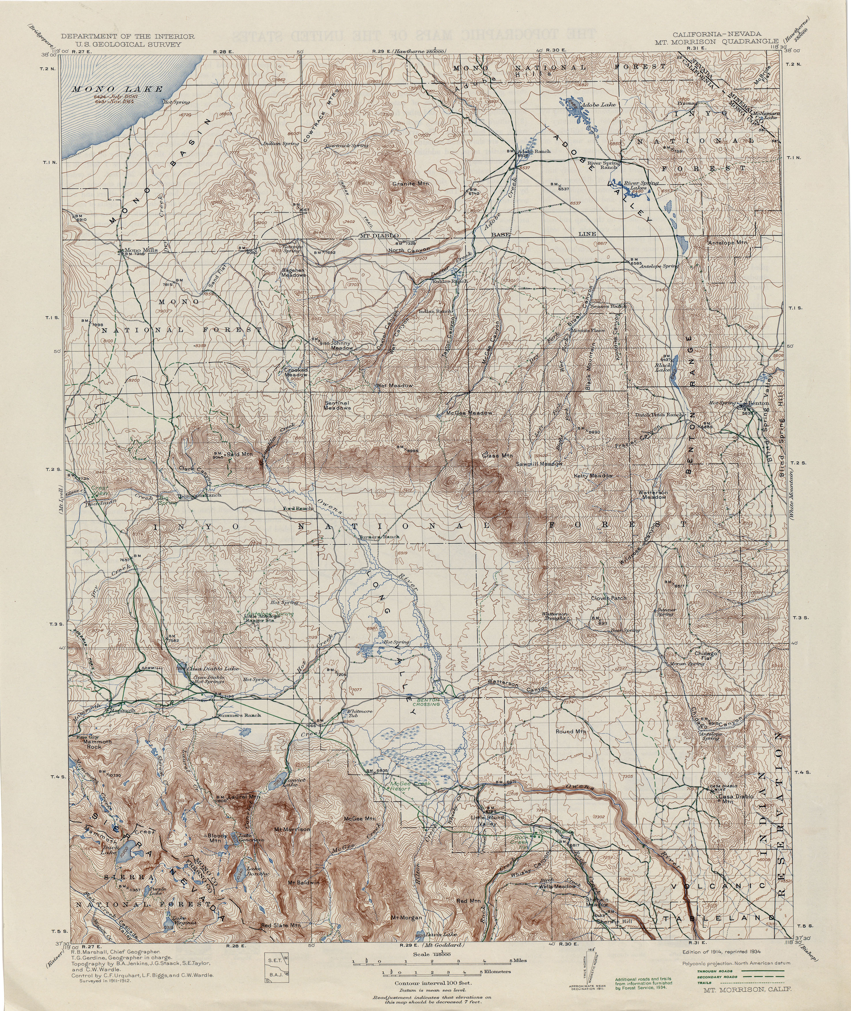
- Mount Morrison [California, Nevada] 1912 1:125,000 (4.5MB)
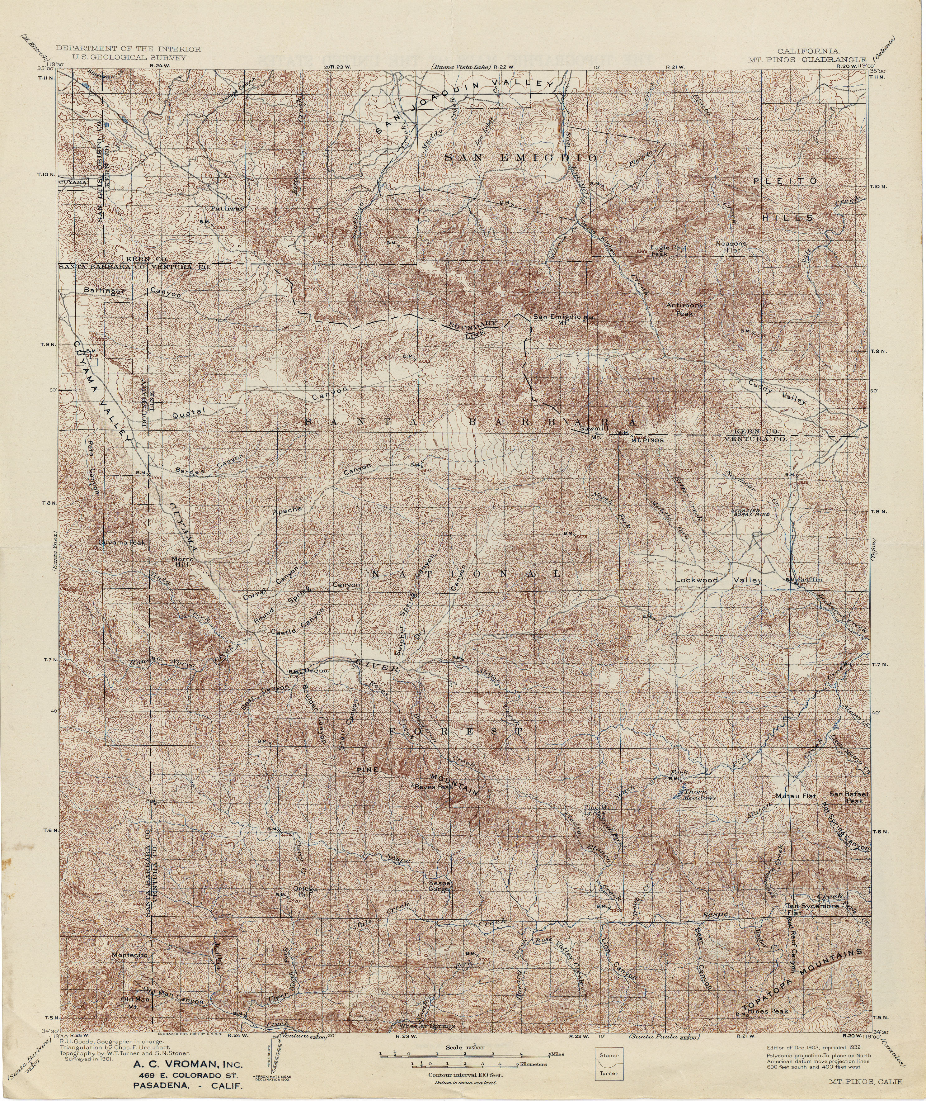
- Mount Pinos 1901 1:125,000 (6.0MB)
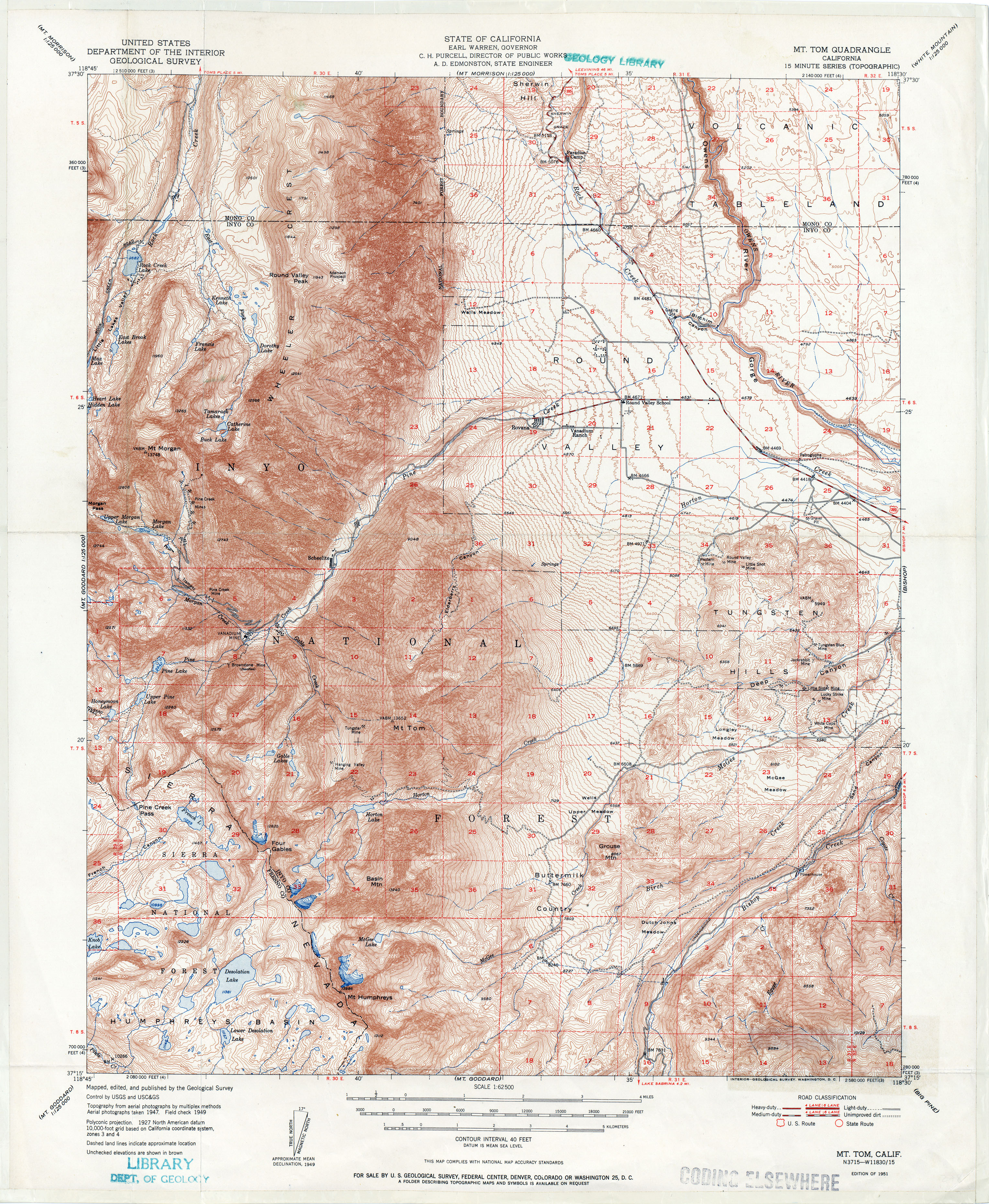
- Mount Tom 1951 1:62,500 (5.3MB)
- Mount Whitney 1905 1:125,000 (4.9MB)
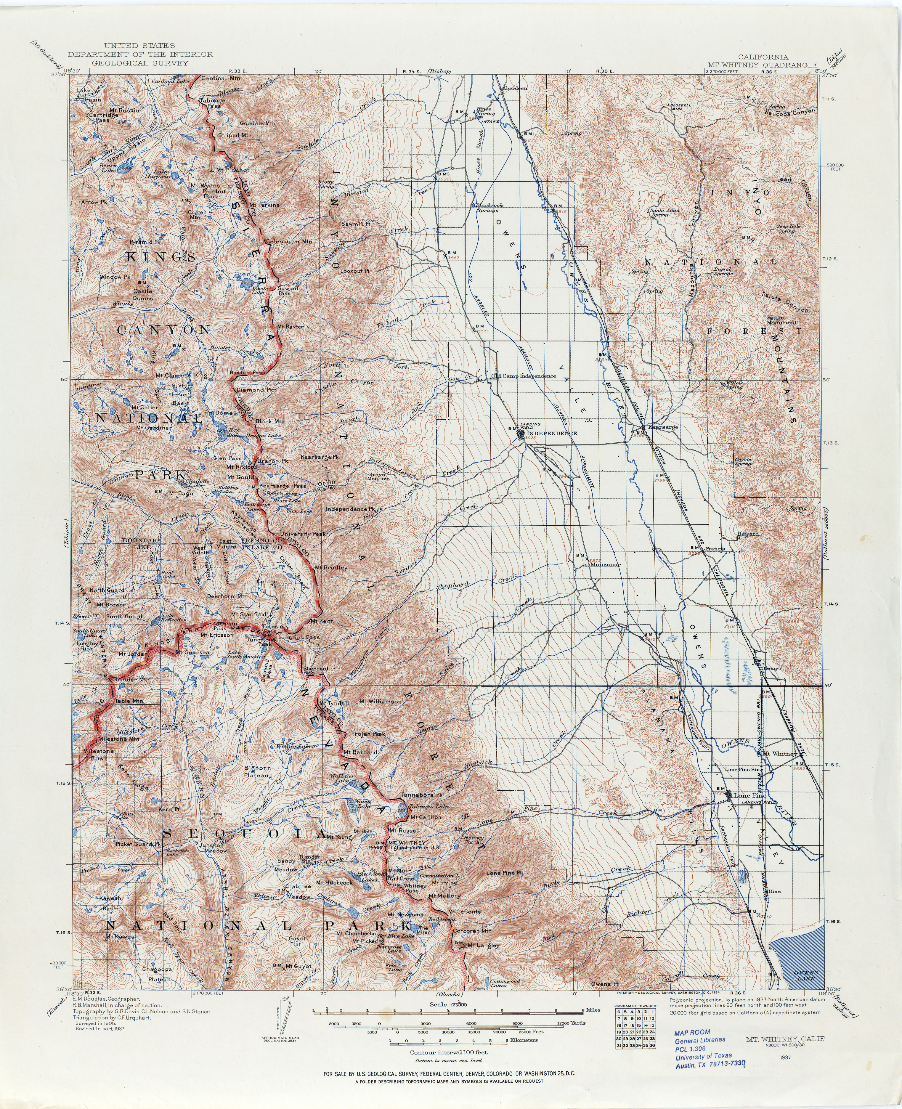
- Mount Whitney 1937 1:125,000 (4.9MB)
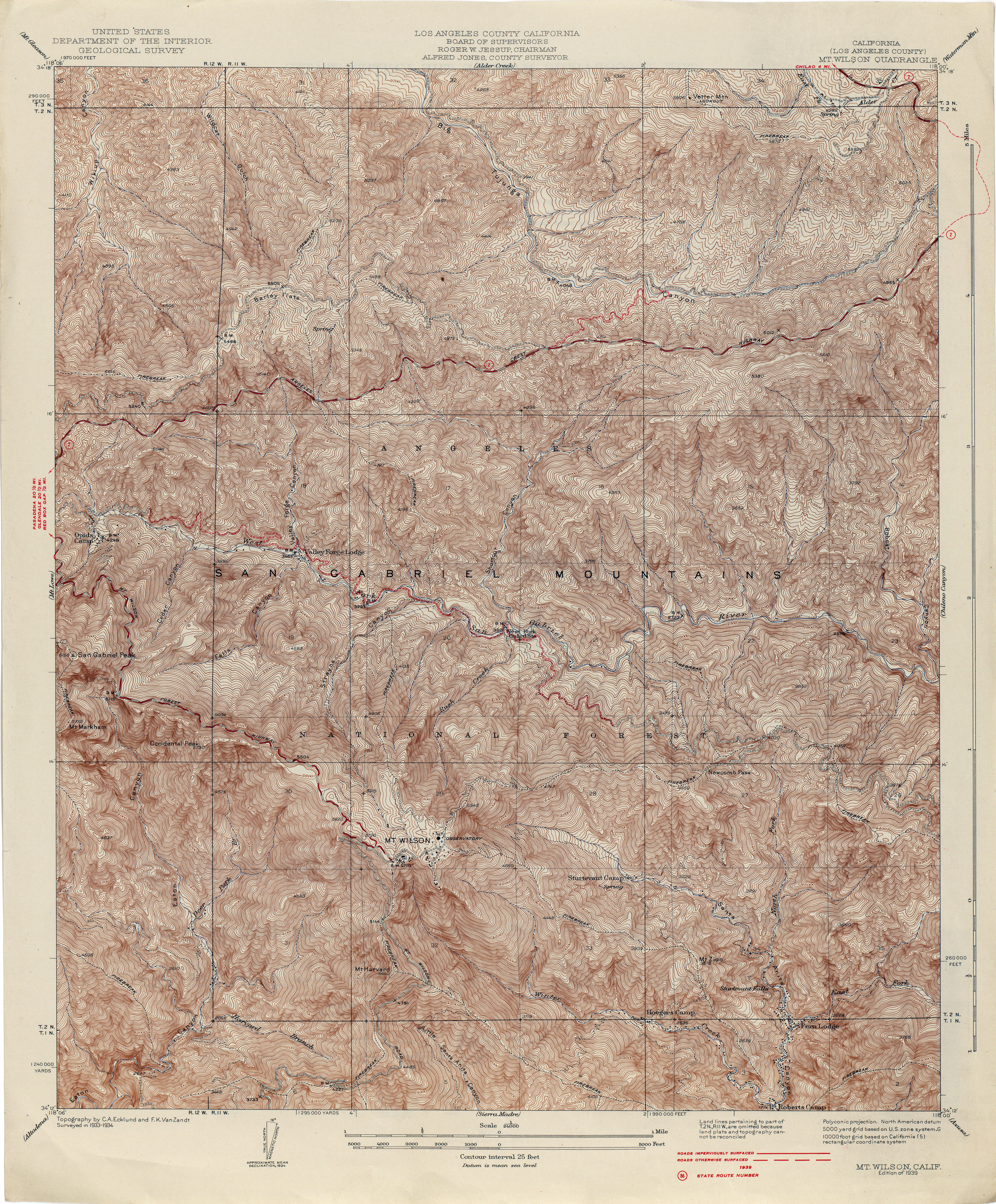
- Mount Wilson (Los Angeles County) 1934 1:24,000 (6.8MB)
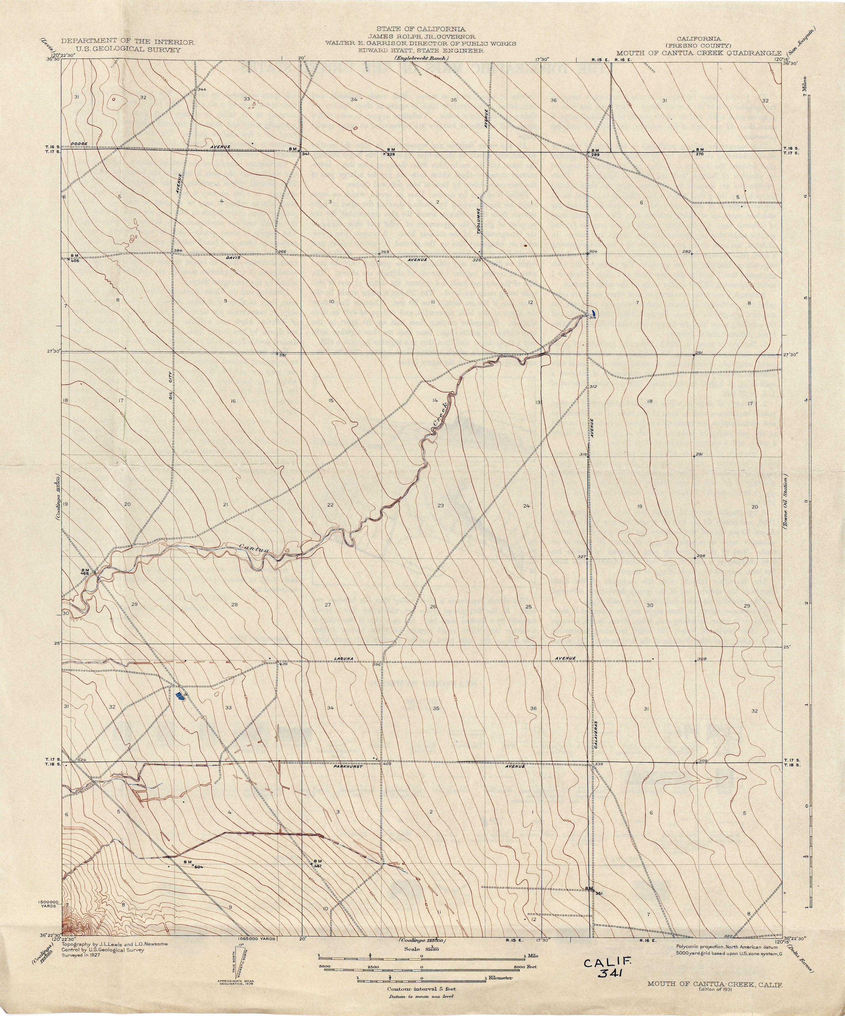
- Mouth of Cantua Creek (Fresno County) 1927 1:31,680 (2.3MB)
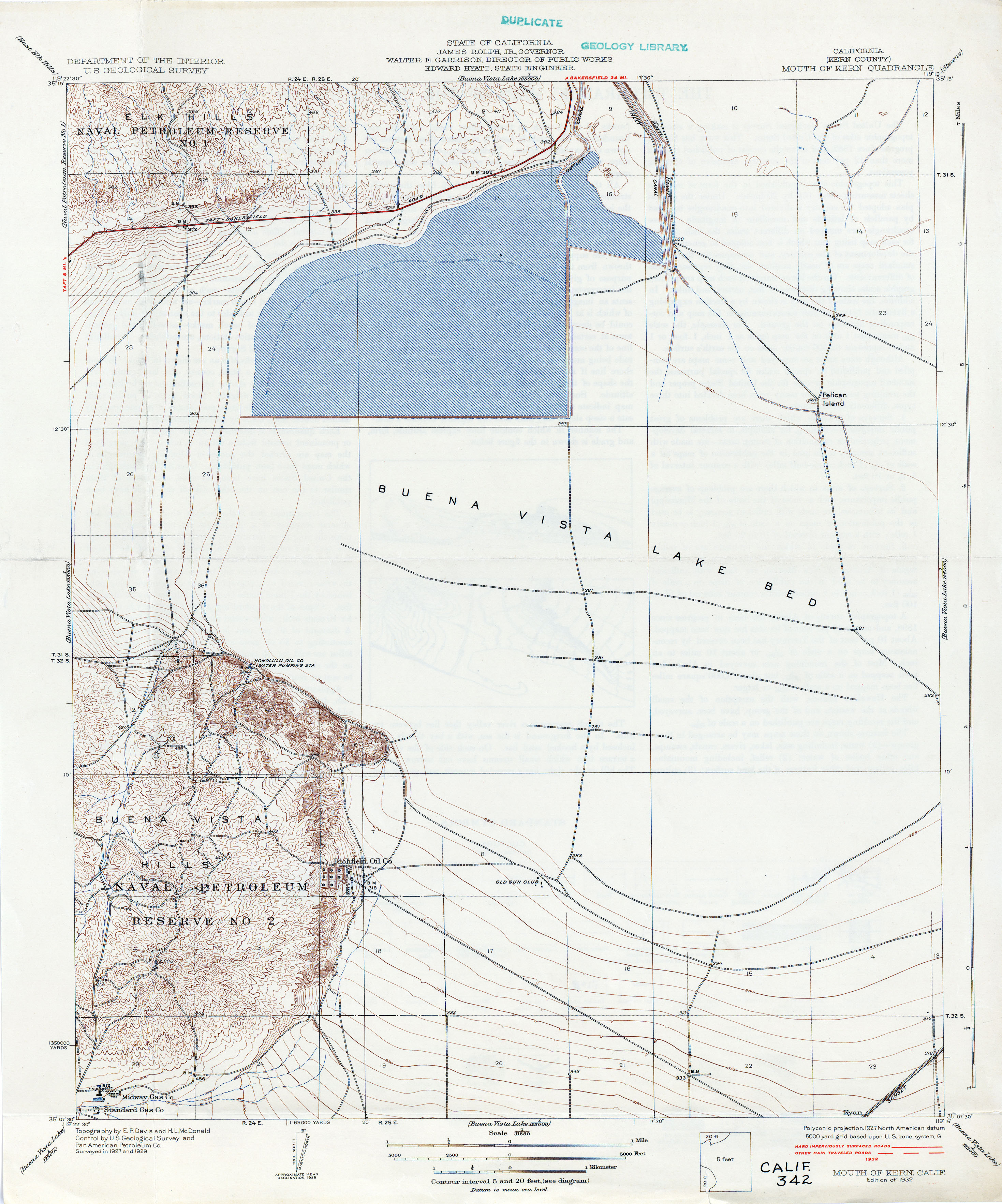
- Mouth of Kern (Kern County) 1929 1:31,680 (2.8MB)
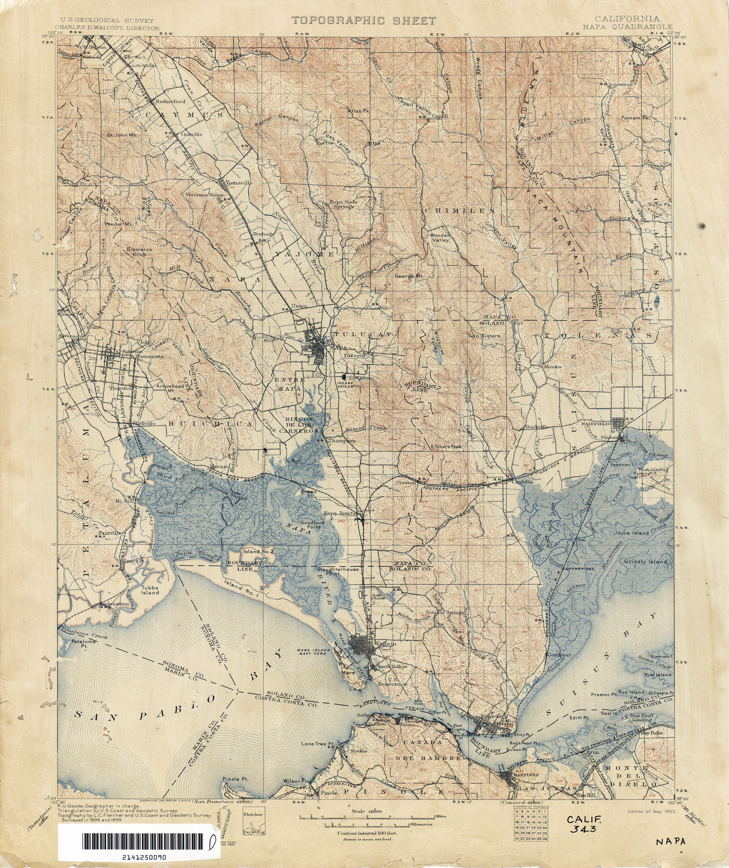
- Napa 1899 1:125,000 (4.3MB)
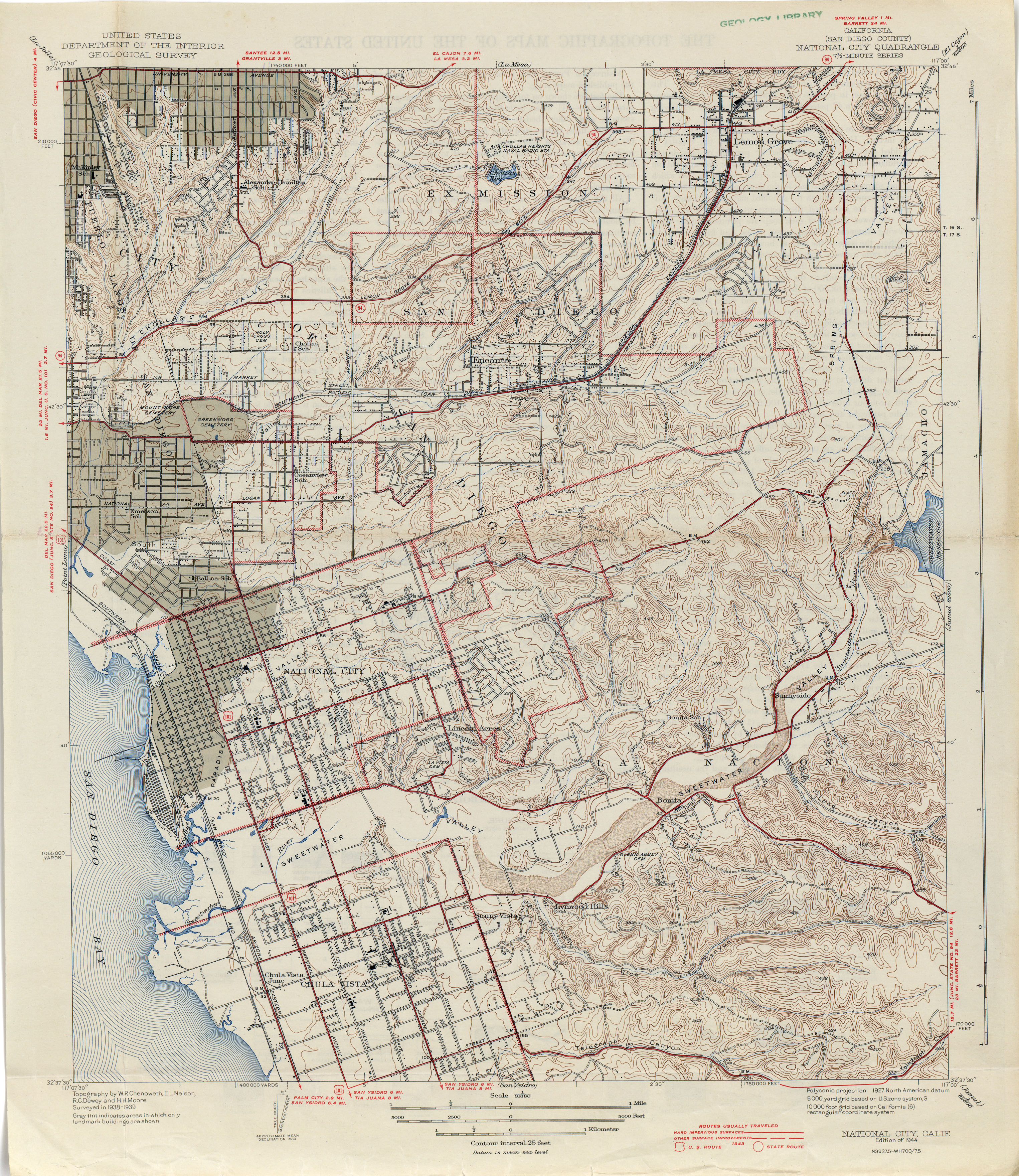
- National City (San Diego County) 1939 1:31,680 (4.4MB)
- Needles [Arizona, California] 1903 1:125,000 (4.4MB)
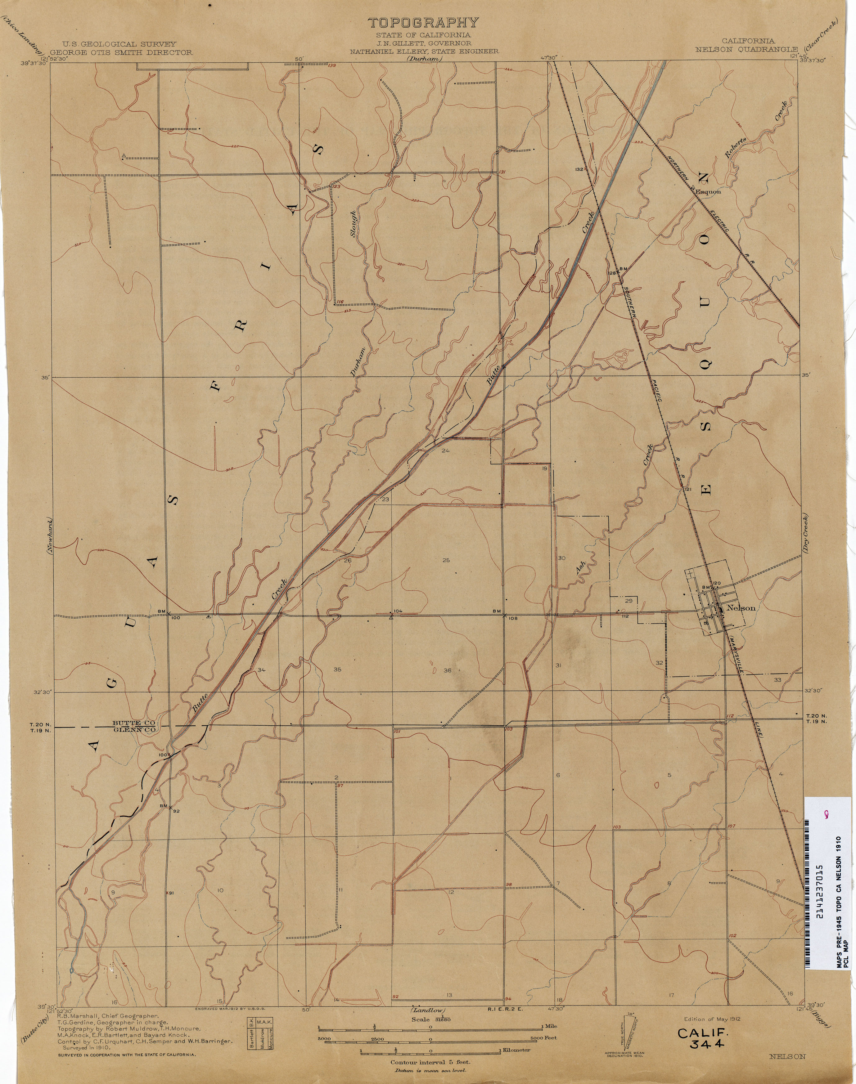
- Nelson 1910 1:31,680 (1.7MB)
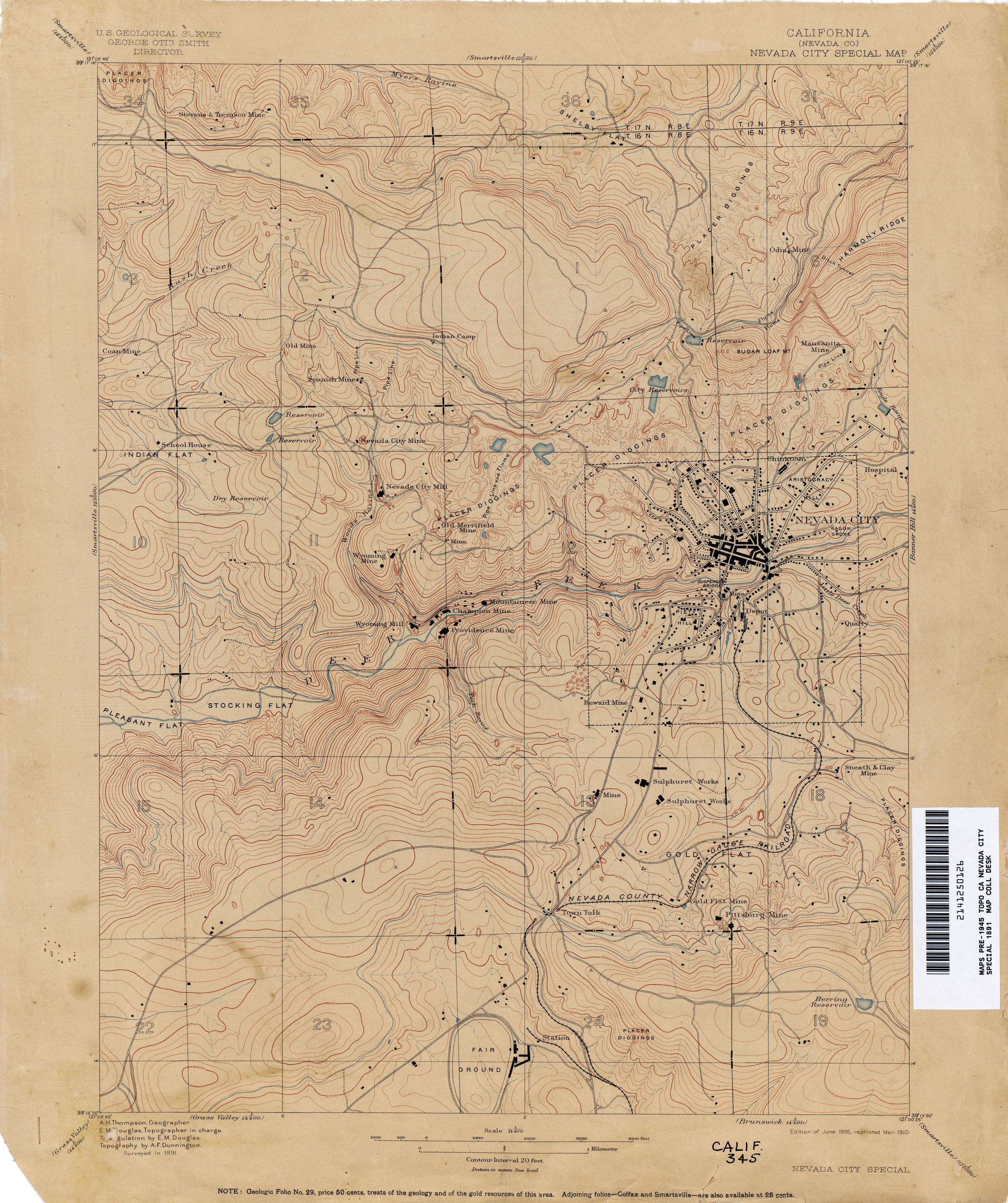
- Nevada City Special (Nevada County) 1891 1:14,400 (3.1MB)
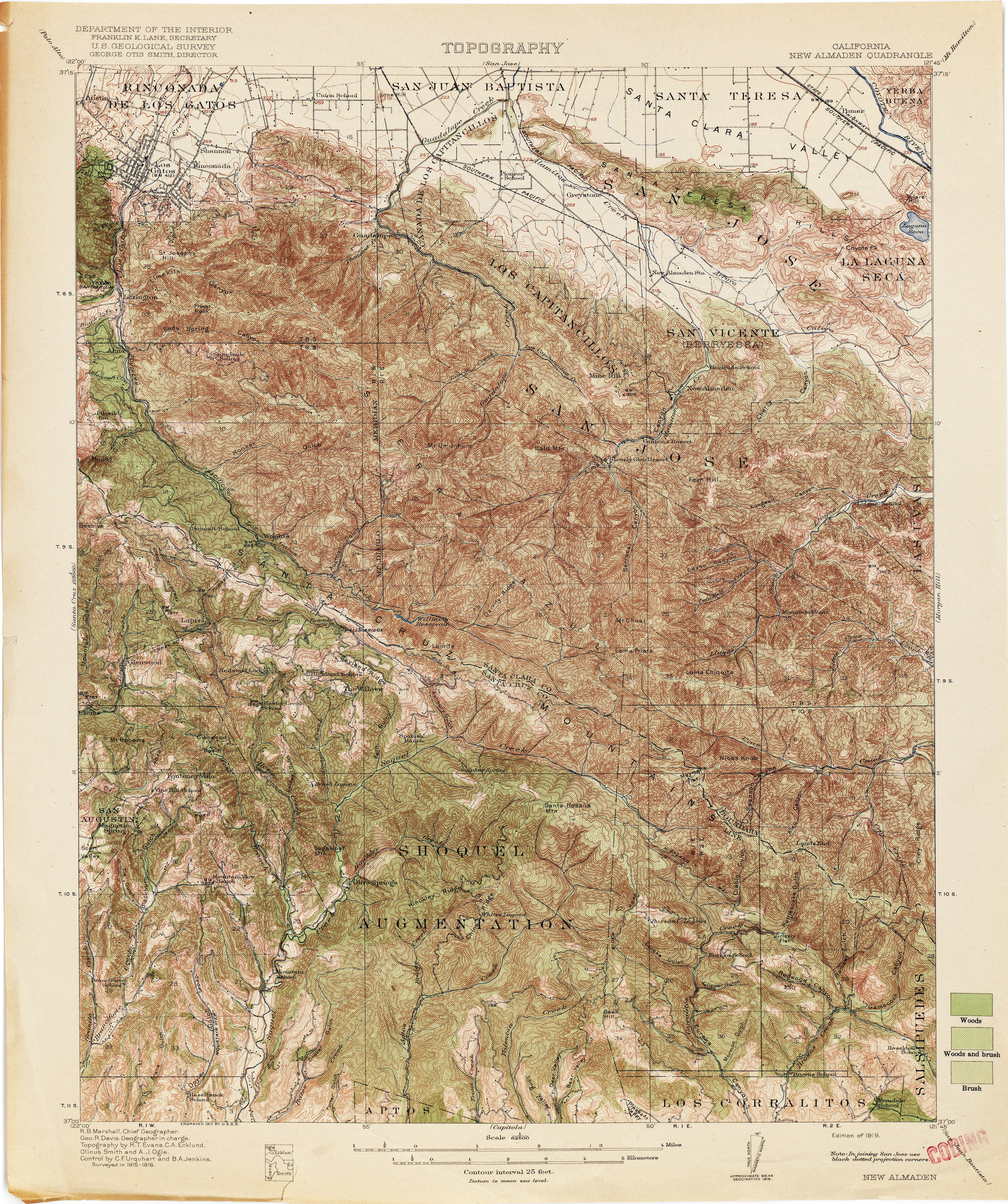
- New Almaden 1916 1:62,500 (5.1MB)
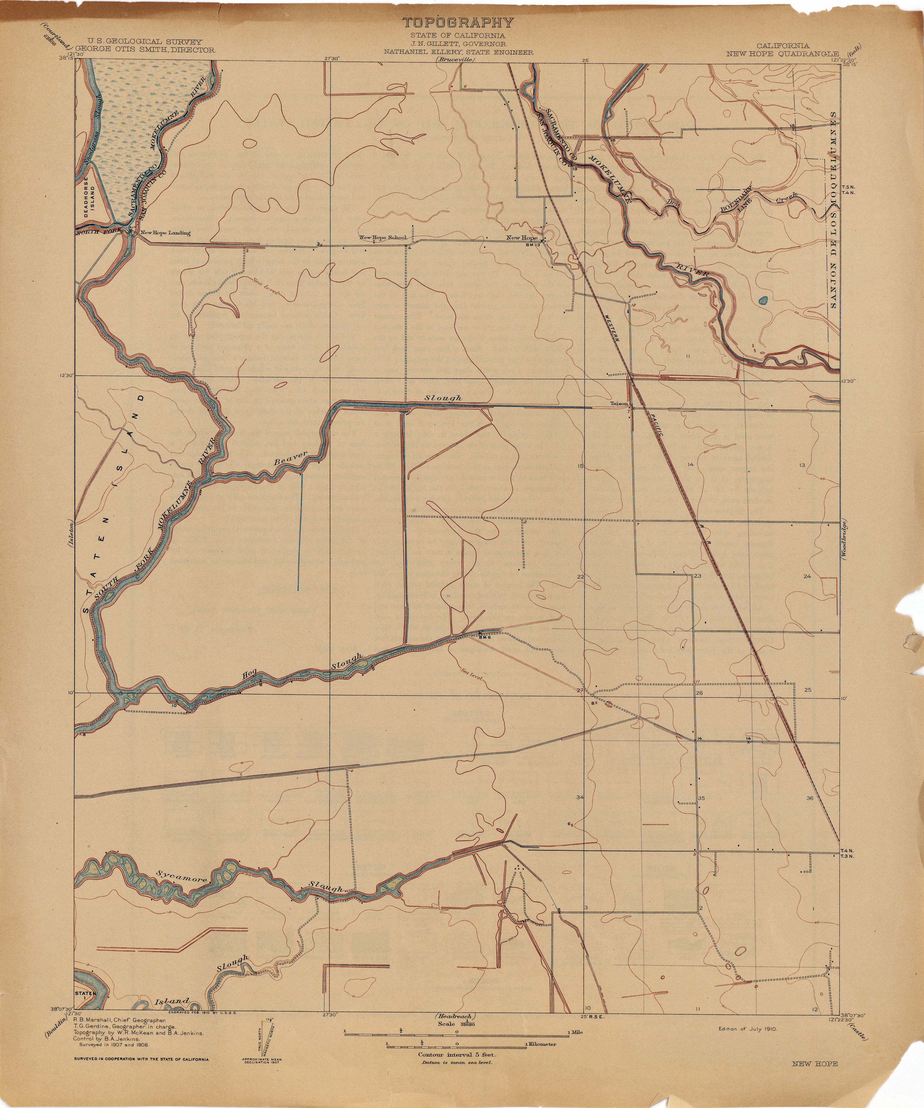
- New Hope 1908 1:31,680 (1.8MB)
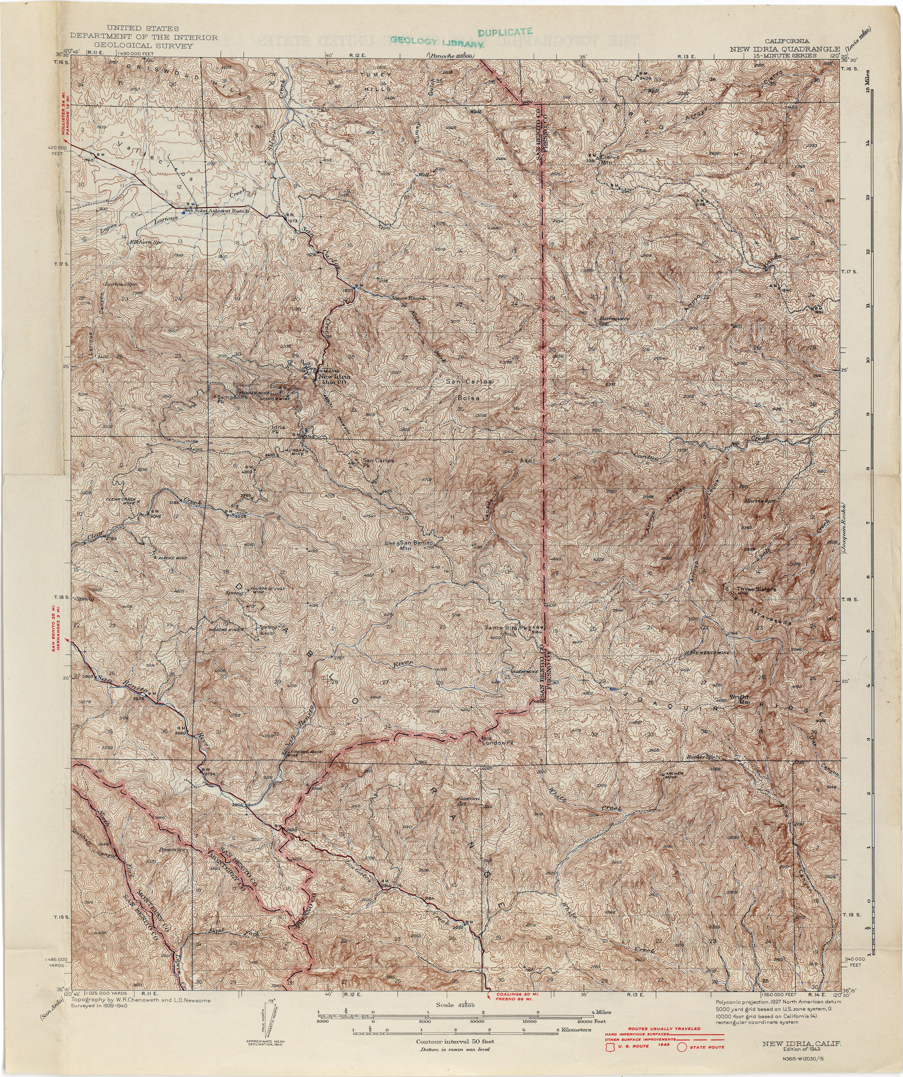
- New Idria 1940 1:62,500 (5.9MB)
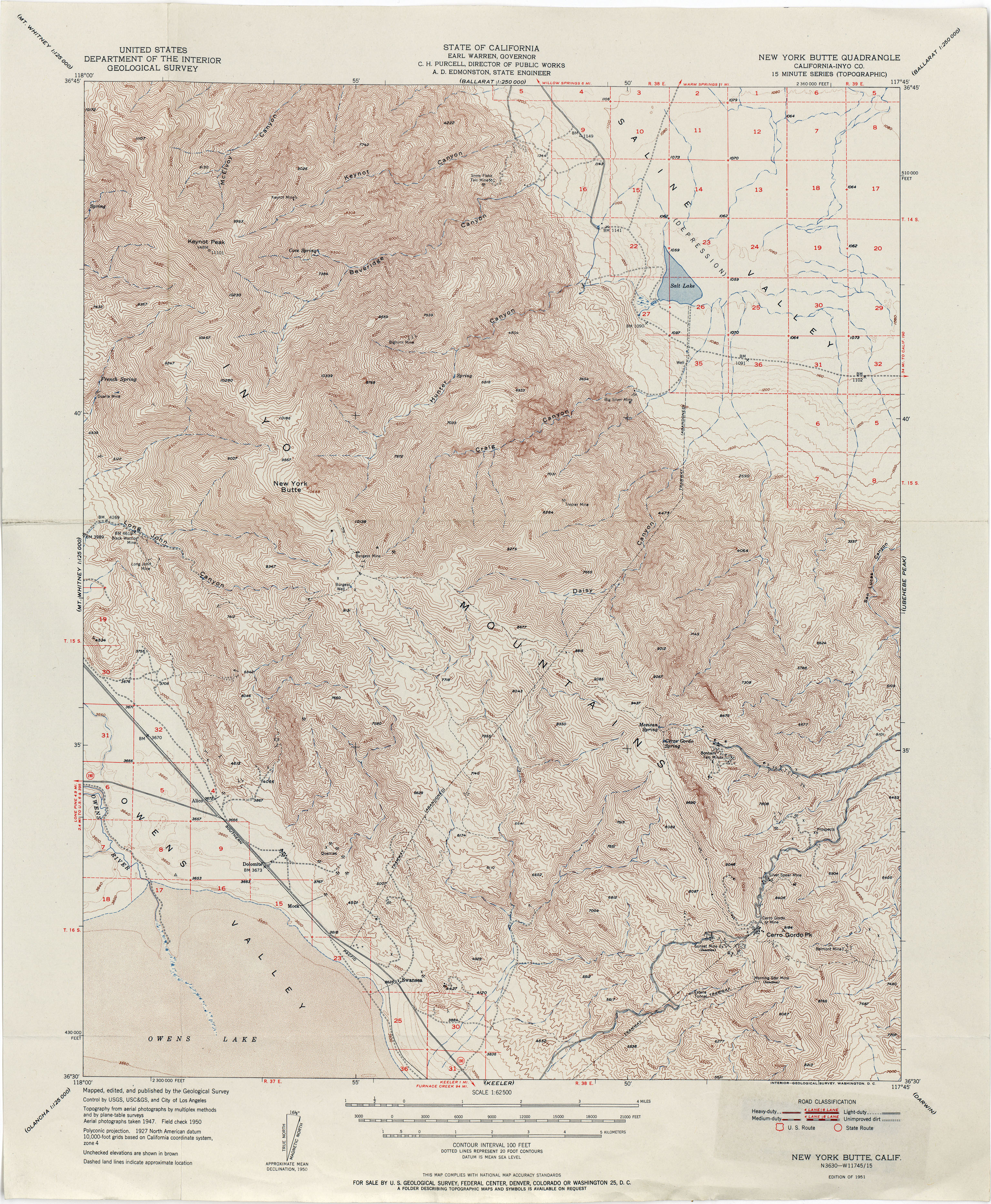
- New York Butte (Inyo County) 1951 1:62,500 (4.8MB)
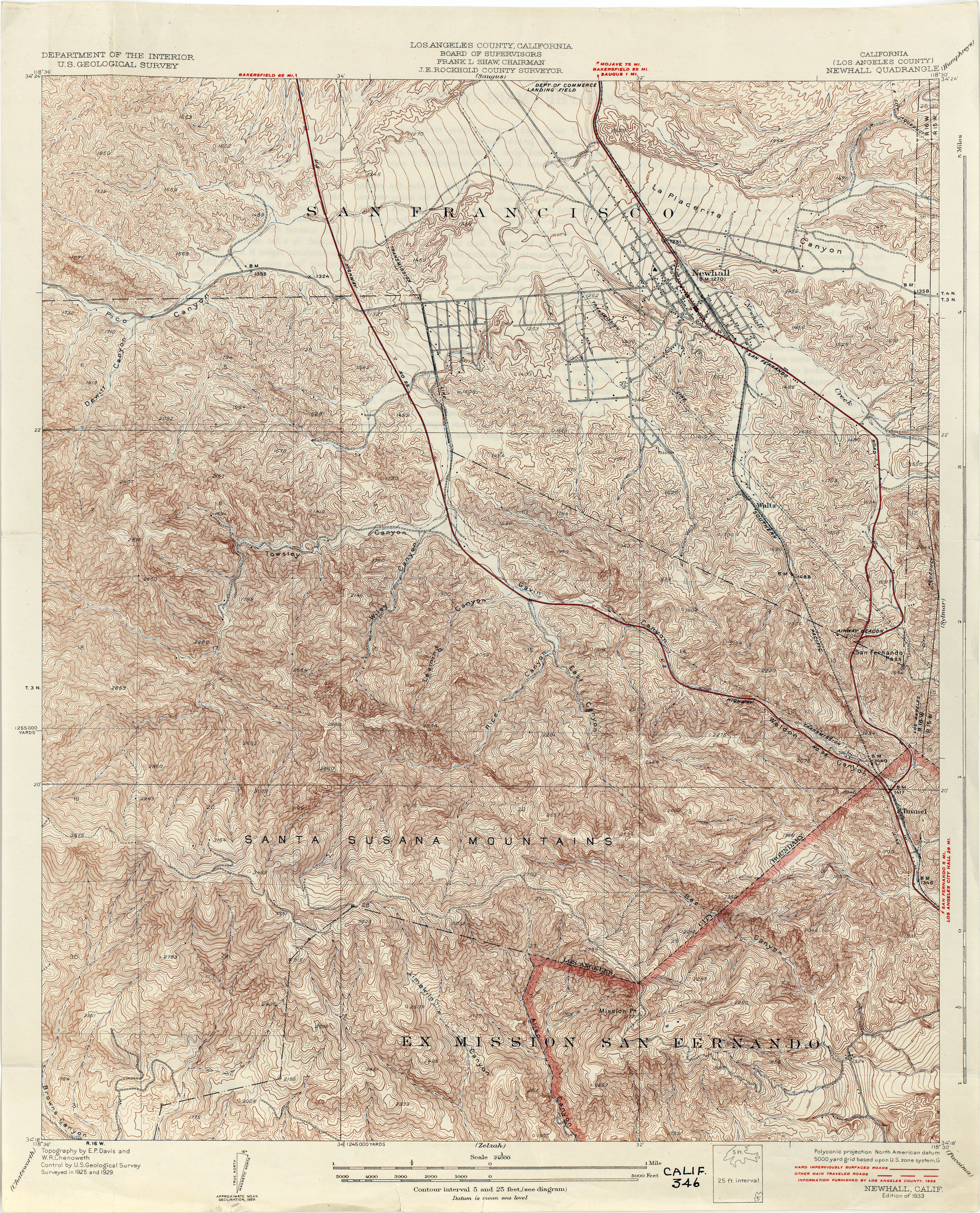
- Newhall (Los Angeles County) 1929 1:24,000 (6.1MB)
- Newhard 1910 1:31,680 (2.0MB)
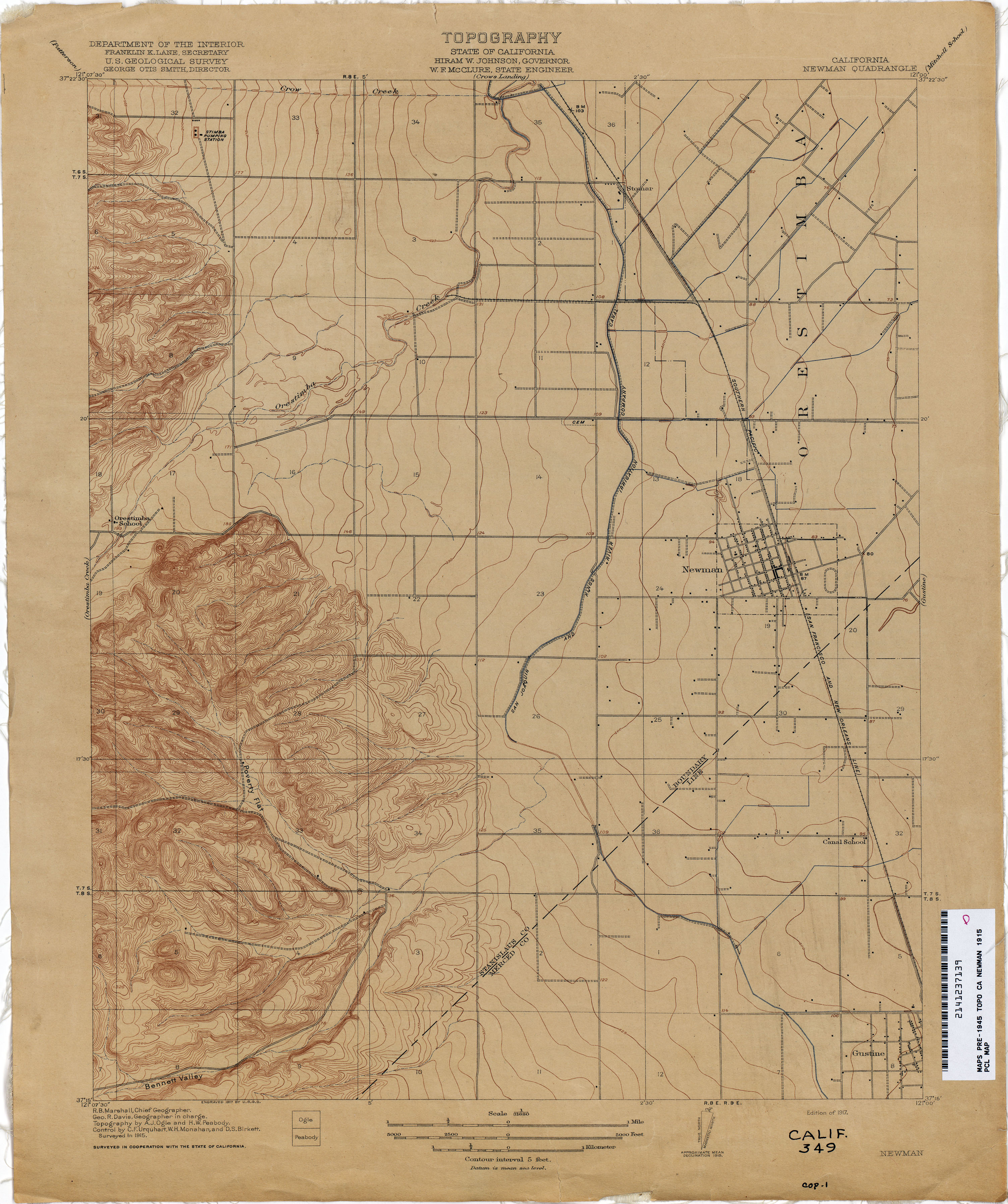
- Newman 1915 1:31,680 (2.5MB)
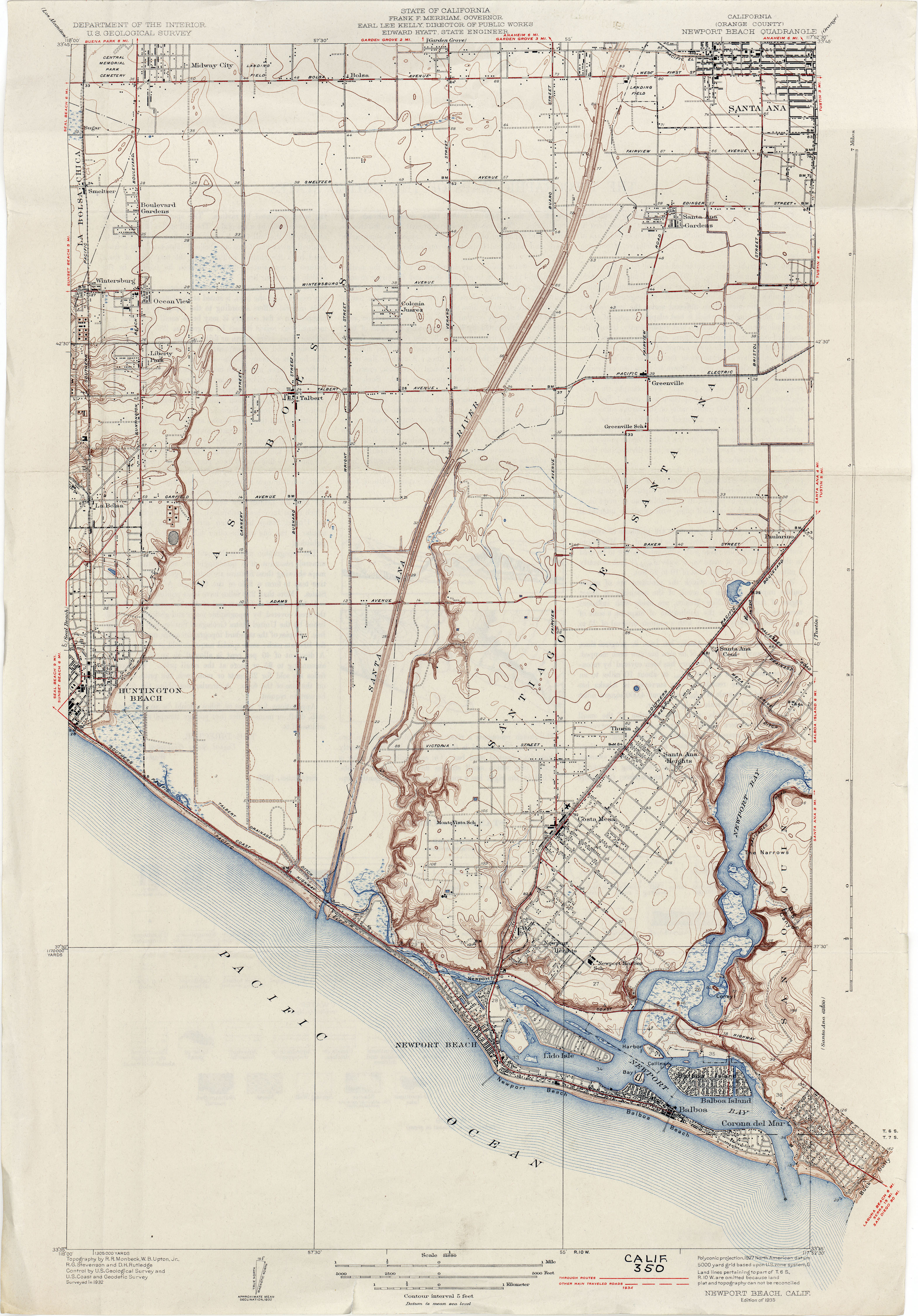
- Newport Beach (Orange County) 1932 1:31,680 (3.8MB)
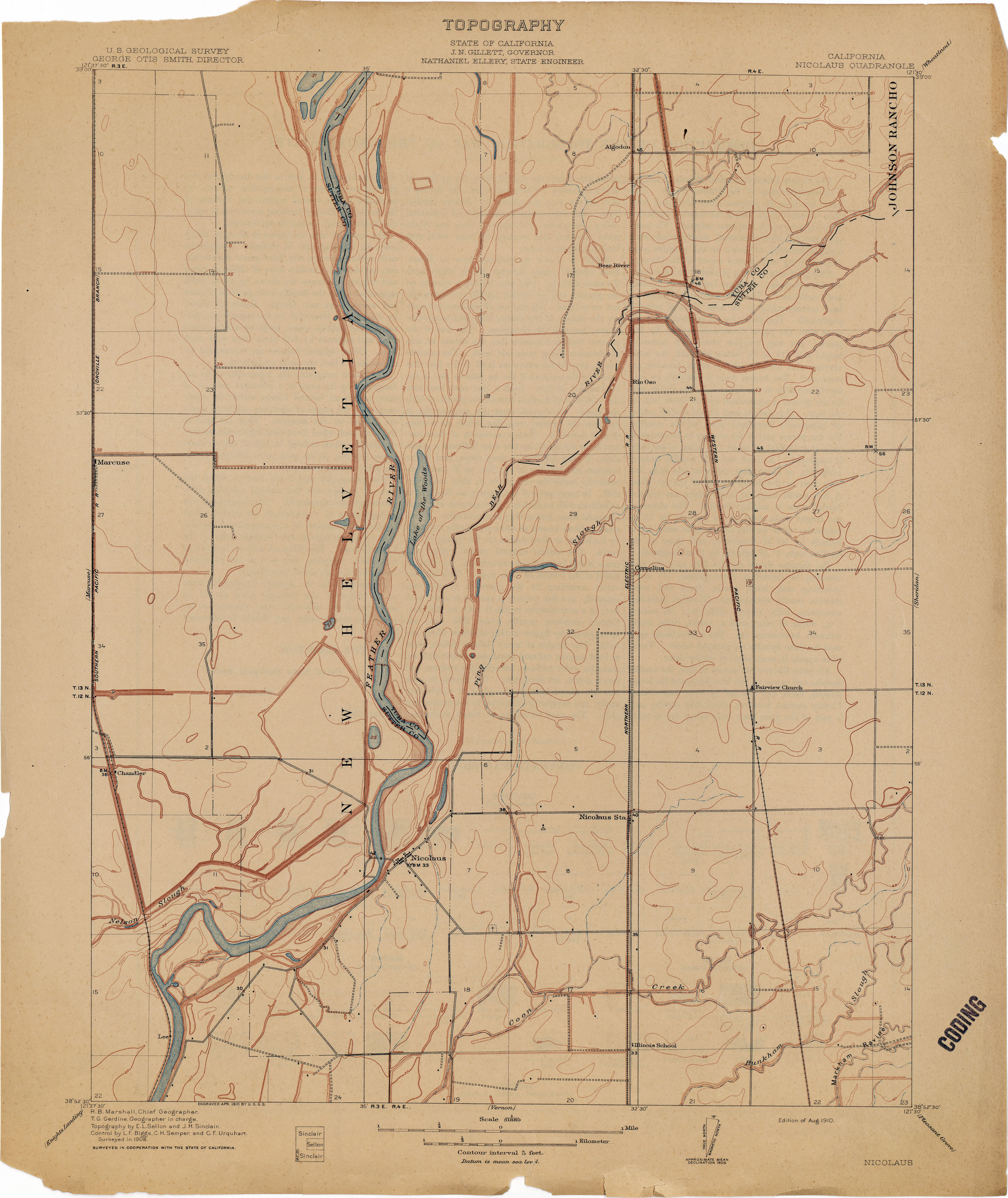
- Nicolaus 1908 1:31,680 (2.1MB)
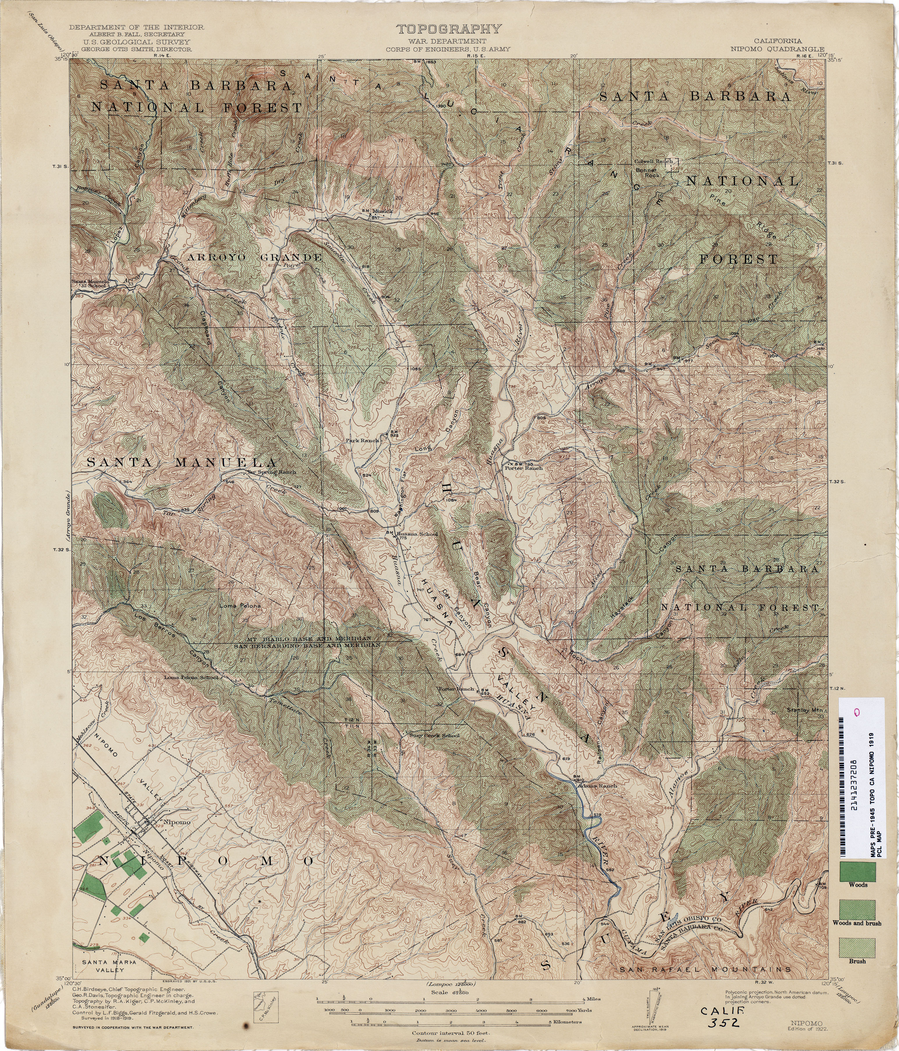
- Nipomo 1919 1:62,500 (5.6MB)
- Nord (Butte County) 1910 1:31,680 (2.0MB)
- North of Oildale (Kern County) 1932 1:31,680 (3.4MB)
- Oakdale (Stanislaus County) 1913 1:31,680 (4.0MB)
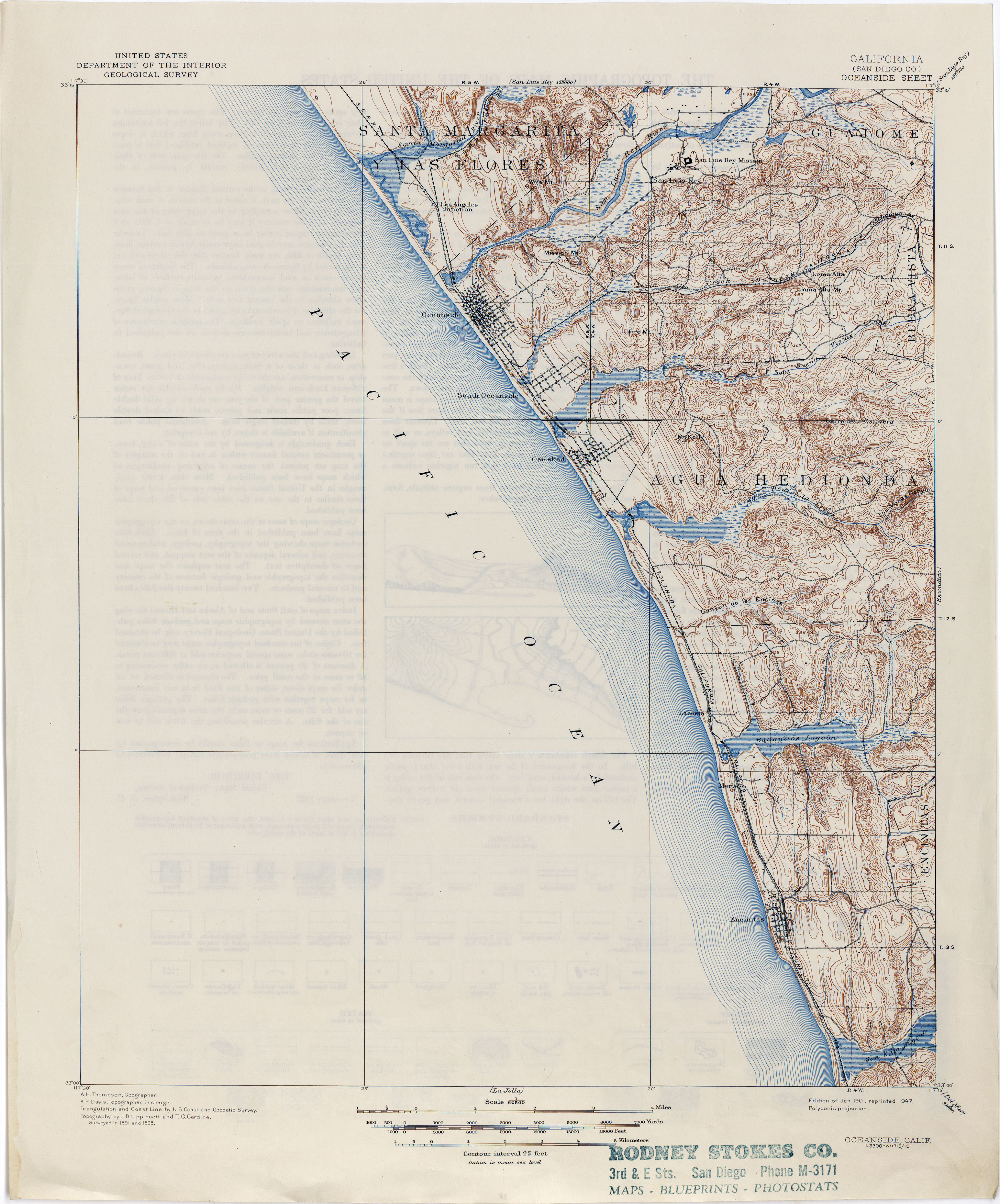
- Oceanside (San Diego County) 1898 1:62,500 (3.1MB)
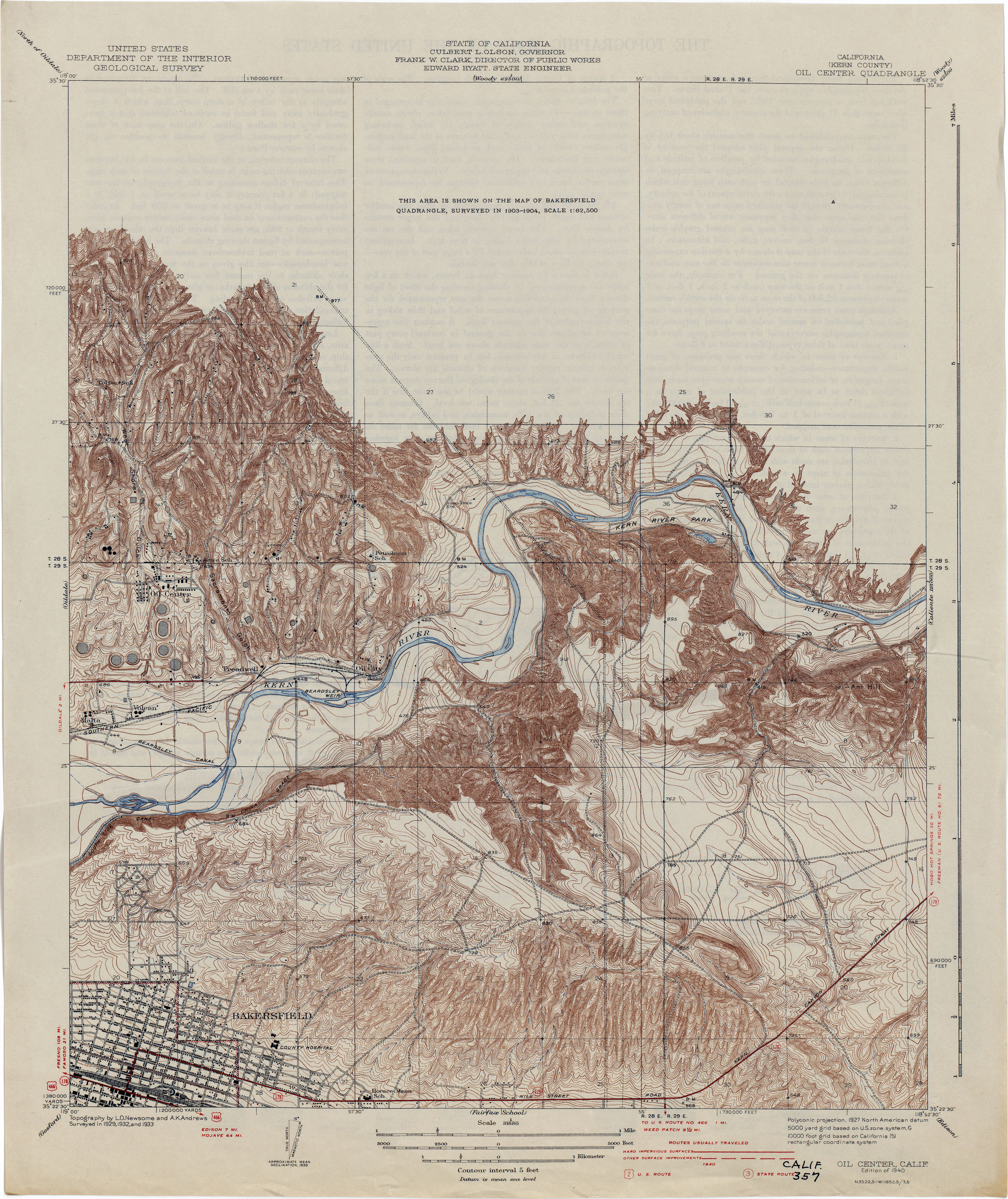
- Oil Center (Kern County) 1933 1:31,680 (3.7MB)
- Oil Center Special (Kern County) 1904 1:212,000 (6.1MB)
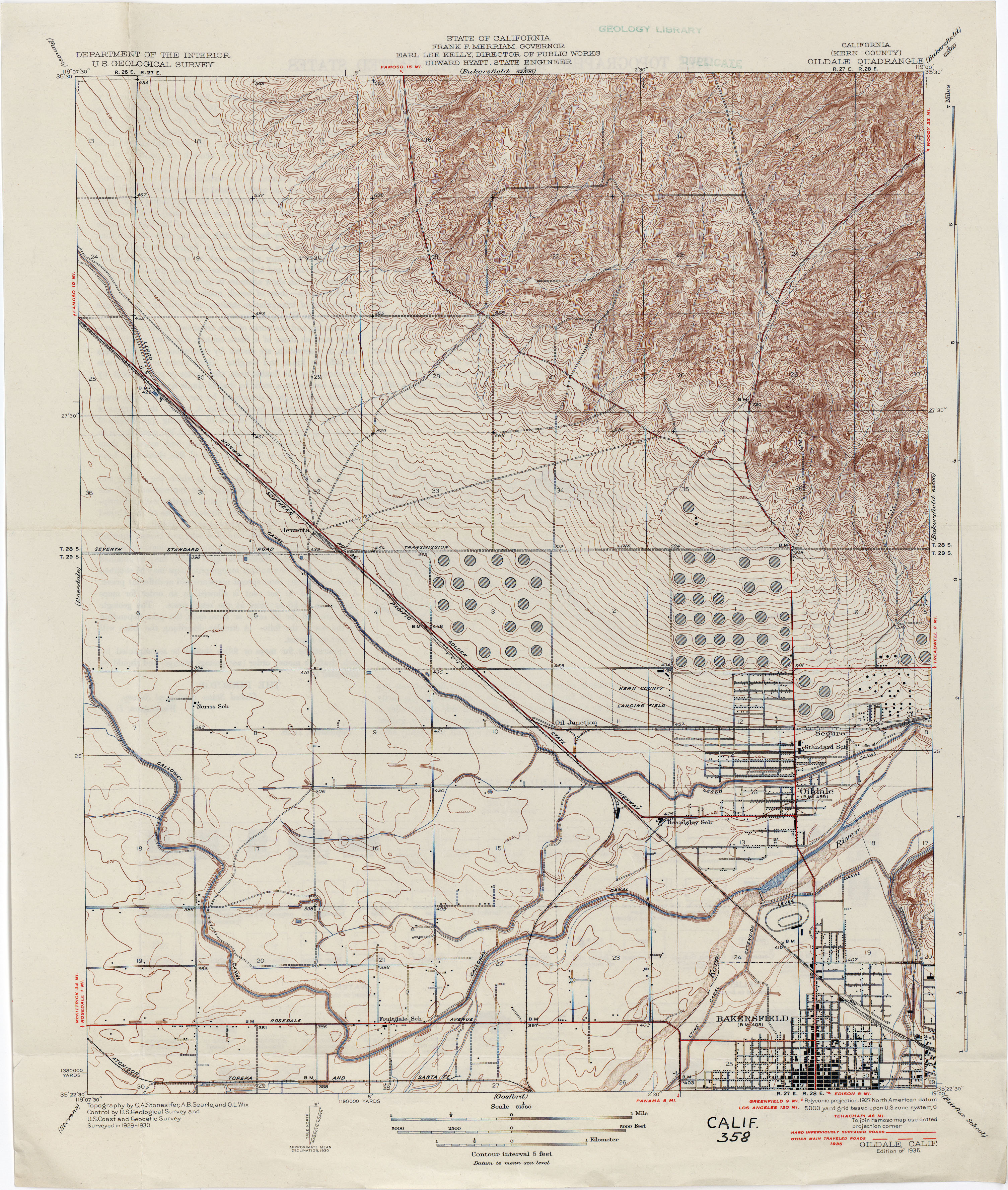
- Oildale (Kern County) 1930 1:31,680 (3.8MB)
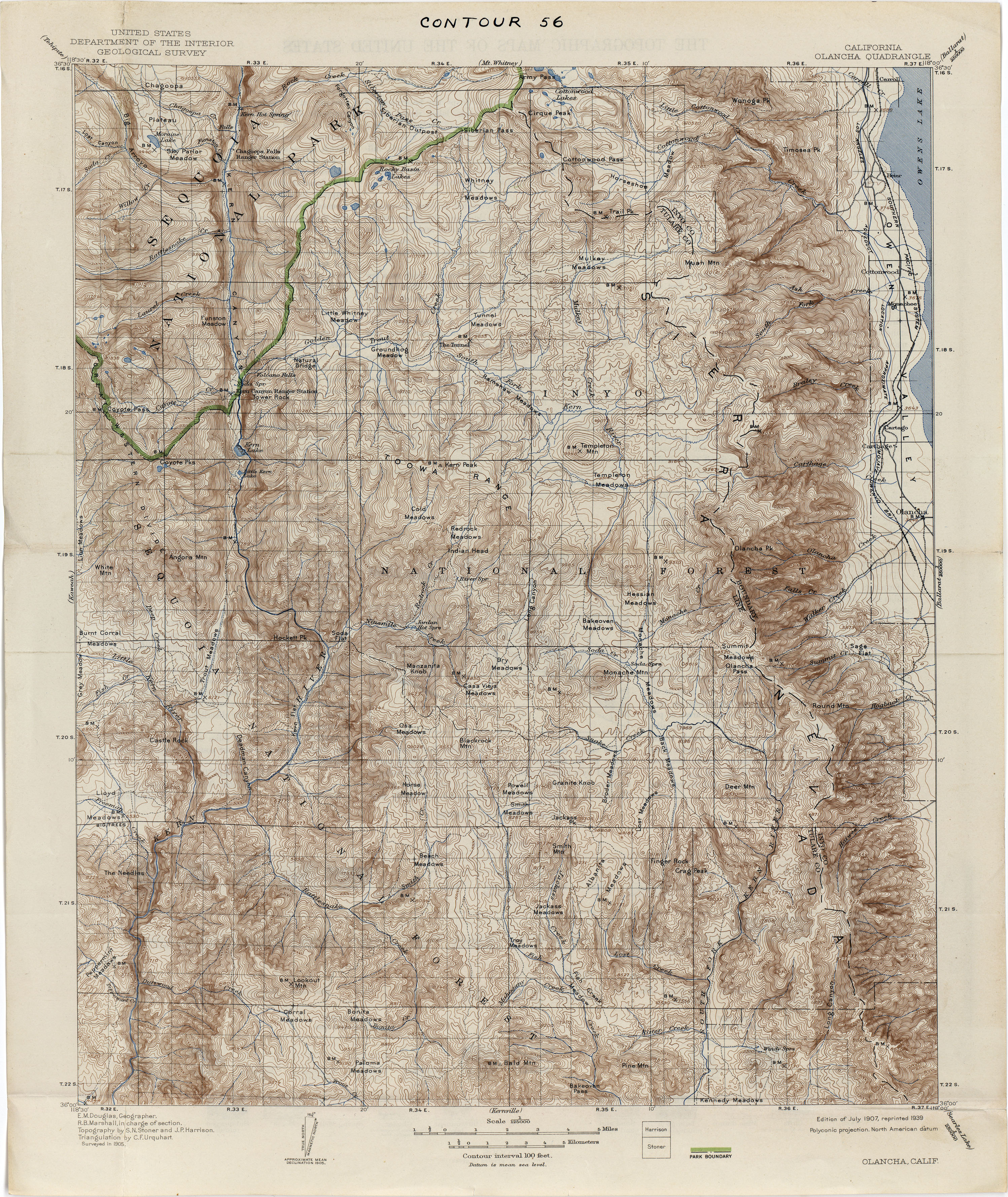
- Olancha 1905 1:125,000 (5.0MB)
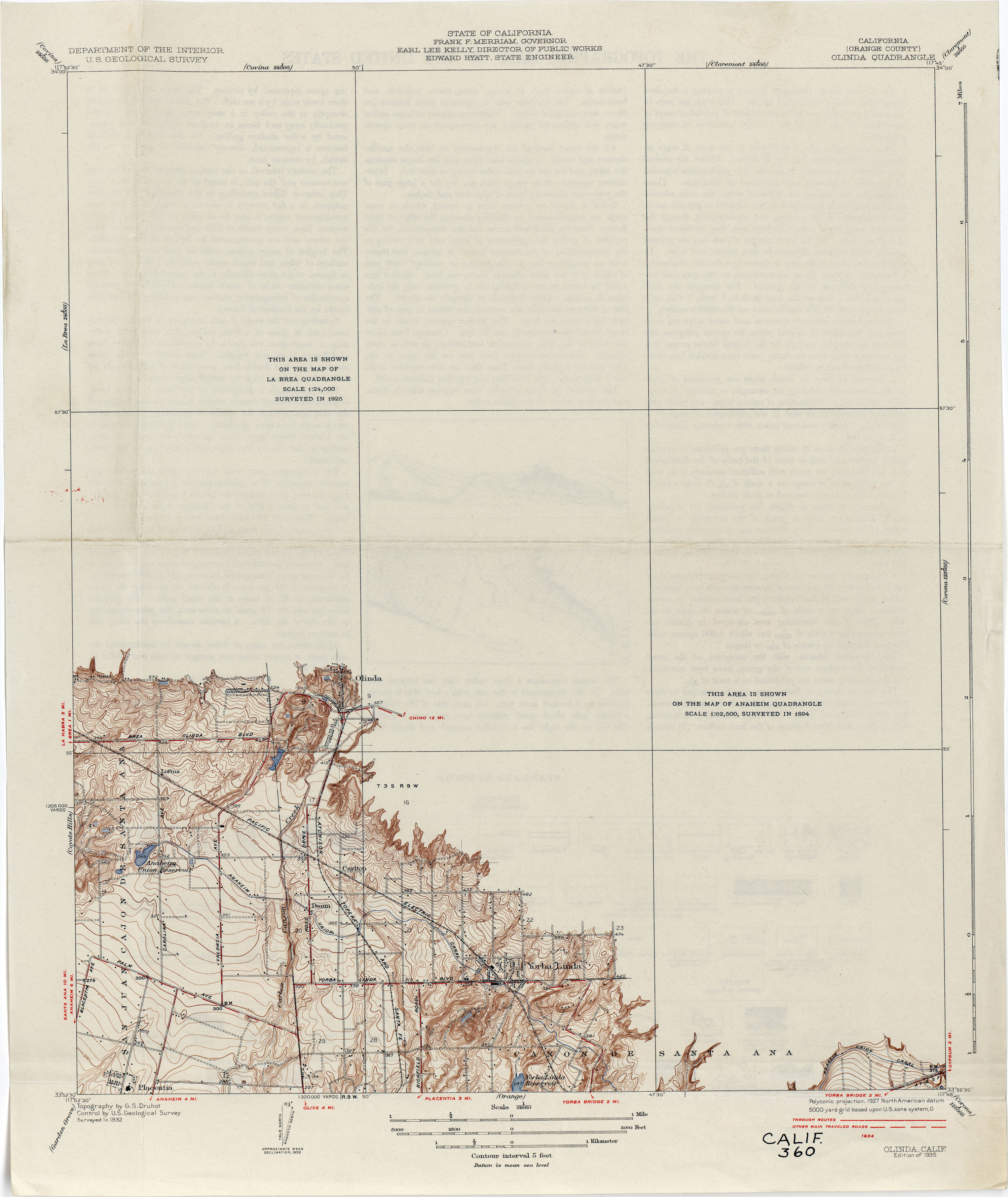
- Olinda (Orange County) 1932 1:31,680 (1.9MB)
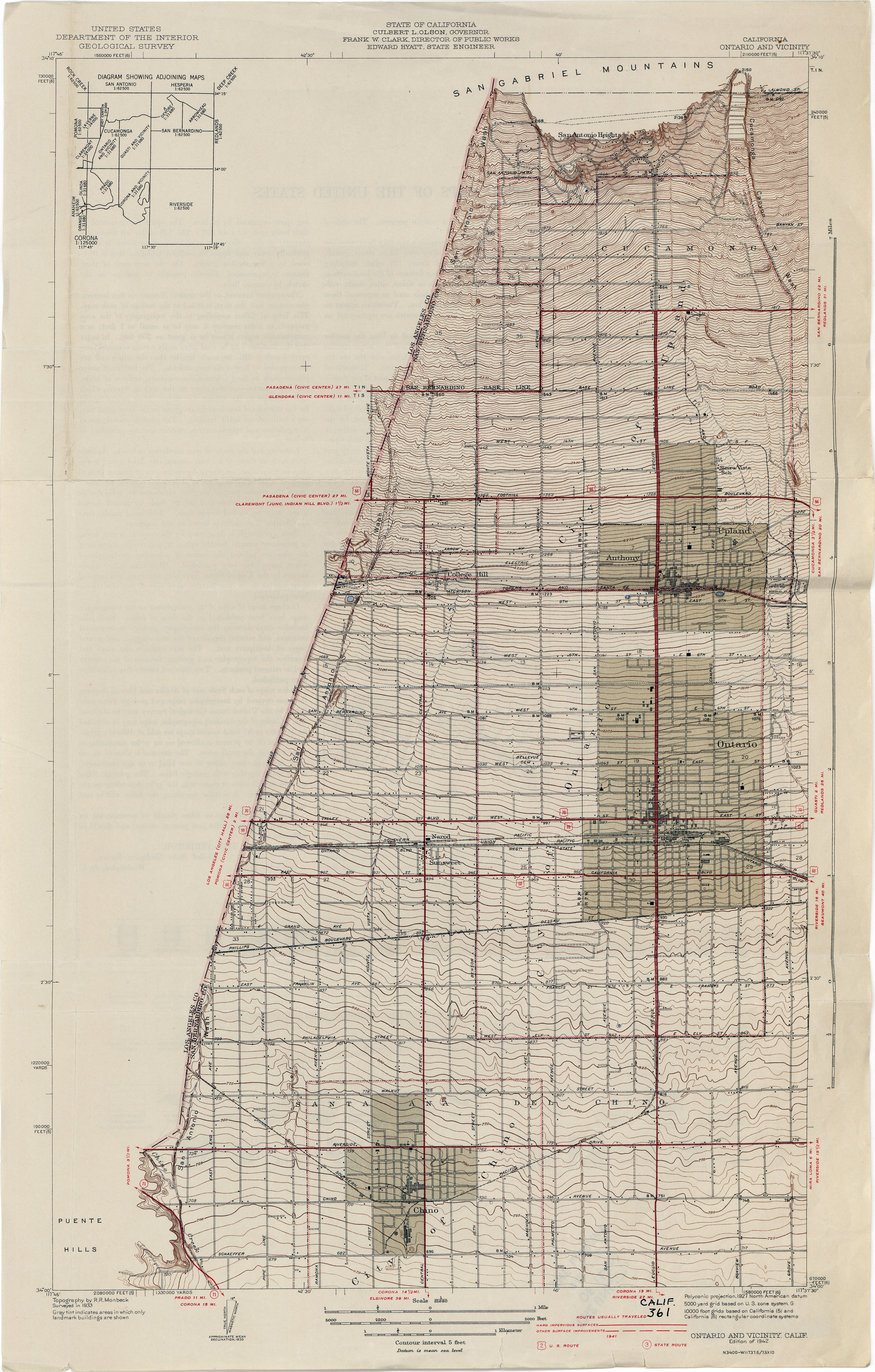
- Ontario and Vicinity 1933 1:31,680 (3.8MB)
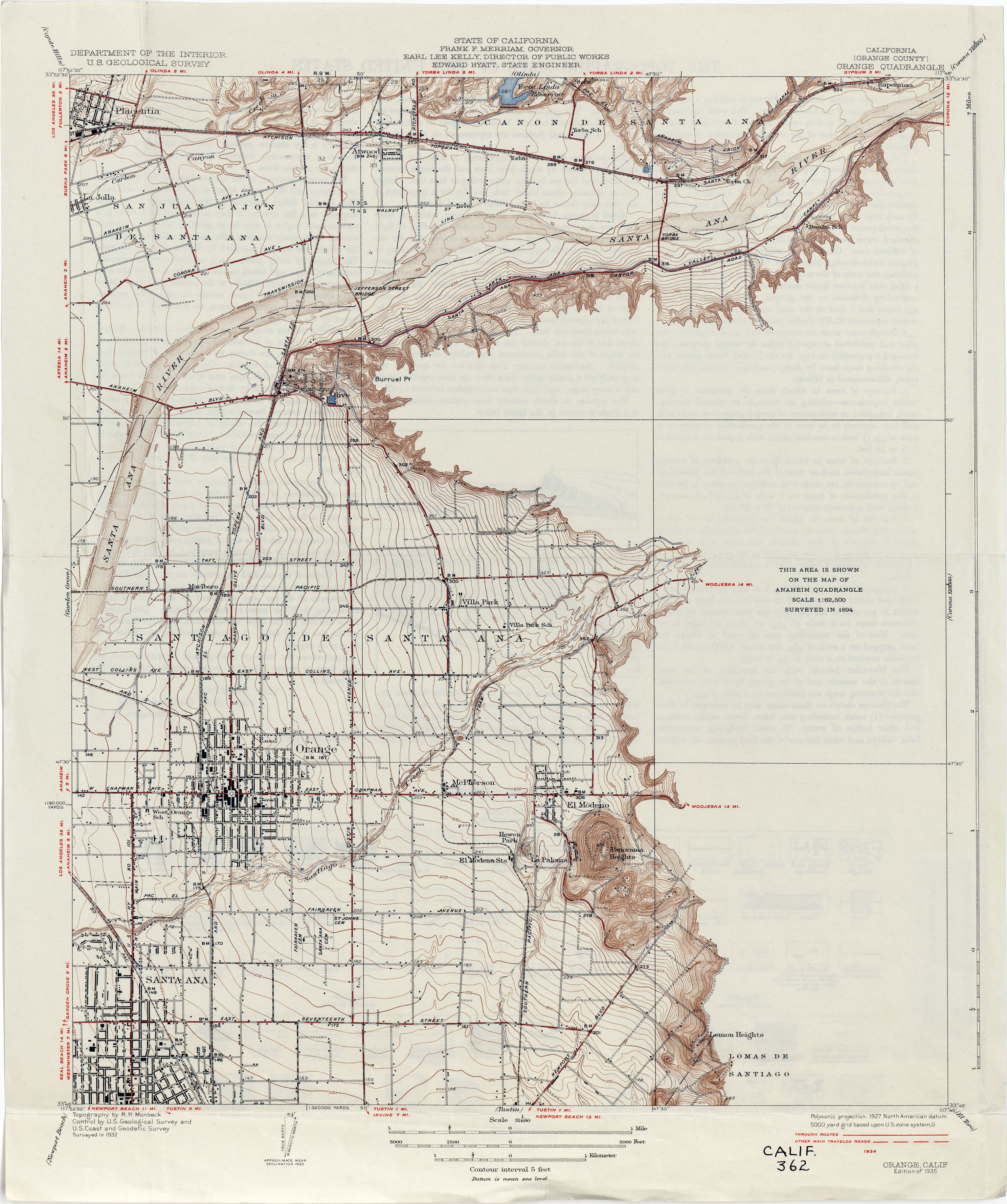
- Orange (Orange County) 1932 1:31,680 (2.8MB)
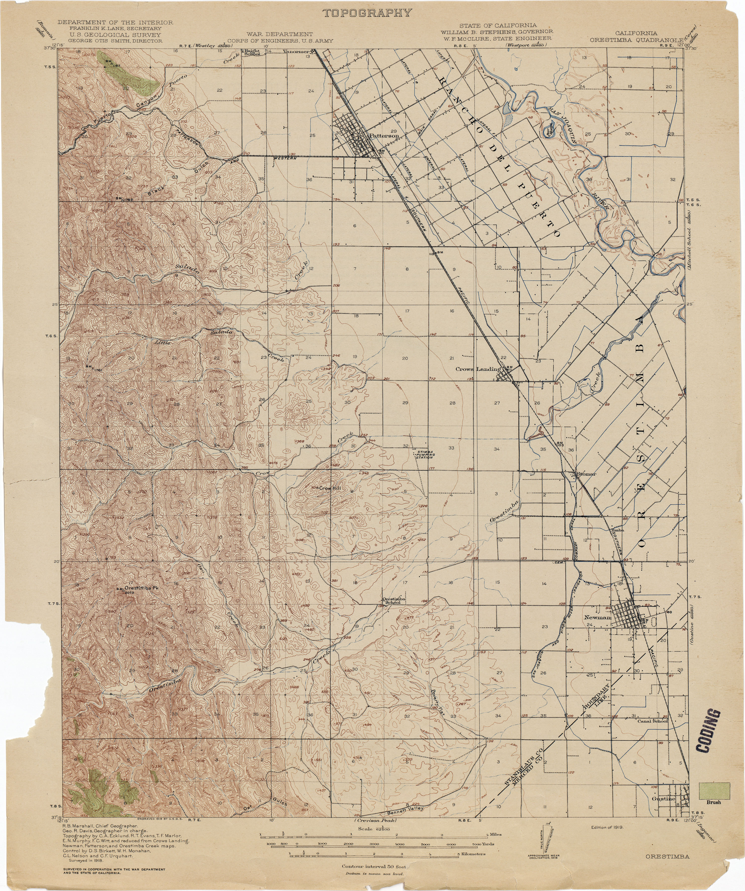
- Orestimba 1918 1:62,500 (3.3MB)
- Orland (Glenn County) 1904 1:31,680 (2.0MB)
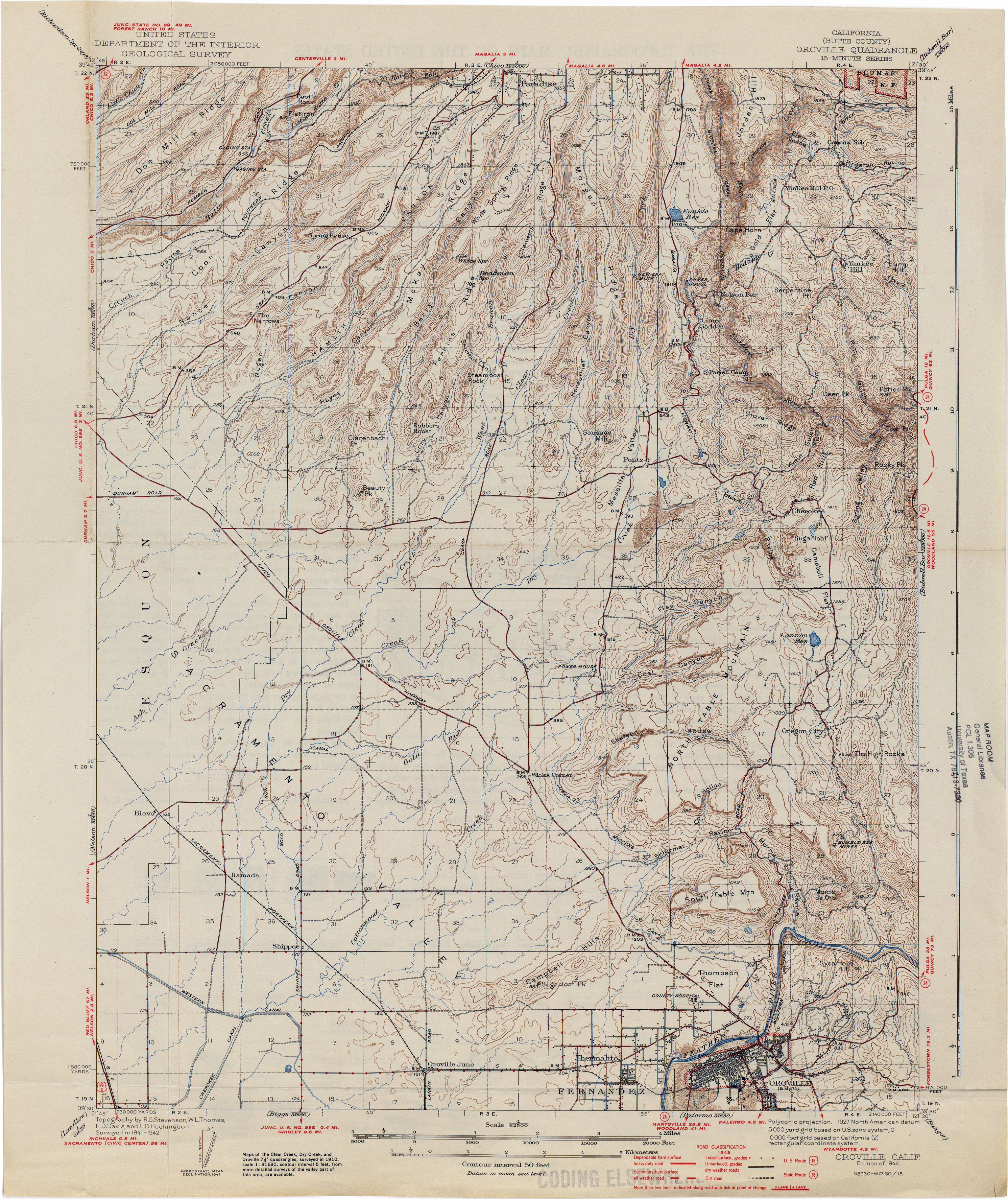
- Oroville (Butte County) 1944 1:62,500 (3.8MB)
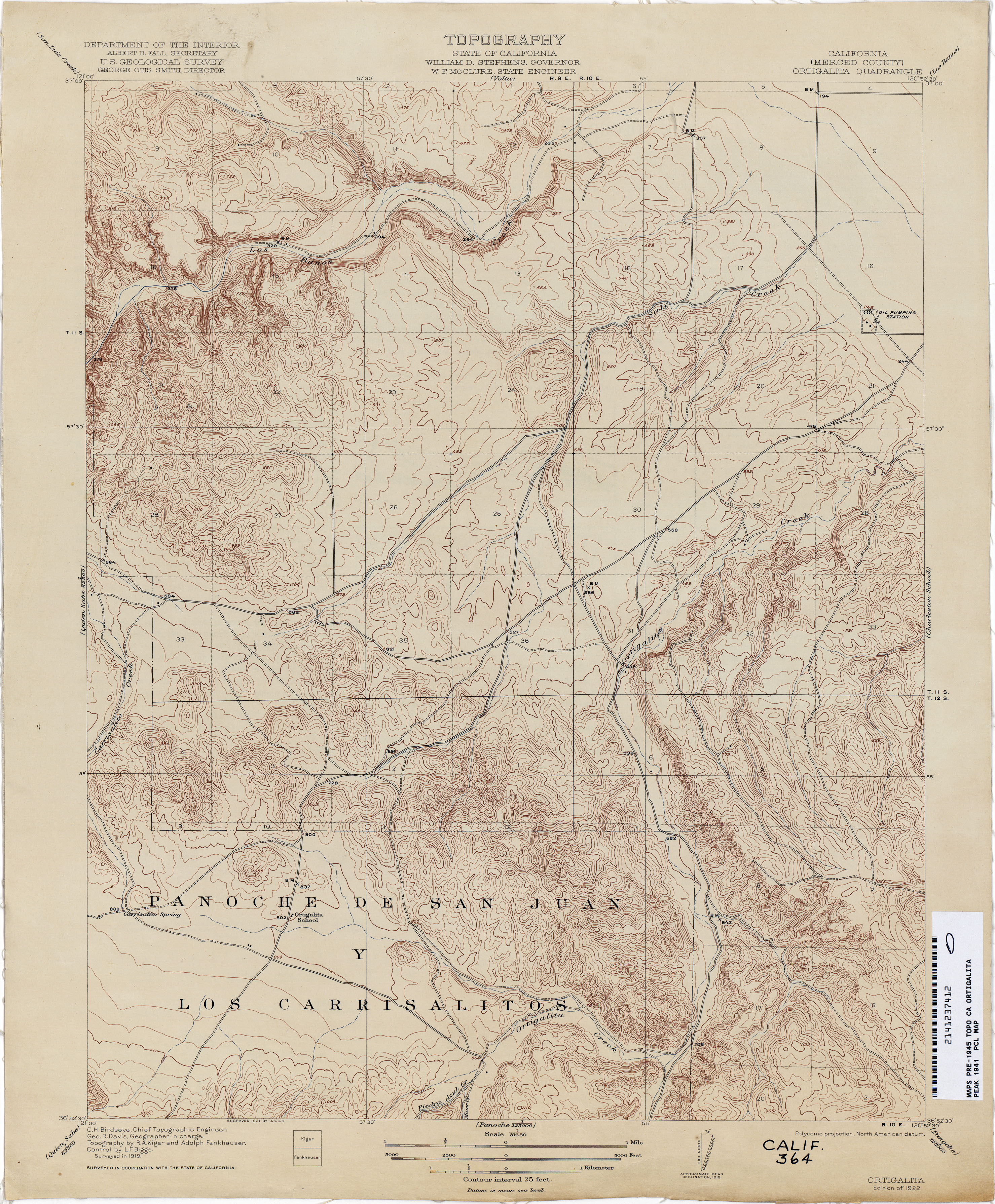
- Ortigalita Peak 1919 1:62,500 (3.9MB)
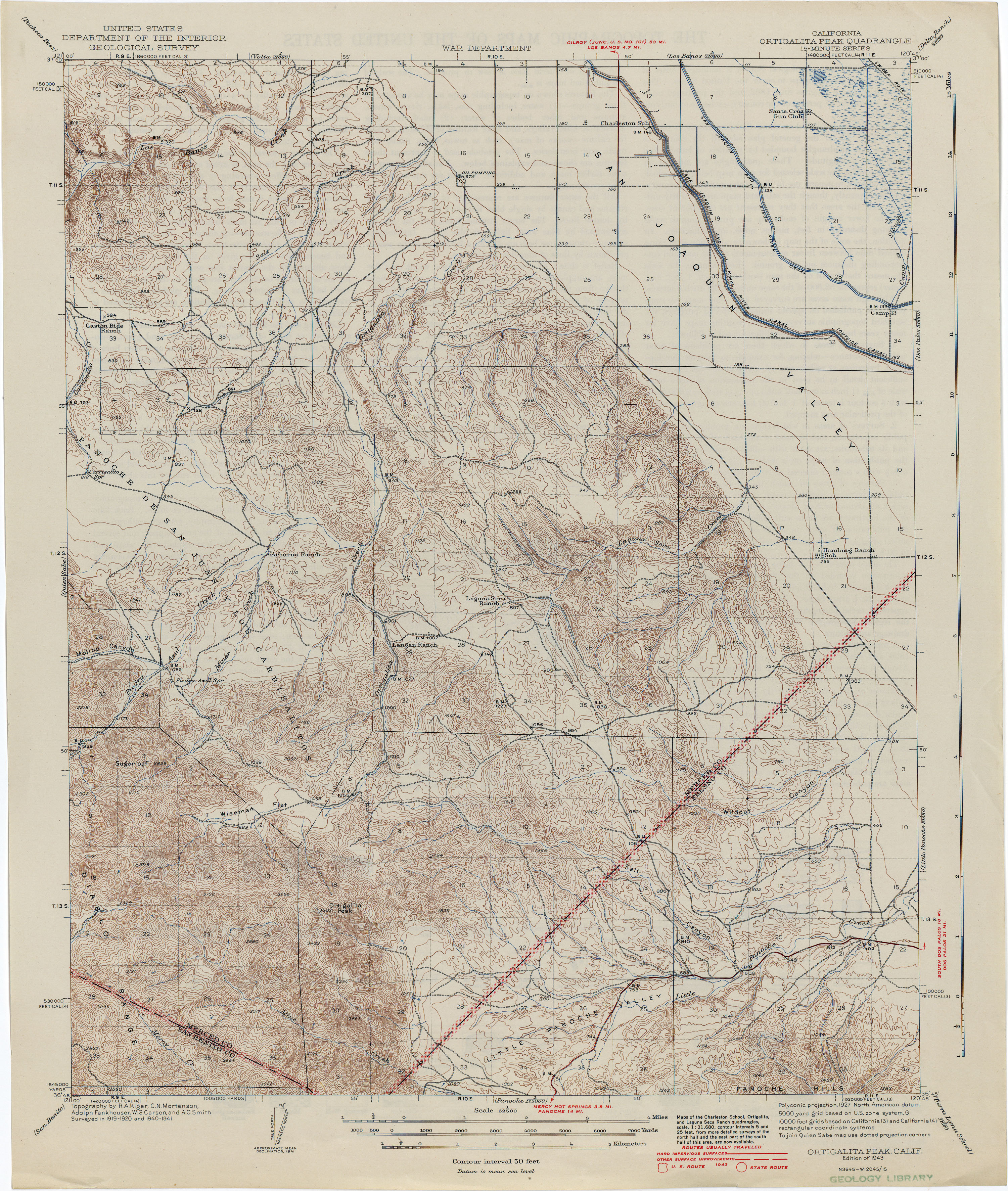
- Ortigalita (Merced County) 1941 1:31,680 (3.5MB)
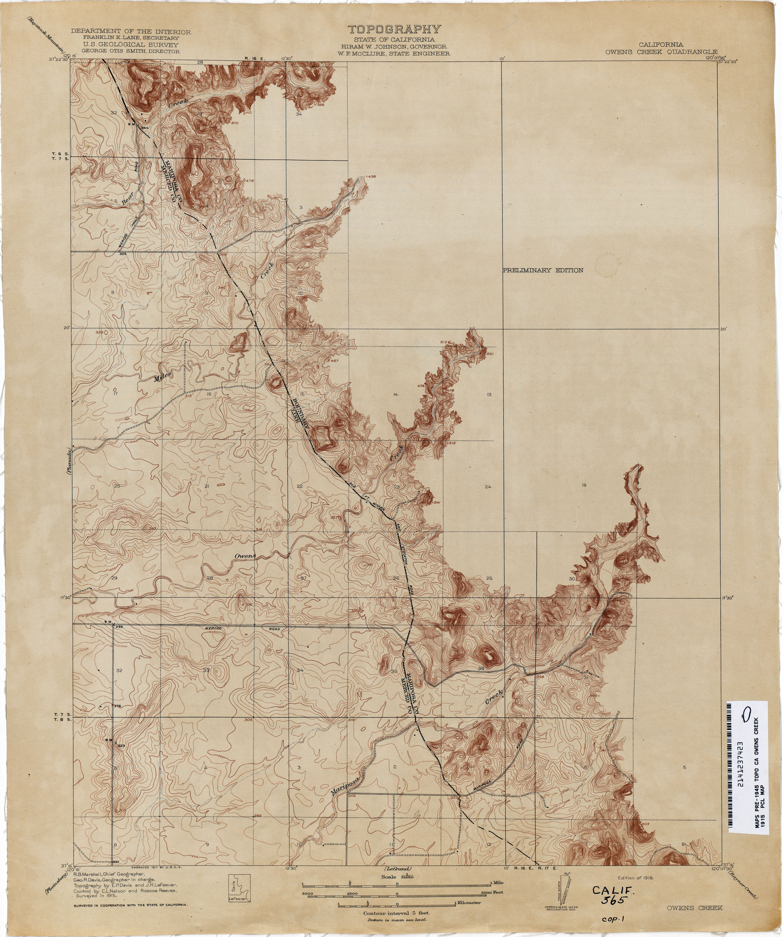
- Owens Creek 1915 1:31,680 (2.6MB)
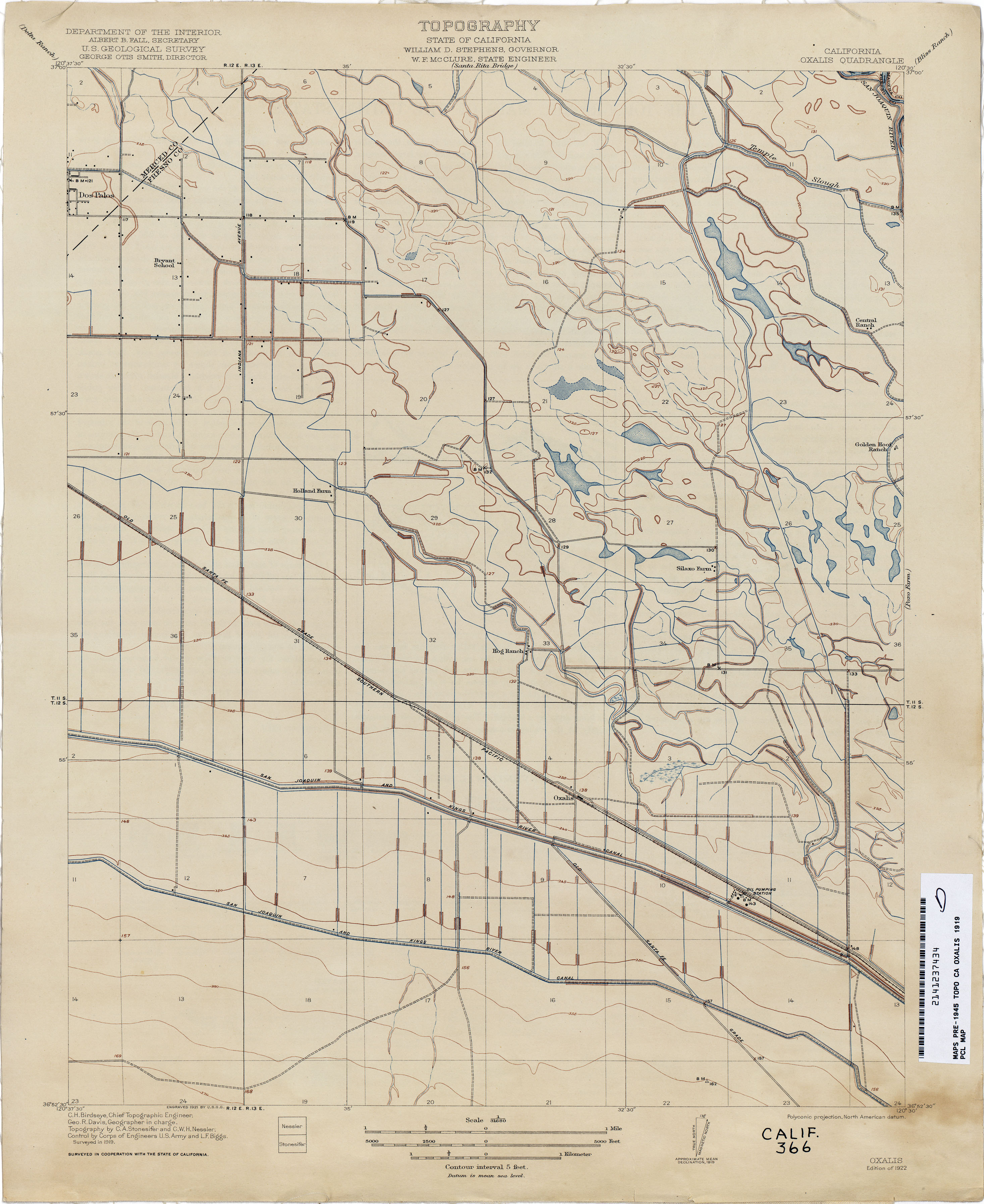
- Oxalis 1919 1:31,680 (2.1MB)
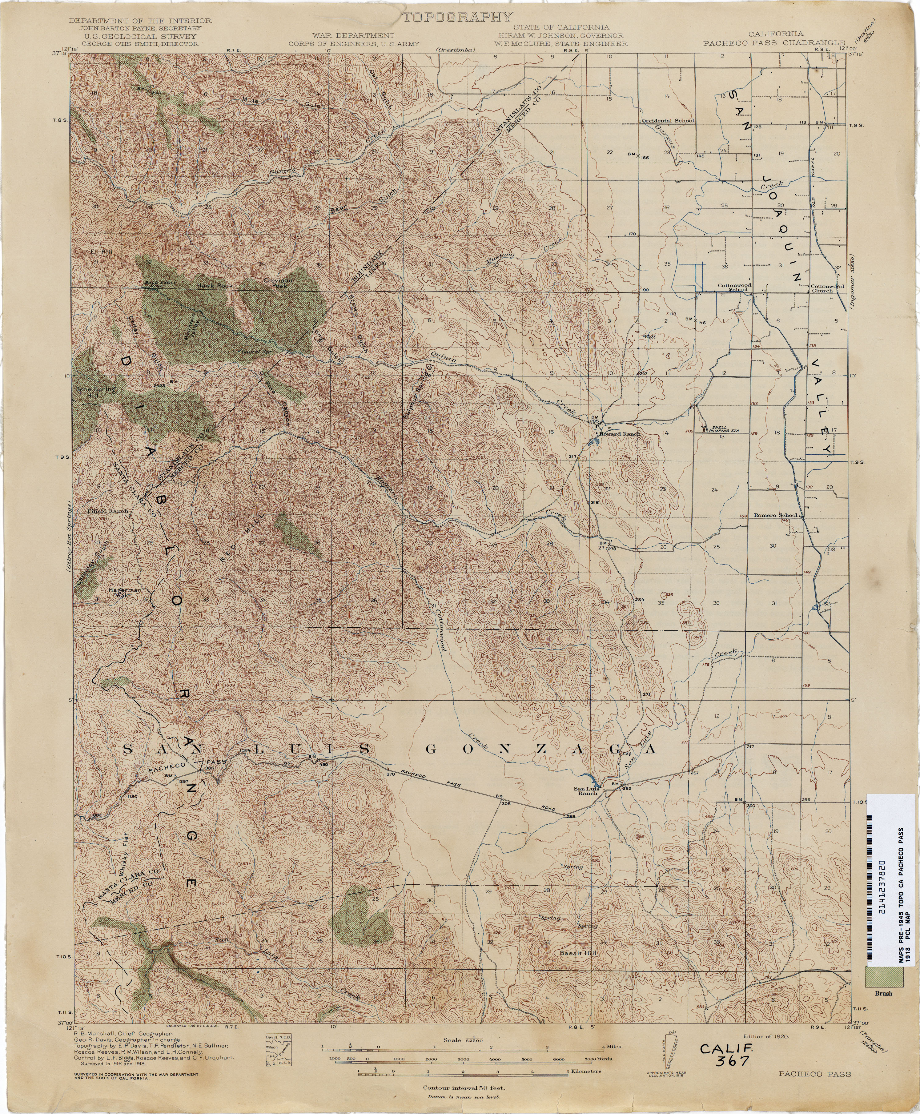
- Pacheco Pass 1918 1:31,680 (4.0MB)
- Pacoima (Los Angeles County) 1925 [1927 Edition] 1:24,000 (3.3MB)
- Pacoima (Los Angeles County) 1925 [1939 reprint] 1:24,000 (3.4MB)
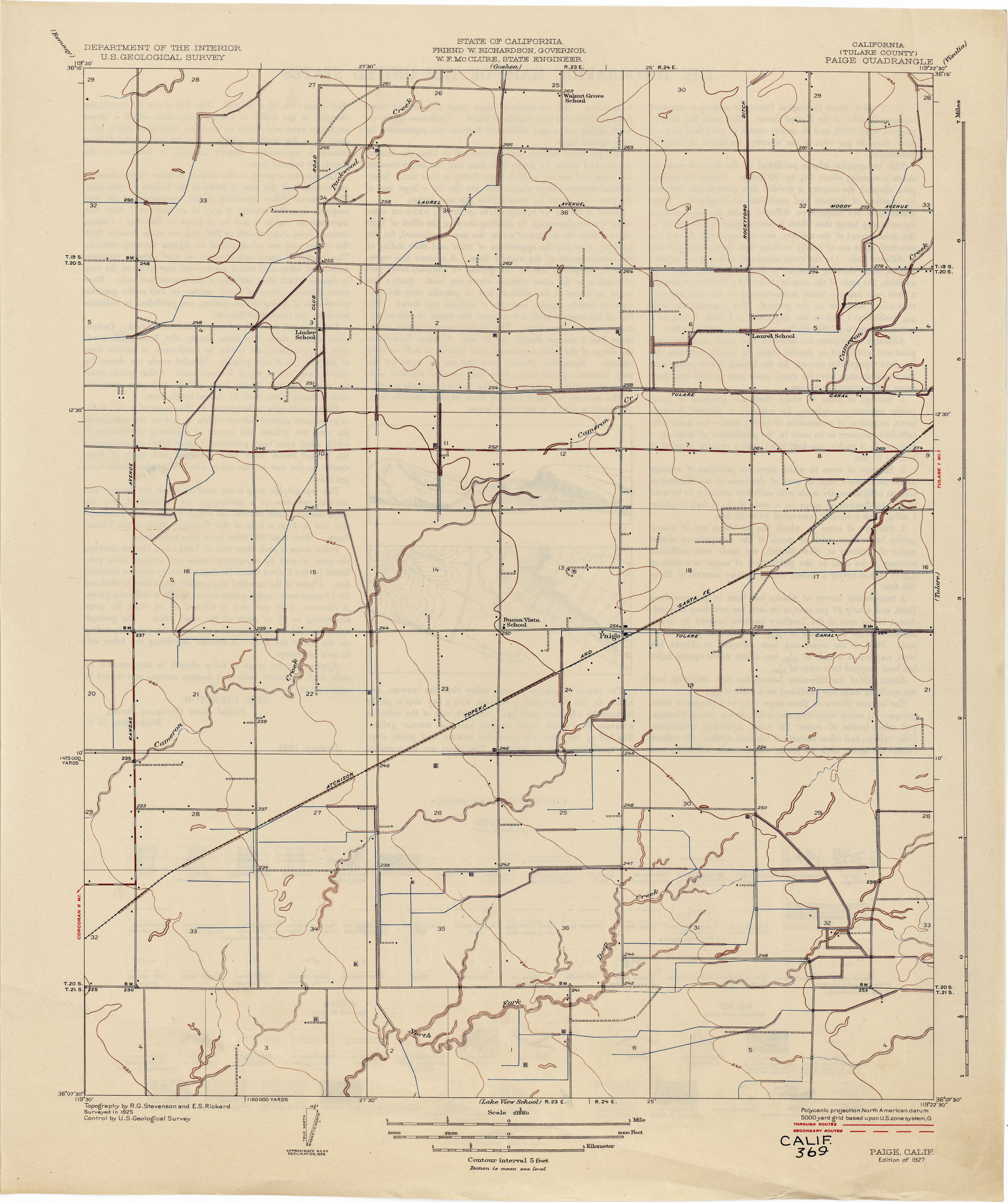
- Paige (Tulare County) 1925 1:31,680 (1.8MB)
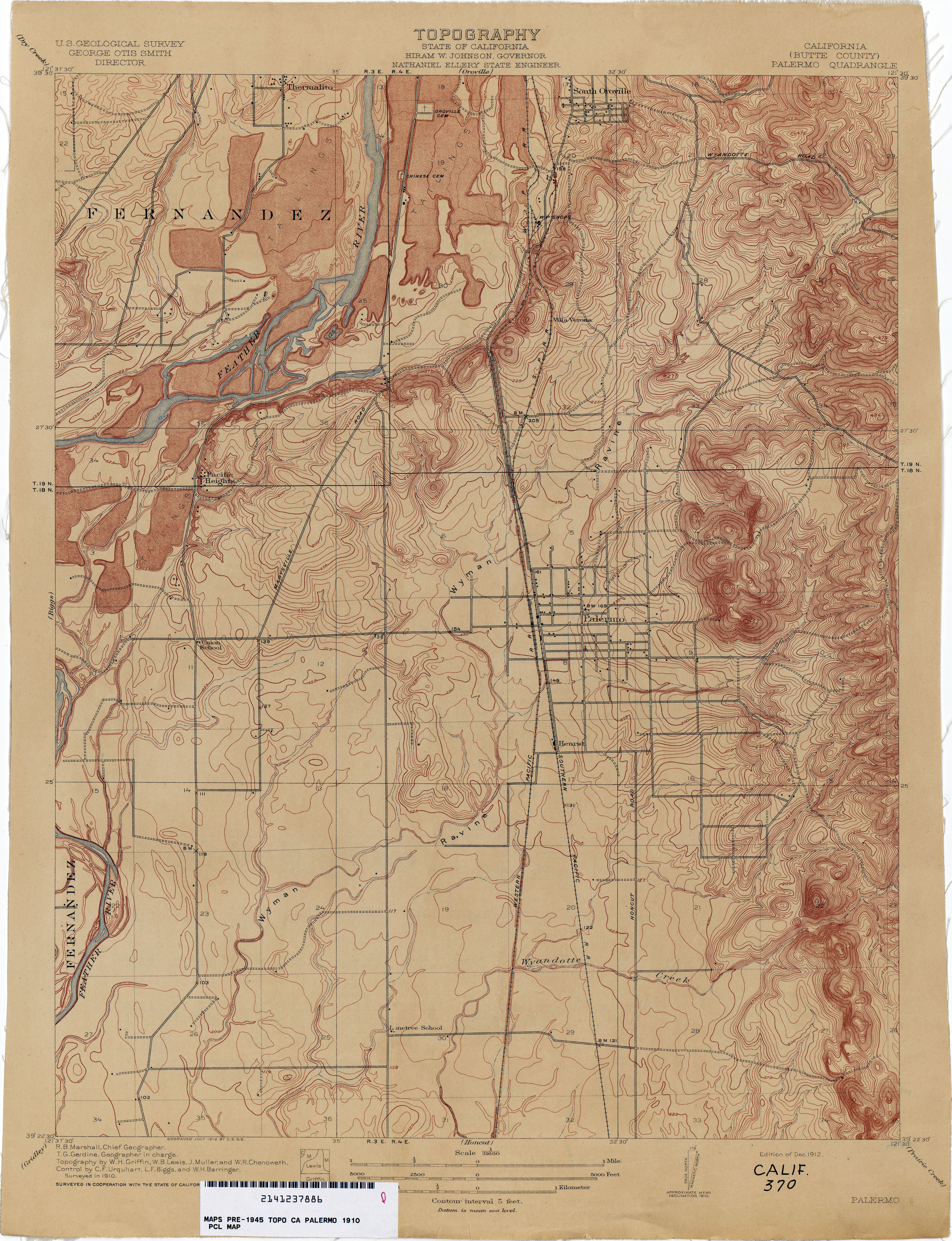
- Palermo (Butte County) 1910 1:31,680 (3.3MB)
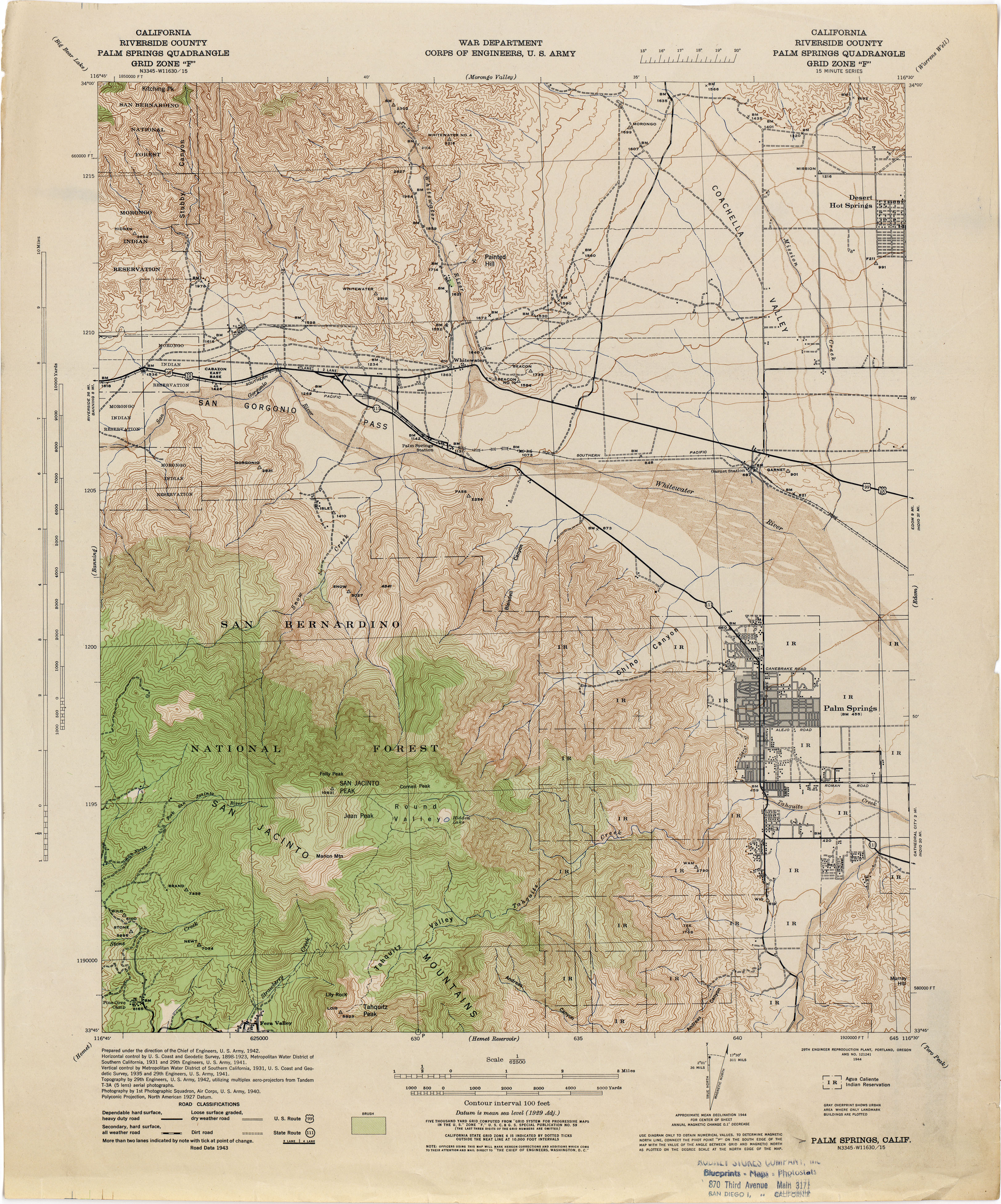
- Palm Springs (Riverside County) 1942 1:62,500 (4.1MB)
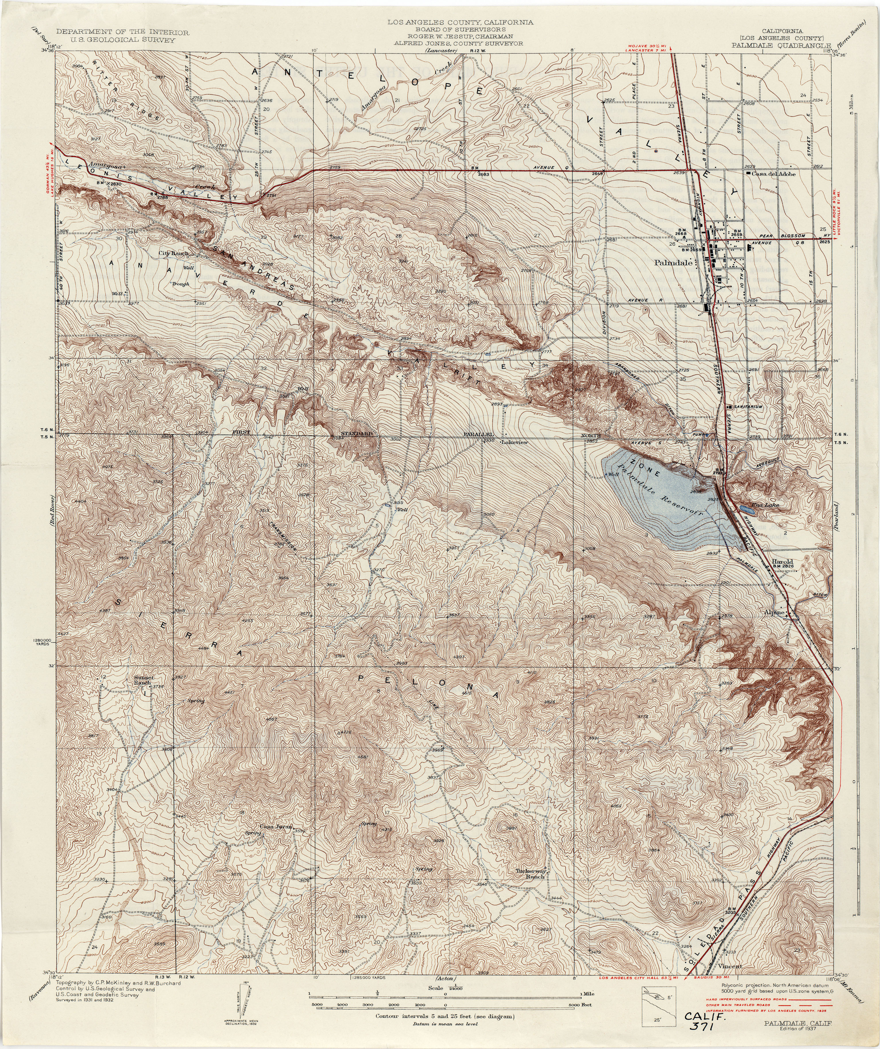
- Palmdale (Los Angeles County) 1932 1:24,000 (5.2MB)
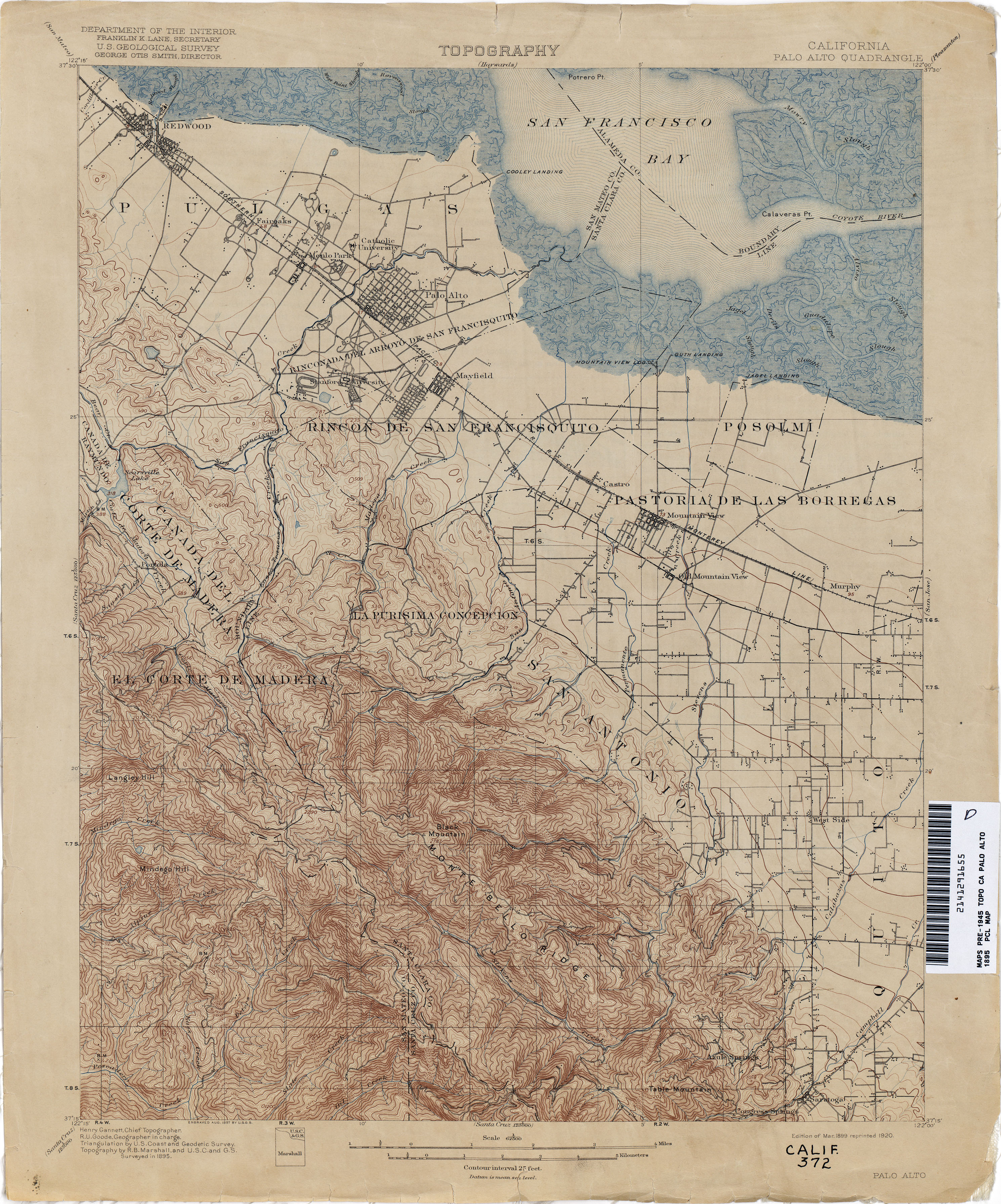
- Palo Alto 1895 1:62,500 (3.7MB)
- Palo Alto 1943 1:62,500 (4.4MB)
- Panoche 1911 1:125,000 (4.9MB)
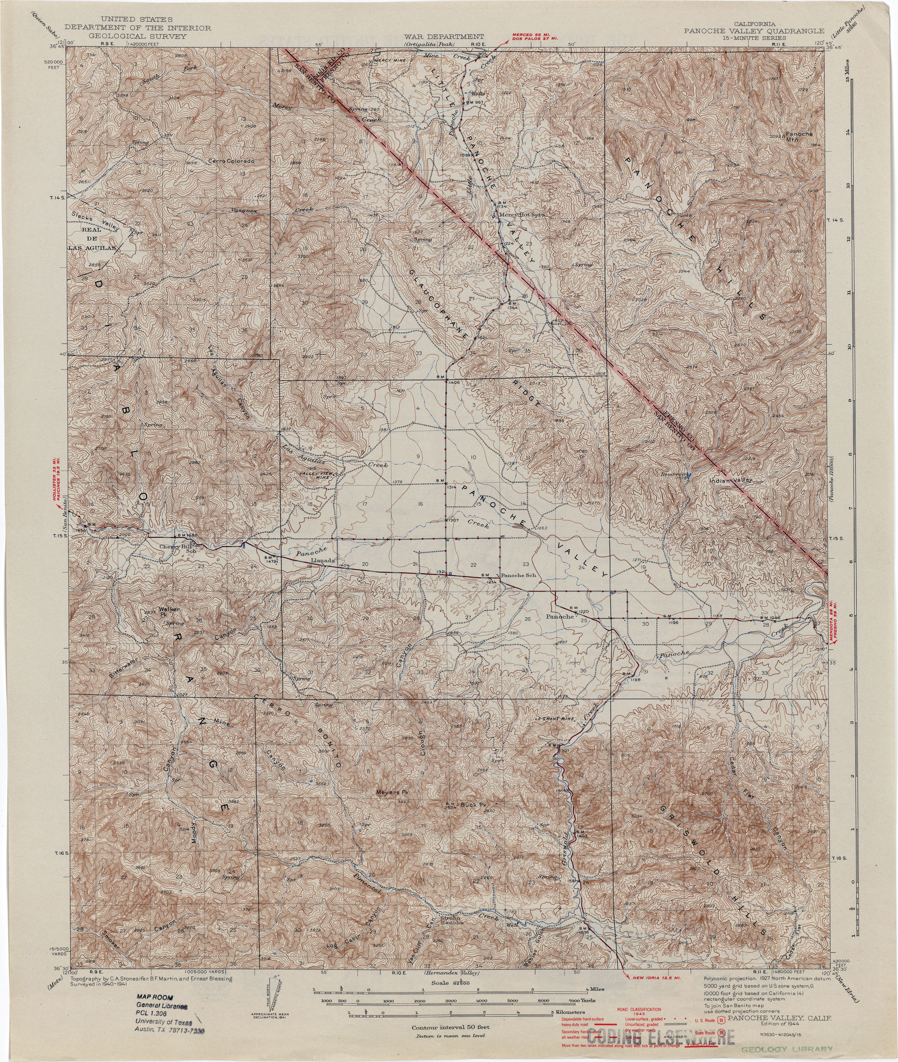
- Panoche Valley 1944 1:62,500 (3.5MB)
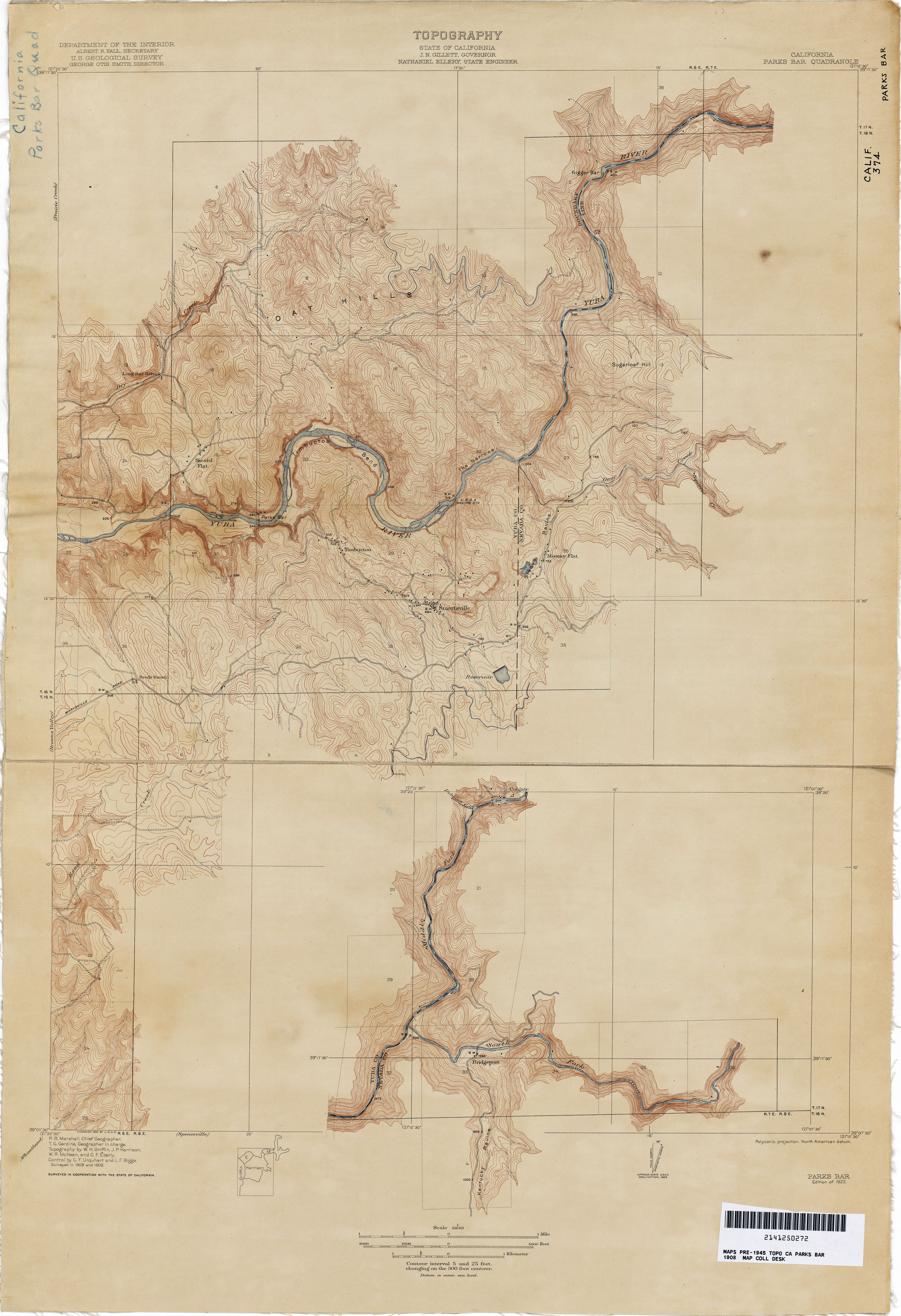
- Parks Bar 1908 1:31,680 (4.4MB)
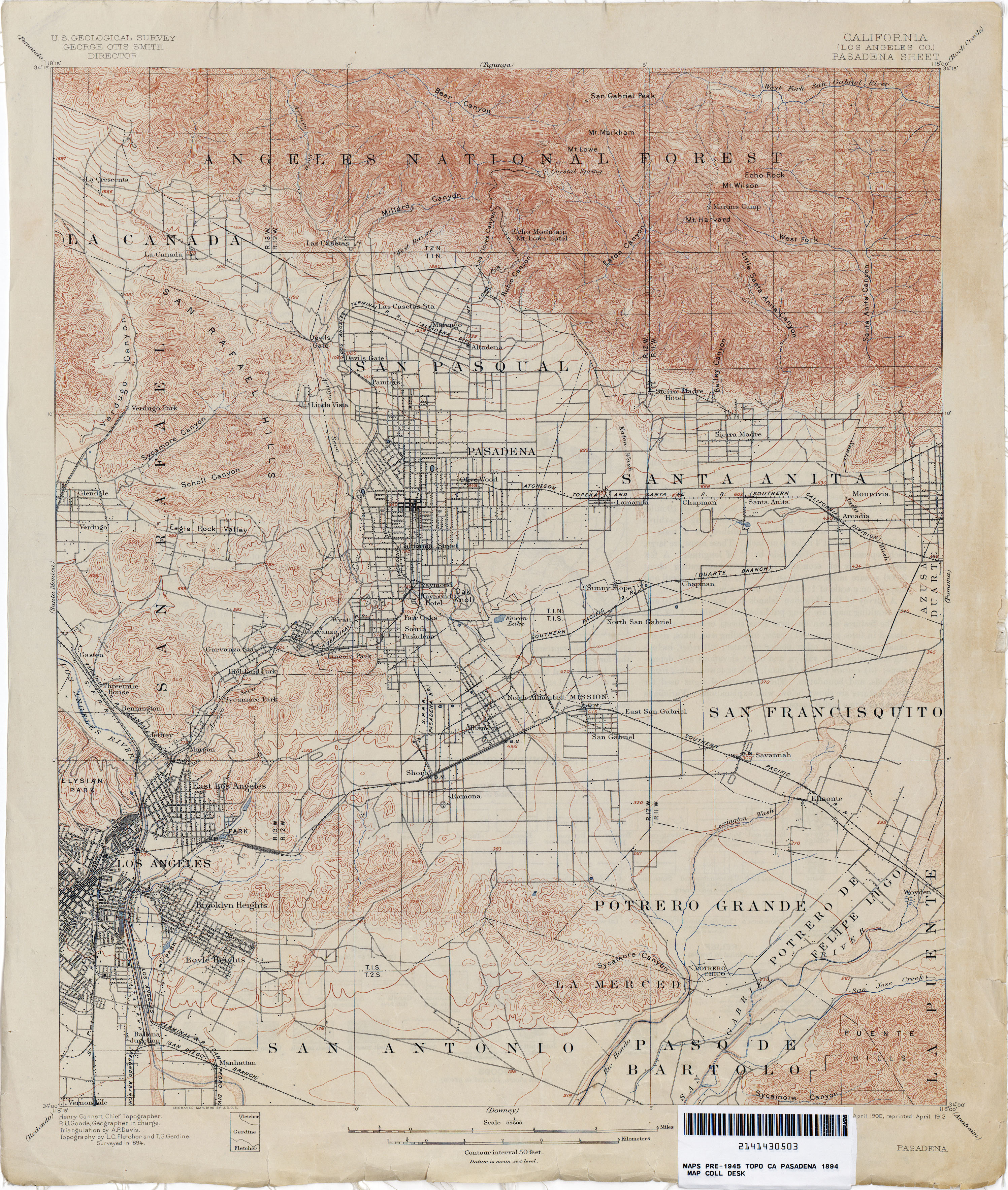
- Pasadena (Los Angeles County) 1894 1:62,500 (3.9MB)
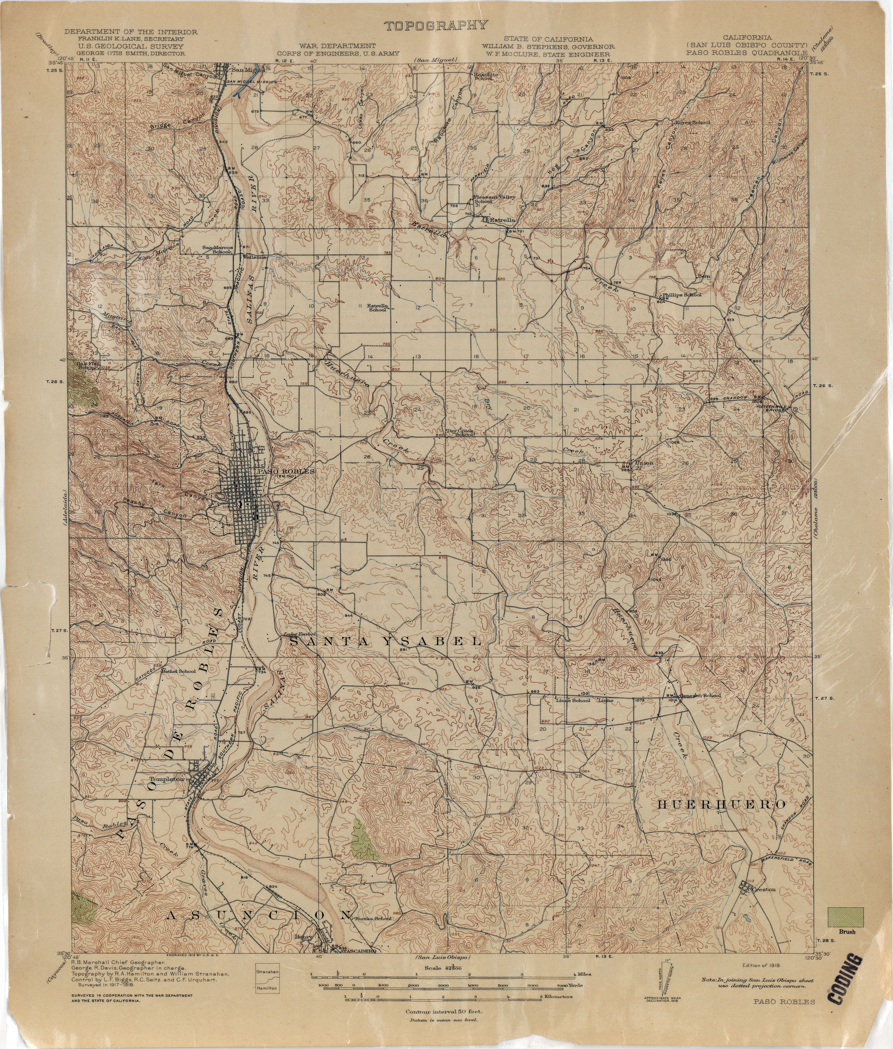
- Paso Robles (San Luis Obispo County) 1918 1:62,500 (3.5MB)
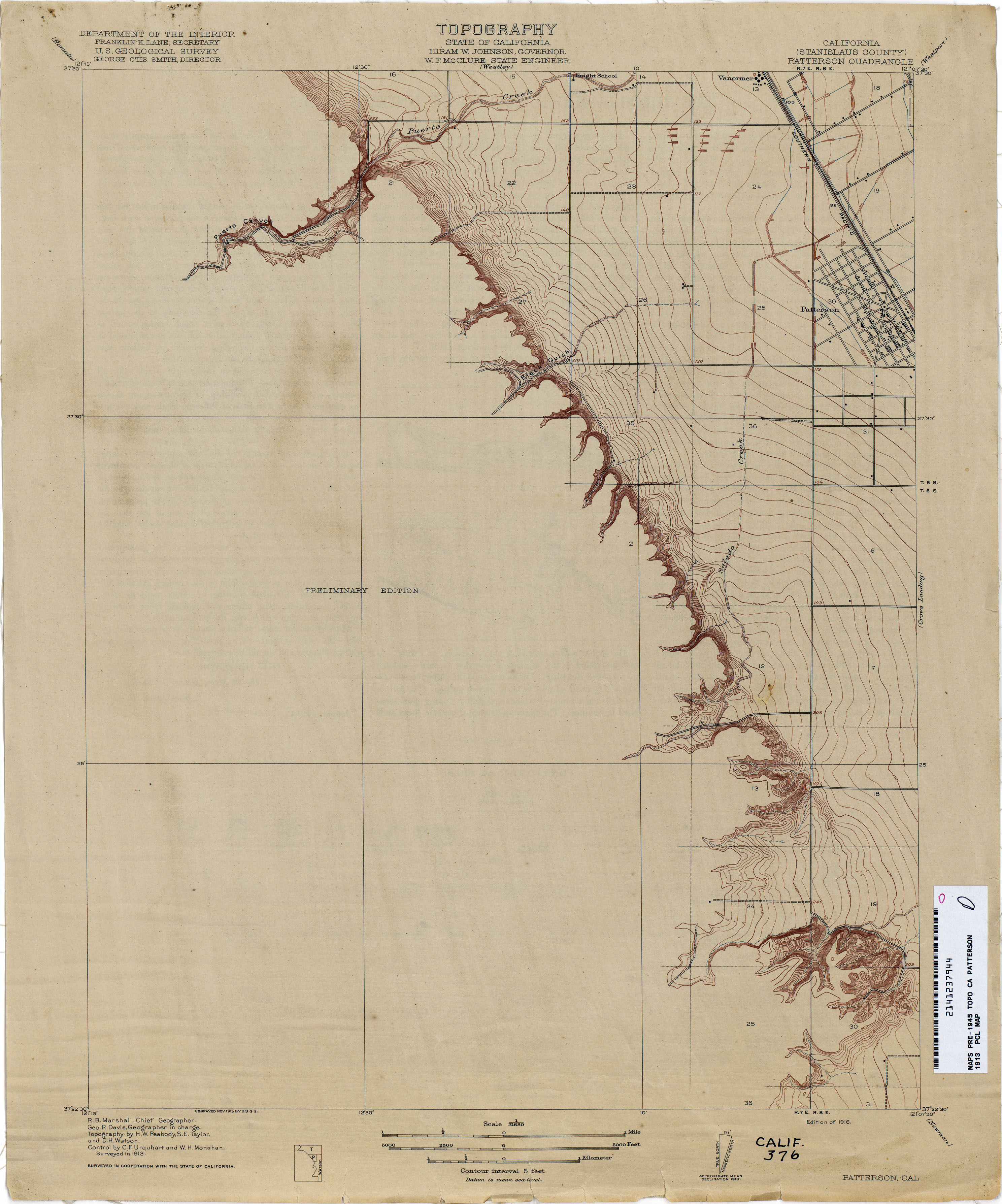
- Patterson (Stanislaus County) 1913 1:31,680 (1.9MB)
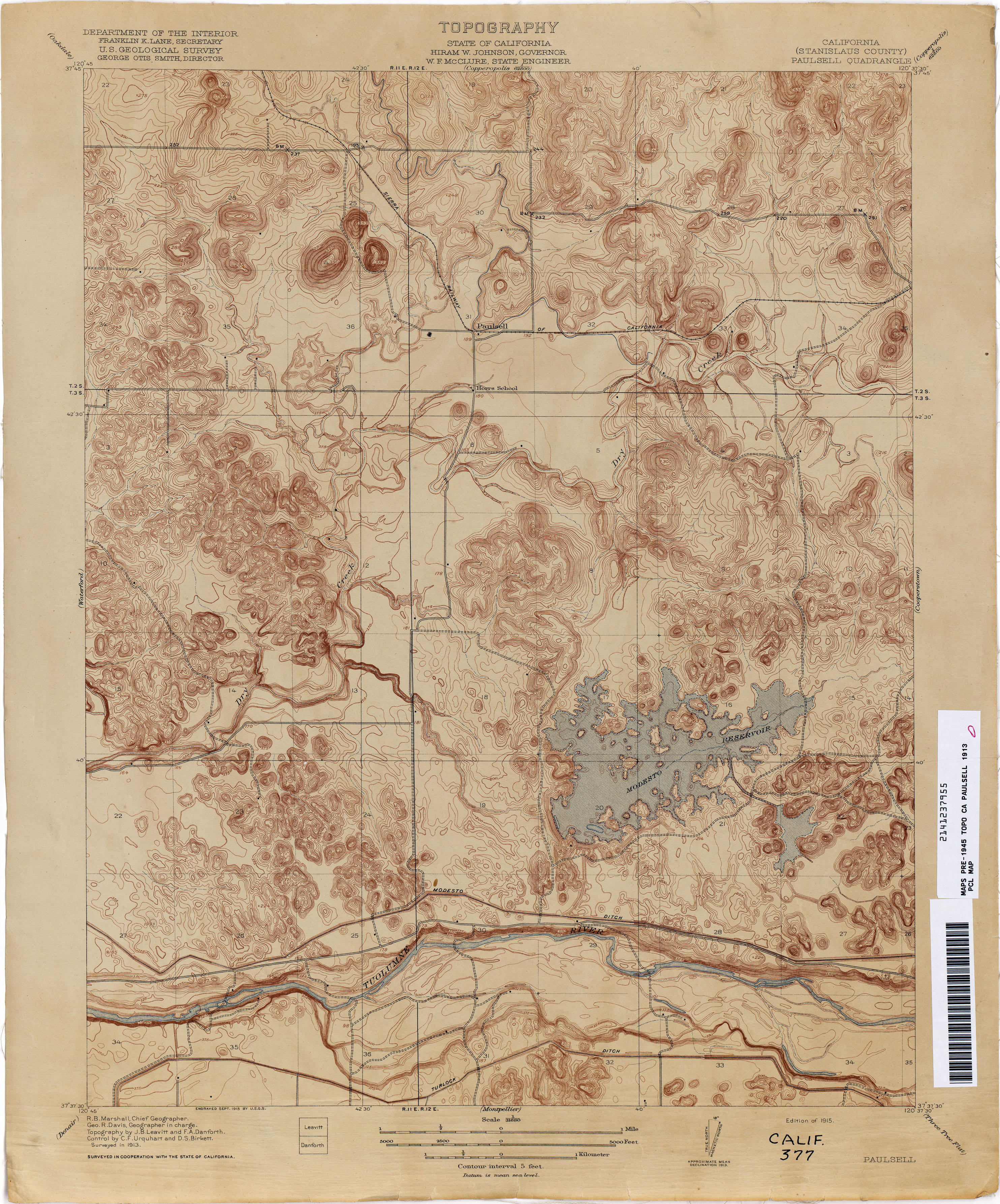
- Paulsell (Stanislaus County) 1913 1:31,680 (3.6MB)
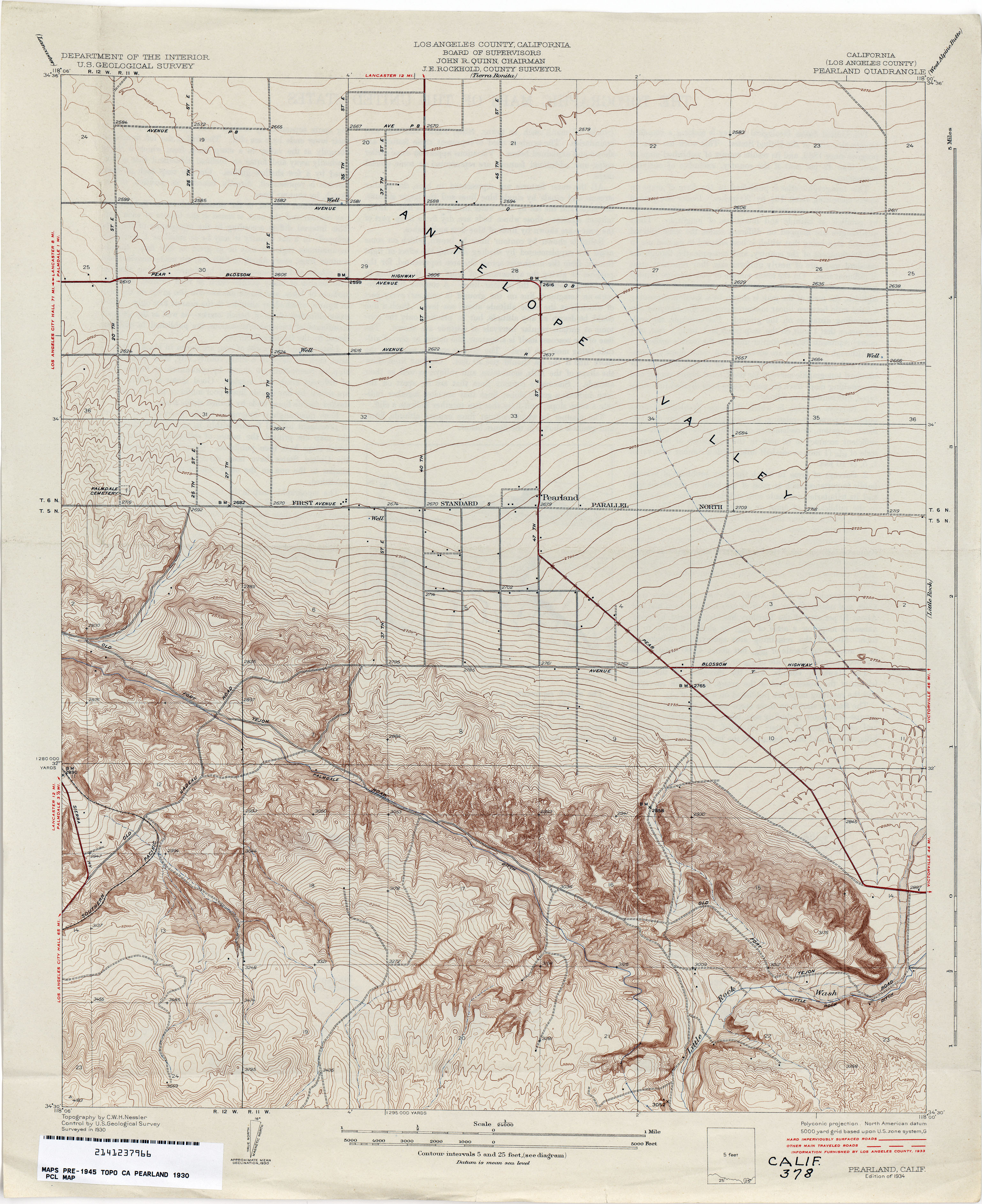
- Pearland (Los Angeles County) 1930 1:24,000 (3.6MB)
- Pennington 1911 1:31,680 (2.1MB)
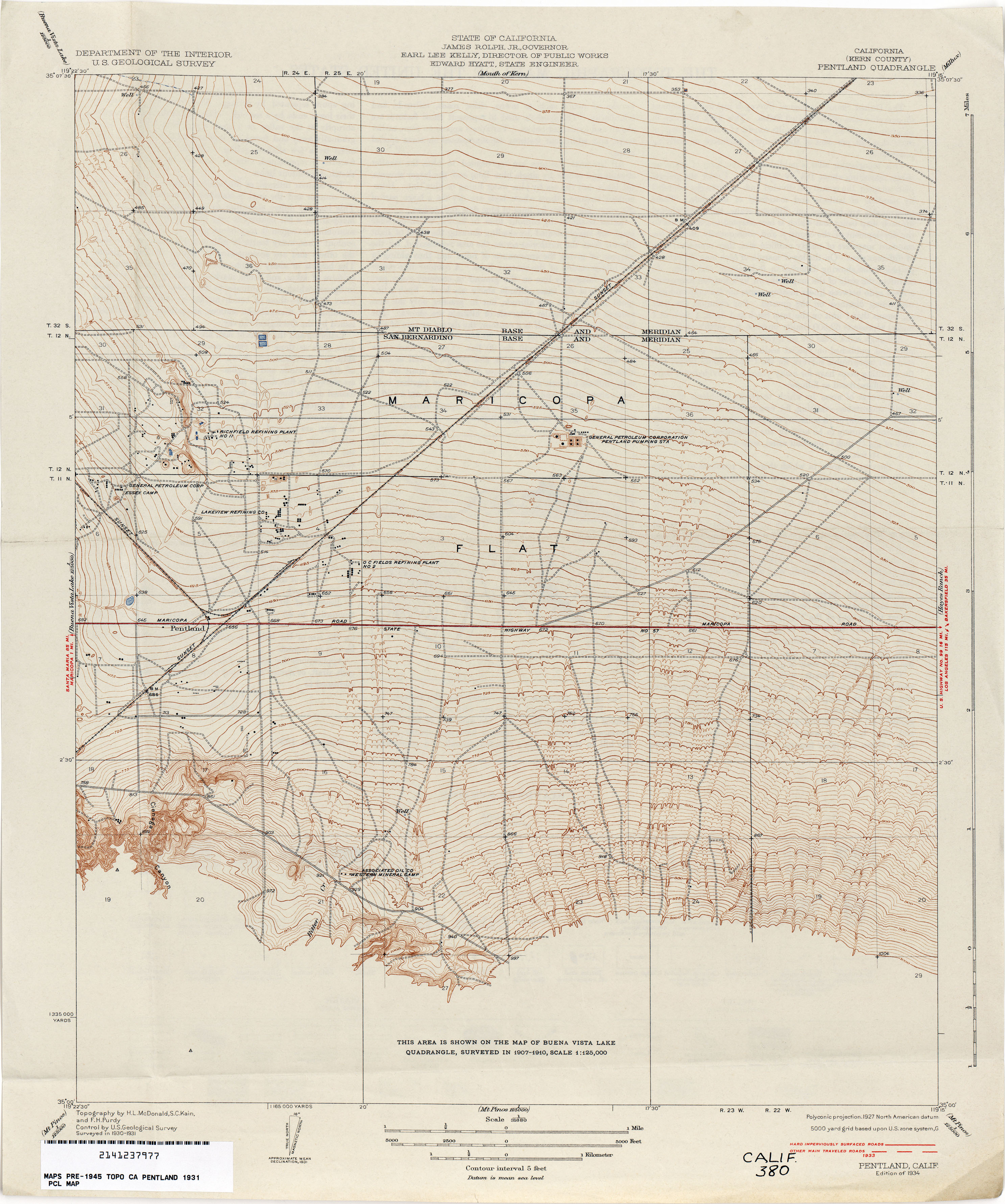
- Pentland (Kern County) 1931 1:31,680 (2.8MB)
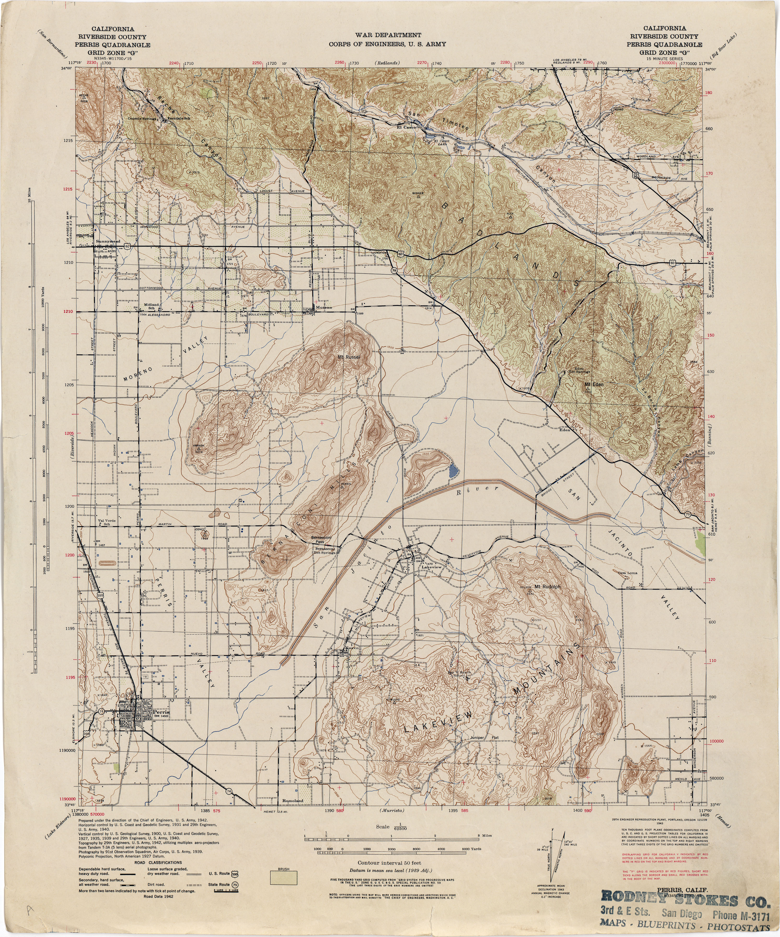
- Perris (Riverside County) 1942 1:62,500 (3.9MB)
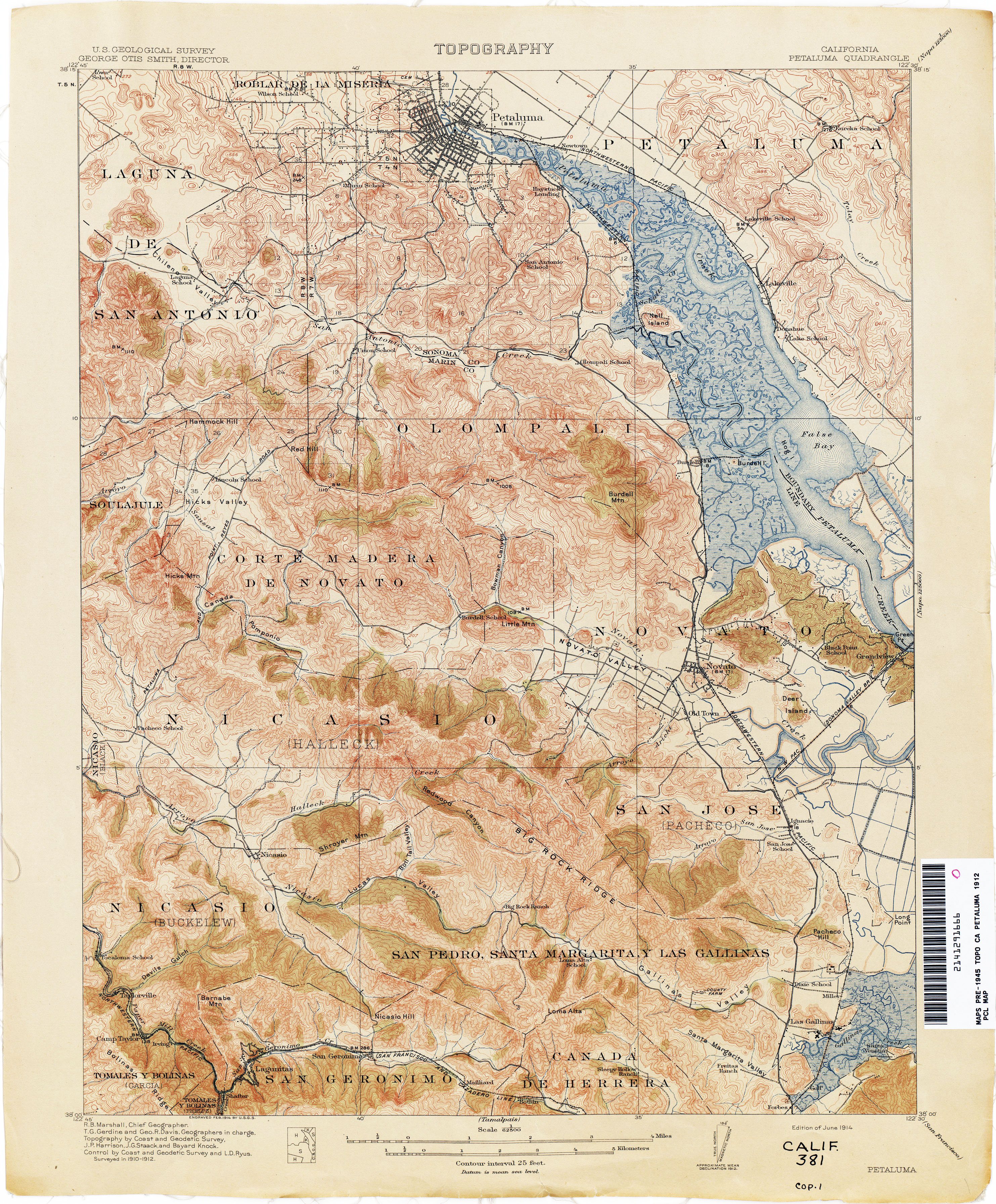
- Petaluma 1912 1:62,500 (4.5MB)
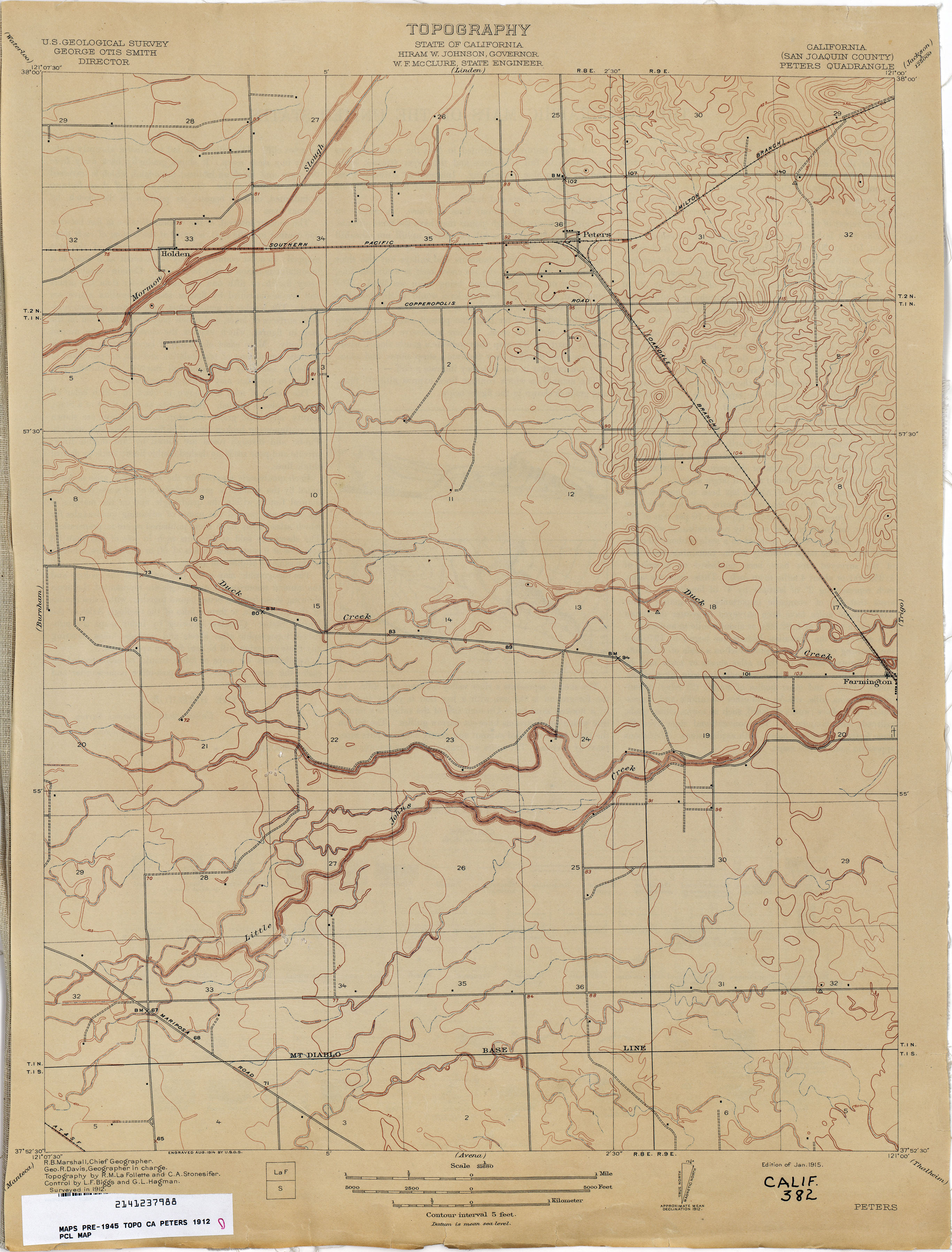
- Peters (San Joaquin County) 1912 1:31,680 (2.2MB)
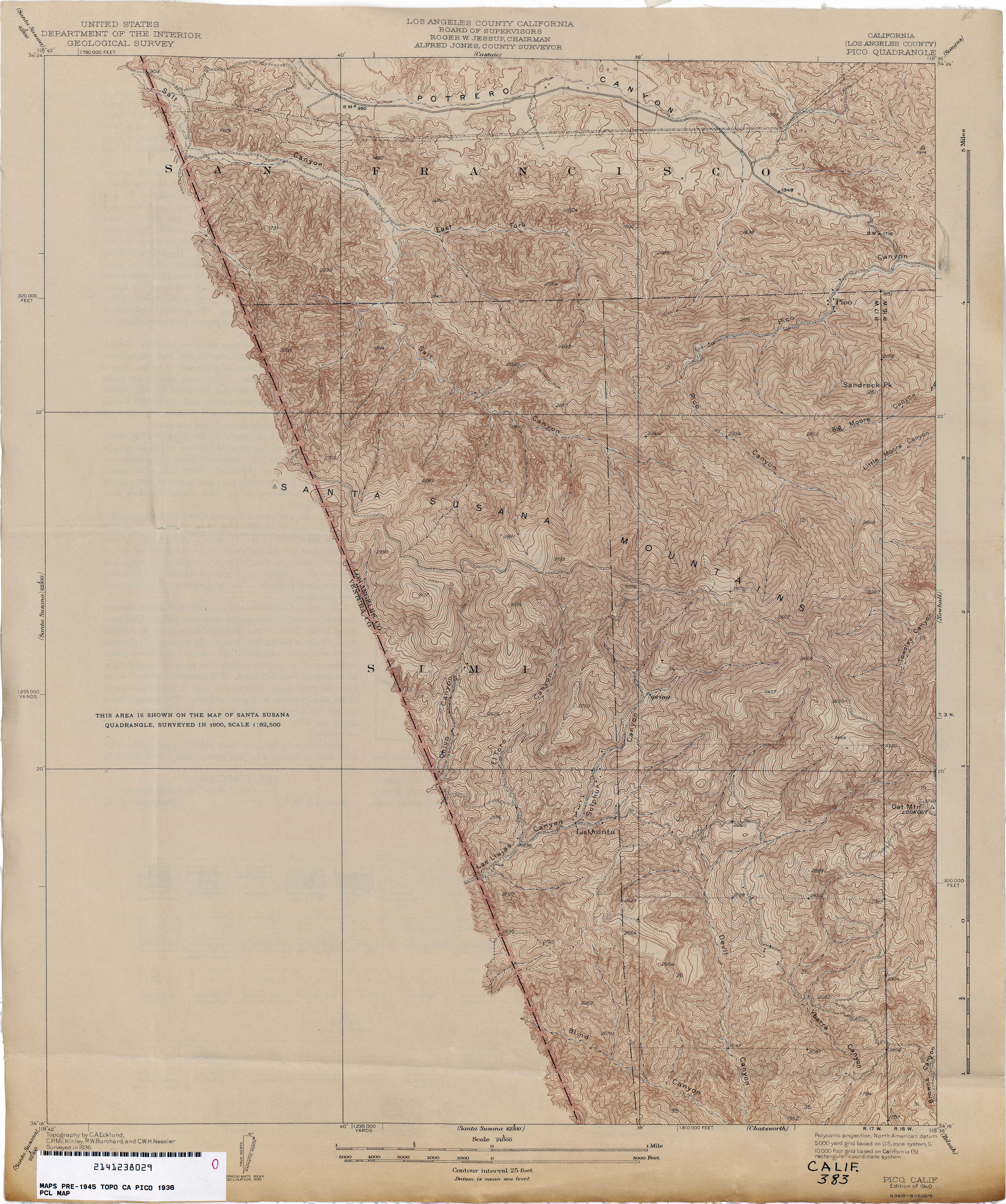
- Pico (Los Angeles County) 1936 1:24,000 (4.0MB)
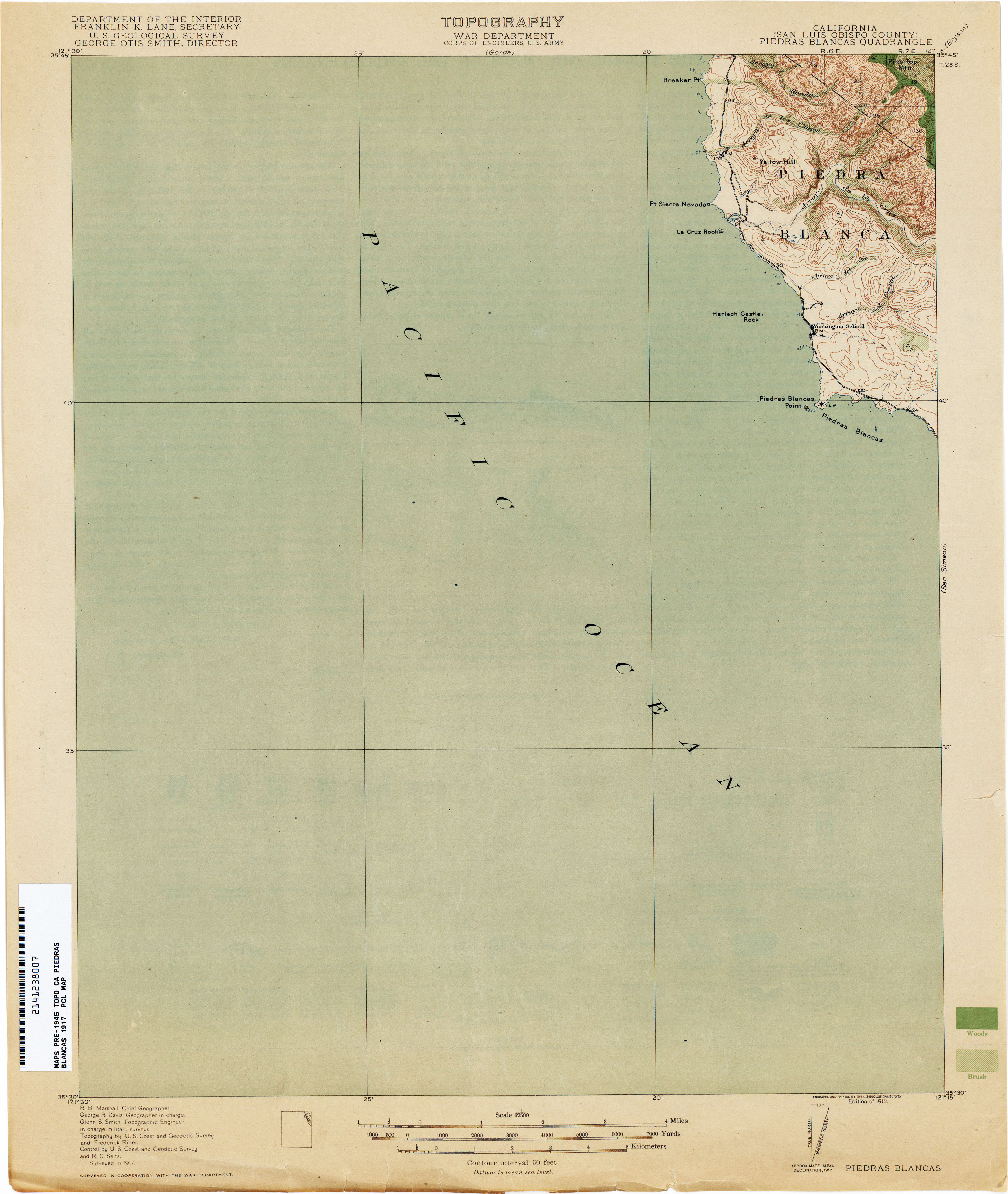
- Piedras Blancas (San Luis Obispo County) 1917 1:62,500 (1.7MB)
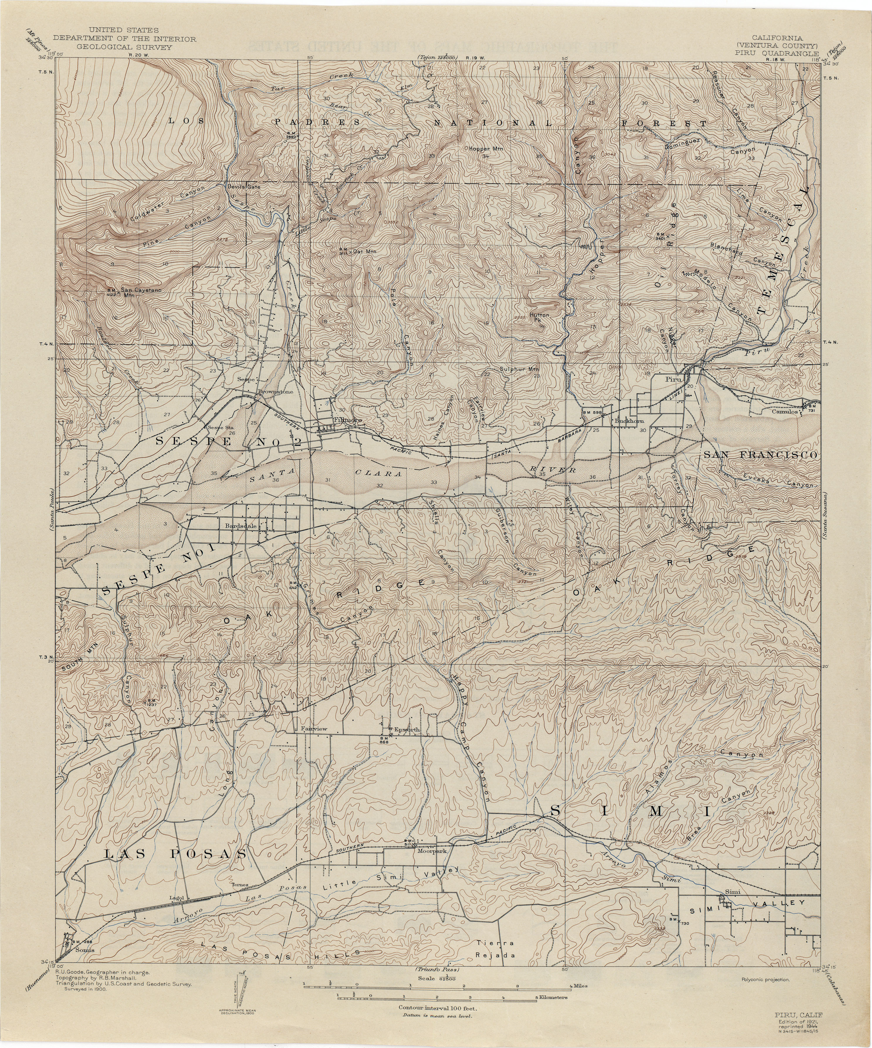
- Piru (Ventura County) 1900 1:62,500 (3.9MB)
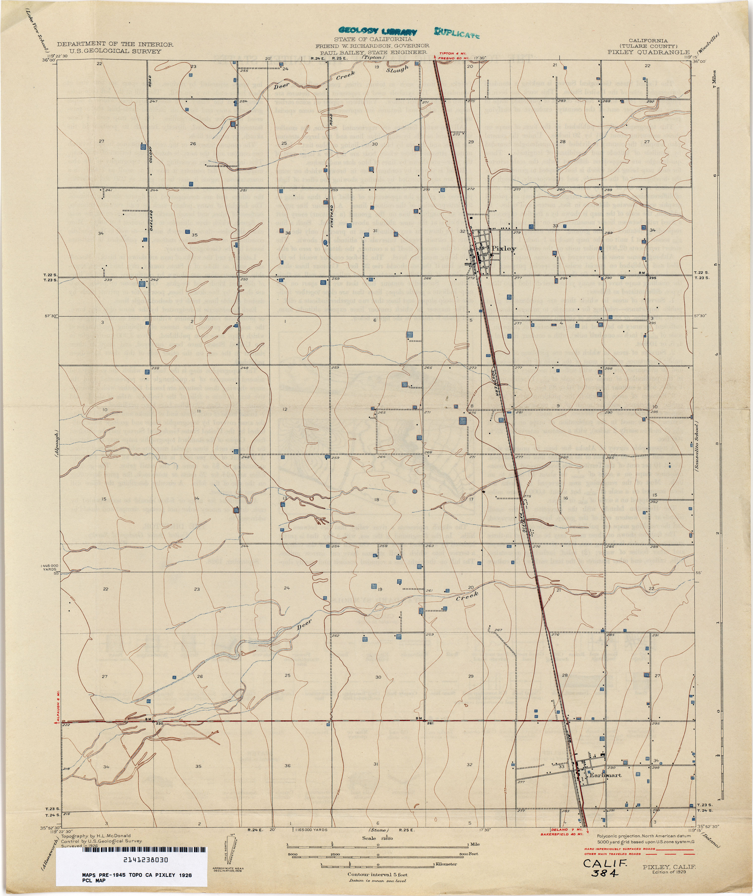
- Pixley (Tulare County) 1926 1:31,680 (1.8MB)
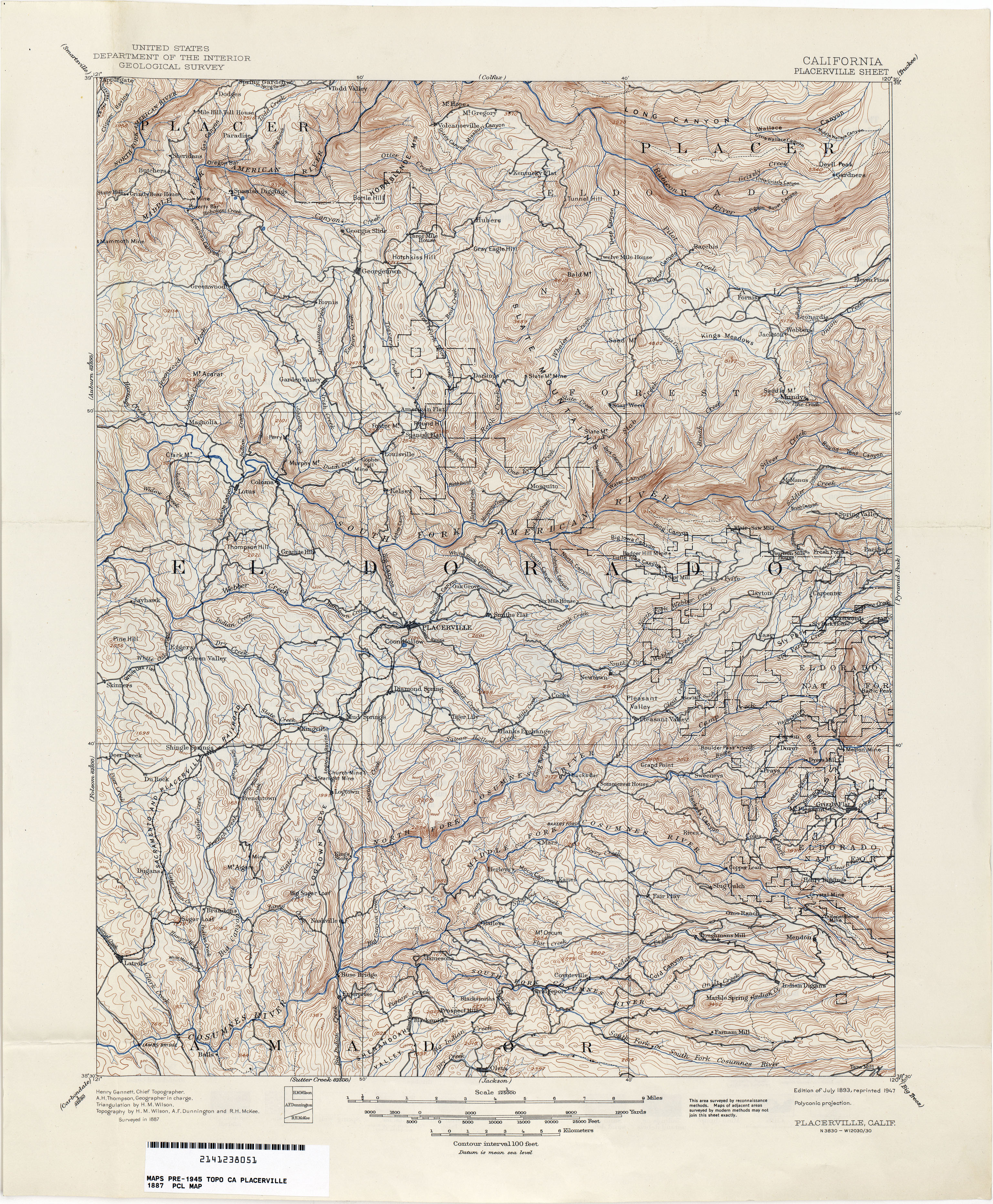
- Placerville 1887 1:125,000 (5.1MB)
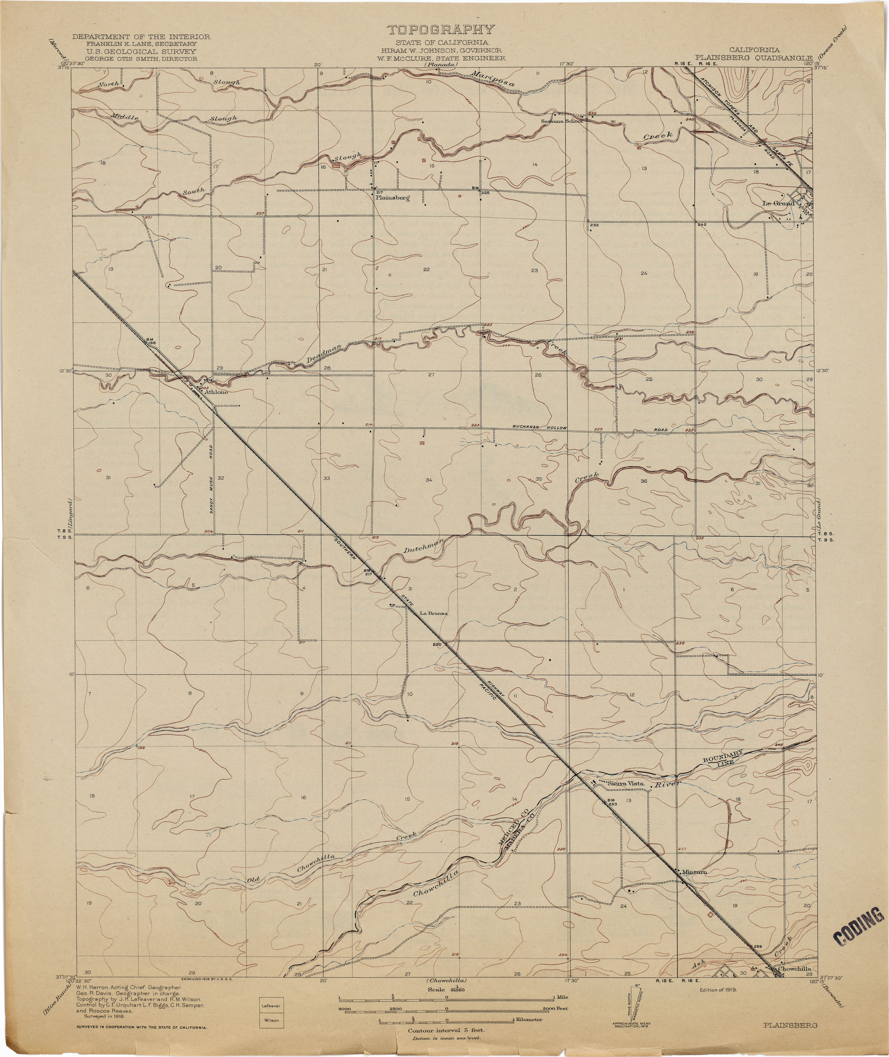
- Plainsberg 1916 1:31,680 (2.0MB)
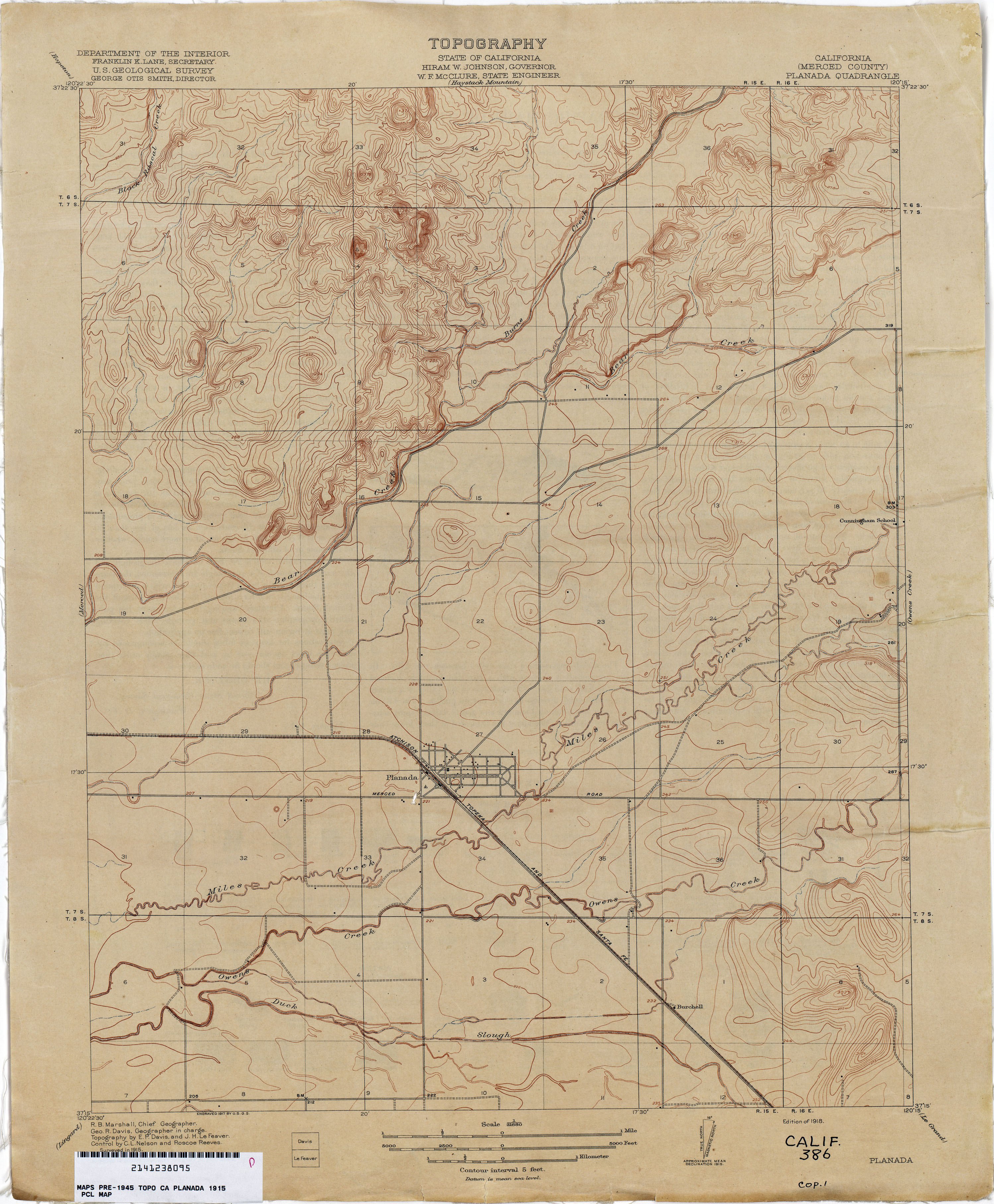
- Planada (Merced County) 1915 1:31,680 (2.6MB)
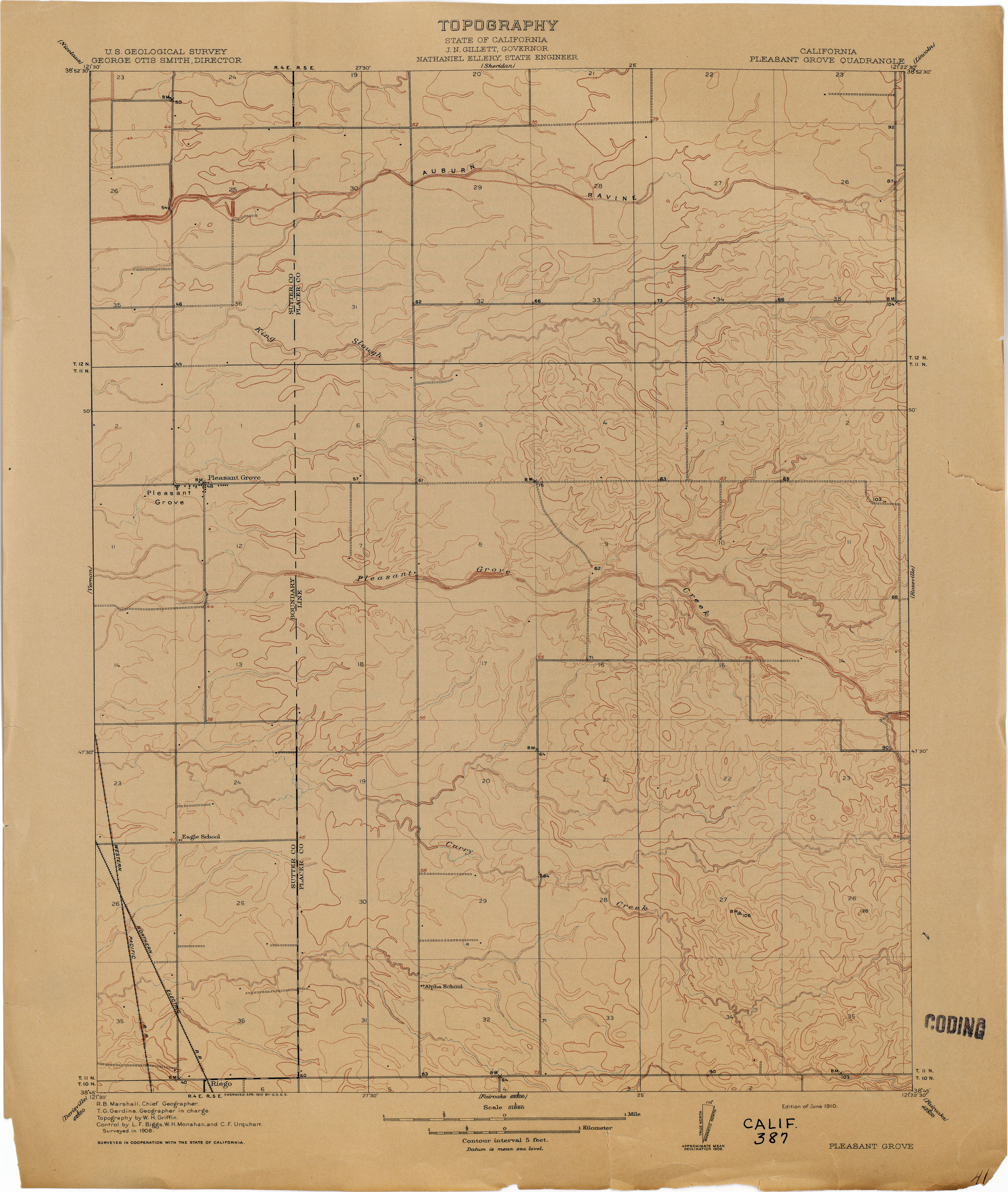
- Pleasant Grove 1908 1:31,680 (2.2MB)
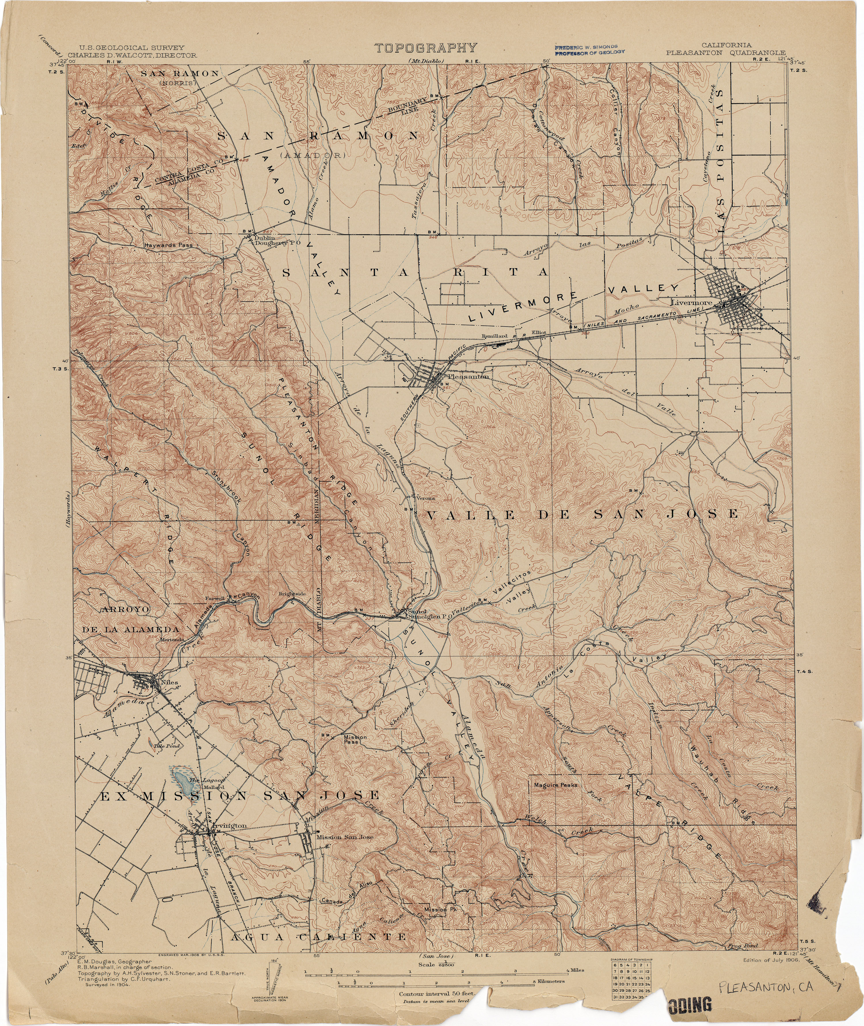
- Pleasanton 1904 1:62,500 (3.9MB)
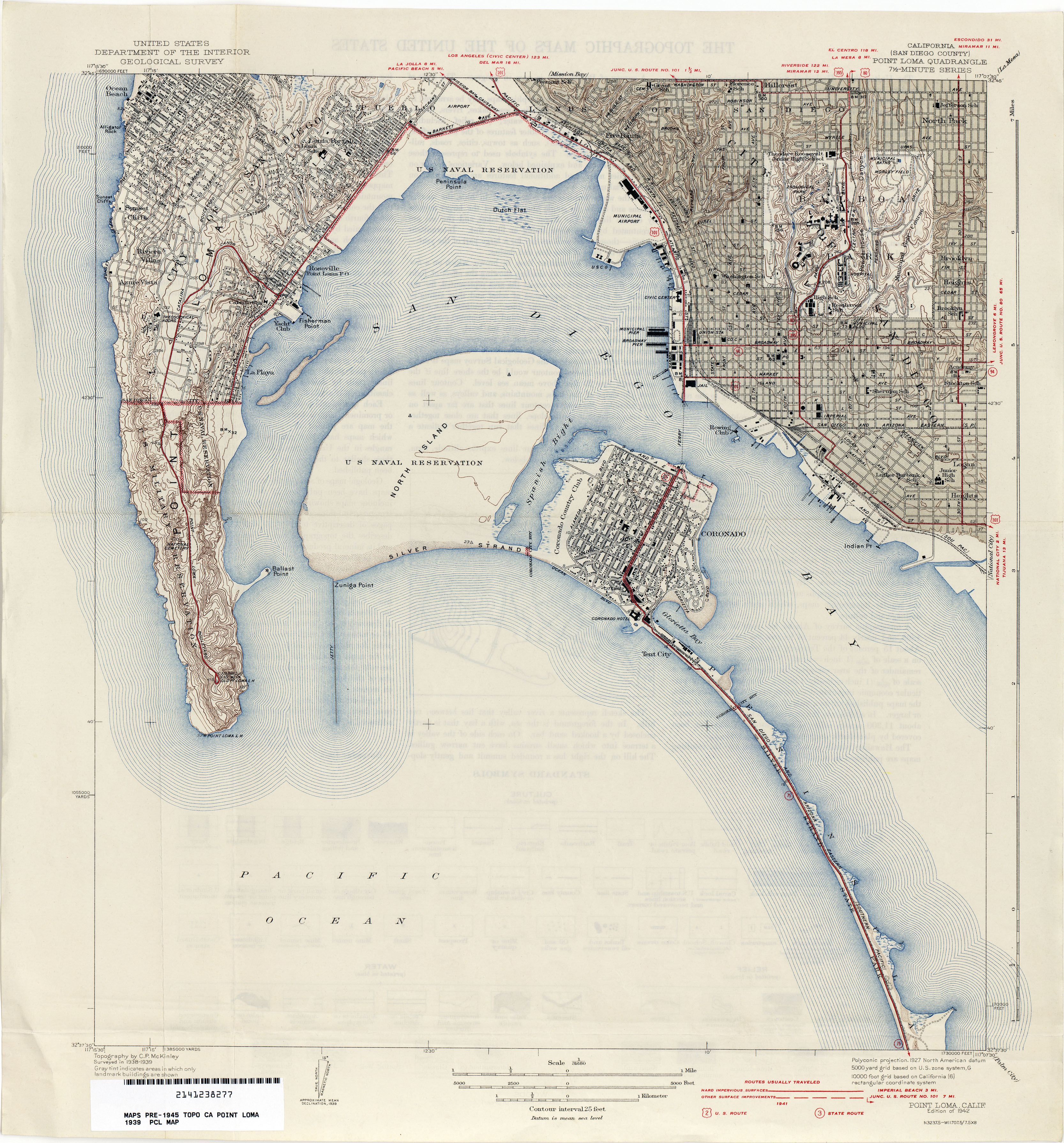
- Point Loma (San Diego County) 1939 1:31,680 (4.0MB)
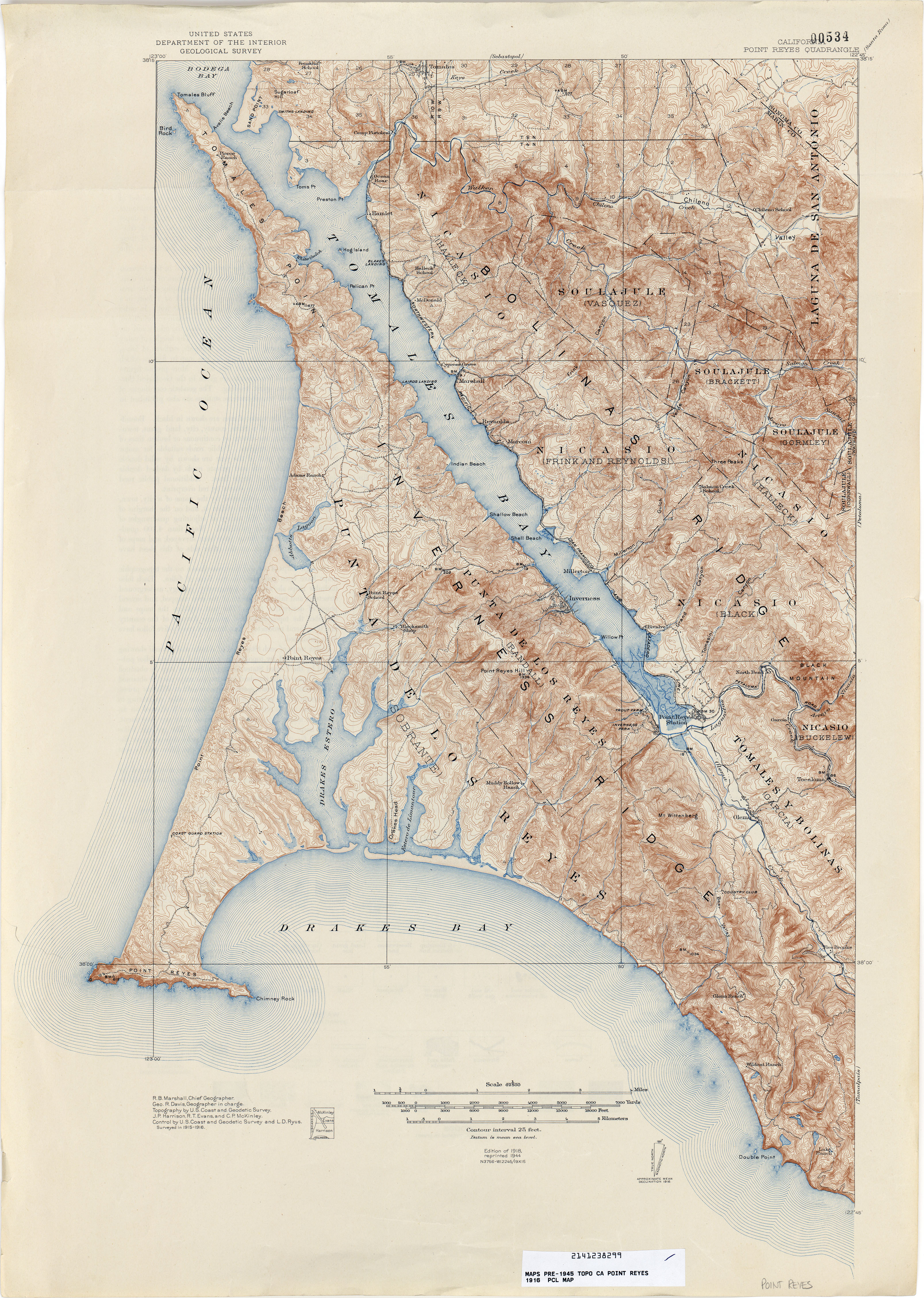
- Point Reyes 1916 1:62,500 (5.9MB)
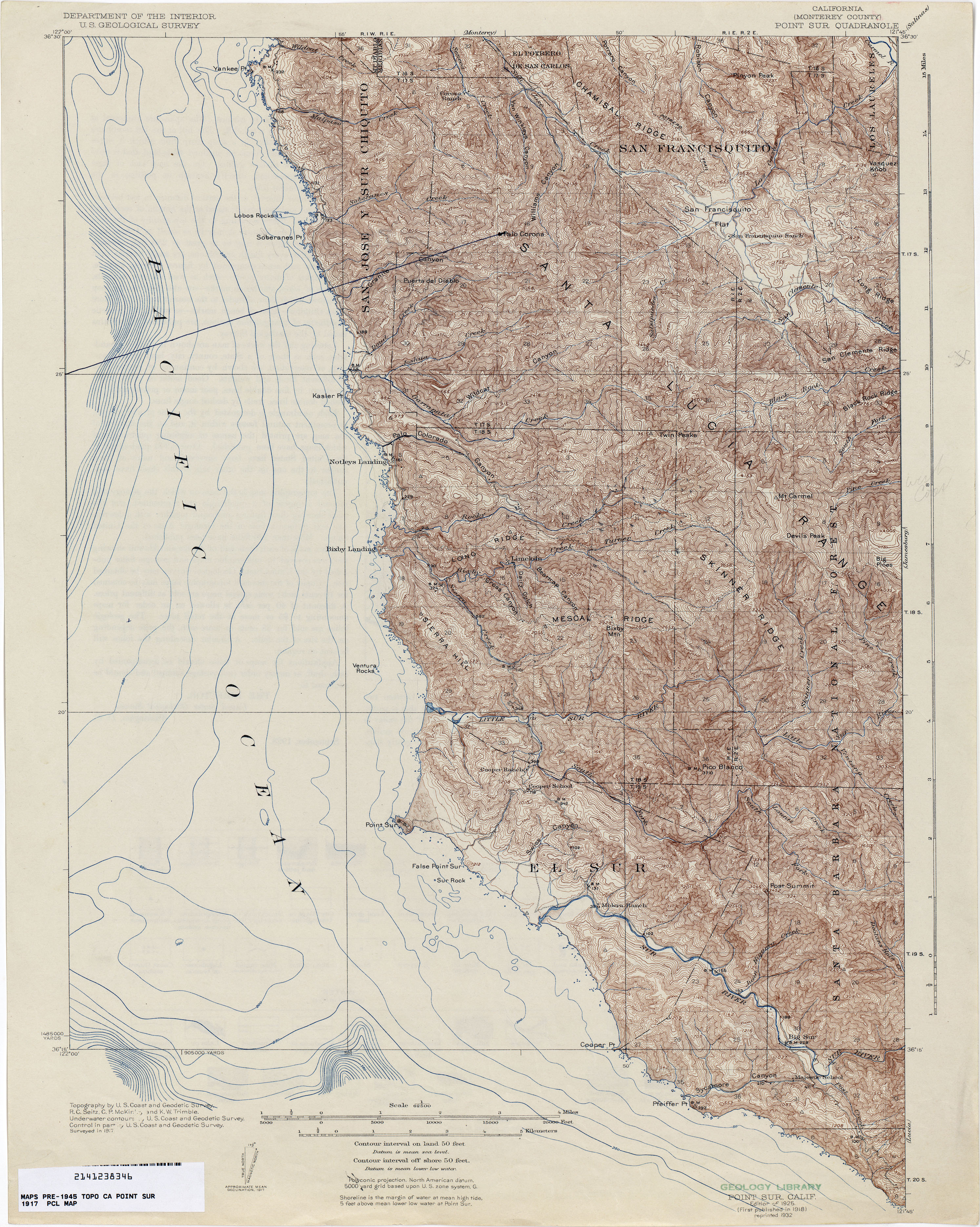
- Point Sur (Monterey County) 1917 1:62,500 (4.7MB)
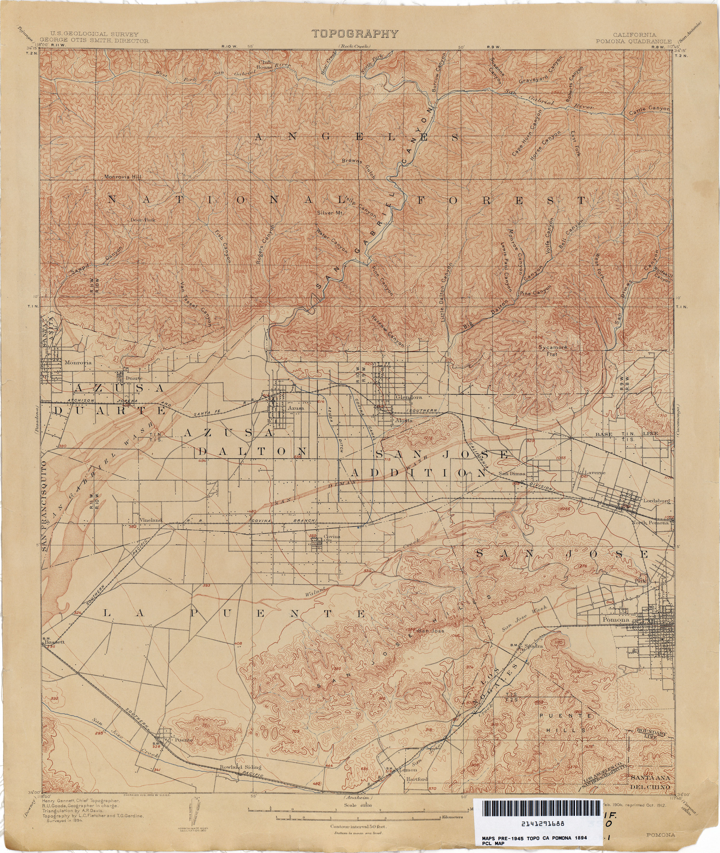
- Pomona 1894 1:62,500 (3.7MB)
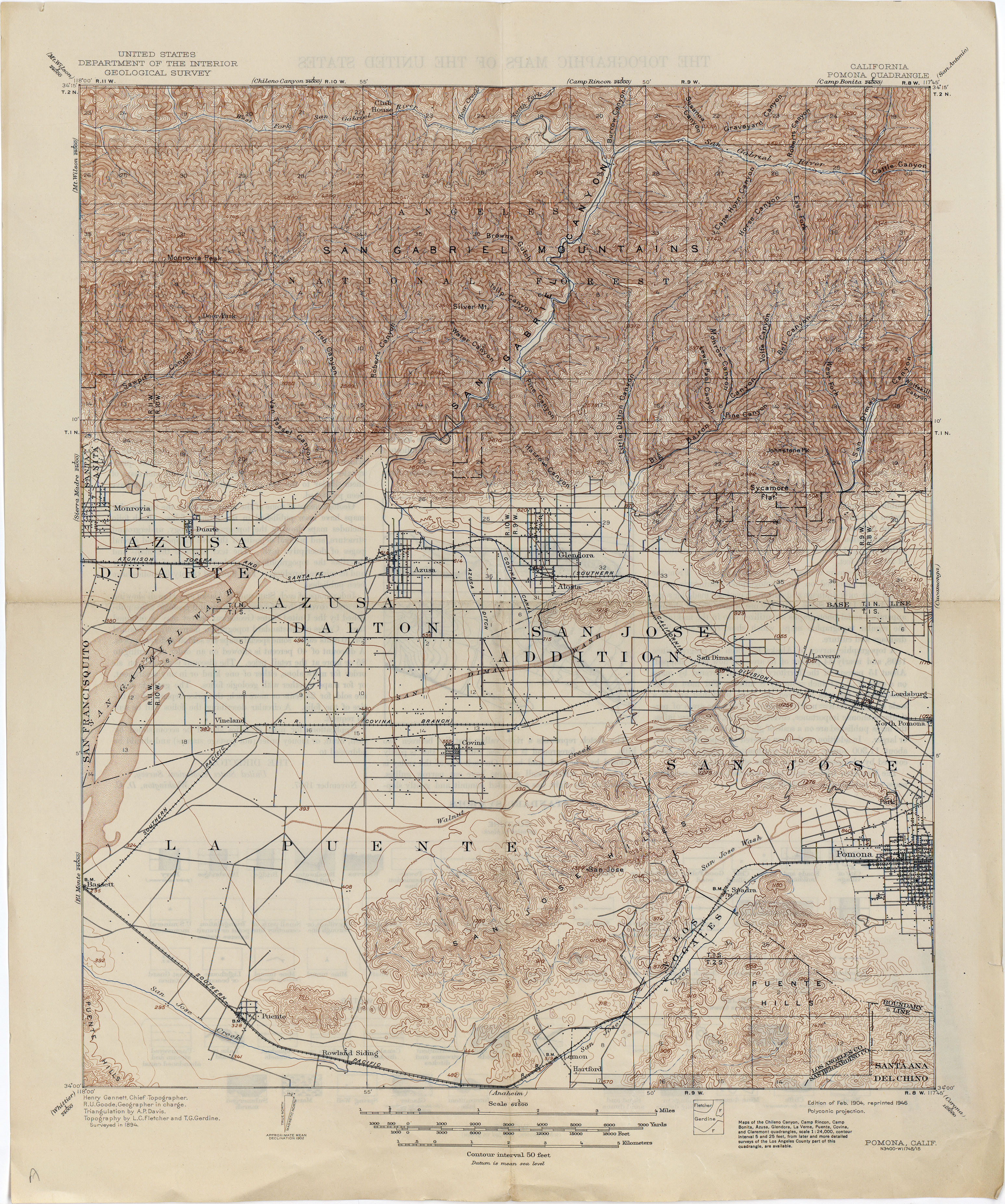
- Pomona 1894 1:62,500 (4.6MB)
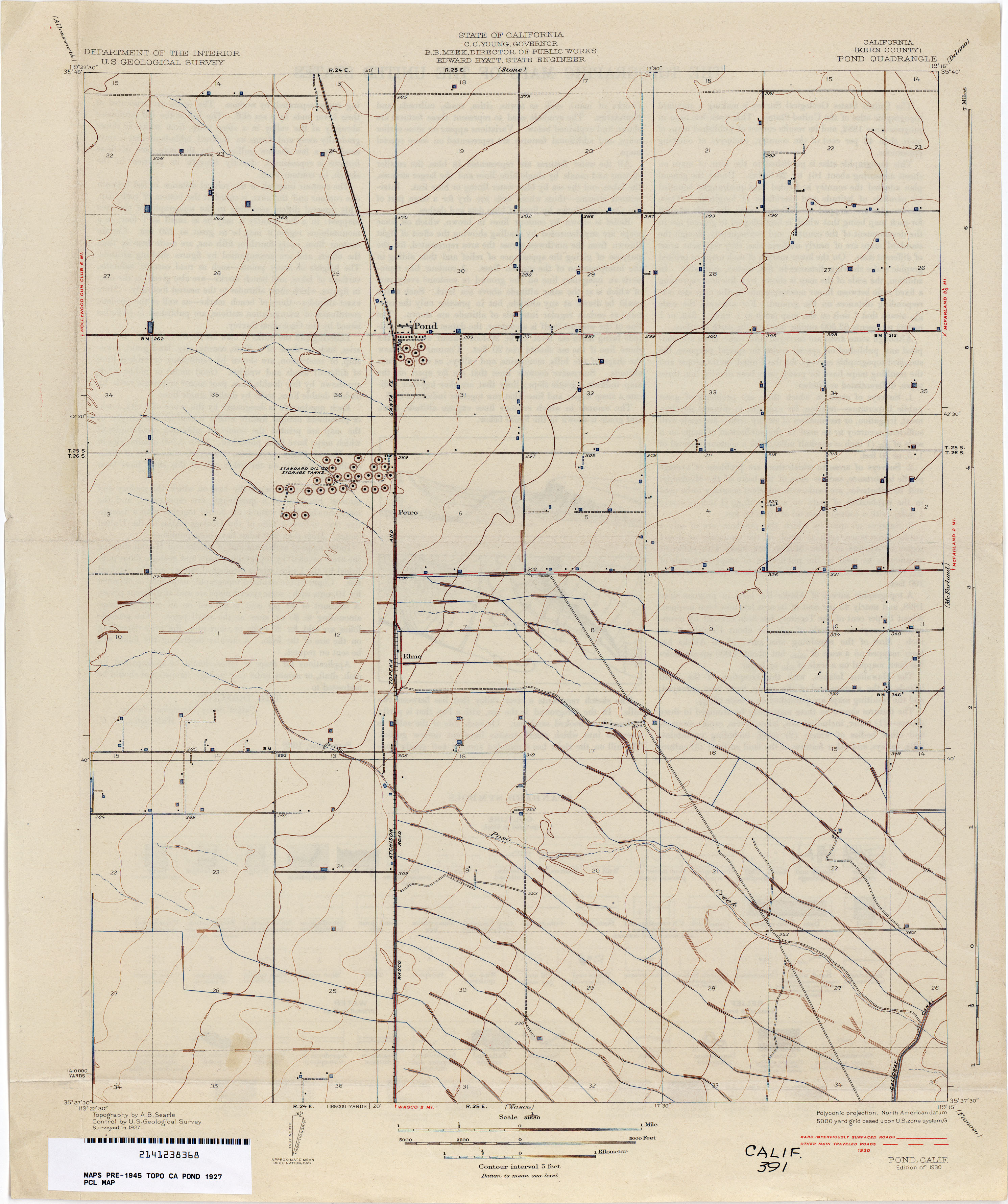
- Pond (Kern County) 1927 1:31,680 (2.0MB)
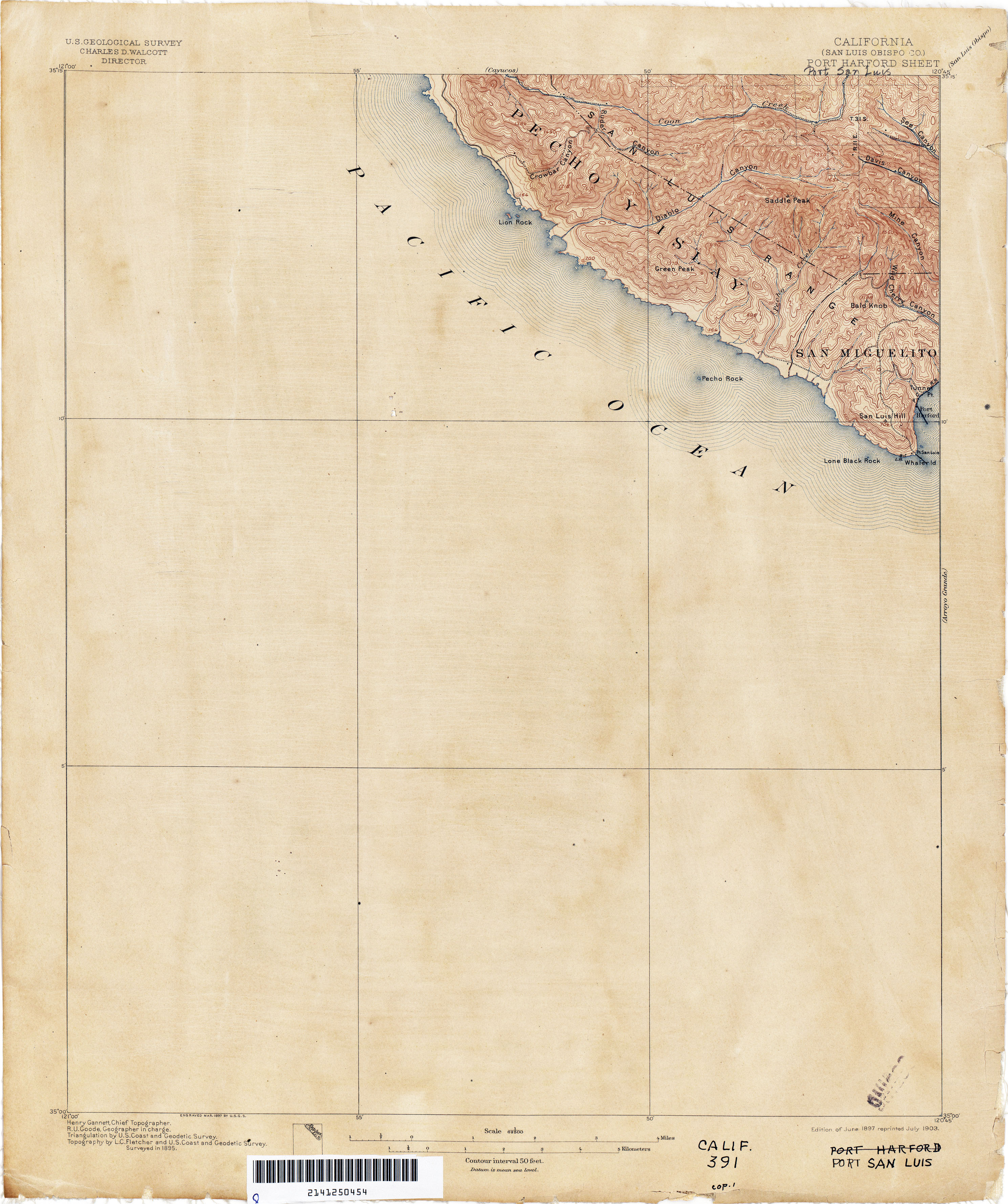
- Port San Luis (San Luis Obispo County) 1895 1:31,680 (2.1MB)
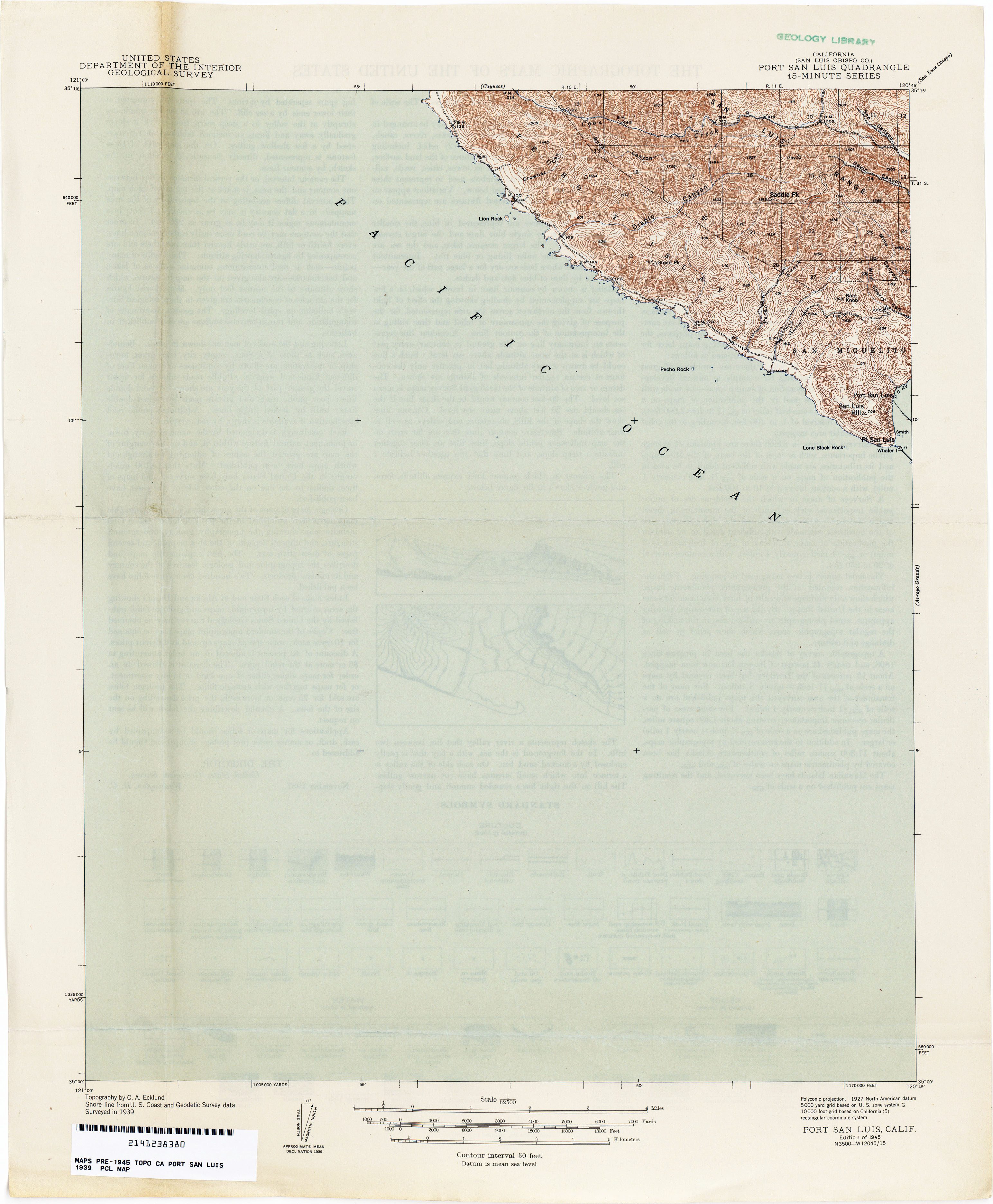
- Port San Luis (San Luis Obispo County) 1939 1:62,500 (2.0MB)
- Porterville (Tulare County) 1926 1:31,680 (2.4MB)
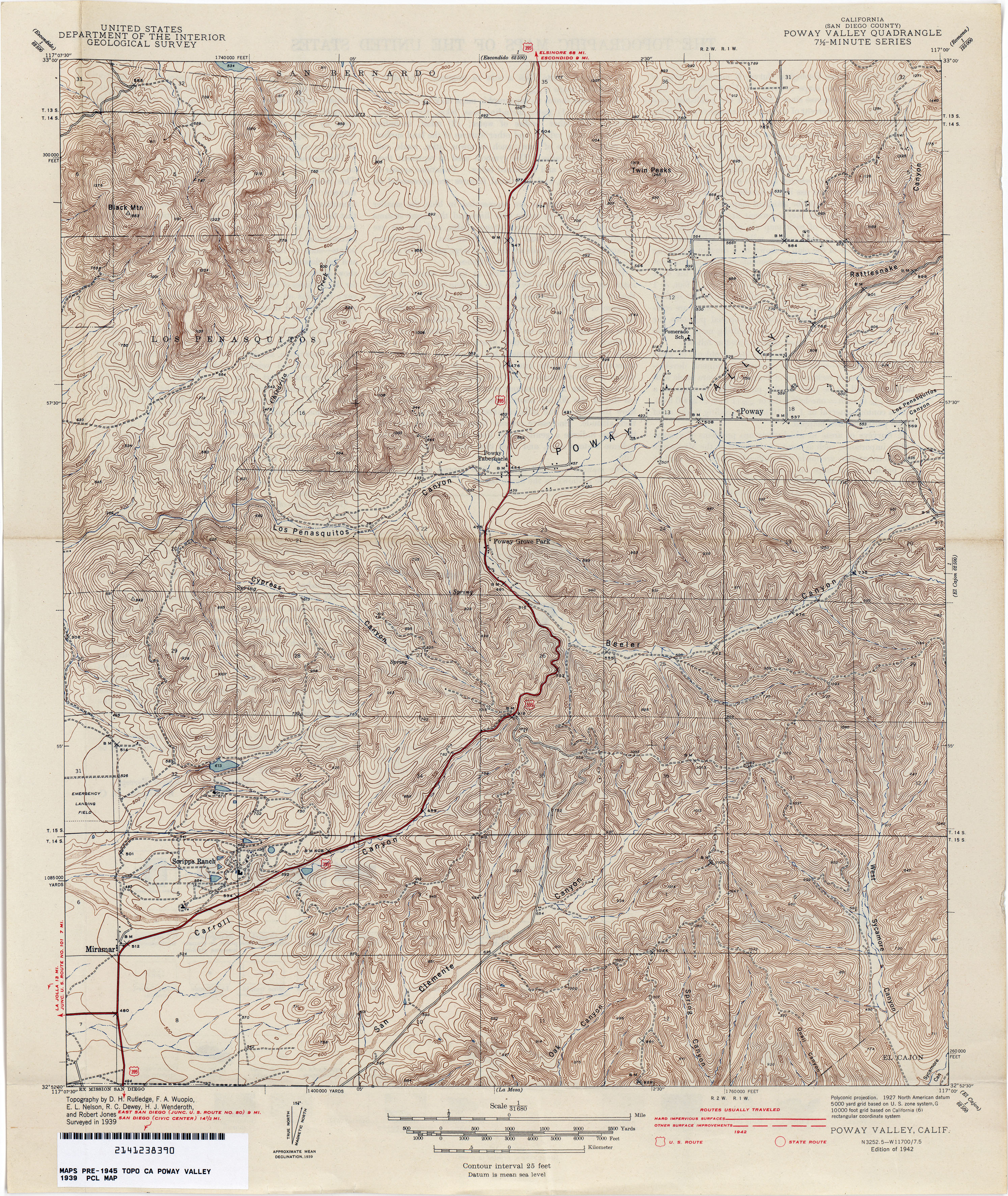
- Poway Valley (San Diego County) 1939 1:31,680 (5.0MB)
- Powell Slough (Colusa County) 1905 1:31,680 (1.8MB)
- Pozo (San Luis Obispo County) 1919 1:62,500 (2.3MB)
- Pozo Farm 1919 1:31,680 (4.7MB)
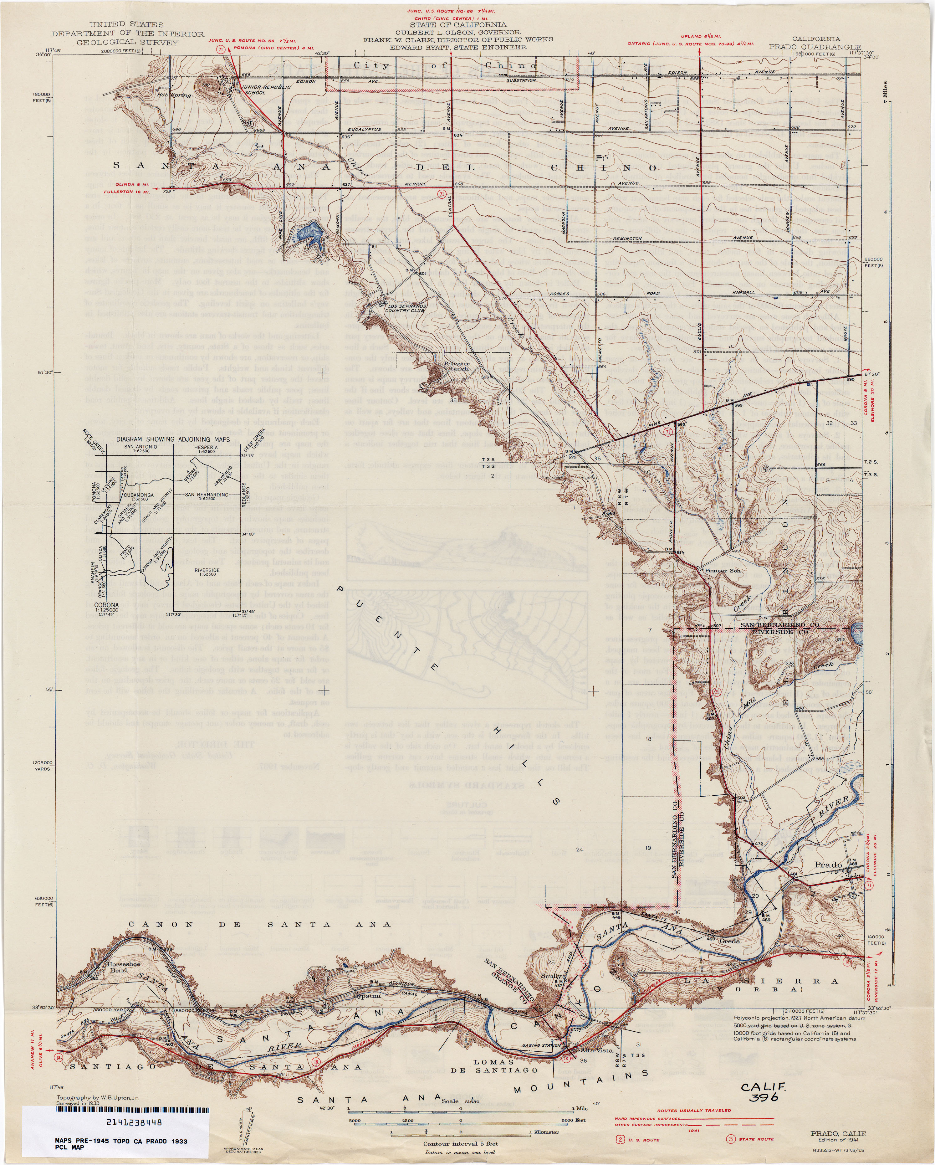
- Prado 1933 1:31,680 (2.3MB)
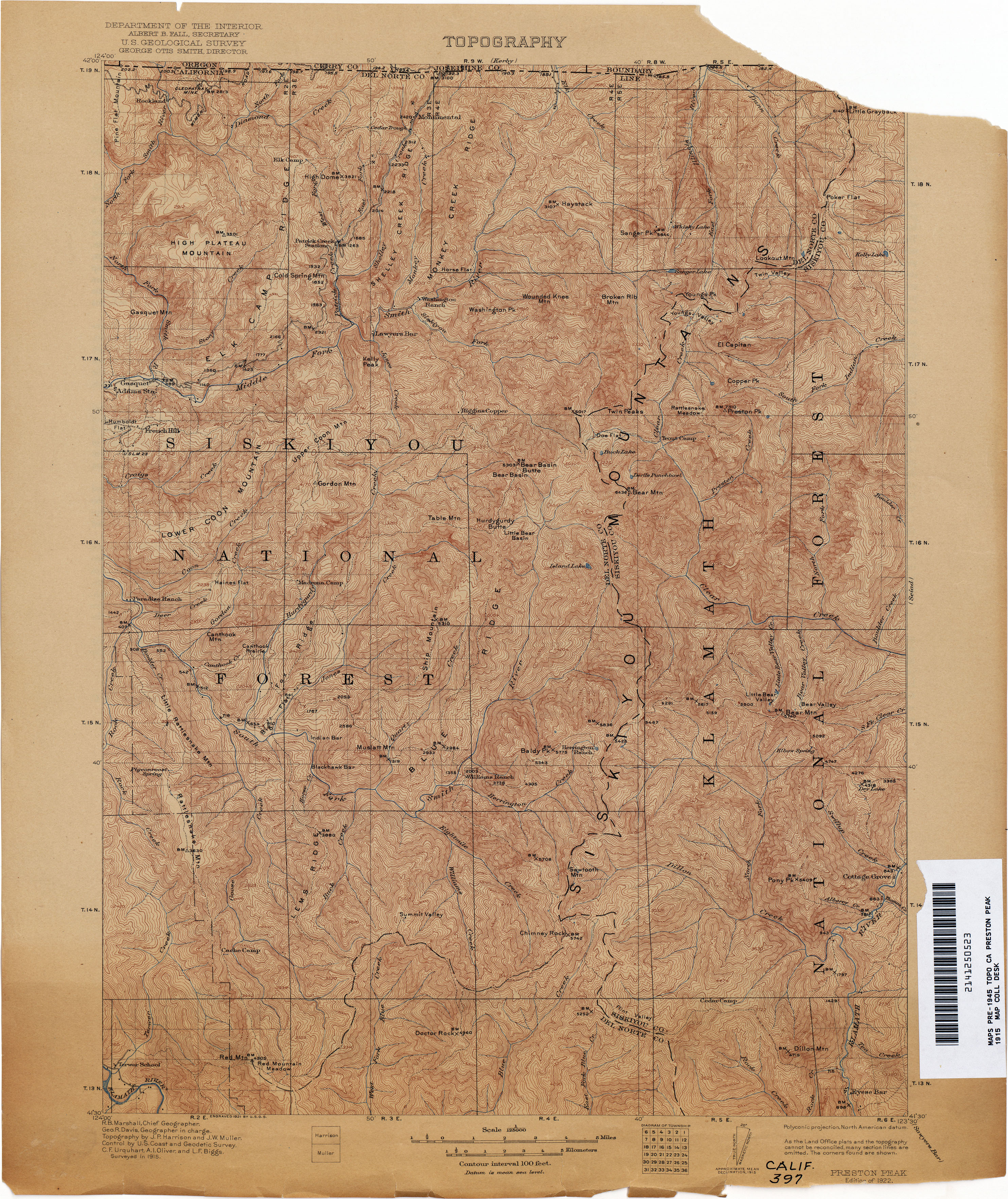
- Preston Peak 1915 1:125,000 (4.5MB)
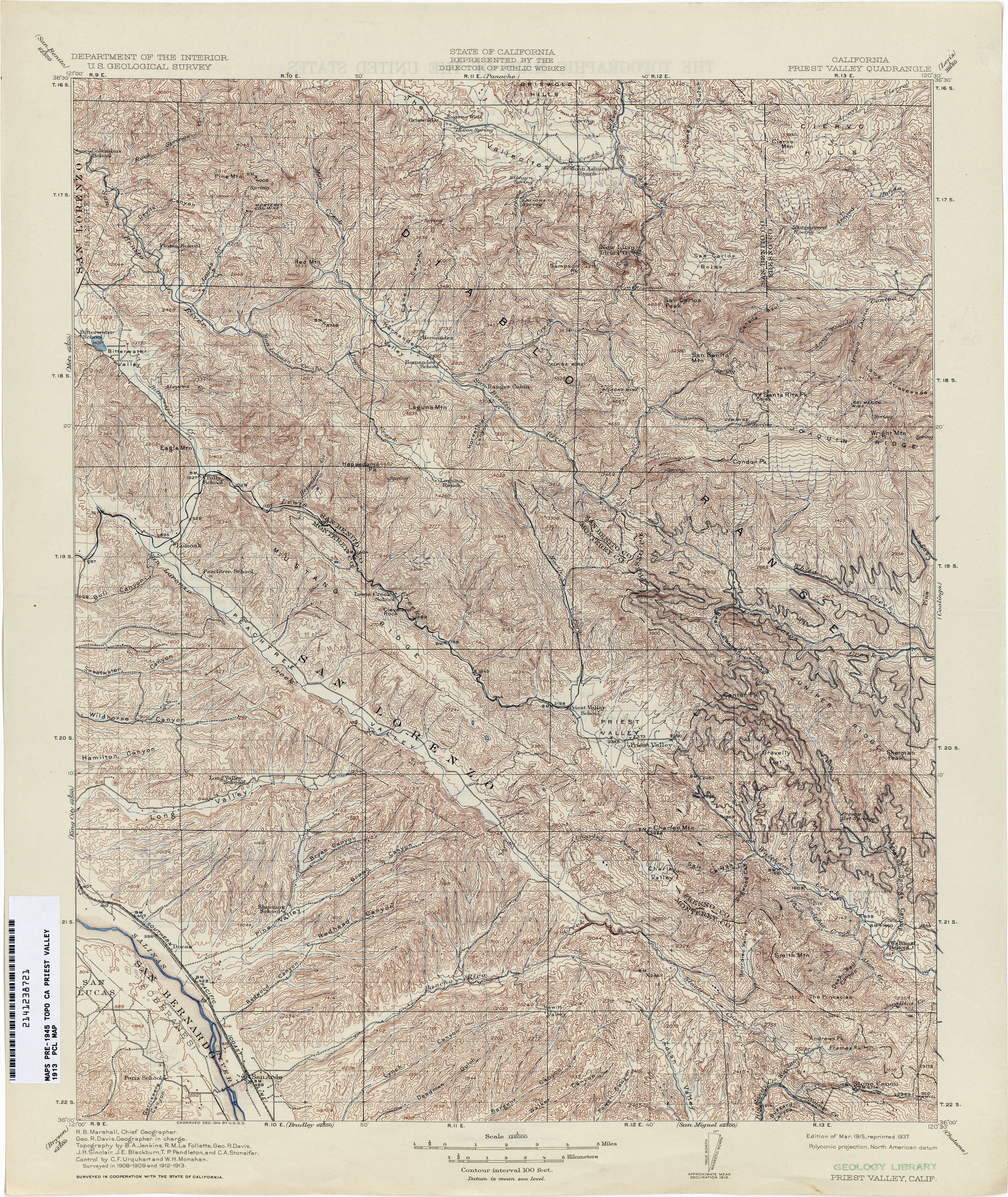
- Priest Valley 1913 1:125,000 (5.7MB)
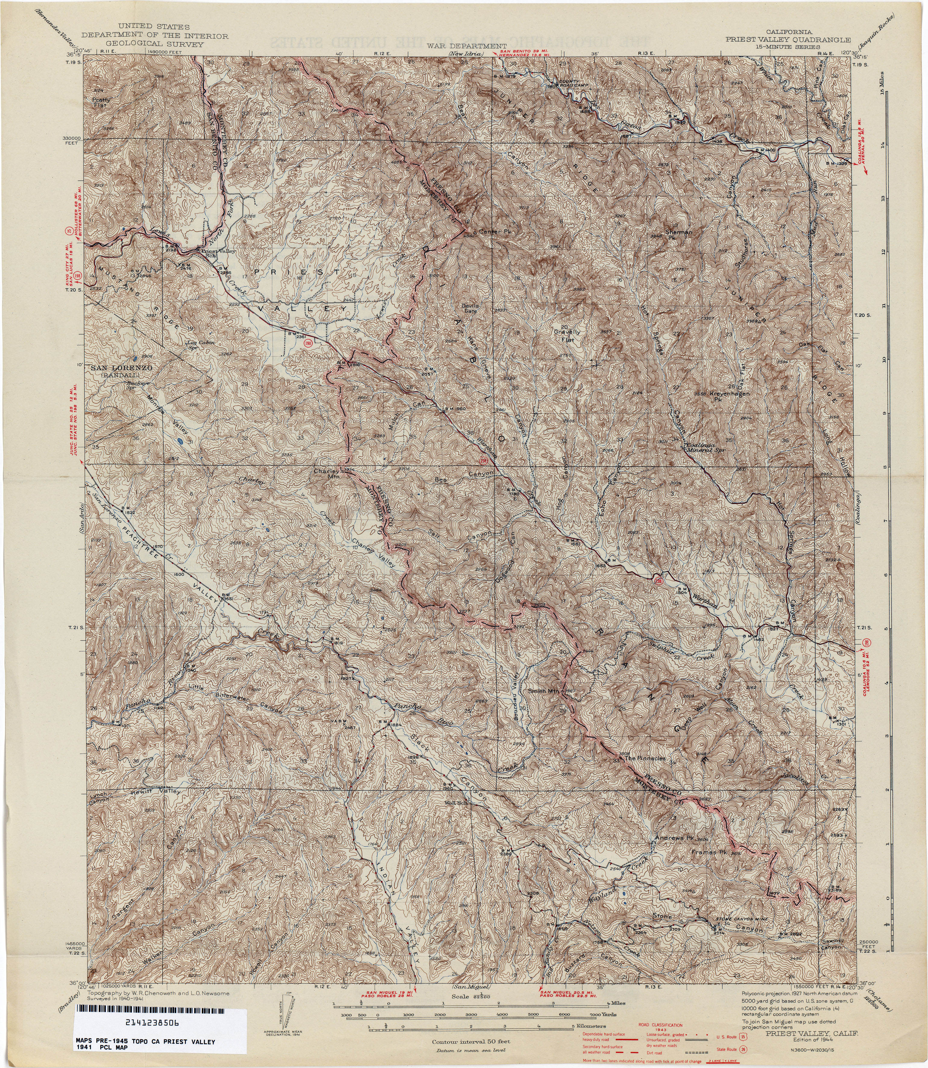
- Priest Valley 1941 1:62,500 (6.0MB)
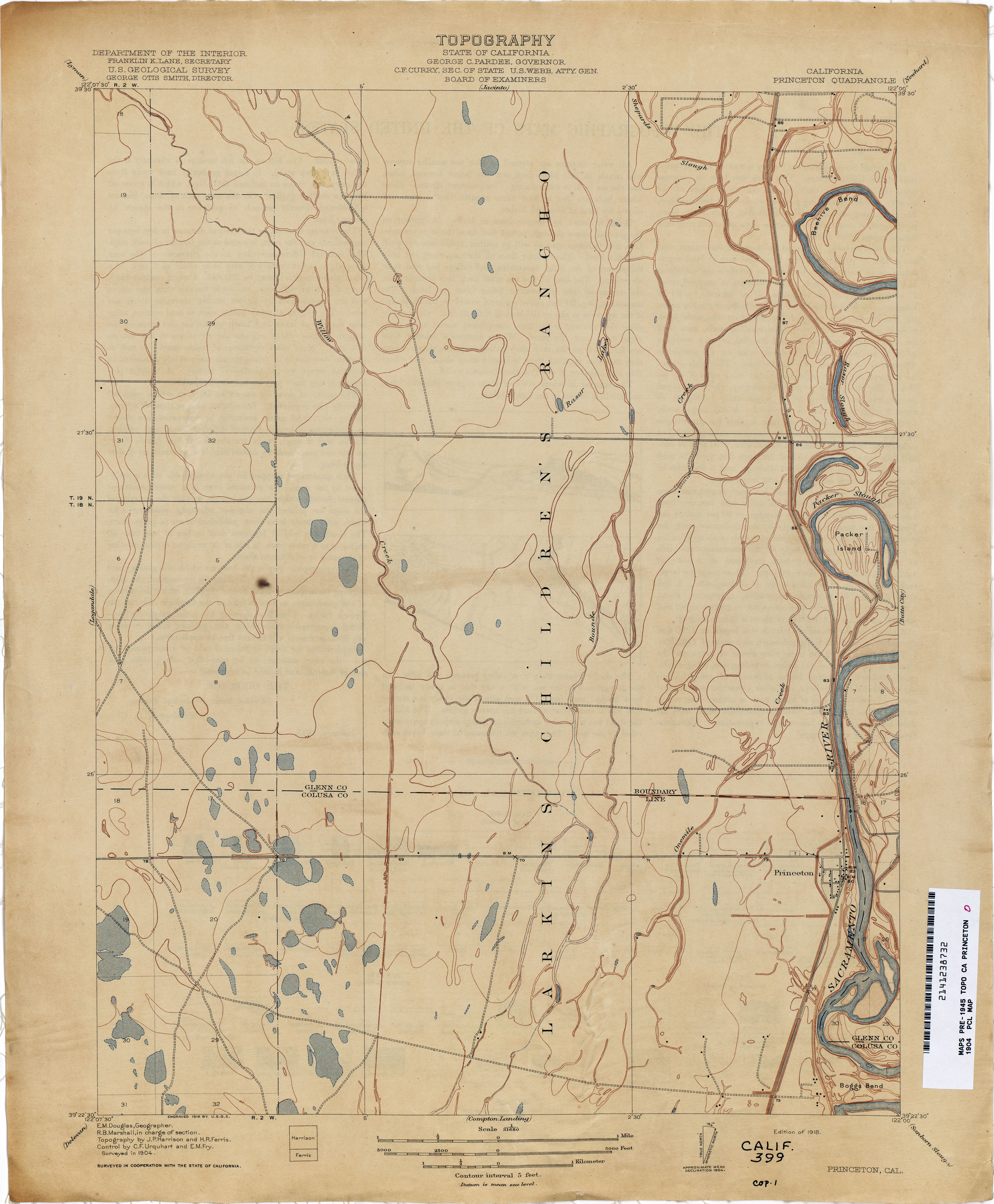
- Princeton 1904 1:31,680 (2.0MB)
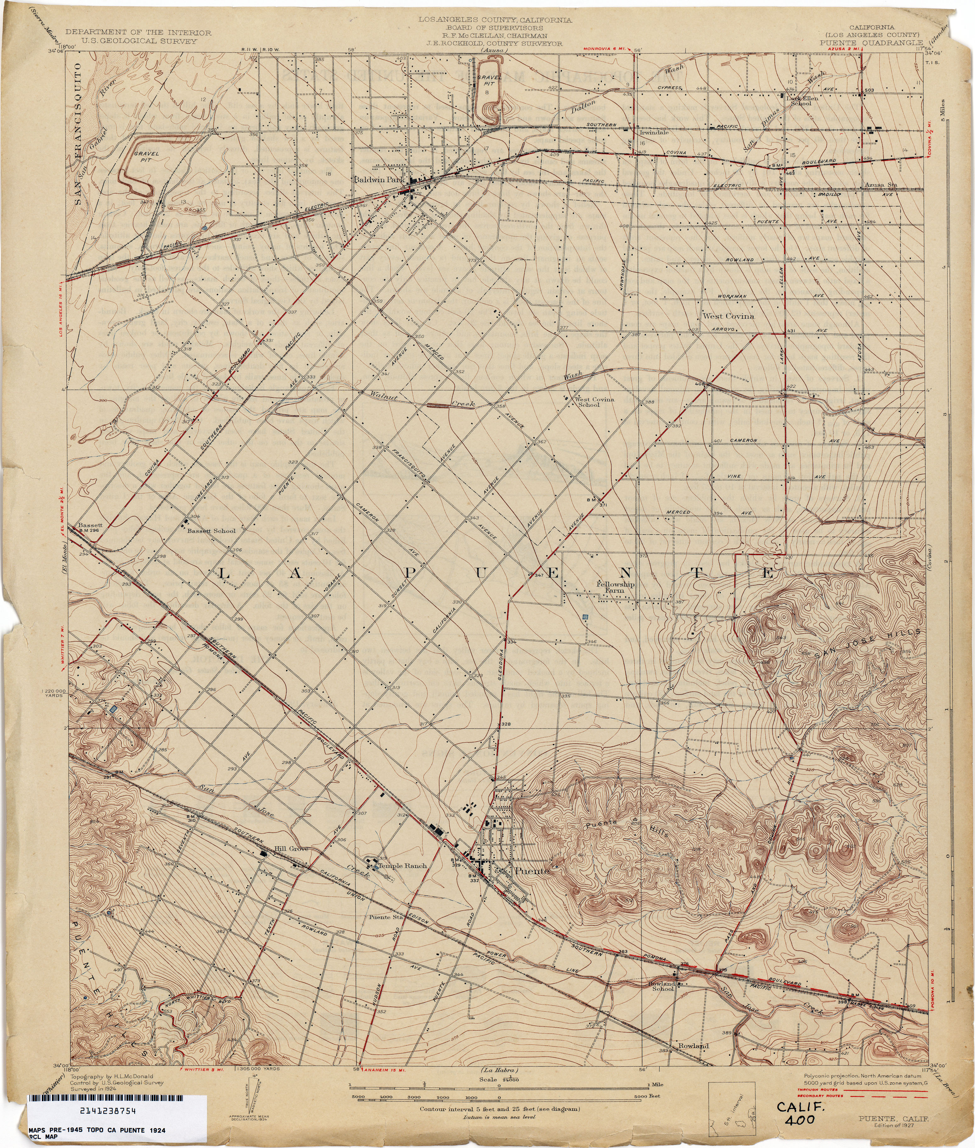
- Puente (Los Angeles County) 1924 1:24,000 (3.3MB)
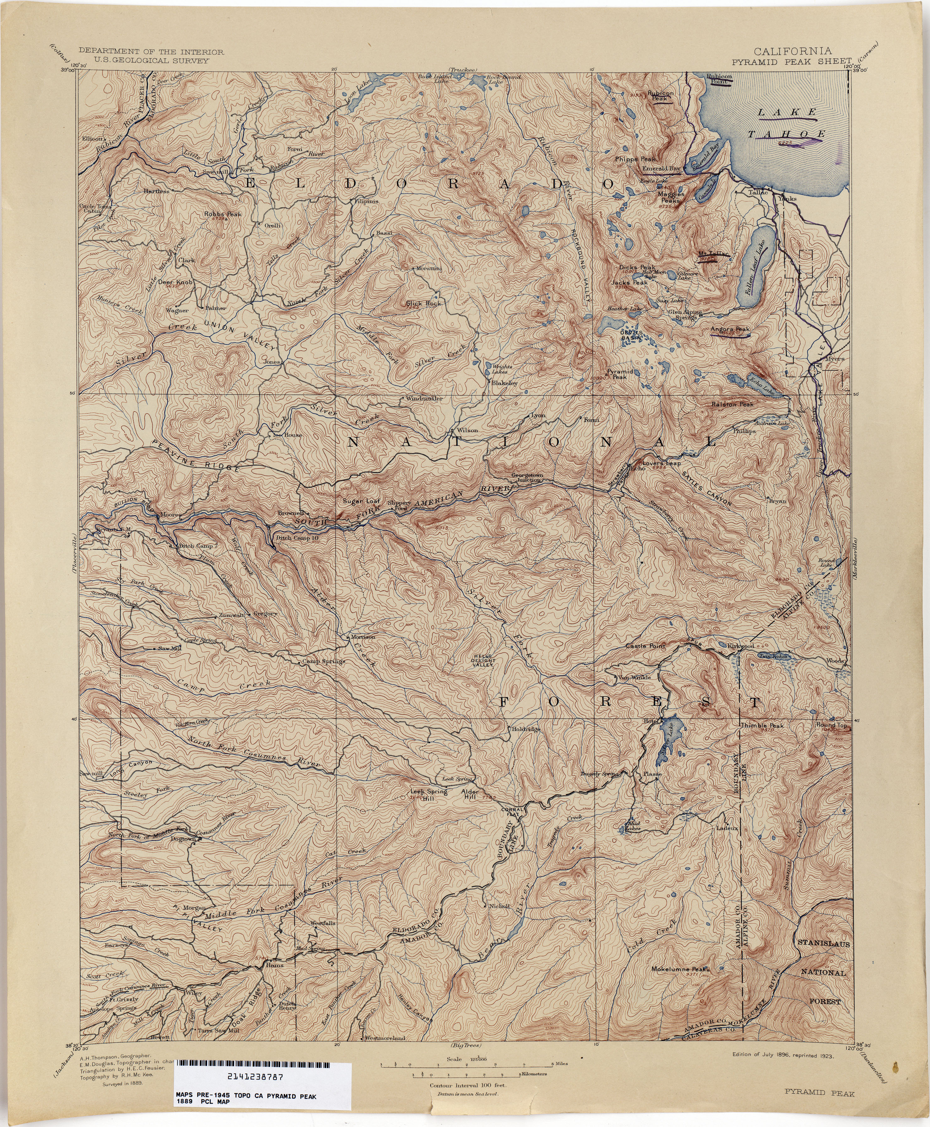
- Pyramid Peak 1889 1:125,000 (4.4MB)
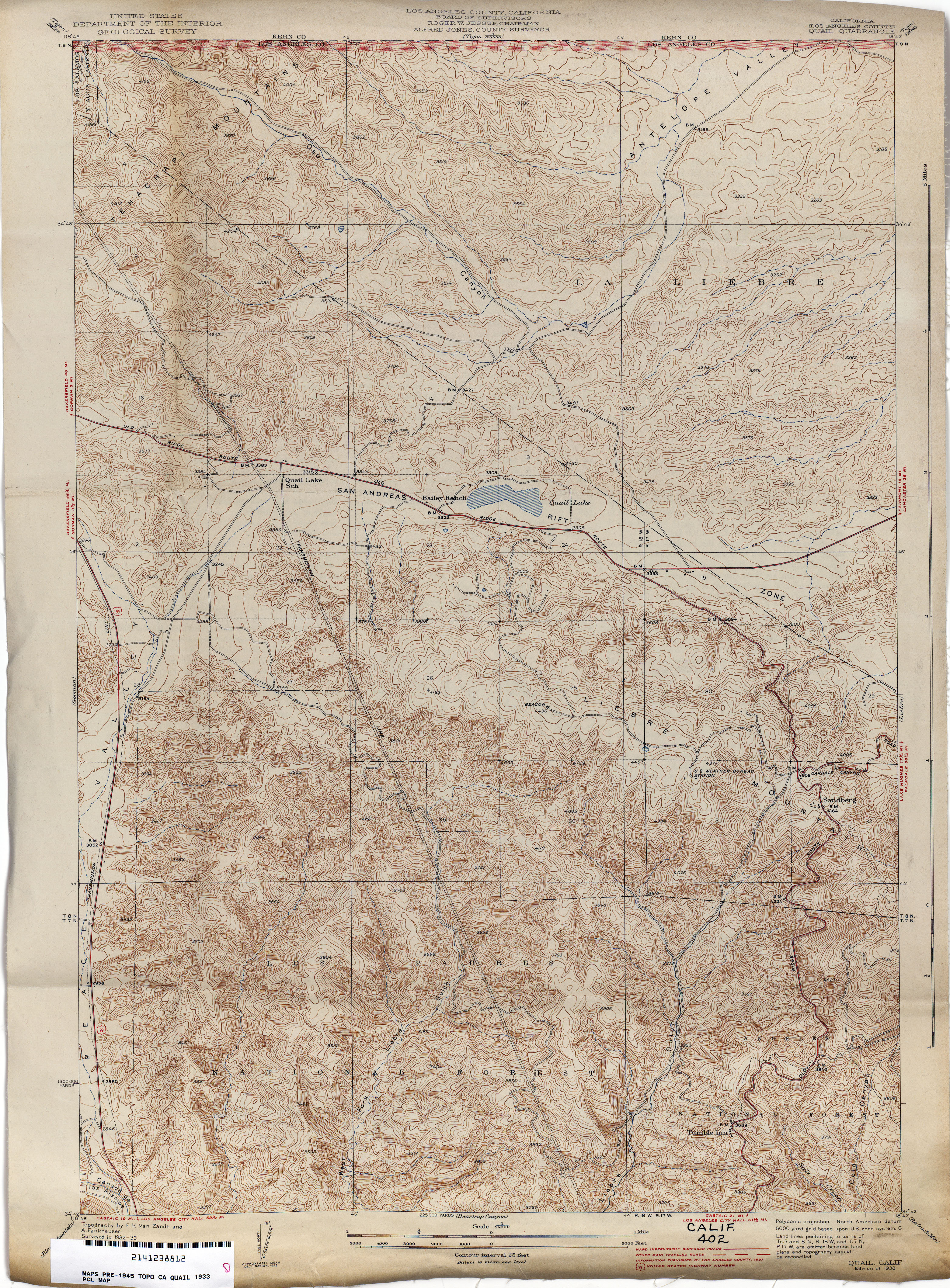
- Quail (Los Angeles County) 1933 1:24,000 (5.4MB)
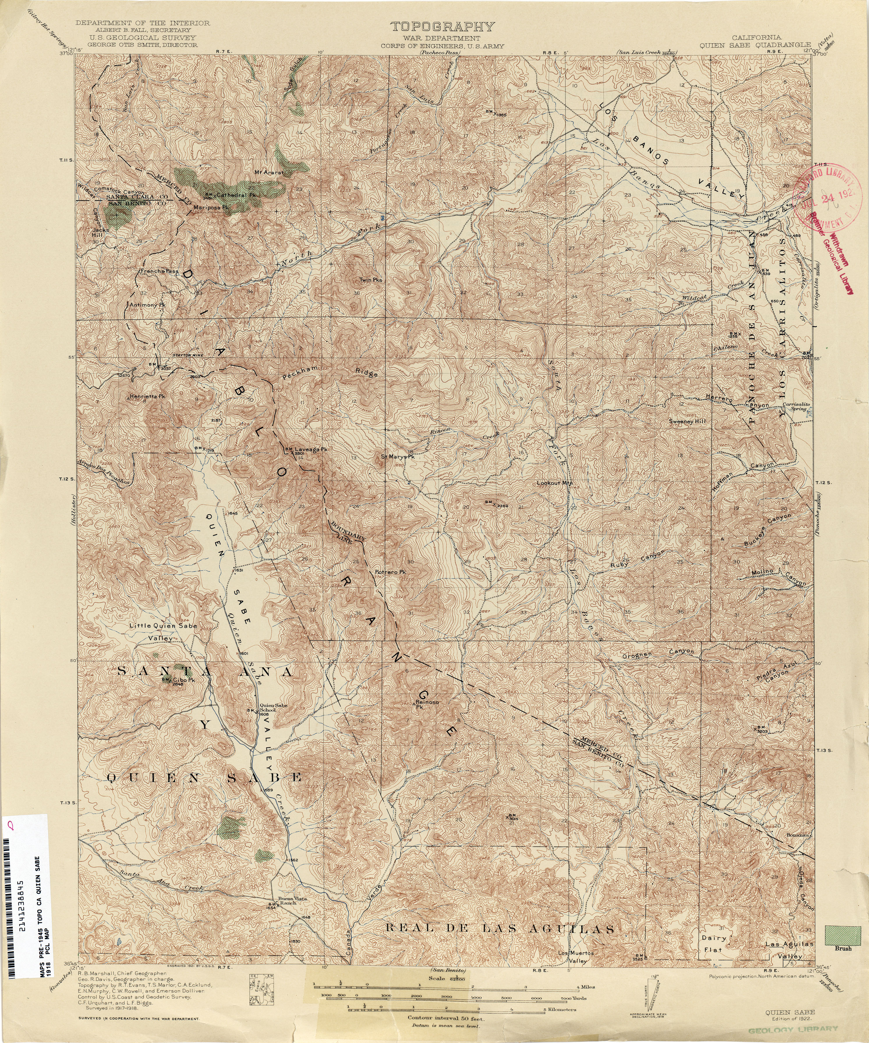
- Quien Sabe 1918 1:62,500 (5.0MB)
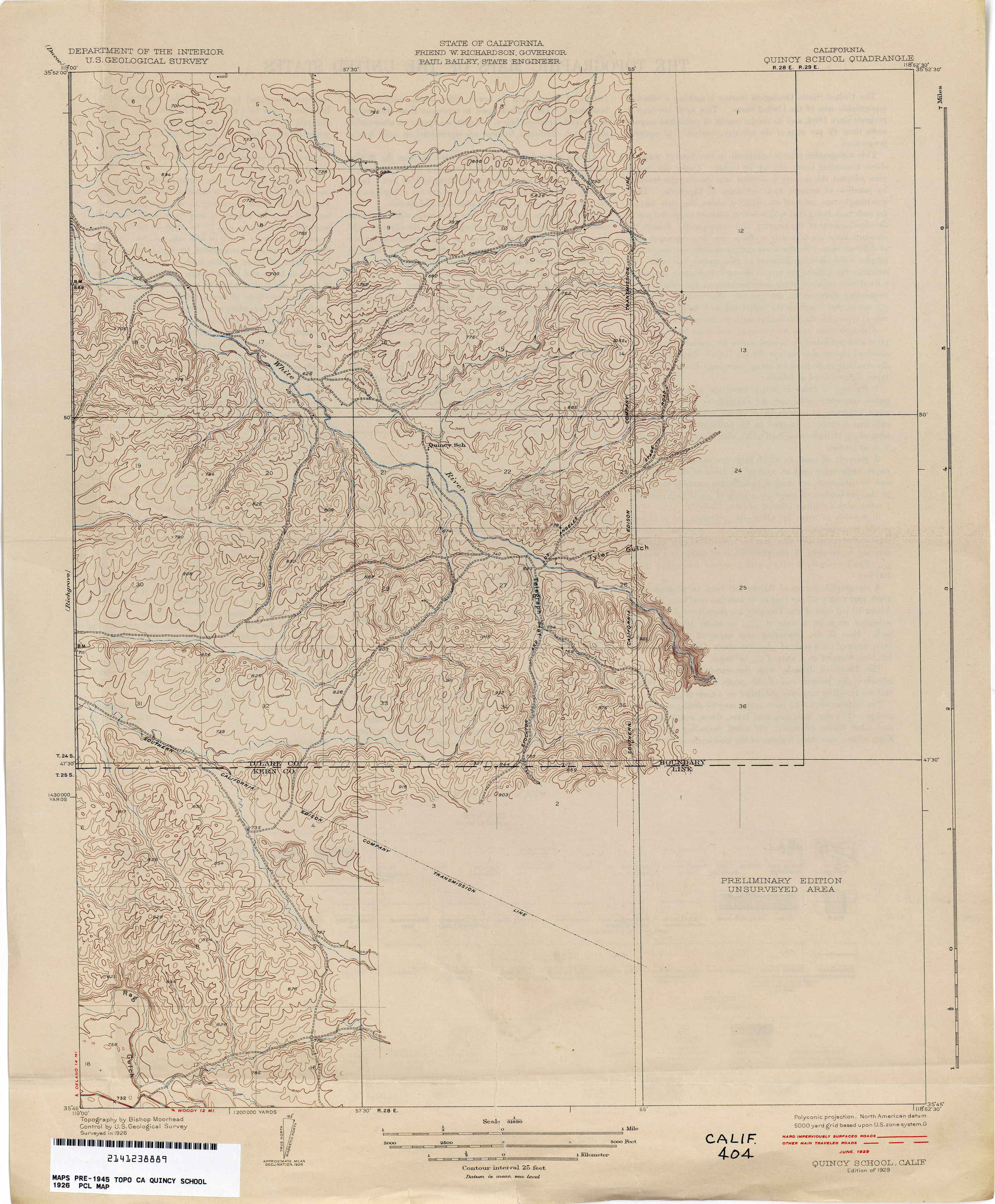
- Quincy School 1926 1:31,680 (2.4MB)
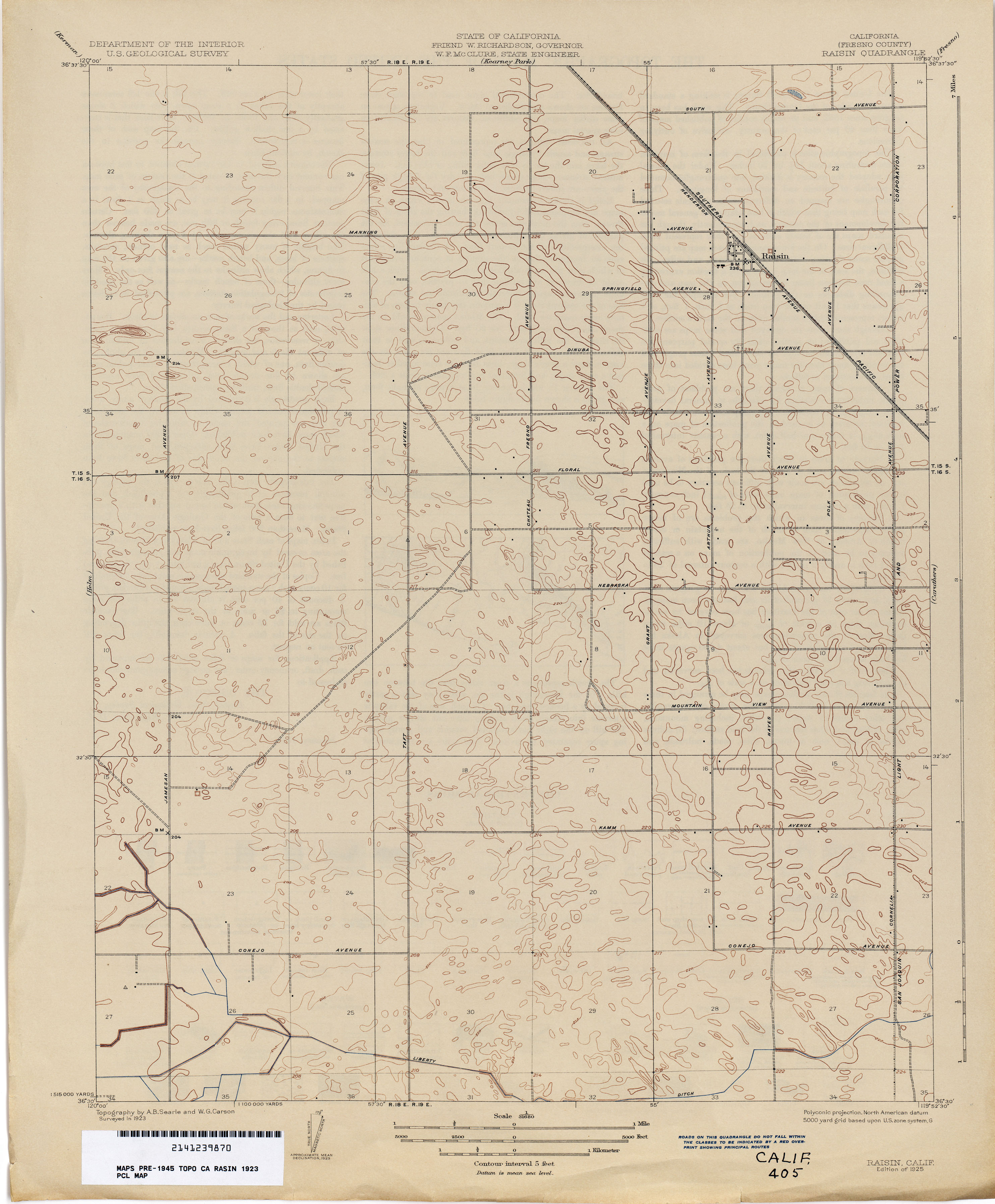
- Raisin (Fresno County) 1923 1:31,680 (1.9MB)
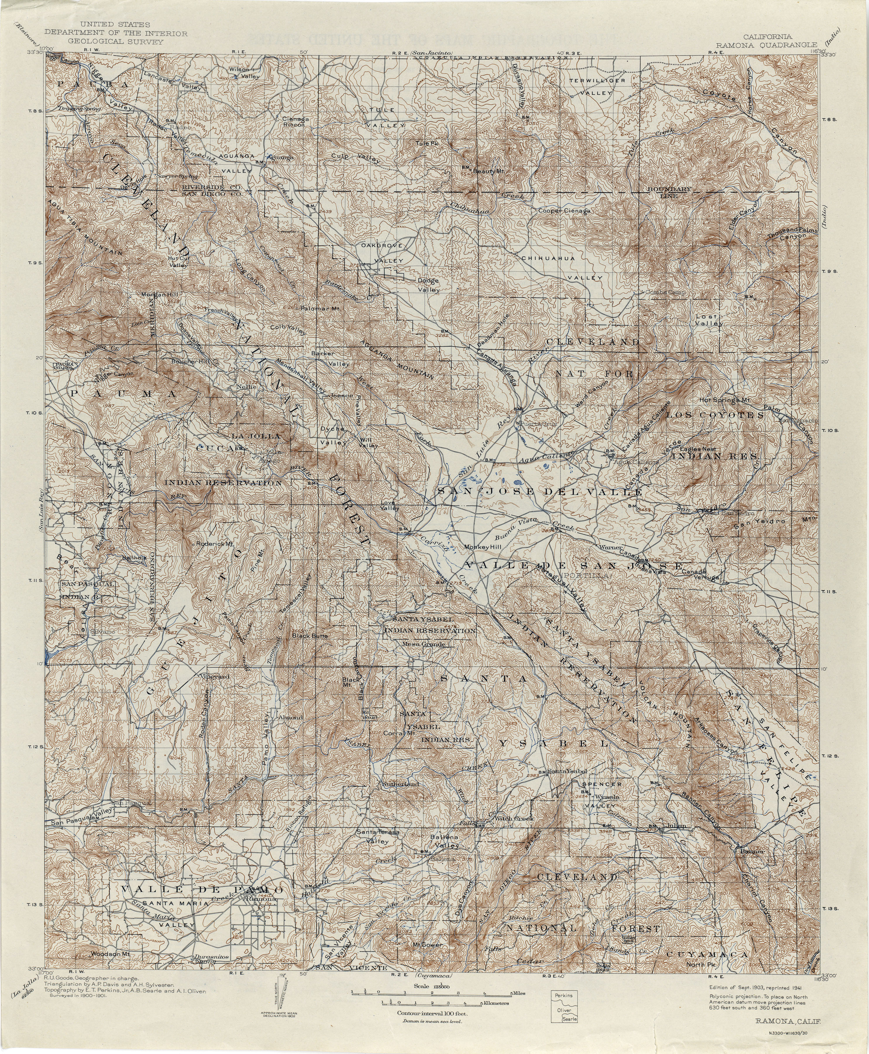
- Ramona 1901 1:125,000 (5.2MB)
- Randsburg 1911 1:62,500 (3.0MB)
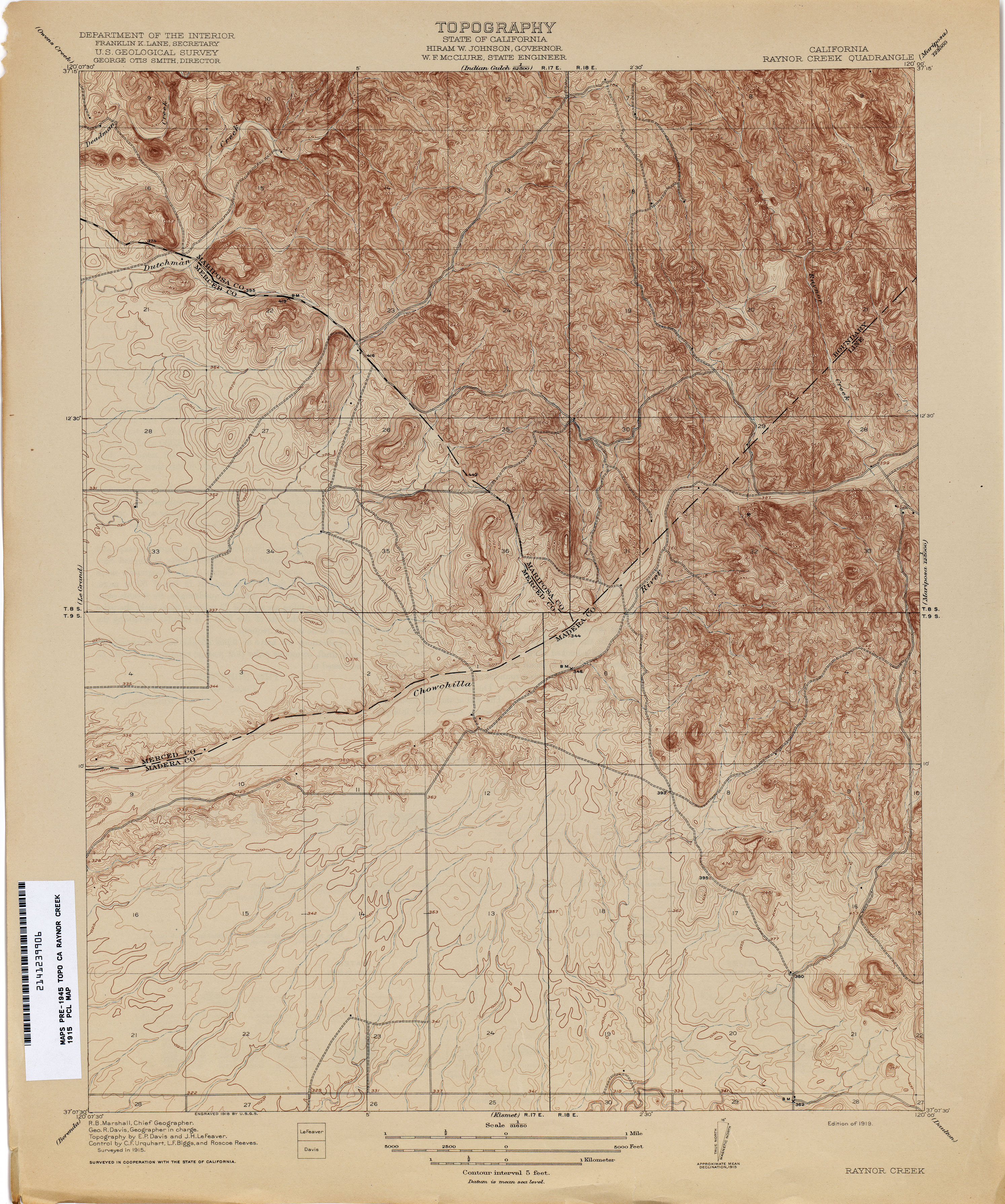
- Raynor Creek 1915 1:31,680 (3.5MB)
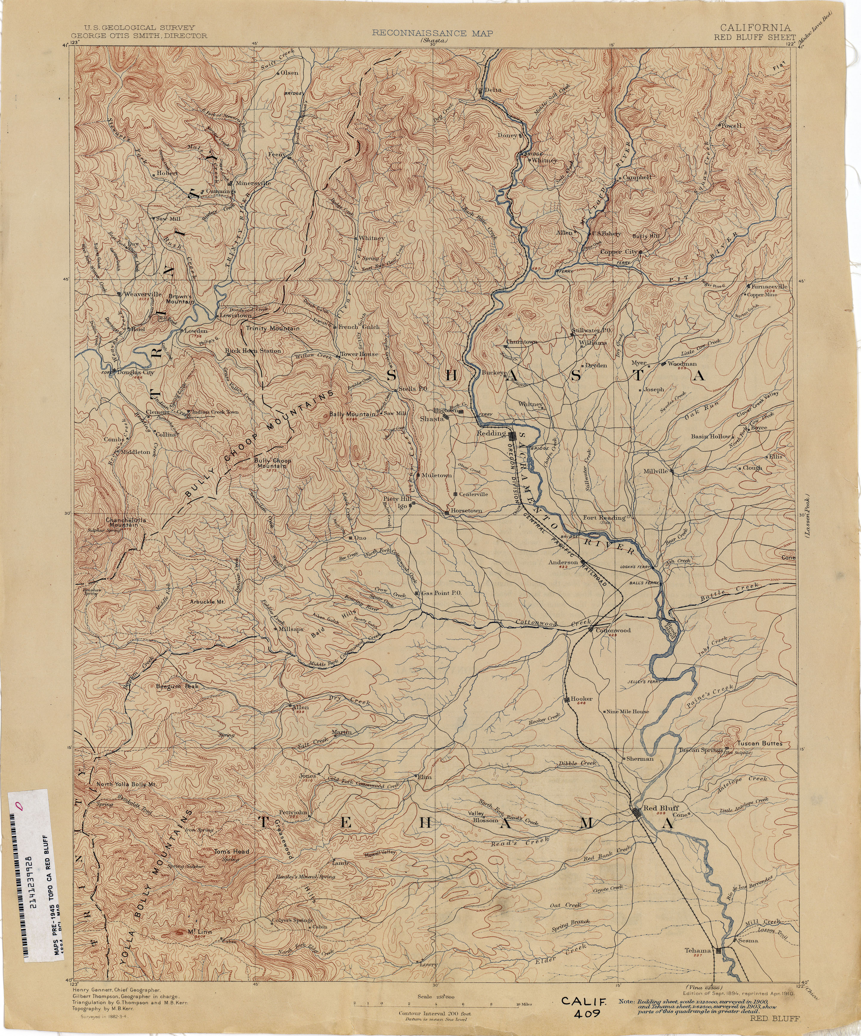
- Red Bluff 1884 1:250,000 (3.2MB)
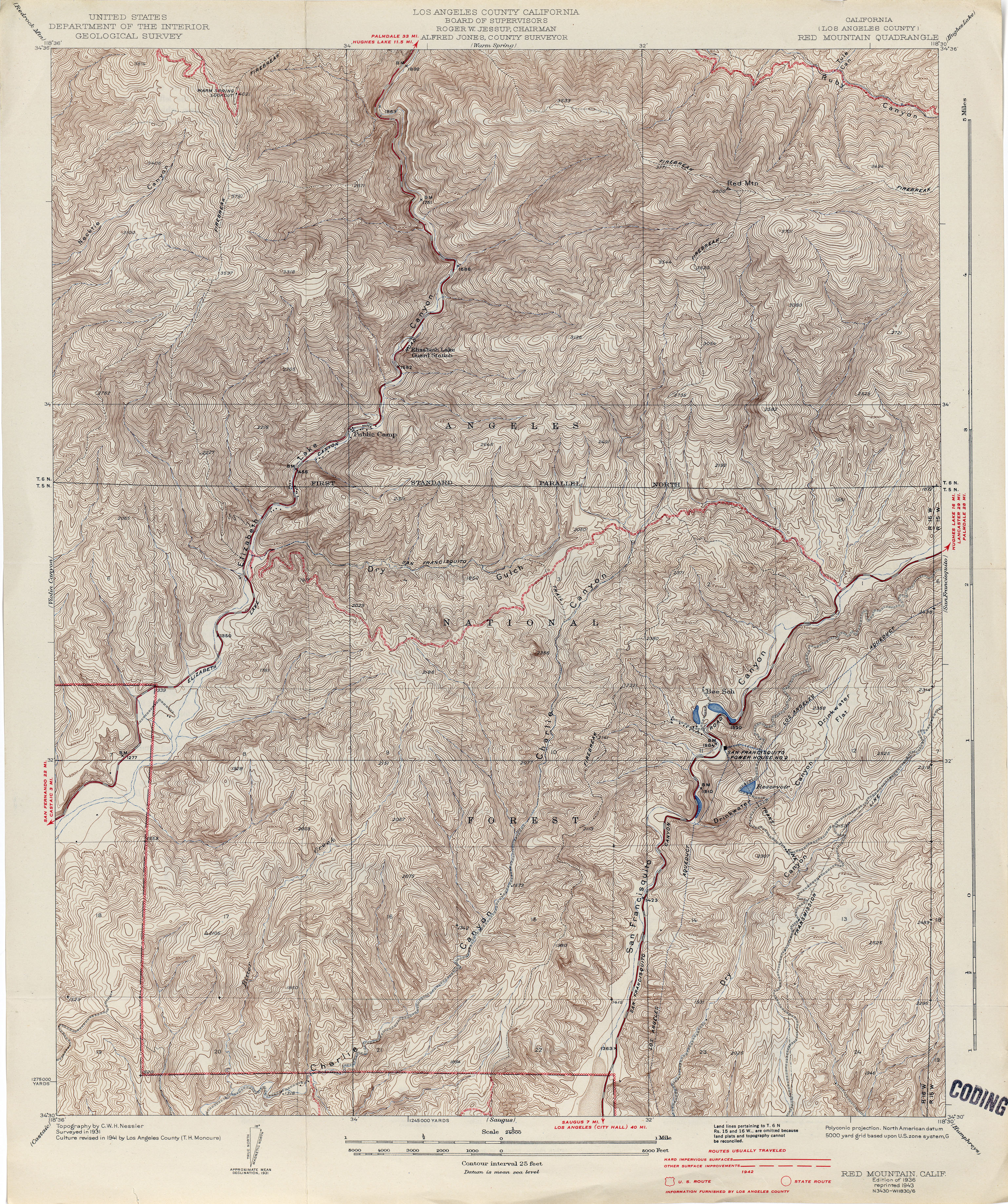
- Red Mountain (Los Angeles County) 1931 1:24,000 (5.7MB)
- Red Mountain (Los Angeles County) 1941 1:24,000 (5.5MB)
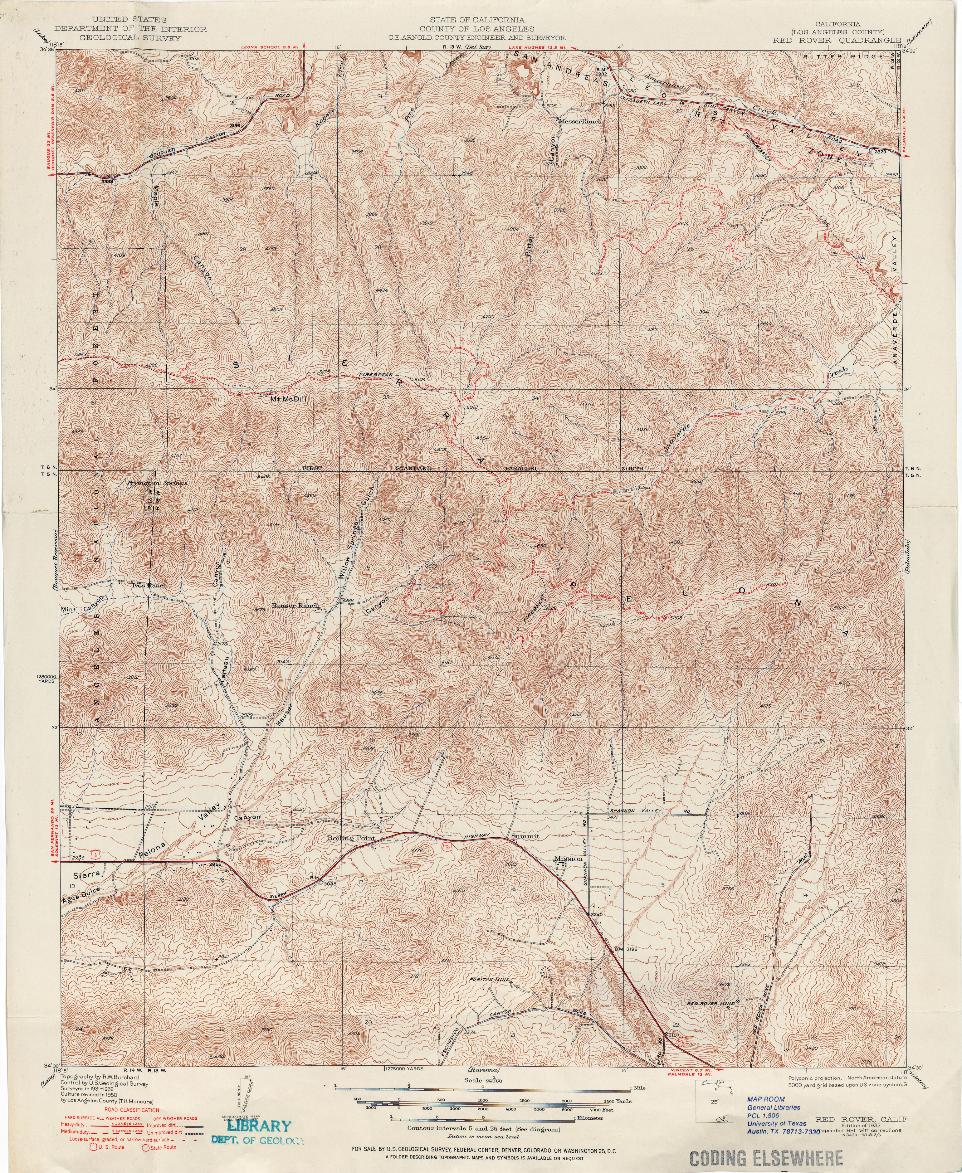
- Red Rover (Los Angeles County) 1937 1:24,000 (5.6MB)
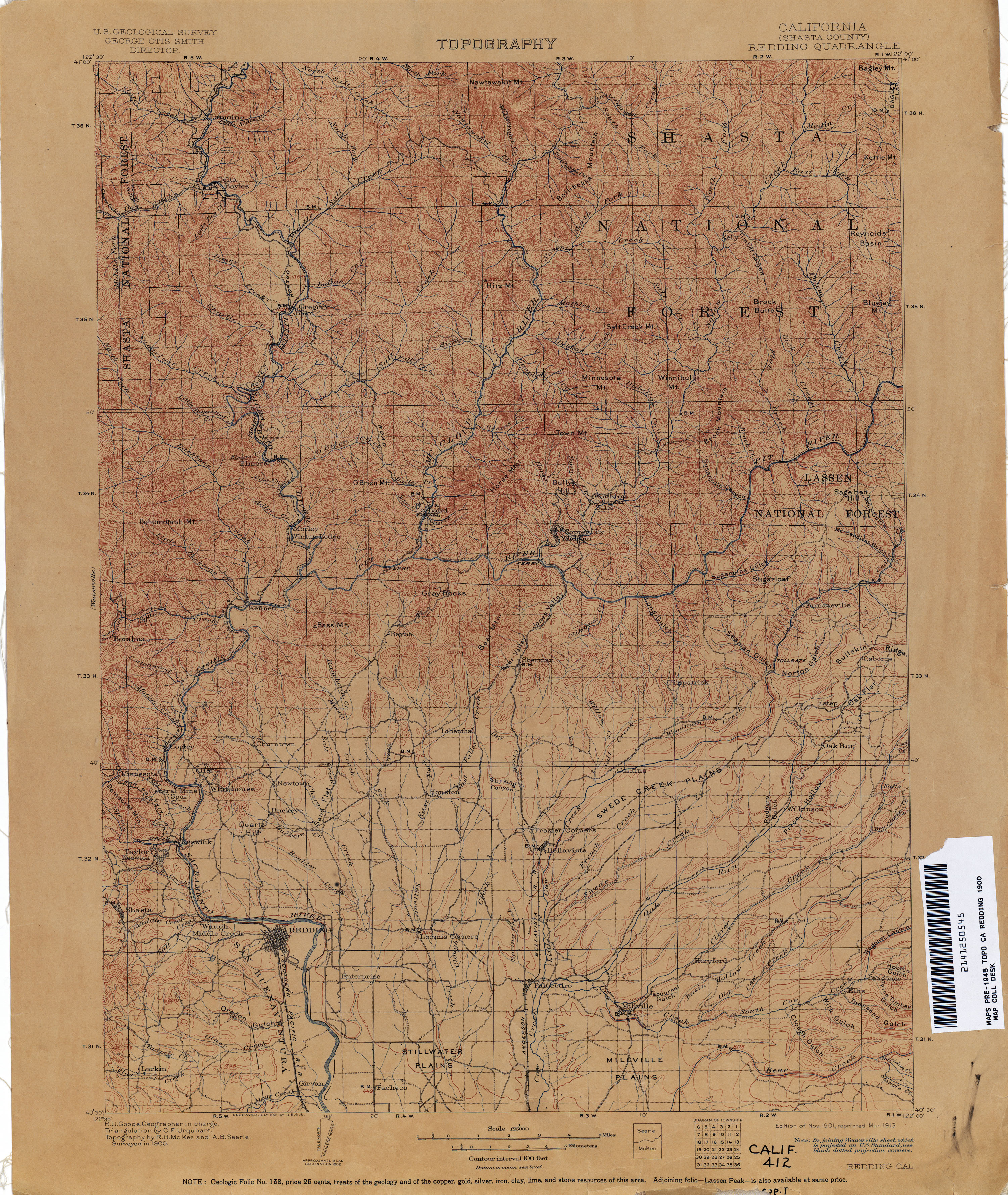
- Redding (Shasta County)1900 1:125,000 (3.9MB)
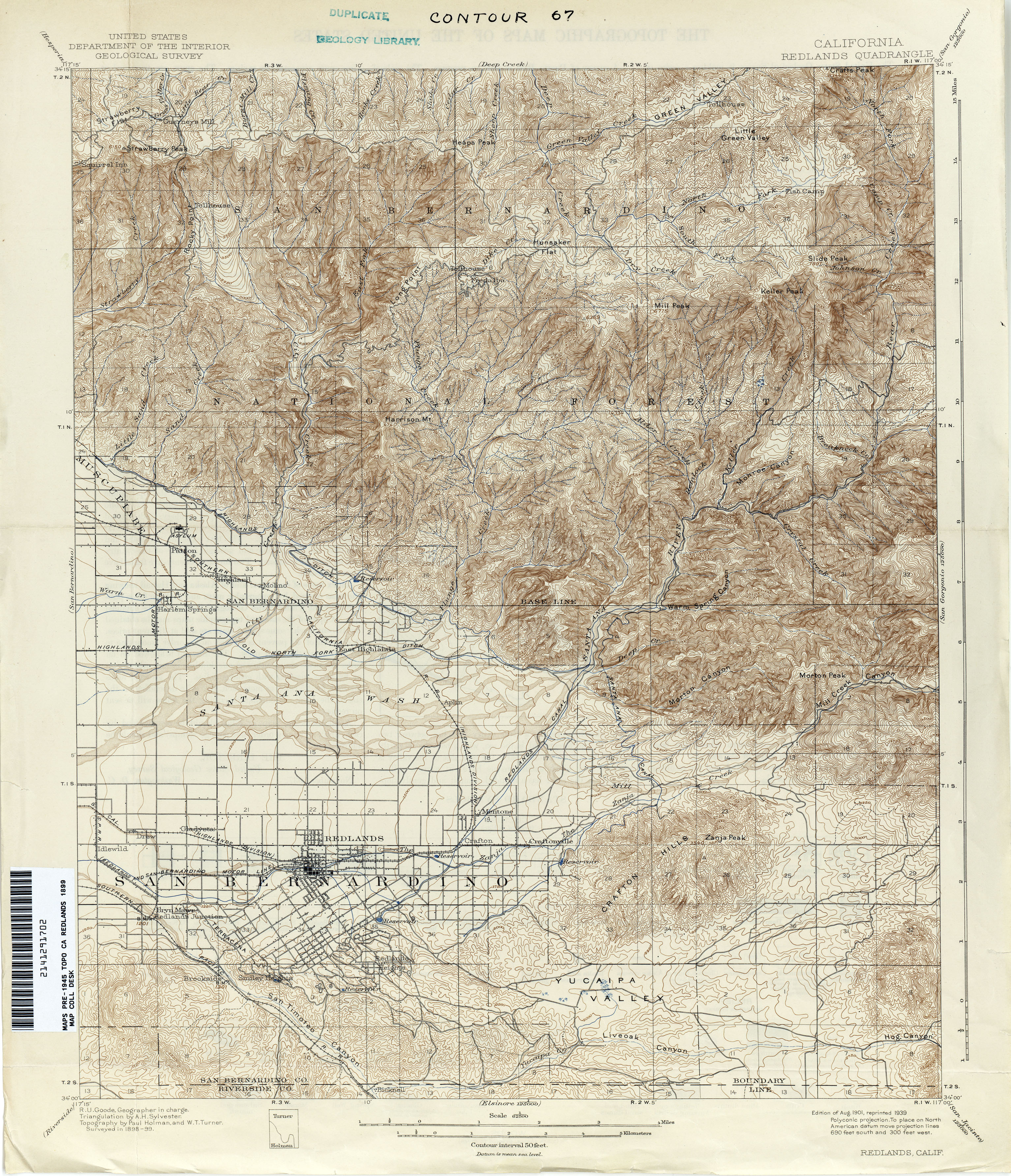
- Redlands 1899 1:62,500 (4.9MB)
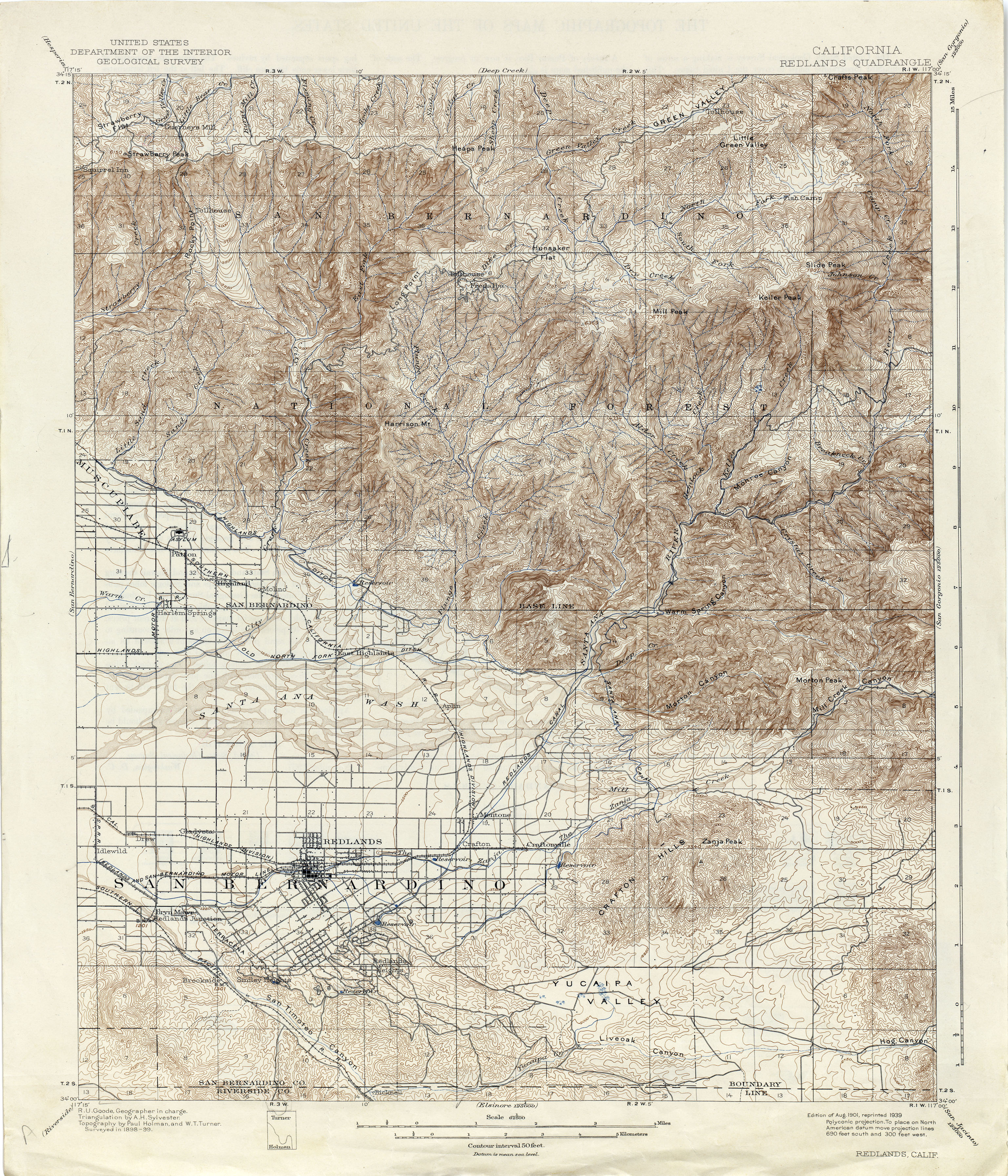
- Redlands 1899 1:62,500 (5.1MB)
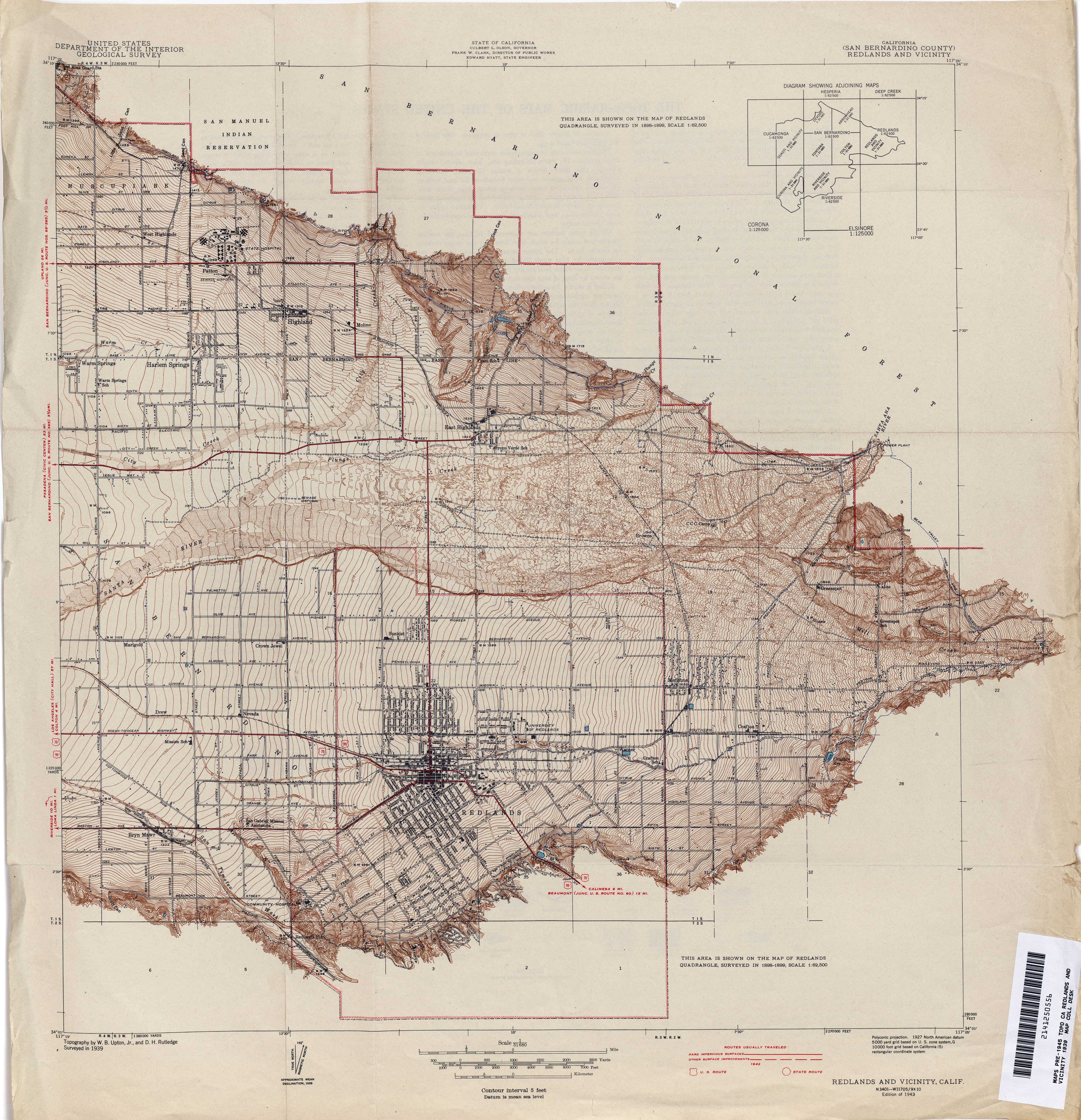
- Redlands and Vicinity (San Bernardino County) 1939 1:31,680 (5.1MB)
- Redondo (Los Angeles County) 1894 1:62,500 (2.5MB)
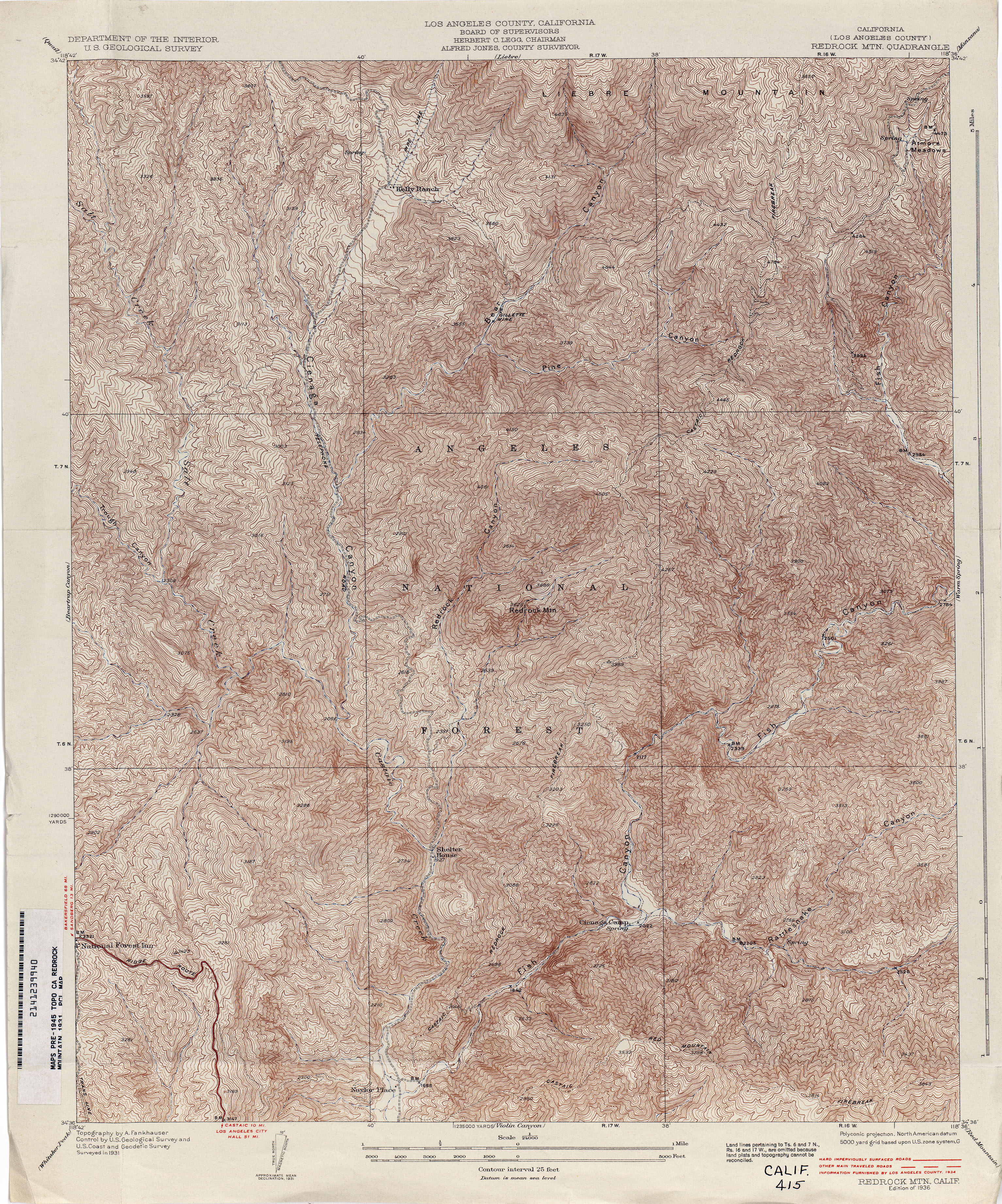
- Redrock Mountain (Los Angeles County) 1931 1:24,000 (6.1MB)
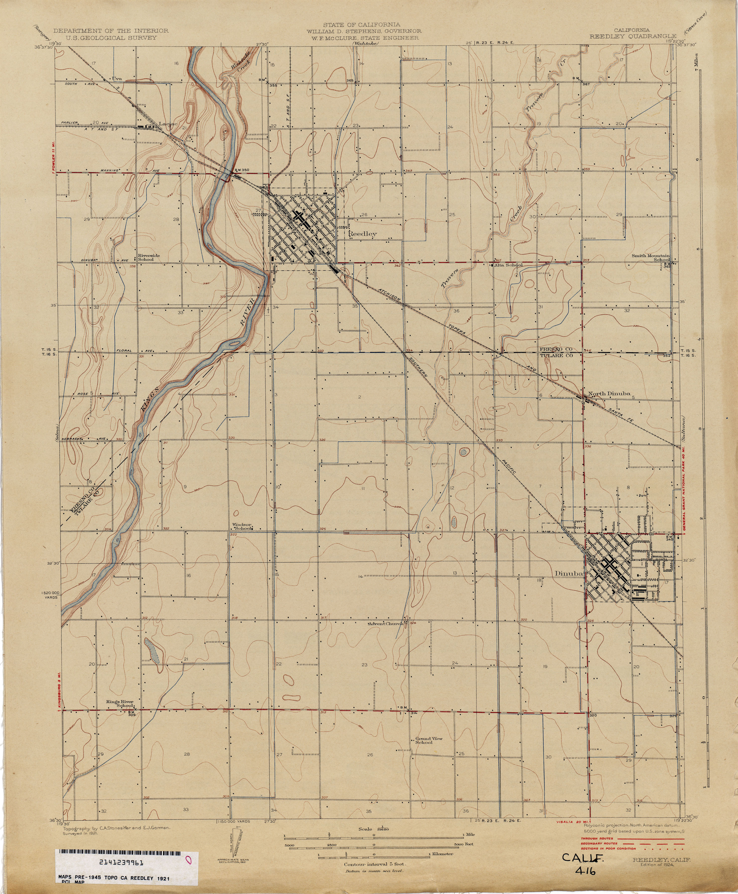
- Reedley 1921 1:31,680 (2.0MB)
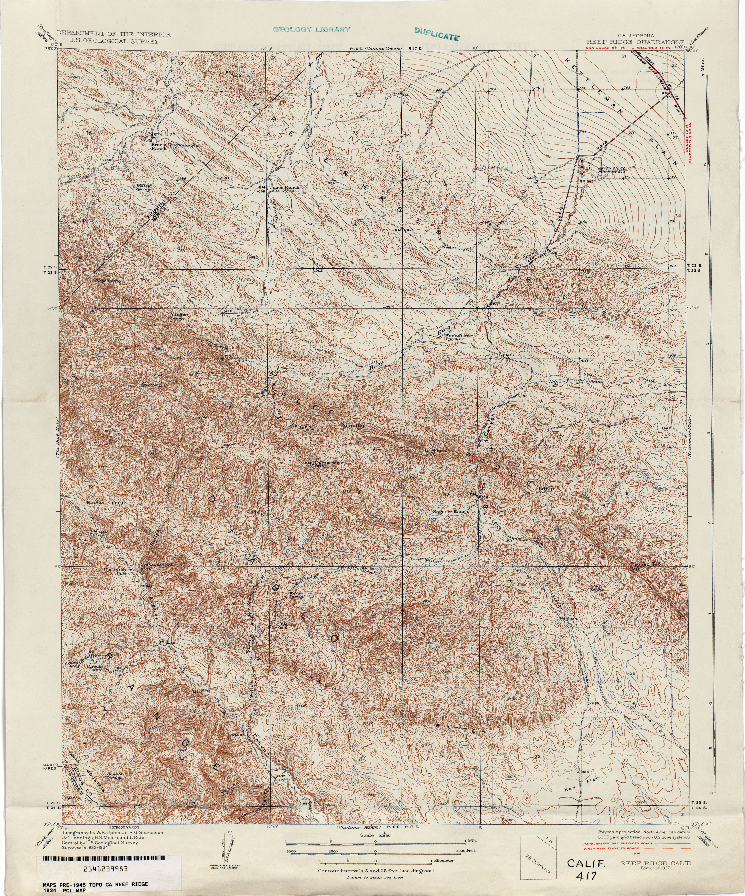
- Reef Ridge 1934 1:31,680 (4.9MB)
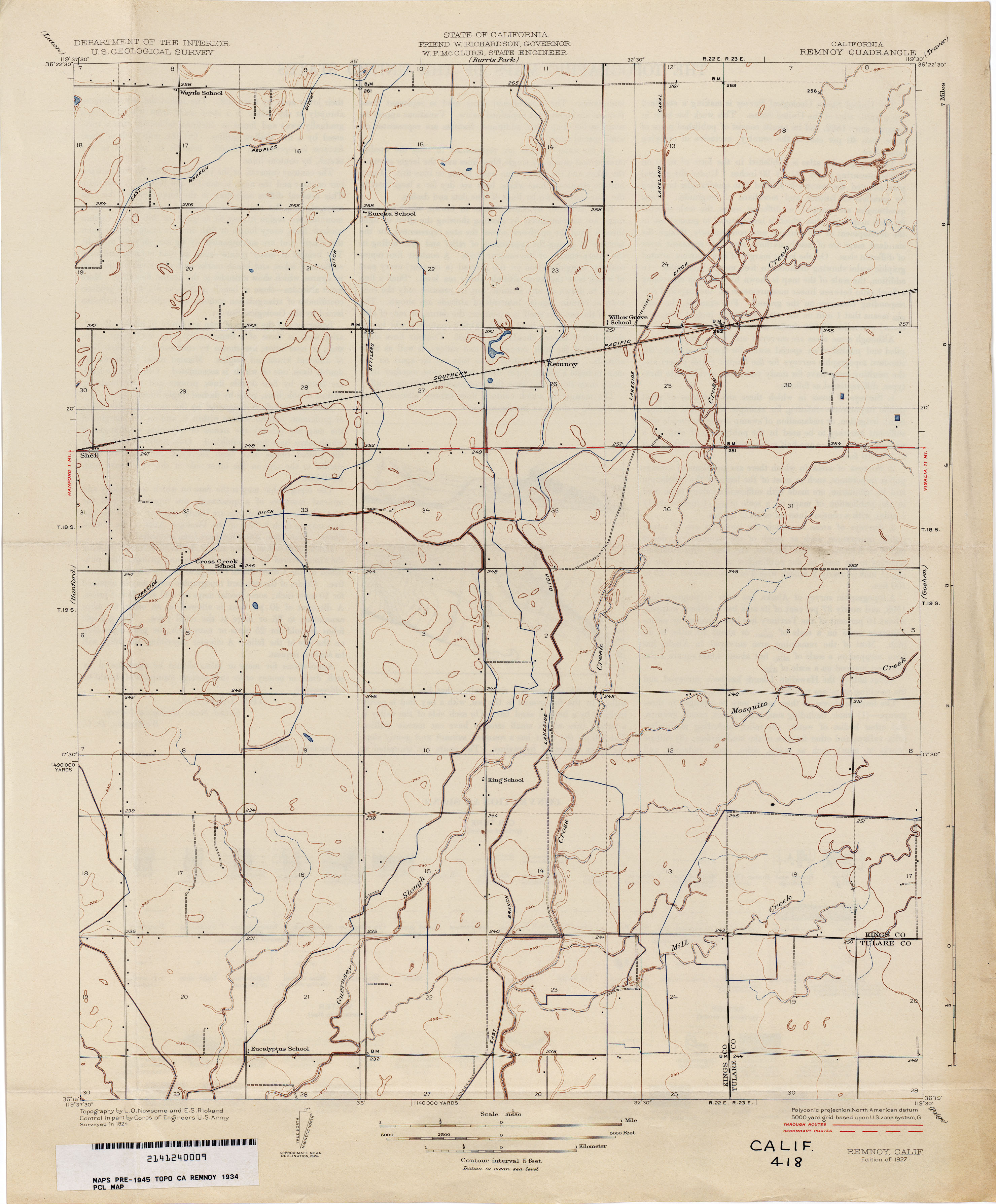
- Remnoy 1934 1:31,680 (1.9MB)
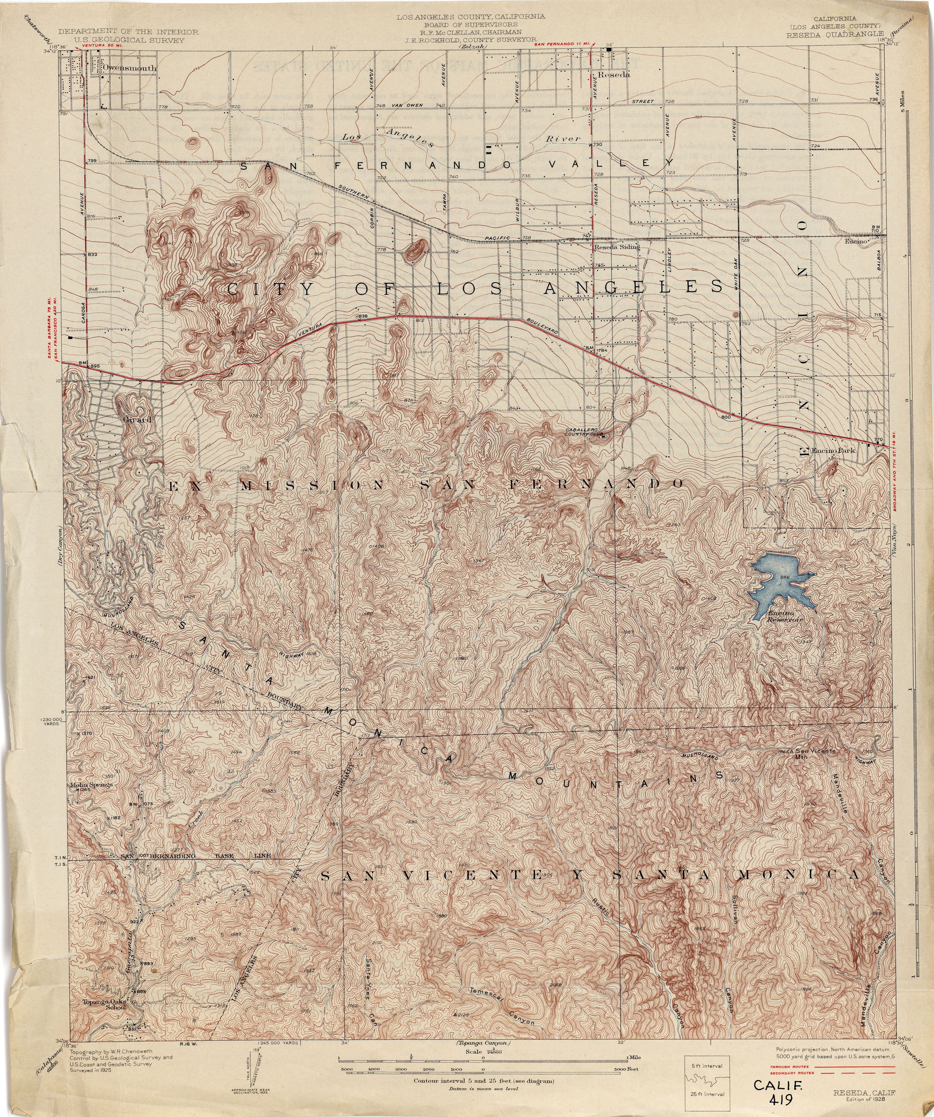
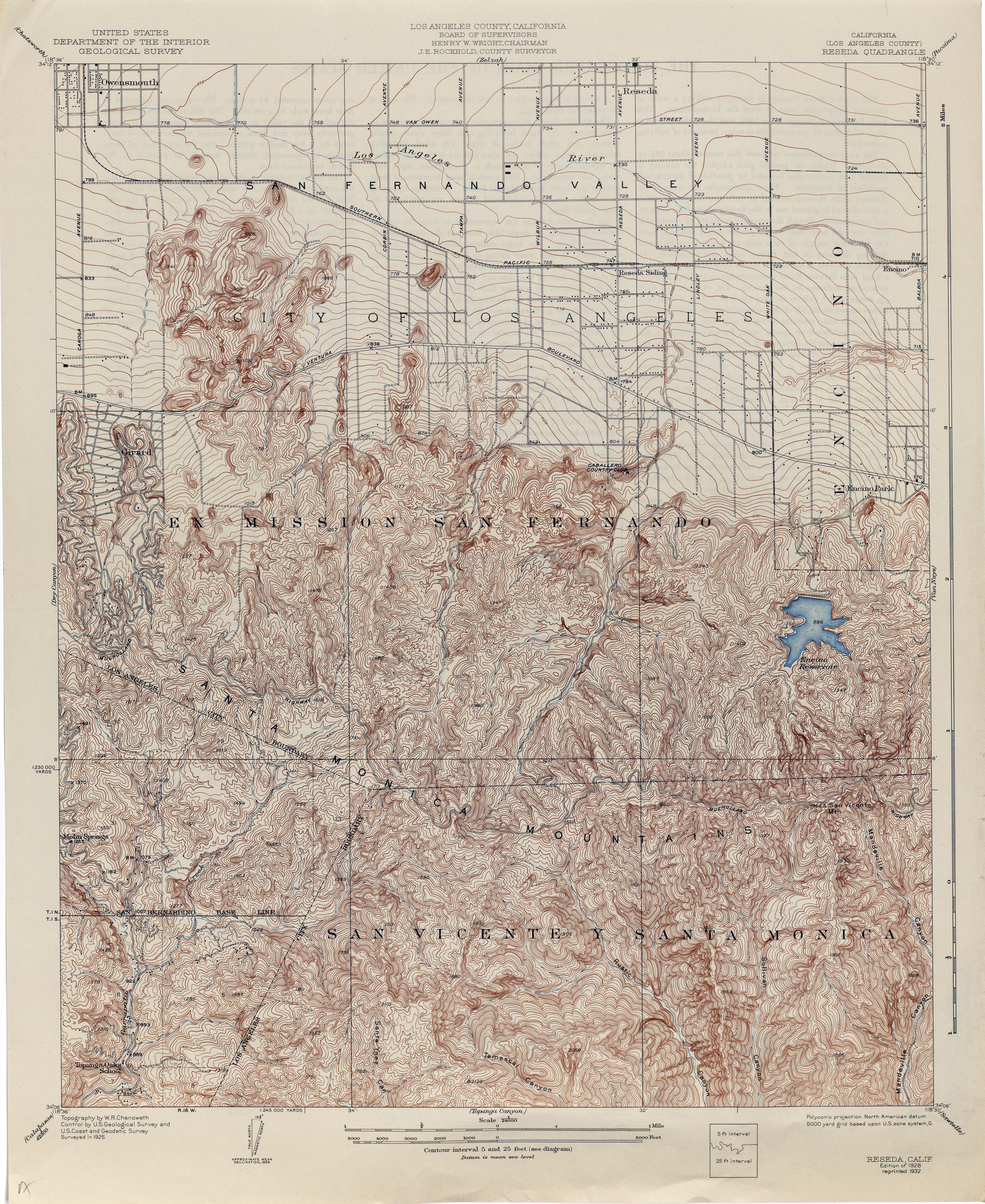
- Reseda (Los Angeles County) 1925 1:24,000 (4.6MB)
- Reseda (Los Angeles County) 1925 1:24,000 (4.6MB)
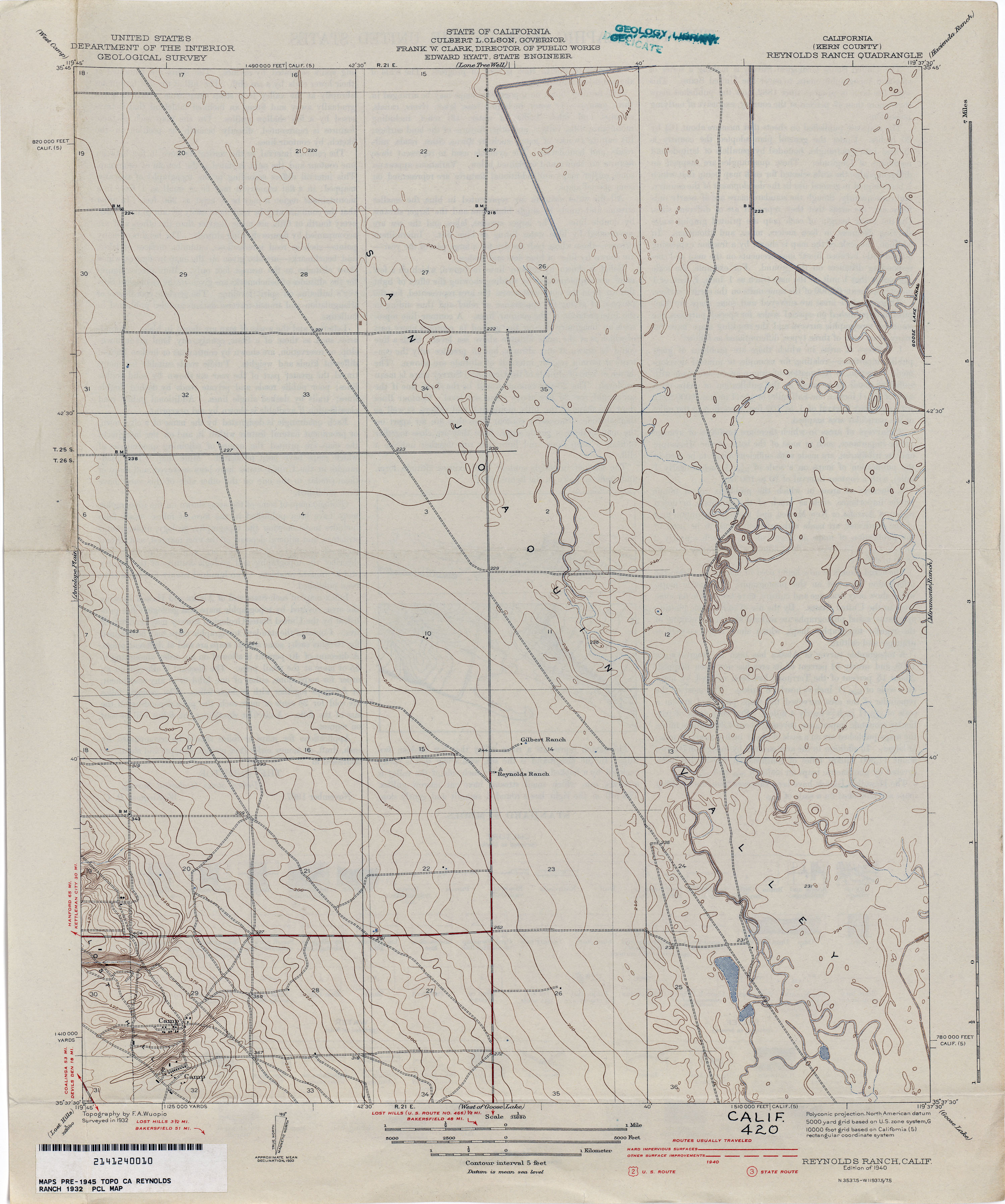
- Reynolds Ranch (Kern County) 1932 1:31,680 (2.1MB)
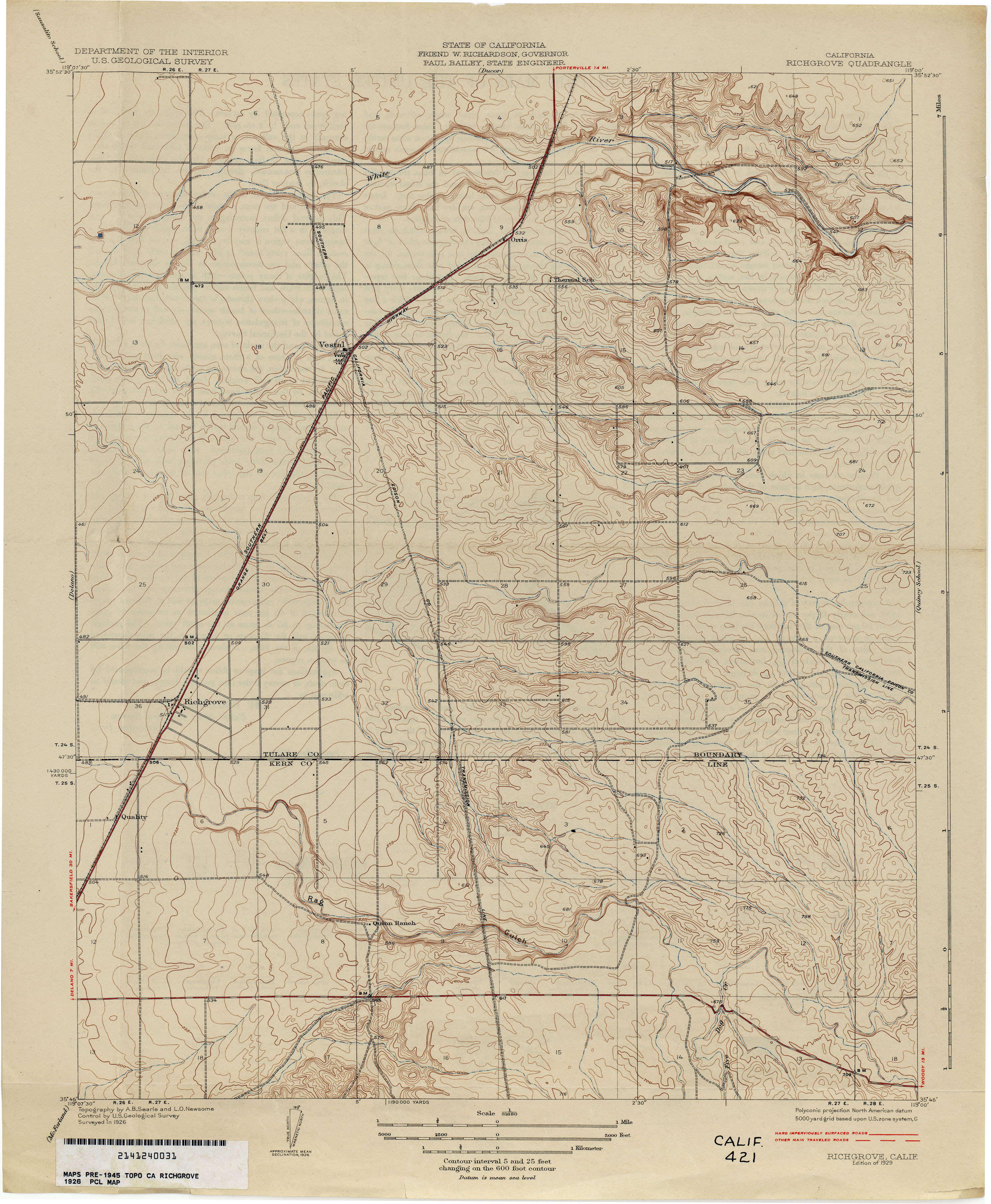
- Richgrove 1926 1:31,680 (2.7MB)
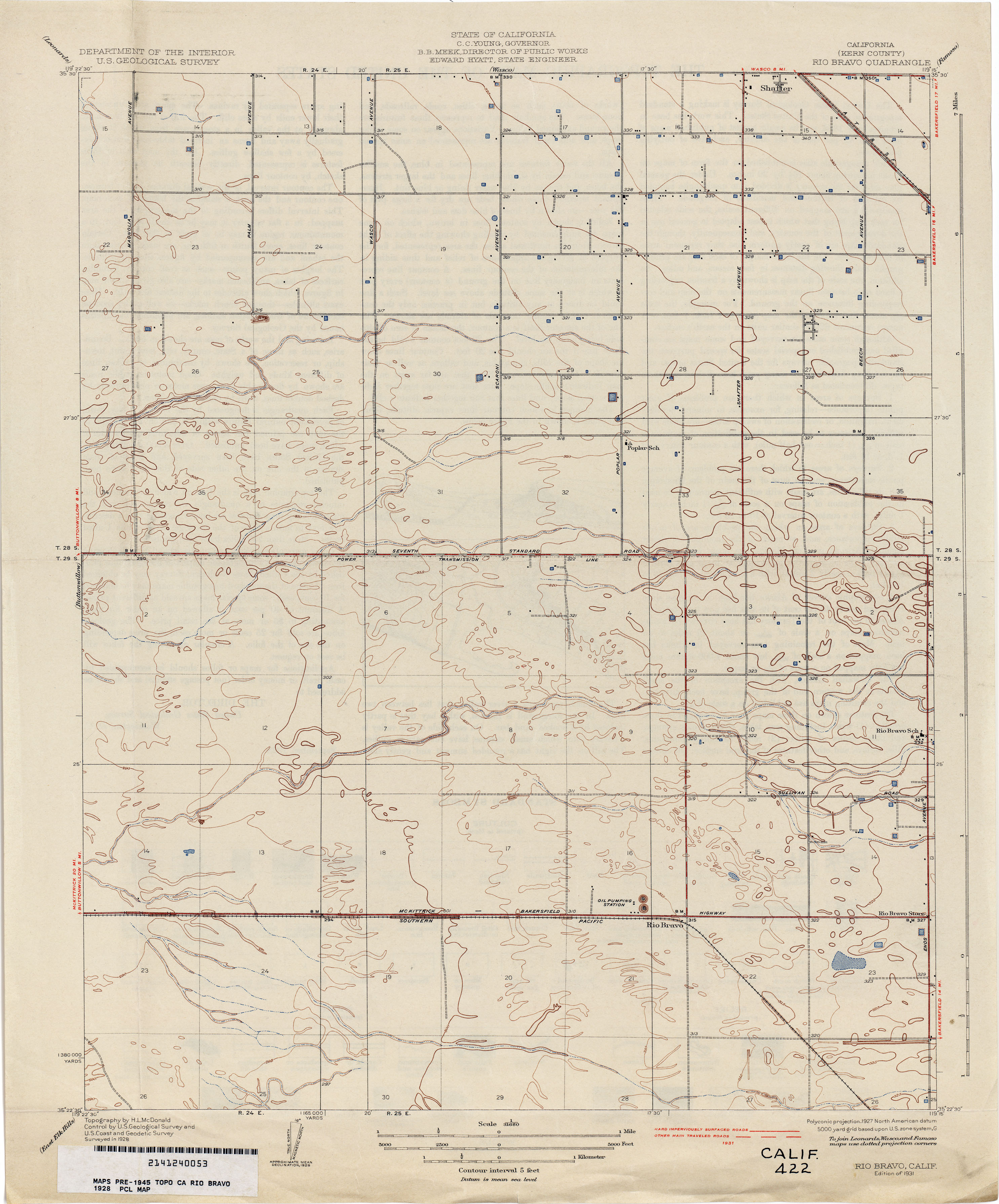
- Rio Bravo (Kern County) 1928 1:31,680 (2.0MB)
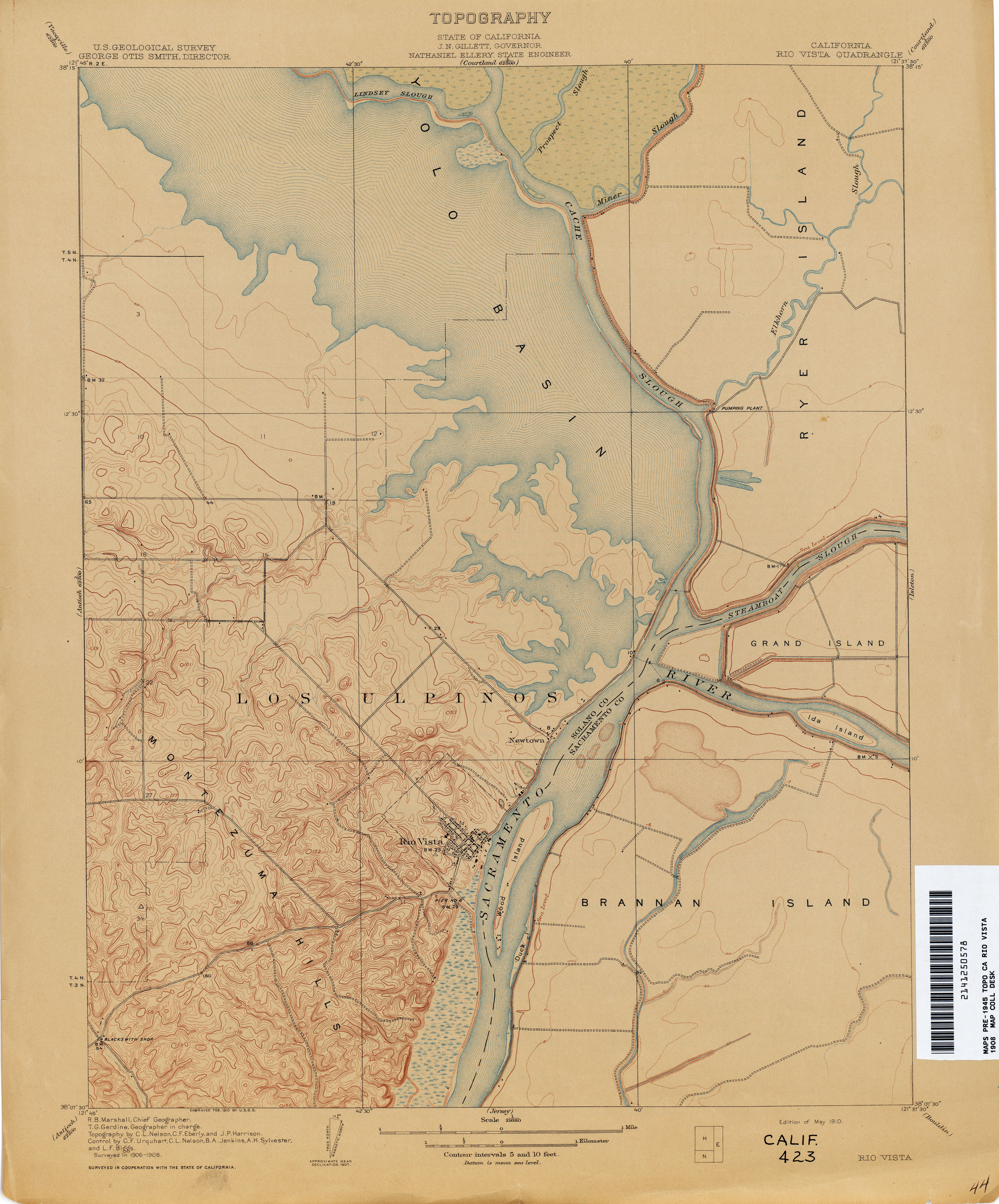
- Rio Vista 1908 1:31,680 (2.5MB)
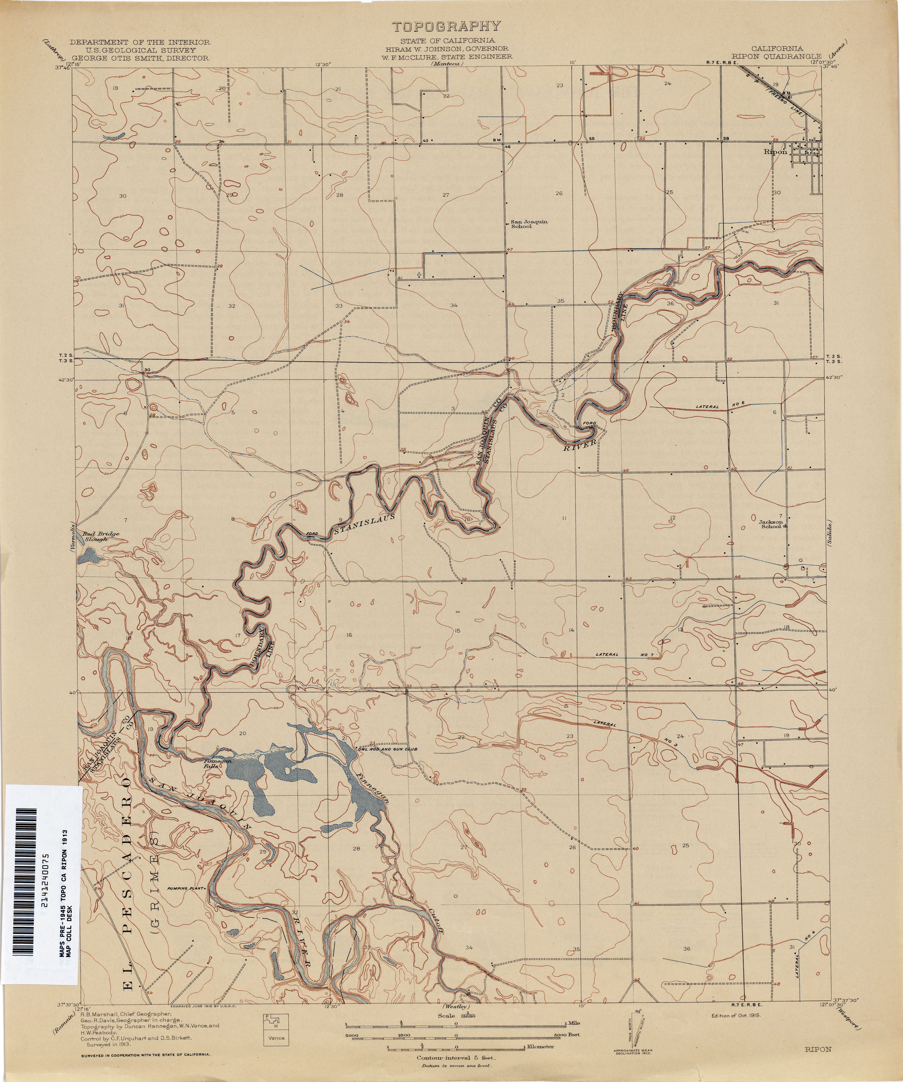
- Ripon 1913 1:31,680 (2.0MB)
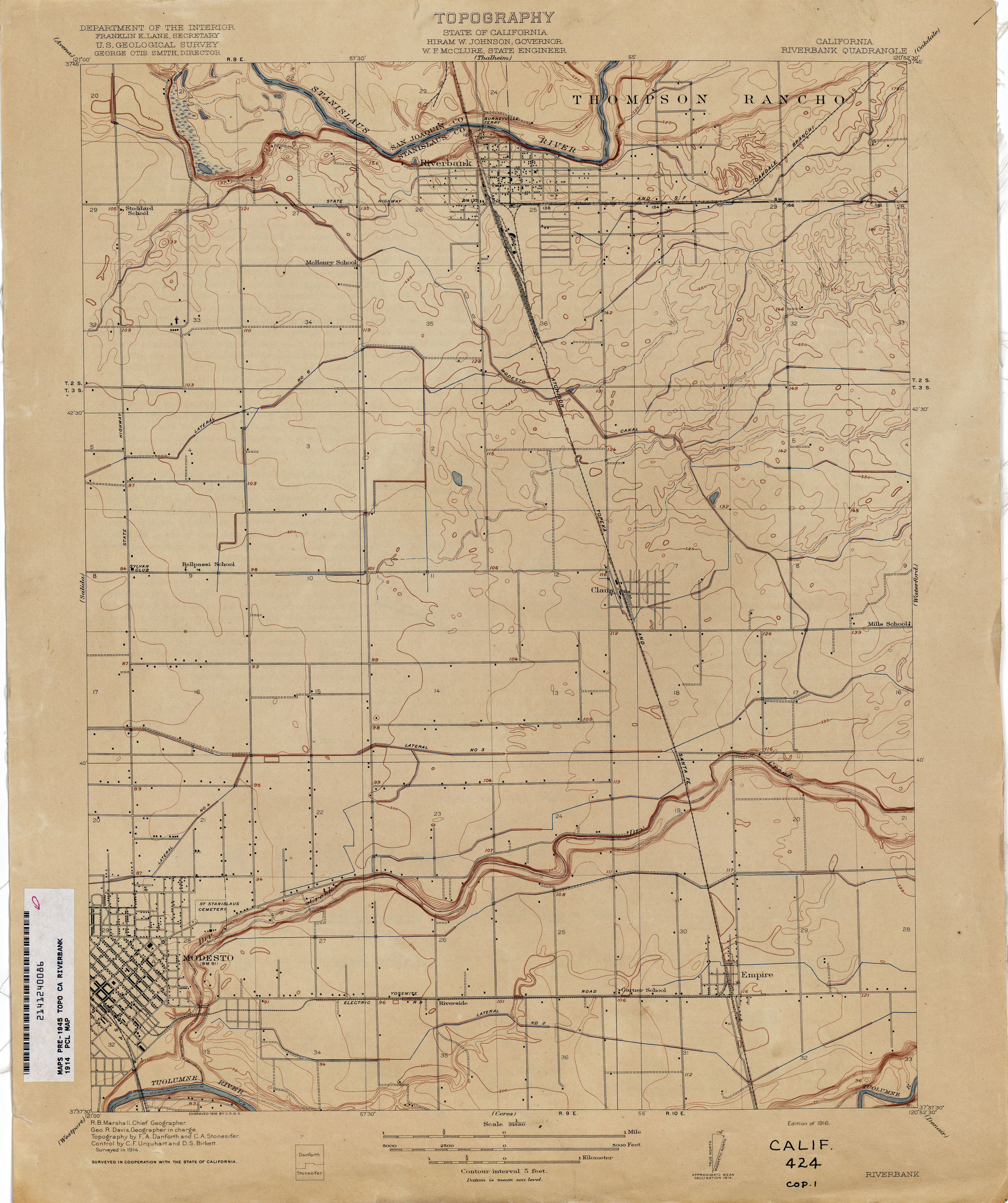
- Riverbank 1914 1:31,680 (2.2MB)
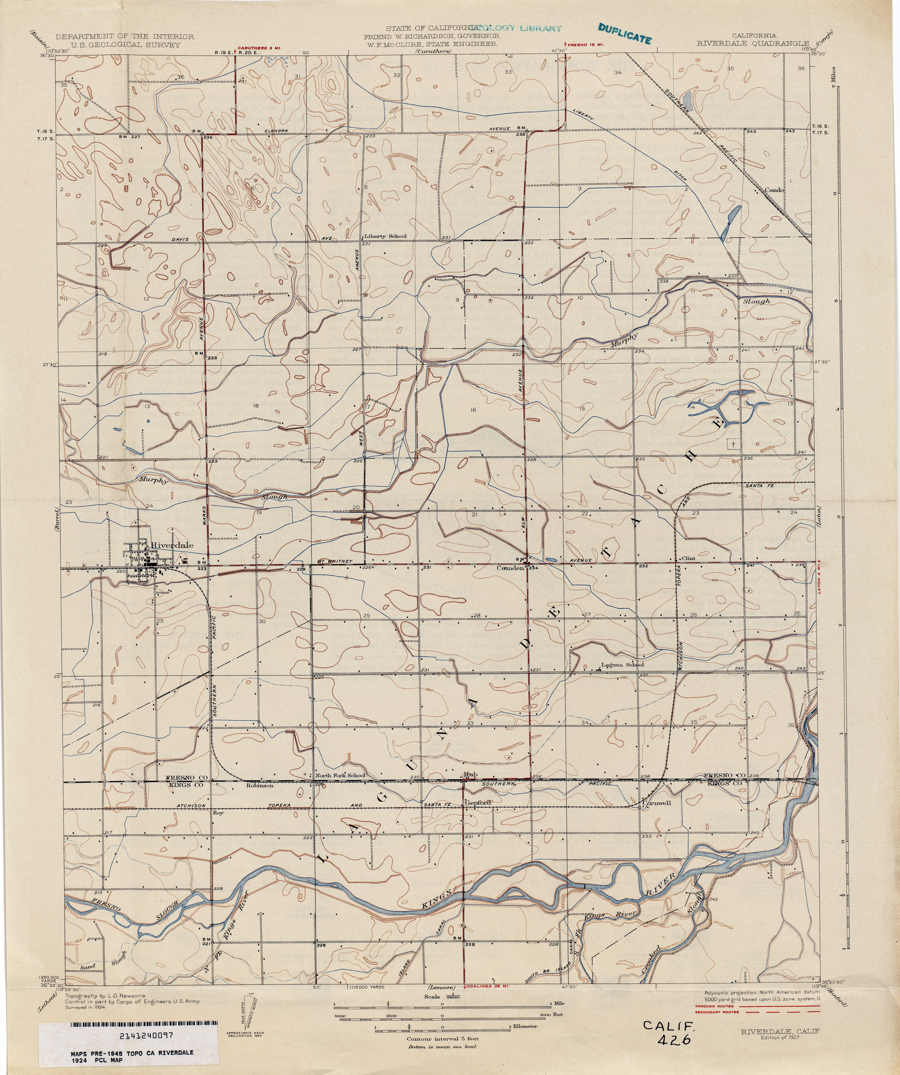
- Riverdale 1924 1:31,680 (2.2MB)
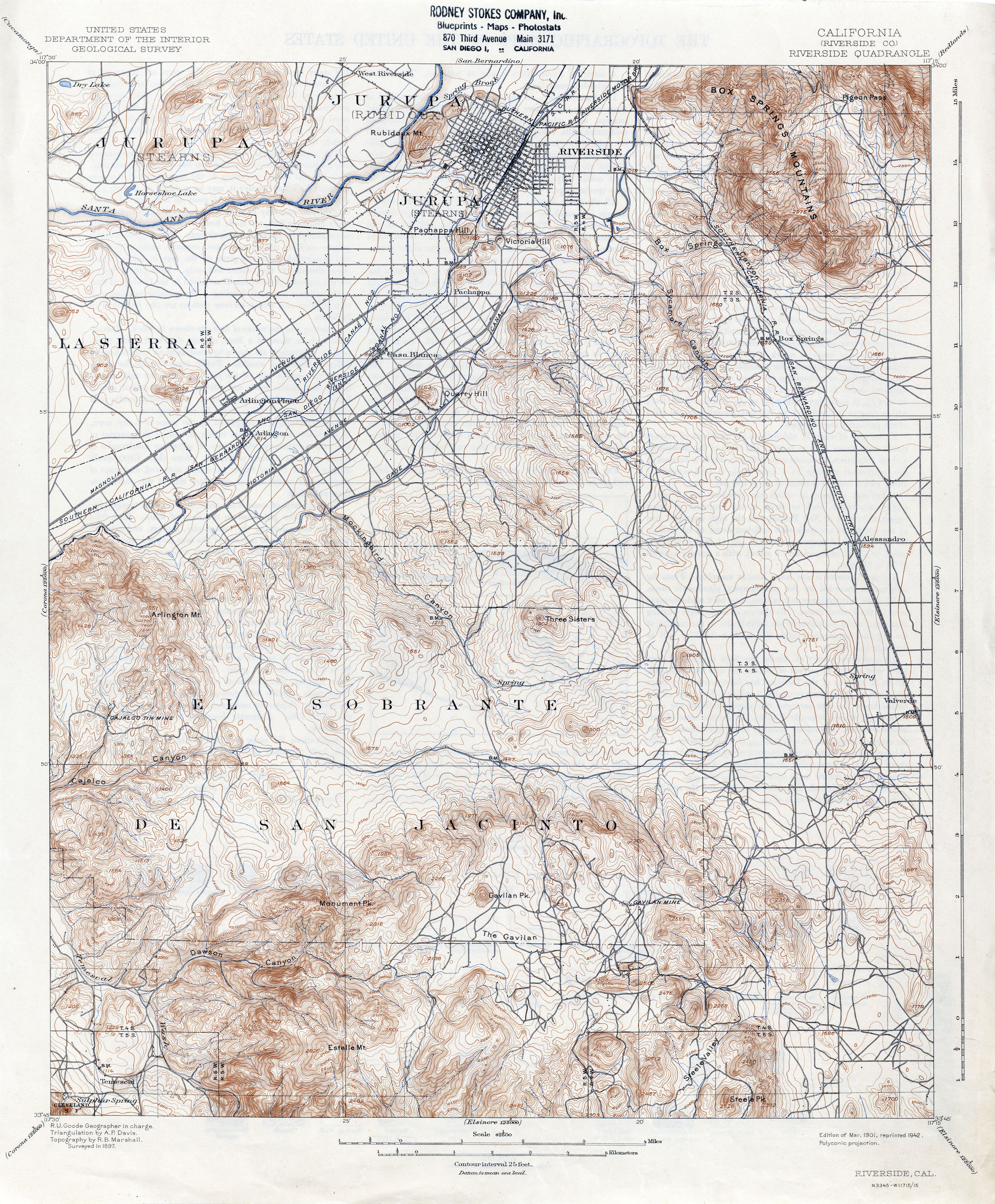
- Riverside (Riverside County) 1897 1:62,500 (4.3MB)
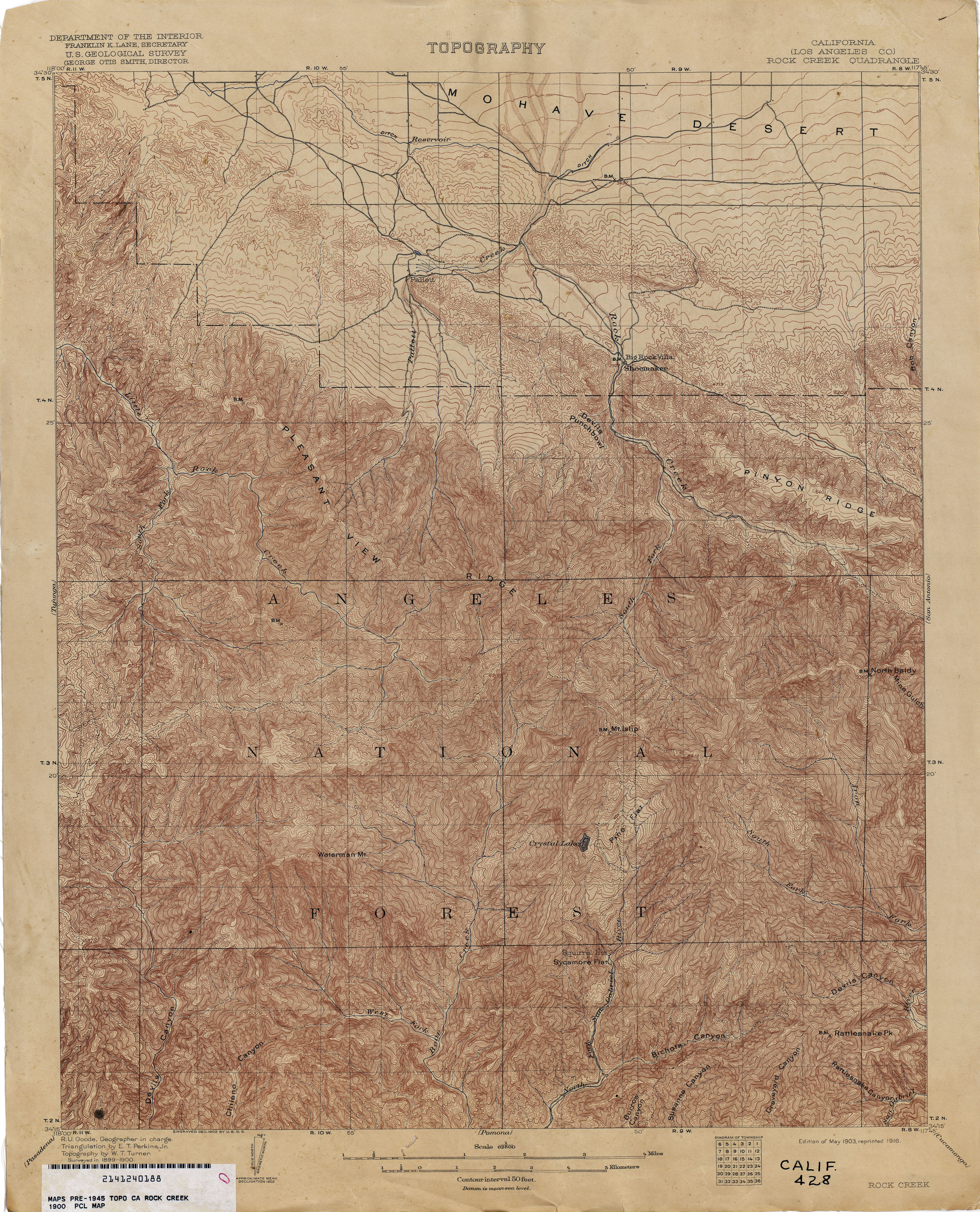
- Rock Creek (Los Angeles County) 1900 1:62,500 (4.4MB)
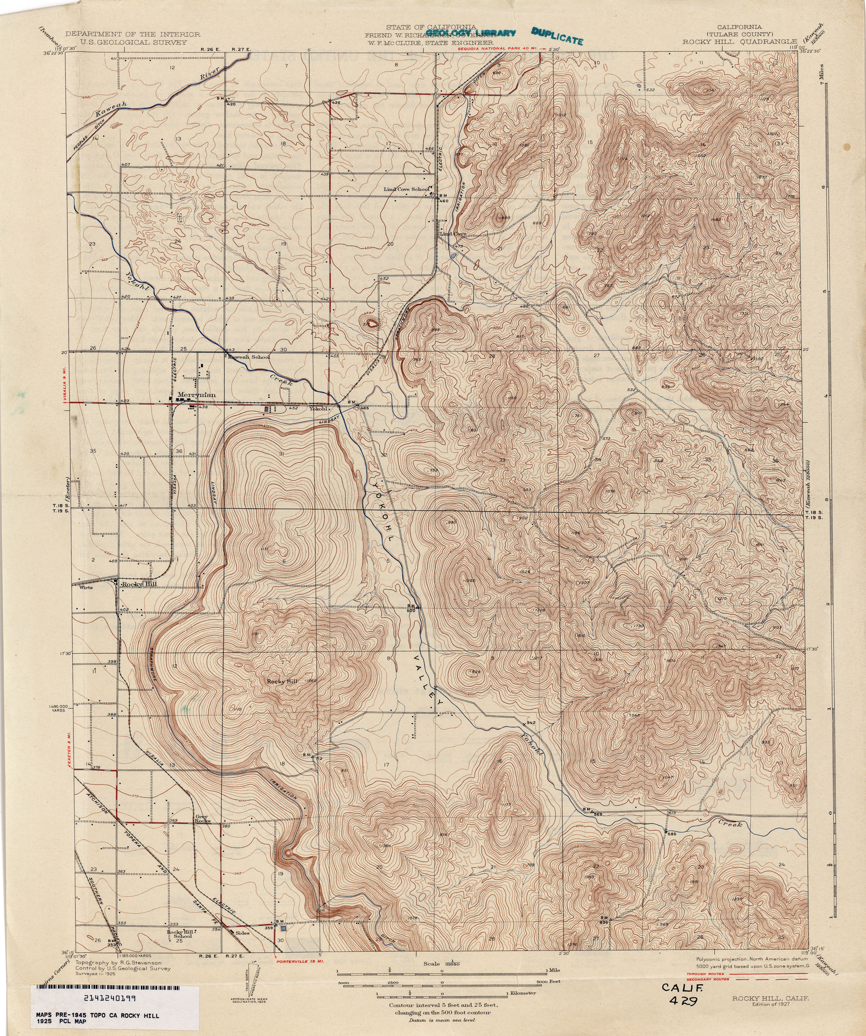
- Rocky Hill (Tulare County) 1925 1:31,680 (3.7MB)
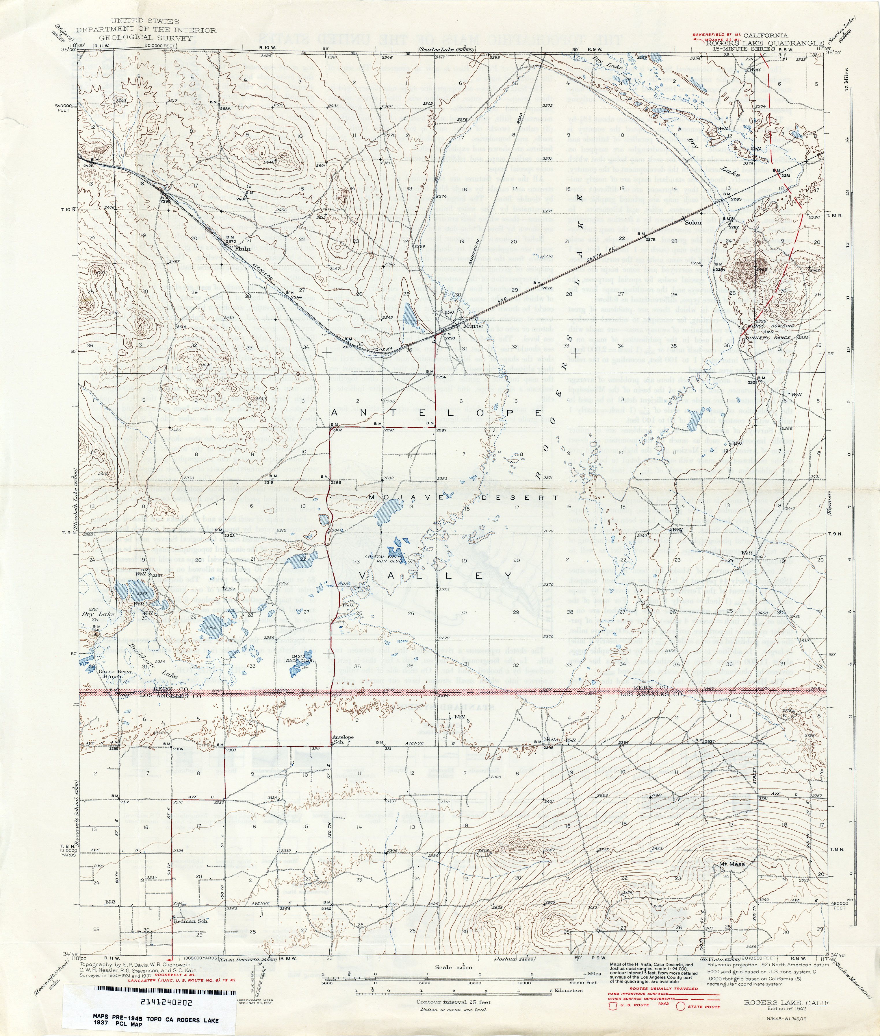
- Rogers Lake 1937 1:62,500 (2.5MB)
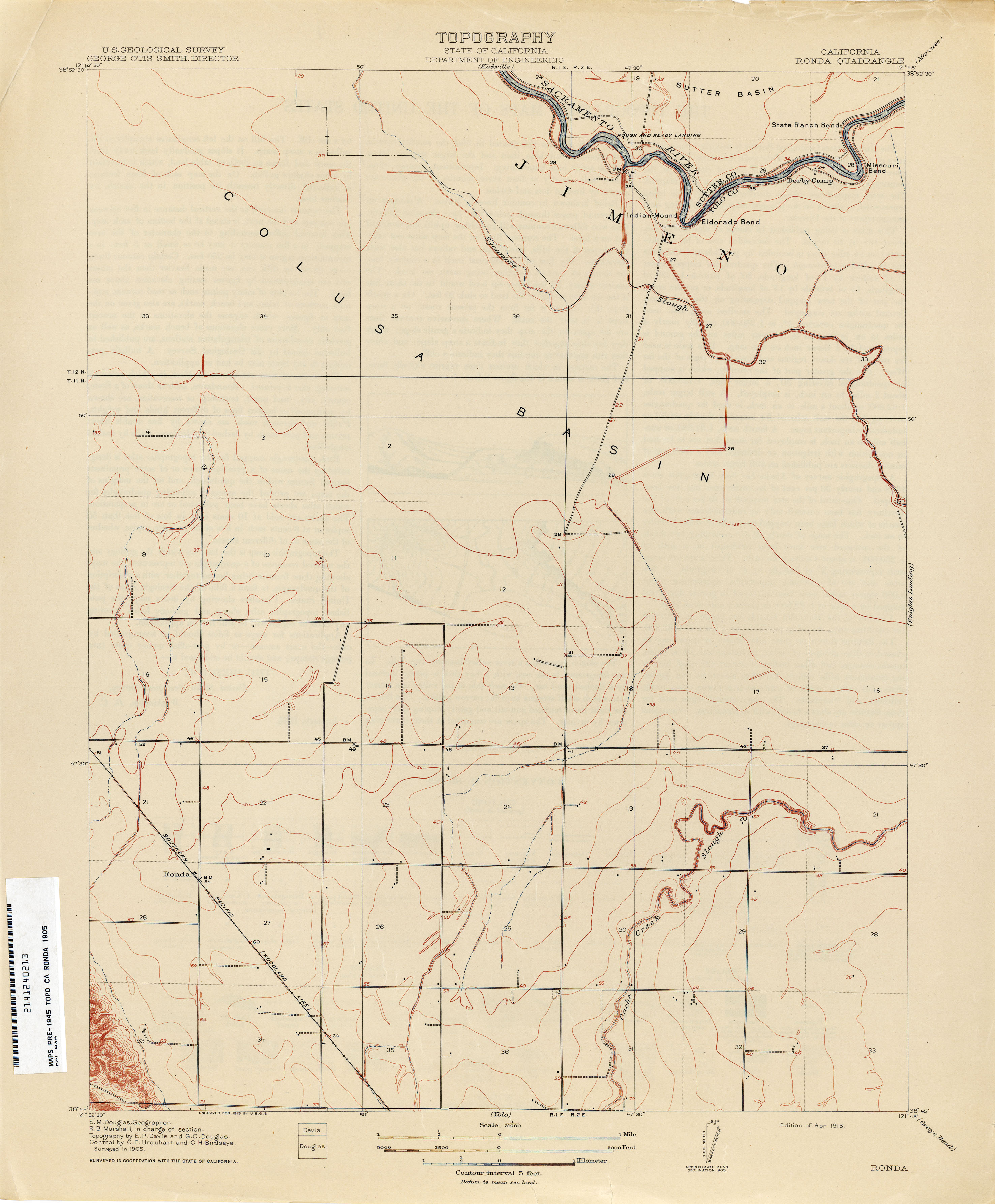
- Ronda 1905 1:31,680 (1.7MB)
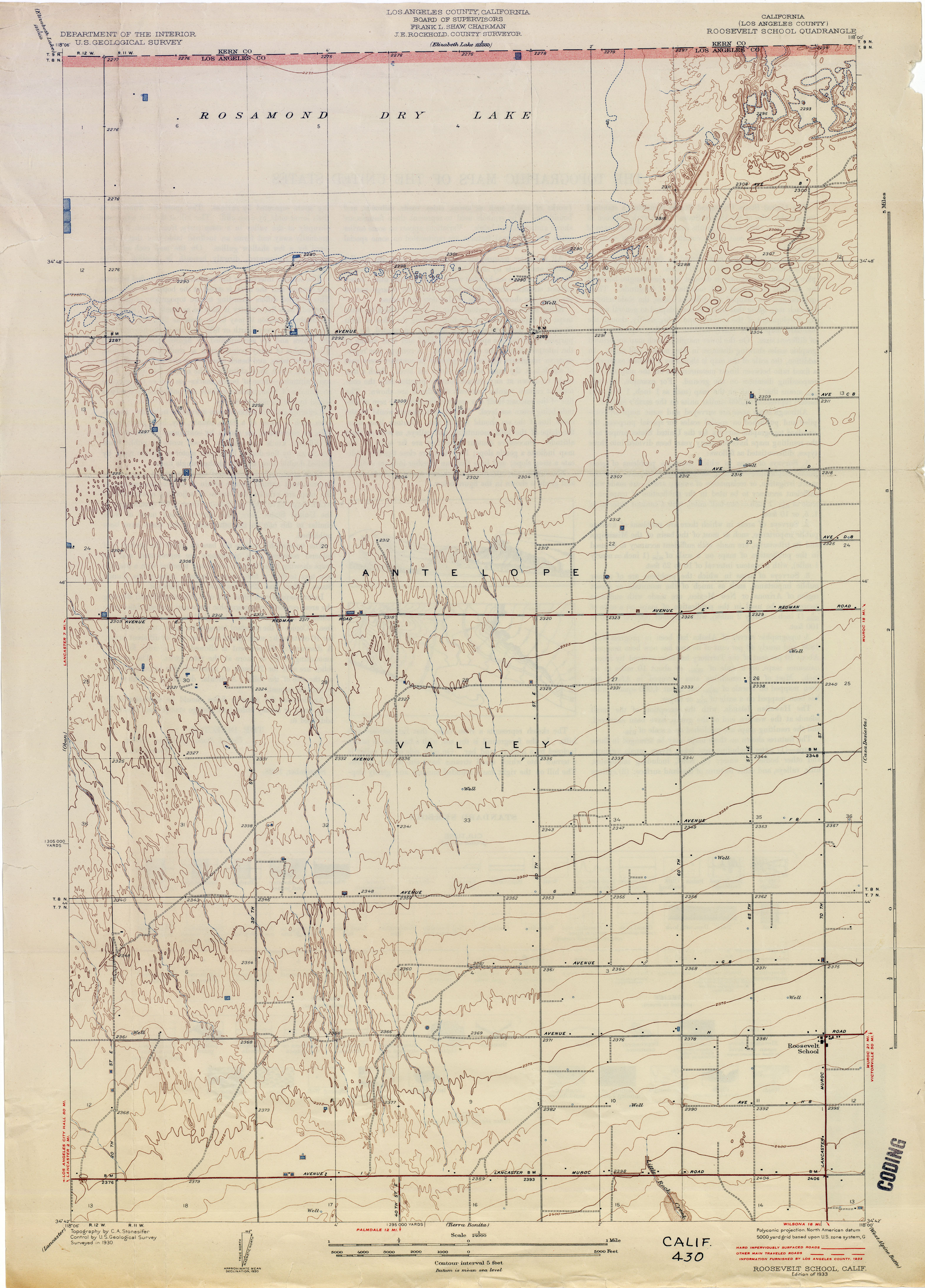
- Roosevelt School (Los Angeles County) 1930 1:24,000 (2.8MB)
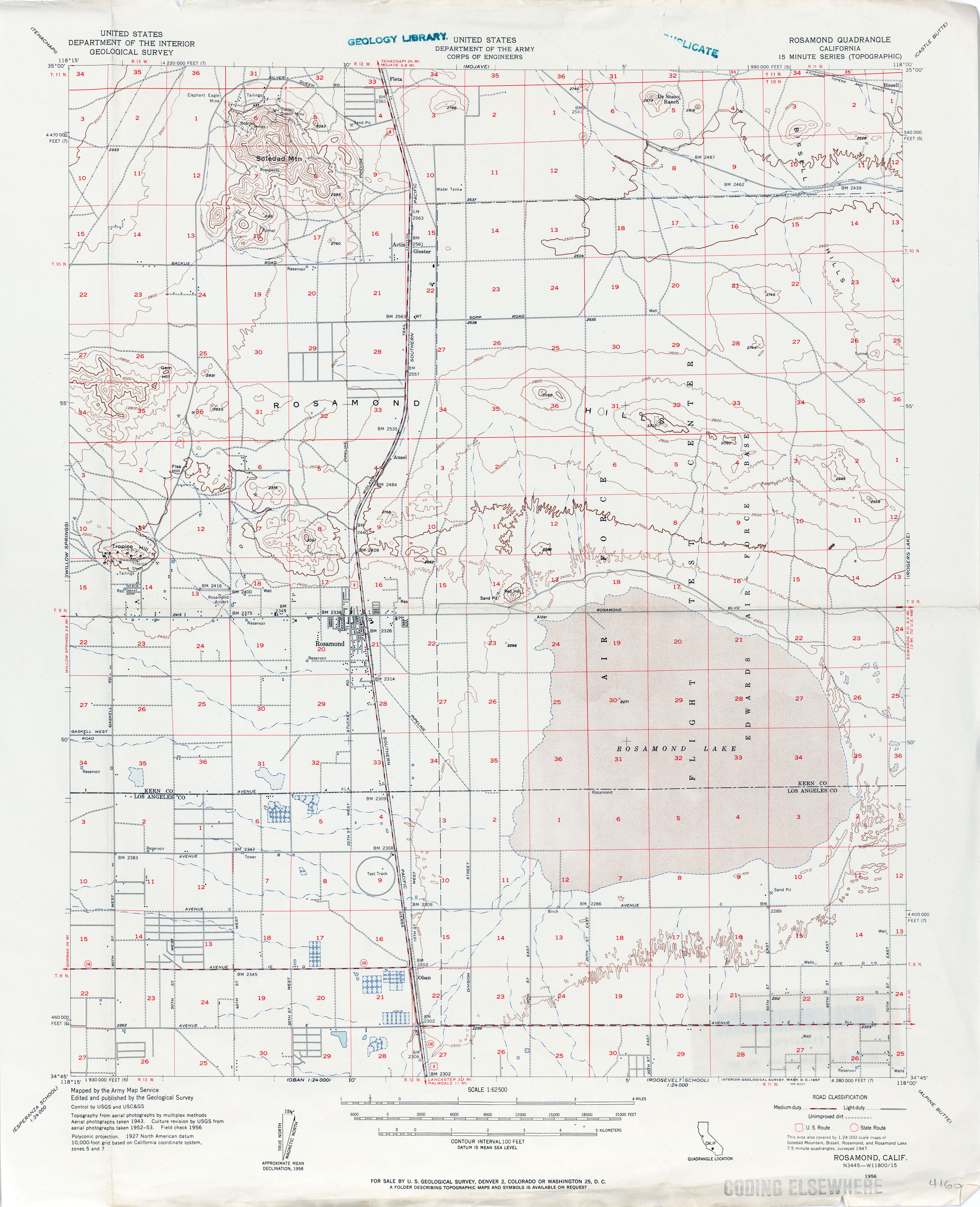
- Rosamond 1956 1:62,500 (2.4MB)
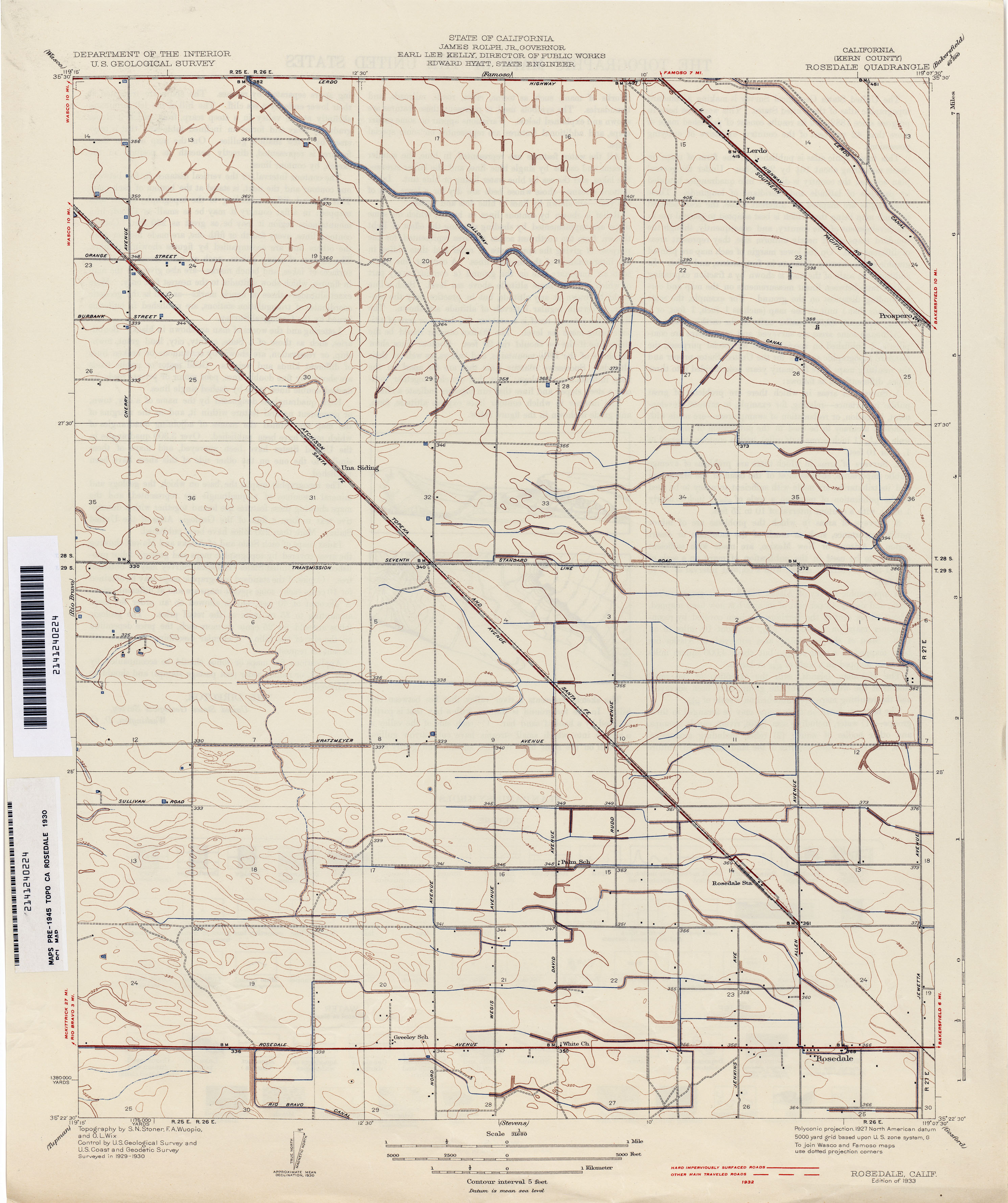
- Rosedale (Kern County) 1930 1:31,680 (2.1MB)
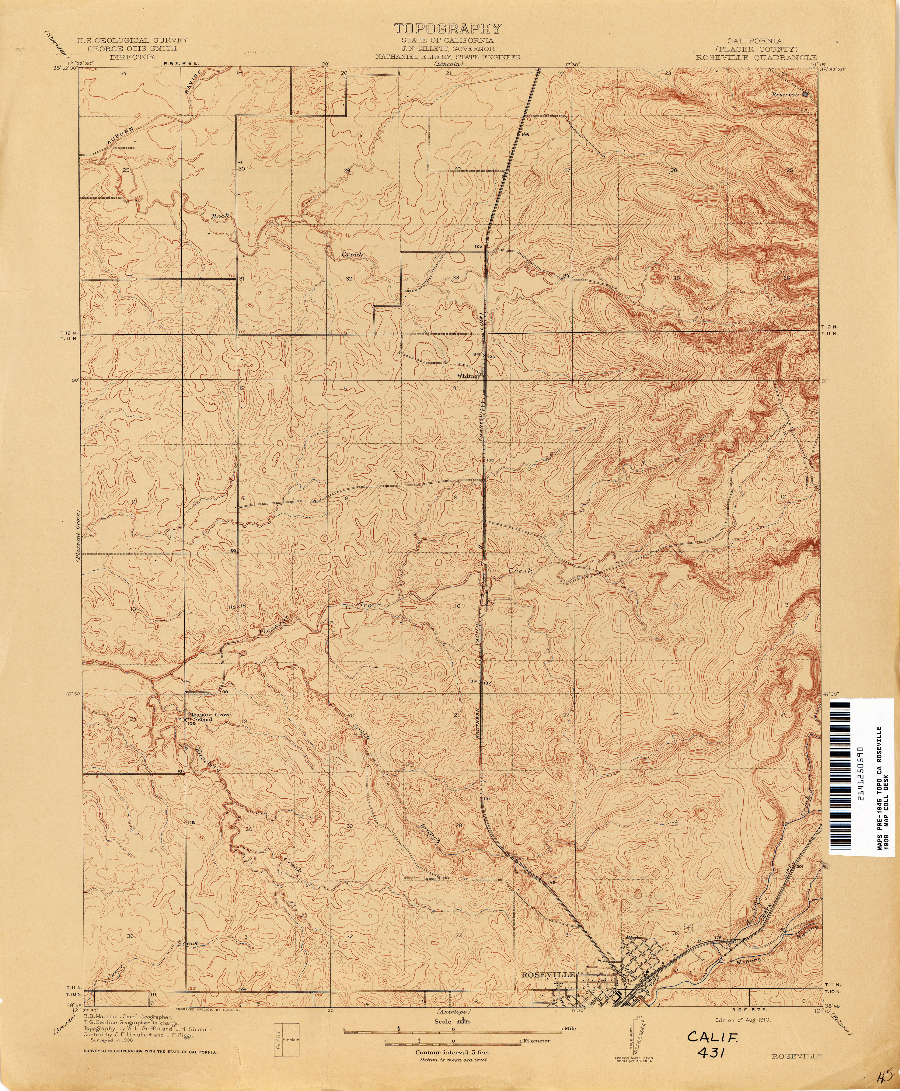
- Roseville (Placer County) 1908 1:31,680 (3.3MB)
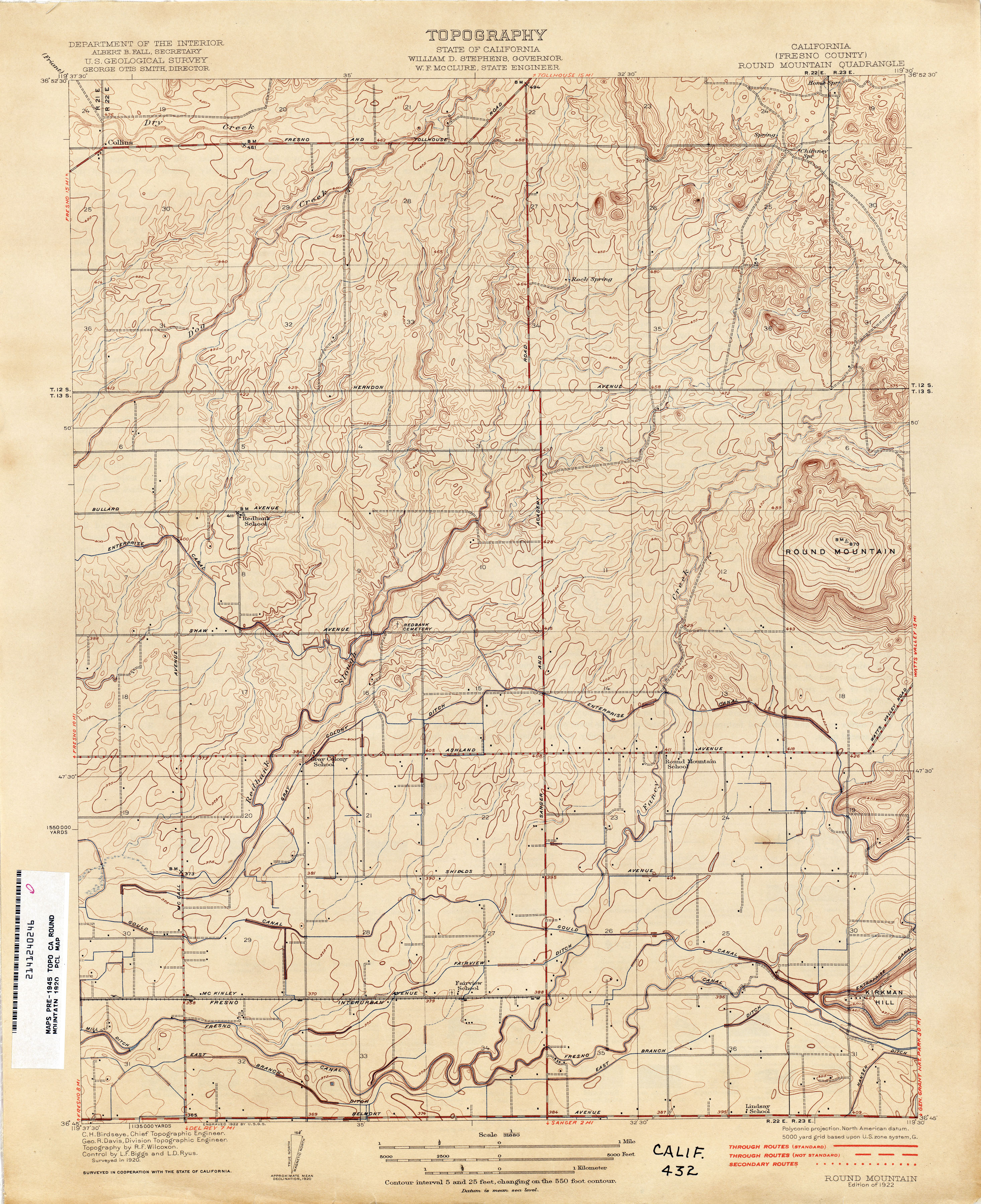
- Round Mountain (Fresno County) 1920 1:31,680 (3.2MB)
- Russell Valley (Los Angeles County) 1929 1:24,000 (2.5MB)
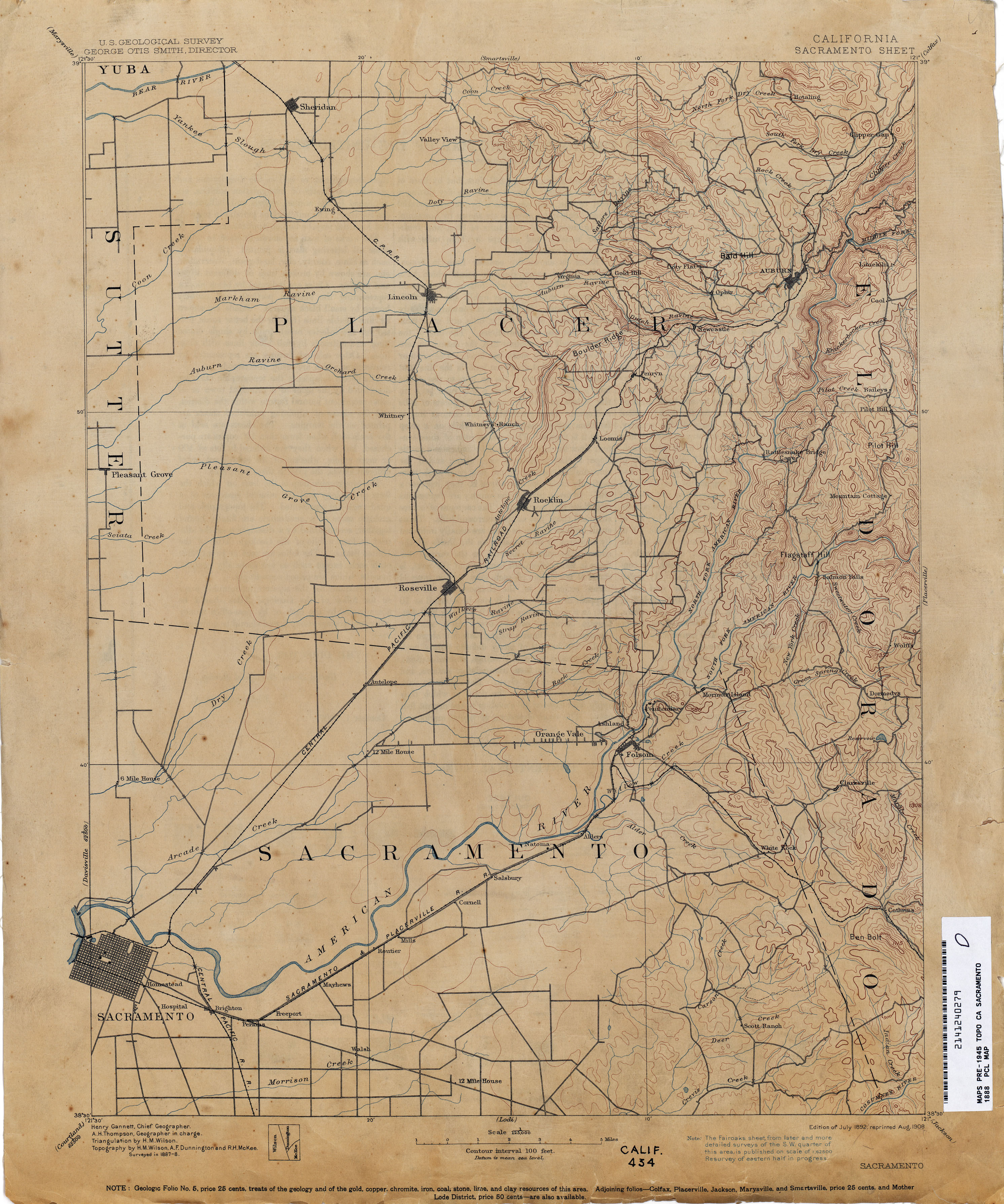
- Sacramento 1888 1:125,000 (2.7MB)
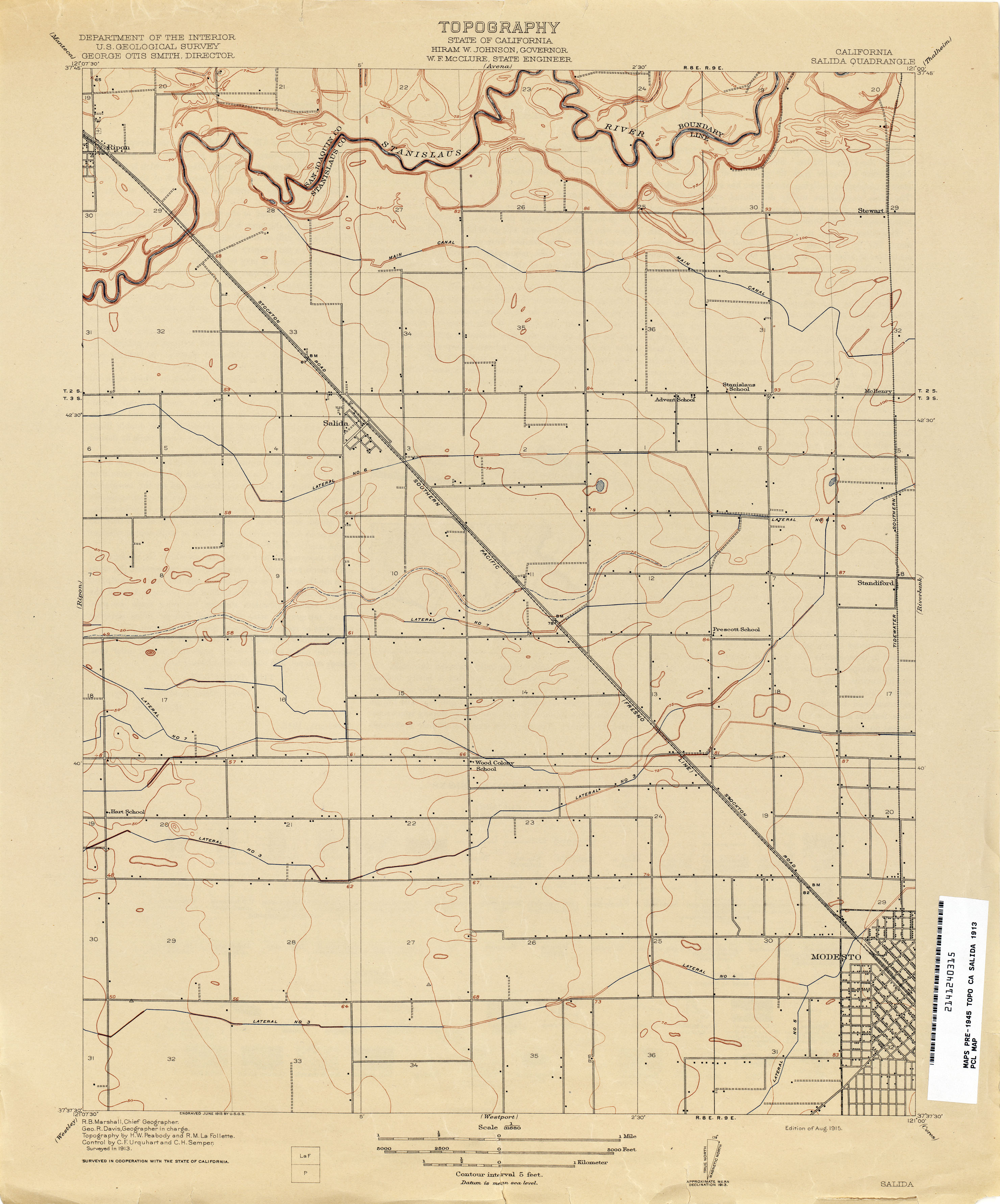
- Salida 1913 1:31,680 (1.9MB)
- Salinas (Monterey County) 1910 1:62,500 (3.0MB)
- Salinas Valley - Sheet Number 1 (Monterey County) 1910 1:31,680 (10.6MB)
- Salinas Valley - Sheet Number 3 (Monterey County) 1912 1:31,680 (12.1MB)
- Salton Sink 1908 1:500,000 (1.9MB)
- San Antonio 1900 1:62,500 (4.2MB)
- San Ardo 1941 1:62,500 (5.2MB)
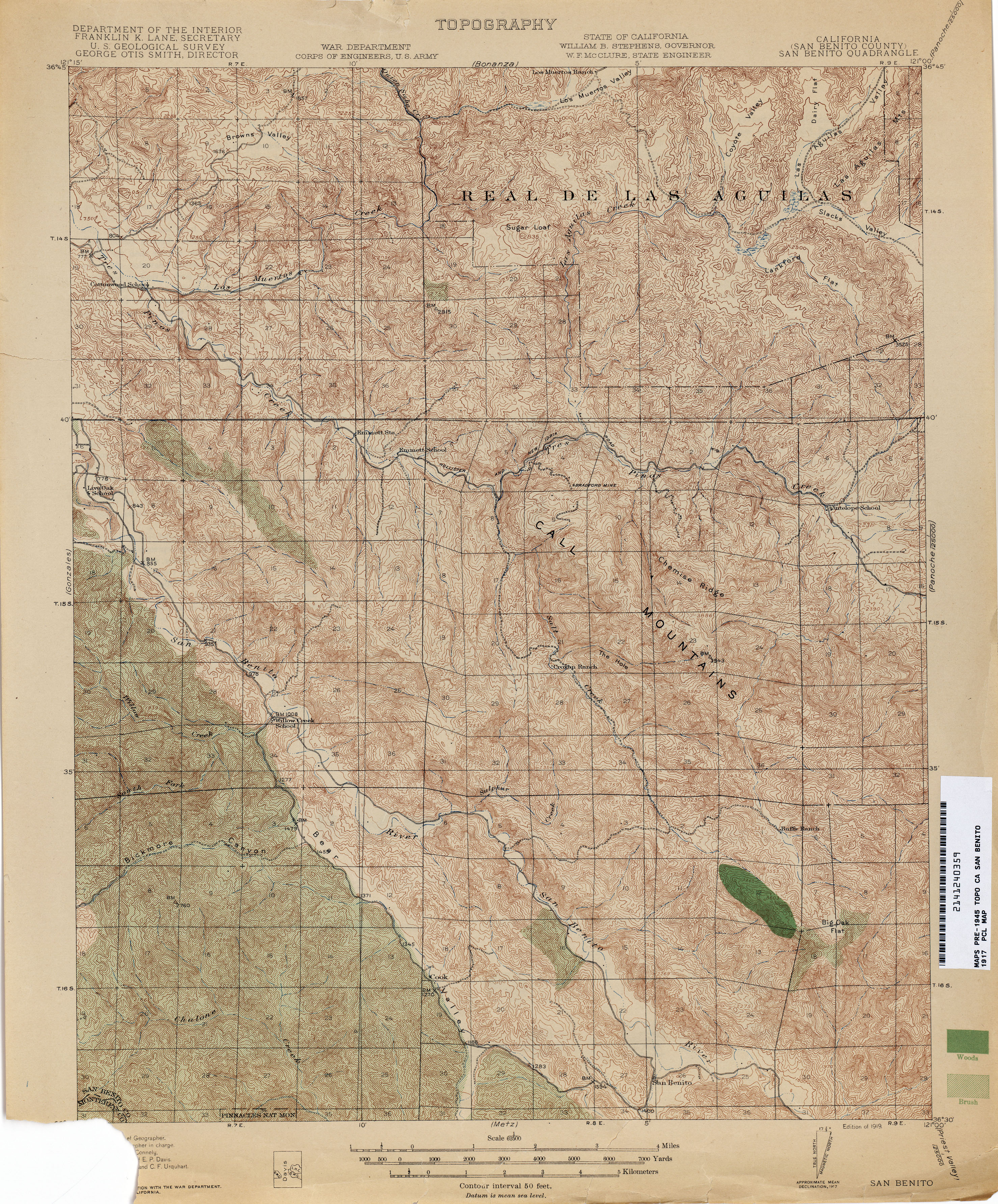
- San Benito (San Benito County) 1917 1:62,500 (4.5MB)
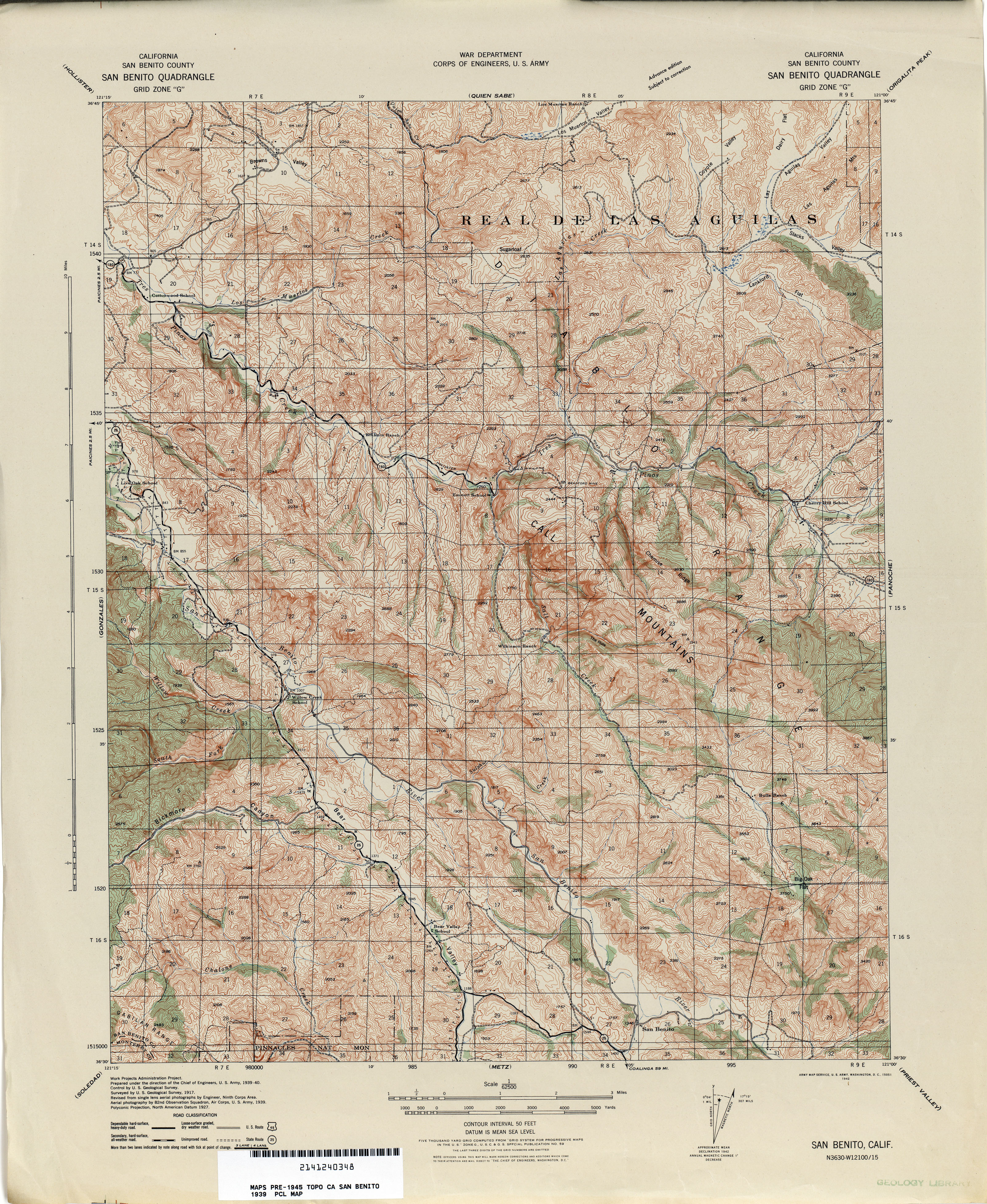
- San Benito (San Benito County) 1939 1:62,500 (5.4MB)
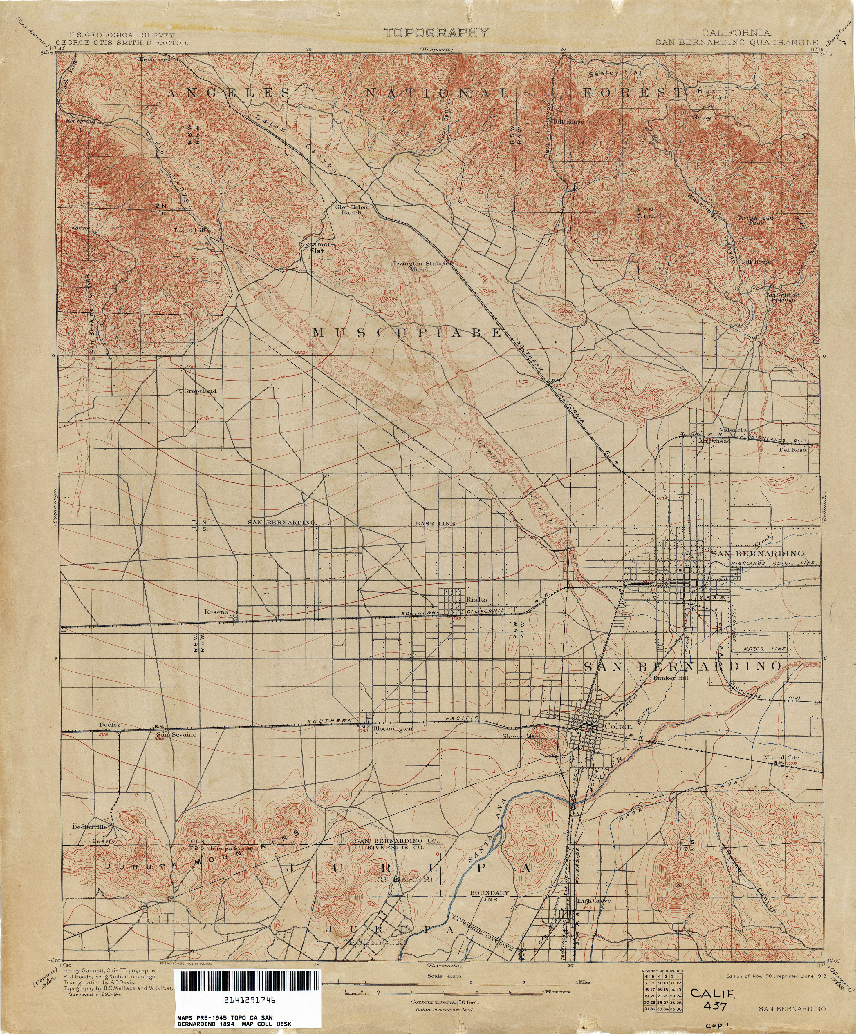
- San Bernardino 1894 1:62,500 (3.4MB)
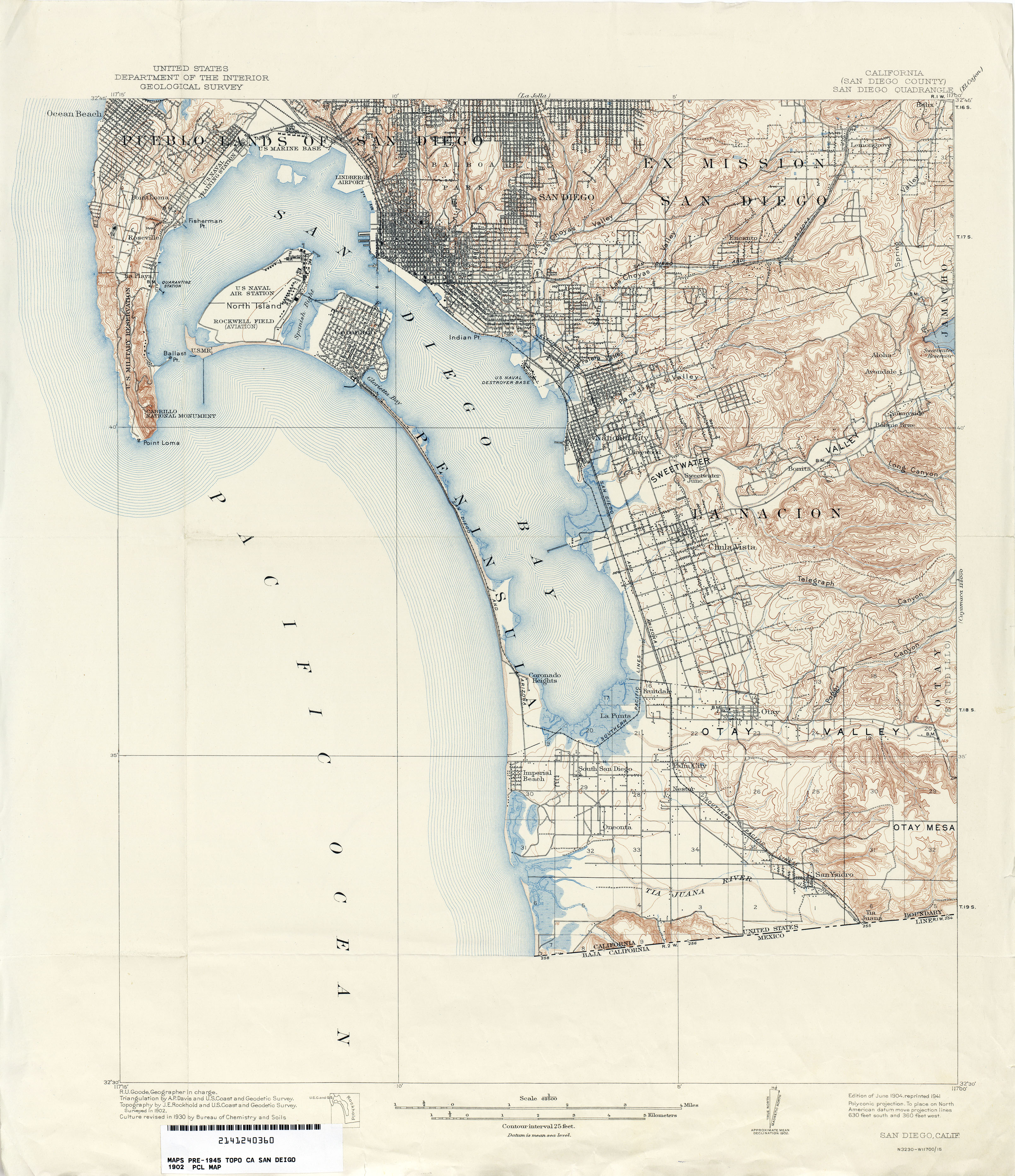
- San Diego (San Diego County) 1902 1:62,500 (3.5MB)
- San Diego (San Diego County) 1930 1:62,500 (4.0MB)
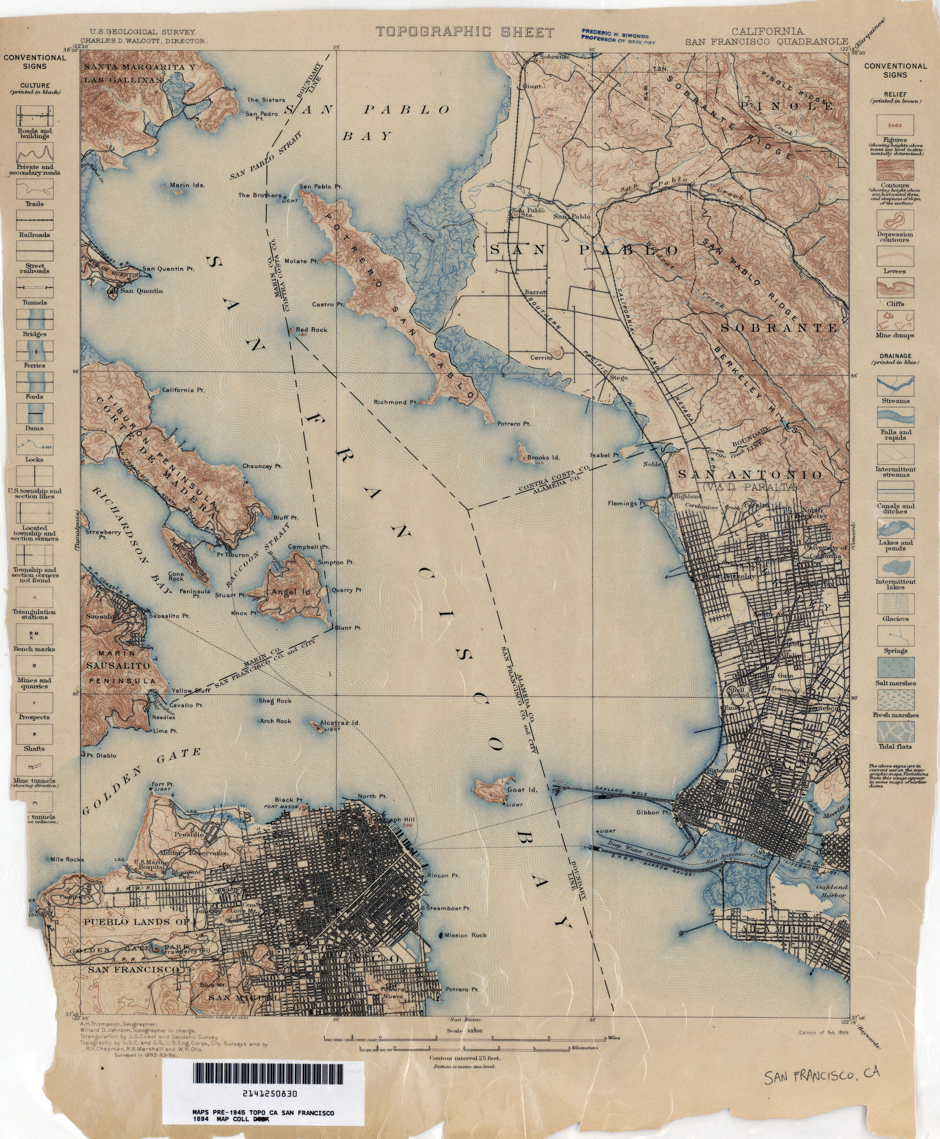
- San Francisco 1894 1:62,500 (3.1MB)
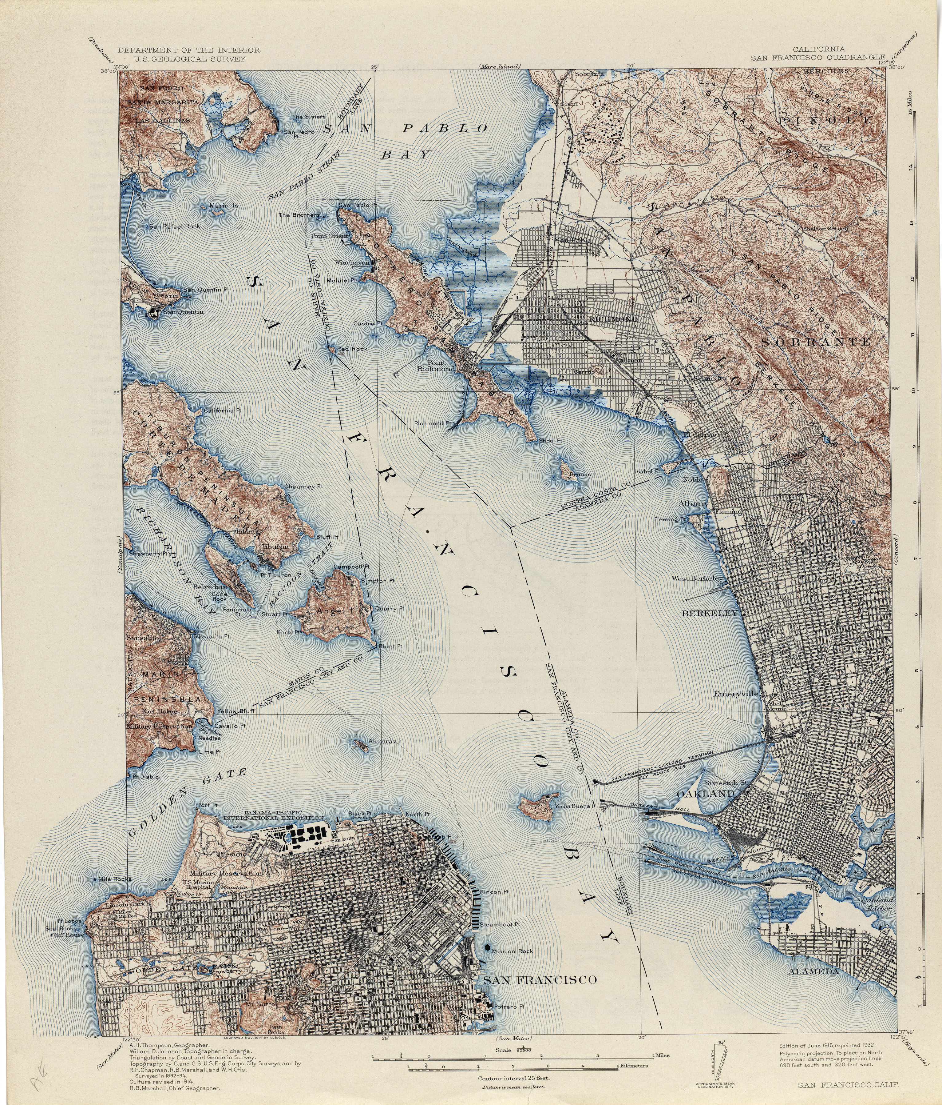
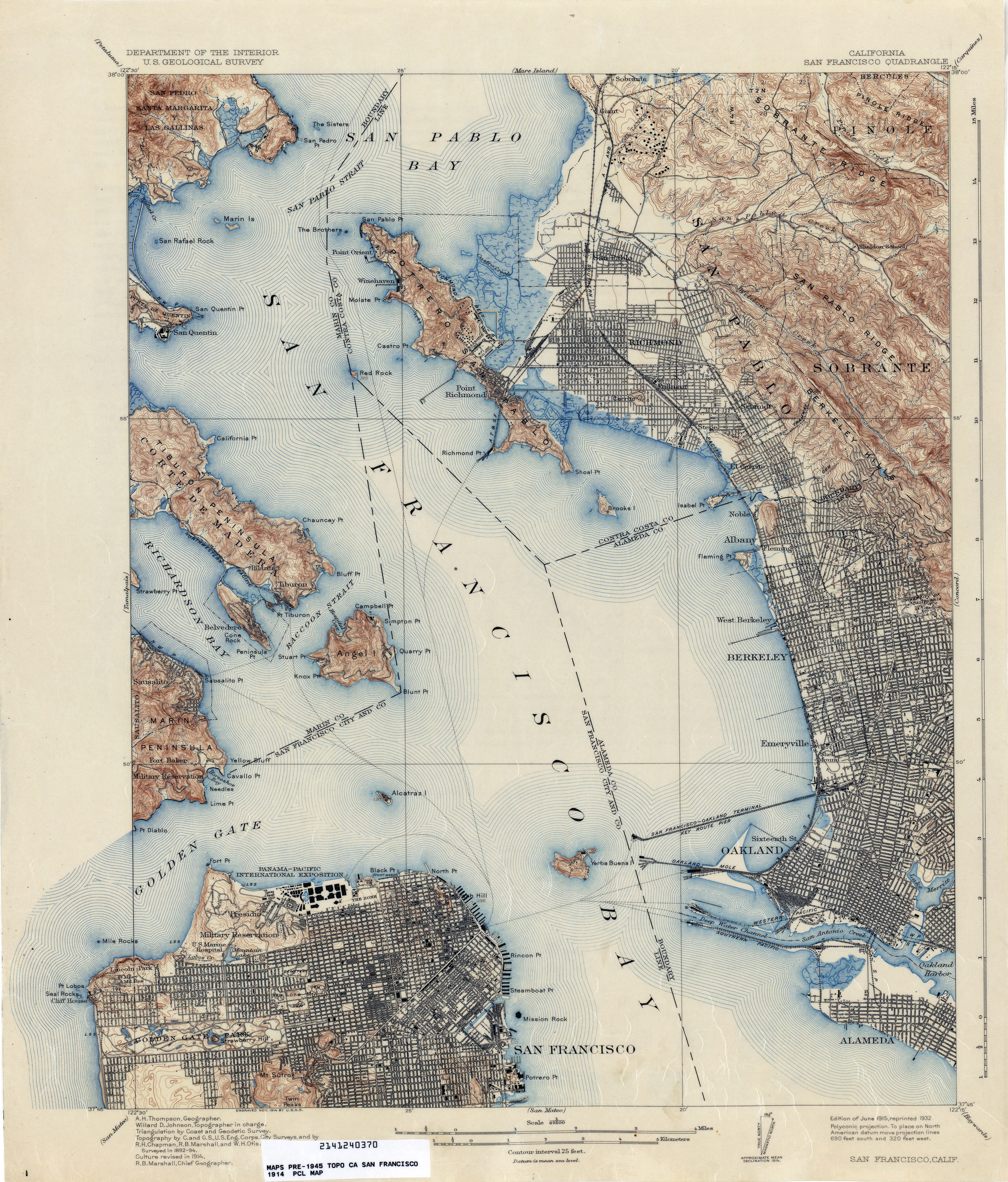
- San Francisco 1914 1:62,500 (4.7MB)
- San Francisco 1914 1:62,500 (4.1MB)
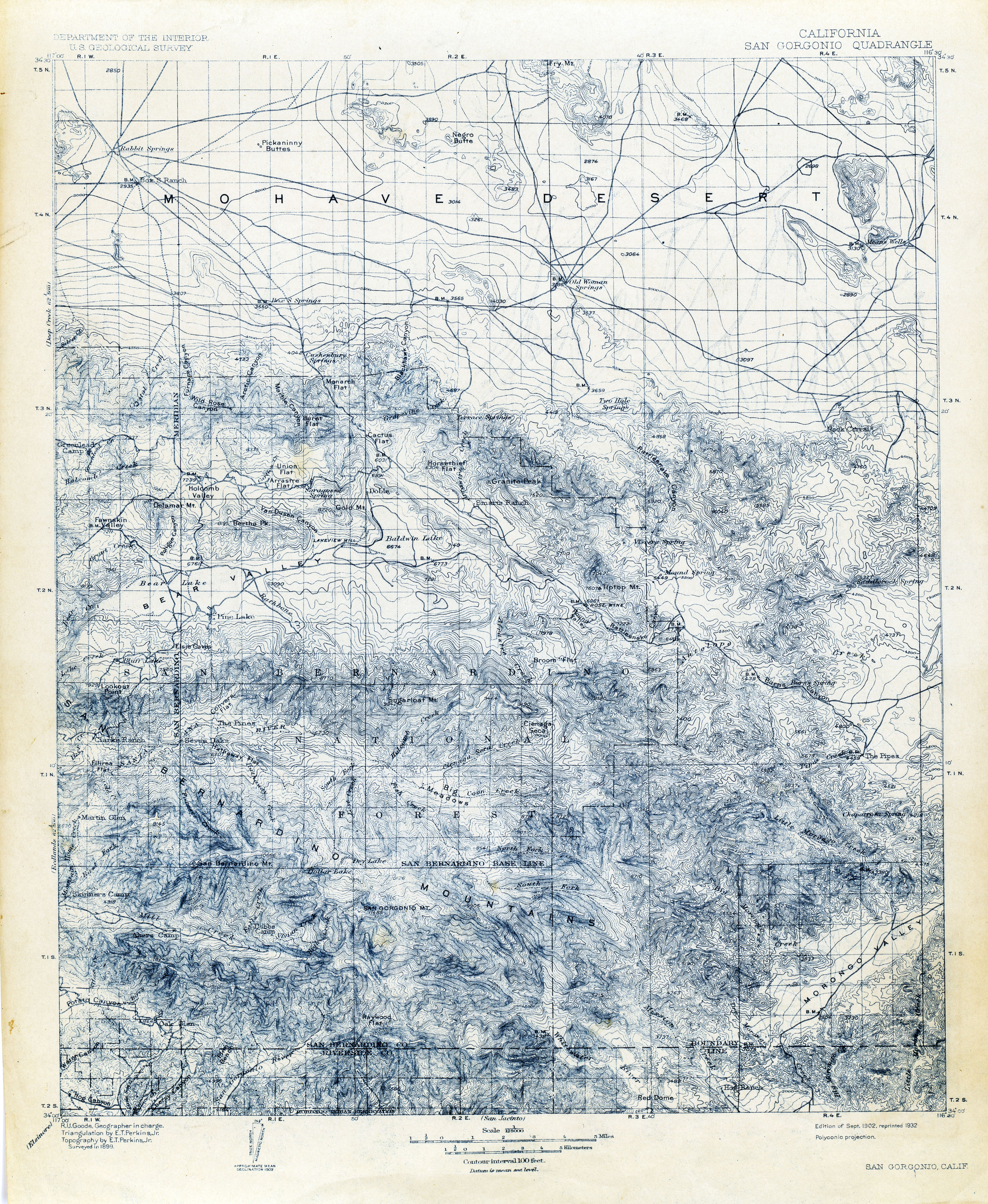
- San Gorgonio 1899 1:62,500 (4.2MB)
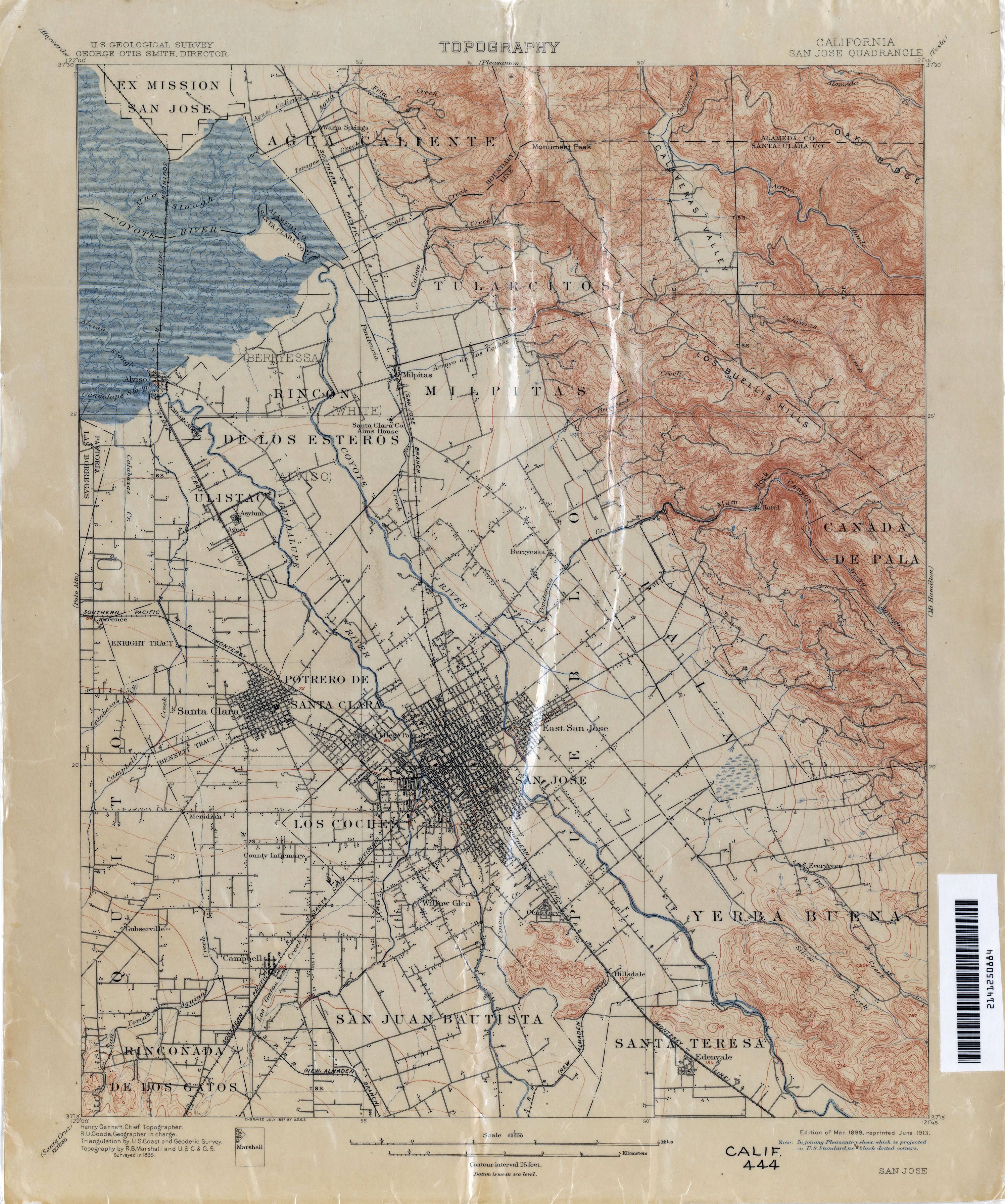
- San Jose 1895 1:62,500 (3.1MB)
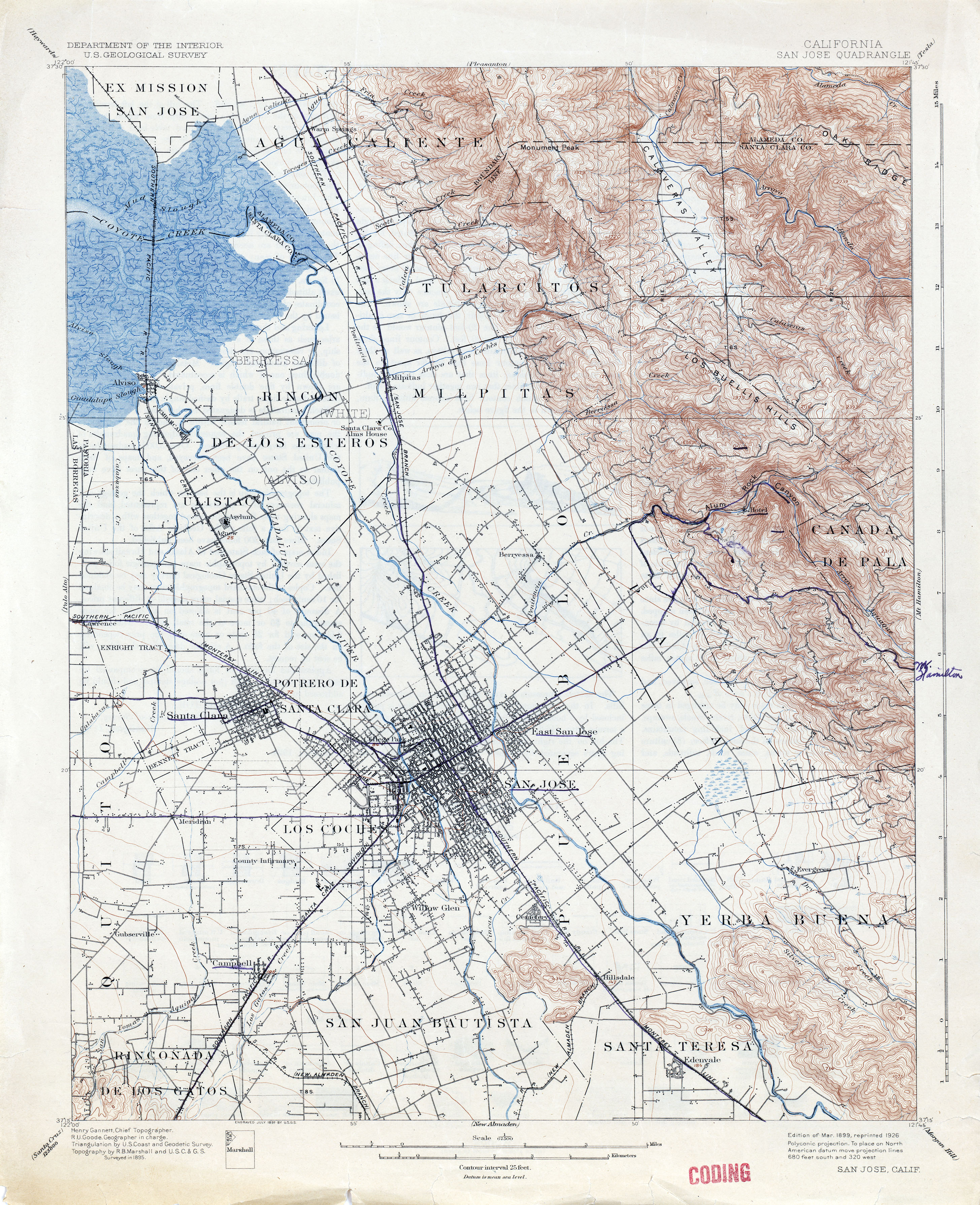
- San Jose 1895 1:62,500 (3.8MB)
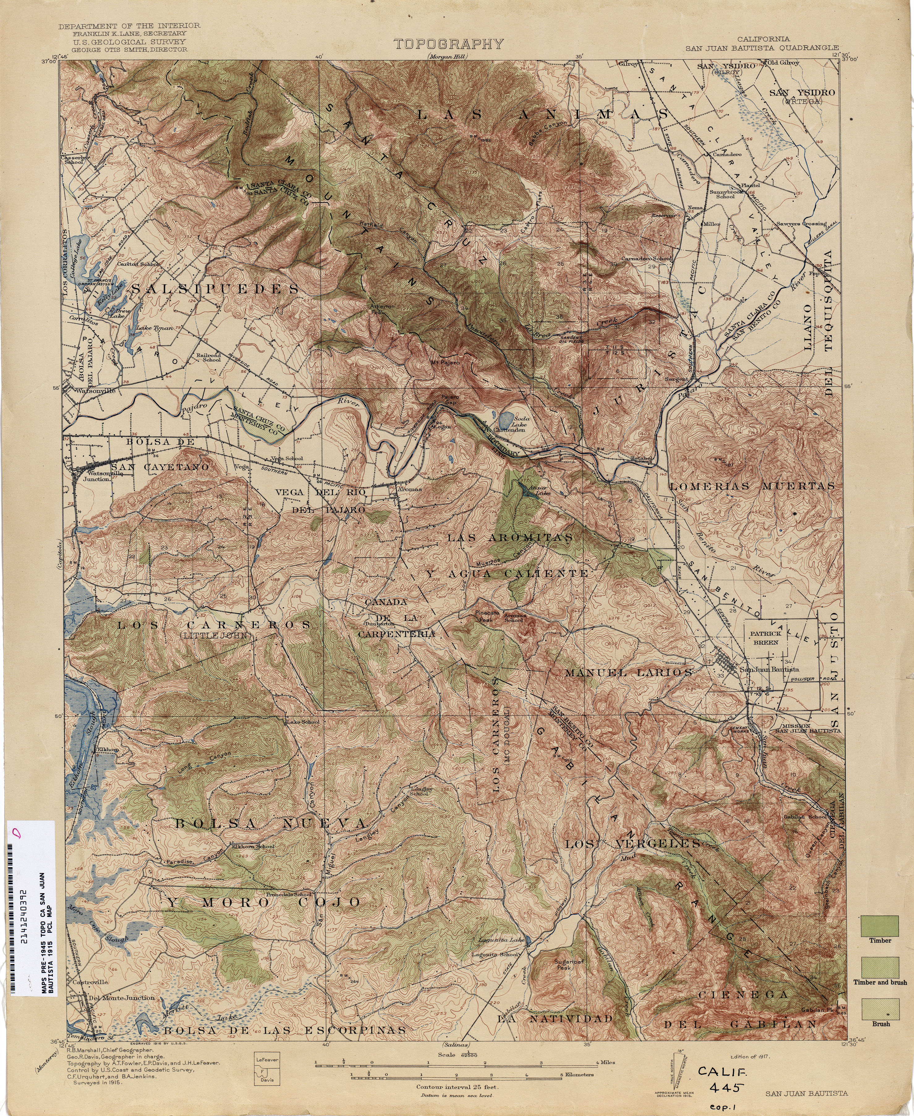
- San Juan Bautista 1915 1:62,500 (4.4MB)
- San Luis (San Luis Obispo County) 1895 1:125,000 (3.6MB)
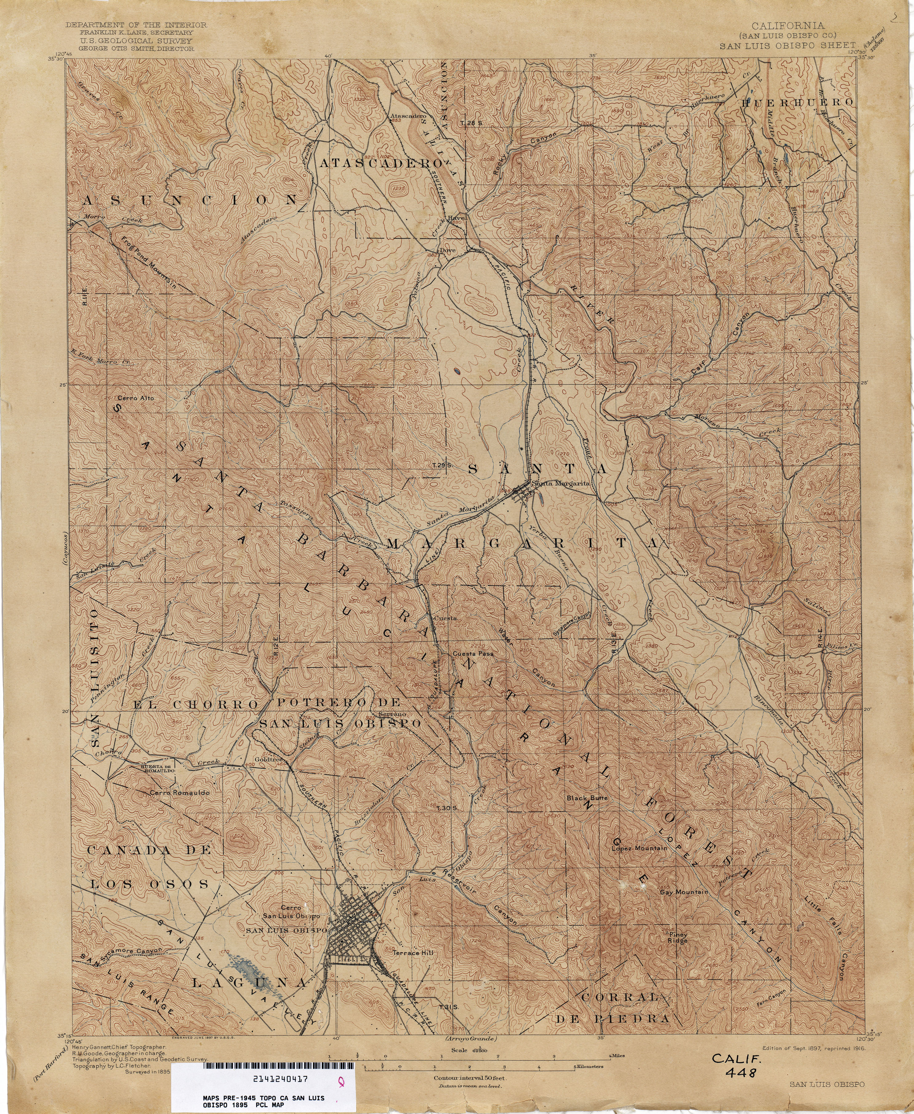
- San Luis (San Luis Obispo County) 1898 1:125,000 (4.1MB)
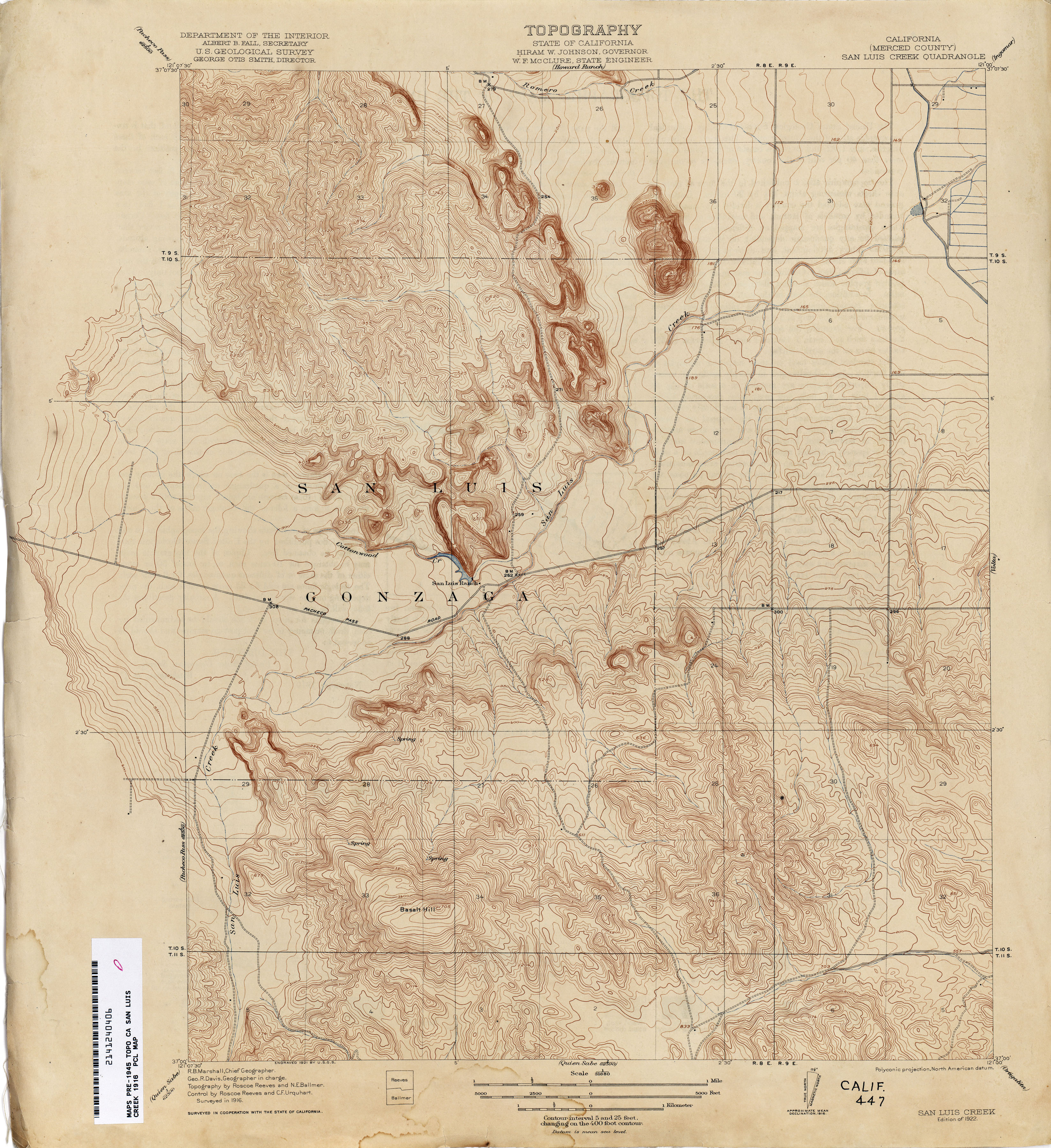
- San Luis Creek (Merced County) 1916 1:31,680 (3.6MB)
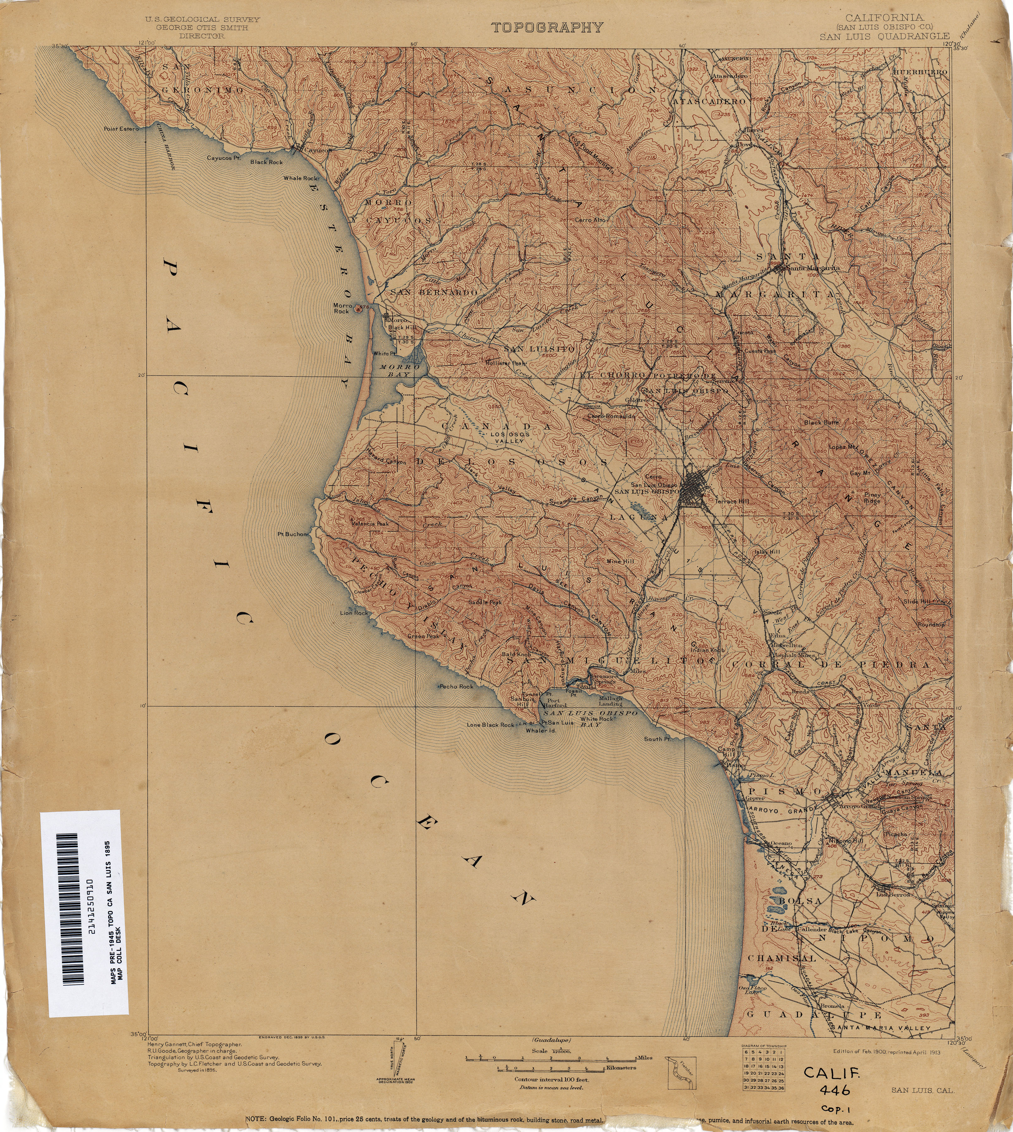
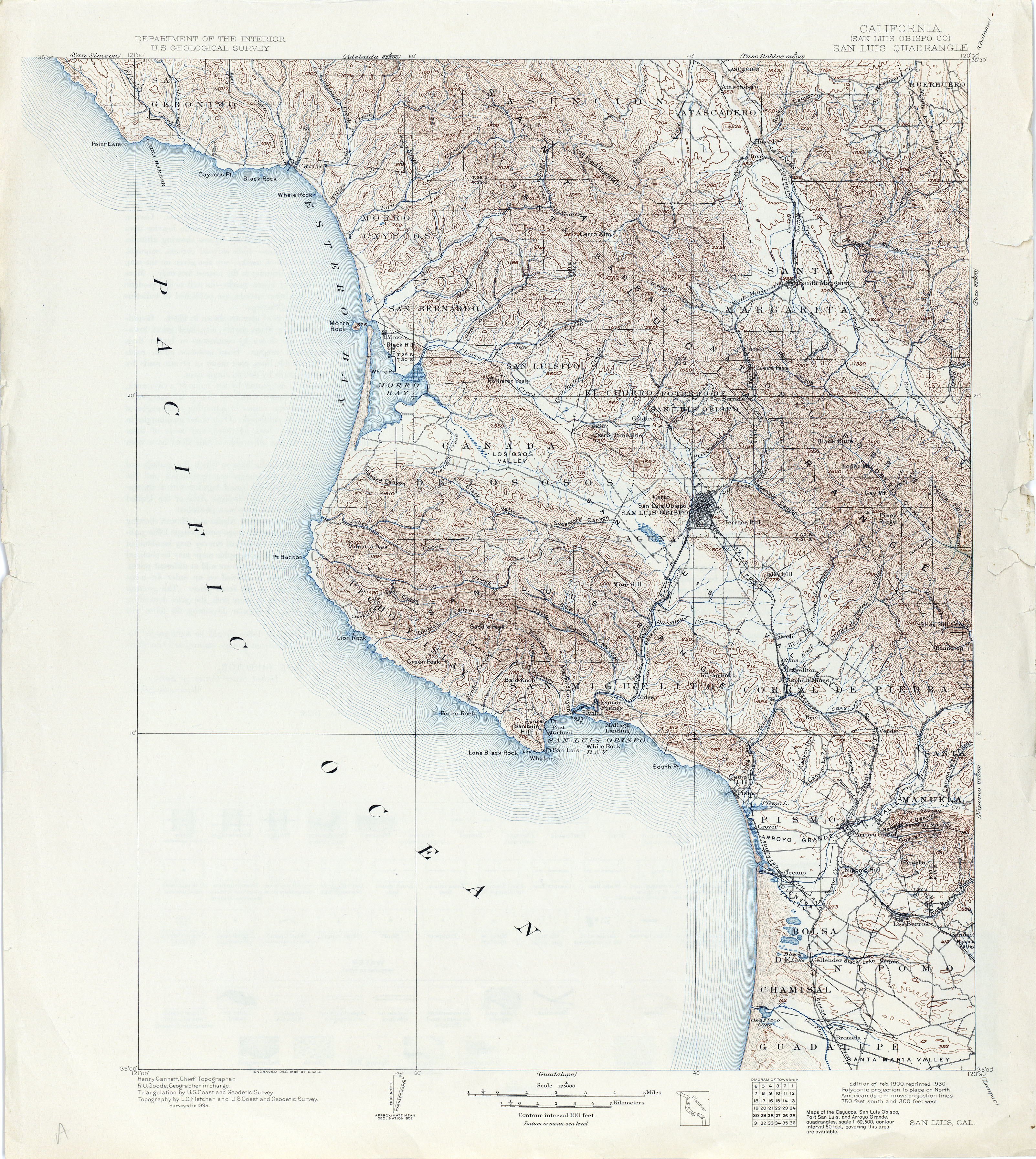
- San Luis Obispo (San Luis Obispo County) 1895 1:62,500 (4.1MB)
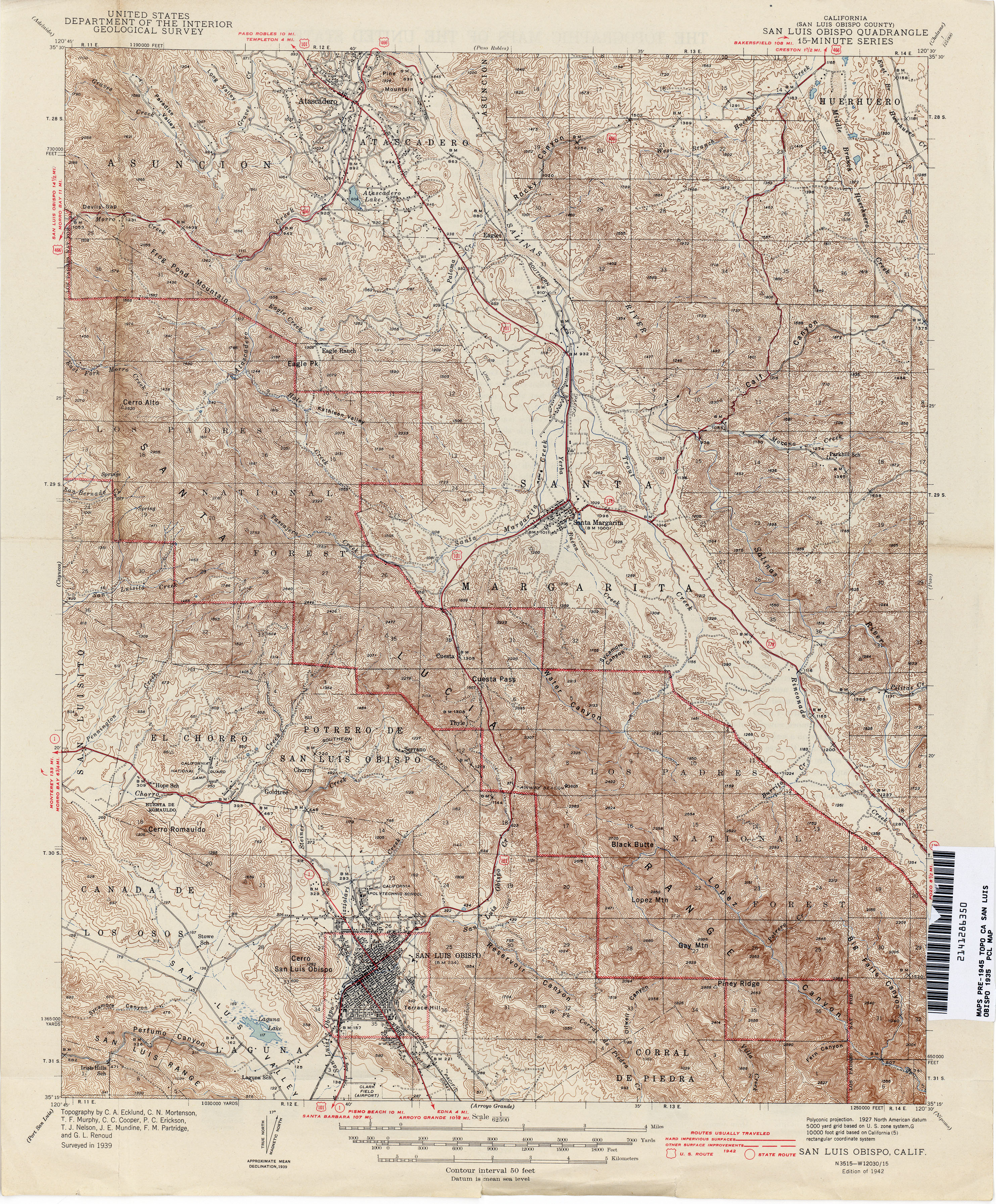
- San Luis Obispo (San Luis Obispo County) 1939 1:62,500 (5.3MB)
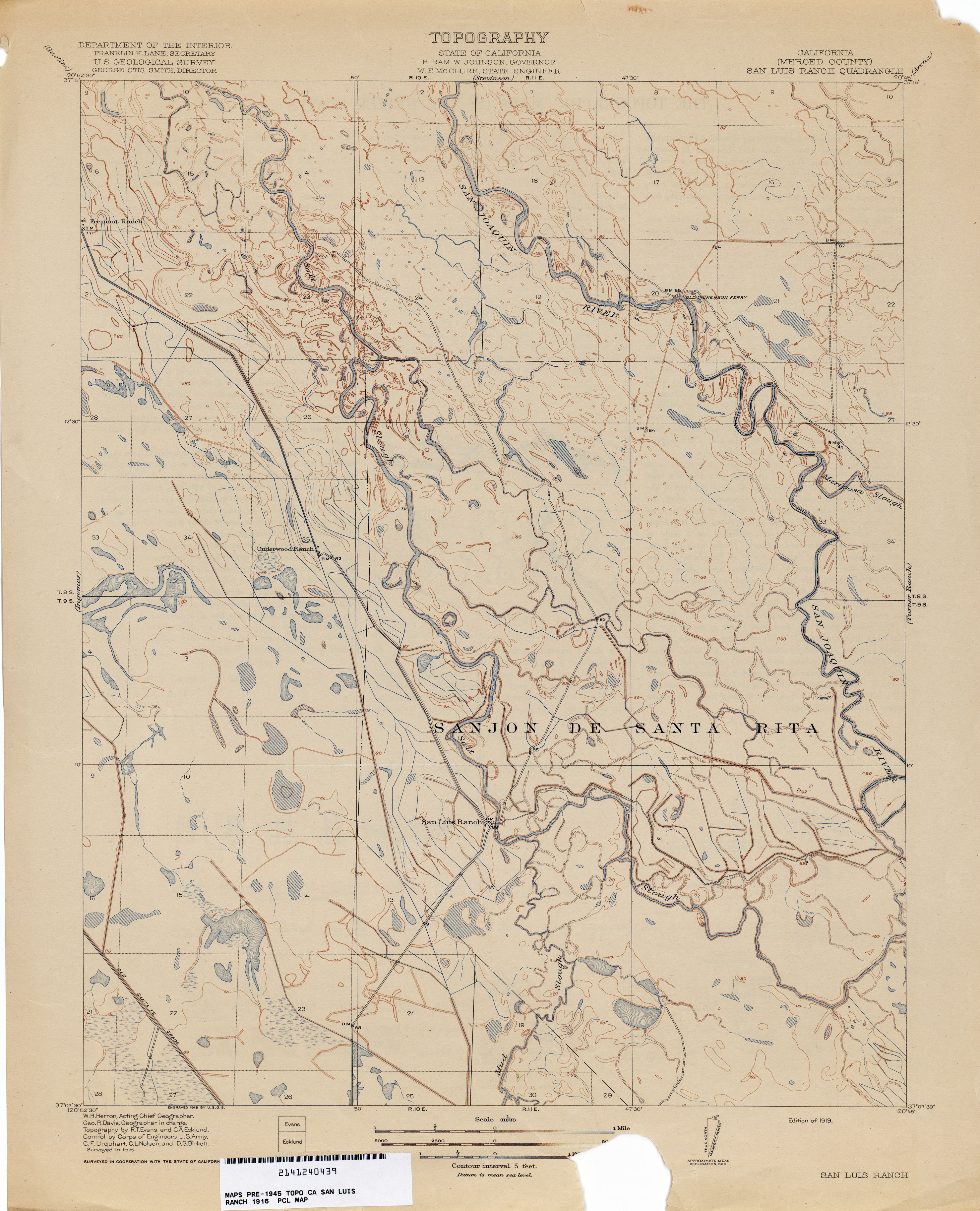
- San Luis Ranch (Merced County) 1916 1:31,680 (2.5MB)
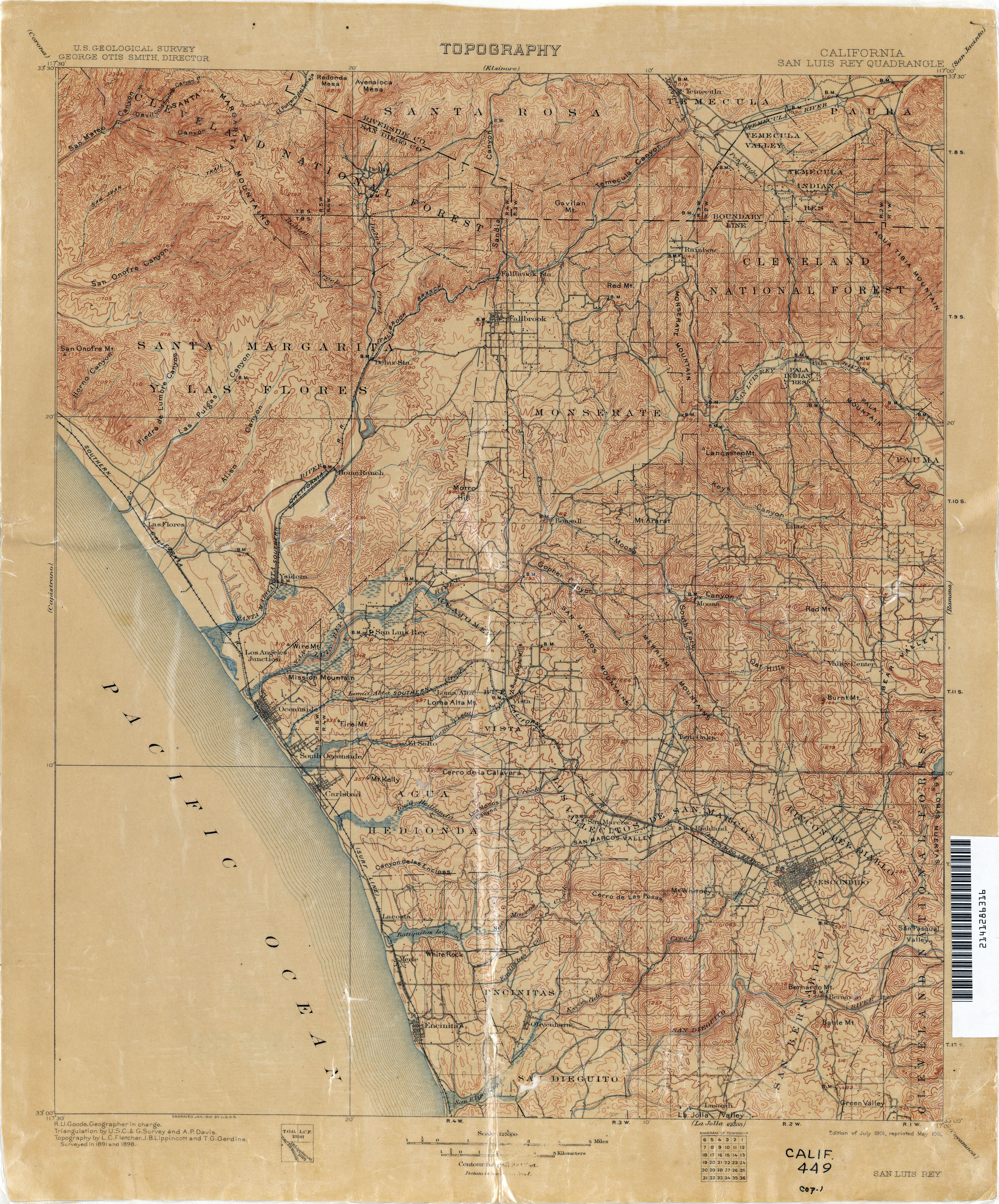
- San Luis Rey 1898 1:125,000 (3.8MB)
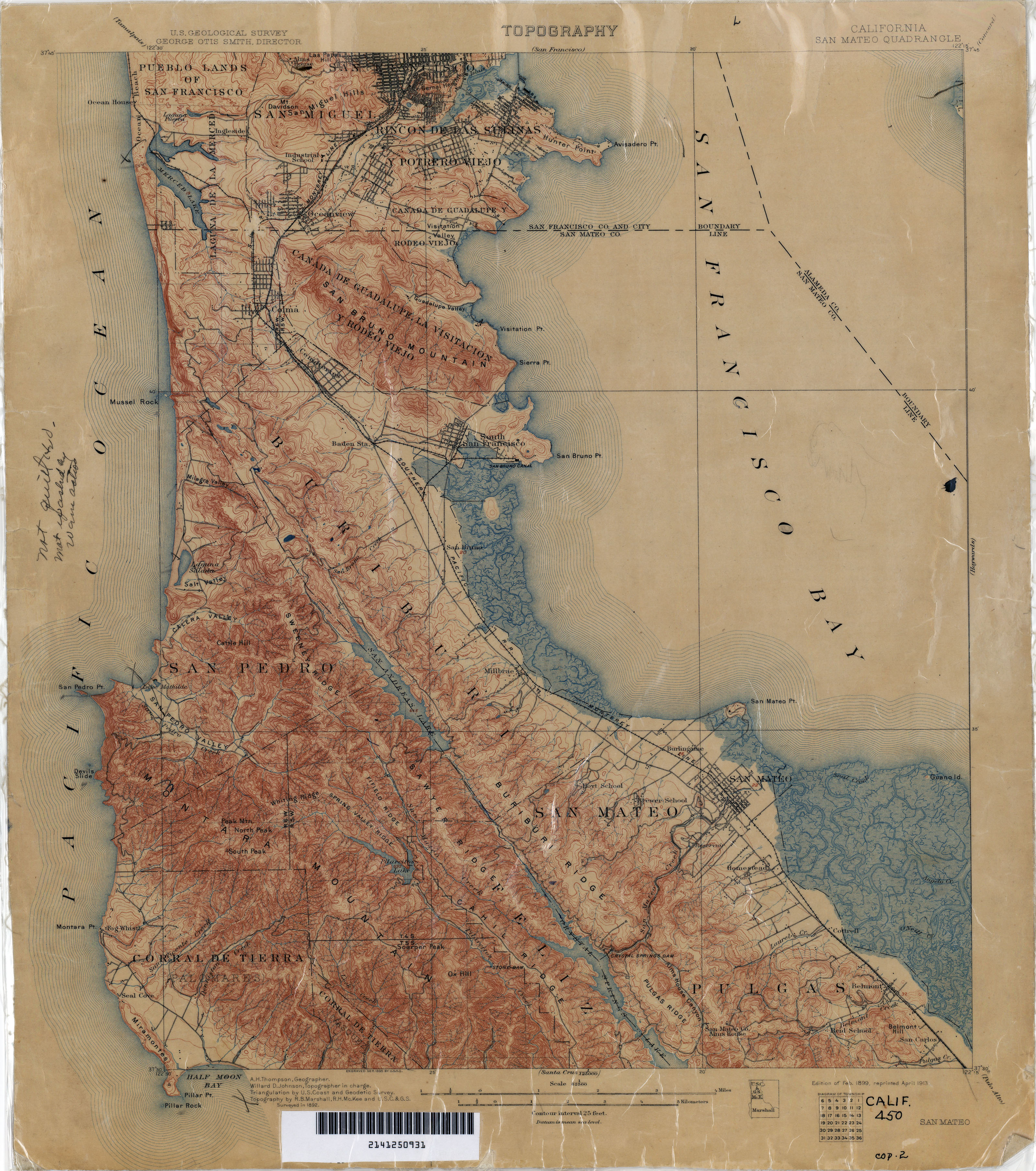
- San Mateo 1892 1:62,500 (3.3MB)
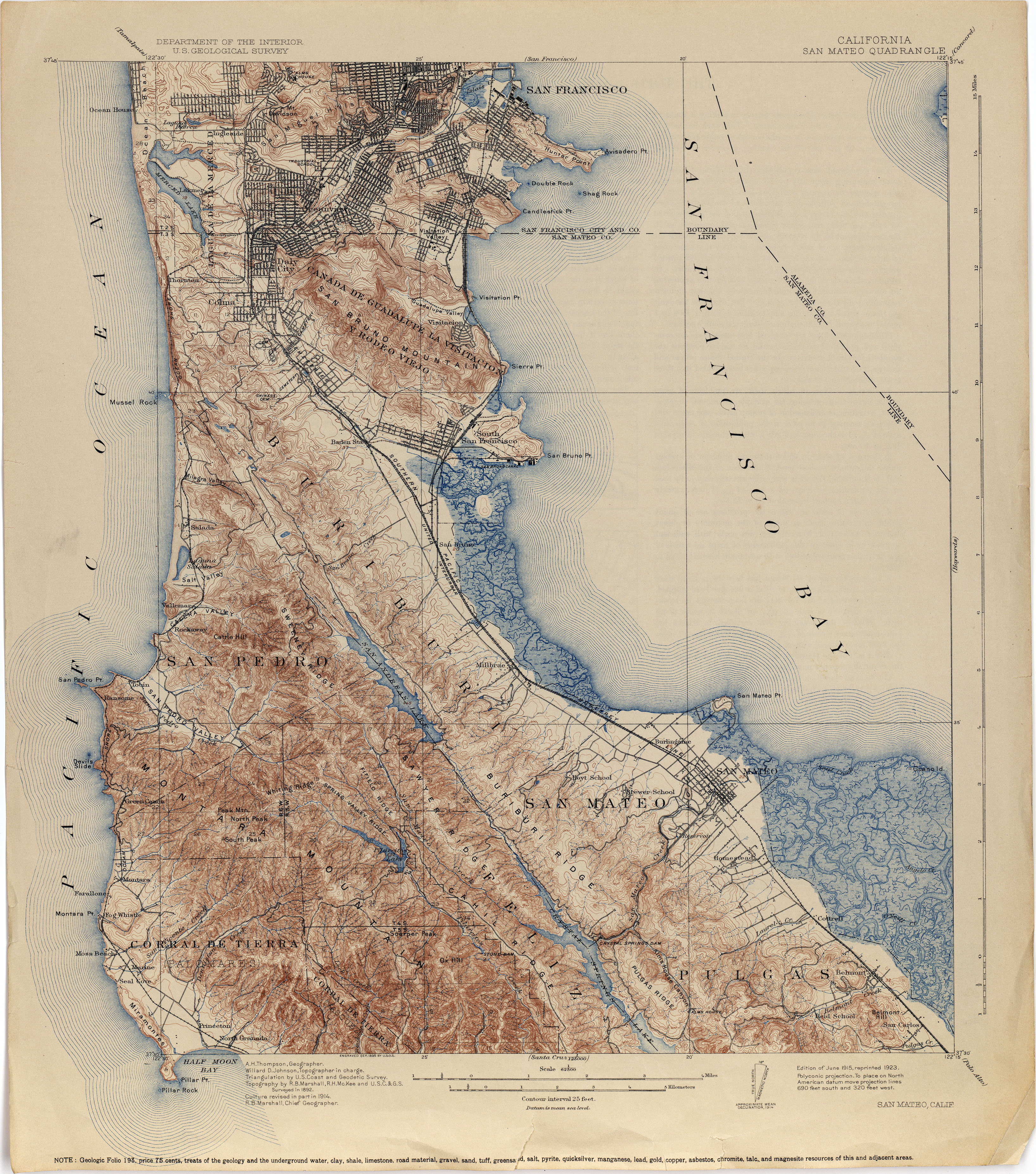
- San Mateo 1914 1:62,500 (3.9MB)
- San Mateo 1914 1:62,500 (4.4MB)
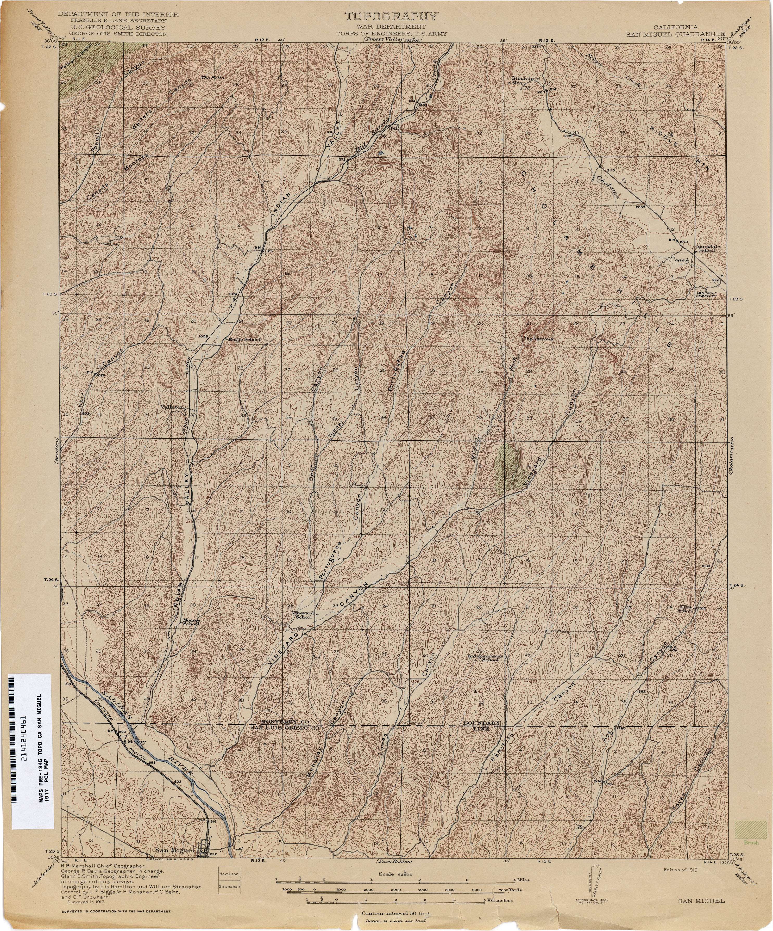
- San Miguel 1917 1:62,500 (4.4MB)
- San Pedro (Los Angeles County)1894 1:62,500 (6.0MB)
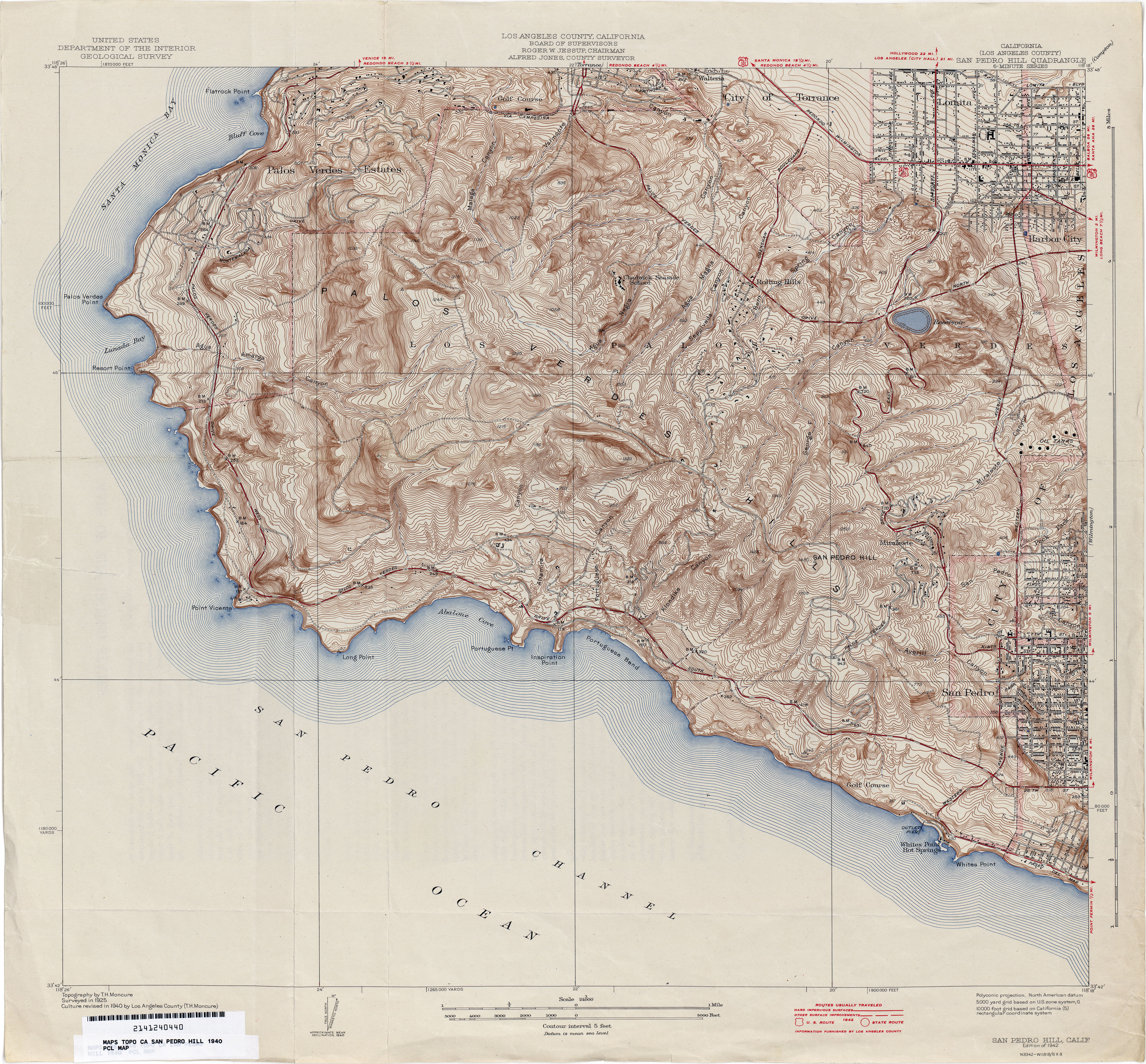
- San Pedro Hill (Los Angeles County) 1940 1:24,000 (5.5MB)
- San Pedro Hills (Los Angeles County) 1925 1:24,000 (1.3MB)
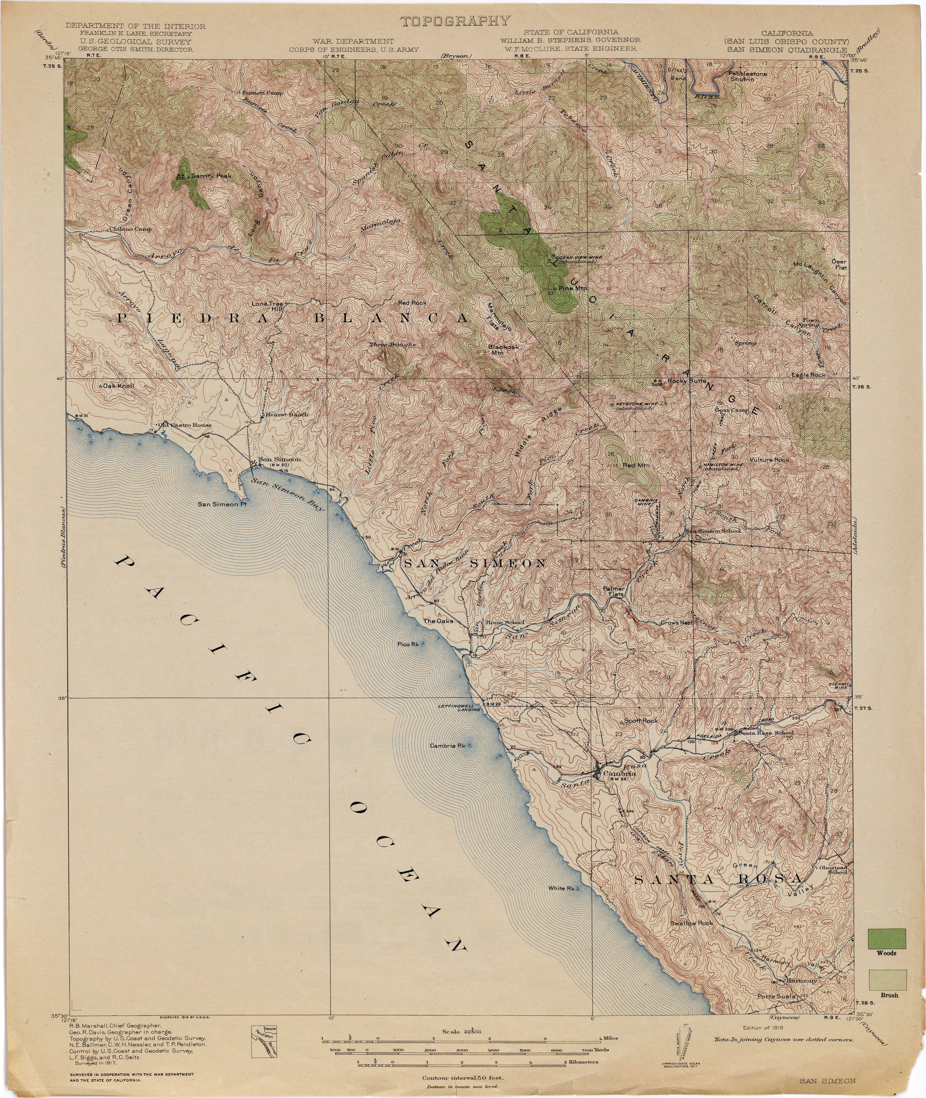
- San Simeon (San Luis Obispo County) 1917 1:62,500 (4.0MB)
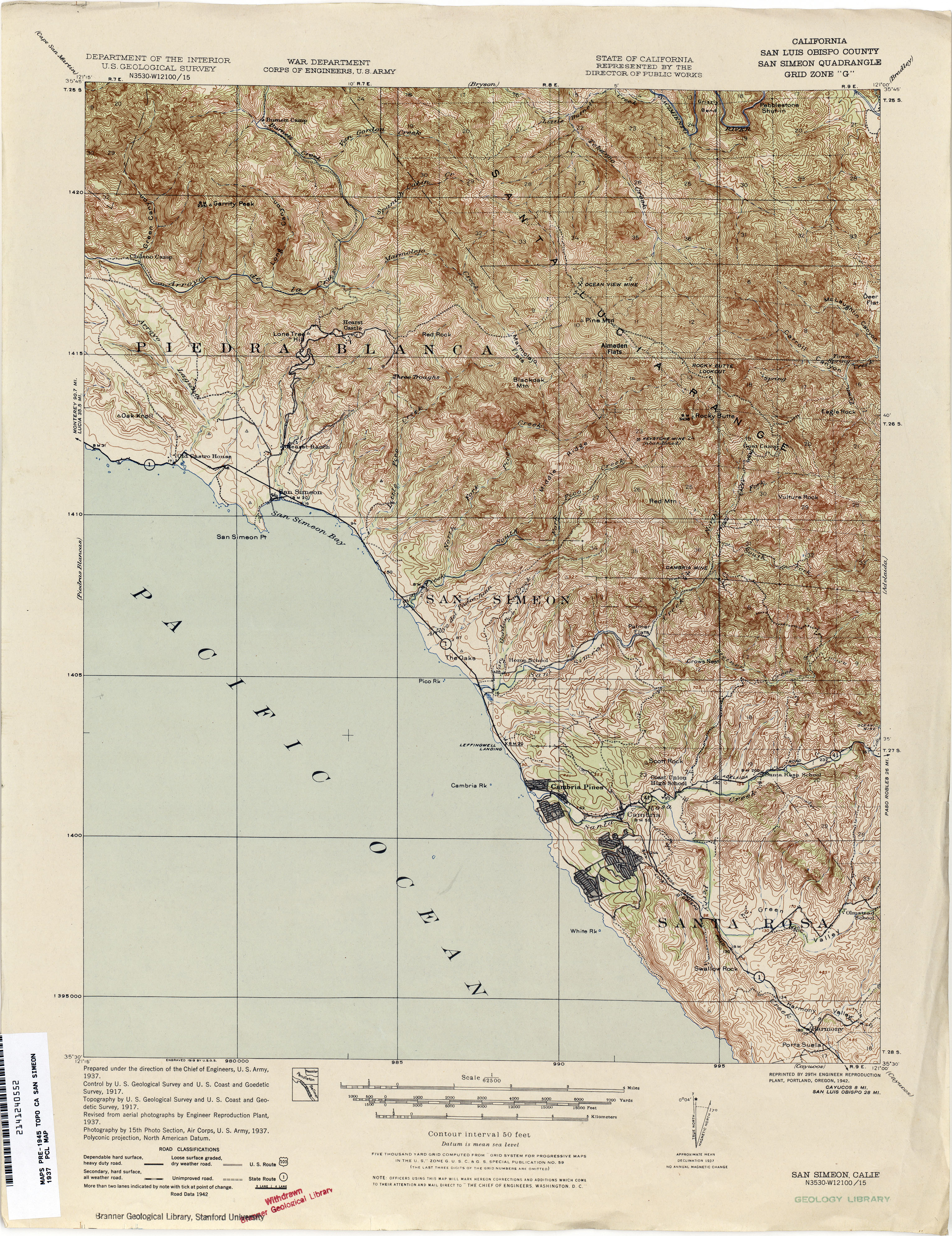
- San Simeon (San Luis Obispo County) 1937 1:62,500 (3.9MB)
- San Ysidro (San Diego County) 1941 1:31,680 (3.1MB)
- Sanborn Slough 1910 1:31,680 (1.8MB)
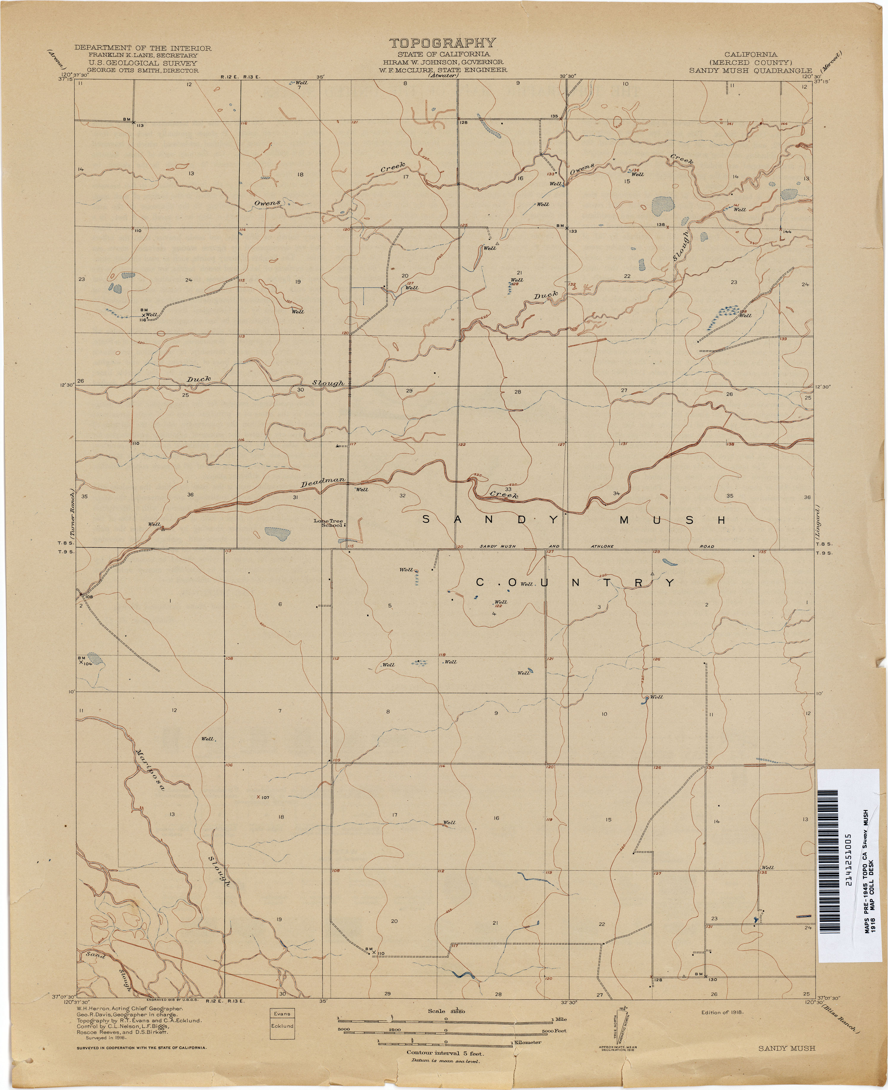
- Sandy Mush (Merced County) 1916 1:31,680 (1.7MB)
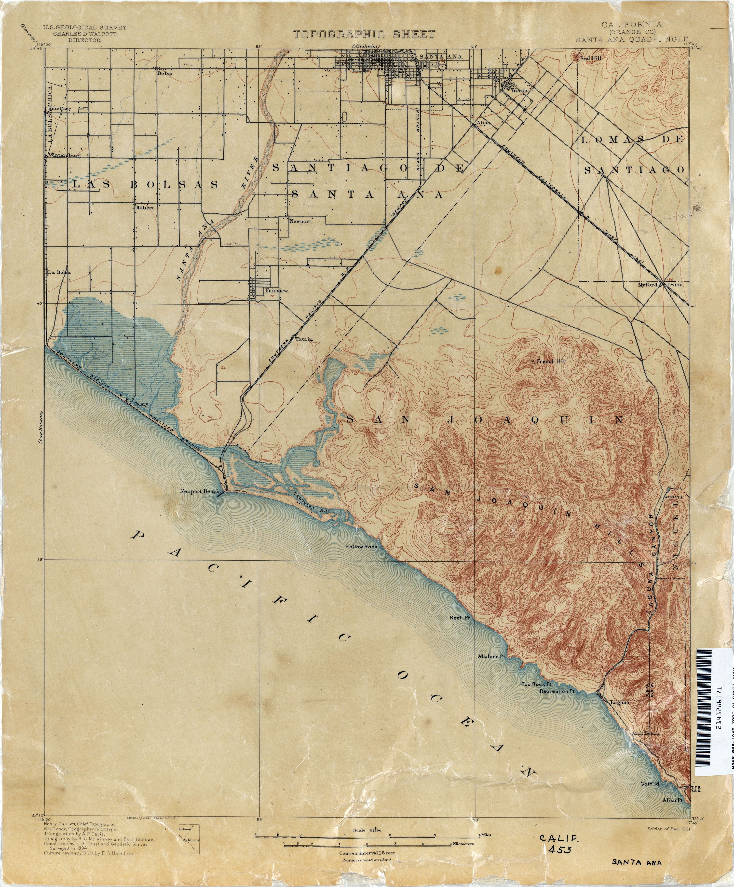
- Santa Ana (Orange County) 1900 1:62,500 (2.5MB)
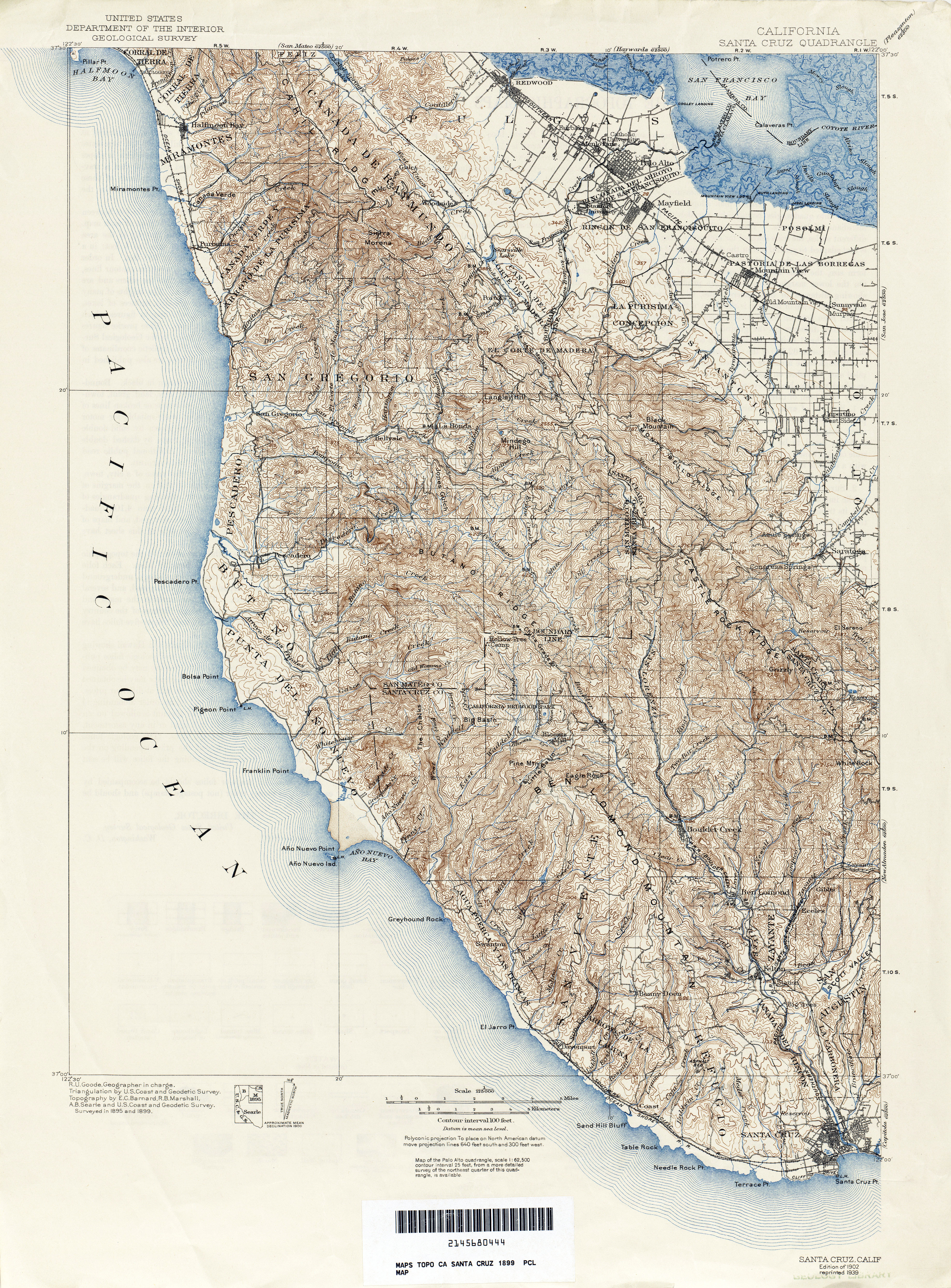
- Santa Cruz 1899 1:125,000 (8.1MB)
- Santa Barbara (Santa Barbara County) 1901 1:62,500 (2.9MB)
- Santa Felicia Canyon (Los Angeles County) 1931 1:24,000 (1.8MB)
- Santa Maria 1947 1:62,500 (4.3MB)
- Santa Monica (Los Angeles County) 1893 1:62,500 (3.0MB)
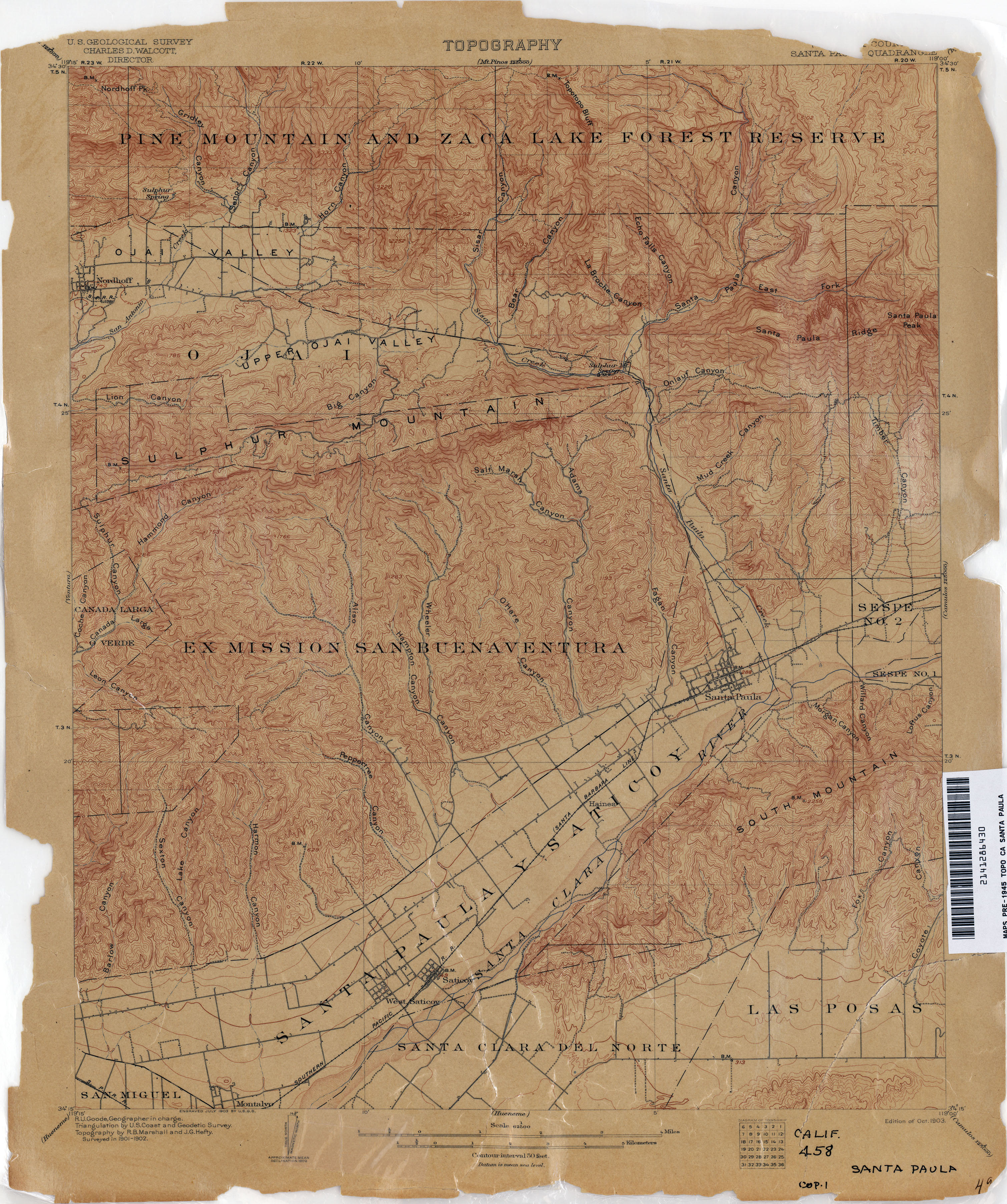
- Santa Paula (Ventura County) 1902 [1903 Edition] 1:62,500 (3.3MB)
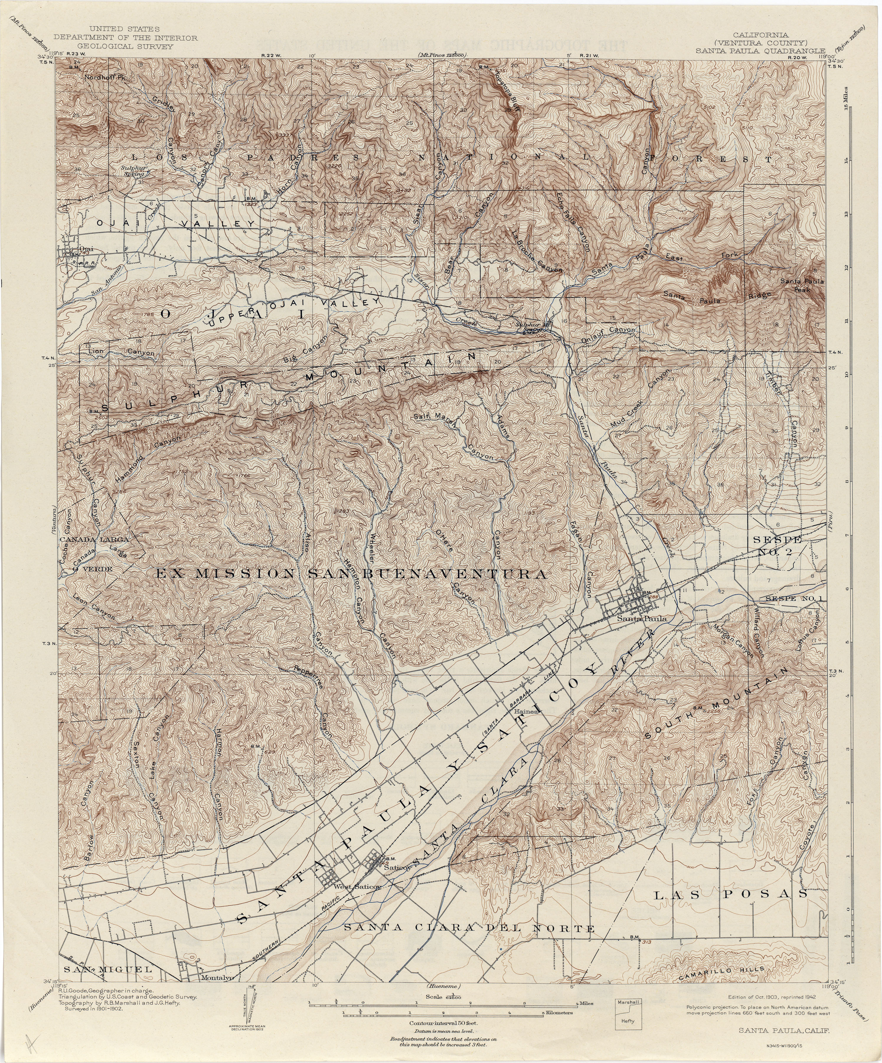
- Santa Paula (Ventura County)1902 [1942 reprint] 1:62,500 (4.5MB)
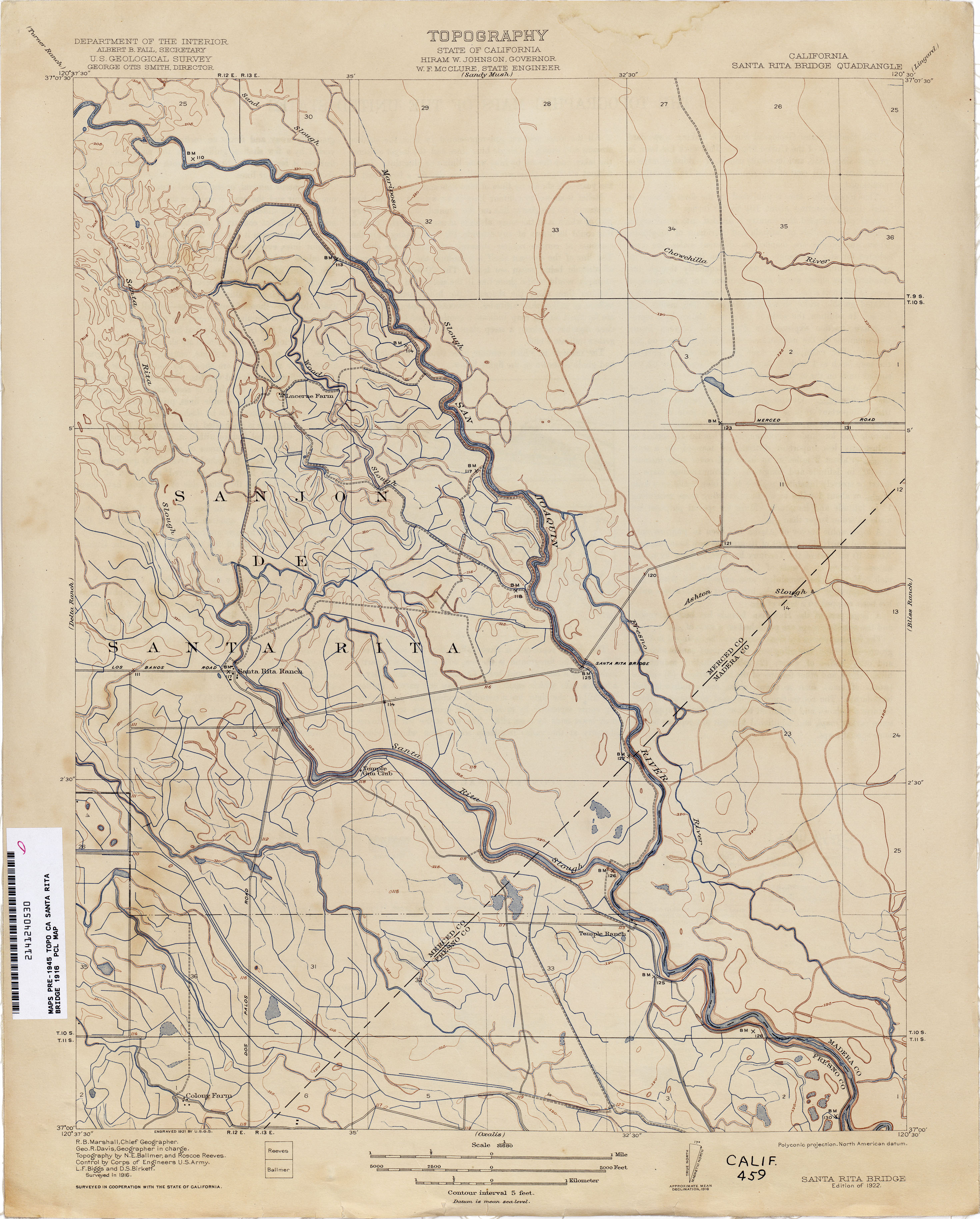
- Santa Rita Bridge 1916 1:31,680 (2.3MB)
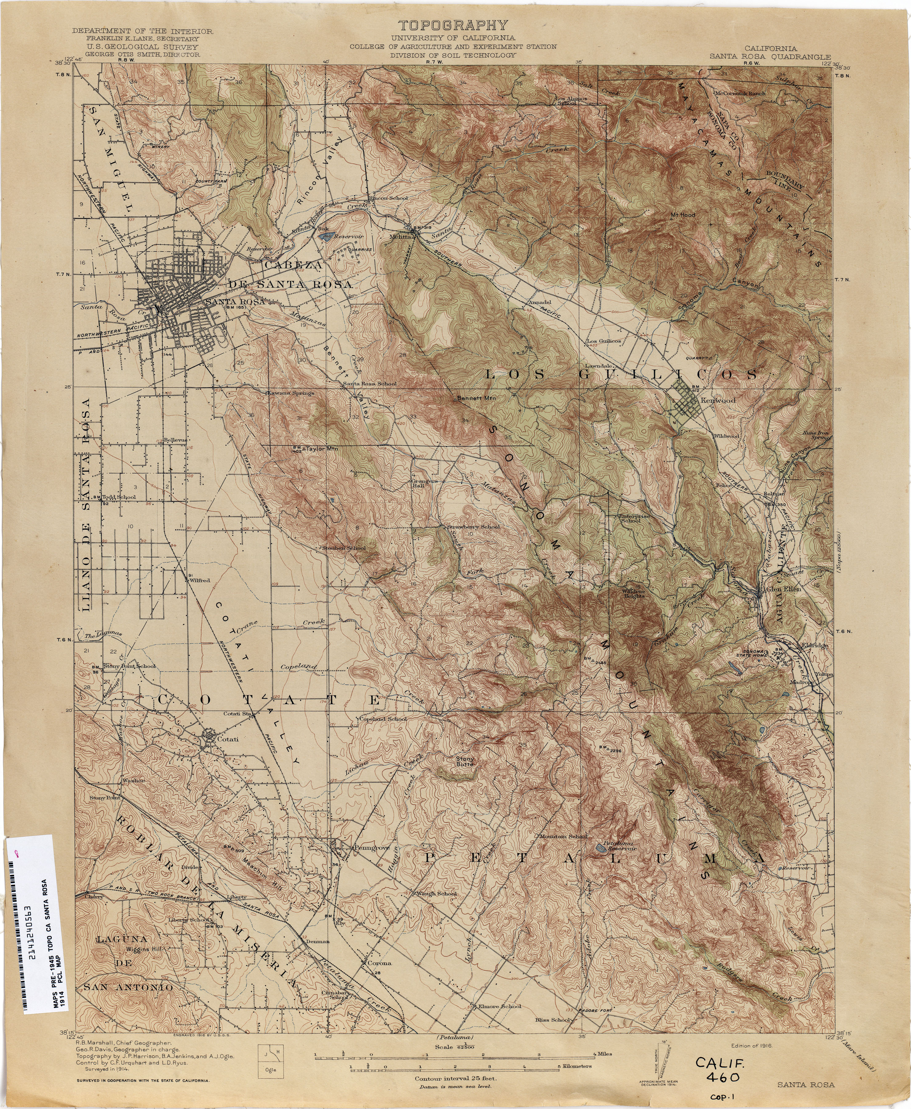
- Santa Rosa 1914 1:62,500 (3.8MB)
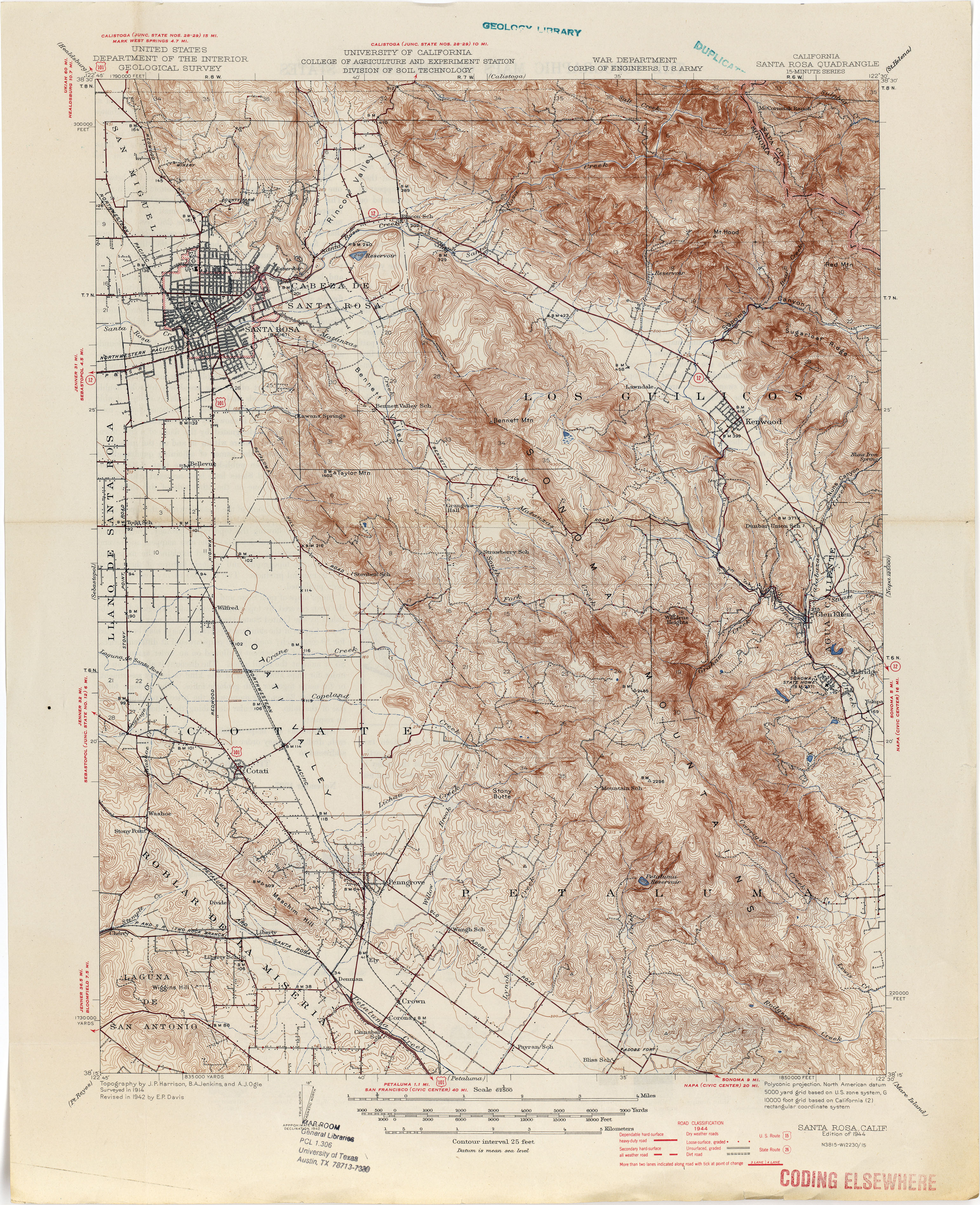
- Santa Rosa 1944 1:62,500 (4.5MB)
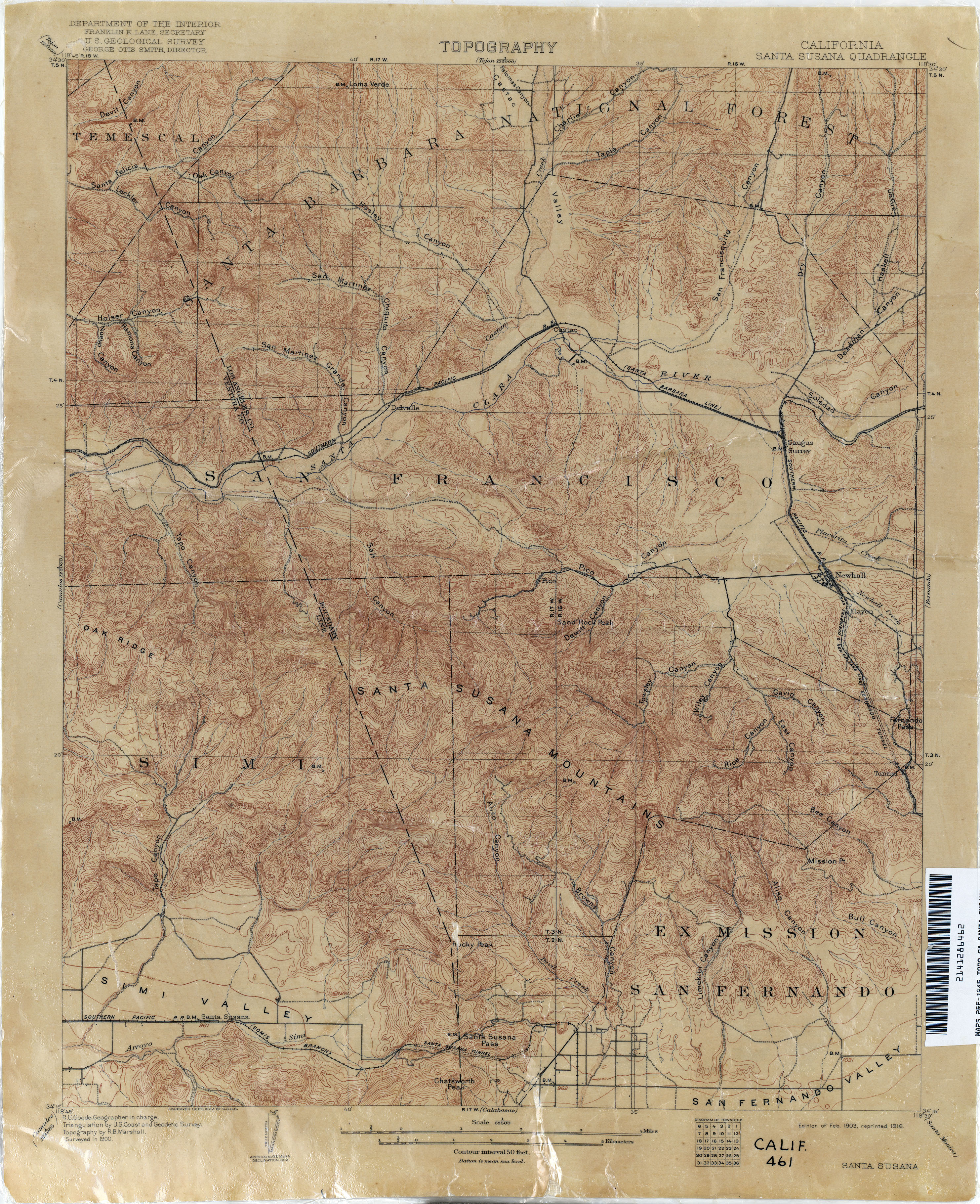
- Santa Susana 1900 1:62,500 (3.7MB)
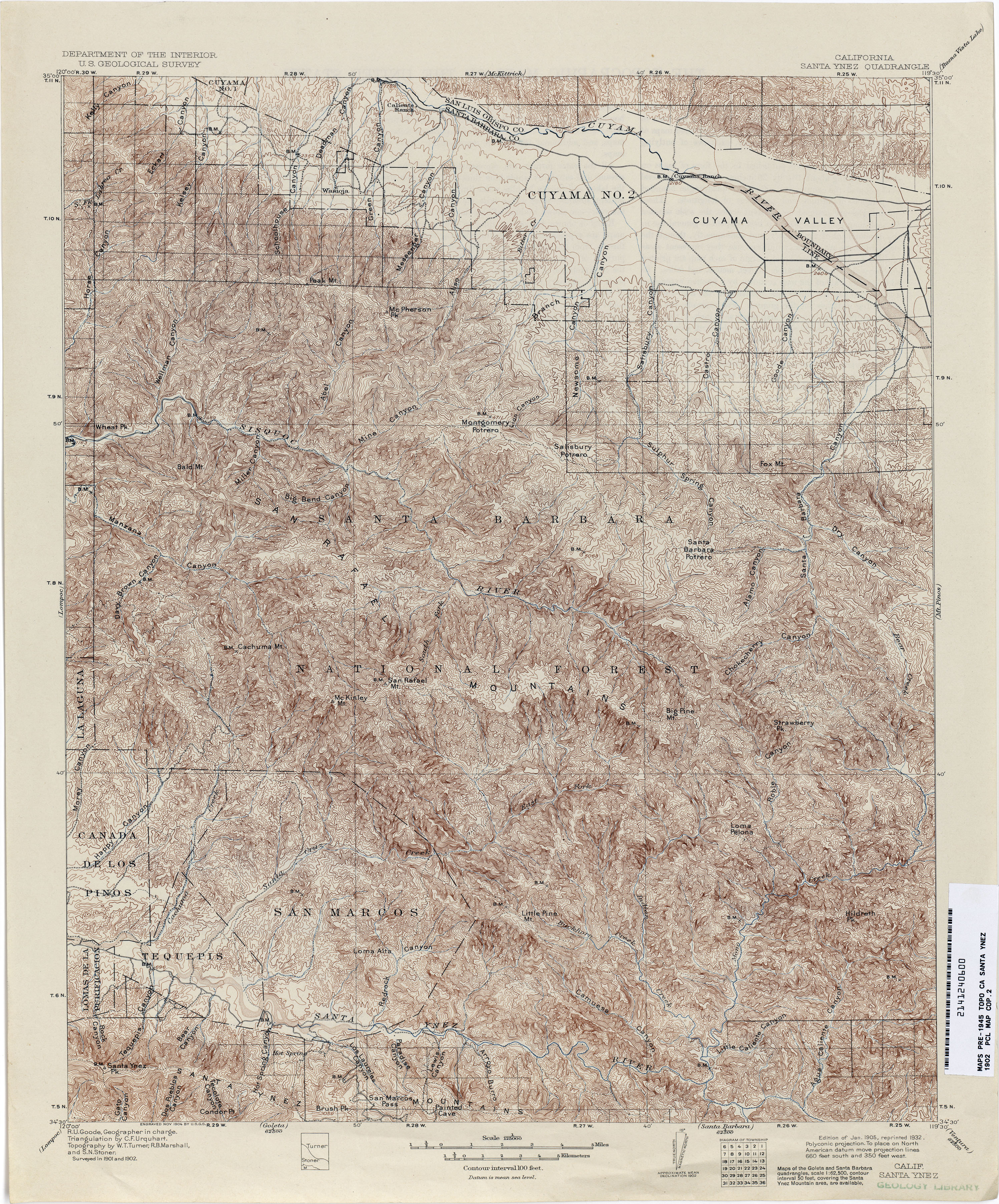
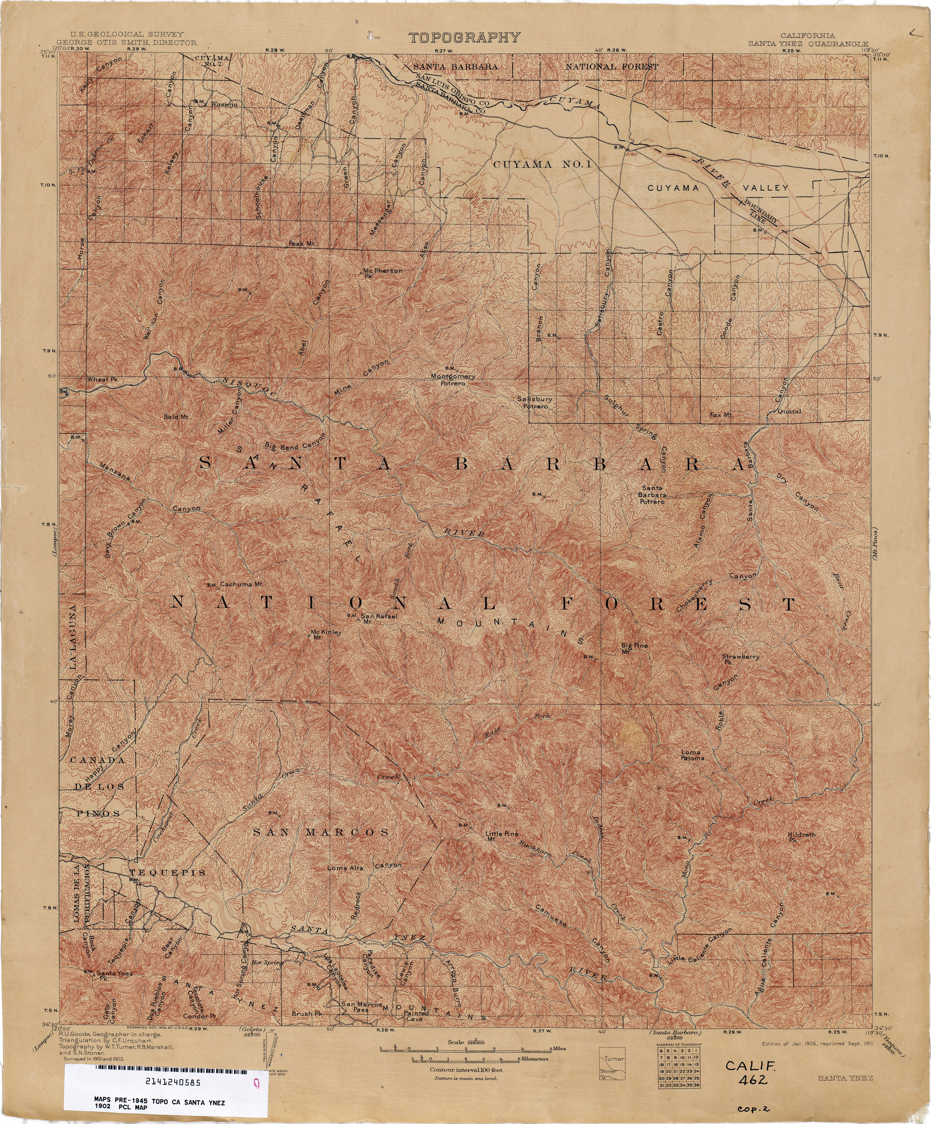
- Santa Ynez 1902 1:125,000 (5.1MB)
- Santa Ynez 1902 1:125,000 (4.7MB)
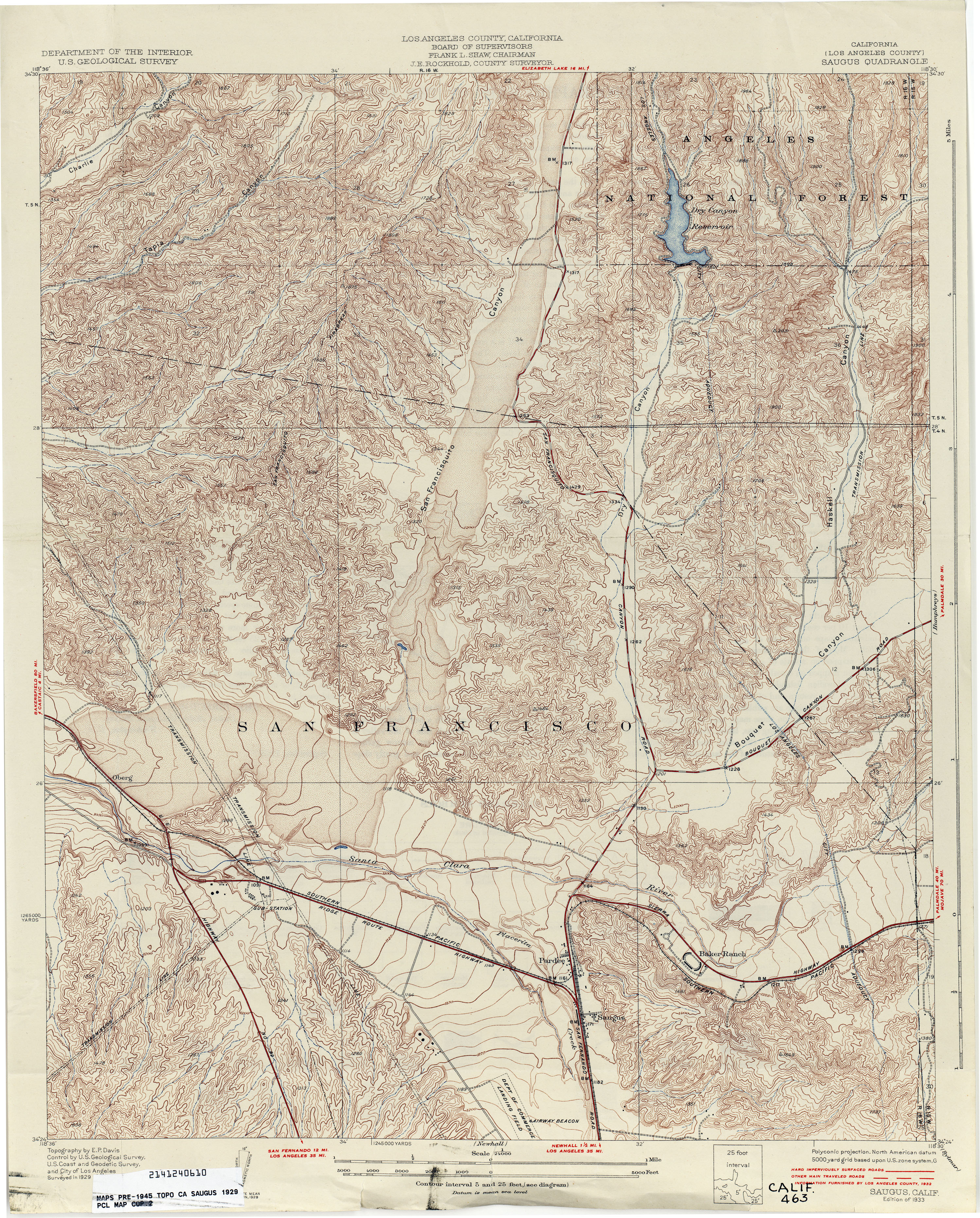
- Saugus (Los Angeles County) 1929 1:24,000 (4.8MB)
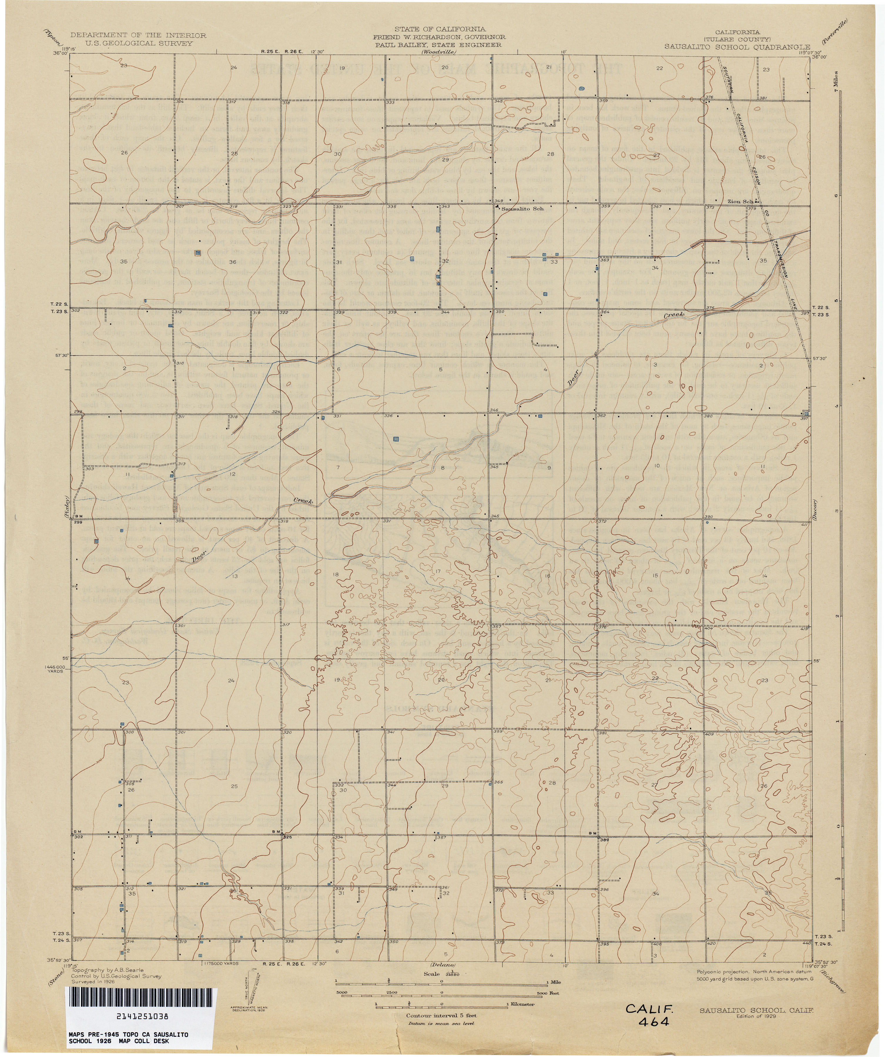
- Sausalito School (Tulare County) 1926 1:31,680 (1.8MB)
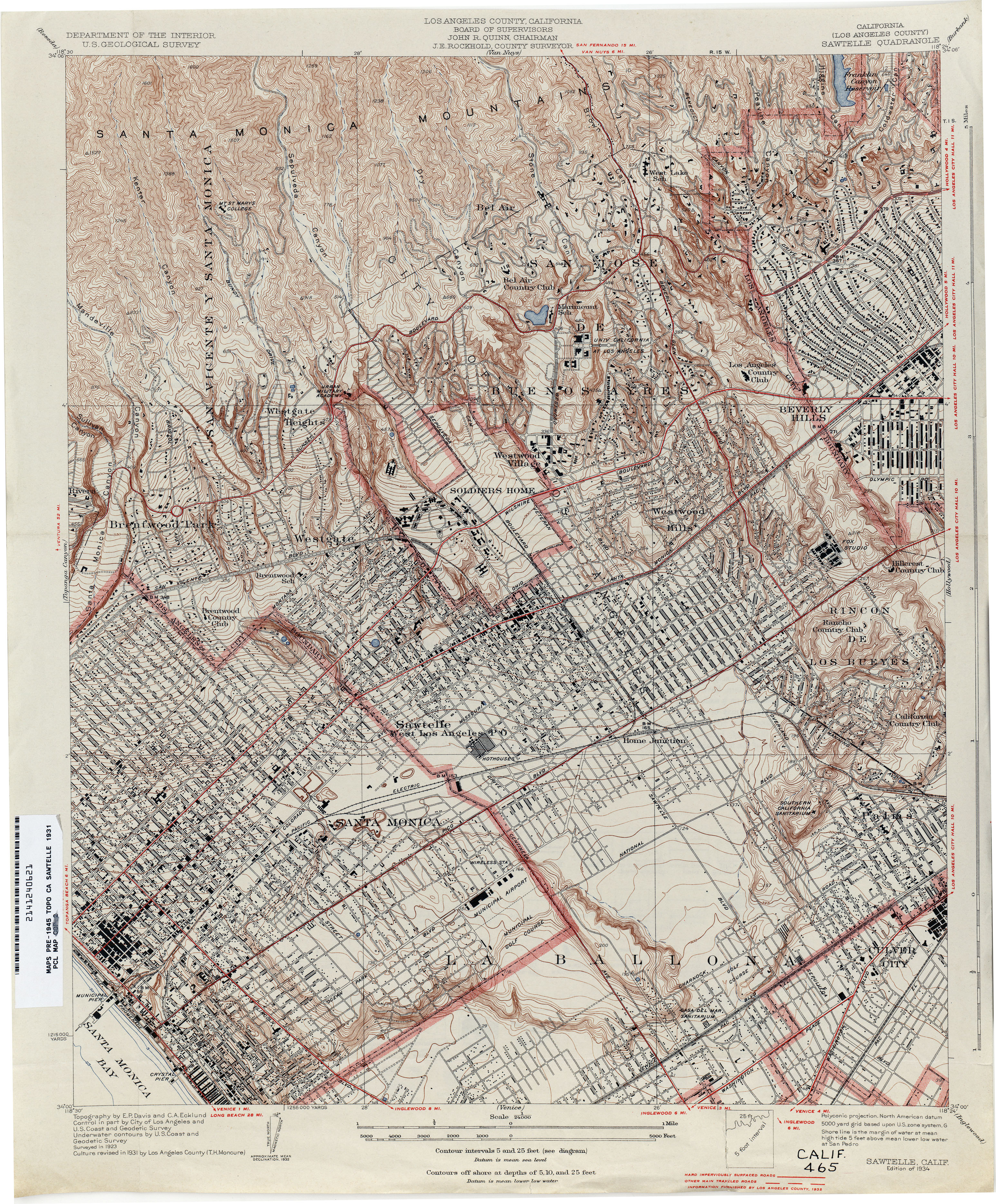
- Sawtelle (Los Angeles County) 1931 1:24,000 (5.5MB)
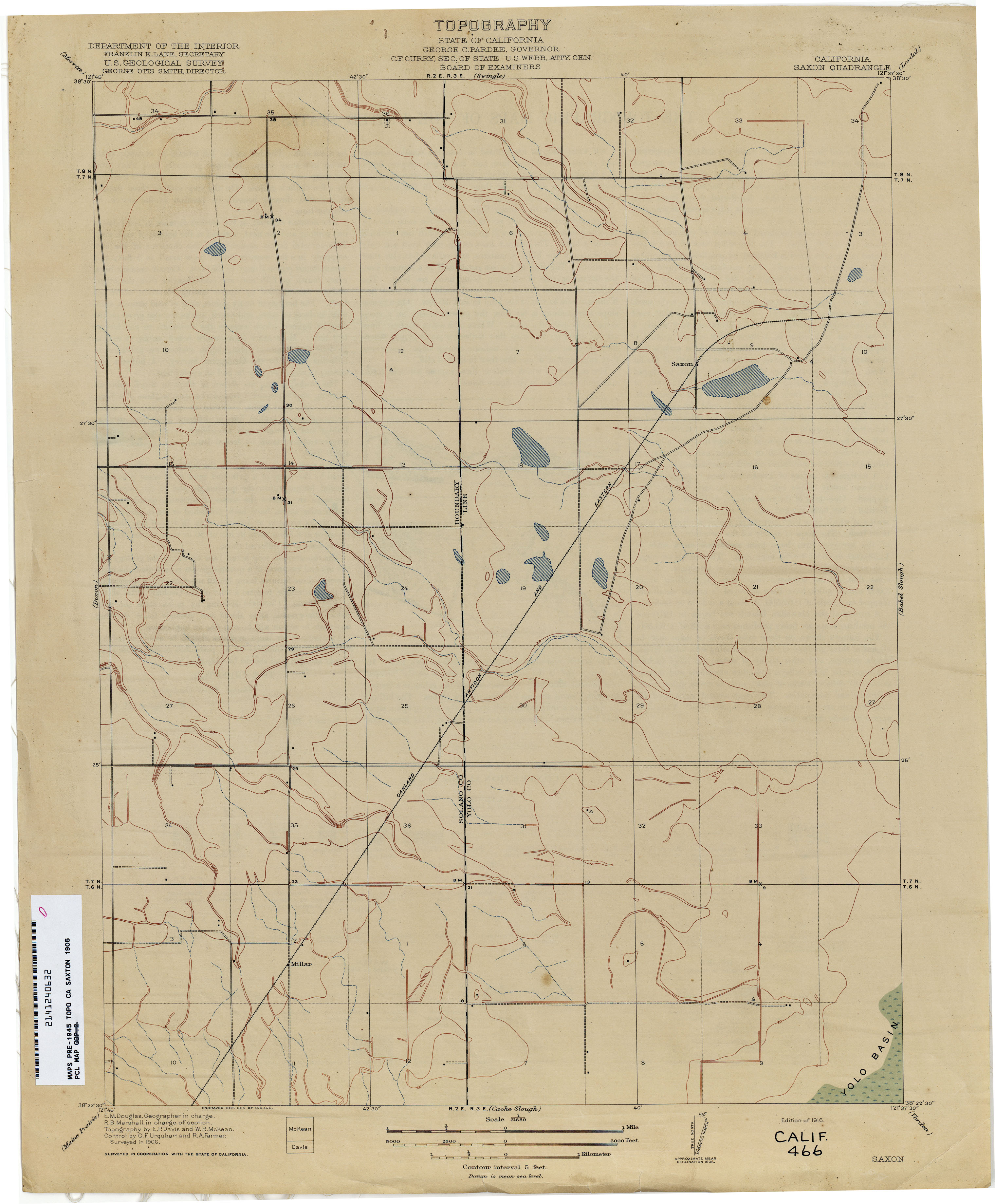
- Saxon 1906 1:31,680 (1.8MB)
- Seal Beach (Orange County) 1906 1:31,680 (2.1MB)
- Searles Lake 1913 1:250,000 (3.5MB)
- Seiad (Siskiyou County) 1914 1:125,000 (4.0MB)
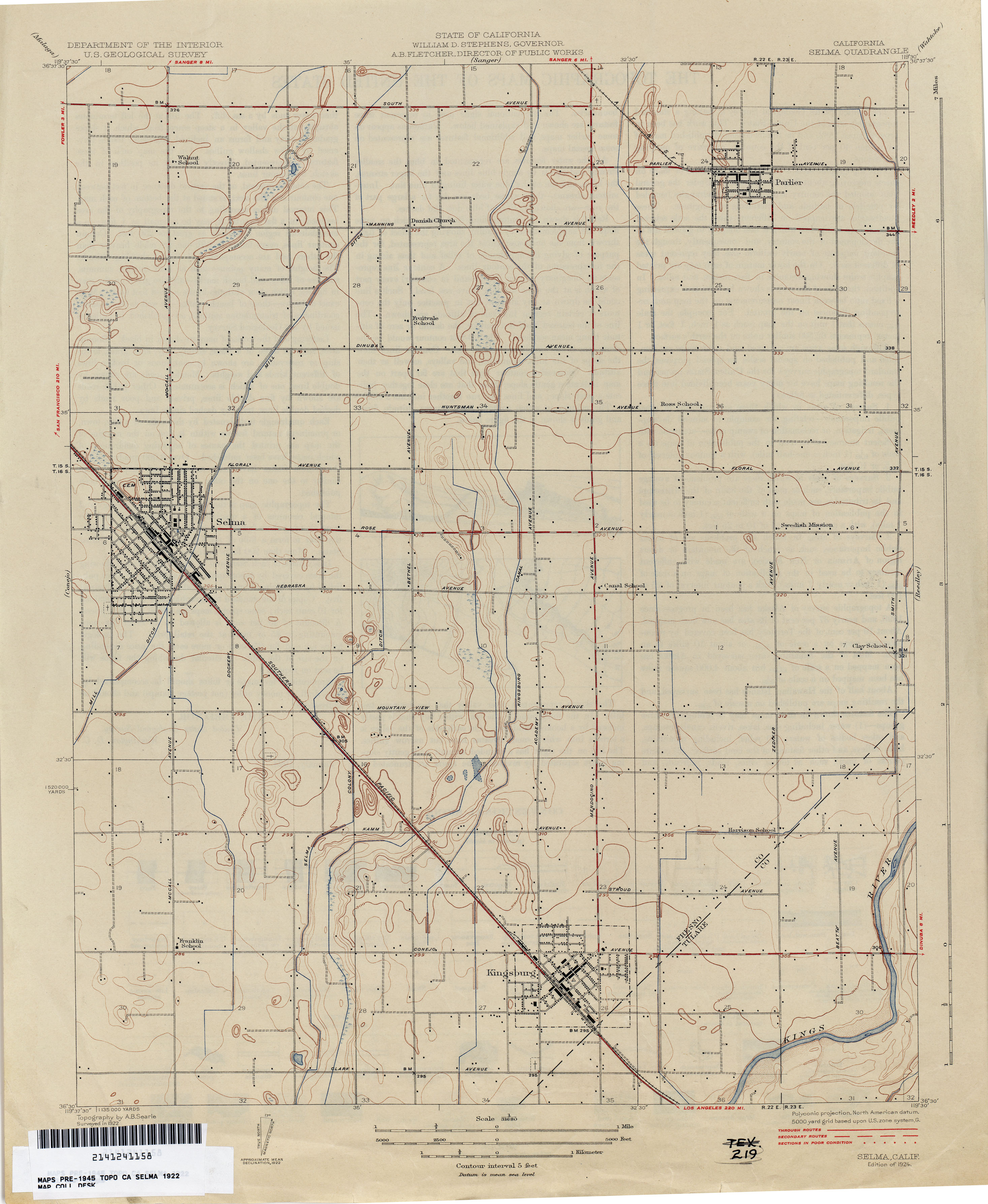
- Selma 1922 1:31,680 (1.9MB)
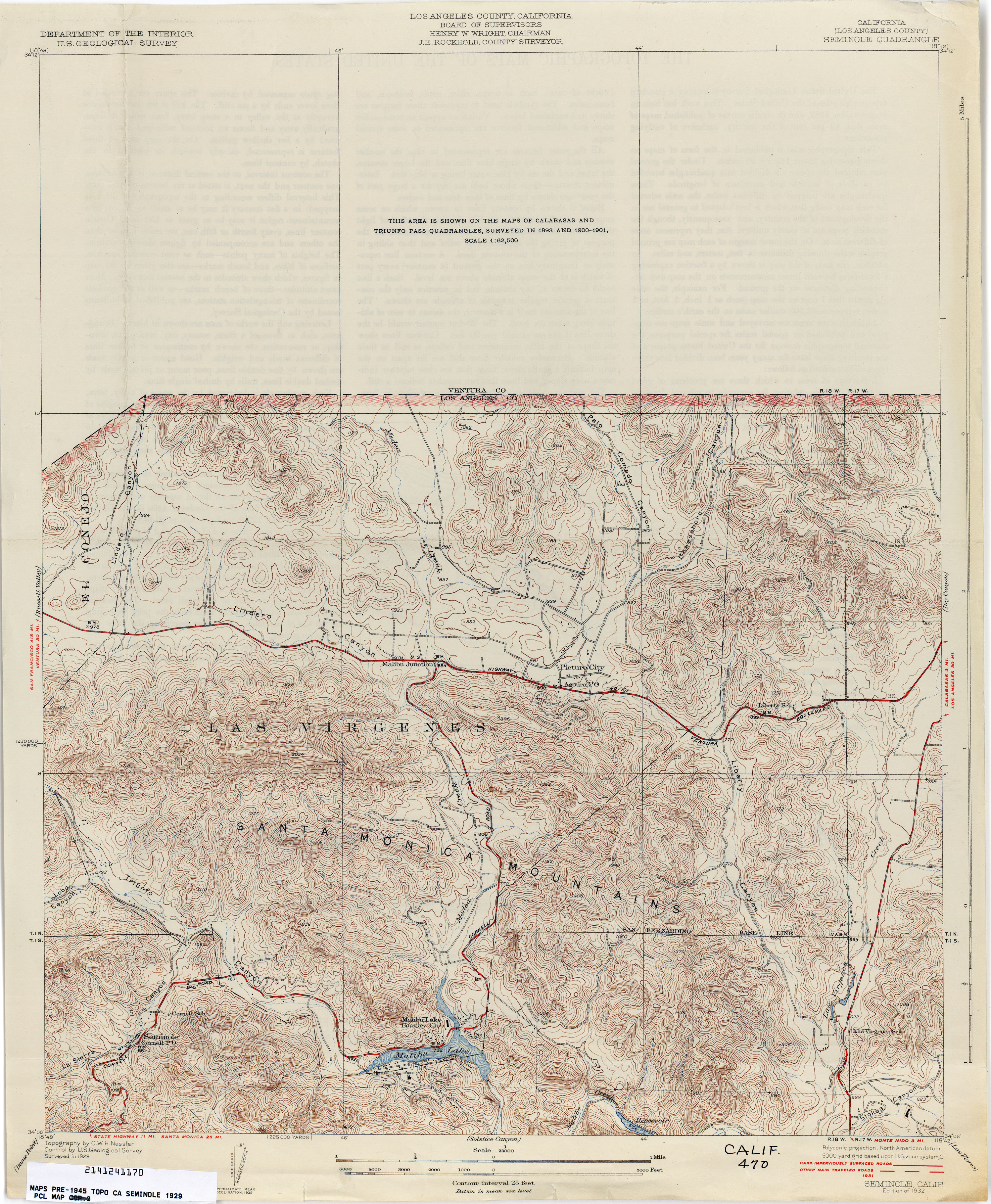
- Seminole (Los Angeles County) 1929 1:24,000 (3.5MB)
- Shadow Mountains 1937 1:62,500 (2.8MB)
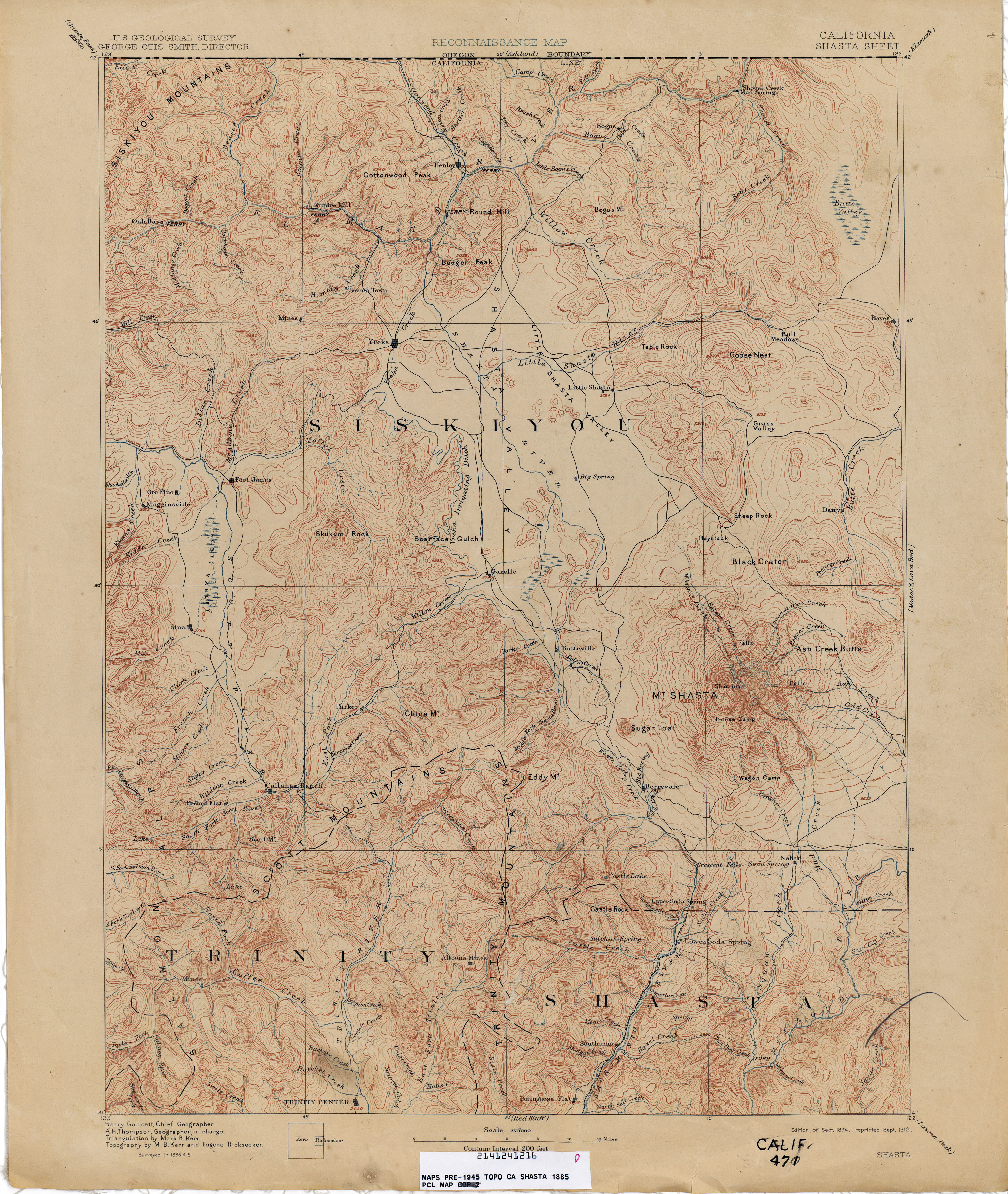
- Shasta 1885 1:250,000 (3.4MB)
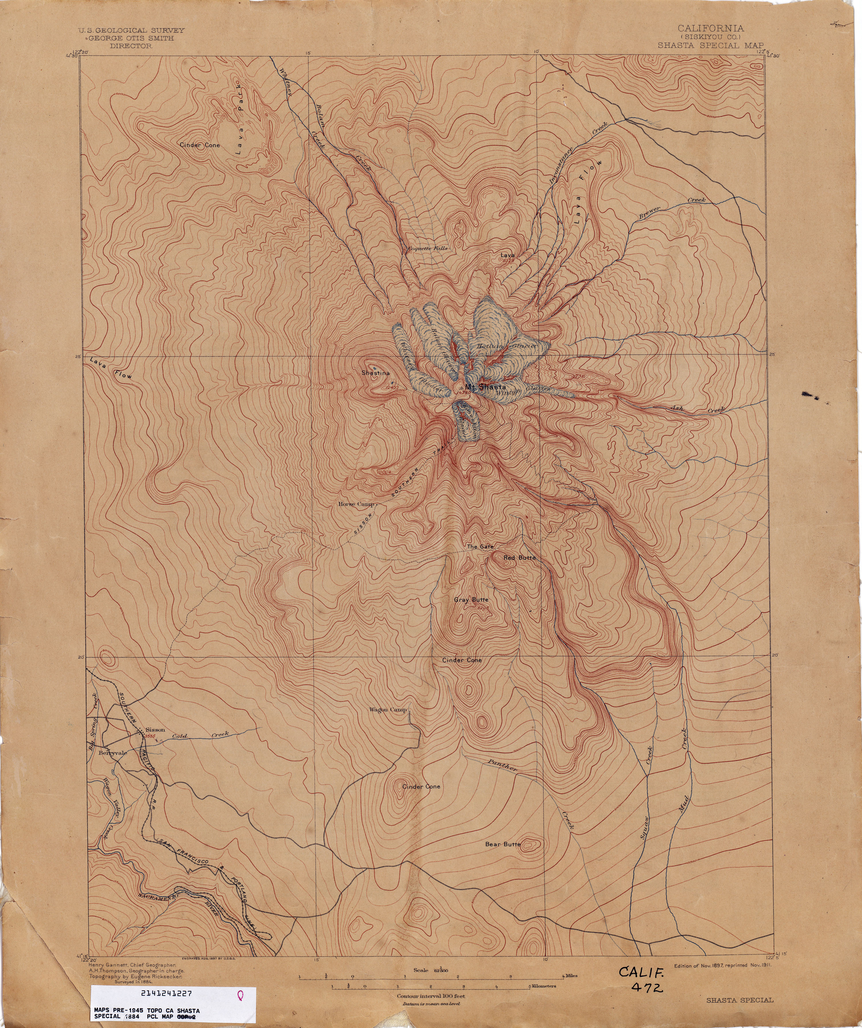
- Shasta Special (Siskiyou County) 1884 1:62,500 (2.6MB)
- Sheridan 1908 1:31,680 (2.1MB)
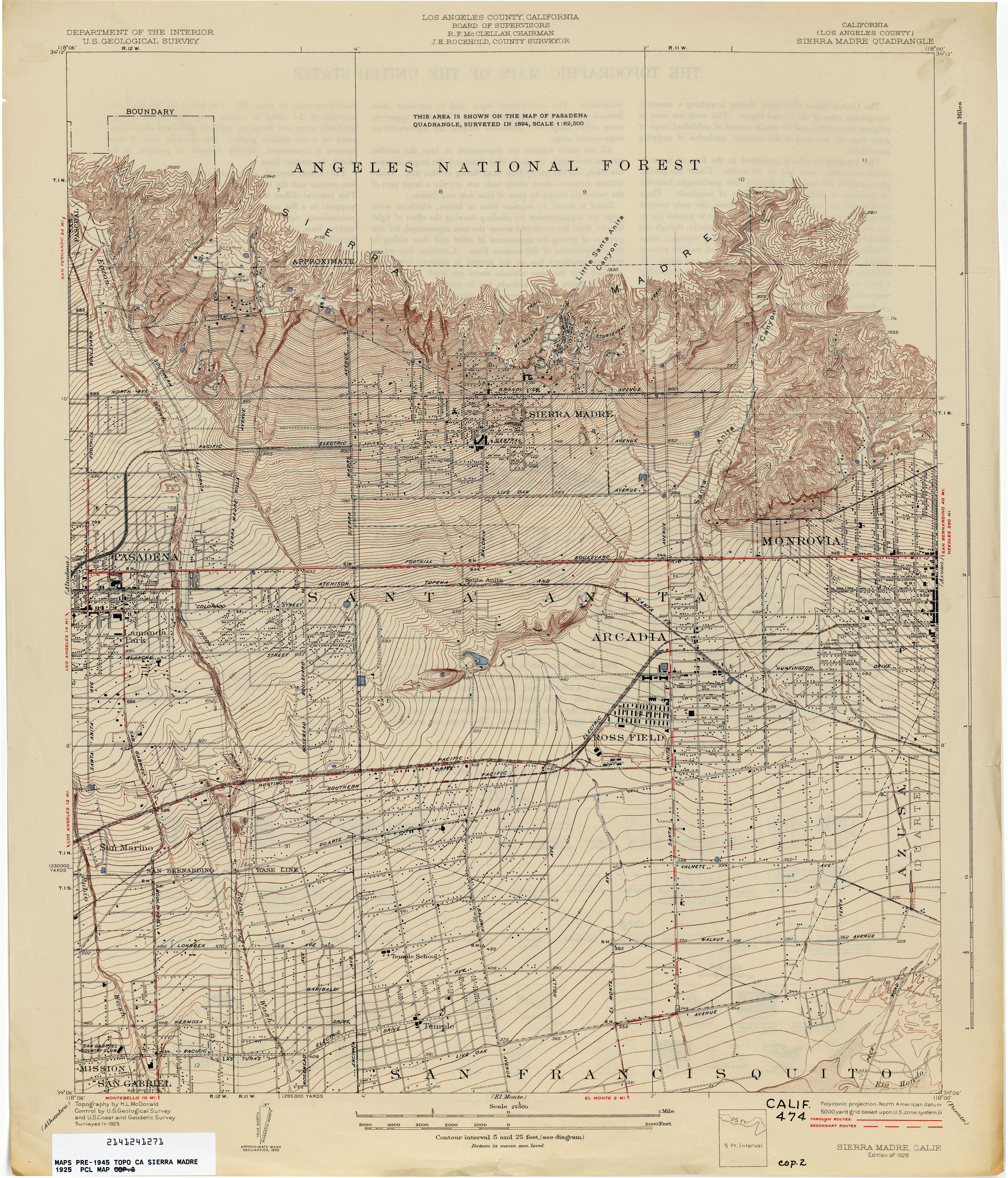
- Sierra Madre (Los Angeles County) 1925 1:24,000 (3.6MB)
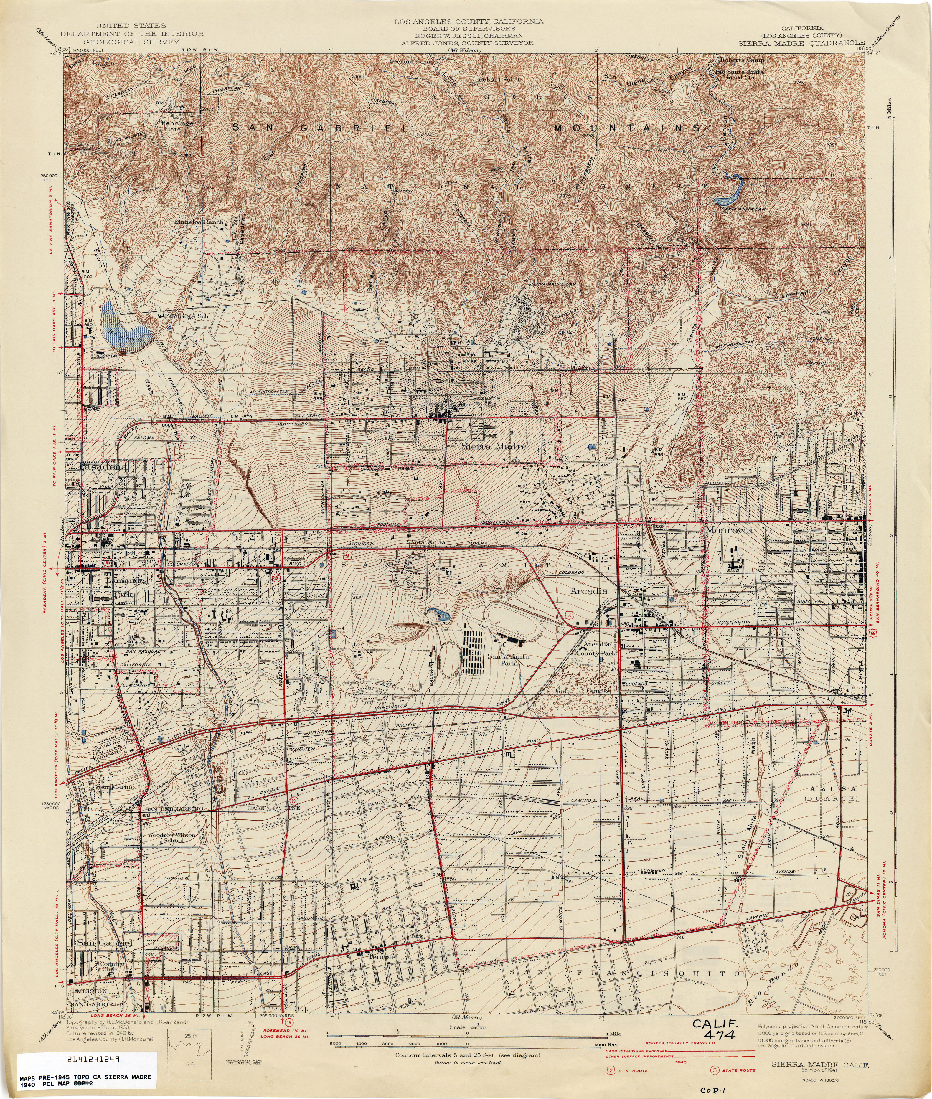
- Sierra Madre (Los Angeles County) 1940 1:24,000 (4.8MB)
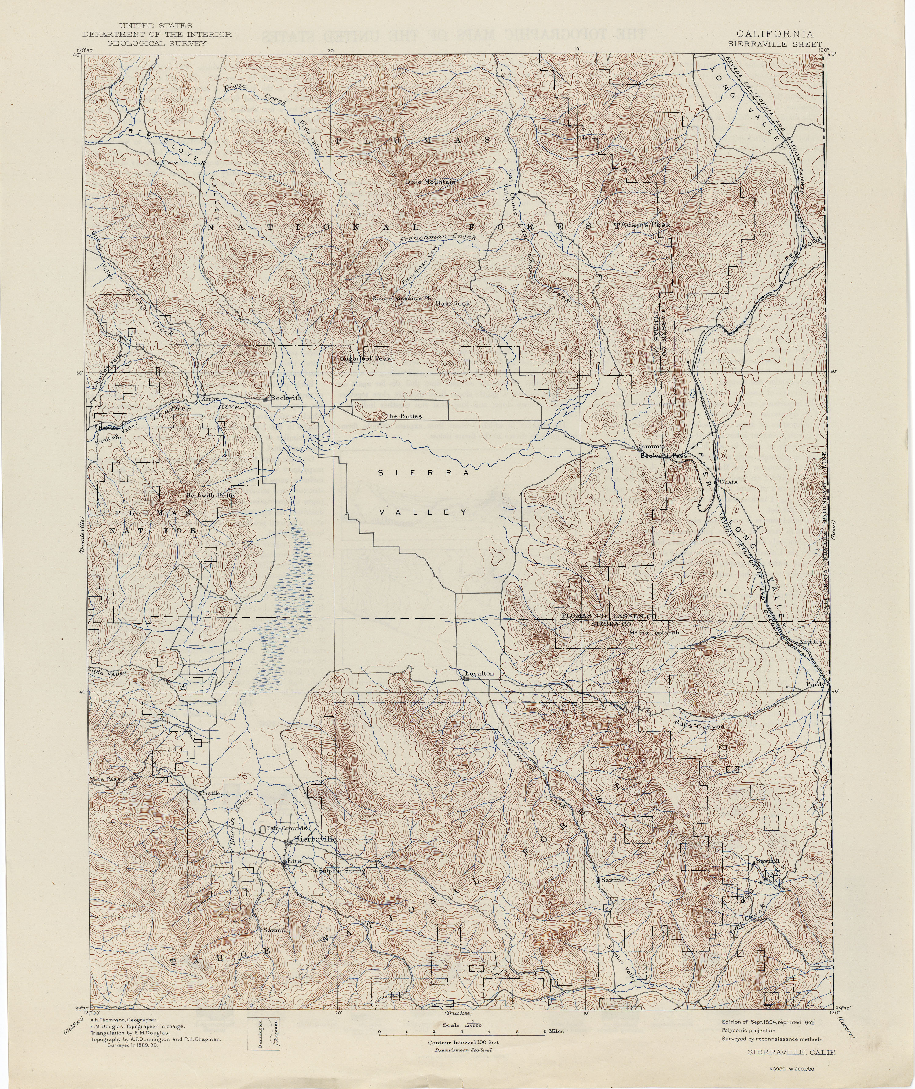
- Sierraville 1890 1:125,000 (3.6MB)
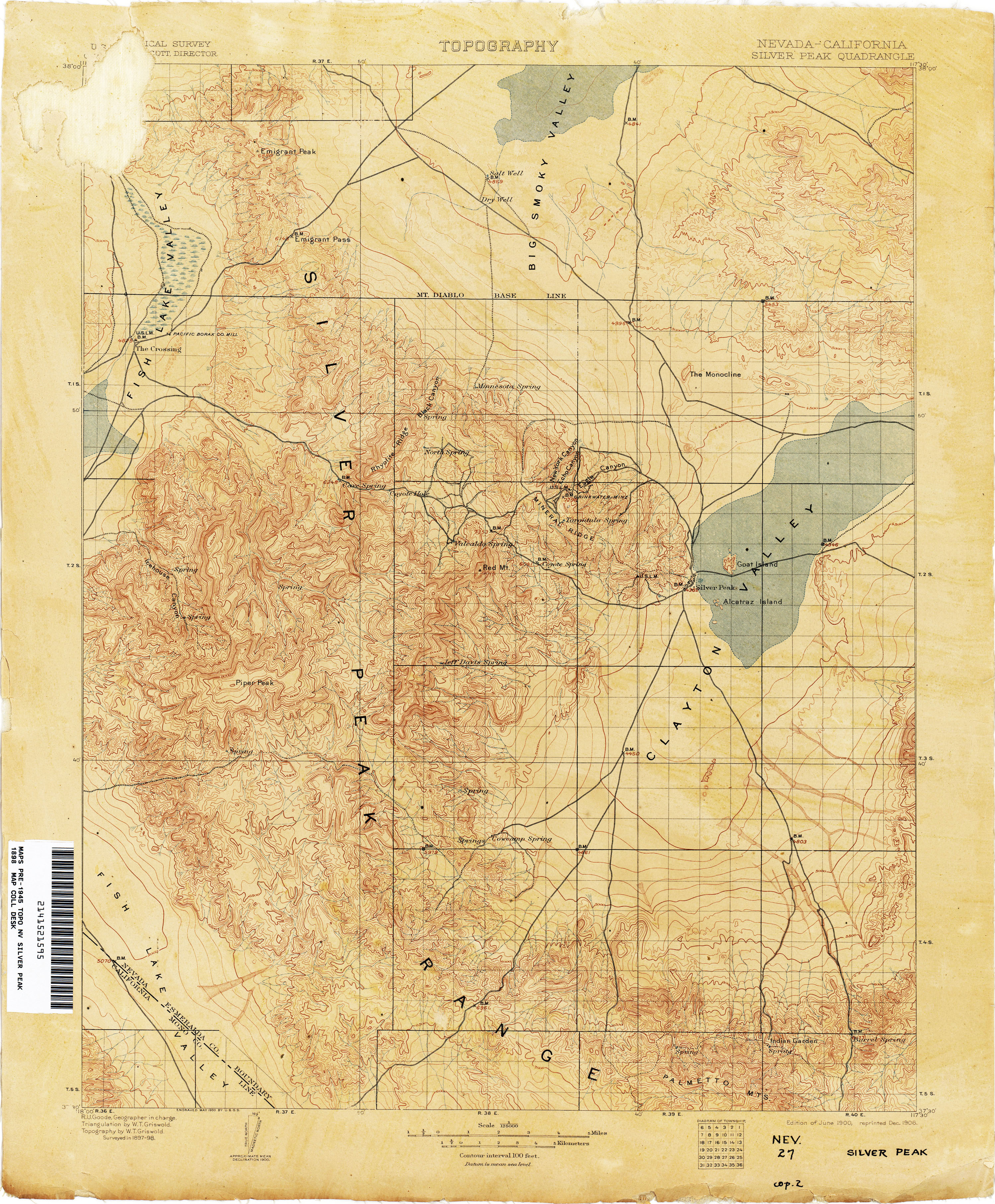
- Silver Peak [Nevada, California] 1898 1:250,000 (3.6MB)
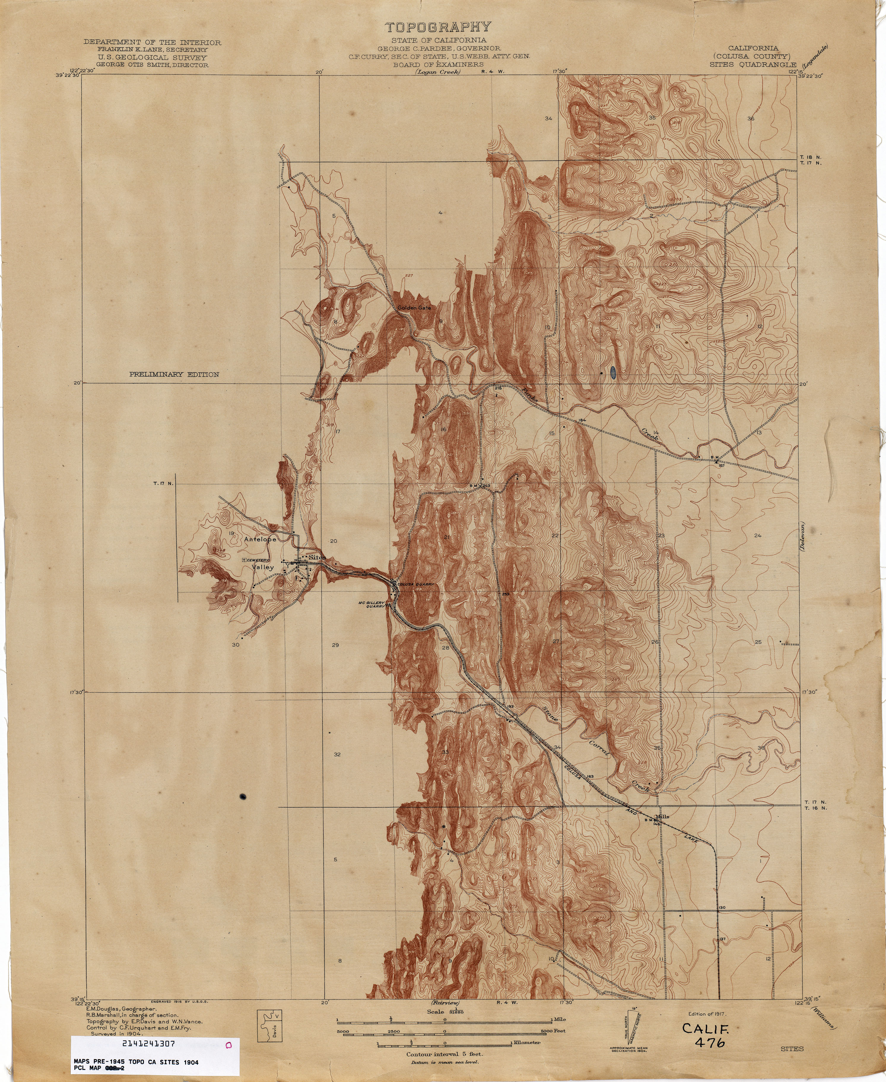
- Sites (Colusa County) 1904 1:31,680 (2.4MB)
- Smartsville 1886 1:125,000 (3.6MB)
- Snelling 1915 1:31,680 (3.7MB)
- Soledad (Monterey County) 1913 1:62,500 (3.7MB)
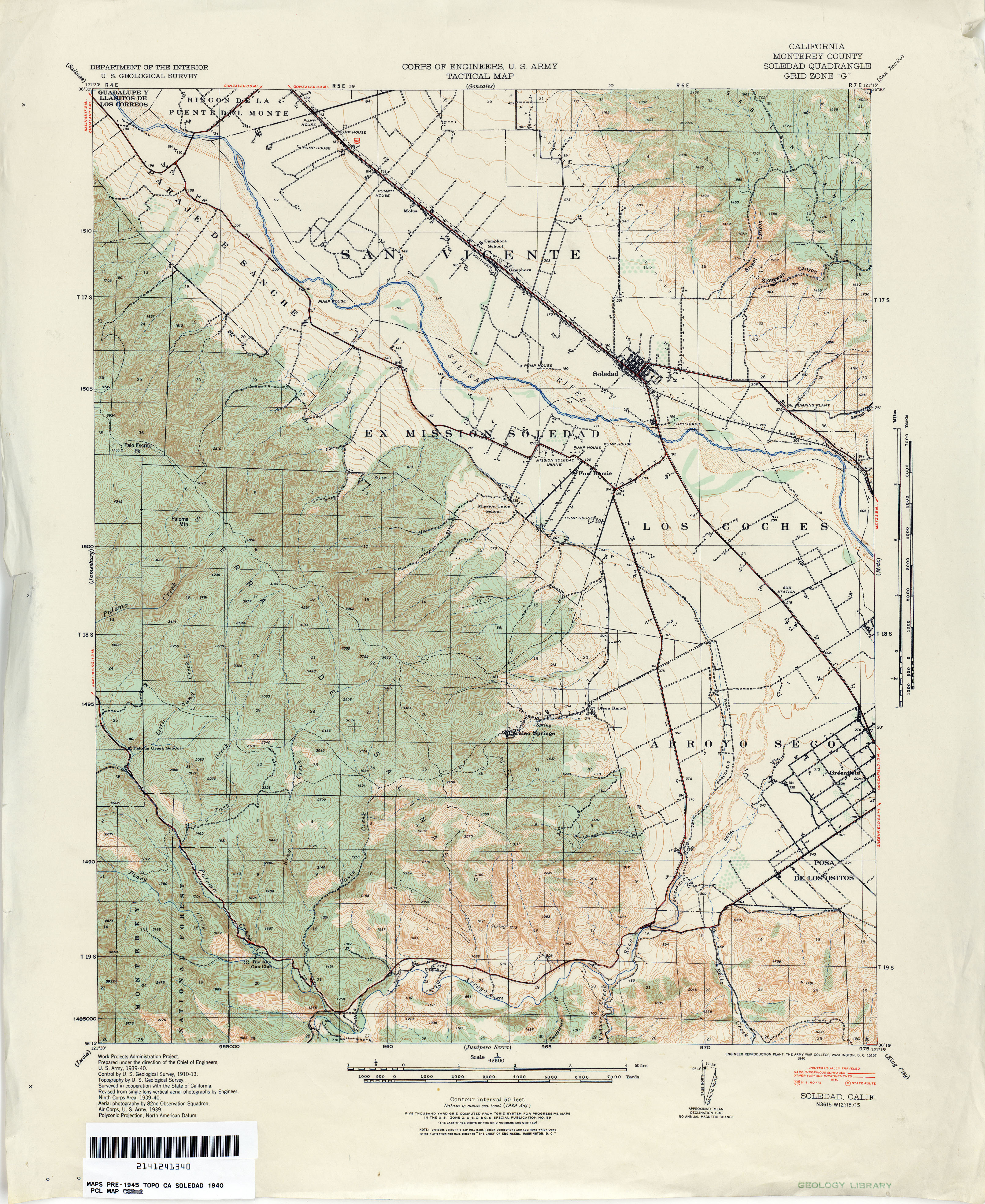
- Soledad (Monterey County) 1940 1:62,500 (3.8MB)
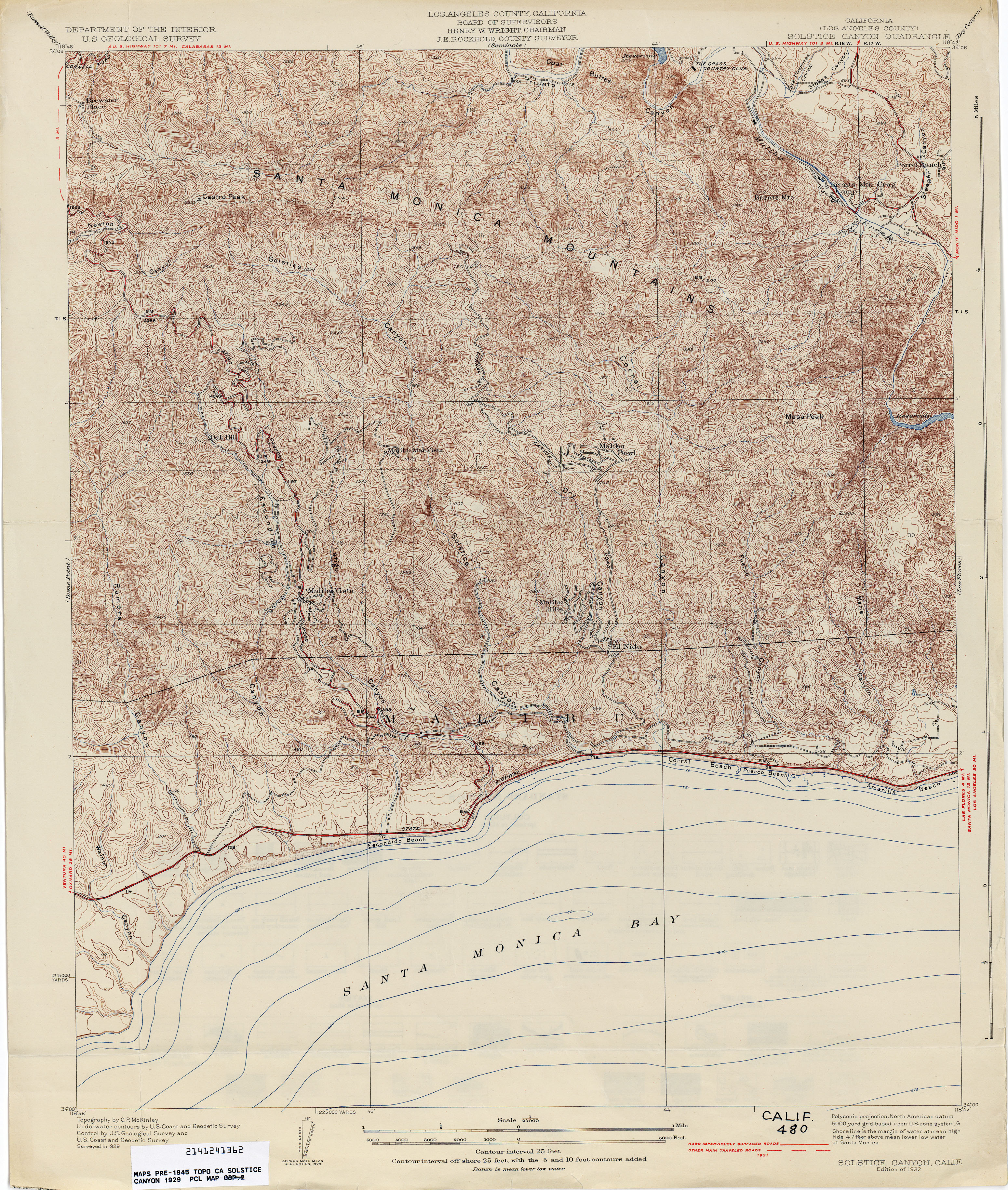
- Solstice Canyon 1929 1:24,000 (4.6MB)
- Sonora 1891 1:125,000 (3.8MB)
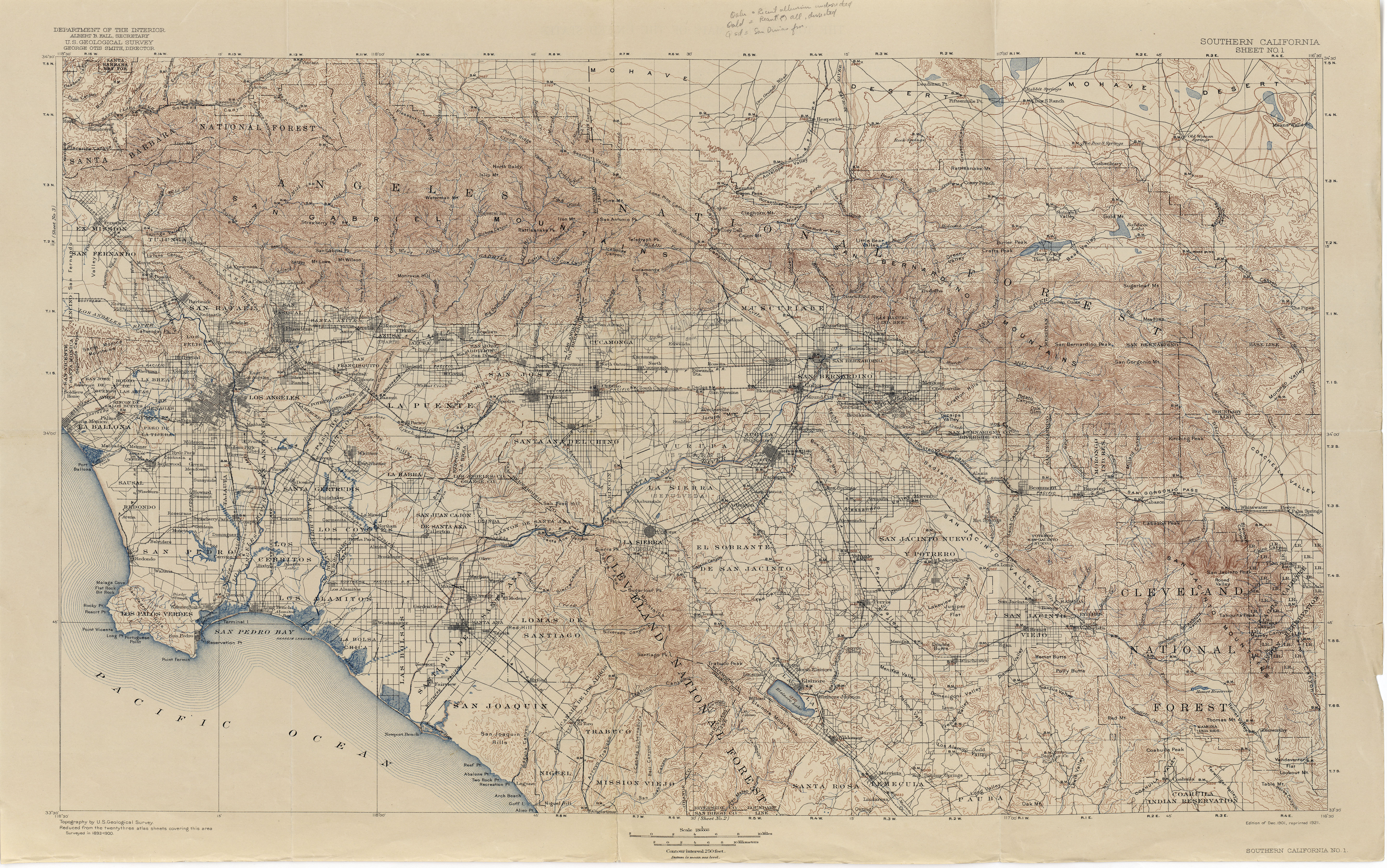
- Southern California - Sheet No. 1 1900 1:250,000 (7.7MB) [Los Angeles area]
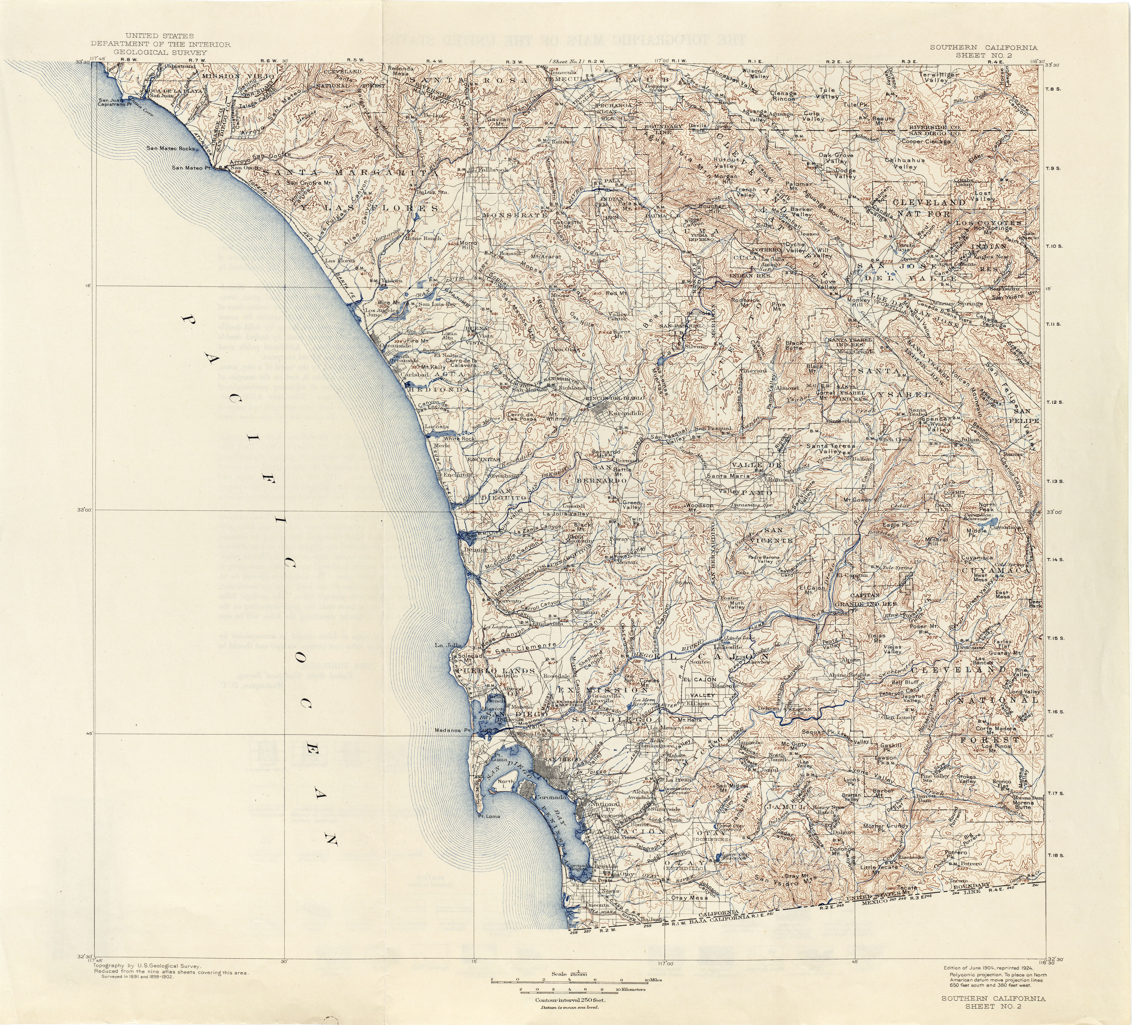
- Southern California - Sheet No. 2 1902 1:250,000 (4.7MB) [San Diego area]
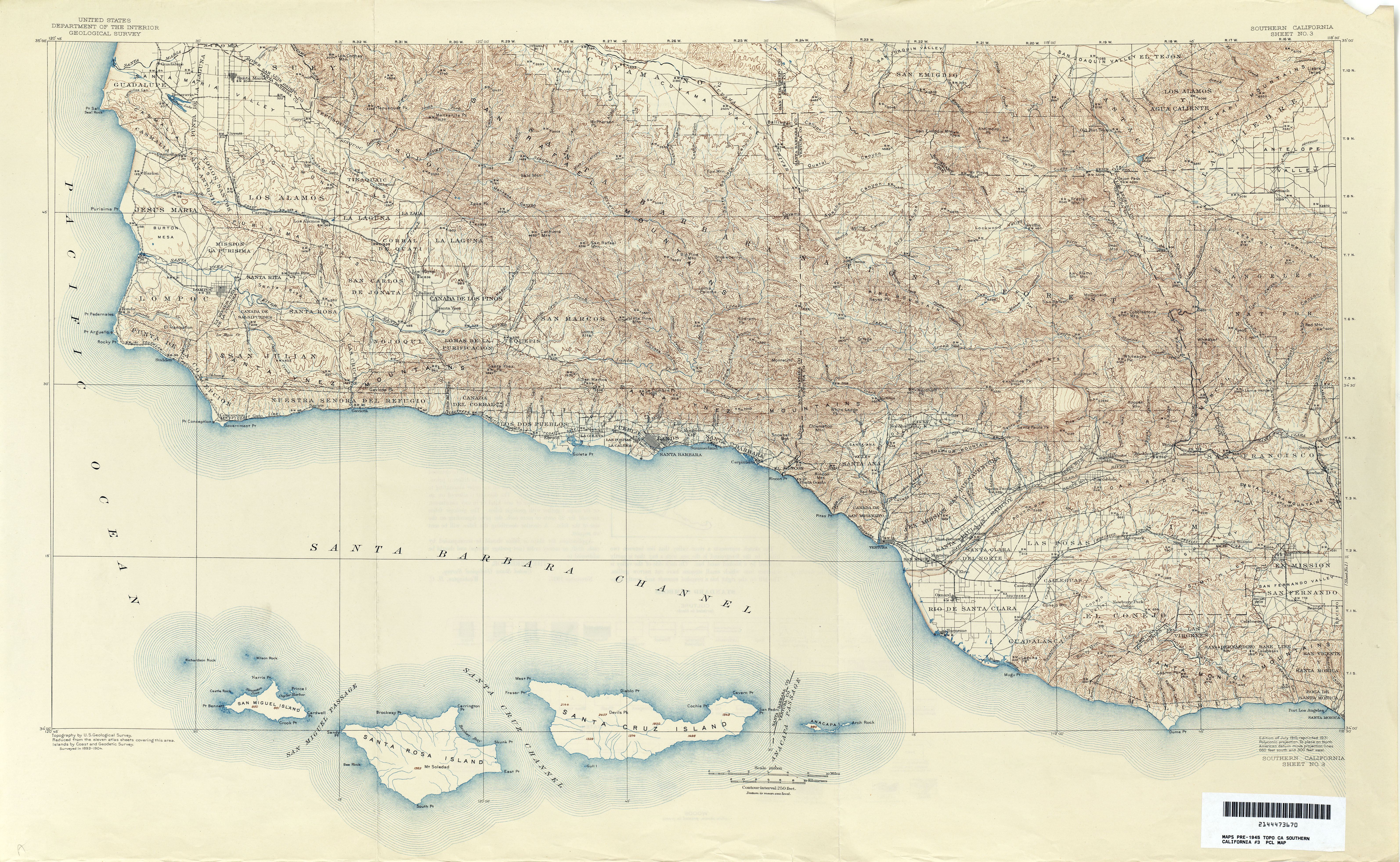
- Southern California - Sheet No. 3 1904 1:250,000 (9.5MB) [Santa Barbara area]
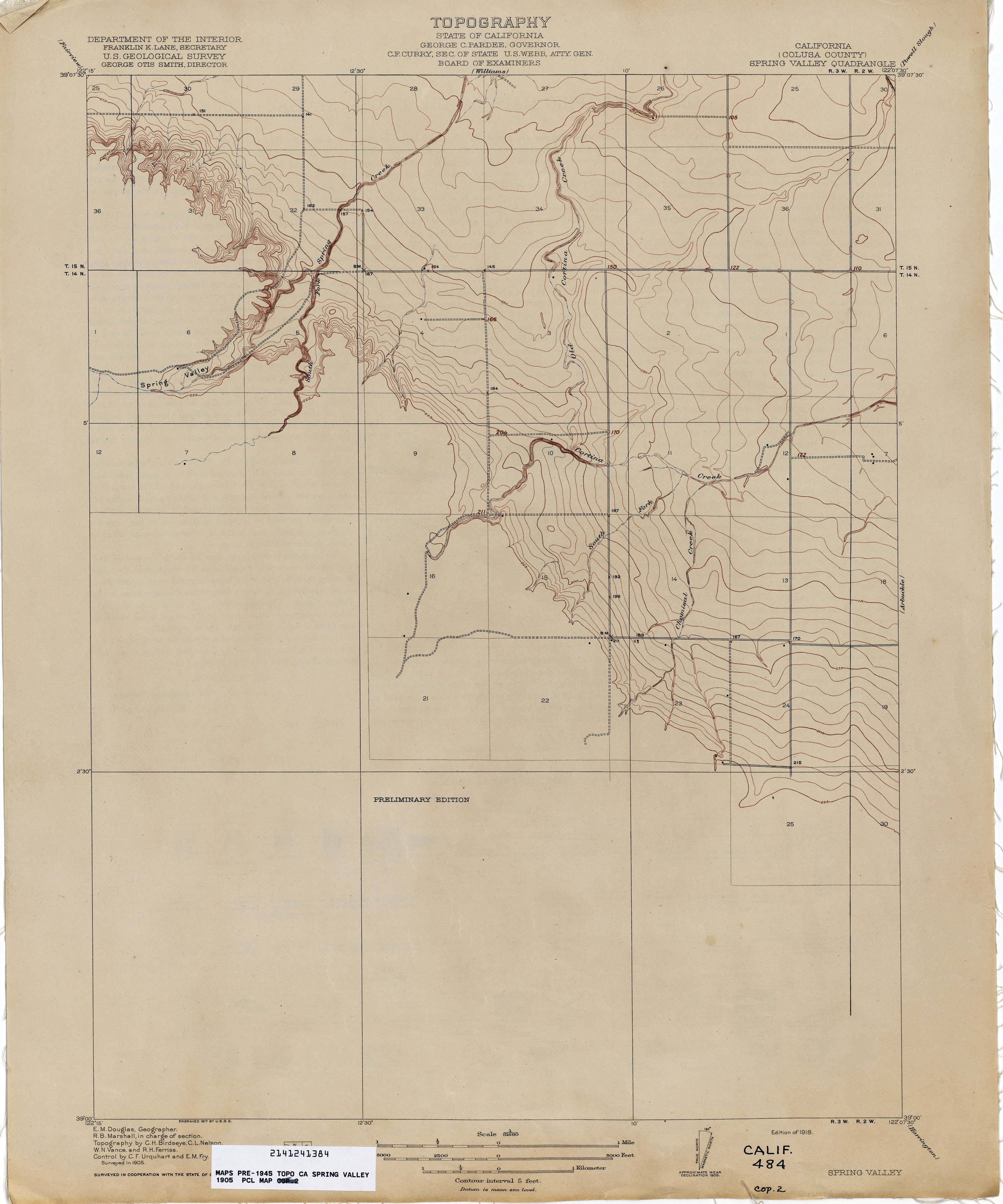
- Spring Valley (Colusa County) 1905 1:31,680 (1.6MB)
- St Helena 1945 1:62,500 (4.9MB)
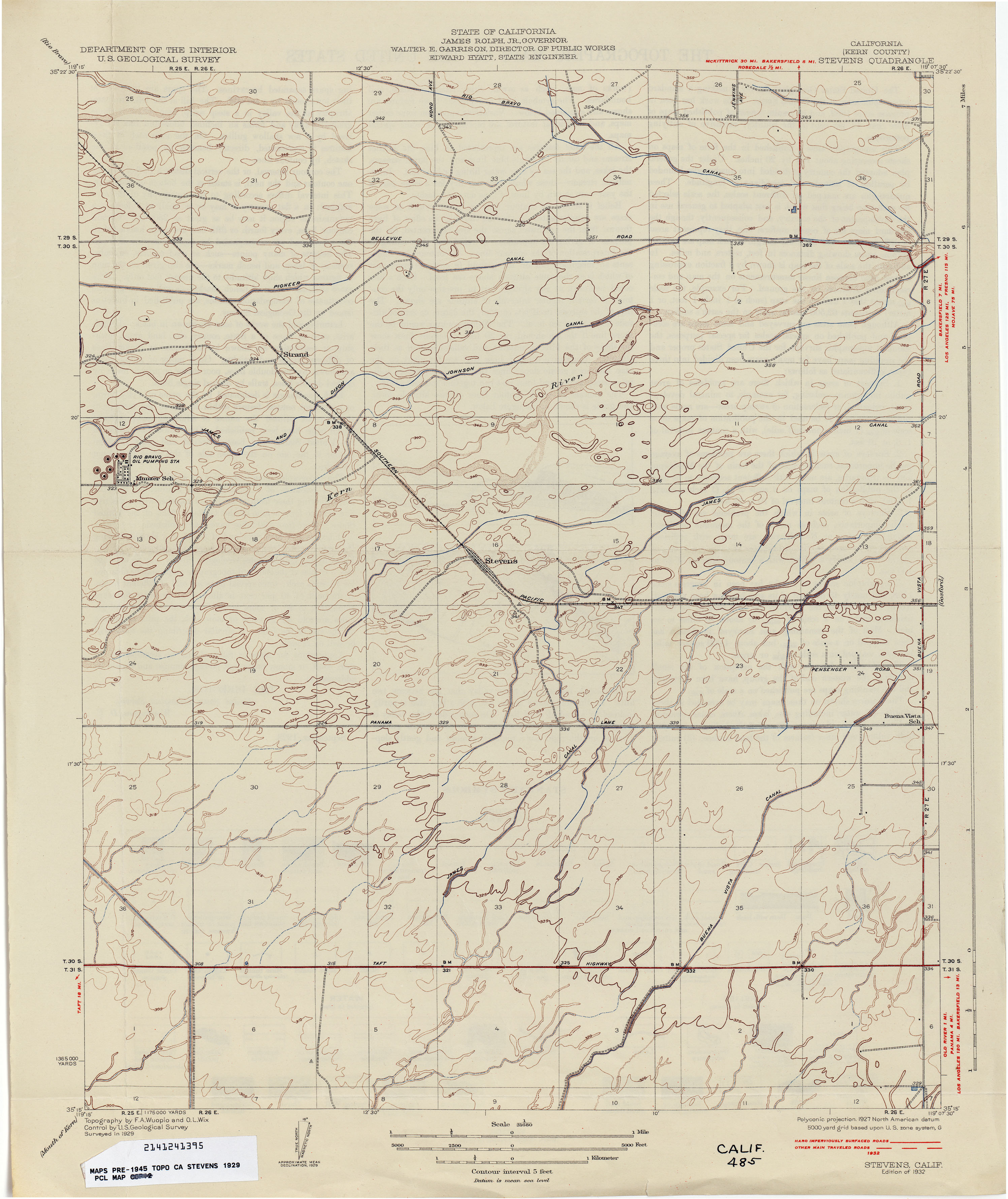
- Stevens (Kern County) 1929 1:31,680 (2.1MB)
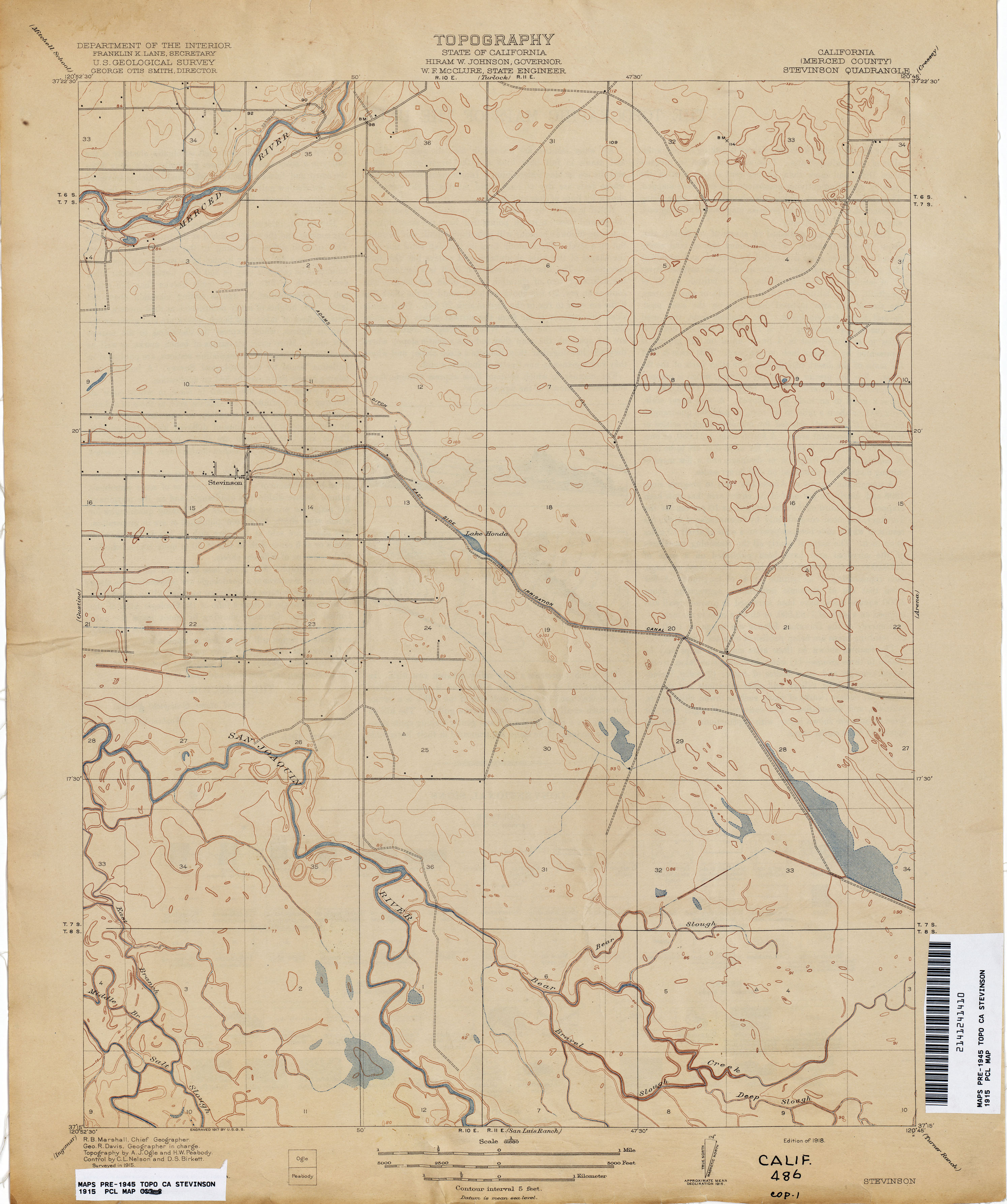
- Stevinson (Merced County) 1915 1:31,680 (2.0MB)
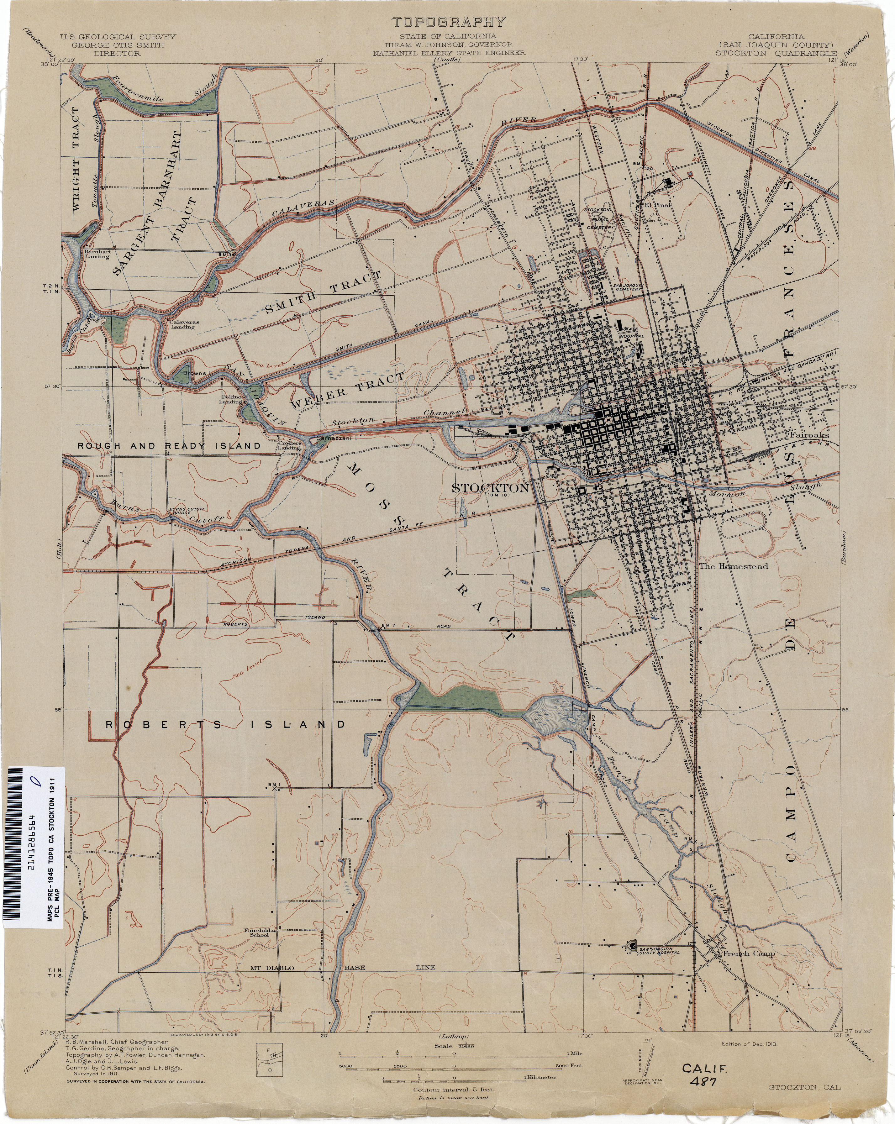
- Stockton (San Joaquin County) 1911 1:31,680 (2.3MB)
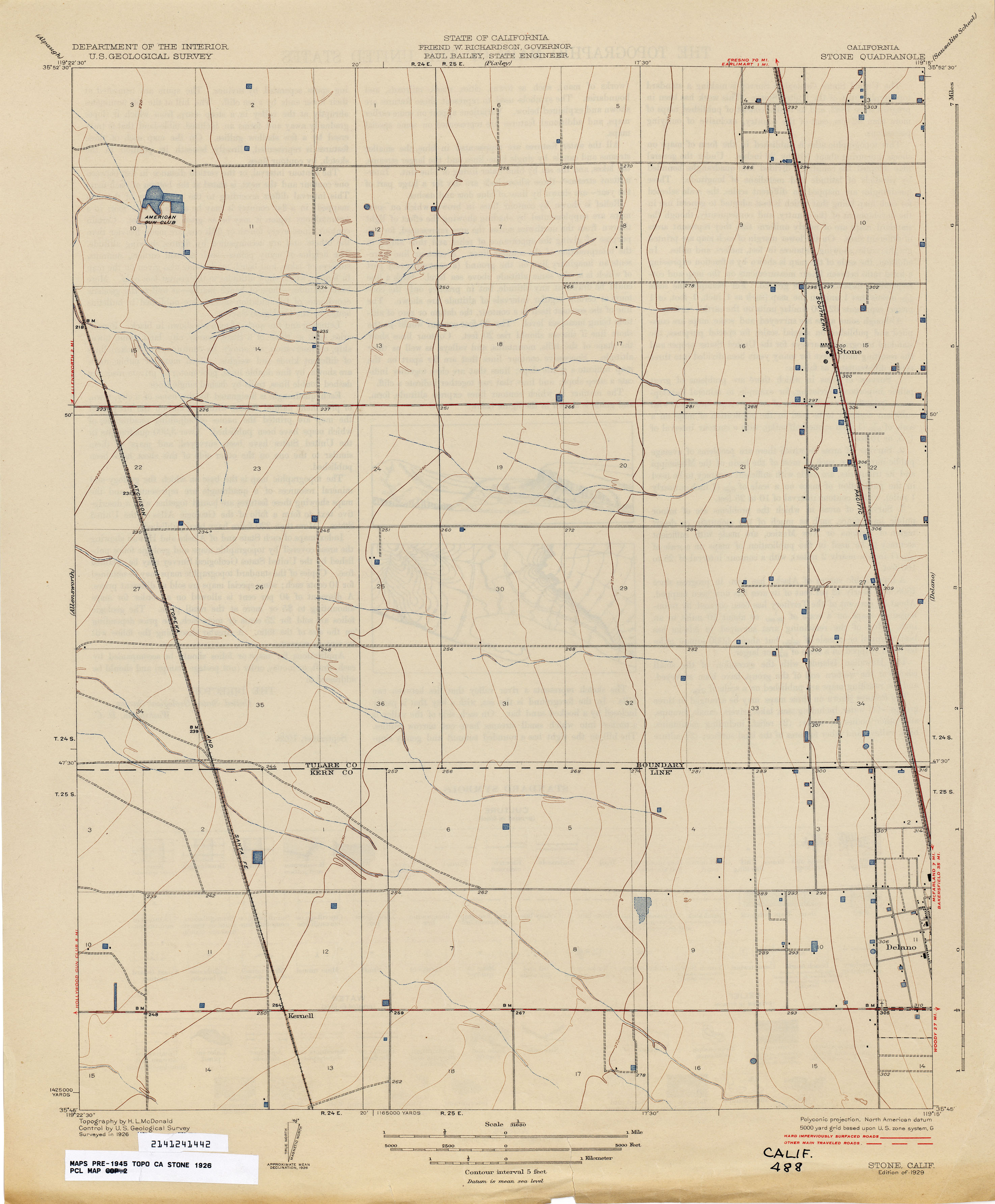
- Stone 1926 1:31,680 (1.6MB)
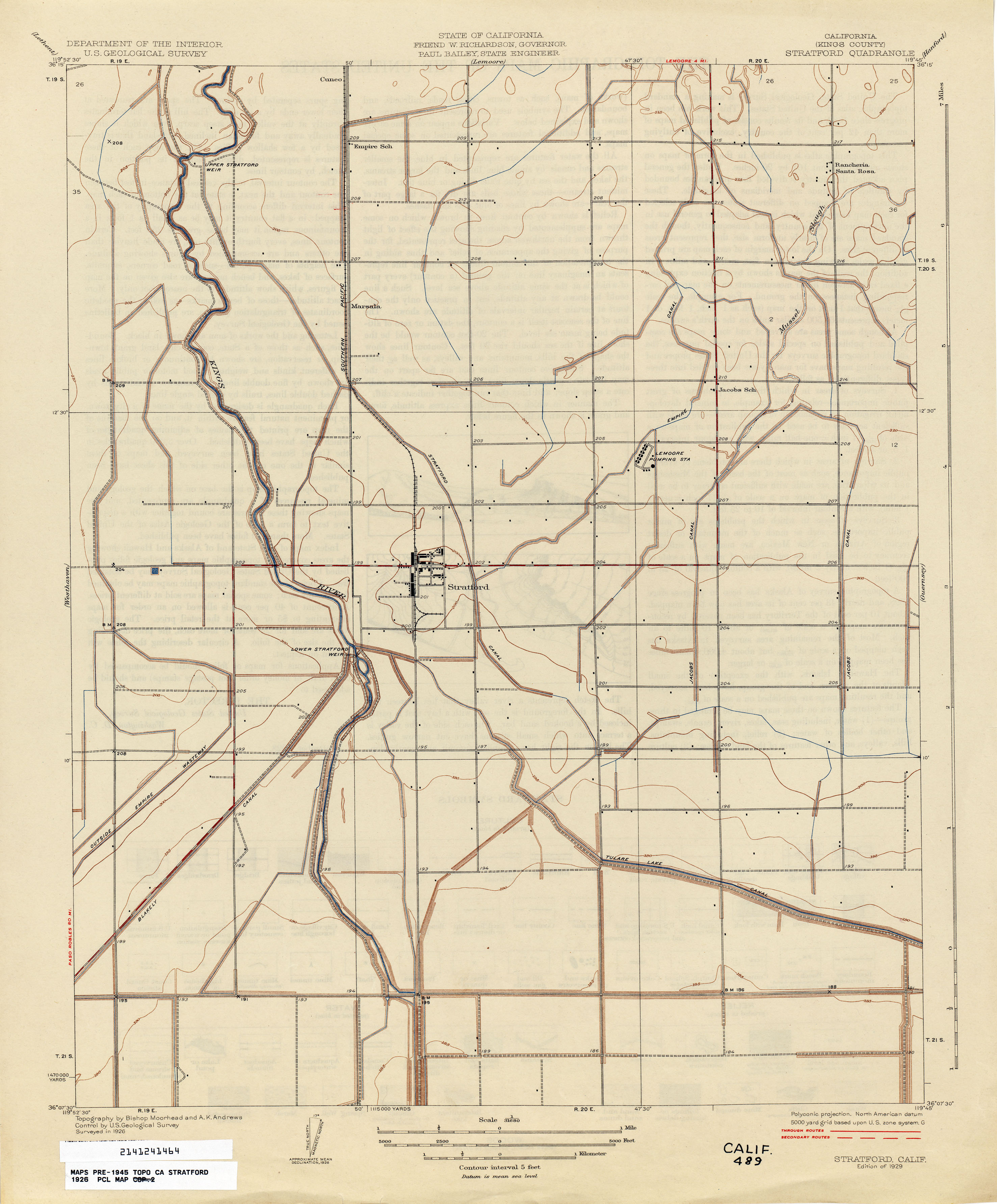
- Stratford (Kings County) 1926 1:31,680 (1.8MB)
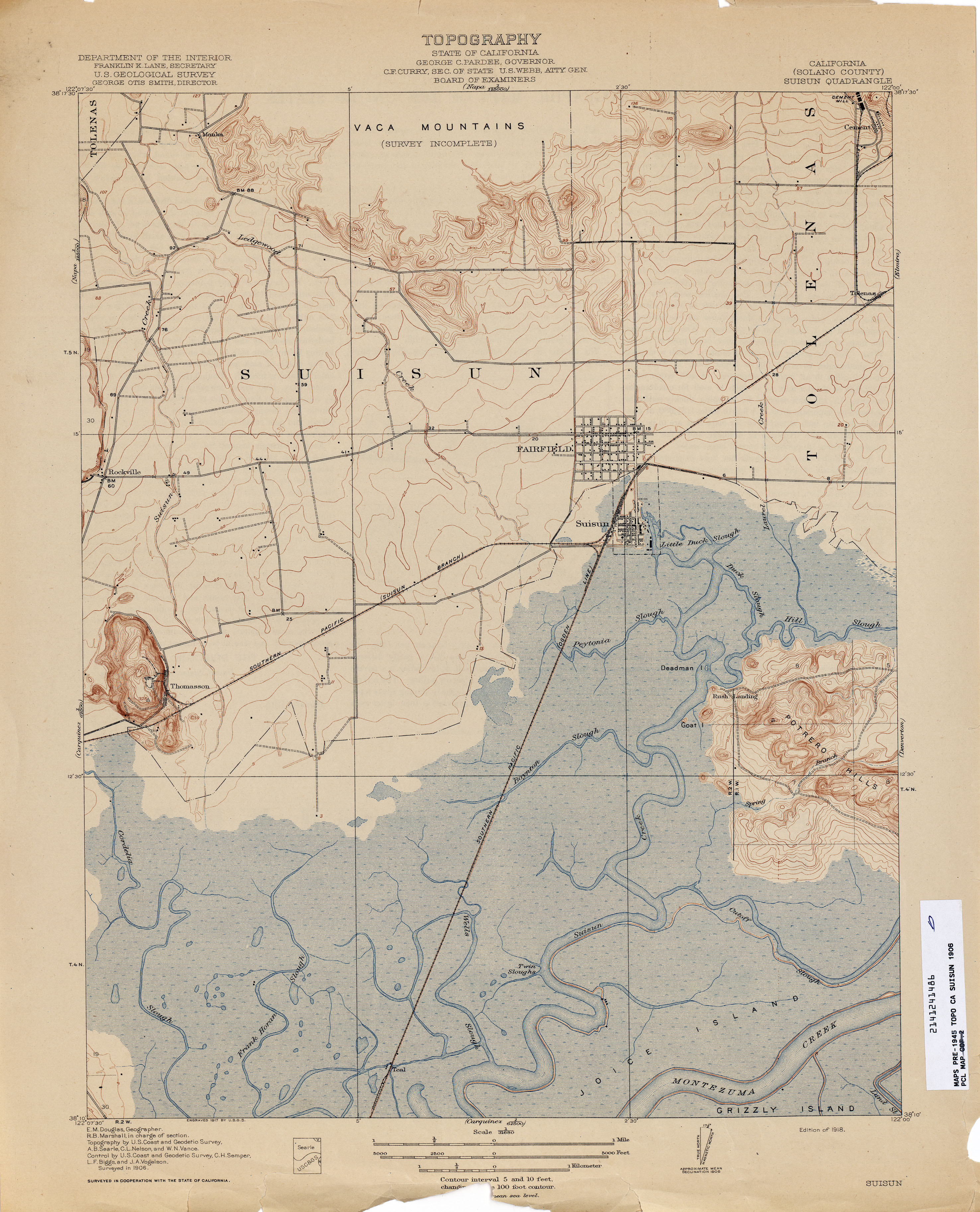
- Suisun (Solano County) 1906 1:31,680 (2.9MB)
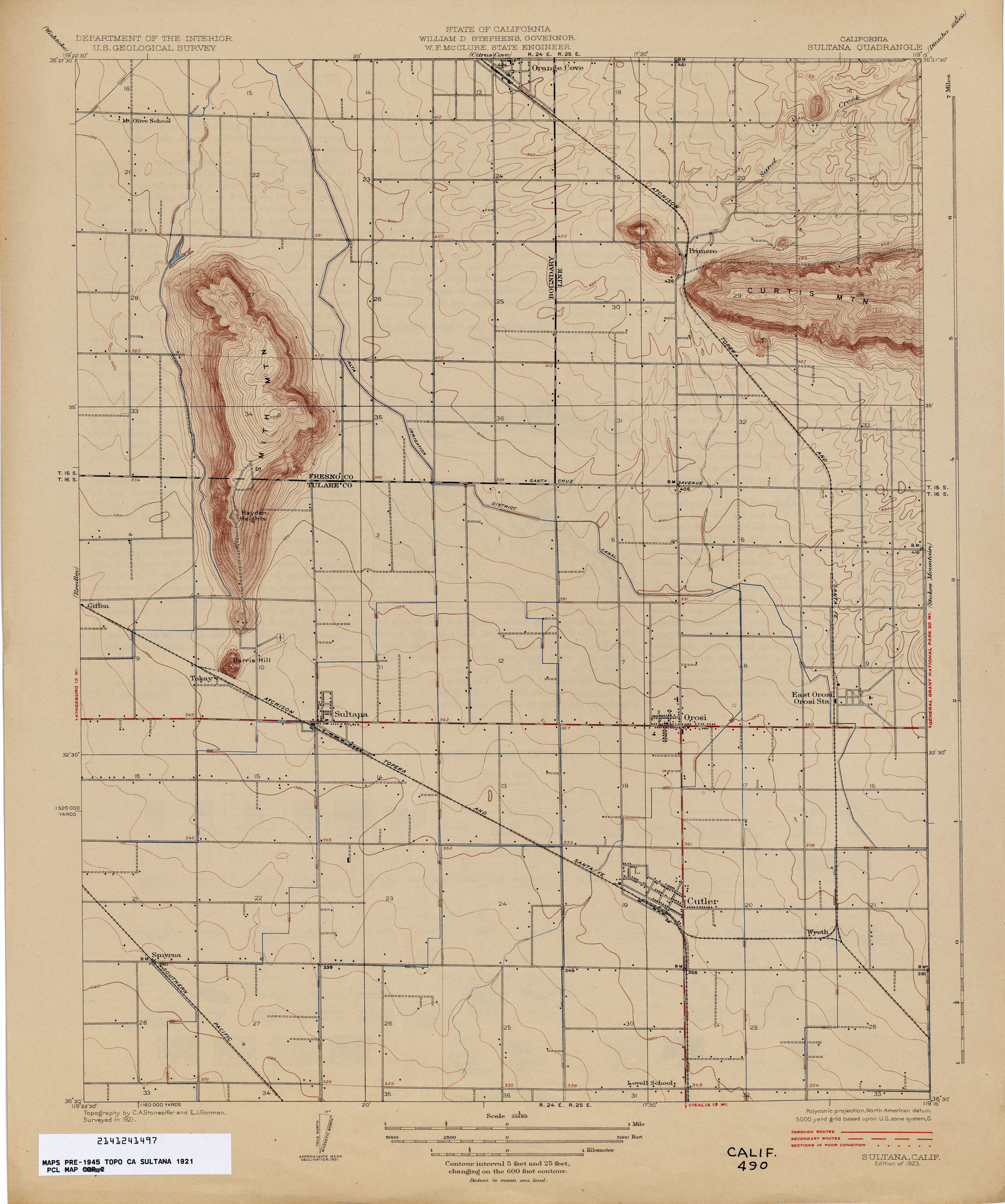
- Sultana 1921 1:31,680 (2.1MB)
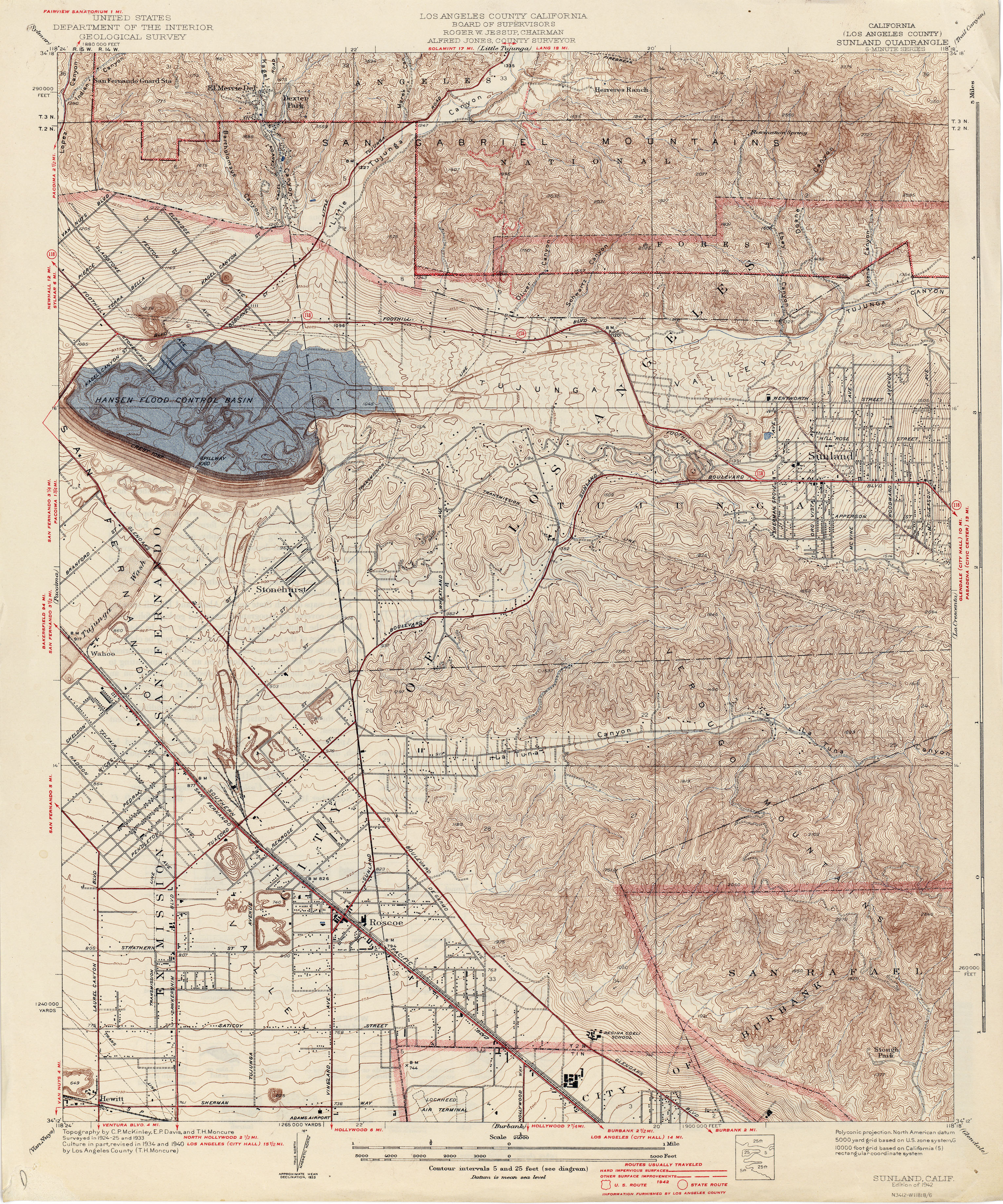
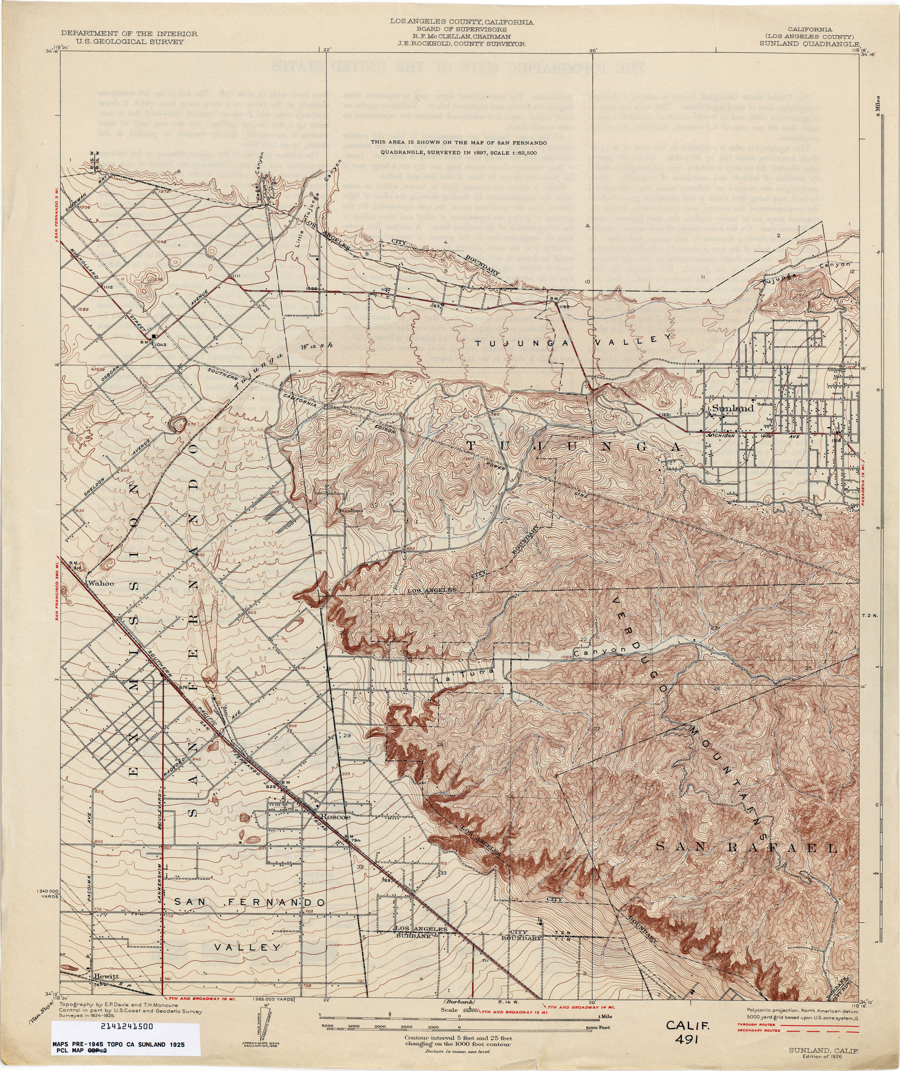
- Sunland (Los Angeles County) 1925 1:24,000 (5.0MB)
- Sunland (Los Angeles County) 1925 1:24,000 (4.1MB)
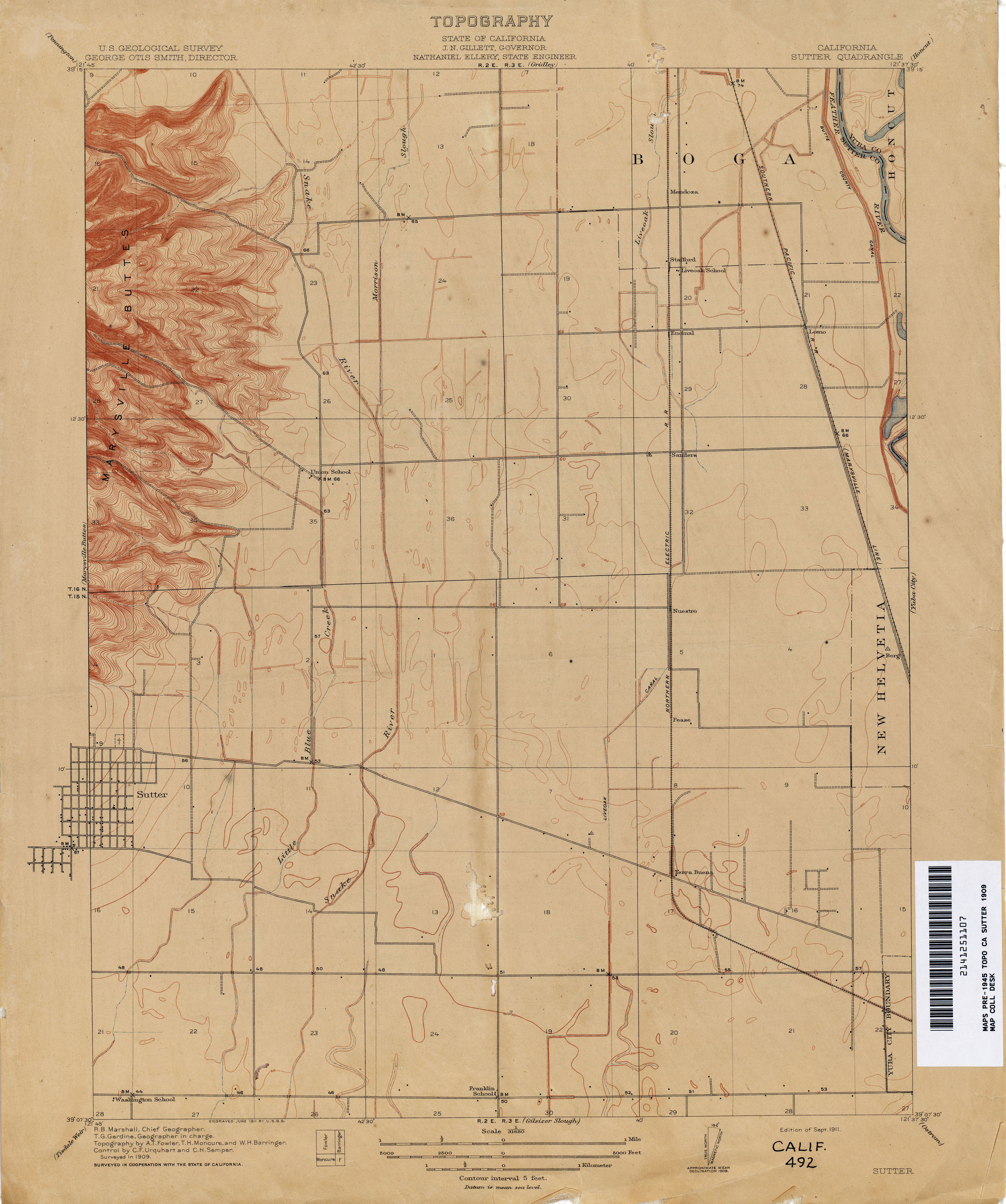
- Sutter 1909 1:31,680 (3.9MB)
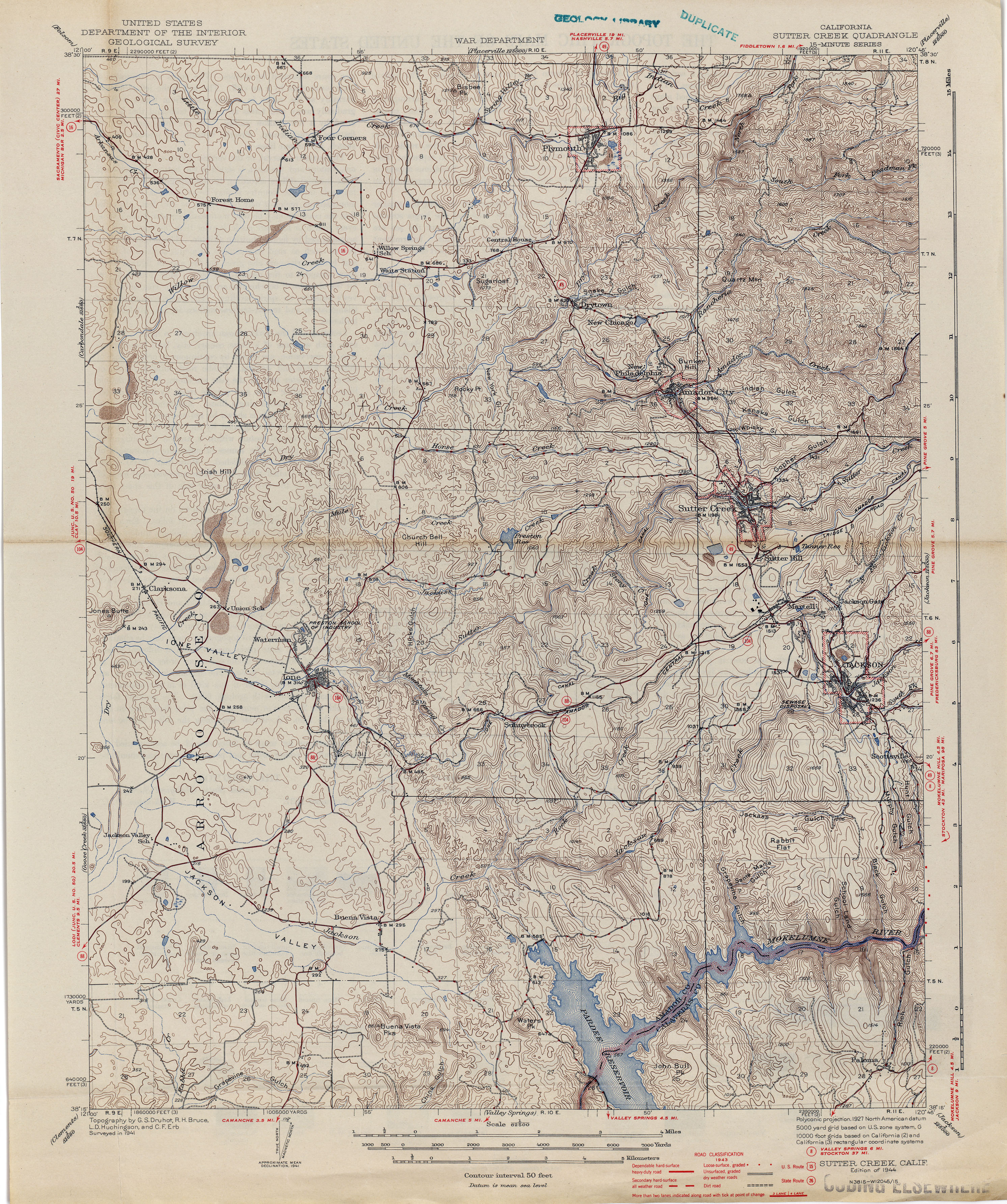
- Sutter Creek 1944 1:62,500 (2.0MB)
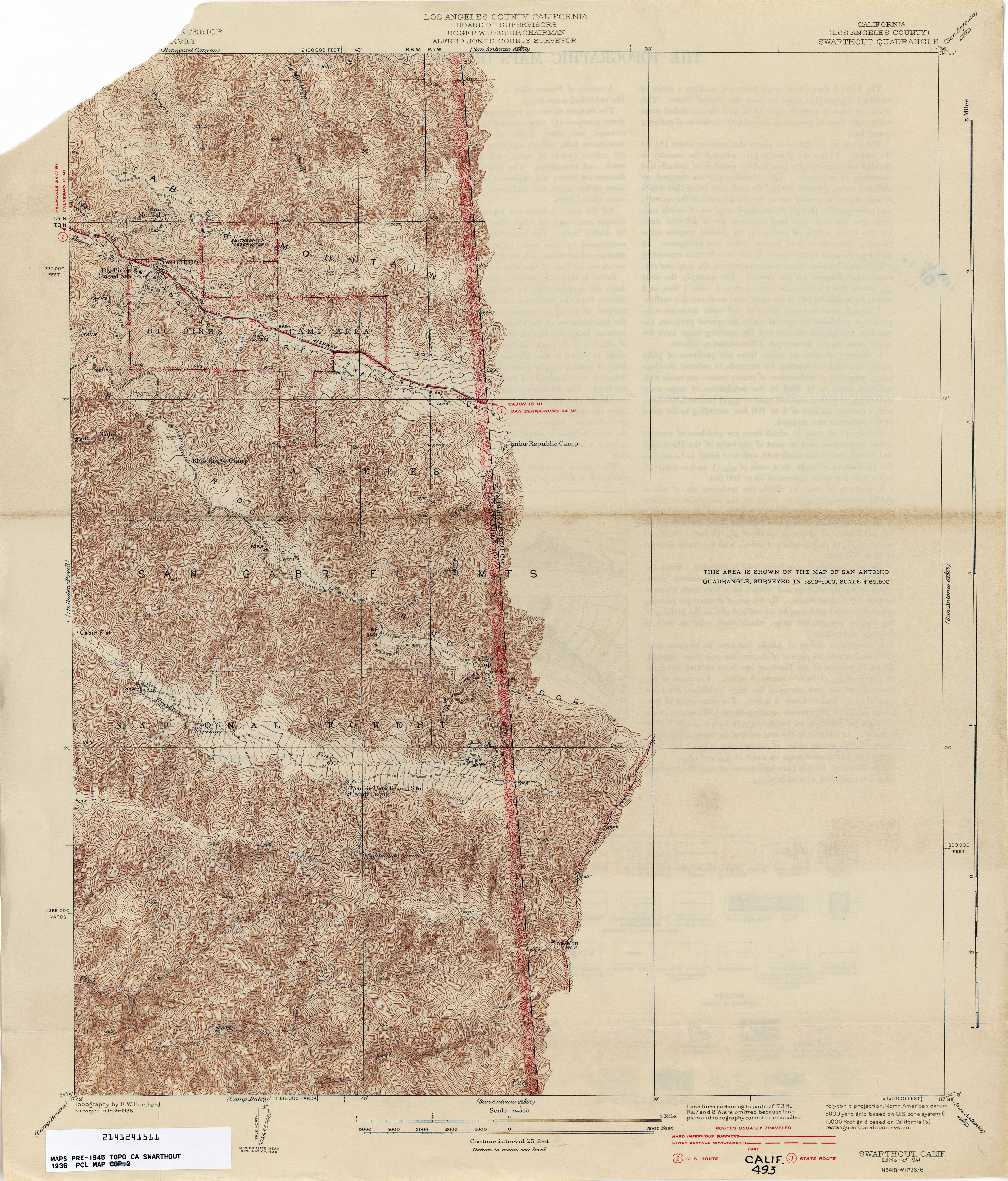
- Swarthout (Los Angeles County) 1936 1:24,000 (3.7MB)
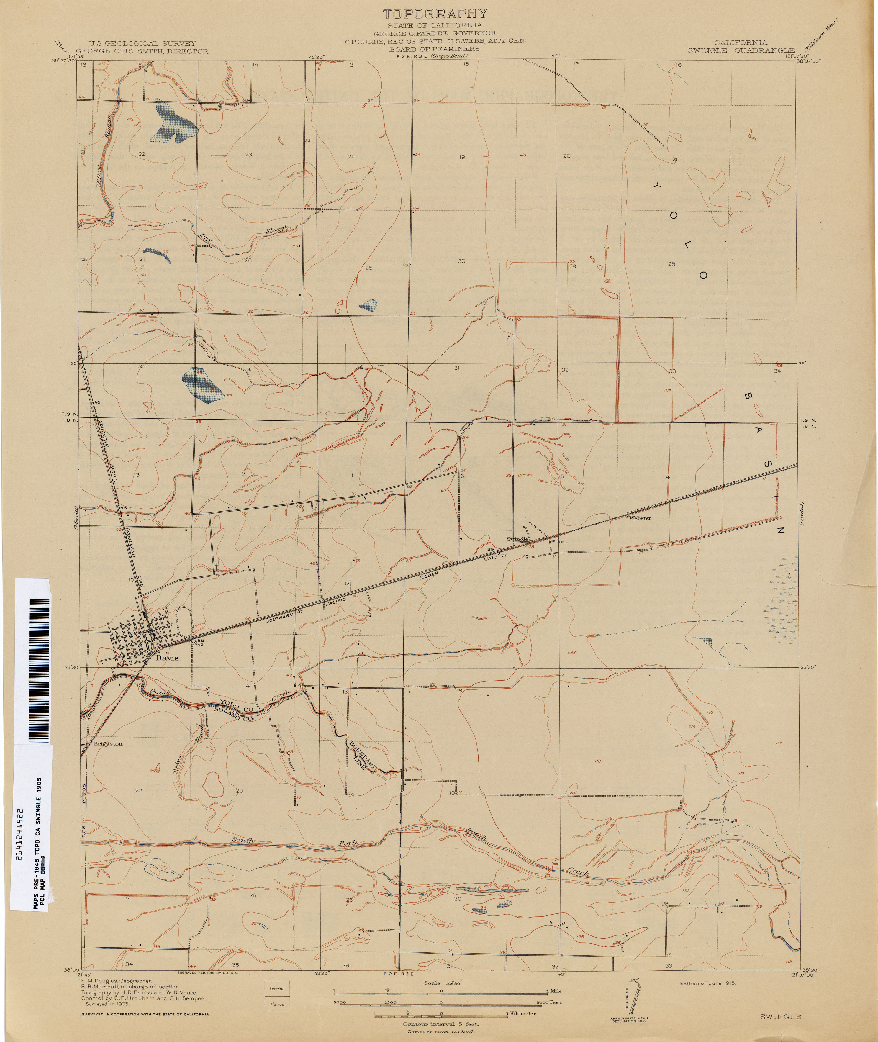
- Swingle 1905 1:31,680 (1.6MB)
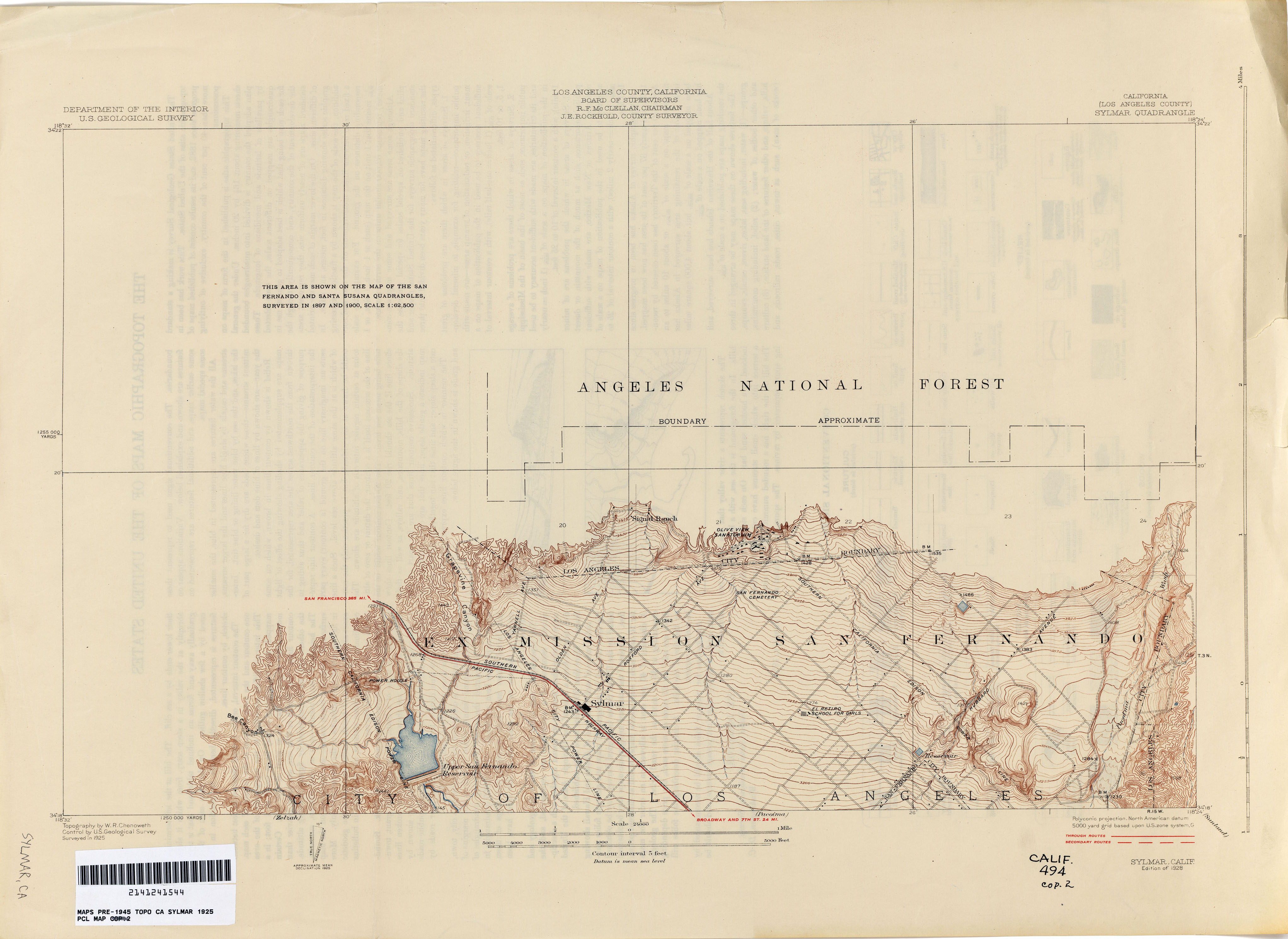
- Sylmar (Los Angeles County) 1925 1:24,000 (1.9MB)
- Sylmar (Los Angeles County) 1929 1:24,000 (6.2MB)
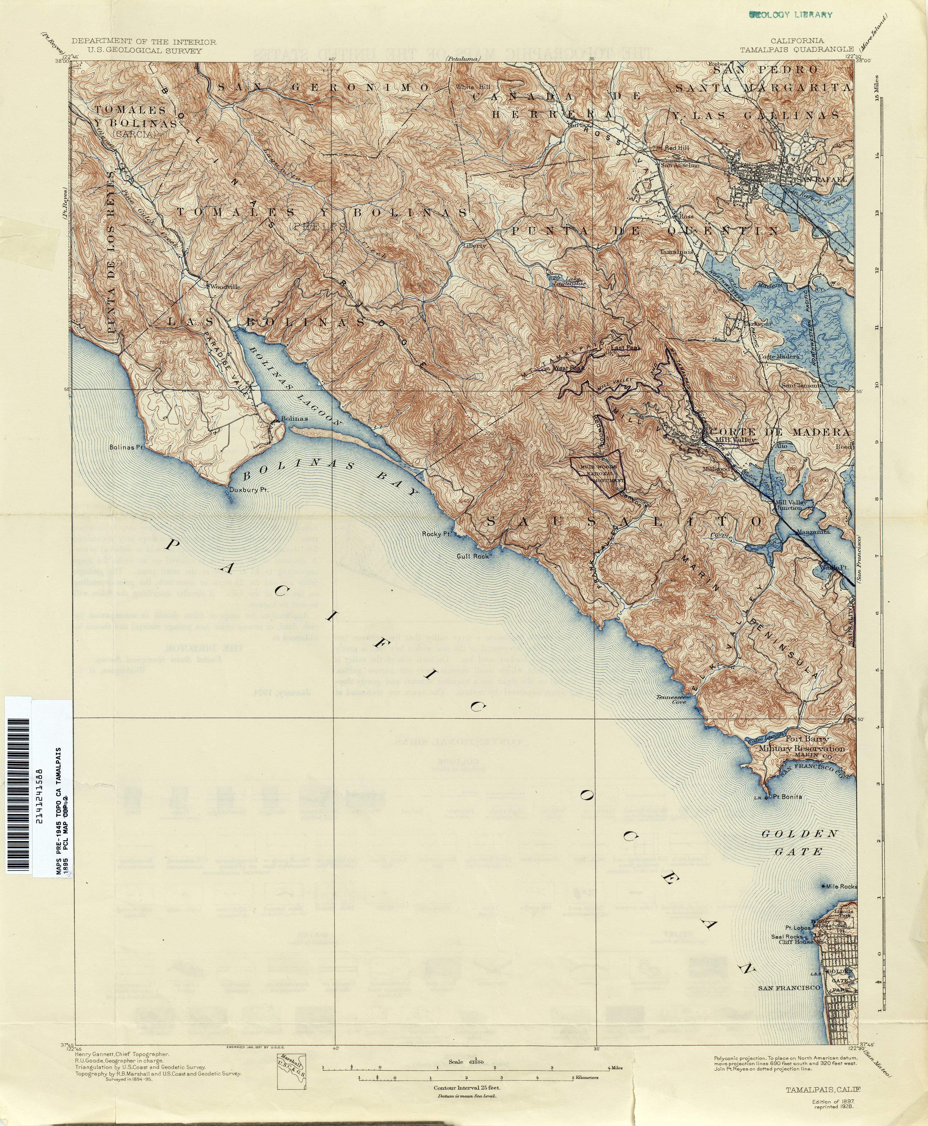
- Tamalpais 1895 1:62,500 (3.6MB)
- Taylorsville 1891 1:31,680 (2.3MB)
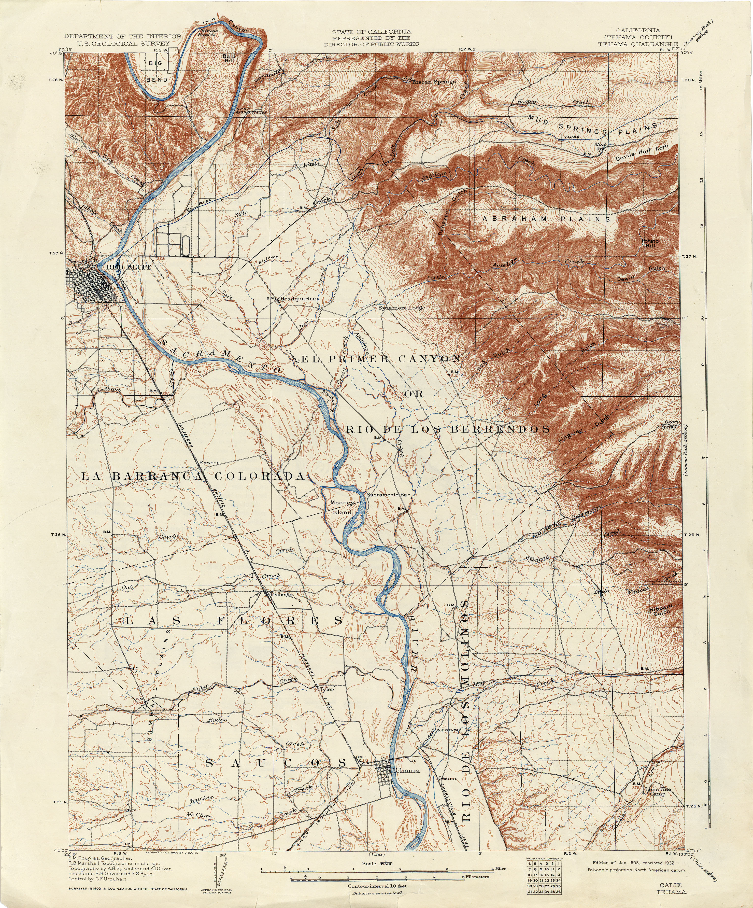
- Tehama (Tehama County) 1903 1:62,500 (3.9MB)
- Tehama (Tehama County) 1905 1:62,500 (3.8MB)
- Tehipite 1903 1:125,000 (5.2MB)
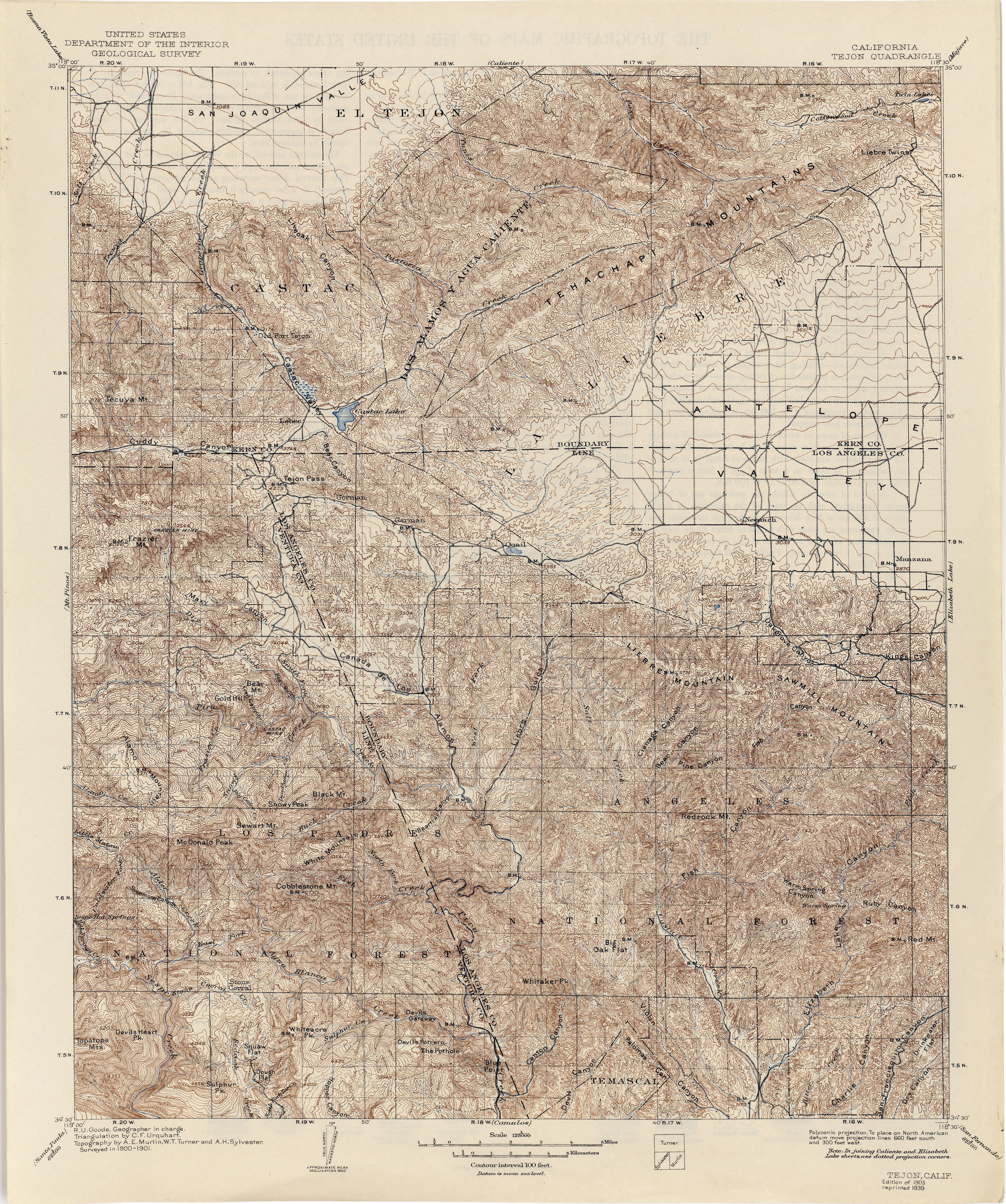
- Tejon 1901 1:125,000 (2.8MB)
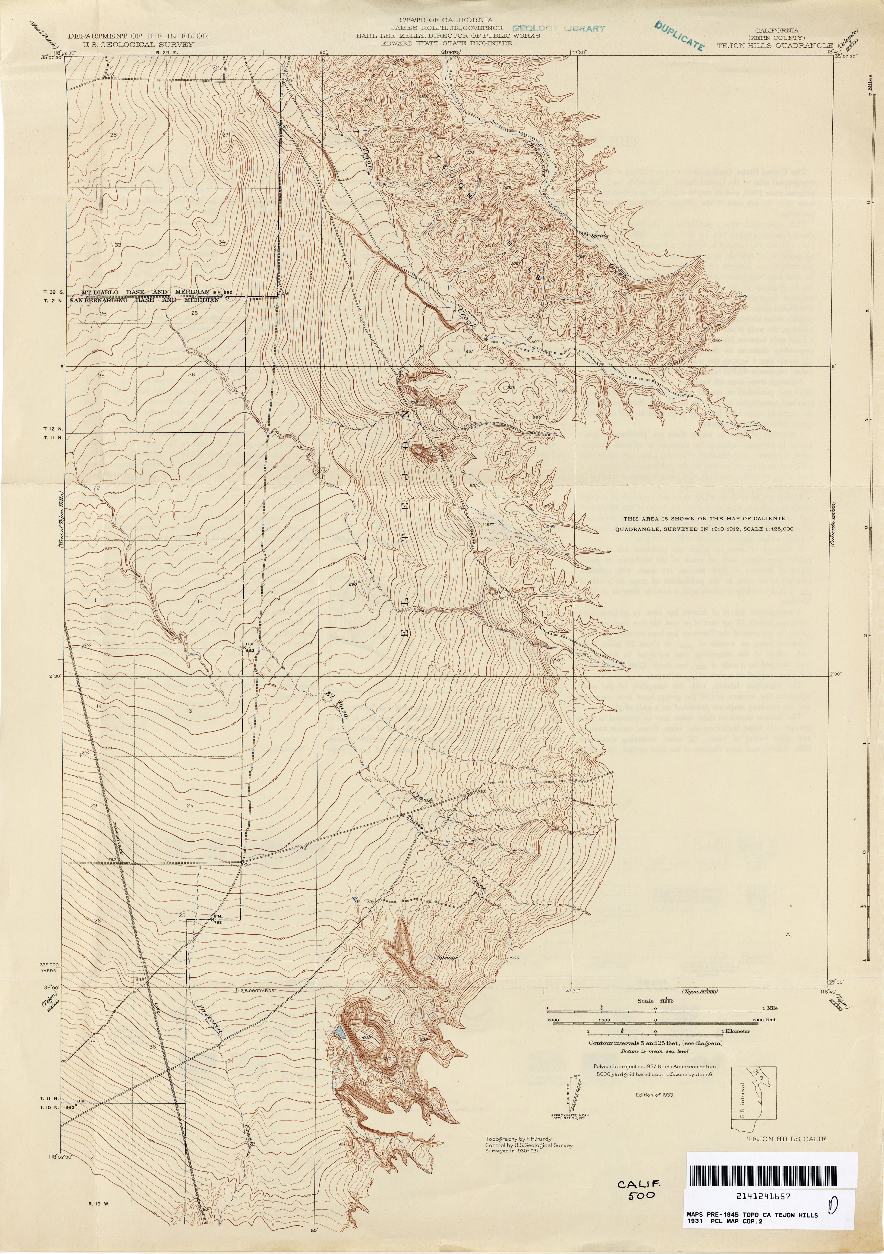
- Tejon Hills (Kern County) 1931 1:31,680 (5.0MB)
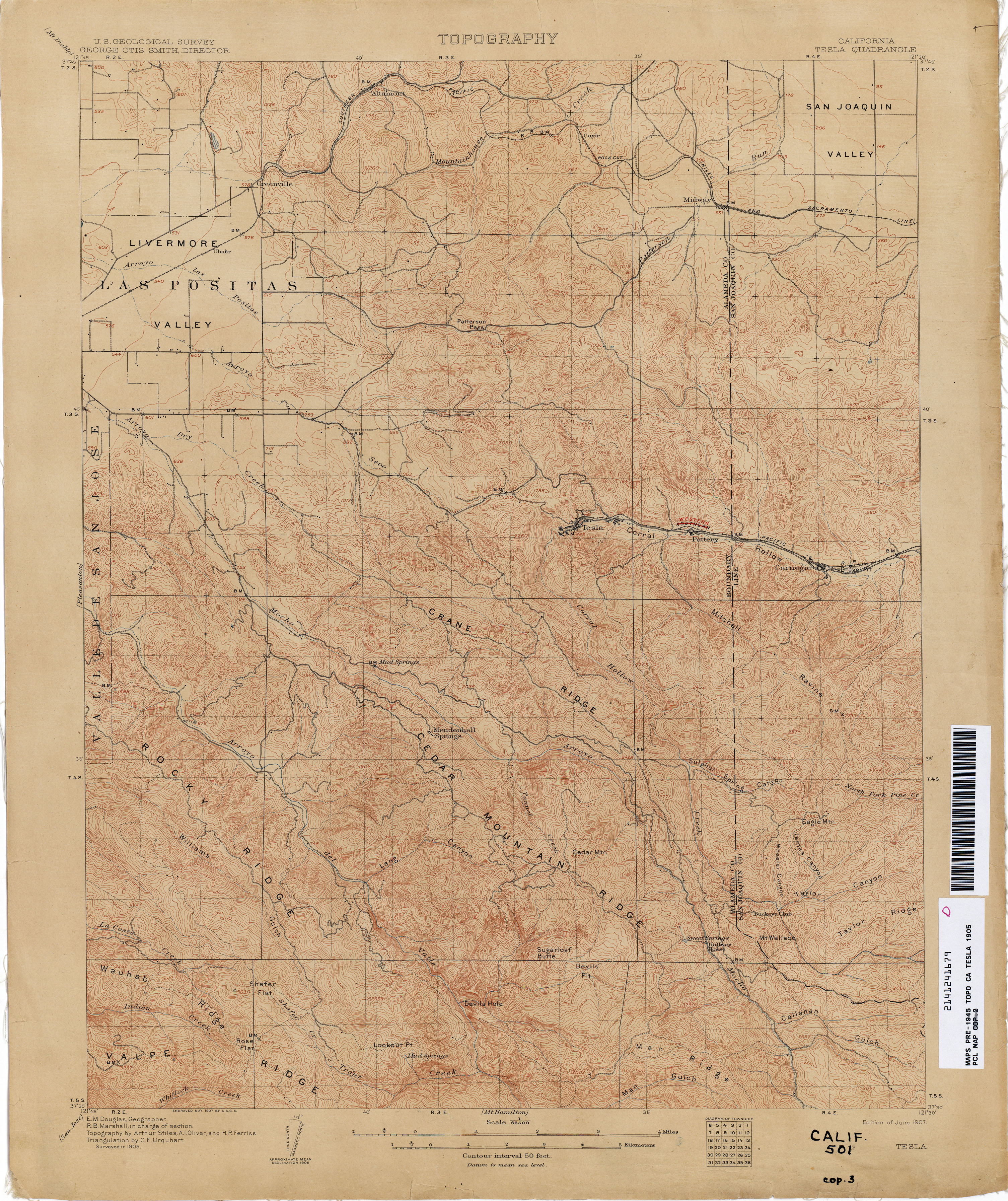
- Tesla 1905 1:62,500 (3.9MB)
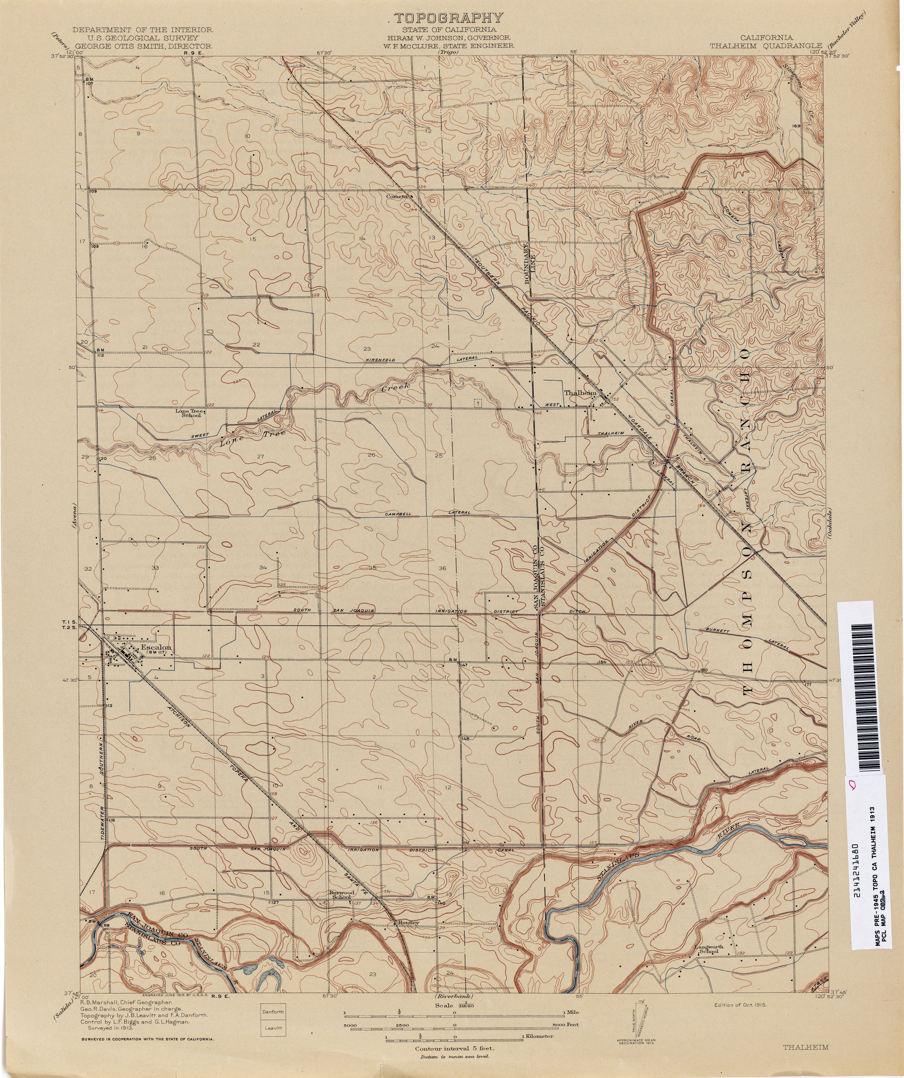
- Thalheim 1913 1:31,680 (2.5MB)
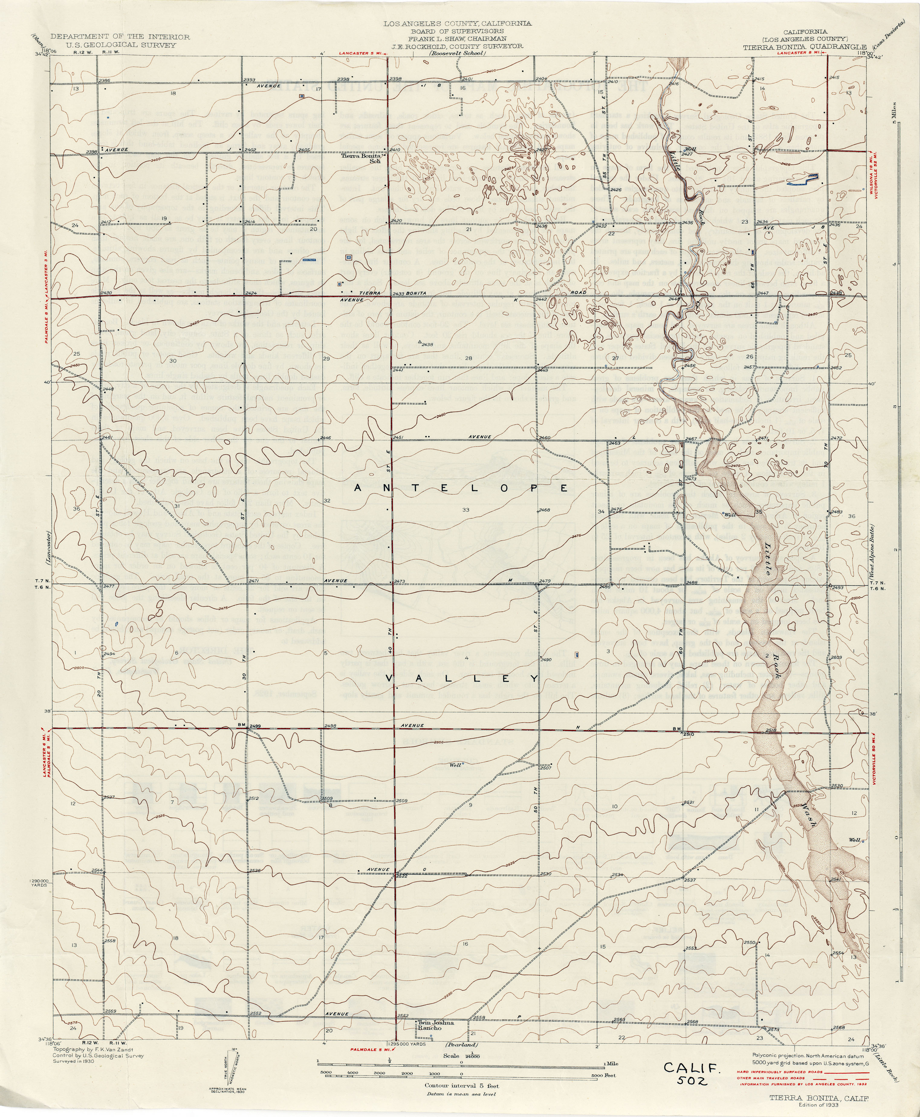
- Tierra Bonita (Los Angeles County) 1925 1:62,500 (2.0MB)
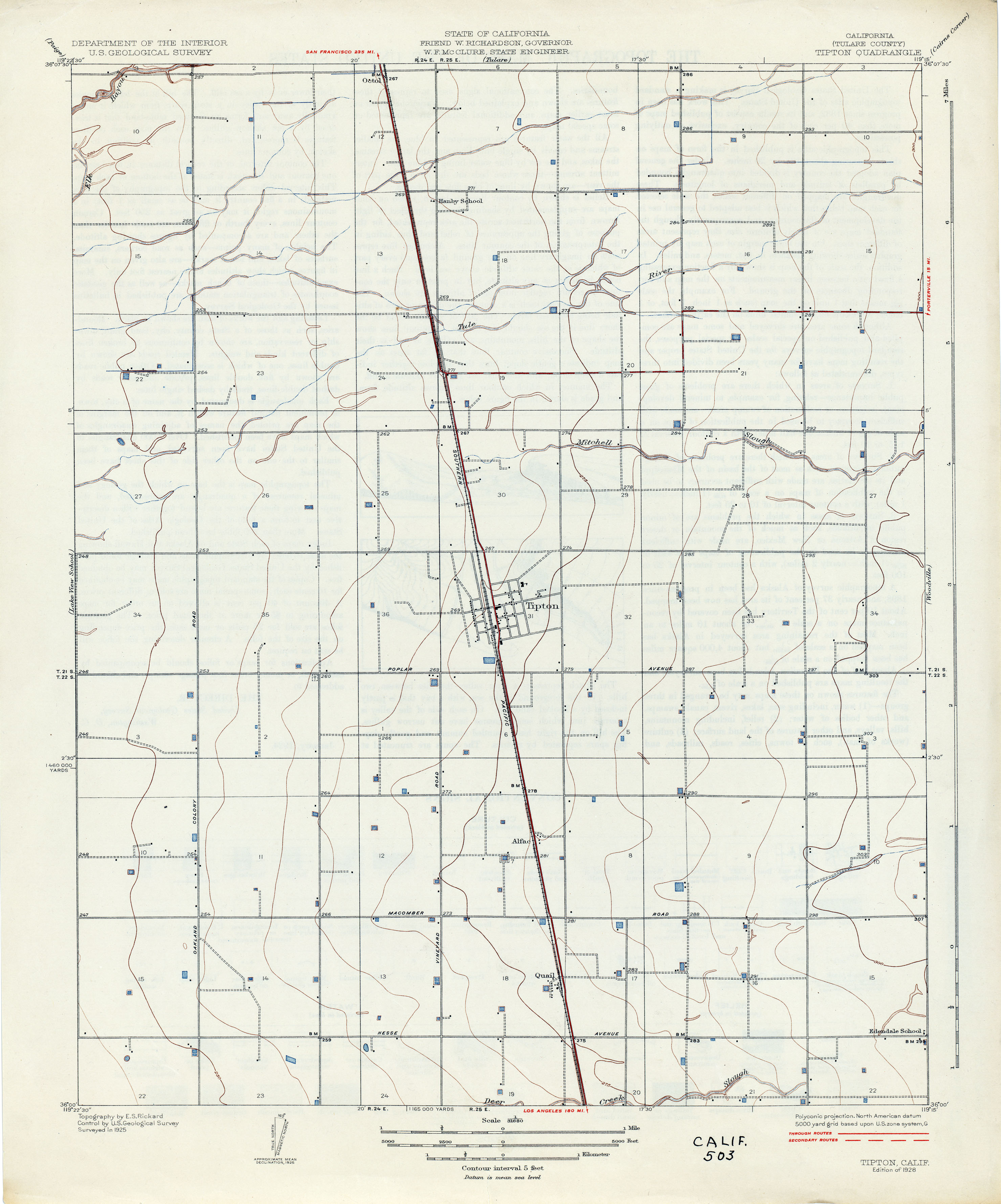
- Tipton (Tulare County) 1925 1:31,680 (1.6MB)
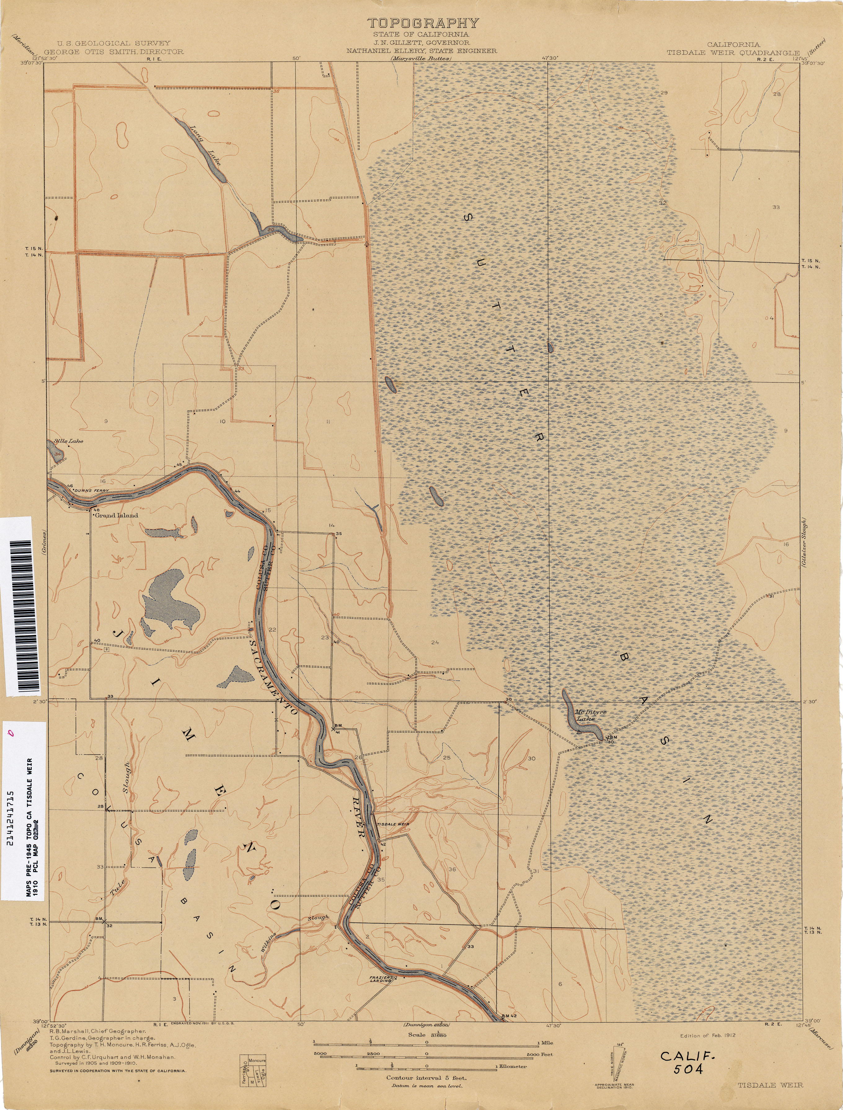
- Tisdale Weir 1910 1:31,680 (2.2MB)
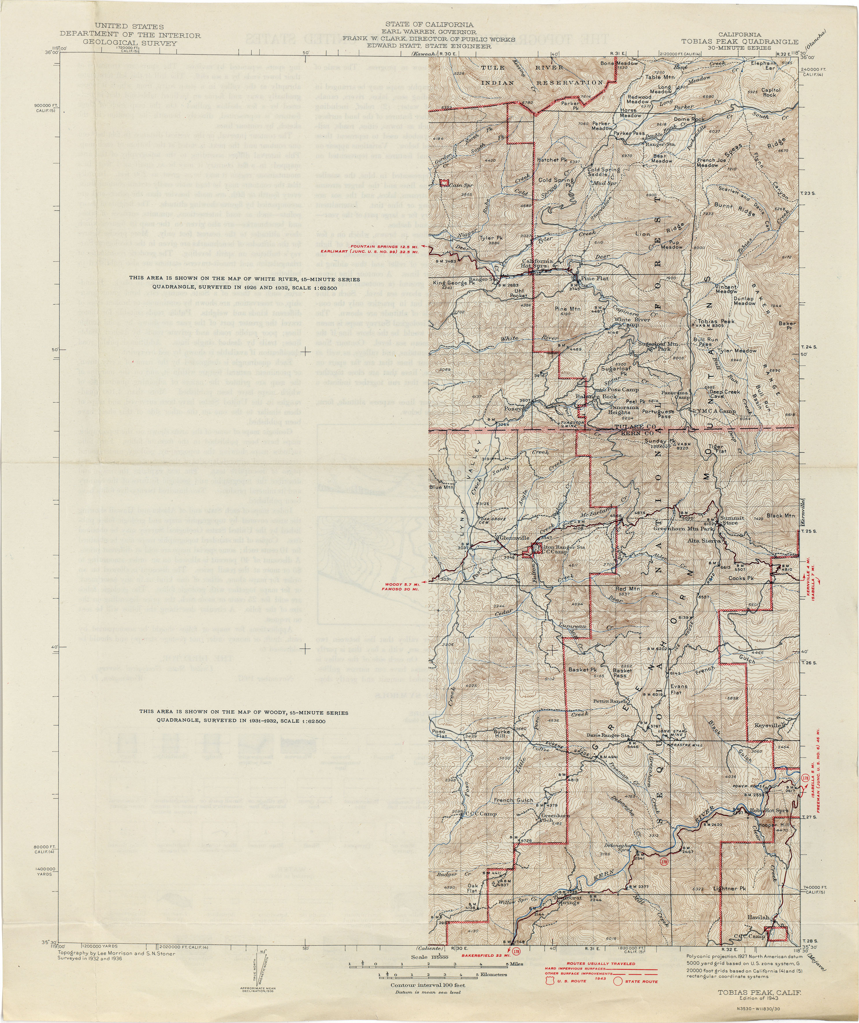
- Tobias Peak 1936 1:125,000 (3.1MB)
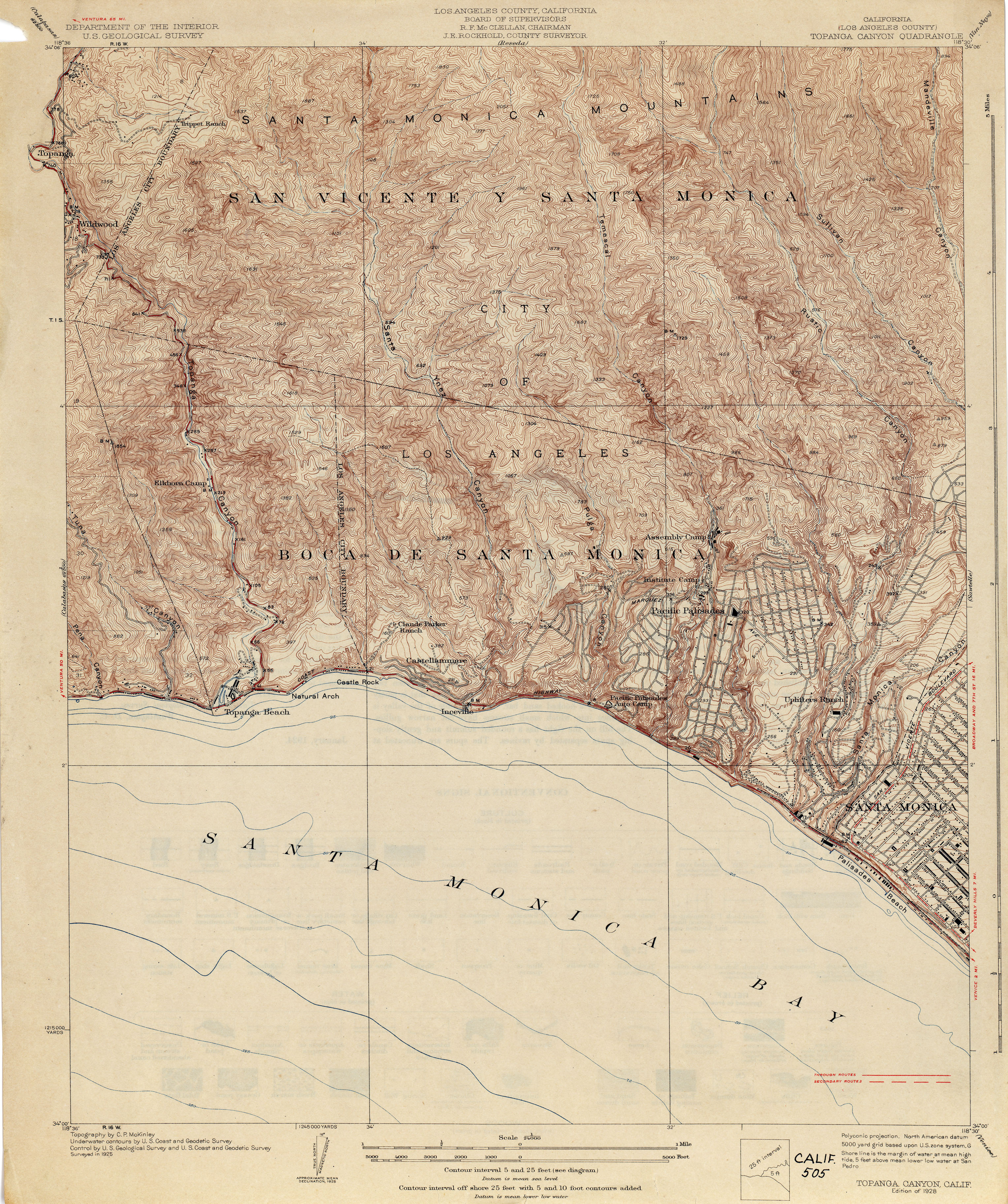
- Topanga Canyon (Los Angeles County) 1925 [1928 Edition] 1:24,000 (4.2MB)
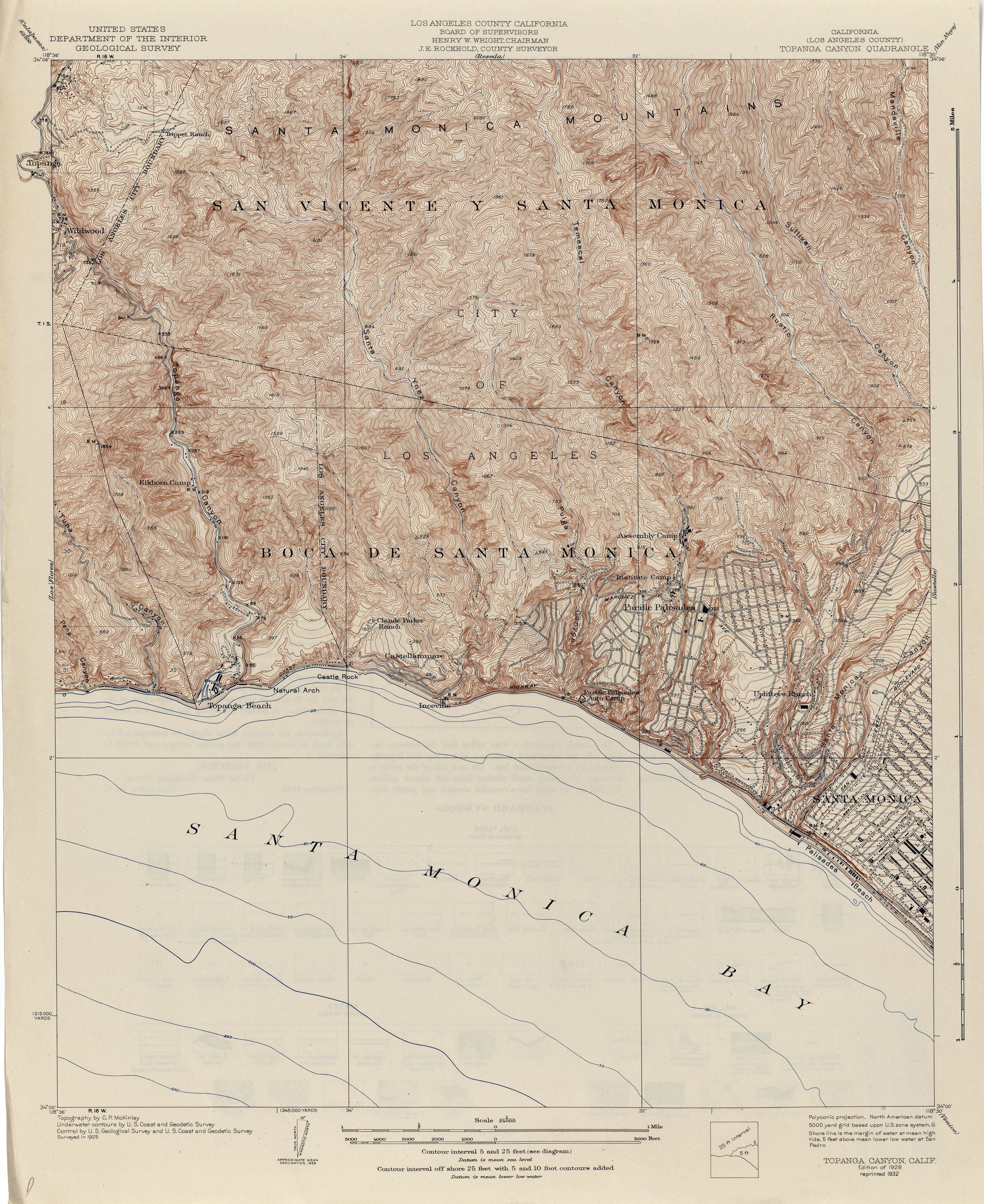
- Topanga Canyon (Los Angeles County) 1925 [1932 reprint] 1:24,000 (4.2MB)
- Torrance (Los Angeles County) 1923 1:24,000 (4.3MB)
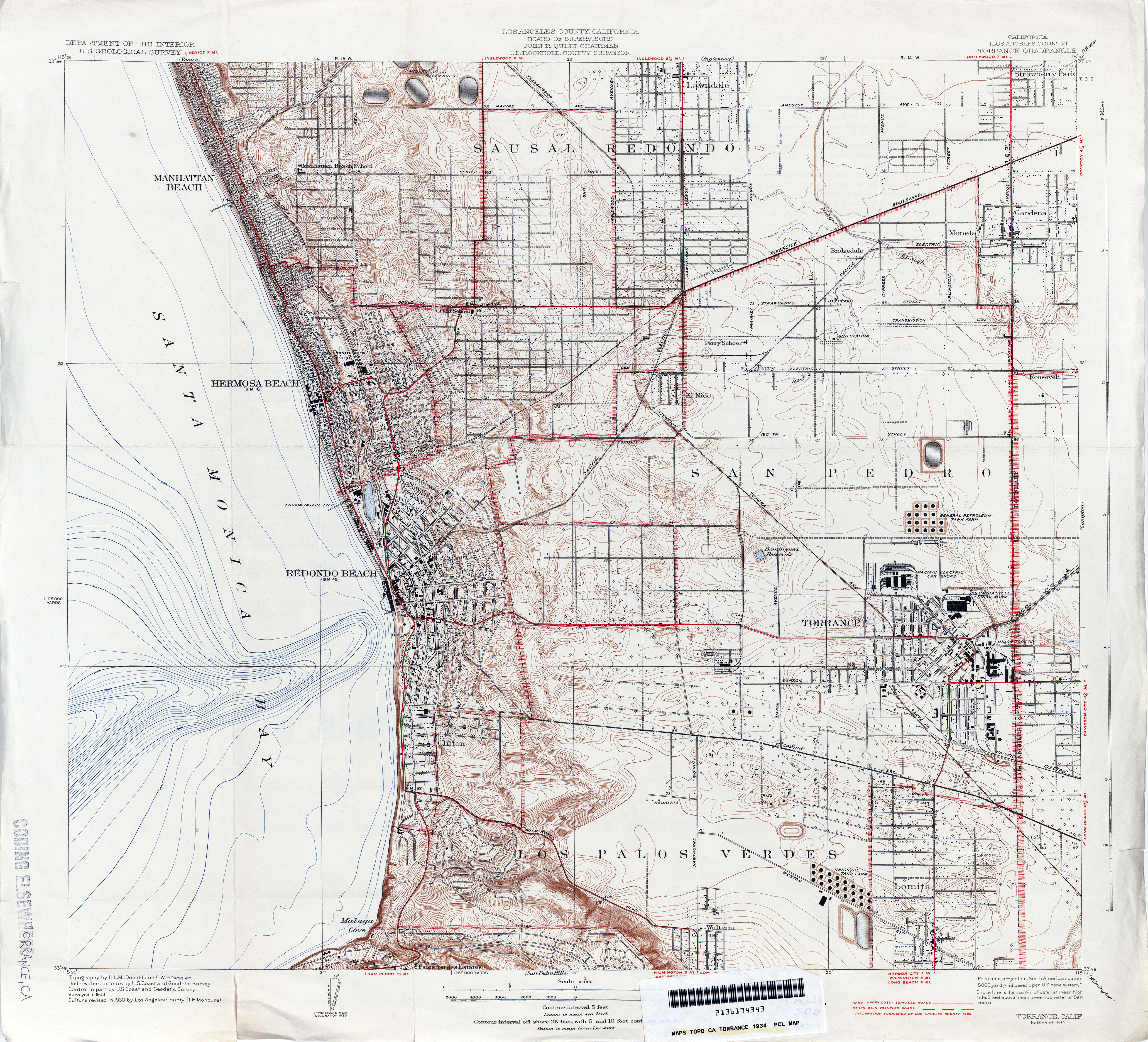
- Torrance (Los Angeles County) 1934 1:24,000 (4.9MB)
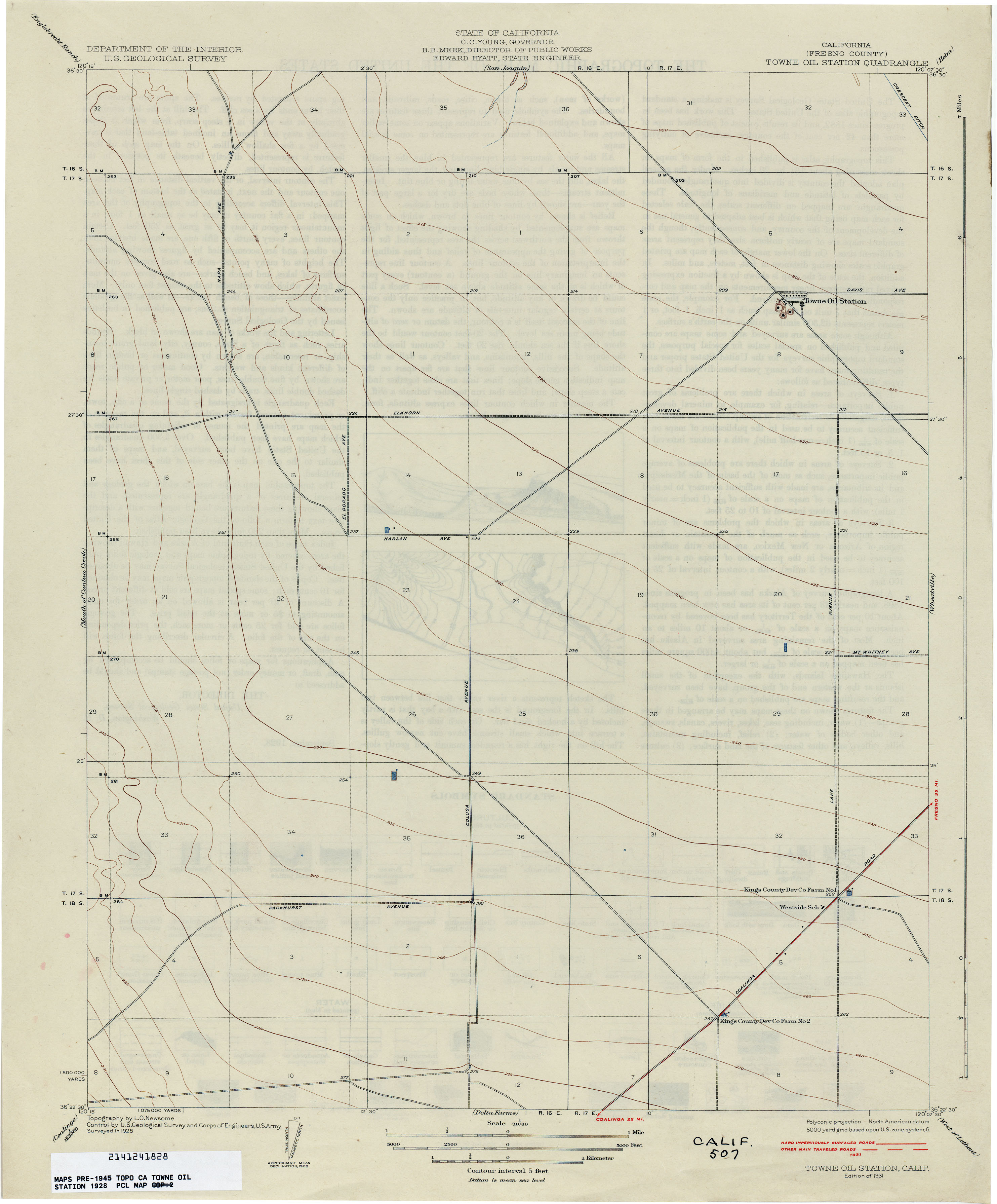
- Towne Oil Station (Fresno County) 1928 1:31,680 (1.4MB)
- Tracy (San Joaquin County) 1912 1:31,680 (2.1MB)
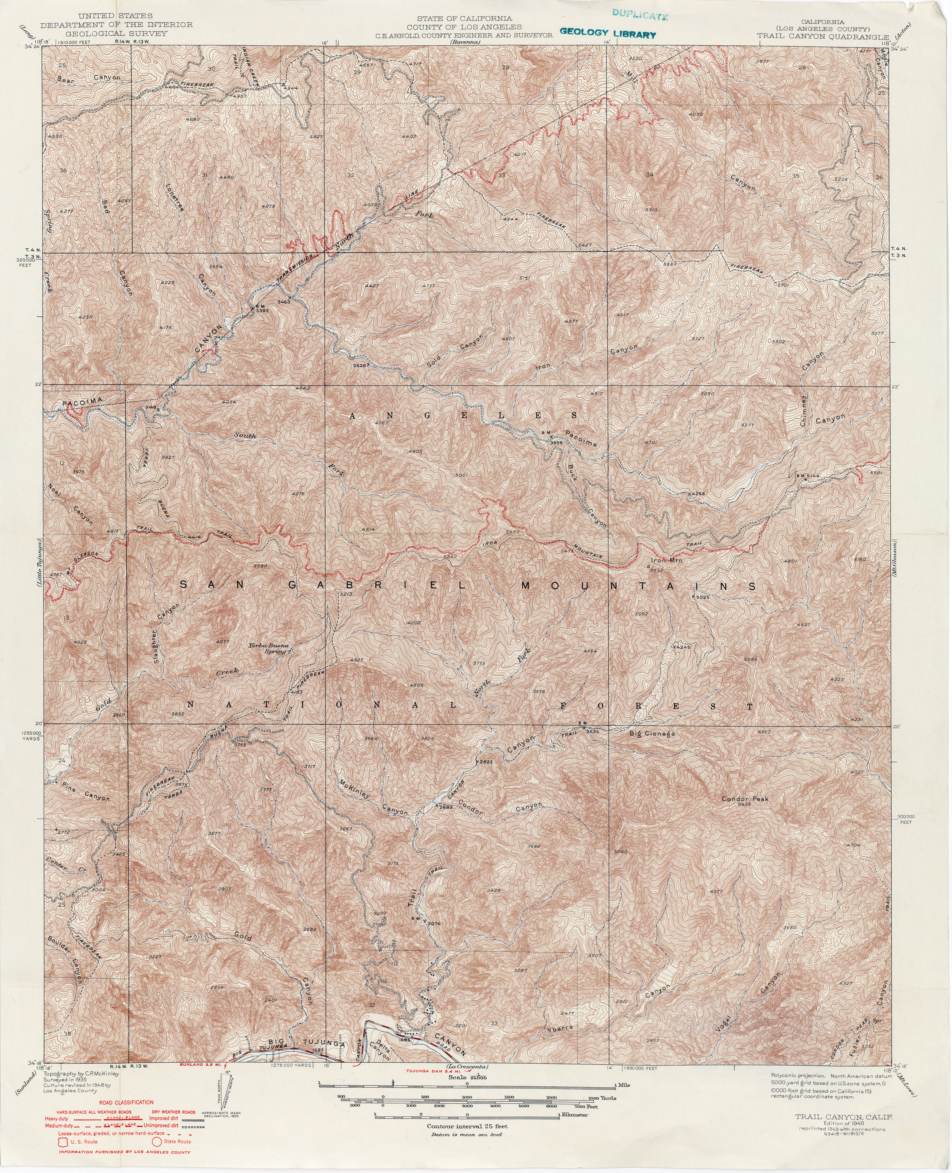
- Trail Canyon (Los Angeles County) 1935 1:24,000 (6.1MB)
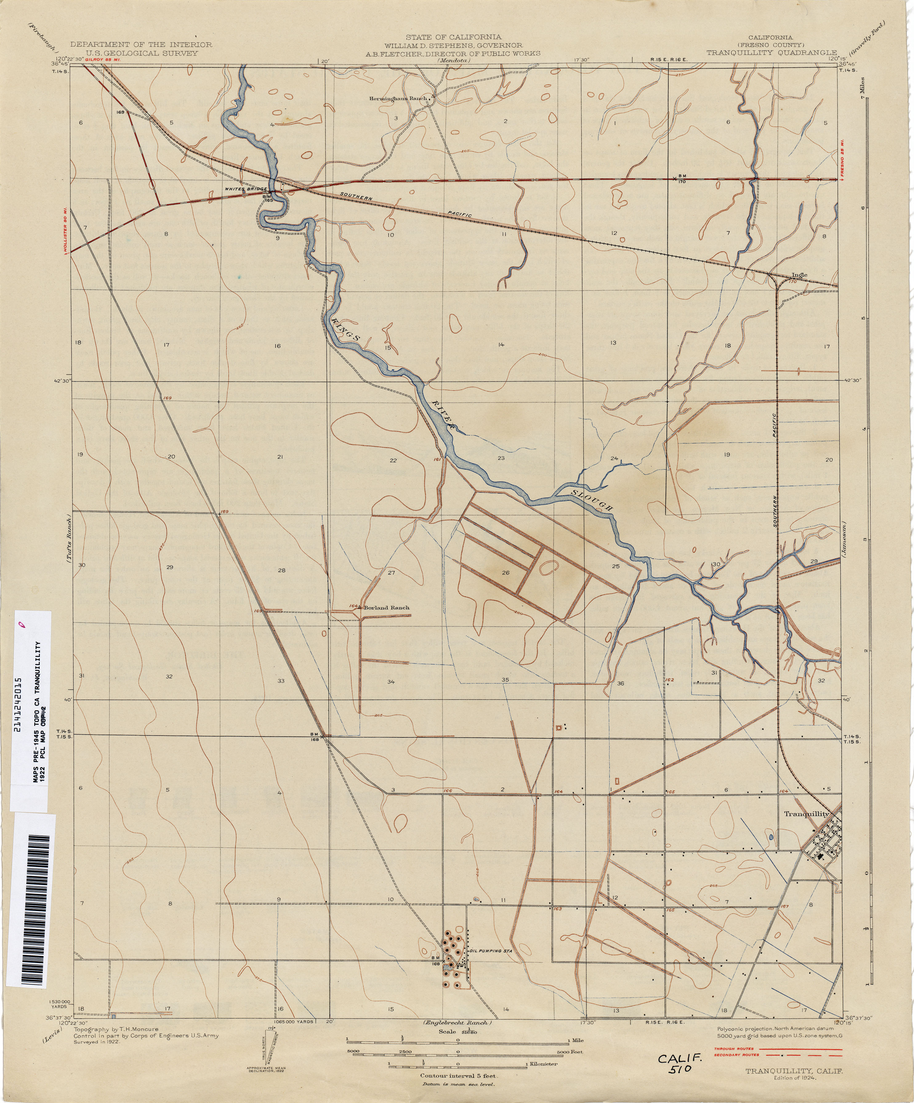
- Tranquility (Fresno County) 1922 1:31,680 (1.8MB)
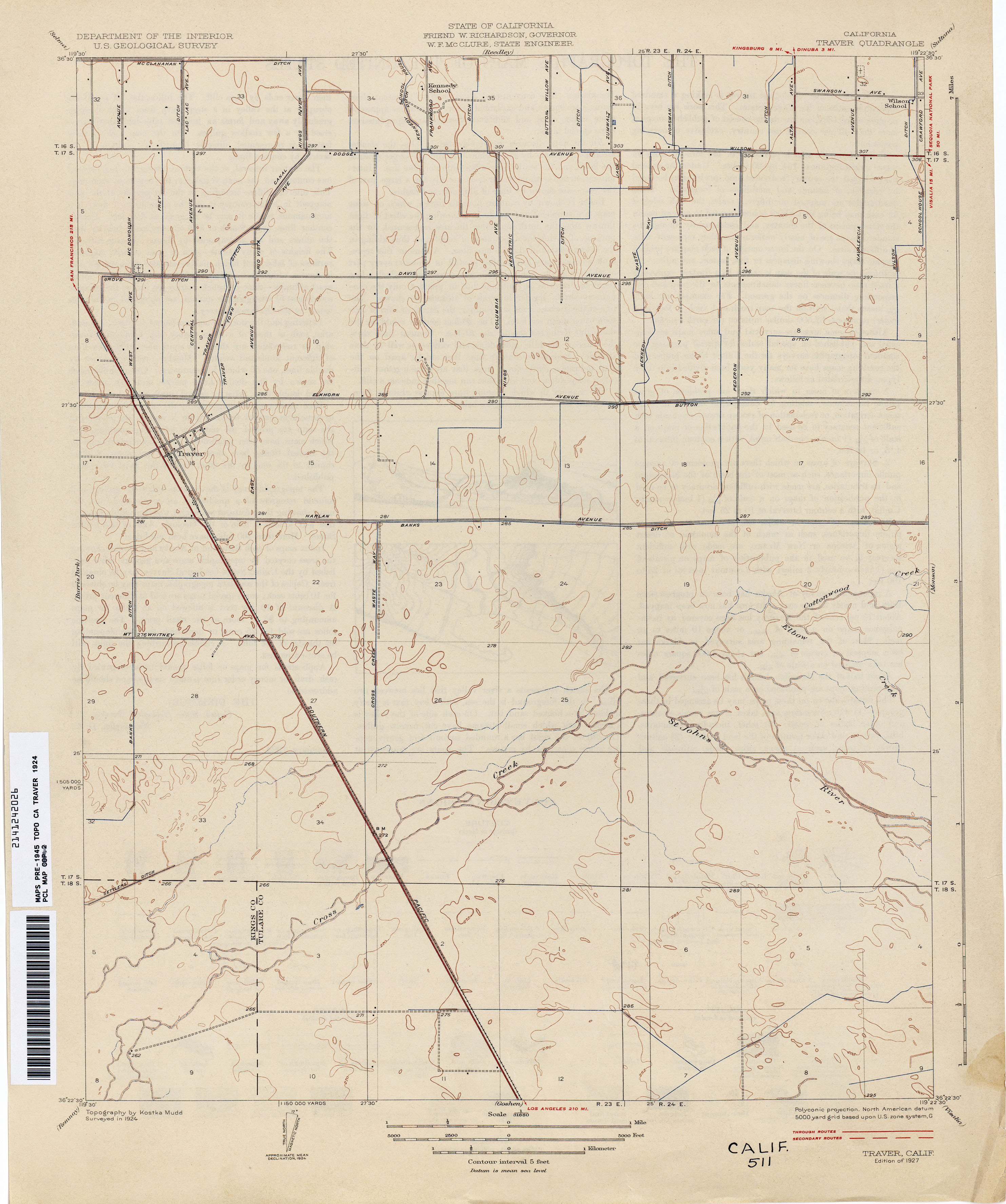
- Traver 1924 1:31,680 (1.9MB)
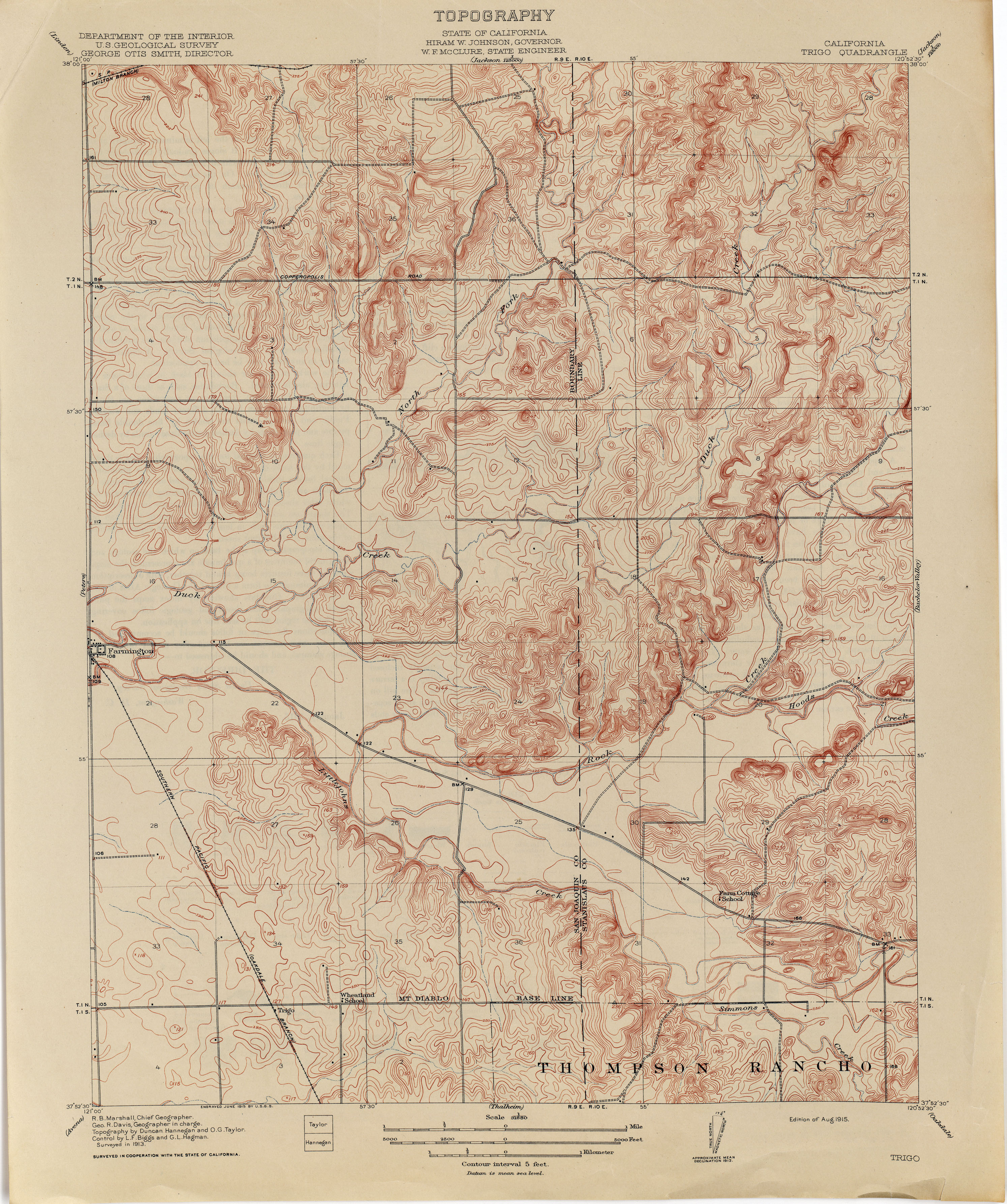
- Trigo 1913 1:31,680 (3.6MB)
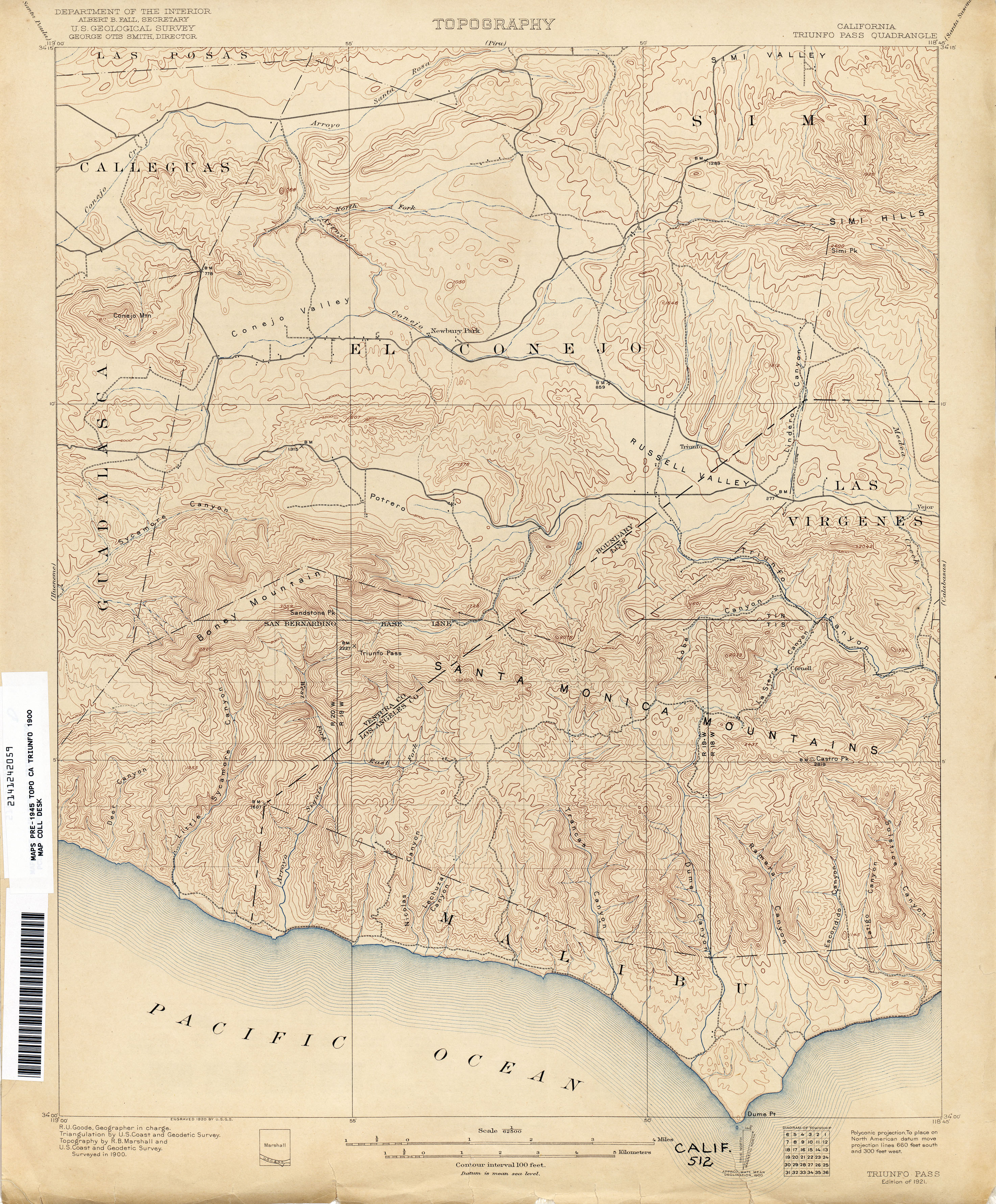
- Triunfo Pass 1900 1:62,500 (3.5MB)
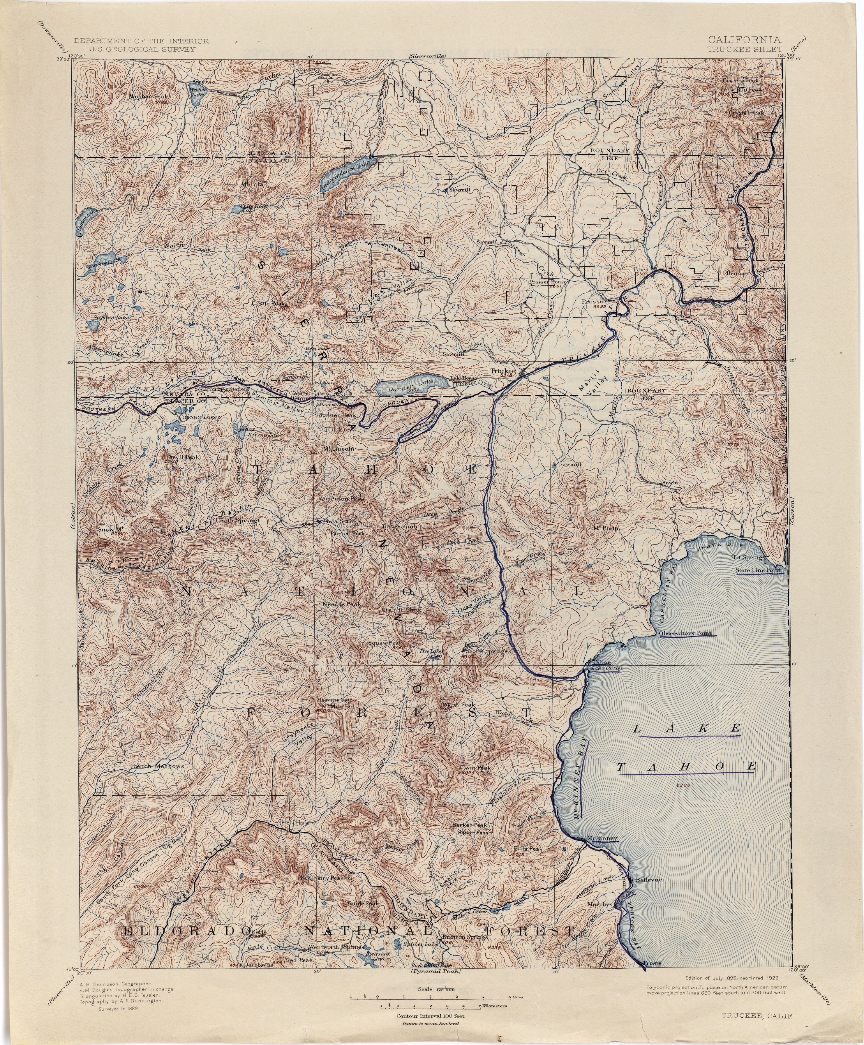
- Truckee [California, Nevada] 1889 1:125,000 (4.5MB)
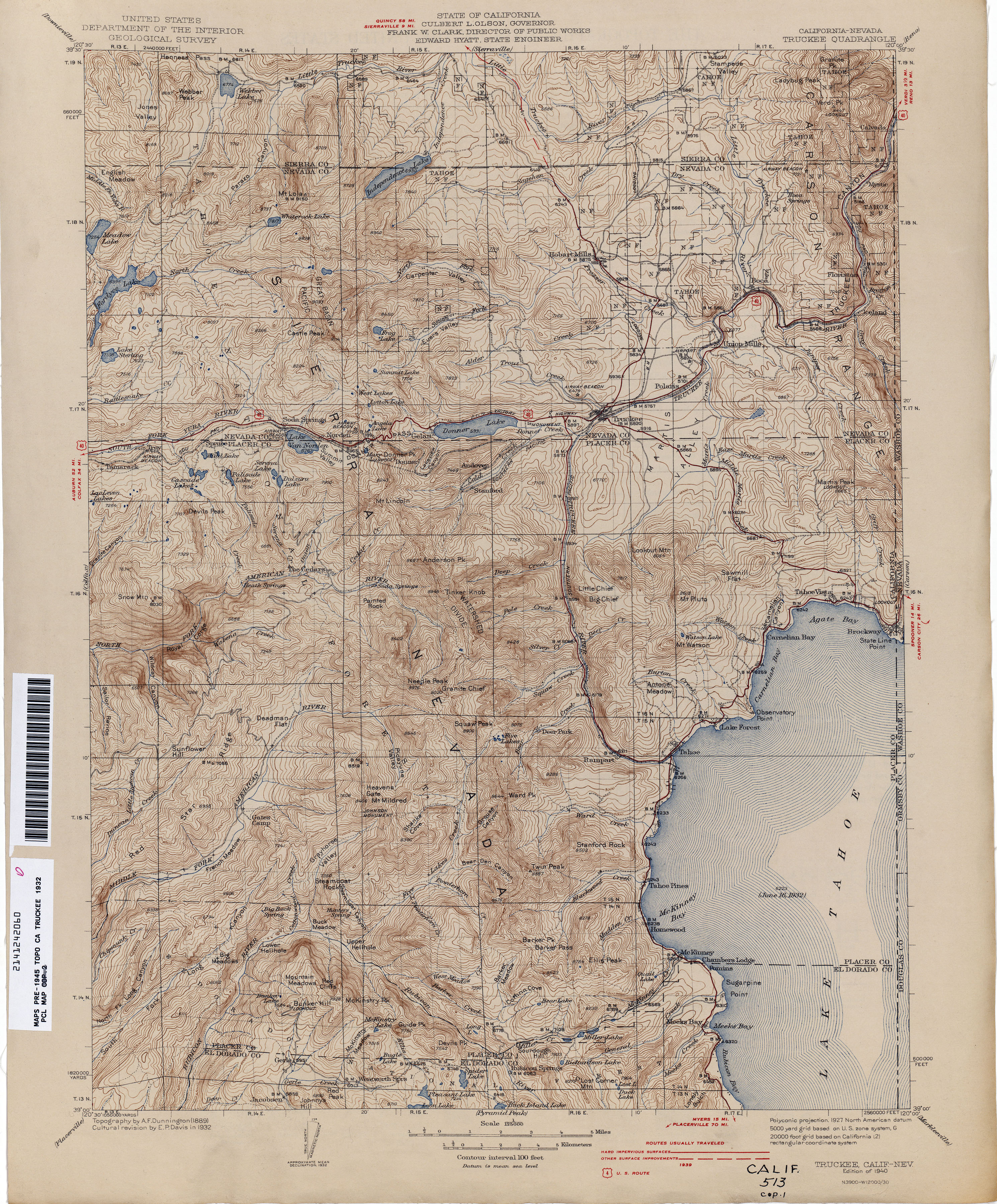
- Truckee [California, Nevada] 1932 1:125,000 (4.1MB)
- Tufts Ranch [Fresno County] 1920 1:31,680 (1.6MB)
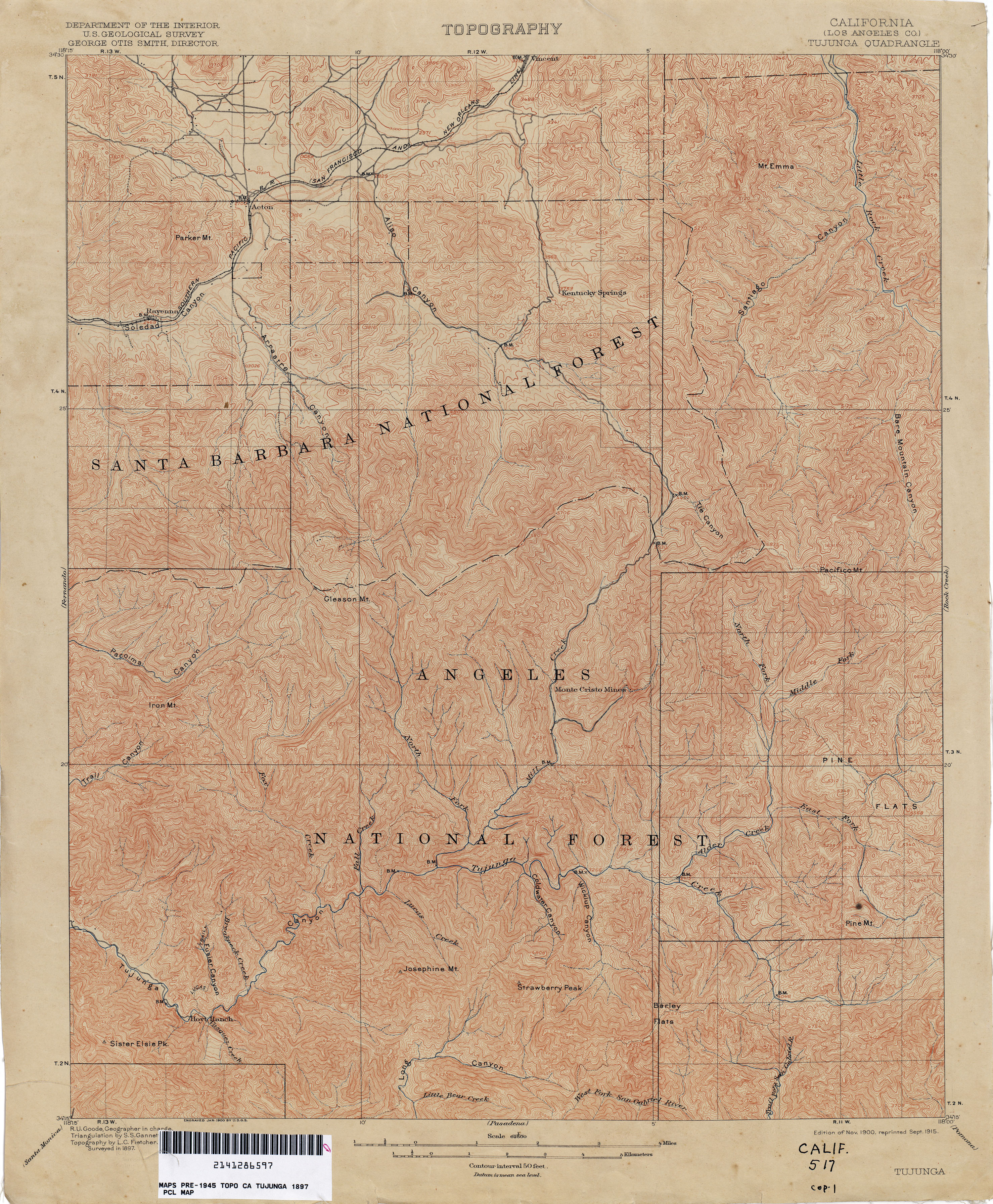
- Tujunga (Los Angeles County) 1897 1:62,500 (4.6MB)
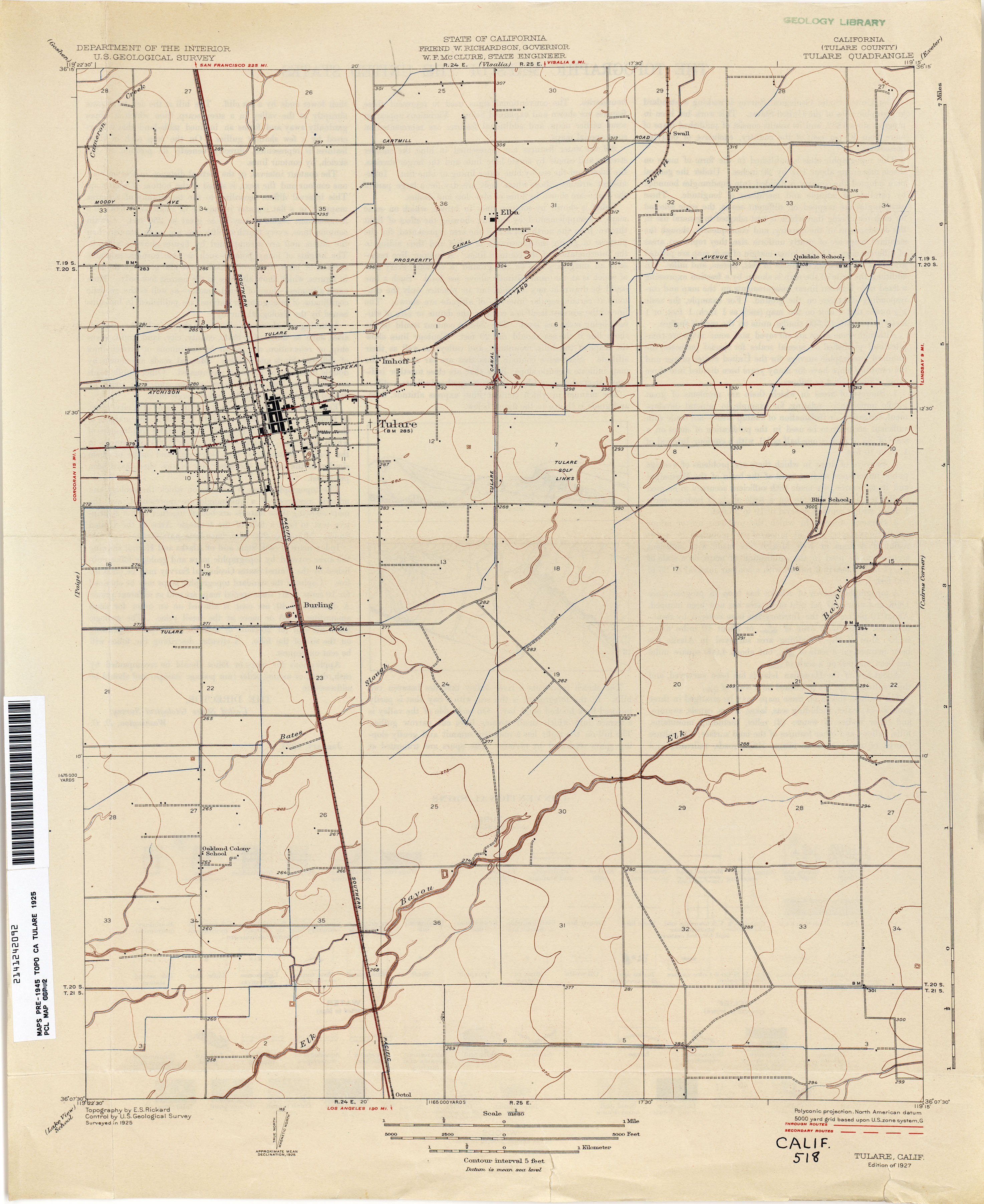
- Tulare (Tulare County) 1925 1:31,680 (1.9MB)
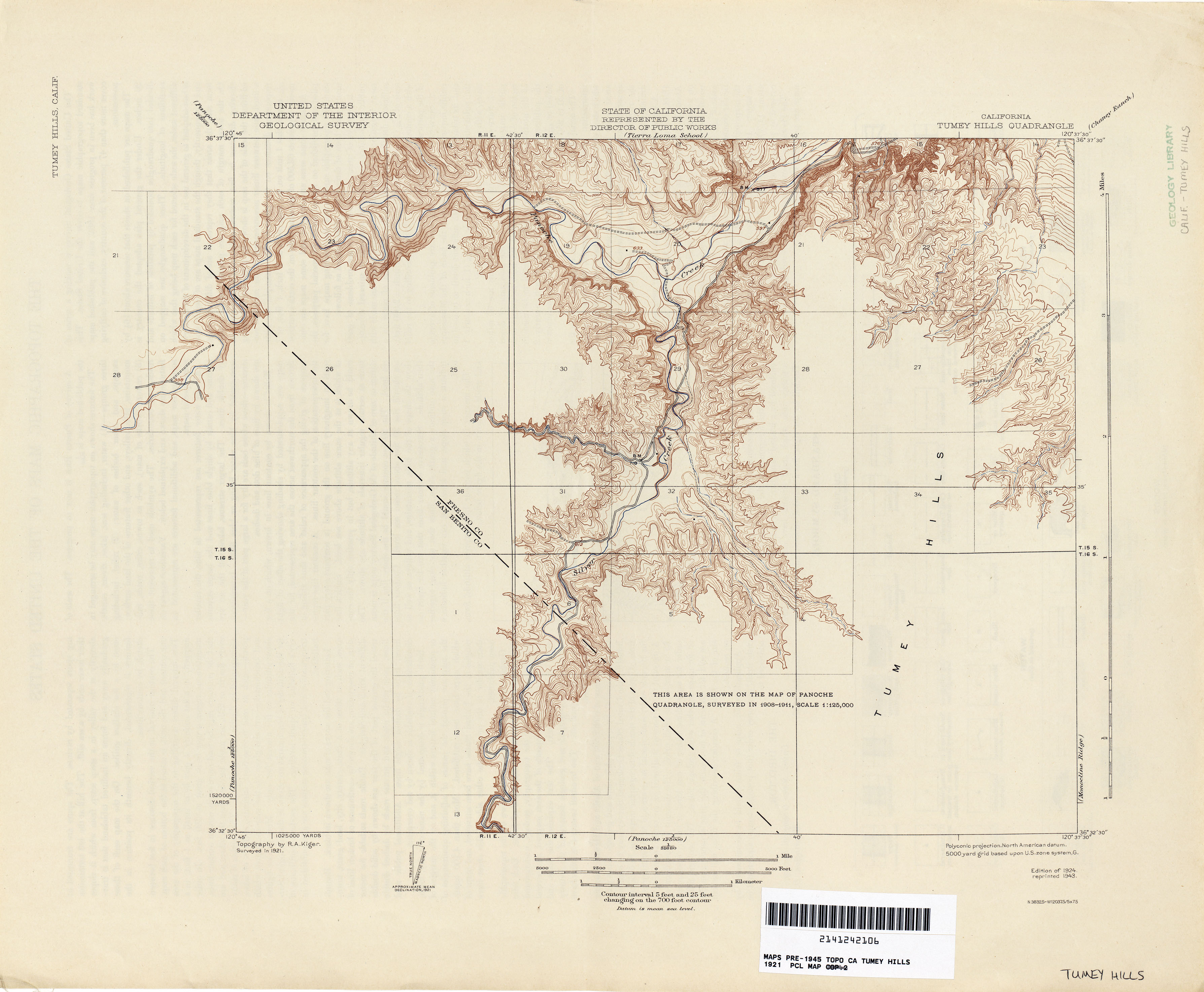
- Tumey Hills 1921 1:62,500 (1.9MB)
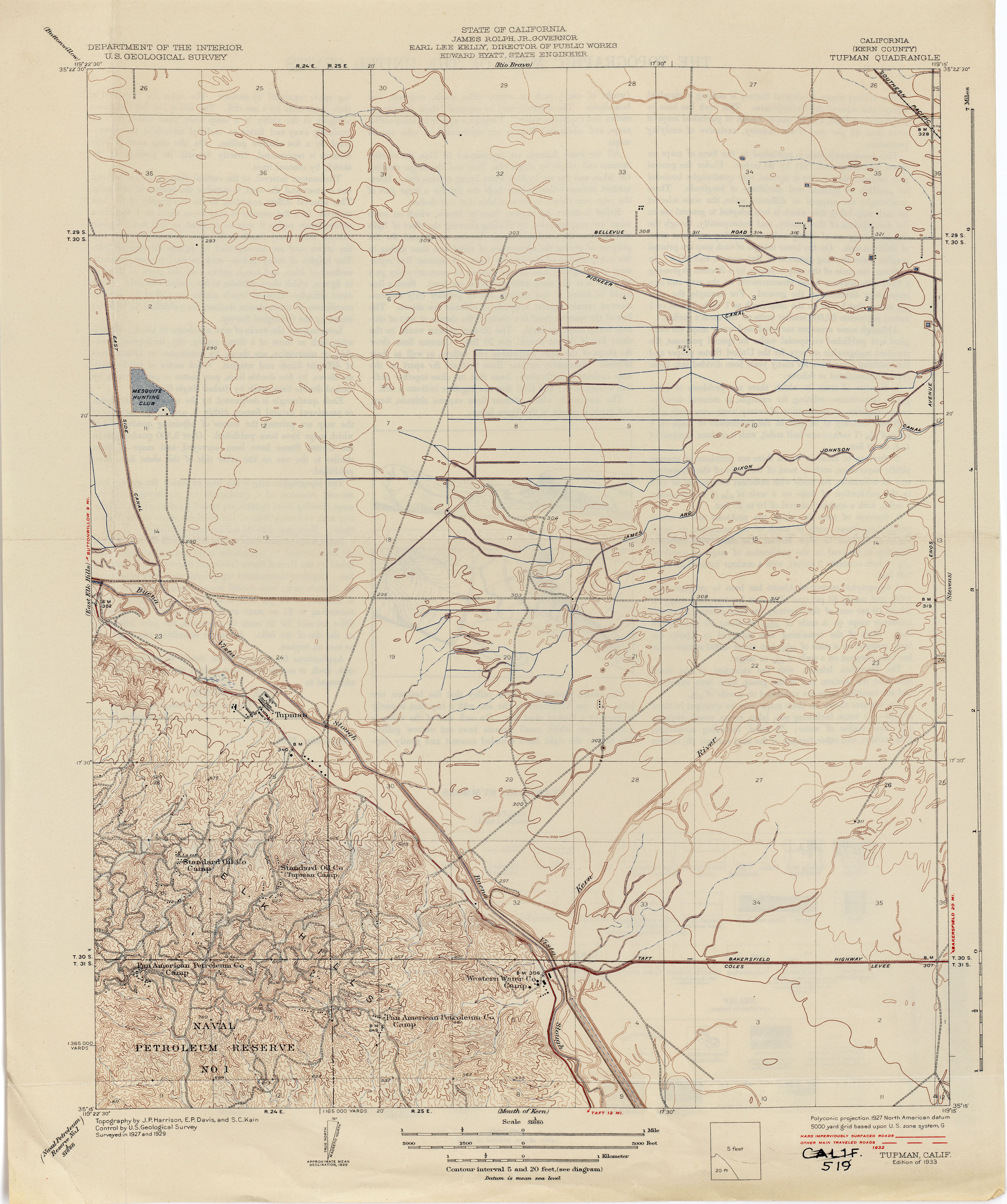
- Tupman (Kern County) 1929 1:31,680 (2.5MB)
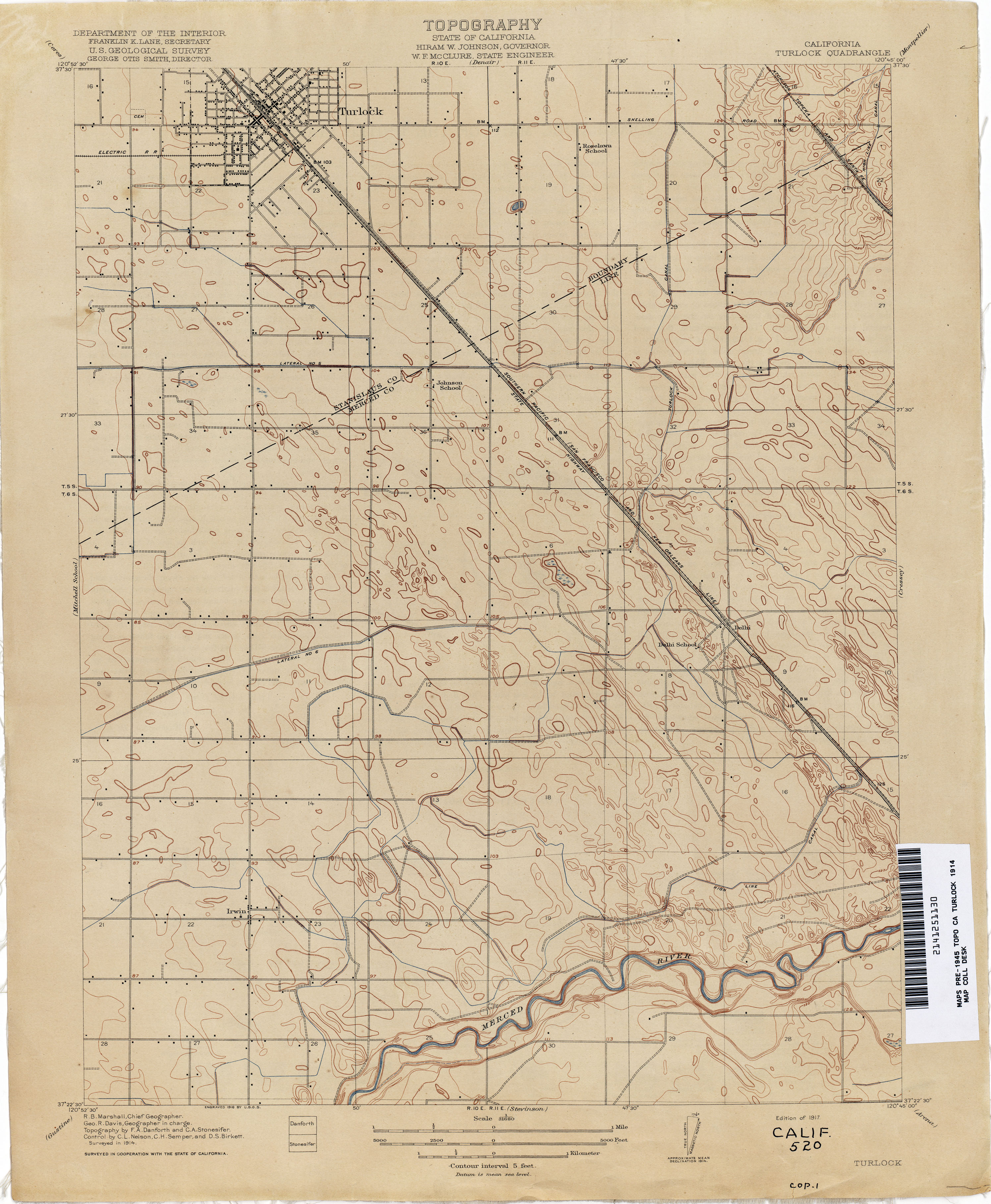
- Turlock 1914 1:31,680 (2.4MB)
- Turner Ranch (Merced County) 1916 1:31,680 (2.2MB)
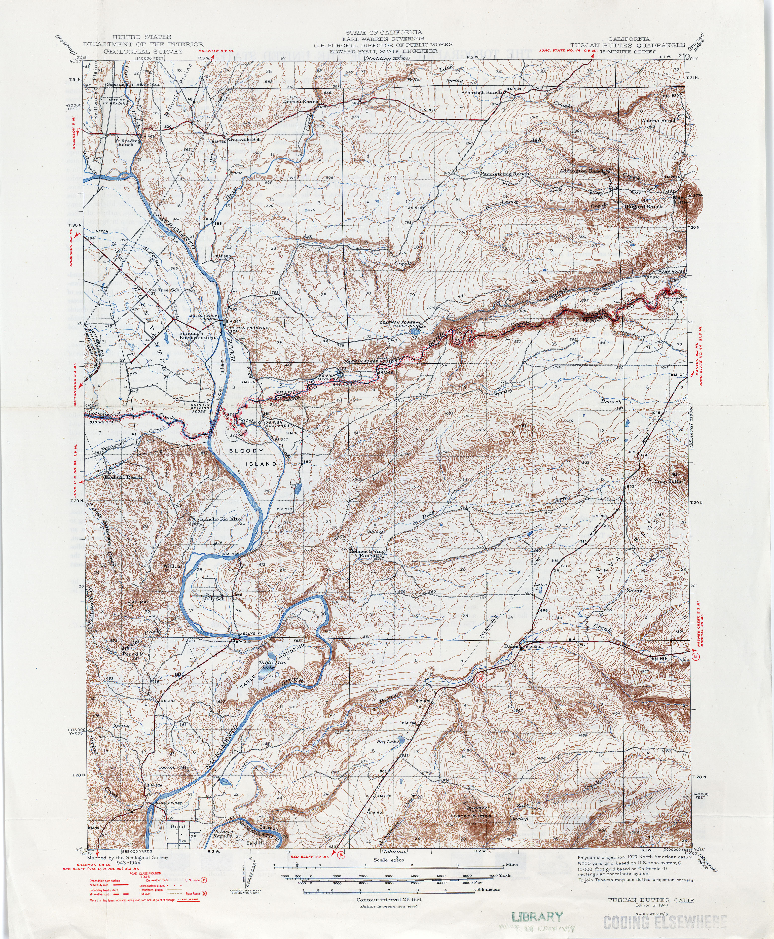
- Tuscan Buttes 1947 1:62,500 (4.4MB)
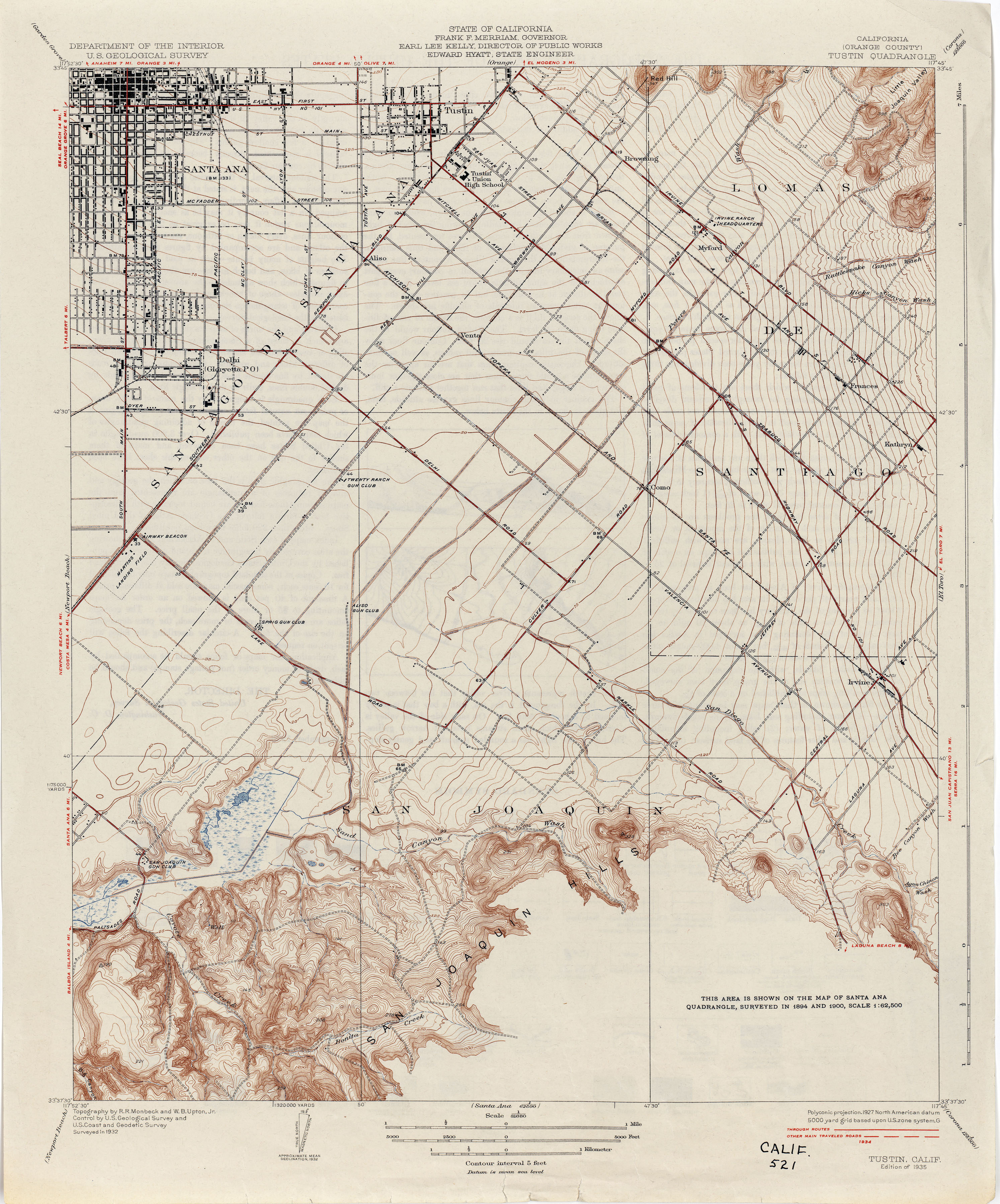
- Tustin (Orange County) 1932 1:31,680 (2.9MB)
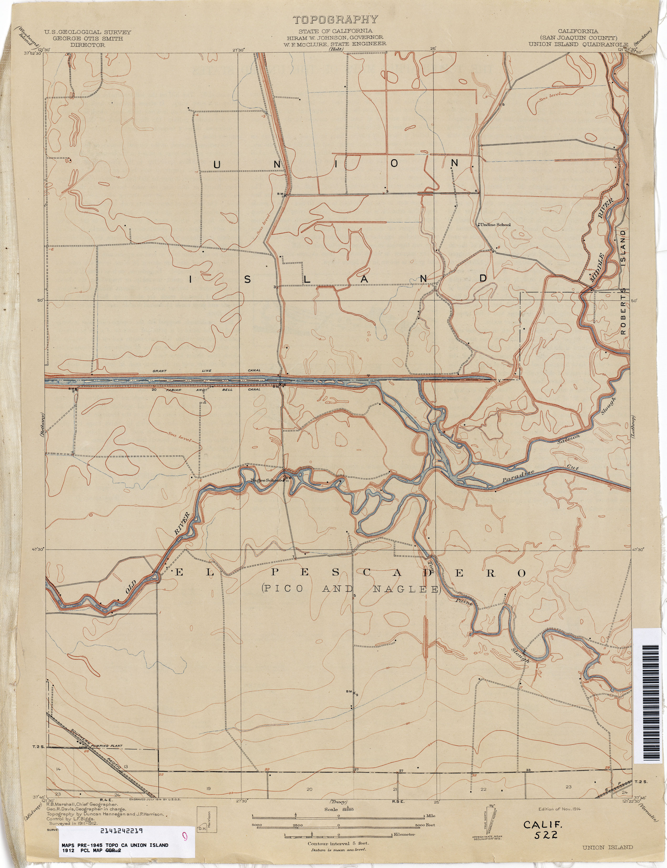
- Union Island (San Joaquin County) 1912 1:31,680 (1.8MB)
- Vacaville (Solano County) 1906 1:62,500 (2.4MB)
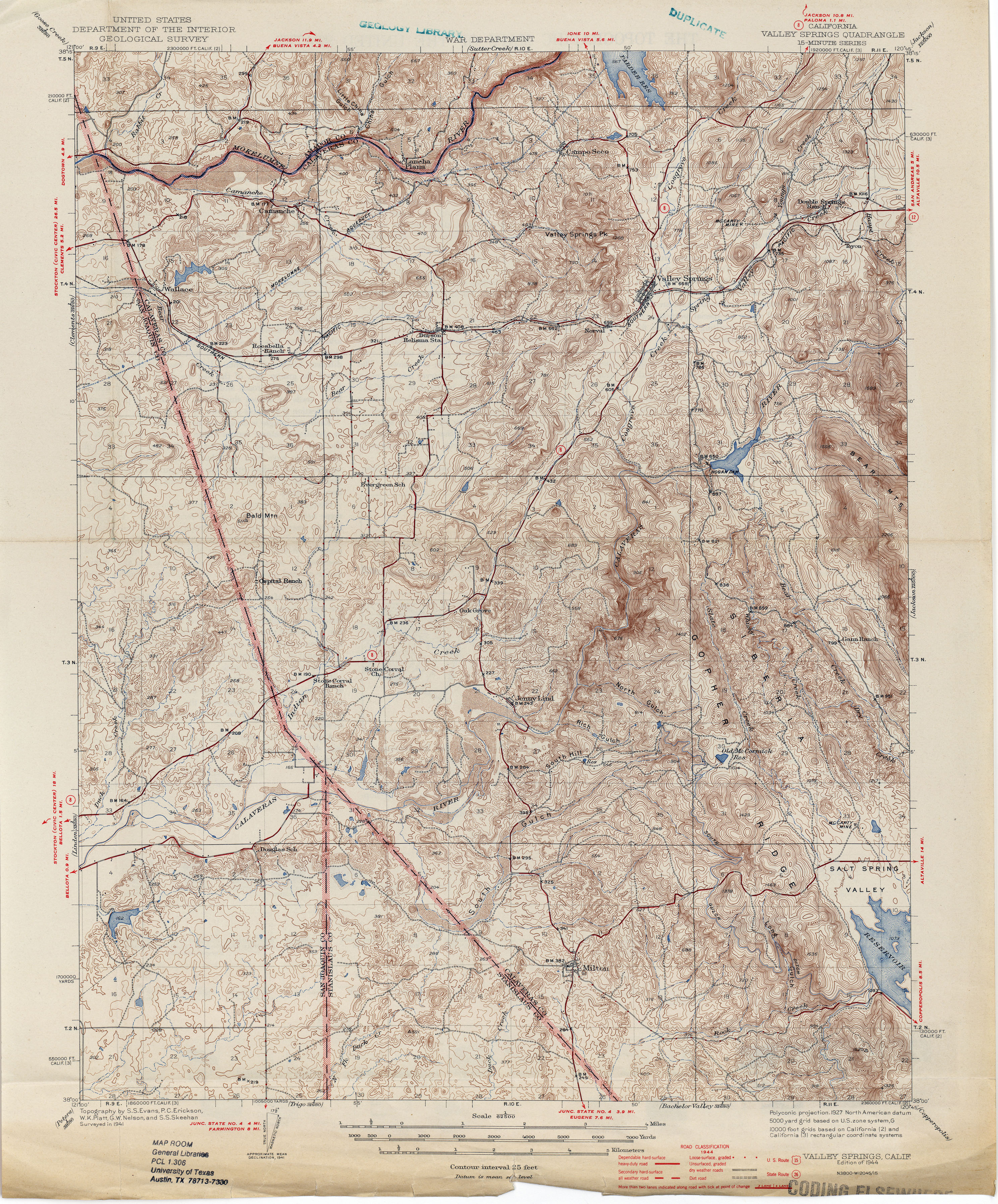
- Valley Springs 1944 1:62,500 (4.5MB)
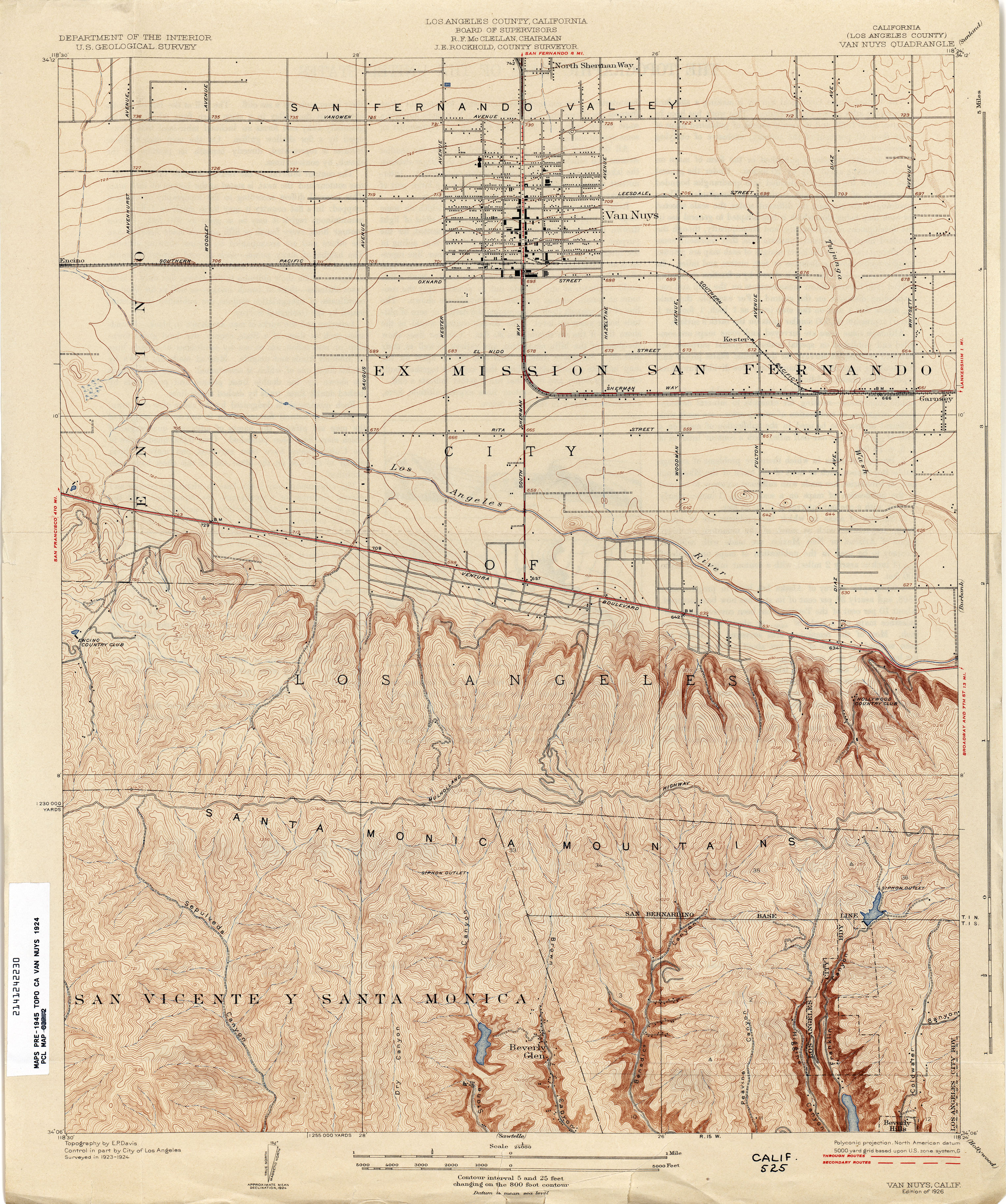
- Van Nuys (Los Angeles County) 1924 1:24,000 (4.0MB)
- Venice (Los Angeles County) 1923 1:24,000 (2.8MB)
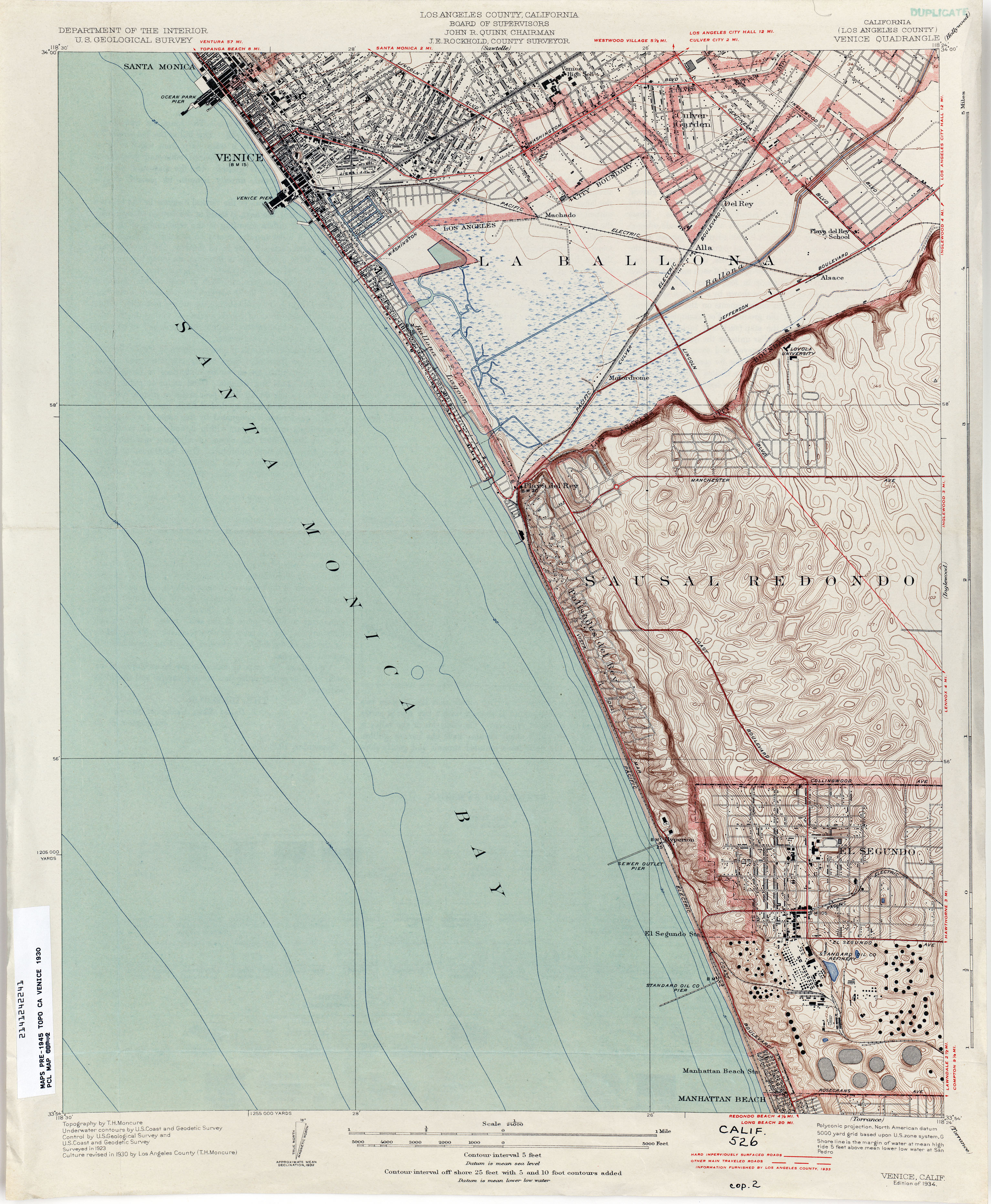
- Venice (Los Angeles County) 1930 1:24,000 (3.2MB)
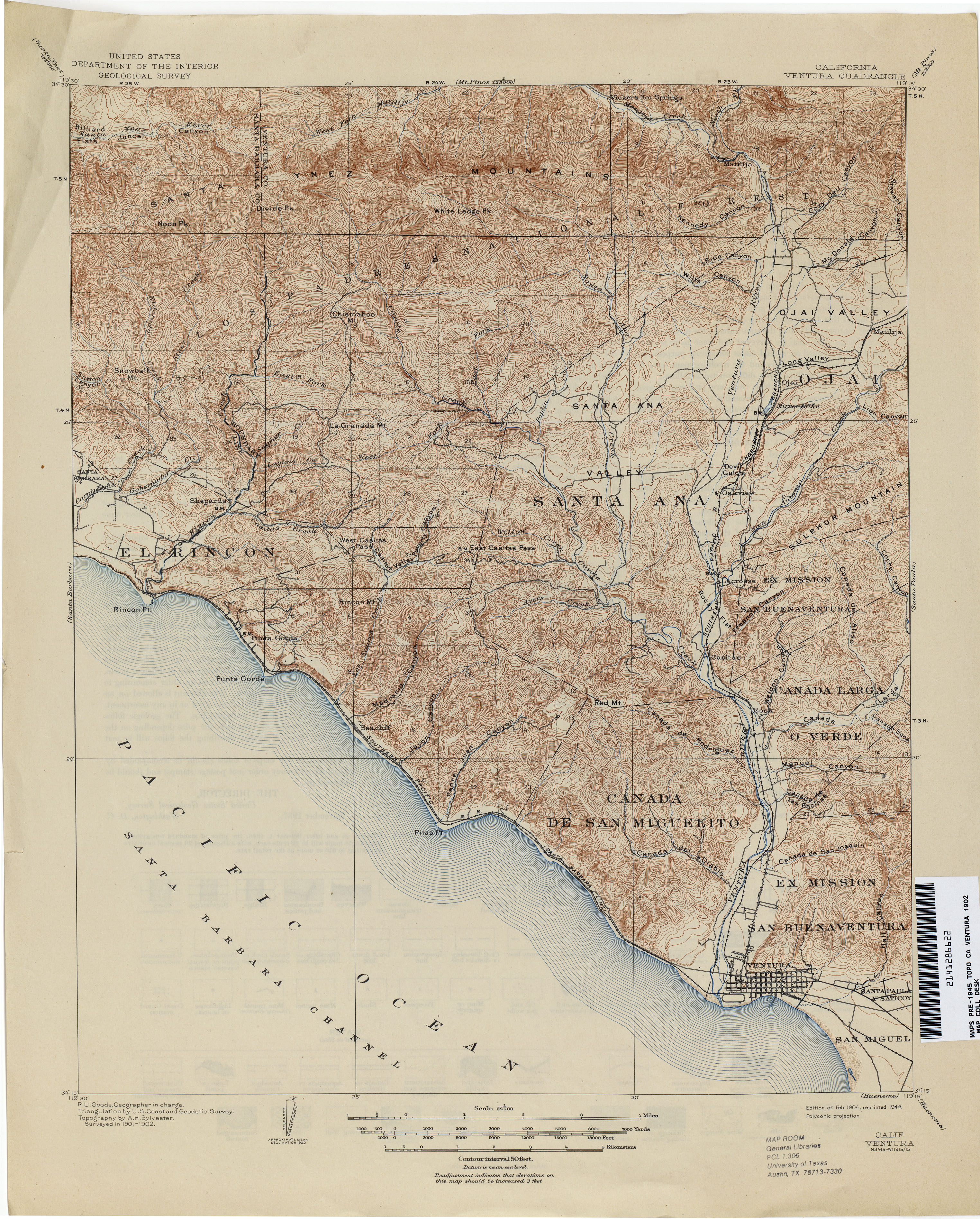
- Ventura 1902 1:62,500 (4.3MB)
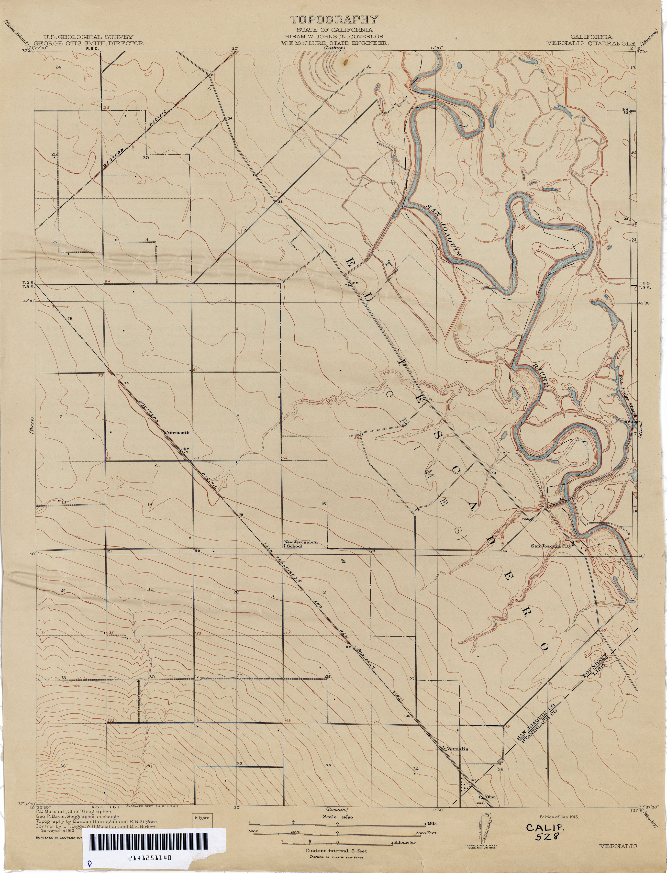
- Vernalis 1912 1:31,680 (1.9MB)
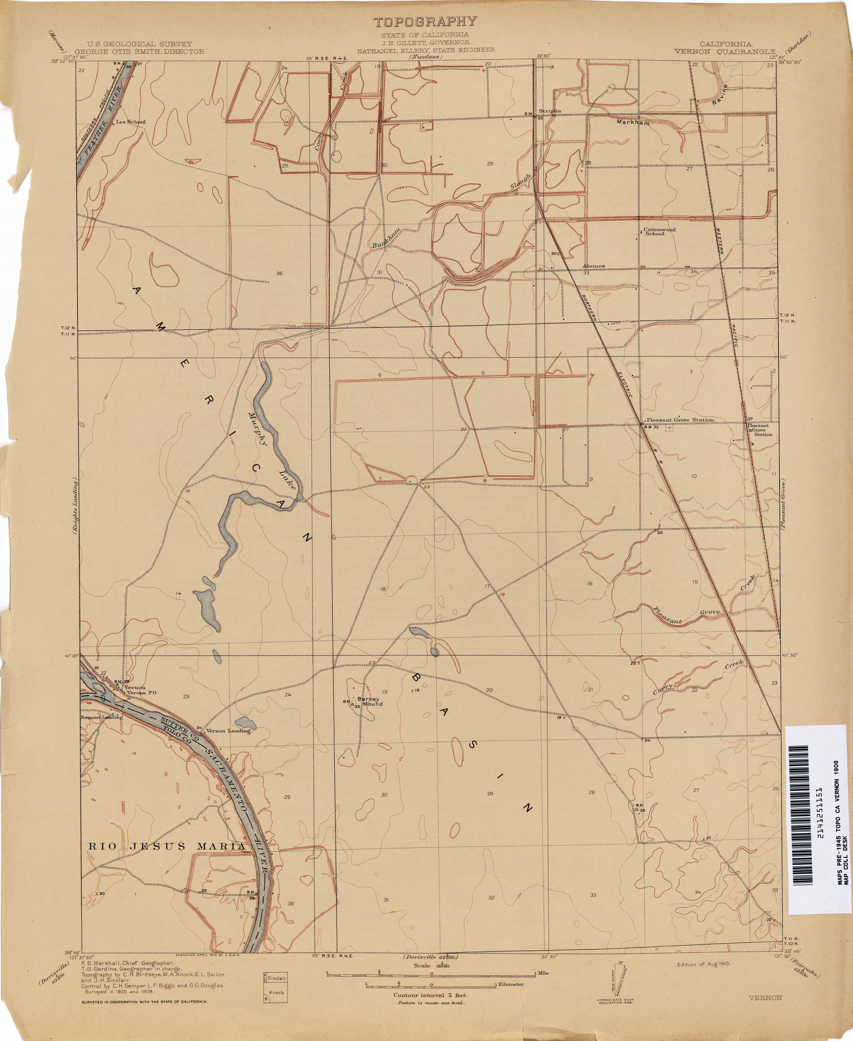
- Vernon 1908 1:31,680 (1.8MB)
- Viejos Hills (Kings County) 1930 1:31,680 (3.0MB)
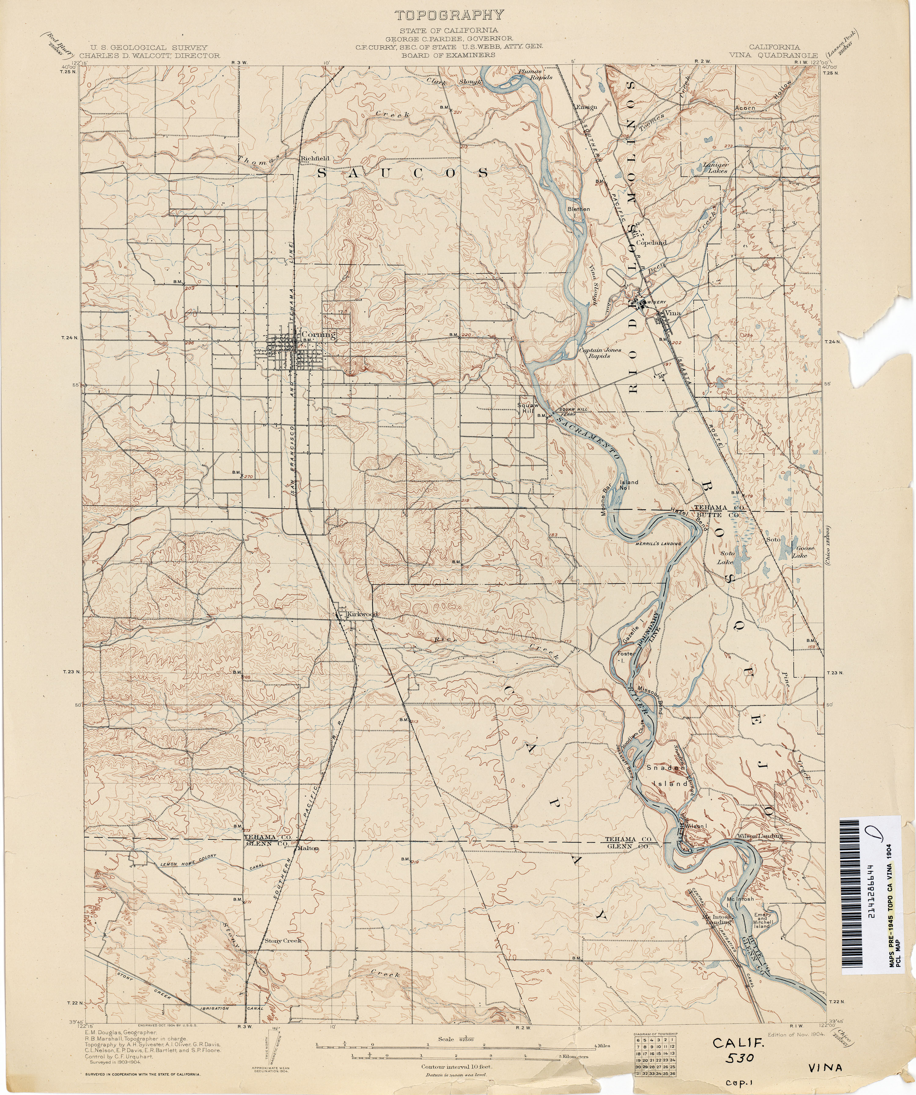
- Vina 1904 1:62,500 (2.8MB)
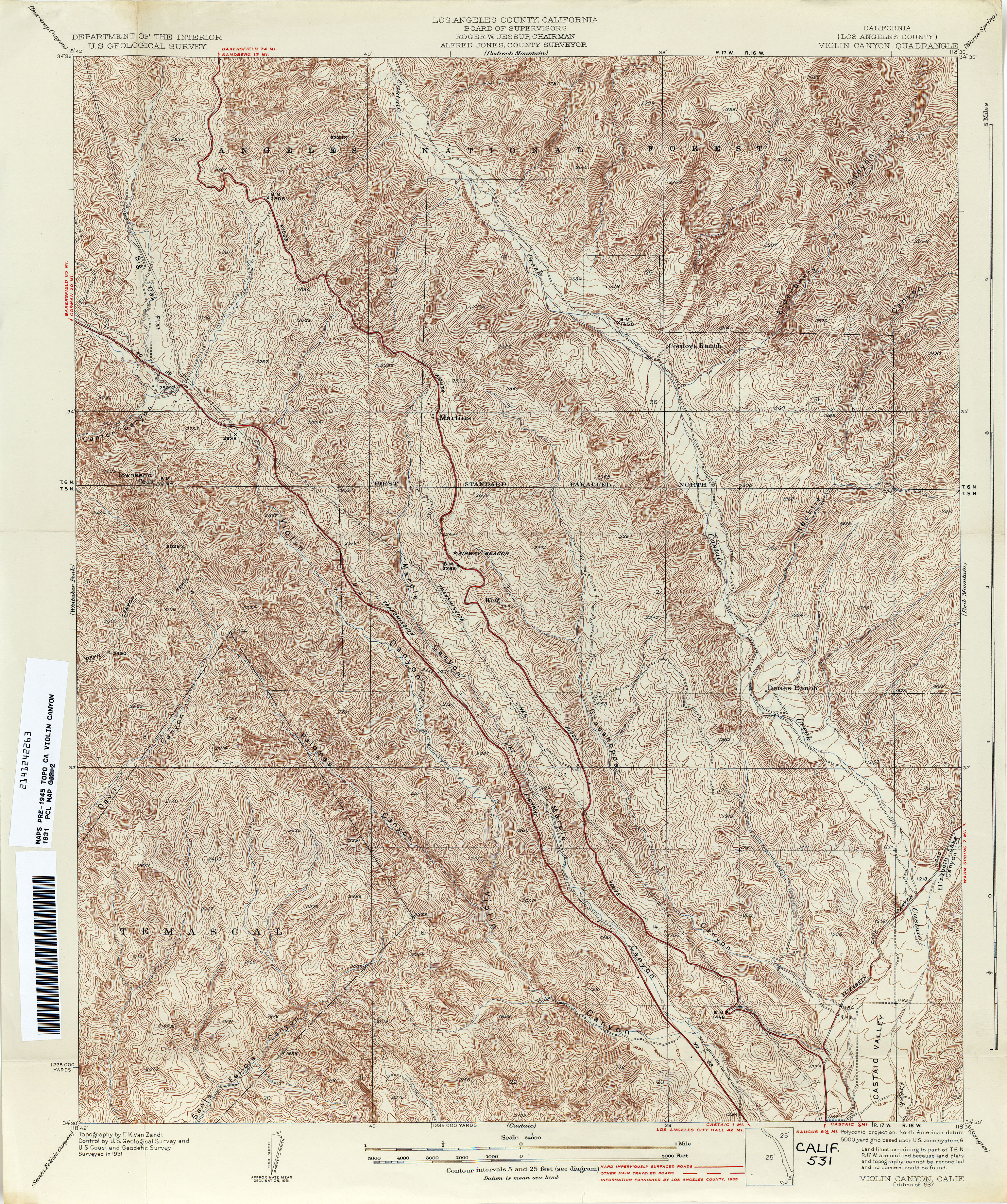
- Violin Canyon (Los Angeles County) 1931 1:24,000 (6.0MB)
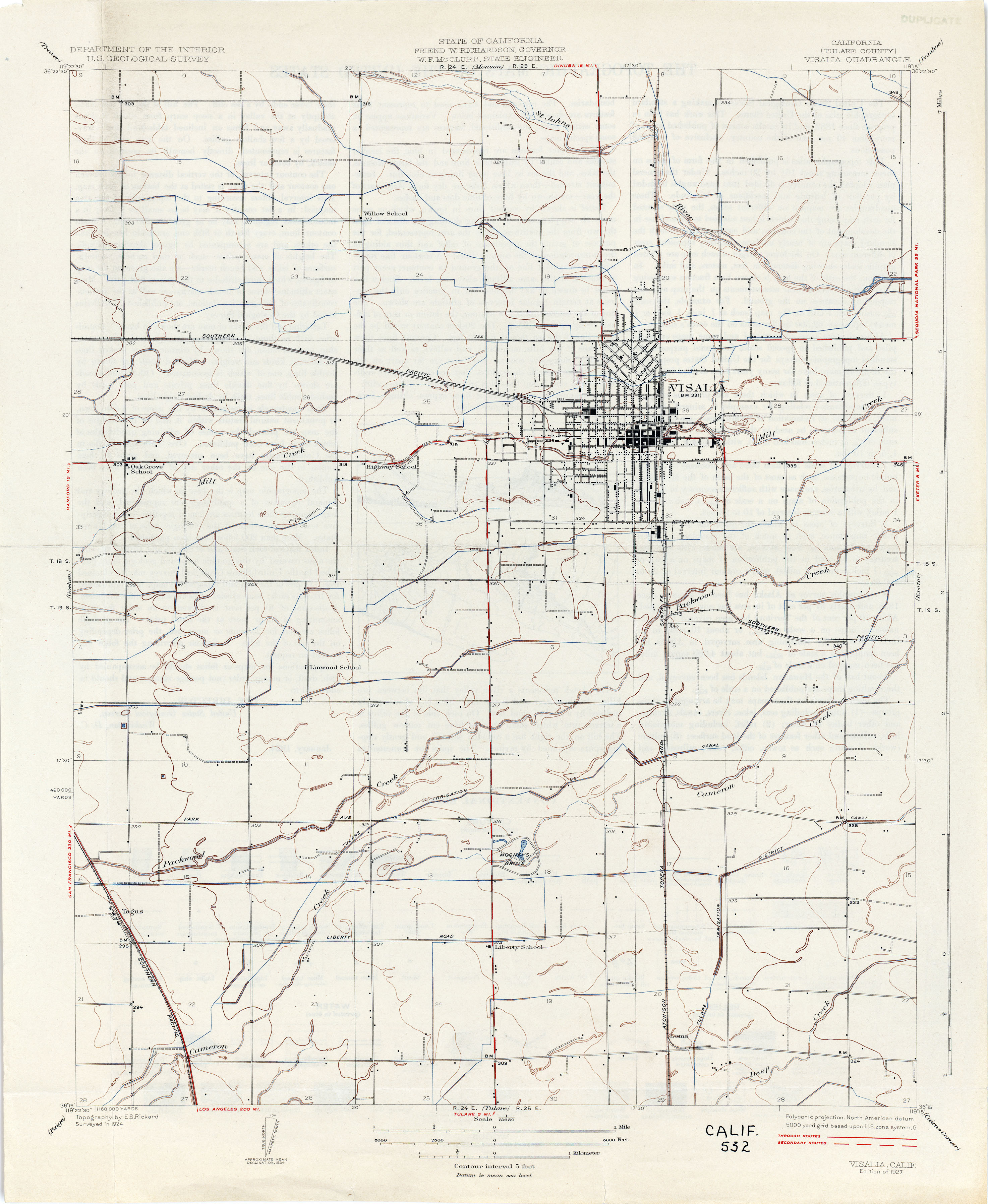
- Visalia (Tulare County) 1924 1:31,680 (2.0MB)
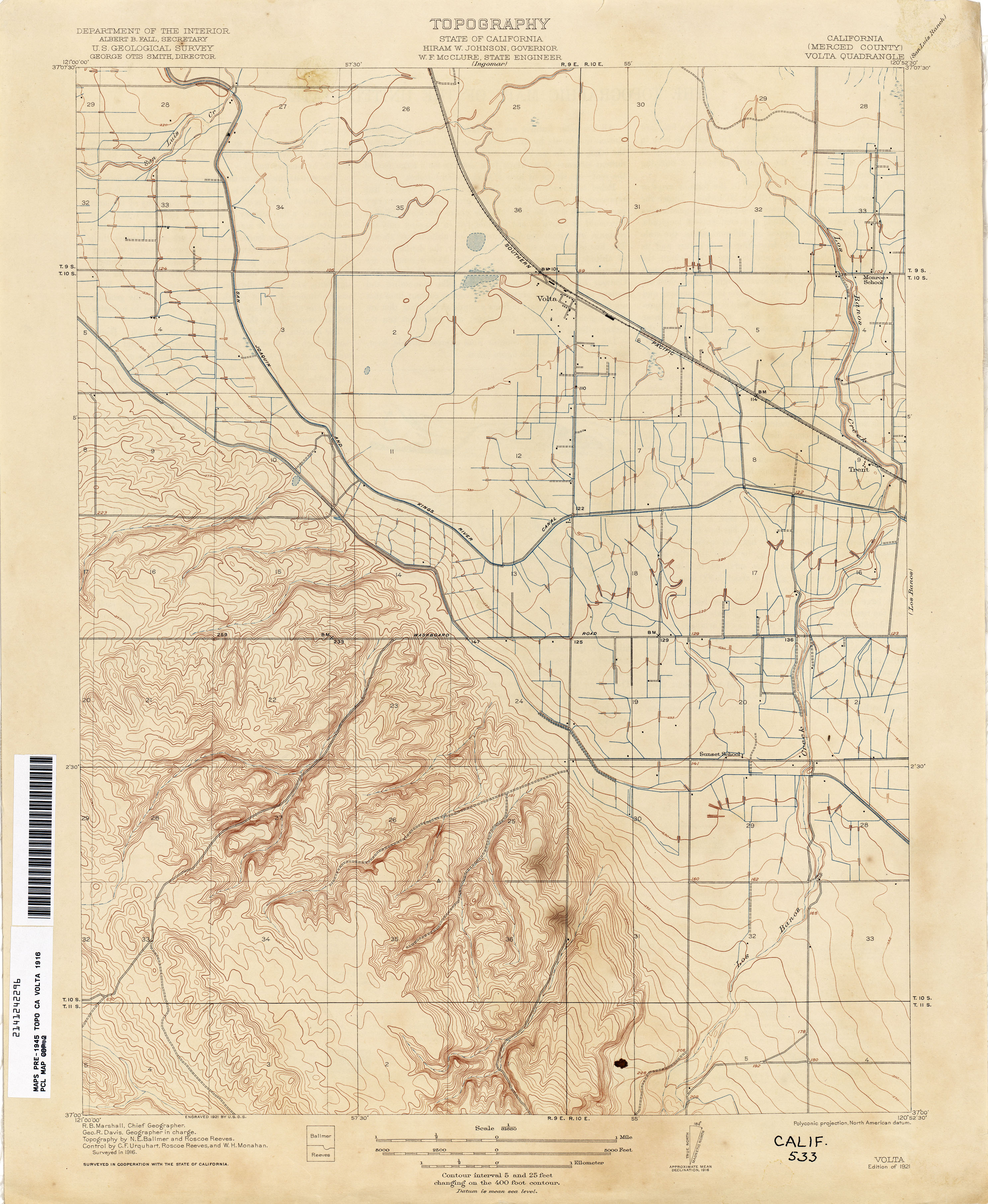
- Volta (Merced County) 1916 1:31,680 (2.7MB)
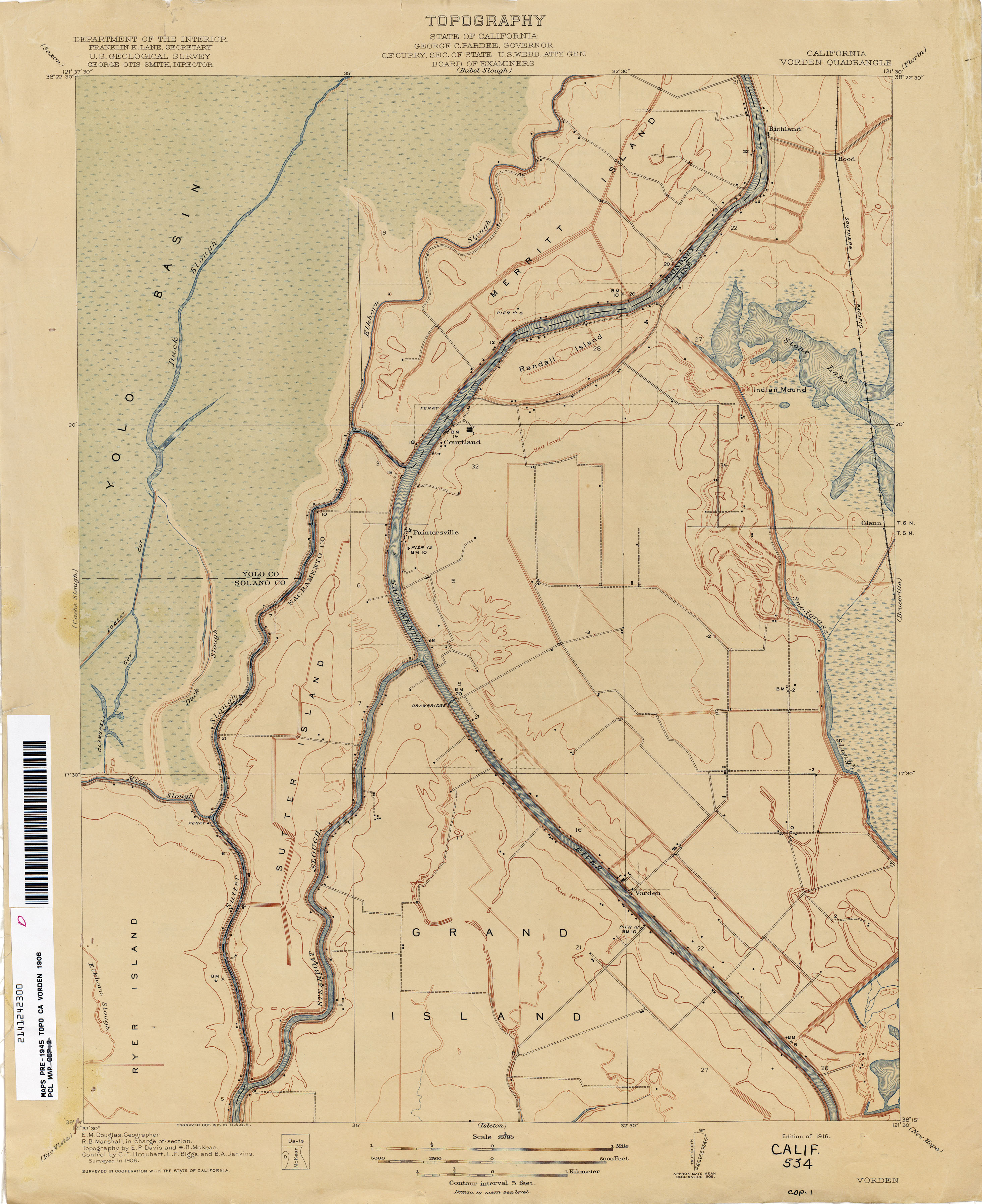
- Vorden 1906 1:31,680 (2.1MB)
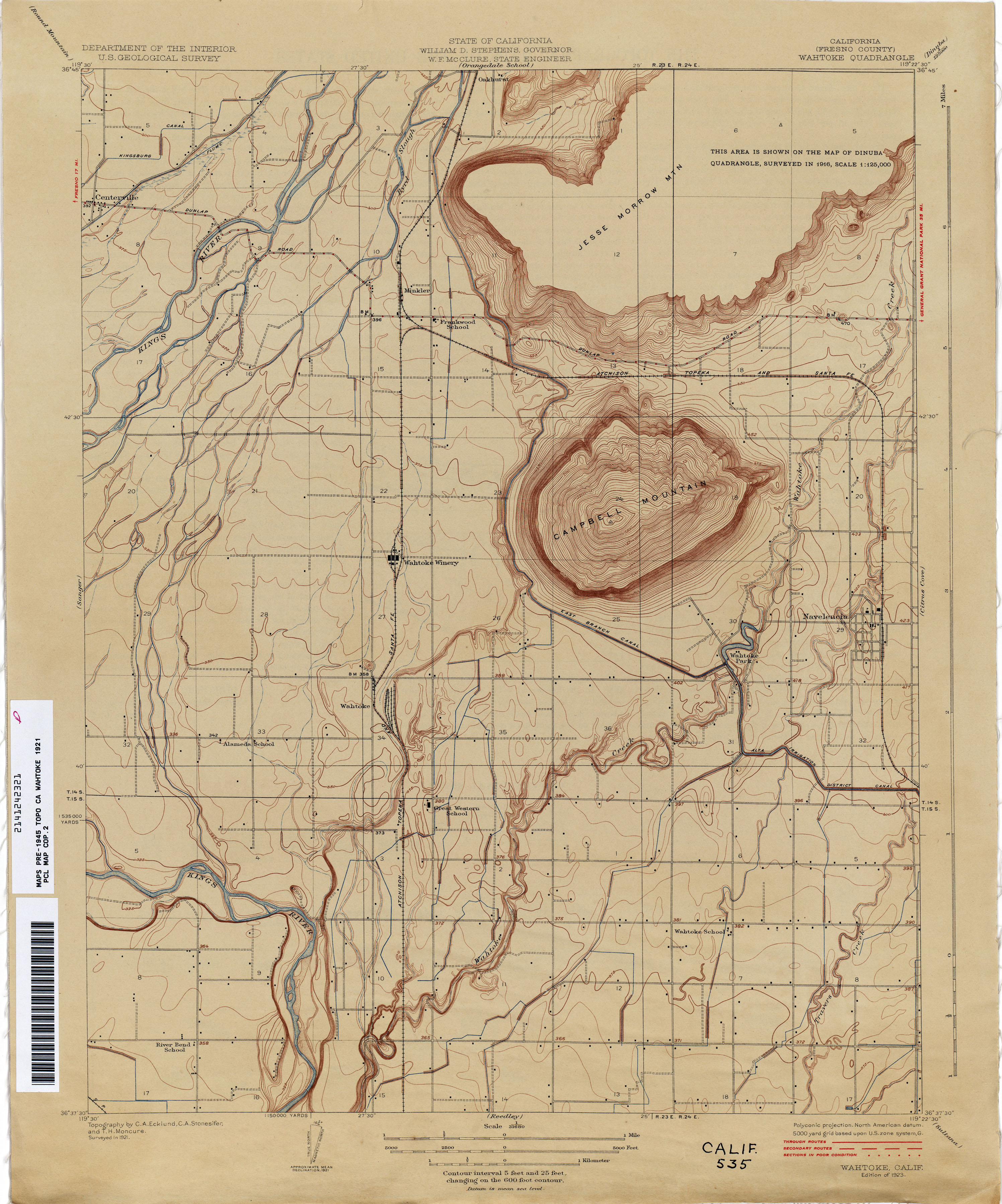
- Wahtoke (Fresno County) 1921 1:31,680 (2.5MB)
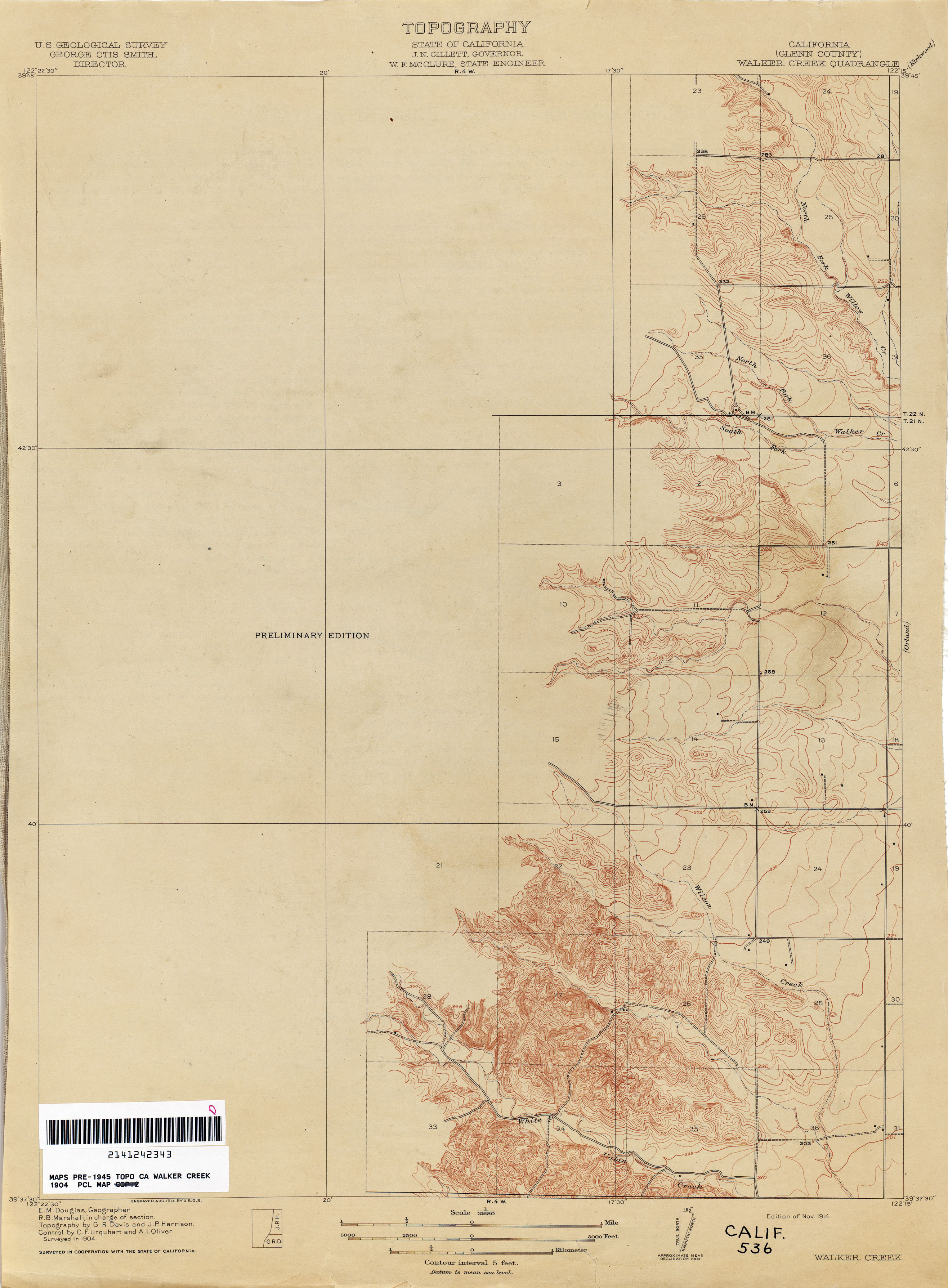
- Walker Creek (Glenn County) 1904 1:31,680 (1.8MB)
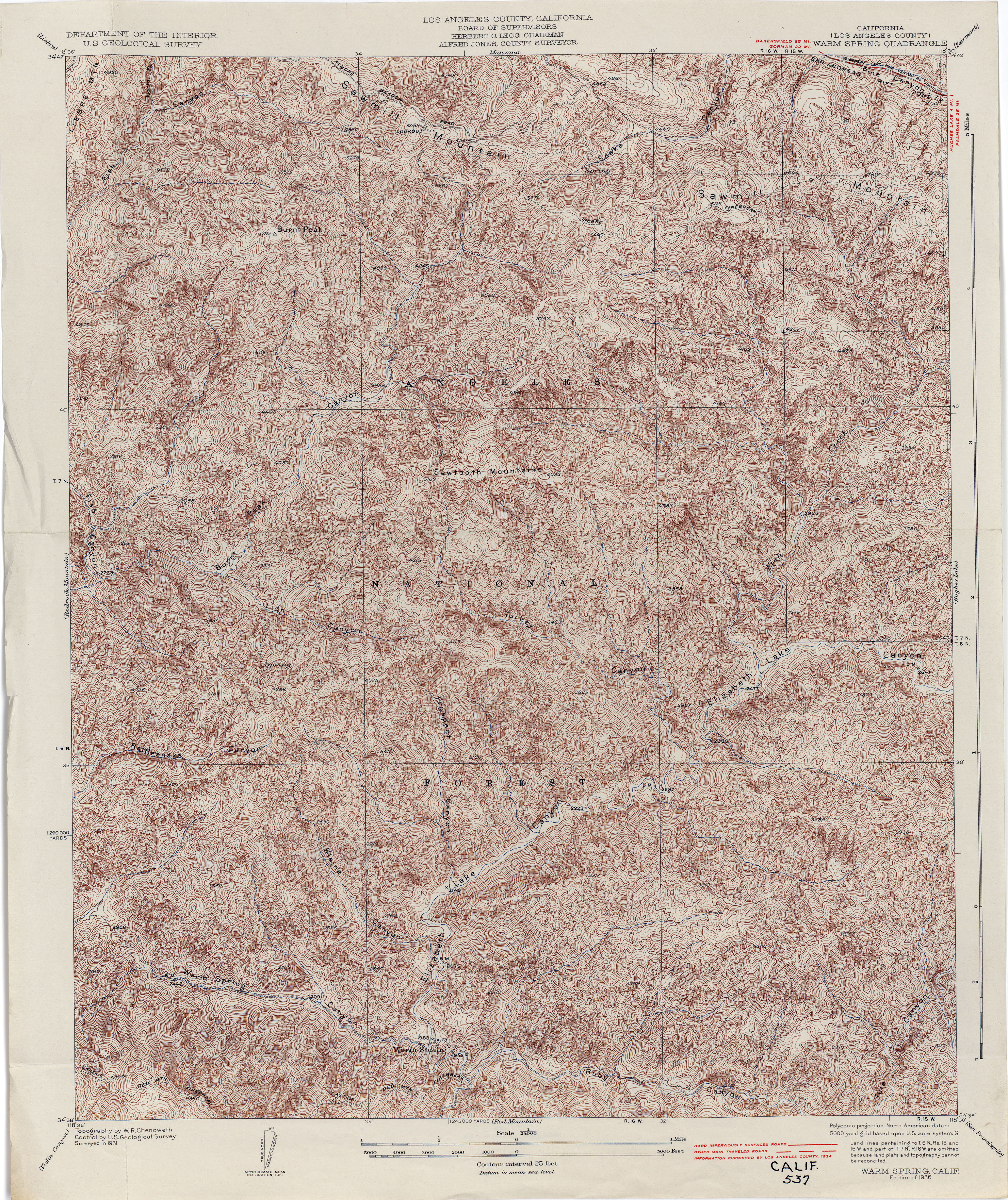
- Warm Spring (Los Angeles County) 1931 1:24,000 (6.2MB)
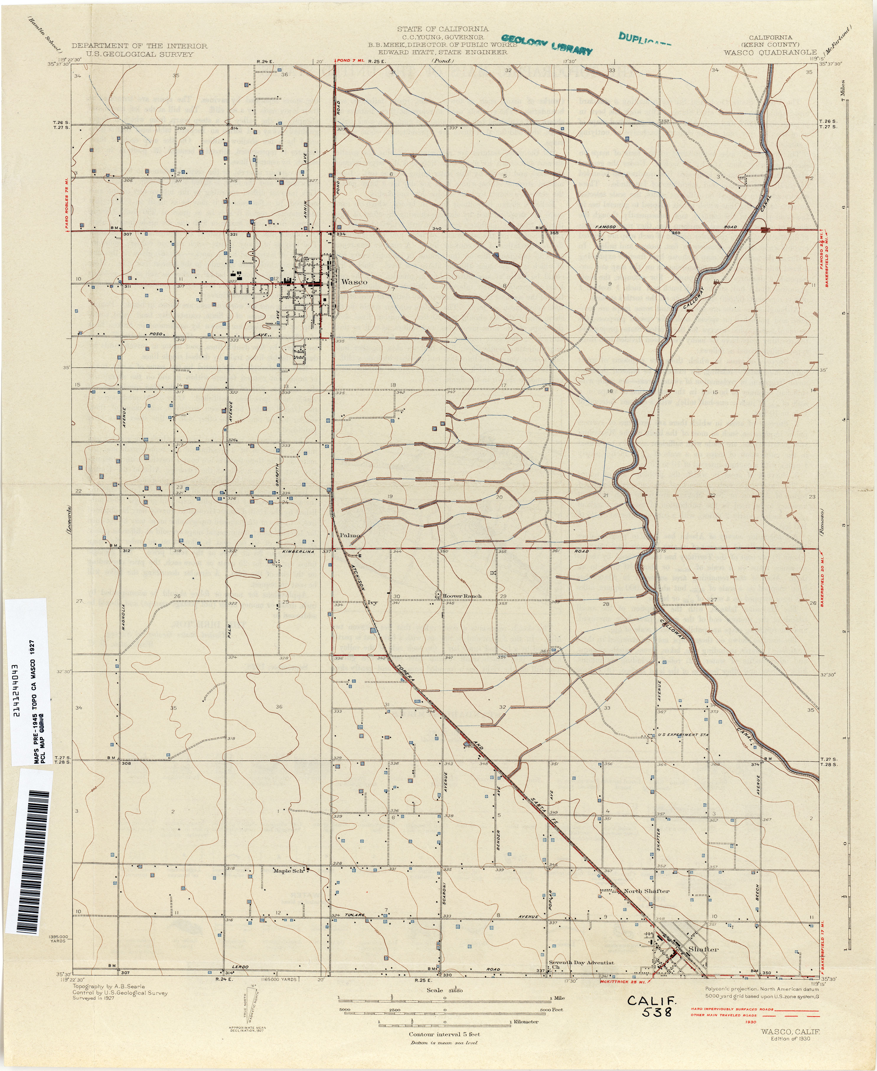
- Wasco (Kern County) 1927 1:31,680 (2.0MB)
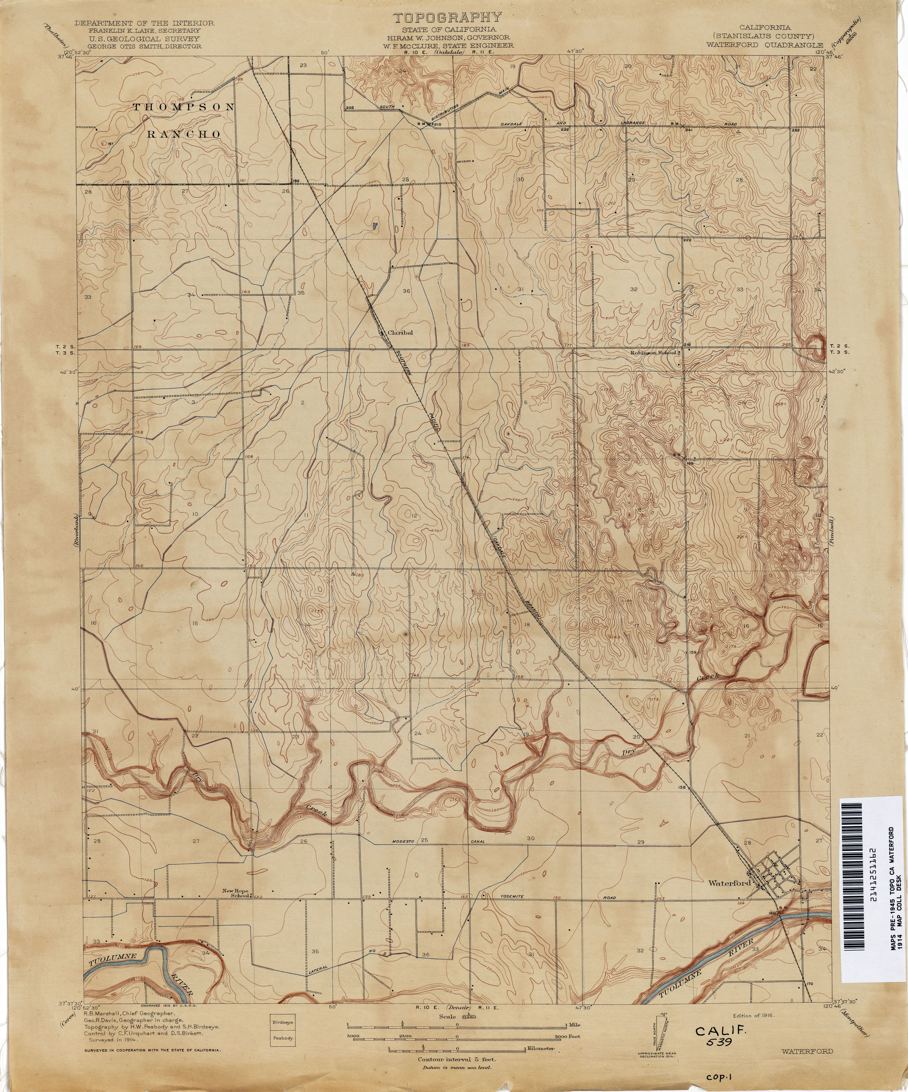
- Waterford (Stanislaus County) 1914 1:31,680 (2.6MB)
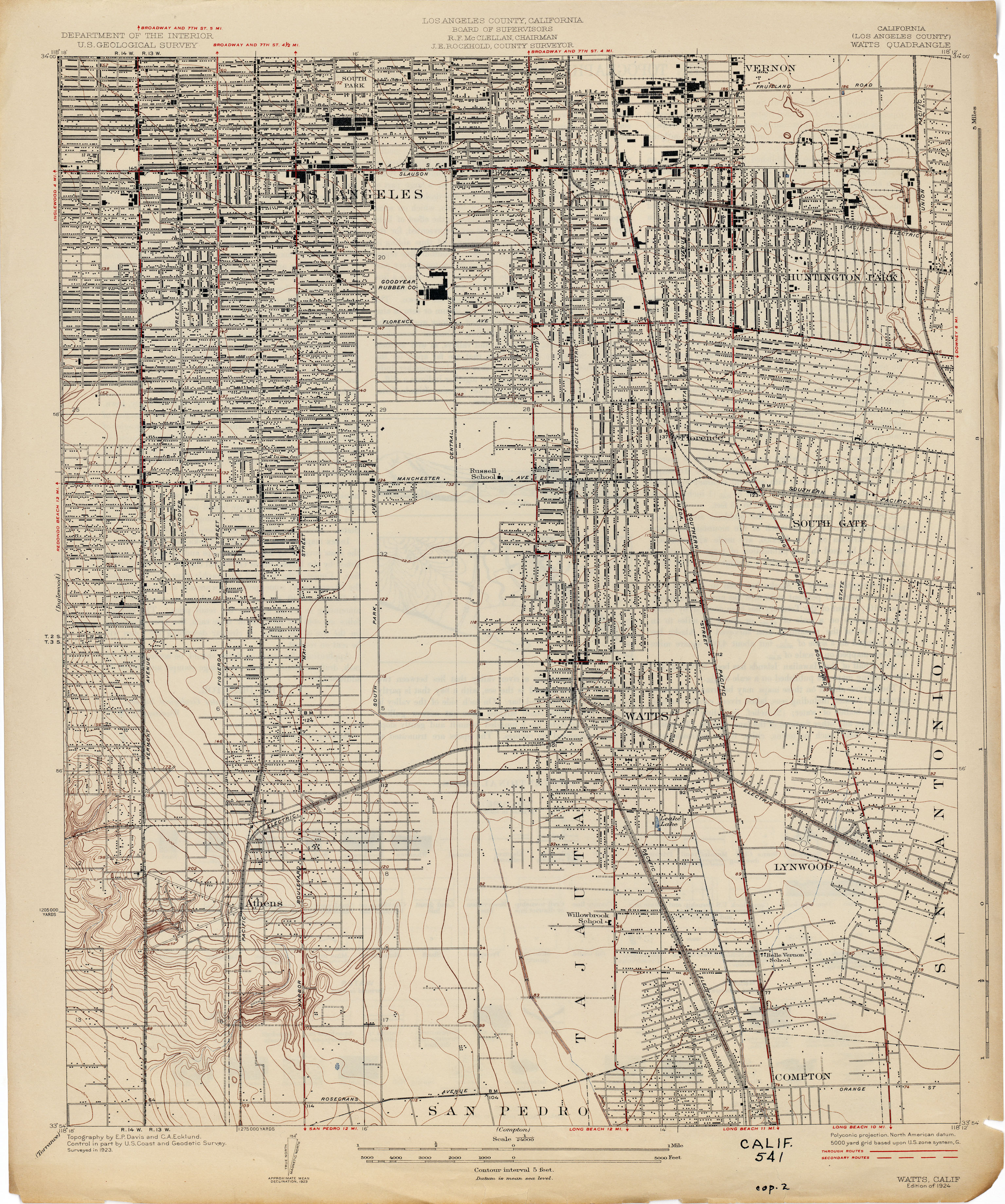
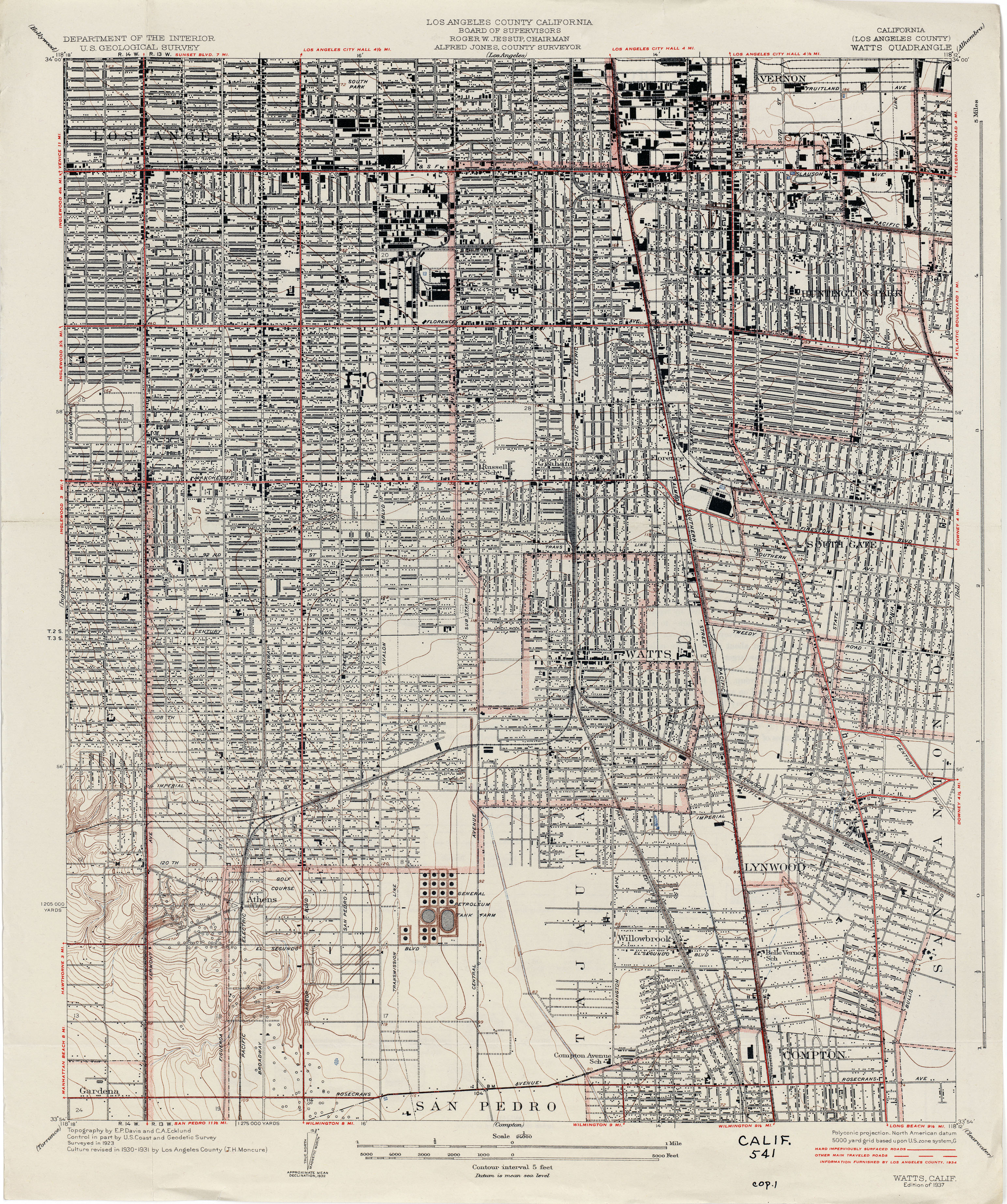
- Watts (Los Angeles County) 1923 1:24,000 (3.2MB)
- Watts (Los Angeles County) 1931 1:24,000 (3.9MB)
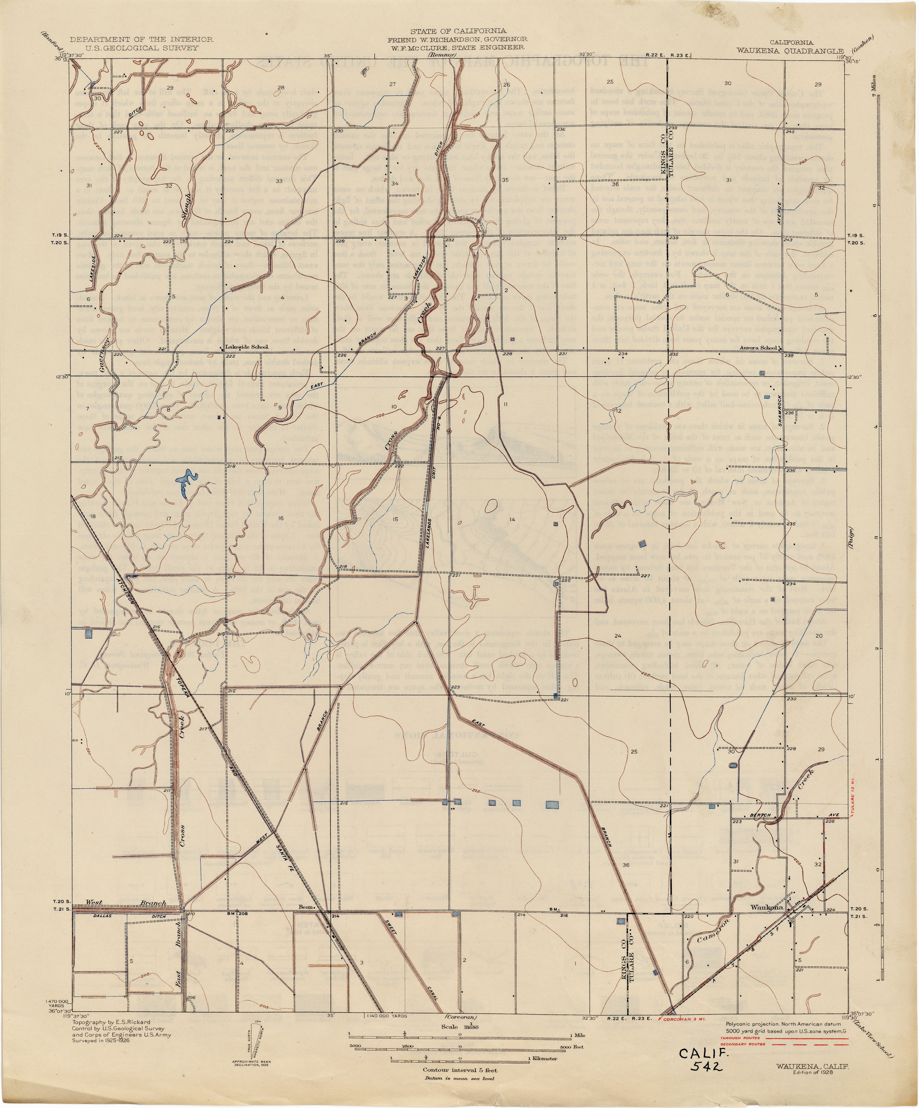
- Waukena 1926 1:31,680 (1.7MB)
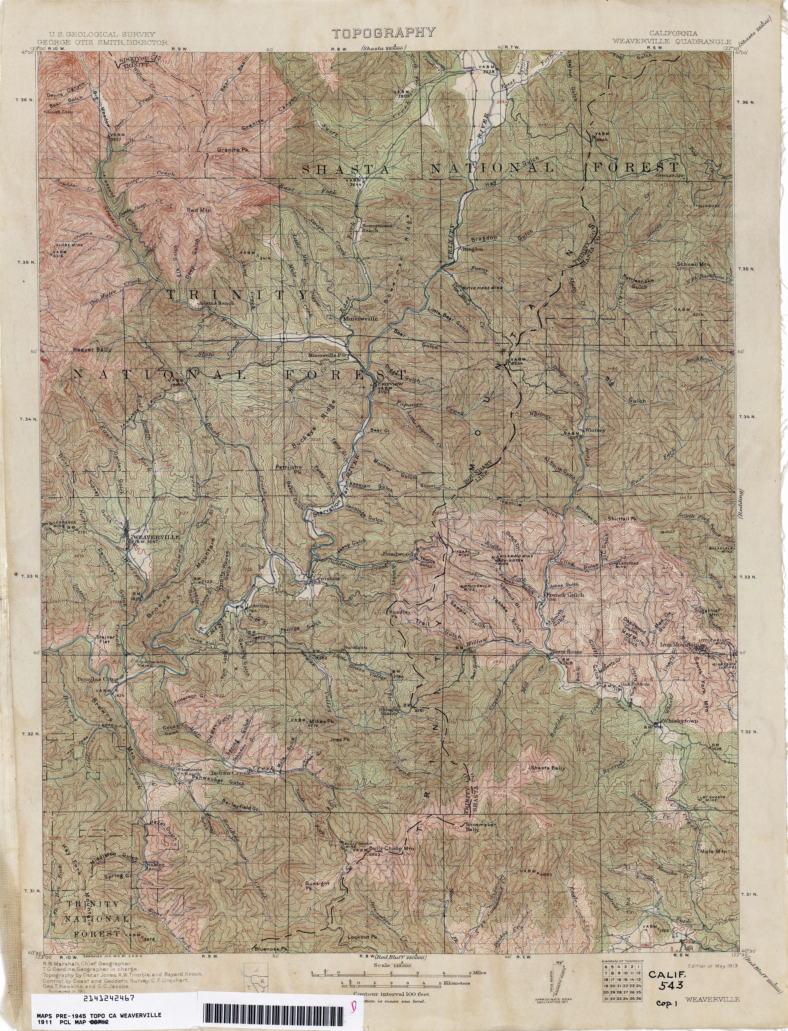
- Weaverville 1911 1:125,000 (4.7MB)
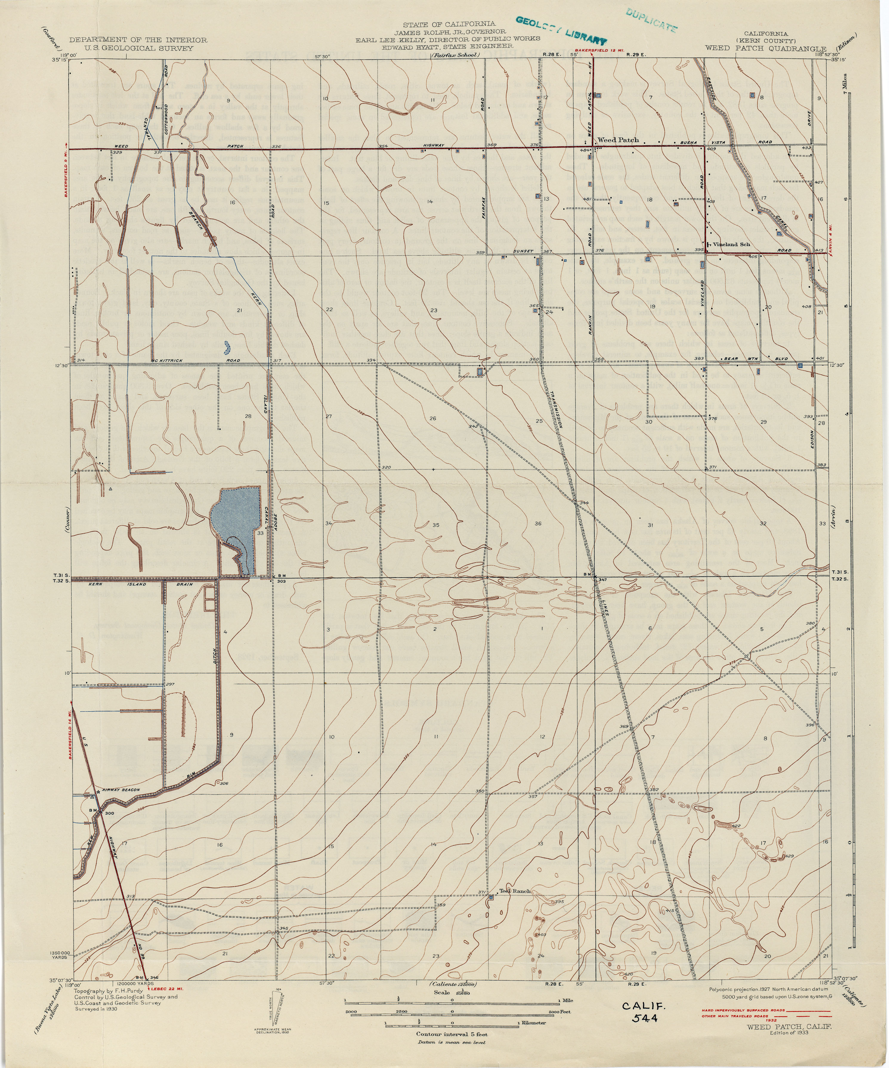
- Weed Patch (Kern County) 1930 1:31,680 (1.8MB)
- Wellington [California, Nevada] 1890 1:125,000 (2.9MB)
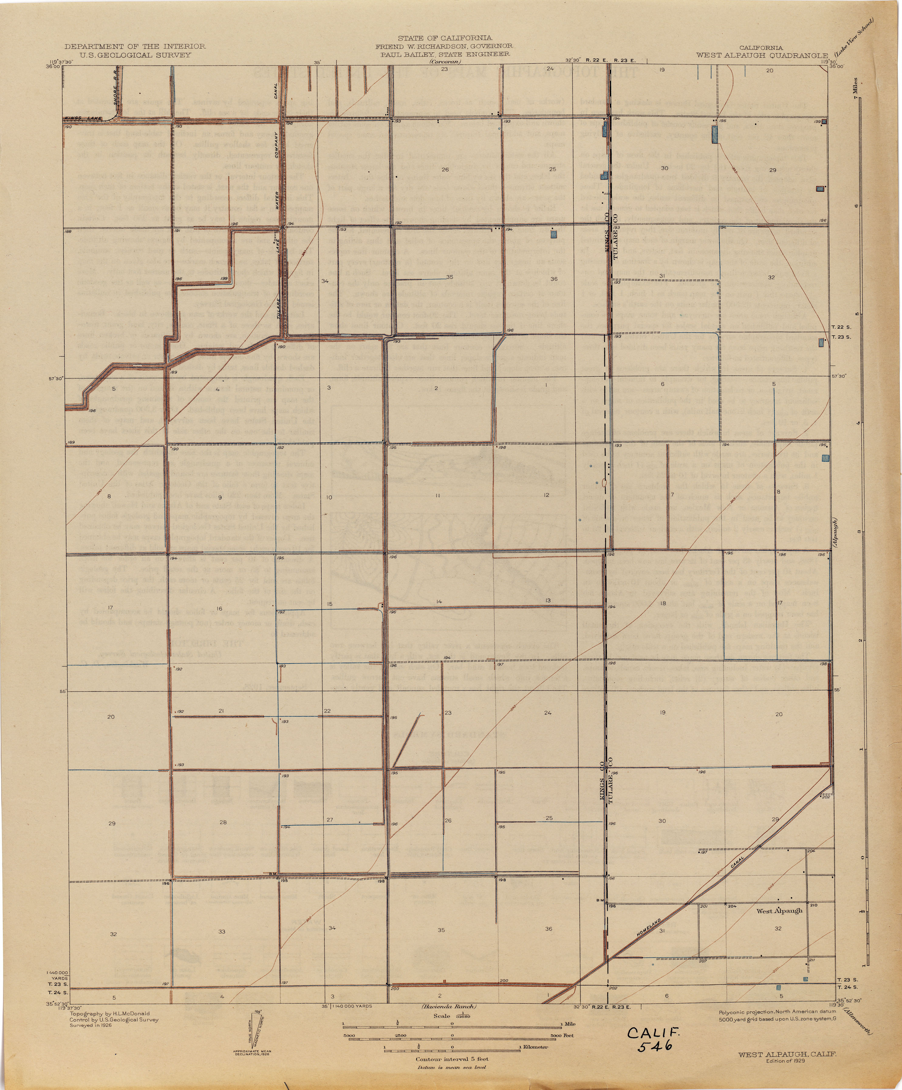
- West Alpaugh 1926 1:31,680 (1.5MB)
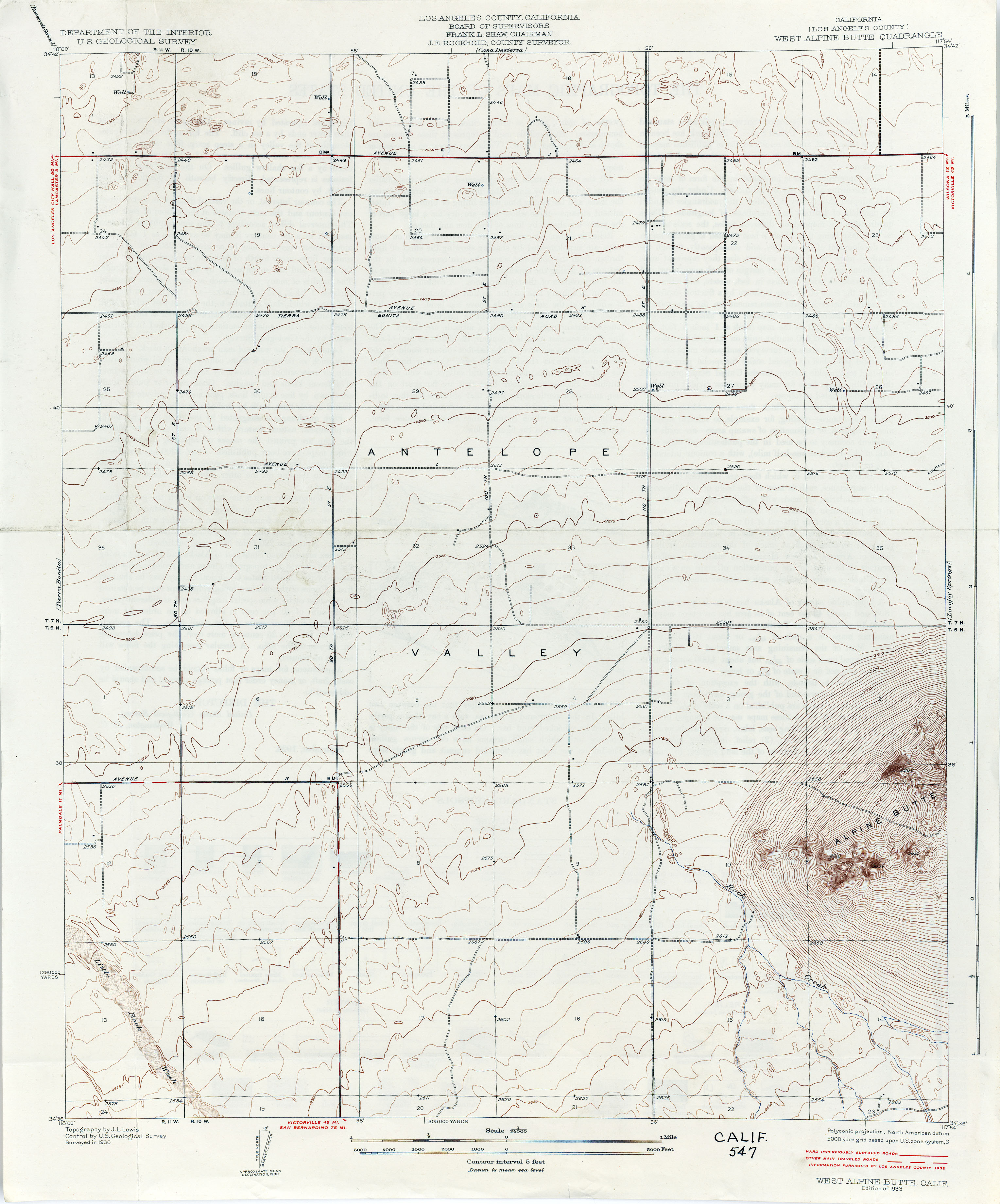
- West Alpine Butte (Los Angeles County) 1930 1:24,000 (2.3MB)
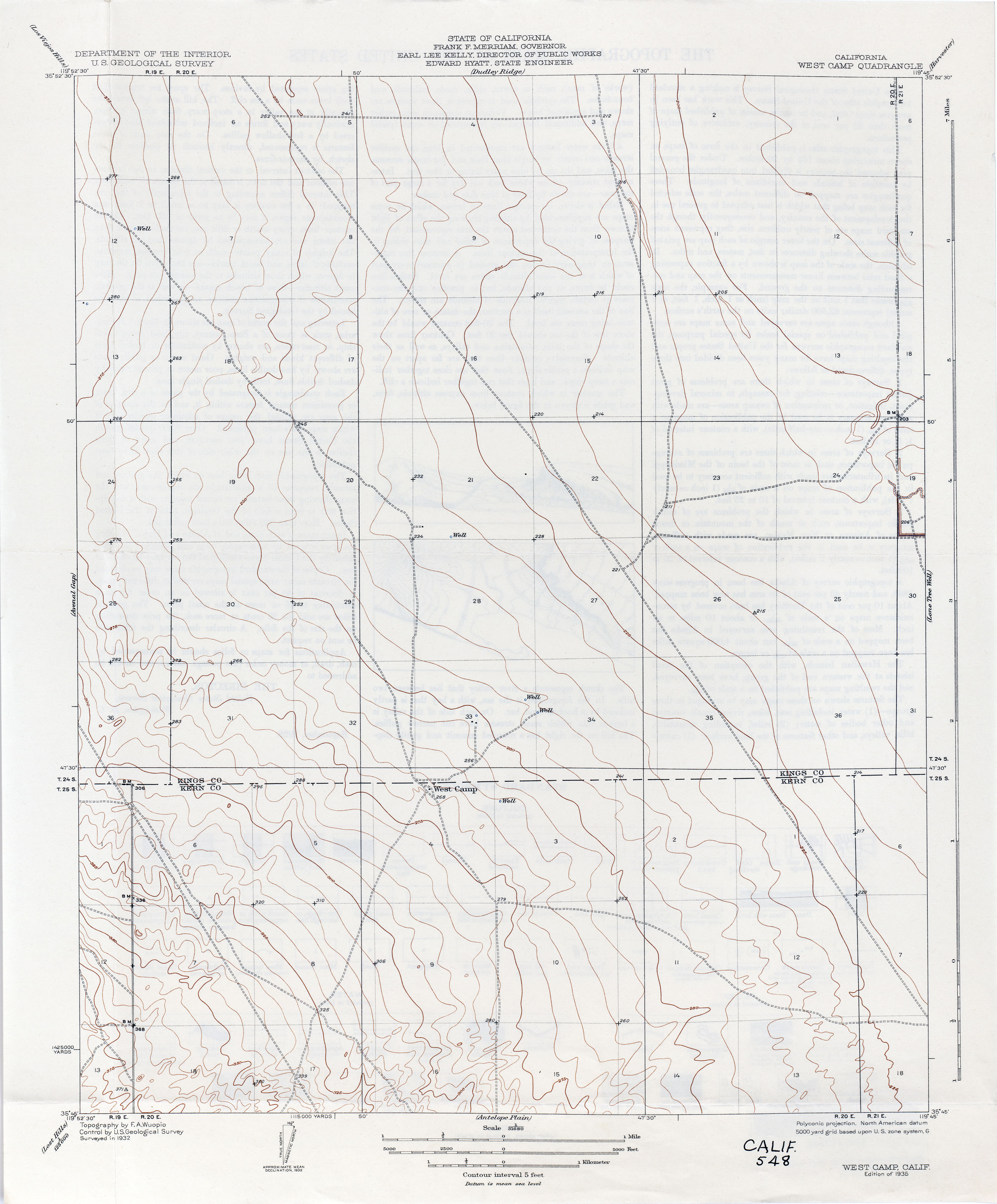
- West Camp 1932 1:31,680 (1.7MB)
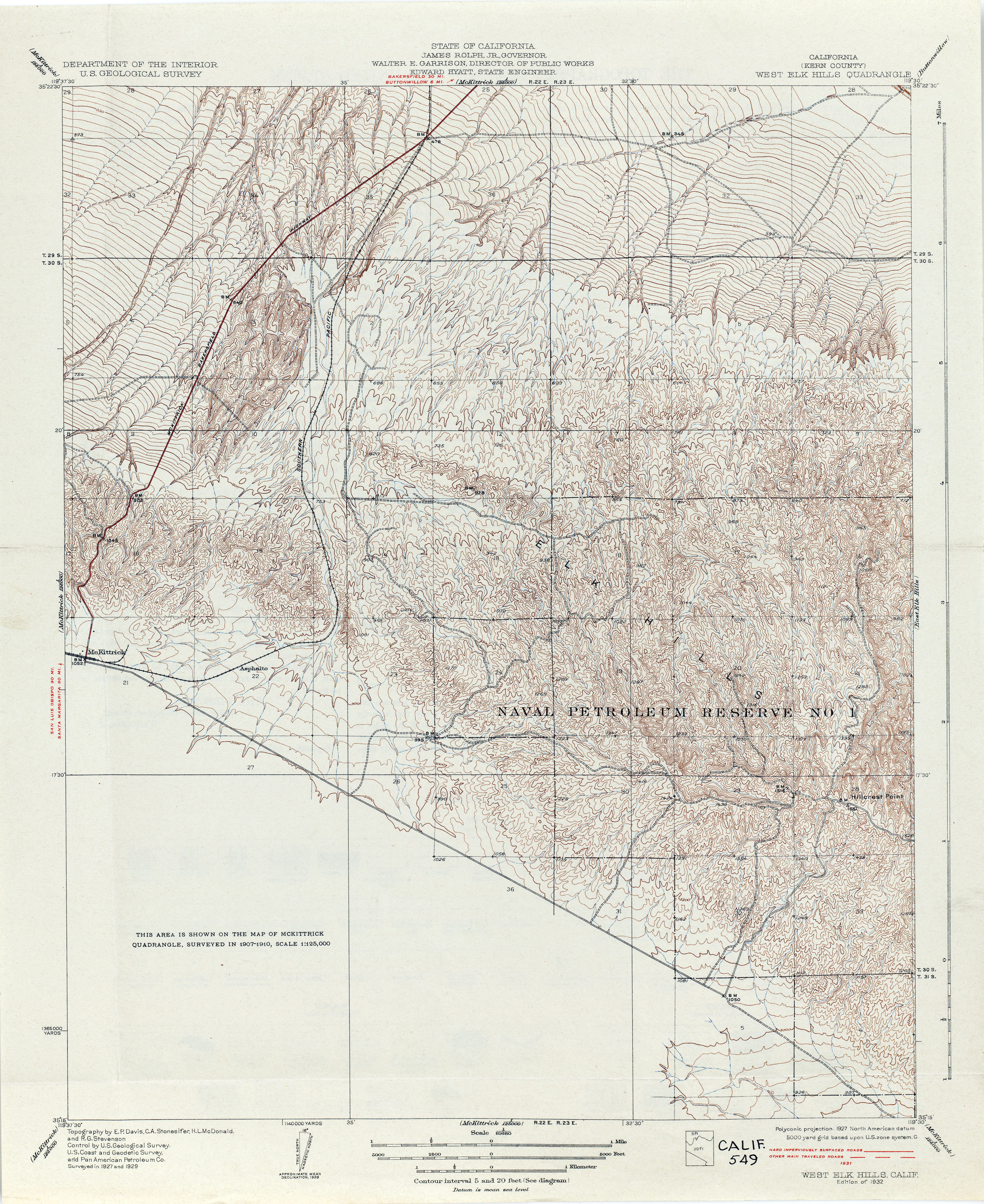
- West Elk Hills (Kern County) 1929 1:81,680 (3.9MB)
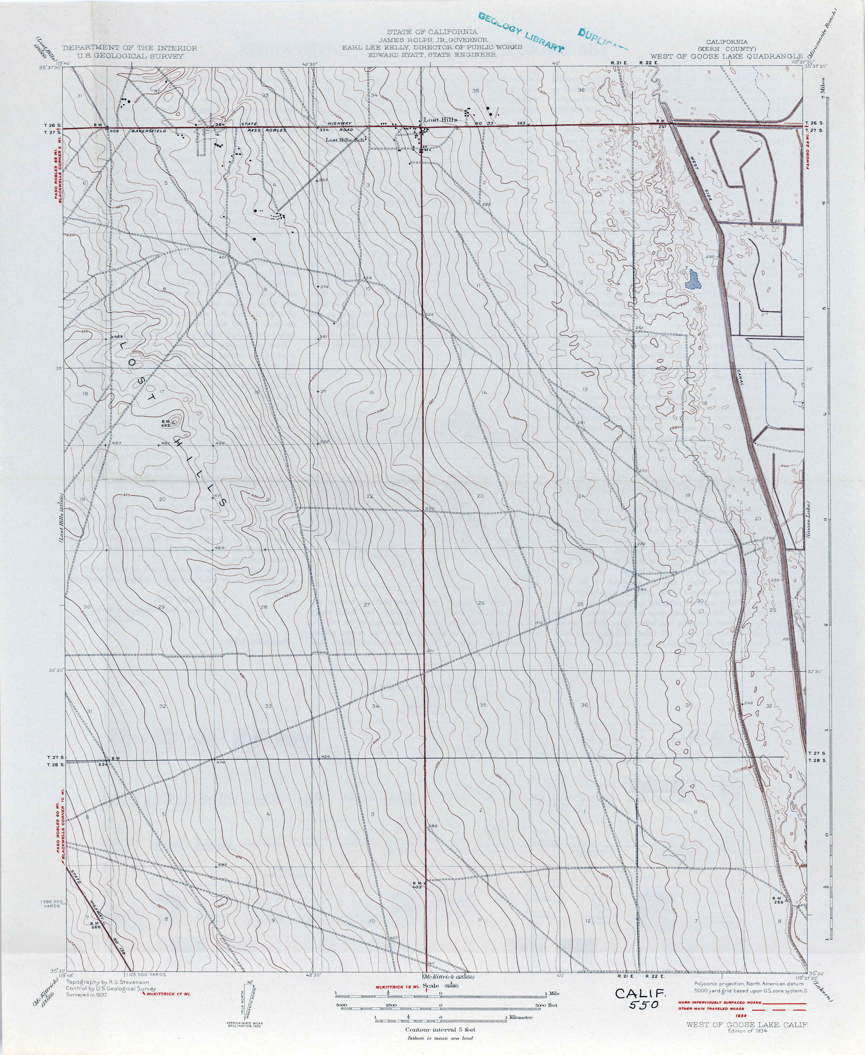
- West of Goose Lake (Kern County) 1932 1:31,680 (2.3MB)
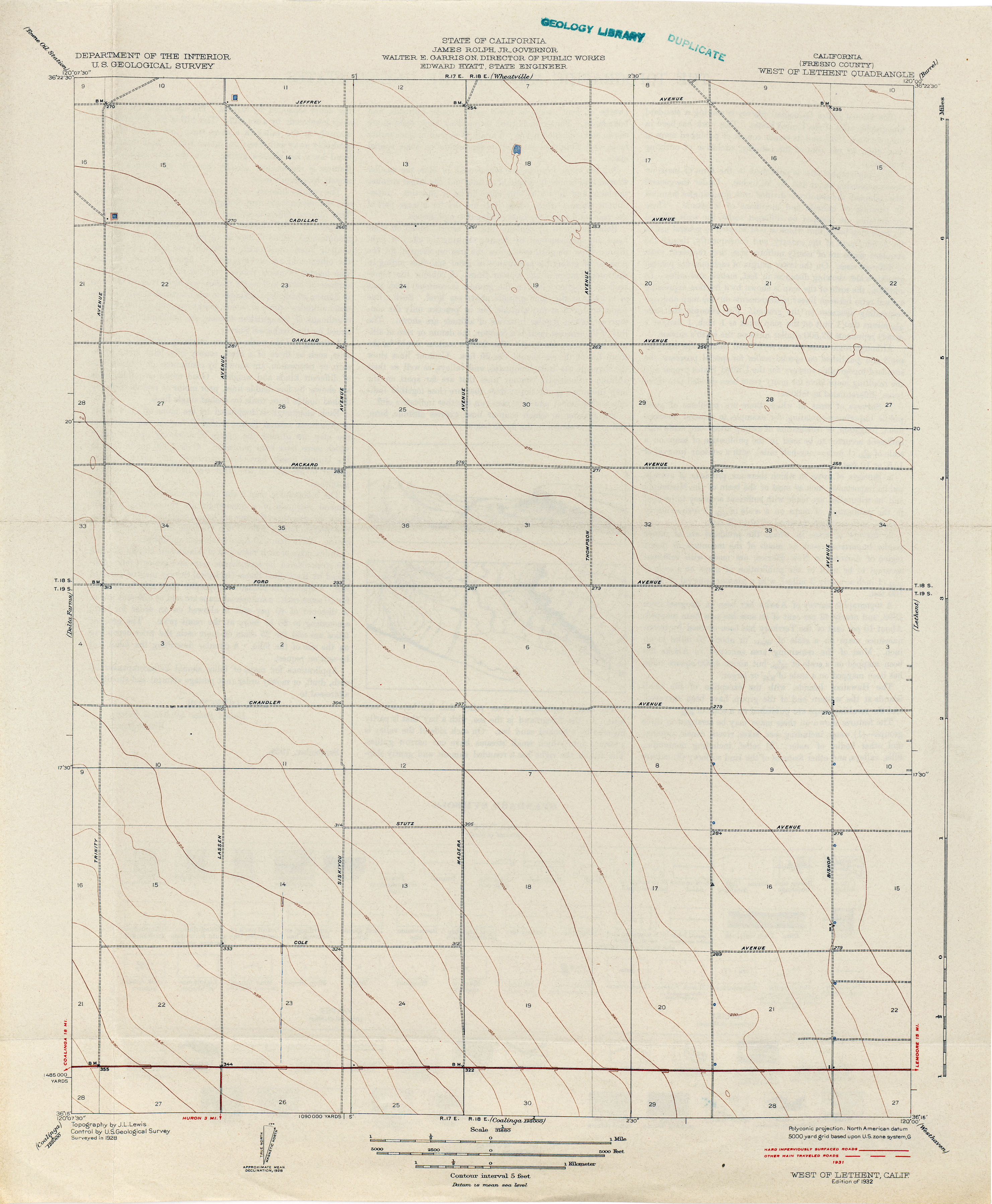
- West of Lethent (Fresno County) 1928 1:31,680 (1.8MB)
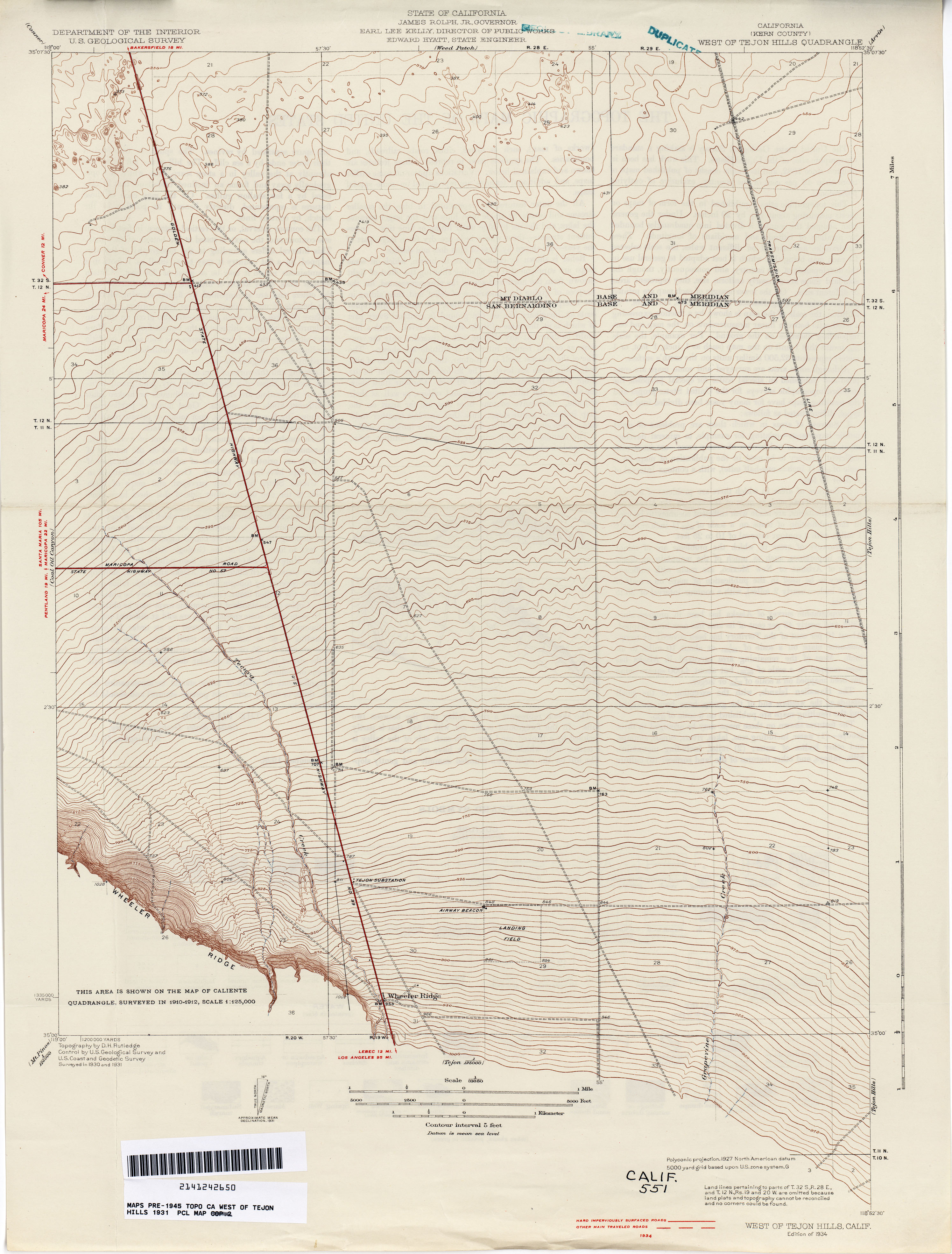
- West of Tejon Hills (Kern County) 1931 1:31,680 (2.7MB)
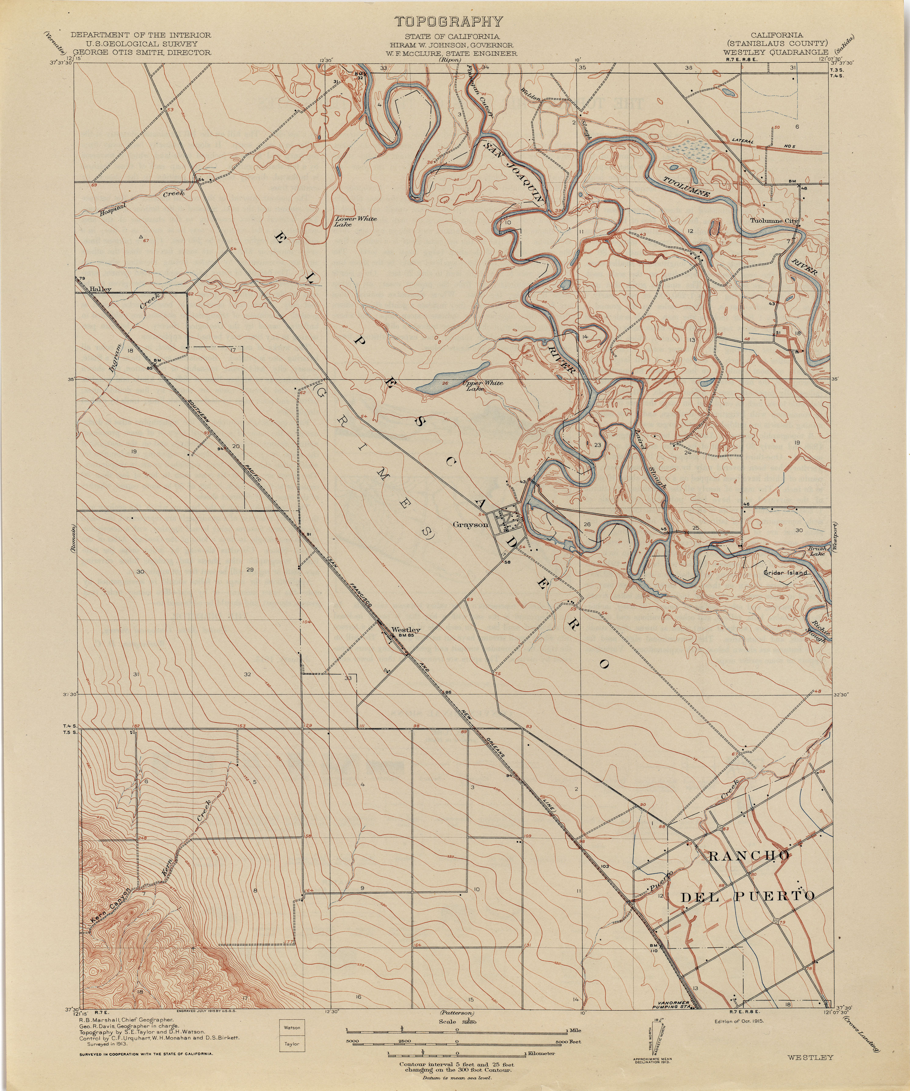
- Westley (Stanislaus County) 1913 1:31,680 (2.5MB)
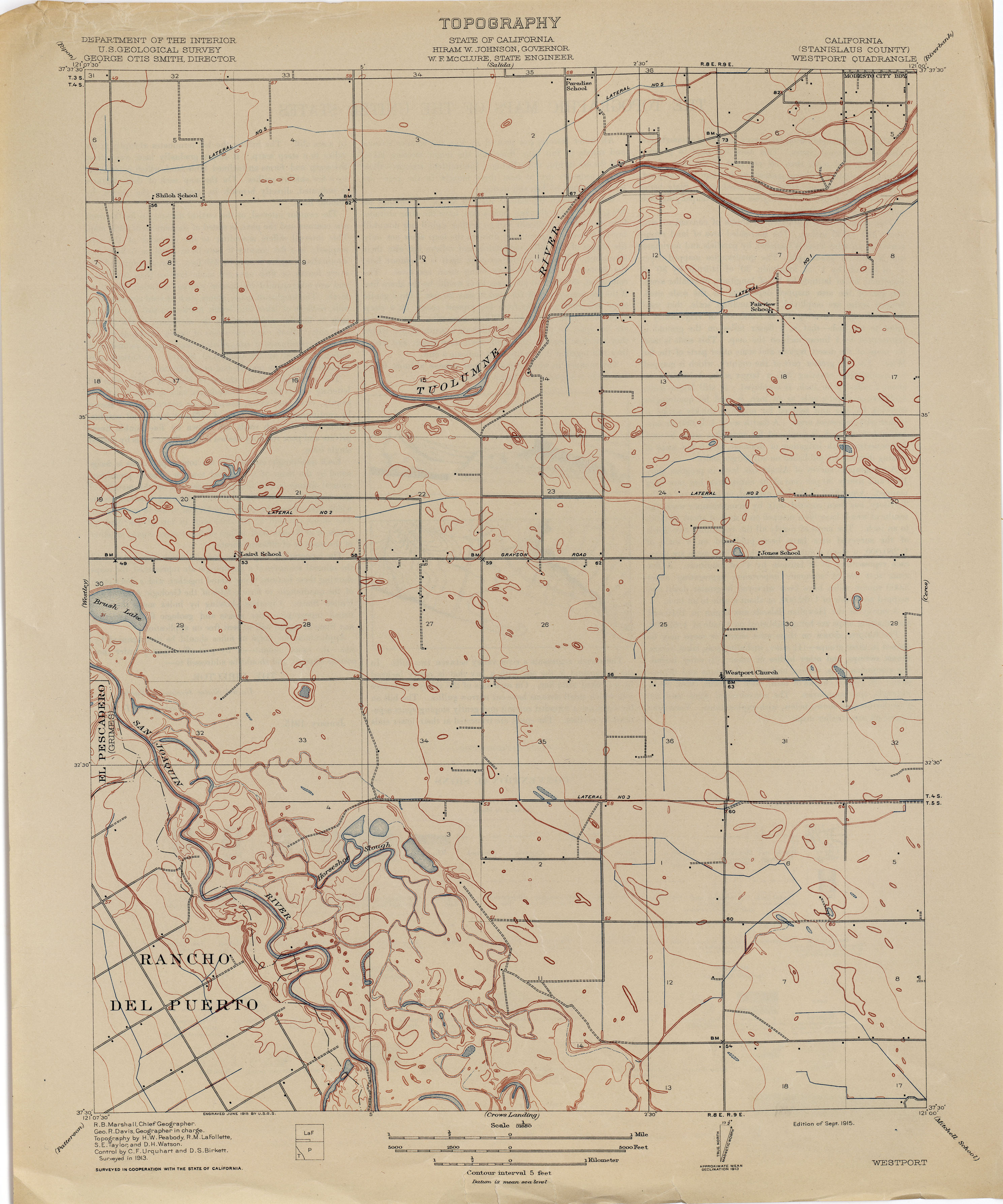
- Westport (Stanislaus County) 1913 1:31,680 (2.1MB)
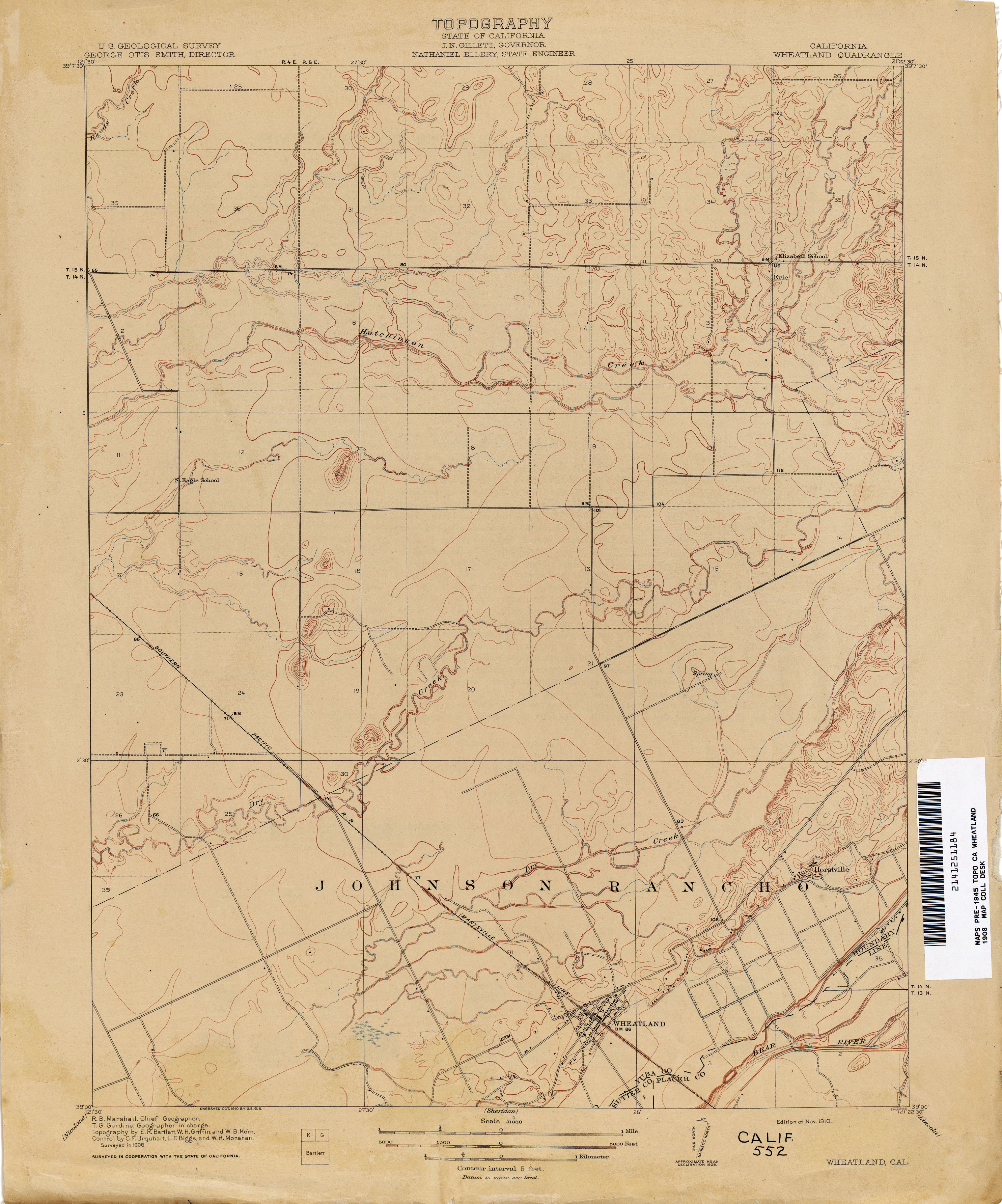
- Wheatland 1908 1:31,680 (2.3MB)
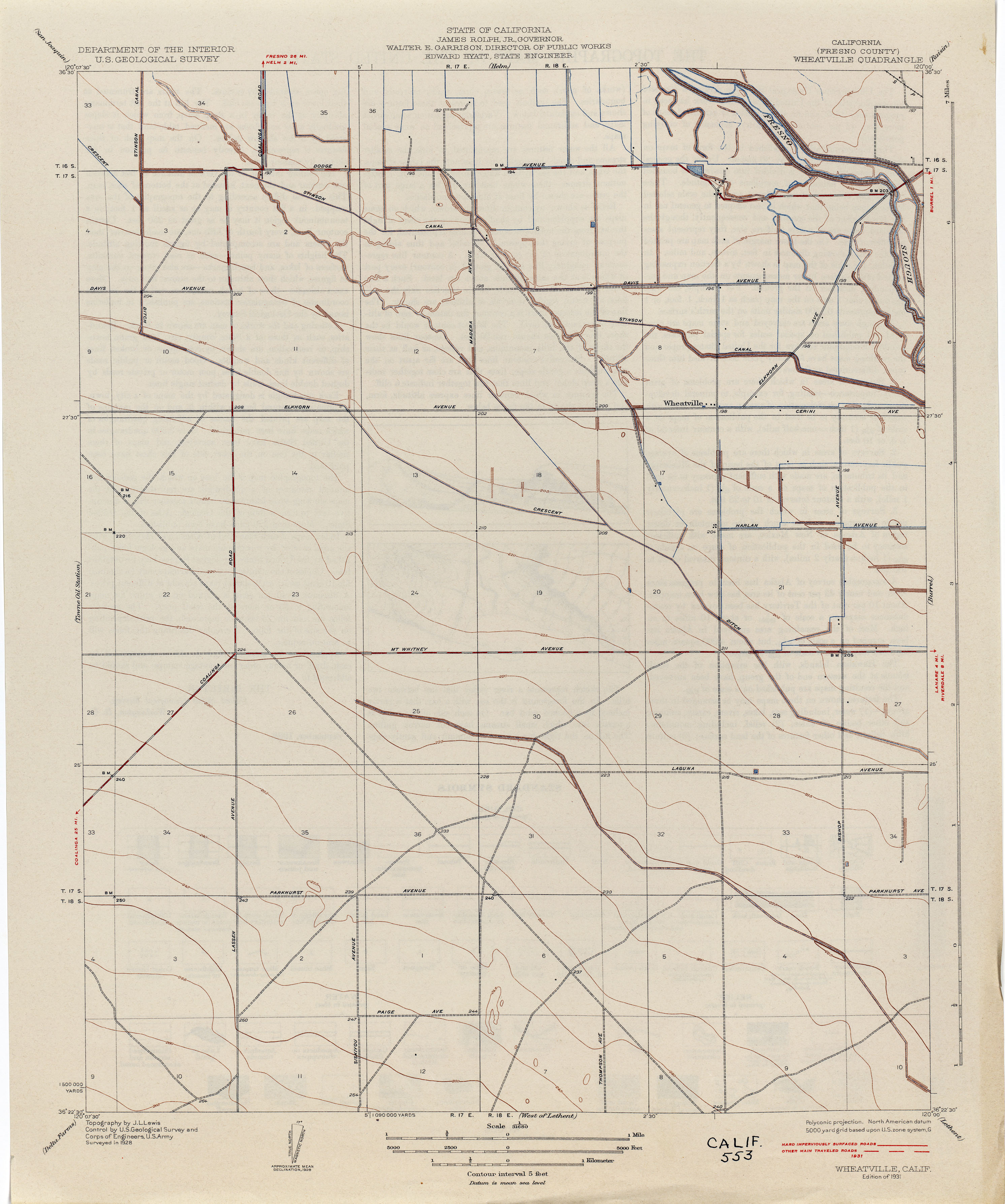
- Wheatville (Fresno County) 1928 1:31,680 (1.8MB)
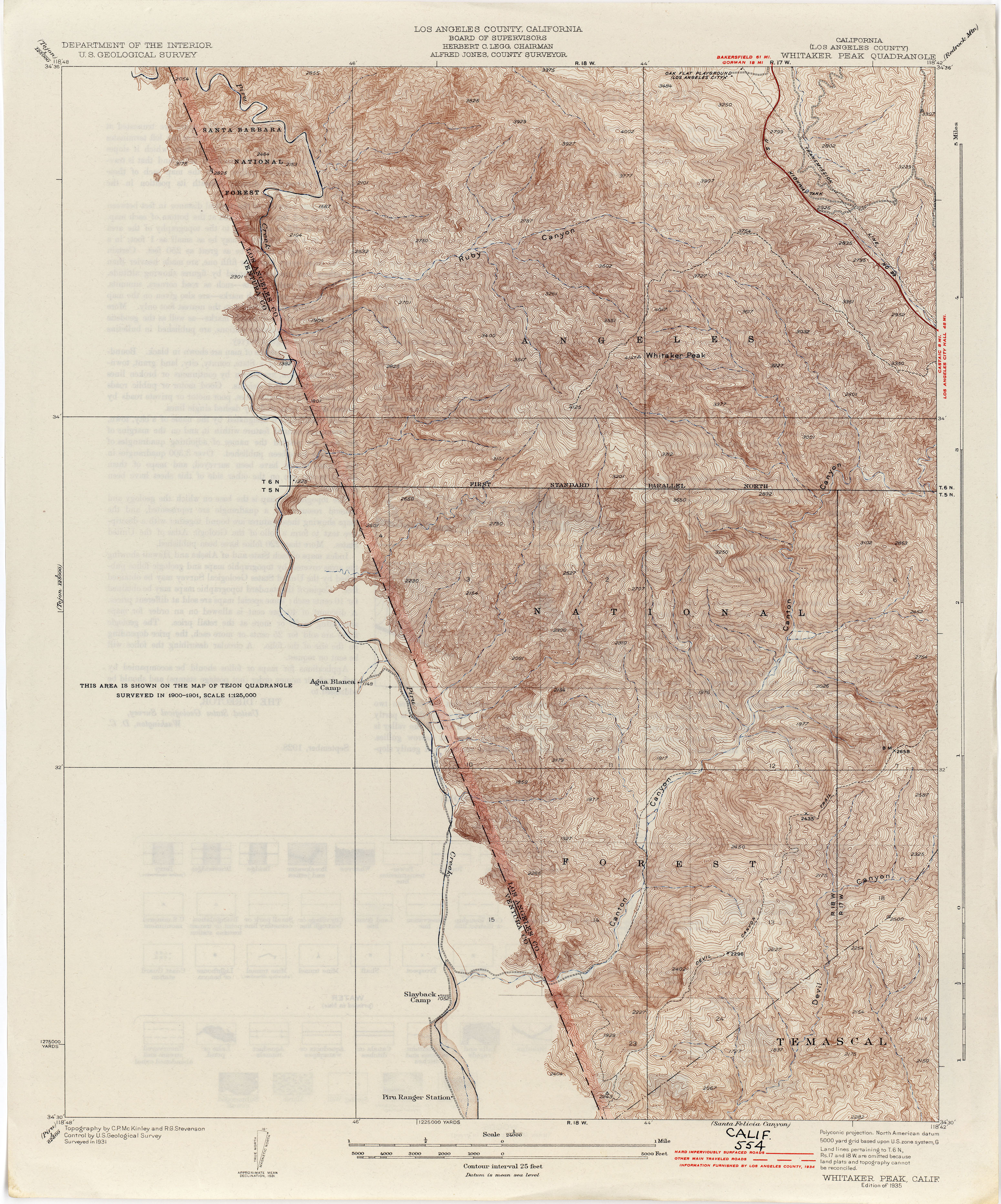
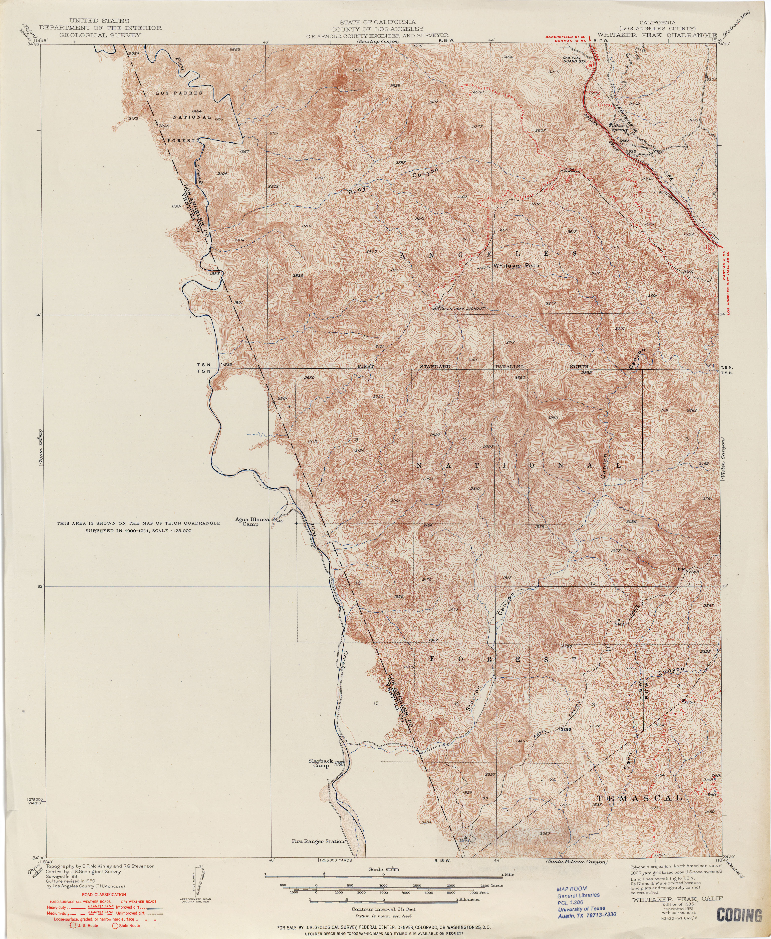
- Whitaker Peak (Los Angeles County) 1931 1:24,000 (4.3MB)
- Whitaker Peak (Los Angeles County) 1935 1:24,000 (4.2MB)
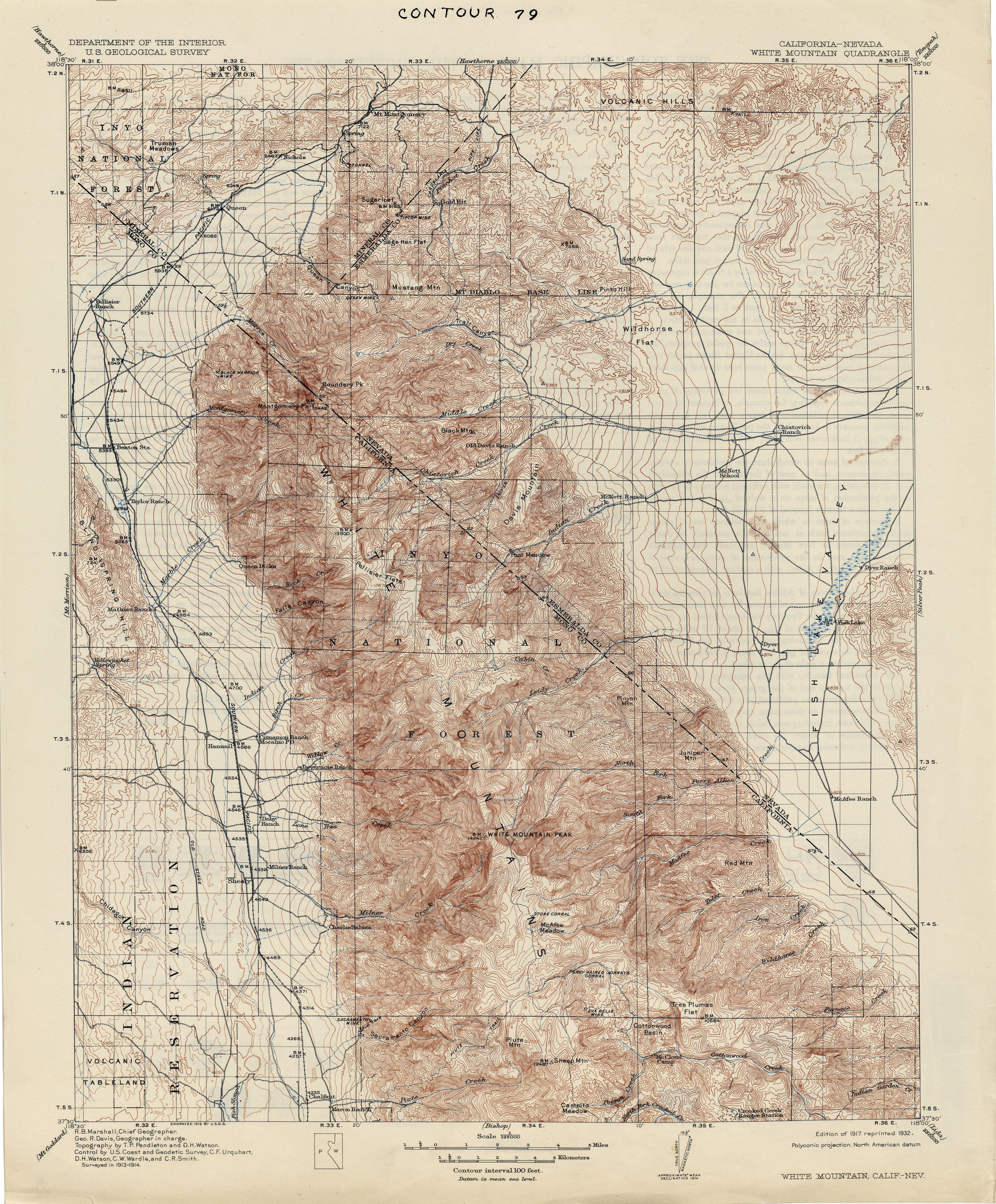
- White Mountain [California, Nevada] 1914 1:125,000 (4.4MB)
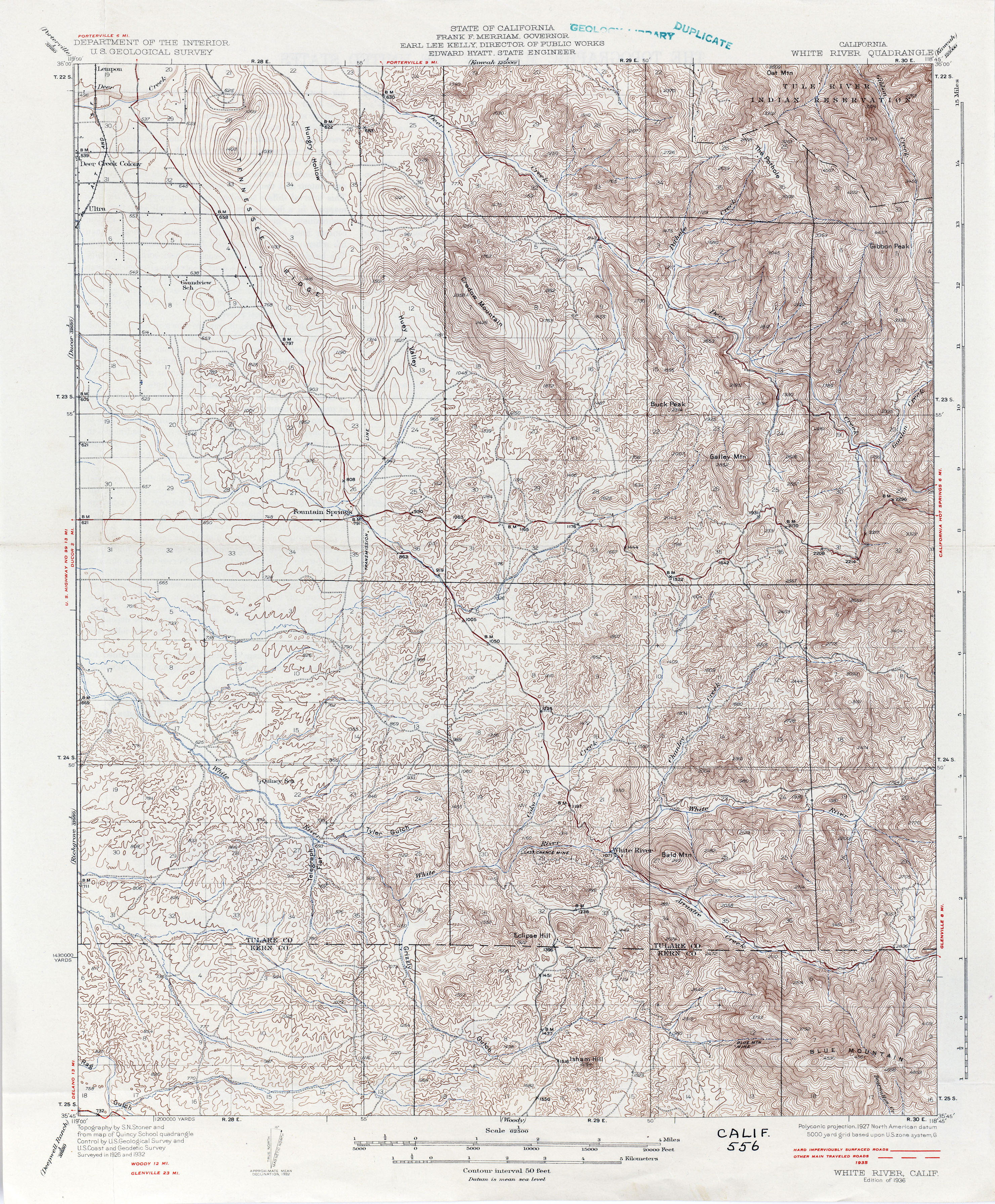
- White River 1932 1:62,500 (4.7MB)
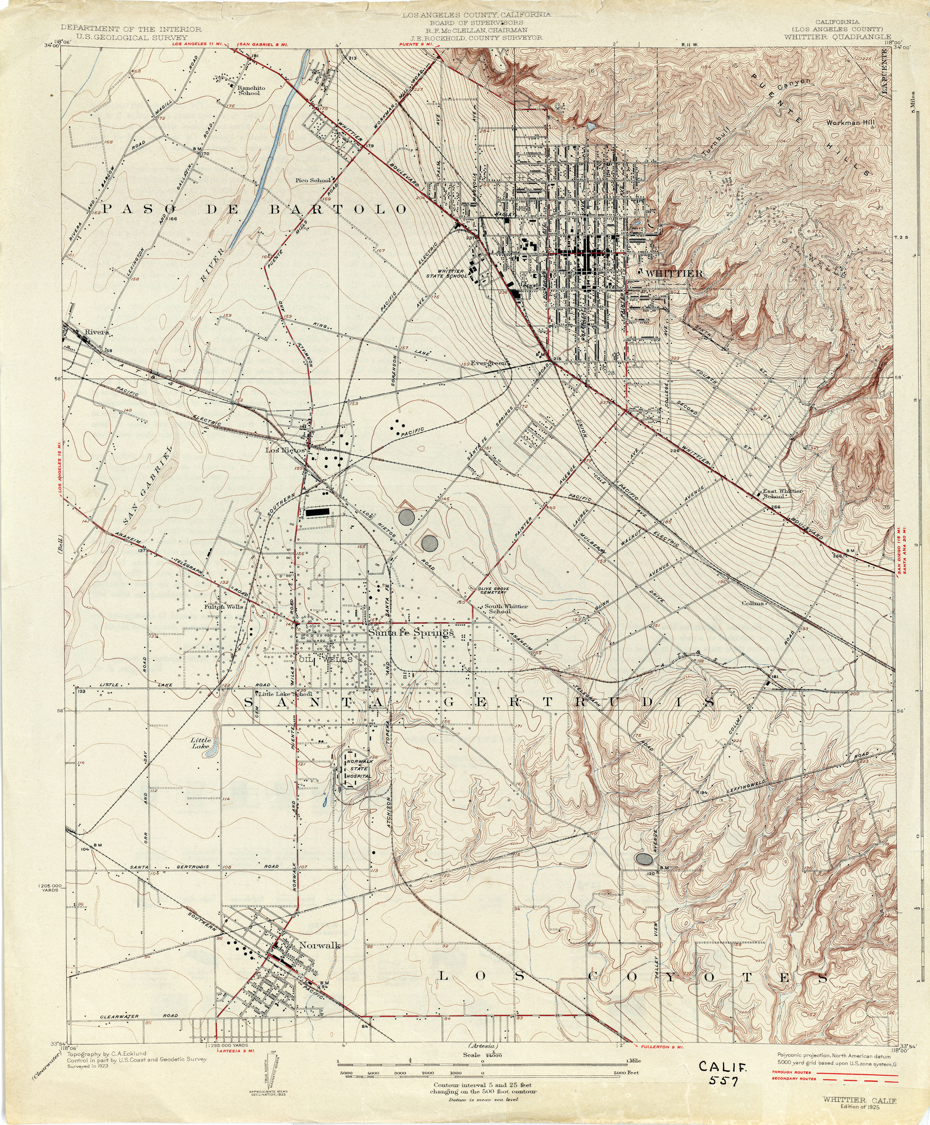
- Whittier (Los Angeles County) 1923 1:24,000 (3.7MB)
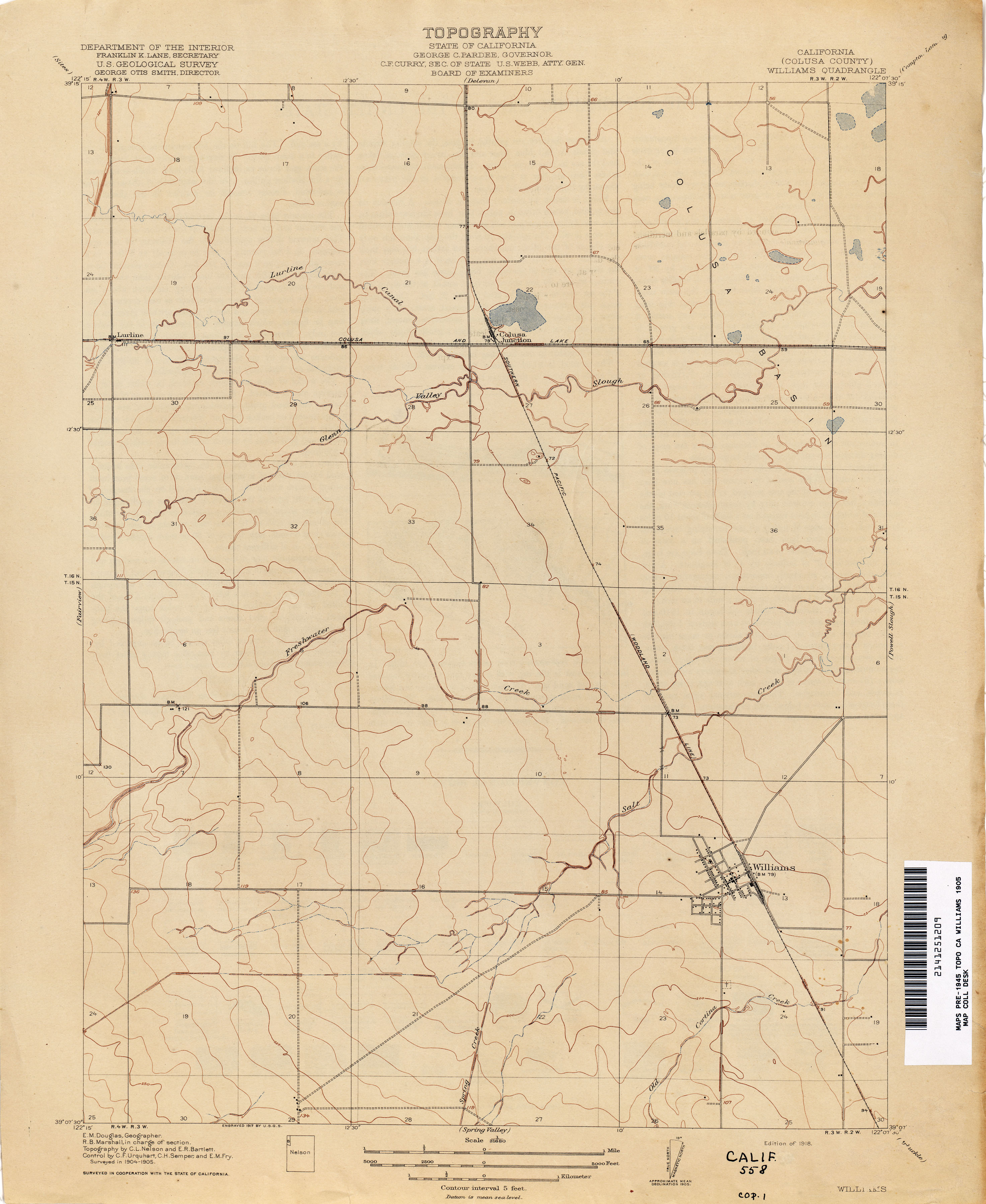
- Williams (Colusa County) 1905 1:31,680 (1.8MB)
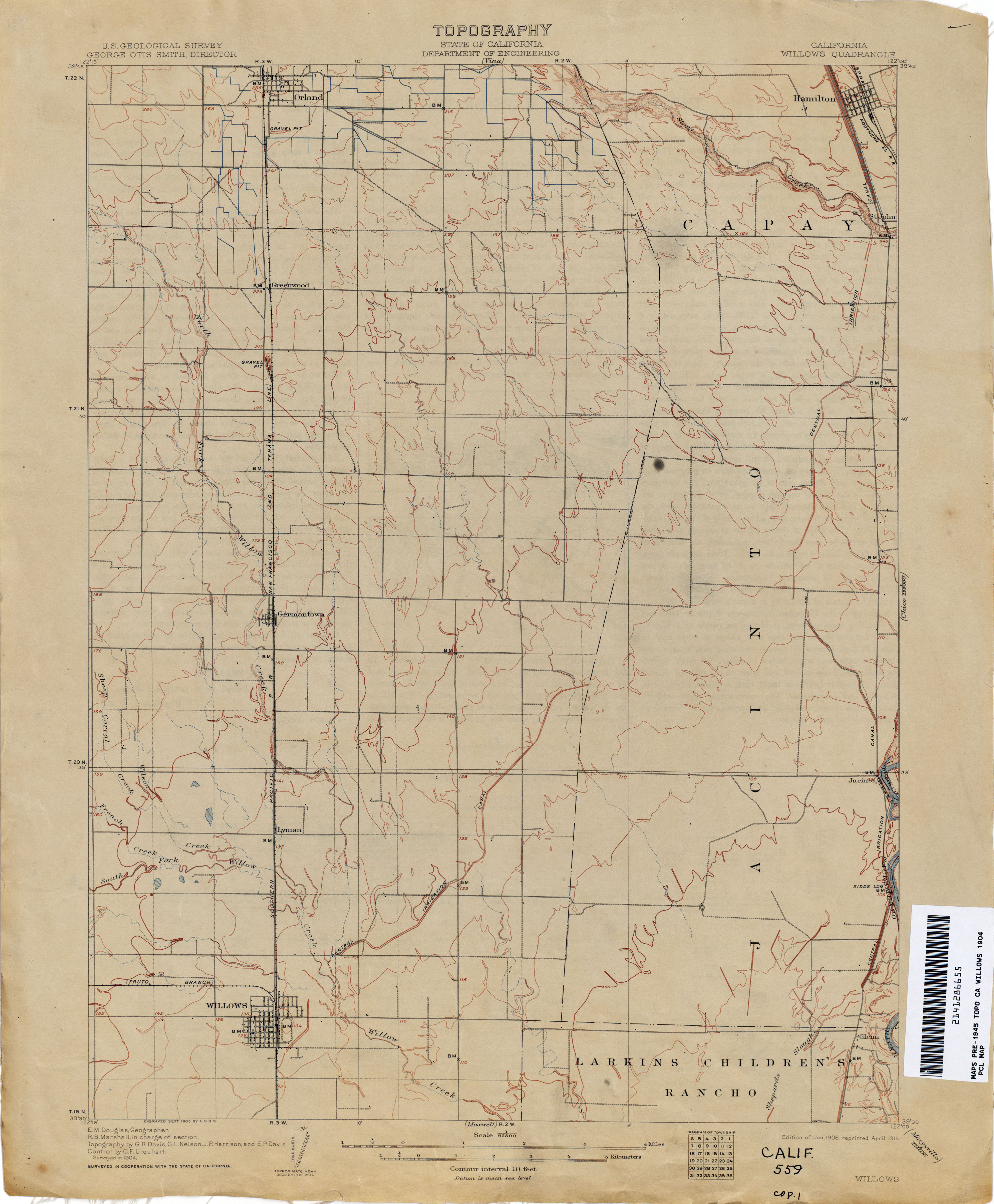
- Willows 1904 1:62,500 (2.1MB)
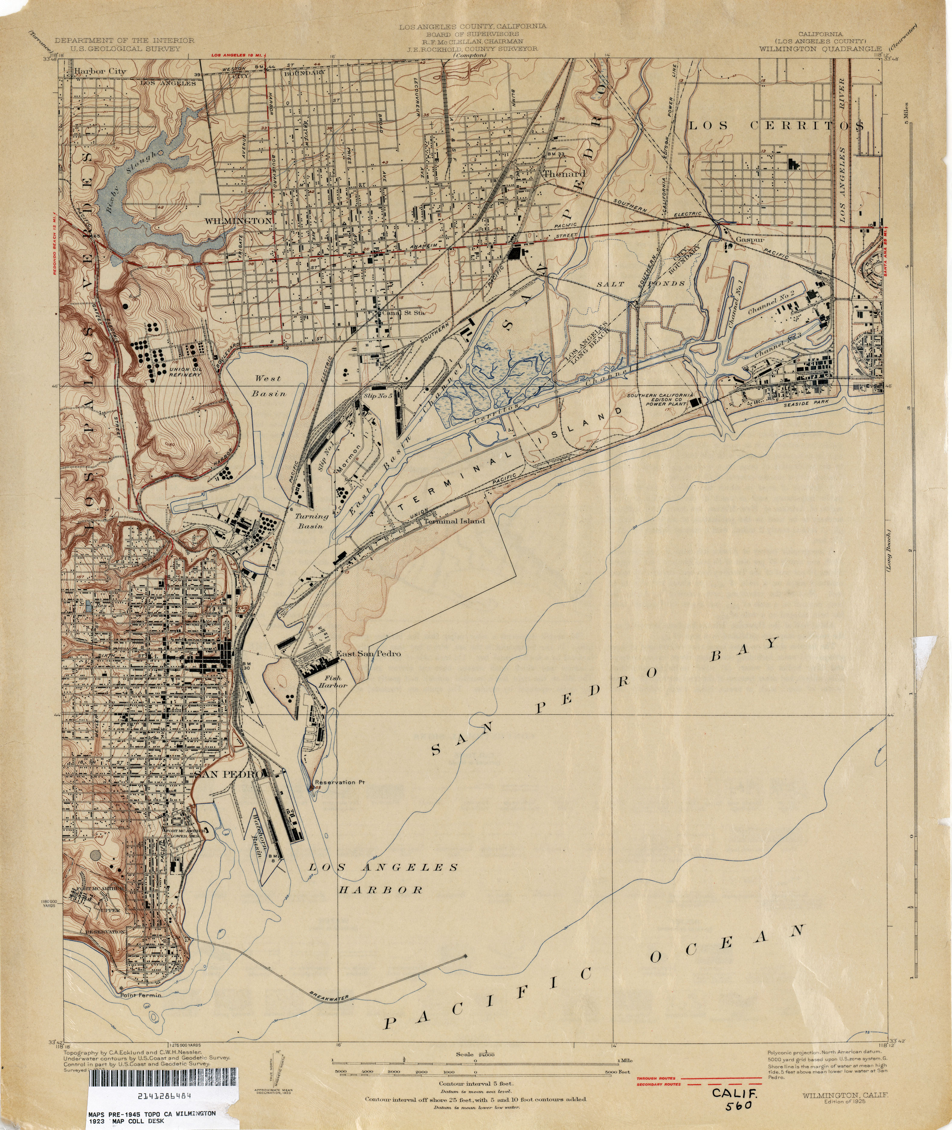
- Wilmington (Los Angeles County) 1923 1:24,000 (2.6MB)
- Wilsona (Los Angeles County) 1930 1:24,000 (3.3MB)
- Winters 1905 1:31,680 (2.0MB)
- Winton (Merced County) 1914 1:31,680 (2.9MB)
- Wisdom Well (Fresno County) 1920 1:31,680 (1.6MB)
- Wolfskill 1906 1:31,680 (2.6MB)
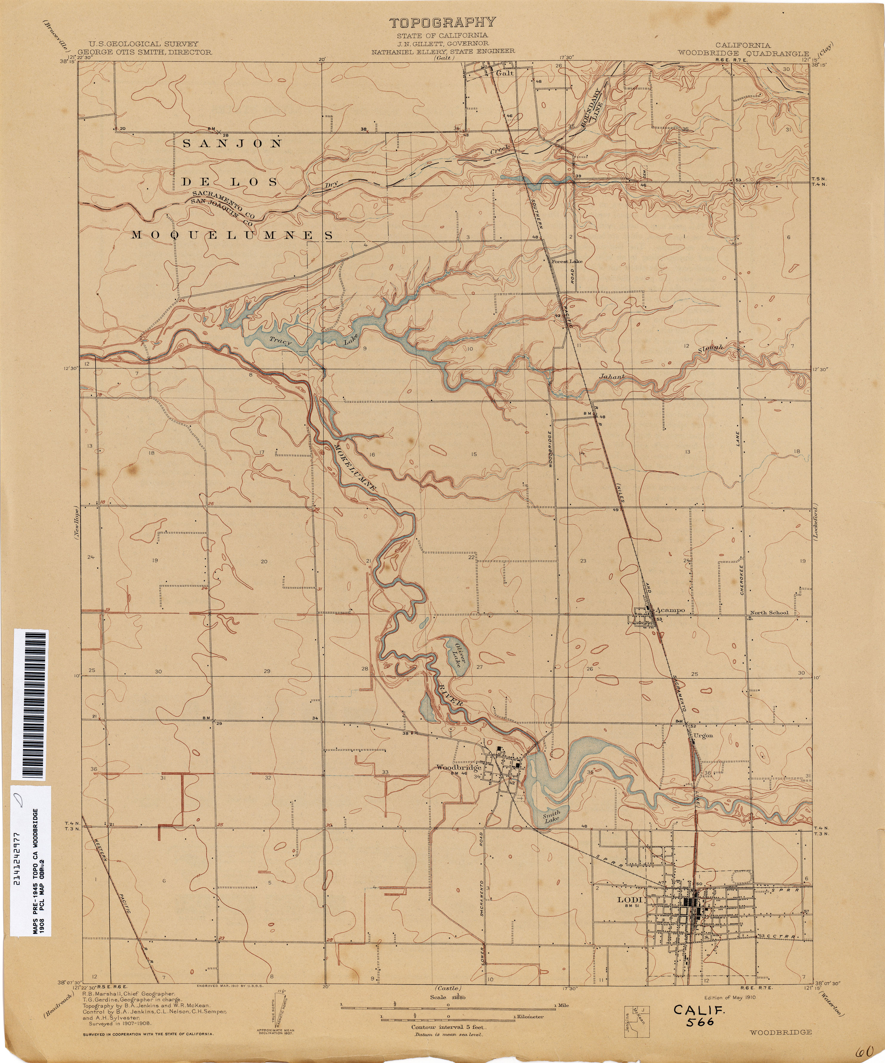
- Woodbridge 1908 1:31,680 (2.1MB) [includes Lodi]
- Woodland 1905 1:62,500 (2.2MB)
- Woodville (Tulare County) 1926 1:31,680 (1.6MB)
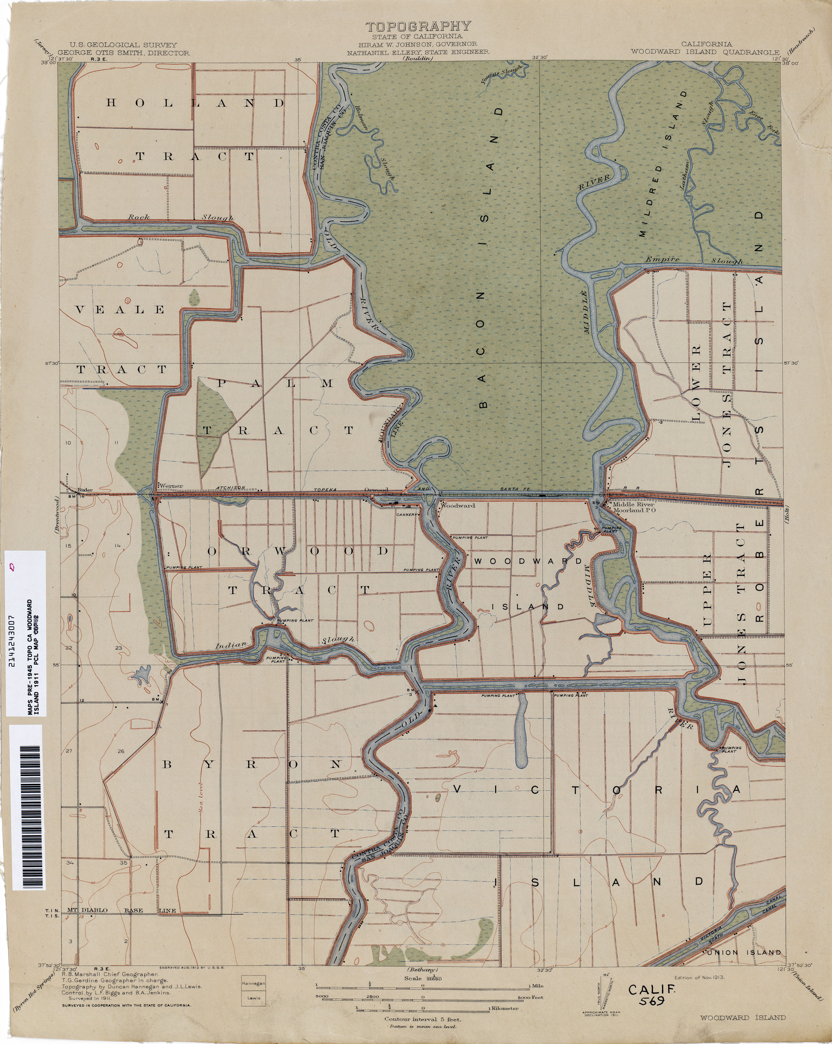
- Woodward Island 1911 1:31,680 (2.1MB)
- Woody (Kern County) 1932 1:31,680 (4.8MB)
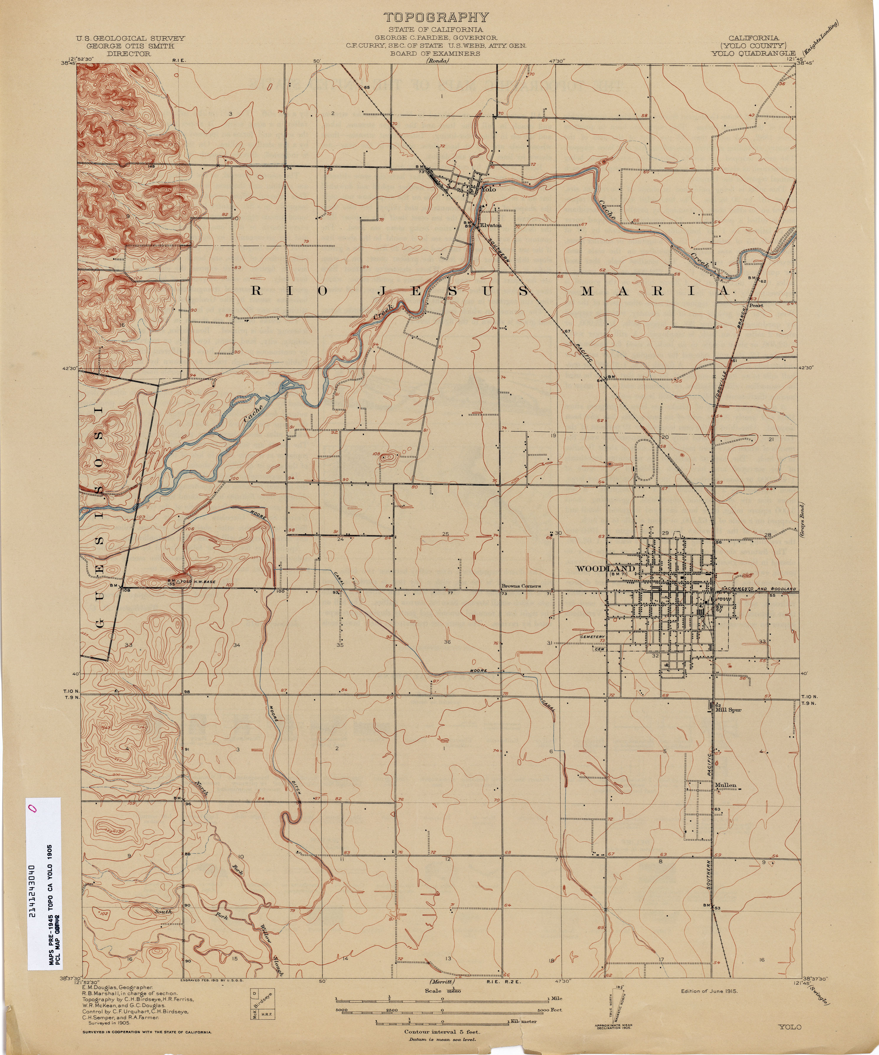
- Yolo (Yolo County) 1905 1:125,000 (2.0MB)
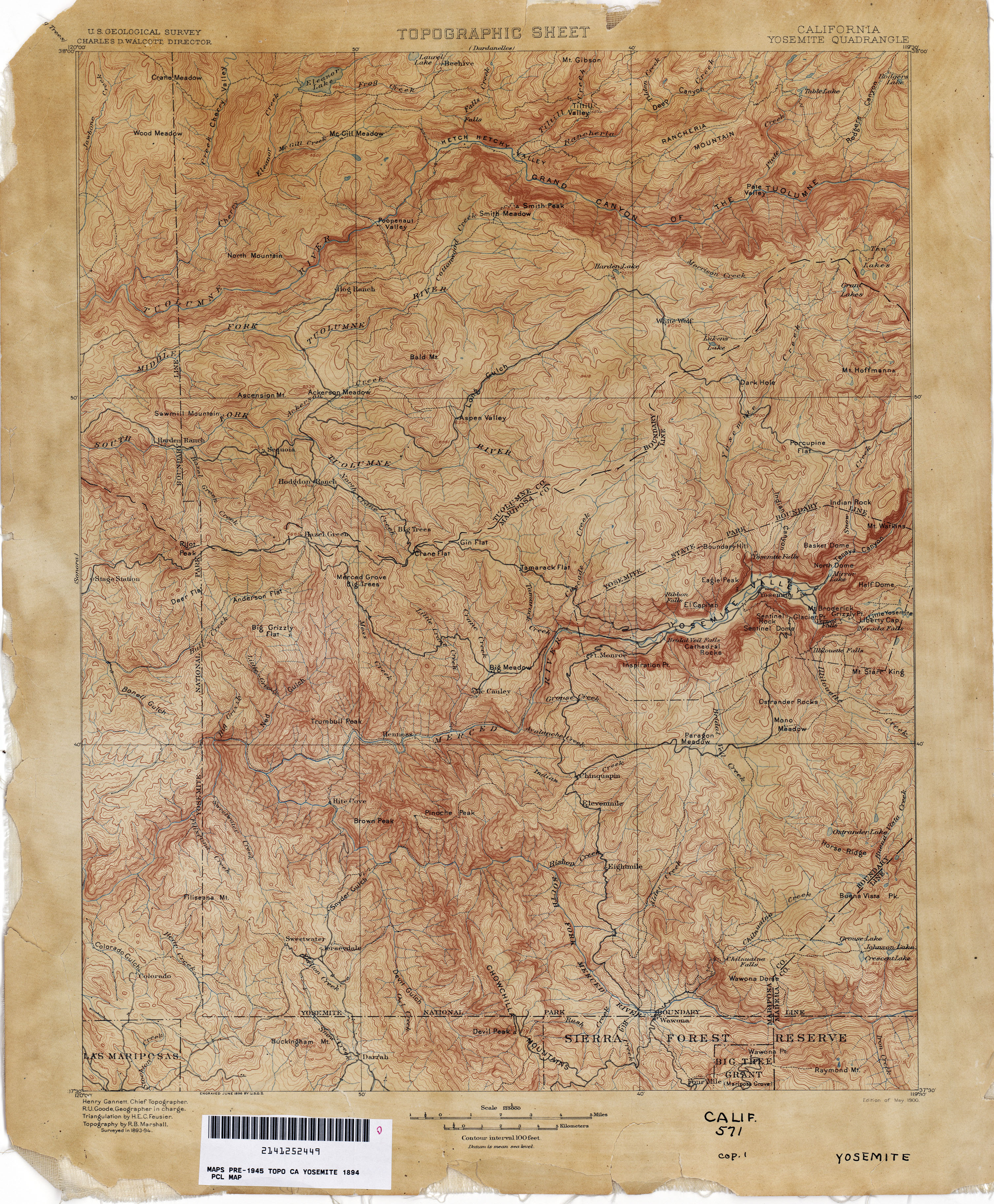
- Yosemite 1894 1:125,000 (3.8MB)
- Yosemite 1894 1:125,000 (4.1MB)
- Yosemite National Park 1910 1:62,500 (11.5MB)
- Yosemite National Park 1920 1:62,500 (13.6MB)
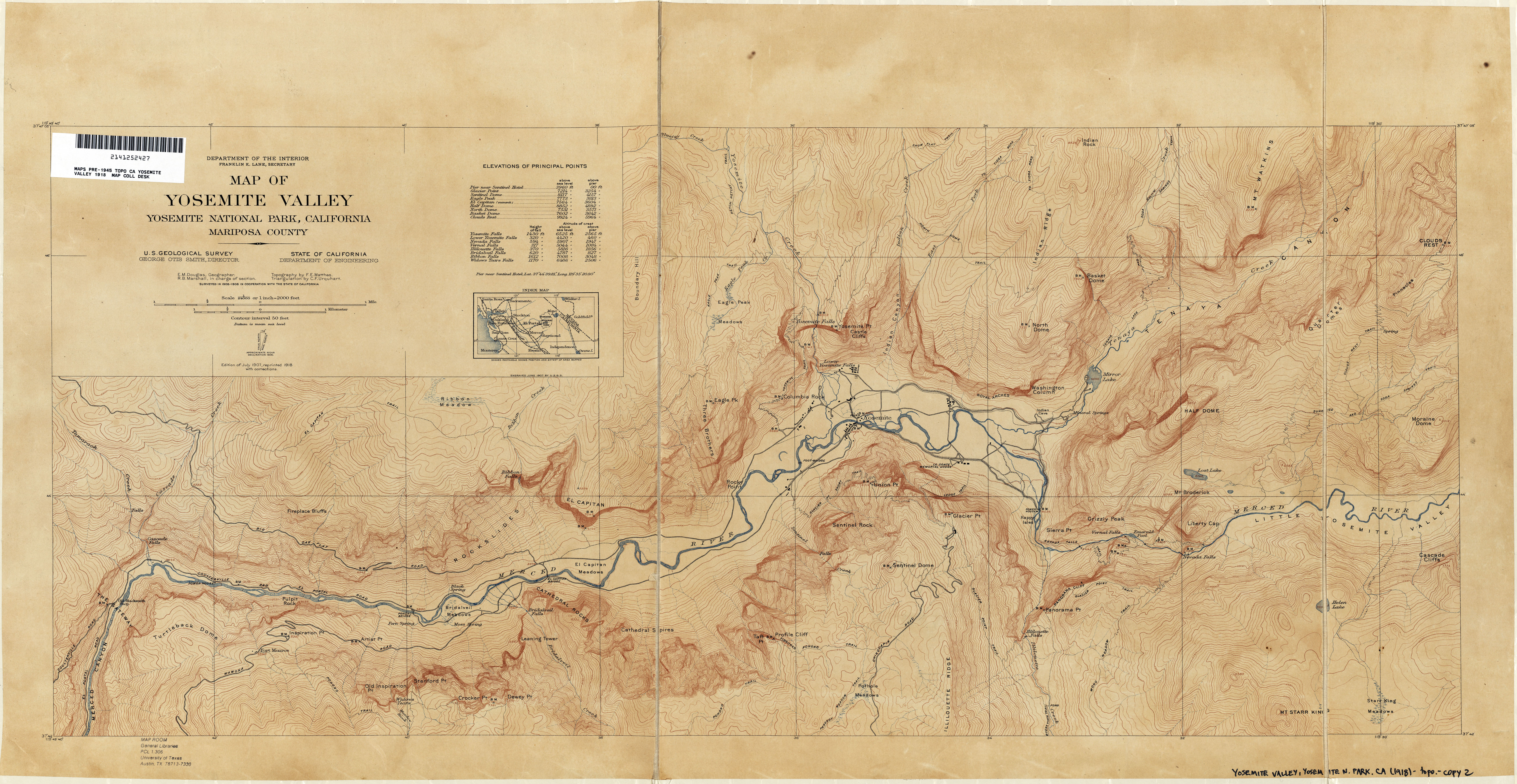
- Yosemite Valley 1918 1:24,000 (6.7MB)
- Yosemite Valley 1918 1:24,000 (5.2MB)
- Yosemite Valley 1918 1:24,000 (6.0MB)
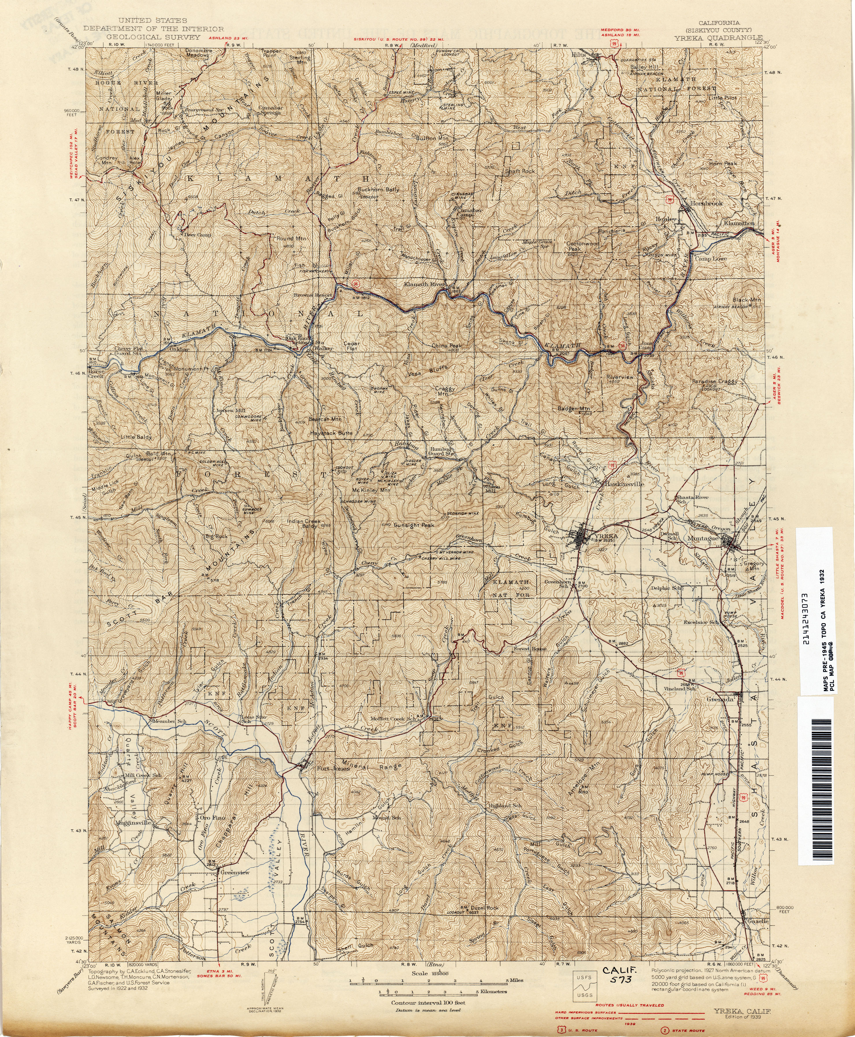
- Yreka (Siskiyou County) 1932 1:125,000 (4.0MB)
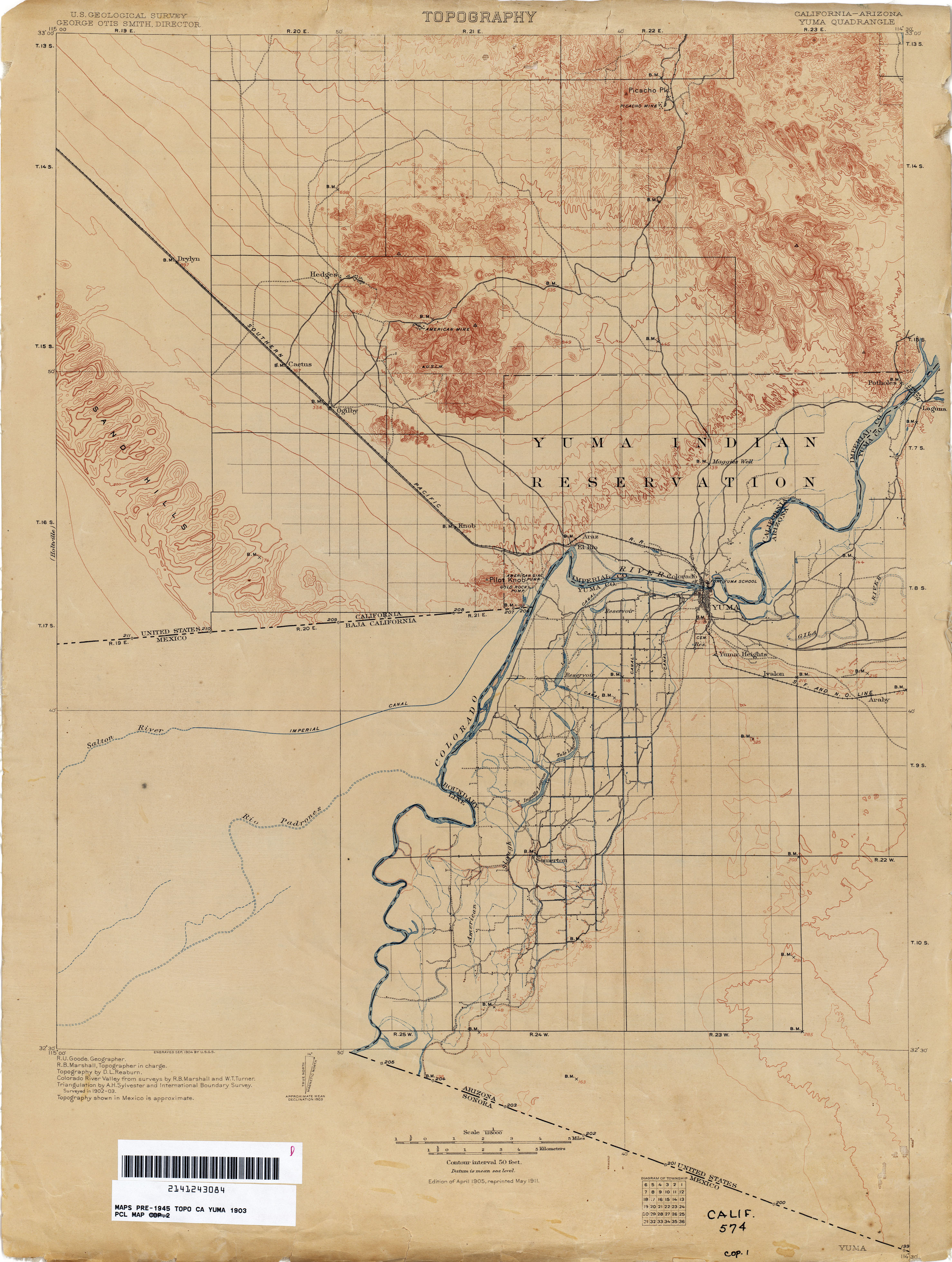
- Yuma [California, Arizona] 1903 1:125,000 (2.5MB)
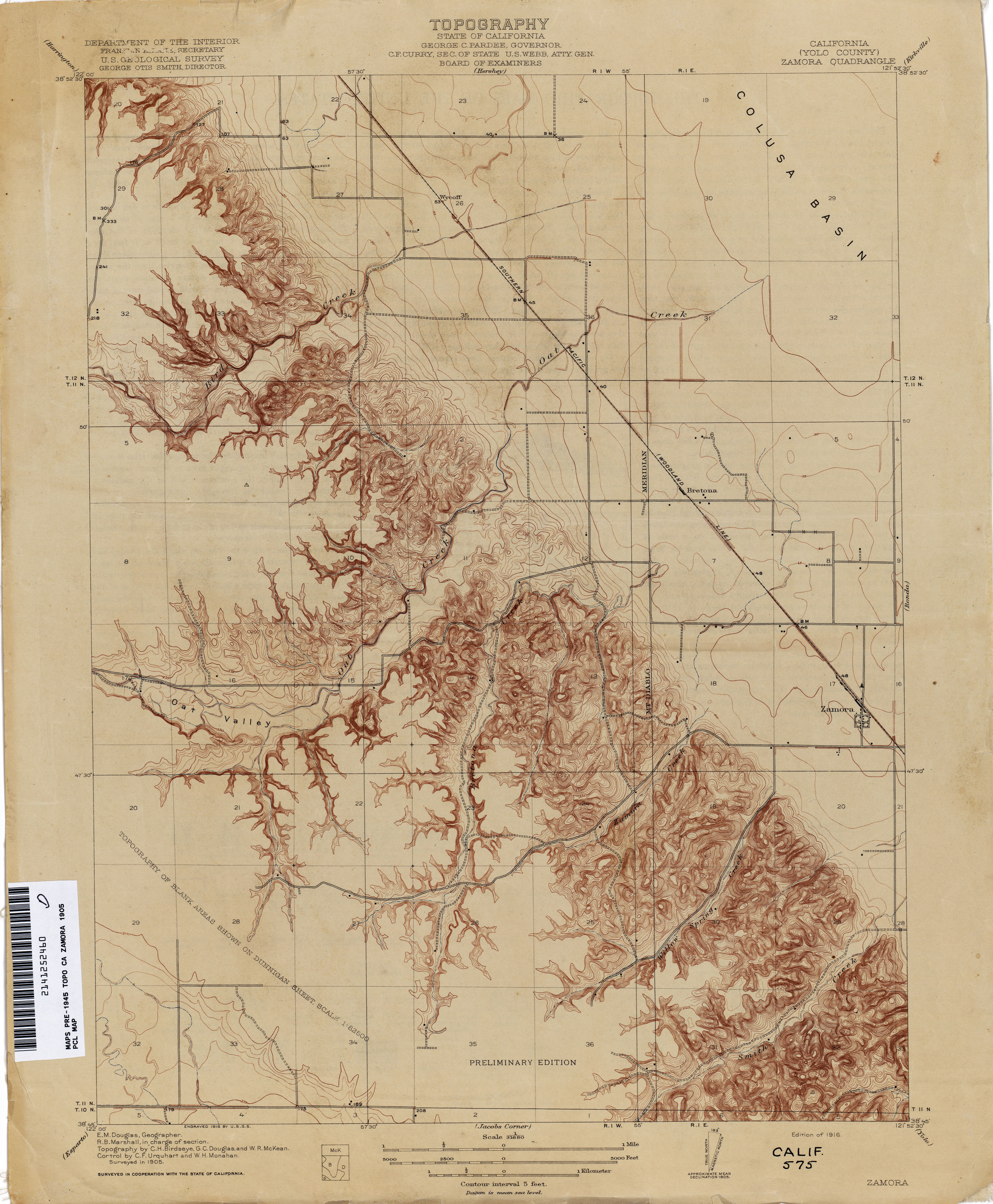
- Zamora (Yolo County) 1905 1:31,680 (2.3MB)
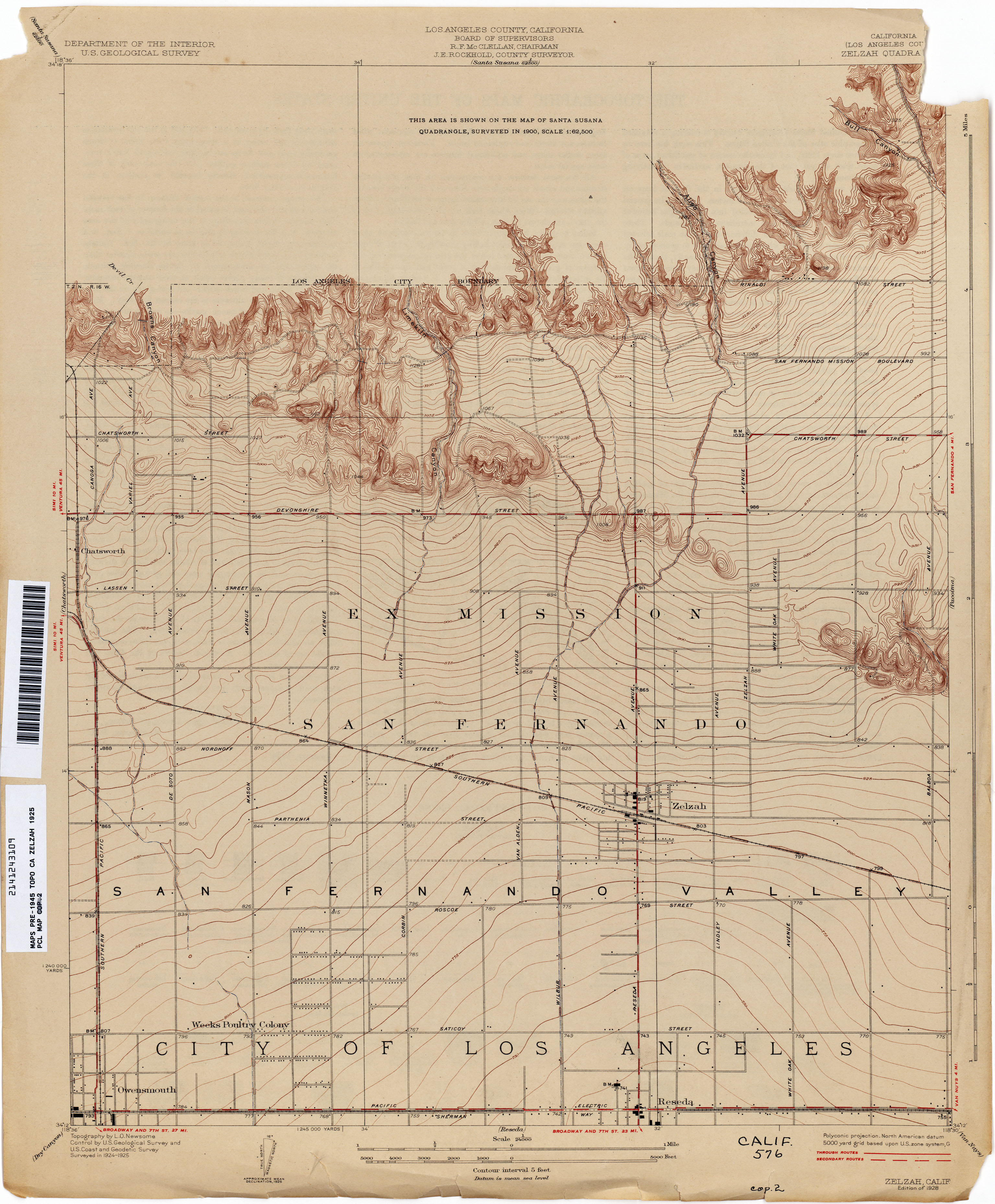
- Zelzah (Los Angeles County) 1925 1:24,000 (2.5MB)
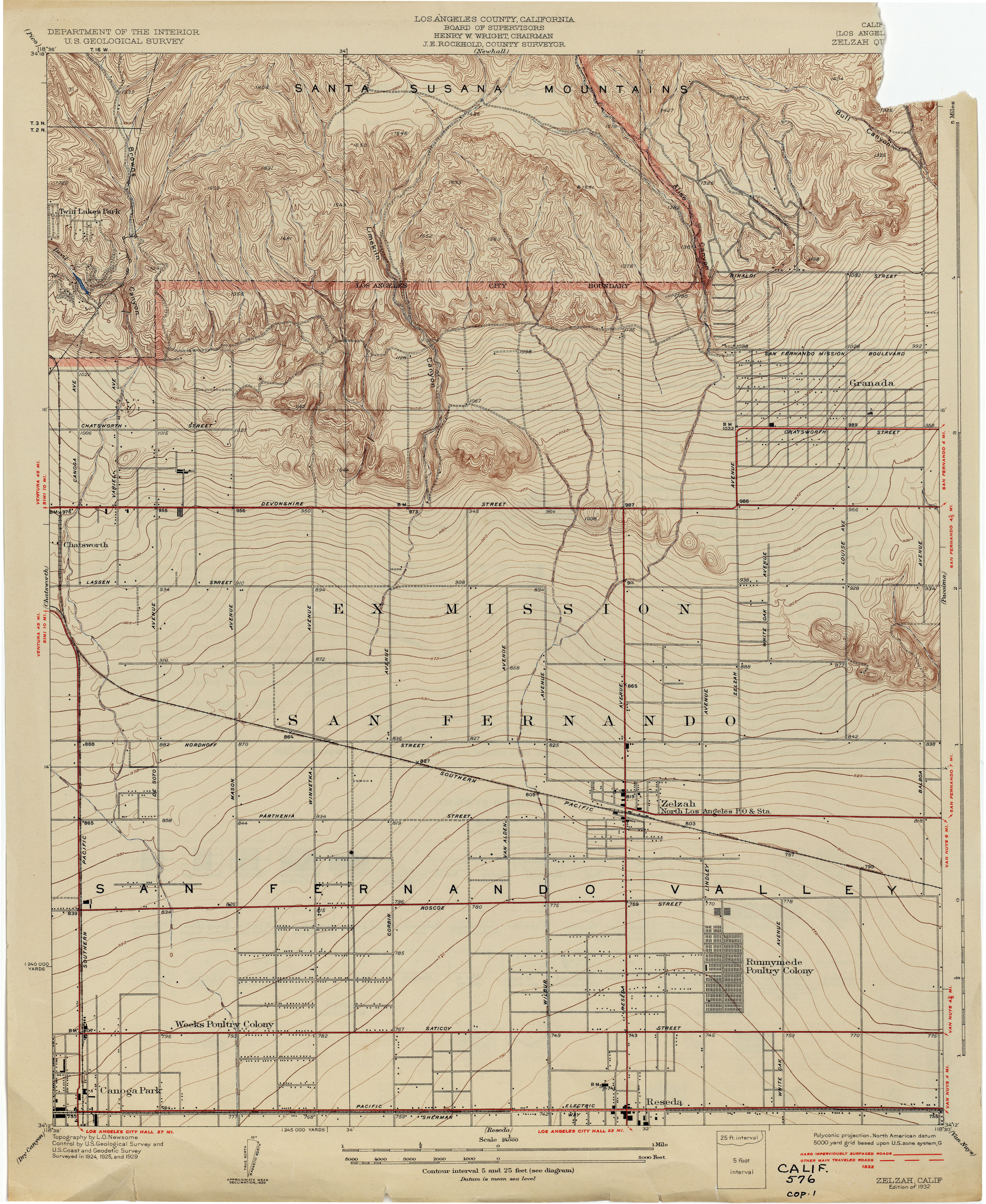
- Zelzah (Los Angeles County) 1929 1:24,000 (3.0MB)
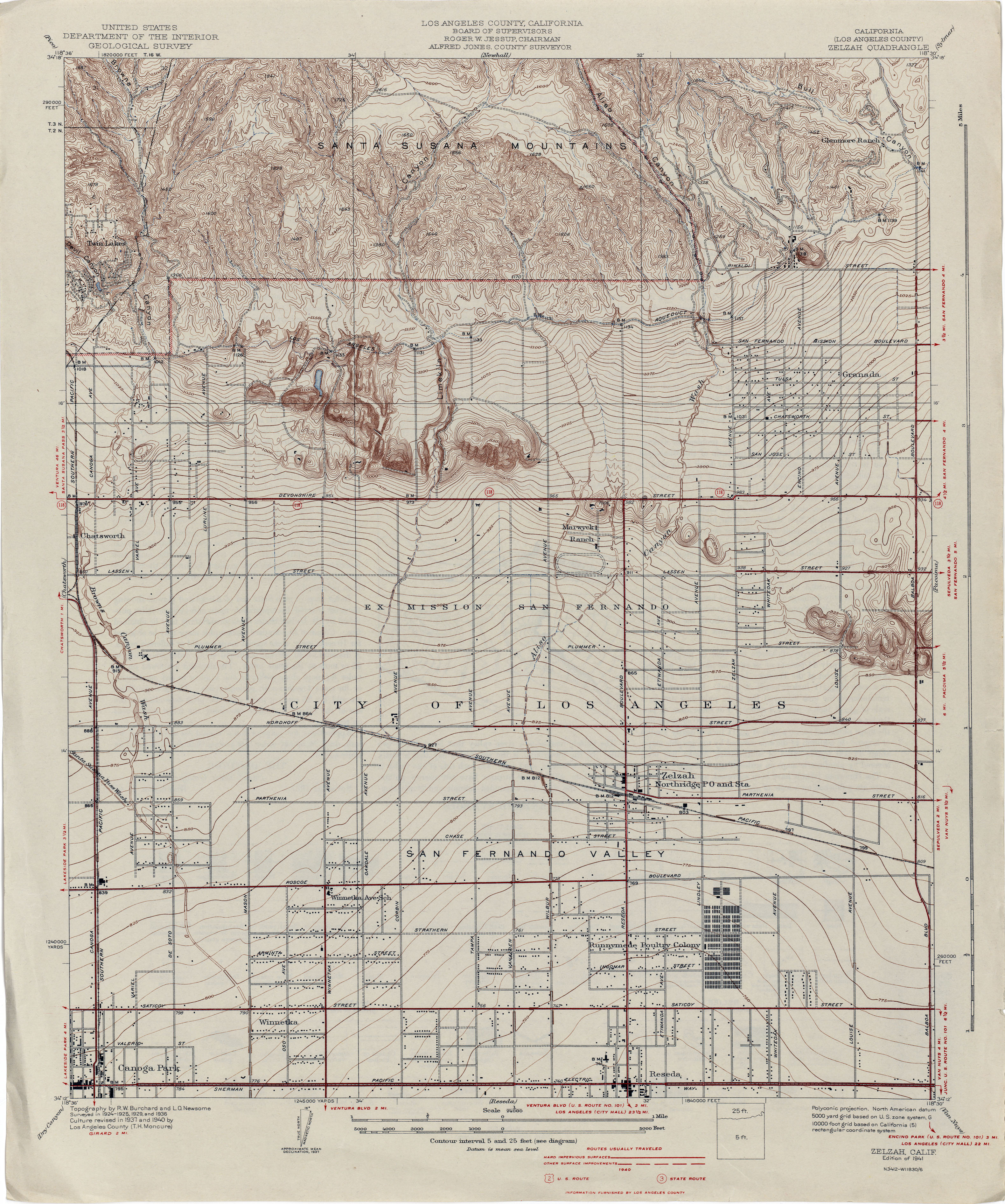
- Zelzah (Los Angeles County) 1940 1:24,000 (3.4MB)
Return to the top
![[El Cajon] Elcajon (San Diego County)](http://maps.lib.utexas.edu/maps/topo/california/txu-pclmaps-topo-ca-elcajon-1891.jpg)
![Tufts Ranch [Fresno County]](http://maps.lib.utexas.edu/maps/topo/california/txu-pclmaps-topo-ca-tufts_ranch-1920.jpg)