Perry-Castañeda Library
Map Collection
Kentucky Historical Topographic Maps
All maps on this page were published by the U.S. Geological Survey and are in the public domain. The date given for each map is the date of latest survey. More information about these maps is available on the Topographic Maps Home Page.
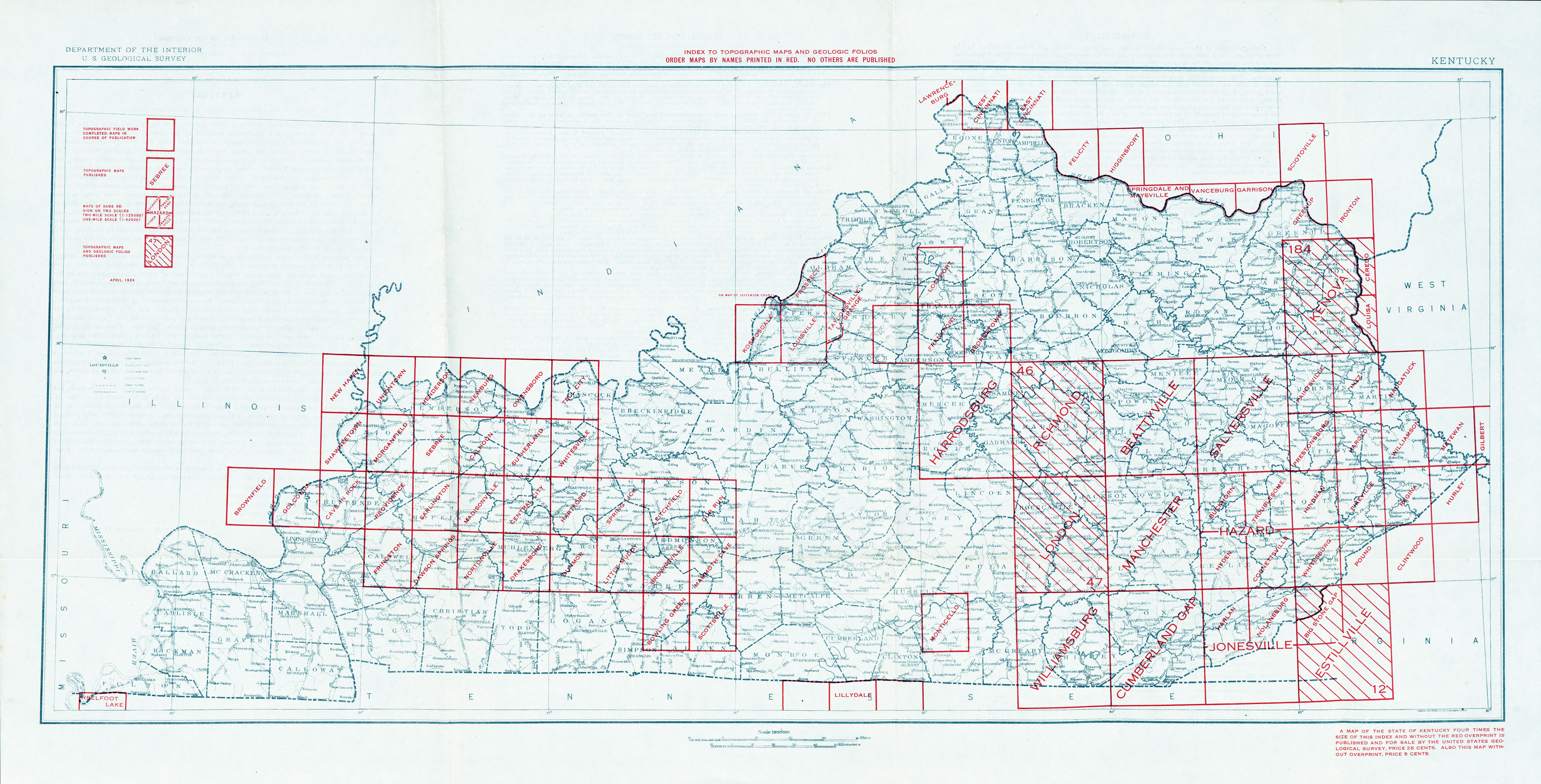
- Kentucky - Topographic Map Index 1926 (6.8MB)
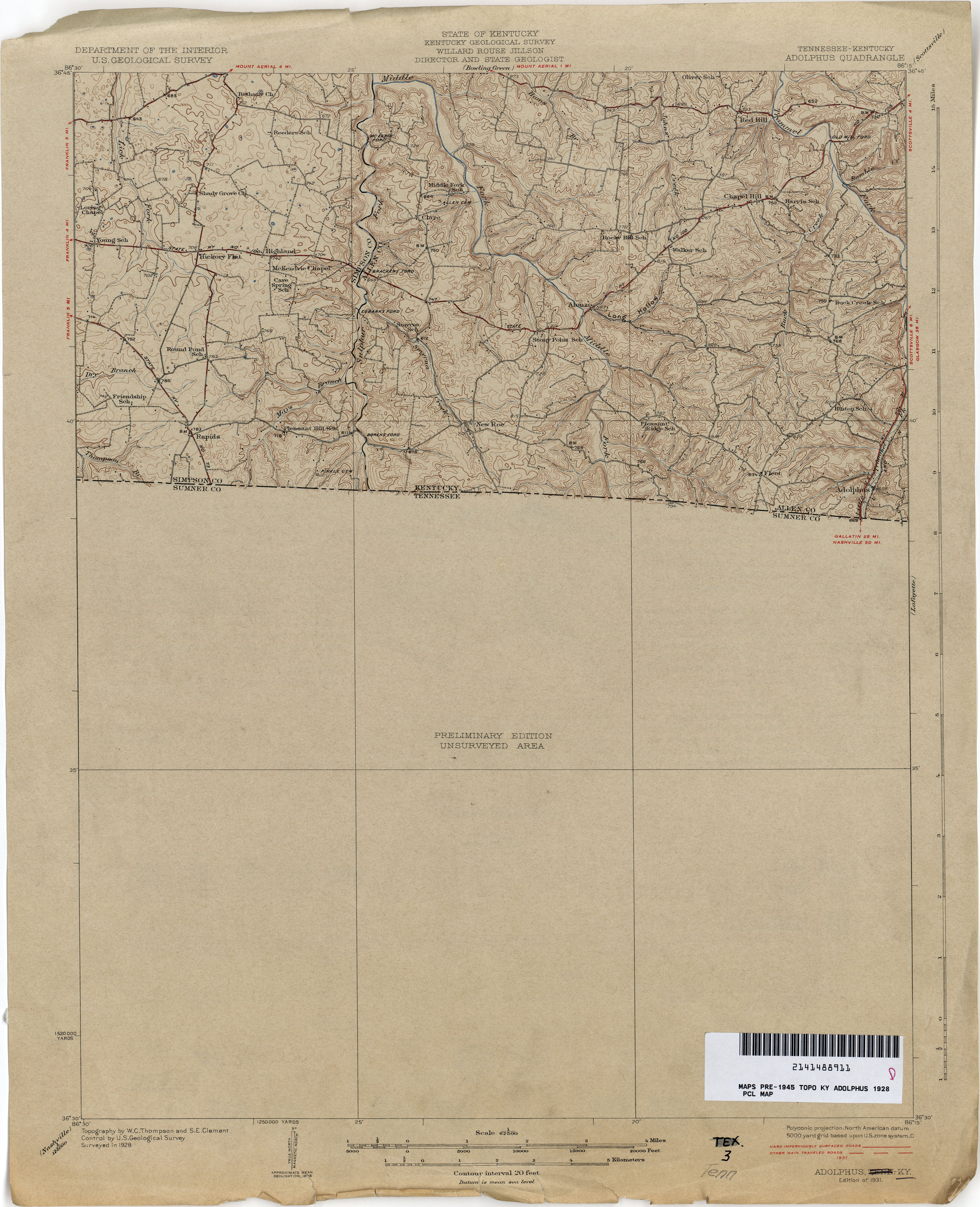
- Adolphus 1928 1:62,500 (2.5MB)
- Alexandria1929 1:62,500 (5.1MB)
- Barthell 1928 1:62,500 (3.3MB)
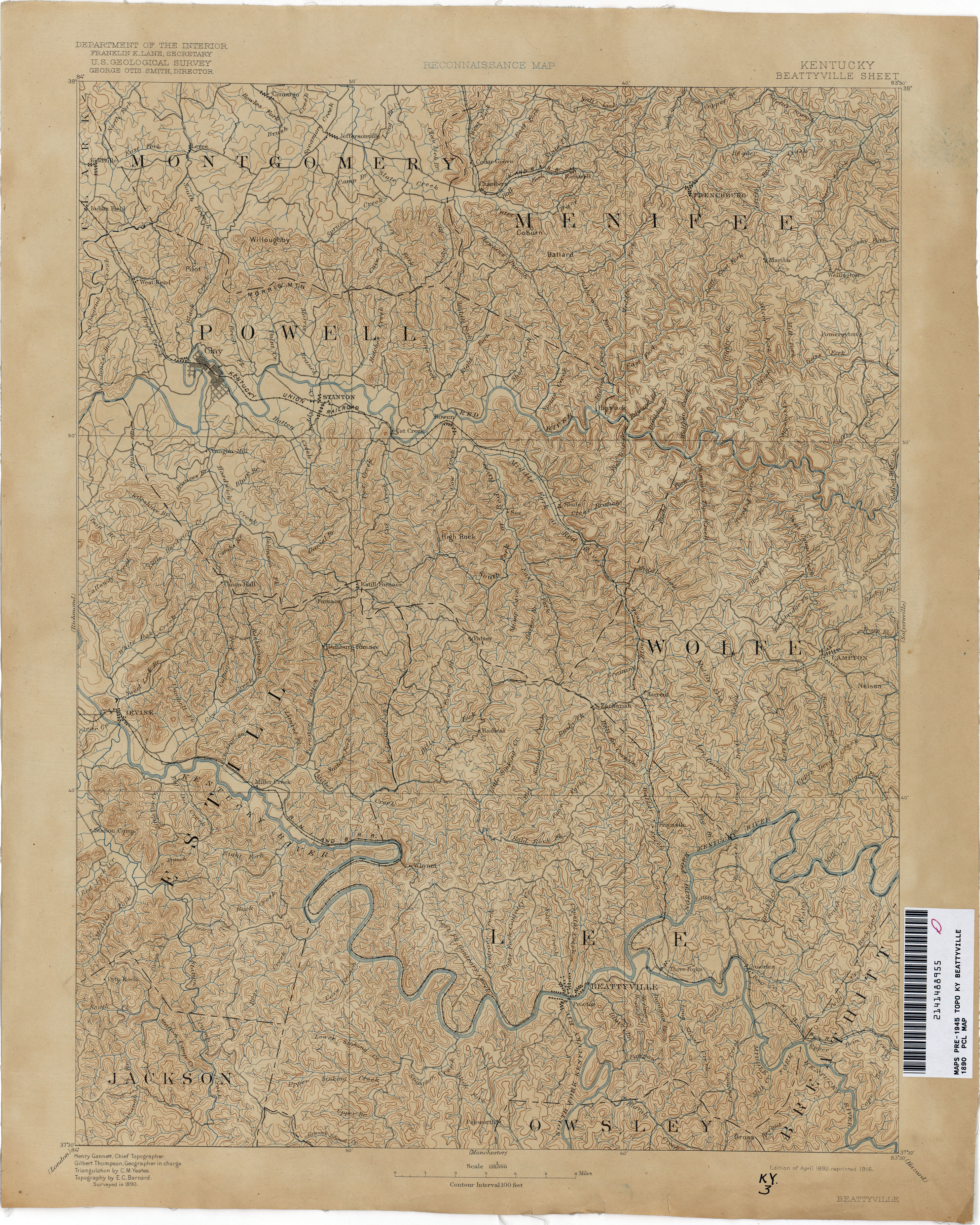
- Beattyville 1890 1:125,000 (3.8MB)
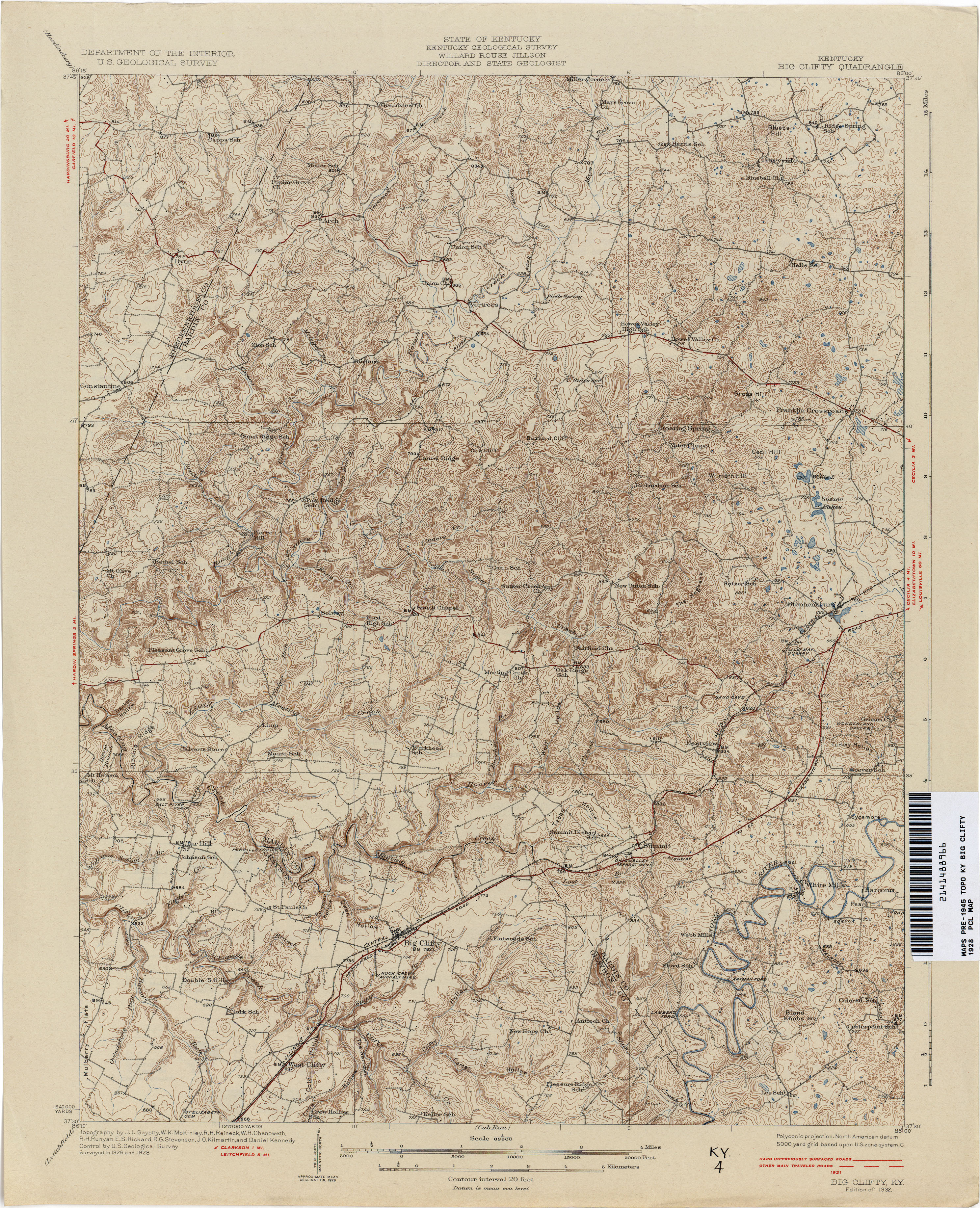
- Big Clifty 1928 1:62,500 (4.2MB)
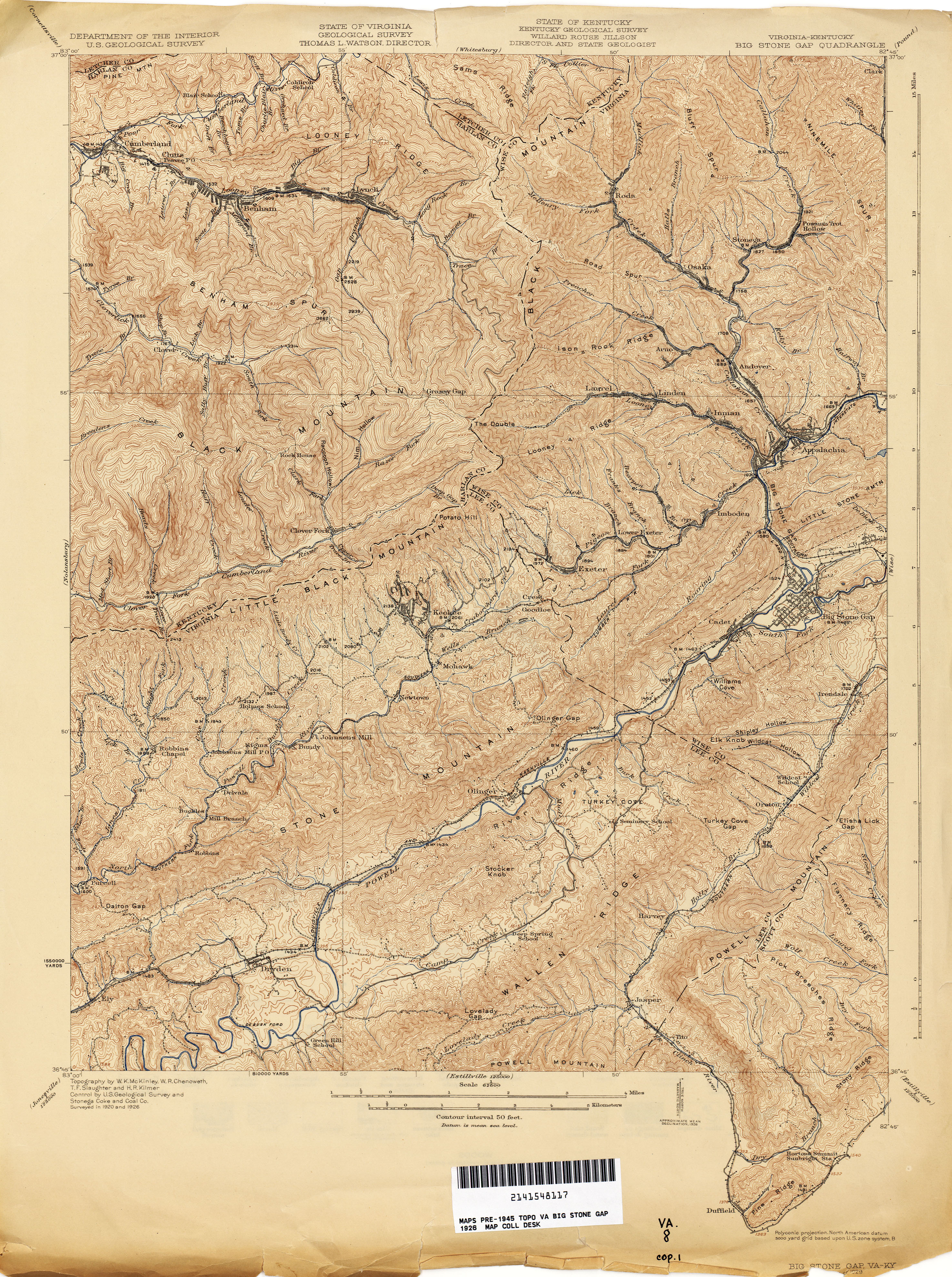
- Big Stone Gap [Virginia, Kentucky] 1926 1:62,500 (5.0MB)
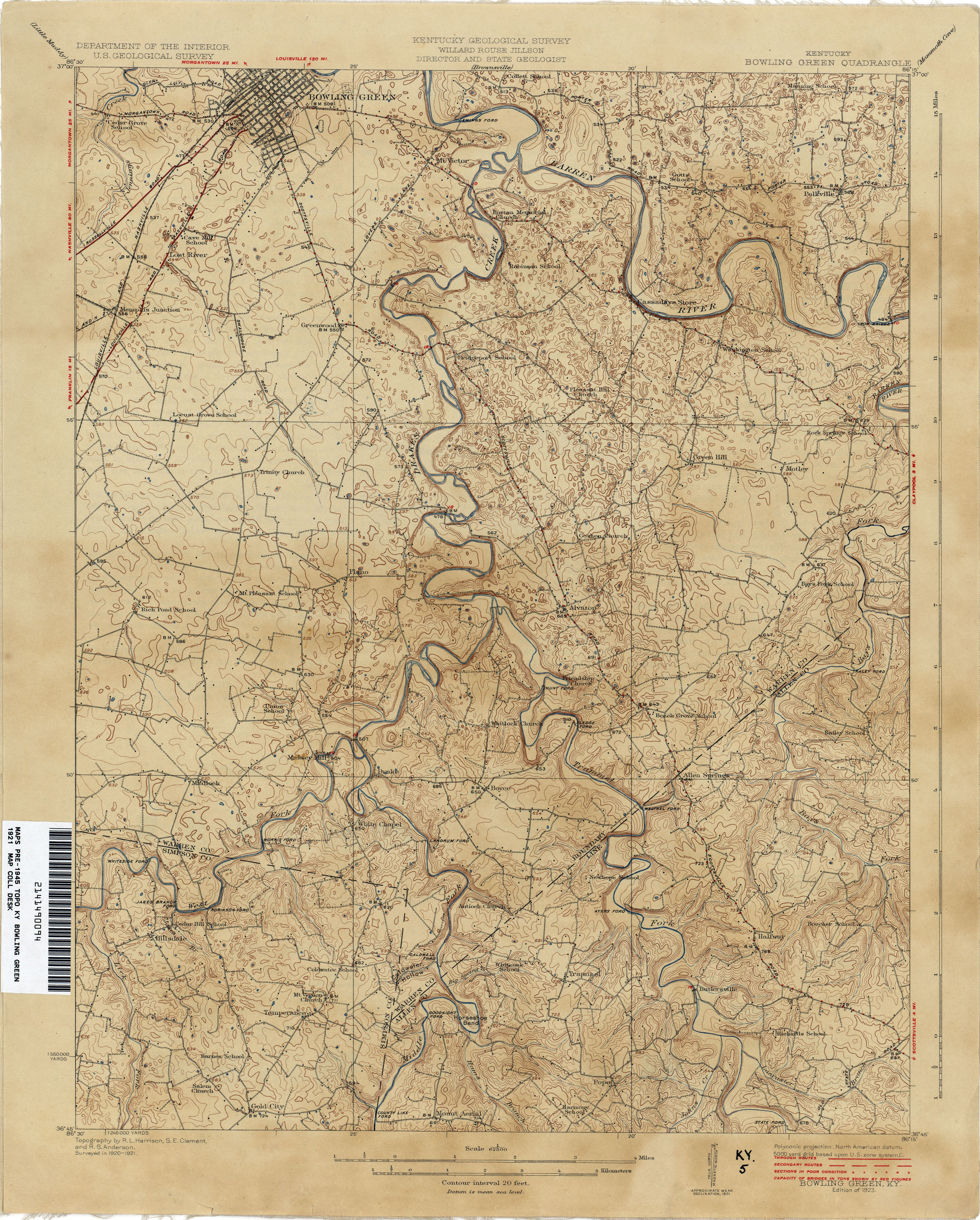
- Bowling Green 1921 1:62,500 (3.4MB)
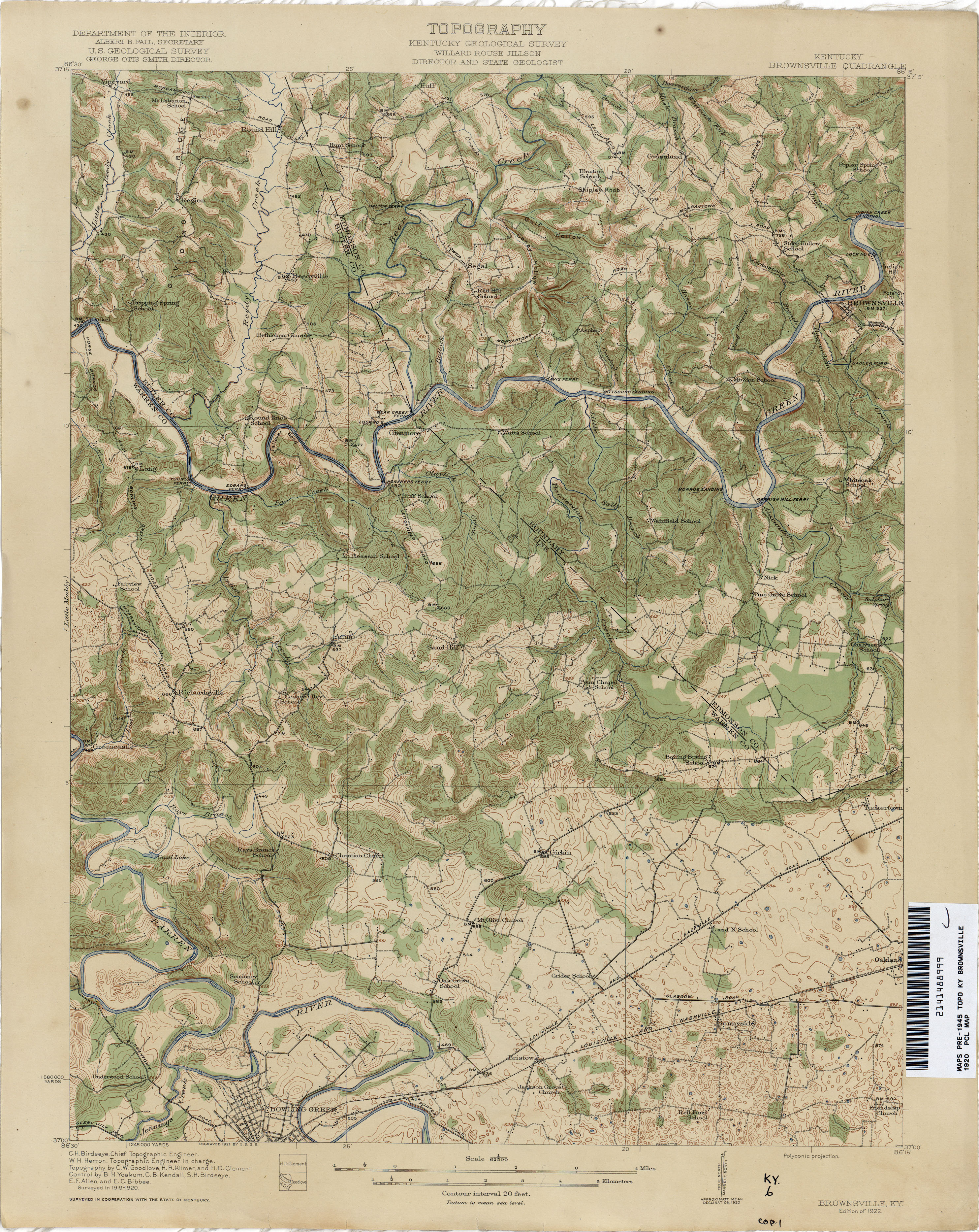
- Brownsville 1920 1:62,500 (3.7MB)
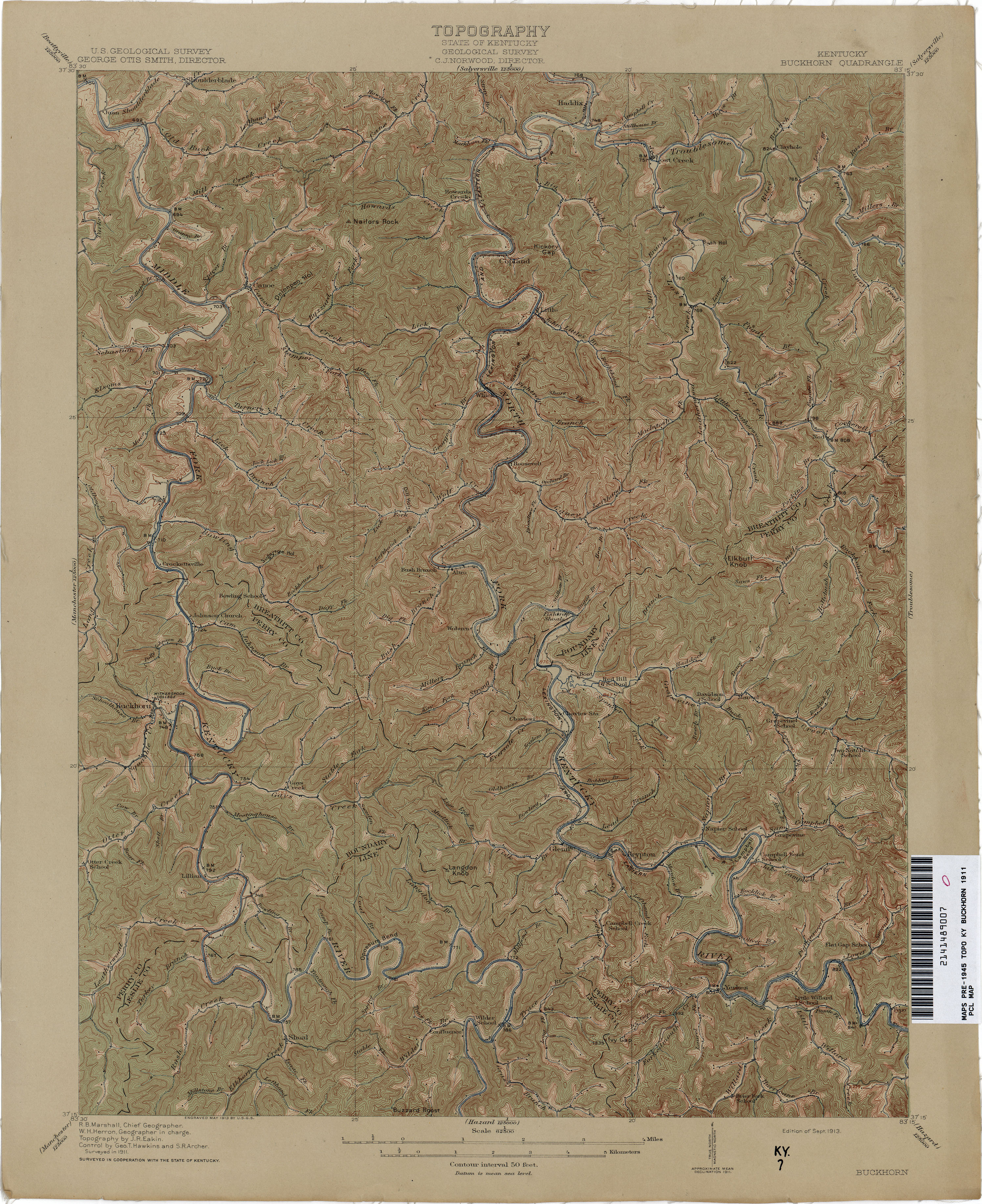
- Buckhorn 1911 1:62,500 (3.9MB)
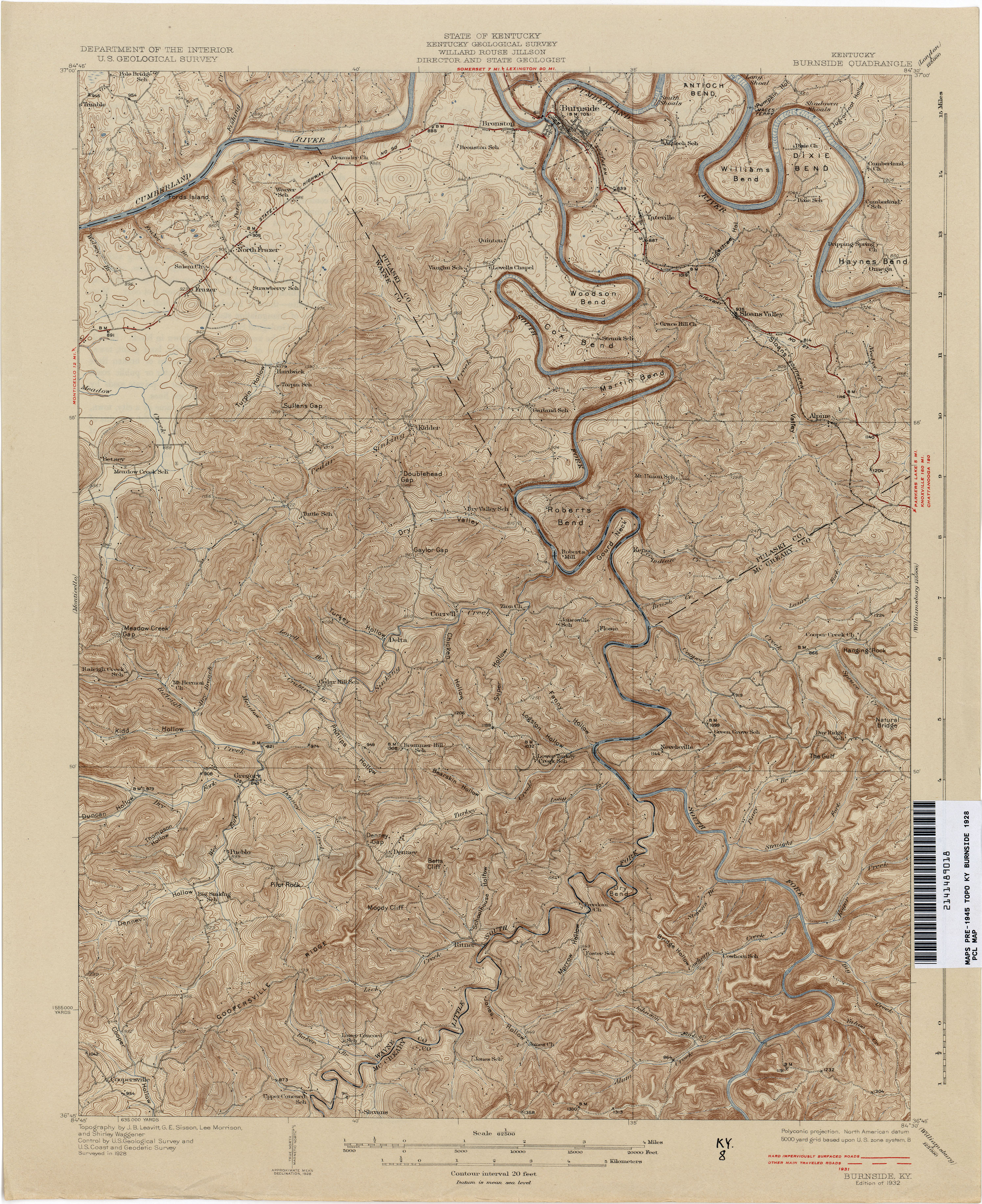
- Burnside 1928 1:62,500 (4.3MB)
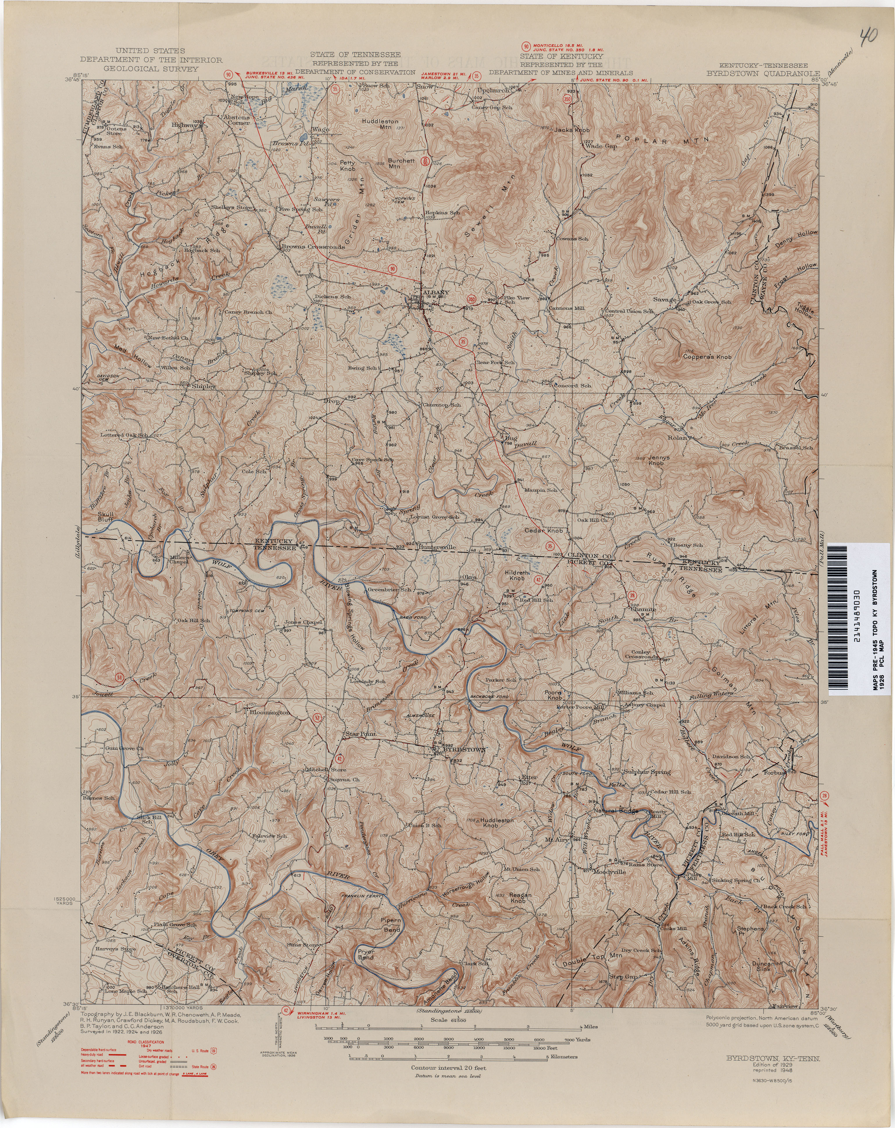
- Byrdstown 1926 1:62,500 (3.9MB)
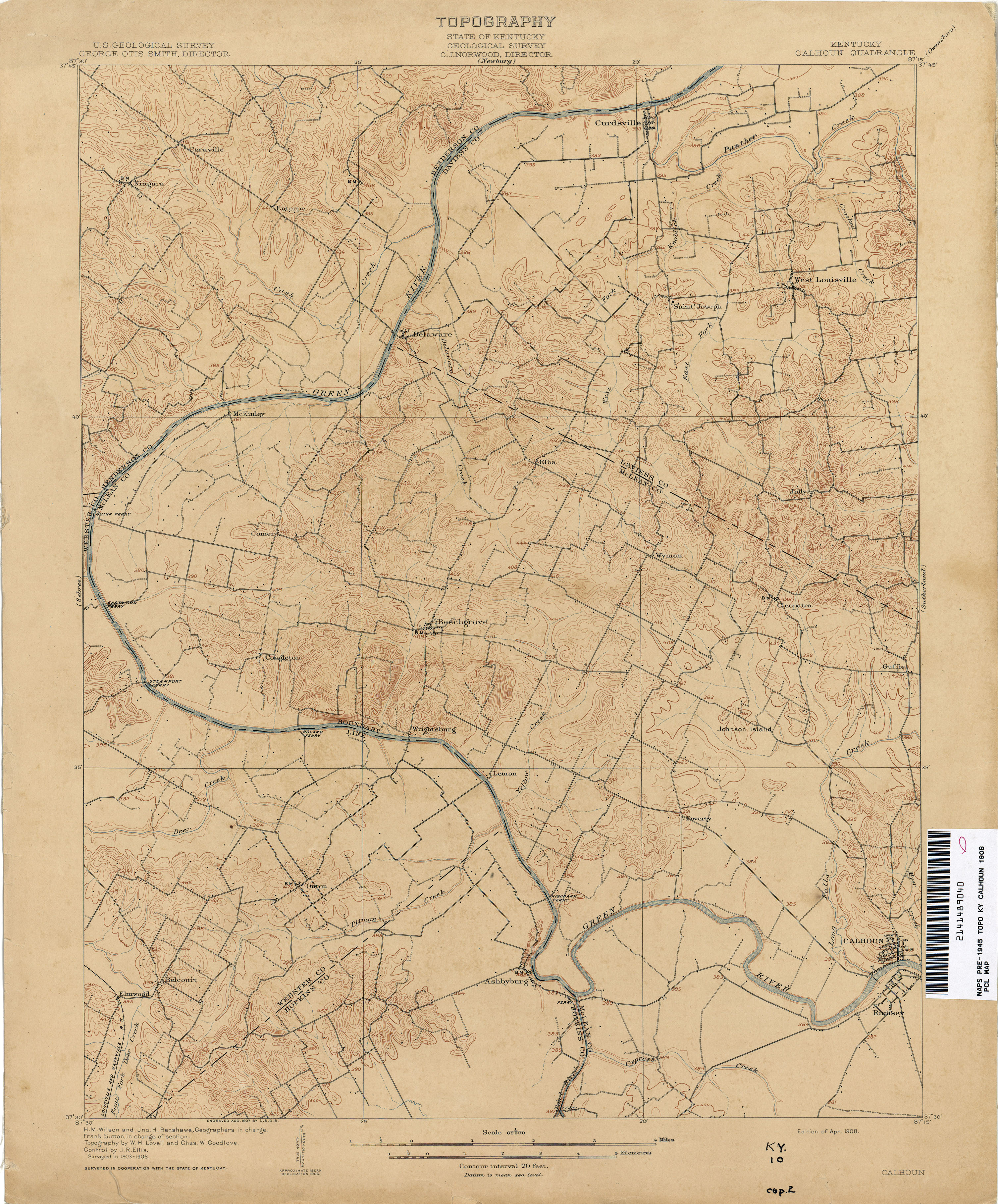
- Calhoun 1906 1:62,500 (3.0MB)
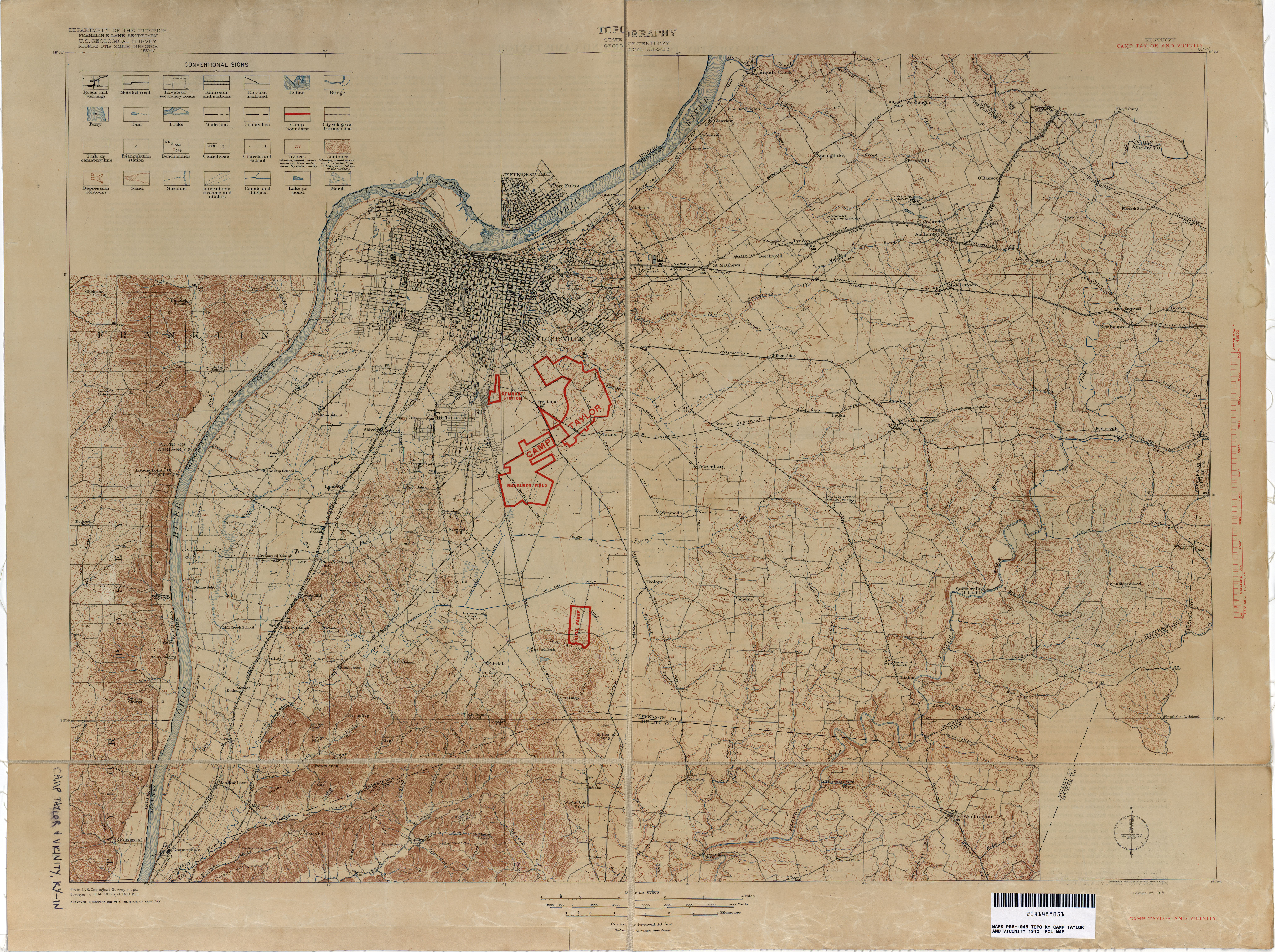
- Camp Taylor and Vicinity 1910 1:62,500 (7.4MB)
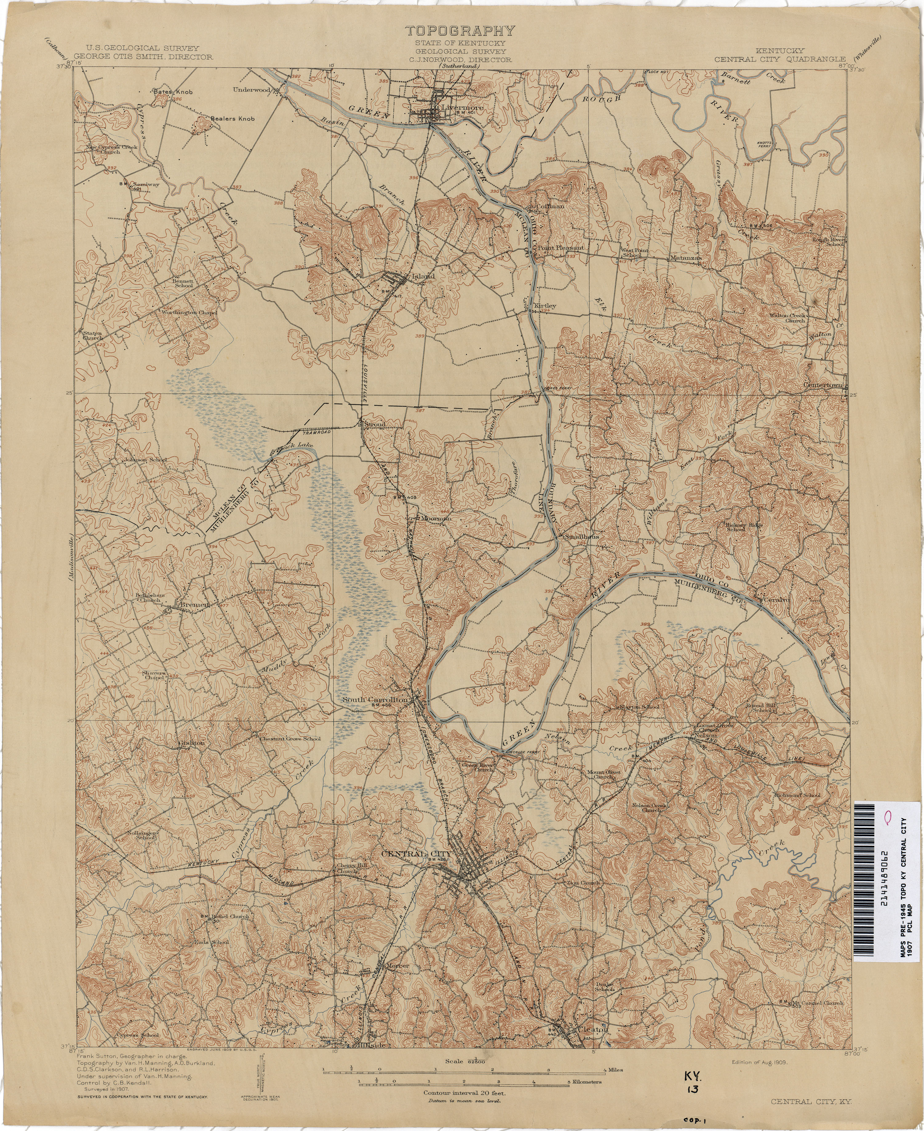
- Central City 1907 1:62,500 (3.4MB)
- Clintwood [Virginia, Kentucky] 1913 1:62,500 (6.3MB)
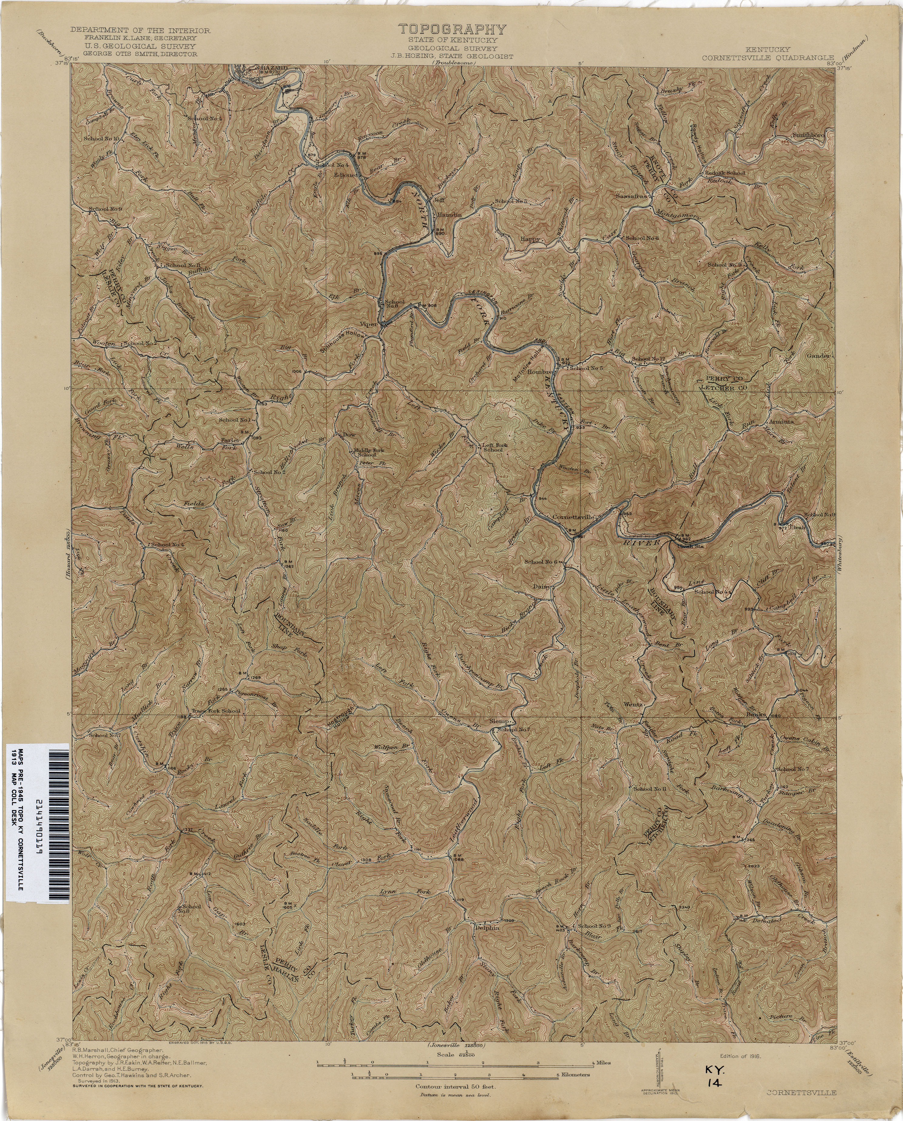
- Cornettsville 1913 1:62,500 (4.0MB)
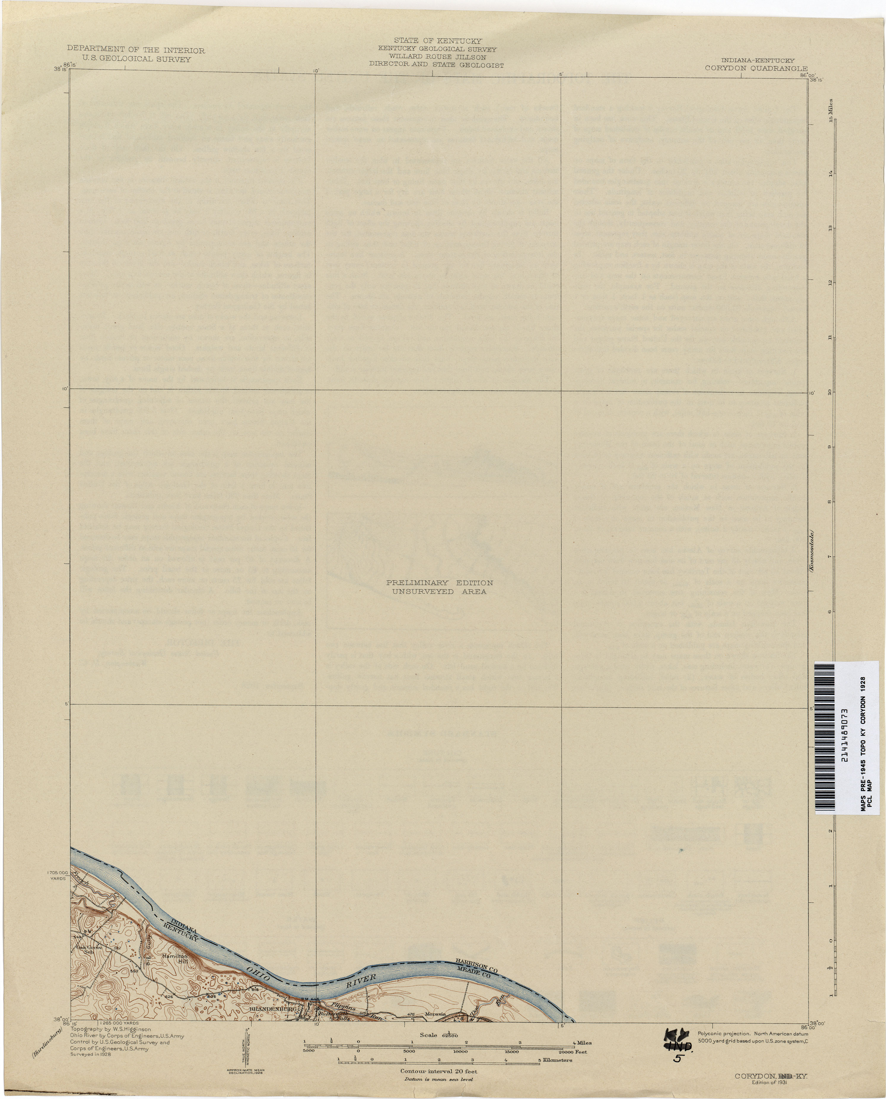
- Corydon 1928 1:62,500 (1.3MB)
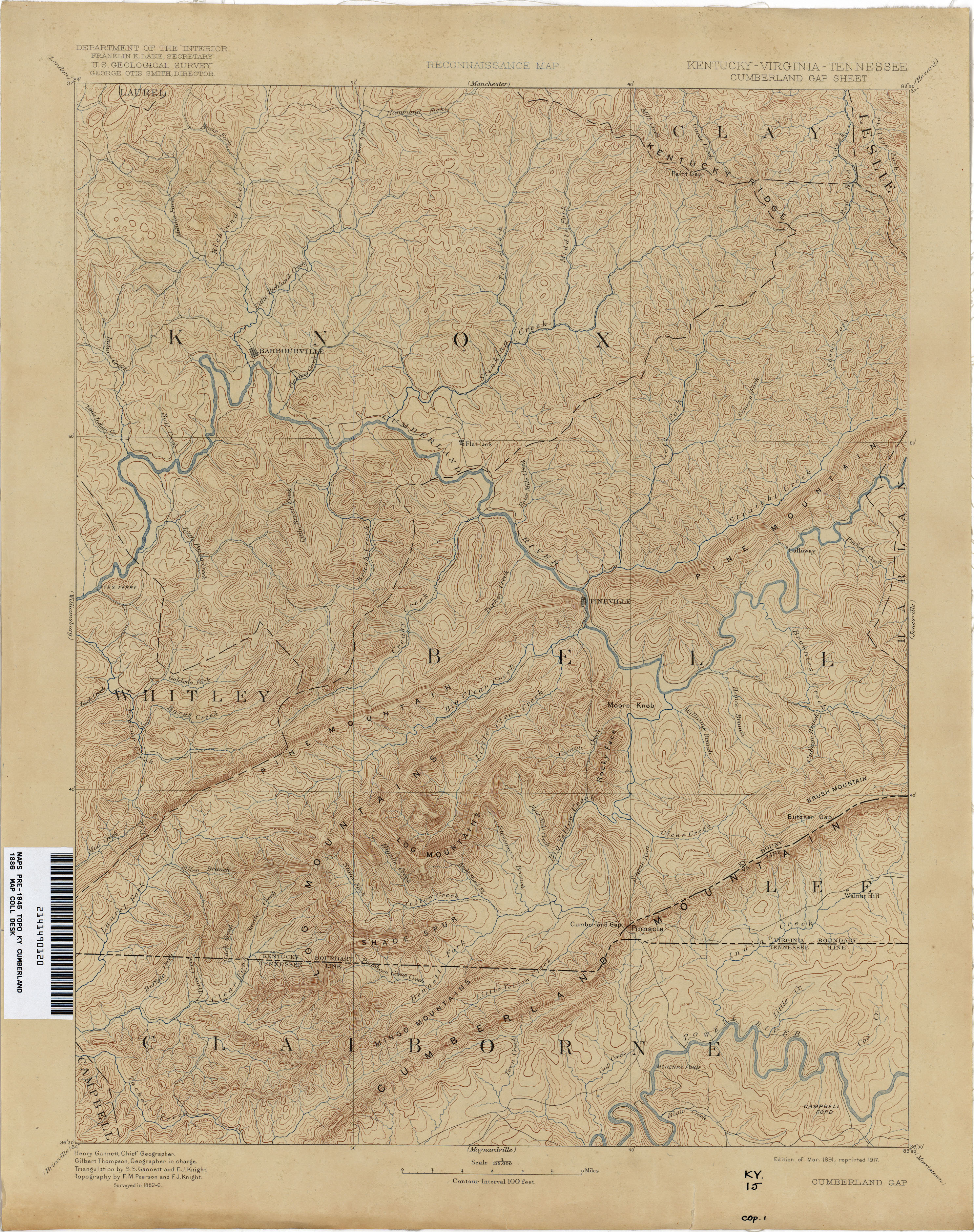
- Cumberland Gap 1886 1:125,000 (3.6MB)
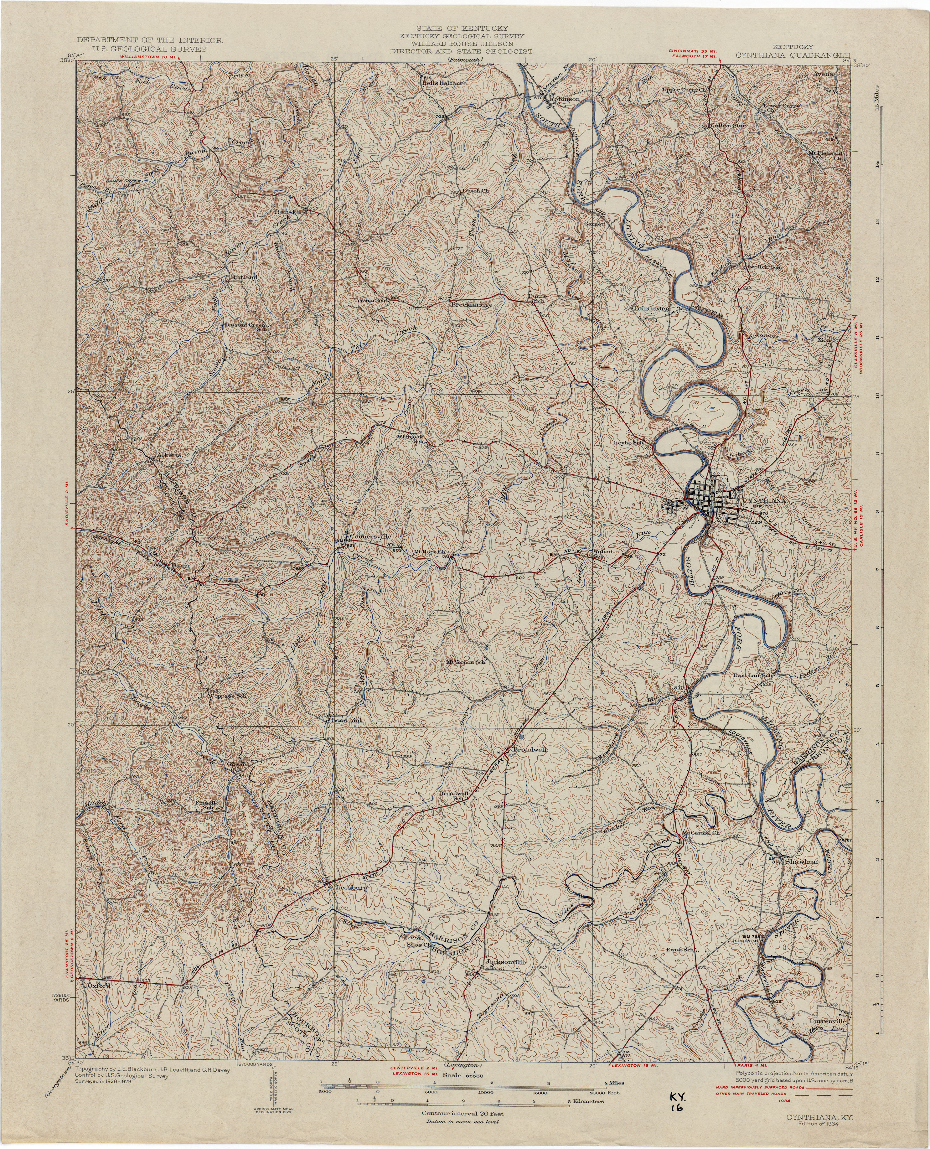
- Cynthiana 1929 1:62,500 (4.4MB)
- Dawson Springs 1909 1:62,500 (3.2MB)
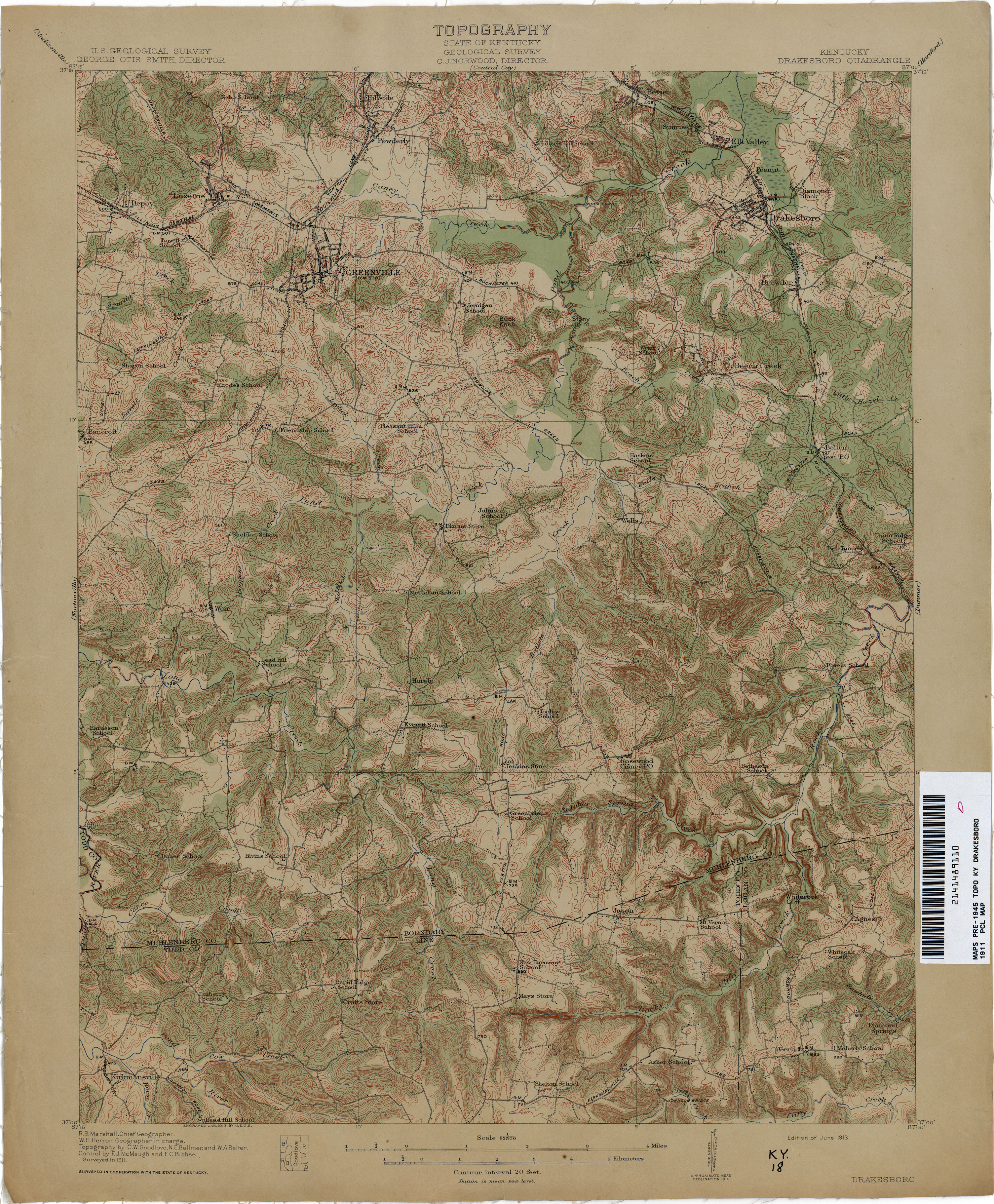
- Drakesboro 1911 1:62,500 (3.8MB)
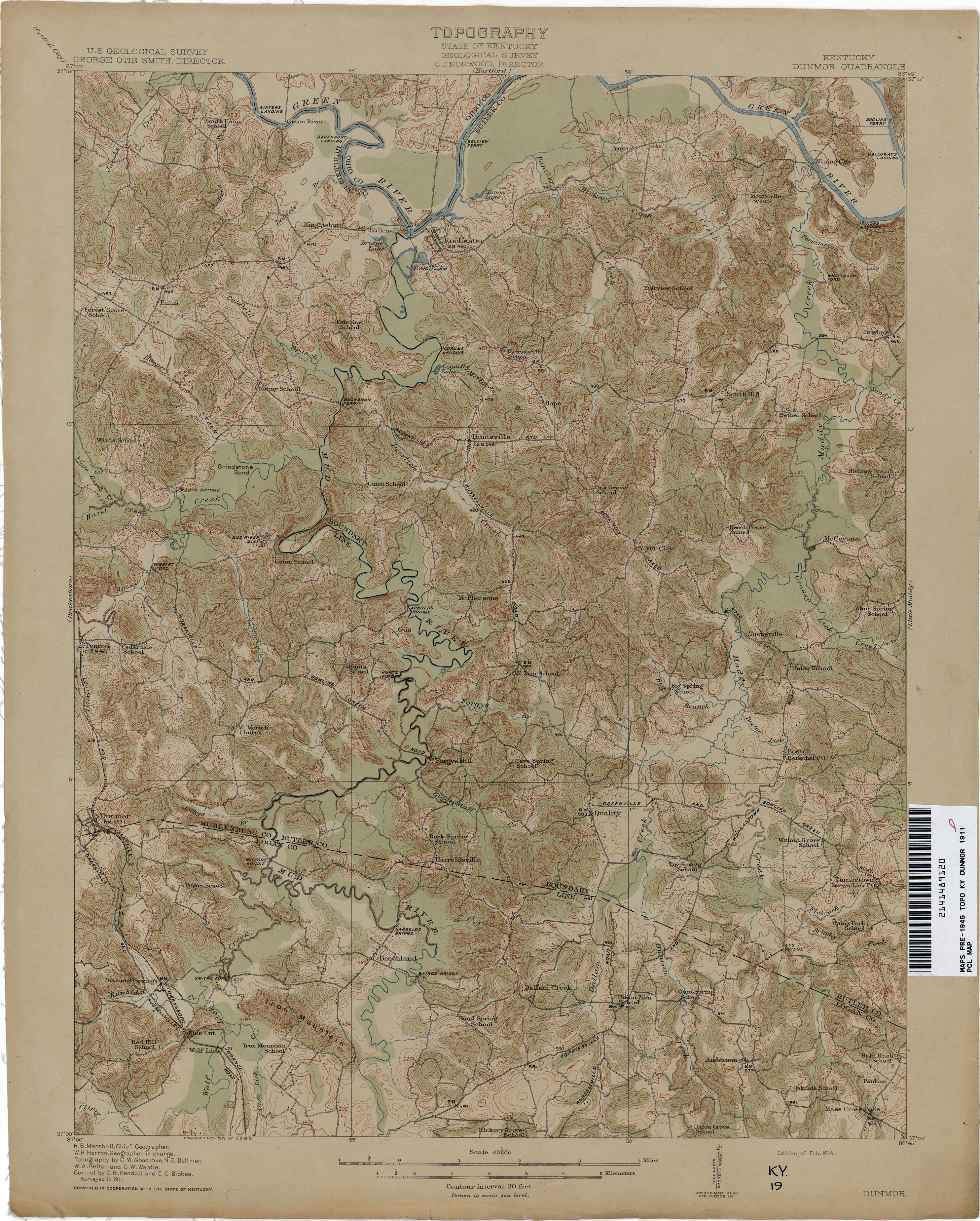
- Dunmor 1911 1:62,500 (3.5MB)
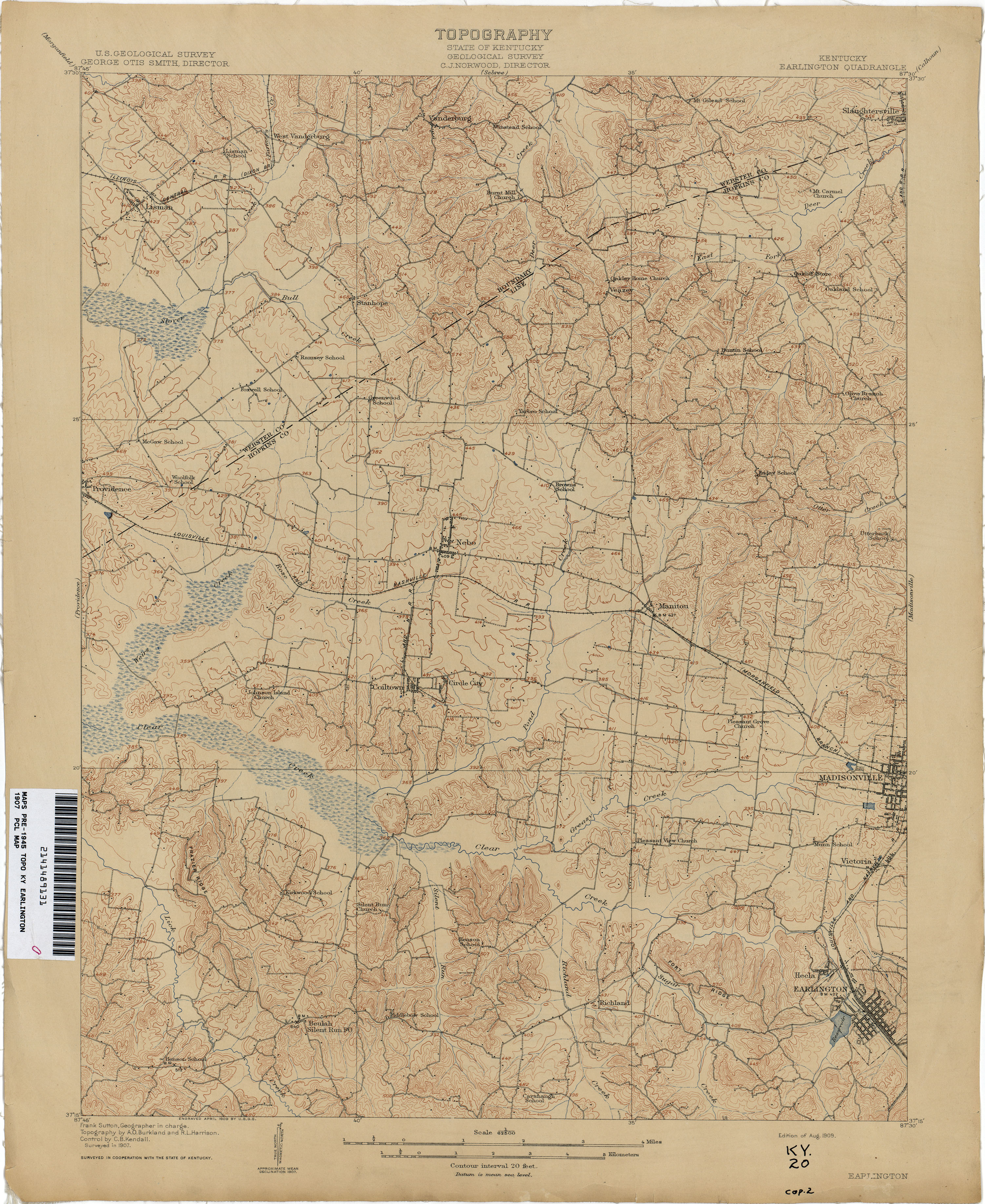
- Earlington 1907 1:62,500 (3.3MB)
- Eddyville 1928 1:62,500 (4.0MB)
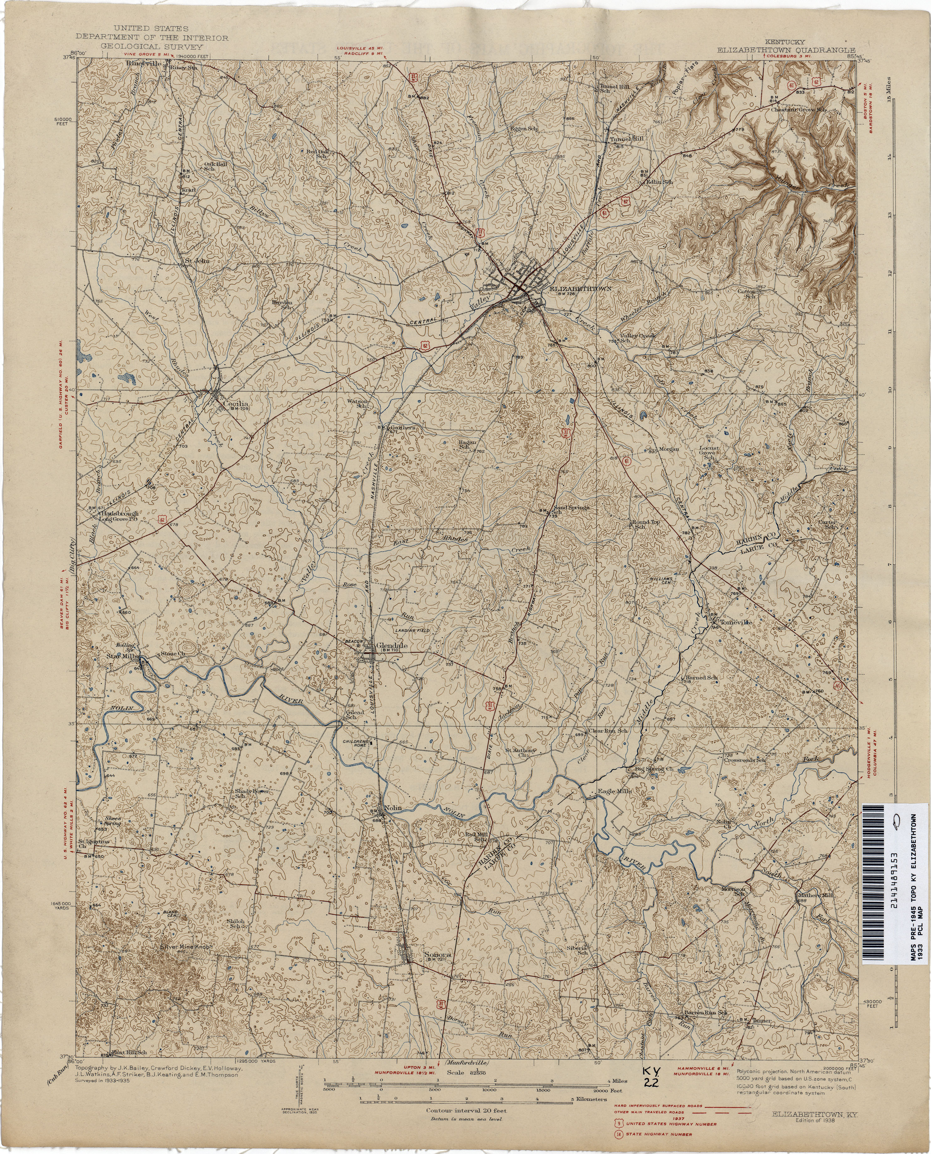
- Elizabethtown 1933 1:62,500 (3.4MB)
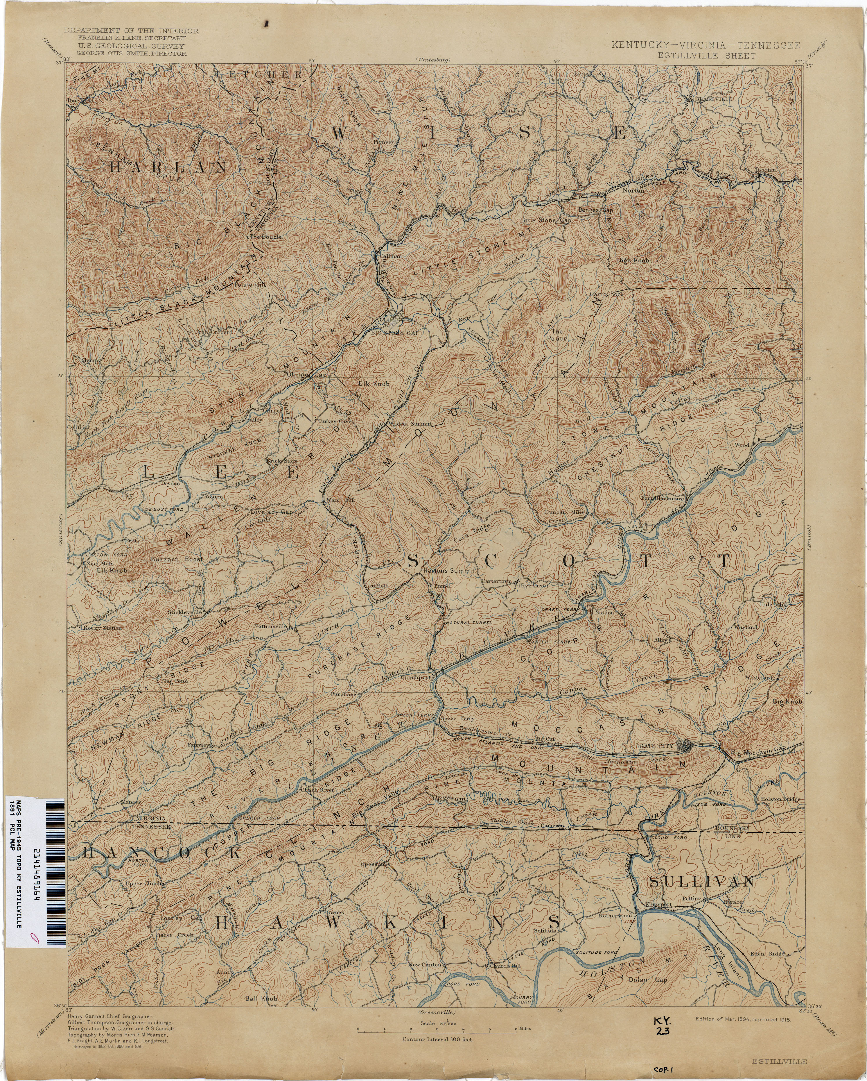
- Estillville 1891 1:125,000 (3.9MB)
- Falmouth 1930 1:62,500 (5.1MB)
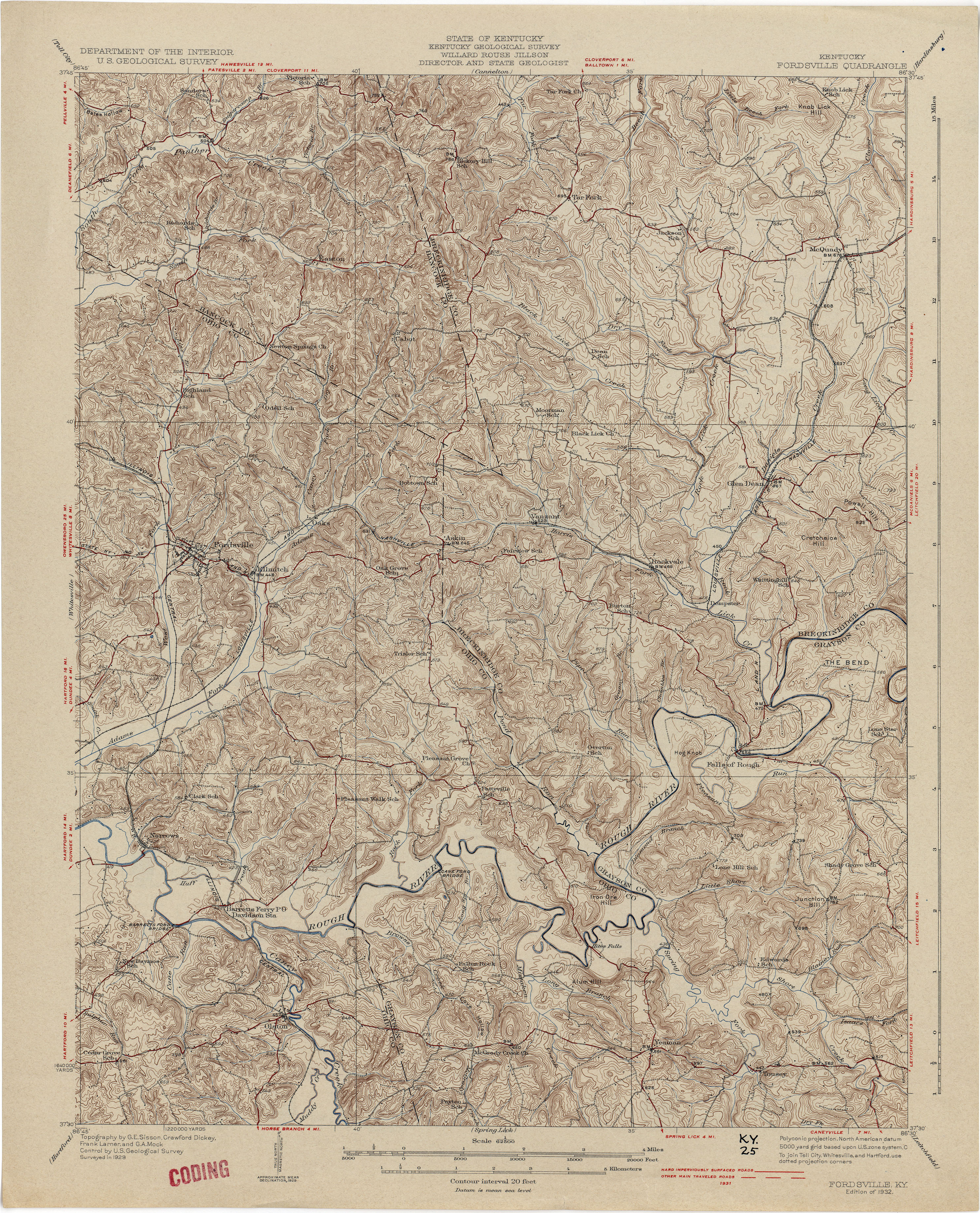
- Fordsville 1929 1:62,500 (4.4MB)
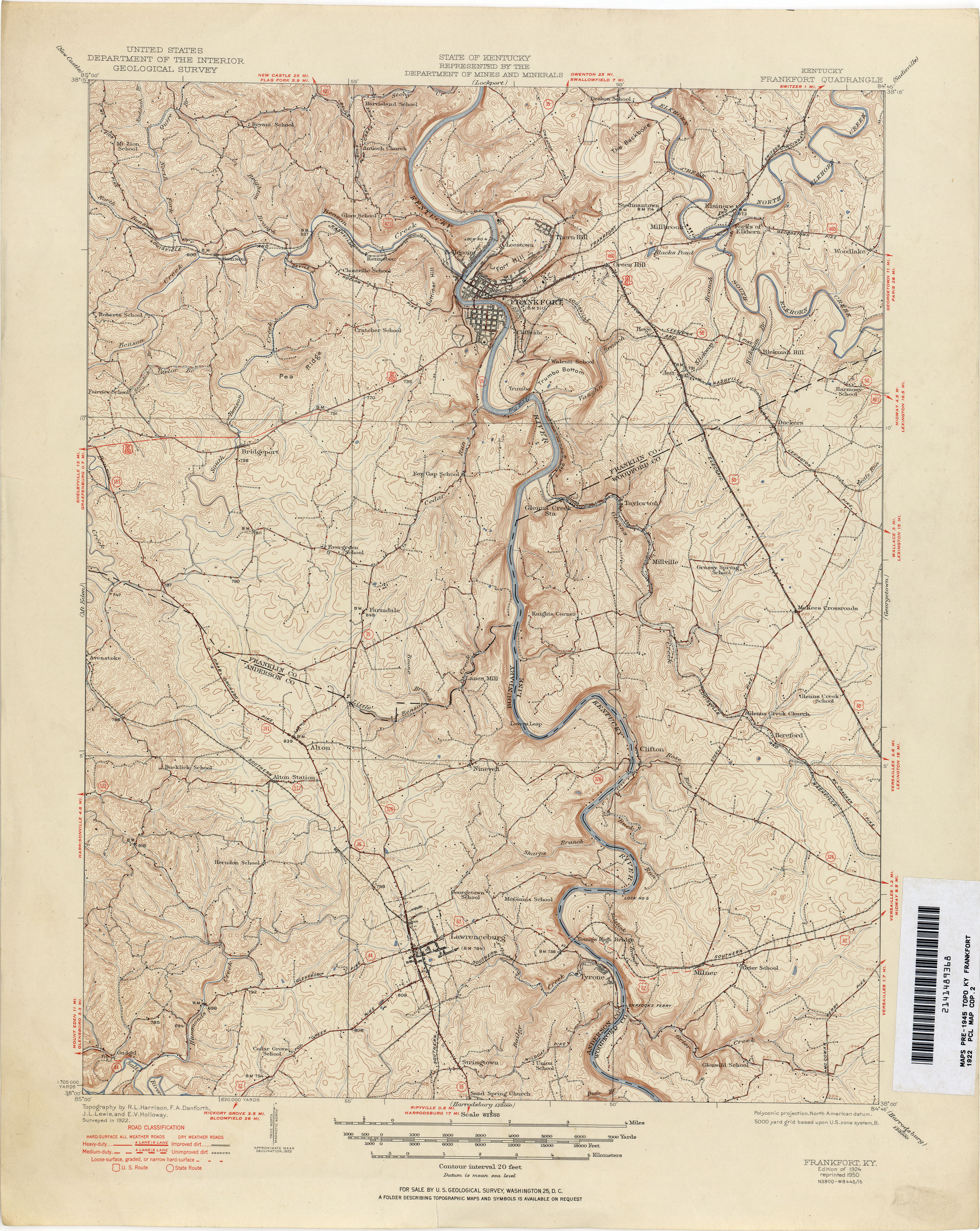
- Frankfort 1922 1:62,500 (3.8MB)
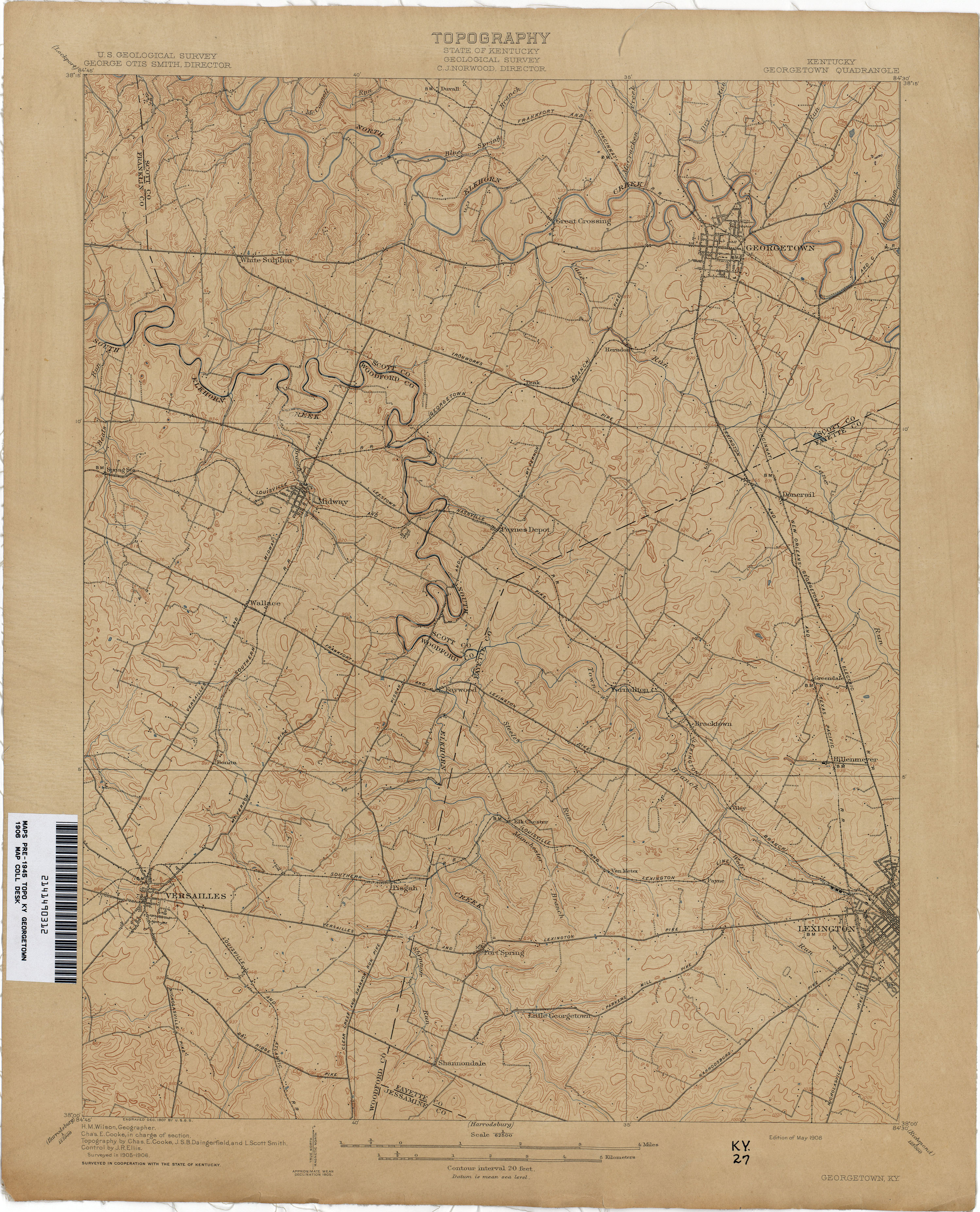
- Georgetown 1906 1:62,500 (2.9MB)
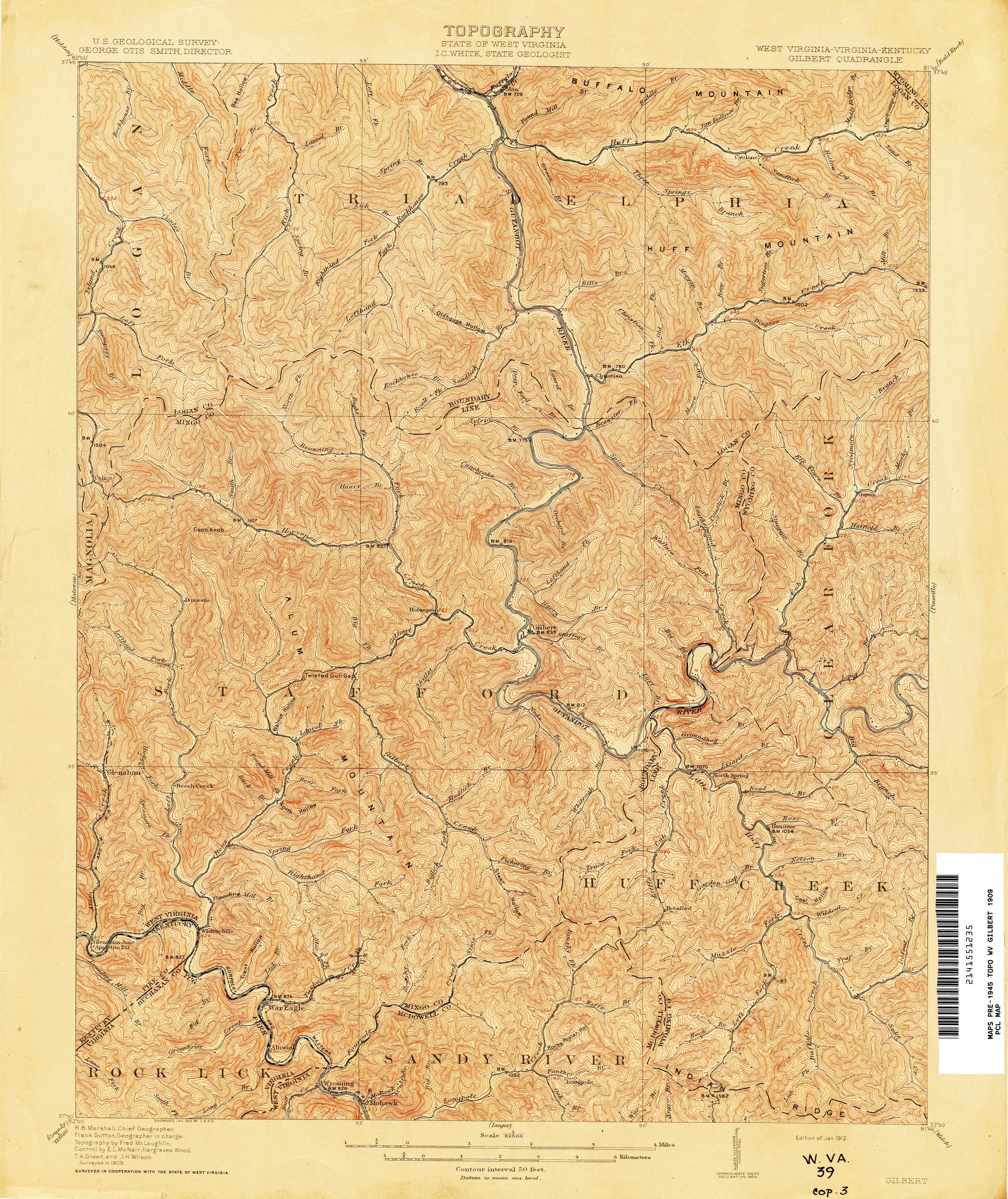
- Gilbert [West Virginia, Virginia, Kentucky] 1909 1:62,500 (5.0MB)
- Gilbert [West Virginia, Virginia, Kentucky] 1925 1:62,500 (5.5MB)
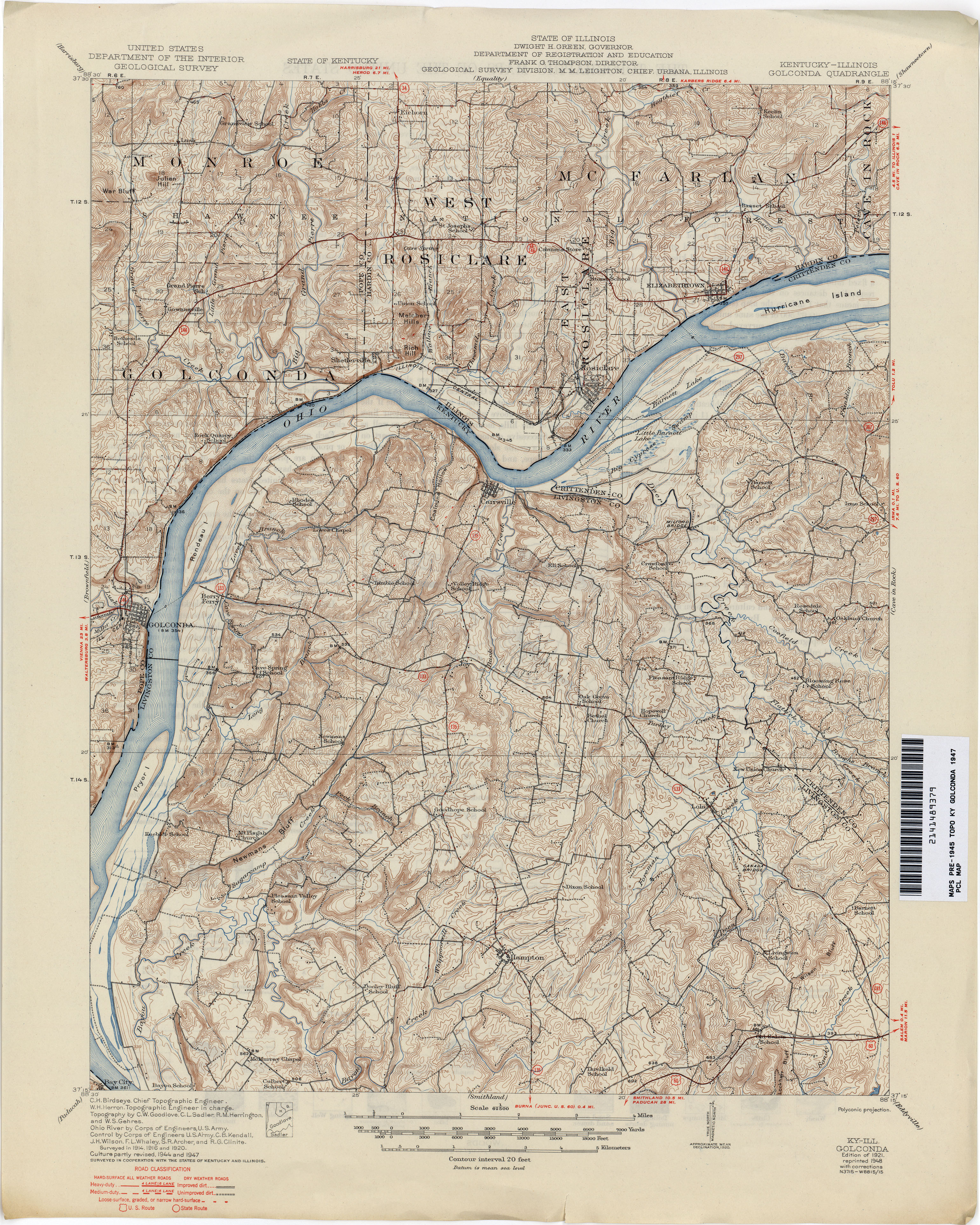
- Golconda 1947 1:62,500 (4.2MB)
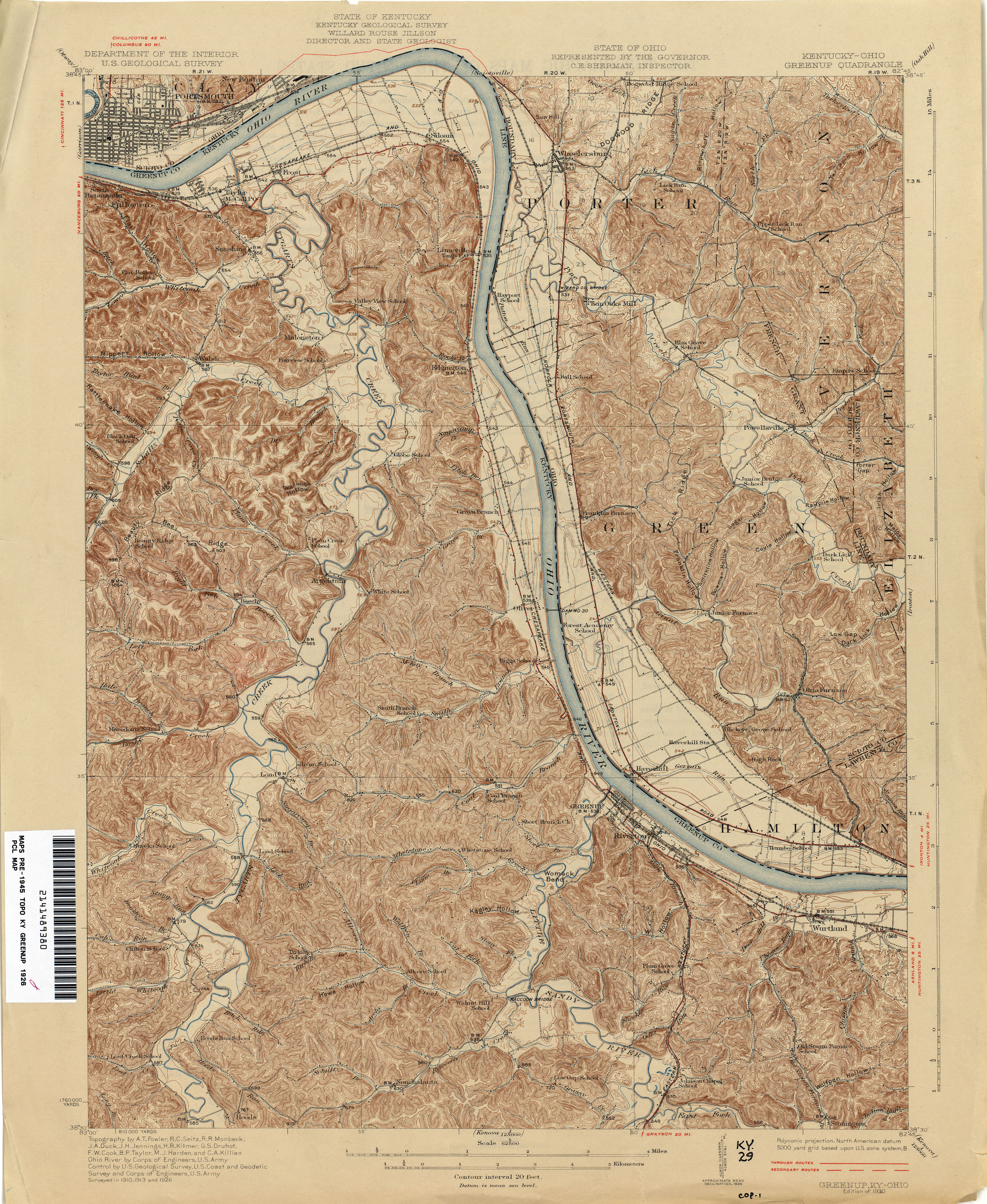
- Greenup 1926 1:62,500 (4.5MB)
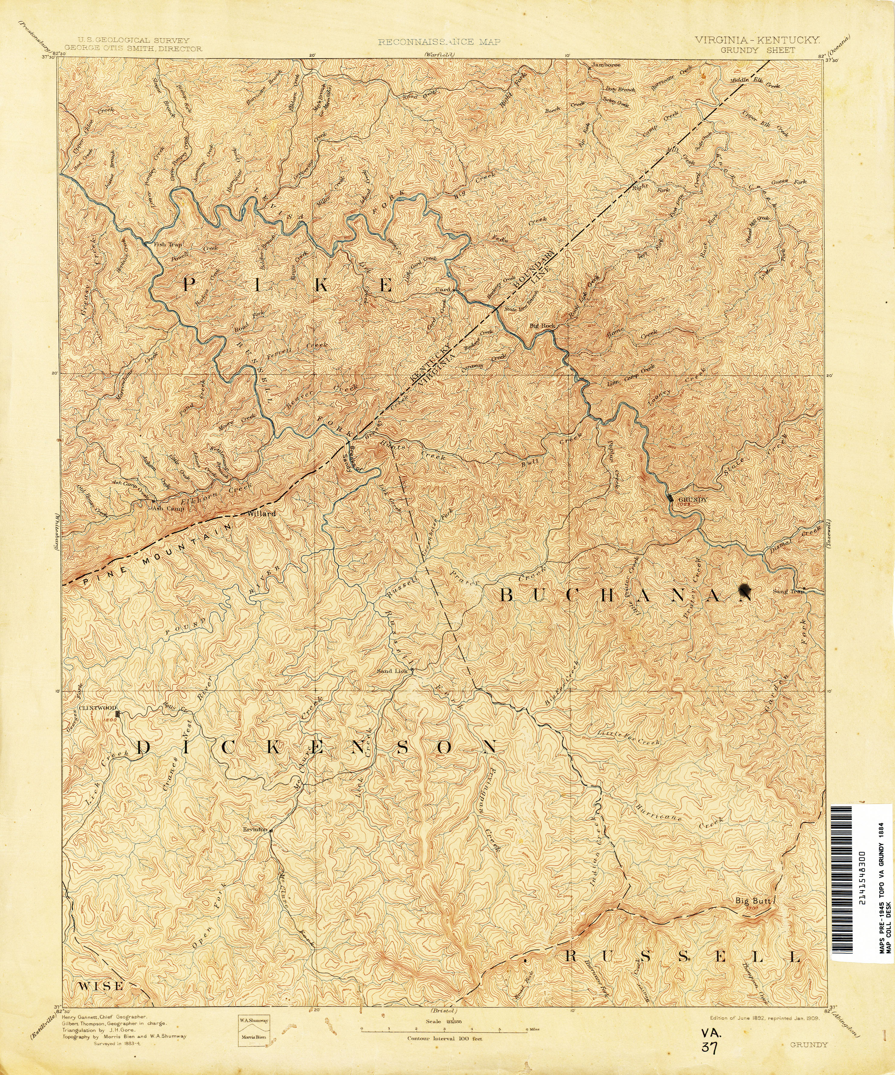
- Grundy [Virginia, Kentucky] 1884 1:125,000 (4.7MB)
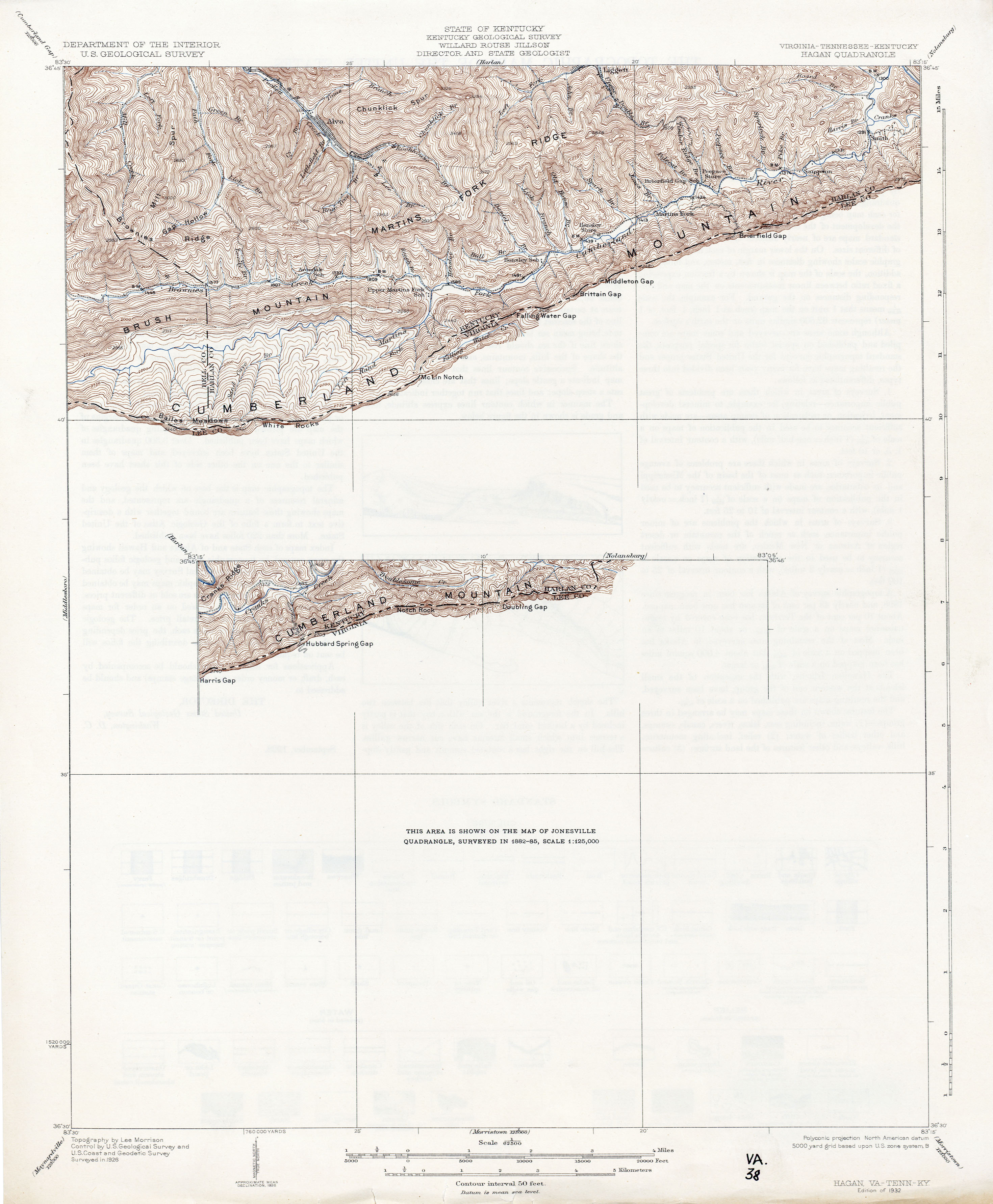
- Hagan [Virginia, Tennessee, Kentucky] 1926 1:62,500 (2.1MB)
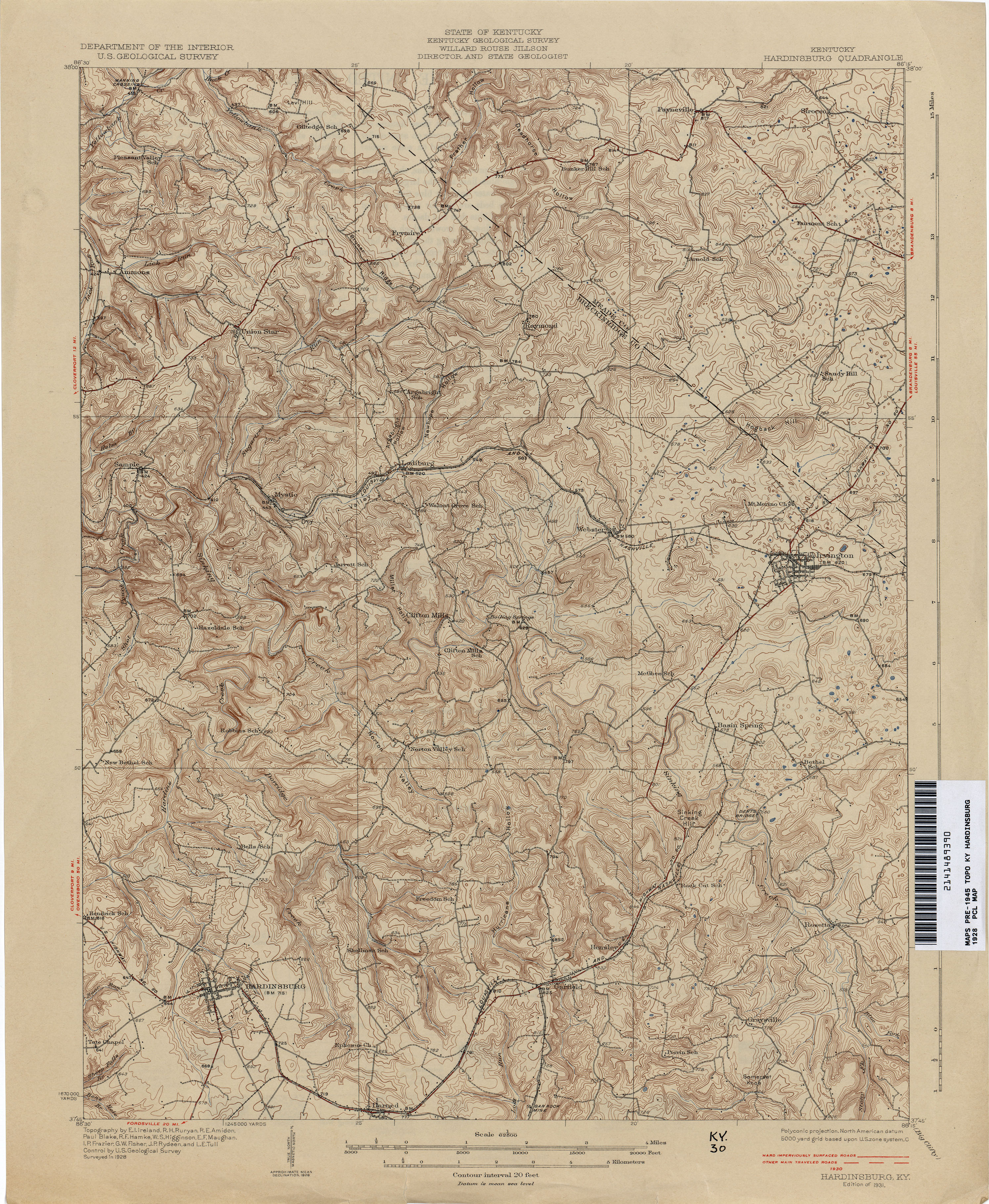
- Hardinsburg 1928 1:62,500 (3.9MB)
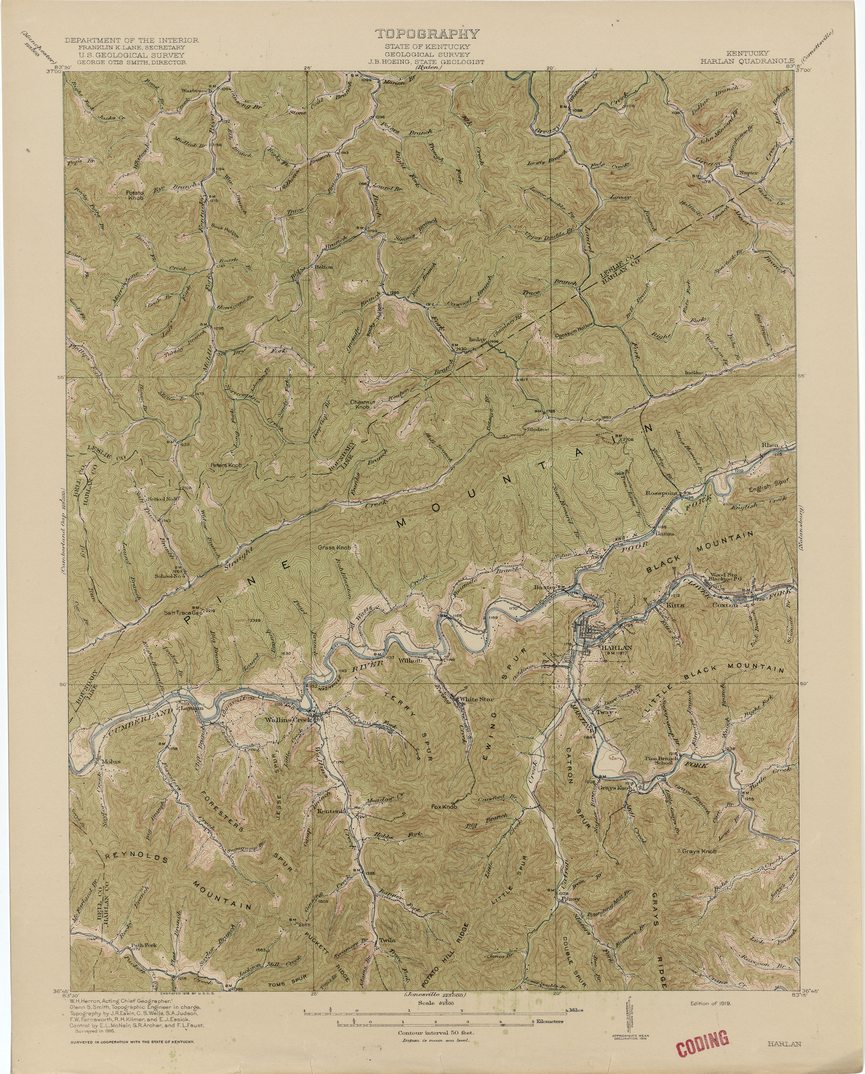
- Harlan 1916 1:62,500 (3.8MB)
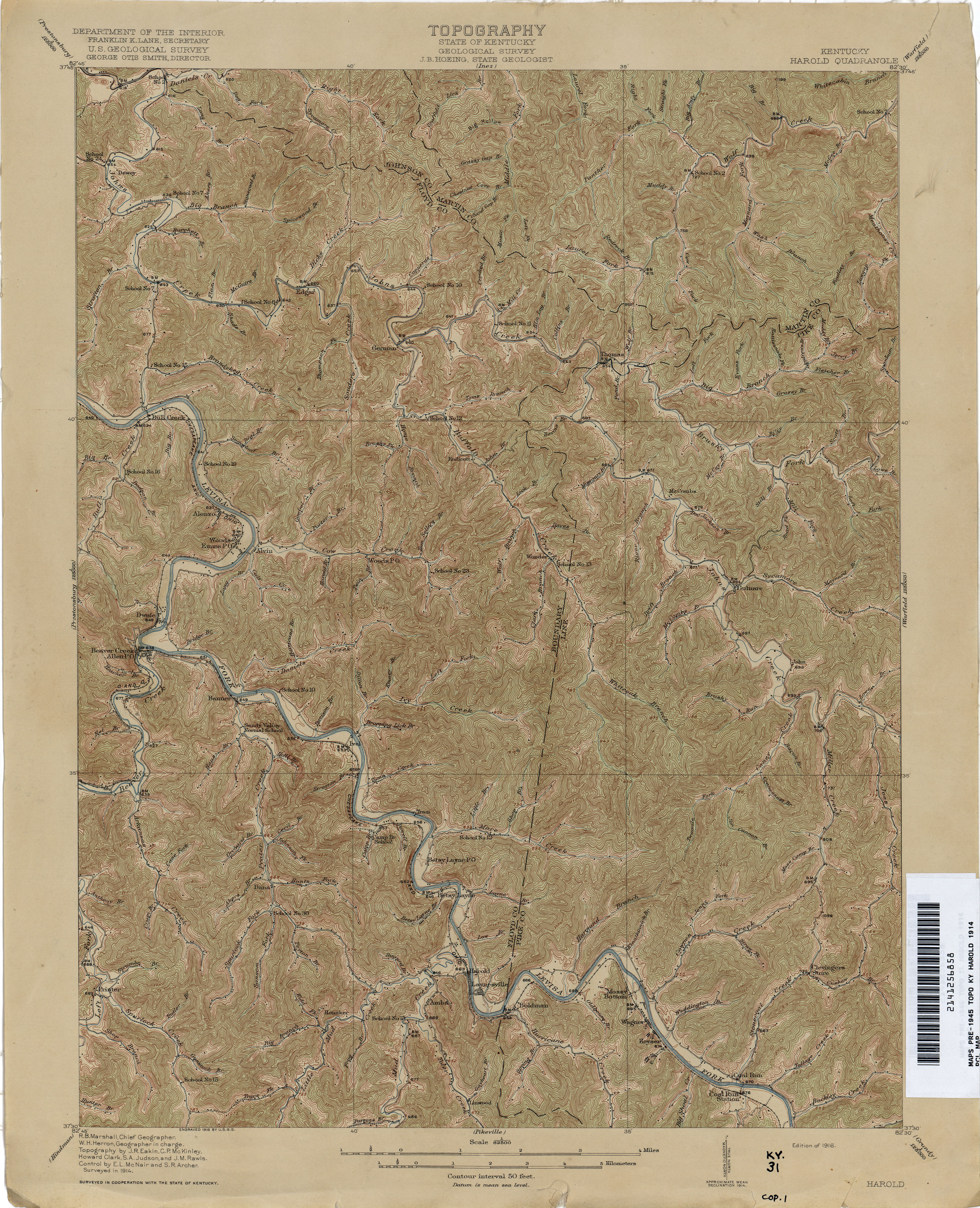
- Harold 1914 1:62,500 (4.2MB)
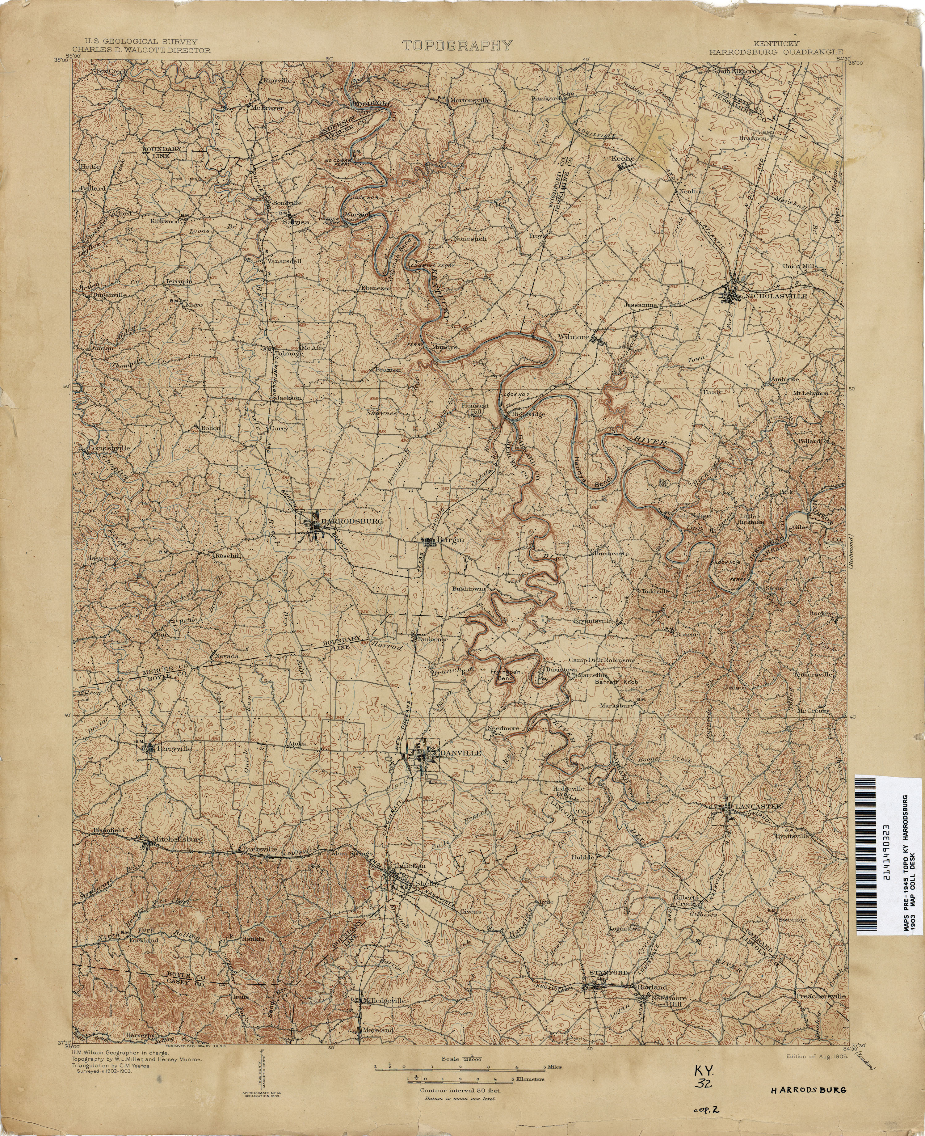
- Harrodsburg 1903 1:125,000 (4.0MB)
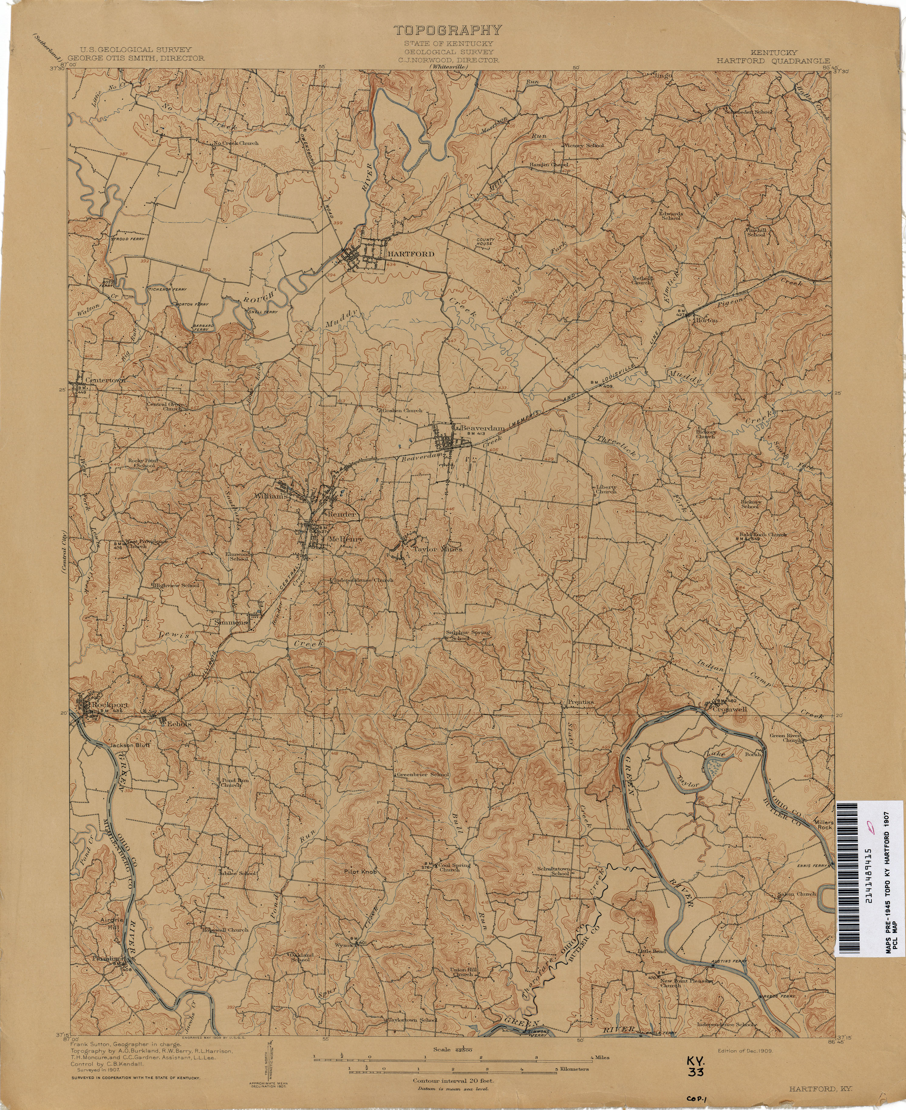
- Hartford 1907 1:62,500 (3.2MB)
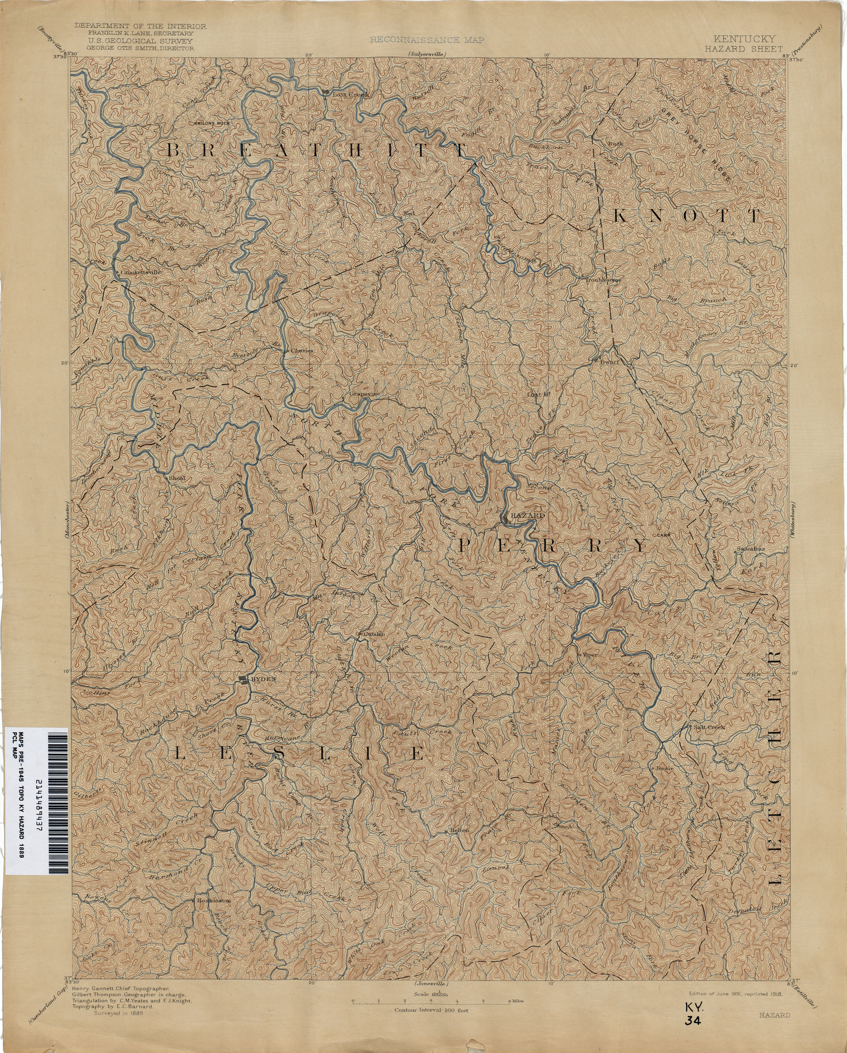
- Hazard 1889 1:125,000 (4.1MB)
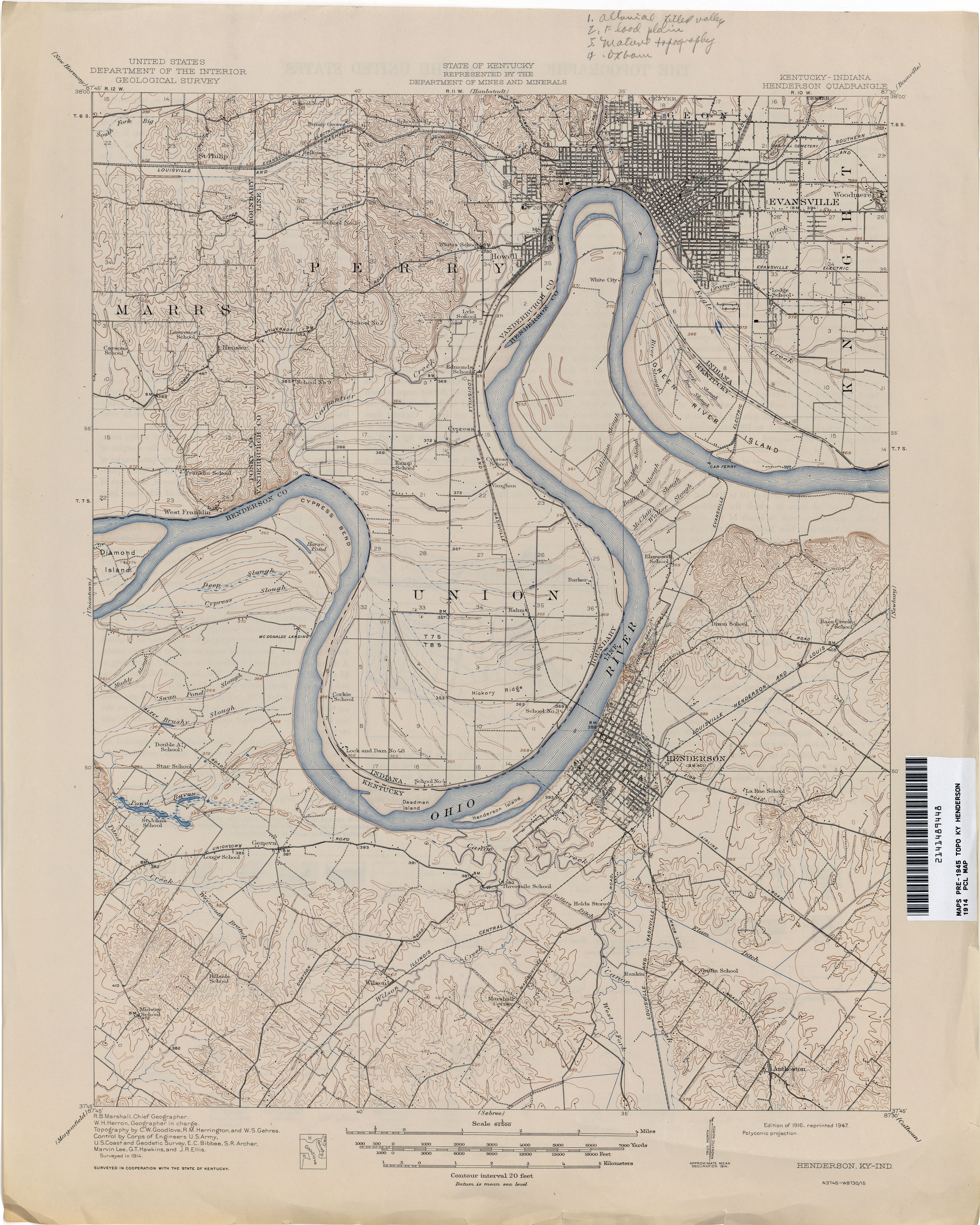
- Henderson 1914 1:62,500 (3.1MB)
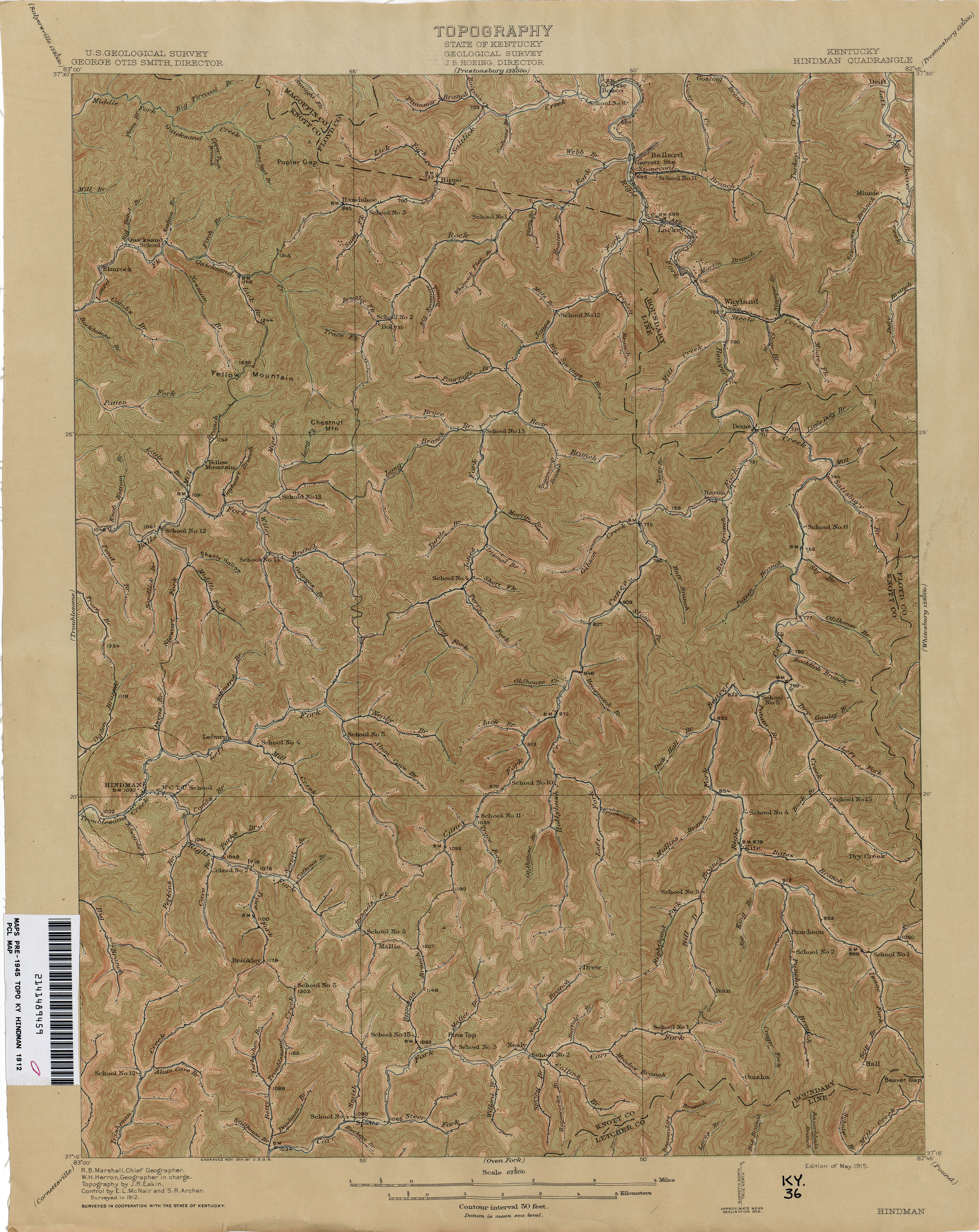
- Hindman 1912 1:62,500 (3.9MB)
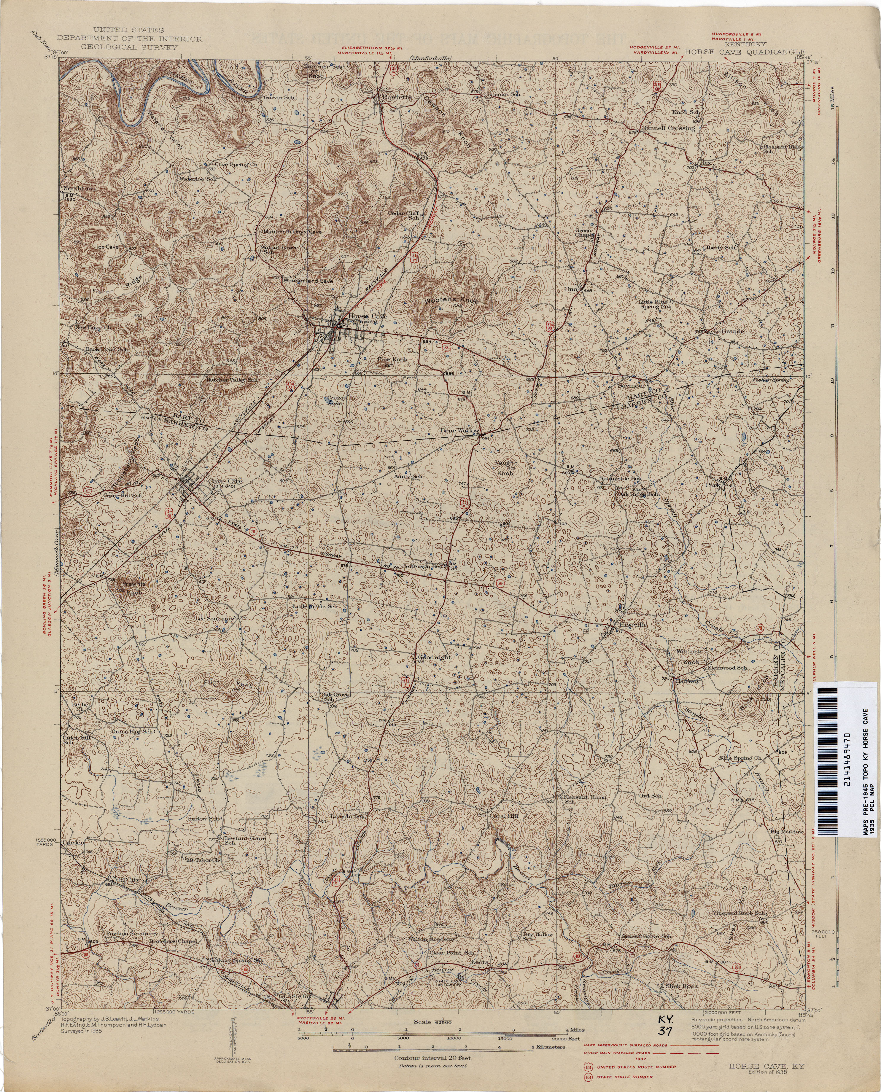
- Horse Cave 1935 1:62,500 (3.9MB)
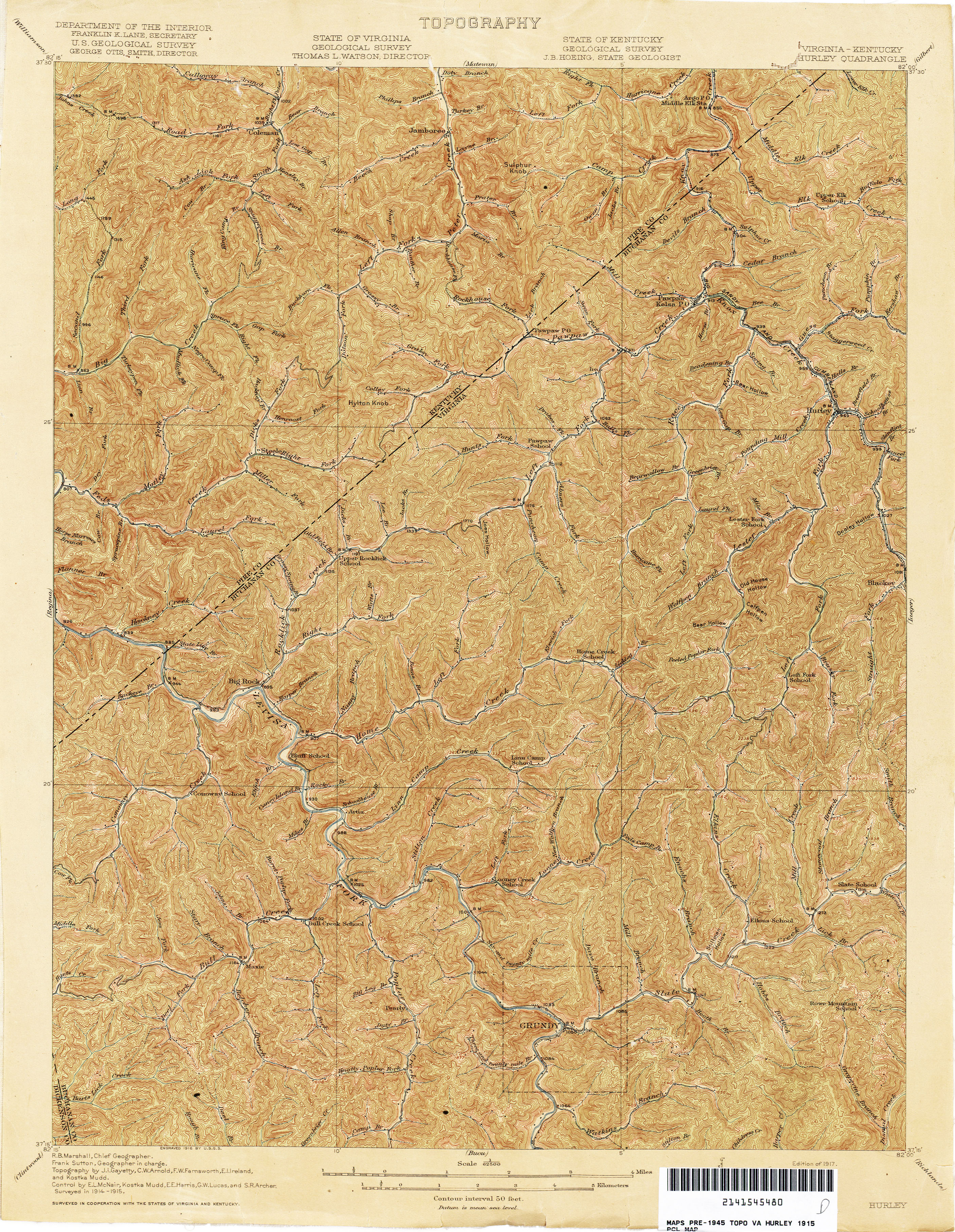
- Hurley [Virginia, Kentucky] 1915 1:62,500 (4.8MB)
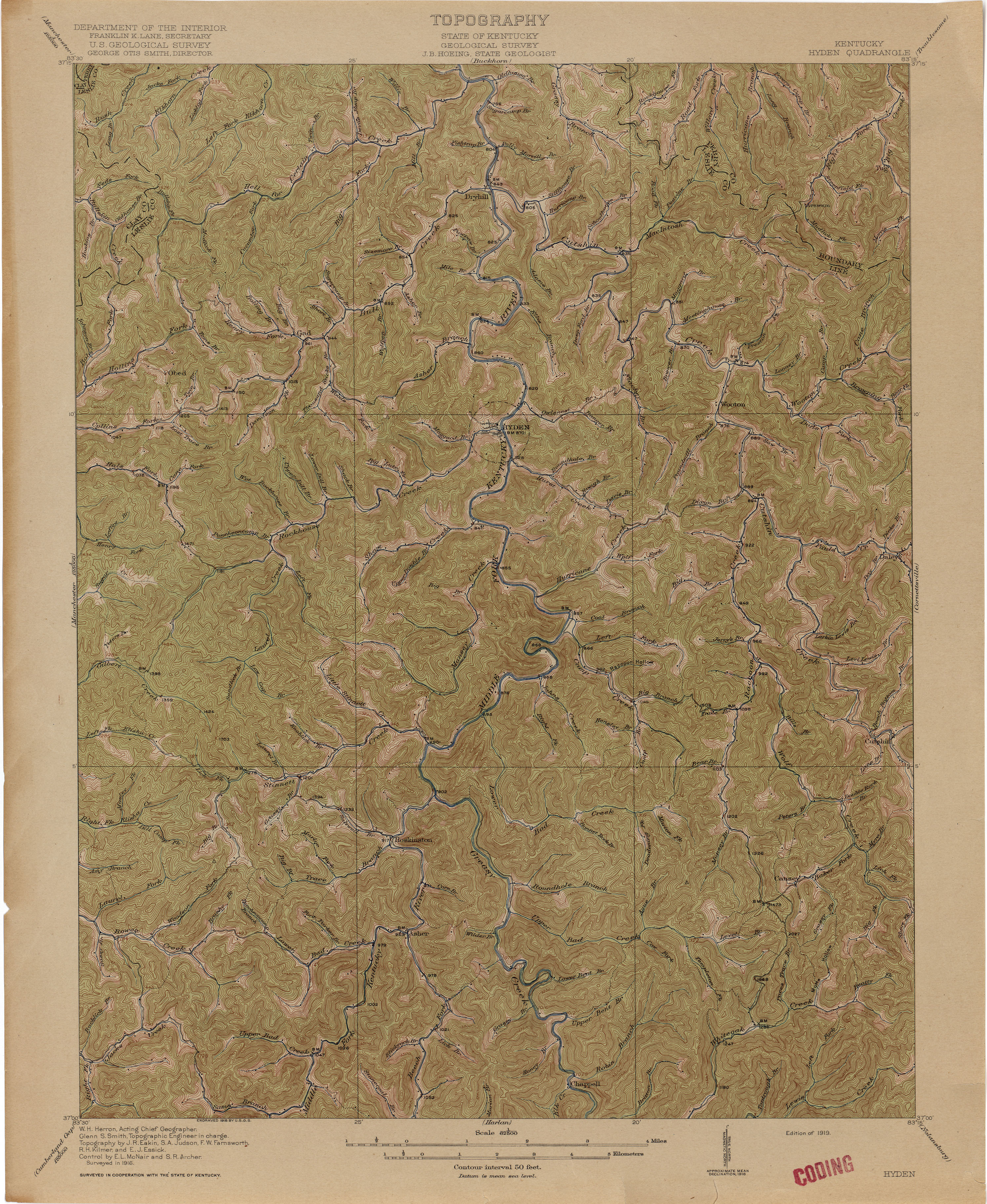
- Hyden 1916 1:62,500 (4.0MB)
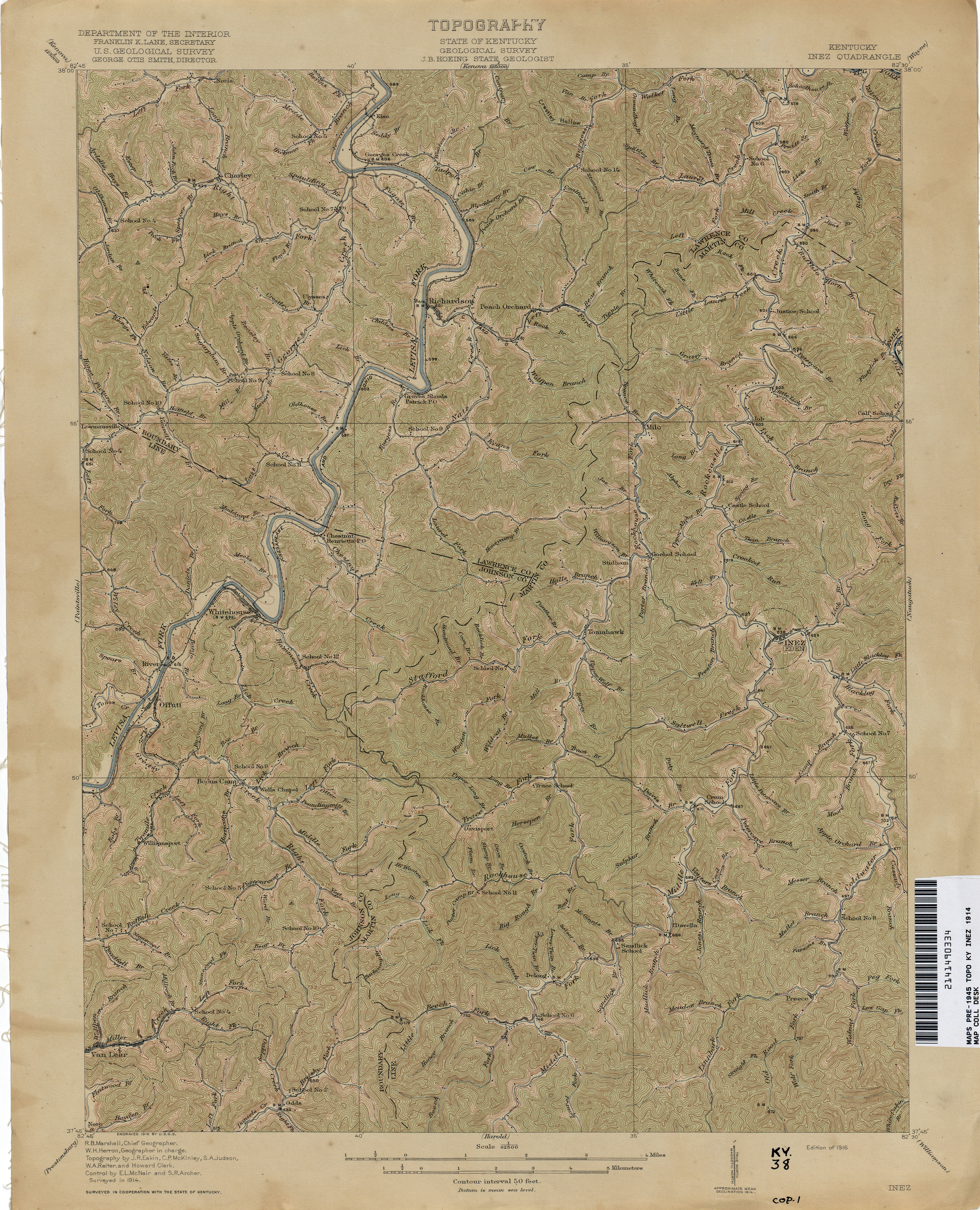
- Inez 1914 1:62,500 (3.9MB)
- Jonesville 1885 1:125,000 (3.4MB)
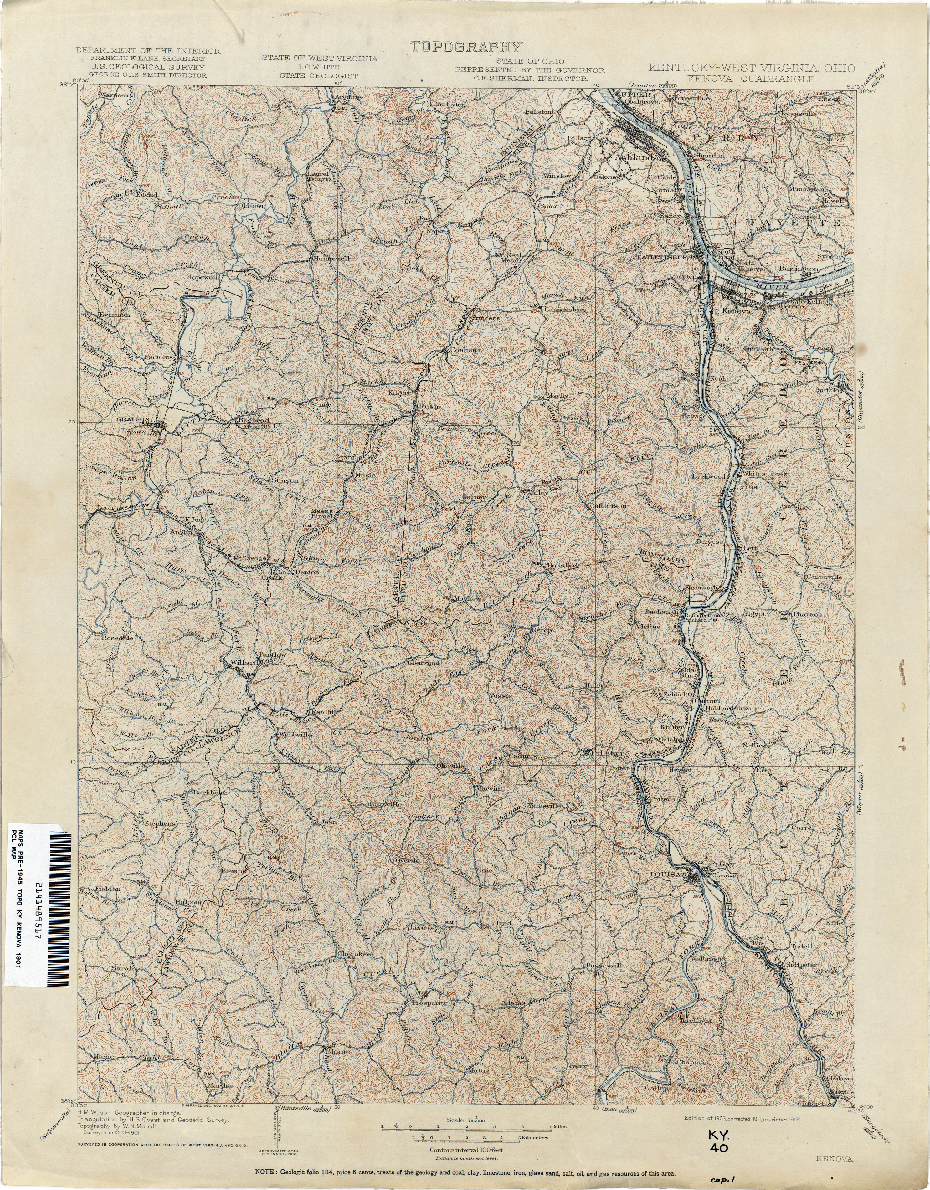
- Kenova 1901 1:125,000 (4.6MB)
- Kosmosdale 1910 1:62,500 (3.4MB)
- La Center 1928 1:62,500 (2.9MB)
- La Grange 1928 1:62,500 (3.8MB)
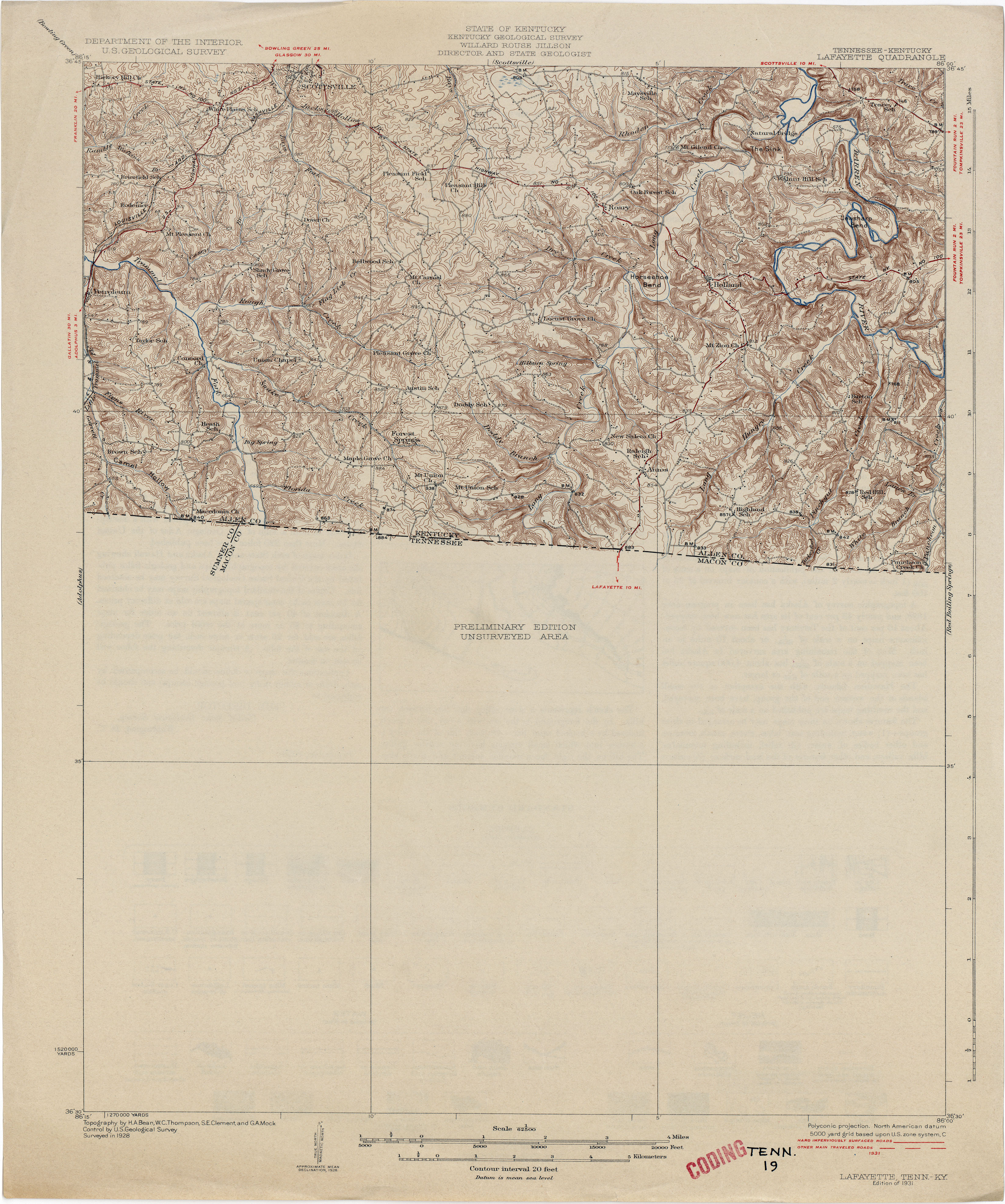
- Lafayette [Tennessee, Kentucky] 1928 1:62,500 (3.6MB)
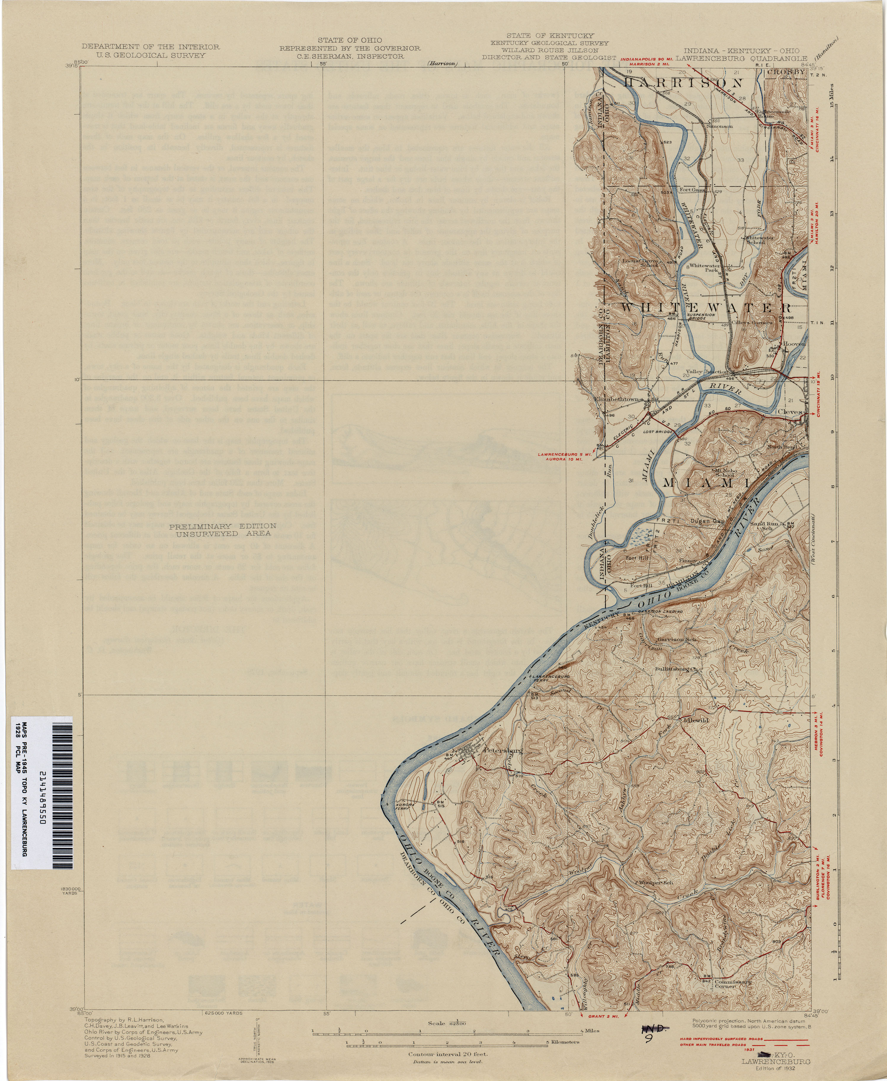
- Lawrenceburg 1928 1:62,500 (2.1MB)
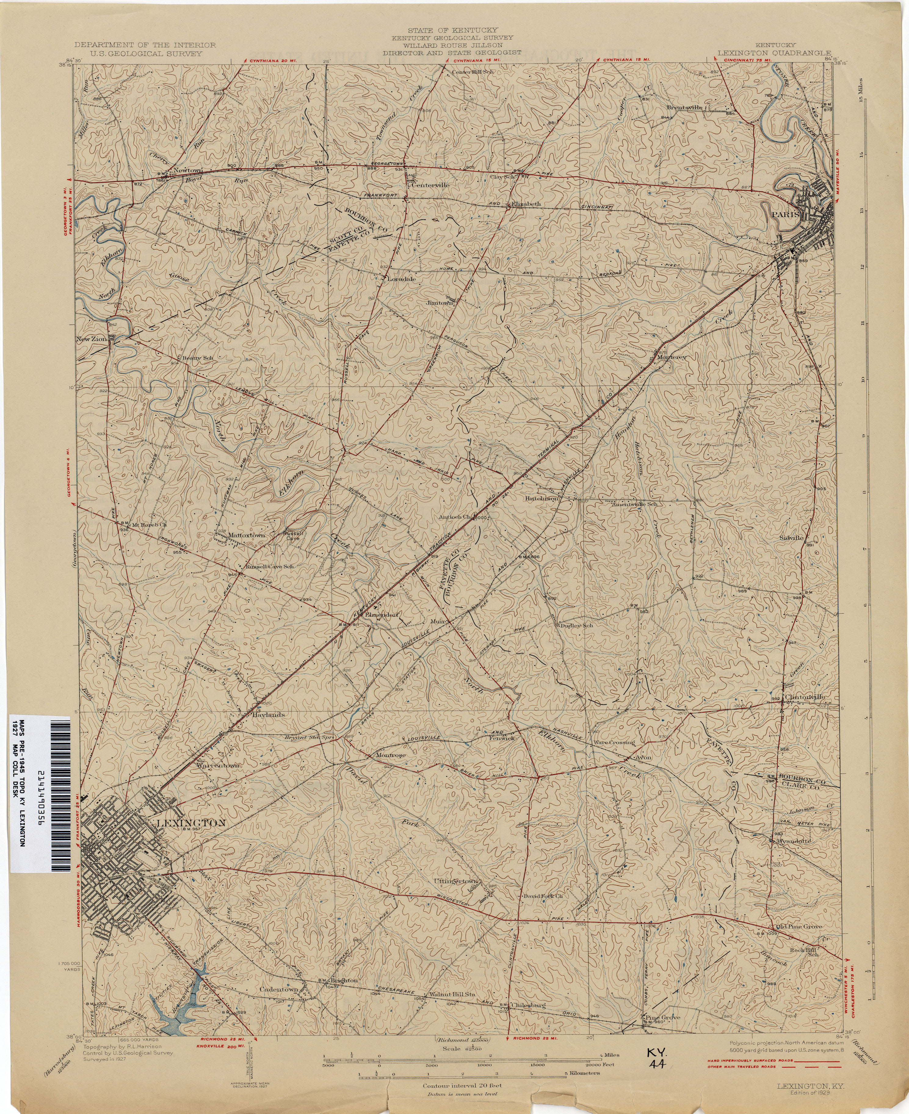
- Lexington 1927 1:62,500 (3.0MB)
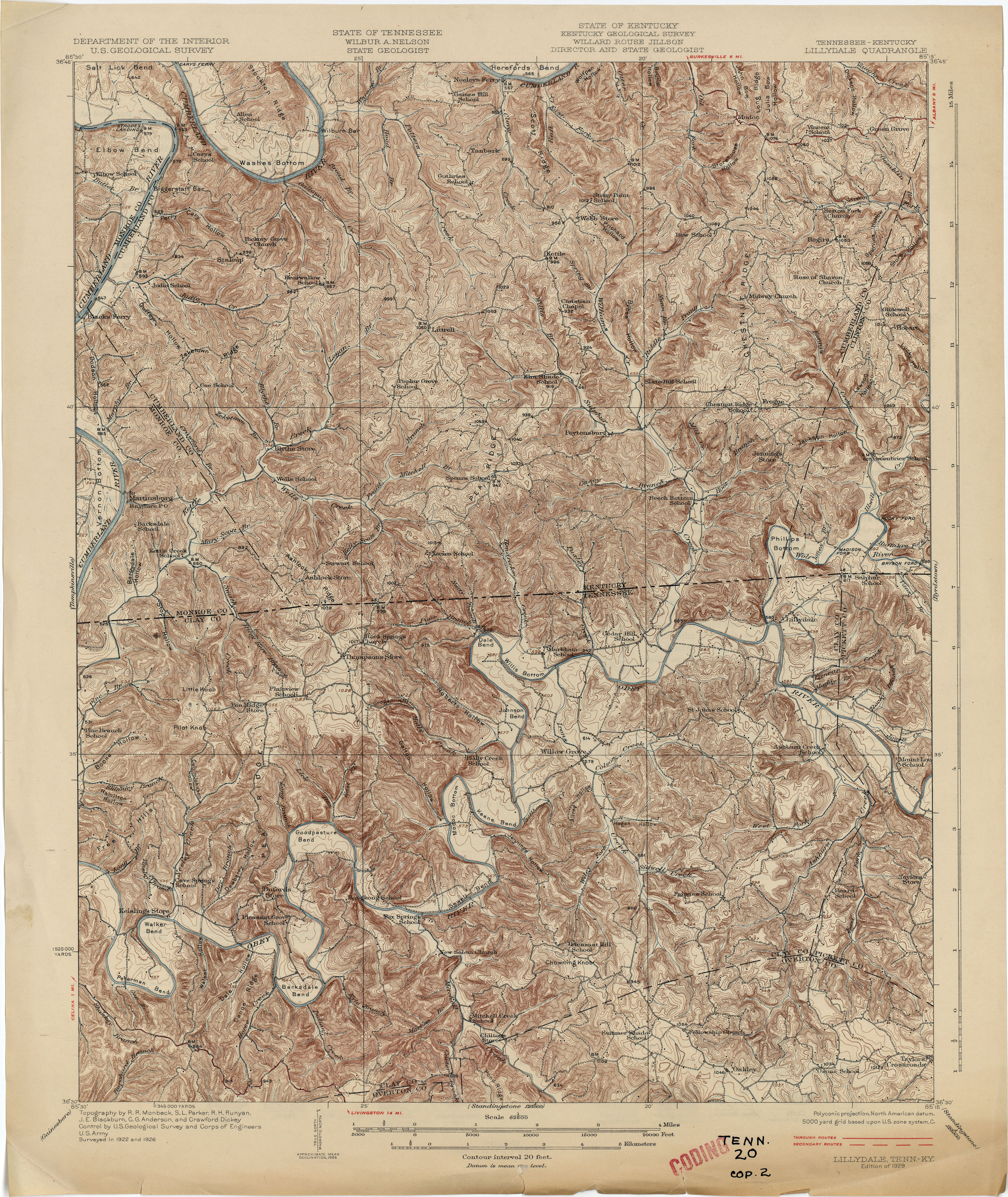
- Lillydale [Tennessee, Kentucky] 1926 1:62,500 (6.0MB)
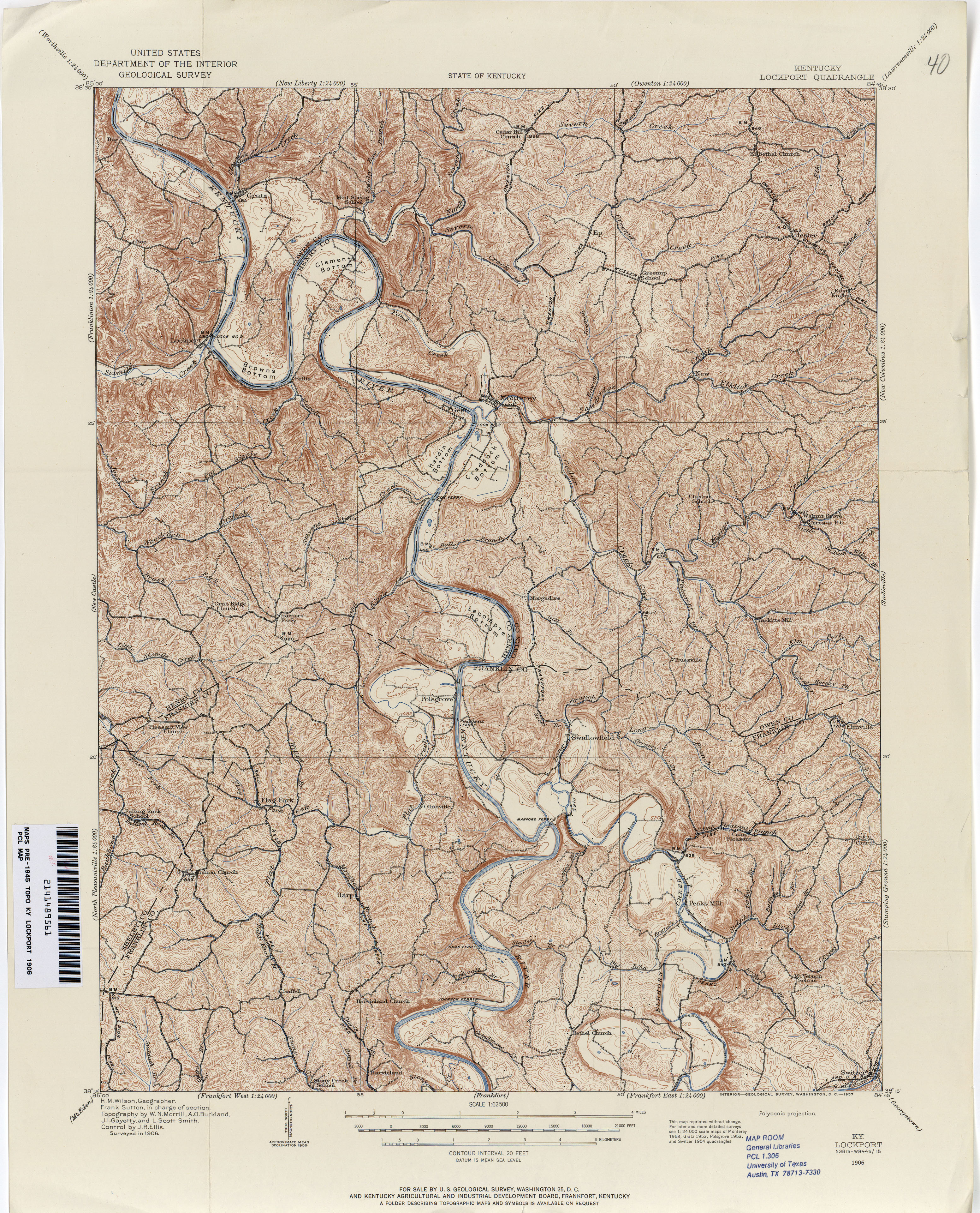
- Lockport 1906 1:62,500 (4.7MB)
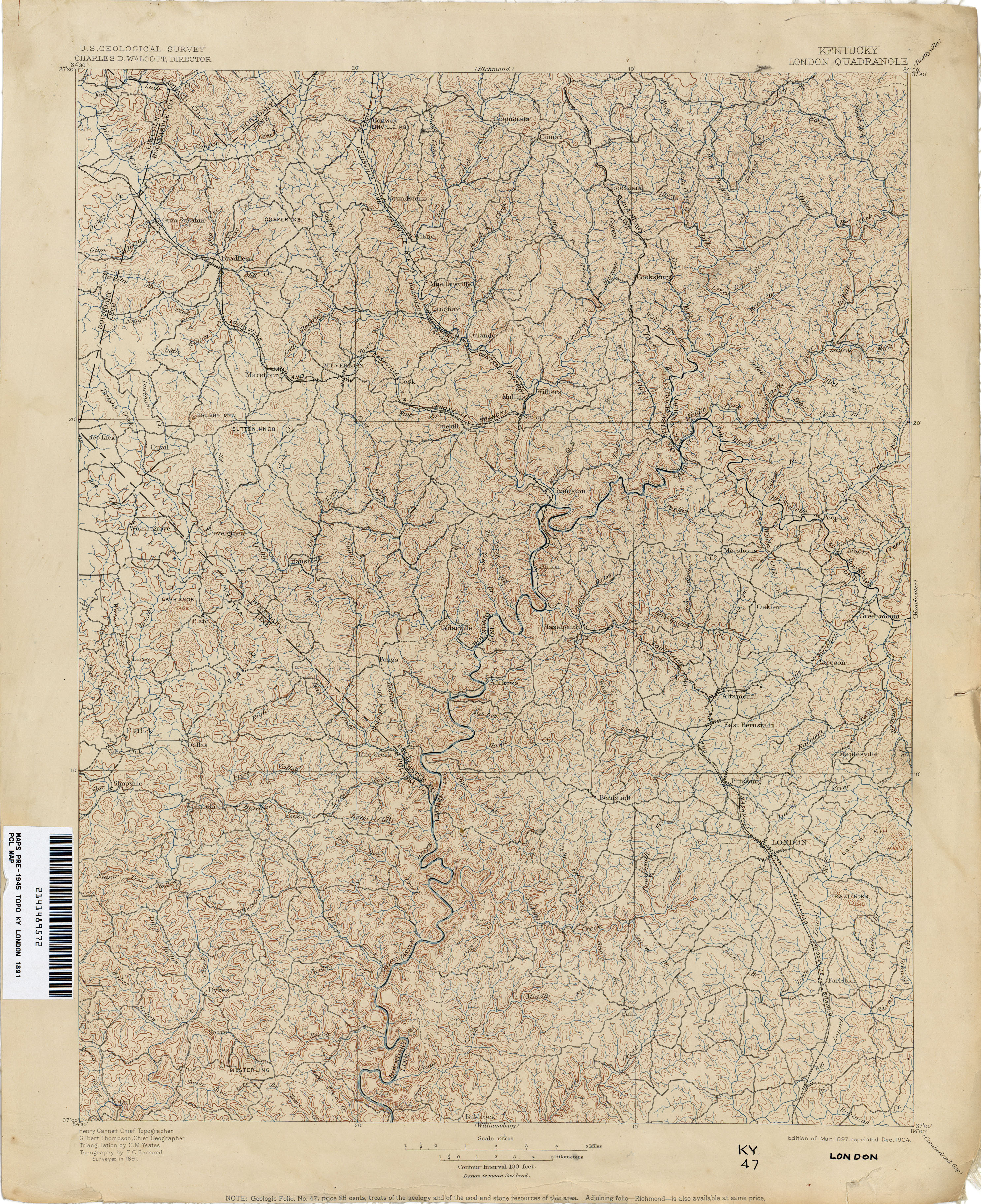
- London 1891 1:125,000 (4.2MB)
- Louisville 1905 1:62,500 (2.9MB)
- Madisonville 1907 1:62,500 (2.6MB)
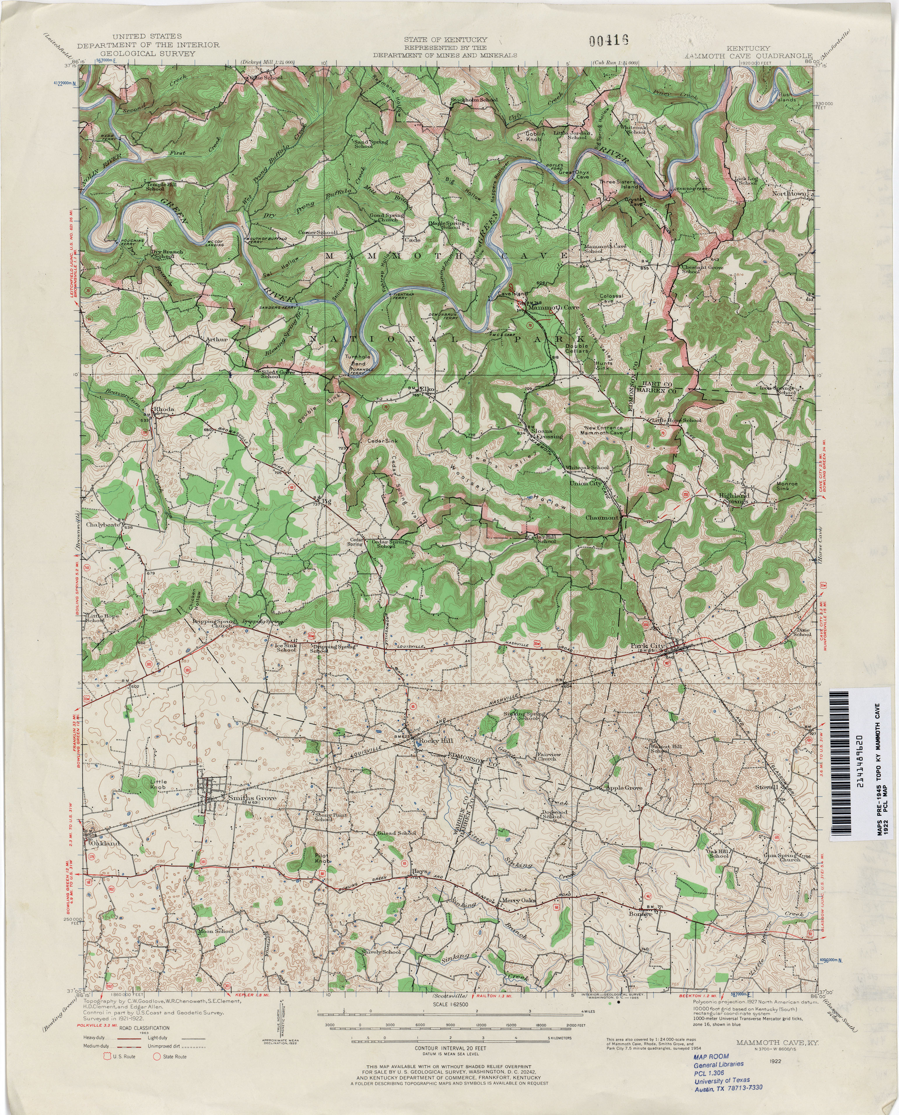
- Mammoth Cave 1922 1:62,500 (3.6MB)
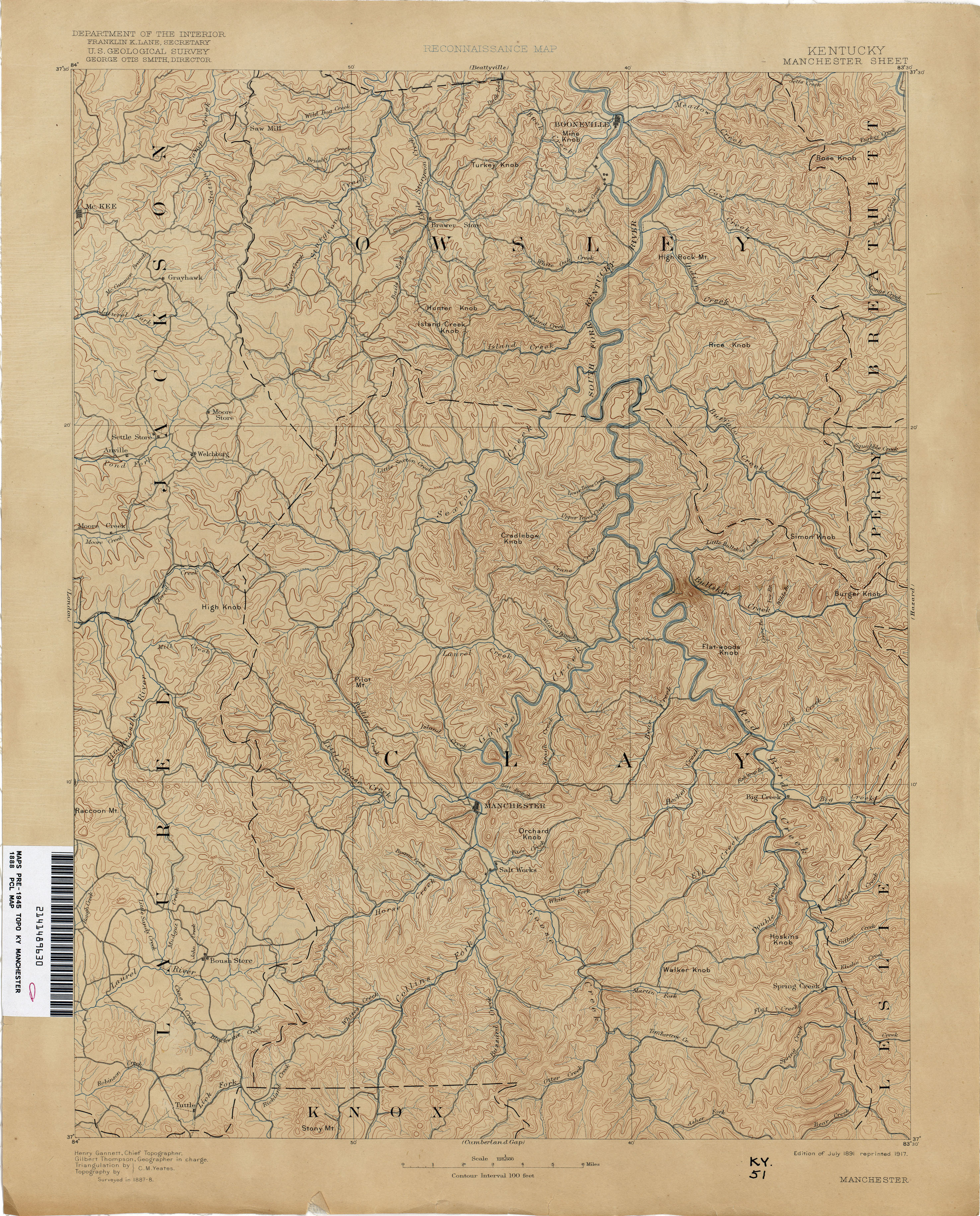
- Manchester 1888 1:125,000 (3.6MB)
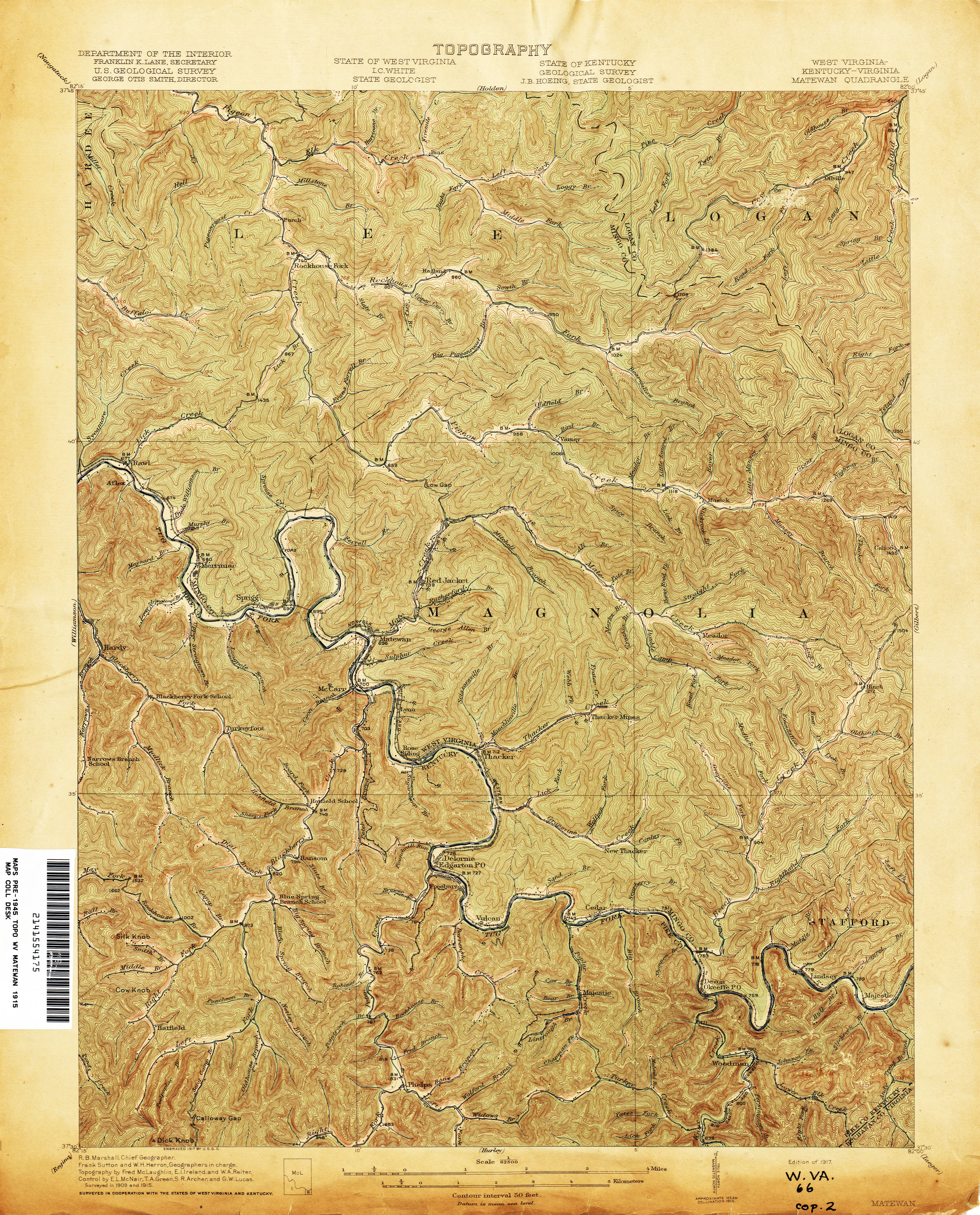
- Matewan [West Virginia, Kentucky, Virginia] 1915 1:62,500 (4.4MB)
- Matewan [West Virginia, Kentucky, Virginia] 1926 1:62,500 (4.8MB)
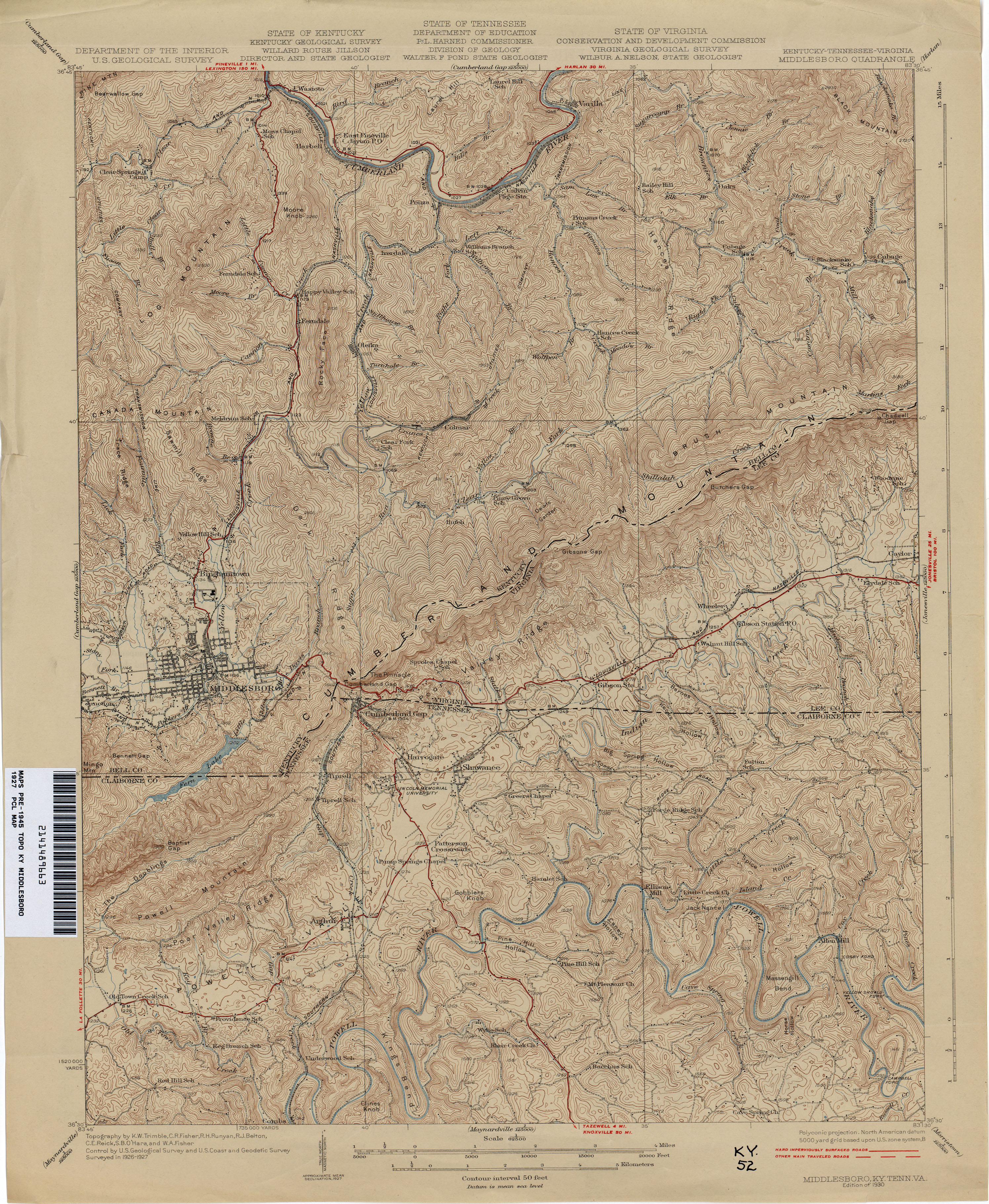
- Middlesboro 1927 1:62,500 (4.0MB)
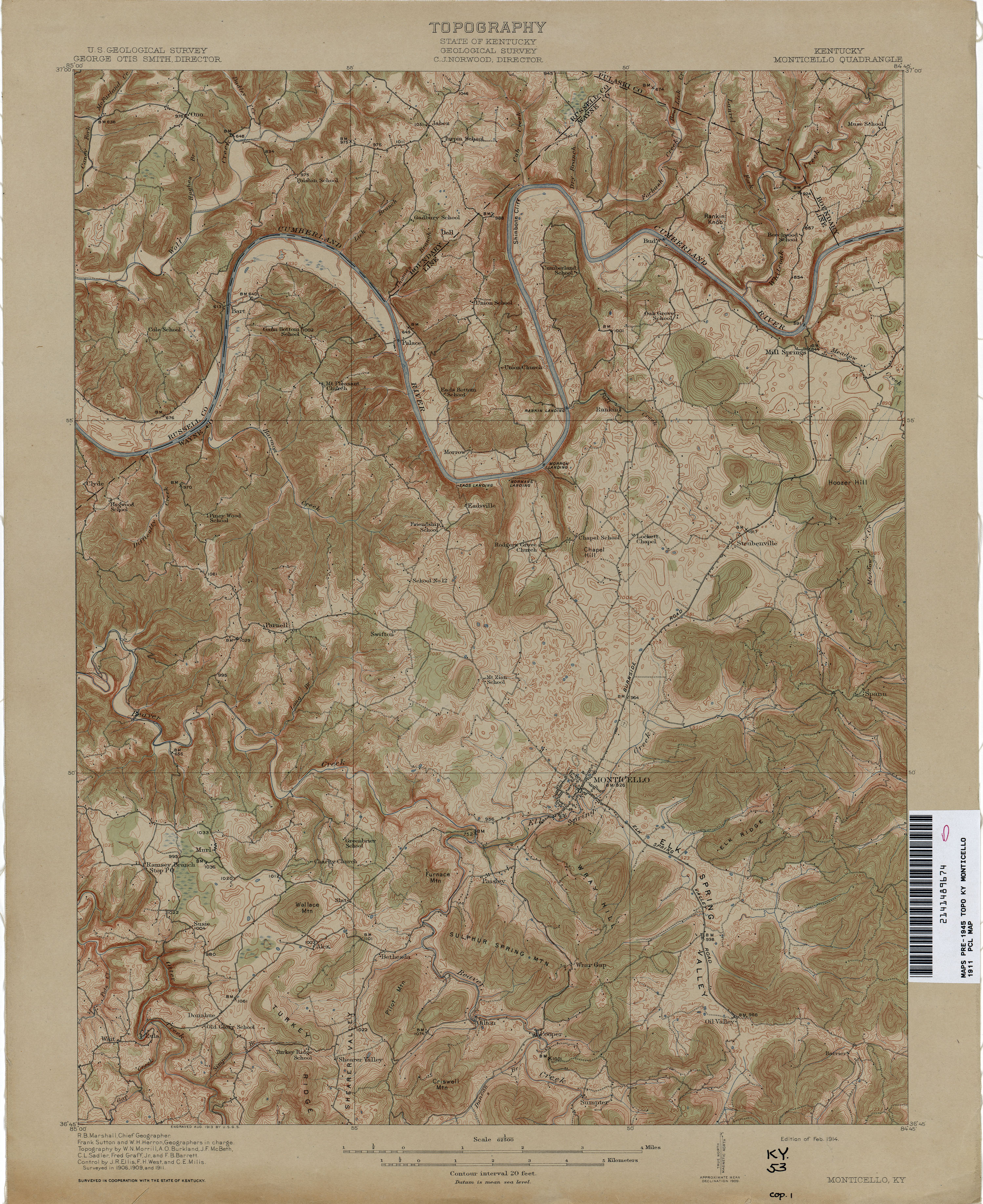
- Monticello 1911 1:62,500 (3.7MB)
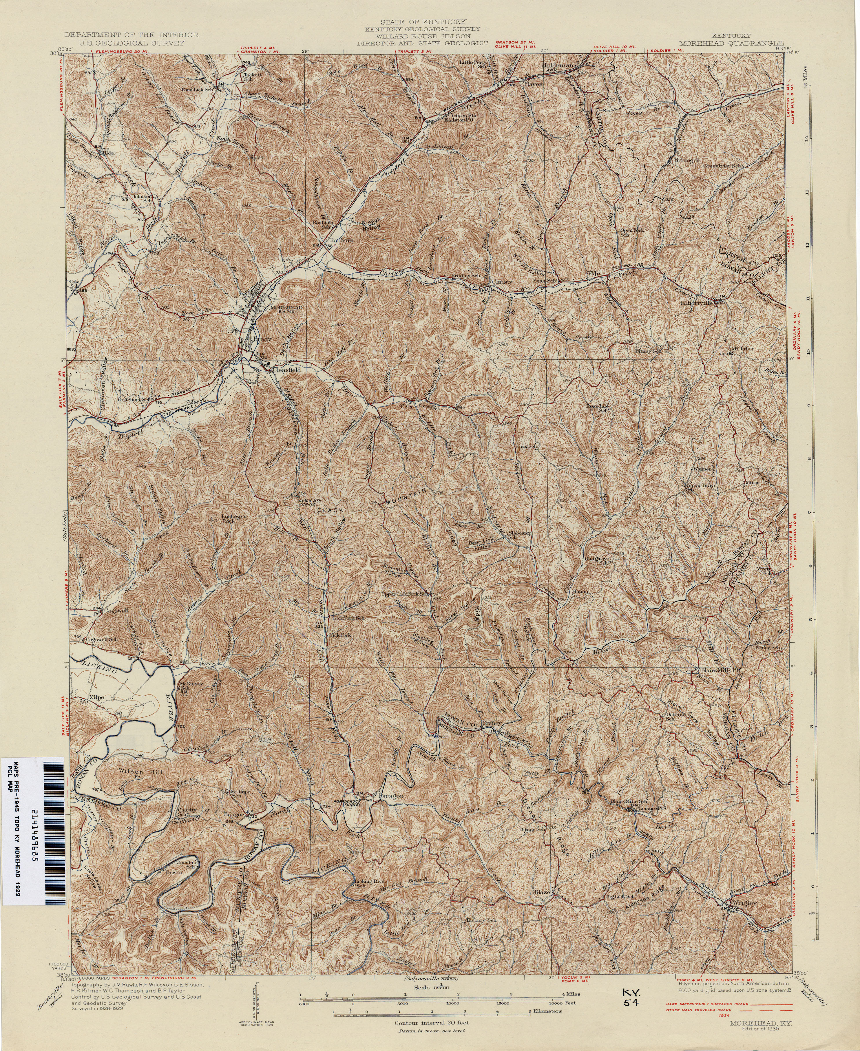
- Morehead 1929 1:62,500 (4.7MB)
- Morganfield 1906 1:62,500 (2.9MB)
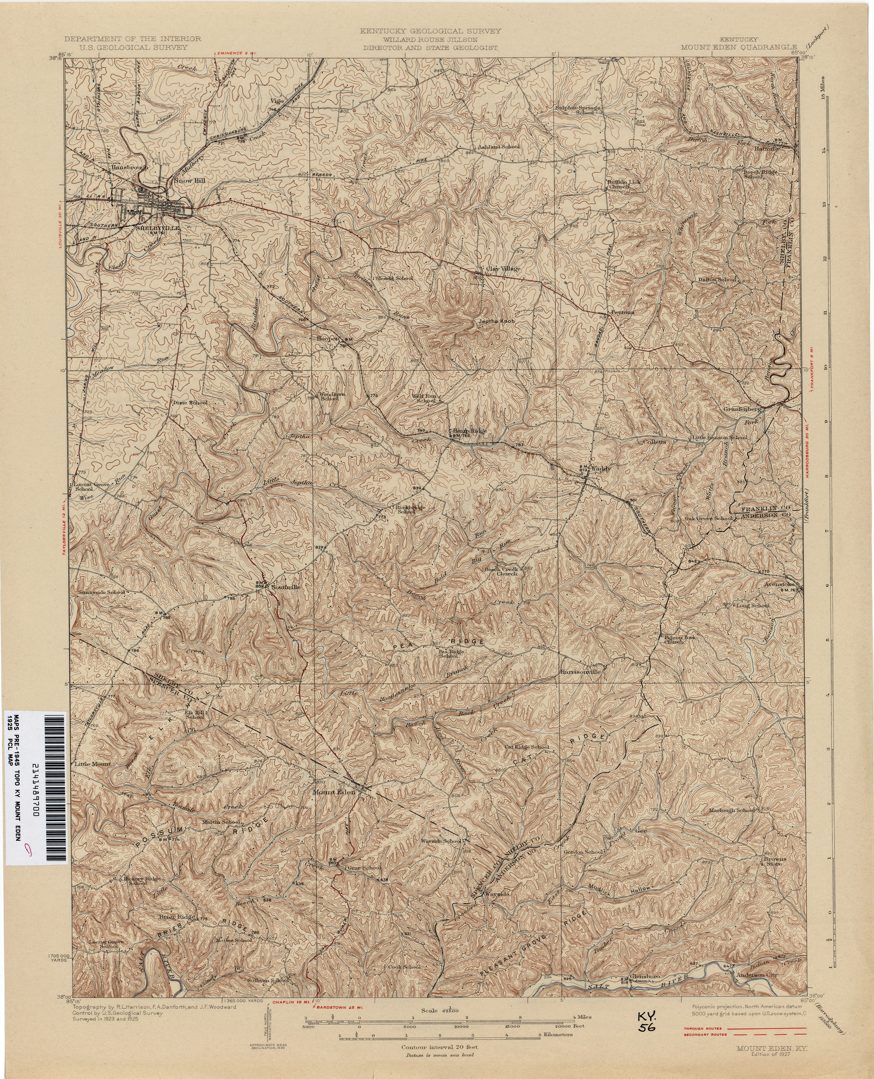
- Mount Eden 1925 1:62,500 (4.2MB)
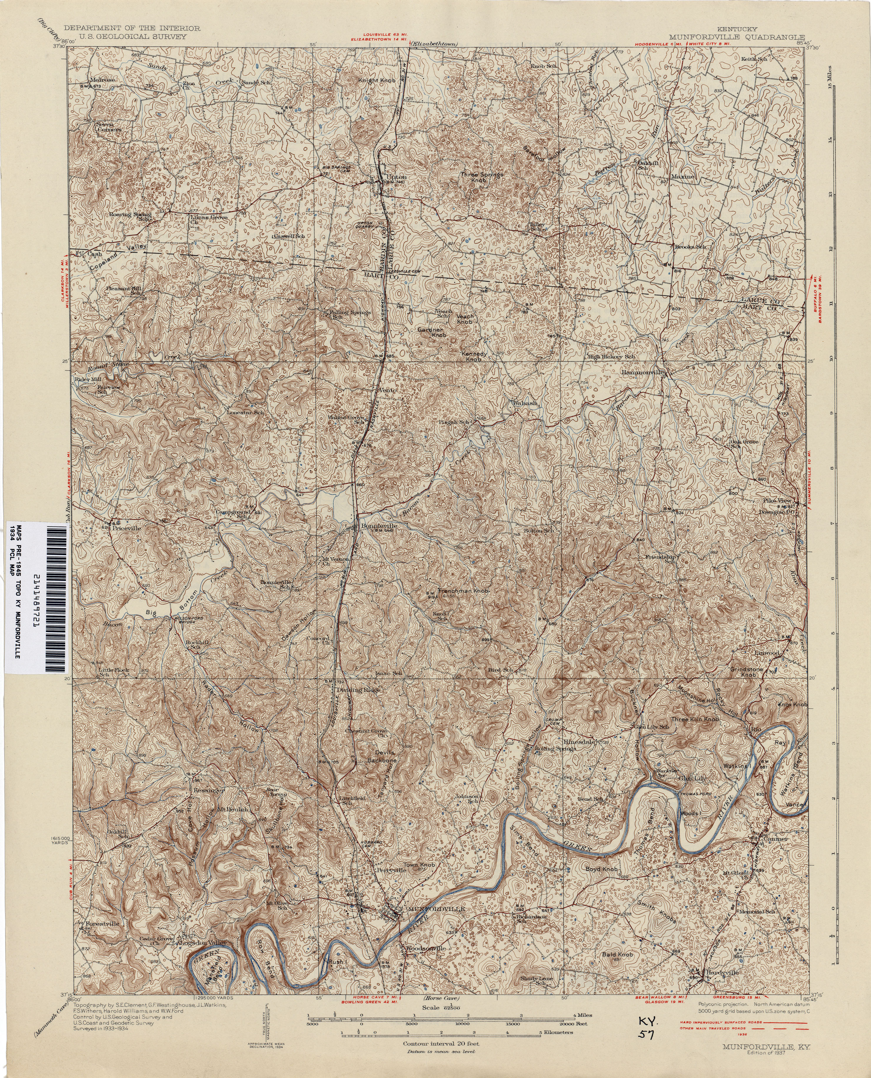
- Munfordville 1934 1:62,500 (4.6MB)
- Naugatuck [West Virginia, Kentucky] 1926 1:62,500 (5.8MB)
- New Castle 1928 1:62,500 (3.7MB)
- Newburg 1903 1:62,500 (2.6MB)
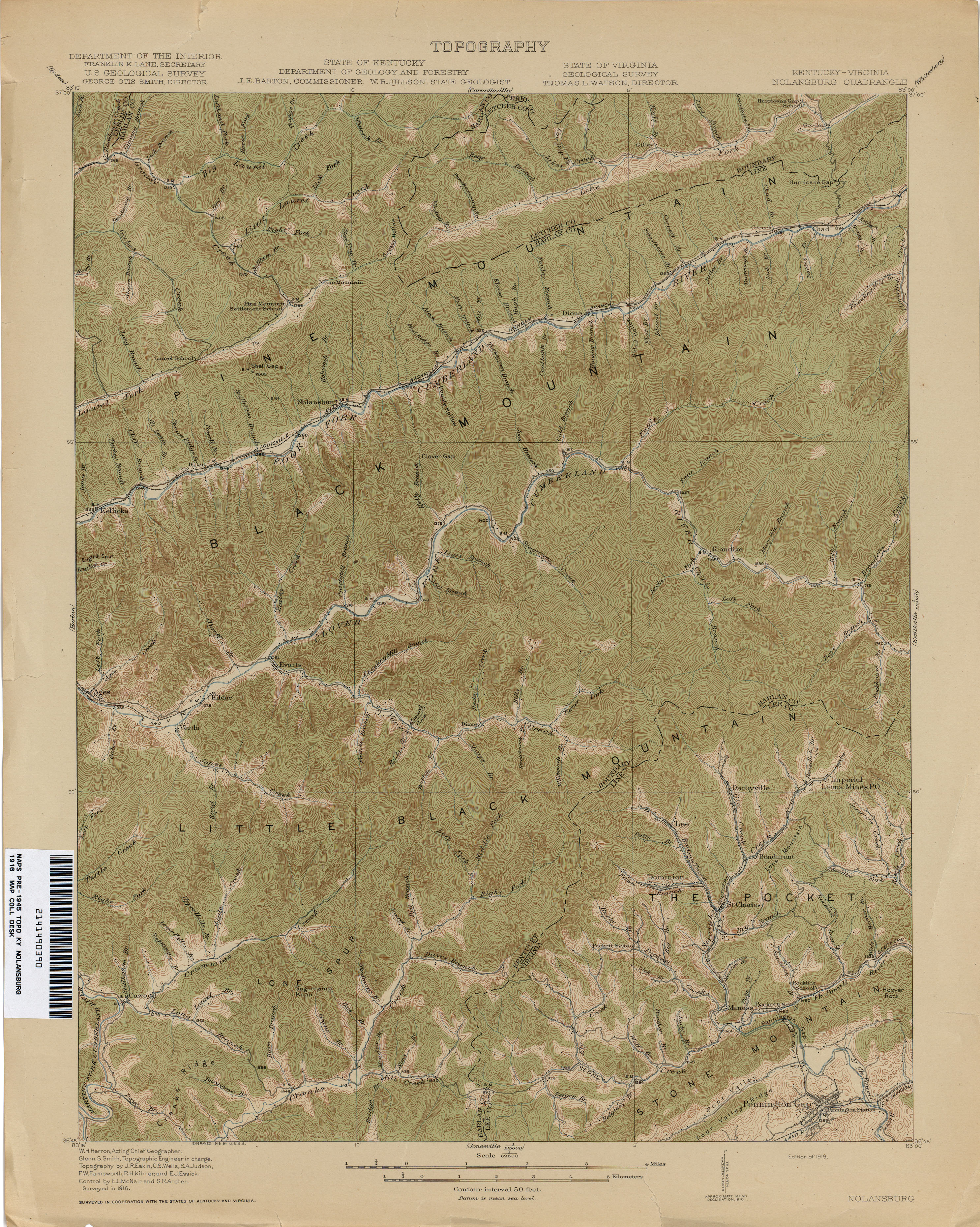
- Nolansburg 1916 1:62,500 (3.8MB)
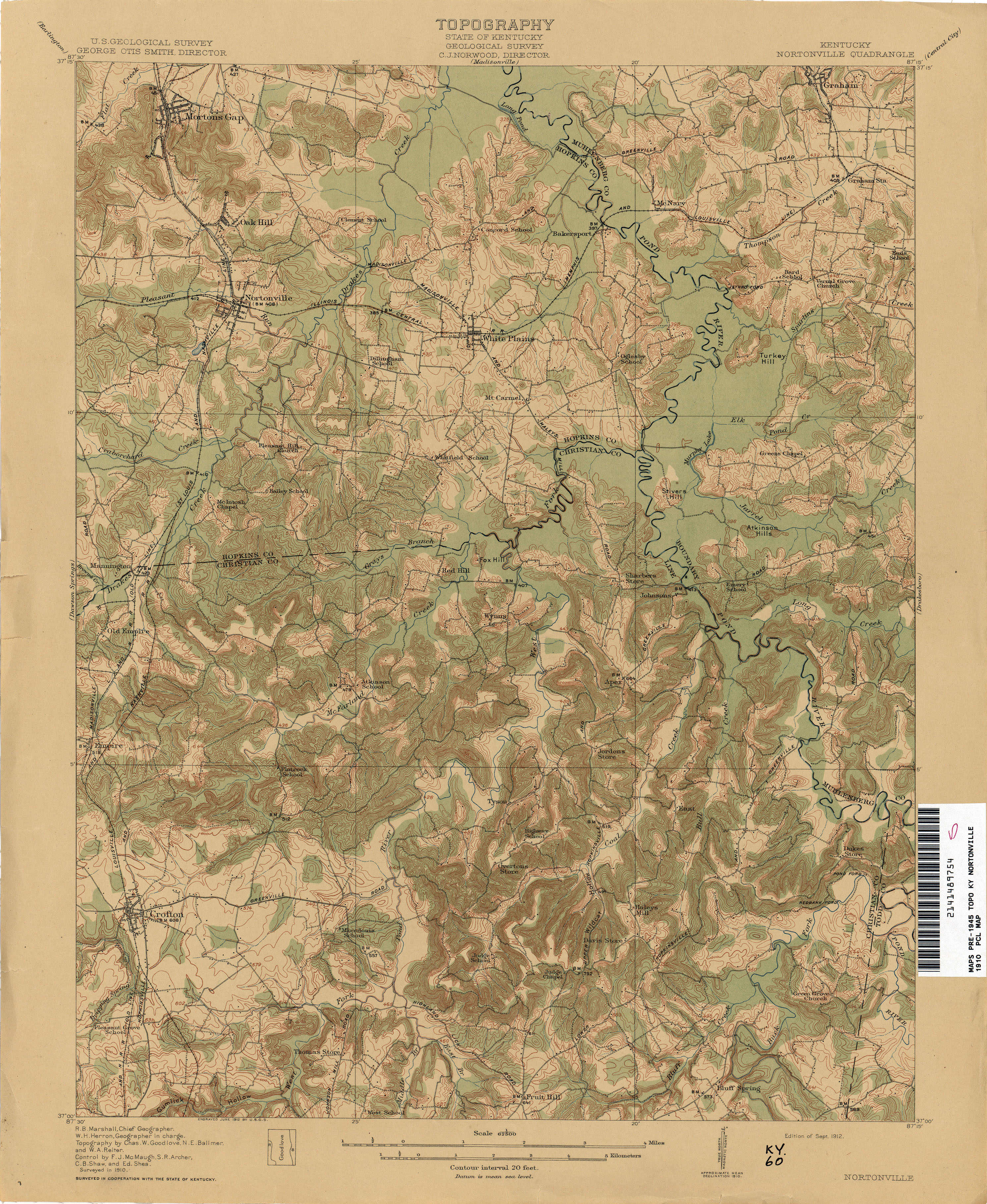
- Nortonville 1910 1:62,500 (3.6MB)
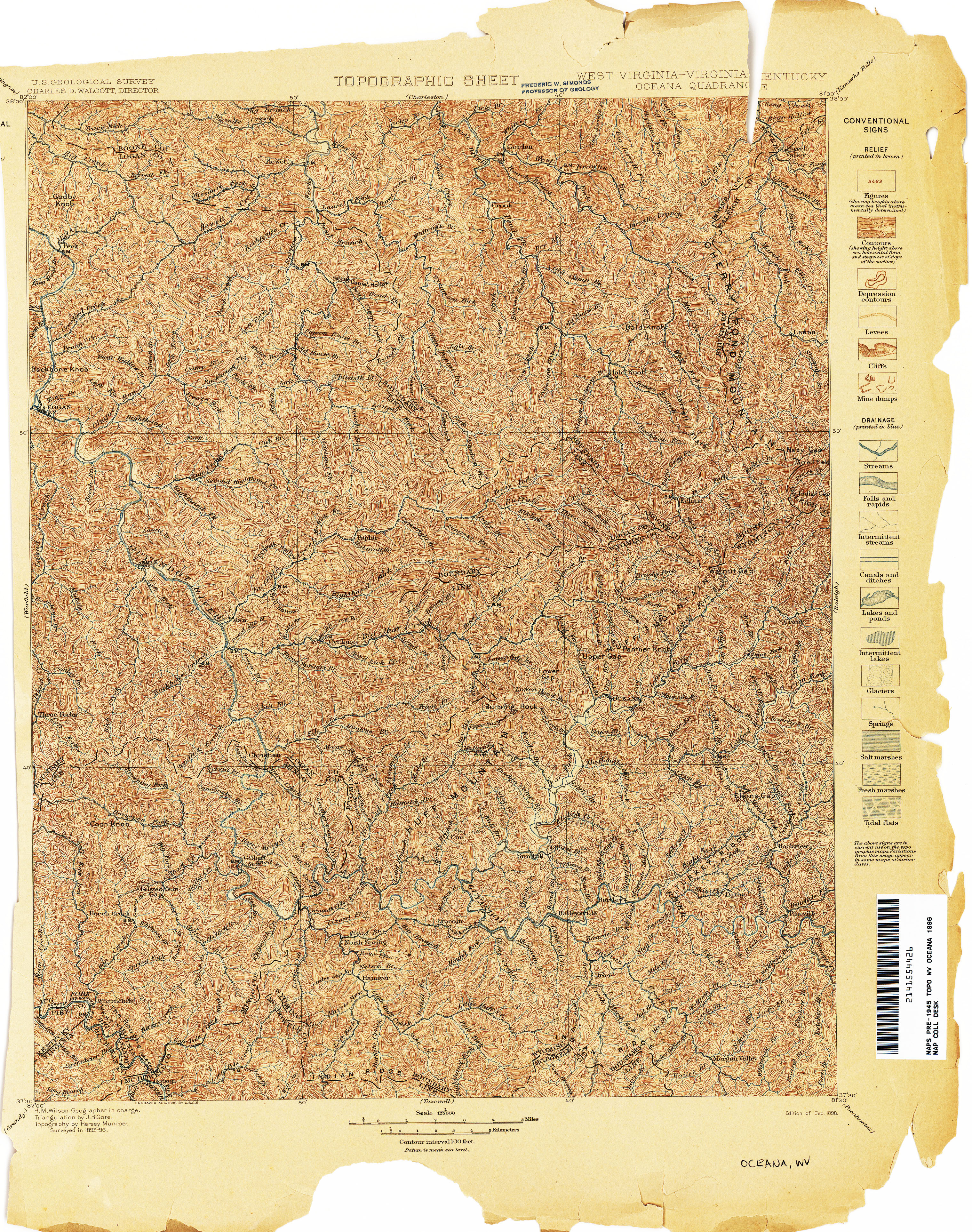
- Oceana [West Virginia, Virginia, Kentucky] 1896 1:125,000 (6.9MB)
- Paducah 1926 1:62,500 (3.4MB)
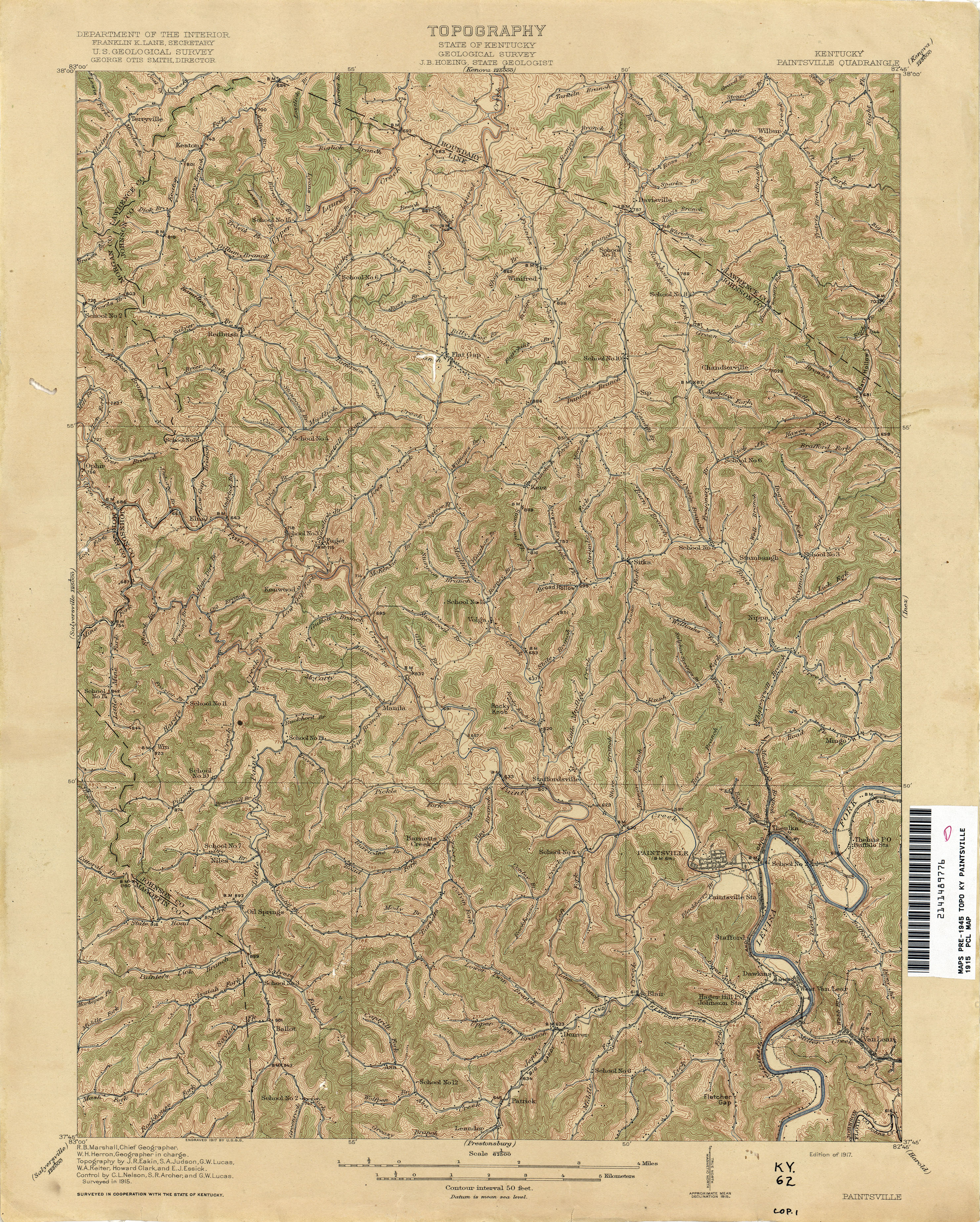
- Paintsville 1915 1:62,500 (4.7MB)
- Pall Mall 1929 1:62,500 (3.1MB)
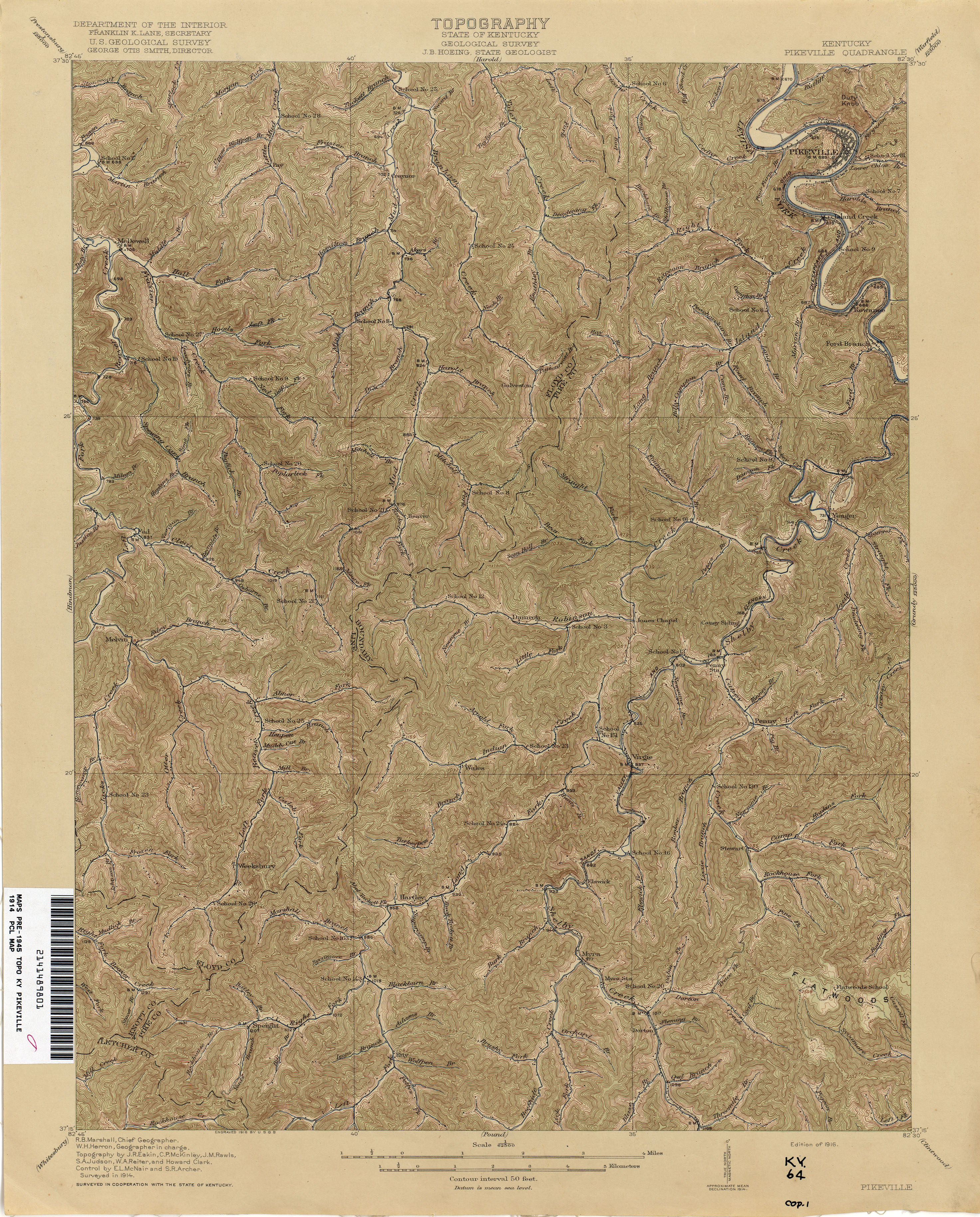
- Pikeville 1914 1:62,500 (4.4MB)
- Pound [Virginia, Kentucky] 1912 1:62,500 (4.8MB)
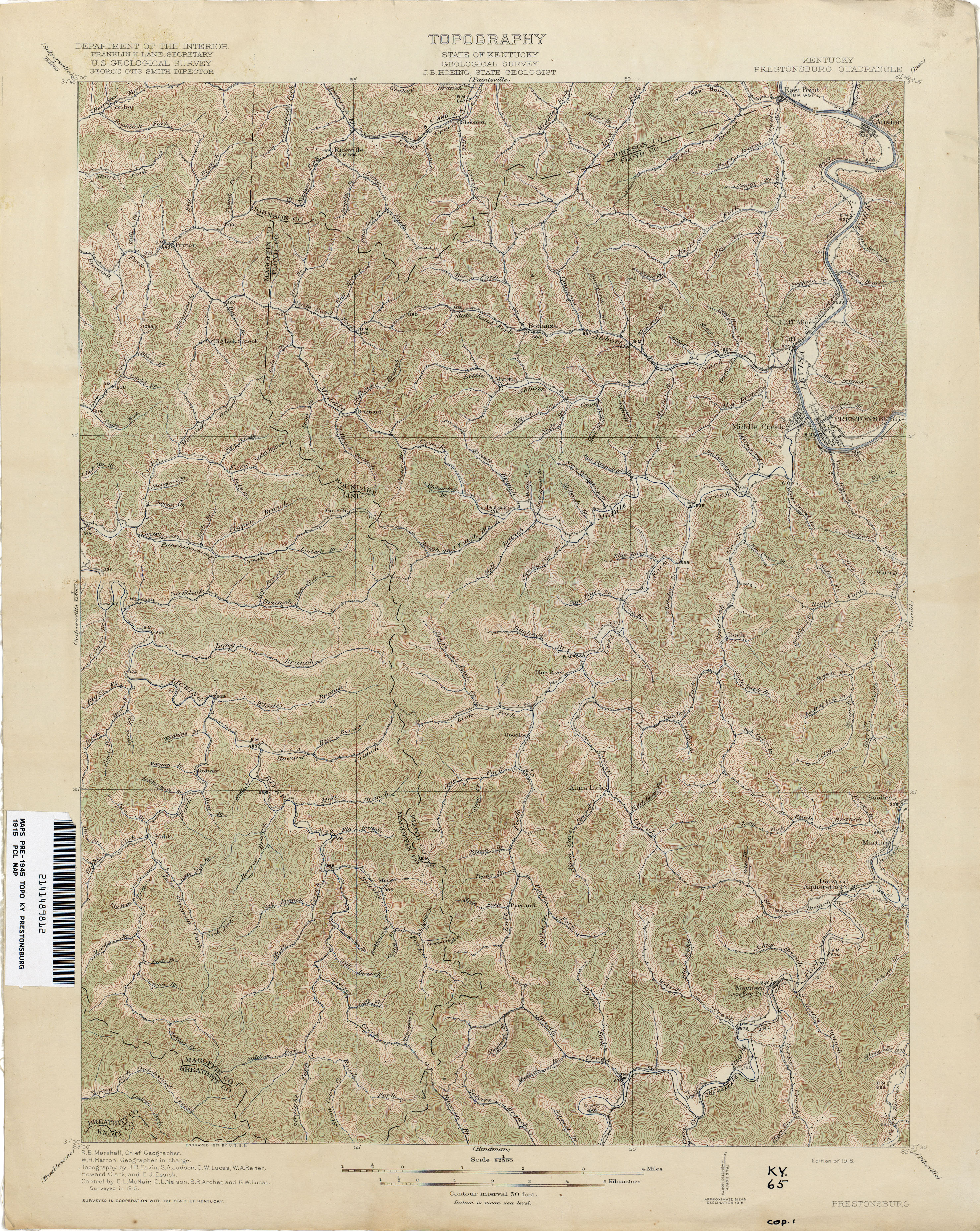
- Prestonsburg 1915 1:62,500 (4.7MB)
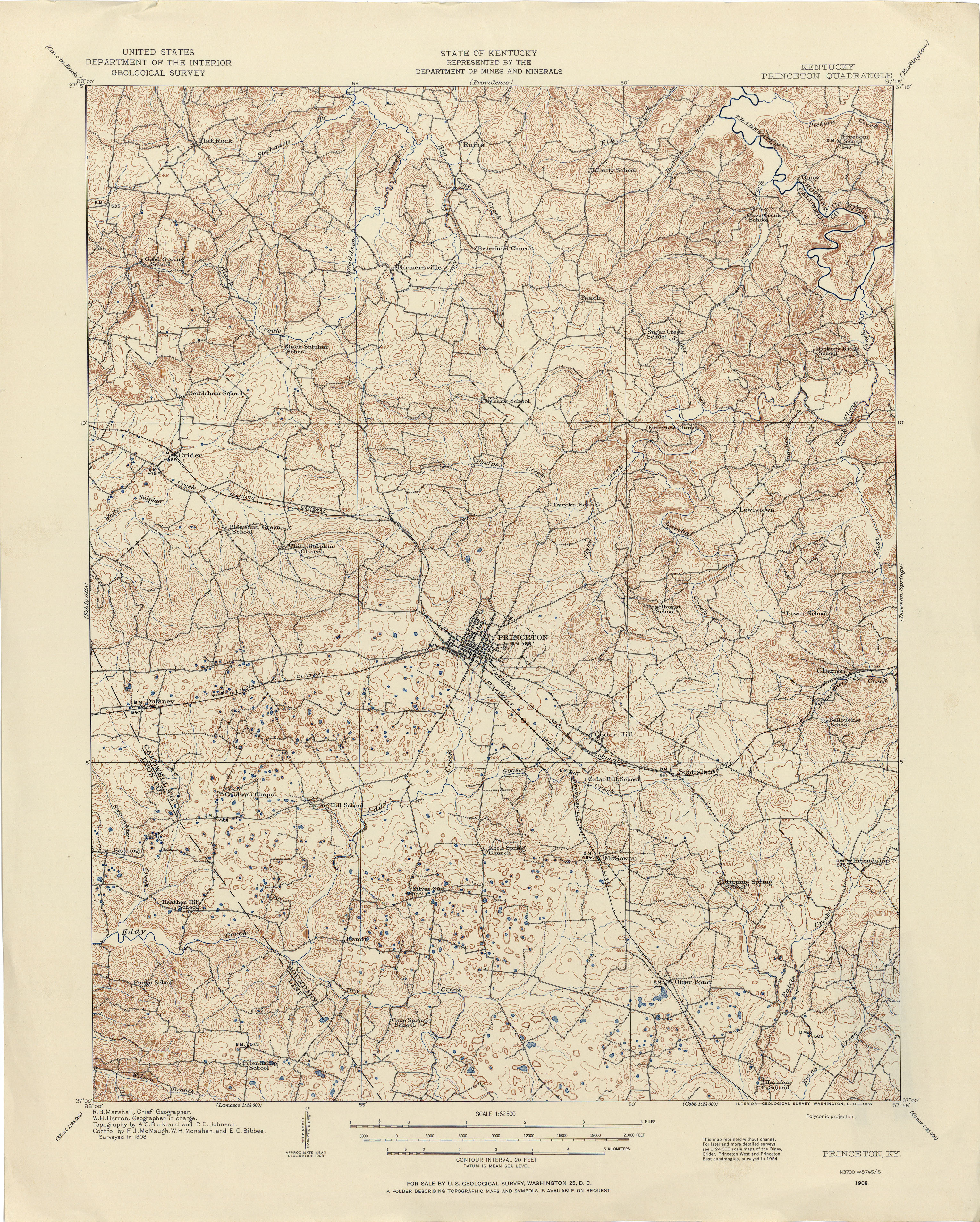
- Princeton 1908 1:62,500 (4.4MB)
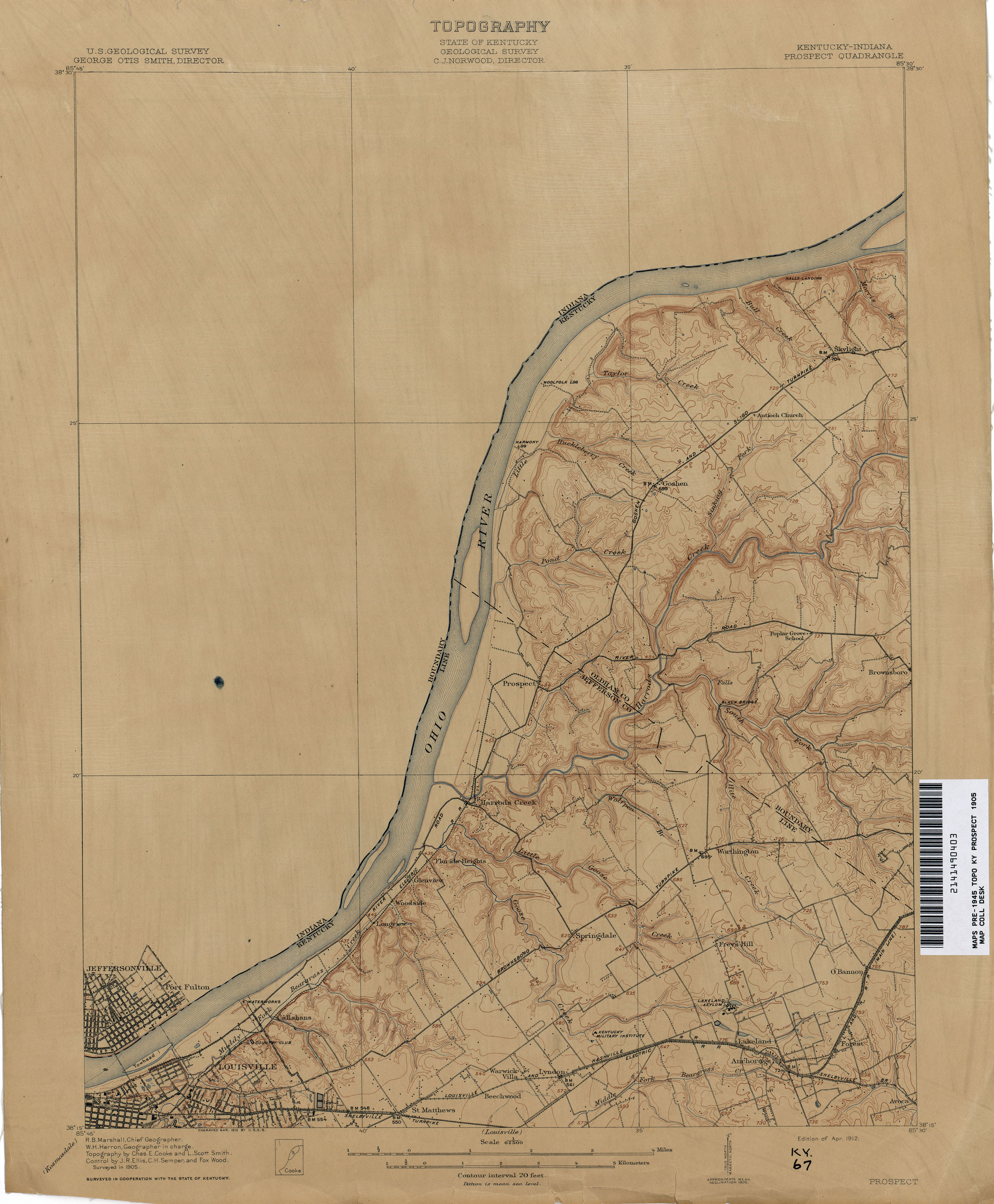
- Prospect 1905 1:62,500 (2.2MB)
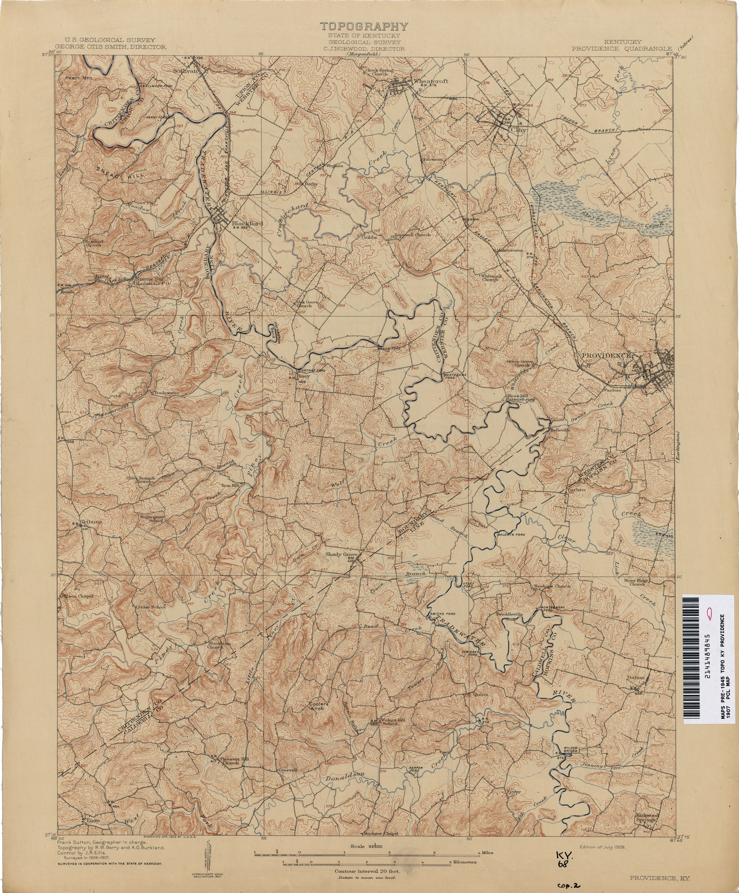
- Providence 1907 1:62,500 (3.5MB)
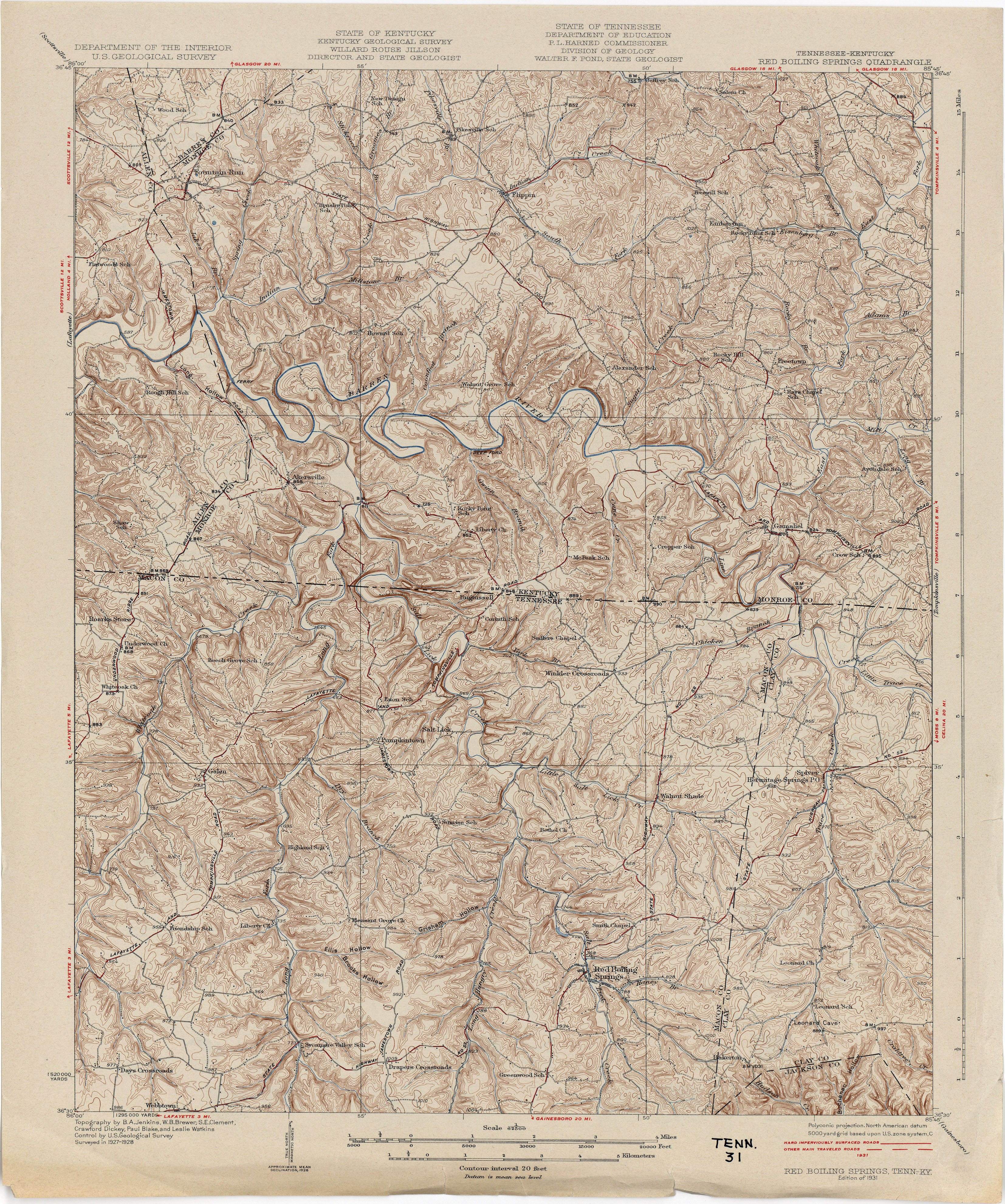
- Red Boiling Springs [Tennessee, Kentucky] 1928 1:62,500 (6.0MB)
- Reelfoot Lake [Tennessee, Missouri, Kentucky] 1923 1:62,500 (4.3MB)
- Regina 1915 1:62,500 (4.0MB)
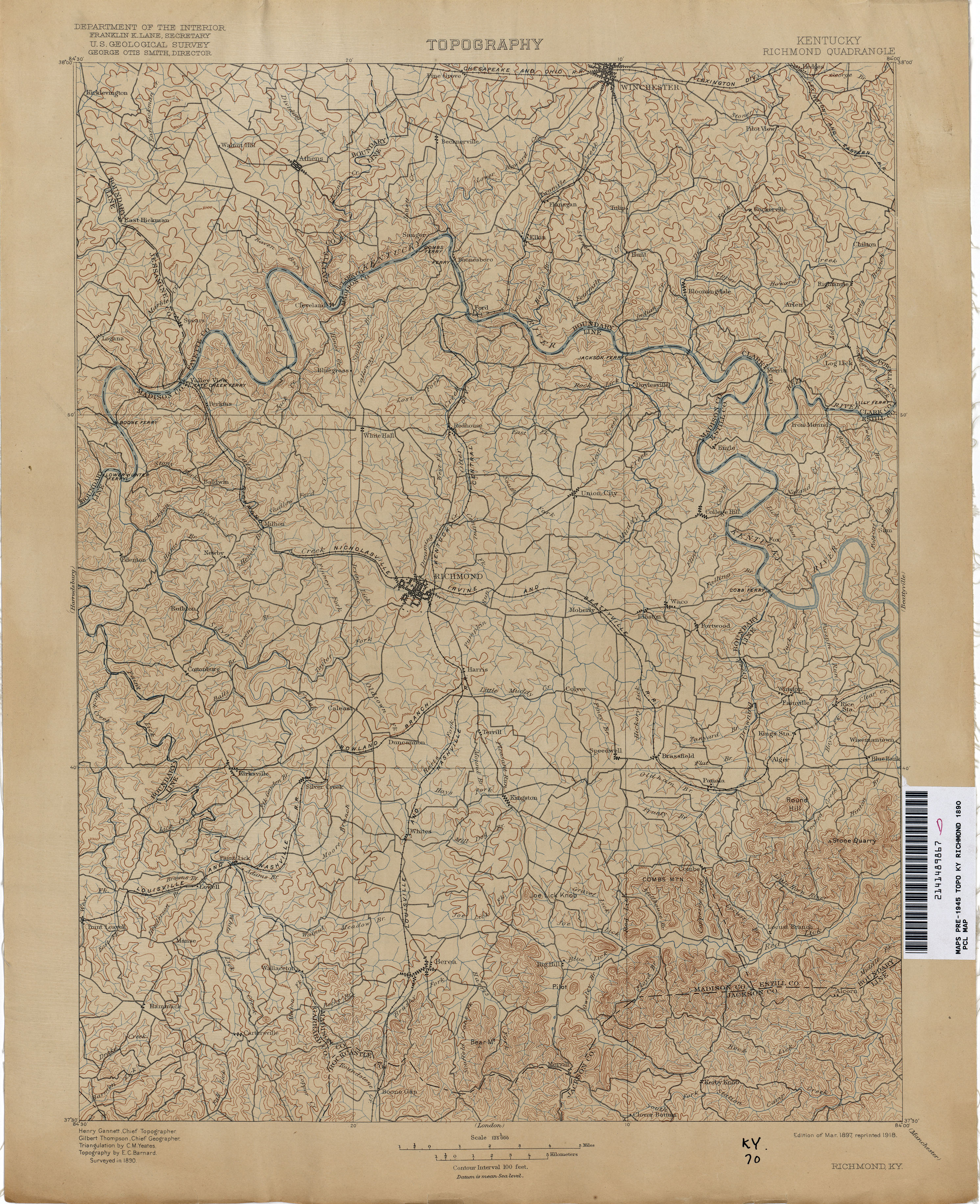
- Richmond 1890 1:125,000 (3.4MB)
- Sadieville 1934 1:62,500 (4.8MB)
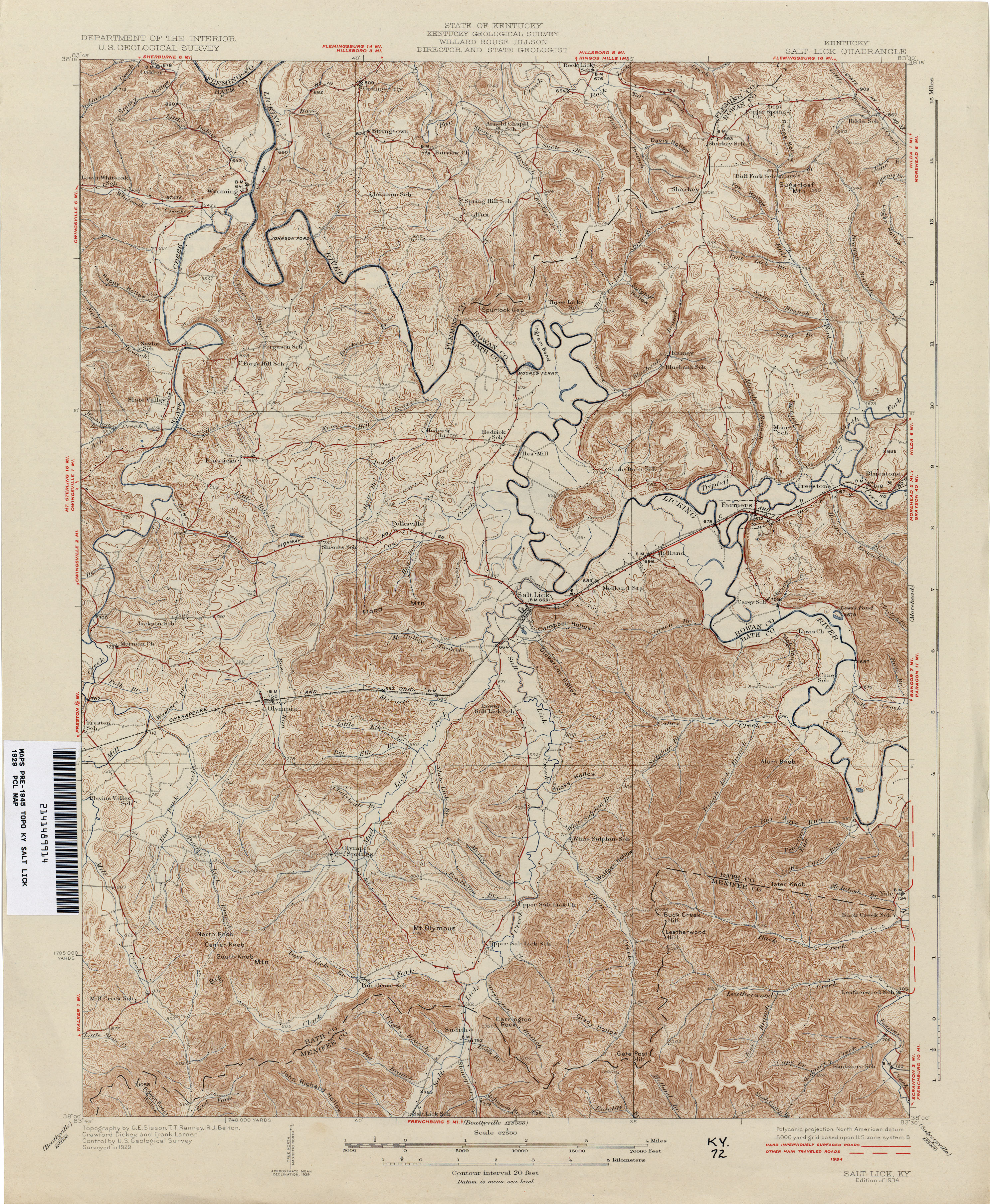
- Salt Lick 1929 1:62,500 (4.5MB)
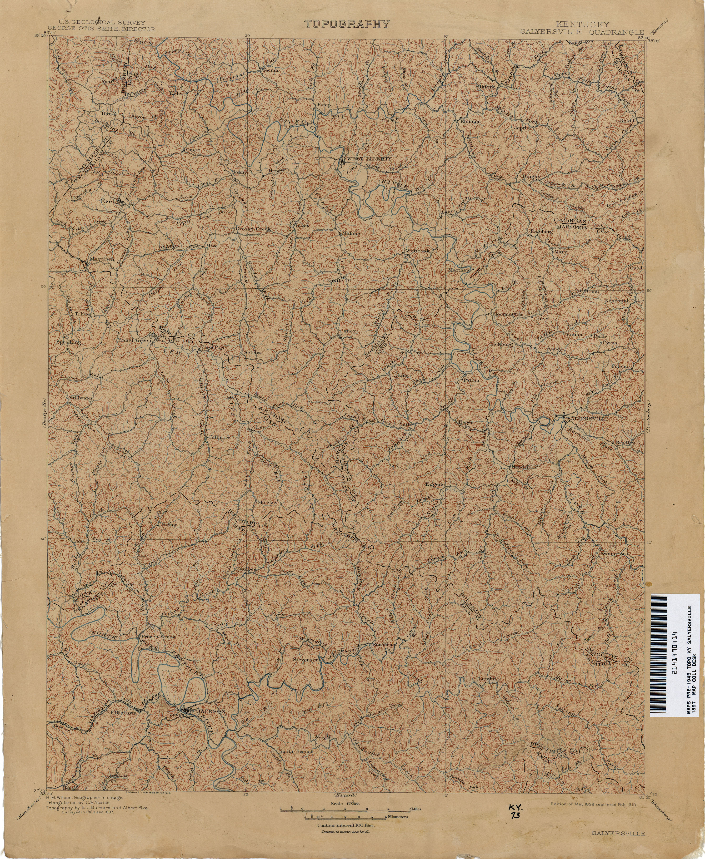
- Salyersville 1897 1:125,000 (4.1MB)
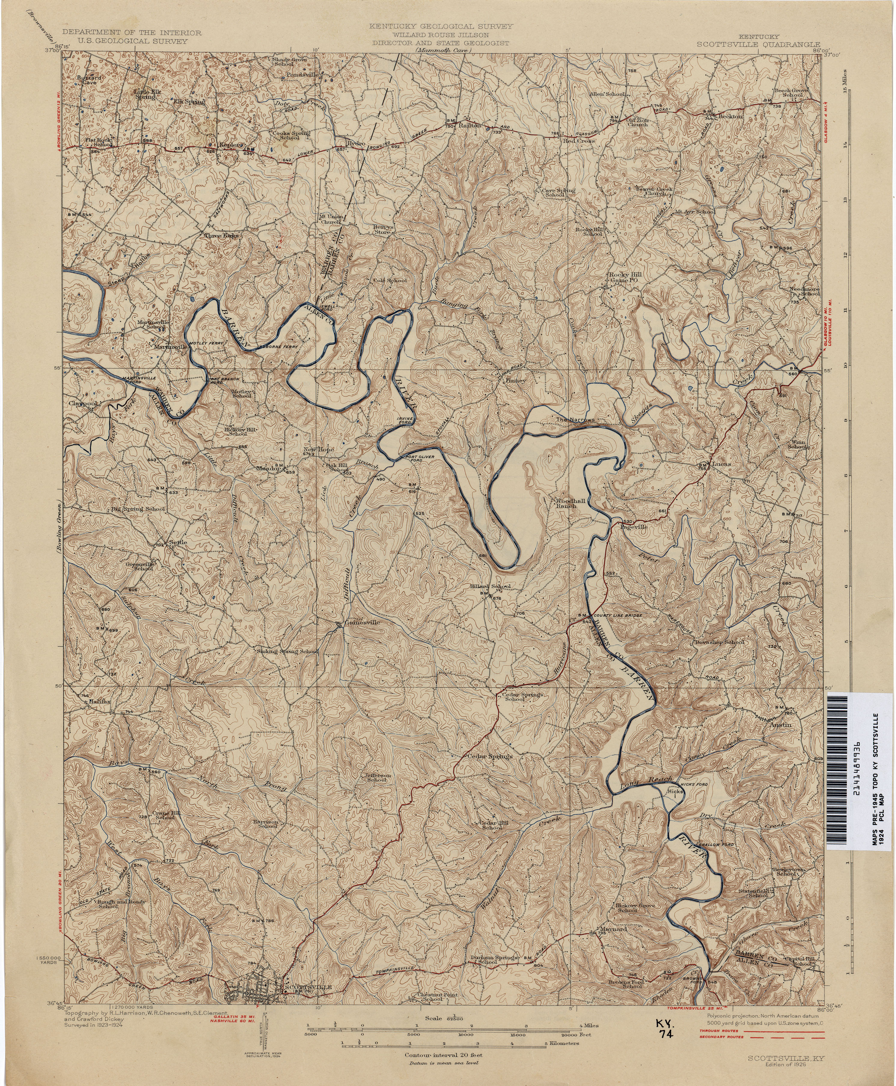
- Scottsville 1924 1:62,500 (4.0MB)
- Sebree 1904 1:62,500 (3.4MB)
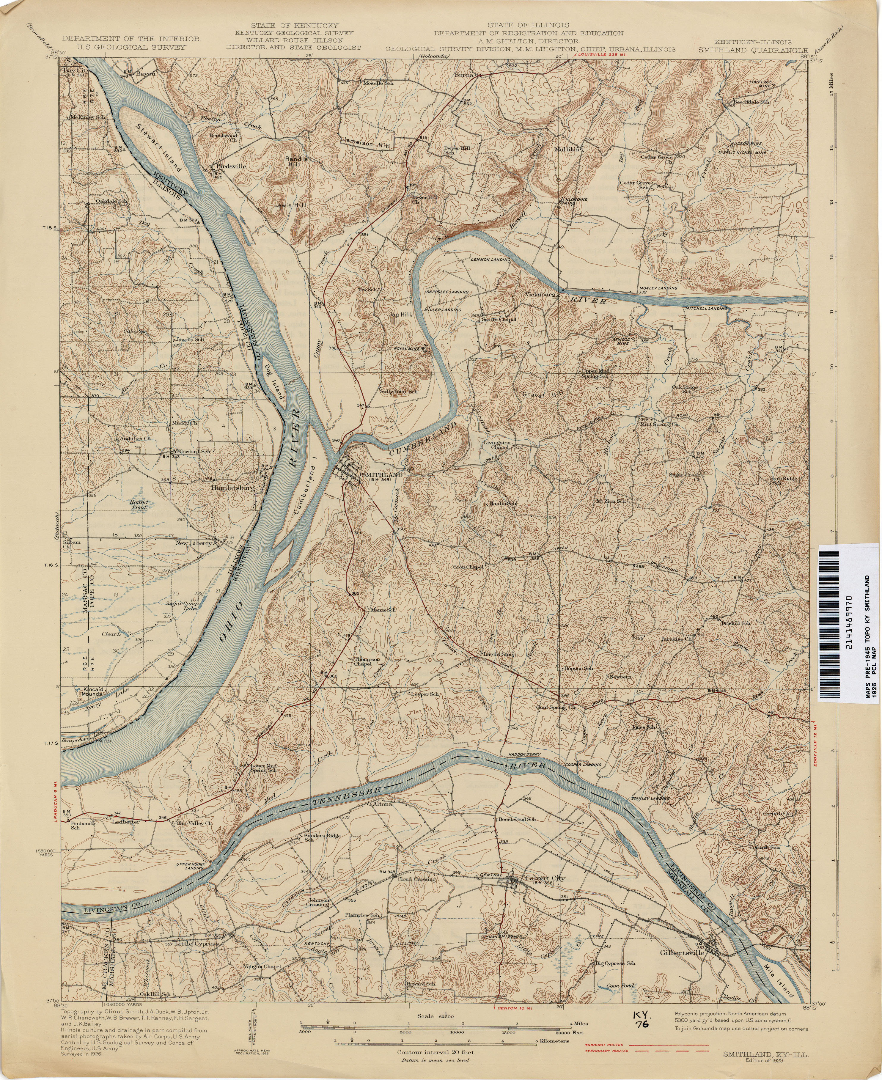
- Smithland 1926 1:62,500 (3.6MB)
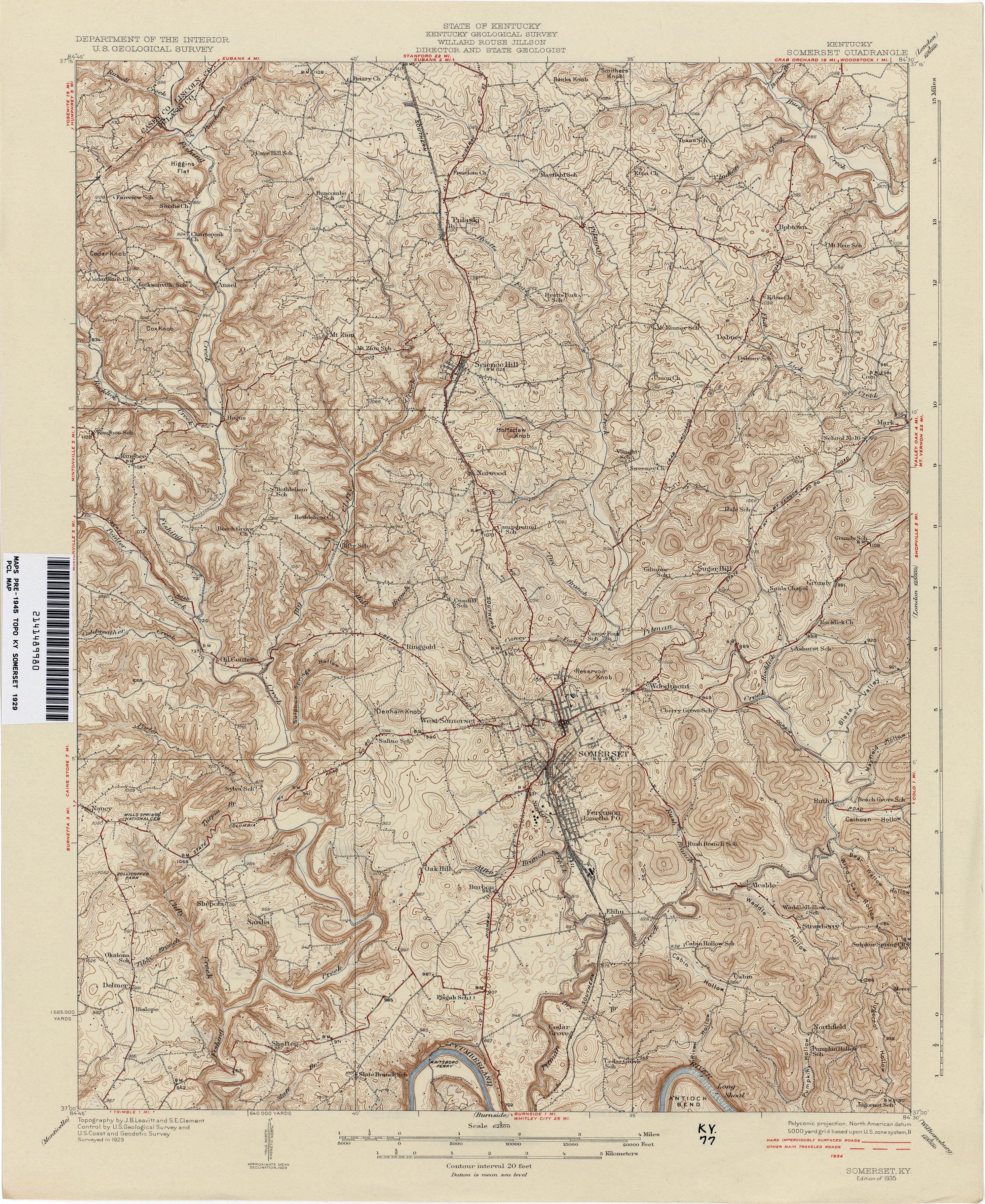
- Somerset 1929 1:62,500 (4.3MB)
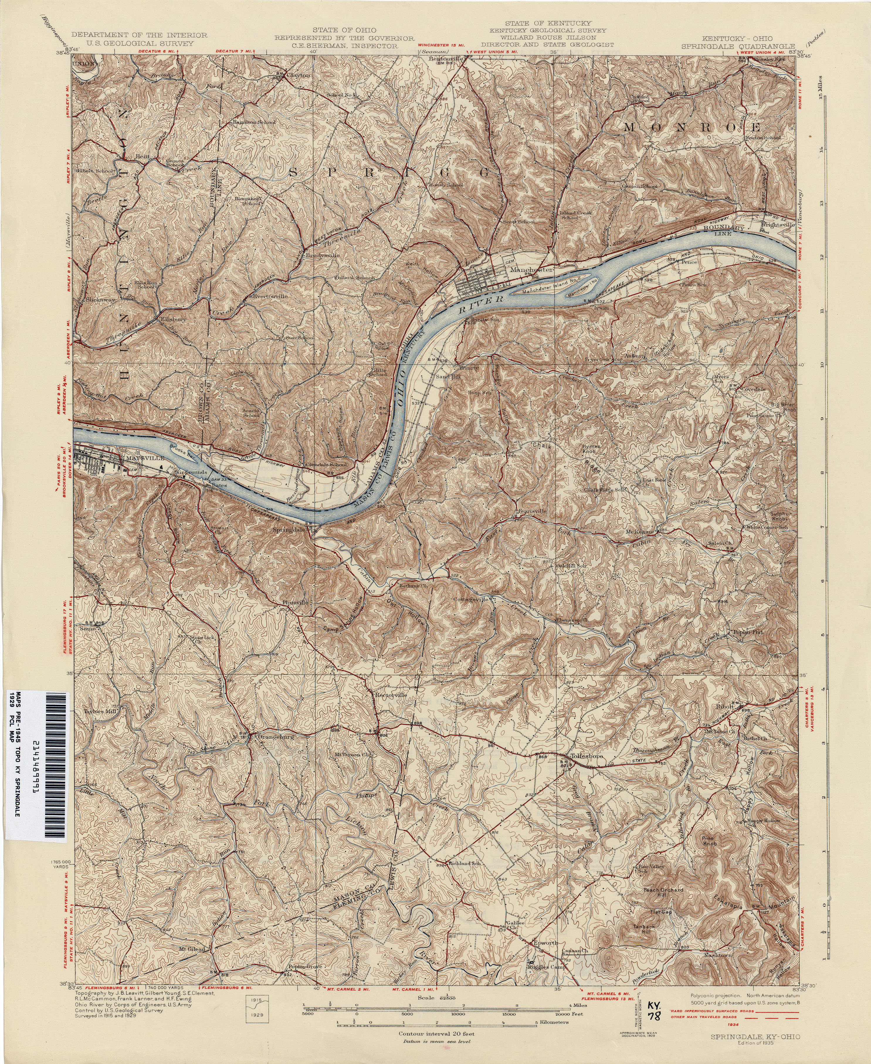
- Springdale 1929 1:62,500 (4.6MB)
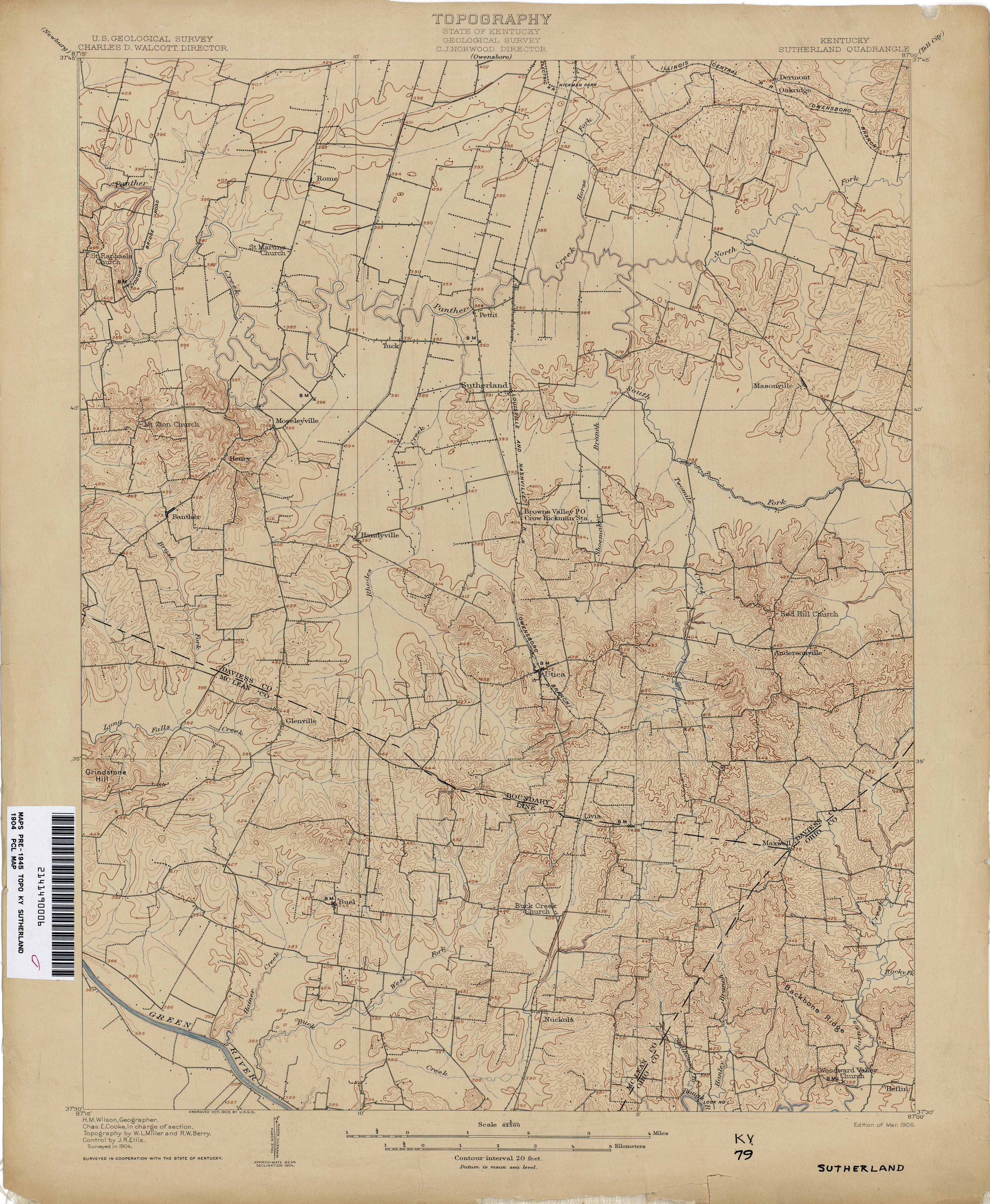
- Sutherland 1904 1:62,500 (3.0MB)
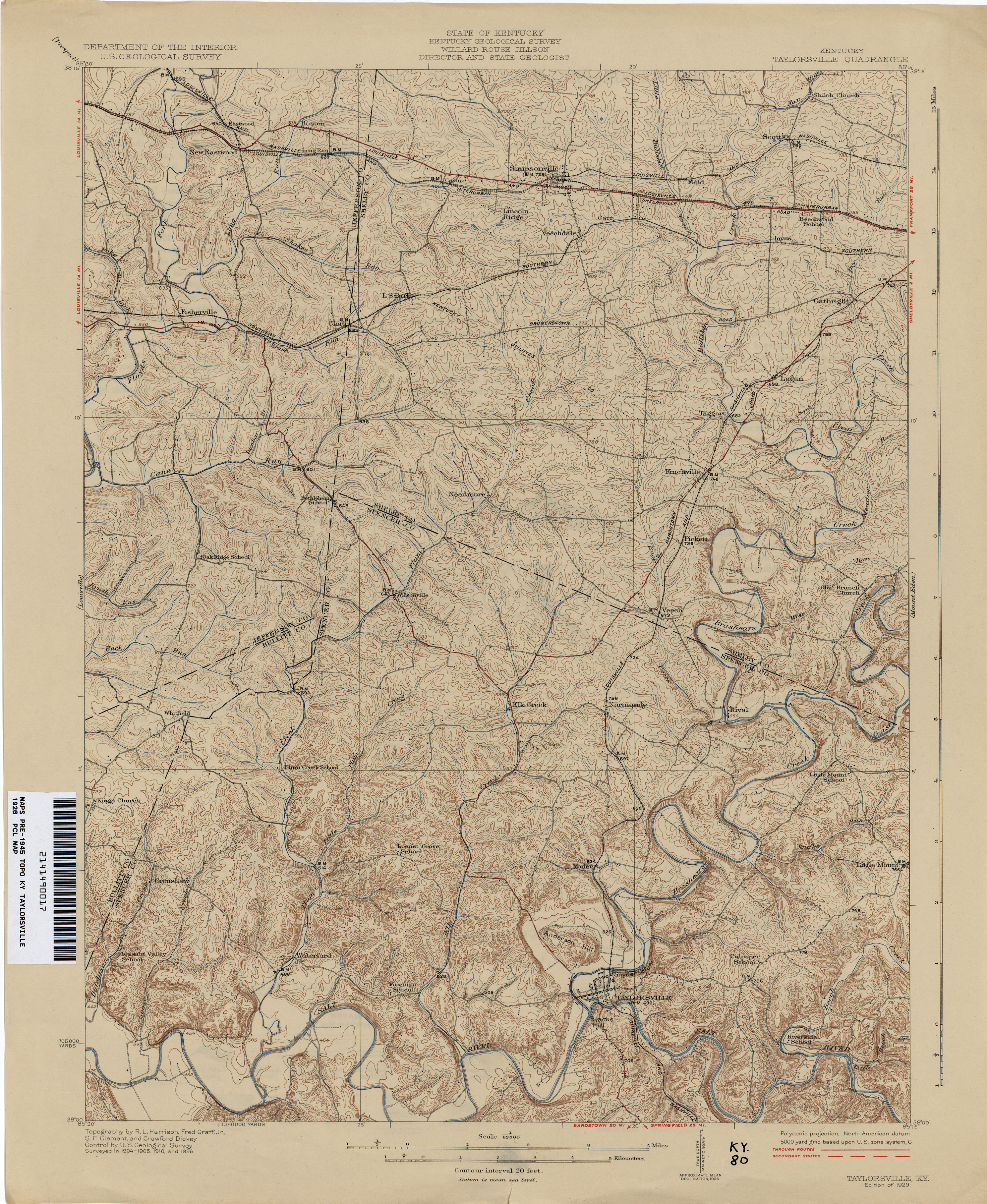
- Taylorsville 1926 1:62,500 (1.9MB)
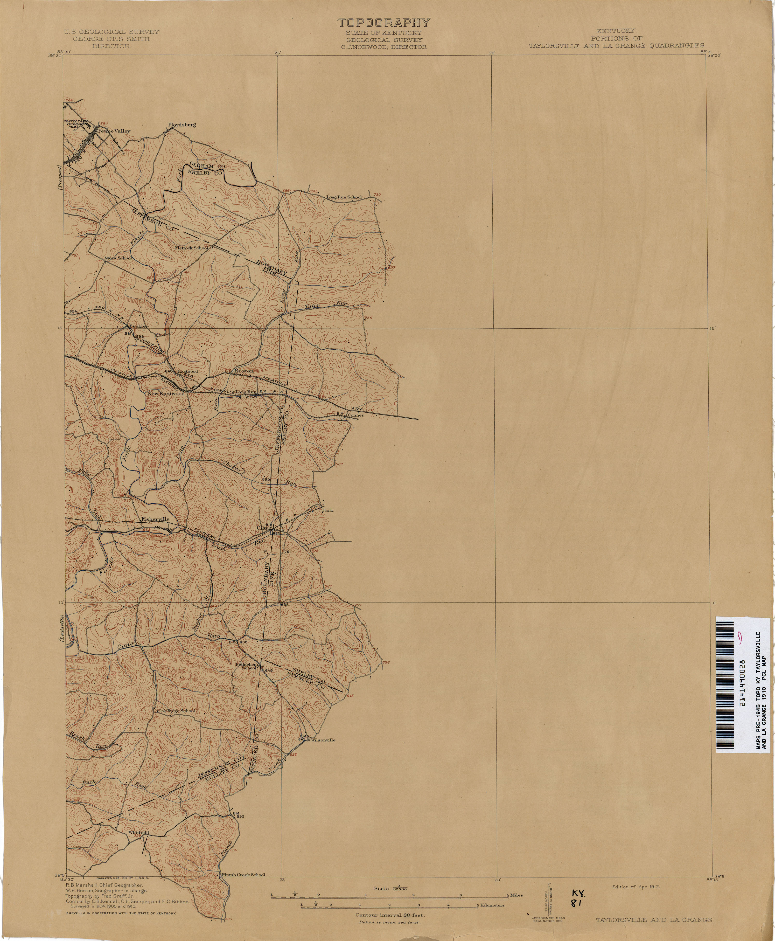
- Taylorsville and La Grange 1910 1:62,500 (3.7MB)
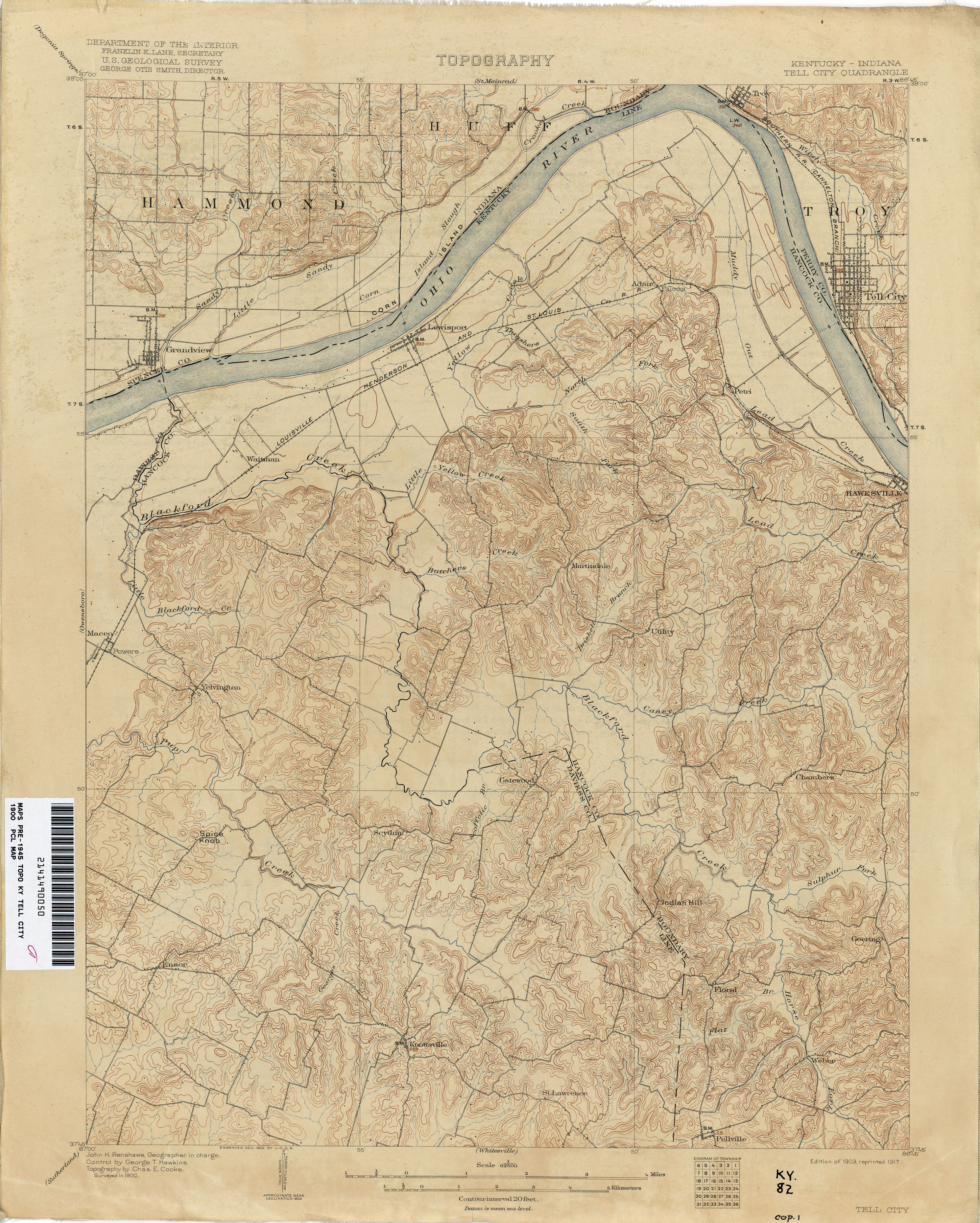
- Tell City 1900 1:62,500 (3.4MB)
- Tompkinsville [Tennessee, Kentucky] 1926 1:62,500 (5.4MB)
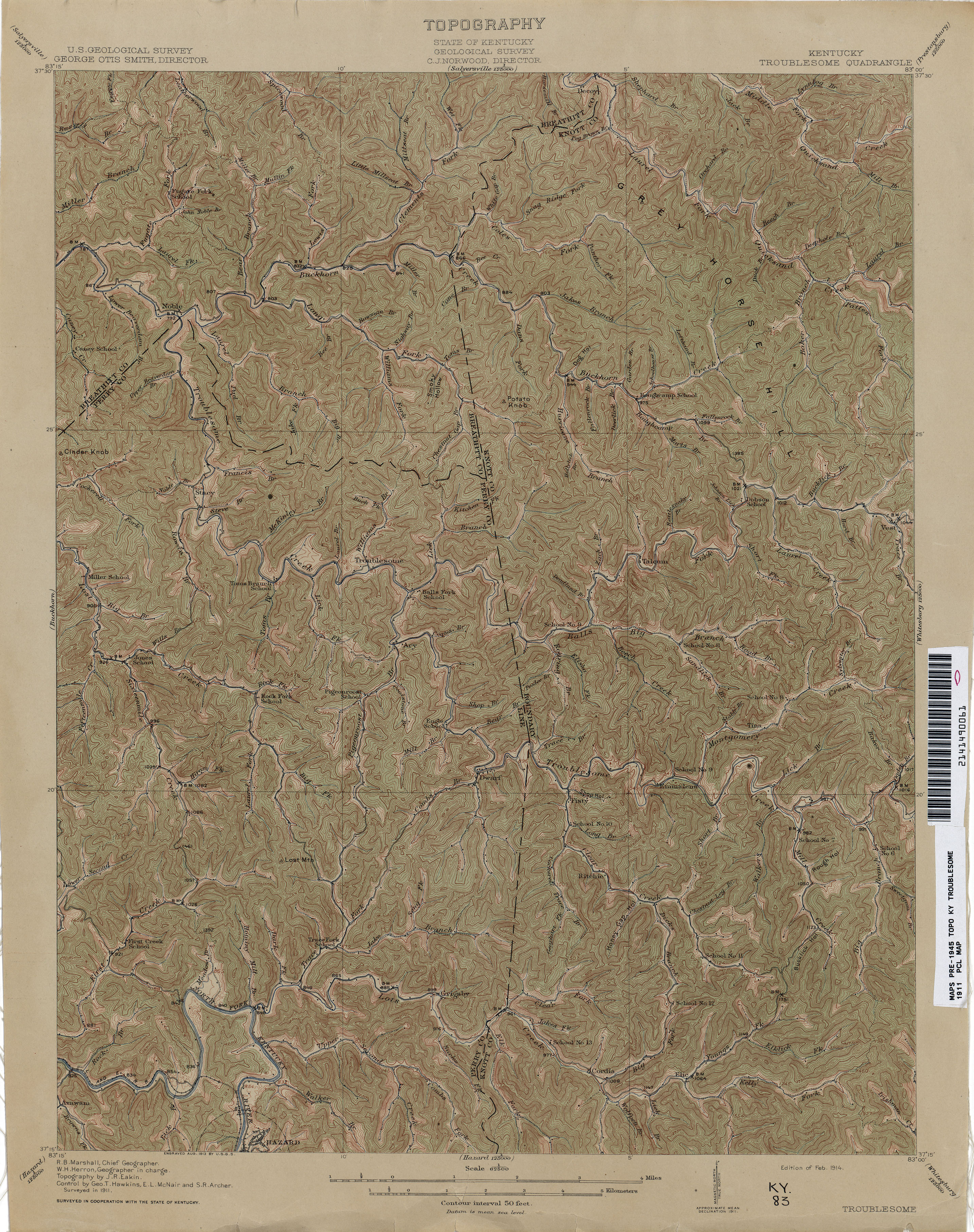
- Troublesome 1911 1:62,500 (4.1MB)
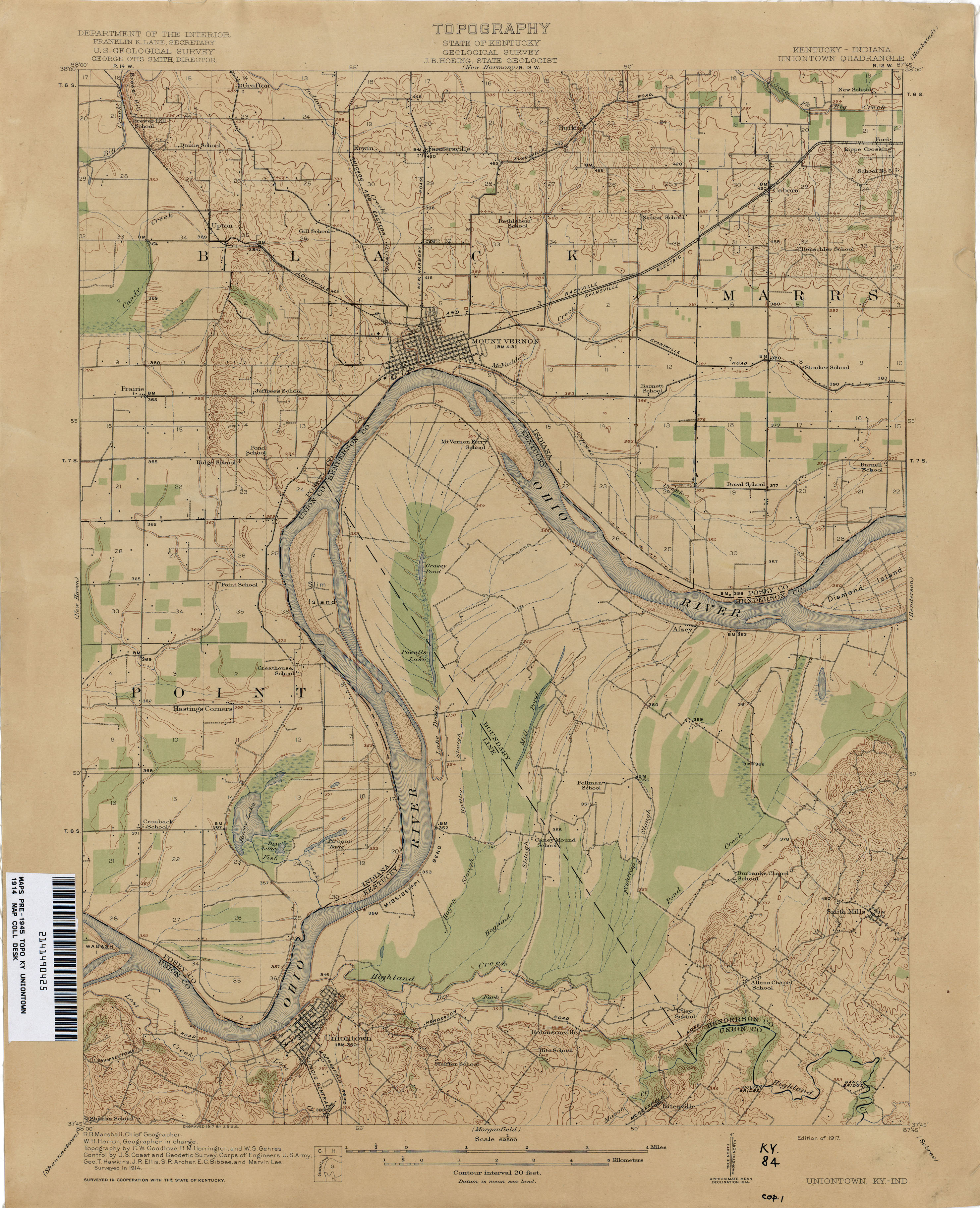
- Uniontown 1914 1:62,500 (2.7MB)
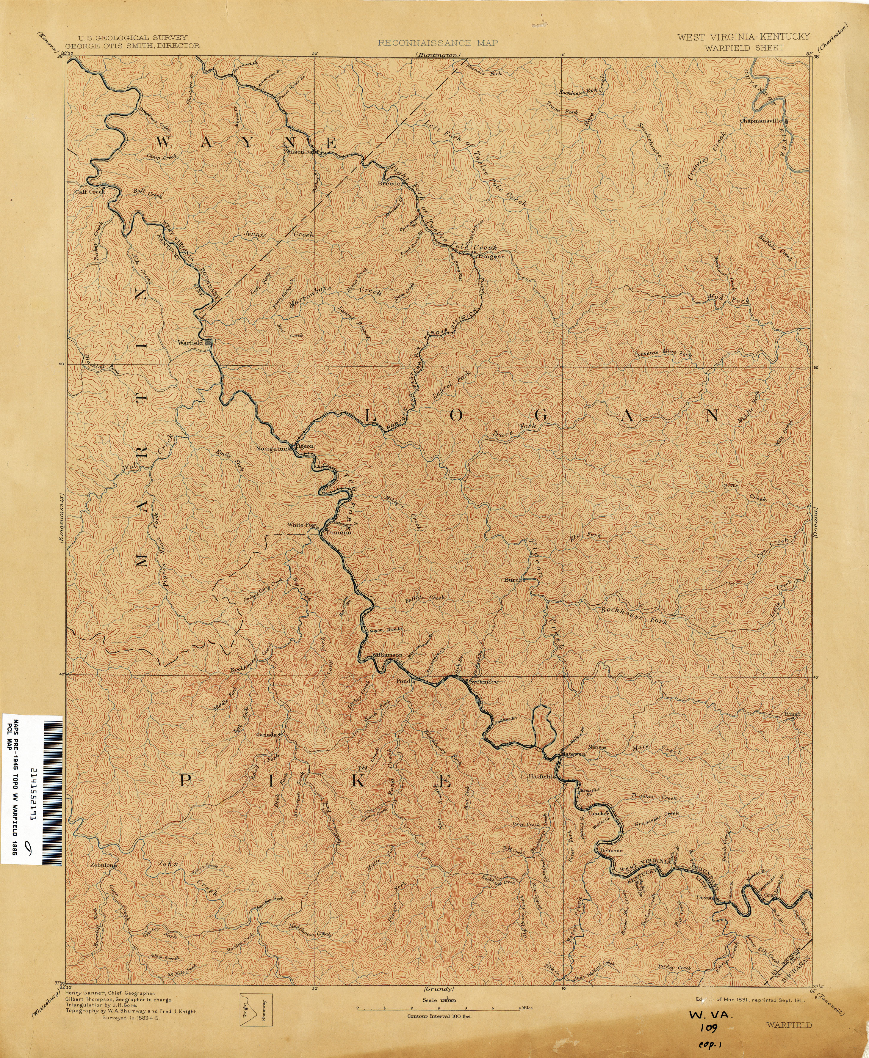
- Warfield [West Virginia, Kentucky] 1885 1:125,000 (4.9MB)
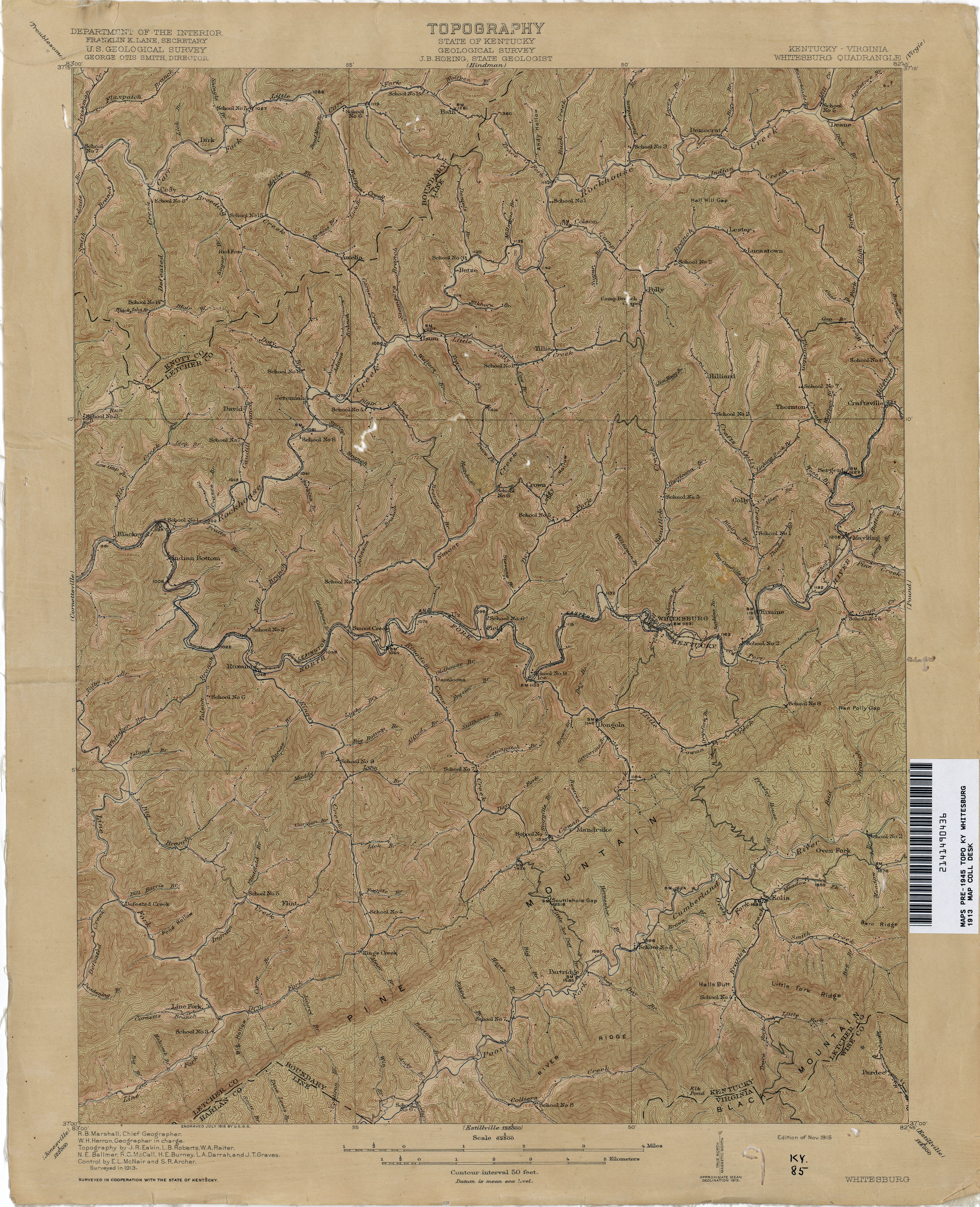
- Whitesburg 1913 1:62,500 (3.9MB)
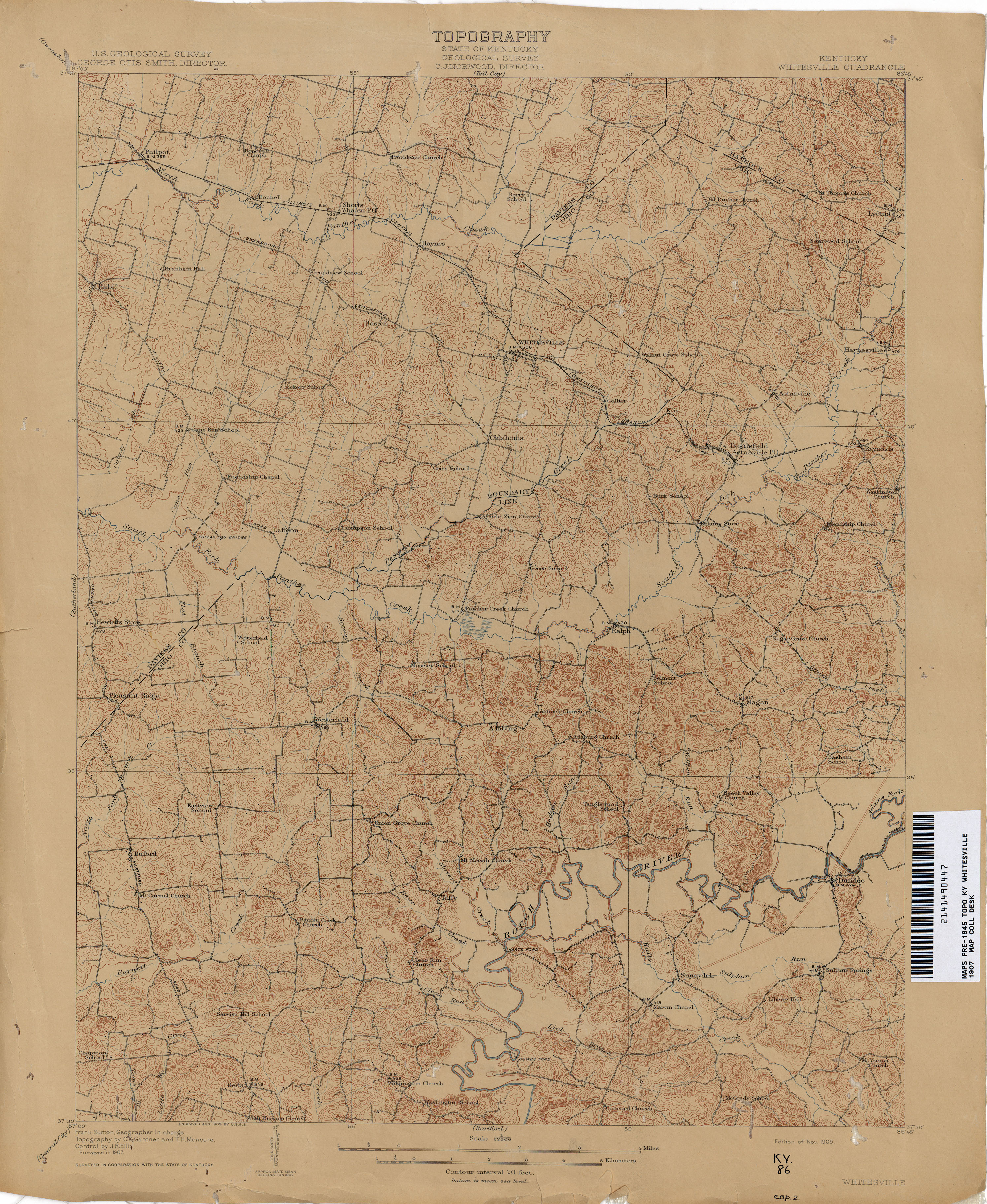
- Whitesville 1907 1:62,500 (3.4MB)
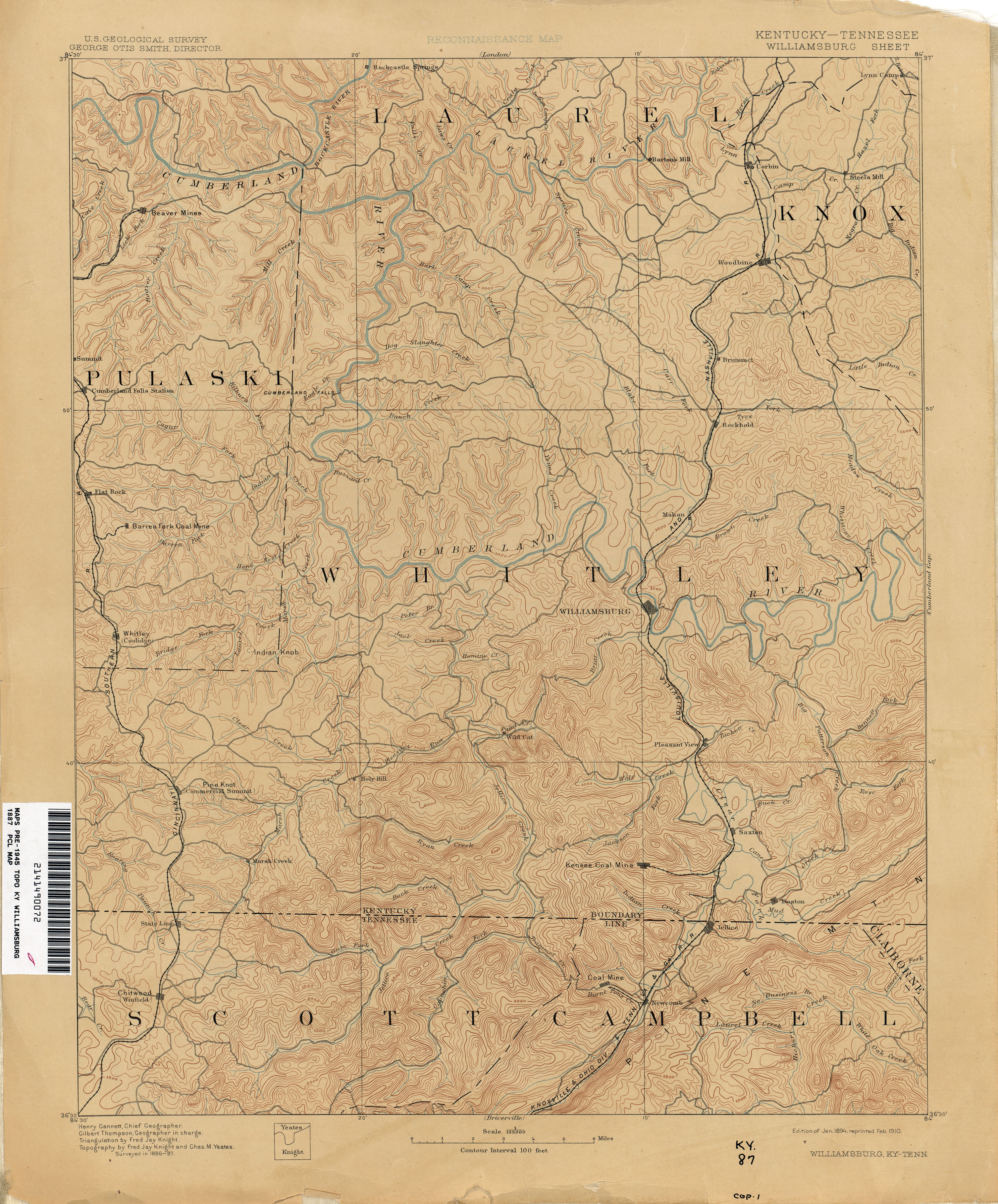
- Williamsburg 1887 1:125,000 (3.3MB)
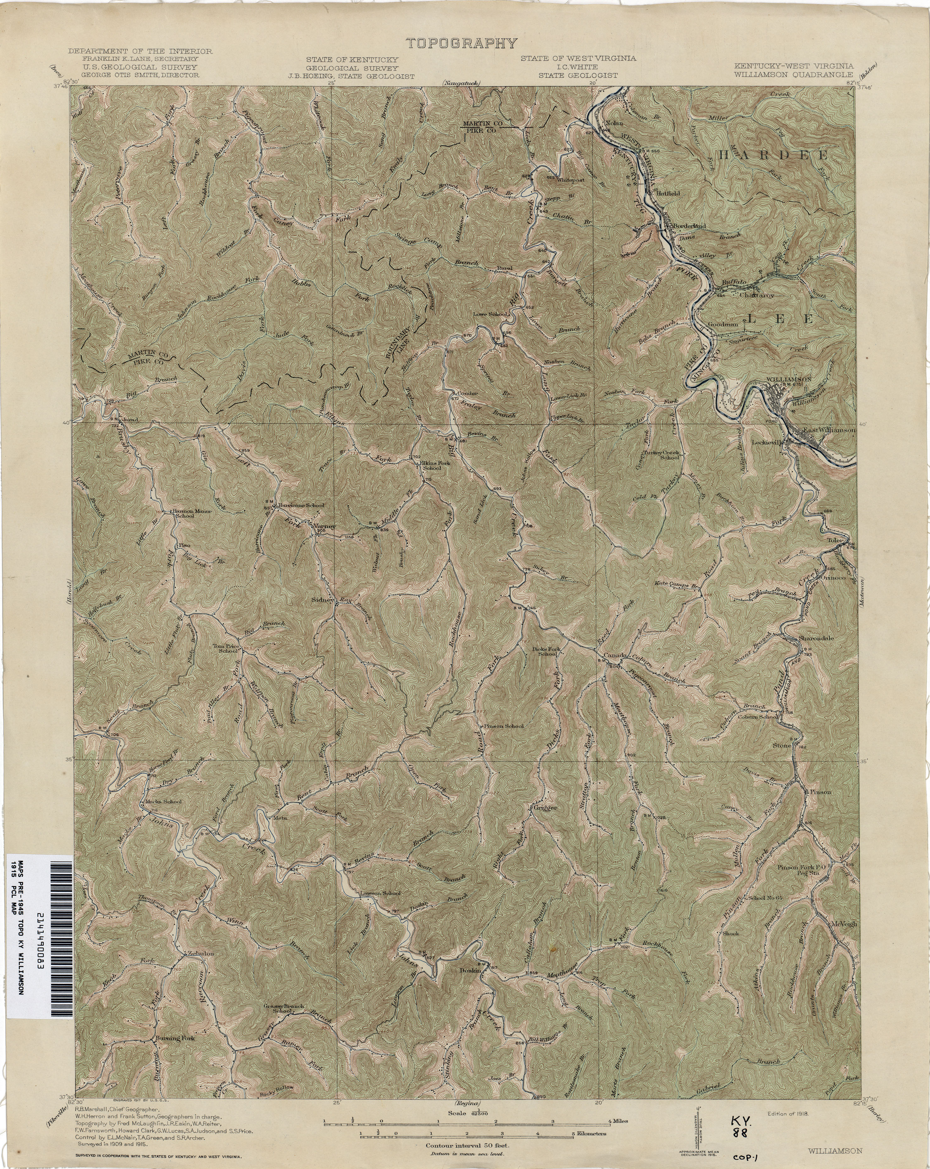
- Williamson 1915 1:62,500 (4.3MB)
Return to the top