Maps
Maps FAQ

Map Room Guide
World
Africa
Americas
Asia
Australia/Pacific
Europe
Middle East
Polar/Oceans
Russia/Republics
U.S.
Texas
Historical
Thematic
Topographic
Other Map Sites
Map Sites
Map Dealers
Cartographic Reference
City Map Sites
Country Map Sites
Historical Map Sites
Outline Map Sites
Route Planning Sites
State Map Sites
Weather Map Sites
Topical Map Sites
Avian Influenza
Oil and Gas Maps
More Topical Maps
Perry-Castañeda Library
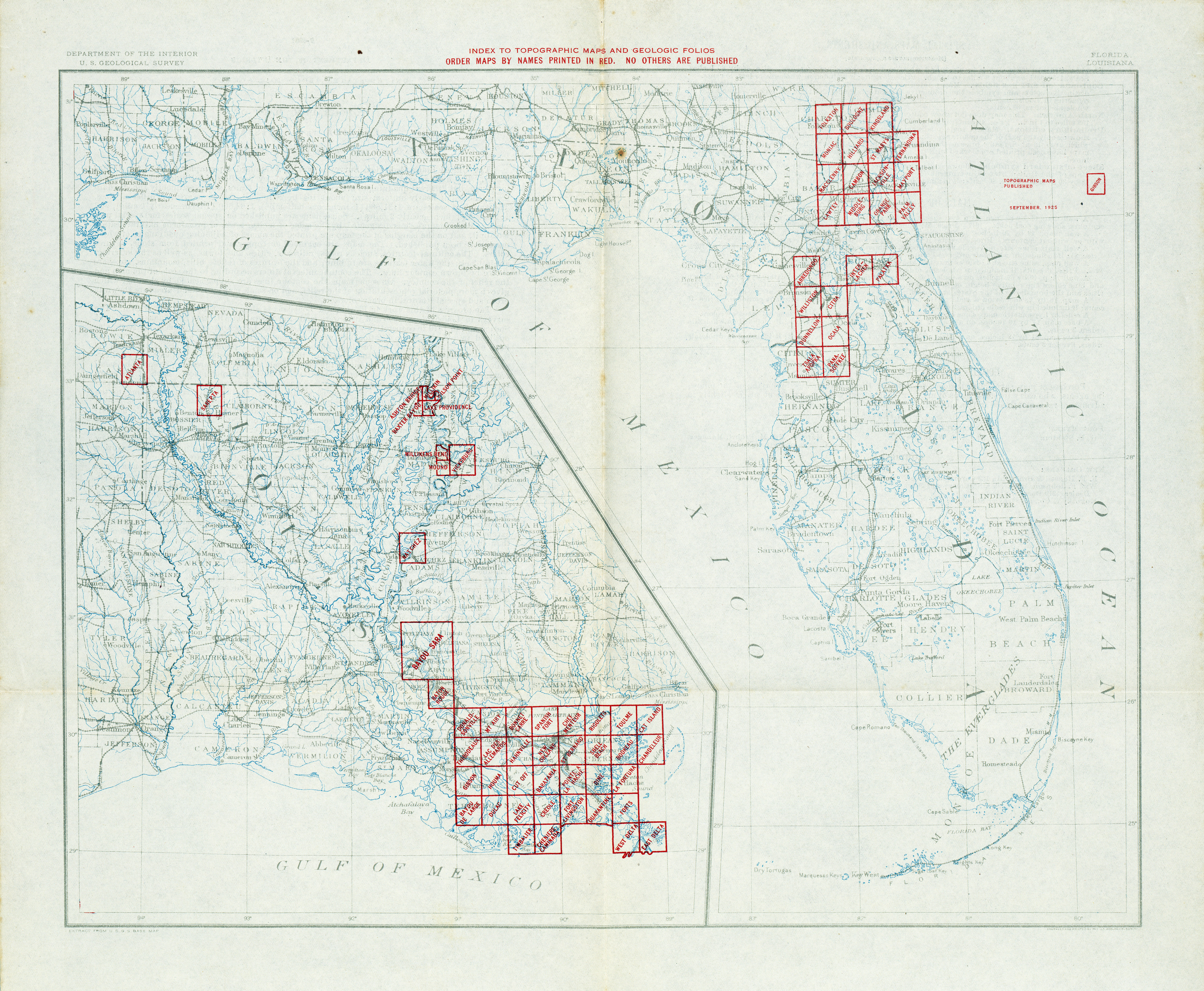
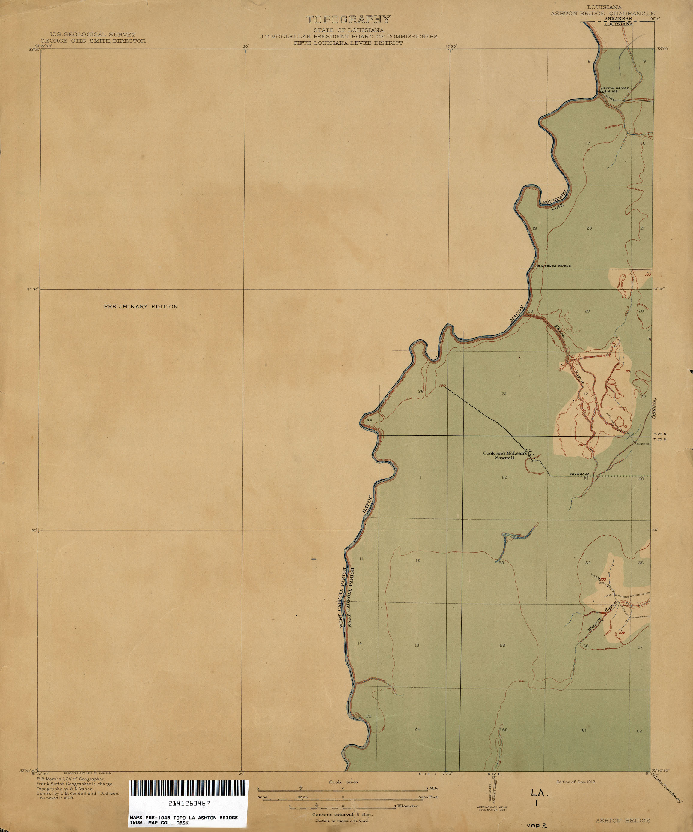
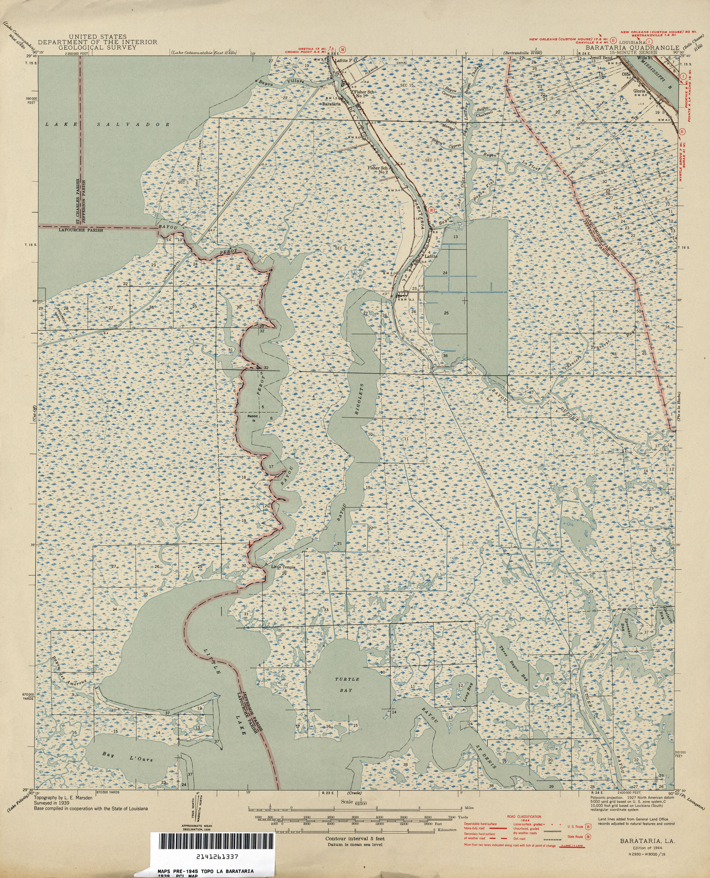
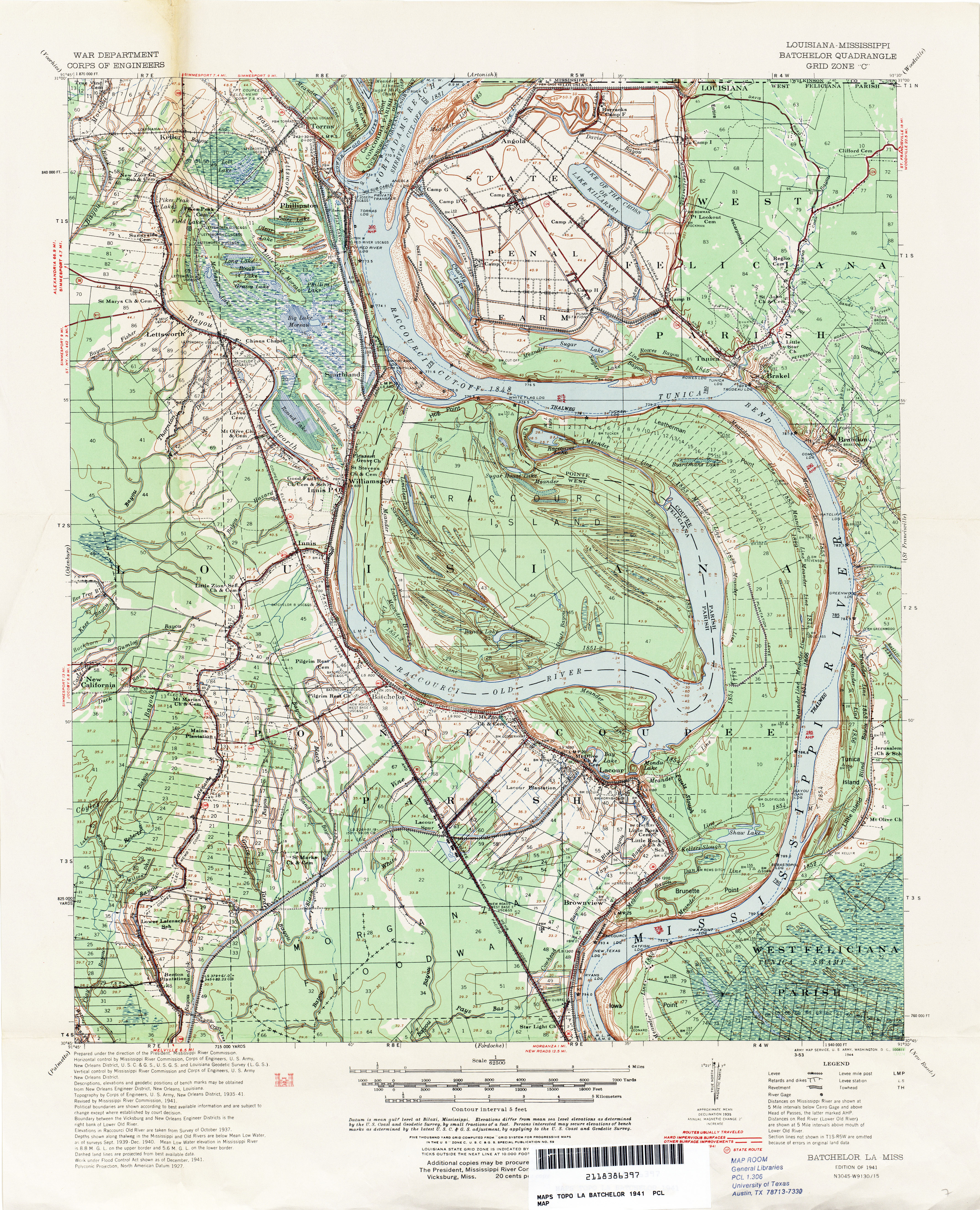
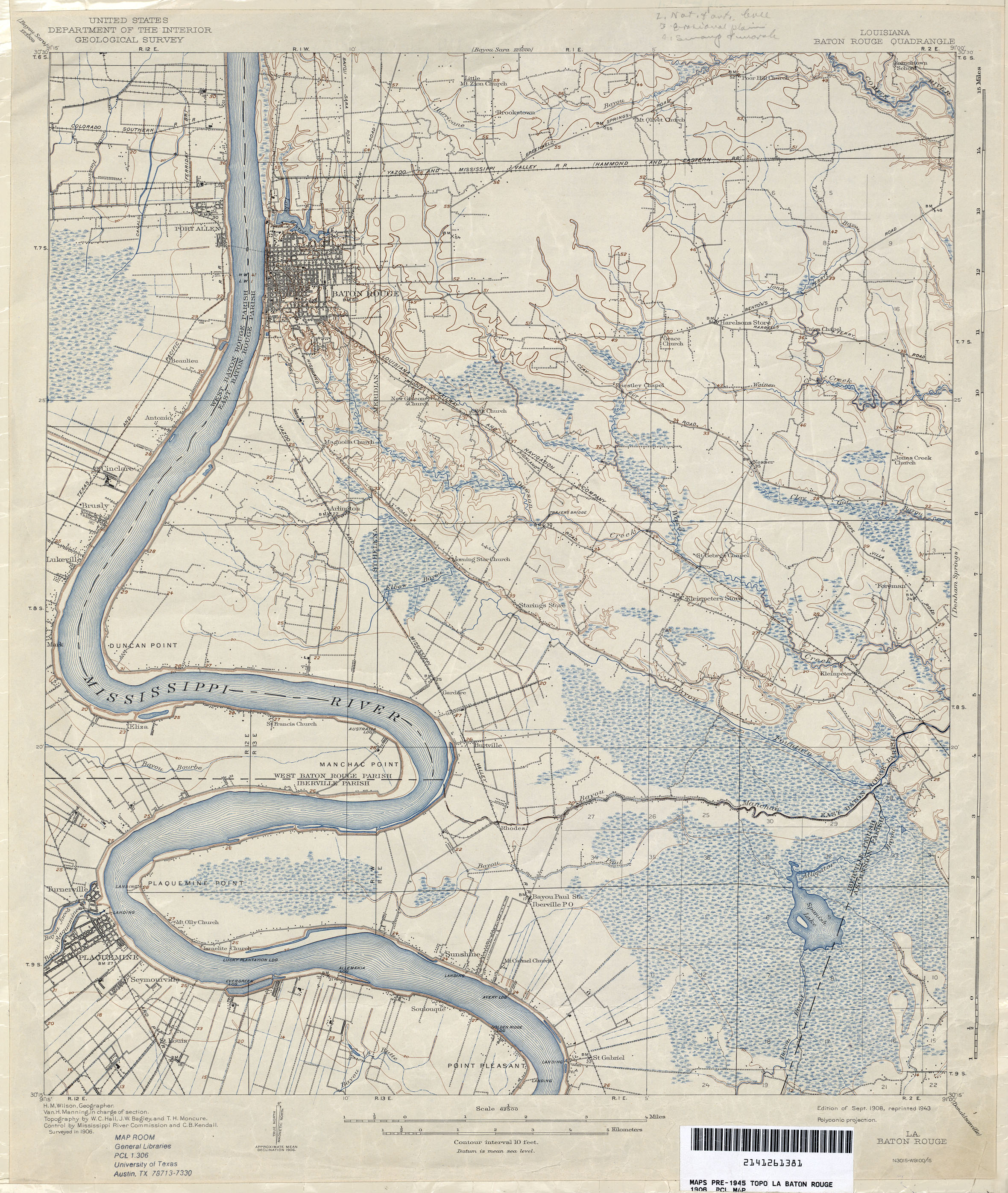
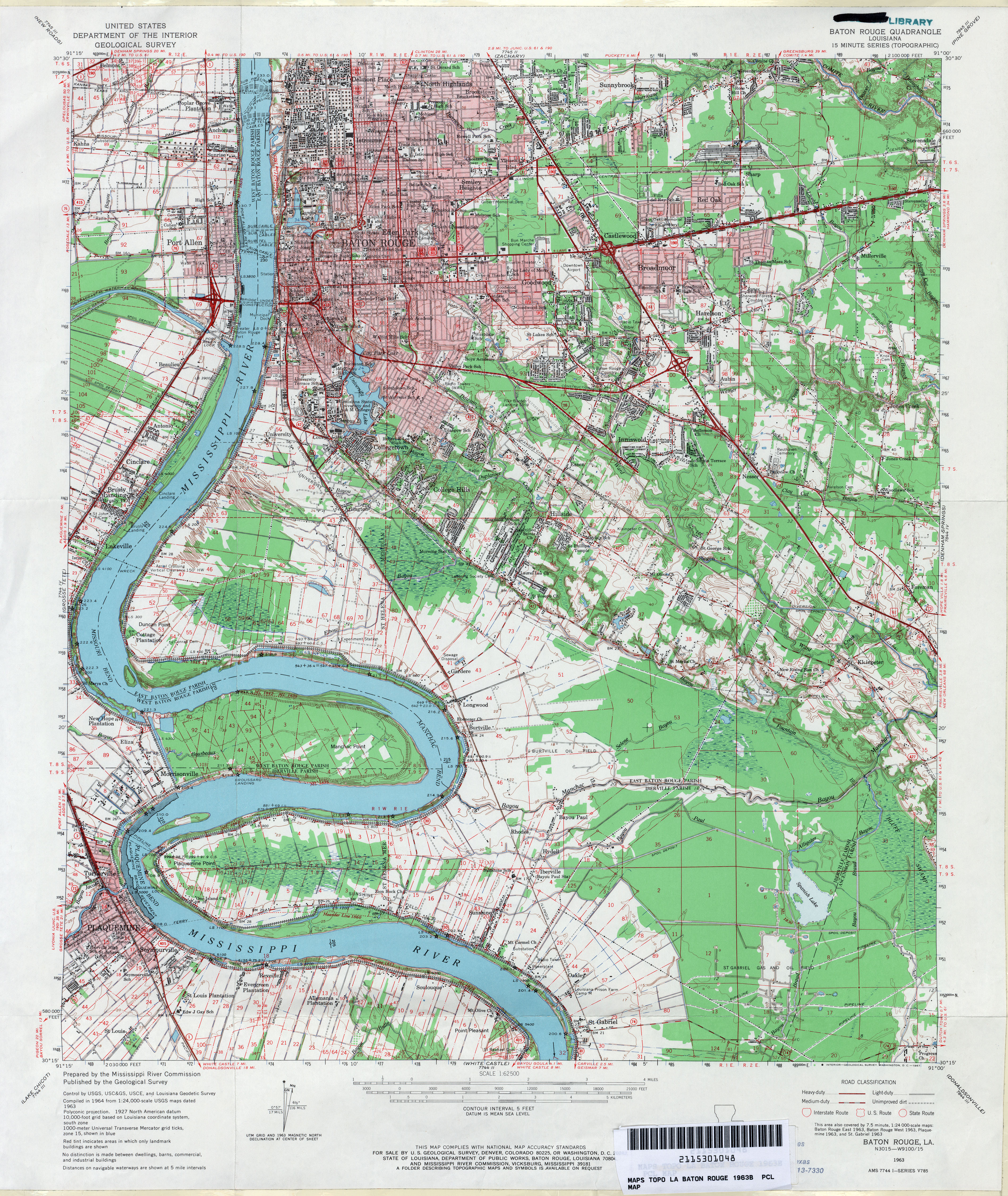
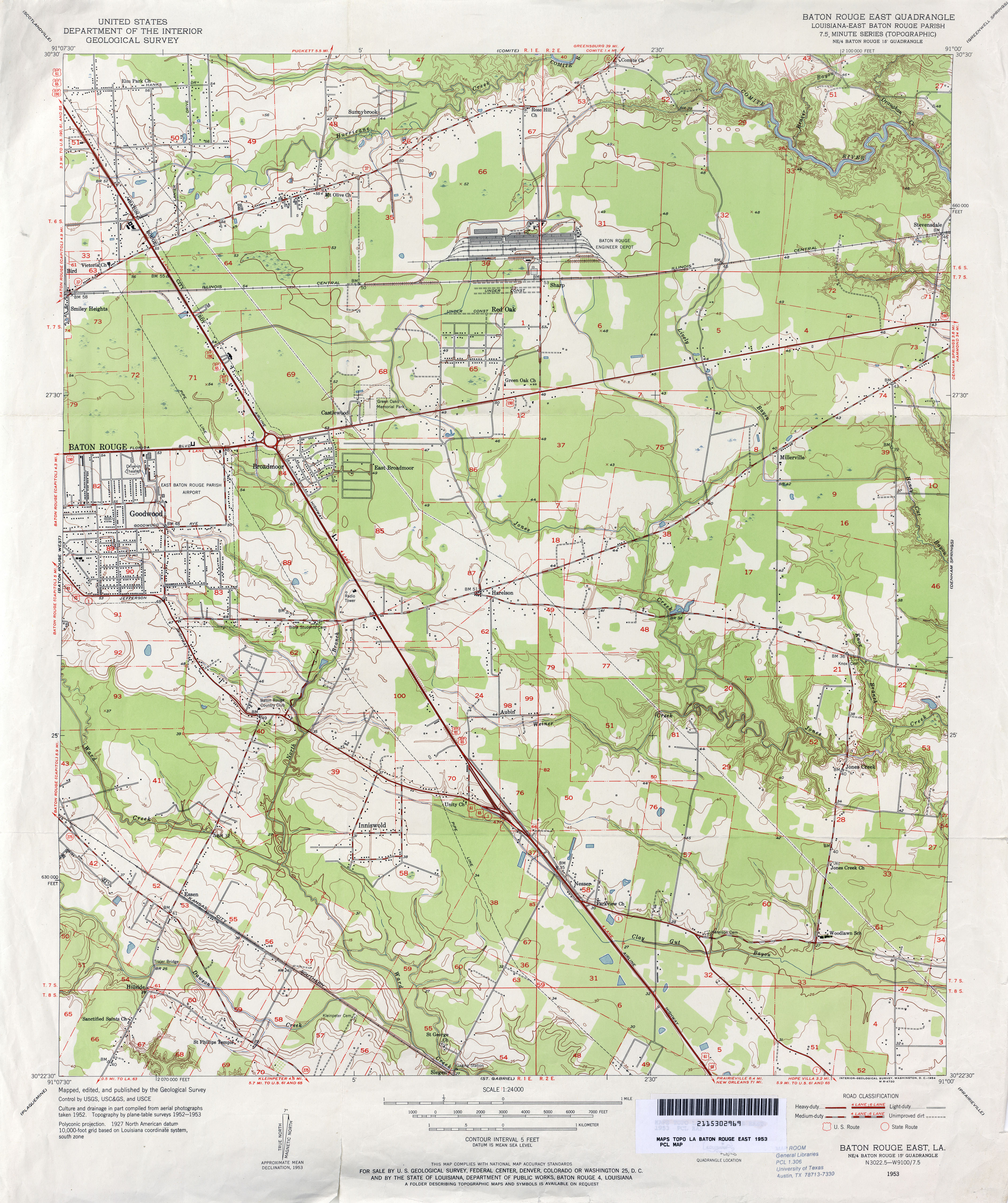
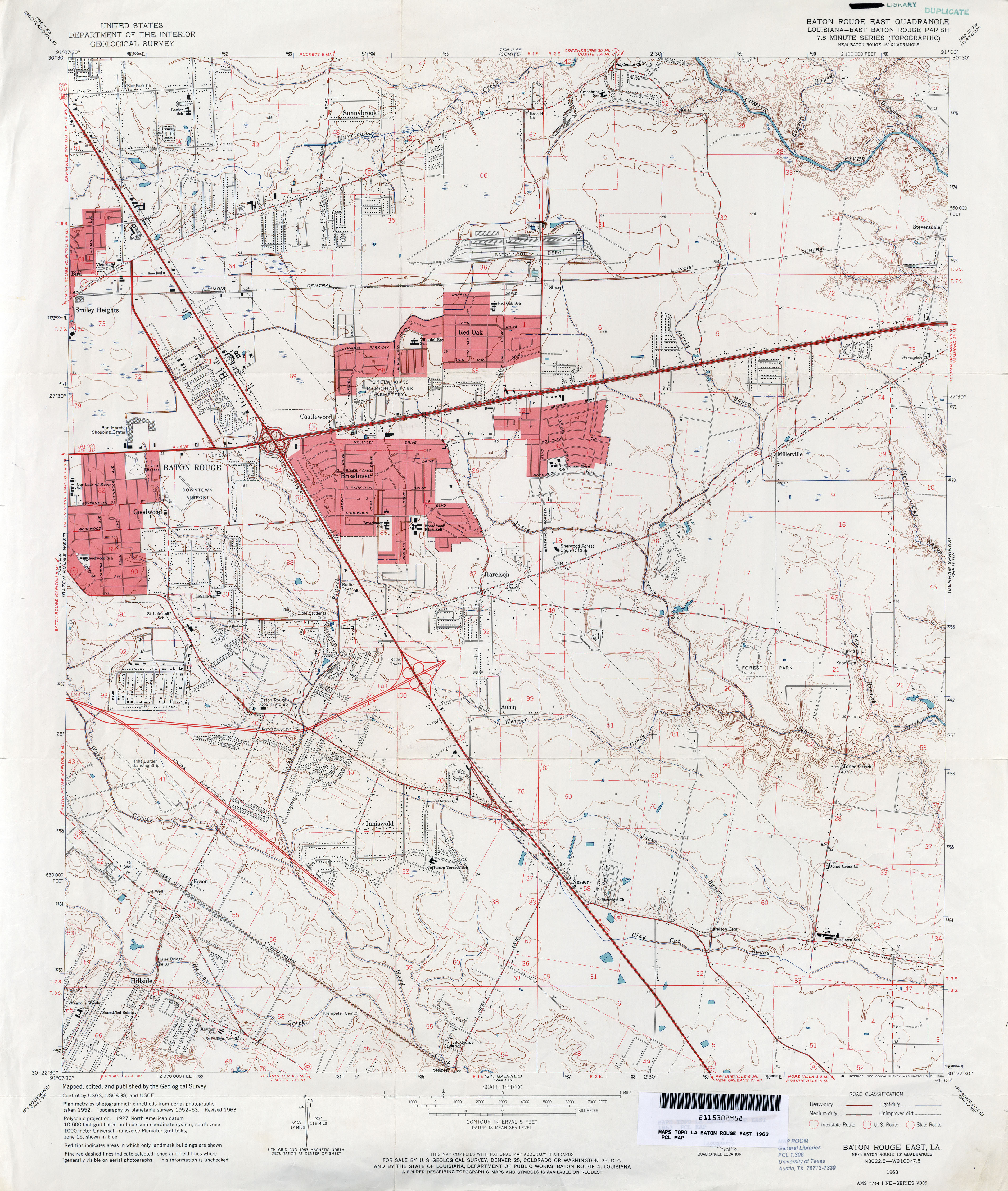
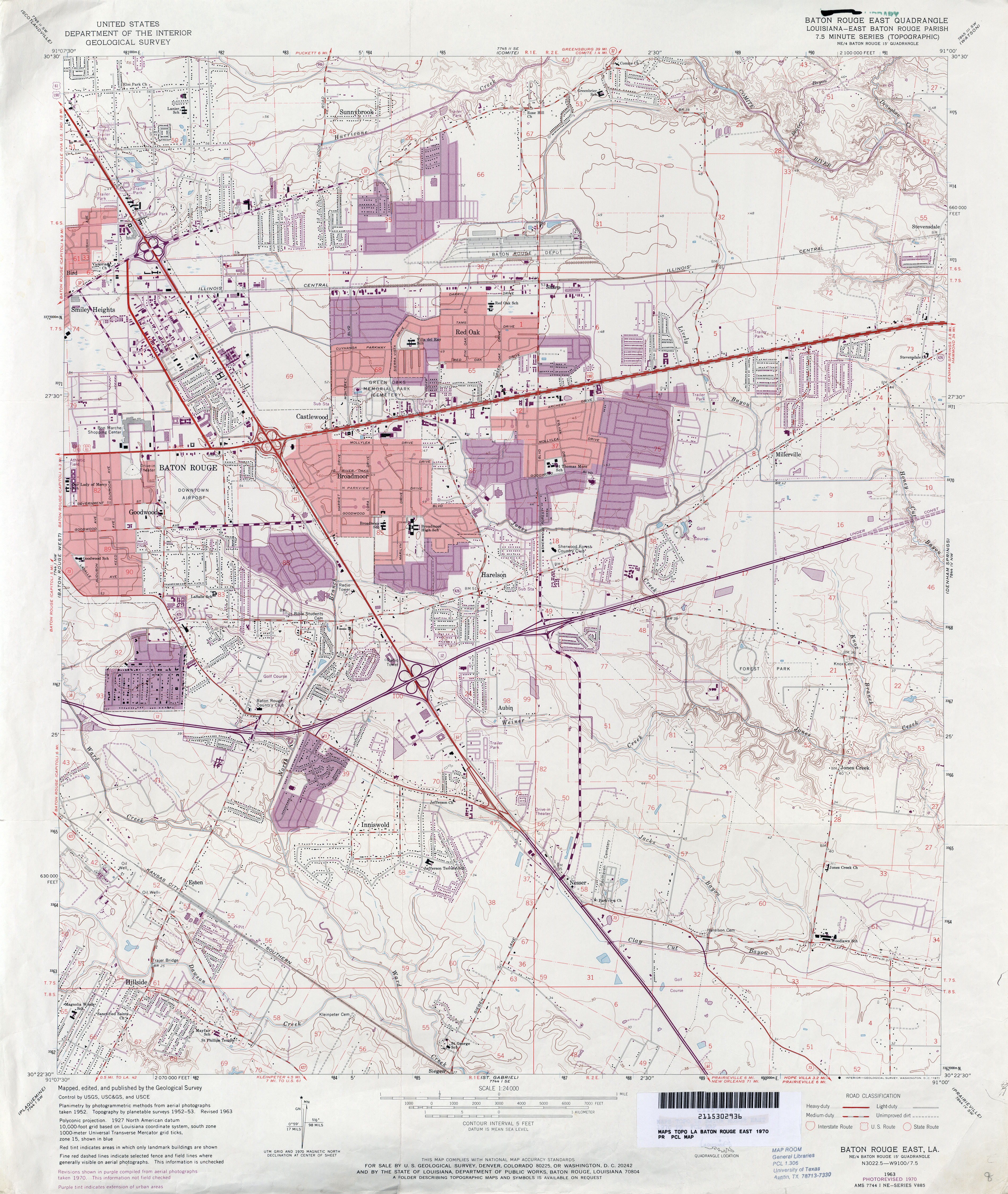
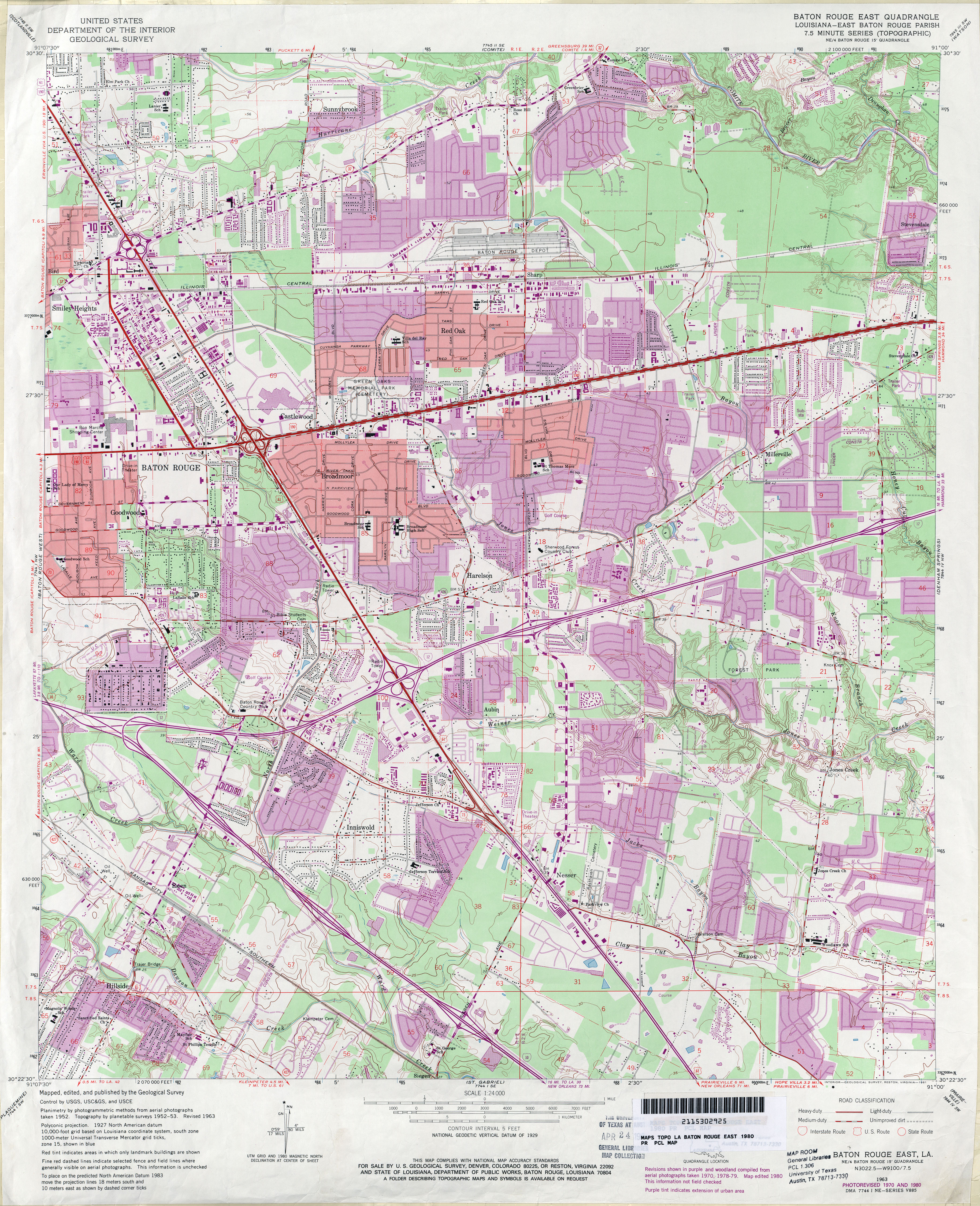
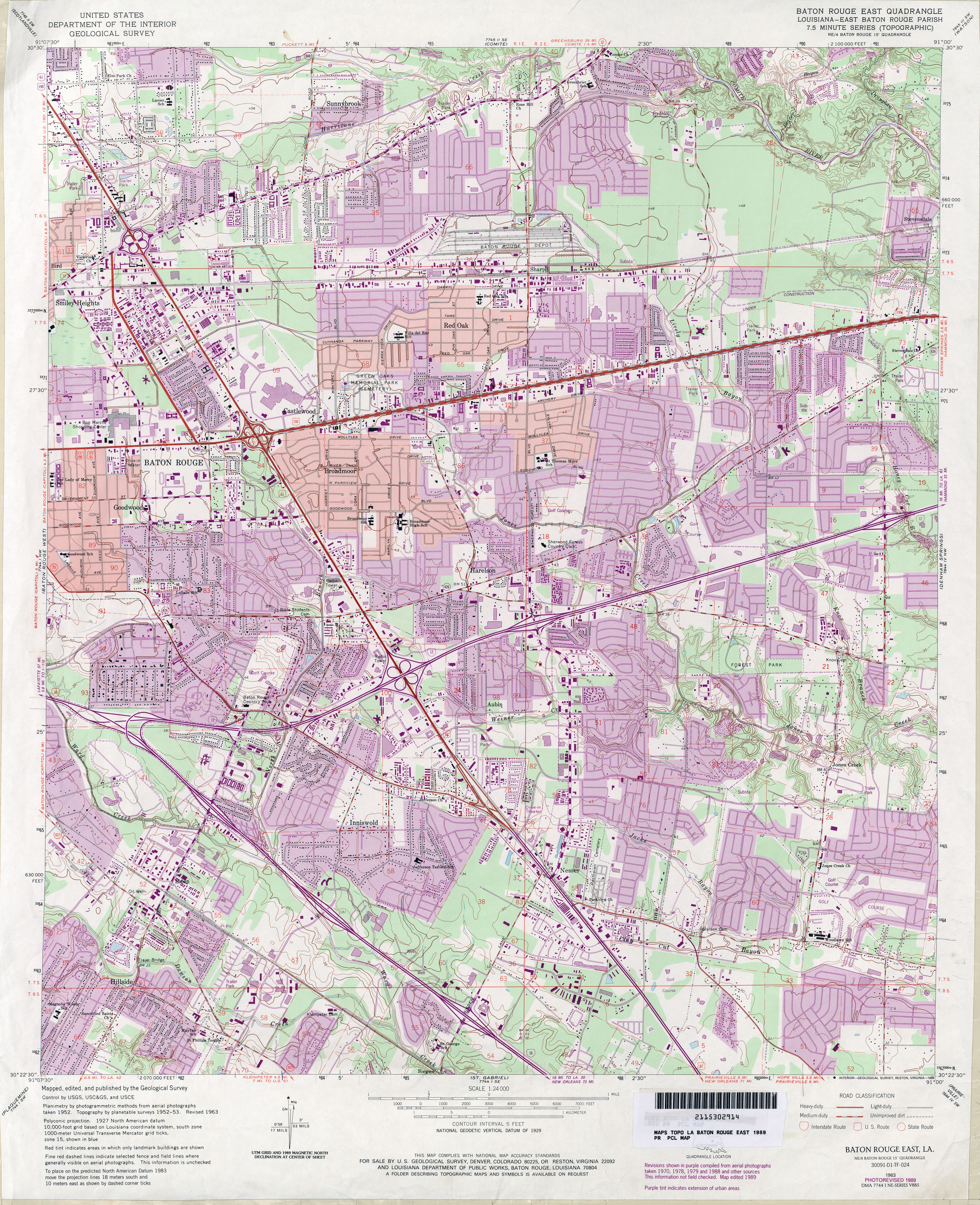
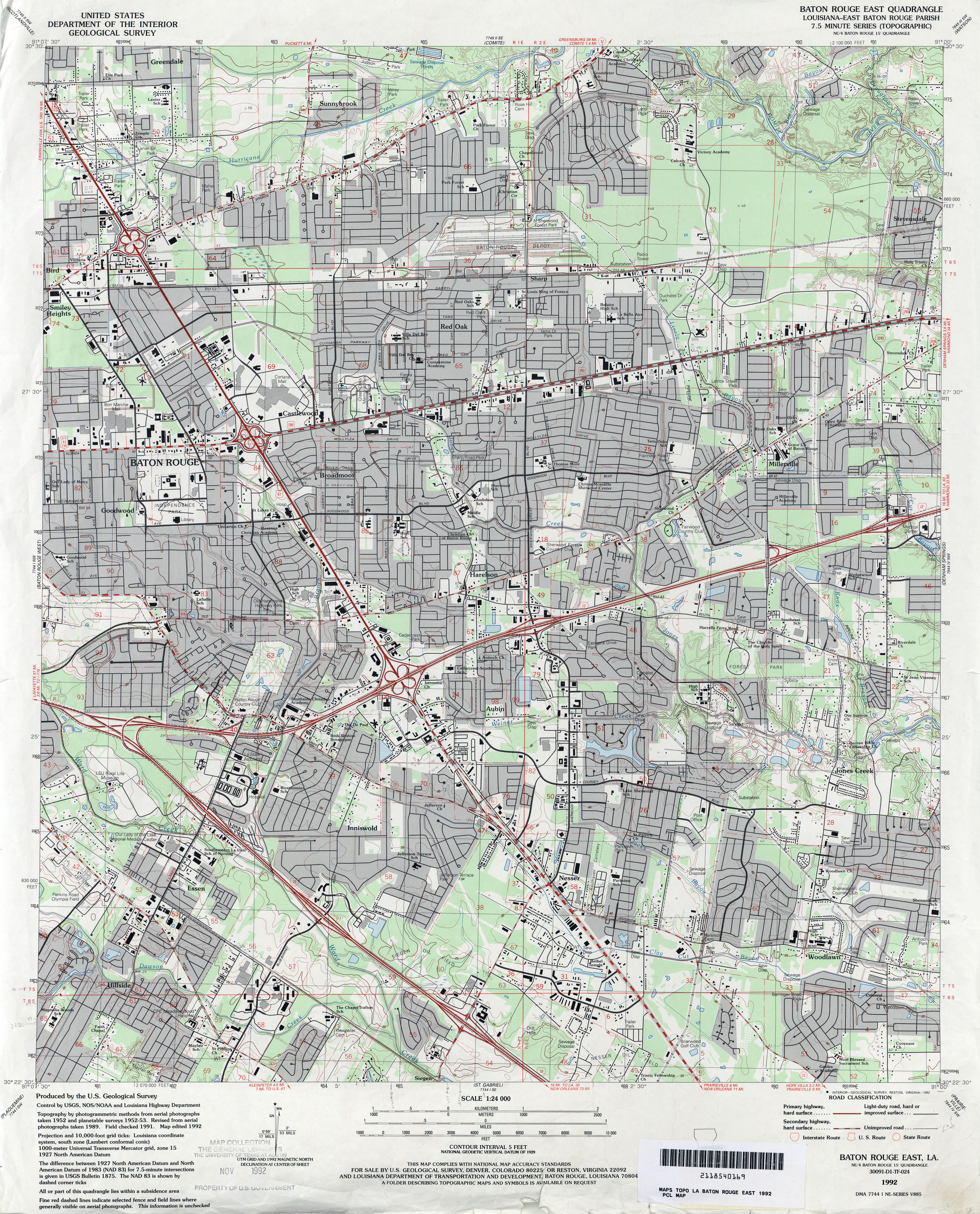
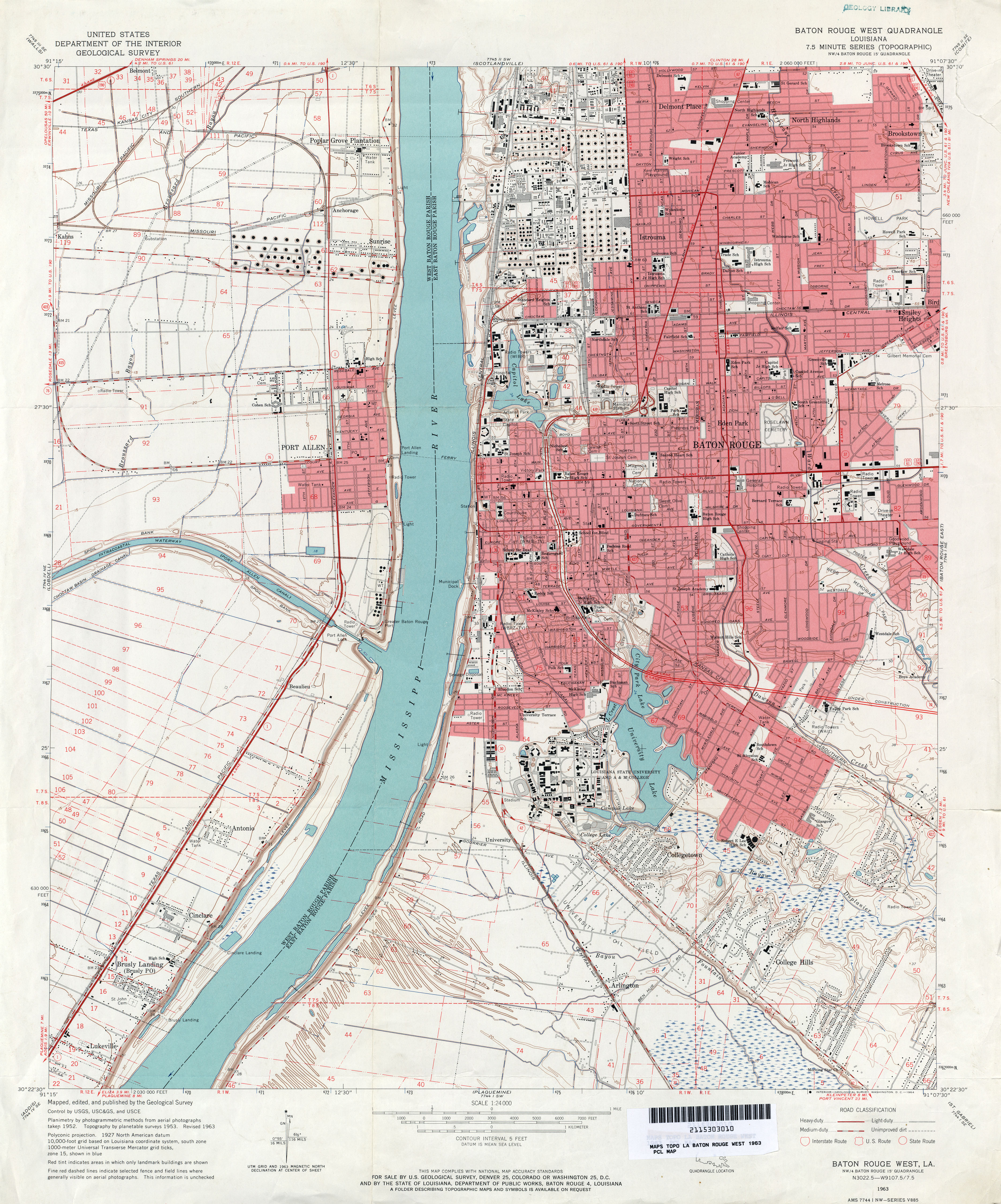
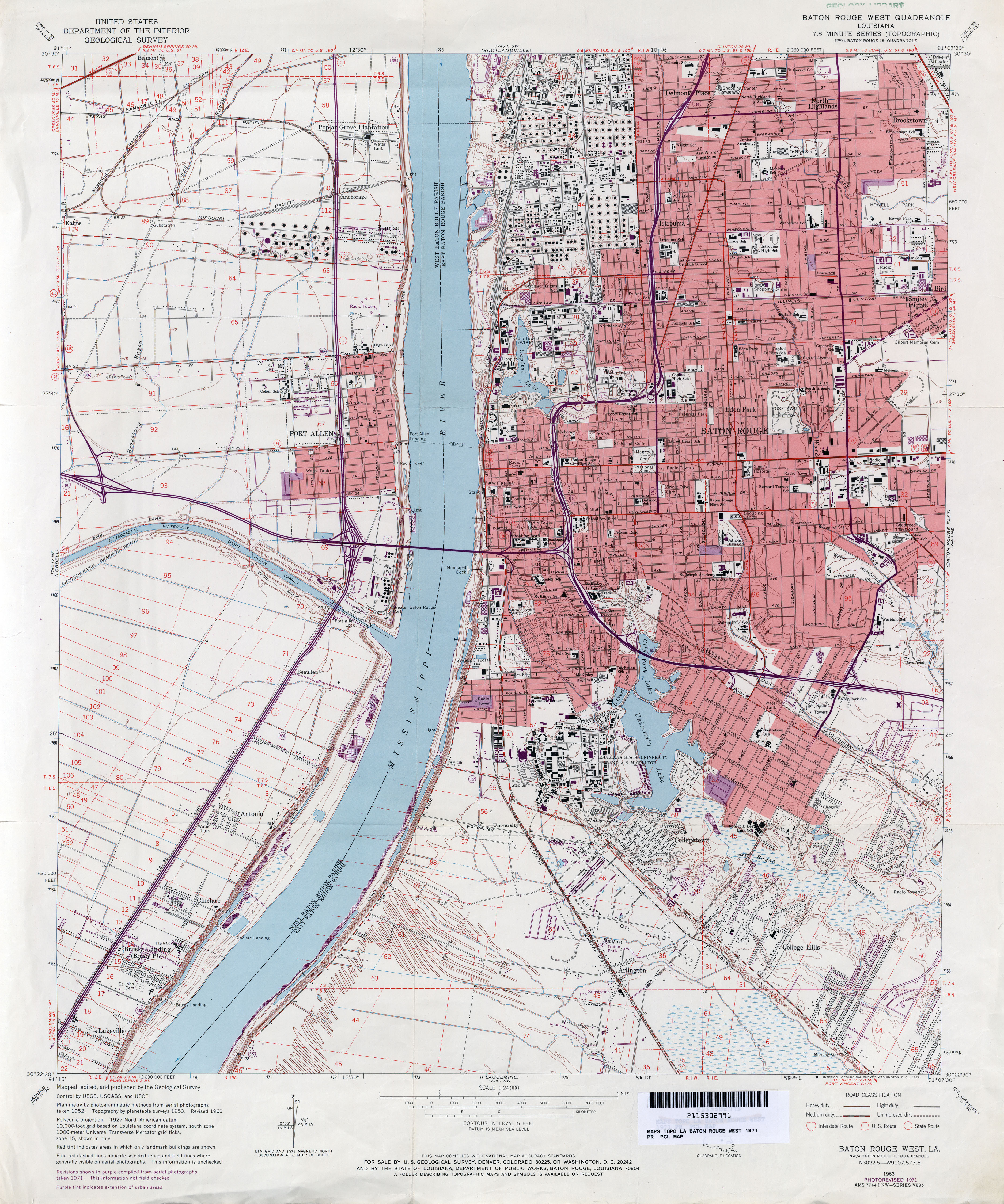
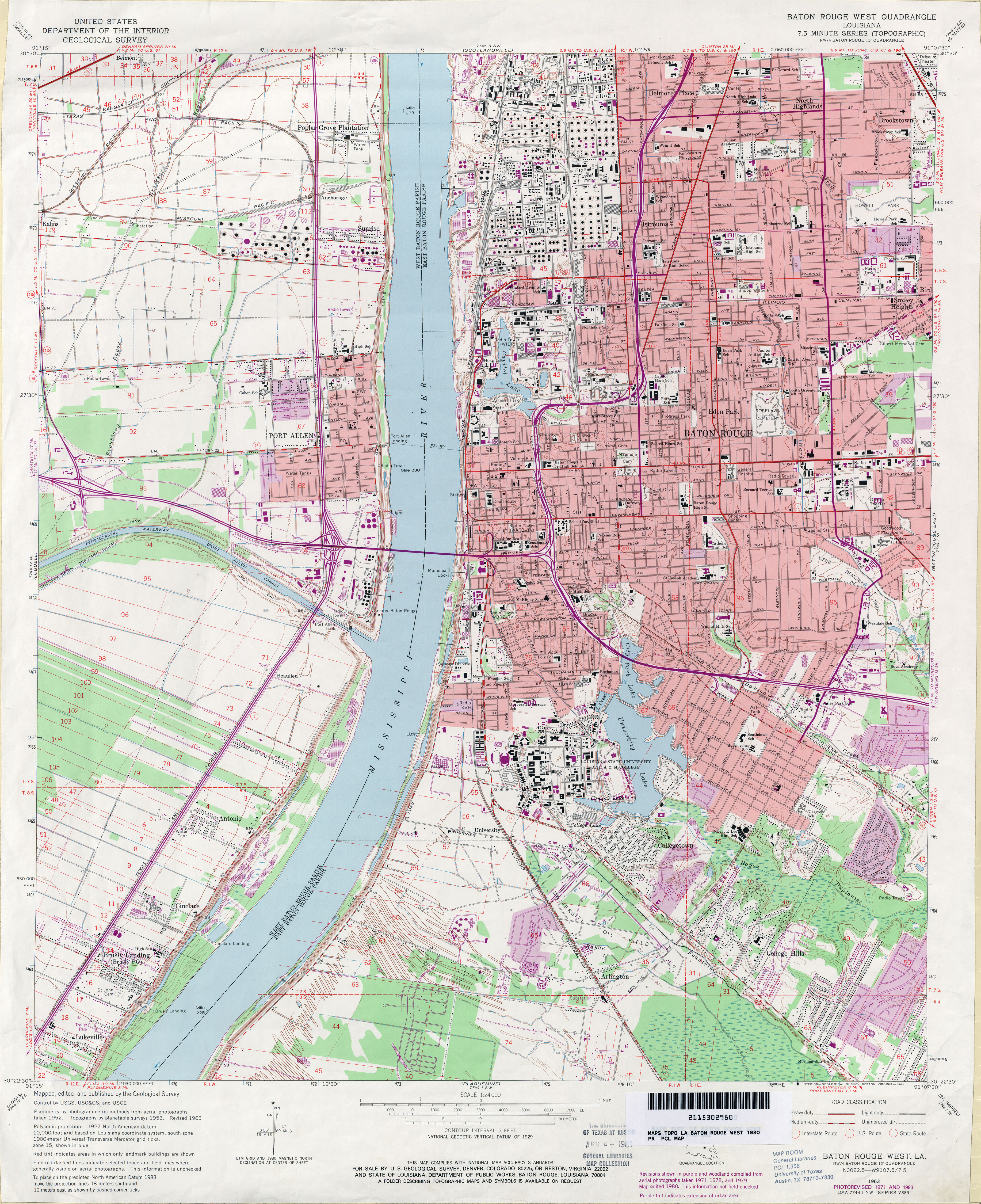
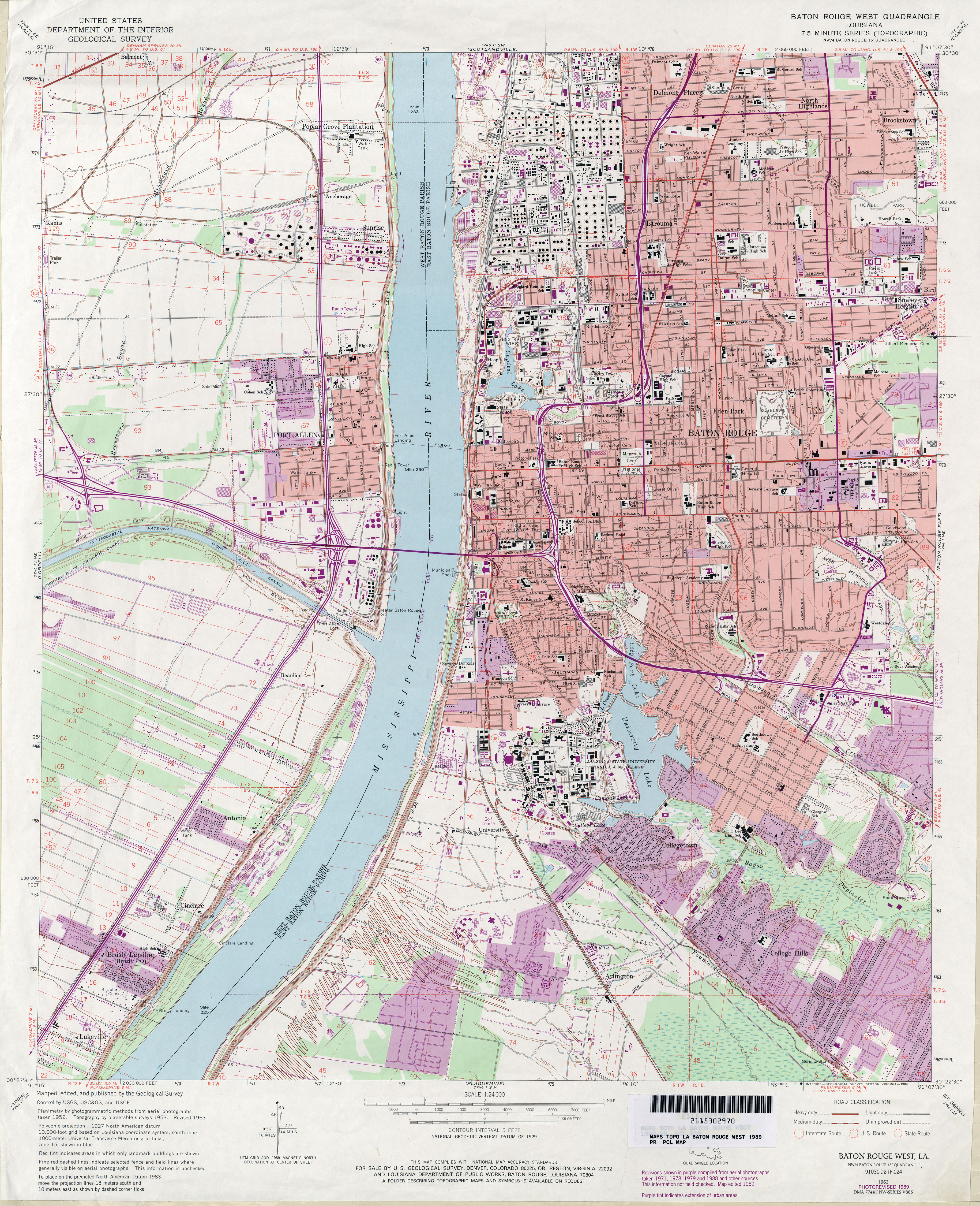
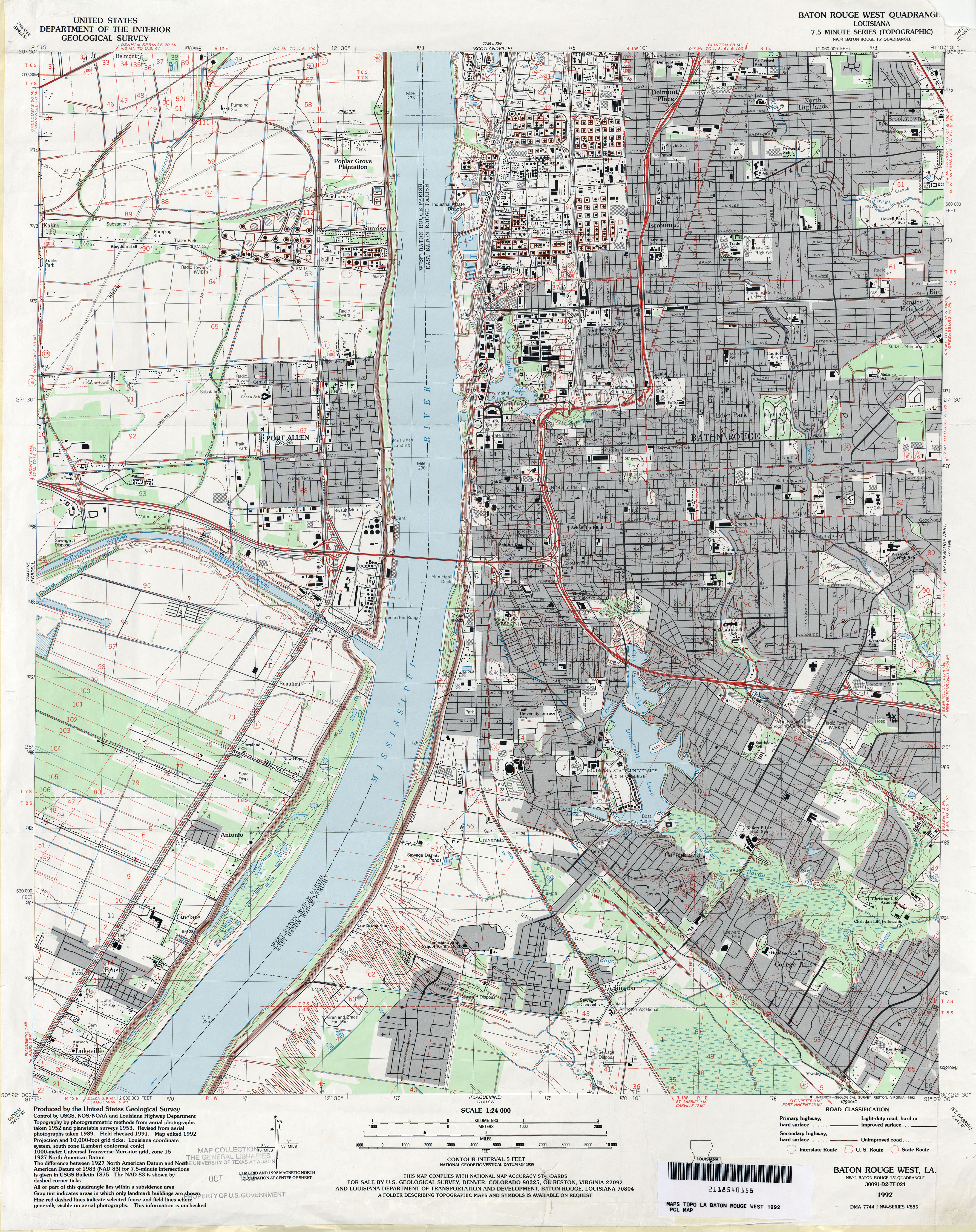
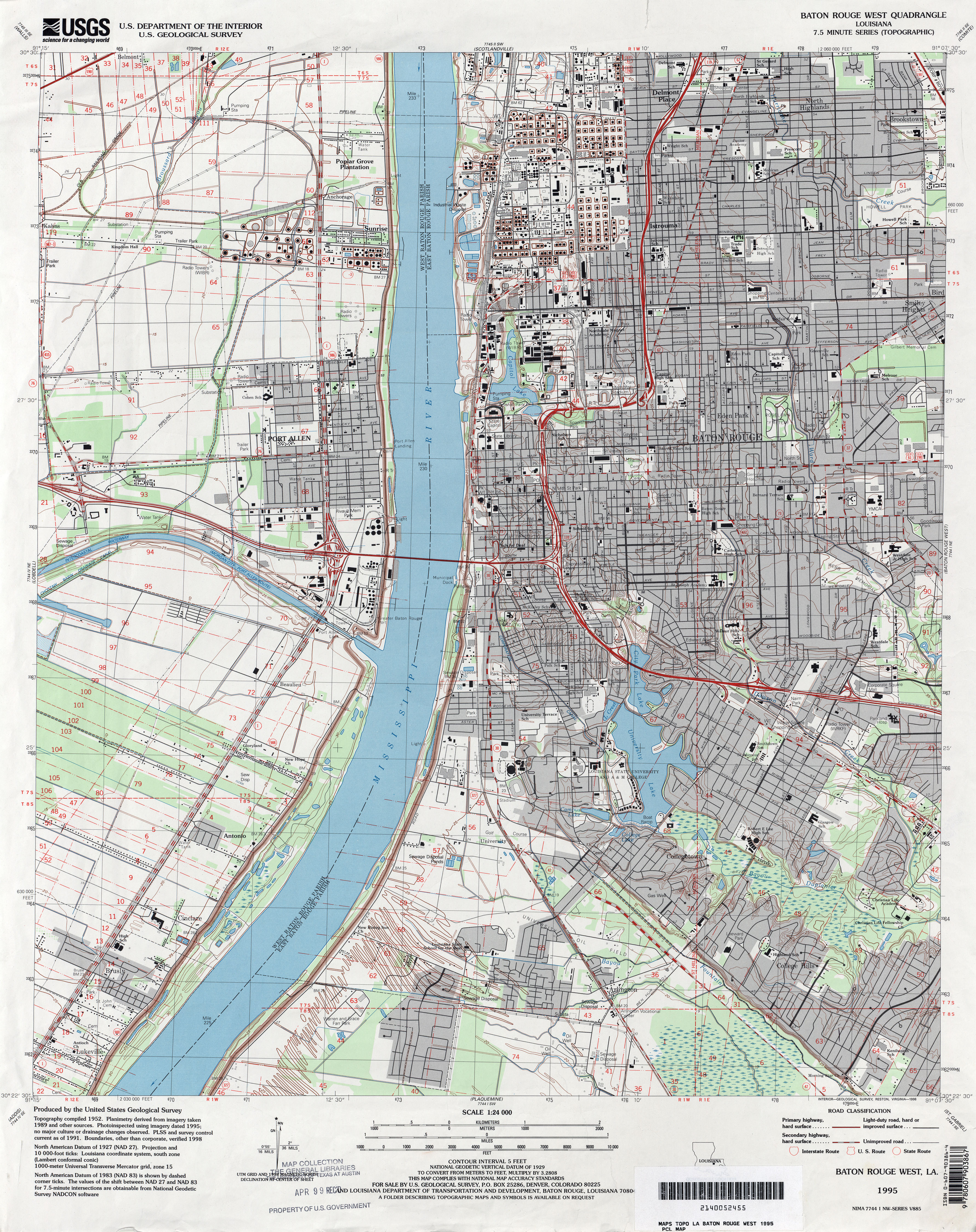
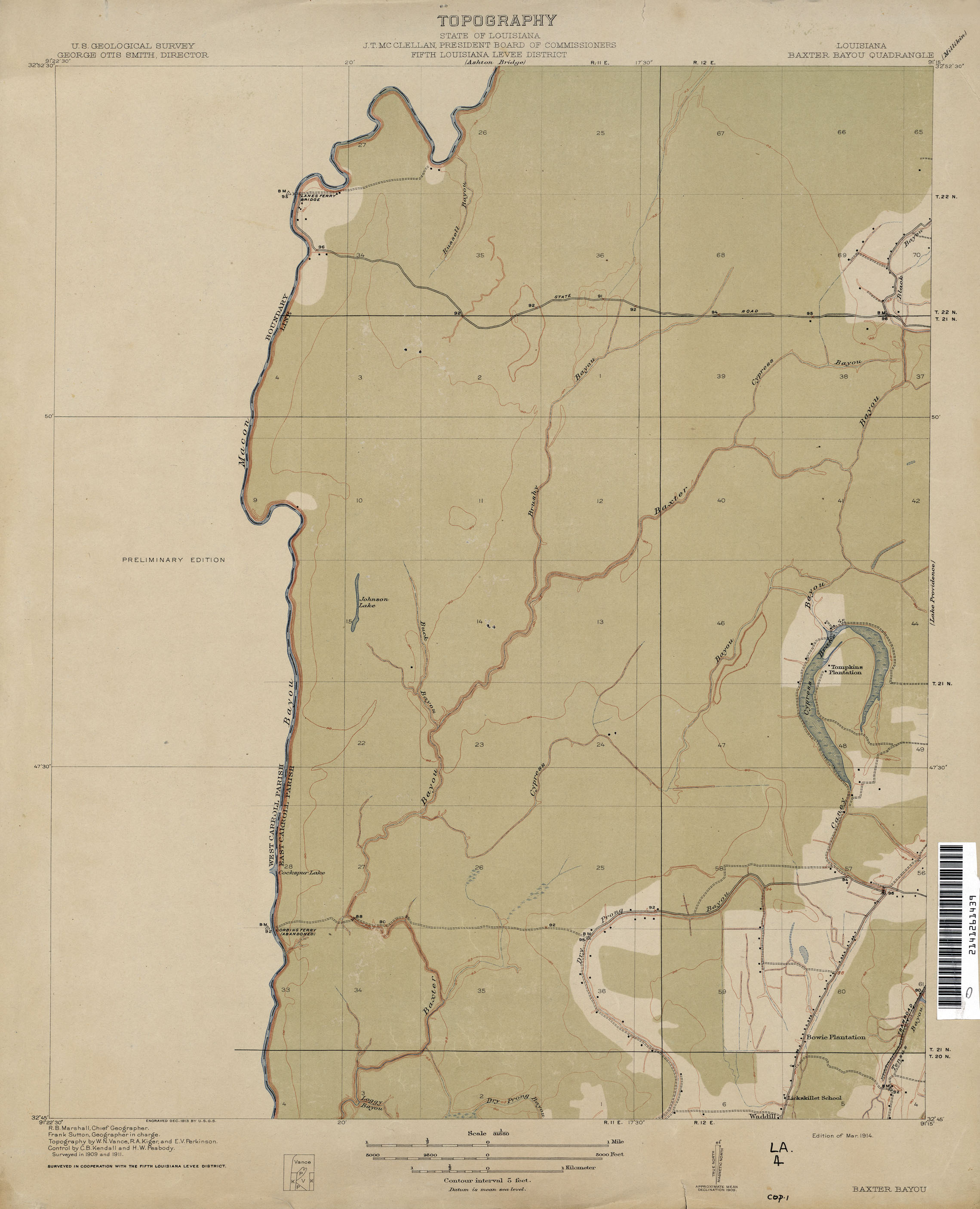
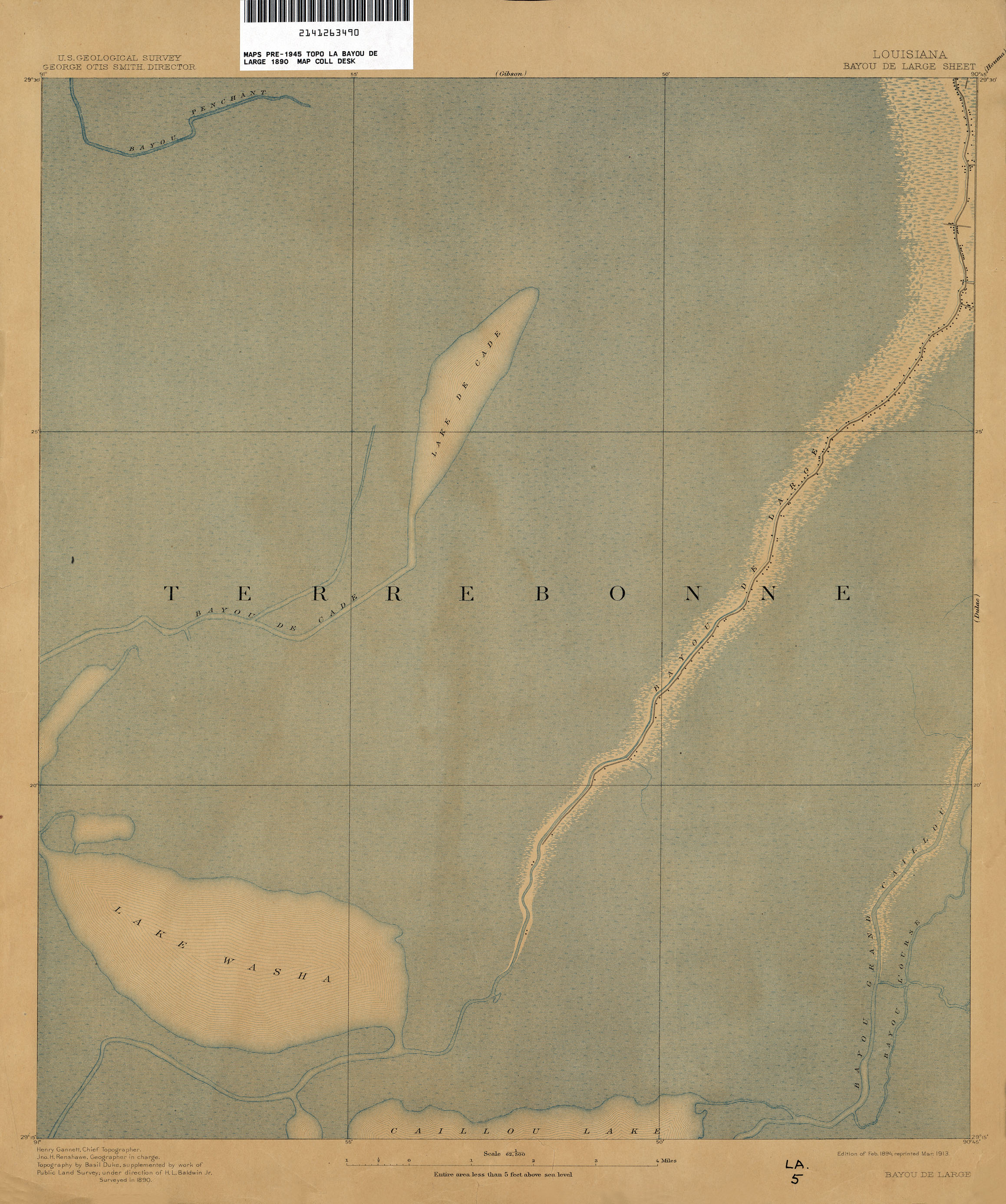
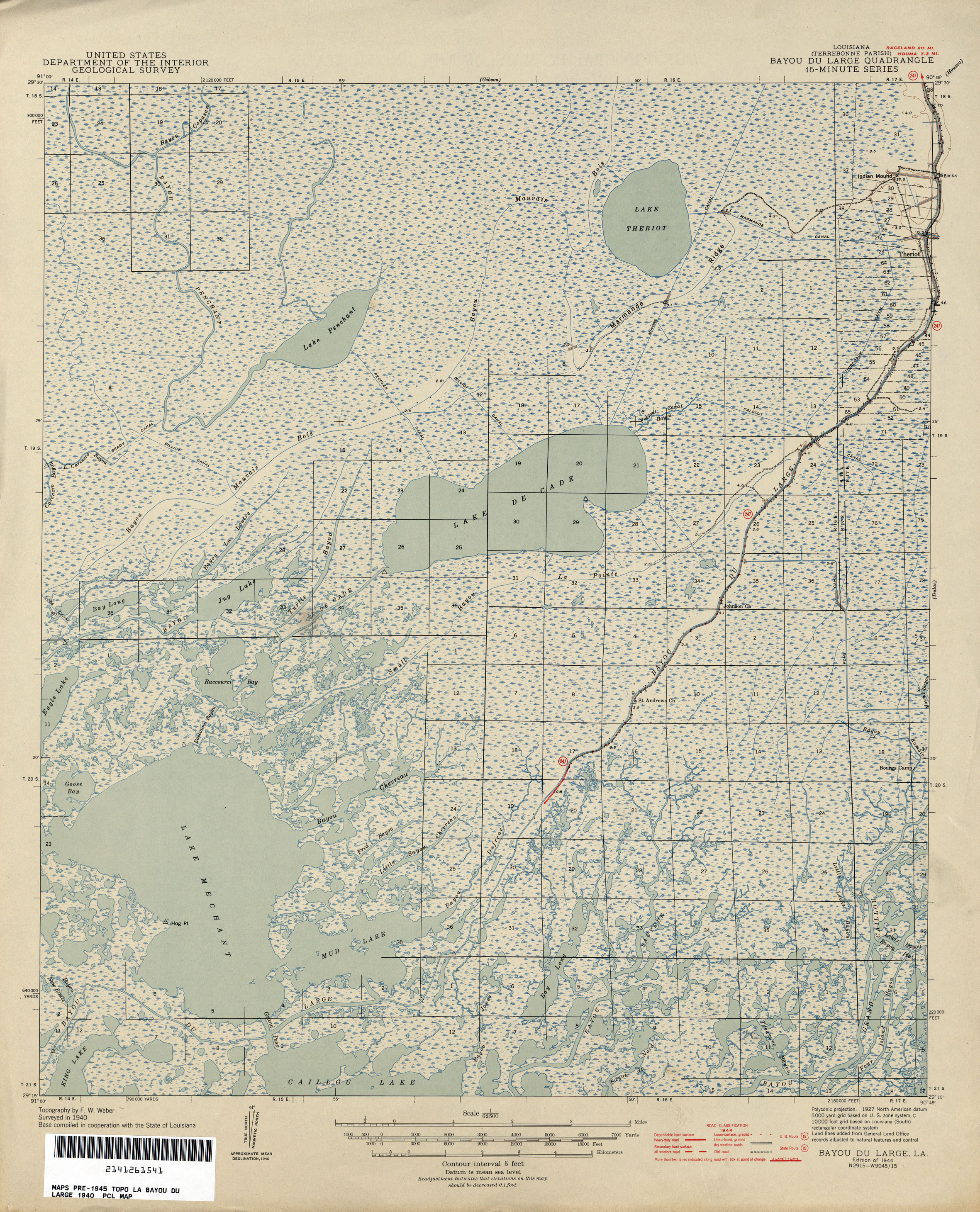
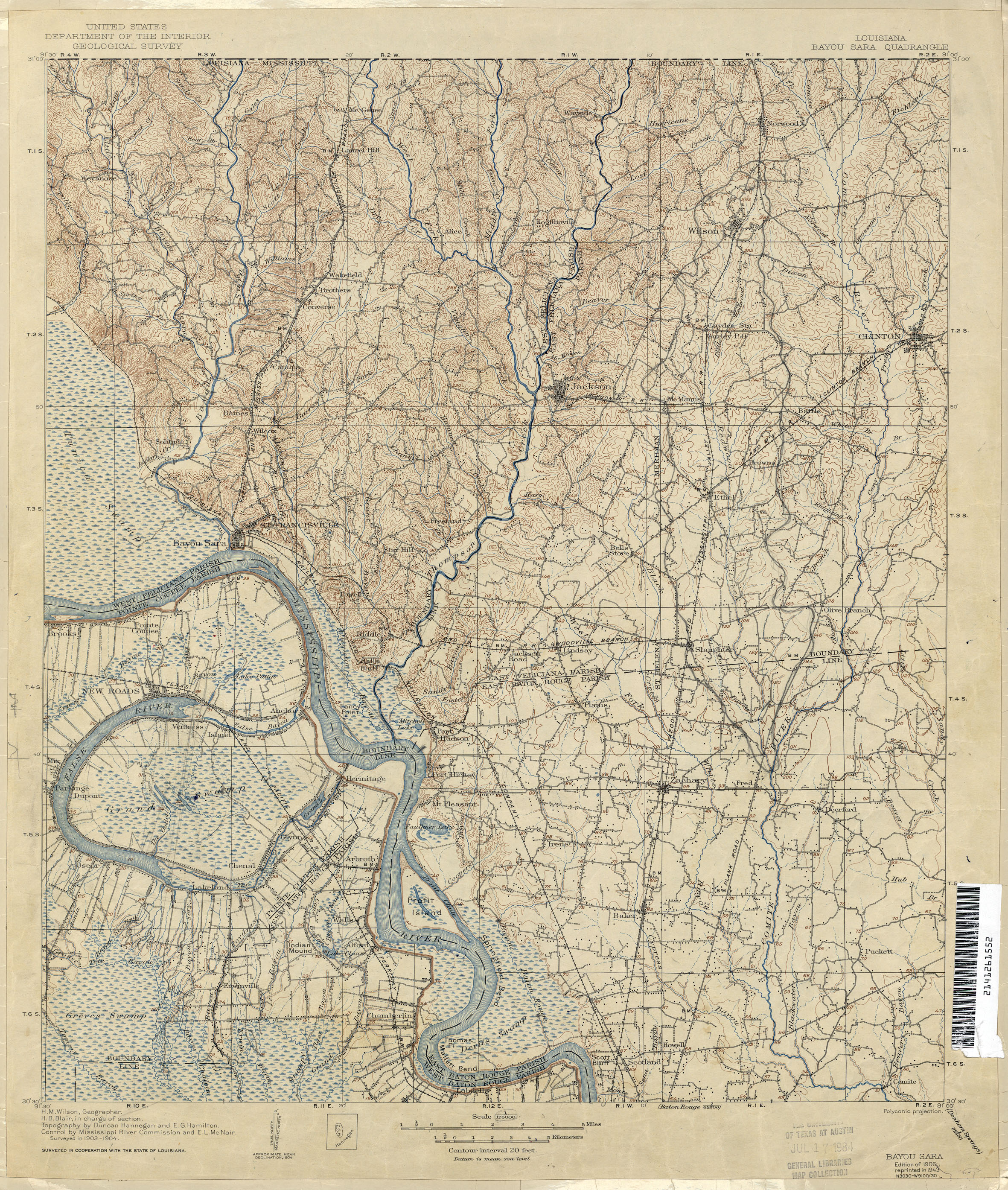
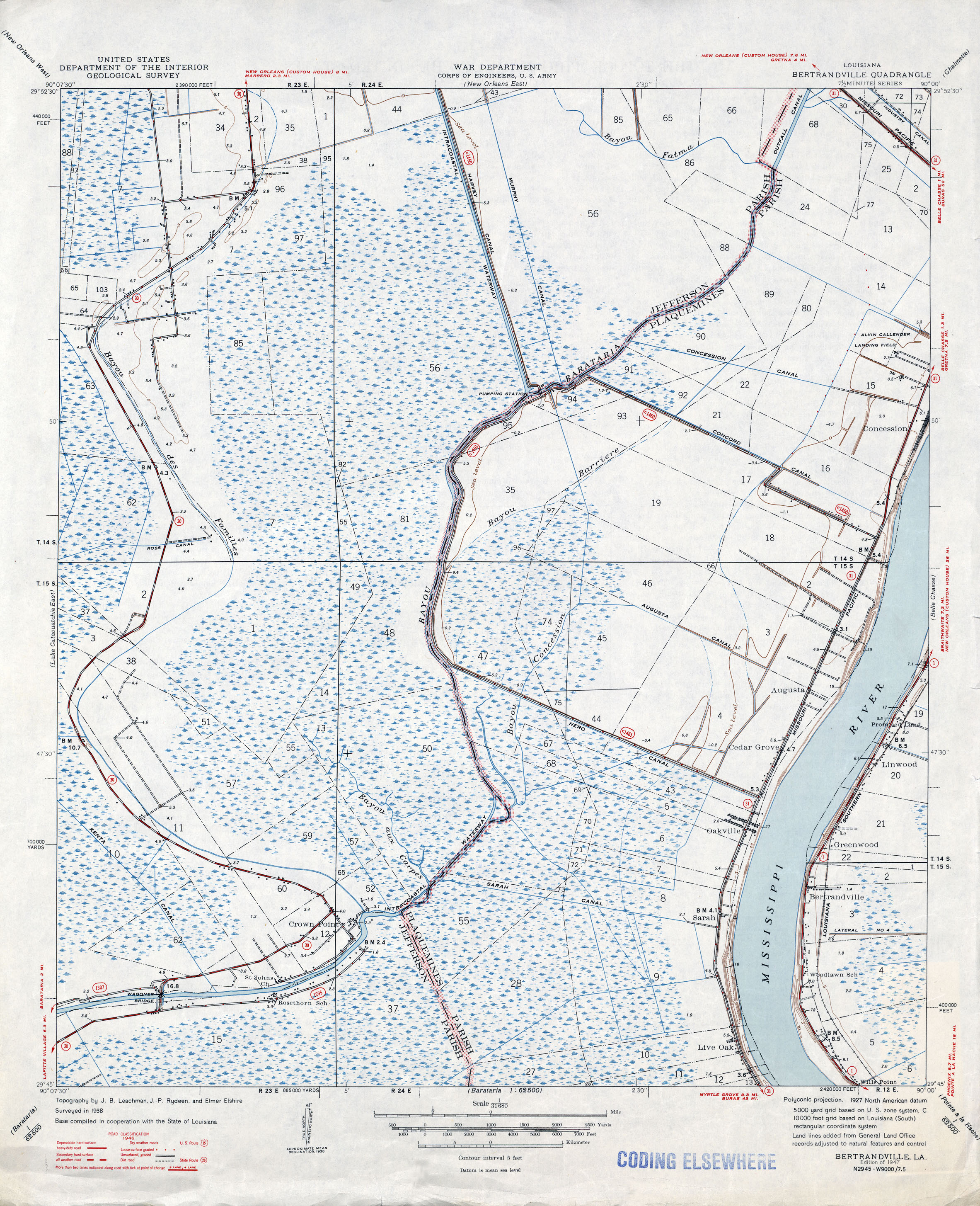
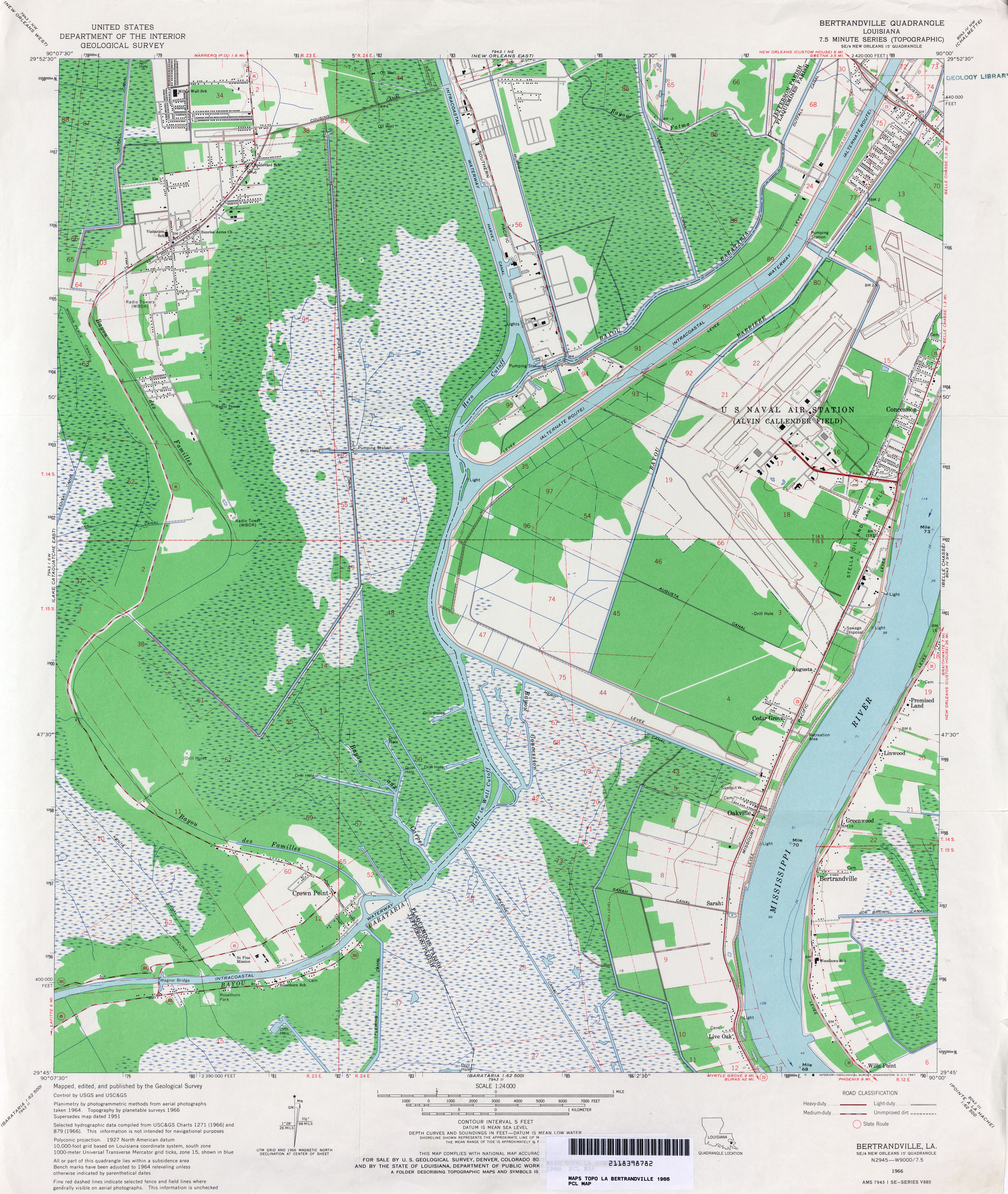
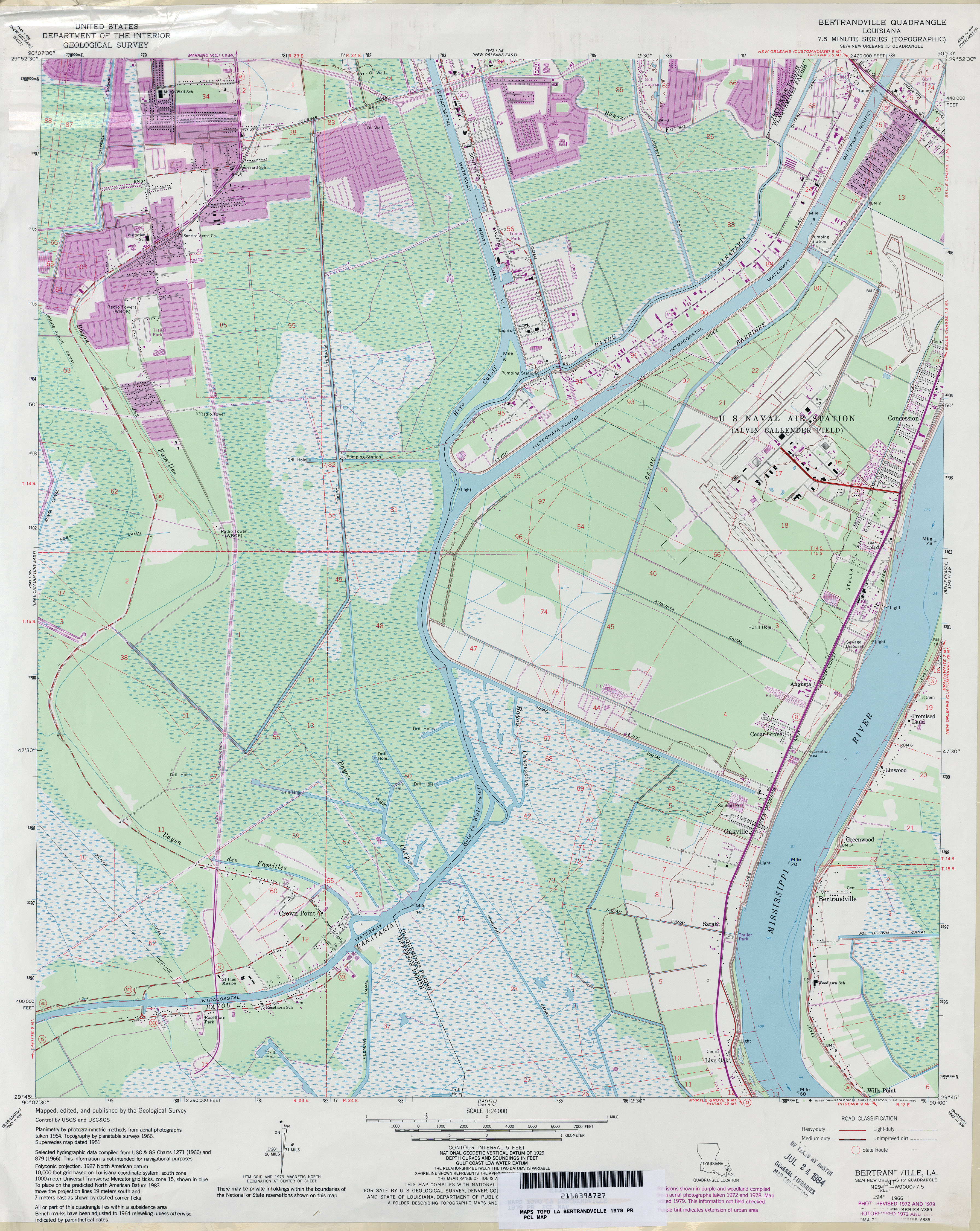
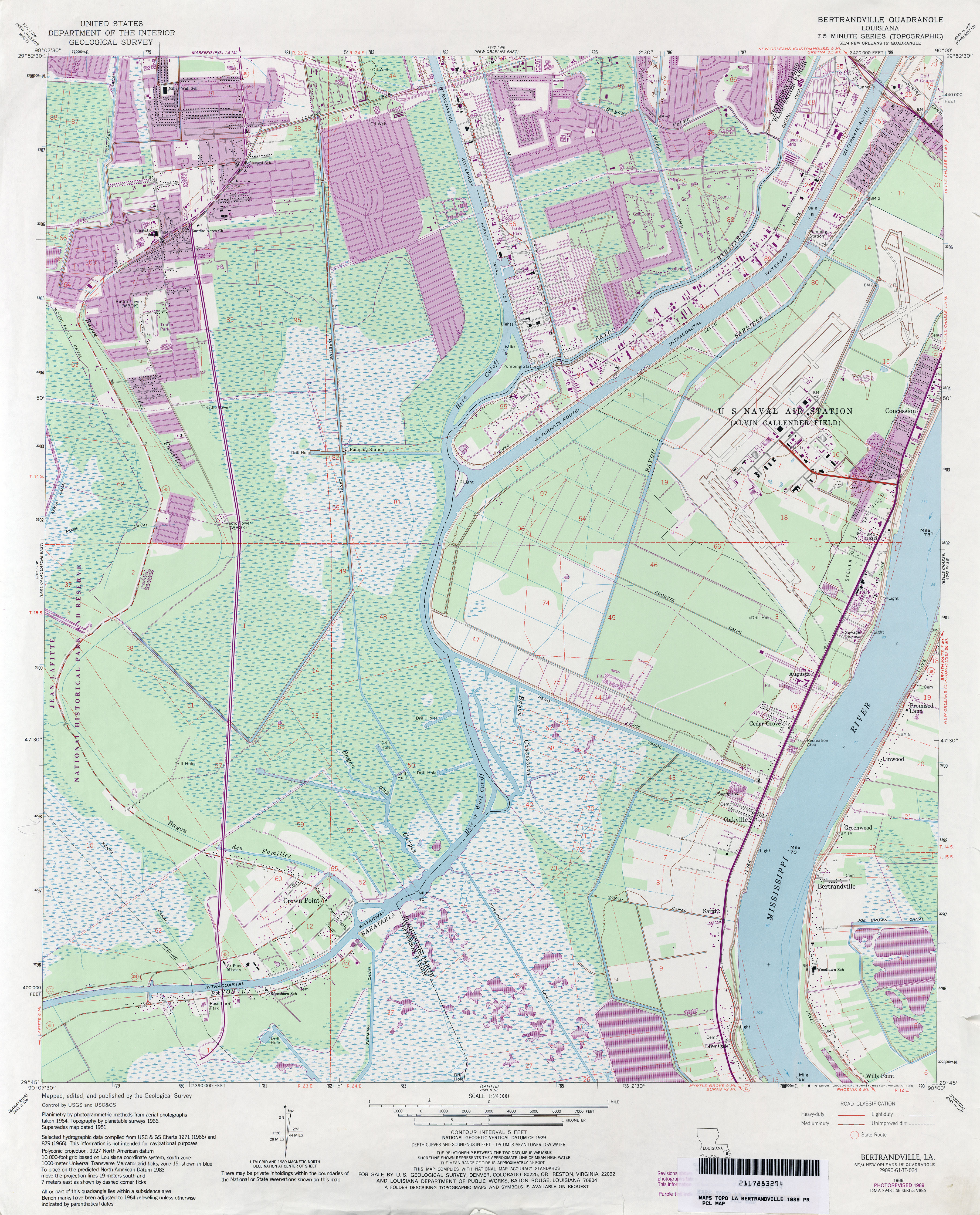
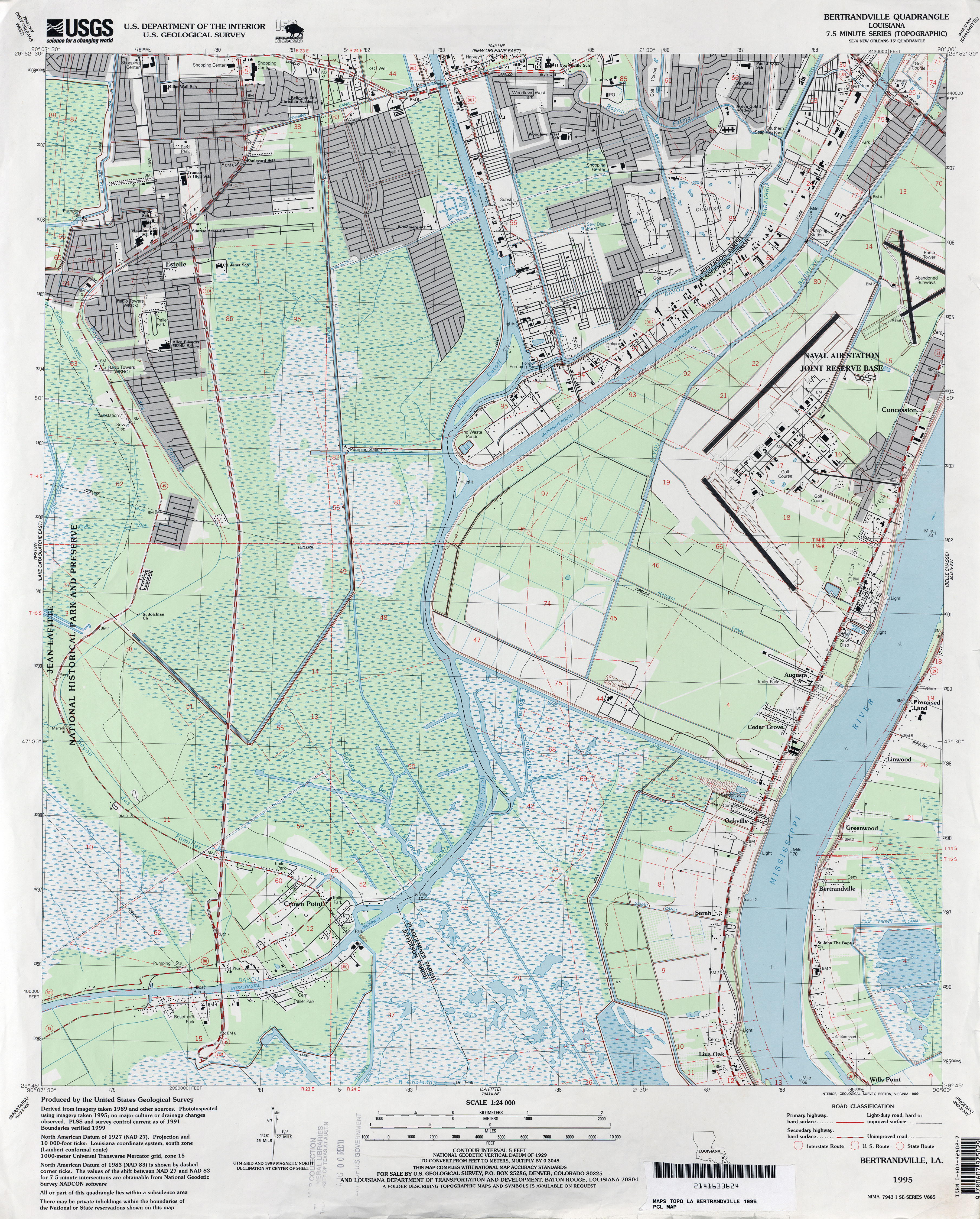
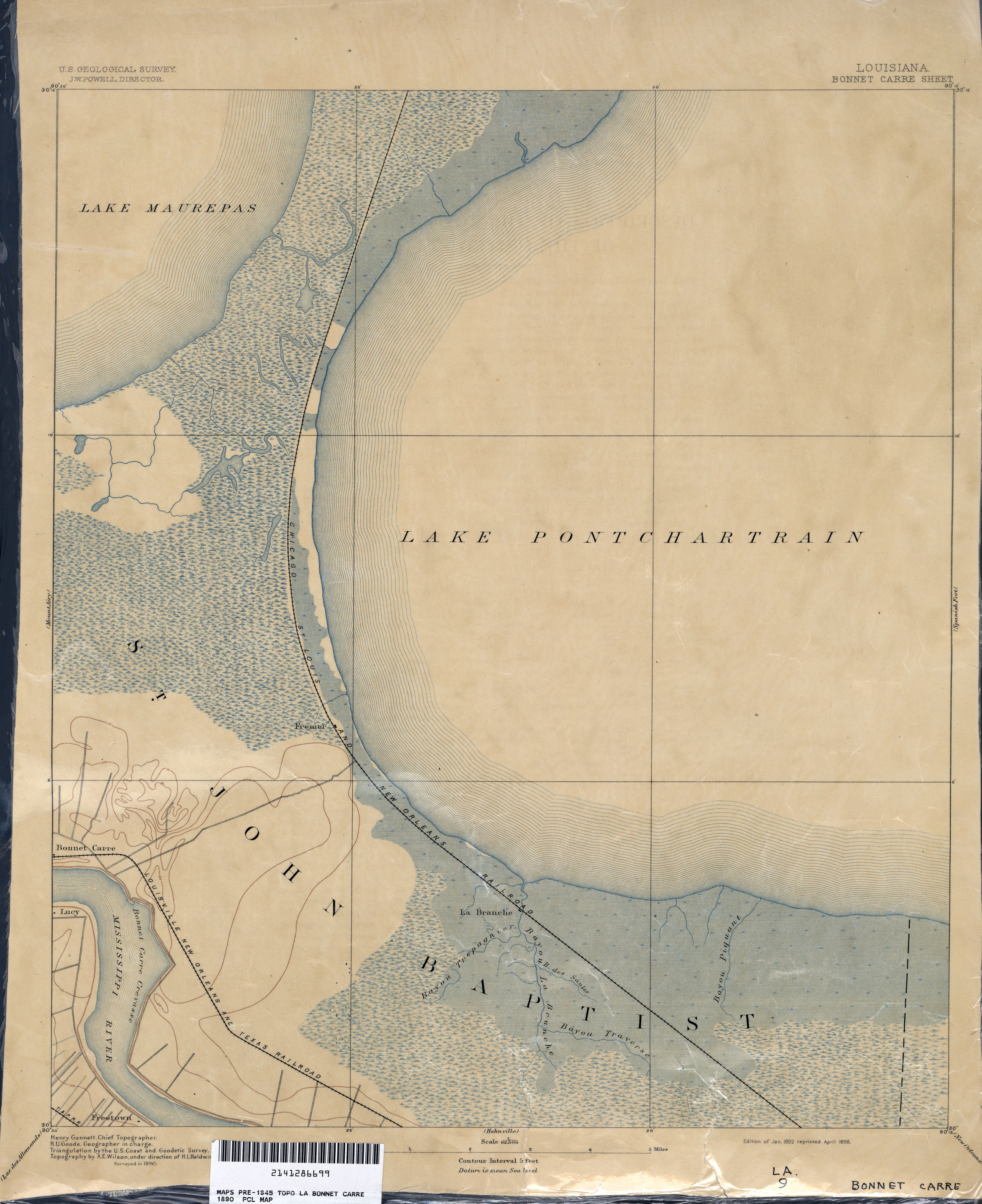
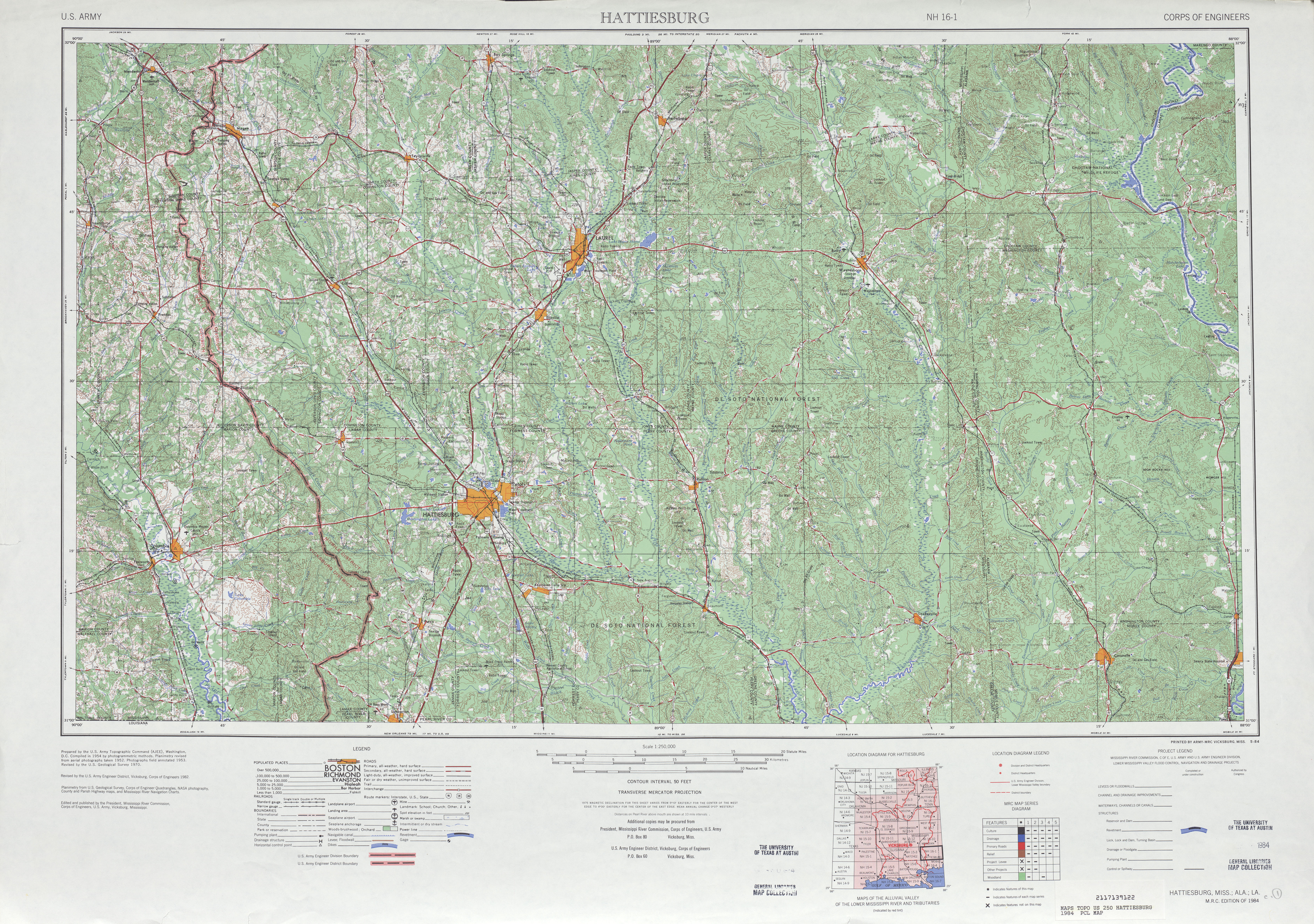
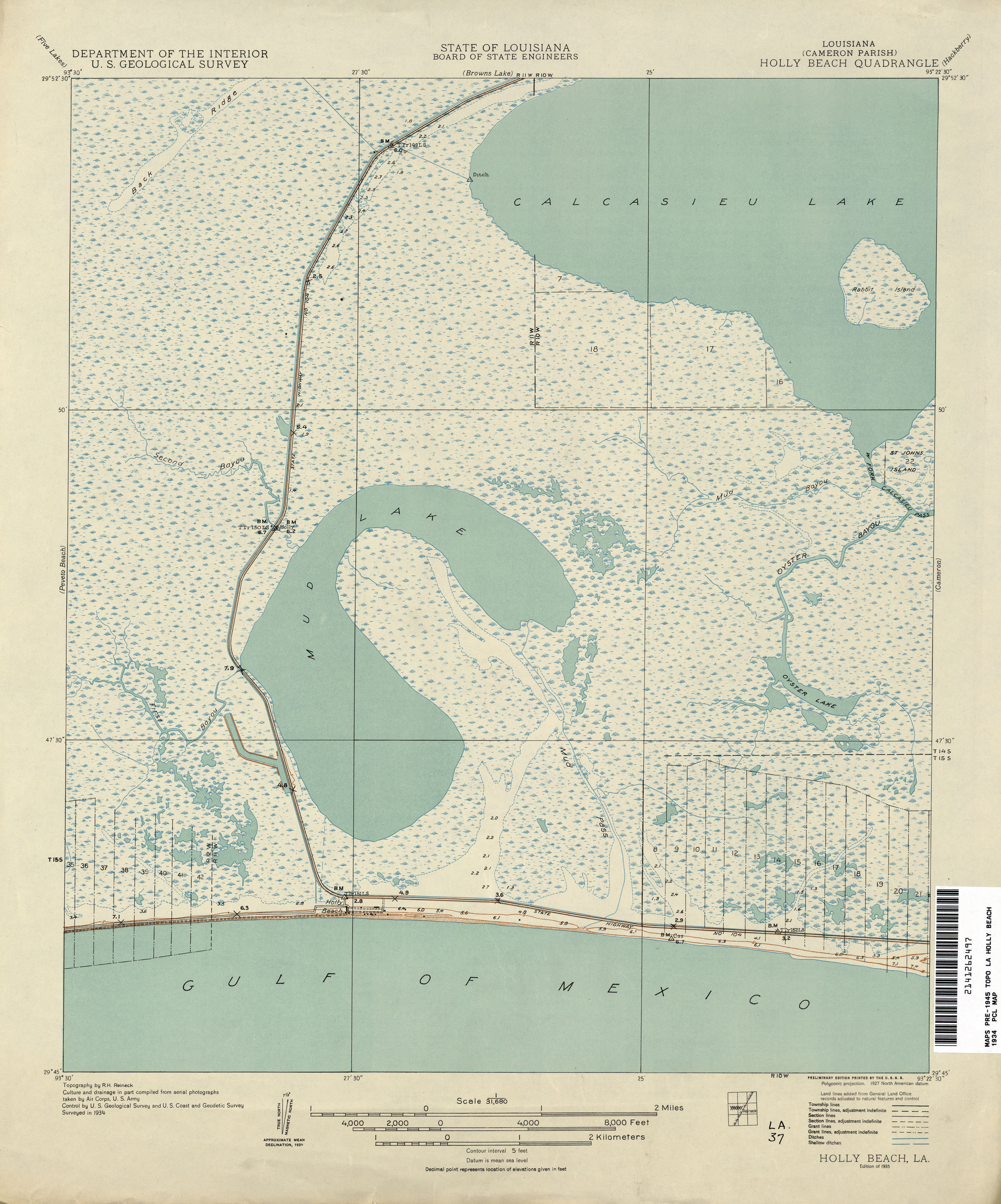
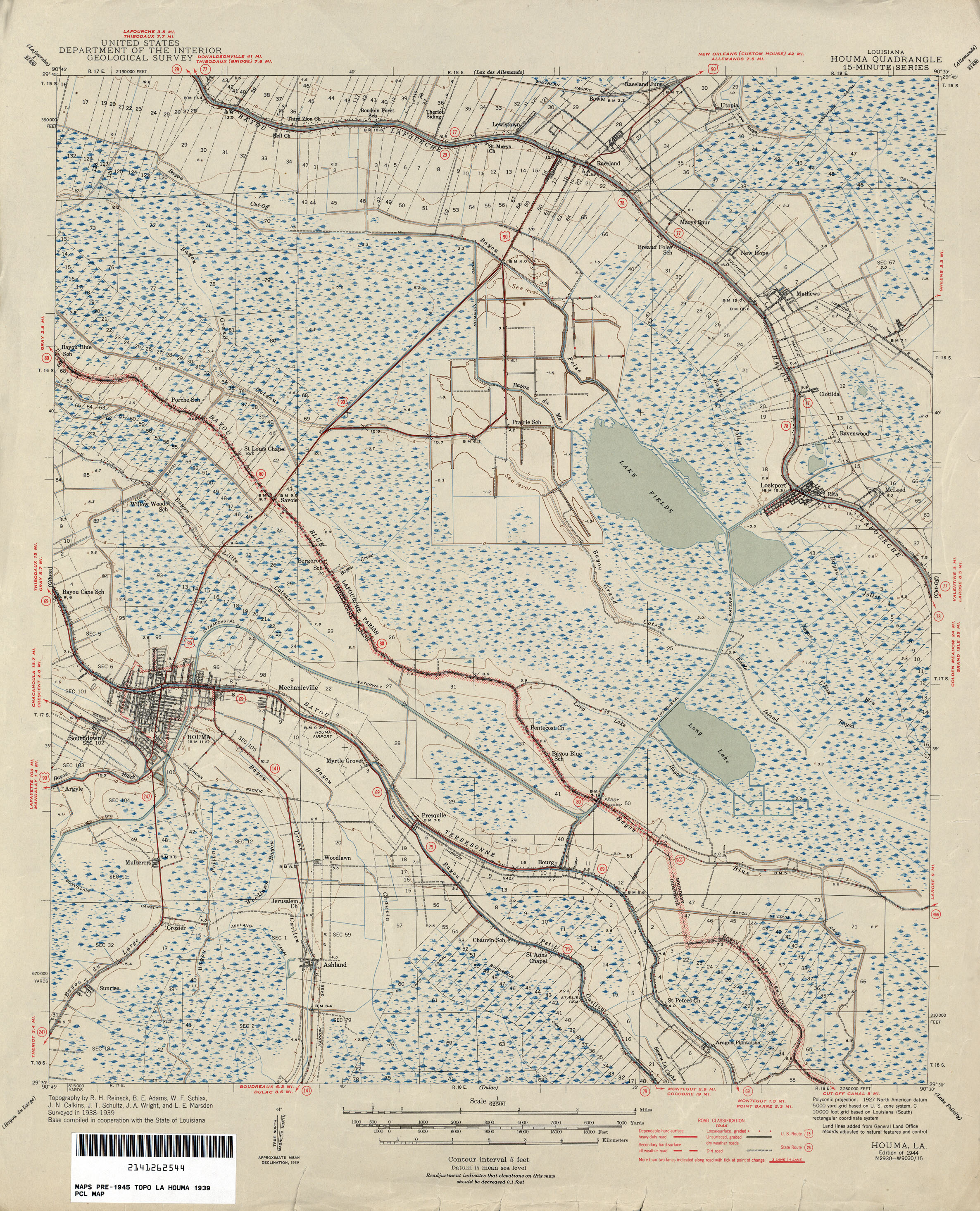
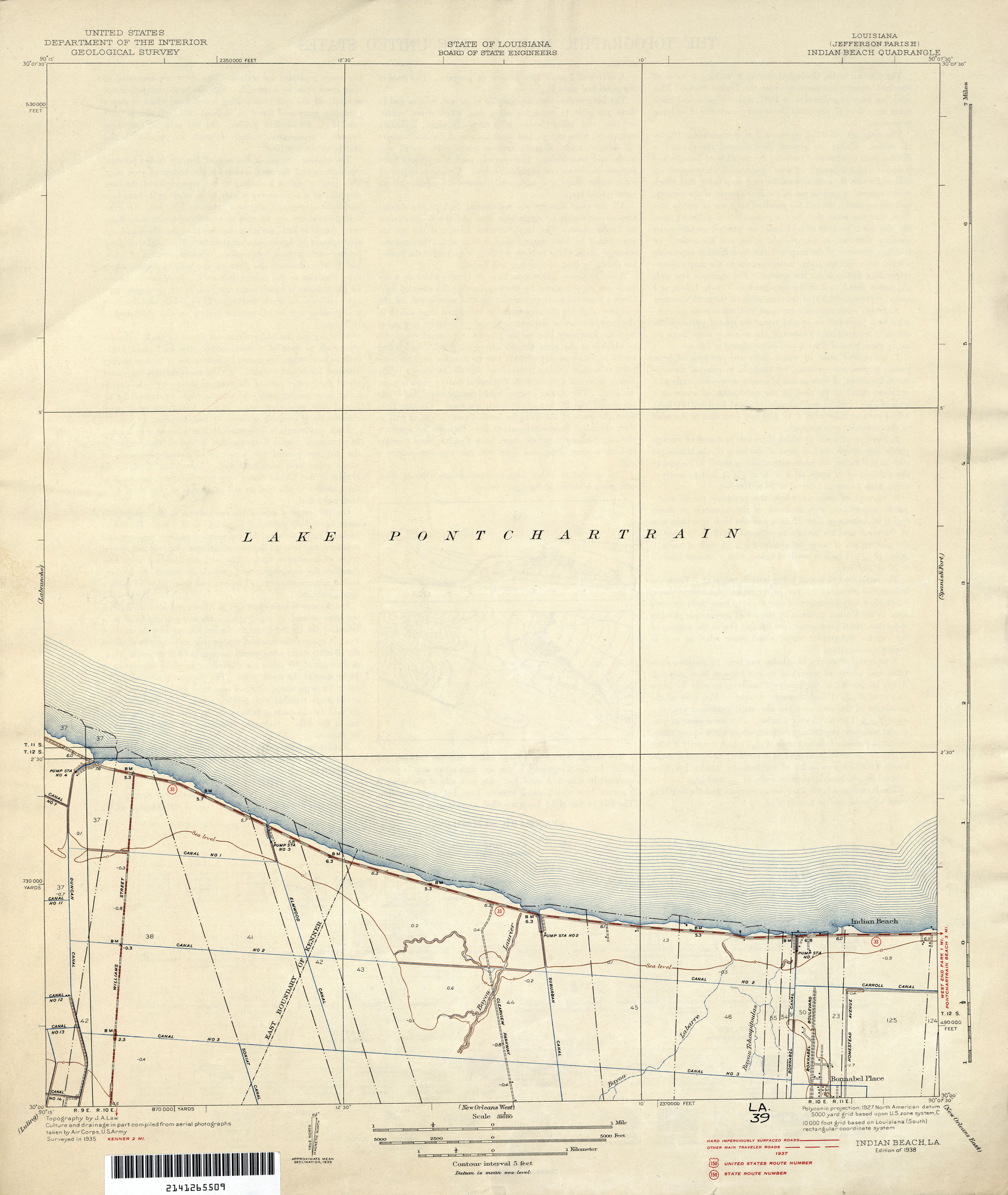
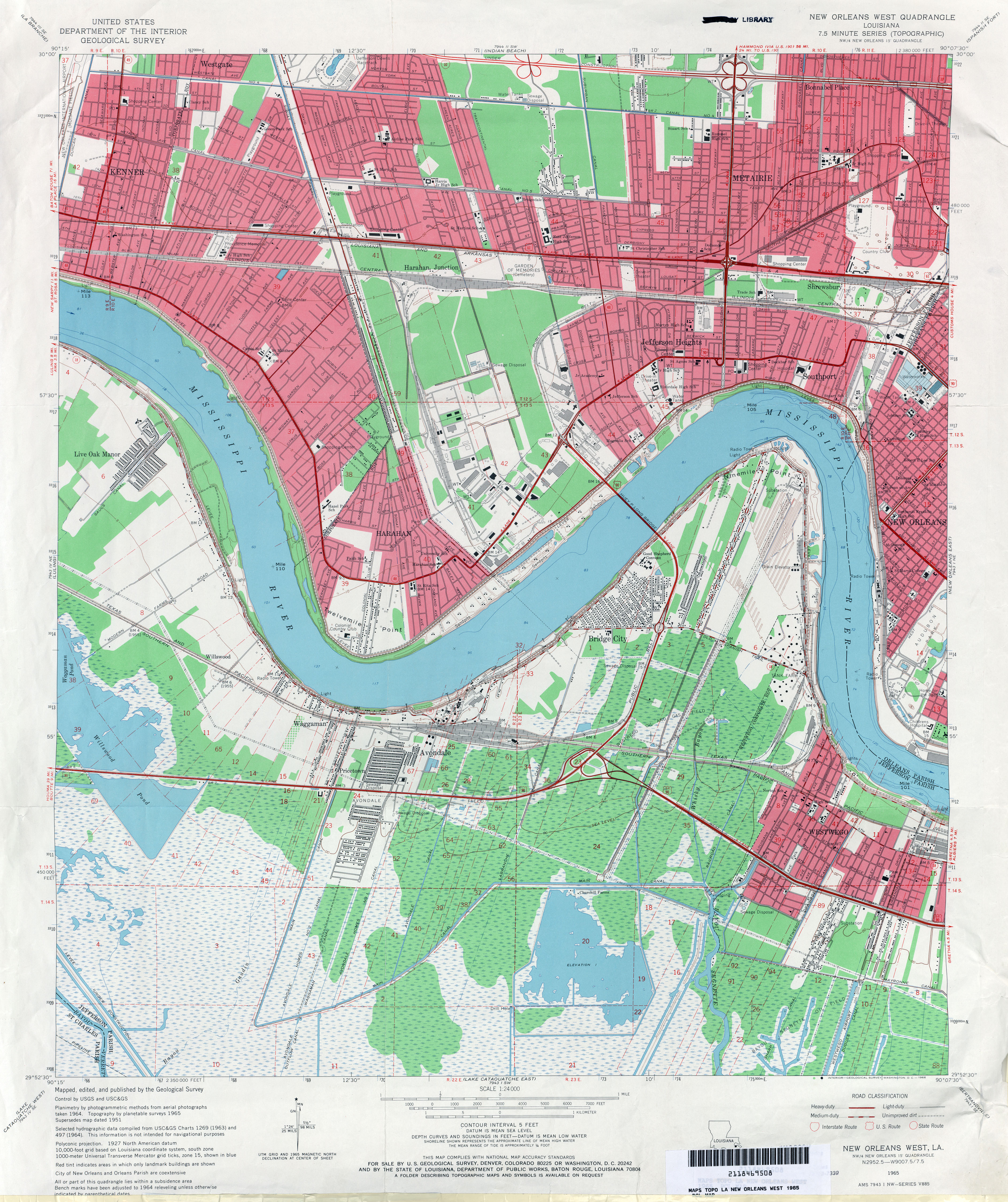
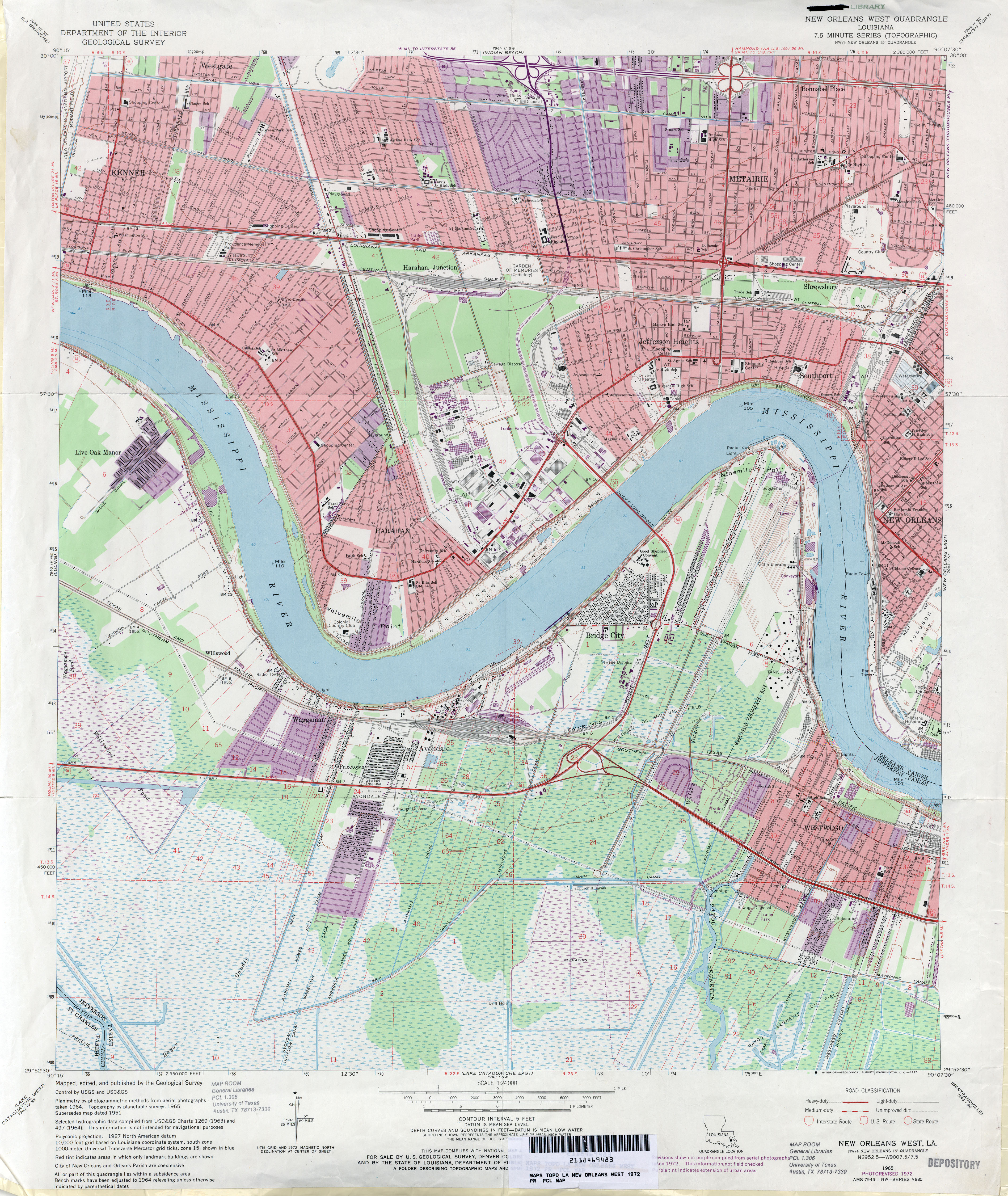
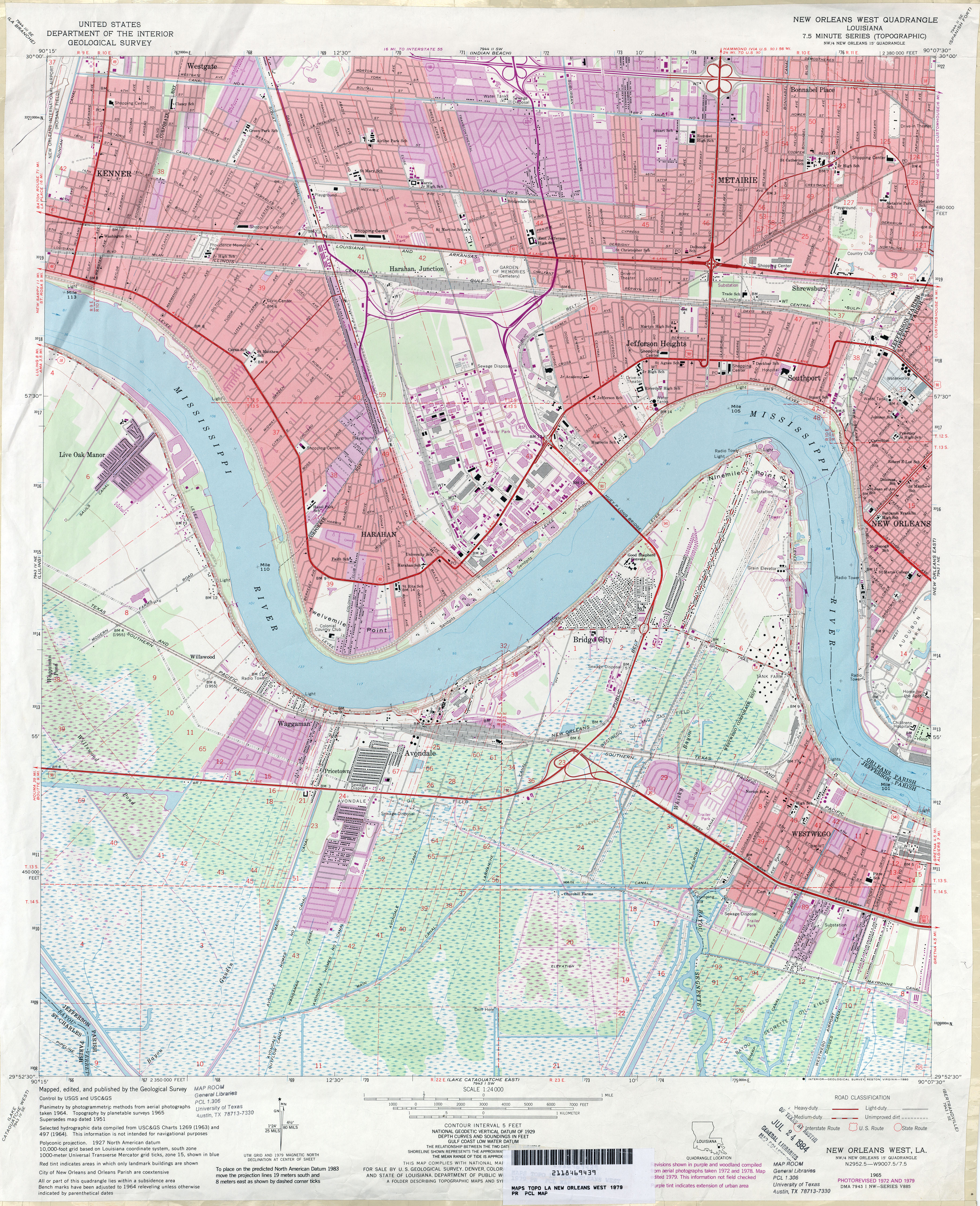
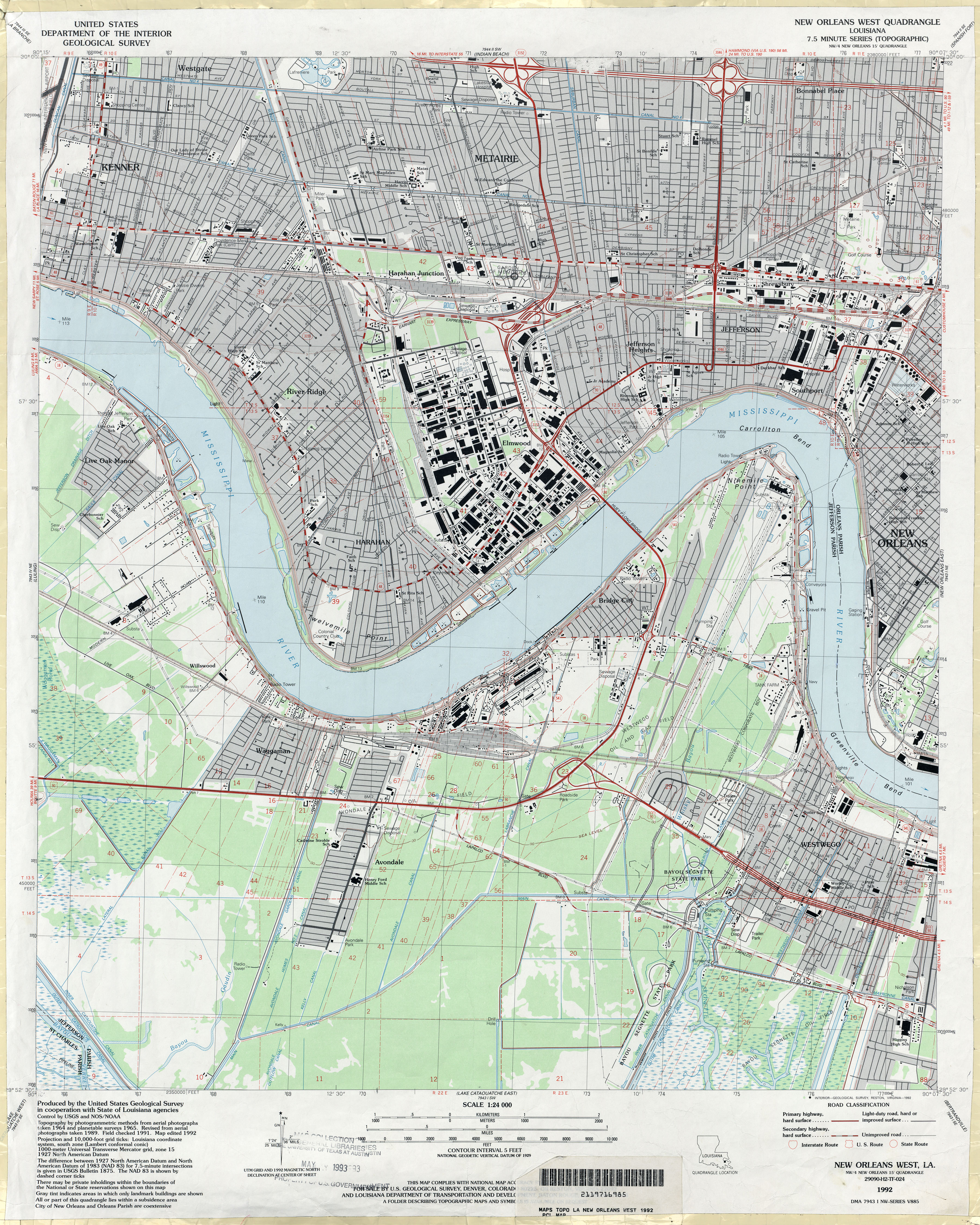
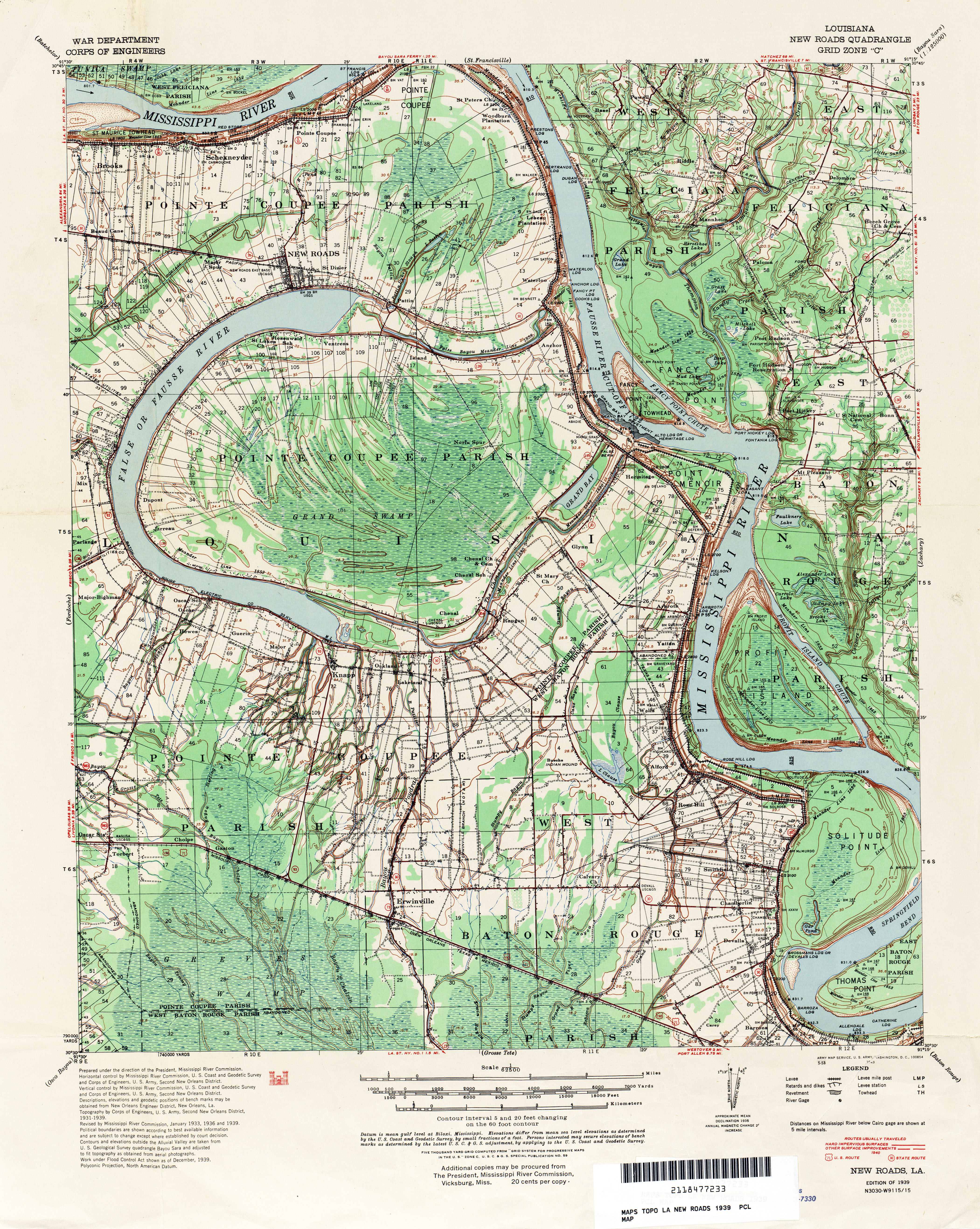
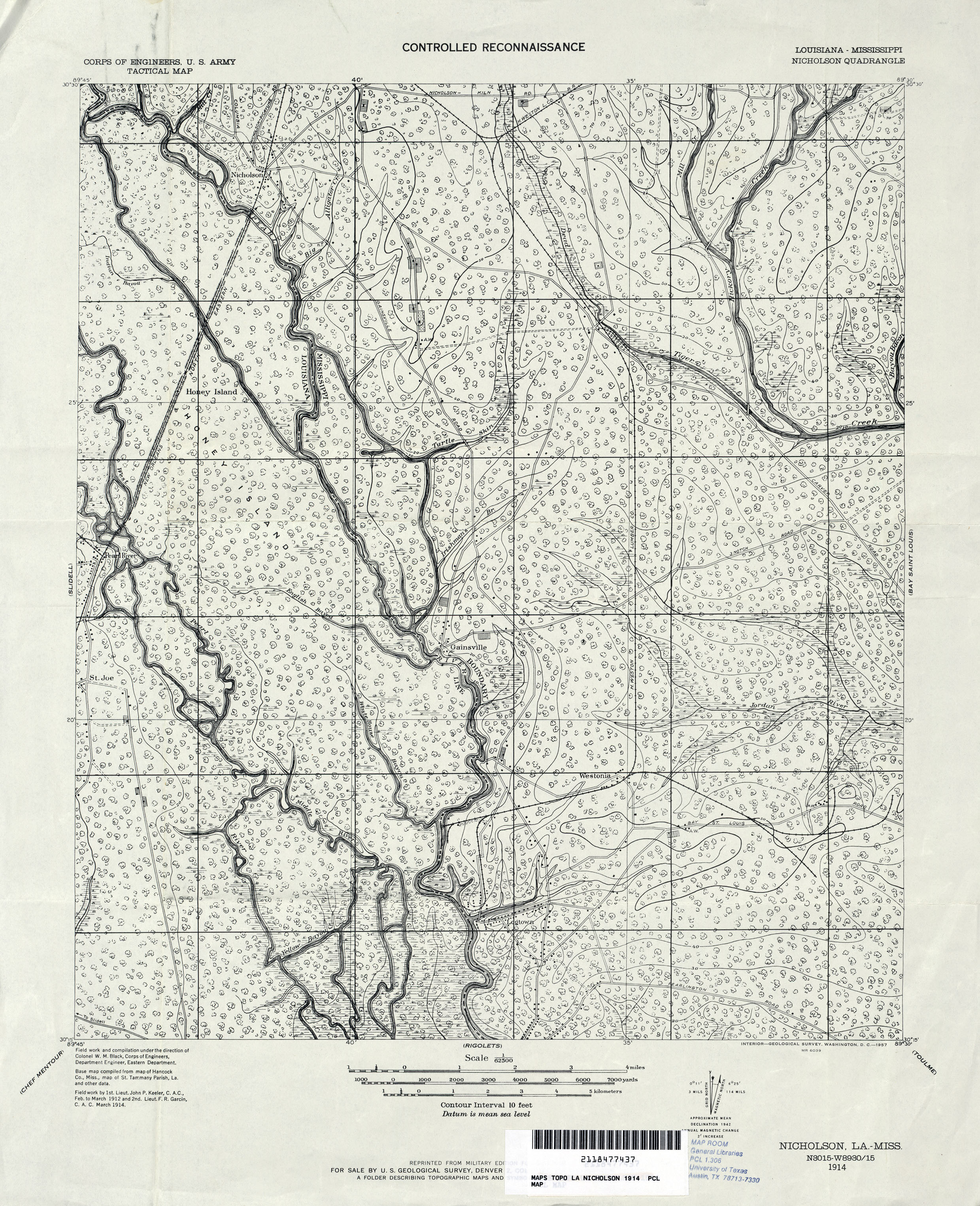
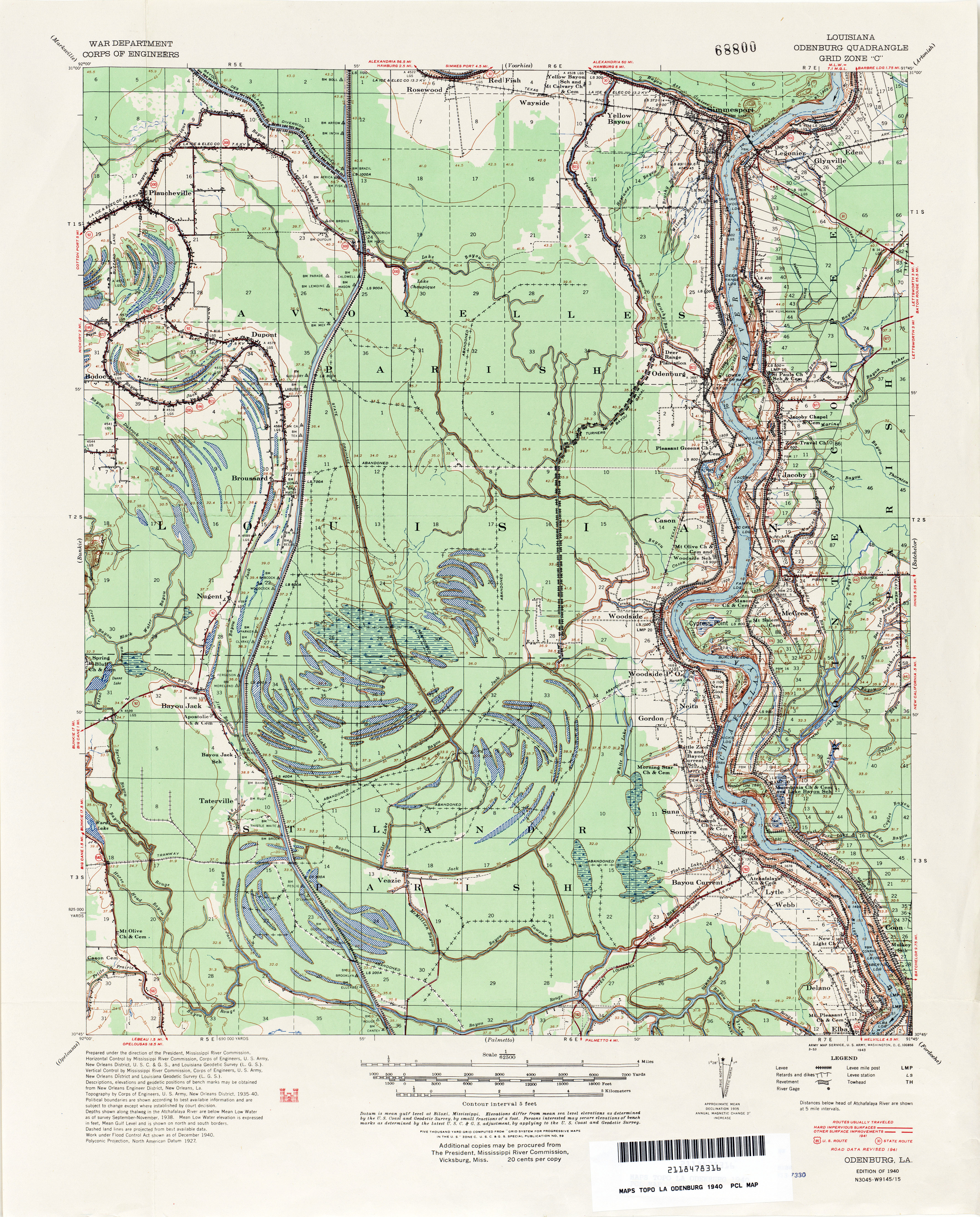
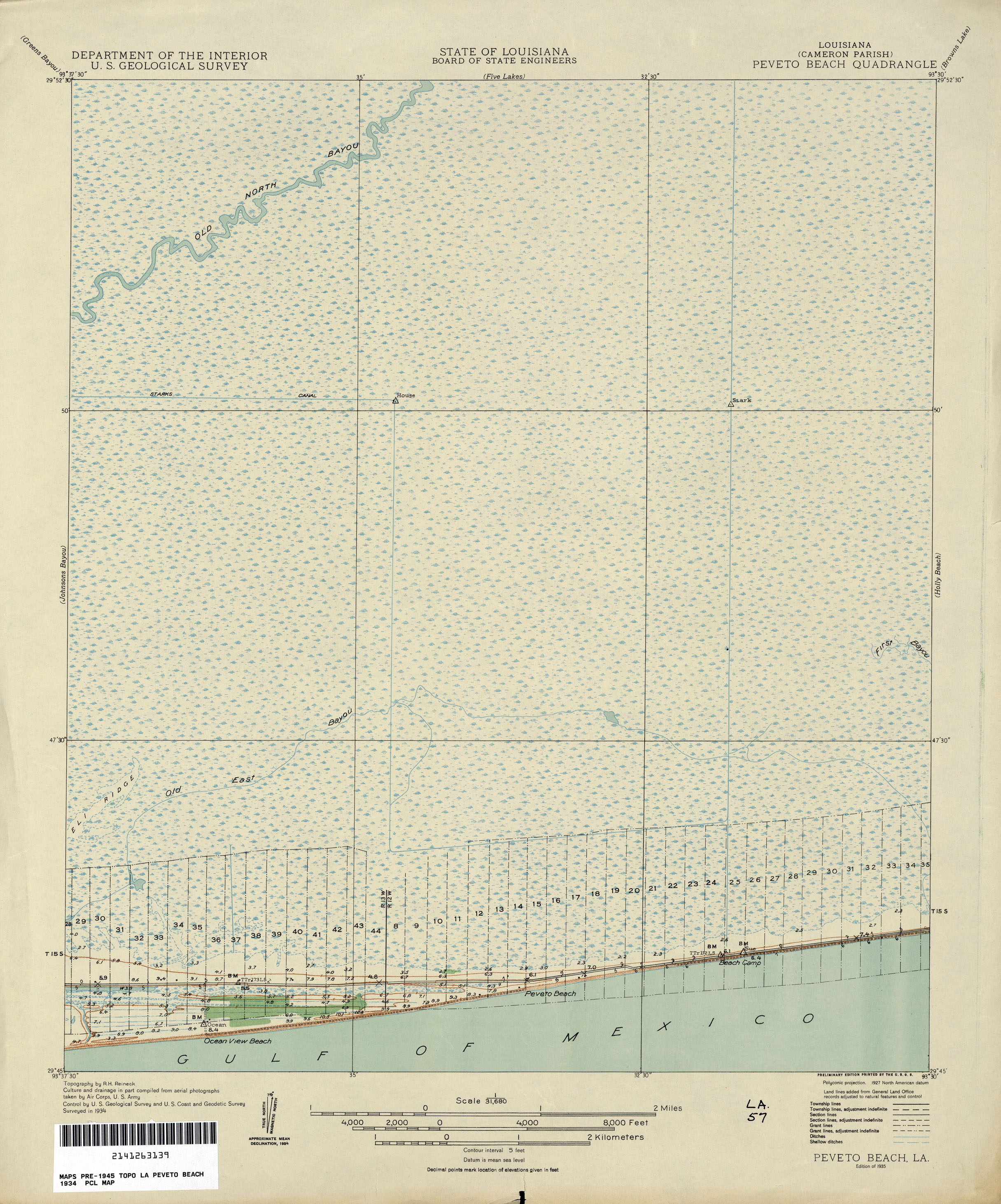
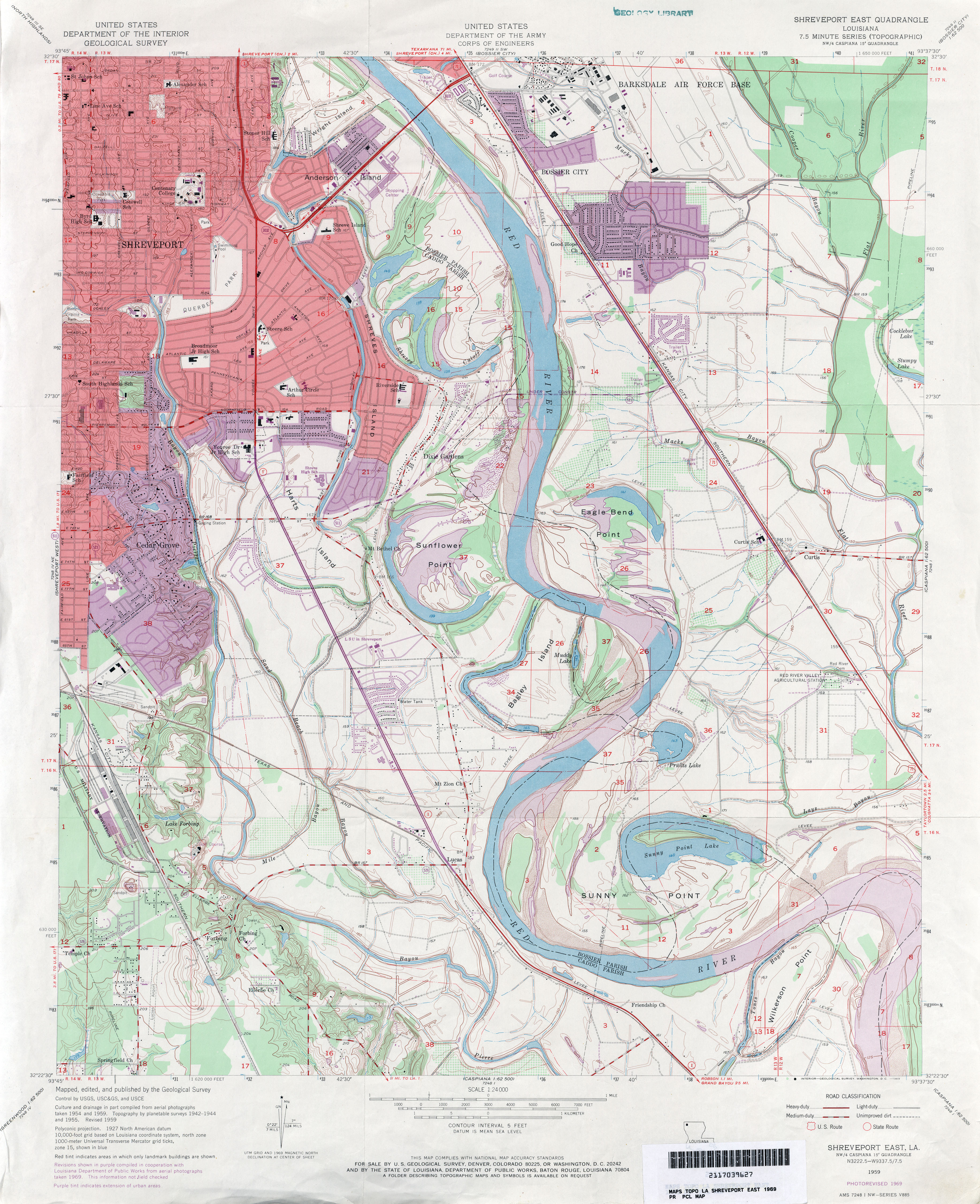
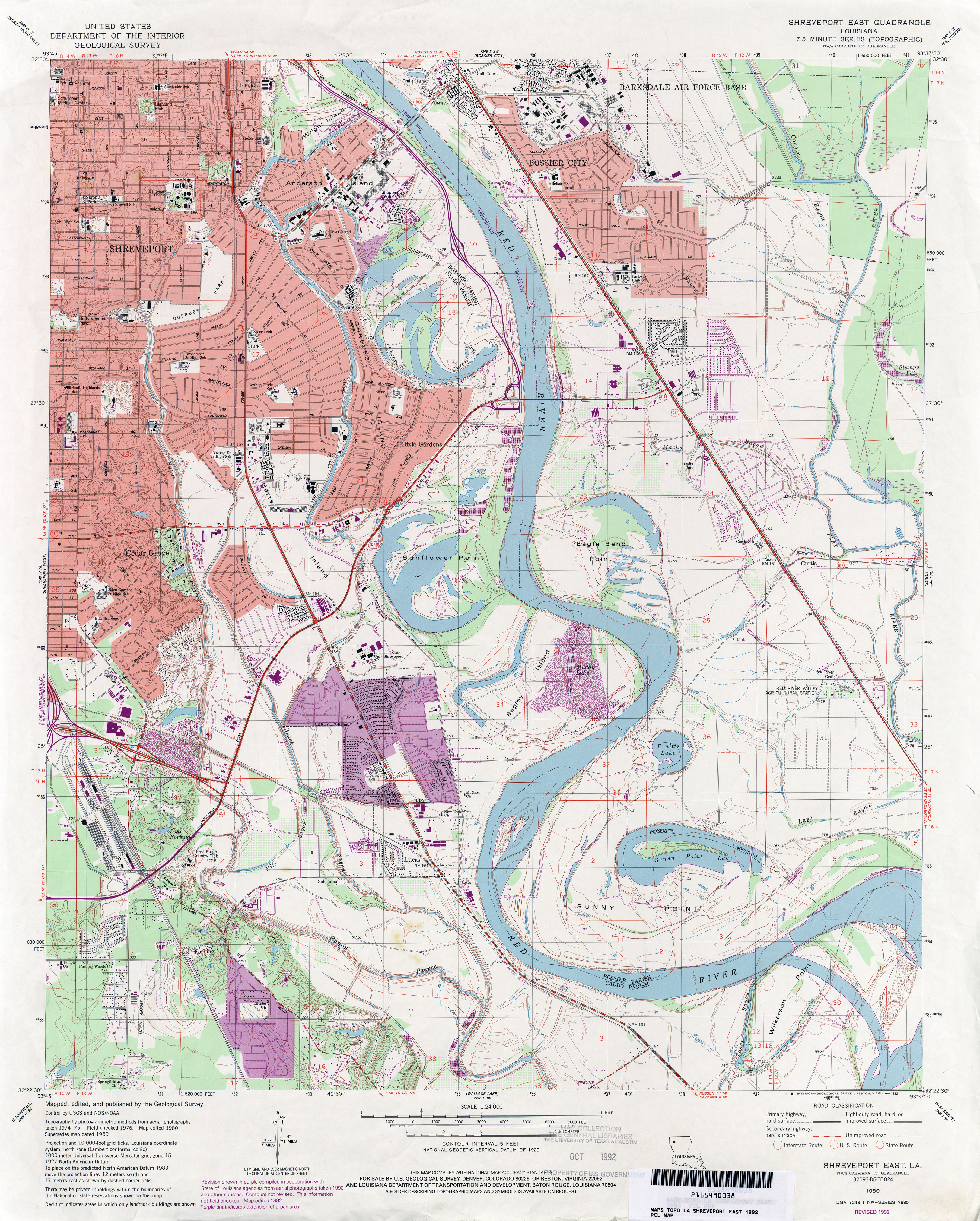
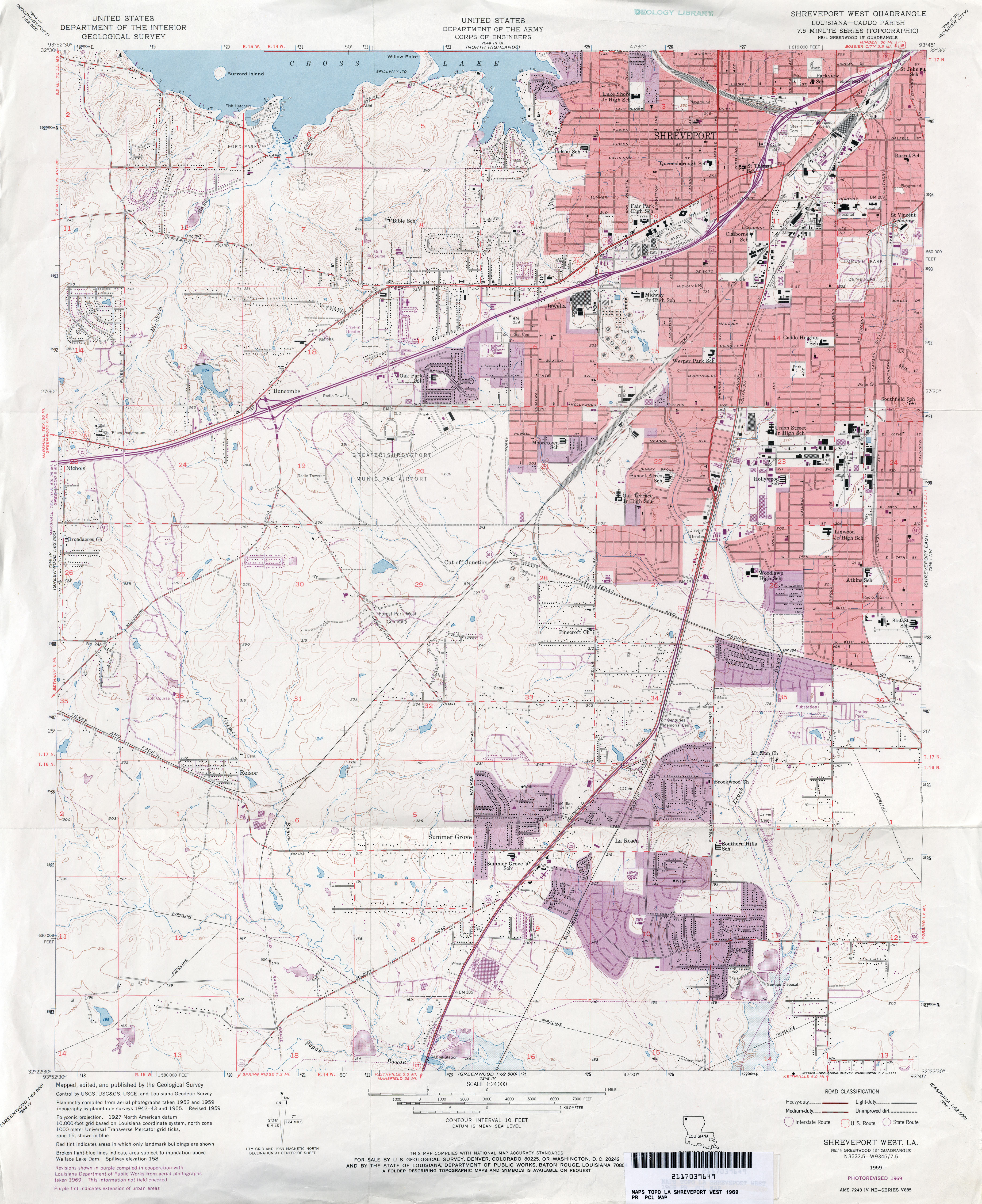
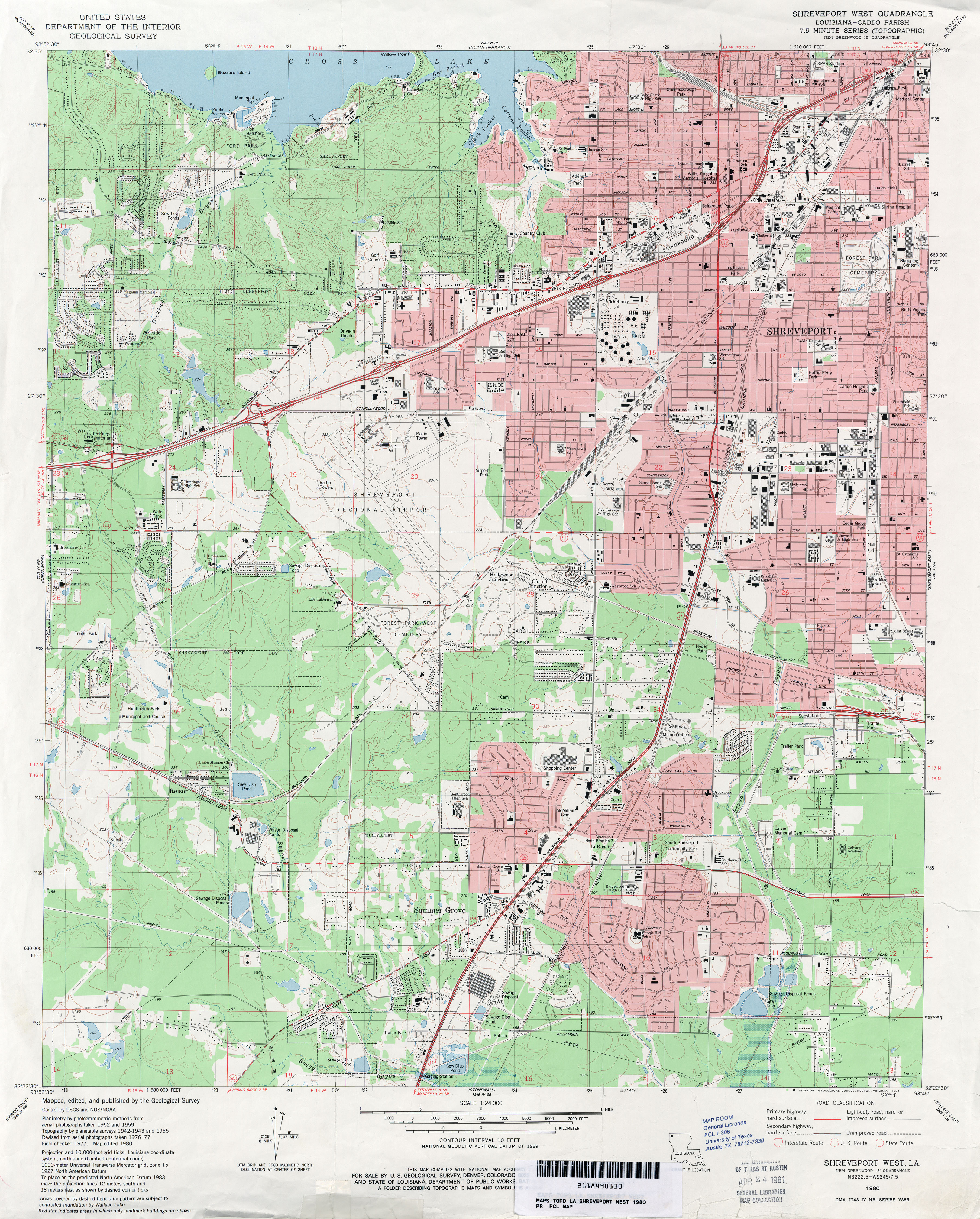
All maps on this page were published by the U.S. Geological Survey and are in the public domain. The date given for each map is the date of latest survey. More Louisiana topographic maps are available from the Topographic Map Viewer (LSU) and from the Libre Map Project. More information about these maps is available on the Topographic Maps Home Page.
Maps FAQ
Map Room Guide
World
Africa
Americas
Asia
Australia/Pacific
Europe
Middle East
Polar/Oceans
Russia/Republics
U.S.
Texas
Historical
Thematic
Topographic
Other Map Sites
Map Sites
Map Dealers
Cartographic Reference
City Map Sites
Country Map Sites
Historical Map Sites
Outline Map Sites
Route Planning Sites
State Map Sites
Weather Map Sites
Topical Map Sites
Avian Influenza
Oil and Gas Maps
More Topical Maps
Perry-Castañeda Library
Map Collection
Louisiana Topographic Maps
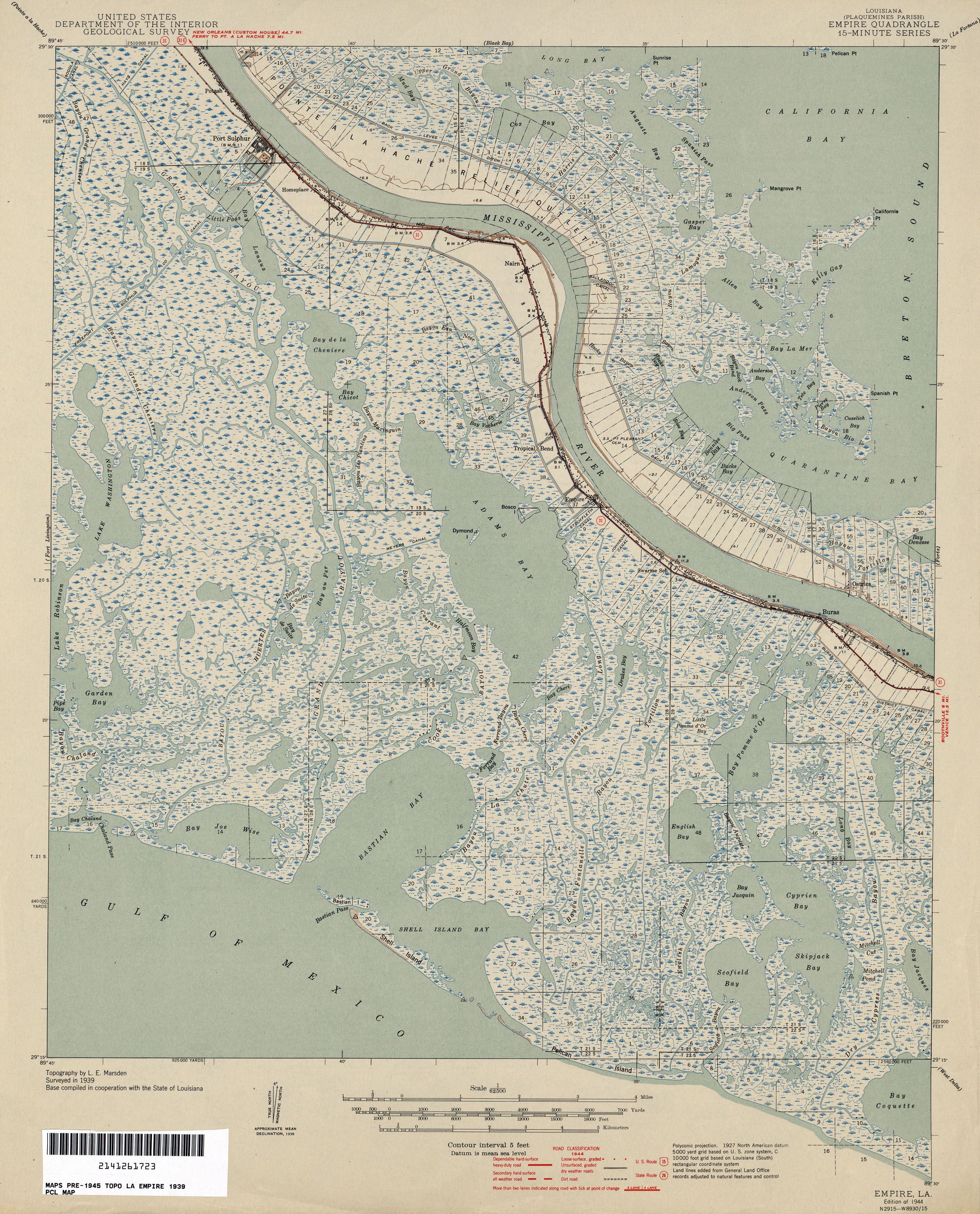
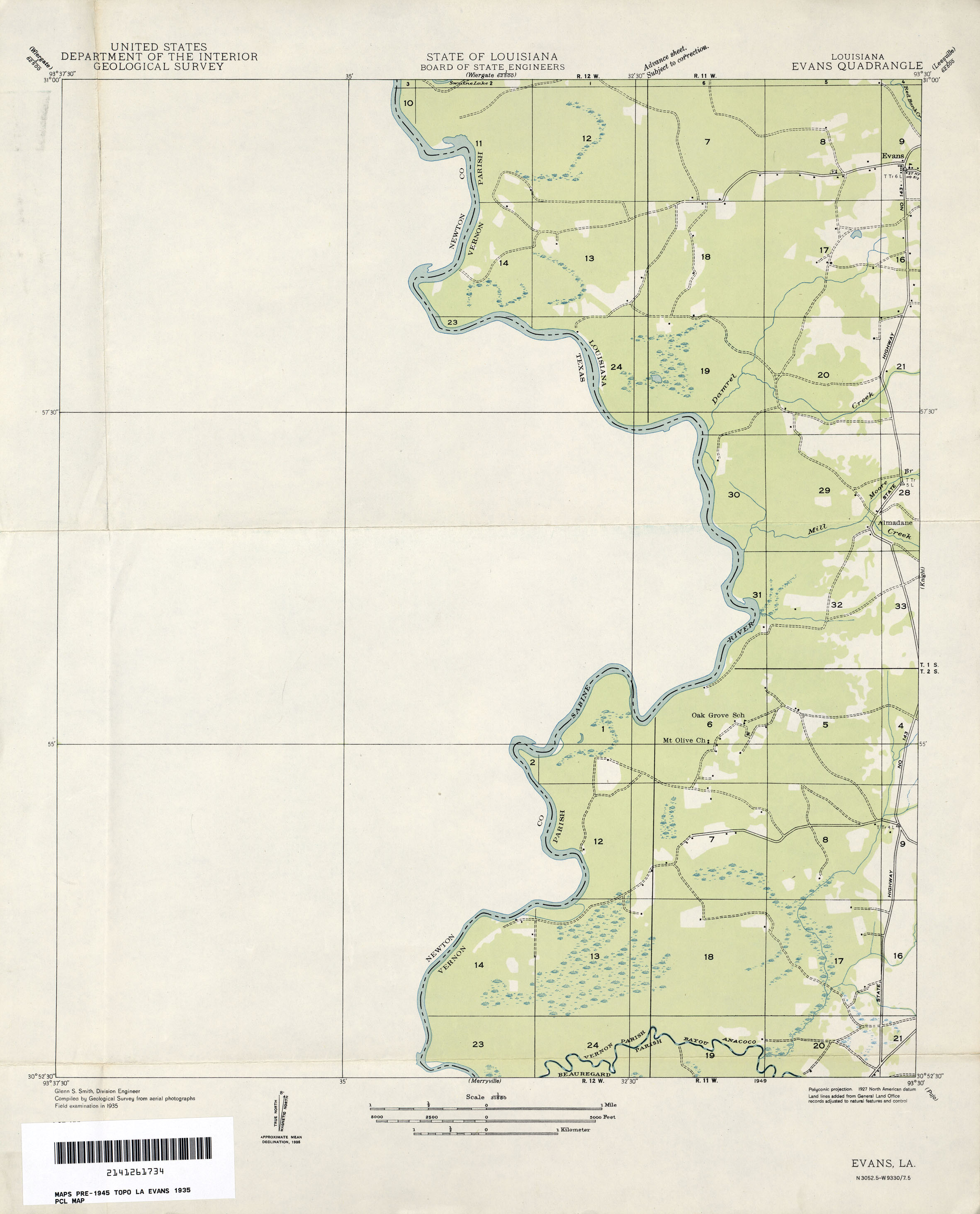
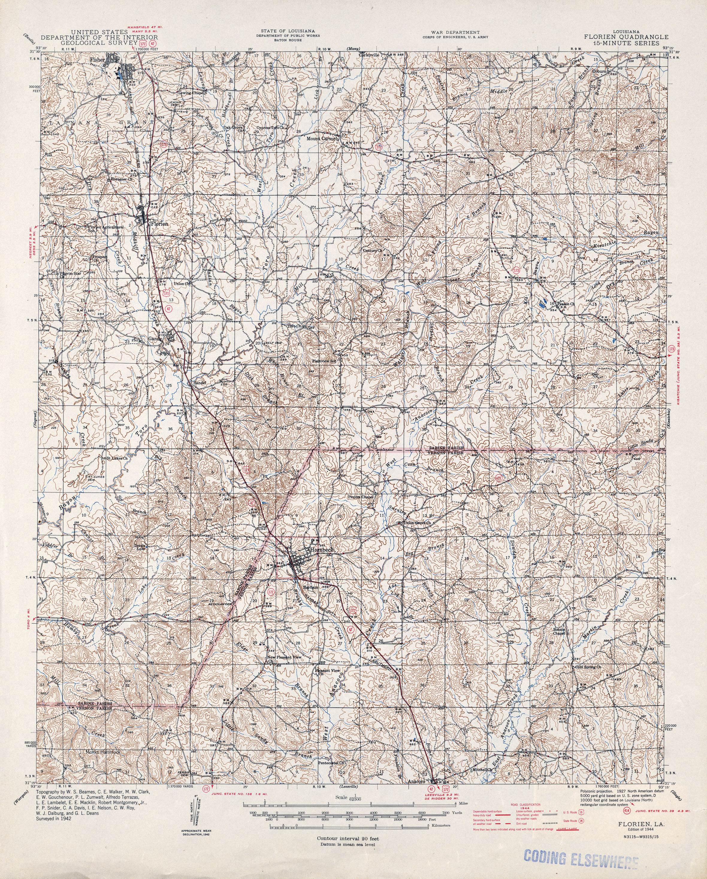
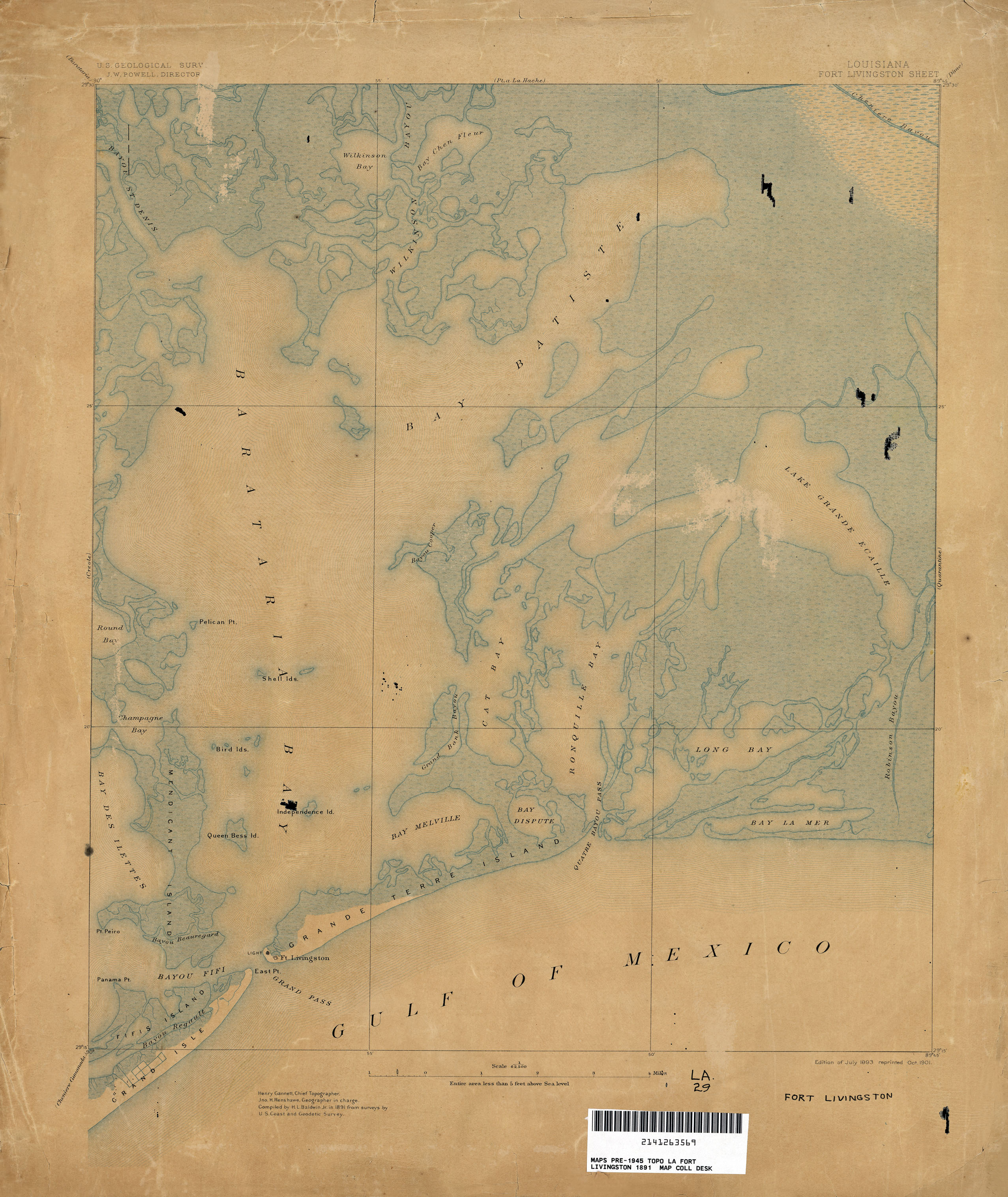
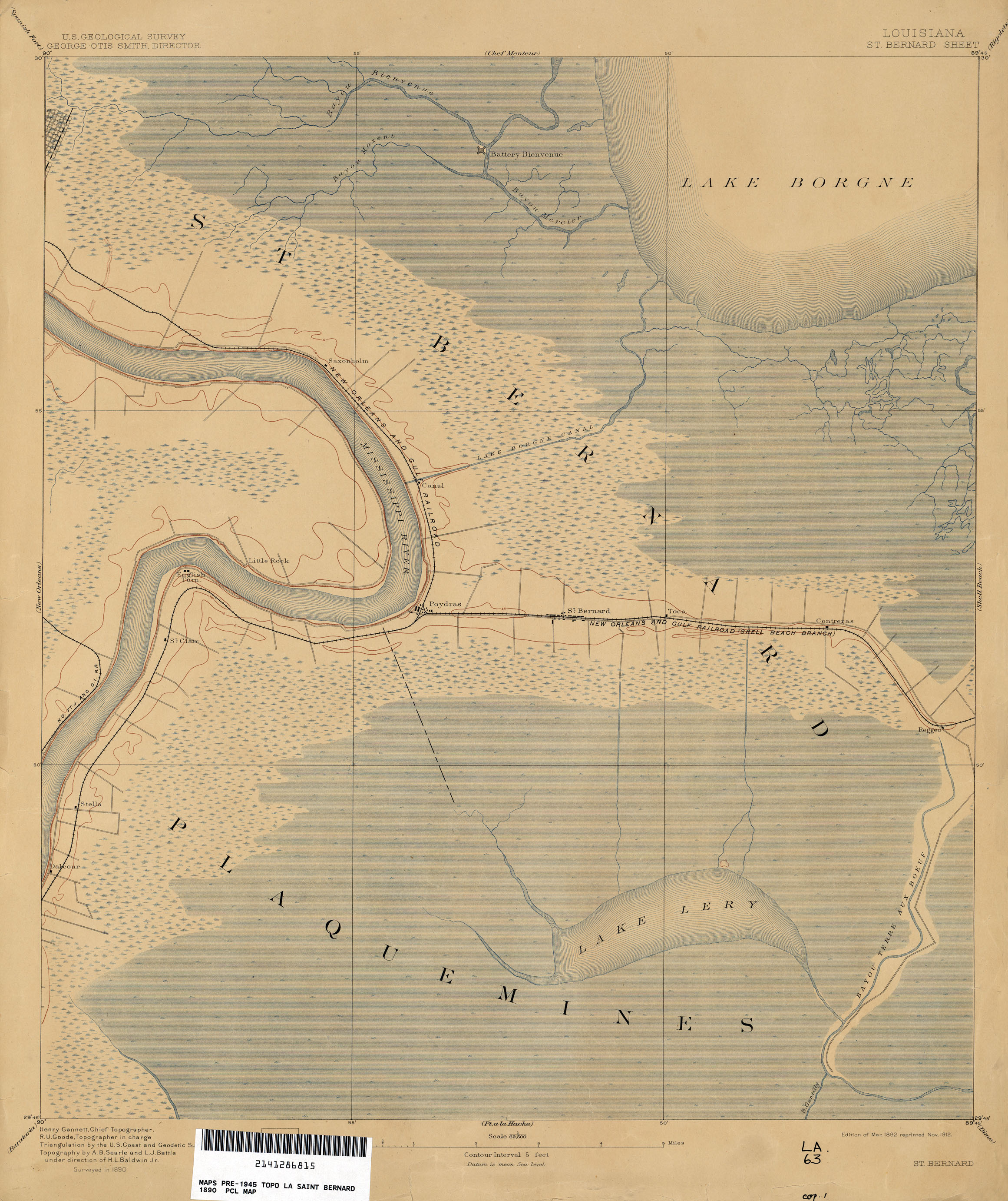
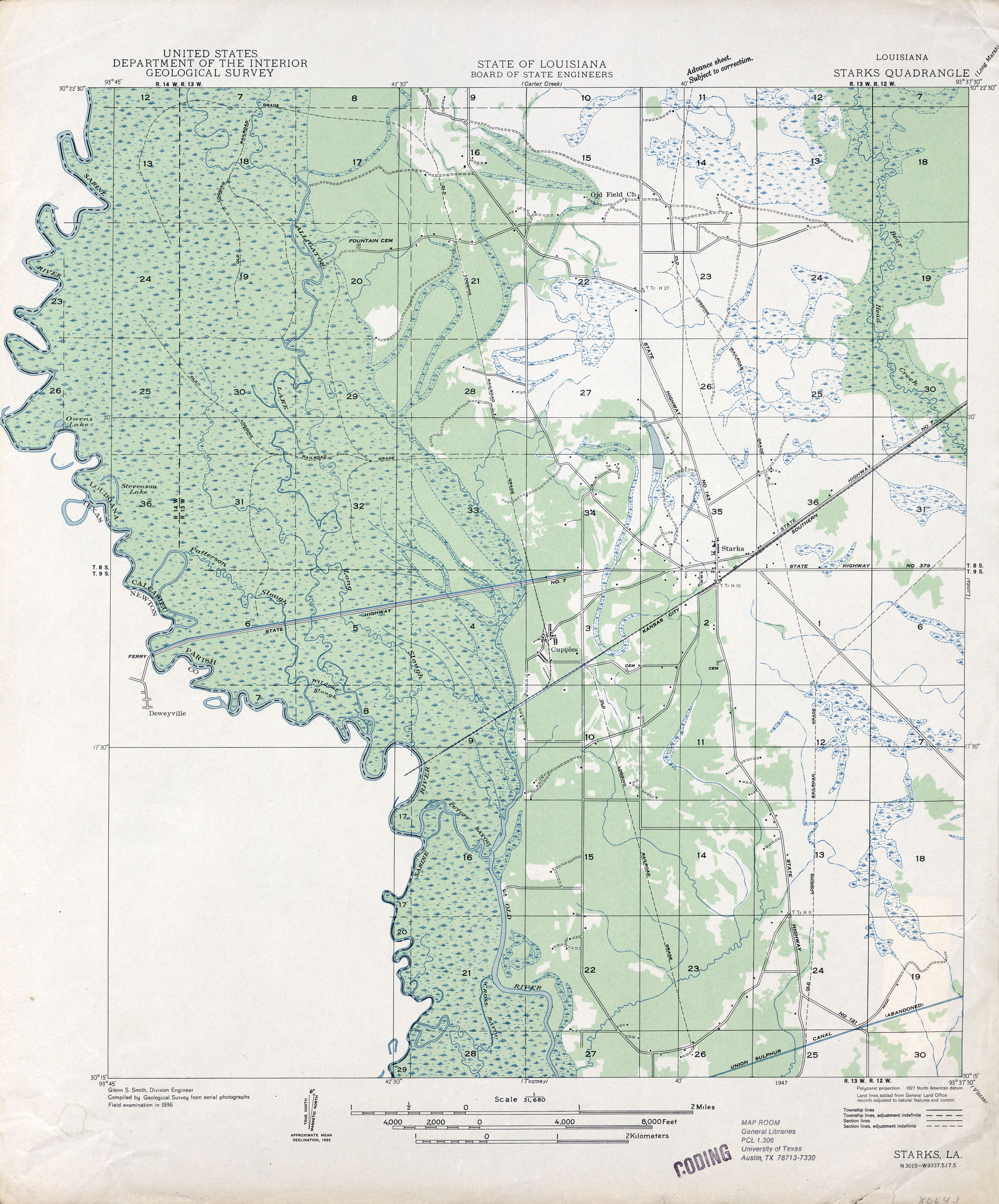
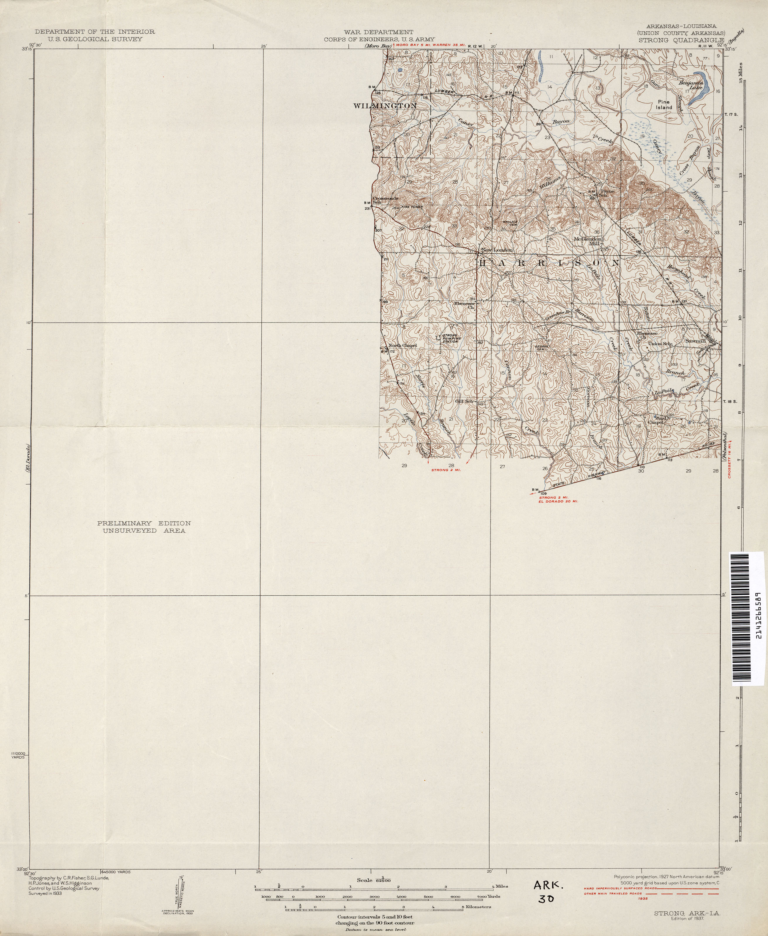
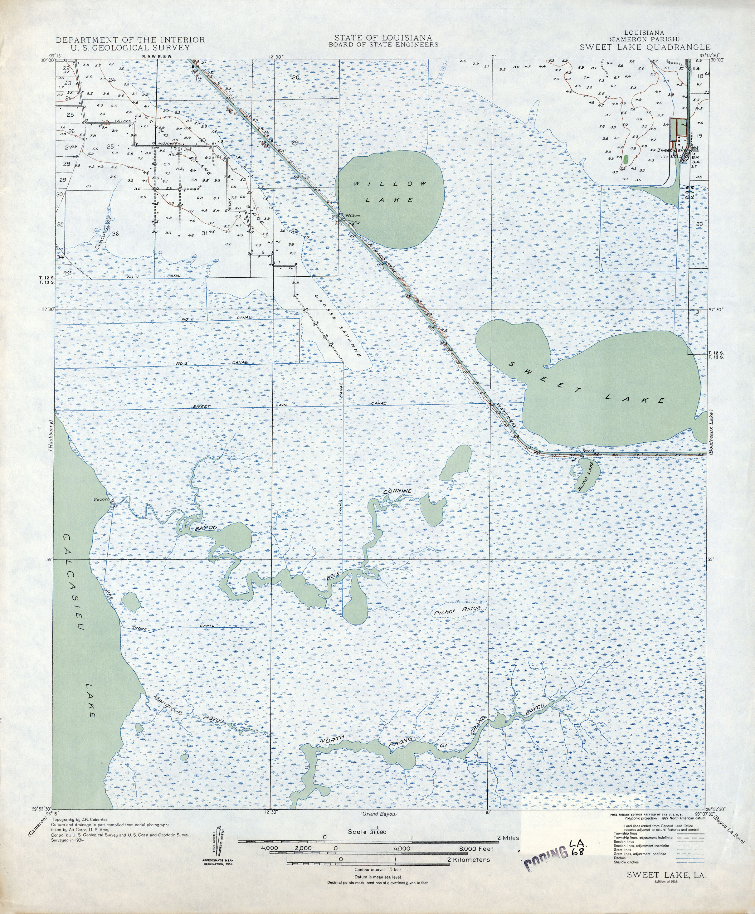
All maps on this page were published by the U.S. Geological Survey and are in the public domain. The date given for each map is the date of latest survey. More Louisiana topographic maps are available from the Topographic Map Viewer (LSU) and from the Libre Map Project. More information about these maps is available on the Topographic Maps Home Page.
- Louisiana - Topographic Map Index 1925 (7.5MB)
- Alligator Point, Topographic Map Prototype, 1:24,000, September 12, 2005 (502K) [PDF]
- Alsatia [Mississippi, Louisiana] 1:62,500 1939 (3.2MB)
- Ashton Bridge 1:31,680 1909 (881KB)
- Barataria 1:62,500 1891 (2MB)
- Barataria 1:62,500 1939 (2.2MB)
- Barataria Pass, Topographic Map Prototype, 1:24,000, September 12, 2005 (458K) [PDF]
- Batchelor 1:62,500 1941 (6.7MB)
- Baton Rouge 1:62,500 1906 (2.1MB)
- Baton Rouge 1:62,500 1963 (6MB)
- Baton Rouge East (East Baton Rouge Parish) 1:24,000 1953 (4MB)
- Baton Rouge East (East Baton Rouge Parish) 1:24,000 1963 (4.1MB)
- Baton Rouge East (East Baton Rouge Parish) 1:24,000 1970 (4.2MB)
- Baton Rouge East (East Baton Rouge Parish) 1:24,000 1980 (5.1MB)
- Baton Rouge East (East Baton Rouge Parish) 1:24,000 1989 (5.5MB)
- Baton Rouge East (East Baton Rouge Parish) 1:24,000 1992 (4.9MB)
- Baton Rouge East (East Baton Rouge Parish) 1:24,000 1995 (4.8MB)
- Baton Rouge West 1:24,000 1963 (4.6MB)
- Baton Rouge West 1:24,000 1971 (4.6MB)
- Baton Rouge West 1:24,000 1980 (4.9MB)
- Baton Rouge West 1:24,000 1989 (5MB)
- Baton Rouge West 1:24,000 1992 (4.9MB)
- Baton Rouge West 1:24,000 1995 (4.9MB)
- Baxter Bayou 1:31,680 1911 (1MB)
- Bay Ronquille, Topographic Map Prototype, 1:24,000, September 12, 2005 (449K) [PDF]
- Bayou Boeuf, Topographic Map Prototype, 1:24,000, September 12, 2005 (830K) [PDF]
- Bayou de Large 1:62,500 1890 (2MB)
- Bayou du Large 1:62,500 1944 (2.4MB)
- Bayou Sara 1:125,000 1904 (2.6MB)
- Belle Chasse, Topographic Map Prototype, 1:24,000, September 12, 2005 (1.4MB) [PDF]
- Bertrandville 1:25,000 1946 (5.1MB) U.S. Army Map Service, Series V885
- Bertrandville 1:31,680 1946 (2MB)
- Bertrandville 1:24,000 1951 (4.9MB)
- Bertrandville 1:24,000 1966 (4.5MB)
- Bertrandville 1:24,000 1972 (3.9MB)
- Bertrandville 1:24,000 1979 (4.4MB)
- Bertrandville 1:24,000 1989 (4.7MB)
- Bertrandville 1:24,000 1992 (4.8MB)
- Bertrandville 1:24,000 1995 (4.6MB)
- Bertrandville, Topographic Map Prototype, 1:24,000, September 12, 2005 (1.2MB) [PDF]
- Bodreau 1:62,500 1892 (2.3MB)
- Bonnet Carre 1:62,500 1890 (1.4MB)
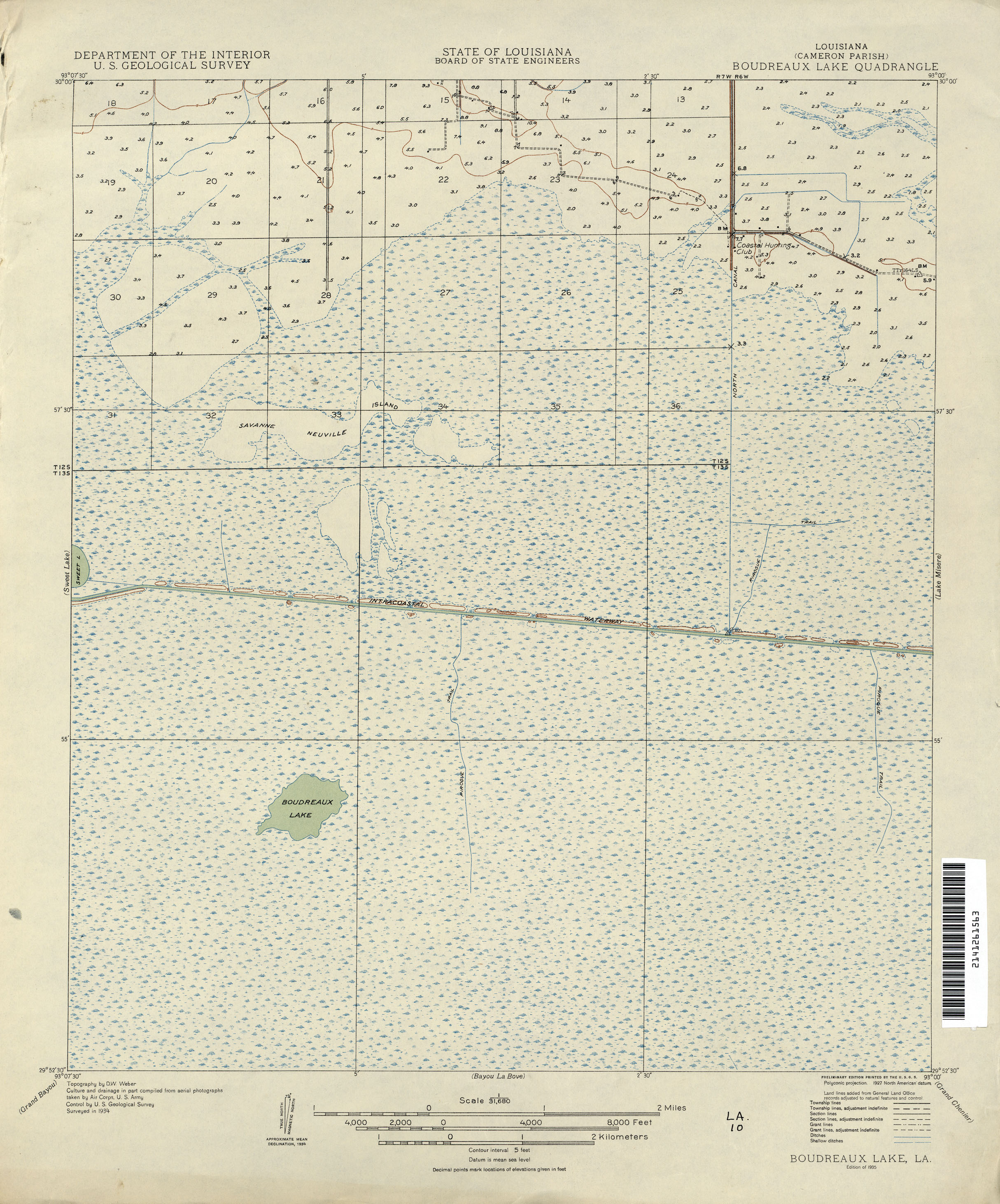
- Boudreaux Lake 1:31,680 1934 (1.7MB)
- Bourg, Topographic Map Prototype, 1:24,000, September 12, 2005 (930K) [PDF]
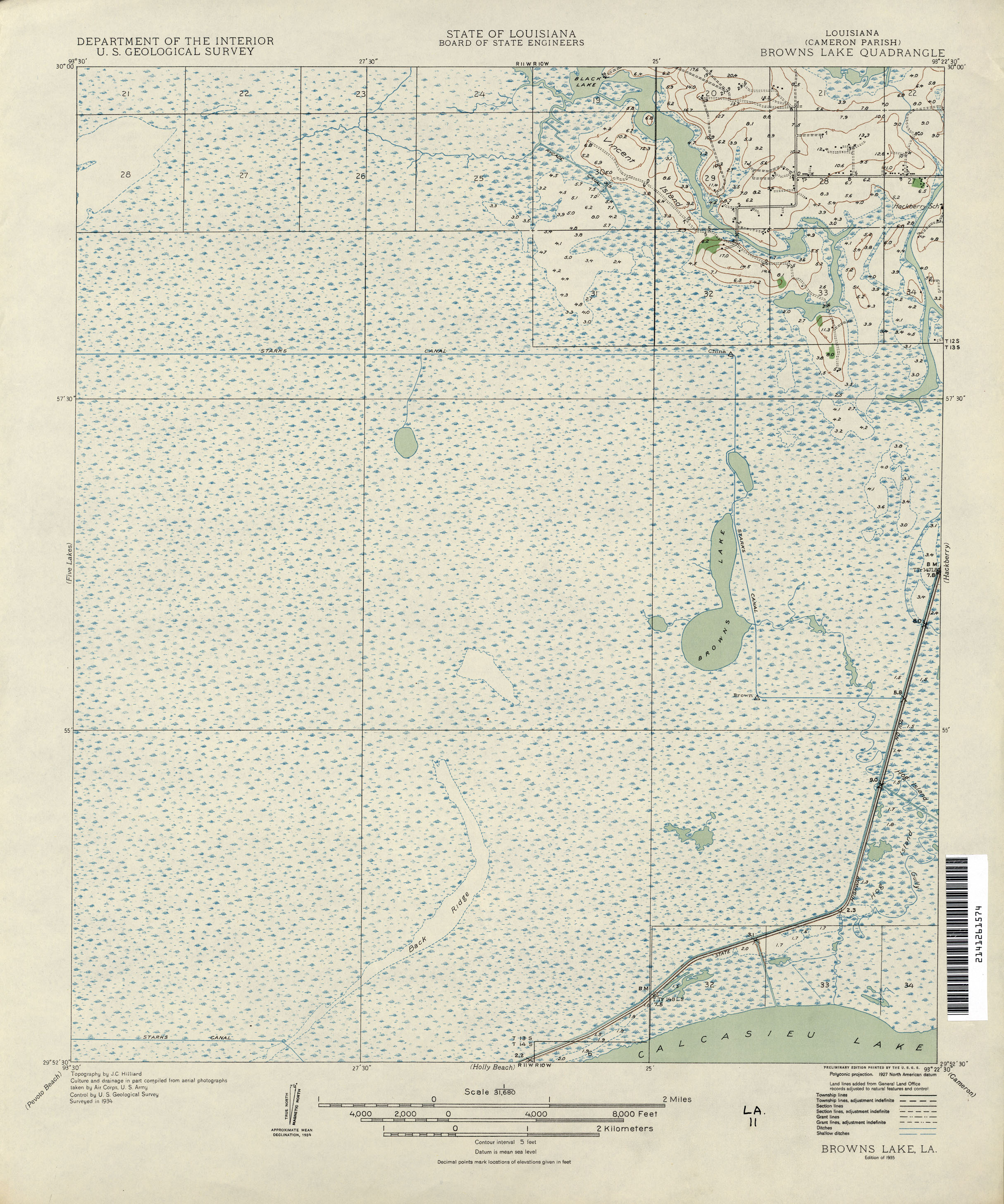
- Browns Lake 1:31,680 1934 (1.8MB)
- Buras, Topographic Map Prototype, 1:24,000, September 12, 2005 (762K) [PDF]
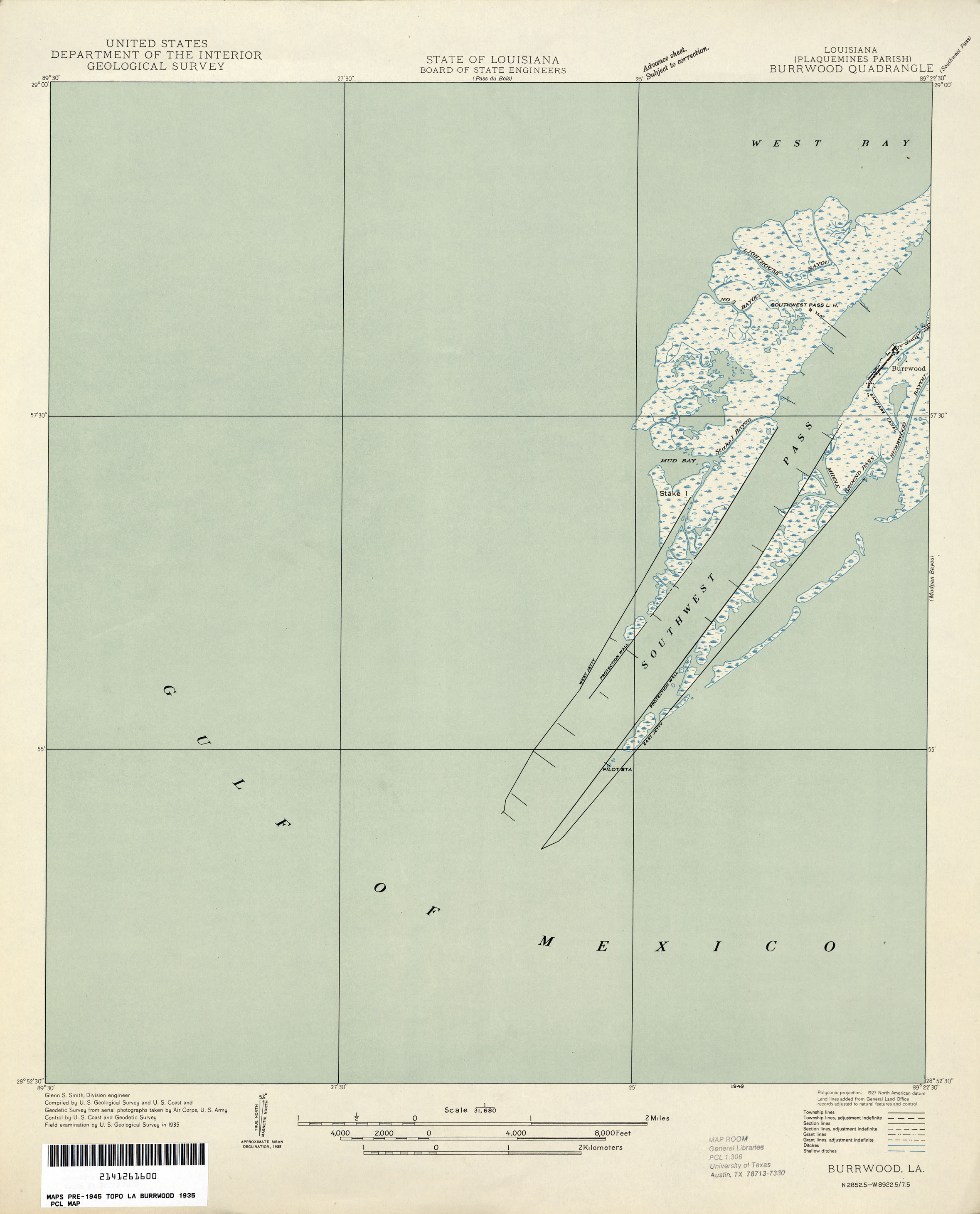
- Burrwood 1:31,680 1935 (908KB)
- Bush, Topographic Map Prototype, 1:24,000, September 12, 2005 (1.5MB) [PDF]
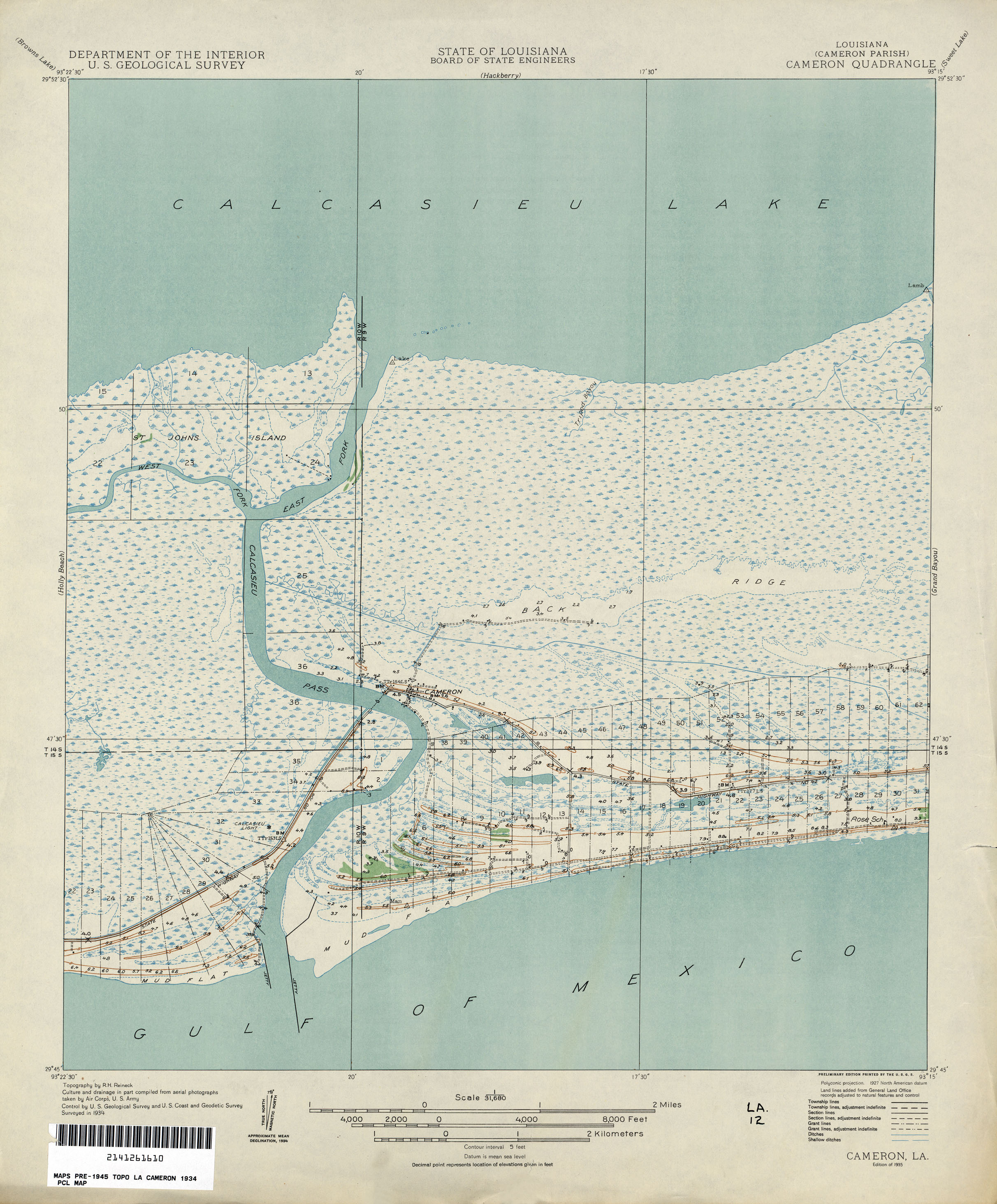
- Cameron 1:31,680 1934 (1.5MB)
- Caminada Pass, Topographic Map Prototype, 1:24,000, September 12, 2005 (582K) [PDF]
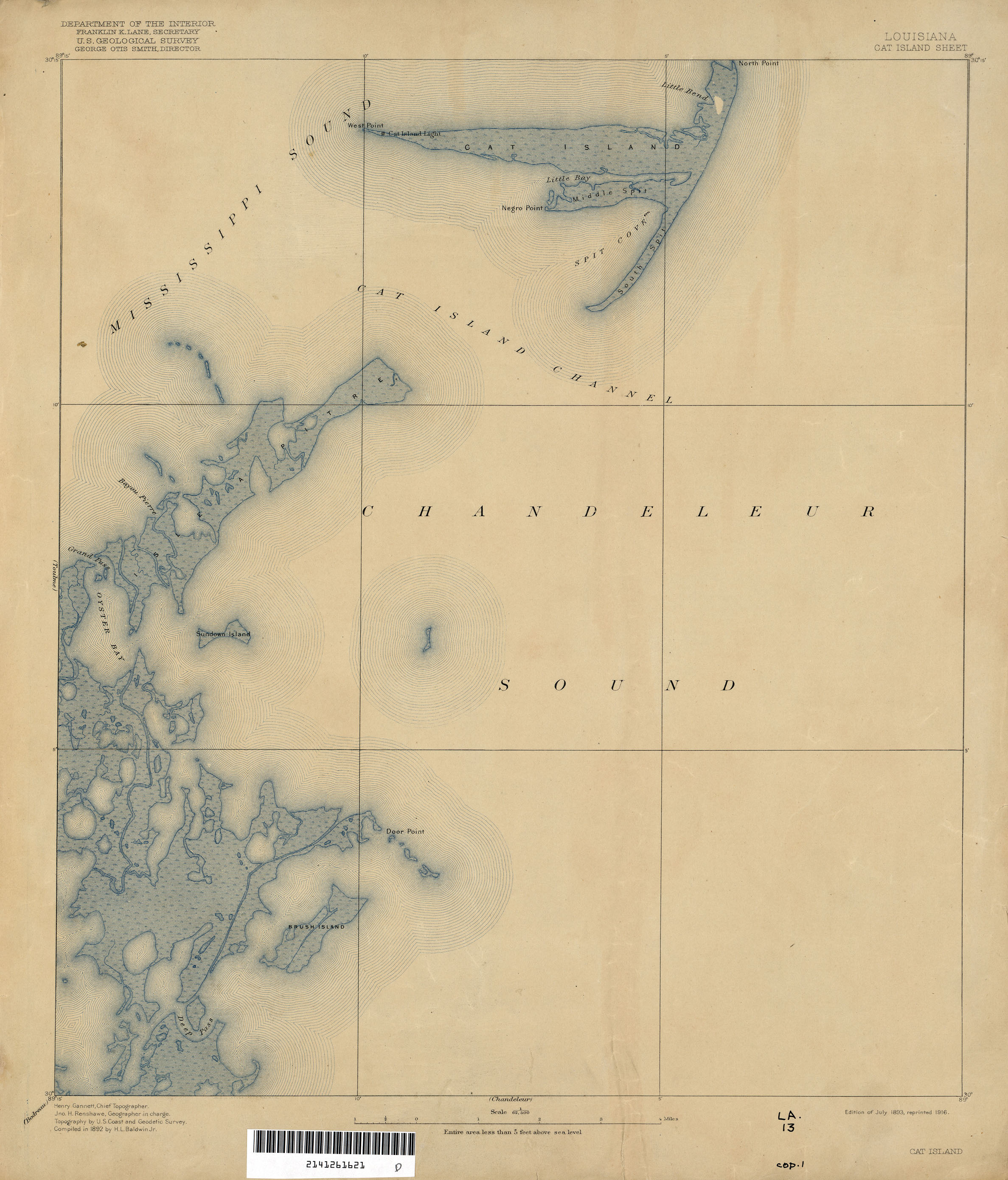
- Cat Island 1:62,500 1892 (1.4MB)
- Catahoula Bay, Topographic Map Prototype, 1:24,000, September 12, 2005 (612K) [PDF]
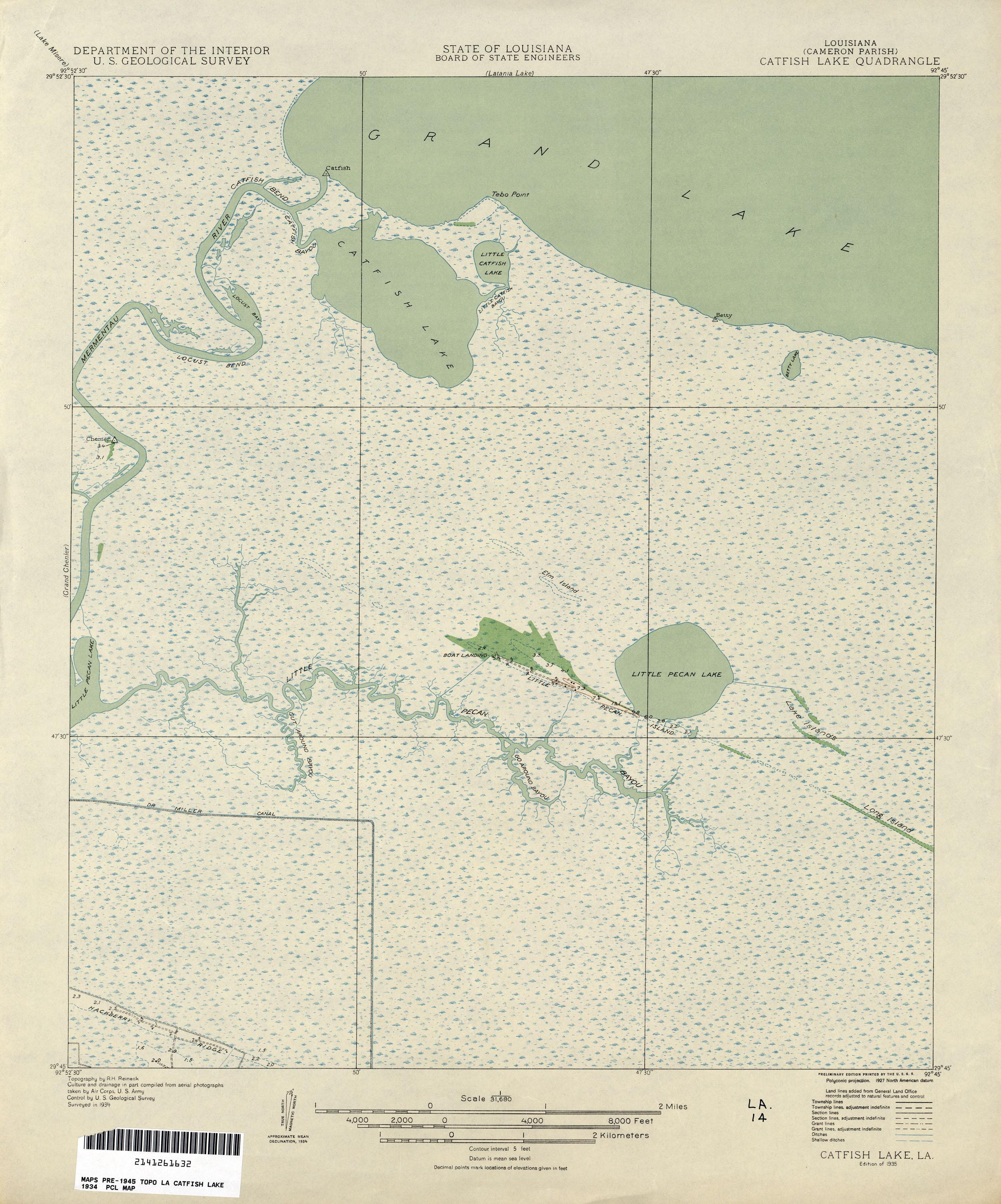
- Catfish Lake 1:31,680 1934 (1.5MB)
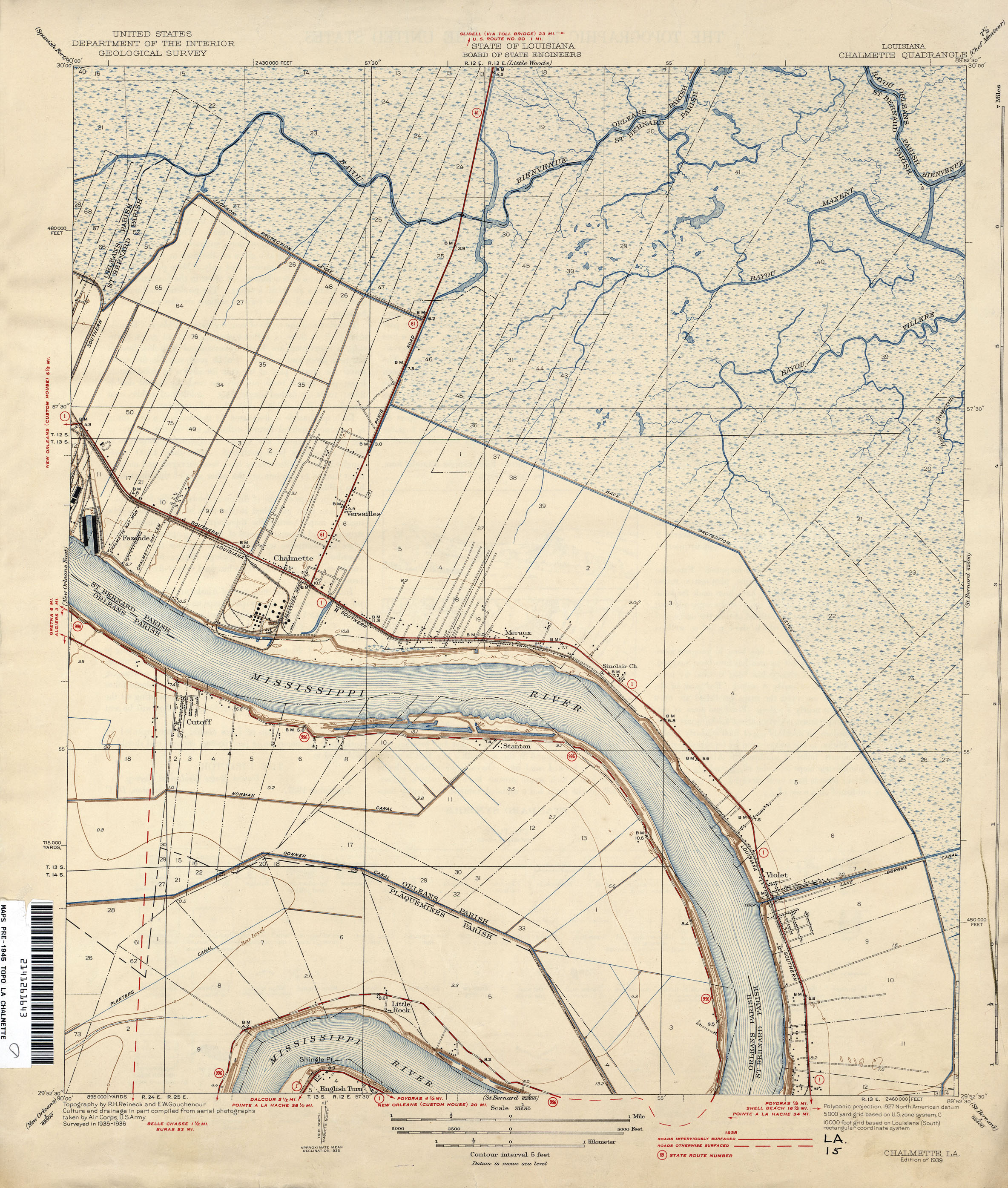
- Chalmette 1:31,680 1936 (1.9MB)
- Chalmette, Topographic Map Prototype, 1:24,000, September 12, 2005 (1.5MB) [PDF]
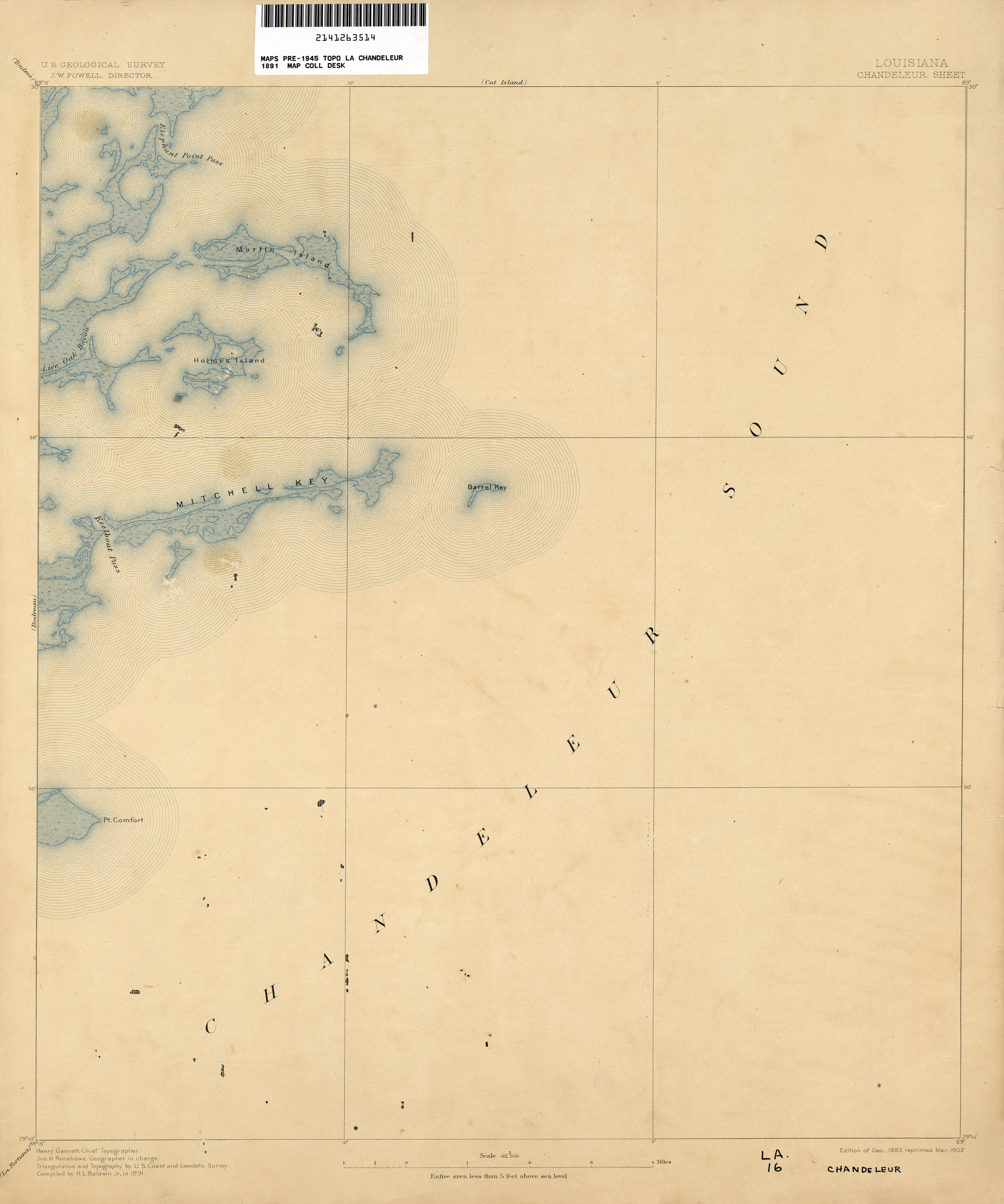
- Chandeleur 1:62,500 1891 (1.1MB)
- Chef Menteur 1:62,500 1890 (1.4MB)
- Chef Menteur, Topographic Map Prototype, 1:24,000, September 12, 2005 (843K) [PDF]
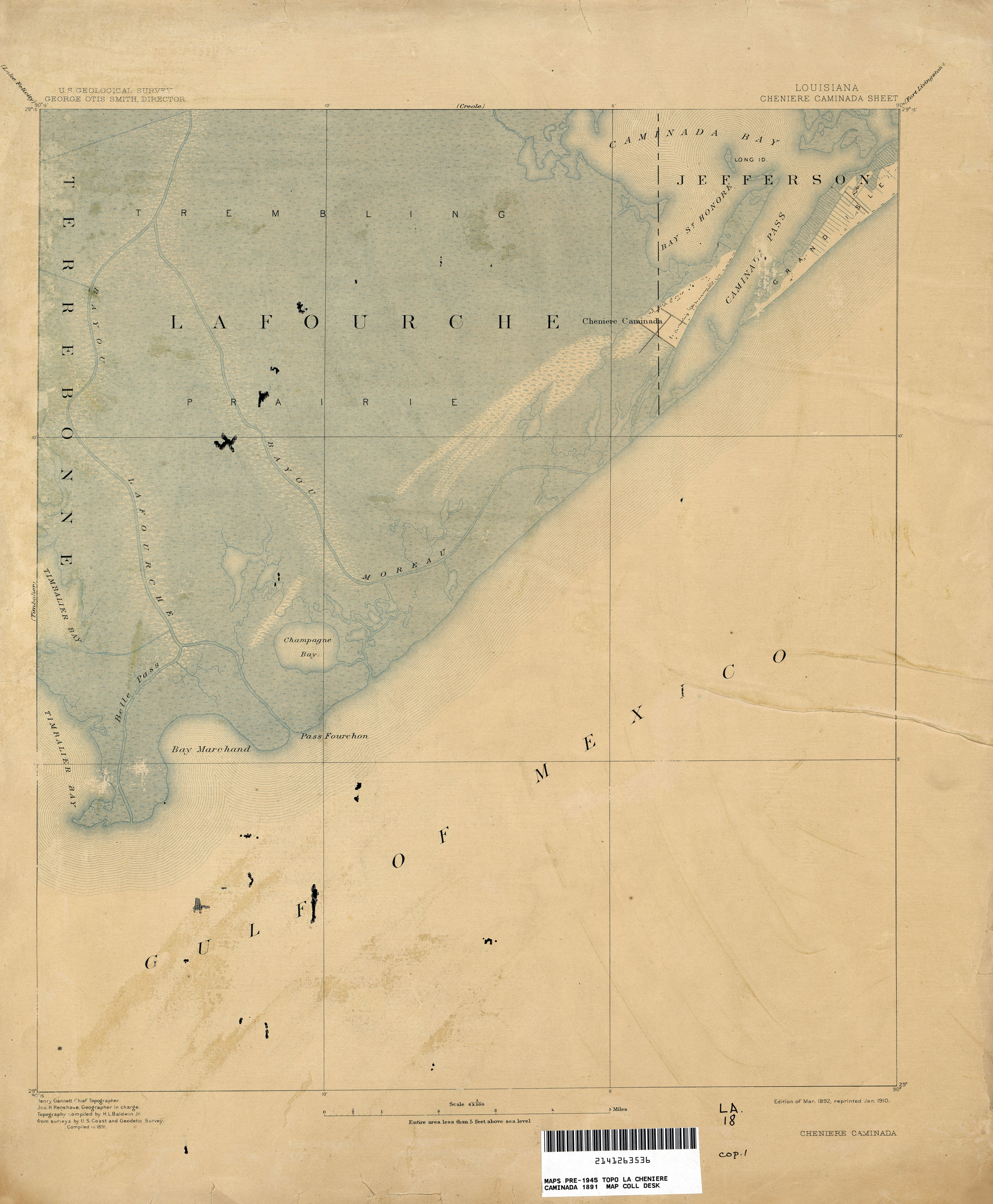
- Cheniere Caminada 1:62,500 1891 (1.5MB)
- Cocodrie, Topographic Map Prototype, 1:24,000, September 12, 2005 (857K) [PDF]
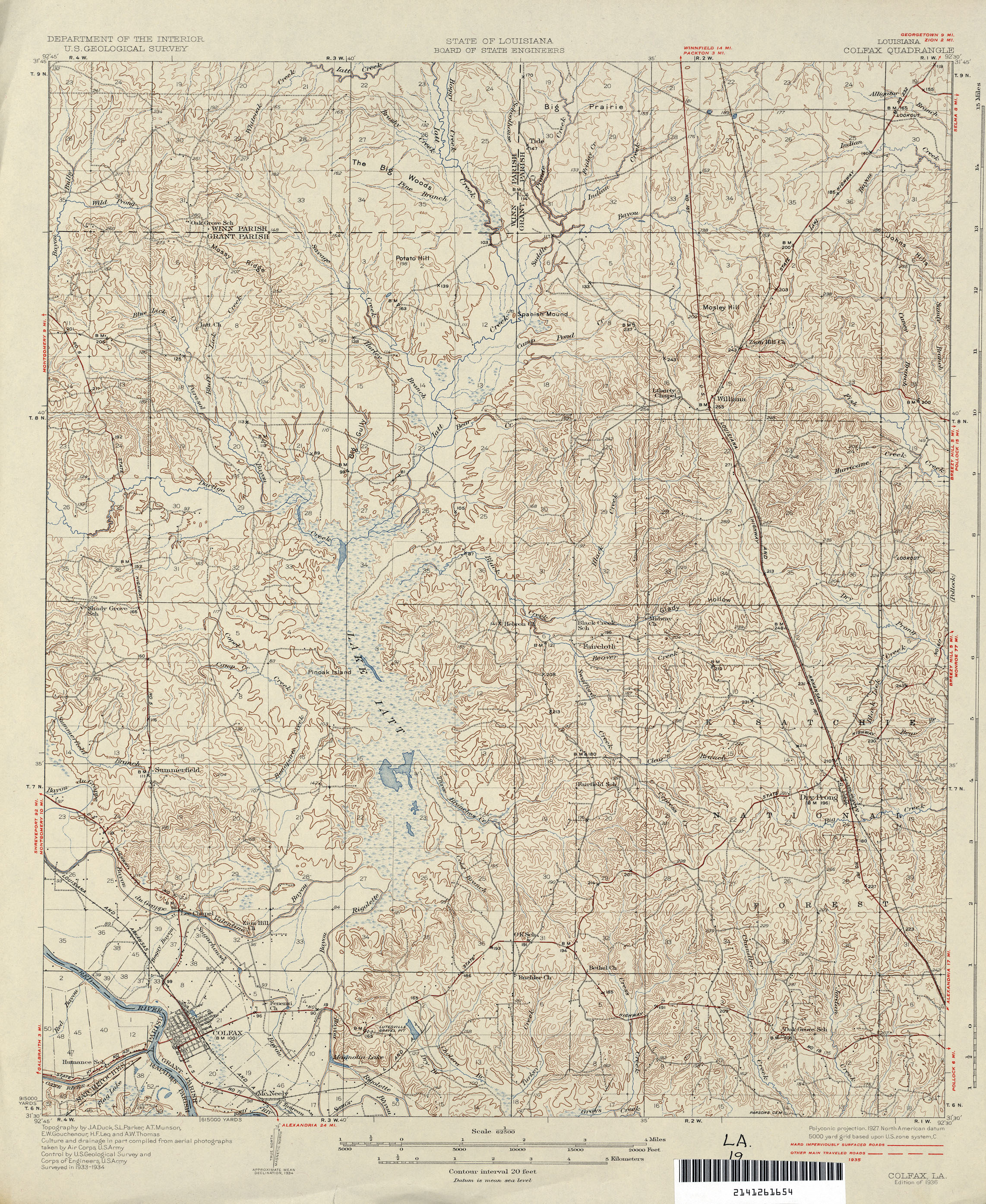
- Colfax 1:62,500 1935 (2.5MB)
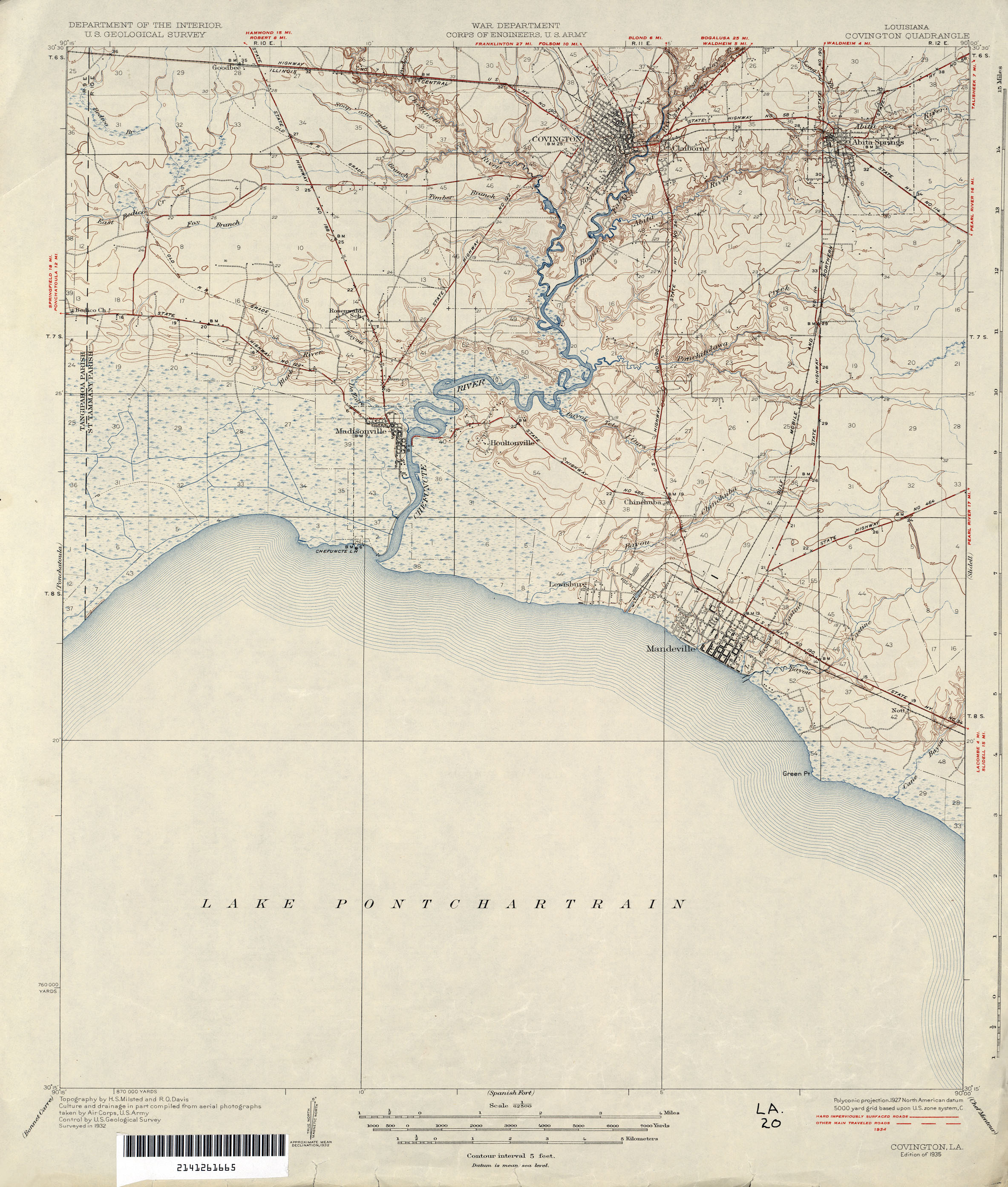
- Covington 1:62,500 1932 (1.6MB)
- Covington, Topographic Map Prototype, 1:24,000, September 12, 2005 (1.4MB) [PDF]
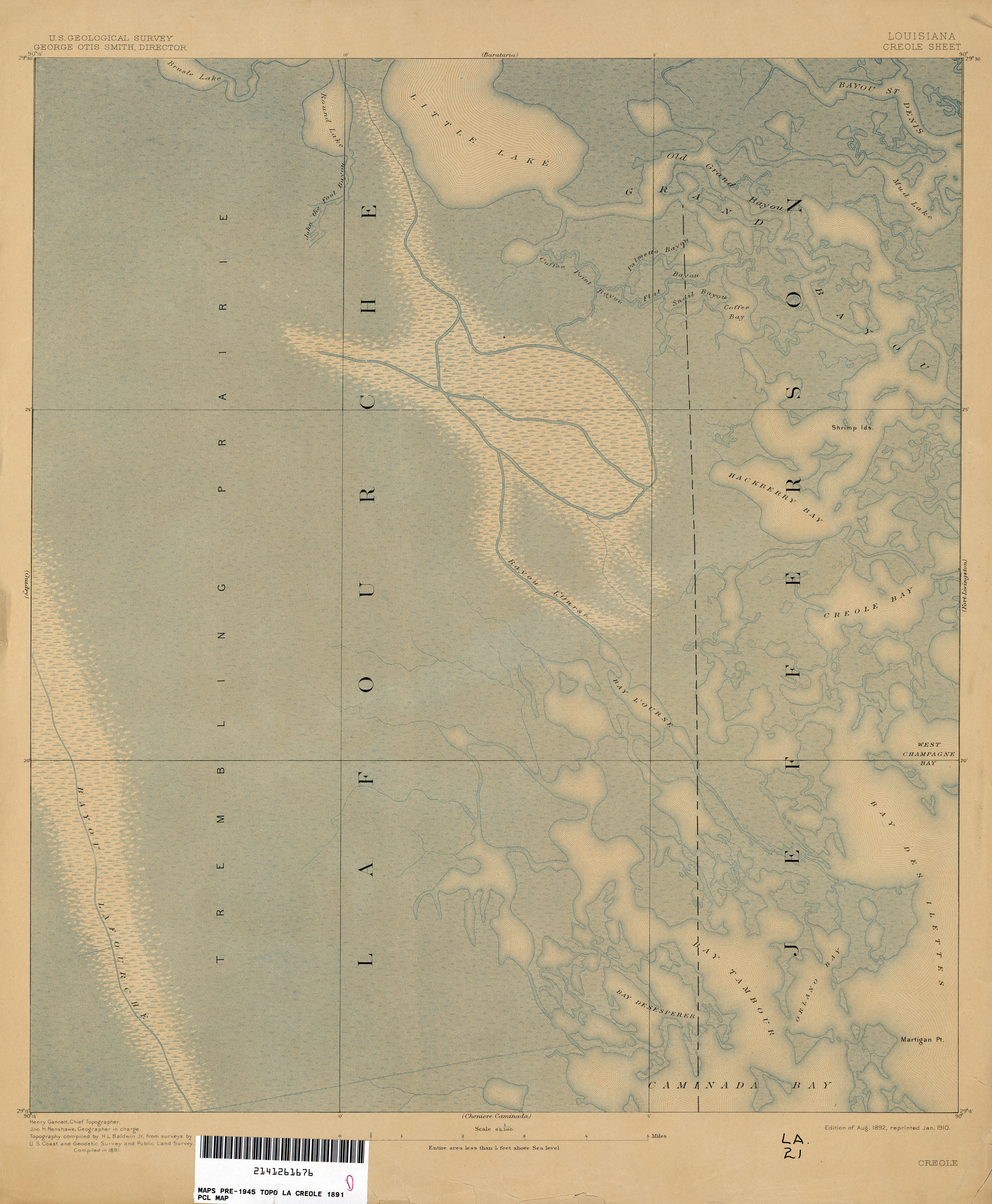
- Creole 1:62,500 1891 (1.9MB)
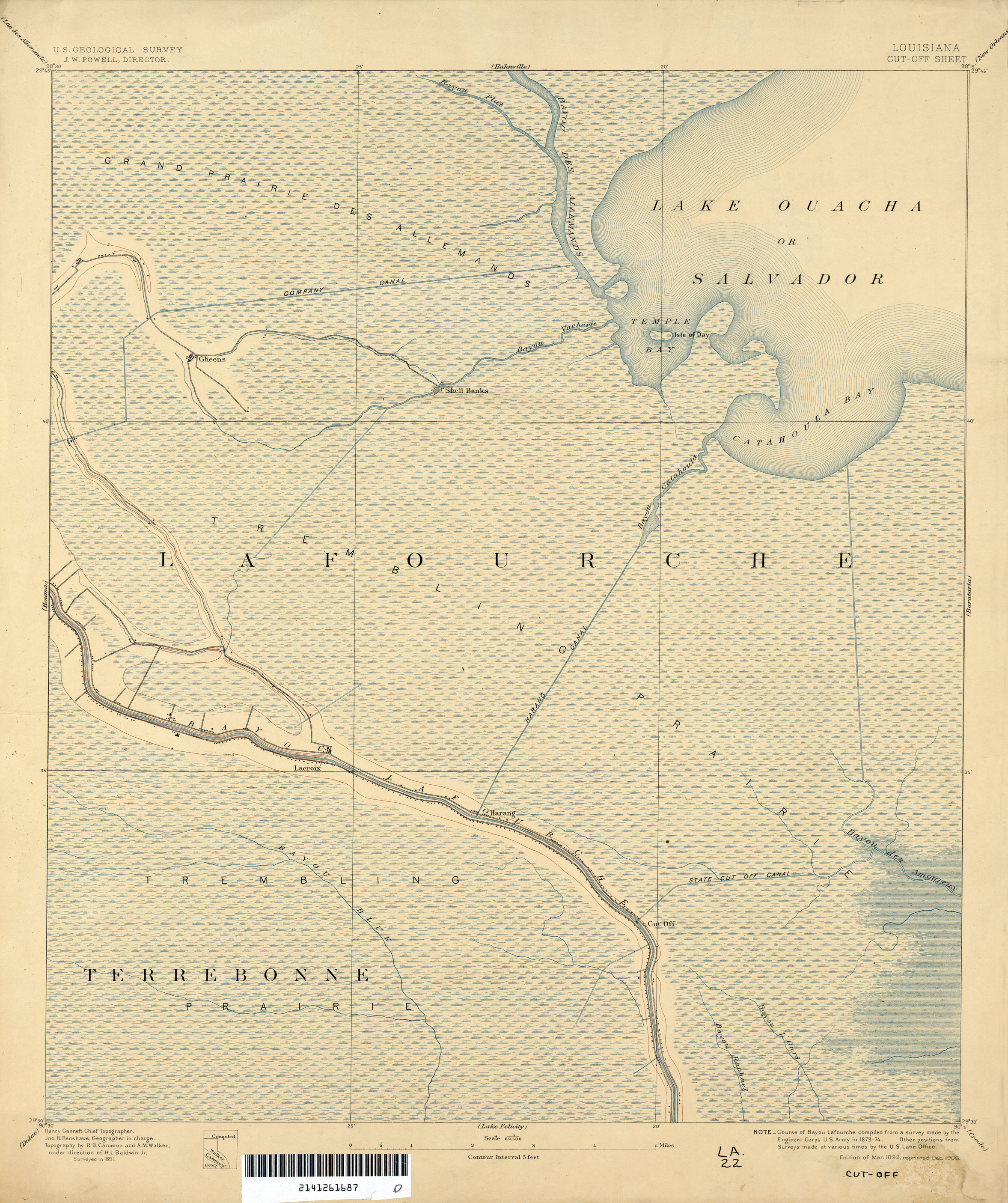
- Cut-Off 1:62,500 1891 (2MB)
- Cut Off, Topographic Map Prototype, 1:24,000, September 12, 2005 (1MB) [PDF]
- Delacroix, Topographic Map Prototype, 1:24,000, September 12, 2005 (1.2MB) [PDF]
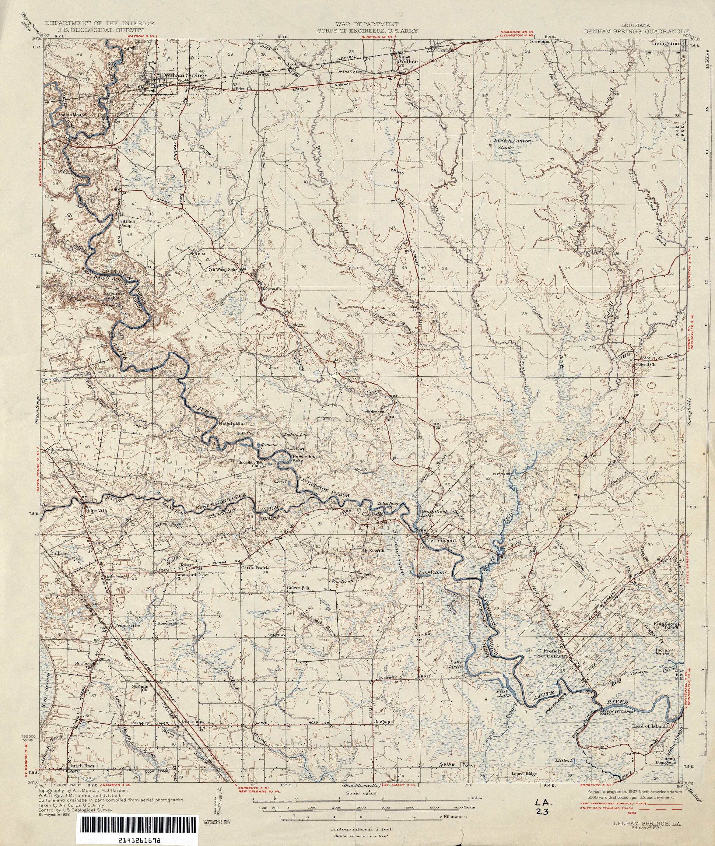
- Denham Springs 1:62,500 1932 (2.2MB)
- Des Allemands, Topographic Map Prototype, 1:24,000, September 12, 2005 (1MB) [PDF]
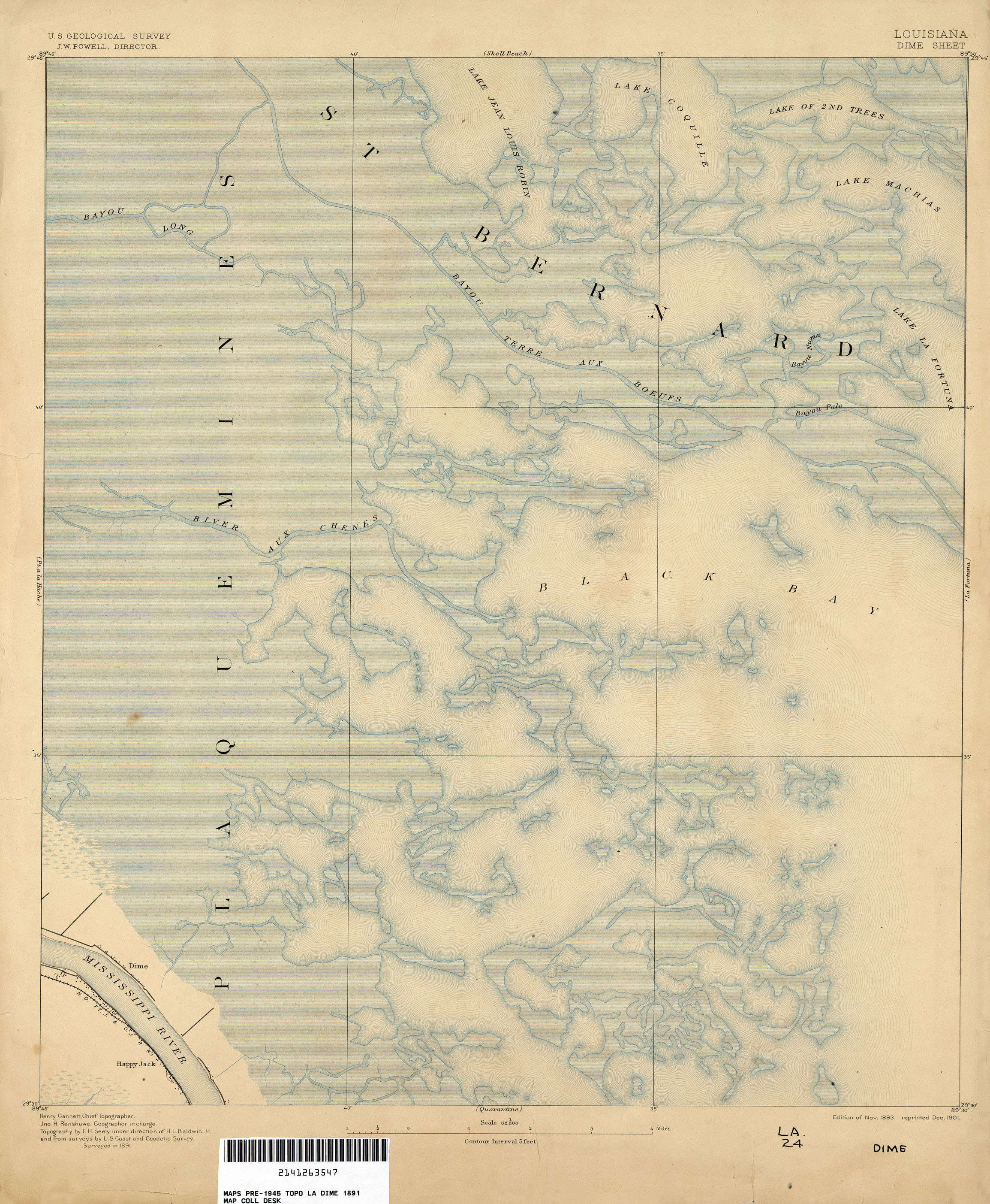
- Dime 1:62,500 1891 (1.8MB)
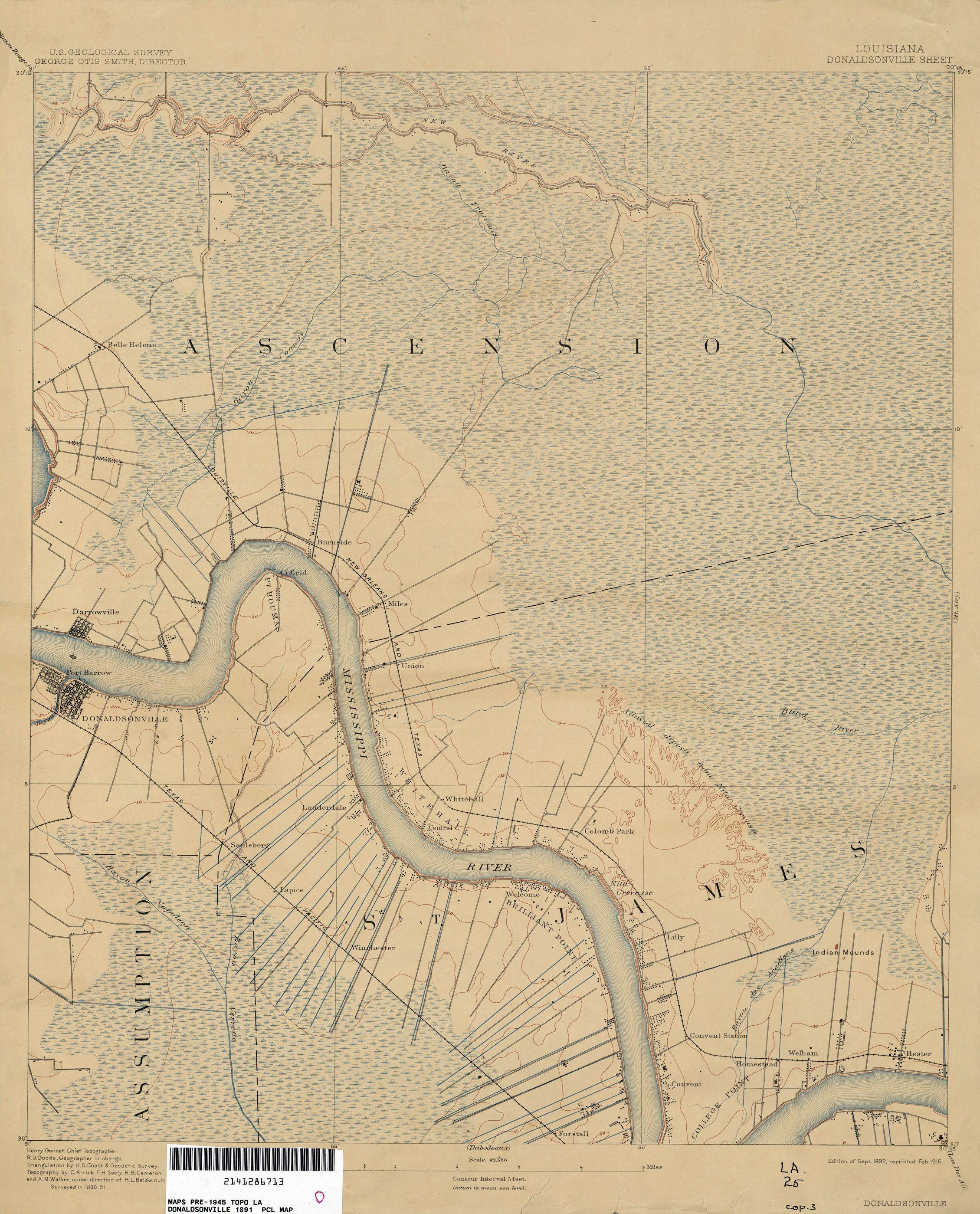
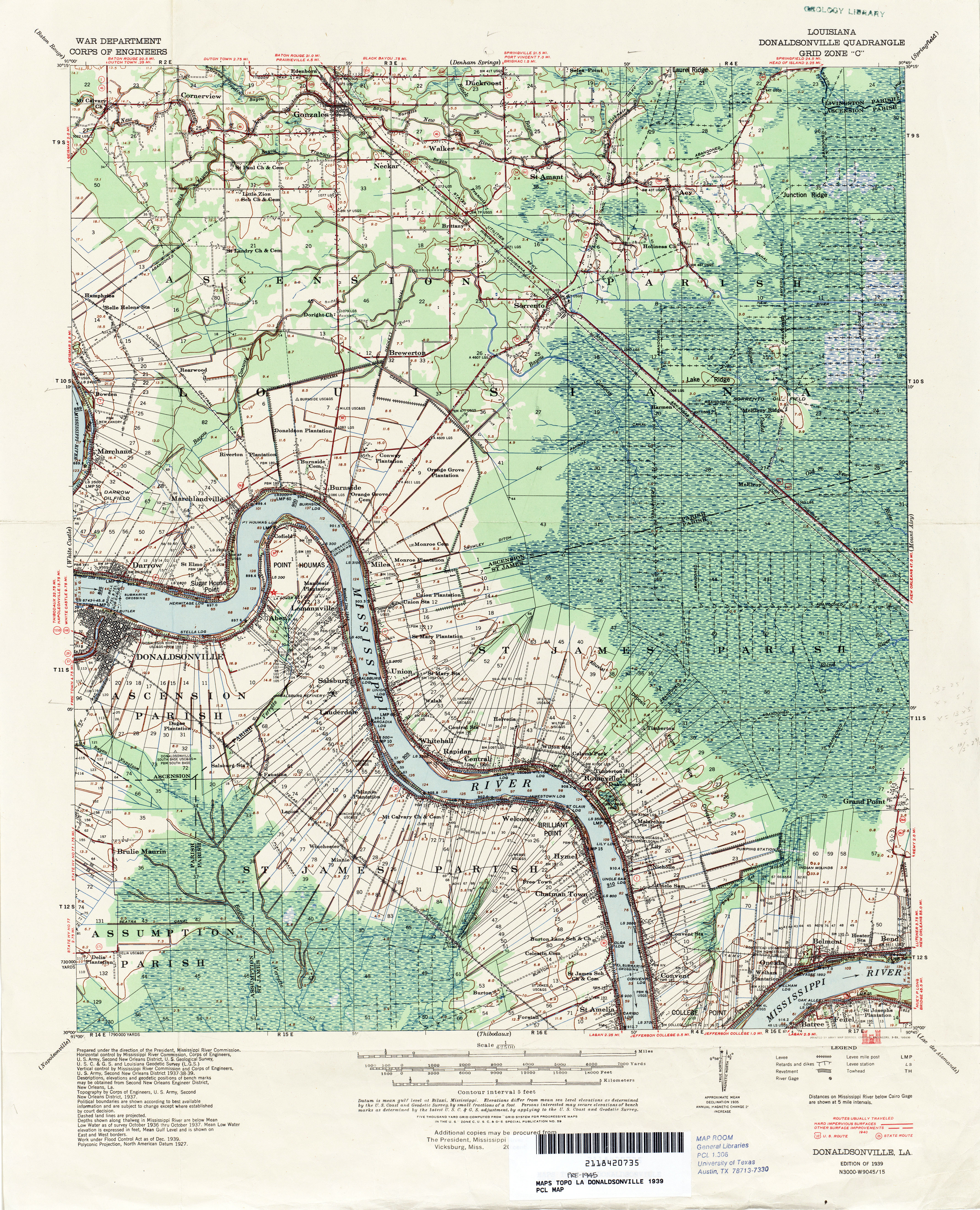
- Donaldsonville 1:62,500 1891 (1.8MB)
- Donaldsonville 1:62,500 1939 (6.9MB)
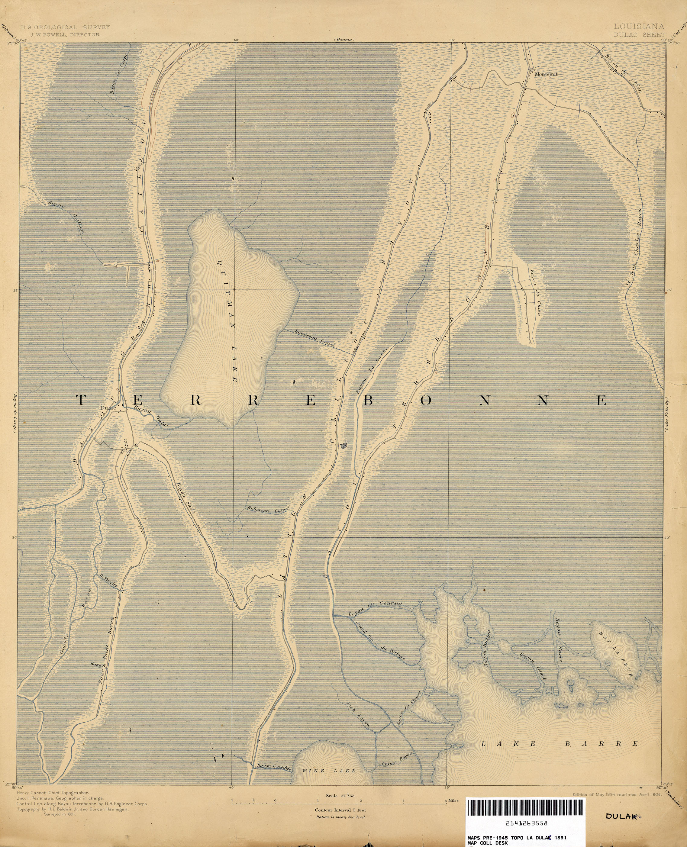
- Dulac 1:62,500 1891 (2MB)
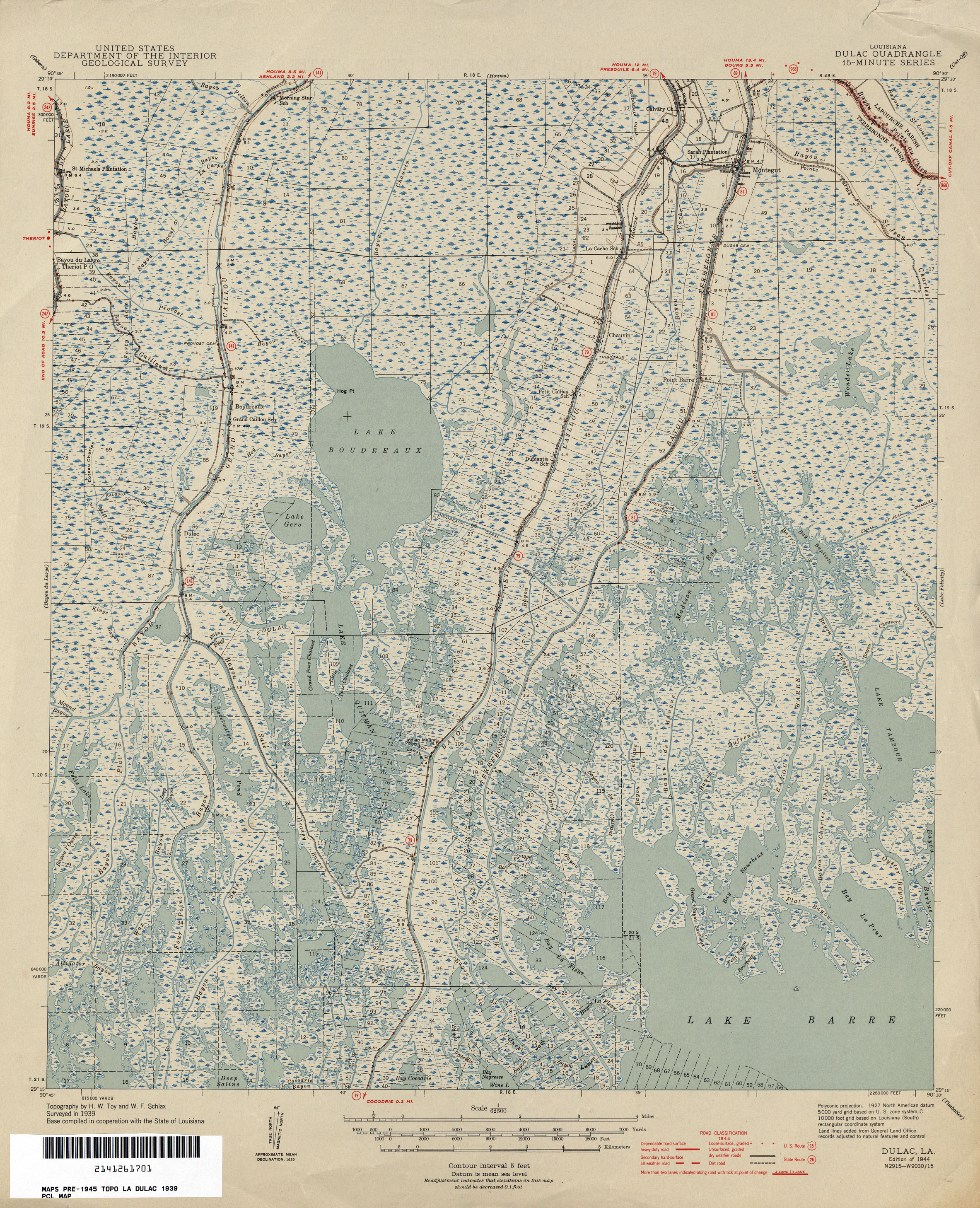
- Dulac 1:62,500 1944 (2.6MB)
- Dulac, Topographic Map Prototype, 1:24,000, September 12, 2005 (997K) [PDF]
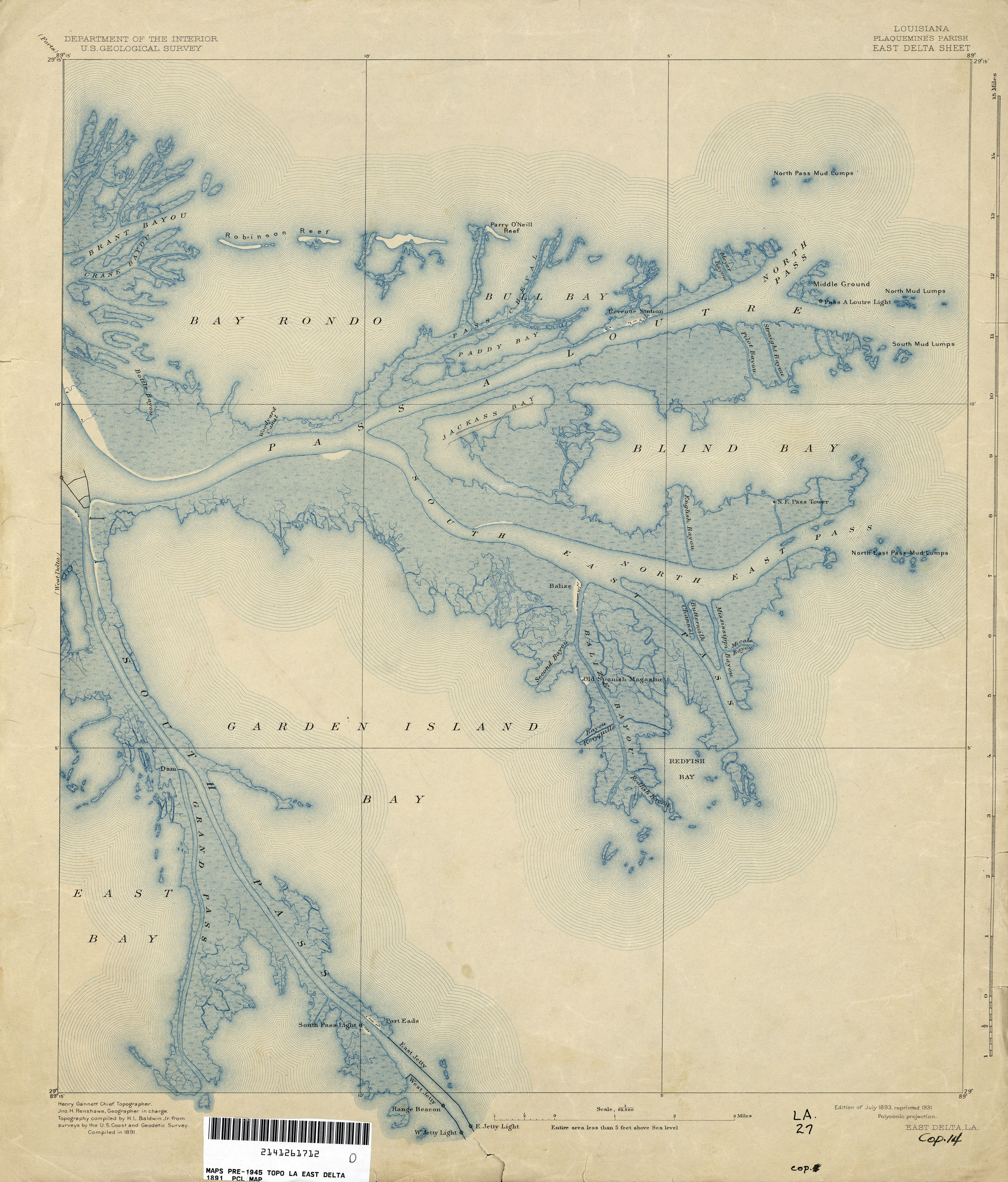
- East Delta 1:62,500 1891 (2MB)
- El Dorado [Arkansas, Louisiana] 1:62,500 1929 (3.0MB)
- Empire 1:62,500 1944 (2.3MB)
- Empire, Topographic Map Prototype, 1:24,000, September 12, 2005 (819K) [PDF]
- Evans 1:31,680 1935 (924KB)
- Felsenthal [Arkansas, Louisiana] 1:62,500 1937 (2.9MB)
- Five Lakes 1:31,680 1934 (1.6MB)
- Florien 1:62,500 1942 (3.3MB)
- Fort Livingston 1:62,500 1891 (1.7MB)
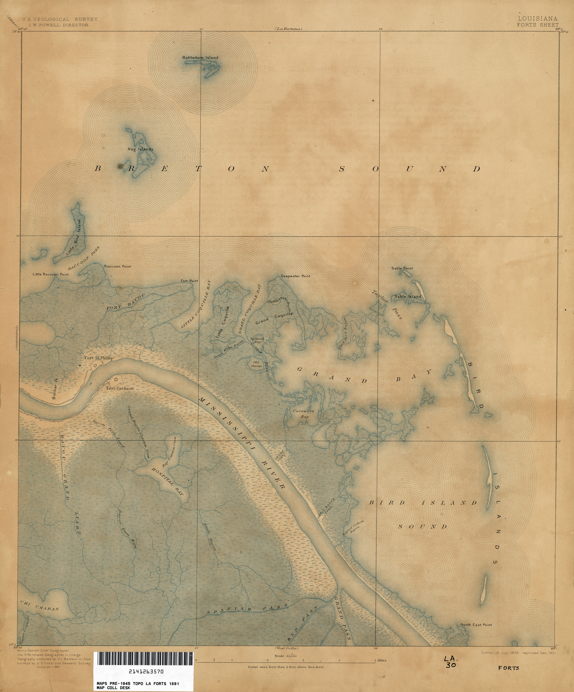
- Forts 1:62,500 1891 (1.6MB)
- Garden Island Pass 1:31,680 1935 (972KB)
- Gheens, Topographic Map Prototype, 1:24,000, September 12, 2005 (914K) [PDF]
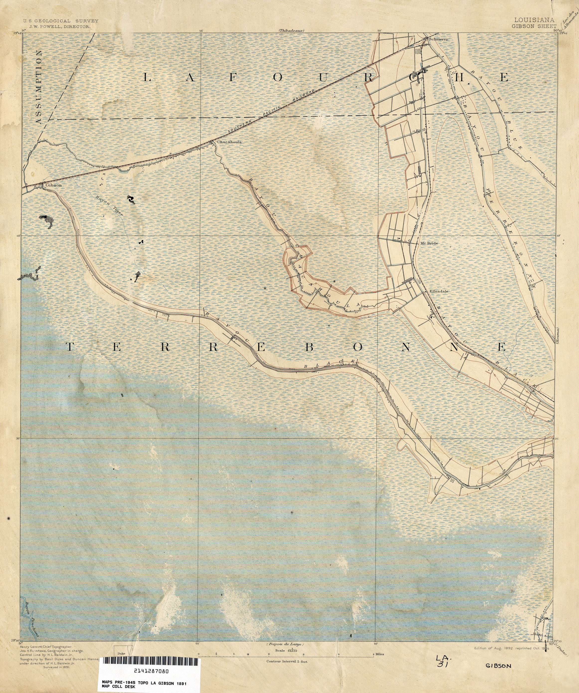
- Gibson 1:62,500 1891 (1.9MB)
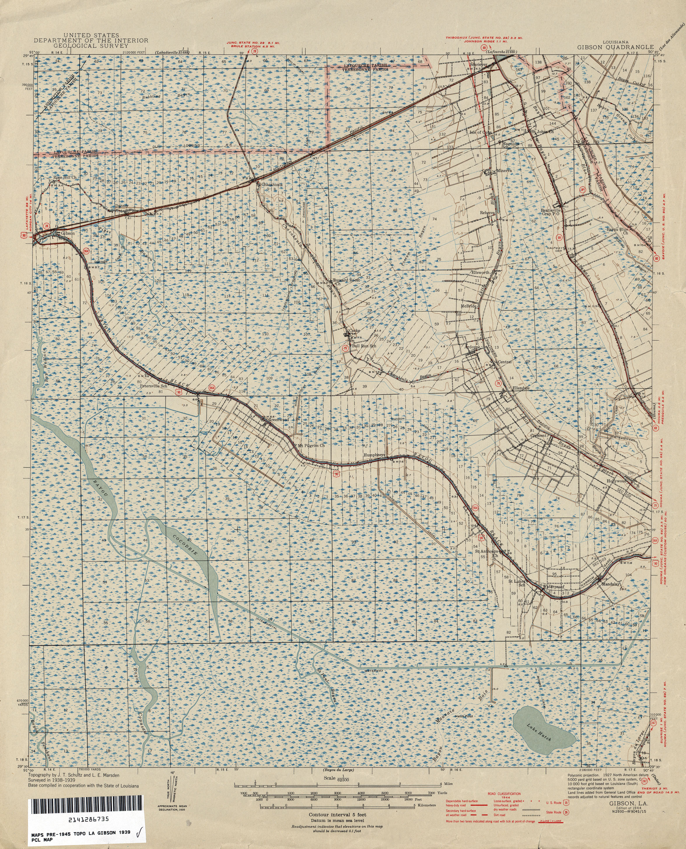
- Gibson 1:62,500 1939 (2.4MB)
- Gibson, Topographic Map Prototype, 1:24,000, September 12, 2005 (927K) [PDF]
- Golden Meadow, Topographic Map Prototype, 1:24,000, September 12, 2005 (1.1MB) [PDF]
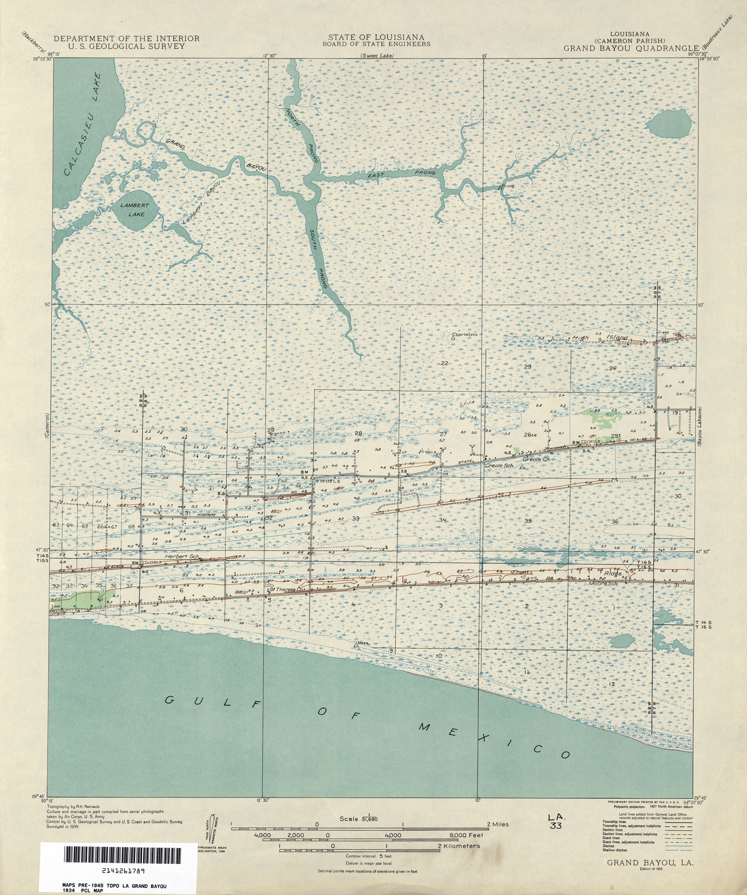
- Grand Bayou 1:31,680 1934 (1.7MB)
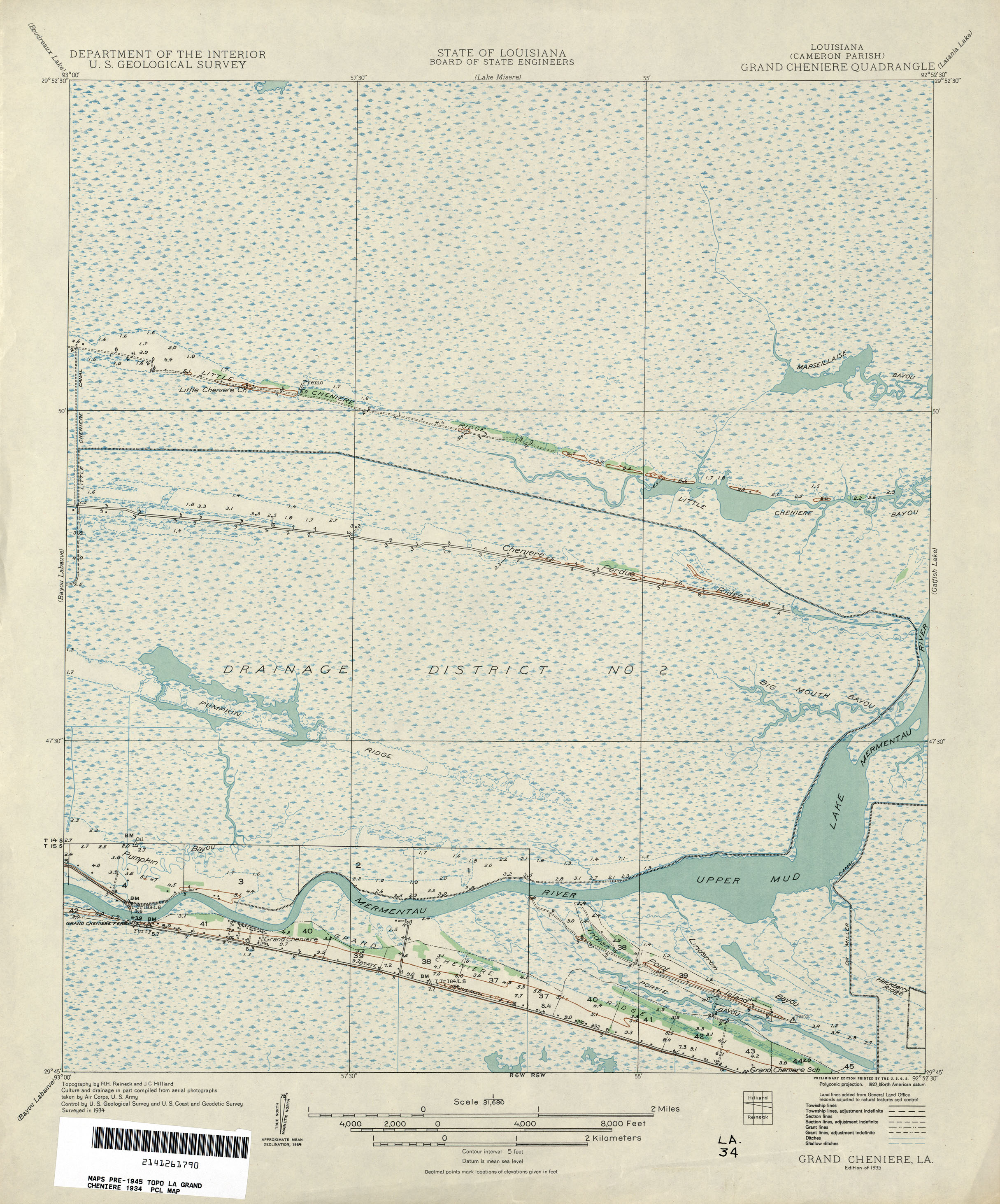
- Grand Cheniere 1:31,680 1934 (1.8MB)
- Grand Isle, Topographic Map Prototype, 1:24,000, September 12, 2005 (343K) [PDF]
- Gray, Topographic Map Prototype, 1:24,000, September 12, 2005 (957K) [PDF]
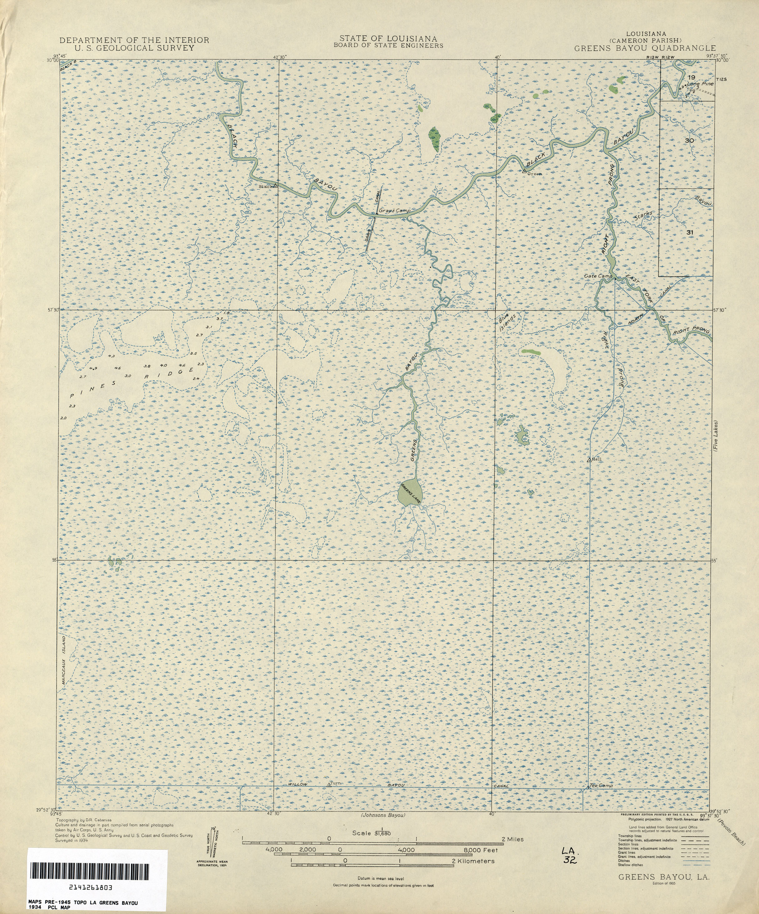
- Greens Bayou 1:31,680 1934 (1.8MB)
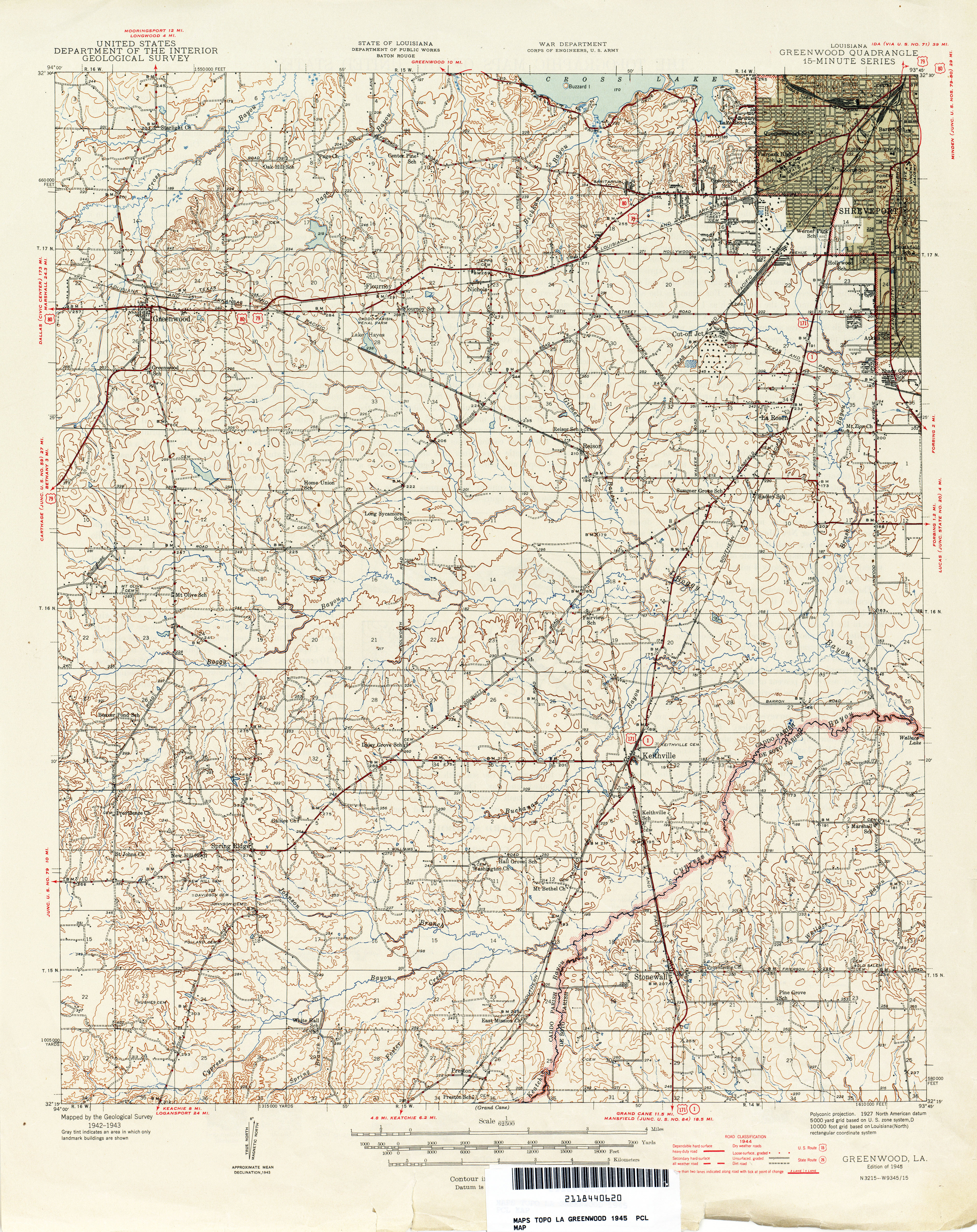
- Greenwood 1:62,500 1945 (6.3MB)
- Greenwood [Mississippi, Arkansas, Louisiana] 1953 1:250,000 (9.8 MB)
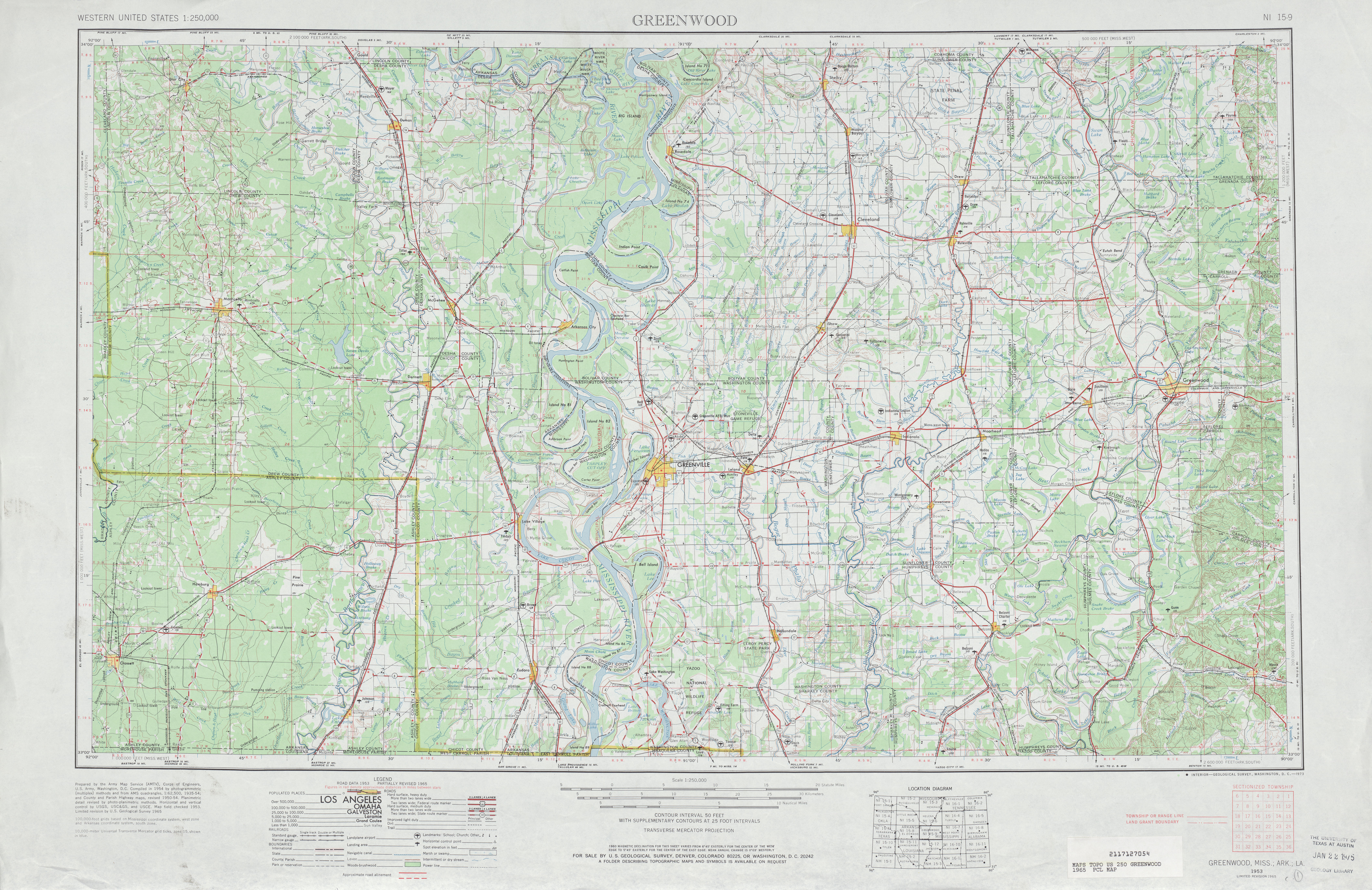
- Greenwood [Mississippi, Arkansas, Louisiana] 1965 1:250,000 (7.3 MB)
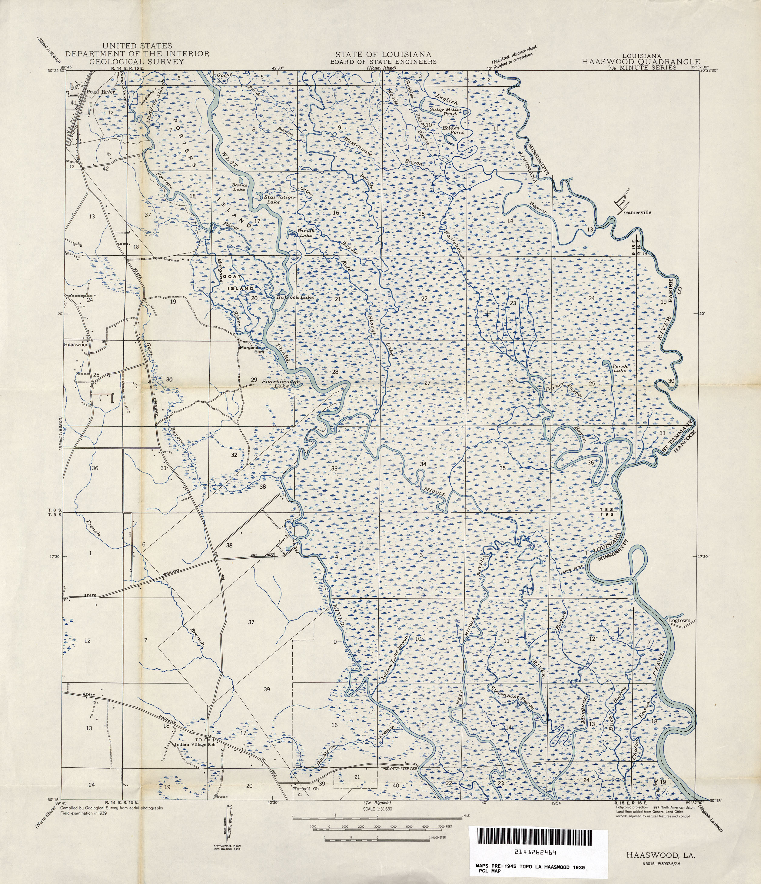
- Haaswood 1:31,680 1939 (1.9MB)
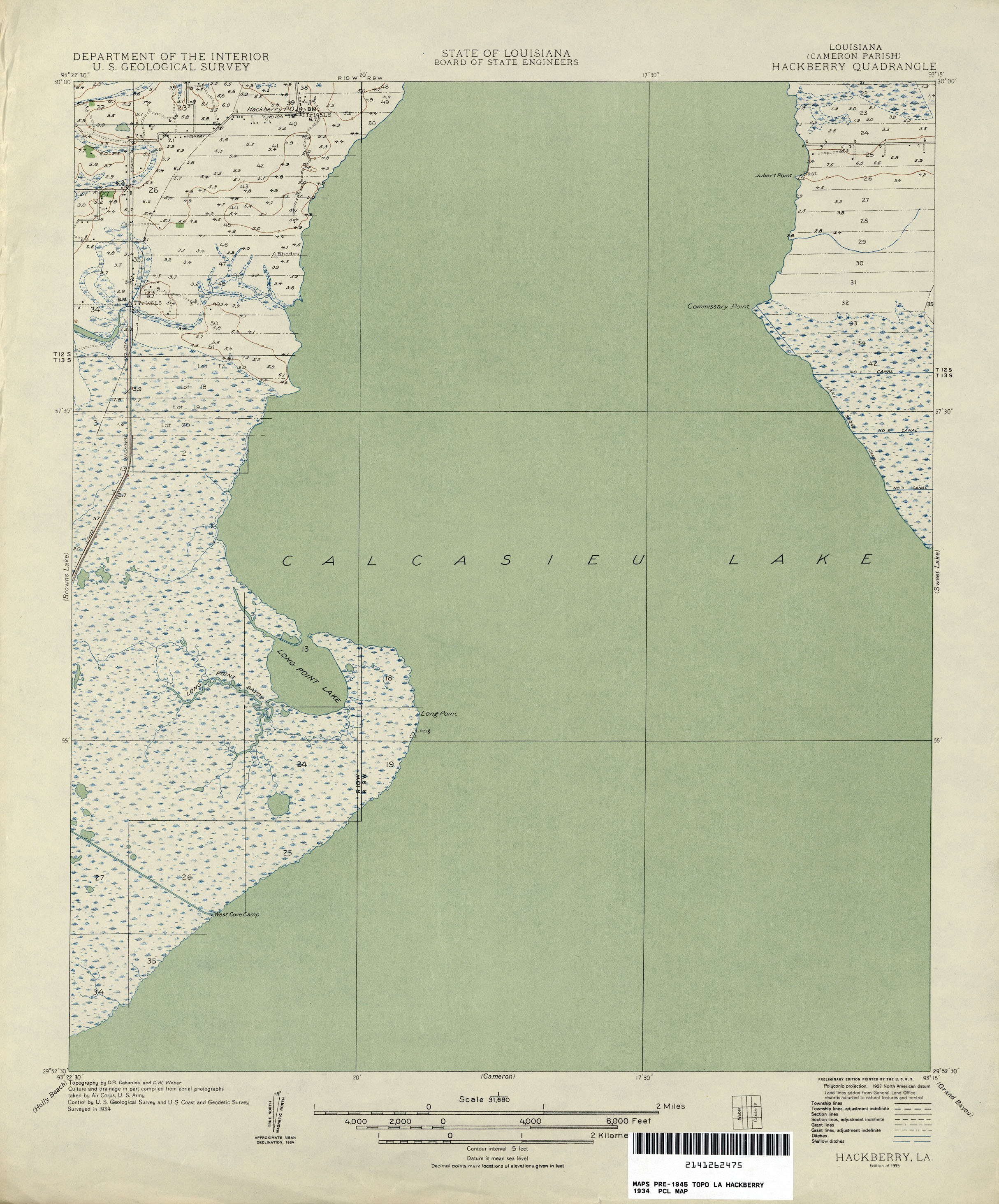
- Hackberry 1:31,680 1934 (1.3MB)
- Hahnville 1:62,500 1910 (2MB)
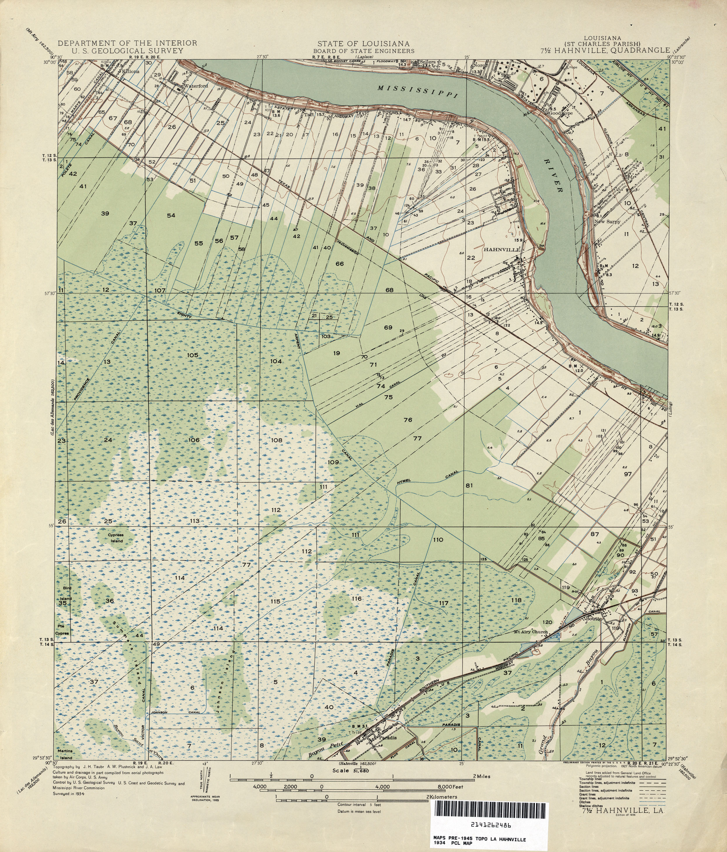
- Hahnville 1:31,680 1934 (1.9MB)
- Hahnville, Topographic Map Prototype, 1:24,000, September 12, 2005 (1.3MB) [PDF]
- Hammond, Topographic Map Prototype, 1:24,000, September 12, 2005 (1.6MB) [PDF]
- Happy Jack, Topographic Map Prototype, 1:24,000, September 12, 2005 (857K) [PDF]
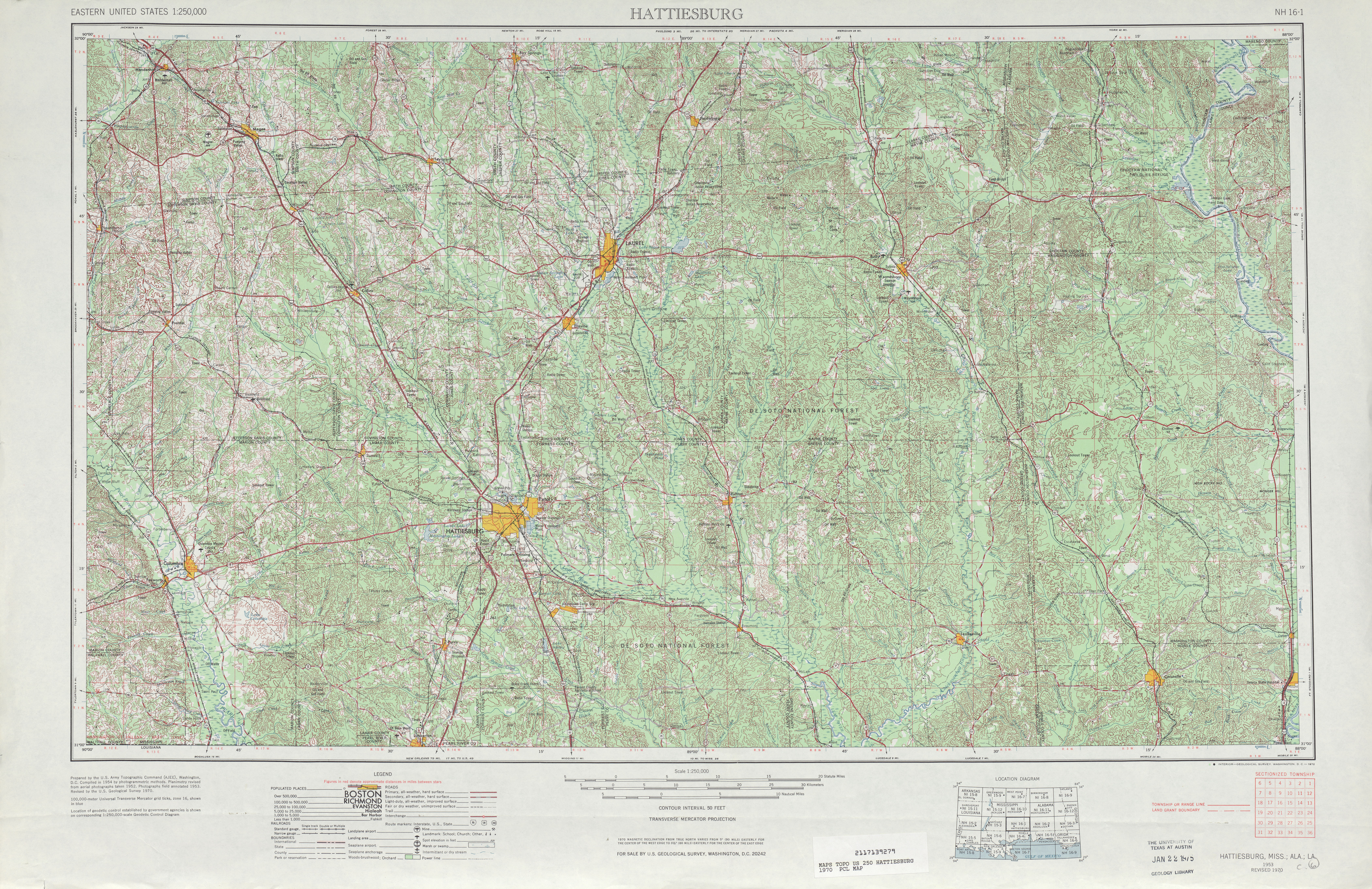
- Hattiesburg [Mississippi, Alabama, Louisiana] 1:250,000 1970 (10 MB)
- Hattiesburg [Mississippi, Alabama, Louisiana] 1:250,000 1984 (11.2 MB)
- Holly Beach 1:31,680 1934 (1.5MB)
- Houma 1:62,500 1890 (2MB)
- Houma 1:62,500 1939 (2.3MB)
- Houma, Topographic Map Prototype, 1:24,000, September 12, 2005 (1.2MB) [PDF]
- Humphreys, Topographic Map Prototype, 1:24,000, September 12, 2005 (964K) [PDF]
- Indian Beach 1:31,680 1937 (1MB)
- Indian Beach, Topographic Map Prototype, 1:24,000, September 12, 2005 (741K) [PDF]
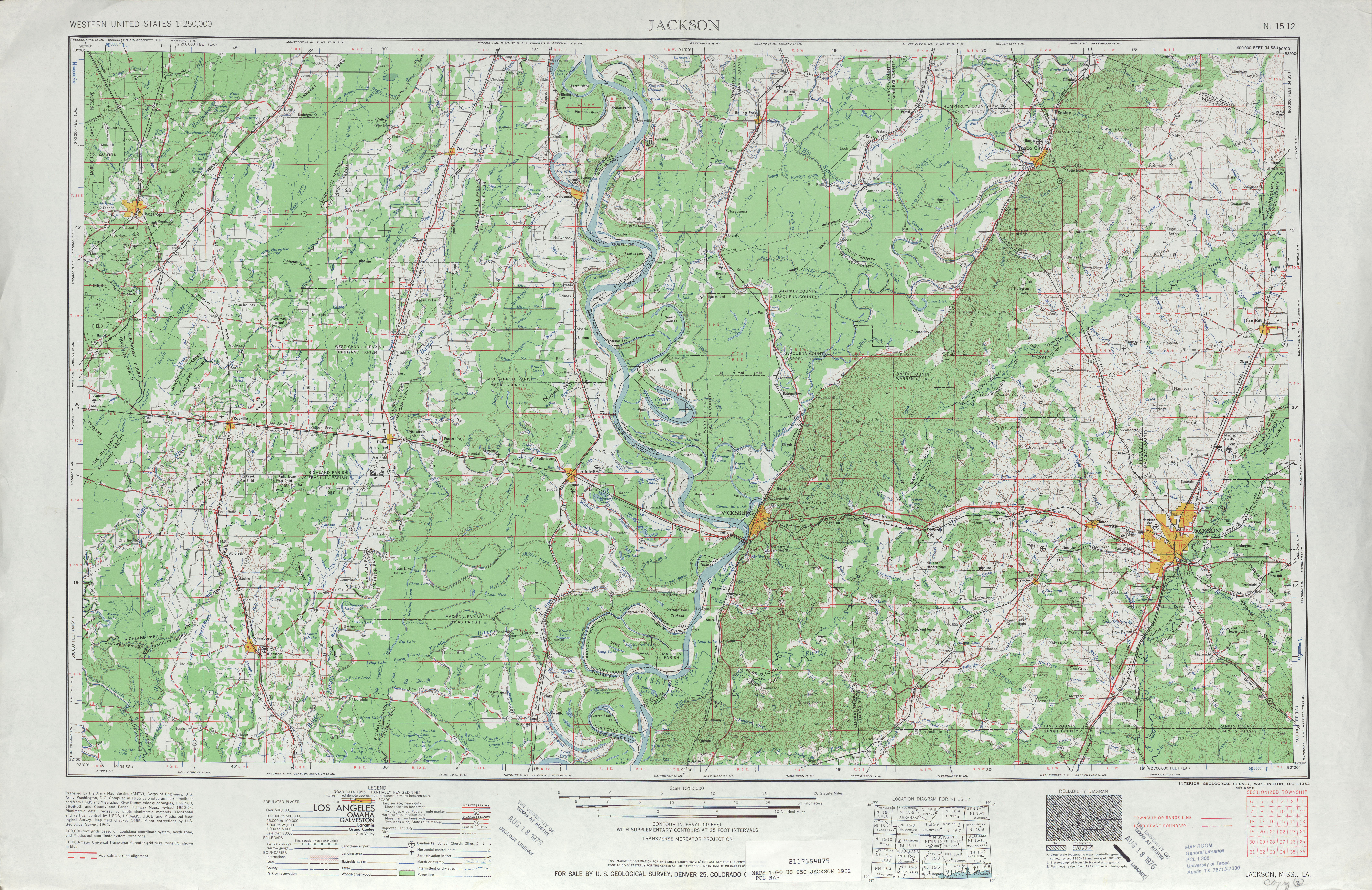
- Jackson [Mississippi, Louisiana] 1955 1:250,000 (9.7 MB)
- Jackson [Mississippi, Louisiana] 1962 1:250,000 (8.2 MB)
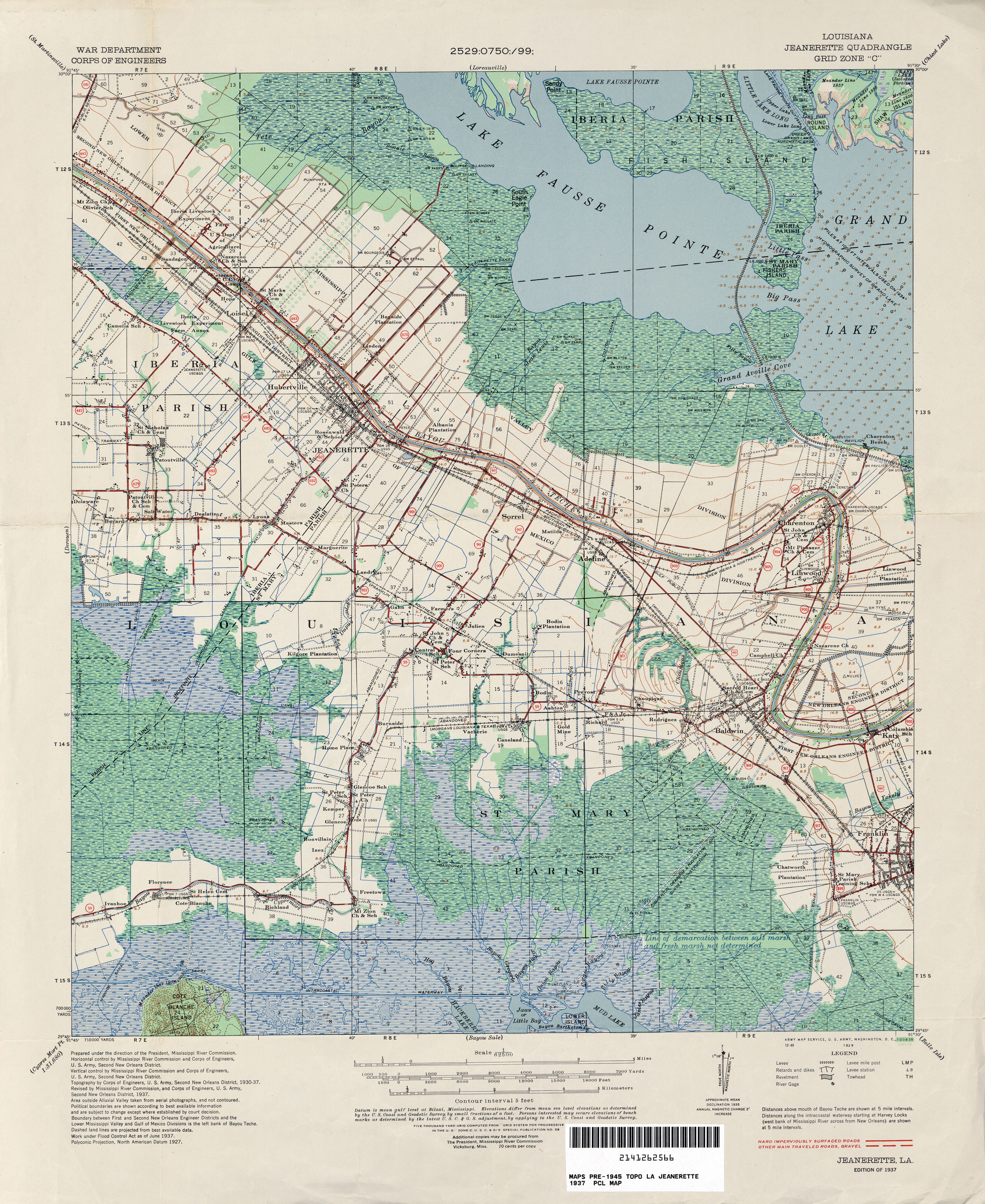
- Jeanerette 1:62,500 1937 (2.7MB)
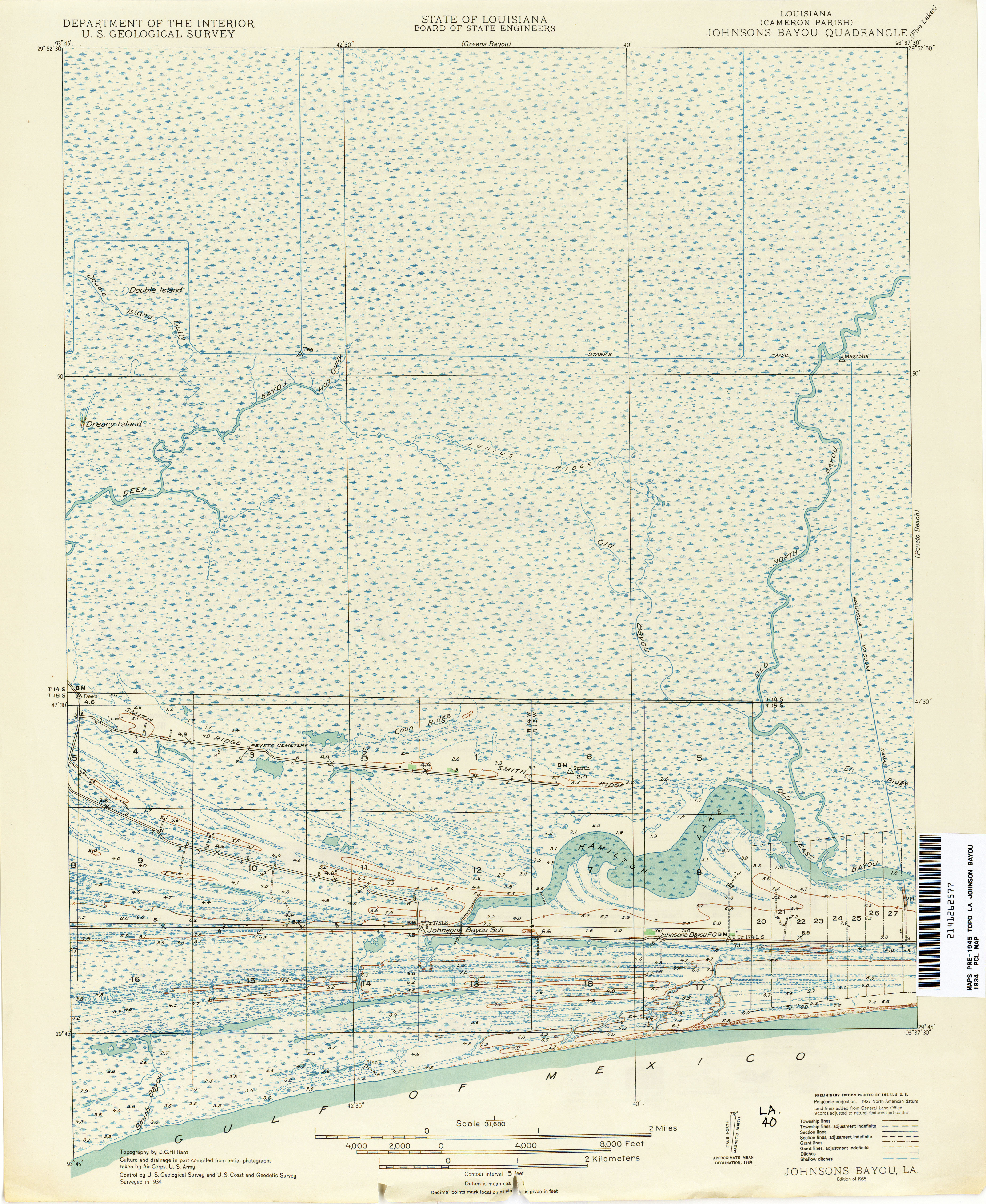
- Johnsons Bayou 1:31,680 1934 (4.8MB)
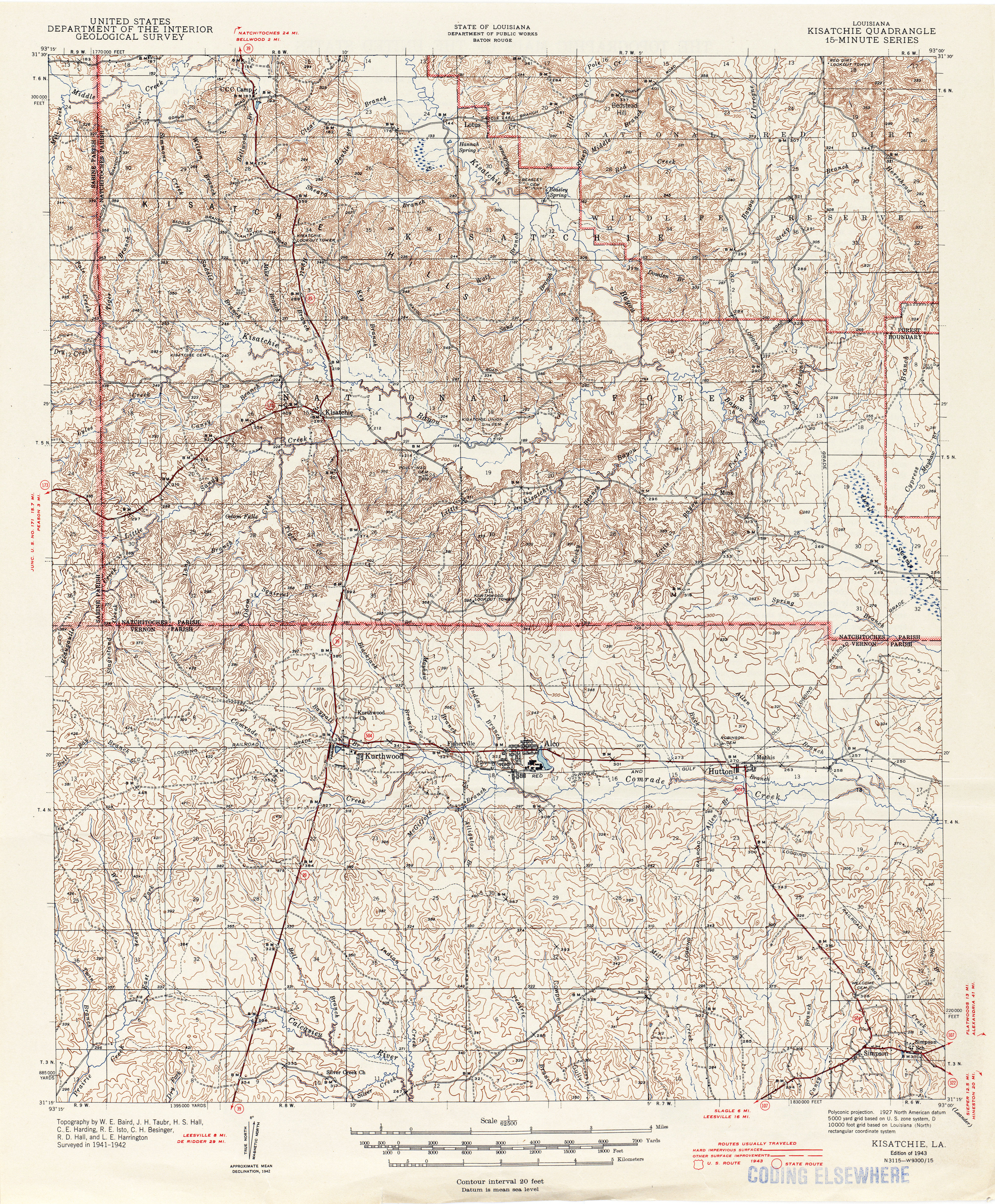
- Kisatchie 1:62,500 1943 (7.9MB)
- Kraemer, Topographic Map Prototype, 1:24,000, September 12, 2005 (889K) [PDF]
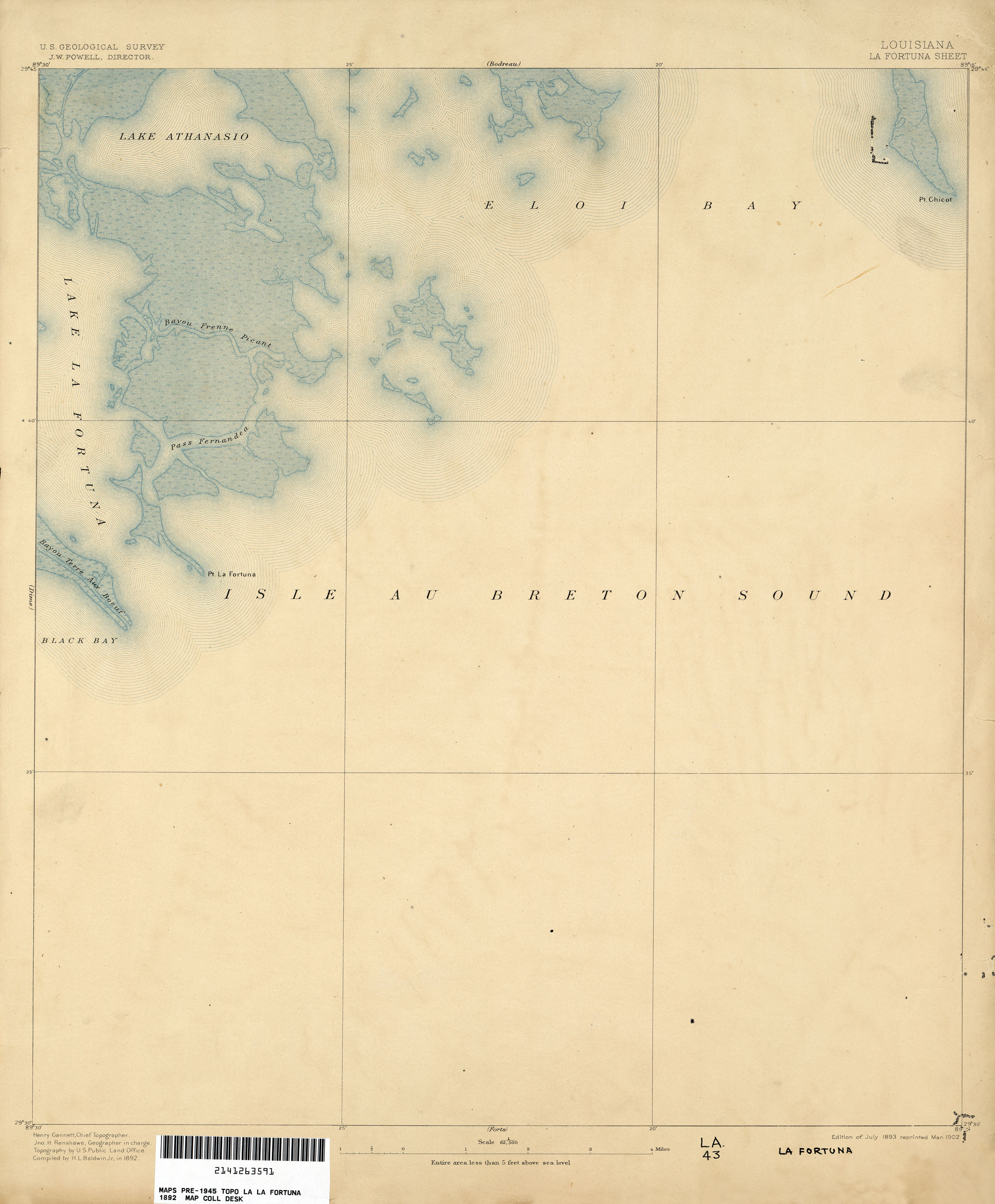
- La Fortuna 1:62,500 1892 (1.1MB)
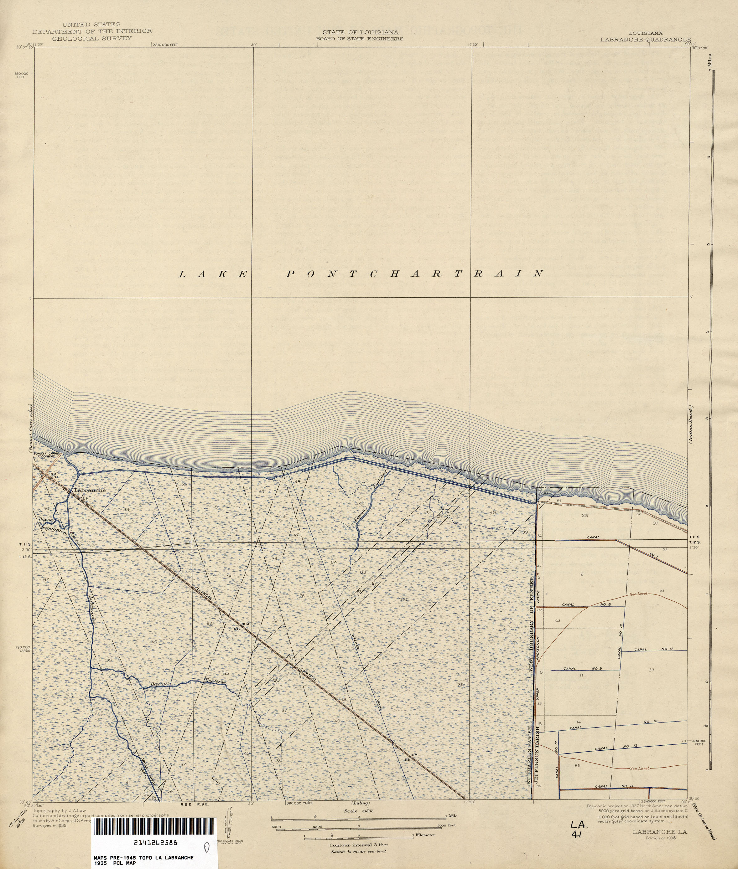
- Labranche 1:31,680 1935 (1.4MB)
- Lac des Allemands 1:62,500 1890 (1.6MB)
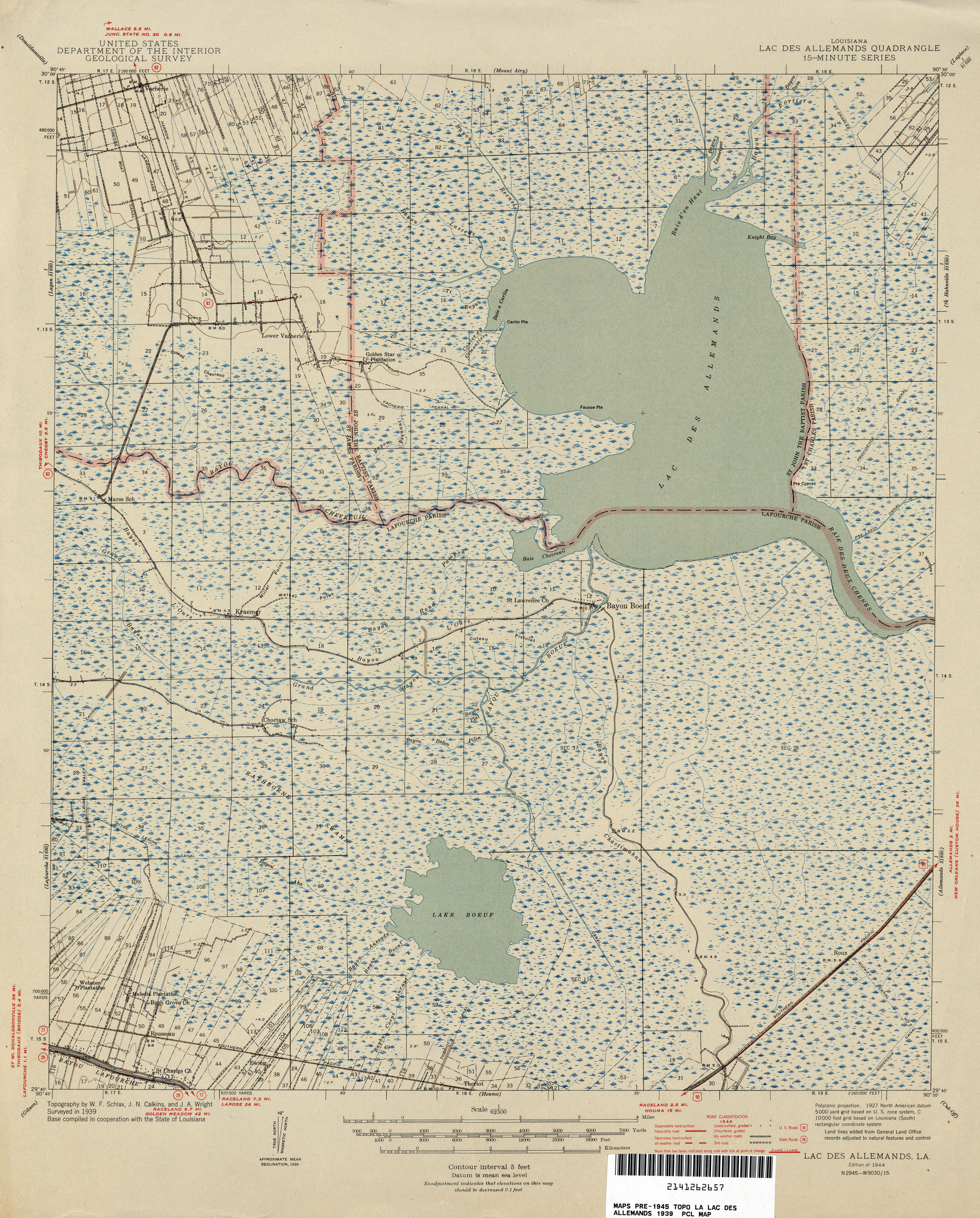
- Lac des Allemands 1:62,500 1939 (2.3MB)
- Lac des Allemands, Topographic Map Prototype, 1:24,000, September 12, 2005 (683K) [PDF]
- Lacombe, Topographic Map Prototype, 1:24,000, September 12, 2005 (956K) [PDF]
- Lafitte, Topographic Map Prototype, 1:24,000, September 12, 2005 (1MB) [PDF]
- Lake Bully Camp, Topographic Map Prototype, 1:24,000, September 12, 2005 (1MB) [PDF]
- Lake Cataouatche East, Topographic Map Prototype, 1:24,000, September 12, 2005 (680K) [PDF]
- Lake Cataouatche West, Topographic Map Prototype, 1:24,000, September 12, 2005 (806K) [PDF]
- Lake Charles 1:62,500 1942 (4.6MB)
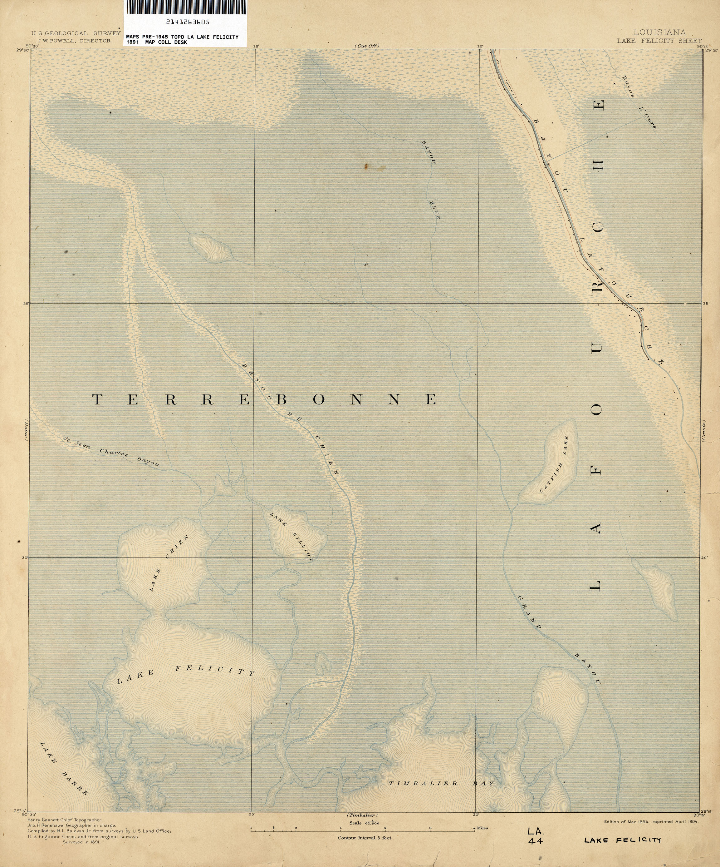
- Lake Felicity 1:62,500 1891 (1.7MB)
- Lake Felicity 1:62,500 1939 (2.3MB)
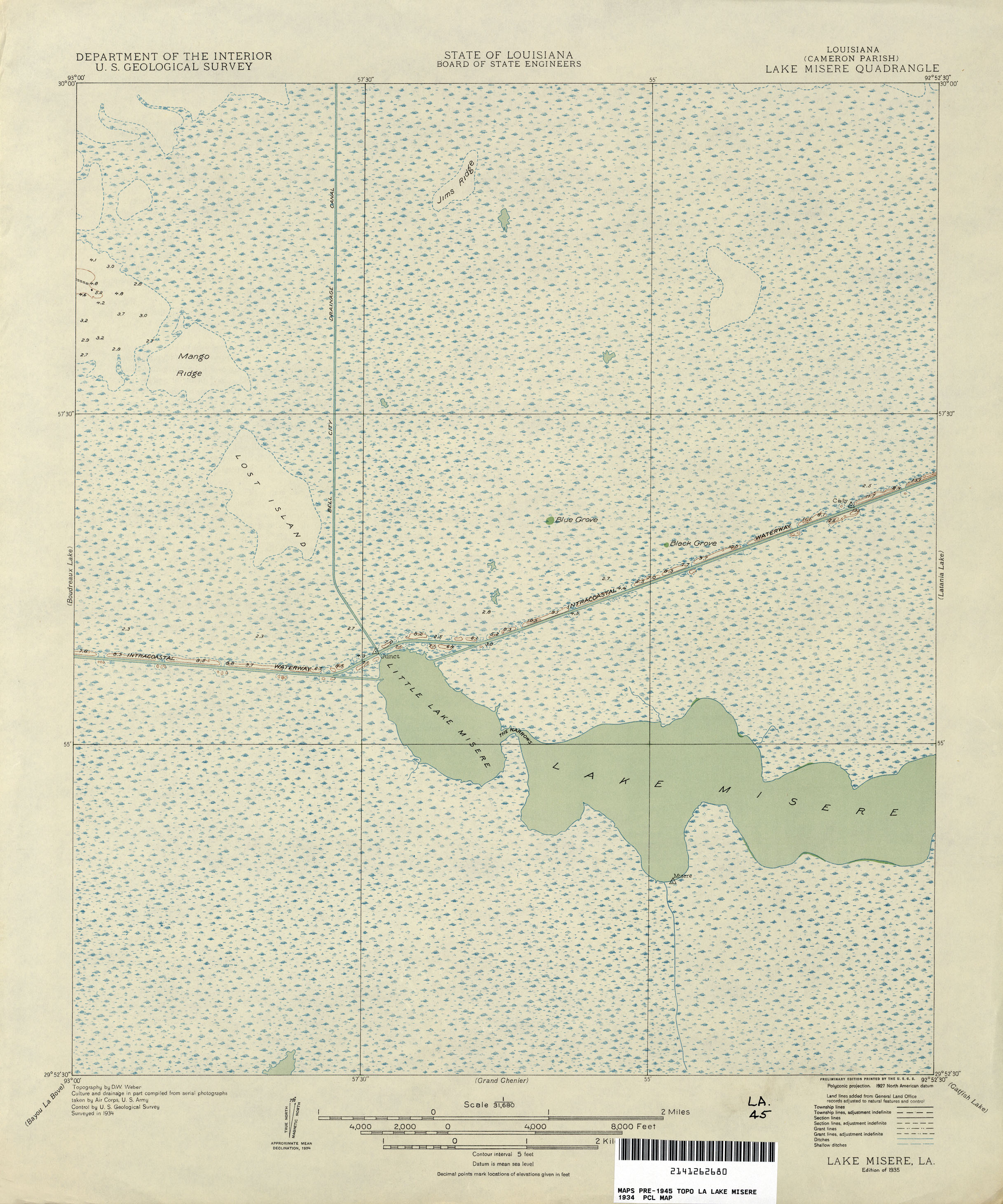
- Lake Misere 1:31,680 1934 (1.6MB)
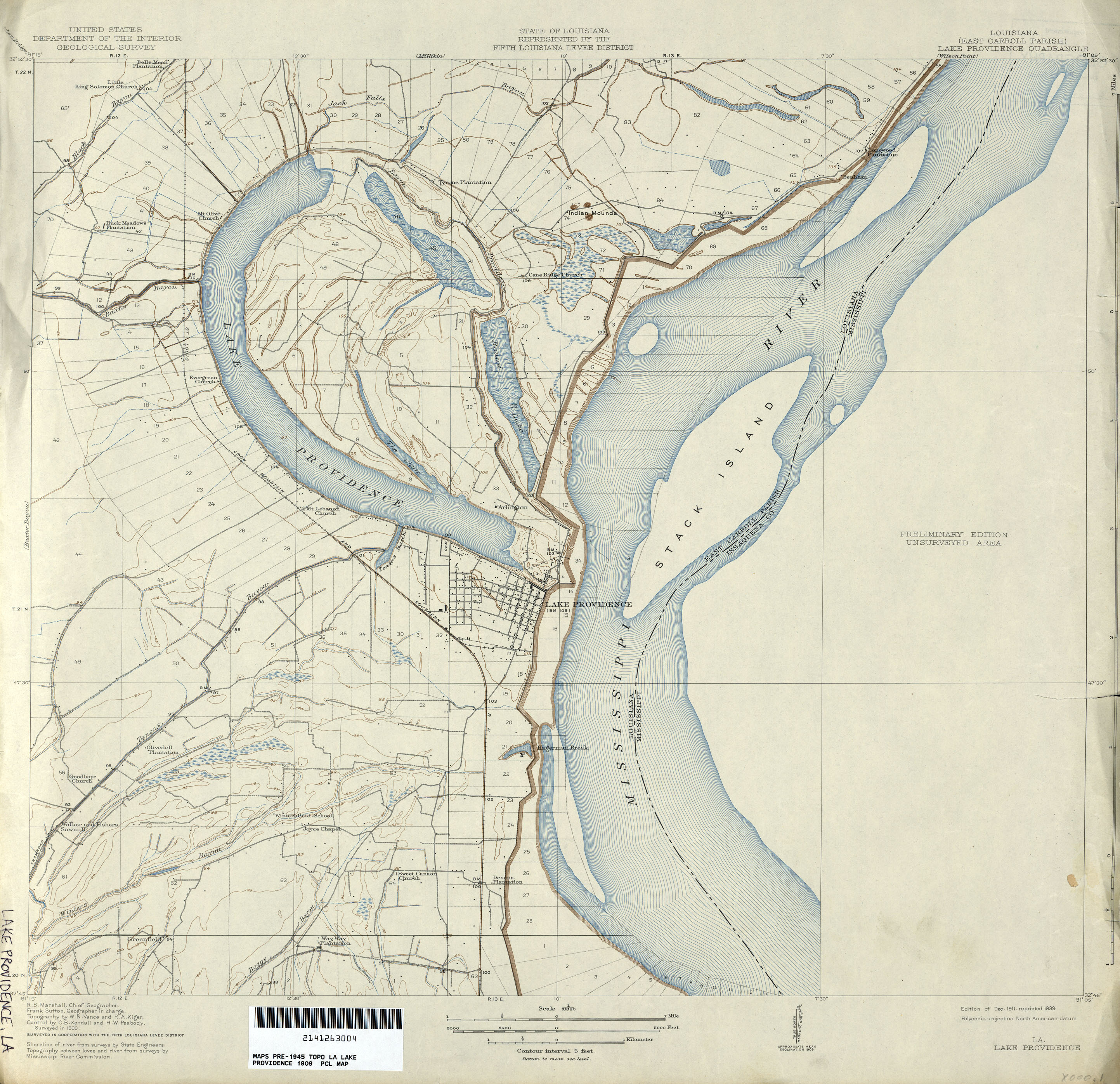
- Lake Providence 1:31,680 1909 (2.1MB)
- Lake Quitman, Topographic Map Prototype, 1:24,000, September 12, 2005 (1MB) [PDF]
- Lake Theriot, Topographic Map Prototype, 1:24,000, September 12, 2005 (837K) [PDF]
- Larose, Topographic Map Prototype, 1:24,000, September 12, 2005 (978K) [PDF]
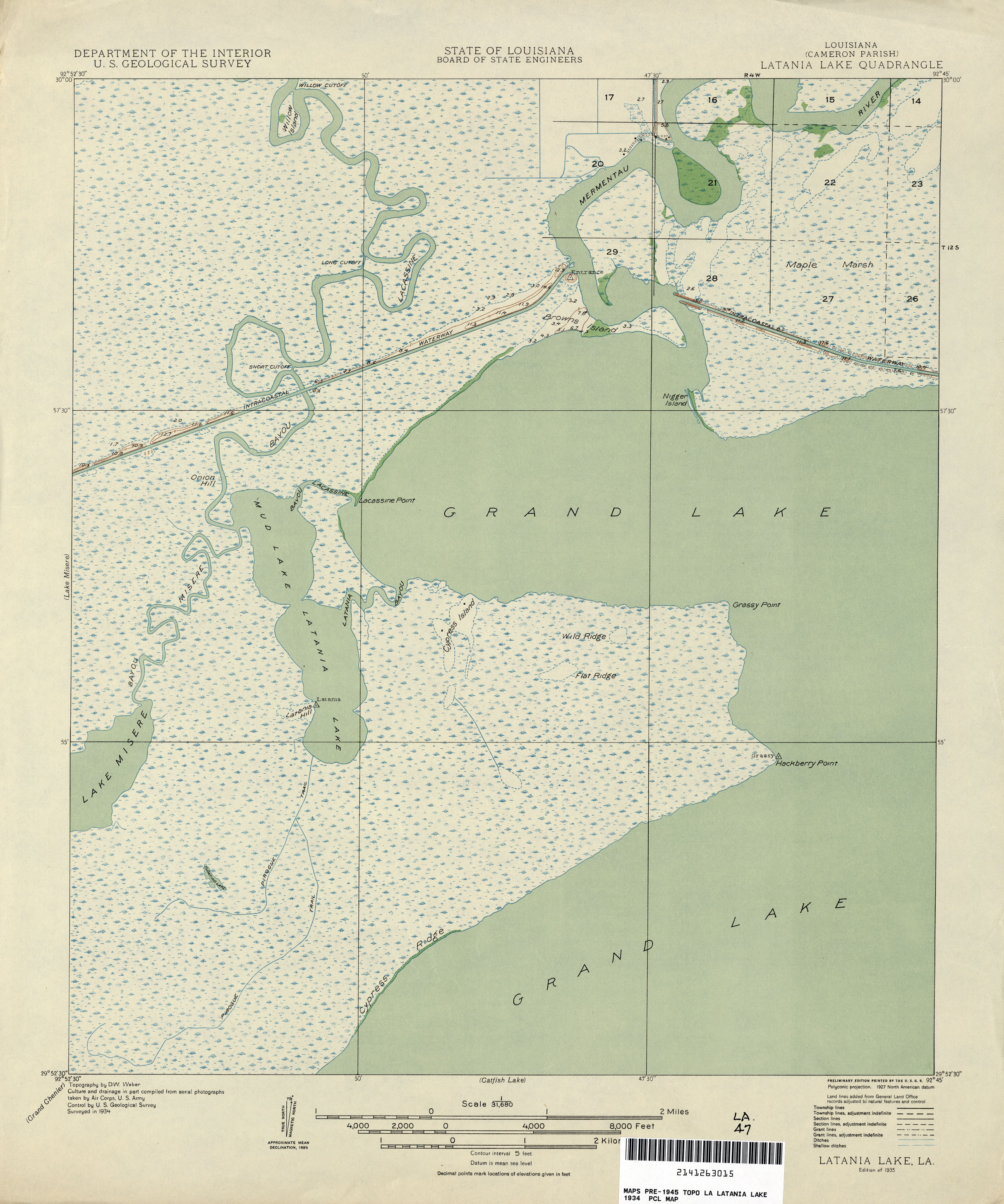
- Latania Lake 1:31,680 1934 (1.4MB)
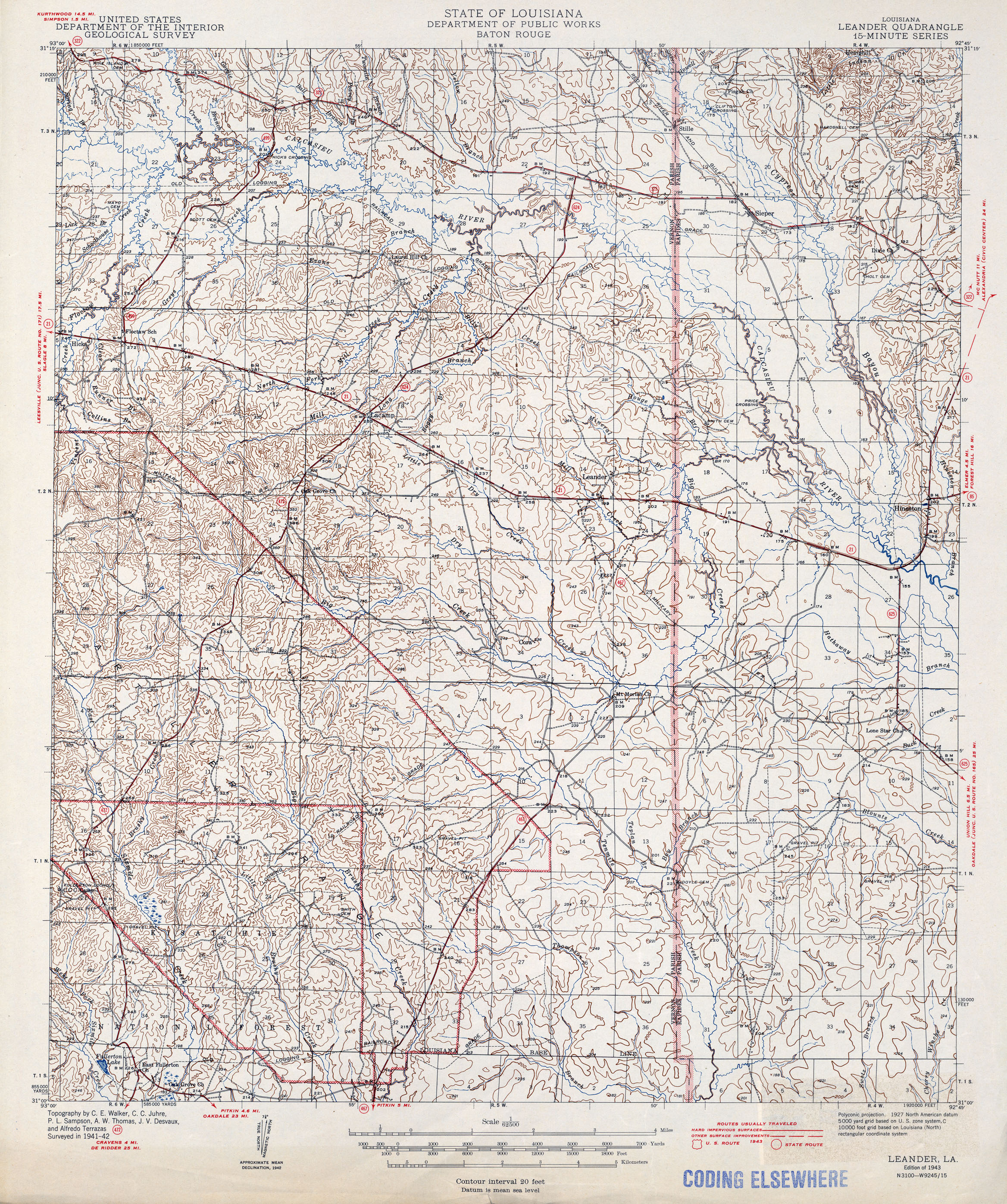
- Leander 1:62,500 1943 (2.9MB)
- Leeville, Topographic Map Prototype, 1:24,000, September 12, 2005 (1.2MB) [PDF]
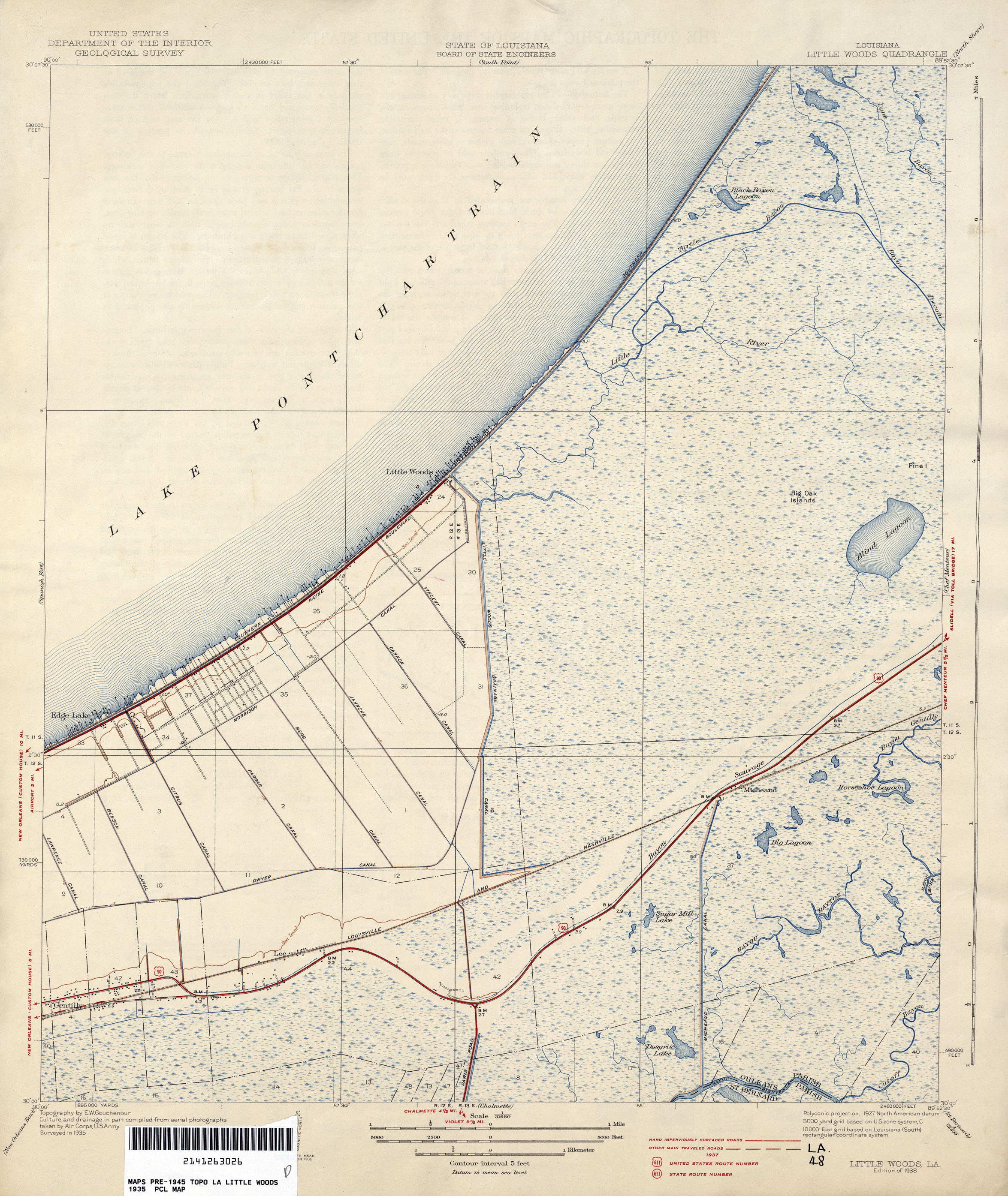
- Little Woods 1:31,680 1935 (1.7MB)
- Little Woods, Topographic Map Prototype, 1:24,000, September 12, 2005 (1.1MB) [PDF]
- Lower Vacherie, Topographic Map Prototype, 1:24,000, September 12, 2005 (1MB) [PDF]
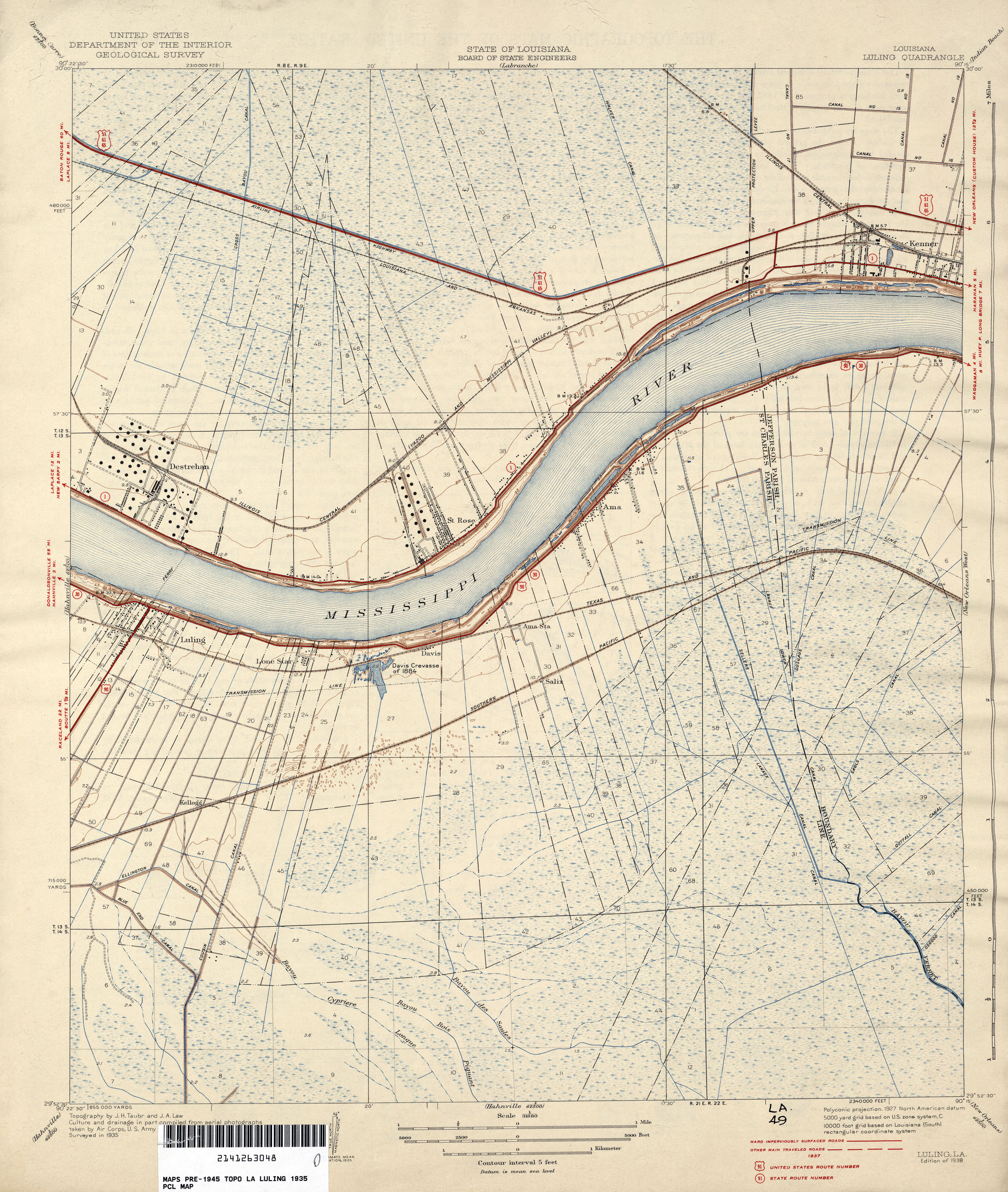
- Luling 1:31,680 1935 (1.9MB)
- Luling, Topographic Map Prototype, 1:24,000, September 12, 2005 (1.3MB) [PDF]
- Madewood, Topographic Map Prototype, 1:24,000, September 12, 2005 (816K) [PDF]
- Mandeville, Topographic Map Prototype, 1:24,000, September 12, 2005 (544K) [PDF]
- Martello Castle, Topographic Map Prototype, 1:24,000, September 12, 2005 (805K) [PDF]
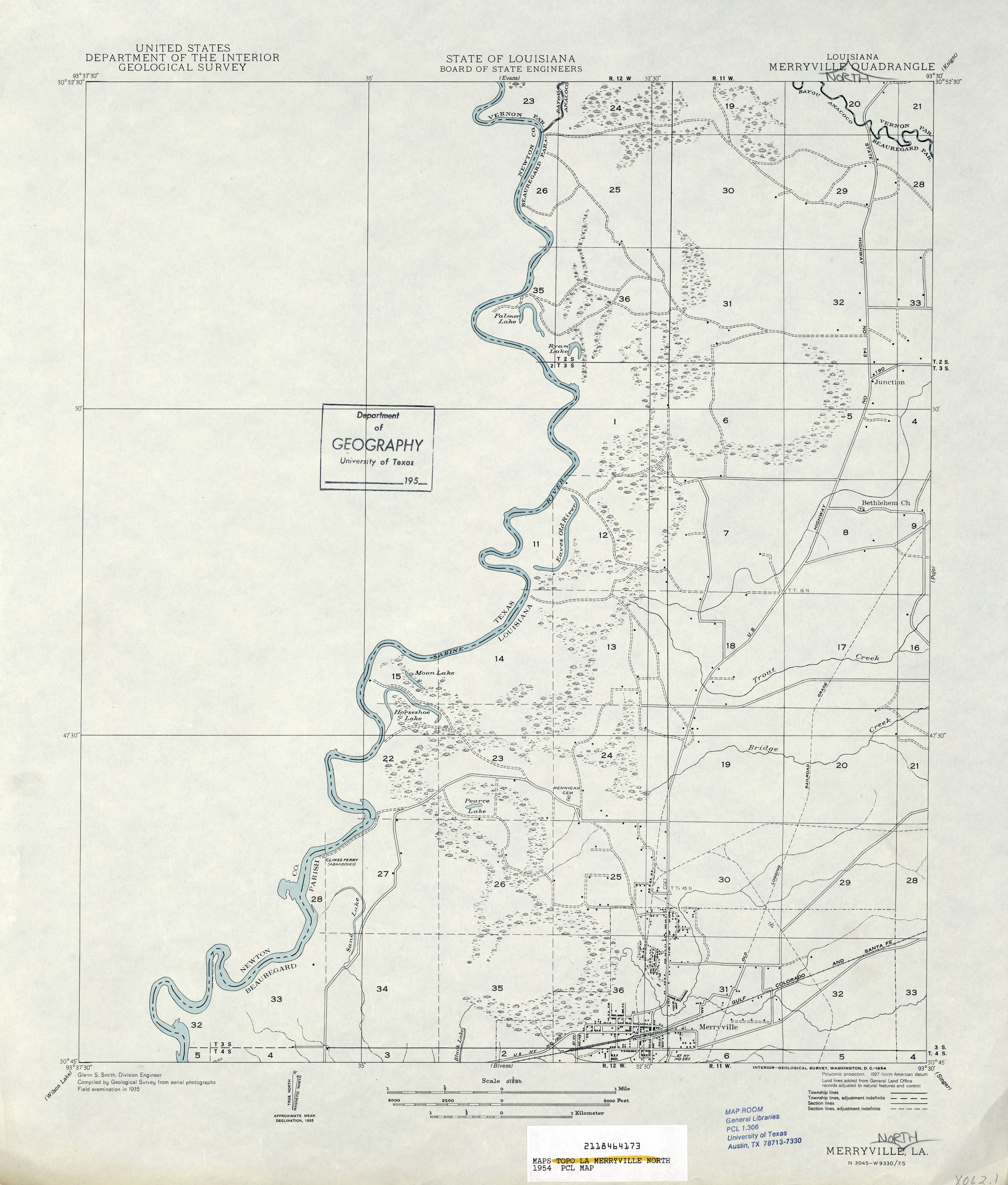
- Merryville 1:31,680 1935 (1.2MB)
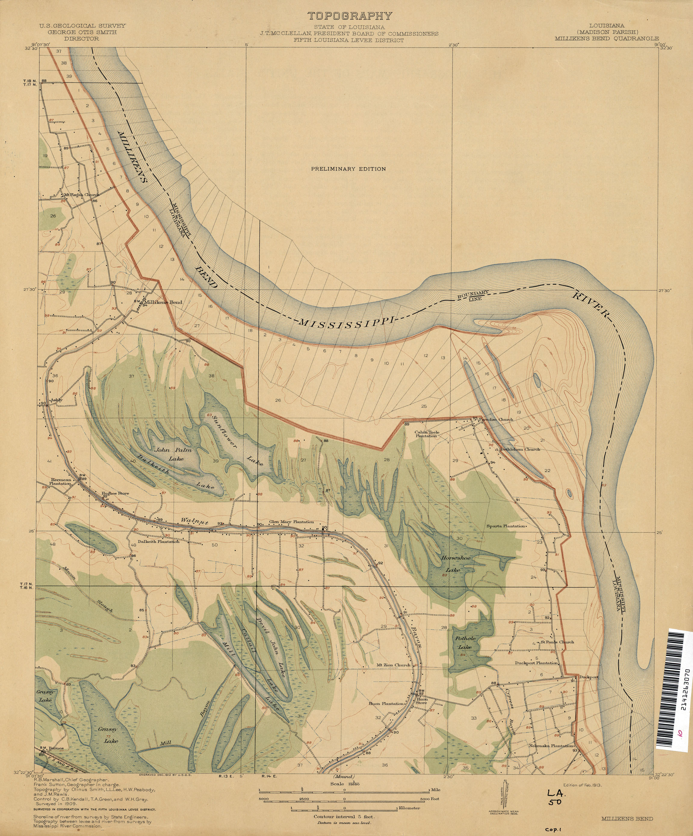
- Millikens Bend 1:31,680 1909 (1.4MB)
- Millikin 1:31,680 1909 (1.3MB)
- Mink Bayou, Topographic Map Prototype, 1:24,000, September 12, 2005 (1.2MB) [PDF]
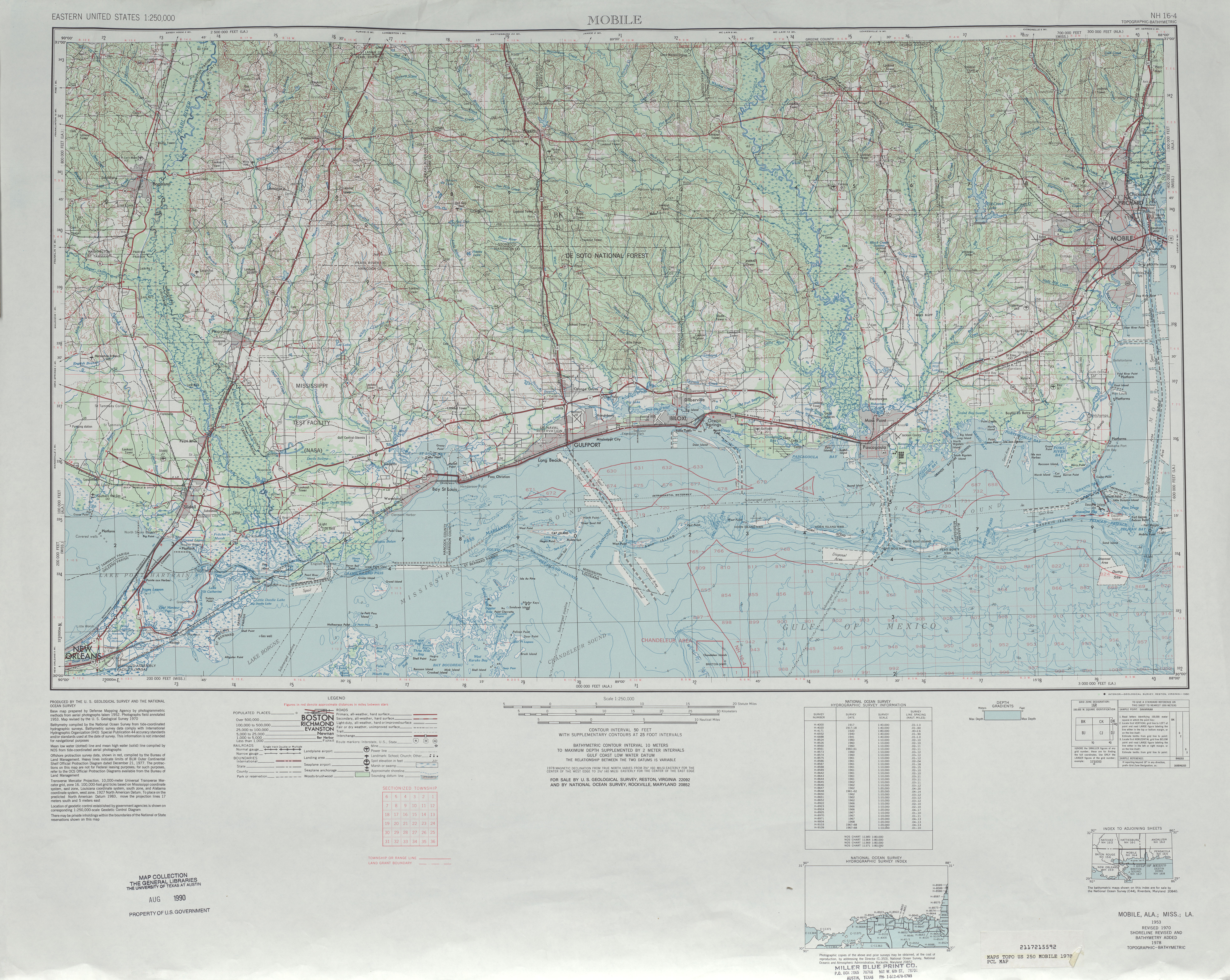
- Mobile [Alabama, Mississippi, Louisiana] 1:250,000 1953 (11.5 MB)
- Mobile [Alabama, Mississippi, Louisiana] 1:250,000 1962 (7.8 MB)
- Mobile [Alabama, Mississippi, Louisiana] 1:250,000 1970 (7.8 MB)
- Mobile [Alabama, Mississippi, Louisiana] 1:250,000 1978 (6.8 MB)
- Mobile [Alabama, Mississippi, Louisiana] 1:250,000 1984 (8.9 MB)
- Montegut Topographic Map Prototype, 1:24,000, September 12, 2005 (1MB) [PDF]
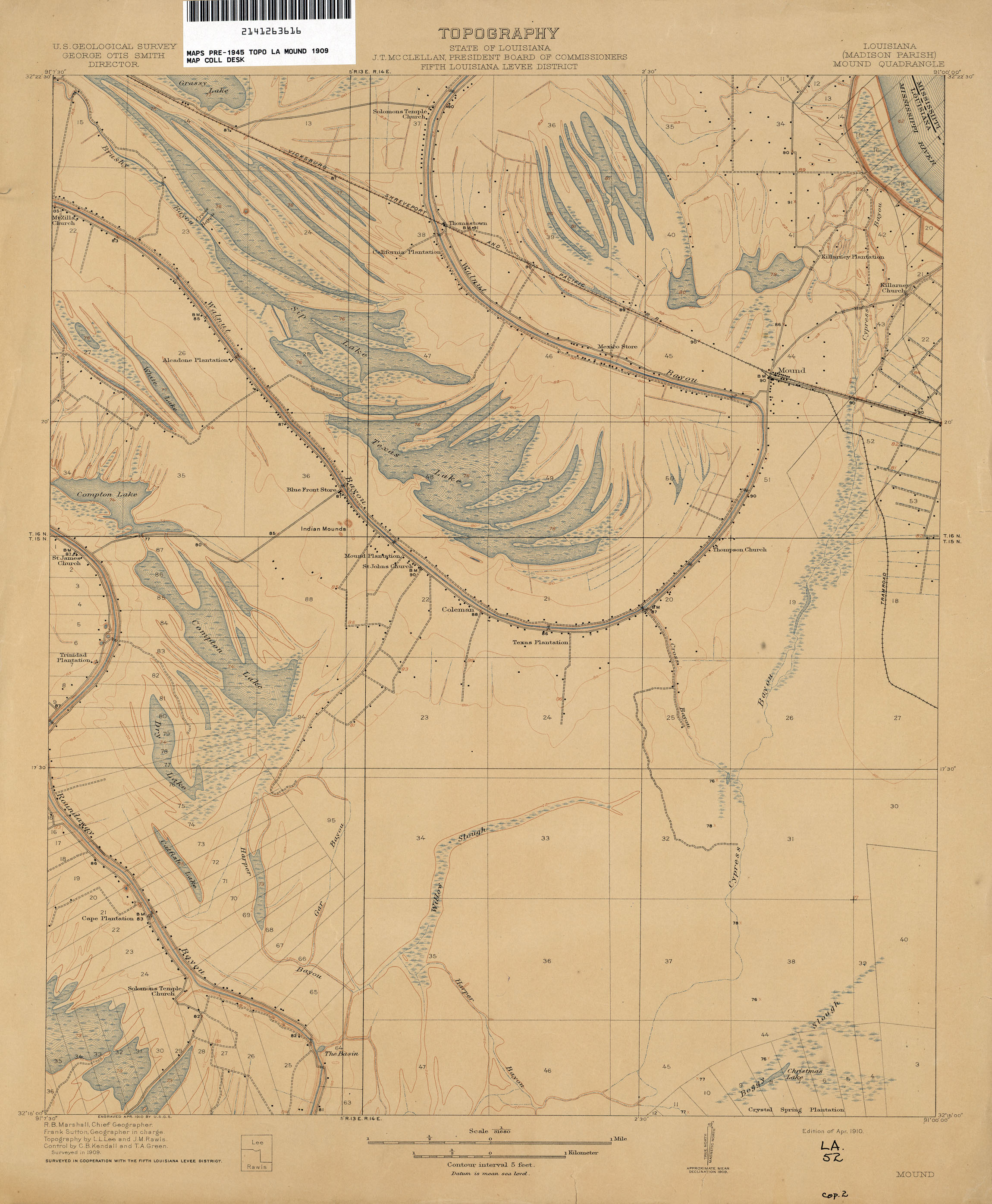
- Mound 1:31,680 1909 (1.5MB)
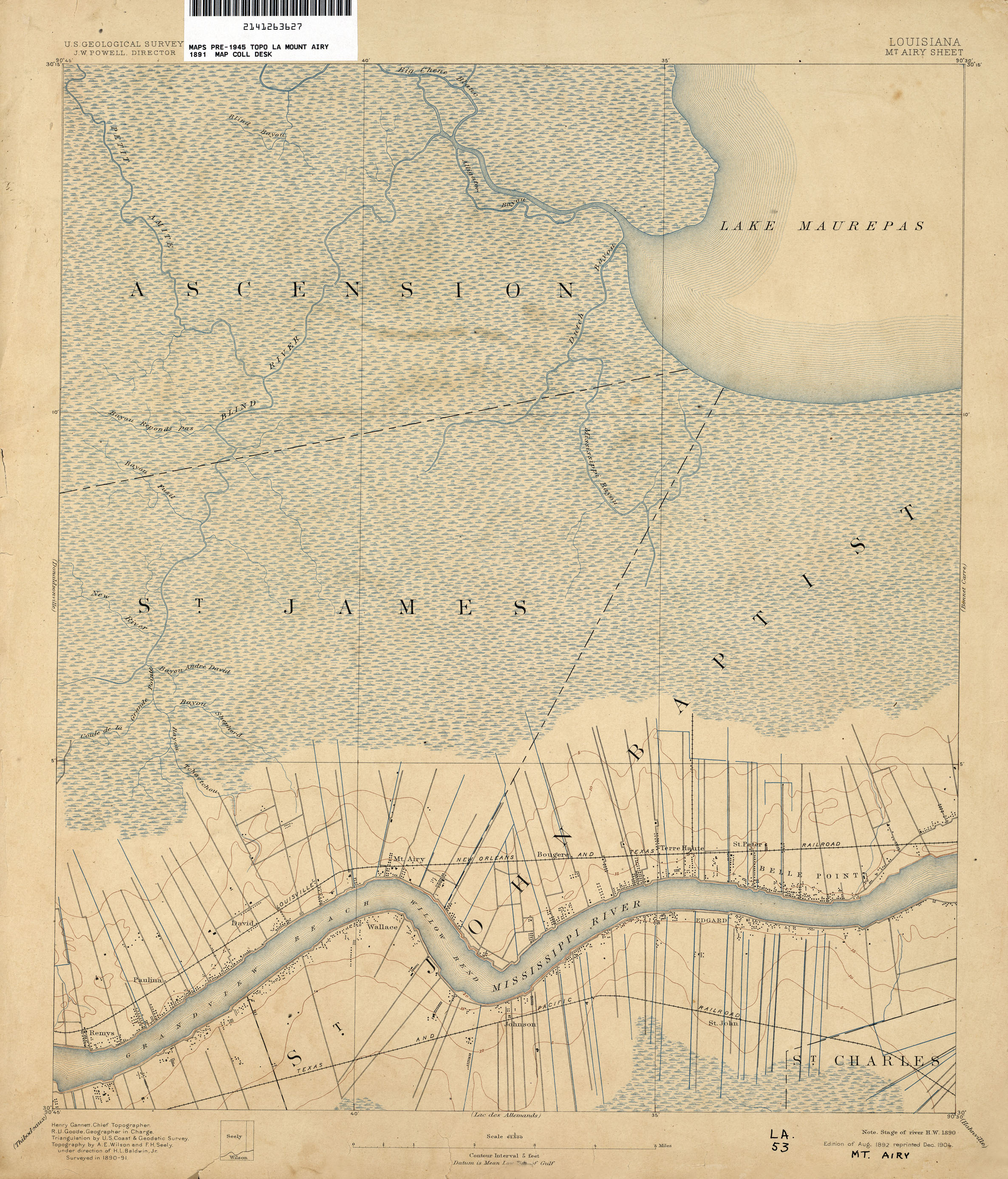
- Mt Airy 1:62,500 1891 (2MB)
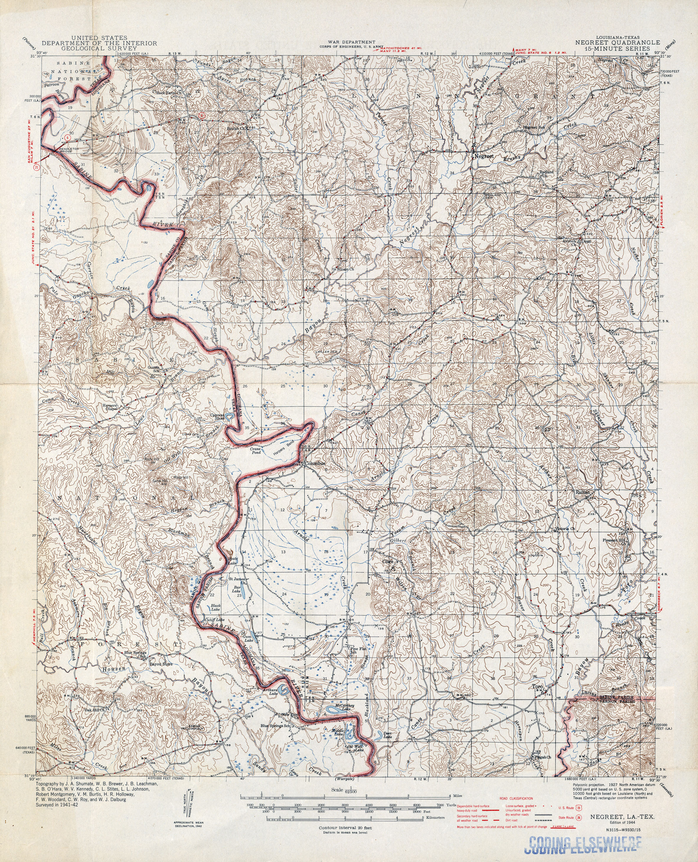
- Negreet [Louisiana, Texas] 1:62,500 1942 (2.9MB)
- New Harbor Islands, Topographic Map Prototype, 1:24,000, September 12, 2005 (299K) [PDF]
- New Orleans 1:62,500 1890 (1.8MB)
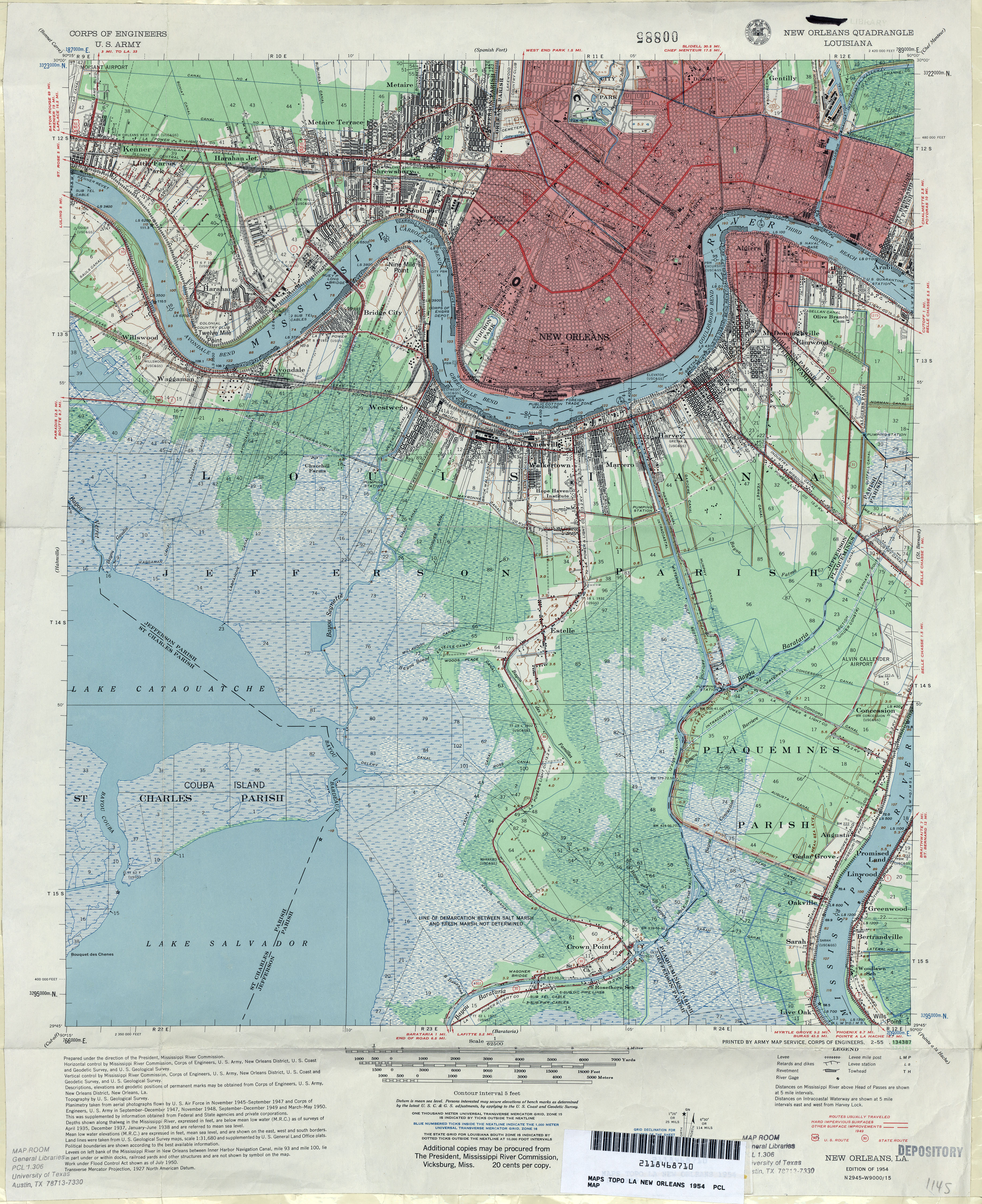
- New Orleans 1:62,500 1954 (5.8MB) U.S. Army Corps of Engineers
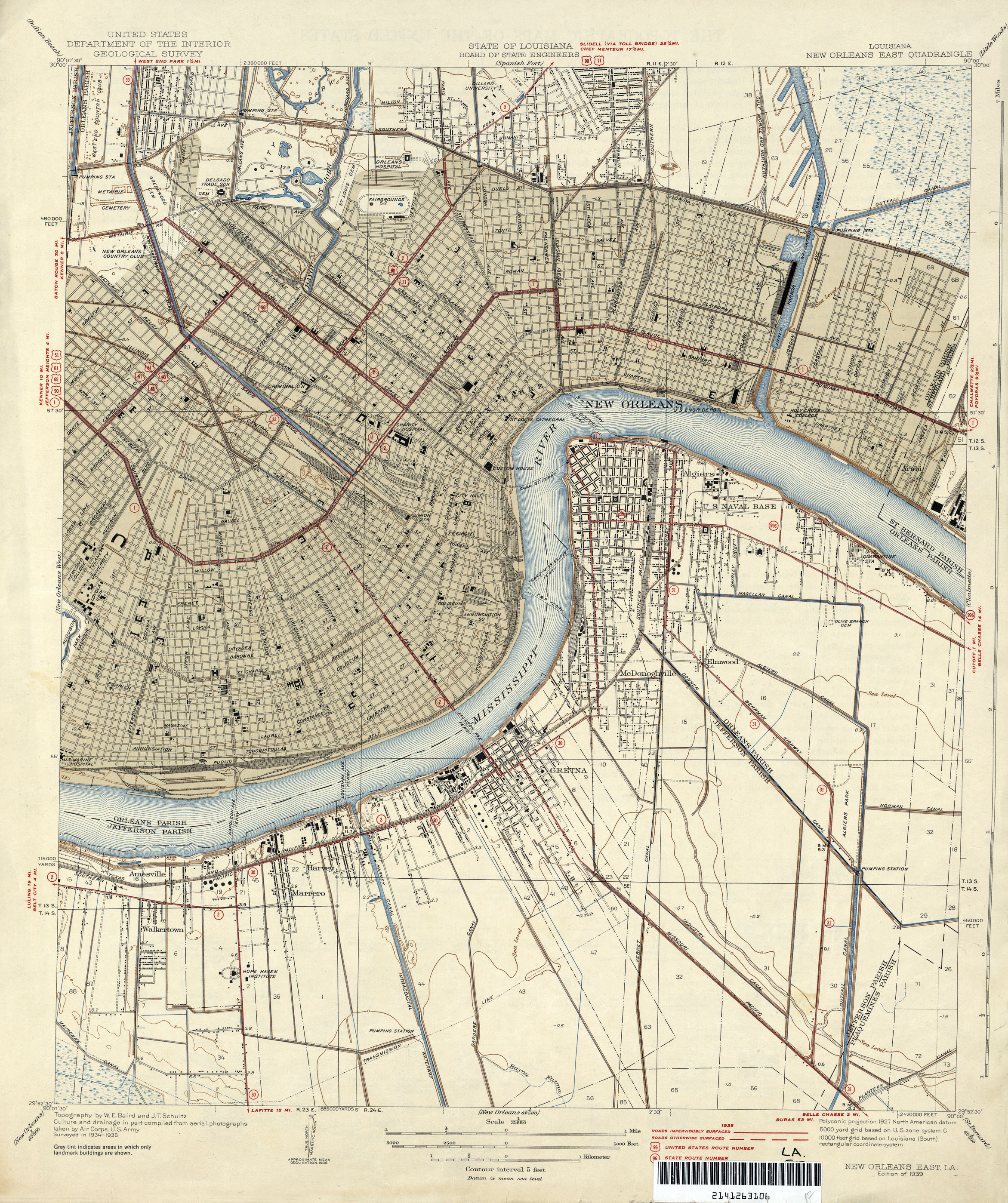
- New Orleans East 1:31,680 1935 (2.3MB)
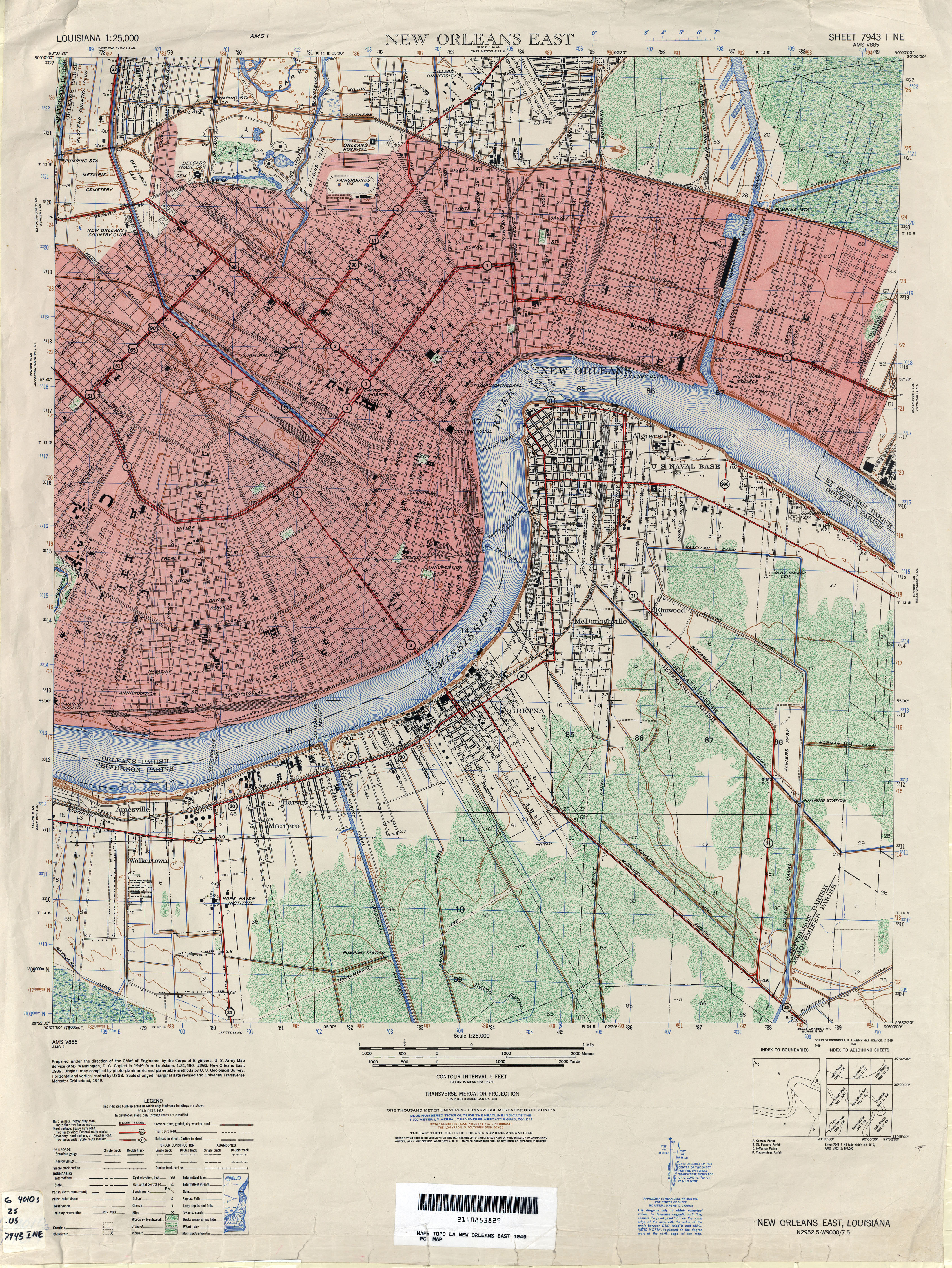
- New Orleans East 1:25,000 1949 (5.7MB) U.S. Army Map Service, Series V885
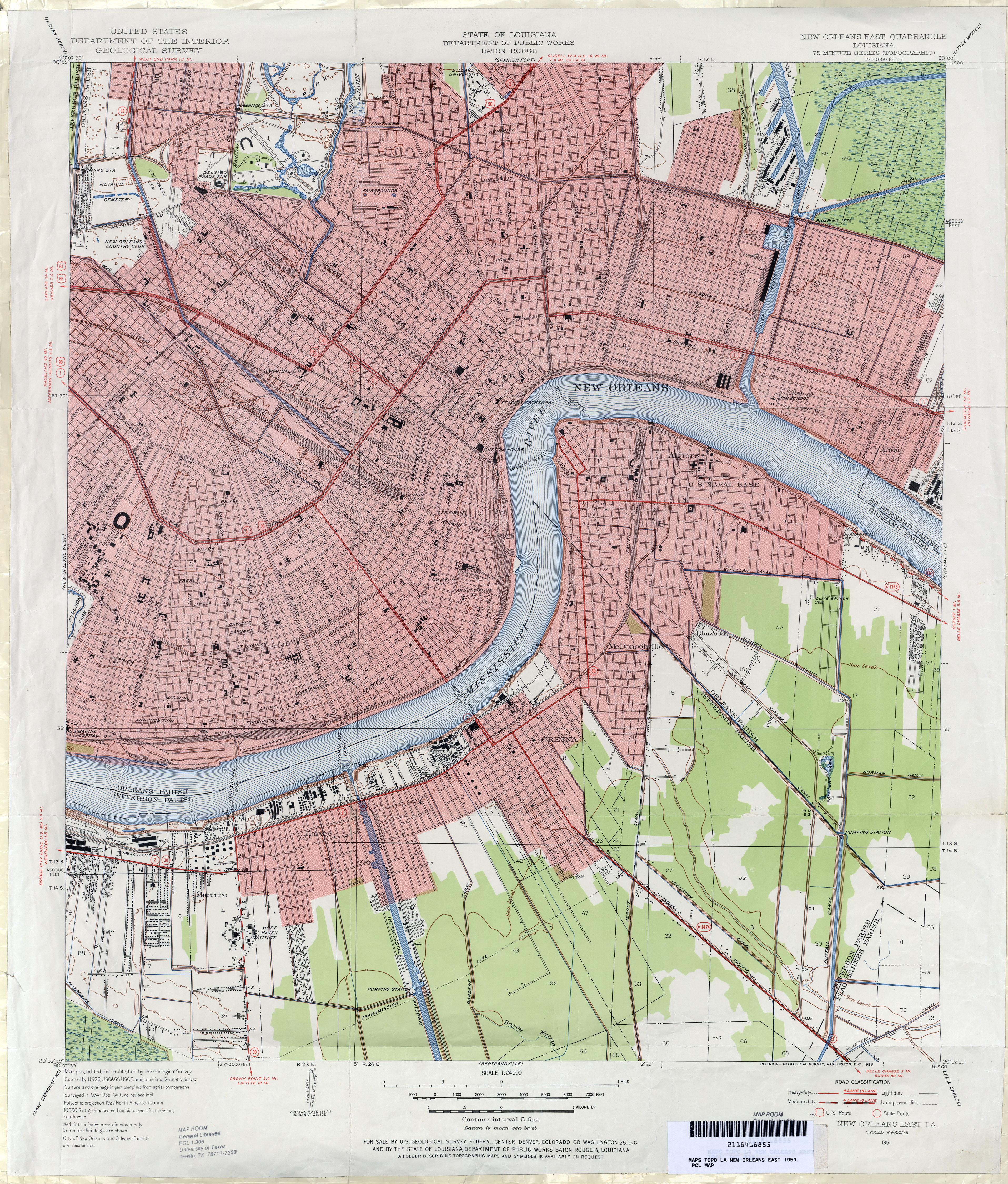
- New Orleans East 1:24,000 1951 (6.6MB)
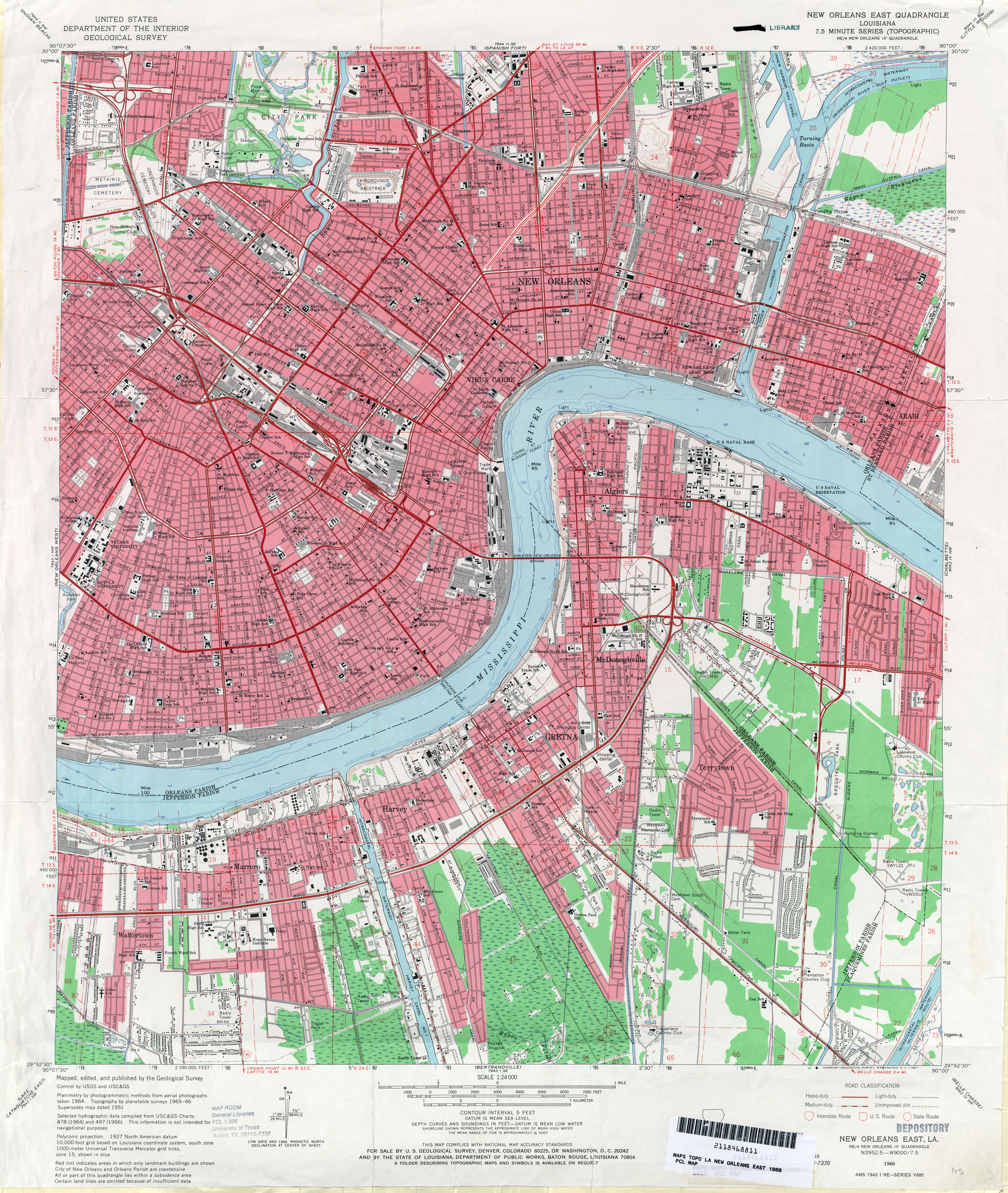
- New Orleans East 1:24,000 1966 (5.9MB)
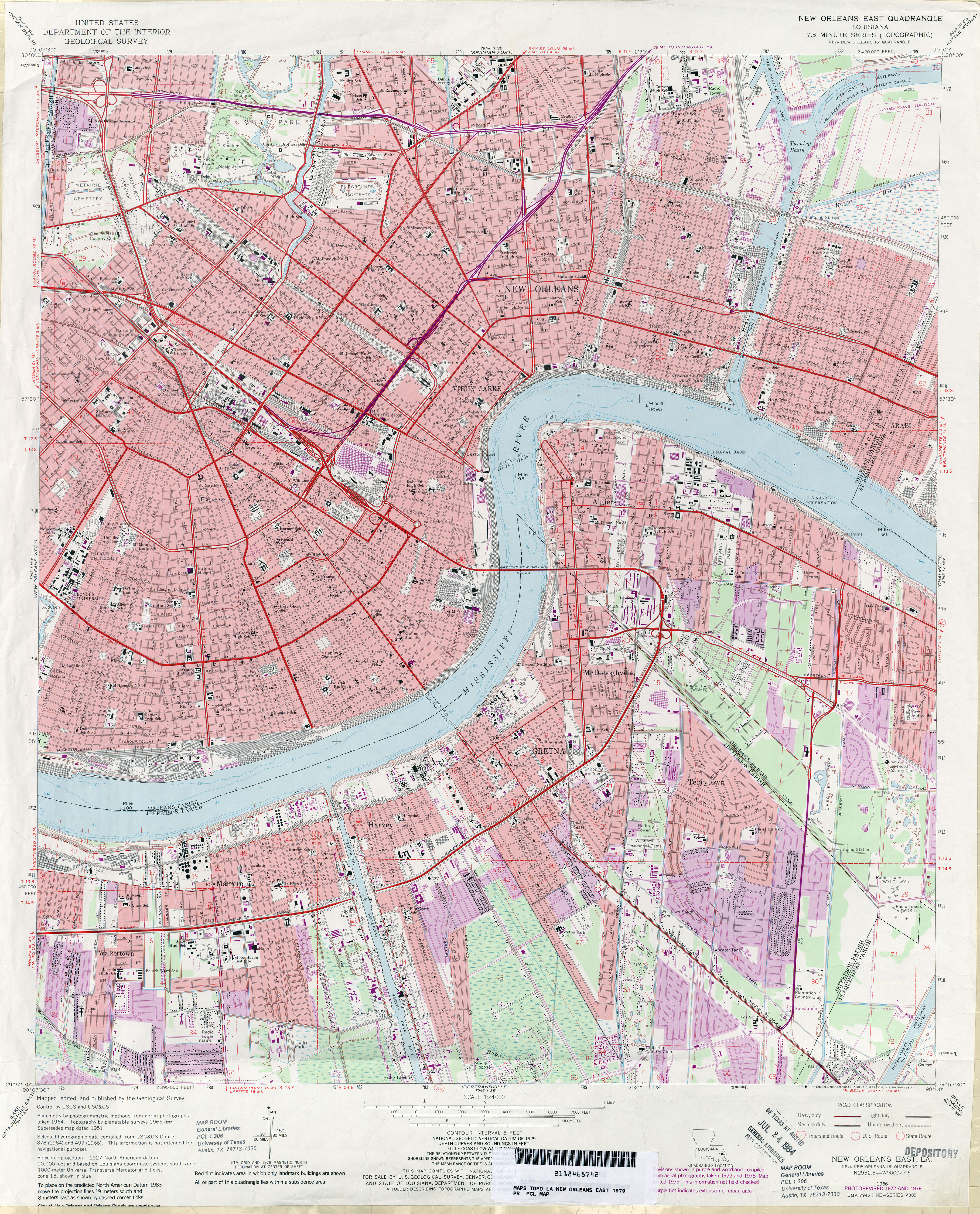
- New Orleans East 1:24,000 1979 (5.6MB)
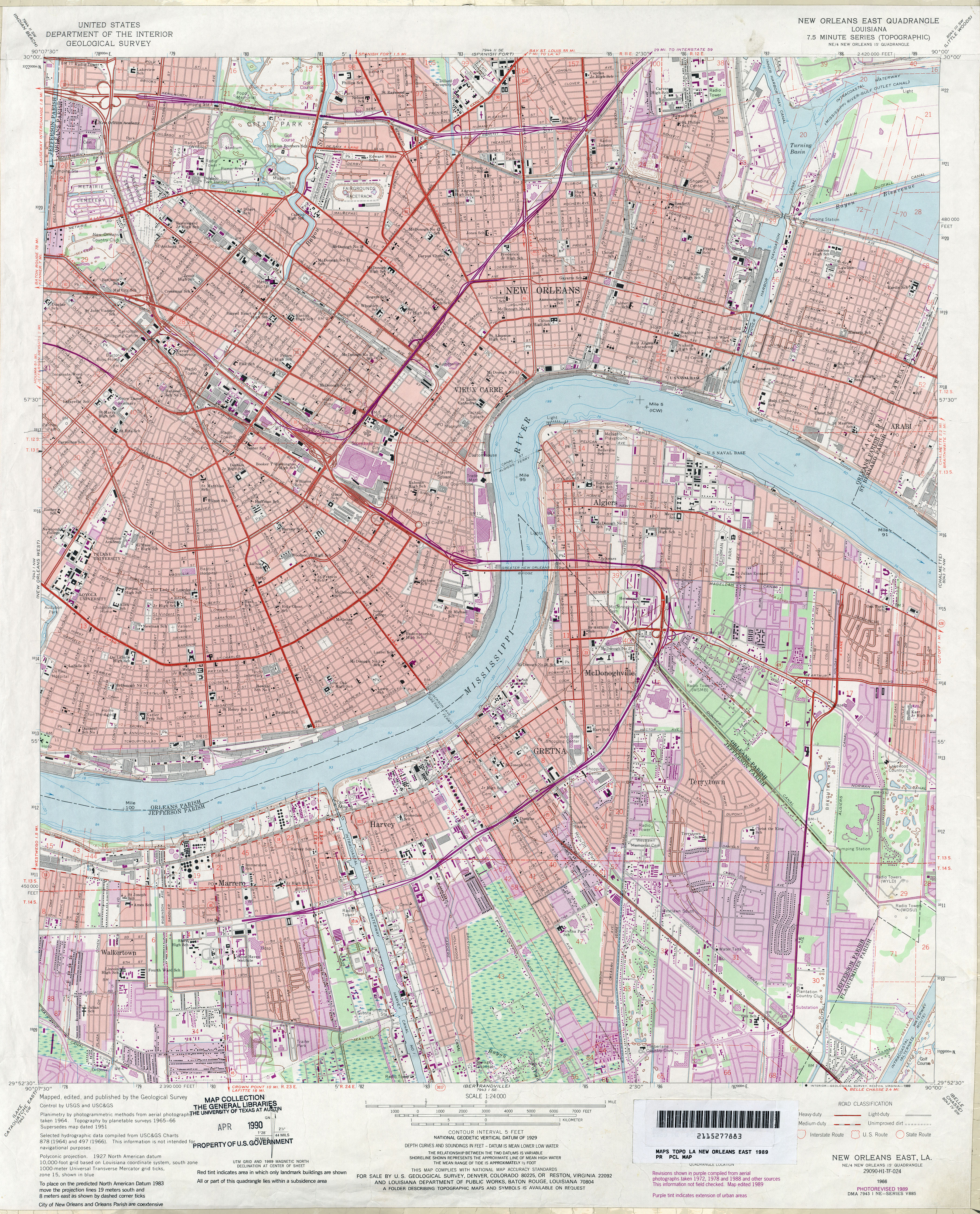
- New Orleans East 1:24,000 1989 (6MB)
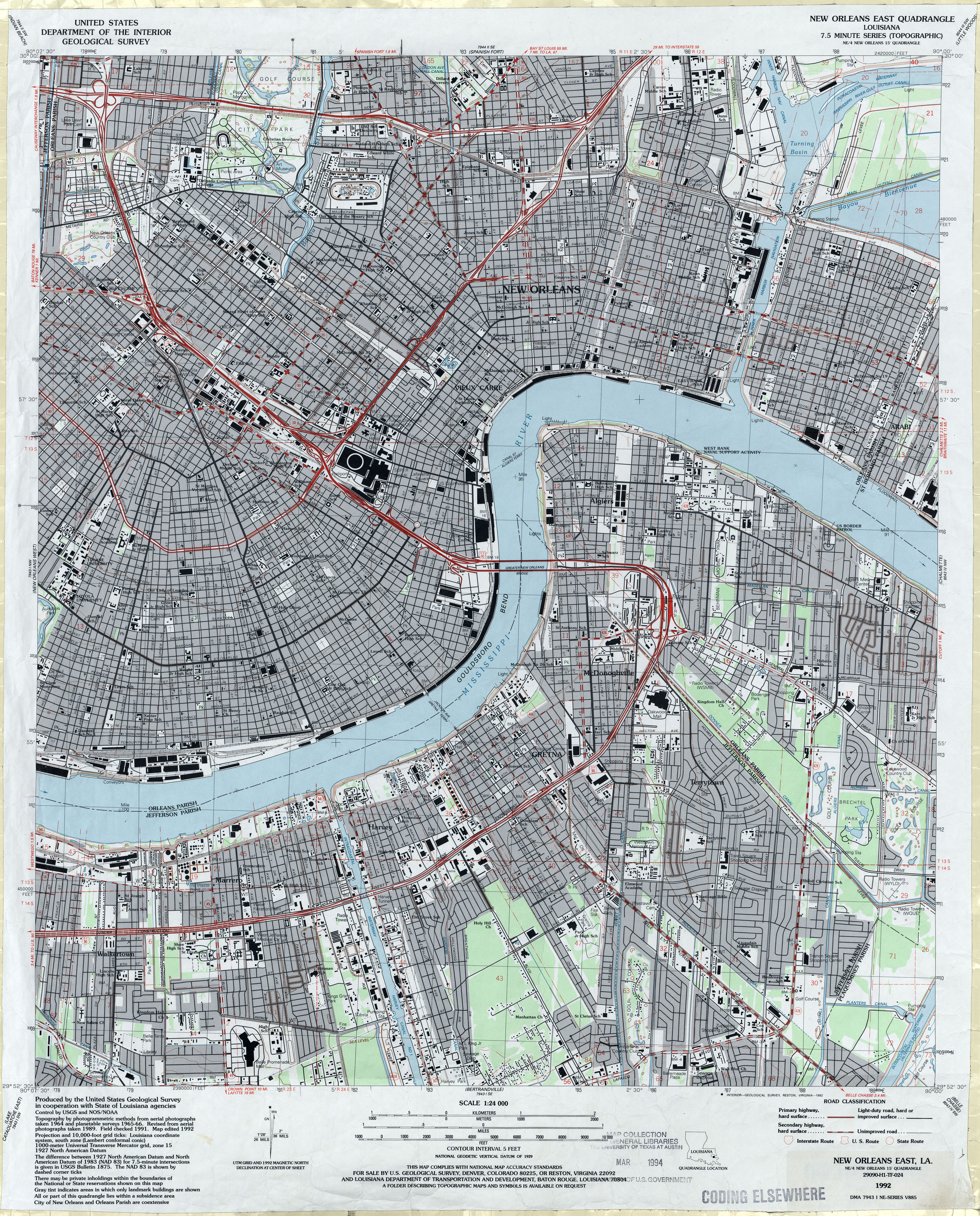
- New Orleans East 1:24,000 1992 (5.6MB)
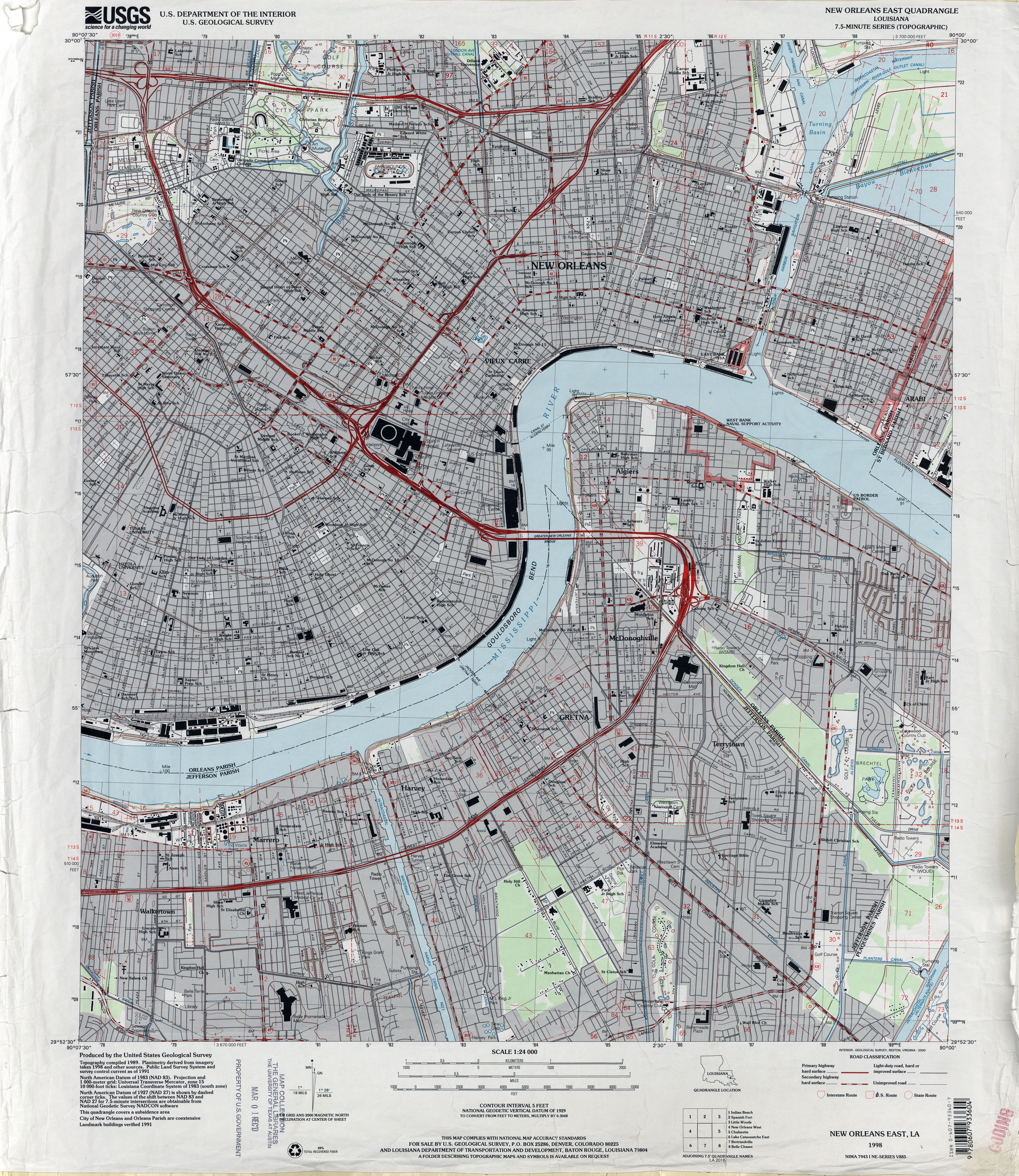
- New Orleans East 1:24,000 1998 (4.9MB)
- New Orleans East, Topographic Map Prototype, 1:24,000, September 12, 2005 (3.2MB) [PDF]
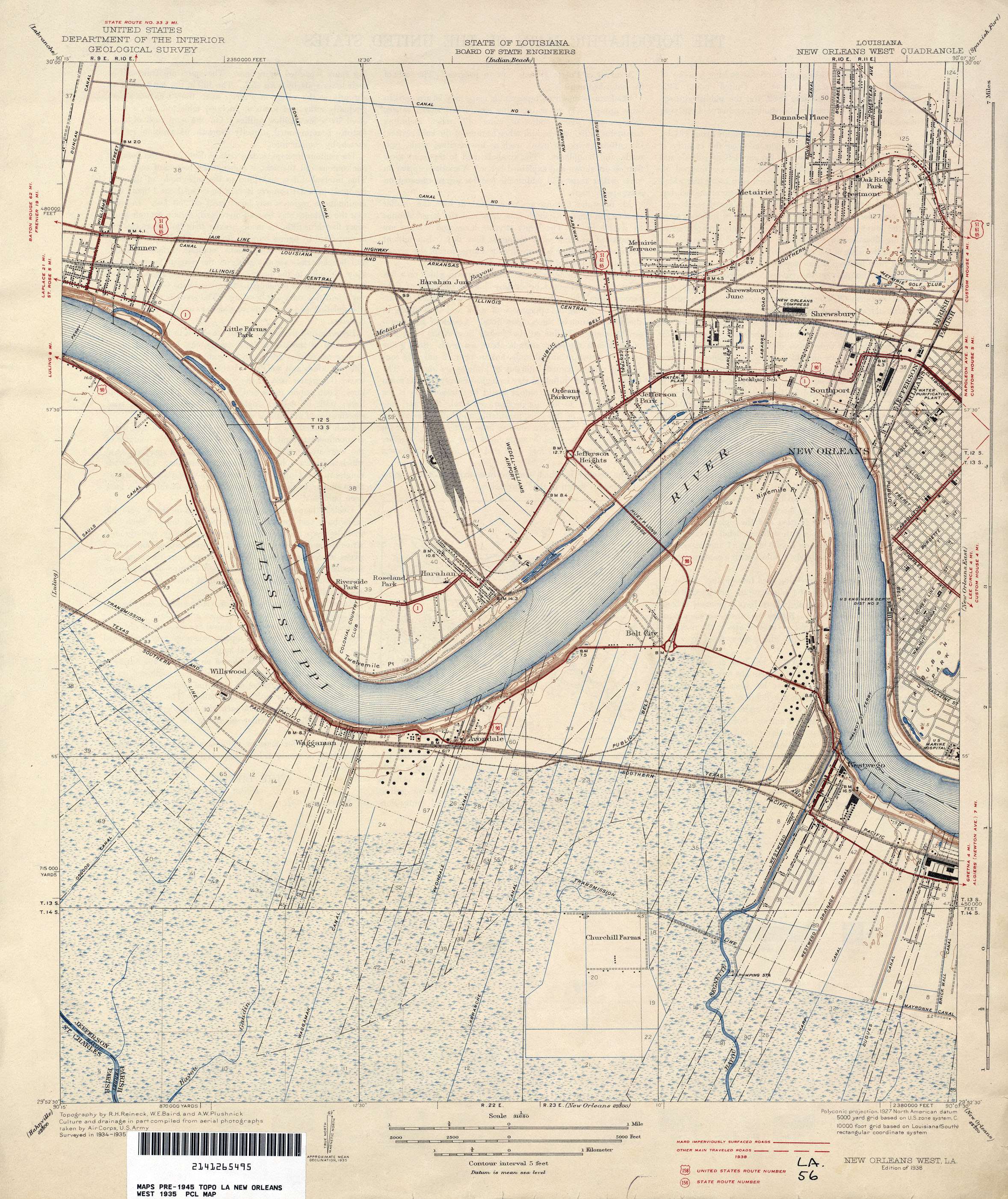
- New Orleans West 1:31,680 1935 (2.1MB)
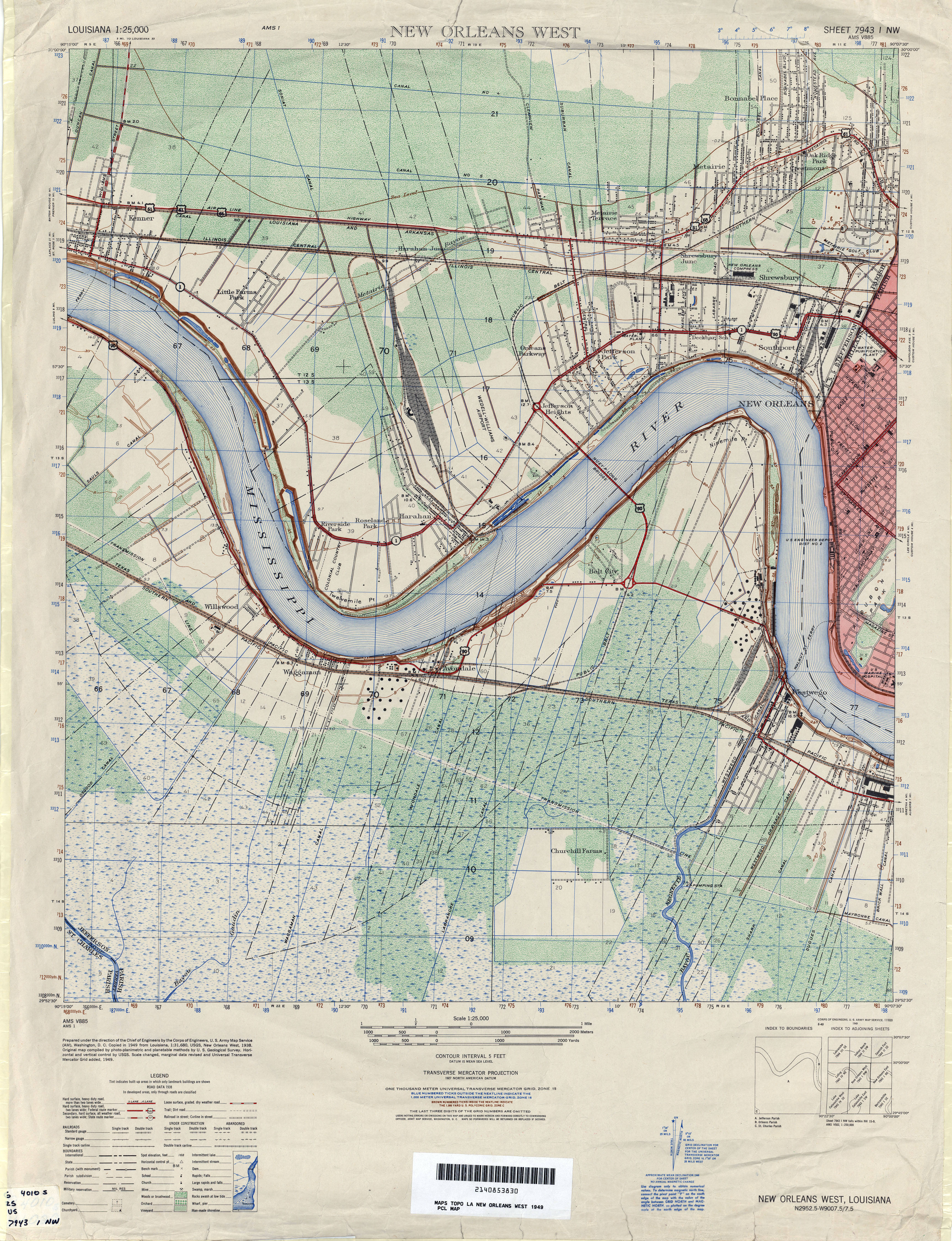
- New Orleans West 1:25,000 1949 (5.6MB) U.S. Army Map Service, Series V885
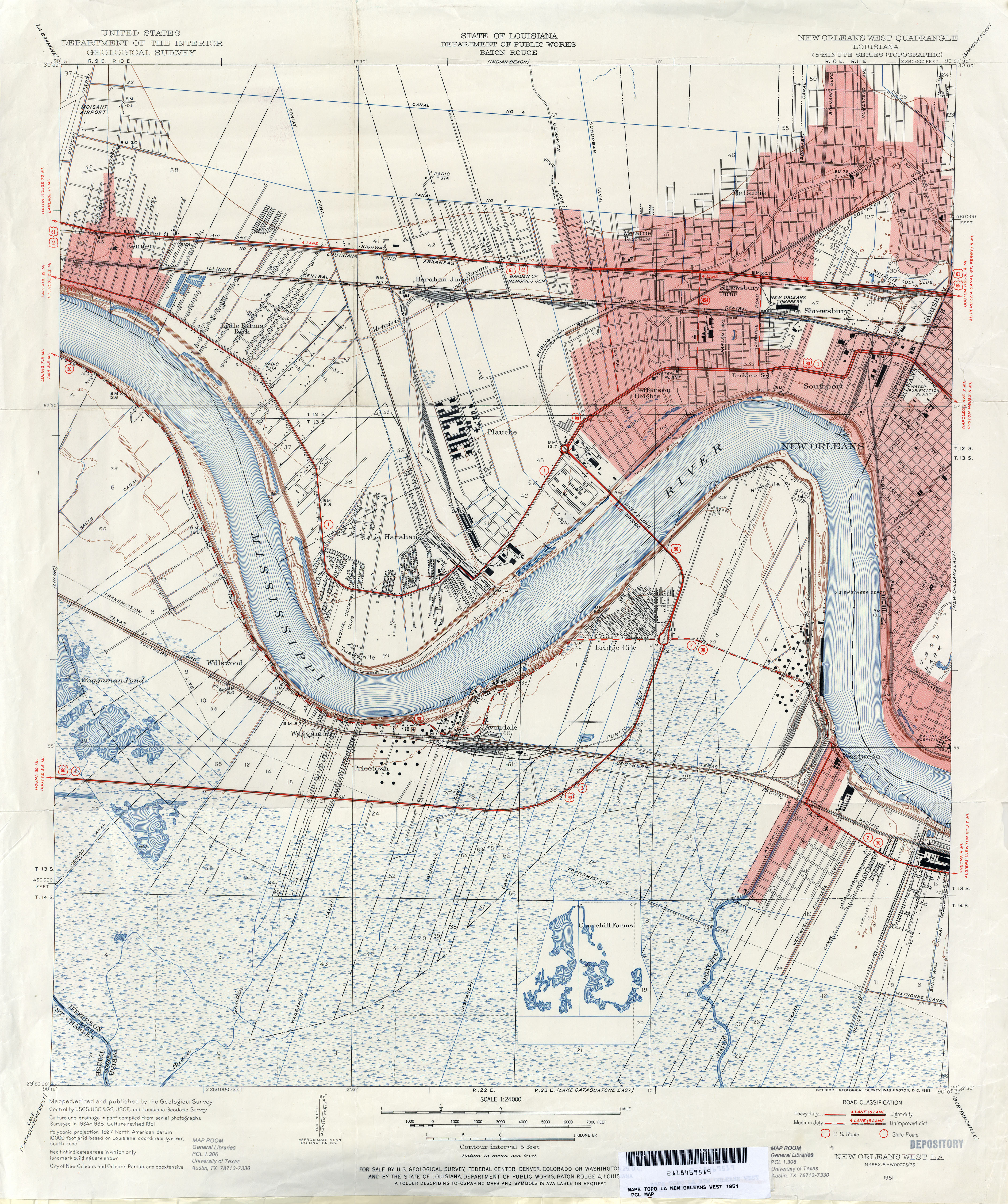
- New Orleans West 1:24,000 1951 (5.3MB)
- New Orleans West 1:24,000 1965 (4.9MB)
- New Orleans West 1:24,000 1972 (4.8MB)
- New Orleans West 1:24,000 1979 (5.1MB)
- New Orleans West 1:24,000 1989 (5.5MB)
- New Orleans West 1:24,000 1992 (4.7MB)
- New Orleans West 1:24,000 1998 (4.6MB)
- New Orleans West, Topographic Map Prototype, 1:24,000, September 12, 2005 (1.9MB) [PDF]
- New Roads 1:62,500 1939 (7.0MB)
- Nicholson [Louisiana, Mississippi] 1:62,500 1914 (2.3MB)
- North Islands, Topographic Map Prototype, 1:24,000, September 12, 2005 (289K) [PDF]
- North Shore, Topographic Map Prototype, 1:24,000, September 12, 2005 (682K) [PDF]
- Odenburg 1:62,500 1940 (6.1MB)
- Pass a Loutre West, Topographic Map Prototype, 1:24,000, September 12, 2005 (813K) [PDF]
- Peveto Beach 1:31,680 1934 (1.5MB)
- Phoenix, Topographic Map Prototype, 1:24,000, September 12, 2005 (1.1MB) [PDF]
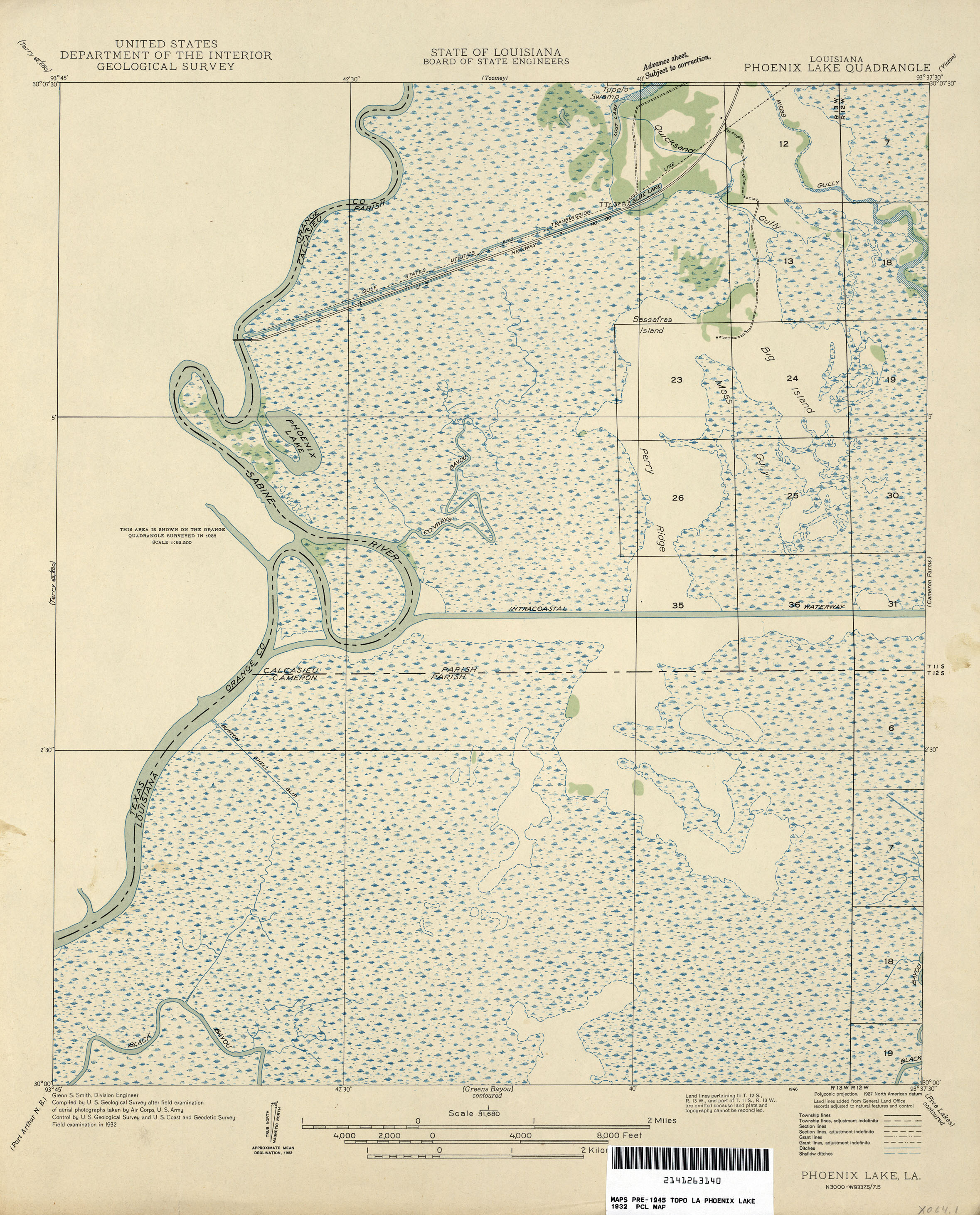
- Phoenix Lake 1:31,680 1932 (1.8MB)
- Pilottown, Topographic Map Prototype, 1:24,000, September 12, 2005 (570K) [PDF]
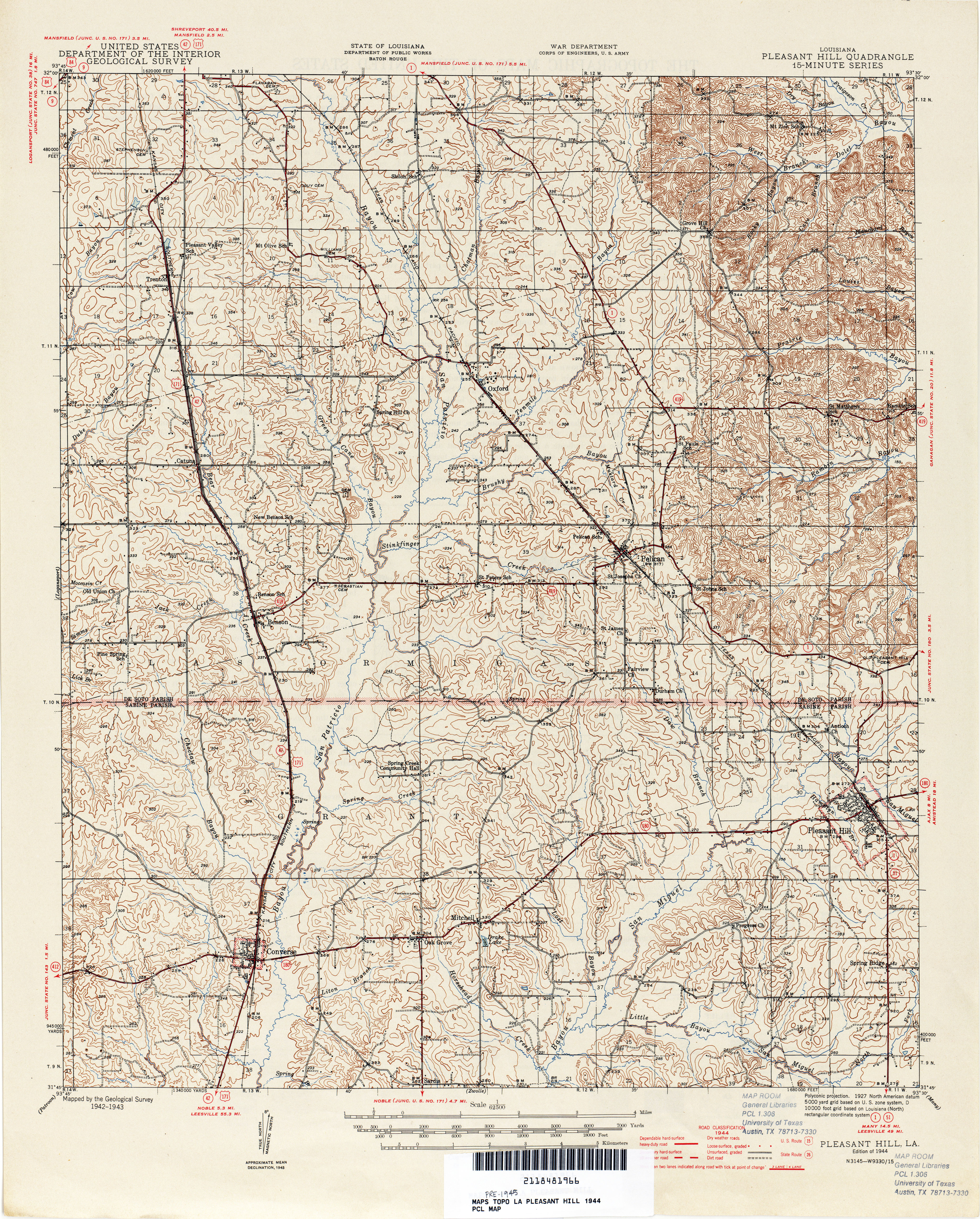
- Pleasant Hill 1:62,500 1944 (7.1MB)
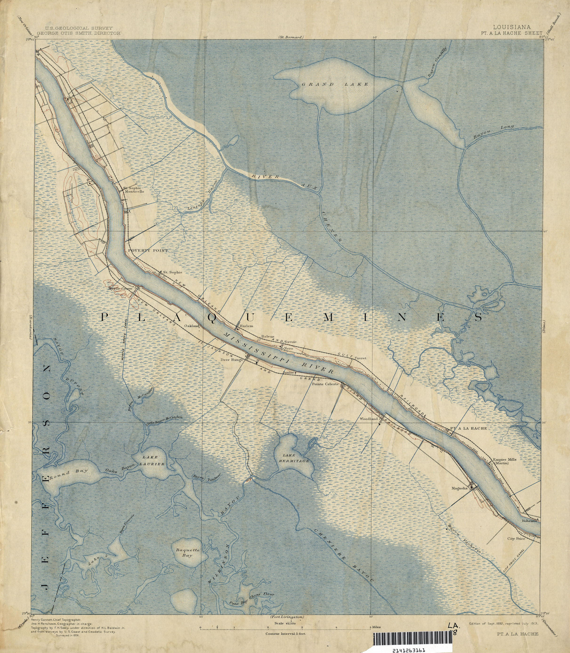
- Pointe a la Hache 1:62,500 1891 (2.2MB)
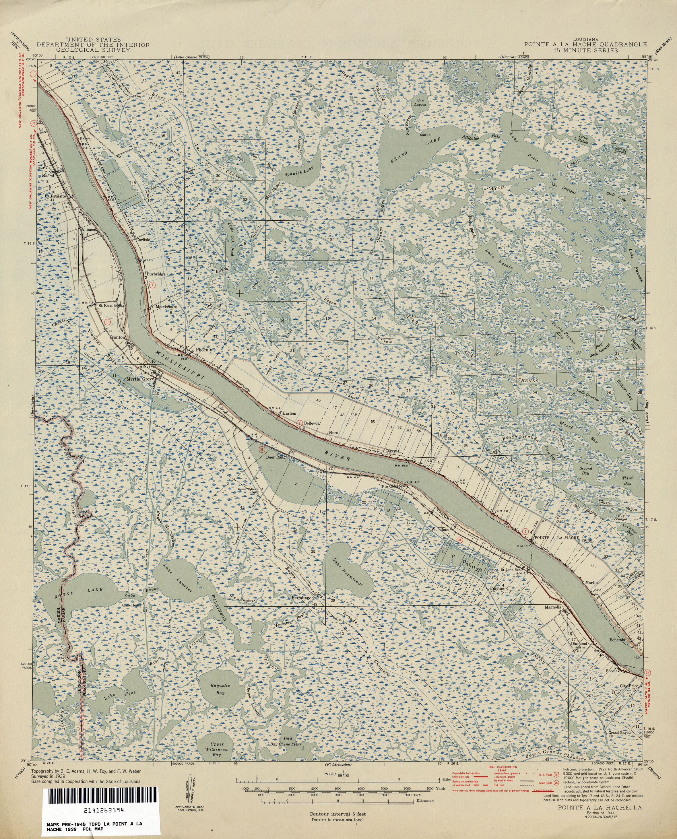
- Pointe a la Hache 1:62,500 1939 (2.4MB)
- Pointe a la Hache, Topographic Map Prototype, 1:24,000, September 12, 2005 (1.1MB) [PDF]
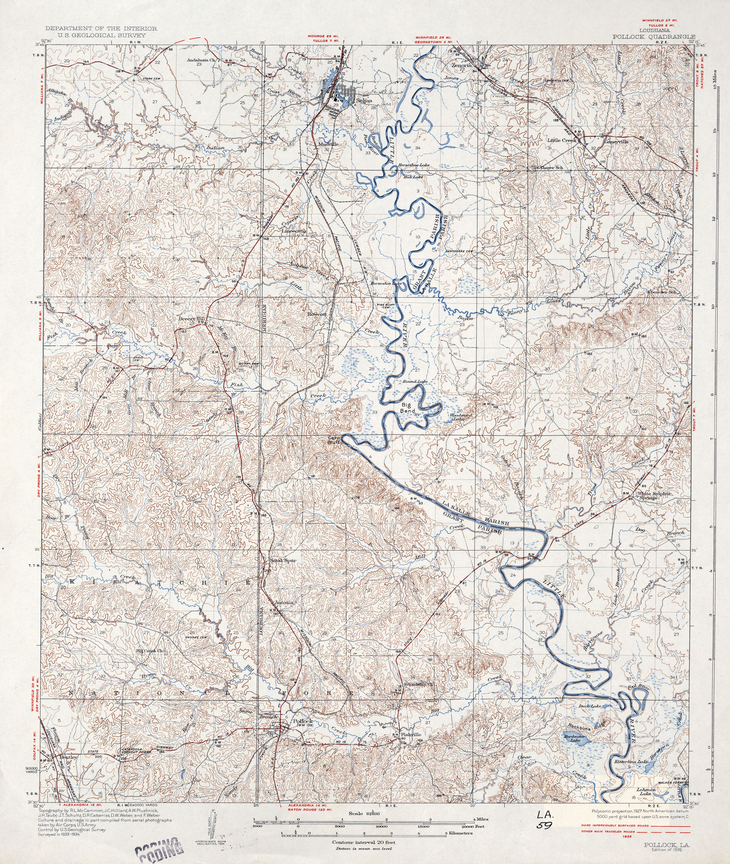
- Pollock 1:62,500 1935 (2.7MB)
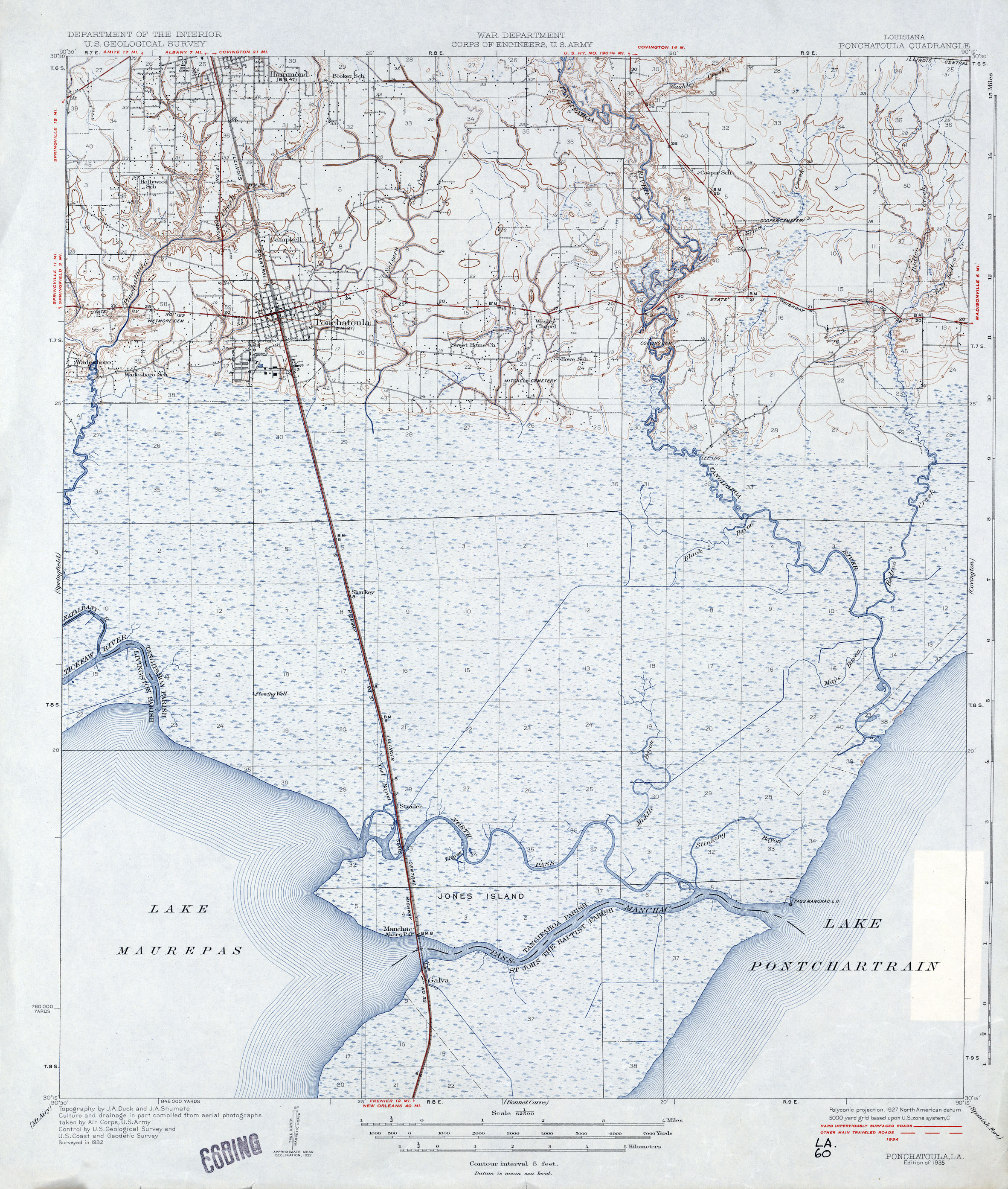
- Ponchatoula 1:62,500 1935 (2MB)
- Ponchatoula, Topographic Map Prototype, 1:24,000, September 12, 2005 (1.7MB) [PDF]
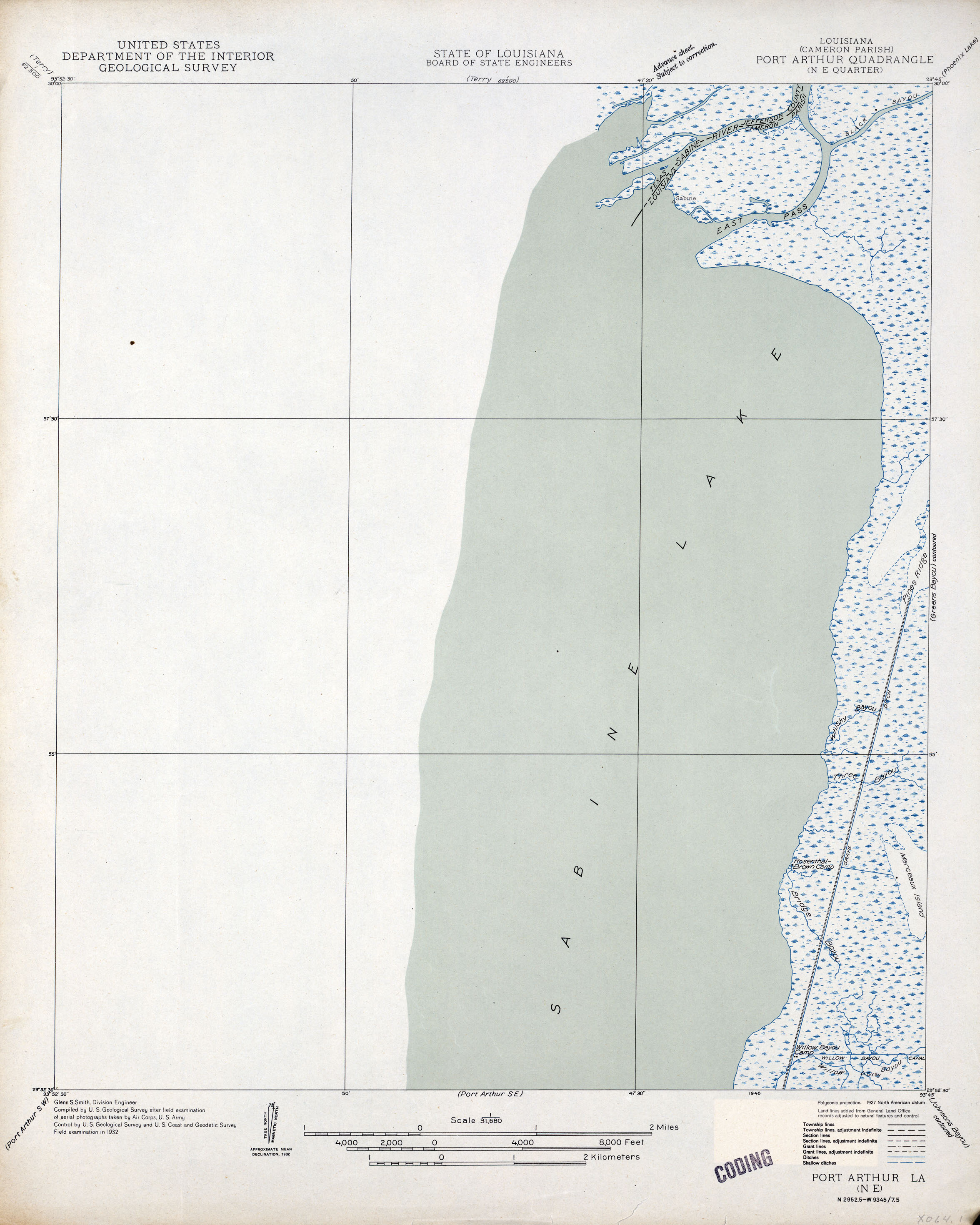
- Port Arthur NE 1:31,680 1932 (1.1MB)
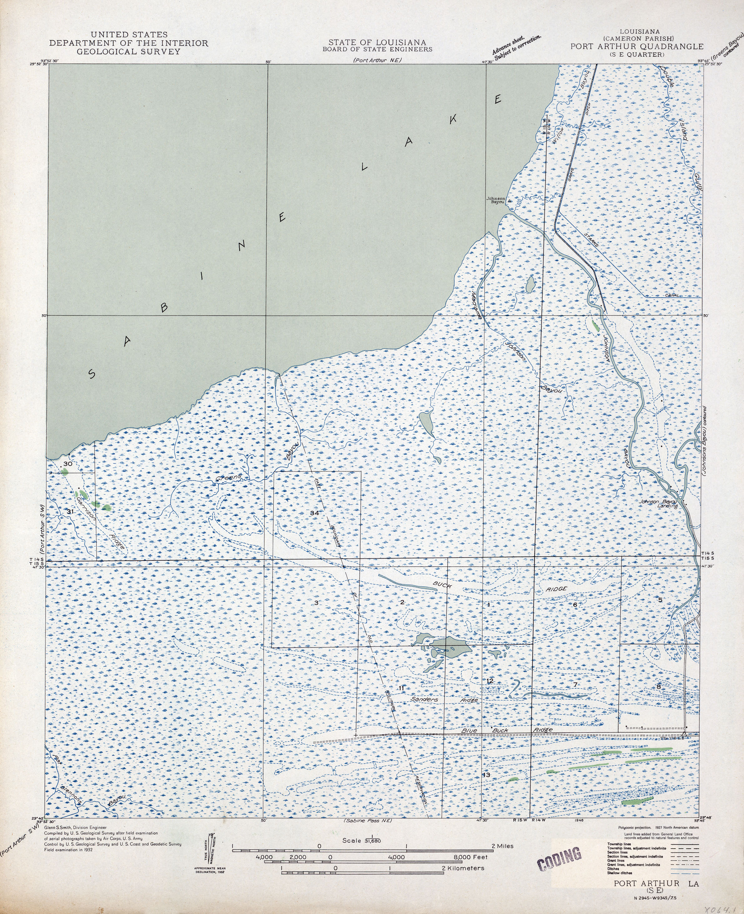
- Port Arthur SE 1:31,680 1932 (1.9MB)
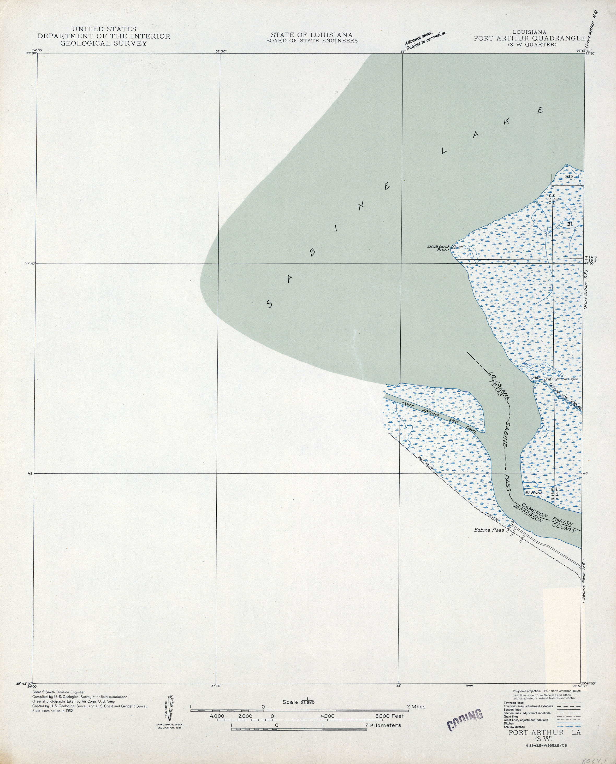
- Port Arthur SW 1:31,680 1932 (1MB)
- Port Sulphur, Topographic Map Prototype, 1:24,000, September 12, 2005 (1MB) [PDF]
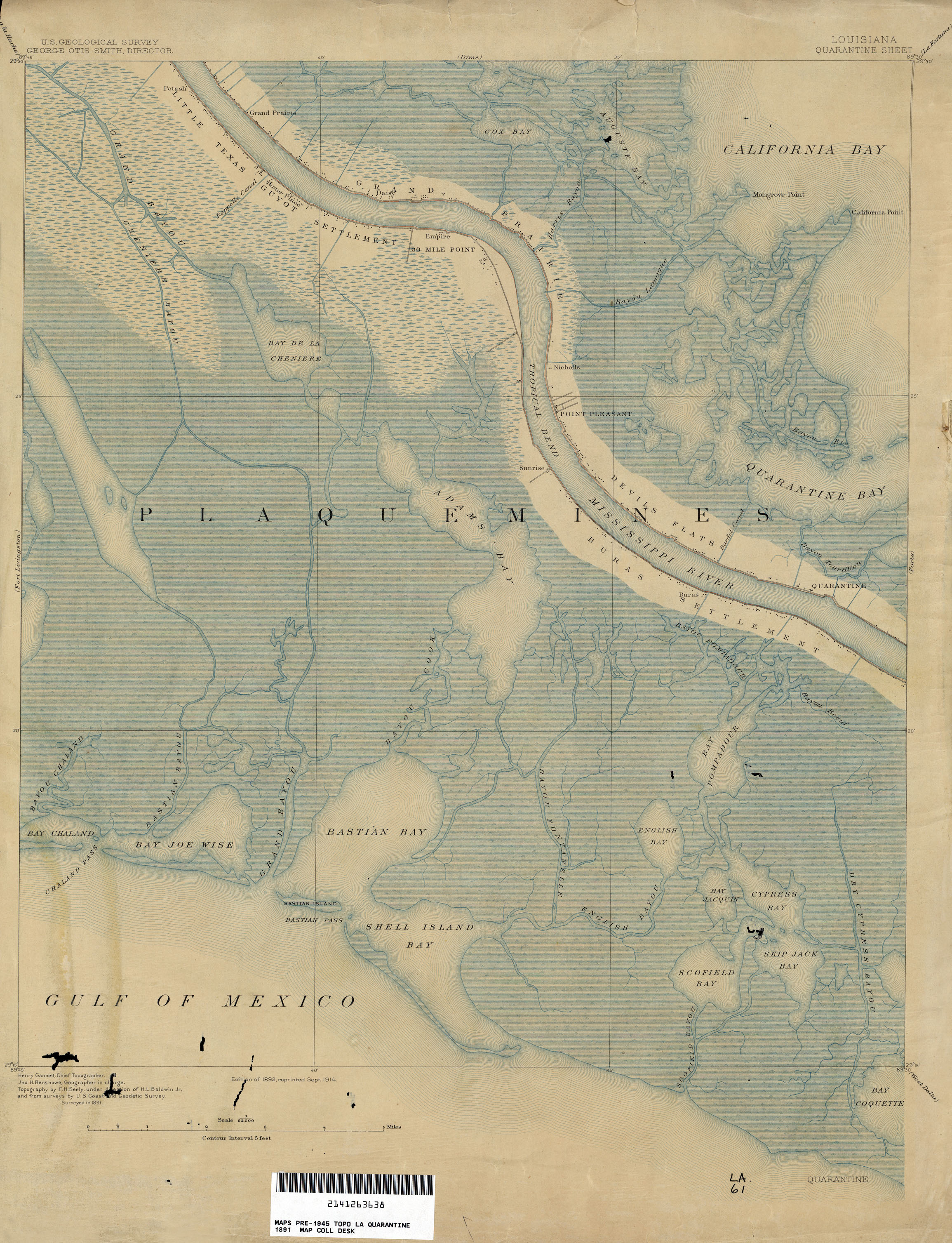
- Quarantine 1:62,500 1891 (2MB)
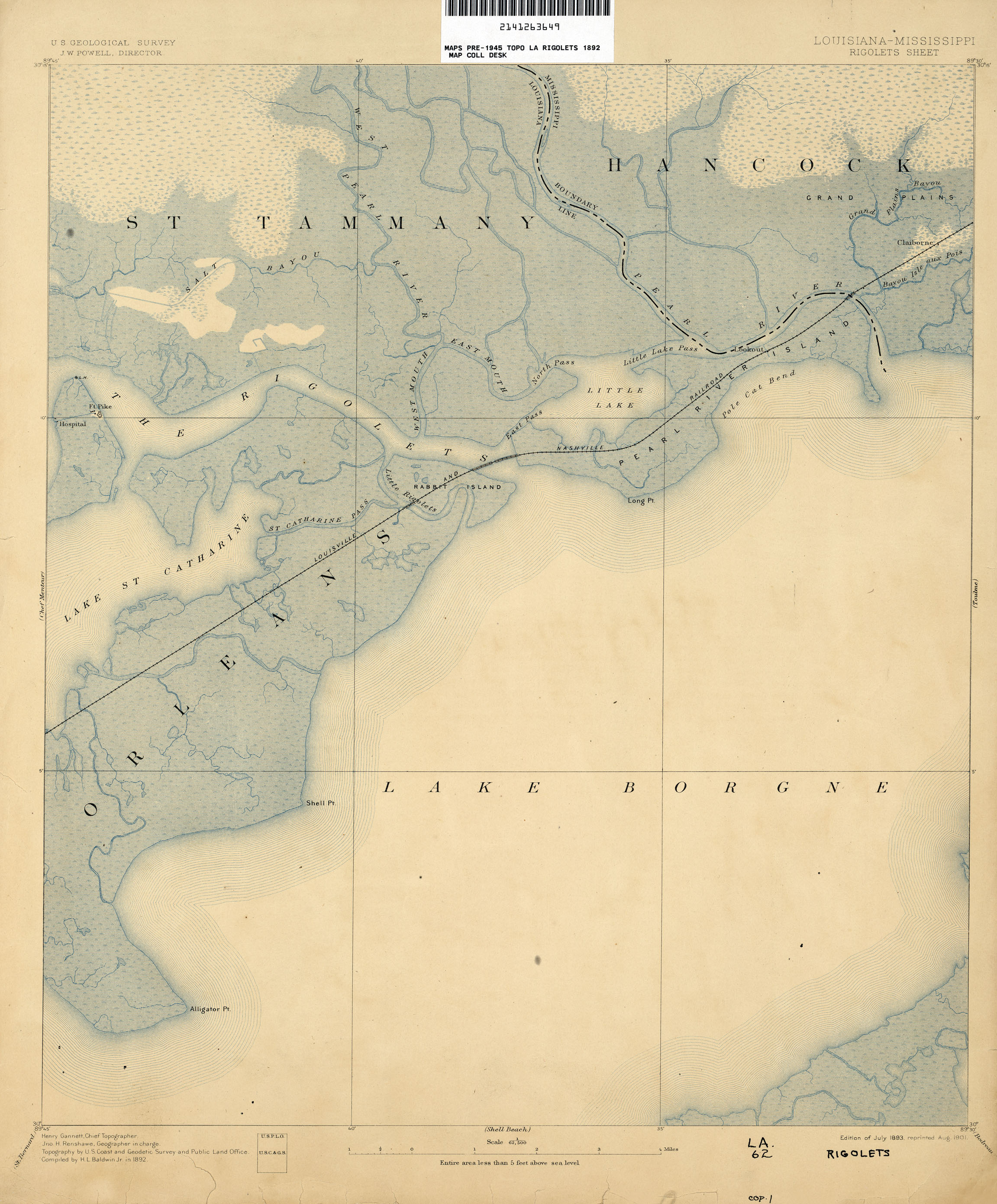
- Rigolets [Louisiana, Mississippi] 1:62,500 1892 (1.6MB)
- Rigolets, Topographic Map Prototype, 1:24,000, September 12, 2005 (939K) [PDF]
- Saint Tammany, Topographic Map Prototype, 1:24,000, September 12, 2005 (659K) [PDF]
- Savoie, Topographic Map Prototype, 1:24,000, September 12, 2005 (945K) [PDF]
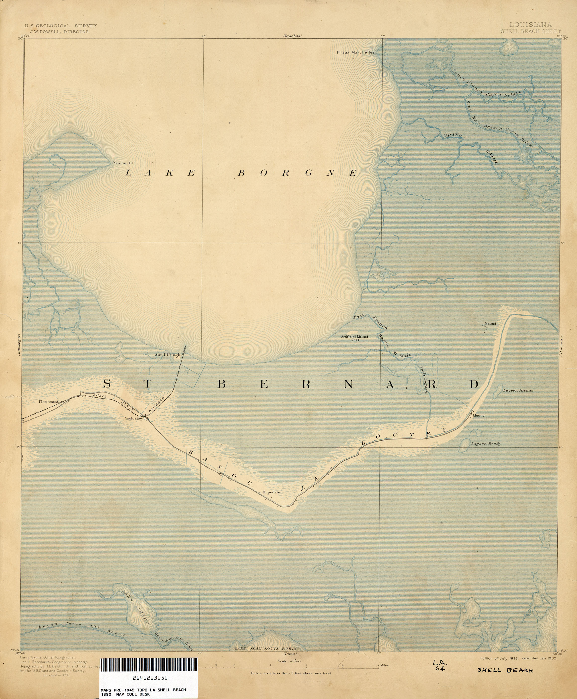
- Shell Beach 1:62,500 1890 (1.6MB)
- Shreveport East 1:24,000 1959 (4.5MB) U.S. Department of the Army Corps of Engineers
- Shreveport East 1:24,000 1969 (4.4MB) U.S. Department of the Army Corps of Engineers
- Shreveport East 1:24,000 1992 (4.7MB)
- Shreveport West (Caddo Parish) 1:24,000 1969 (3.9MB) U.S. Department of the Army Corps of Engineers
- Shreveport West (Caddo Parish) 1:24,000 1980 (4.4MB)
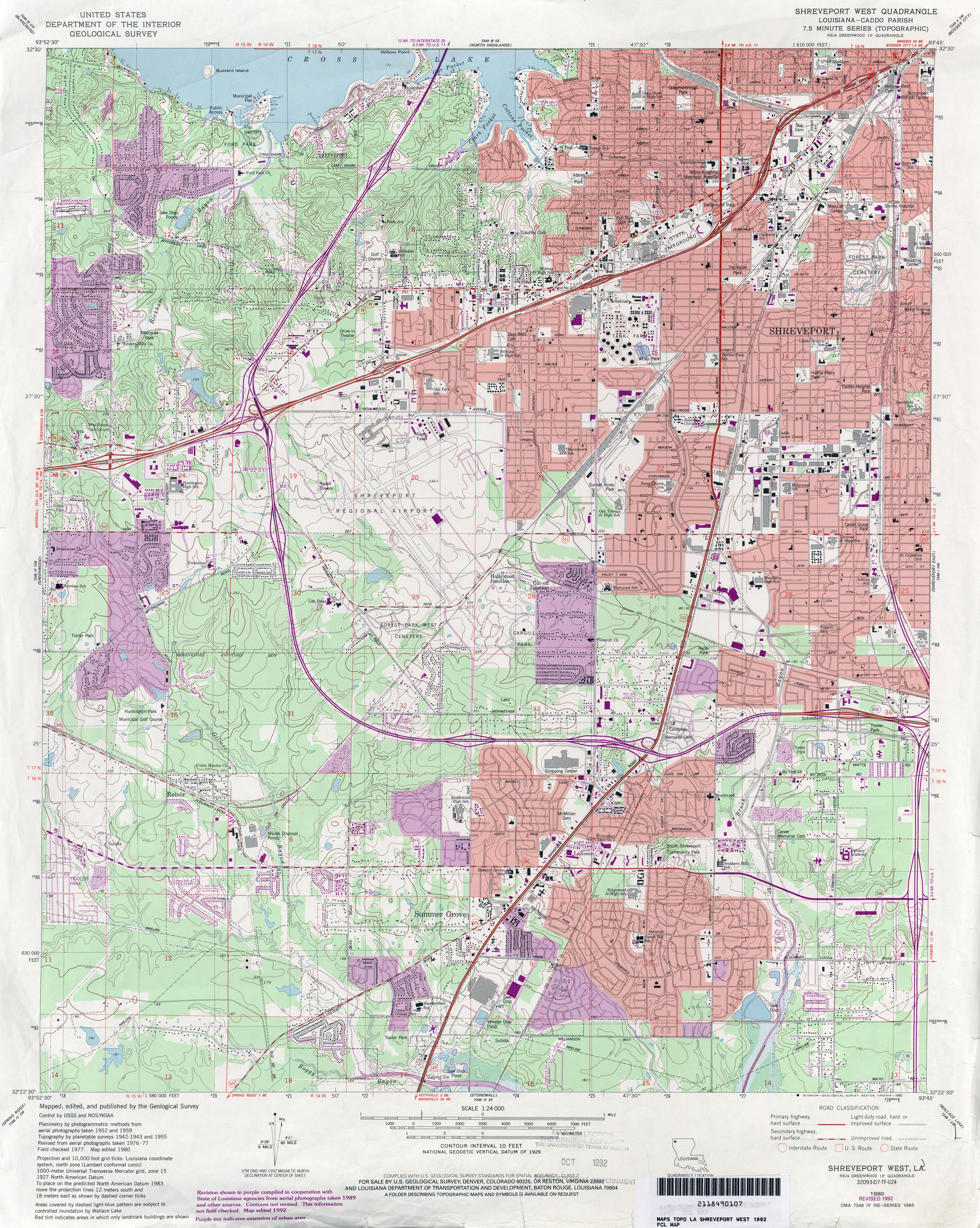
- Shreveport West (Caddo Parish) 1:24,000 1992 (5.2MB)
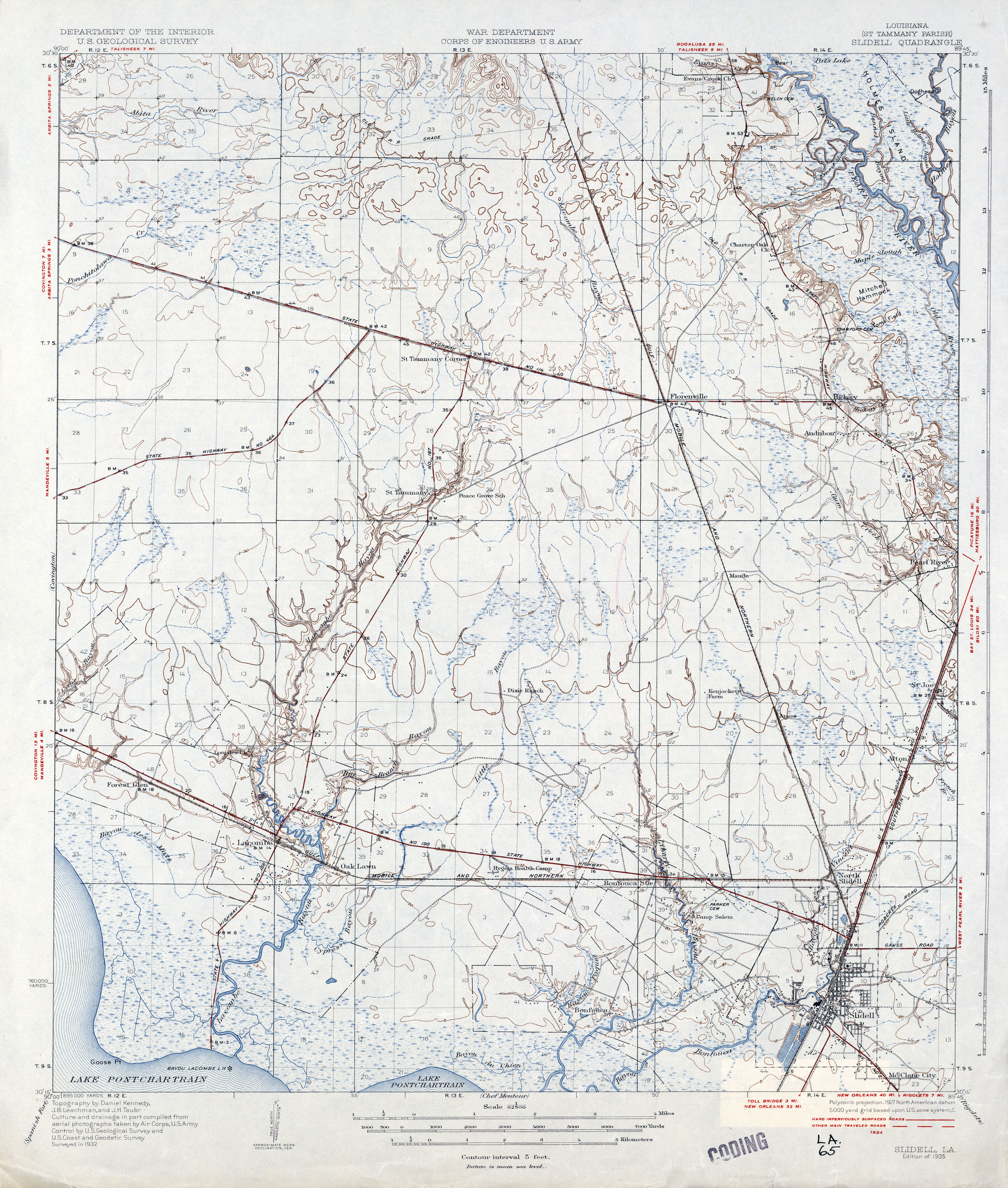
- Slidell 1:62,500 1934 (2MB)
- Slidell, Topographic Map Prototype, 1:24,000, September 12, 2005 (1.5MB) [PDF]
- Sorrento, Topographic Map Prototype, 1:24,000, September 12, 2005 (1.1MB) [PDF]
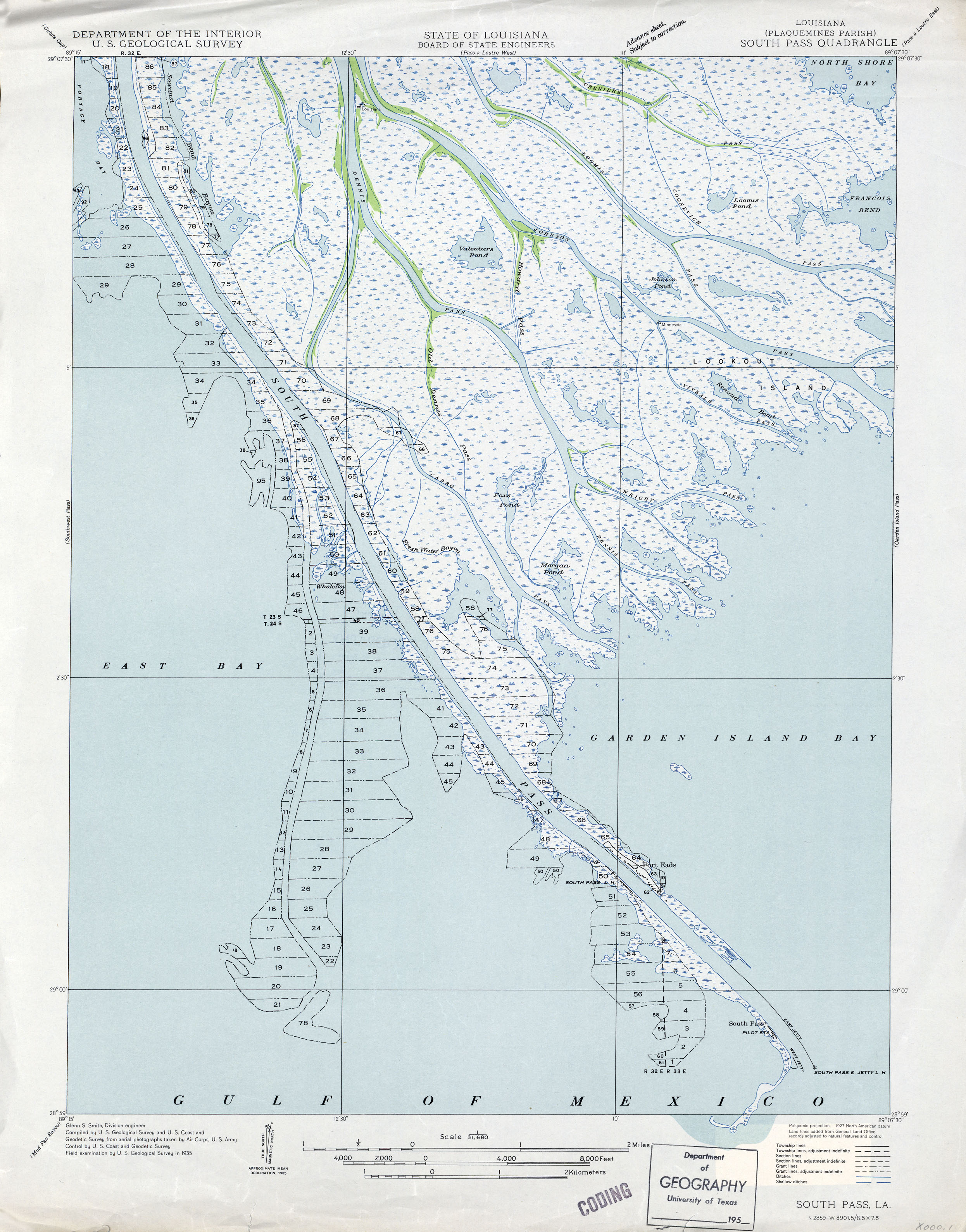
- South Pass 1:31,680 1935 (1.7MB)
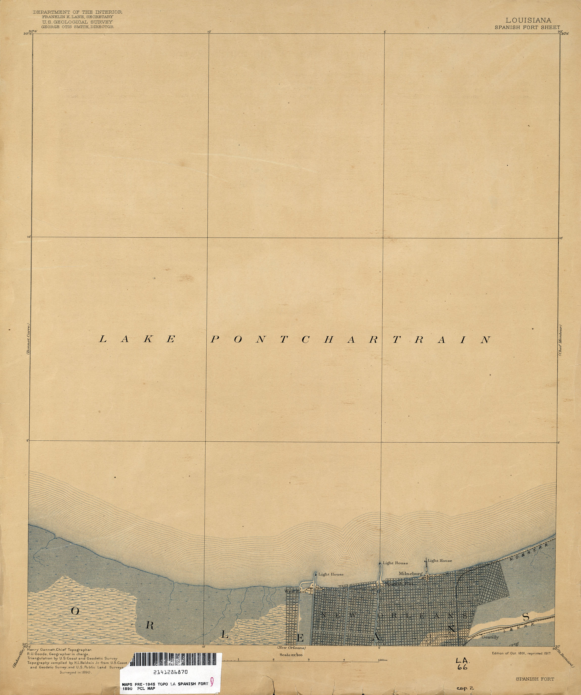
- Spanish Fort 1:62,500 1890 (1.1MB)
- Spanish Fort 1:31,680 1937 (1.2MB)
- Spanish Fort, Topographic Map Prototype, 1:24,000, September 12, 2005 (888K) [PDF]
- Springfield 1:62,500 1932 (2MB)
- Springfield, Topographic Map Prototype, 1:24,000, September 12, 2005 (1.4MB) [PDF]
- St Bernard 1:62,500 1890 (1.7MB)
- Starks 1:31,680 1936 (1.7MB)
- Strong [Arkansas, Louisiana] 1:62,500 1935 (1.6MB)
- Sweet Lake 1:31,680 1934 (1.8MB)
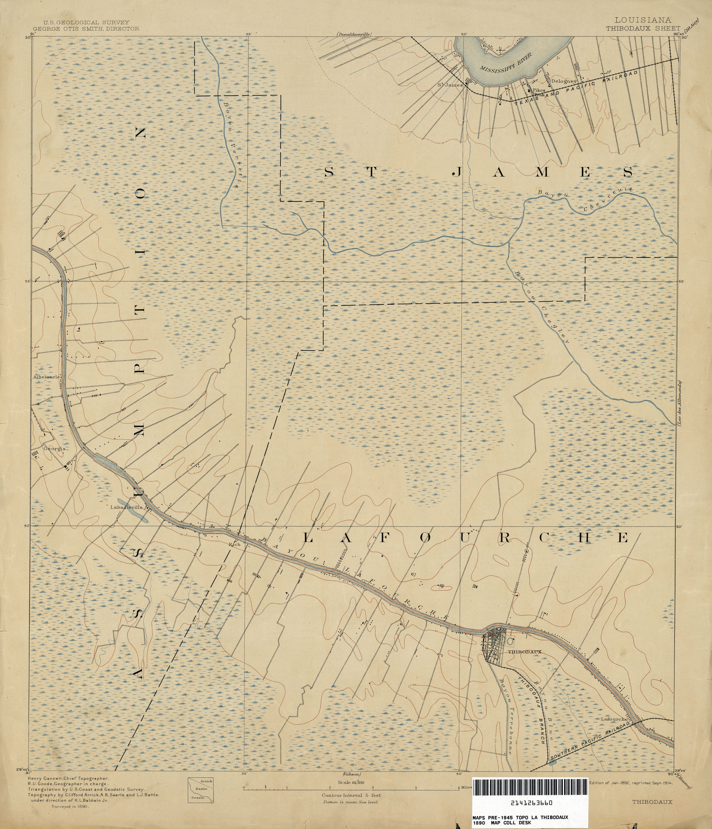
- Thibodaux 1:62,500 1890 (1.3MB)
- Thibodaux, Topographic Map Prototype, 1:24,000, September 12, 2005 (1MB) [PDF]
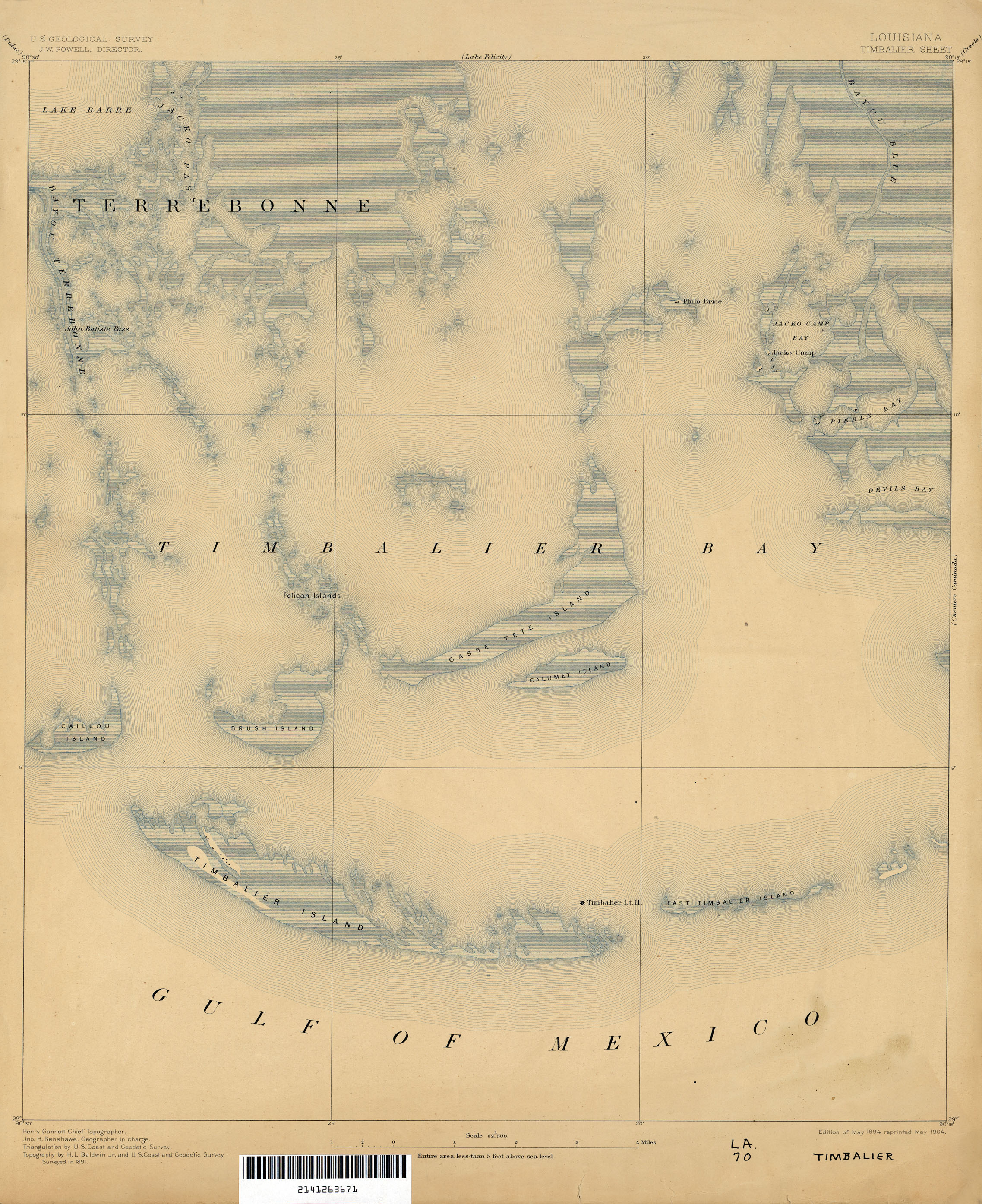
- Timbalier 1:62,500 1891 (1.6MB)
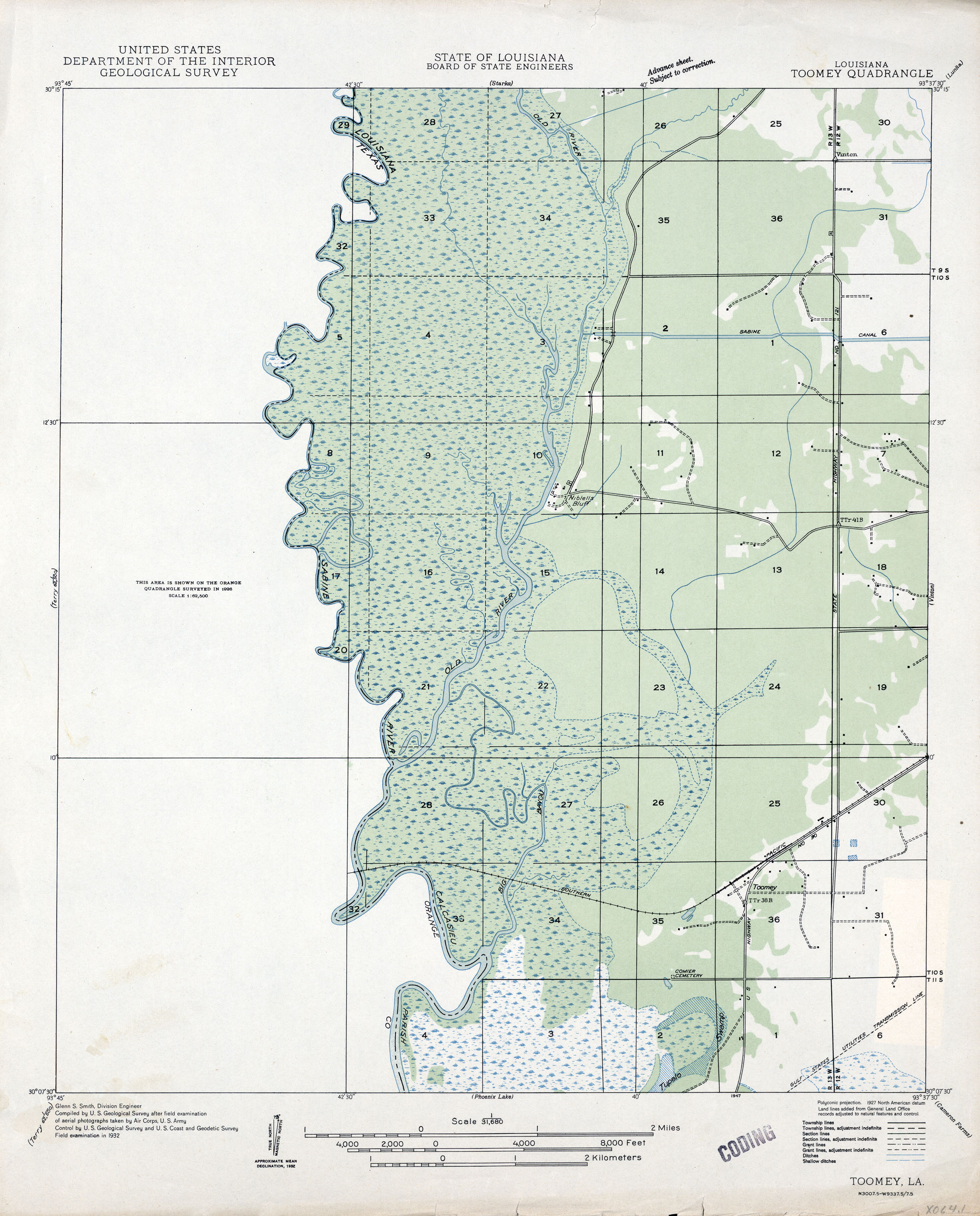
- Toomey 1:31,680 1932 (1.3MB)
- Triumph, Topographic Map Prototype, 1:24,000, September 12, 2005 (1MB) [PDF]
- Waldheim, Topographic Map Prototype, 1:24,000, September 12, 2005 (1.9MB) [PDF]
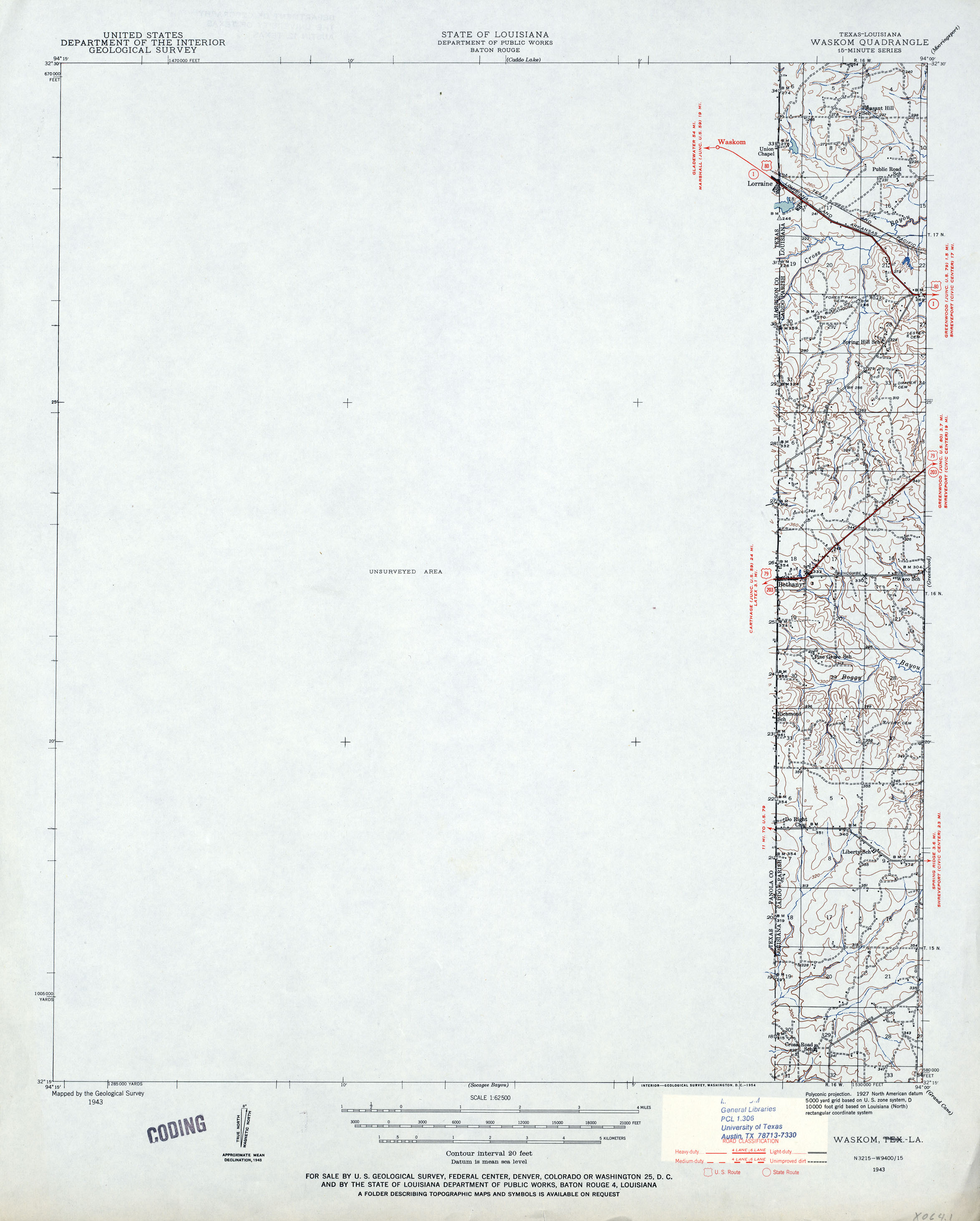
- Waskom [Texas, Louisiana] 1:62,500 1943 (1.1MB)
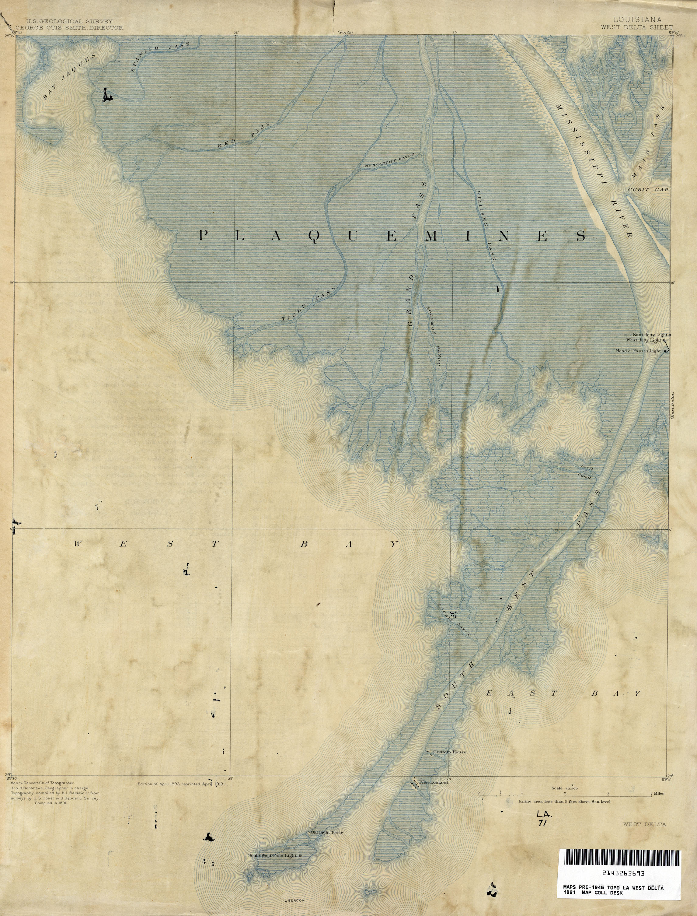
- West Delta 1:62,500 1891 (1.7MB)
- Whitehall, Topographic Map Prototype, 1:24,000, September 12, 2005 (837K) [PDF]
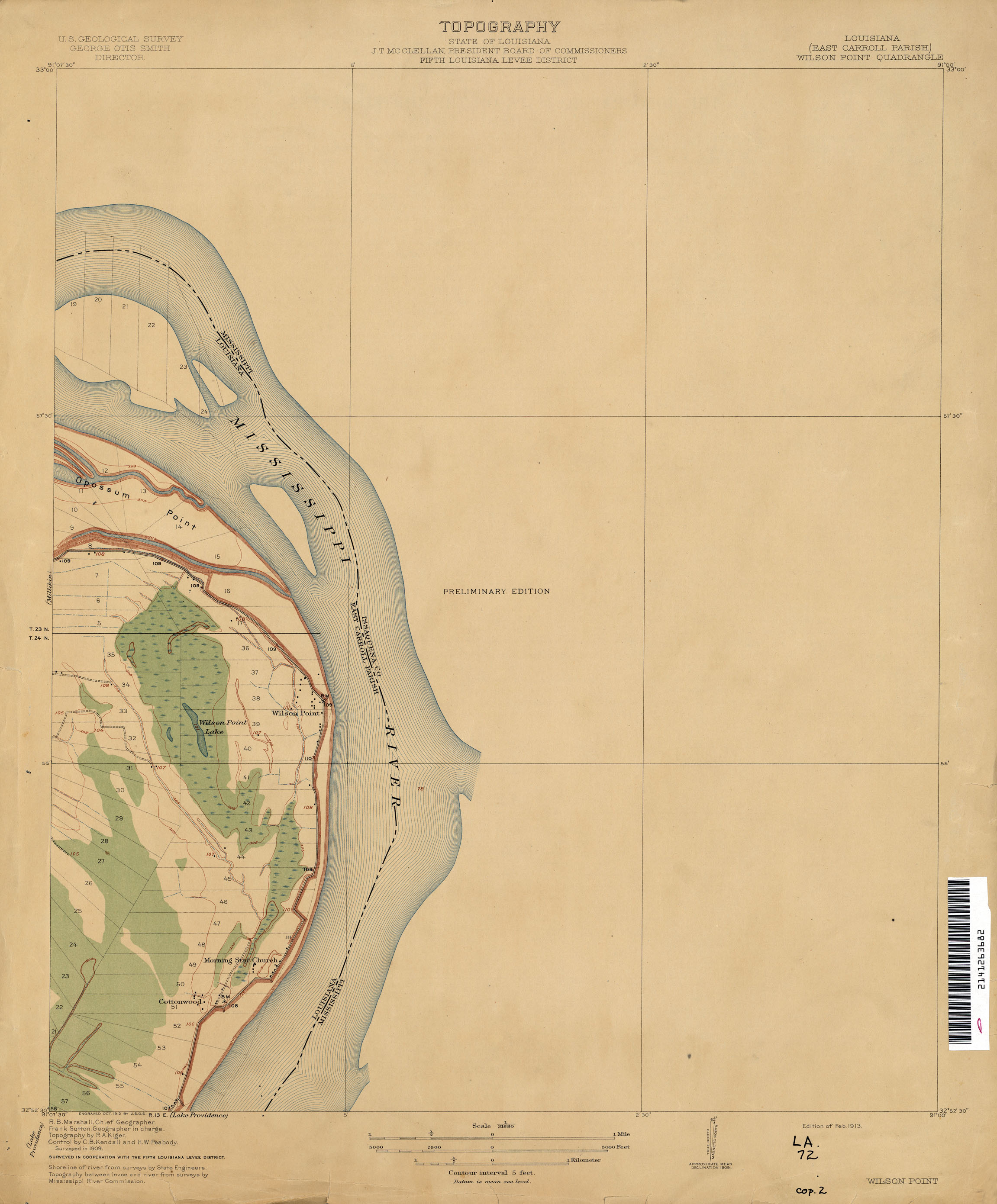
- Wilson Point 1:31,680 1909 (1MB)
- Yscloskey, Topographic Map Prototype, 1:24,000, September 12, 2005 (1MB) [PDF]
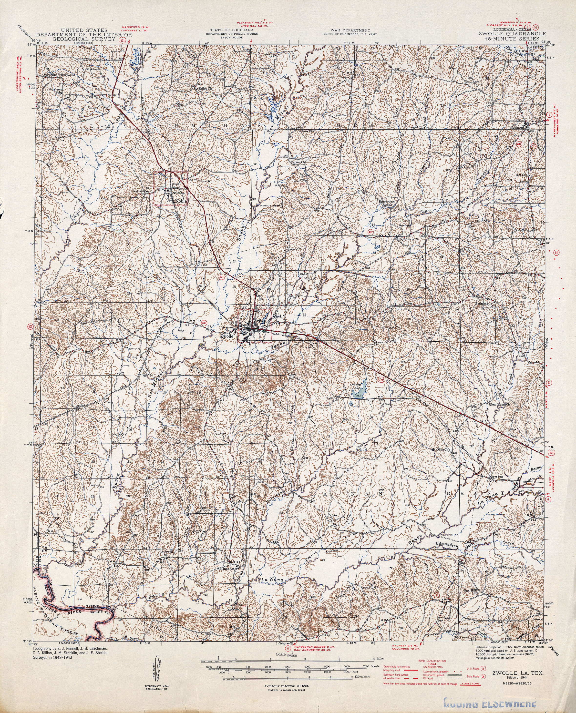
- Zwolle [Louisiana, Texas] 1:62,500 1944 (3.3MB)
Return to the top