Perry-Castañeda Library
Map Collection
Maine Historical Topographic Maps
All maps on this page were published by the U.S. Geological Survey and are in the public domain. The date given for each map is the date of latest survey. More information about these maps is available on the Topographic Maps Home Page.
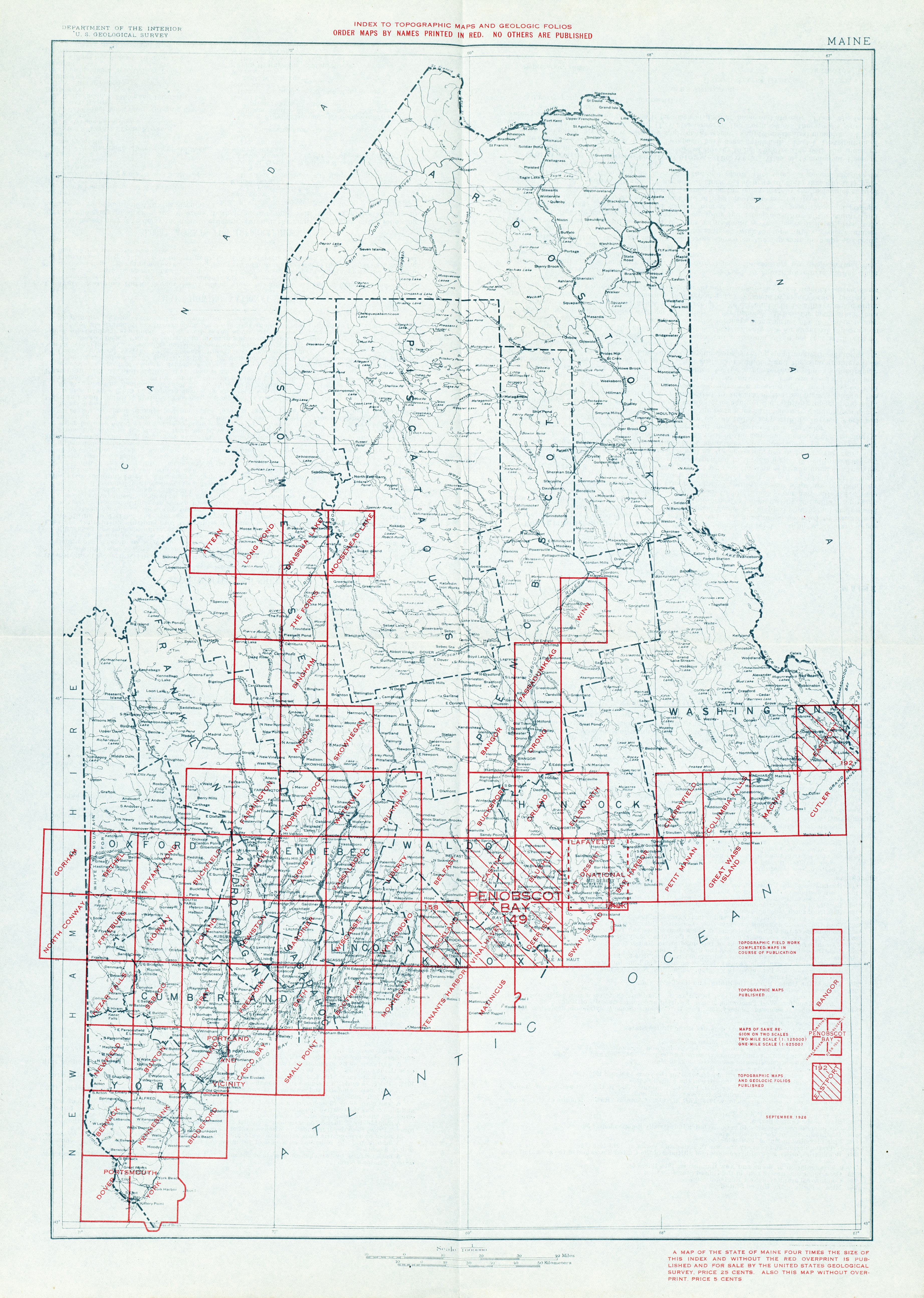
- Maine - Topographic Map Index 1926 (5.4MB)
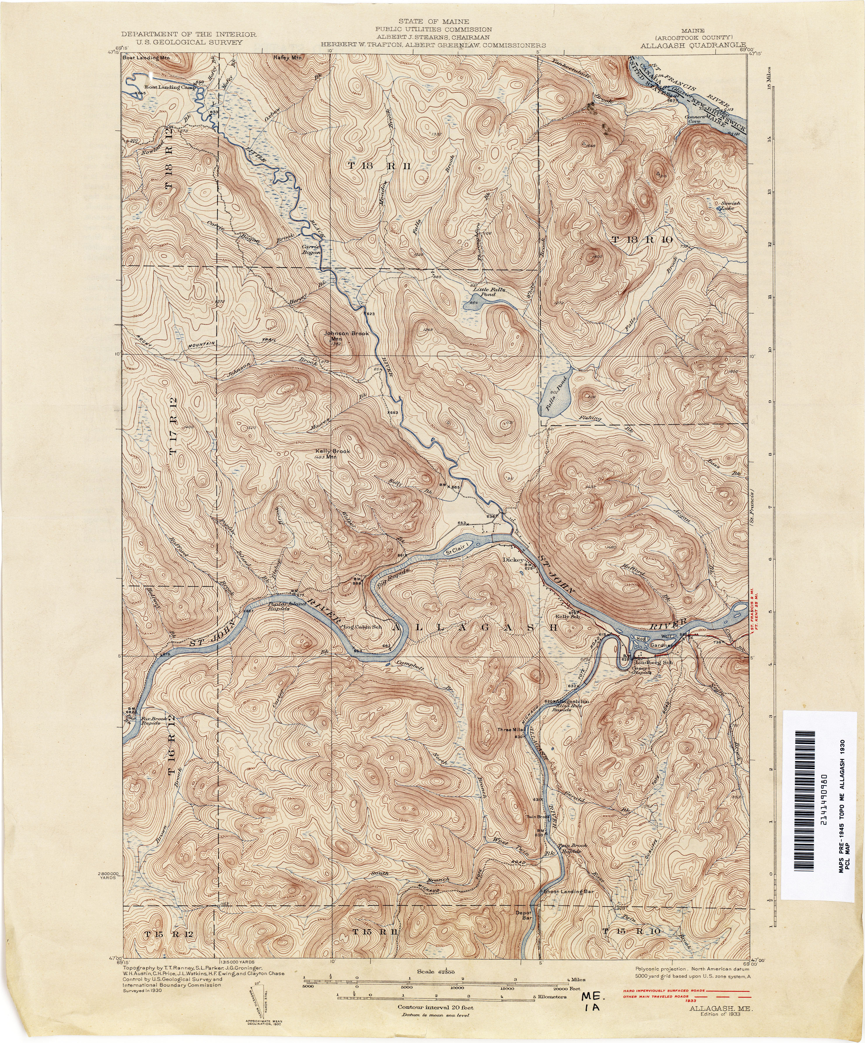
- Allagash 1930 1:62,500 (3.6MB)
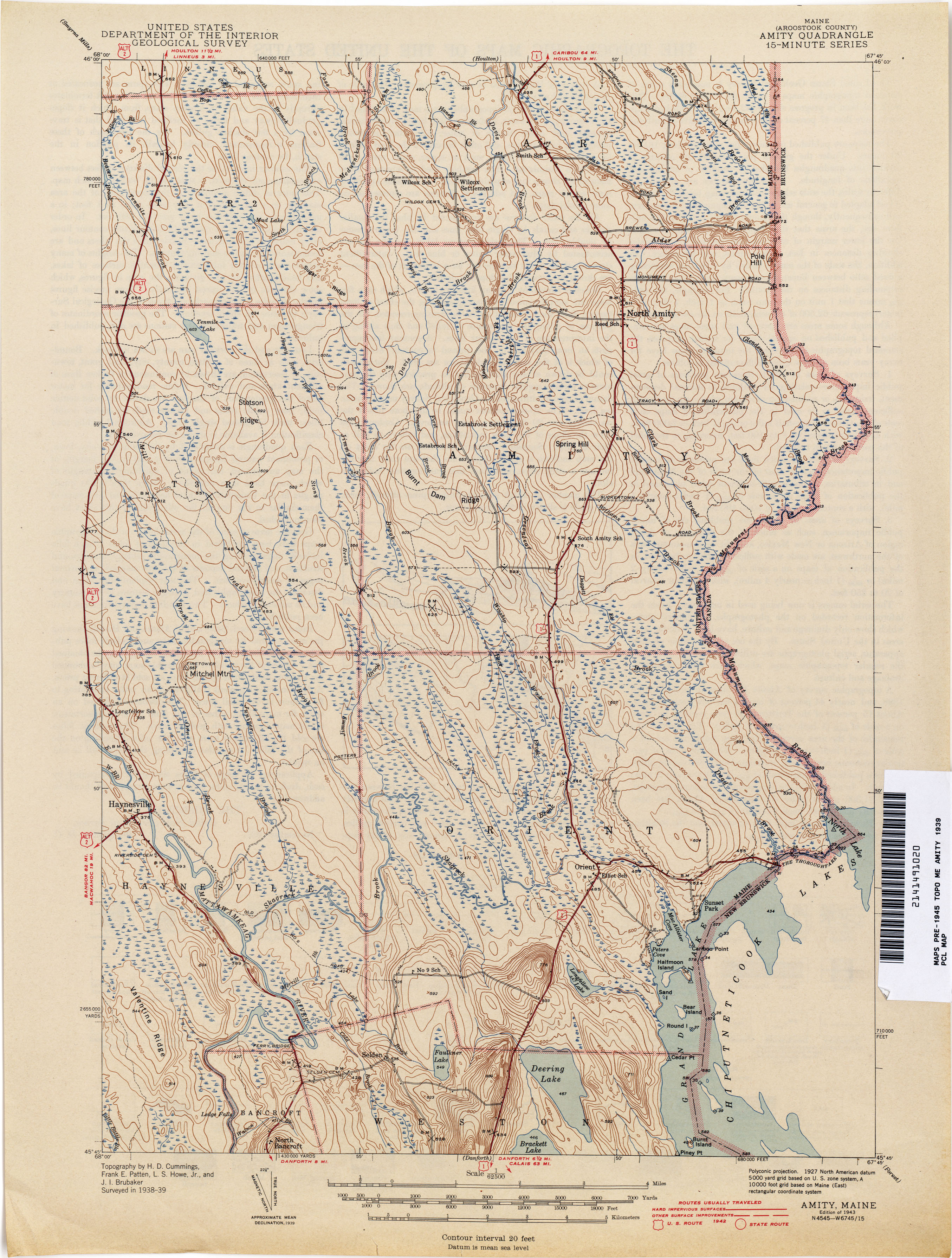
- Amity 1939 1:62,500 (2.8MB)
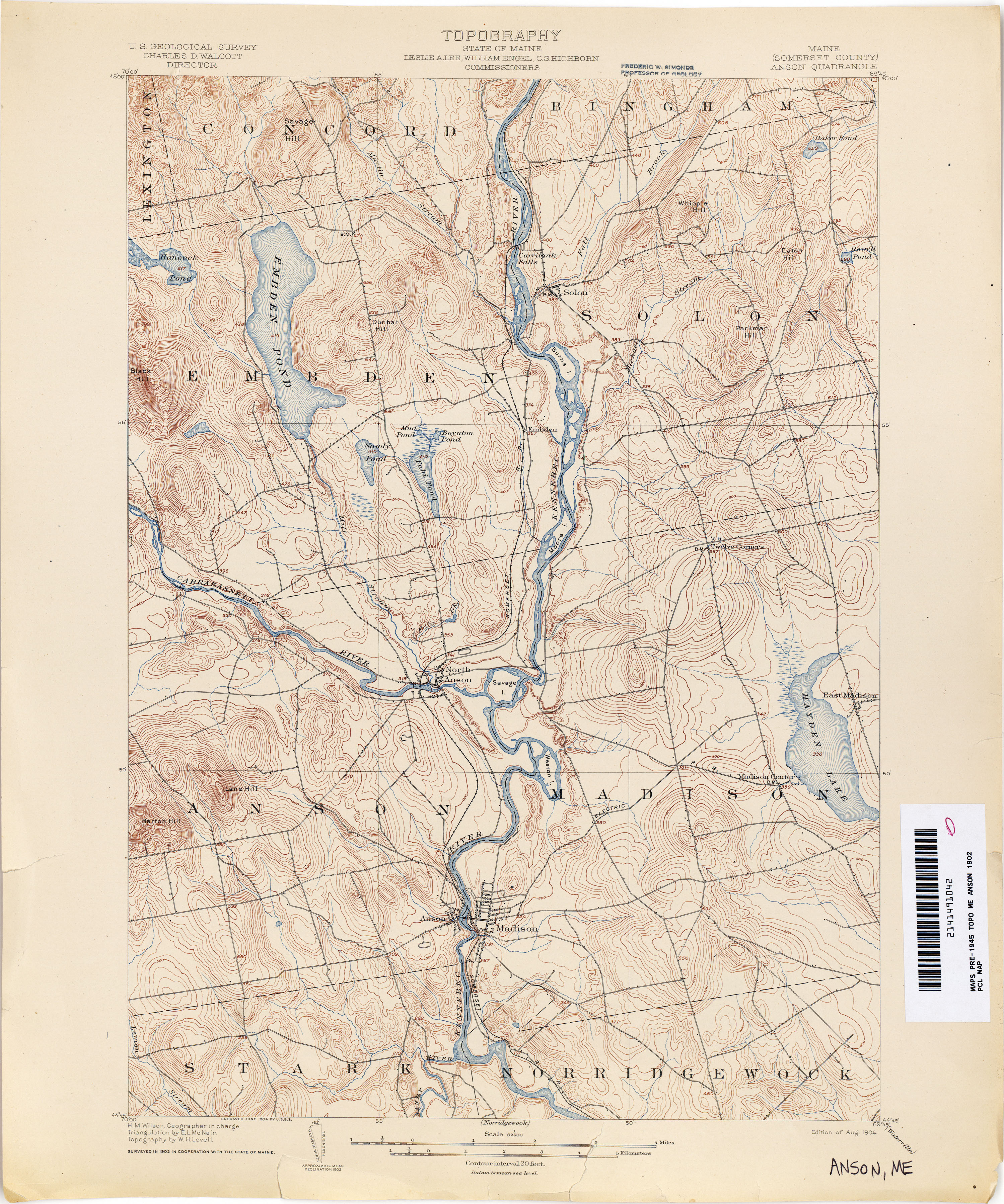
- Anson 1902 1:62,500 (3.3MB)
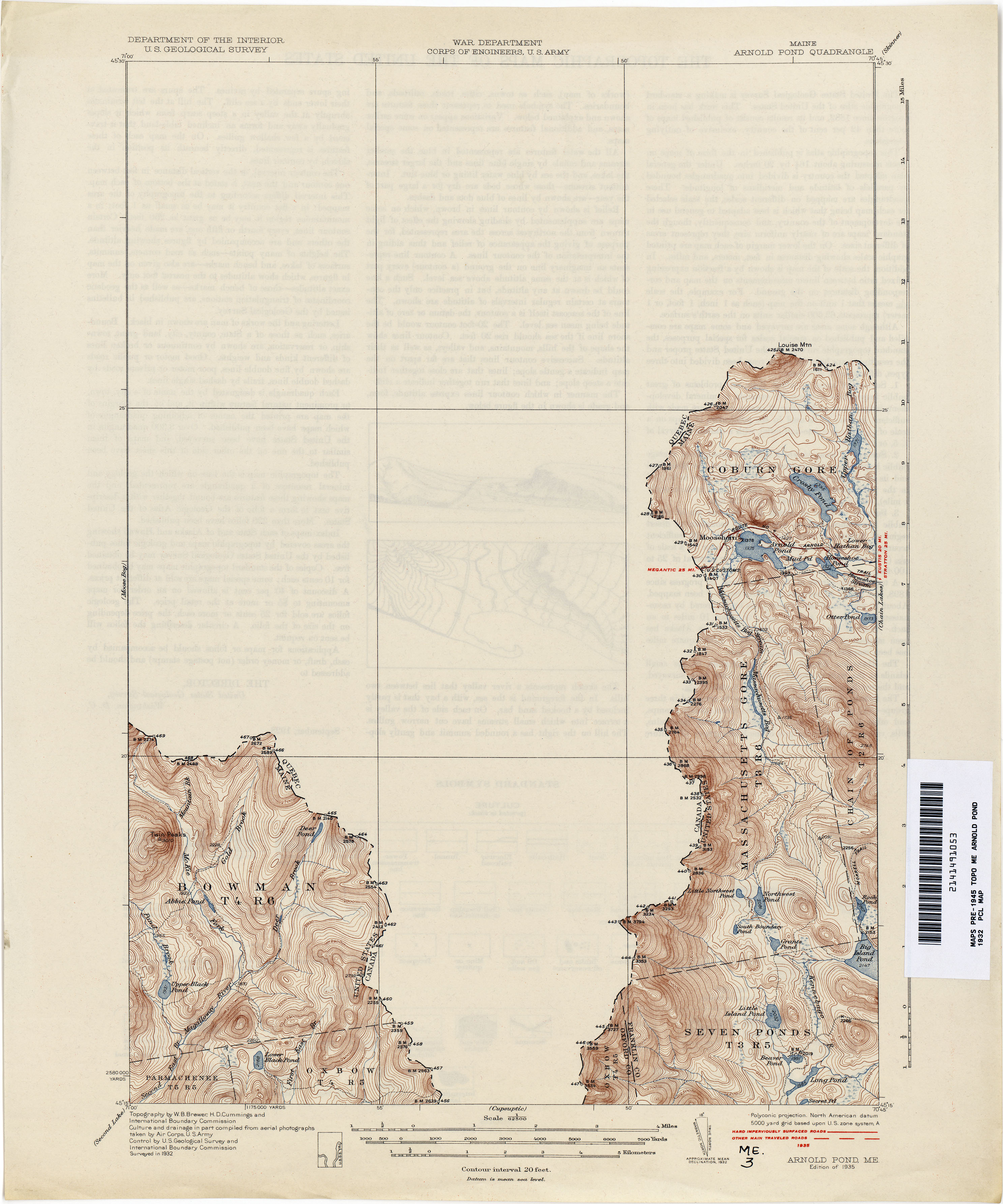
- Arnold Pond 1932 1:62,500 (2.3MB)
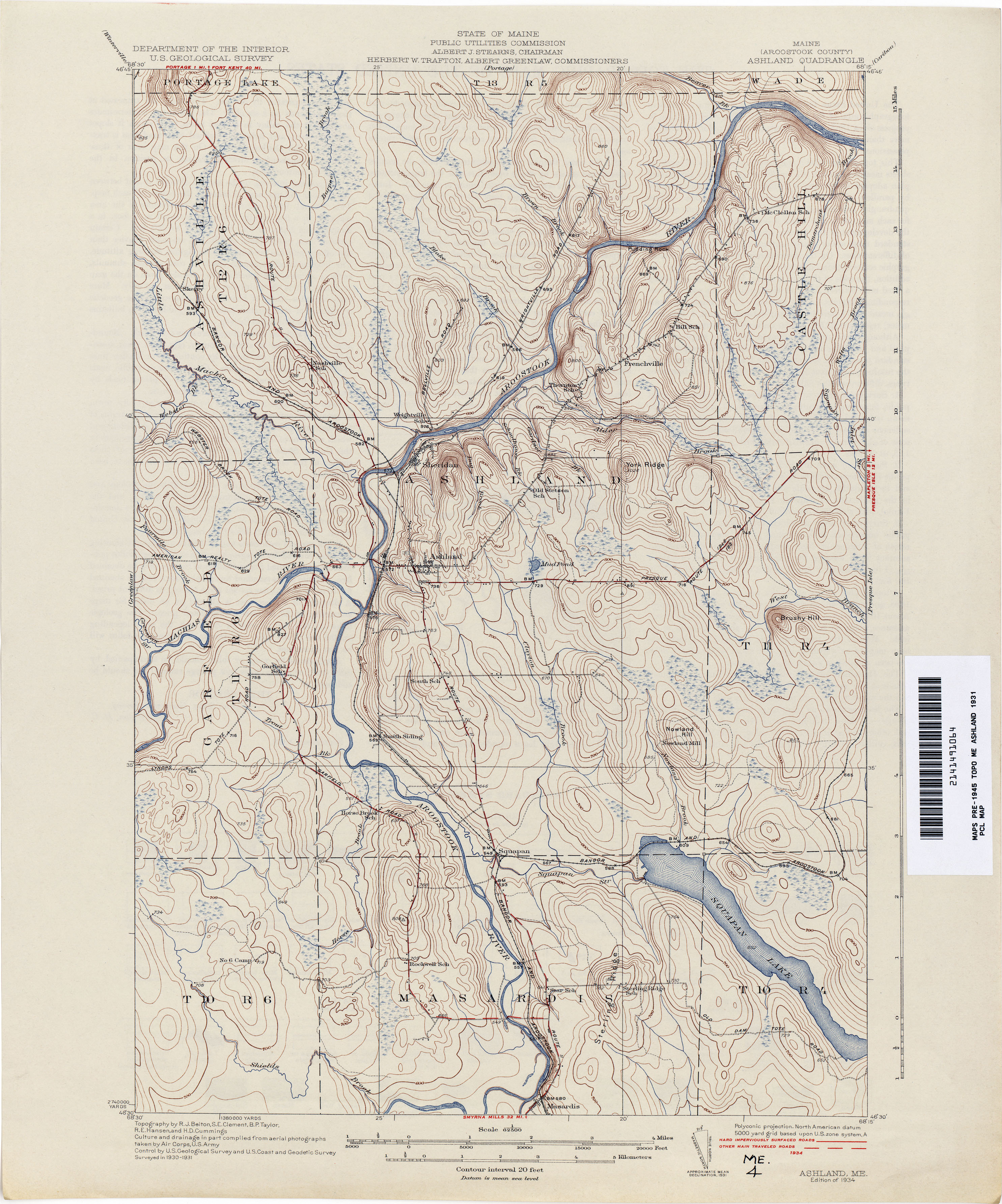
- Ashland 1931 1:62,500 (3.2MB)
- Augusta 1890 1:62,500 (3.6MB)
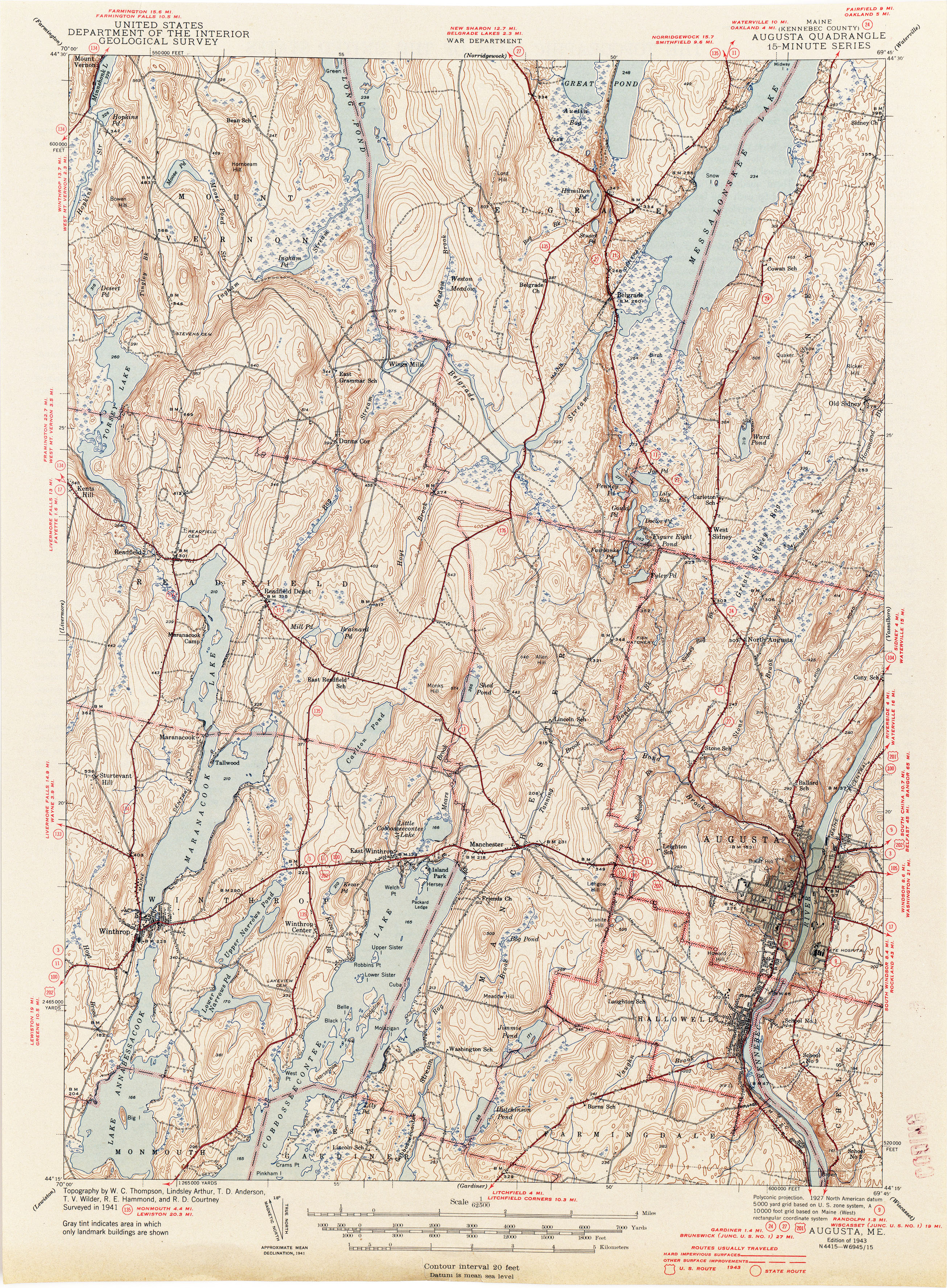
- Augusta 1941 1:62,500 (4.5MB)
- Bangor 1900 1:62,500 (2.9MB)
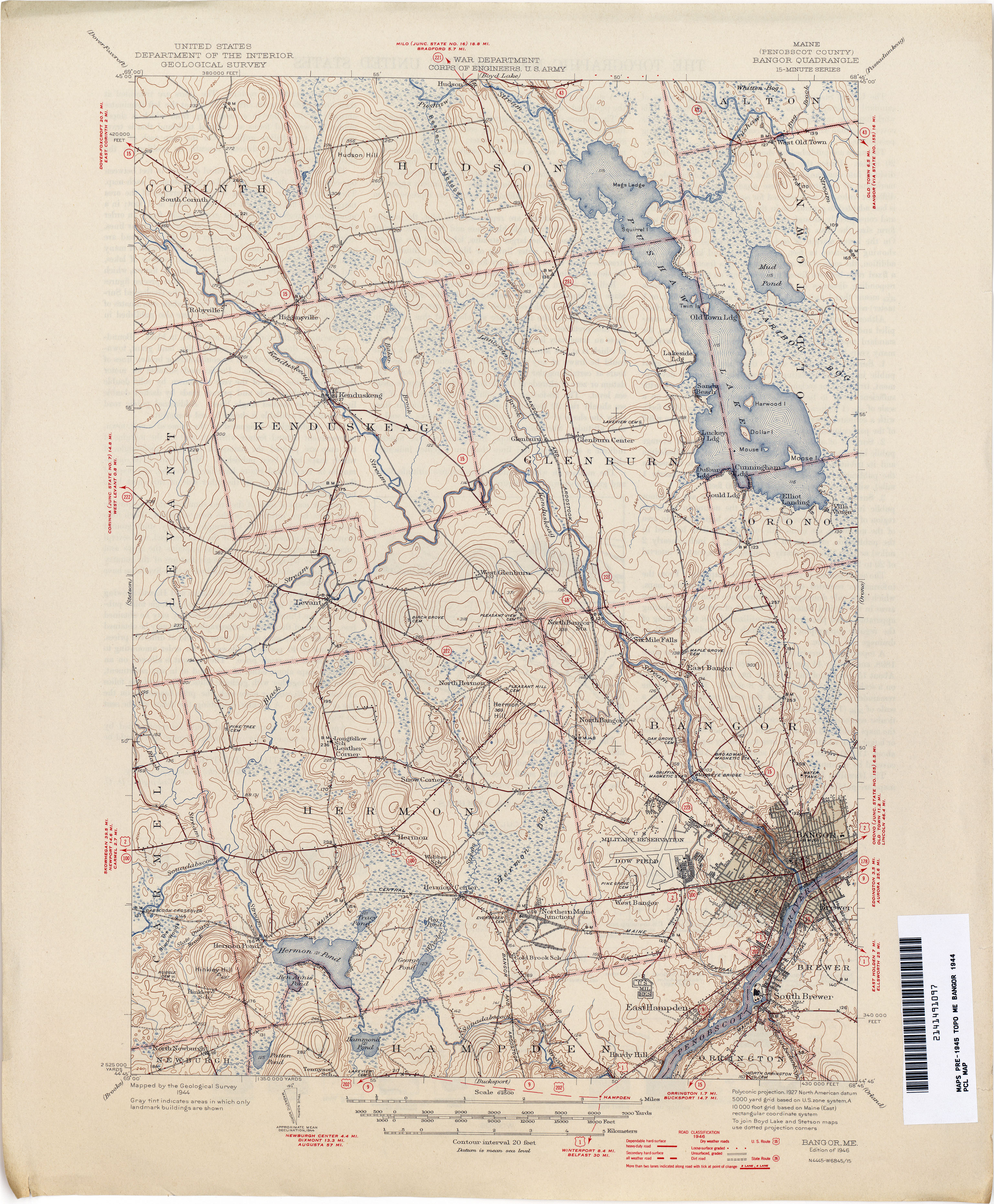
- Bangor 1944 1:62,500 (3.8MB)
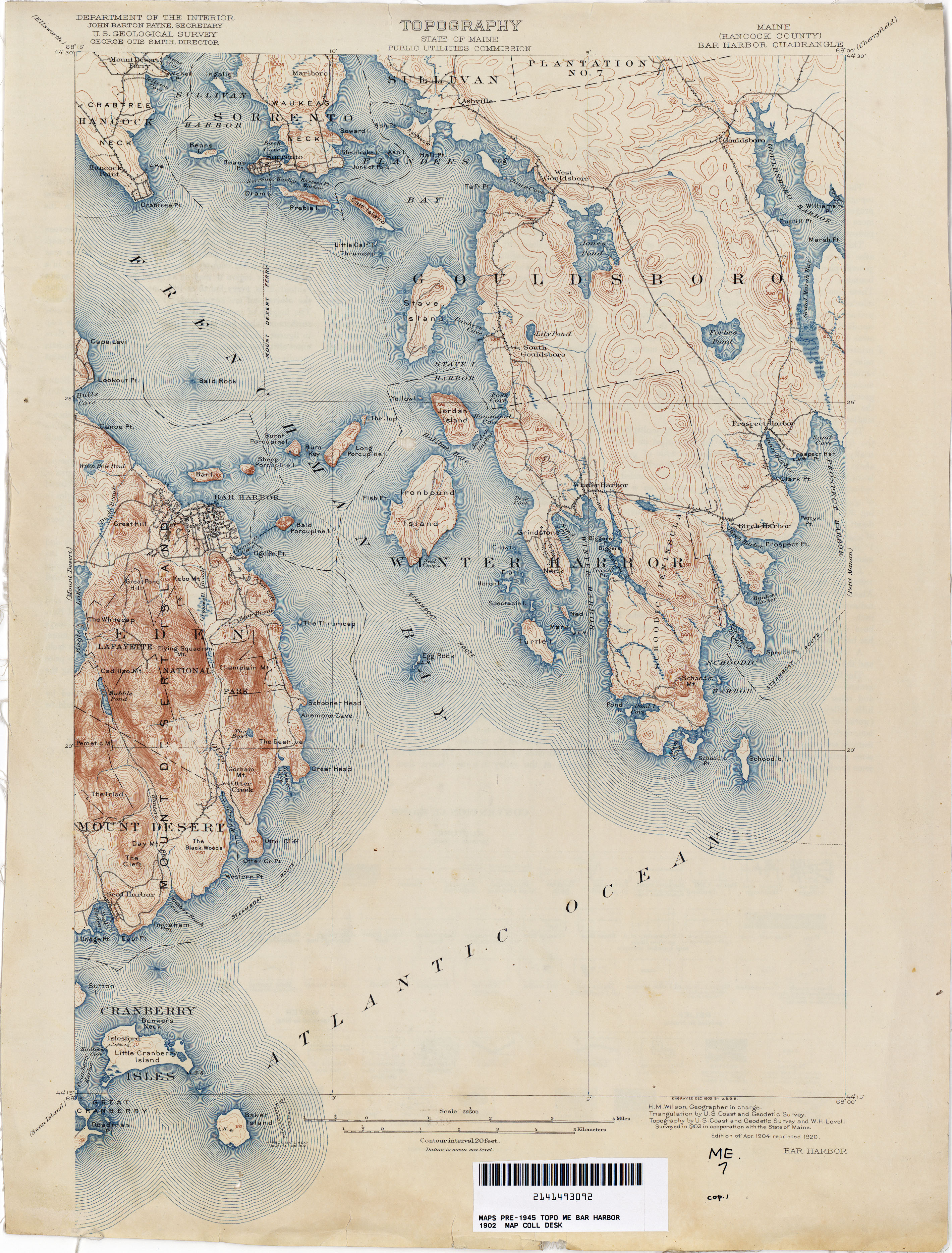
- Bar Harbor 1902 1:62,500 (3.6MB)
- Bar Harbor 1940 1:62,500 (3.7MB)
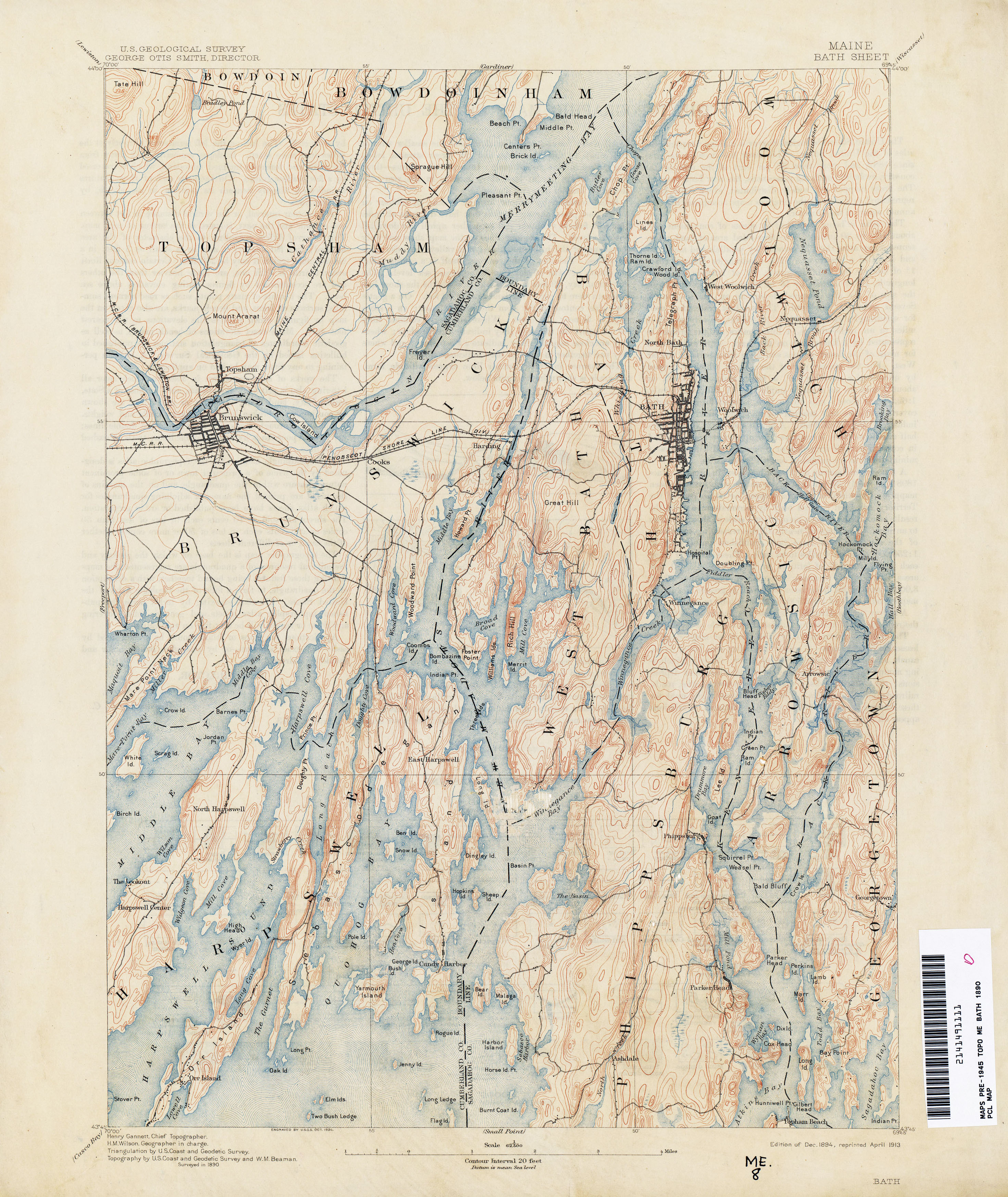
- Bath 1890 1:62,500 (3.3MB)
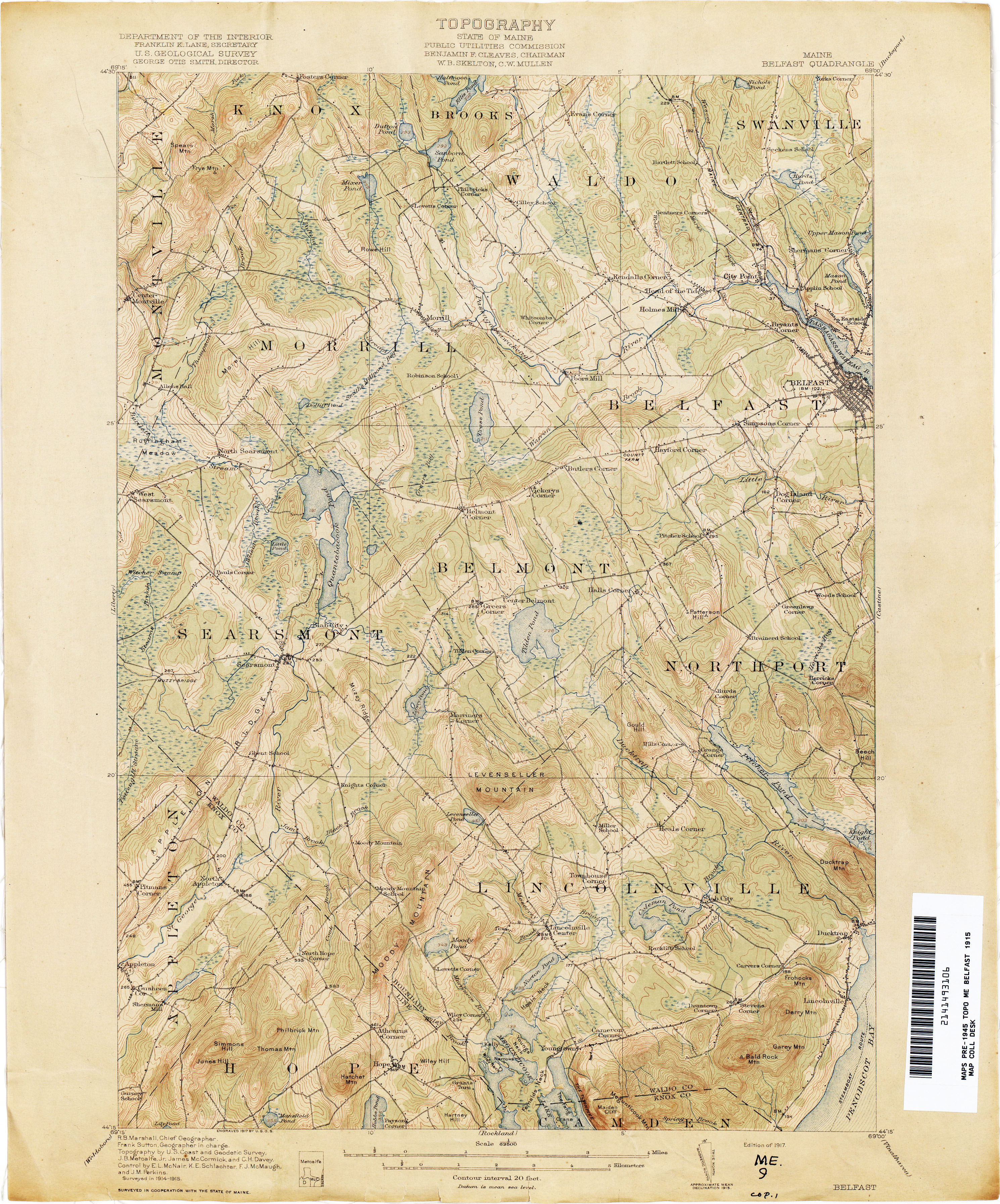
- Belfast 1915 1:62,500 (3.5MB)
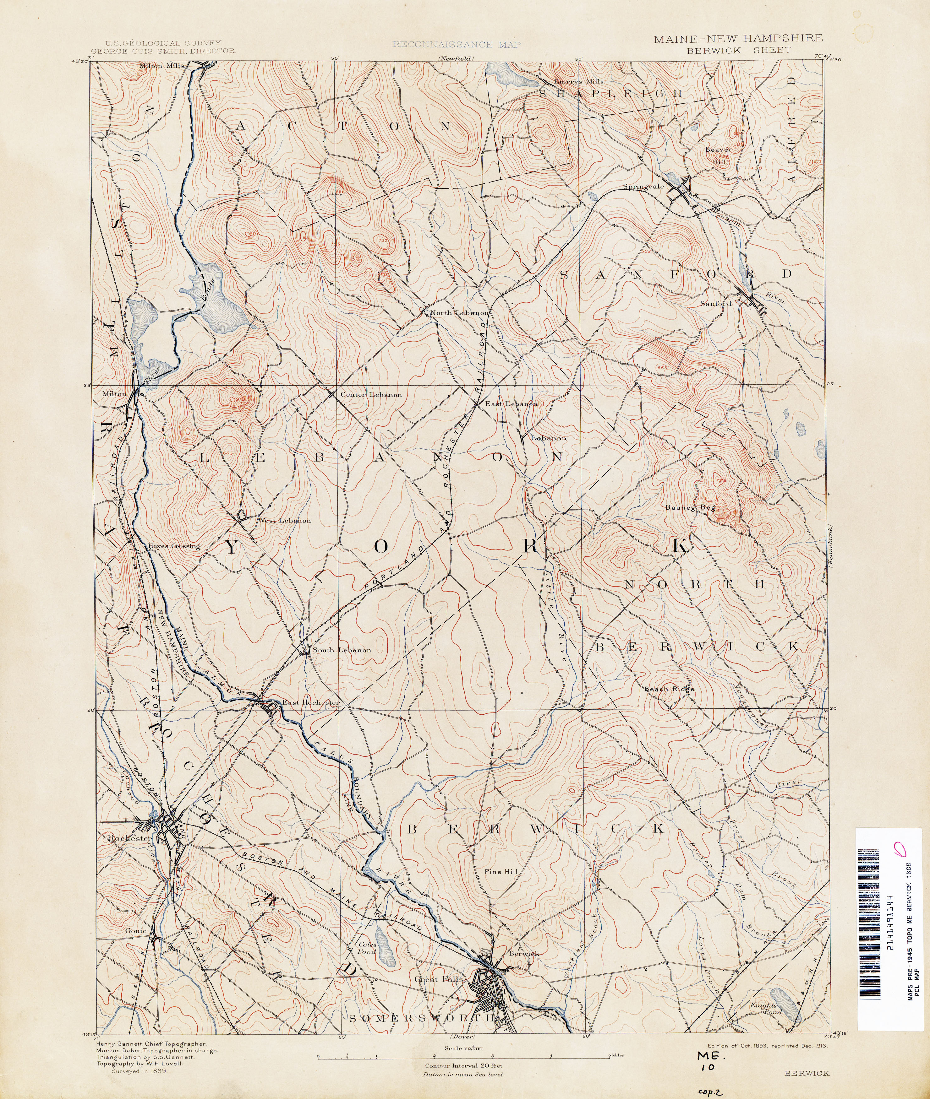
- Berwick [Maine, New Hampshire] 1889 1:62,500 (2.9MB)
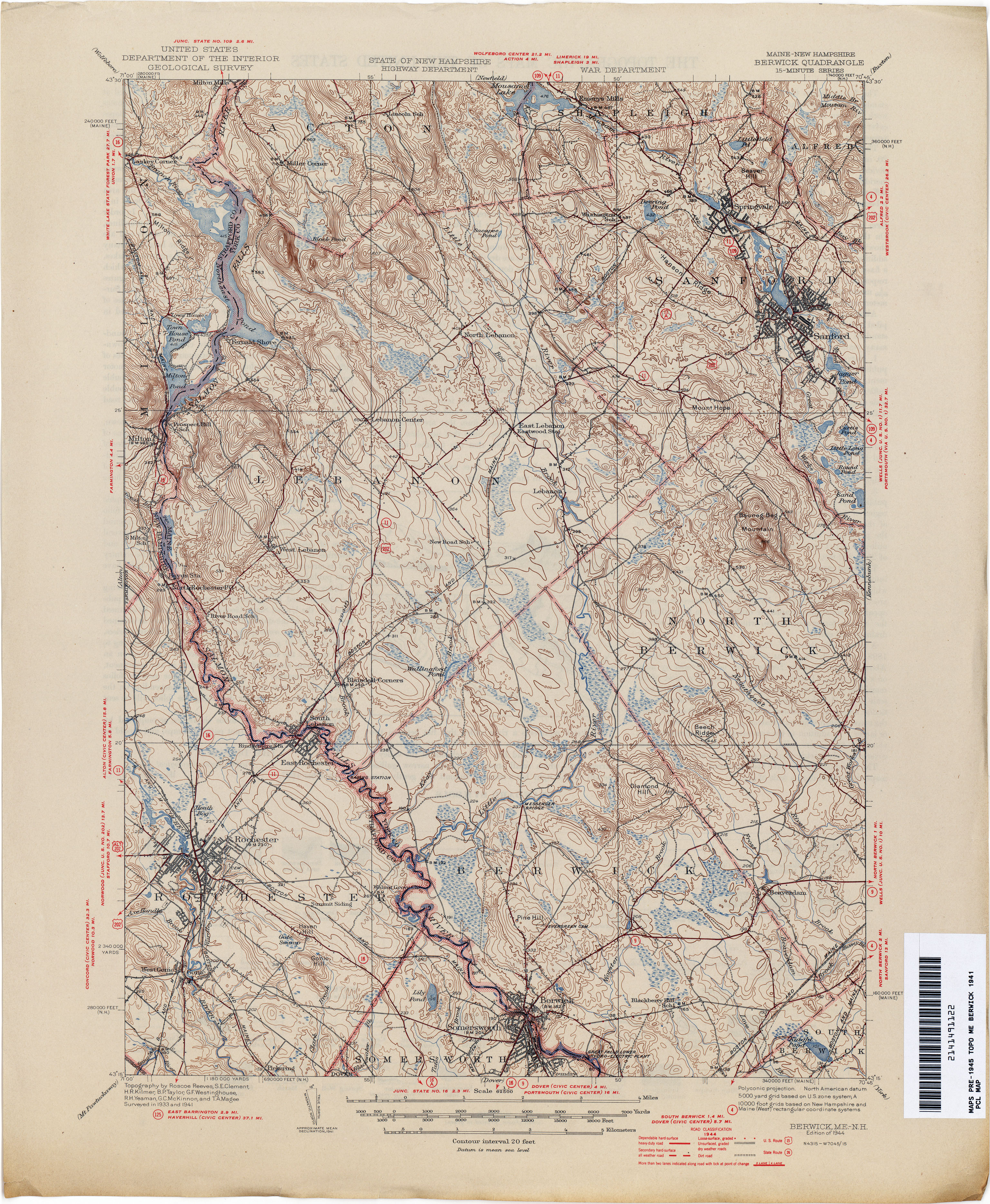
- Berwick [Maine, New Hampshire] 1914 1:62,500 (4.5MB)
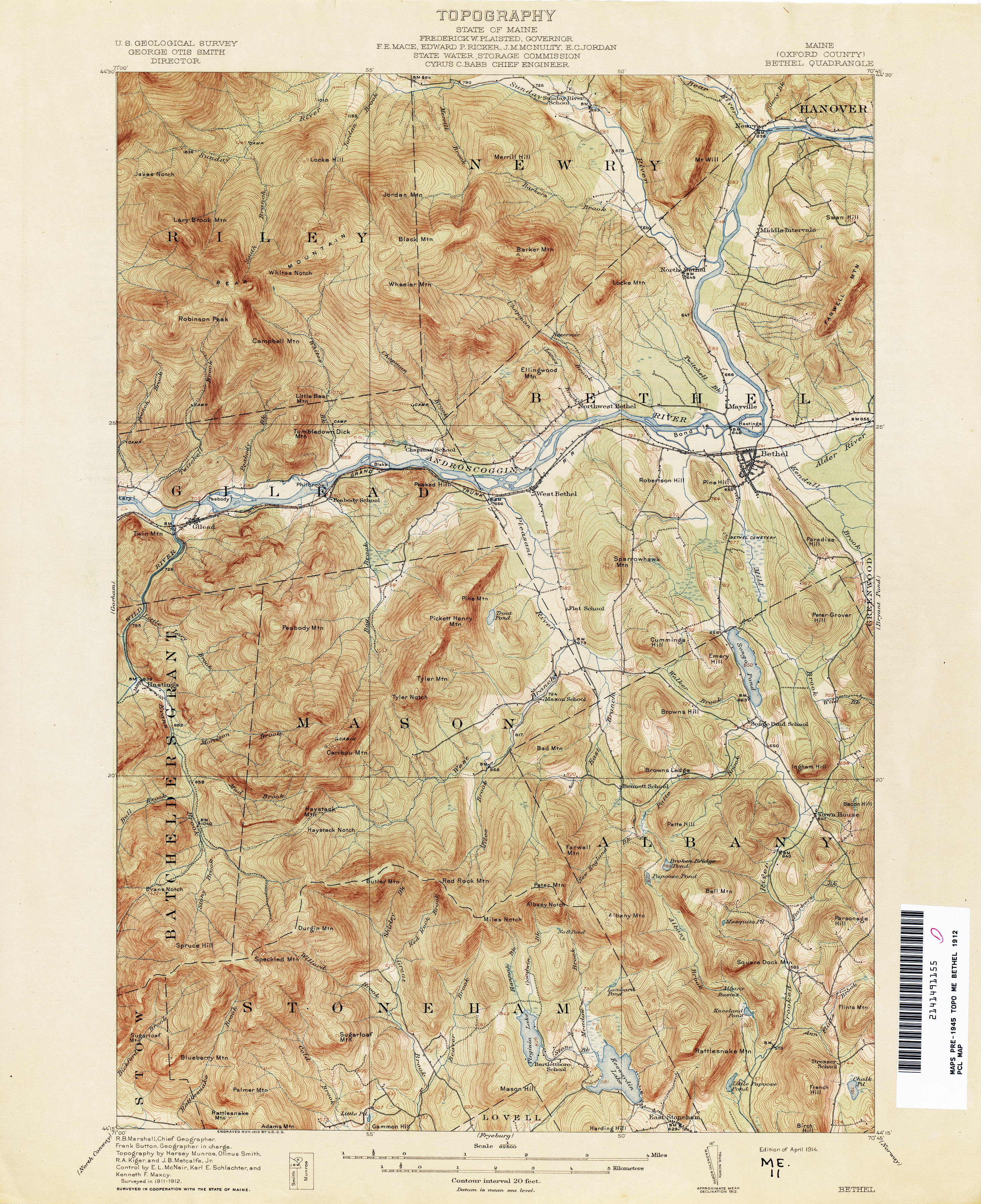
- Bethel 1912 1:62,500 (4.0MB)
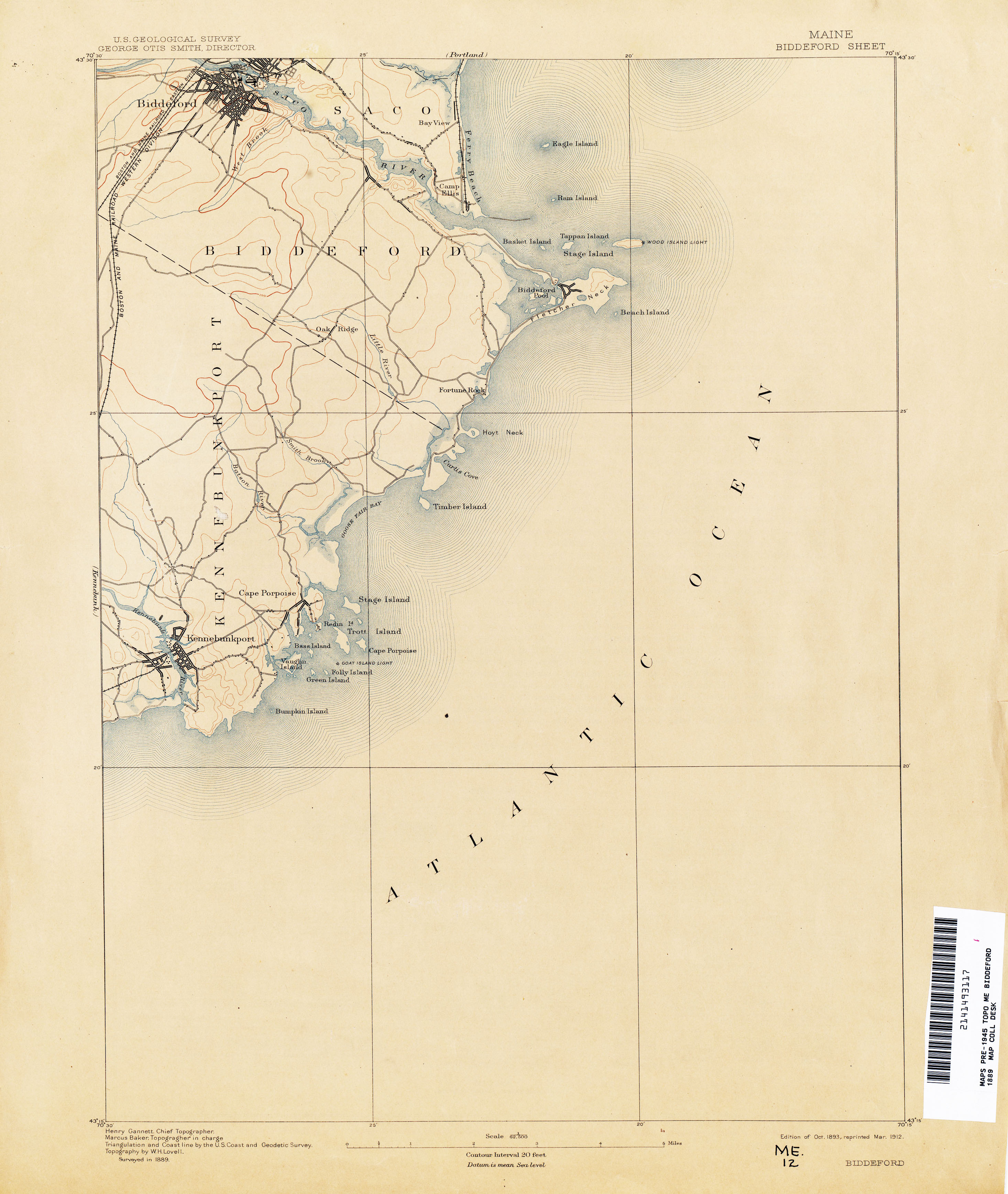
- Biddeford 1889 1:62,500 (1.6MB)
- Biddeford 1941 1:62,500 (2.1MB)
- Big Lake 1941 1:62,500 (3.4MB)
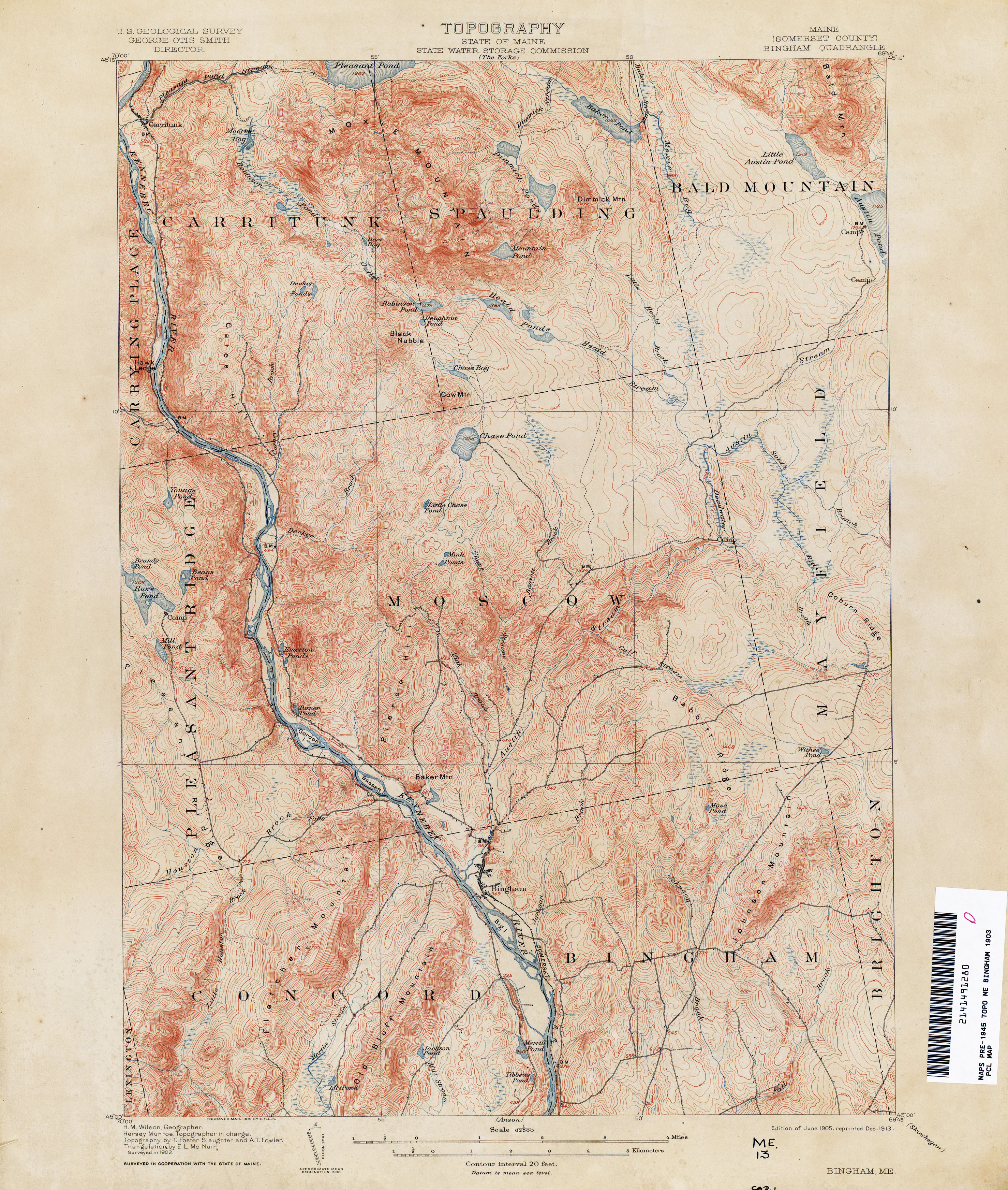
- Bingham 1903 1:62,500 (3.9MB)
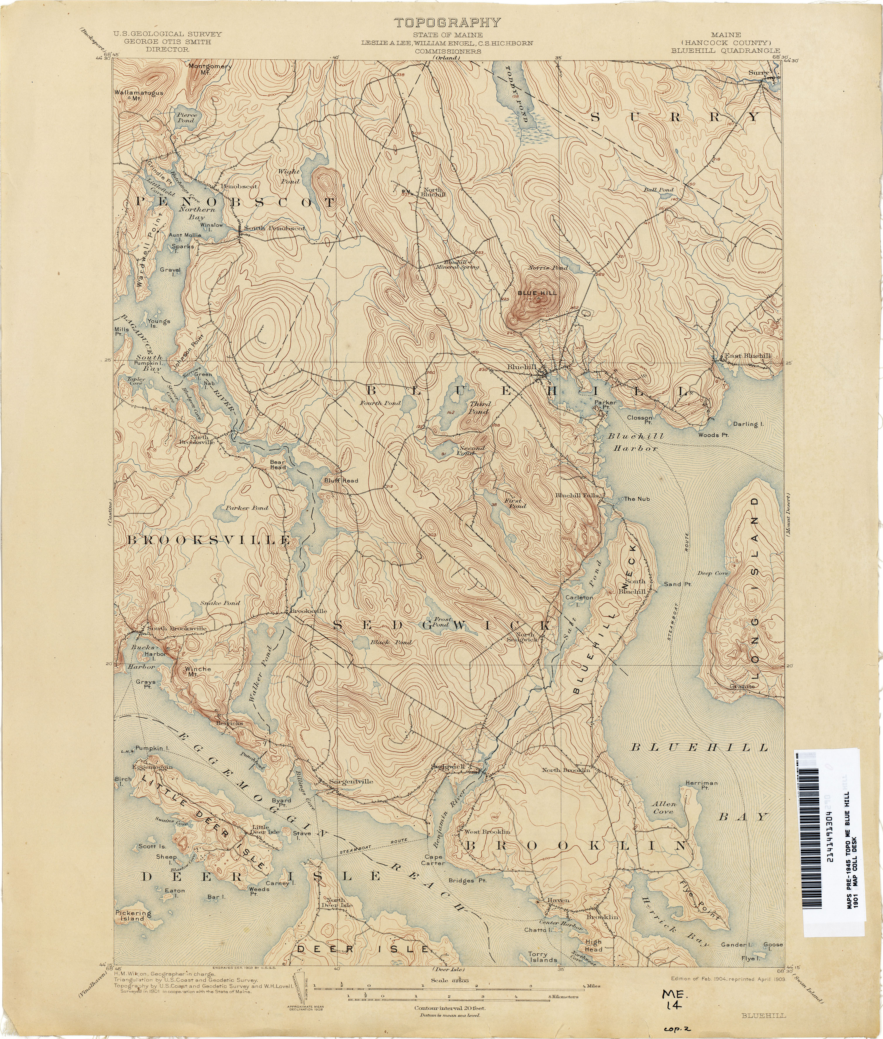
- Blue Hill 1901 1:62,500 (3.3MB)
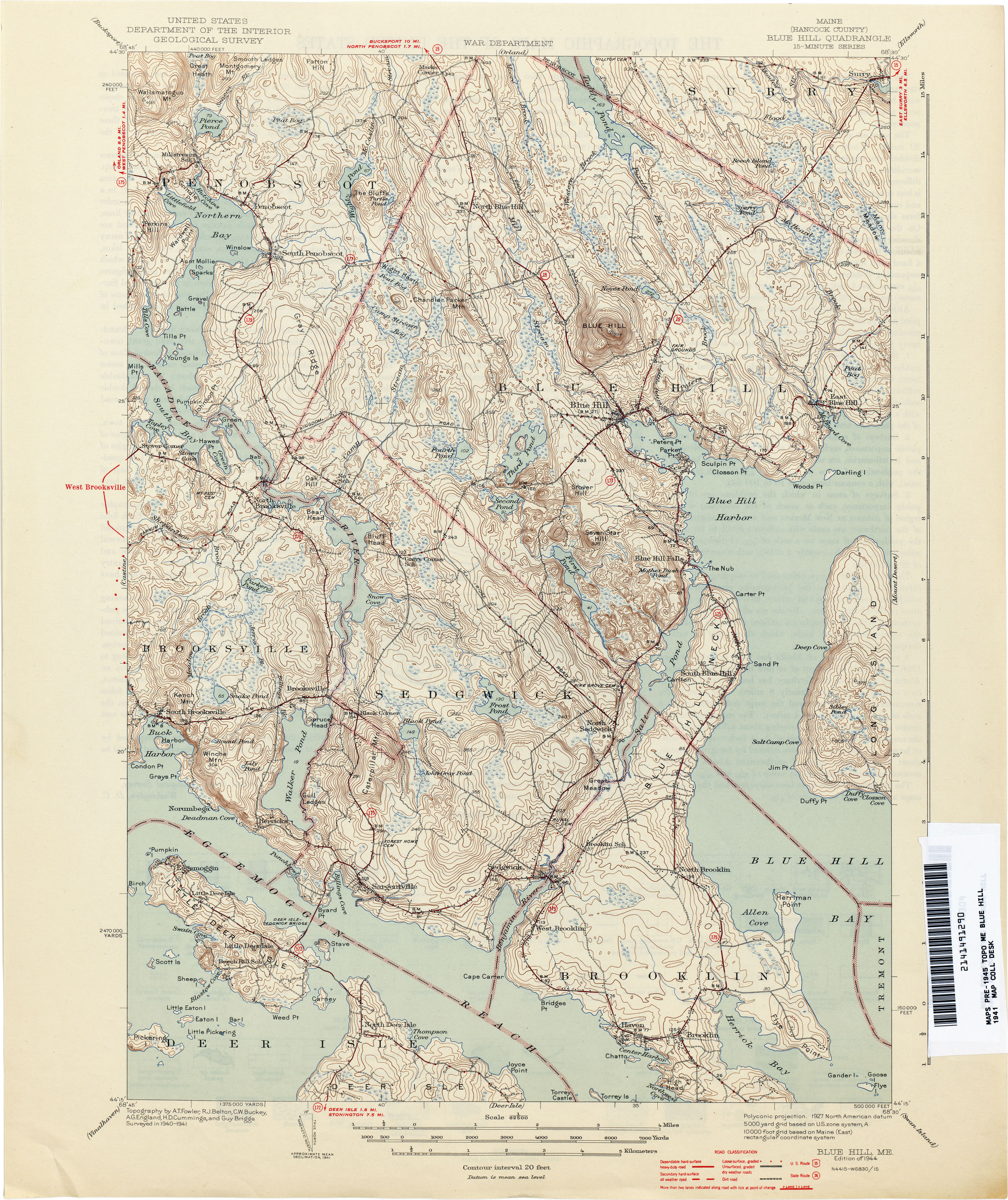
- Blue Hill 1941 1:62,500 (3.9MB)
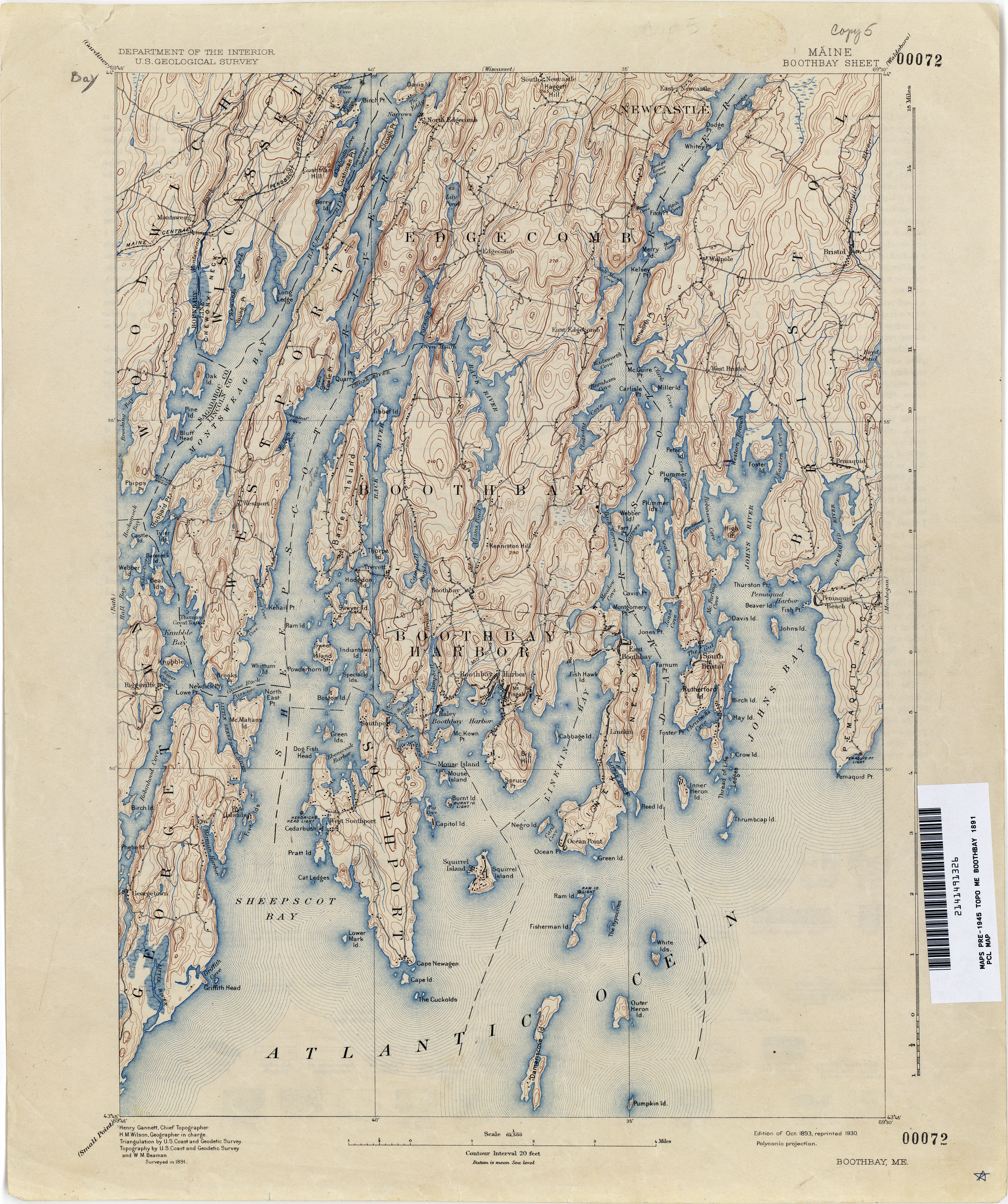
- Boothbay 1891 1:62,500 (3.9MB)
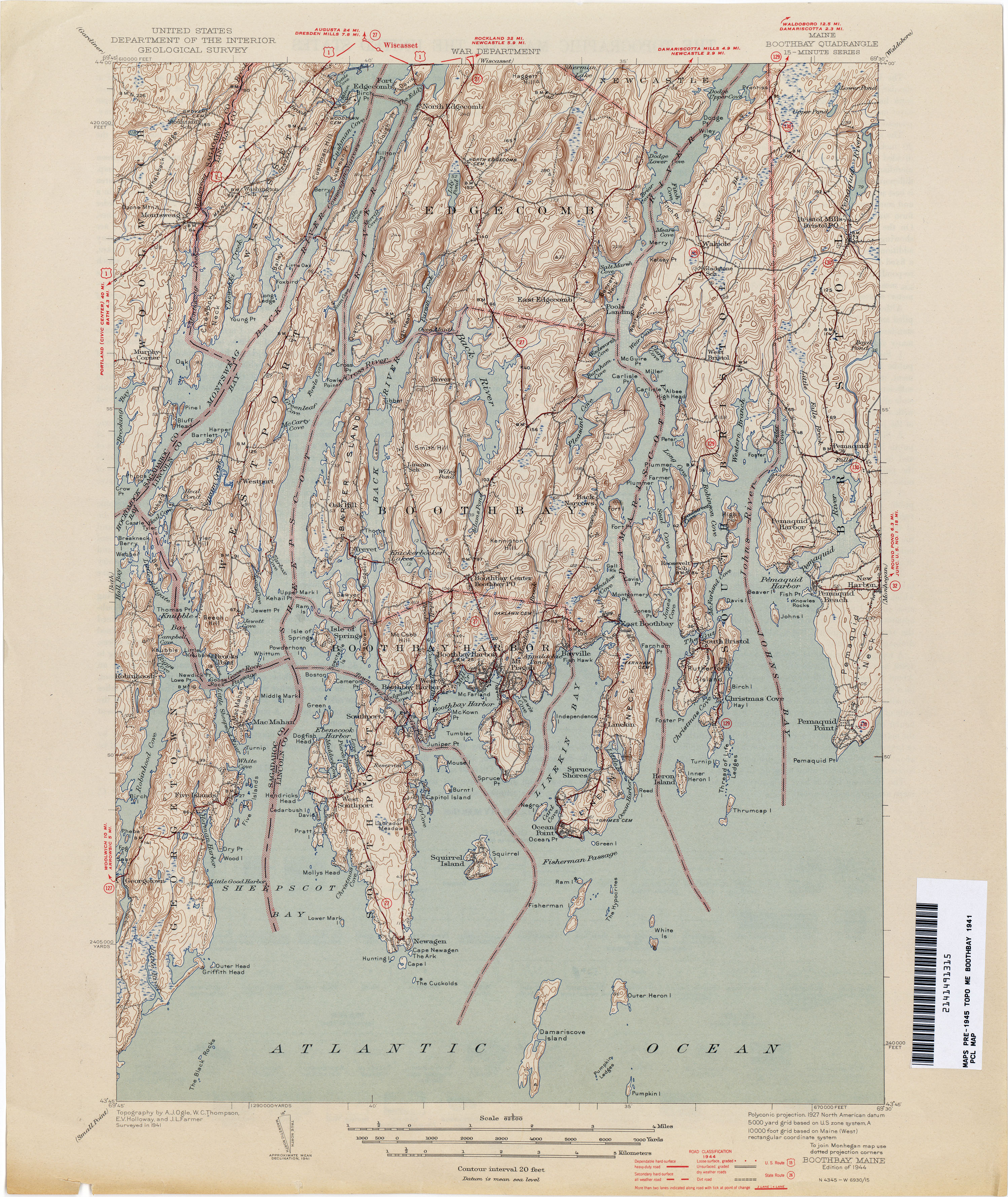
- Boothbay 1941 1:62,500 (3.7MB)
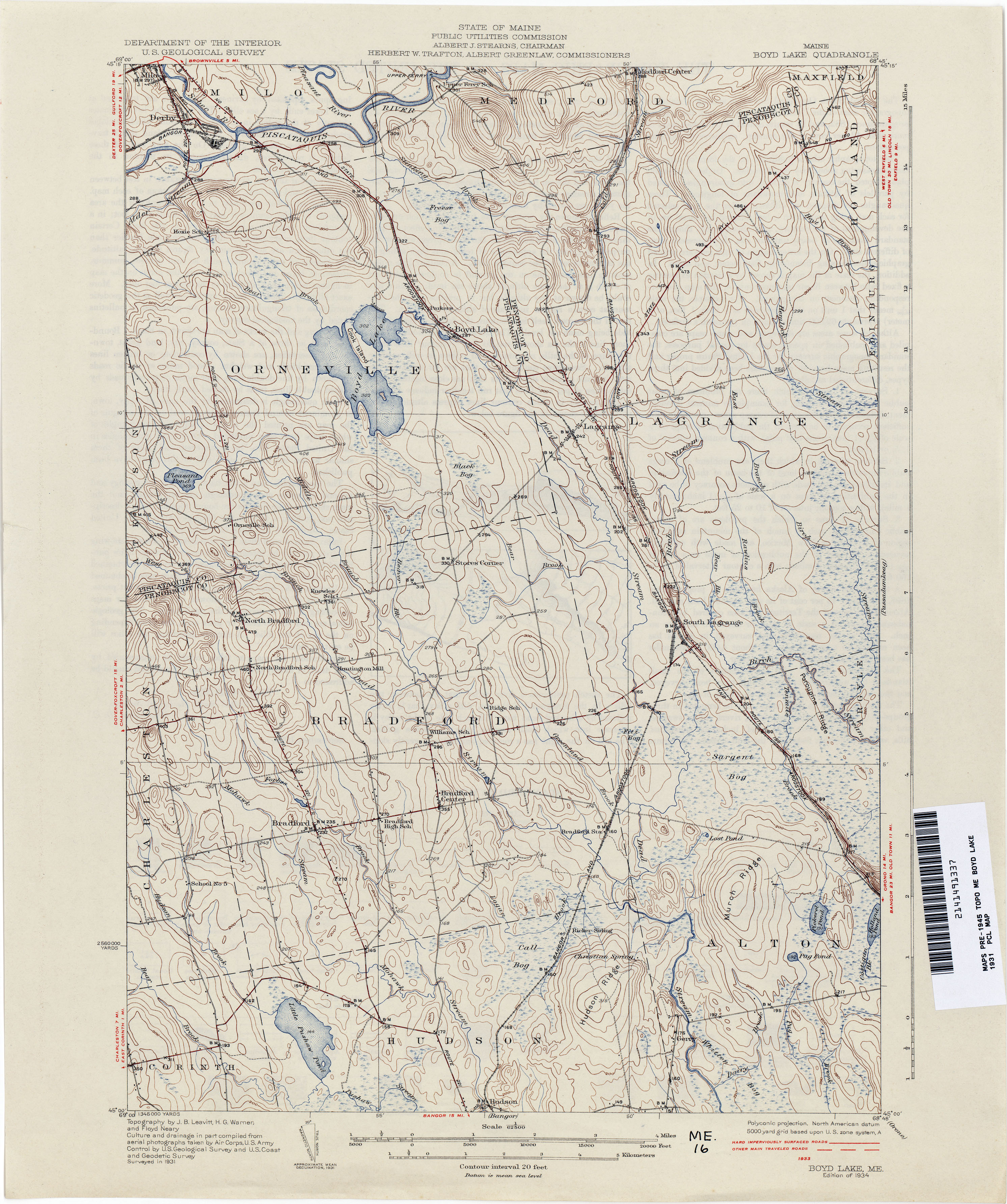
- Boyd Lake 1931 1:62,500 (3.2MB)
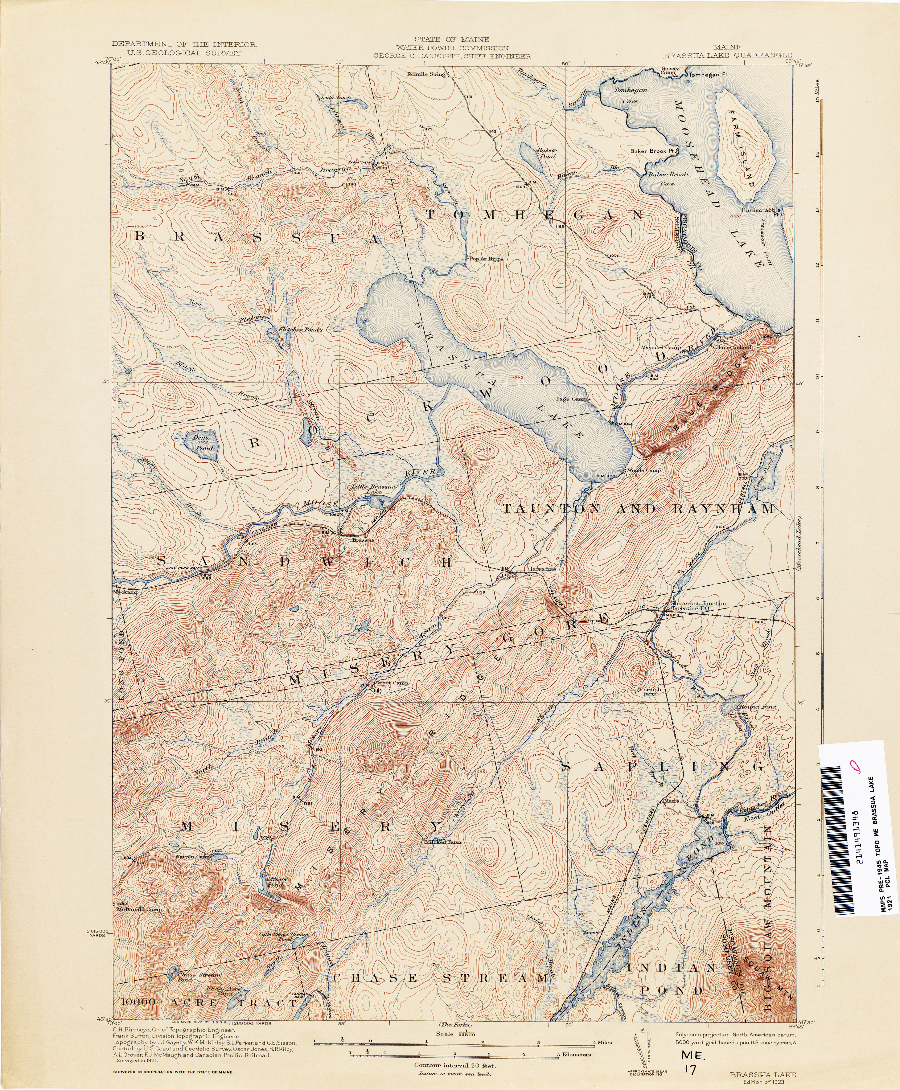
- Brassua Lake 1921 1:62,500 (3.7MB)
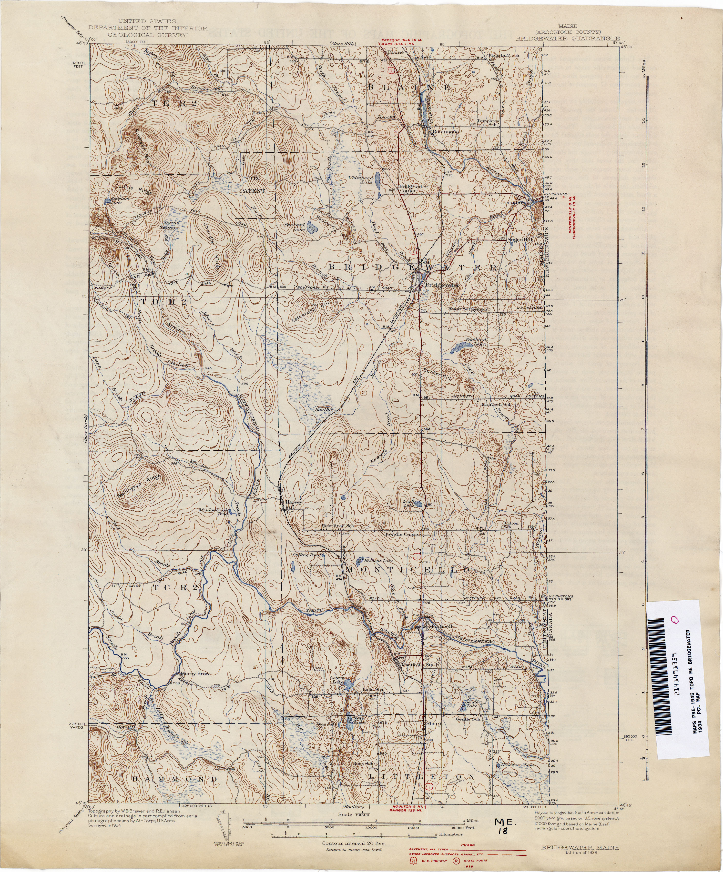
- Bridgewater 1934 1:62,500 (3.1MB)
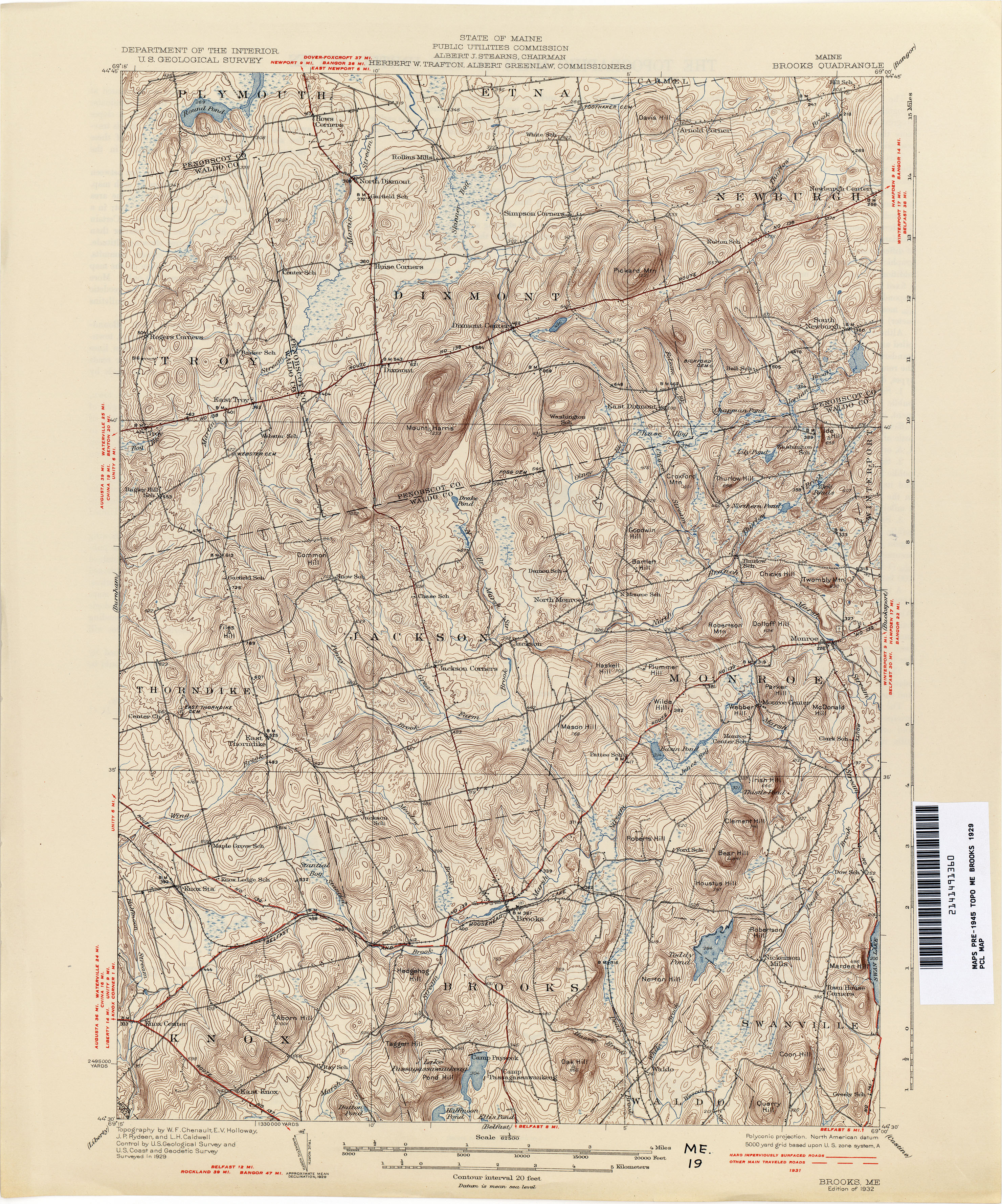
- Brooks 1929 1:62,500 (4.6MB)
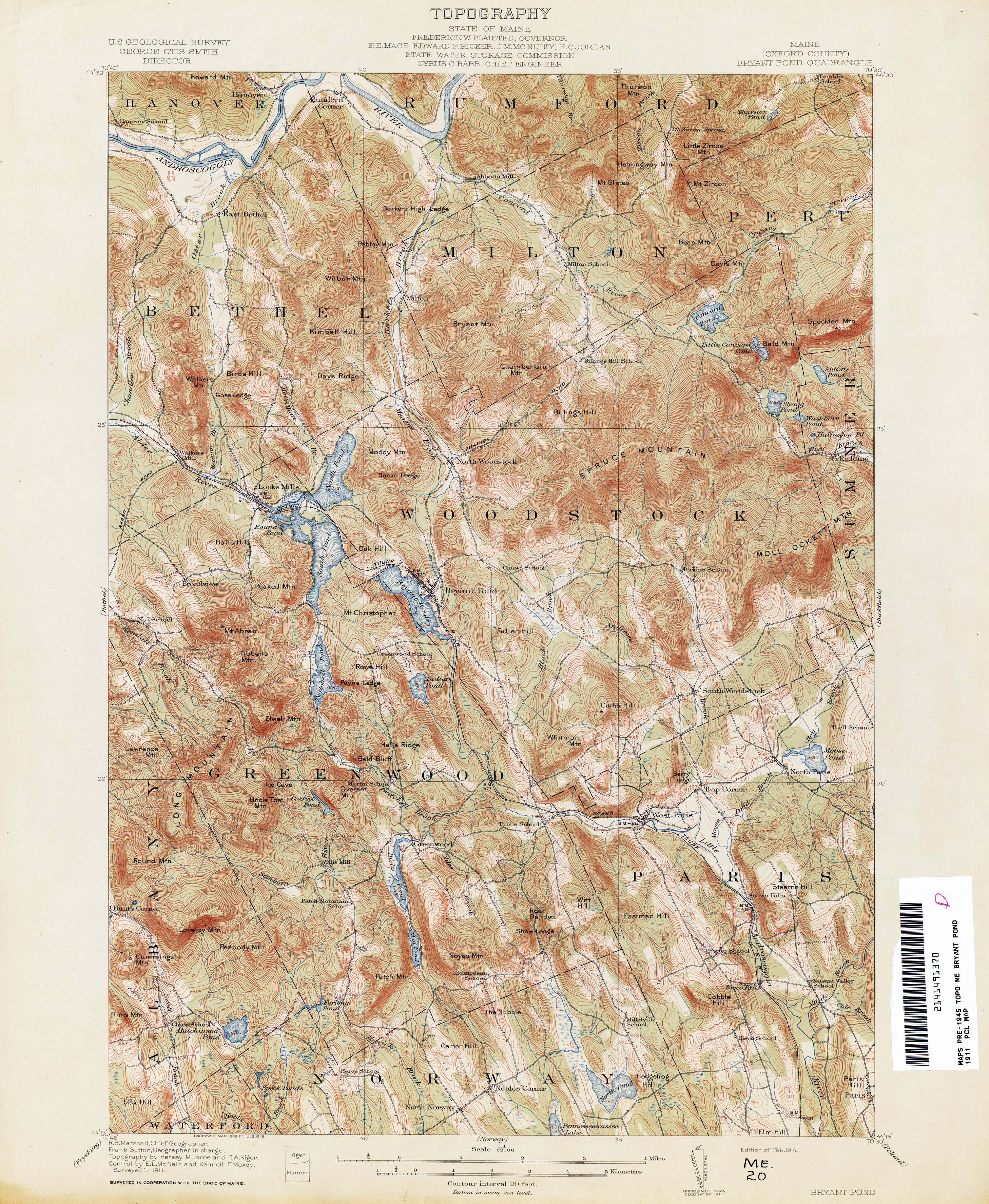
- Bryant Pond 1911 1:62,500 (4.4MB)
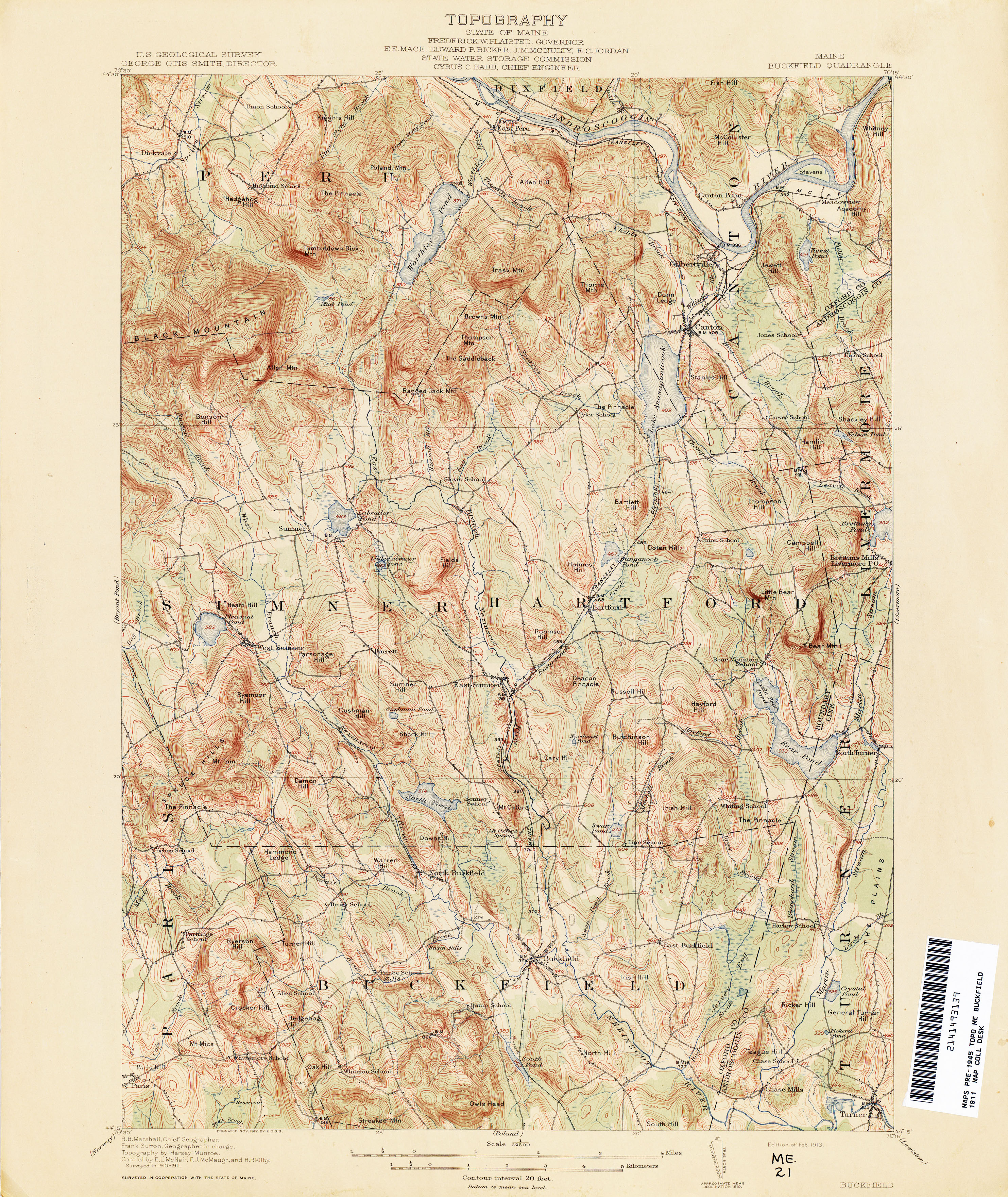
- Buckfield 1911 1:62,500 (4.1MB)
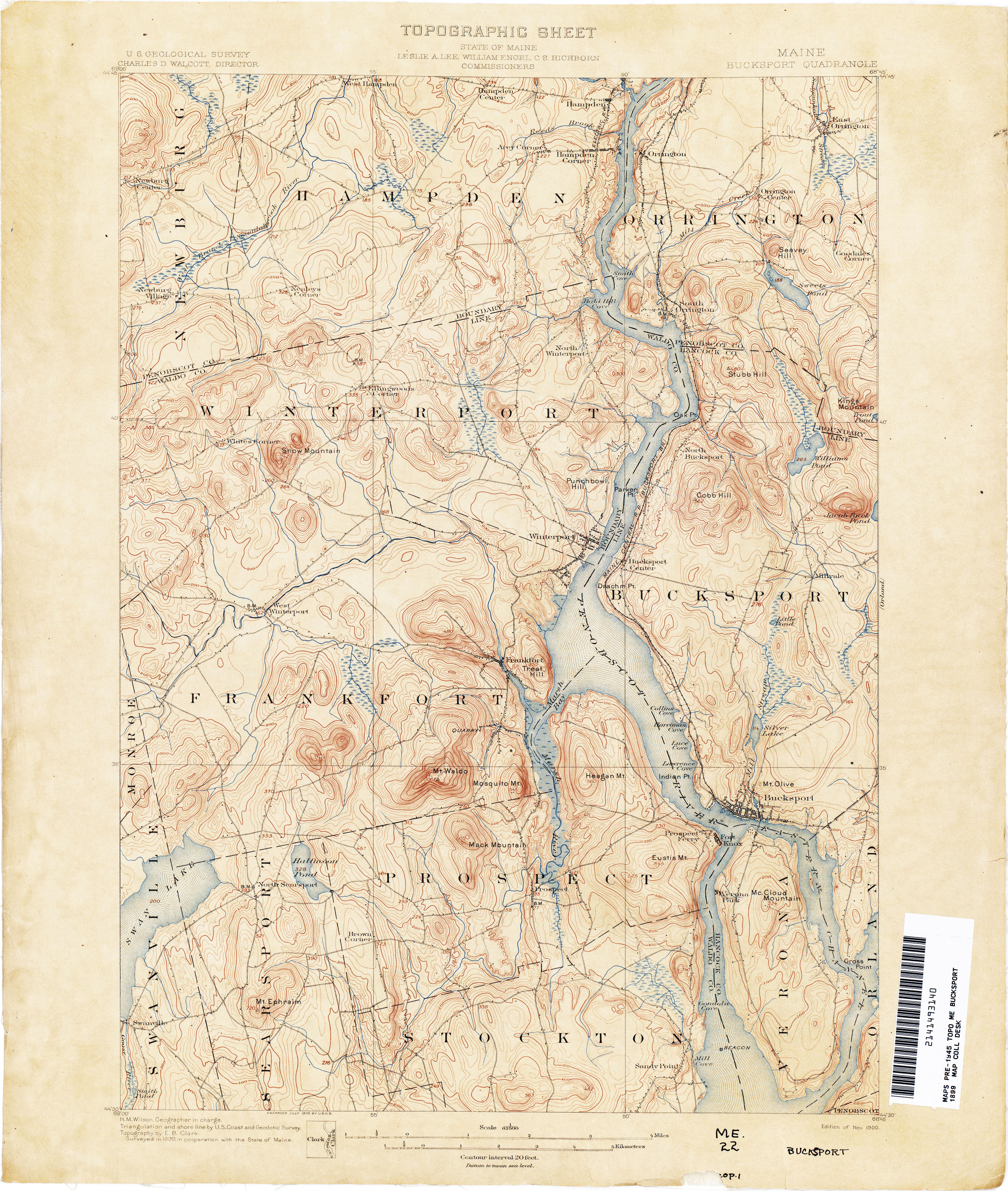
- Bucksport 1899 1:62,500 (3.6MB)
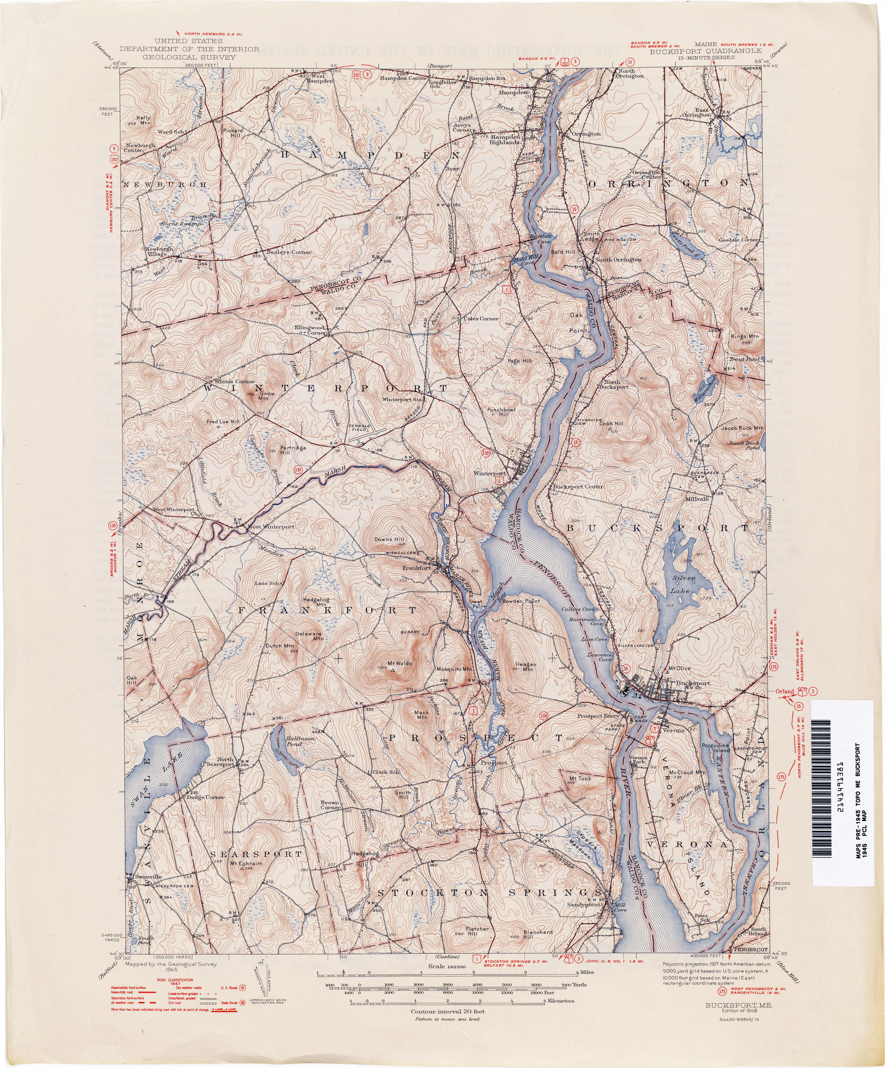
- Bucksport 1945 1:62,500 (4.1MB)
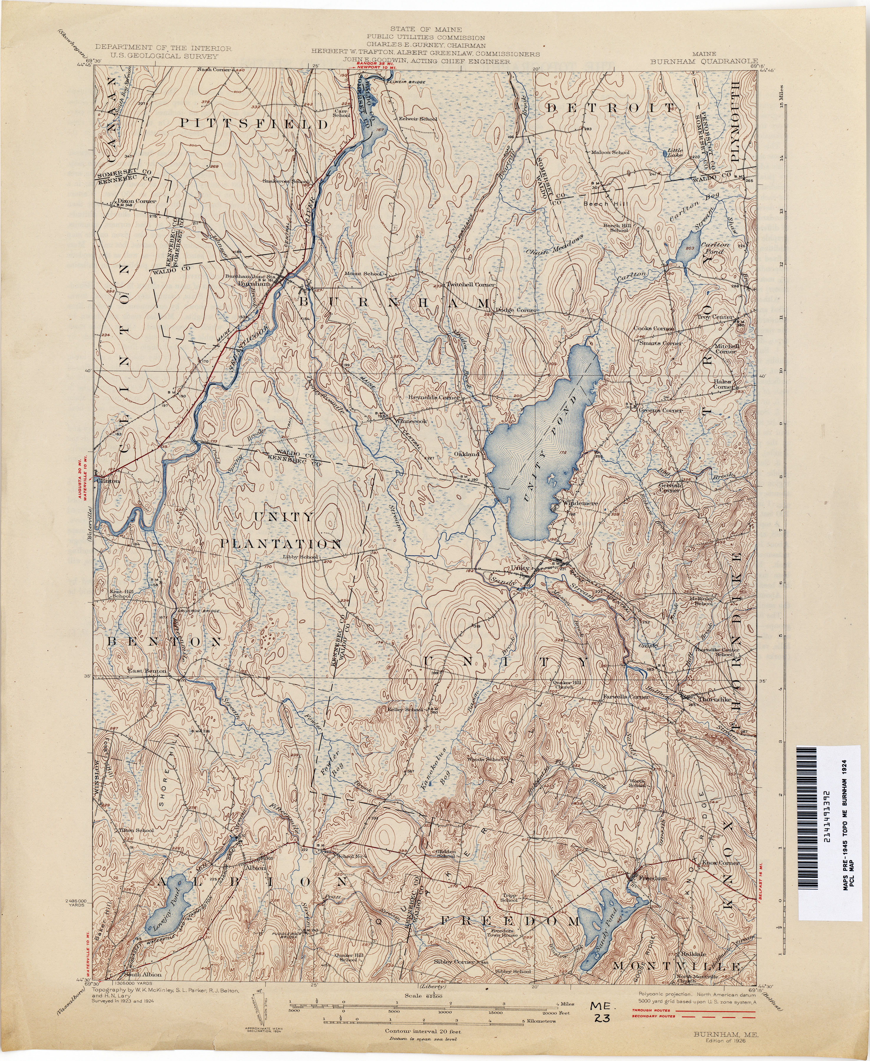
- Burnham 1924 1:62,500 (3.8MB)
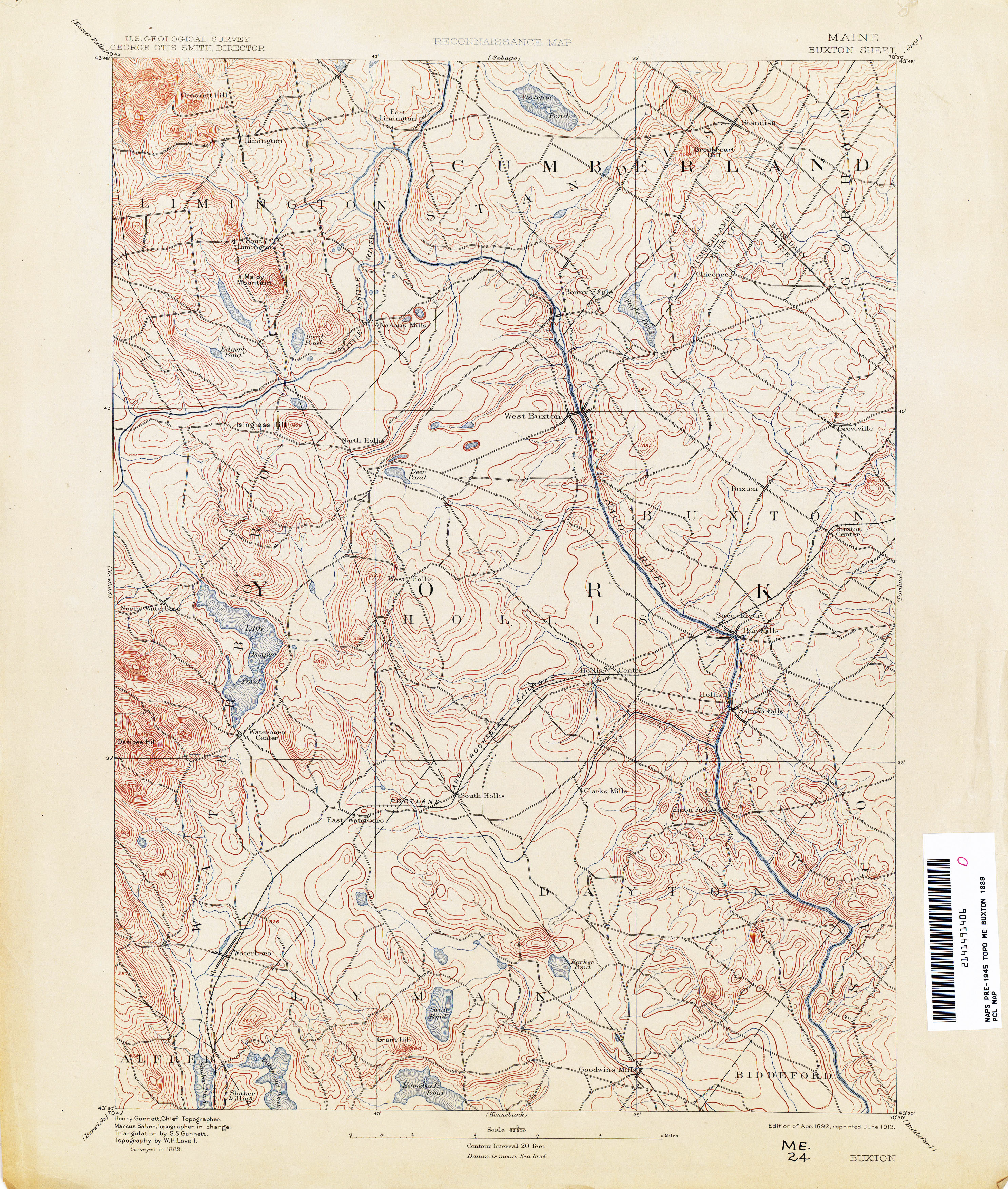
- Buxton 1889 1:62,500 (3.4MB)
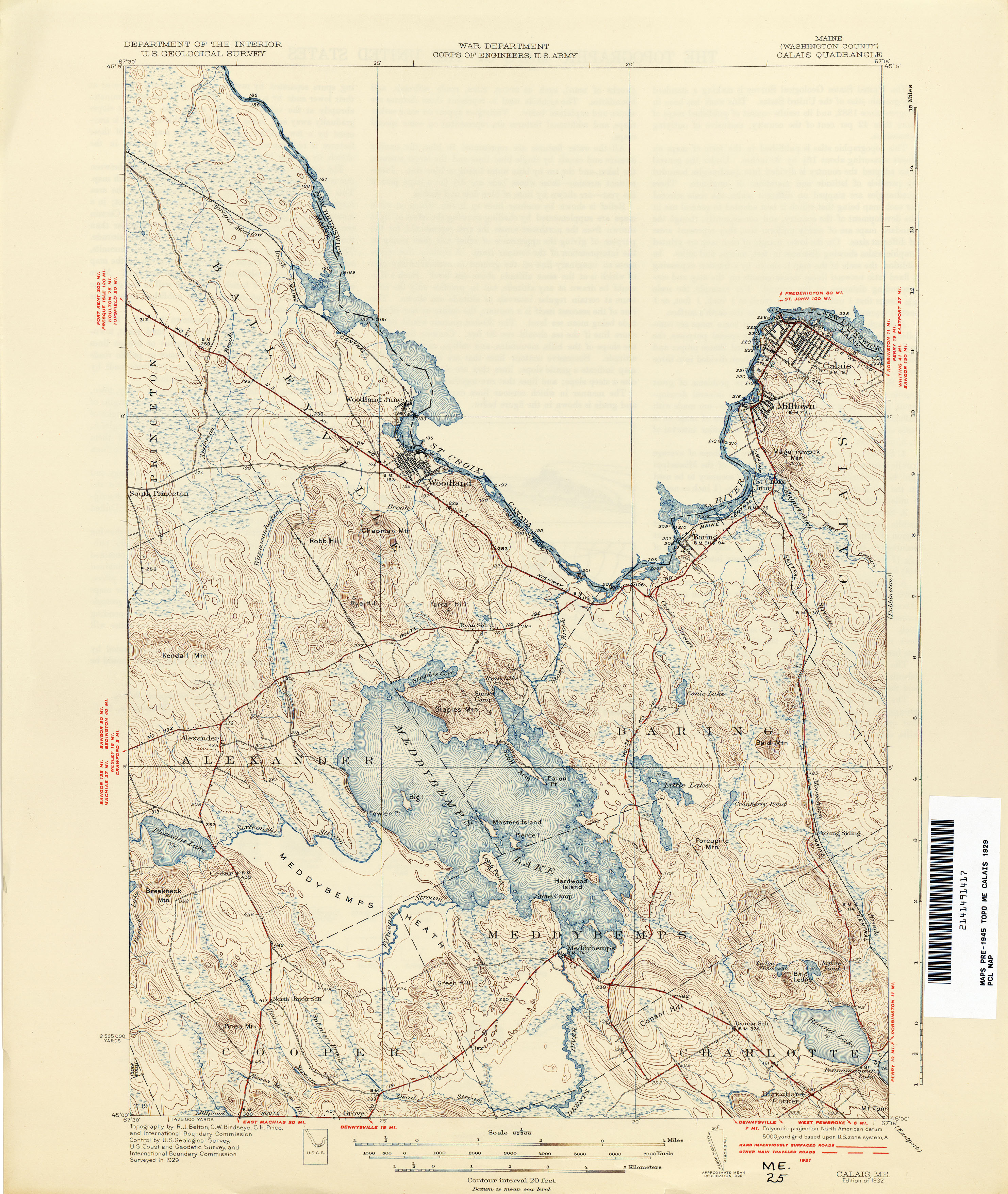
- Calais 1929 1:62,500 (3.1MB)
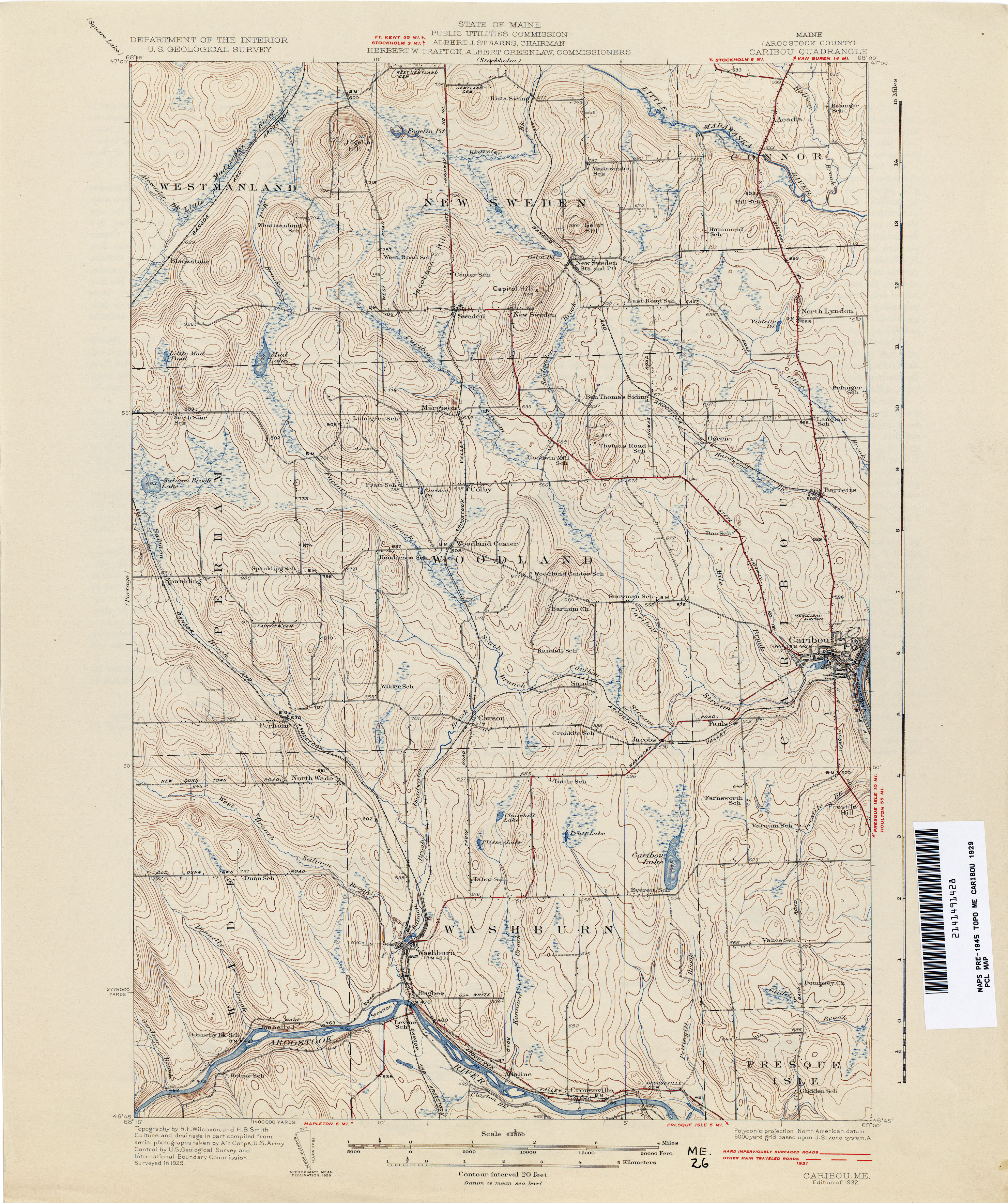
- Caribou 1929 1:62,500 (3.4MB)
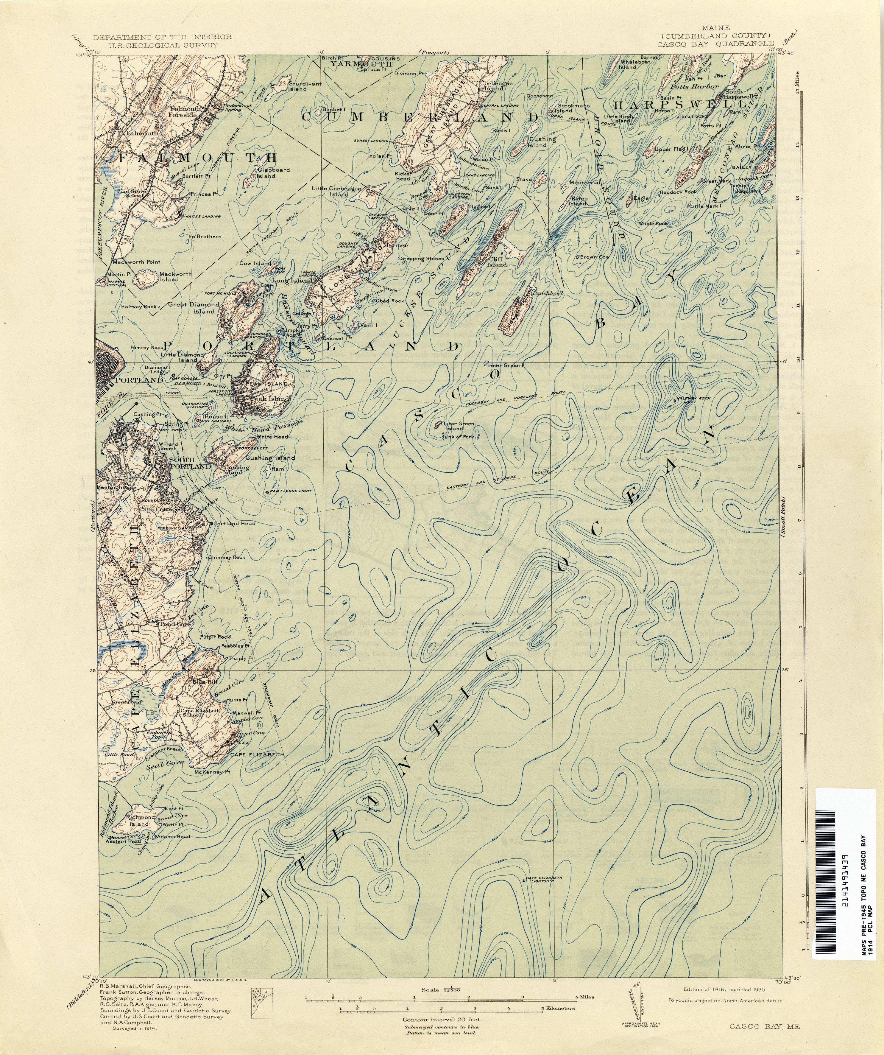
- Casco Bay 1914 1:62,500 (2.9MB)
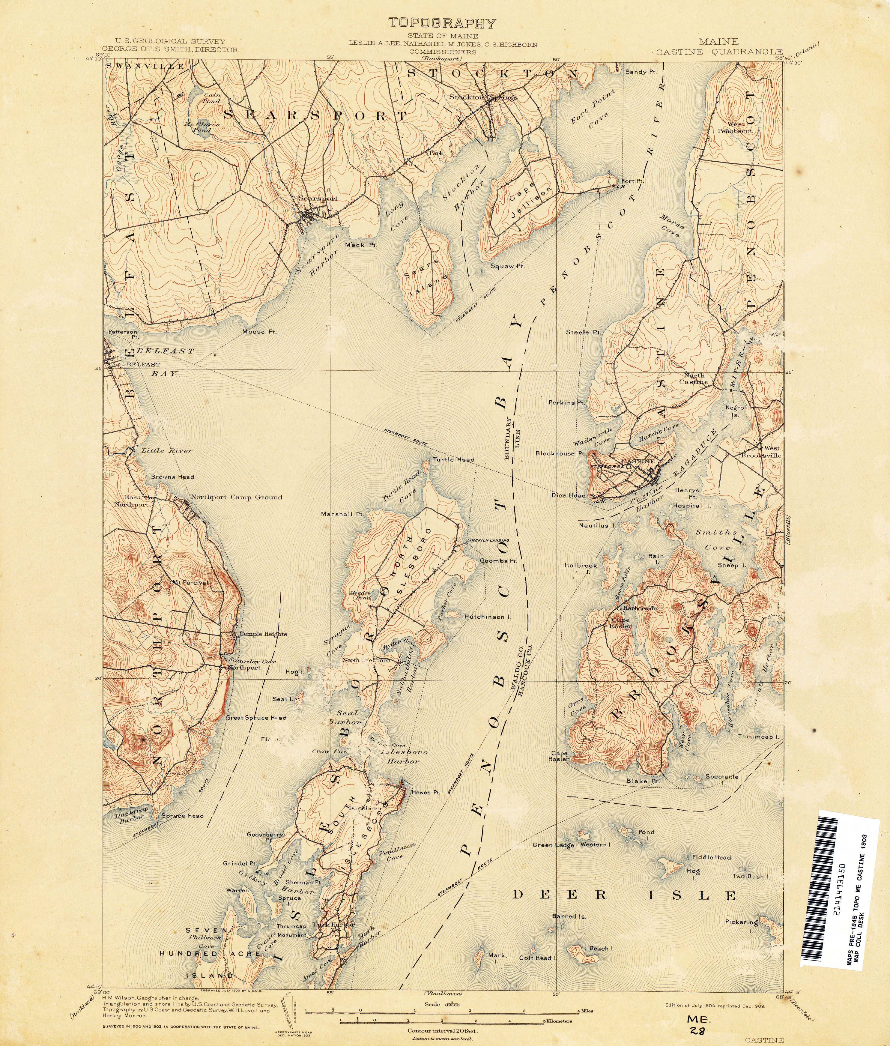
- Castine 1903 1:62,500 (3.2MB)
- Castine 1941 1:62,500 (2.8MB)
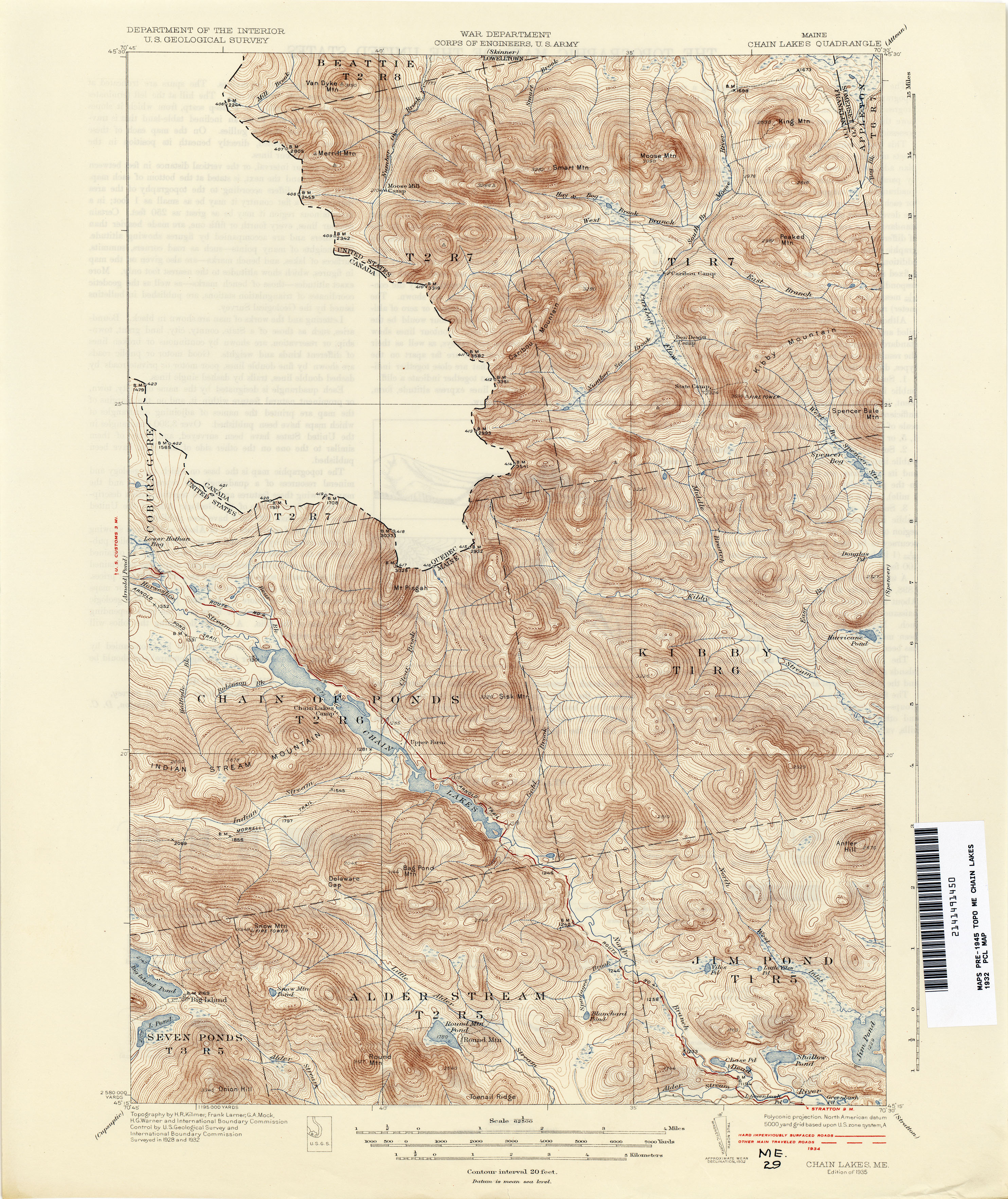
- Chain Lakes 1932 1:62,500 (4.2MB)
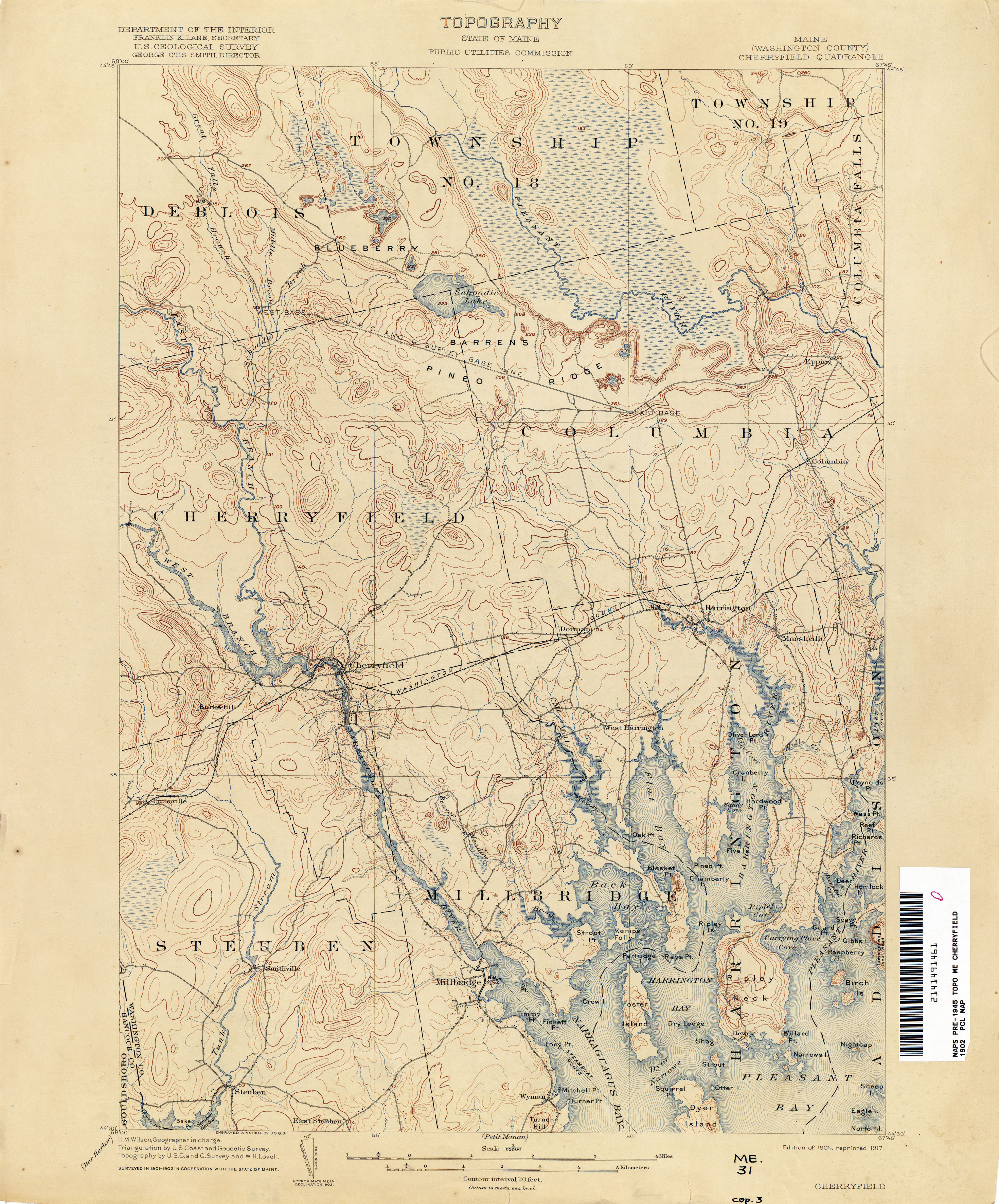
- Cherryfield1902 1:62,500 (3.2MB)
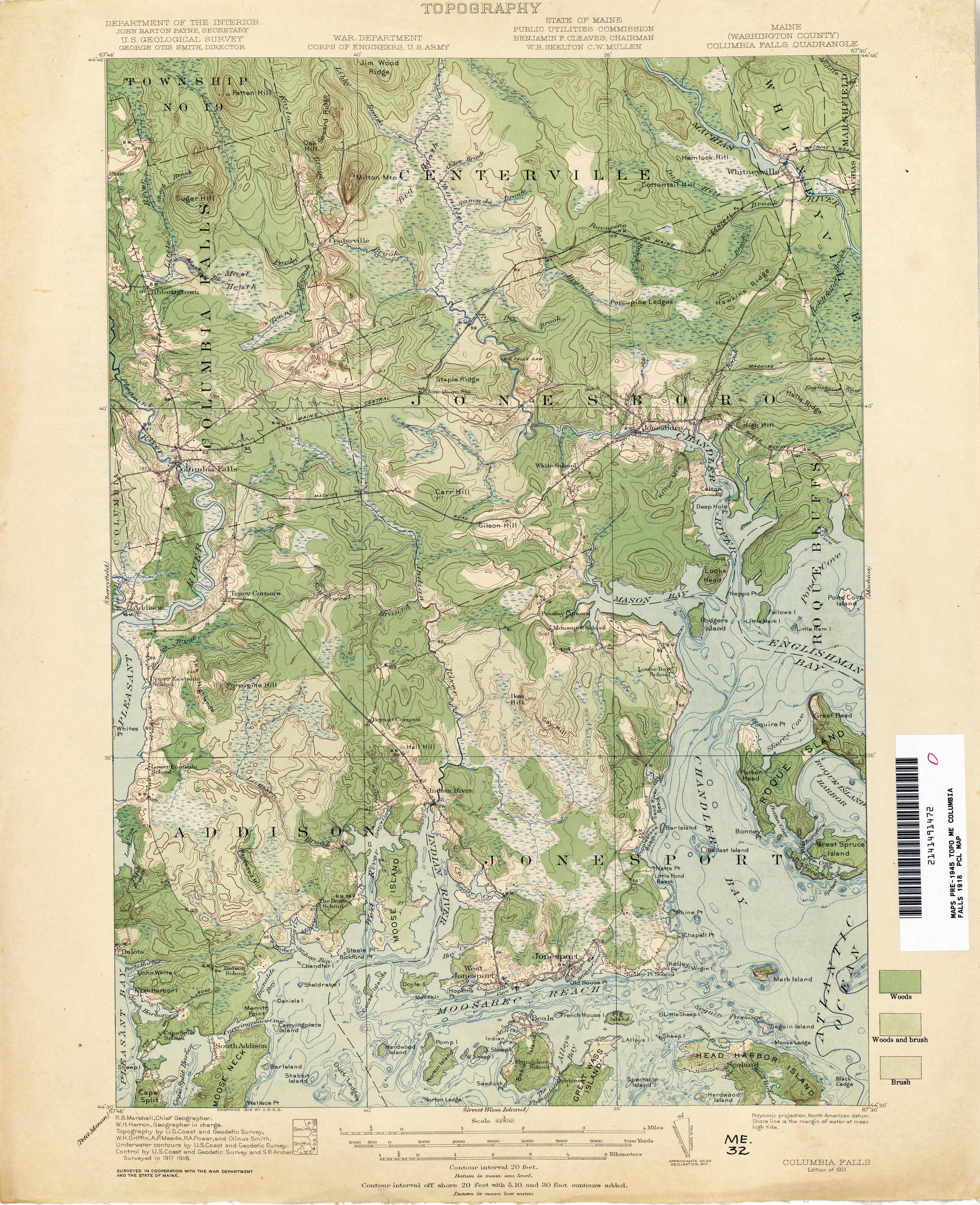
- Columbia Falls 1918 1:62,500 (3.5MB)
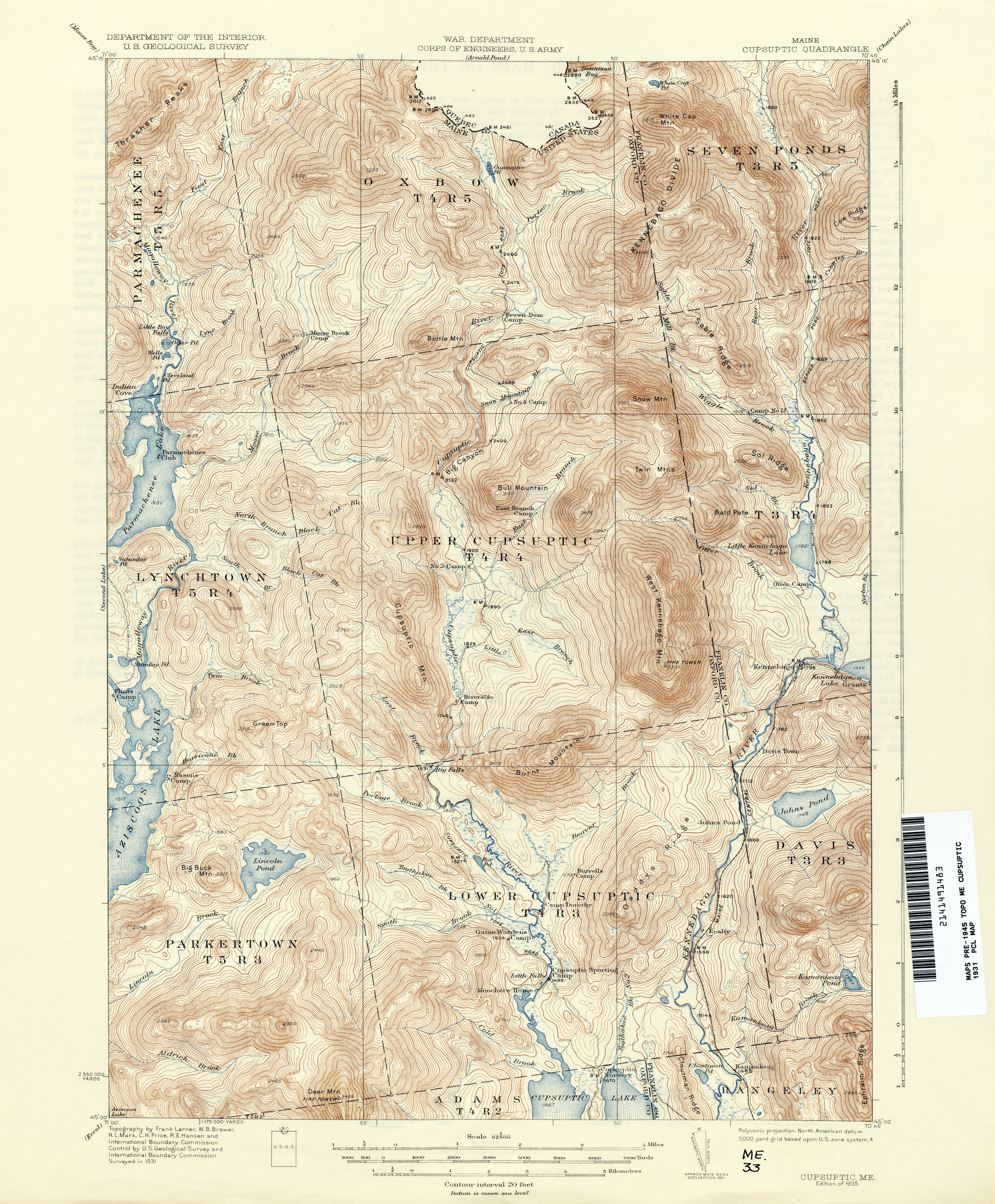
- Cupsuptic 1931 1:62,500 (4.5MB)
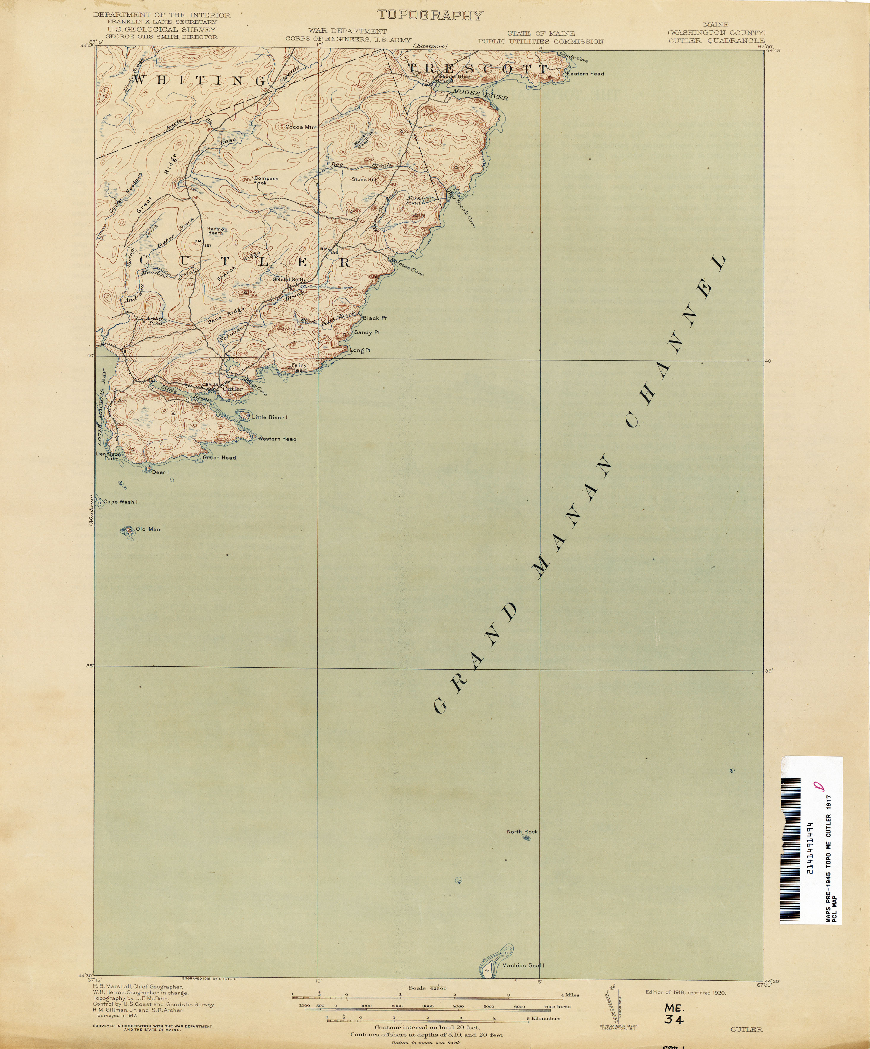
- Cutler 1917 1:62,500 (1.6MB)
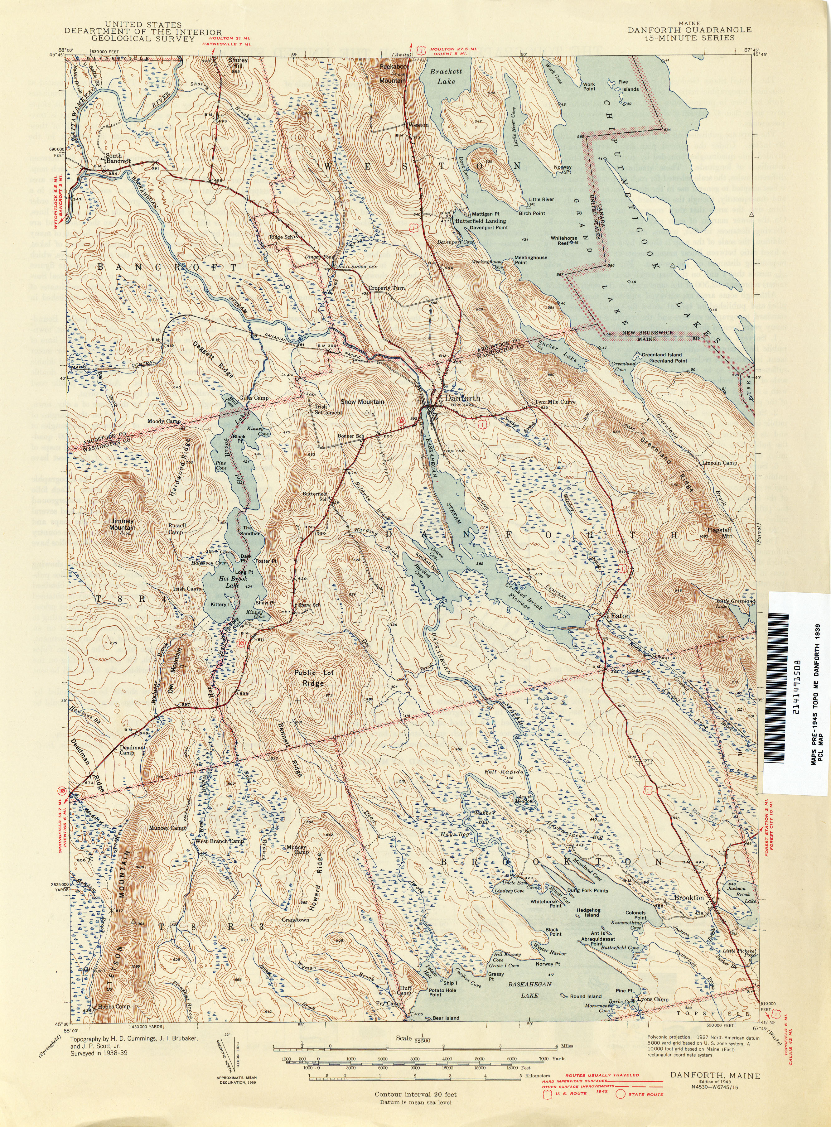
- Danforth 1939 1:62,500 (3.5MB)
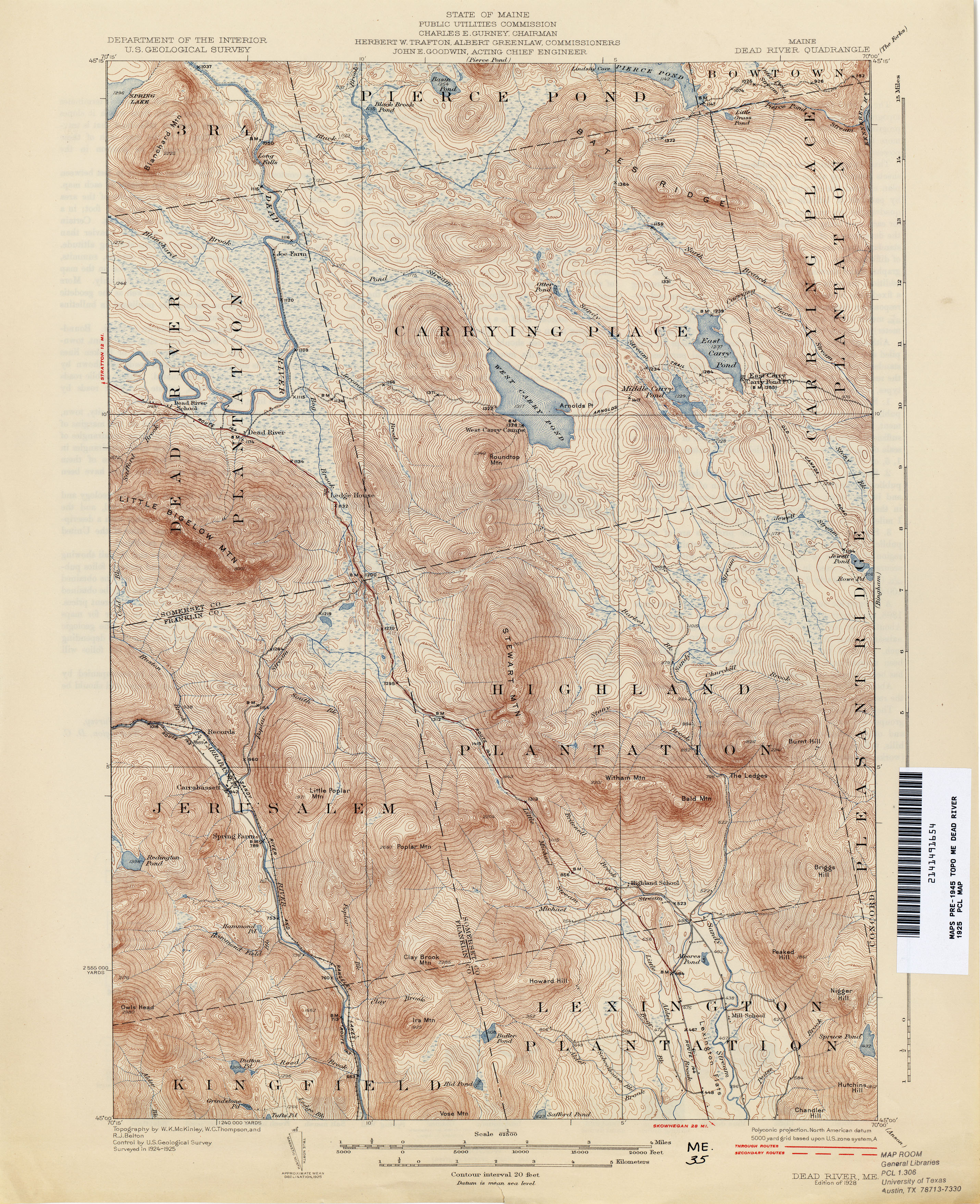
- Dead River 1925 1:62,500 (4.4MB)
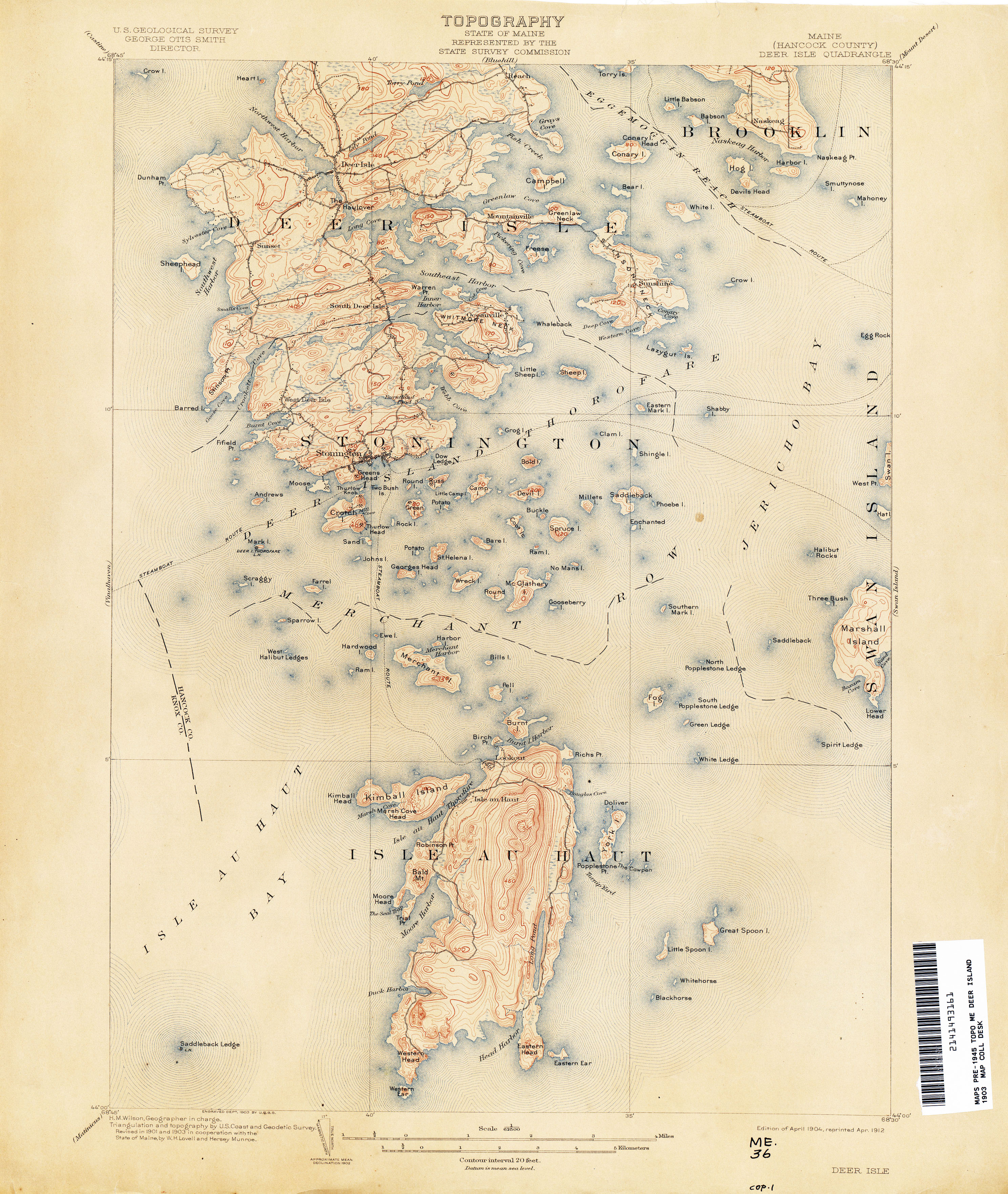
- Deer Isle 1903 1:62,500 (3.0MB)
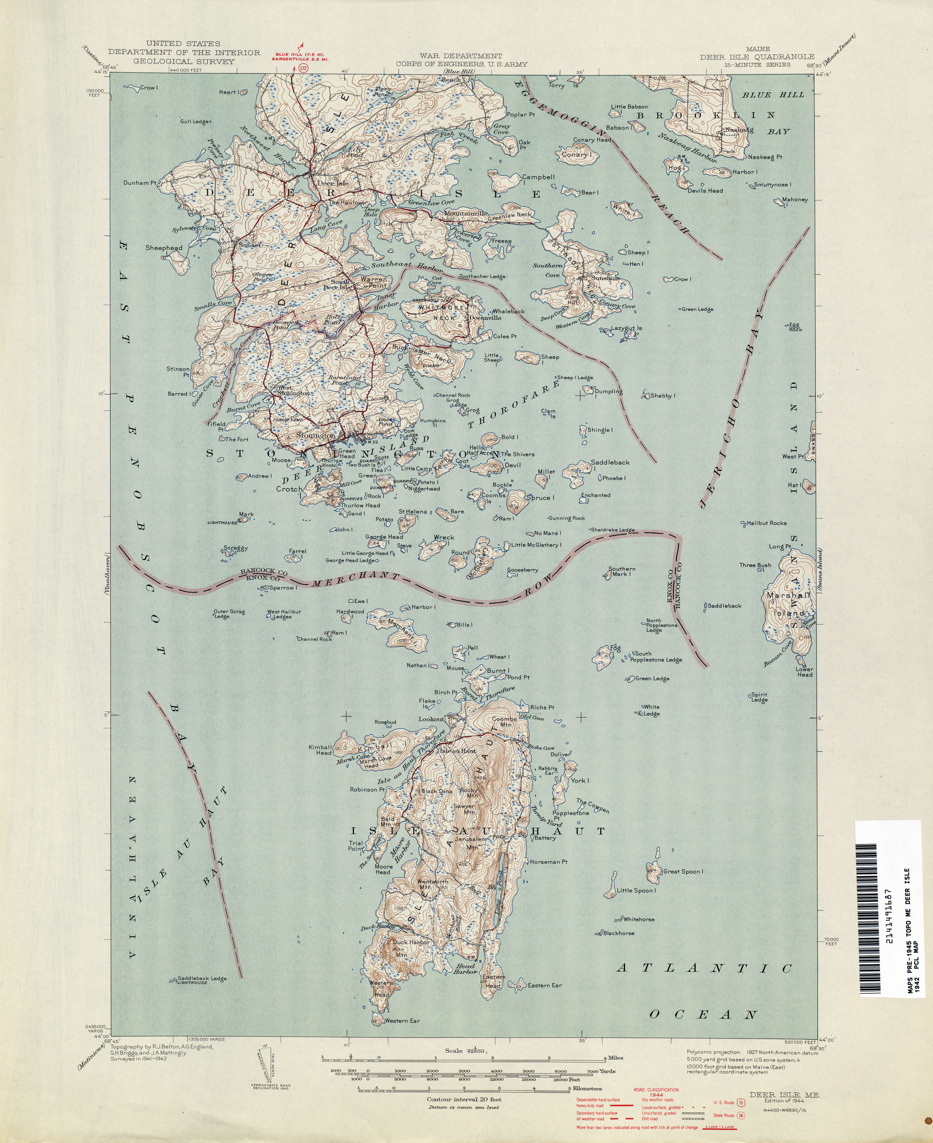
- Deer Isle 1942 1:62,500 (2.4MB)
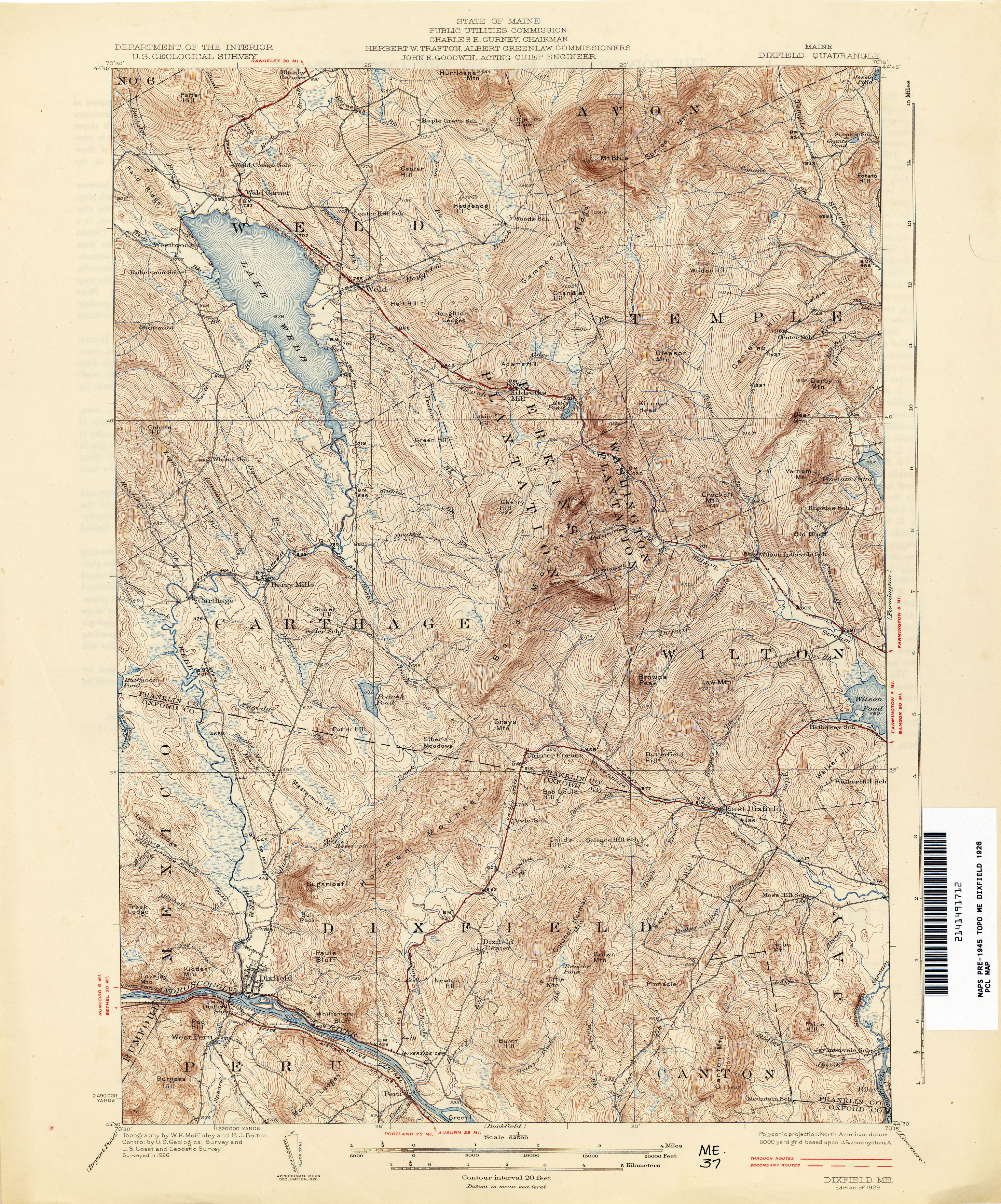
- Dixfield 1926 1:62,500 (4.9MB)
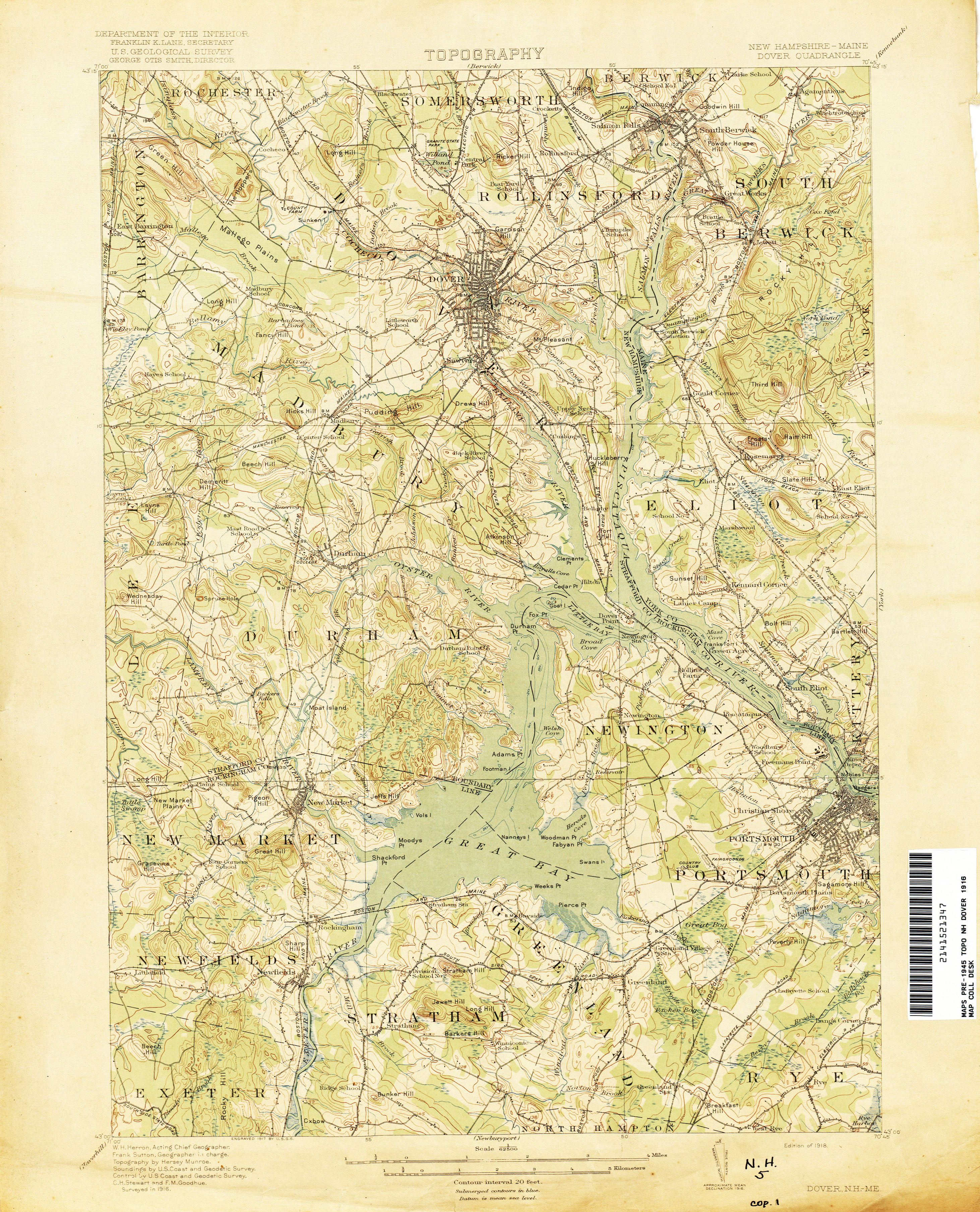
- Dover [New Hampshire, Maine] 1916 1:62,500 (3.4MB)
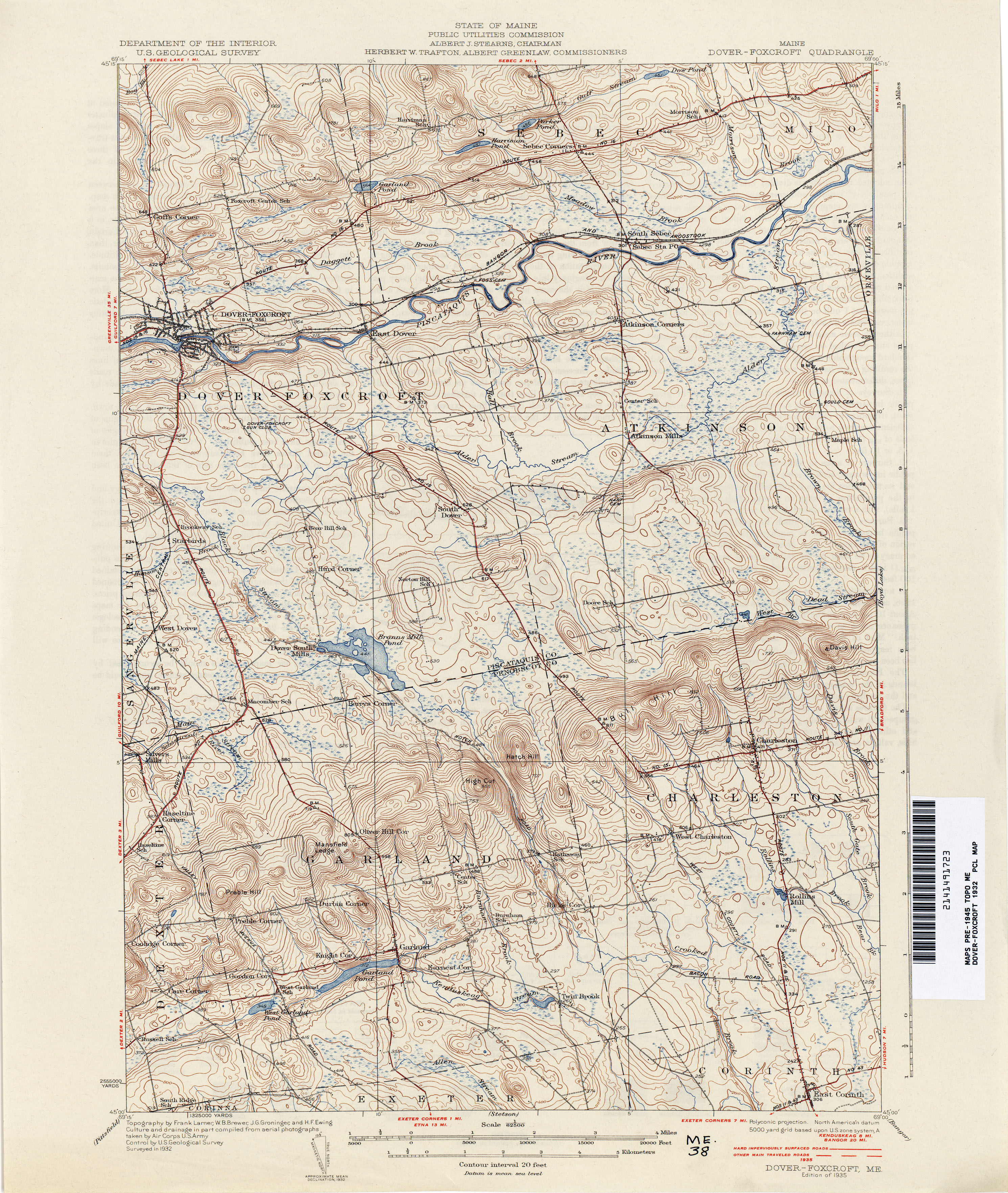
- Dover Foxcroft 1932 1:62,500 (3.8MB)
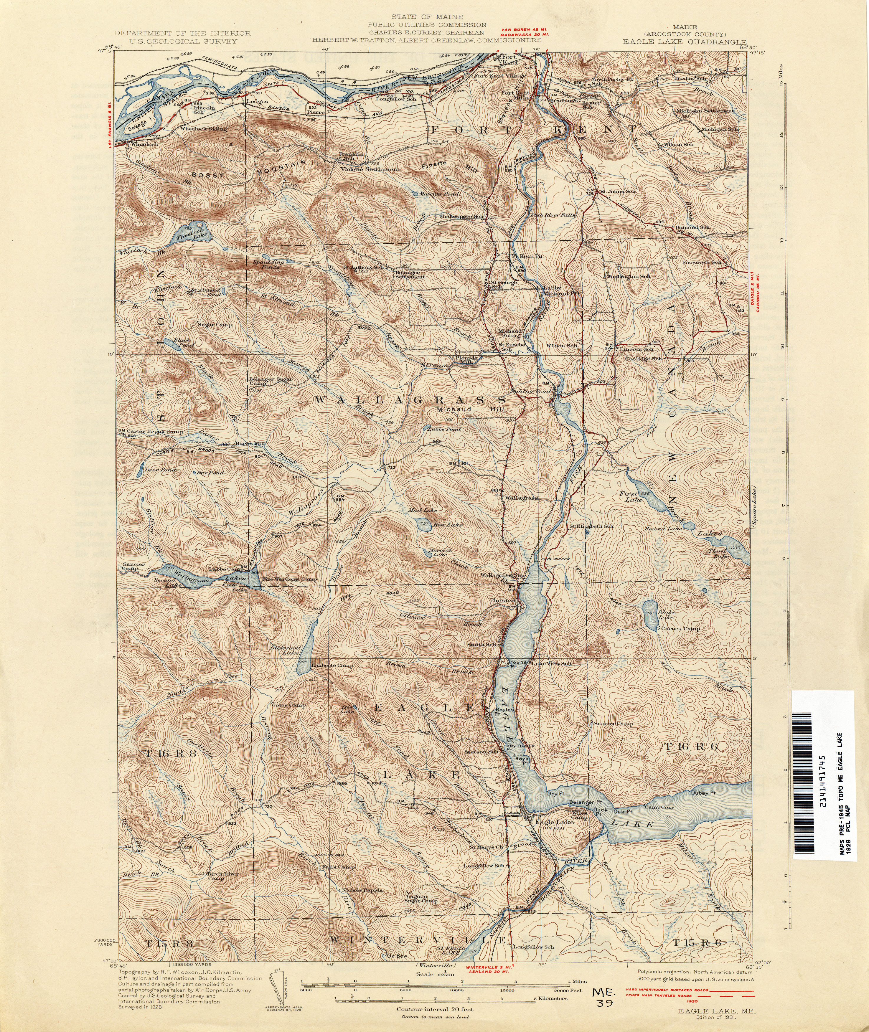
- Eagle Lake 1928 1:62,500 (4.4MB)
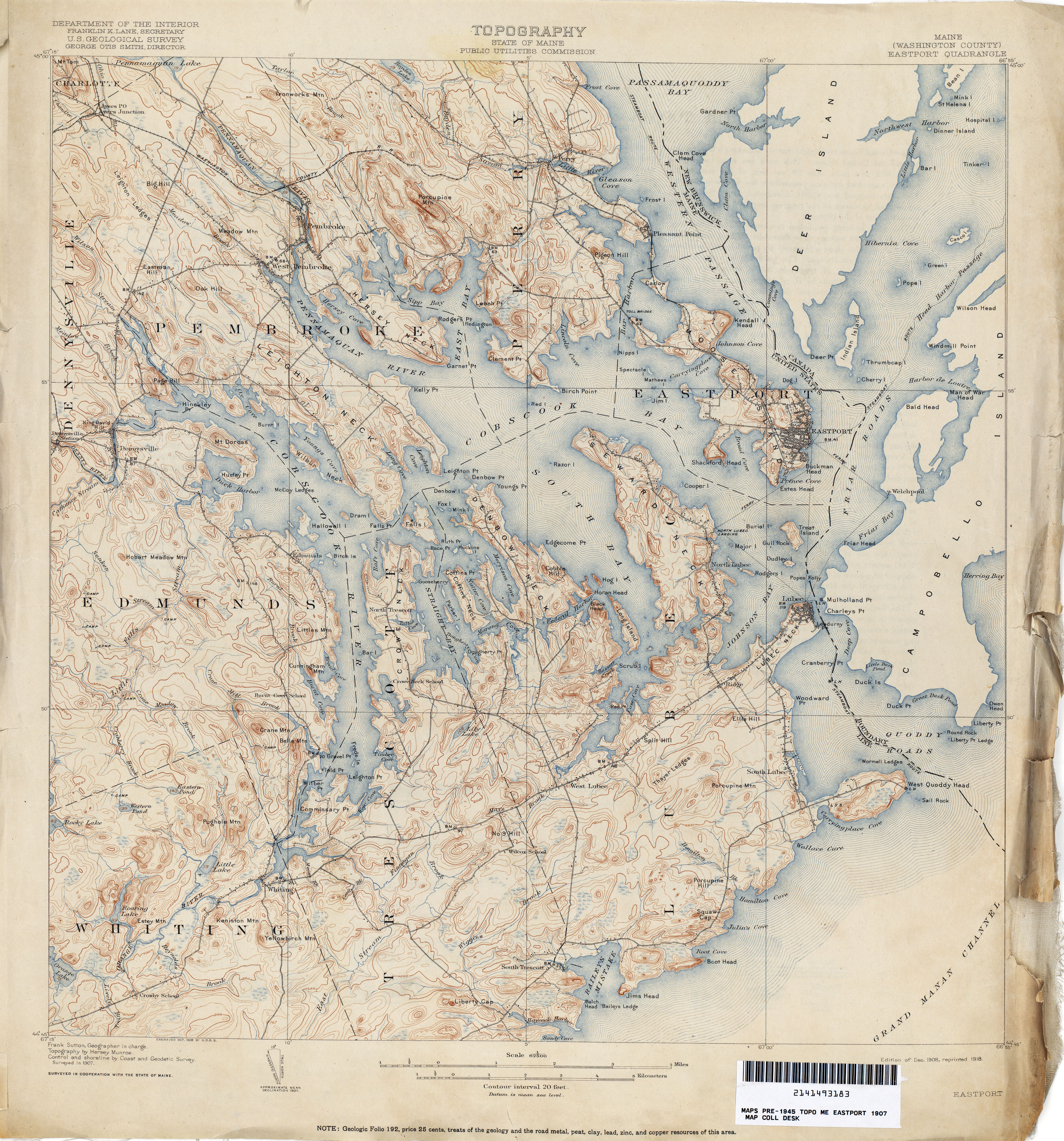
- Eastport 1907 1:62,500 (4.4MB)
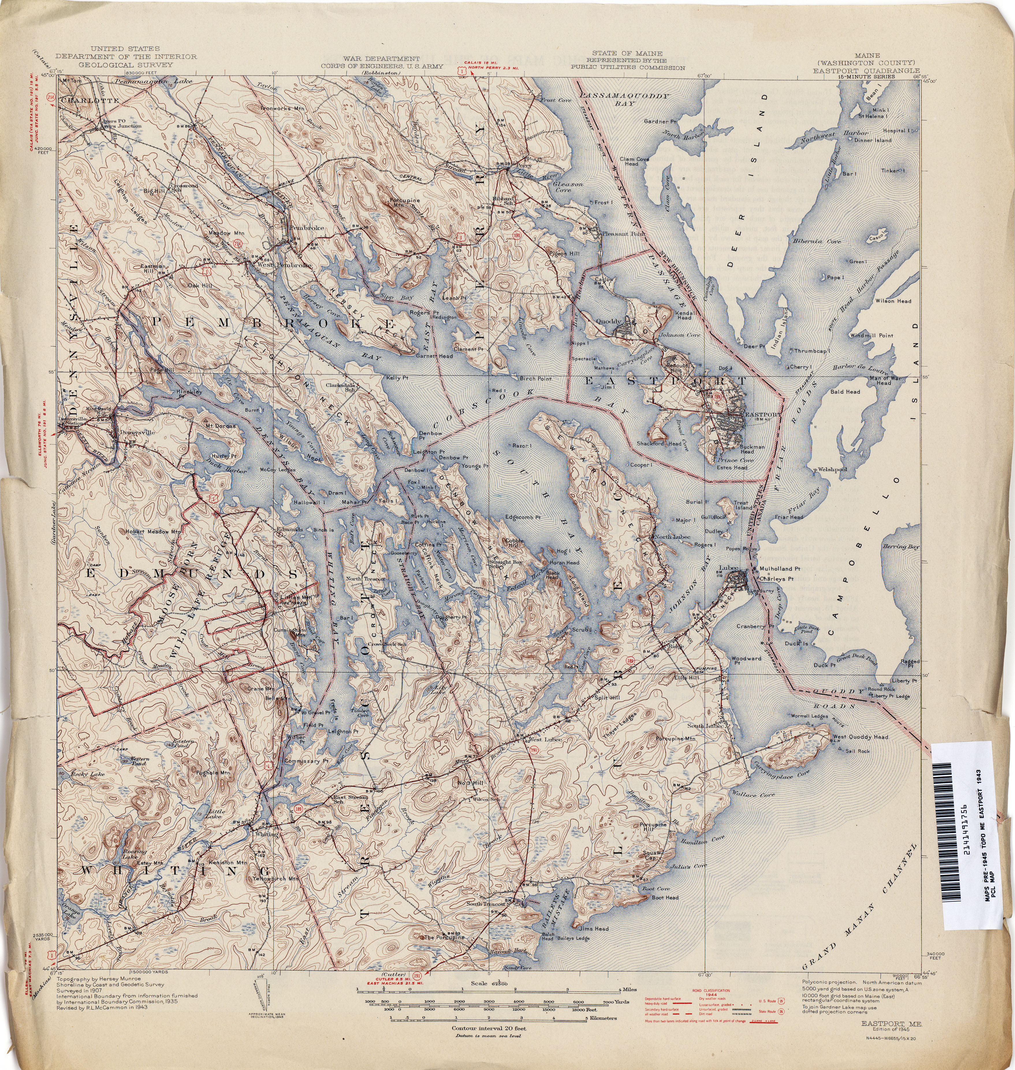
- Eastport 1943 1:62,500 (5.2MB)
- Ellsworth 1909 1:62,500 (3.2MB)
- Errol [New Hampshire, Maine] 1930 1:62,500 (4.1MB)
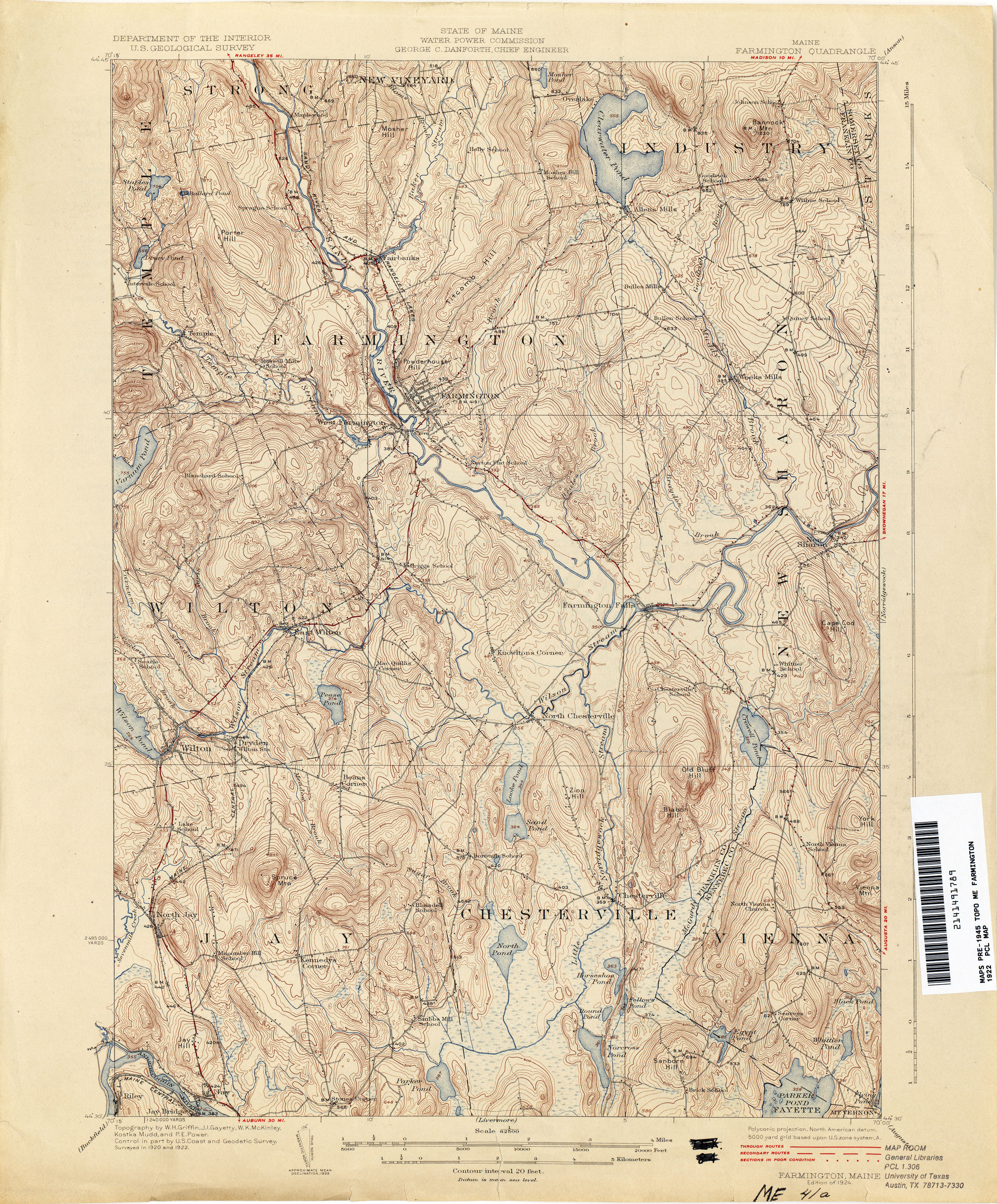
- Farminton 1922 1:62,500 (4.4MB)
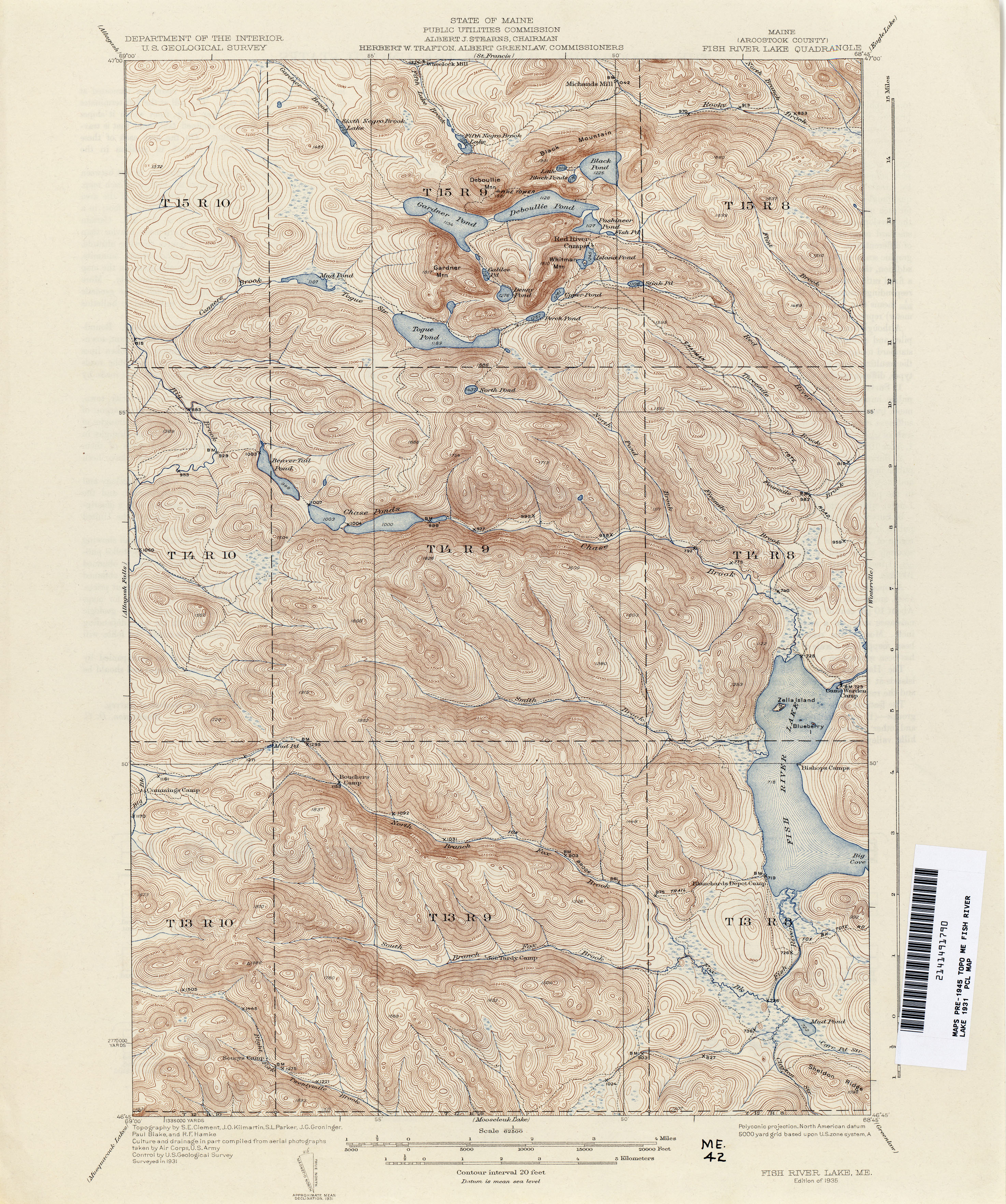
- Fish River Lake 1931 1:62,500 (4.3MB)
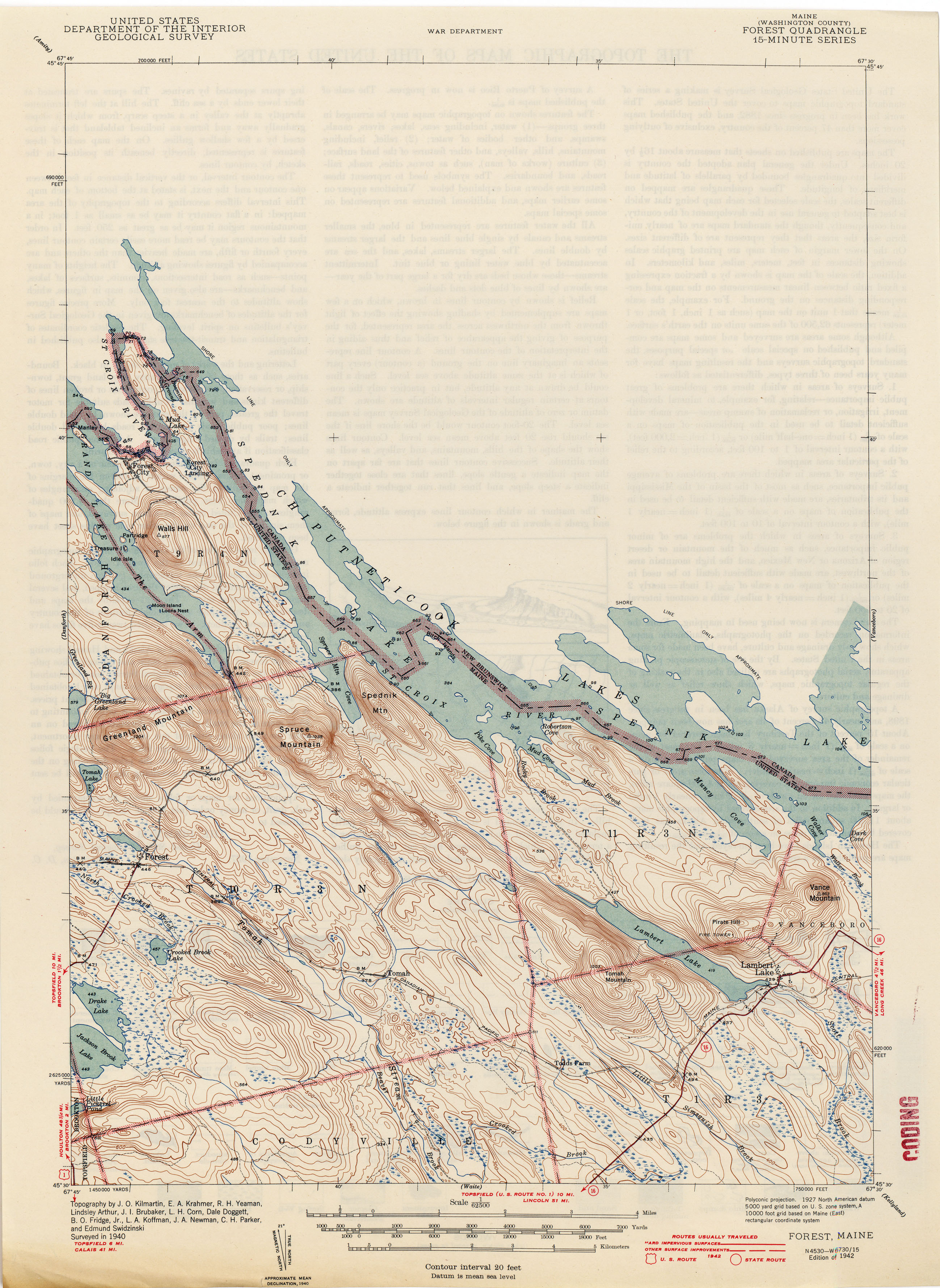
- Forest 1940 1:62,500 (2.5MB)
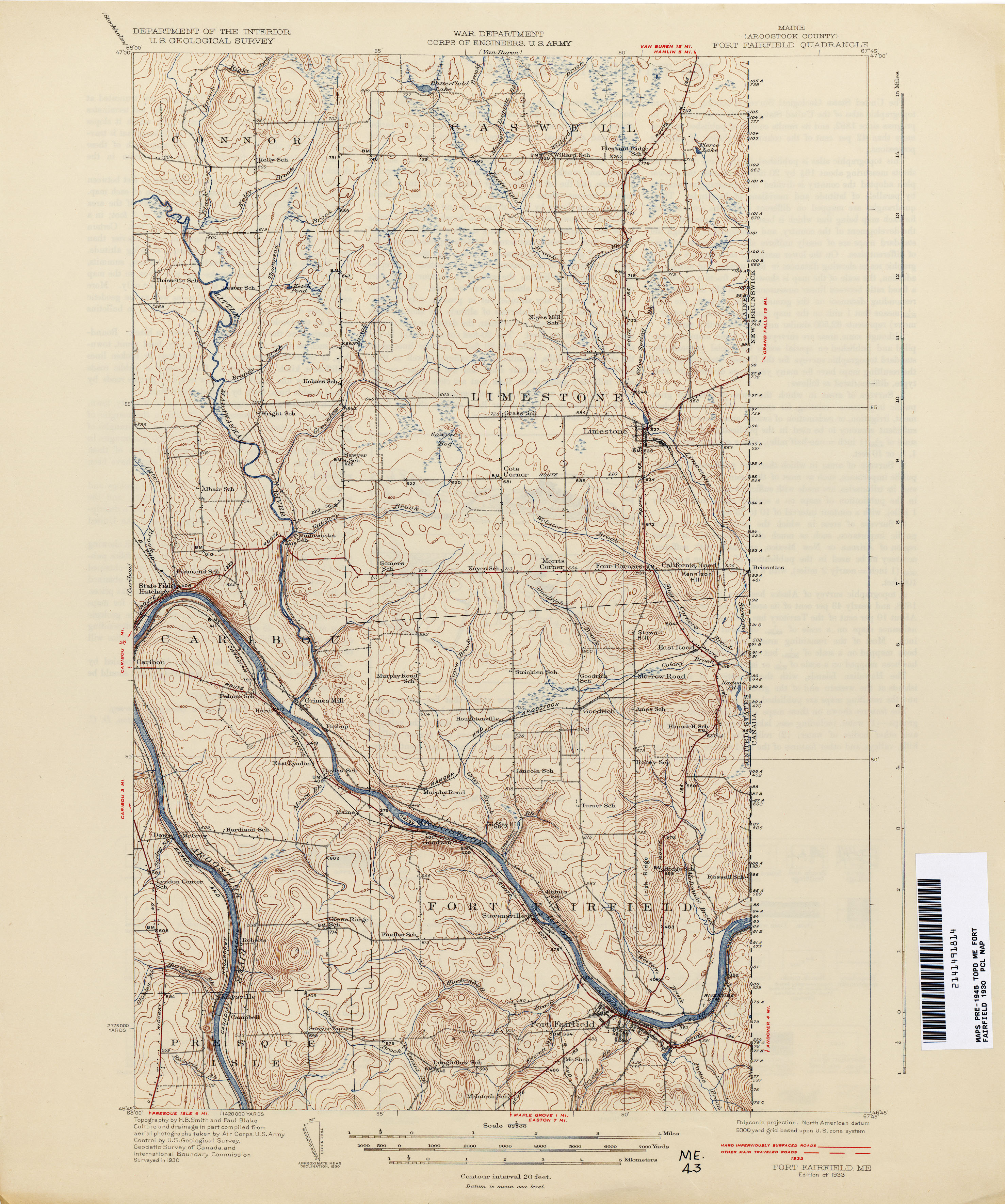
- Fort Fairfield 1930 1:62,500 (3.1MB)
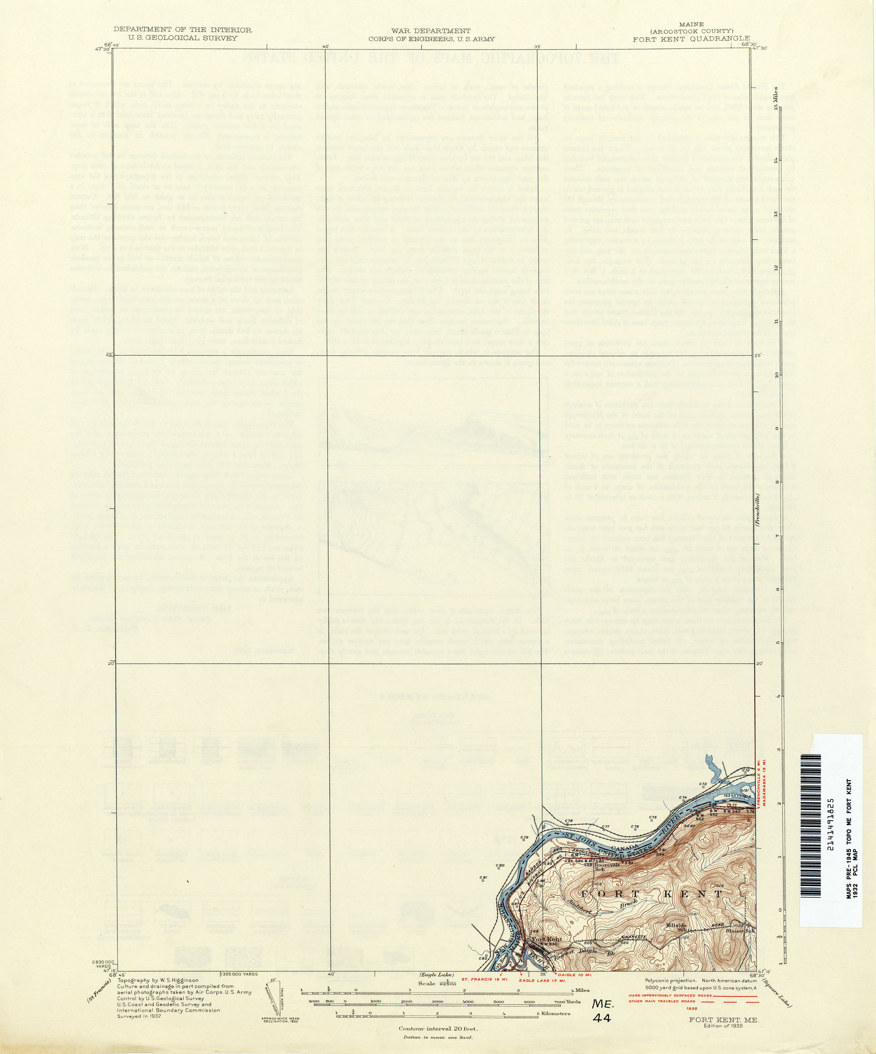
- Fort Kent 1932 1:62,500 (1.2MB)
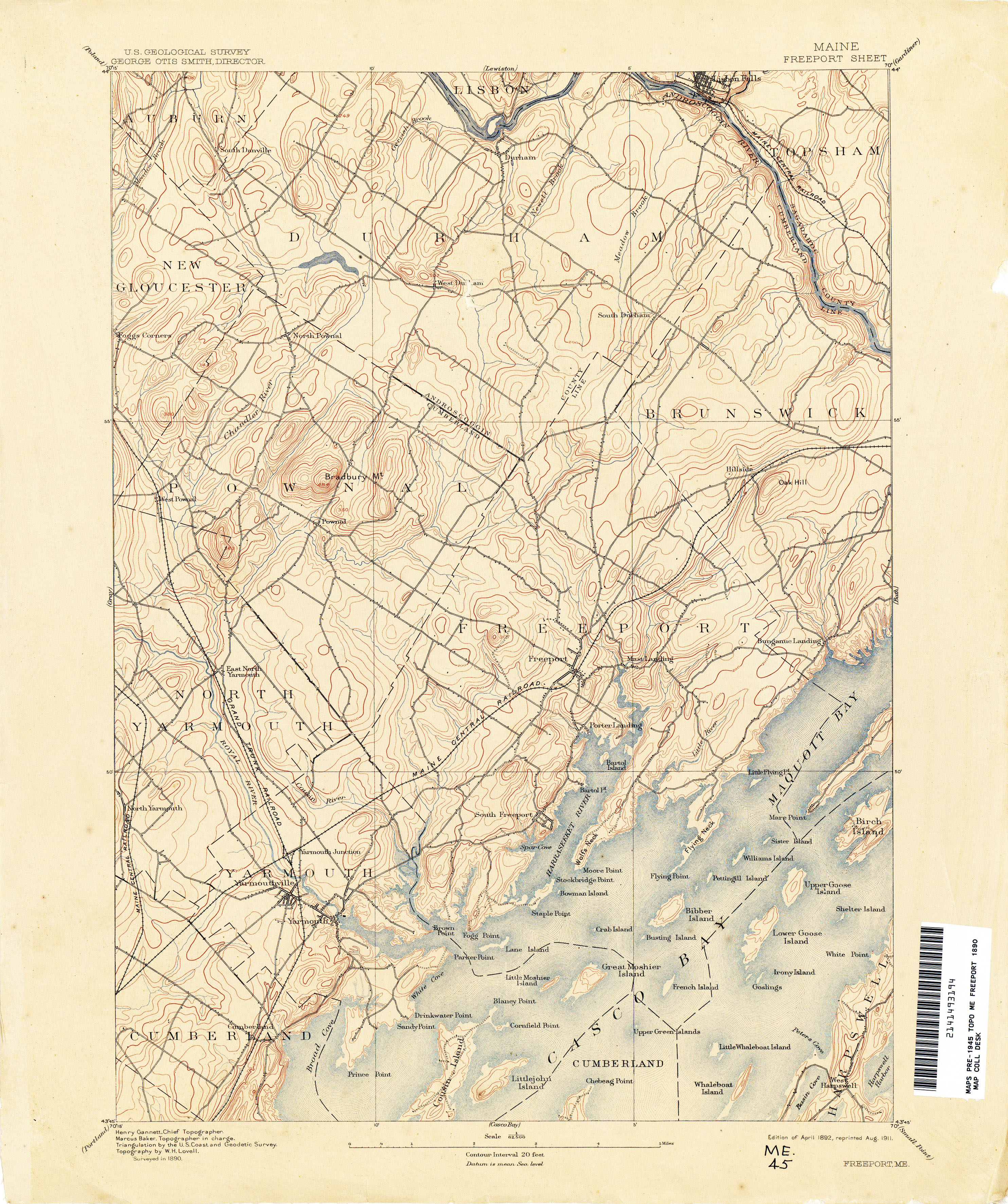
- Freeport 1890 1:62,500 (3.5MB)
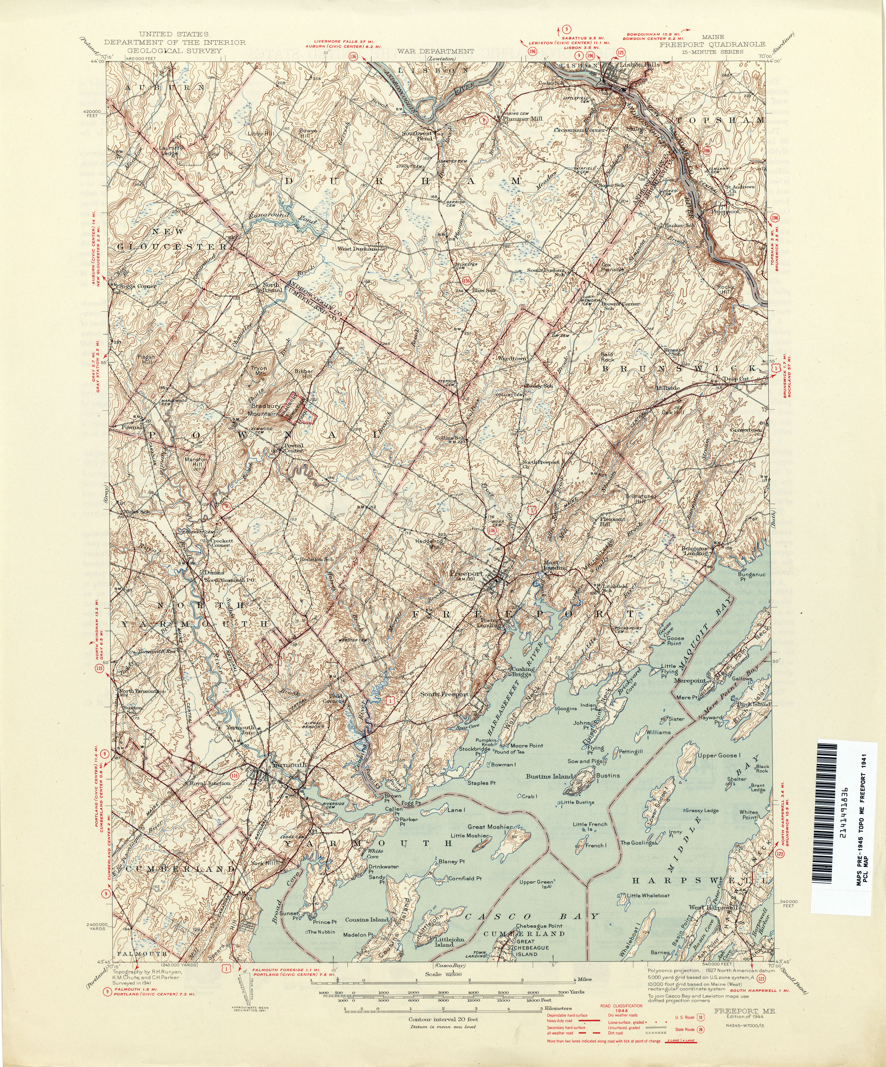
- Freeport 1941 1:62,500 (4.5MB)
- Frenchville 1932 1:62,500 (2.1MB)
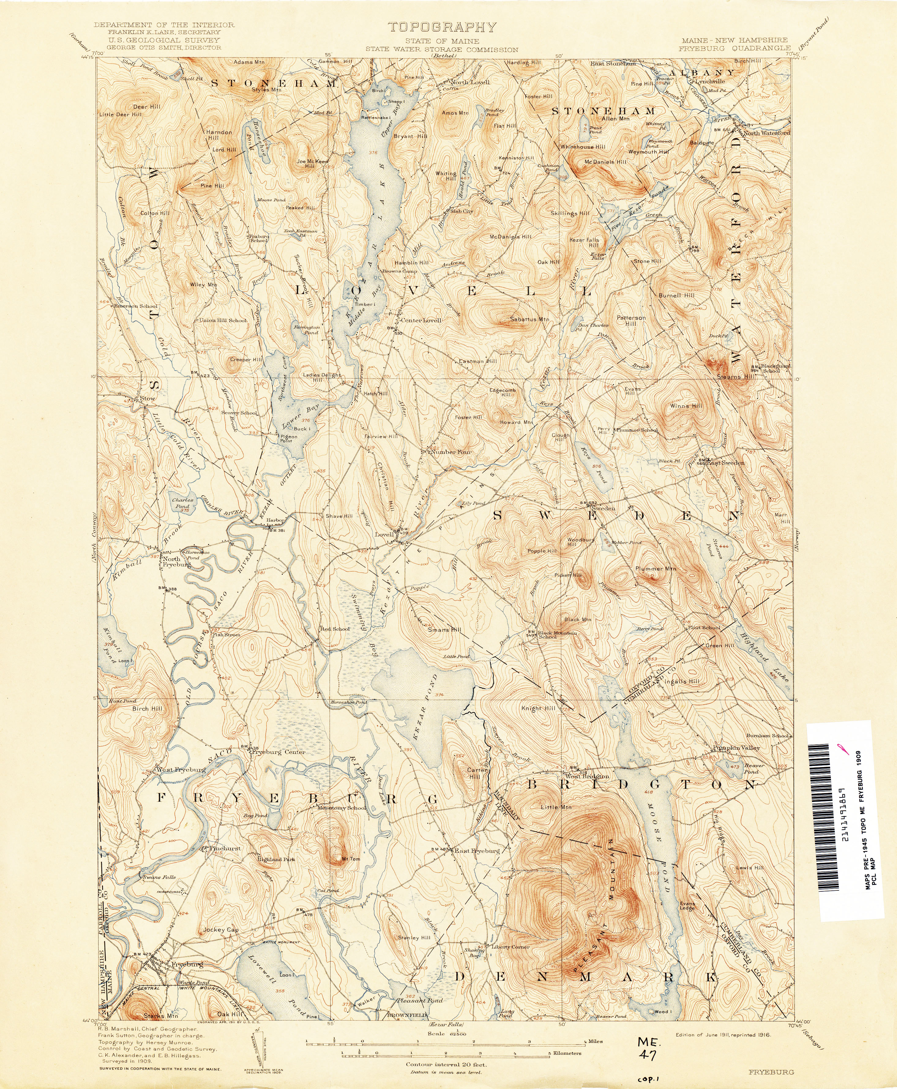
- Fryeburg [Maine, New Hampshire] 1909 1:62,500 (3.5MB)
- Gardiner 1890 1:62,500 (3.7MB)
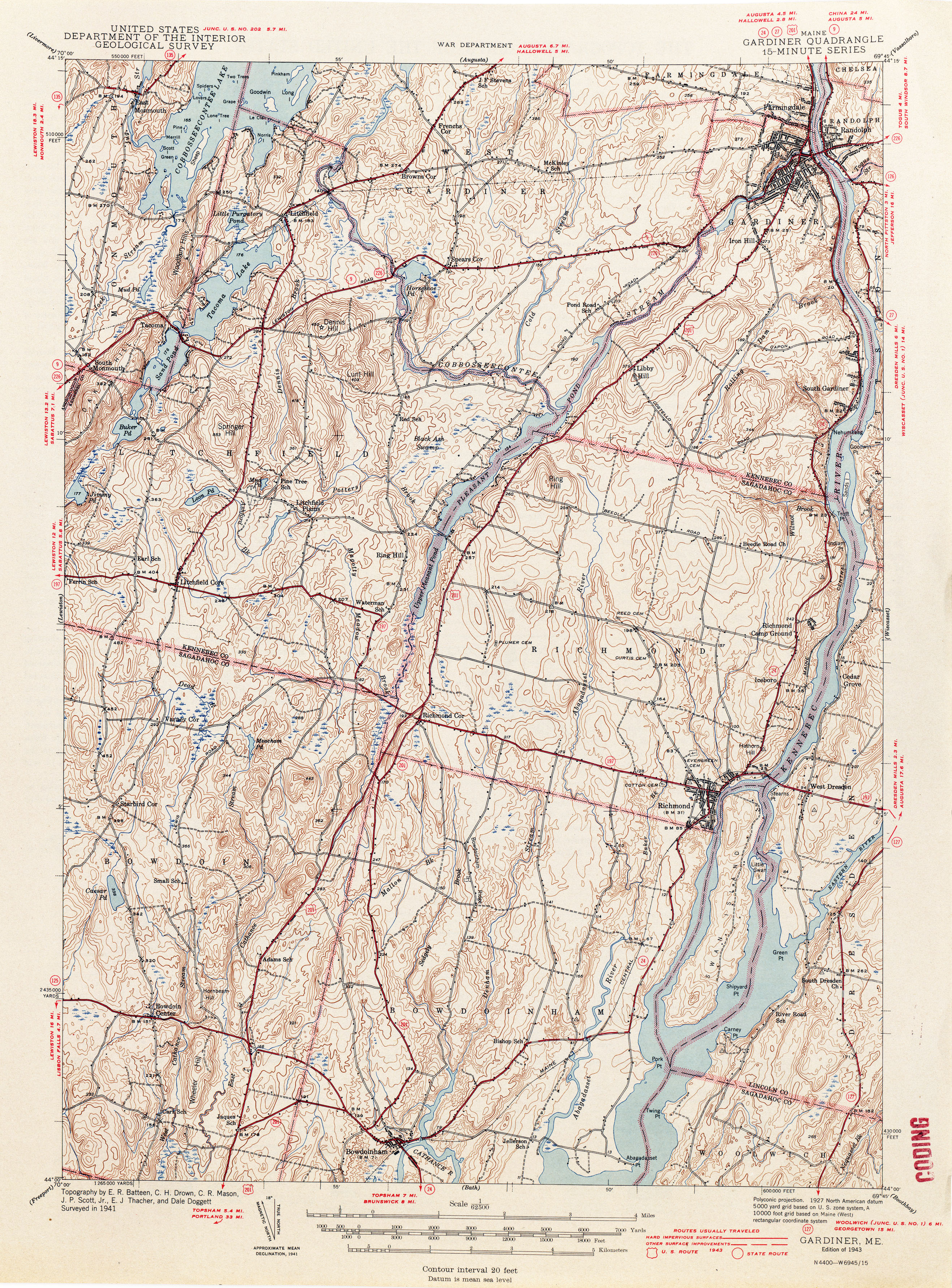
- Gardiner 1941 1:62,500 (4.3MB)
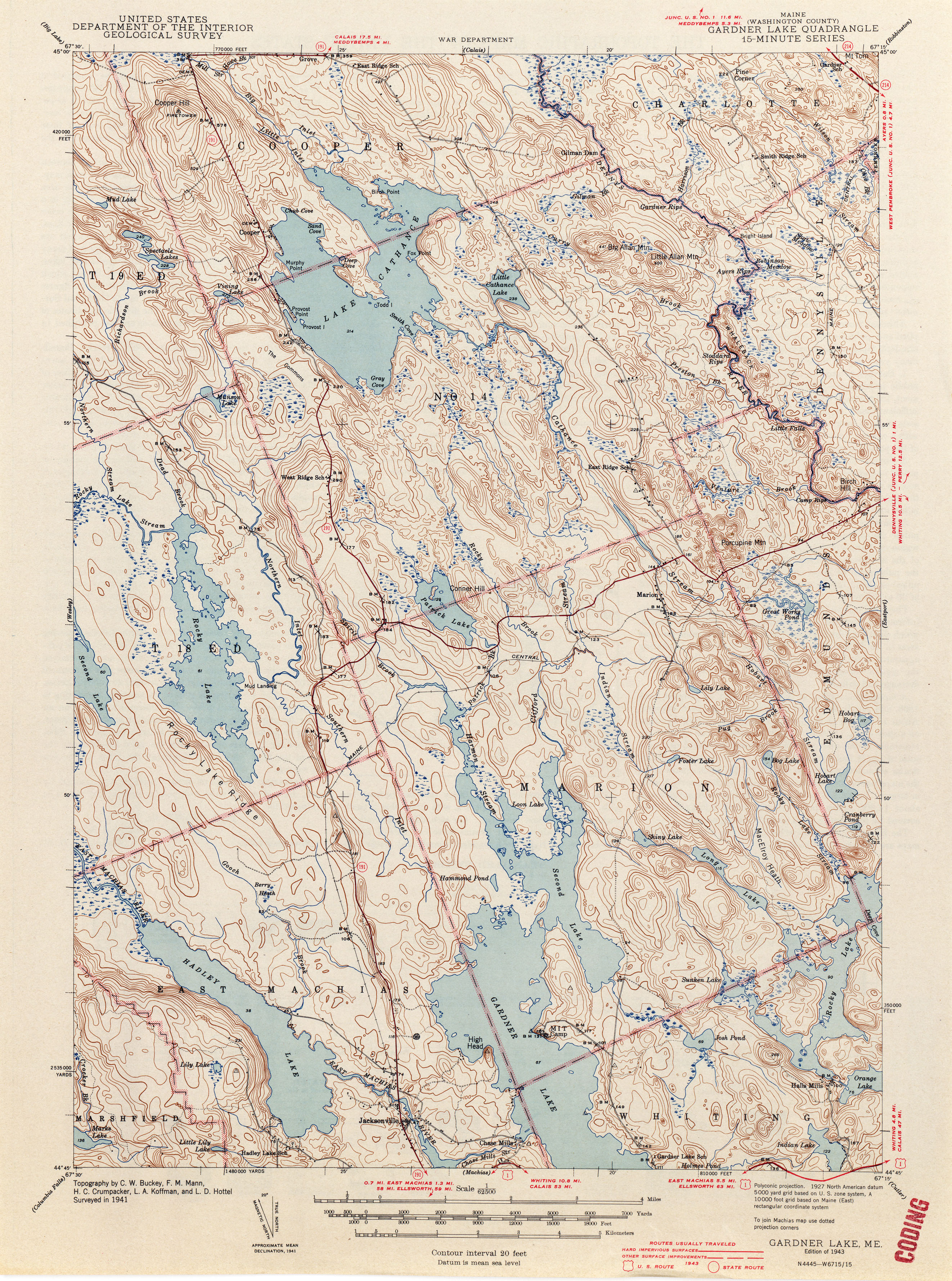
- Gardner Lake 1941 1:62,500 (3.9MB)
- Grand Isle 1938 1:62,500 (1.6MB)
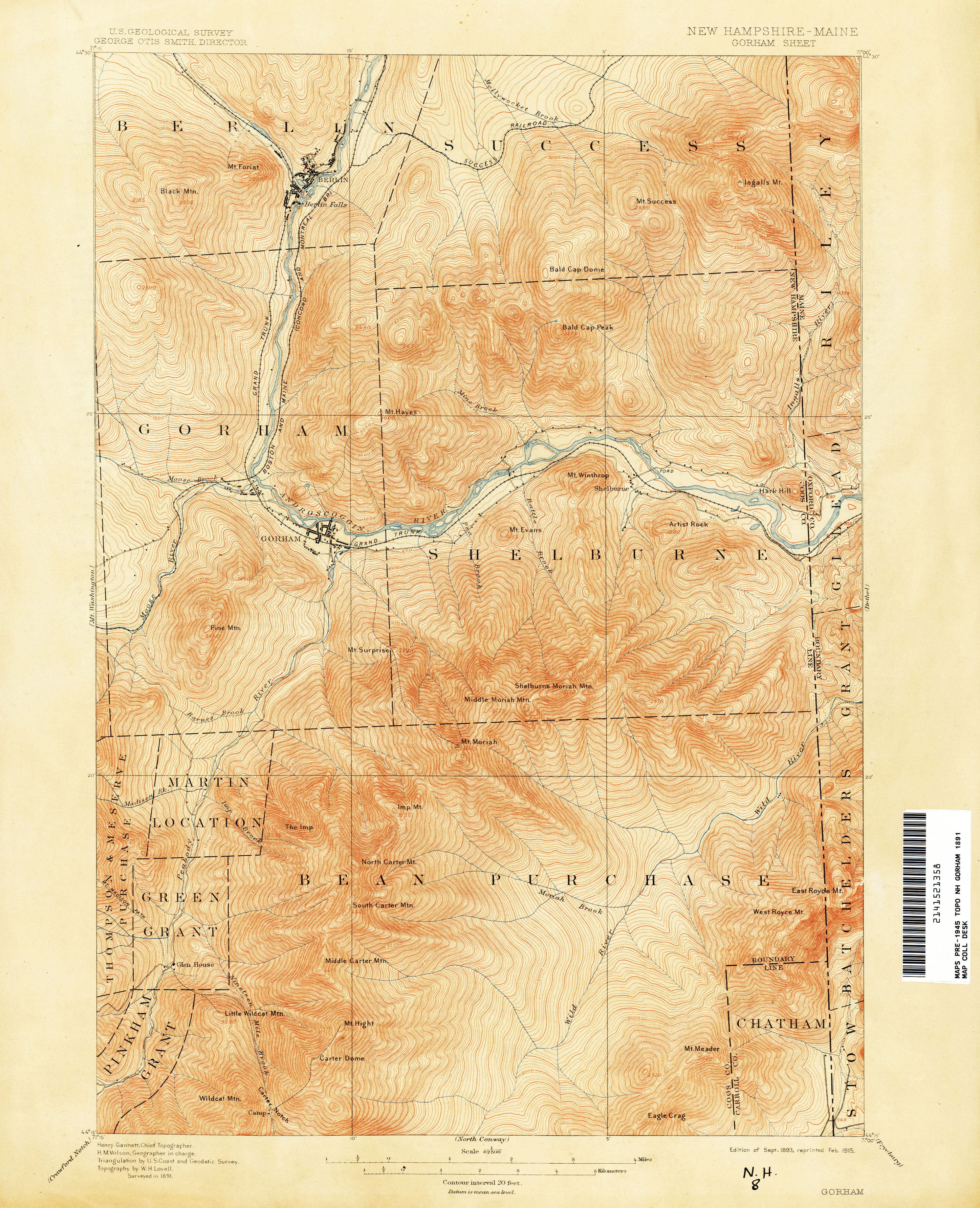
- Gorham [New Hampshire, Maine] 1891 1:62,500 (3.9MB)
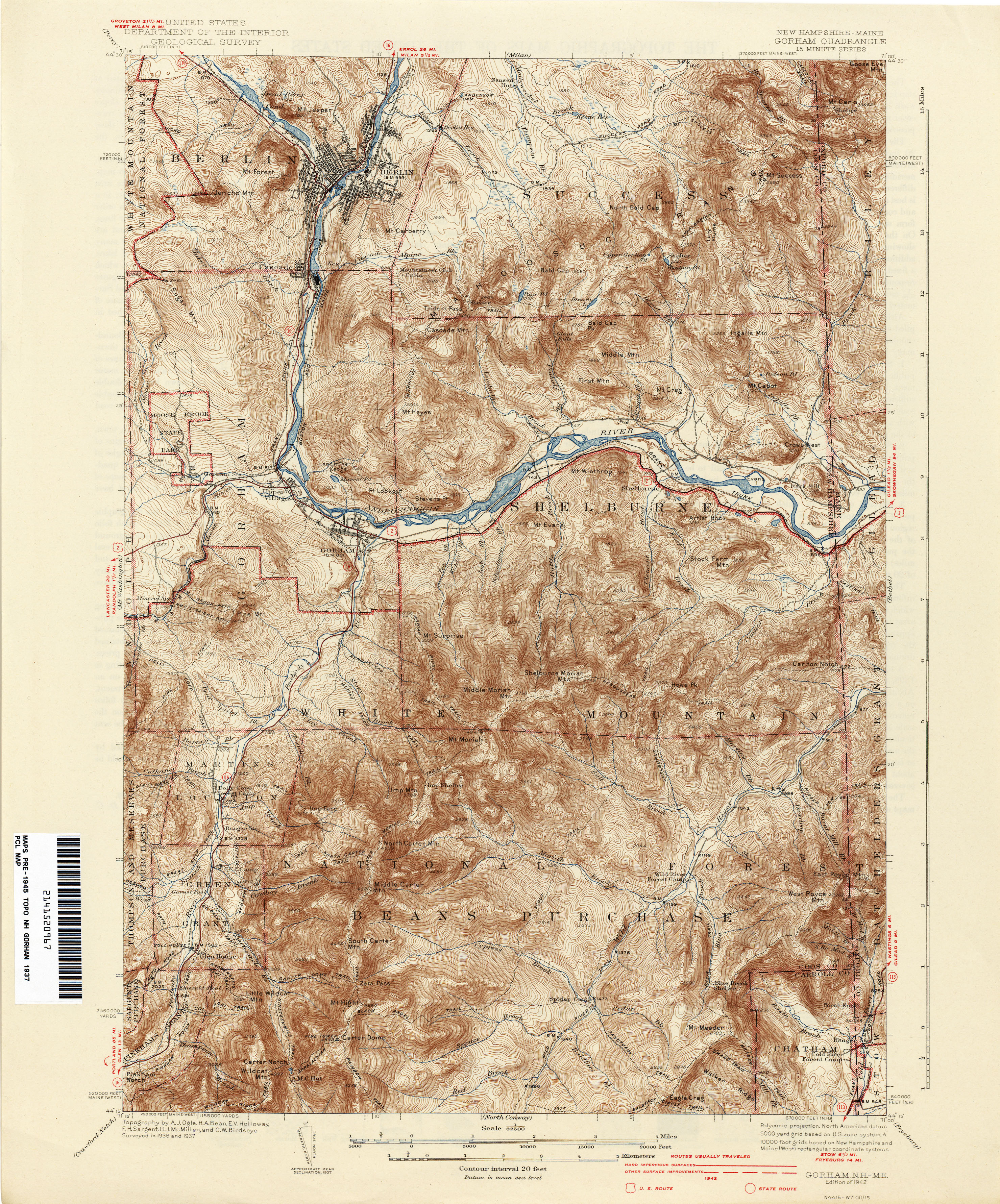
- Gorham [New Hampshire, Maine] 1937 1:62,500 (4.5MB)
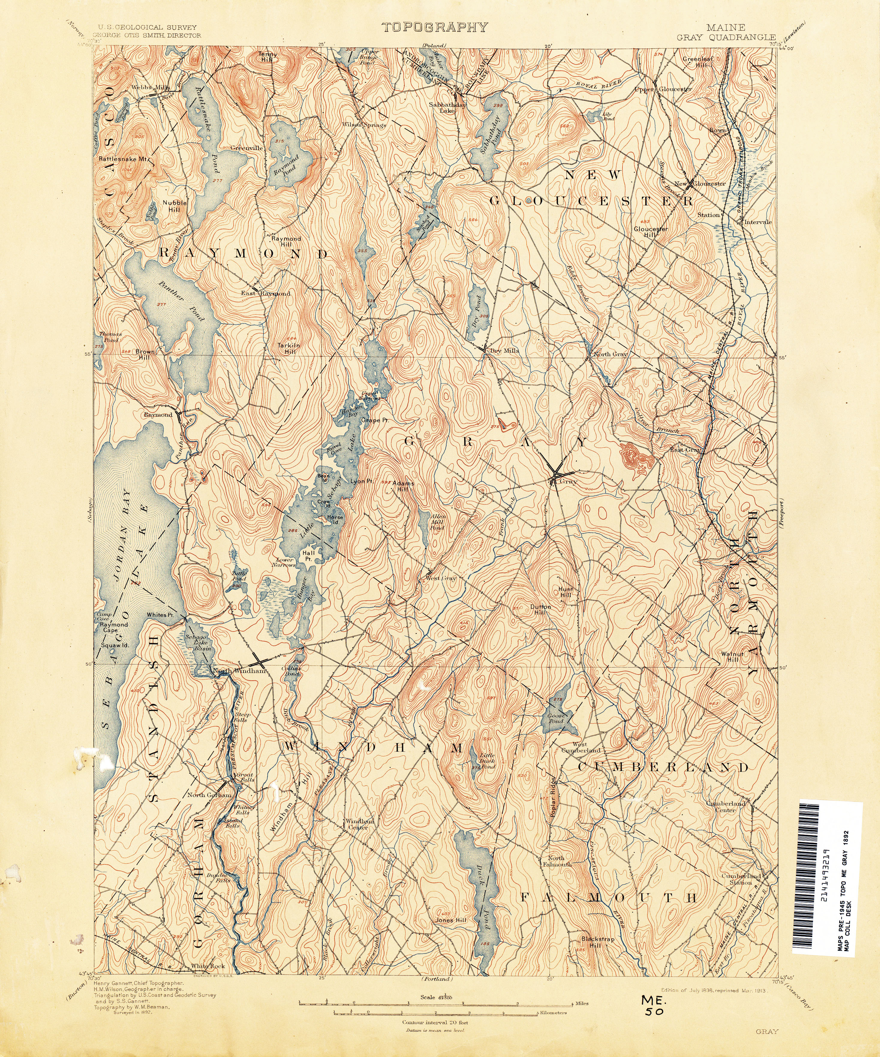
- Gray 1892 1:62,500 (4.0MB)
- Gray 1942 1:62,500 (4.2MB)
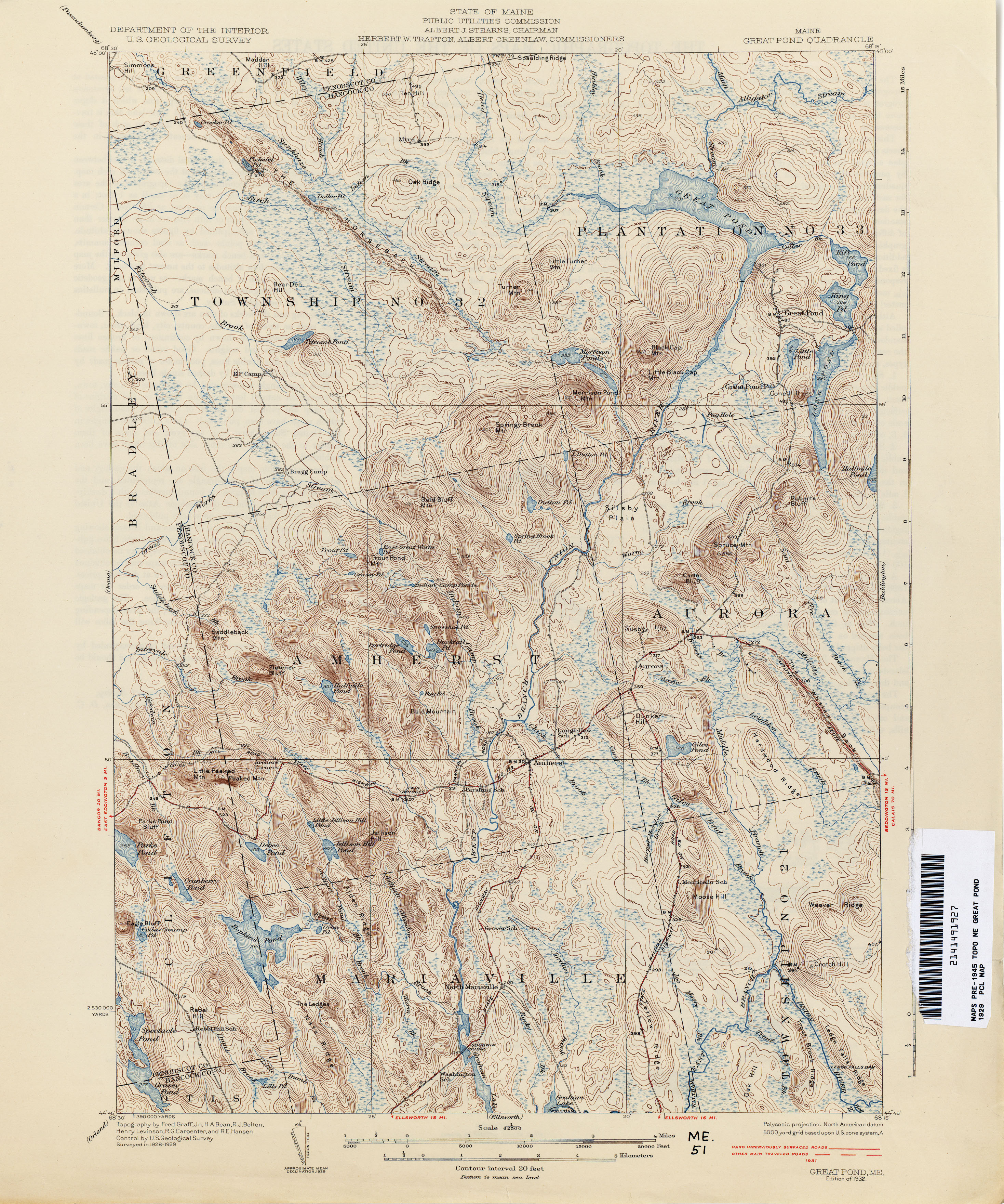
- Great Pond 1929 1:62,500 (3.8MB)
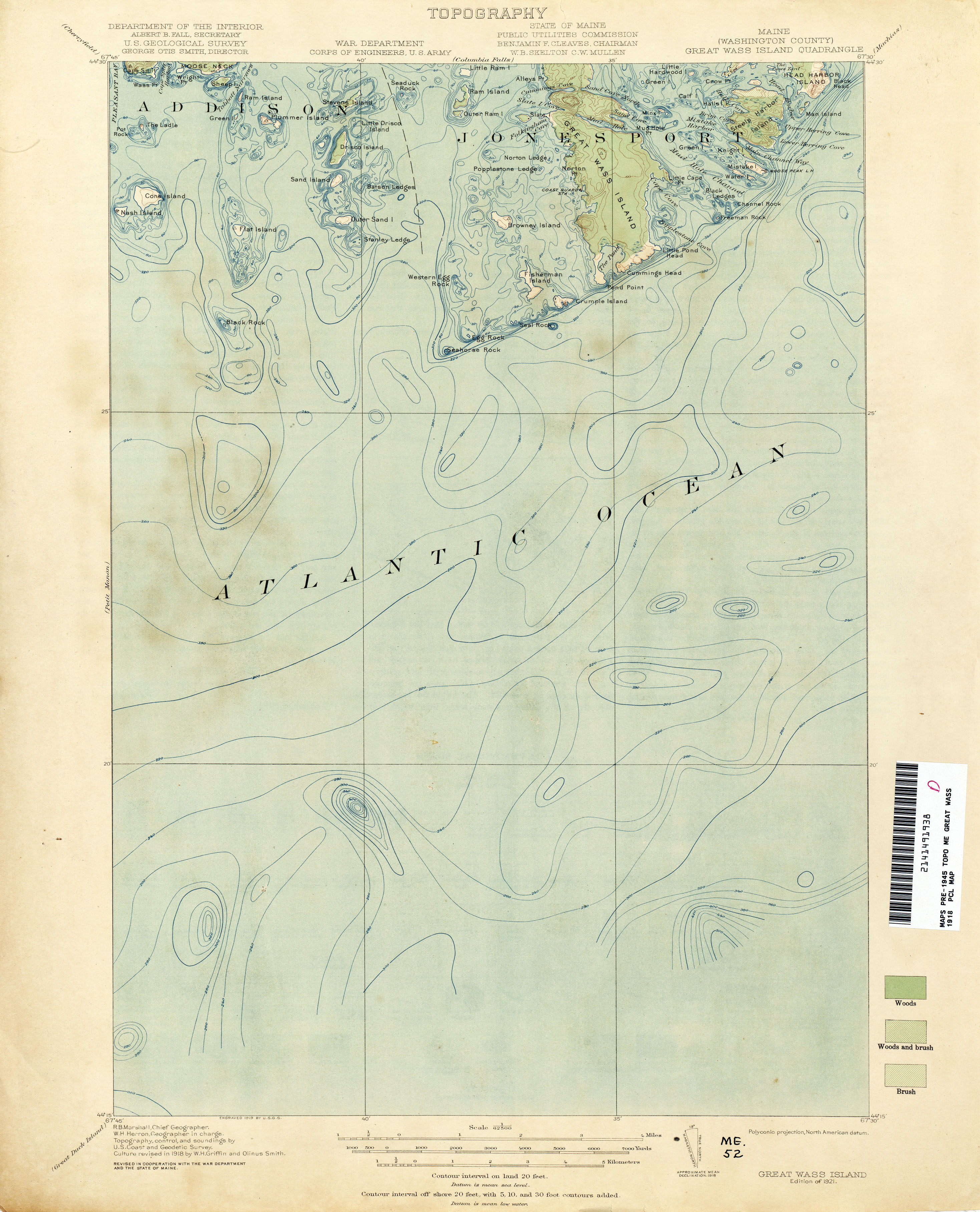
- Great Wass 1918 1:62,500 (1.9MB)
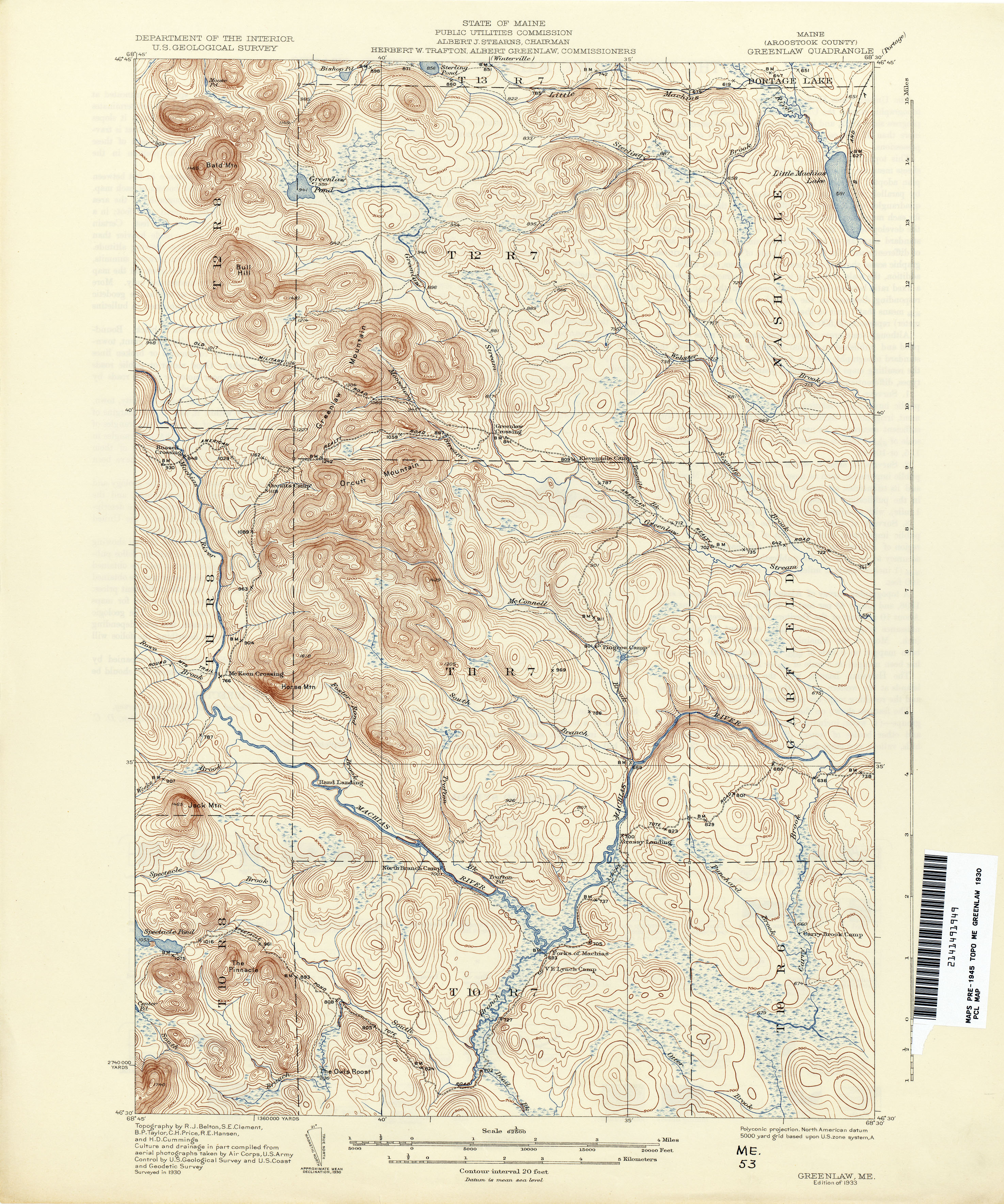
- Greenlaw 1930 1:62,500 (3.9MB)
- Guilford 1933 1:62,500 (3.9MB)
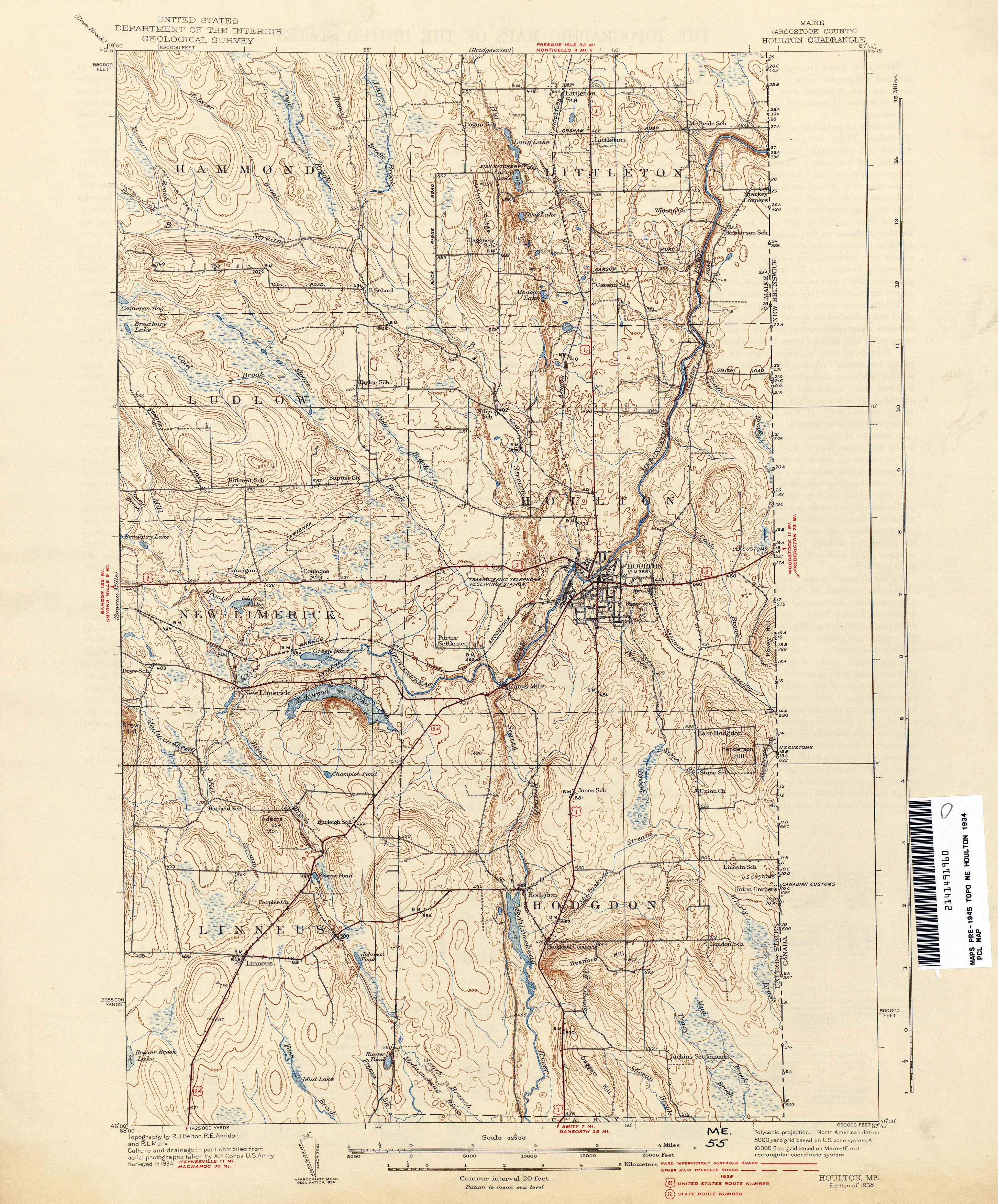
- Houlton 1934 1:62,500 (3.4MB)
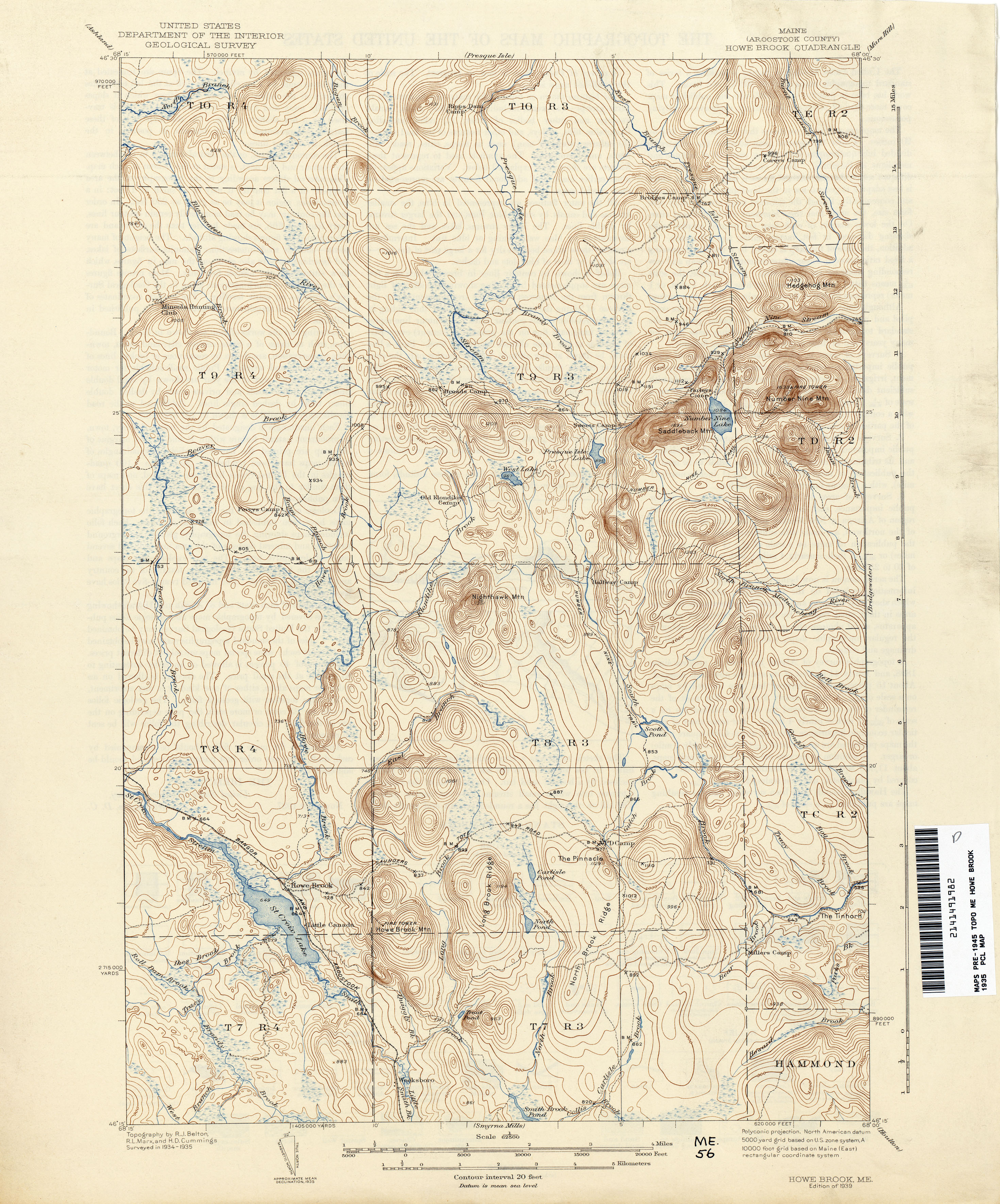
- Howe Brook 1935 1:62,500 (3.5MB)
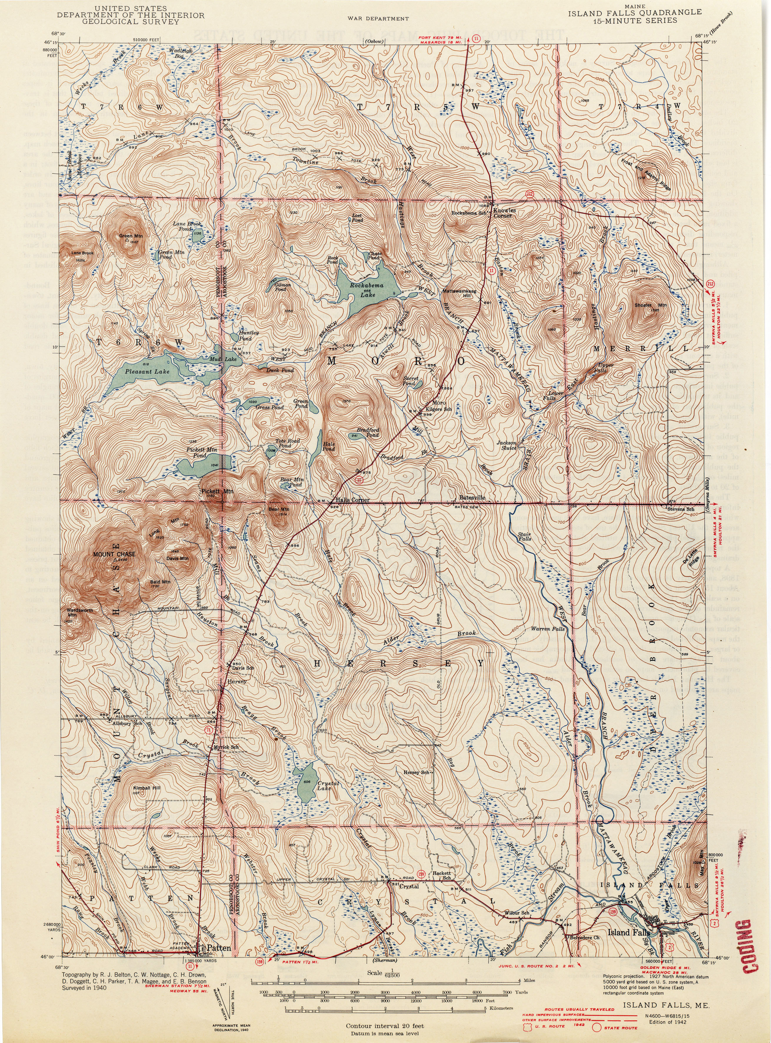
- Island Falls 1940 1:62,500 (3.7MB)
- Kellyland 1940 1:62,500 (1.3MB)
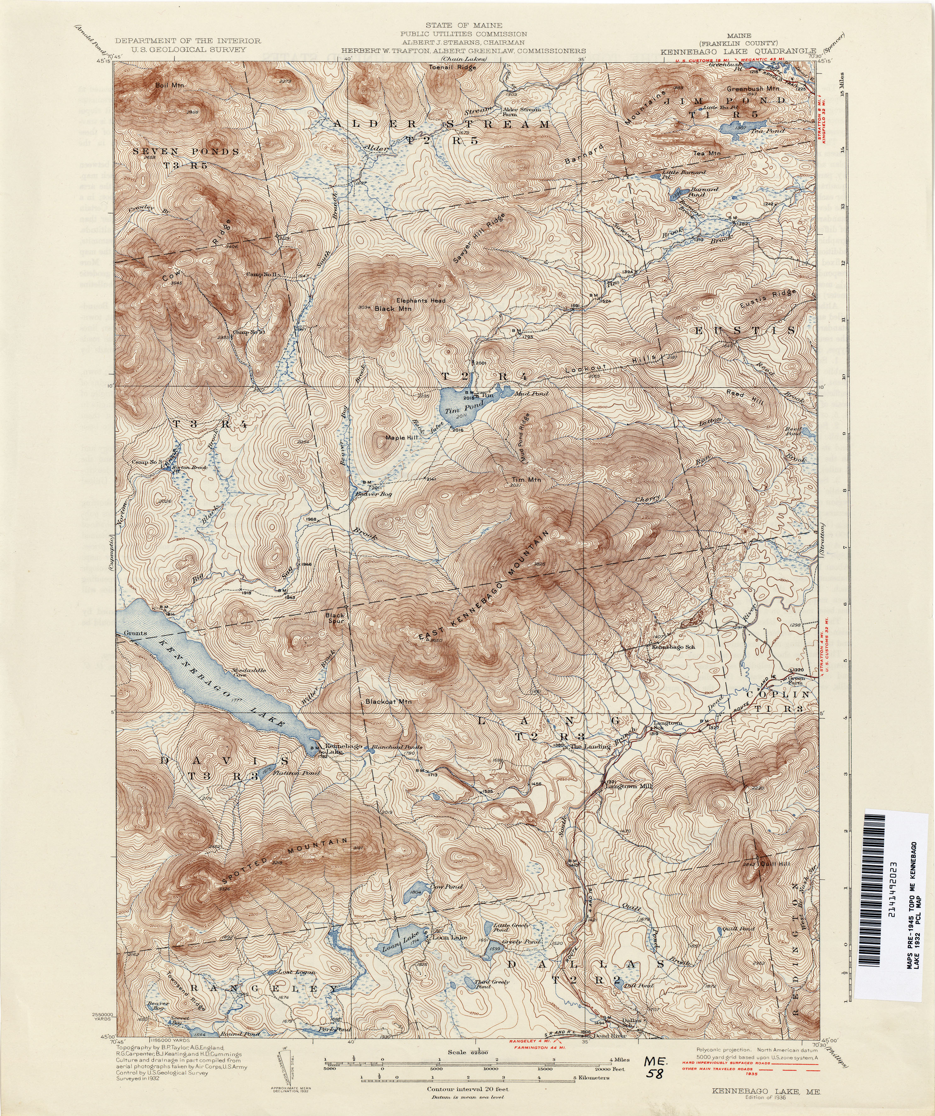
- Kennebago Lake 1932 1:62,500 (4.7MB)
- Kennebunk 1889 1:62,500 (2.7MB)
- Kennebunk 1941 1:62,500 (3.5MB)
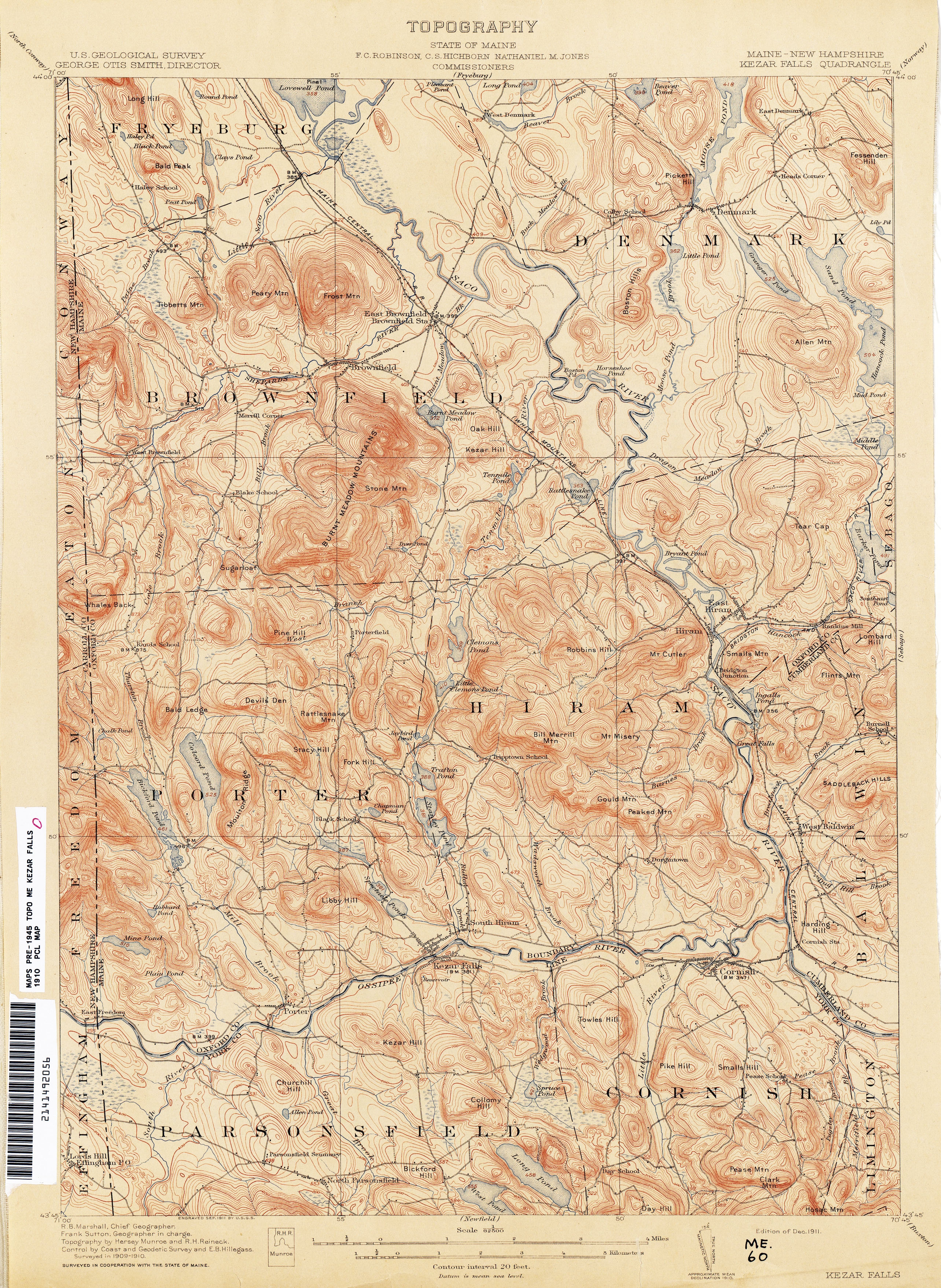
- Kezar Falls [Maine, New Hampshire] 1910 1:62,500 (4.0MB)
- Kingfield 1930 1:62,500 (4.5MB)
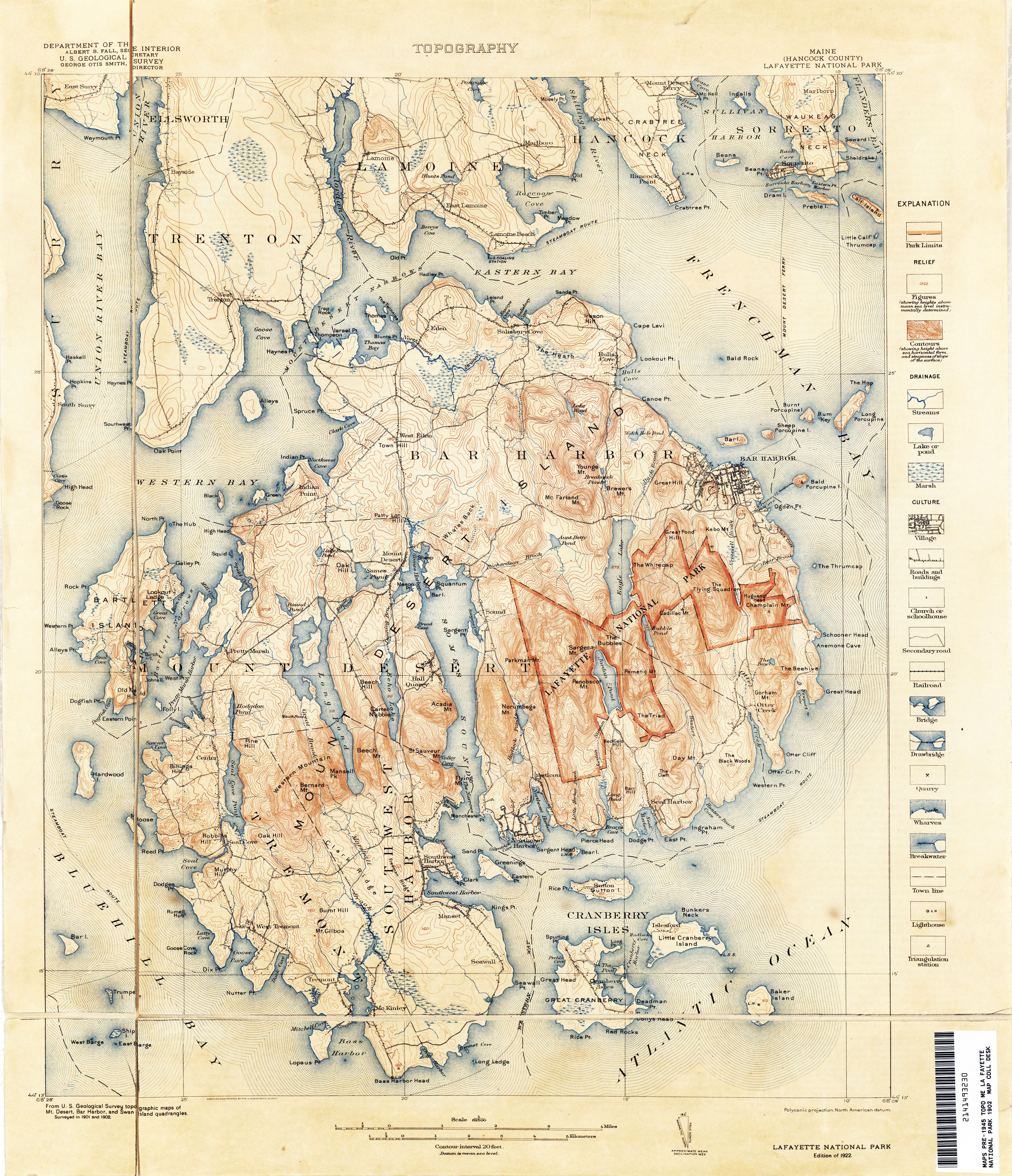
- La Fayette National Park 1902 1:62,500 (5.5MB)
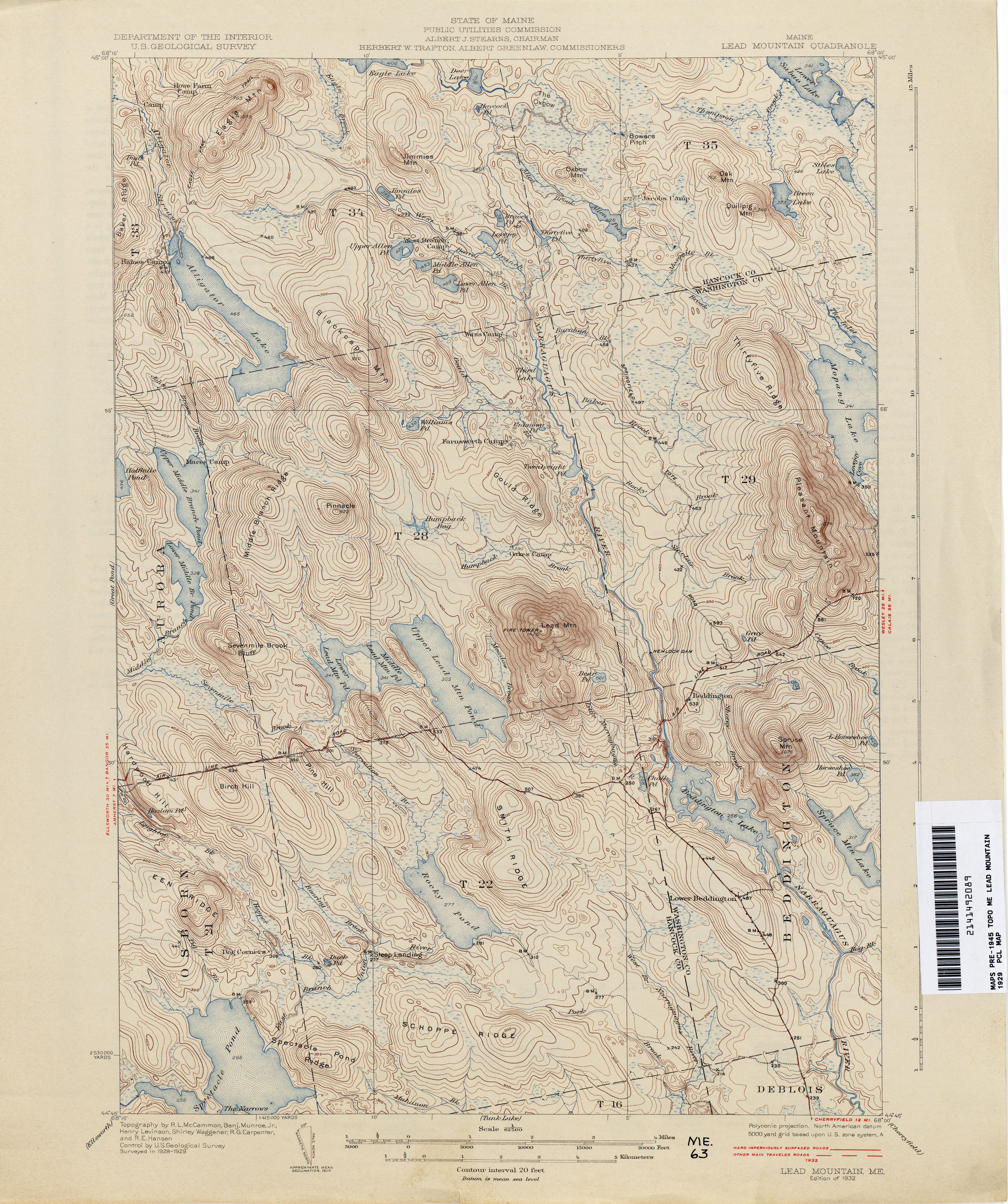
- Lead Mountain 1929 1:62,500 (3.6MB)
- Lewiston 1906 1:62,500 (4.1MB)
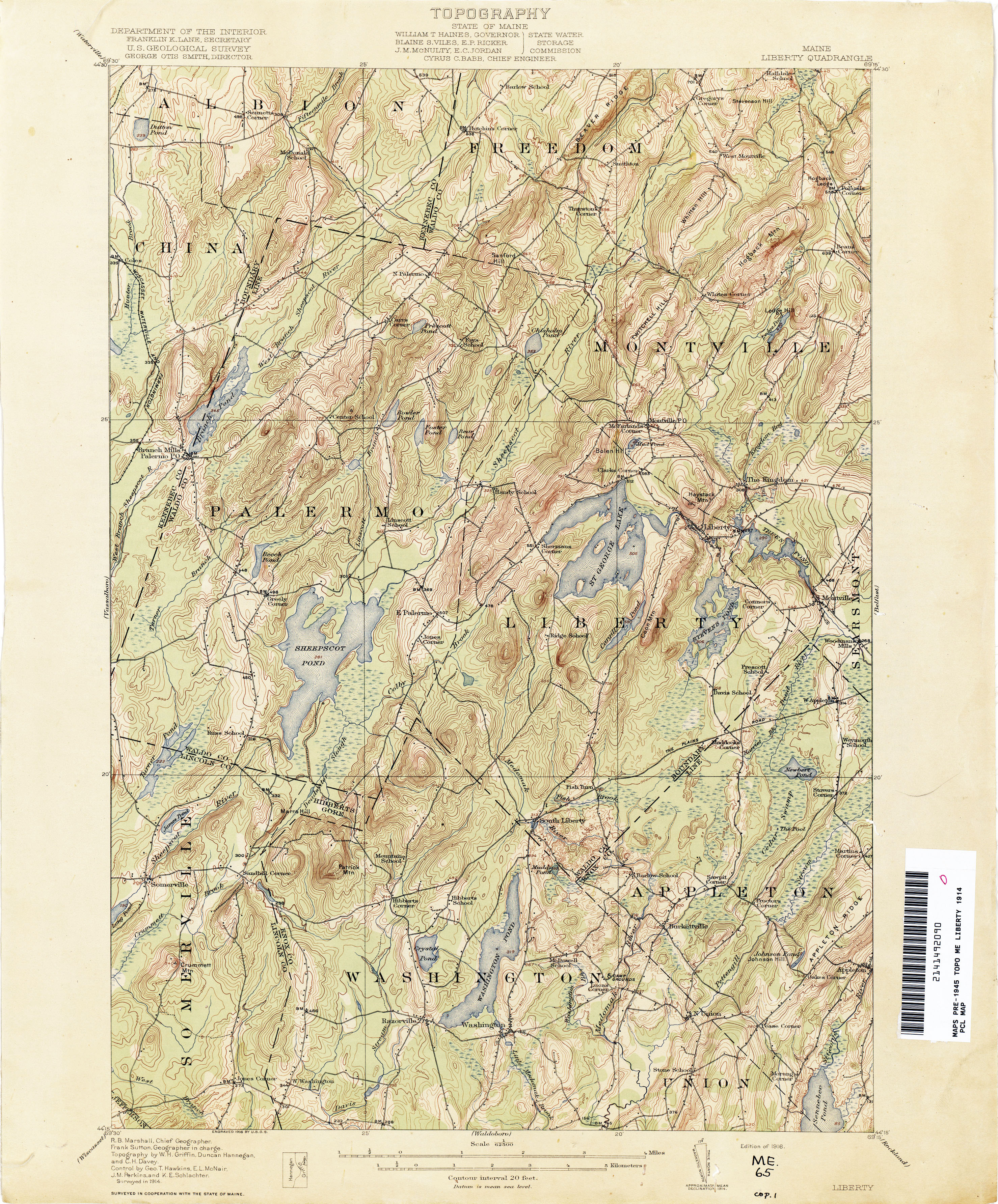
- Liberty 1914 1:62,500 (4.0MB)
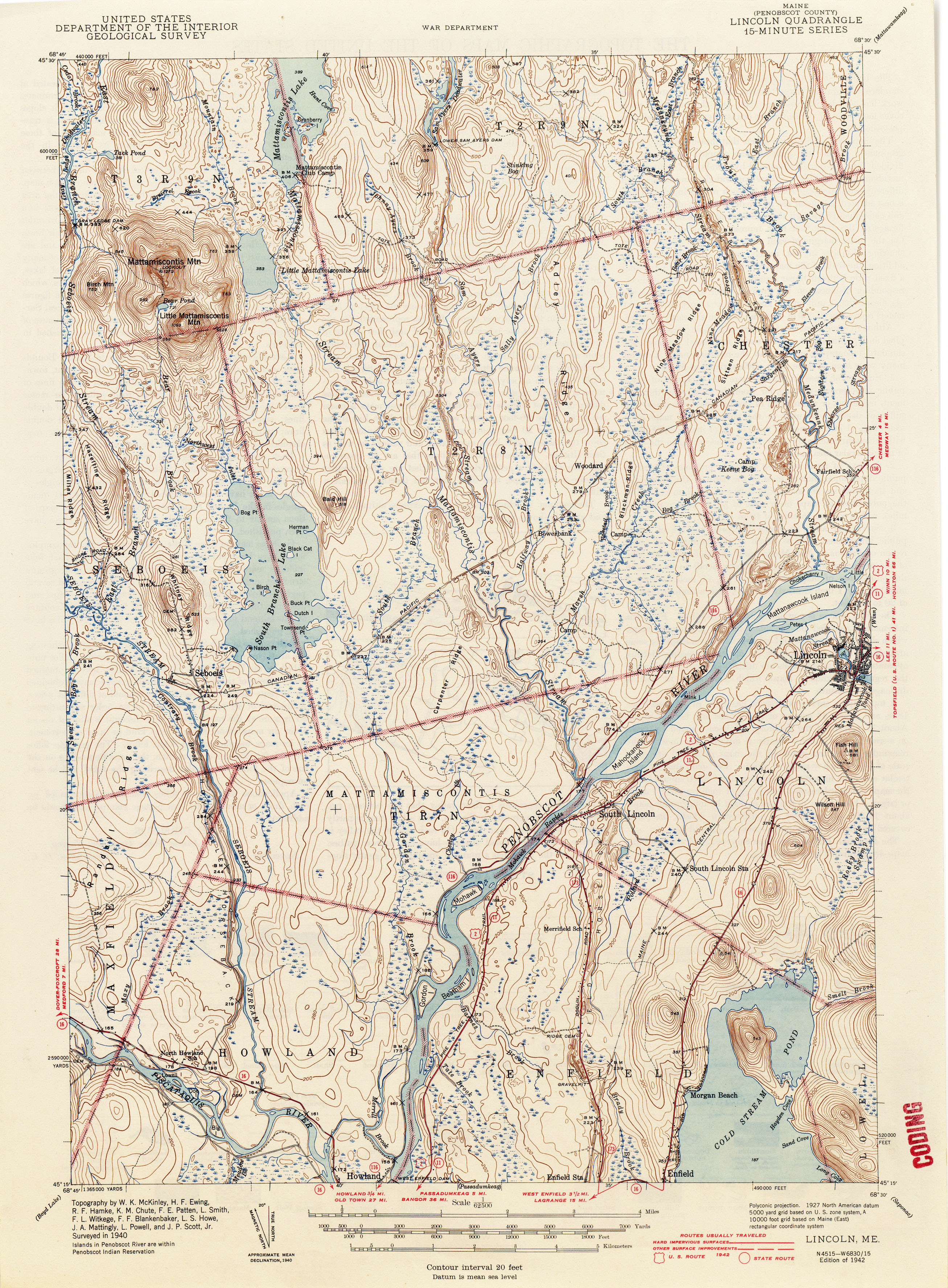
- Lincoln 1940 1:62,500 (3.5MB)
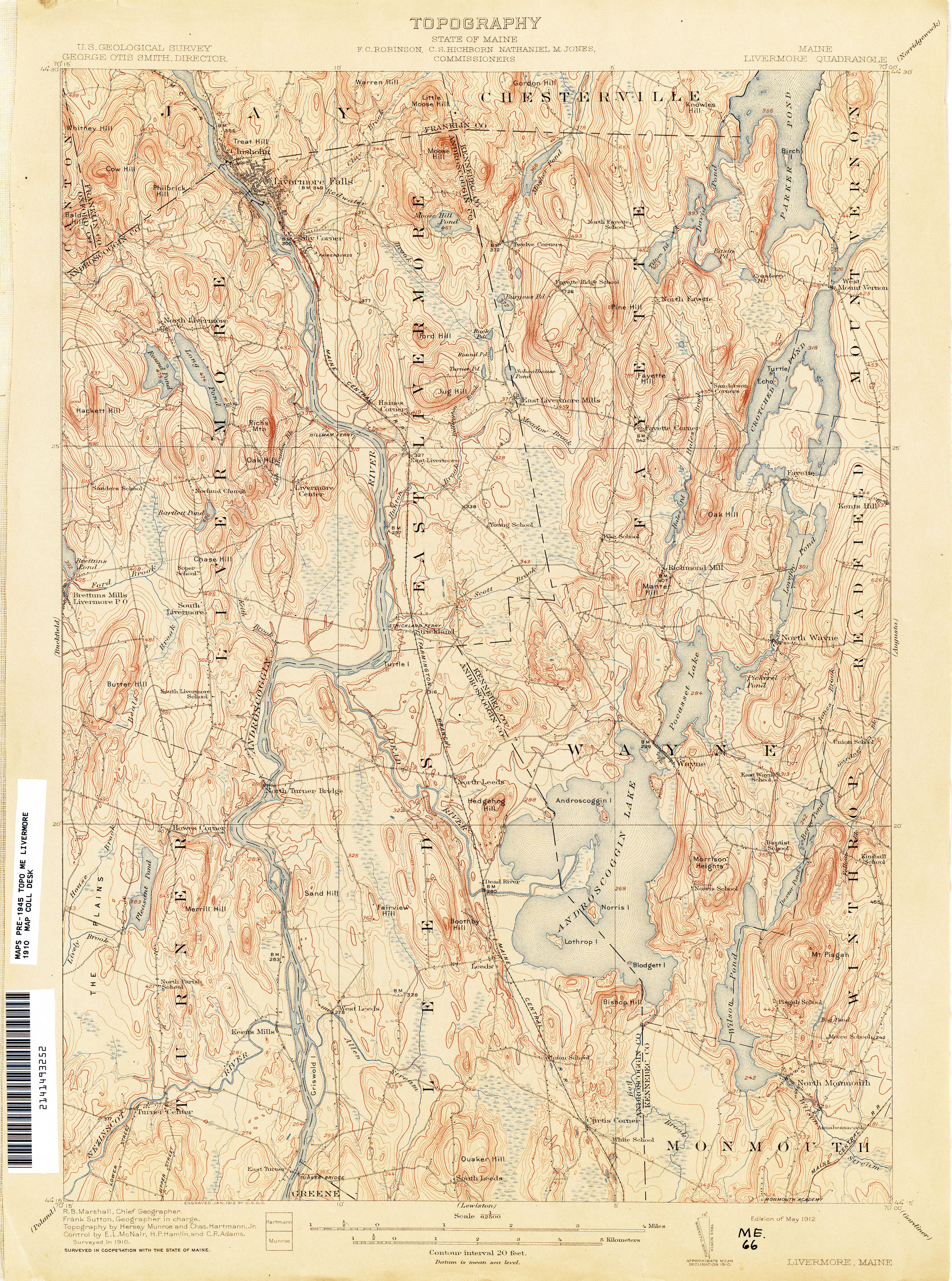
- Livermore 1910 1:62,500 (3.8MB)
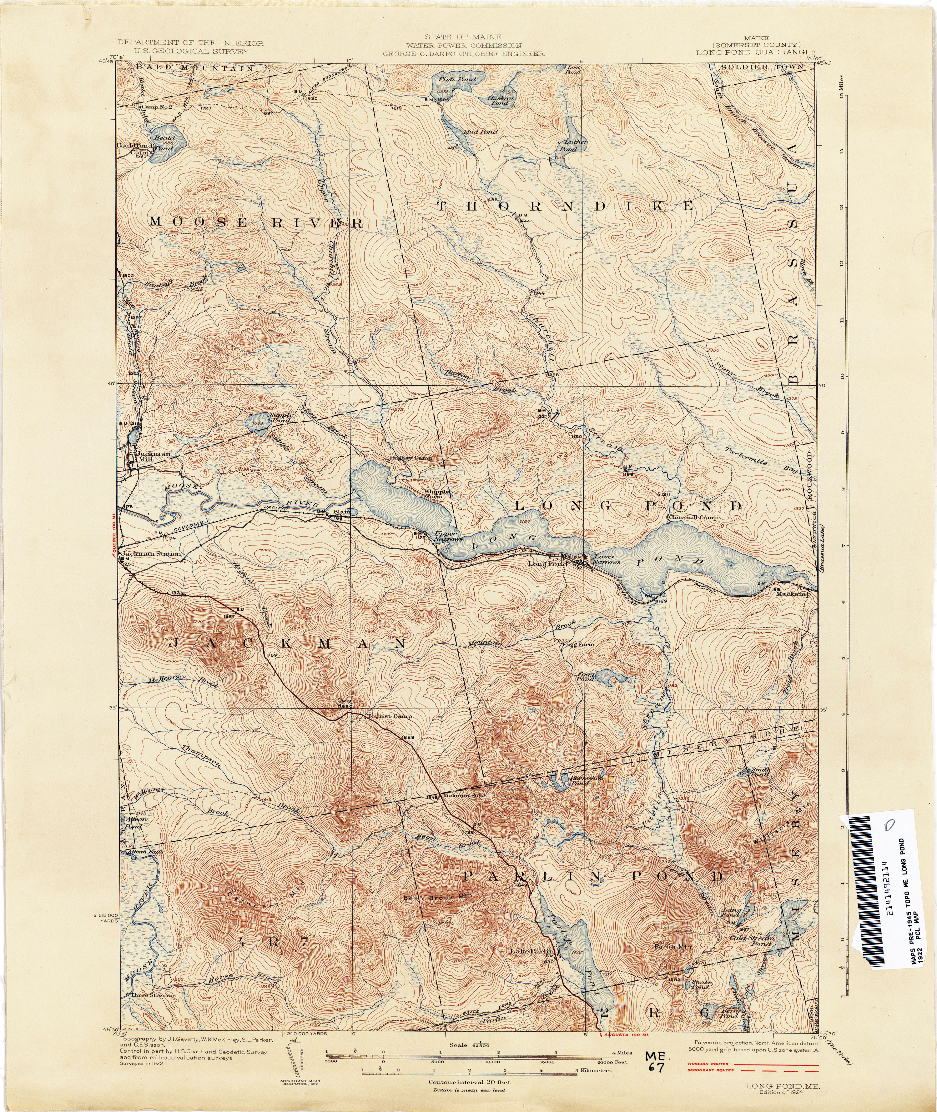
- Long Pond 1922 1:62,500 (4.0MB)
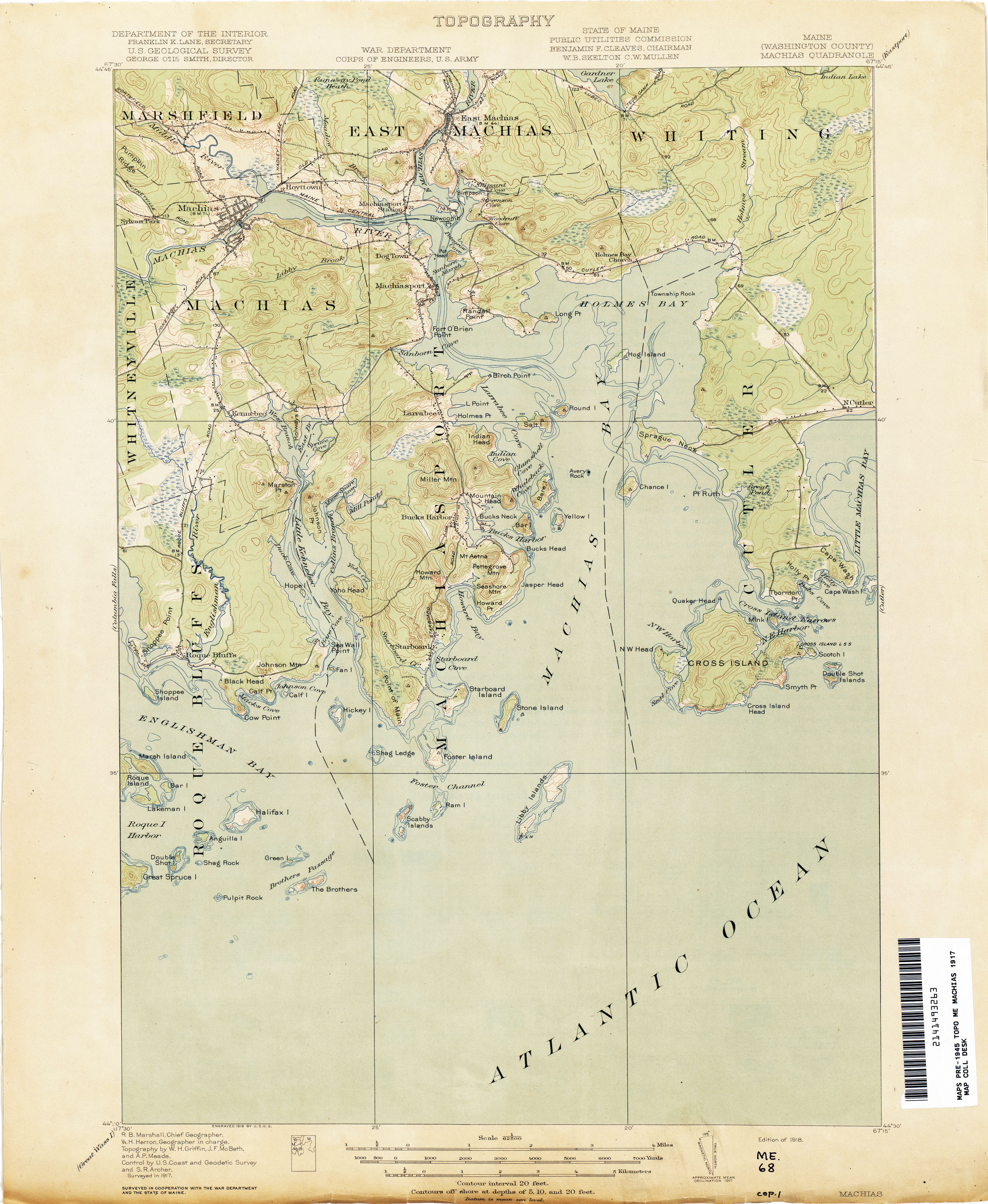
- Machias 1917 1:62,500 (2.3MB)
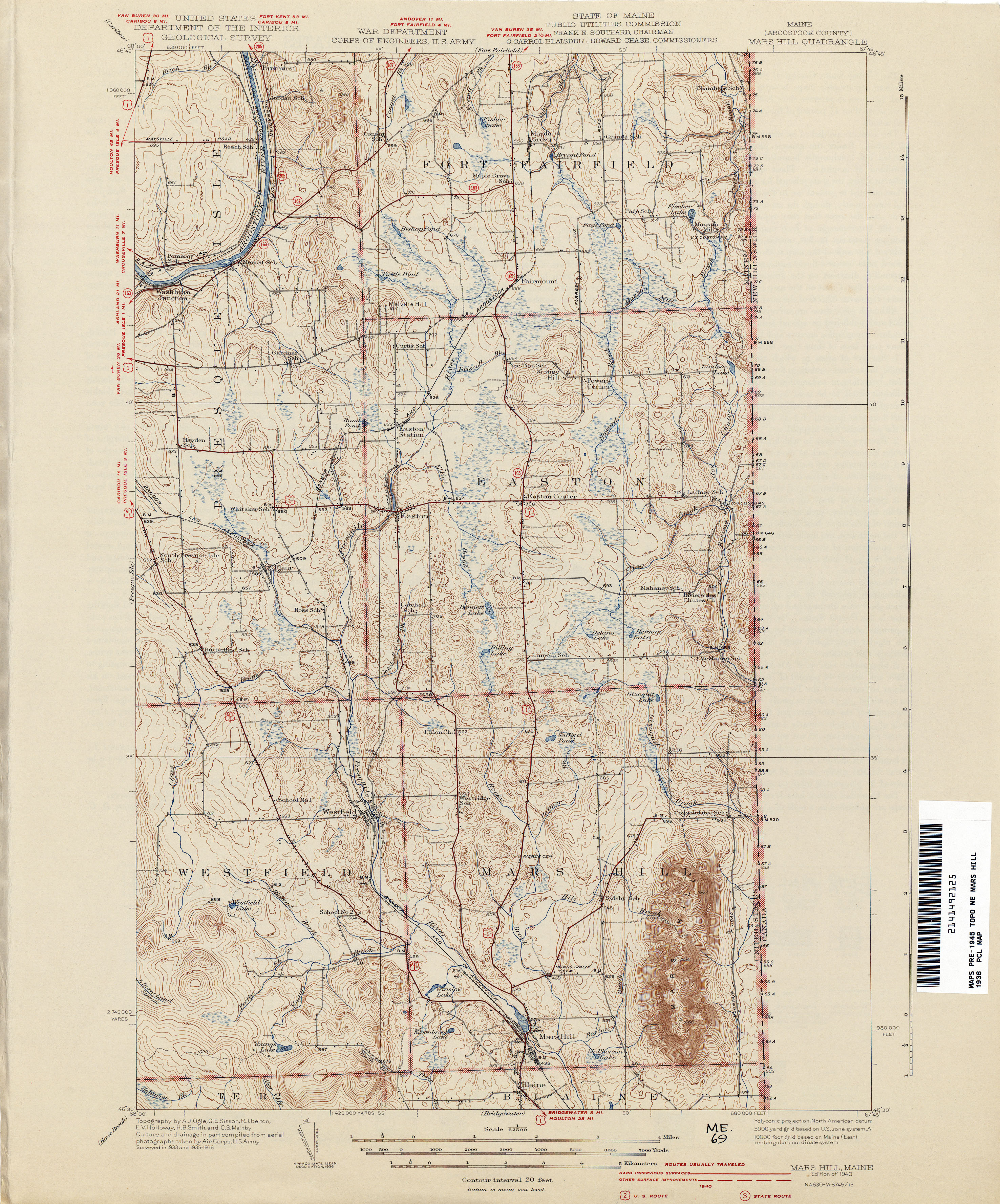
- Mars Hill 1936 1:62,500 (3.4MB)
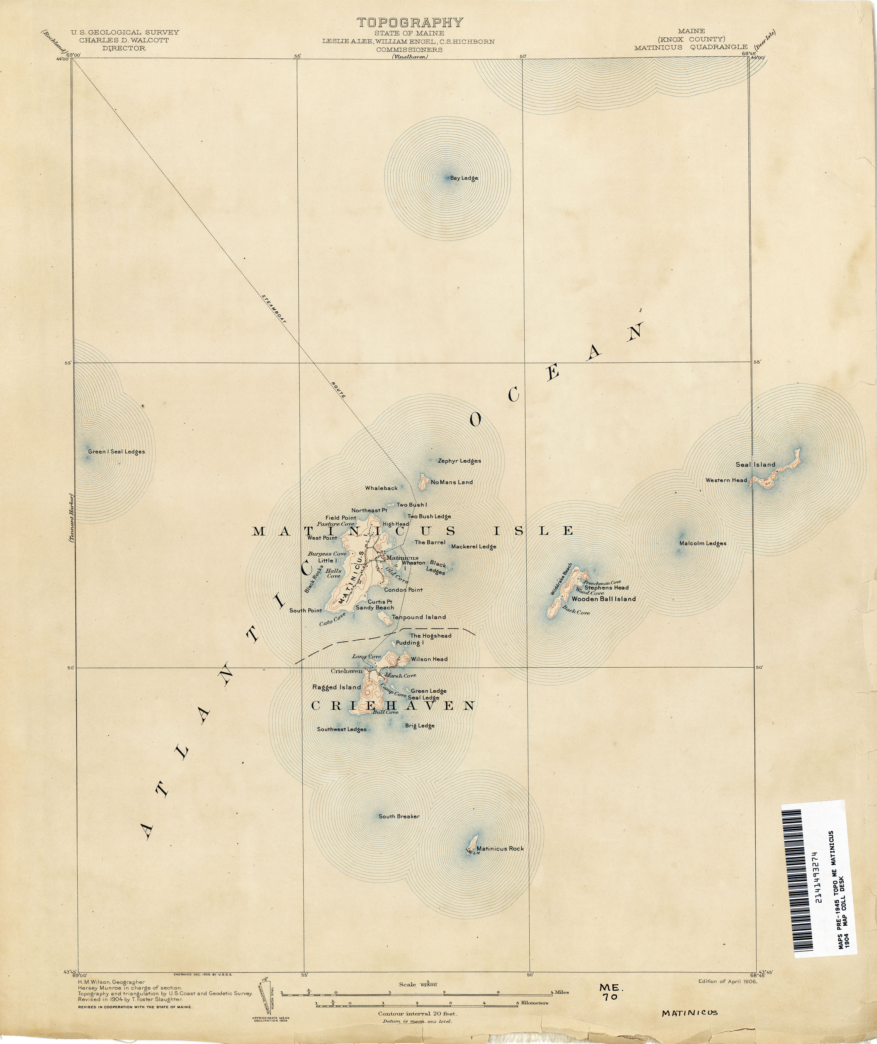
- Matinicus 1904 1:62,500 (1.7MB)
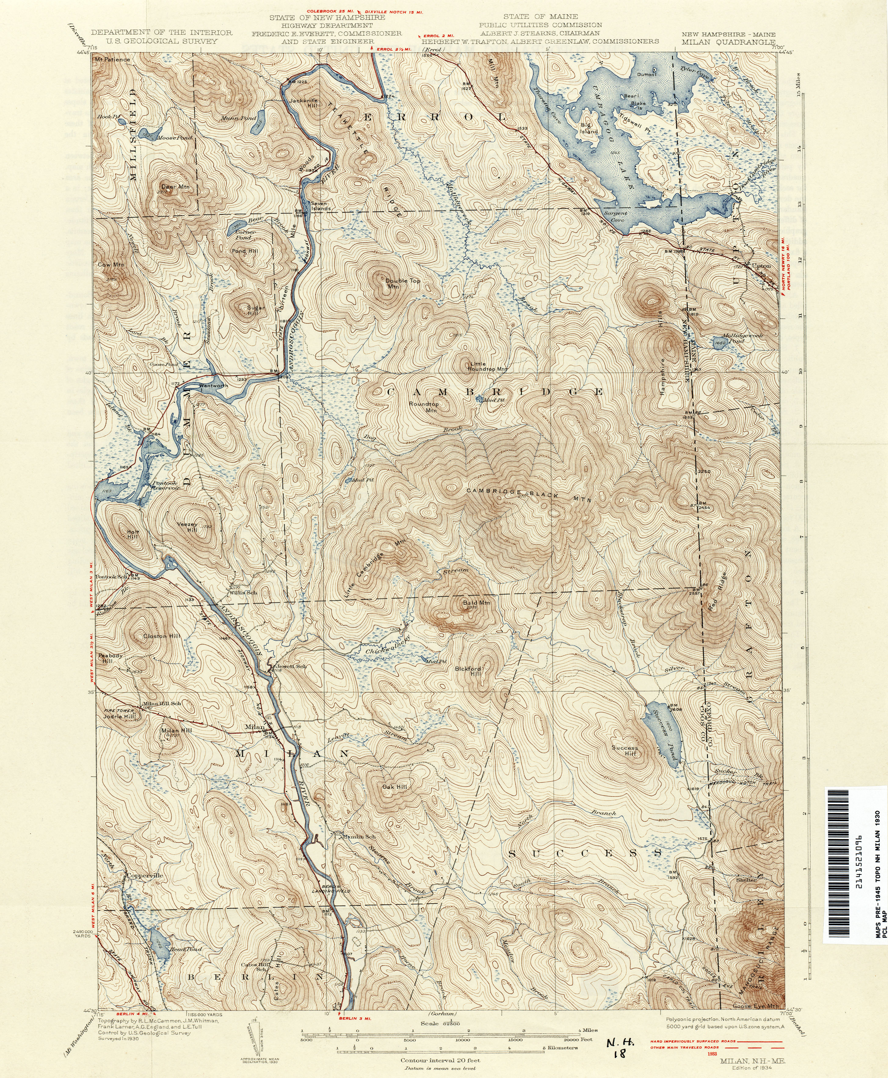
- Milan [New Hampshire, Maine] 1930 1:62,500 (3.7MB)
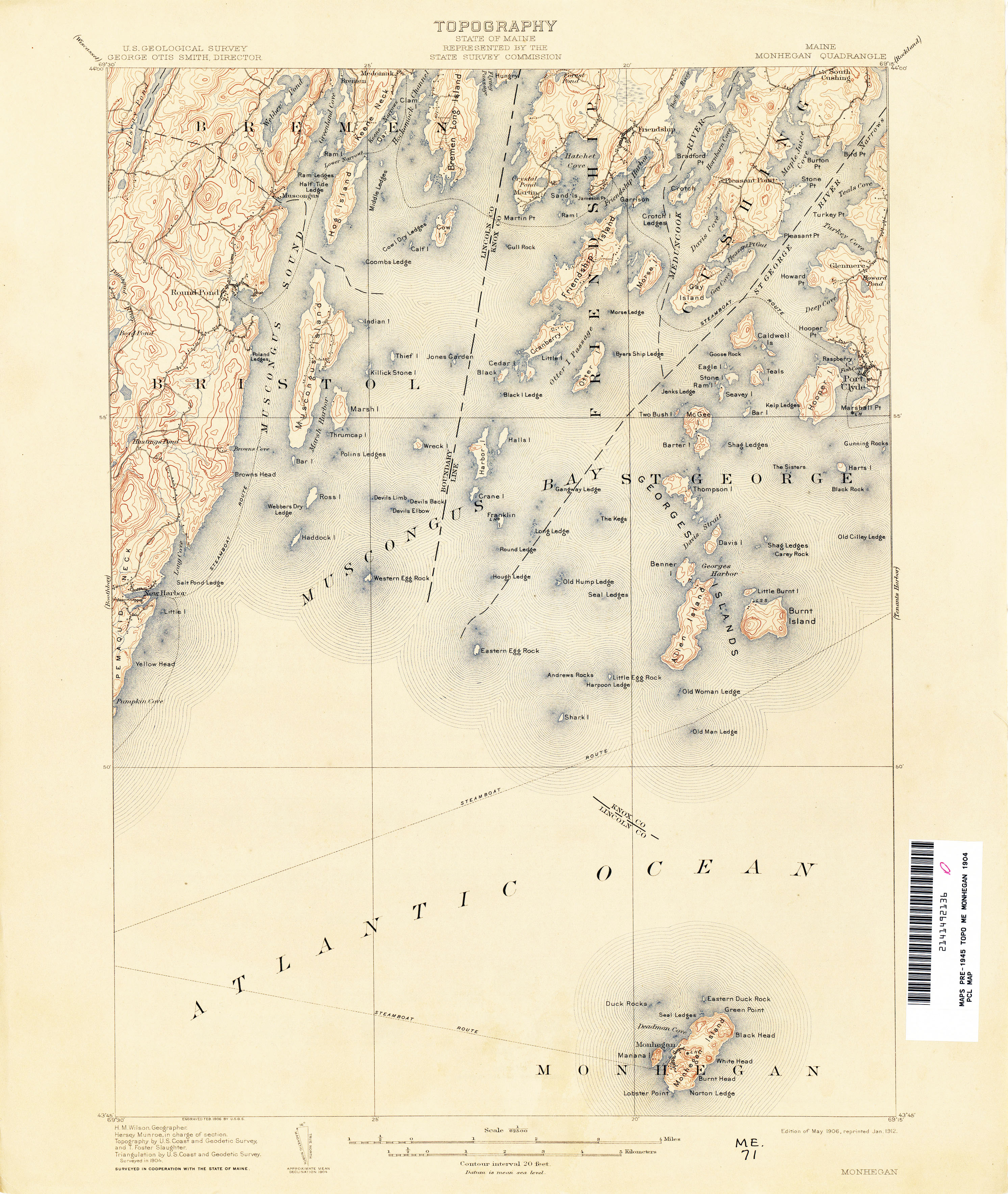
- Monhegan 1904 1:62,500 (2.8MB)
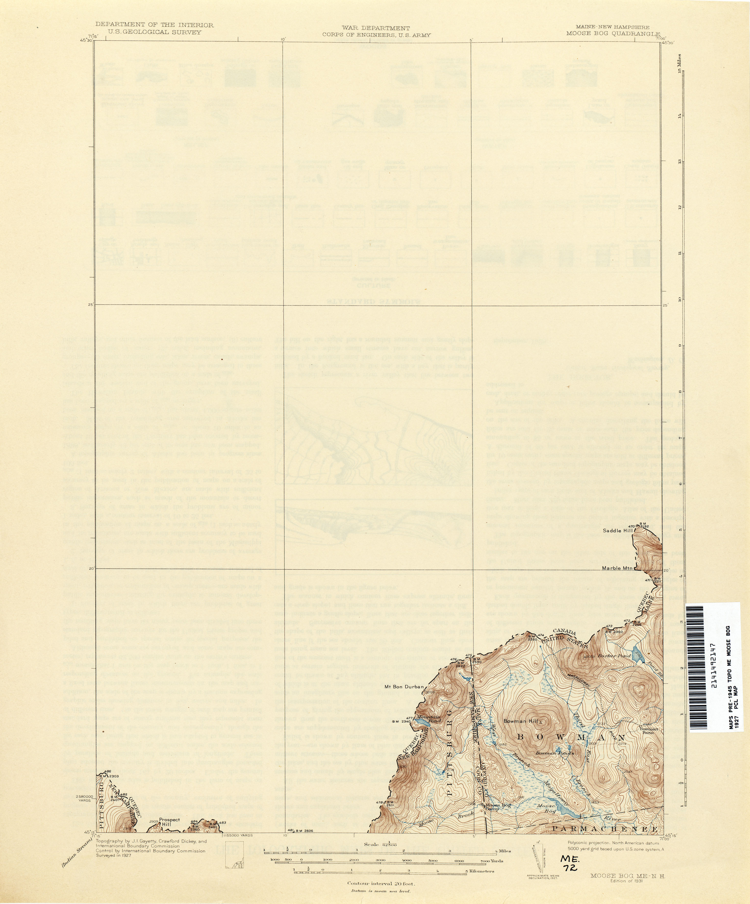
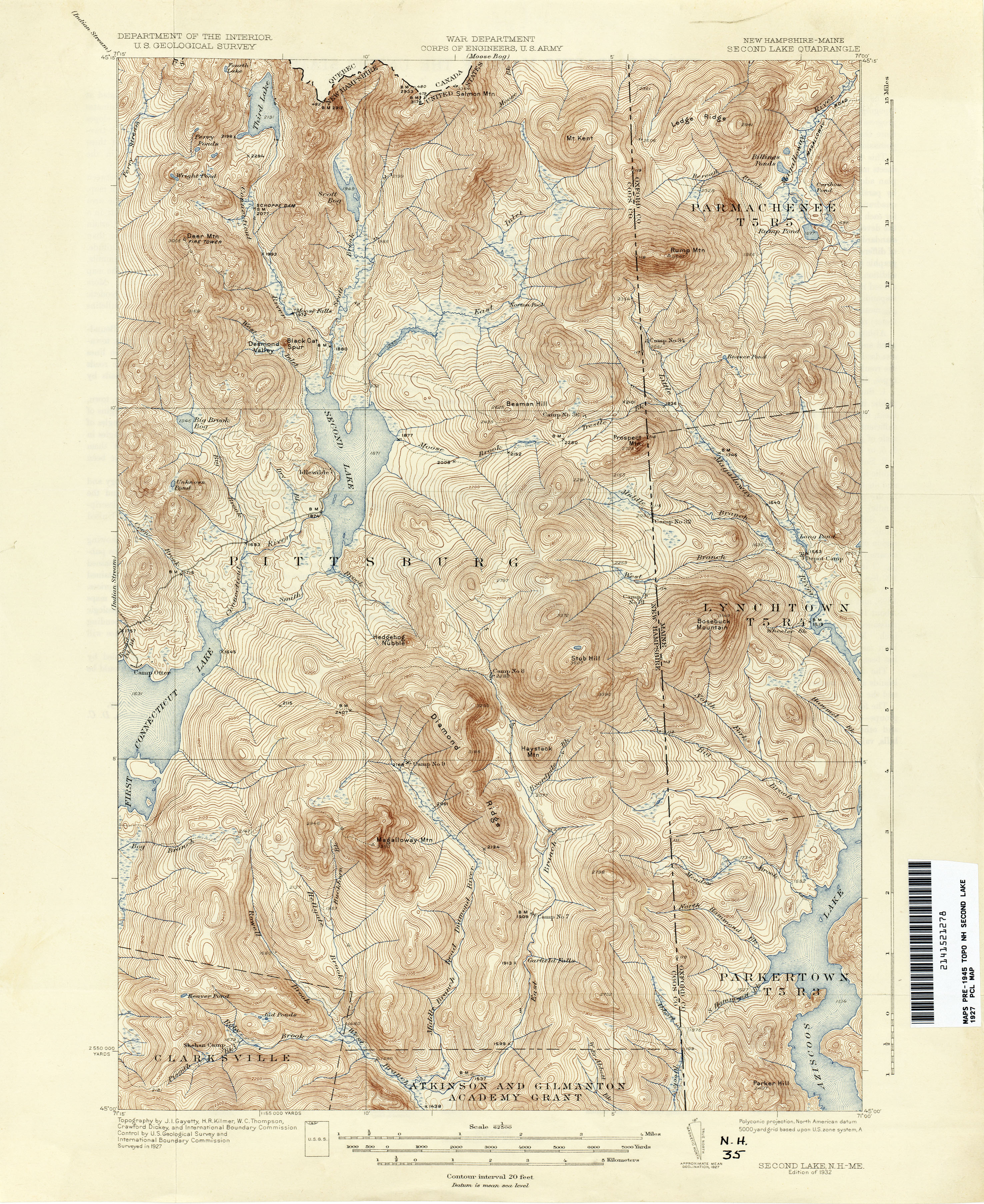
- Moose Bog [Maine, New Hampshire] 1927 1:62,500 (1.4MB)
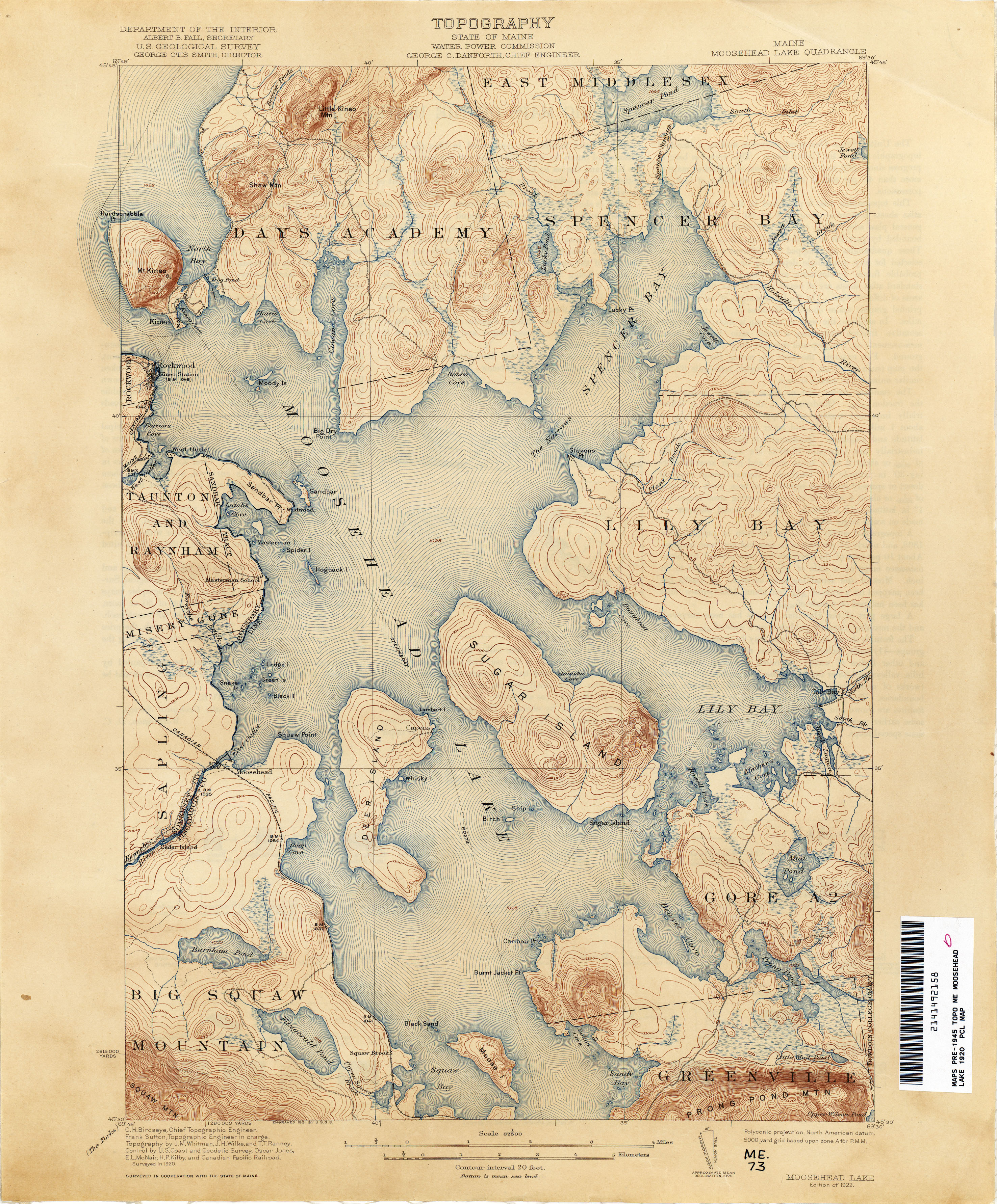
- Moosehead Lake 1920 1:62,500 (3.8MB)
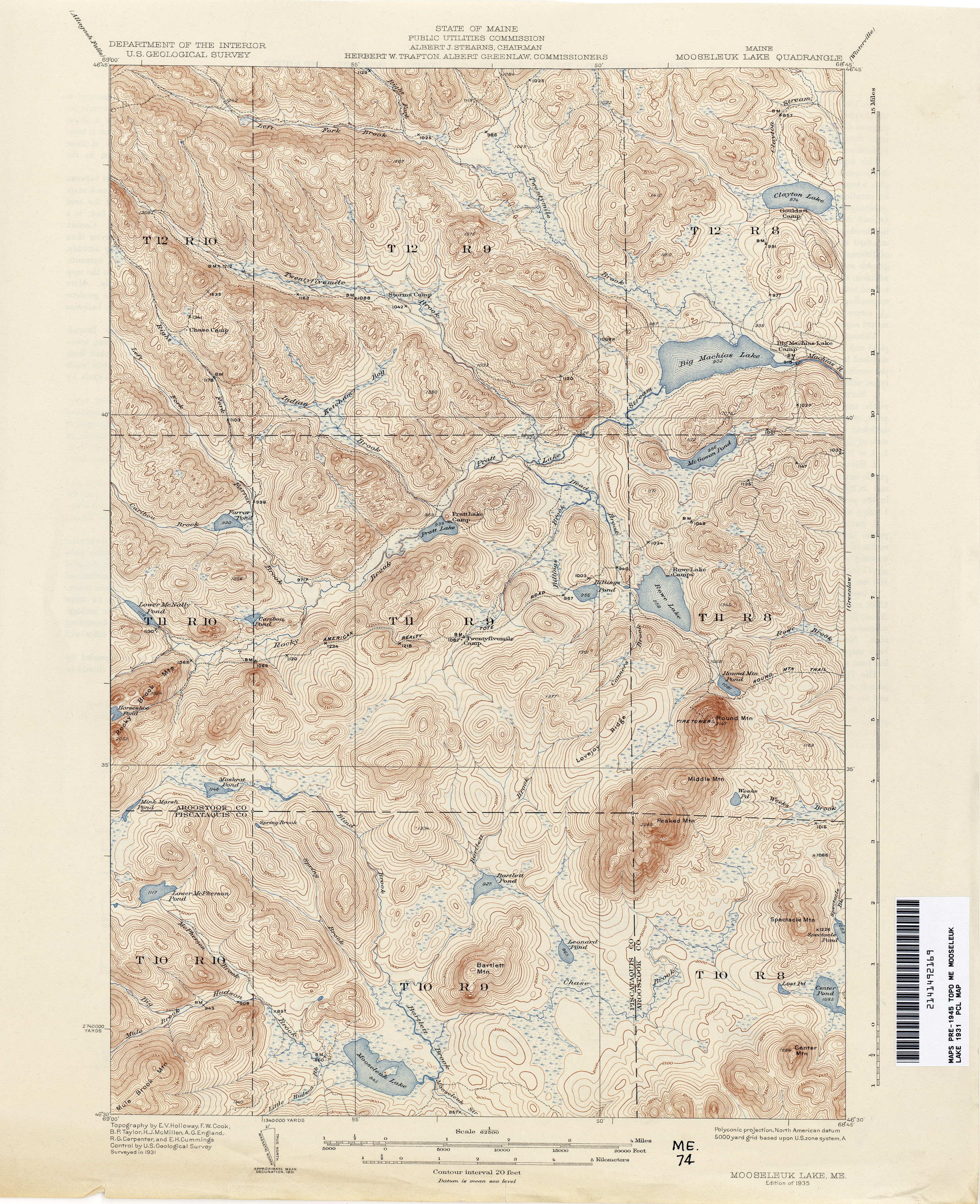
- Mooseleuk Lake 1931 1:62,500 (4.3MB)
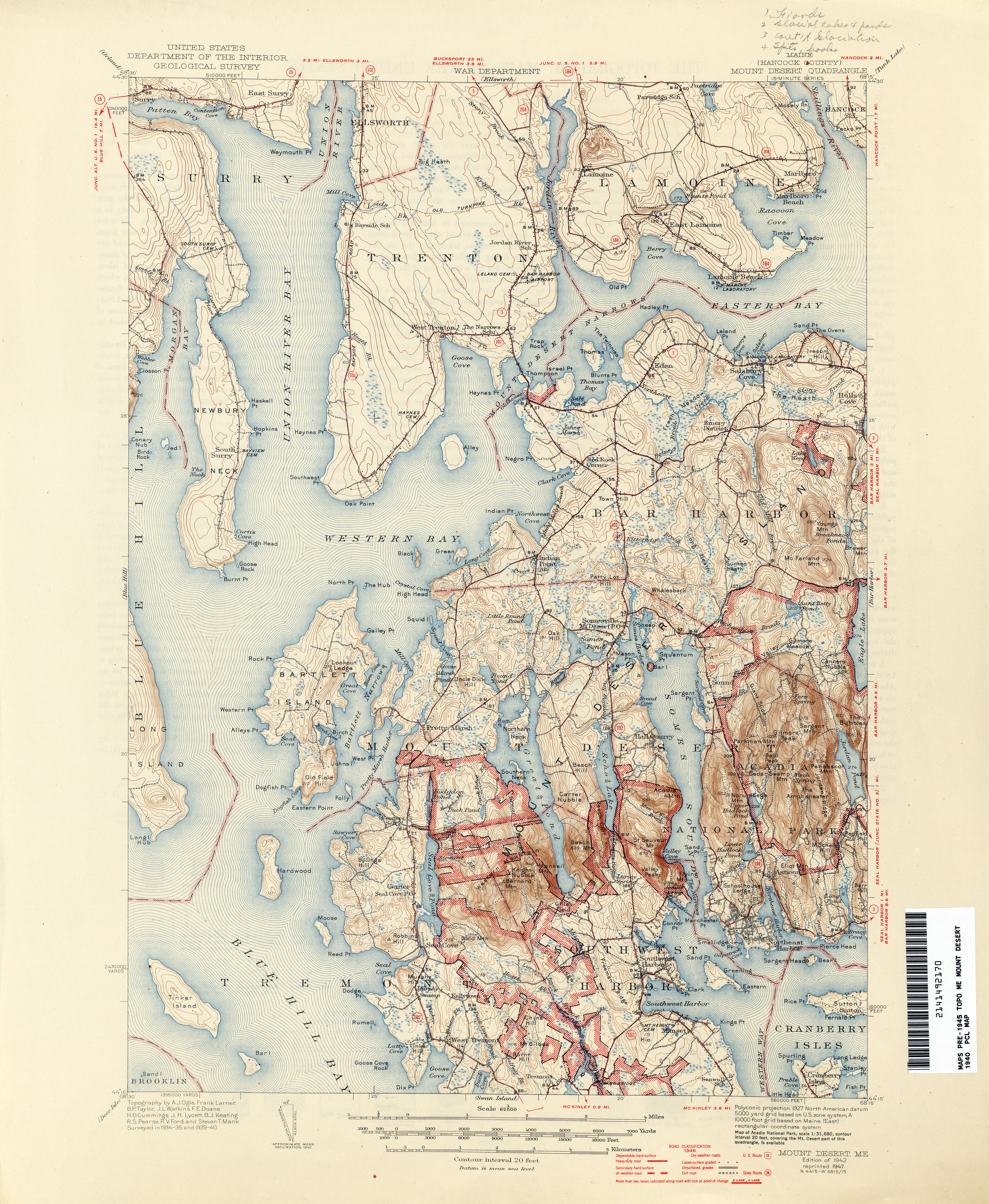
- Mount Desert 1901 1:62,500 (3.5MB)
- Mount Desert 1:62,500 (4.4MB)
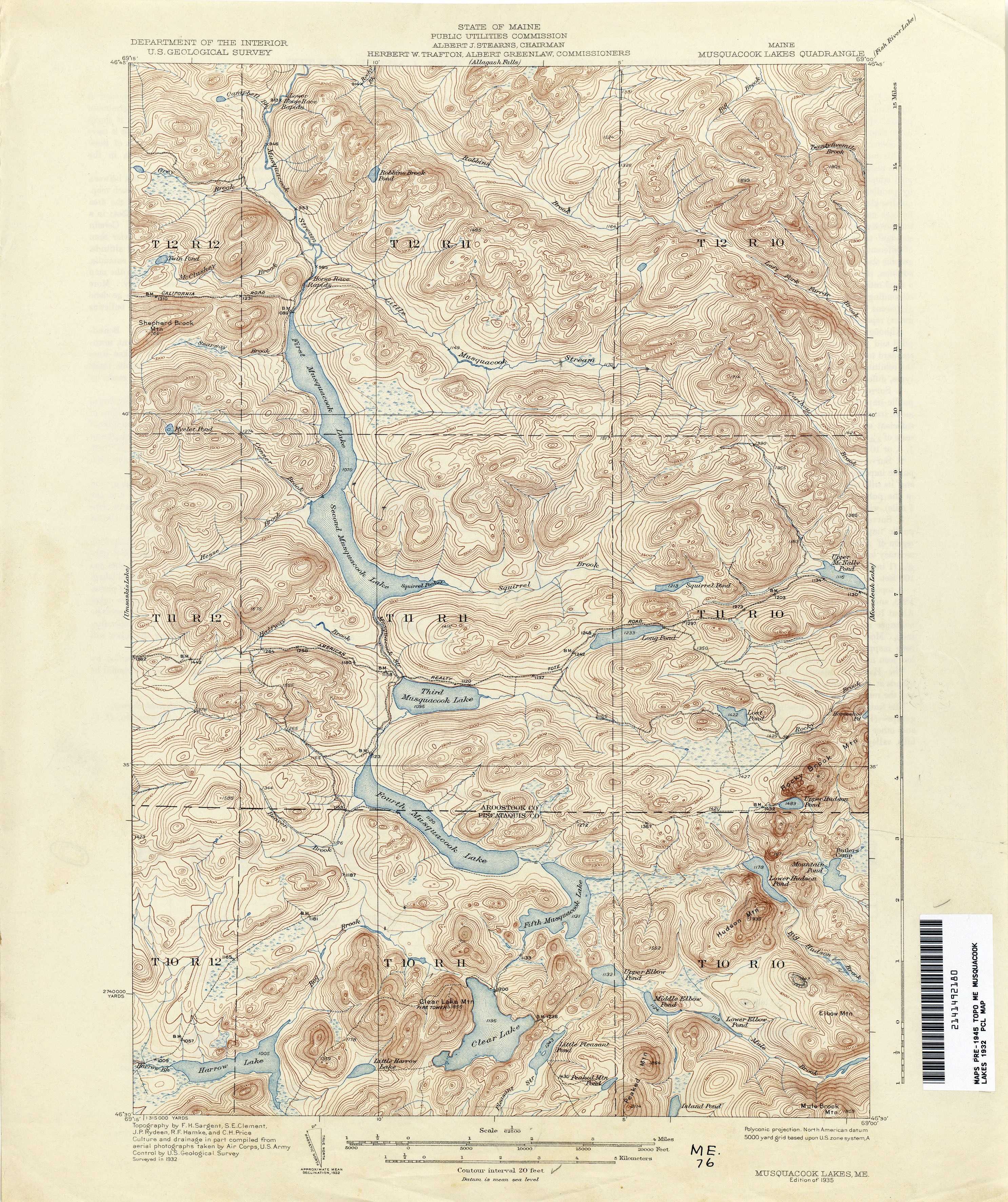
- Musquacook Lakes 1940 1:62,500 (4.5MB)
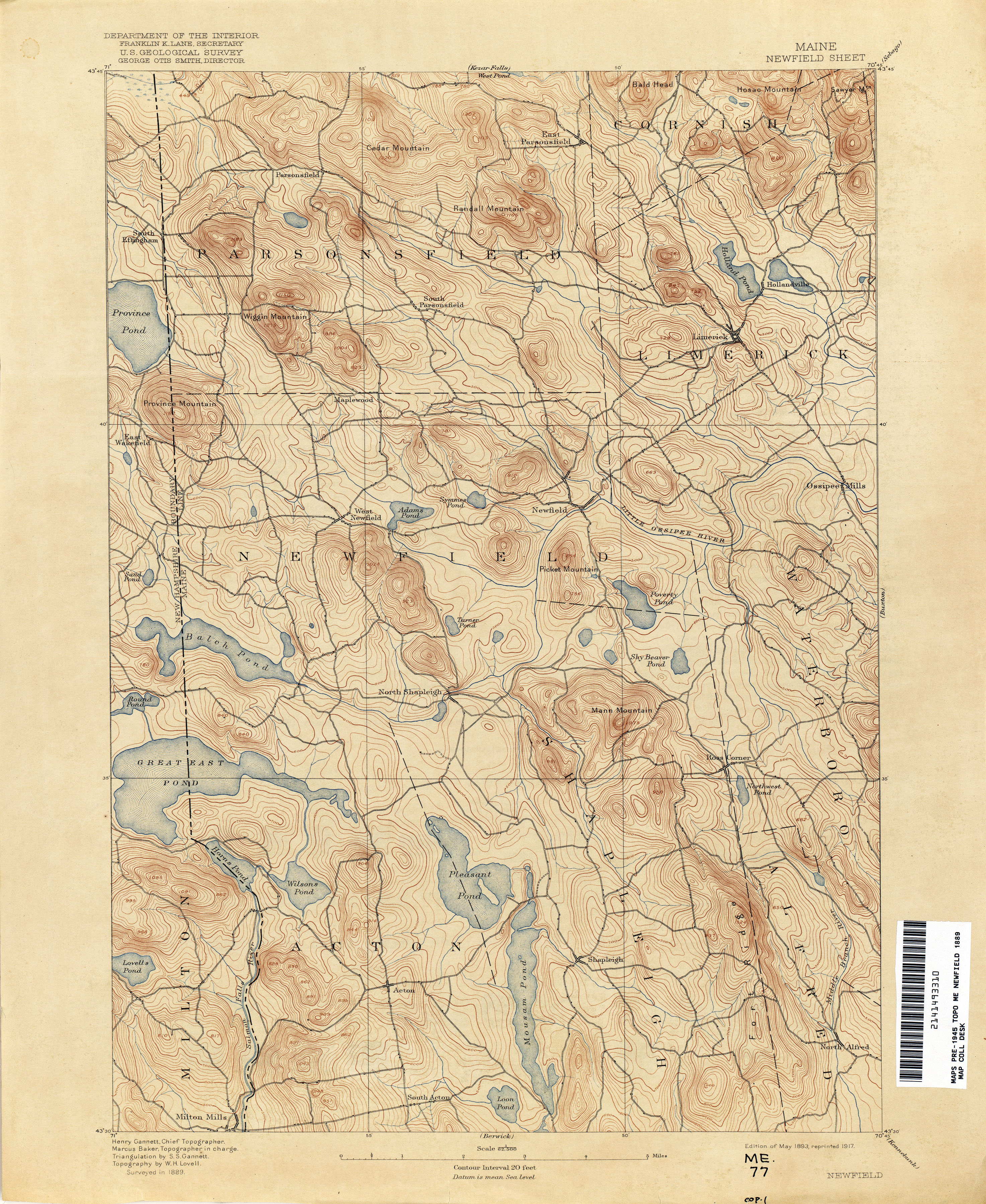
- Newfield 1889 1:62,500 (3.8MB)
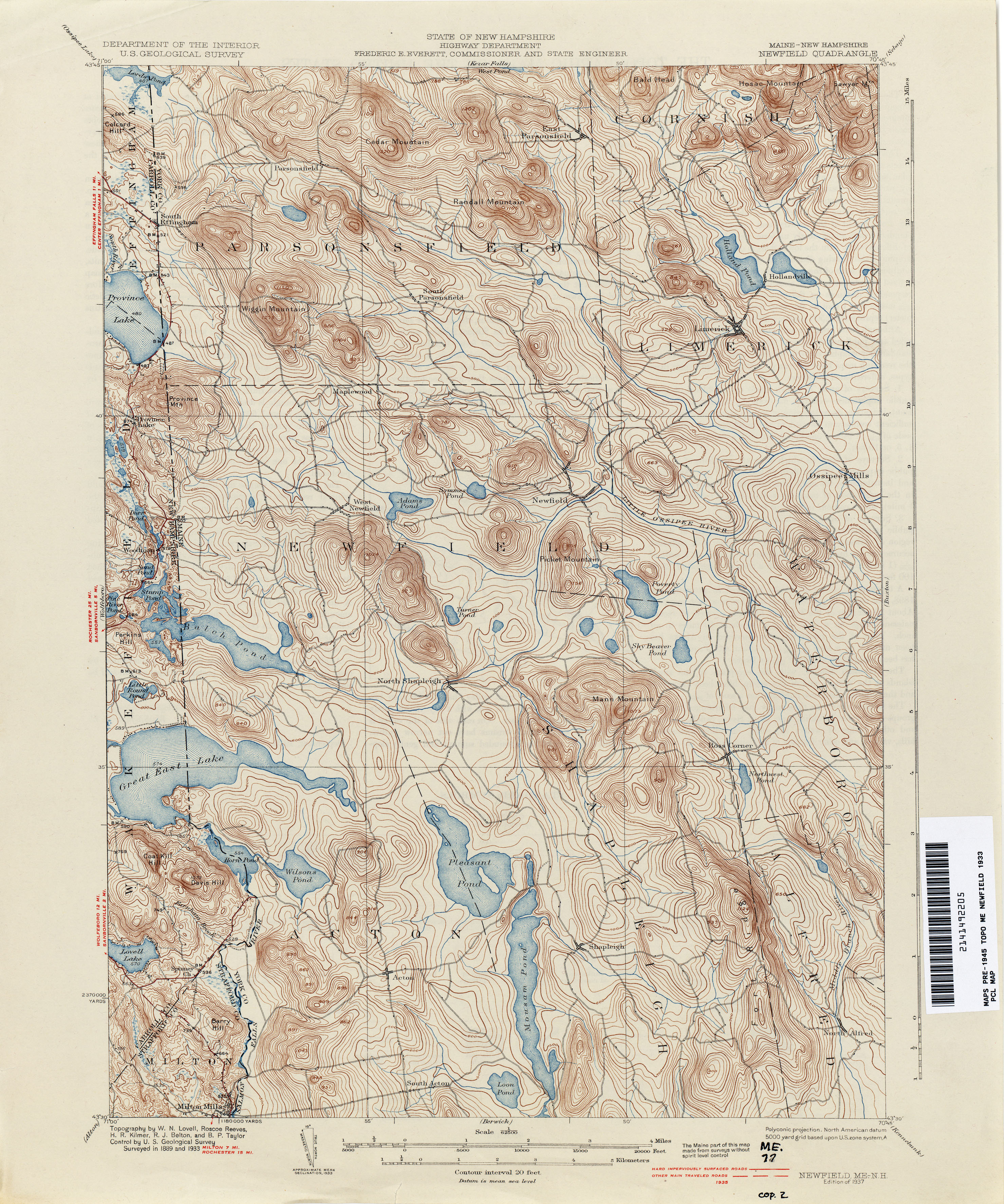
- Newfield [Maine, New Hampshire] 1933 1:62,500 (4.2MB)
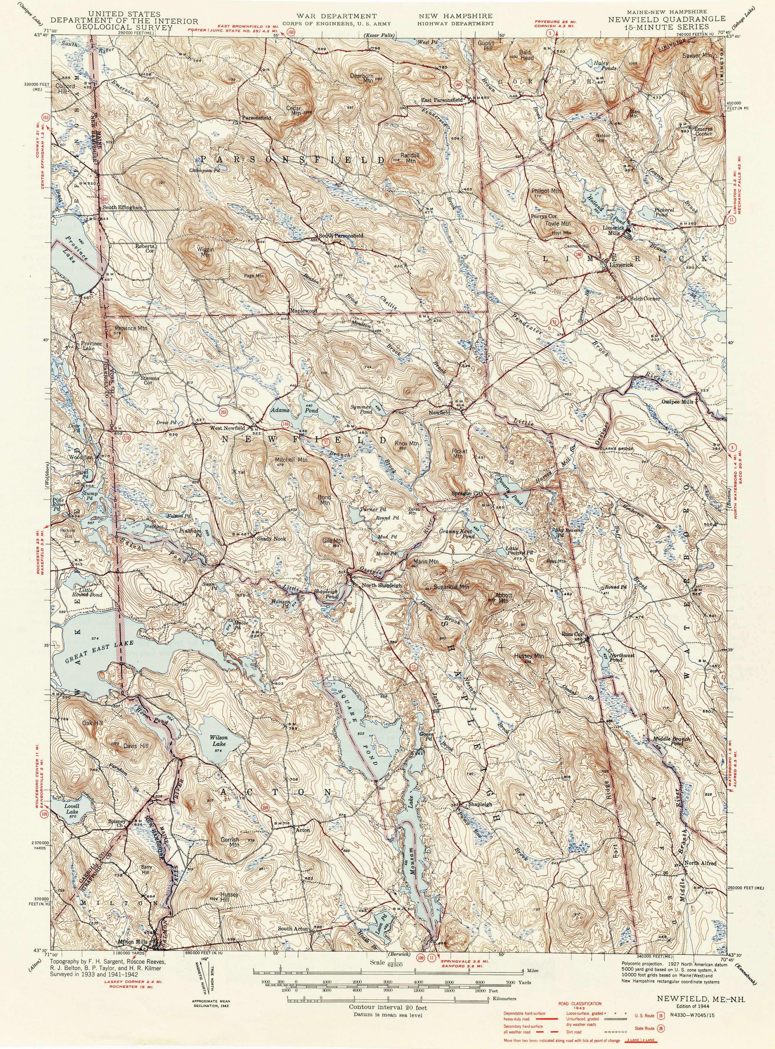
- Newfield [Maine, New Hampshire] 1942 1:62,500 (4.5MB)
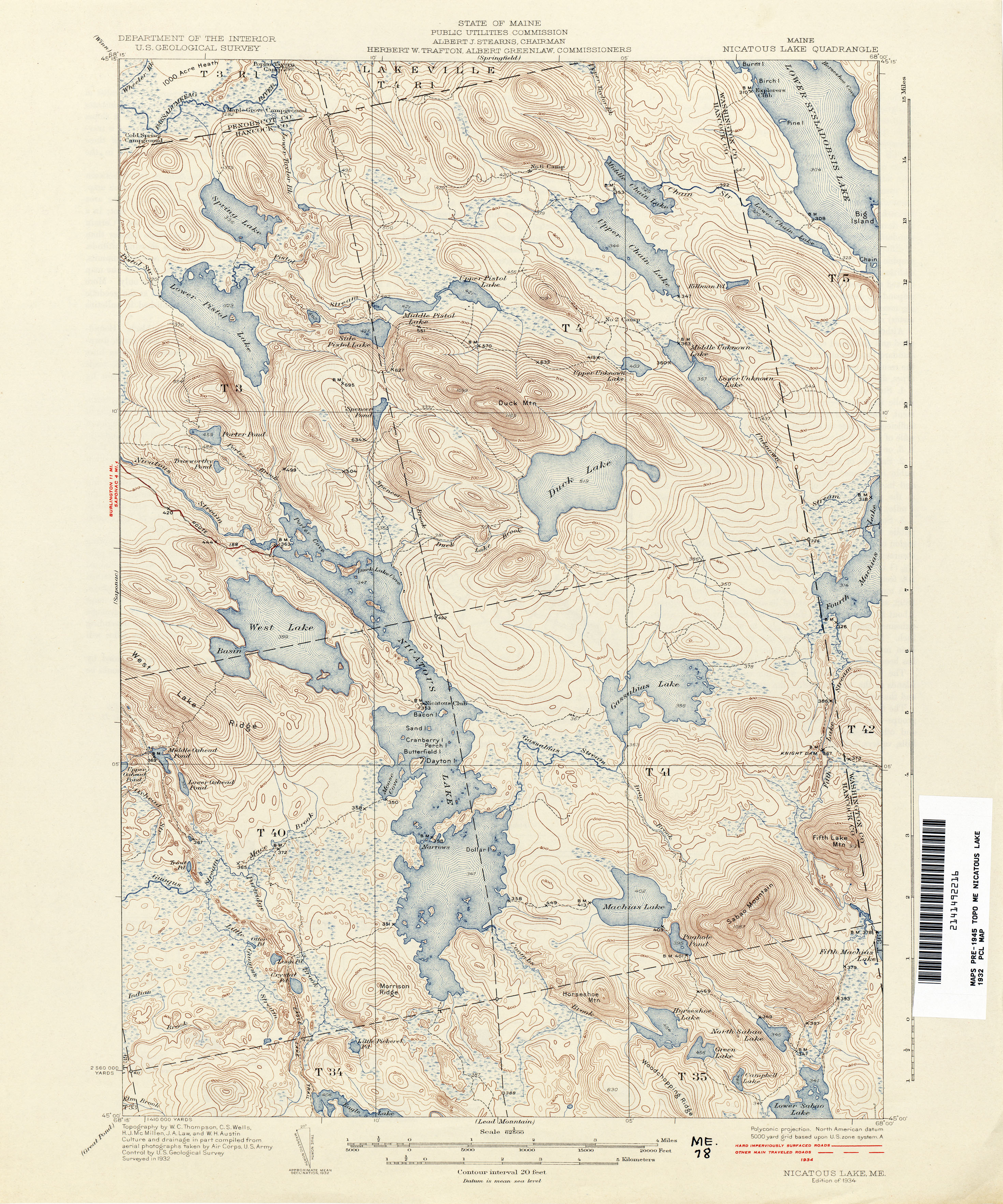
- Nicatous Lake 1932 1:62,500 (3.8MB)
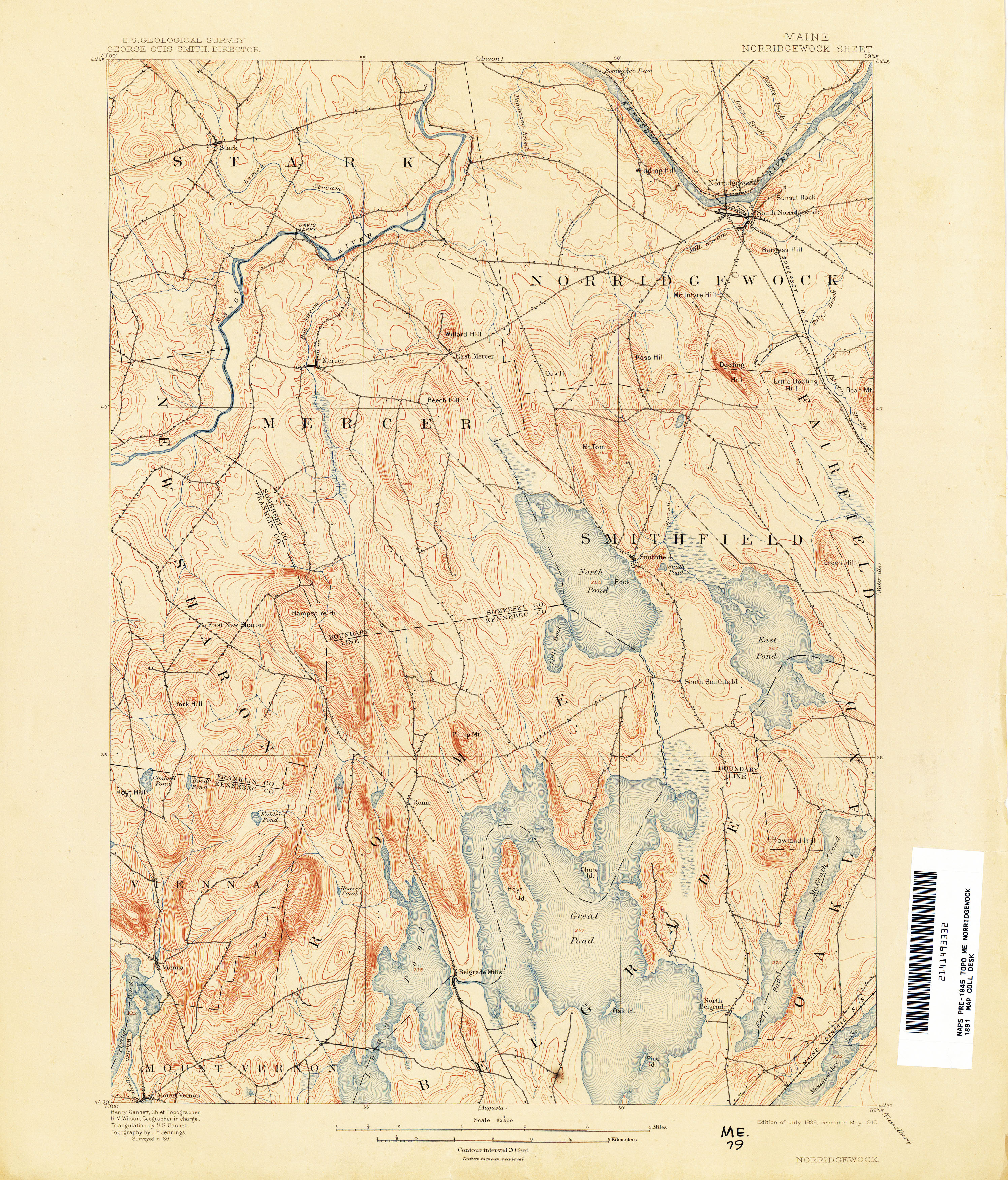
- Norridgewock 1891 1:62,500 (3.6MB)
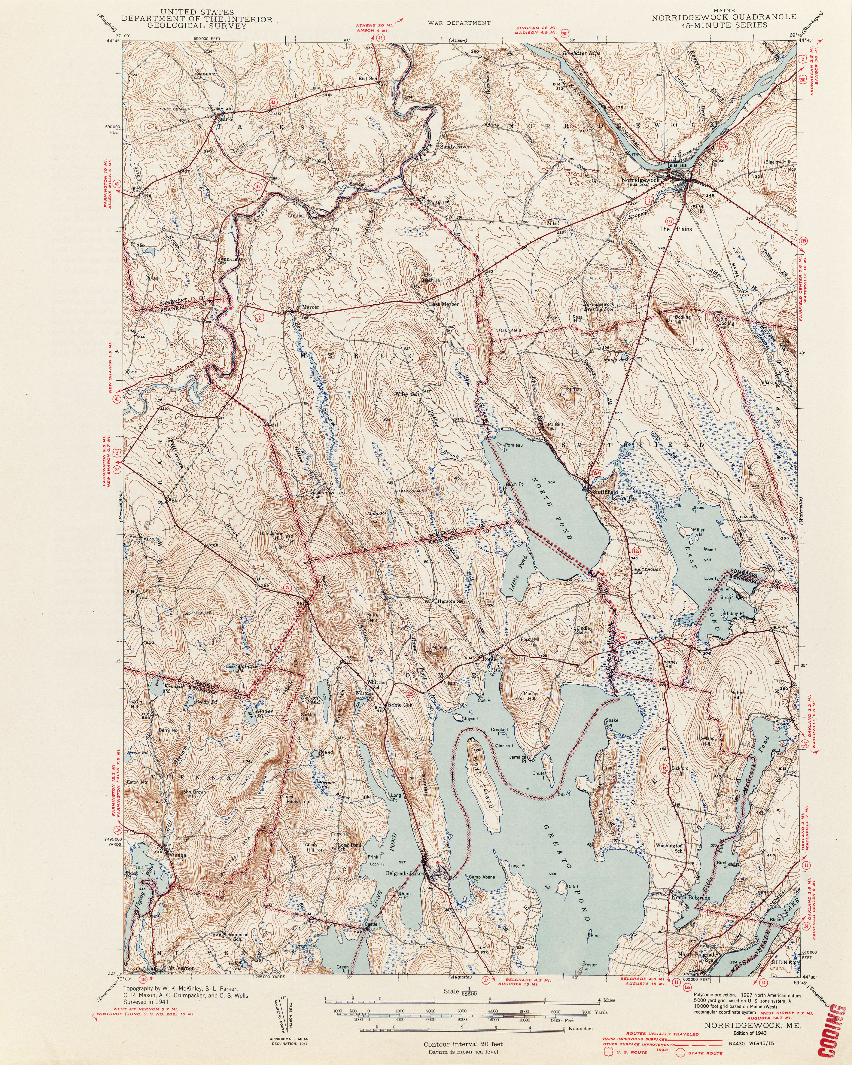
- Norridgewock 1941 1:62,500 (3.9MB)
- North Conway [New Hampshire, Maine] 1892 1:62,500 (4.2MB)
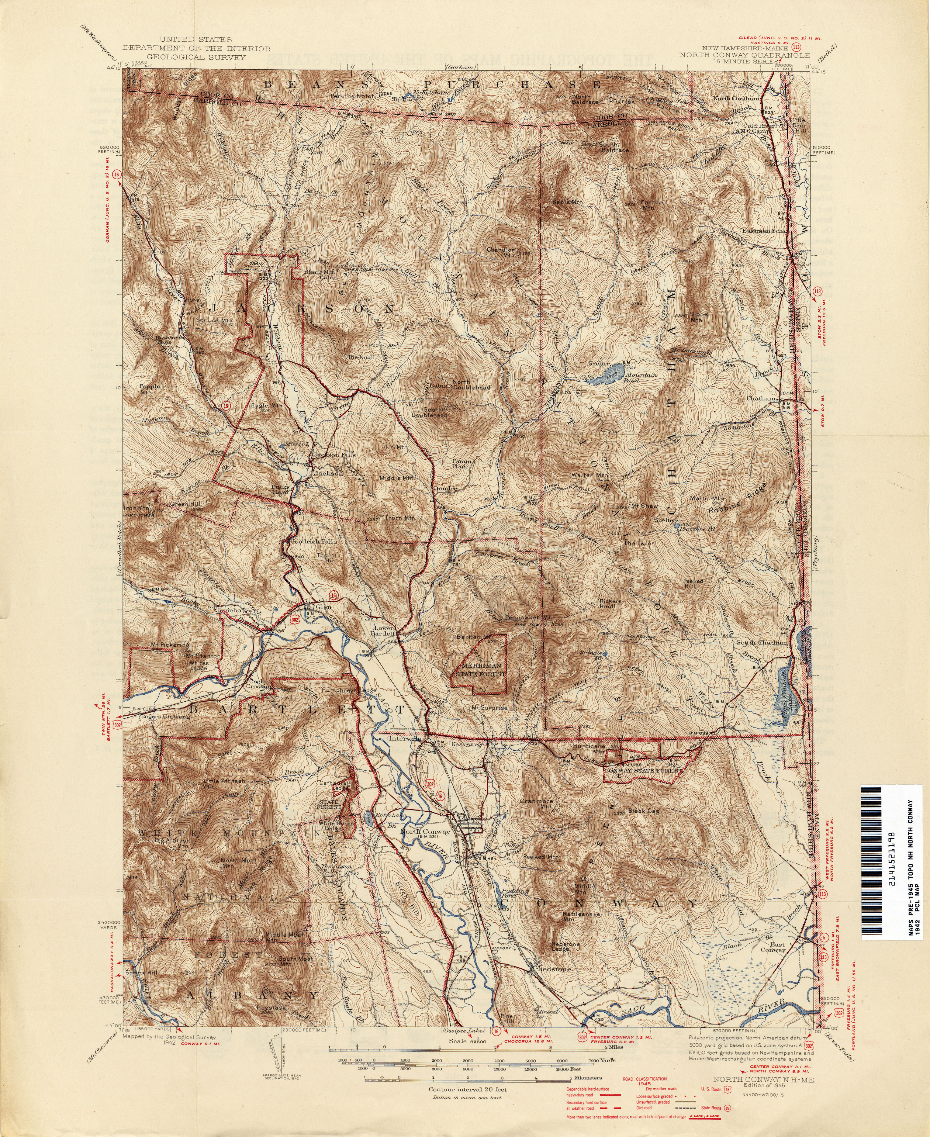
- North Conway [New Hampshire, Maine] 1942 1:62,500 (4.3MB)
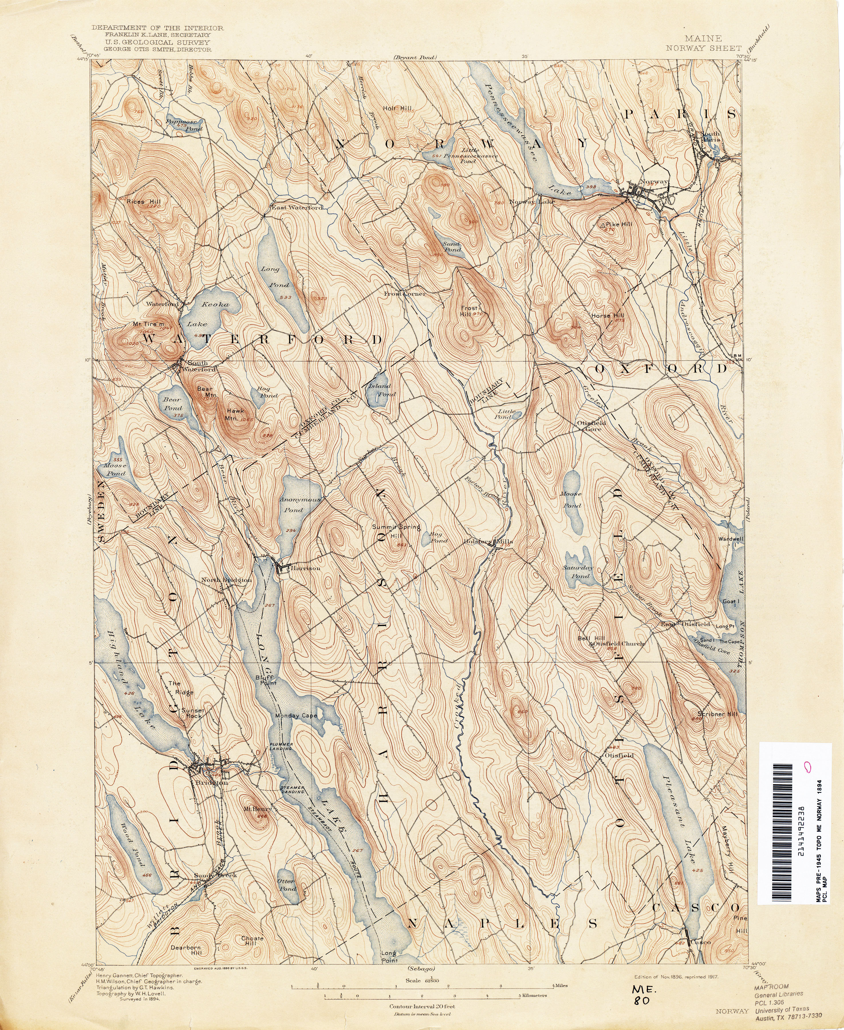
- Norway 1894 1:62,500 (3.8MB)
- Norway 1942 1:62,500 (4.1MB)
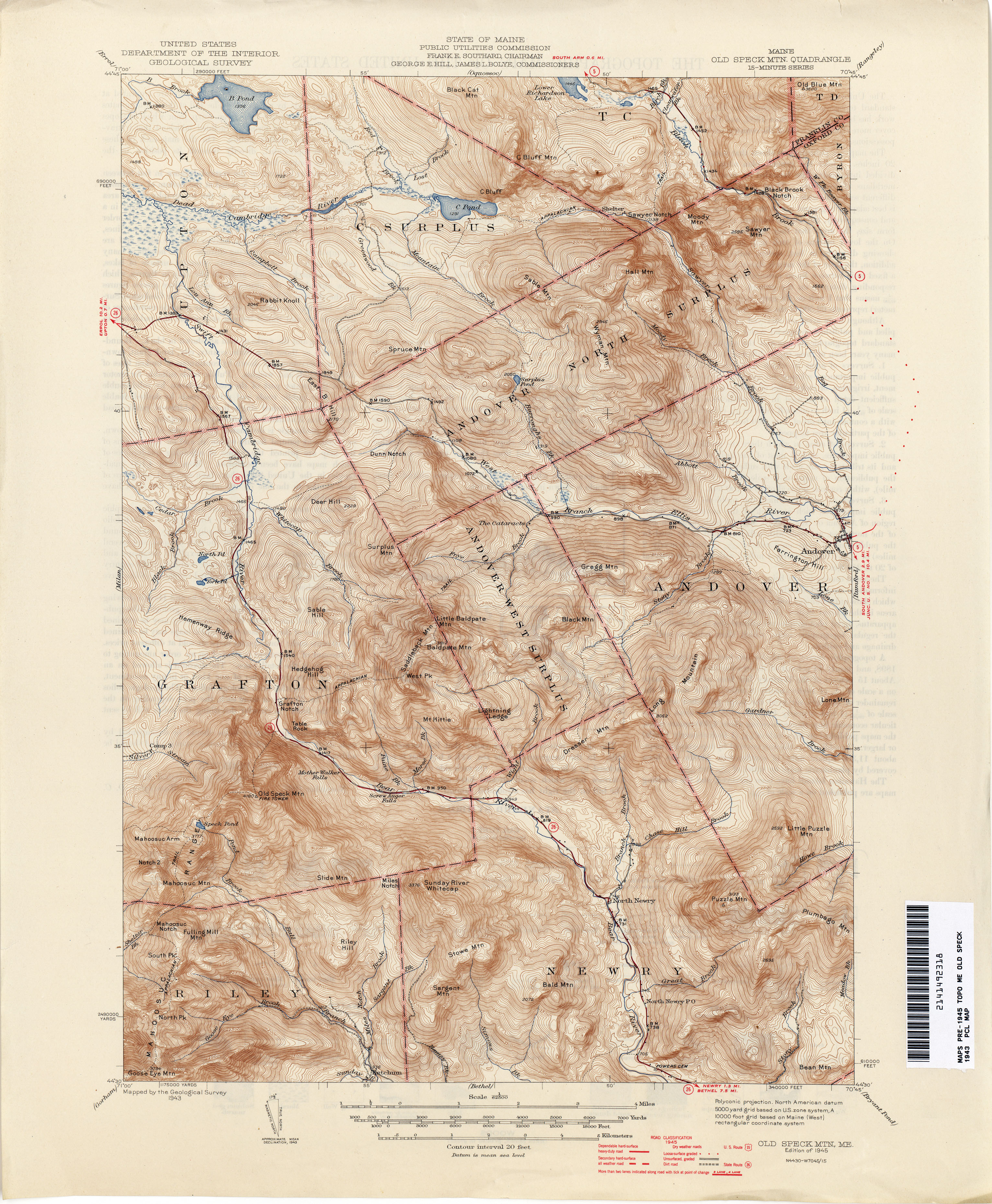
- Old Speck 1943 1:62,500 (4.6MB)
- Oquossoc 1940 1:62,500 (4.5MB)
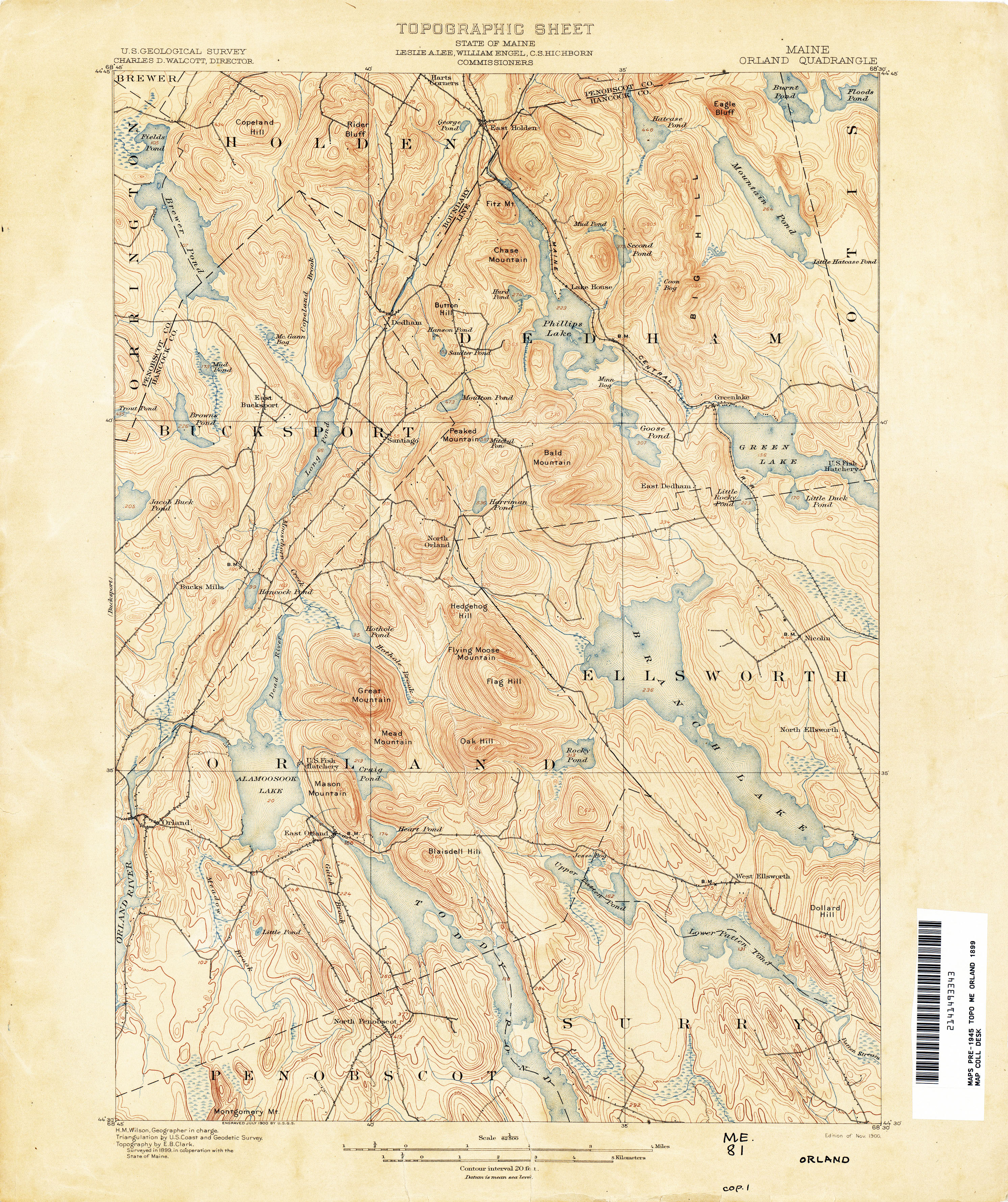
- Orland 1899 1:62,500 (3.9MB)
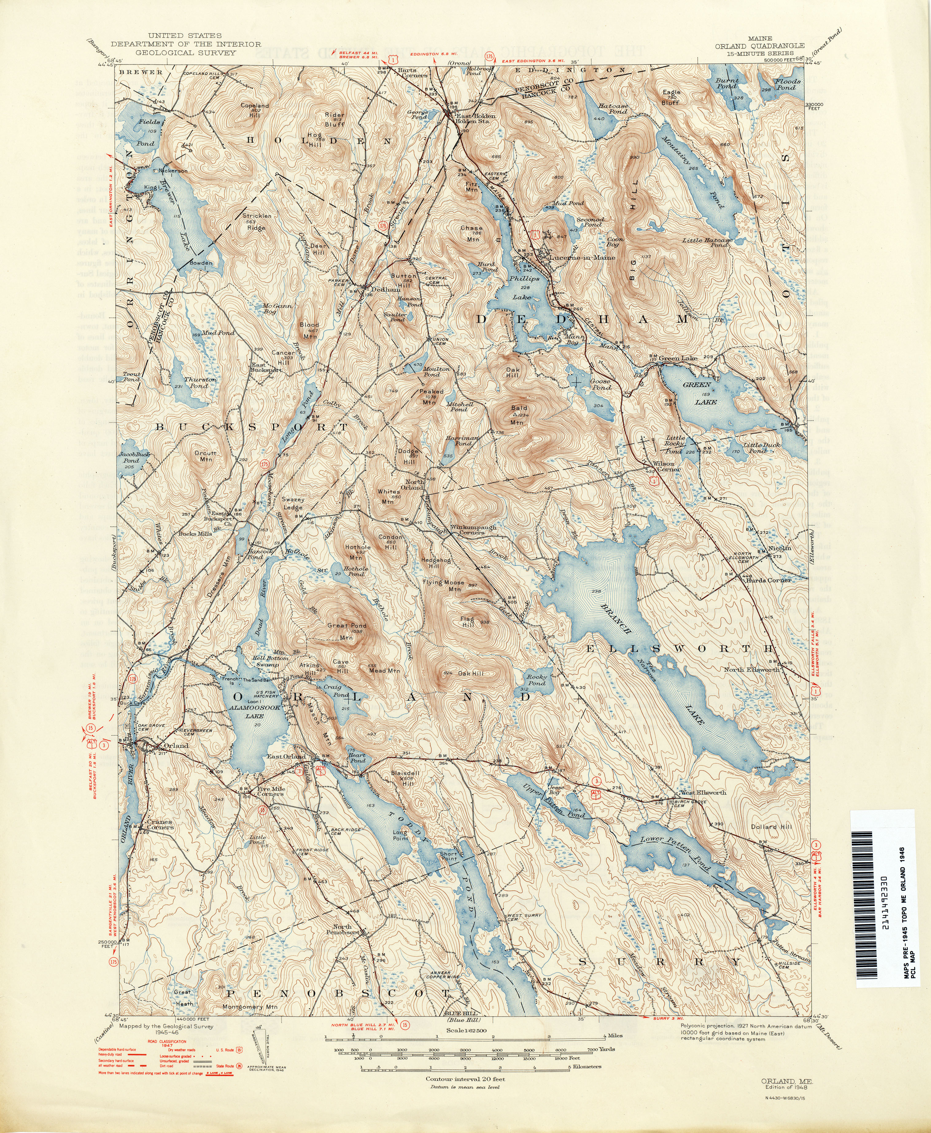
- Orland 1946 1:62,500 (4.3MB)
- Orono 1900 1:62,500 (2.9MB)
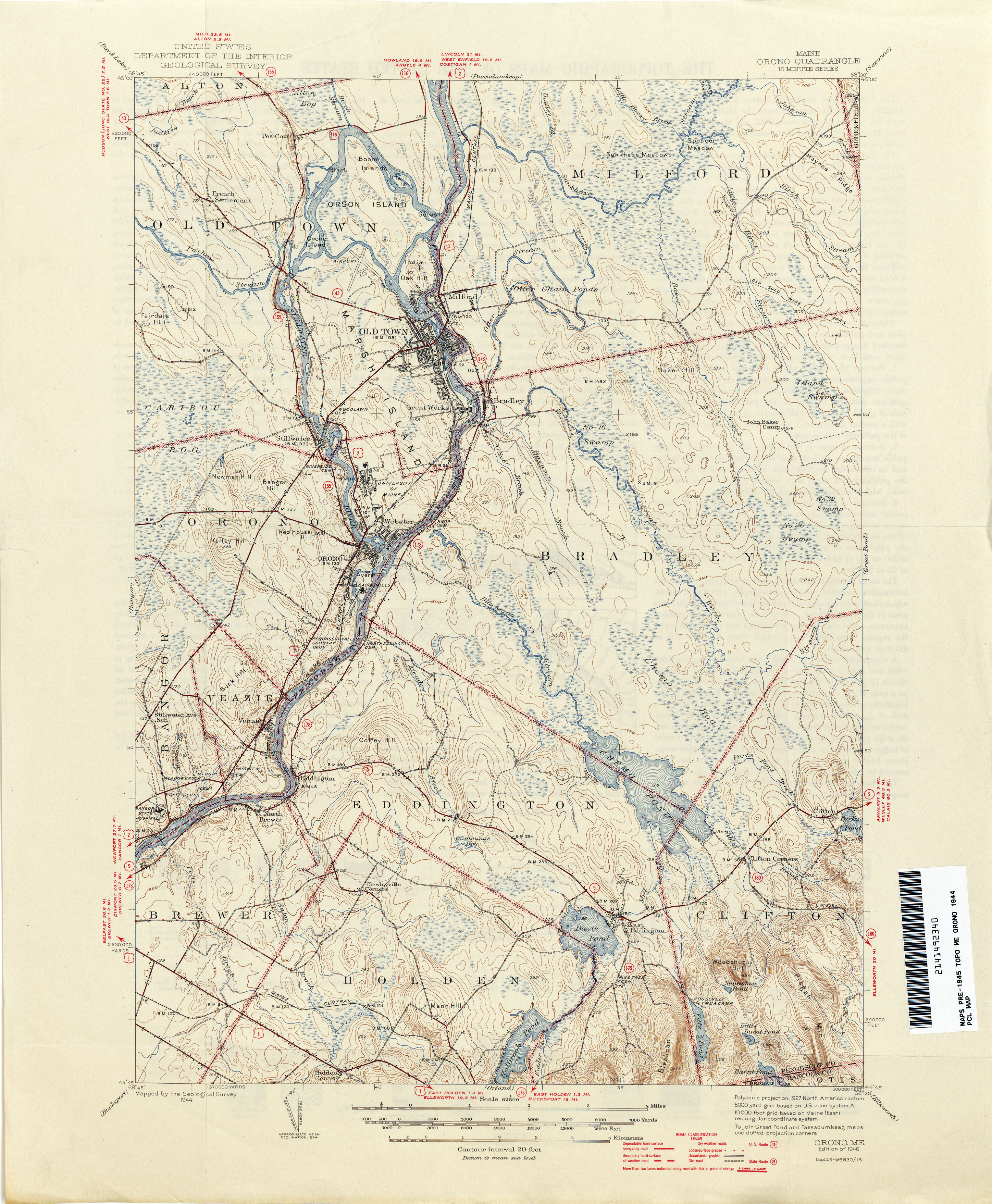
- Orono 1944 1:62,500 (3.6MB)
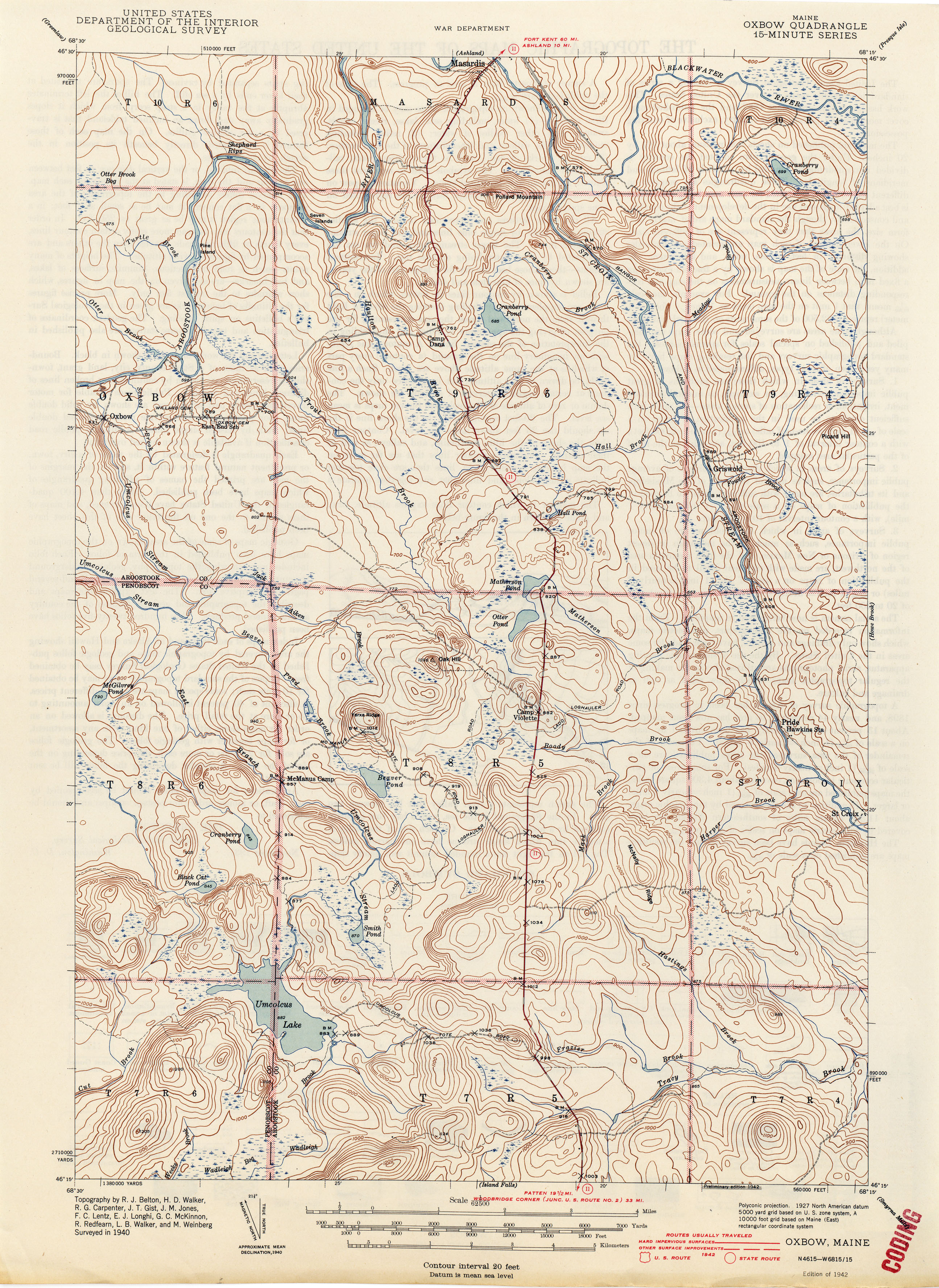
- Oxbow 1940 1:62,500 (3.3MB)
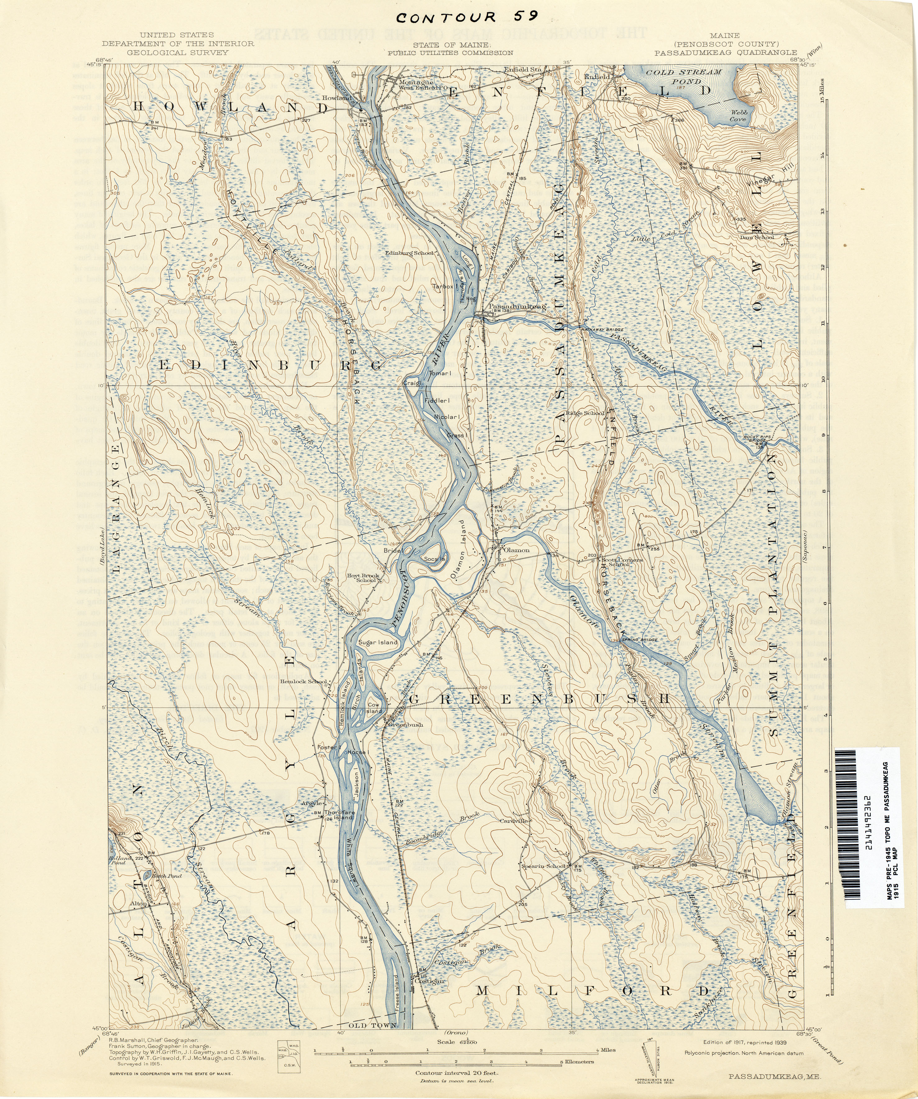
- Passadumkeag 1915 1:62,500 (3.0MB)
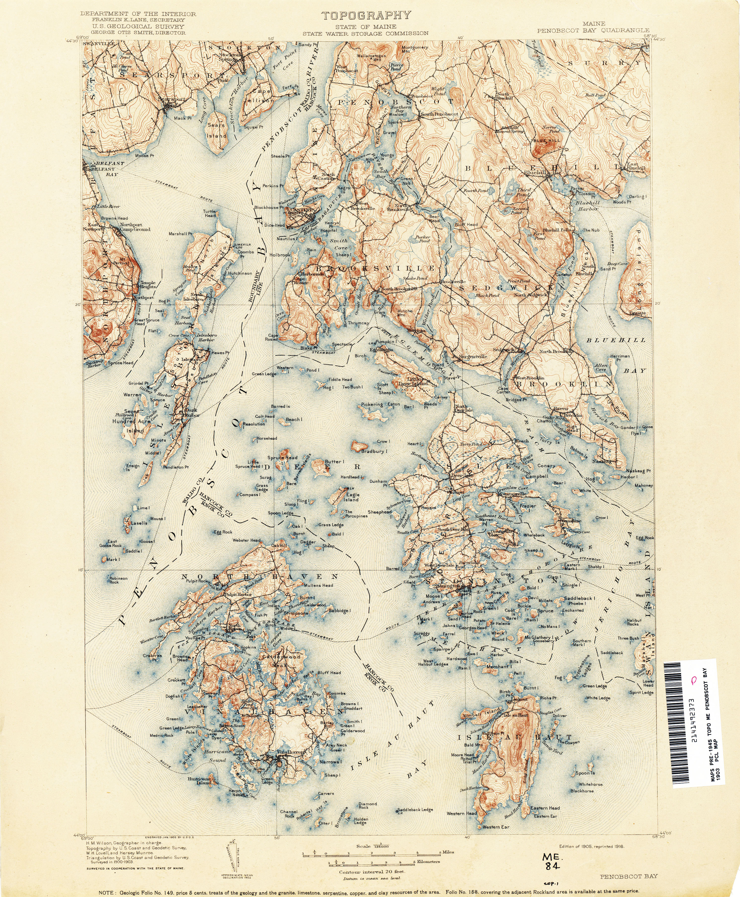
- Penobscot Bay 1903 1:125,000 (4.0MB)
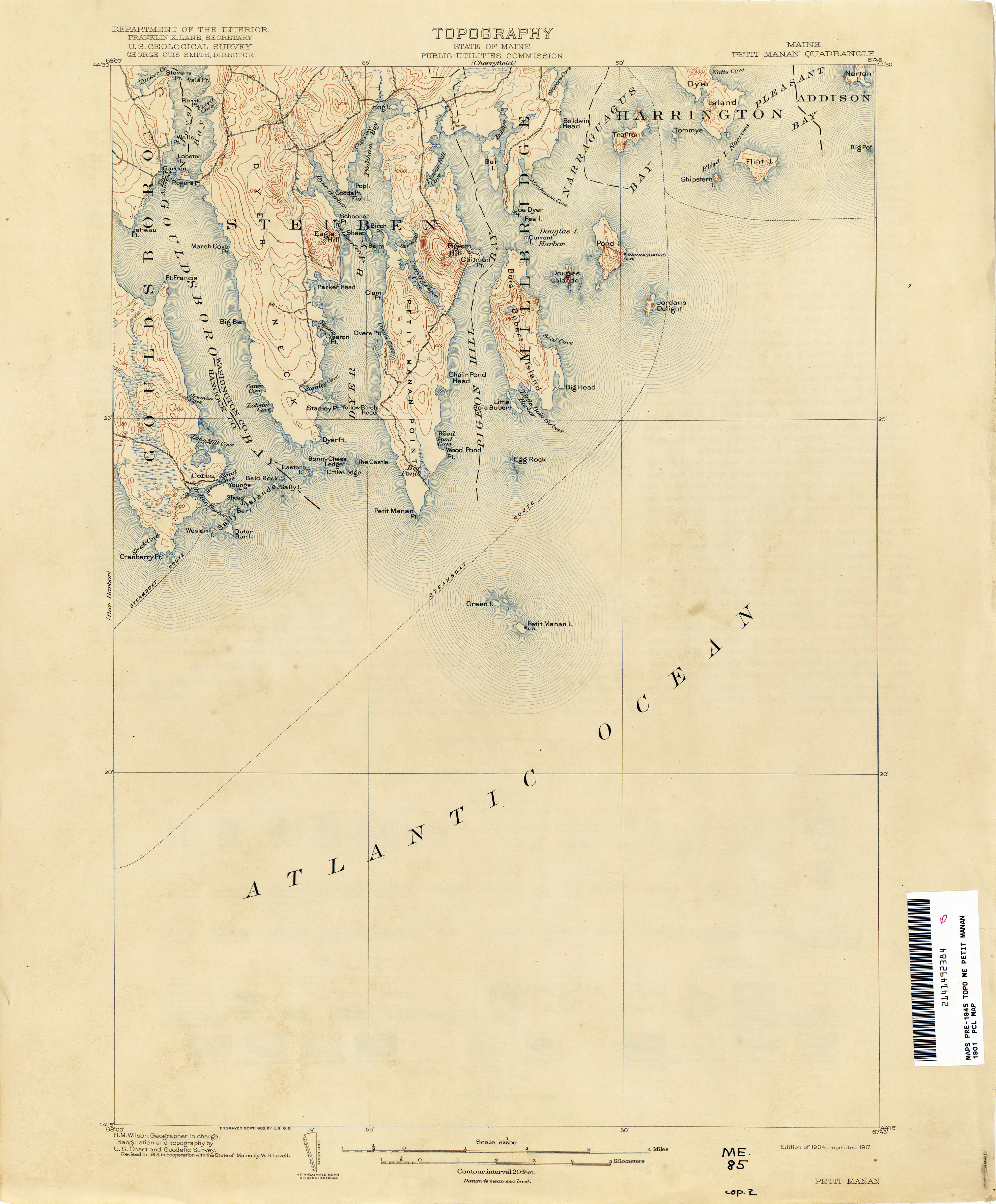
- Petit Manan 1901 1:62,500 (2.0MB)
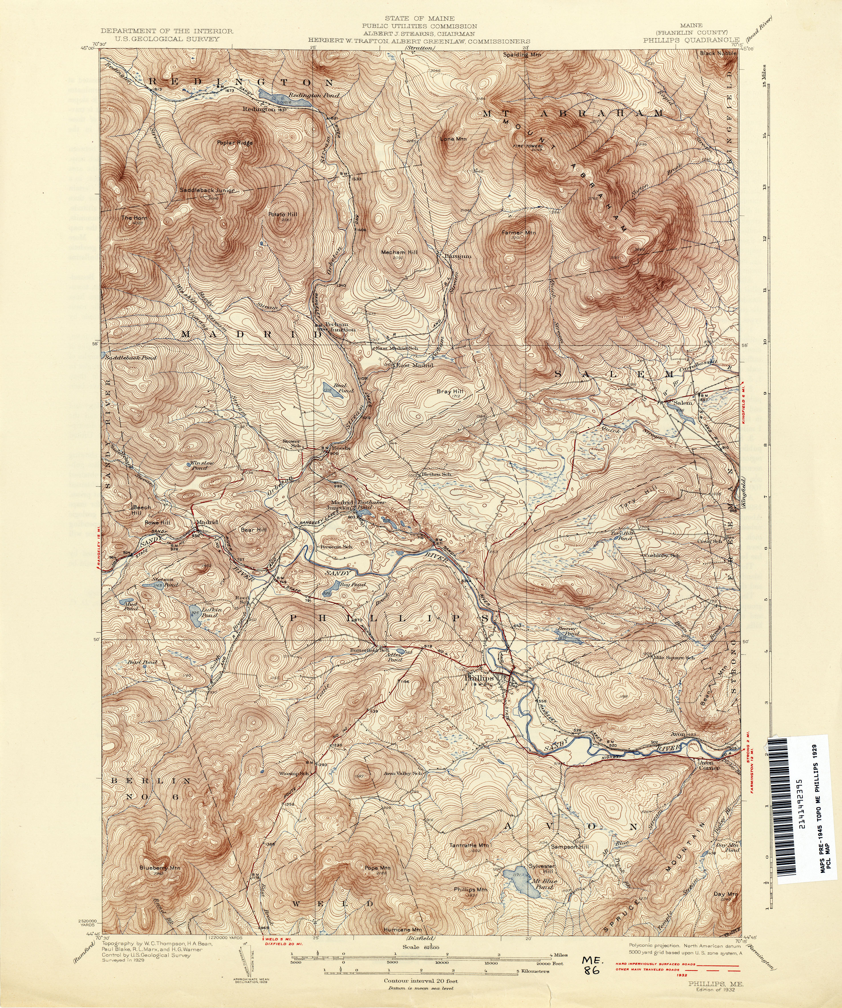
- Phillips 1929 1:62,500 (5.1MB)
- Pierce Pond 1925 1:62,500 (4.5MB)
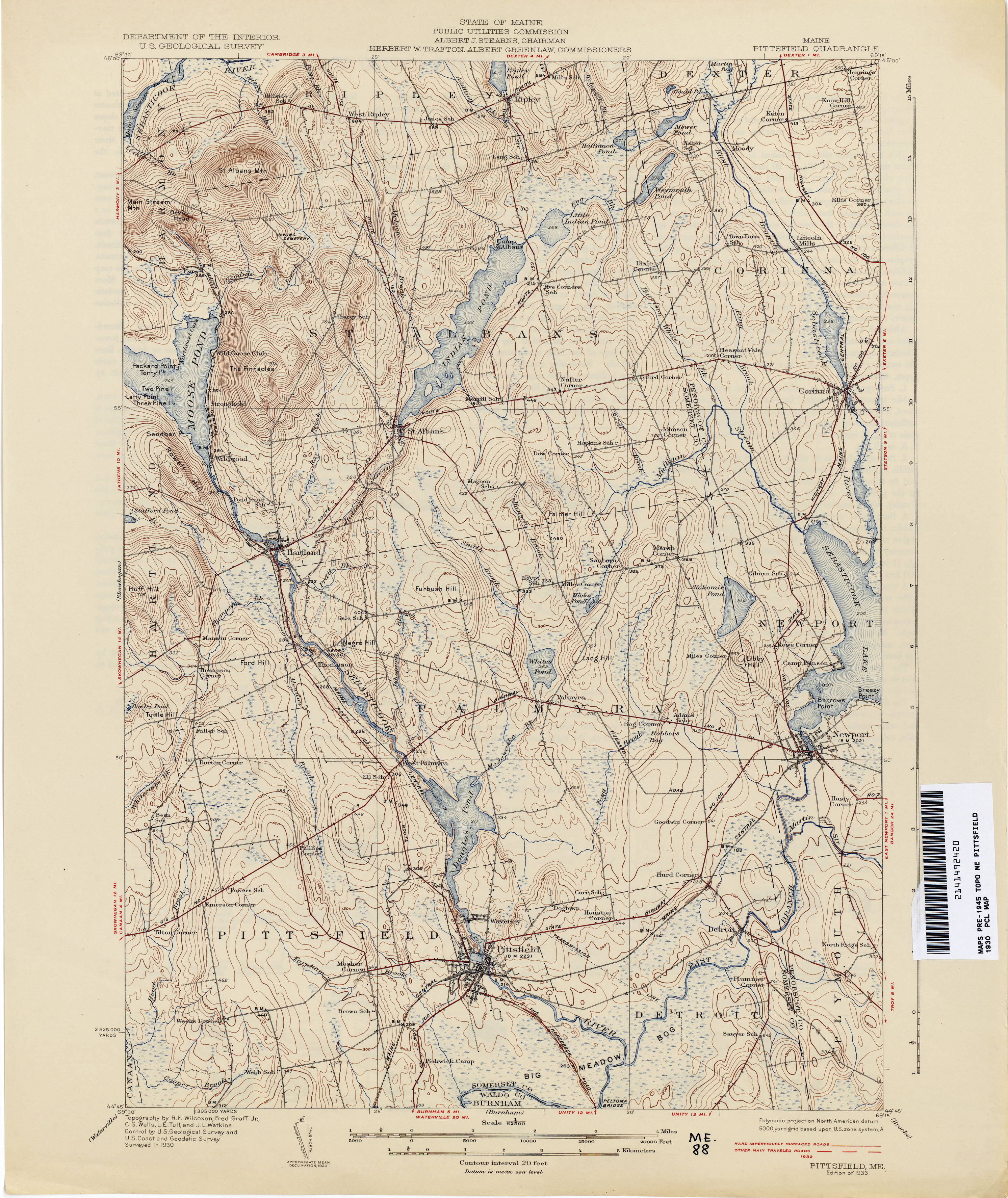
- Pittsfield 1930 1:62,500 (3.4MB)
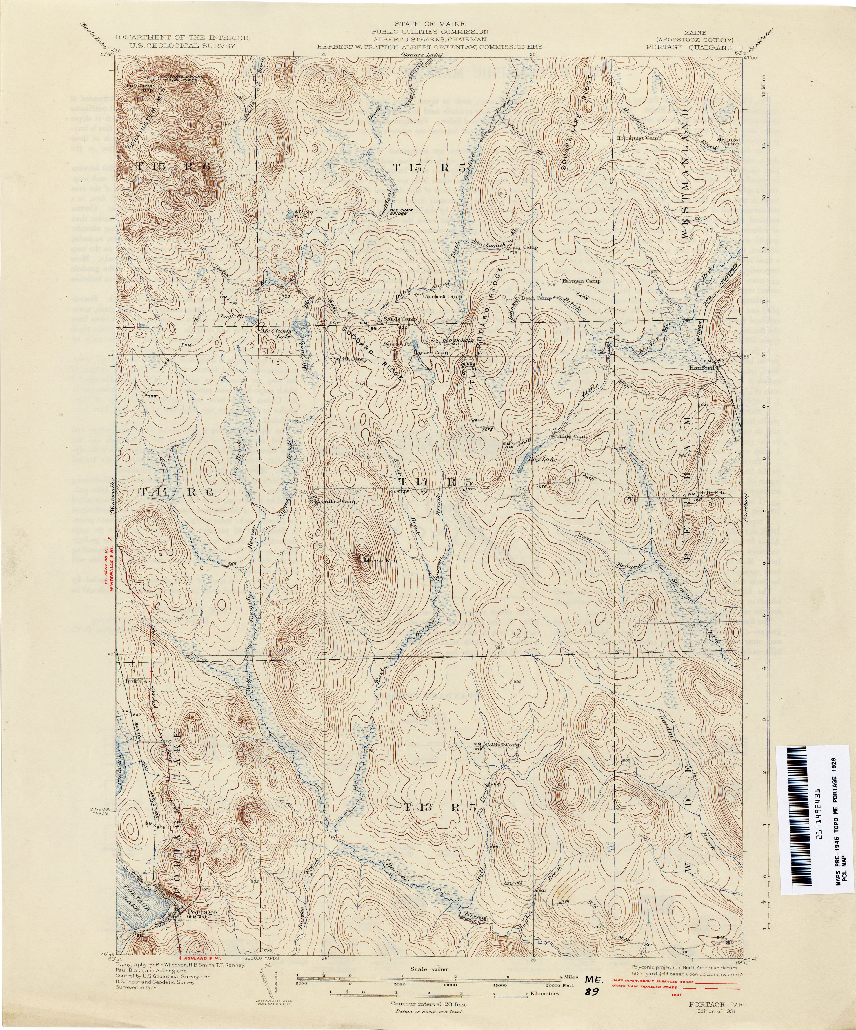
- Portage 1929 1:62,500 (3.1MB)
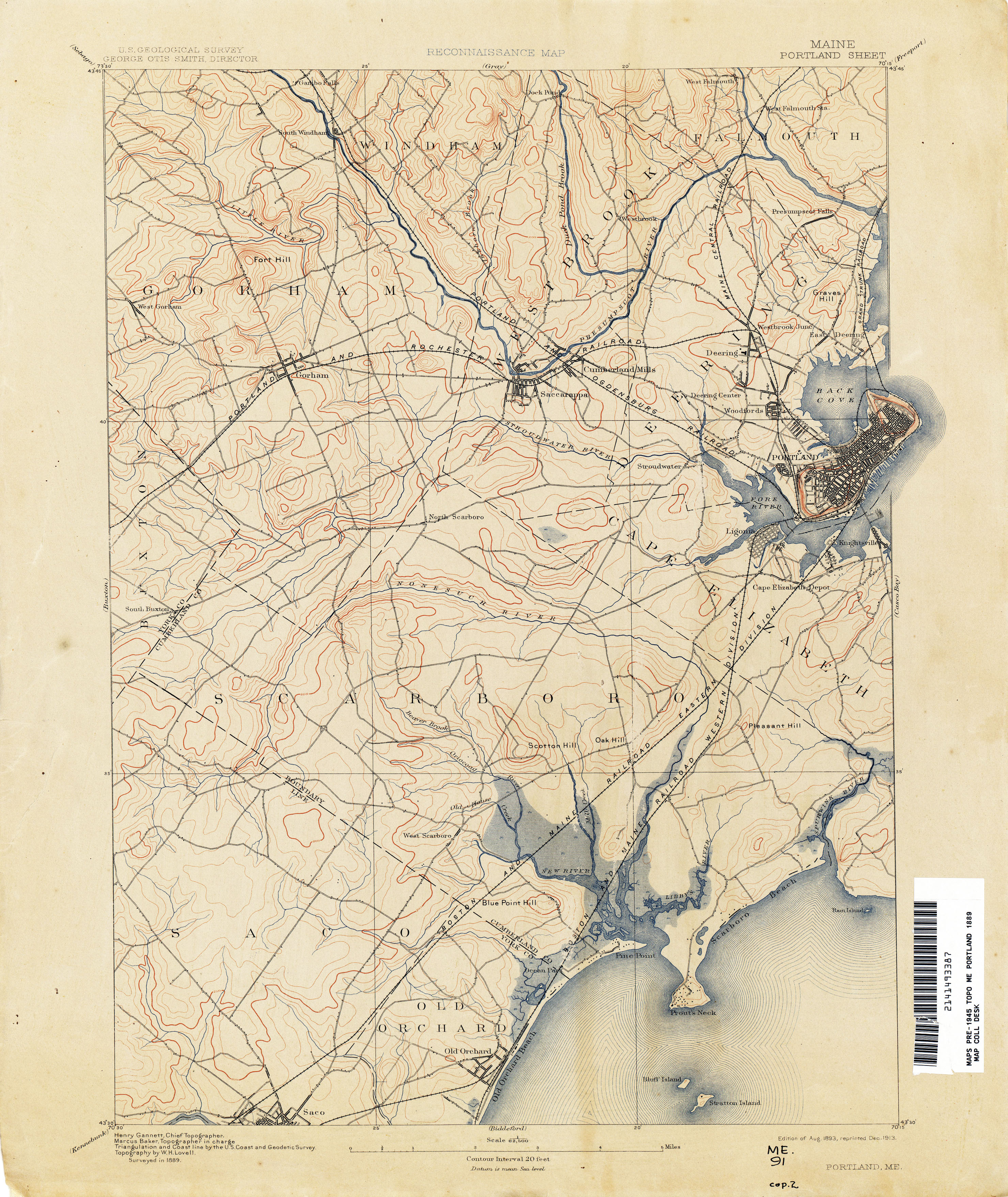
- Portland 1889 1:62,500 (5.9MB)
- Portland and Vicinity 1914 1:62,500 (3.2MB)
- Portsmouth [New Hampshire, Maine] 1917 1:62,500 (6.4MB)
- Presque Isle 1932 1:62,500 (3.4MB)
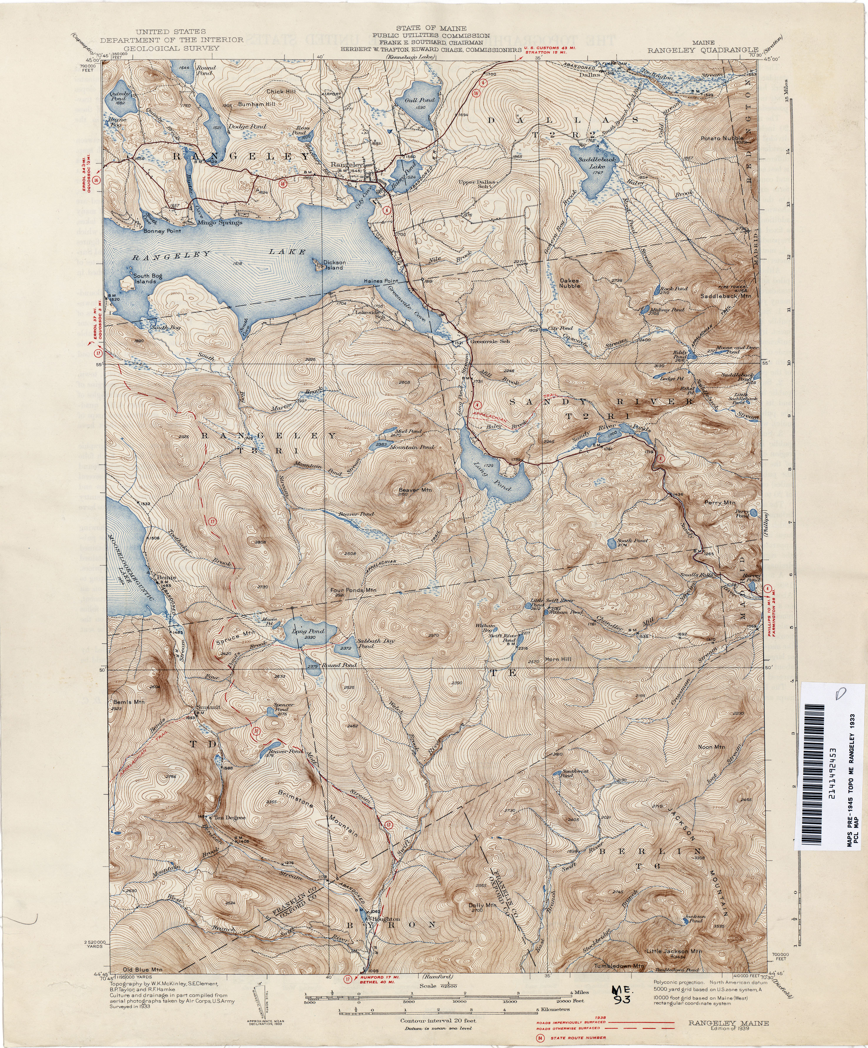
- Rangeley 1933 1:62,500 (4.6MB)
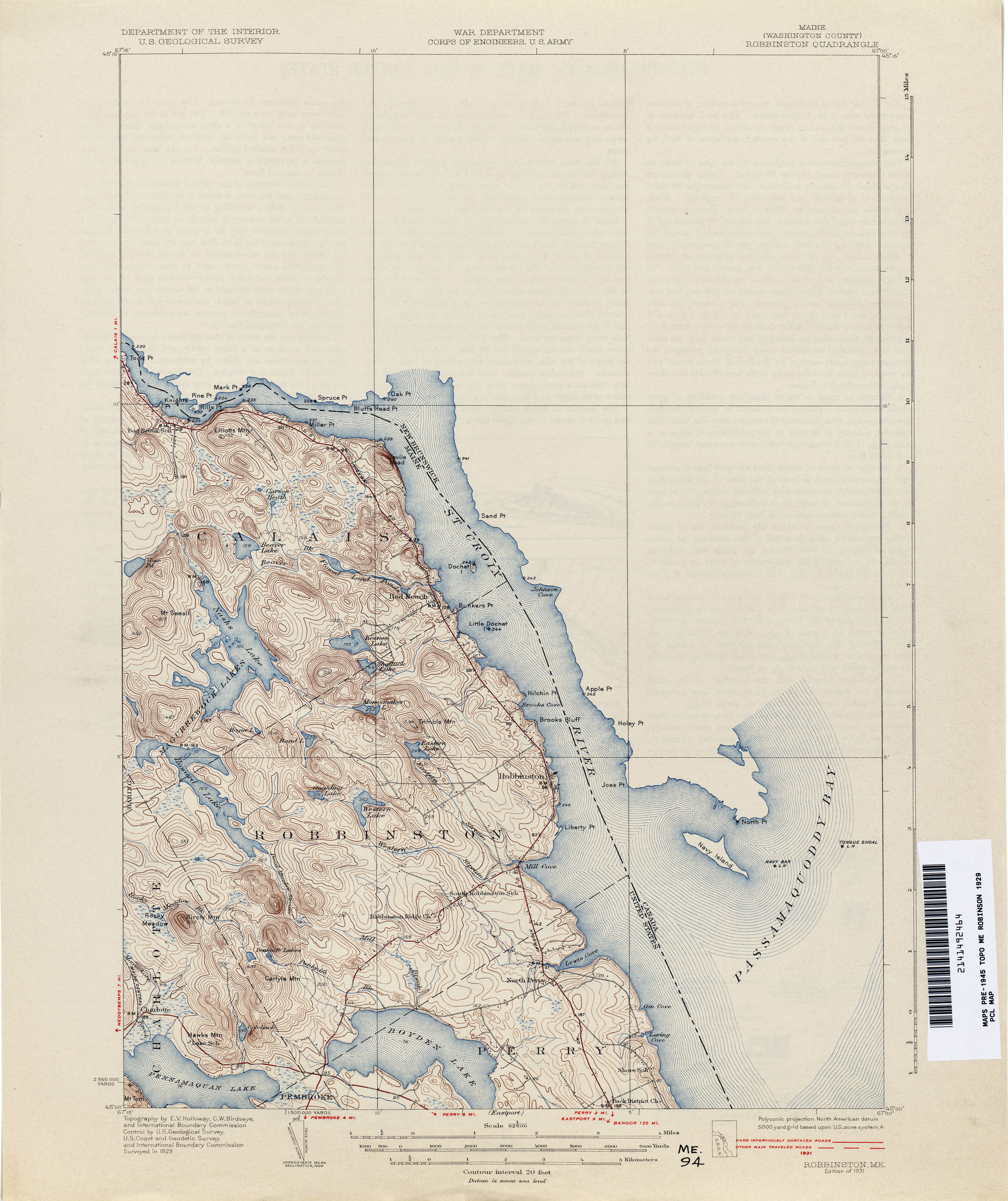
- Robbinston 1929 1:62,500 (2.7MB)
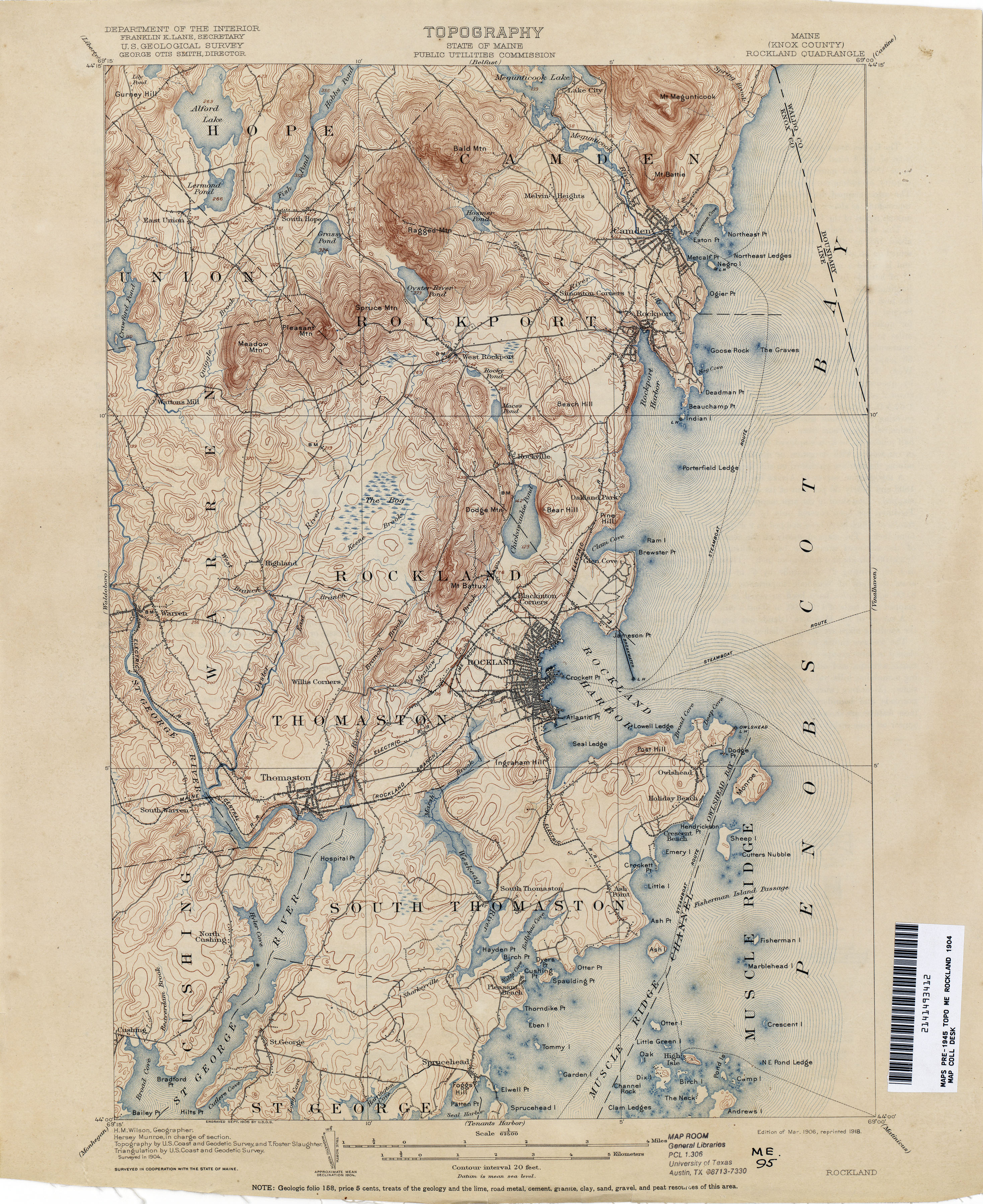
- Rockland 1904 1:62,500 (3.7MB)
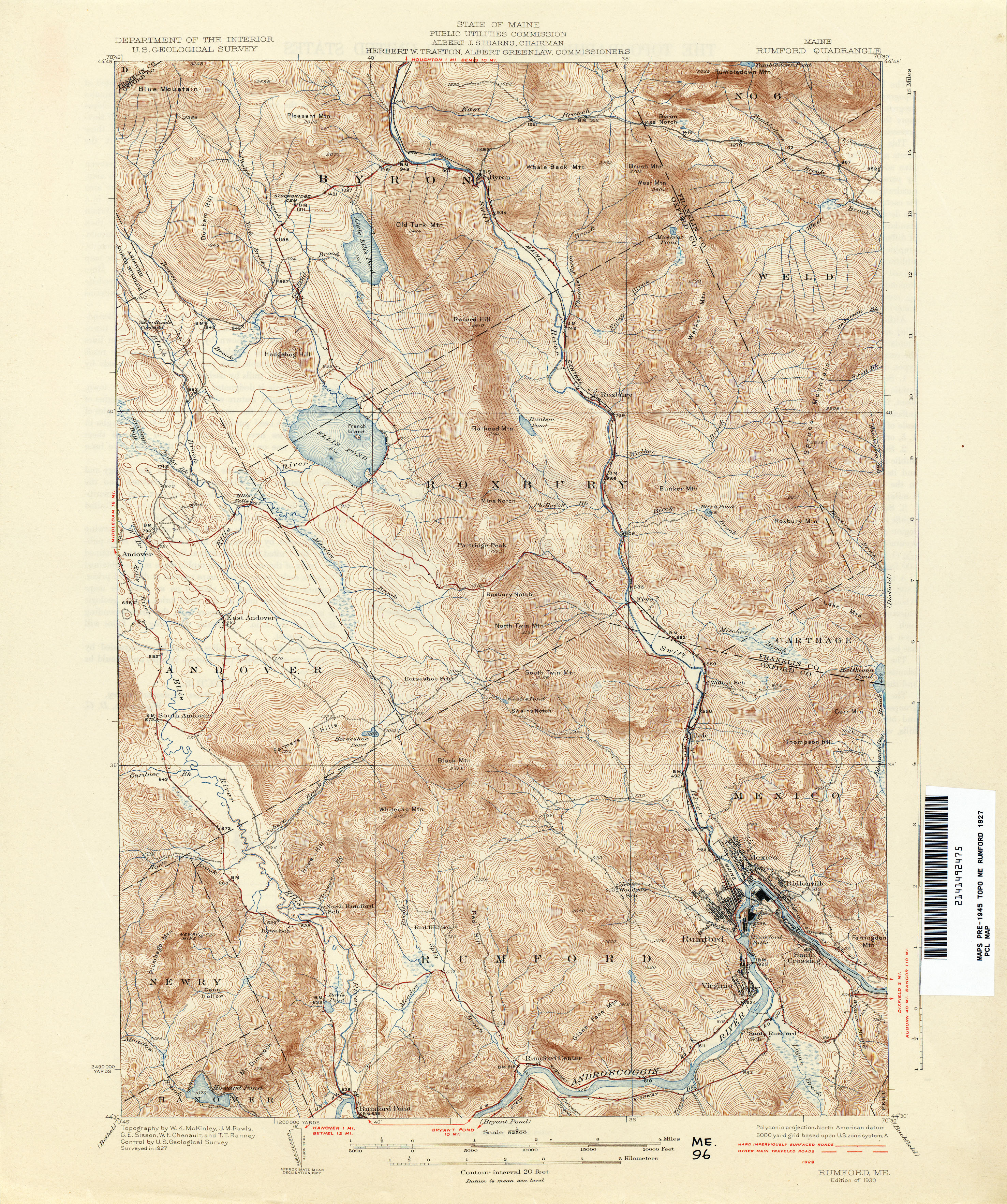
- Rumford 1927 1:62,500 (4.9MB)
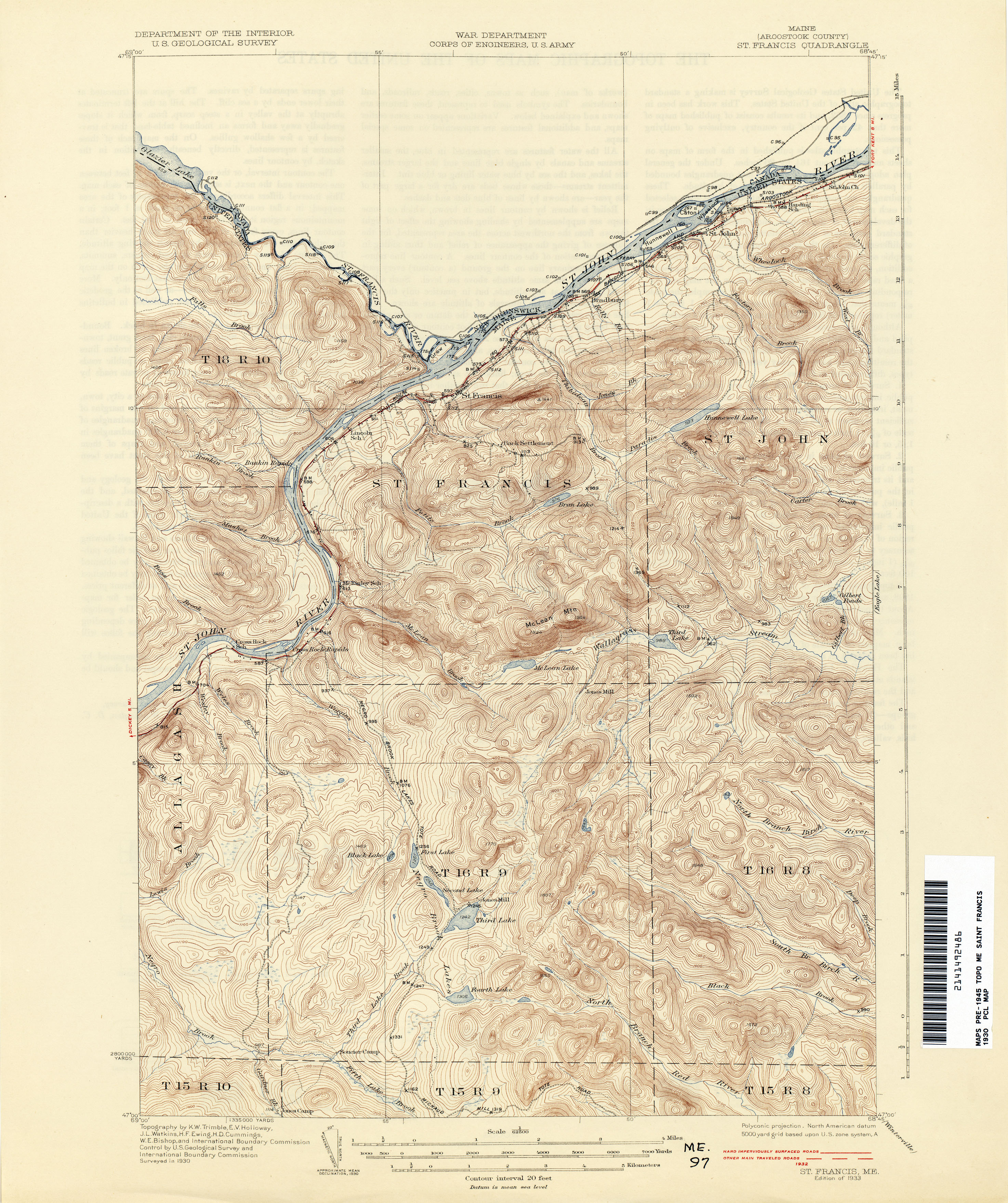
- Saint Francis 1930 1:62,500 (3.7MB)
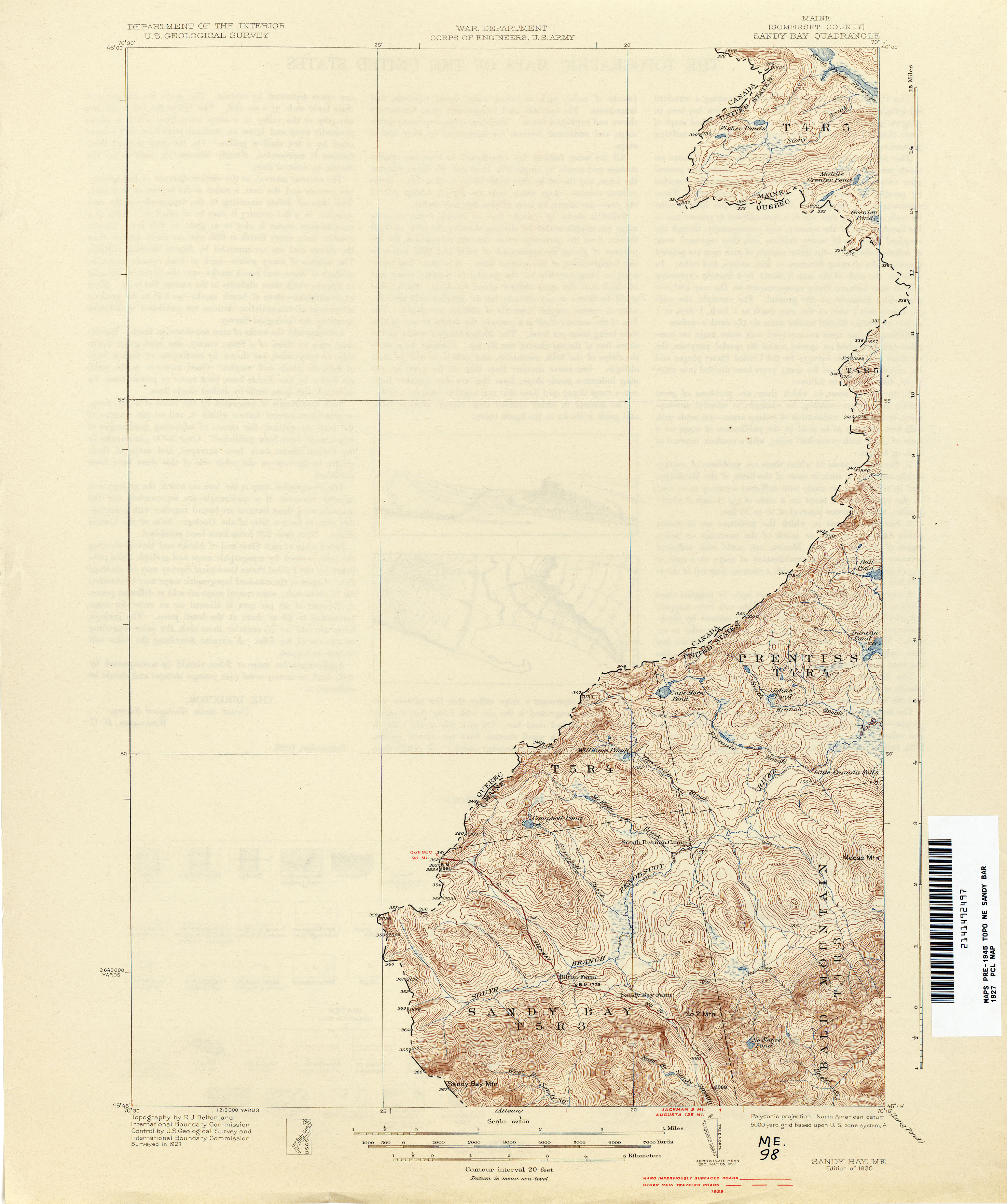
- Sandy Bay 1927 1:62,500 (2.2MB)
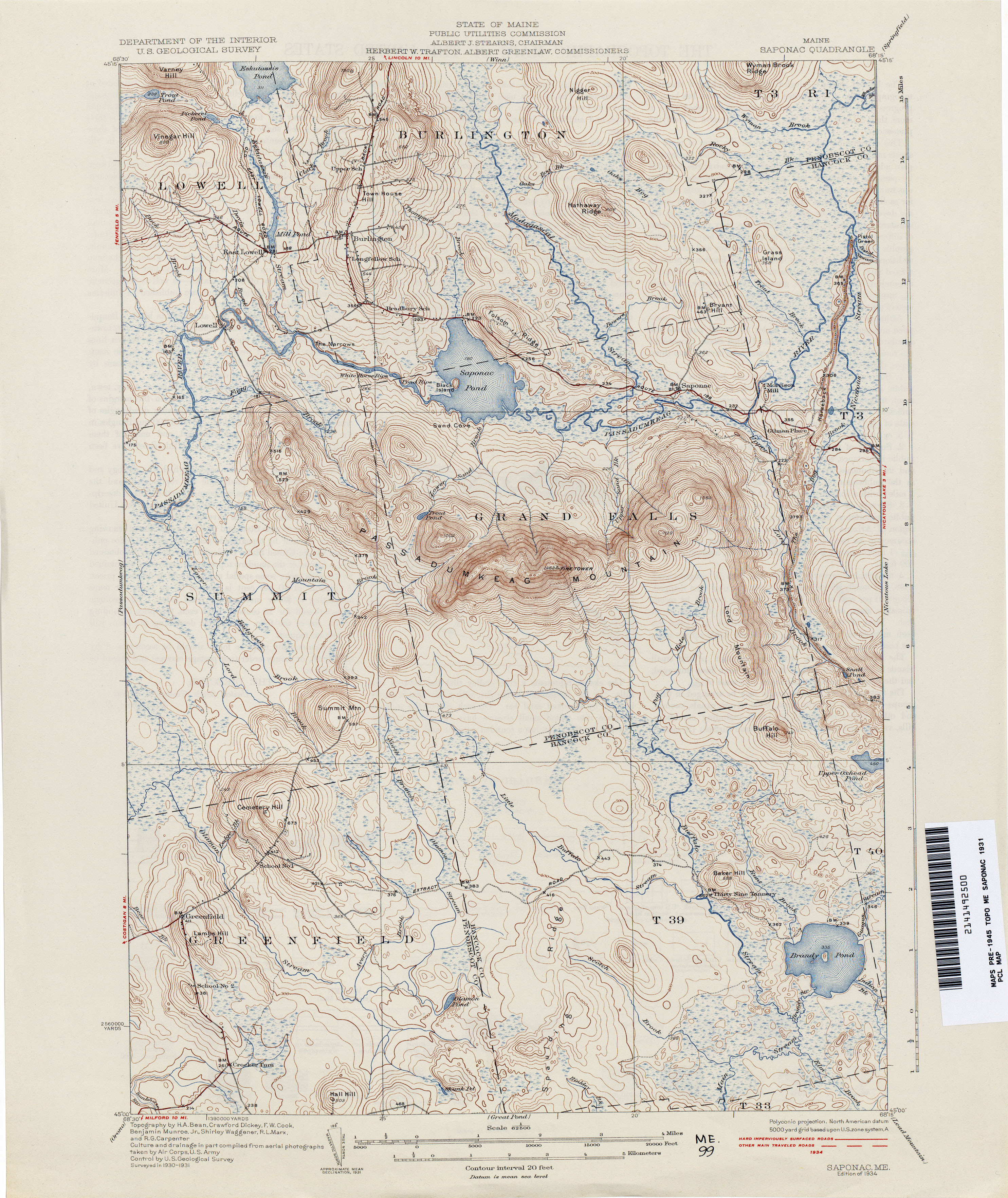
- Saponac 1931 1:62,500 (3.4MB)
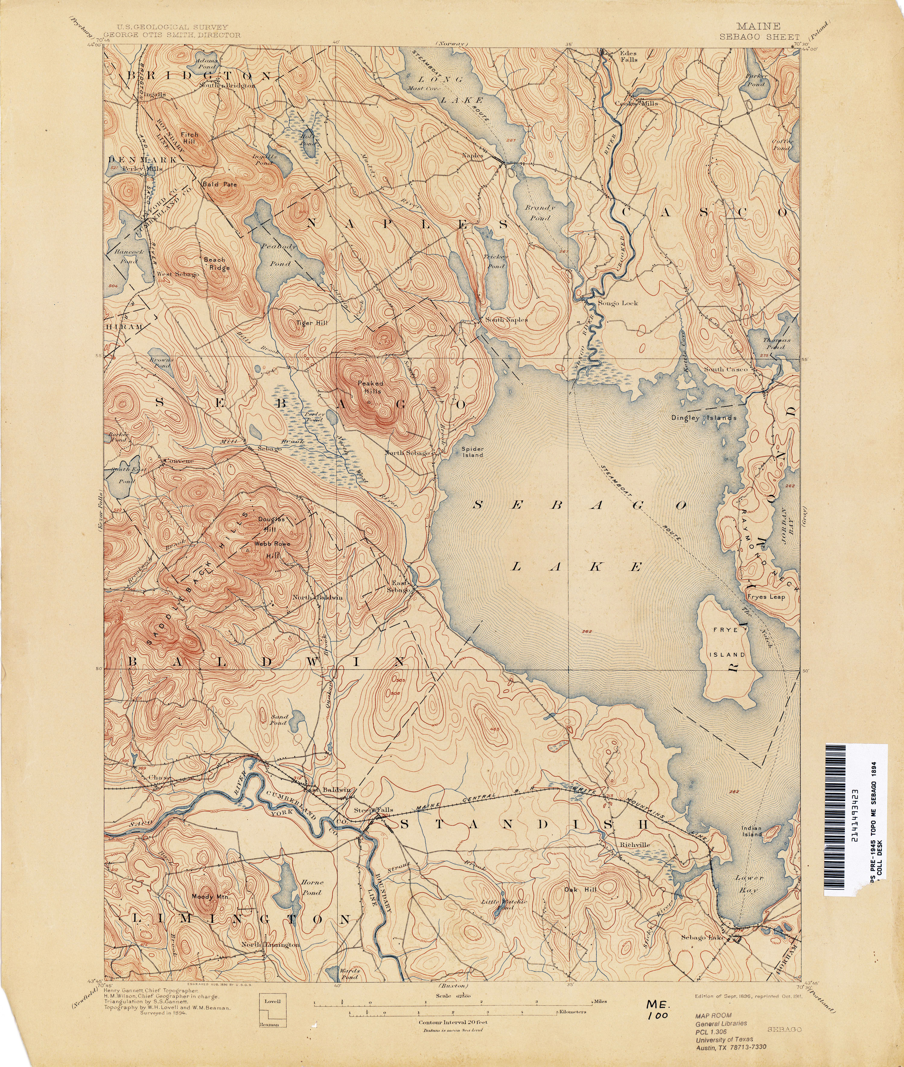
- Sebago 1894 1:62,500 (3.7MB)
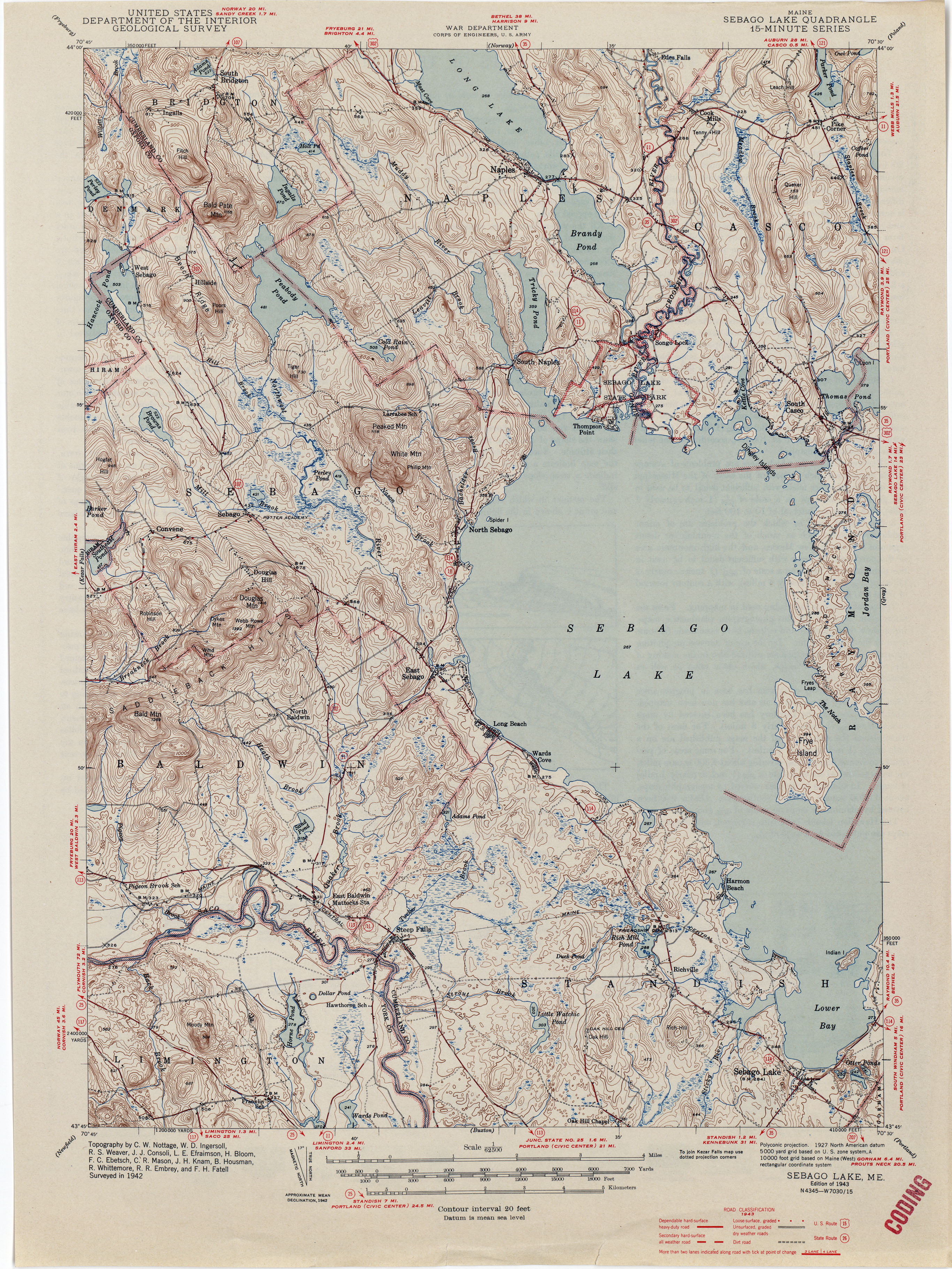
- Sebago Lake 1942 1:62,500 (3.3MB)
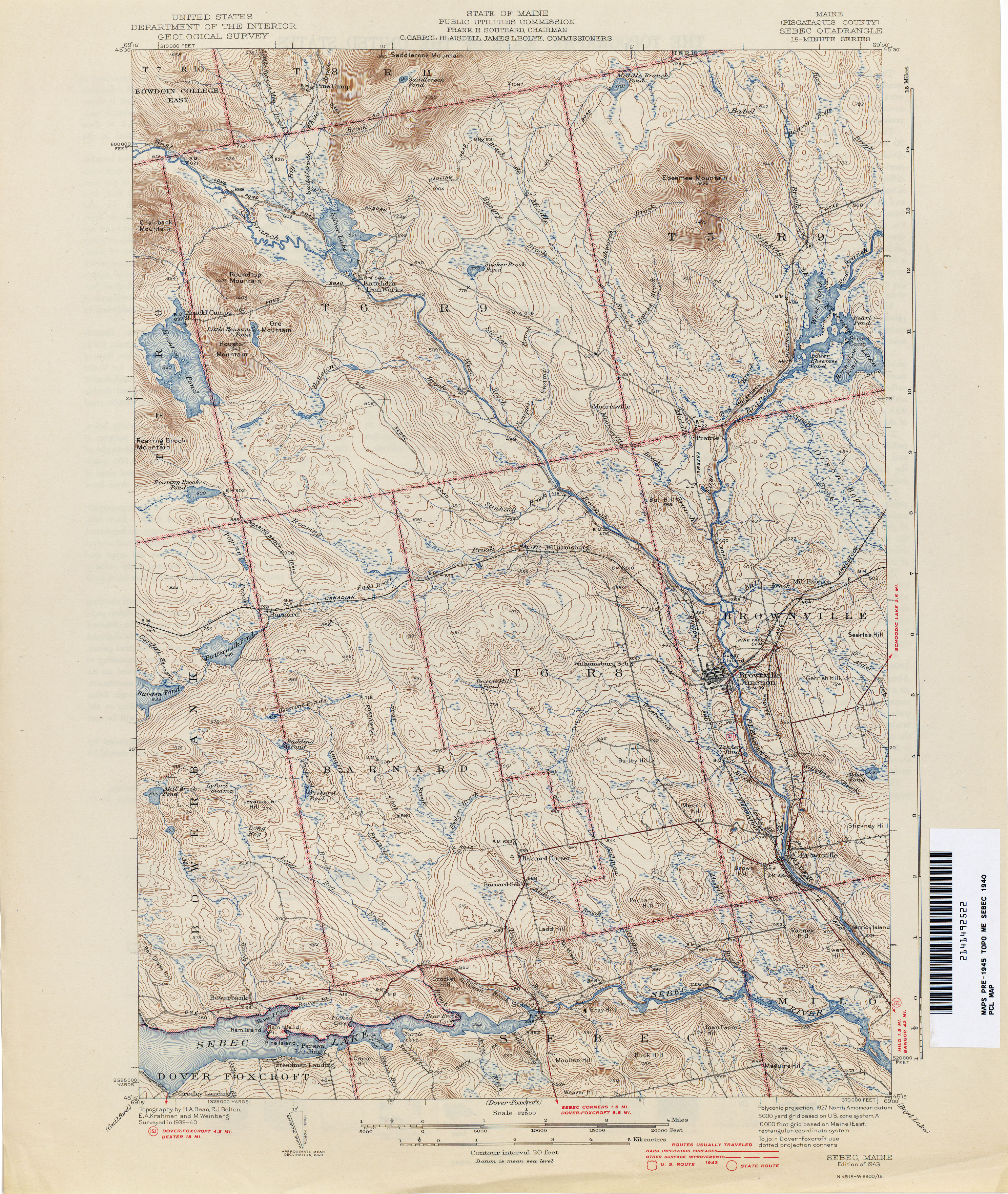
- Sebec 1940 1:62,500 (4.2MB)
- Second Lake [New Hampshire, Maine] 1927 1:62,500 (4.3MB)
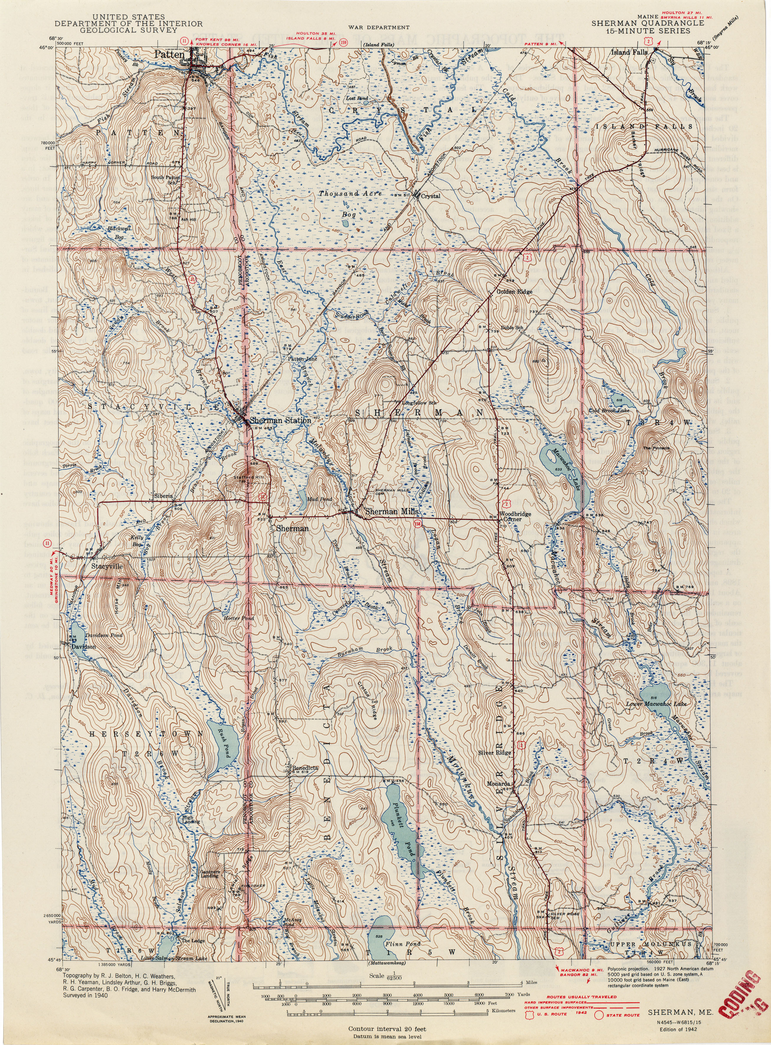
- Sherman 1940 1:62,500 (3.7MB)
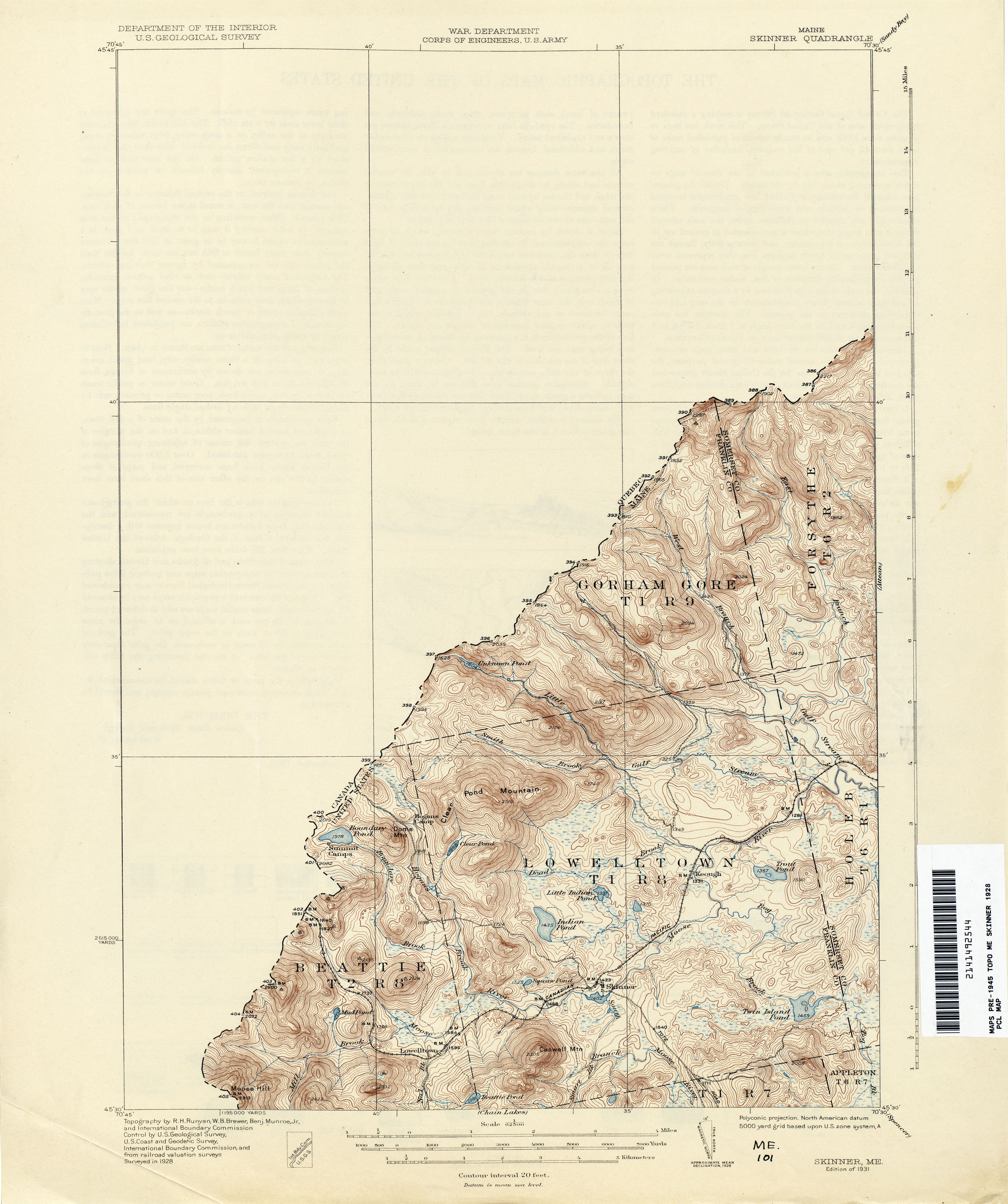
- Skinner 1928 1:62,500 (2.5MB)
- Skowhegan 1912 1:62,500 (3.6MB)
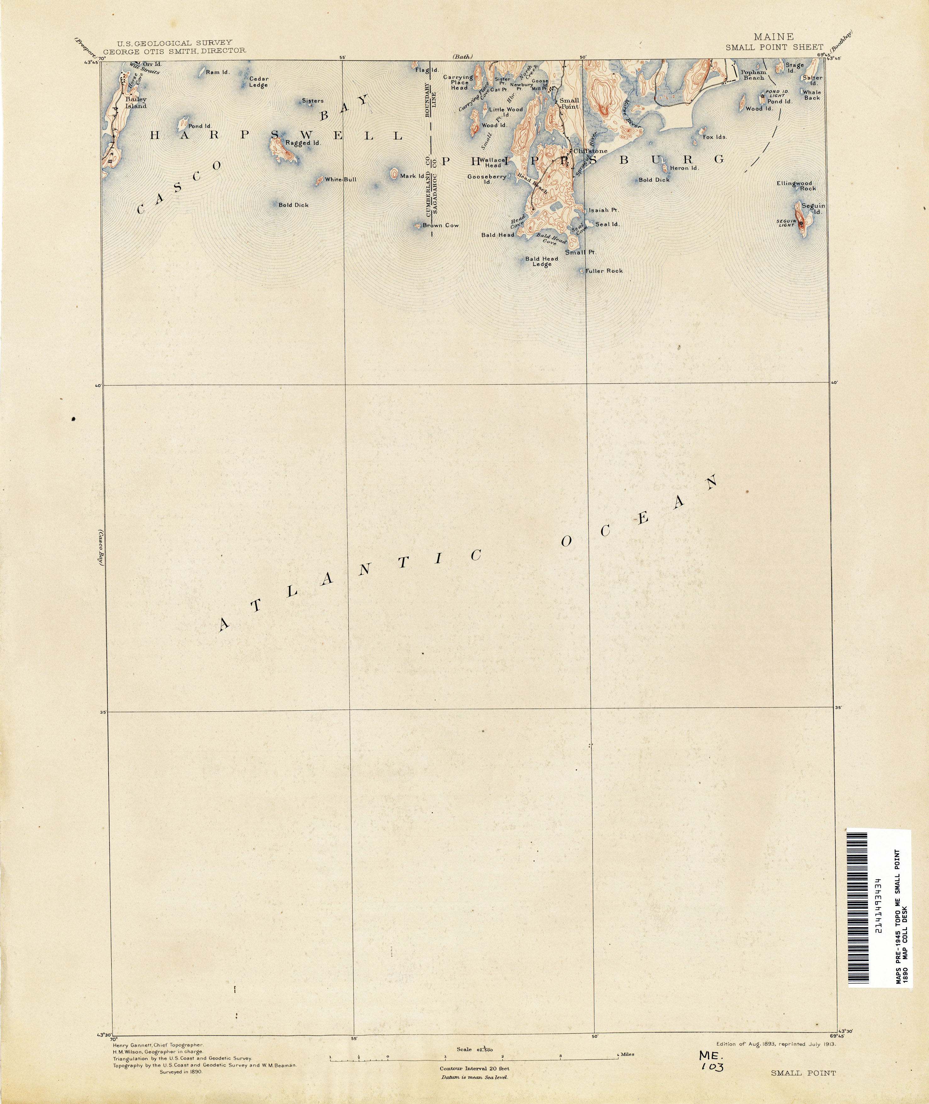
- Small Point 1890 1:62,500 (1.6MB)
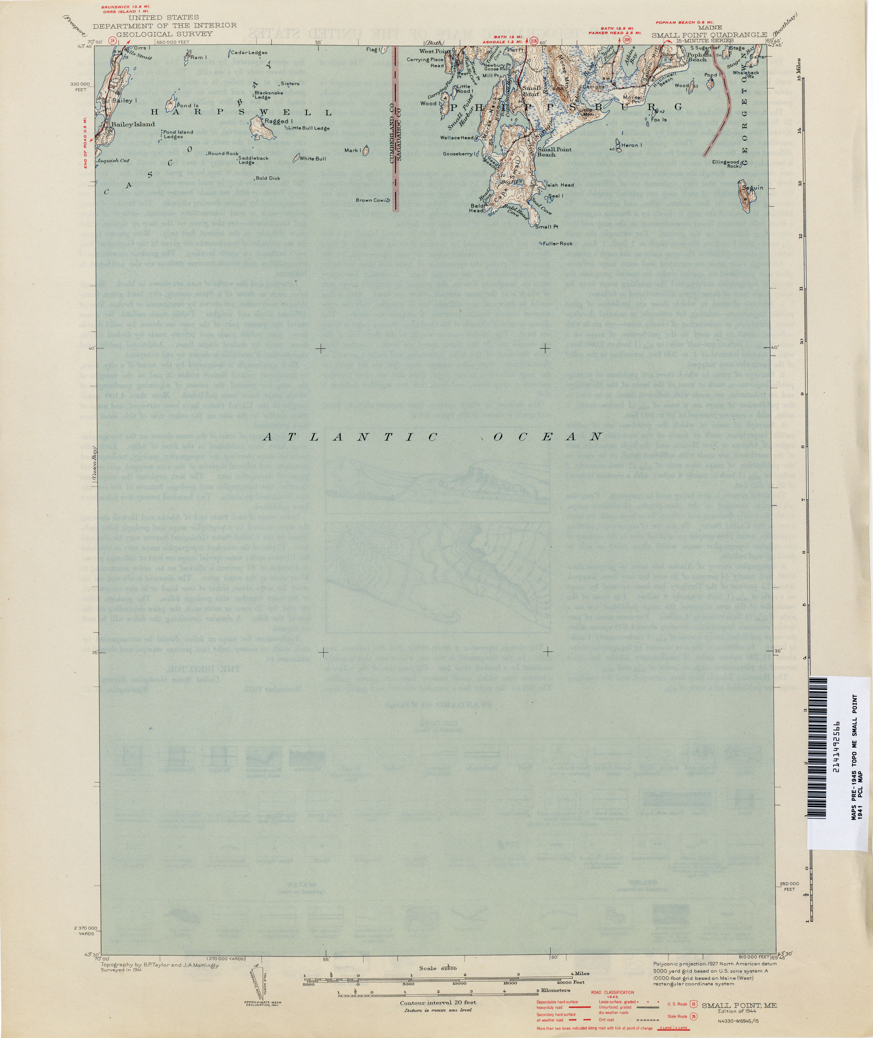
- Small Point 1941 1:62,500 (1.3MB)
- Smyrna Mills 1934 1:62,500 (3.9MB)
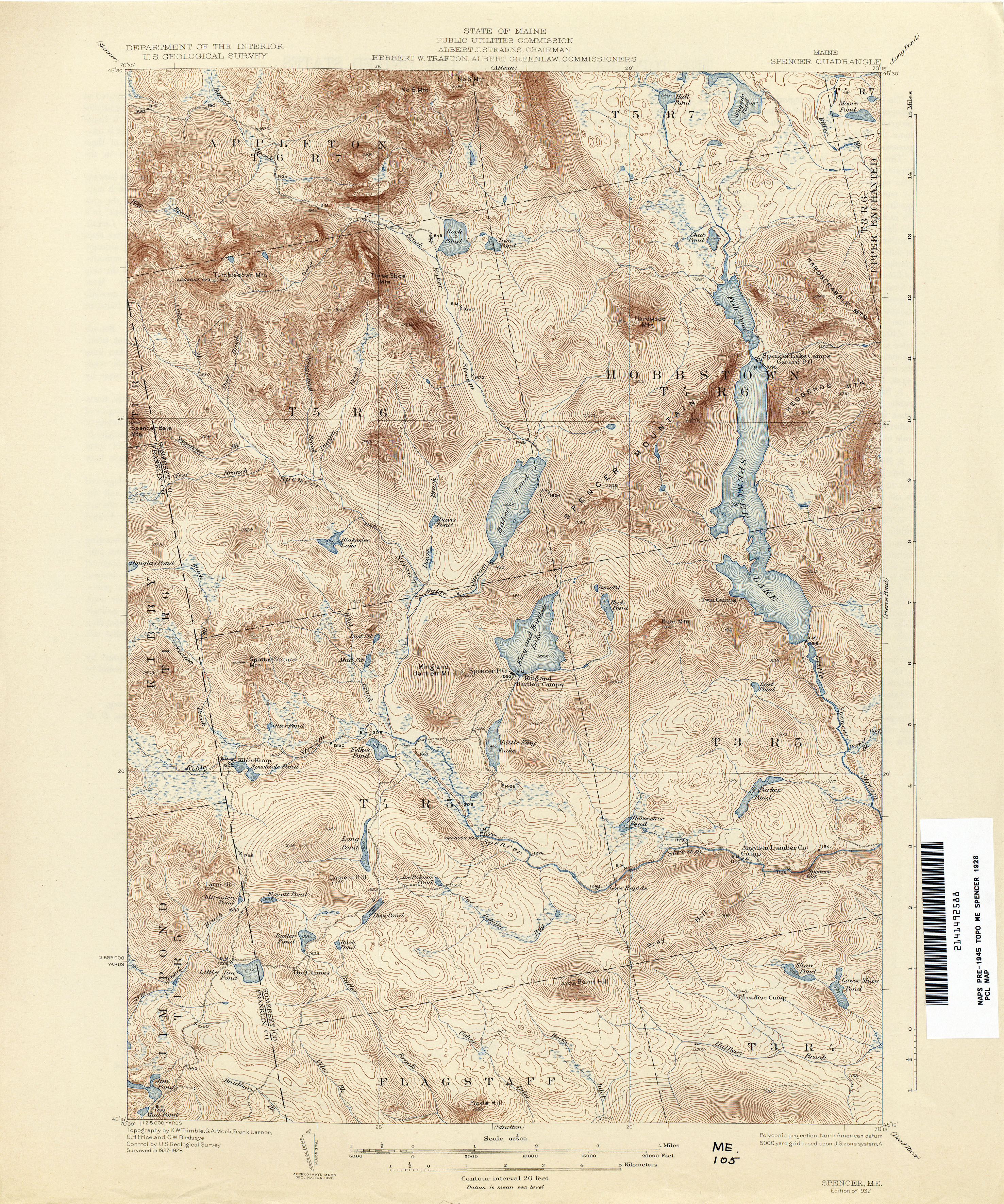
- Spencer 1928 1:62,500 (4.7MB)
- Springfield 1931 1:62,500 (4.0MB)
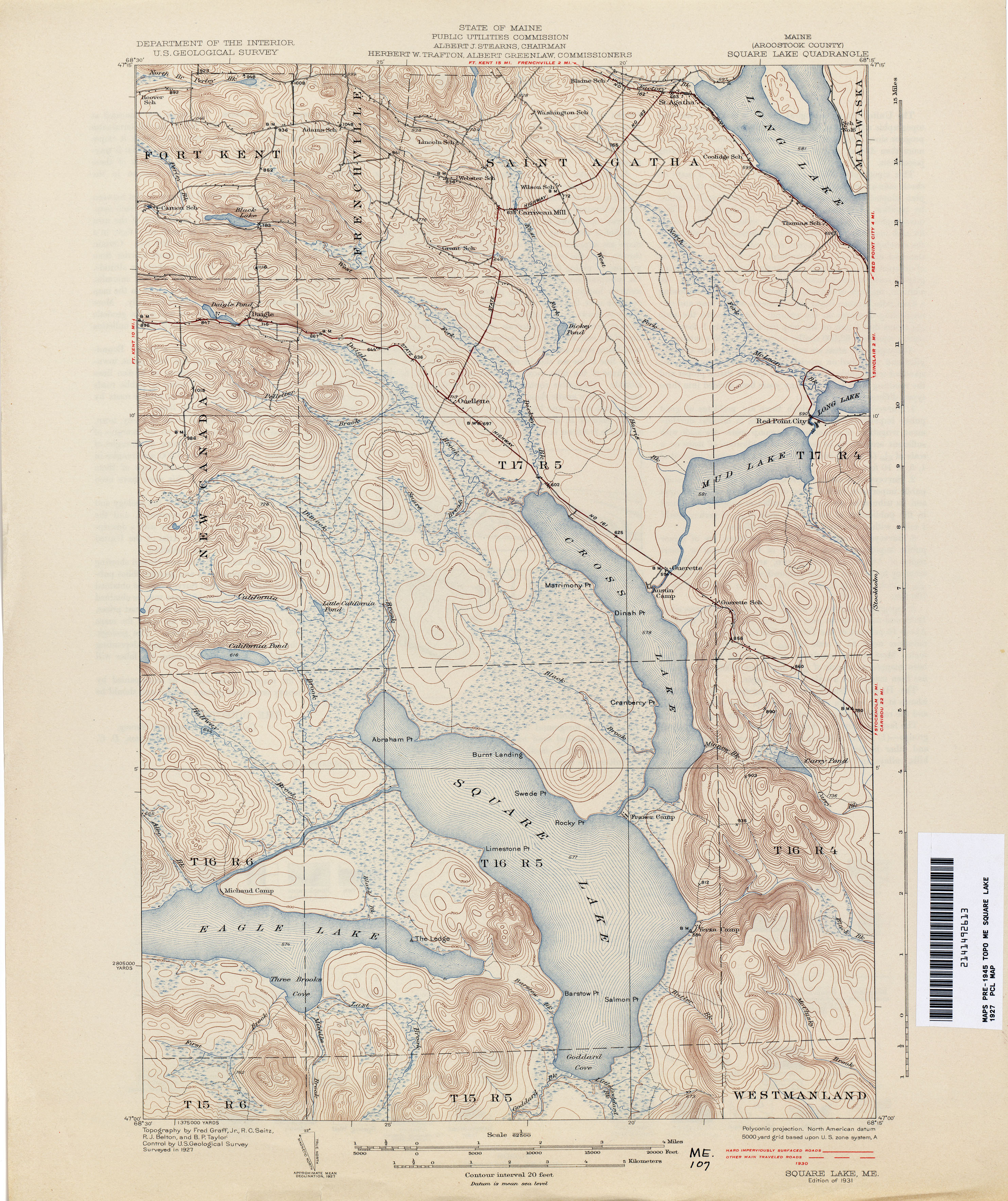
- Square Lake 1927 1:62,500 (3.5MB)
- Stetson 1931 1:62,500 (3.5MB)
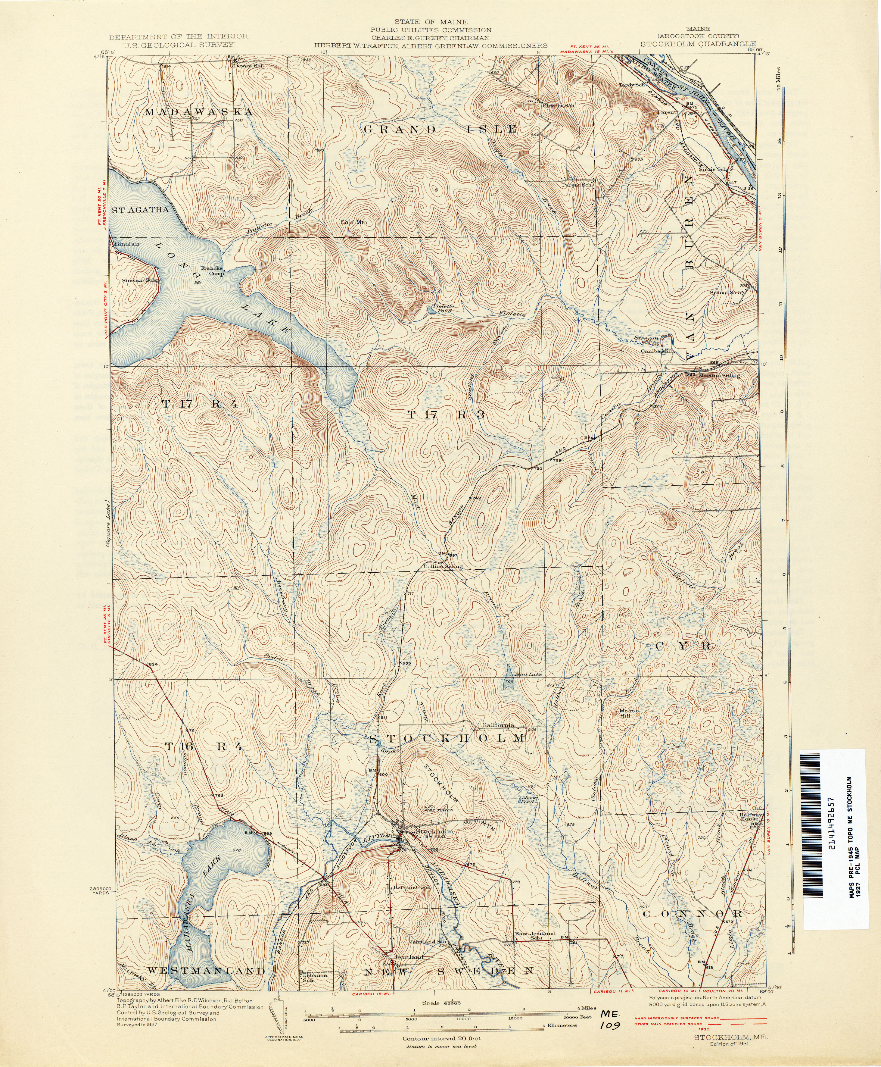
- Stockholm 1927 1:62,500 (3.7MB)
- Stratton 1928 1:62,500 (4.5MB)
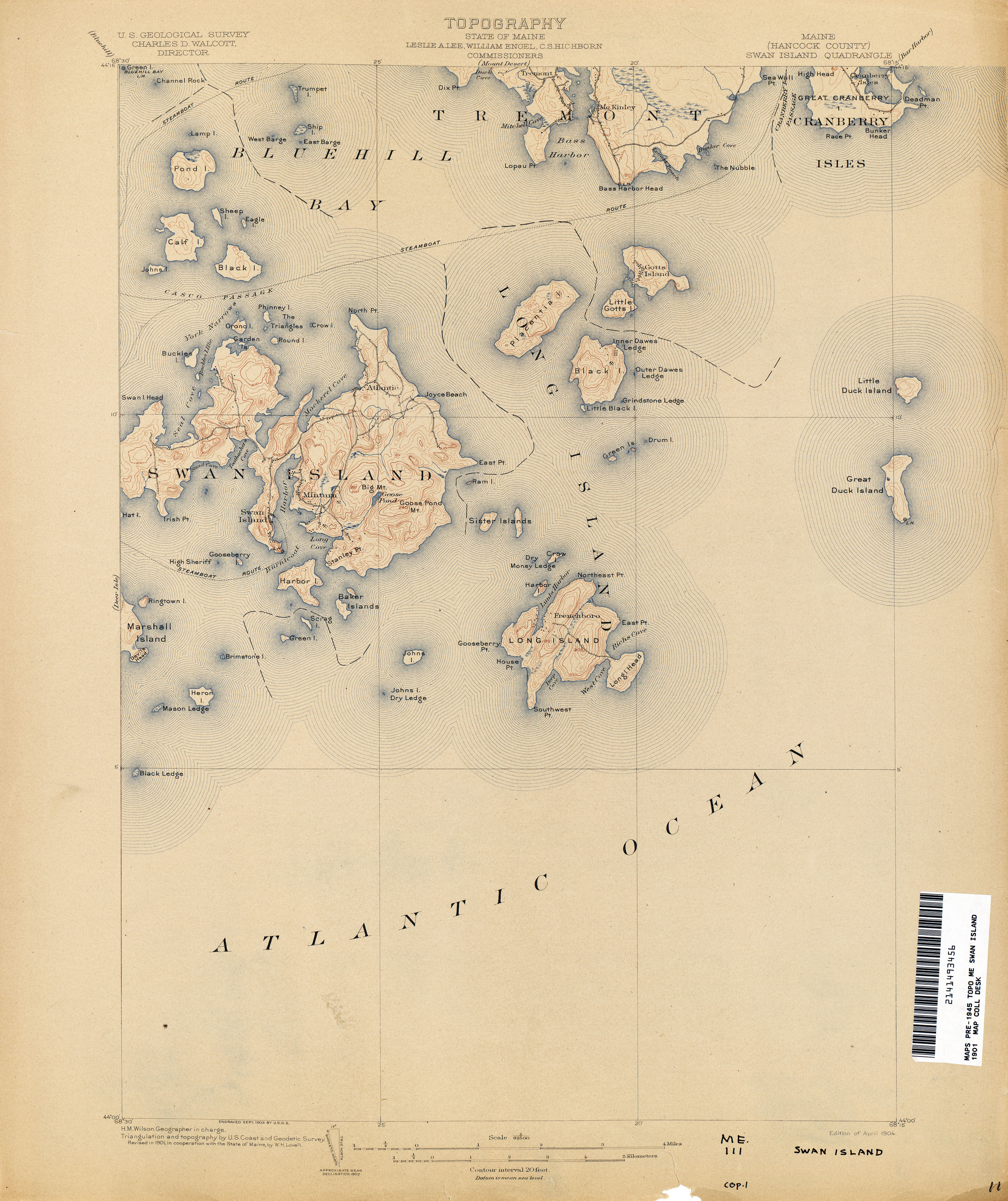
- Swan Island 1901 1:62,500 (2.8MB)
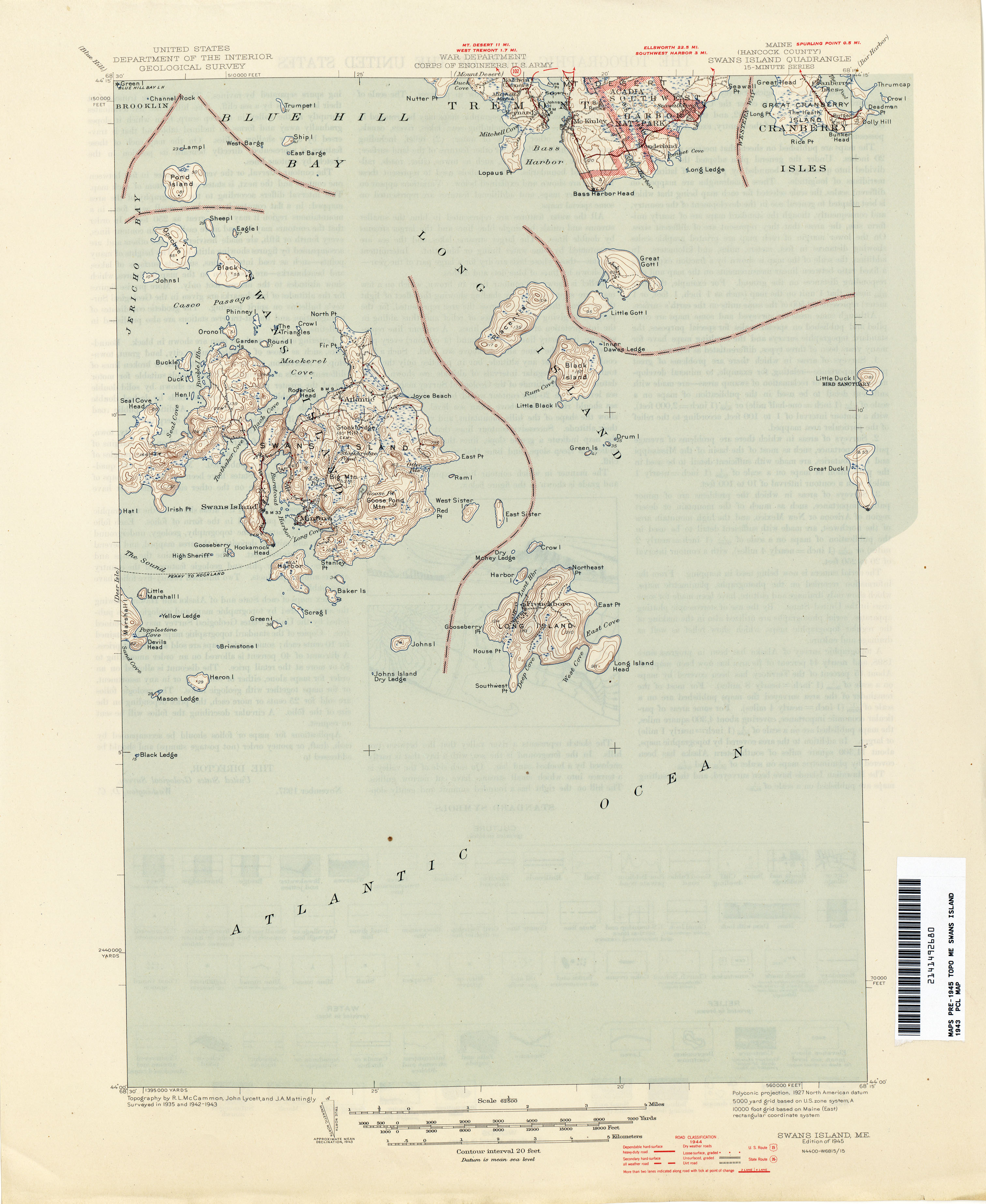
- Swans Island 1943 1:62,500 (1.8MB)
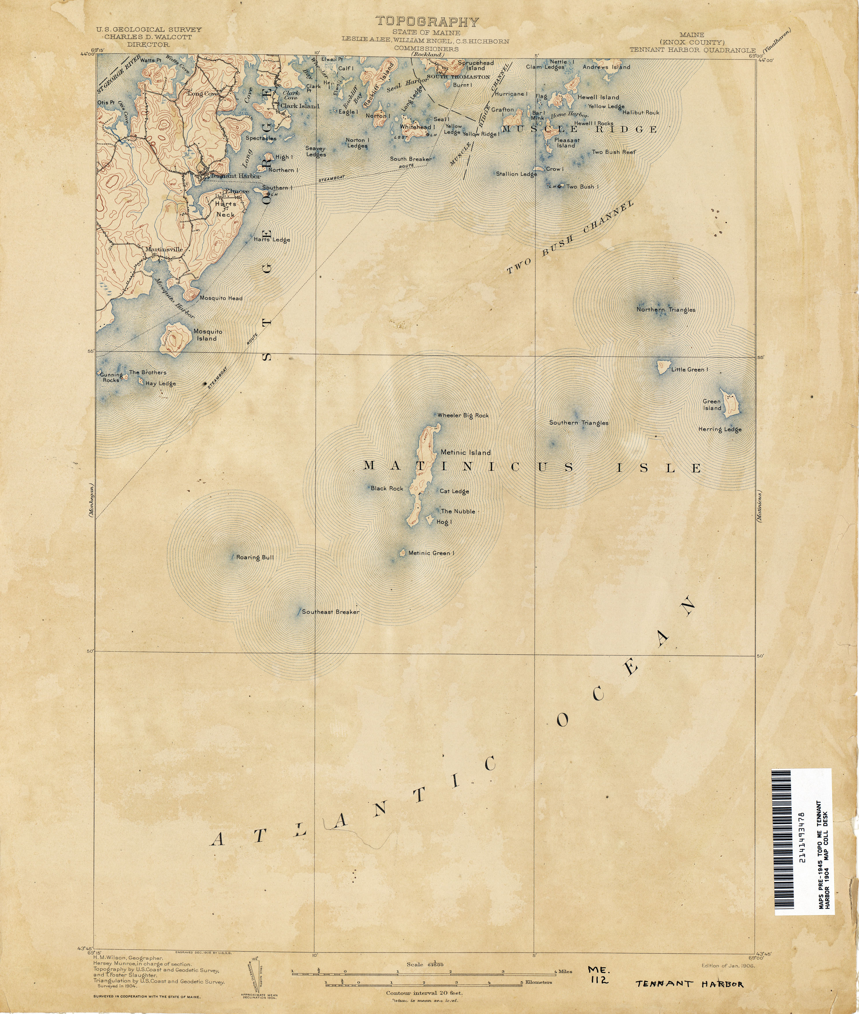
- Tennant Harbor 1904 1:62,500 (2.3MB)
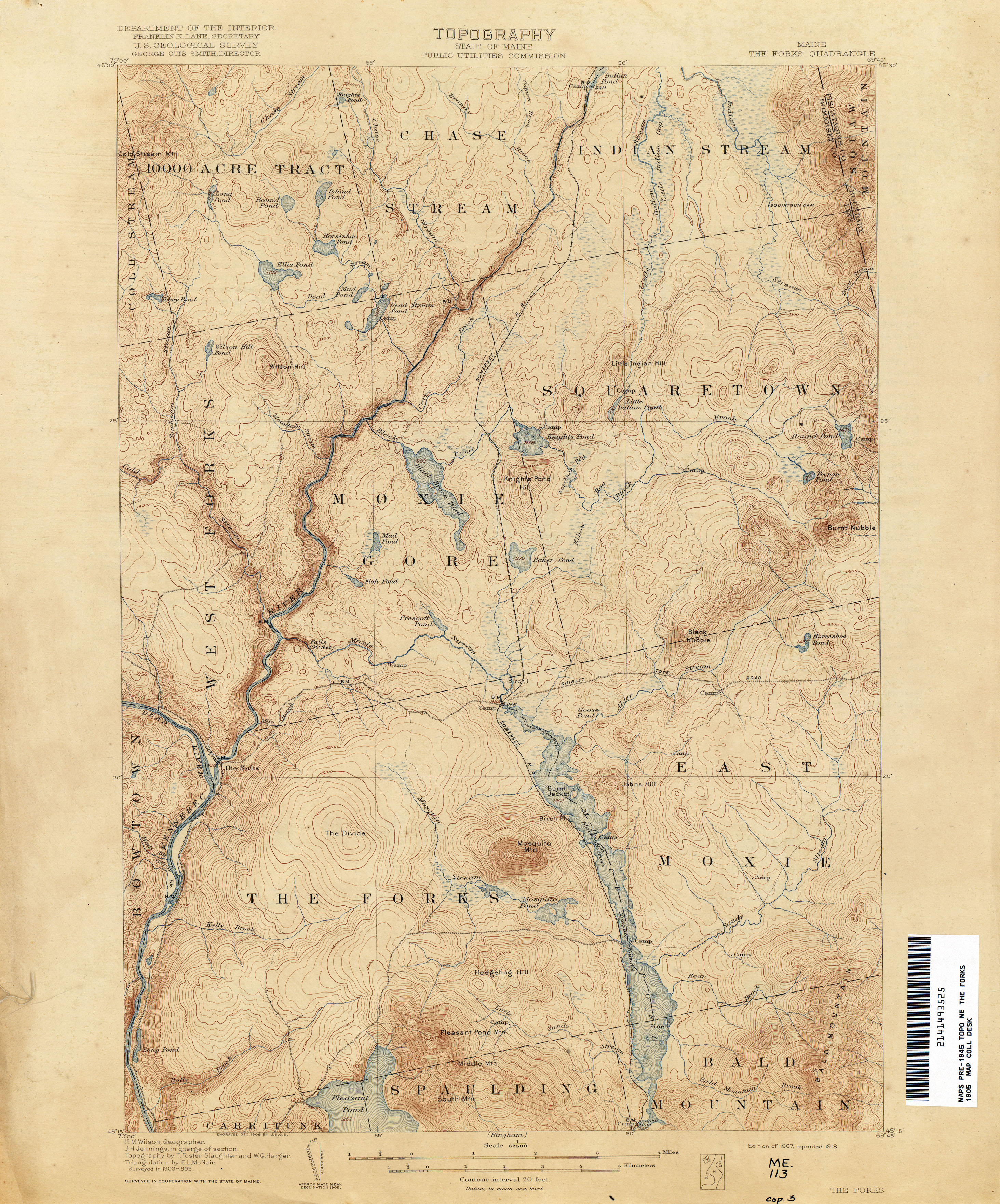
- The Forks 1905 1:62,500 (3.3MB)
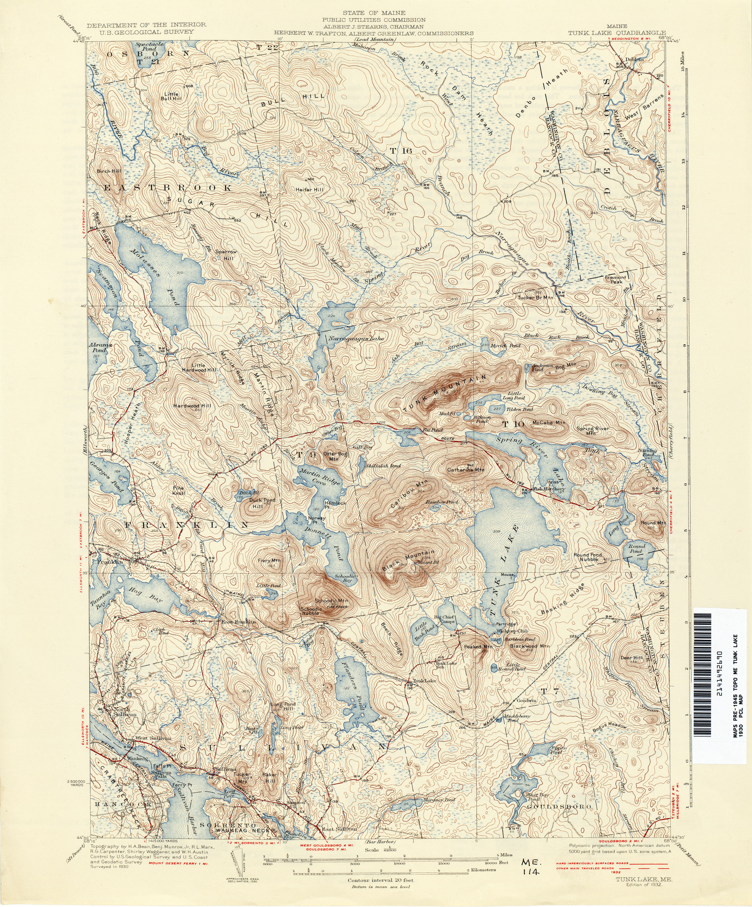
- Tunk Lake 1930 1:62,500 (4.0MB)
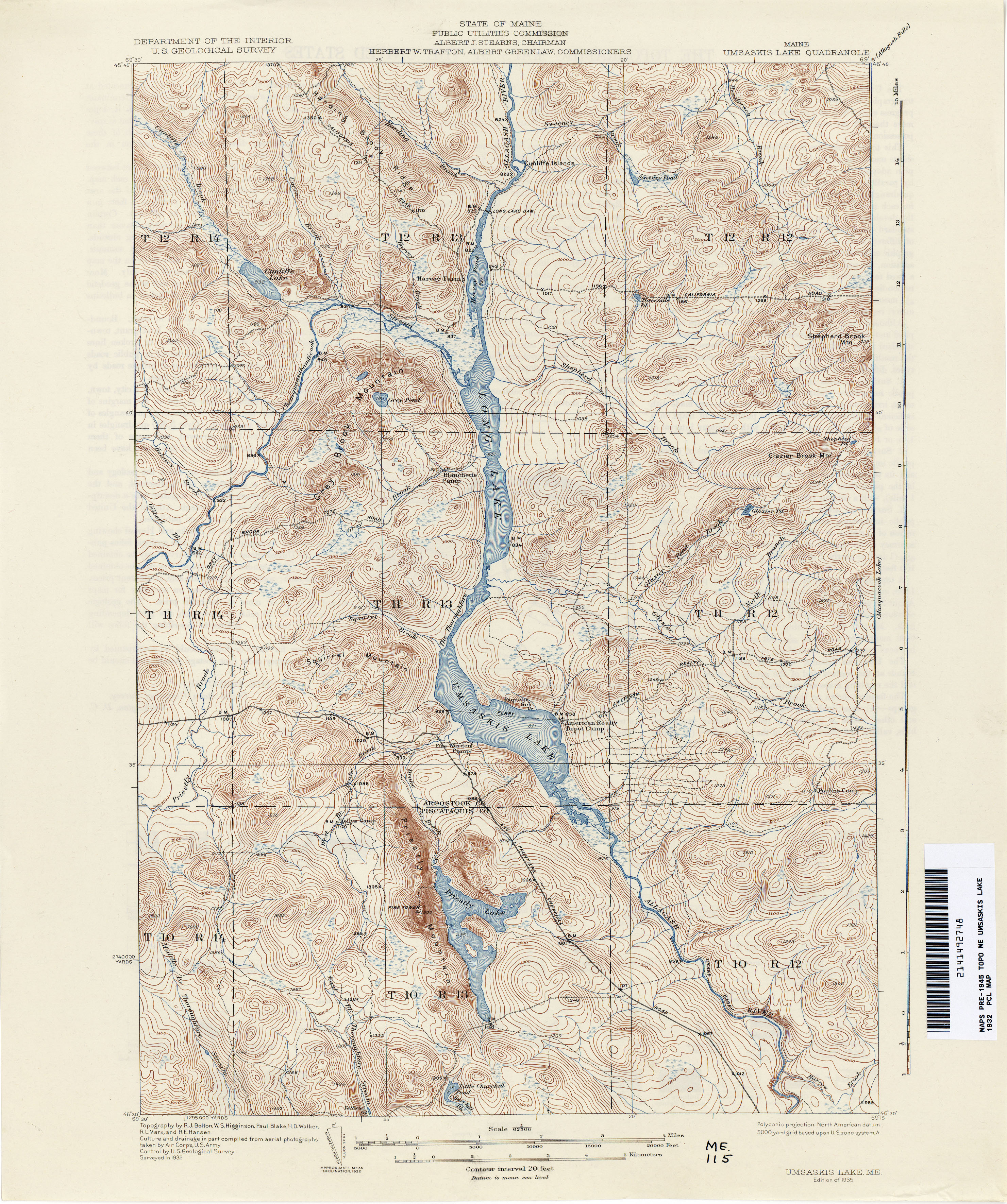
- Umsaskis Lake 1932 1:62,500 (4.2MB)
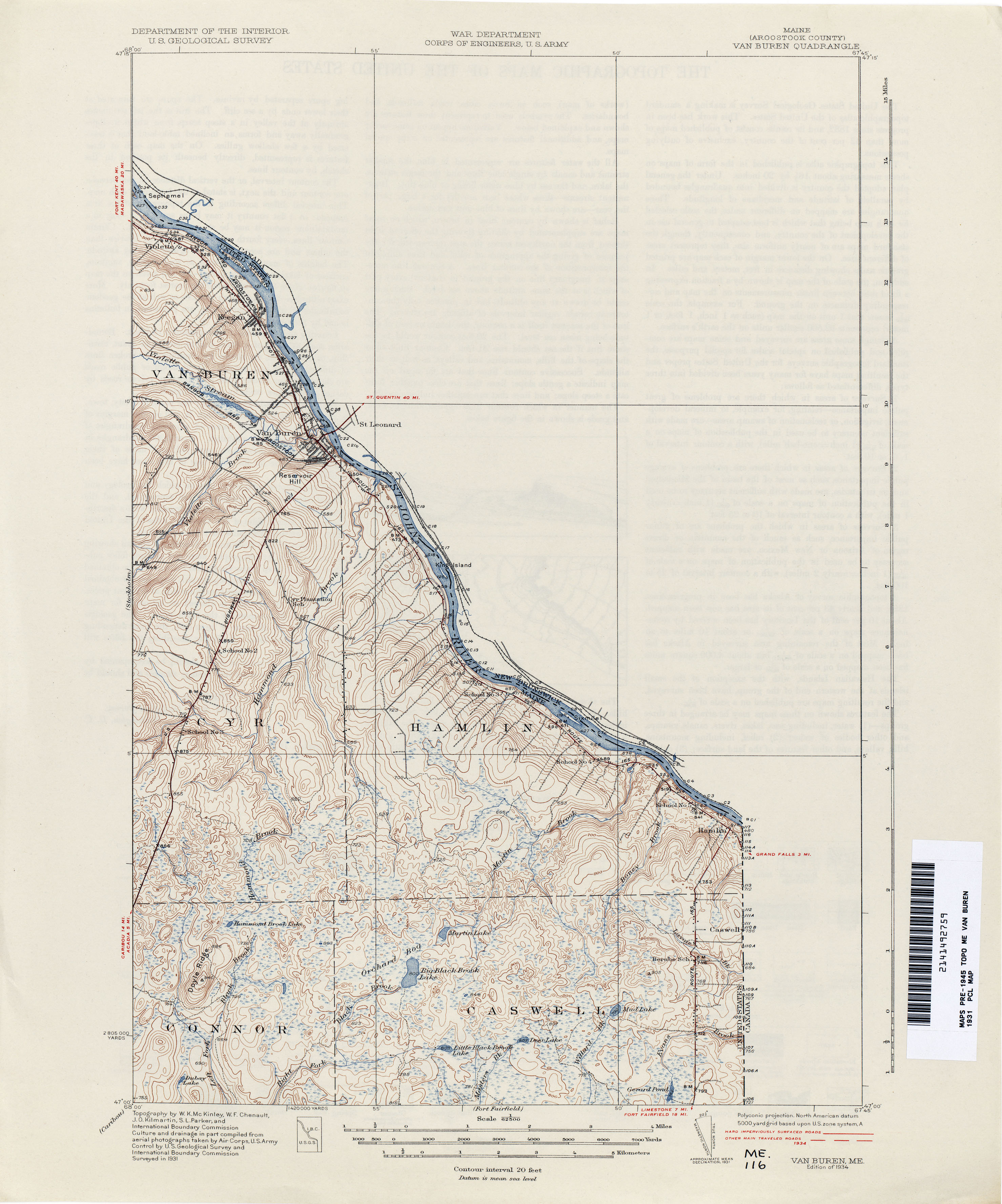
- Van Buren 1931 1:62,500 (2.3MB)
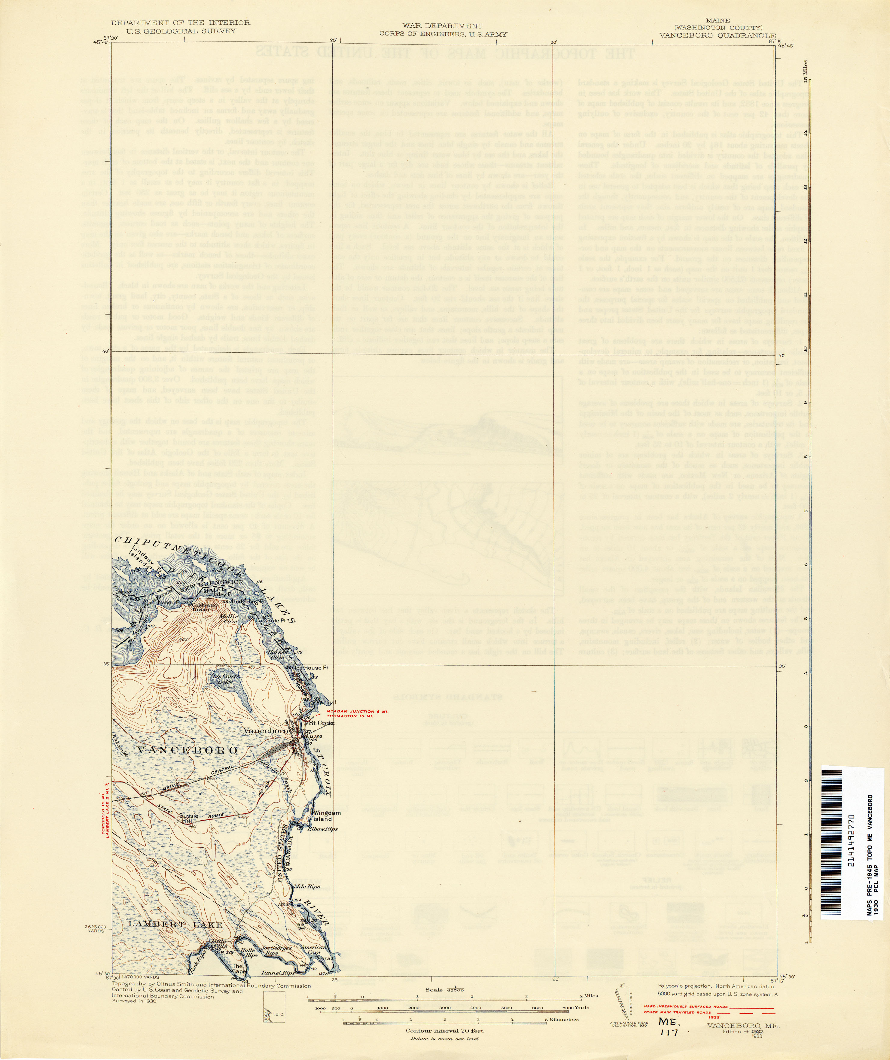
- Vanceboro 1930 1:62,500 (1.3MB)
- Vassalboro 1891 1:62,500 (3.8MB)
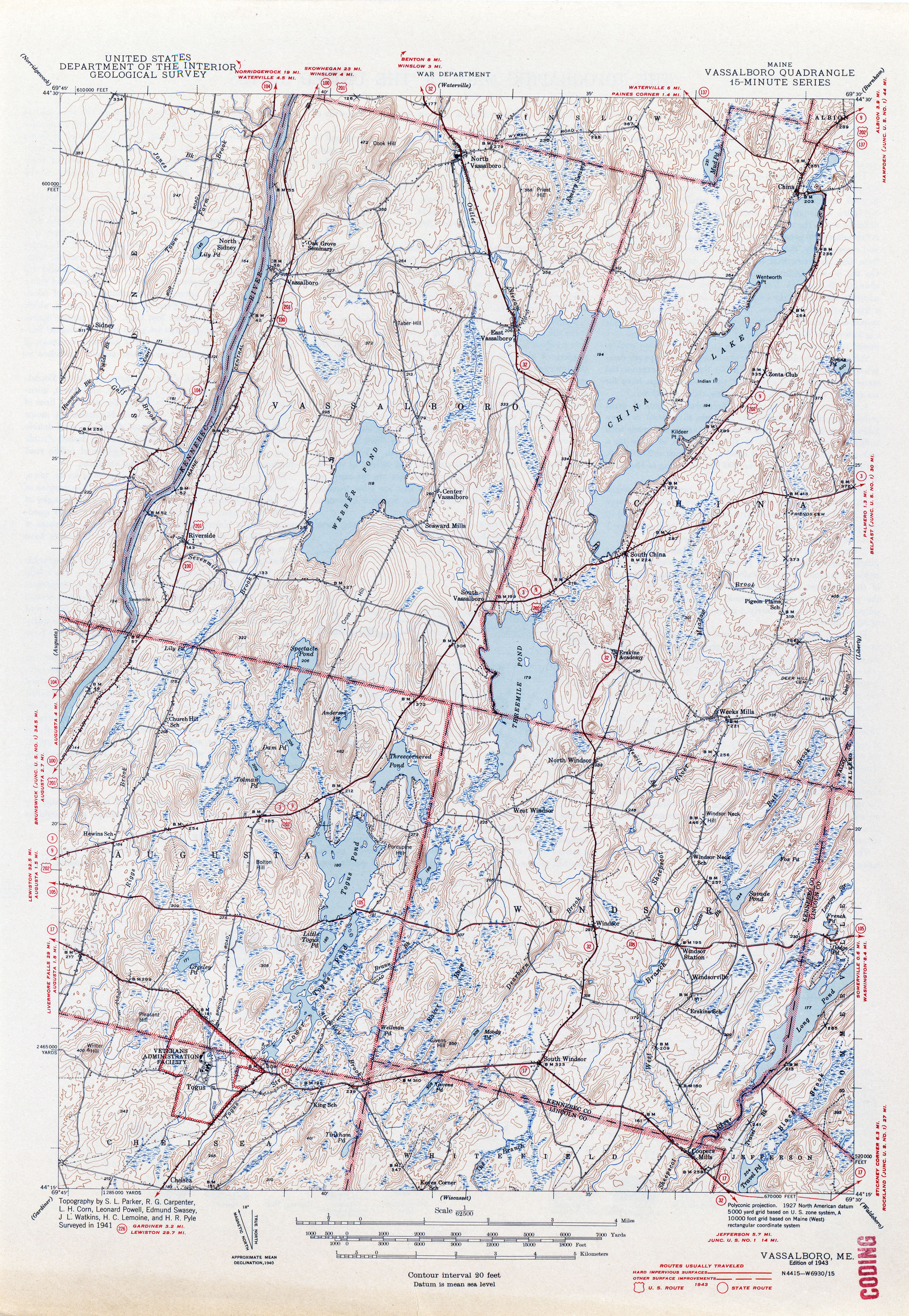
- Vassalboro 1941 1:62,500 (4.1MB)
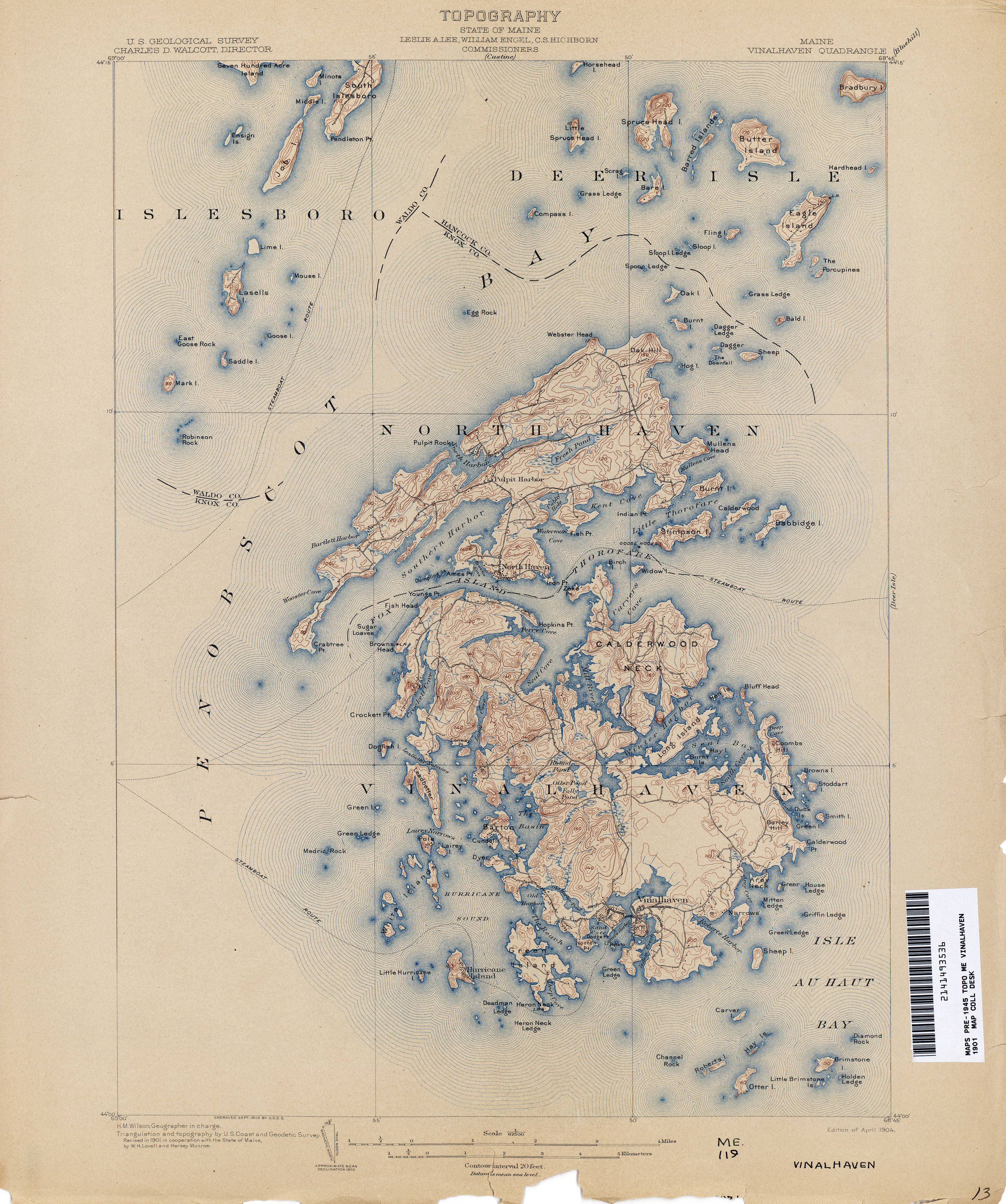
- Vinalhaven 1901 1:62,500 (3.7MB)
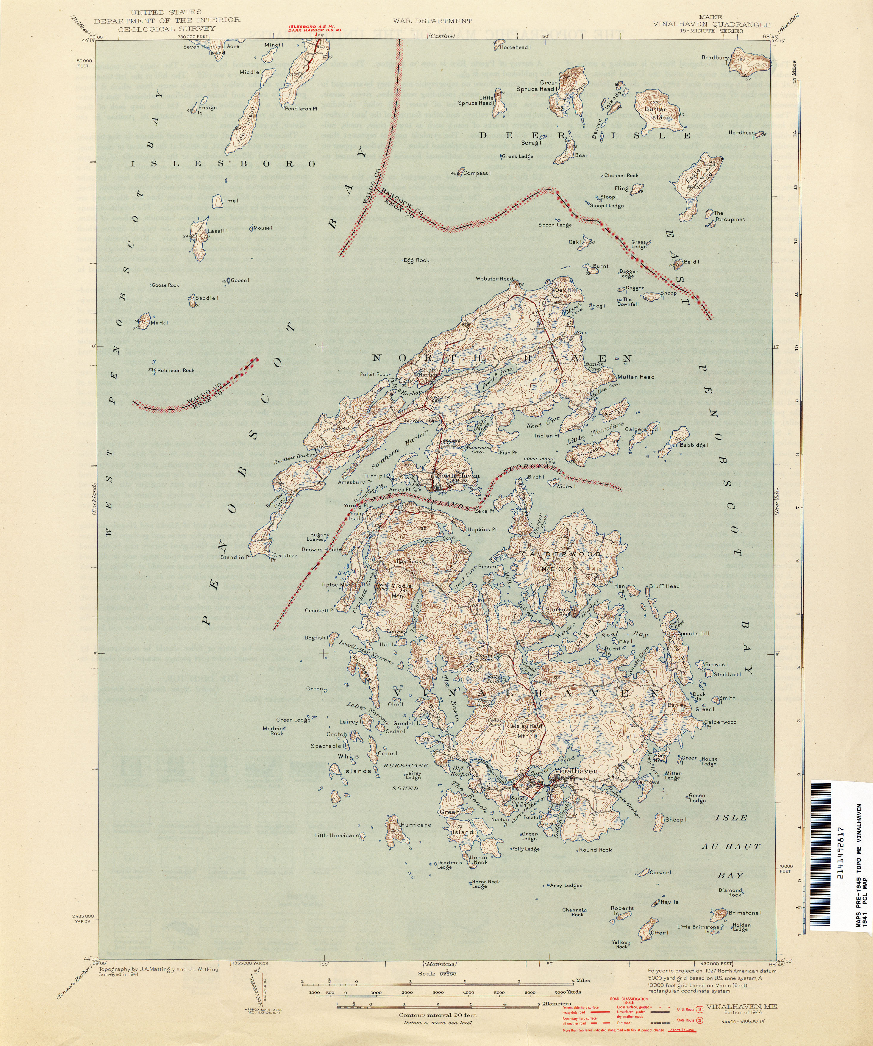
- Vinalhaven 1941 1:62,500 (2.3MB)
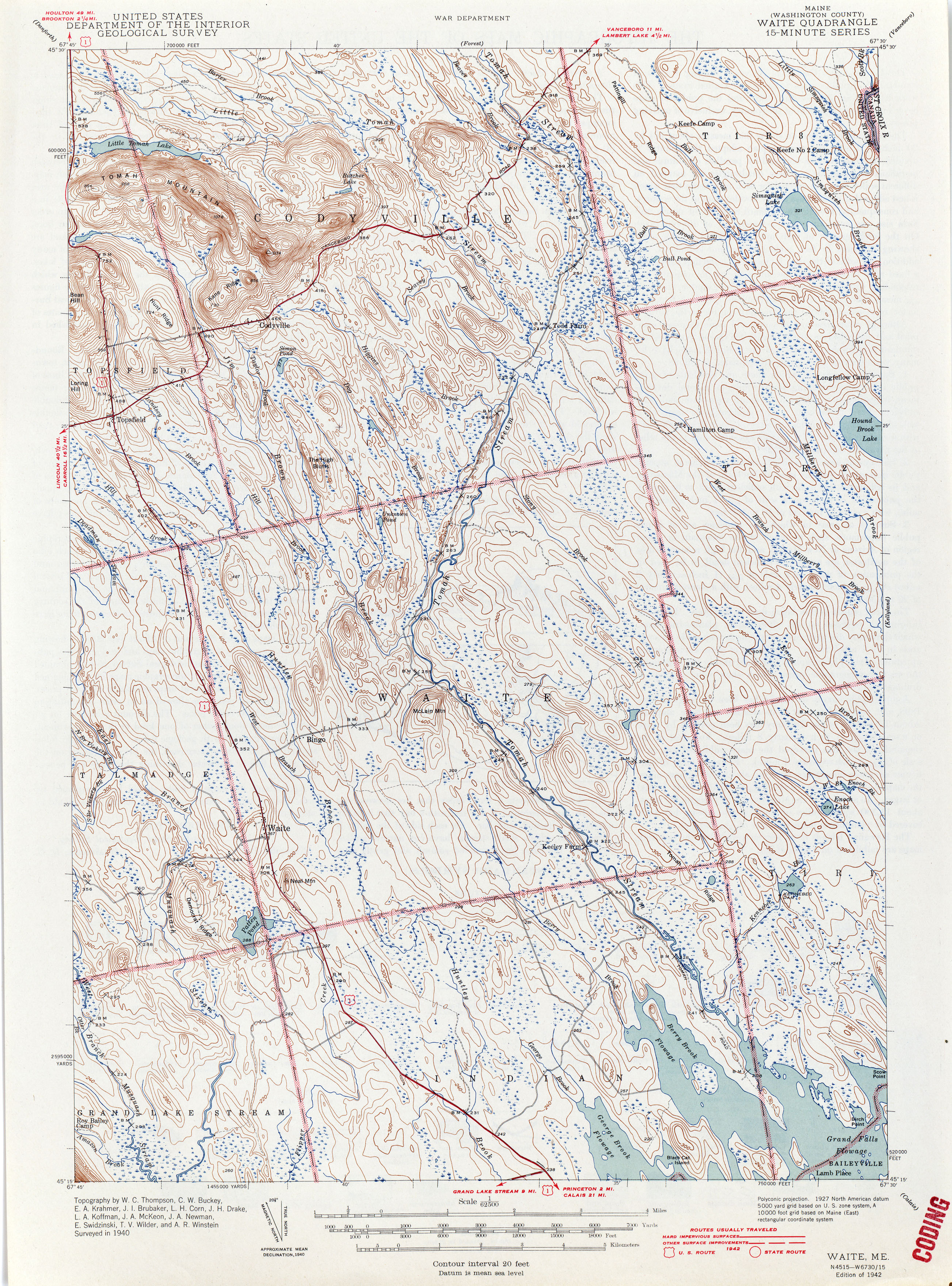
- Waite 1940 1:62,500 (3.9MB)
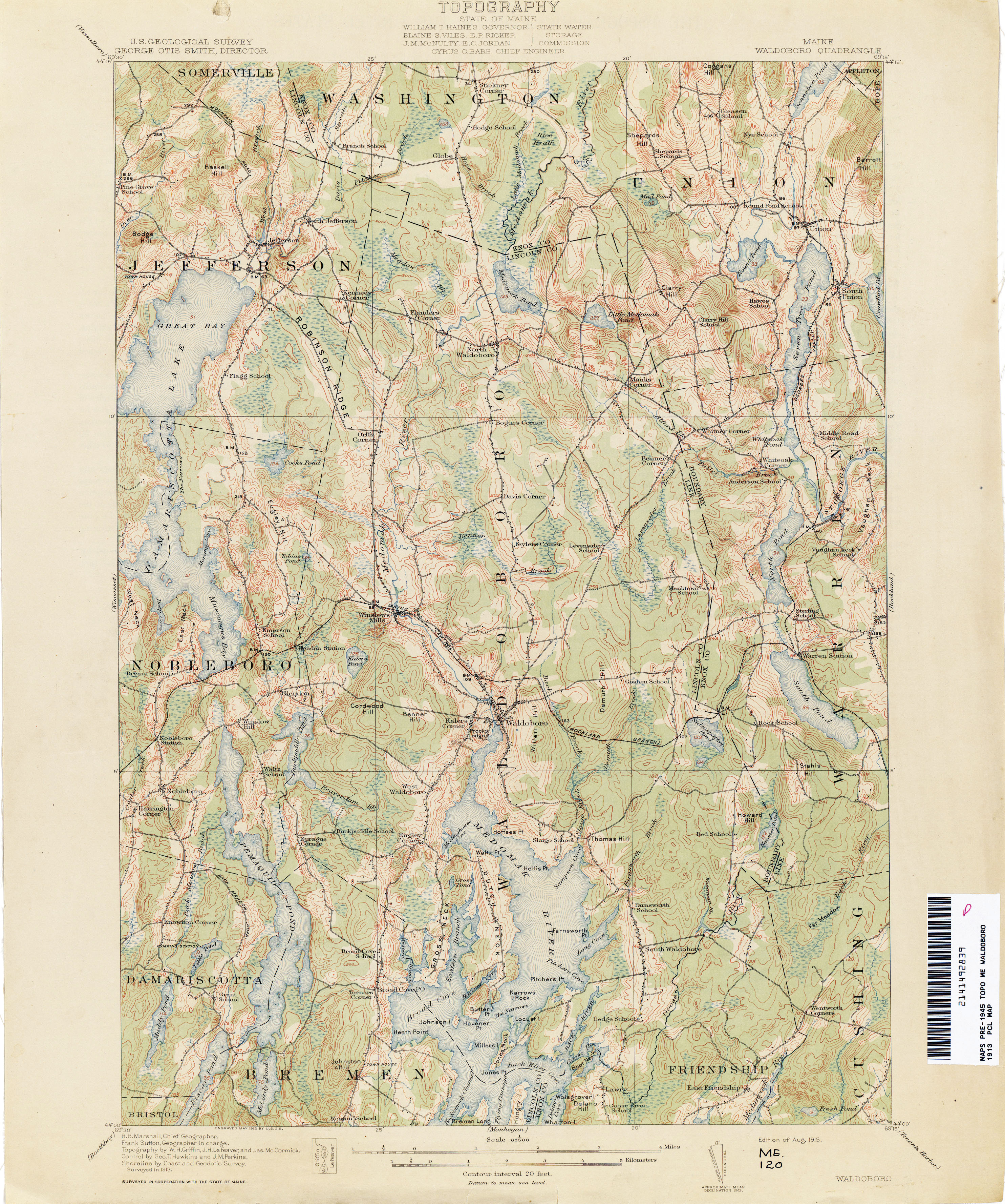
- Waldoboro 1913 1:62,500 (3.5MB)
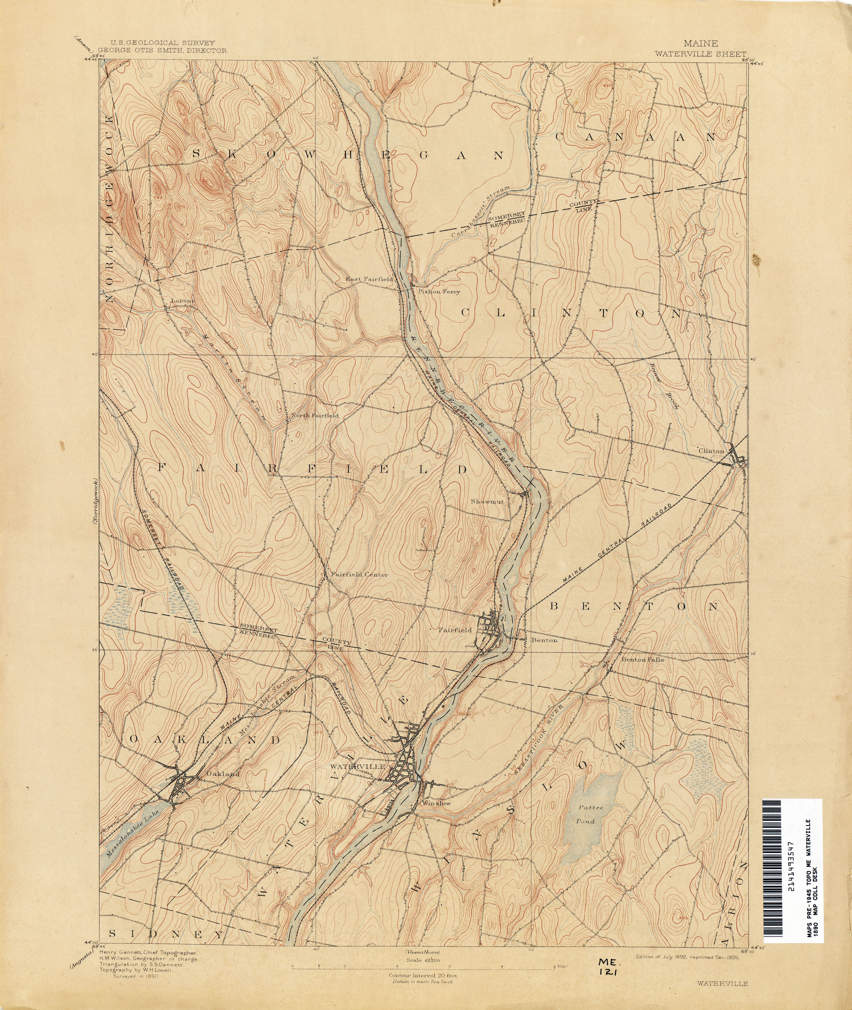
- Waterville 1890 1:62,500 (3.0MB)
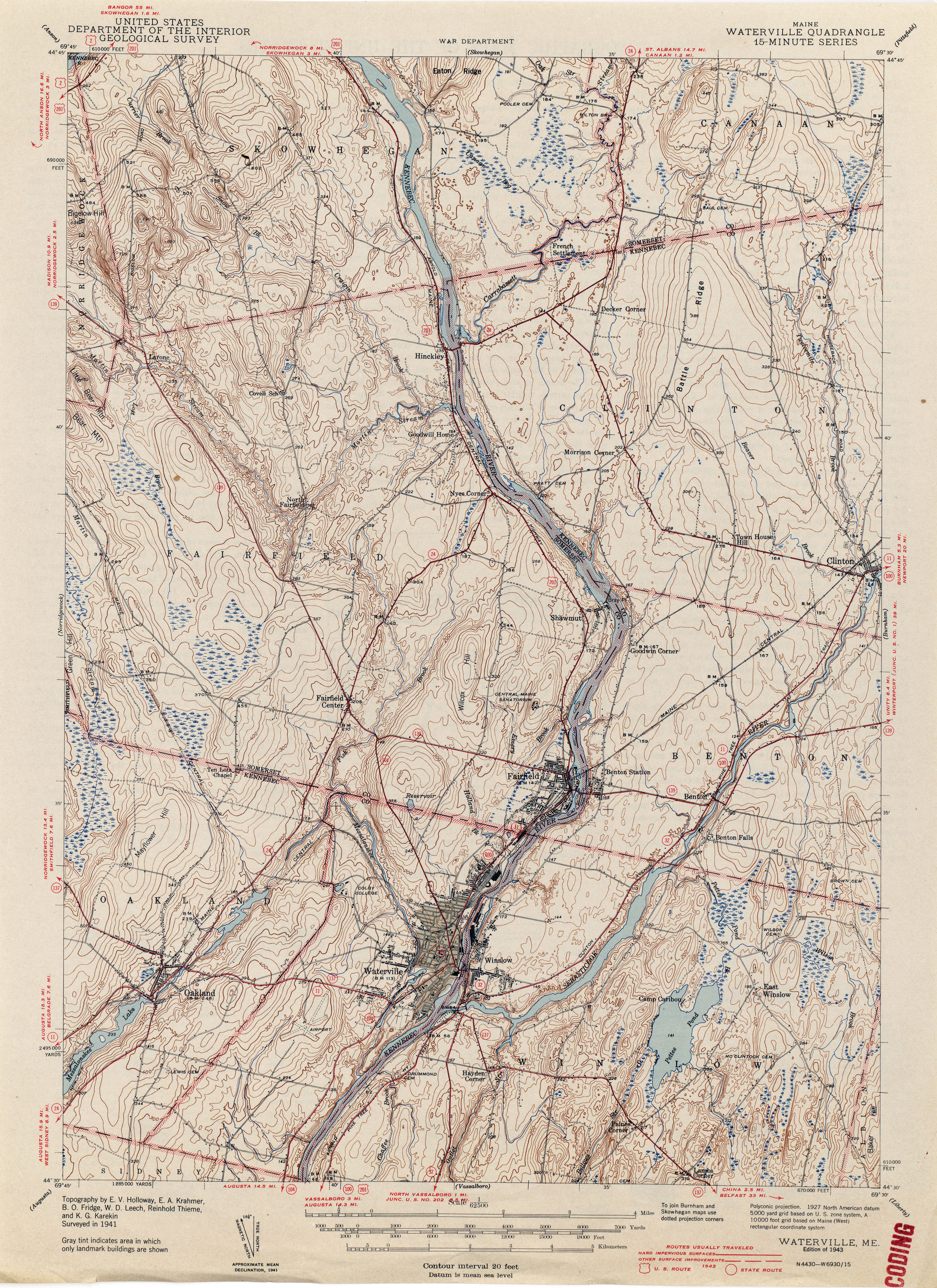
- Waterville 1941 1:62,500 (3.9MB)
- Winn 1916 1:62,500 (3.8MB)
- Winterville 1928 1:62,500 (4.0MB)
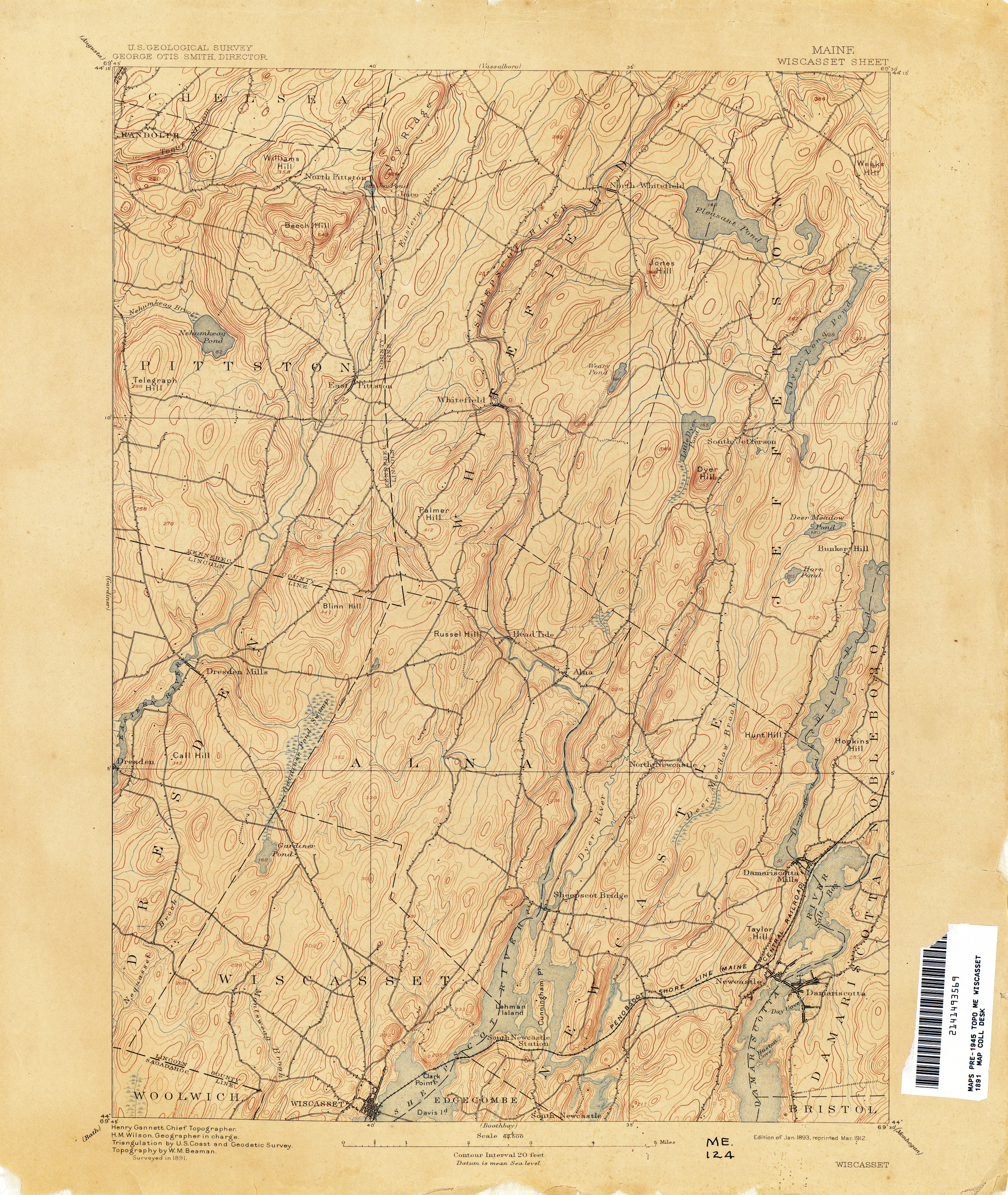
- Wiscasset 1891 1:62,500 (3.5MB)
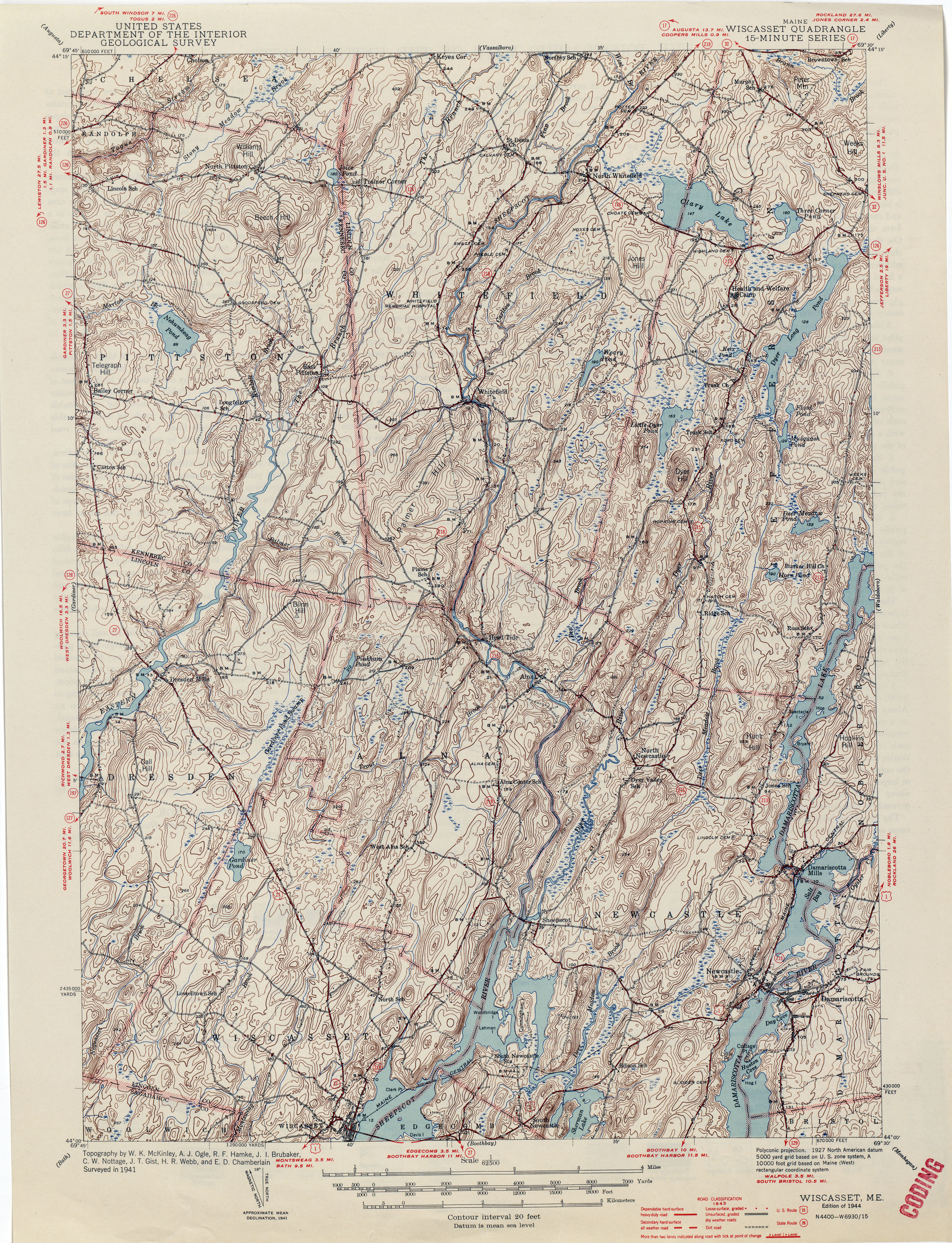
- Wiscasset 1941 1:62,500 (4.6MB)
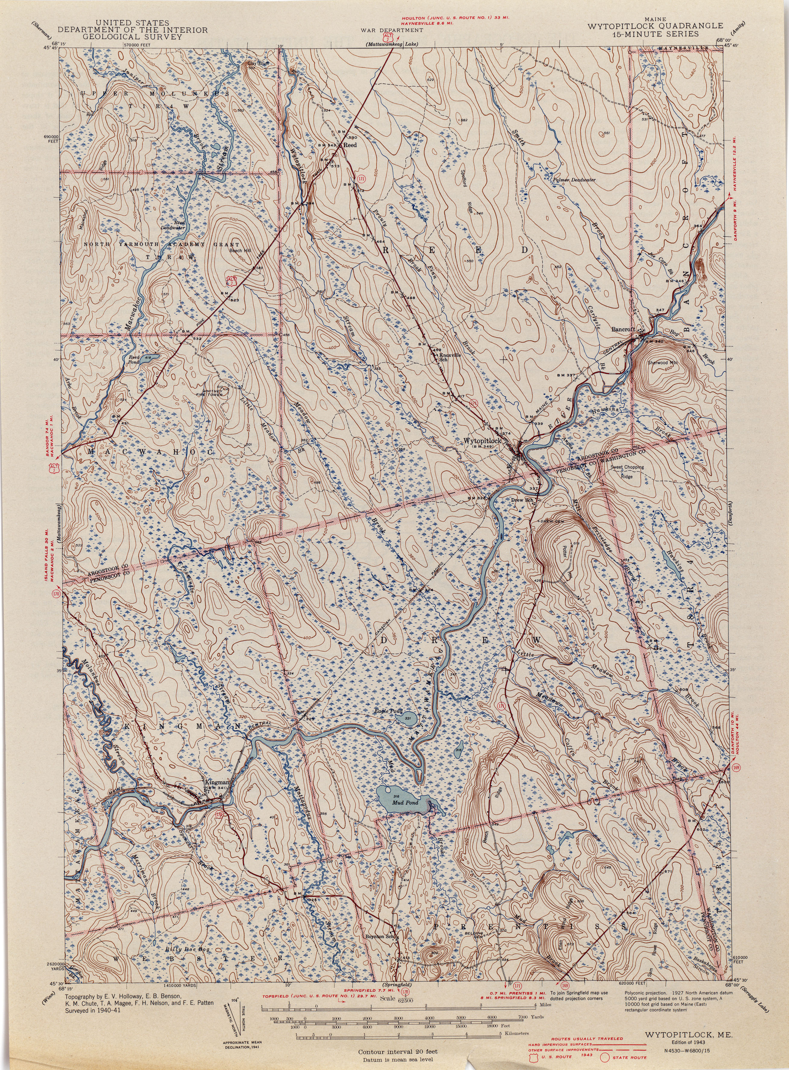
- Wytopitlock 1941 1:62,500 (3.6MB)
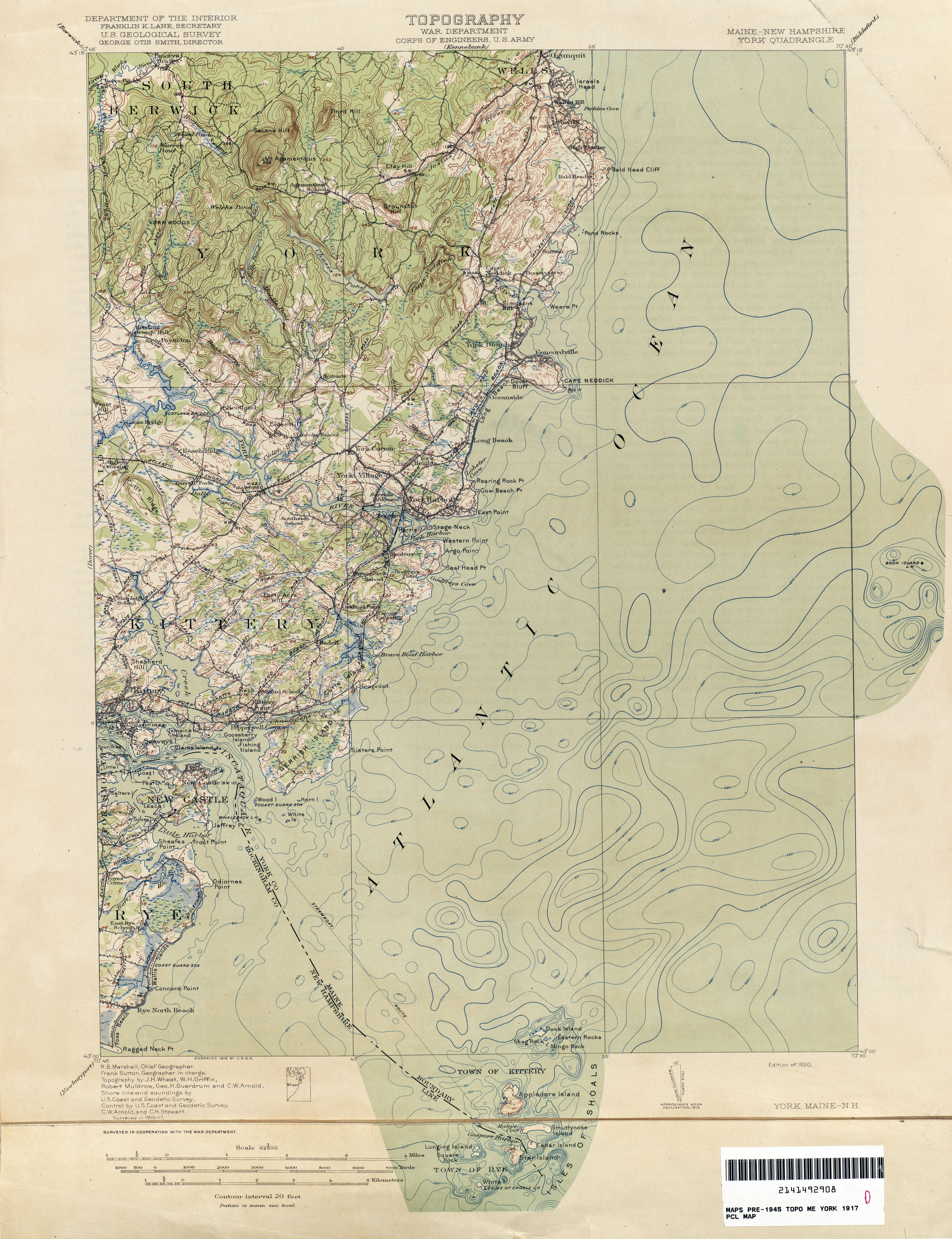
- York [Maine, New Hampshire] 1917 1:62,500 (3.0MB)
Return to the top