Perry-Castañeda Library
Map Collection
Puerto Rico Historical Topographic Maps
All maps on this page were published by the U.S. Geological Survey and are in the public domain. The date given for each map is the date of latest survey. More information about these maps is available on the Topographic Maps Home Page.
- Aguas Buenas 1943 1:30,000 (10.2MB)
- Arecibo 1943 1:30,000 (7.5MB)
- Barranquitas 1:30,000 (11.0MB)
- Cabo Rojo 1935 1:30,000 (5.6MB)
- Caguas 1943 1:30,000 (10.0MB)
- Cayey 1943 1:30,000 (10.2MB)
- Ciales 1943 1:30,000 (10.4MB)
- Comerio 1946 1:30,000 (10.3MB)
- Corozal 1943 1:30,000 (10.6MB)
- El Yunque 1943 1:30,000 (10.3MB)
- Fajardo 1943 1:30,000 (7.9MB)
- Florida 1943 1:30,000 (9.2MB)
- Guanica 1935 1:30,000 (6.5MB)
- Guayama 1943 1:30,000 (4.3MB)
- Gurabo 1943 1:30,000 (9.9MB)
- Humacao 1943 1:30,000 (8.6MB)
- Juncos 1943 1:30,000 (9.5MB)
- Manati 1943 1:30,000 (7.2MB)
- Maricao 1943 1:30,000 (11.5MB)
- Monte Guilarte 1943 1:30,000 (11.6MB)
- Naguabo 1943 1:30,000 (6.6MB)
- Naranjito 1943 1:30,000 (11.1MB)
- Parguera 1935 1:30,000 (5.0MB)
- Patillas 1943 1:30,000 (11.2MB)
- Penuelas 1943 1:30,000 (10.5MB)
- Ponce 1943 1:30,000 (8.7MB)
- Punta Puerca 1943 1:30,000 (3.3MB)
- San German 1937 1:30,000 (7.5MB)
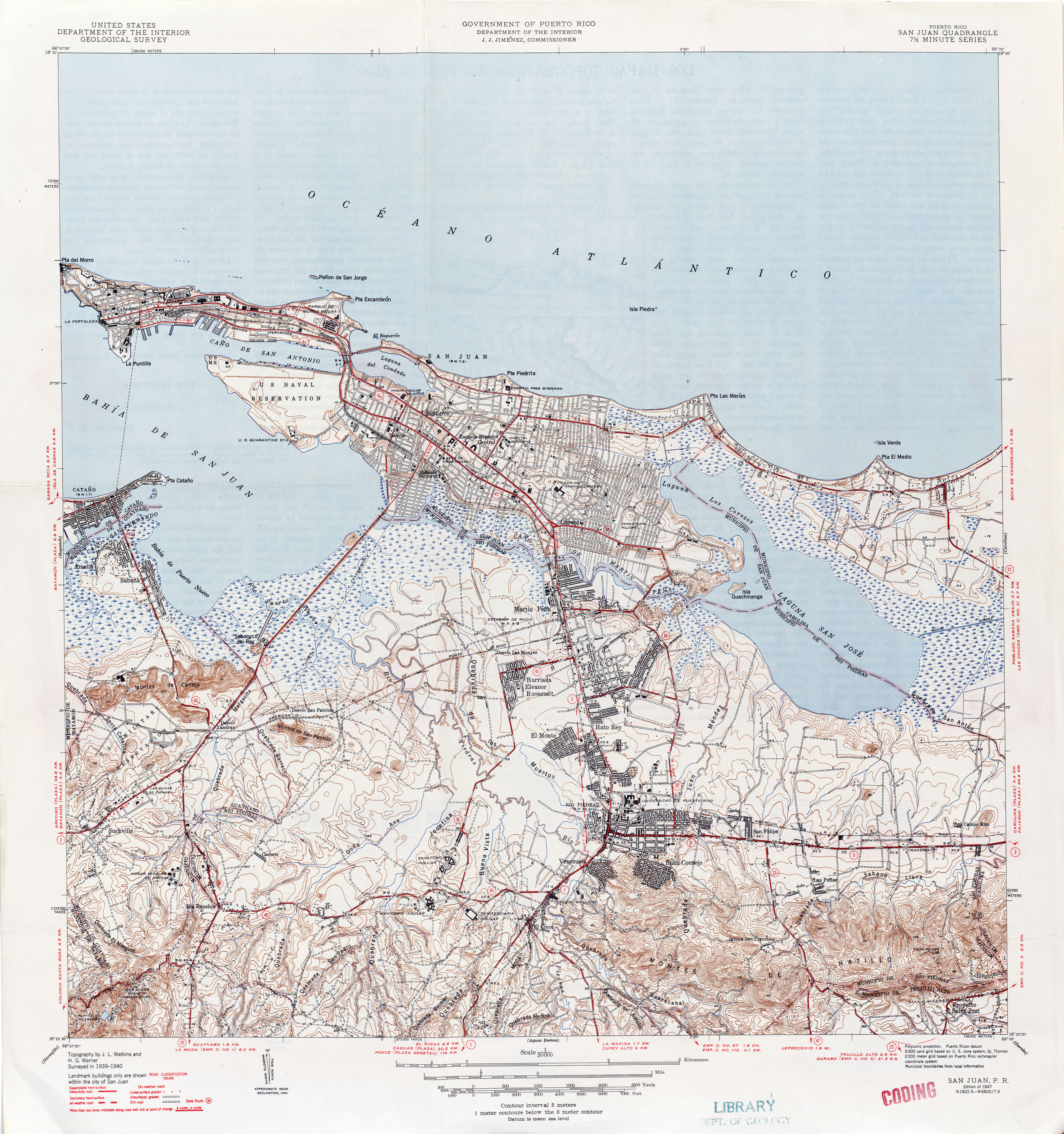
- San Juan 1940 1:30,000 (6.4MB)
- Vega Alta 1943 1:30,000 (7.8MB)
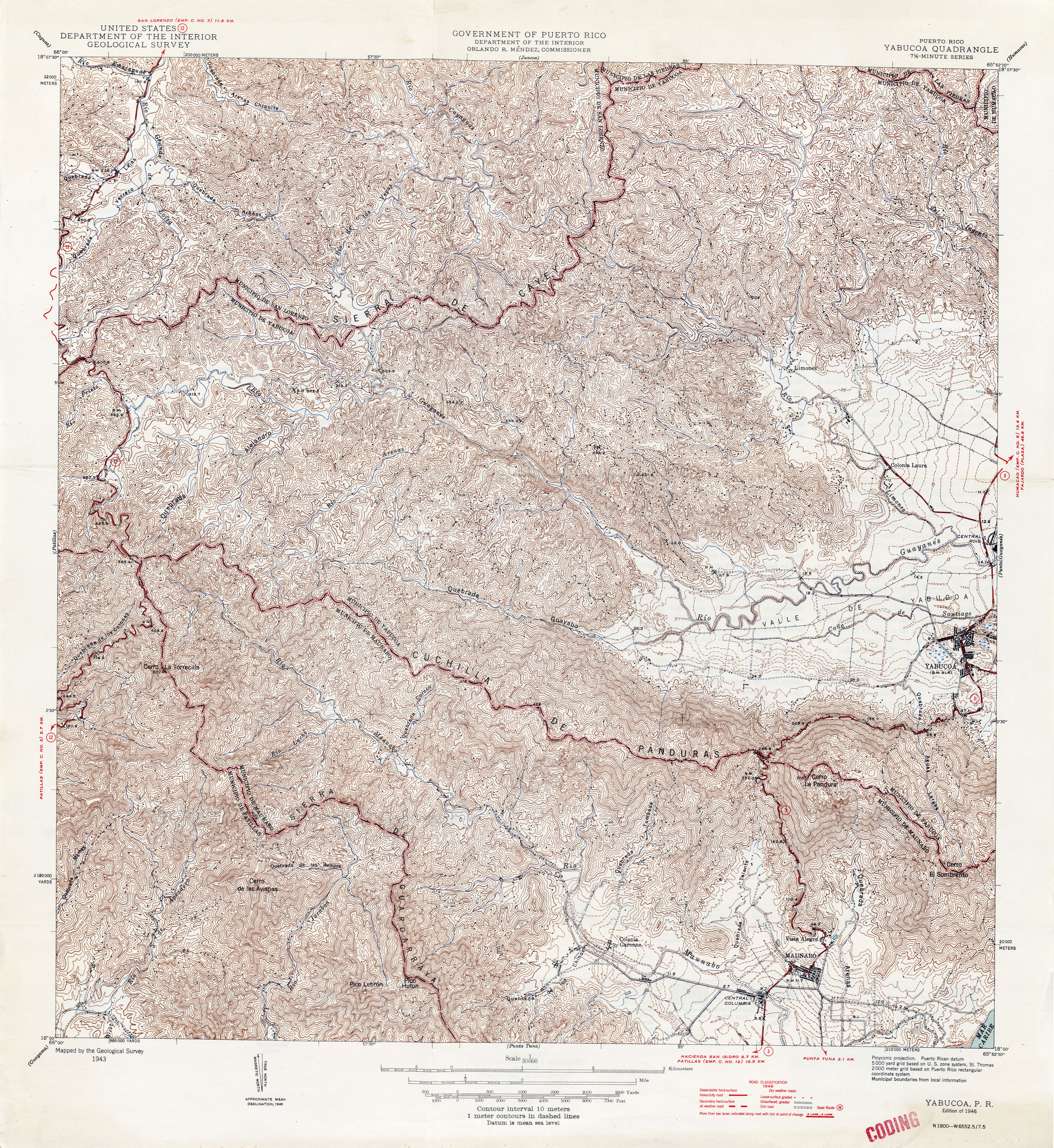
- Yabucoa 1943 1:30,000 (11.0MB)
- Yauco 1943 1:30,000 (9.9MB)