Perry-Castañeda Library
Map Collection
Texas Topographic Maps
Maps in this online collection are from the Perry-Castañeda Library, Walter Geology Library and Dolph Briscoe Center for American History at the University of Texas at Austin as well as the Texas State Library. All maps on this site were published by the U.S. Geological Survey unless otherwise noted and are in the public domain. The date given for each map is the date of latest survey. The Geographic Names Information System allows searches of geographic names to determine which map sheets they appear on. Indexes are available for Texas - East and Texas - West for the 1:24,000 map series. Maps published prior to 1923 are on the Texas Historical Topographic Map Index. More information about these maps is available on the Topographic Maps Home Page. Note: To fully view the GeoPDF files use Adobe Reader as your default PDF viewer or download the files and open them within Adobe Reader.
A, B, C, D, E, F, G, H, I, J, K, L, M, N, O, P, Q, R, S, T, U, V, W, X, Y, Z
- W T Ranch (Reeves County) 1:24,000 1968 (2.8MB)
- W T Ranch 1:24,000 2008 (21.1MB) [GeoPDF]
- W T Ranch 1:24,000 2012 (21.6MB) [GeoPDF]
- Waco 1:125,000 1890 (2.3 MB)
- Waco 1:125,000 1918 (4.6MB) U.S. Army. Corps of Engineers. Progressive Military Map
- Waco 1:250,000 1954 (9.9MB)
- Waco 1:250,000 1963 (9.7MB)
- Waco 1:250,000 1975 (9.5MB)
- Waco 1:100,000 1985 (8.7MB)
- Waco East (McLennan County) 1:24,000 1957 (4MB)
- Waco East (McLennan County) 1:24,000 1970 (4.1MB)
- Waco East (McLennan County) 1:24,000 1975 (4MB)
- Waco East 1:24,000 2008 (17.1MB) [GeoPDF]
- Waco East 1:24,000 2012 (22.8MB) [GeoPDF]
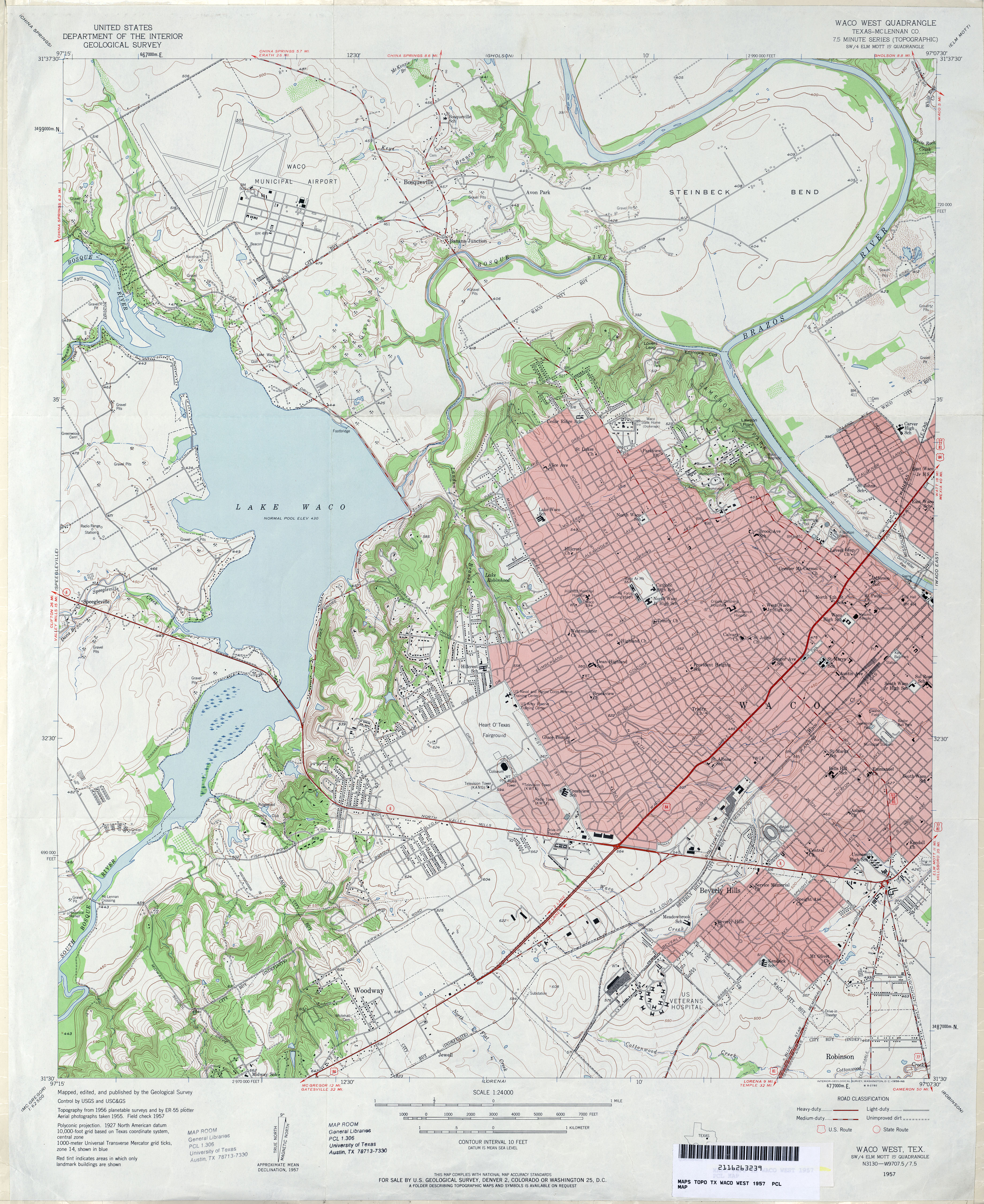
- Waco West (McLennan County) 1:24,000 1957 (4.6MB)
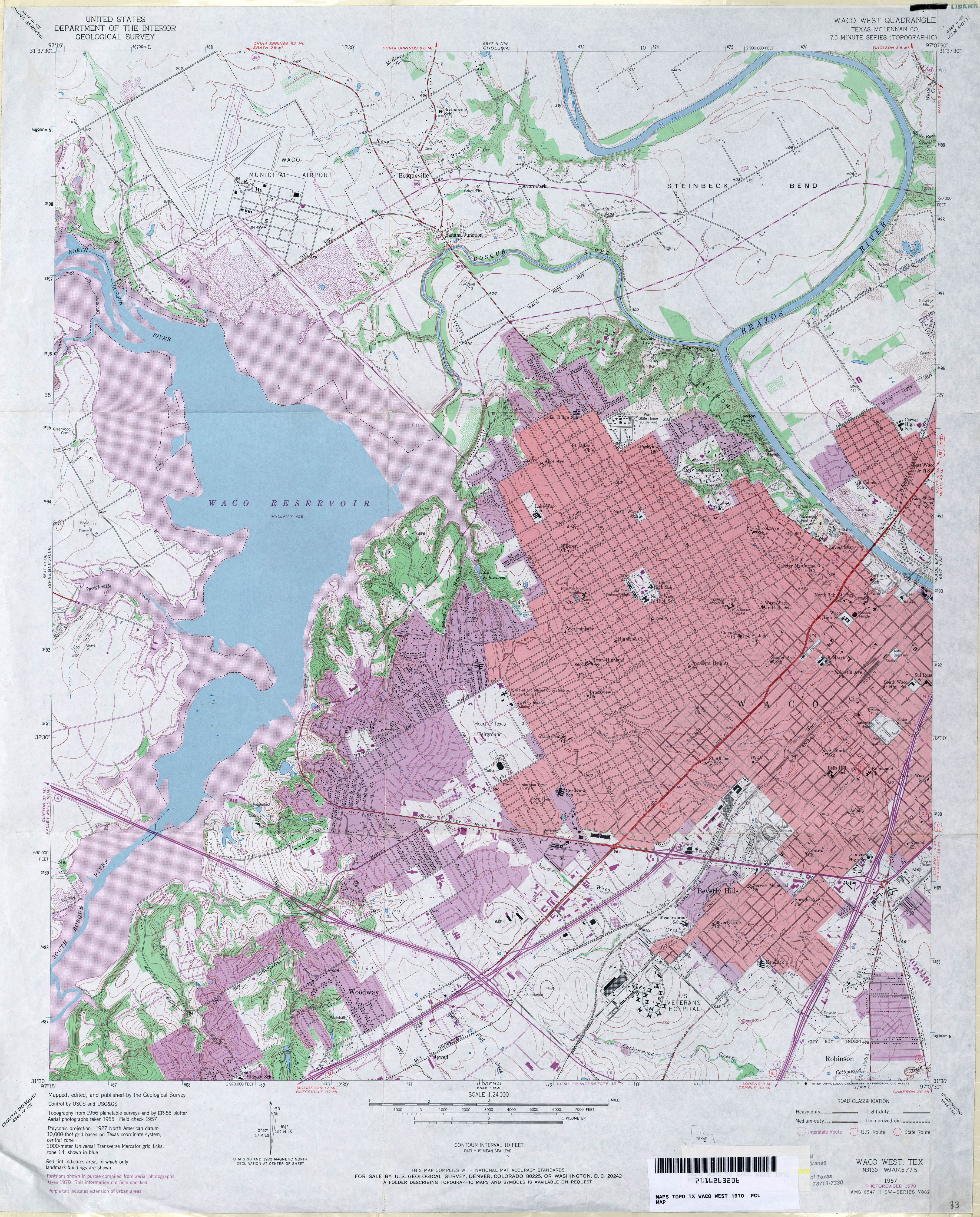
- Waco West (McLennan County) 1:24,000 1970 (4.9MB)
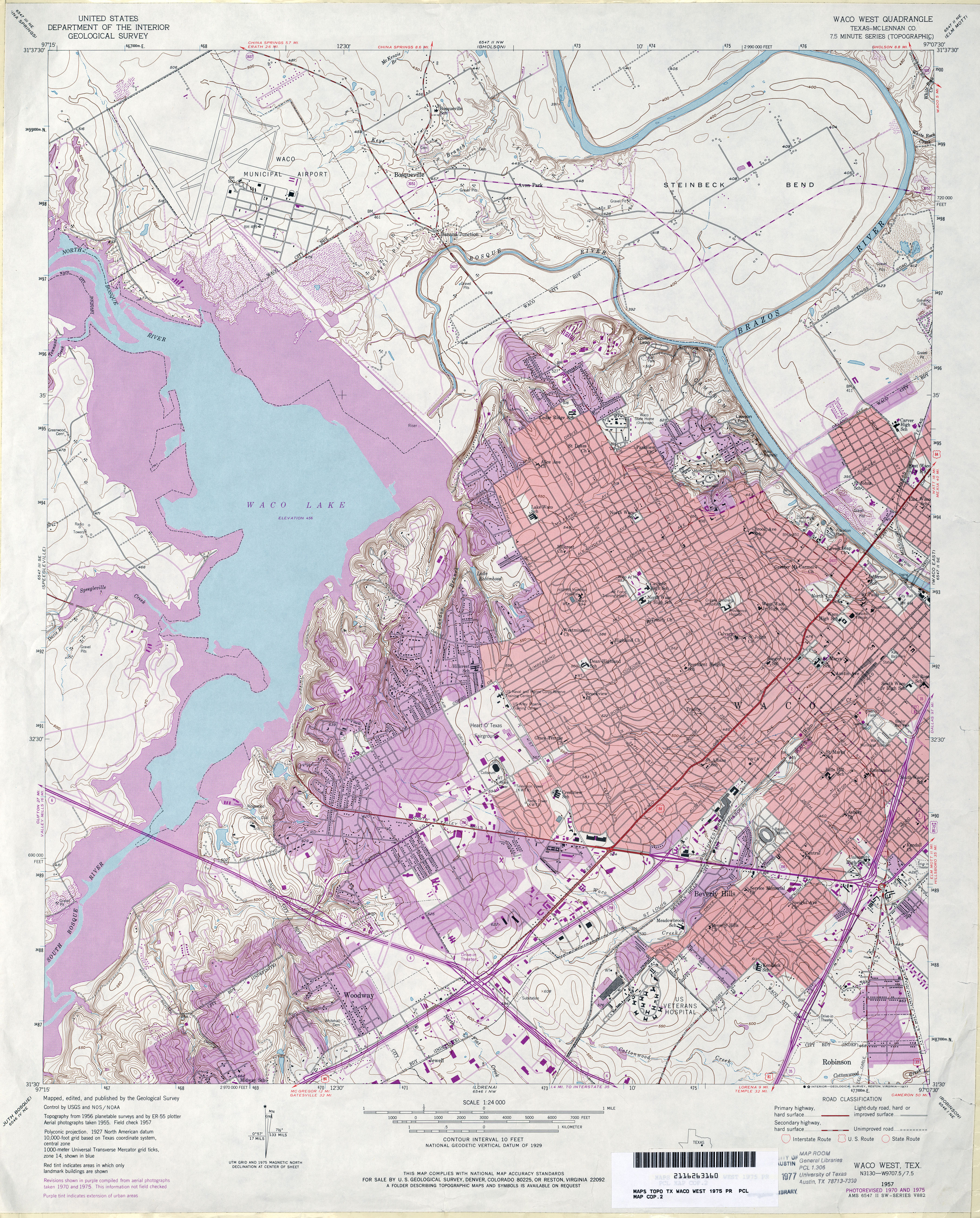
- Waco West (McLennan County) 1:24,000 1975 (5.6MB)
- Waco West 1:24,000 2008 (18.5MB) [GeoPDF]
- Waco West 1:24,000 2012 (24.3MB) [GeoPDF]
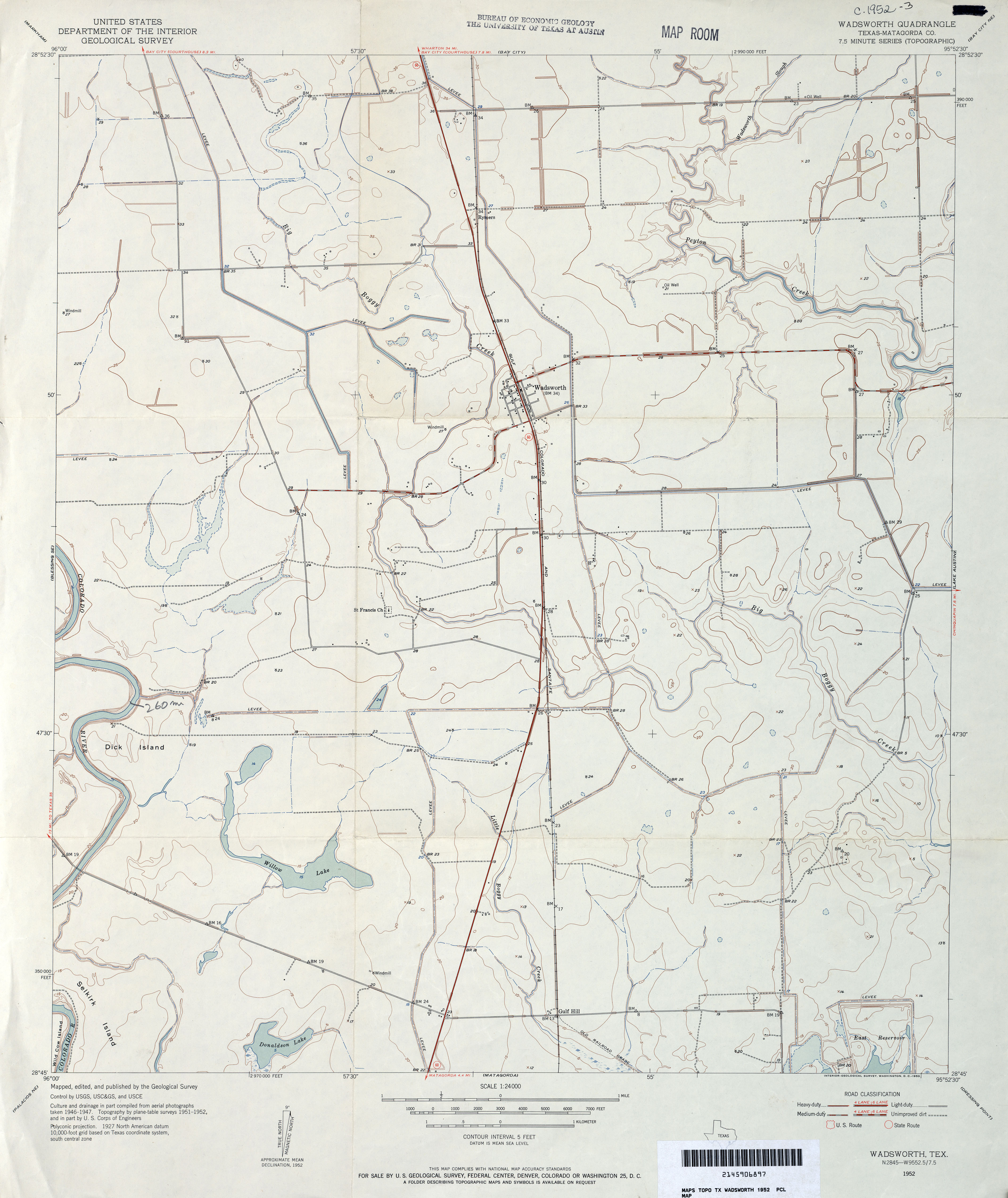
- Wadsworth (Matagorda County) 1:24,000 1952 (2.8MB)
- Wadsworth (Matagorda County) 1:24,000 1972 (2.8MB)
- Wadsworth 1:24,000 2008 (13.9MB) [GeoPDF]
- Wadsworth 1:24,000 2013 (17.2MB) [GeoPDF]
- Waelder 1:24,000 1964 (4.6MB)
- Waelder 1:24,000 1981 (4.5MB)
- Waelder 1:24,000 2008 (13.9MB) [GeoPDF]
- Waelder 1:24,000 2013 (25.4MB) [GeoPDF]
- Waka 1:24,000 1973 (2.2MB)
- Waka 1:24,000 2008 (8.4MB) [GeoPDF]
- Waka 1:24,000 2012 (14.6MB) [GeoPDF]
- Waka SW (Hansford County) 1:24,000 1962 (4.3MB)
- Waka SW (Hansford County) 1:24,000 1974 (4MB)
- Waka SW 1:24,000 2008 (12.6MB) [GeoPDF]
- Waka SW 1:24,000 2012 (18.7MB) [GeoPDF]
- Wake 1:24,000 1965 (3.1MB)
- Wake 1:24,000 2008 (10.0MB) [GeoPDF]
- Wake 1:24,000 2012 (17.7MB) [GeoPDF]
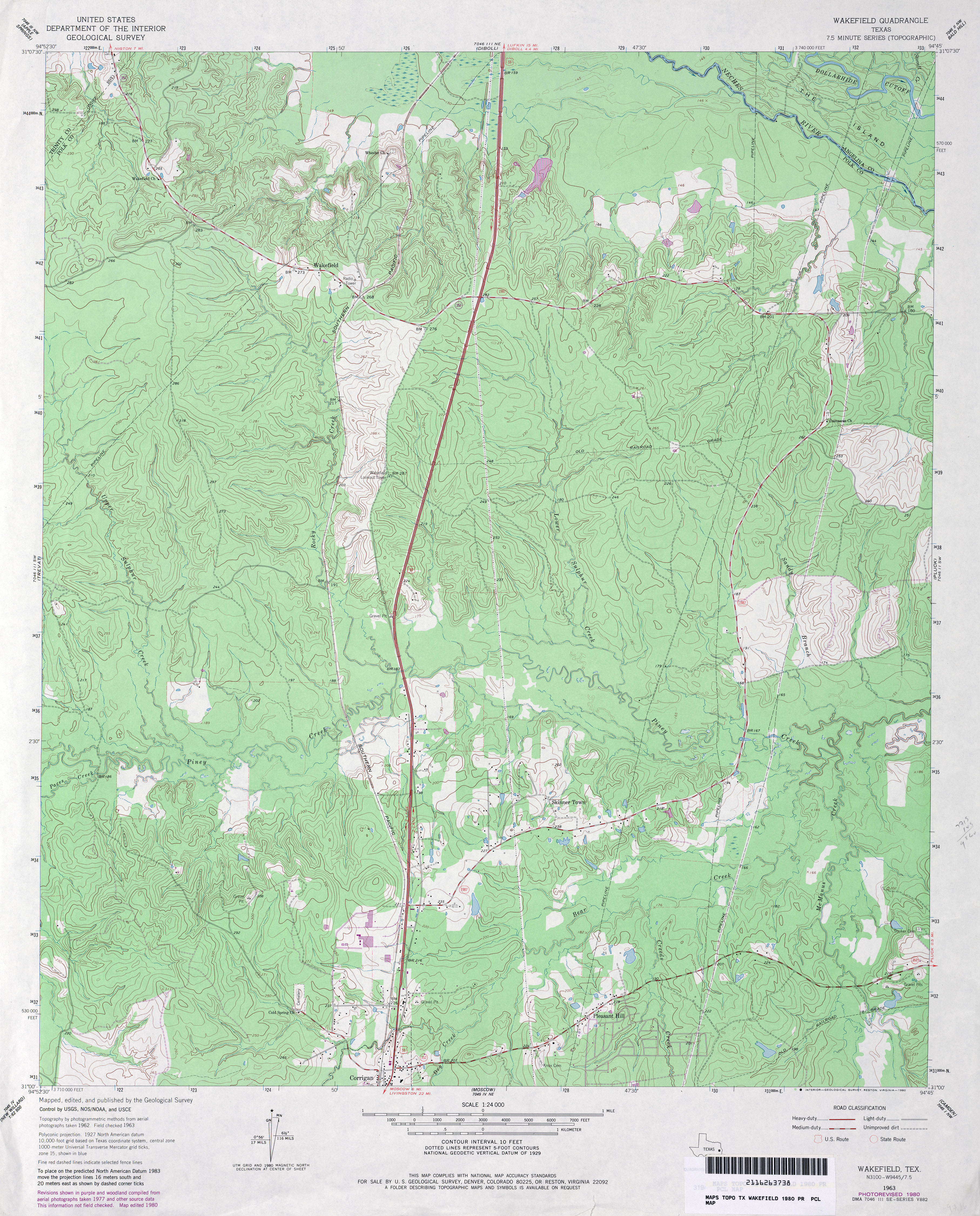
- Wakefield 1:24,000 1963 (3.9MB)
- Wakefield 1:24,000 1980 (4.7MB)
- Wakefield 1:24,000 2008 (2.2MB) Texas Natural Resources Information System (TNRIS). [pdf]
- Wakefield 1:24,000 2009 (24.5MB) [GeoPDF]
- Wakefield 1:24,000 2013 (26MB) [GeoPDF]
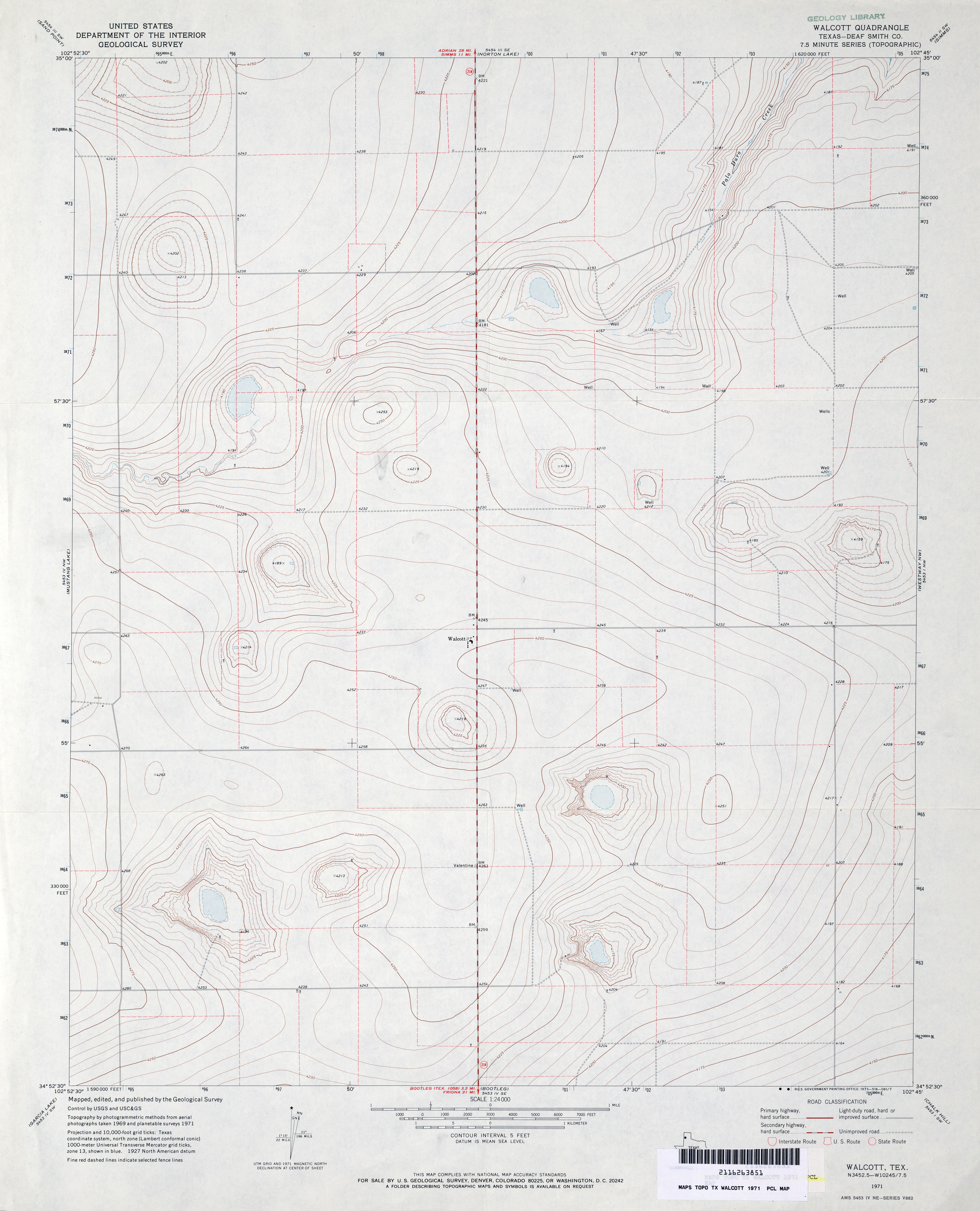
- Walcott (Deaf Smith County) 1:24,000 1971 (2.7MB)
- Walcott 1:24,000 2008 (7.3MB) [GeoPDF]
- Walcott 1:24,000 2012 (12.2MB) [GeoPDF]
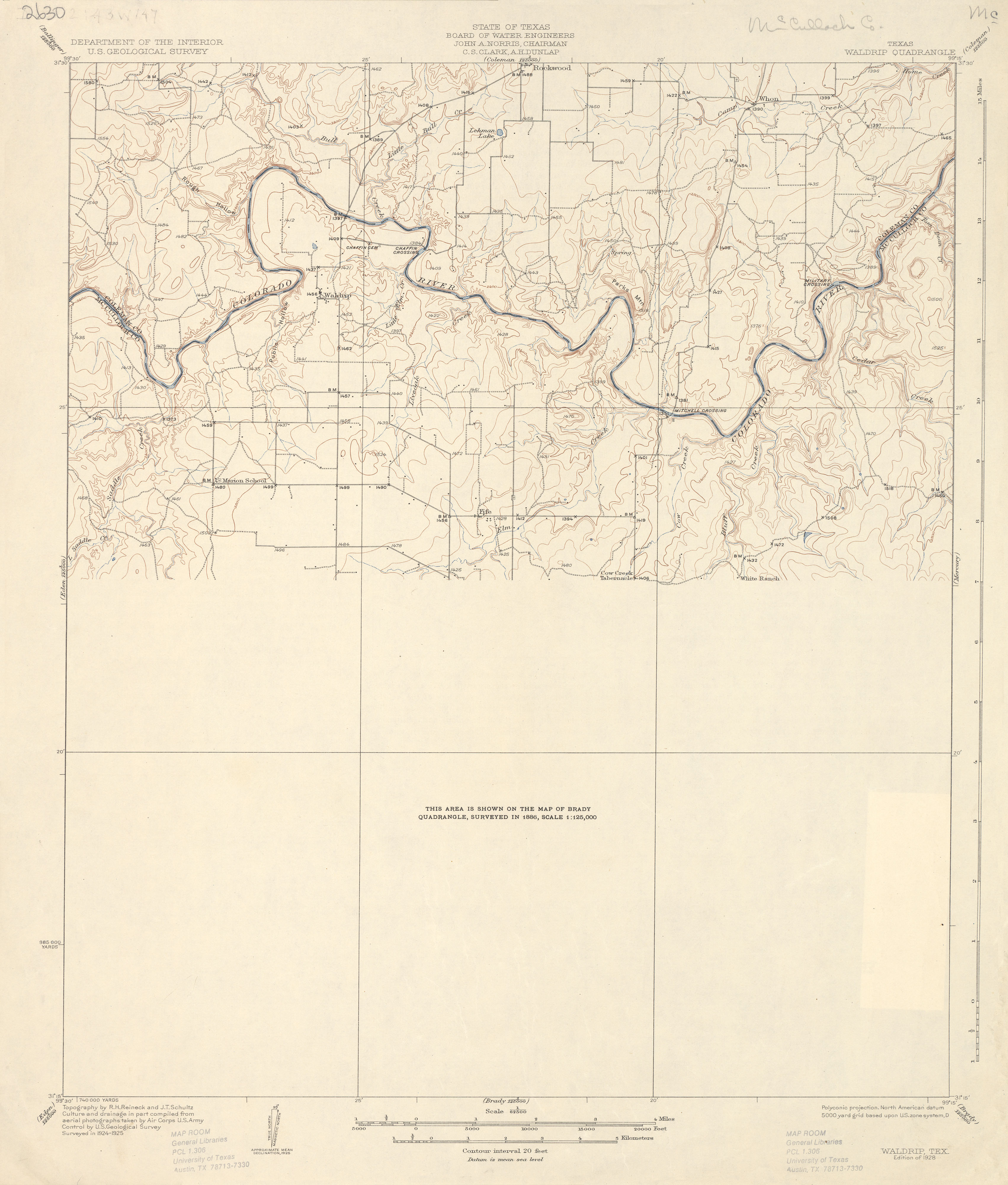
- Waldrip 1:62,500 1925 (2.2 MB)
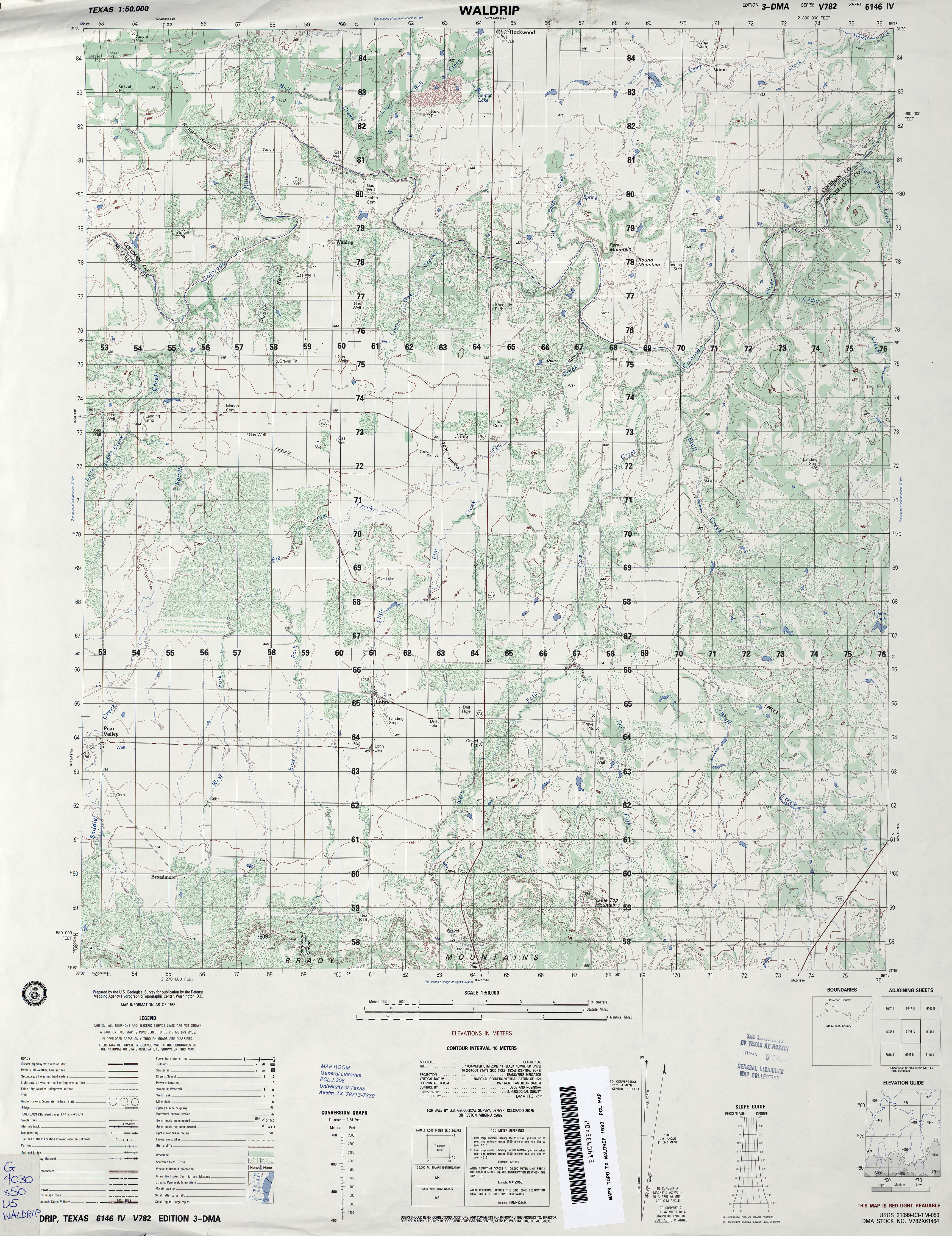
- Waldrip 1:50,000 1983 (4MB) U.S. Defense Mapping Agency, Edition 3-DMA, Series V782
- Wall (Tom Green County) 1:62,500 1924 (1.8 MB)
- Wall (Tom Green County) 1:62,500 1957 (4.9MB)
- Wall (Tom Green County) 1:24,000 1984 (3.5MB)
- Wall (Tom Green County) 1:24,000 2008 (16.1MB) [GeoPDF]
- Wall (Tom Green County) 1:24,000 2012 (22.3MB) [GeoPDF]
- Wall 1:24,000 2012 (22.3MB) [GeoPDF]
- Wallace Draw (Irion County) 1:24,000 1972 (4.5MB)
- Wallace Draw (Irion County) 1:24,000 1987 (4.3MB)
- Wallace Draw 1:24,000 2008 (23.4MB) [GeoPDF]
- Wallace Draw 1:24,000 2013 (27MB) [GeoPDF]
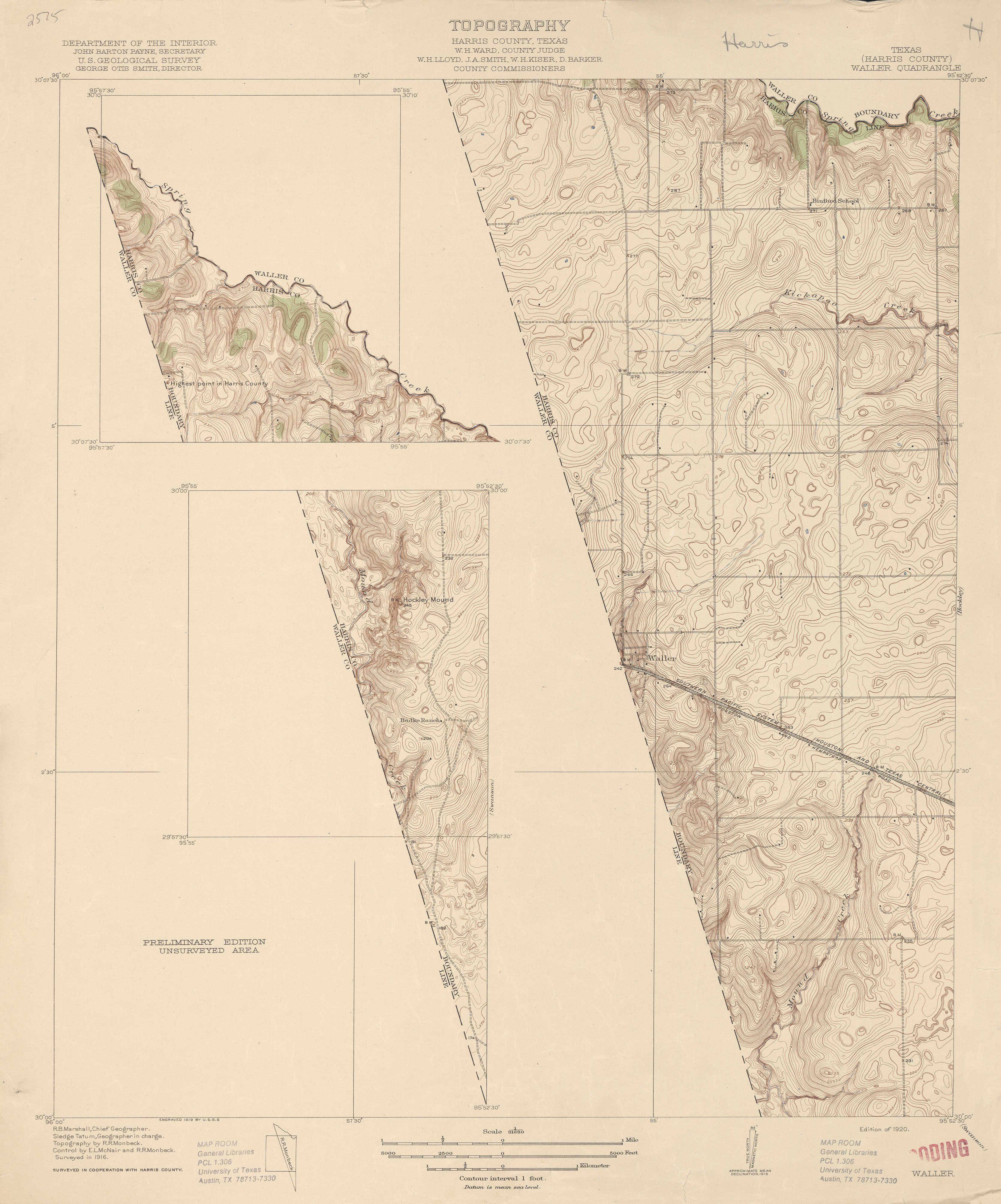
- Waller (Harris County) 1:31,680 1916 (2.6 MB)
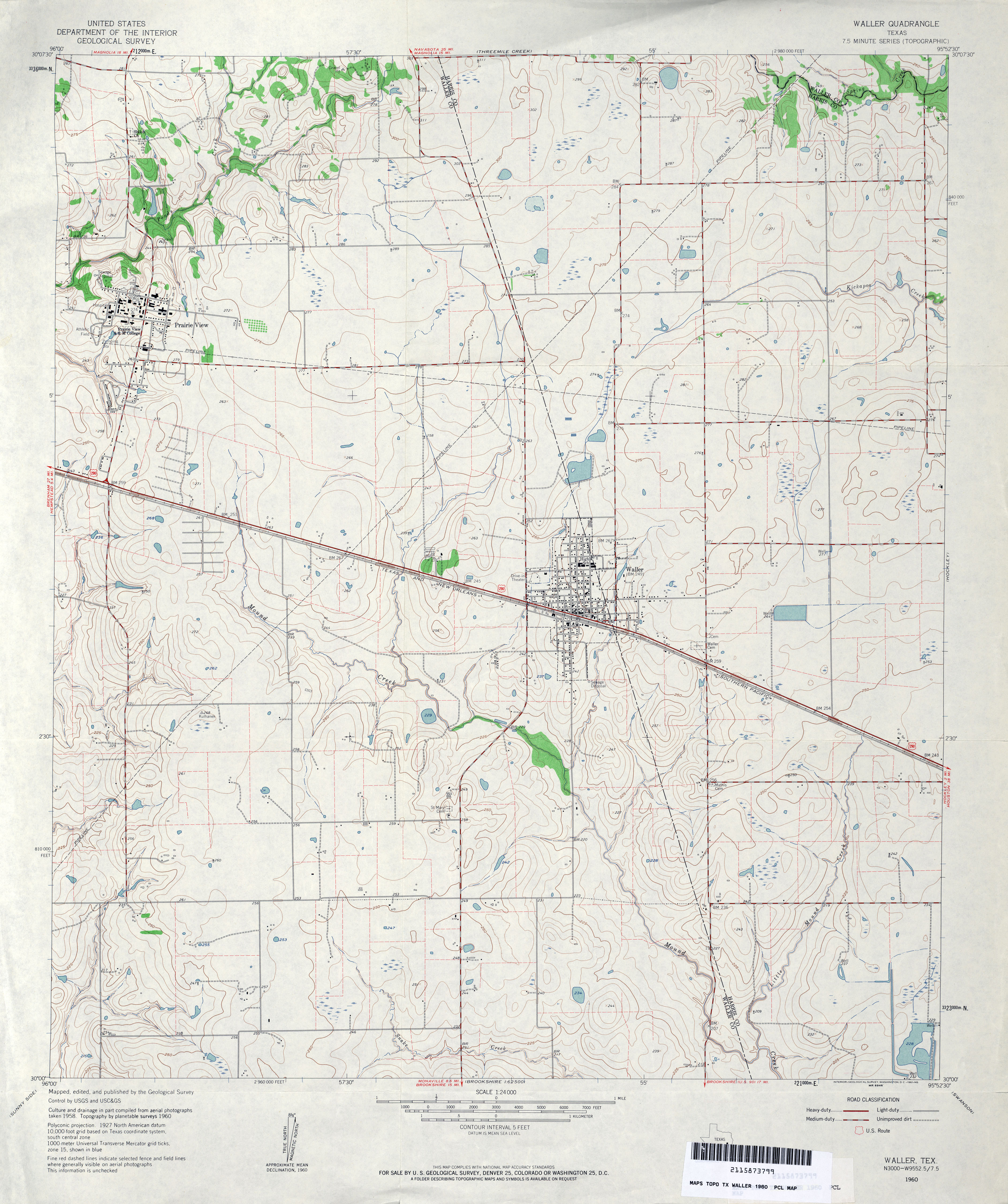
- Waller 1:24,000 1960 (3.7MB)
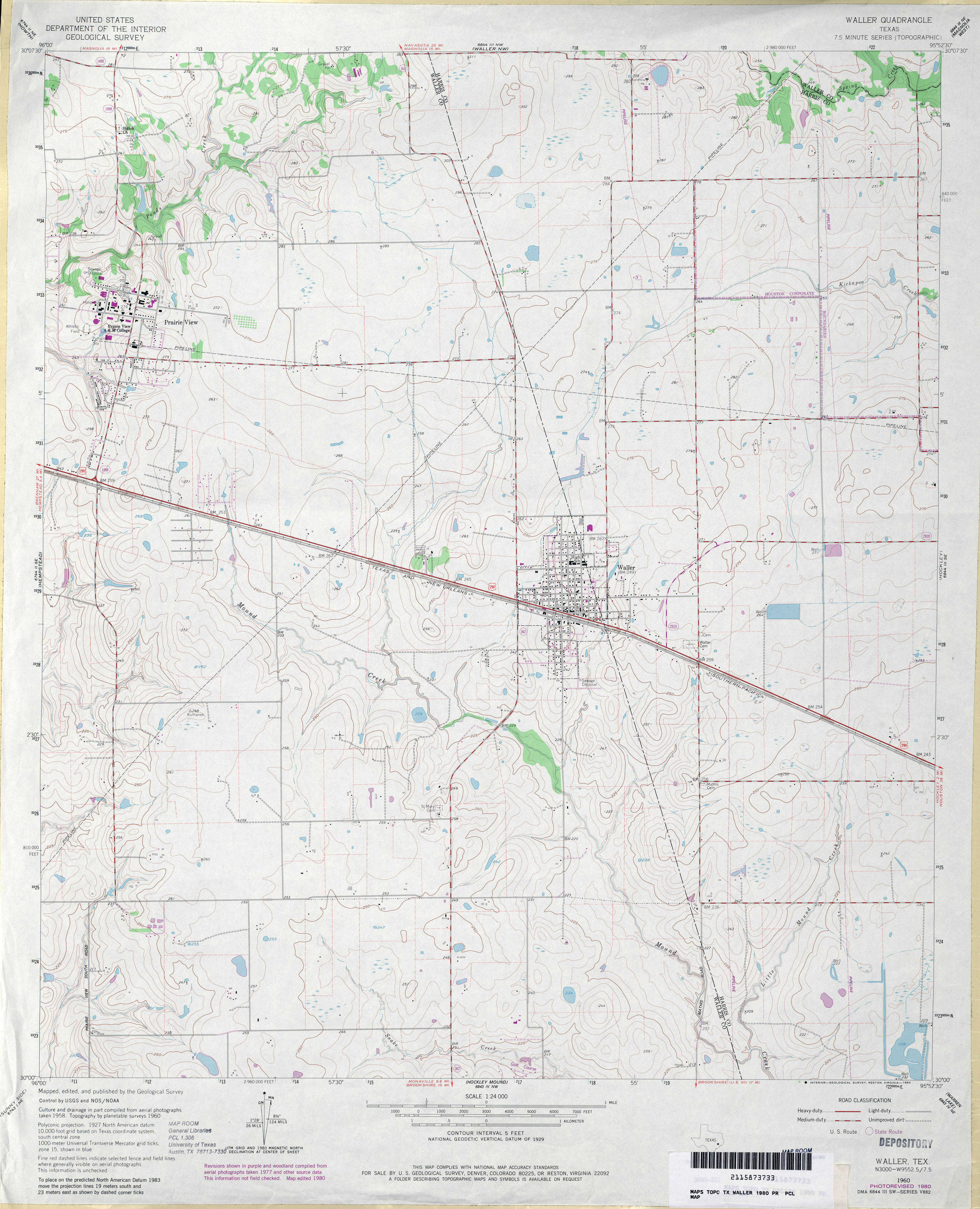
- Waller 1:24,000 1980 (3.3MB)
- Waller 1:24,000 2009 (14.0MB) [GeoPDF]
- Waller 1:24,000 2013 (18.7MB) [GeoPDF]
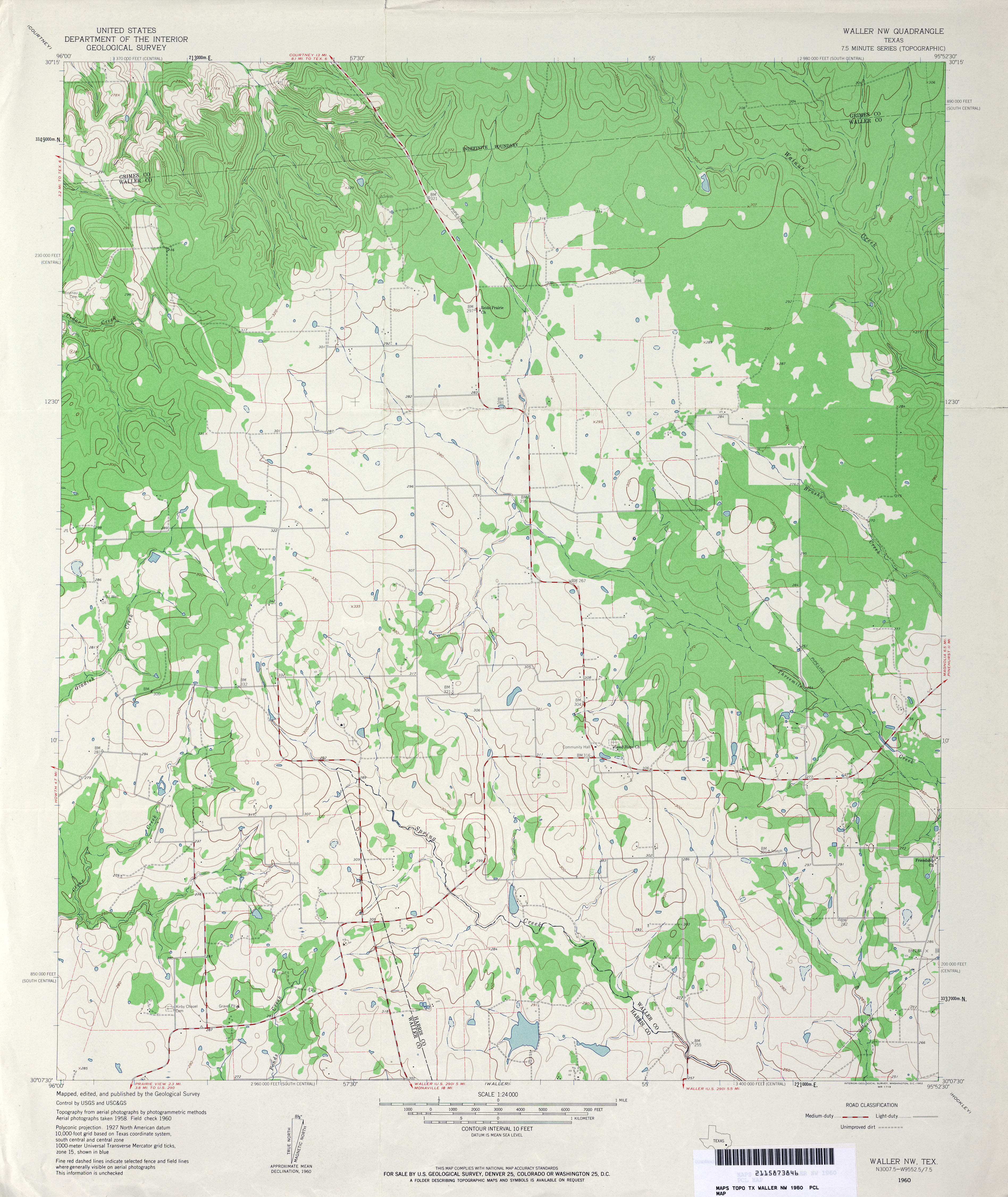
- Waller NW 1:24,000 1960 (3.6MB)
- Waller NW 1:24,000 1980 (3.5MB)
- Waller NW 1:24,000 2009 (18.7MB) [GeoPDF]
- Waller NW 1:24,000 2013 (20.8MB) [GeoPDF]
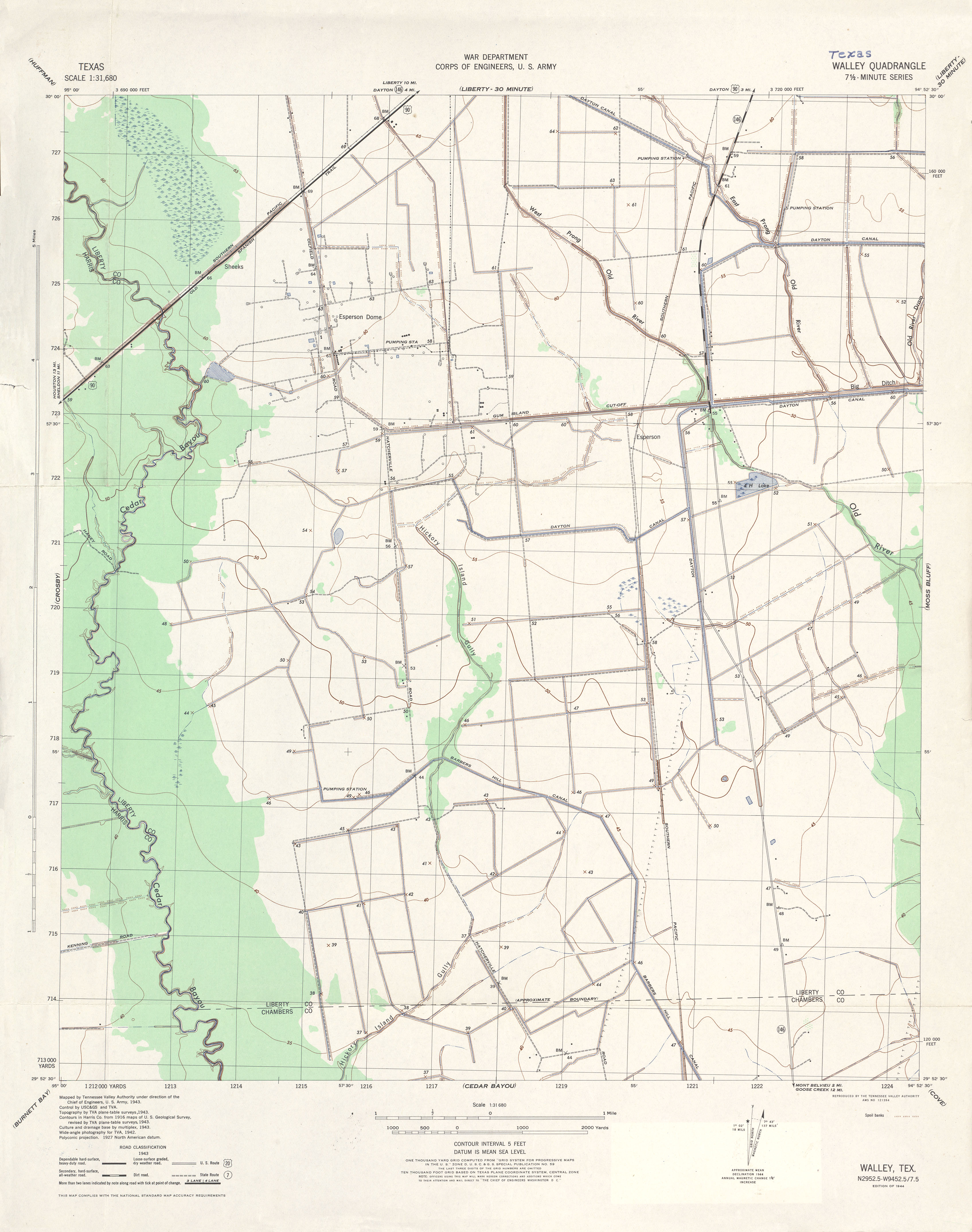
- Walley 1:31,680 1943 (2.5 MB) Tennessee Valley Authority
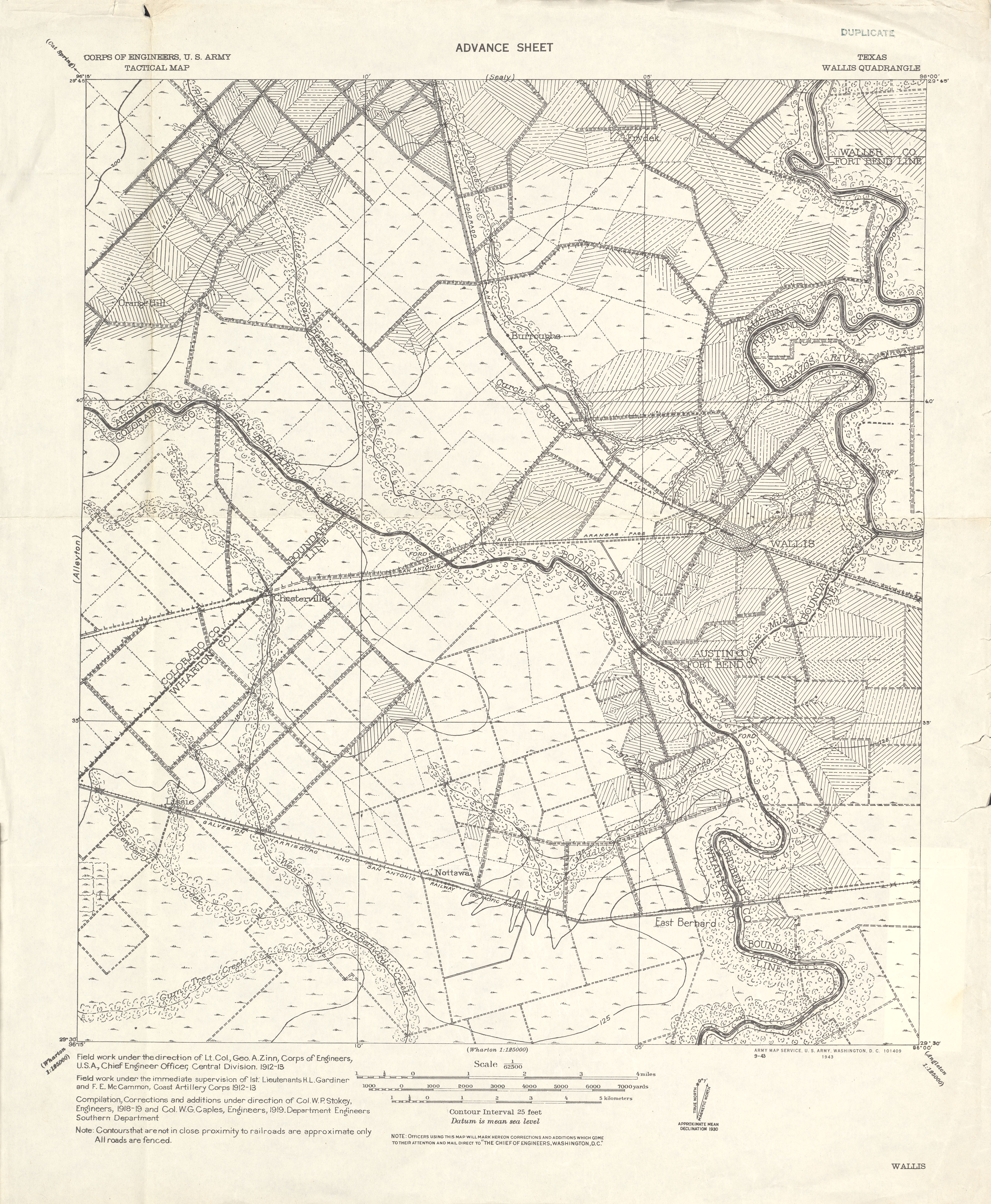
- Wallis 1:62,500 1919 (3.5 MB) U.S. Army. Corps of Engineers. Tactical Map
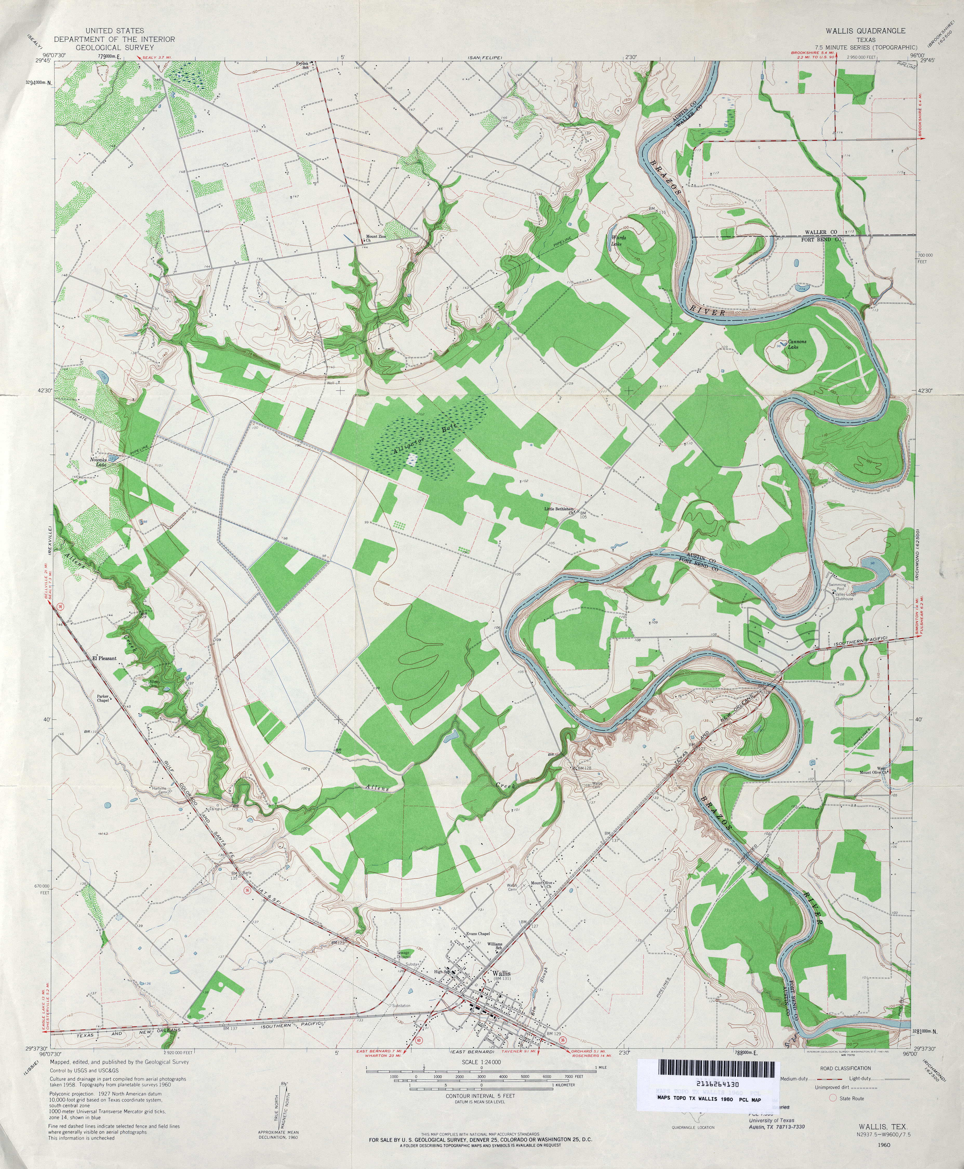
- Wallis 1:24,000 1960 (3.5MB)
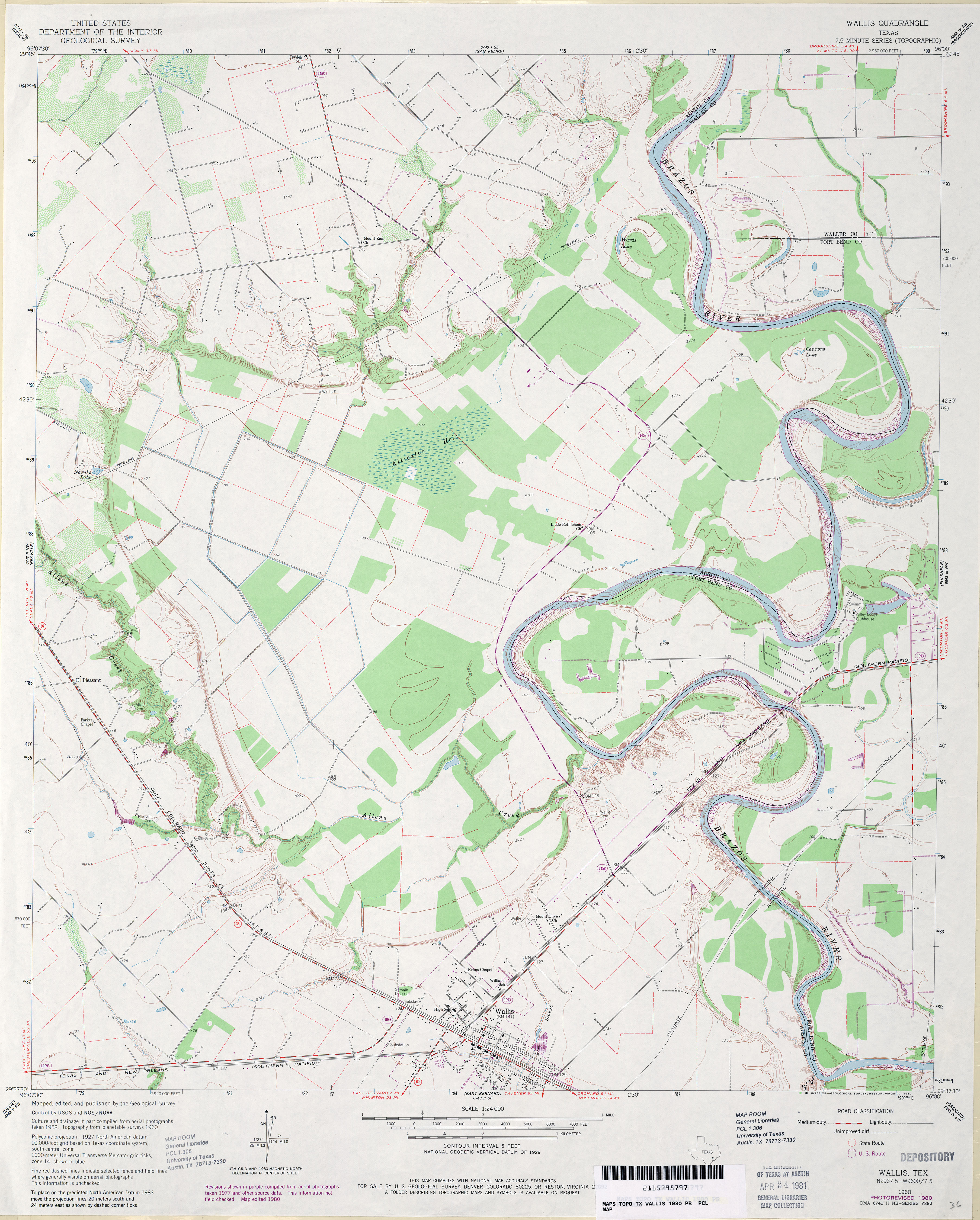
- Wallis 1:24,000 1980 (3.5MB)
- Wallis 1:24,000 2008 (13.6MB) [GeoPDF]
- Wallis 1:24,000 2013 (22MB) [GeoPDF]
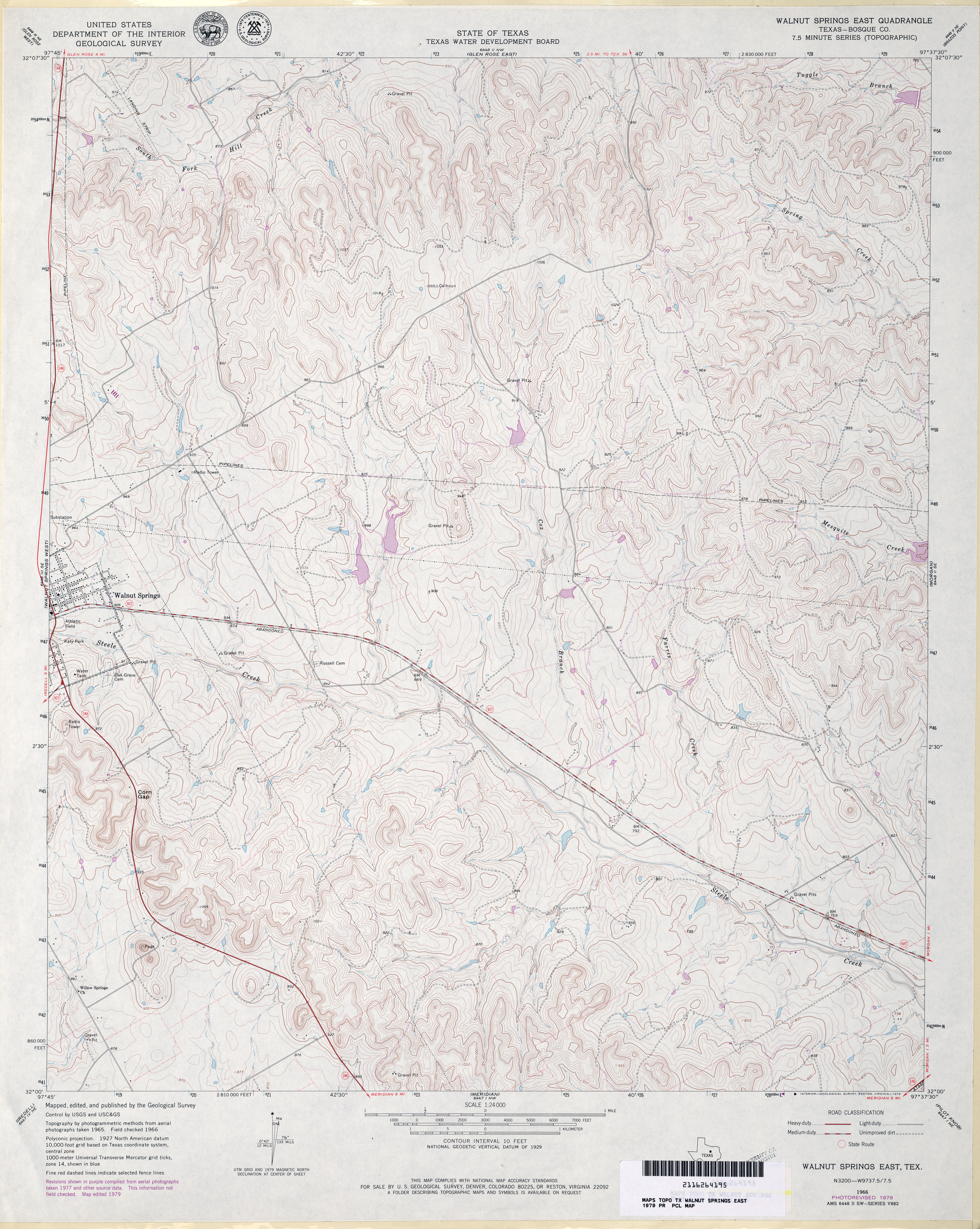
- Walnut Springs East (Bosque County) 1:24,000 1966 (4.5MB)
- Walnut Springs East (Bosque County) 1:24,000 1979 (4.4MB)
- Walnut Springs East 1:24,000 2008 (18.2MB) [GeoPDF]
- Walnut Springs East 1:24,000 2013 (23.1MB) [GeoPDF]
- Walnut Springs West 1:24,000 1966 (4.7MB)
- Walnut Springs West 1:24,000 2008 (15.1MB) [GeoPDF]
- Walnut Springs West 1:24,000 2012 (20.2MB) [GeoPDF]
- Warda 1:24,000 1962 (4.3MB)
- Warda 1:24,000 1989 (4.9MB)
- Warda 1:24,000 2008 (16.5MB) [GeoPDF]
- Warda 1:24,000 2013 (26.5MB) [GeoPDF]
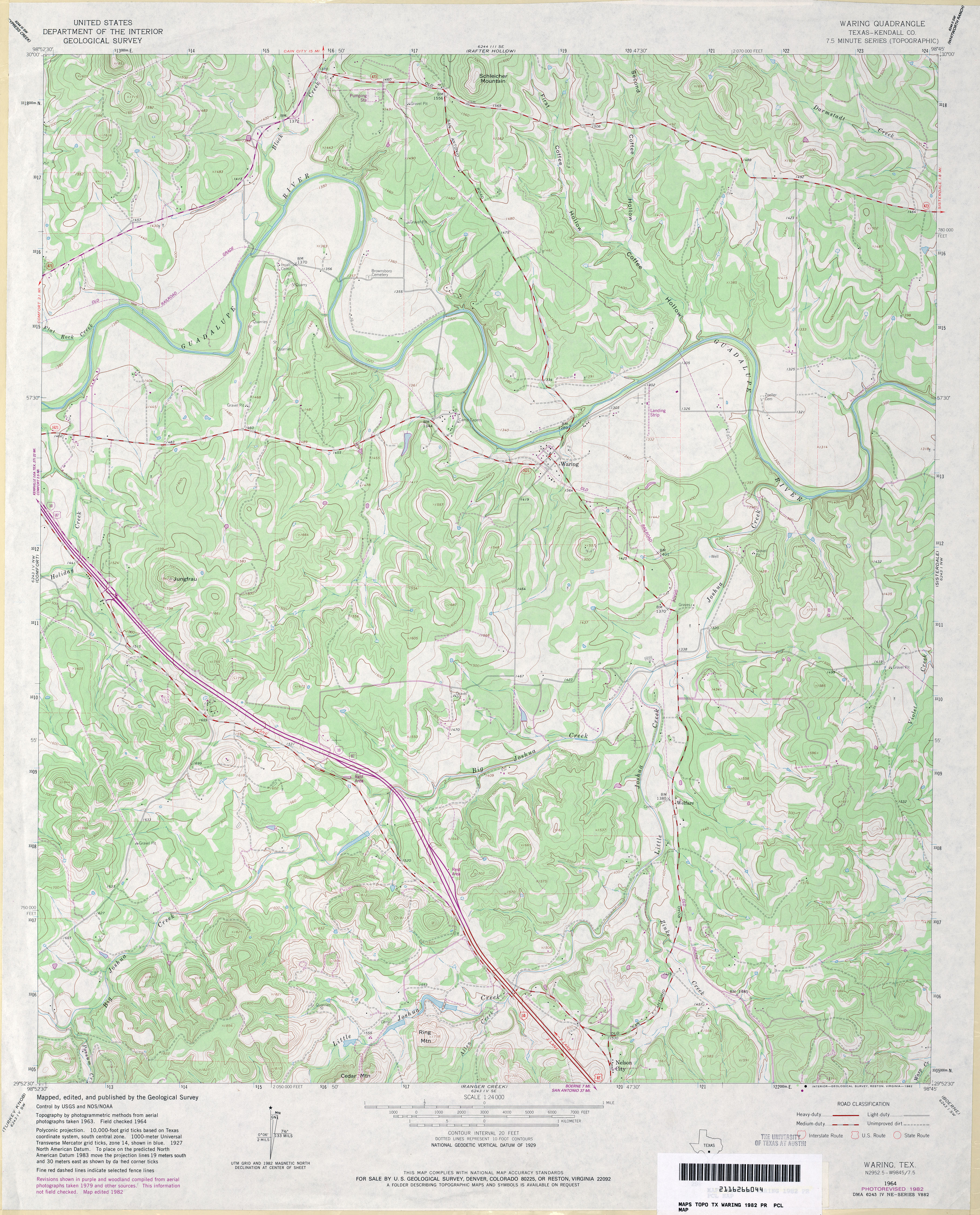
- Waring (Kendall County) 1:24,000 1964 (4.5MB)
- Waring (Kendall County) 1:24,000 1982 (4.5MB)
- Waring 1:24,000 2008 (19.0MB) [GeoPDF]
- Waring 1:24,000 2013 (26.5MB) [GeoPDF]
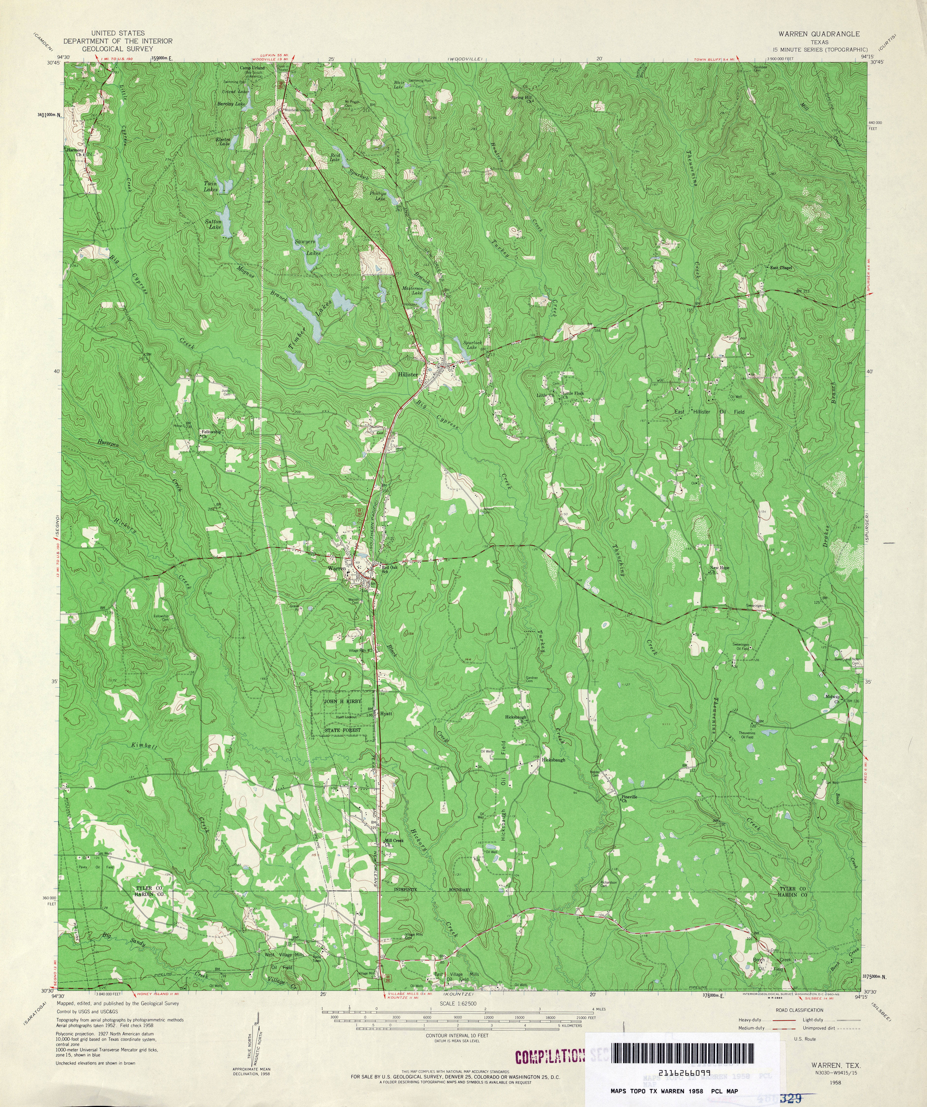
- Warren 1:62,500 1958 (4.6MB)
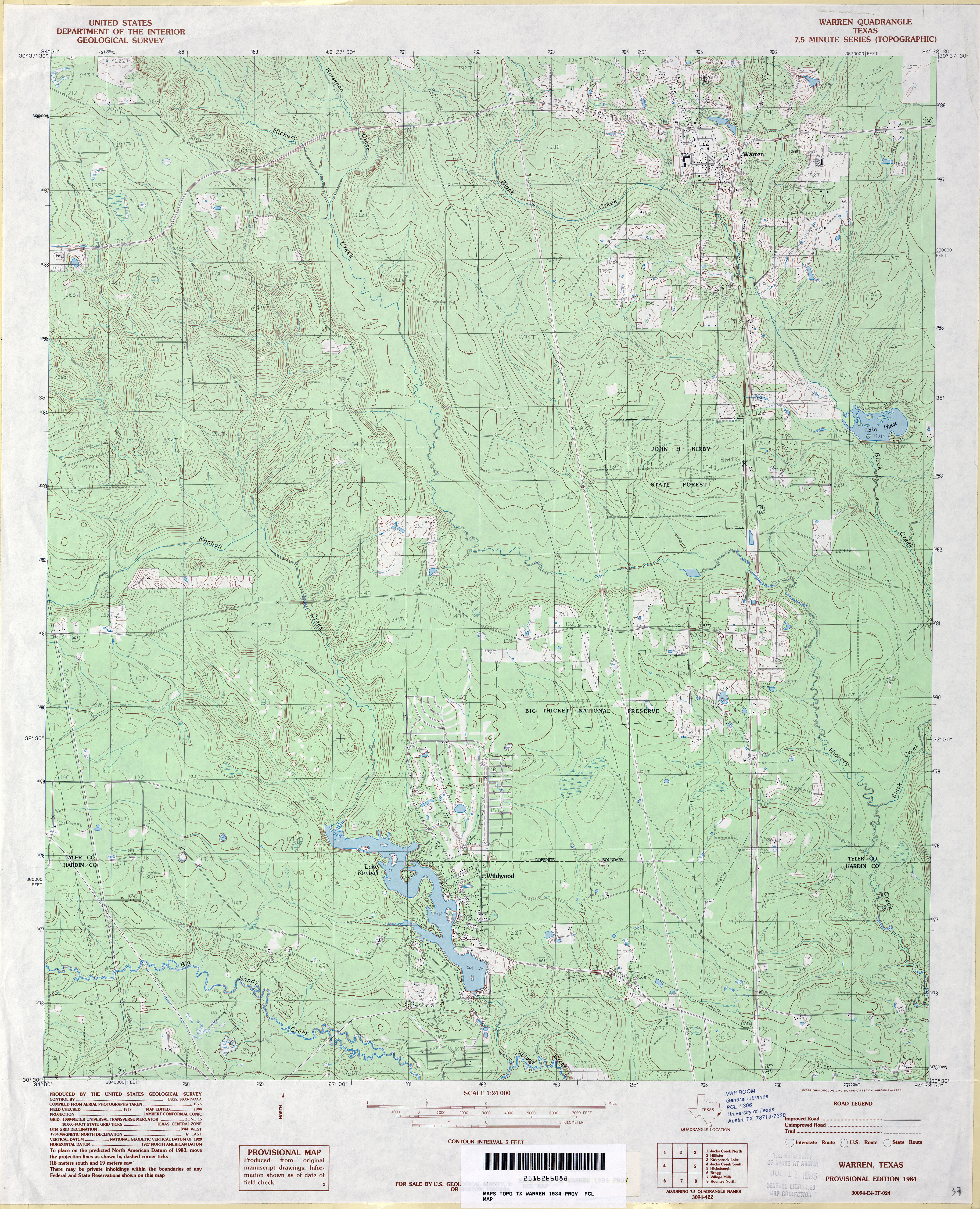
- Warren 1:24,000 1984 (4.9MB)
- Warren 1:24,000 2009 (24.2MB) [GeoPDF]
- Warren 1:24,000 2013 (25.9MB) [GeoPDF]
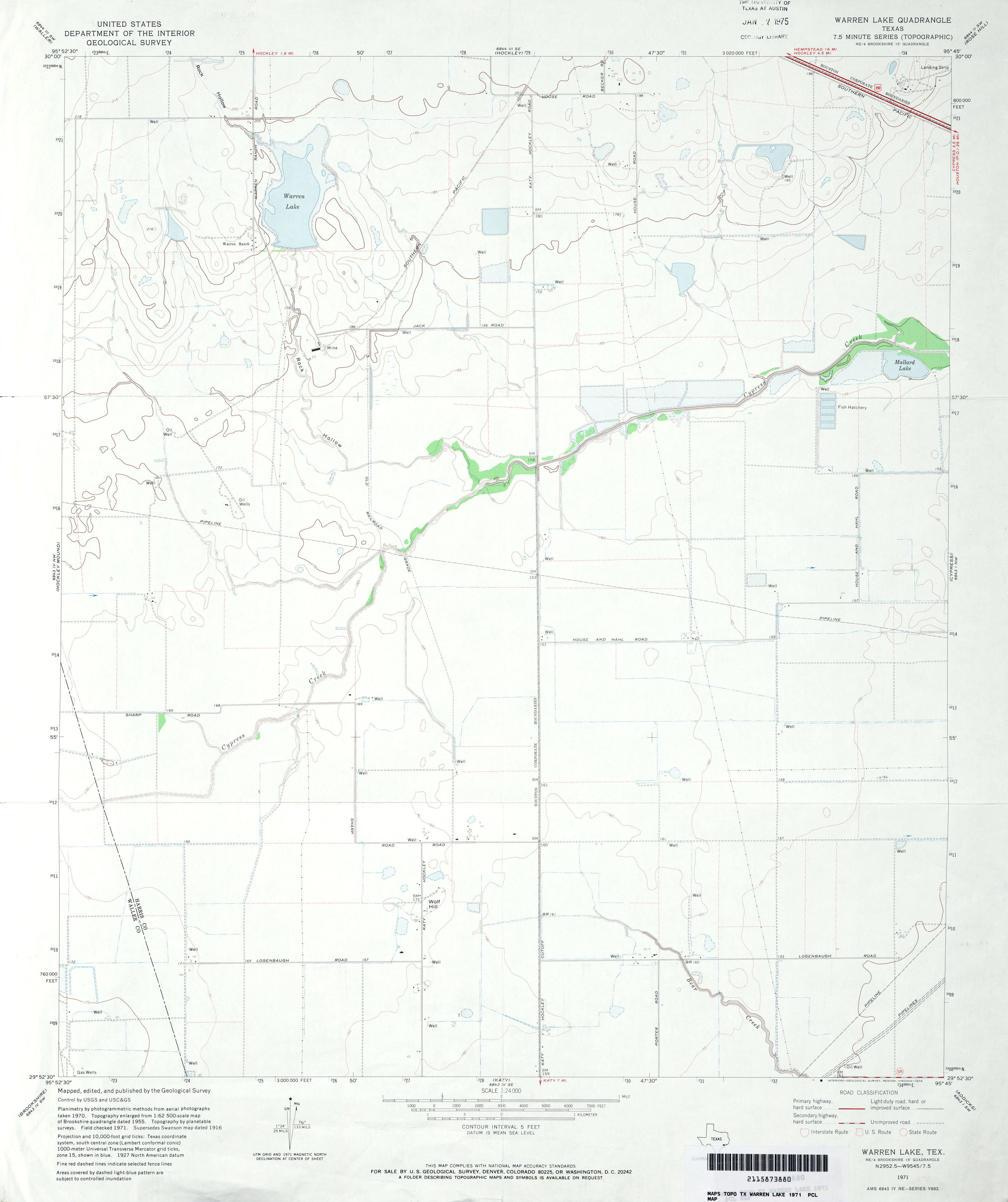
- Warren Lake 1:24,000 1971 (2.1MB)
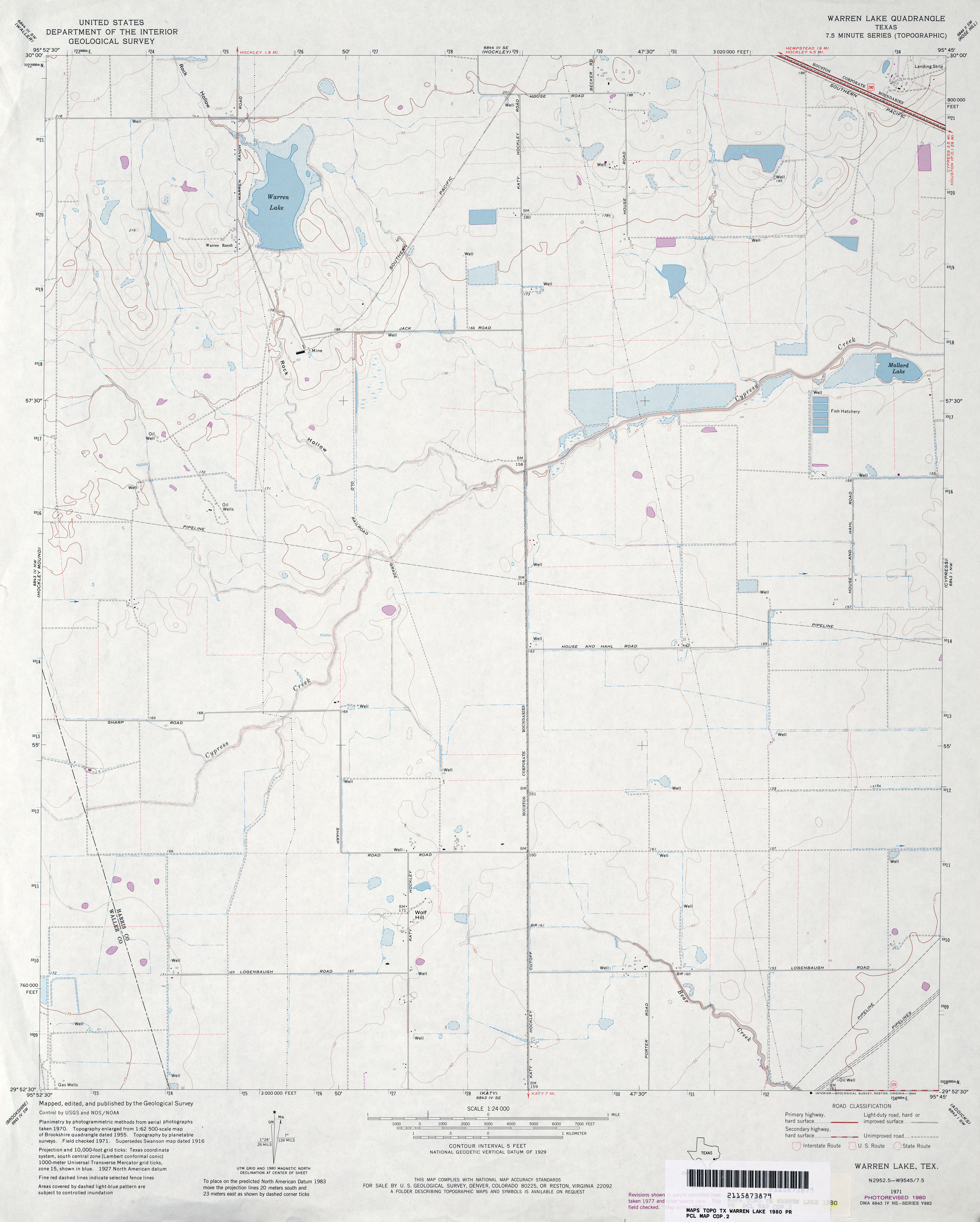
- Warren Lake 1:24,000 1980 (2.6MB)
- Warren Lake 1:24,000 2009 (14.2MB) [GeoPDF]
- Warren Lake 1:24,000 2013 (16.4MB) [GeoPDF]
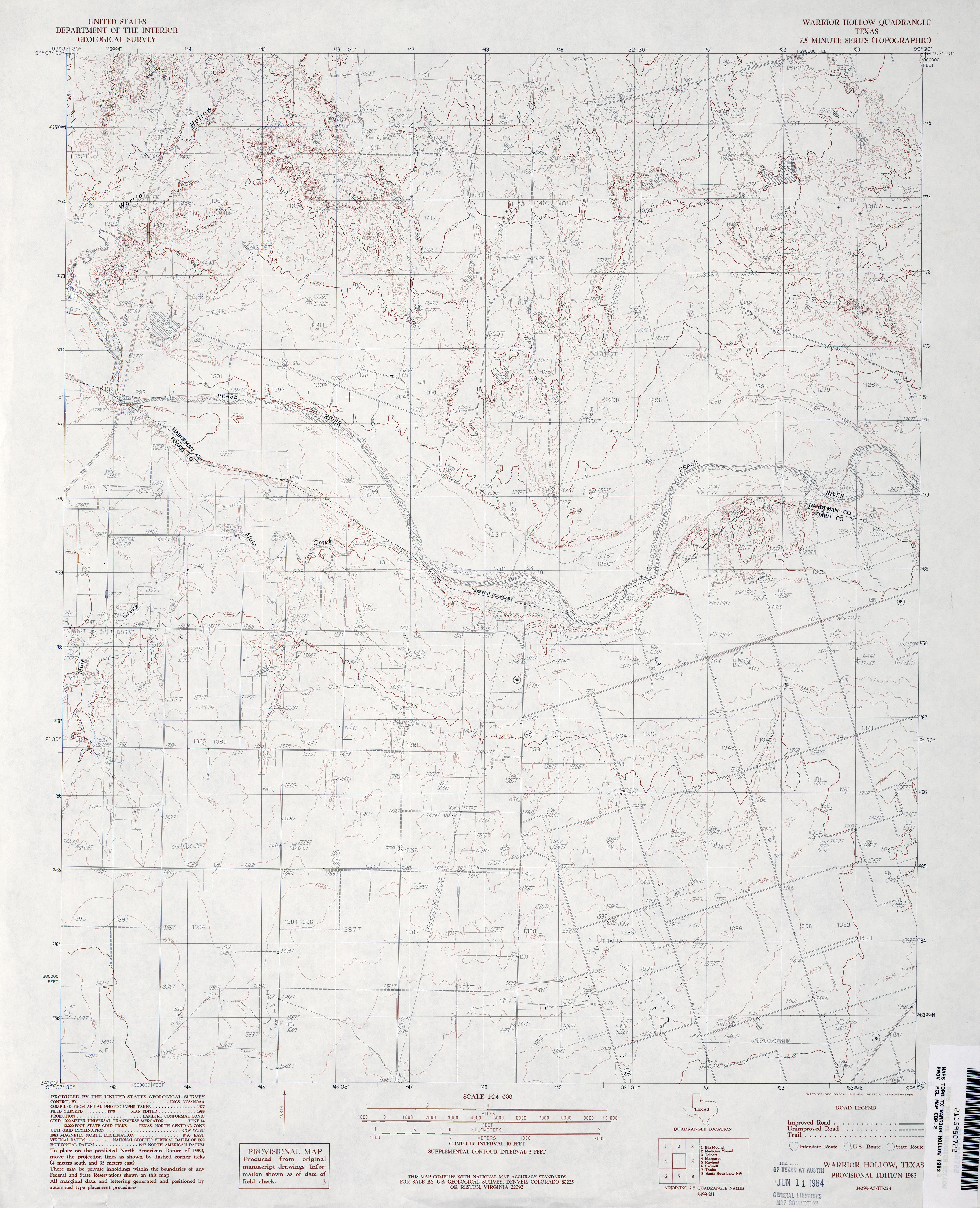
- Warrior Hollow 1:24,000 1983 (3.5MB)
- Warrior Hollow 1:24,000 2008 (11.8MB) [GeoPDF]
- Warrior Hollow 1:24,000 2012 (18.7MB) [GeoPDF]
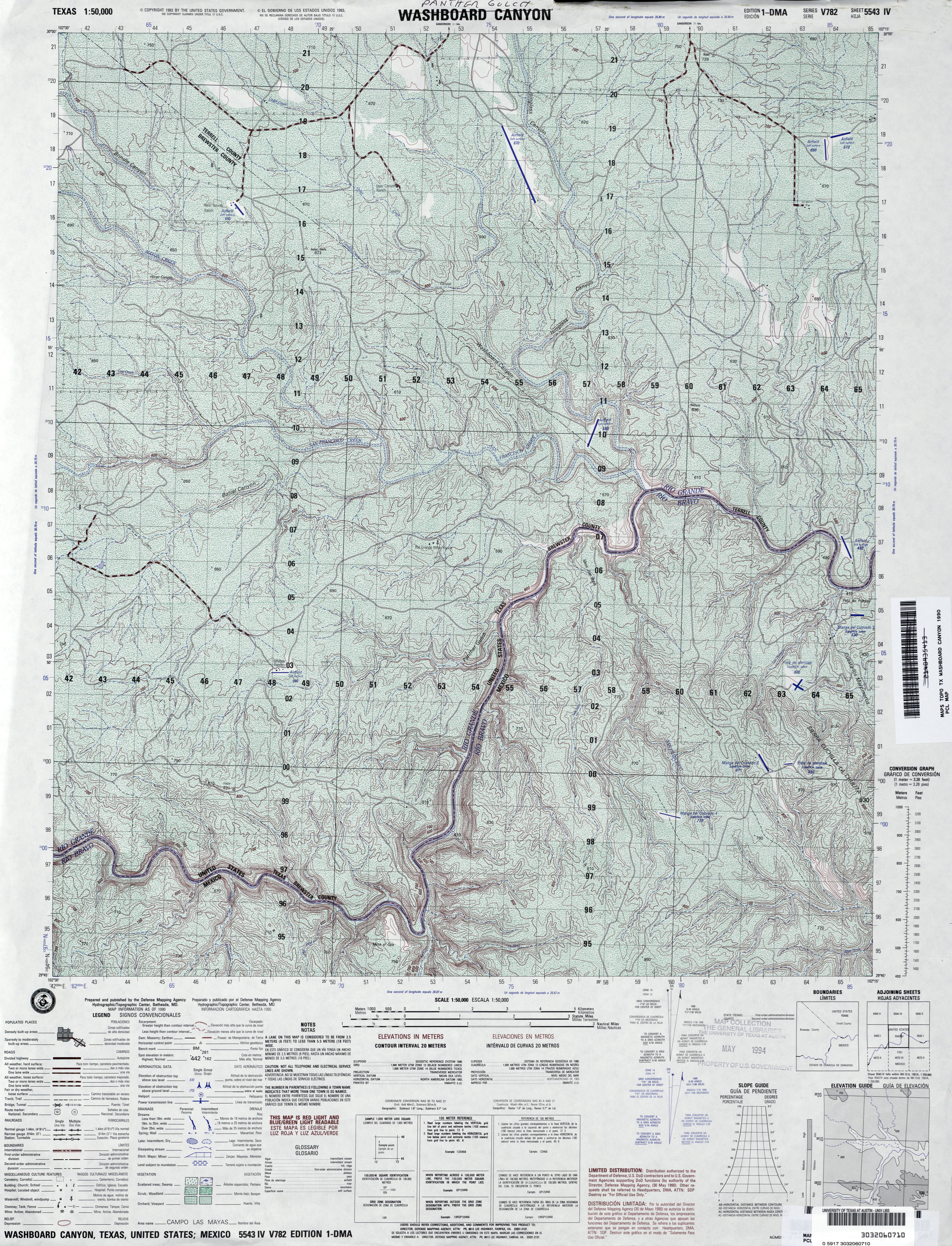
- Washboard Canyon 1:50,000 1990 (5.7MB) U.S. Defense Mapping Agency, Edition 1-DMA, Series V782
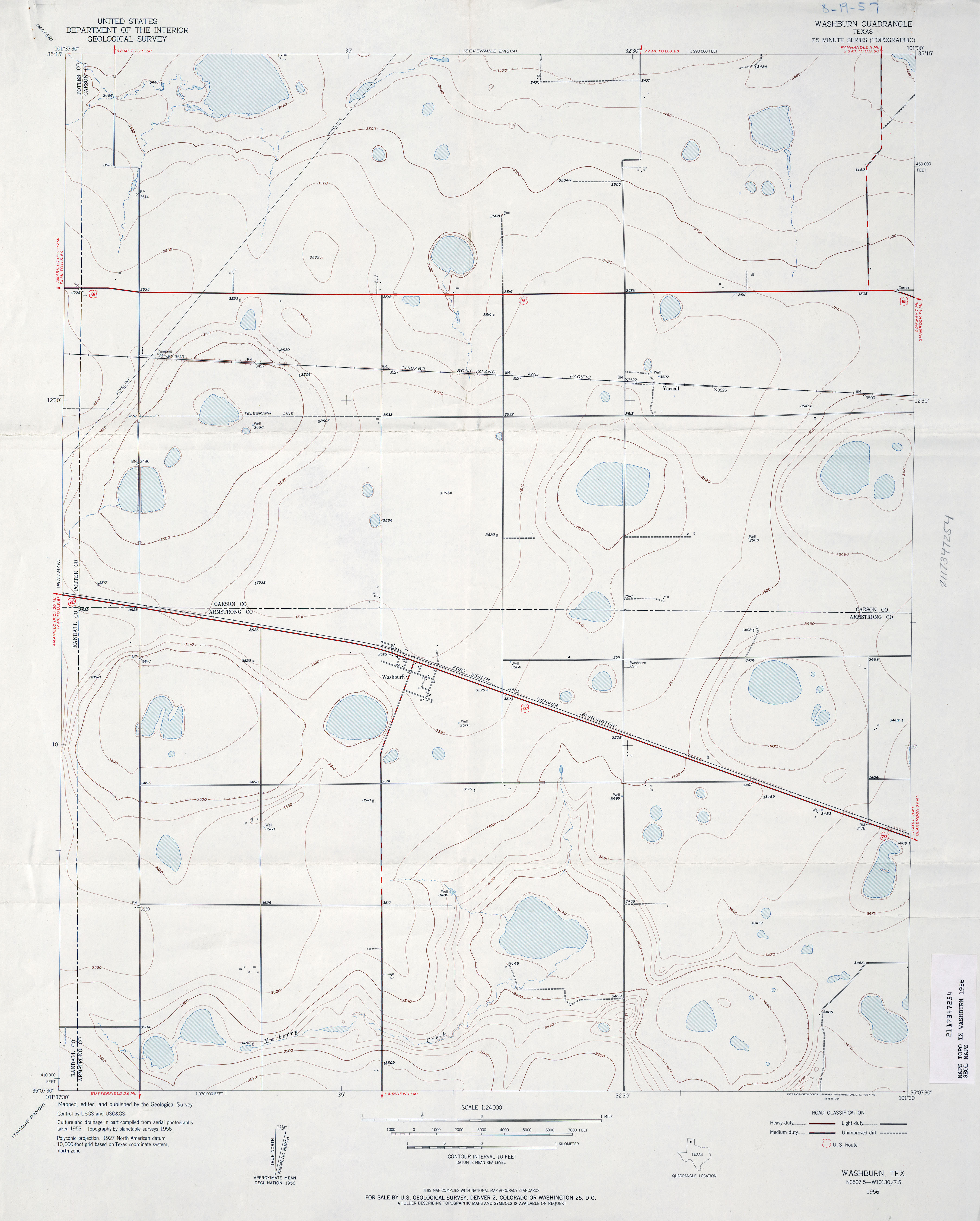
- Washburn 1:24,000 1956 (2.3MB)
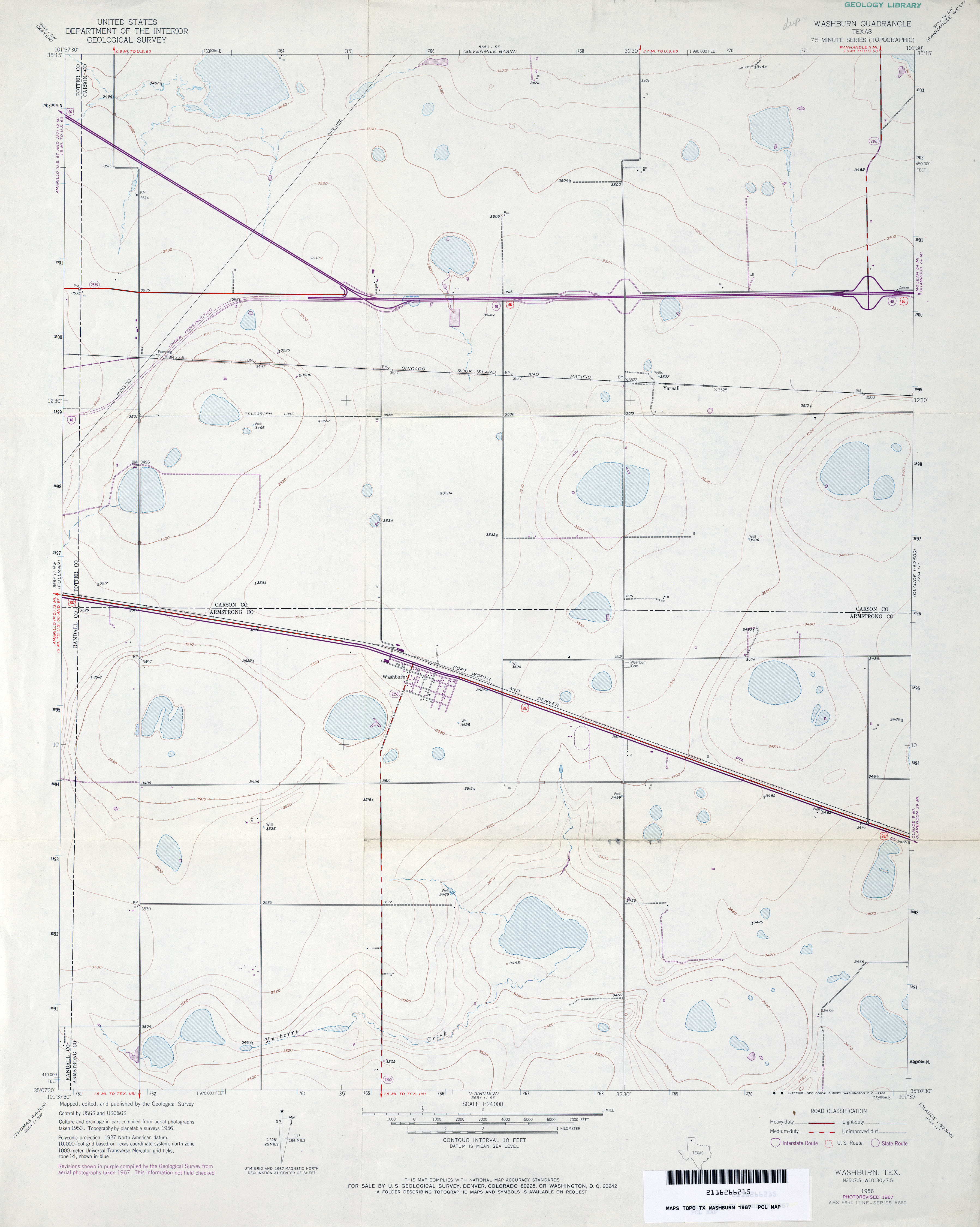
- Washburn 1:24,000 1967 (2.4MB)
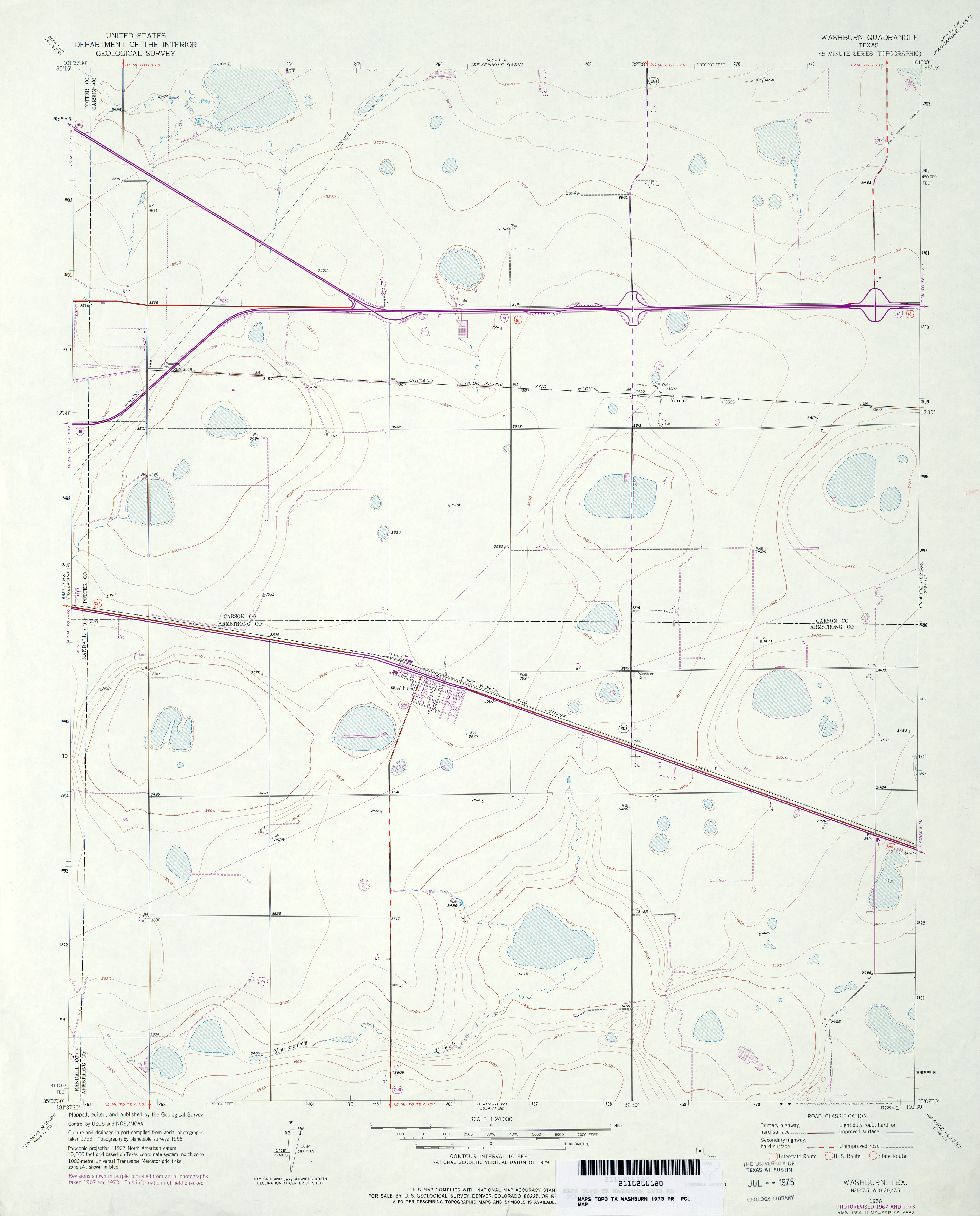
- Washburn 1:24,000 1973 (2.4MB)
- Washburn 1:24,000 2008 (8.8MB) [GeoPDF]
- Washburn 1:24,000 2012 (14.2MB) [GeoPDF]
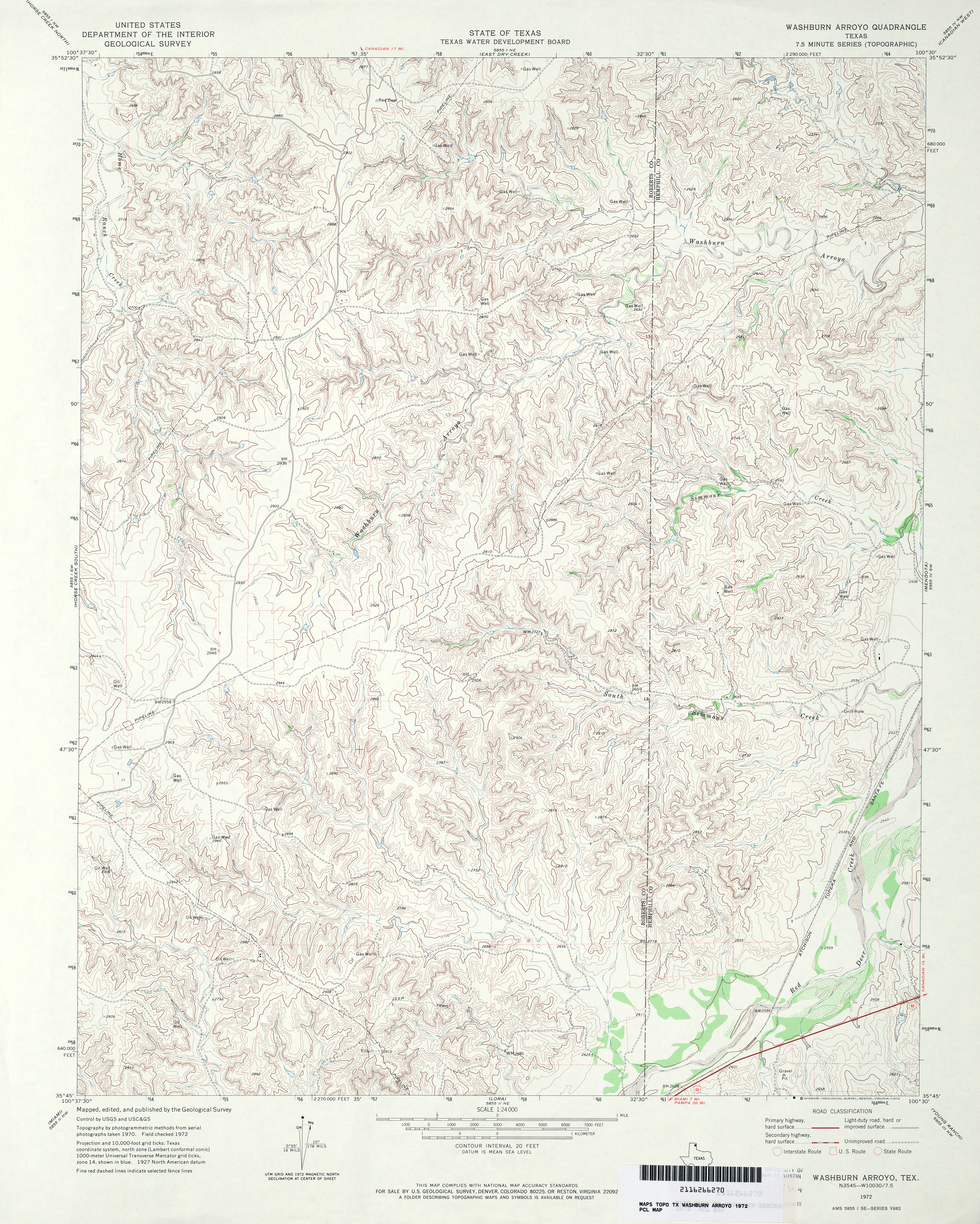
- Washburn Arroyo 1:24,000 1972 (5MB)
- Washburn Arroyo 1:24,000 2008 (15.8MB) [GeoPDF]
- Washburn Arroyo 1:24,000 2012 (22.5MB) [GeoPDF]
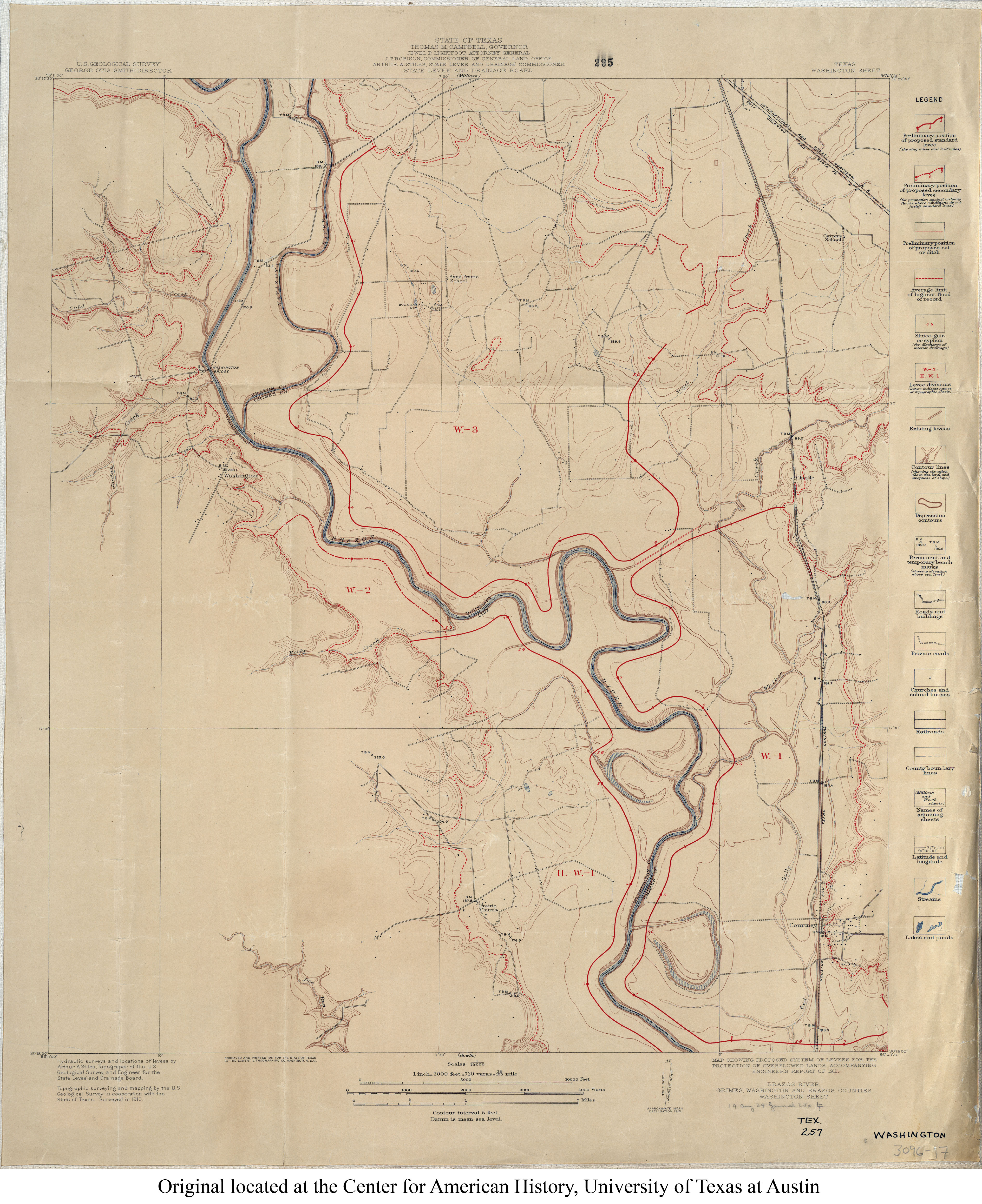
- Washington 1:24,000 1910 (3.4MB)
- Washington 1:24,000 1958 (4.8MB)
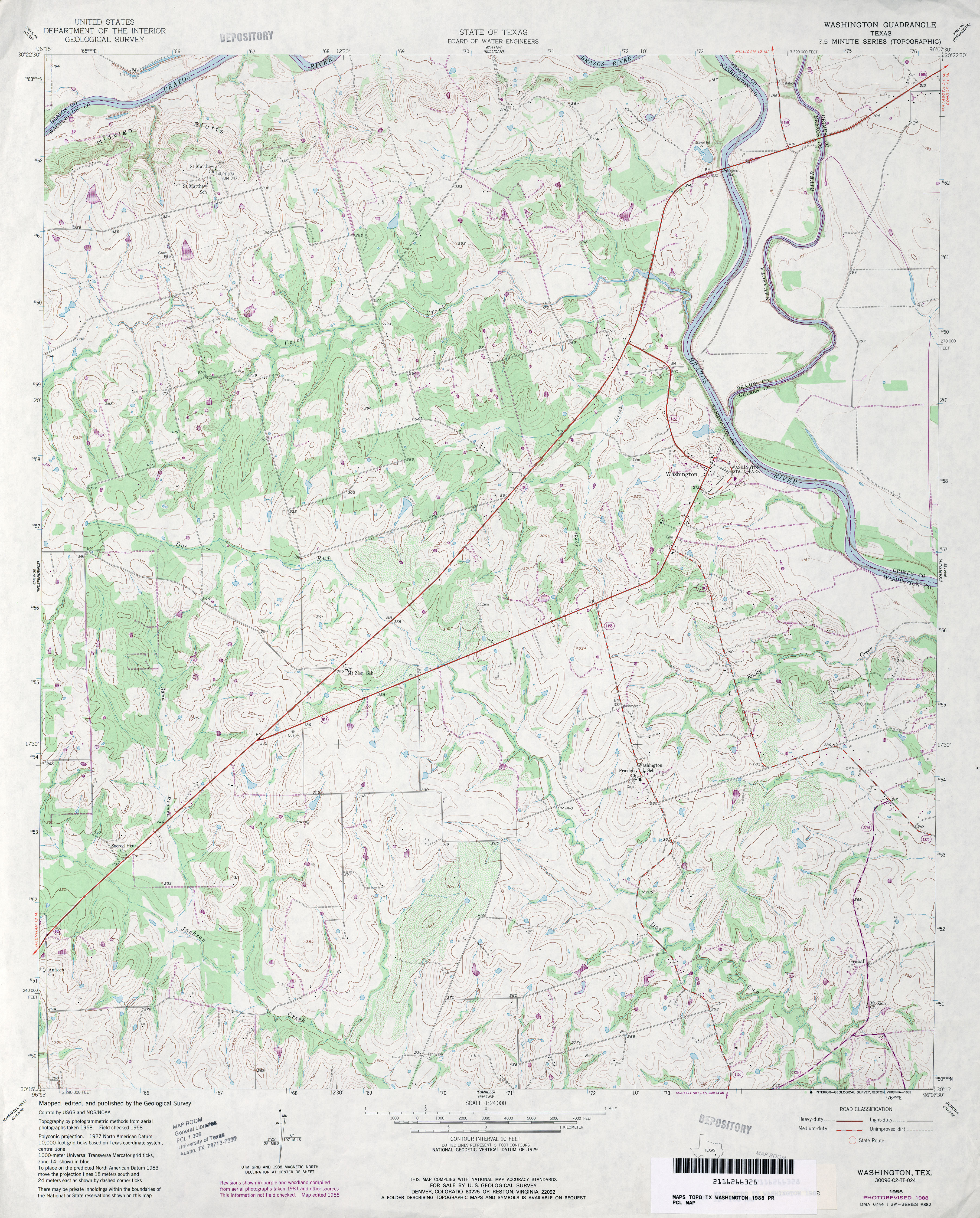
- Washington 1:24,000 1988 (4.2MB)
- Washington 1:24,000 2008 (12.7MB) [GeoPDF]
- Washington 1:24,000 2013 (22.9MB) [GeoPDF]
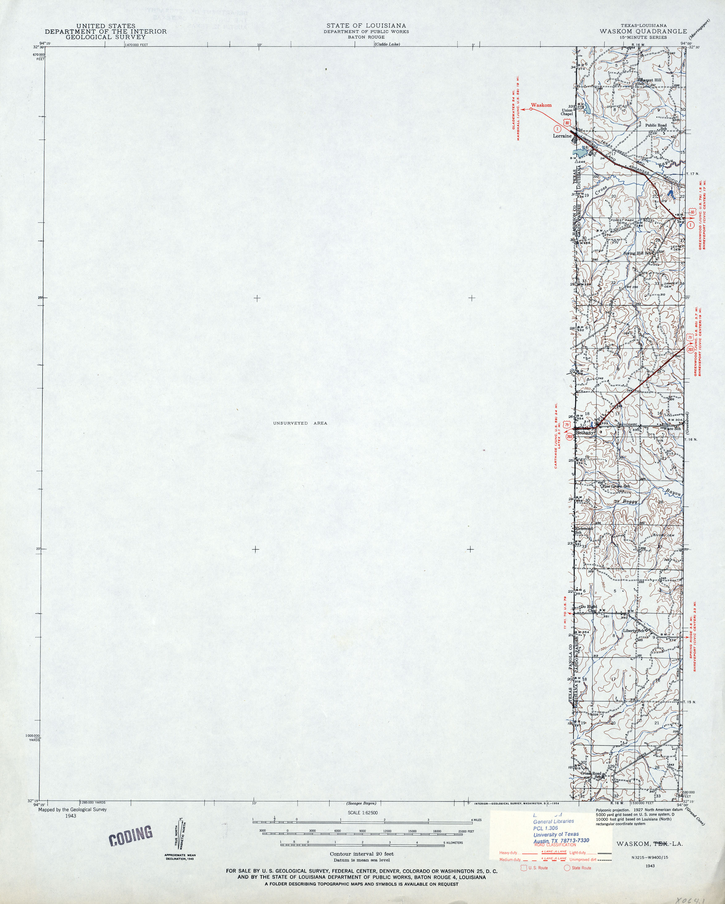
- Waskom [Texas, Louisiana] 1:62,500 1943 (1.1MB)
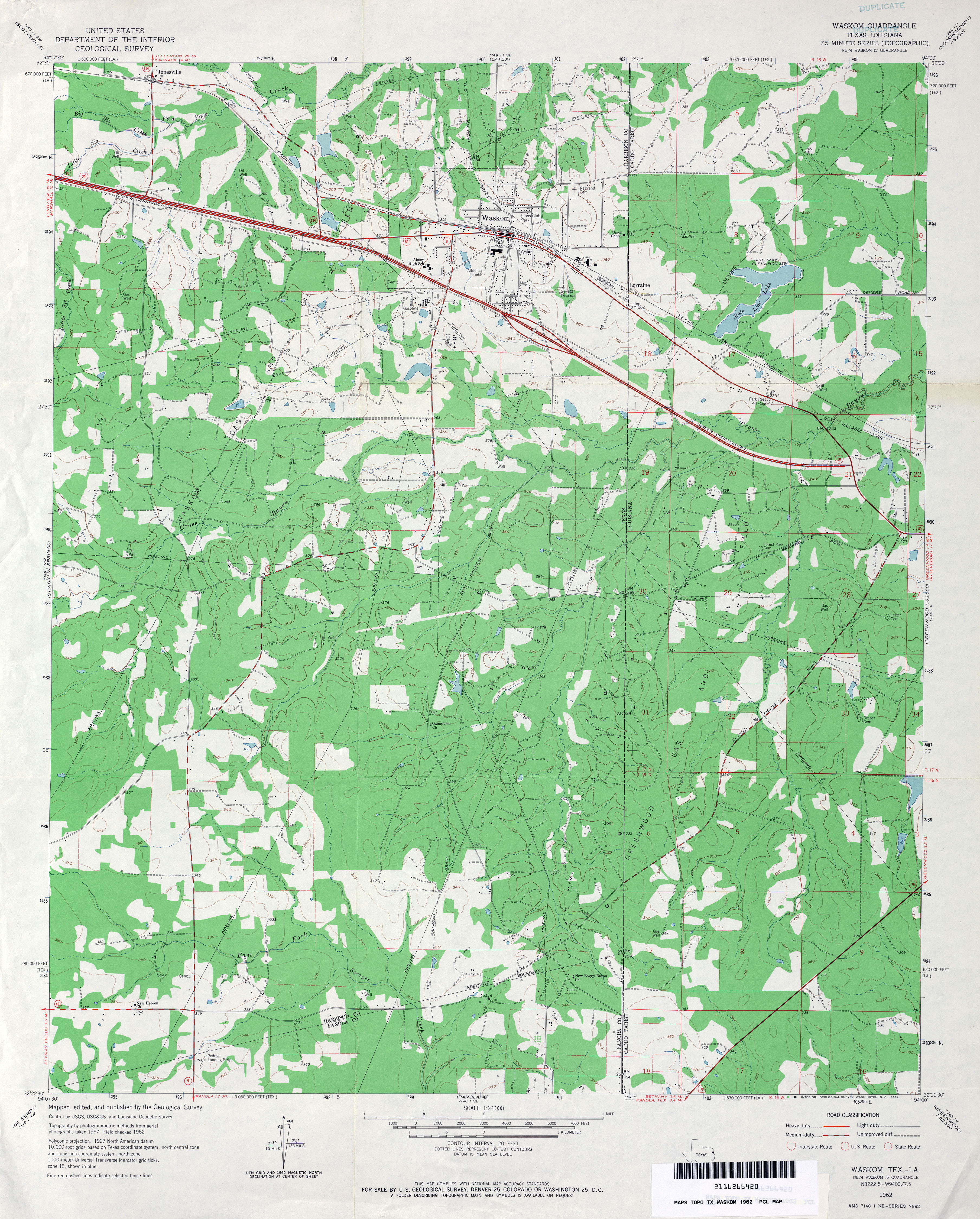
- Waskom 1:24,000 1962 (3.7MB)
- Waskom 1:24,000 1969 (3.5MB)
- Waskom 1:24,000 1978 (3.7MB)
- Waskom 1:24,000 2008 (22.7MB) [GeoPDF]
- Waskom 1:24,000 2013 (25.9MB) [GeoPDF]
- Wasson (Hale County) 1:24,000 1965 (2.8MB)
- Wasson (Hale County) 1:24,000 1979 (2.9MB)
- Wasson 1:24,000 2008 (10.8MB) [GeoPDF]
- Wasson 1:24,000 2012 (15MB) [GeoPDF]
- Water Valley 1:24,000 1984 (4.4MB)
- Water Valley 1:24,000 2008 (22.7MB) [GeoPDF]
- Water Valley 1:24,000 2012 (27.9MB) [GeoPDF]
- Watson Ranch (Culberson County) 1:24,000 1964 (2.6MB)
- Watson Ranch 1:24,000 2008 (19.9MB) [GeoPDF]
- Watson Ranch 1:24,000 2012 (21.4MB) [GeoPDF]
- Waurika West [Oklahoma, Texas] 1:24,000 1984 (4.4MB)
- Waurika West [Oklahoma, Texas] 1:24,000 2008 (15.1MB) [GeoPDF]
- Waurika West 1:24,000 2012 (16.2MB) [GeoPDF]
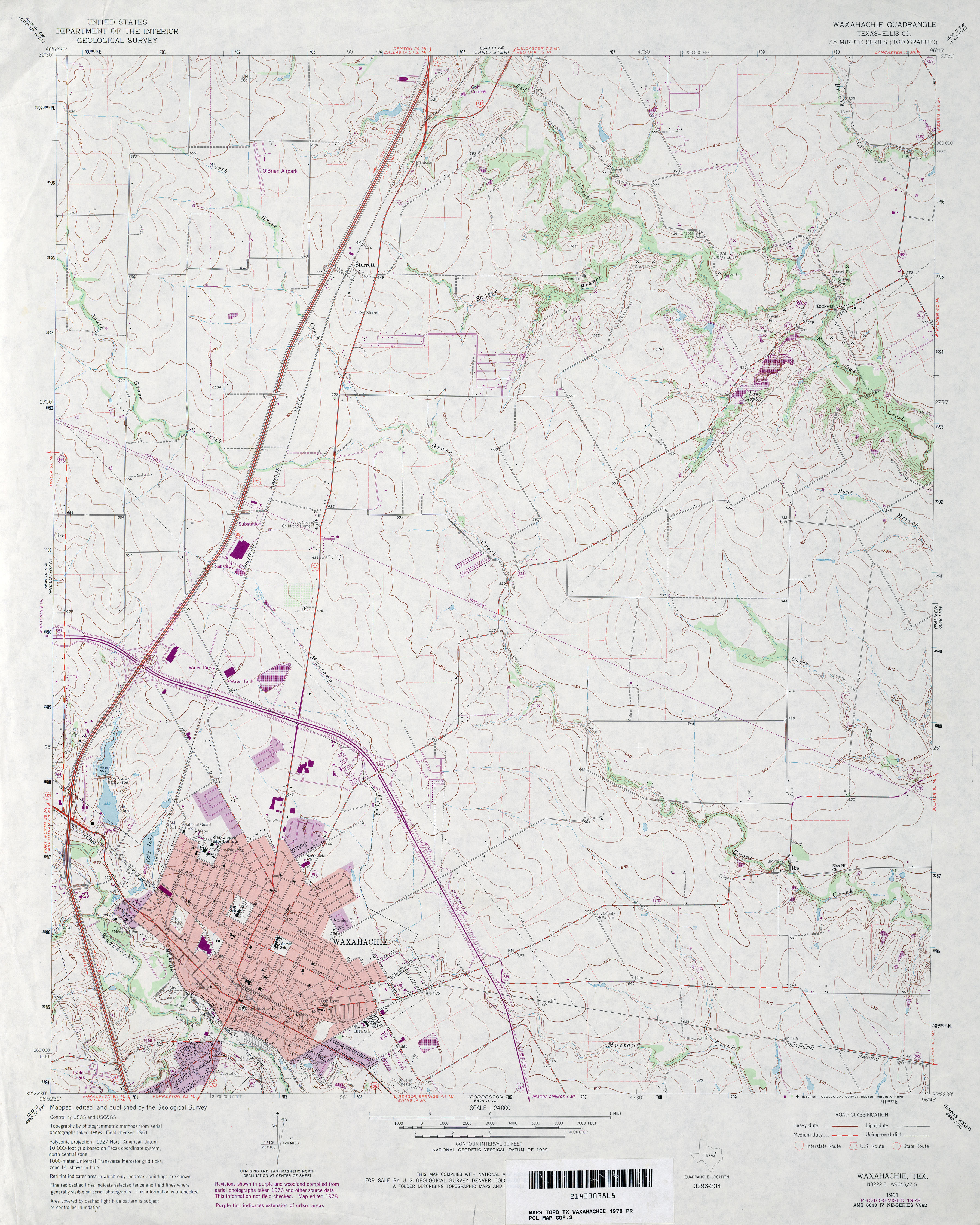
- Waxahachie (Ellis County) 1:24,000 1961 (3.6MB)
- Waxahachie (Ellis County) 1:24,000 1978 (3.9MB)
- Waxahachie 1:24,000 2008 (14.4MB) [GeoPDF]
- Waxahachie 1:24,000 2012 (19.8MB) [GeoPDF]
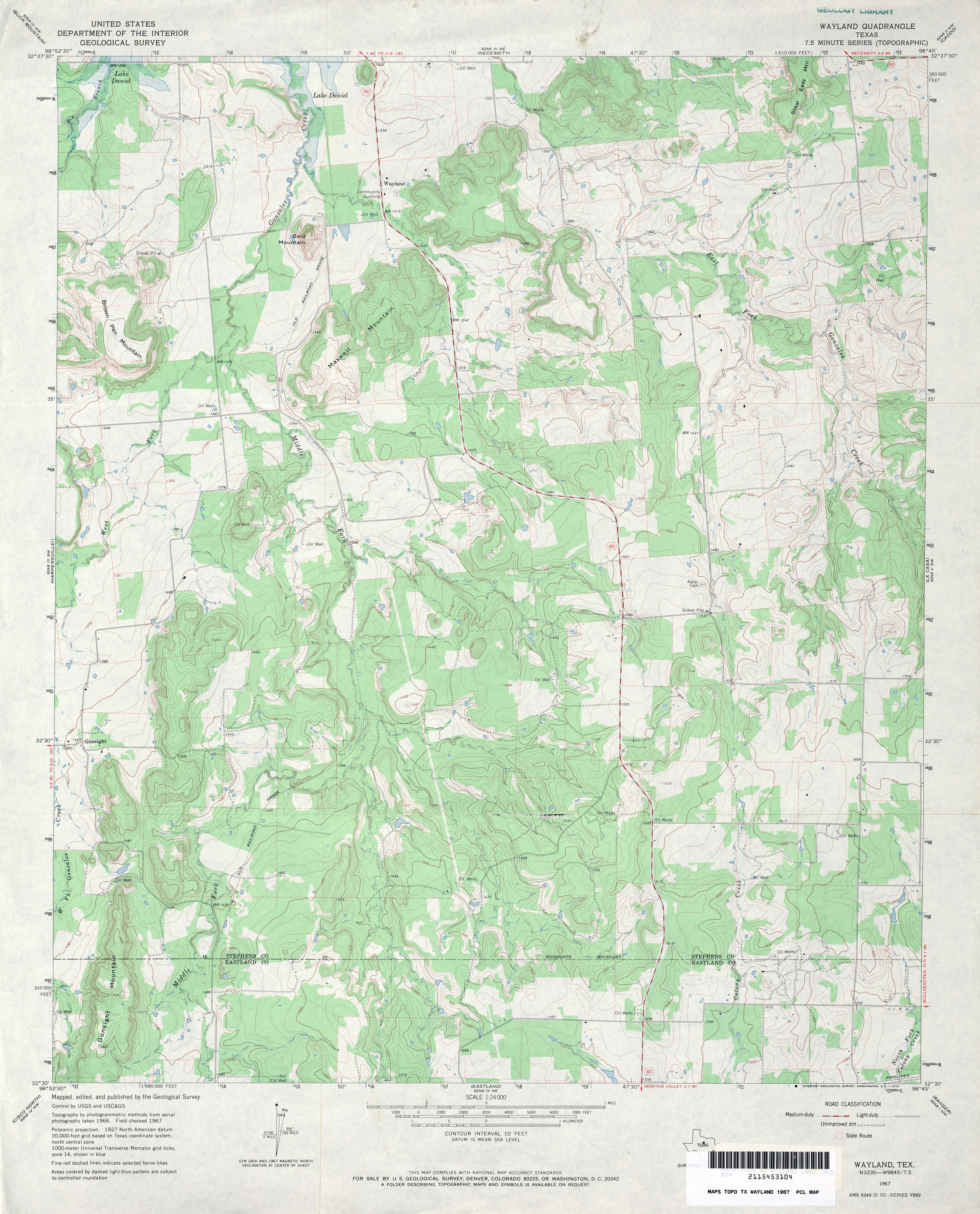
- Wayland 1:24,000 1967 (4MB)
- Wayland 1:24,000 2012 (23.9MB) [GeoPDF]
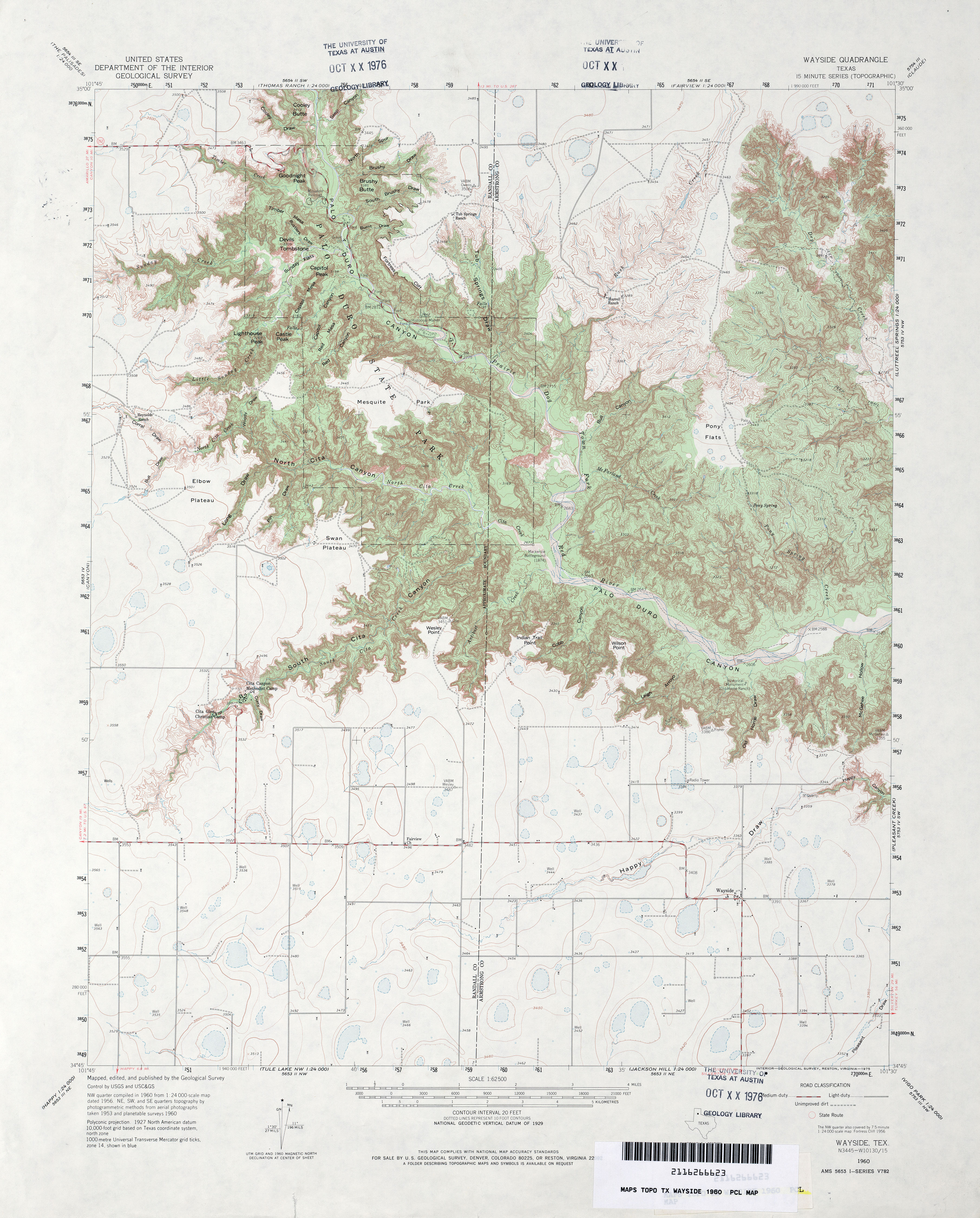
- Wayside 1:62,500 1960 (3.9MB)
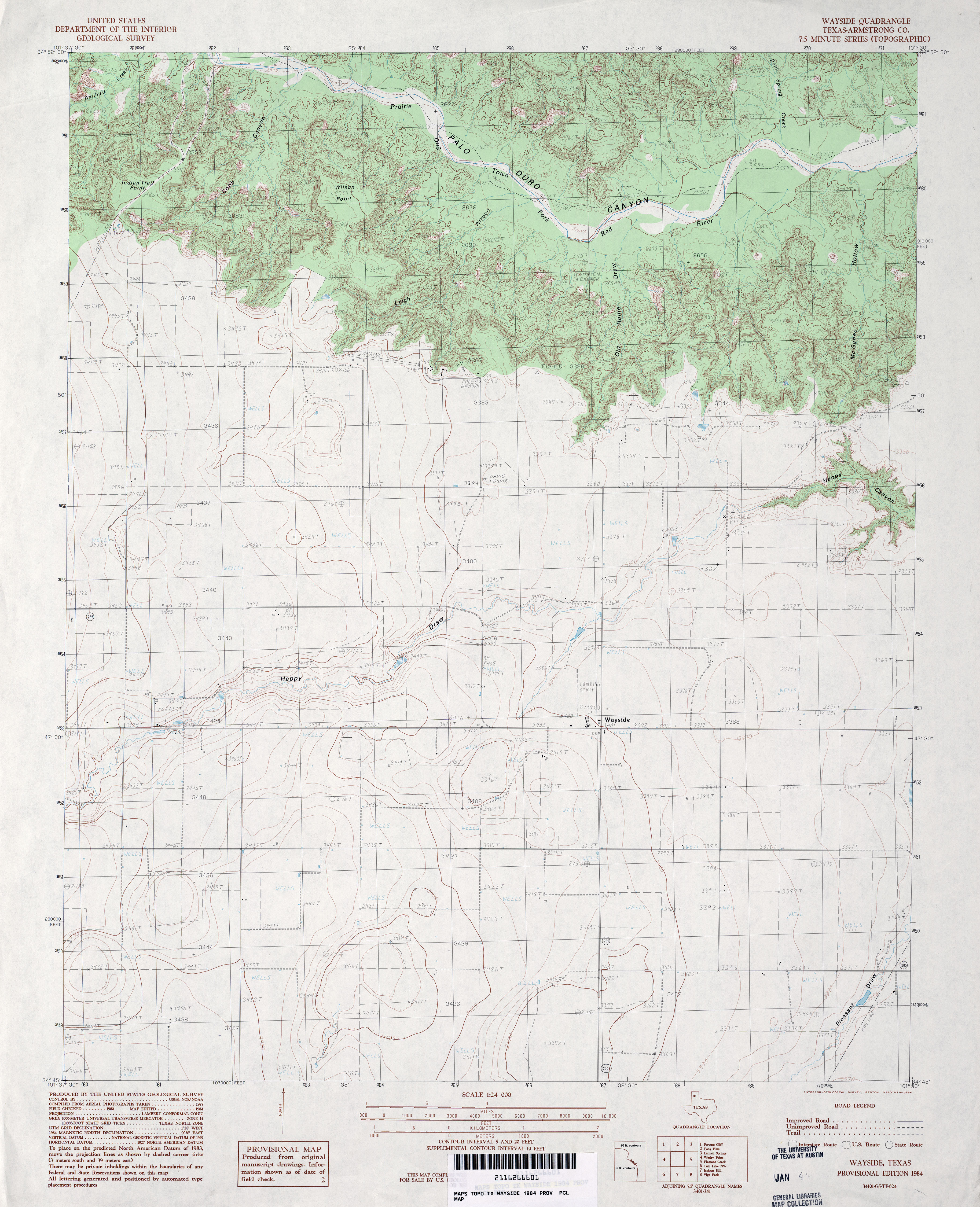
- Wayside (Armstrong County) 1:24,000 1984 (3.8MB)
- Wayside 1:24,000 2008 (14.2MB) [GeoPDF]
- Wayside 1:24,000 2012 (20MB) [GeoPDF]
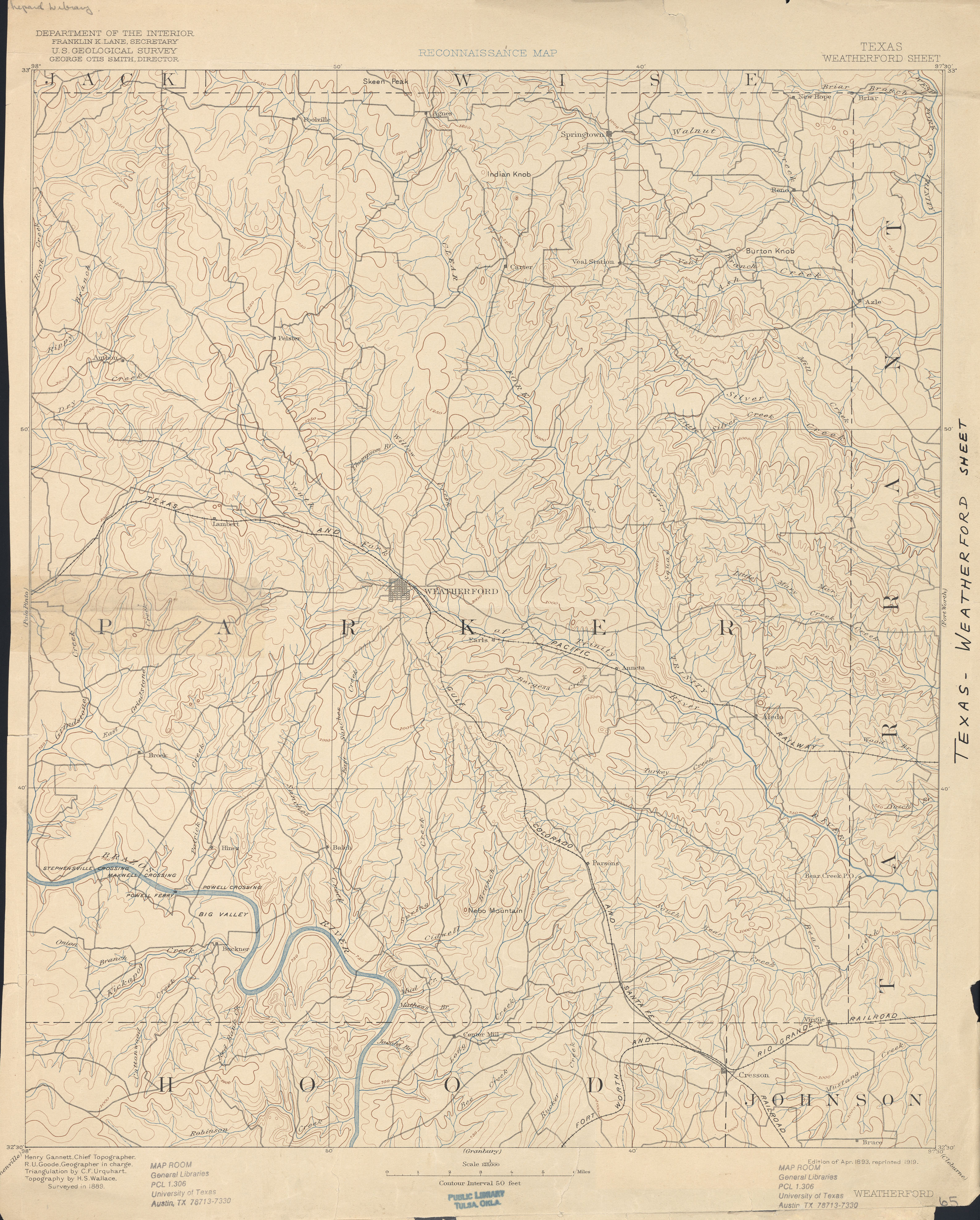
- Weatherford 1:125,000 1889 (3.4 MB)
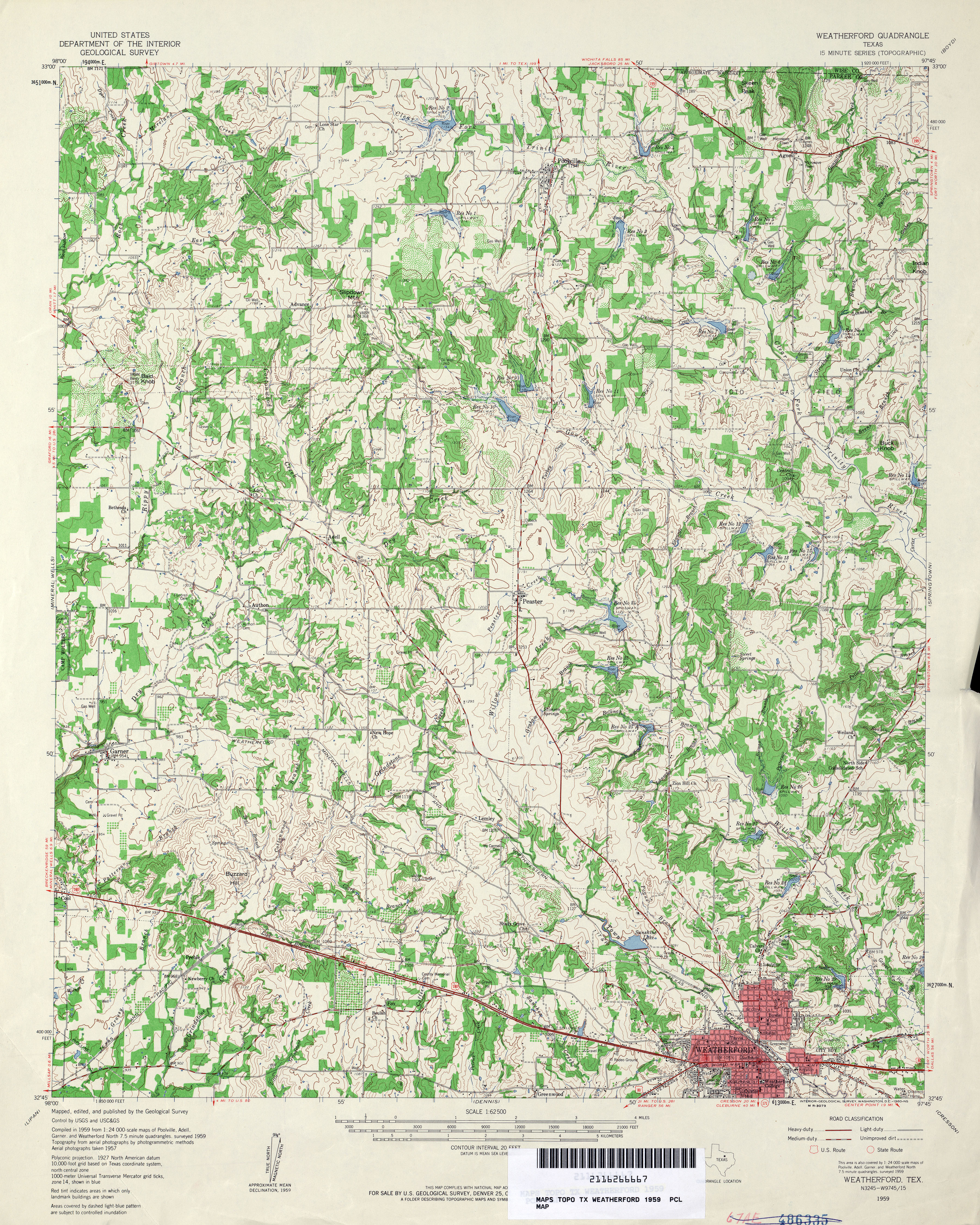
- Weatherford 1:62,500 1959 (5.6MB)
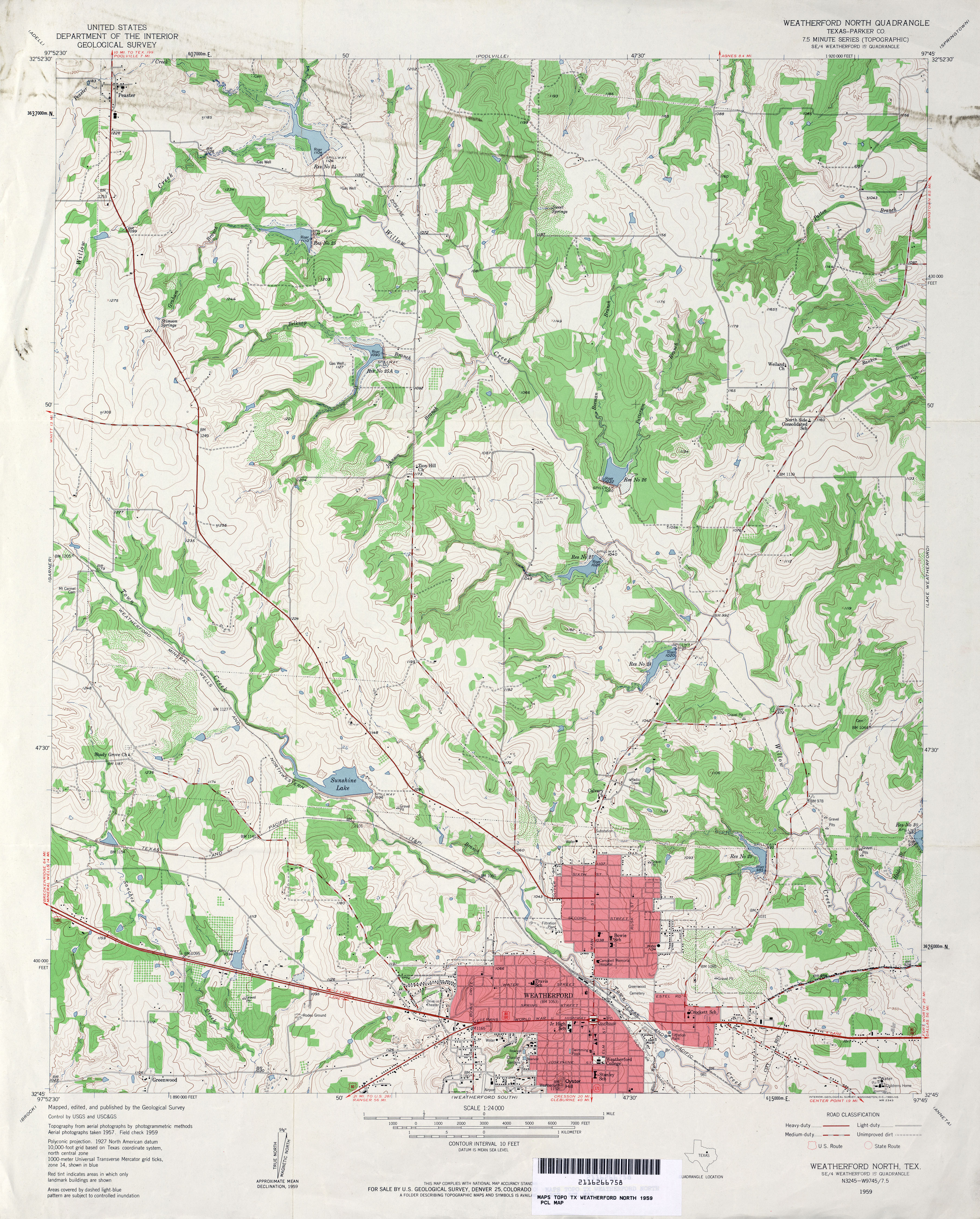
- Weatherford North (Parker County) 1:24,000 1959 (4.5MB)
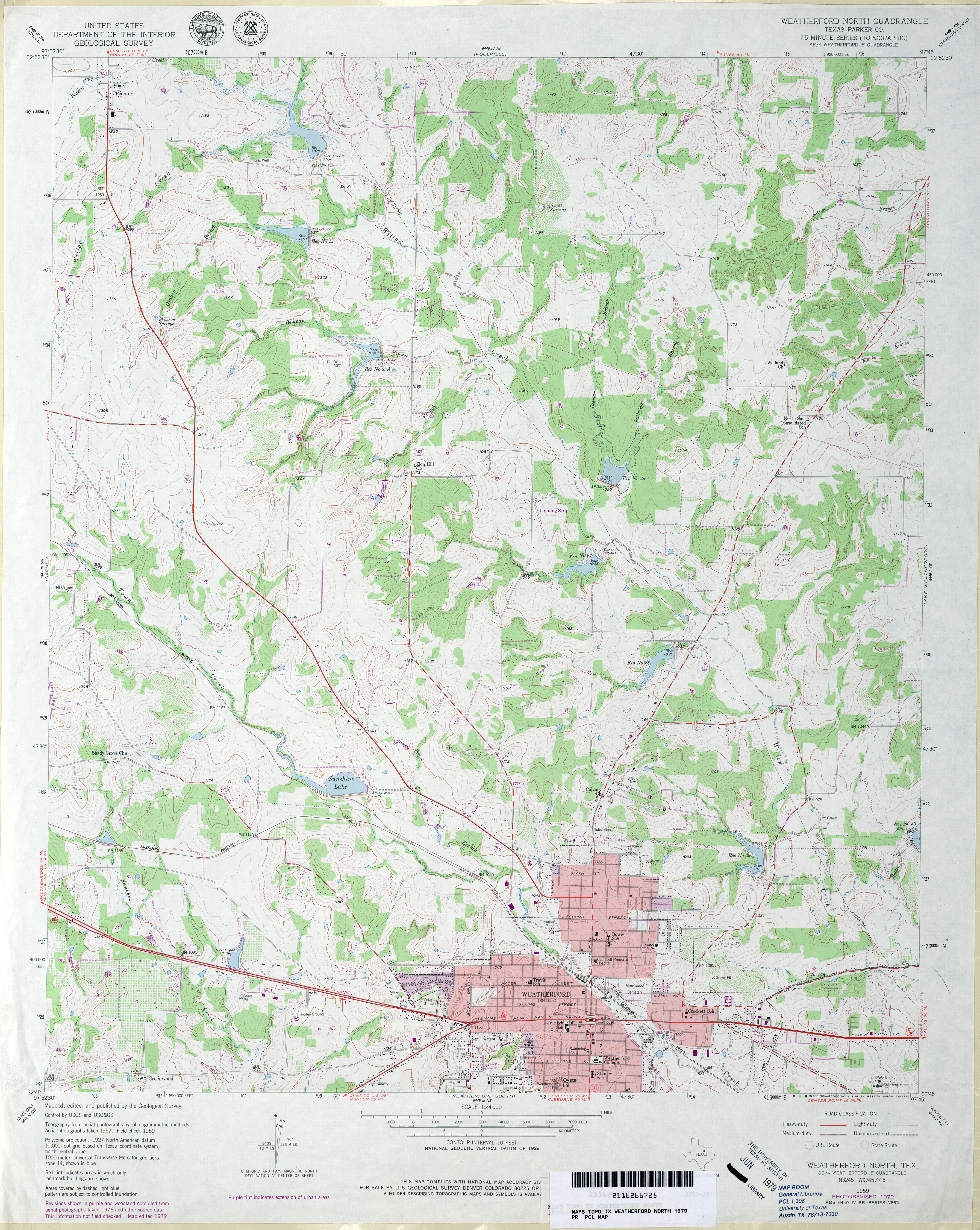
- Weatherford North (Parker County) 1:24,000 1979 (4.4MB)
- Weatherford North 1:24,000 2008 (21.1MB) [GeoPDF]
- Weatherford North 1:24,000 2012 (23.7MB) [GeoPDF]
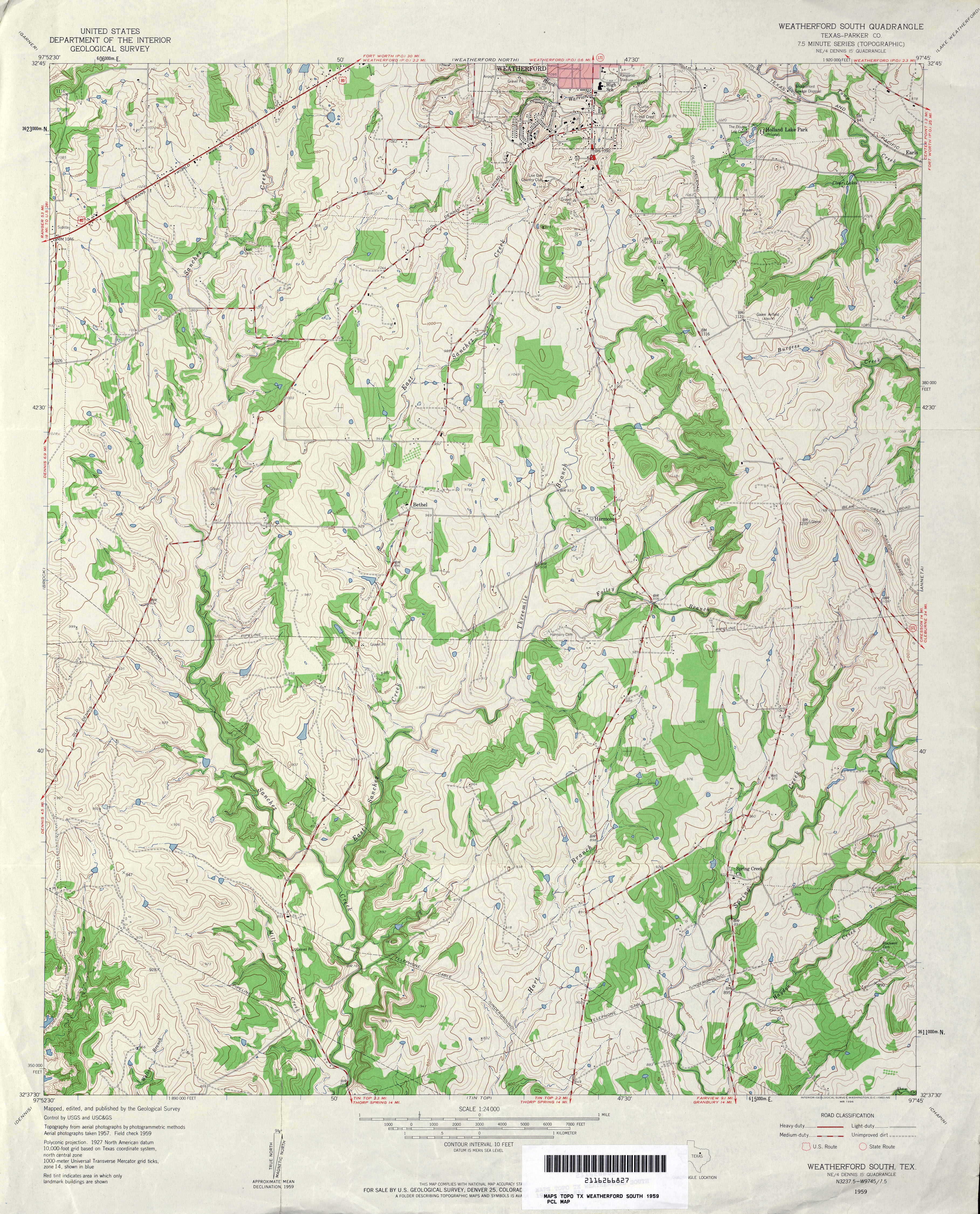
- Weatherford South (Parker County) 1:24,000 1959 (4.7MB)
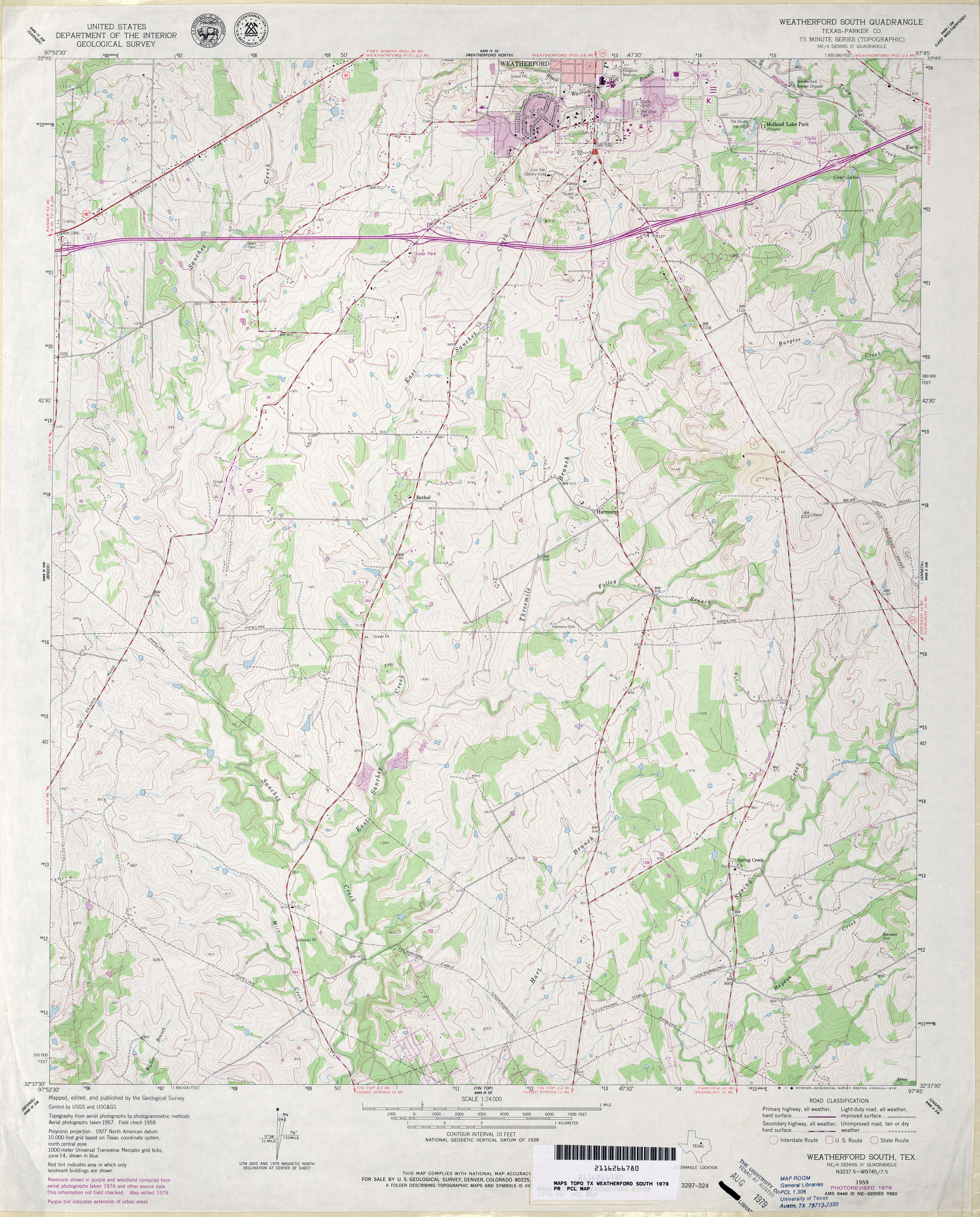
- Weatherford South (Parker County) 1:24,000 1979 (4.3MB)
- Weatherford South 1:24,000 2008 (19.4MB) [GeoPDF]
- Weatherford South 1:24,000 2012 (22.9MB) [GeoPDF]
- Weatherford 3-d 1:48,000 1924 (3.2MB)
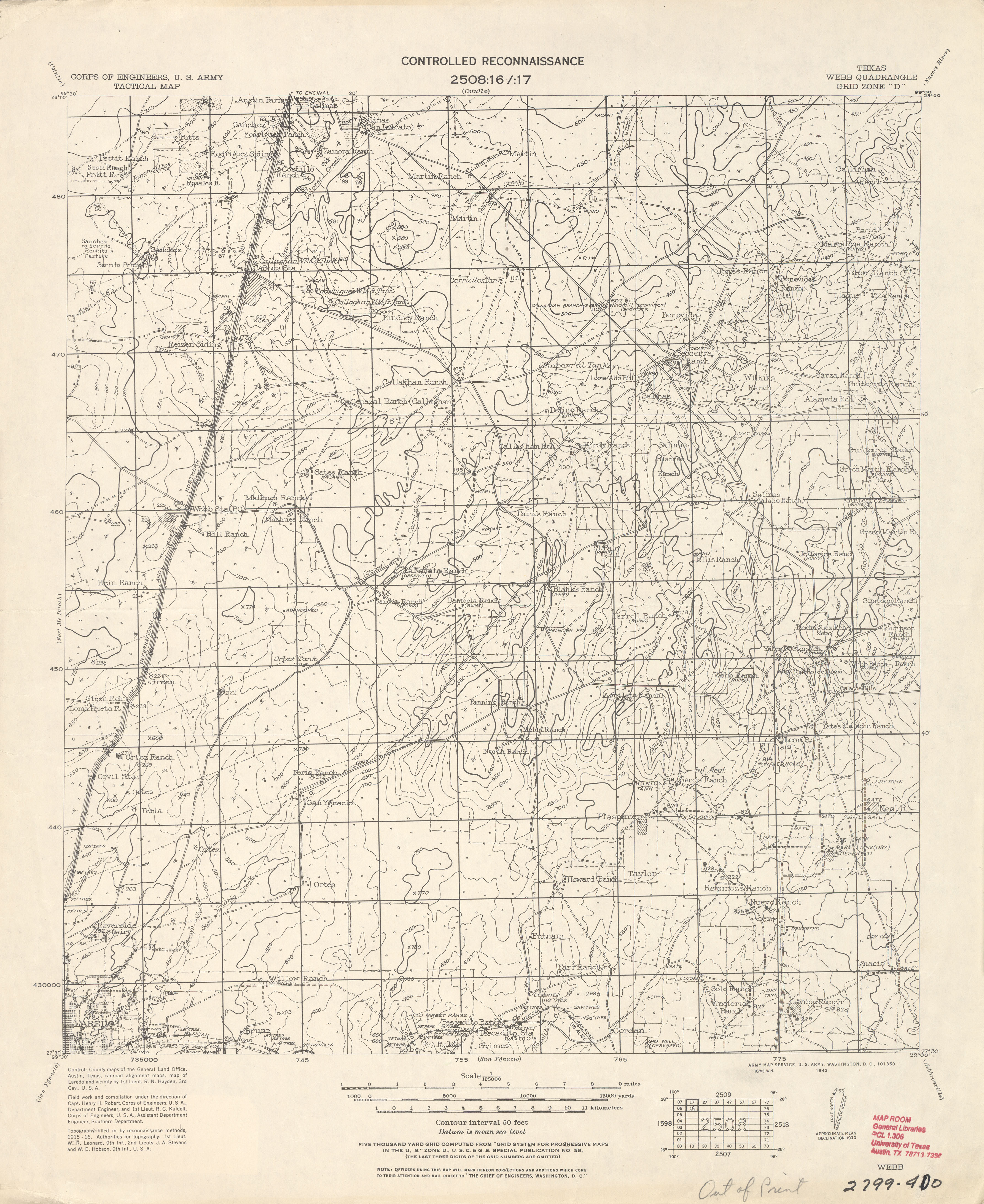
- Webb 1:125,000 1916 (3.3 MB) U.S. Army. Corps of Engineers. Tactical Map
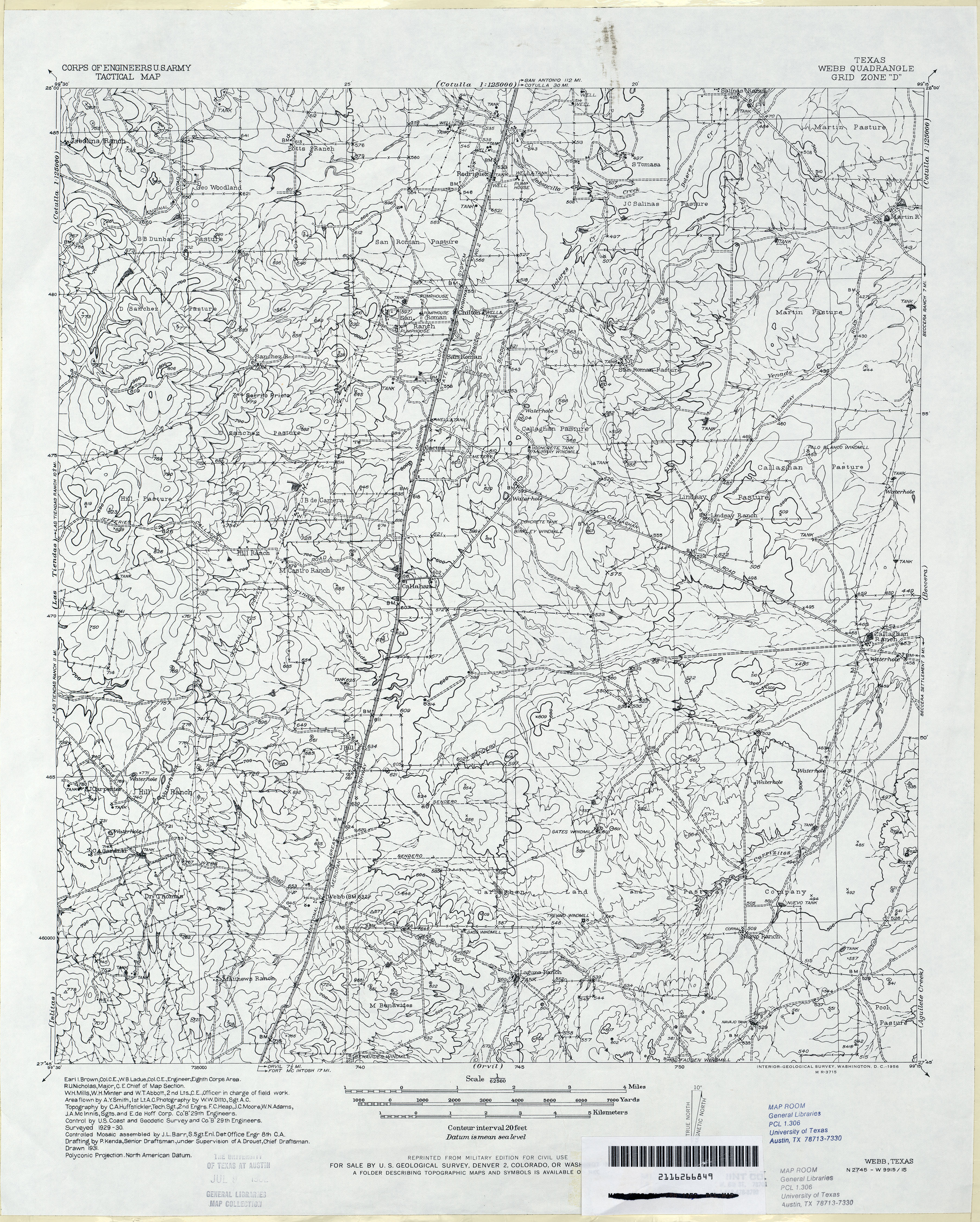
- Webb 1:62,500 1930 (4.3MB) U.S. Army Corps of Engineers, Tactical Map
- Webberville 1:24,000 1968 (4.1MB)
- Webberville 1:24,000 1973 (4MB)
- Webberville 1:24,000 1987 (4.2MB)
- Webberville 1:24,000 2008 (13.7MB) [GeoPDF]
- Webberville 1:24,000 2013 (24MB) [GeoPDF]
- Webbville 1:24,000 1960 (5.7MB)
- Webbville 1:24,000 1987 (4.2MB)
- Webbville 1:24,000 2012 (20.1MB) [GeoPDF]
- Weches 1:24,000 1973 (3.7MB)
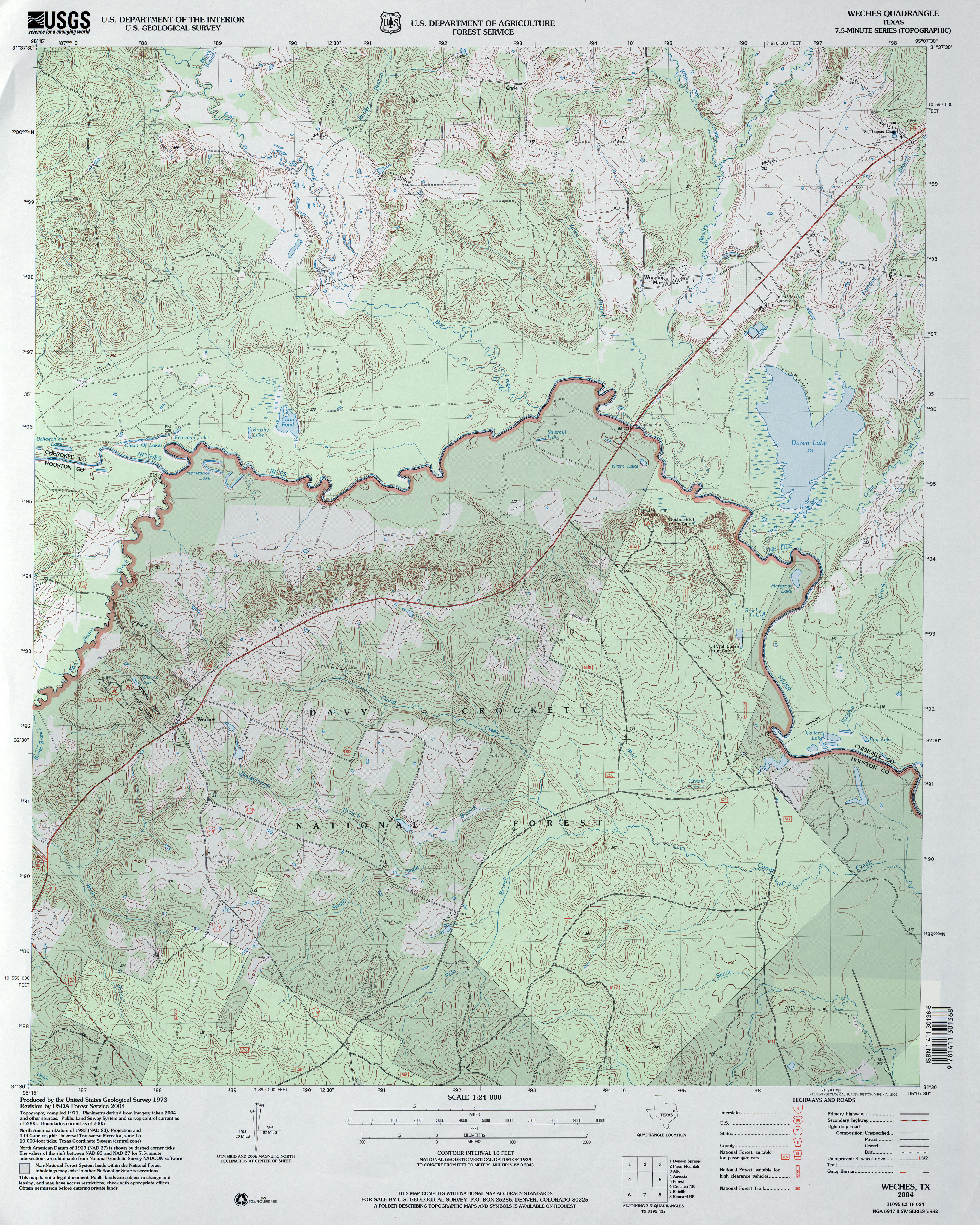
- Weches 1:24,000 2004 (5.2MB)
- Weches 1:24,000 2009 (24.0MB) [GeoPDF]
- Weches 1:24,000 2013 (26.3MB) [GeoPDF]
- Weeden (Harris County) 1:31,680 1916 (2.1 MB)
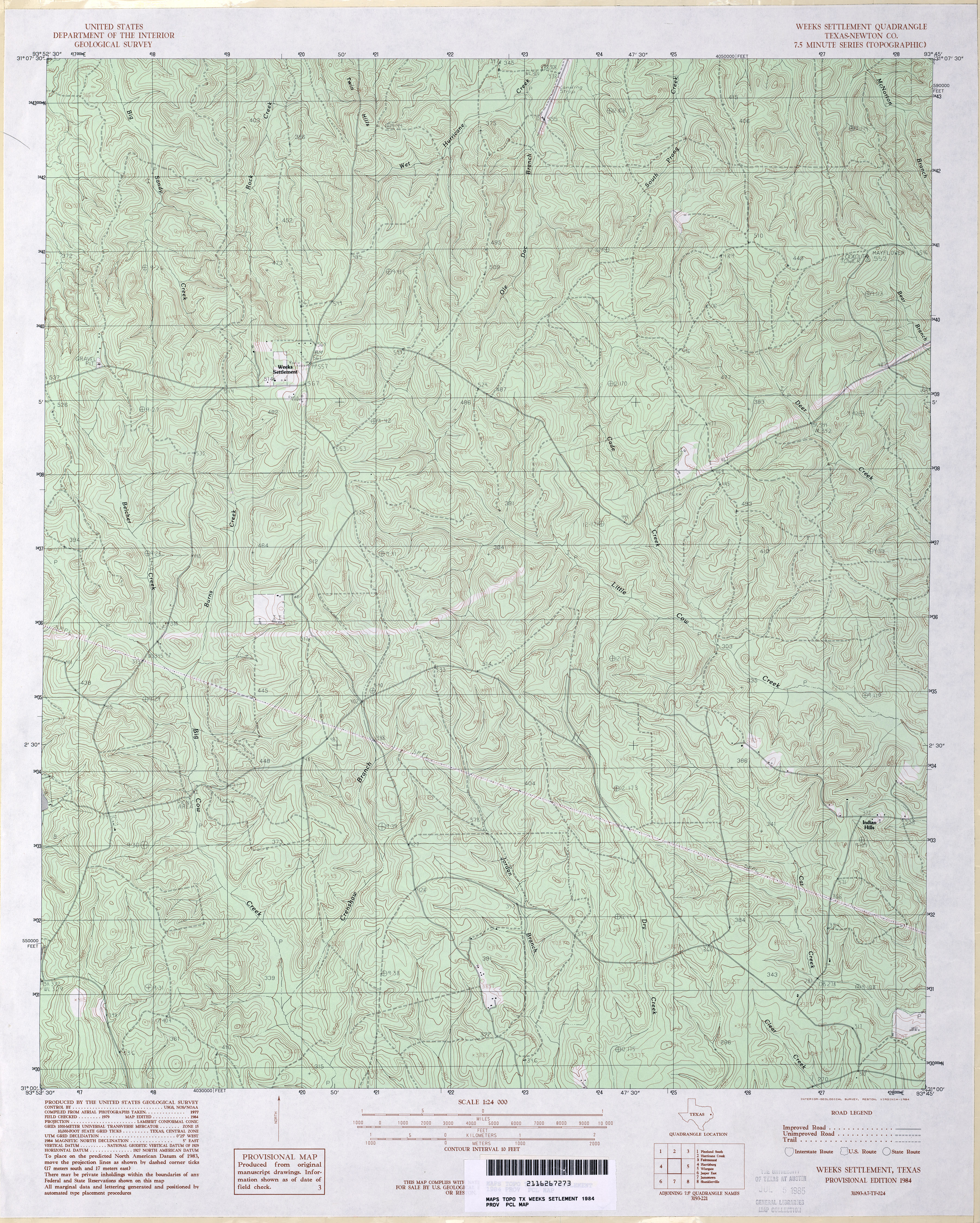
- Weeks Settlement (Newton County) 1:24,000 1984 (5.7MB)
- Weeks Settlement 1:24,000 2009 (26.0MB) [GeoPDF]
- Weeks Settlement 1:24,000 2012 (28.5MB) [GeoPDF]
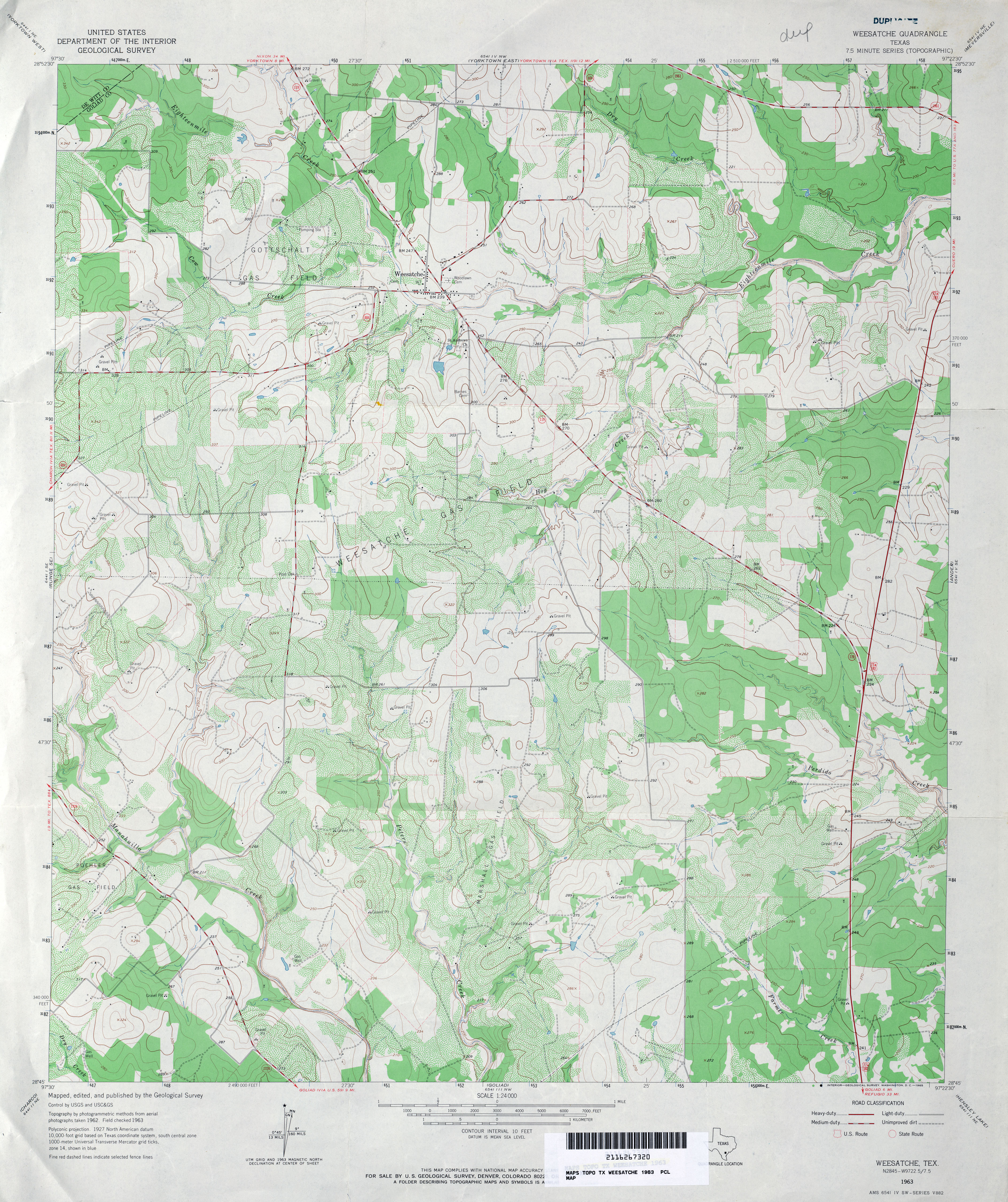
- Weesatche 1:24,000 1963 (4.3MB)
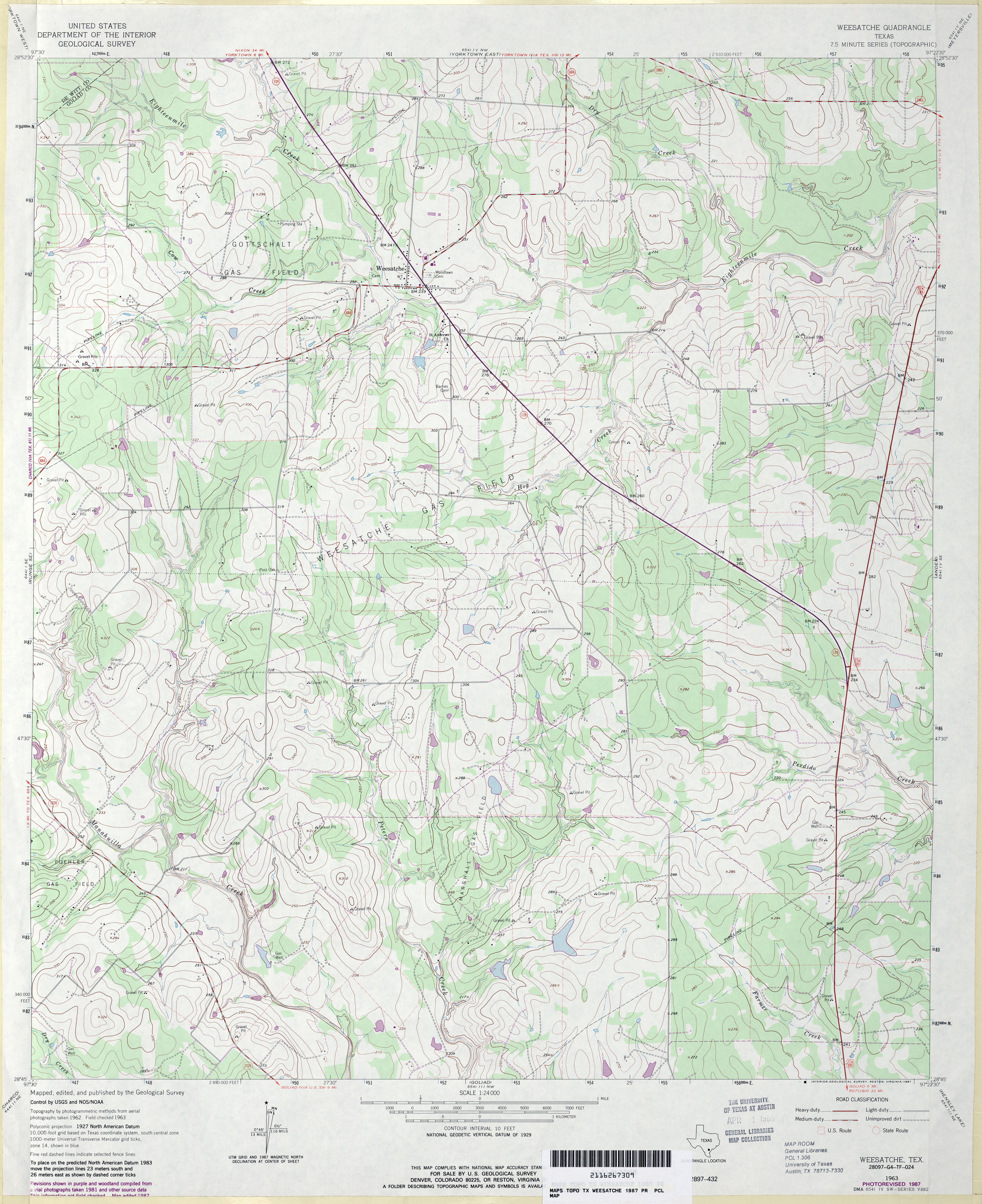
- Weesatche 1:24,000 1987 (4.1MB)
- Weesatche 1:24,000 2009 (14.2MB) [GeoPDF]
- Weesatche 1:24,000 2013 (23.3MB) [GeoPDF]
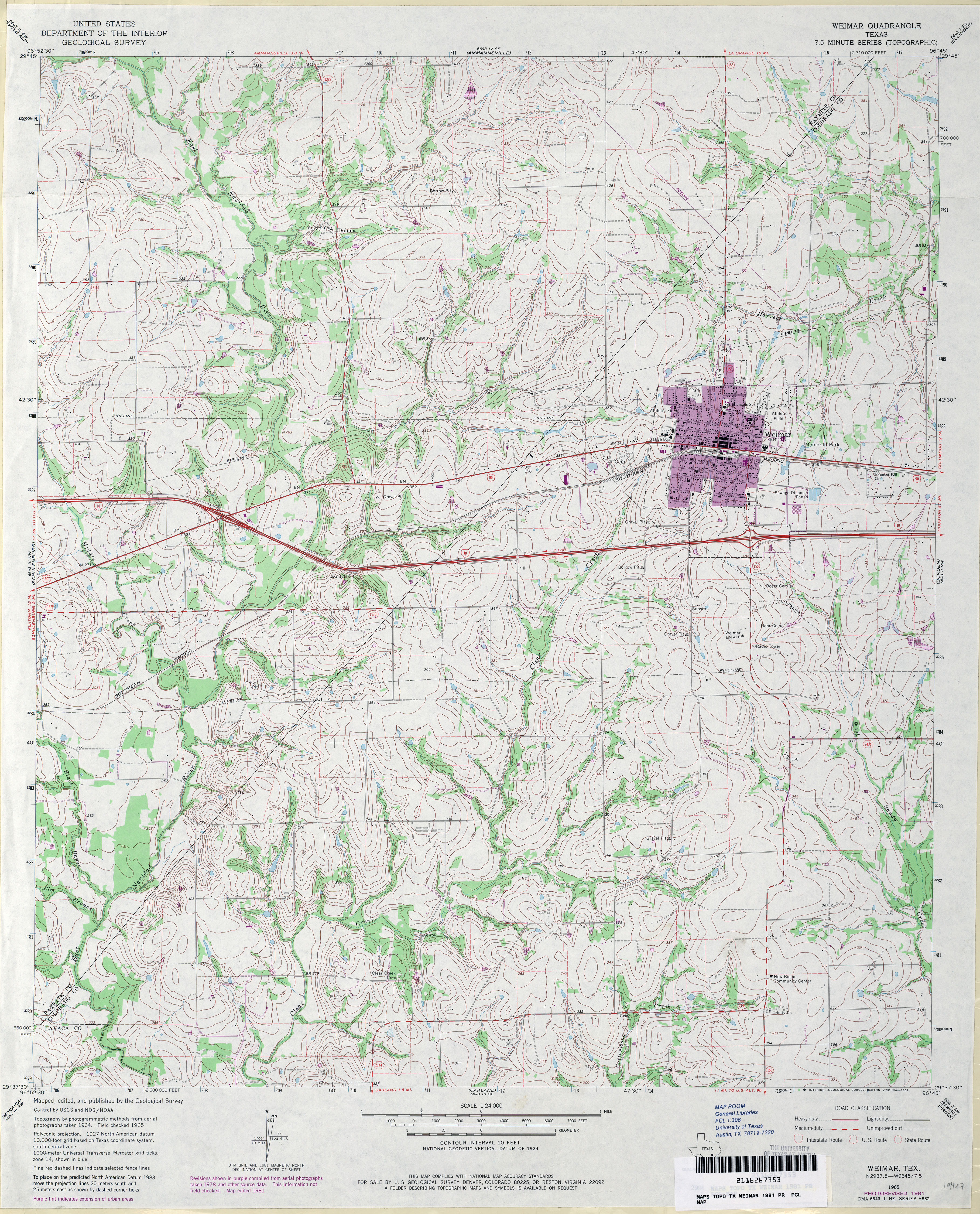
- Weimar 1:24,000 1965 (4.3MB)
- Weimar 1:24,000 1981 (5MB)
- Weimar 1:24,000 2008 (13.3MB) [GeoPDF]
- Weimar 1:24,000 2013 (21.7MB) [GeoPDF]
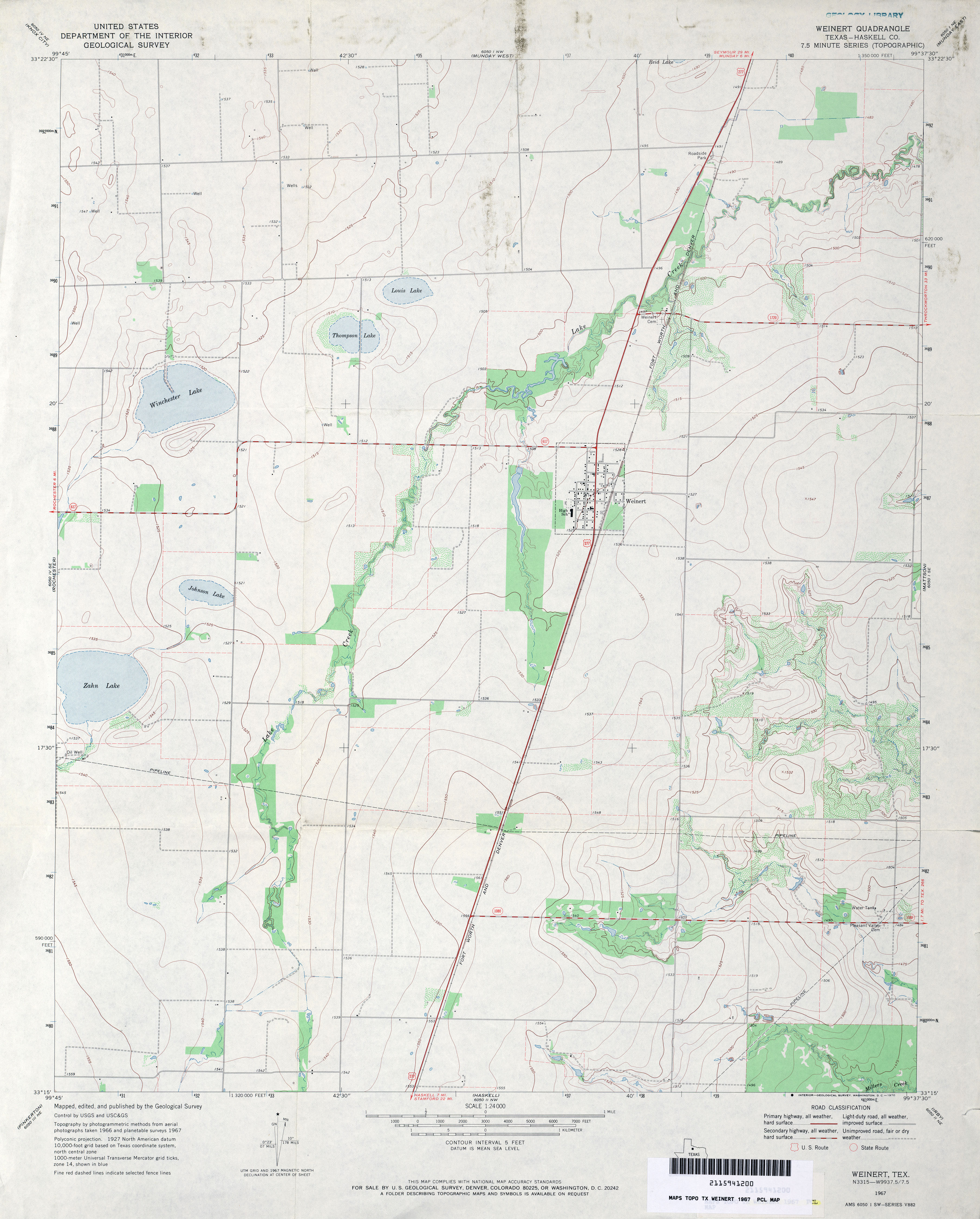
- Weinert (Haskell County) 1:24,000 1967 (2.9MB)
- Weinert 1:24,000 2008 (10.4MB) [GeoPDF]
- Weinert 1:24,000 2013 (16.1MB) [GeoPDF]
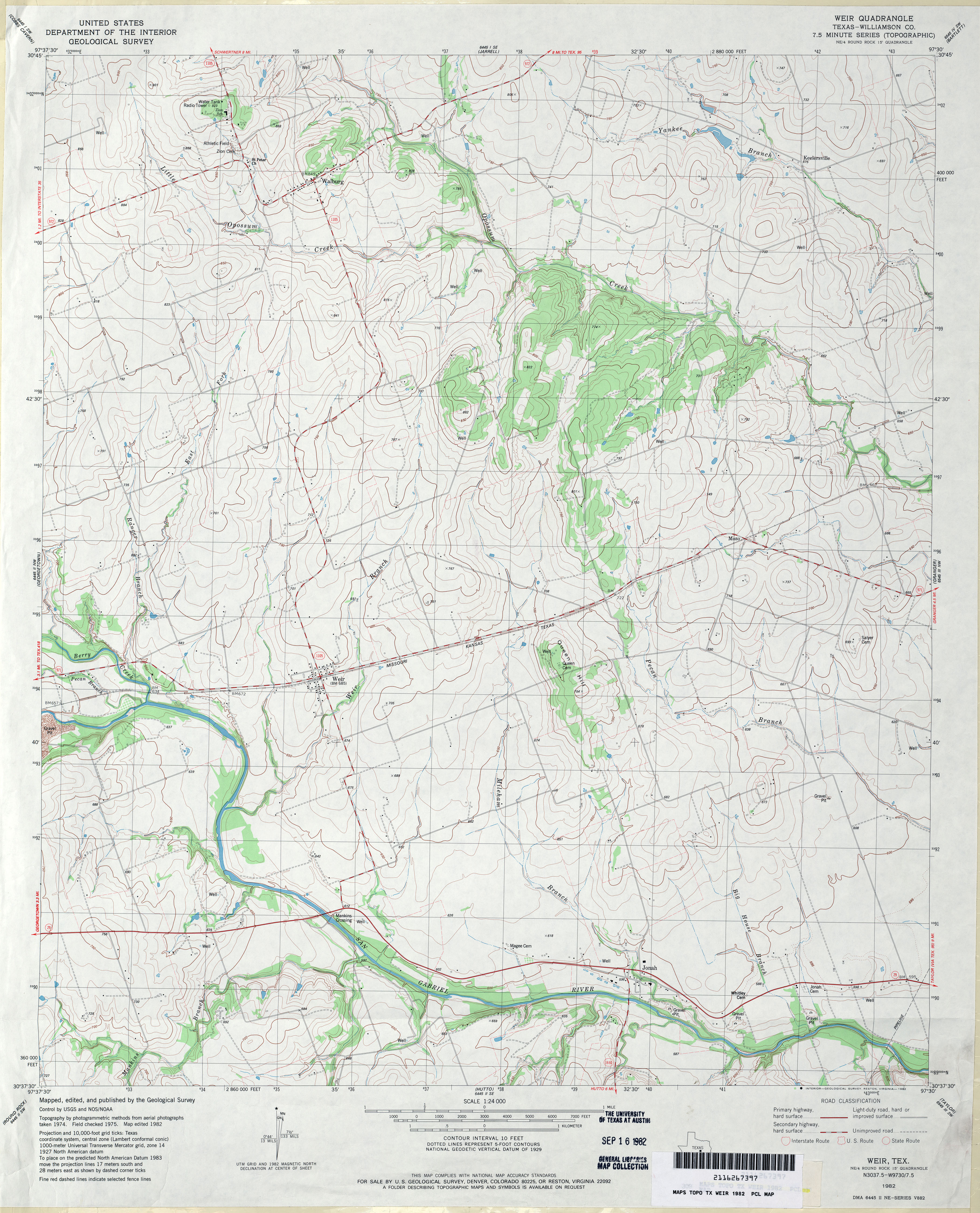
- Weir (Williamson County) 1:24,000 1982 (3.9MB)
- Weir 1:24,000 2008 (11.3MB) [GeoPDF]
- Weir 1:24,000 2013 (19.9MB) [GeoPDF]
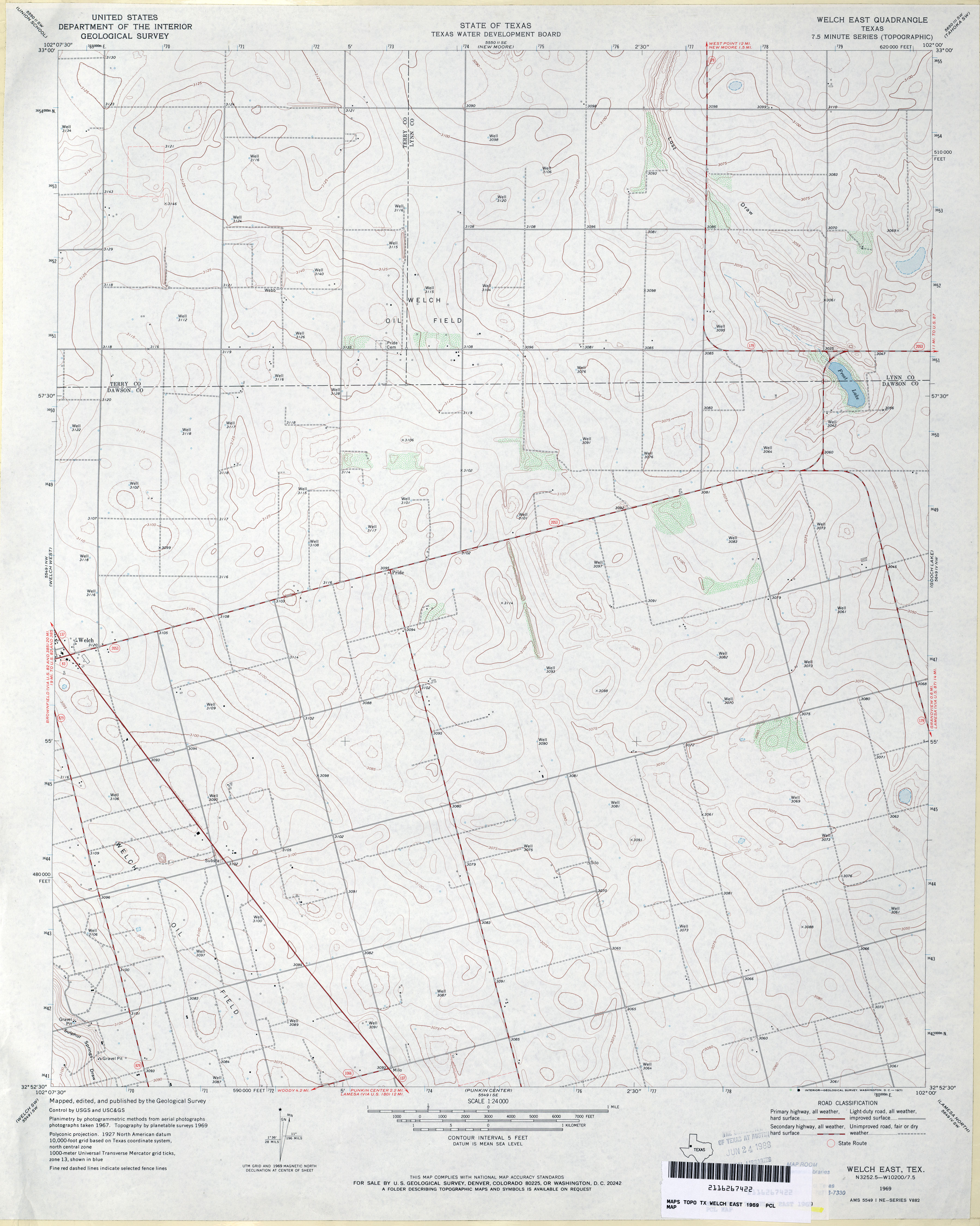
- Welch East 1:24,000 1969 (3MB)
- Welch East 1:24,000 2008 (9.9MB) [GeoPDF]
- Welch East 1:24,000 2012 (17MB) [GeoPDF]
- Welch SW 1:24,000 1969 (3.9MB)
- Welch SW 1:24,000 2008 (12.0MB) [GeoPDF]
- Welch SW 1:24,000 2012 (17.9MB) [GeoPDF]
- Welch West 1:24,000 1969 (3.2MB)
- Welch West 1:24,000 2008 (9.5MB) [GeoPDF]
- Welch West 1:24,000 2012 (16.6MB) [GeoPDF]
- Welcome 1:24,000 1963 (4.7MB)
- Welcome 1:24,000 1989 (4.2MB)
- Welcome 1:24,000 2008 (13.6MB) [GeoPDF]
- Welcome 1:24,000 2013 (21.8MB) [GeoPDF]
- Weldon 1:24,000 1964 (4MB)
- Weldon 1:24,000 1972 (3.8MB)
- Weldon 1:24,000 2009 (20.6MB) [GeoPDF]
- Weldon 1:24,000 2013 (22.6MB) [GeoPDF]
- Well Hollow 1:24,000 1964 (4MB)
- Well Hollow 1:24,000 2008 (18.7MB) [GeoPDF]
- Well Hollow 1:24,000 2013 (27.1MB) [GeoPDF]
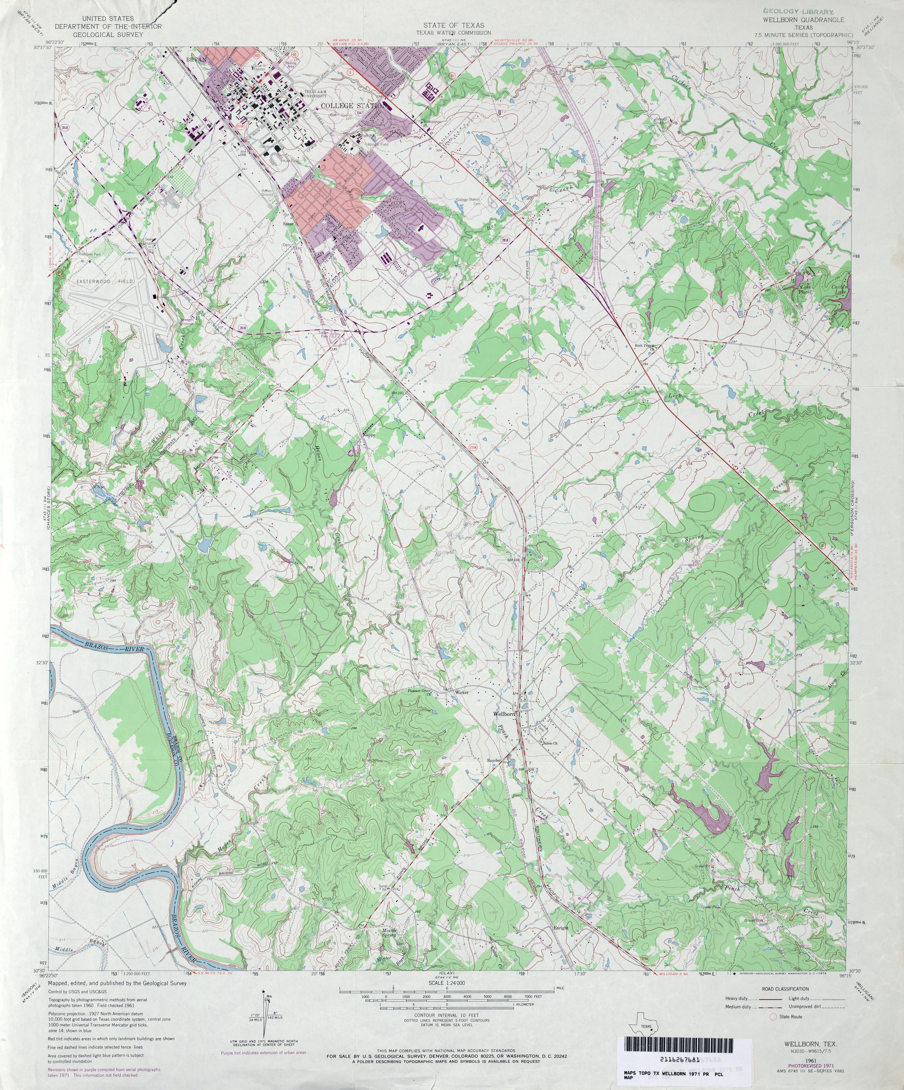
- Wellborn 1:24,000 1961 (4.6MB)
- Wellborn 1:24,000 1971 (4.5MB)
- Wellborn 1:24,000 1980 (4.8MB)
- Wellborn 1:24,000 2008 (16.7MB) [GeoPDF]
- Wellborn 1:24,000 2013 (27.6MB) [GeoPDF]
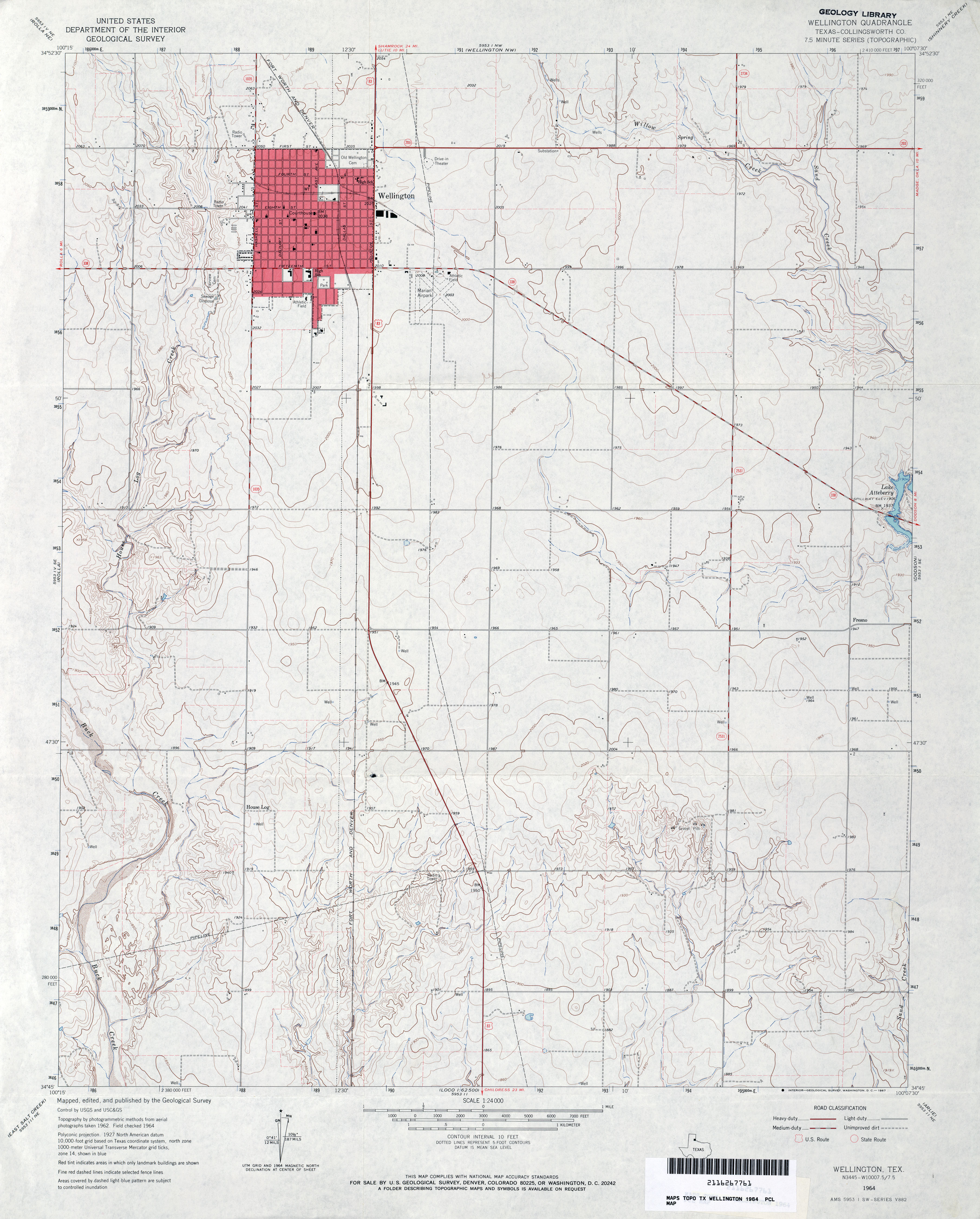
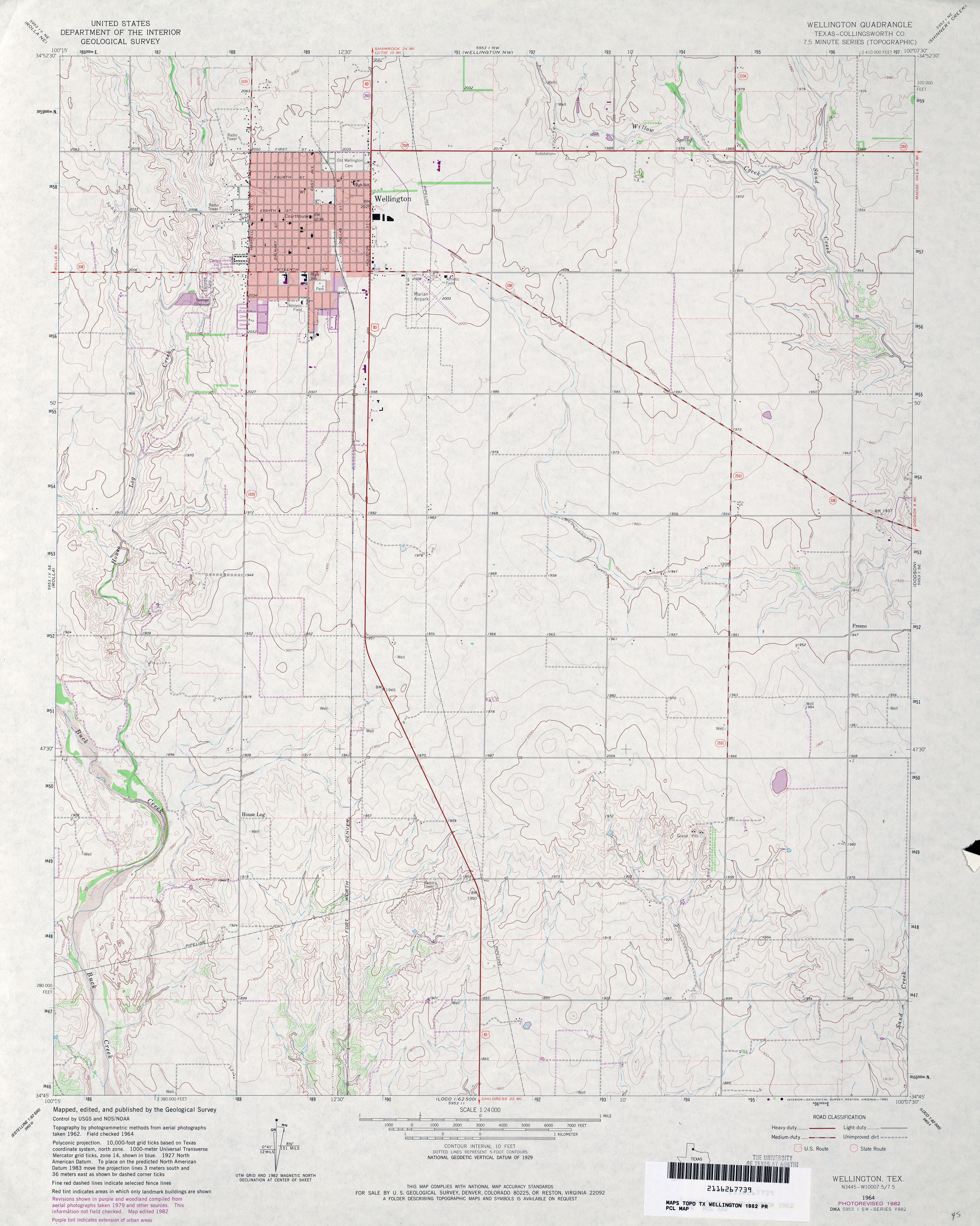
- Wellington (Collingsworth County) 1:24,000 1964 (3.3MB)
- Wellington (Collingsworth County) 1:24,000 1982 (3.4MB)
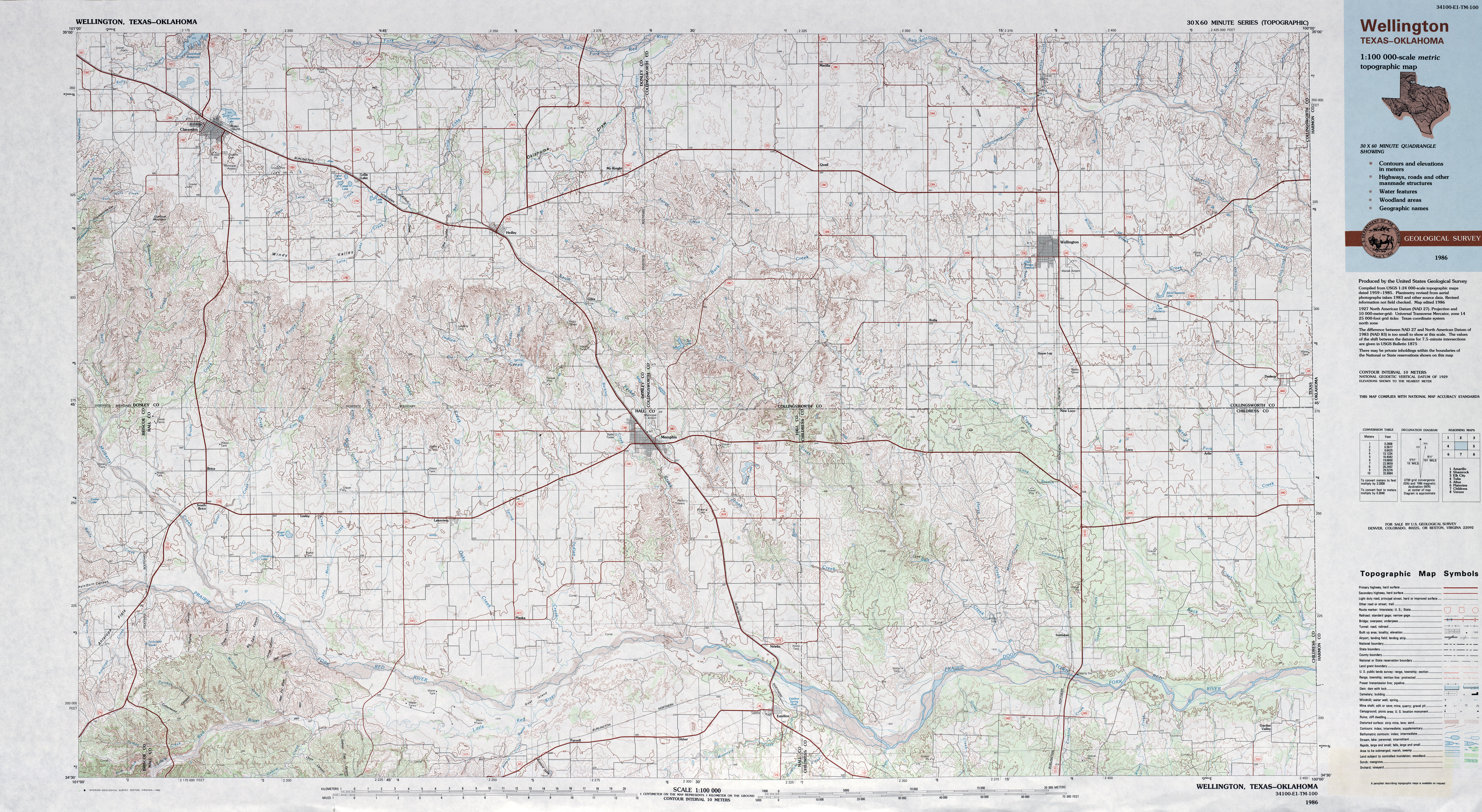
- Wellington 1:100,000 1986 (8.5MB)
- Wellington 1:24,000 2008 (10.7MB) [GeoPDF]
- Wellington NW 1:24,000 2012 (16.5MB) [GeoPDF]
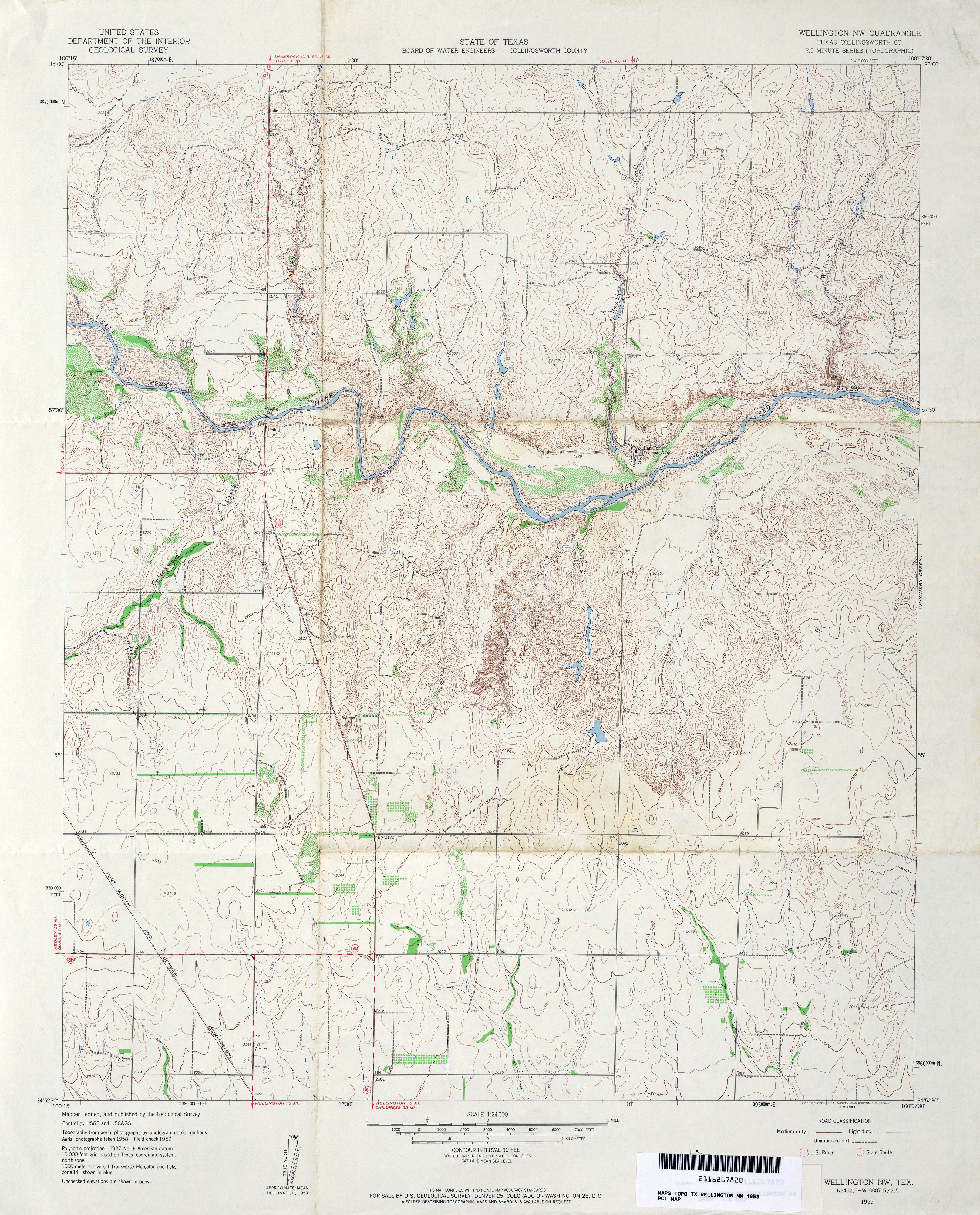
- Wellington NW (Collingsworth County) 1:24,000 1959 (4.5MB)
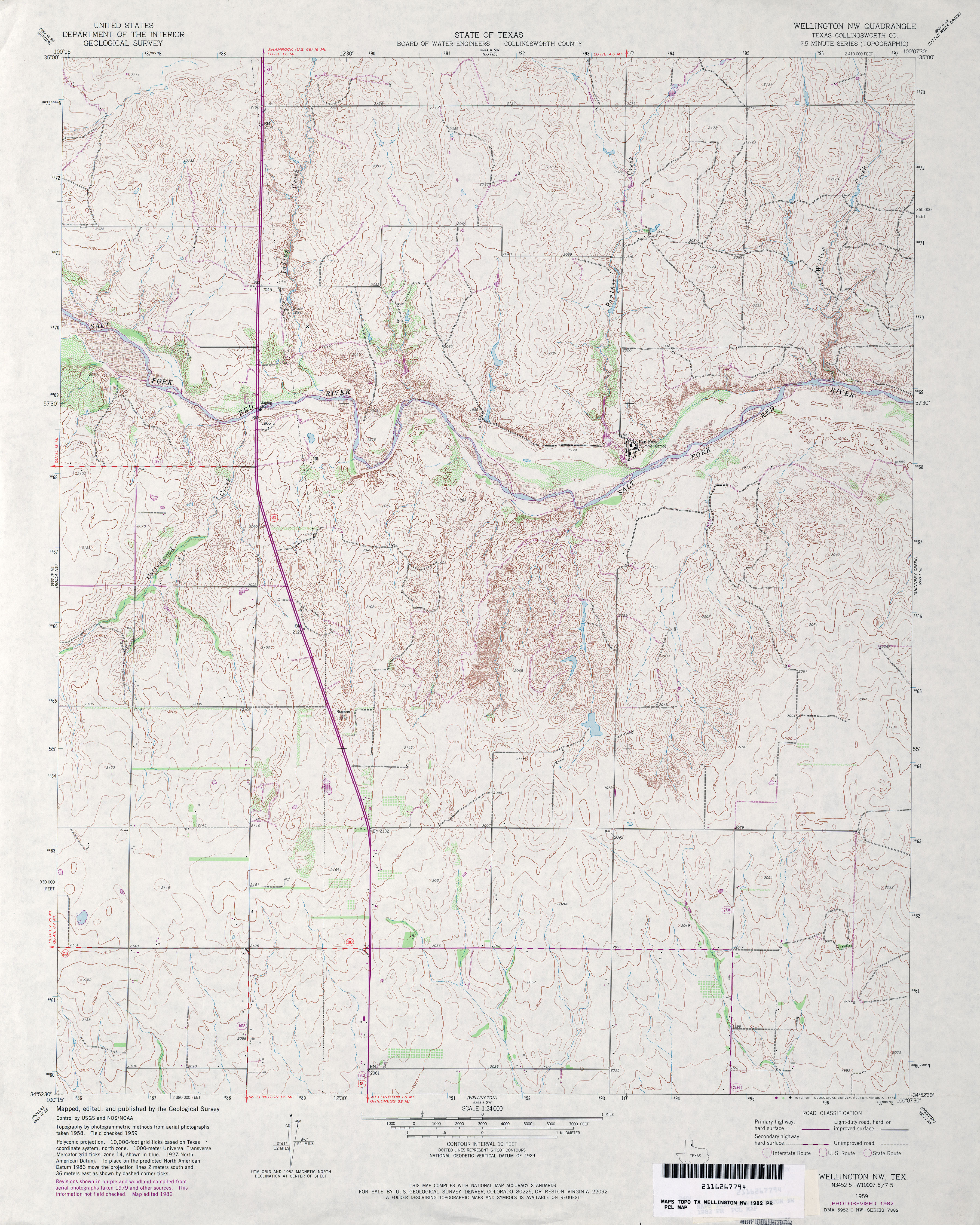
- Wellington NW (collingsworth County) 1:24,000 1982 (4.6MB)
- Wellington NW 1:24,000 2008 (12.6MB) [GeoPDF]
- Wellington NW 1:24,000 2012 (18.4MB) [GeoPDF]
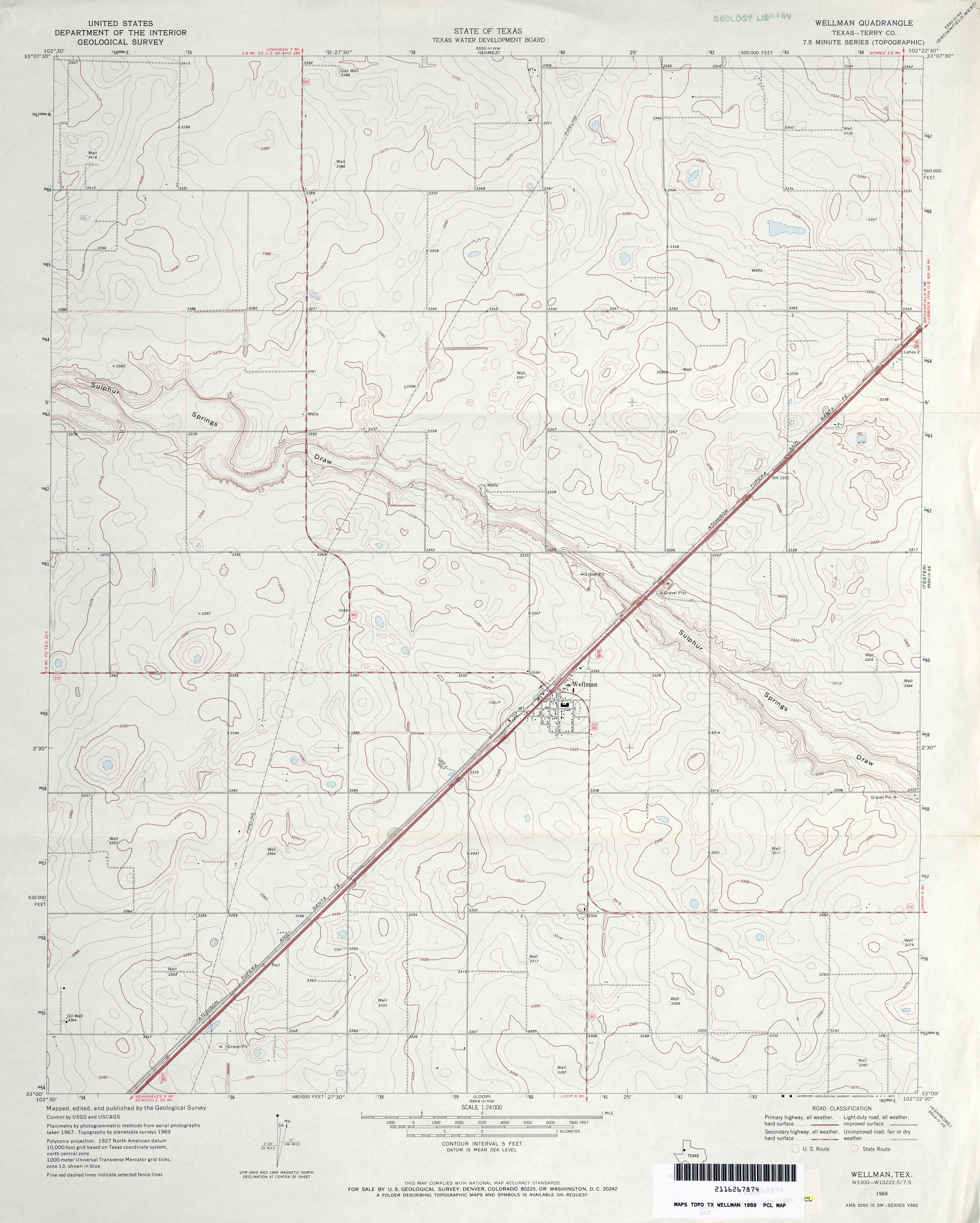
- Wellman (Terry County) 1:24,000 1969 (2.9MB)
- Wellman 1:24,000 2008 (9.2MB) [GeoPDF]
- Wellman 1:24,000 2012 (16MB) [GeoPDF]
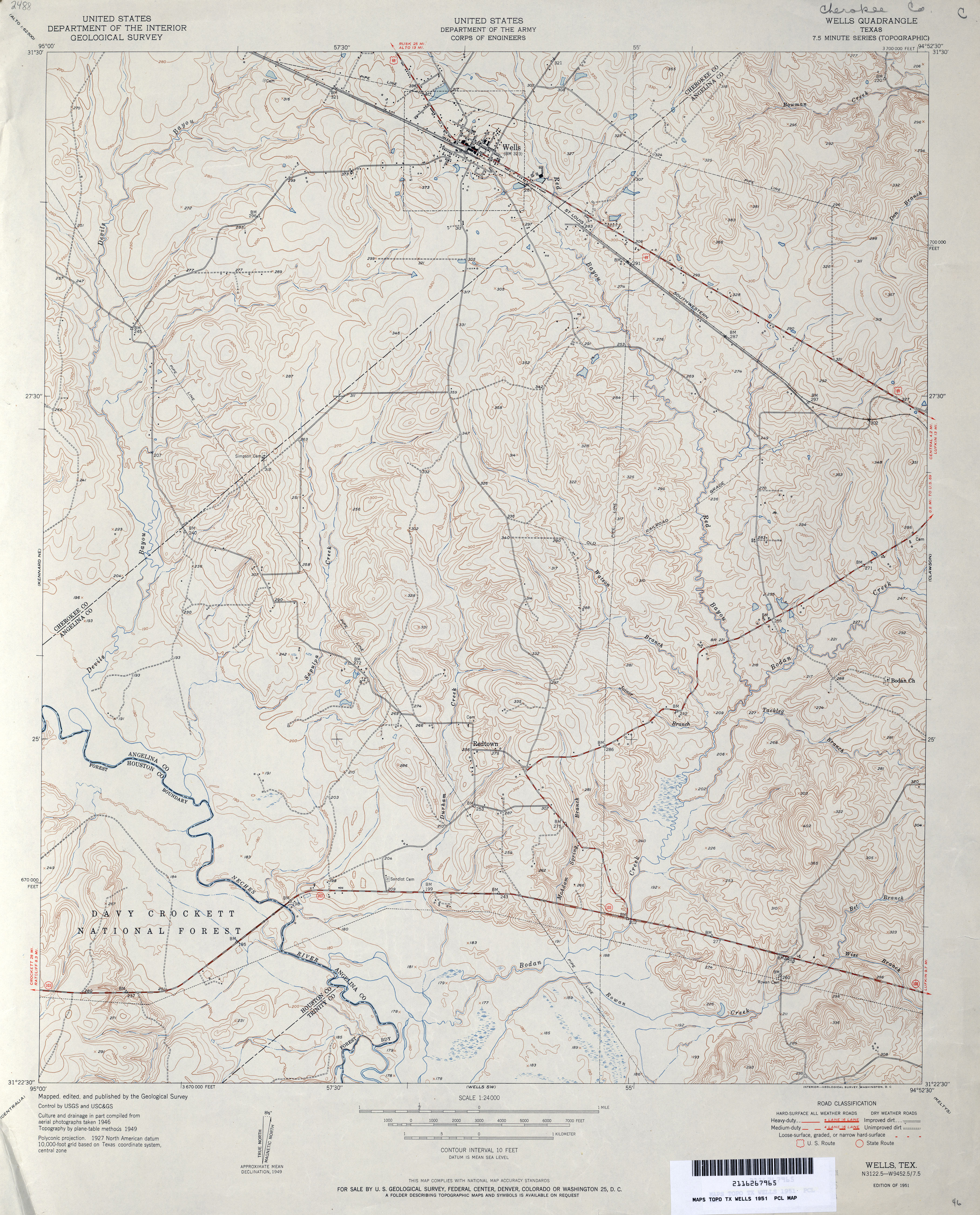
- Wells 1:24,000 1951 (4.2MB) U.S. Department of the Army Corps of Engineers
- Wells 1:24,000 1980 (5MB) U.S. Department of the Army Corps of Engineers
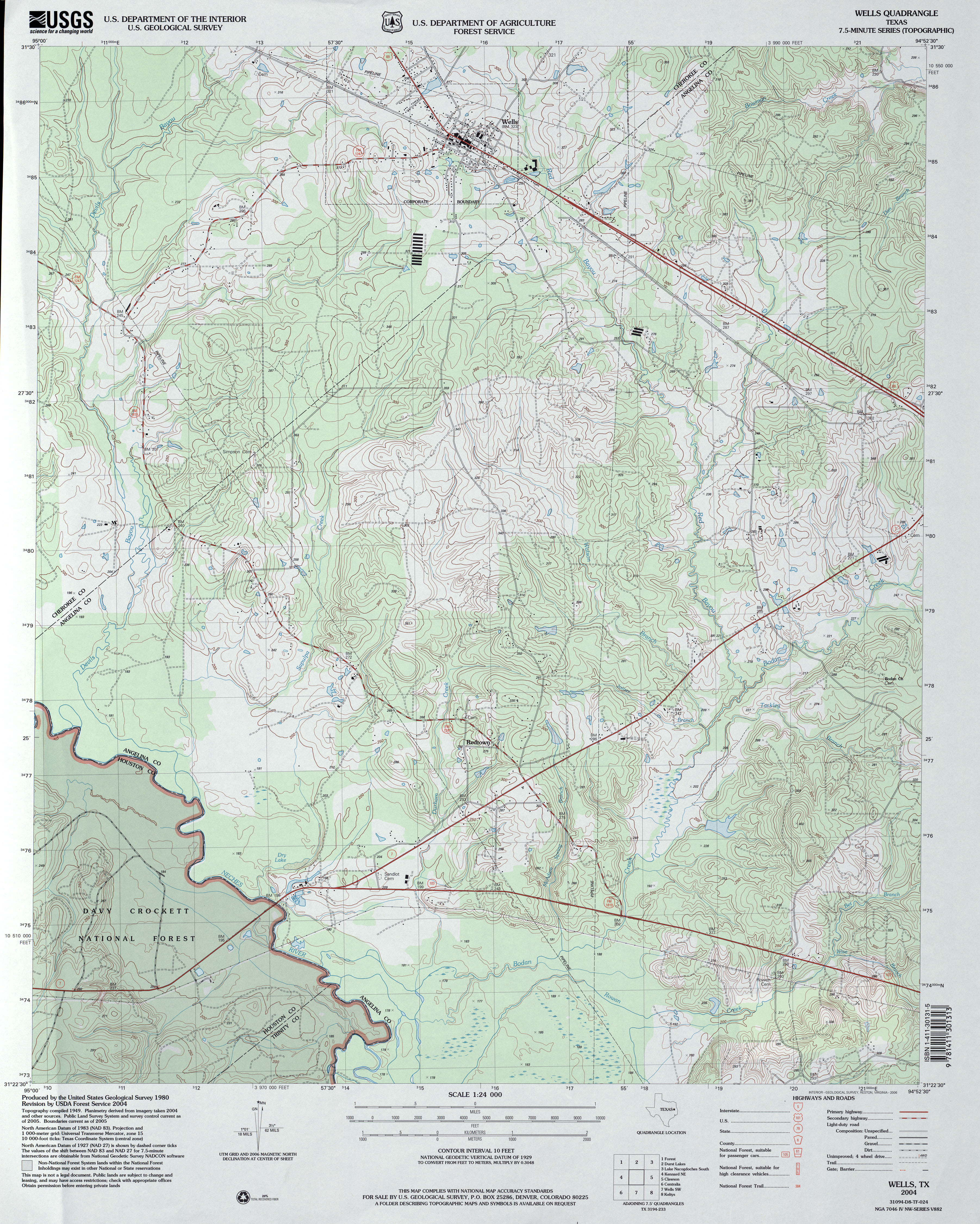
- Wells 1:24,000 2004 (4.8MB)
- Wells 1:24,000 2013 (25.9MB) [GeoPDF]
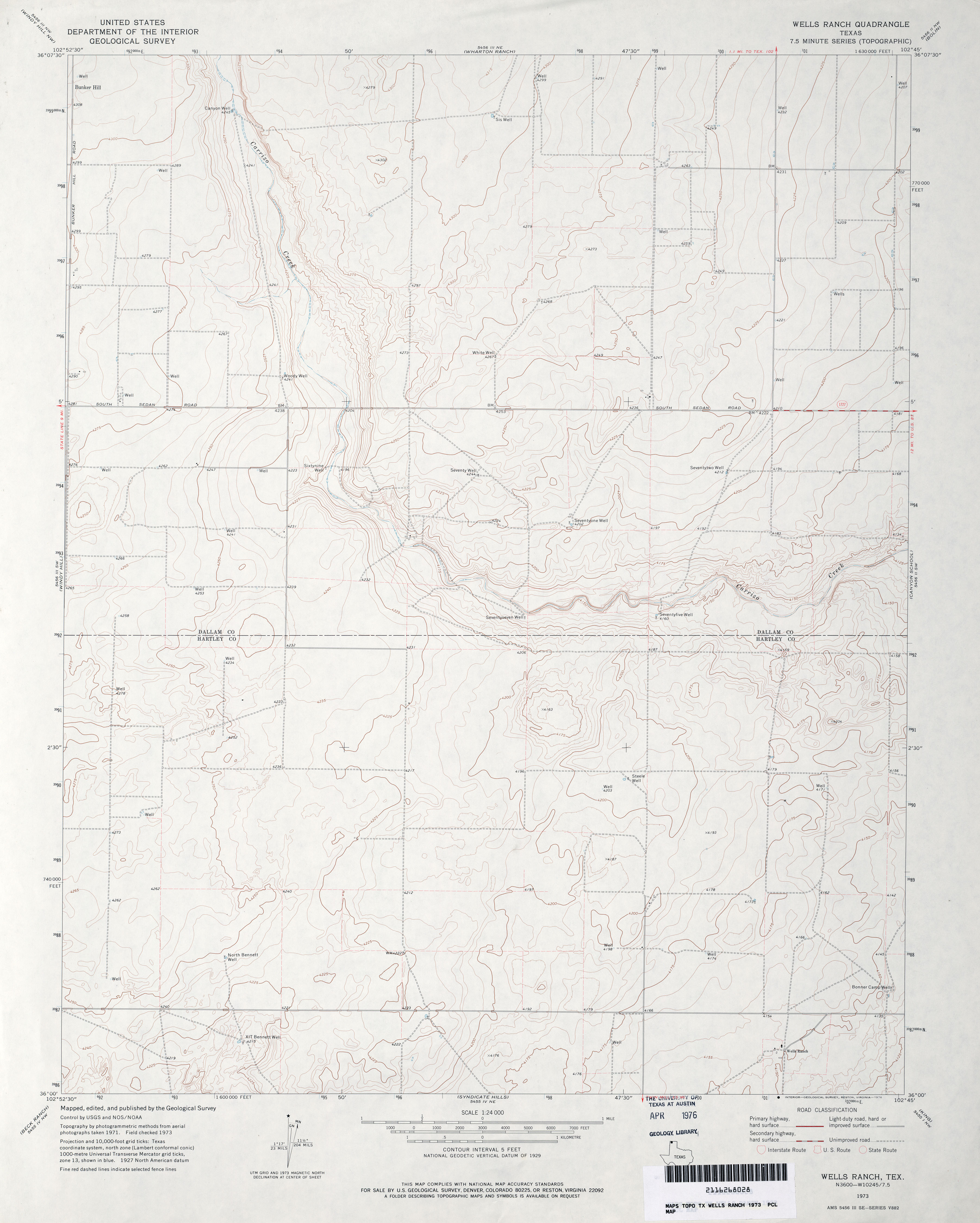
- Wells Ranch 1:24,000 1973 (2.7MB)
- Wells Ranch 1:24,000 2008 (9.6MB) [GeoPDF]
- Wells Ranch 1:24,000 2012 (14.3MB) [GeoPDF]
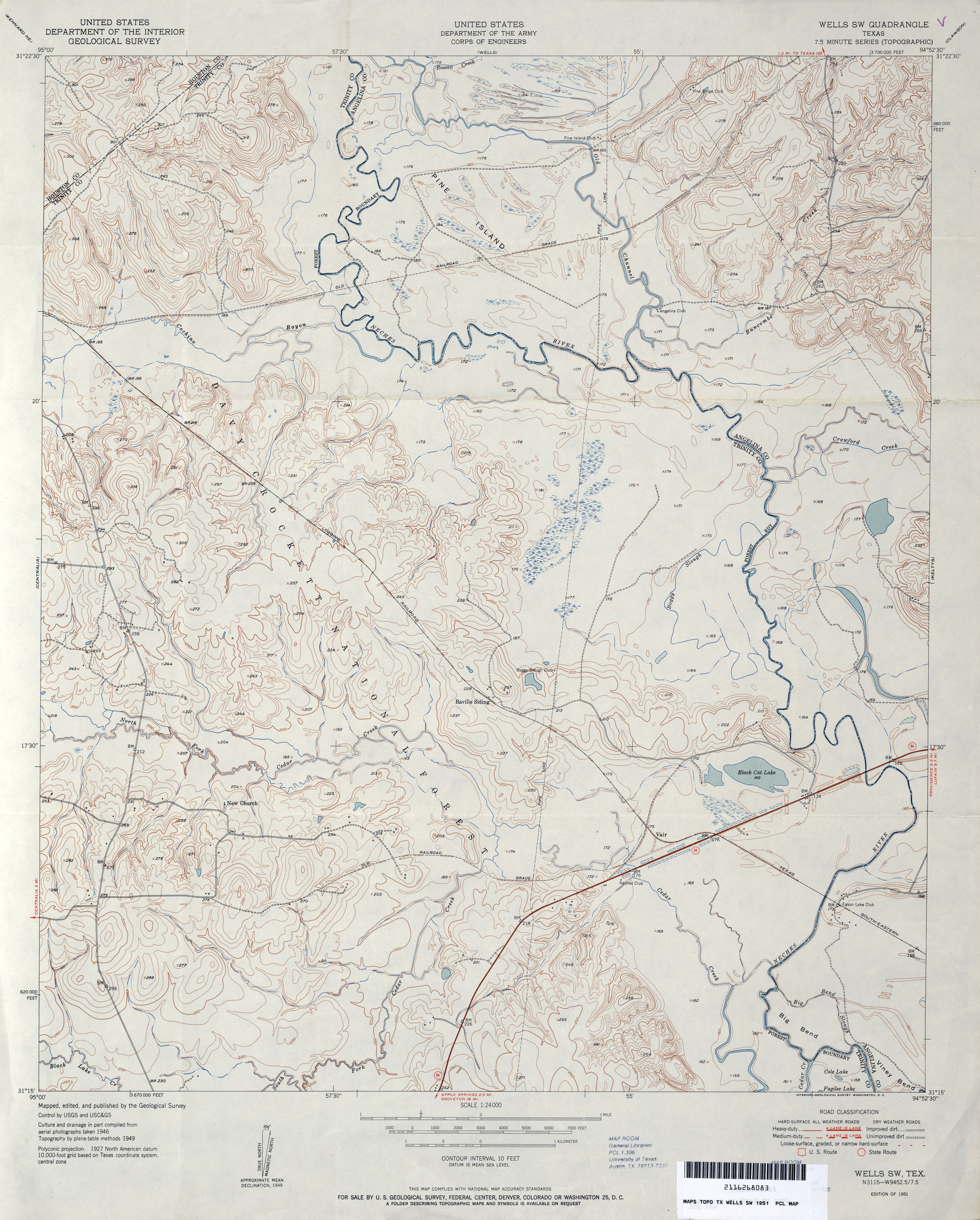
- Wells SW 1:24,000 1951 (3.8MB) U.S. Department of the Army Corps of Engineers
- Wells SW 1:24,000 1980 (4.5MB) U.S. Department of the Army Corps of Engineers
- Wells SW 1:24,000 2004 (4.7MB)
- Wells SW 1:24,000 2009 (24.9MB) [GeoPDF]
- Wells SW 1:24,000 2013 (27MB) [GeoPDF]
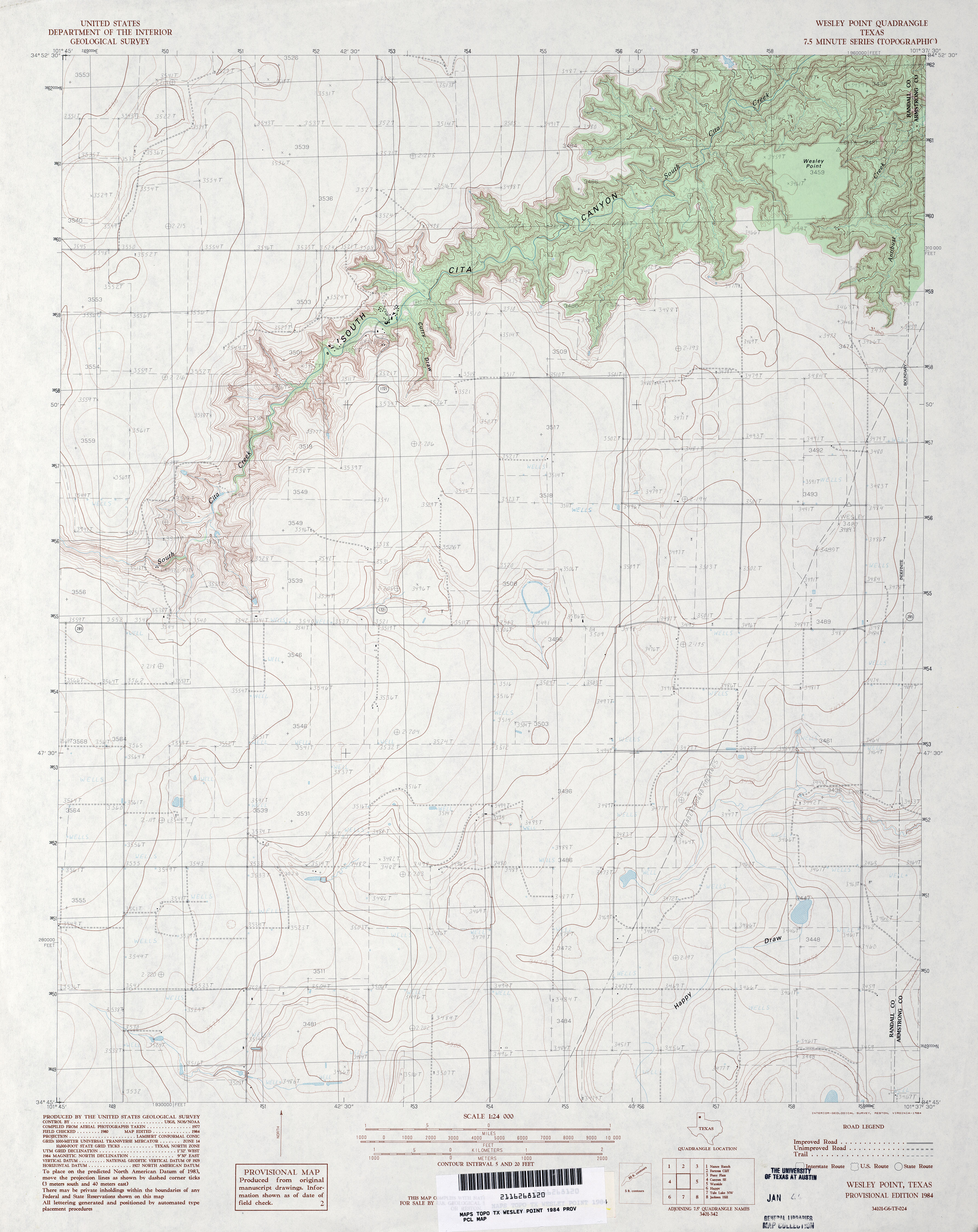
- Wesley Point 1:24,000 1984 (3.4MB)
- Wesley Point 1:24,000 2008 (9.4MB) [GeoPDF]
- Wesley Point 1:24,000 2012 (16.4MB) [GeoPDF]
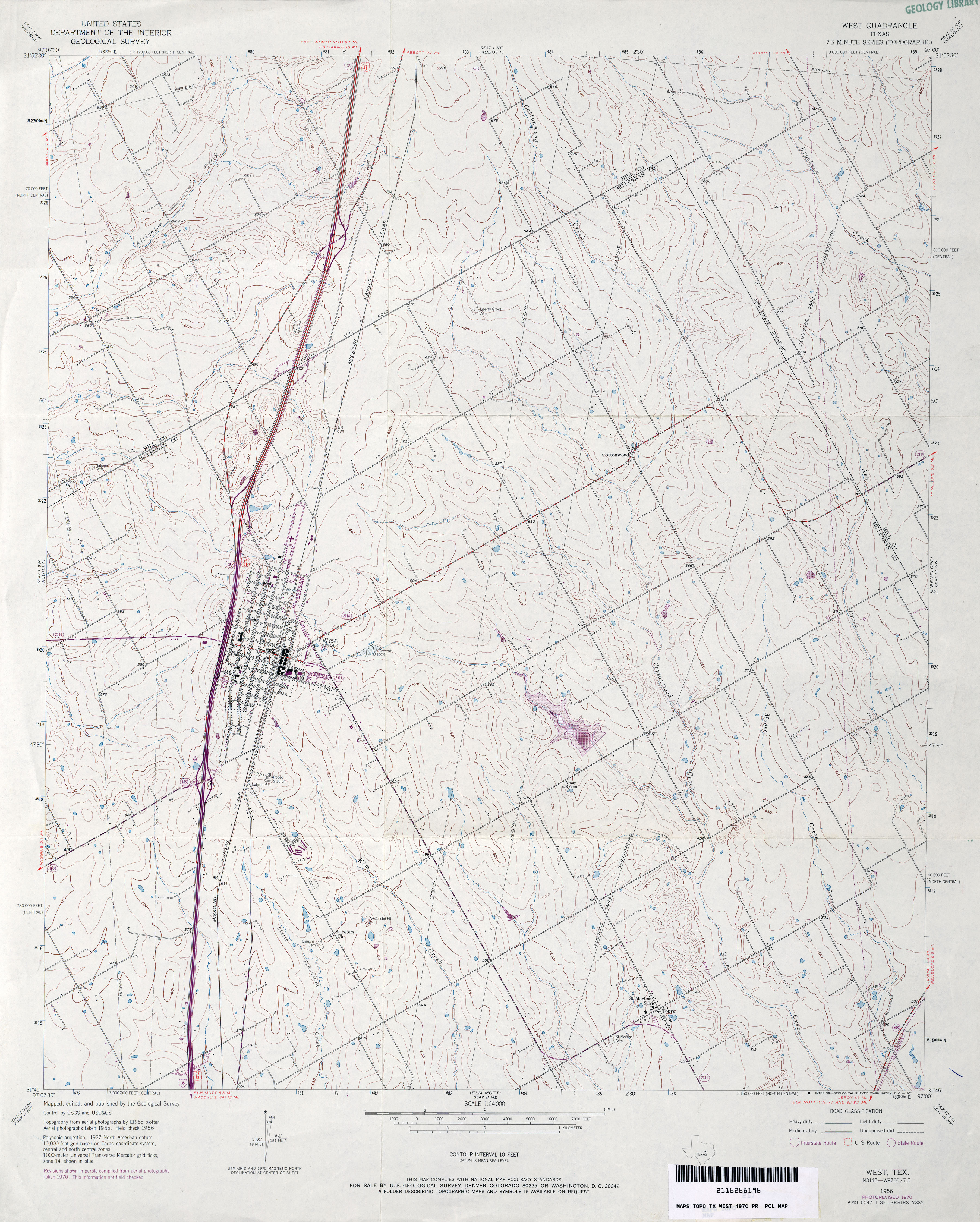
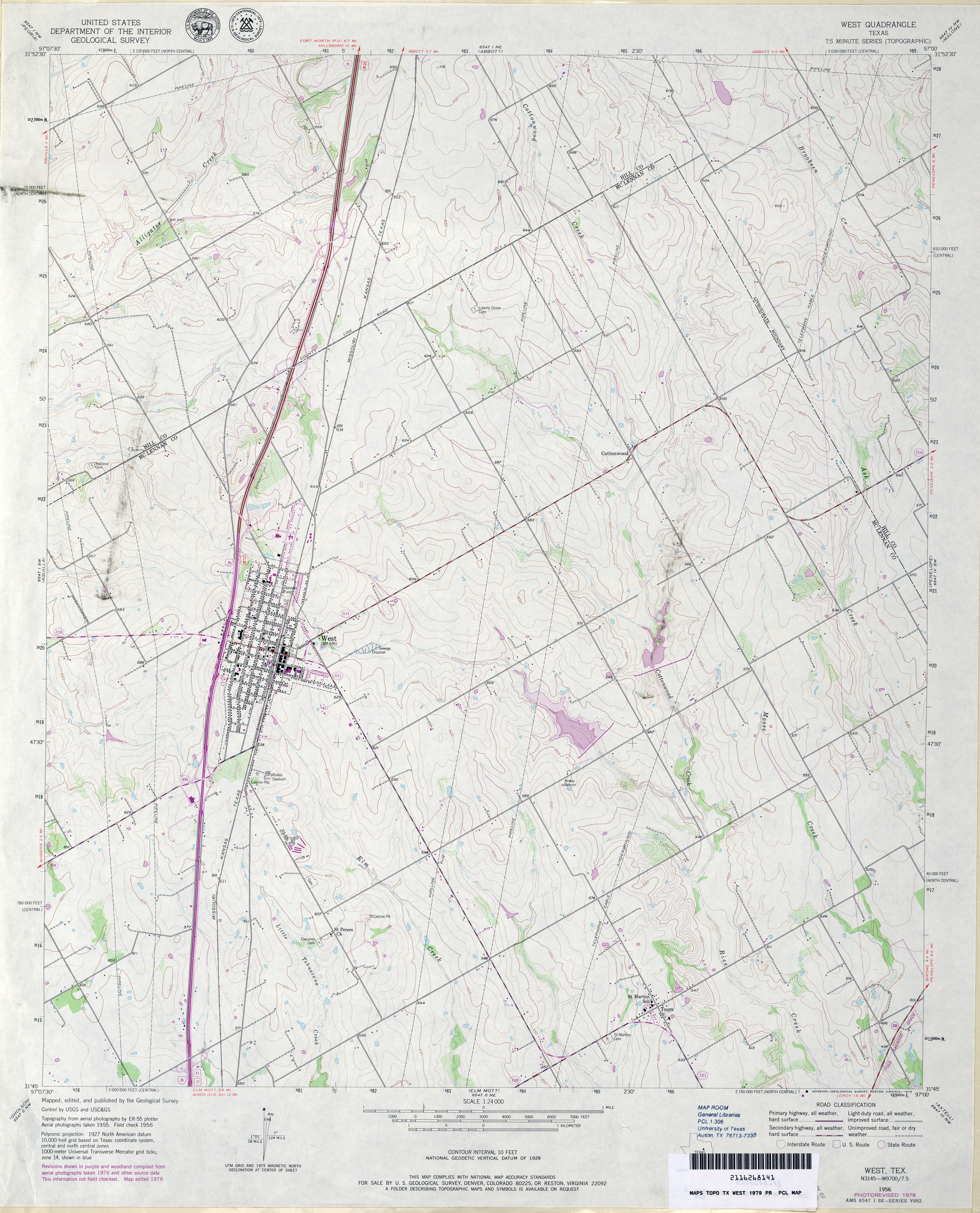
- West 1:24,000 1956 (3.7MB)
- West 1:24,000 1970 (3.7MB)
- West 1:24,000 1979 (3.8MB)
- West 1:24,000 2008 (12.5MB) [GeoPDF]
- West 1:24,000 2012 (18.4MB) [GeoPDF]
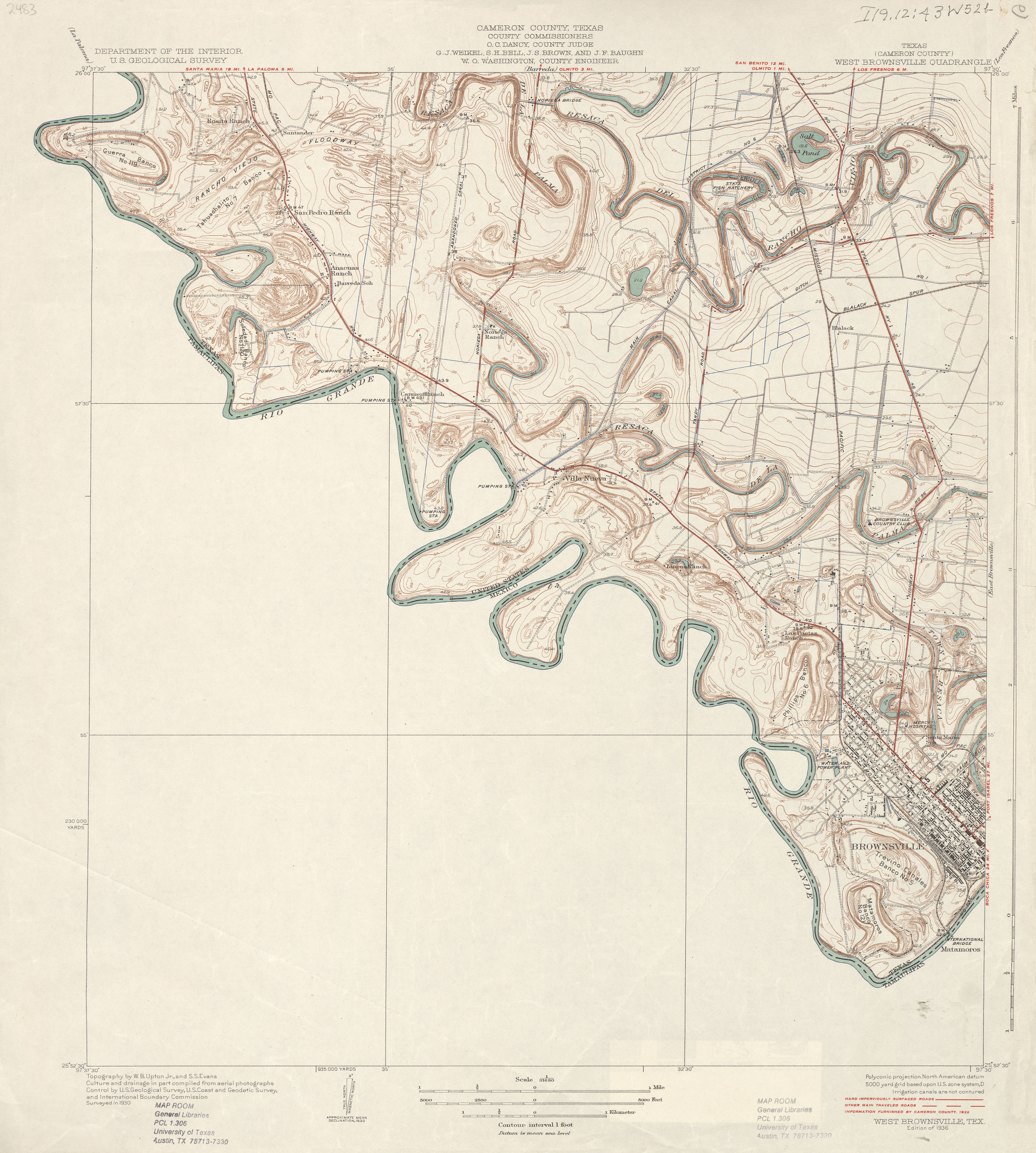
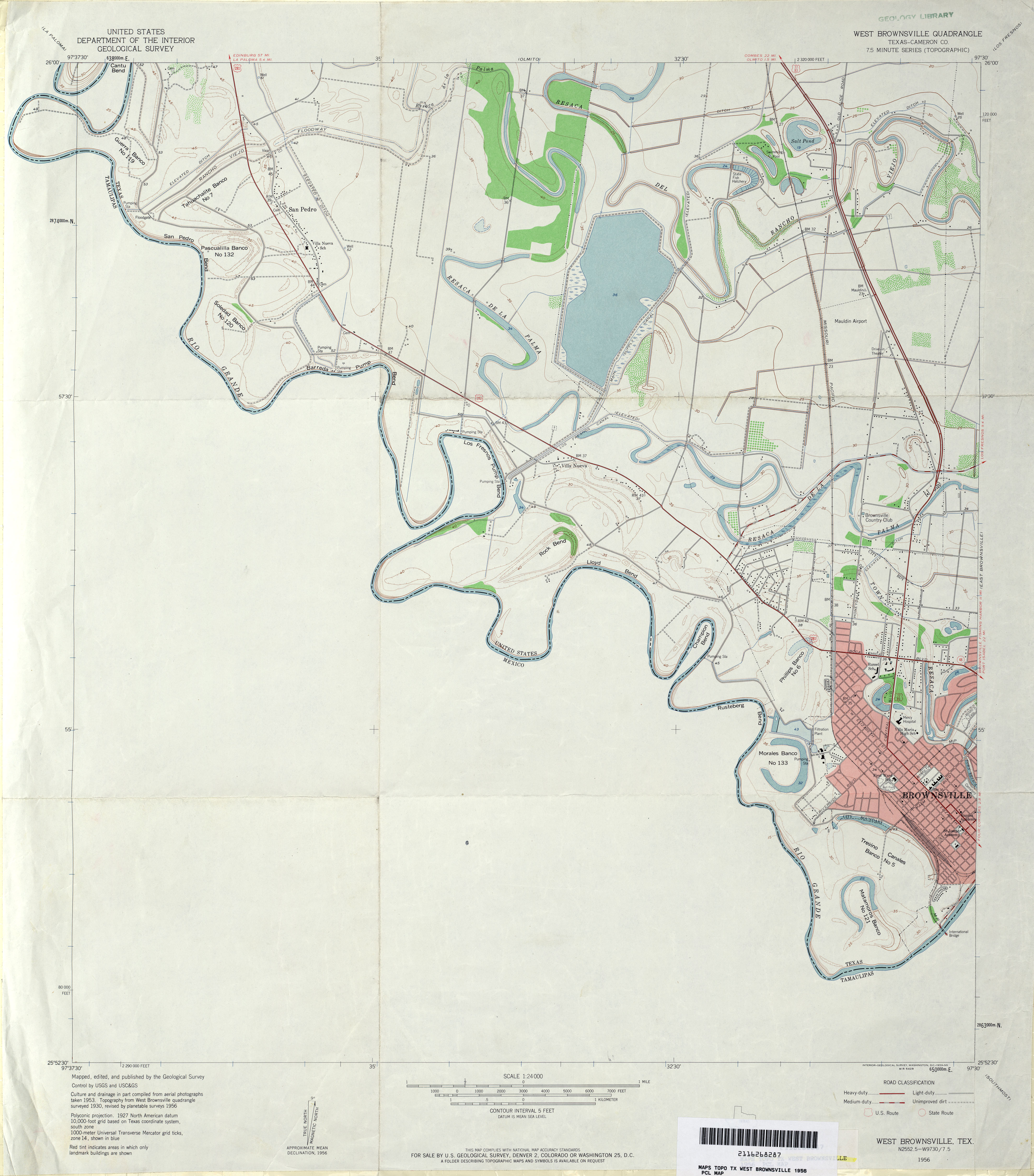
- West Brownsville (Cameron County) 1:31,680 1930 survey, 1932 overprint (3.1 MB)
- West Brownsville (Cameron County) 1:24,000 1956 (2.8MB)
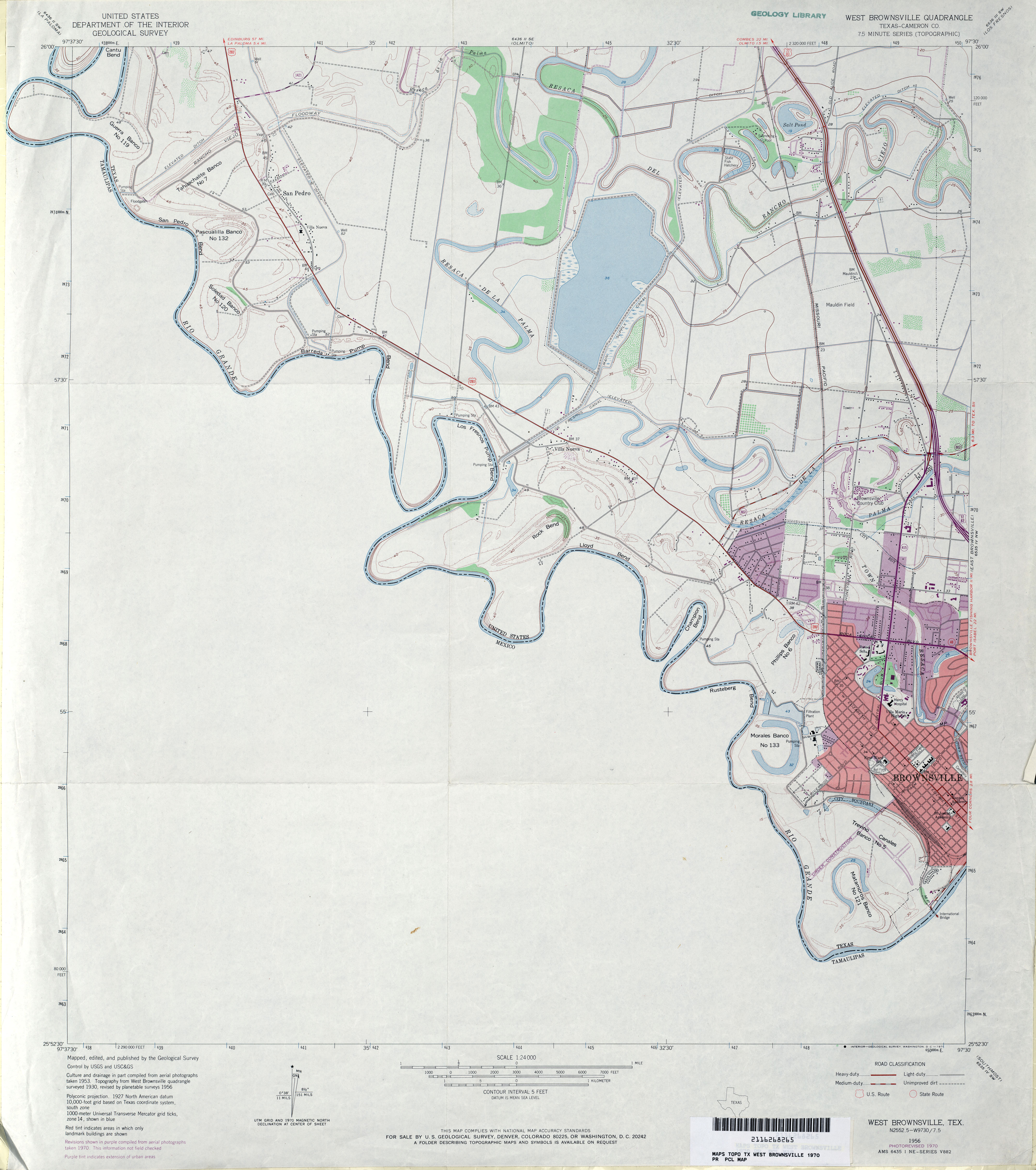
- West Brownsville (Cameron County) 1:24,000 1970 (3MB)
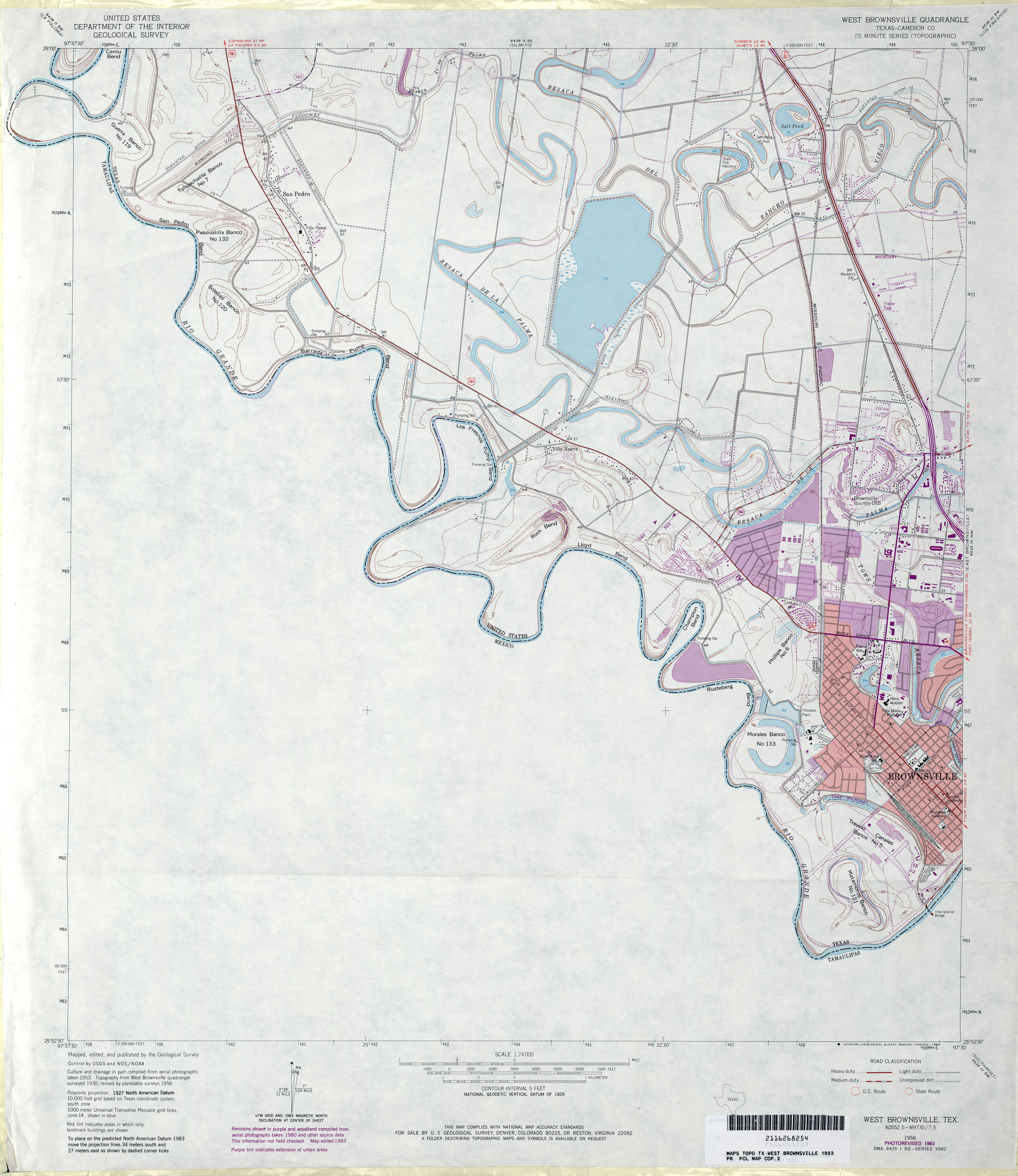
- West Brownsville (Cameron County) 1:24,000 1983 (3.3MB)
- West Brownsville 1:24,000 2009 (20.2MB) [GeoPDF]
- West Brownsville 1:24,000 2012 (21.1MB) [GeoPDF]
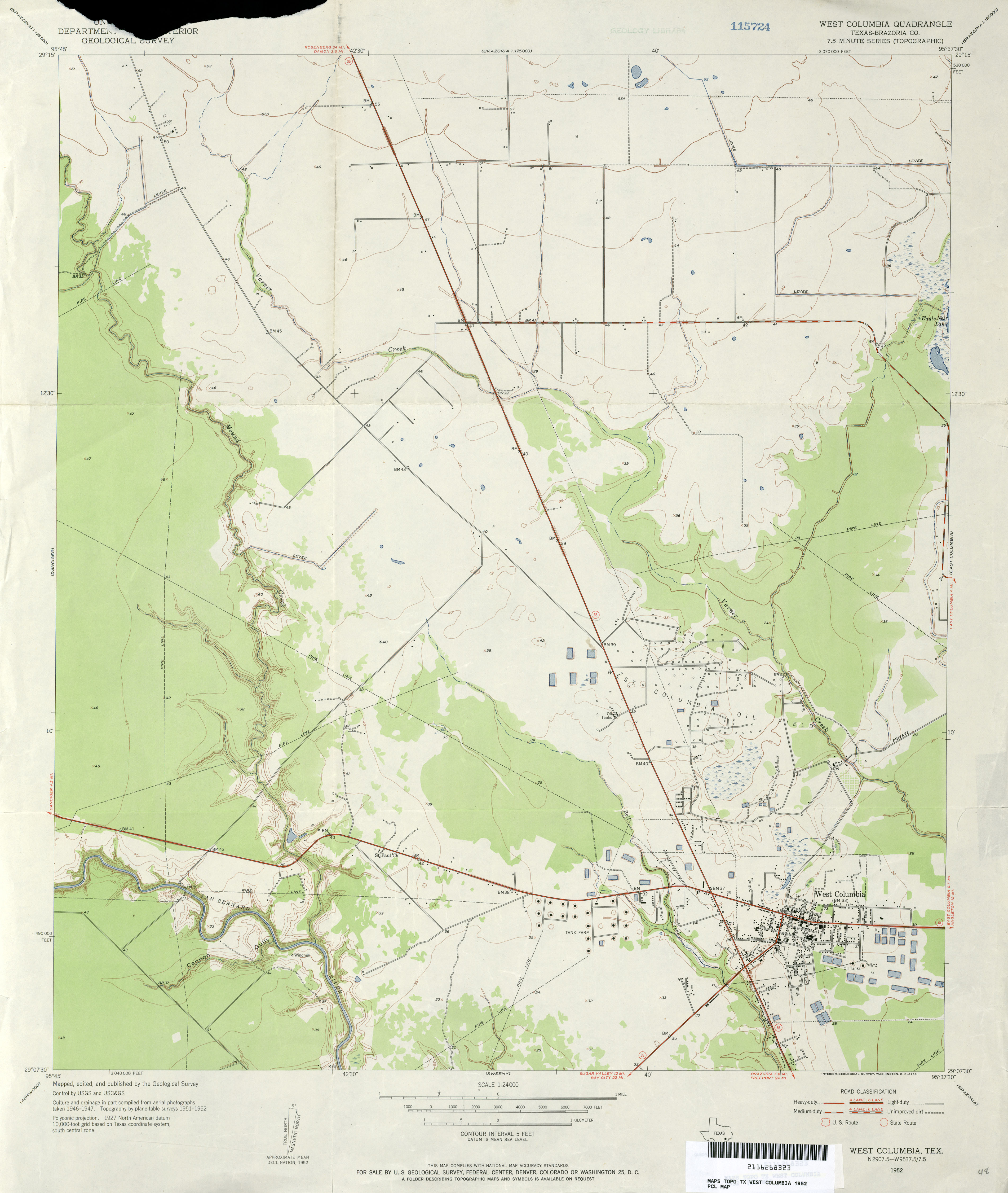
- West Columbia (Brazoria County) 1:24,000 1952 (2.4MB)
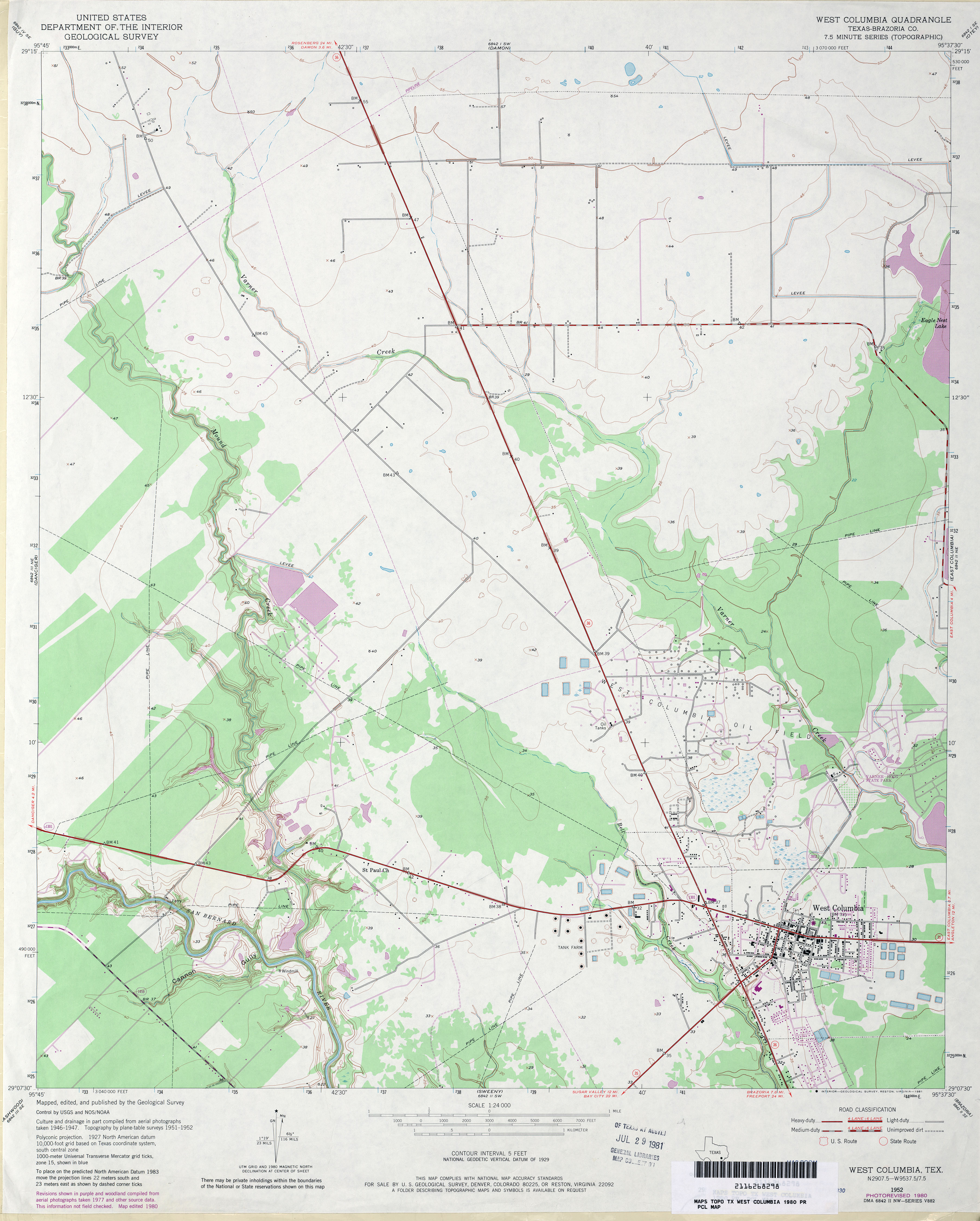
- West Columbia (Brazoria County) 1:24,000 1980 (3MB)
- West Columbia 1:24,000 2009 (16.1MB) [GeoPDF]
- West Columbia 1:24,000 2013 (18.2MB) [GeoPDF]
- West of Brickle (Dallam County) 1:24,000 1964 (2.9MB)
- West of Brickle (Dallam County) 1:24,000 1998 (2.8MB)
- West Of Brickel 1:24,000 2008 (10.8MB) [GeoPDF]
- West of Brickel 1:24,000 2012 (15.4MB) [GeoPDF]
- West of Dick Moore Canyon (Floyd County) 1:24,000 1966 (2.4MB)
- West of Dick Moore Canyon 1:24,000 2008 (9.5MB) [GeoPDF]
- West of Dick Moore Canyon 1:24,000 2012 (13.8MB) [GeoPDF]
- West of Eagle 1:31,680 1943 (1.6 MB) Tennessee Valley Authority
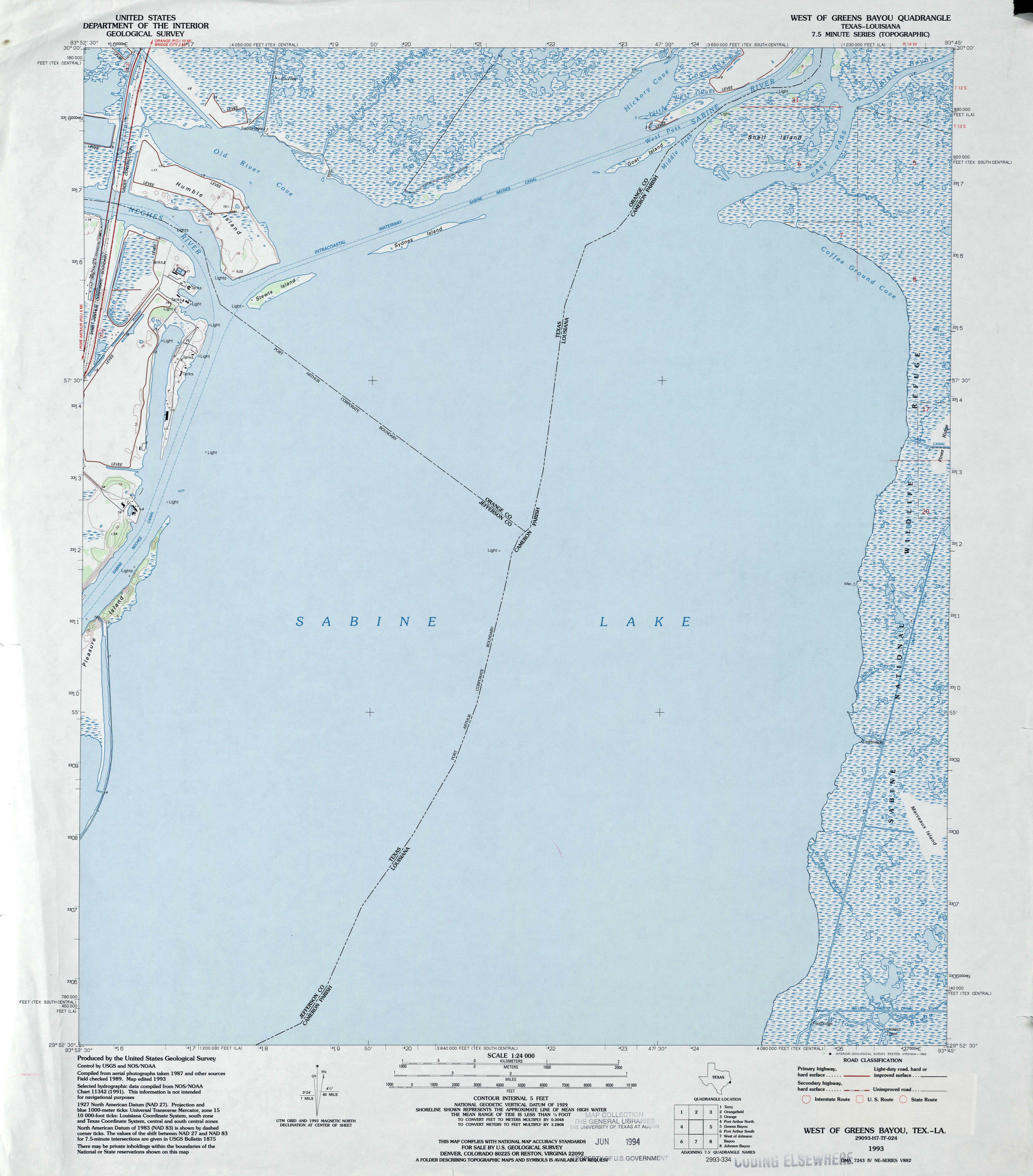
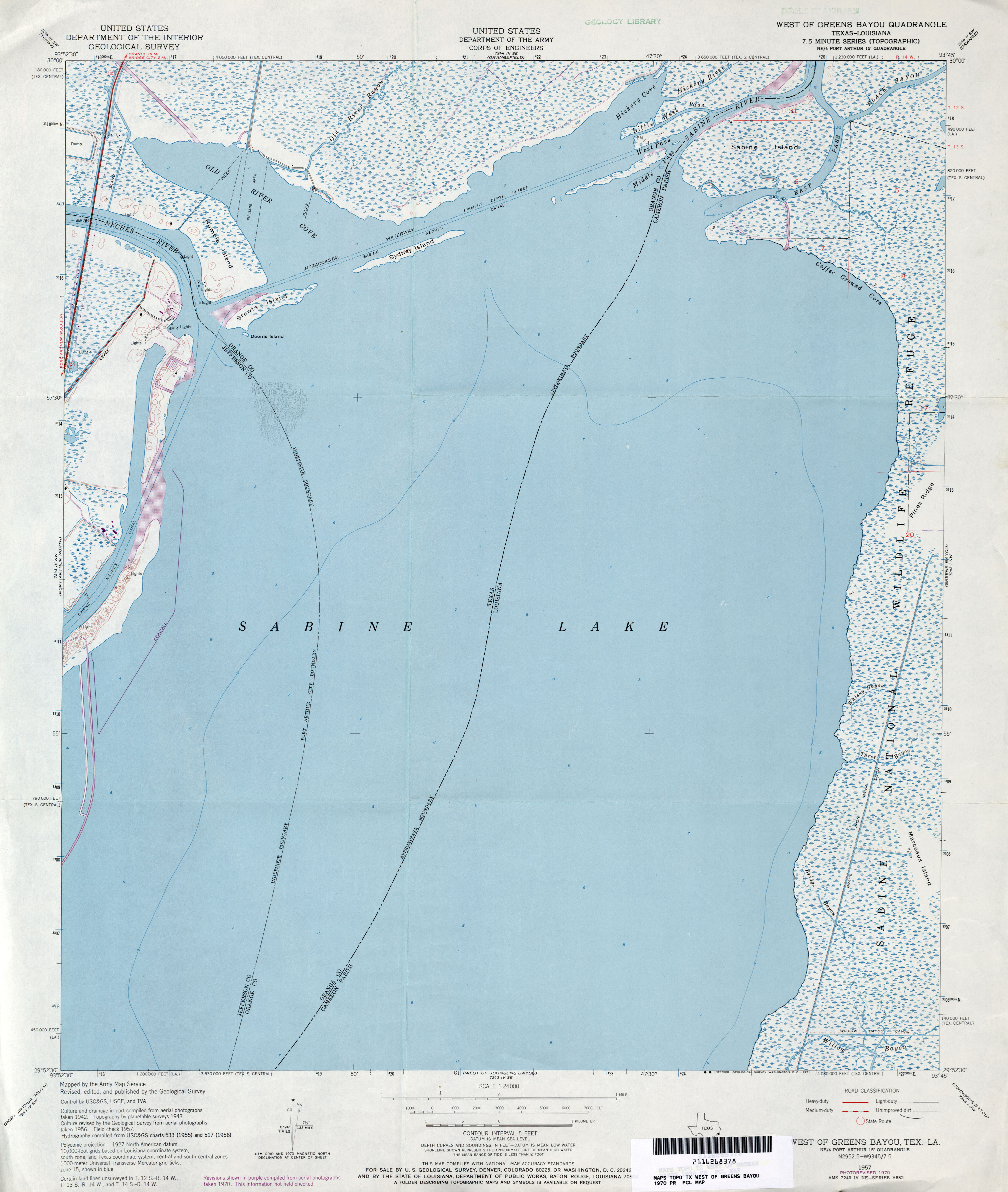
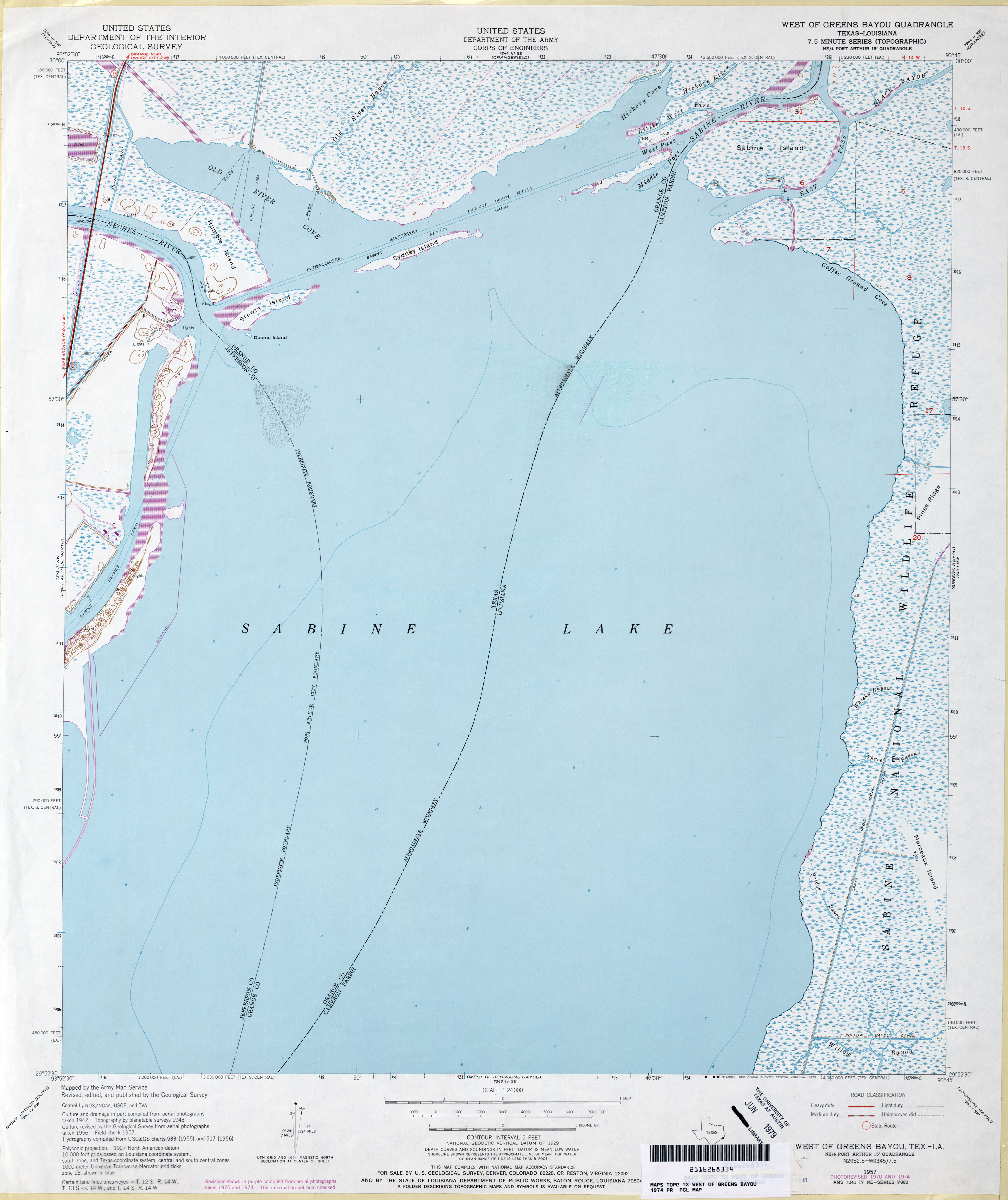
- West of Greens Bayou 1:24,000 1943 (3.3MB)
- West of Greens Bayou 1:24,000 1933 (2.9MB)
- West of Greens Bayou 1:24,000 1943 (3MB) Tennessee Valley Authority
- West of Greens Bayou 1:24,000 1957 (2.7MB) U.S. Department of the Army Corps of Engineers
- West of Greens Bayou 1:24,000 1970 (2.9MB) U.S. Department of the Army Corps of Engineers
- West of Greens Bayou 1:24,000 1974 (2.7MB) U.S. Department of the Army Corps of Engineers
- West of Greens Bayou 1:24,000 2009 (7.3MB) [GeoPDF]
- West of Greens Bayou 1:24,000 2013 (15.1MB) [GeoPDF]
- West of Gruver 1:24,000 1974 (3MB)
- West Of Gruver 1:24,000 2008 (8.2MB) [GeoPDF]
- West of Gruver 1:24,000 2012 (15.9MB) [GeoPDF]
- West of Johnson Bayou 1:24,000 2009 (20.1MB) [GeoPDF]
- West of Johnson Bayou 1:24,000 2012 (17.6MB) [GeoPDF]
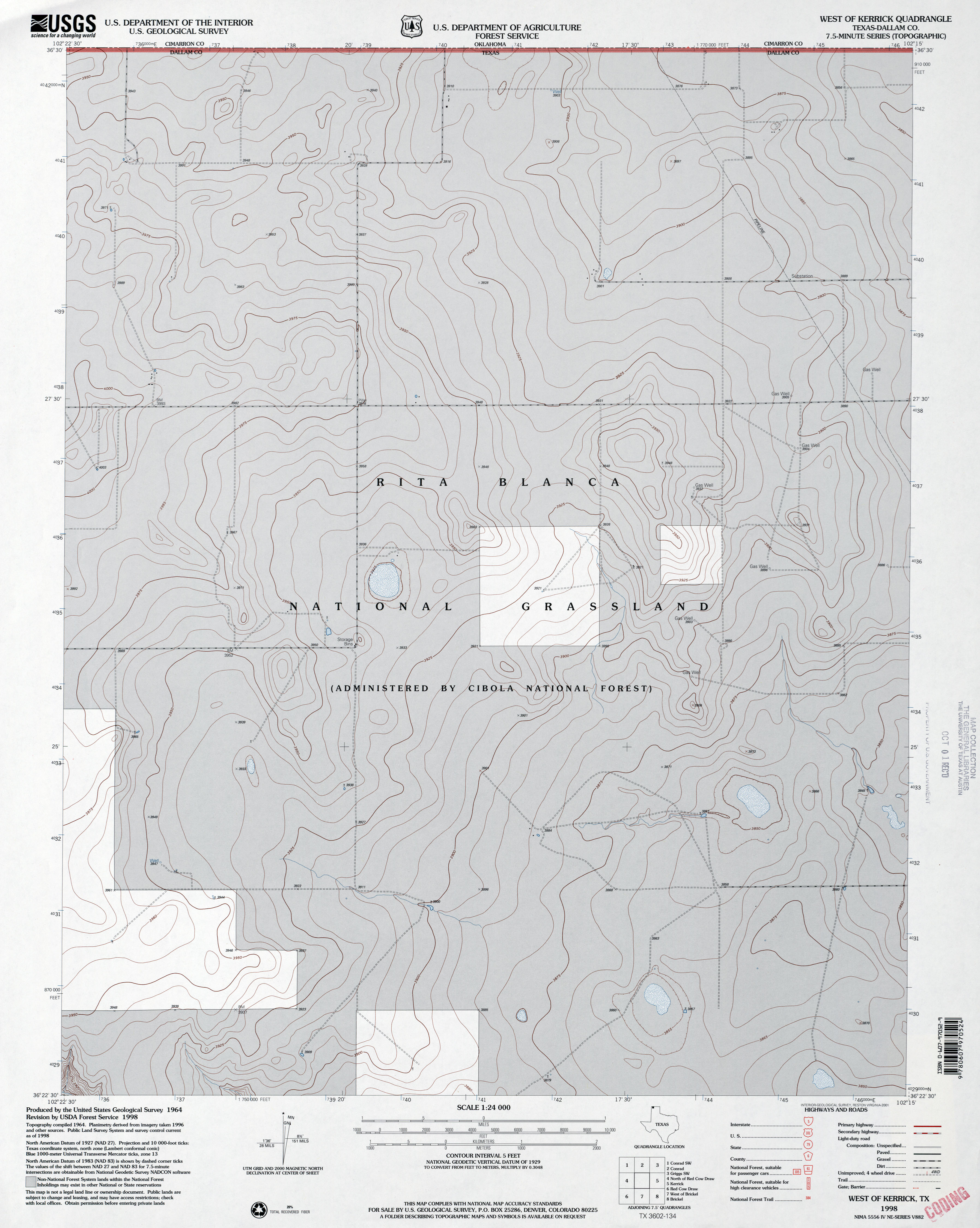
- West of Kerrick (Dallam County) 1:24,000 1964 (2.6MB)
- West of Kerrick (Dallam County) 1:24,000 1998 (2.7MB)
- West of Kerrick 1:24,000 2009 (11.1MB) [GeoPDF]
- West of Kerrick 1:24,000 2012 (15MB) [GeoPDF]
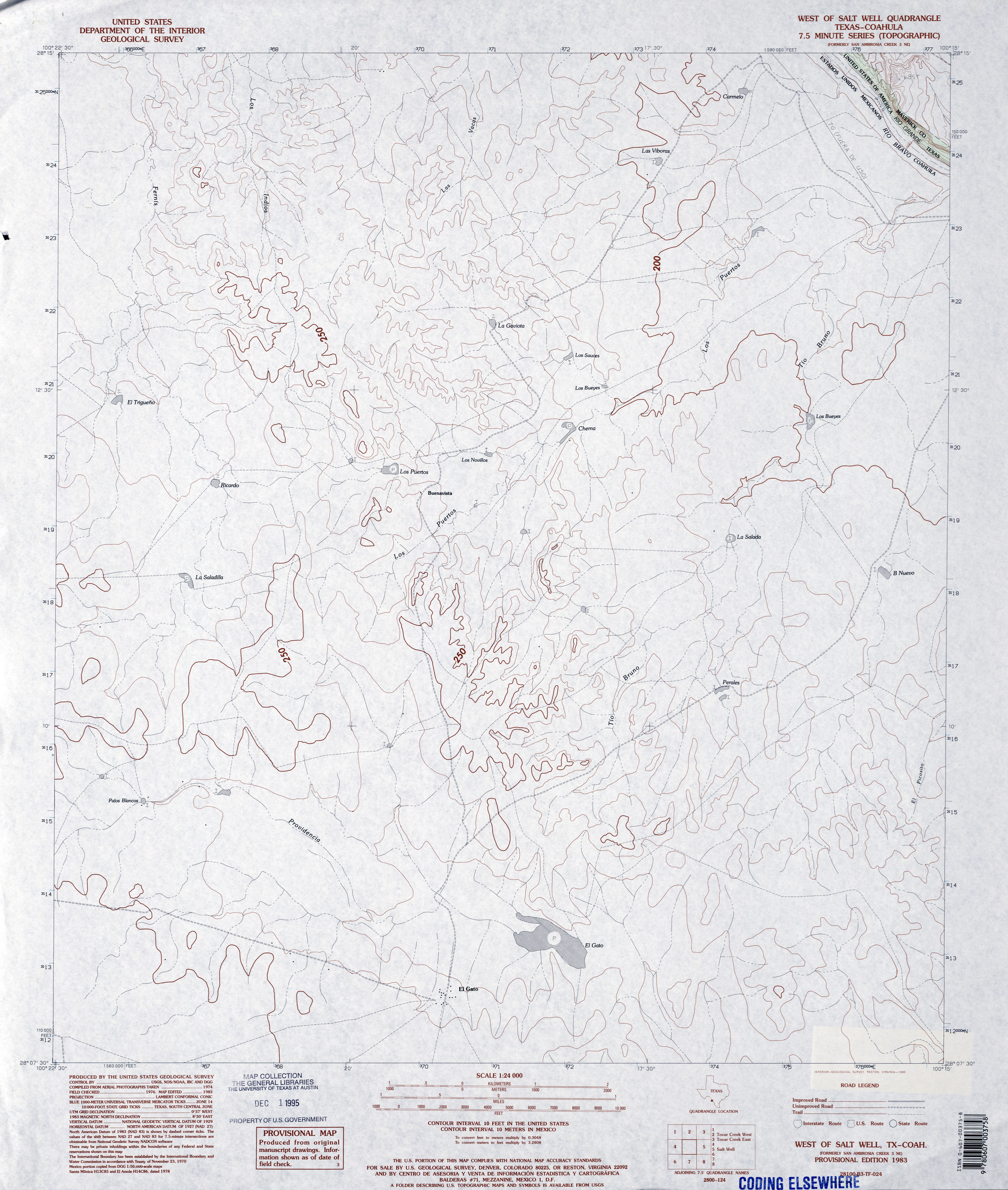
- West of Salt Well 1:24,000 1983 (3MB)
- West of Salt Well 1:24,000 2012 (11.5MB) [GeoPDF]
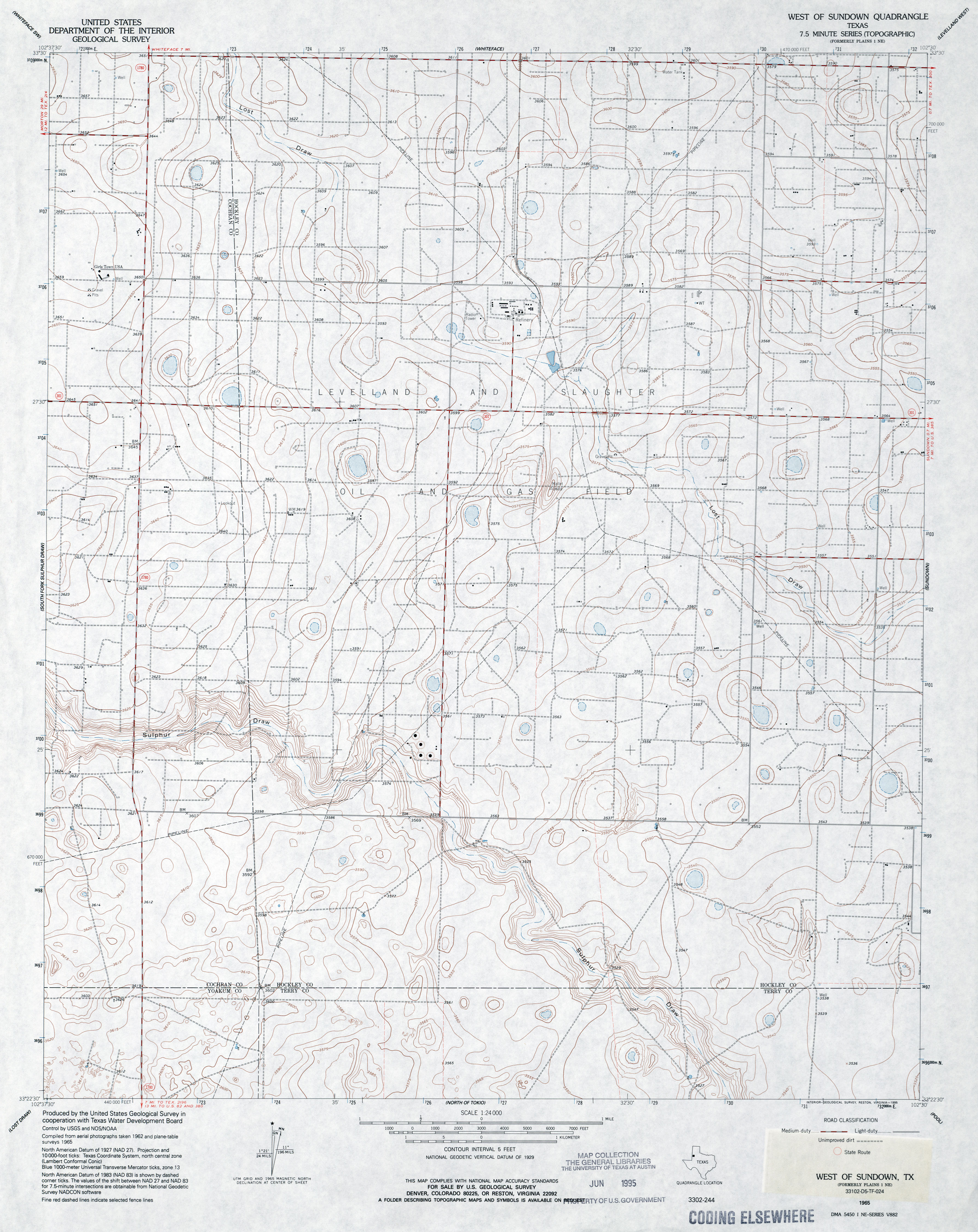
- West of Sundown 1:24,000 1965 (3.2MB)
- West of Sundown 1:24,000 2008 (15.7MB) [GeoPDF]
- West of Sundown 1:24,000 2012 (18.2MB) [GeoPDF]
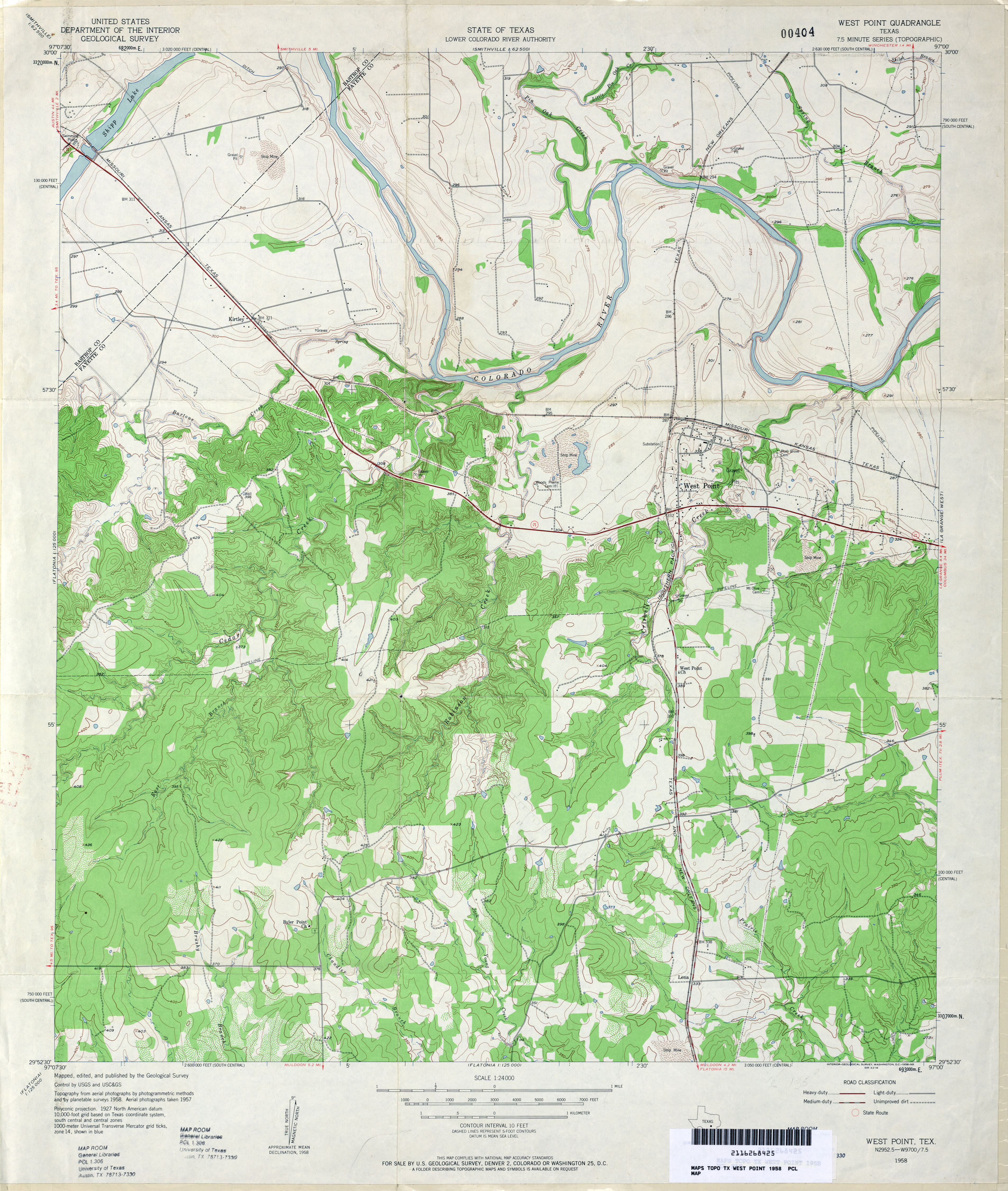
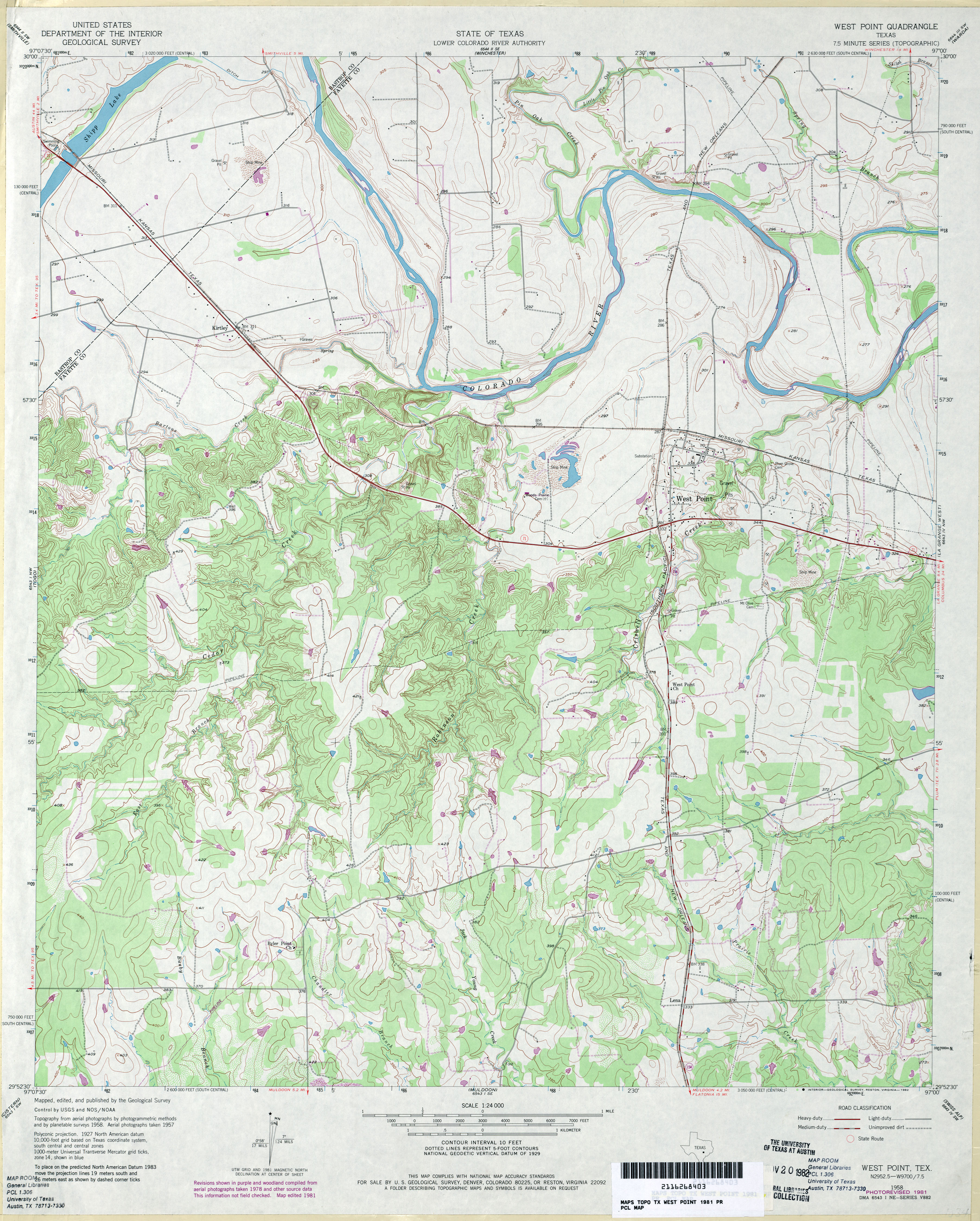
- West Point 1:24,000 1958 (3.9MB)
- West Point 1:24,000 1981 (4MB)
- West Point 1:24,000 2008 (16.6MB) [GeoPDF]
- West Point 1:24,000 2013 (24.9MB) [GeoPDF]
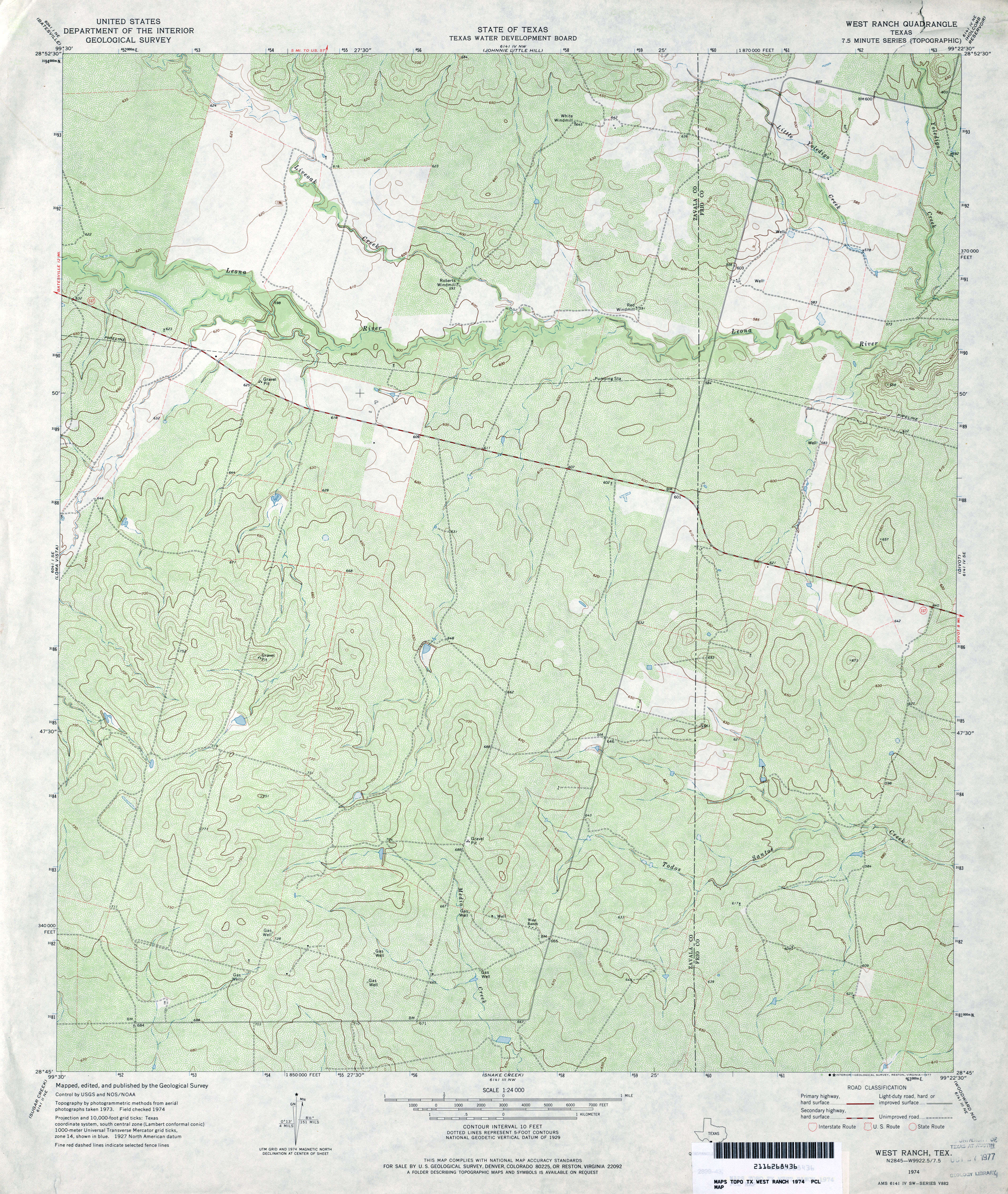
- West Ranch 1:24,000 1974 (4.3MB)
- West Ranch 1:24,000 2008 (18.4MB) [GeoPDF]
- West Ranch 1:24,000 2013 (25.5MB) [GeoPDF]
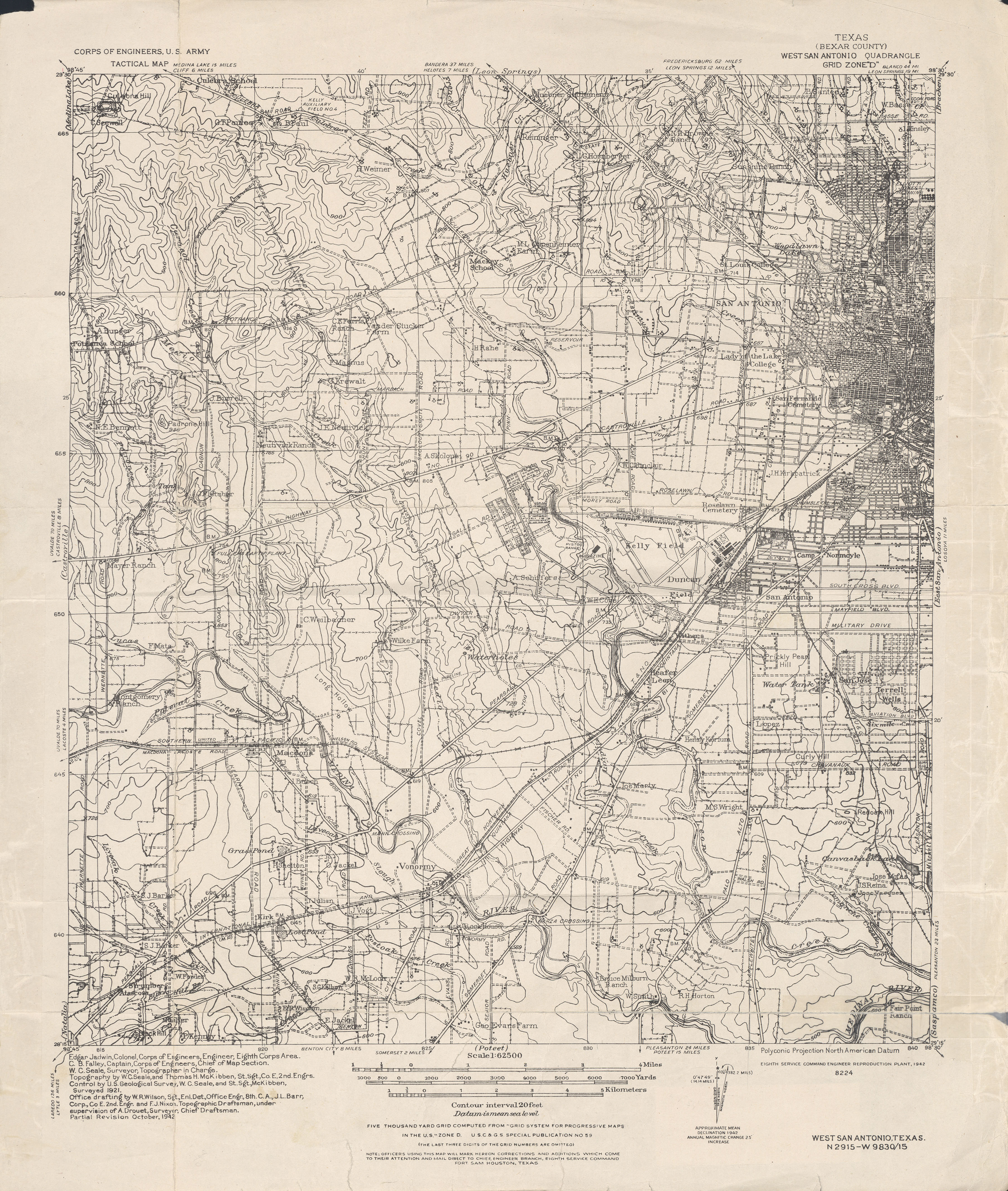
- West San Antonio (Bexar County) 1:62,500 1942 (4.1 MB) U.S. Army. Corps of Engineers. Tactical Map
- West Sinton (San Patricio County) 1:24,000 1979 (2MB)
- West Sinton 1:24,000 2009 (9.7MB) [GeoPDF]
- West Sinton 1:24,000 2013 (14.8MB) [GeoPDF]
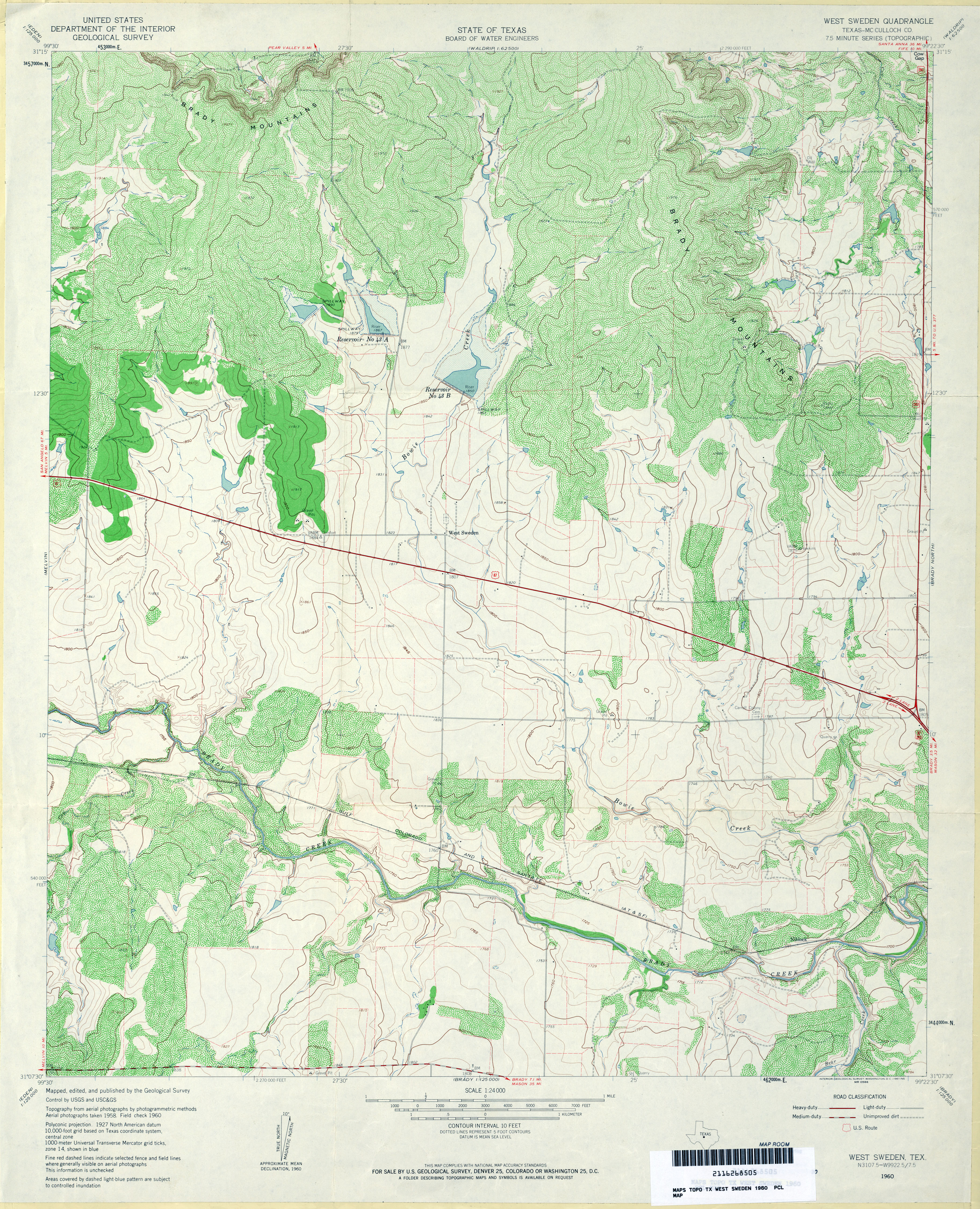
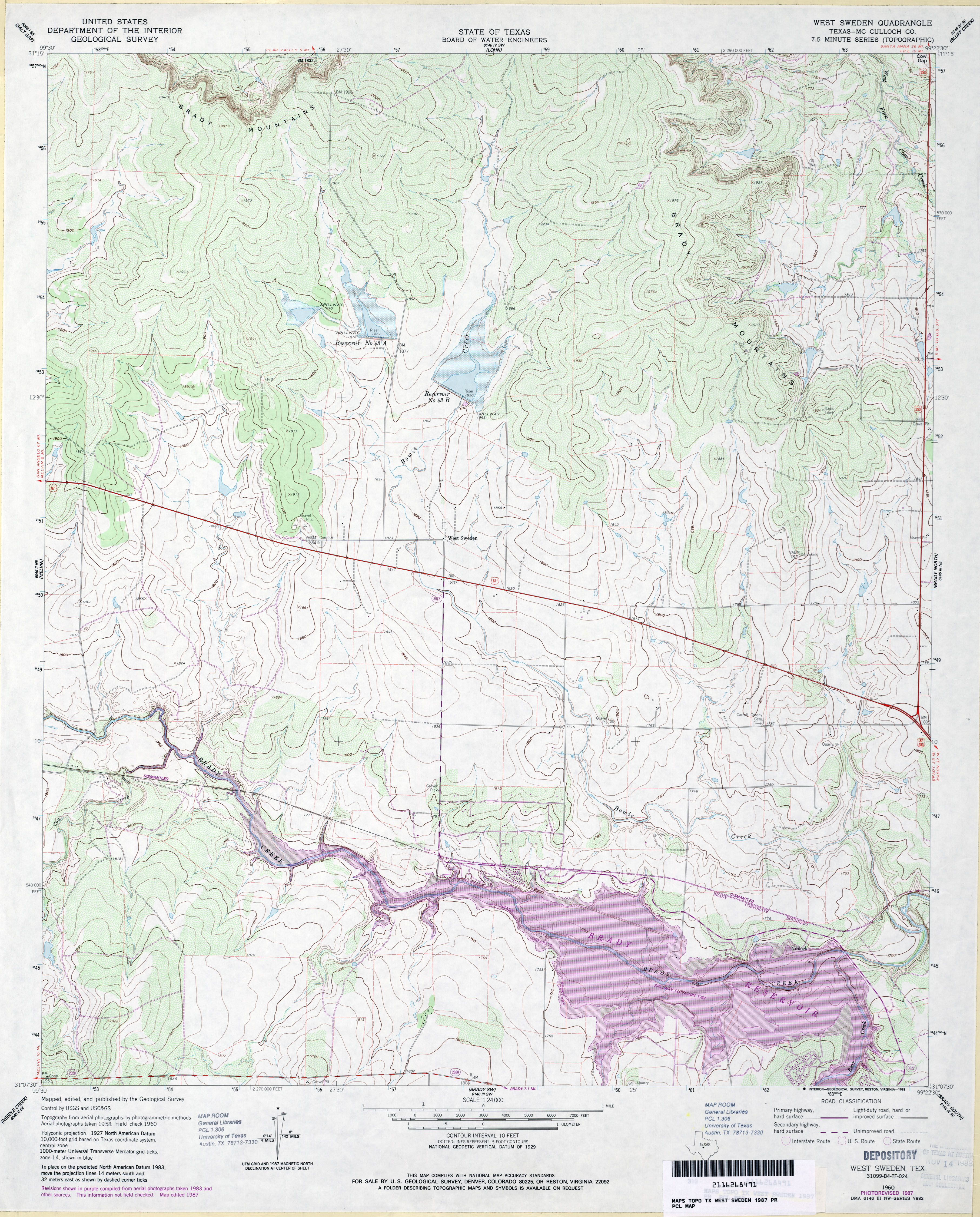
- West Sweden (McCulloch County) 1:24,000 1960 (4.5MB)
- West Sweden (McCulloch County) 1:24,000 1987 (4MB)
- West Sweden 1:24,000 2013 (22.2MB) [GeoPDF]
- West Tawakoni (Hunt County) 1:24,000 1980 (3.1MB)
- West Tawakoni 1:24,000 2012 (19MB) [GeoPDF]
- West Wichita Falls (Wichita County) 1:31,680 1916 (2.9 MB)
- Westbrook (Mitchell County) 1:24,000 1952 (3.9MB)
- Westbrook (Mitchell County) 1:24,000 1978 (3.7MB)
- Westbrook 1:24,000 2008 (13.6MB) [GeoPDF]
- Westbrook 1:24,000 2012 (22.3MB) [GeoPDF]
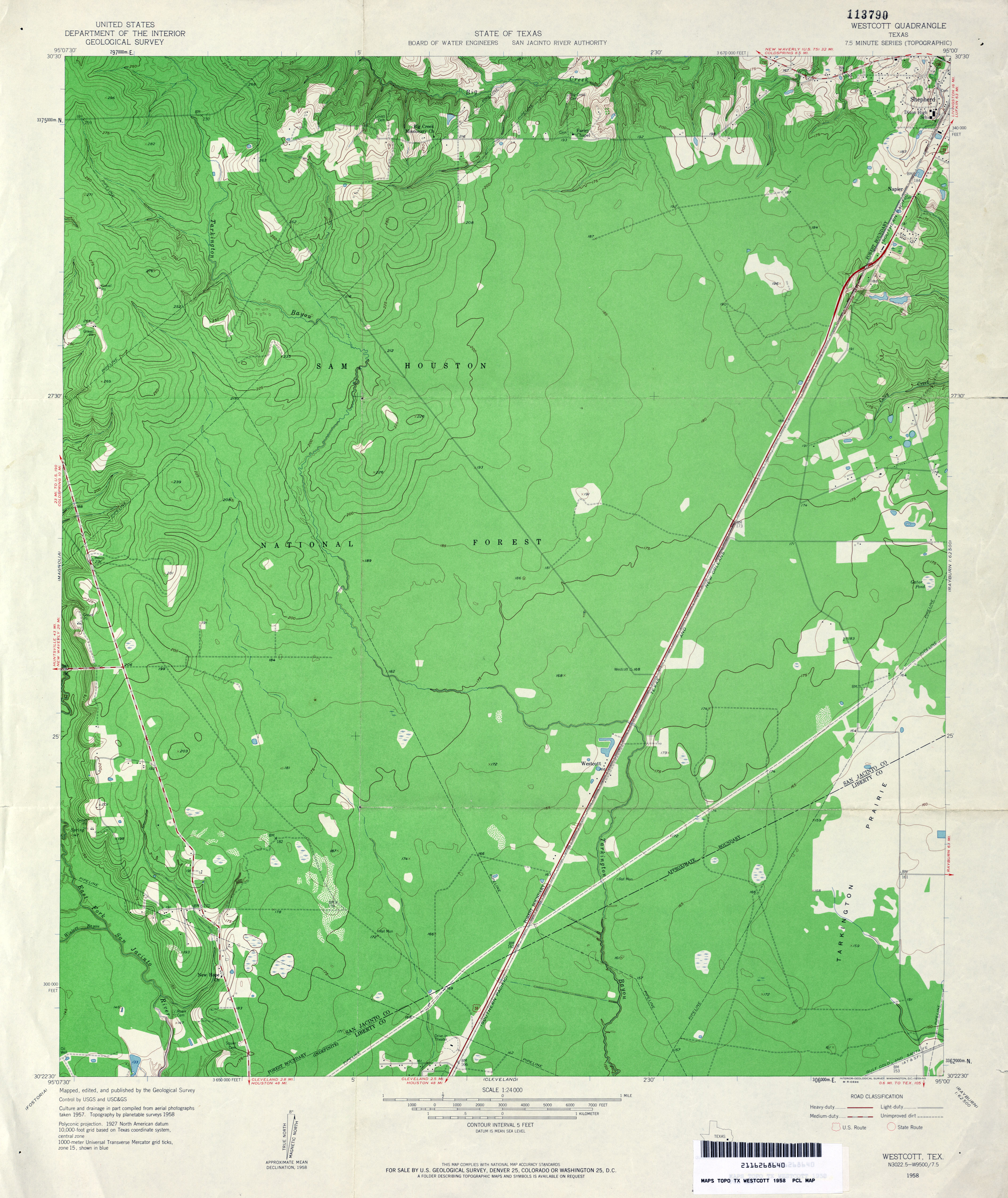
- Westcott 1:24,000 1958 (3.4MB)
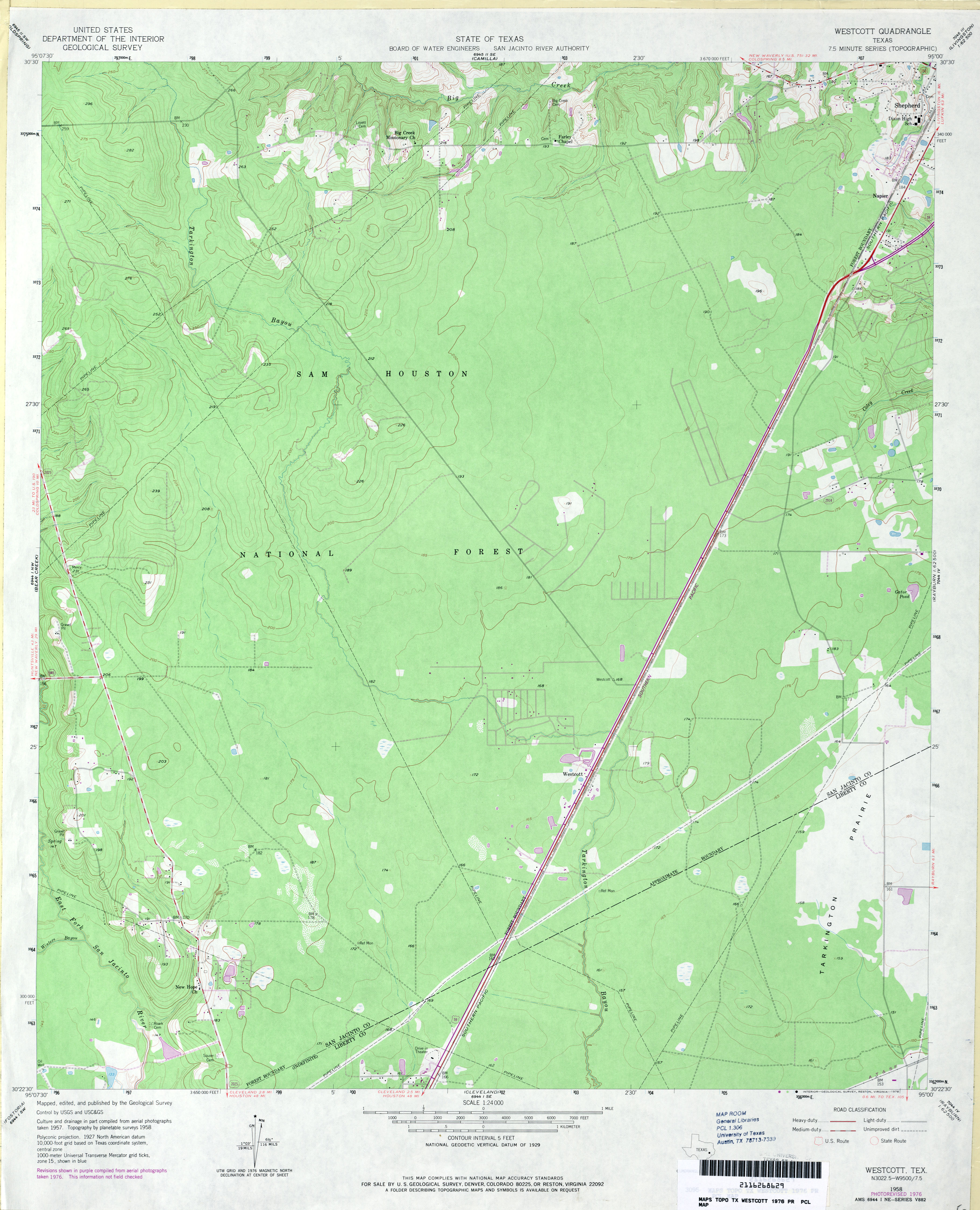
- Westcott 1:24,000 1976 (2.9MB)
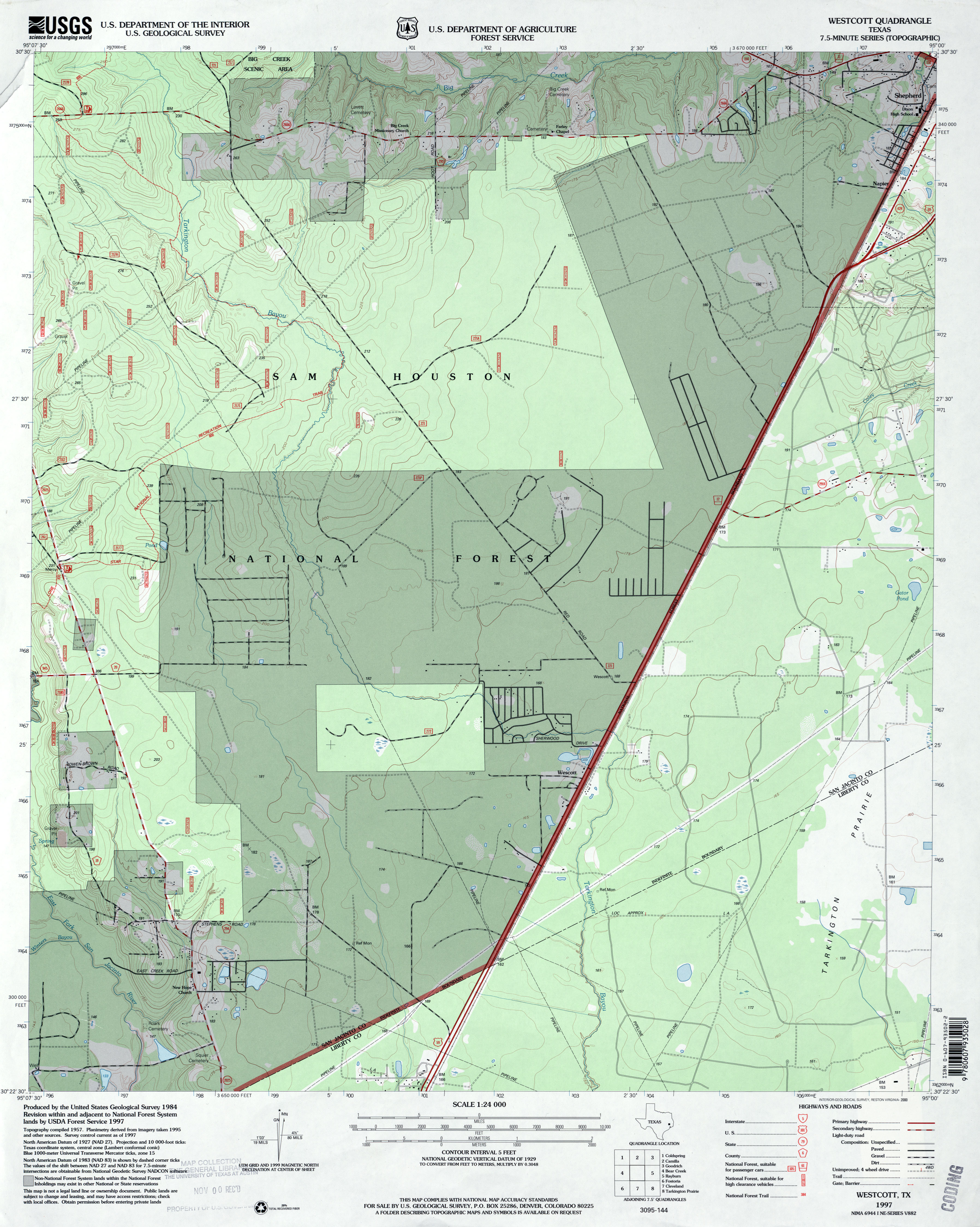
- Westcott 1:24,000 1997 (3MB)
- Westcott 1:24,000 2009 (23.1MB) [GeoPDF]
- Westcott 1:24,000 2013 (23.1MB) [GeoPDF]
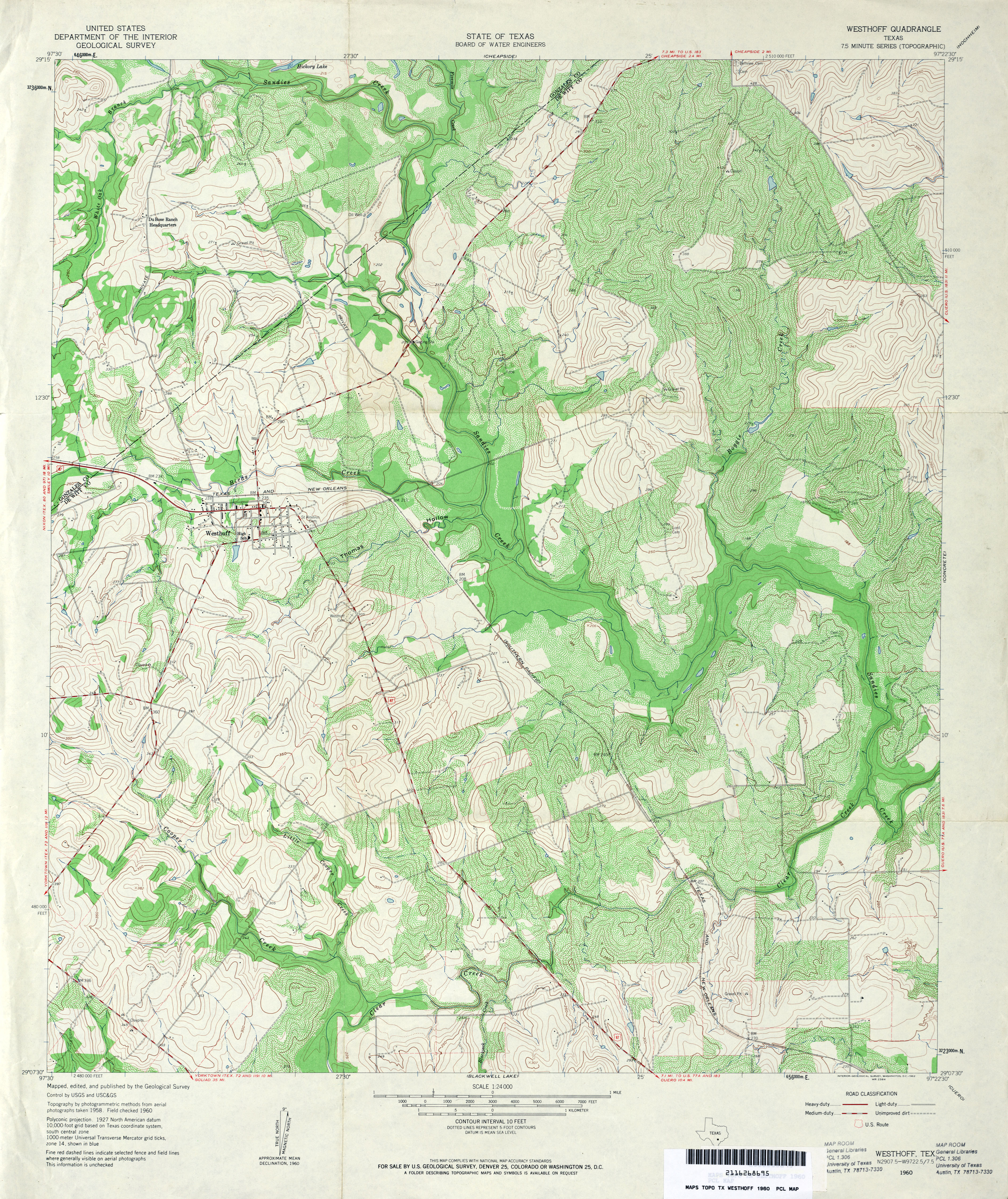
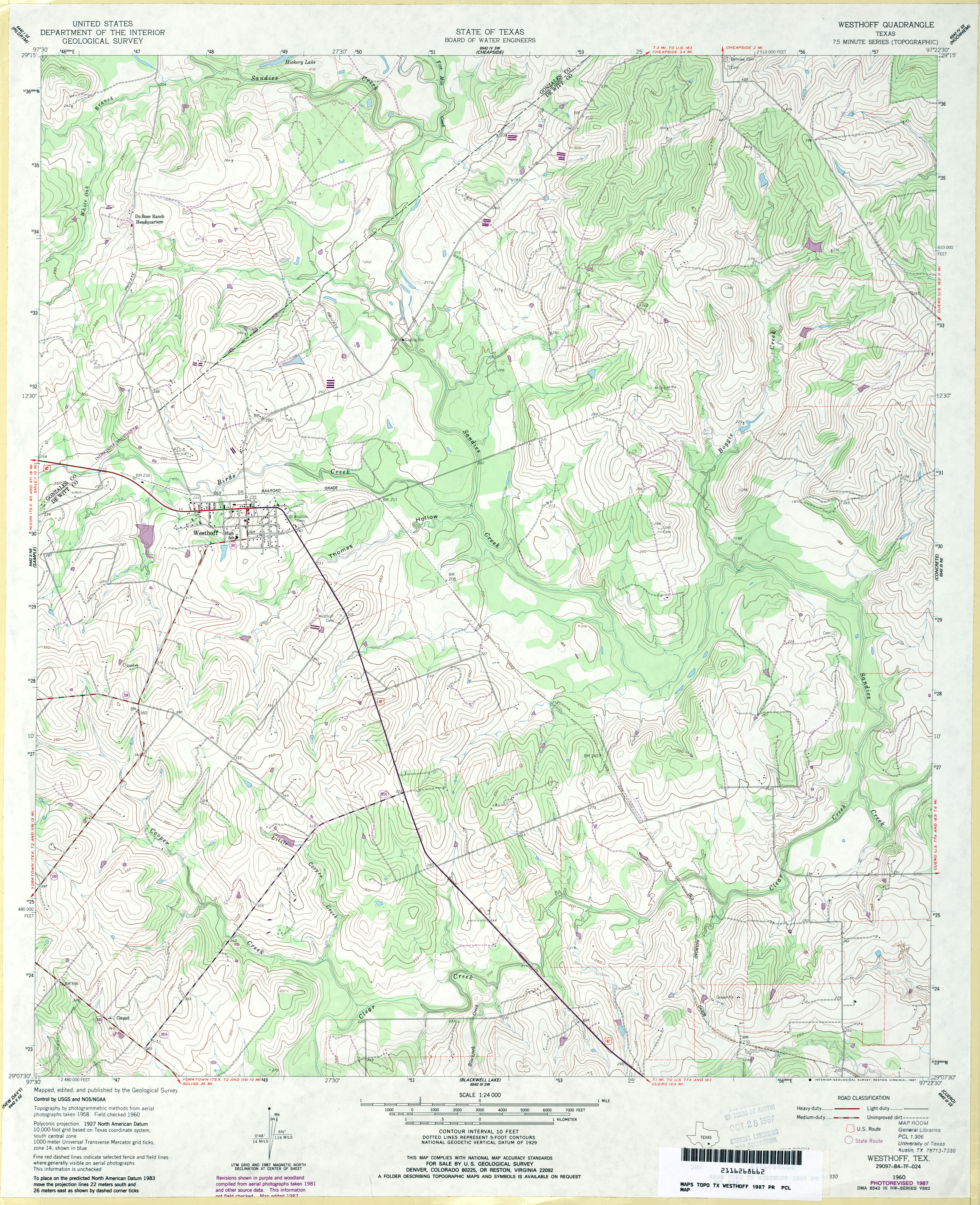
- Westhoff 1:24,000 1960 (4.9MB)
- Westhoff 1:24,000 1987 (4.1MB)
- Westhoff 1:24,000 2008 (13.3MB) [GeoPDF]
- Westhoff 1:24,000 2013 (24.2MB) [GeoPDF]
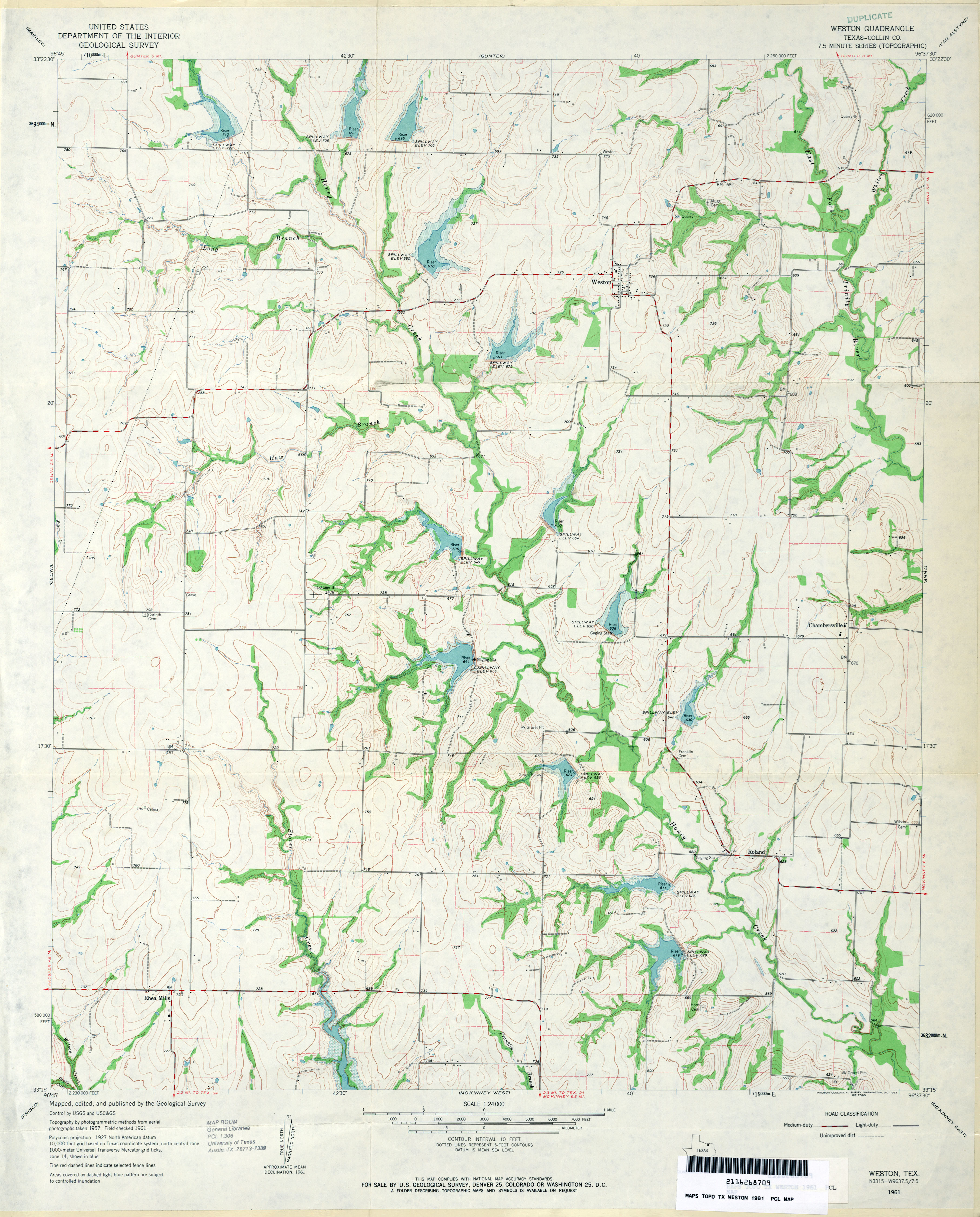
- Weston (Collin County) 1:24,000 1961 (3.2MB)
- Weston 1:24,000 2008 (13.1MB) [GeoPDF]
- Weston 1:24,000 2013 (17.8MB) [GeoPDF]
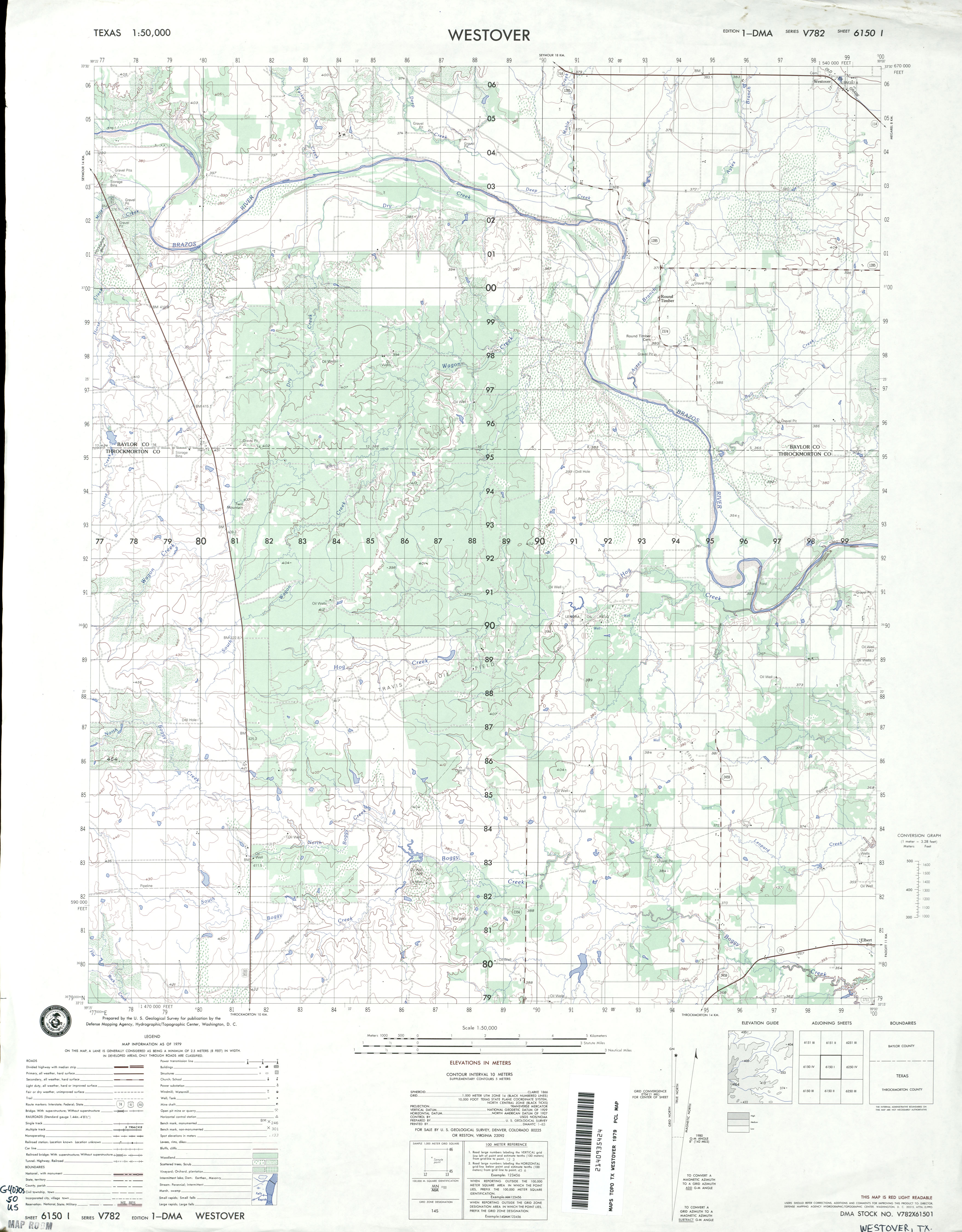
- Westover 1:24,000 1966 (2.8MB)
- Westover 1:50,000 1979 (2.7MB) U.S. Defense Mapping Agency, Edition 1-DMA, Series V782
- Westover 1:24,000 1981 (3.1MB)
- Westover 1:24,000 2008 (11.9MB) [GeoPDF]
- Westover 1:24,000 2013 (18.4MB) [GeoPDF]
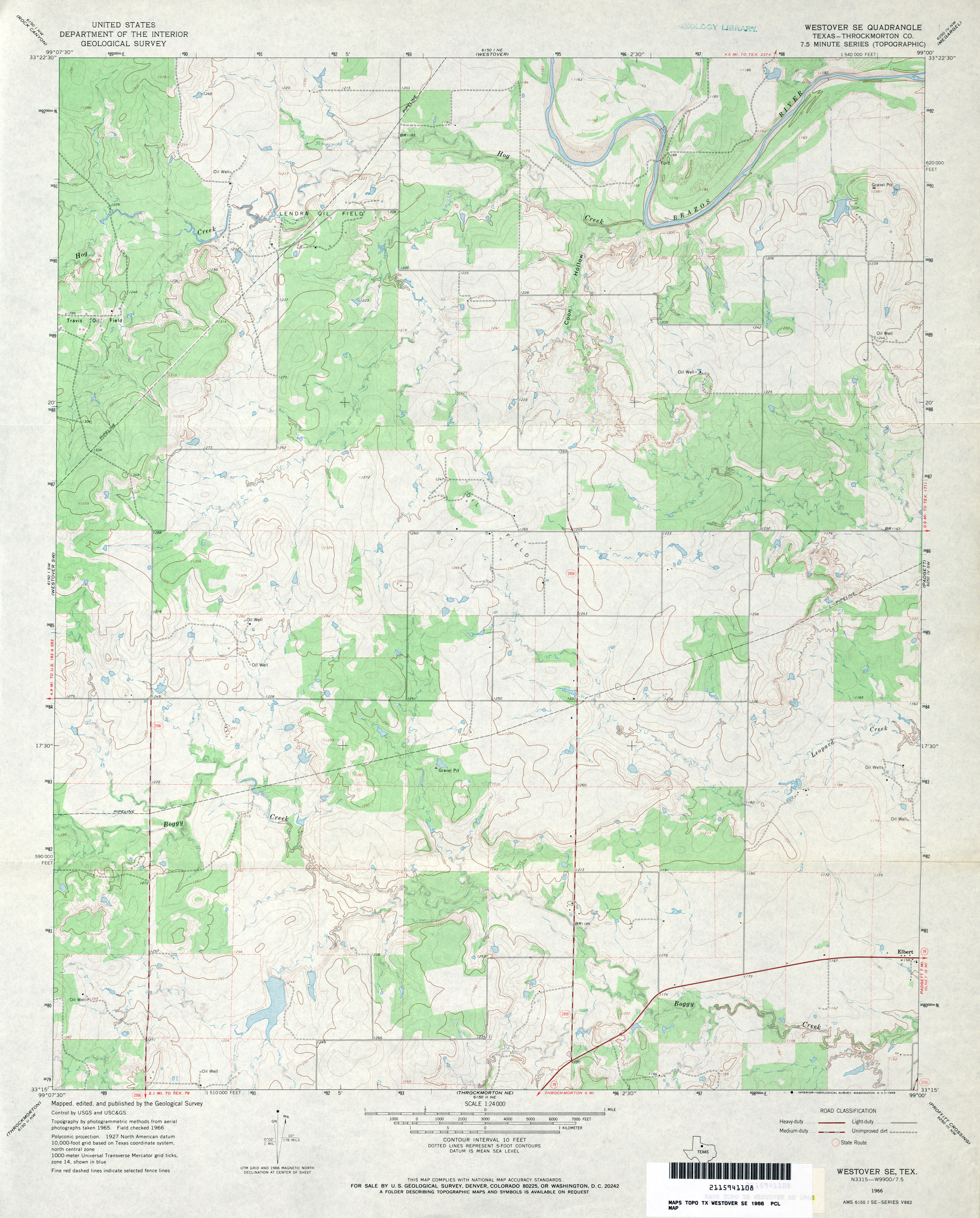
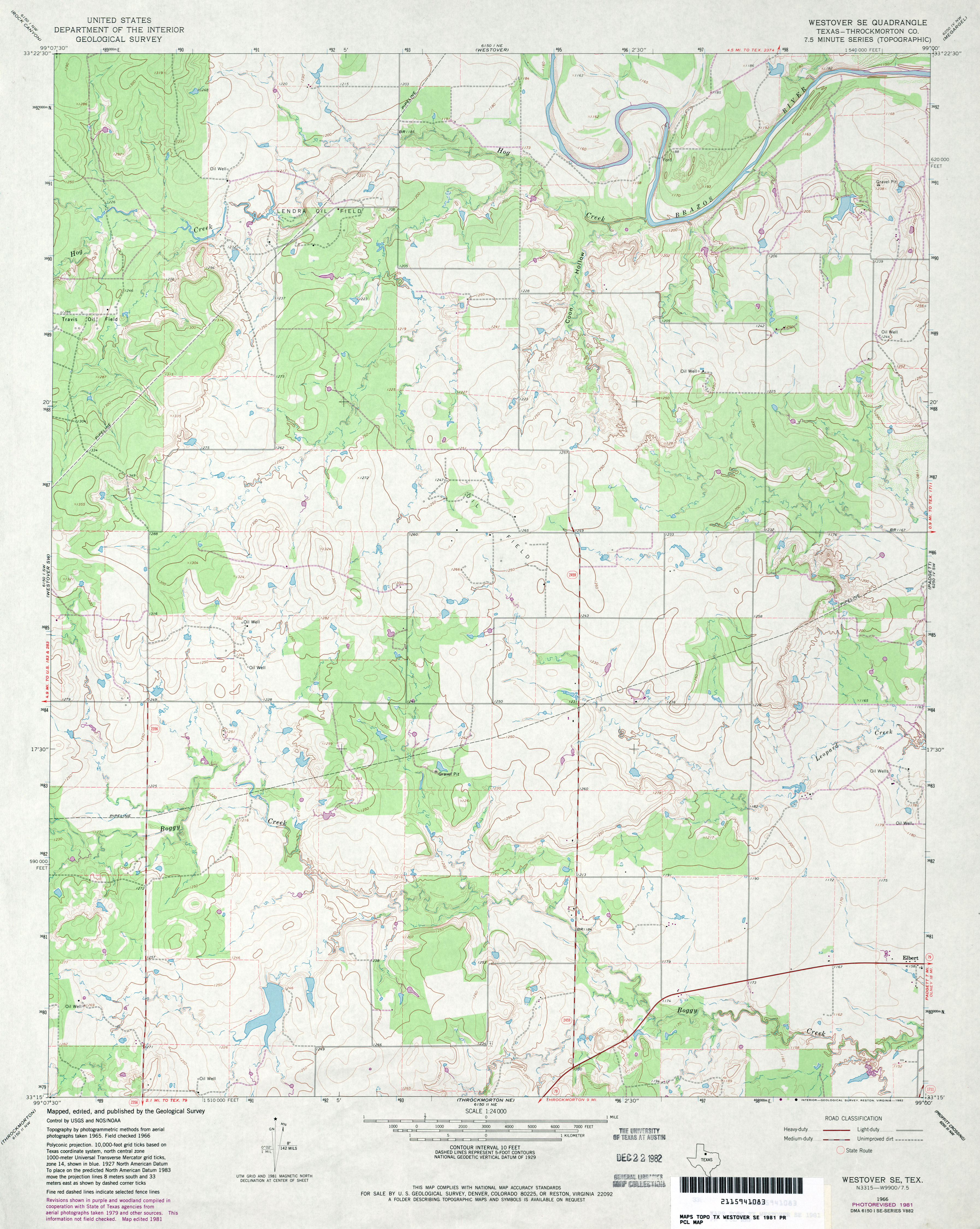
- Westover SE (Throckmorton County) 1:24,000 1966 (3.2MB)
- Westover SE (Throckmorton County) 1:24,000 1981 (3.3MB)
- Westover SE 1:24,000 2008 (12.9MB) [GeoPDF]
- Westover SE 1:24,000 2013 (19.6MB) [GeoPDF]
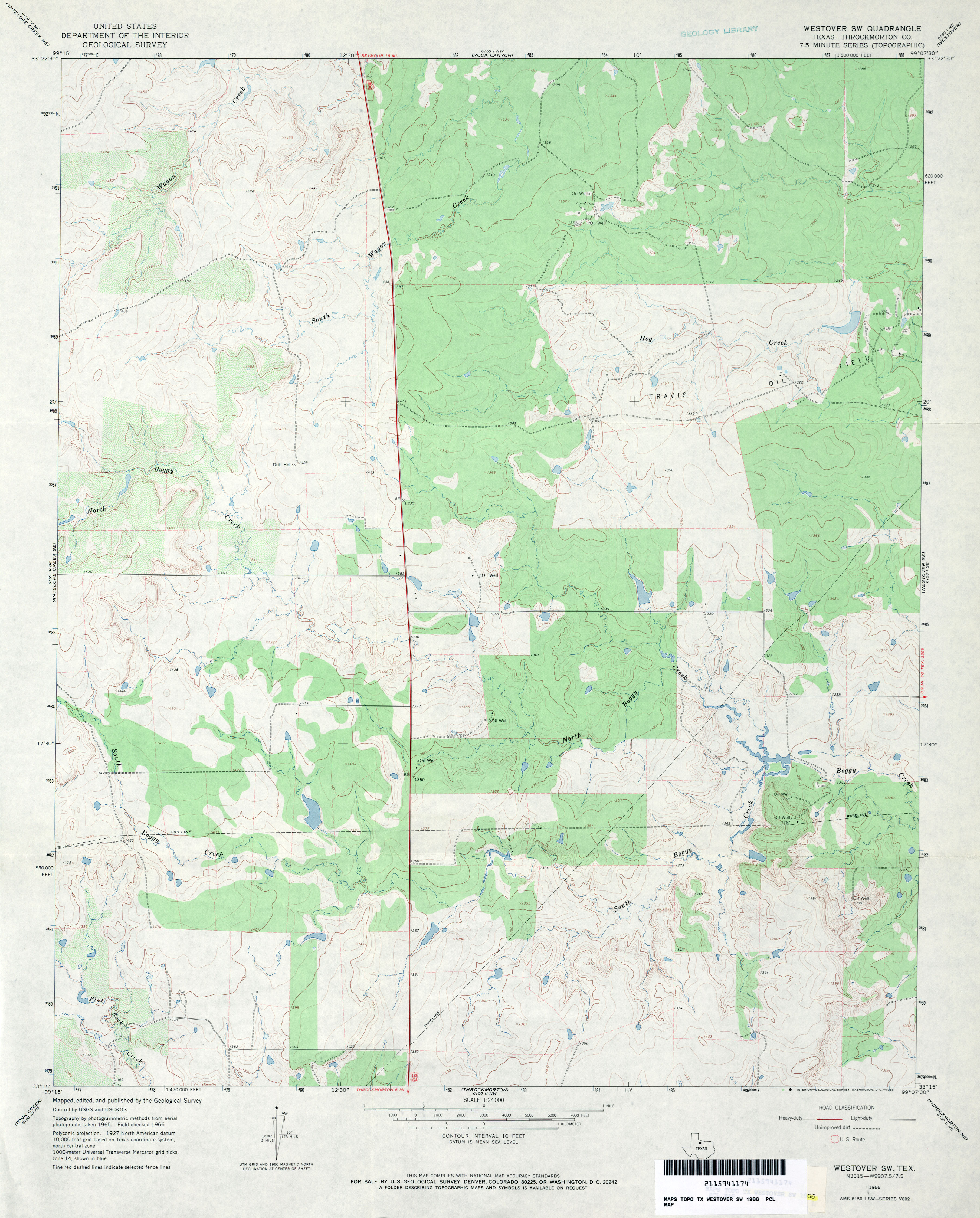
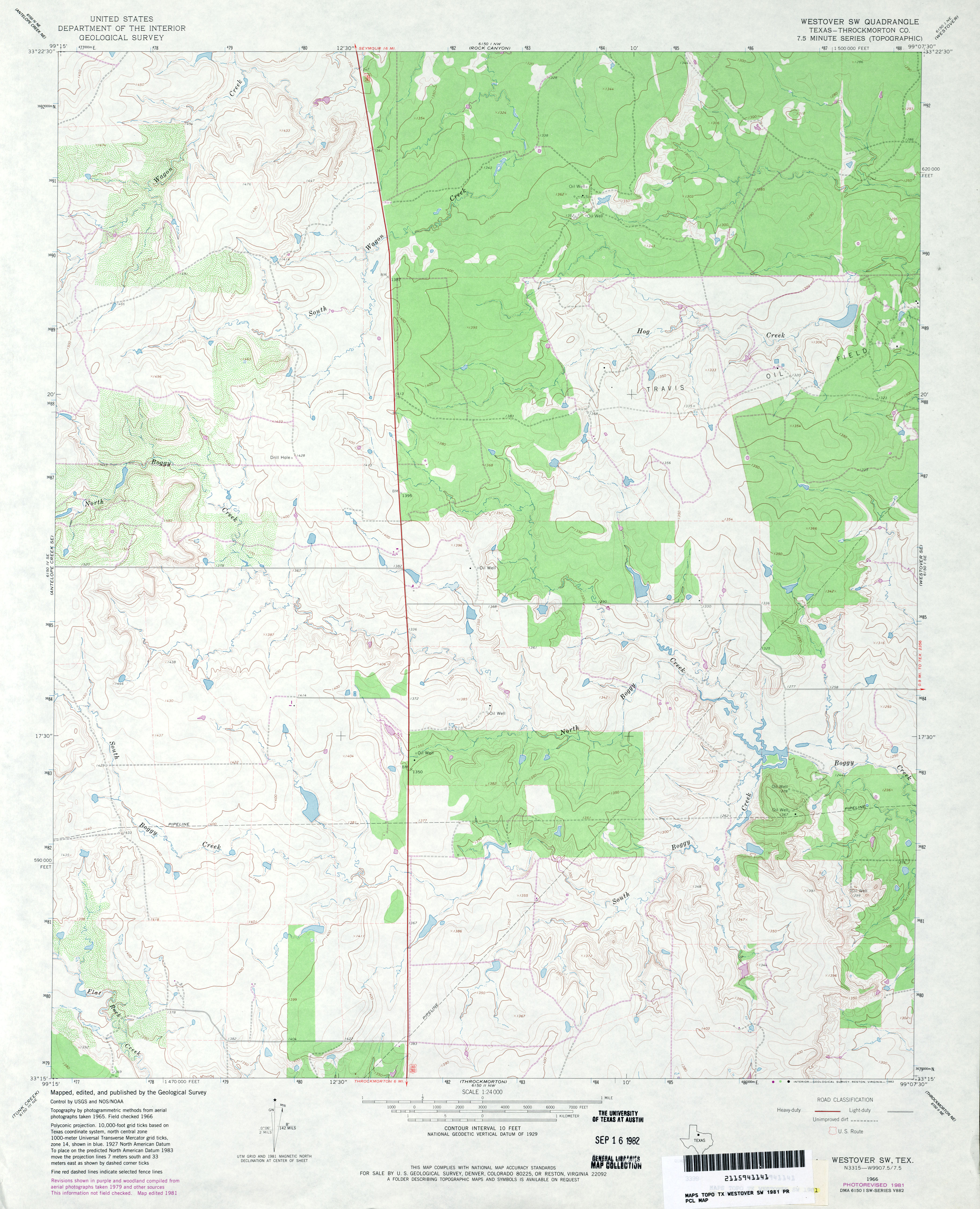
- Westover SW (Throckmorton County) 1:24,000 1966 (3.1MB)
- Westover SW (Throckmorton County) 1:24,000 1981 (3.2MB)
- Westover SW 1:24,000 2008 (14.1MB) [GeoPDF]
- Westover SW 1:24,000 2012 (19.7MB) [GeoPDF]
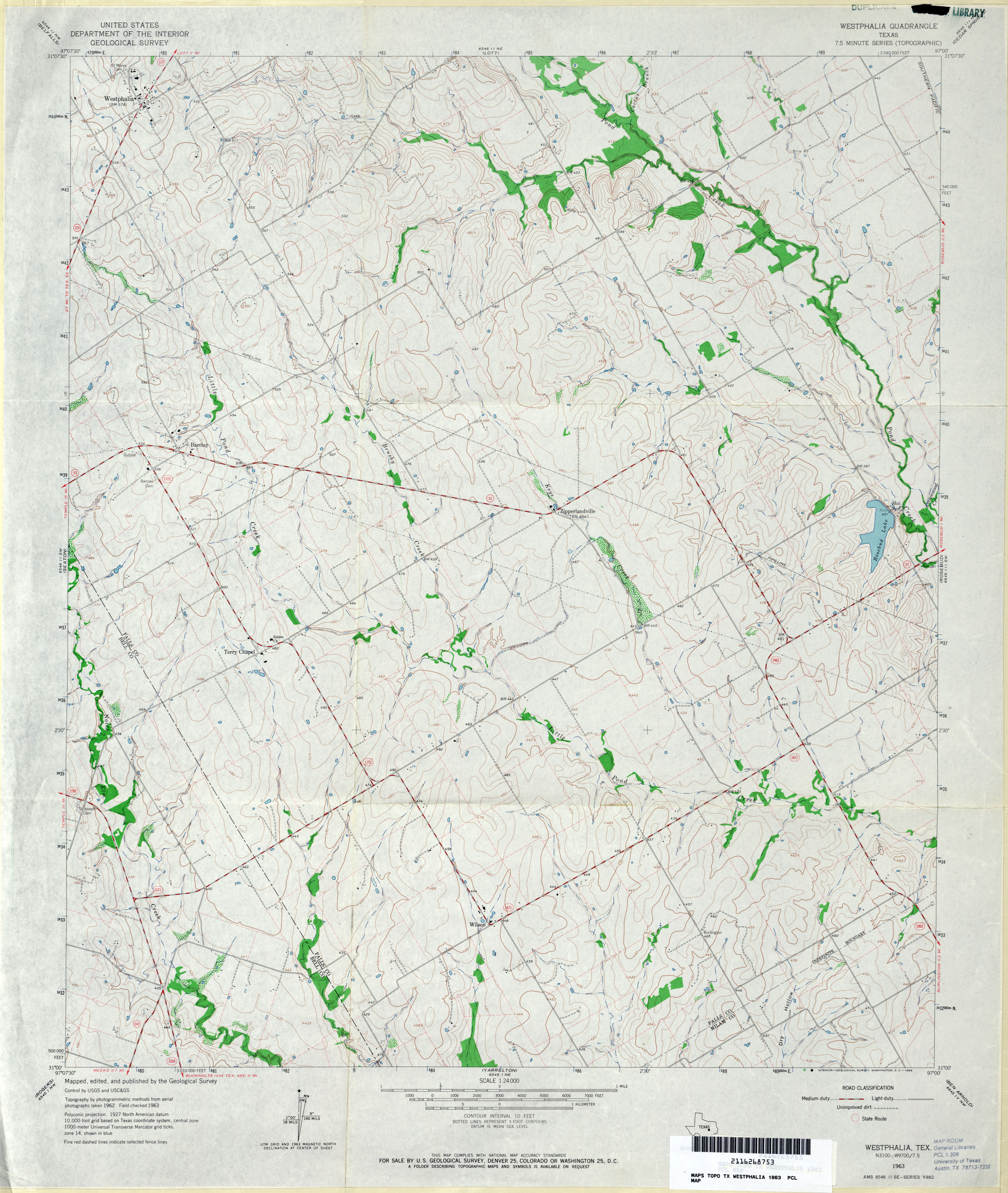
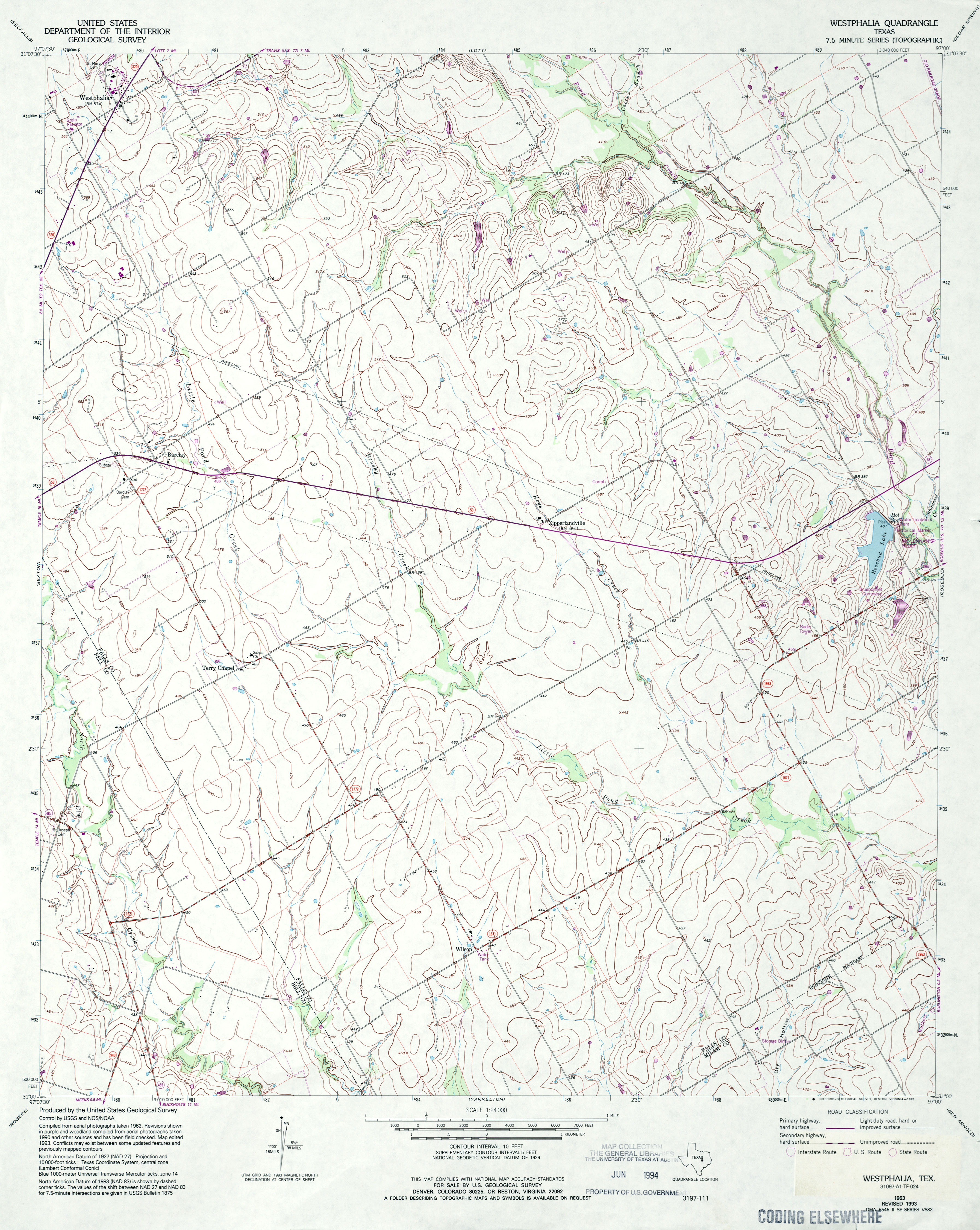
- Westphalia 1:24,000 1963 (3.4MB)
- Westphalia 1:24,000 1993 (3.6MB)
- Westphalia 1:24,000 2008 (10.9MB) [GeoPDF]
- Westphalia 1:24,000 2012 (17.3MB) [GeoPDF]
- Westway (Deaf Smith County) 1:24,000 1971 (1.8MB)
- Westway 1:24,000 2008 (9.3MB) [GeoPDF]
- Westway 1:24,000 2012 (12.9MB) [GeoPDF]
- Westway NE (Deaf Smith County) 1:24,000 1971 (2.4MB)
- Westway NE 1:24,000 2008 (8.3MB) [GeoPDF]
- Westway NE 1:24,000 2012 (12.8MB) [GeoPDF]
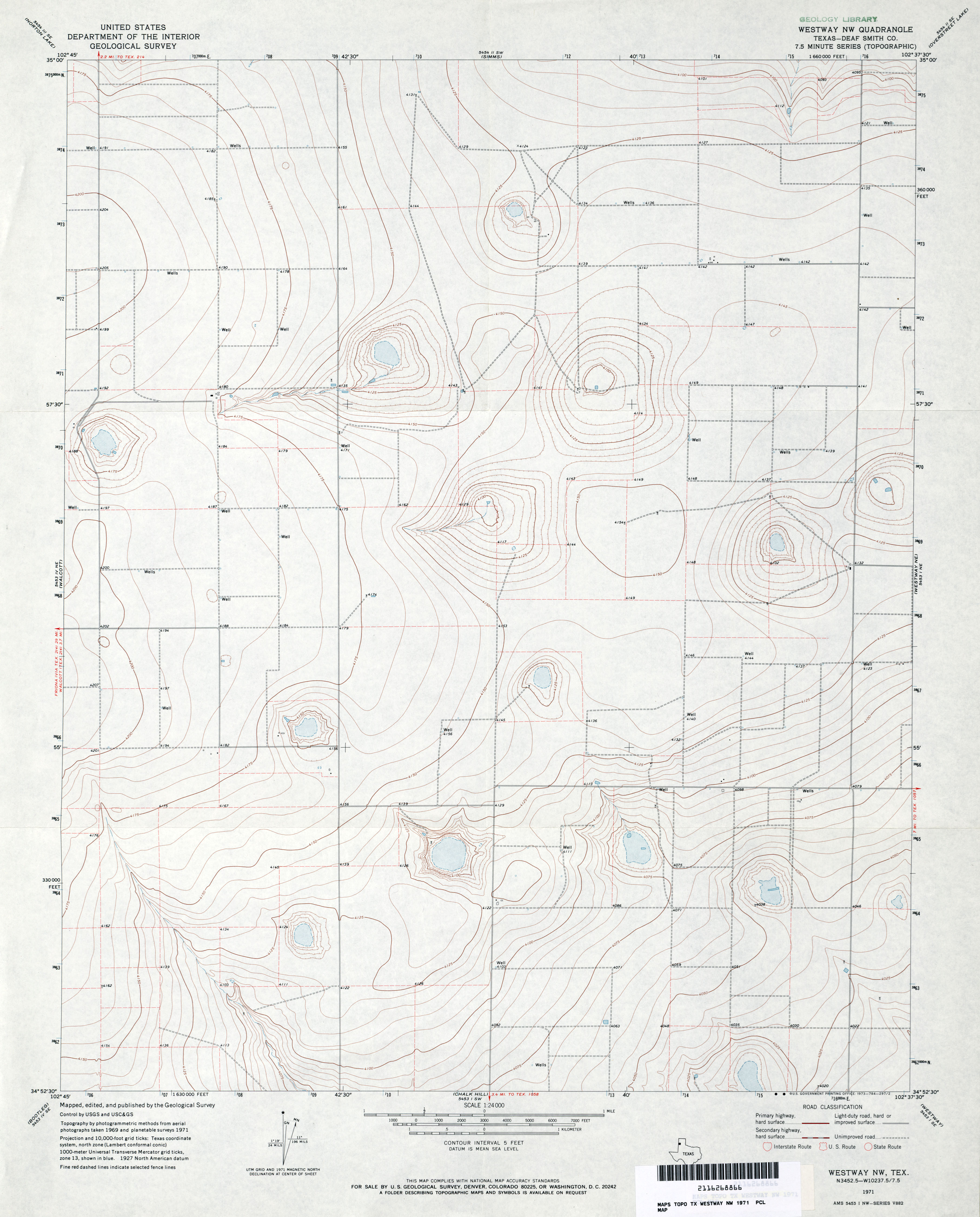
- Westway NW (Deaf Smith County) 1:24,000 1971 (2.5MB)
- Westway NW 1:24,000 2008 (7.1MB) [GeoPDF]
- Westway NW 1:24,000 2012 (12.2MB) [GeoPDF]
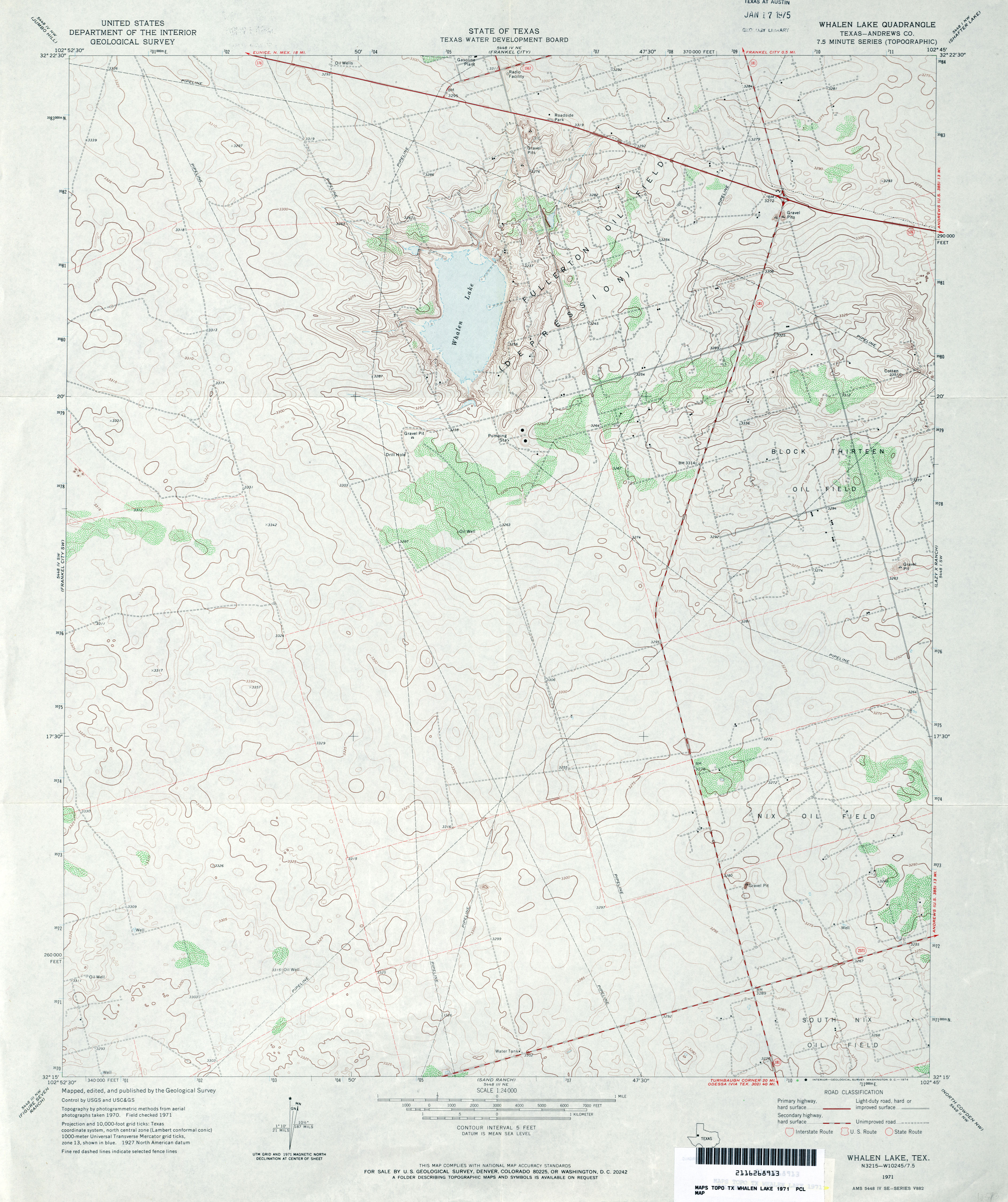
- Whalen Lake (Andrews County) 1:24,000 1971 (3.2MB)
- Whalen Lake 1:24,000 2008 (15.0MB) [GeoPDF]
- Whalen Lake 1:24,000 2012 (18.8MB) [GeoPDF]
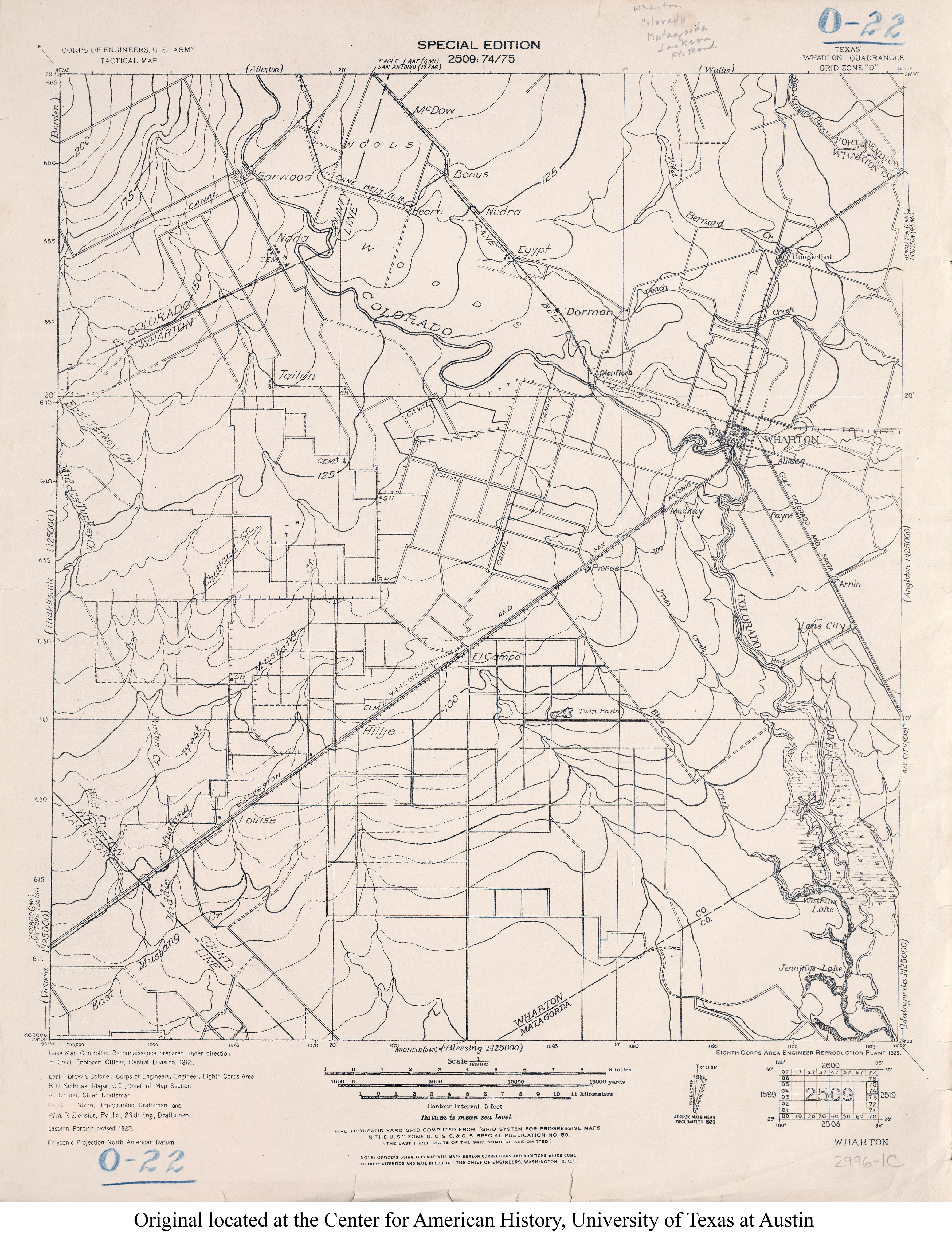
- Wharton 1:125,000 1929 (3.3MB) U.S. Army. Corps of Engineers. Tactical Map
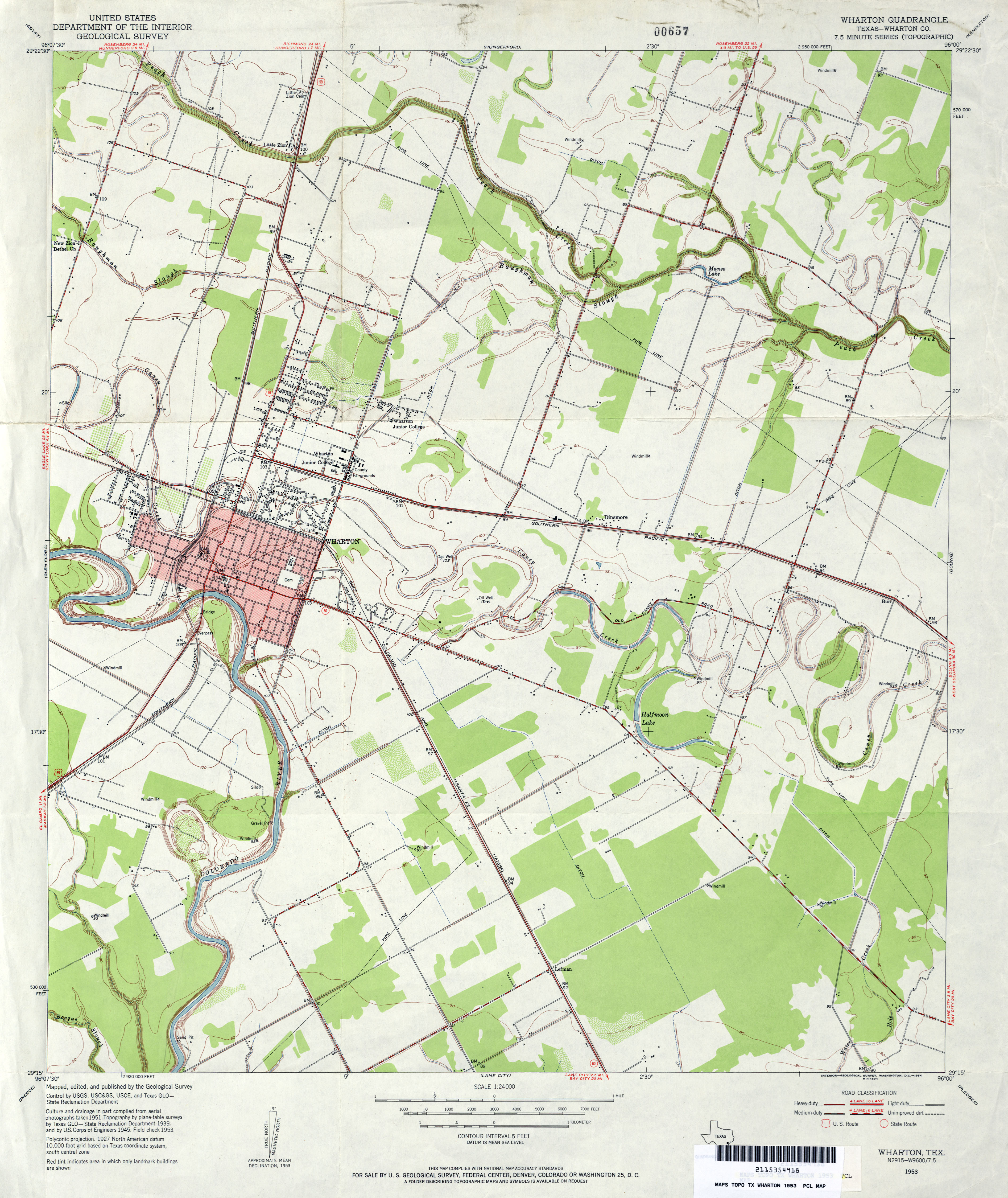
- Wharton (Wharton County) 1:24,000 1953 (3.2MB)
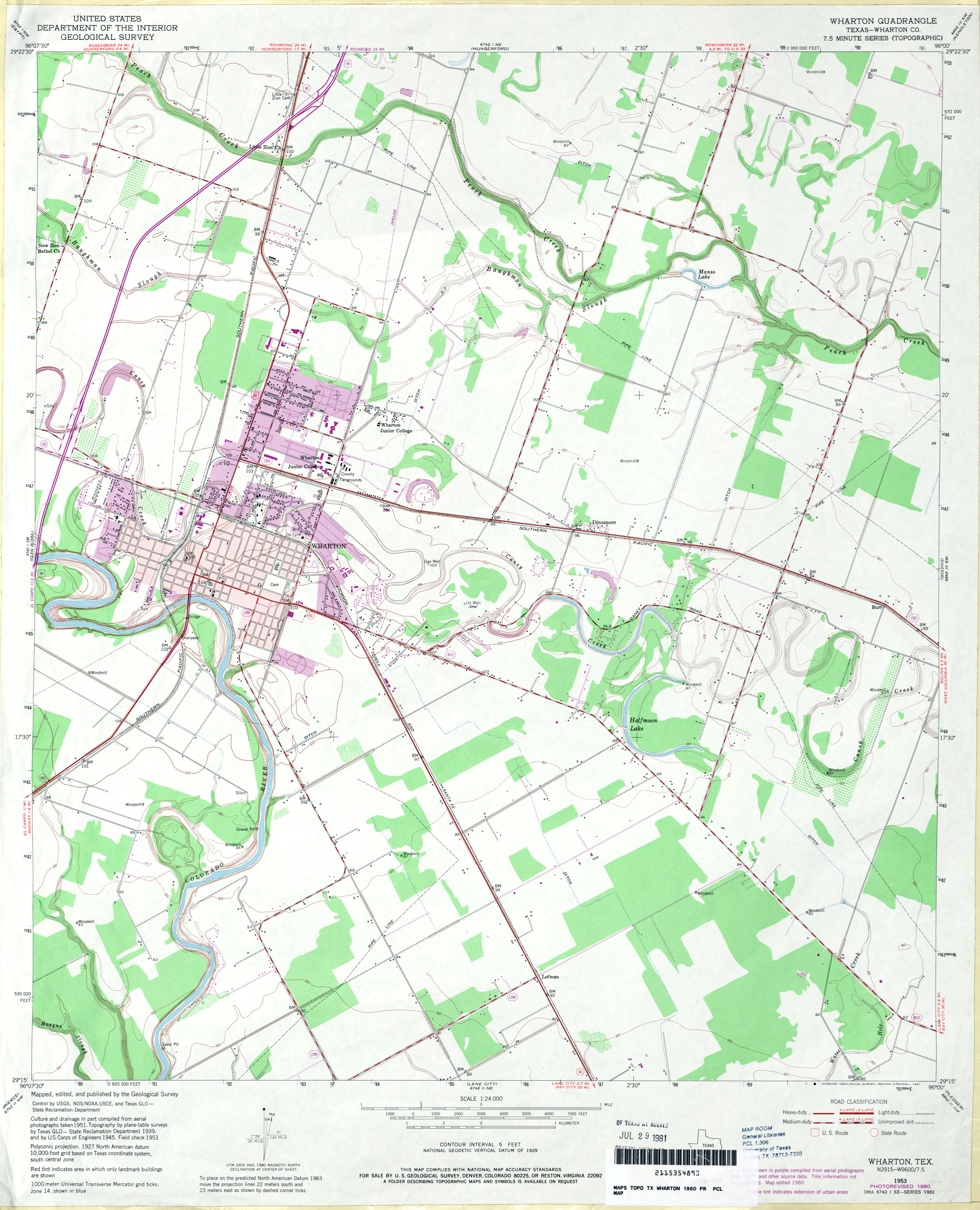
- Wharton (Wharton County) 1:24,000 1980 (3MB)
- Wharton 1:24,000 2008 (12.3MB) [GeoPDF]
- Wharton 1:24,000 2013 (20.9MB) [GeoPDF]
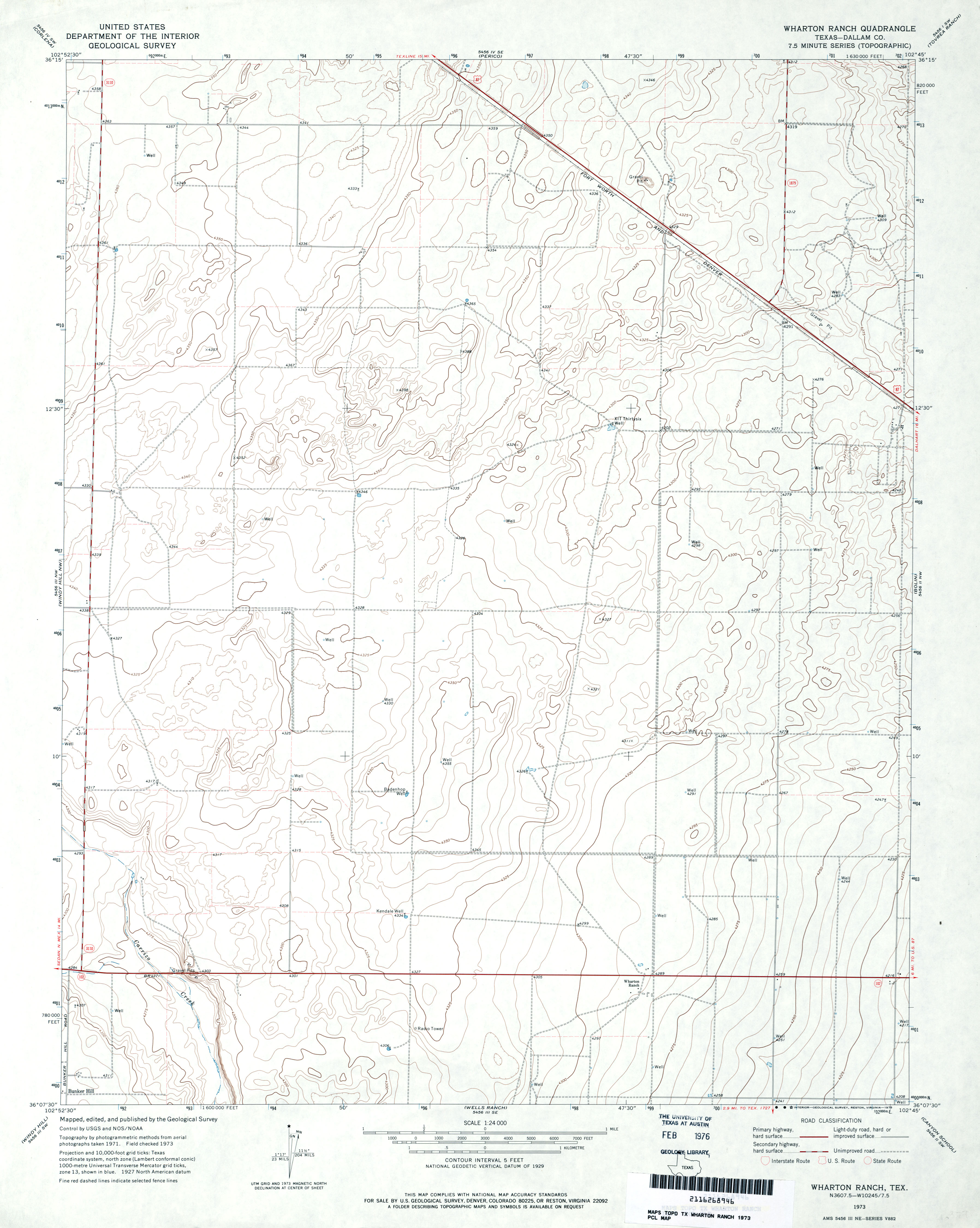
- Wharton Ranch (Dallam County) 1:24,000 1973 (2.5MB)
- Wharton Ranch 1:24,000 2008 (8.7MB) [GeoPDF]
- Wharton Ranch 1:24,000 2012 (14.8MB) [GeoPDF]
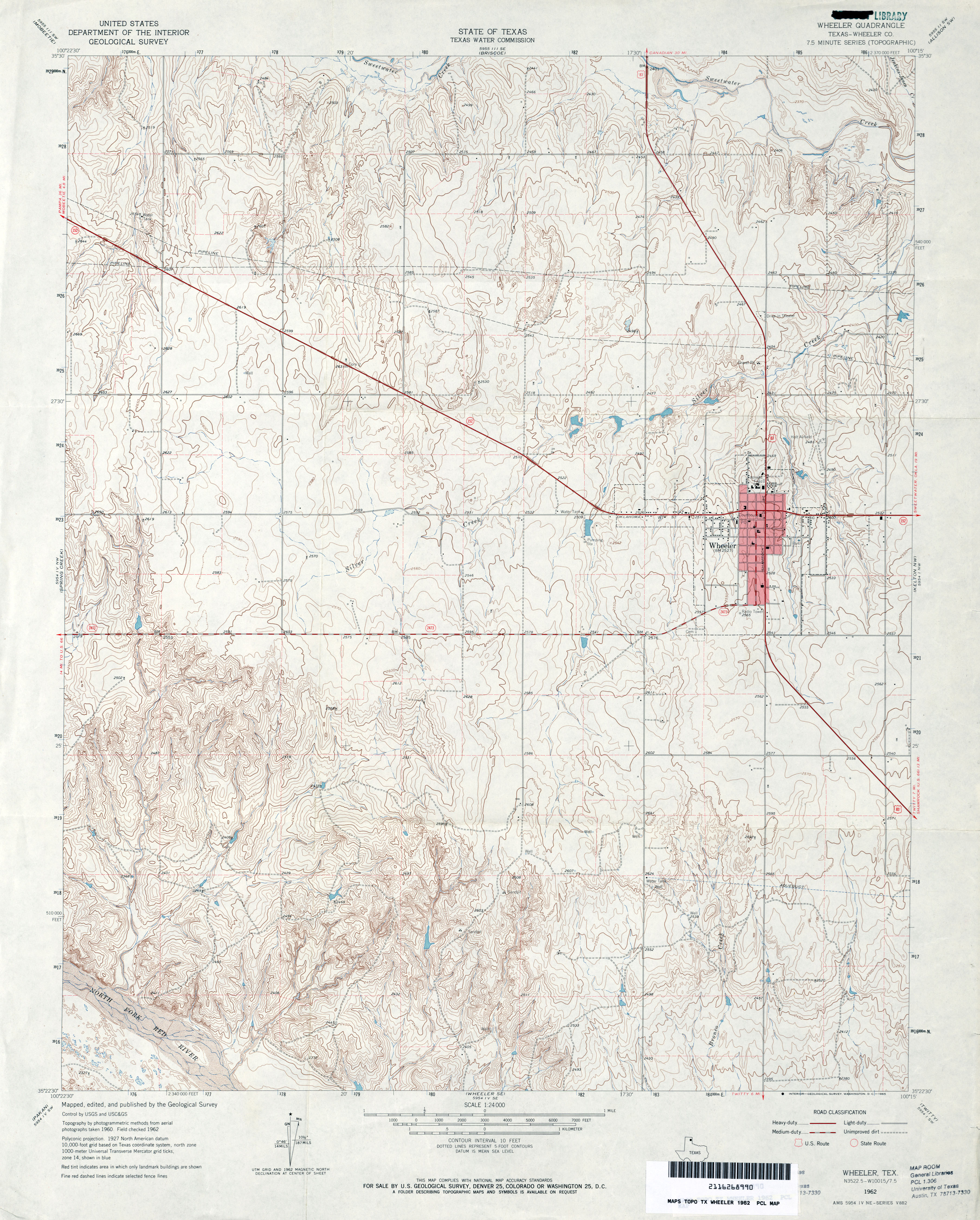
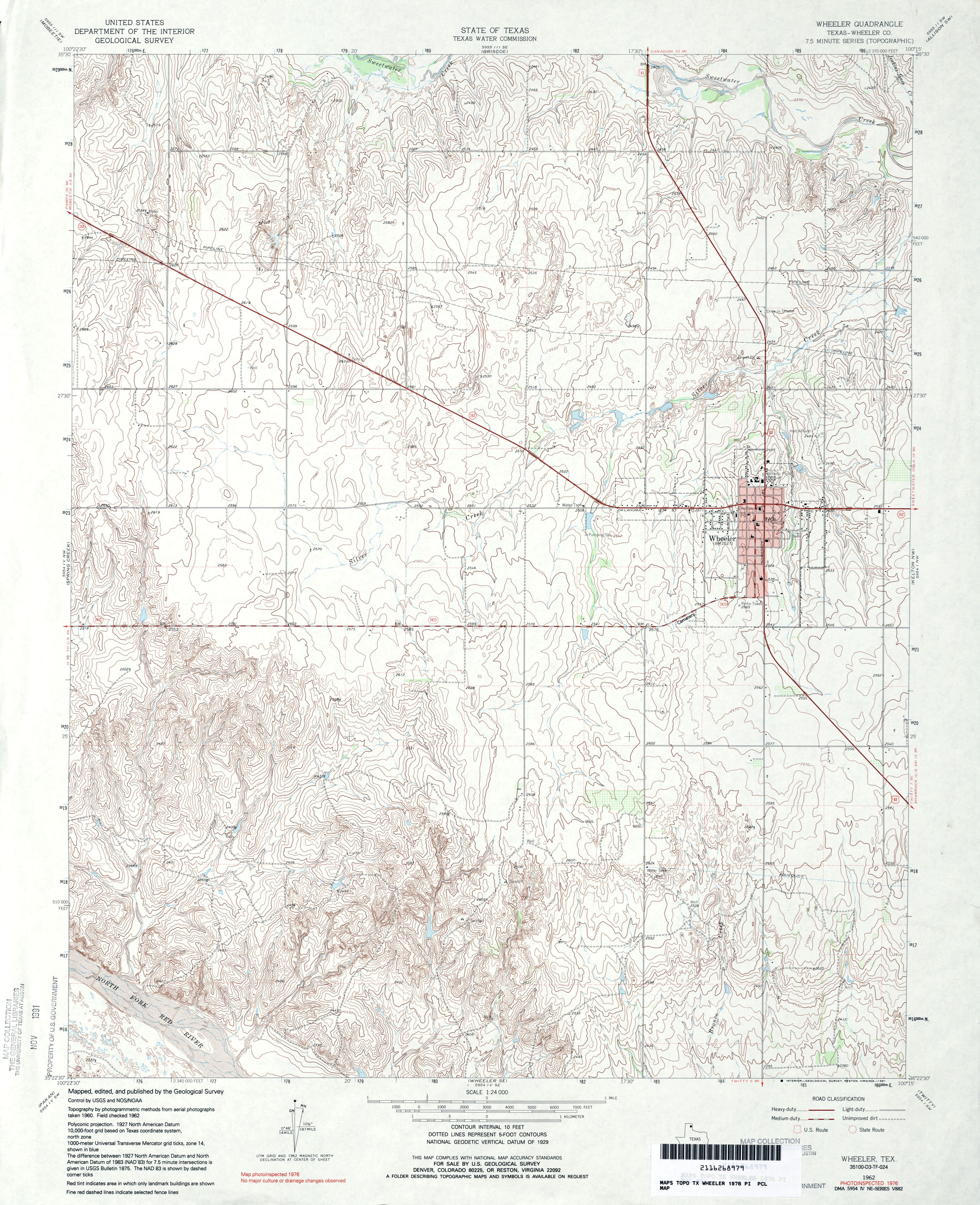
- Wheeler (Wheeler County) 1:24,000 1962 (3.8MB)
- Wheeler (Wheeler County) 1:24,000 1976 (4.3MB)
- Wheeler 1:24,000 2008 (12.3MB) [GeoPDF]
- Wheeler 1:24,000 2012 (17.7MB) [GeoPDF]
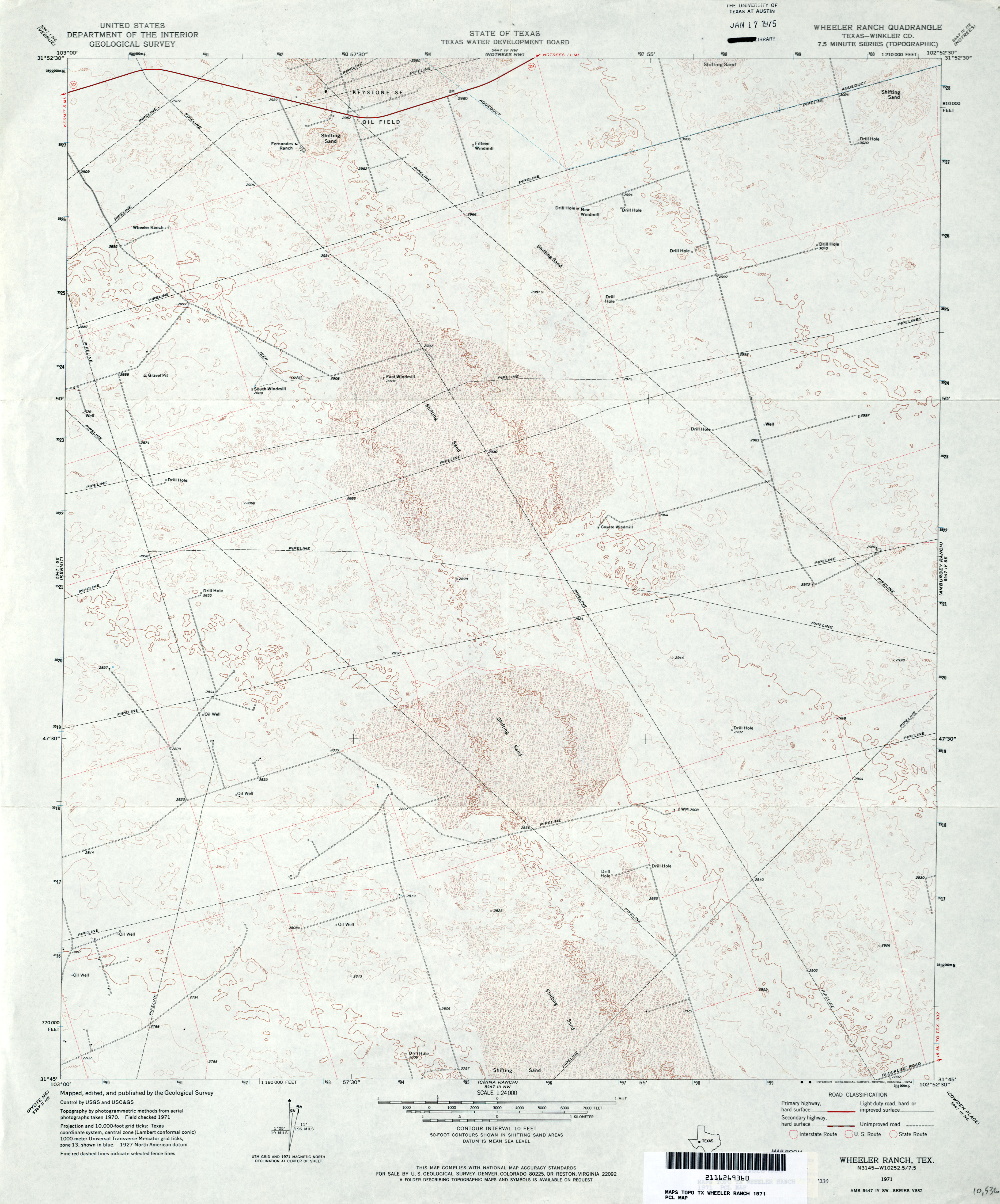
- Wheeler Ranch (Winkler County) 1:24,000 1971 (3MB)
- Wheeler Ranch 1:24,000 2008 (24.5MB) [GeoPDF]
- Wheeler Ranch 1:24,000 2012 (24.6MB) [GeoPDF]
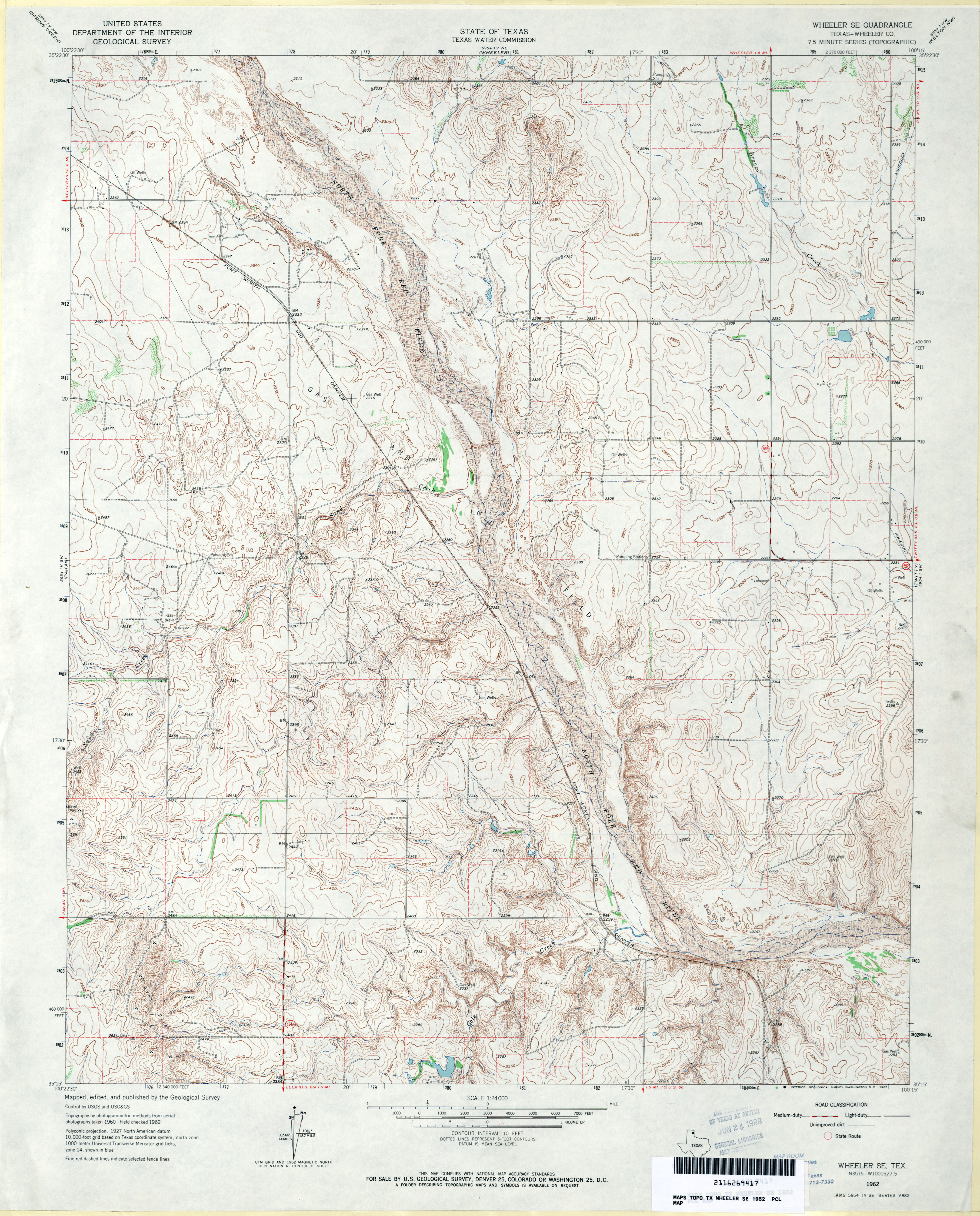
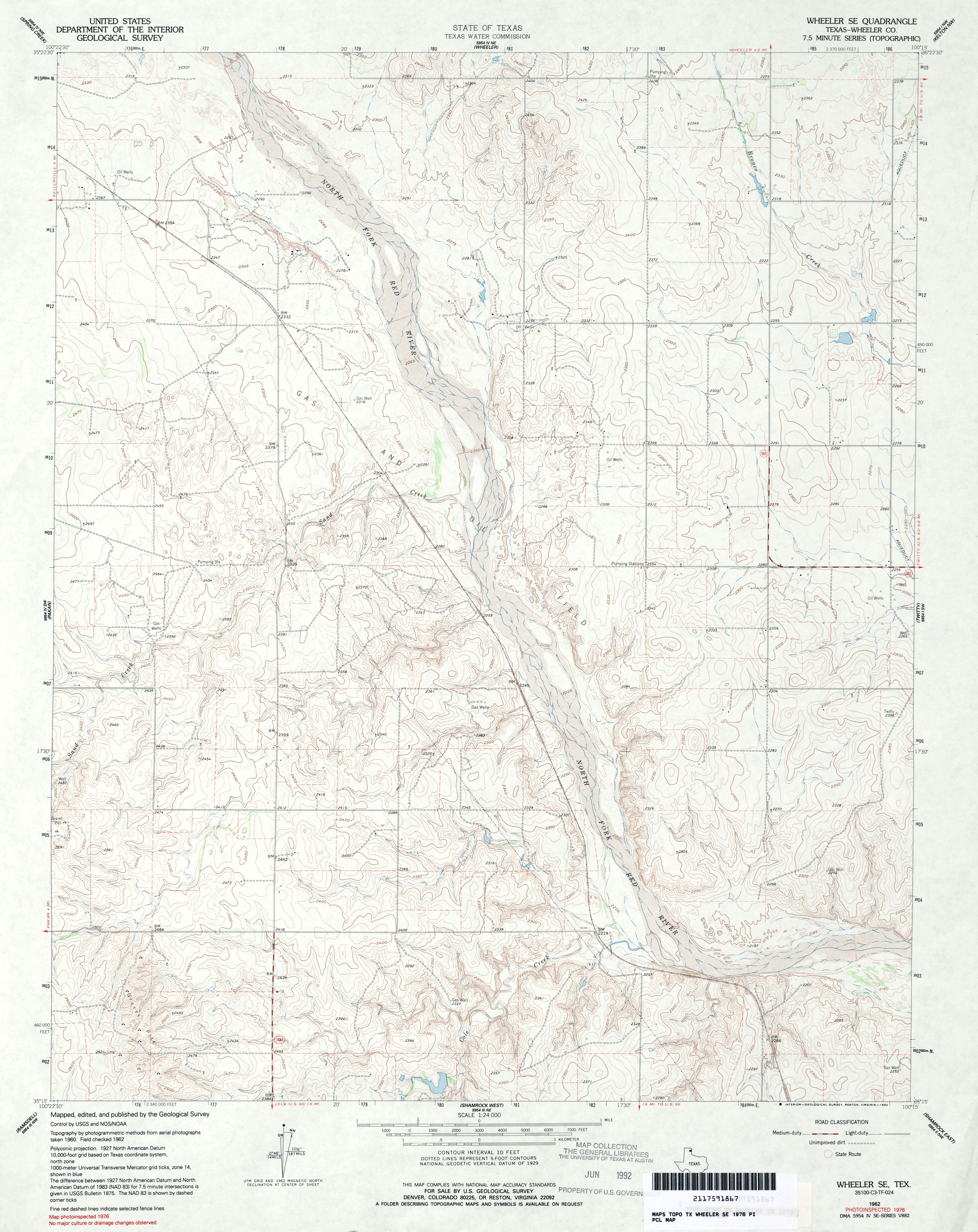
- Wheeler SE (Wheeler County) 1:24,000 1962 (4.2MB)
- Wheeler SE (Wheeler County) 1:24,000 1976 (3.6MB)
- Wheeler SE 1:24,000 2008 (12.6MB) [GeoPDF]
- Wheeler SE 1:24,000 2012 (18.1MB) [GeoPDF]
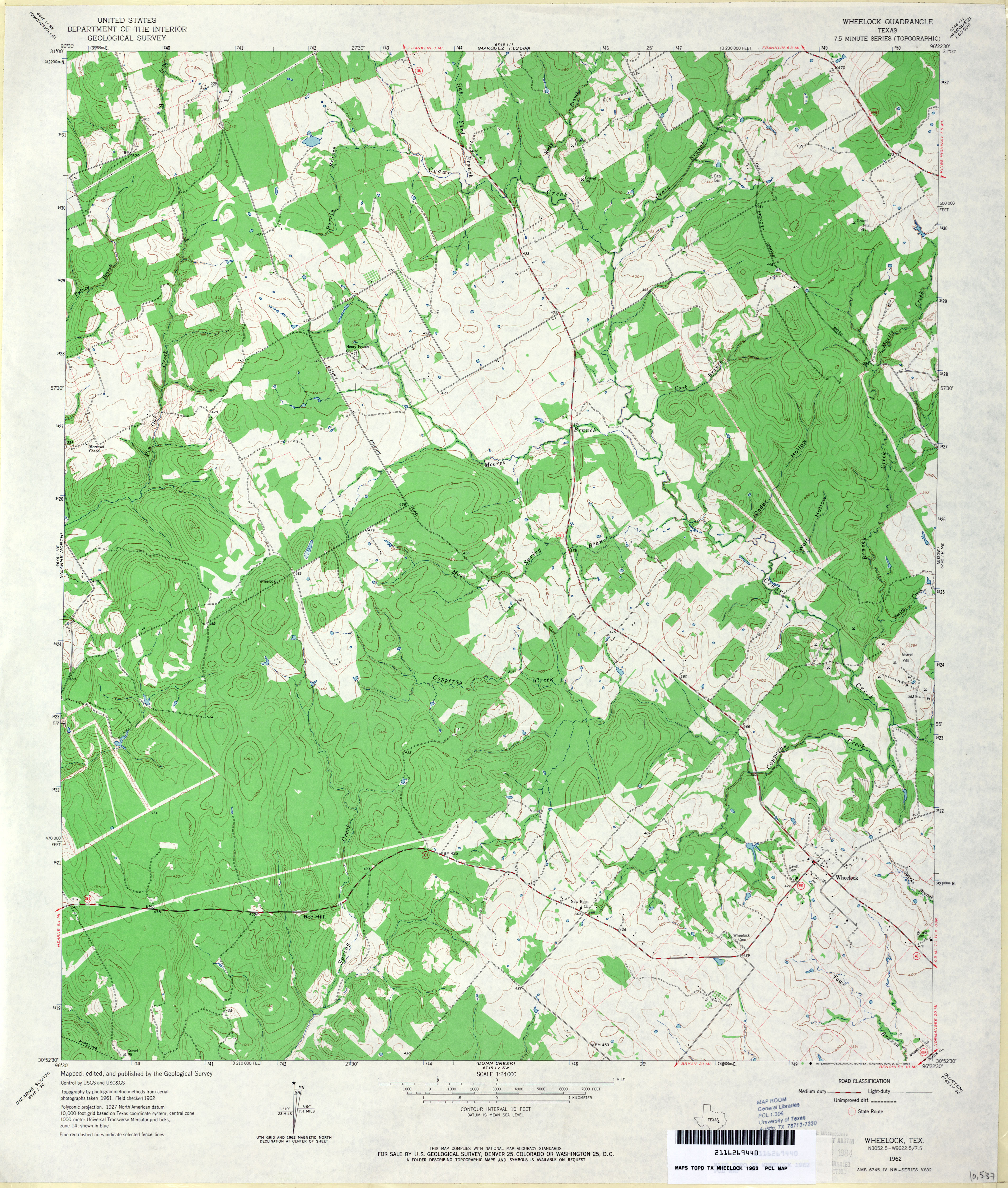
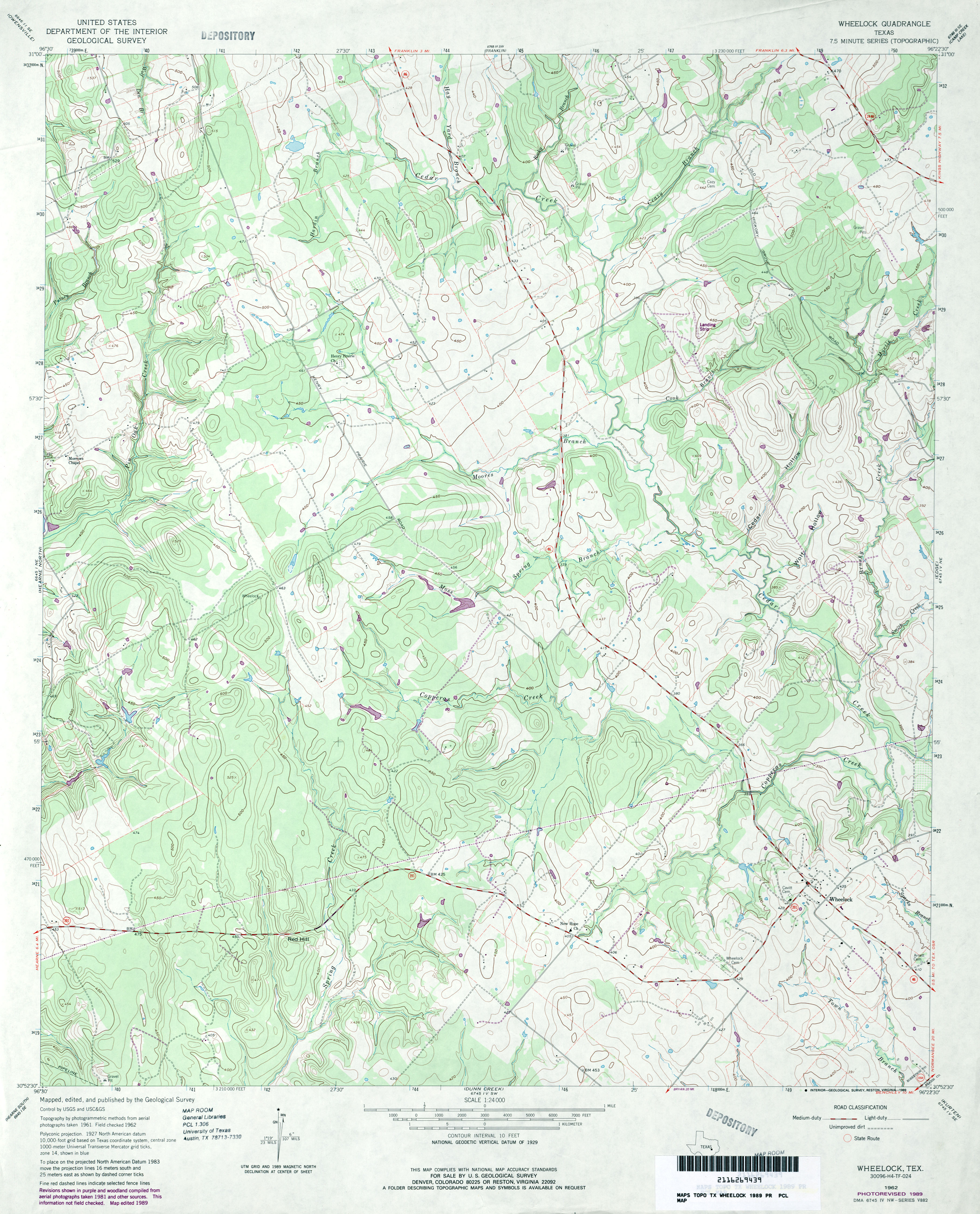
- Wheelock 1:24,000 1962 (3.8MB)
- Wheelock 1:24,000 1989 (3.7MB)
- Wheelock 1:24,000 2008 (17.3MB) [GeoPDF]
- Wheelock 1:24,000 2013 (23.4MB) [GeoPDF]
- Whirlwind Spring (Brewster County) 1:24,000 1983 (3MB)
- Whirlwind Spring 1:24,000 2008 (21.3MB) [GeoPDF]
- Whirlwind Spring 1:24,000 2012 (22.9MB) [GeoPDF]
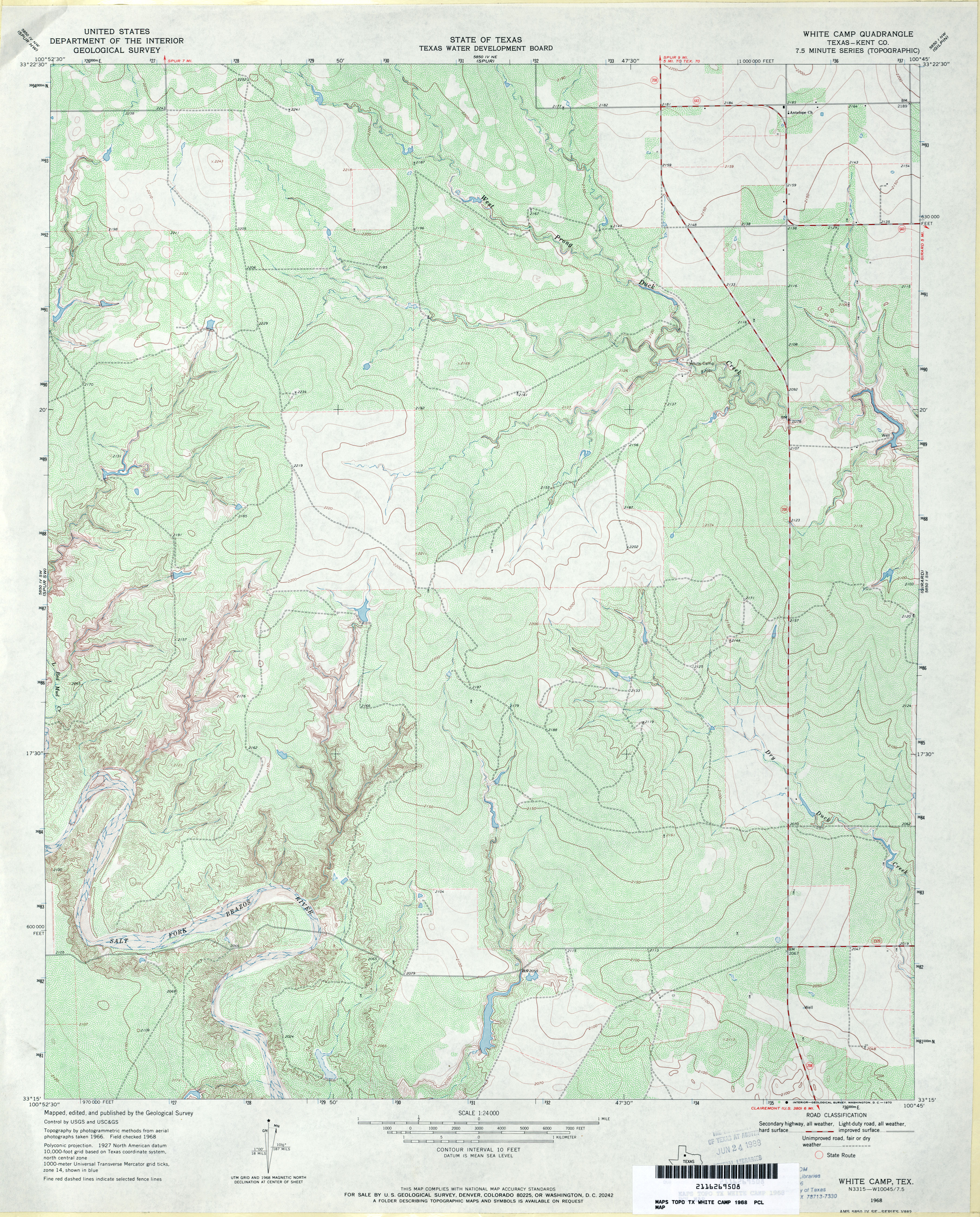
- White Camp (Kent County) 1:24,000 1968 (4.2MB)
- White Camp 1:24,000 2008 (13.8MB) [GeoPDF]
- White Camp 1:24,000 2012 (20.9MB) [GeoPDF]
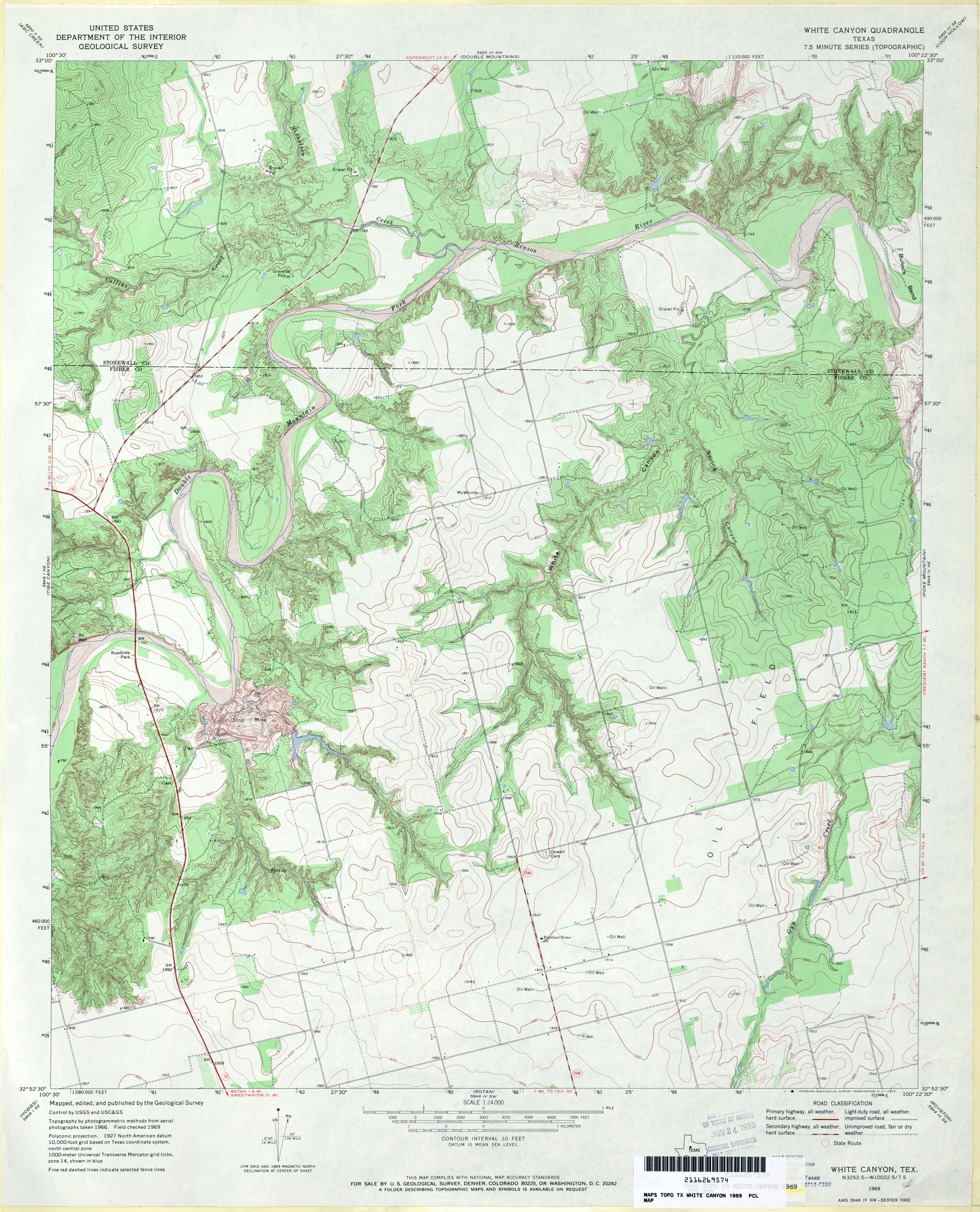
- White Canyon 1:24,000 1969 (3.8MB)
- White Canyon 1:24,000 2008 (19.3MB) [GeoPDF]
- White Canyon 1:24,000 2012 (23MB) [GeoPDF]
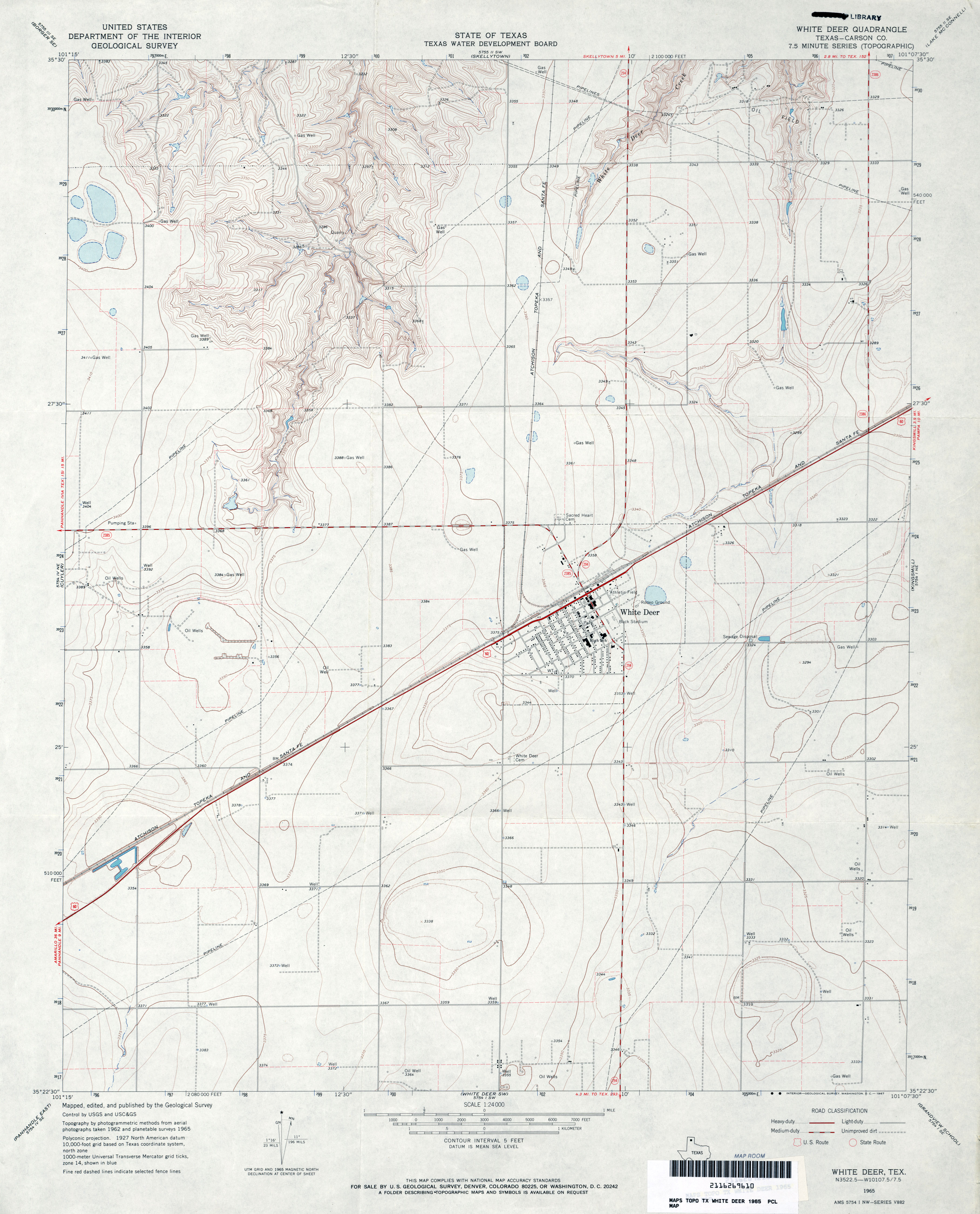
- White Deer (Carson County) 1:24,000 1965 (2.8MB)
- White Deer 1:24,000 2008 (8.9MB) [GeoPDF]
- White Deer 1:24,000 2012 (14.8MB) [GeoPDF]
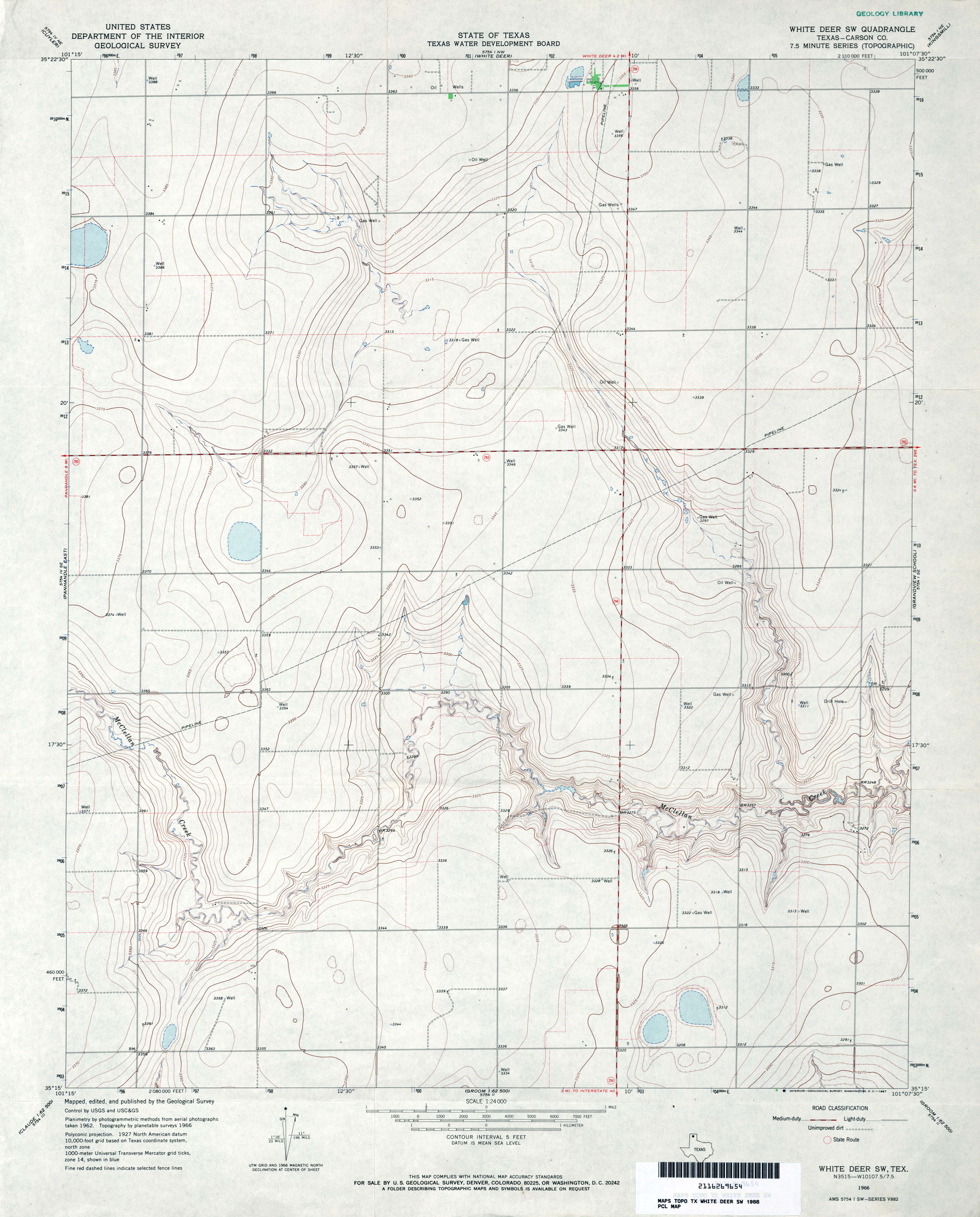
- White Deer SW (Carson County) 1:24,000 1966 (2.7MB)
- White Deer SW 1:24,000 2008 (8.1MB) [GeoPDF]
- White Deer SW 1:24,000 2012 (14.7MB) [GeoPDF]
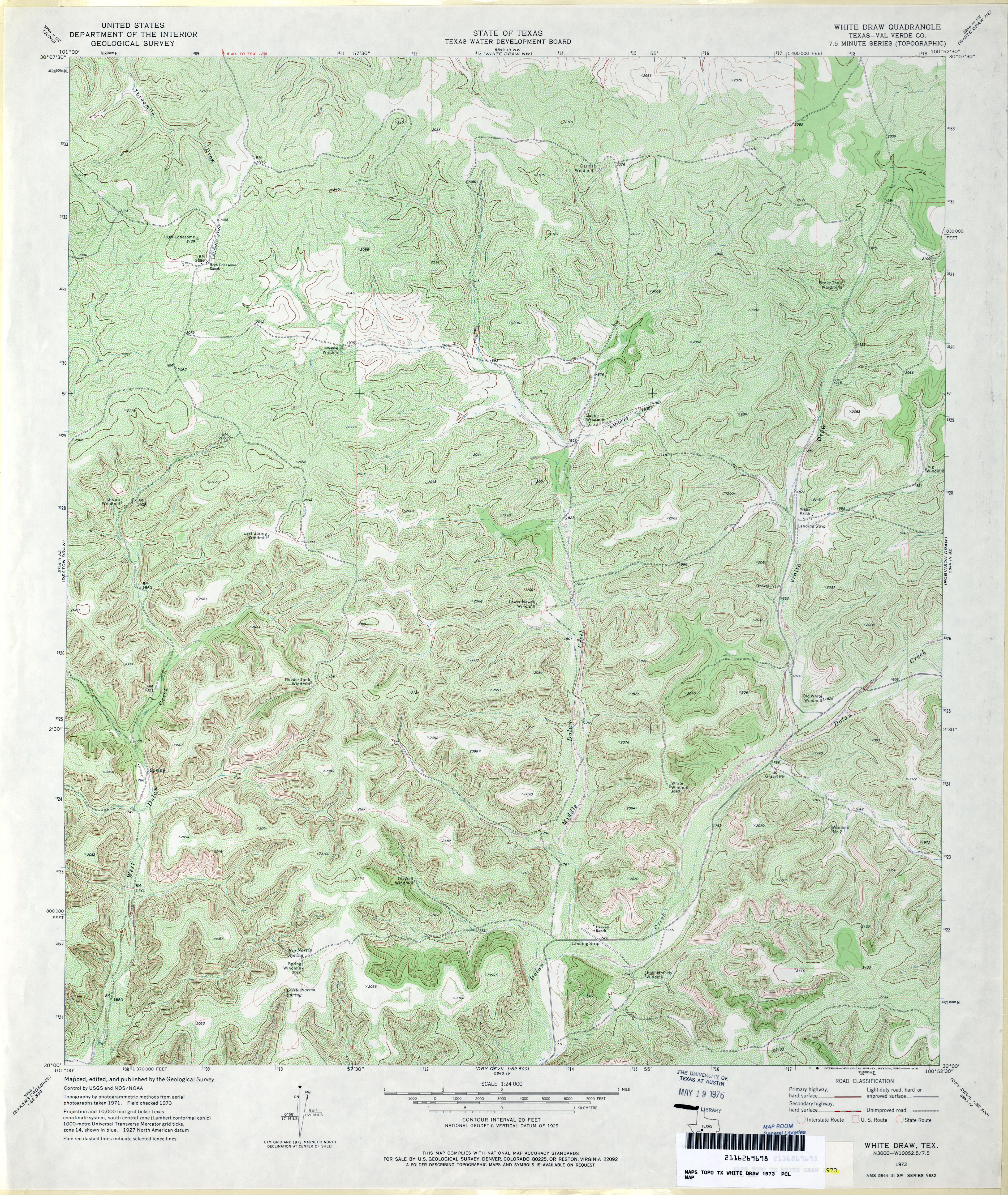
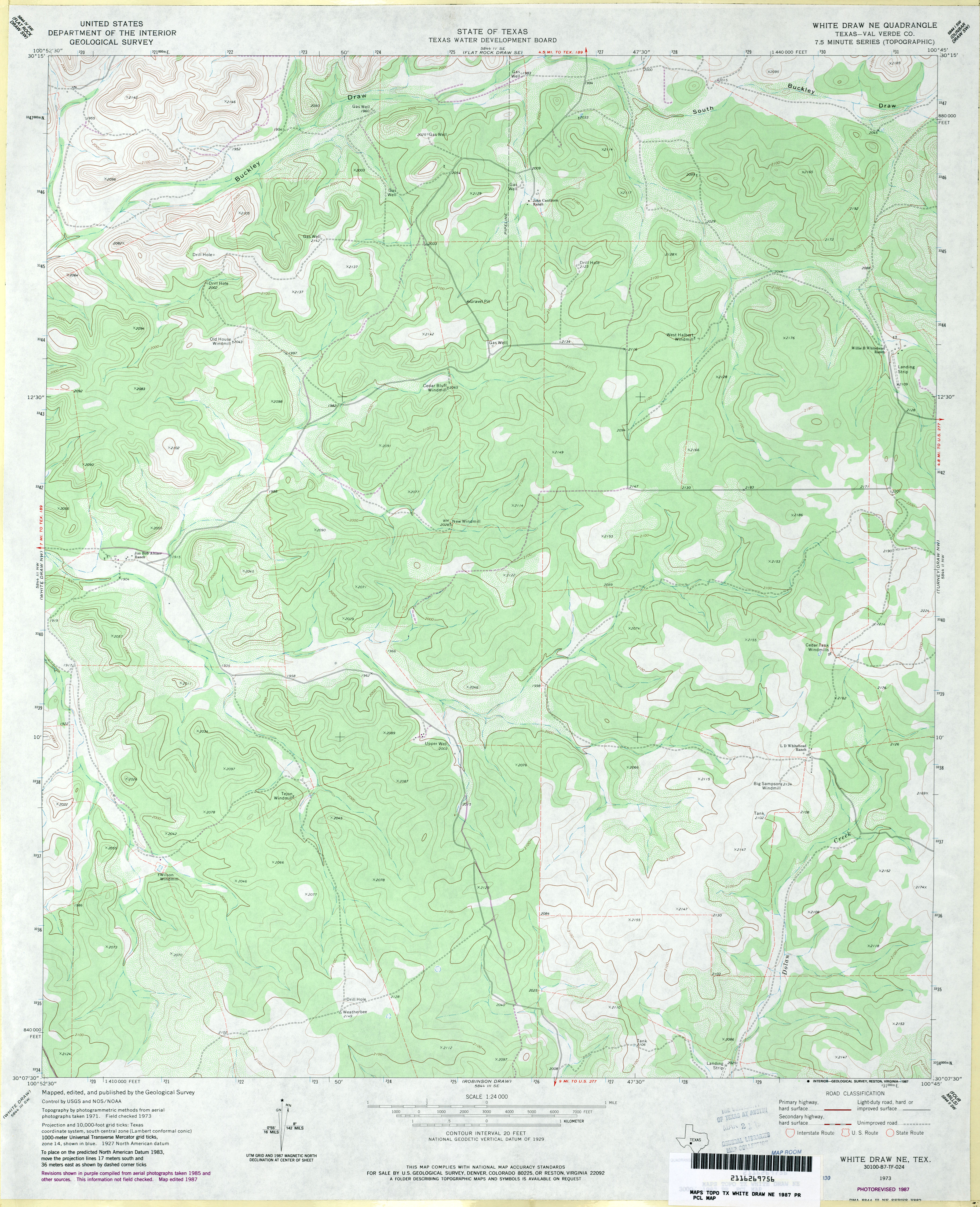
- White Draw (Val Verde County) 1:24,000 1973 (5.7MB)
- White Draw 1:24,000 2008 (24.5MB) [GeoPDF]
- White Draw 1:24,000 2012 (35MB) [GeoPDF]
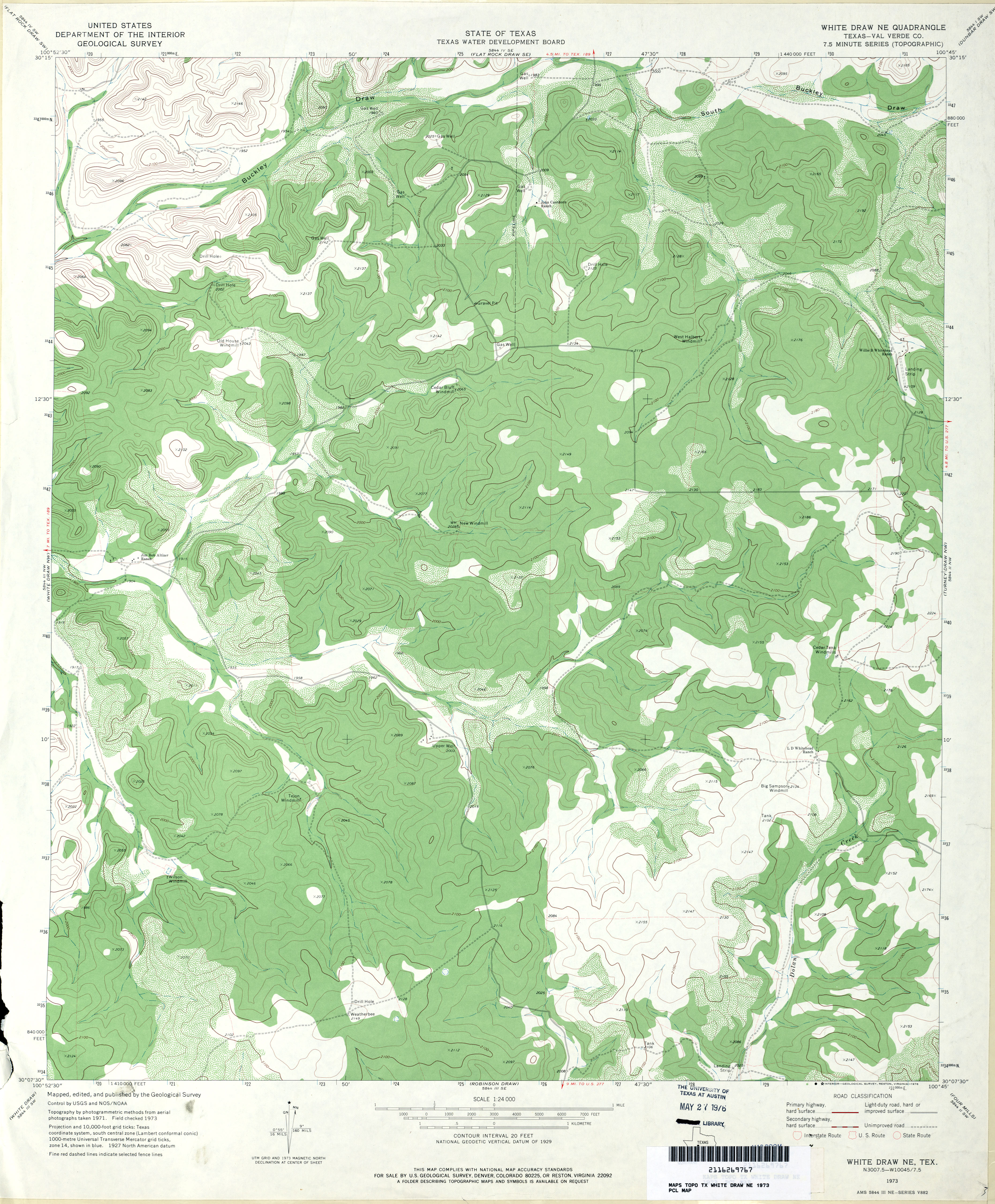
- White Draw NE (Val Verde County) 1:24,000 1973 (3.6MB)
- White Draw NE (Val Verde County) 1:24,000 1987 (3.4MB)
- White Draw NE 1:24,000 2008 (20.3MB) [GeoPDF]
- White Draw NE 1:24,000 2012 (30.2MB) [GeoPDF]
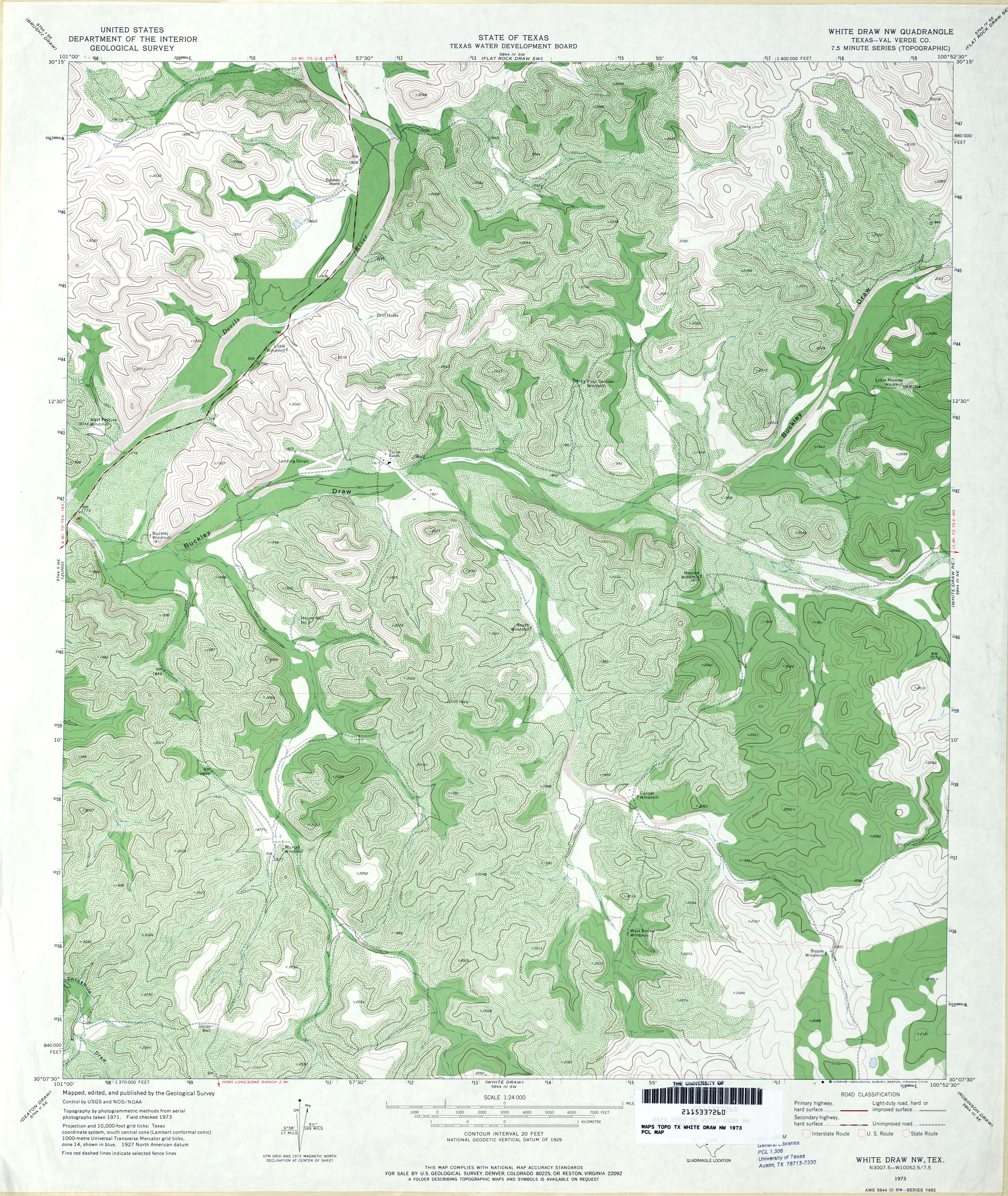
- White Draw NW (Val Verde County) 1:24,000 1973 (5.3MB)
- White Draw NW 1:24,000 2008 (24.6MB) [GeoPDF]
- White Draw NW 1:24,000 2012 (33.1MB) [GeoPDF]
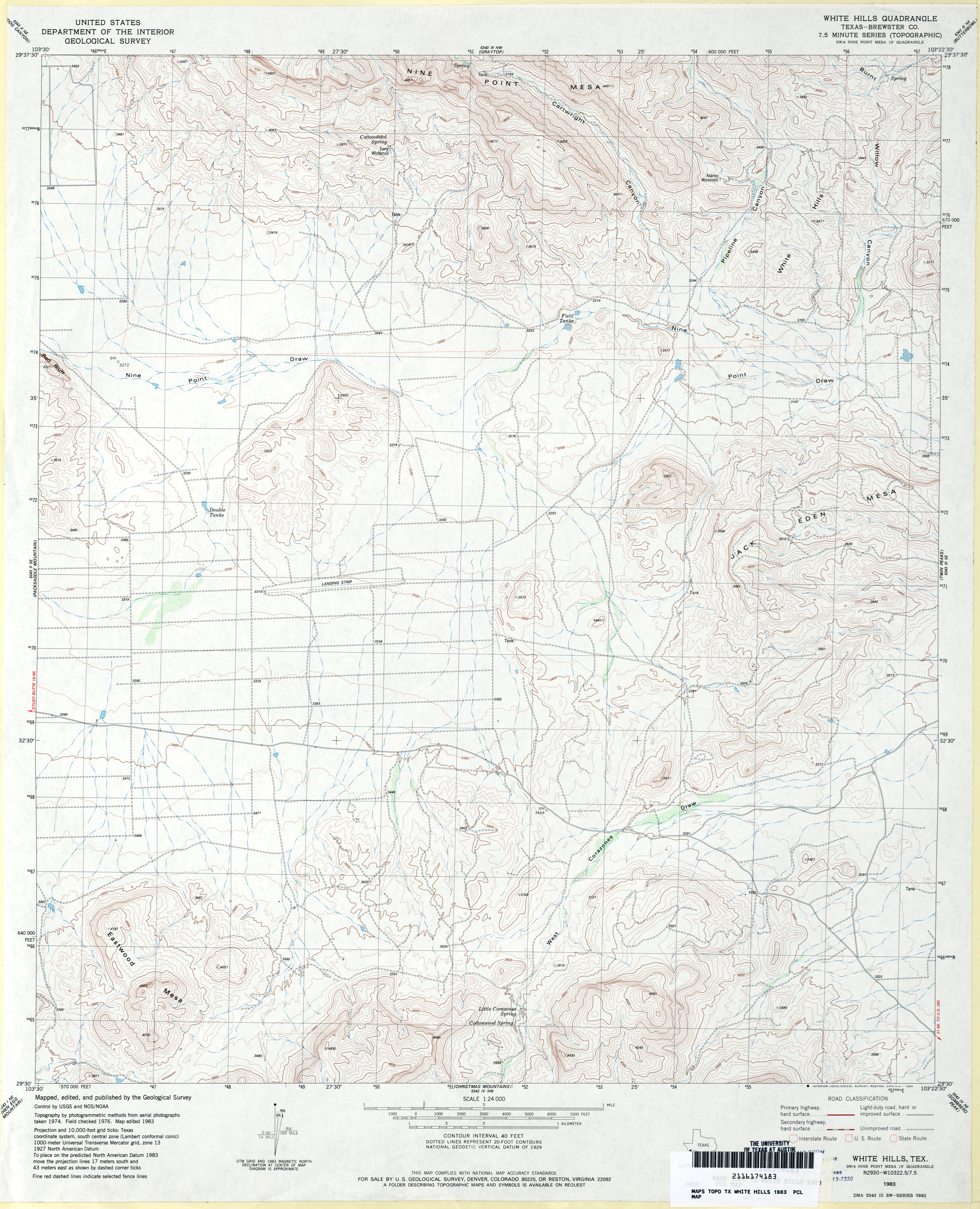
- White Hills (Brewster County) 1:24,000 1983 (3.6MB)
- White Hills 1:24,000 2008 (23.8MB) [GeoPDF]
- White Hills 1:24,000 2012 (25.1MB) [GeoPDF]
- White Lake [Oklahoma, Texas] 1:24,000 2008 (13.3MB) [GeoPDF]
- White Lake 1:24,000 2012 (13.2MB) [GeoPDF]
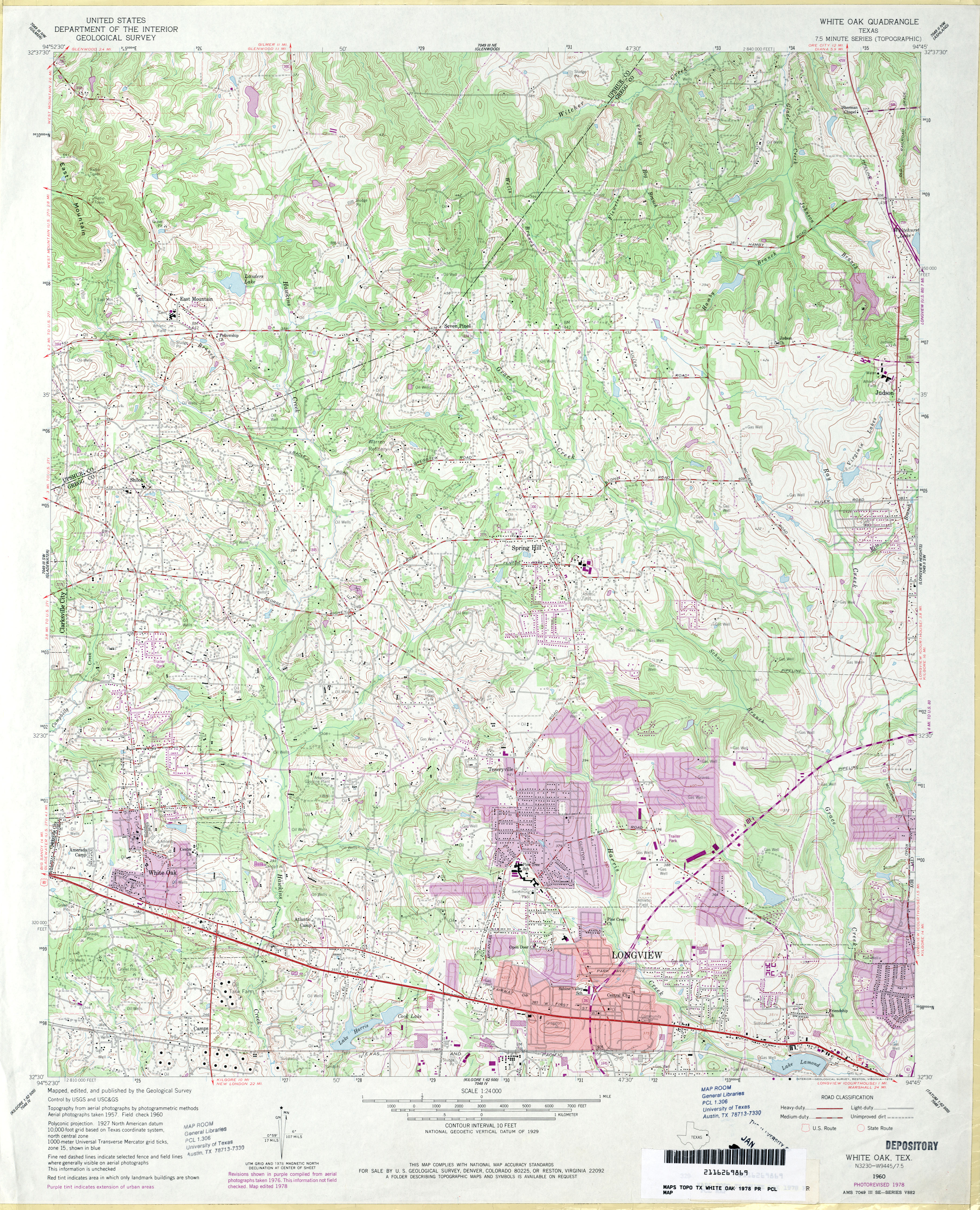
- White Oak 1:24,000 1960 (4.8MB)
- White Oak 1:24,000 1978 (4.7MB)
- White Oak 1:24,000 2008 (24.4MB) [GeoPDF]
- White Oak 1:24,000 2013 (27.5MB) [GeoPDF]
- White Rock (Red River County) 1:24,000 1951 (3.1MB)
- White Rock 1:24,000 2008 (16.9MB) [GeoPDF]
- White Rock 1:24,000 2012 (21.1MB) [GeoPDF]
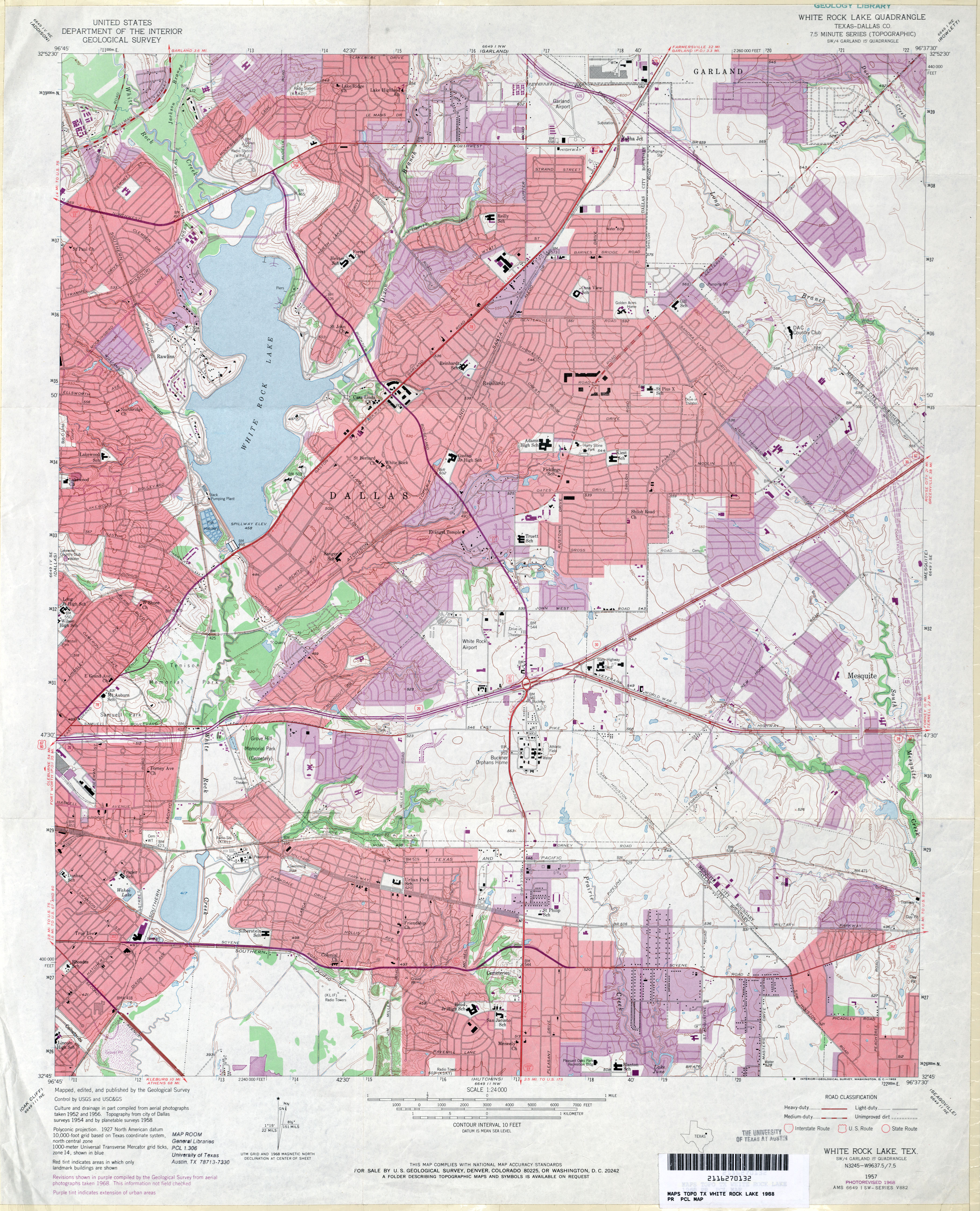
- White Rock Lake (Dallas County) 1:24,000 1957 (3.8MB)
- White Rock Lake (Dallas County) 1:24,000 1968 (3.9MB)
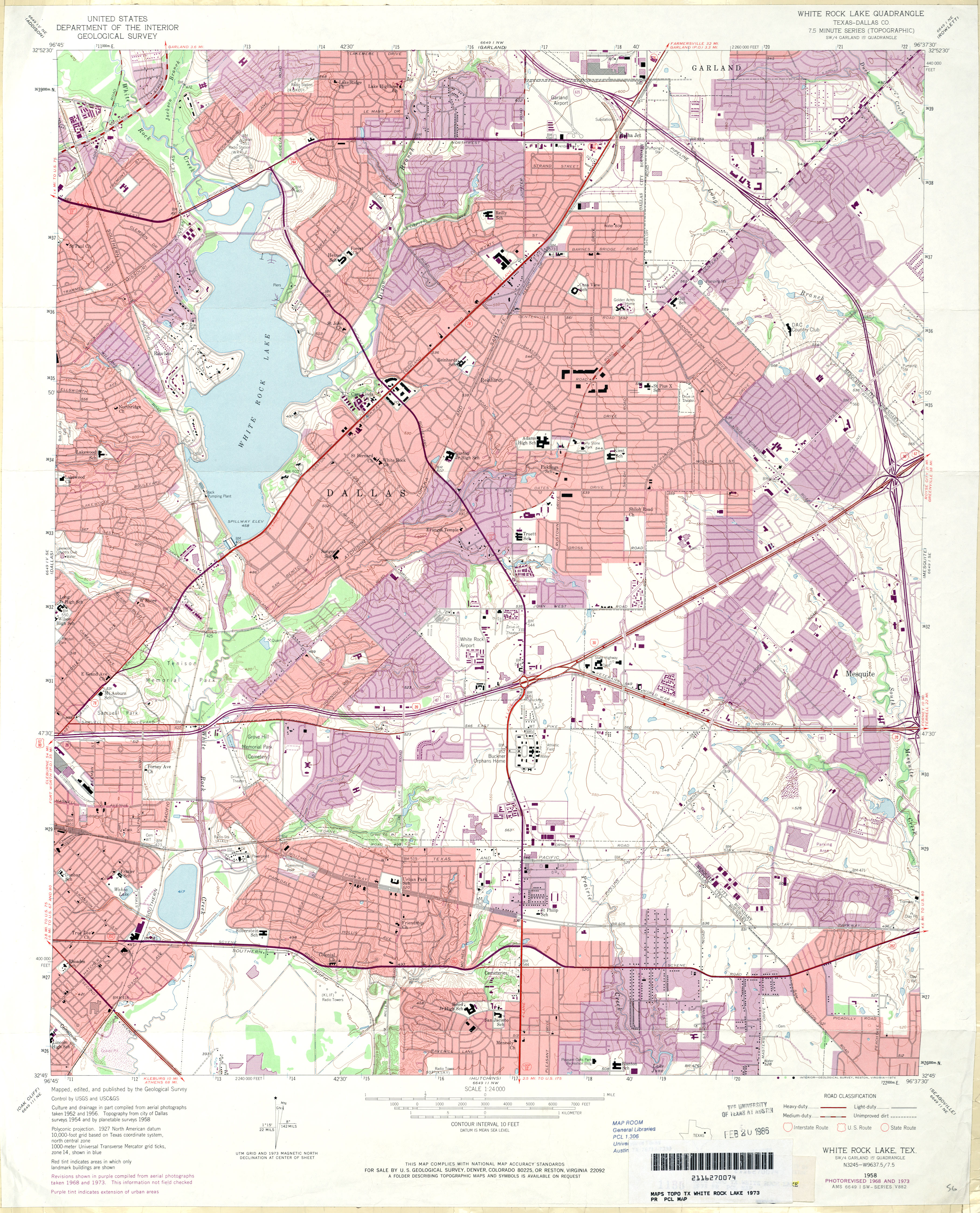
- White Rock Lake (Dallas County) 1:24,000 1973 (4.1MB)
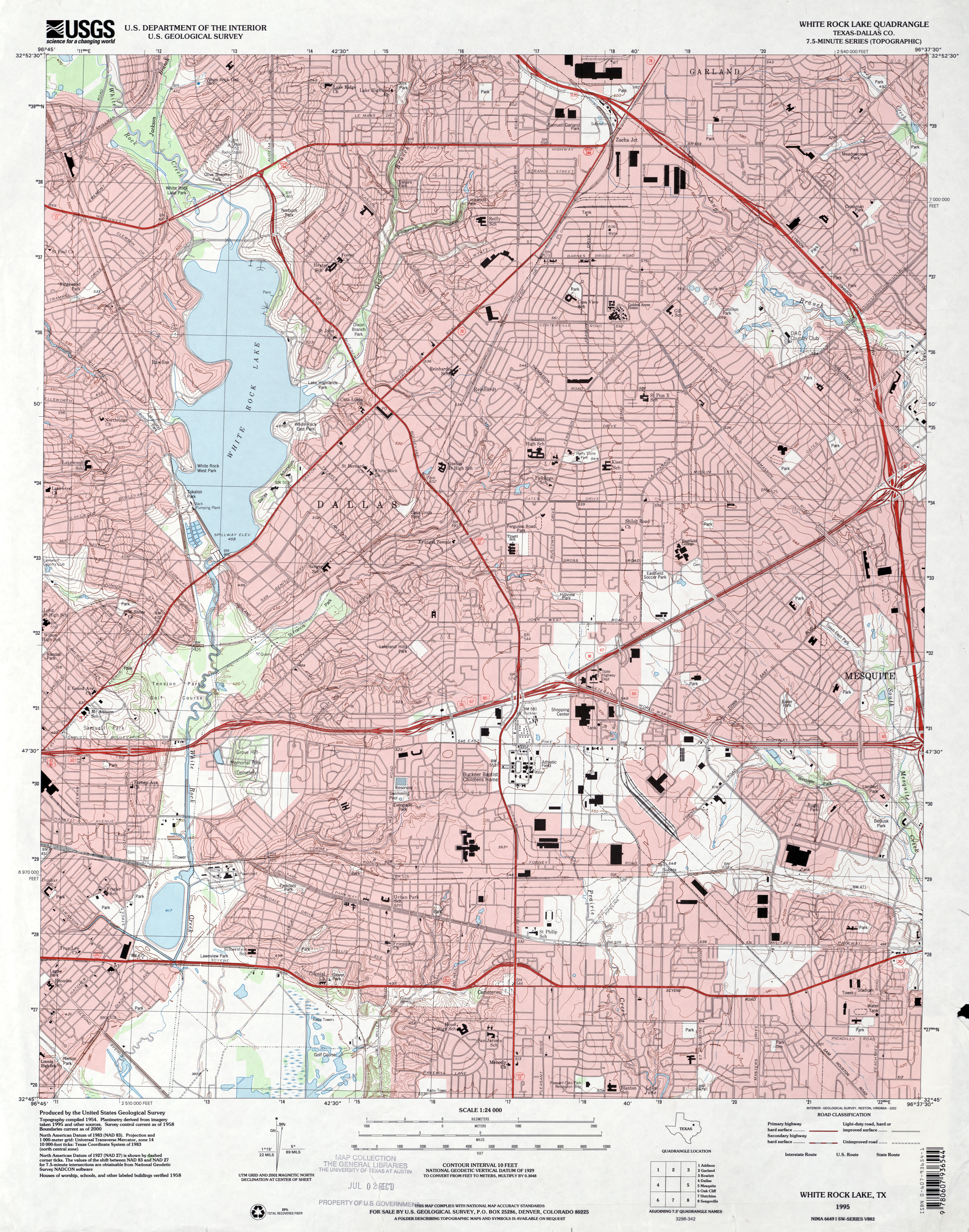
- White Rock Lake (Dallas County) 1:24,000 1995 (4.2MB)
- White Rock Lake 1:24,000 2008 (22.4MB) [GeoPDF]
- White Rock Lake 1:24,000 2012 (25.8MB) [GeoPDF]
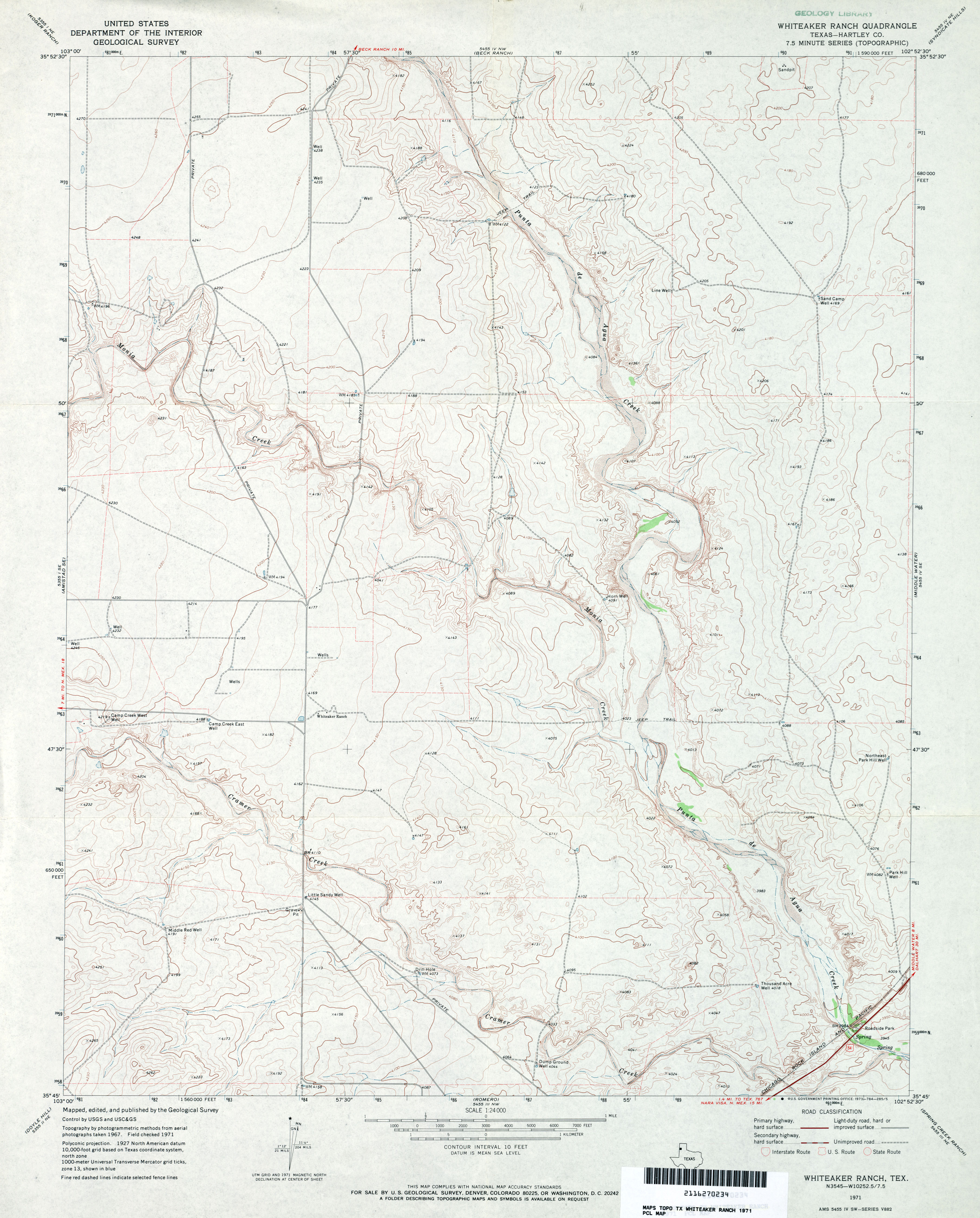
- Whiteaker Ranch (Hartley County) 1:24,000 1971 (3.1MB)
- Whiteaker Ranch 1:24,000 2008 (11.7MB) [GeoPDF]
- Whiteaker Ranch 1:24,000 2012 (17.1MB) [GeoPDF]
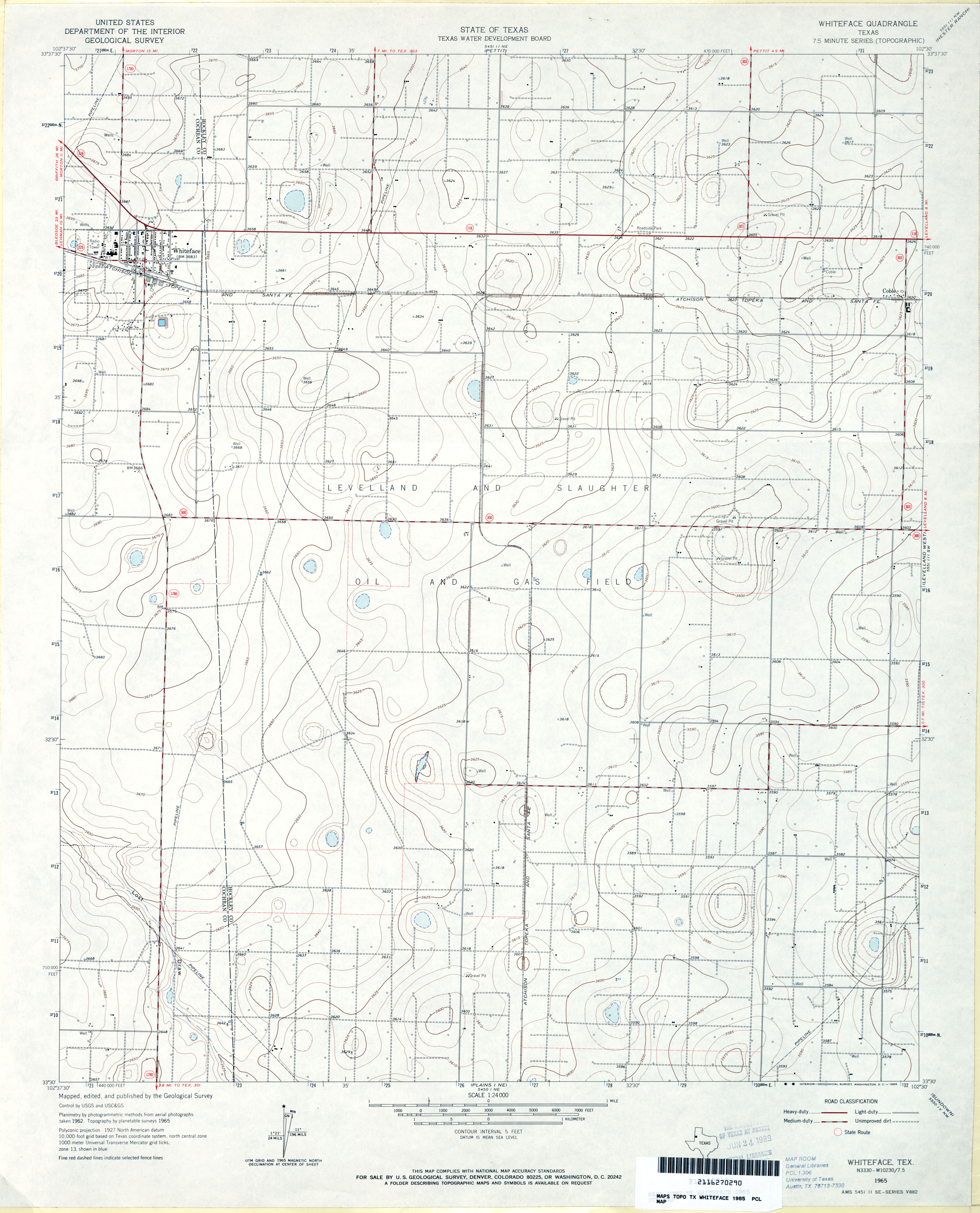
- Whiteface 1:24,000 1965 (2.7MB)
- Whiteface 1:24,000 2008 (11.3MB) [GeoPDF]
- Whiteface 1:24,000 2012 (15.8MB) [GeoPDF]
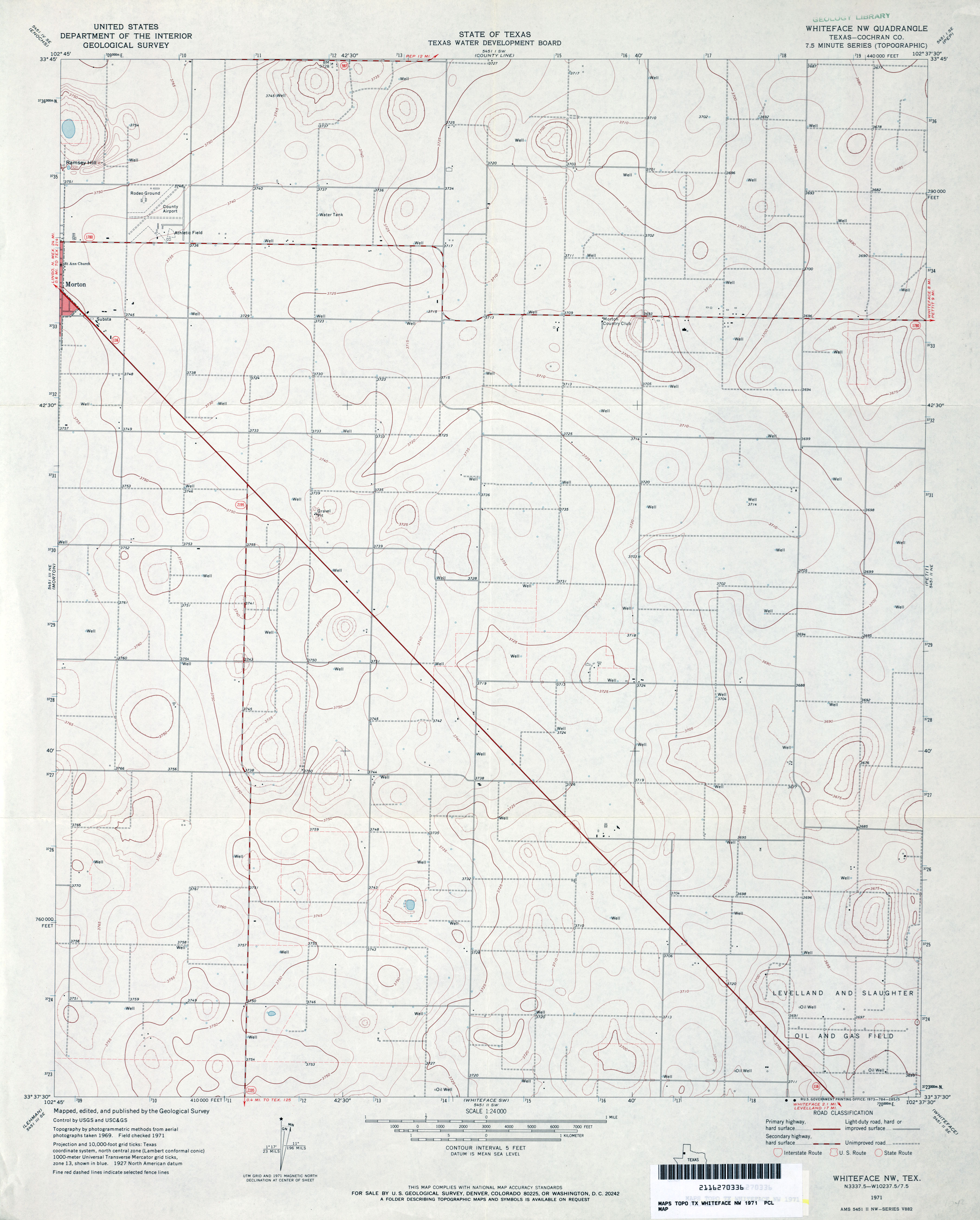
- Whiteface NW (Cochran County) 1:24,000 1971 (2.5MB)
- Whiteface NW 1:24,000 2008 (11.1MB) [GeoPDF]
- Whiteface NW 1:24,000 2012 (14.9MB) [GeoPDF]
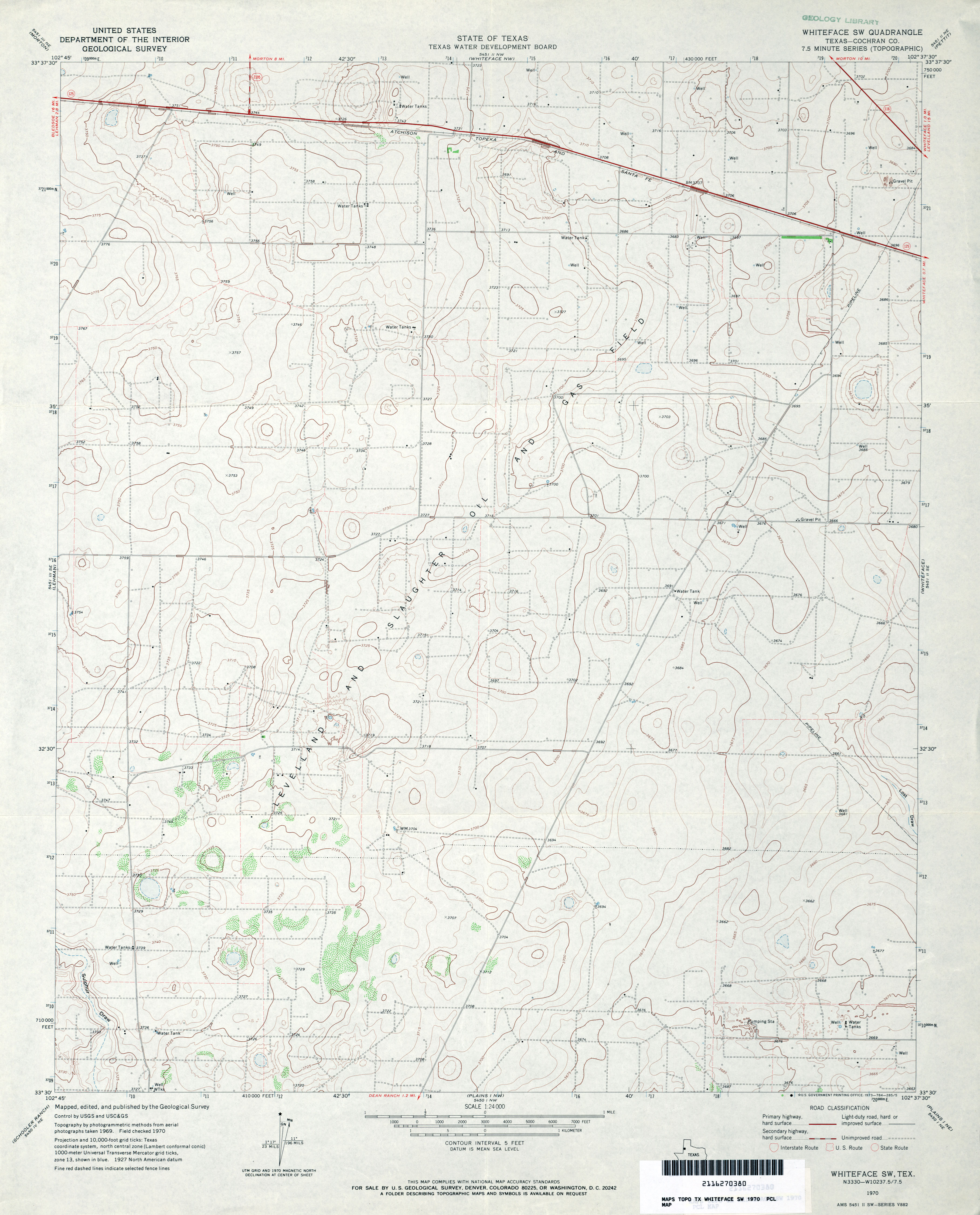
- Whiteface SW (Cochran County) 1:24,000 1970 (2.8MB)
- Whiteface SW 1:24,000 2008 (11.5MB) [GeoPDF]
- Whiteface SW 1:24,000 2012 (16.1MB) [GeoPDF]
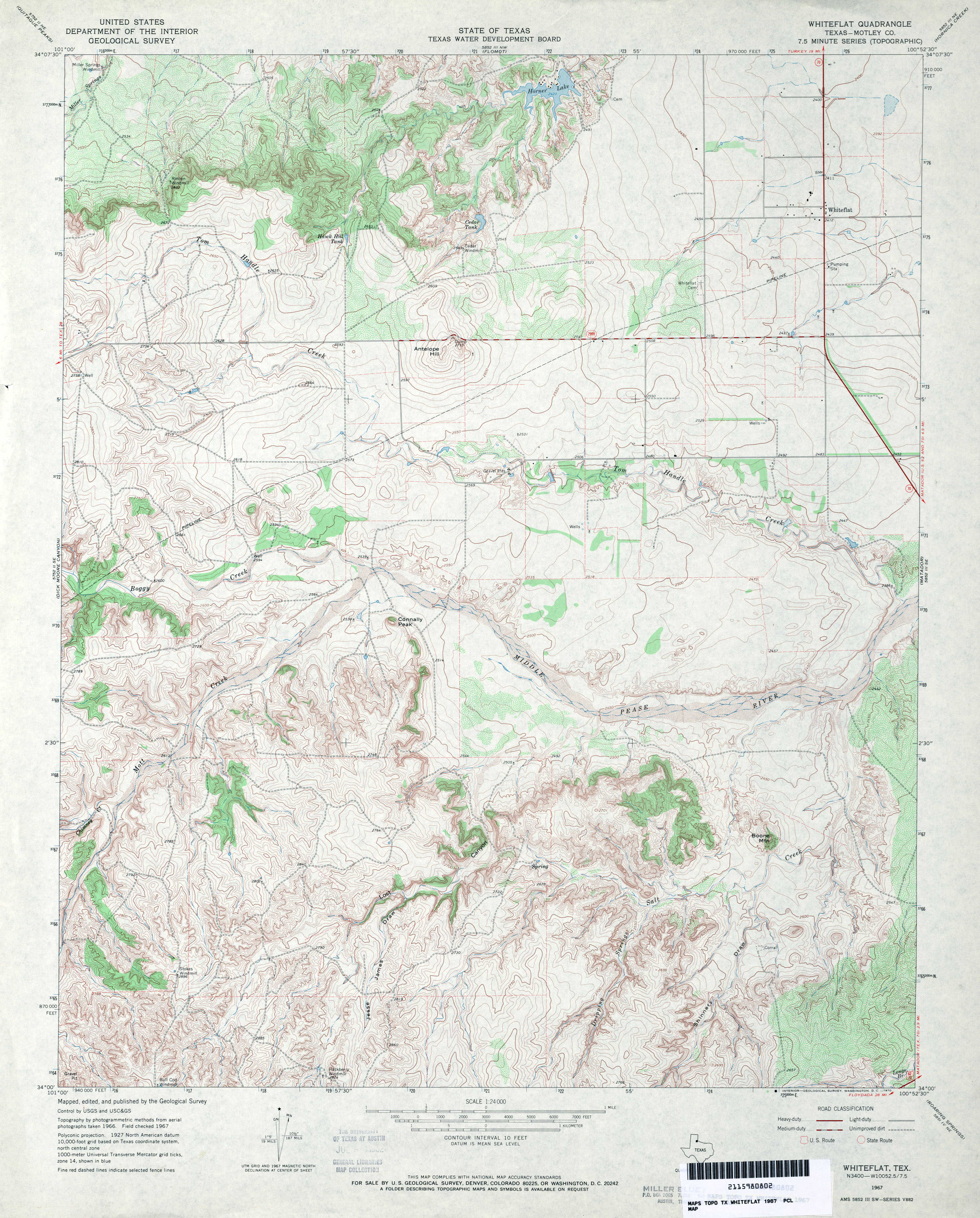
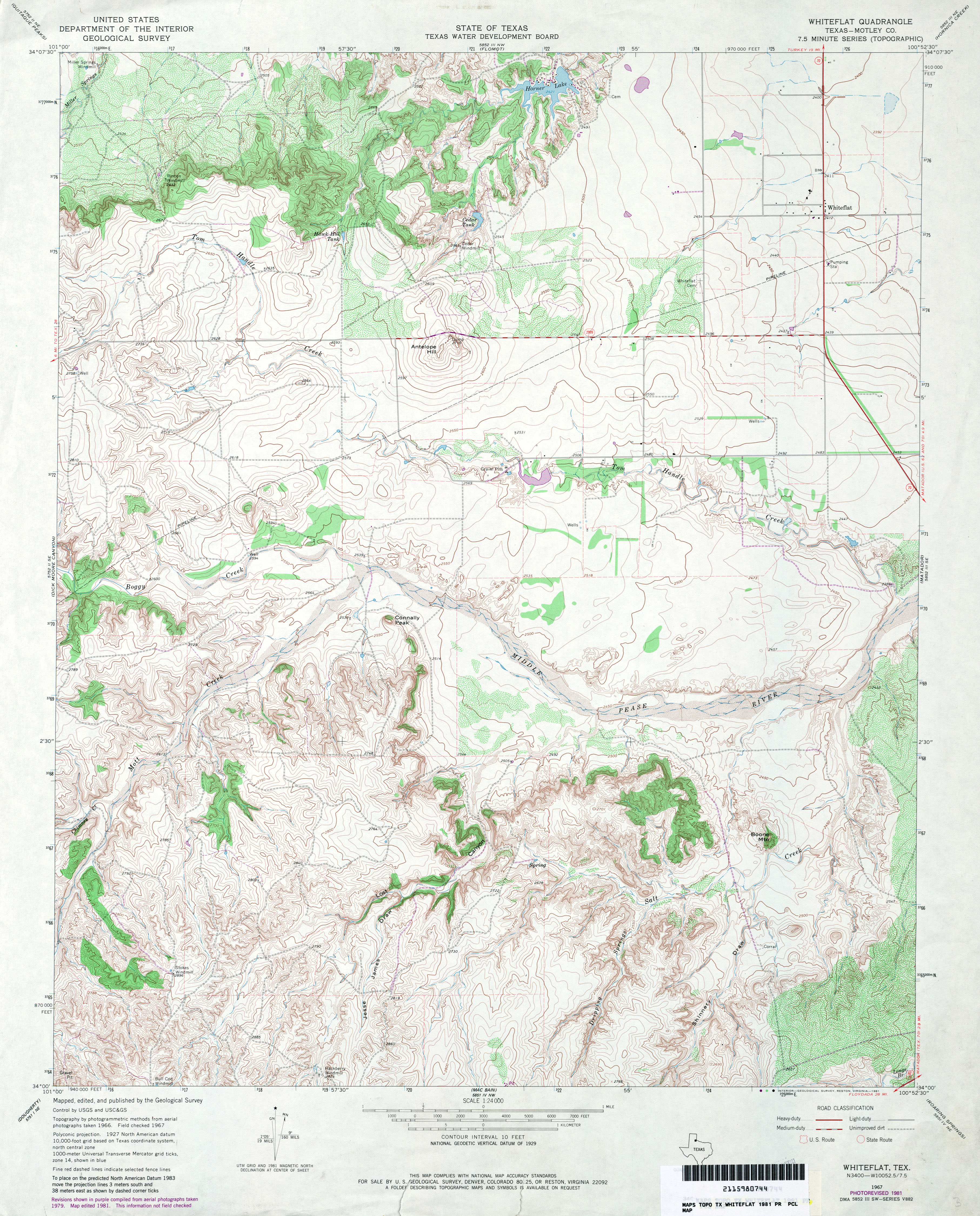
- Whiteflat (Motley County) 1:24,000 1967 (4.1MB)
- Whiteflat (Motley County) 1:24,000 1981 (4.4MB)
- Whiteflat 1:24,000 2008 (18.0MB) [GeoPDF]
- Whiteflat 1:24,000 2012 (25.2MB) [GeoPDF]
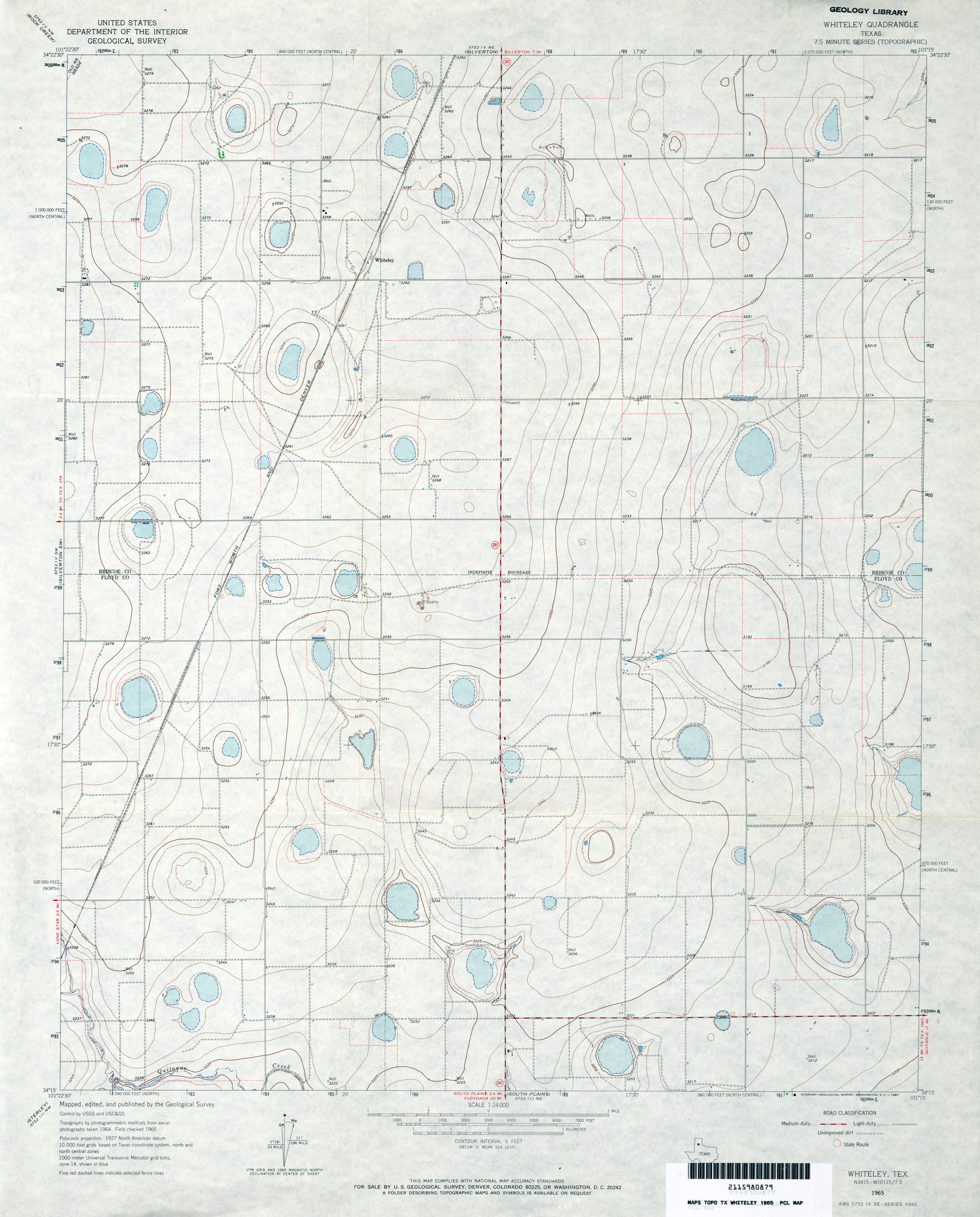
- Whiteley 1:24,000 1965 (2.7MB)
- Whiteley 1:24,000 2008 (9.1MB) [GeoPDF]
- Whiteley 1:24,000 2012 (14.1MB) [GeoPDF]
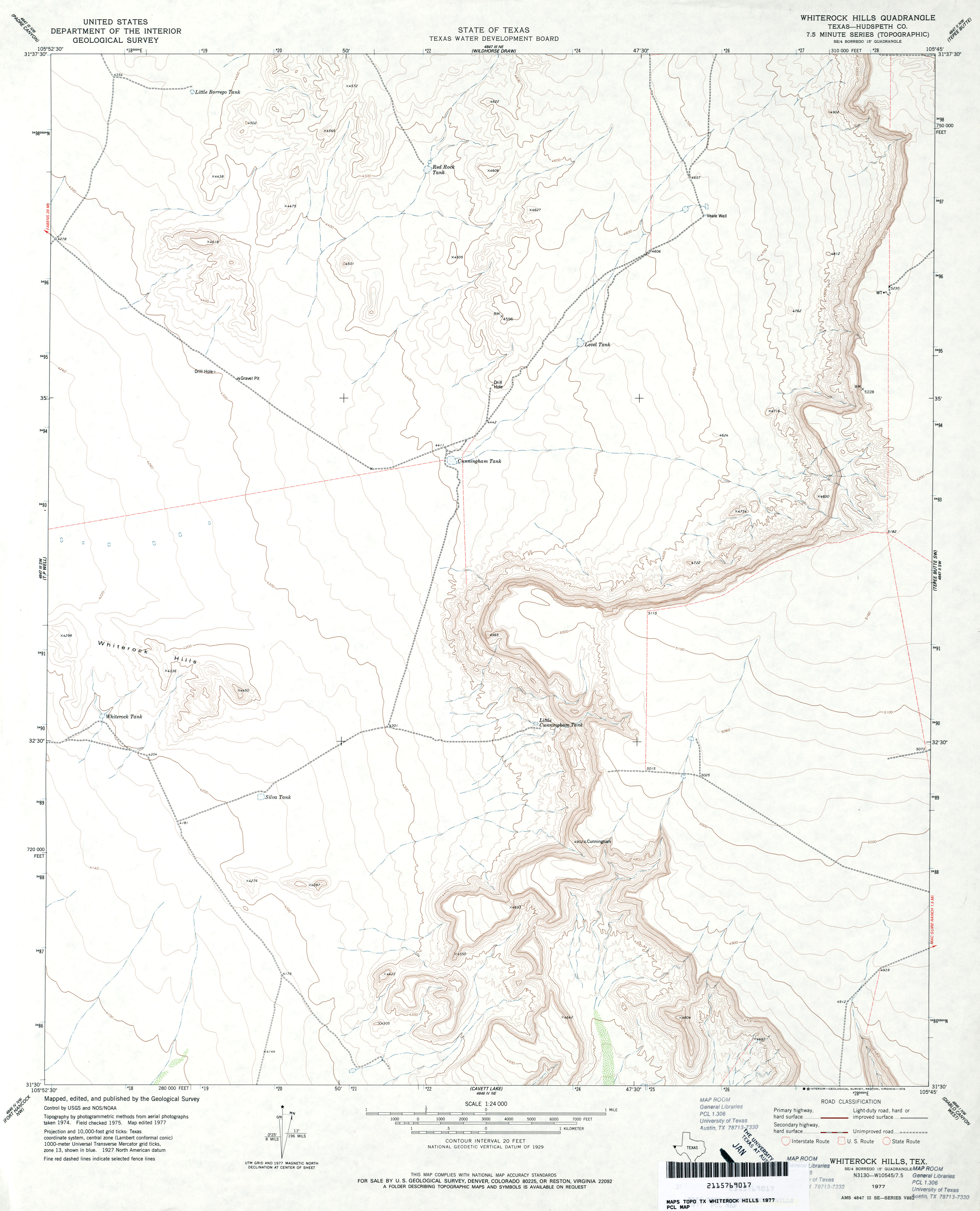
- Whiterock Hills (Hudspeth County) 1:24,000 1977 (2.4MB)
- Whiterock Hills 1:24,000 2008 (21.4MB) [GeoPDF]
- Whiterock Hills 1:24,000 2013 (24.2MB) [GeoPDF]
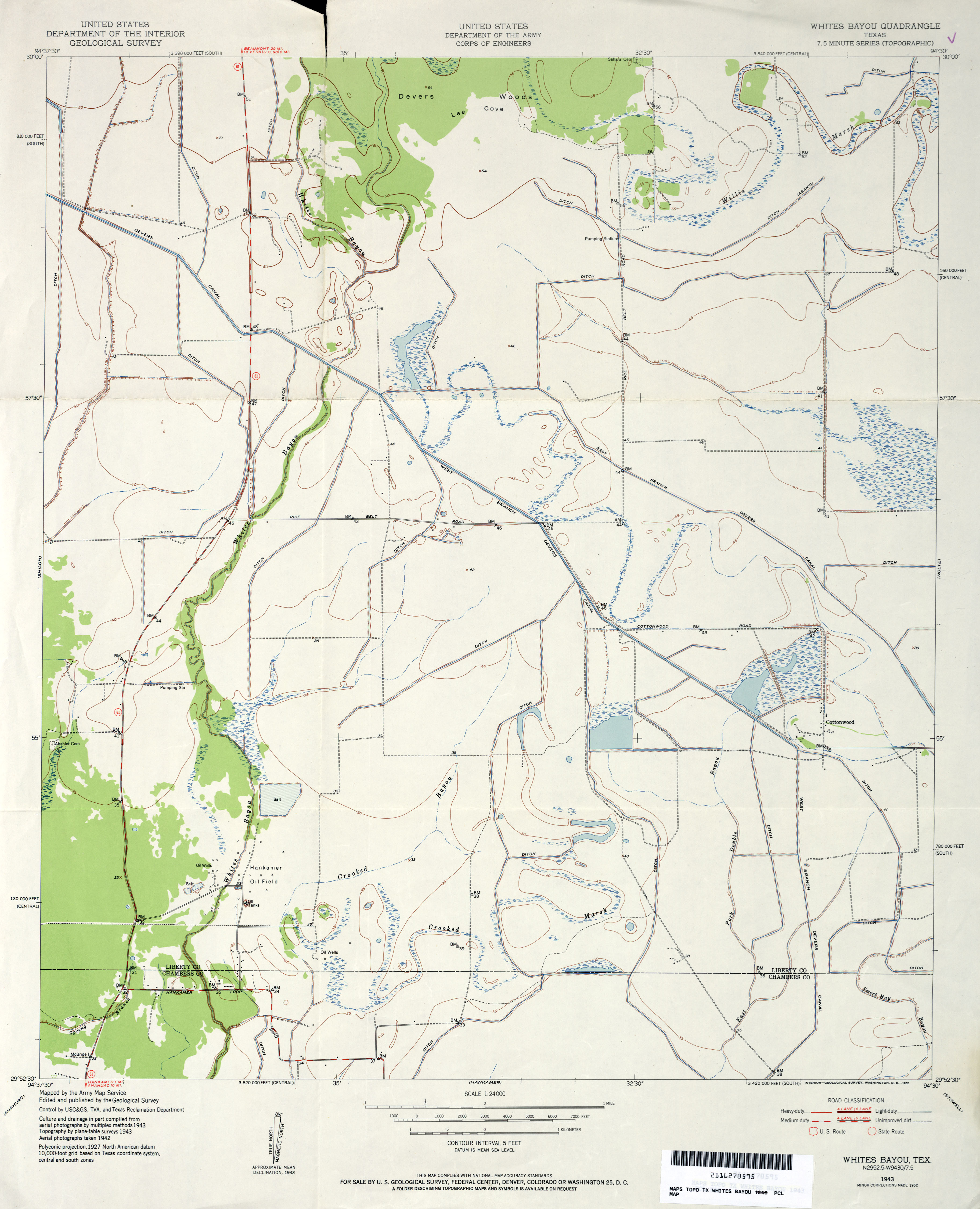
- Whites Bayou 1:24,000 1952 (2.4MB) U.S. Department of the Army Corps of Engineers
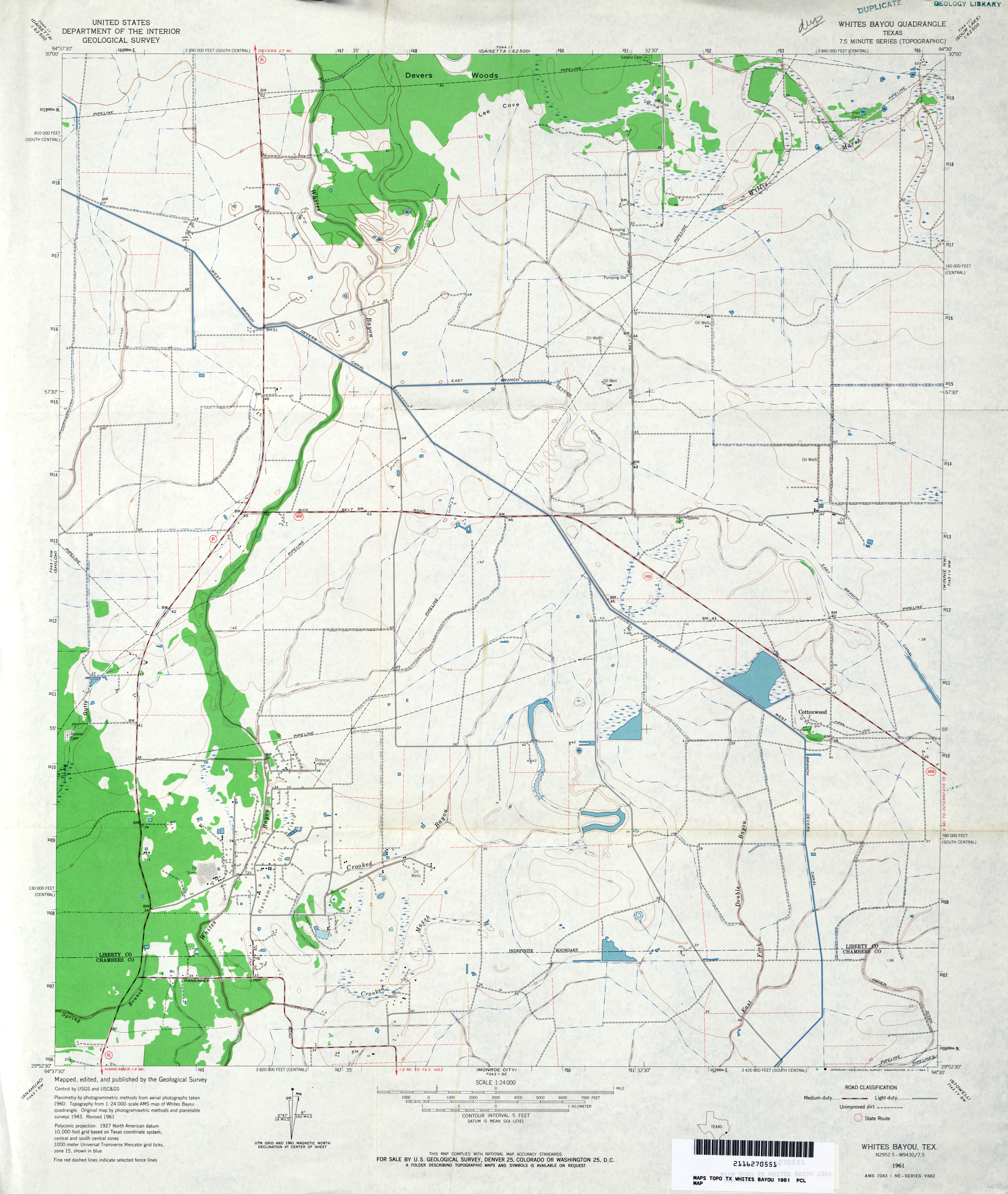
- Whites Bayou 1:24,000 1961 (2.8MB)
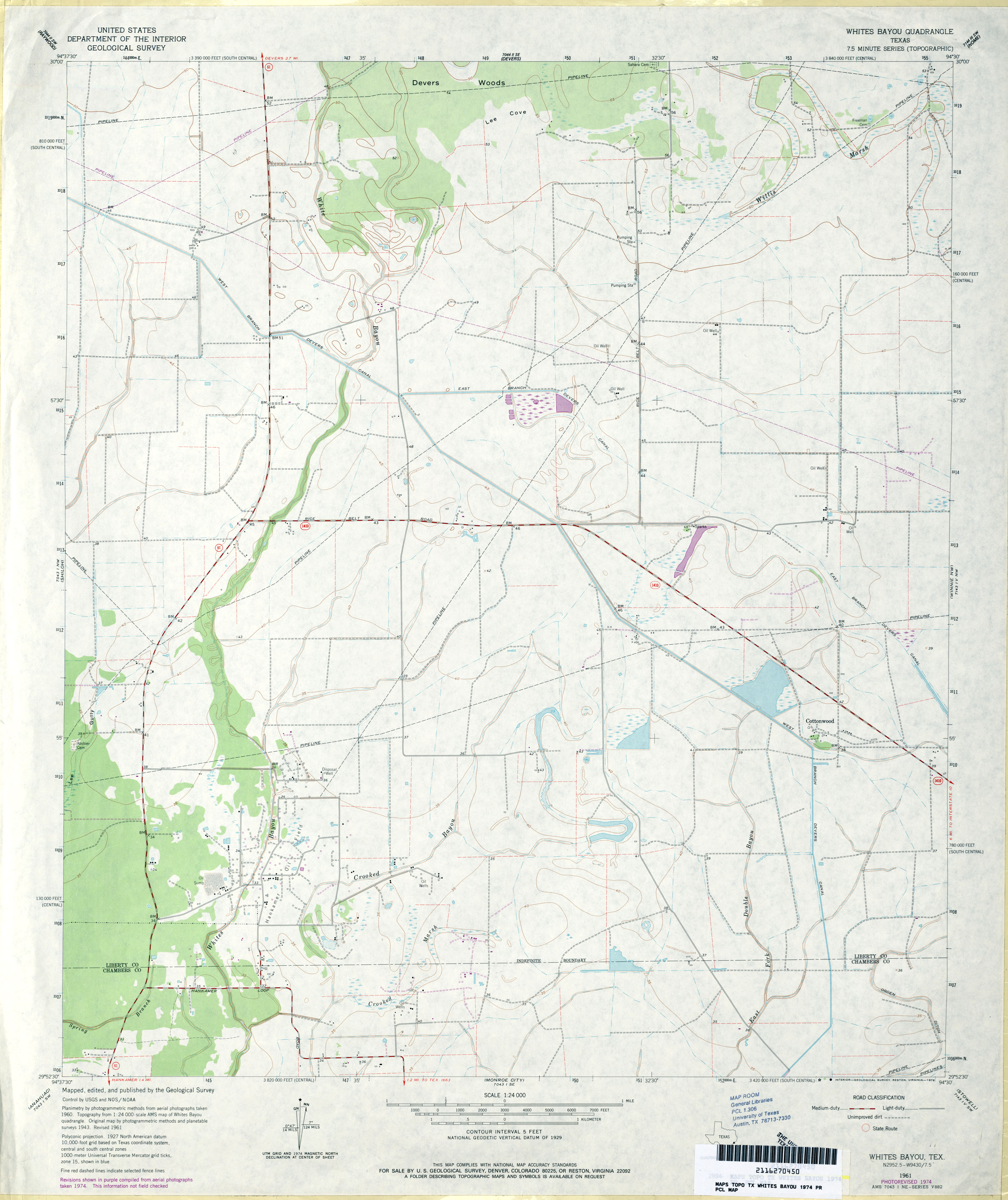
- Whites Bayou 1:24,000 1974 (2.6MB)
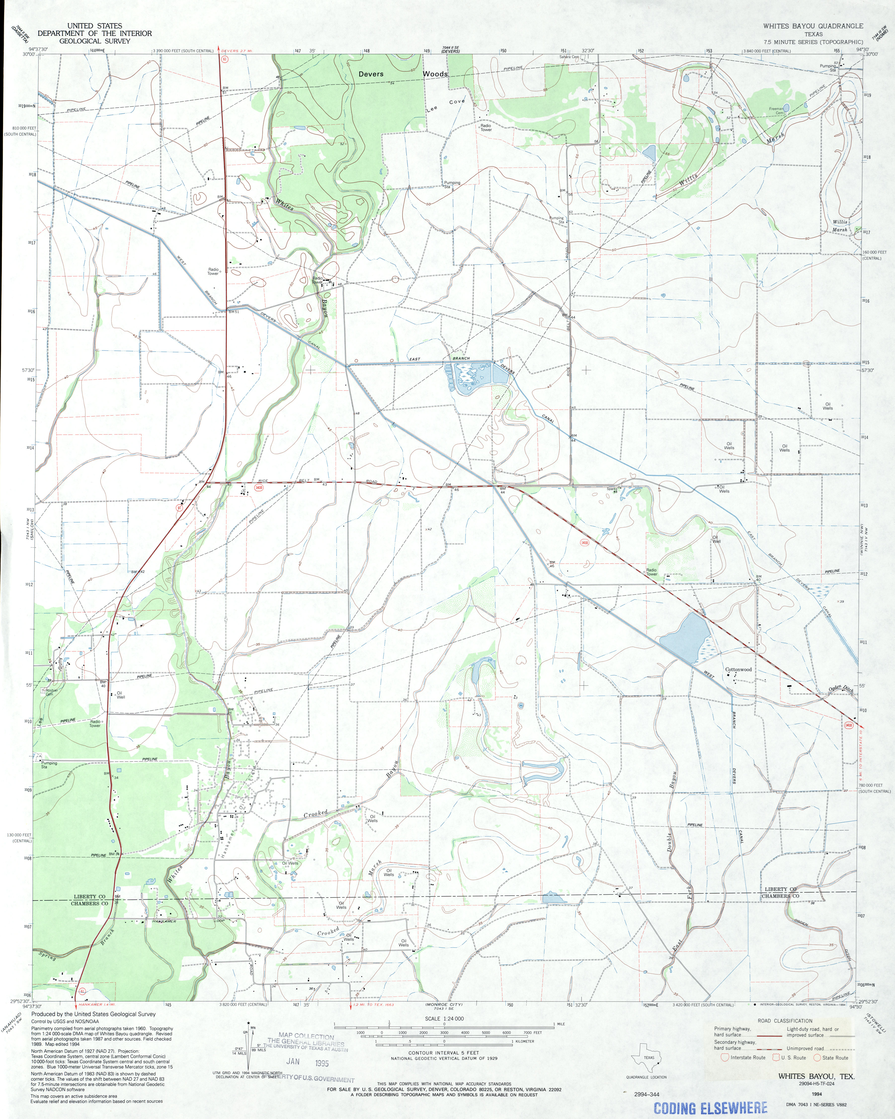
- Whites Bayou 1:24,000 1994 (2.5MB)
- Whites Bayou 1:24,000 2009 (16.1MB) [GeoPDF]
- Whites Bayou 1:24,000 2013 (16.7MB) [GeoPDF]
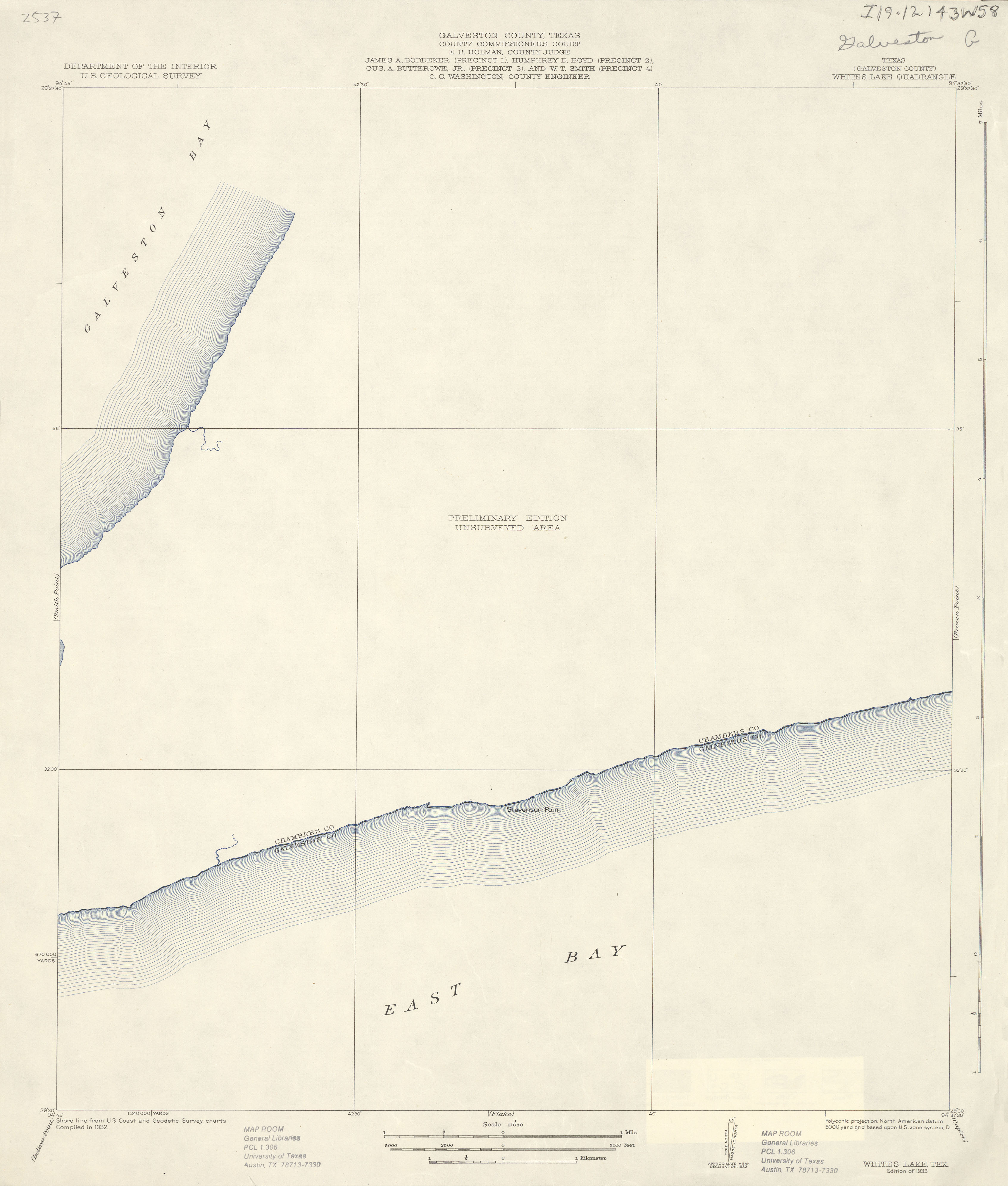
- Whites Lake (Galveston County) 1:31,680 1932 (1.6 MB)
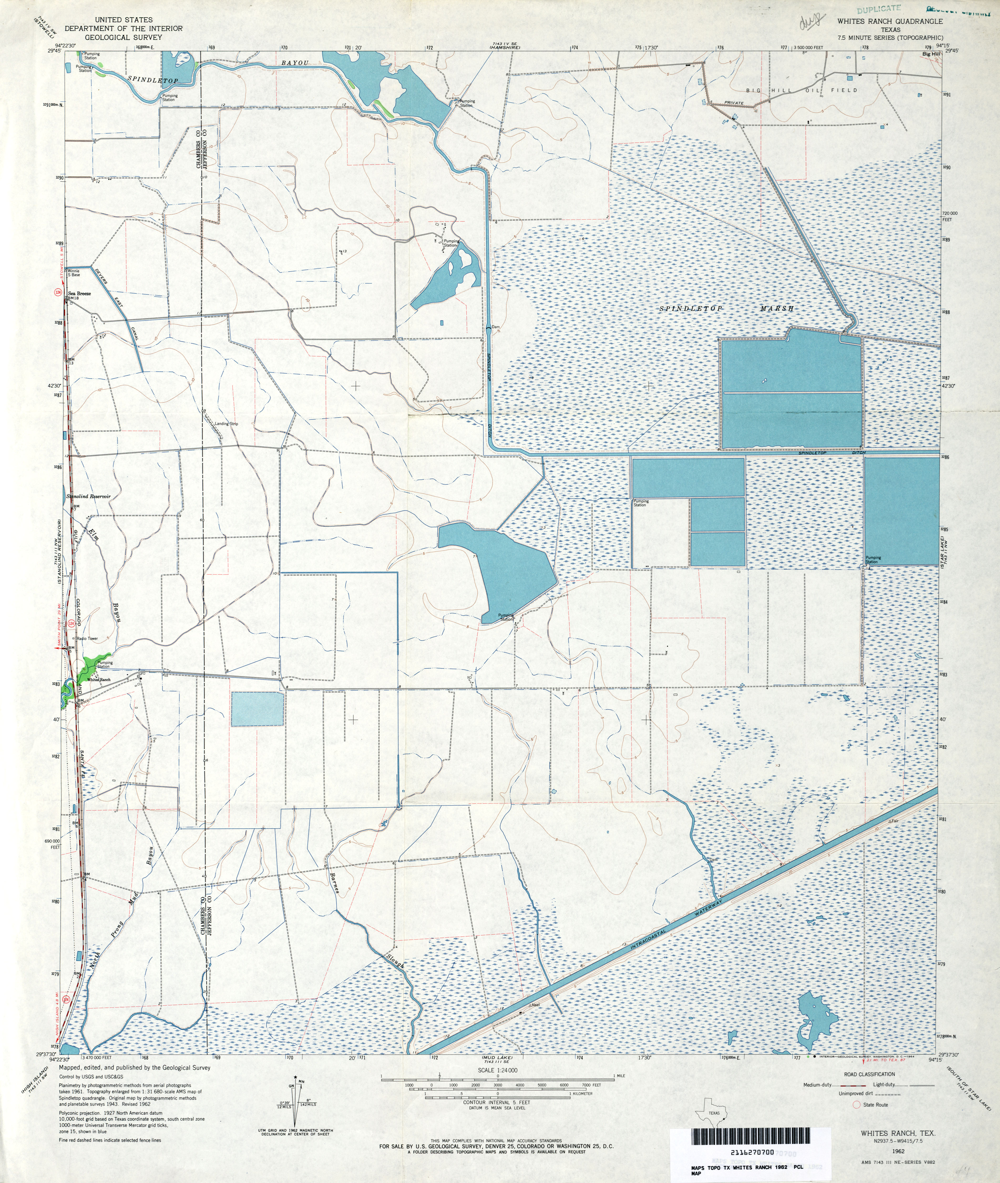
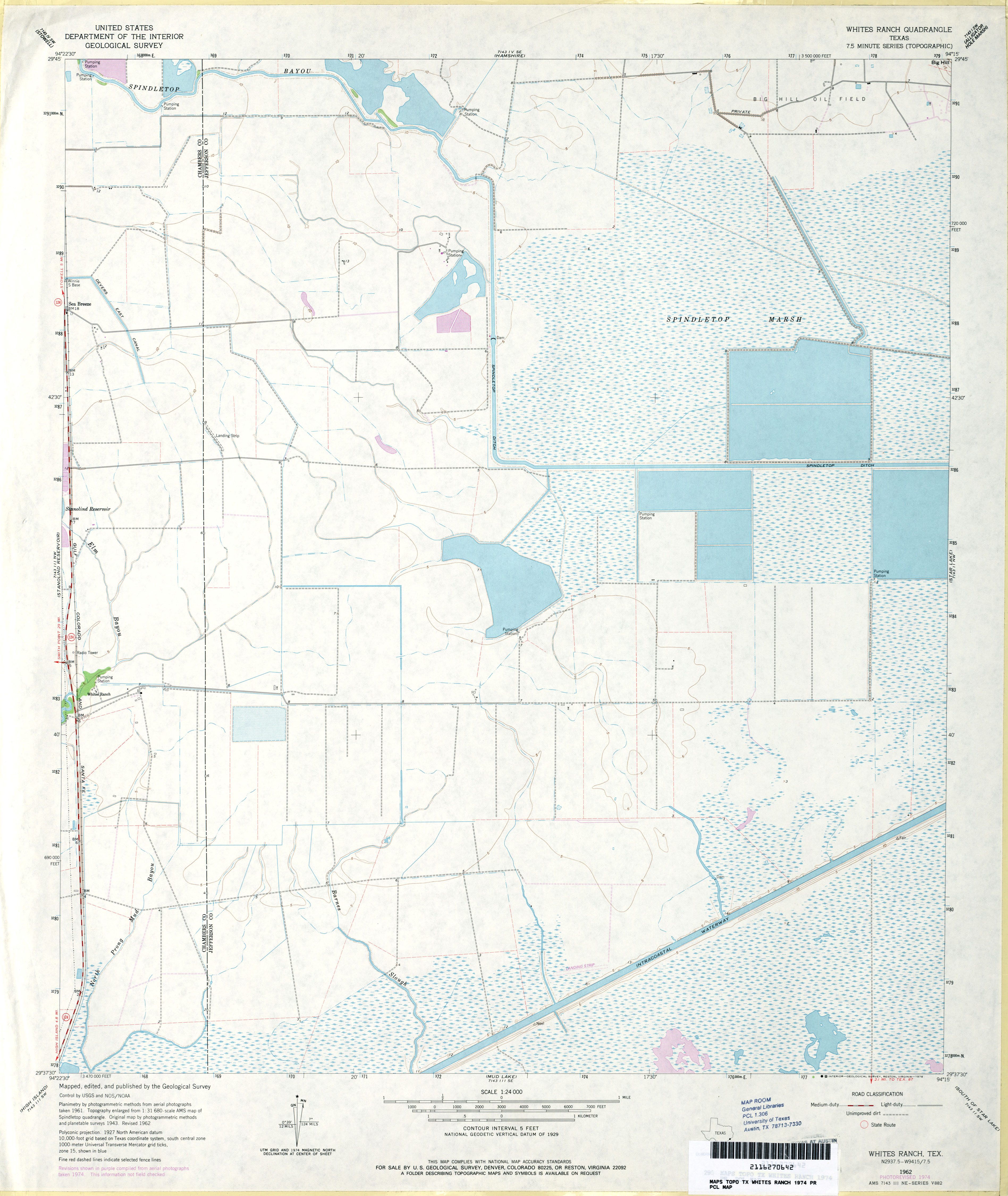
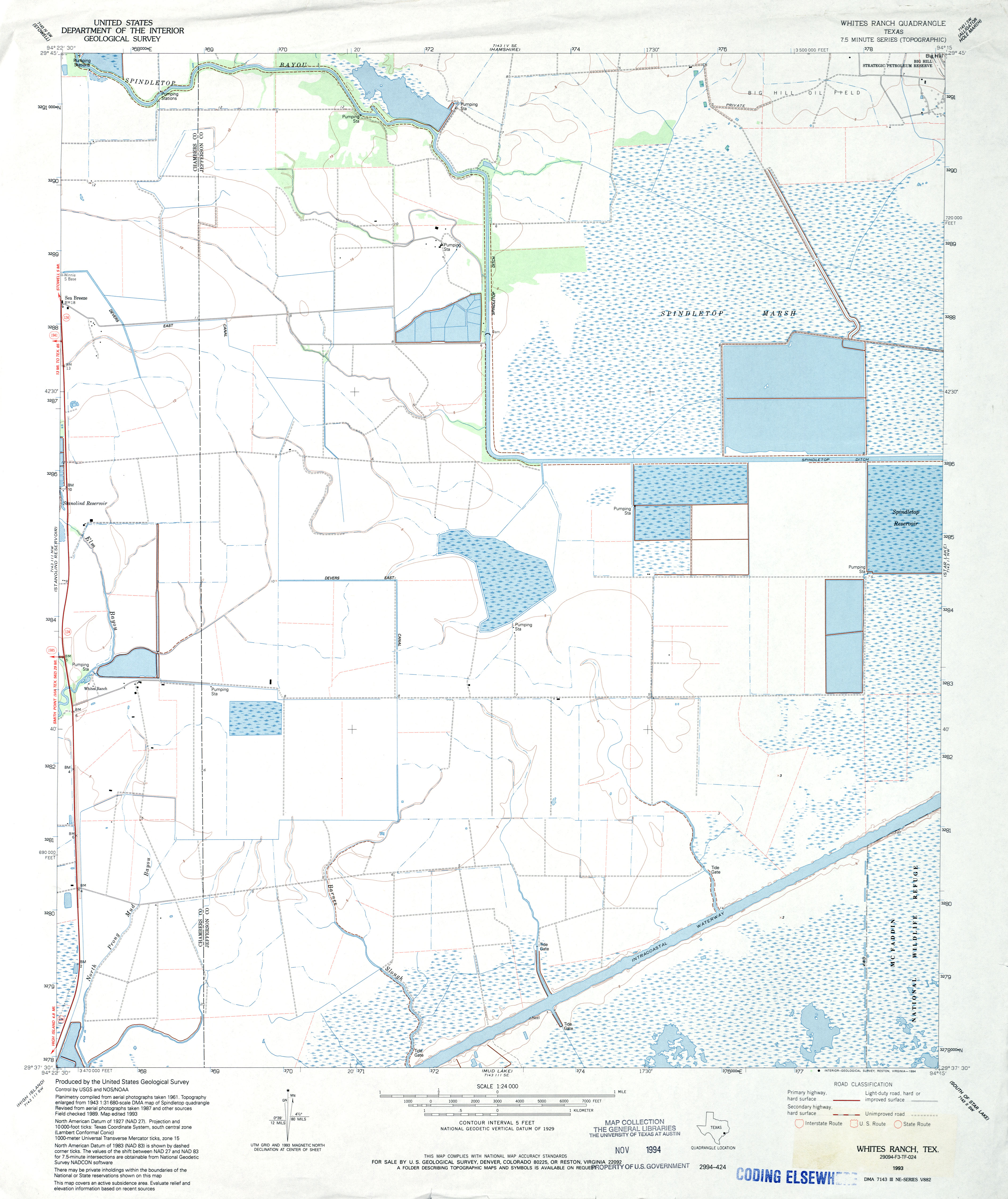
- Whites Ranch 1:24,000 1962 (3.1MB)
- Whites Ranch 1:24,000 1974 (2.8MB)
- Whites Ranch 1:24,000 1993 (2.8MB)
- Whites Ranch 1:24,000 2009 (13.7MB) [GeoPDF]
- Whites Ranch 1:24,000 2013 (15.9MB) [GeoPDF]
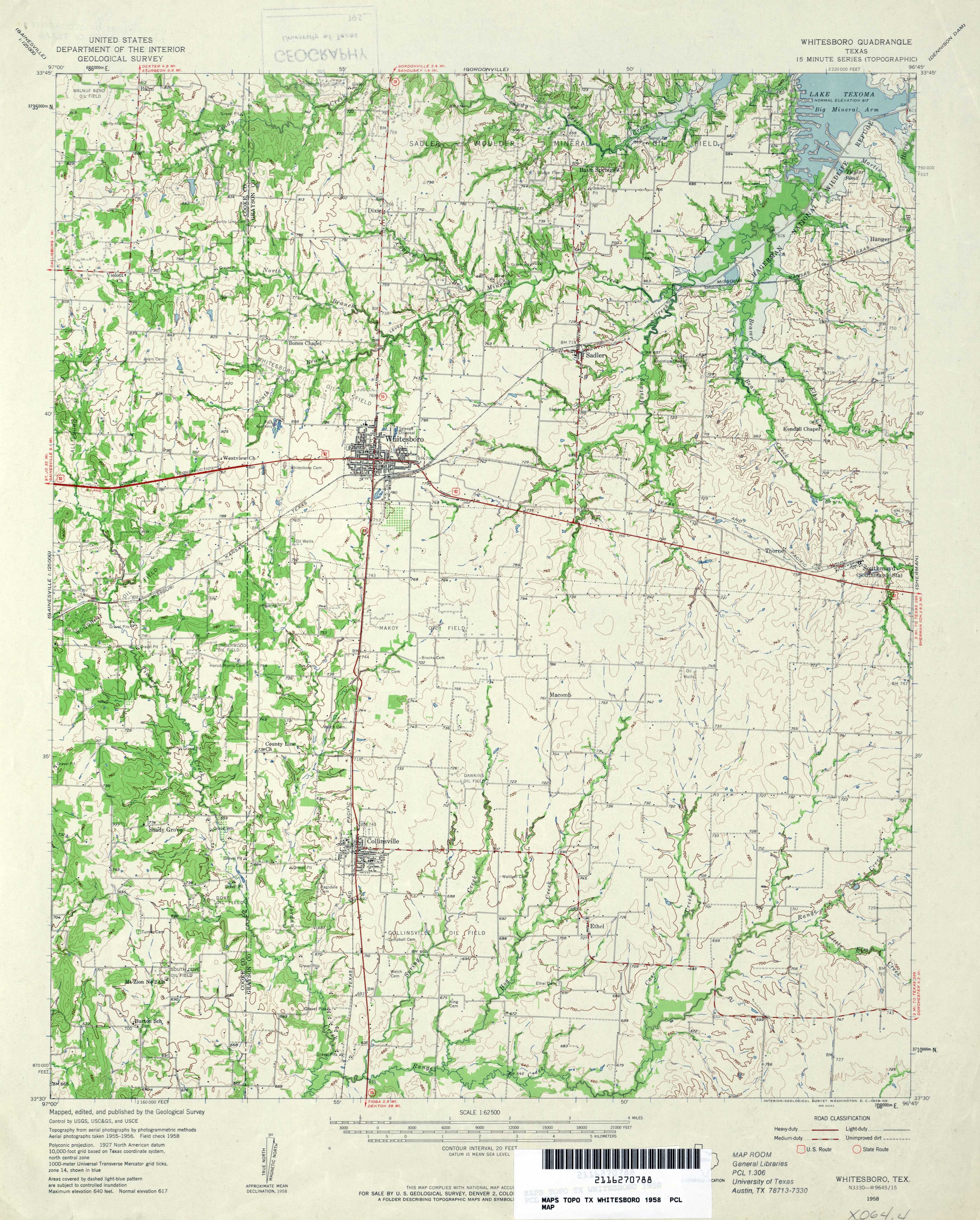
- Whitesboro 1:62,500 1958 (3.7MB)
- Whitesboro 1:24,000 1982 (3.6MB)
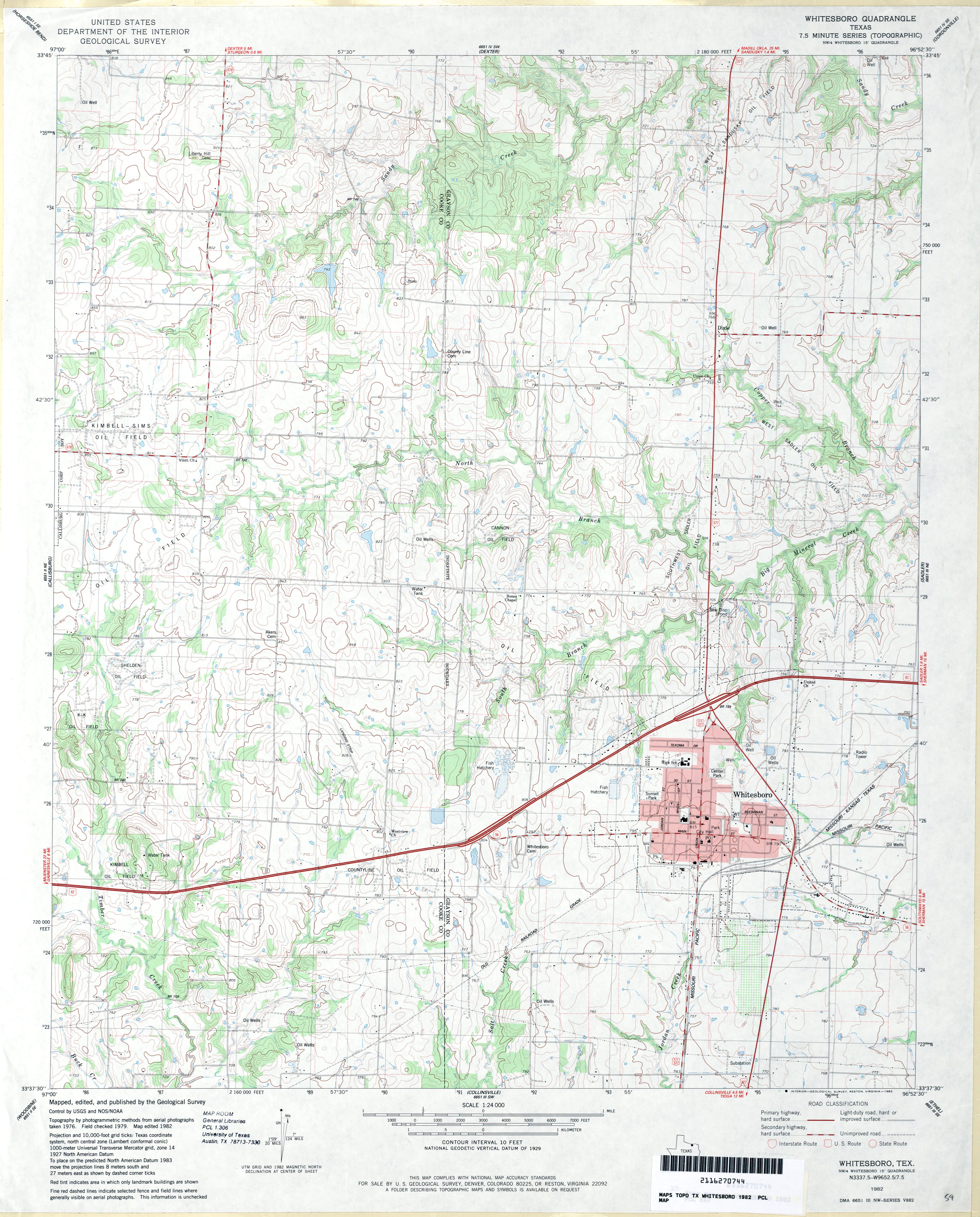
- Whitesboro 1:24,000 2008 (14.1MB) [GeoPDF]
- Whitesboro 1:24,000 2013 (20.3MB) [GeoPDF]
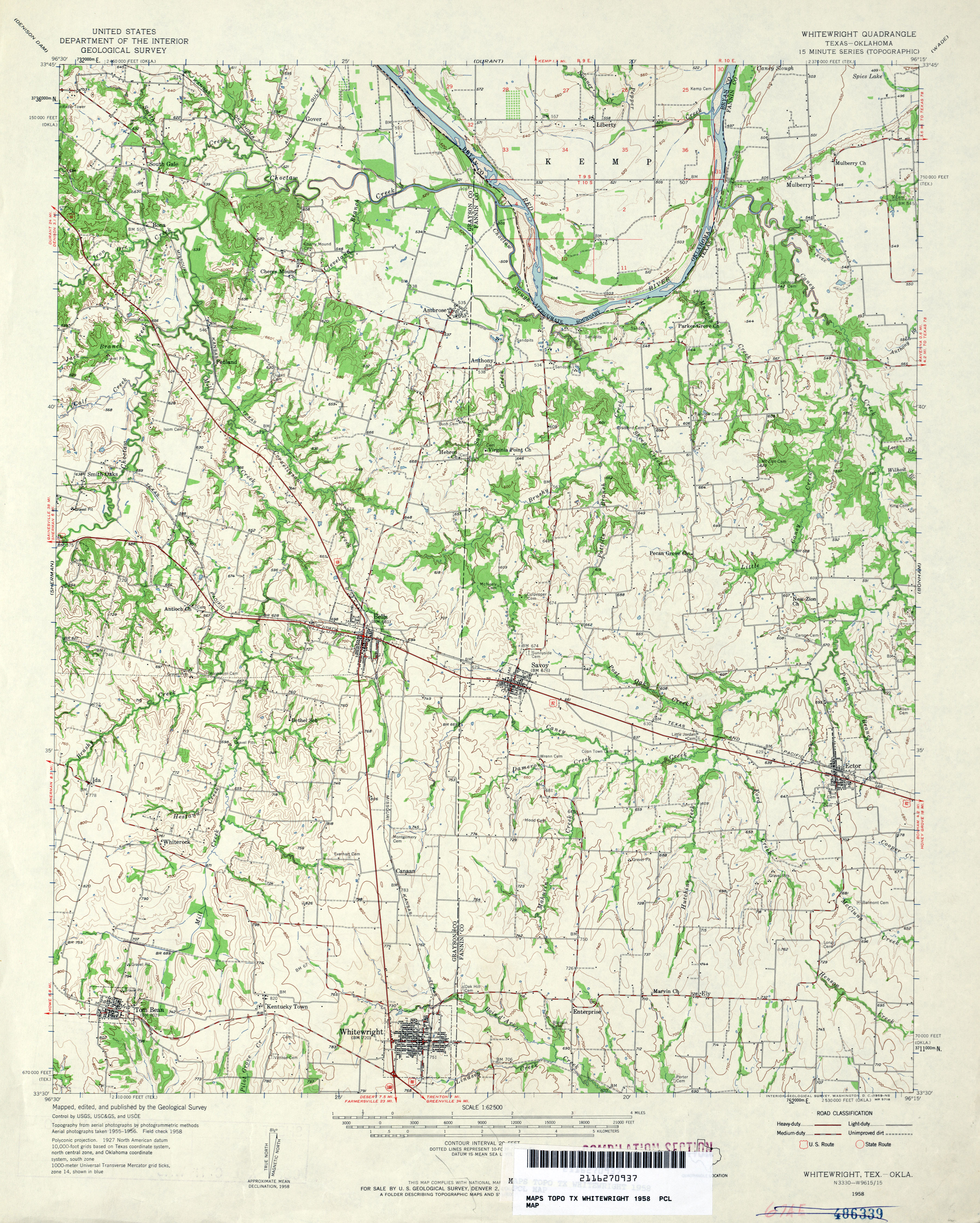
- Whitewright 1:62,500 1958 (3.9MB)
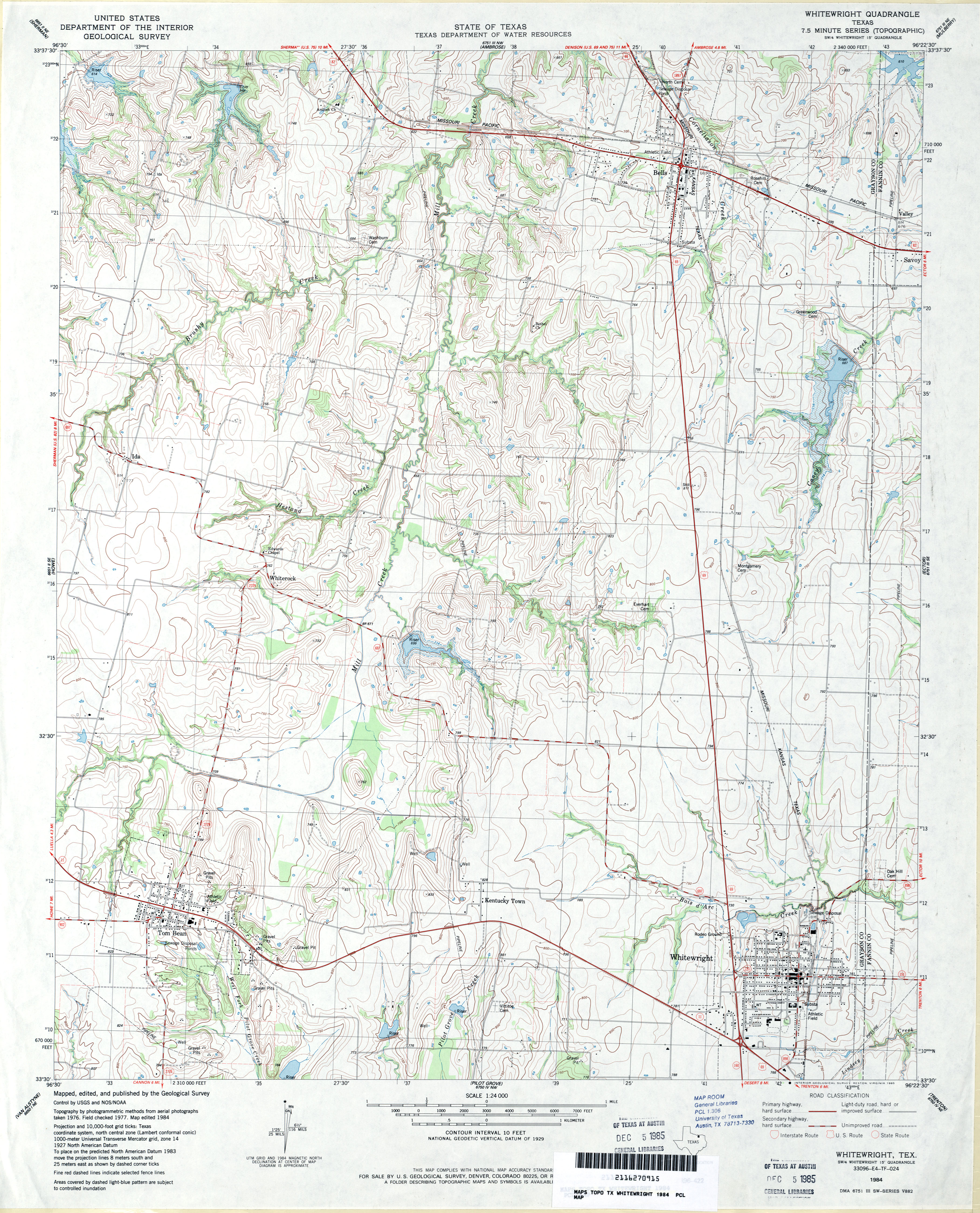
- Whitewright 1:24,000 1984 (4MB)
- Whitewright 1:24,000 2008 (14.2MB) [GeoPDF]
- Whitewright 1:24,000 2013 (20.8MB) [GeoPDF]
- Whitharral 1:24,000 2008 (9.0MB) [GeoPDF]
- Whitharral 1:24,000 2012 (14.3MB) [GeoPDF]
- Whitney 1:62,500 1924 (2.1 MB)
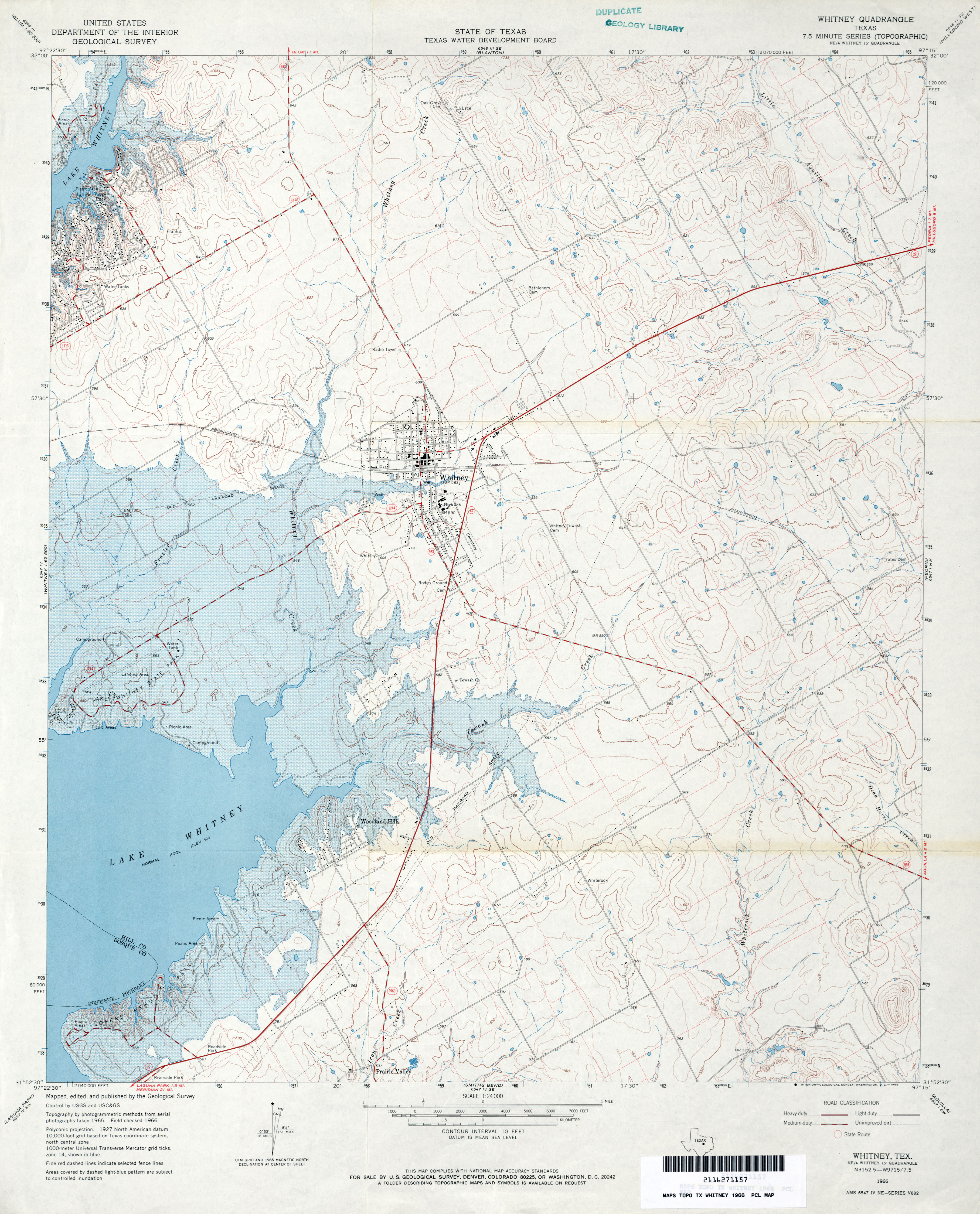
- Whitney 1:24,000 1966 (3.5MB)
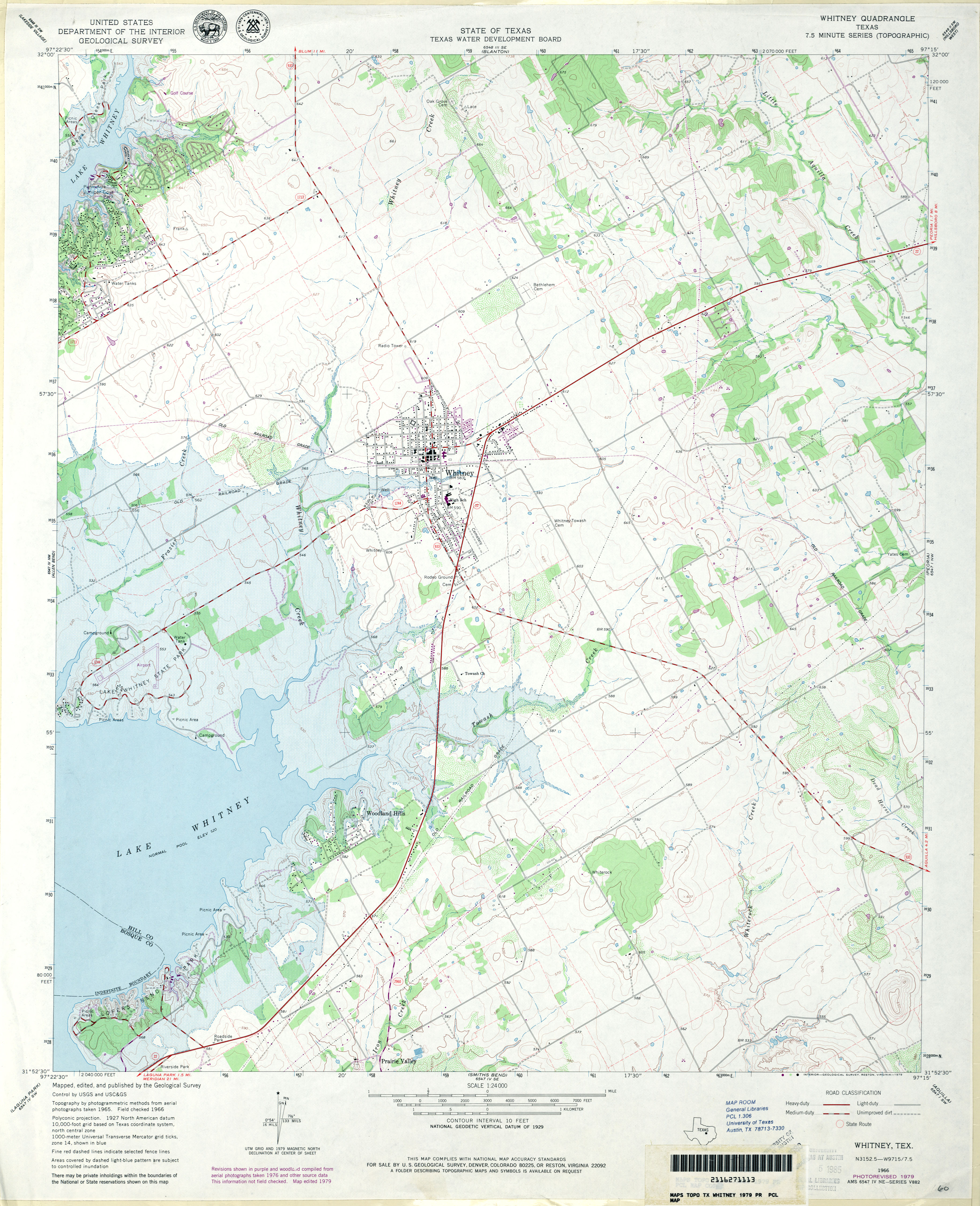
- Whitney 1:24,000 1979 (3.5MB)
- Whitney 1:24,000 2008 (15.9MB) [GeoPDF]
- Whitney 1:24,000 2012 (20.5MB) [GeoPDF]
- Whitsett (Mc Mullen County) 1:62,500 1925 (3.1 MB)
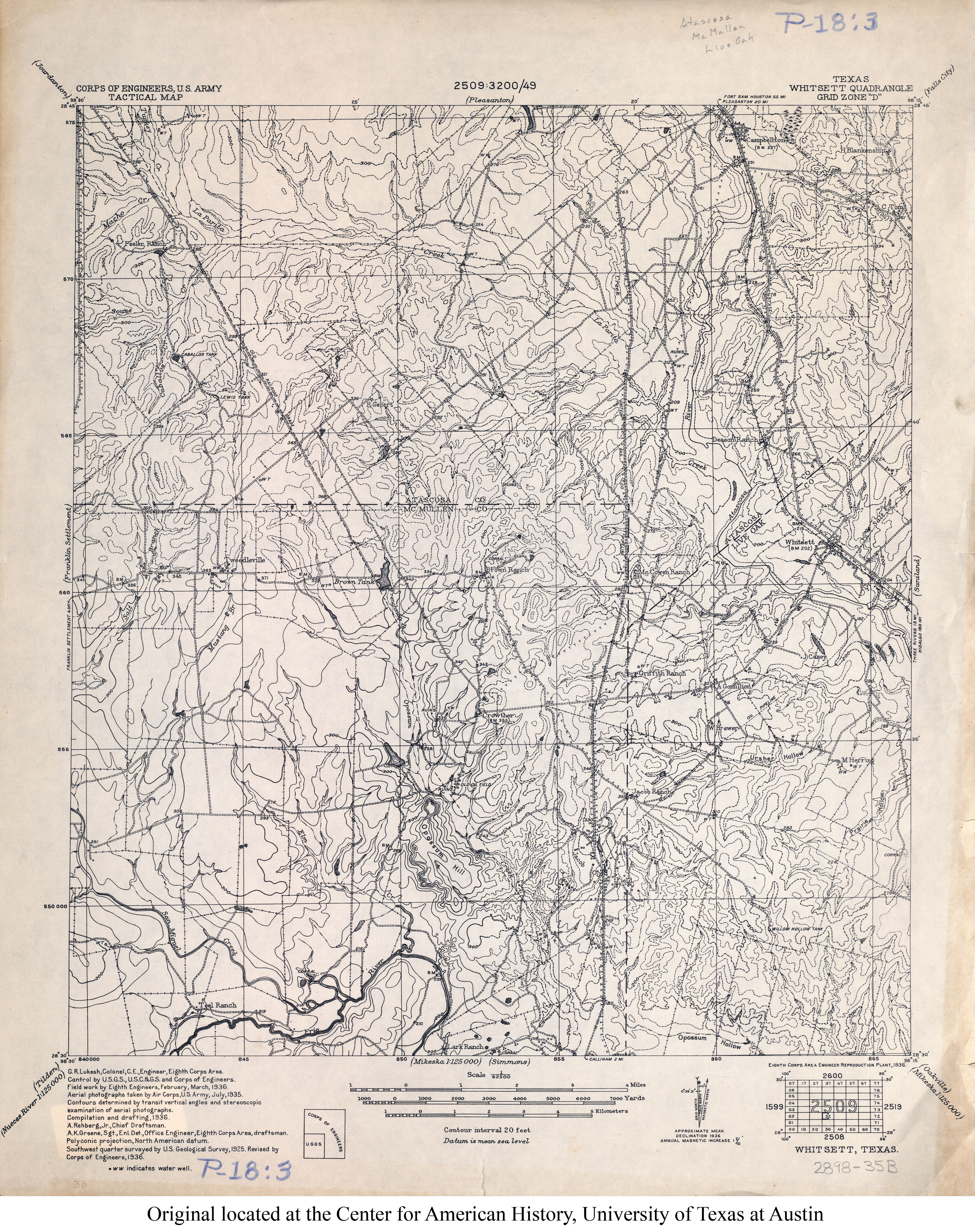
- Whitsett 1:62,500 1936 (4.6MB) U.S. Army. Corps of Engineers. Tactical Map
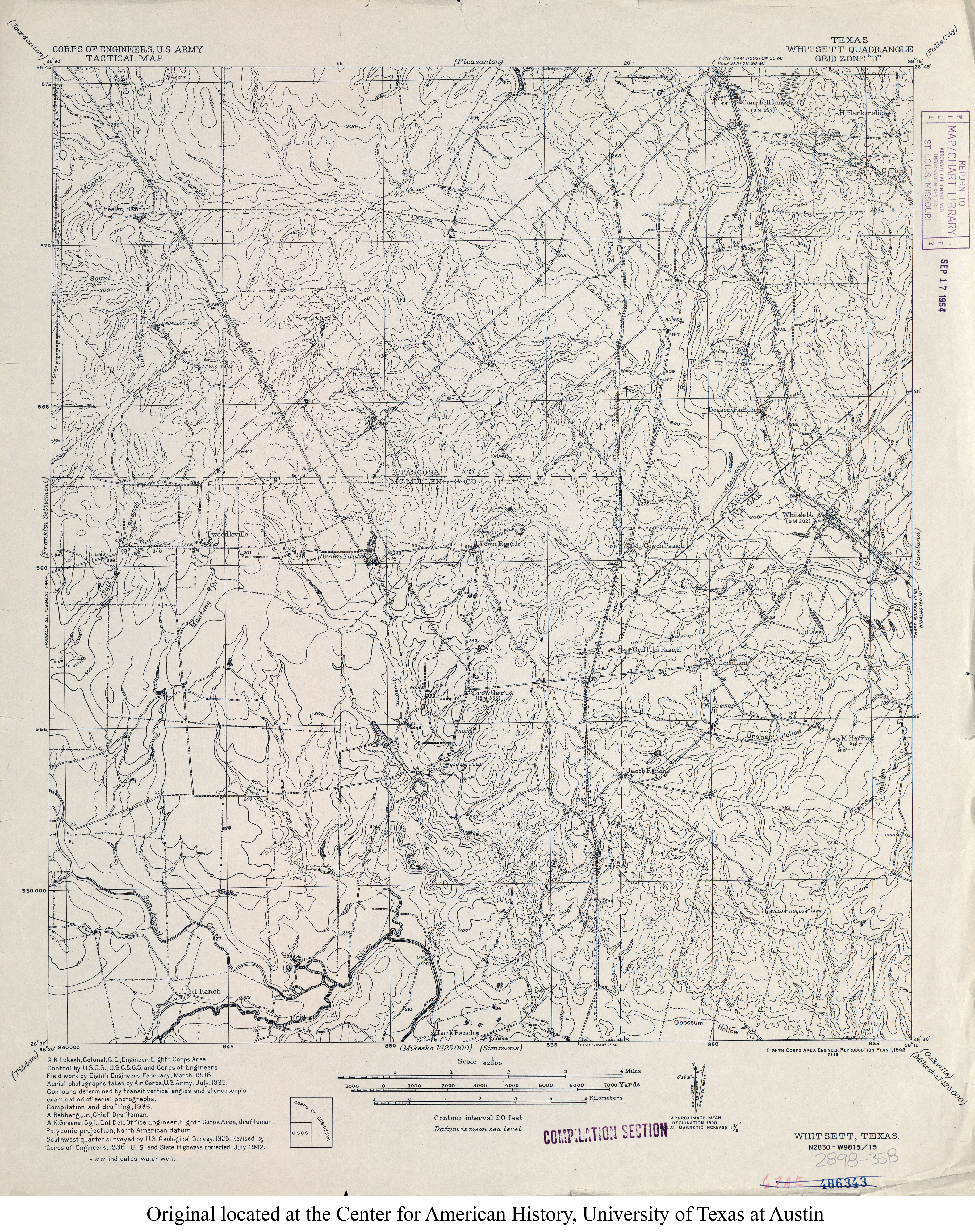
- Whitsett 1:62,500 1942 (4.8MB) U.S. Army. Corps of Engineers. Tactical Map
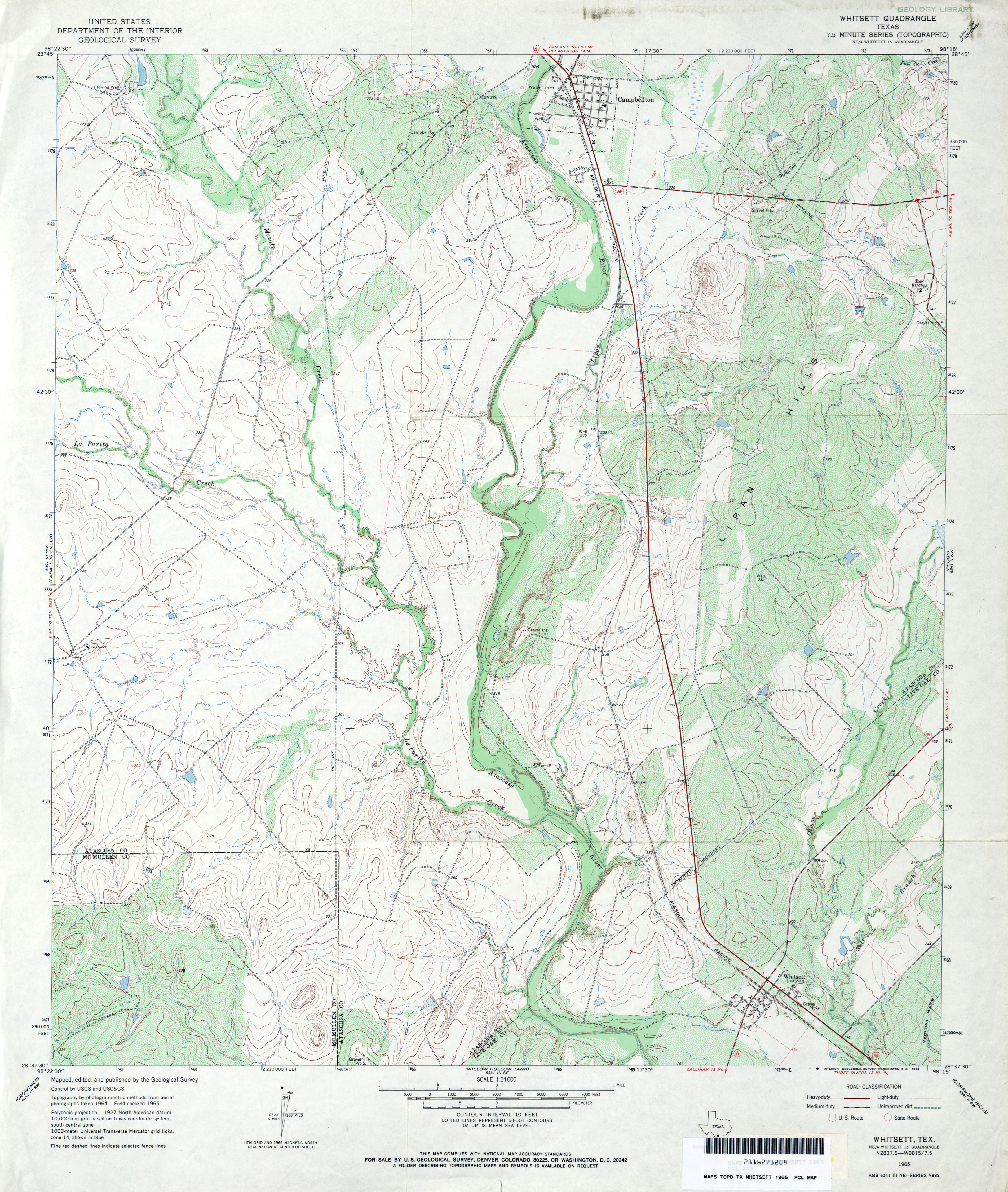
- Whitsett 1:24,000 1965 (4MB)
- Whitsett 1:24,000 1984 (4.4MB)
- Whitsett 1:24,000 2008 (17.7MB) [GeoPDF]
- Whitsett 1:24,000 2012 (24.8MB) [GeoPDF]
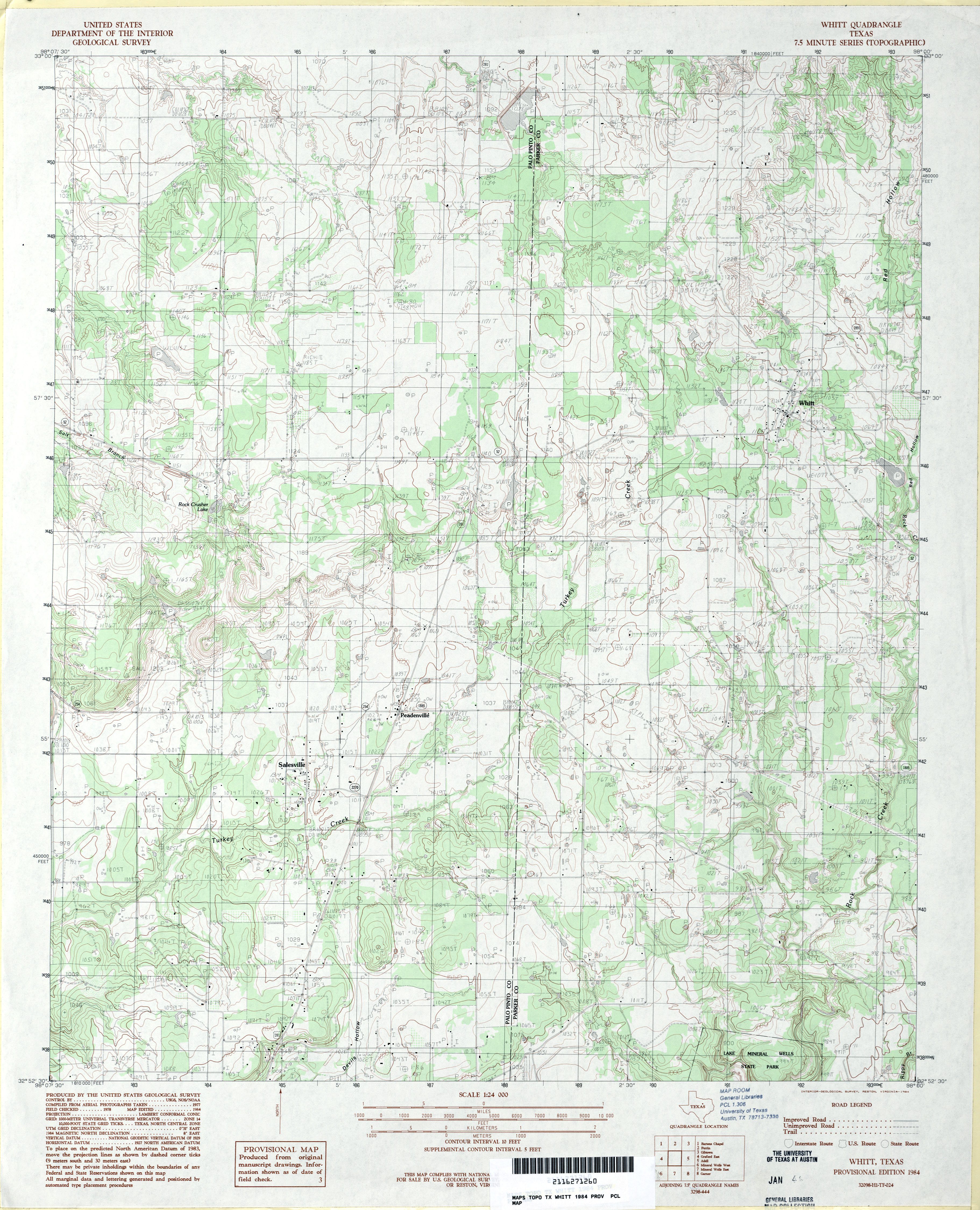
- Whitt 1:24,000 1984 (3.8MB)
- Whitt 1:24,000 2008 (16.1MB) [GeoPDF]
- Whitt 1:24,000 2012 (19.1MB) [GeoPDF]
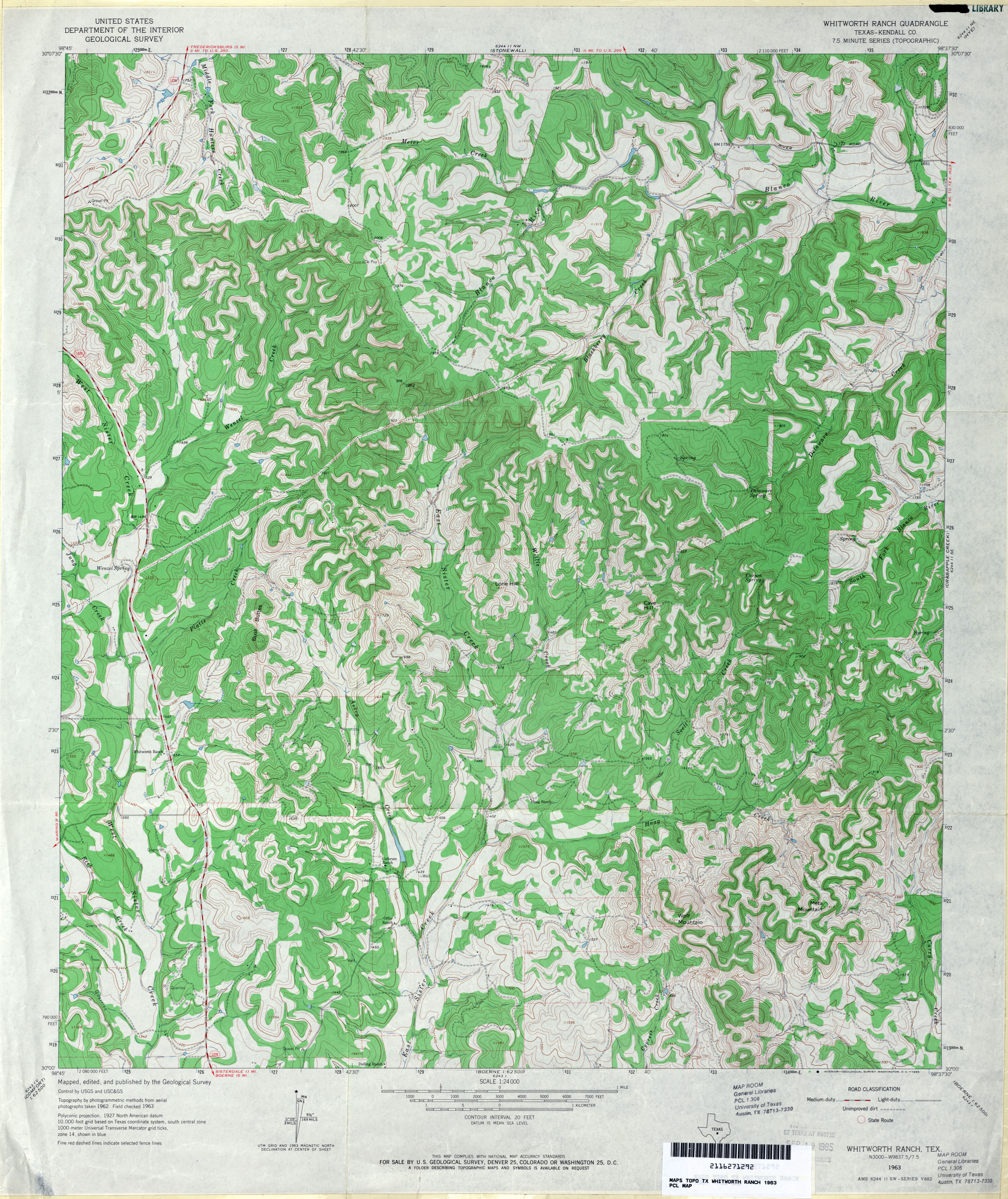
- Whitworth Ranch (Kendall County) 1:24,000 1963 (4.4MB)
- Whitworth Ranch 1:24,000 2012 (29.4MB) [GeoPDF]
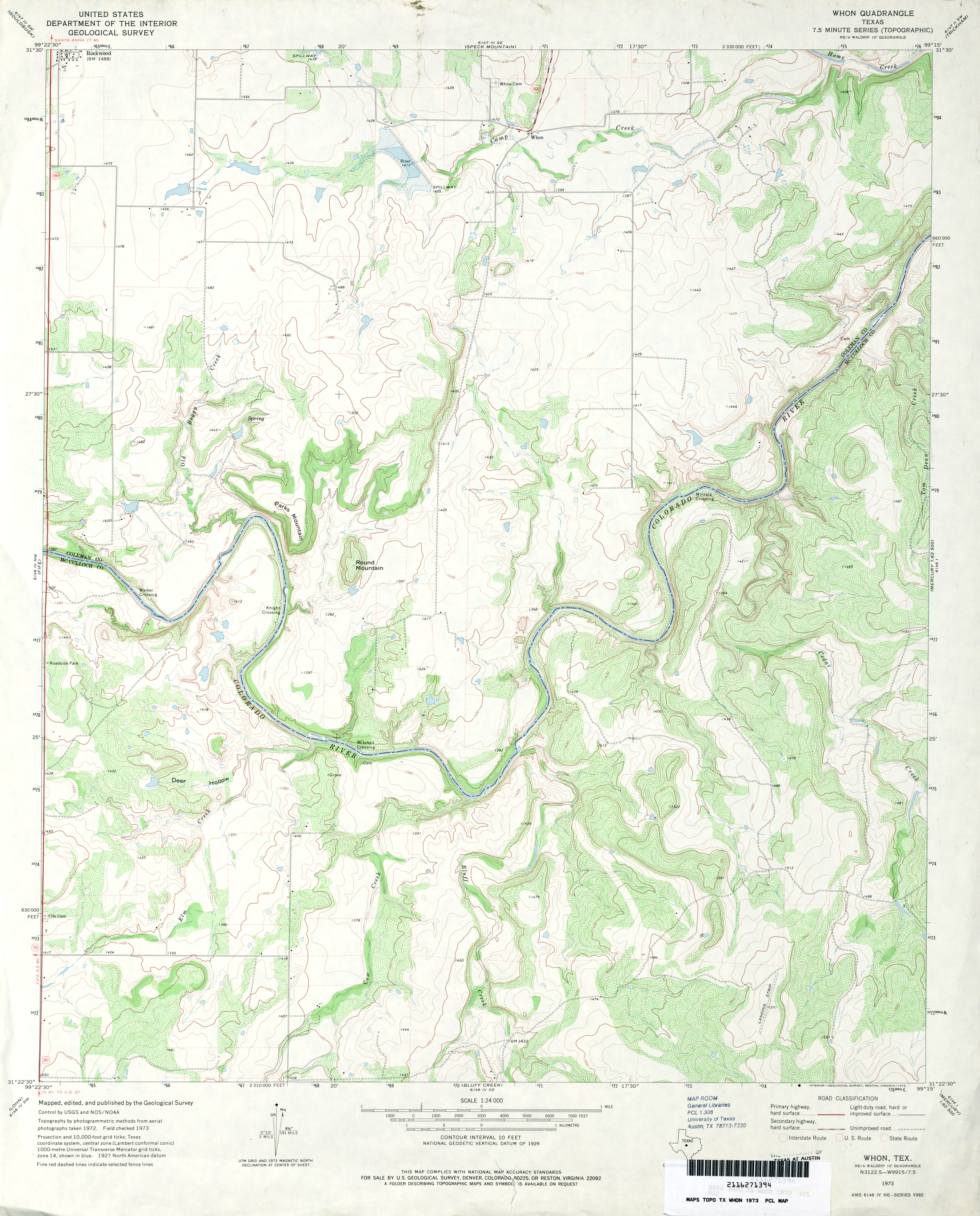
- Whon 1:24,000 1973 (3.6MB)
- Whon 1:24,000 1987 (4MB)
- Whon 1:24,000 2013 (24.5MB) [GeoPDF]
- Wichita Falls 1:250,000 1954 (8.3MB)
- Wichita Falls 1:250,000 1975 (7.5MB)
- Wichita Falls 1:100,000 1985 (7.9MB)
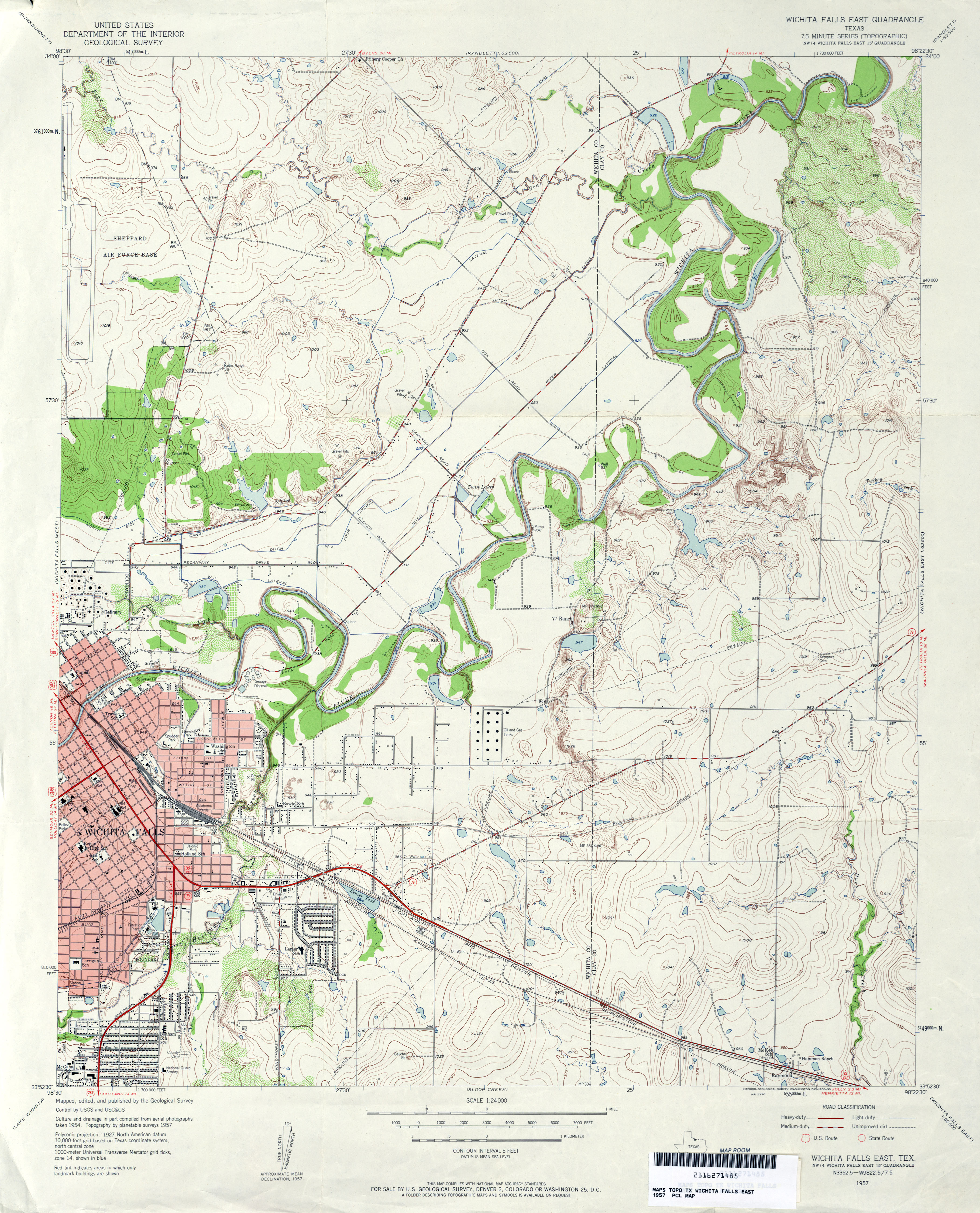
- Wichita Falls East 1:24,000 1957 (3.8MB)
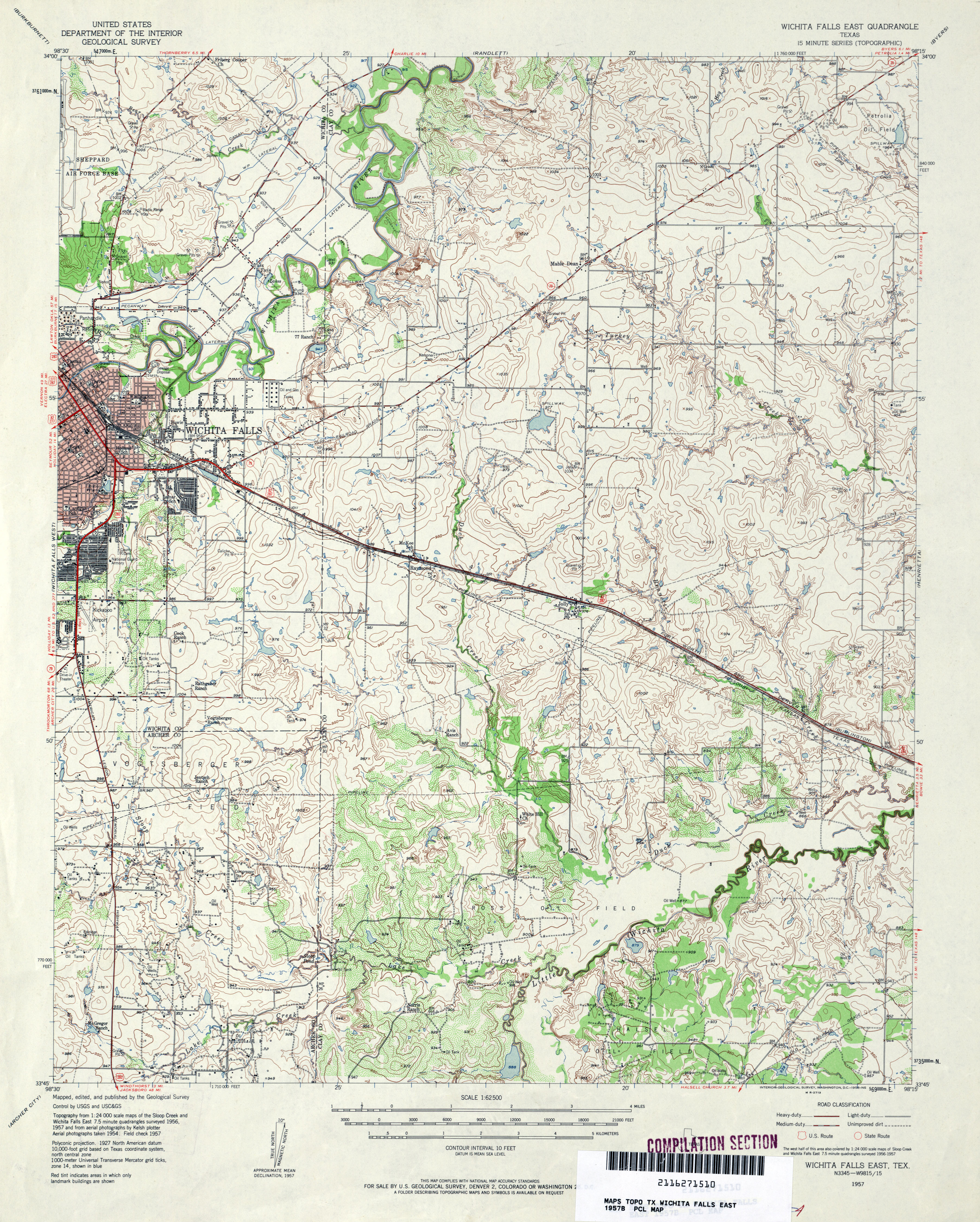
- Wichita Falls East 1:62,500 1957 (4.3MB)
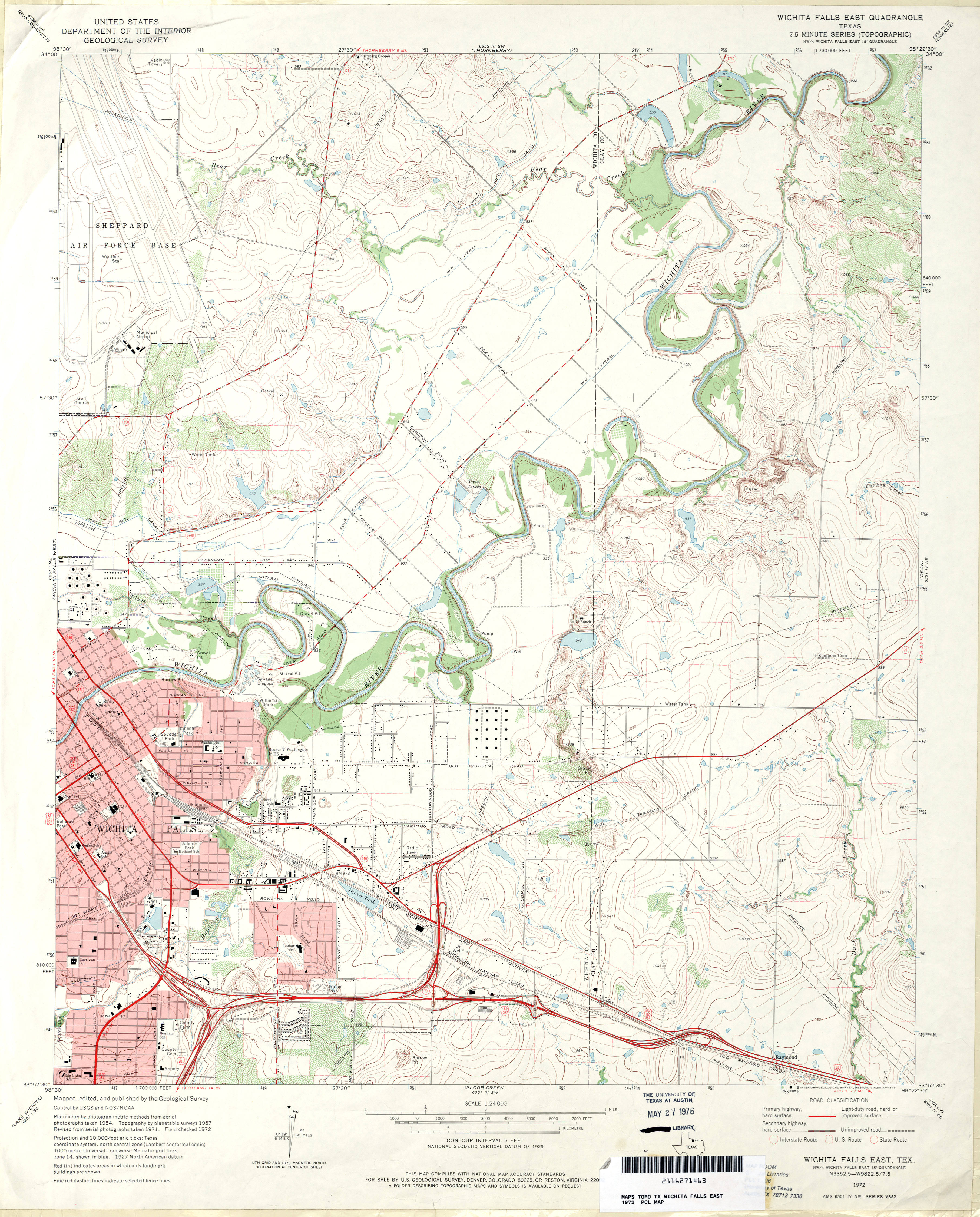
- Wichita Falls East 1:24,000 1972 (3.6MB)
- Wichita Falls East 1:24,000 2008 (14.7MB) [GeoPDF]
- Wichita Falls East 1:24,000 2013 (19.5MB) [GeoPDF]
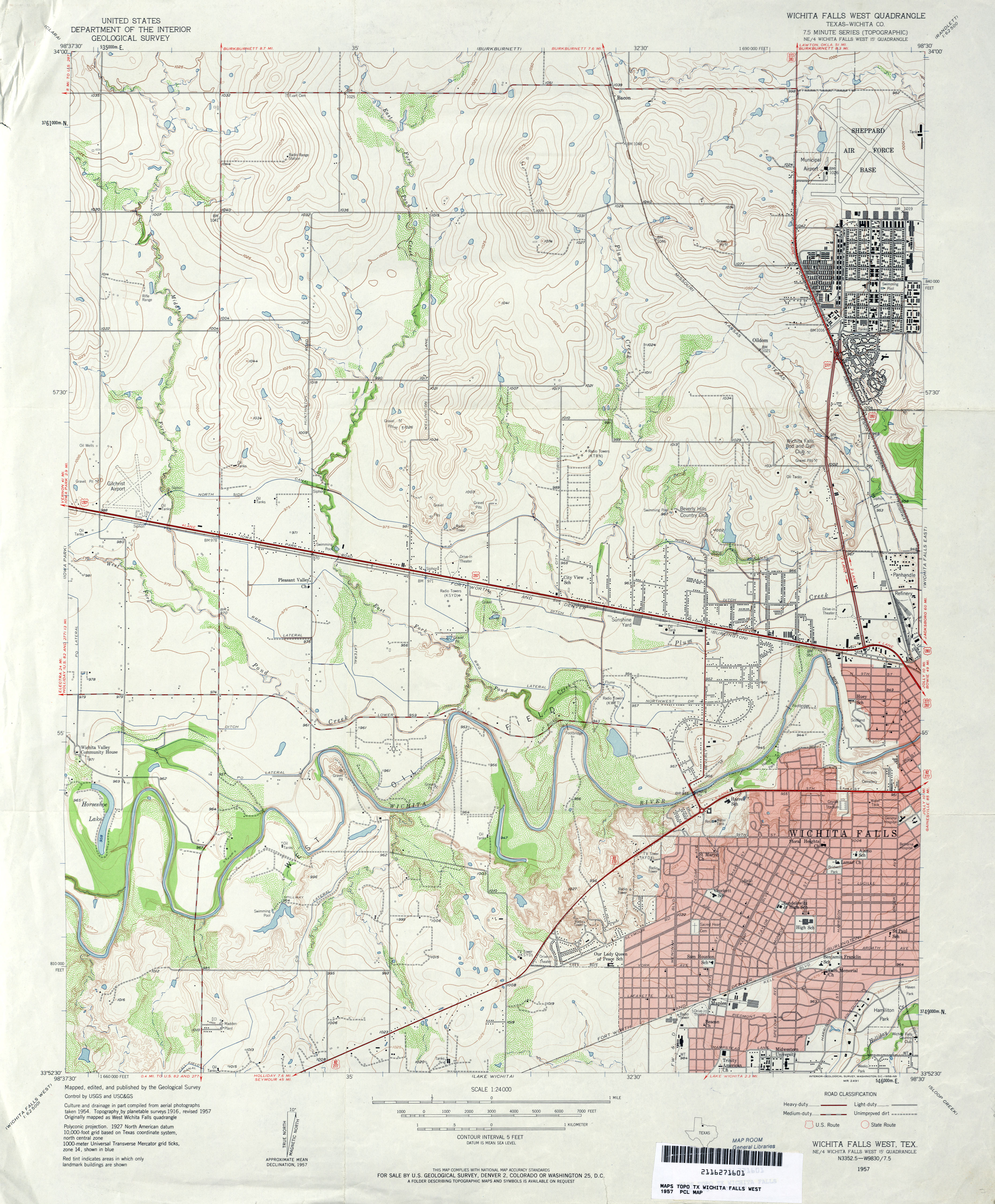
- Wichita Falls West (Wichita County) 1:24,000 1957 (3.6MB)
- Wichita Falls West 1:62,500 1957 (4.2MB)
- Wichita Falls West (Wichita County) 1:24,000 1972 (3.6MB)
- Wichita Falls West 1:24,000 2008 (15.7MB) [GeoPDF]
- Wichita Falls West 1:24,000 2013 (21.3MB) [GeoPDF]
- Wied (Lavaca County) 1:24,000 1965 (3.7MB)
- Wied (Lavaca County) 1:24,000 1987 (3.6MB)
- Wied 1:24,000 2008 (13.0MB) [GeoPDF]
- Wied 1:24,000 2013 (21.1MB) [GeoPDF]
- Wiergate 1:62,500 1942 (6.8MB)
- Wiergate 1:24,000 1948 (4.5MB) U.S. Department of the Army Corps of Engineers
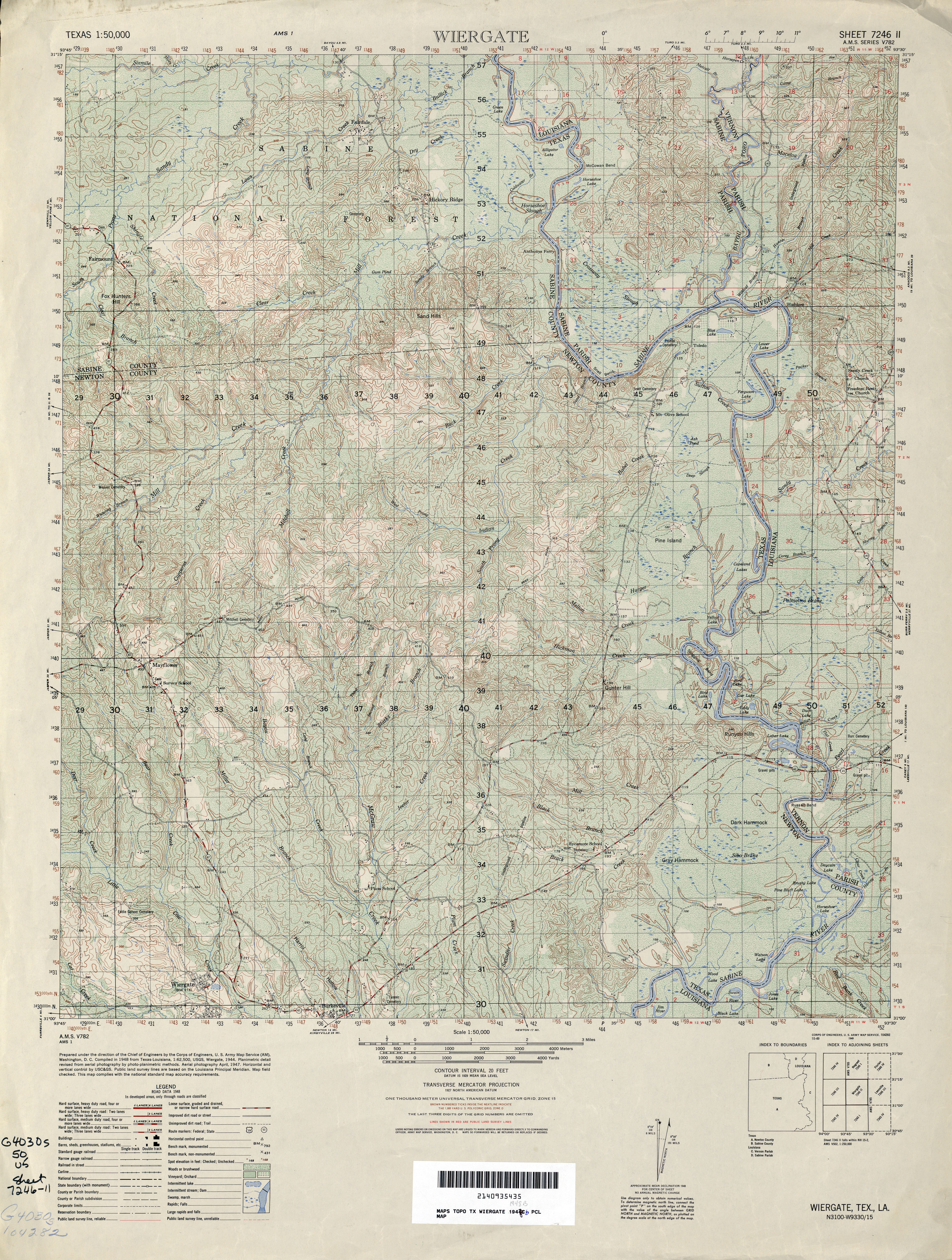
- Wiergate 1:50,000 1948 (5.8MB) U.S. Army Map Service, Series V782
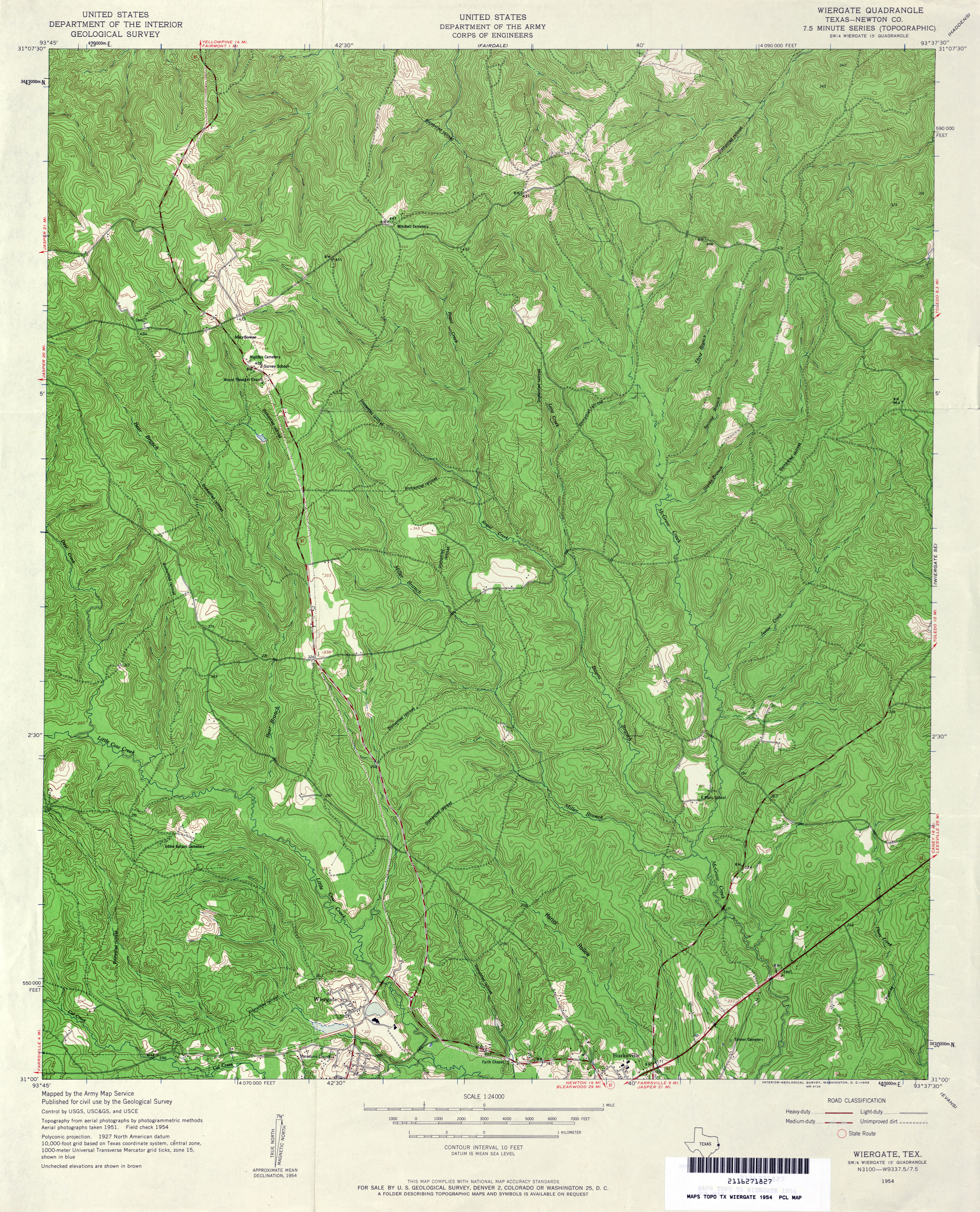
- Wiergate (Newton County) 1:24,000 1954 (5.3MB) U.S. Department of the Army Corps of Engineers
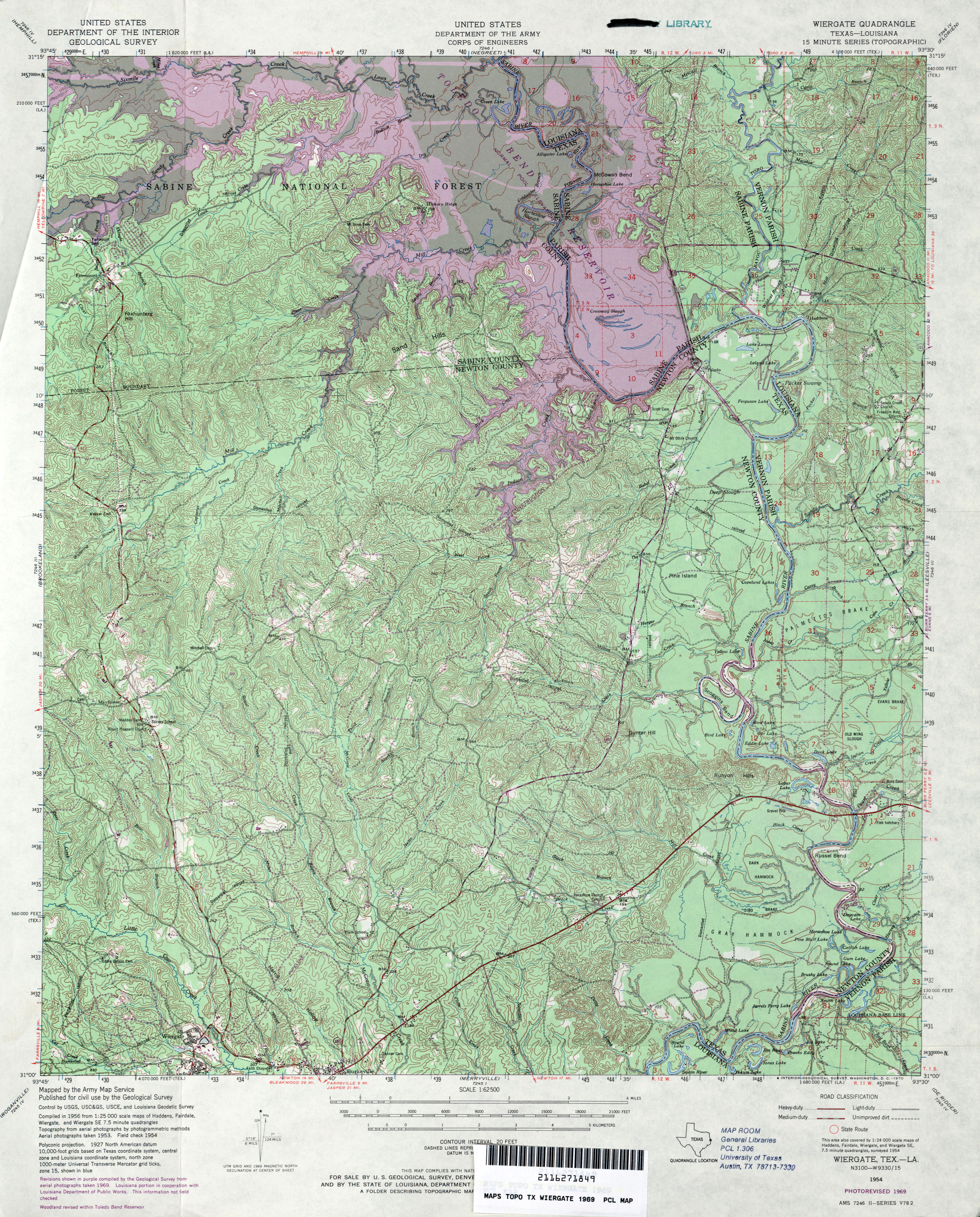
- Wiergate 1:62,500 1969 (5.2MB) U.S. Department of the Army Corps of Engineers
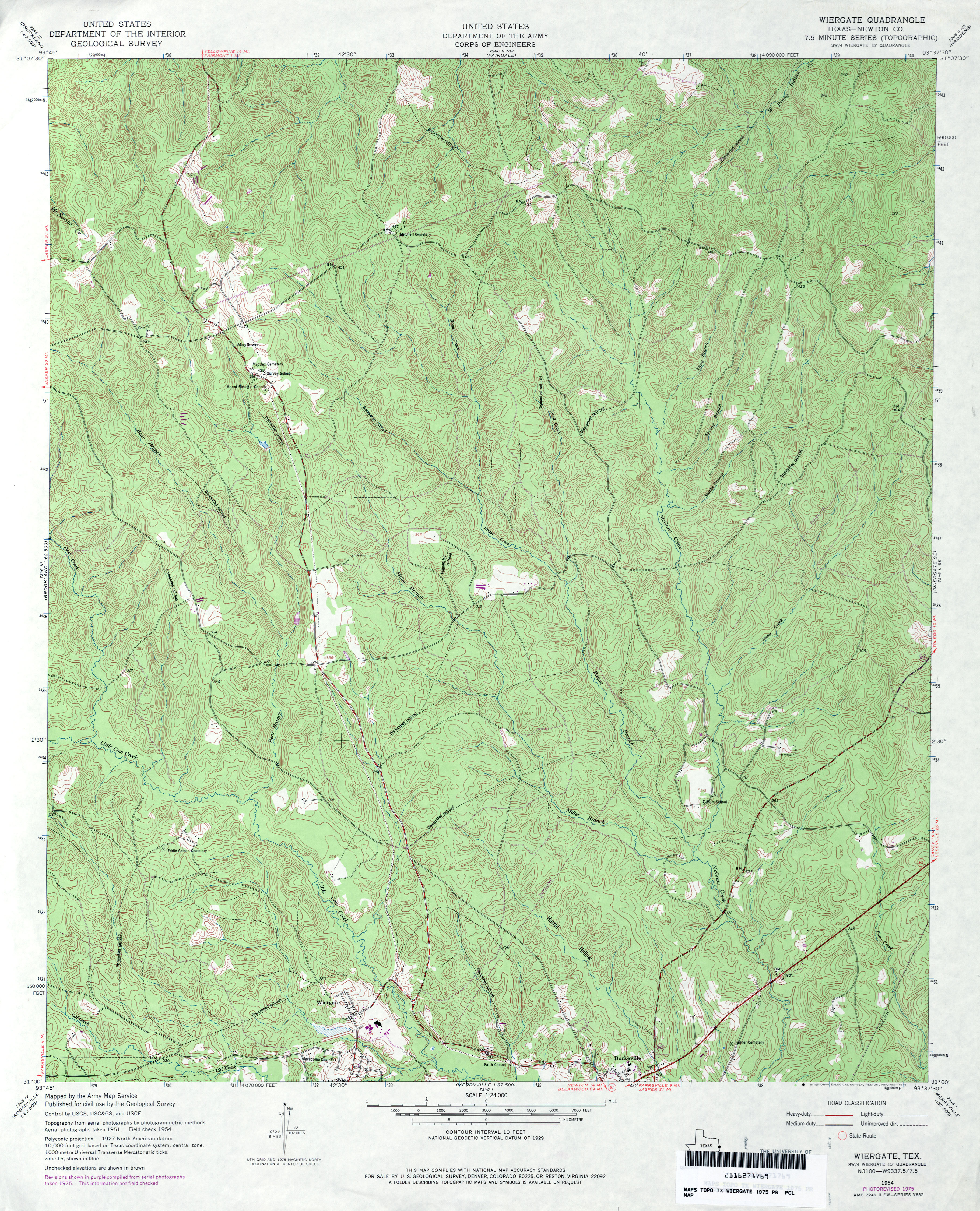
- Wiergate (Newton County) 1:24,000 1975 (5.2MB) U.S. Department of the Army Corps of Engineers
- Wiergate (Newton County) 1:24,000 1985 (4.7MB)
- Wiergate 1:24,000 2009 (26.6MB) [GeoPDF]
- Wiergate 1:24,000 2012 (28MB) [GeoPDF]
- Wiergate SE 1:24,000 1954 (4.8MB) U.S. Department of the Army Corps of Engineers
- Wiergate SE 1:24,000 1969 (4.7MB) U.S. Department of the Army Corps of Engineers
- Wiergate SE 1:24,000 1975 (4.8MB) U.S. Department of the Army Corps of Engineers
- Wiergate SE 1:24,000 1985 (4.8MB)
- Wiergate SE 1:24,000 2009 (27.7MB) [GeoPDF]
- Wiergate SE 1:24,000 2012 (29.4MB) [GeoPDF]
- Wilco 1:24,000 1965 (2.6MB)
- Wilco 1:24,000 2008 (11.0MB) [GeoPDF]
- Wilco 1:24,000 2012 (14.9MB) [GeoPDF]
- Wilco NE (Dallam County) 1:24,000 1965 (2.2MB)
- Wilco NE 1:24,000 2008 (10.8MB) [GeoPDF]
- Wilco NE 1:24,000 2012 (15.2MB) [GeoPDF]
- Wild Horse (Culberson County) 1:24,000 1964 (3.2MB)
- Wild Horse (Culberson County) 1:24,000 1979 (3MB)
- Wild Horse 1:24,000 2008 (20.4MB) [GeoPDF]
- Wild Horse 1:24,000 2013 (22.5MB) [GeoPDF]
- Wild Horse Canyon (Crockett County) 1:24,000 1969 (4.6MB)
- Wild Horse Canyon (Crockett County) 1:24,000 1982 (4.6MB)
- Wild Horse Canyon 1:24,000 2008 (22.3MB) [GeoPDF]
- Wild Horse Canyon 1:24,000 2012 (33.1MB) [GeoPDF]
- Wildhorse Draw (Hudspeth County) 1:24,000 1978 (2.7MB)
- Wildhorse Draw 1:24,000 2008 (20.0MB) [GeoPDF]
- Wildhorse Draw 1:24,000 2012 (25.9MB) [GeoPDF]
- Wildorado 1:62,500 1962 (3.8MB)
- Wildorado 1:24,000 1984 (2.5MB)
- Wildorado 1:24,000 2008 (9.7MB) [GeoPDF]
- Wildorado 1:24,000 2012 (15.3MB) [GeoPDF]
- Wildorado SW 1:24,000 1984 (2.6MB)
- Wildorado SW 1:24,000 2008 (8.6MB) [GeoPDF]
- Wildorado SW 1:24,000 2012 (14.5MB) [GeoPDF]
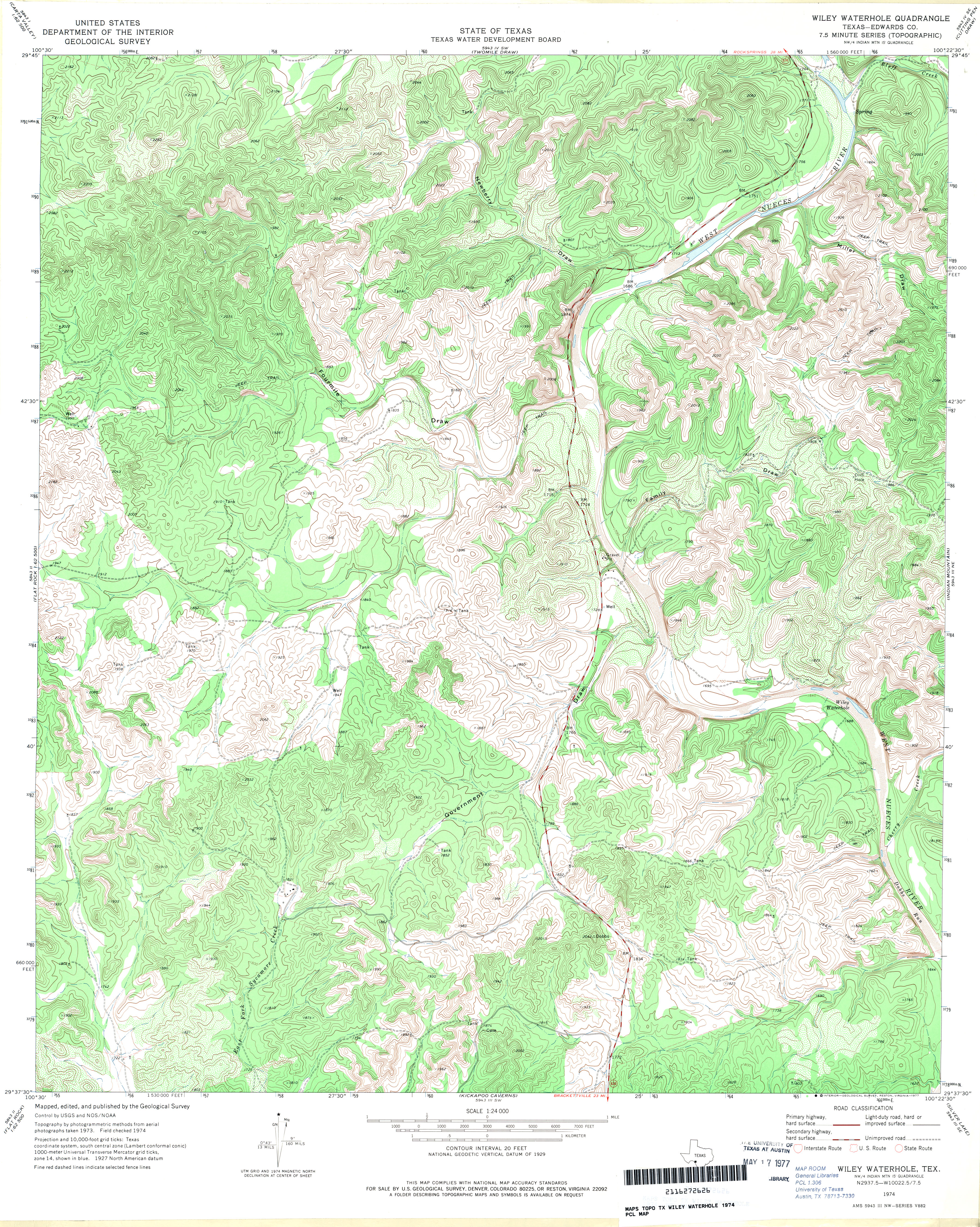
- Wiley Waterhole (Edwards County) 1:24,000 1974 (5.9MB)
- Wiley Waterhole 1:24,000 2008 (27.9MB) [GeoPDF]
- Wiley Waterhole 1:24,000 2012 (35.1MB) [GeoPDF]
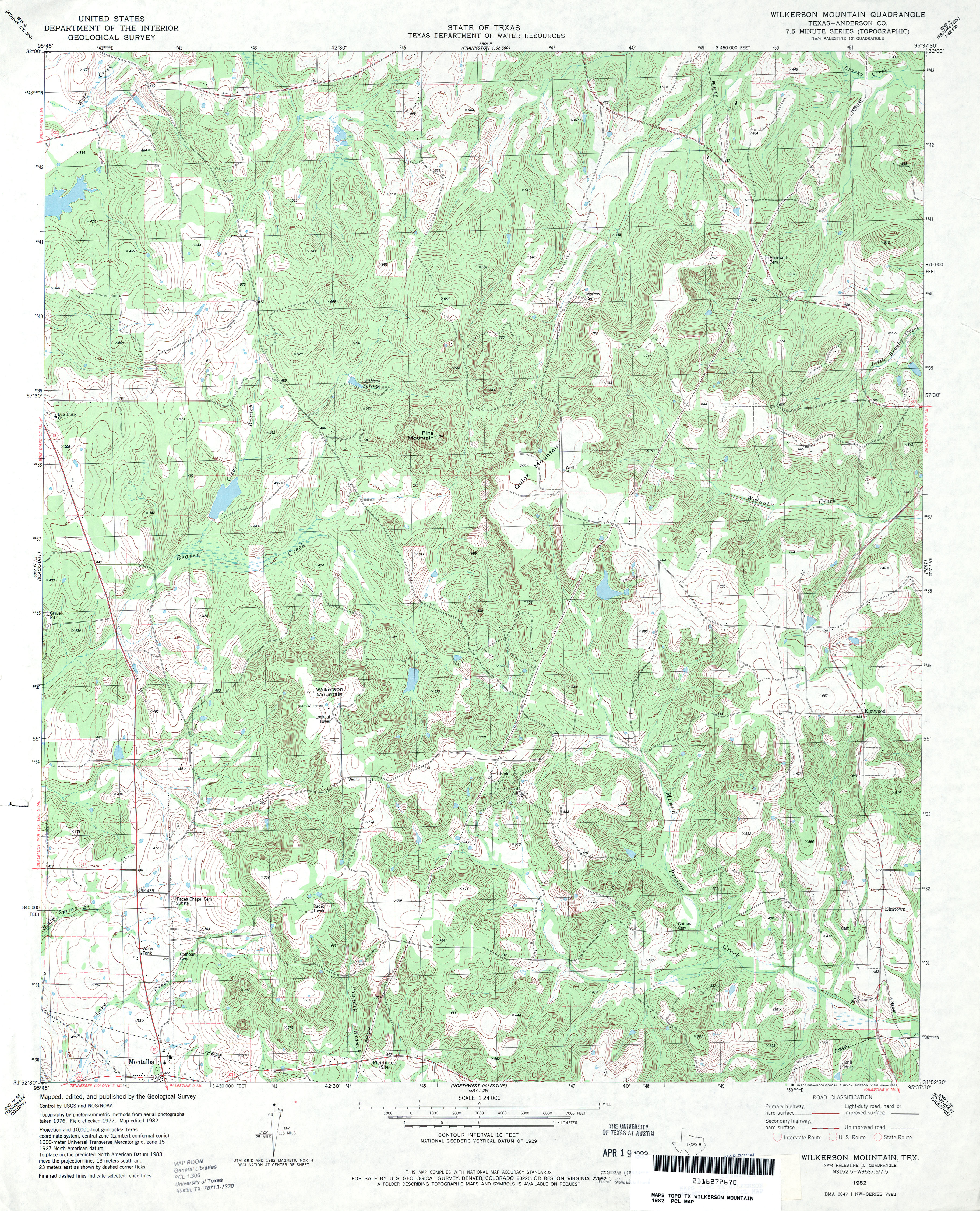
- Wilkerson Mountain (Anderson County) 1:24,000 1982 (5.5MB)
- Wilkerson Mountain 1:24,000 2009 (22.8MB) [GeoPDF]
- Wilkerson Mountain 1:24,000 2013 (25.4MB) [GeoPDF]
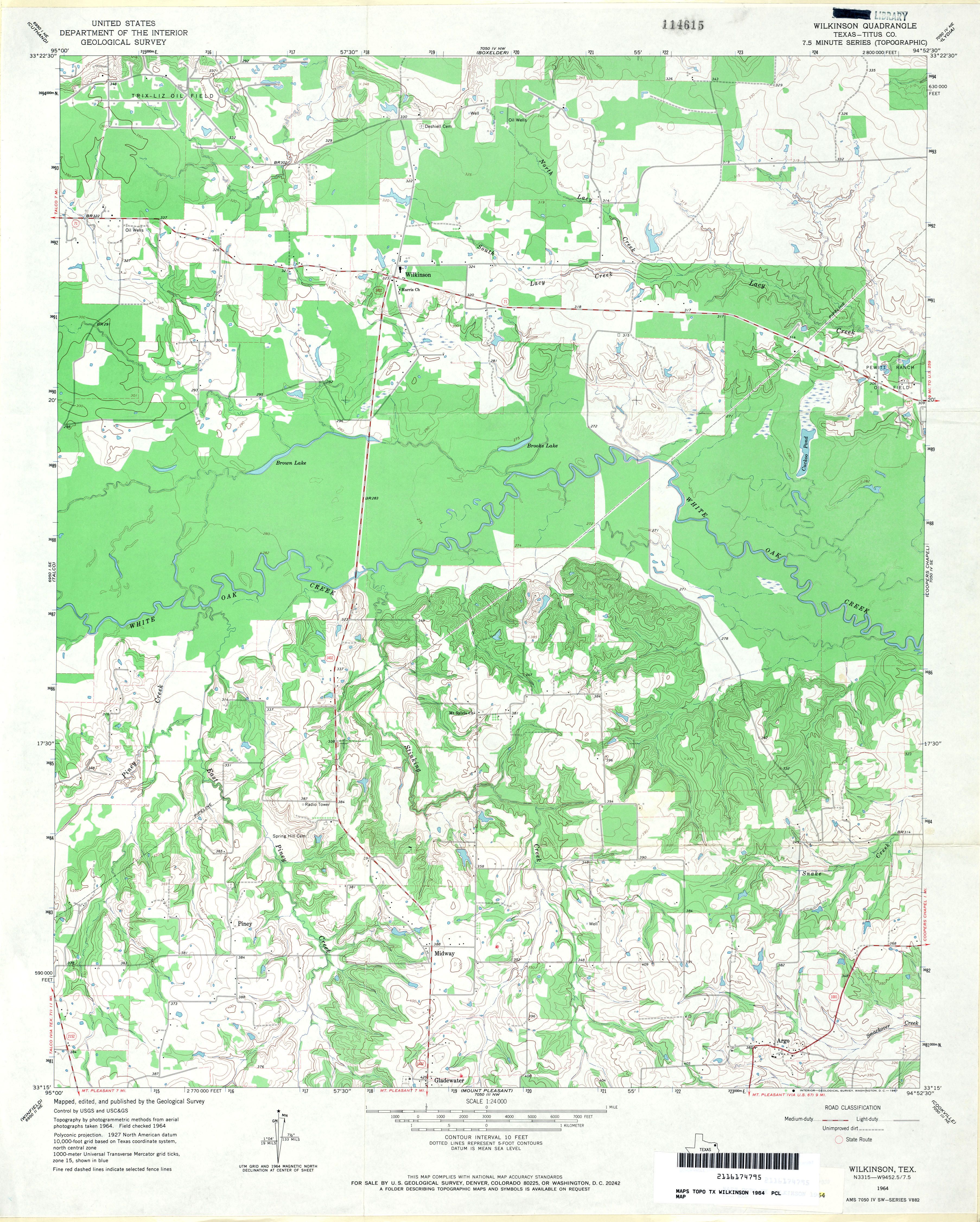
- Wilkinson (Titus County) 1:24,000 1964 (3.8MB)
- Wilkinson 1:24,000 2009 (17.7MB) [GeoPDF]
- Wilkinson 1:24,000 2013 (23.1MB) [GeoPDF]
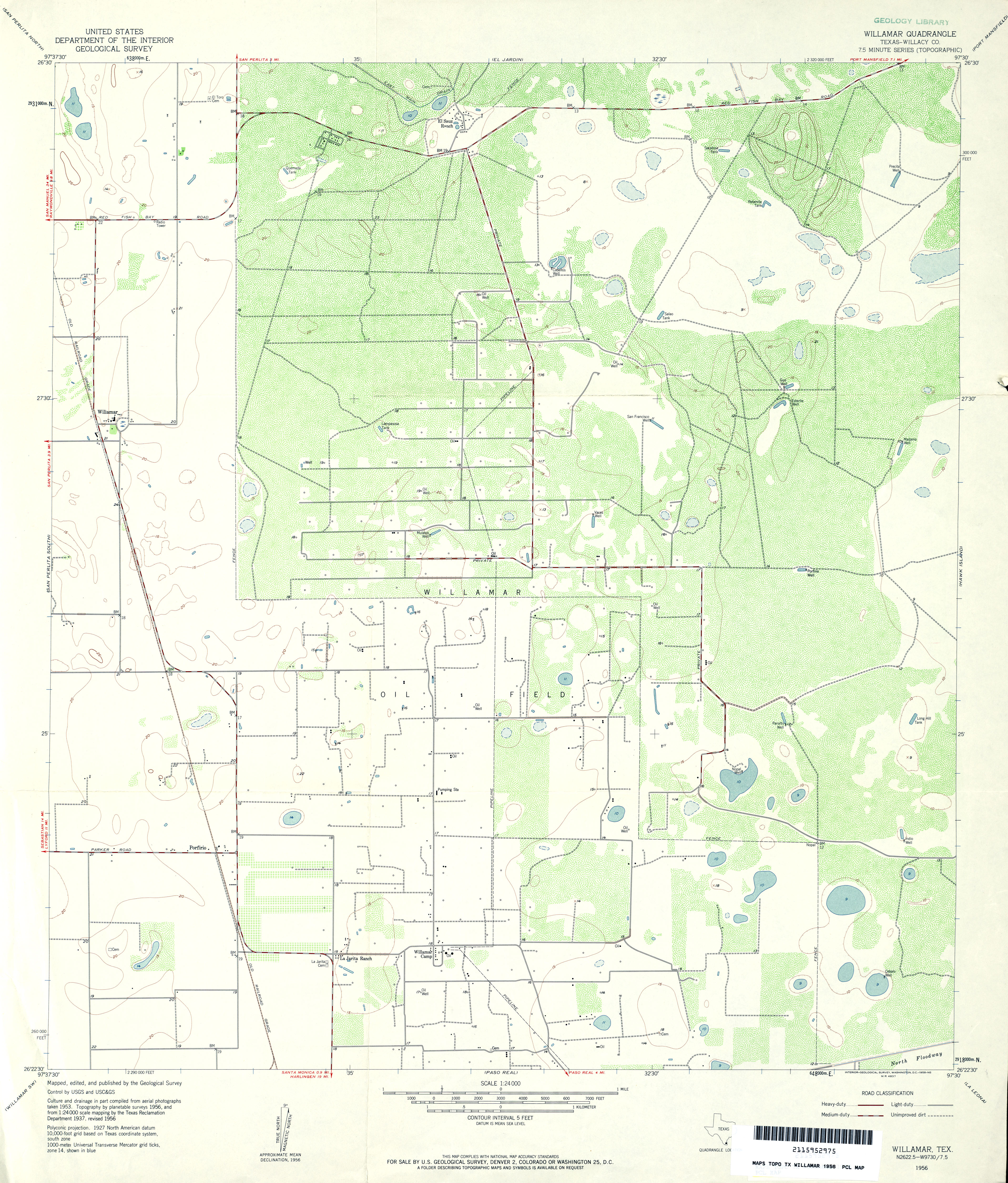
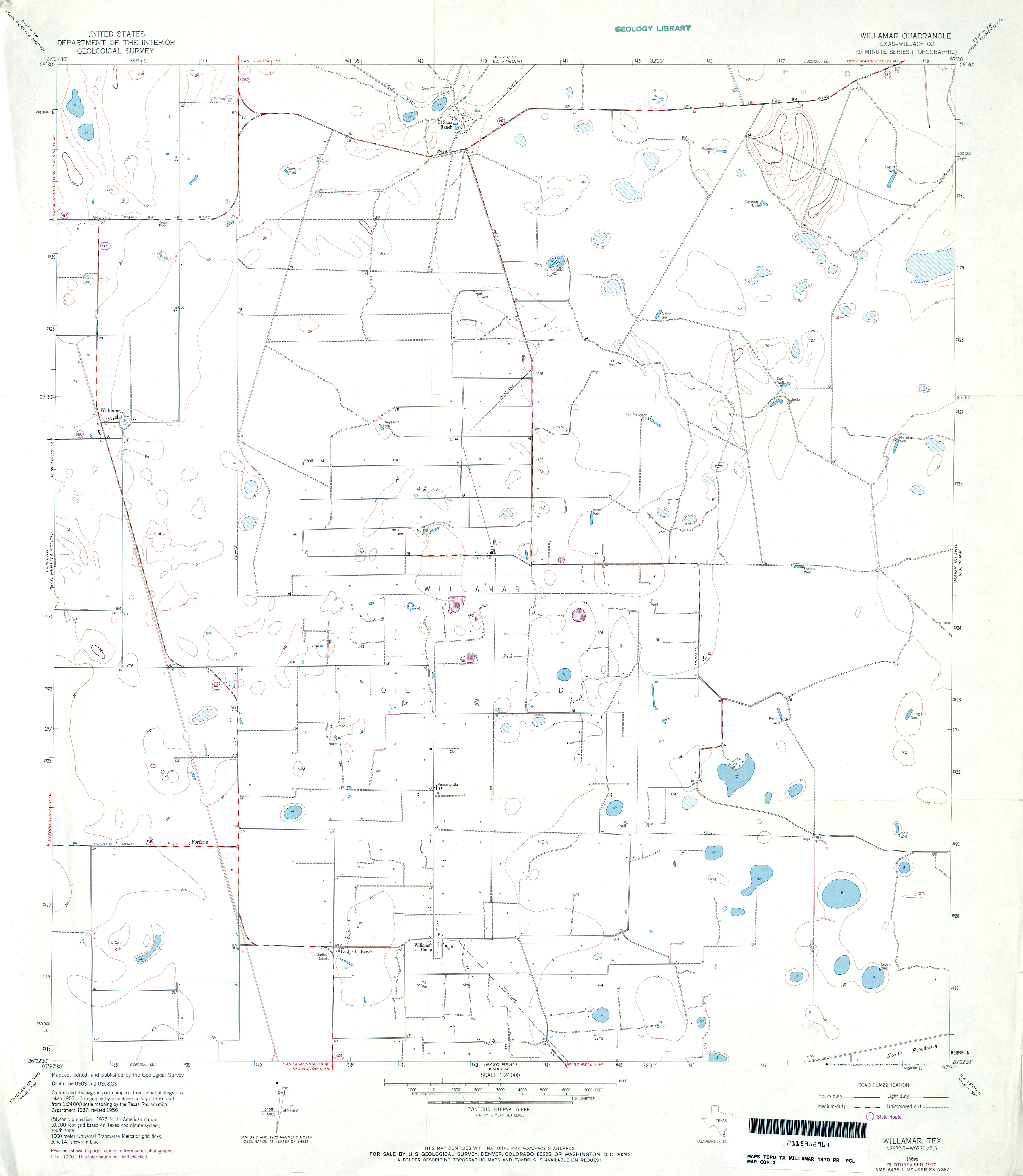
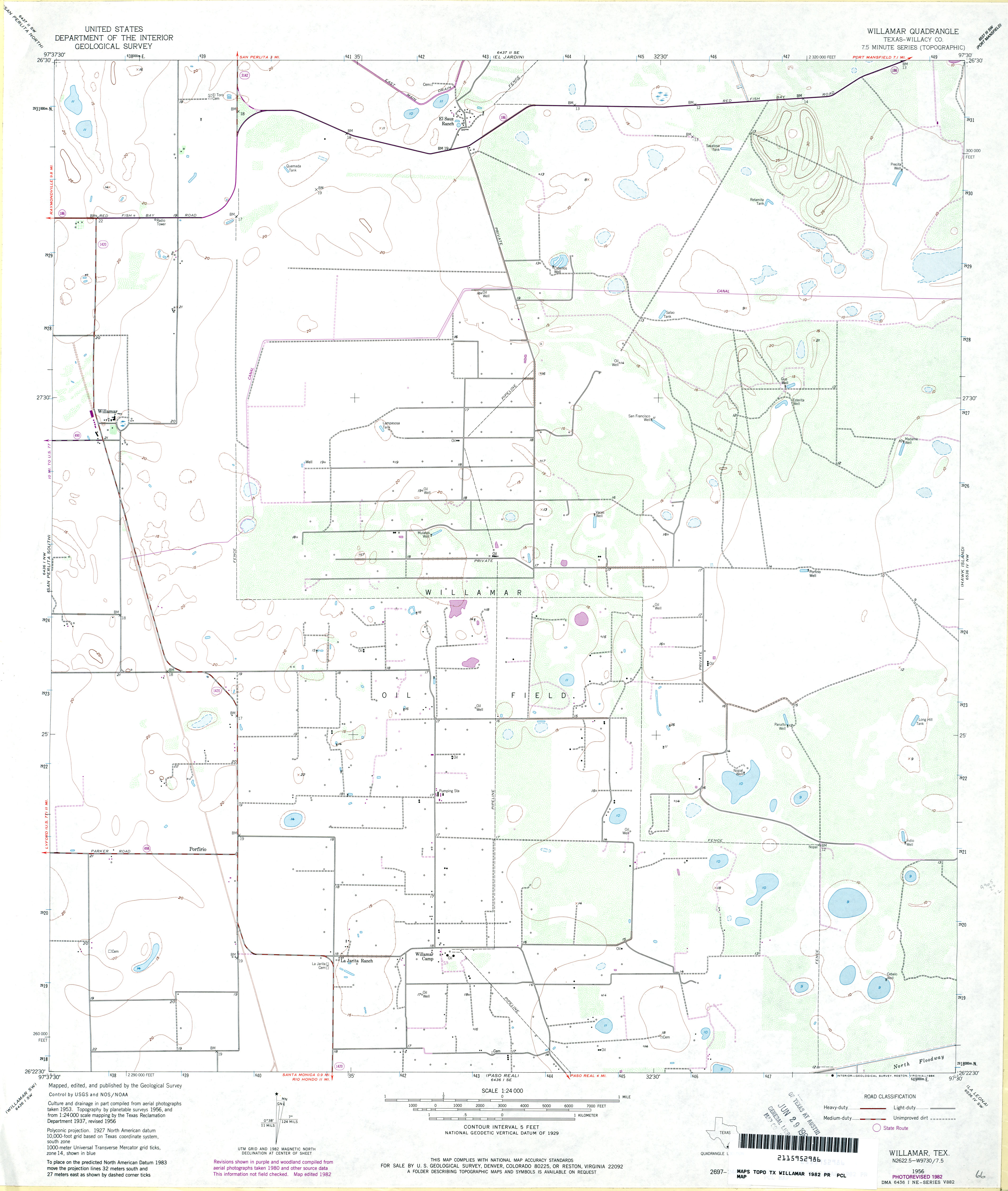
- Willamar (Willacy County) 1:24,000 1956 (3.7MB)
- Willamar (Willacy County) 1:24,000 1970 (1.9MB)
- Willamar (Willacy County) 1:24,000 1982 (2.4MB)
- Willamar 1:24,000 2008 (17.2MB) [GeoPDF]
- Willamar 1:24,000 2013 (17.5MB) [GeoPDF]
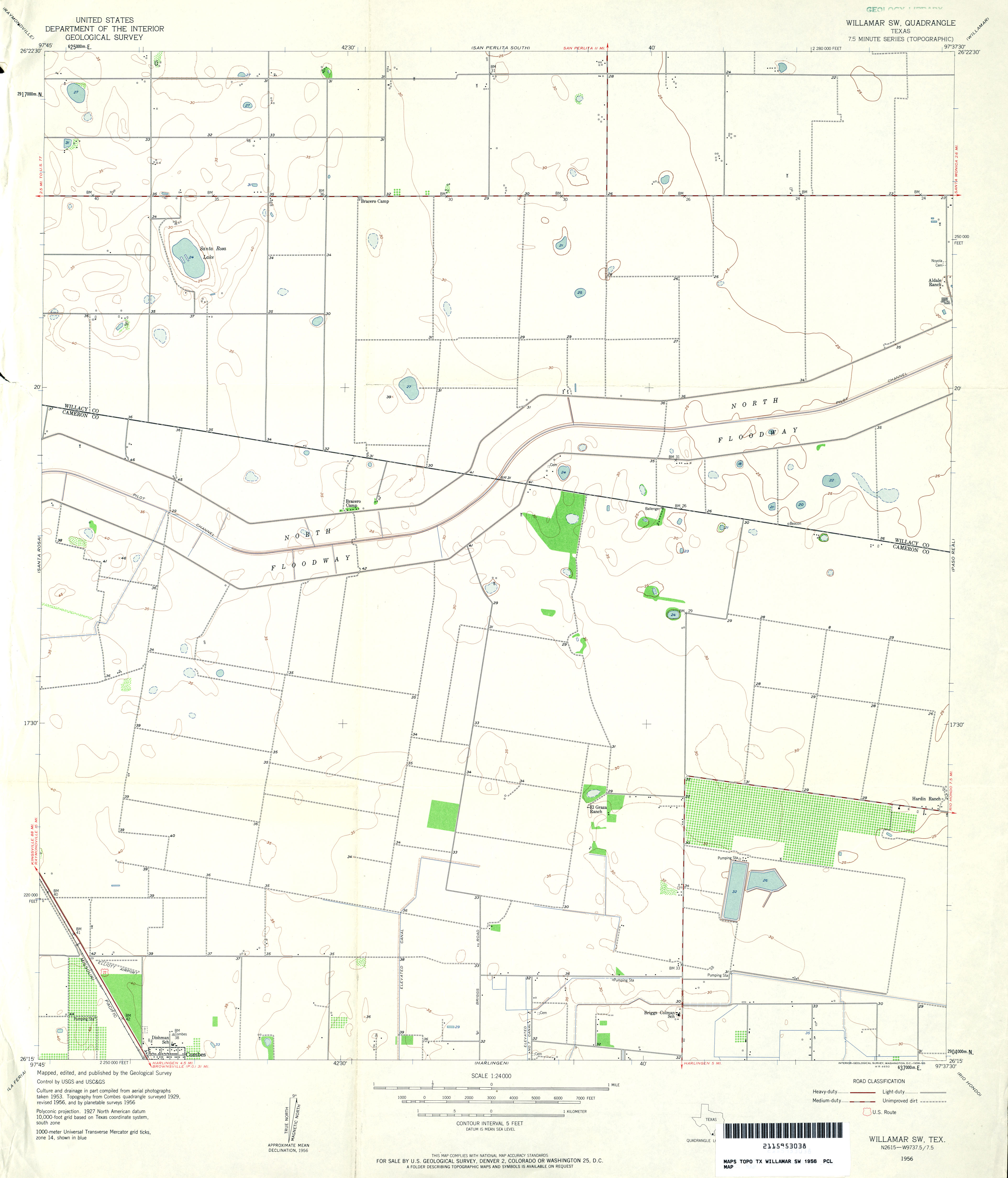
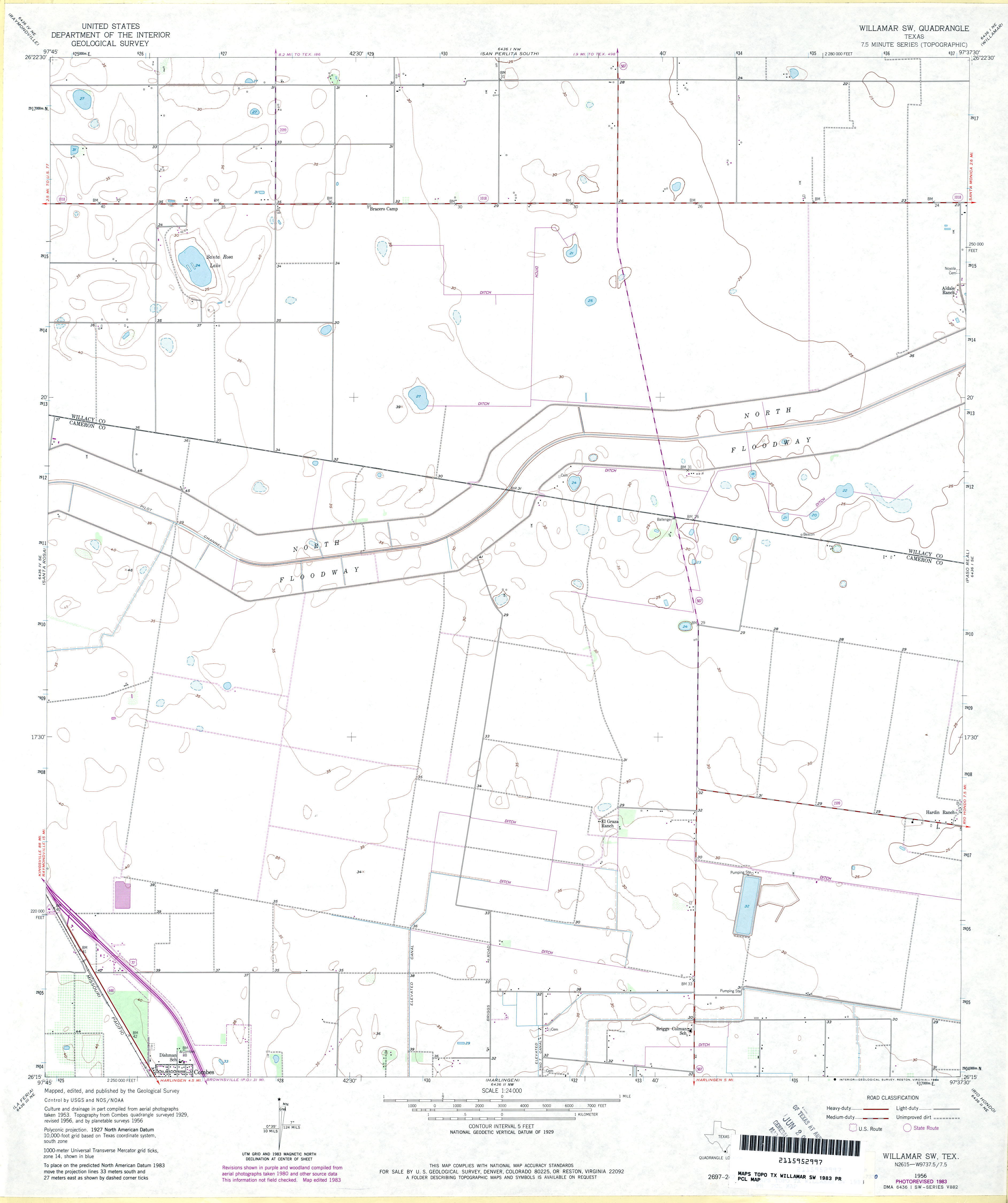
- Willamar SW 1:24,000 1956 (2MB)
- Willamar SW 1:24,000 1970 (2.1MB)
- Willamar SW 1:24,000 1983 (2MB)
- Willamar SW 1:24,000 2009 (11.9MB) [GeoPDF]
- Willamar SW 1:24,000 2013 (14.3MB) [GeoPDF]
- Williams 1:24,000 1984 (3.7MB)
- Williams 1:24,000 1990 (3.6MB)
- Williams 1:24,000 2008 (11.5MB) [GeoPDF]
- Williams 1:24,000 2012 (18.7MB) [GeoPDF]
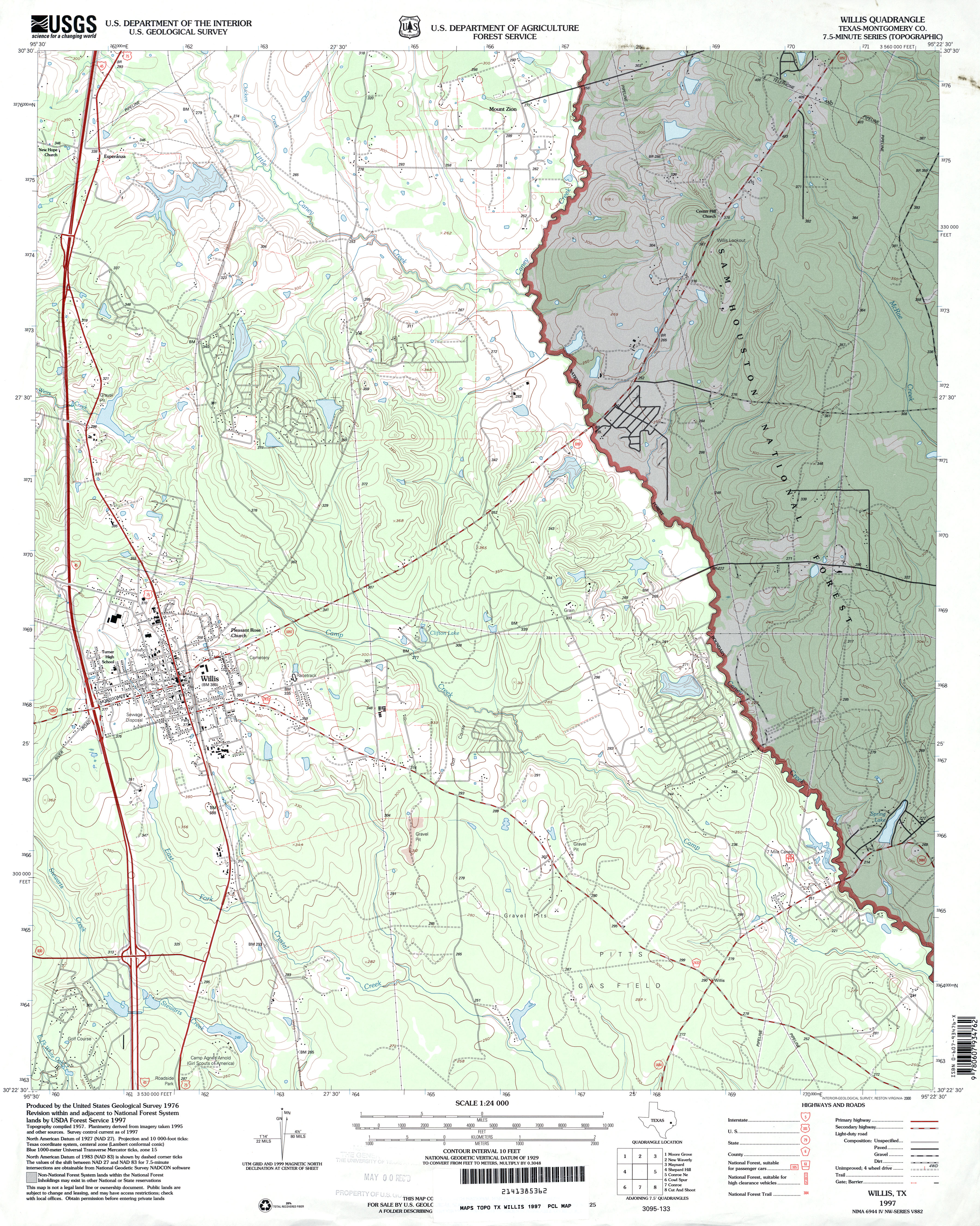
- Willis (Montgomery County) 1:24,000 1960 (4MB)
- Willis (Montgomery County) 1:24,000 1976 (4MB)
- Willis (Montgomery County) 1:24,000 1997 (4.1MB)
- Willis 1:24,000 2009 (24.7MB) [GeoPDF]
- Willis 1:24,000 2013 (24.3MB) [GeoPDF]
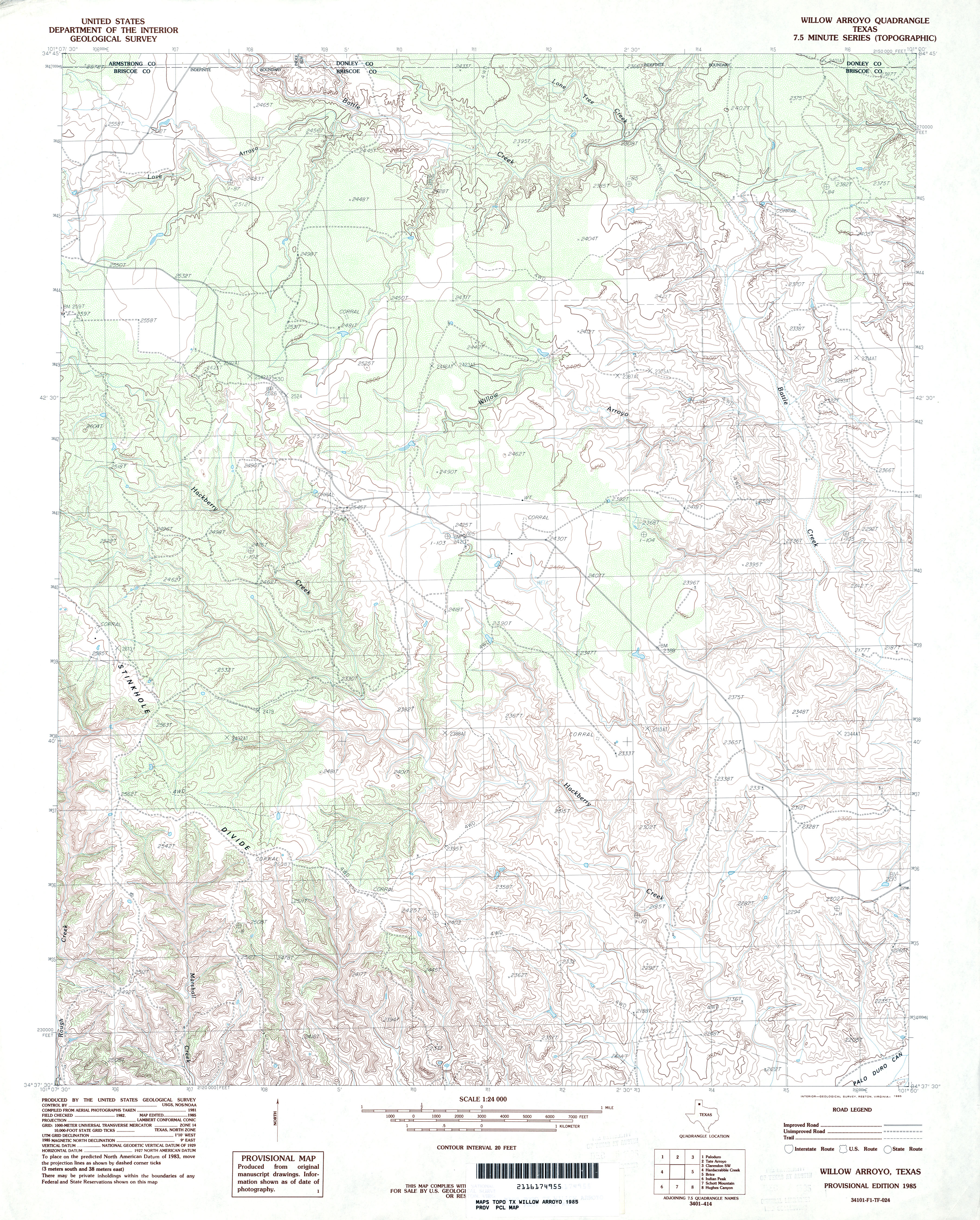
- Willow Arroyo 1:24,000 1985 (4.7MB)
- Willow Arroyo 1:24,000 2008 (20.0MB) [GeoPDF]
- Willow Arroyo 1:24,000 2012 (26.4MB) [GeoPDF]
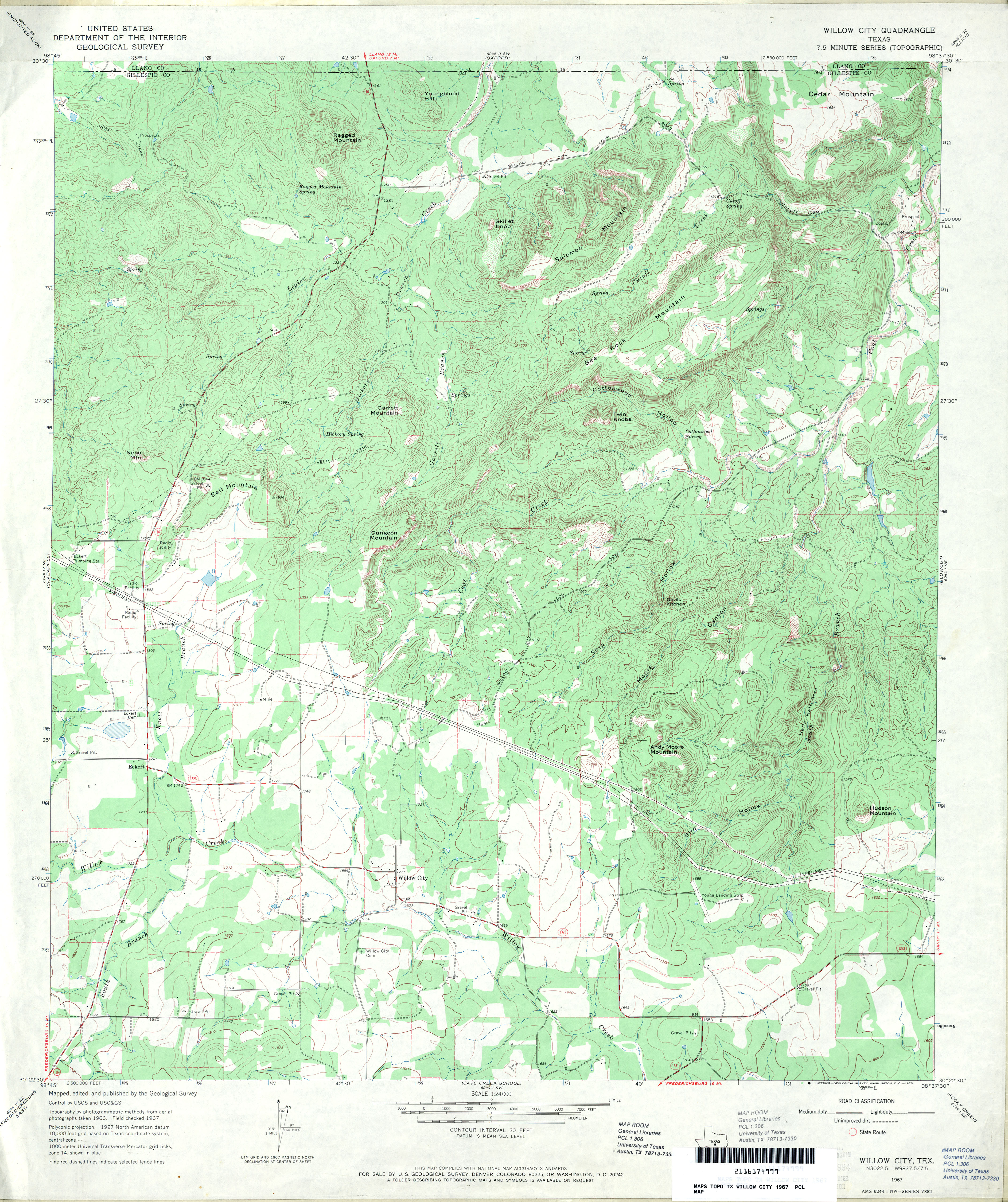
- Willow City 1:24,000 1967 (4.4MB)
- Willow City 1:24,000 2012 (28.2MB) [GeoPDF]
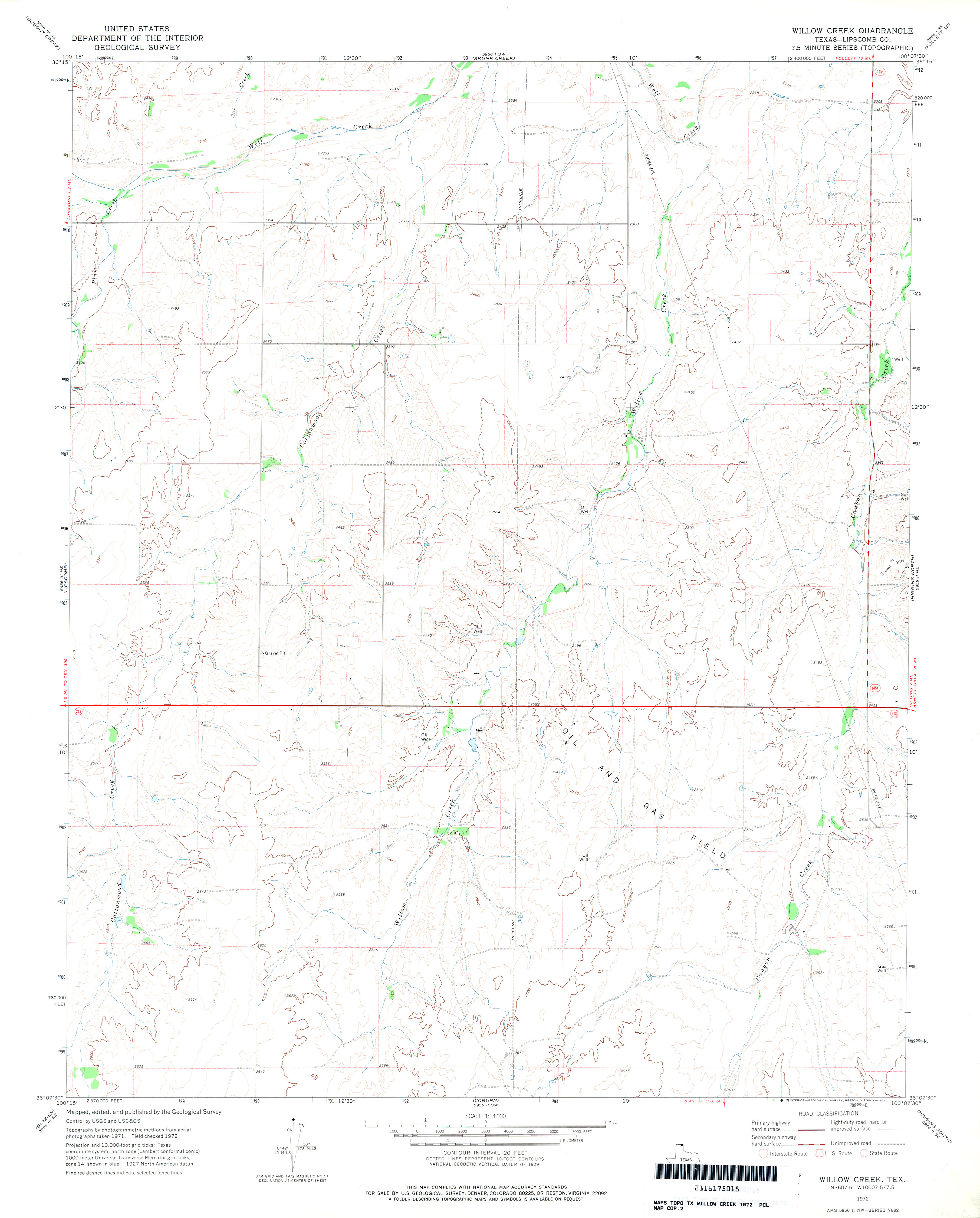
- Willow Creek (Libscomb County) 1:24,000 1972 (2.6MB)
- Willow Creek 1:24,000 2008 (11.1MB) [GeoPDF]
- Willow Creek 1:24,000 2012 (16.5MB) [GeoPDF]
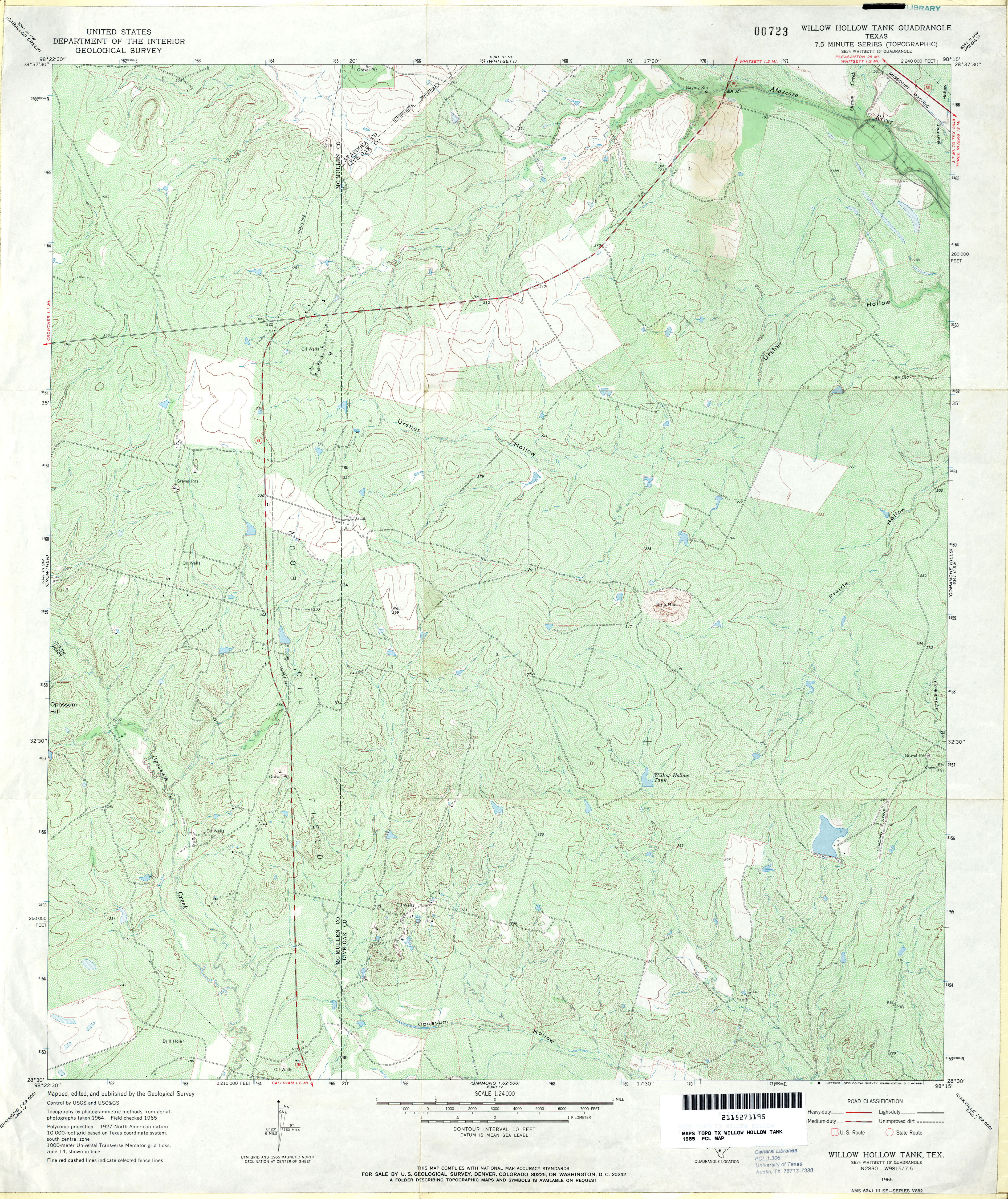
- Willow Hollow Tank 1:24,000 1965 (5.4MB)
- Willow Hollow Tank 1:24,000 2008 (16.3MB) [GeoPDF]
- Willow Hollow Tank 1:24,000 2012 (24MB) [GeoPDF]
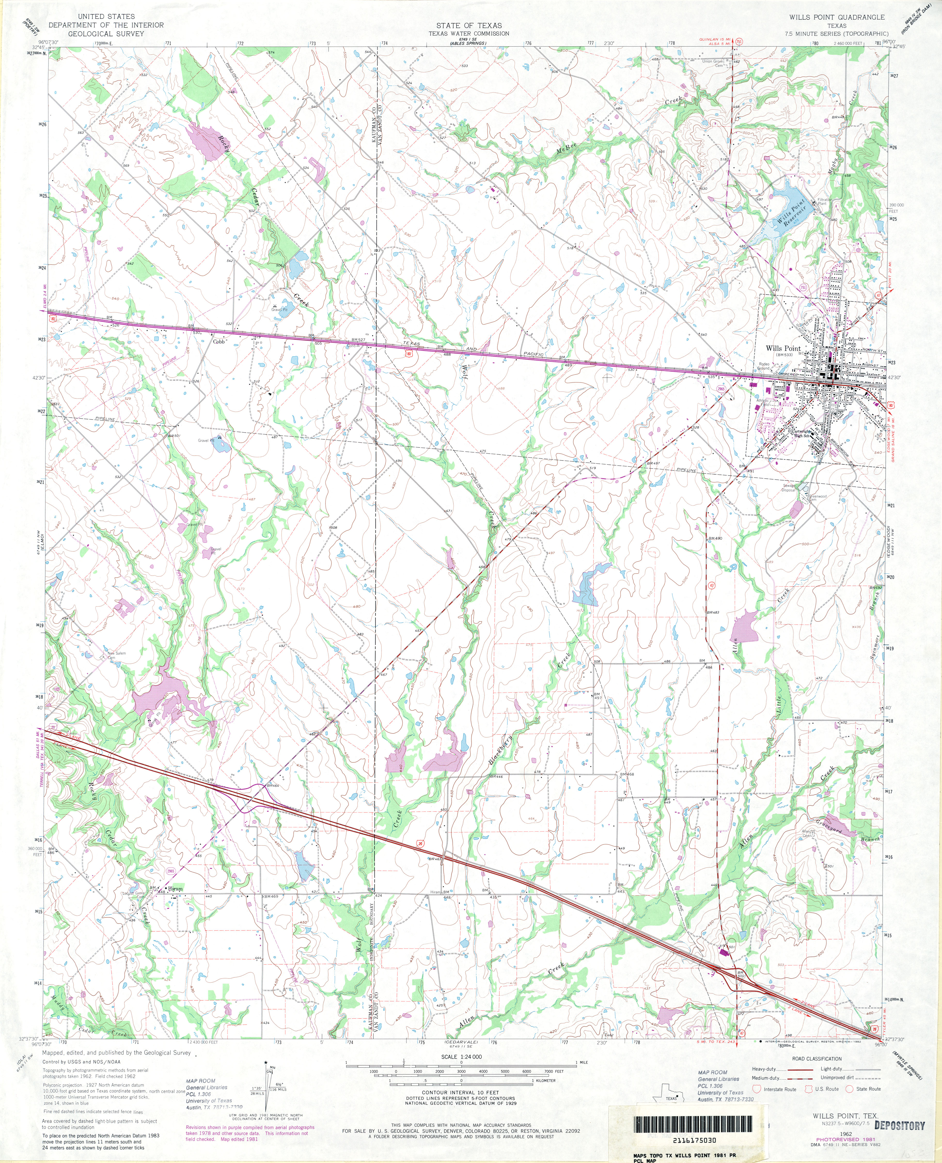
- Wills Point 1:24,000 1962 (3.4MB)
- Wills Point 1:24,000 1981 (3.5MB)
- Wills Point 1:24,000 2009 (15.2MB) [GeoPDF]
- Wills Point 1:24,000 2012 (19.8MB) [GeoPDF]
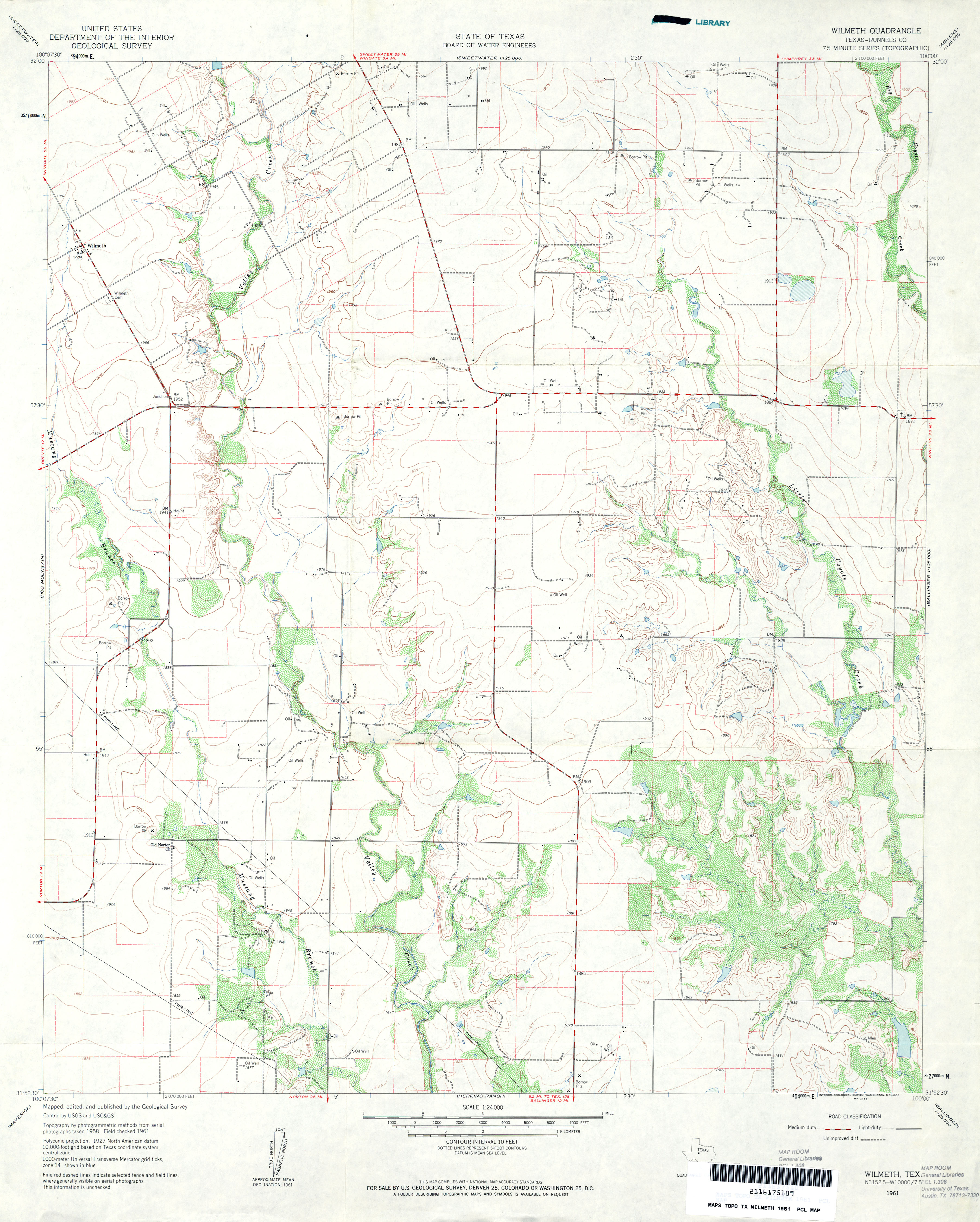
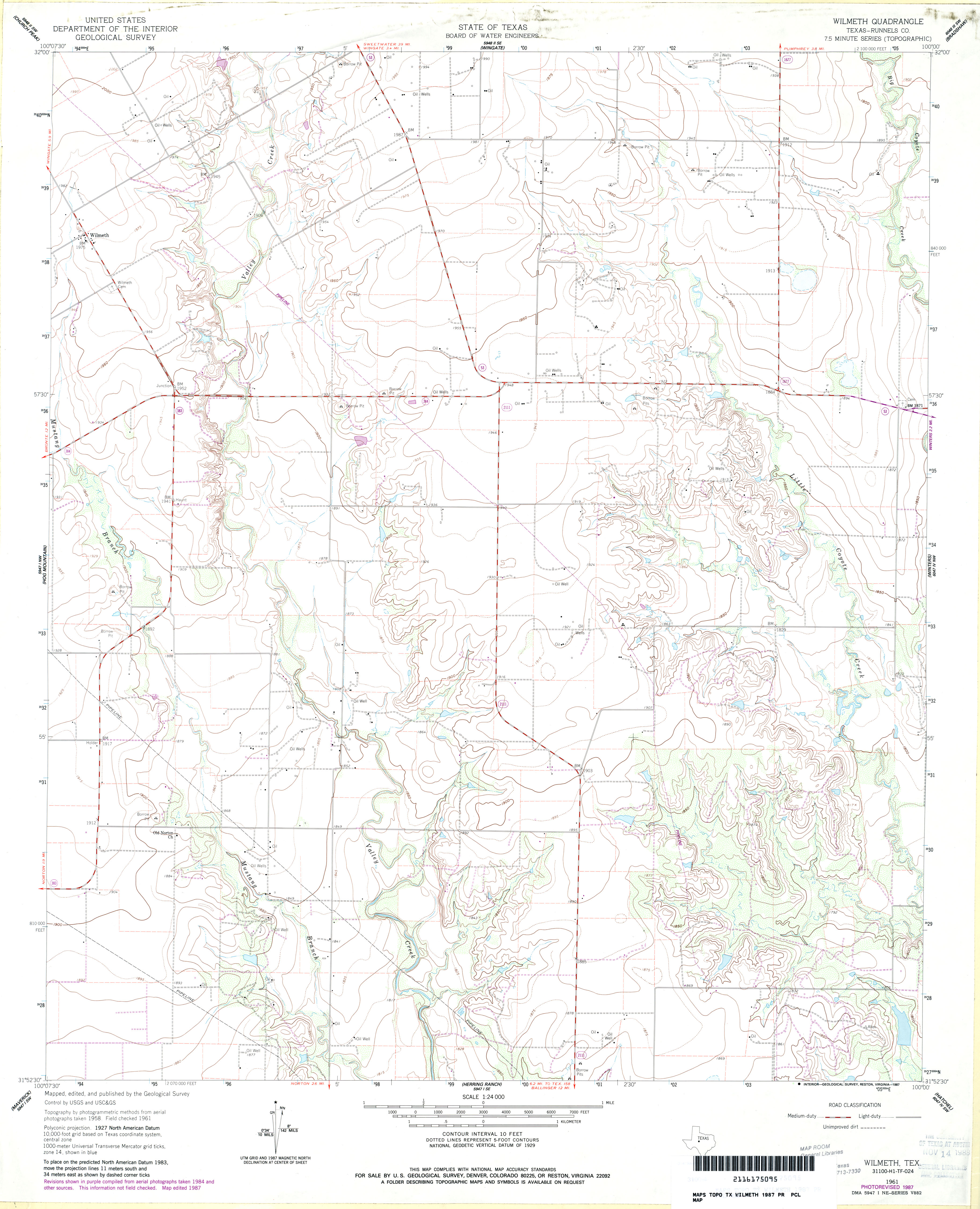
- Wilmeth (Runnels County) 1:24,000 1961 (3.3MB)
- Wilmeth (Runnels County) 1:24,000 1987 (3.1MB)
- Wilmeth 1:24,000 2012 (19.4MB) [GeoPDF]
- Wilson (Lynn County) 1:24,000 1965 (3.1MB)
- Wilson 1:24,000 2008 (12.9MB) [GeoPDF]
- Wilson 1:24,000 2012 (15.7MB) [GeoPDF]
- Wilson Creek (Floyd County) 1:24,000 1967 (3.1MB)
- Wilson Creek 1:24,000 2008 (14.8MB) [GeoPDF]
- Wilson Creek 1:24,000 2012 (20MB) [GeoPDF]
- Wilson Ranch 1:24,000 1964 (5.3MB)
- Wilson Ranch 1:24,000 2008 (16.8MB) [GeoPDF]
- Wilson Ranch 1:24,000 2013 (24.4MB) [GeoPDF]
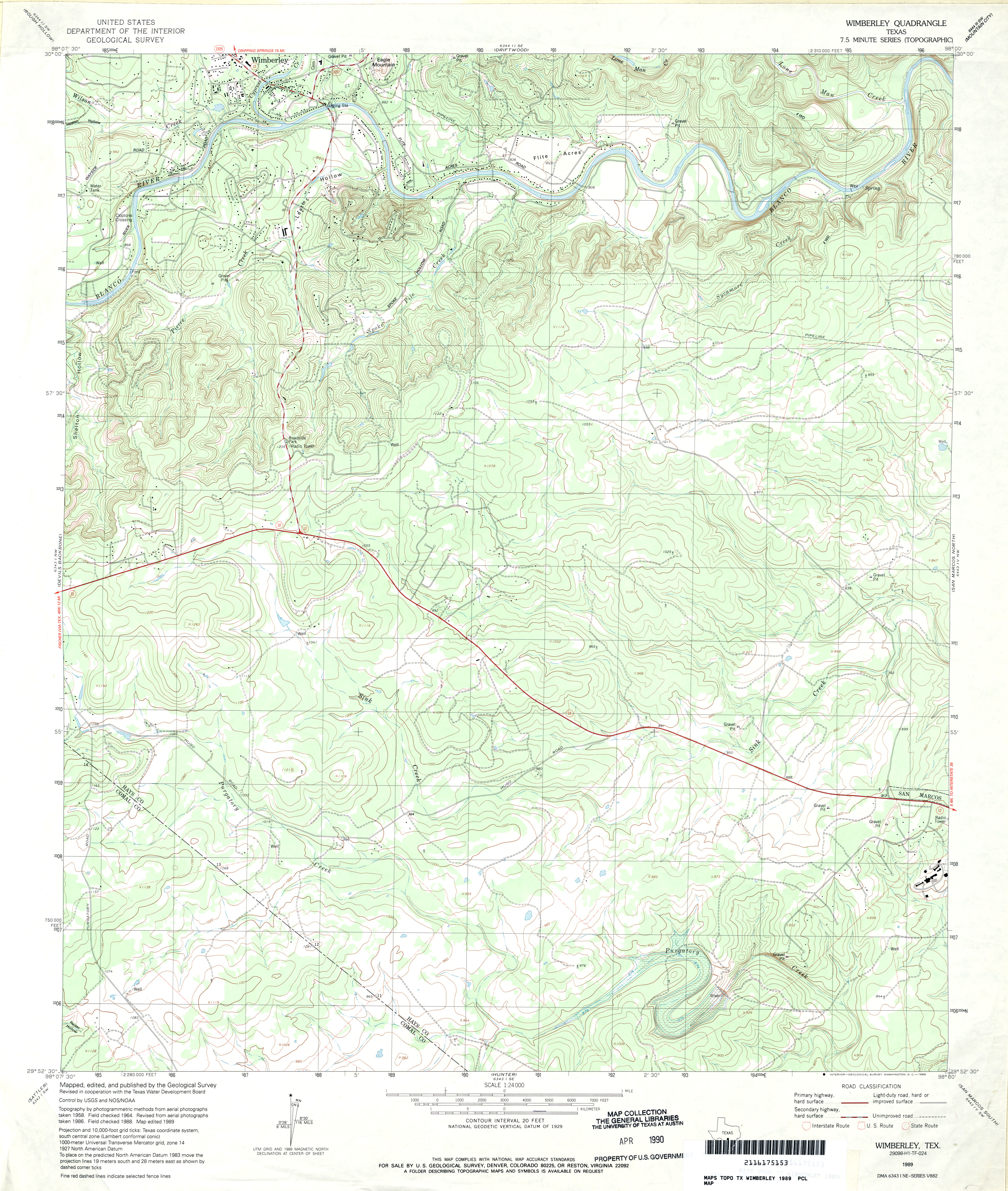
- Wimberley 1:24,000 1964 (3.8MB)
- Wimberley 1:24,000 1989 (4.2MB)
- Wimberley 1:24,000 2008 (20.4MB) [GeoPDF]
- Wimberley 1:24,000 2013 (27.3MB) [GeoPDF]
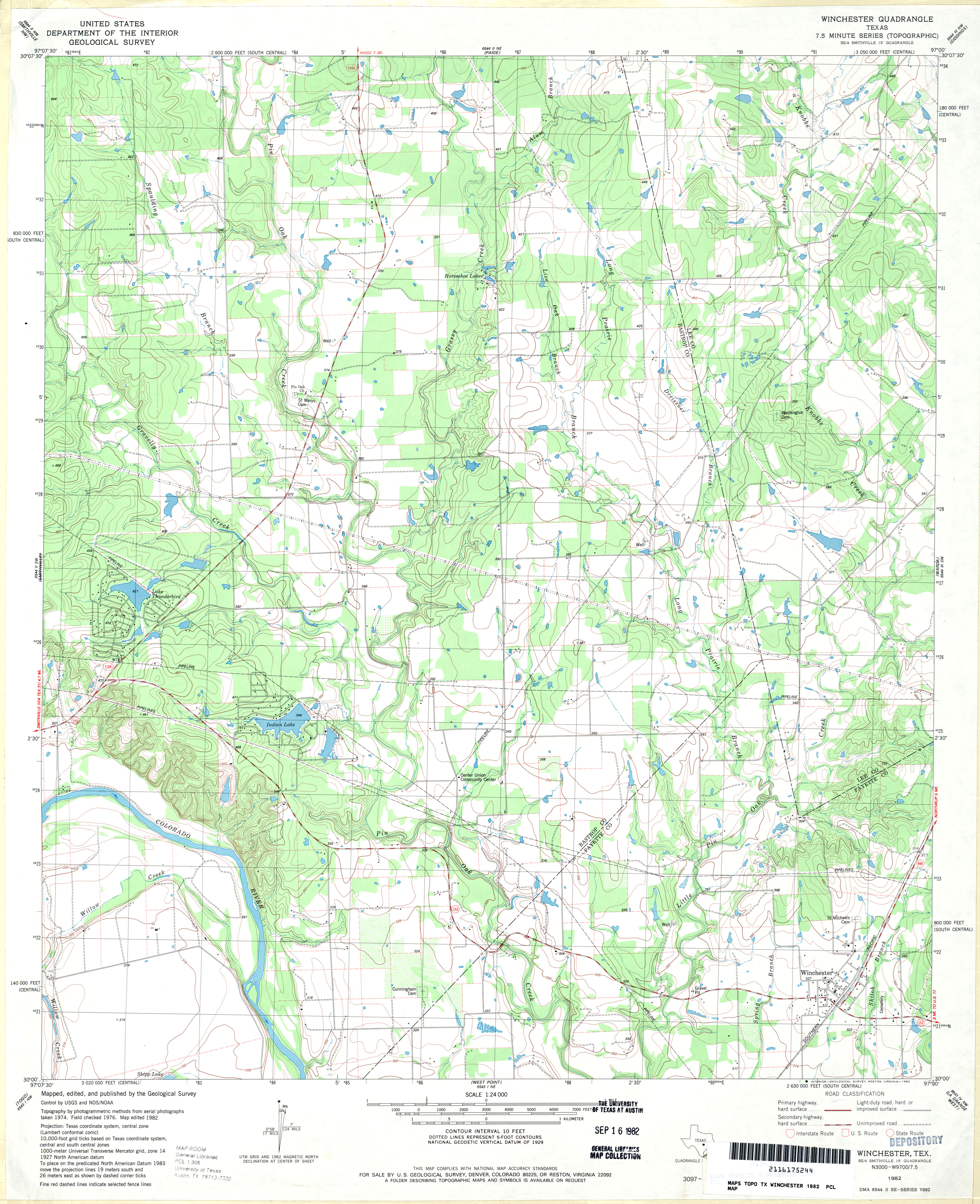
- Winchester 1:24,000 1982 (4MB)
- Winchester 1:24,000 2008 (15.6MB) [GeoPDF]
- Winchester 1:24,000 2013 (24.6MB) [GeoPDF]
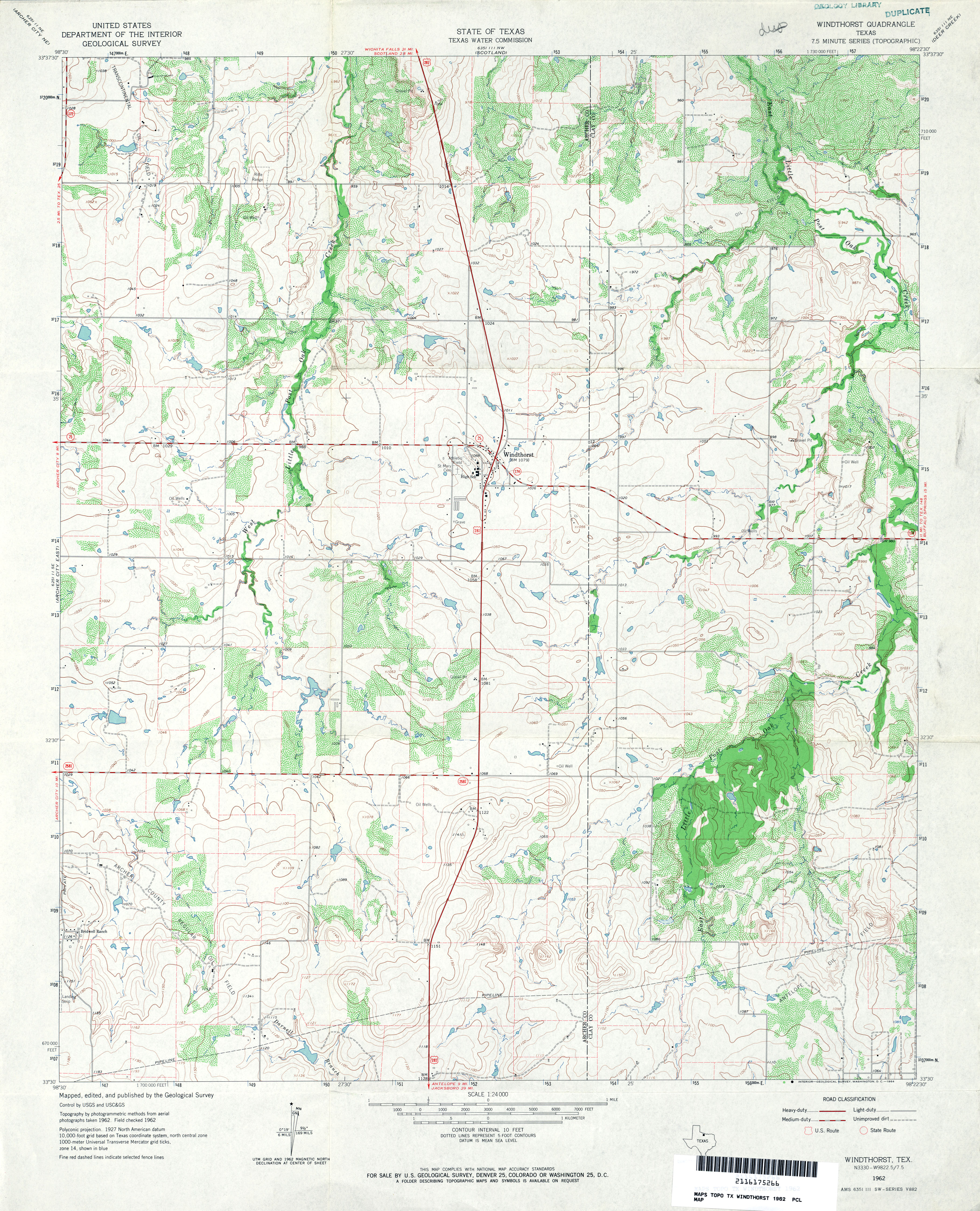
- Windthorst 1:24,000 1962 (4.2MB)
- Windthorst 1:24,000 2008 (12.1MB) [GeoPDF]
- Windthorst 1:24,000 2012 (17MB) [GeoPDF]
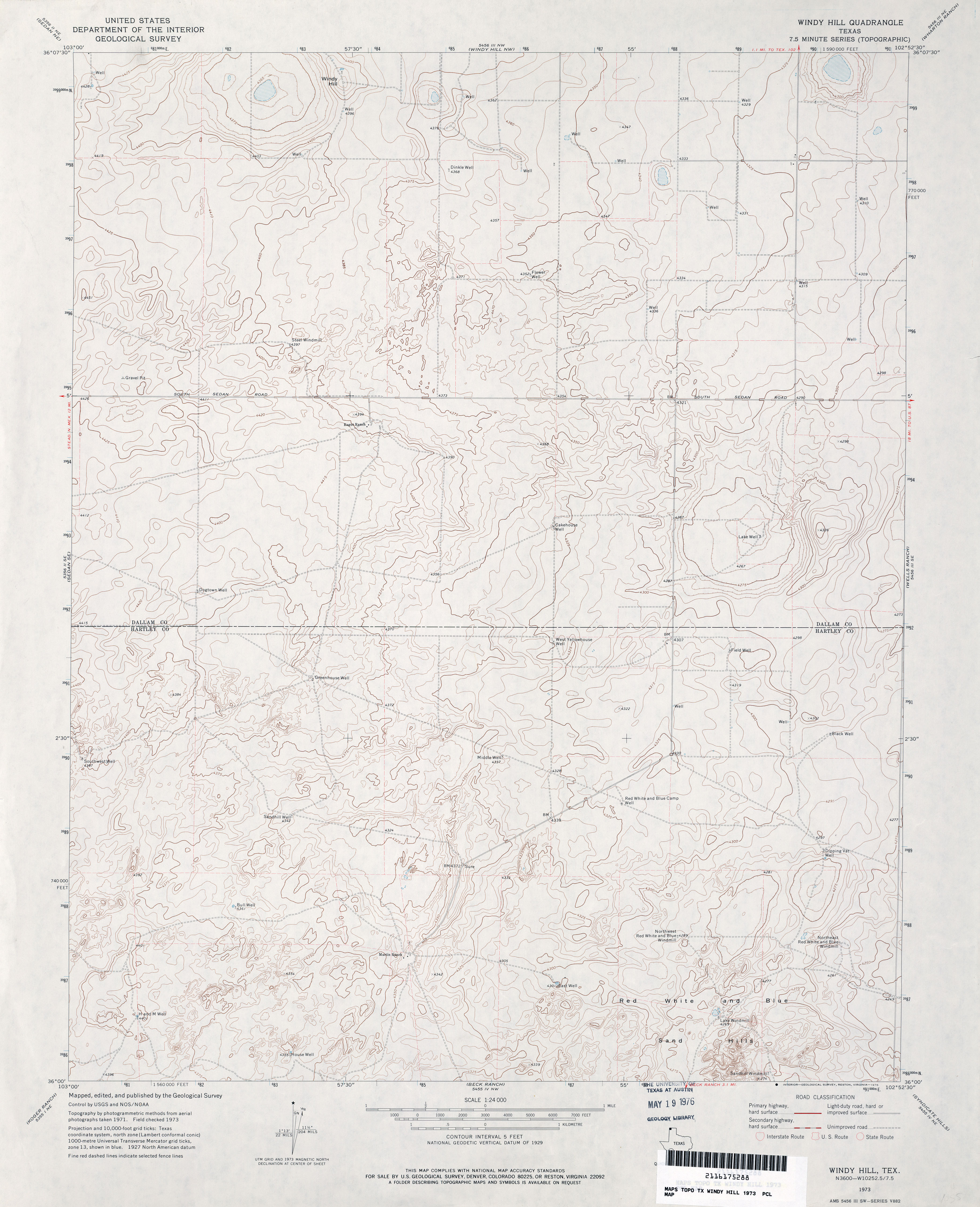
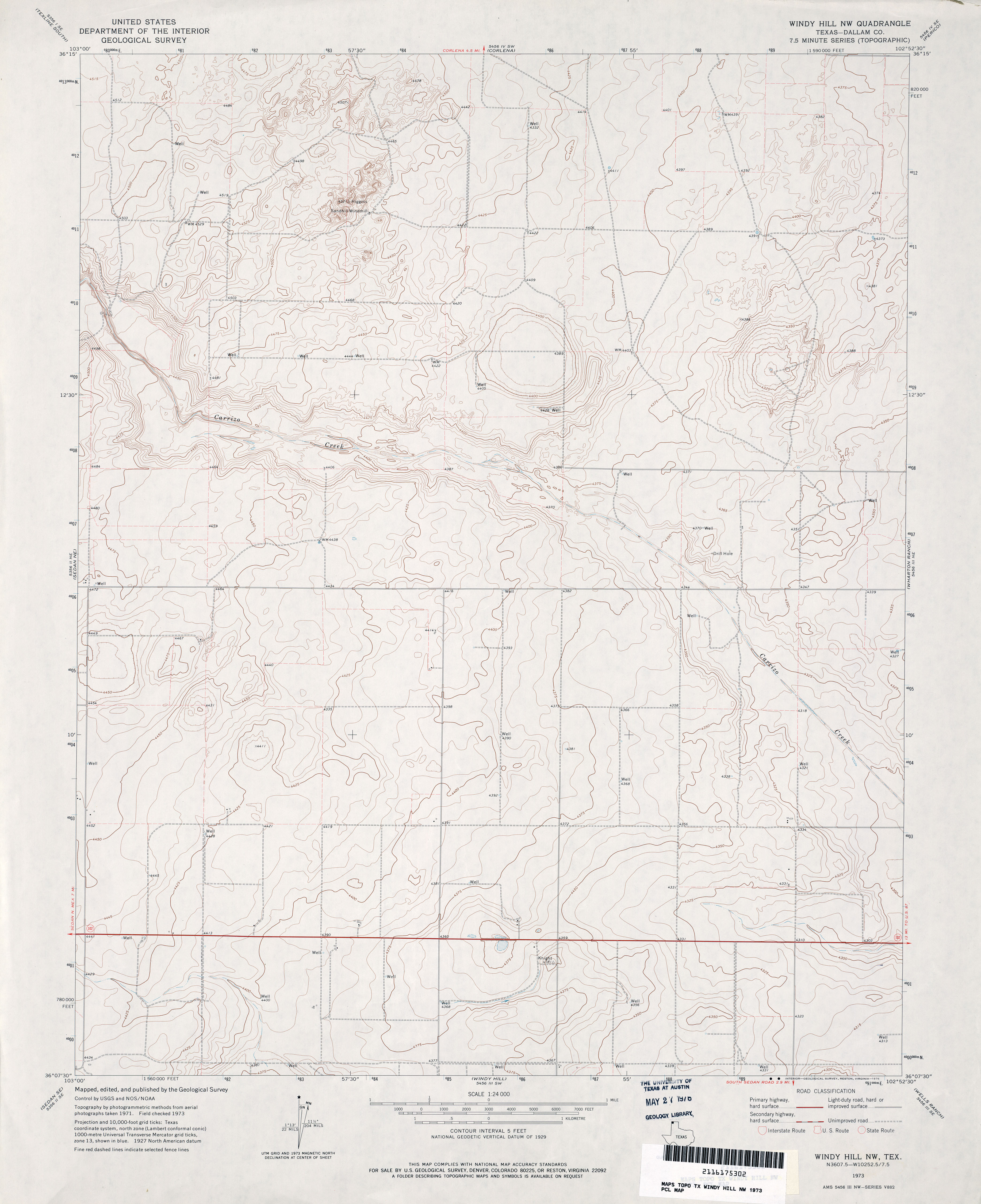
- Windy Hill 1:24,000 1973 (3.3MB)
- Windy Hill 1:24,000 2008 (9.1MB) [GeoPDF]
- Windy Hill 1:24,000 2012 (14.8MB) [GeoPDF]
- Windy Hill NW (Dallam County) 1:24,000 1973 (3MB)
- Windy Hill NW 1:24,000 2008 (9.5MB) [GeoPDF]
- Windy Hill NW 1:24,000 2012 (14MB) [GeoPDF]
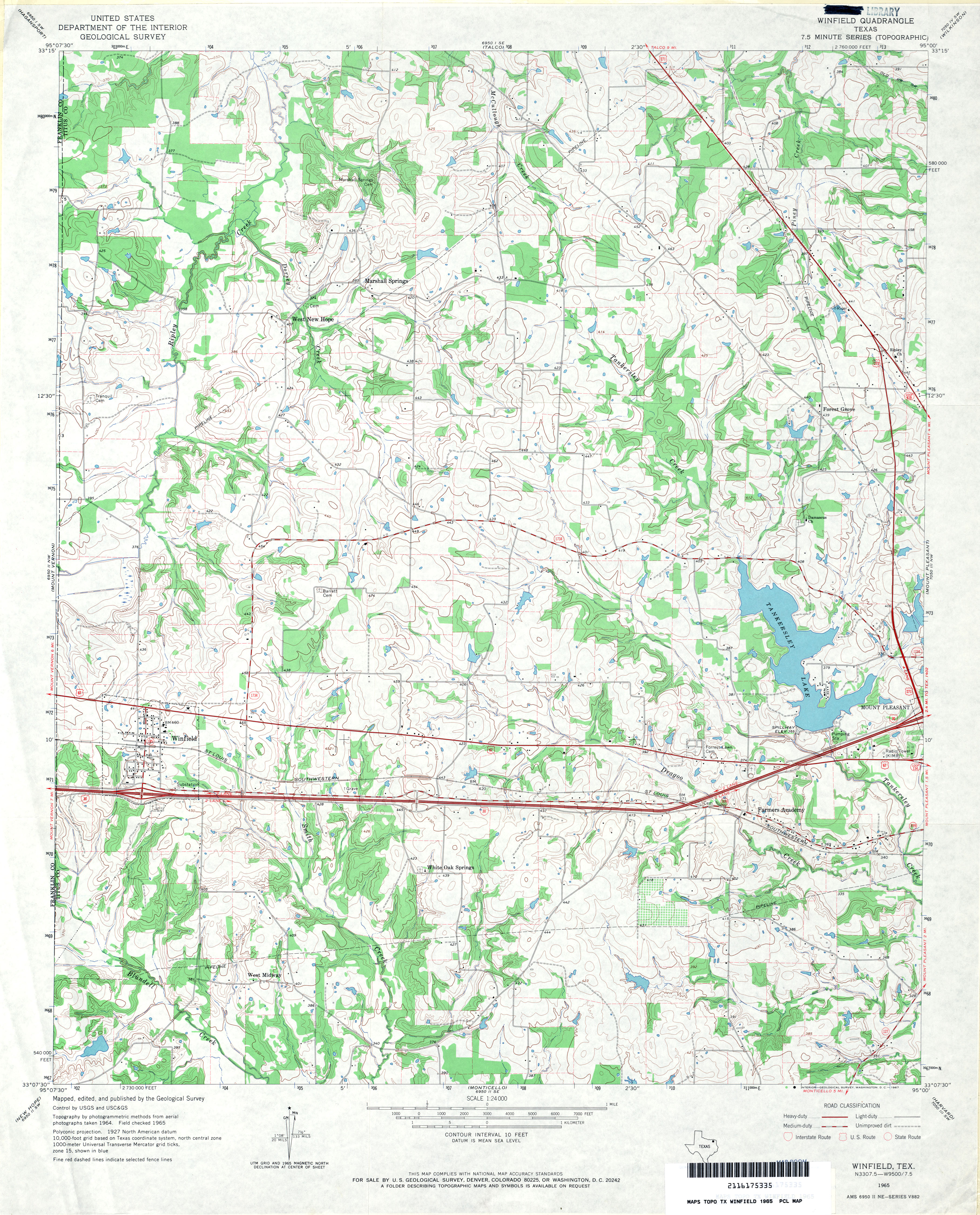
- Winfield 1:24,000 1965 (4.4MB)
- Winfield 1:24,000 2009 (18.6MB) [GeoPDF]
- Winfield 1:24,000 2013 (21.8MB) [GeoPDF]
- Wingate 1:24,000 1967 (2.9MB)
- Wingate 1:24,000 2012 (19.2MB) [GeoPDF]
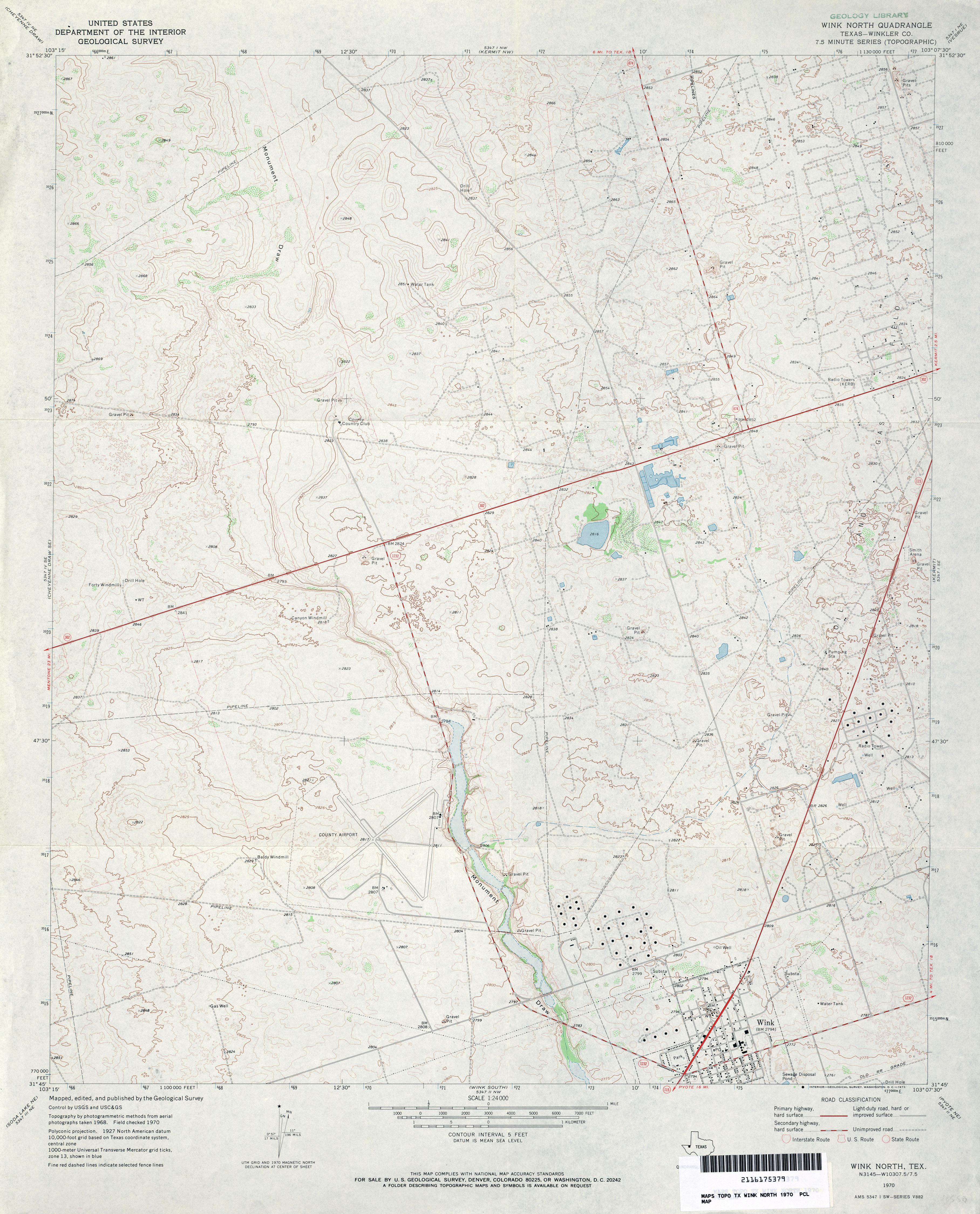
- Wink North (Winkler County) 1:24,000 1970 (3.8MB)
- Wink North 1:24,000 2008 (25.6MB) [GeoPDF]
- Wink North 1:24,000 2012 (27.7MB) [GeoPDF]
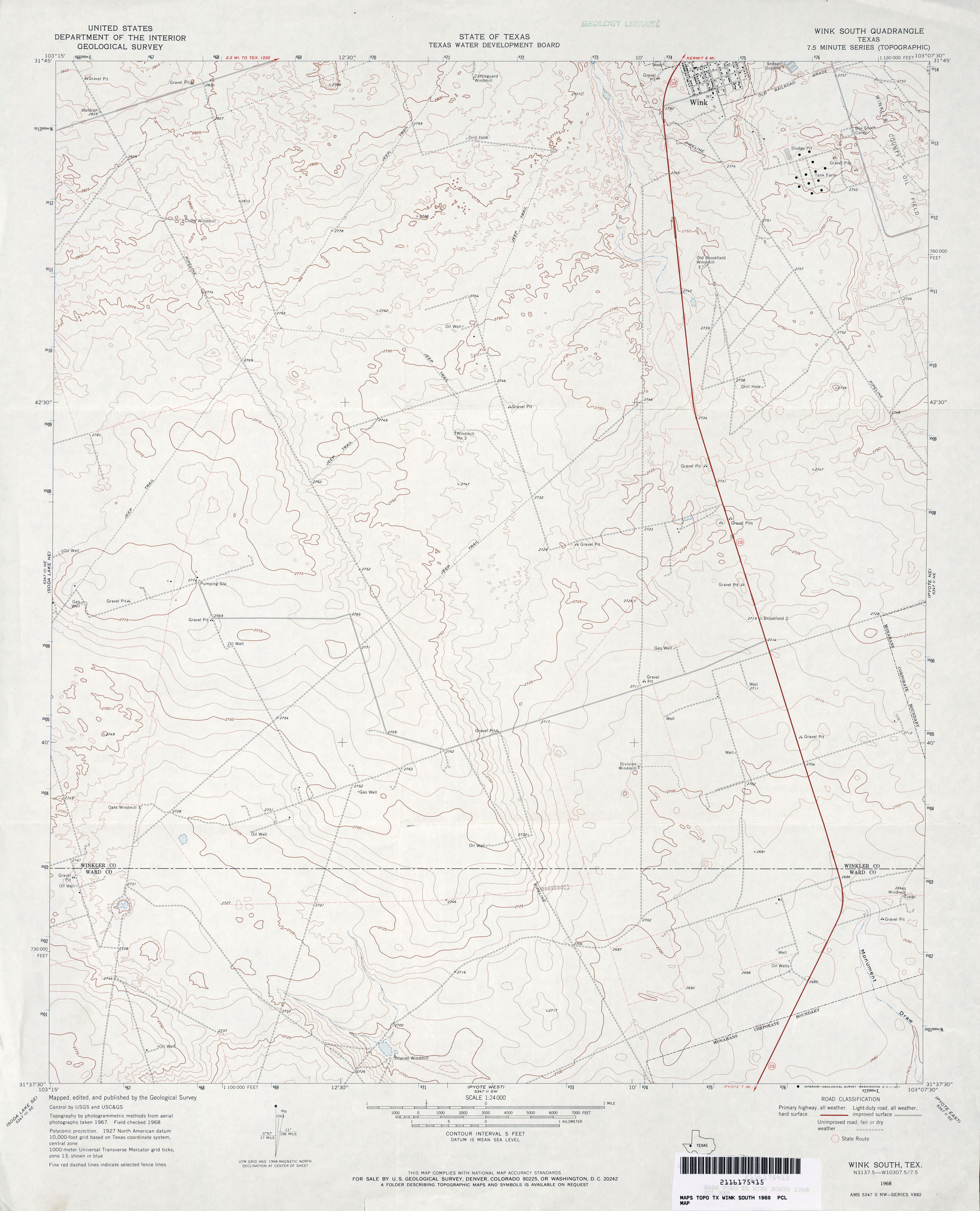
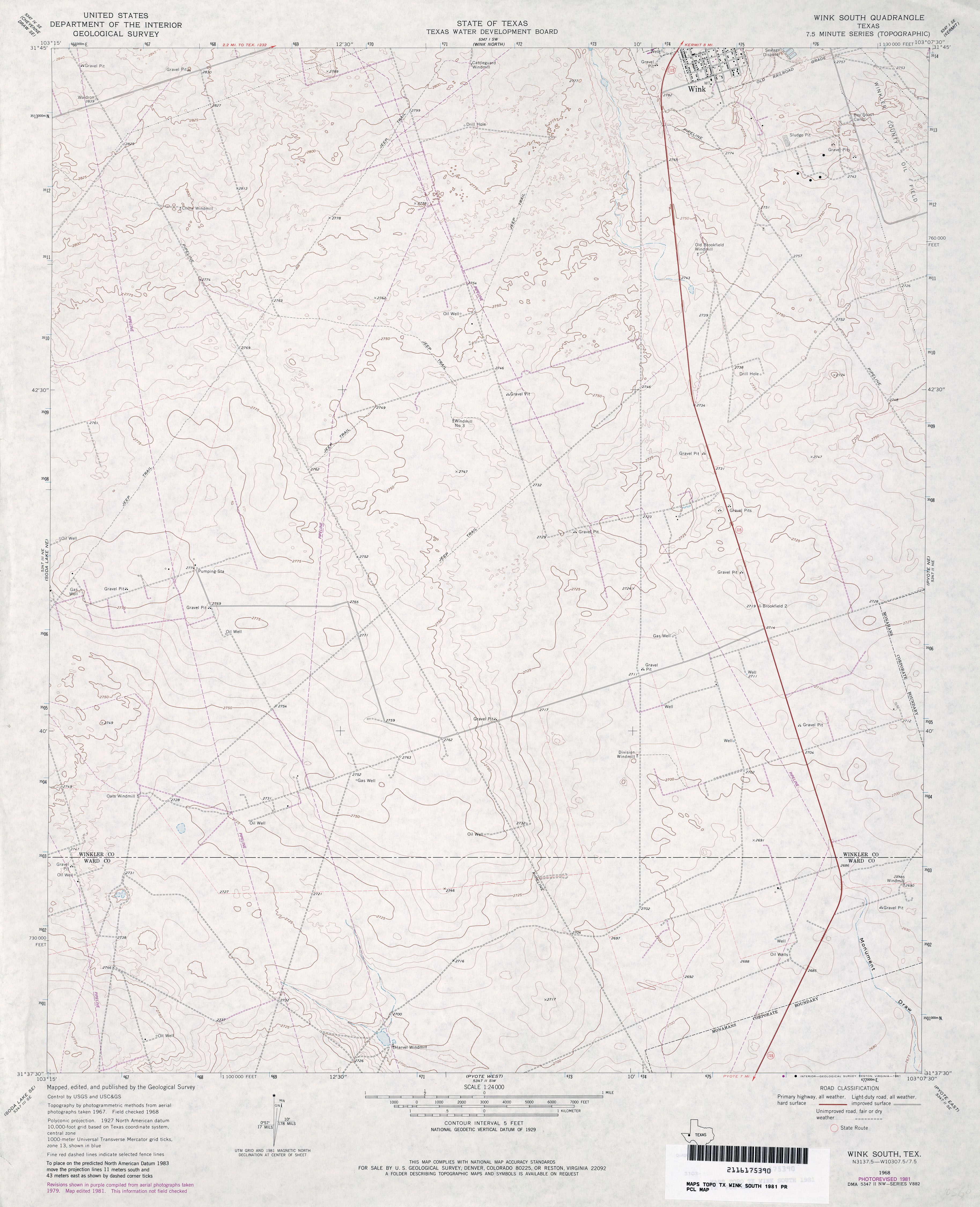
- Wink South 1:24,000 1968 (2.8MB)
- Wink South 1:24,000 1981 (3.1MB)
- Wink South 1:24,000 2008 (22.8MB) [GeoPDF]
- Wink South 1:24,000 2013 (25.7MB) [GeoPDF]
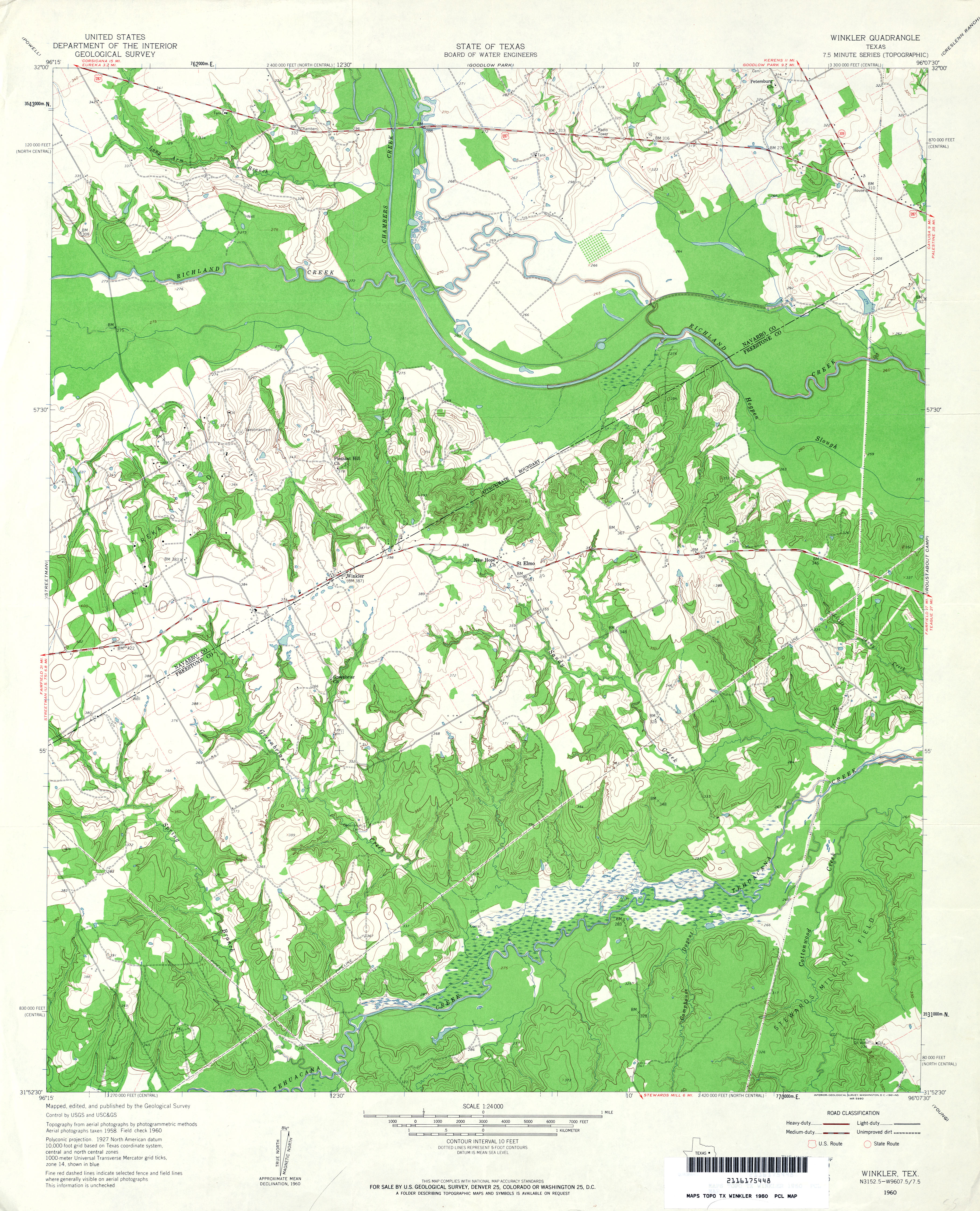
- Winkler 1:24,000 1960 (4.4MB)
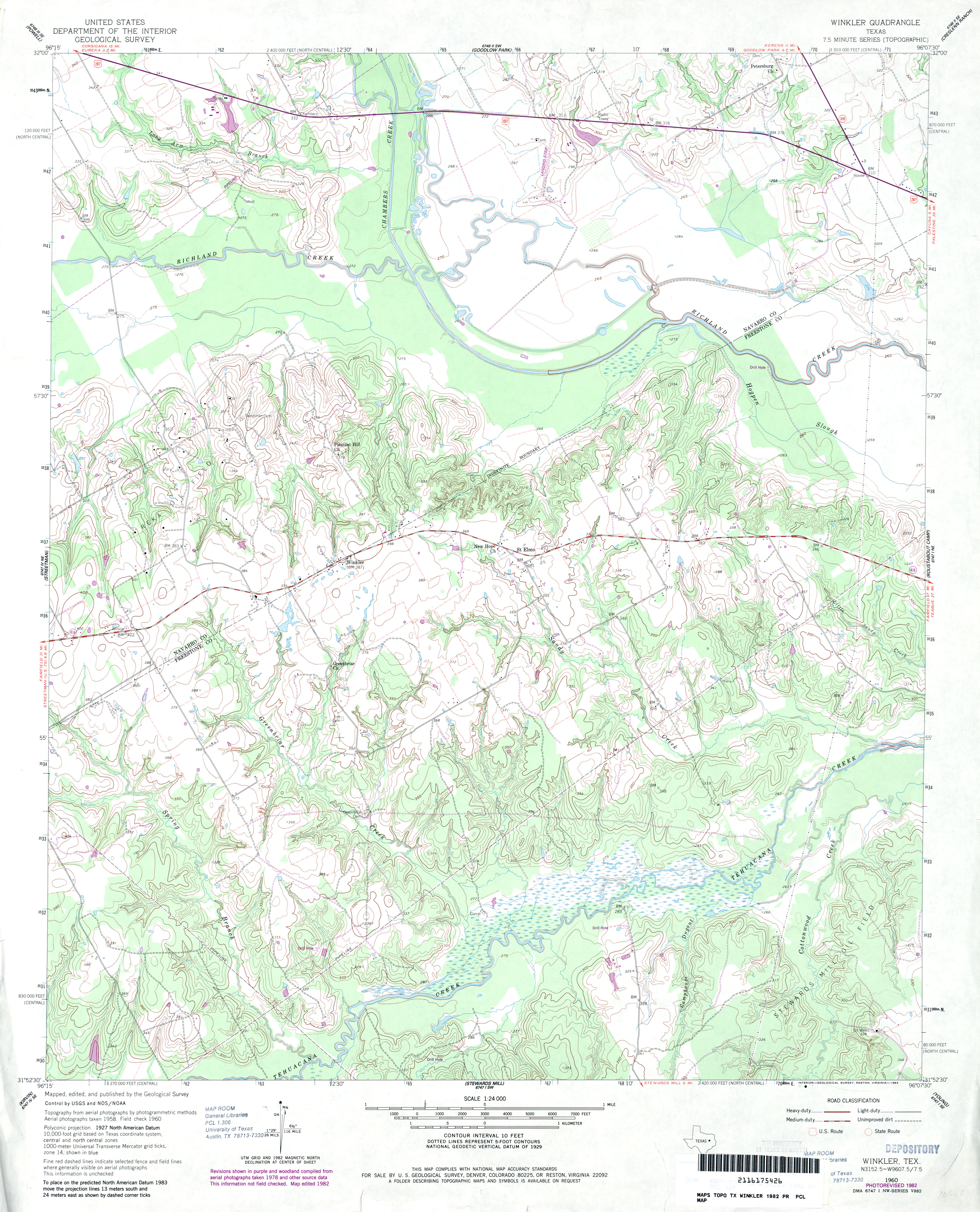
- Winkler 1:24,000 1982 (4.1MB)
- Winkler 1:24,000 2008 (14.8MB) [GeoPDF]
- Winkler 1:24,000 2013 (21.7MB) [GeoPDF]
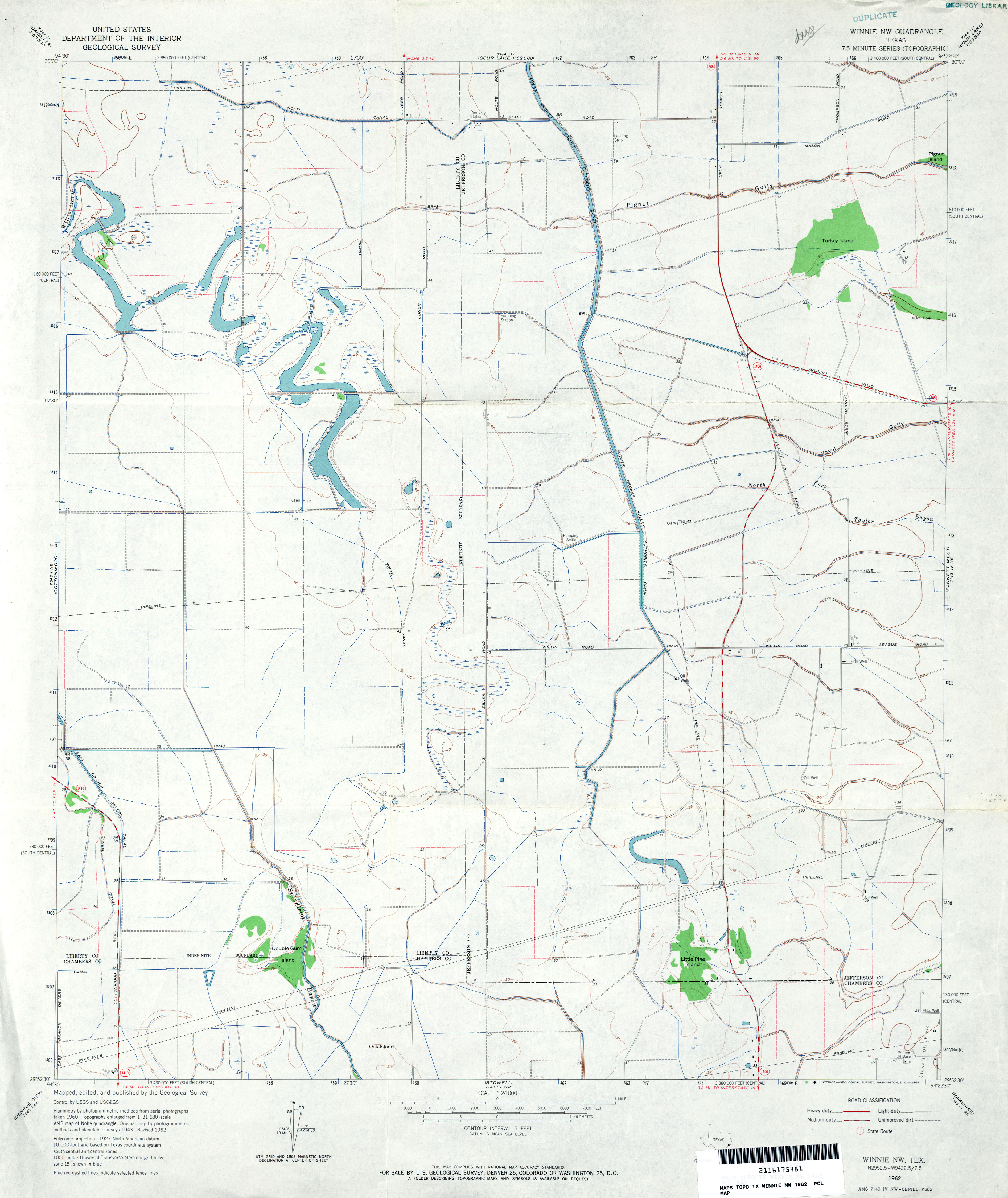
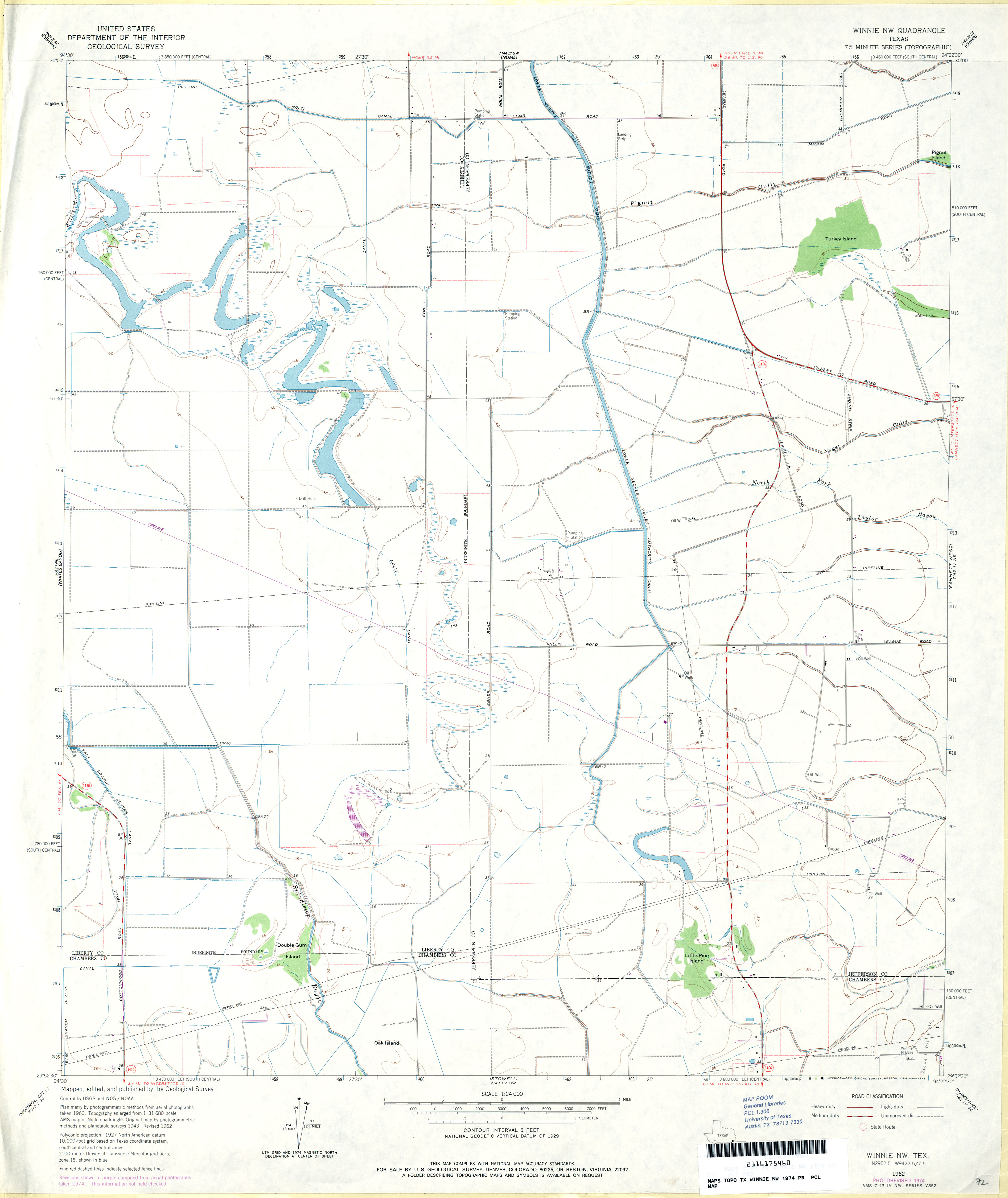
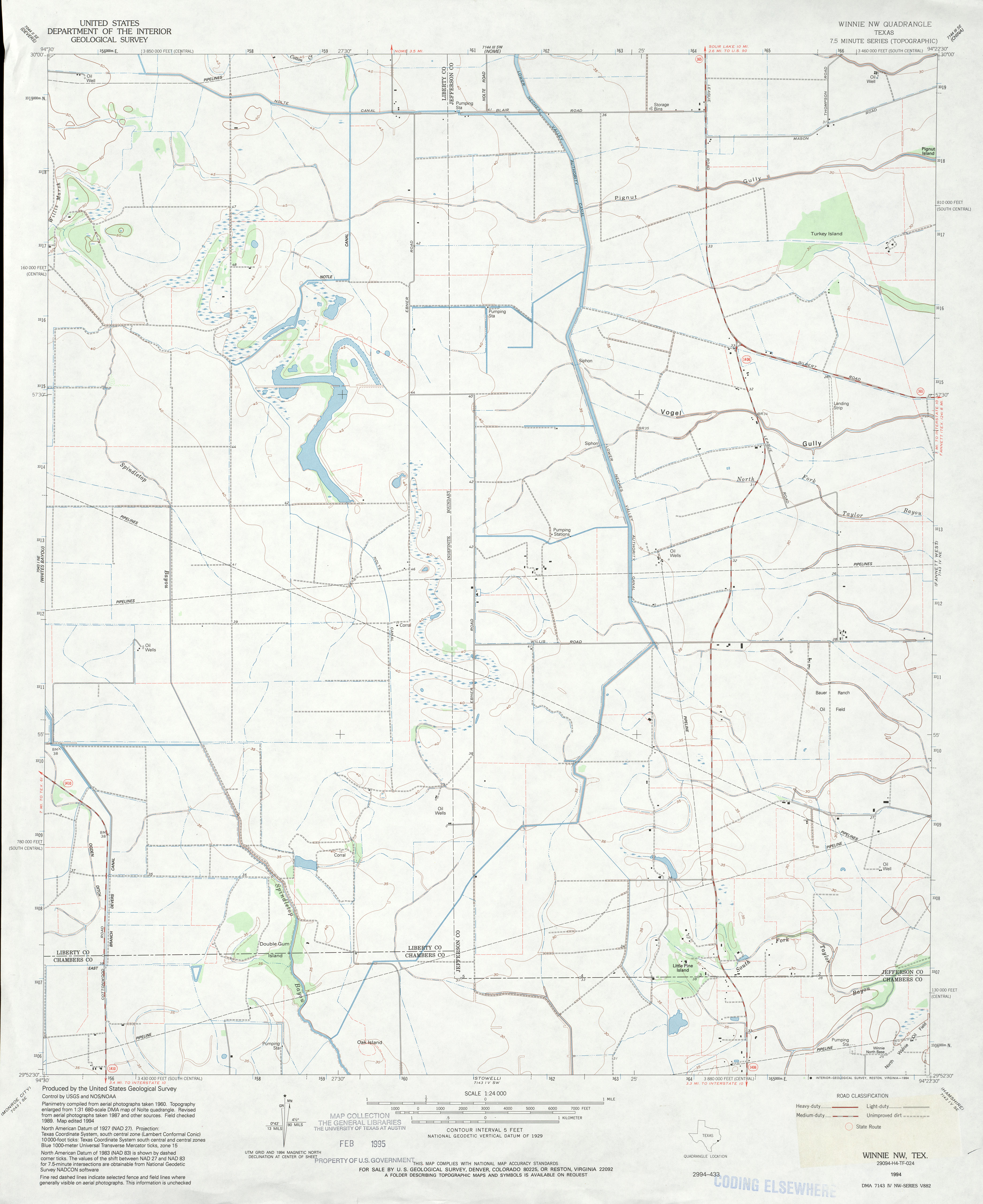
- Winnie NW 1:24,000 1962 (2.9MB)
- Winnie NW 1:24,000 1974 (2.4MB)
- Winnie NW 1:24,000 1994 (2.6MB)
- Winnie NW 1:24,000 2009 (12.4MB) [GeoPDF]
- Winnie NW 1:24,000 2013 (15.1MB) [GeoPDF]
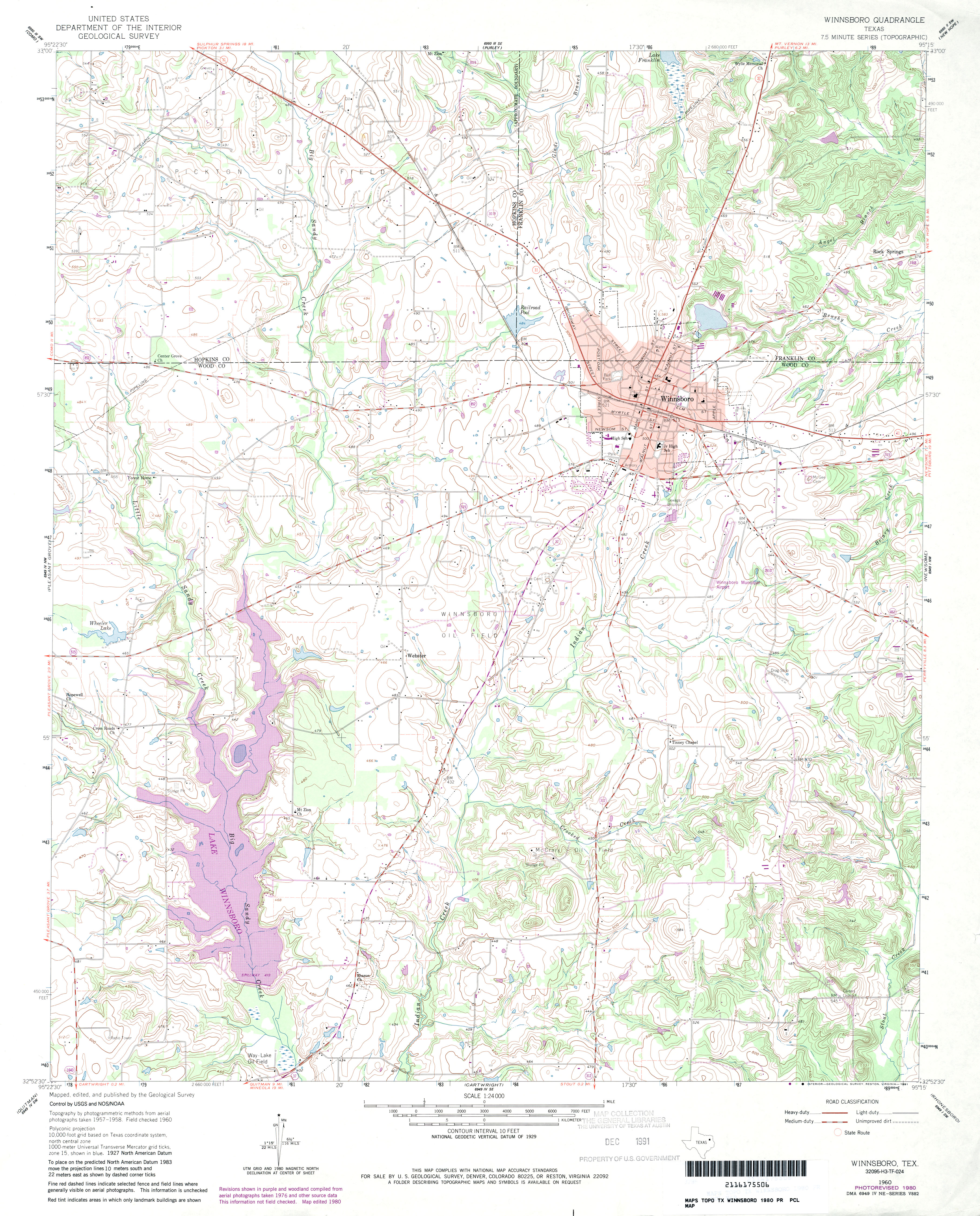
- Winnsboro 1:24,000 1960 (4.2MB)
- Winnsboro 1:24,000 1980 (4.3MB)
- Winnsboro 1:24,000 2009 (17.0MB) [GeoPDF]
- Winnsboro 1:24,000 2012 (23.2MB) [GeoPDF]
- Winona 1:62,500 1938 survey, 1943 overprint (4.8 MB)
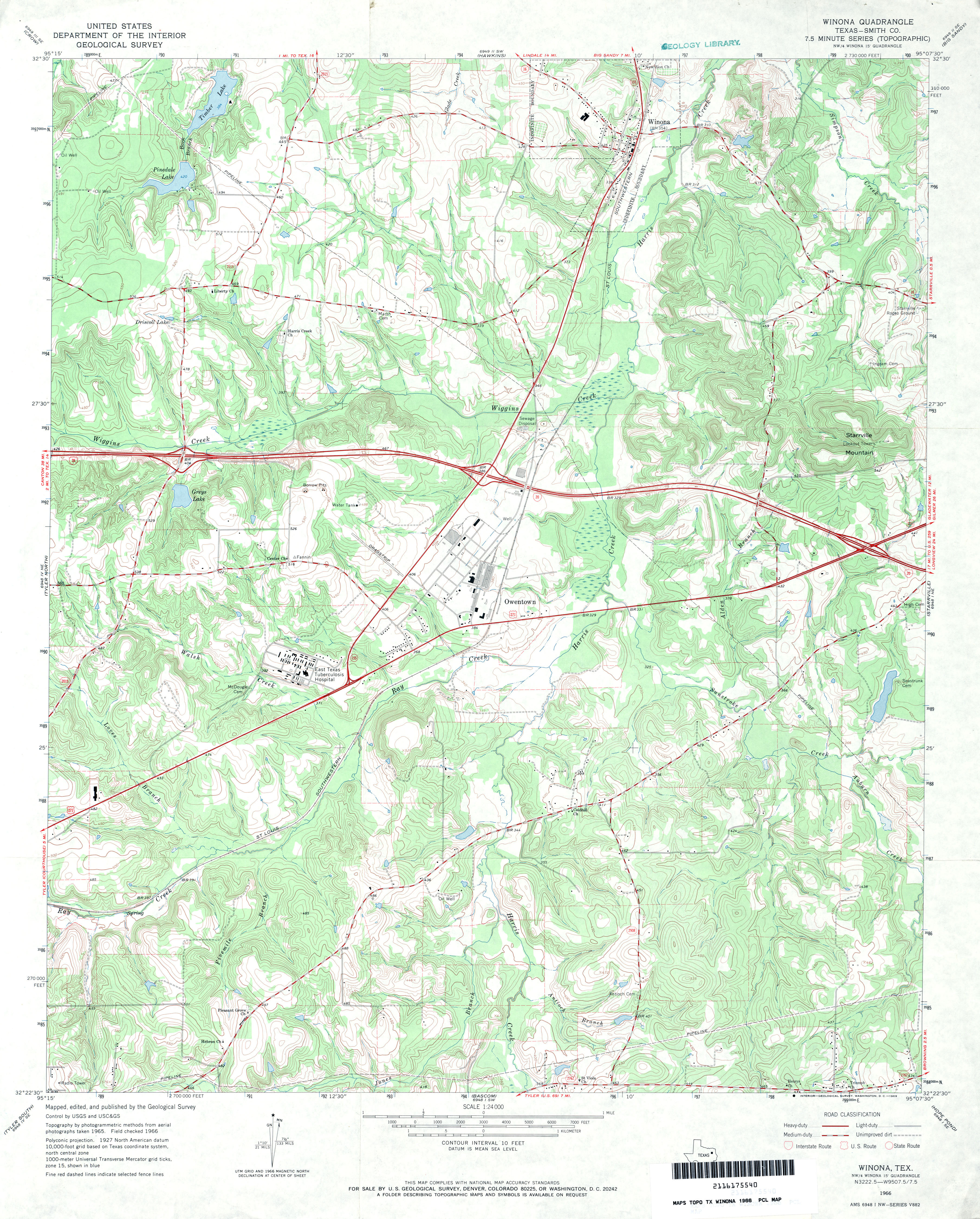
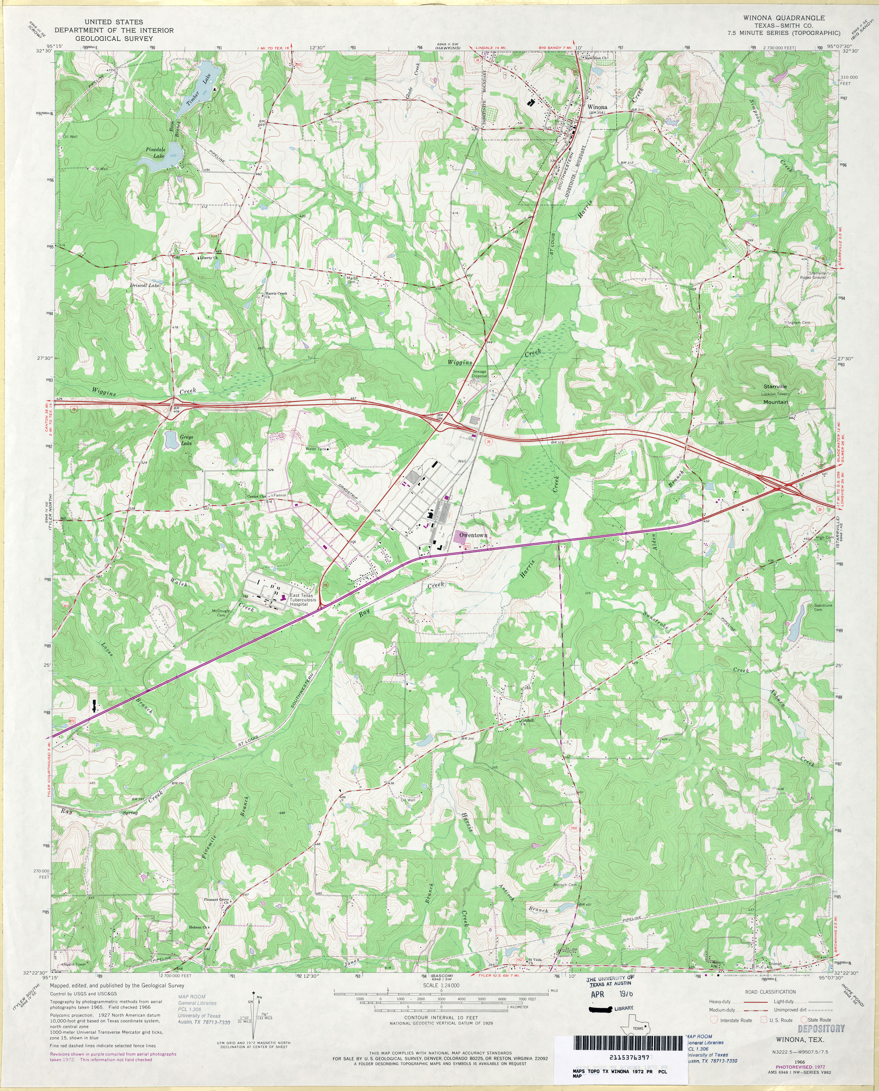
- Winona (Smith County) 1:24,000 1966 (4.4MB)
- Winona (Smith County) 1:24,000 1972 (4.2MB)
- Winona 1:24,000 2008 (22.6MB) [GeoPDF]
- Winona 1:24,000 2012 (25.2MB) [GeoPDF]
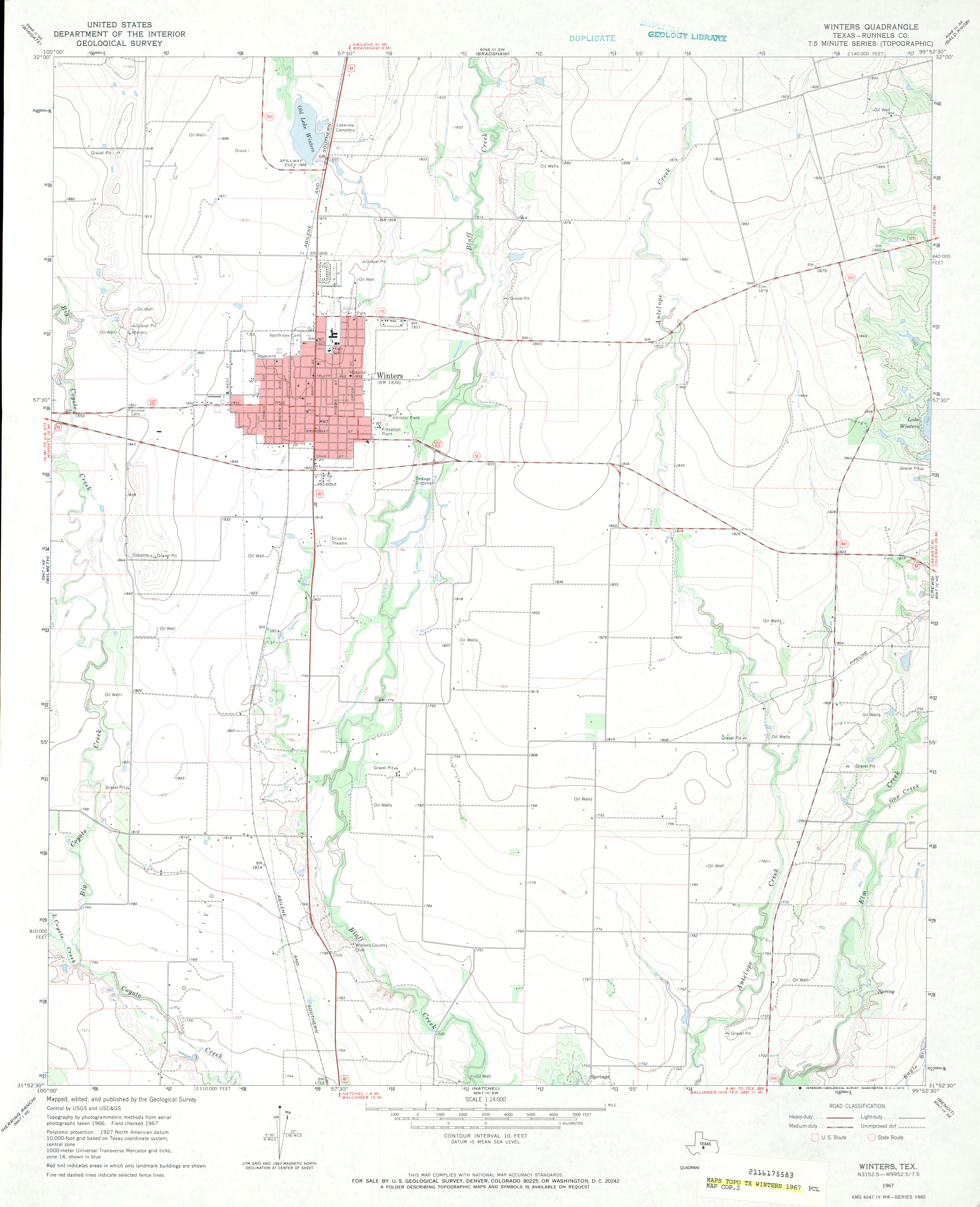
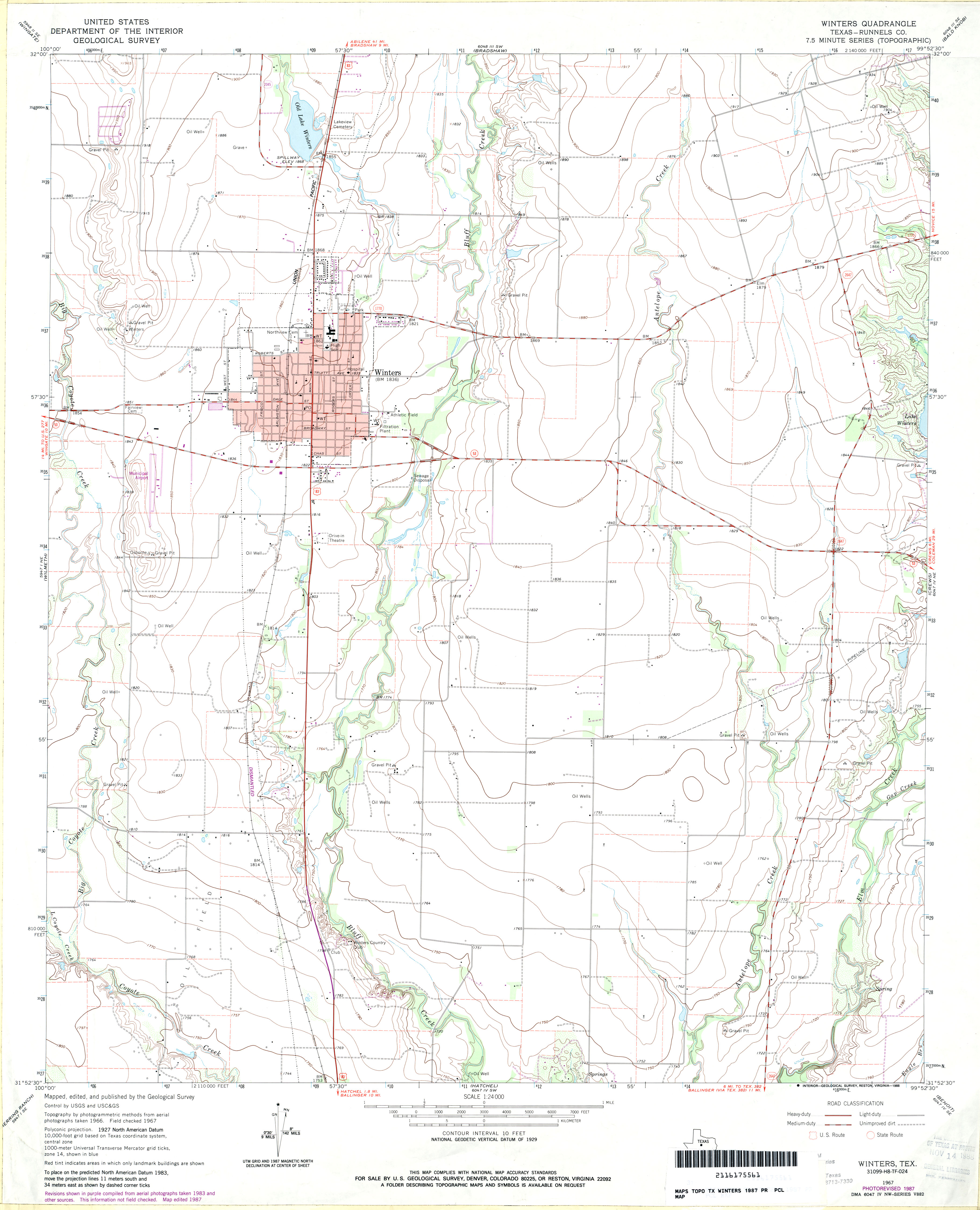
- Winters (Runnels County) 1:24,000 1967 (2.3MB)
- Winters (Runnels County) 1:24,000 1987 (2.7MB)
- Winters 1:24,000 2013 (18.6MB) [GeoPDF]
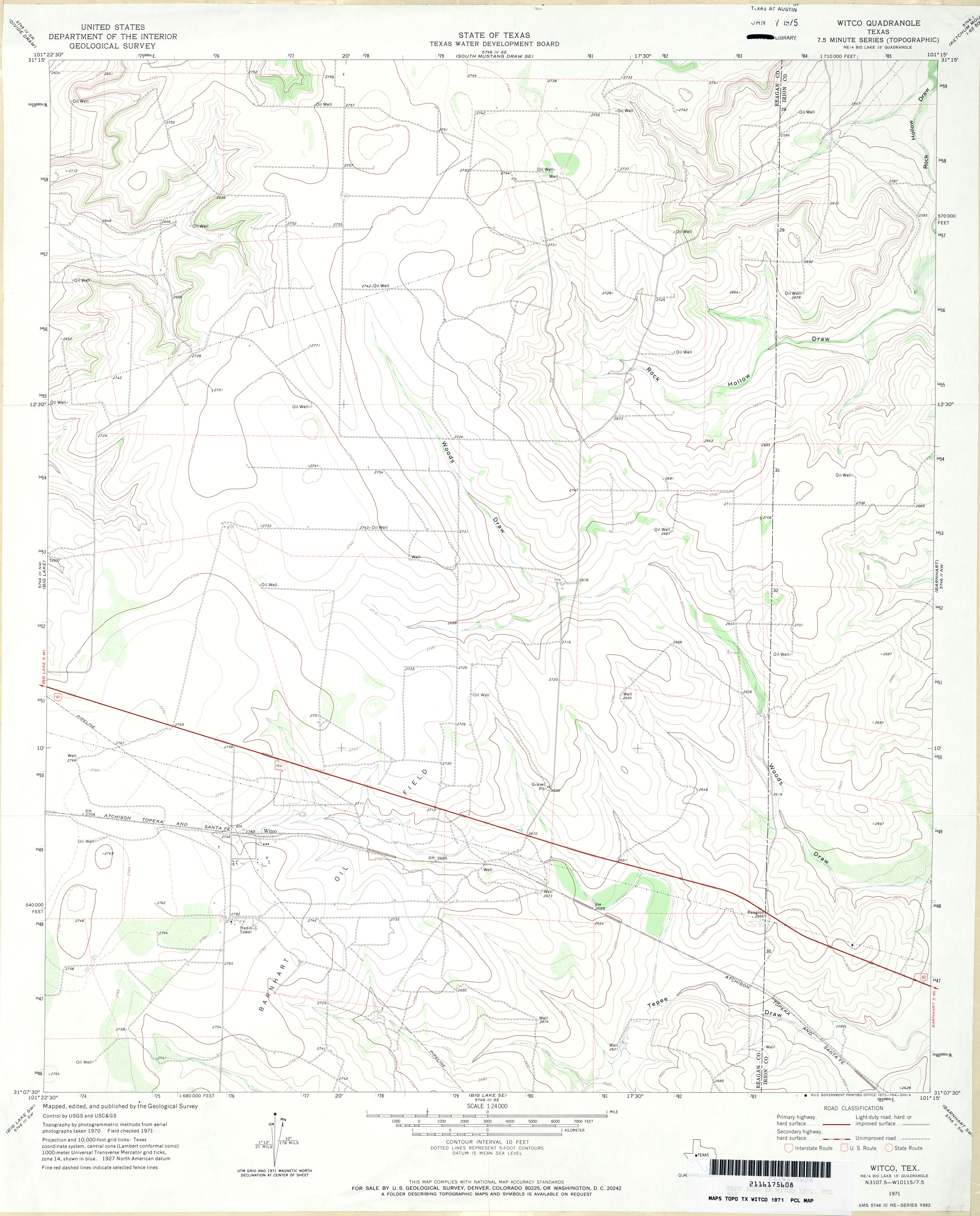
- Witco 1:24,000 1971 (2.8MB)
- Witco 1:24,000 2008 (22.0MB) [GeoPDF]
- Witco 1:24,000 2012 (27.2MB) [GeoPDF]
- Witharral (Hockley County) 1:24,000 1964 (2.5MB)
- Wizard Wells 1:24,000 1960 (5.2MB)
- Wizard Wells 1:24,000 1978 (5.4MB)
- Wizard Wells 1:24,000 2008 (22.7MB) [GeoPDF]
- Wizard Wells 1:24,000 2013 (23.8MB) [GeoPDF]
- Woden (Nacogdoches County) 1:24,000 1983 (4.4MB)
- Woden 1:24,000 2008 (2.1MB) Texas Natural Resources Information System (TNRIS). [pdf]
- Woden 1:24,000 2009 (21.2MB) [GeoPDF]
- Woden 1:24,000 2013 (24.3MB) [GeoPDF]
- Wolcott Ranch (Martin County) 1:24,000 1966 (3.1MB)
- Wolcott Ranch 1:24,000 2008 (11.7MB) [GeoPDF]
- Wolcott Ranch 1:24,000 2012 (15.9MB) [GeoPDF]
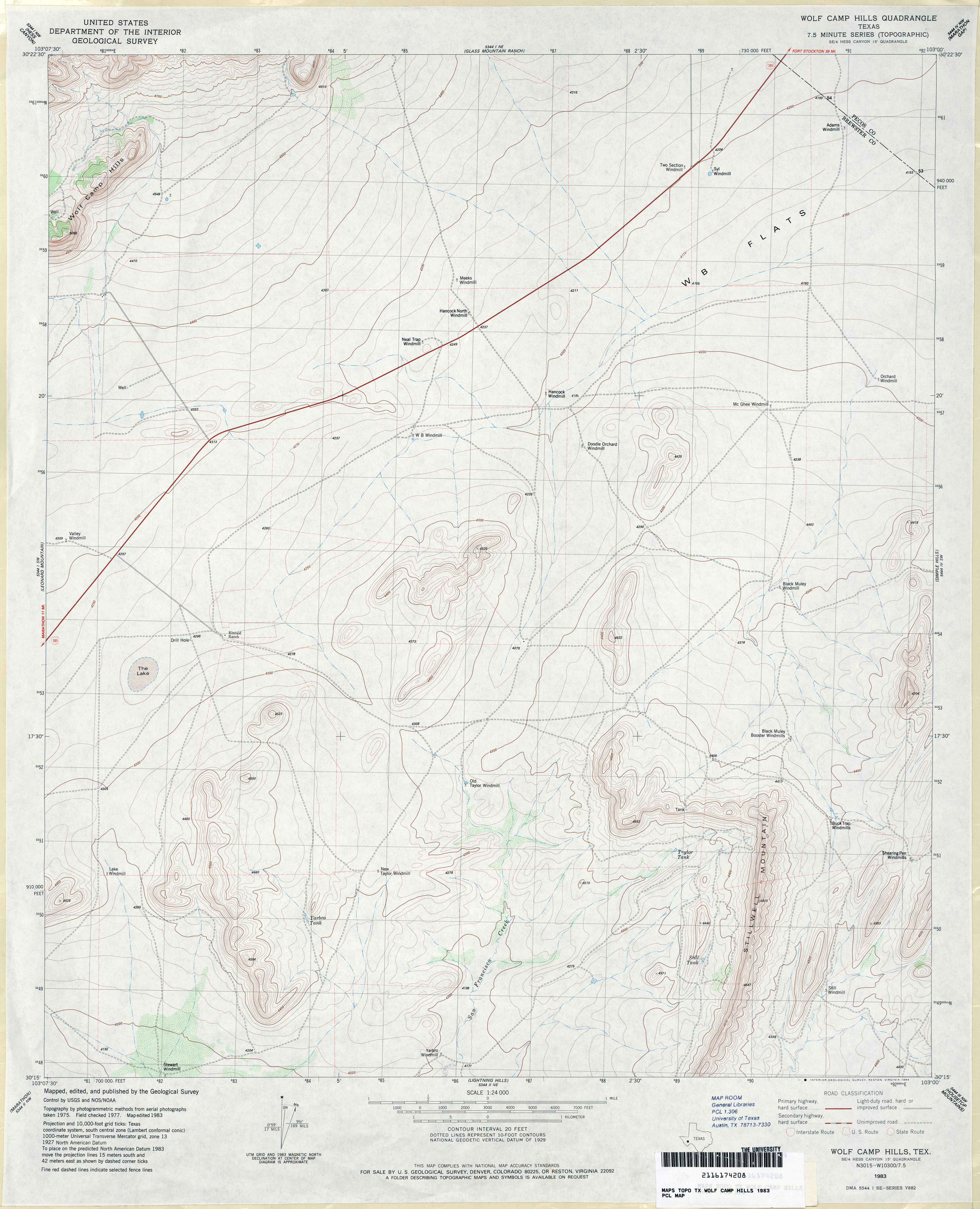
- Wolf Camp Hills 1:24,000 1983 (3.4MB)
- Wolf Camp Hills 1:24,000 2008 (22MB) [GeoPDF]
- Wolf Camp Hills 1:24,000 2012 (25.1MB) [GeoPDF]
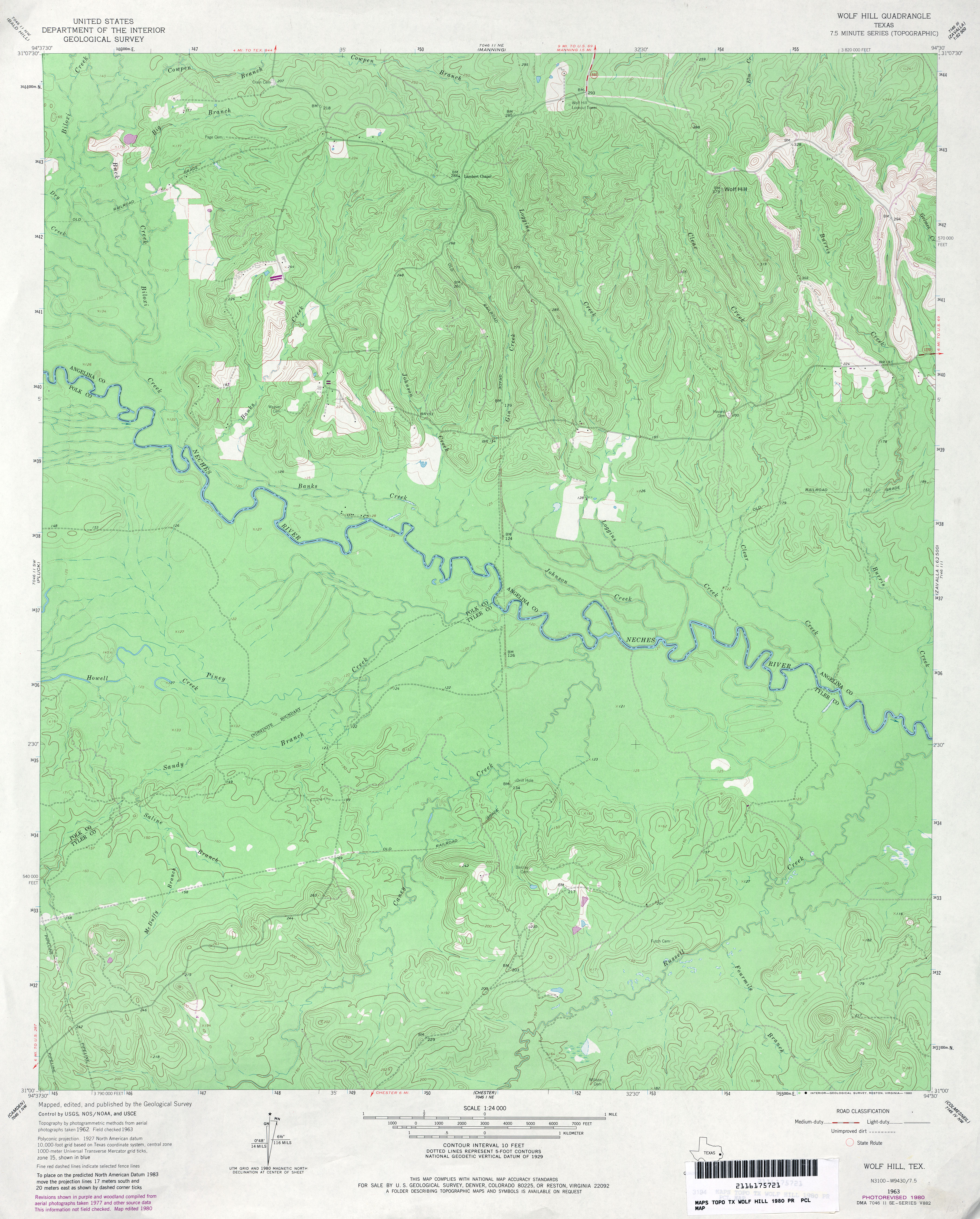
- Wolf Hill 1:24,000 1963 (4MB)
- Wolf Hill 1:24,000 1980 (4MB)
- Wolf Hill 1:24,000 2008 (2.2MB) Texas Natural Resources Information System (TNRIS). [pdf]
- Wolf Hill 1:24,000 2009 (25.7MB) [GeoPDF]
- Wolf Hill 1:24,000 2013 (27.7MB) [GeoPDF]
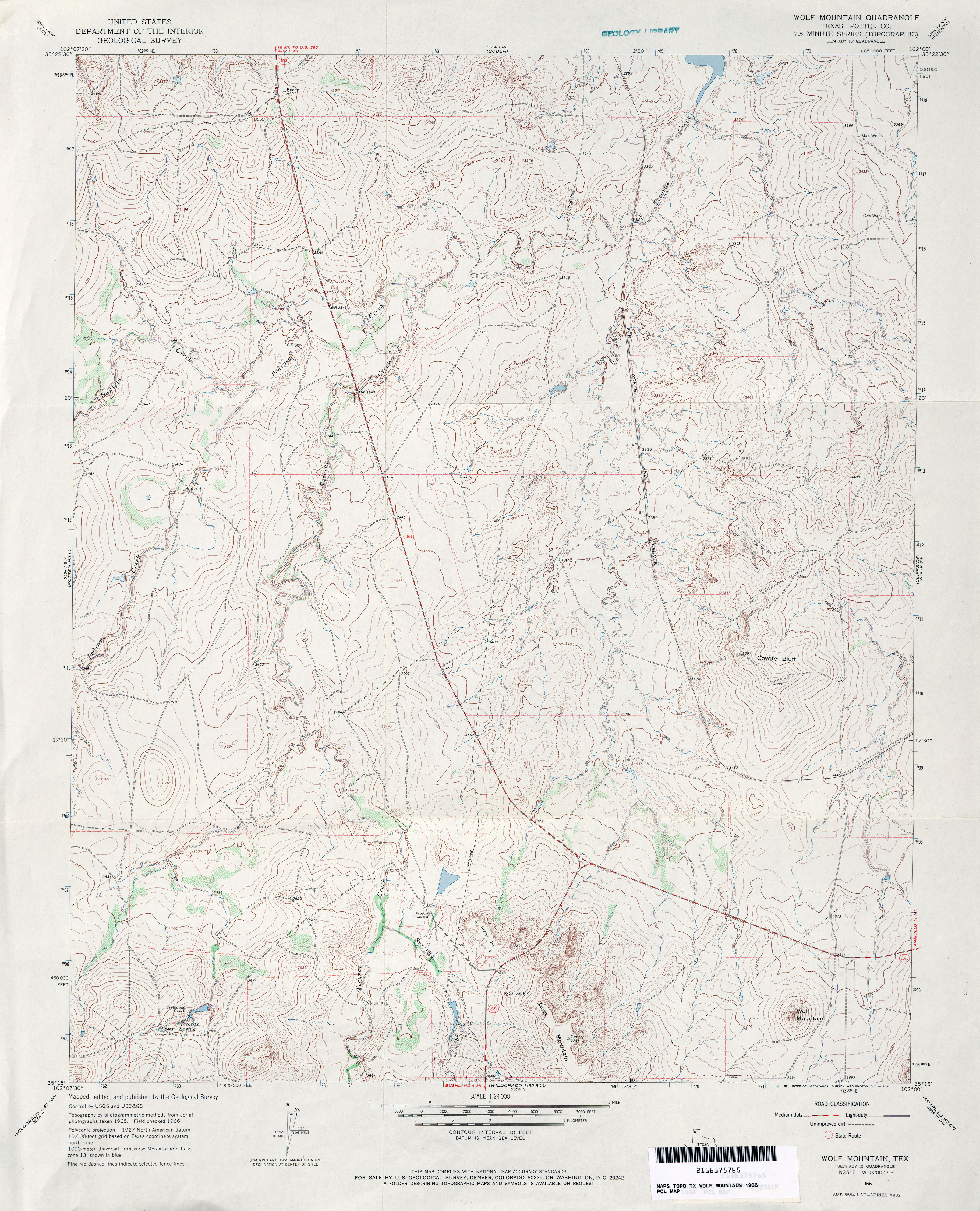
- Wolf Mountain (Potter County) 1:24,000 1966 (4.2MB)
- Wolf Mountain 1:24,000 2008 (15.9MB) [GeoPDF]
- Wolf Mountain 1:24,000 2012 (21.2MB) [GeoPDF]
- Wolf Ridge 1:24,000 1959 (5.7MB)
- Wolf Ridge 1:24,000 2012 (25.3MB) [GeoPDF]
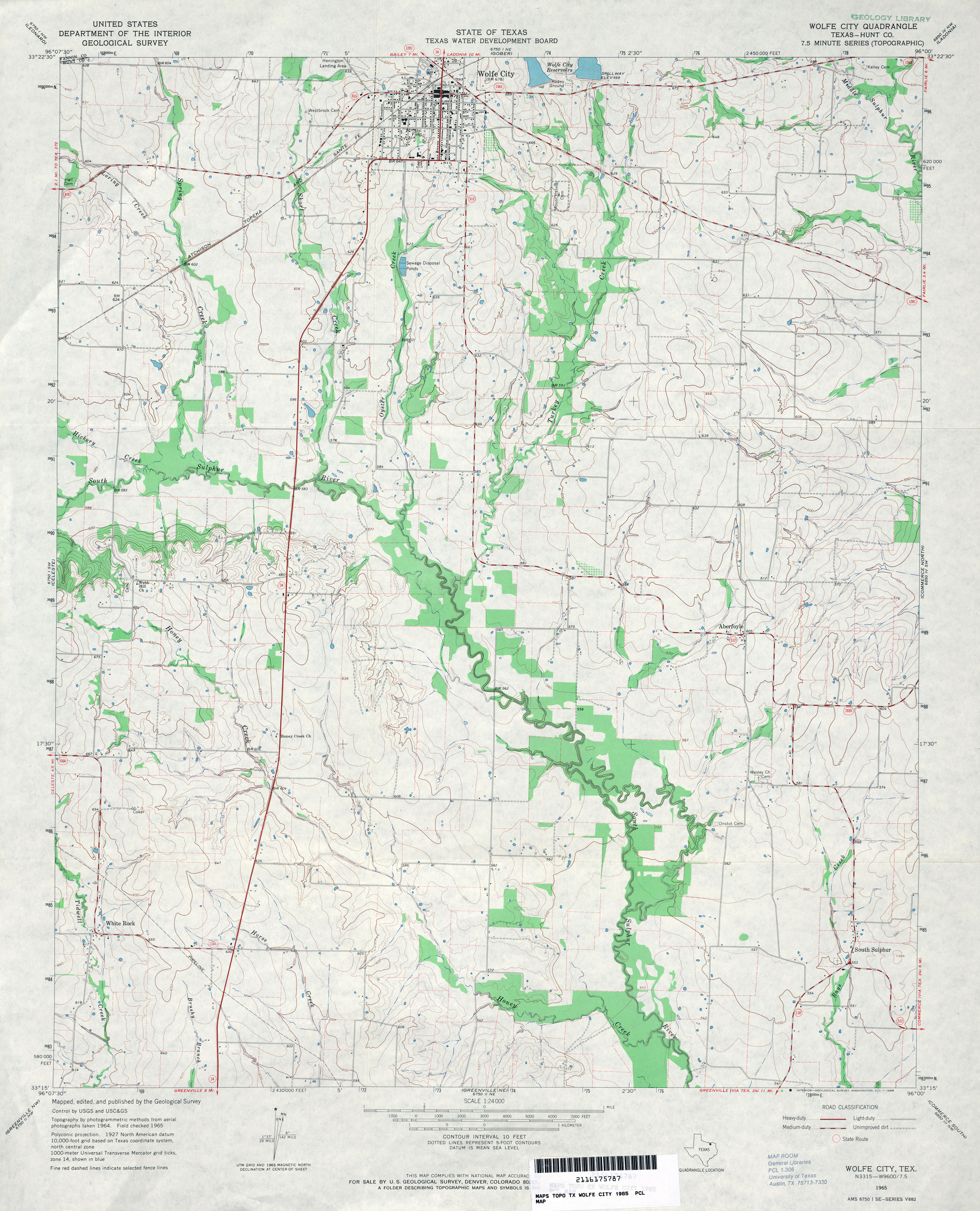
- Wolfe City (Hunt County) 1:24,000 1965 (3.7MB)
- Wolfe City 1:24,000 2008 (12.4MB) [GeoPDF]
- Wolfe City 1:24,000 2013 (19.6MB) [GeoPDF]
- Wolfforth 1:62,500 1957 (2.3MB)
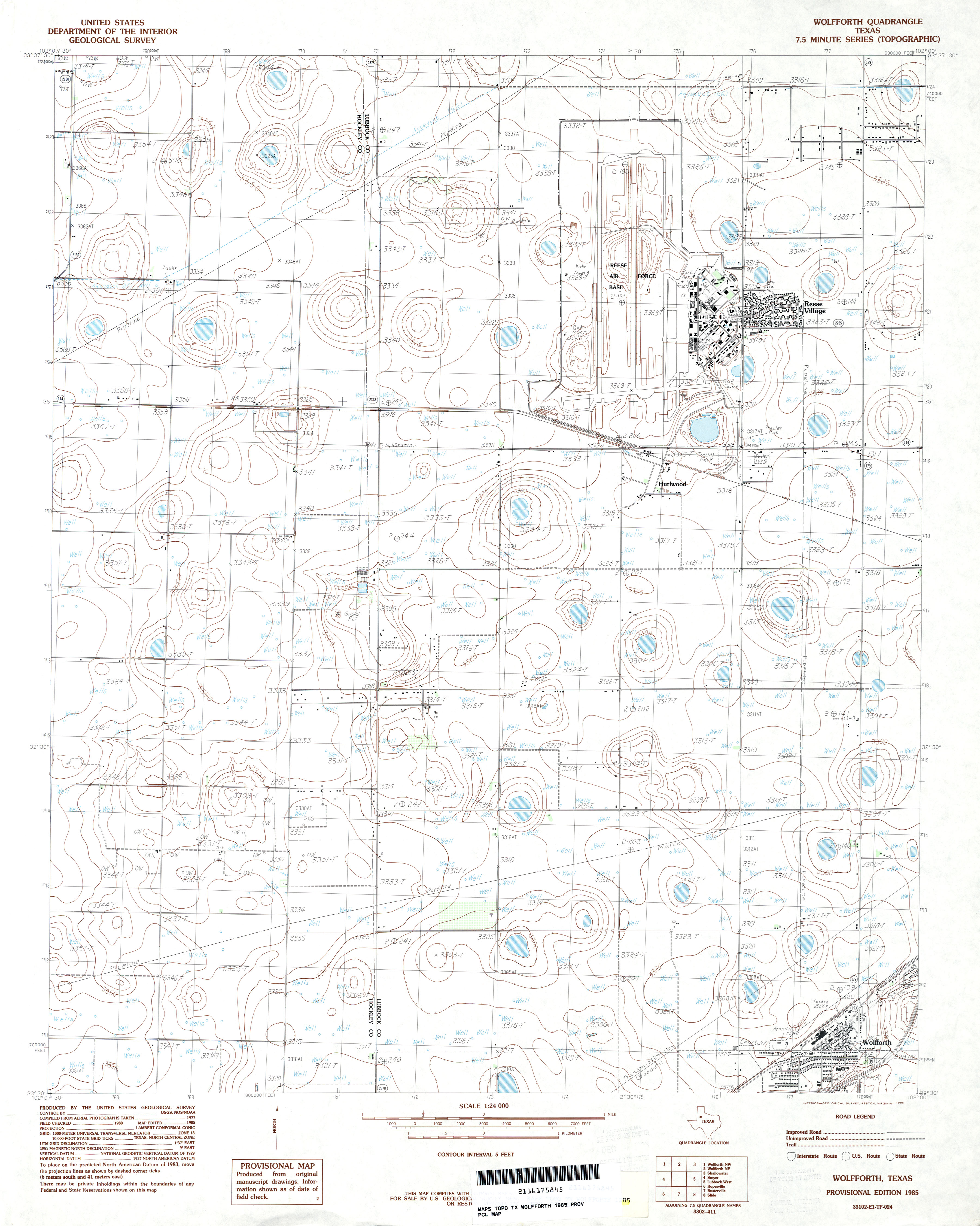
- Wolfforth 1:24,000 1985 (3MB)
- Wolfforth 1:24,000 2008 (10.8MB) [GeoPDF]
- Wolfforth 1:24,000 2012 (16.3MB) [GeoPDF]
- Wolfforth NE 1:24,000 1976 (2.7MB) 7.5 Minute Series Orthophotoquad
- Wolfforth NE 1:24,000 1985 (3.4MB)
- Wolfforth NE 1:24,000 2008 (10.1MB) [GeoPDF]
- Wolfforth NE 1:24,000 2012 (15.2MB) [GeoPDF]
- Wolfforth NW 1:24,000 1976 (2.7MB) 7.5 Minute Series Orthophotoquad
- Wolfforth NW (Hockley County) 1:24,000 1985 (2.5MB)
- Wolfforth NW 1:24,000 2008 (10MB) [GeoPDF]
- Wolfforth NW 1:24,000 2012 (14.3MB) [GeoPDF]
- Wolfforth SW [Smyer] 1:24,000 1976 (2.8MB) 7.5 Minute Series Orthophotoquad
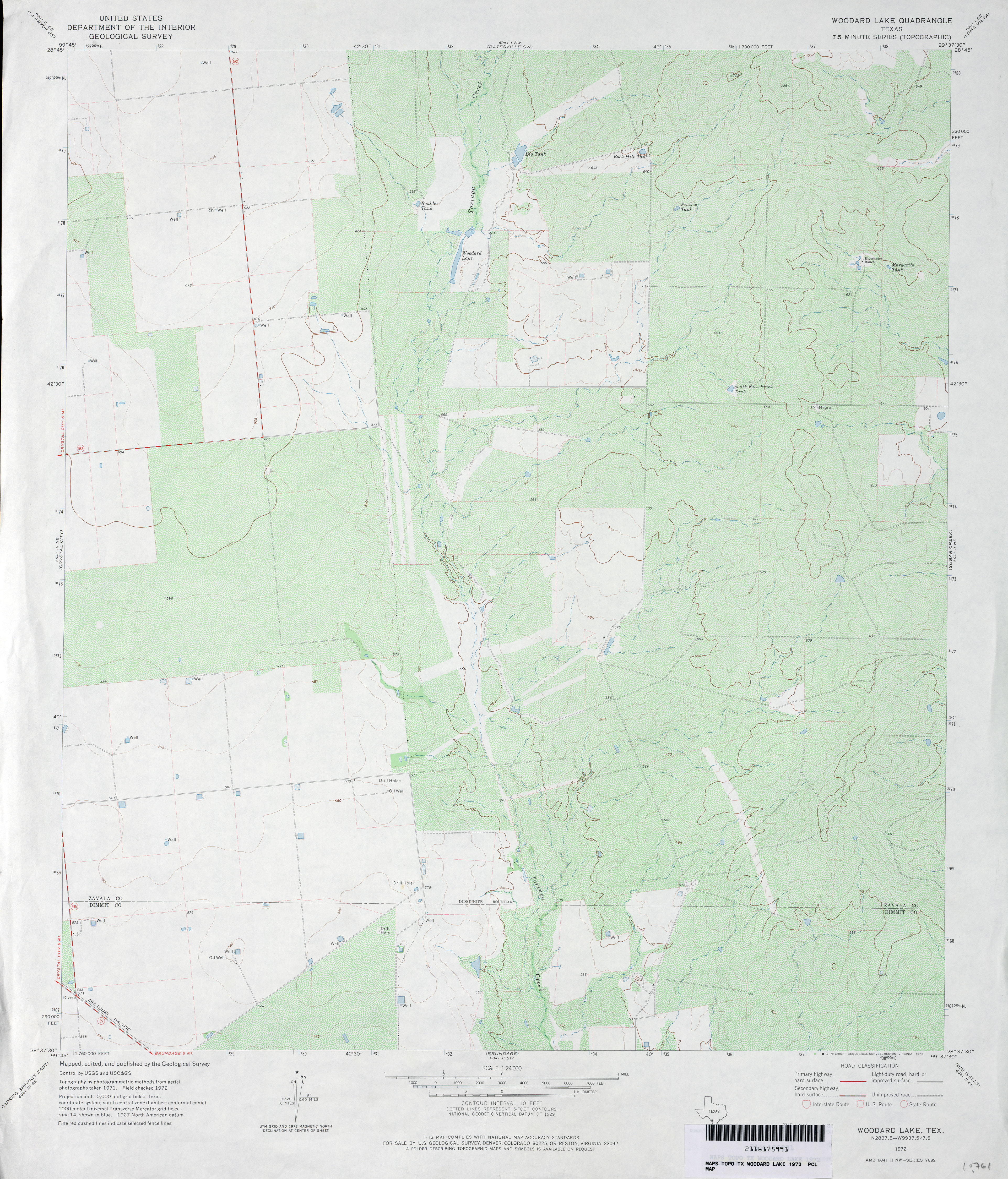
- Woodard Lake 1:24,000 1972 (3.8MB)
- Woodard Lake 1:24,000 2008 (18.0MB) [GeoPDF]
- Woodard Lake 1:24,000 2013 (22.9MB) [GeoPDF]
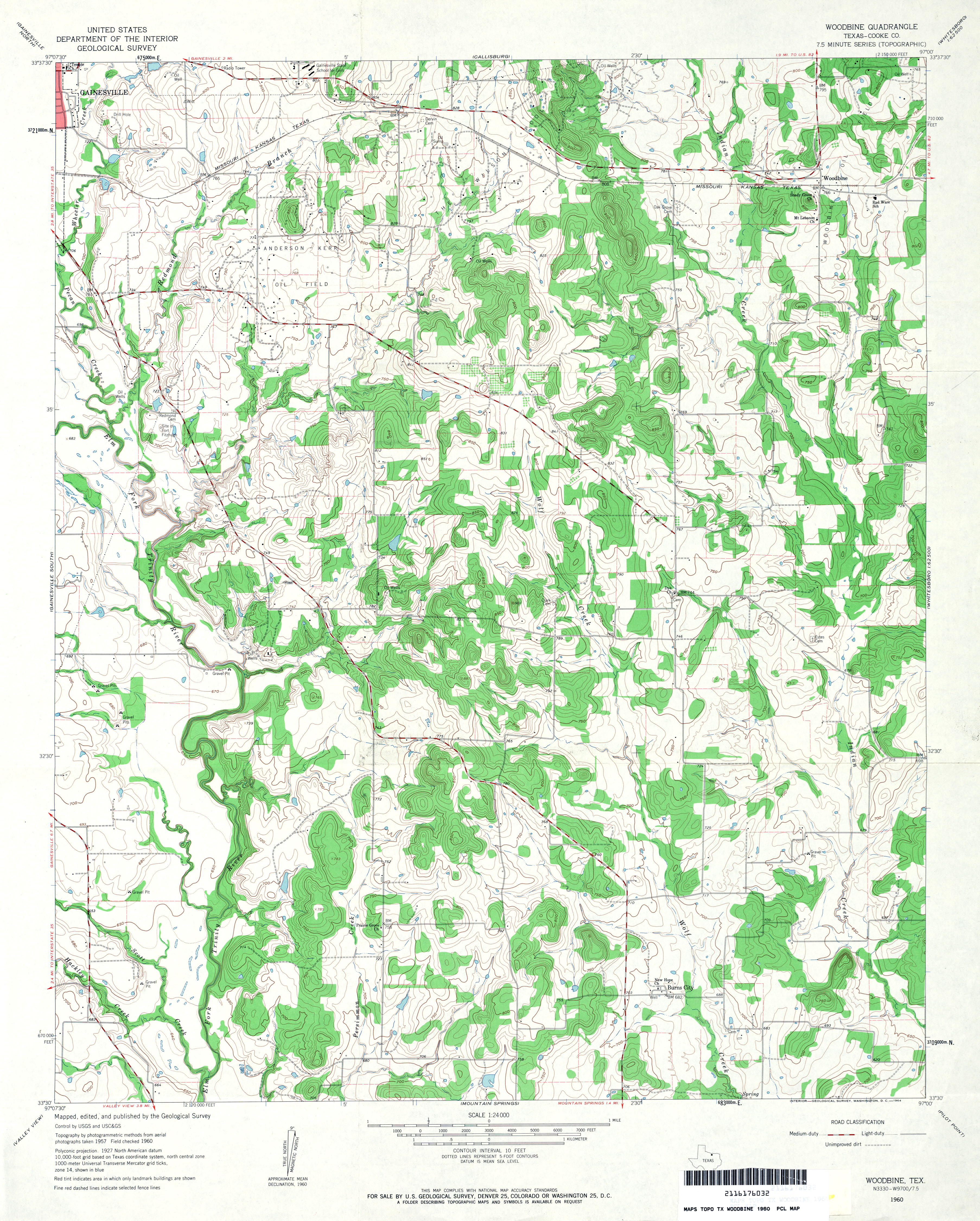
- Woodbine (Cooke County) 1:24,000 1960 (4.3MB)
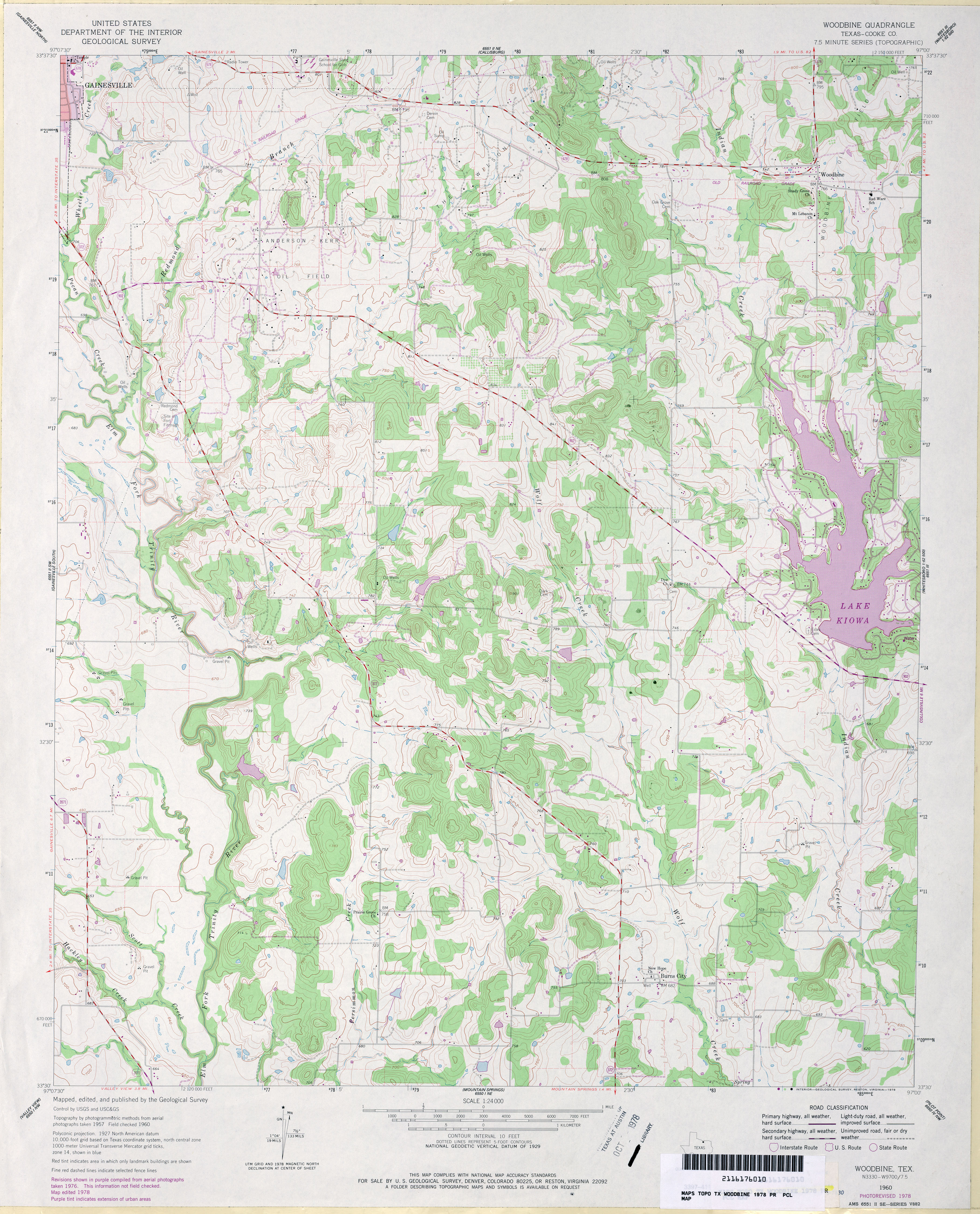
- Woodbine (Cooke County) 1:24,000 1978 (4.3MB)
- Woodbine 1:24,000 2008 (14.8MB) [GeoPDF]
- Woodbine 1:24,000 2013 (21MB) [GeoPDF]
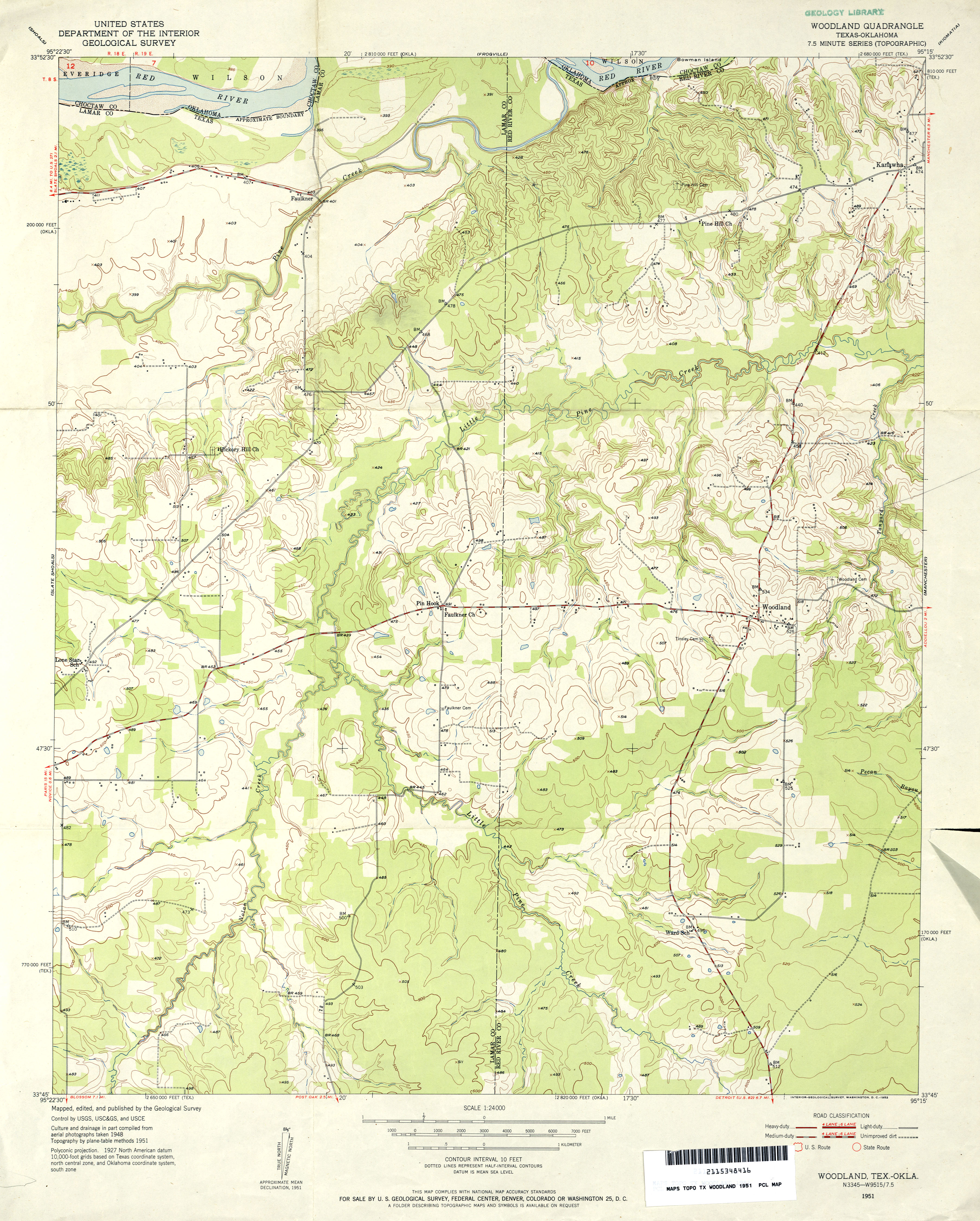
- Woodland 1:24,000 1951 (3.7MB)
- Woodland 1:24,000 2013 (23MB) [GeoPDF]
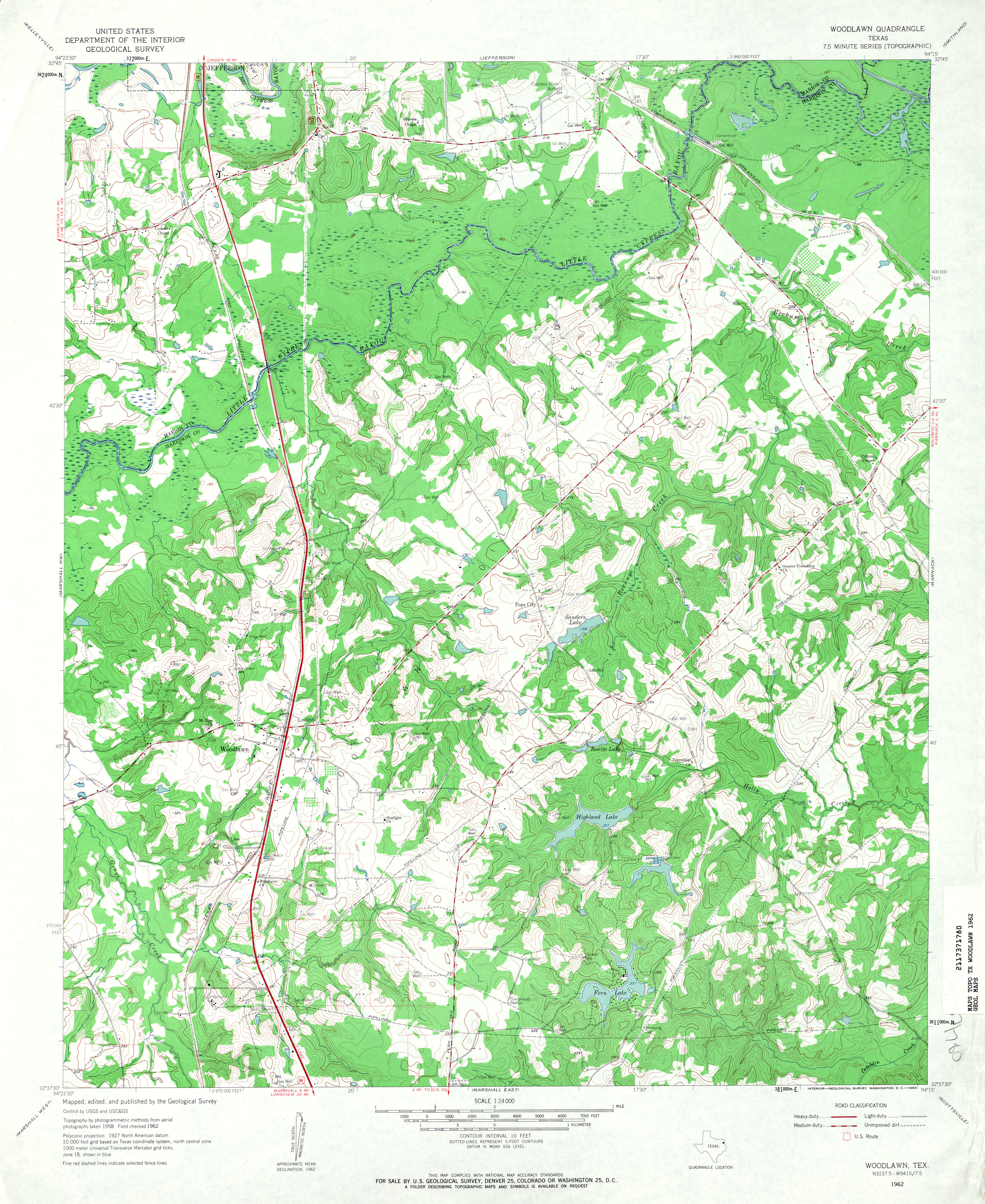
- Woodlawn 1:24,000 1962 (4.7MB)
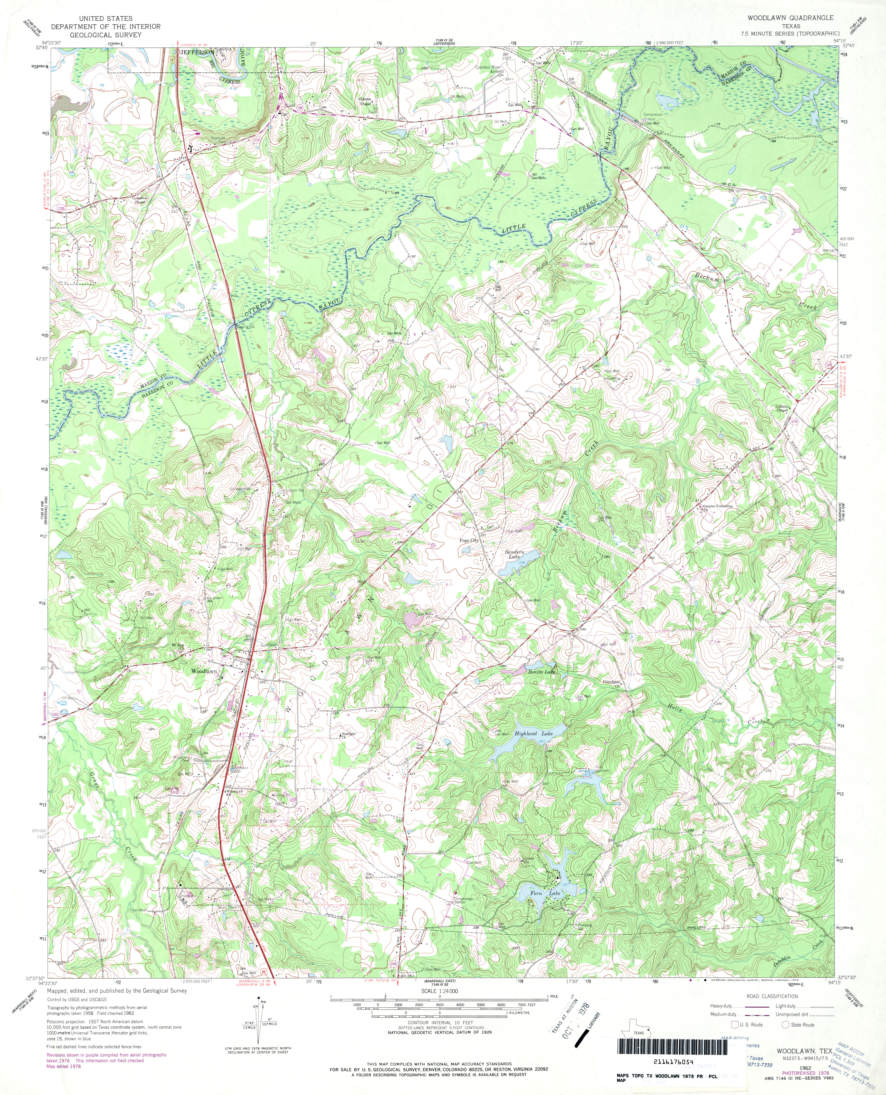
- Woodlawn 1:24,000 1978 (4.9MB)
- Woodlawn 1:24,000 2009 (22.3MB) [GeoPDF]
- Woodlawn 1:24,000 2013 (25.1MB) [GeoPDF]
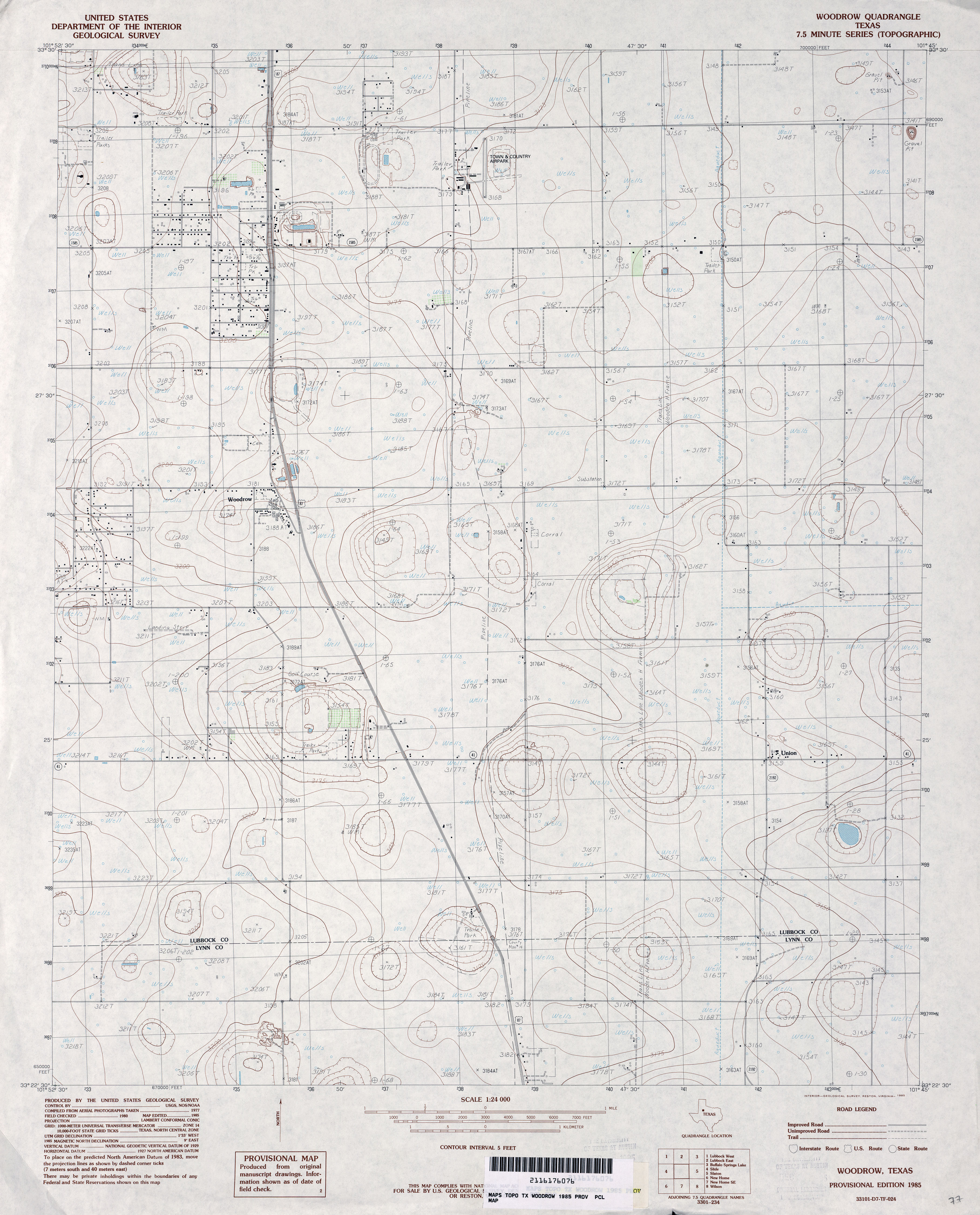
- Woodrow 1:24,000 1985 (3.3MB)
- Woodrow 1:24,000 2008 (11.8MB) [GeoPDF]
- Woodrow 1:24,000 2012 (17.5MB) [GeoPDF]
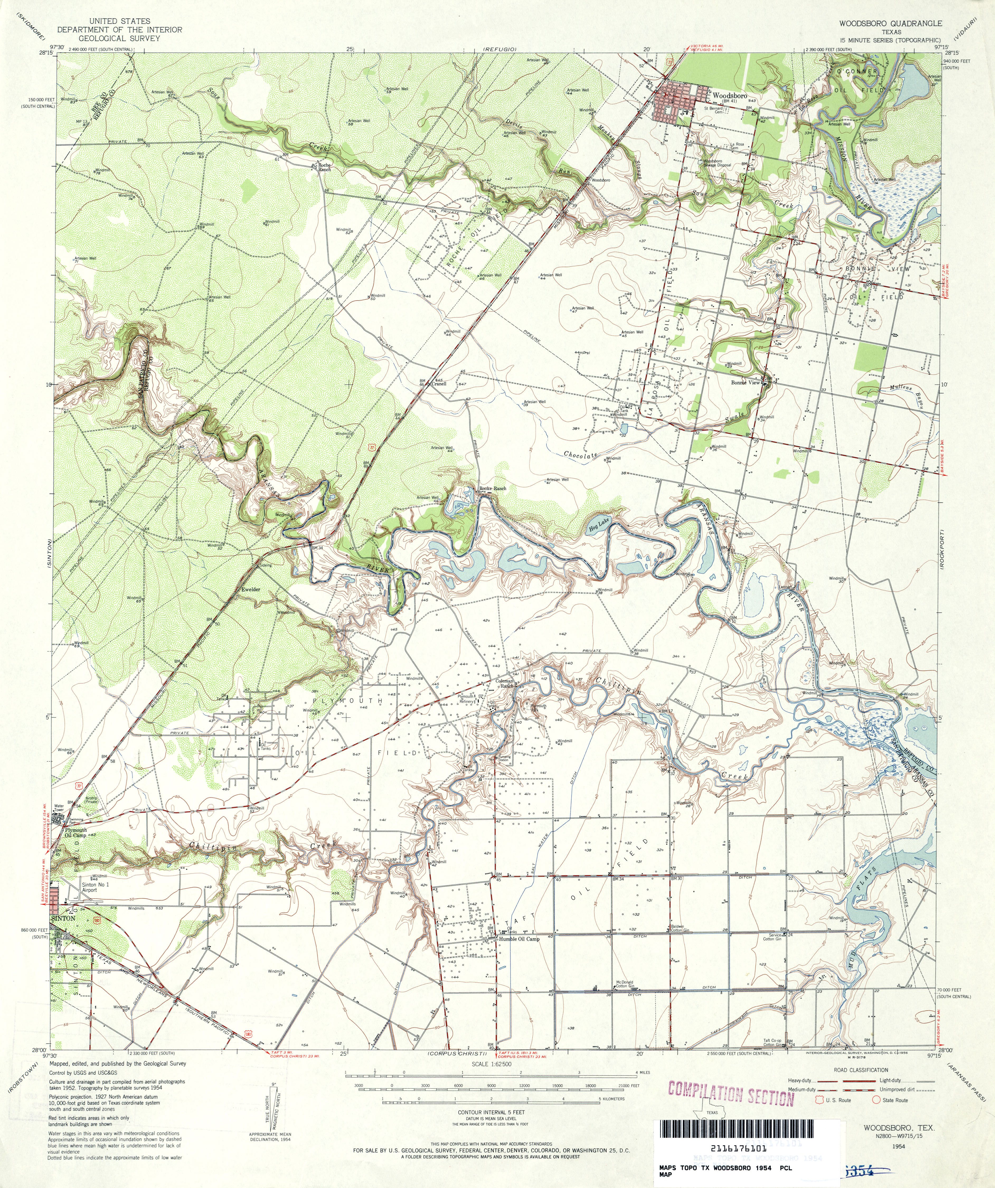
- Woodsboro 1:62,500 1954 (4.1MB)
- Woodsboro 1:24,000 1978 (3.7MB) 7.5 Minute Series Orthophotomap
- Woodsboro 1:24,000 2009 (13.6MB) [GeoPDF]
- Woodsboro 1:24,000 2013 (19.1MB) [GeoPDF]
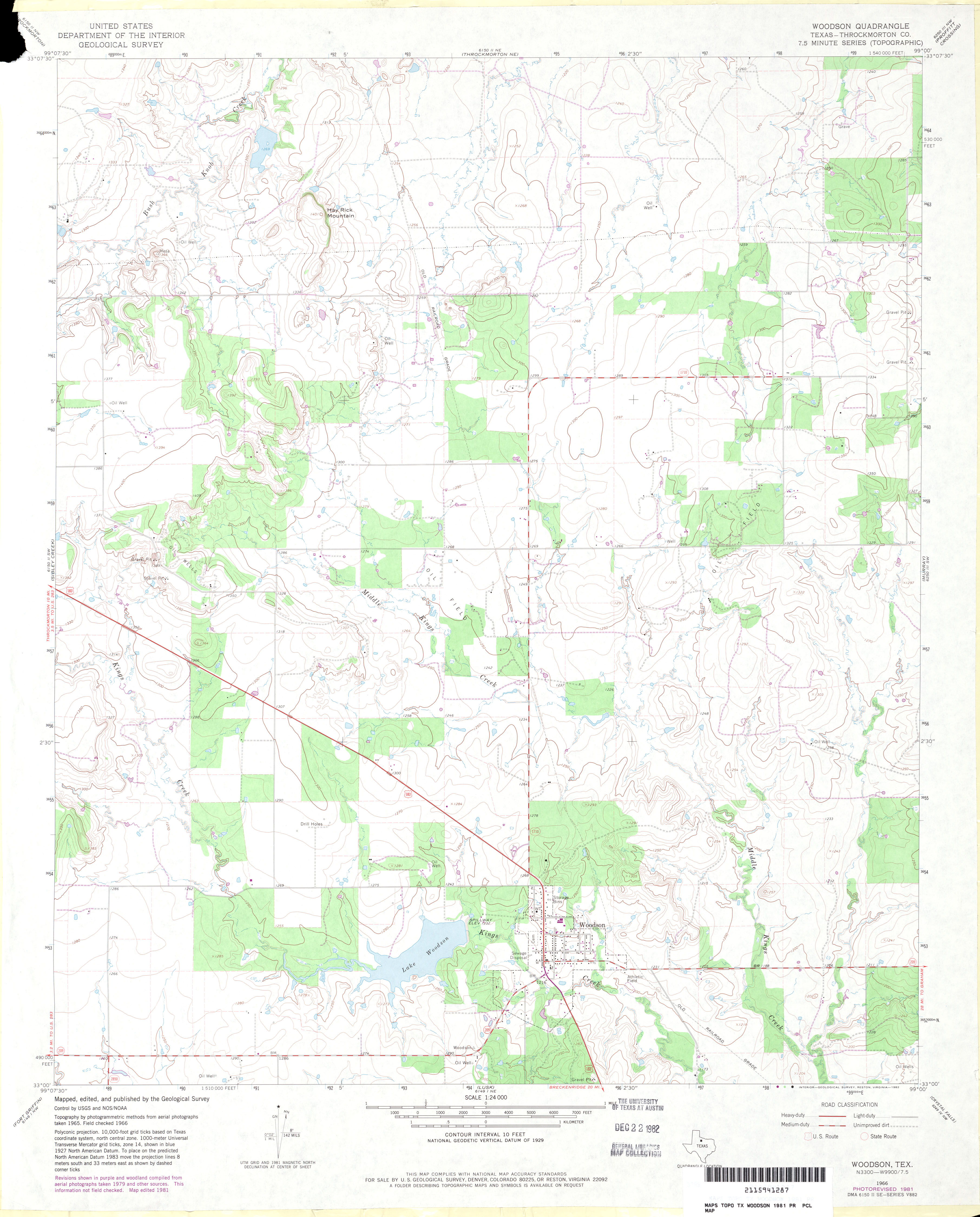
- Woodson (Throckmorton County) 1:24,000 1966 (3.2MB)
- Woodson (Throckmorton County) 1:24,000 1981 (2.8MB)
- Woodson 1:24,000 2008 (13.5MB) [GeoPDF]
- Woodson 1:24,000 2012 (19.6MB) [GeoPDF]
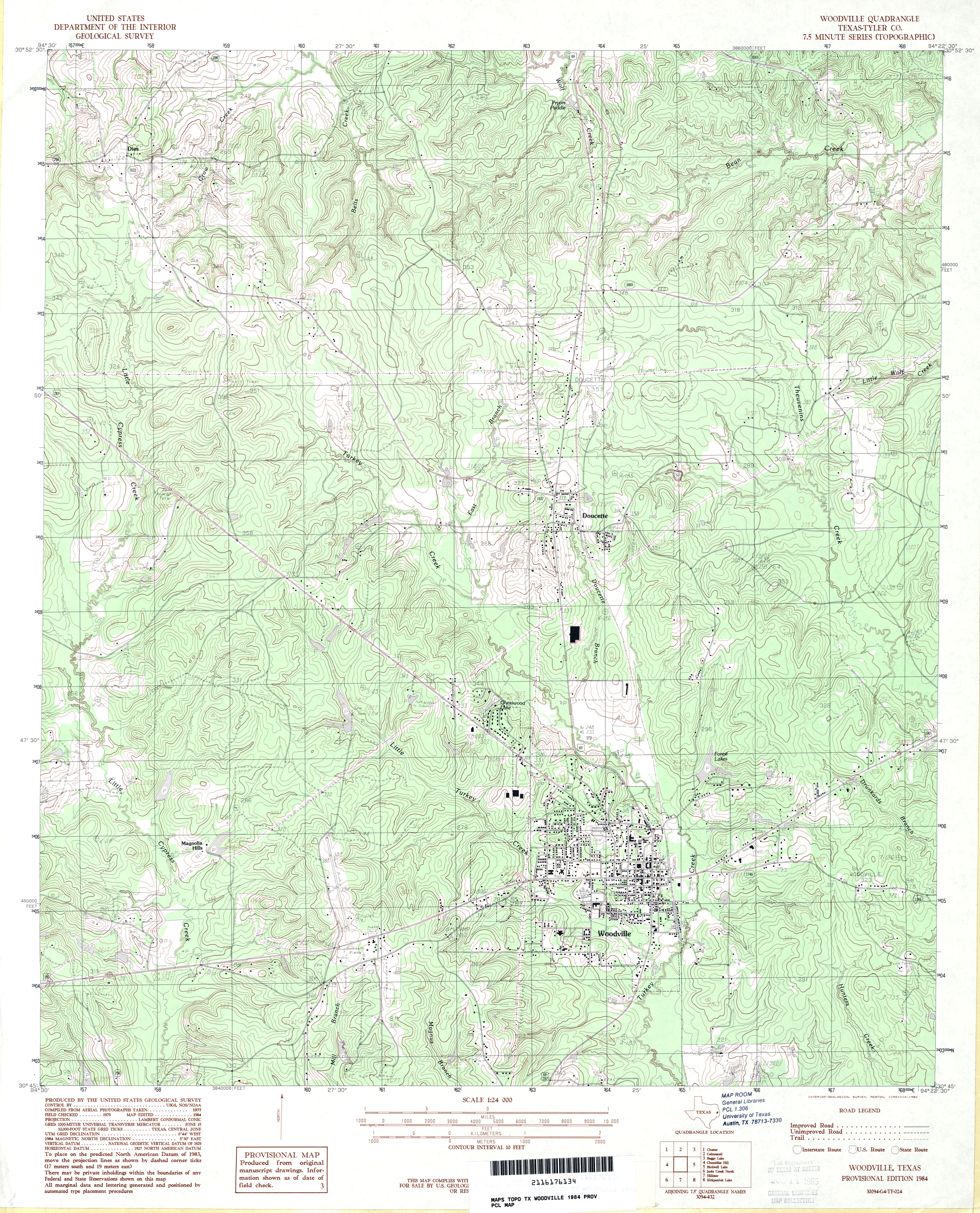
- Woodville (Tyler County) 1:62,500 1955 (5MB)
- Woodville (Tyler County) 1:24,000 1984 (5.1MB)
- Woodville 1:24,000 2009 (25.3MB) [GeoPDF]
- Woodville 1:24,000 2013 (27.1MB) [GeoPDF]
- Woodward 1:62,500 1942 (3.4 MB) U.S. Army. Corps of Engineers. Tactical Map
- Woodward (La Salle County) 1:24,000 1974 (3.6MB)
- Woodward 1:24,000 2008 (15.4MB) [GeoPDF]
- Woodward 1:24,000 2013 (23.1MB) [GeoPDF]
- Woodward NE 1:24,000 1974 (3.4MB)
- Woodward NE 1:24,000 2008 (14.0MB) [GeoPDF]
- Woodward NE 1:24,000 2013 (21MB) [GeoPDF]
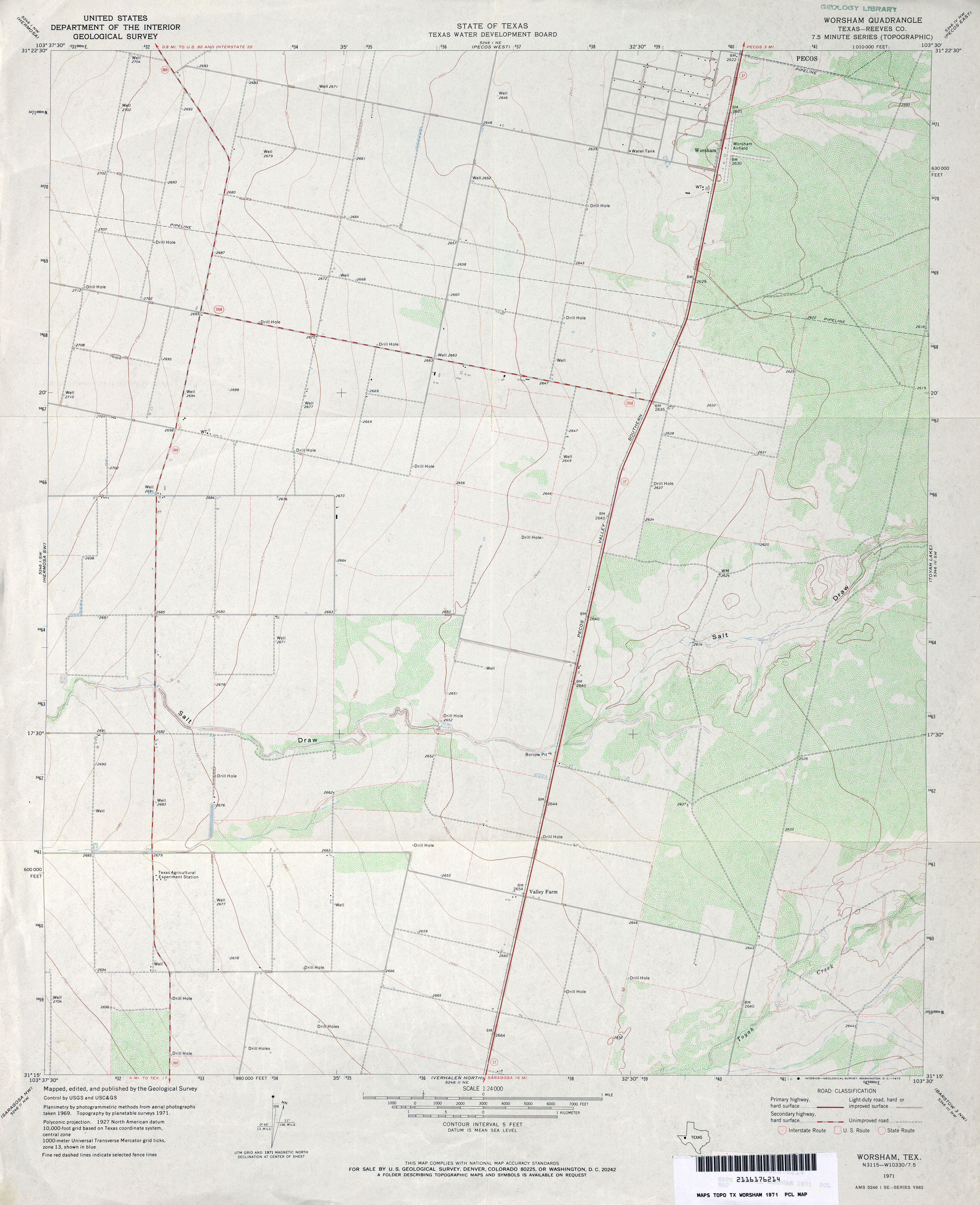
- Worsham (Reeves County) 1:24,000 1971 (3.3MB)
- Worsham 1:24,000 2008 (22.2MB) [GeoPDF]
- Worsham 1:24,000 2013 (26.8MB) [GeoPDF]
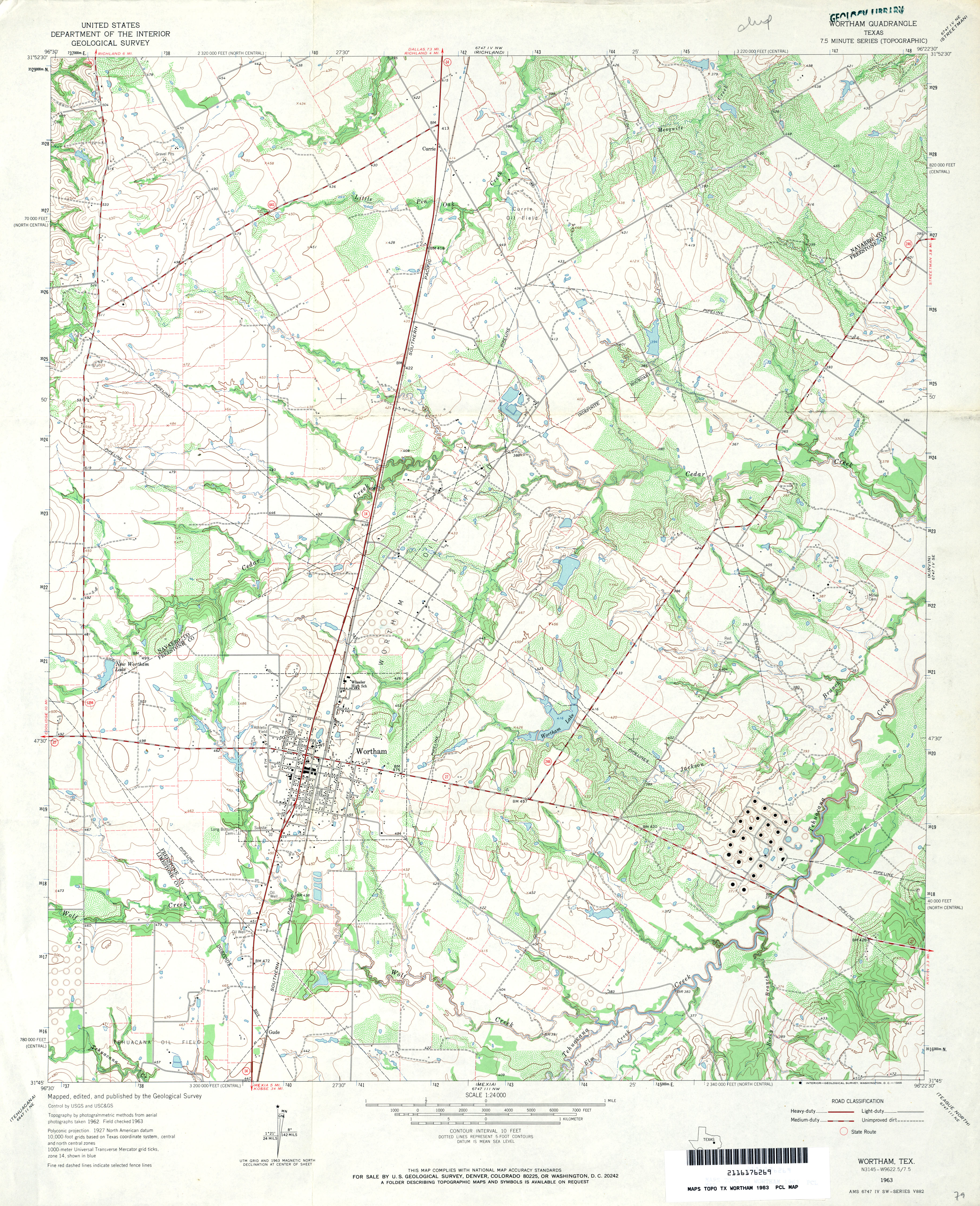
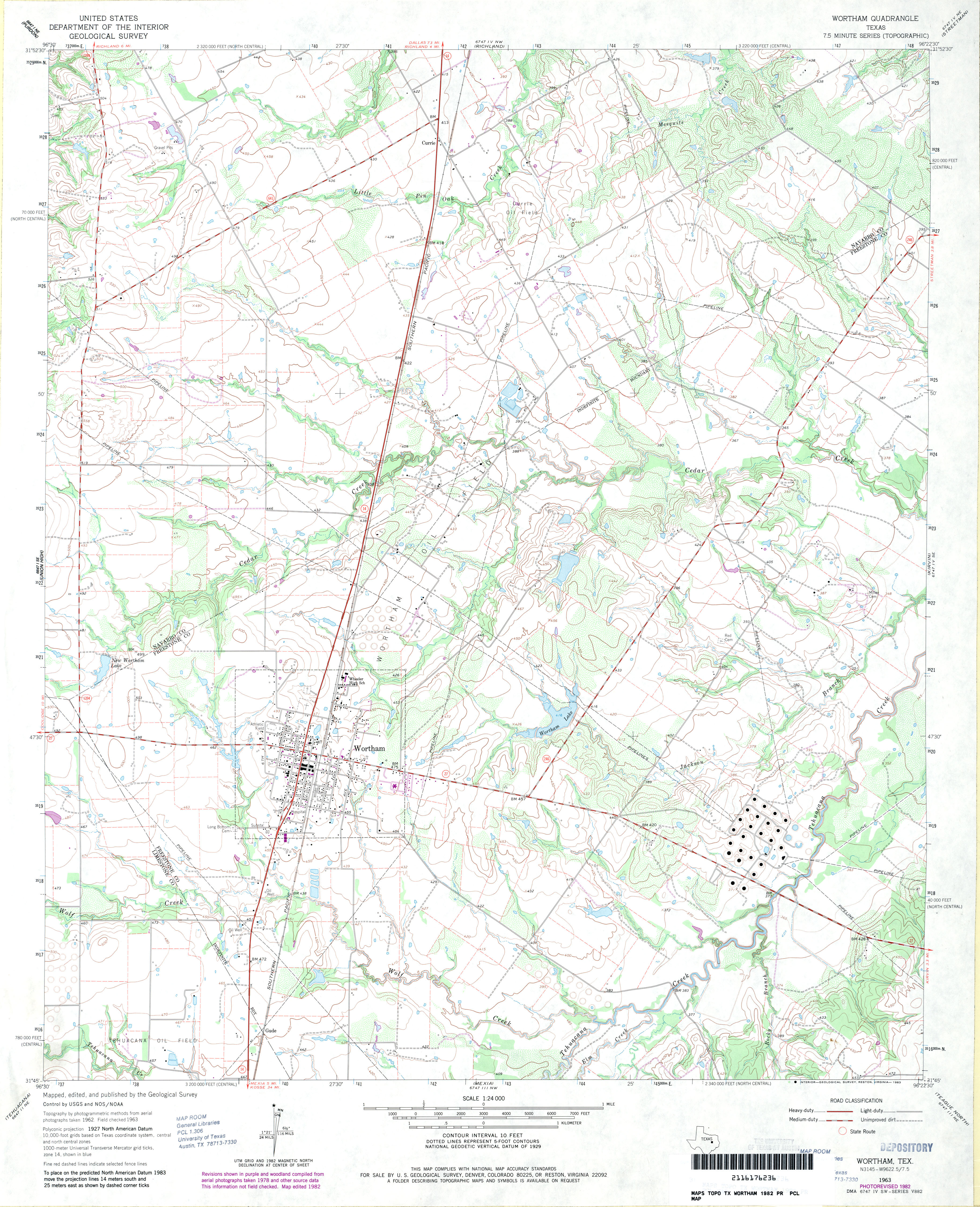
- Wortham 1:24,000 1963 (4.3MB)
- Wortham 1:24,000 1982 (3.9MB)
- Wortham 1:24,000 2008 (17.2MB) [GeoPDF]
- Wortham 1:24,000 2013 (23.5MB) [GeoPDF]
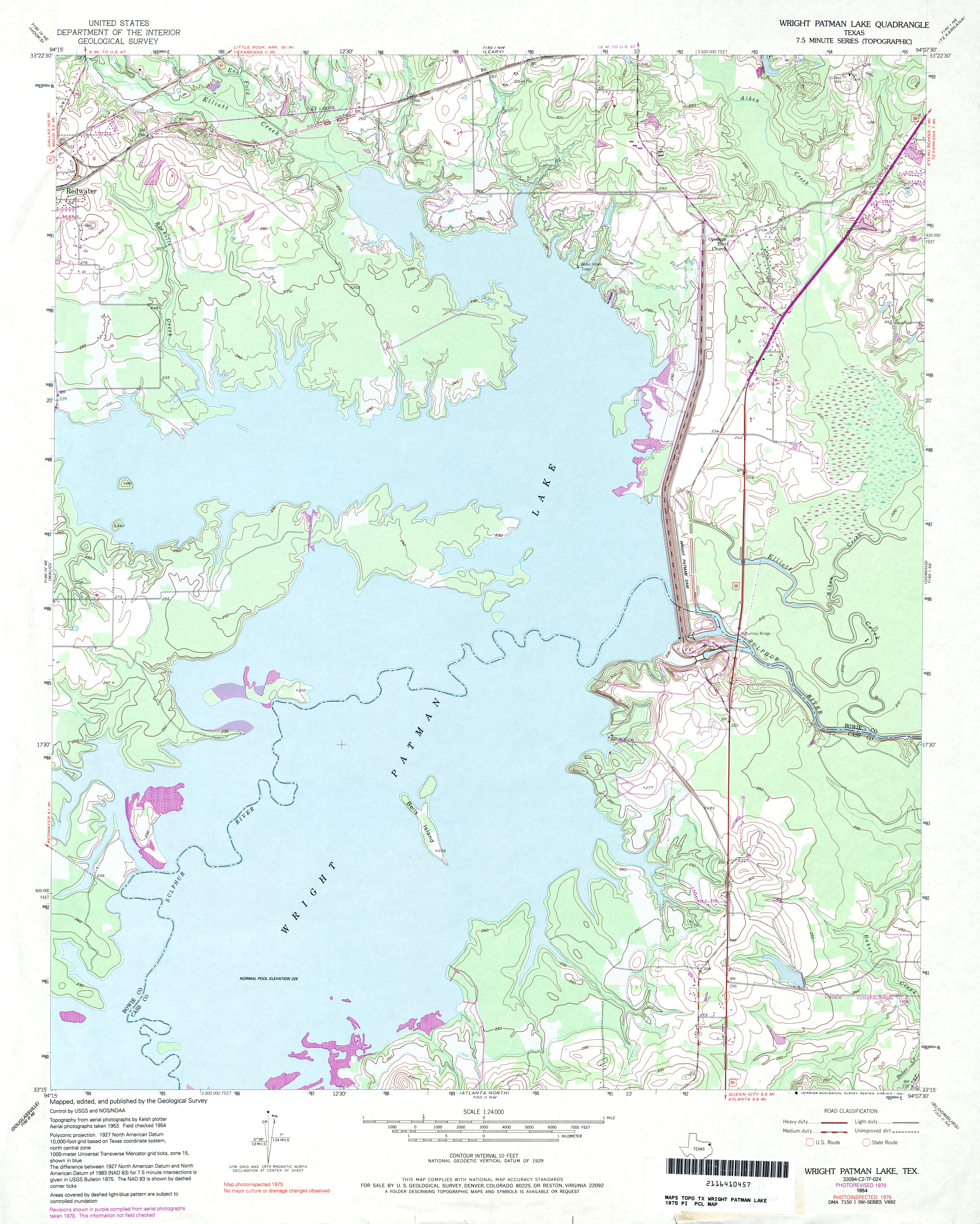
- Wright Patman Lake 1:24,000 1975 (3.6MB)
- Wright Patman Lake 1:24,000 2009 (16.1MB) [GeoPDF]
- Wright Patman Lake 1:24,000 2013 (19.9MB) [GeoPDF]
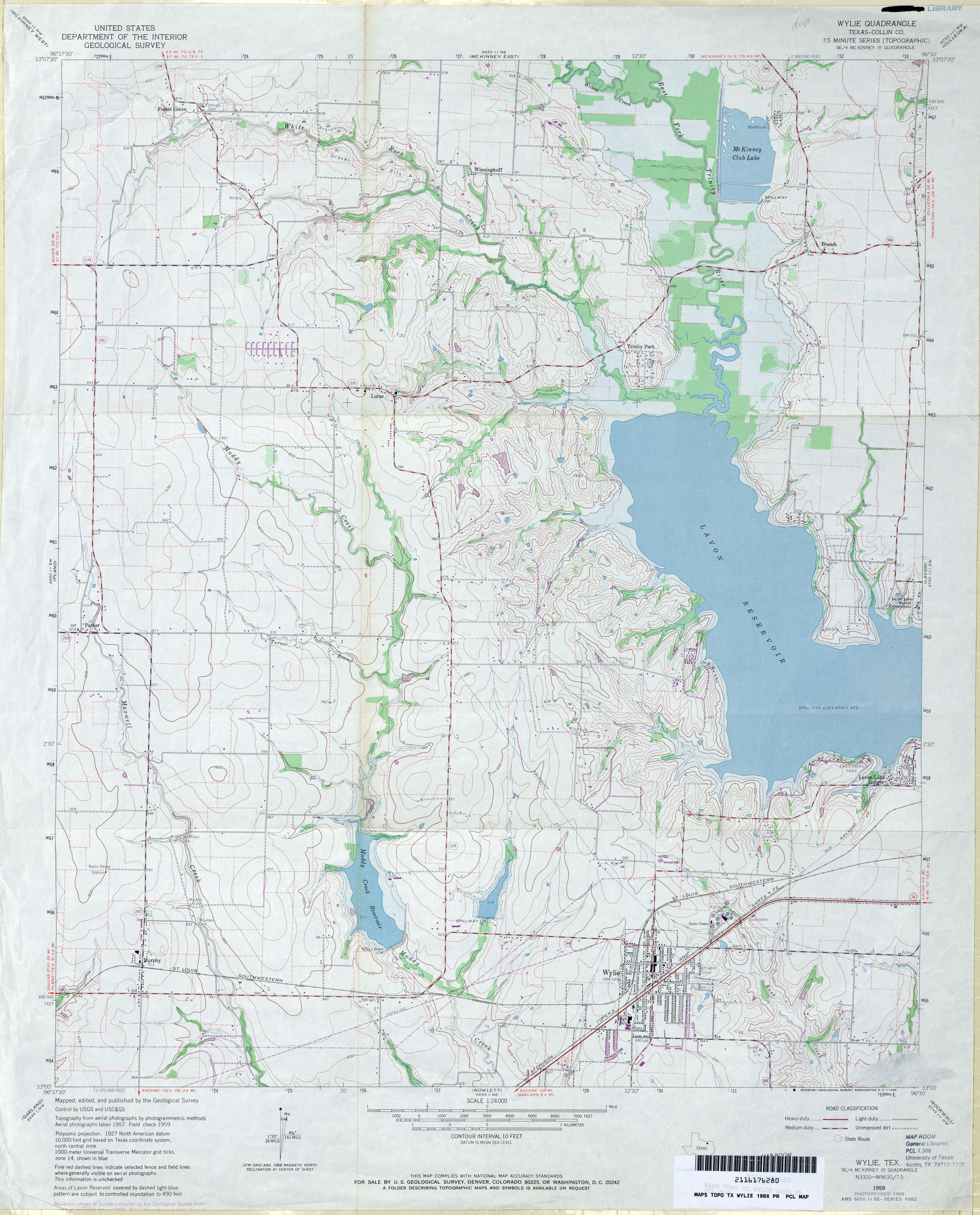
- Wylie (Collin County) 1:24,000 1959 (3.1MB)
- Wylie (Collin County) 1:24,000 1968 (3.8MB)
- Wylie 1:24,000 2008 (15.1MB) [GeoPDF]
- Wylie 1:24,000 2013 (22.1MB) [GeoPDF]
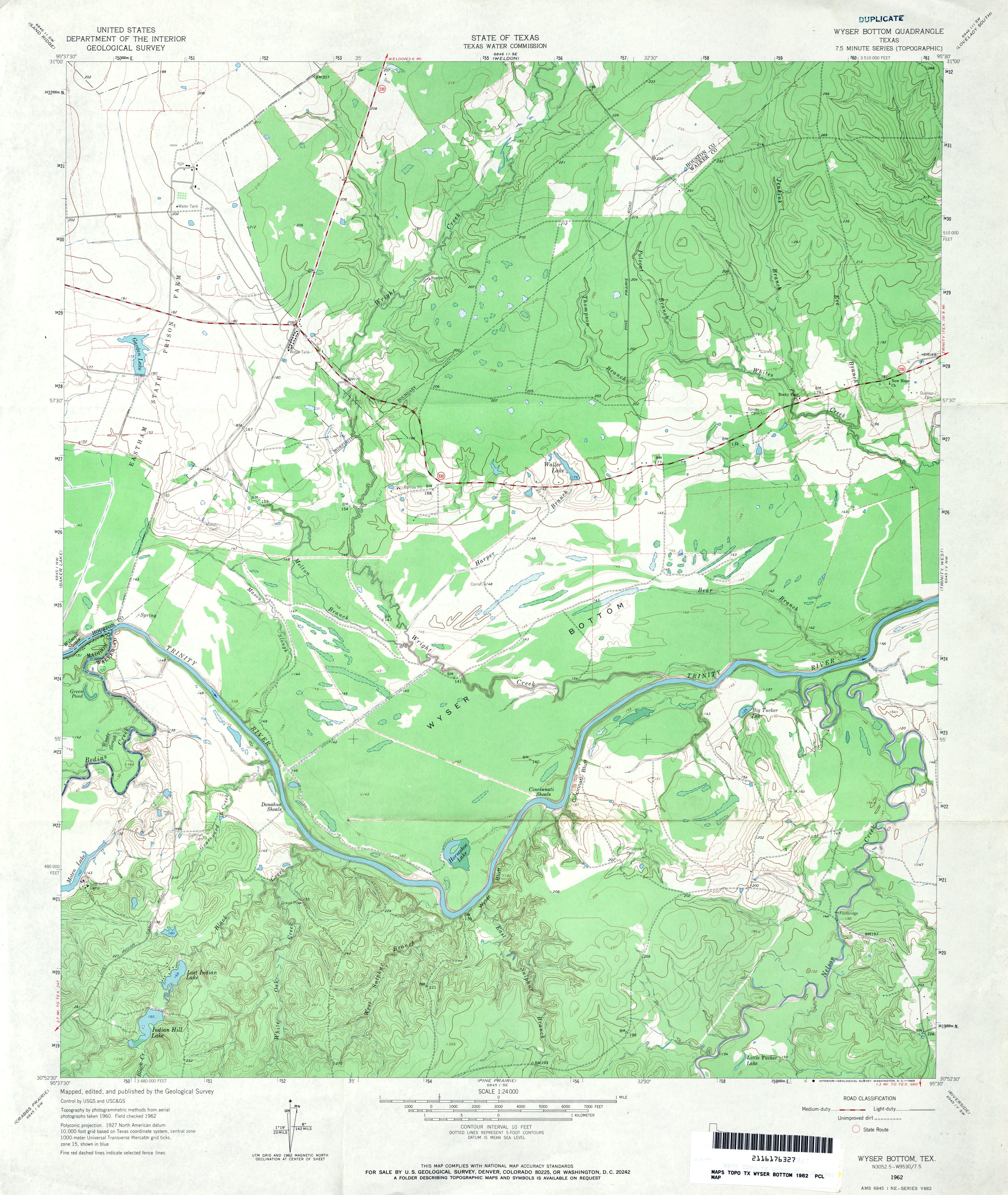
- Wyser Bottom 1:24,000 1962 (3.8MB)
- Wyser Bottom 1:24,000 1972 (3.8MB)
- Wyser Bottom 1:24,000 2009 (21.3MB) [GeoPDF]
- Wyser Bottom 1:24,000 2013 (22.6MB) [GeoPDF]
![Wolfforth SW [Smyer]](http://maps.lib.utexas.edu/maps/topo/texas/txu-pclmaps-topo-tx-wolfforth_sw-1976.jpg)