Perry-Castañeda Library
Map Collection
Zimbabwe Maps
The following maps were produced by the U.S. Central Intelligence Agency, unless otherwise indicated.
Country Maps- Zimbabwe (Physiography) 2002 (1.7MB) and pdf format (1.2K)
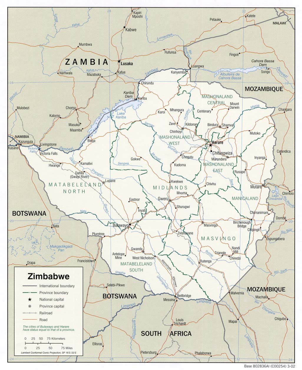
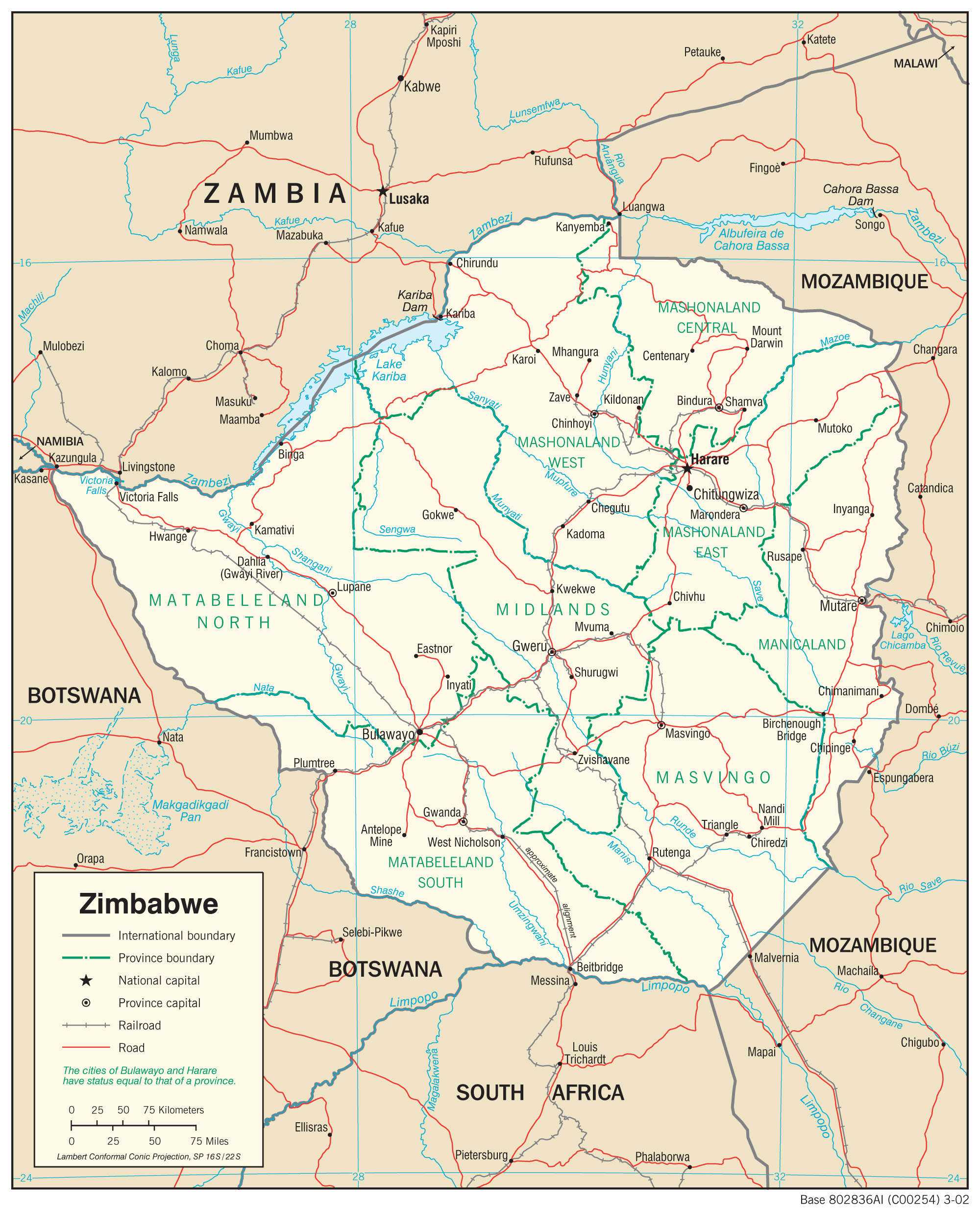
- Zimbabwe (Political Map) 2002 (235K) and pdf format (242K)
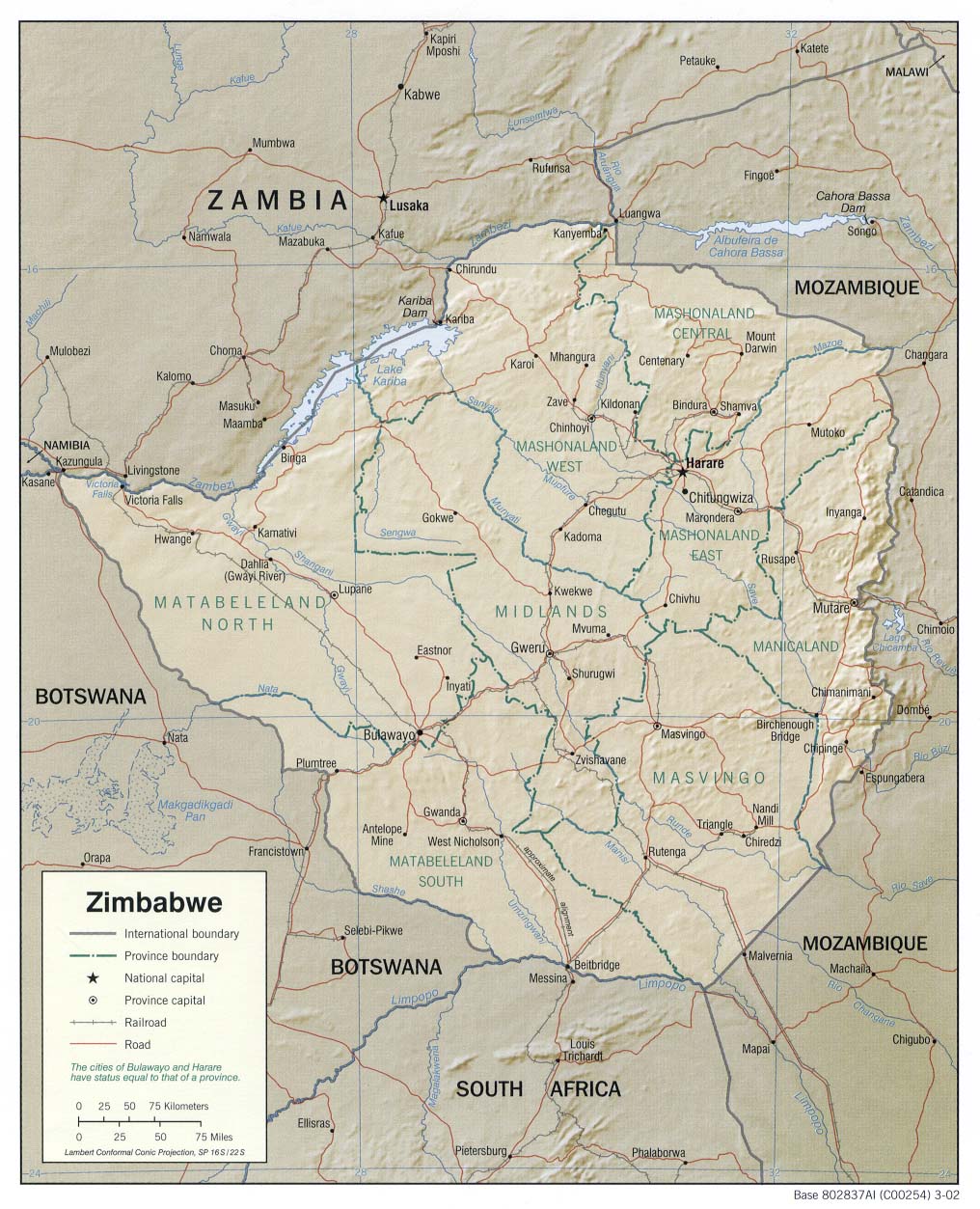
- Zimbabwe (Shaded Relief) 2002 (239K) and pdf format (250K)
- Zimbabwe (Shaded Relief) 1982 (240K)
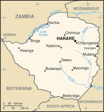
- Zimbabwe (Small Map) 2016 (13.4K)
- Zimbabwe (Transportation) 2002 (1.5MB) and pdf format (328K)
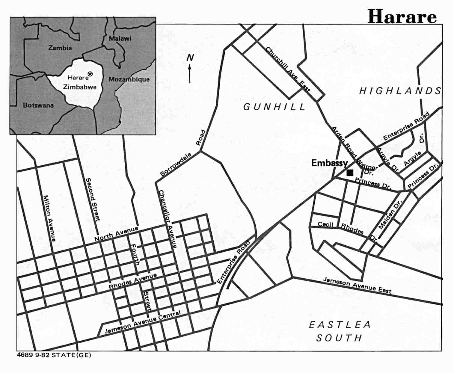
- Harare U.S. Dept. of State 1982 (91K)
- 1:2,000,000 - Africa Topographic Maps U.S. Army Topographic Command
- Sheets 30, 31 and 34 cover Zimbabwe (former Southern Rhodesia)
- 1:1,000,000 - Operational Navigation Chart Series U.S. Defense Mapping Agency Aerospace Center. This series covers all of Zimbabwe. Not for navigational use
- 1:1,000,000 - International Map of the World U.S. Army Map Service
- This map series covers southern and eastern Zimbabwe (former Southern Rhodesia). Clickable index map
- 1:500,000 - Tactical Pilotage Charts U.S. National Imagery and Mapping Agency. Not for navigational use
- This series covers the northern half of Zimbabwe
- 1:250,000 - Southern Africa Joint Operations Graphic Series U.S. National Imagery and Mapping Agency, Series 1501
- This series covers part of northwest Zimbabwe Not for navigational use
- 1:250,000 - South Africa Topographic Maps U.S. Army Map Service, Series Z501
- Sheet SE-36 10 covers the Umtali area
- Sheets 30, 31 and 34 cover Zimbabwe (former Southern Rhodesia)
Maps on Other Web Sites