Perry-Castañeda Library
Map Collection
Texas Topographic Maps
Maps in this online collection are from the Perry-Castañeda Library, Walter Geology Library and Dolph Briscoe Center for American History at the University of Texas at Austin as well as the Texas State Library. All maps on this site were published by the U.S. Geological Survey unless otherwise noted and are in the public domain. The date given for each map is the date of latest survey. The Geographic Names Information System allows searches of geographic names to determine which map sheets they appear on. Indexes are available for Texas - East and Texas - West for the 1:24,000 map series. Maps published prior to 1923 are on the Texas Historical Topographic Map Index. More information about these maps is available on the Topographic Maps Home Page.Note: To fully view the GeoPDF files use Adobe Reader as your default PDF viewer or download the files and open them within Adobe Reader.
A, B, C, D, E, F, G, H, I, J, K, L, M, N, O, P, Q, R, S, T, U, V, W, X, Y, Z
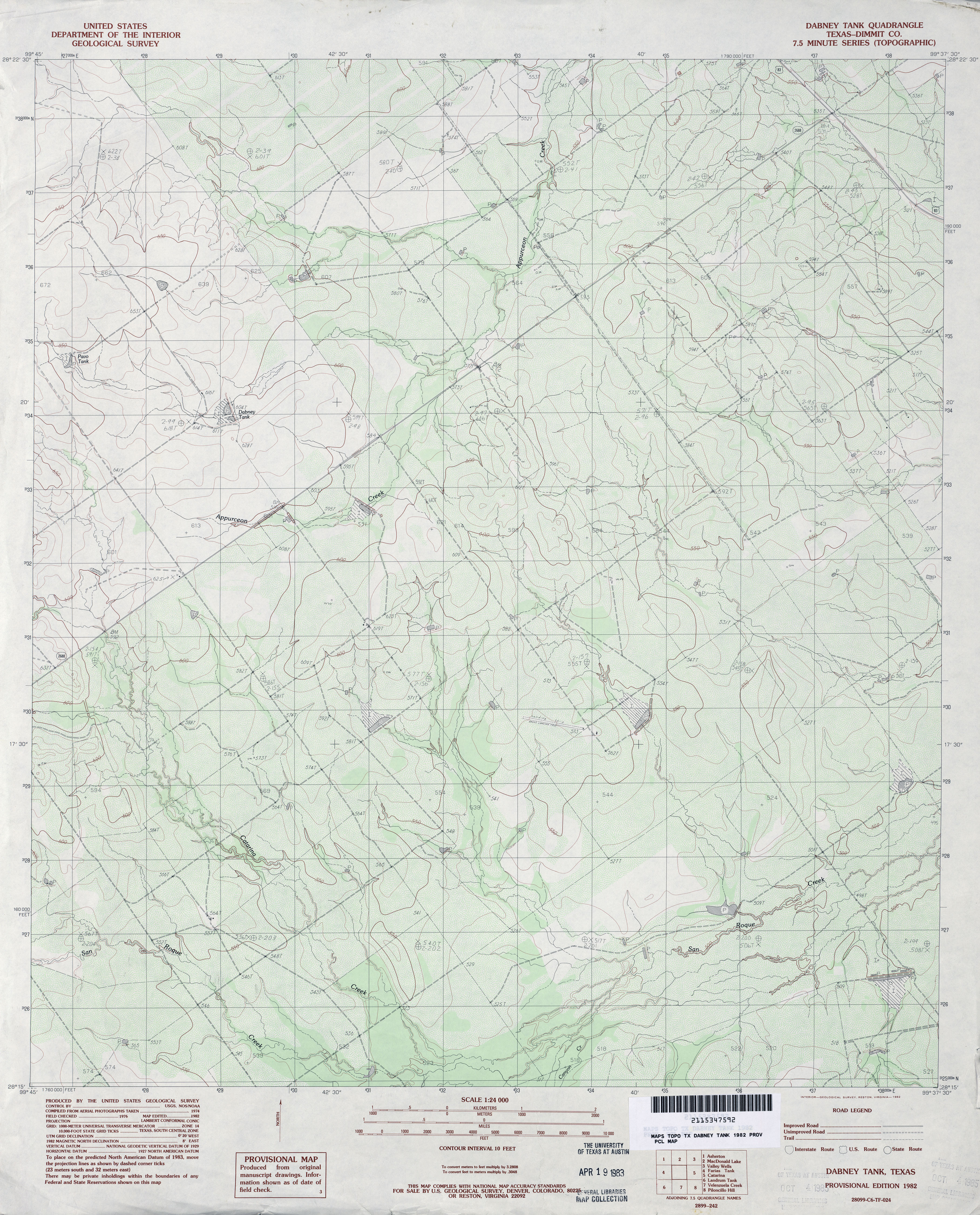
- Dabney Tank (Dimmit County) 1:24,000 1982 (3.9MB)
- Dabney Tank 1:24,000 2008 (18.0MB) [GeoPDF]
- Dabney Tank 1:24,000 2013 (26.2MB) [GeoPDF]
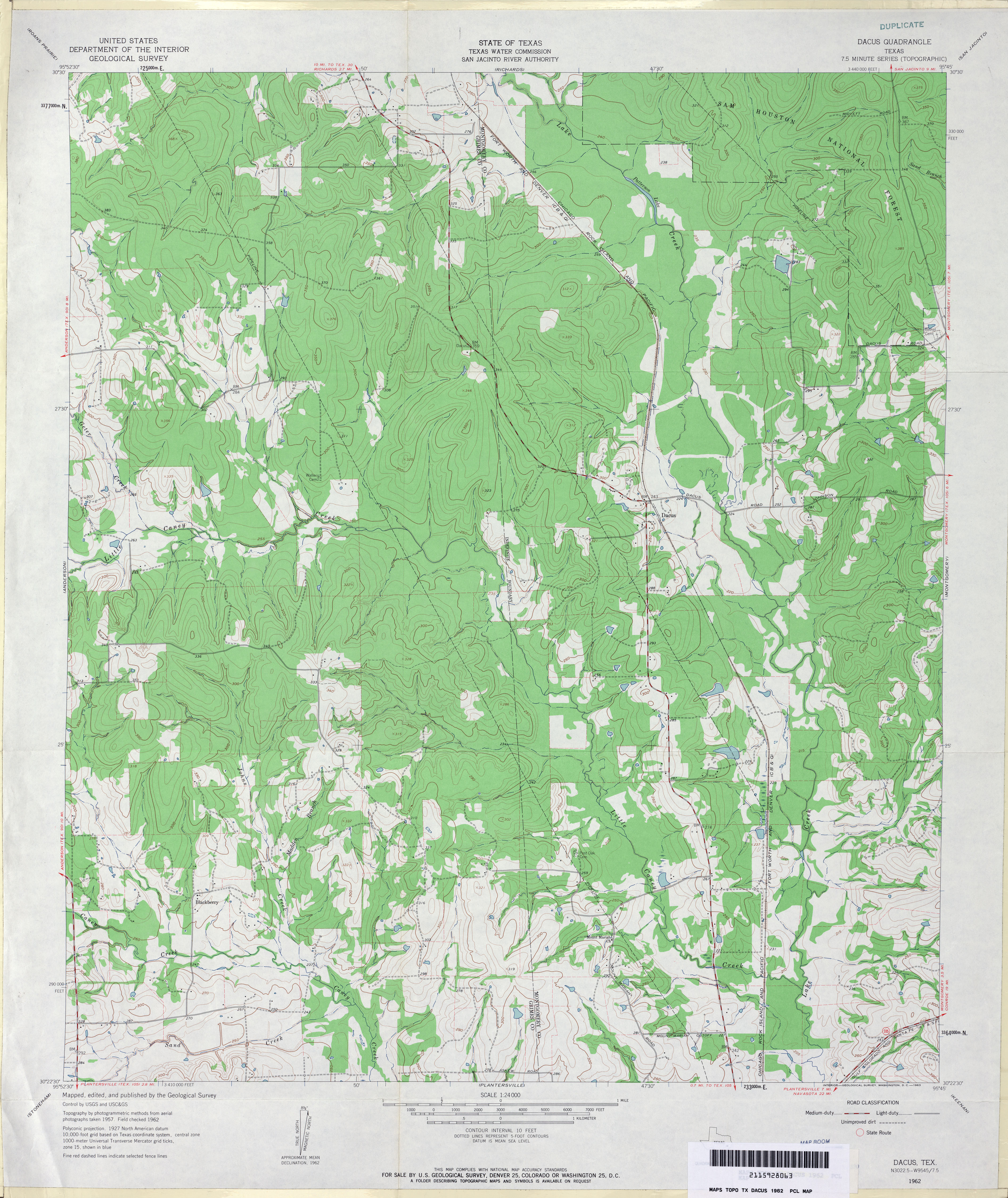
- Dacus 1:24,000 1962 (4MB)
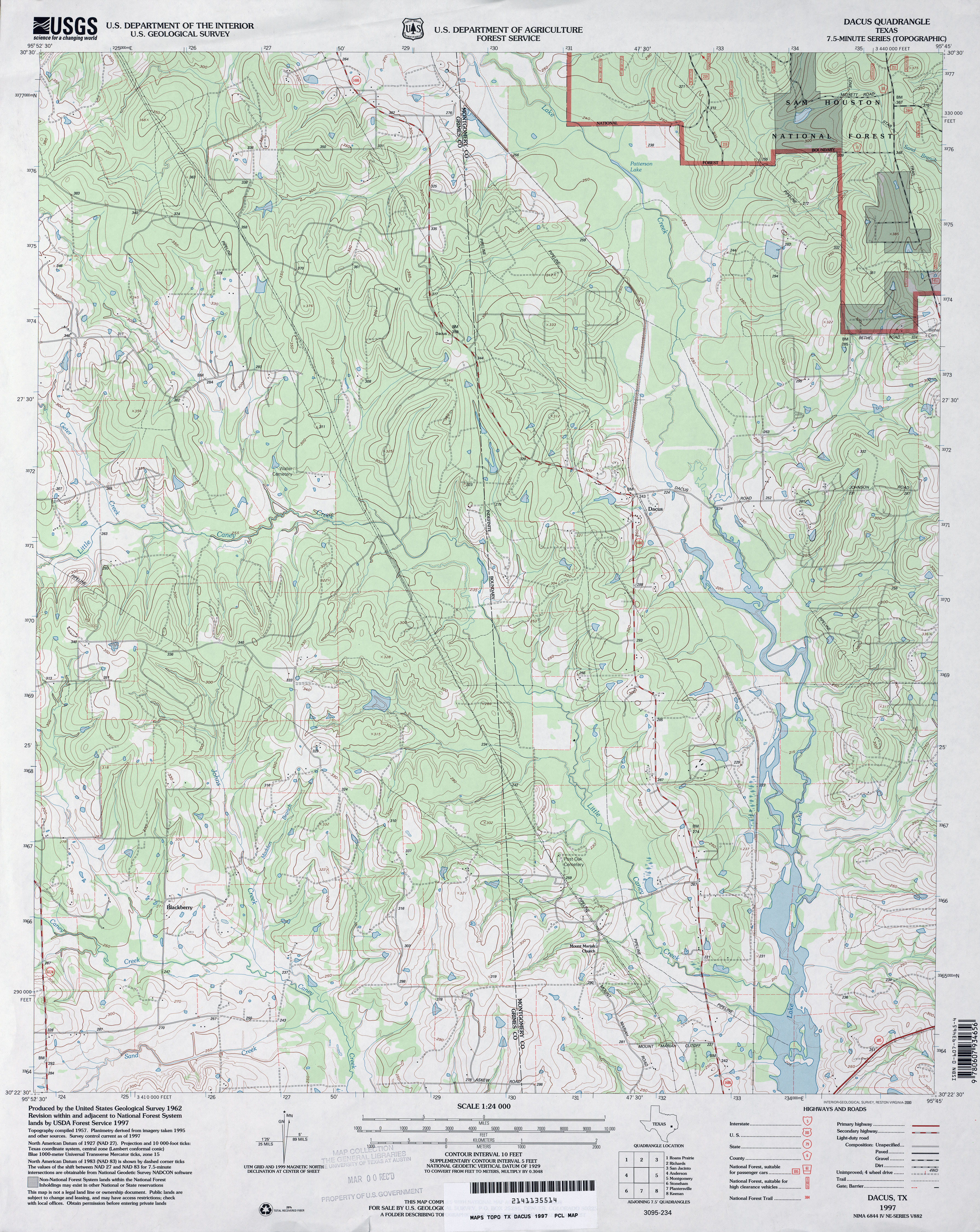
- Dacus 1:24,000 1997 (4.6MB)
- Dacus 1:24,000 2009 (22.3MB) [GeoPDF]
- Dacus 1:24,000 2013 (21.5MB) [GeoPDF]
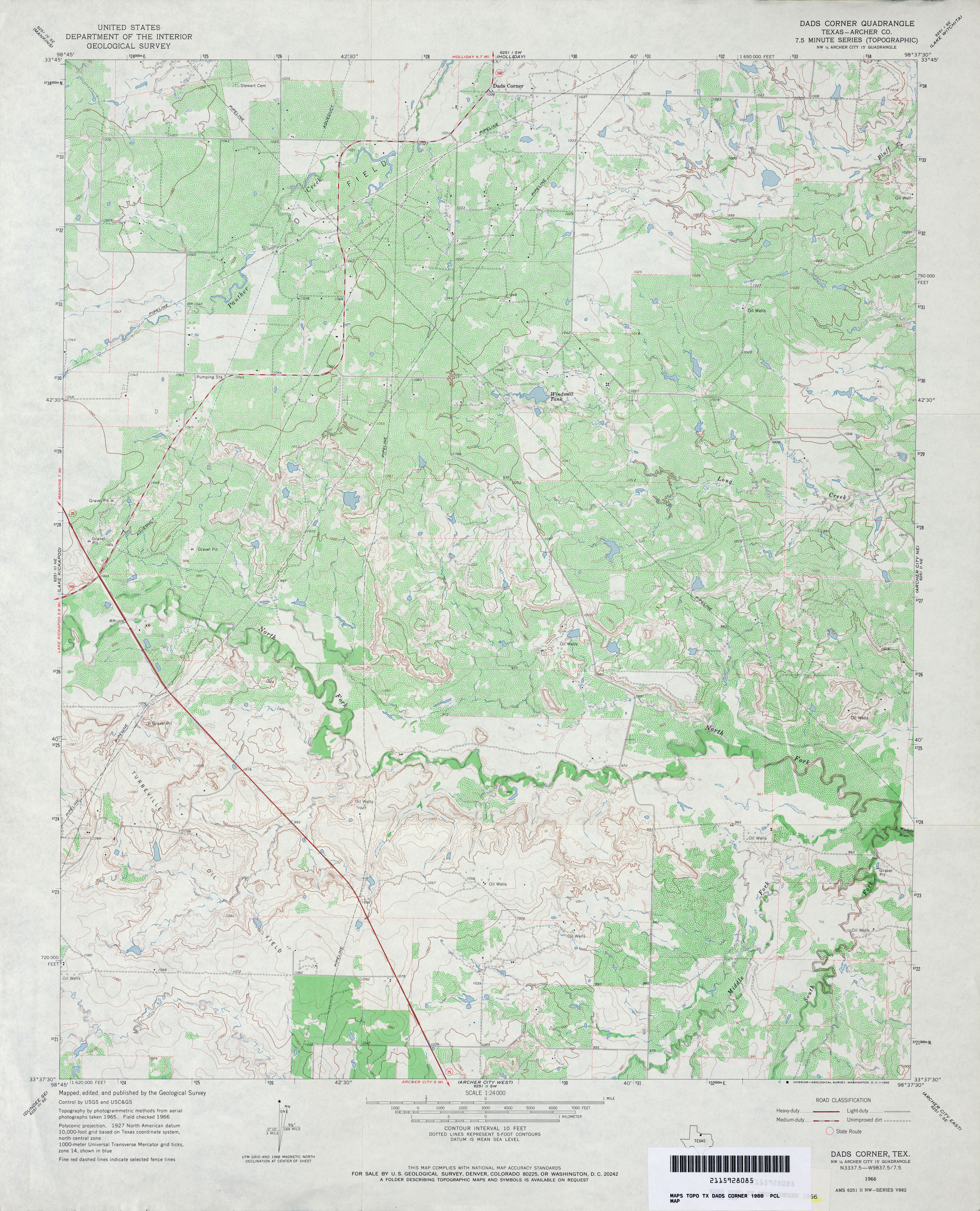
- Dads Corner (Archer County) 1:24,000 1966 (4.5MB)
- Dads Corner 1:24,000 2008 (15.1MB) [GeoPDF]
- Dads Corner 1:24,000 2012 (18.7MB) [GeoPDF]
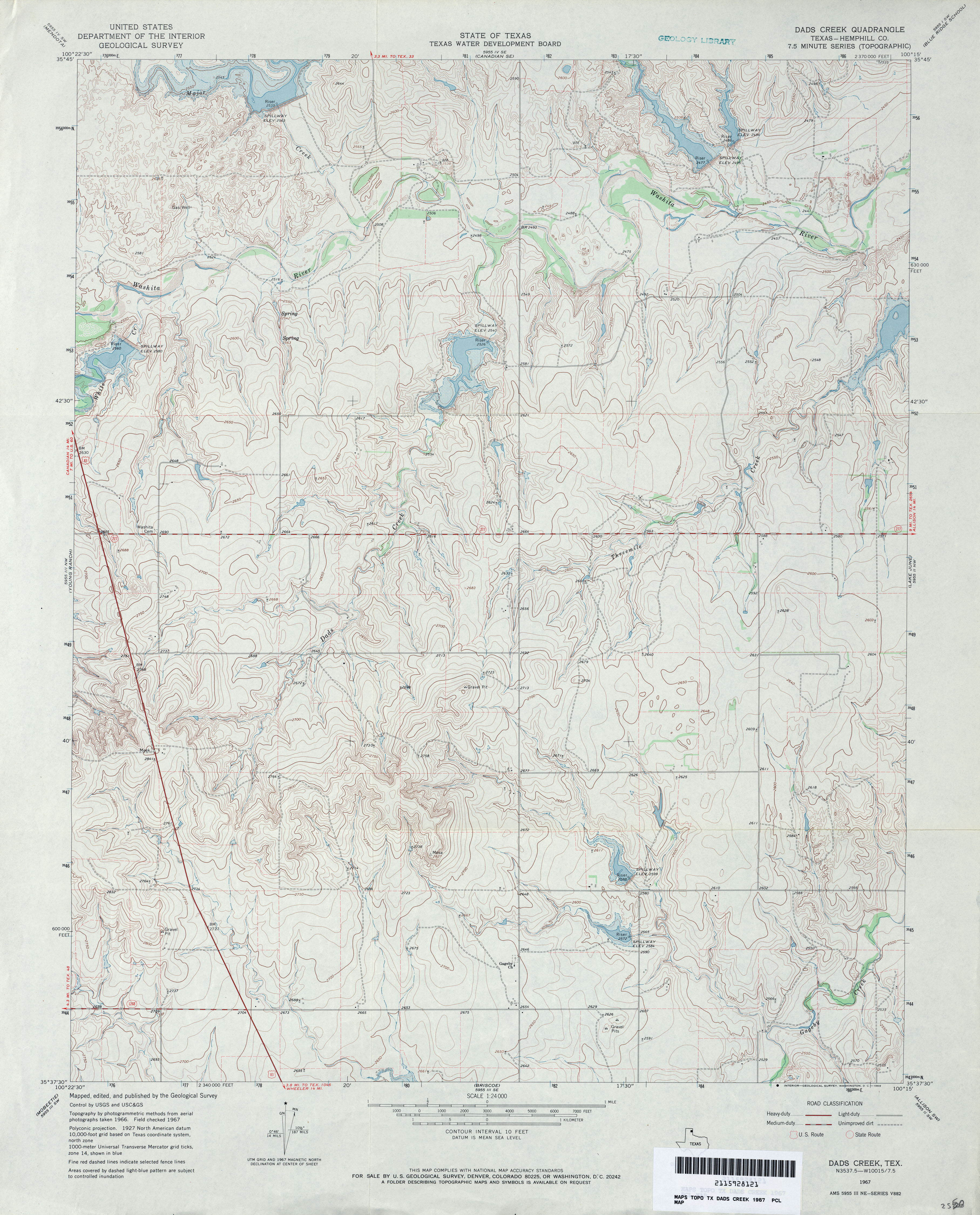
- Dads Creek (Hemphill County) 1:24,000 1967 (4MB)
- Dads Creek 1:24,000 2012 (17.9MB) [GeoPDF]
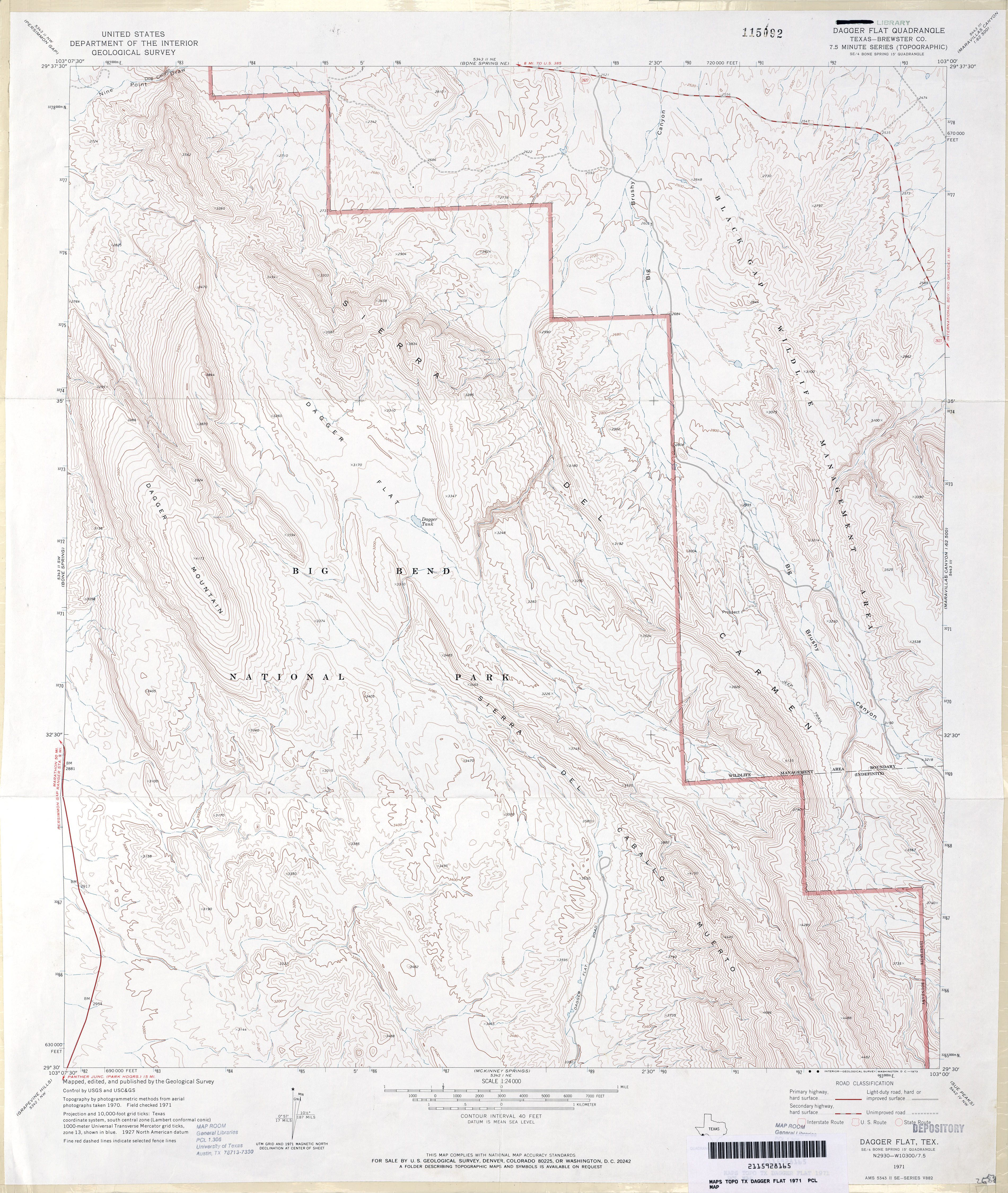
- Dagger Flat (Brewster County) 1:24,000 1971 (4.6MB)
- Dagger Flat 1:24,000 2008 (26.5MB) [GeoPDF]
- Dagger Flat 1:24,000 2012 (28MB) [GeoPDF]
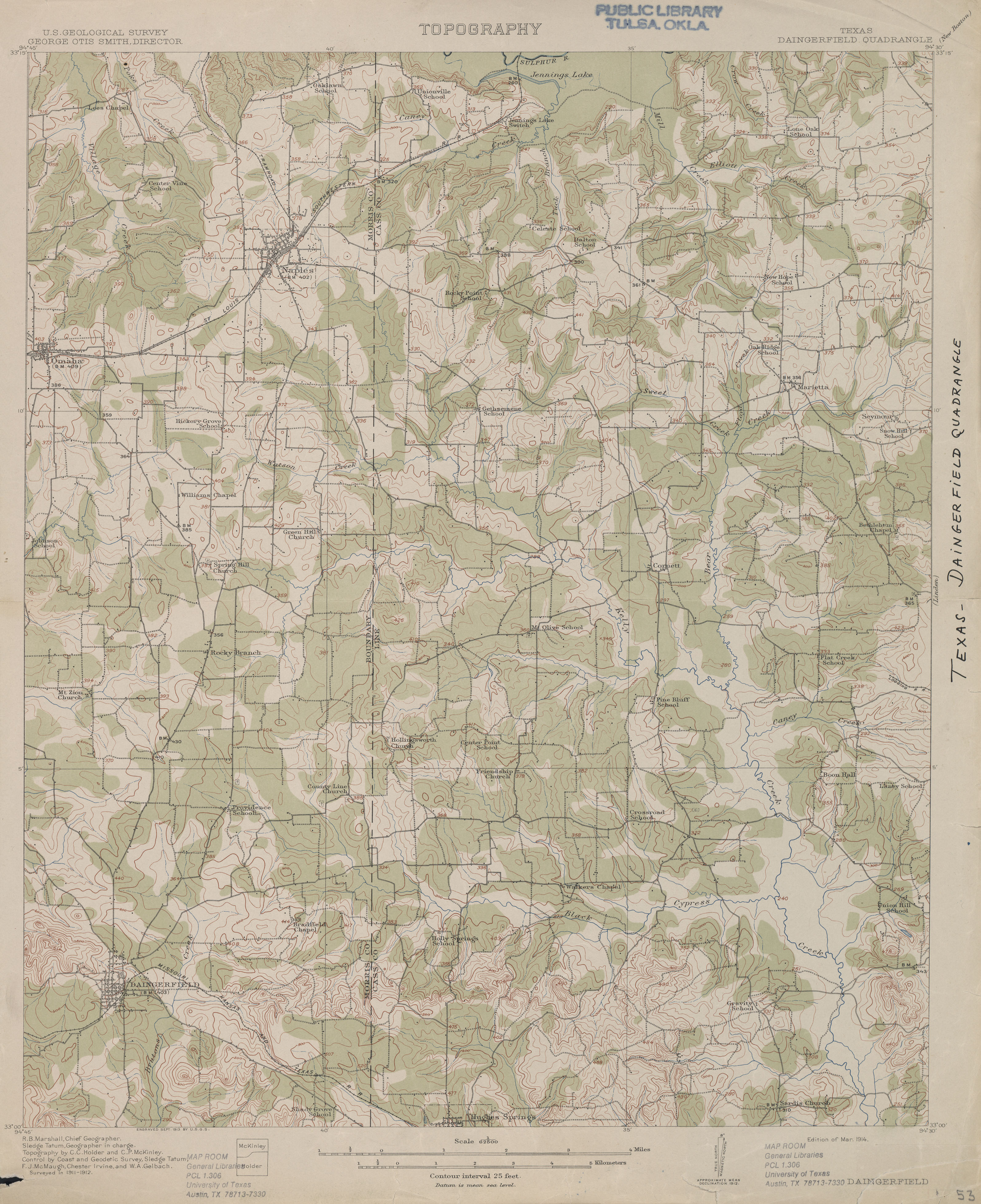
- Daingerfield 1:62,500 1912 (3.0 MB)
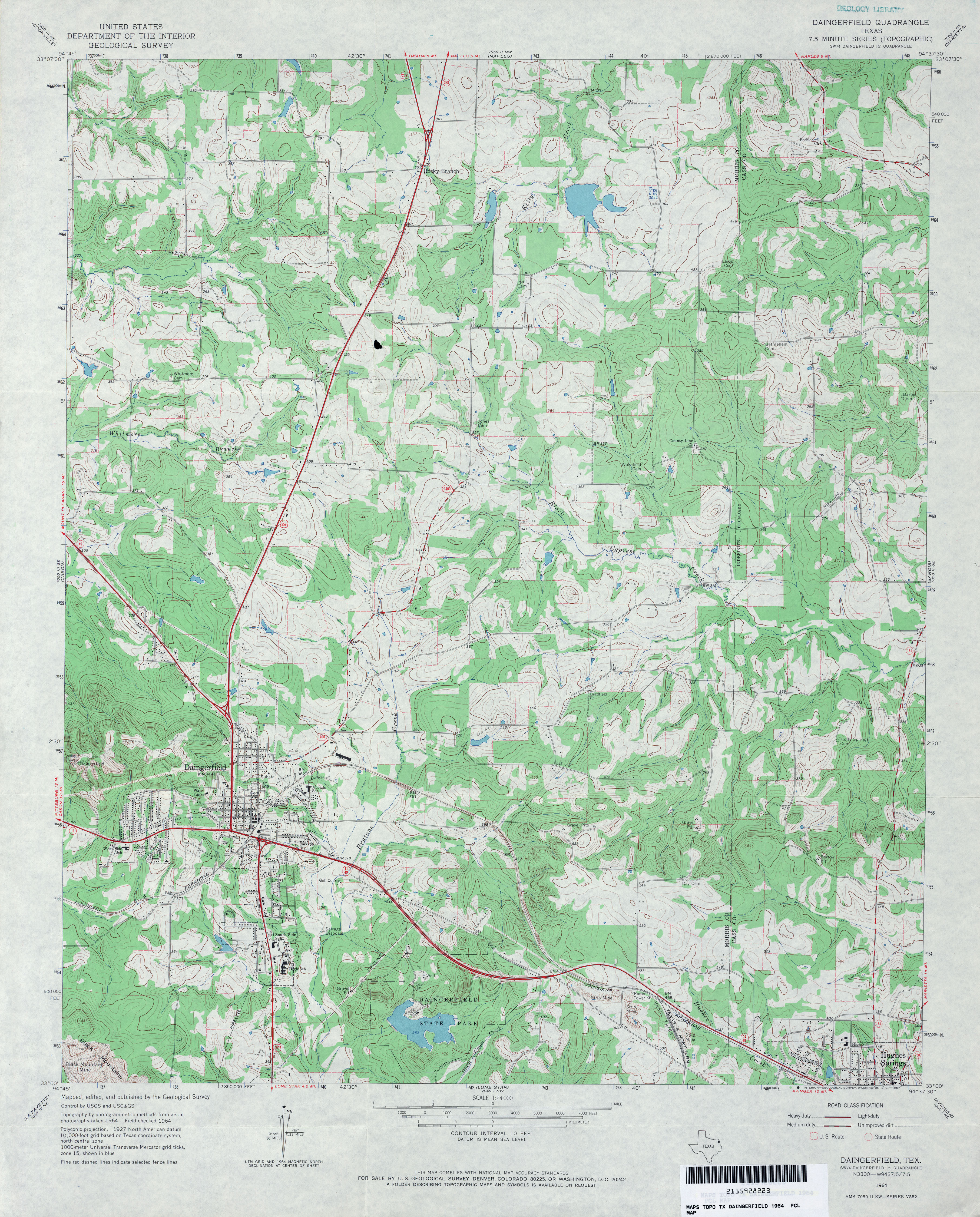
- Daingerfield 1:24,000 1964 (4.5MB)
- Daingerfield 1:24,000 1980 (4.5MB)
- Daingerfield 1:24,000 2009 (20.9MB) [GeoPDF]
- Daingerfield 1:24,000 2013 (25.3MB) [GeoPDF]
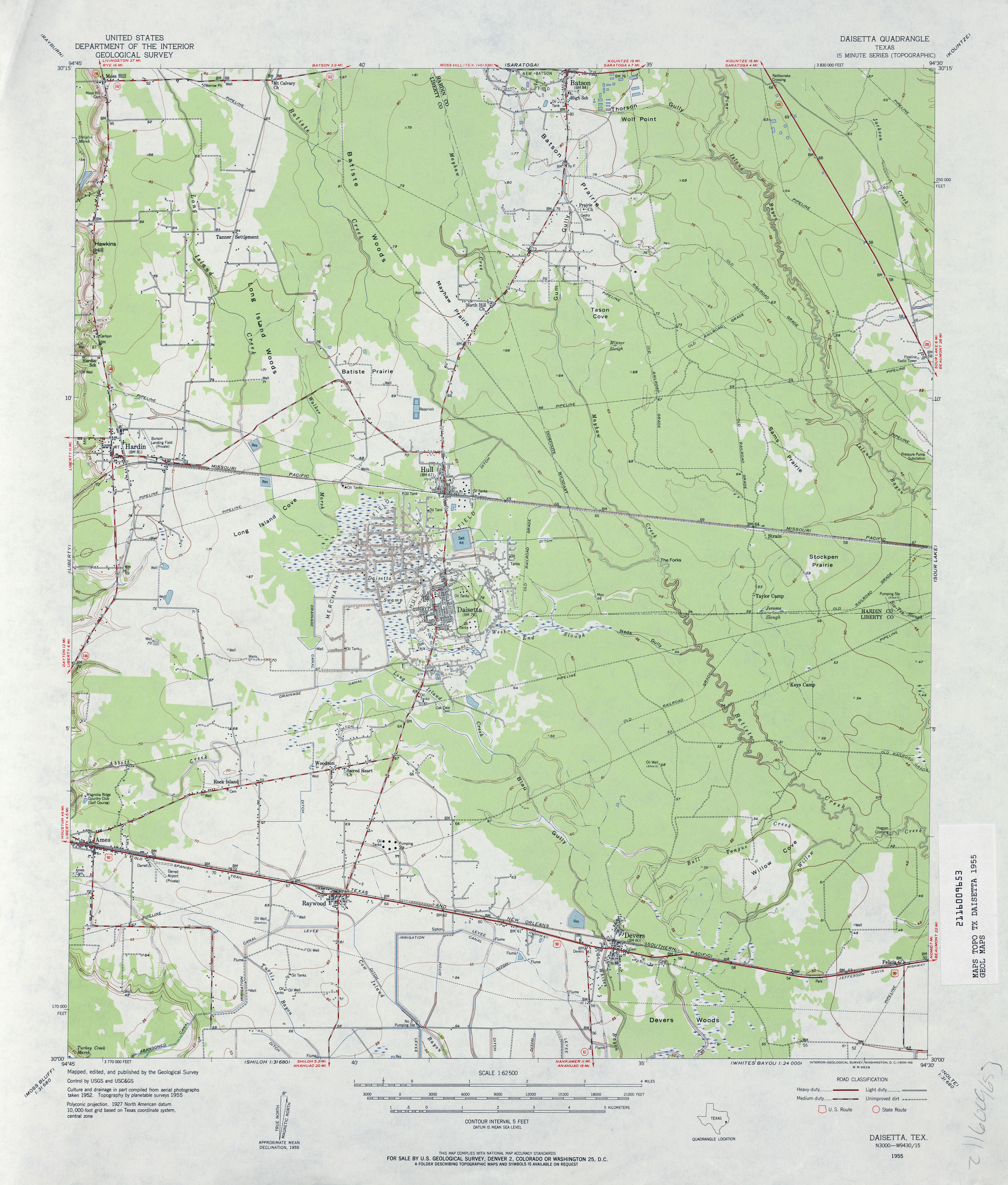
- Daisetta 1:62,500 1955 (3.3MB)
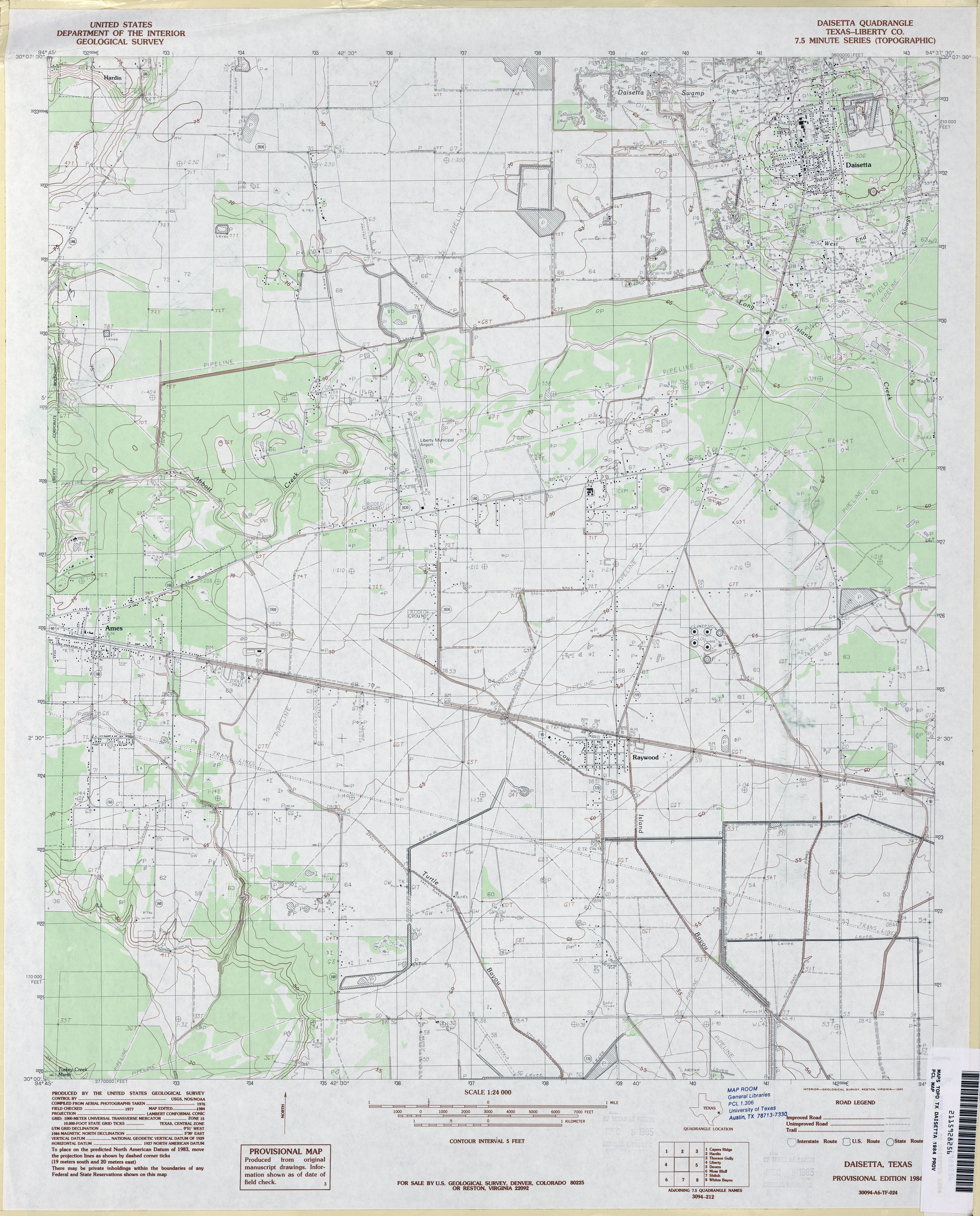
- Daisetta (Liberty County) 1:24,000 1984 (3.4MB)
- Daisetta 1:24,000 2009 (20.3MB) [GeoPDF]
- Daisetta 1:24,000 2013 (19.1MB) [GeoPDF]
- Dalby Springs 1:24,000 1965 (4MB)
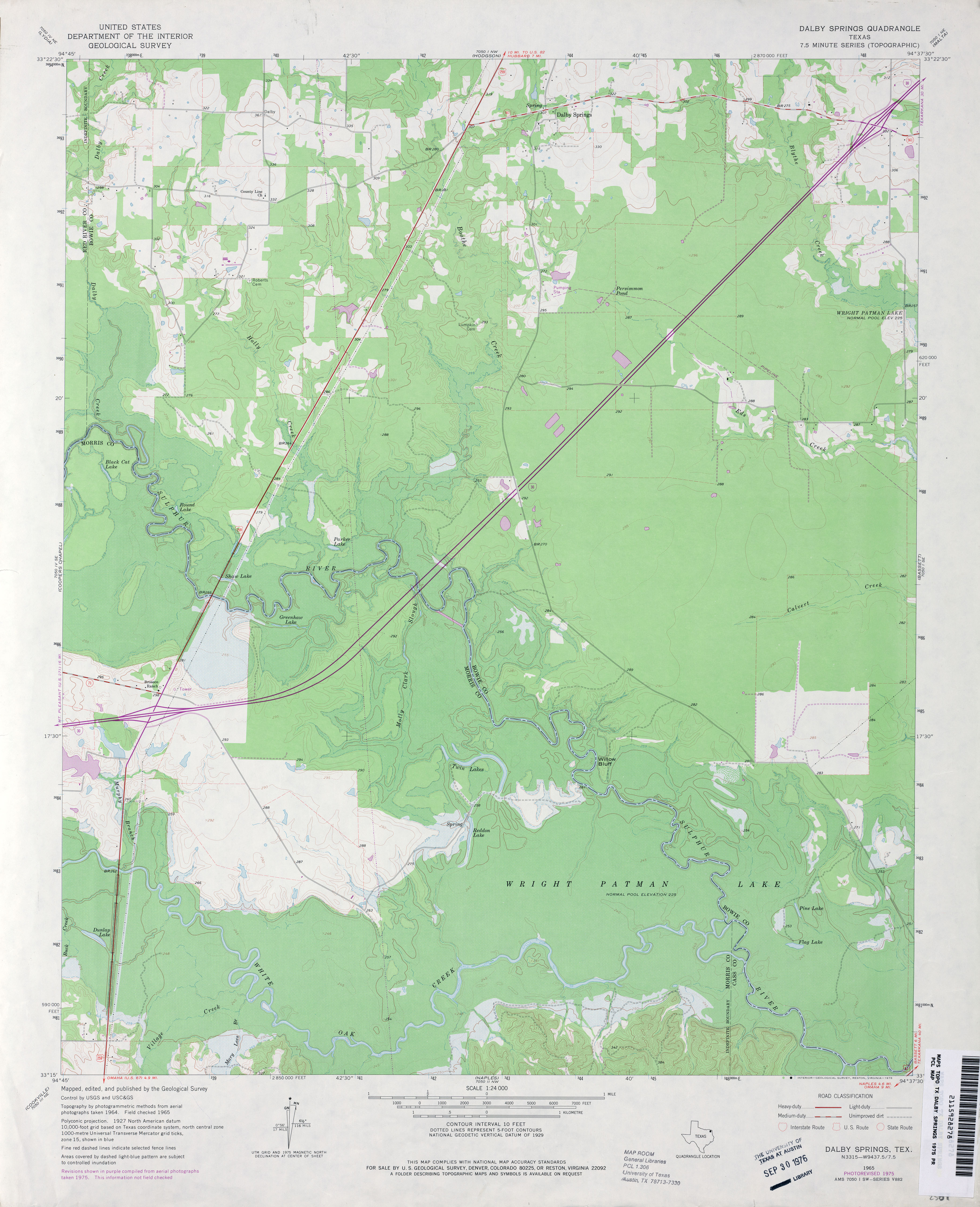
- Dalby Springs 1:24,000 1975 (3.3MB)
- Dalby Springs 1:24,000 2009 (17.8MB) [GeoPDF]
- Dalby Springs 1:24,000 2013 (24.9MB) [GeoPDF]
- Dale 1:24,000 1964 (4.8MB)
- Dale 1:24,000 1973 (4.5MB)
- Dale 1:24,000 1981 (4.8MB)
- Dale 1:24,000 2008 (15.8MB) [GeoPDF]
- Dale 1:24,000 2013 (25.5MB) [GeoPDF]
- Dalhart 1:250,000 1962 (7.5MB)
- Dalhart 1:250,000 1976 (8.2MB)
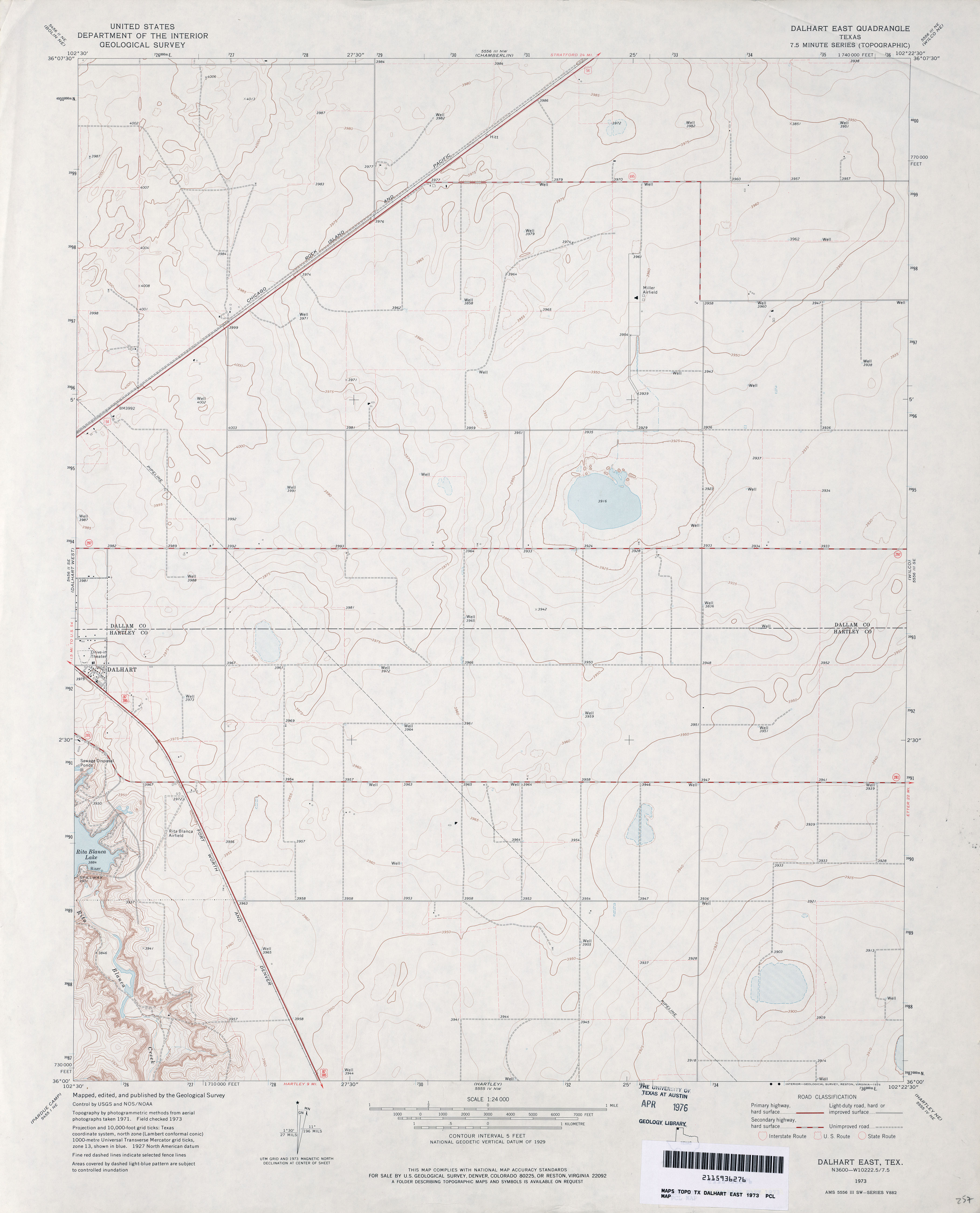
- Dalhart East 1:24,000 1973 (2.3MB)
- Dalhart East 1:24,000 2008 (11.3MB) [GeoPDF]
- Dalhart East 1:24,000 2012 (14.2MB) [GeoPDF]
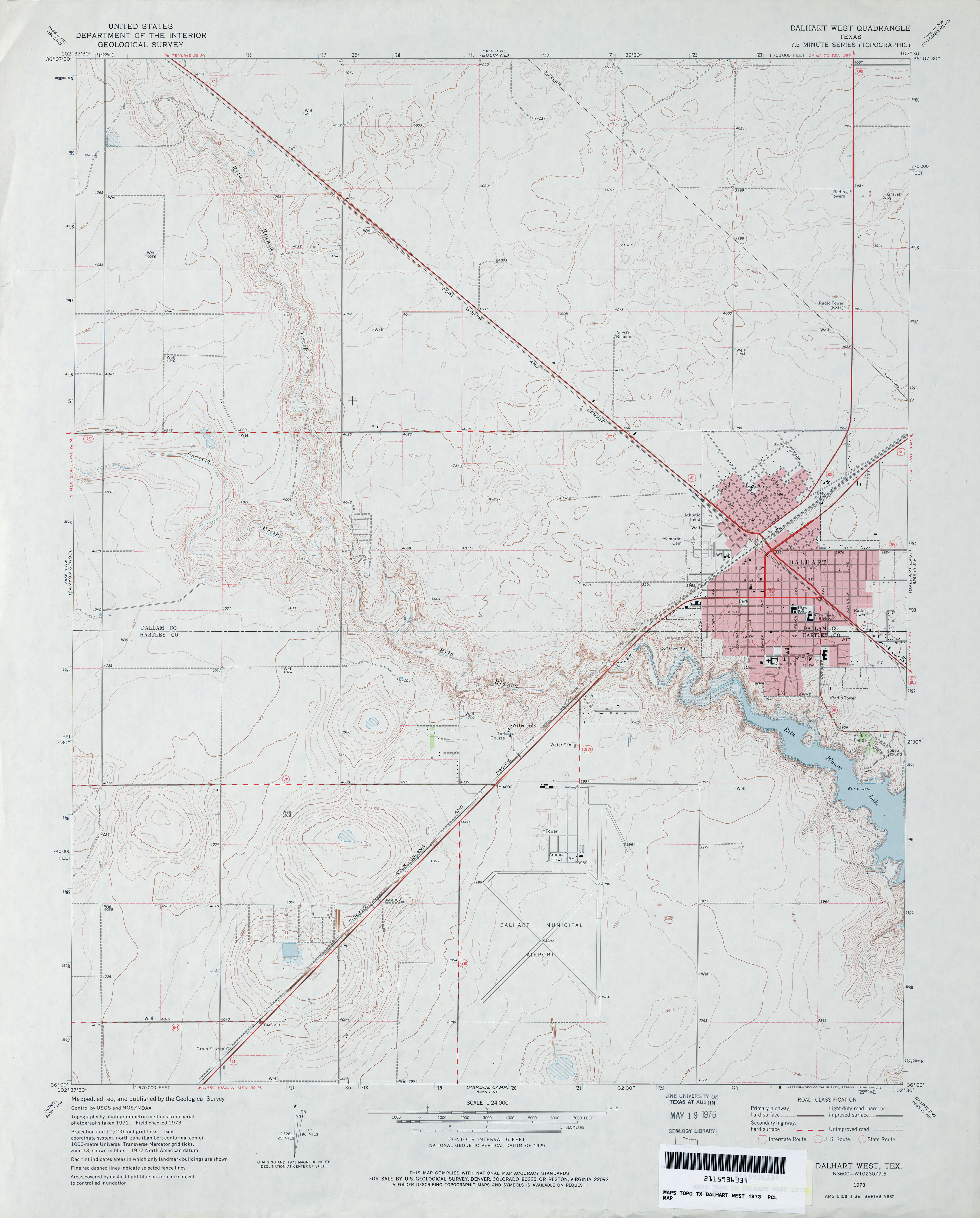
- Dalhart West 1:24,000 1973 (2.9MB)
- Dalhart West 1:24,000 2008 (11.2MB) [GeoPDF]
- Dalhart West 1:24,000 2012 (15.8MB) [GeoPDF]
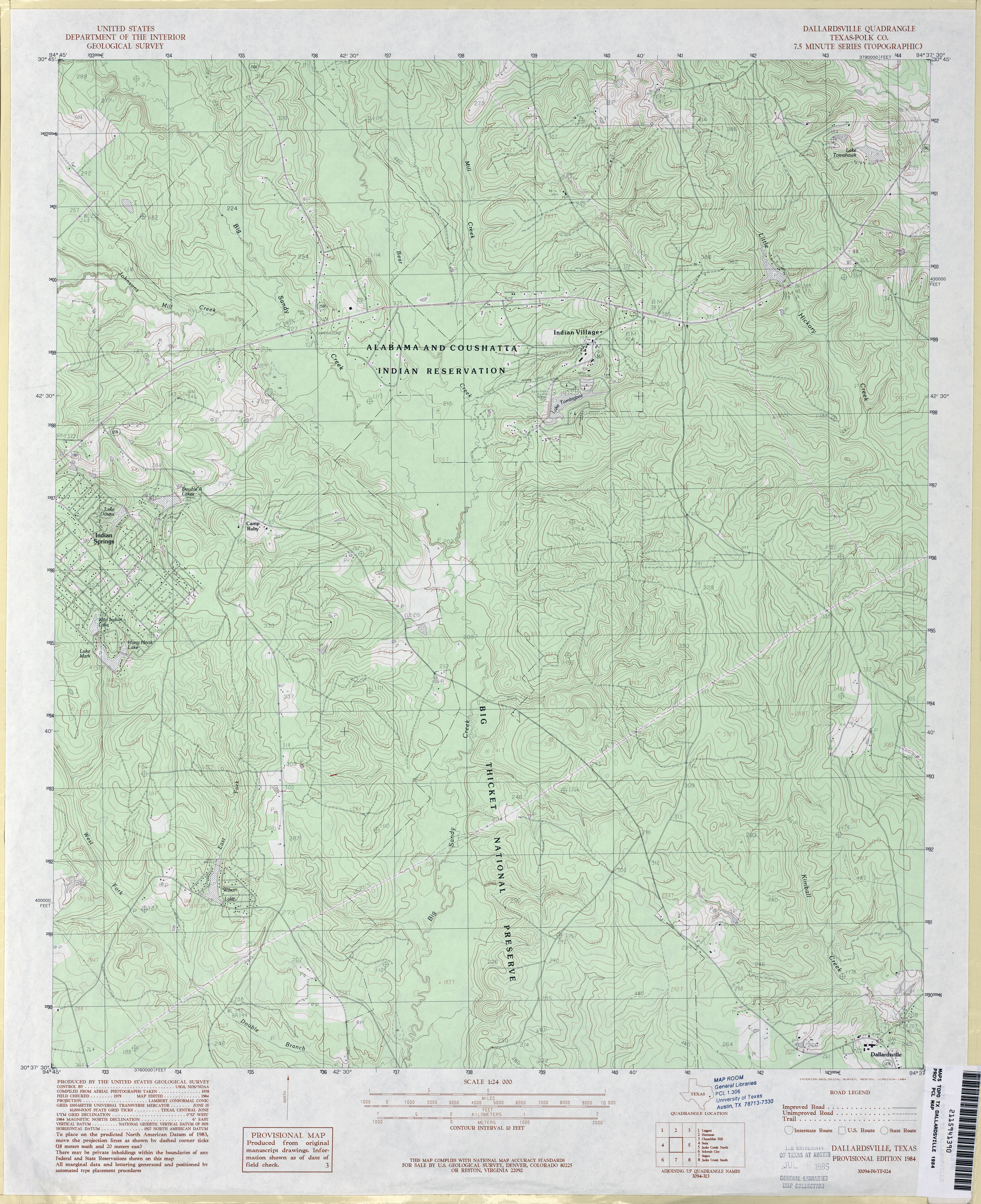
- Dallardsville (Polk County) 1:24,000 1984 (4.5MB)
- Dallardsville 1:24,000 2009 (25.5MB) [GeoPDF]
- Dallardsville 1:24,000 2013 (25.1MB) [GeoPDF]
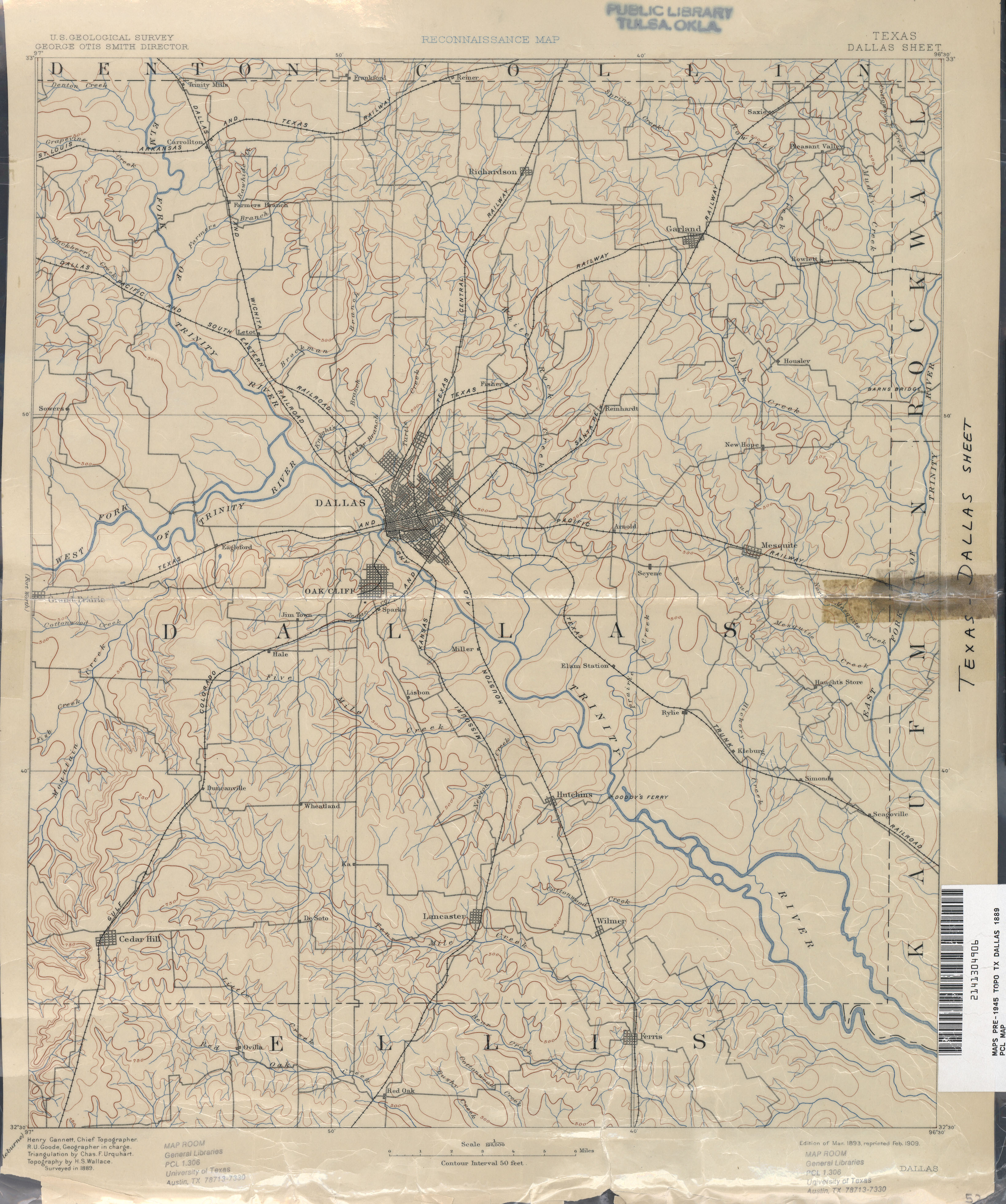
- Dallas 1:125,000 1889 (2.7 MB)
- Dallas 1:125,000 1918 (4.4MB)
- Dallas 1:250,000 1954 (9.2MB)
- Dallas 1:250,000 1963 (11.0MB)
- Dallas (Dallas County) 1:24,000 1968 (5.1MB)
- Dallas (Dallas County) 1:24,000 1973 (5.3MB)
- Dallas 1:250,000 1973 (10.8MB)
- Dallas (Dallas County) 1:24,000 1995 (5.3MB)
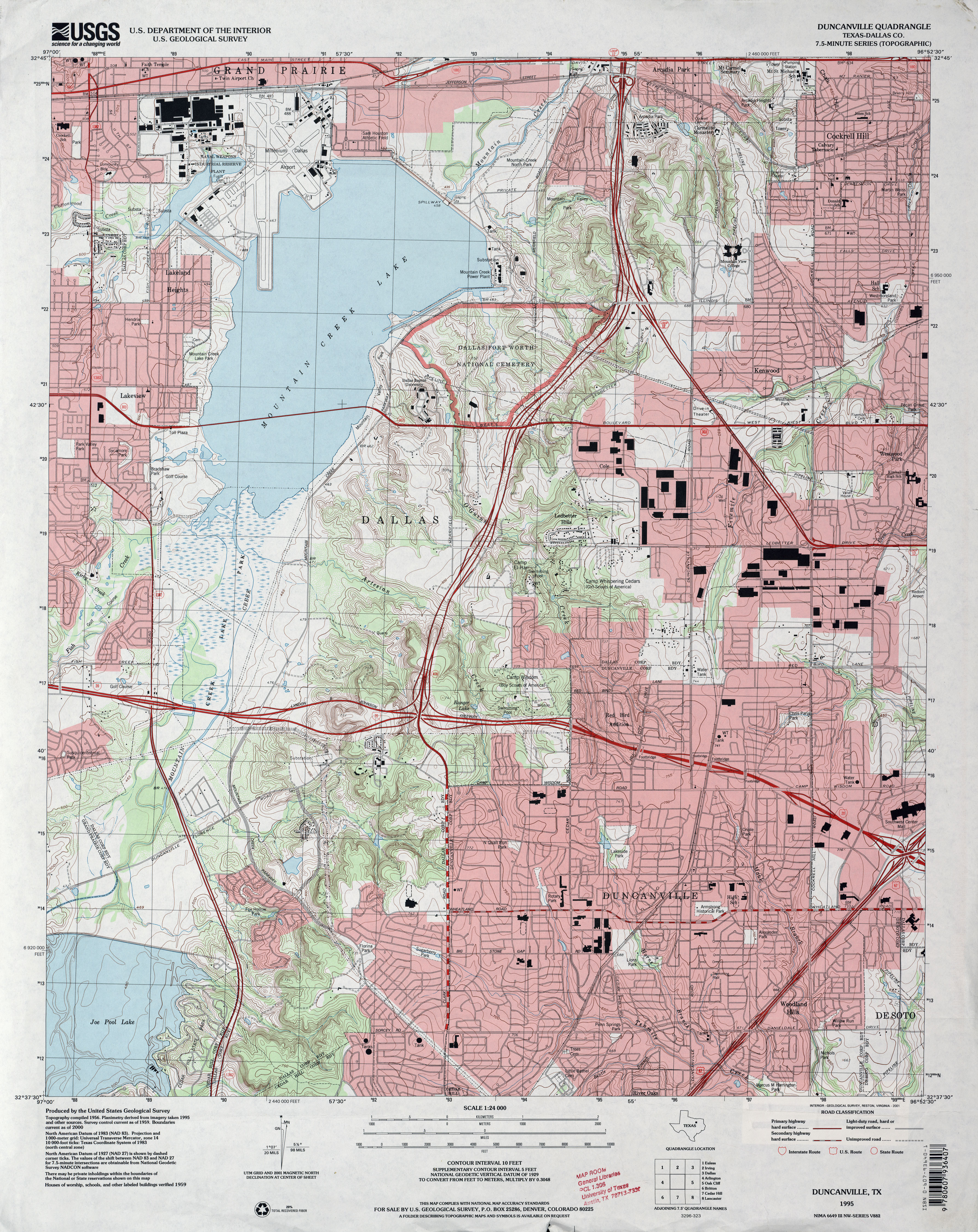
- Dallas 1:24,000 2008 (23.6MB) [GeoPDF]
- Dallas 1:24,000 2012 (27MB) [GeoPDF]
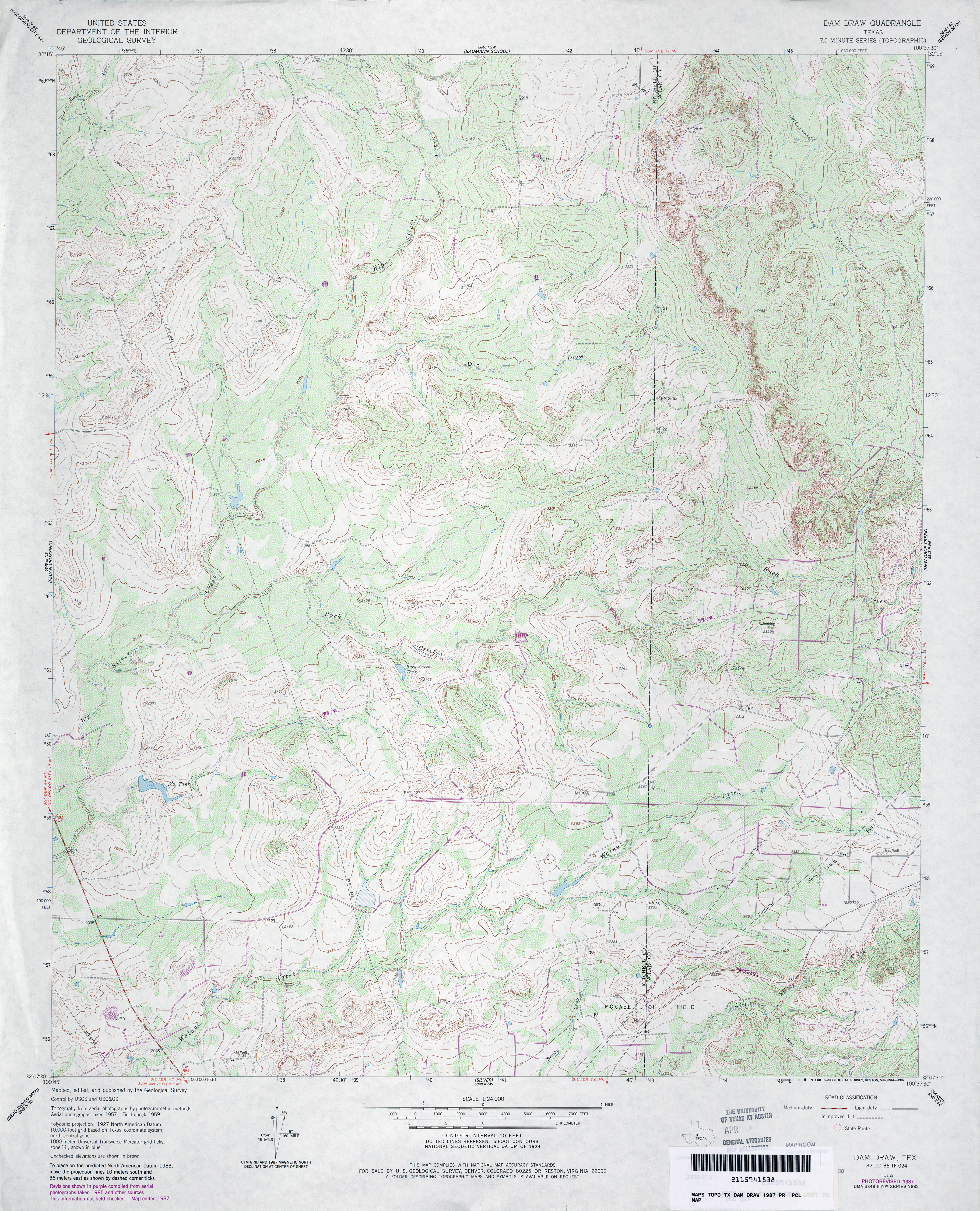
- Dam Draw 1:24,000 1959 (5.4MB)
- Dam Draw 1:24,000 1987 (4.9MB)
- Dam Draw 1:24,000 2012 (28.8MB) [GeoPDF]
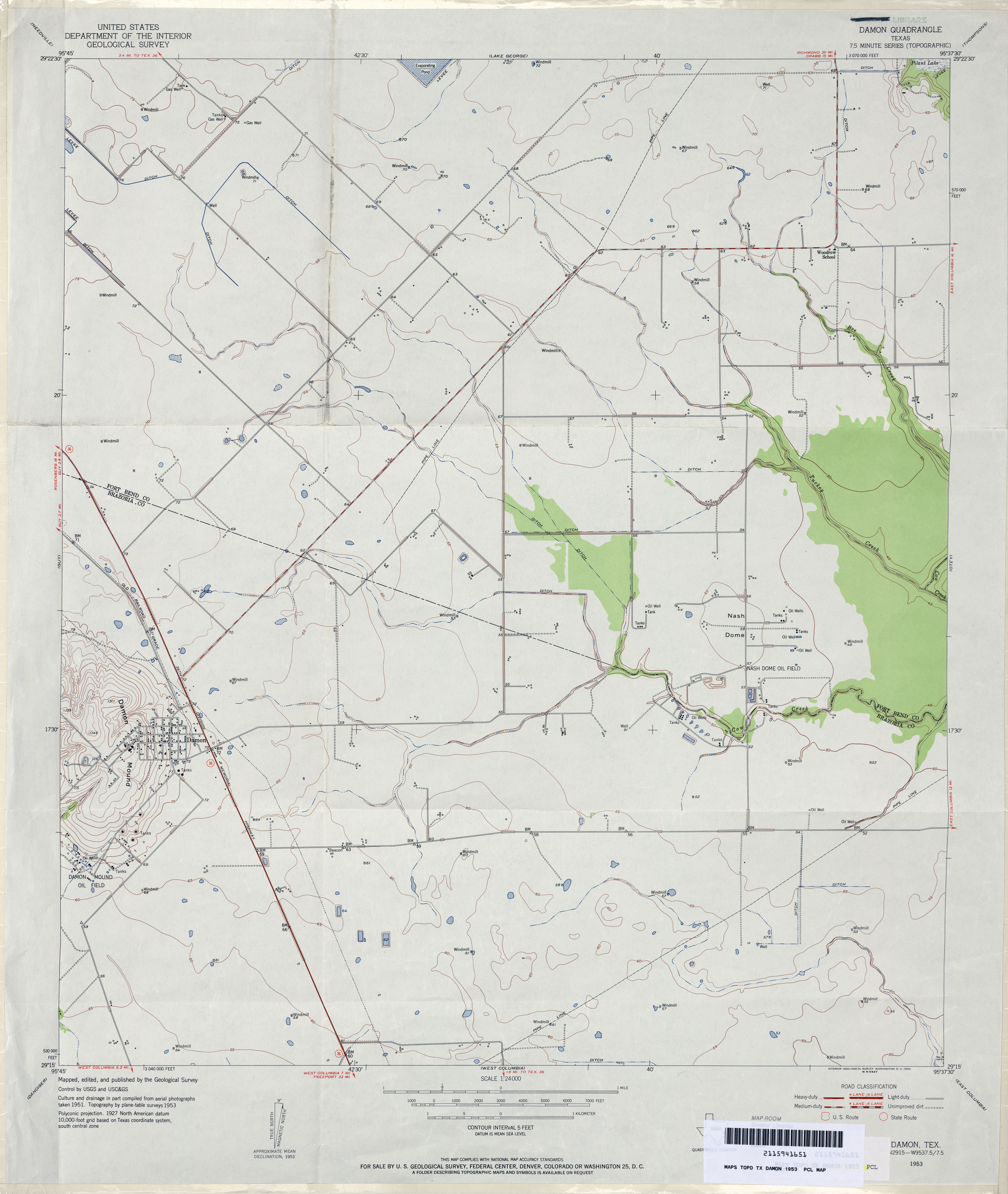
- Damon 1:24,000 1953 (2.5MB)
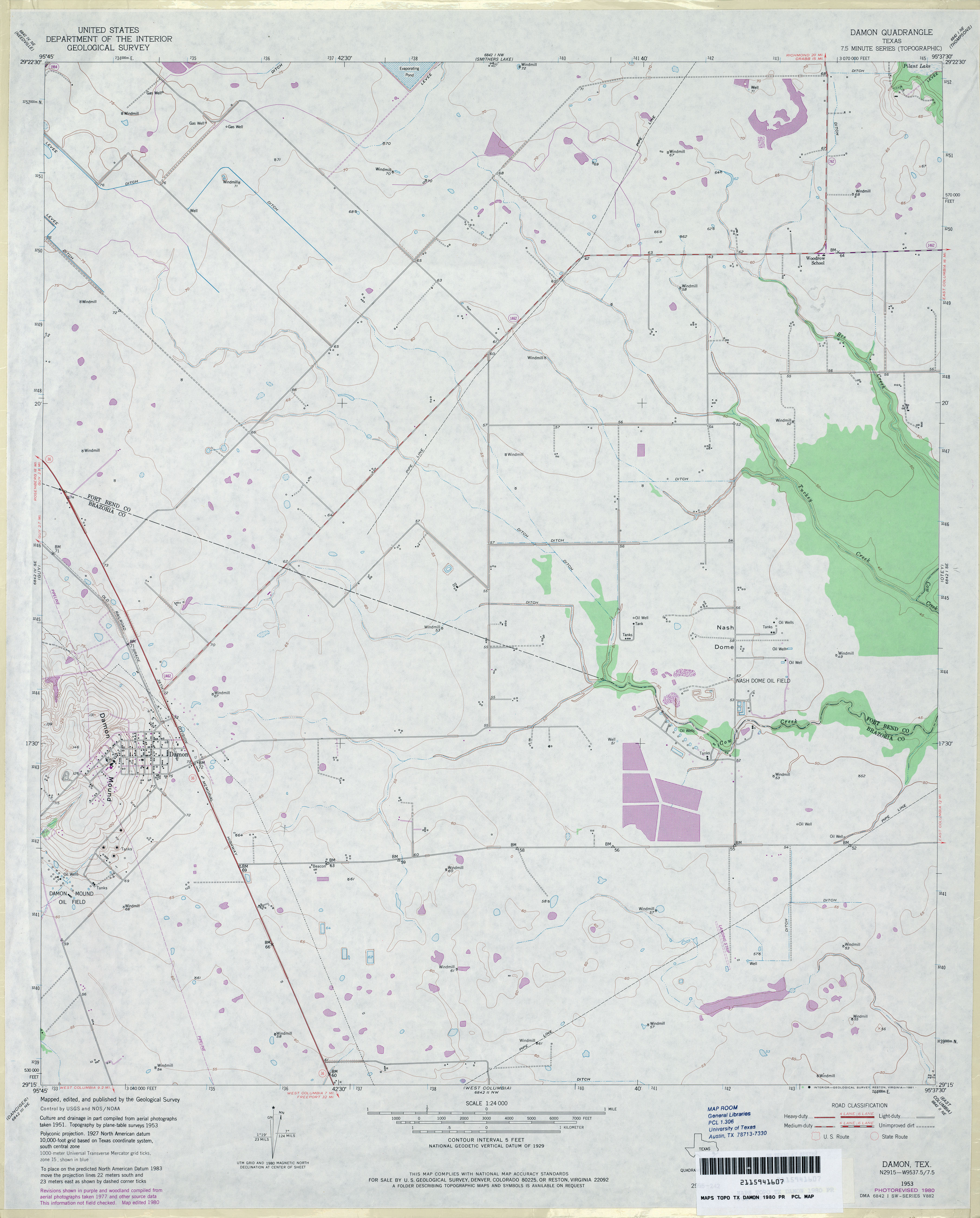
- Damon 1:24,000 1980 (2.7MB)
- Damon 1:24,000 2009 (12.7MB) [GeoPDF]
- Damon 1:24,000 2013 (16.2MB) [GeoPDF]
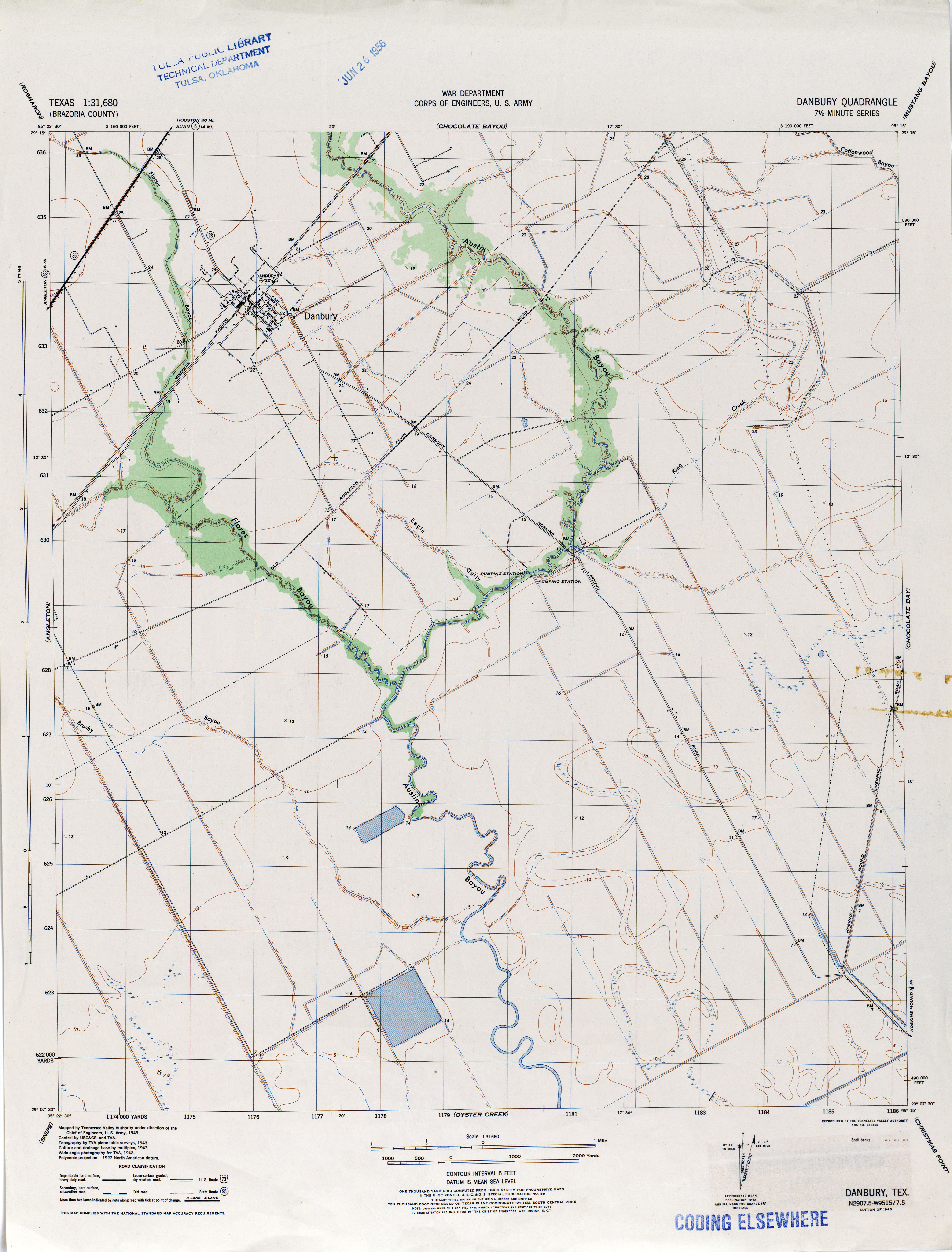
- Danbury 1:31,680 1943 (3.9MB)
- Danbury (Brazoria County) 1:24,000 1943 (2.8MB)
- Danbury (Brazoria County) 1:24,000 1963 (2.8MB)
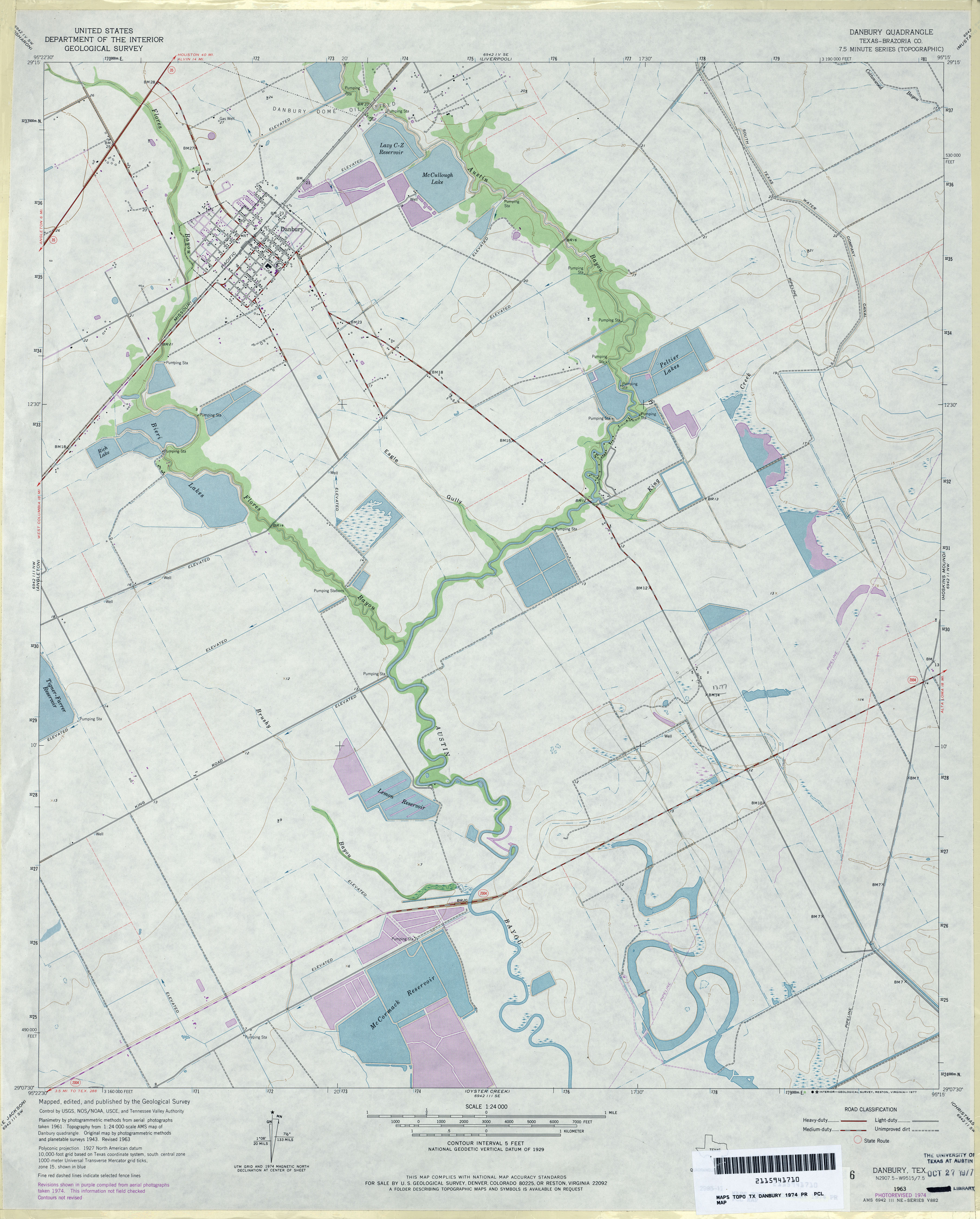
- Danbury (Brazoria County) 1:24,000 1974 (3MB)
- Danbury 1:24,000 2009 (16.1MB) [GeoPDF]
- Danbury 1:24,000 2013 (17MB) [GeoPDF]
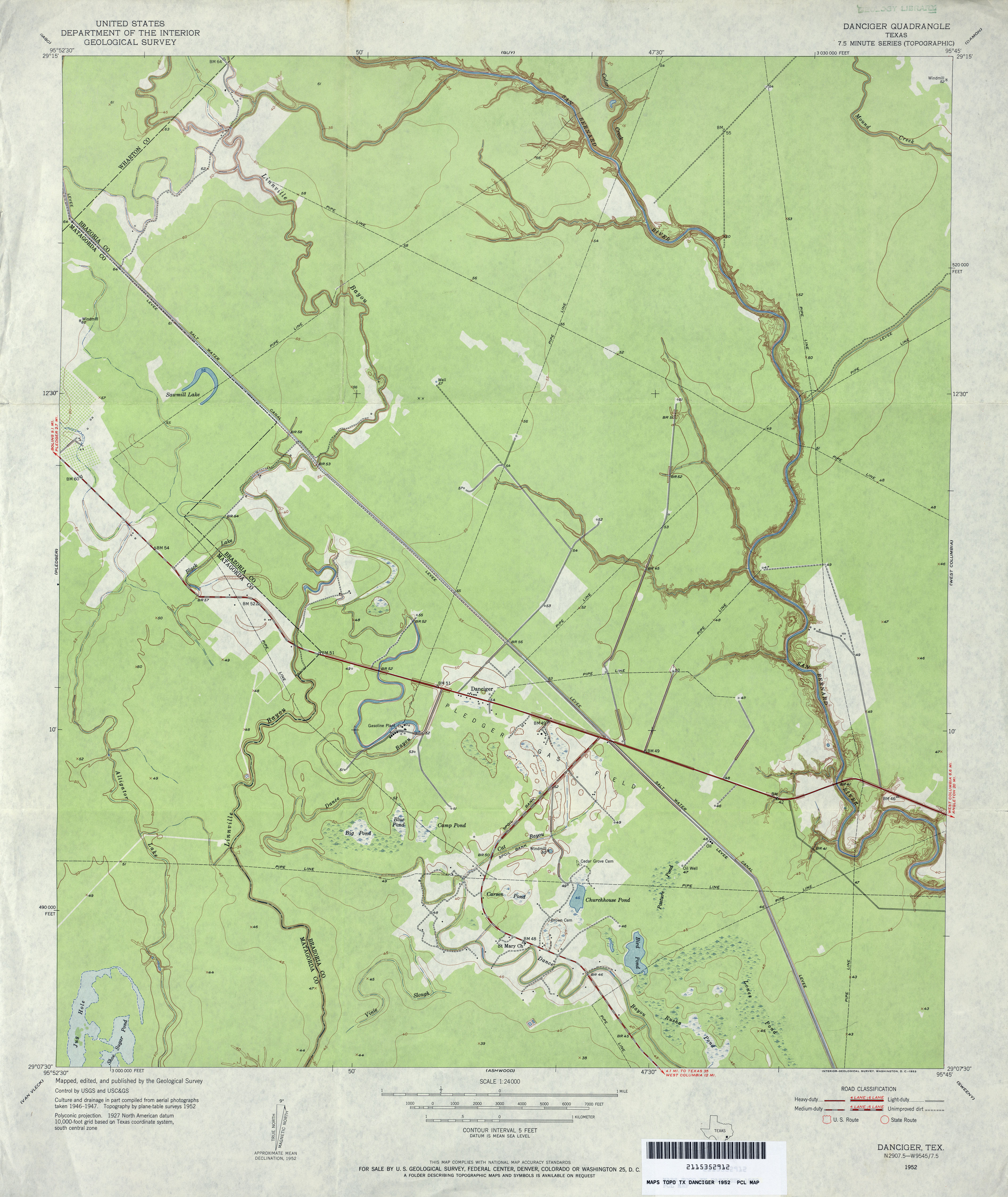
- Danciger 1:24,000 1952 (3.1MB)
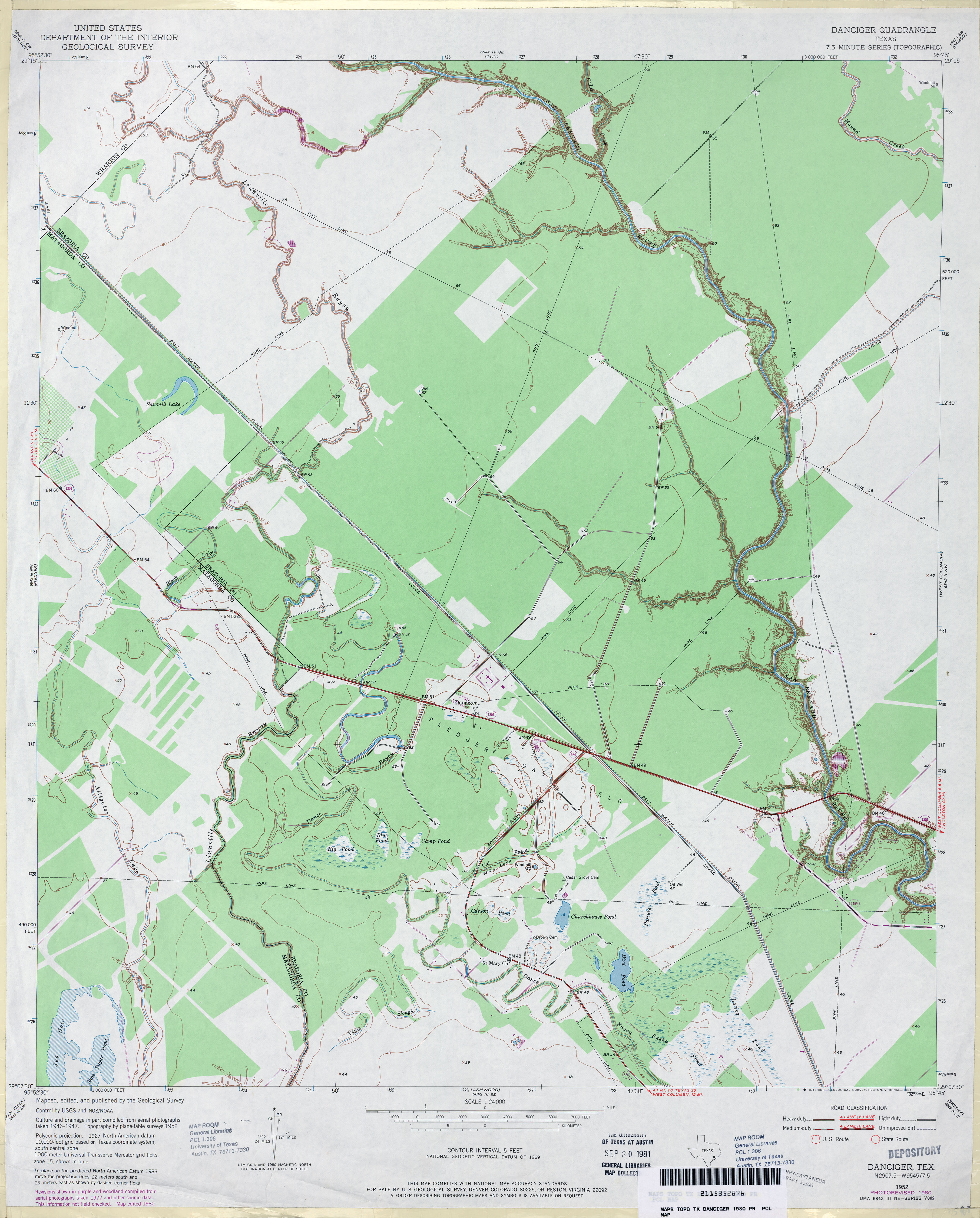
- Danciger 1:24,000 1980 (3.1MB)
- Danciger 1:24,000 2009 (19.5MB) [GeoPDF]
- Danciger 1:24,000 2013 (19.5MB) [GeoPDF]
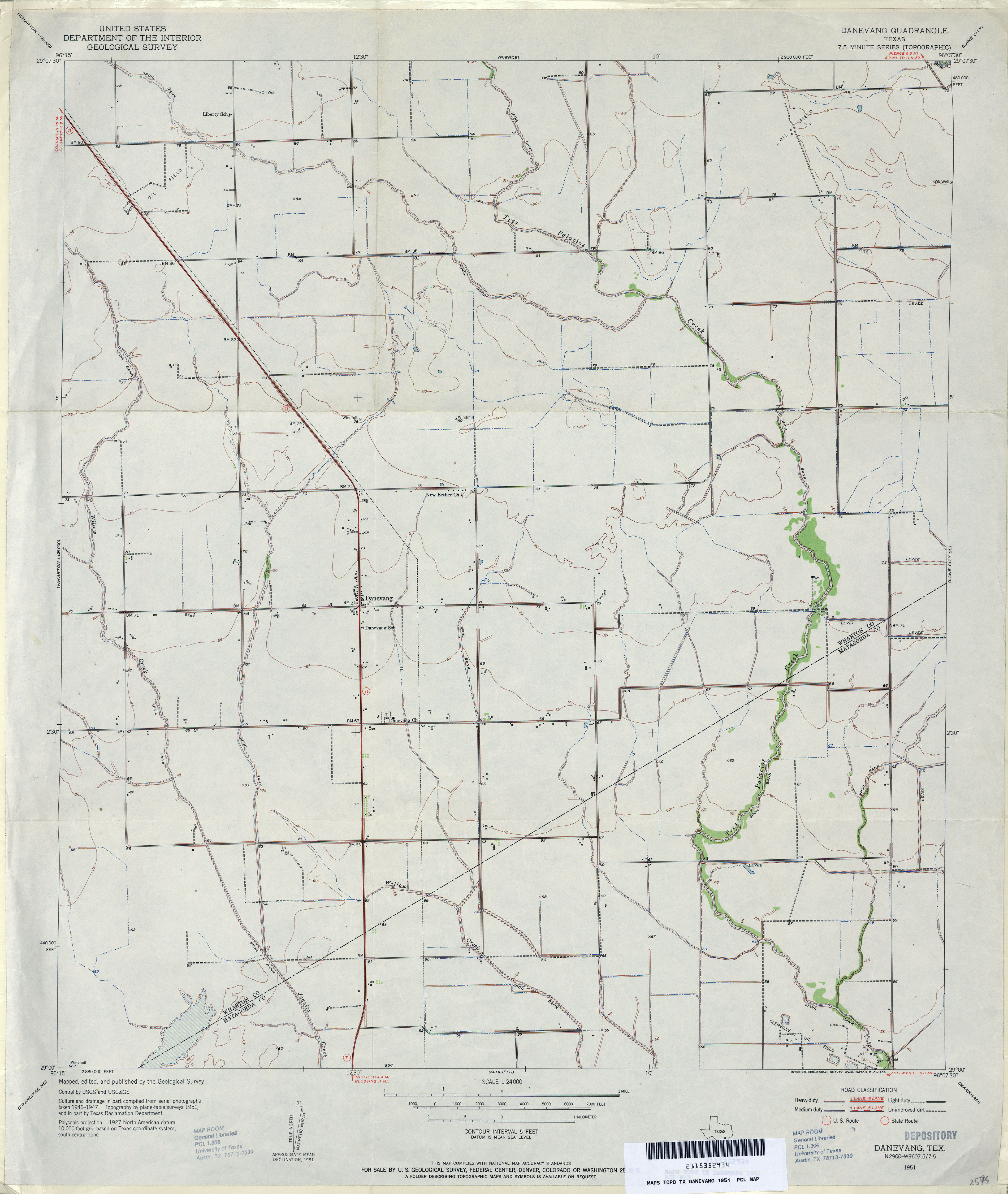
- Danevang 1:24,000 1951 (2.7MB)
- Danevang 1:24,000 2009 (9.1MB) [GeoPDF]
- Danevang 1:24,000 2013 (17MB) [GeoPDF]
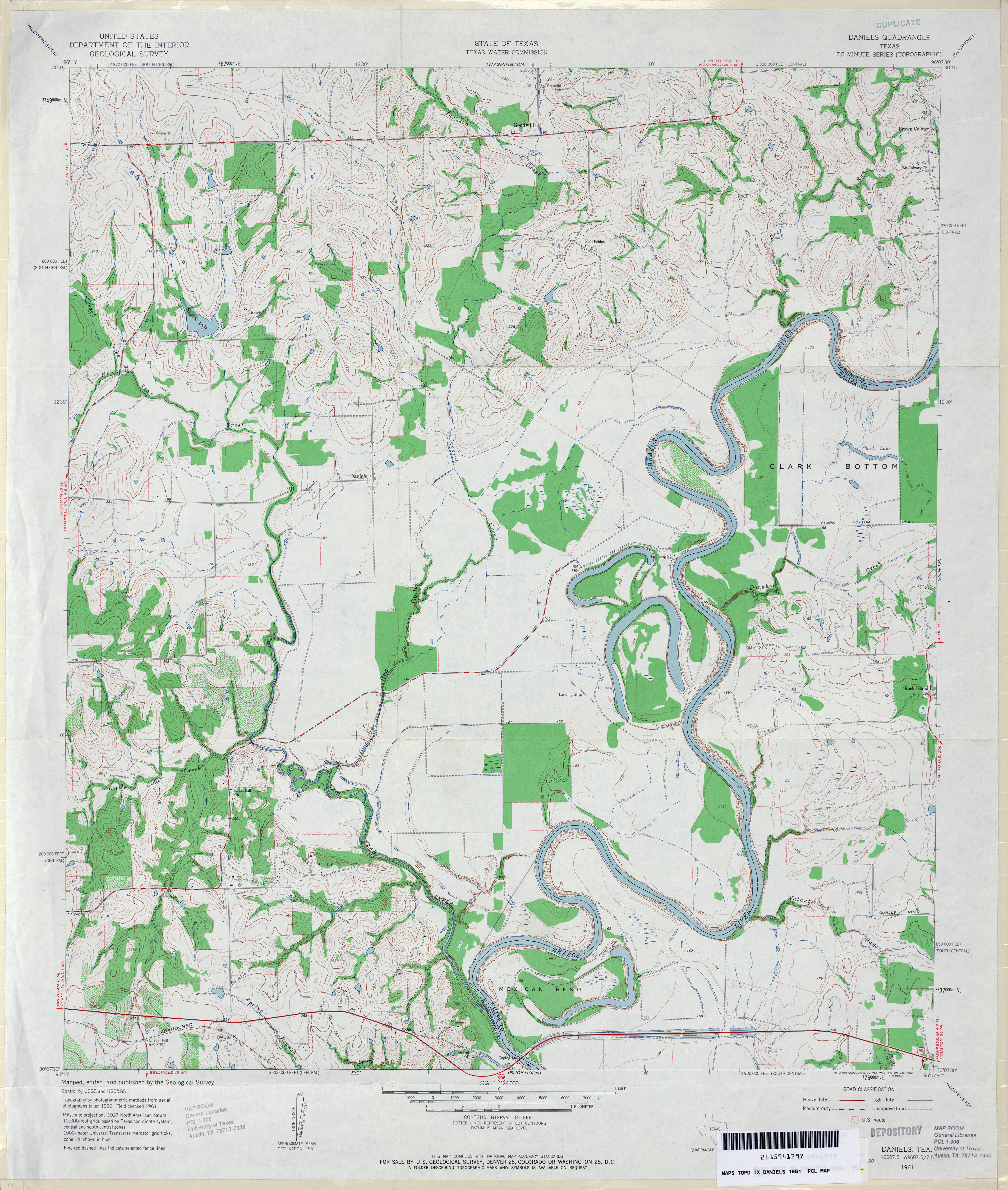
- Daniels 1:24,000 1961 (4.1MB)
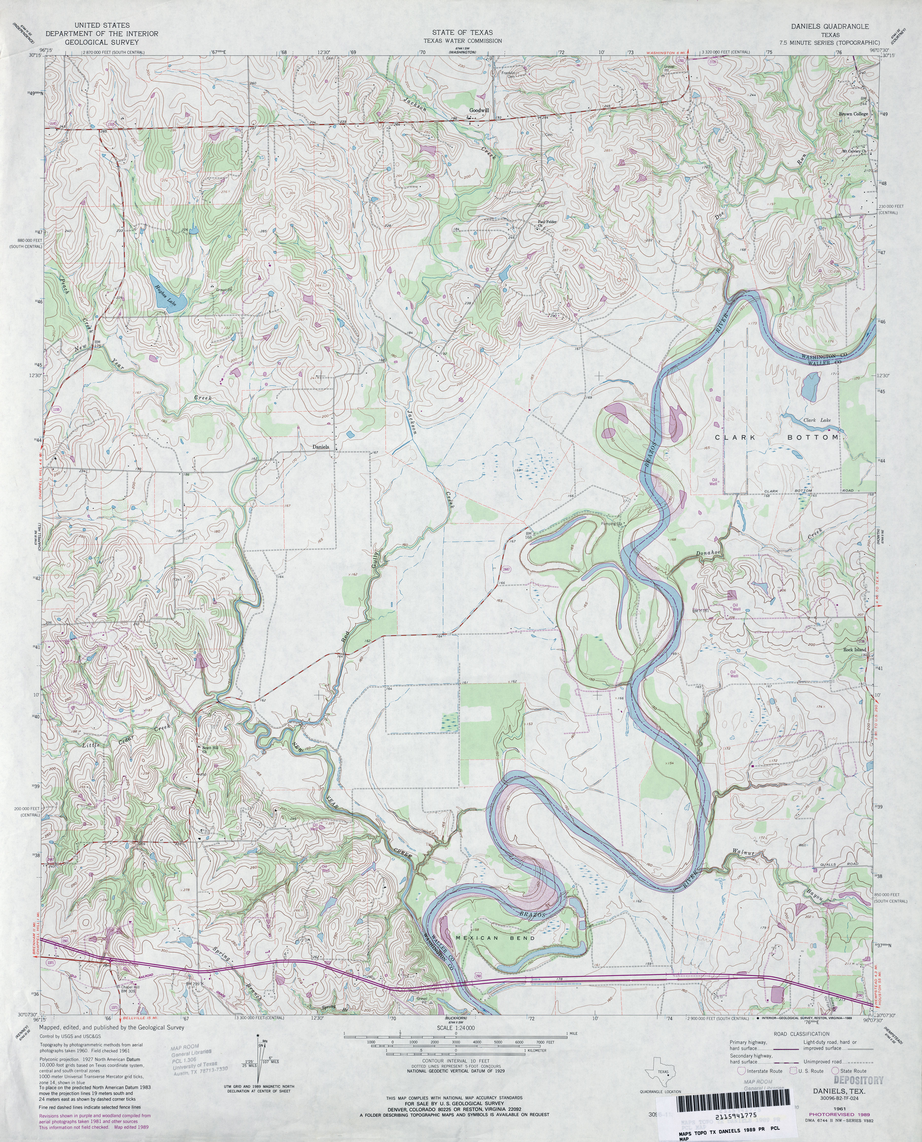
- Daniels 1:24,000 1989 (4.3MB)
- Daniels 1:24,000 2008 (12.9MB) [GeoPDF]
- Daniels 1:24,000 2013 (21.4MB) [GeoPDF]
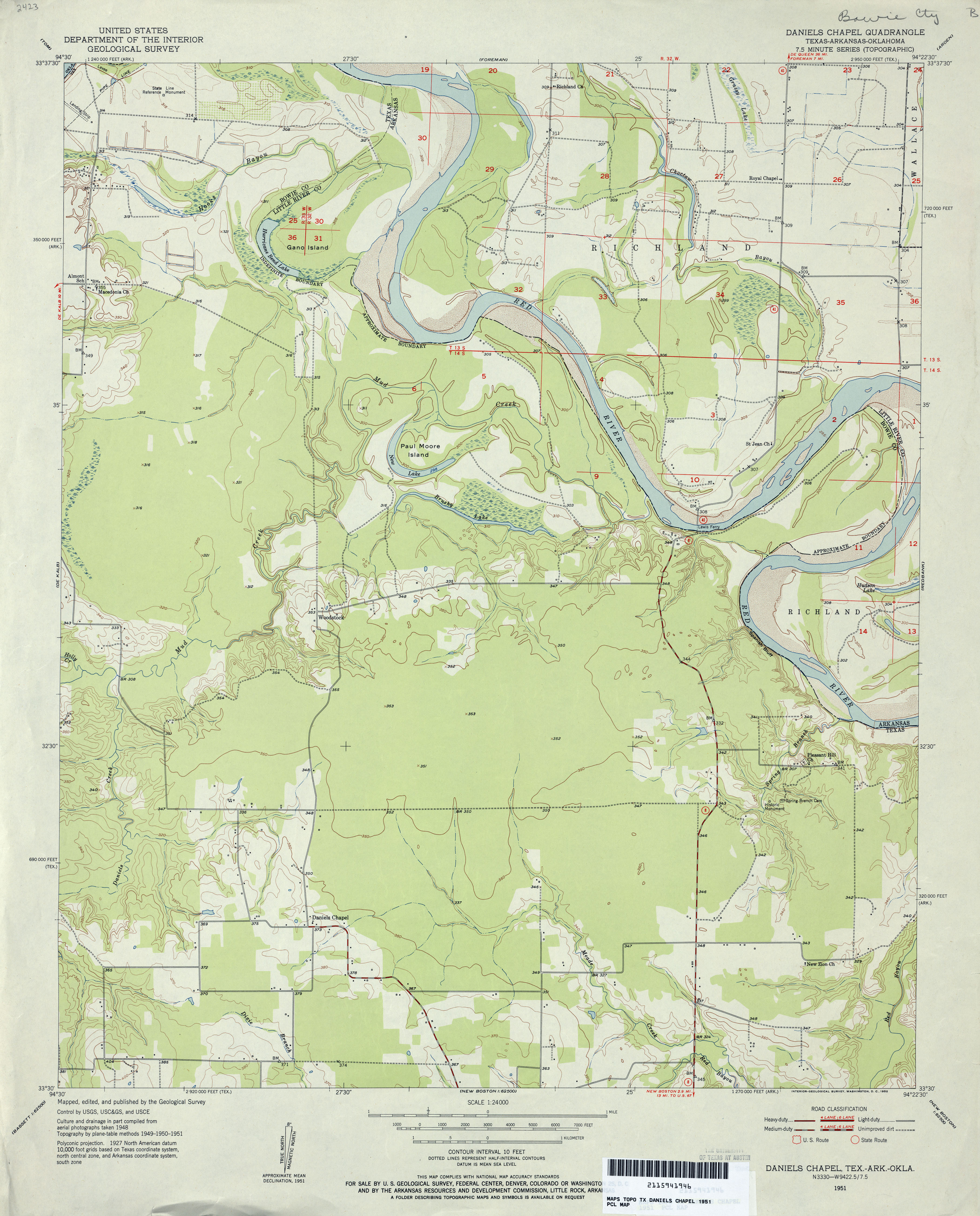
- Daniels Chapel 1:24,000 1951 (3.2MB)
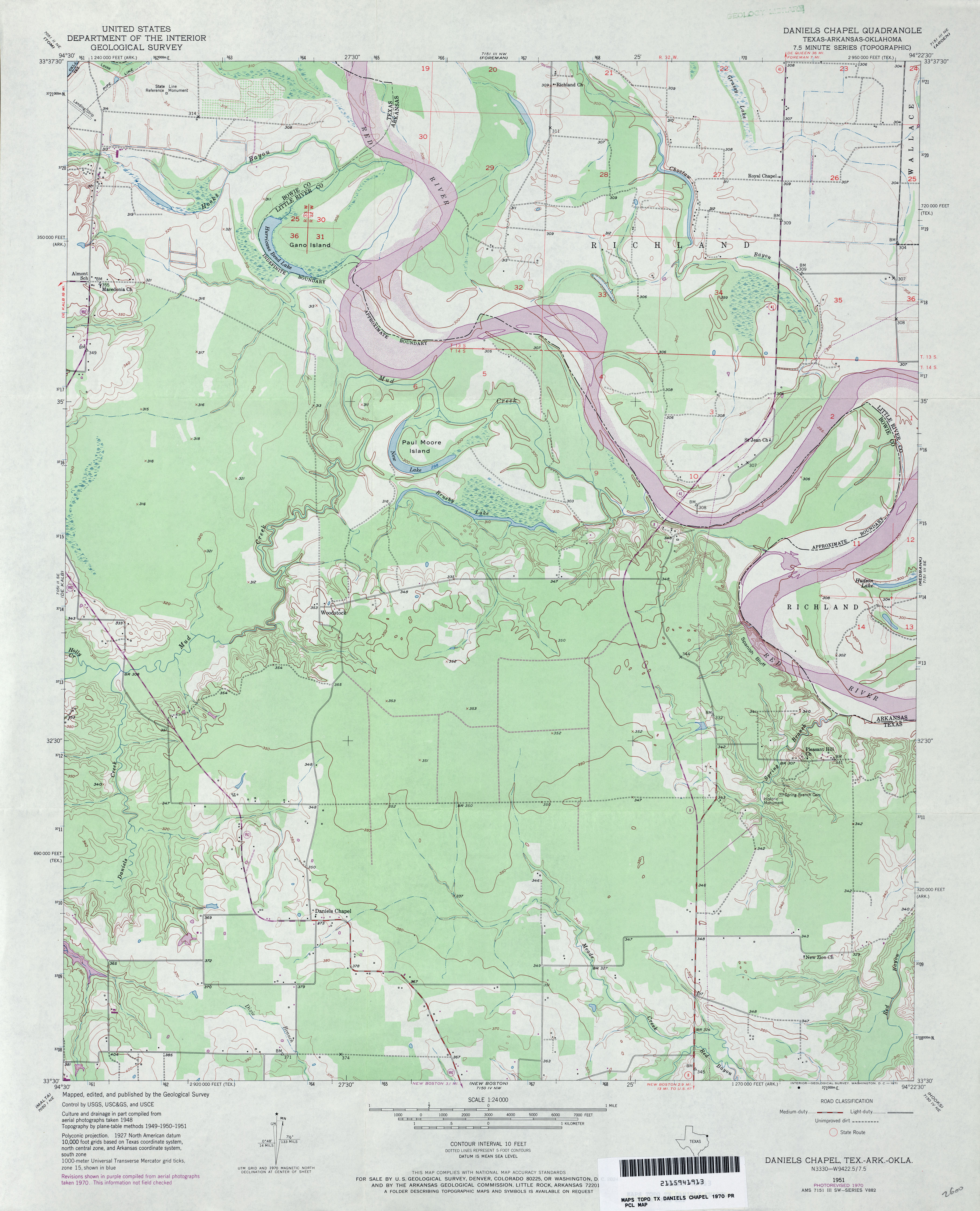
- Daniels Chapel 1:24,000 1970 (3.4MB)
- Daniels Chapel 1:24,000 1975 (3.1MB)
- Daniels Chapel 1:24,000 2013 (21.1MB) [GeoPDF]
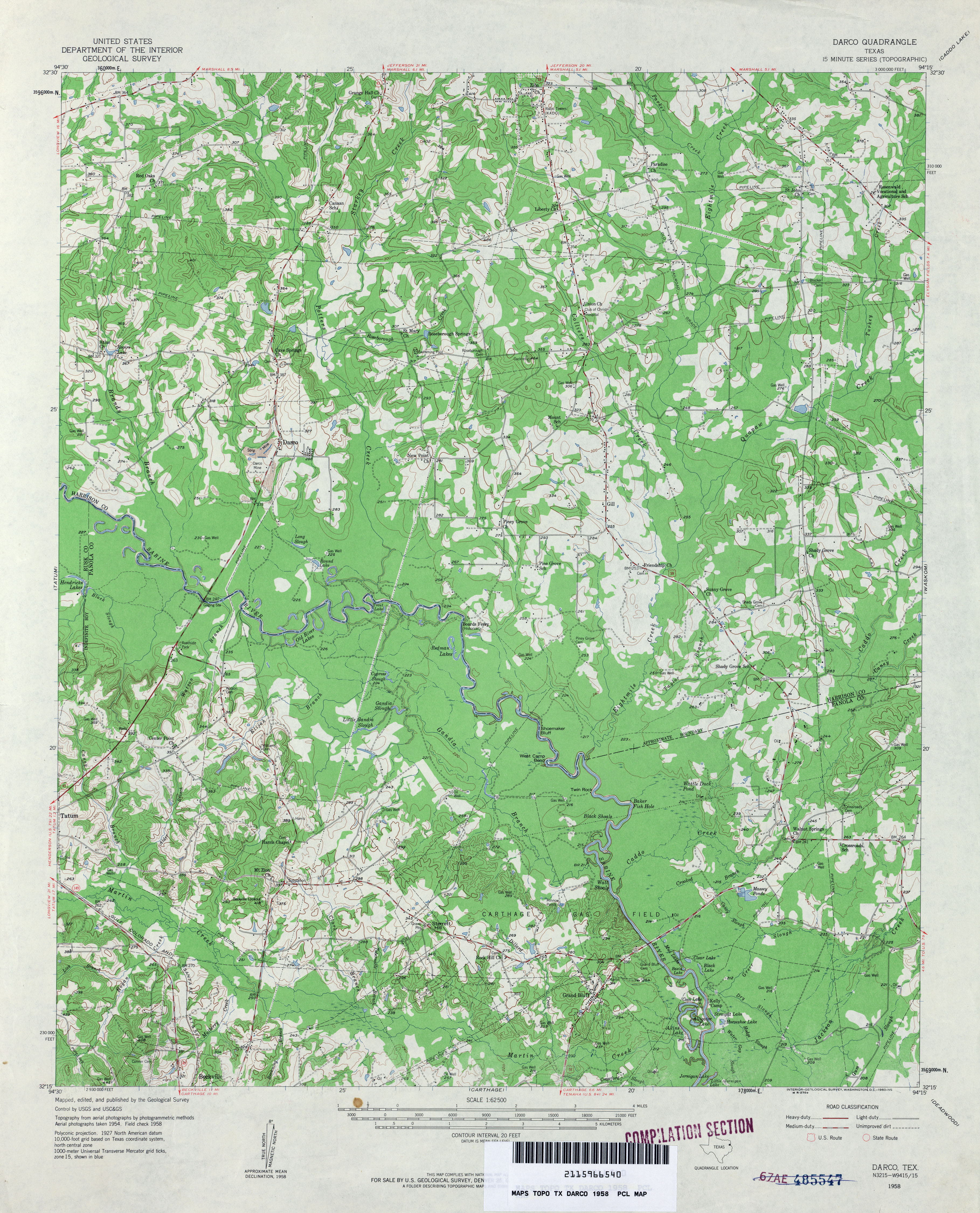
- Darco 1:62,500 1958 (4.5MB)
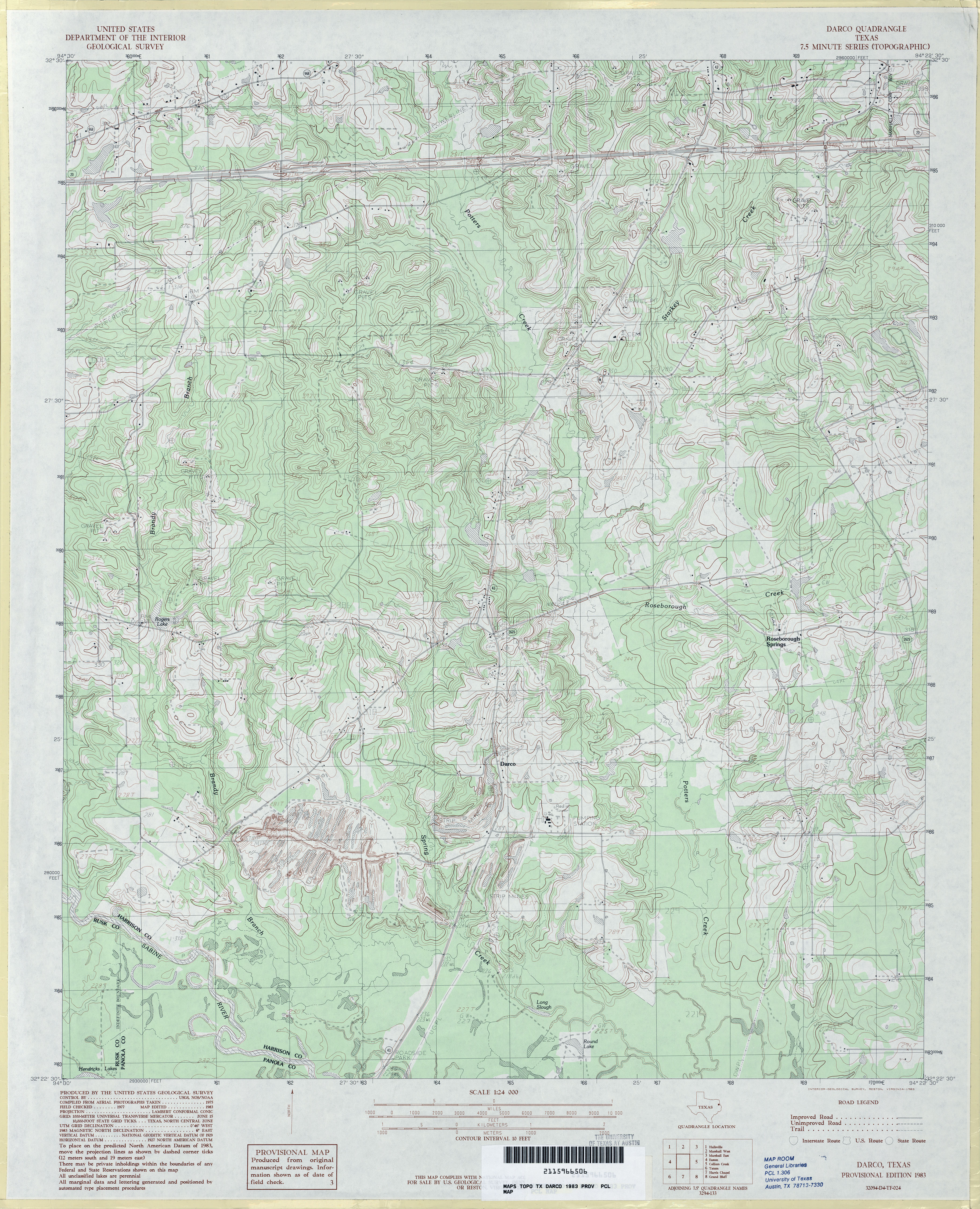
- Darco 1:24,000 1983 (4.7MB)
- Darco 1:24,000 2008 (20.8MB) [GeoPDF]
- Darco 1:24,000 2013 (23.3MB) [GeoPDF]
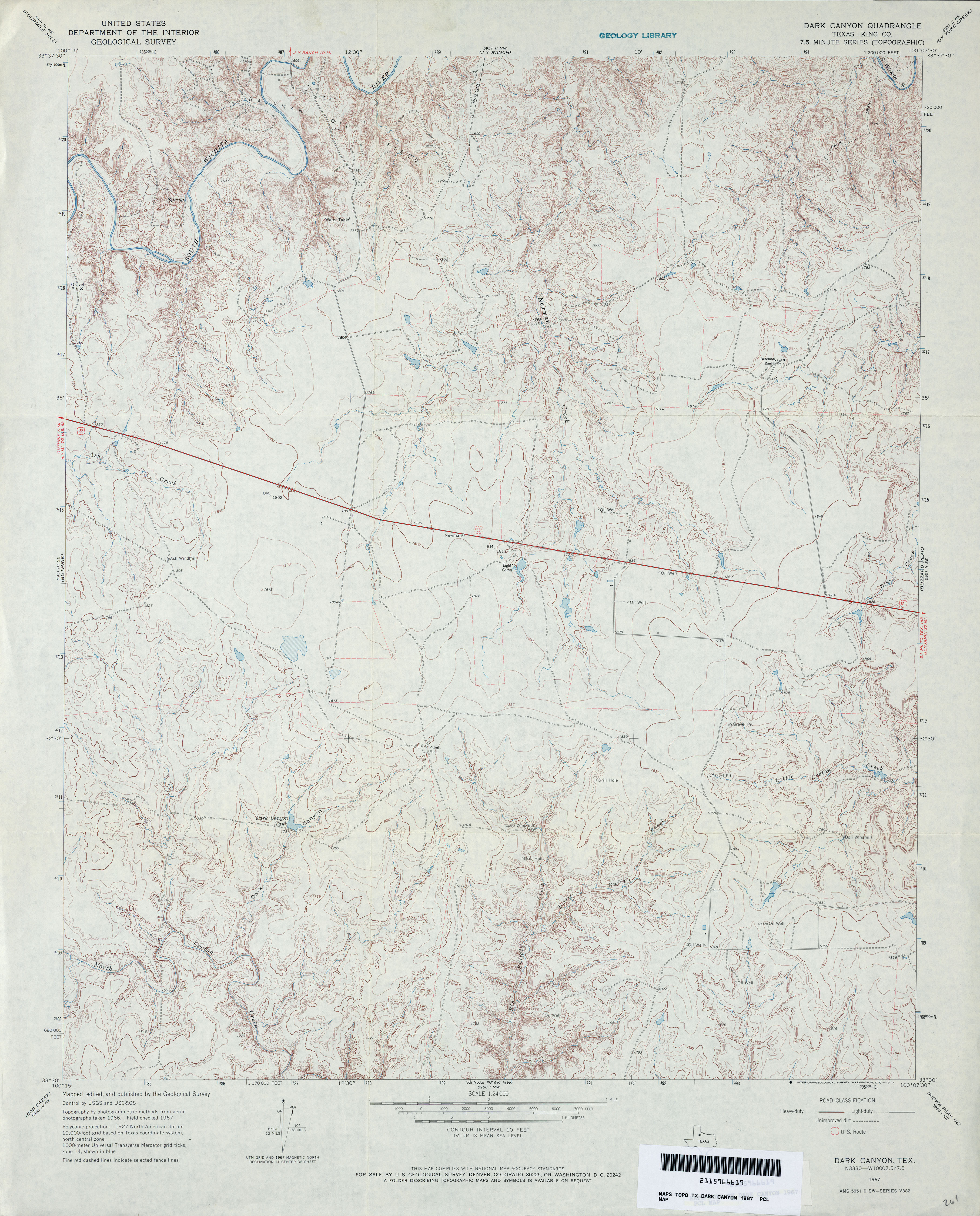
- Dark Canyon (King County) 1:24,000 1967 (4.1MB)
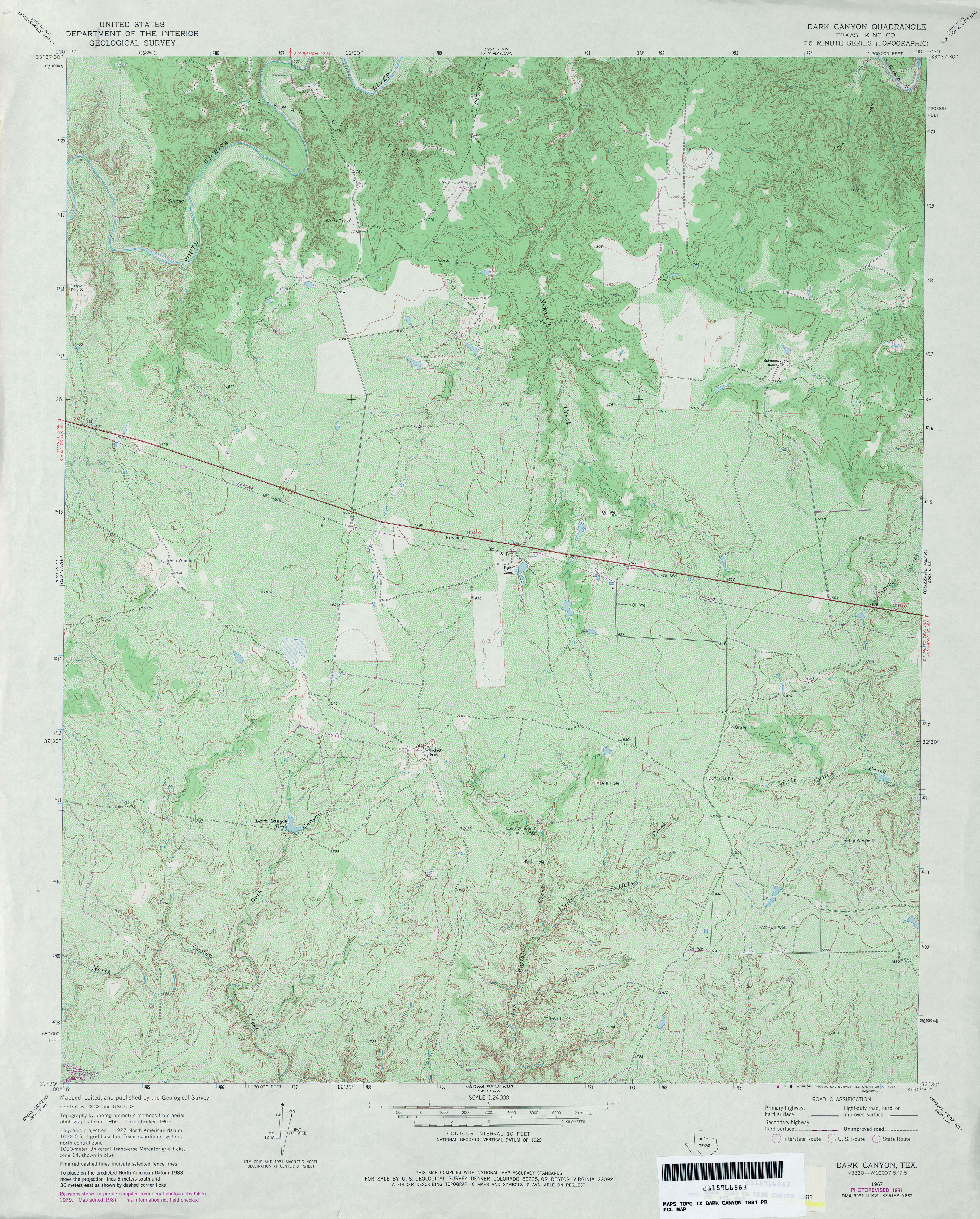
- Dark Canyon (King County) 1:24,000 1981 (5.3MB)
- Dark Canyon 1:24,000 2008 (18.0MB) [GeoPDF]
- Dark Canyon 1:24,000 2012 (24.8MB) [GeoPDF]
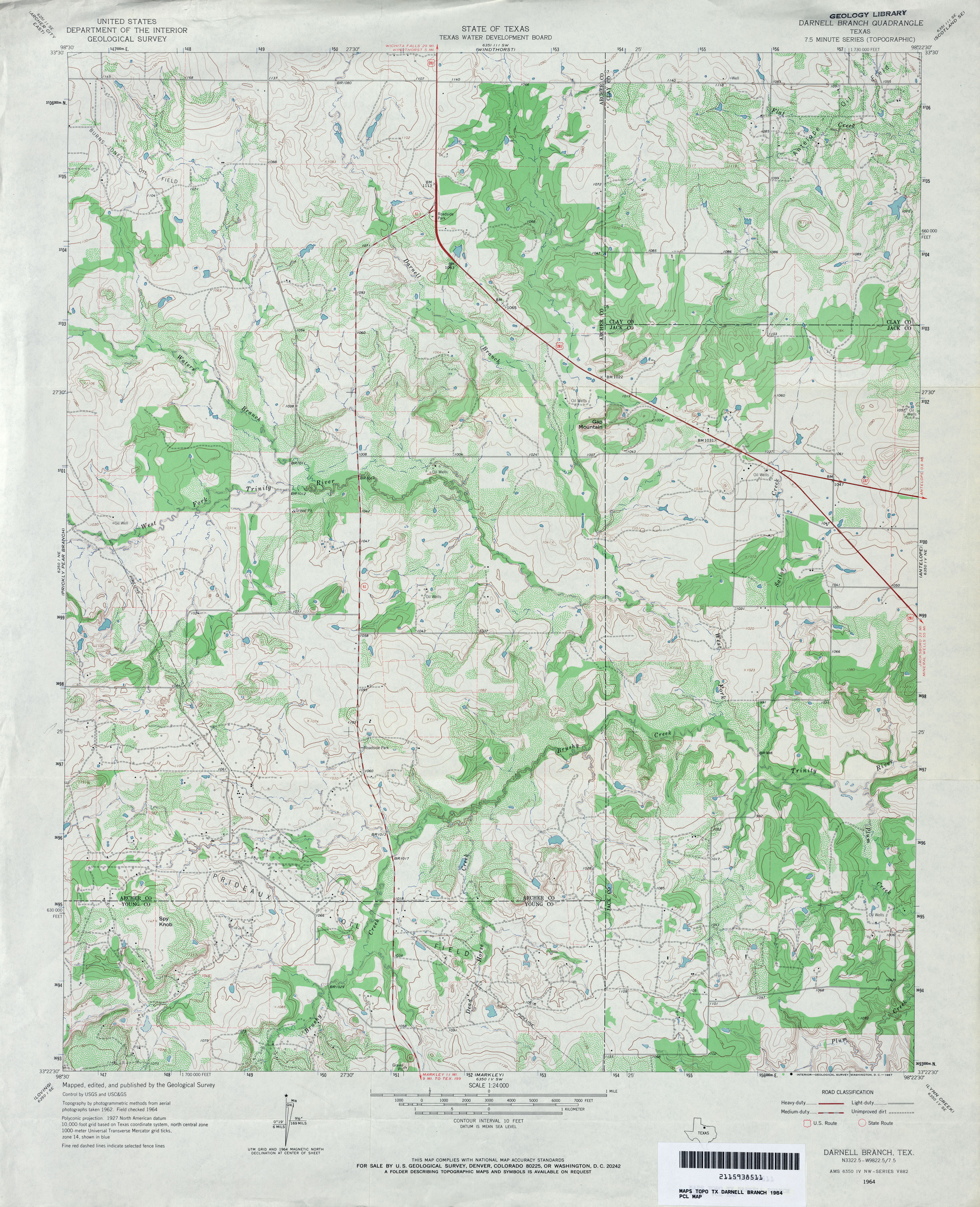
- Darnell Branch 1:24,000 1964 (4.3MB)
- Darnell Branch 1:24,000 2008 (17.5MB) [GeoPDF]
- Darnell Branch 1:24,000 2012 (21.3MB) [GeoPDF]
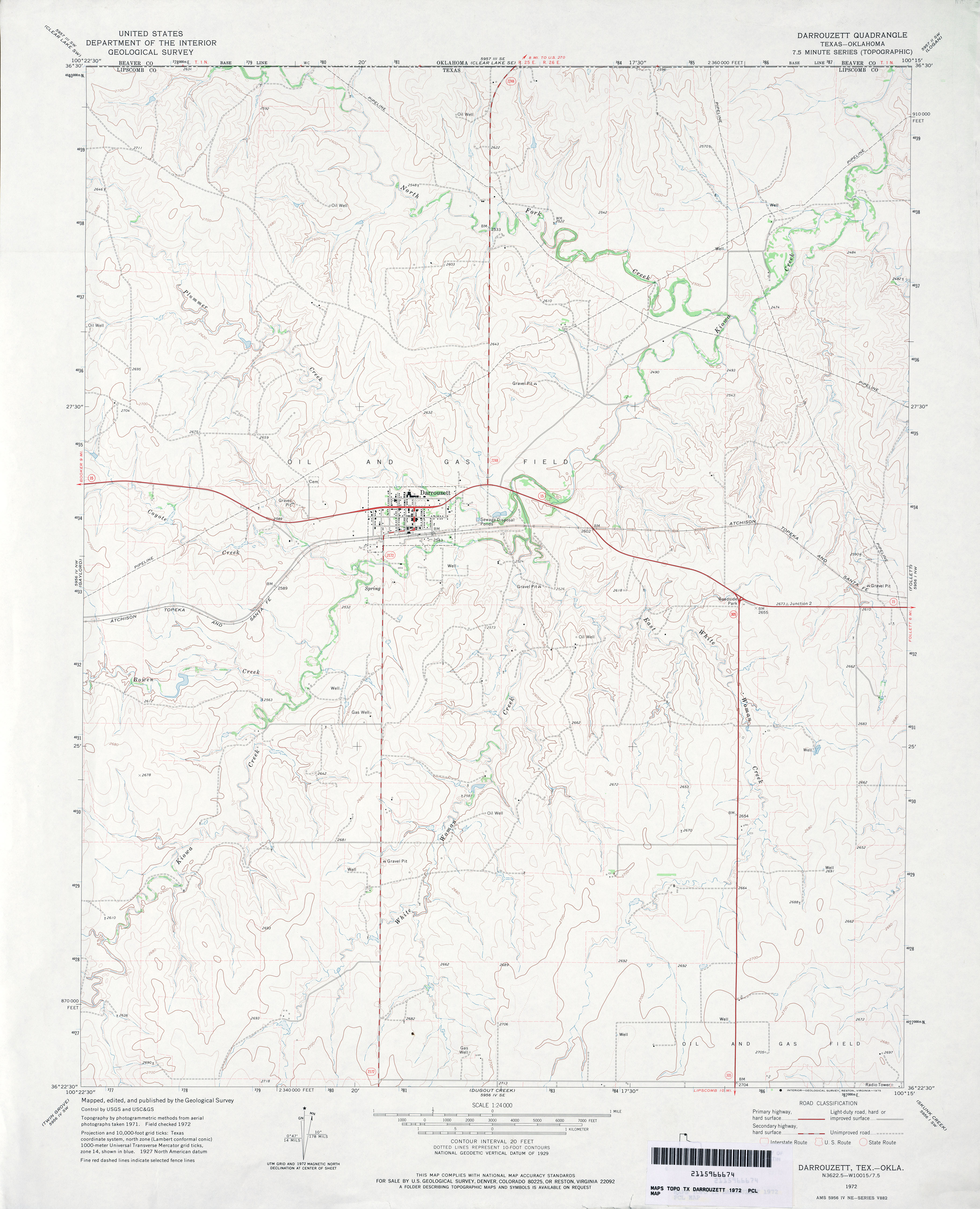
- Darrouzett 1:24,000 1972 (3.1MB)
- Darrouzett 1:24,000 2008 (10.1MB) [GeoPDF]
- Darrouzett 1:24,000 2012 (17.5MB) [GeoPDF]
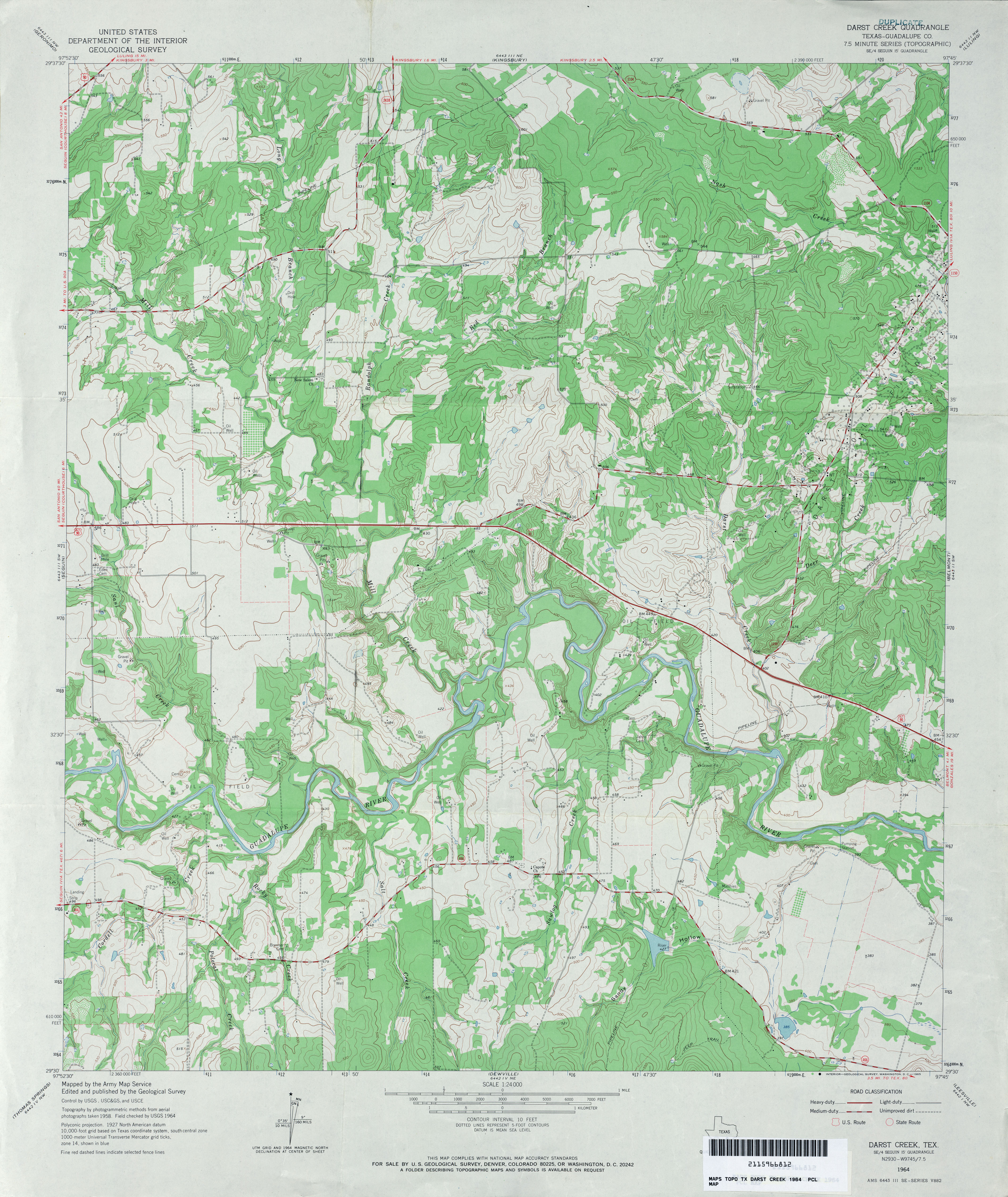
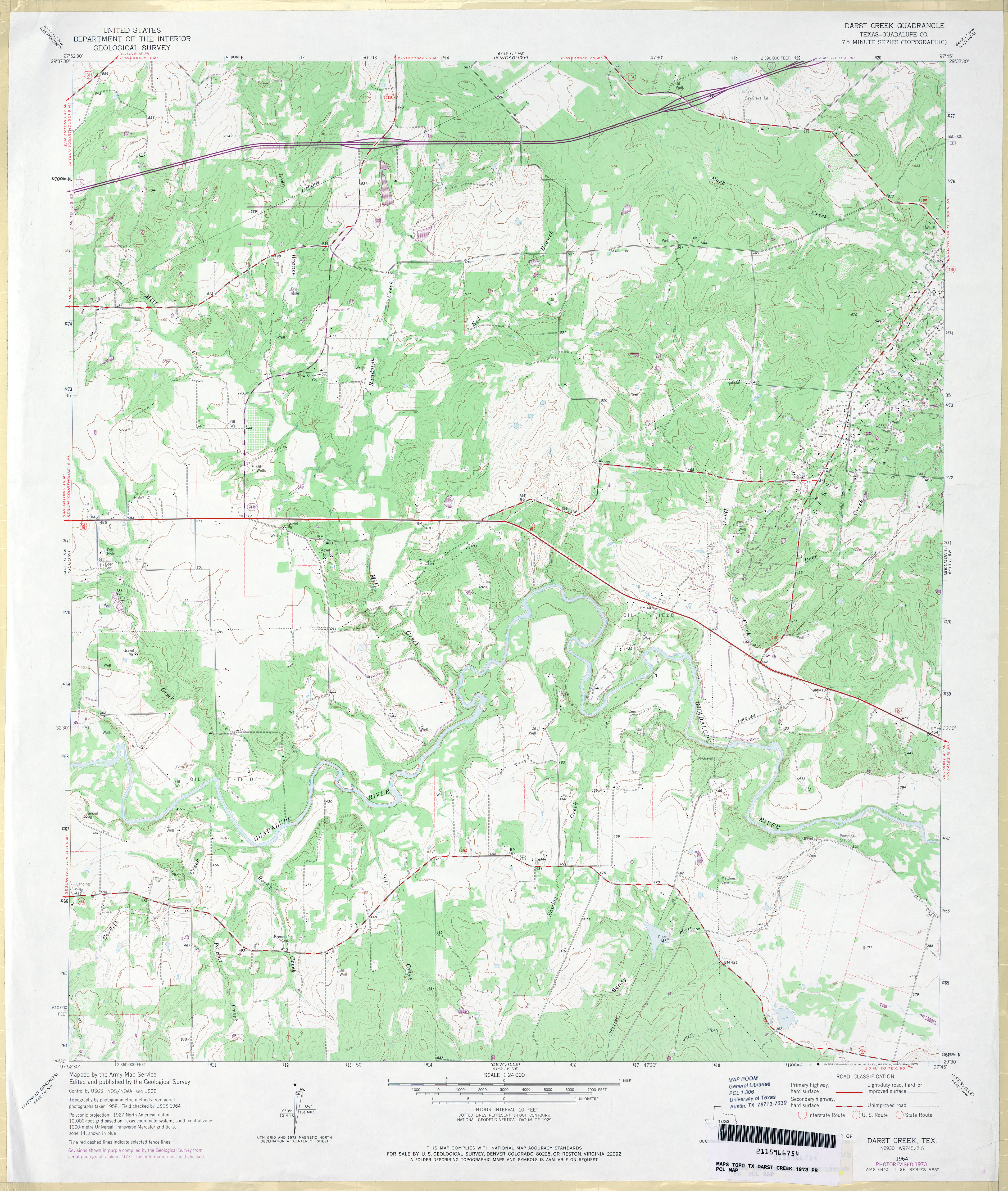
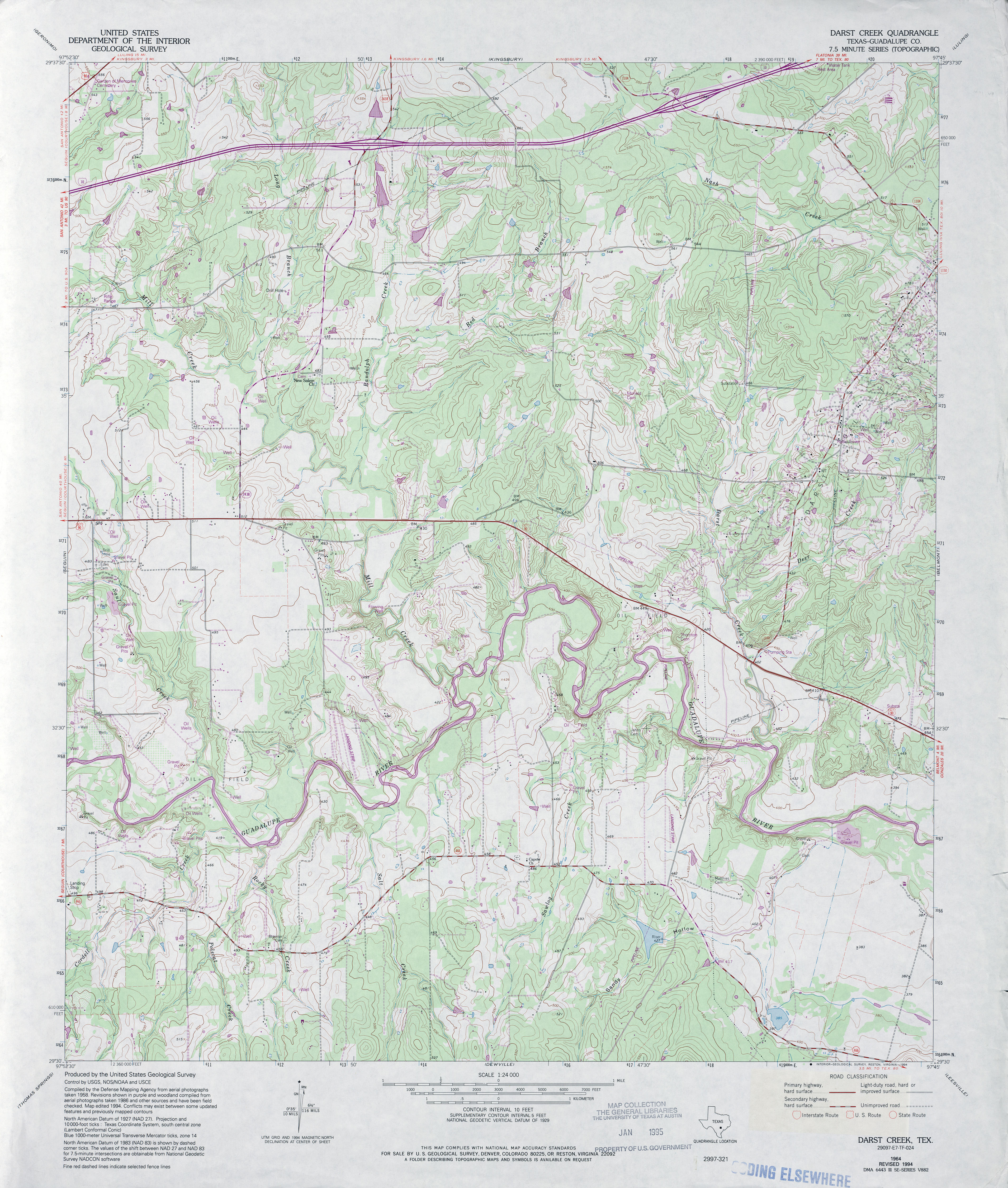
- Darst Creek (Guadalupe County) 1:24,000 1964 (4.1MB)
- Darst Creek (Guadalupe County) 1:24,000 1973 (3.9MB)
- Darst Creek (Guadalupe County) 1:24,000 1994 (4.6MB)
- Darst Creek 1:24,000 2009 (15.3MB) [GeoPDF]
- Darst Creek 1:24,000 2013 (26.2MB) [GeoPDF]
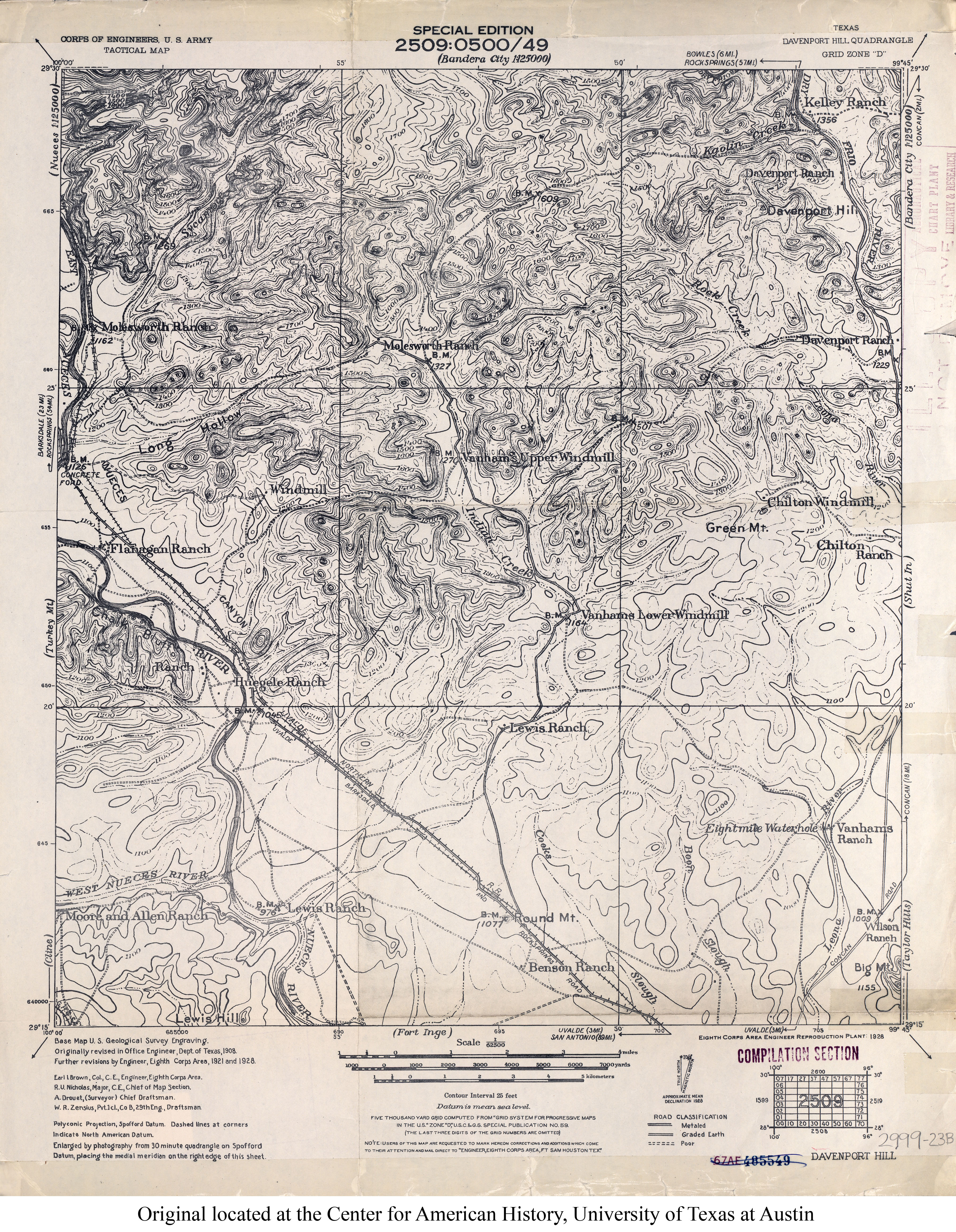
- Davenport Hill 1:62,500 1928 (4.9MB) U.S. Army. Corps of Engineers. Tactical Map
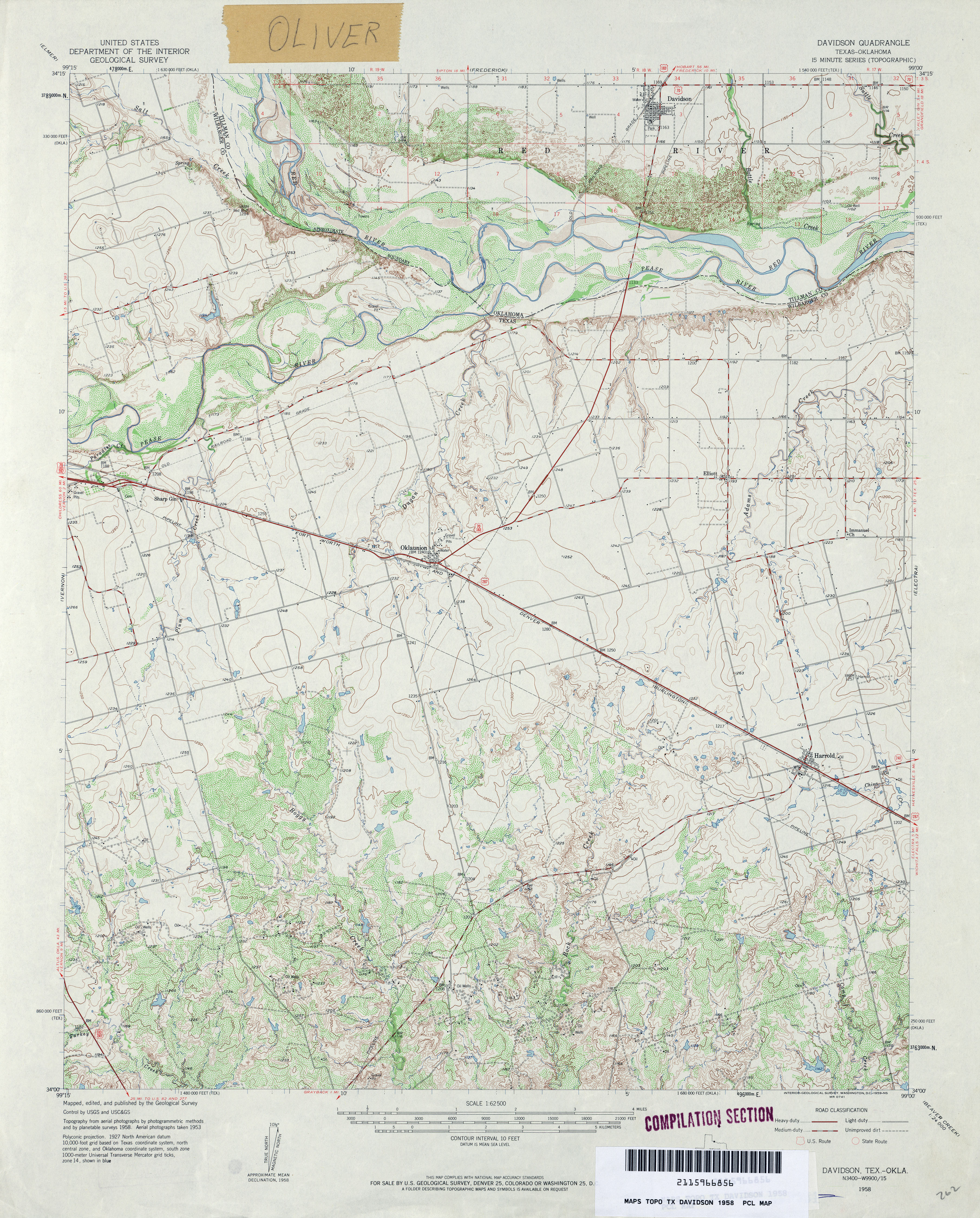
- Davidson 1:62,500 1958 (4.5MB)
- Davidson 1:24,000 2012 (16MB) [GeoPDF]
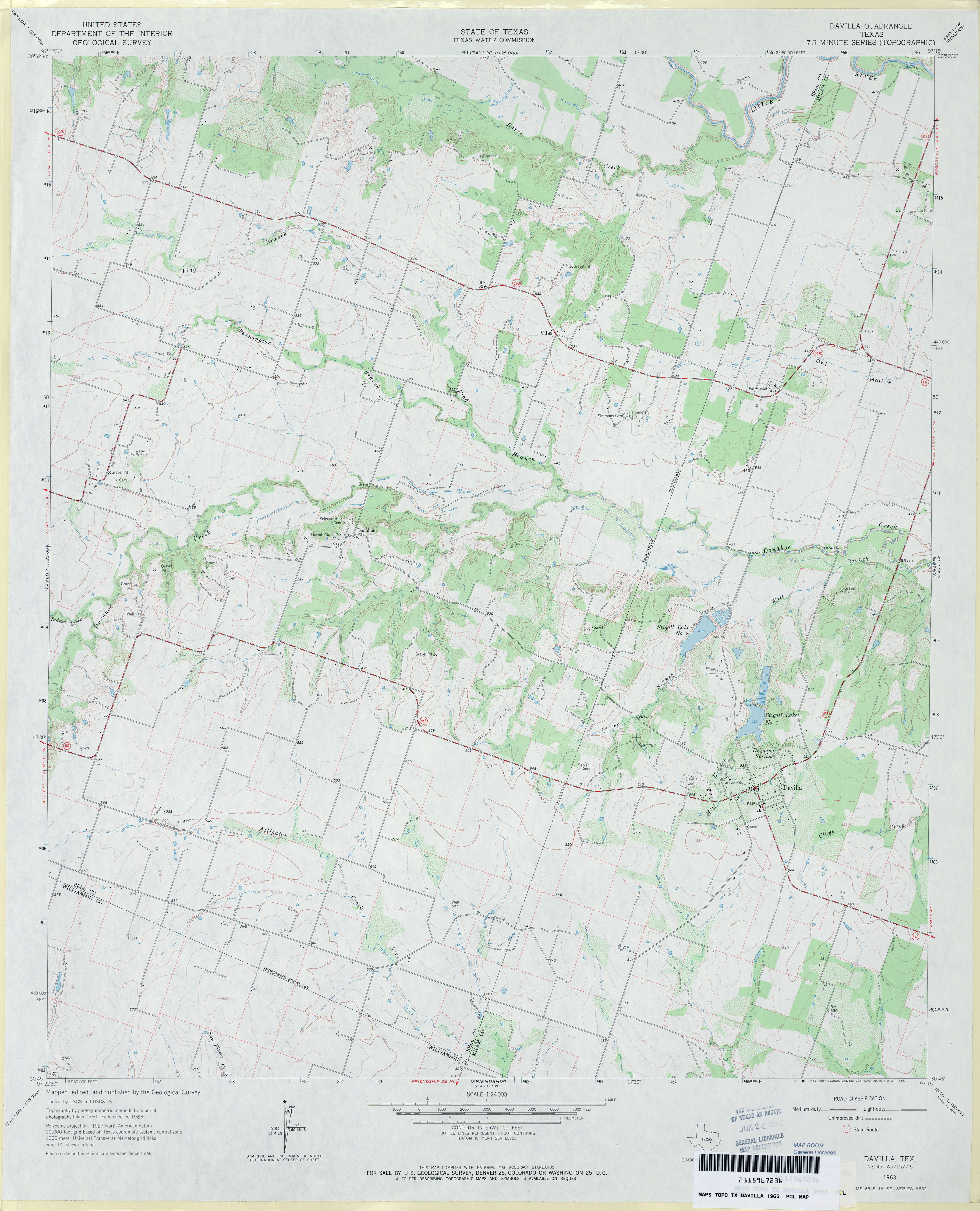
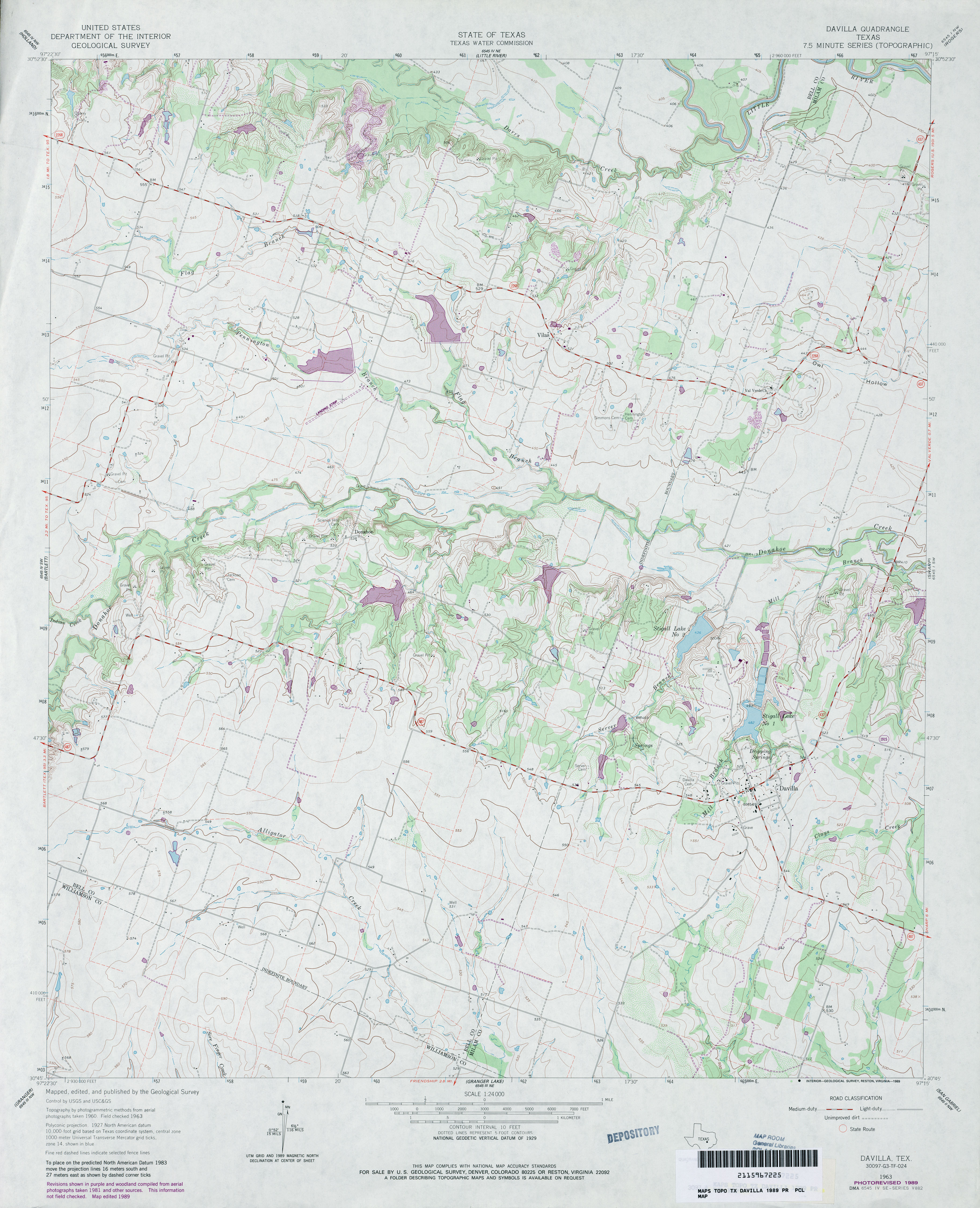
- Davilla 1:24,000 1963 (3.3MB)
- Davilla 1:24,000 1989 (3.6MB)
- Davilla 1:24,000 2008 (13.1MB) [GeoPDF]
- Davilla 1:24,000 2013 (21.4MB) [GeoPDF]
- Davis Hill (Liberty County) 1:24,000 1984 (3.5MB)
- Davis Hill 1:24,000 2009 (26.2MB) [GeoPDF]
- Davis Hill 1:24,000 2013 (22.7MB) [GeoPDF]
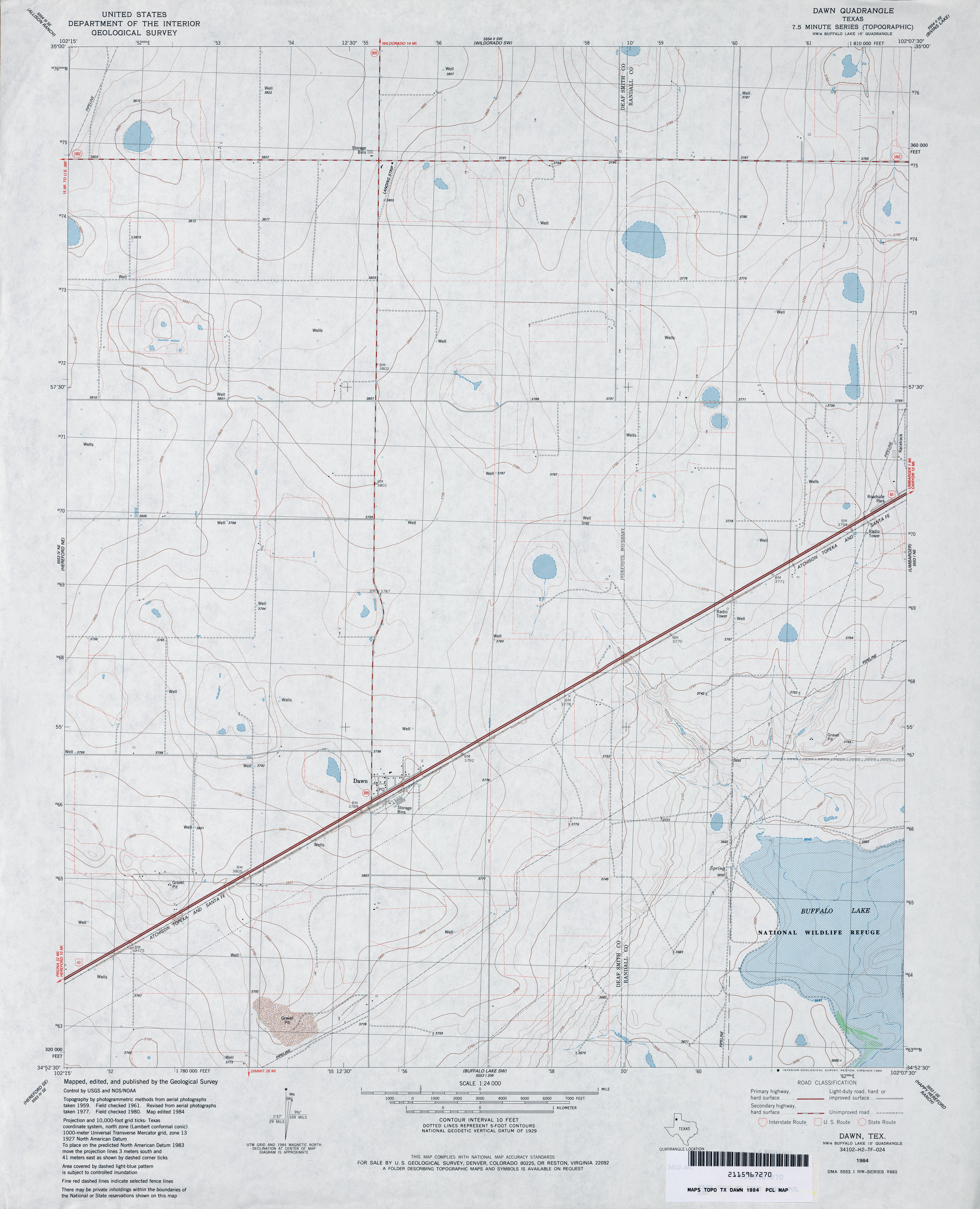
- Dawn 1:24,000 1984 (3MB)
- Dawn 1:24,000 2008 (8.2MB) [GeoPDF]
- Dawn 1:24,000 2012 (13.6MB) [GeoPDF]
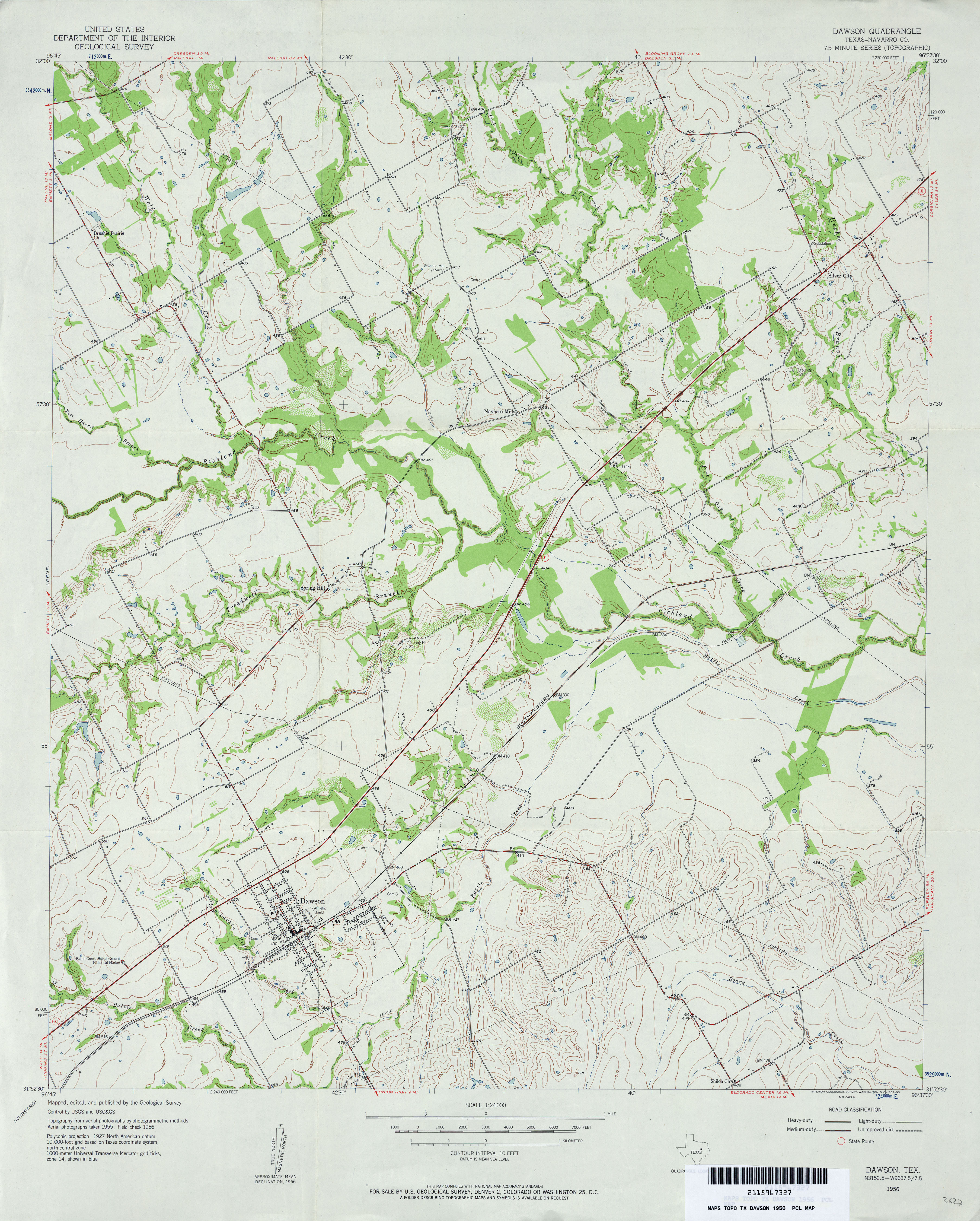
- Dawson (Navarro County) 1:24,000 1956 (3.8MB)
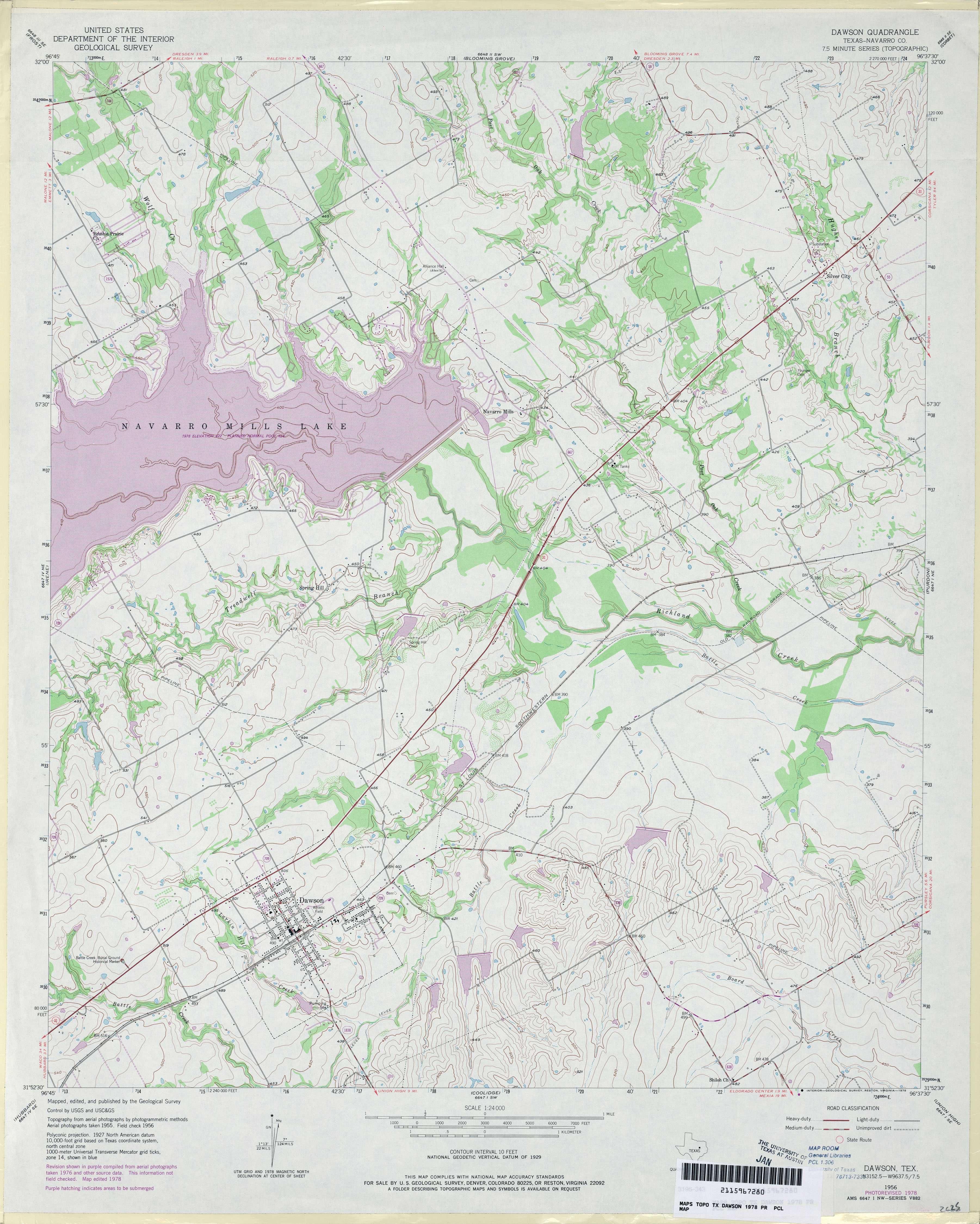
- Dawson (Navarro County) 1:24,000 1978 (4.1MB)
- Dawson 1:24,000 2008 (15.5MB) [GeoPDF]
- Dawson 1:24,000 2013 (20.1MB) [GeoPDF]
- Dayton (Liberty County) 1:24,000 1984 (3.1MB)
- Dayton 1:24,000 2009 (15.3MB) [GeoPDF]
- Dayton 1:24,000 2013 (17.7MB) [GeoPDF]
- De Berry 1:24,000 1962 (3.4MB)
- De Berry 1:24,000 2009 (21.1MB) [GeoPDF]
- De Berry 1:24,000 2013 (24MB) [GeoPDF]
- De Kalb 1:24,000 1951 (2.9MB)
- De Kalb 1:24,000 1975 (3MB)
- De Kalb 1:24,000 2008 (21.8MB) [GeoPDF]
- De Kalb 1:24,000 2013 (20MB) [GeoPDF]
- De Kalb NW 1:24,000 1951 (3.3MB)
- De Kalb NW 1:24,000 1975 (3.3MB)
- De Kalb NW 1:24,000 2013 (20.9MB) [GeoPDF]
- De Leon (Comanche County) 1:24,000 1969 (4MB)
- De Leon 1:24,000 2008 (14.0MB) [GeoPDF]
- De Leon 1:24,000 2012 (19.6MB) [GeoPDF]
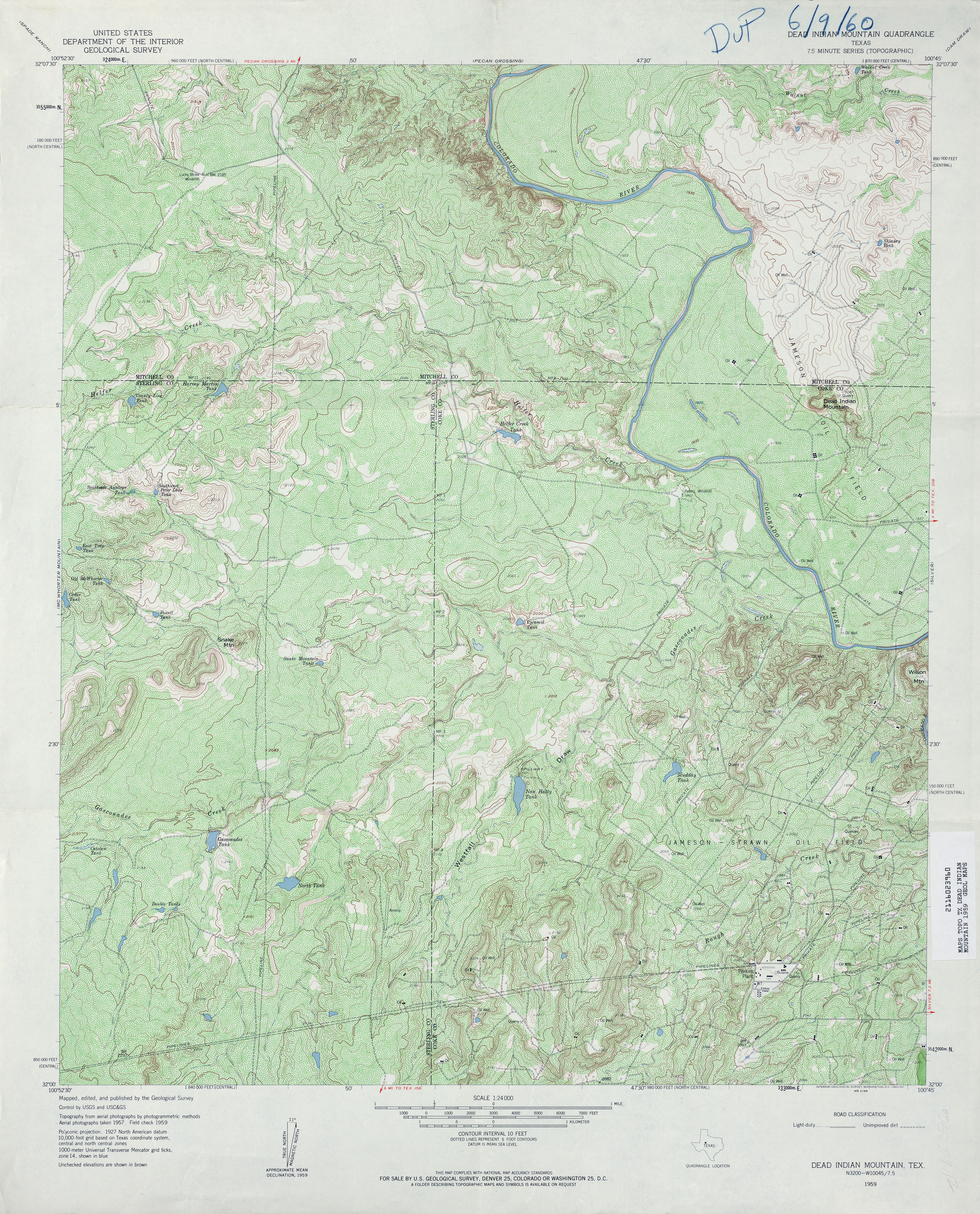
- Dead Indian Mountain 1:24,000 1959 (6.2MB)
- Dead Indian Mountain 1:24,000 2012 (28.3MB) [GeoPDF]
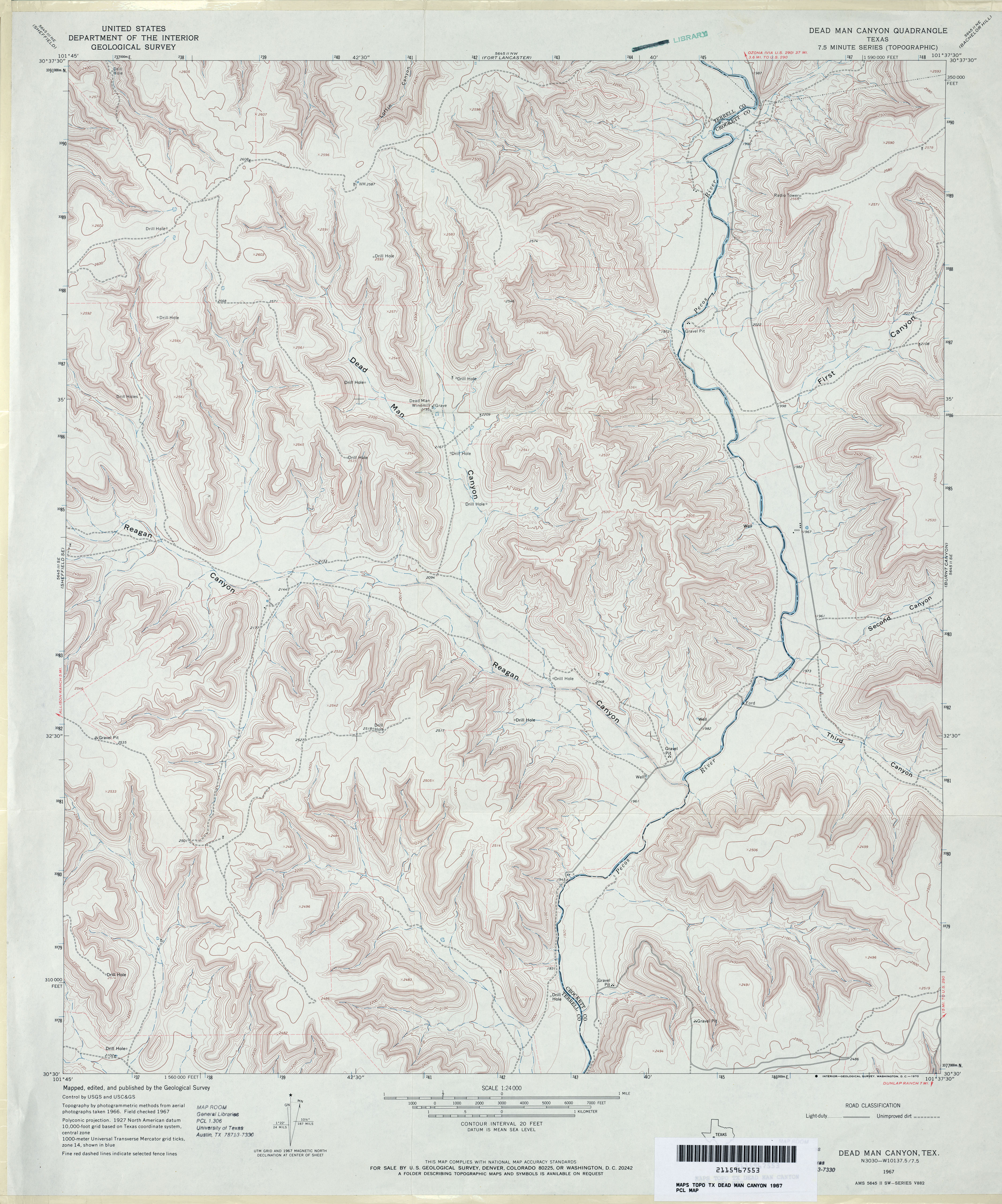
- Dead Man Canyon 1:24,000 1967 (4.6MB)
- Dead Man Canyon 1:24,000 2008 (24.4MB) [GeoPDF]
- Dead Man Canyon 1:24,000 2012 (35MB) [GeoPDF]
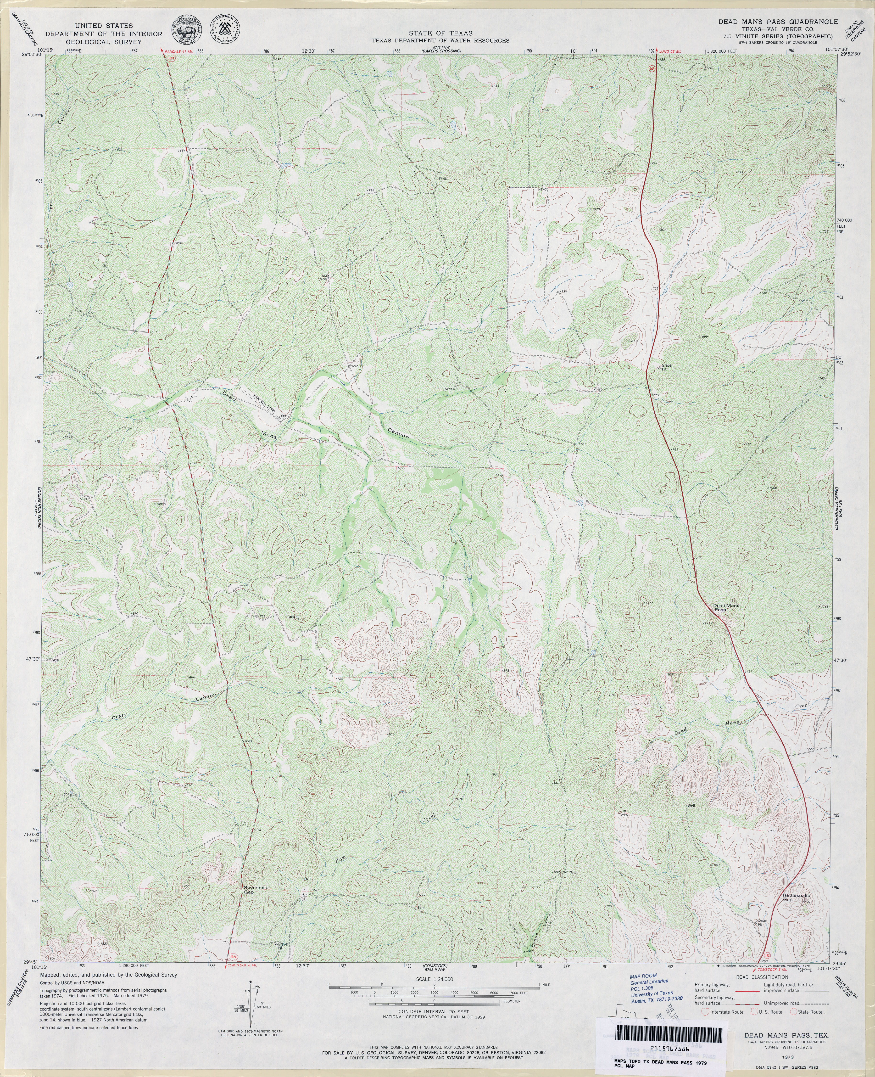
- Dead Mans Pass (Val Verde County) 1:24,000 1979 (5.2MB)
- Dead Mans Pass 1:24,000 2008 (23.4MB) [GeoPDF]
- Dead Mans Pass 1:24,000 2013 (34MB) [GeoPDF]
- Deadmans Hill (Maverick County) 1:24,000 1974 (5MB)
- Deadmans Hill 1:24,000 2008 (21.2MB) [GeoPDF]
- Deadmans hill 1:24,000 2012 (30.3MB) [GeoPDF]
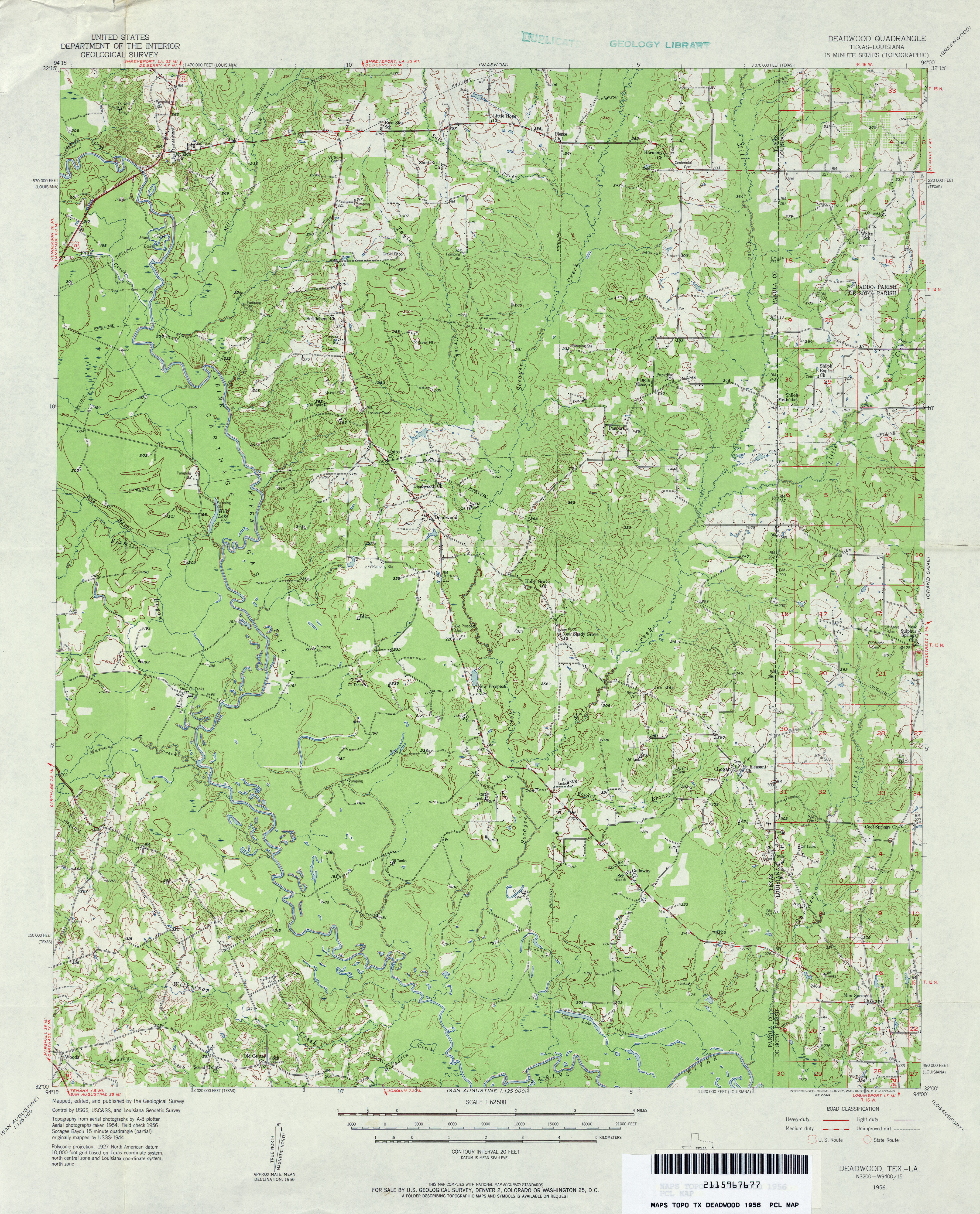
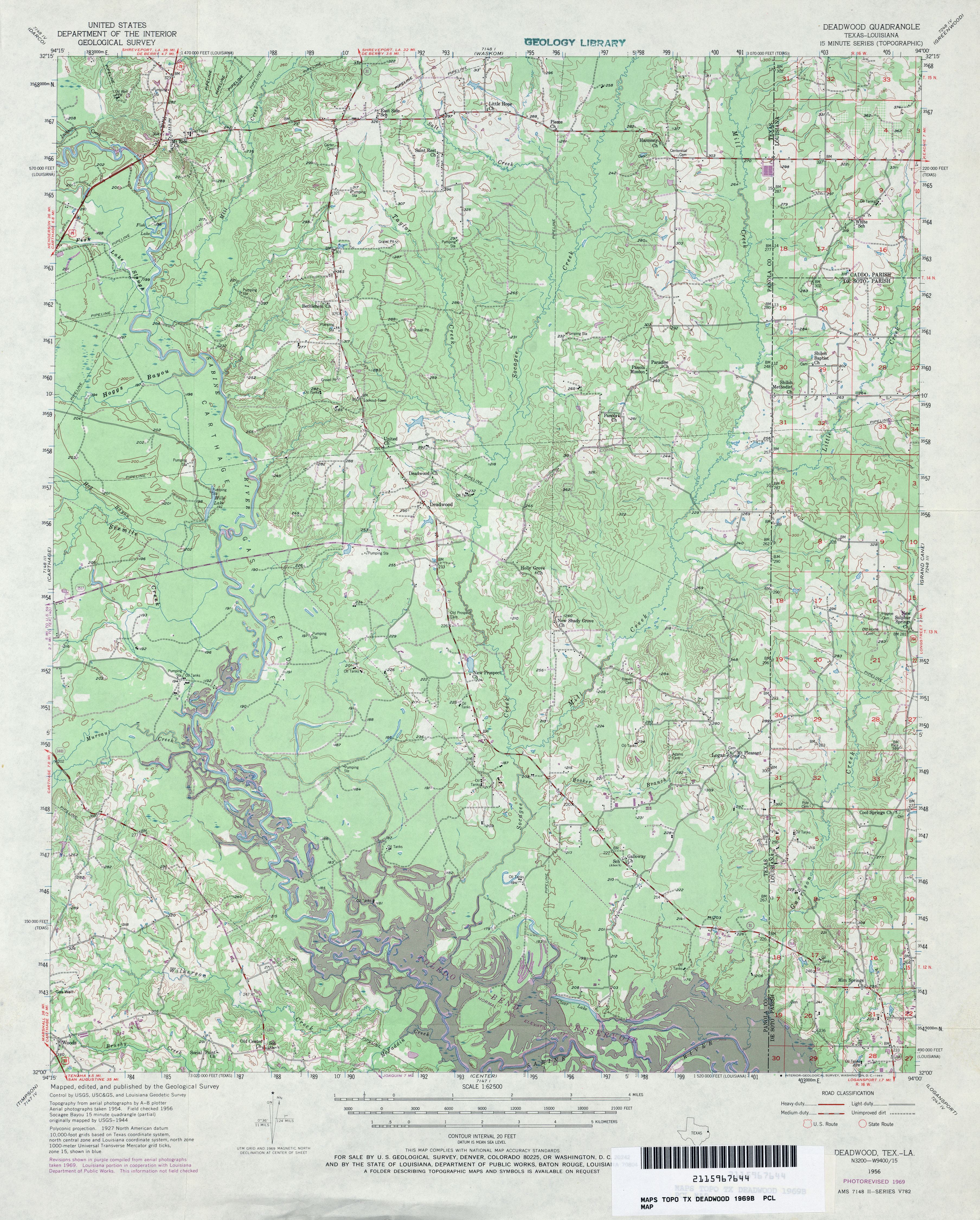
- Deadwood 1:62,500 1956 (4.6MB)
- Deadwood 1:62,500 1969 (4.6MB)
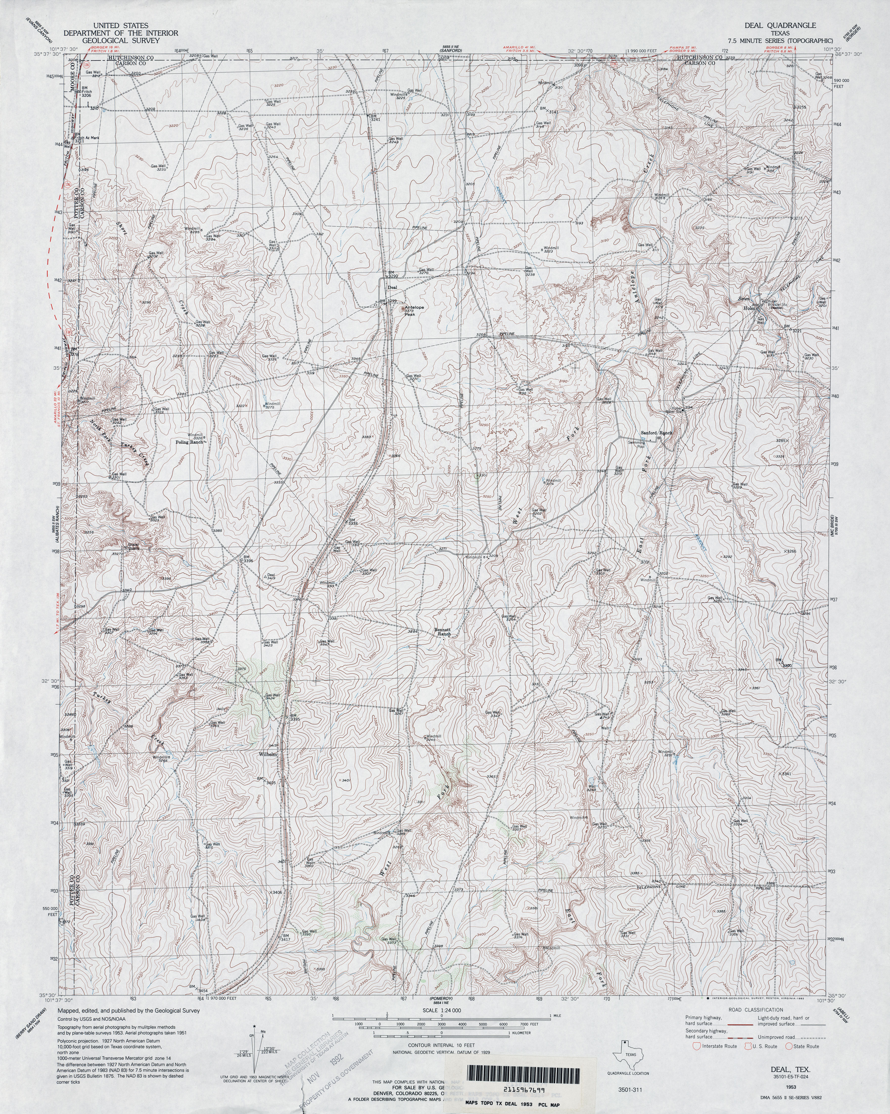
- Deal 1:24,000 1953 (4.9MB)
- Deal 1:24,000 2008 (17.8MB) [GeoPDF]
- Deal 1:24,000 2013 (19.7MB) [GeoPDF]
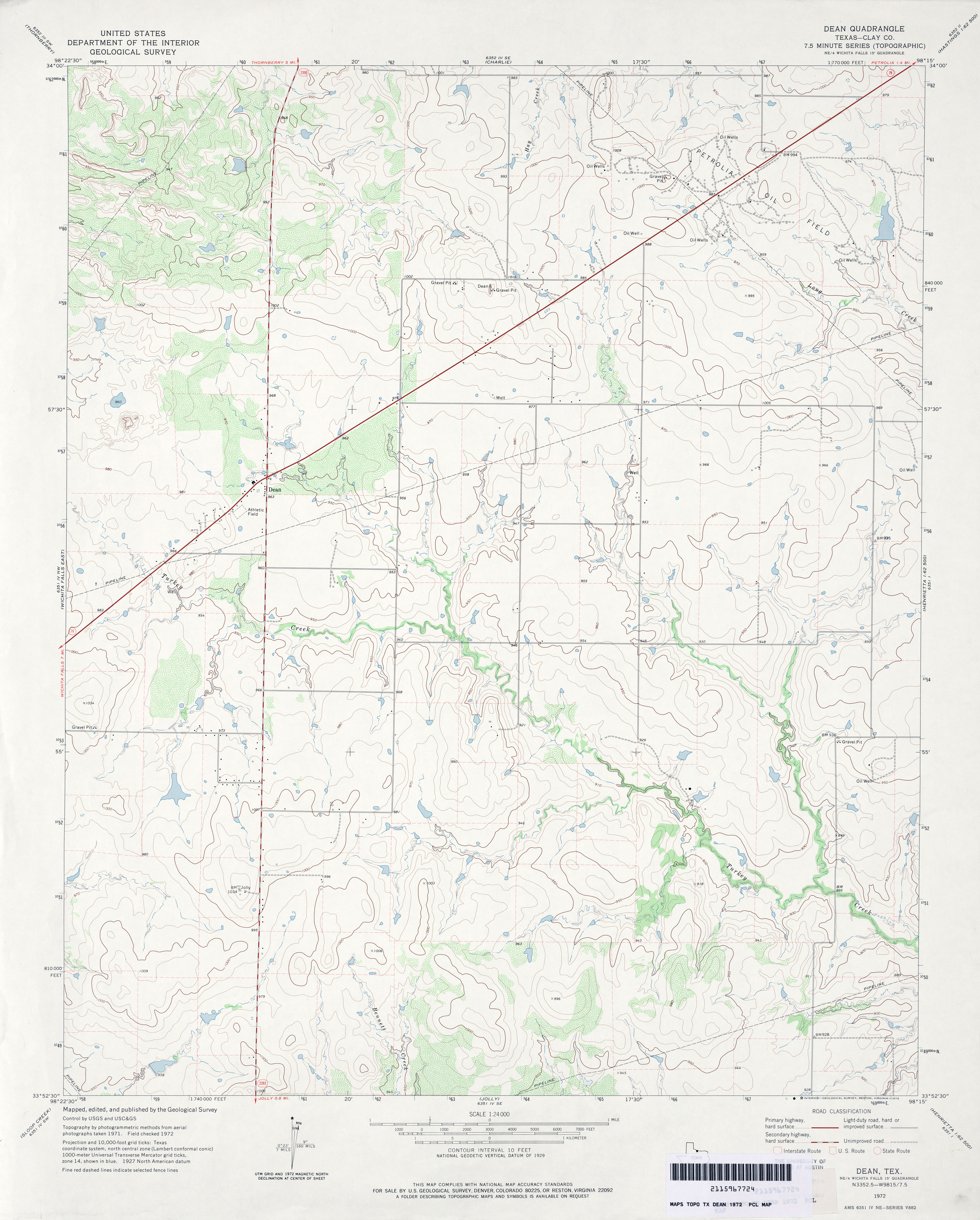
- Dean (Clay County) 1:24,000 1972 (3.1MB)
- Dean 1:24,000 2008 (11.7MB) [GeoPDF]
- Dean 1:24,000 2012 (16.9MB) [GeoPDF]
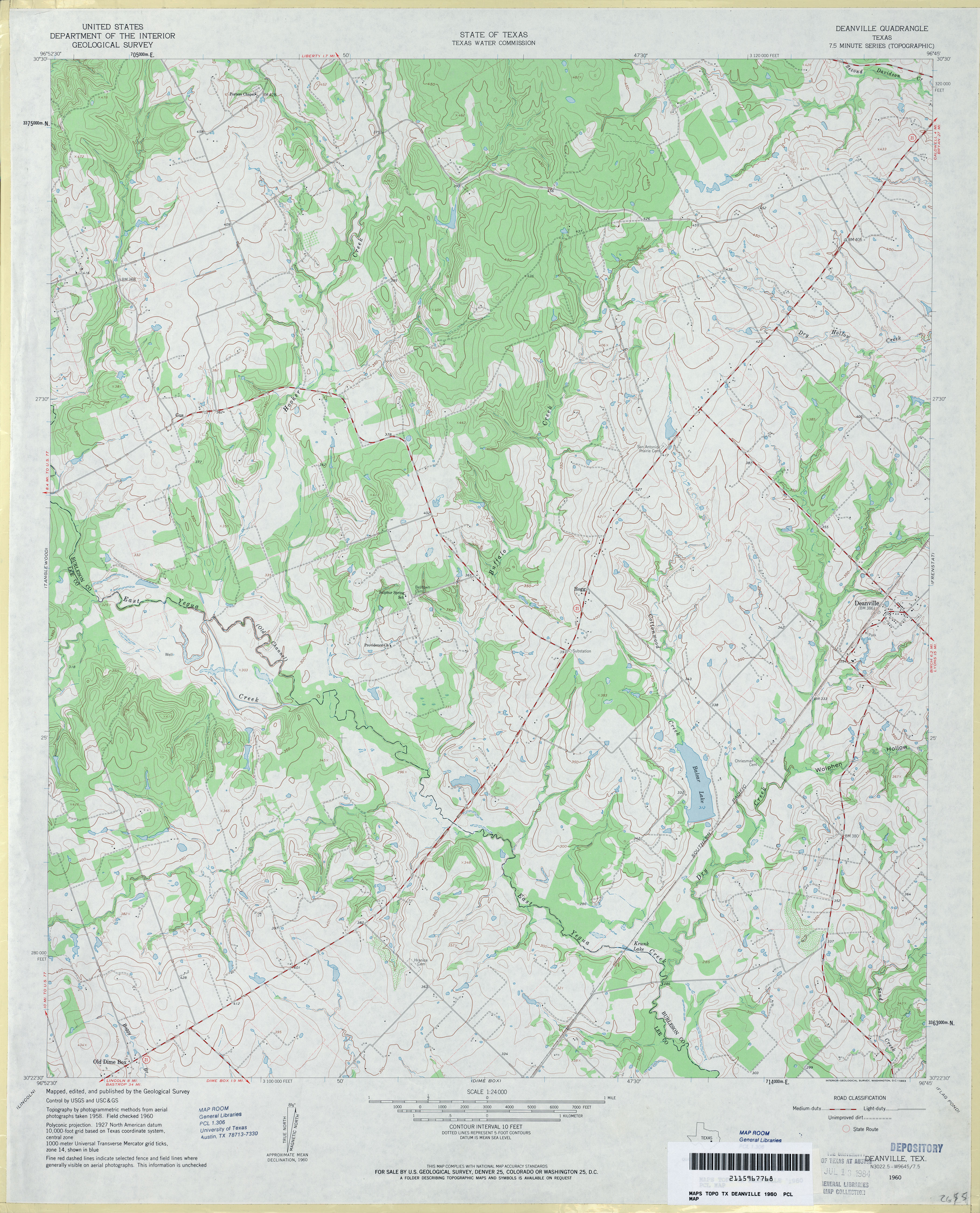
- Deanville 1:24,000 1960 (4.1MB)
- Deanville 1:24,000 1989 (4.3MB)
- Deanville 1:24,000 2008 (13.6MB) [GeoPDF]
- Deanville 1:24,000 2013 (23.2MB) [GeoPDF]
- Deaton Draw (Val Verde County) 1:24,000 1970 (5.6MB)
- Deaton Draw 1:24,000 2008 (26.2MB) [GeoPDF]
- Deaton Draw 1:24,000 2012 (37.1MB) [GeoPDF]
- Decatur (Wise County) 1:24,000 1960 (4.4MB)
- Decatur (Wise County) 1:24,000 1968 (4.3MB)
- Decatur (Wise County) 1:24,000 1972 (4MB)
- Decatur 1:24,000 2008 (14.0MB) [GeoPDF]
- Decatur 1:24,000 2013 (19.6MB) [GeoPDF]
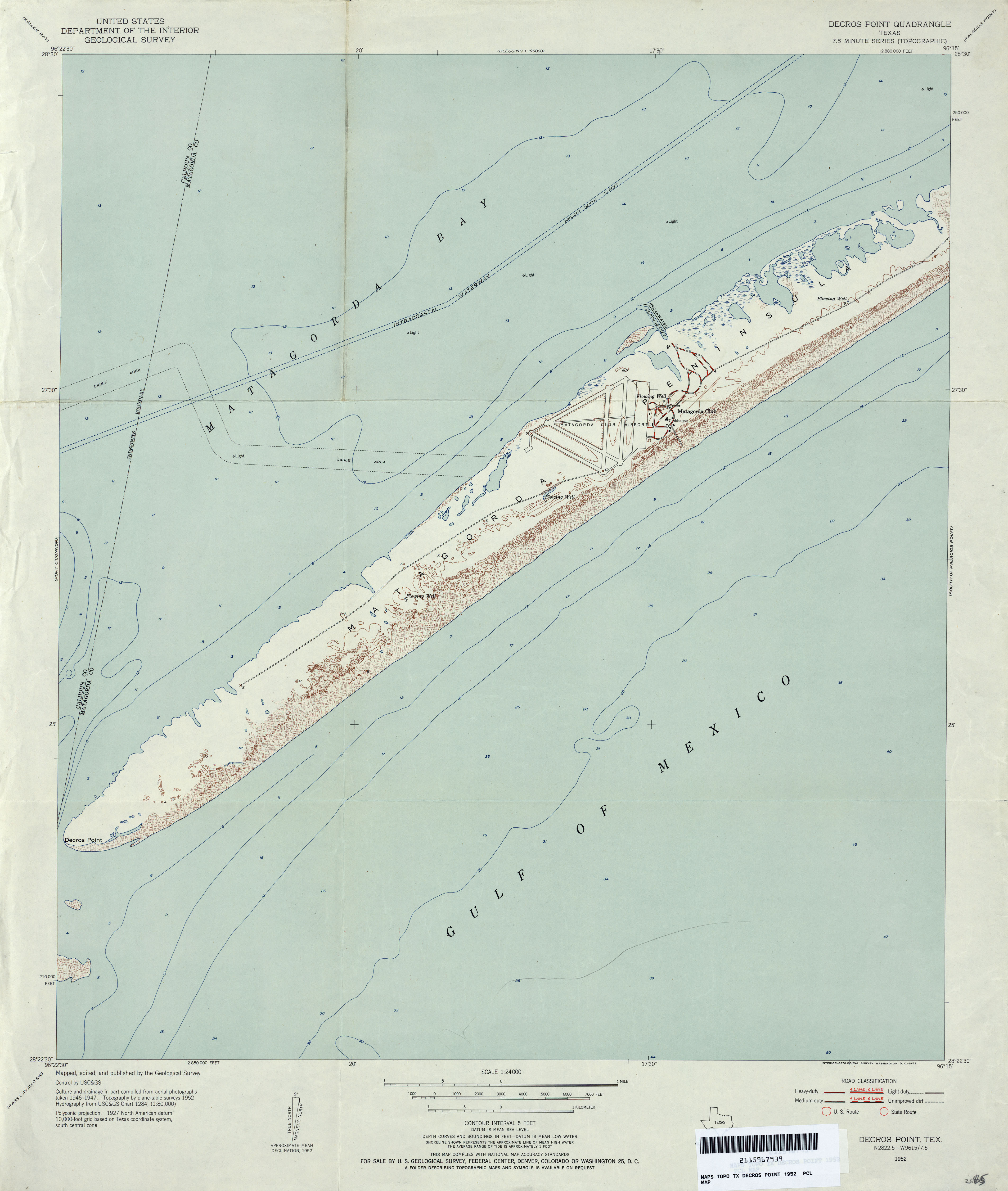
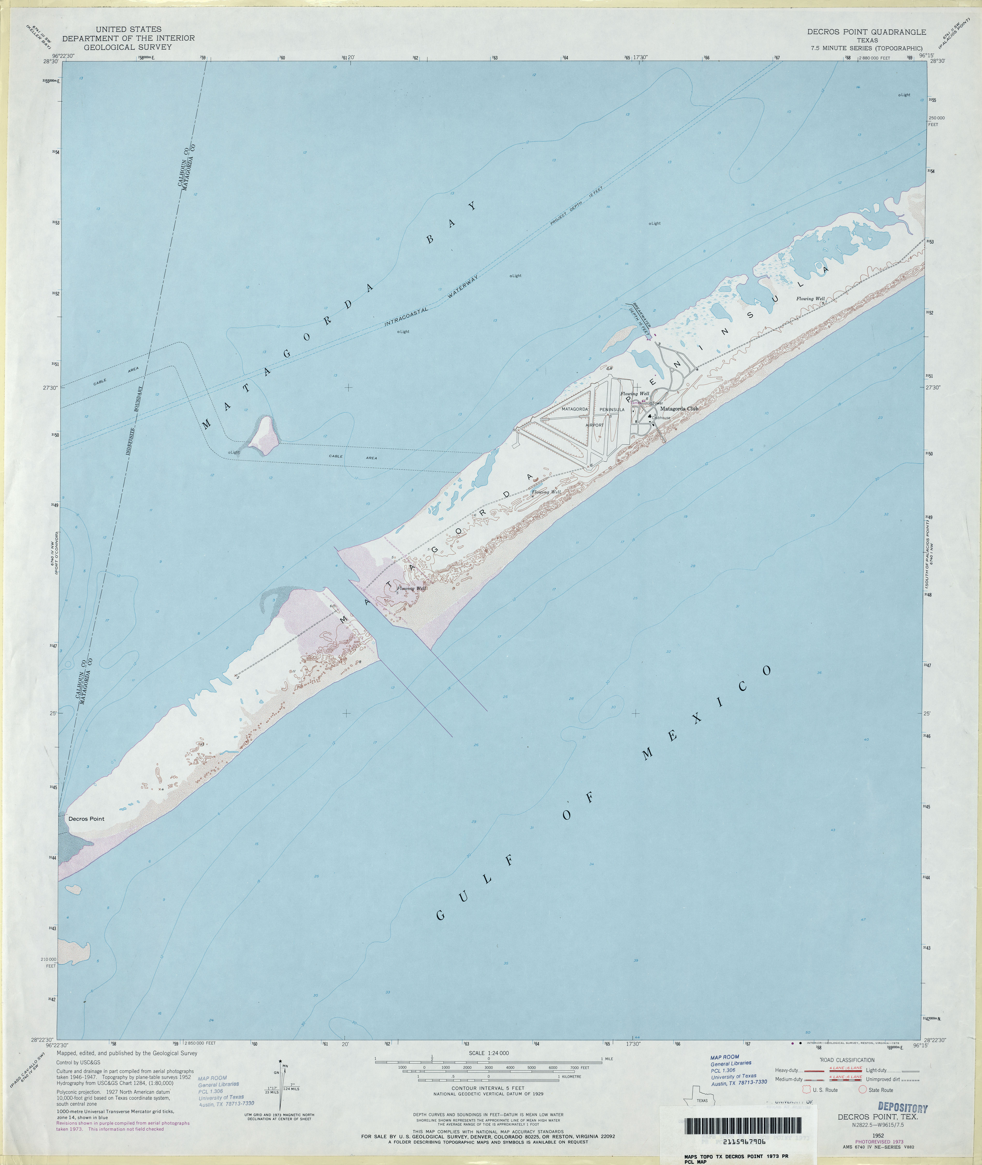
- Decros Point 1:24,000 1952 (2.3MB)
- Decros Point 1:24,000 1973 (2MB)
- Decros Point 1:24,000 2008 (11.7MB) [GeoPDF]
- Decros Point 1:24,000 2013 (18.4MB) [GeoPDF]
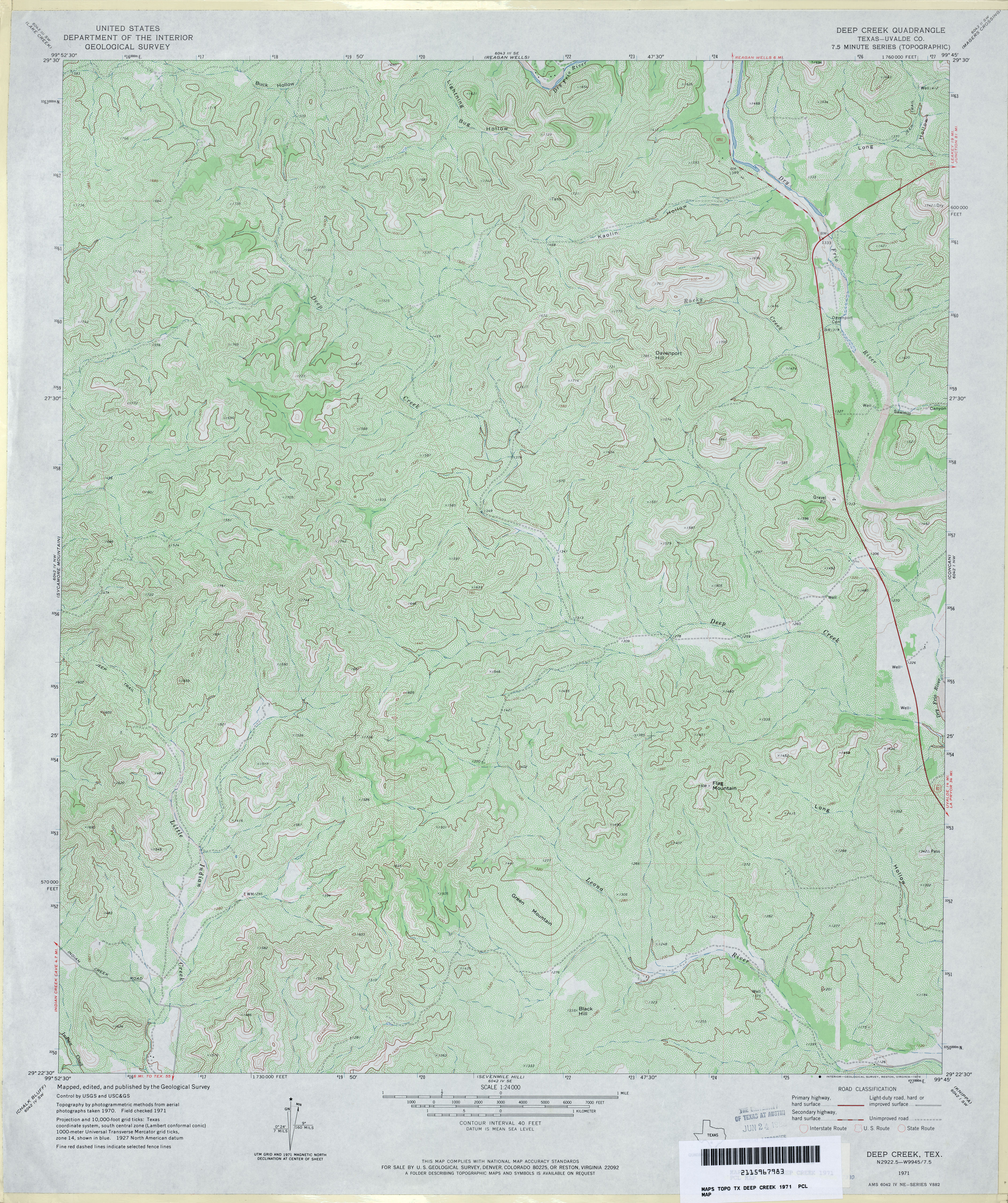
- Deep Creek (Uvalde County) 1:24,000 1971 (5.3MB)
- Deep Creek 1:24,000 2008 (23.3MB) [GeoPDF]
- Deep Creek 1:24,000 2012 (30.2MB) [GeoPDF]
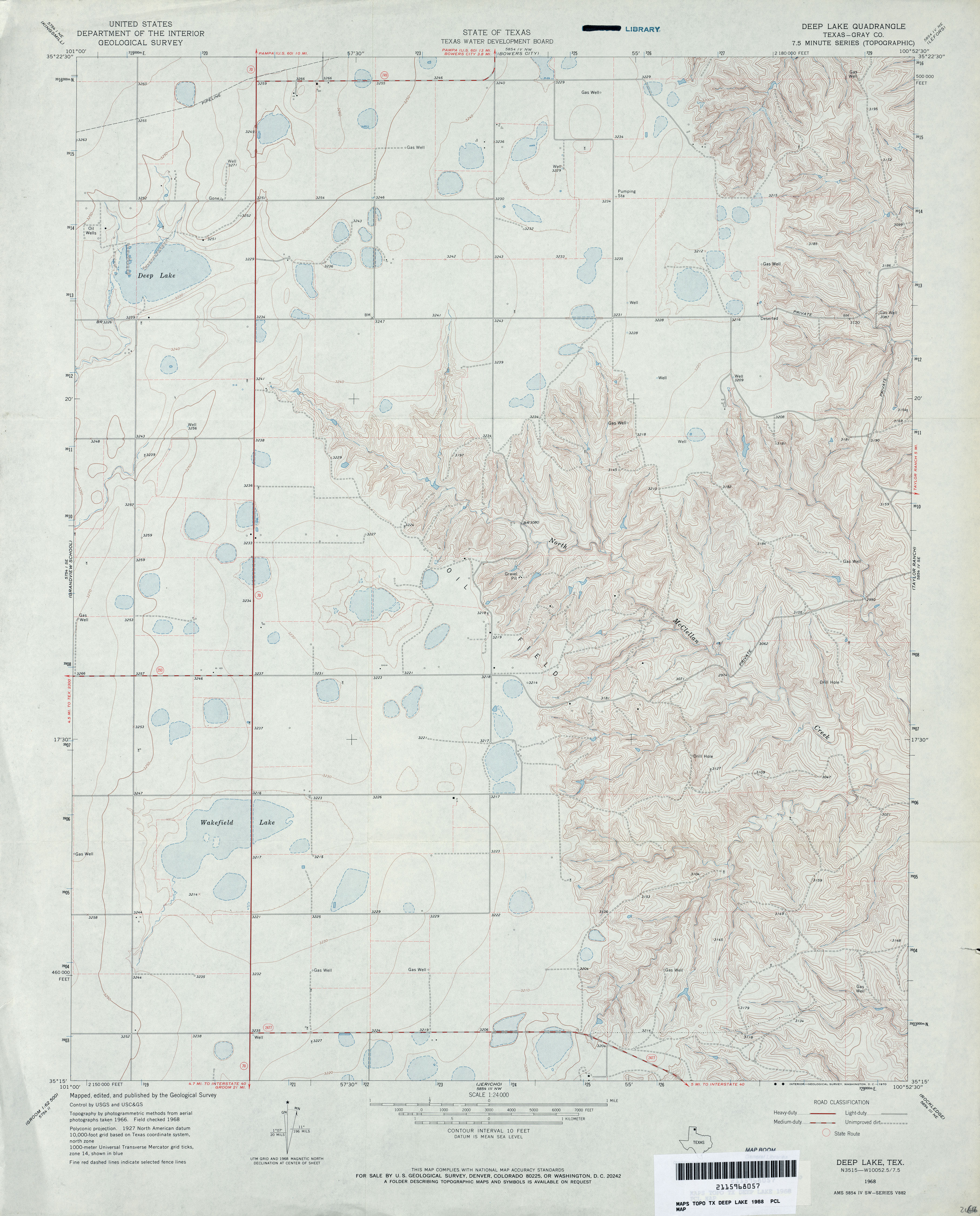
- Deep Lake (Gray County) 1:24,000 1968 (3.5MB)
- Deep Lake 1:24,000 2008 (12.2MB) [GeoPDF]
- Deep Lake 1:24,000 2012 (17.1MB) [GeoPDF]
- Deep Well Ranch 1:24,000 1970 (3.7MB)
- Deep Well Ranch 1:24,000 2008 (24.6MB) [GeoPDF]
- Deep Well ranch 1:24,000 2012 (26MB) [GeoPDF]
- Deep Well Ranch NW 1:24,000 1970 (3.1MB)
- Deep Well Ranch NW 1:24,000 2008 (23.9MB) [GeoPDF]
- Deep Well Ranch NW 1:24,000 2012 (26.2MB) [GeoPDF]
- Deep Well Ranch SE (Pecos County) 1:24,000 1970 (2.8MB)
- Deep Well Ranch SE 1:24,000 2008 (20.7MB) [GeoPDF]
- Deep Well Ranch SE 1:24,000 2012 (24.6MB) [GeoPDF]
- Deepwater (Harris County) 1:31,680 1915 (2.4 MB)
- Deepwater 1:25,000 1947 (3.5MB) U.S. Army Map Service, Series V882
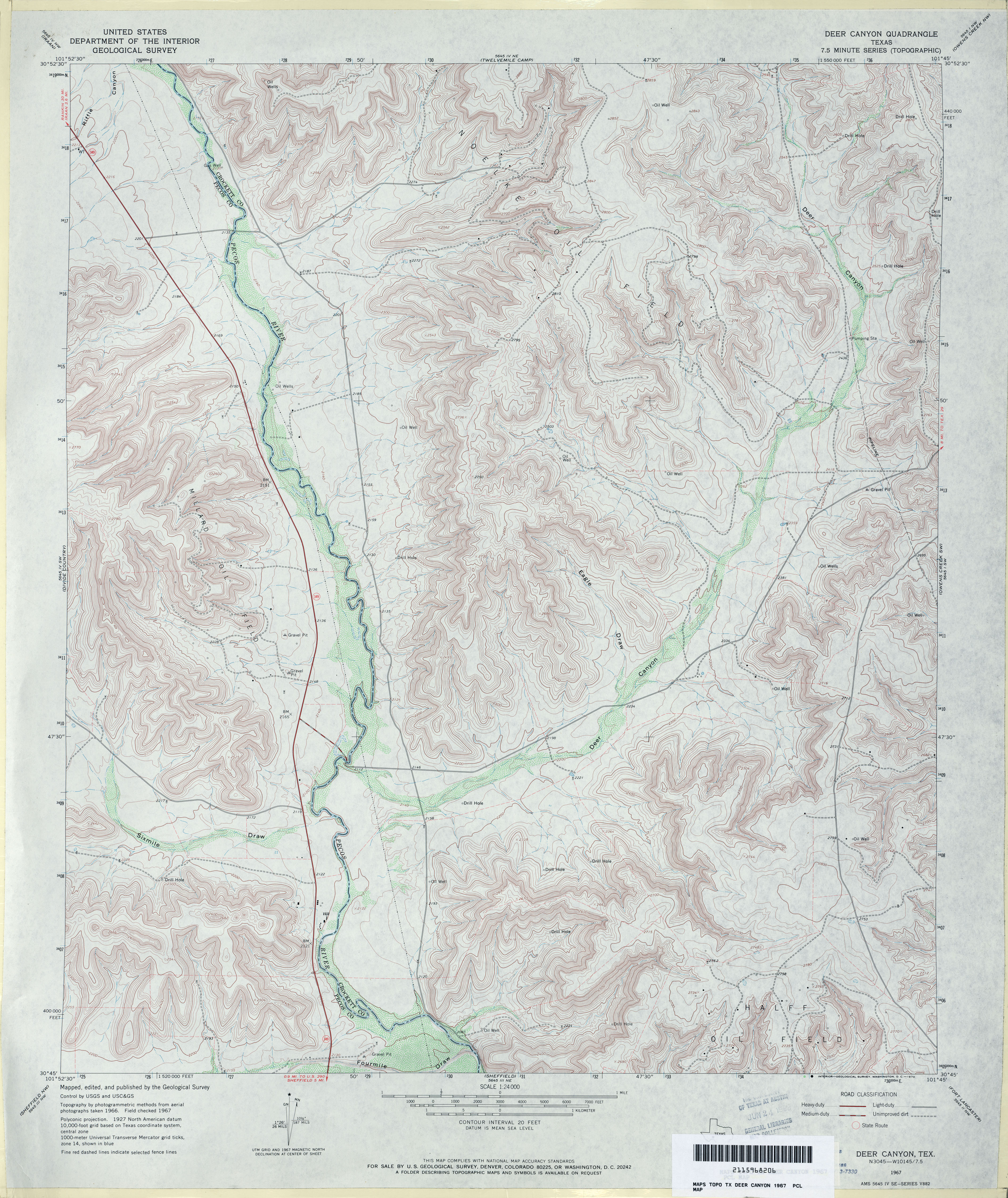
- Deer Canyon 1:24,000 1967 (4.8MB)
- Deer Canyon 1:24,000 2008 (25.9MB) [GeoPDF]
- Deer Canyon 1:24,000 2012 (32.7MB) [GeoPDF]
- Deer Creek (Clay County) 1:24,000 1963 (4.4MB)
- Deer Creek (Clay County) 1:24,000 1981 (4.8MB)
- Deer Creek 1:24,000 2008 (11.2MB) [GeoPDF]
- Deer Creek 1:24,000 2012 (16.5MB) [GeoPDF]
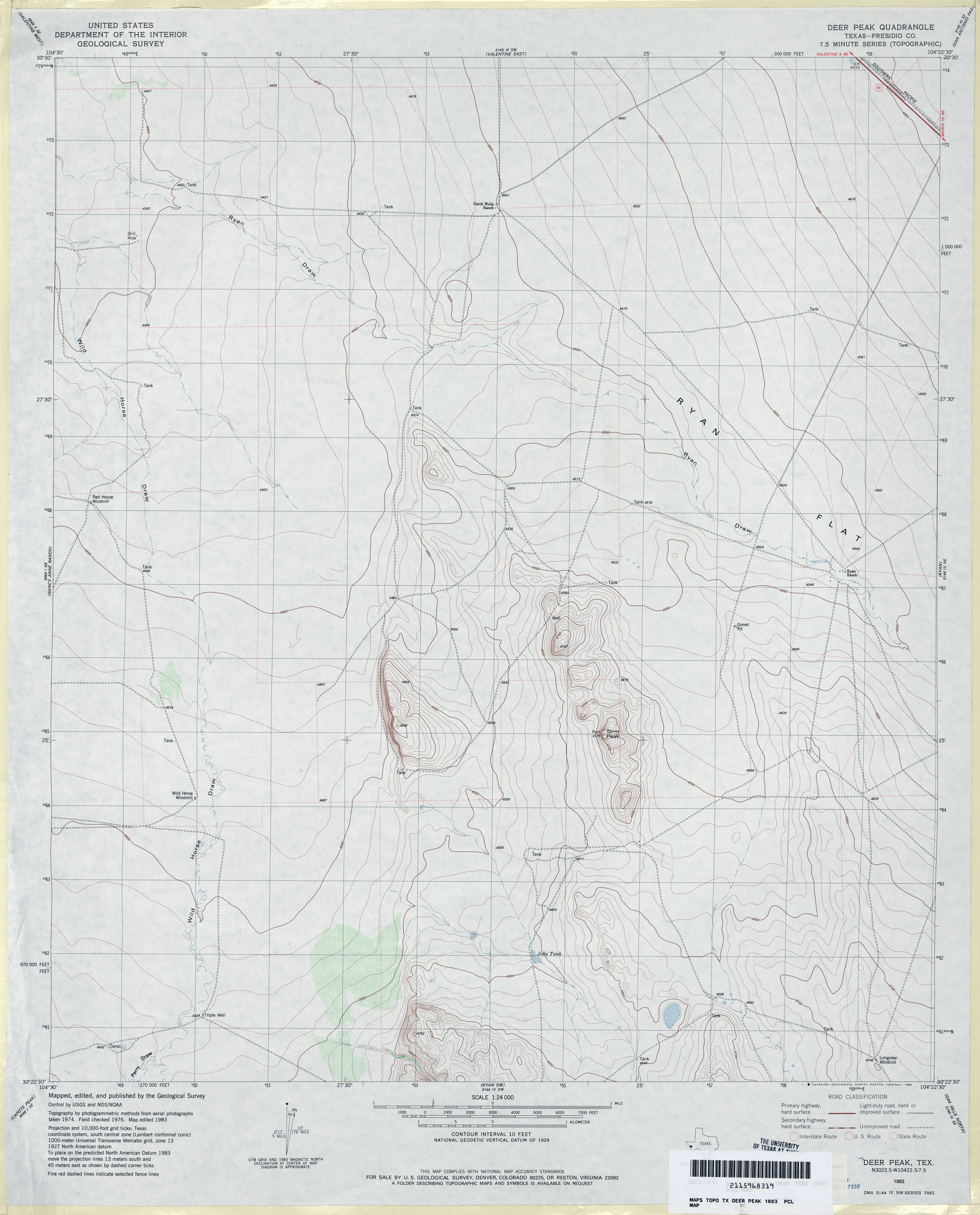
- Deer Peak (Presidio County) 1:24,000 1983 (2.7MB)
- Deer Peak 1:24,000 2012 (20.8MB) [GeoPDF]
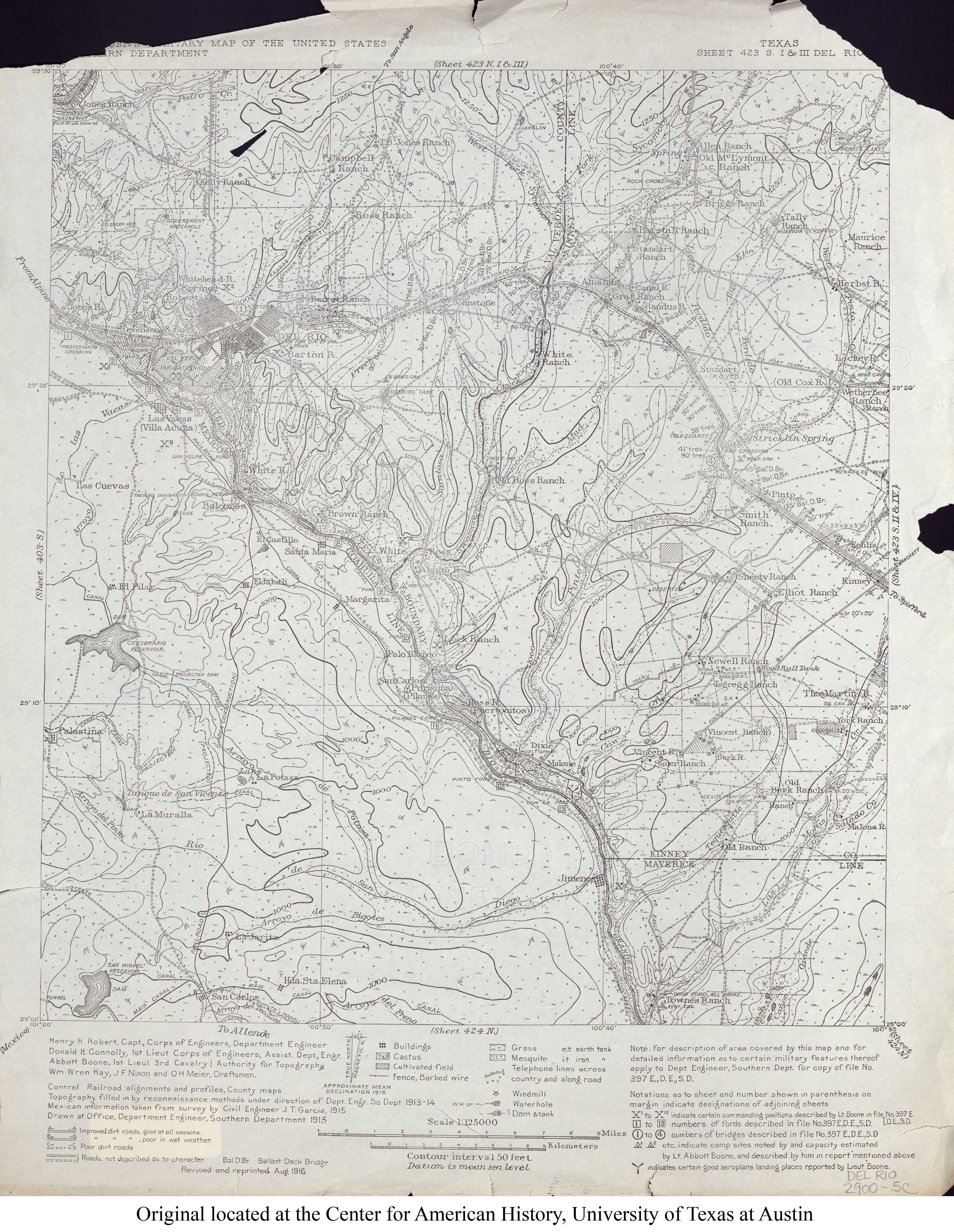
- Del Rio 1:125,000 1916 (3.9MB) U.S. Army. Corps of Engineers. Progressive Military Map
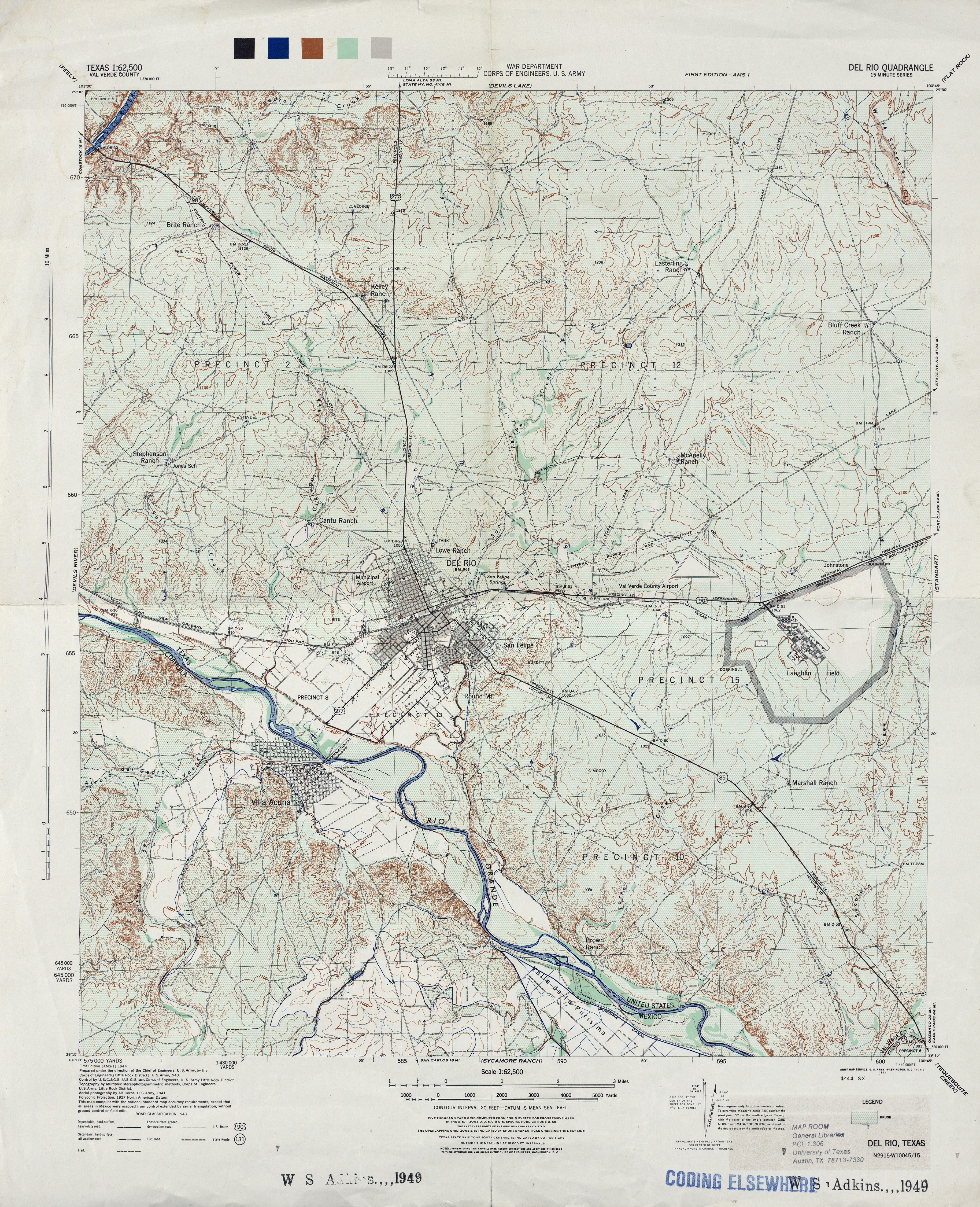
- Del Rio (Val Verde County) 1:62,500 1943 (5.6MB)
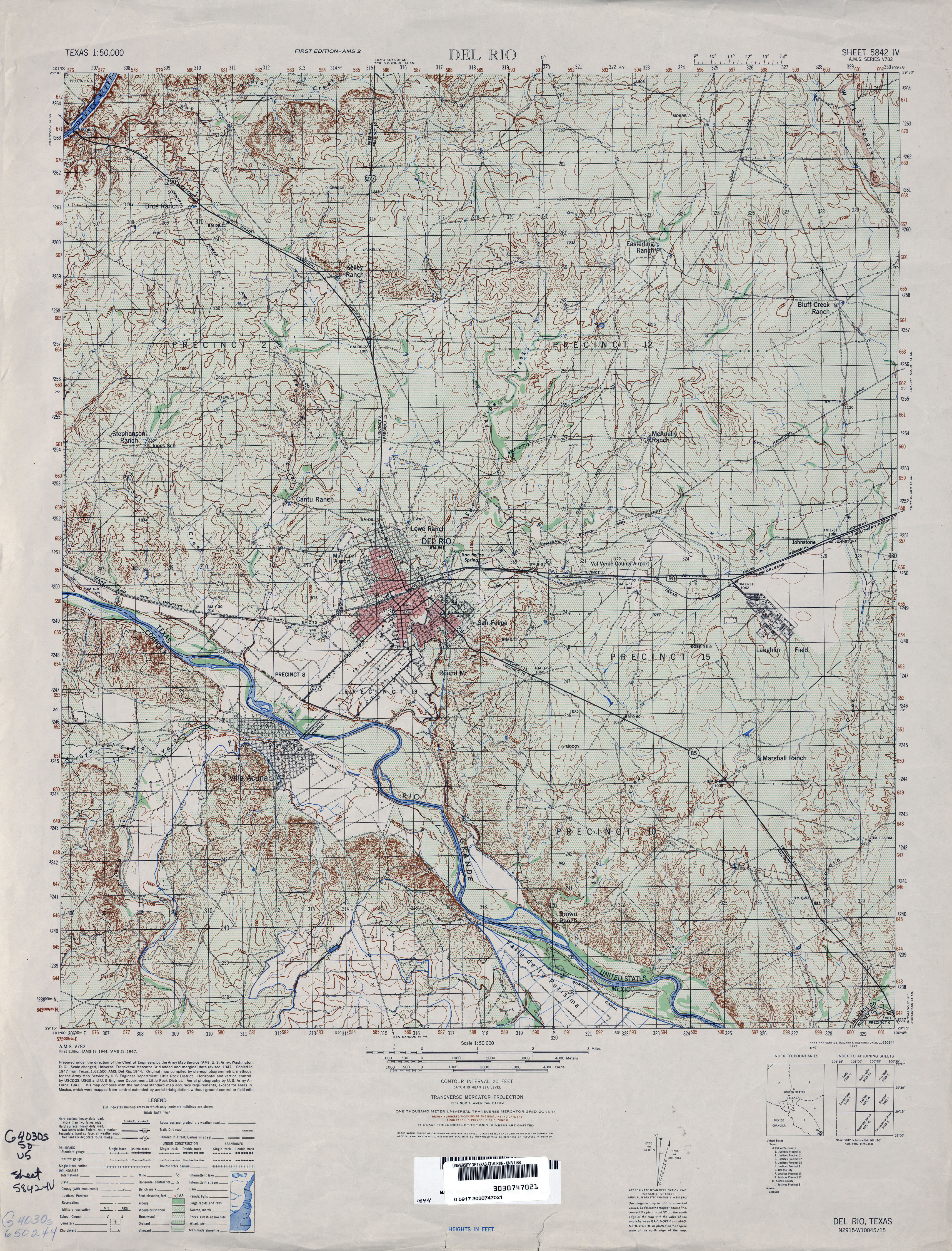
- Del Rio 1:50,000 1947 (5.4MB) U.S. Army Map Service, Series V782.
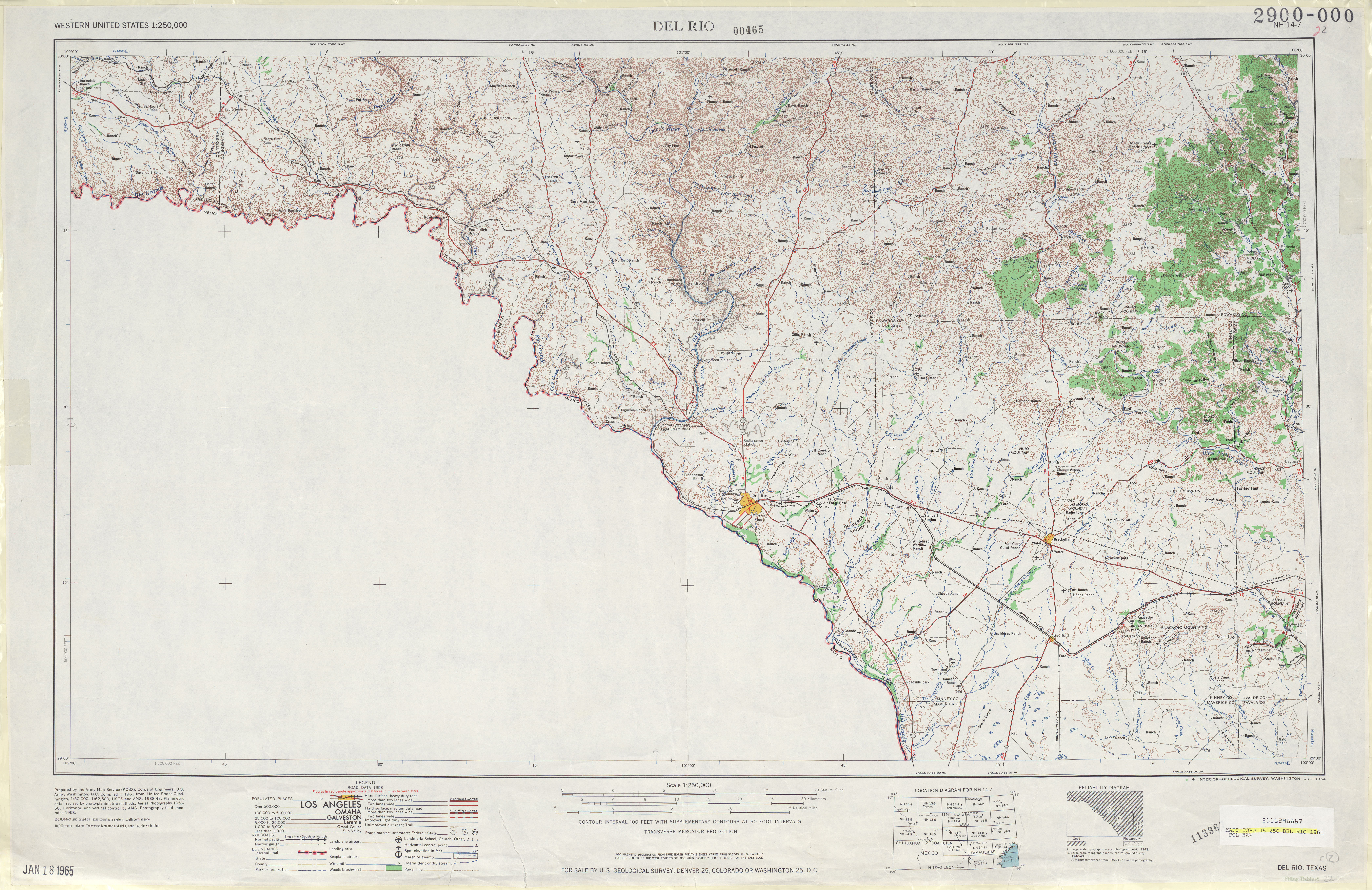
- Del Rio 1:250,000 1961 (6.9MB)
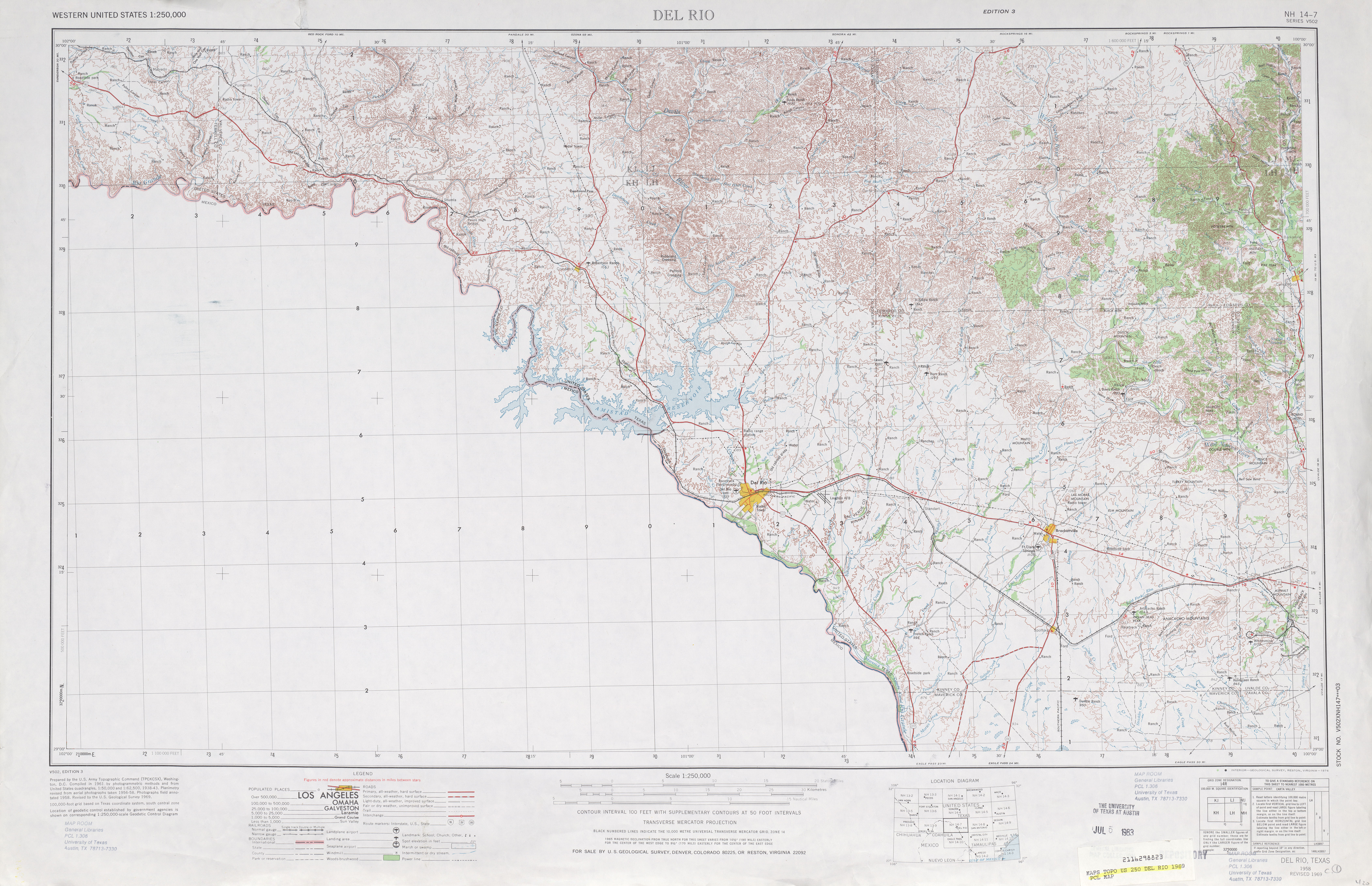
- Del Rio 1:250,000 1969 (6.7MB)
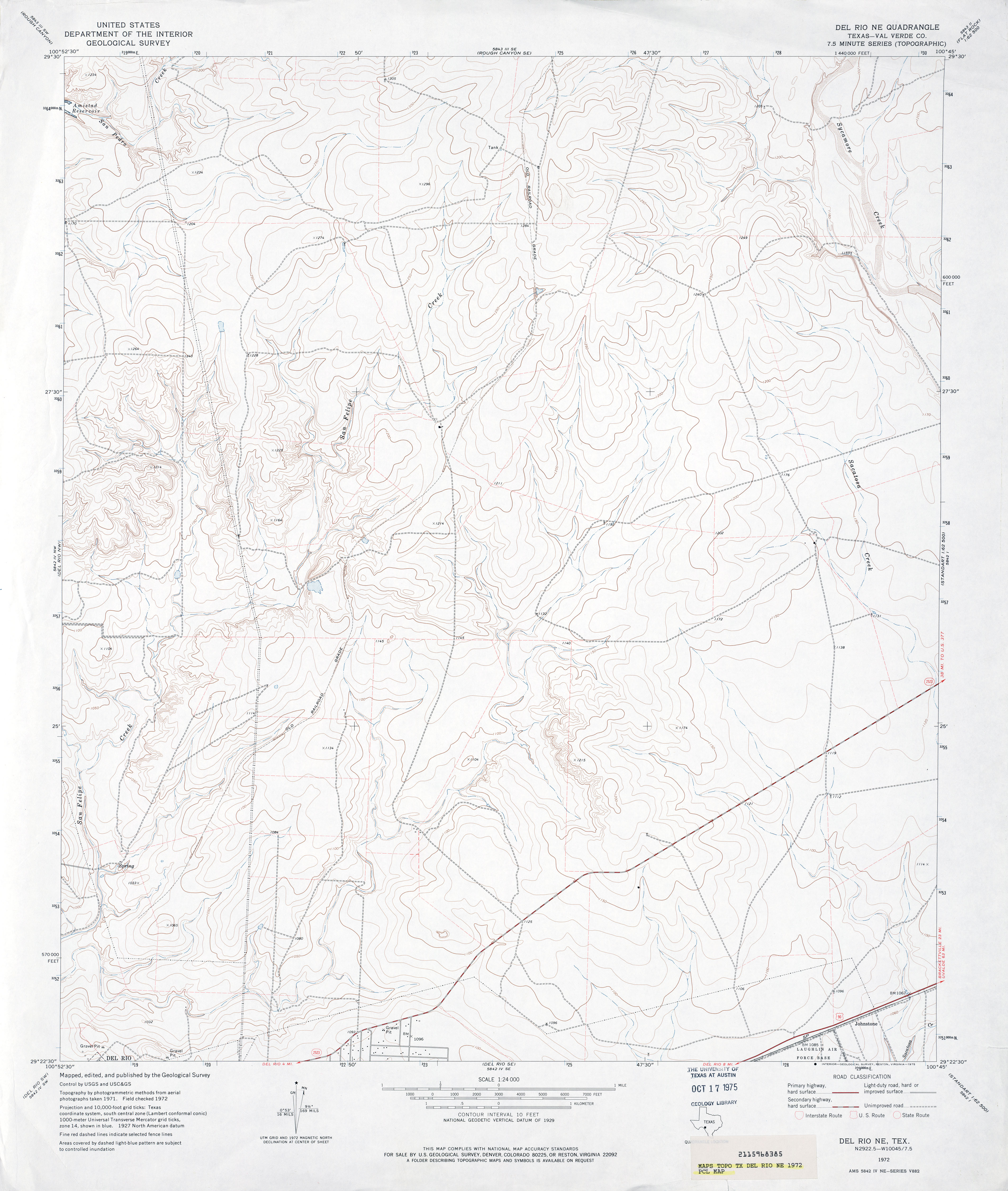
- Del Rio NE (Val Verde County) 1:24,000 1972 (3.2MB)
- Del Rio NE 1:24,000 2008 (22.0MB) [GeoPDF]
- Del Rio NE 1:24,000 2013 (30.3MB) [GeoPDF]
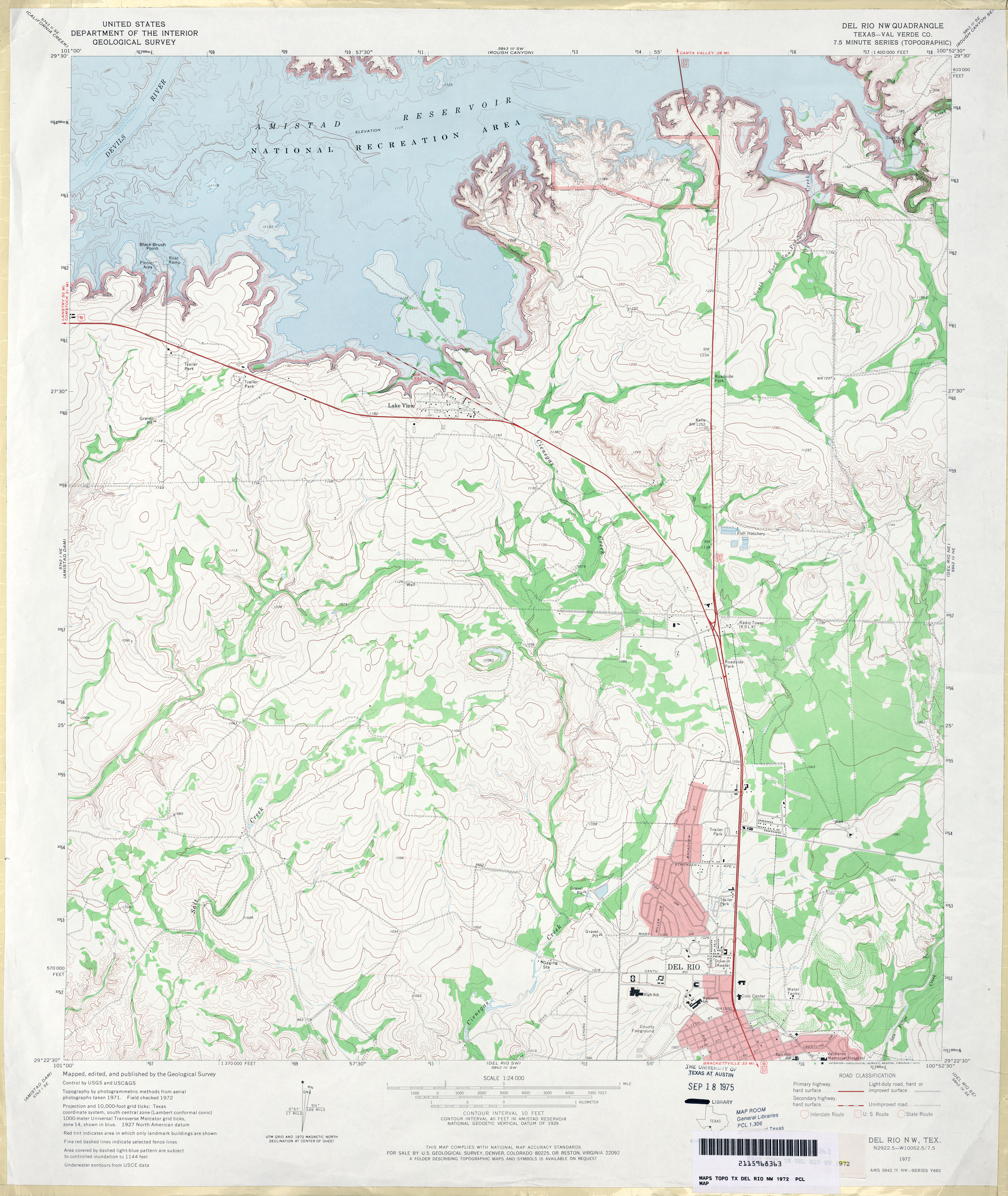
- Del Rio NW (Val Verde County) 1:24,000 1972 (4MB)
- Del Rio NW 1:24,000 2008 (20.5MB) [GeoPDF]
- Del Rio NW 1:24,000 2013 (29.6MB) [GeoPDF]
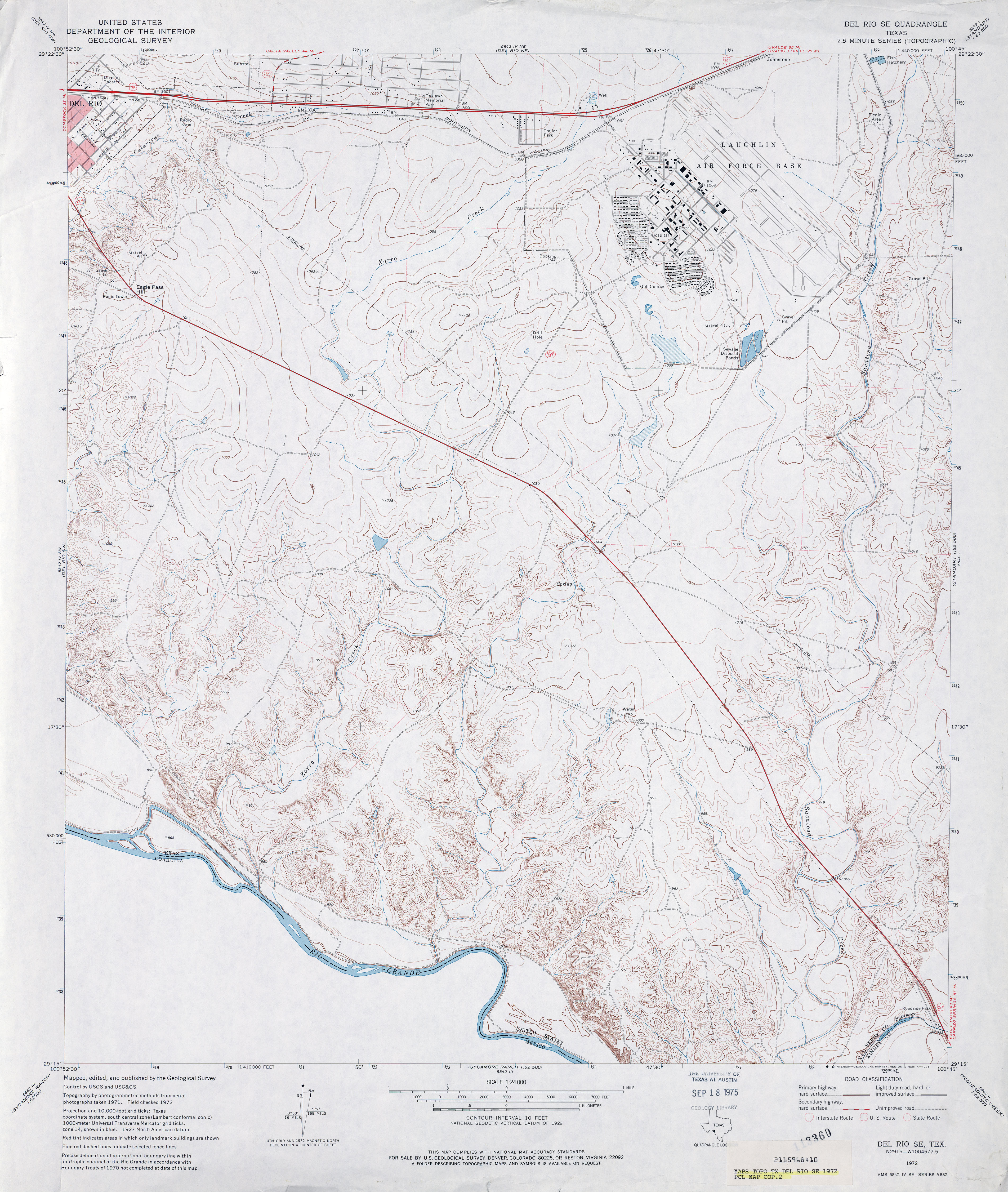
- Del Rio SE 1:24,000 1972 (4MB)
- Del Rio SE 1:24,000 2008 (22.0MB) [GeoPDF]
- Del Rio SE 1:24,000 2013 (29.5MB) [GeoPDF]
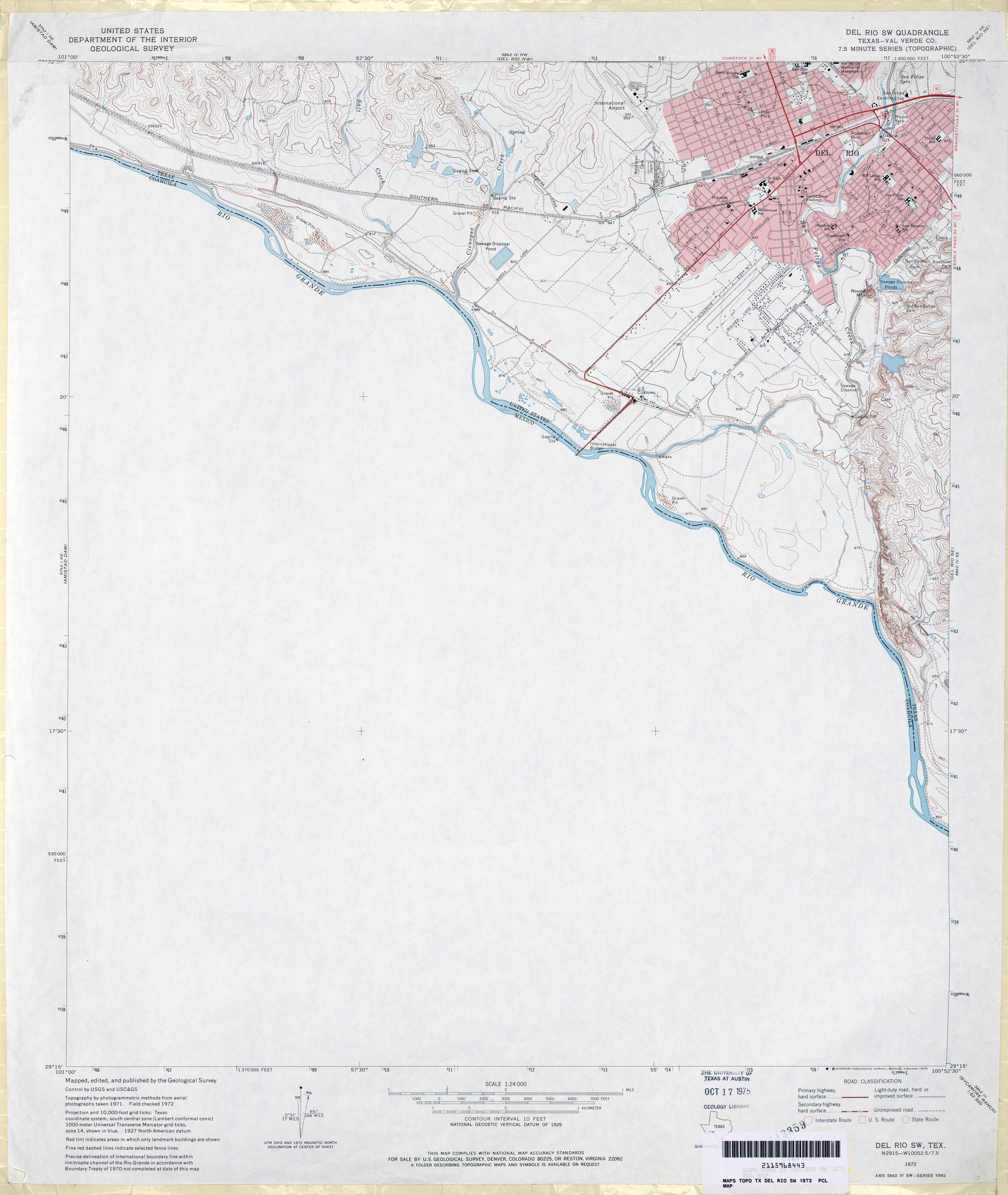
- Del Rio SW (Val Verde County) 1:24,000 1972 (2.7MB)
- Del Rio SW 1:24,000 2010 (21.4MB) [GeoPDF]
- Del Rio SW 1:24,000 2013 (23.6MB) [GeoPDF]
- Del Venado Ranch 1:24,000 1970 (3.4MB)
- Del Venado Ranch 1:24,000 2012 (24.7MB) [GeoPDF]
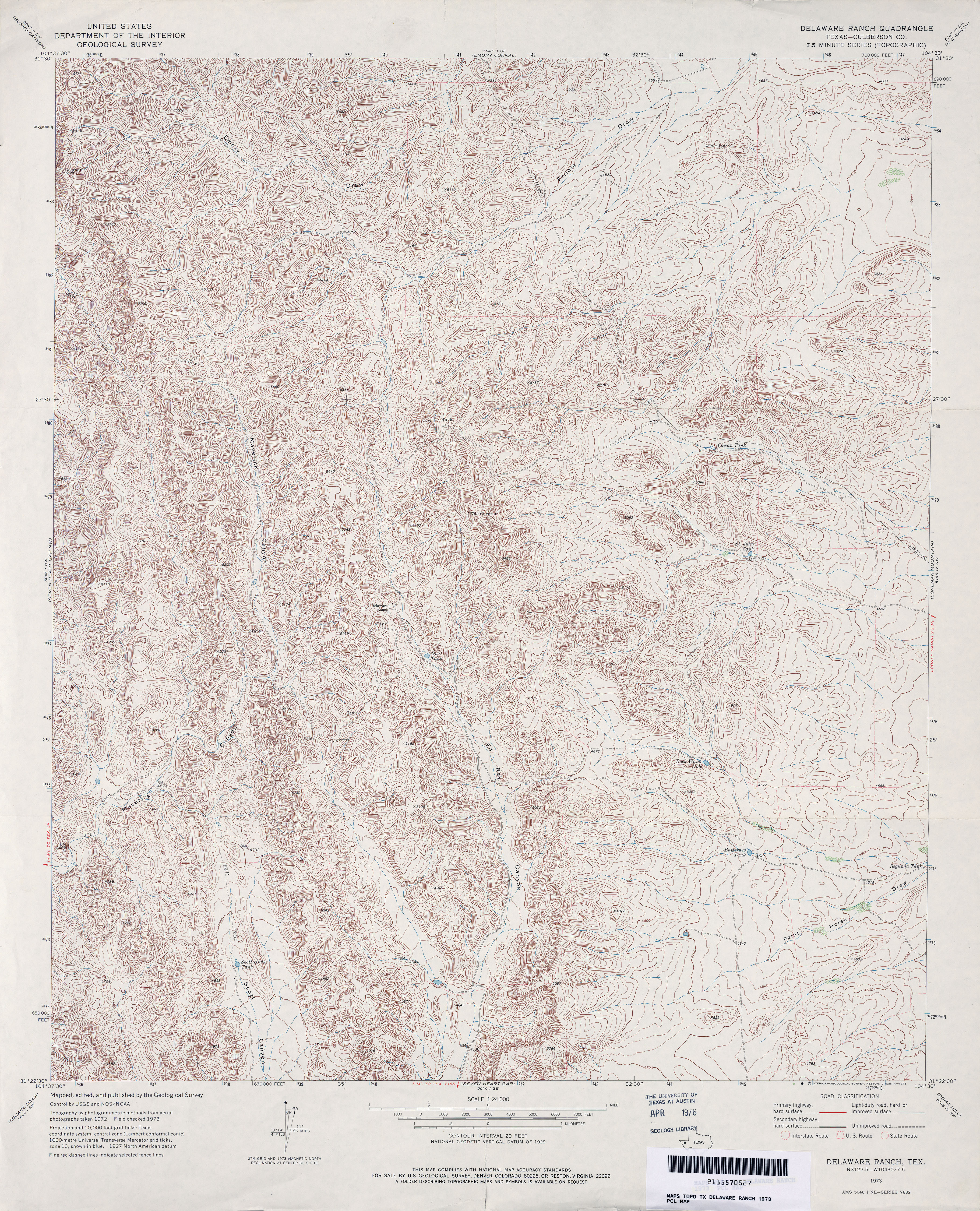
- Delaware Ranch (Culberson County) 1:24,000 1973 (6MB)
- Delaware Ranch 1:24,000 2008 (24.7MB) [GeoPDF]
- Delaware Ranch 1:24,000 2013 (26.3MB) [GeoPDF]
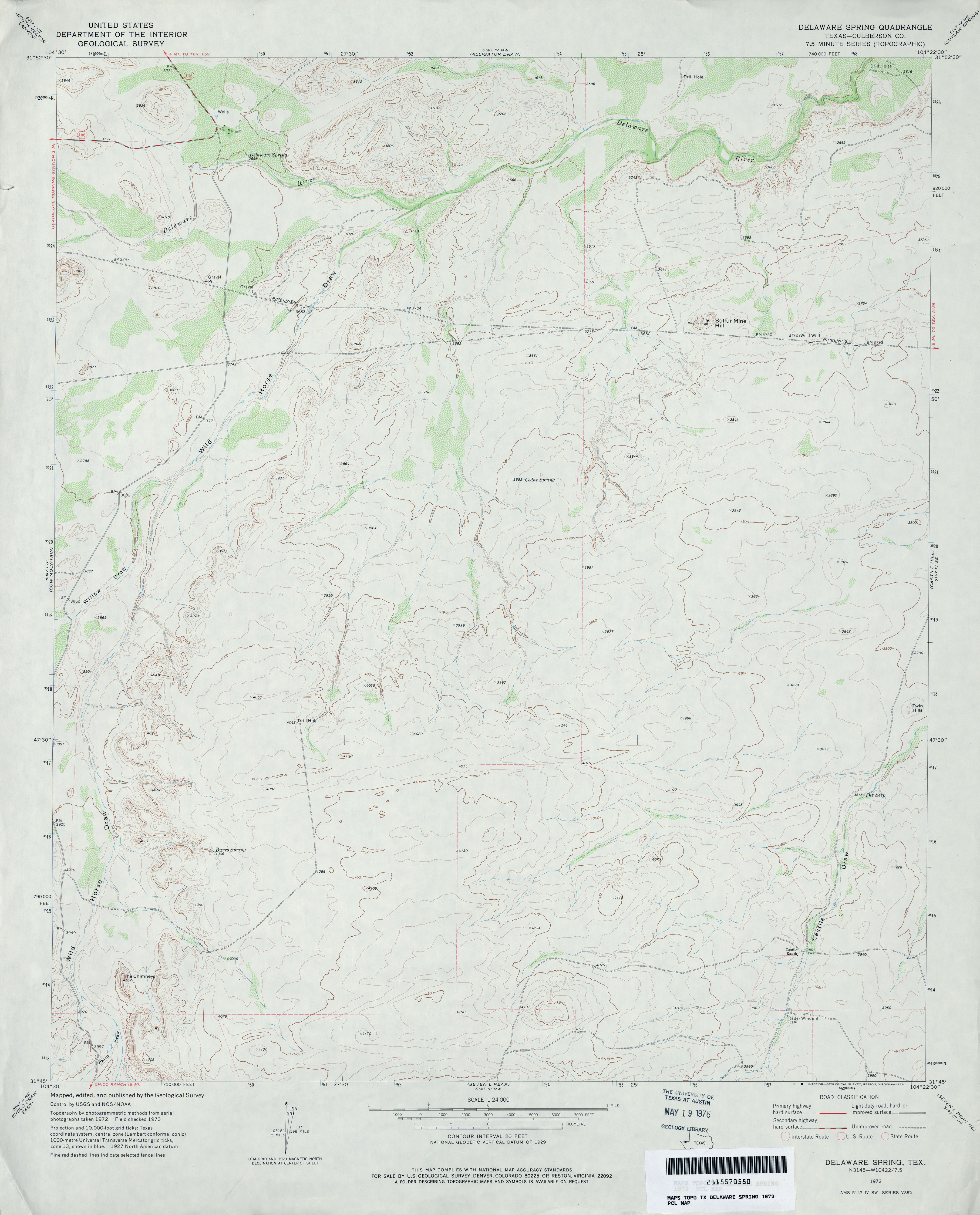
- Delaware Spring (Culberson County) 1:24,000 1973 (2.9MB)
- Delaware Spring 1:24,000 2008 (23.9MB) [GeoPDF]
- Delaware Spring 1:24,000 2012 (25.8MB) [GeoPDF]
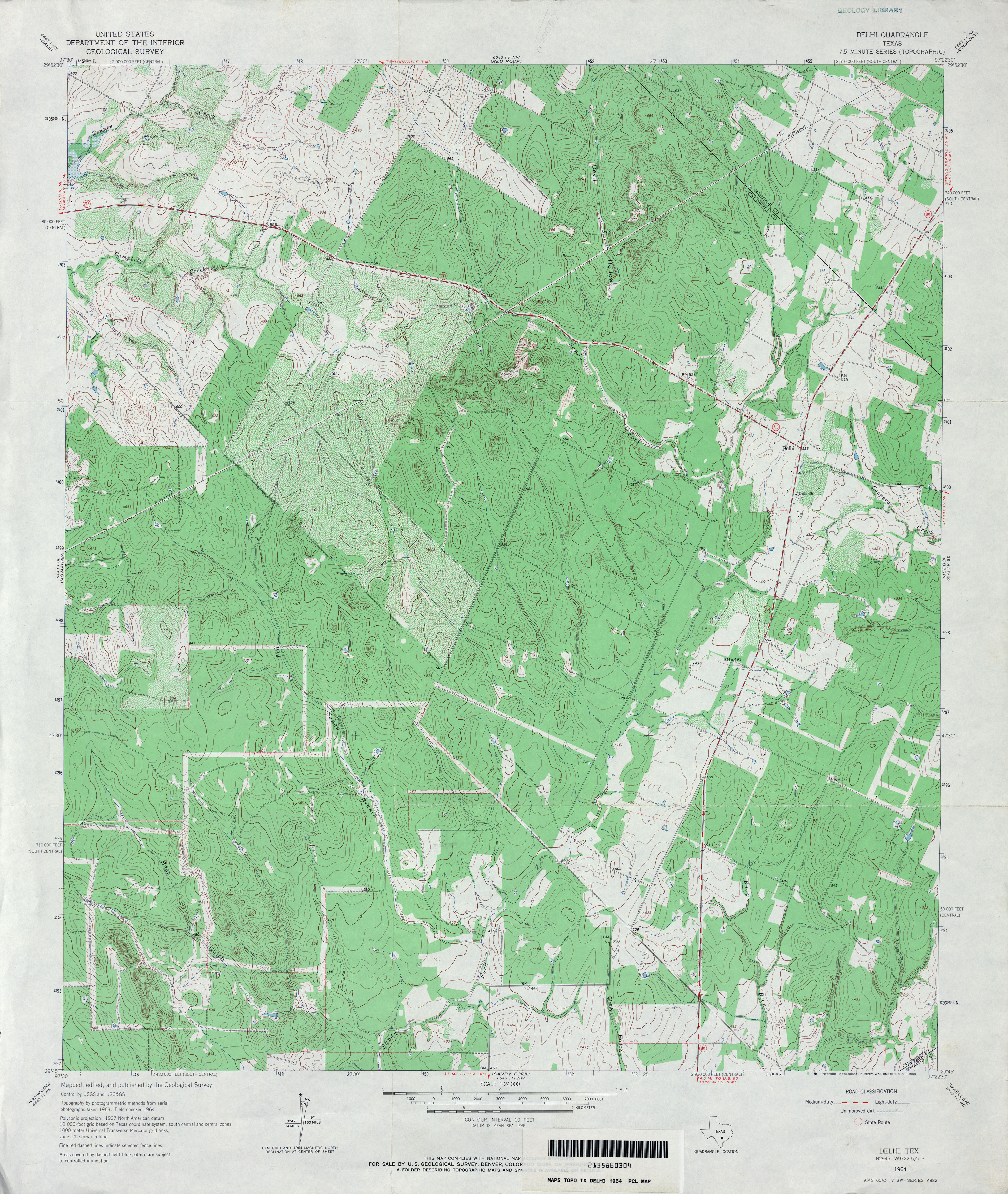
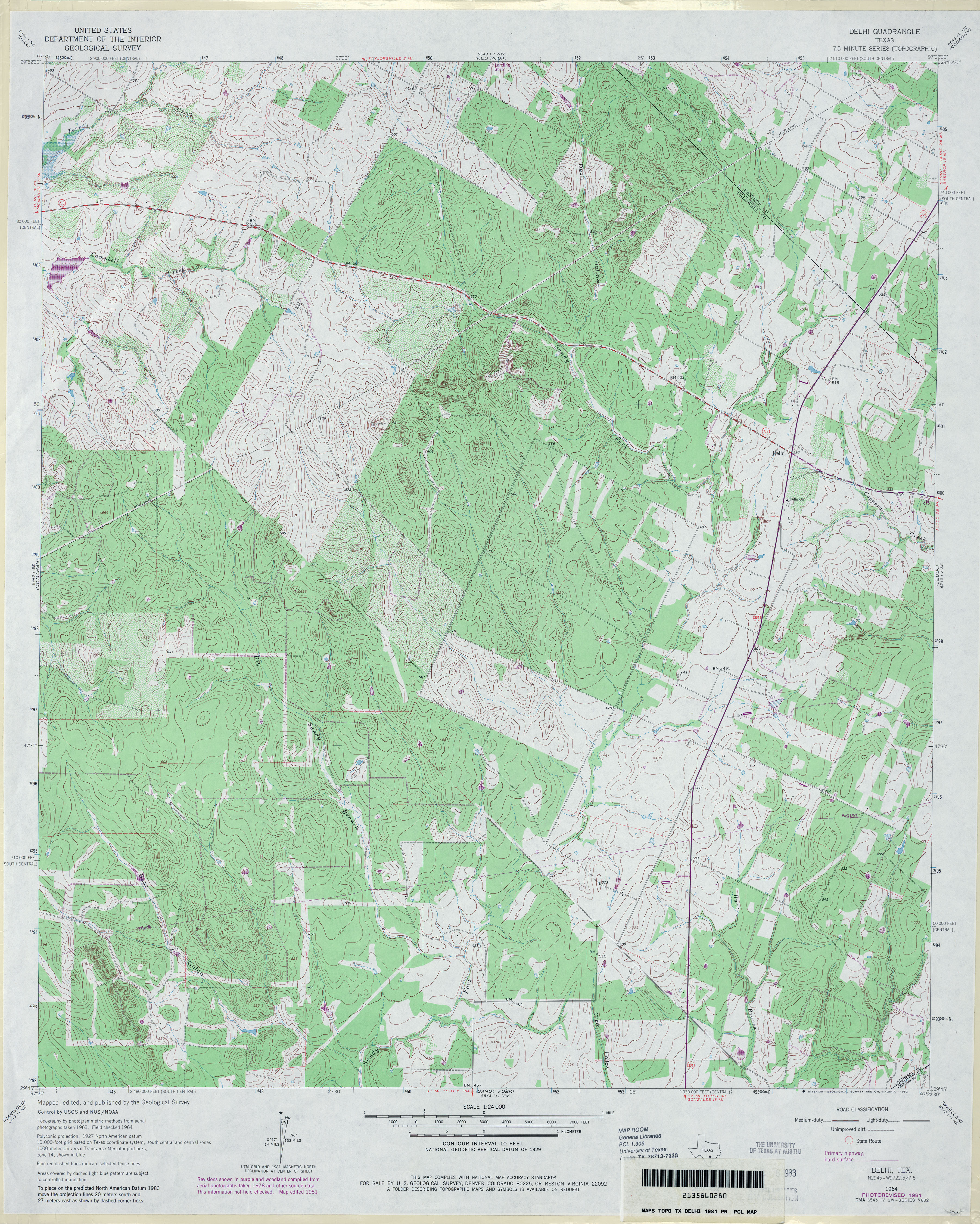
- Delhi 1:24,000 1964 (4.8MB)
- Delhi 1:24,000 1981 (4.9MB)
- Delhi 1:24,000 2008 (15.5MB) [GeoPDF]
- Delhi 1:24,000 2013 (26MB) [GeoPDF]
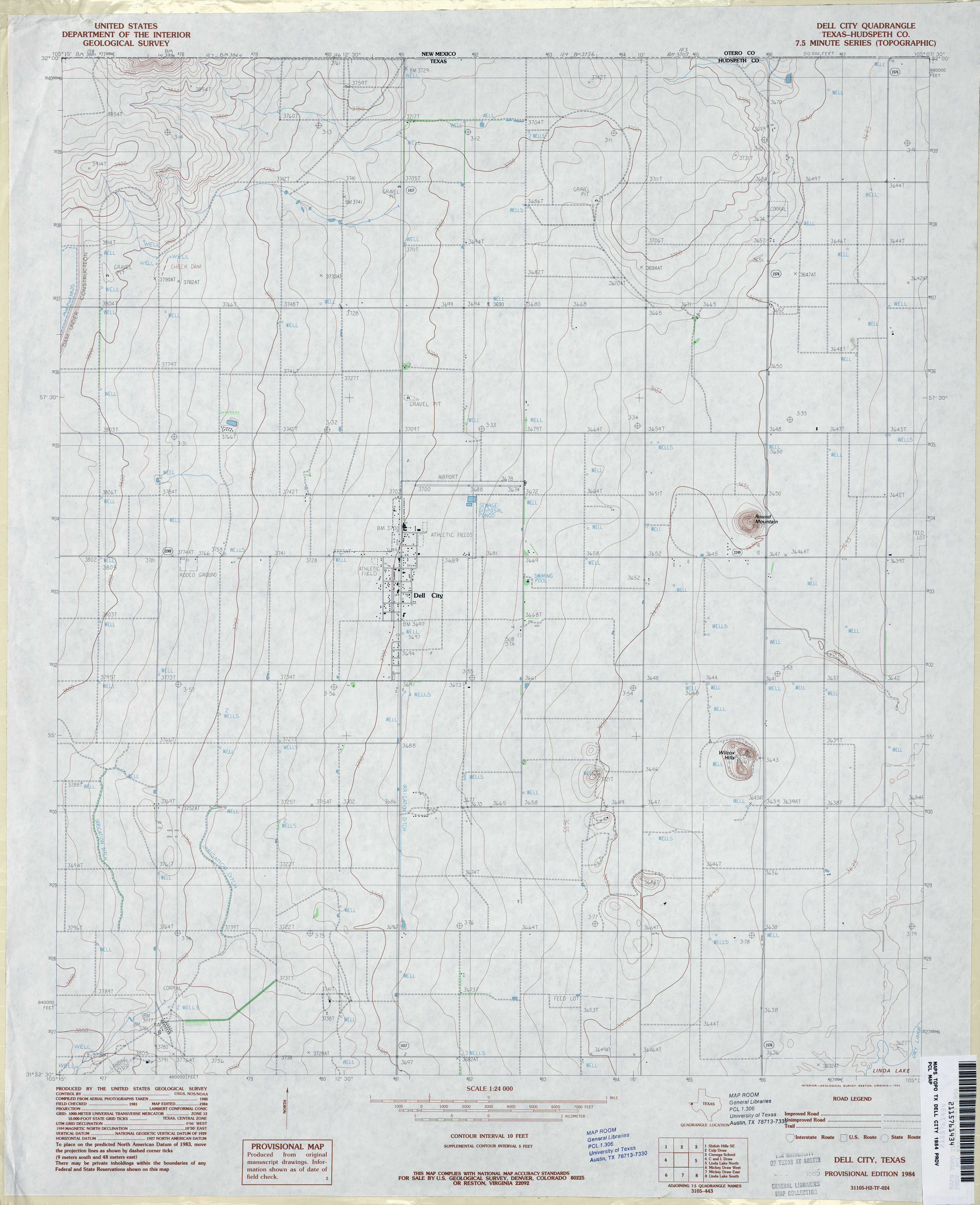
- Dell City (Hudspeth County) 1:62,500 1951 (3.1MB)
- Dell City (Hudspeth County) 1:24,000 1984 (2.9MB)
- Dell City 1:24,000 2008 (16.0MB) [GeoPDF]
- Dell City 1:24,000 2013 (18.7MB) [GeoPDF]
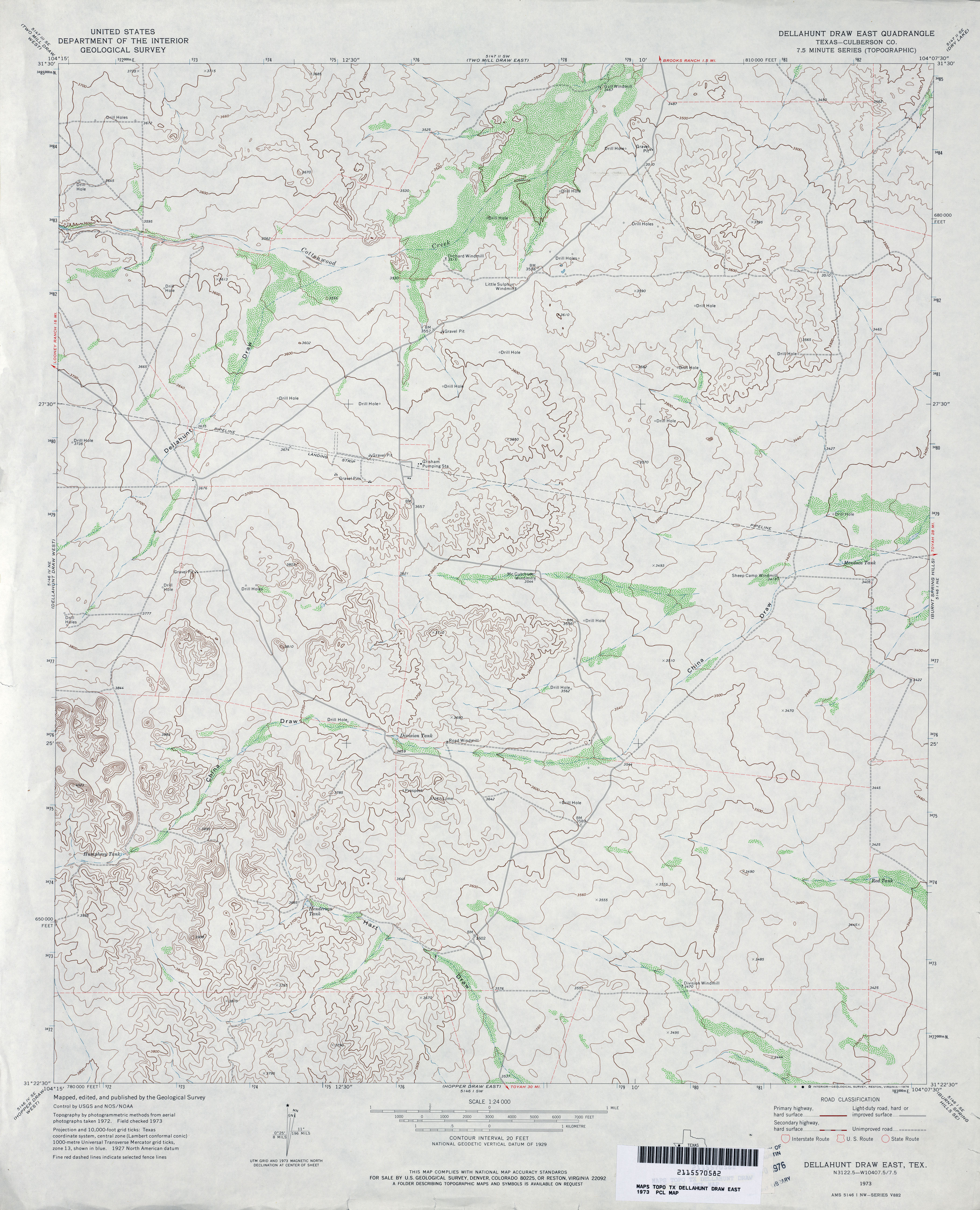
- Dellahunt Draw East (Culberson County) 1:24,000 1973 (3.3MB)
- Dellahunt Draw East 1:24,000 2008 (21.5MB) [GeoPDF]
- Dellahunt Draw East 1:24,000 2012 (21.7MB) [GeoPDF]
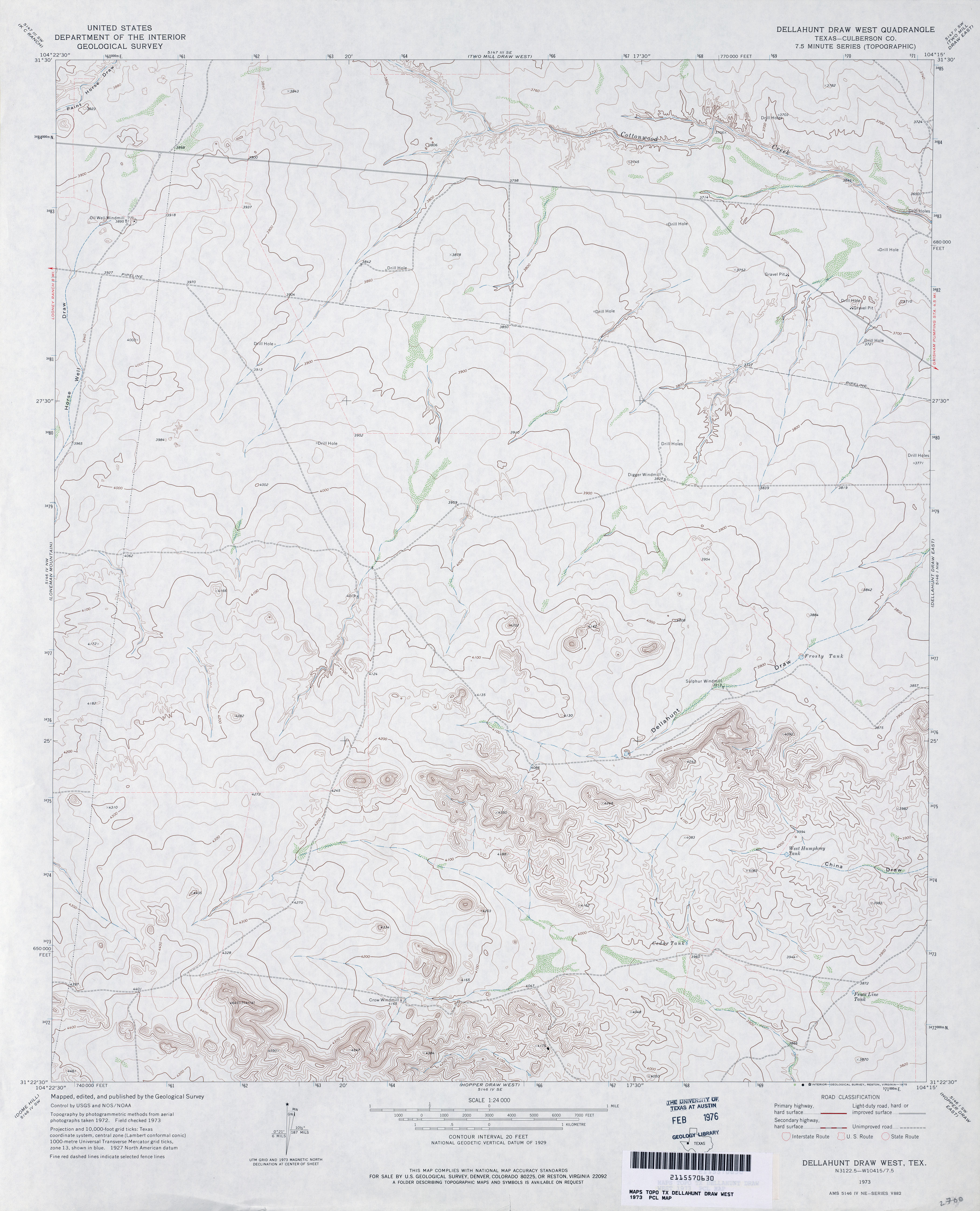
- Dellahunt Draw West (Culberson County) 1:24,000 1973 (3.2MB)
- Dellahunt Draw West 1:24,000 2008 (23.2MB) [GeoPDF]
- Dellahunt Draw West 1:24,000 2012 (24.1MB) [GeoPDF]
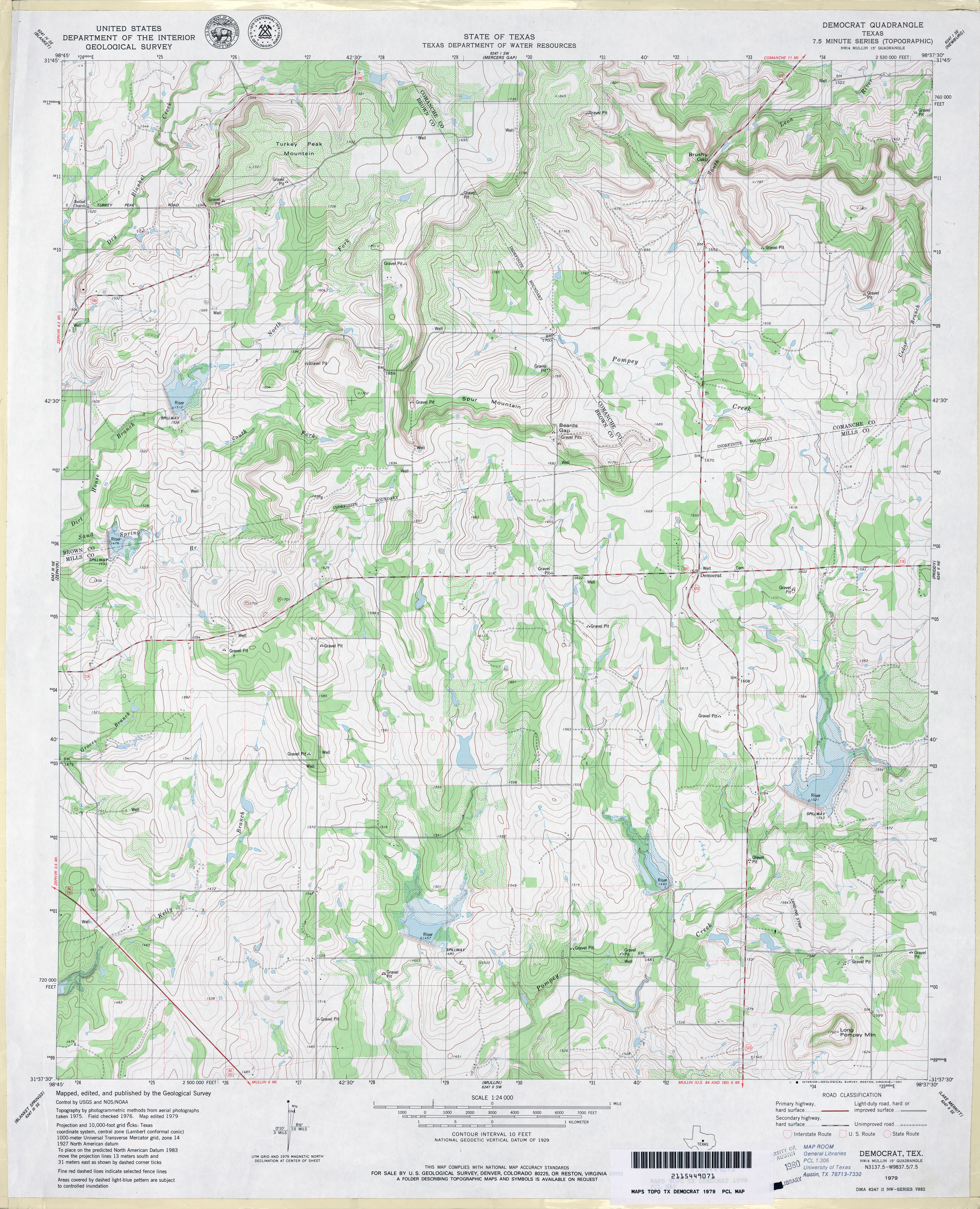
- Democrat 1:24,000 1979 (4.3MB)
- Democrat 1:24,000 2008 (14.9MB) [GeoPDF]
- Democrat 1:24,000 2013 (21.2MB) [GeoPDF]
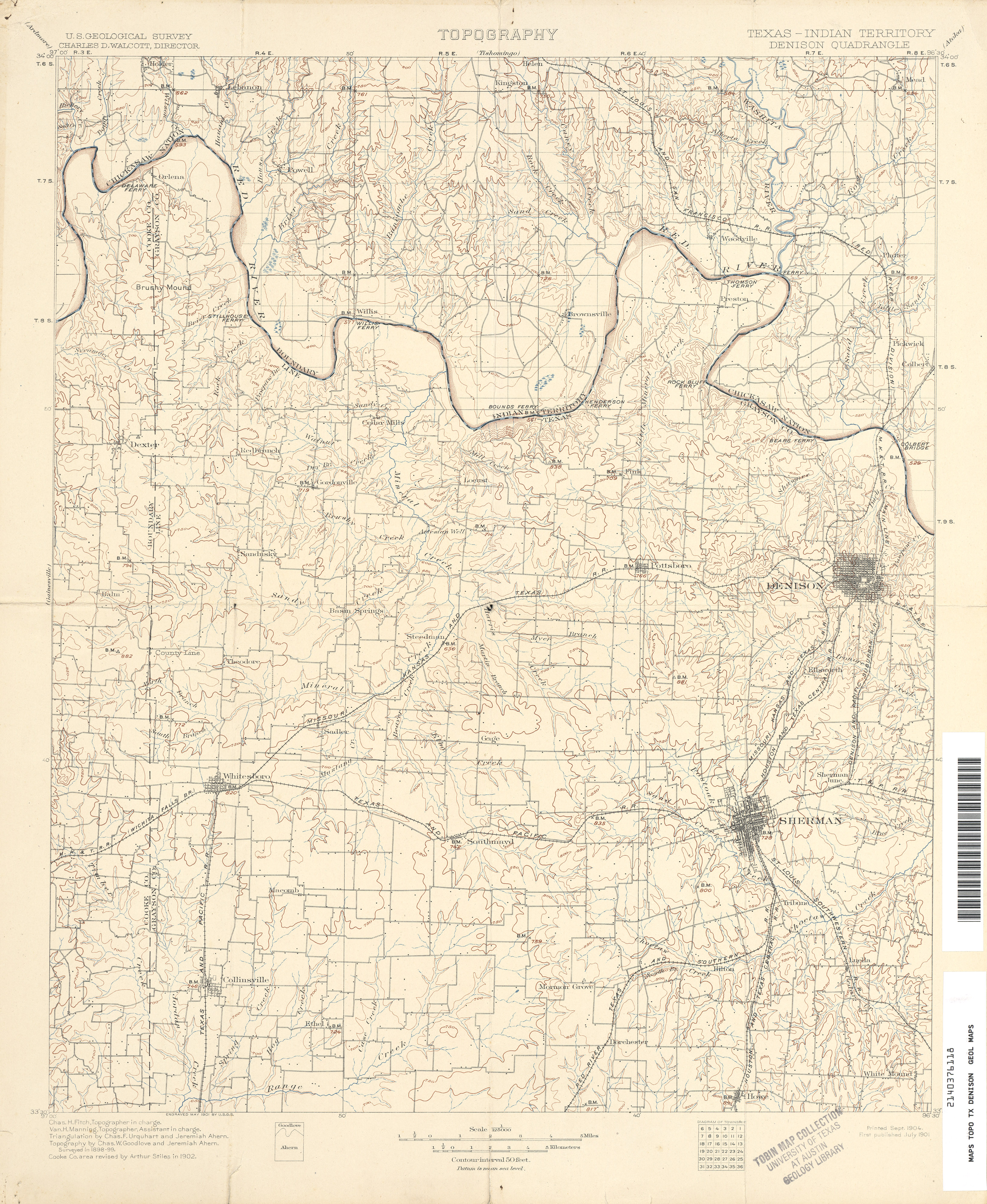
- Denison 1:125,000 1902 (4.9 MB)
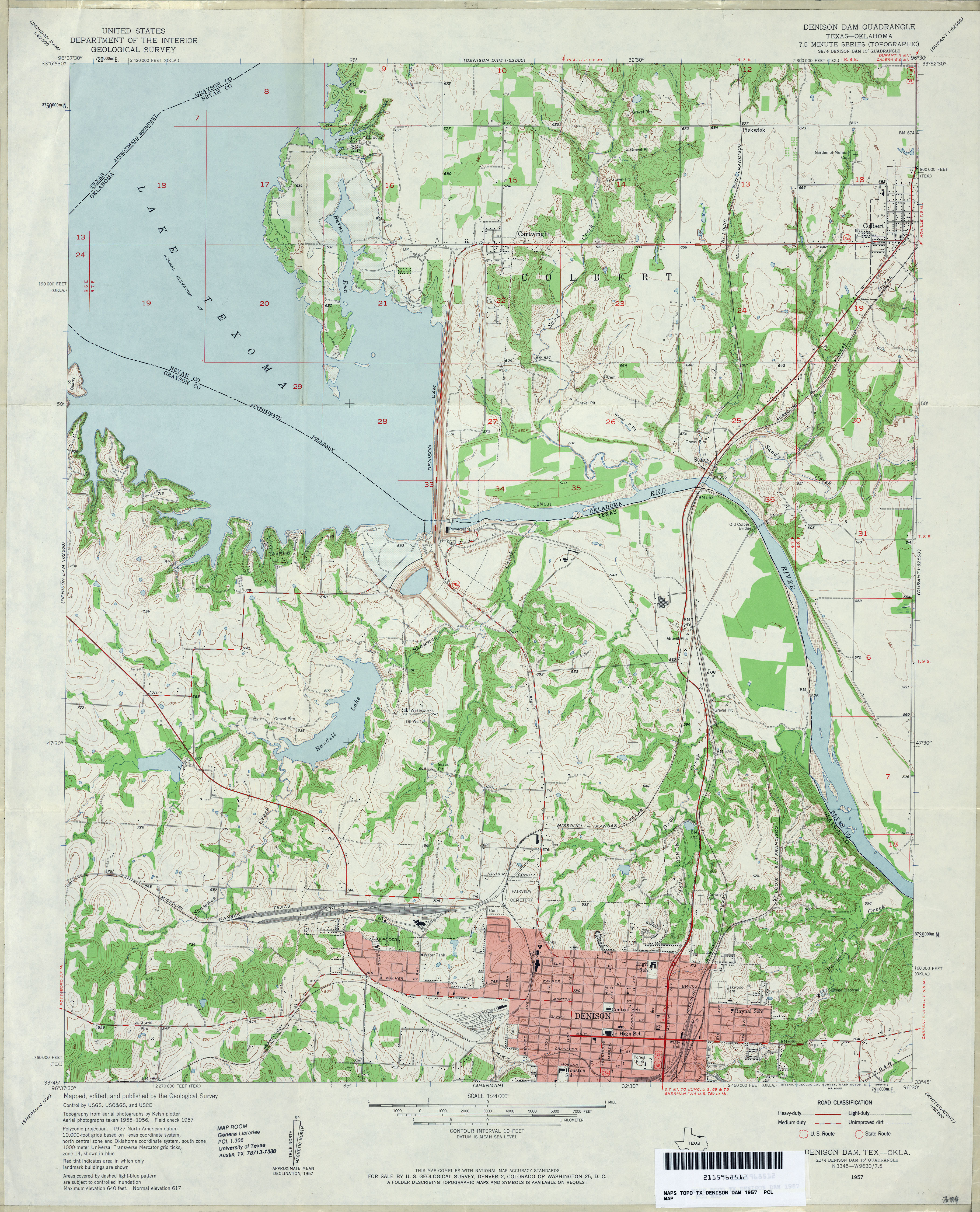
- Denison Dam 1:24,000 1957 (4.2MB)
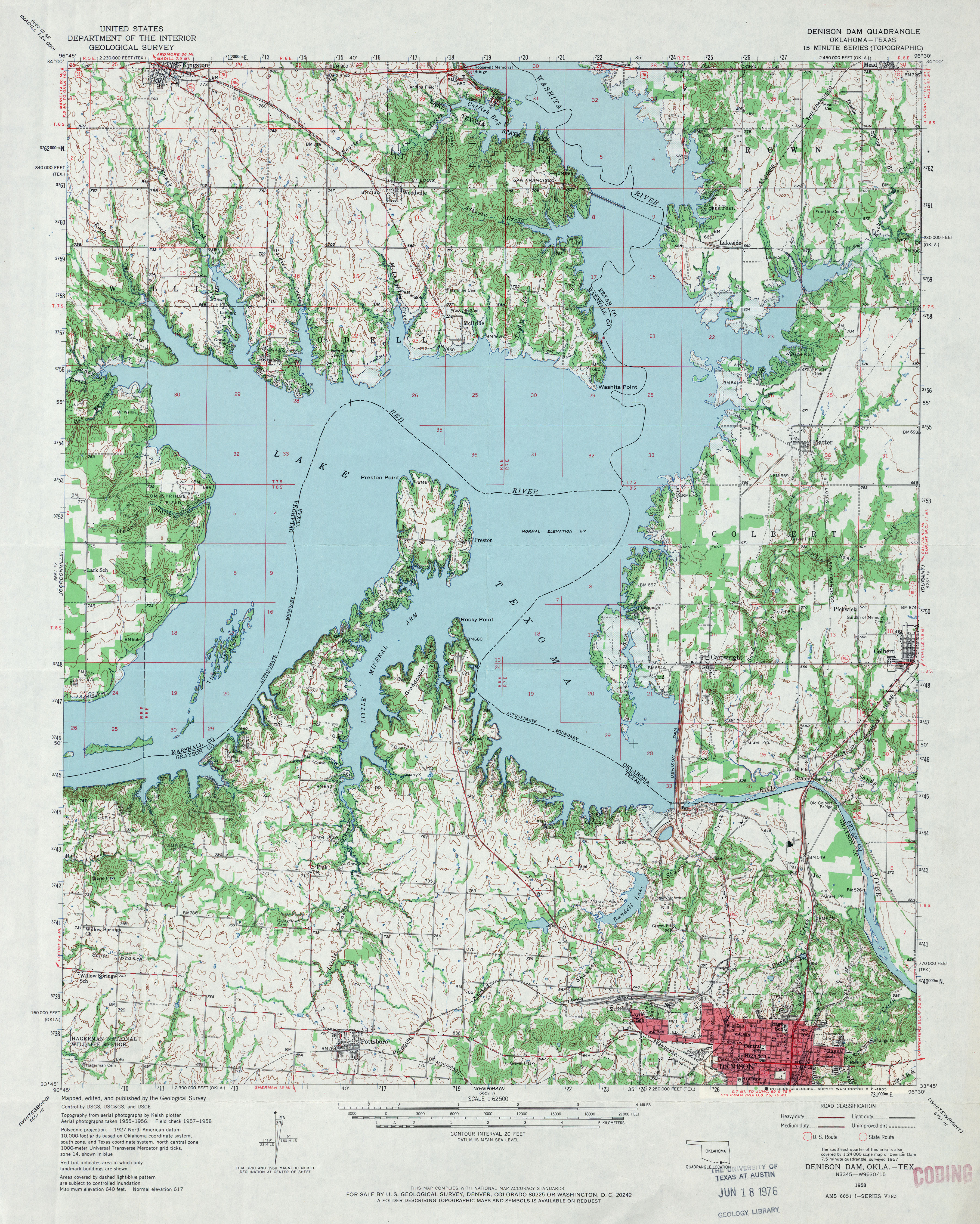
- Denison Dam 1:62,500 1958 (5MB)
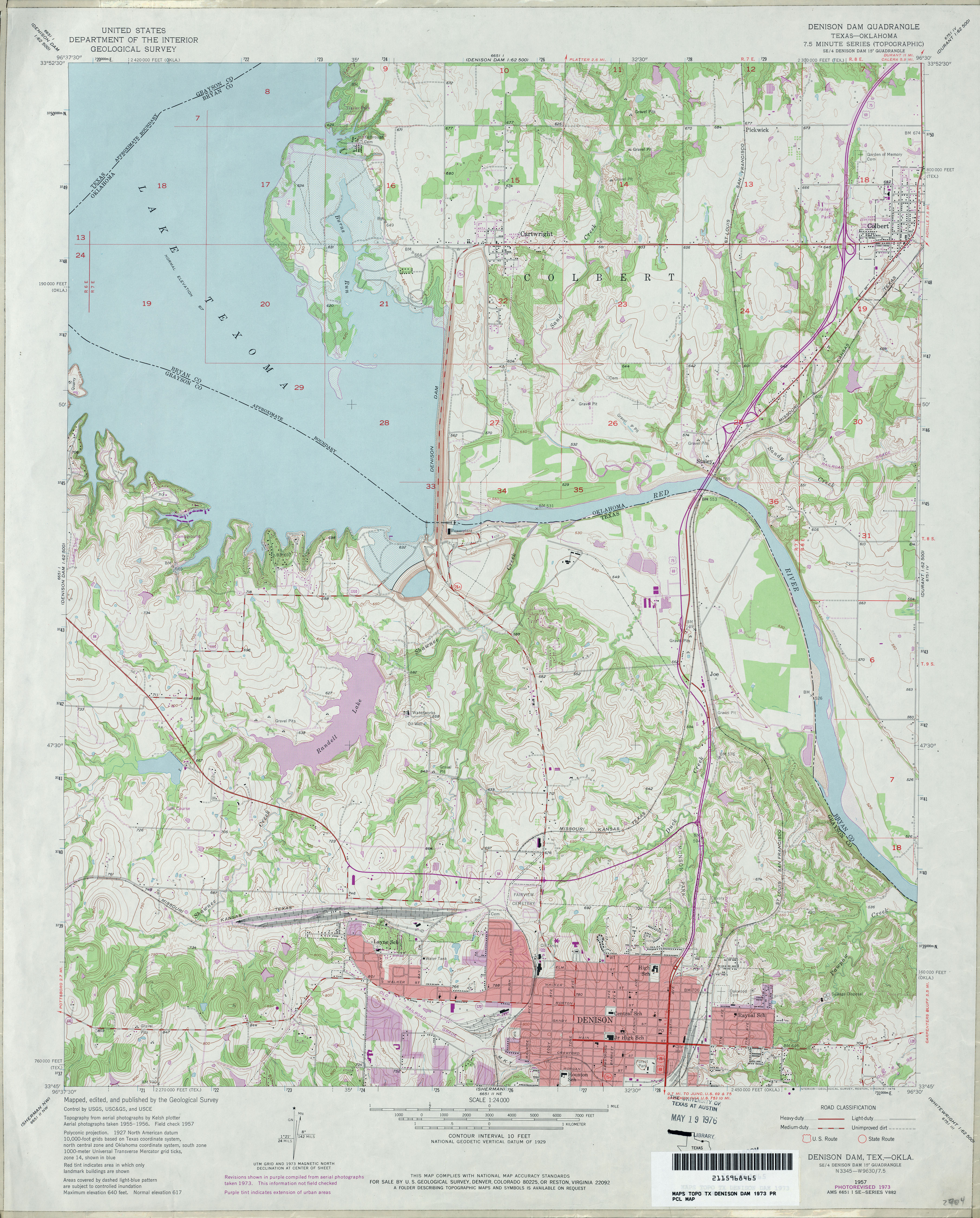
- Denison Dam 1:24,000 1973 (4.2MB)
- Denison Dam 1:24,000 2008 (15.7MB) [GeoPDF]
- Denison Dam 1:24,000 2013 (25.7MB) [GeoPDF]
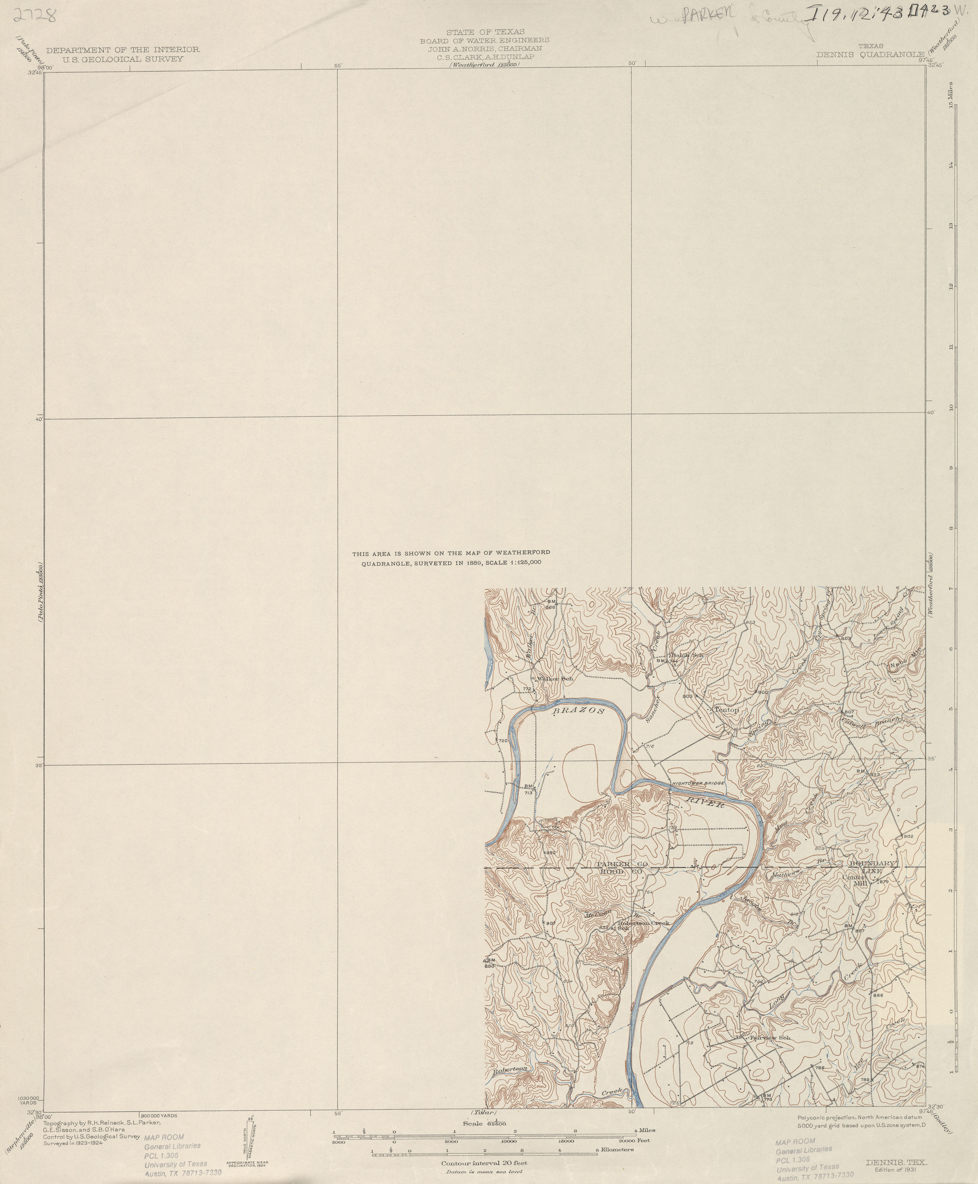
- Dennis 1:62,500 1924 (1.8 MB)
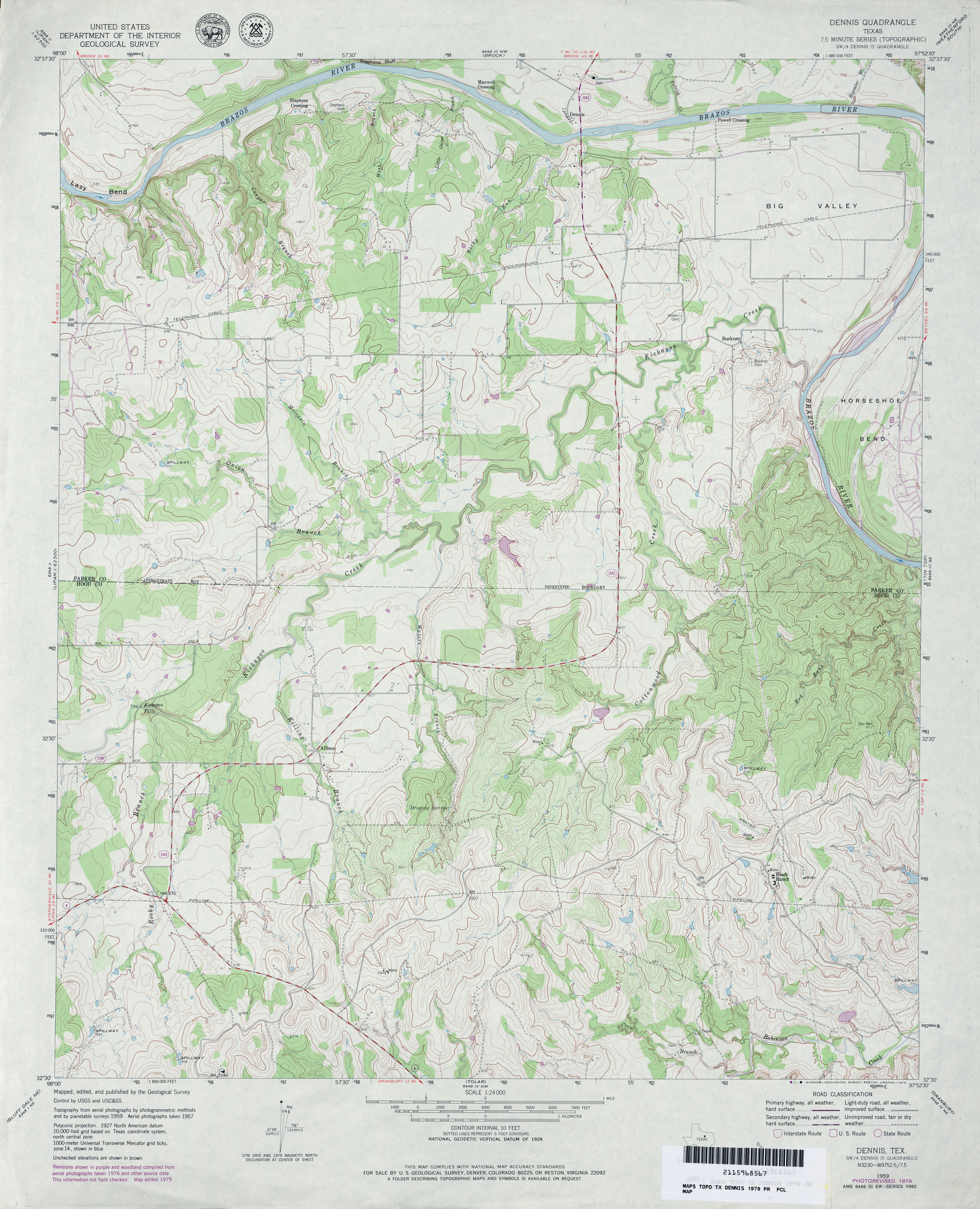
- Dennis 1:24,000 1959 (4.7MB)
- Dennis 1:24,000 1979 (4.2MB)
- Dennis 1:24,000 2008 (17.7MB) [GeoPDF]
- Dennis 1:24,000 2013 (22.3MB) [GeoPDF]
- Denson Springs 1:24,000 1982 (4.1MB)
- Denson Springs 1:24,000 2009 (23.2MB) [GeoPDF]
- Denson Springs 1:24,000 2013 (27.1MB) [GeoPDF]
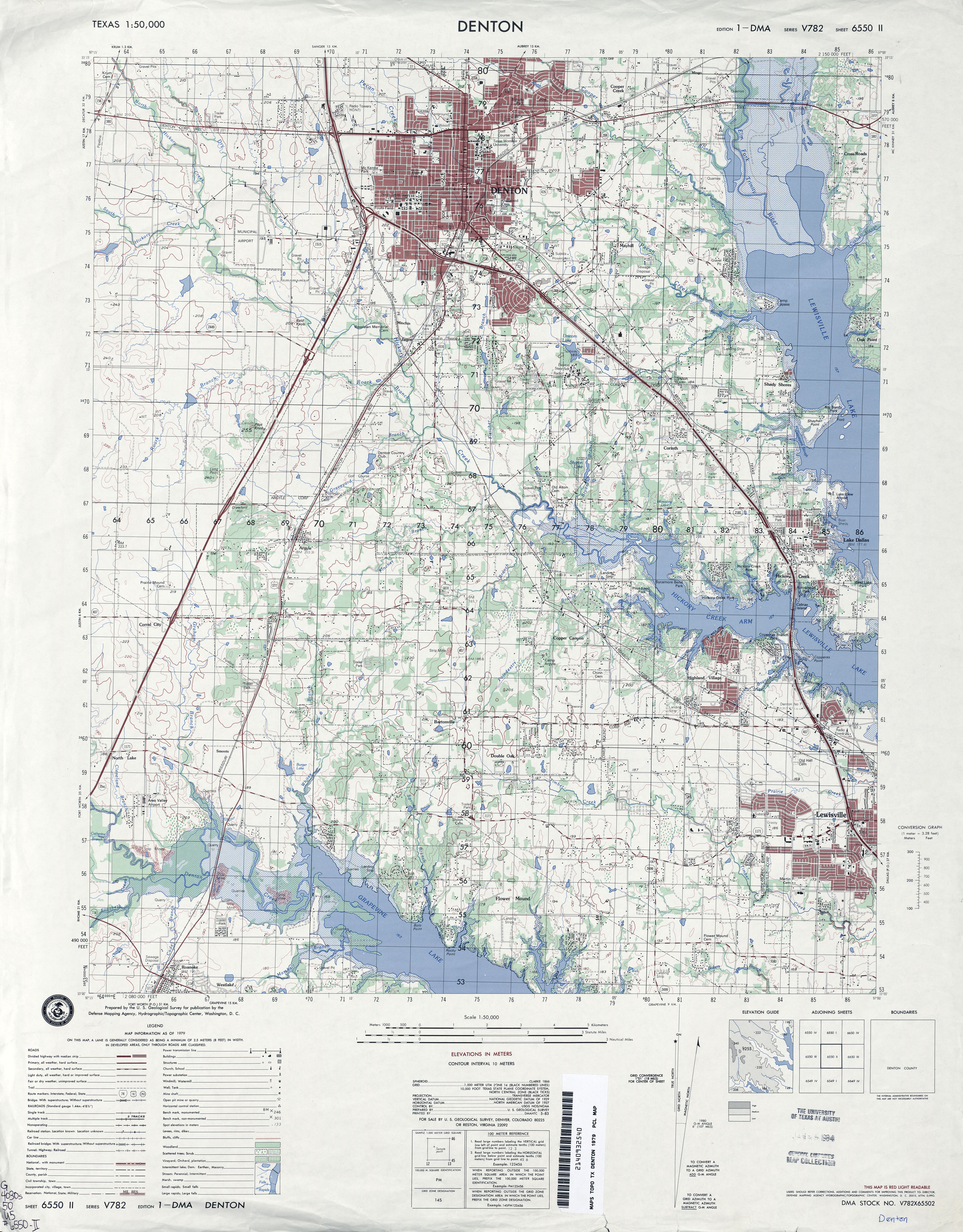
- Denton 1:50,000 1979 (4.3MB) U.S. Defense Mapping Agency, Series V782.
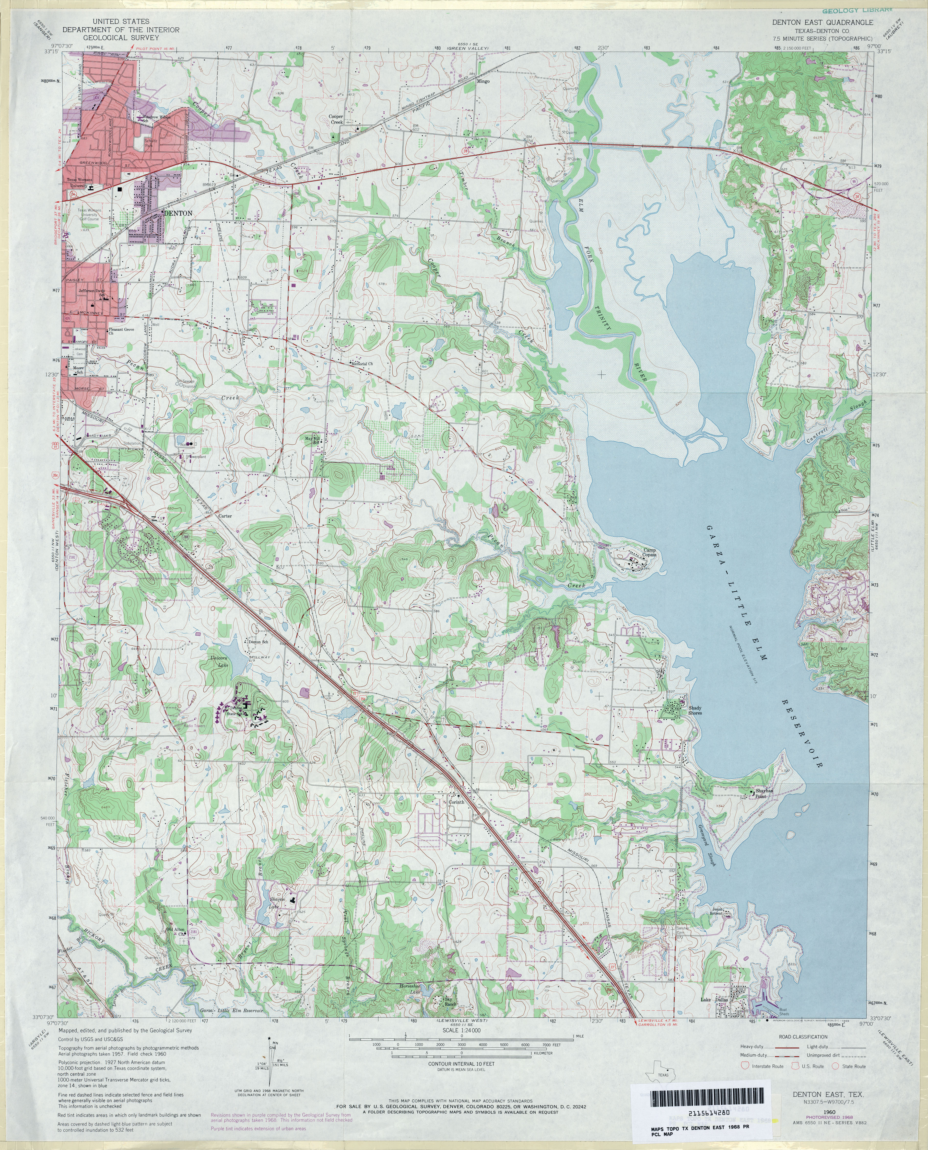
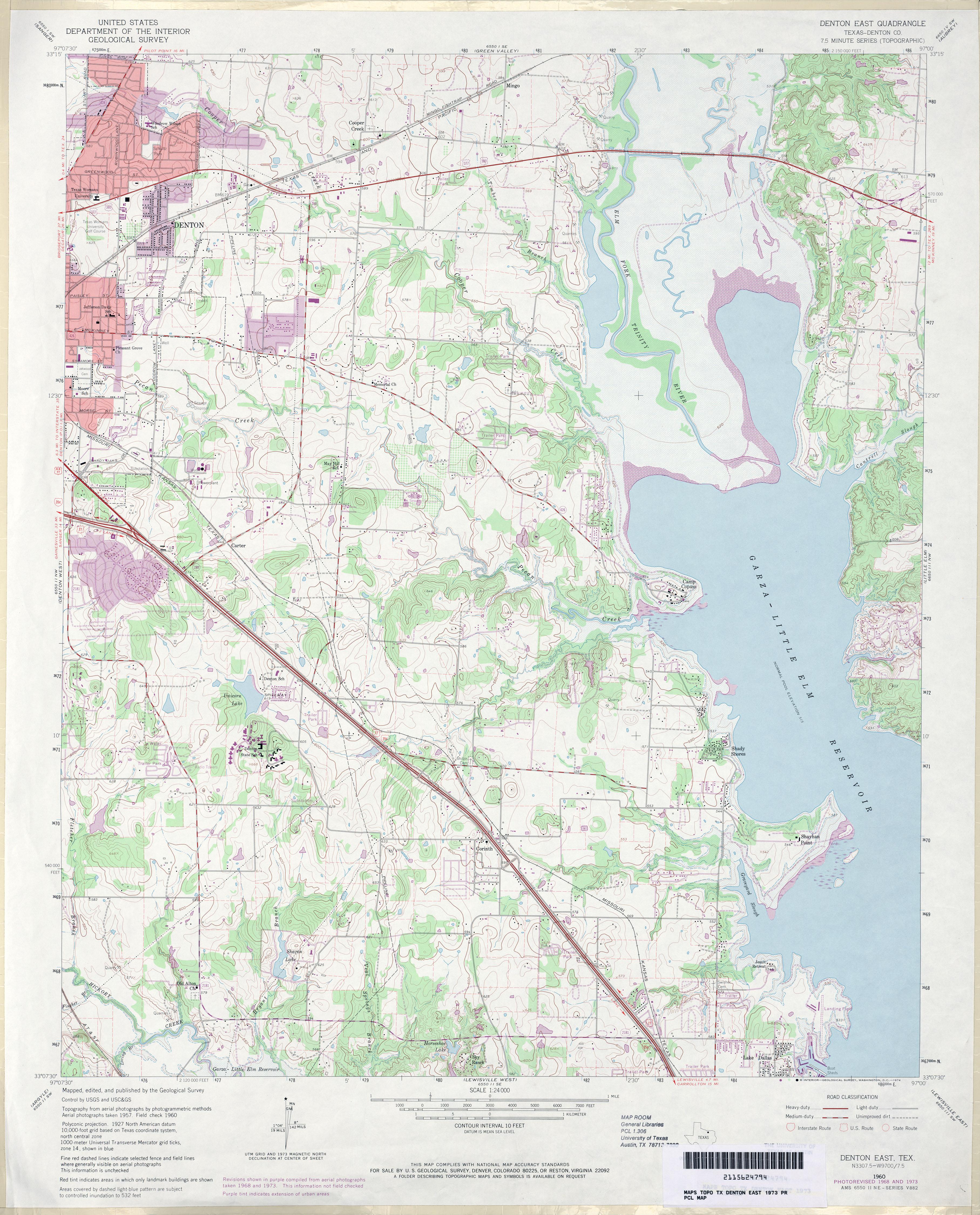
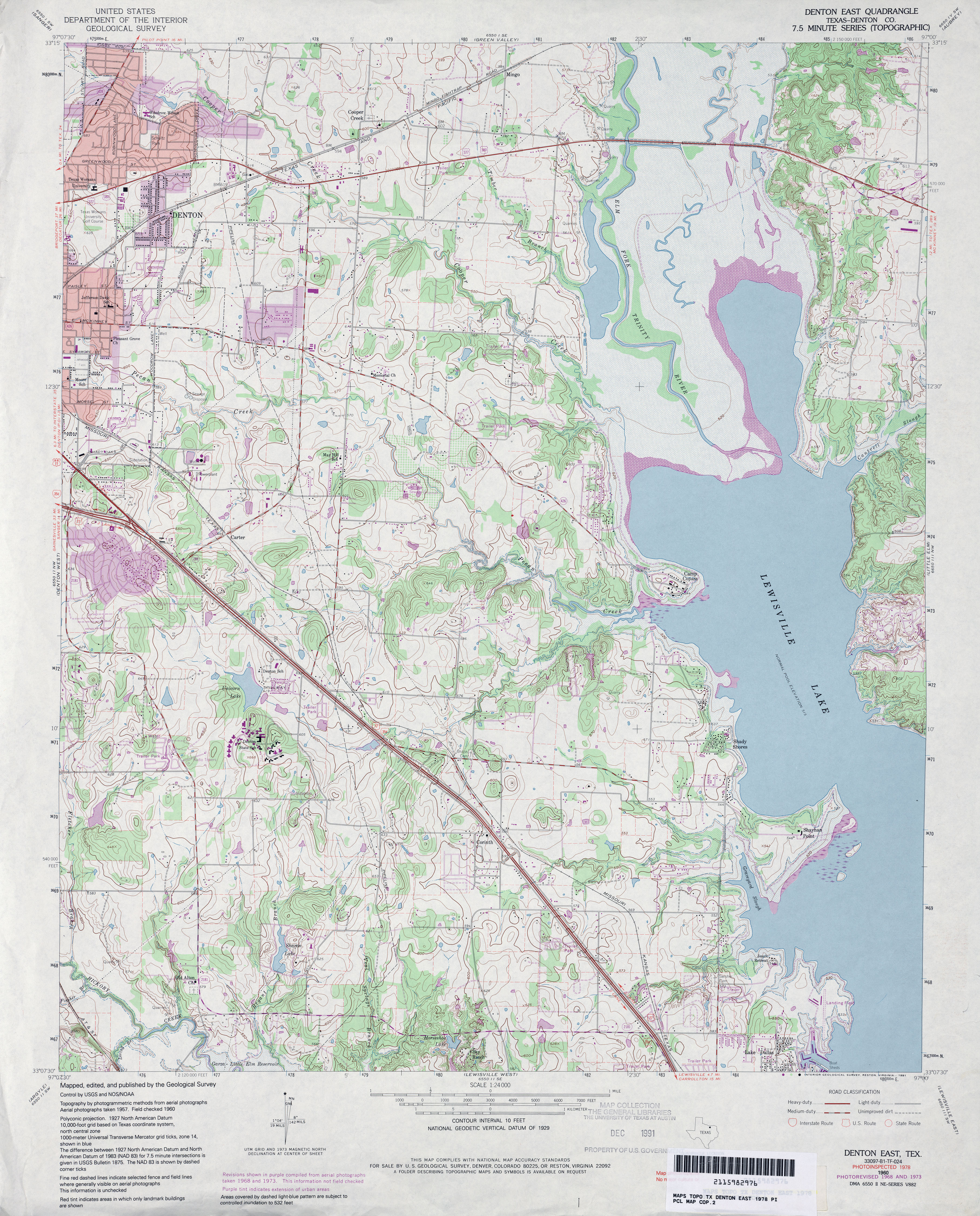
- Denton East (Denton County) 1:24,000 1960 (3.9MB)
- Denton East (Denton County) 1:24,000 1968 (4MB)
- Denton East (Denton County) 1:24,000 1973 (4.1MB)
- Denton East (Denton County) 1:24,000 1978 (4.6MB)
- Denton East 1:24,000 2008 (17.3MB) [GeoPDF]
- Denton East 1:24,000 2013 (23.5MB) [GeoPDF]
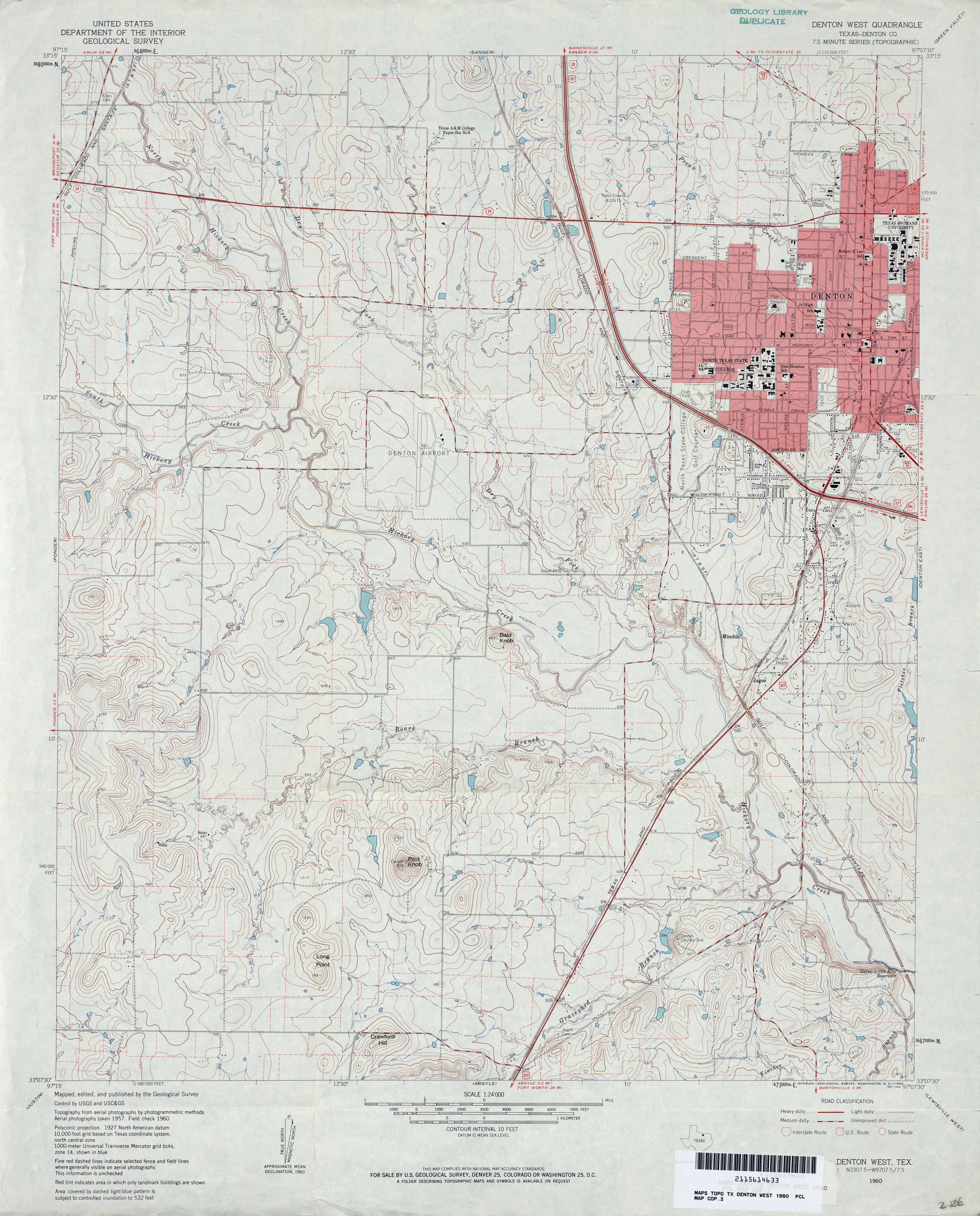
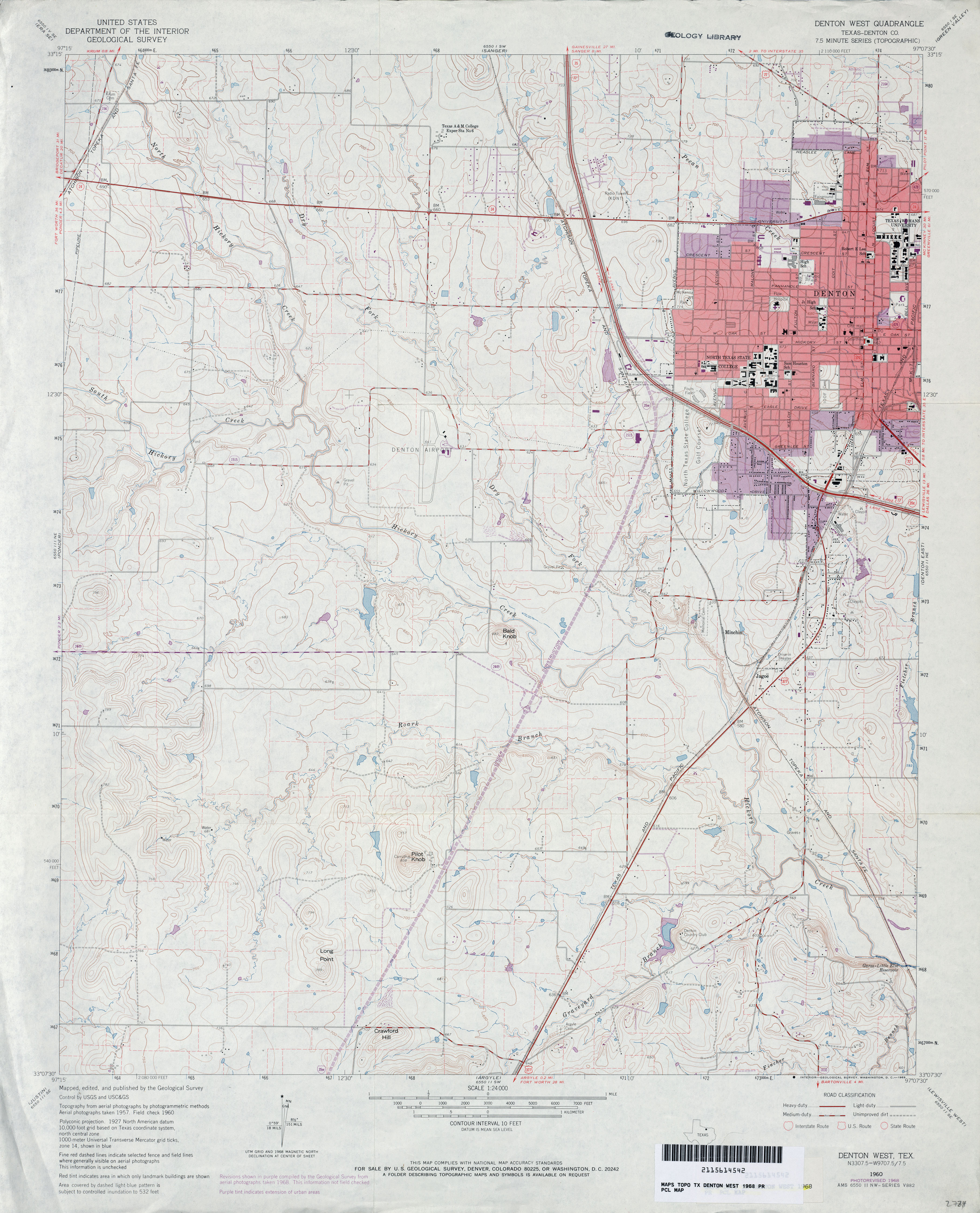
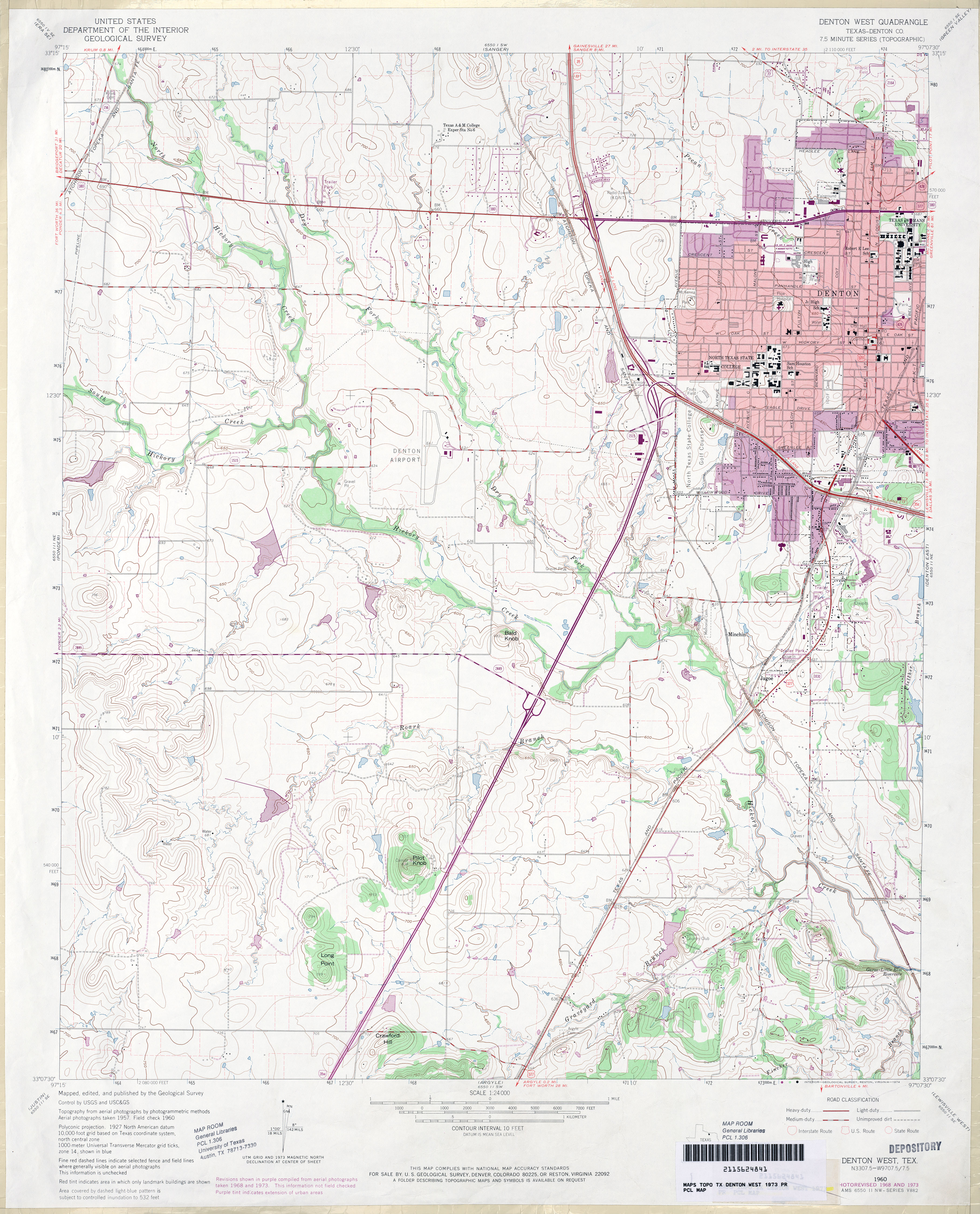
- Denton West (Denton County) 1:24,000 1960 (4.1MB)
- Denton West (Denton County) 1:24,000 1968 (3.6MB)
- Denton West (Denton County) 1:24,000 1973 (3.9MB)
- Denton West 1:24,000 2008 (15.2MB) [GeoPDF]
- Denton West 1:24,000 2013 (20.7MB) [GeoPDF]
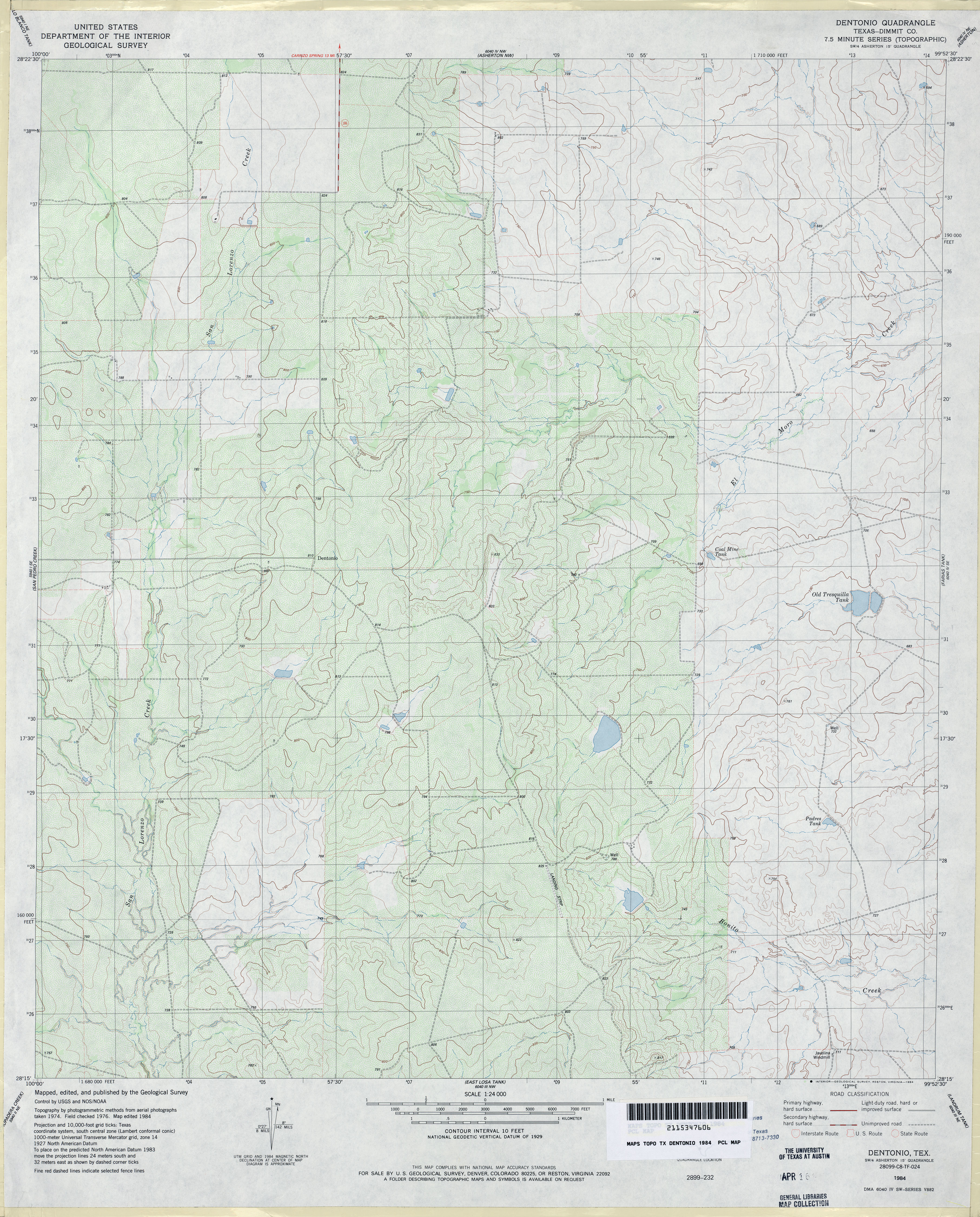
- Dentonio (Dimmit County) 1:24,000 1984 (4MB)
- Dentonio 1:24,000 2008 (17.7MB) [GeoPDF]
- Dentonio 1:24,000 2013 (27.2MB) [GeoPDF]
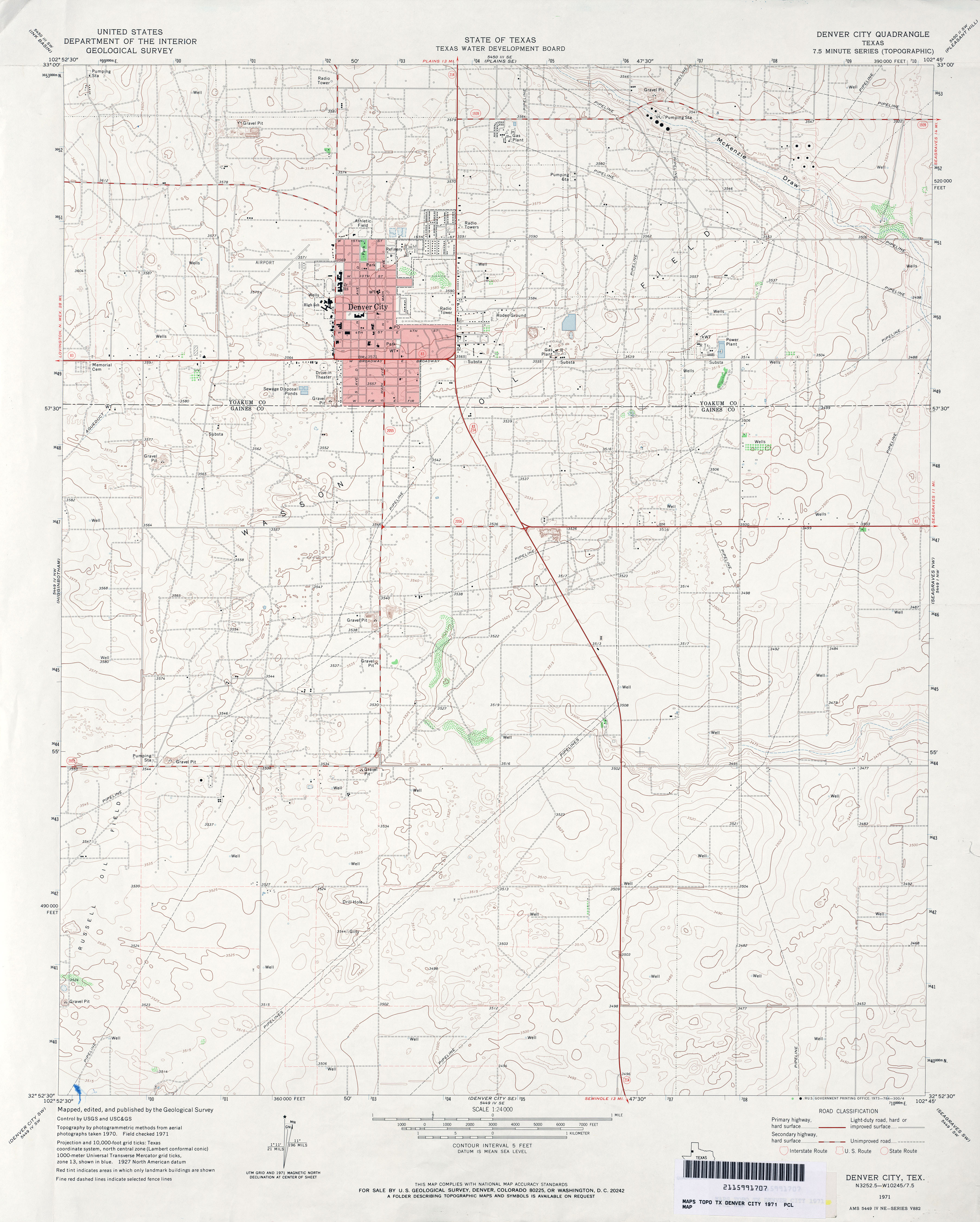
- Denver City 1:24,000 1971 (3.1MB)
- Denver City 1:24,000 2008 (13.3MB) [GeoPDF]
- Denver City 1:24,000 2012 (18.8MB) [GeoPDF]
- Denver City SE (Gaines County) 1:24,000 1971 (2.6MB)
- Denver City SE 1:24,000 2008 (11.3MB) [GeoPDF]
- Denver City SE 1:24,000 2012 (15.8MB) [GeoPDF]
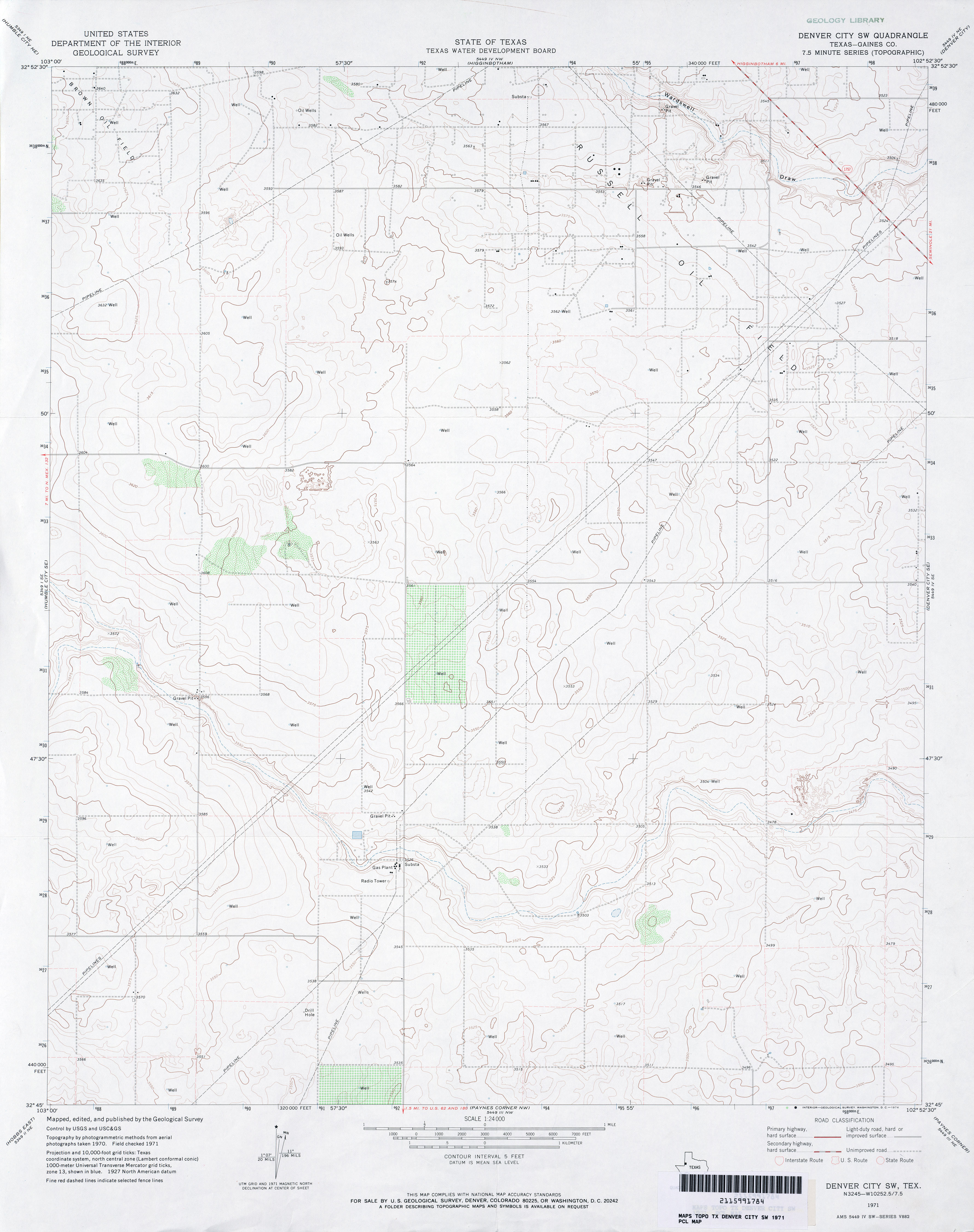
- Denver City SW (Gaines County) 1:24,000 1971 (2.7MB)
- Denver City SW 1:24,000 2008 (11.3MB) [GeoPDF]
- Denver City SW 1:24,000 2012 (16.3MB) [GeoPDF]
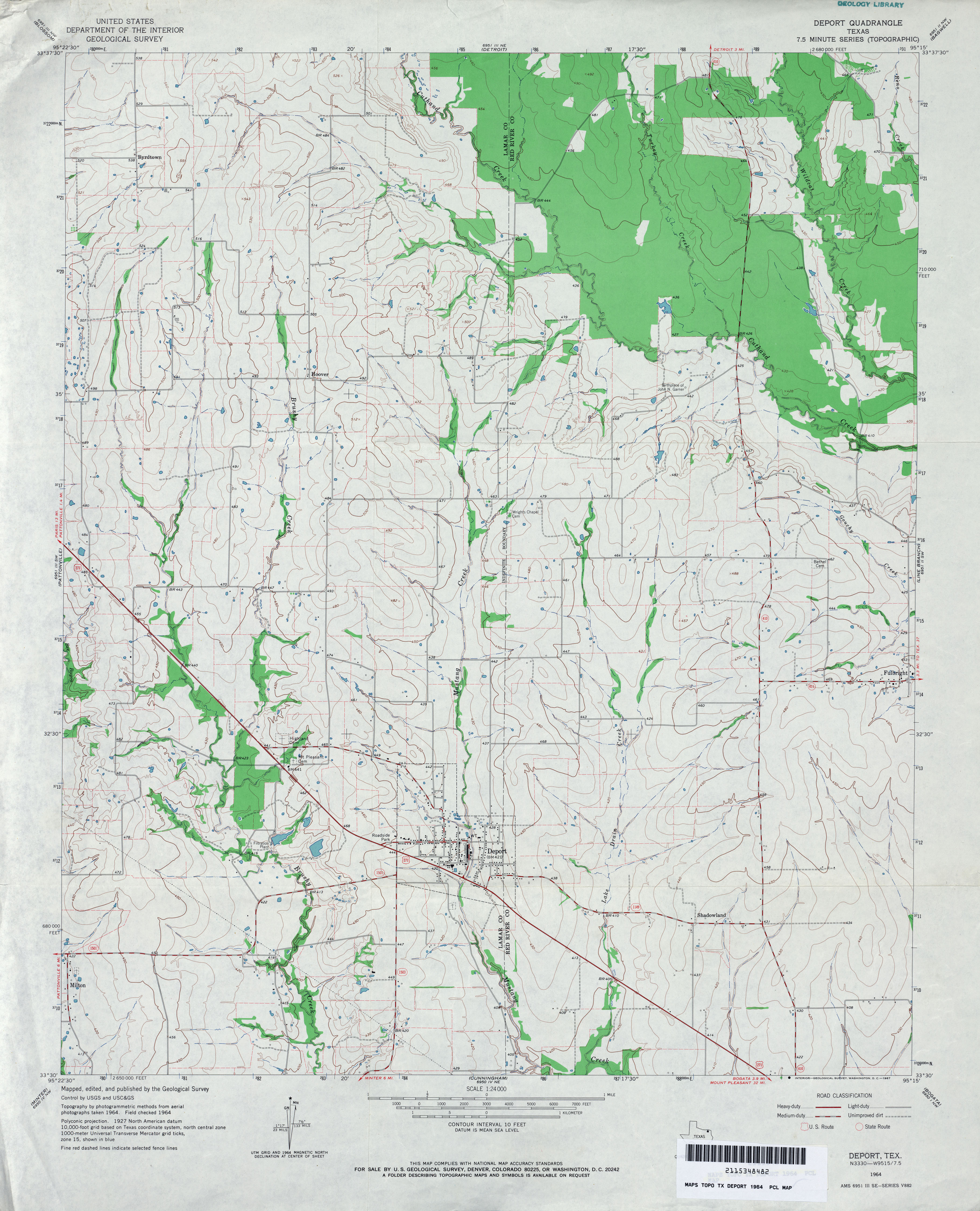
- Deport 1:24,000 1964 (3.4MB)
- Deport 1:24,000 2009 (12.7MB) [GeoPDF]
- Deport 1:24,000 2012 (20MB) [GeoPDF]
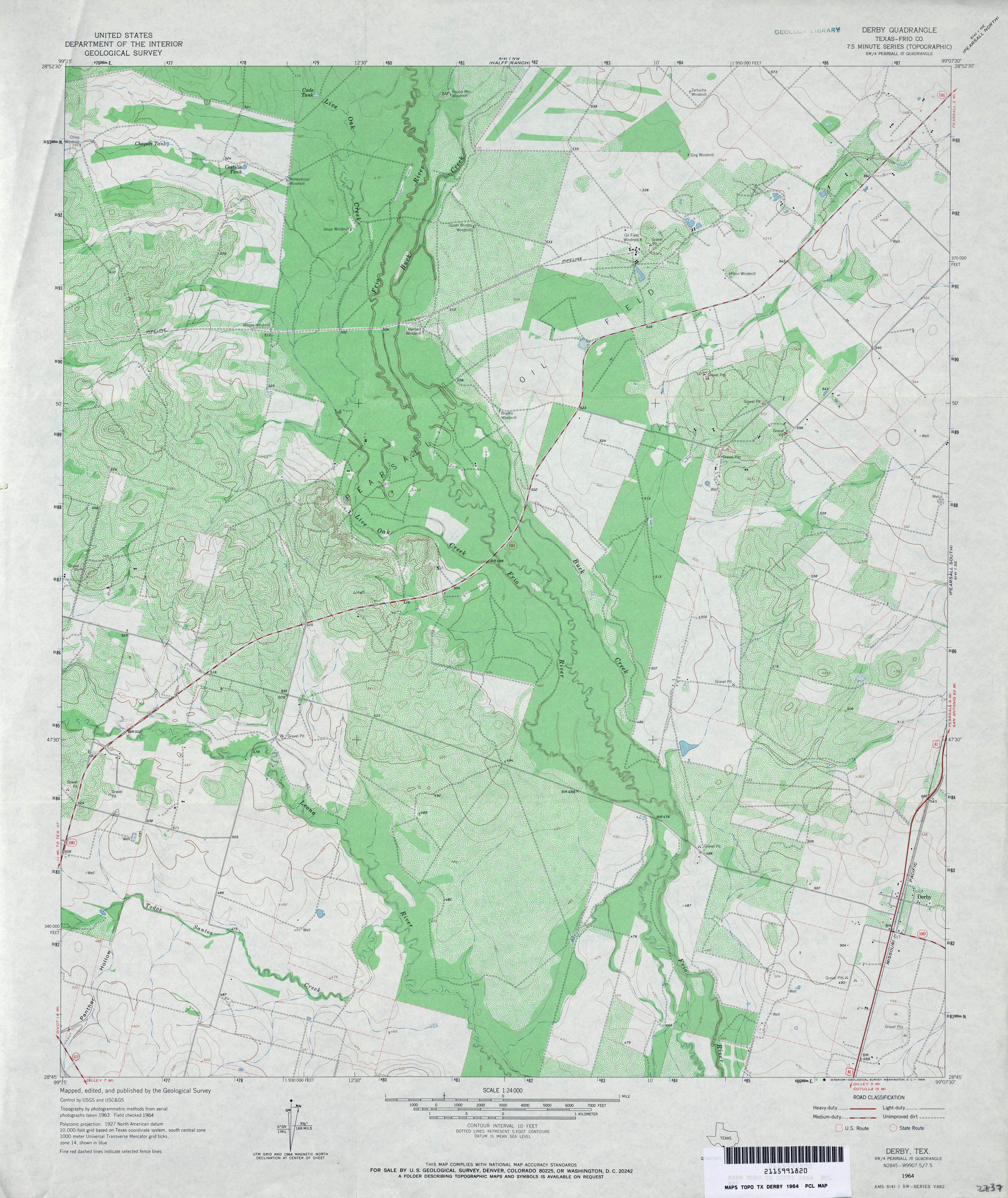
- Derby (Frio County) 1:24,000 1964 (4.2MB)
- Derby (Frio County) 1:24,000 1982 (4.1MB)
- Derby 1:24,000 2008 (16.4MB) [GeoPDF]
- Derby 1:24,000 2013 (23.2MB) [GeoPDF]
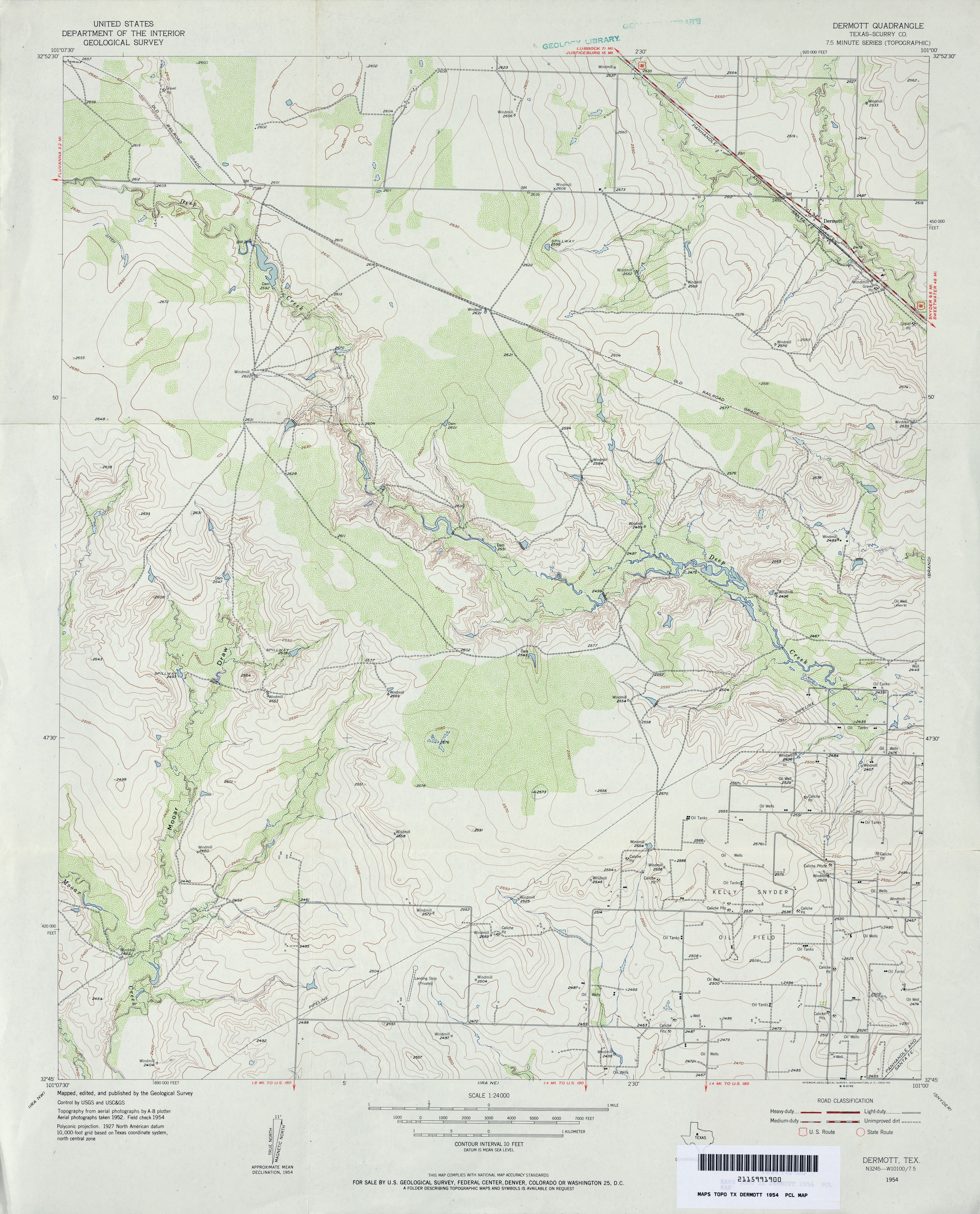
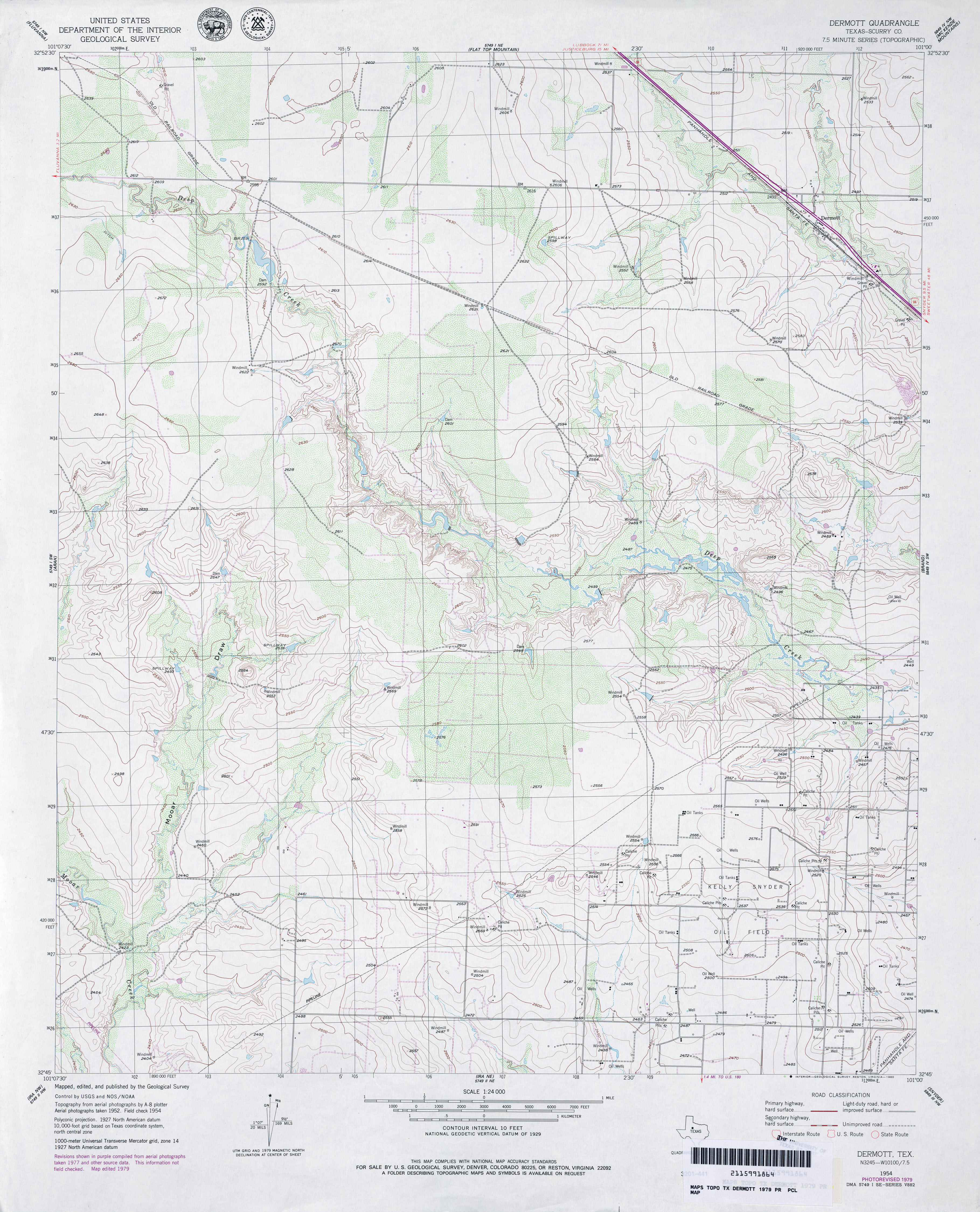
- Dermott (Scurry County) 1:24,000 1954 (3.7MB)
- Dermott (Scurry County) 1:24,000 1979 (3.8MB)
- Dermott 1:24,000 2008 (12.3MB) [GeoPDF]
- Dermott 1:24,000 2012 (21.2MB) [GeoPDF]
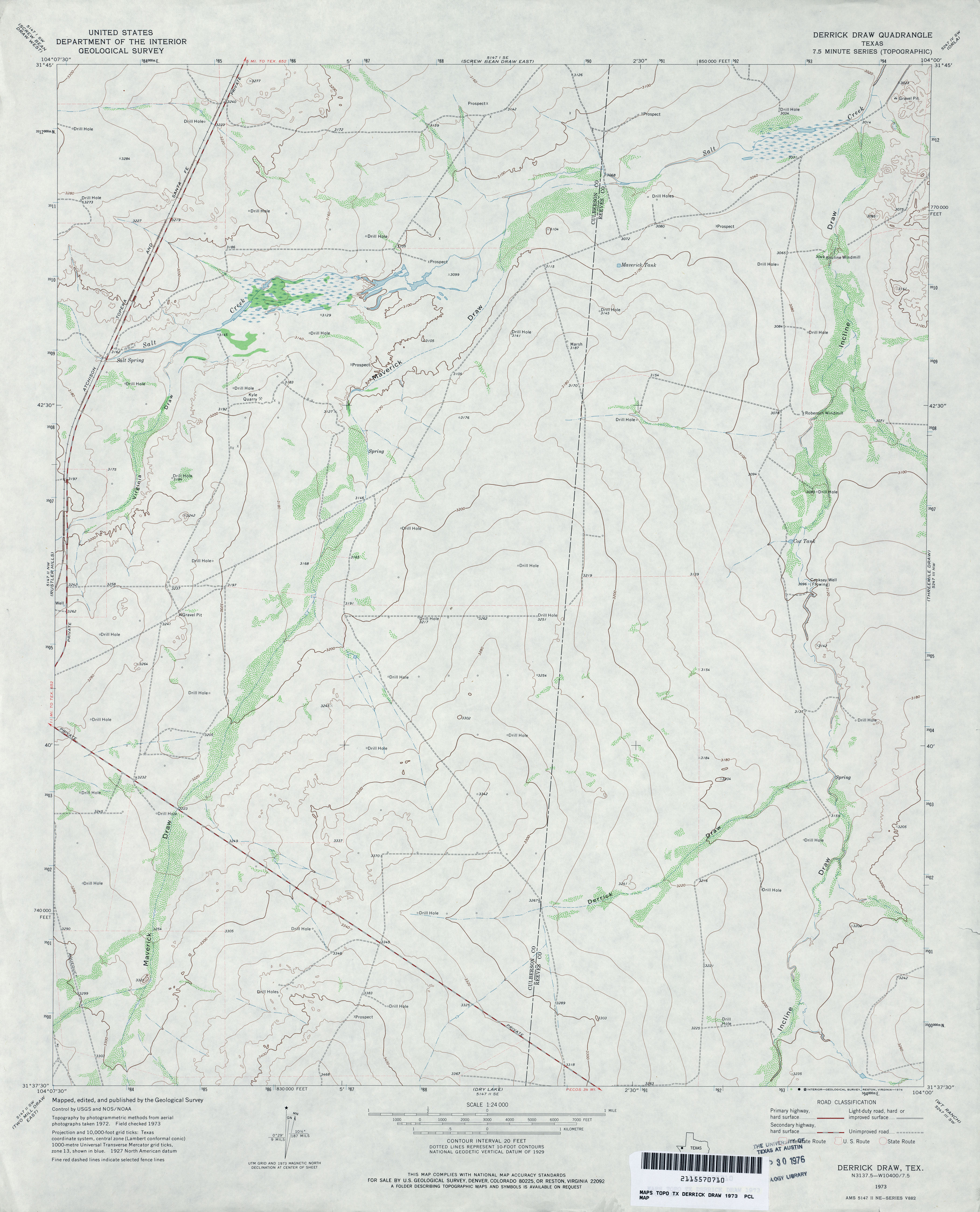
- Derrick Draw 1:24,000 1973 (2.7MB)
- Derrick Draw 1:24,000 2008 (19.9MB) [GeoPDF]
- Derrick Draw 1:24,000 2012 (21.7MB) [GeoPDF]
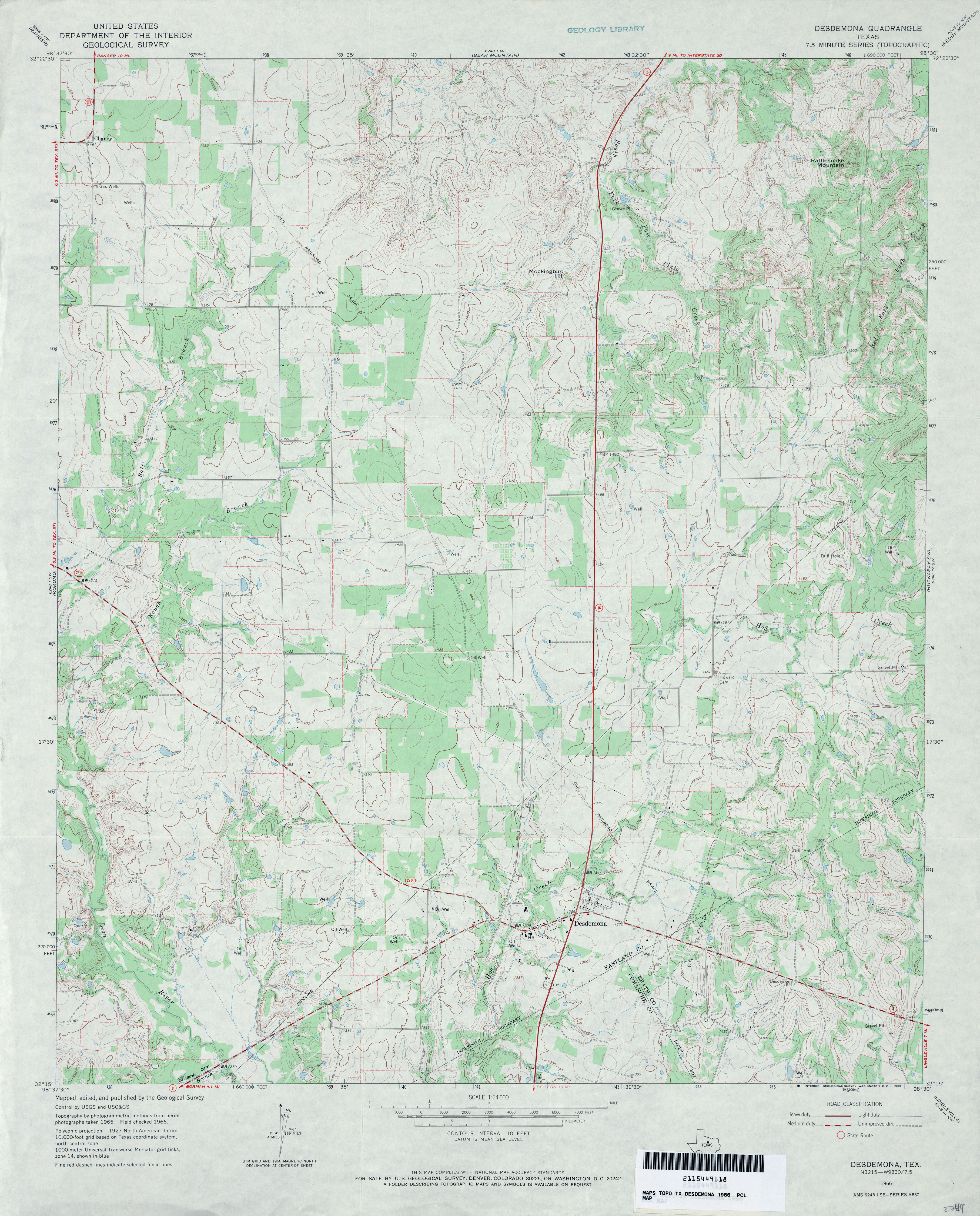
- Desdemona 1:24,000 1966 (3.9MB)
- Desdemona 1:24,000 2008 (15.0MB) [GeoPDF]
- Desdemona 1:24,000 2012 (19.7MB) [GeoPDF]
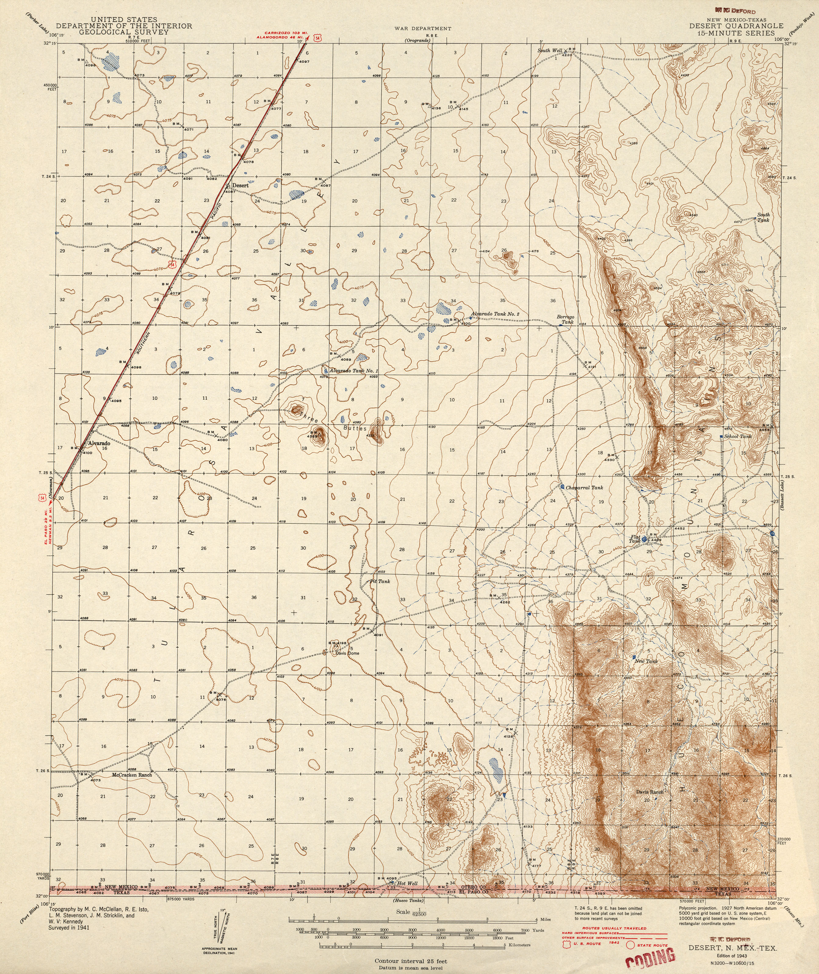
- Desert [New Mexico, Texas] 1:62,500 1943 (2.5MB)
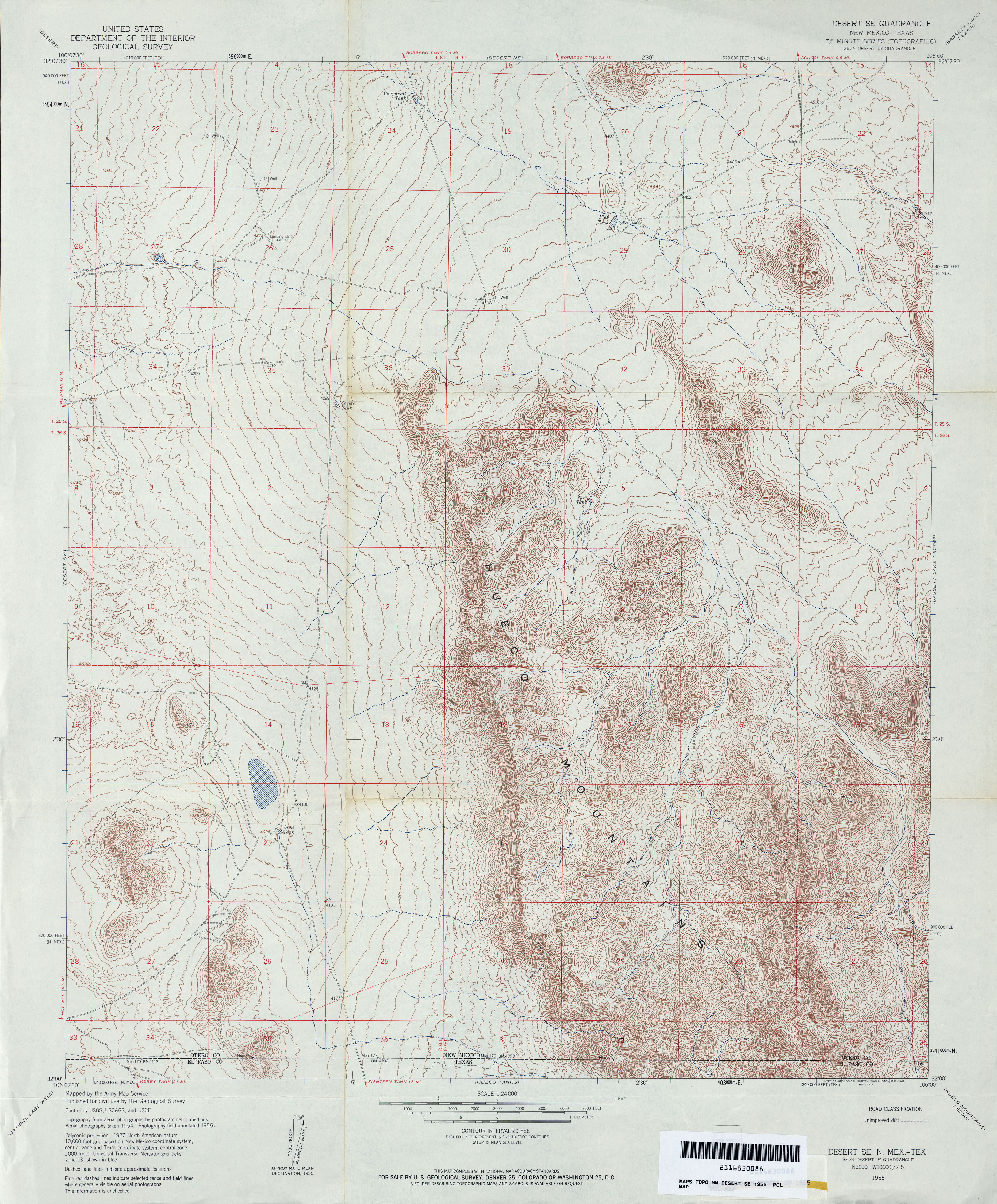
- Desert SE 1:24,000 1955 (4.7MB)
- Desert SE [New Mexico, Texas] 1:24,000 2009 (27.5MB) [GeoPDF]
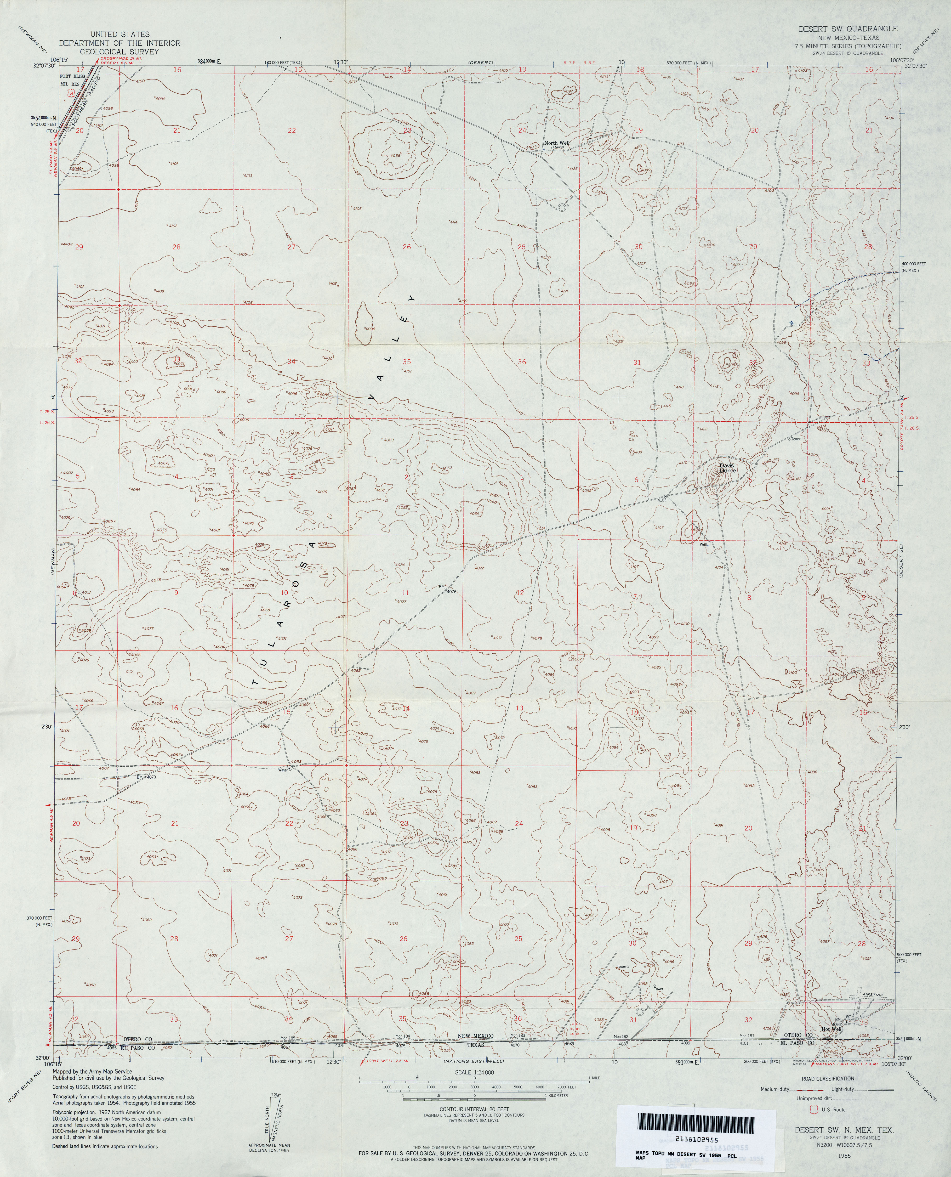
- Desert SW 1:24,000 1955 (2.9MB)
- Desert SW [New Mexico, Texas] 1:24,000 2009 (26.0MB) [GeoPDF]
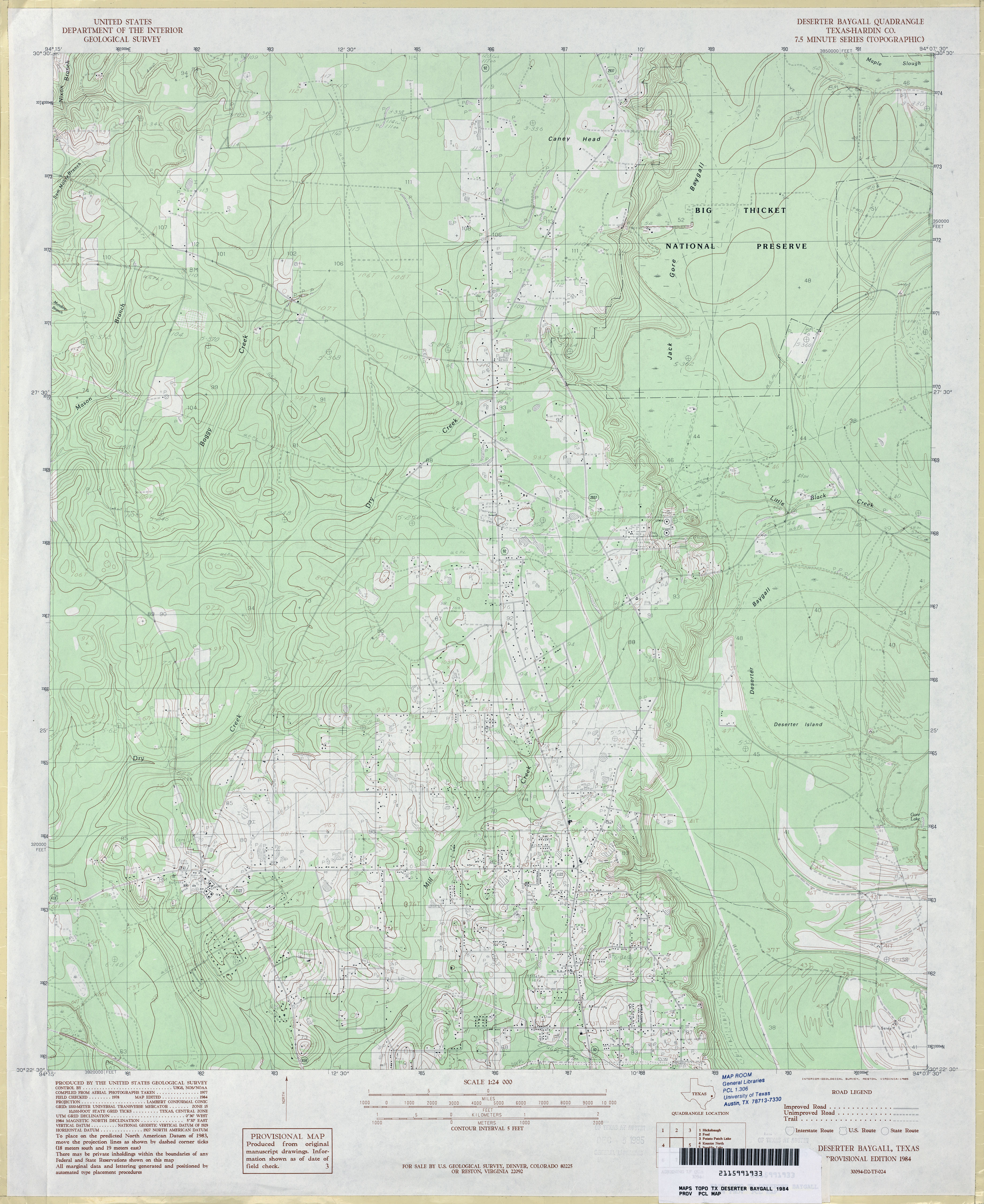
- Deserter Baygall (Hardin County) 1:24,000 1984 (3.8MB)
- Deserter Baygall 1:24,000 2009 (24.1MB) [GeoPDF]
- Deserter Baygall 1:24,000 2013 (24MB) [GeoPDF]
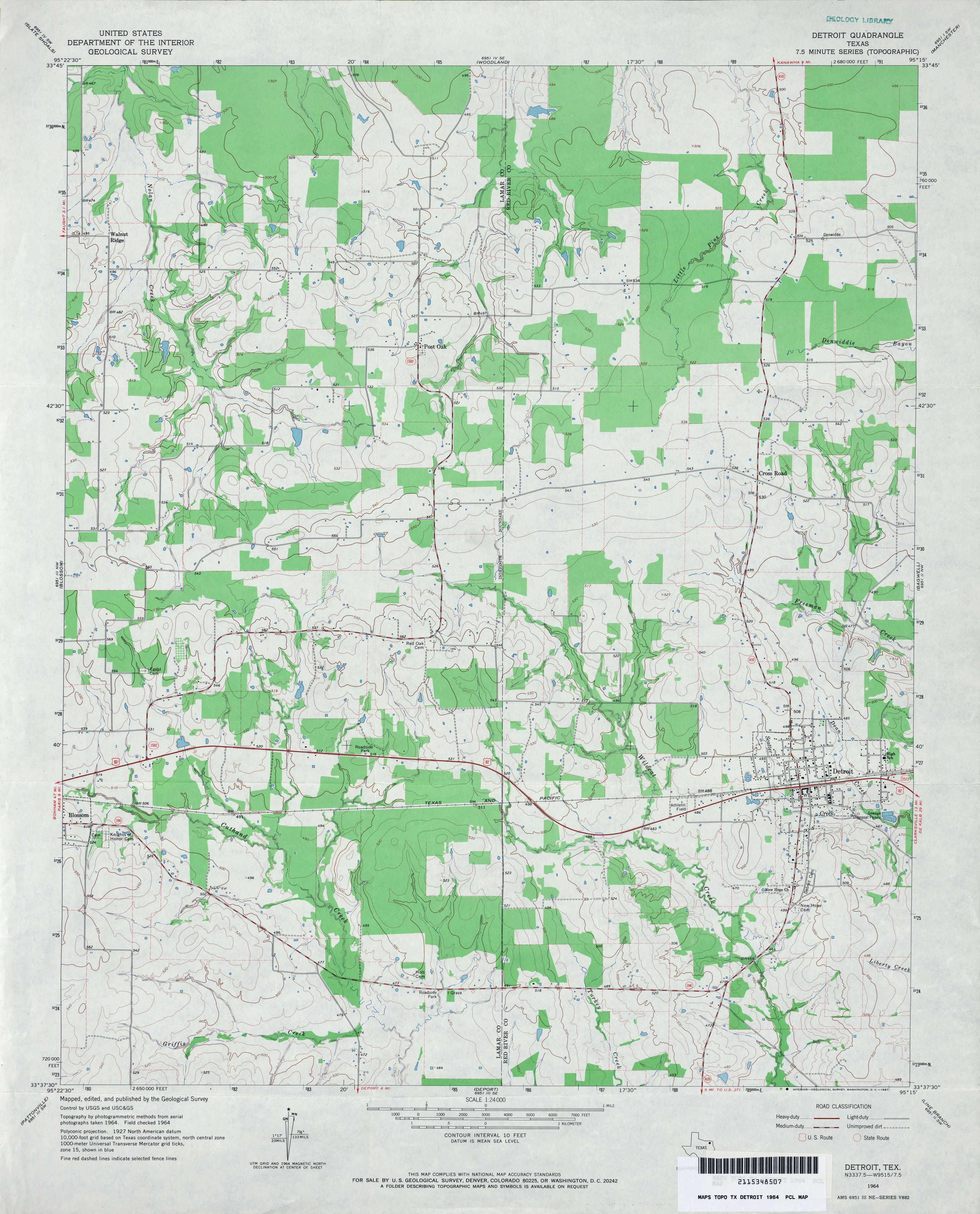
- Detroit 1:24,000 1964 (3.3MB)
- Detroit 1:24,000 2008 (14.1MB) [GeoPDF]
- Detroit 1:24,000 2013 (20.7MB) [GeoPDF]
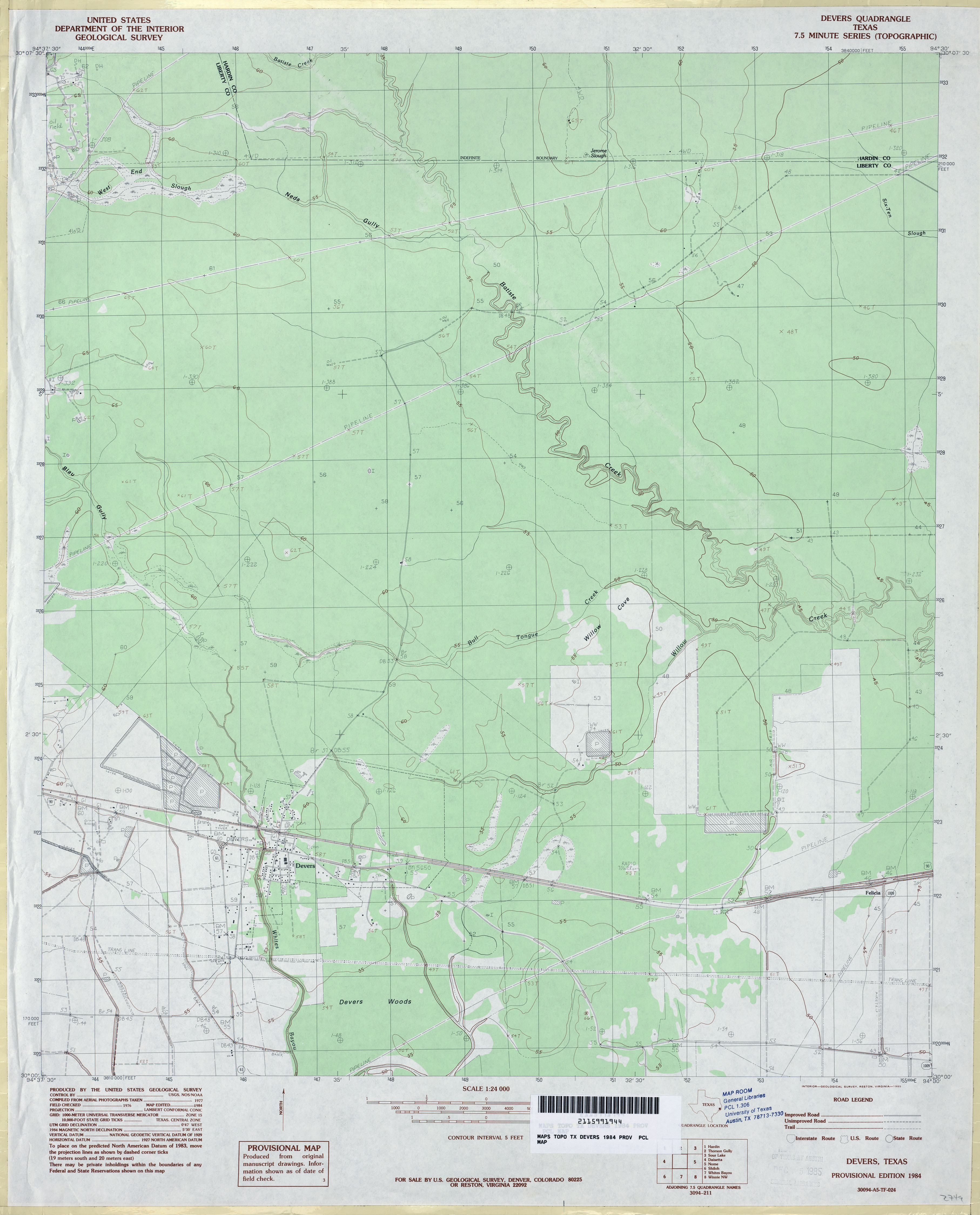
- Devers 1:24,000 1984 (2.7MB)
- Devers 1:24,000 2009 (25.3MB) [GeoPDF]
- Devers 1:24,000 2013 (21.6MB) [GeoPDF]
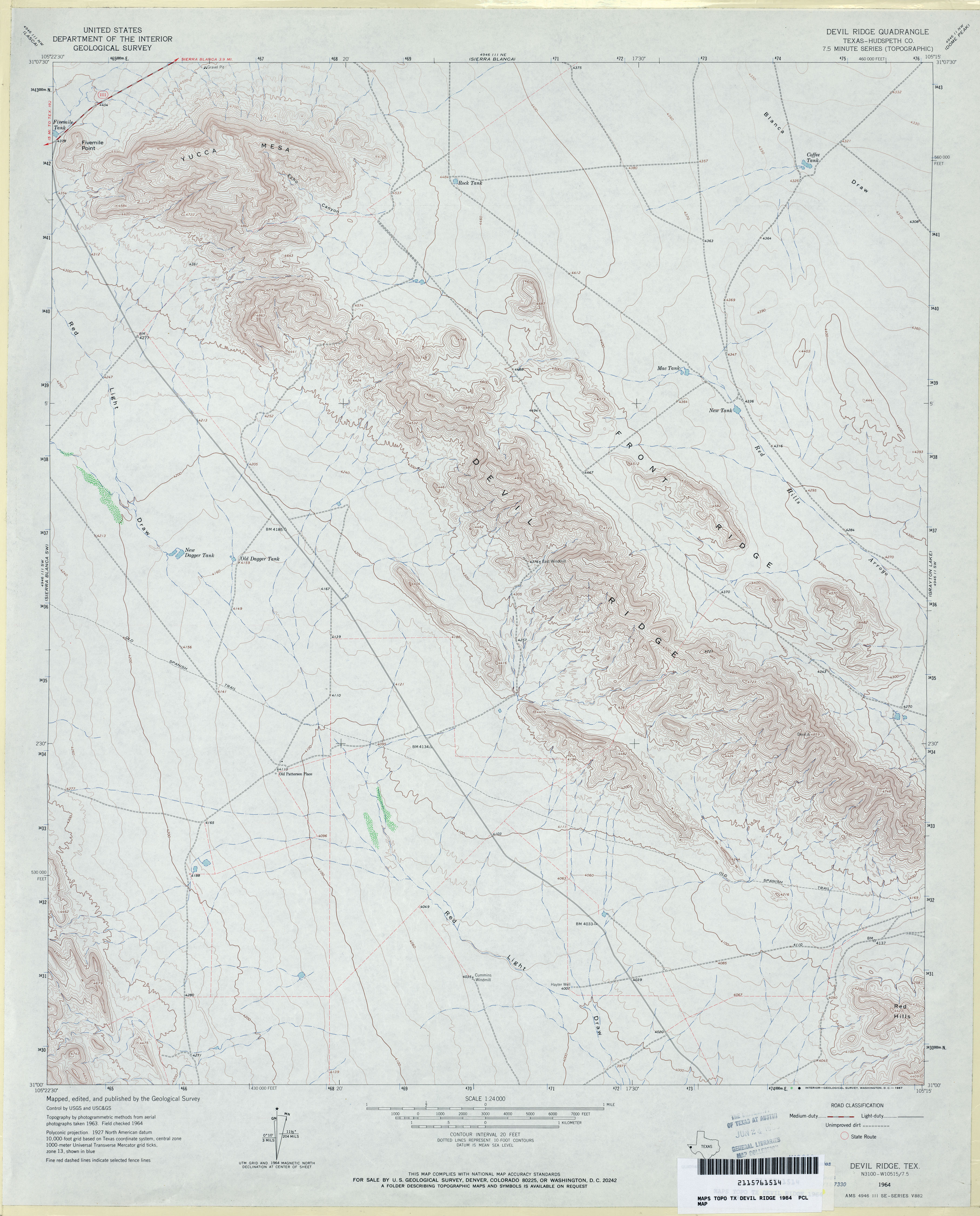
- Devil Ridge (Hudspeth County) 1:24,000 1964 (3.4MB)
- Devil Ridge 1:24,000 2008 (20.9MB) [GeoPDF]
- Devil Ridge 1:24,000 2012 (25MB) [GeoPDF]
- Devils Backbone 1:24,000 1963 (4.2MB)
- Devils Backbone 1:24,000 1989 (5.2MB)
- Devils Backbone 1:24,000 2008 (20.3MB) [GeoPDF]
- Devils Backbone 1:24,000 2013 (28.8MB) [GeoPDF]
- Devils Canyon (Cottle County) 1:24,000 1966 (4.6MB)
- Devils Canyon (Cottle County) 1:24,000 1981 (5.4MB)
- Devils Canyon 1:24,000 2012 (24MB) [GeoPDF]
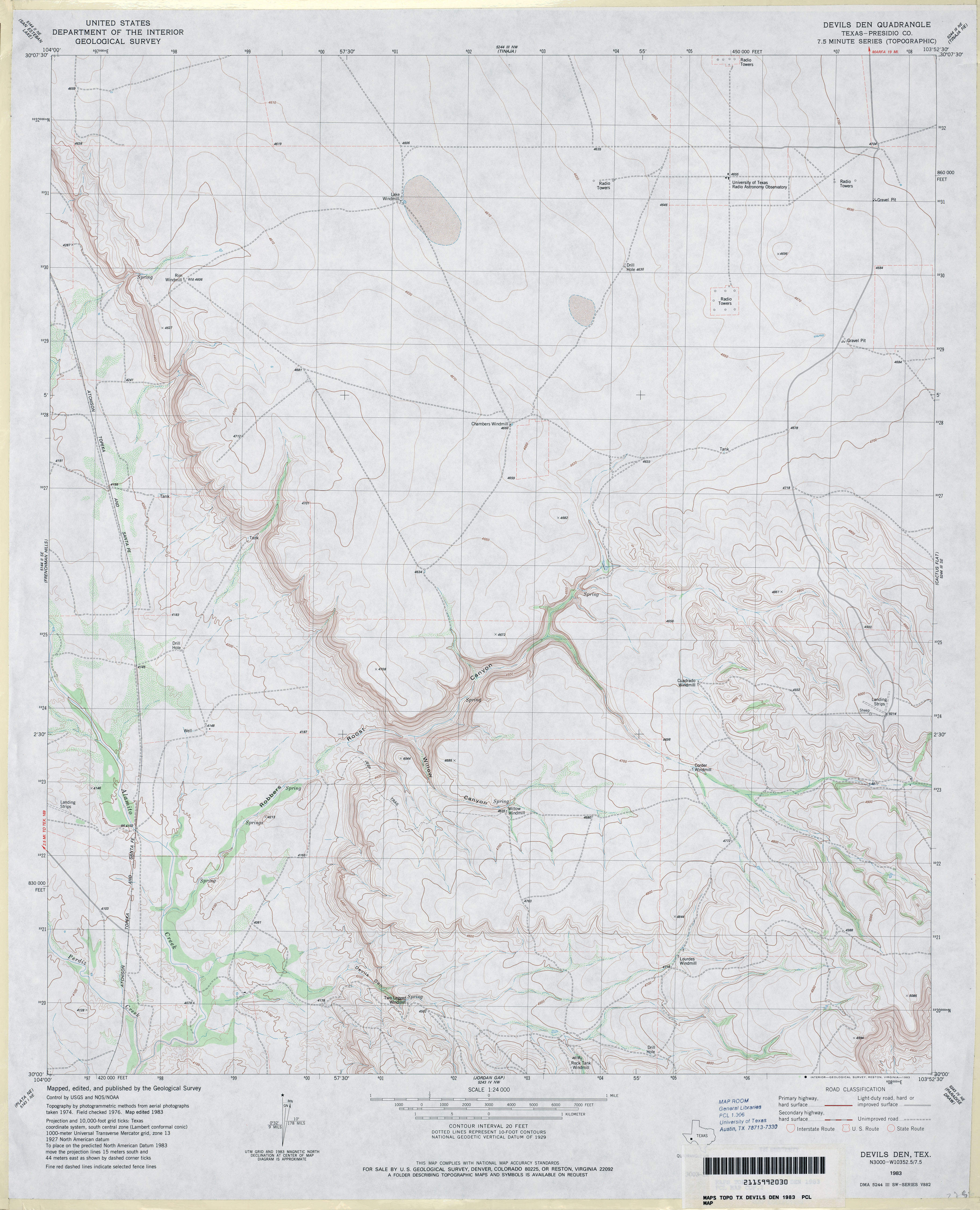
- Devils Den (Presidio County) 1:24,000 1983 (3.1MB)
- Devils Den 1:24,000 2008 (15.4MB) [GeoPDF]
- Devils Den 1:24,000 2012 (23.3MB) [GeoPDF]
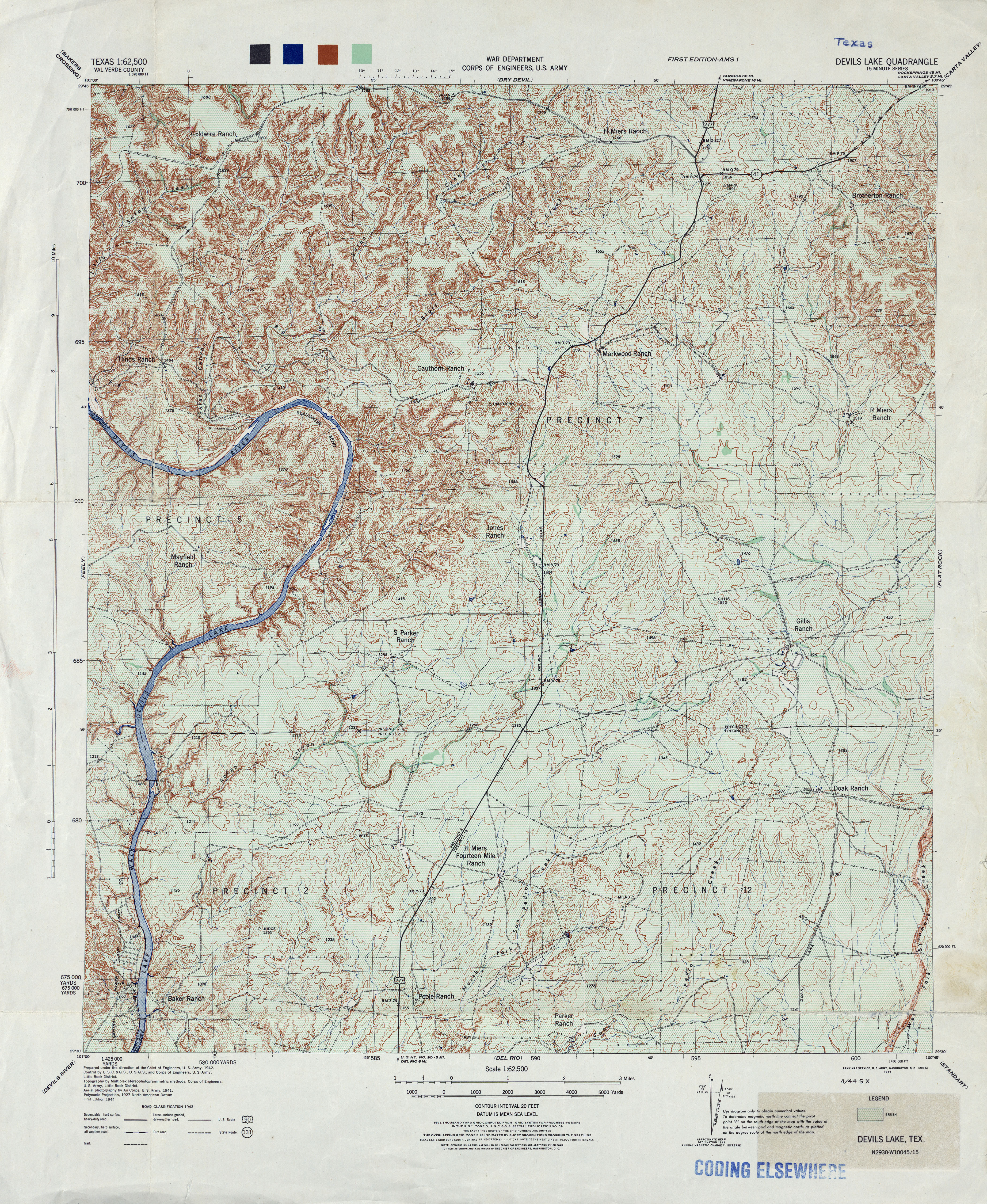
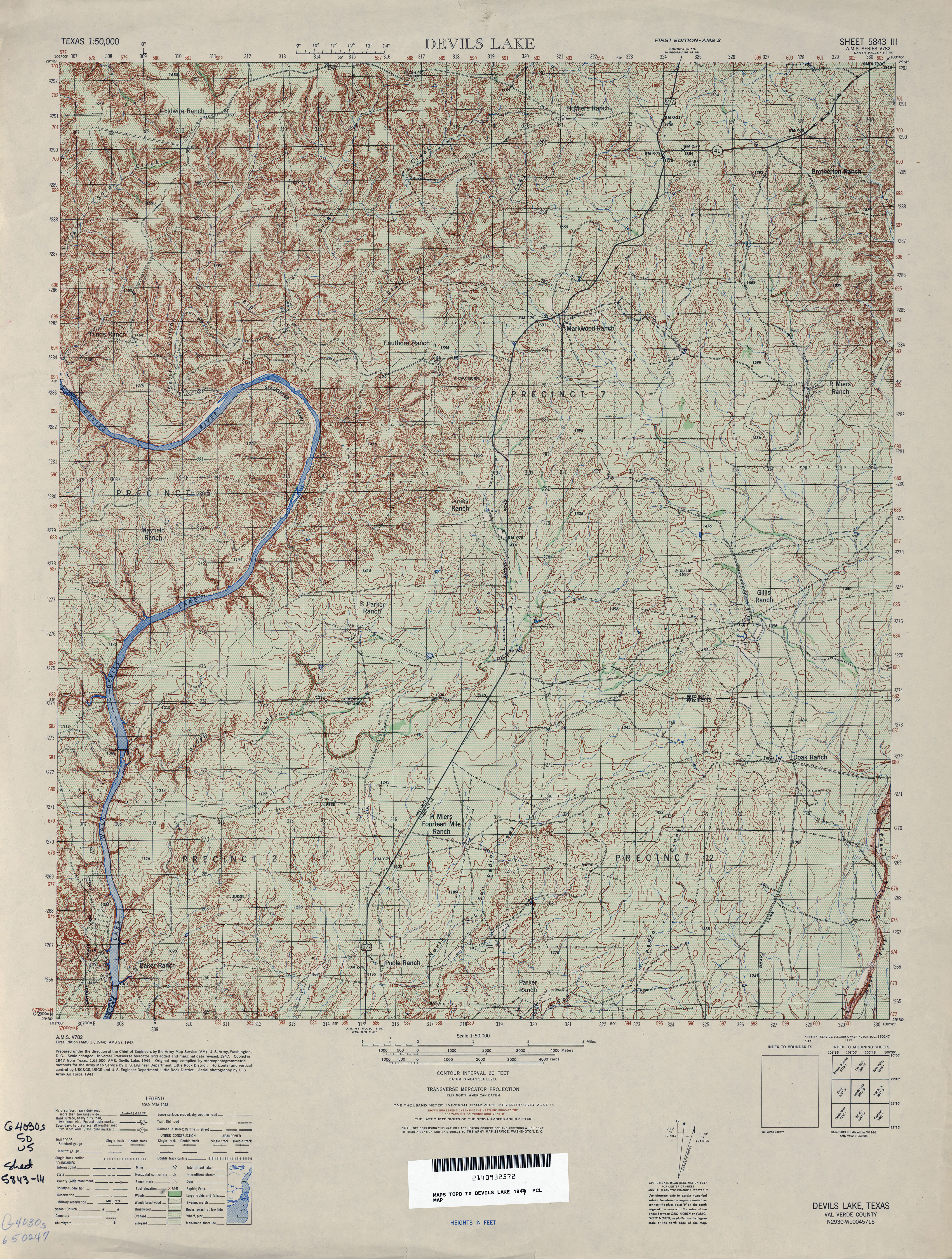
- Devils Lake 1:62,500 1943 (6.9MB) U.S. War Department Army Corps of Engineers.
- Devils Lake 1:50,000 1947 (5.9MB) U.S. Army Mapping Service, Series V782.
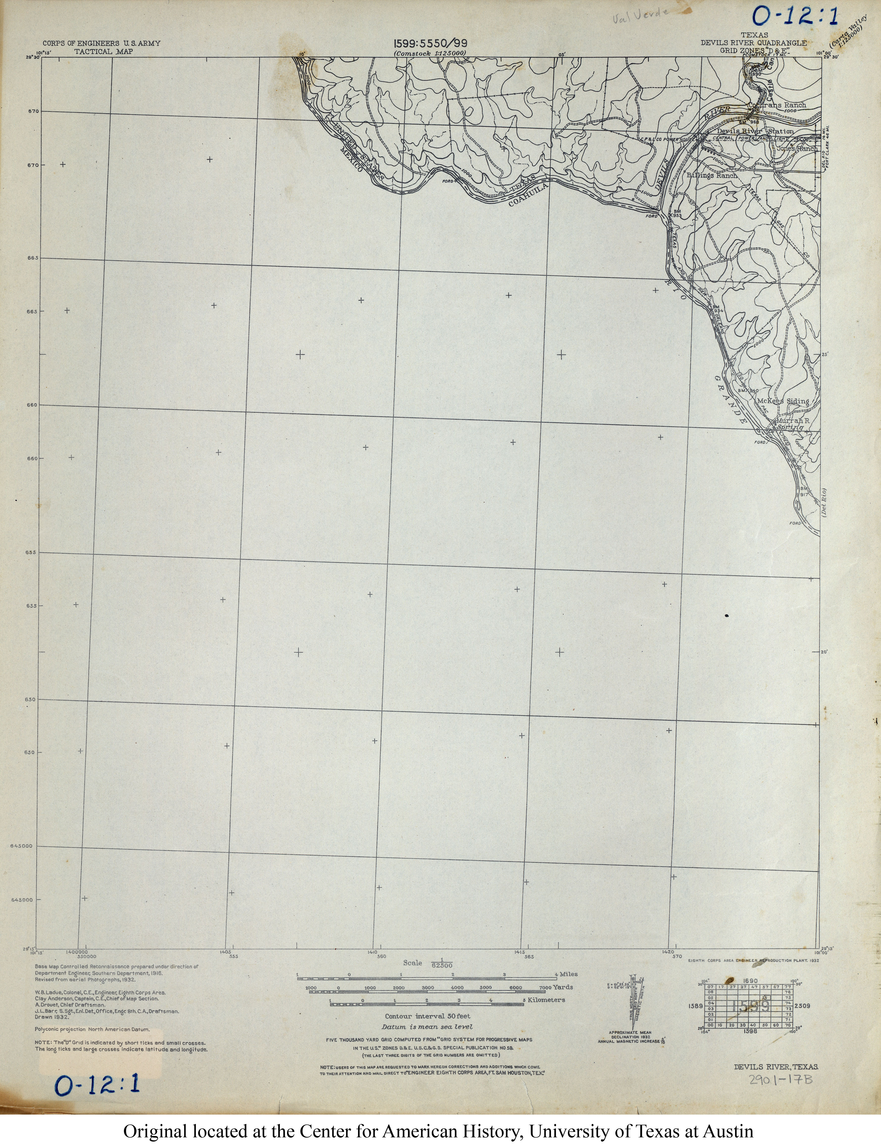
- Devils River 1:62,500 1932 (2.8MB) U.S. Army. Corps of Engineers. Tactical Map
- Devils River 1:62,500 1944 (5MB) U.S. Army. Corps of Engineers. 15 Minute Series
- Devils River 1:50,000 1947 (5.6MB) U.S. Army Mapping Service, Series V782.
- Devils River 1:62,500 1947 (5MB) U.S. Army Map Service, 15 Minute Series.
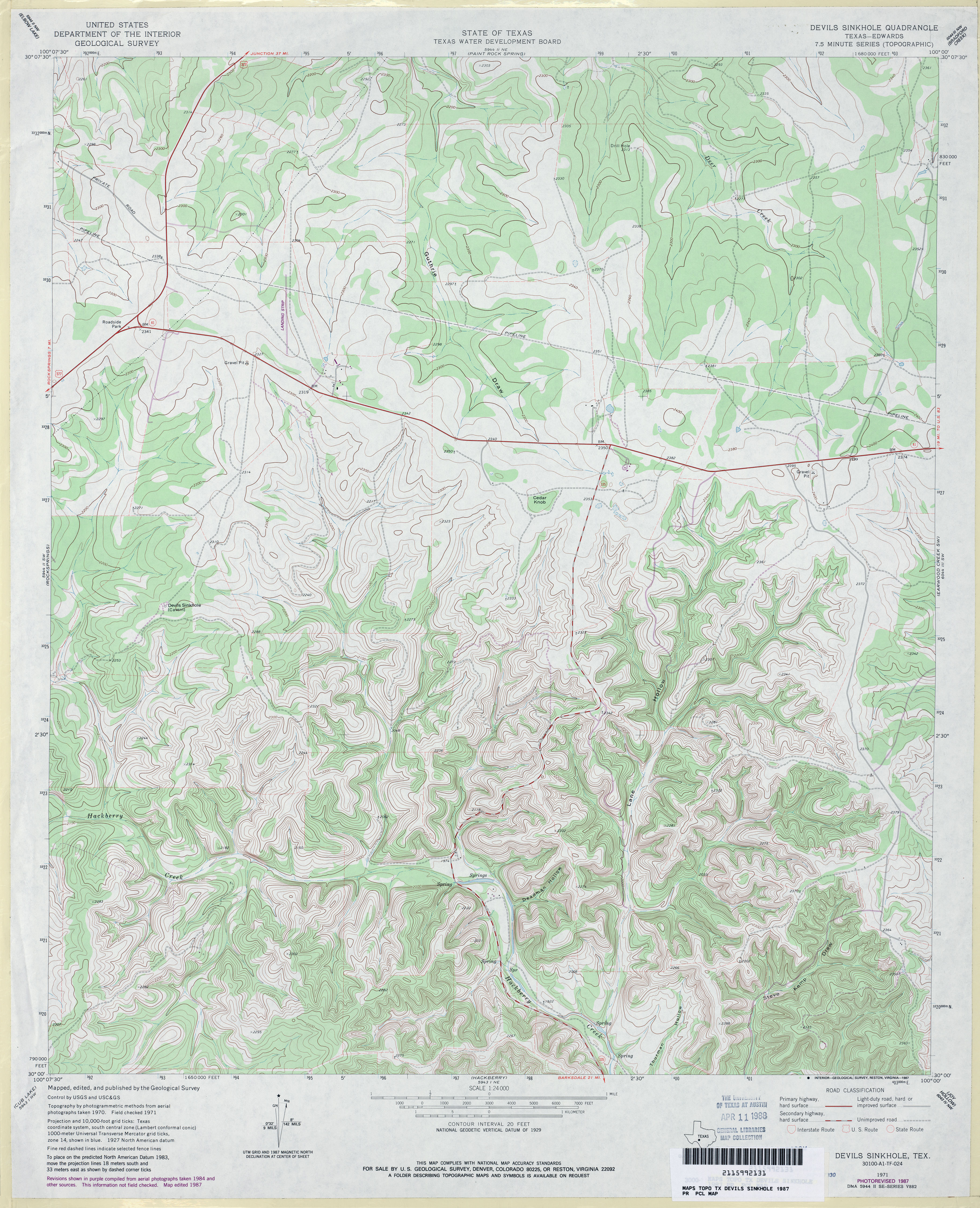
- Devils Sinkhole 1:24,000 1971 (4.3MB)
- Devils Sinkhole 1:24,000 1987 (4.5MB)
- Devils Sinkhole 1:24,000 2008 (23.1MB) [GeoPDF]
- Devils Sinkhole 1:24,000 2012 (32.2MB) [GeoPDF]
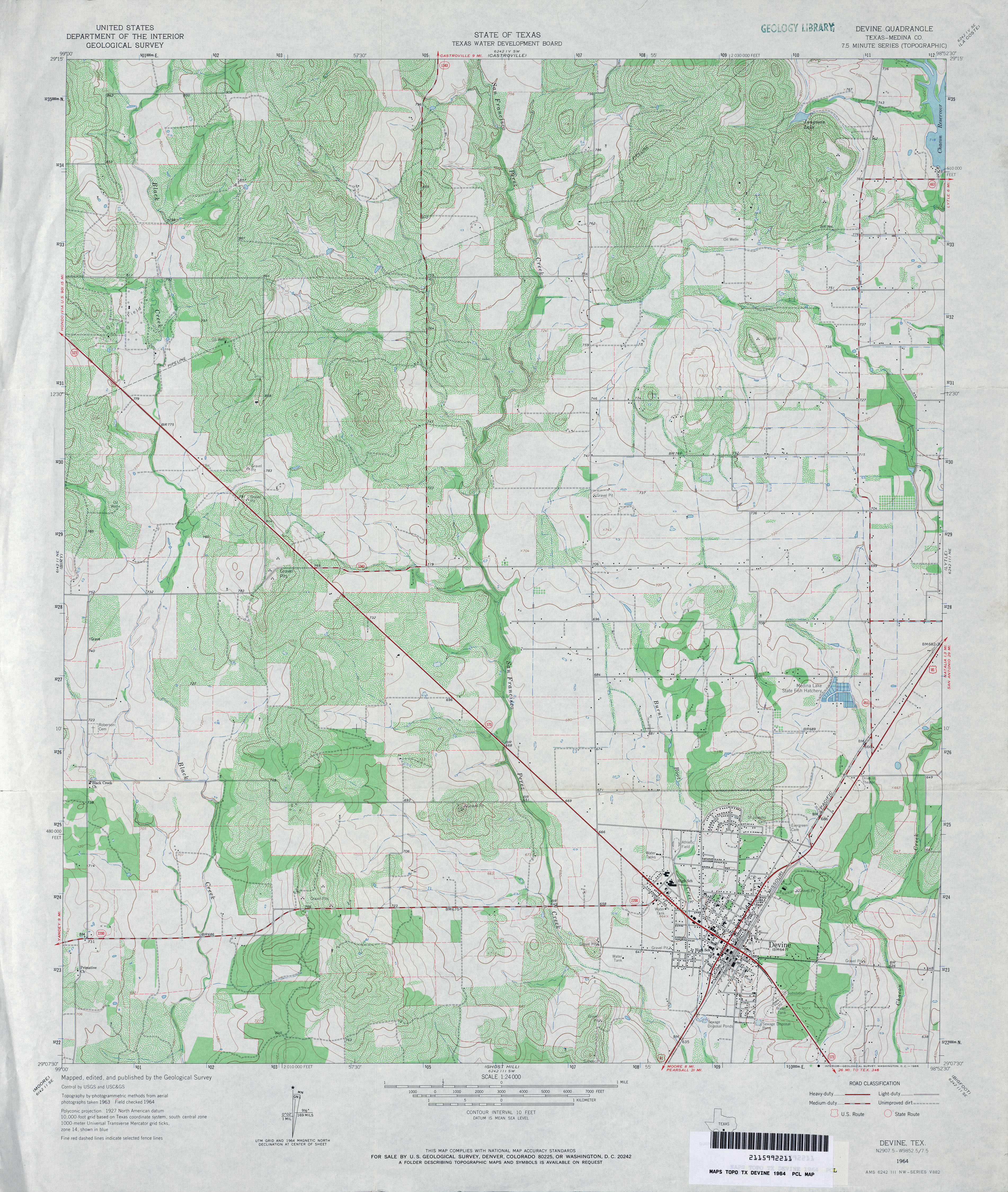
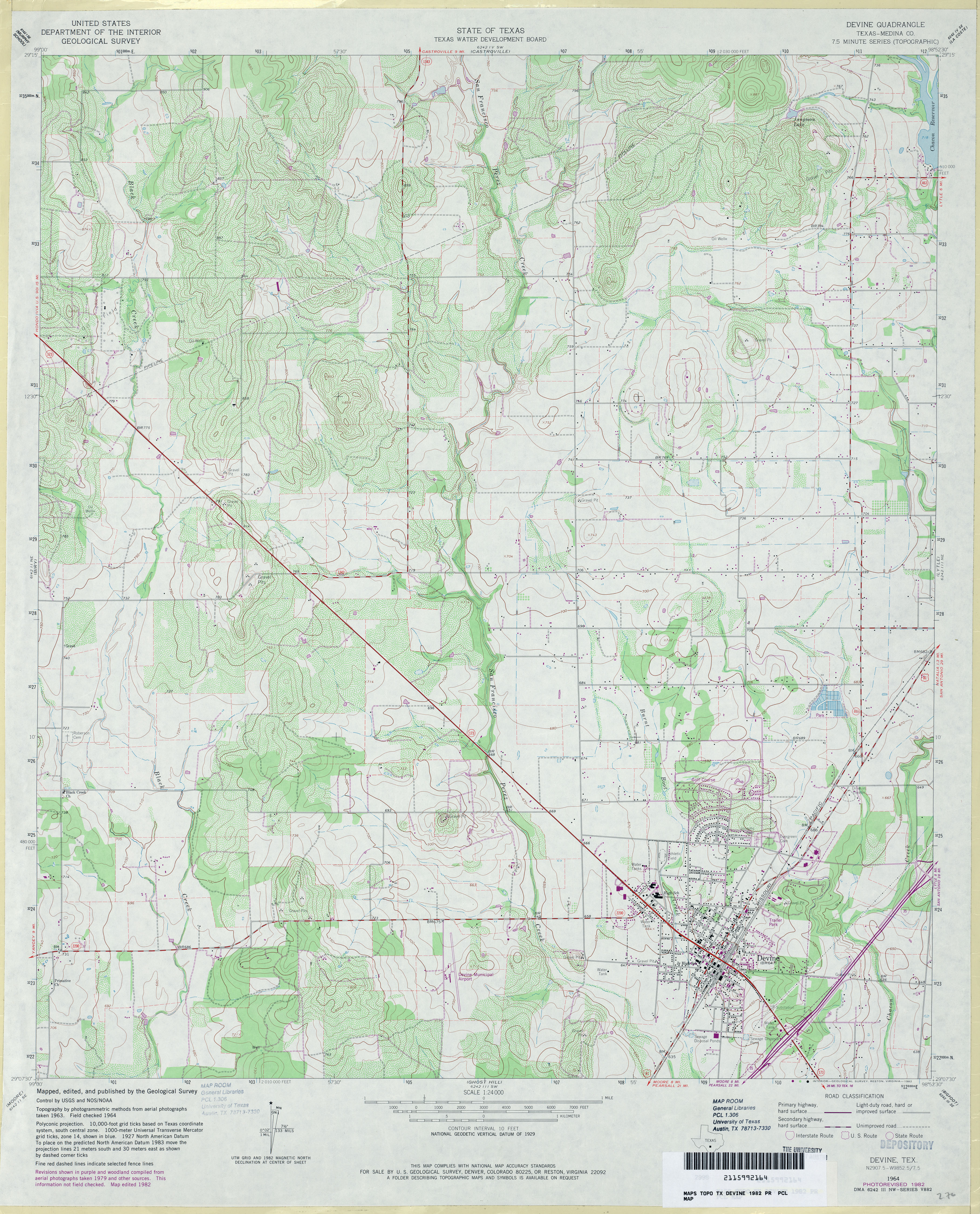
- Devine (Medina County) 1:24,000 1964 (4.6MB)
- Devine (Medina County) 1:24,000 1982 (4.4MB)
- Devine 1:24,000 2008 (15.5MB) [GeoPDF]
- Devine 1:24,000 2013 (21.7MB) [GeoPDF]
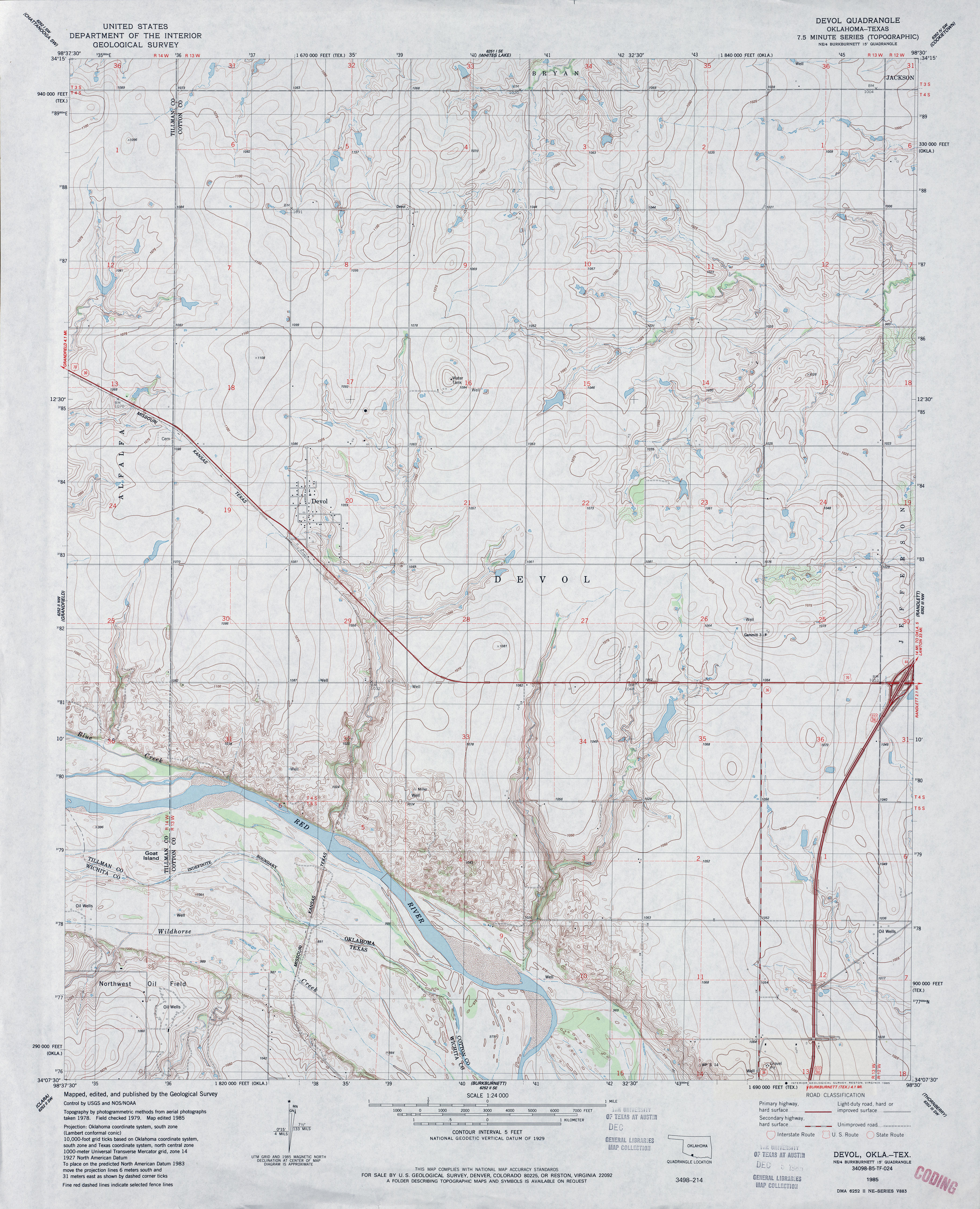
- Devol 1:24,000 1985 (4.1MB)
- Devol 1:24,000 2008 (13.8MB) [GeoPDF]
- Devol 1:24,000 2012 (15.8MB) [GeoPDF]
- Dew (Freestone County) 1:24,000 1965 (4.2MB)
- Dew (Freestone County) 1:24,000 1982 (4.4MB)
- Dew 1:24,000 2008 (17.0MB) [GeoPDF]
- Dew 1:24,000 2013 (22.7MB) [GeoPDF]
- Dew Drop Creek (Nolan County) 1:24,000 1969 (3.7MB)
- Dew Drop Creek (Nolan County) 1:24,000 1987 (4.3MB)
- Dewees (Wilson County) 1:24,000 1961 (4.1MB)
- Dewees 1:24,000 2008 (11.8MB) [GeoPDF]
- Dewees 1:24,000 2013 (20.2MB) [GeoPDF]
- Dewey Lake 1:125,000 1929 (2.8MB)
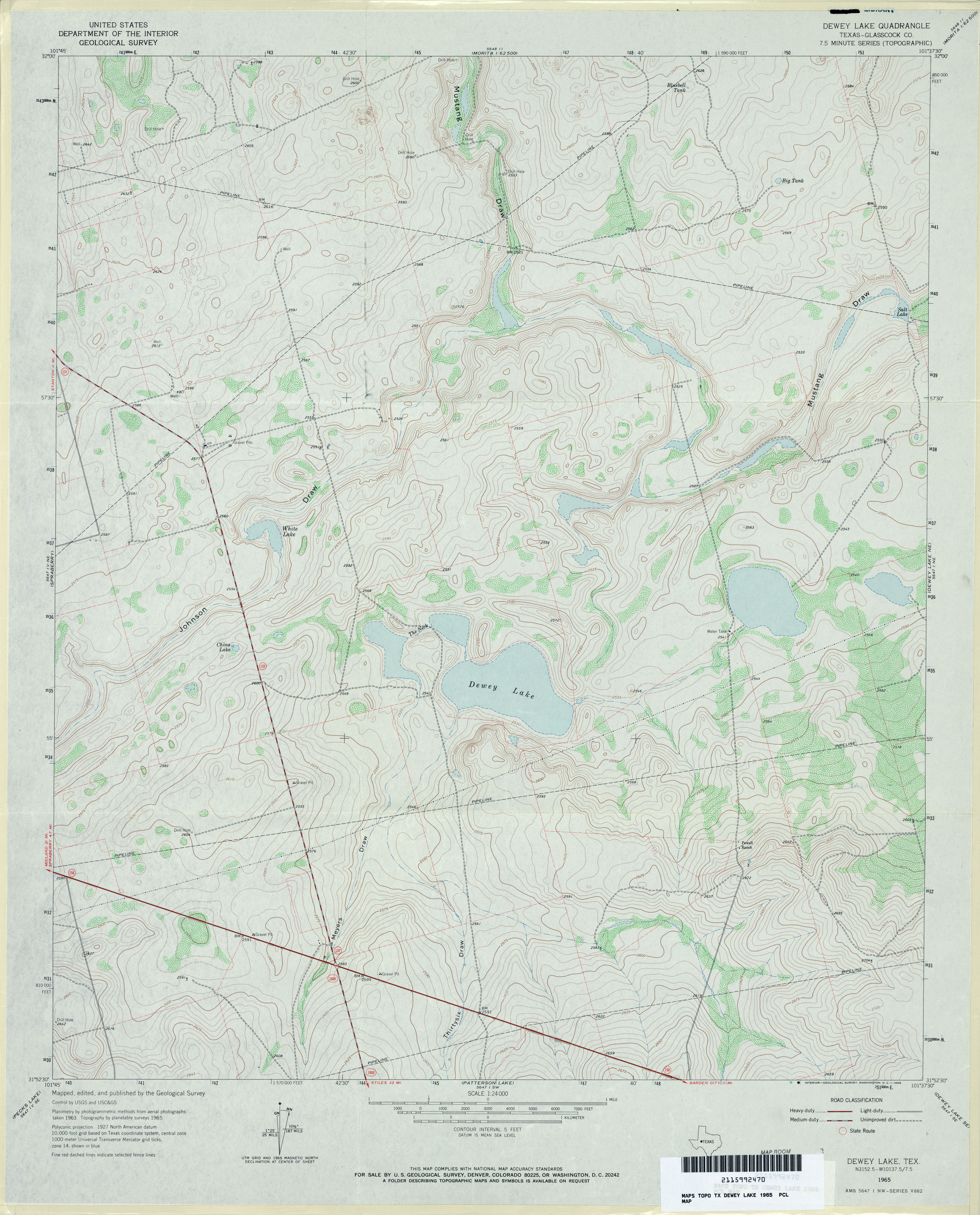
- Dewey Lake (Glasscock County) 1:24,000 1965 (3.7MB)
- Dewey Lake 1:24,000 2008 (18.6MB) [GeoPDF]
- Dewey Lake 1:24,000 2012 (24.1MB) [GeoPDF]
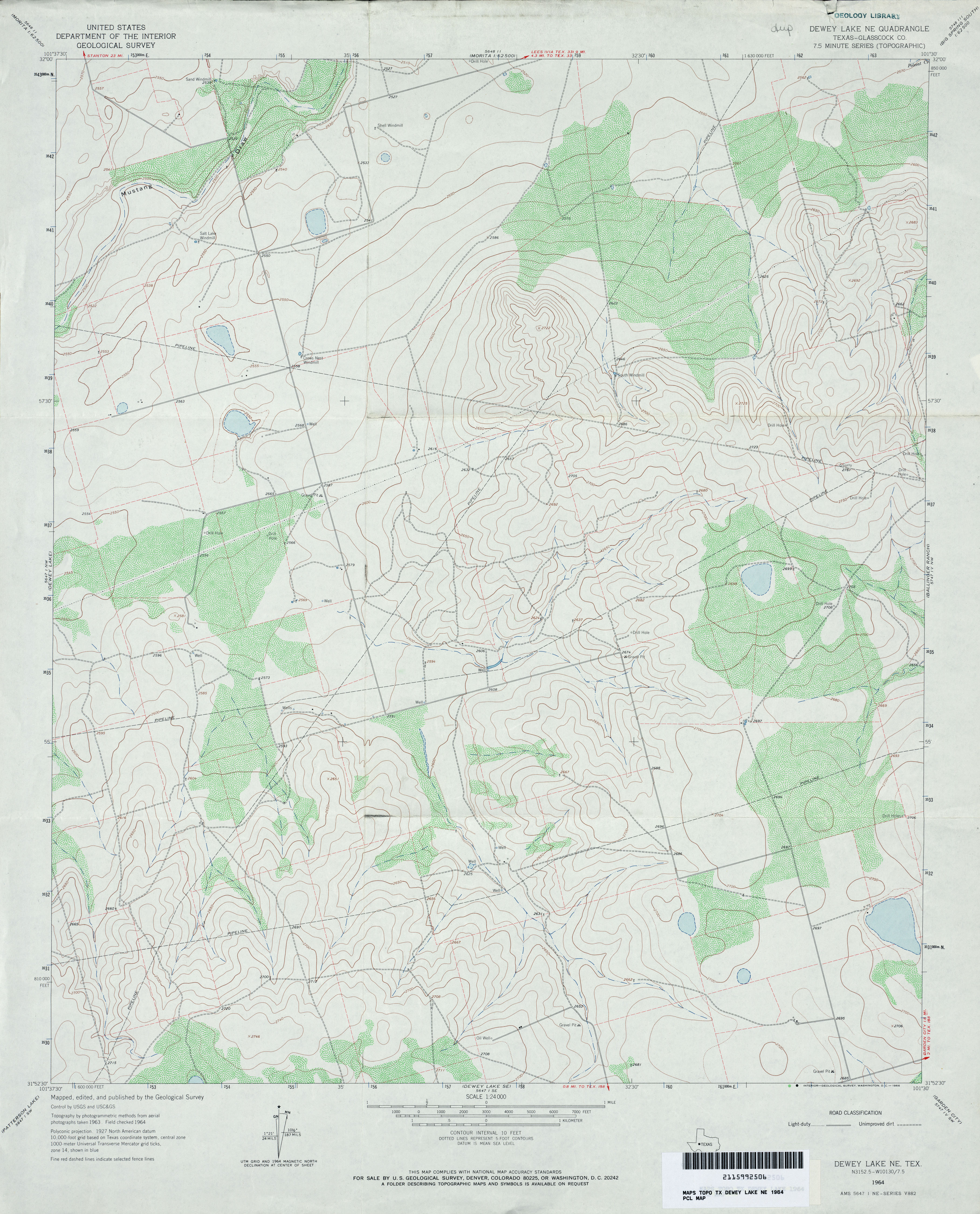
- Dewey Lake NE (Glasscock County) 1:24,000 1964 (3.5MB)
- Dewey Lake NE 1:24,000 2008 (16.0MB) [GeoPDF]
- Dewey Lake NE 1:24,000 2012 (23.3MB) [GeoPDF]
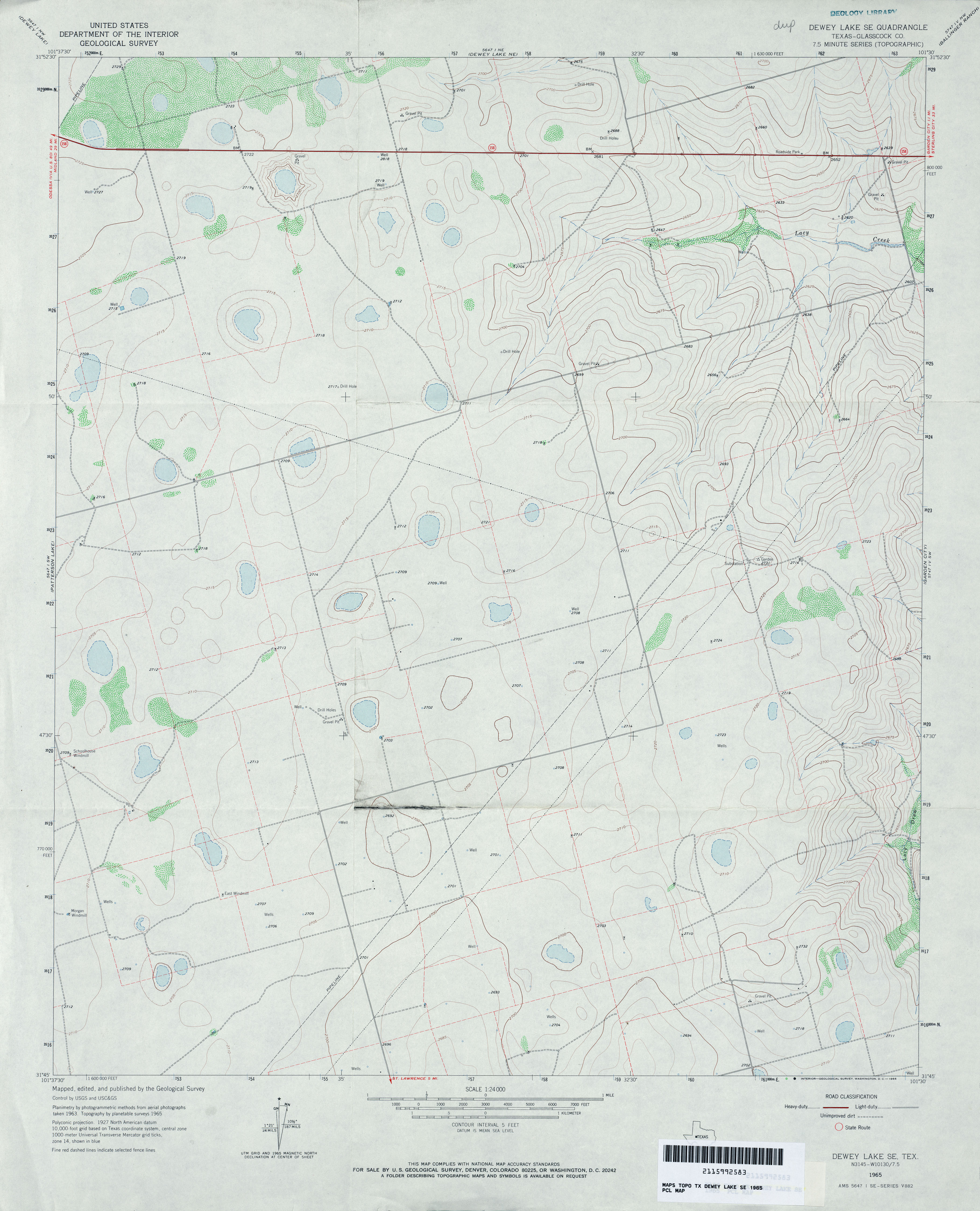
- Dewey Lake SE (Glasscock County) 1:24,000 1965 (2.9MB)
- Dewey Lake SE 1:24,000 2008 (14.0MB) [GeoPDF]
- Dewey Lake SE 1:24,000 2012 (20.3MB) [GeoPDF]
- Dewville 1:62,500 1935 (5.1MB) U.S. Army. Corps of Engineers. Tactical Map
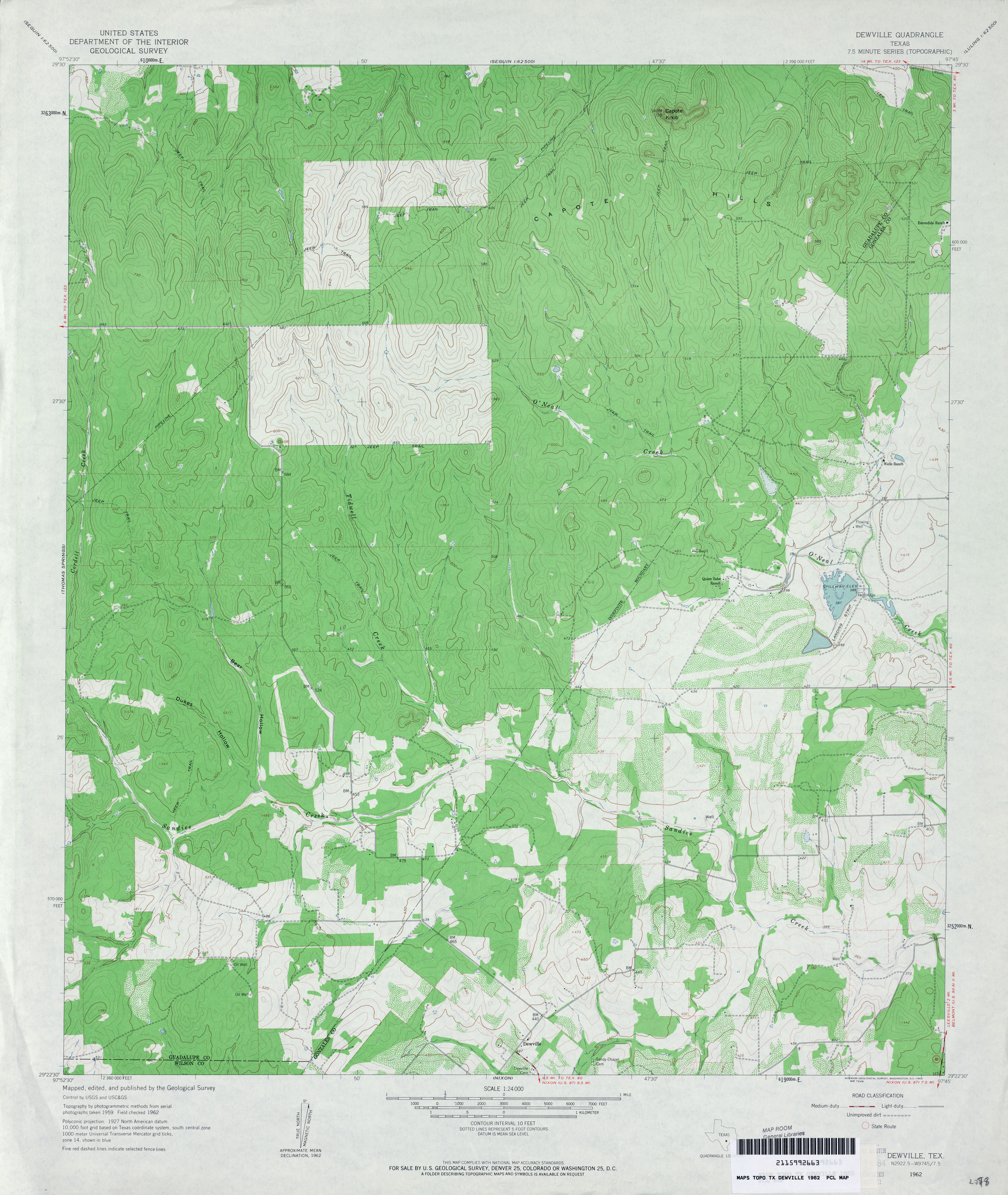
- Dewville 1:24,000 1962 (3.8MB)
- Dewville 1:24,000 1987 (4.1MB)
- Dewville 1:24,000 2008 (17.9MB) [GeoPDF]
- Dewville 1:24,000 2013 (28.6MB) [GeoPDF]
- Dexter 1:24,000 1976 (3.9MB) 7.5 Minute Series Orthophotoquad.
- Dexter 1:24,000 1982 (4.3MB)
- Dexter 1:24,000 2008 (14.2MB) [GeoPDF]
- Dexter 1:24,000 2013 (20.7MB) [GeoPDF]
- D'Hanis (Medina County) 1:24,000 1970 (3.5MB)
- D�Hanis 1:24,000 2008 (15.0MB) [GeoPDF]
- D'Hanis 1:24,000 2013 (21.6MB) [GeoPDF]
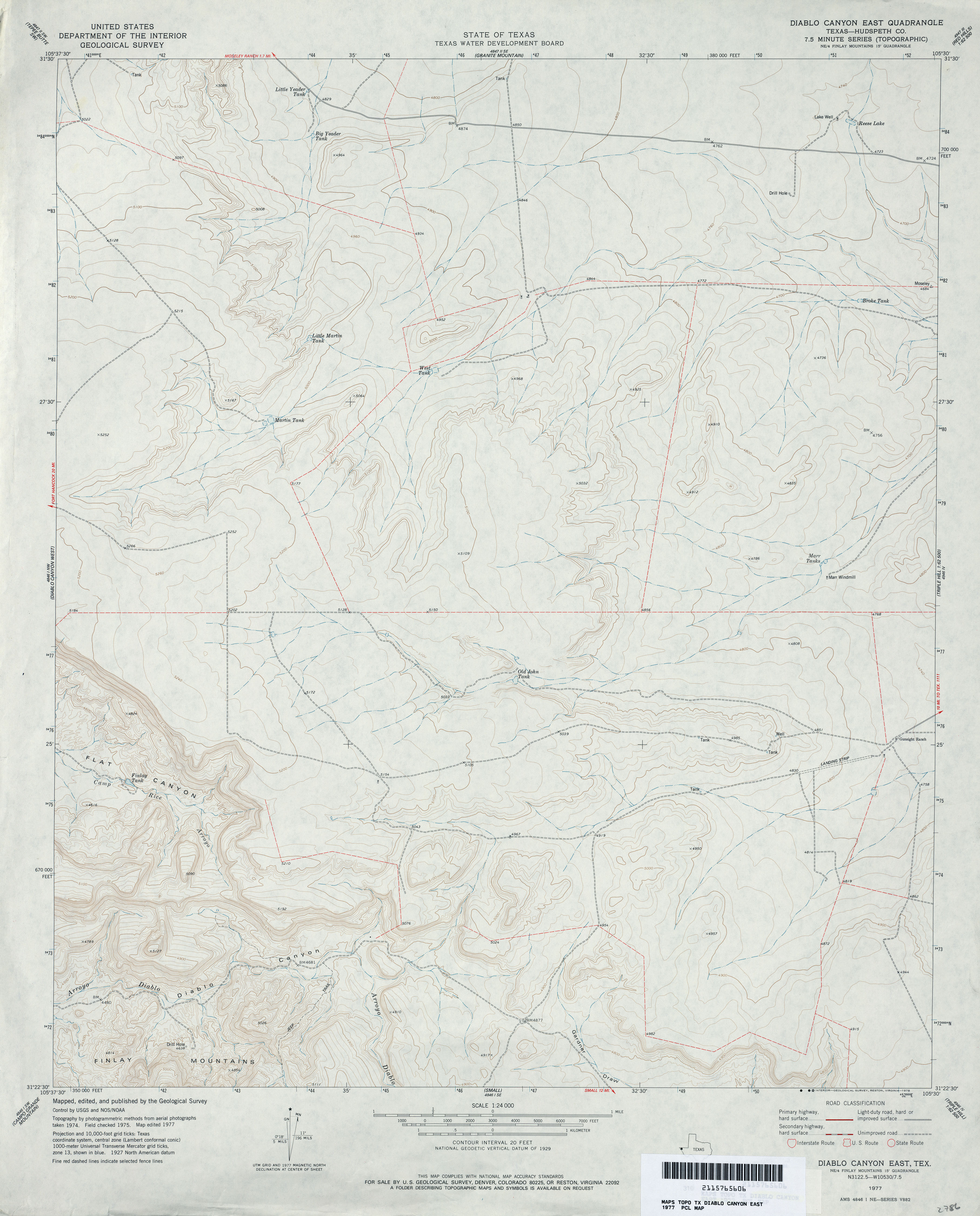
- Diablo Canyon East (Hudspeth County) 1:24,000 1977 (3MB)
- Diablo Canyon East 1:24,000 2008 (18.1MB) [GeoPDF]
- Diablo Canyon East 1:24,000 2012 (23.9MB) [GeoPDF]
- Diablo Canyon West (Hudspeth County) 1:24,000 1978 (3.4MB)
- Diablo Canyon West 1:24,000 2008 (19.2MB) [GeoPDF]
- Diablo Canyon West 1:24,000 2013 (24MB) [GeoPDF]
- Diamond S Ranch 1:24,000 1964 (4.5MB)
- Diamond S Ranch 1:24,000 2008 (20.7MB) [GeoPDF]
- Diamond S Ranch 1:24,000 2013 (28.4MB) [GeoPDF]
- Diamond Y Spring (Pecos County) 1:24,000 1974 (3.1MB)
- Diamond Y Spring 1:24,000 2008 (23.1MB) [GeoPDF]
- Diamond Y Spring 1:24,000 2012 (24.1MB) [GeoPDF]
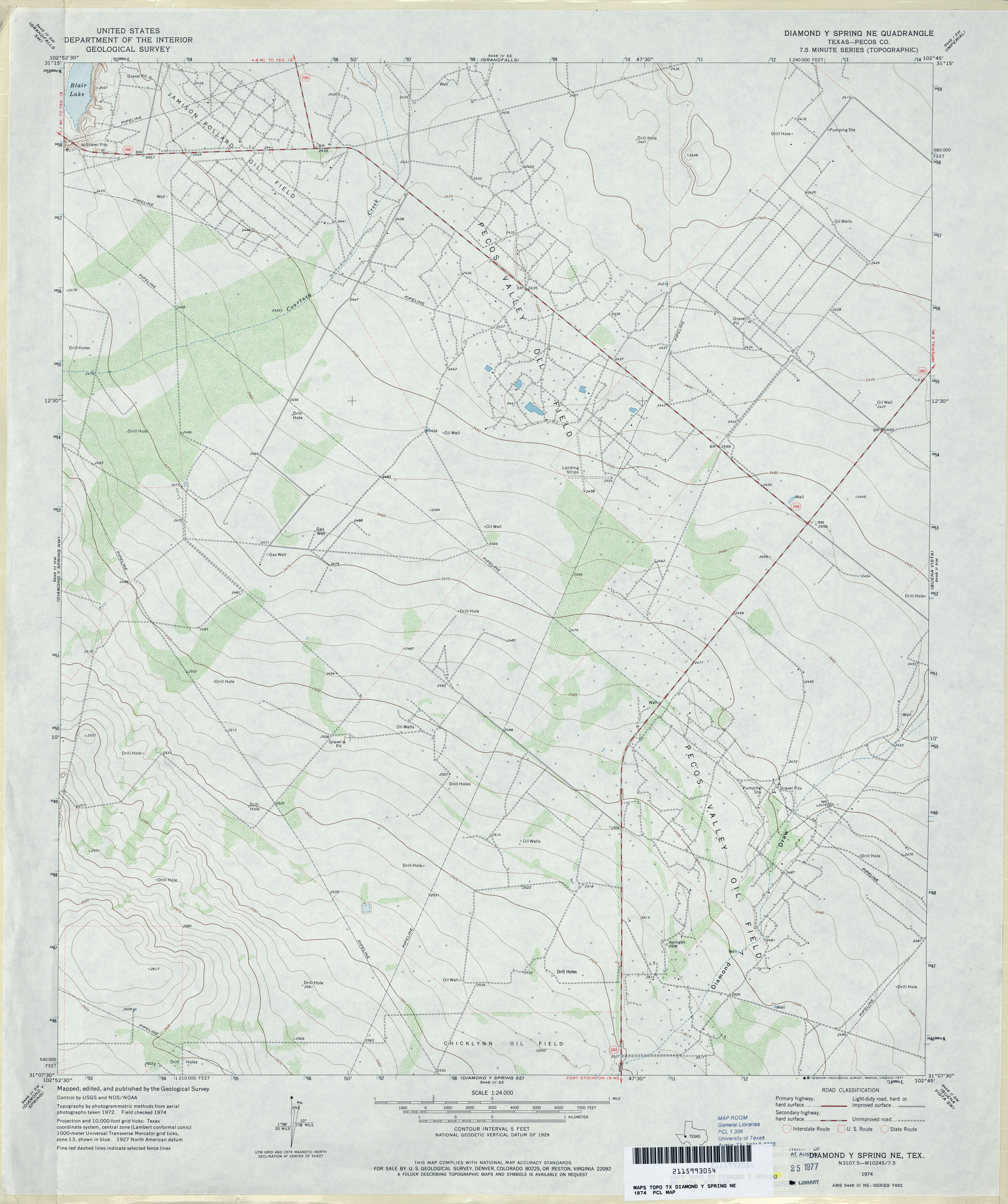
- Diamond Y Spring NE (Pecos County) 1:24,000 1974 (3MB)
- Diamond Y Spring NE 1:24,000 2008 (23.9MB) [GeoPDF]
- Diamond Y Spring NE 1:24,000 2012 (29.6MB) [GeoPDF]
- Diamond Y Spring NW (Pecos County) 1:24,000 1974 (3.4MB)
- Diamond Y Spring NW 1:24,000 2008 (23.6MB) [GeoPDF]
- Diamond Y Spring NW 1:24,000 2012 (26.2MB) [GeoPDF]
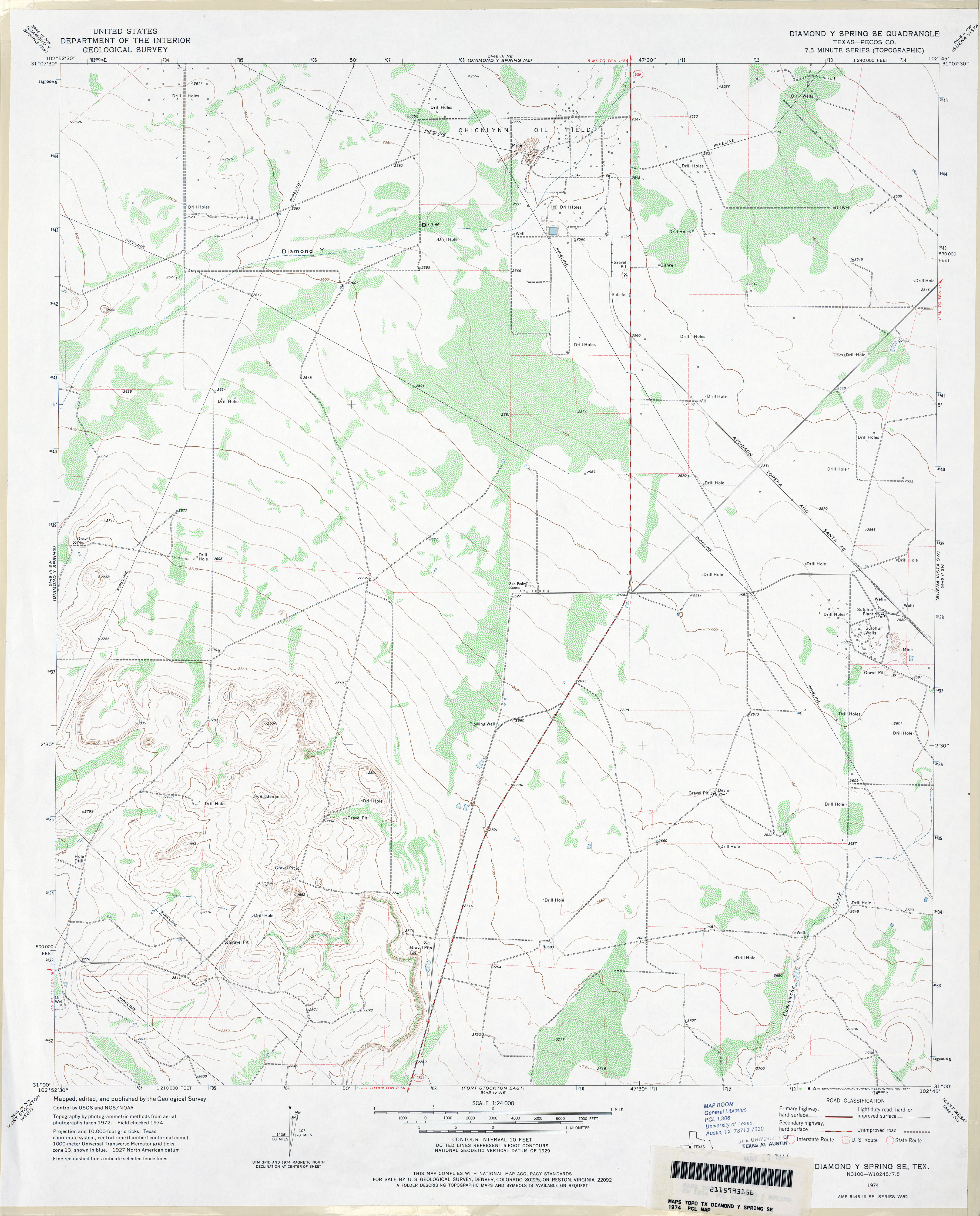
- Diamond Y Spring SE (Pecos County) 1:24,000 1974 (3.1MB)
- Diamond Y Spring SE 1:24,000 2008 (21.9MB) [GeoPDF]
- Diamond Y Spring SE 1:24,000 2012 (27MB) [GeoPDF]
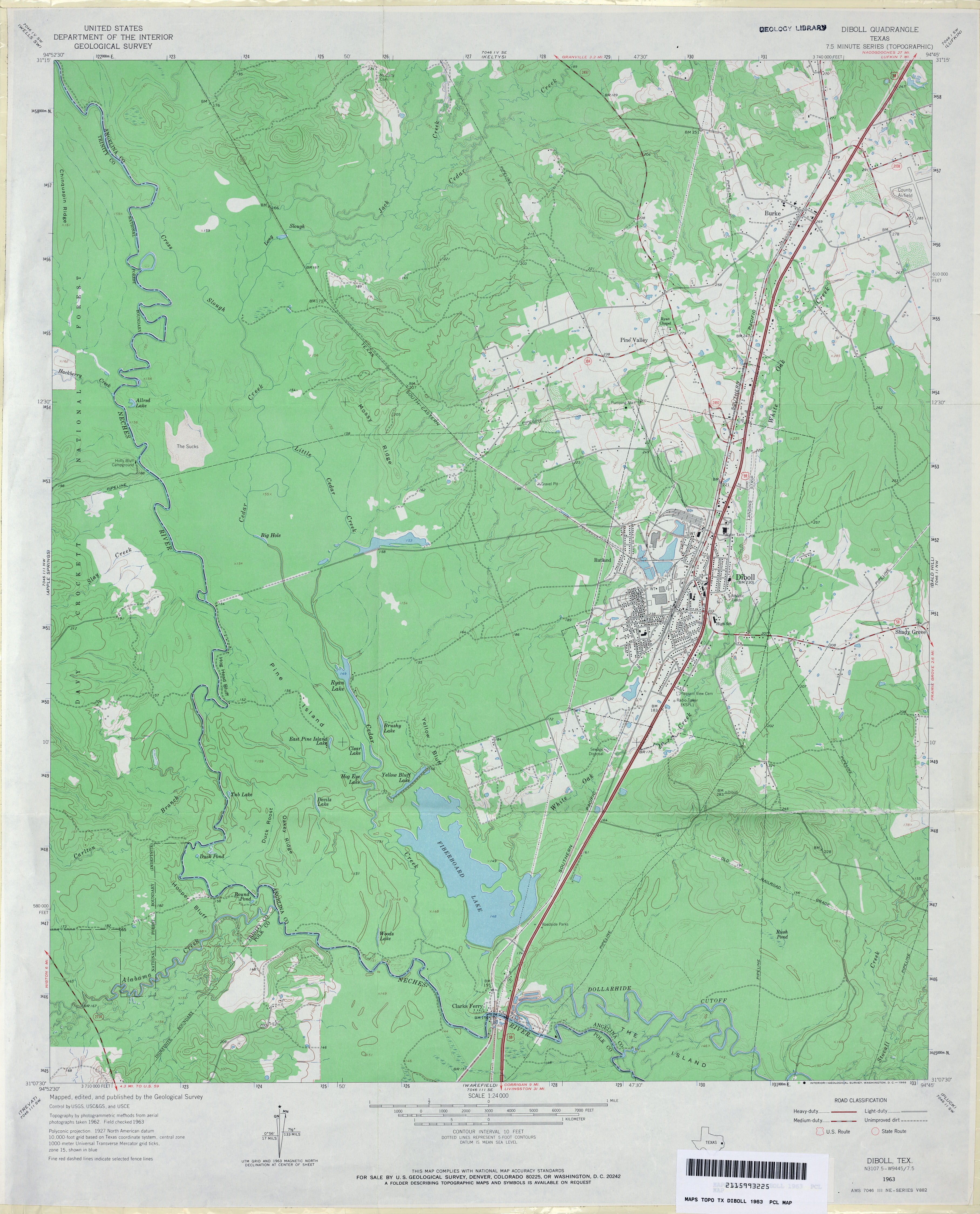
- Diboll 1:24,000 1963 (3.5MB)
- Diboll 1:24,000 1980 (4.1MB)
- Diboll 1:24,000 2004 (4.3MB)
- Diboll 1:24,000 2008 (2.1MB) Texas Natural Resources Information System (TNRIS). [pdf]
- Diboll 1:24,000 2009 (24.4MB) [GeoPDF]
- Diboll 1:24,000 2013 (25.7MB) [GeoPDF]
- Dick Moore Canyon 1:24,000 1967 (4MB)
- Dick Moore Canyon 1:24,000 2008 (16.9MB) [GeoPDF]
- Dick Moore Canyon 1:24,000 2012 (24.4MB) [GeoPDF]
- Dickens North (Dickens County) 1:24,000 1967 (4.2MB)
- Dickens North (Dickens County) 1:24,000 1981 (4.1MB)
- Dickens North 1:24,000 2008 (16.2MB) [GeoPDF]
- Dickens North 1:24,000 2012 (22.7MB) [GeoPDF]
- Dickens South (Dickens County) 1:24,000 1967 (4.3MB)
- Dickens South (Dickens County) 1:24,000 1981 (4.2MB)
- Dickens South 1:24,000 2008 (15.4MB) [GeoPDF]
- Dickens South 1:24,000 2012 (21.5MB) [GeoPDF]
- Dickenson Ranch (Martin County) 1:24,000 1966 (3MB)
- Dickenson Ranch 1:24,000 2008 (11.8MB) [GeoPDF]
- Dickenson Ranch 1:24,000 2012 (18.9MB) [GeoPDF]
- Dickinson (Galveston County) 1:31,680 1929 survey, 1932 overprint (2.4 MB)
- Dickinson 1:25,000 1949 (2.7MB) U.S. Army Map Service, Series V882.
- Dickinson (Galveston County) 1:24,000 1955 (2.8MB)
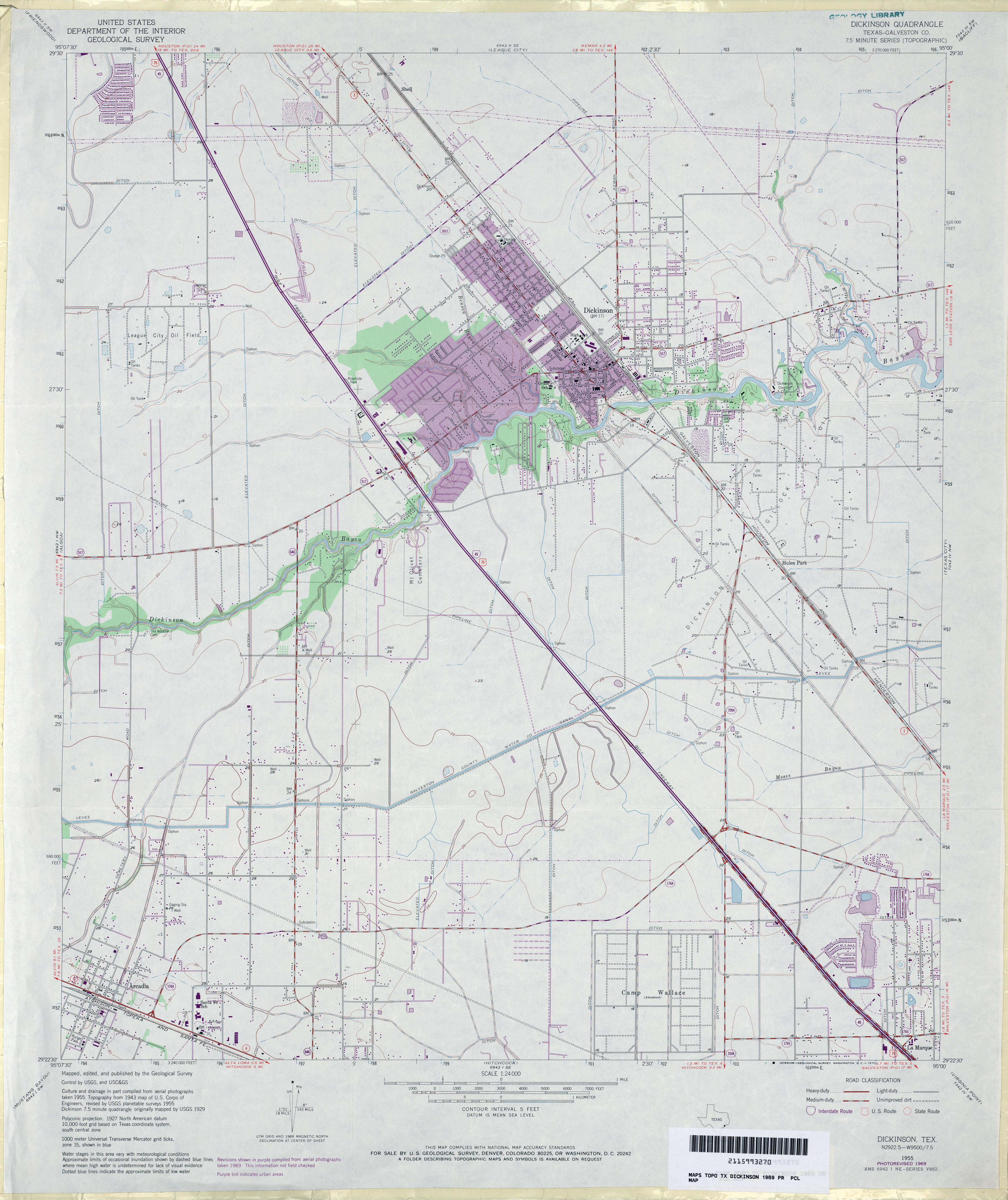
- Dickinson (Galveston County) 1:24,000 1969 (3.1MB)
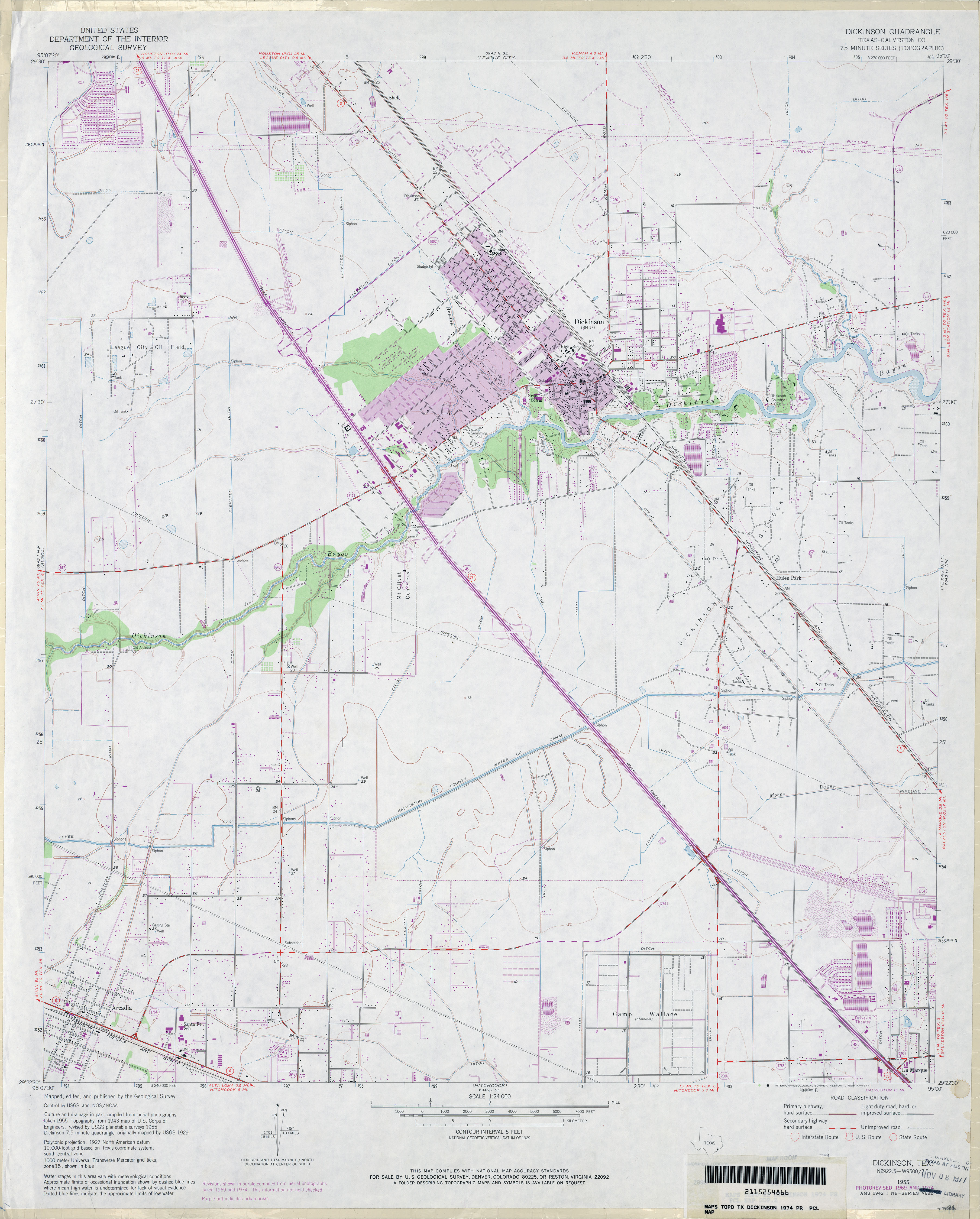
- Dickinson (Galveston County) 1:24,000 1974 (3MB)
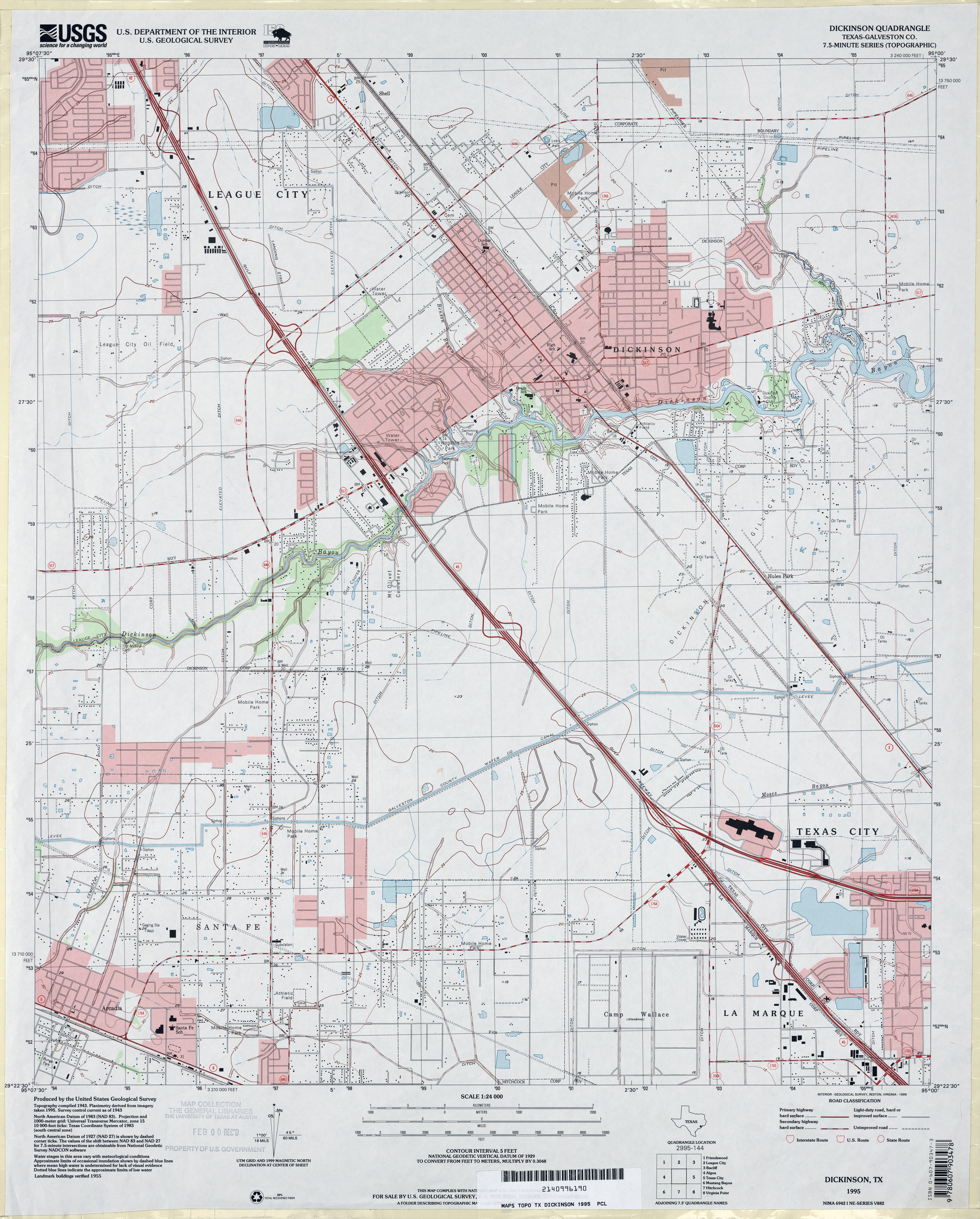
- Dickinson 1:24,000 1995 (3.5MB)
- Dickinson 1:24,000 2008 (1.5MB) Texas Natural Resources Information System (TNRIS). [pdf]
- Dickinson 1:24,000 2009 (18.3MB) [GeoPDF]
- Dickinson 1:24,000 2013 (22MB) [GeoPDF]
- Dickworsham (Clay County) 1:24,000 1984 (4.1MB)
- Dickworsham 1:24,000 2008 (13.1MB) [GeoPDF]
- Dickworsham 1:24,000 2012 (16.5MB) [GeoPDF]
- Dike (Hopkins County) 1:24,000 1965 (3.4MB)
- Dike 1:24,000 2009 (16.6MB) [GeoPDF]
- Dike 1:24,000 2013 (21.5MB) [GeoPDF]
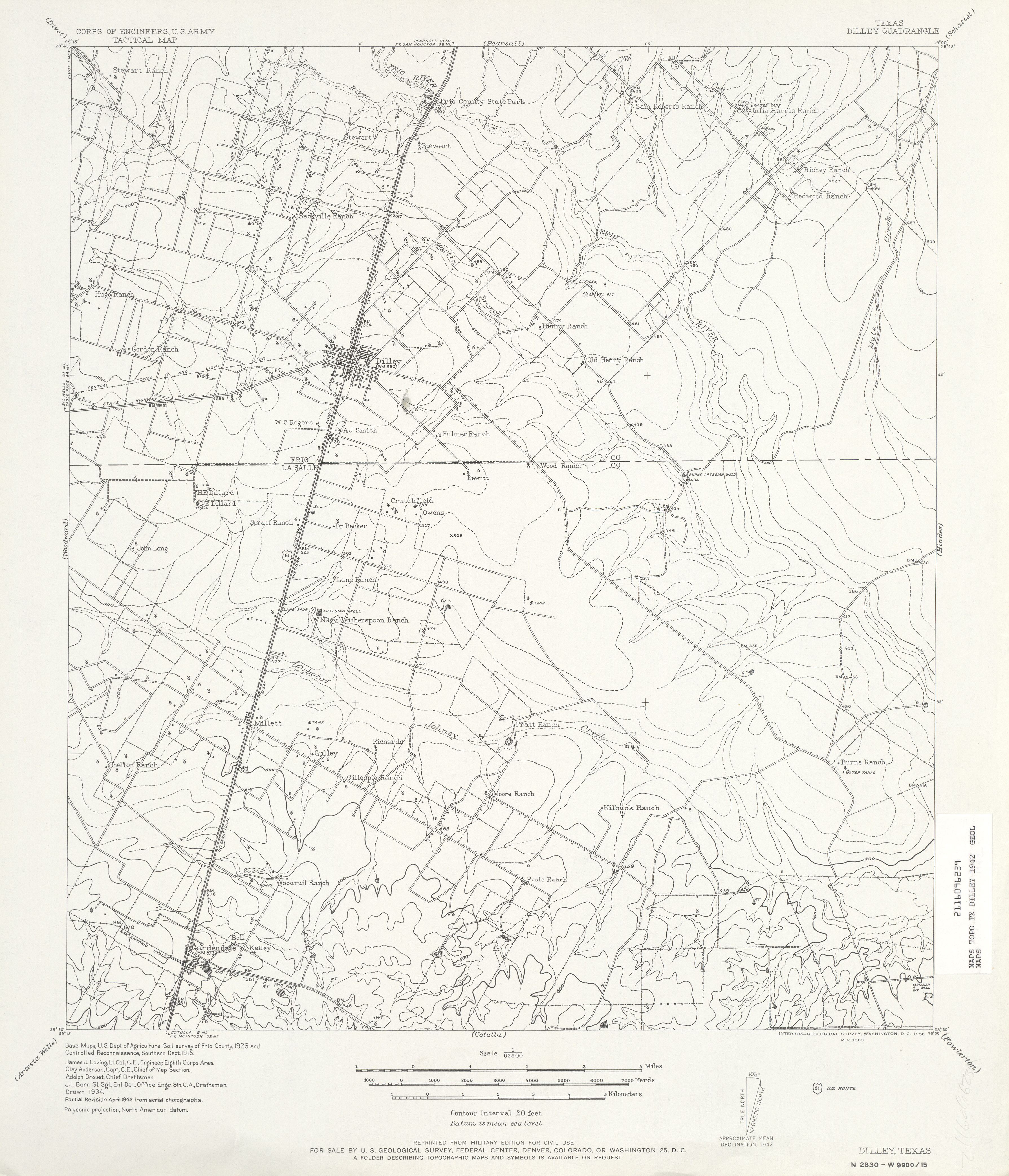
- Dilley 1:62,500 1942 (3.4 MB) U.S. Army. Corps of Engineers. Tactical Map
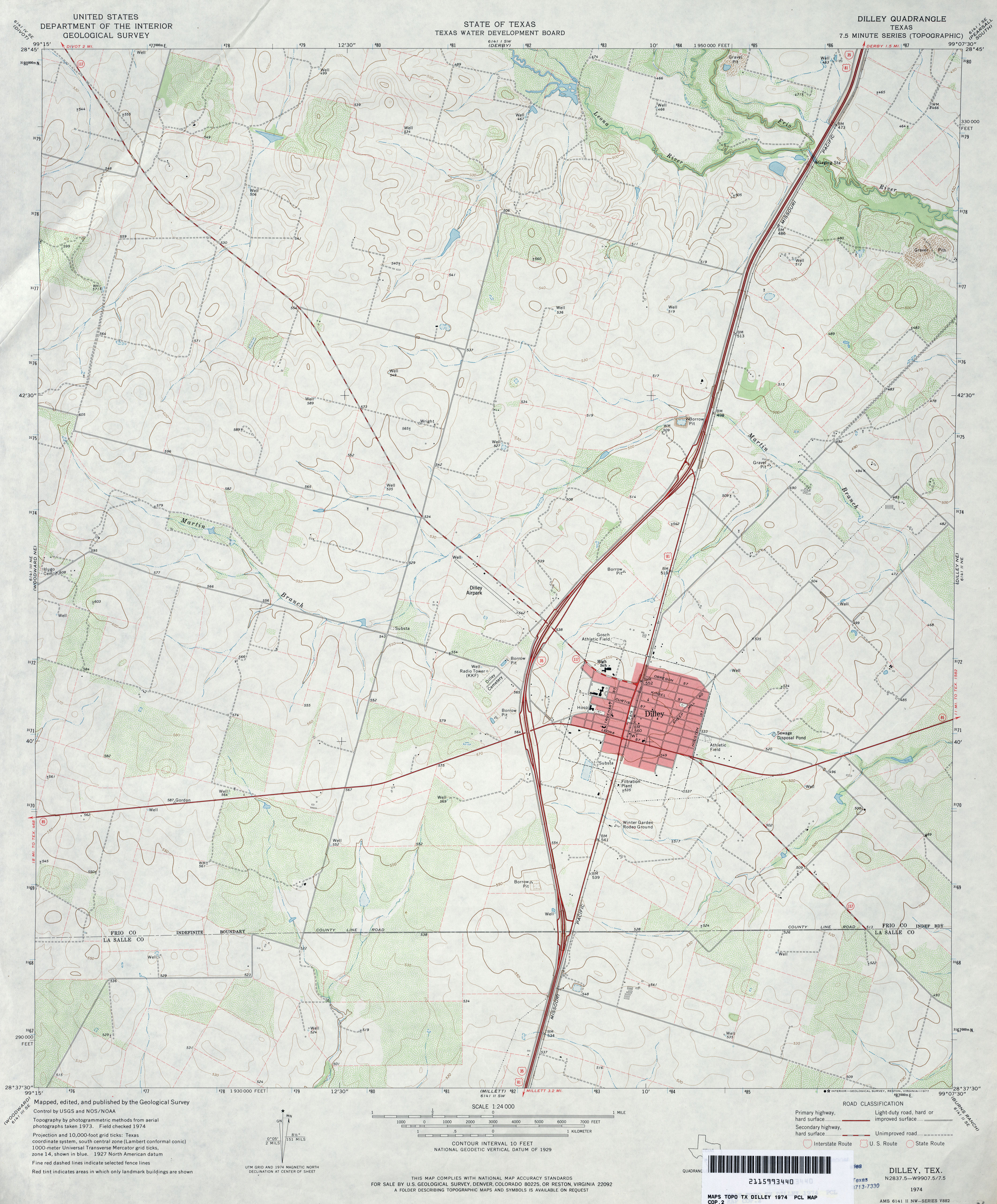
- Dilley 1:24,000 1974 (3.4MB)
- Dilley 1:24,000 2008 (13.3MB) [GeoPDF]
- Dilley 1:24,000 2013 (19.6MB) [GeoPDF]
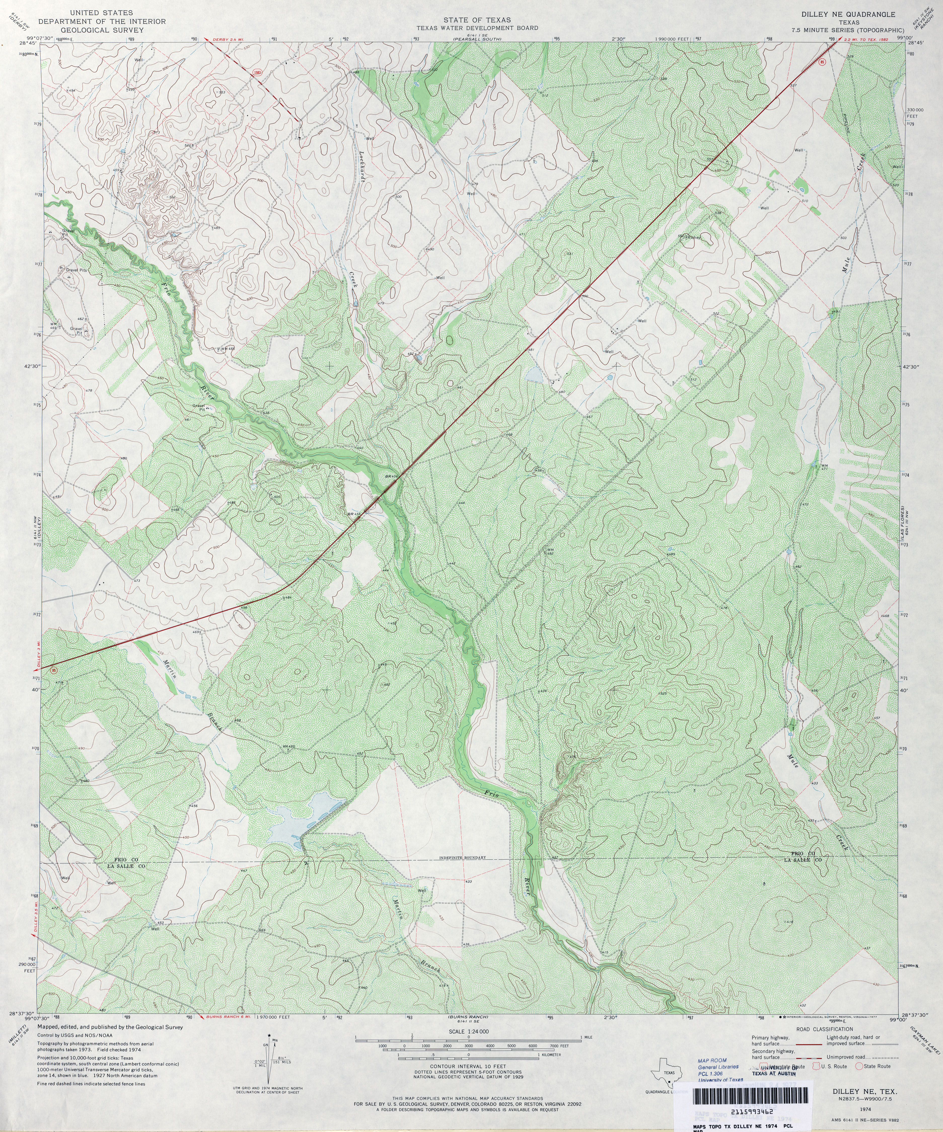
- Dilley NE 1:24,000 1974 (4.8MB)
- Dilley NE 1:24,000 2008 (17.1MB) [GeoPDF]
- Dilley NE 1:24,000 2013 (22.3MB) [GeoPDF]
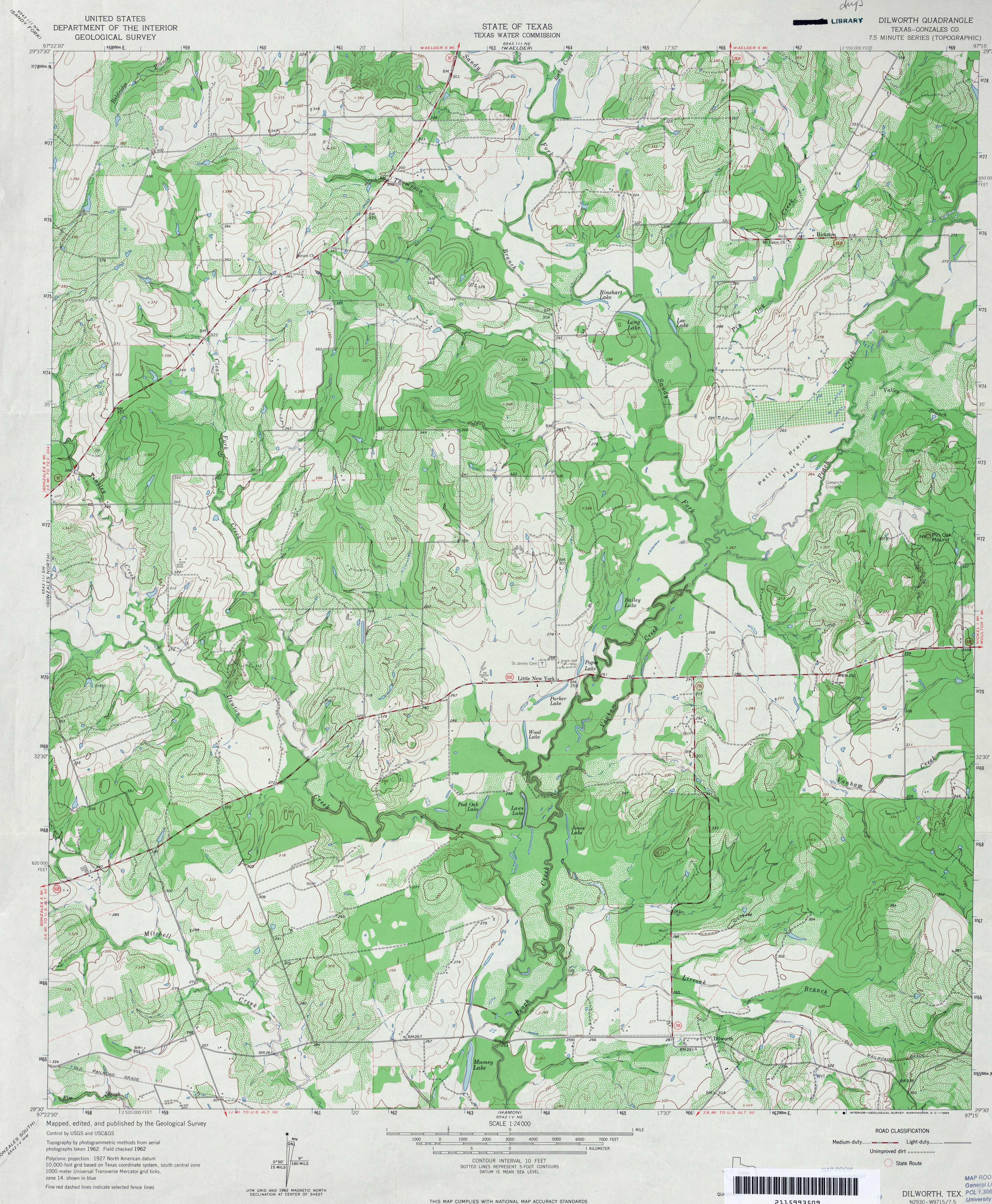
- Dilworth (Gonzales County) 1:24,000 1962 (4.7MB)
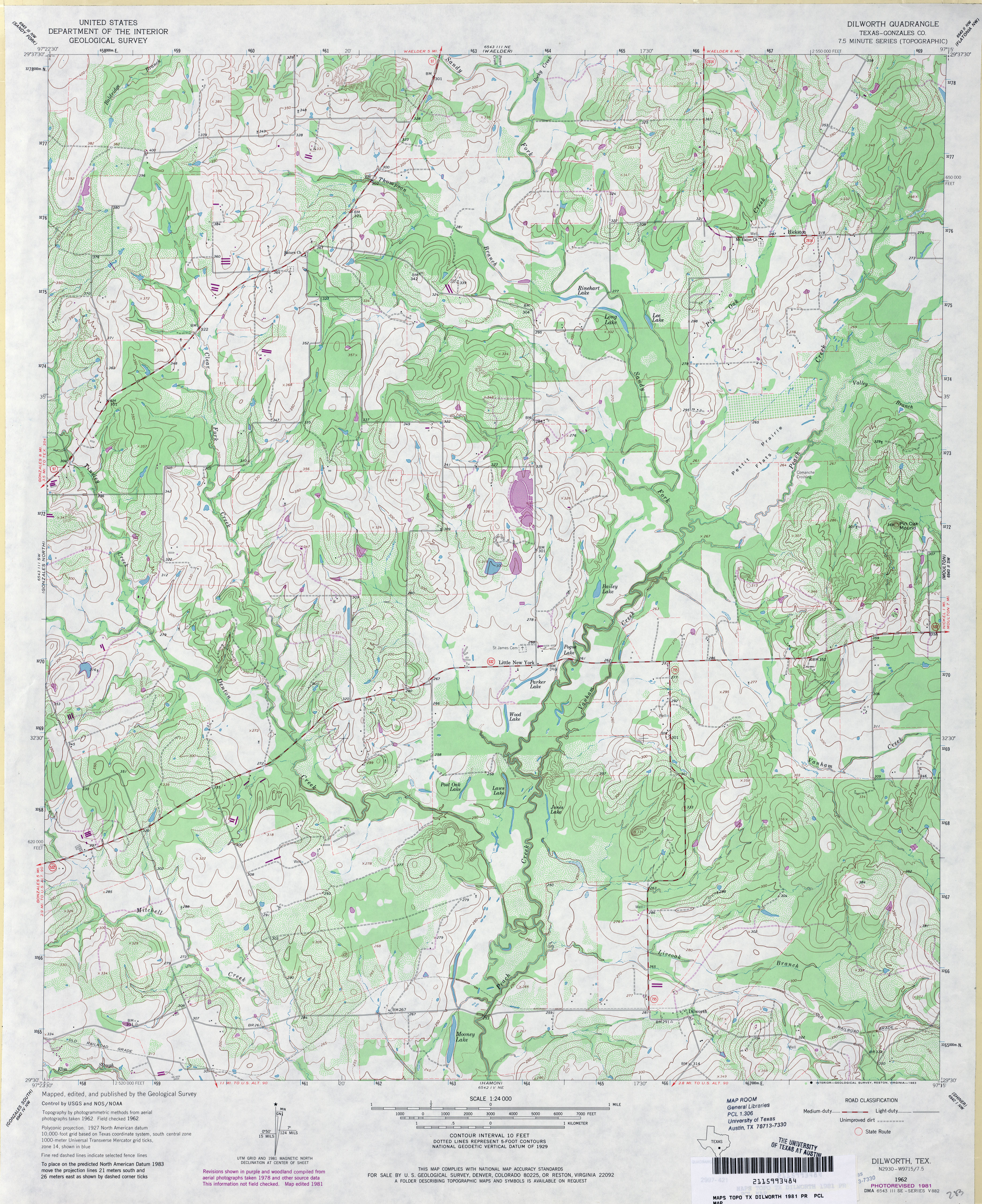
- Dilworth (Gonzales County) 1:24,000 1981 (4.4MB)
- Dilworth 1:24,000 2008 (14.5MB) [GeoPDF]
- Dilworth 1:24,000 2013 (25.9MB) [GeoPDF]
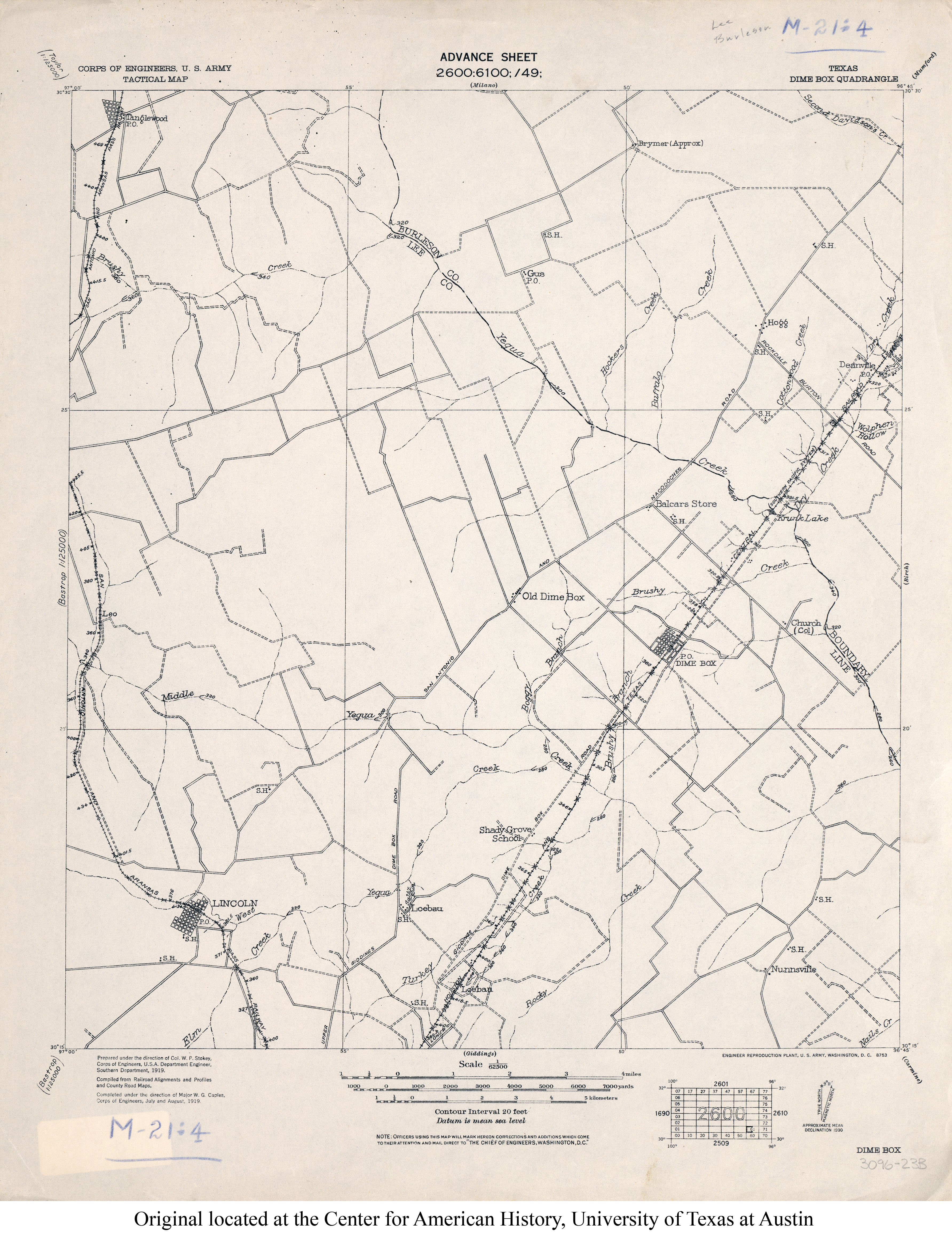
- Dime Box 1:62,500 1919 (2.6MB)
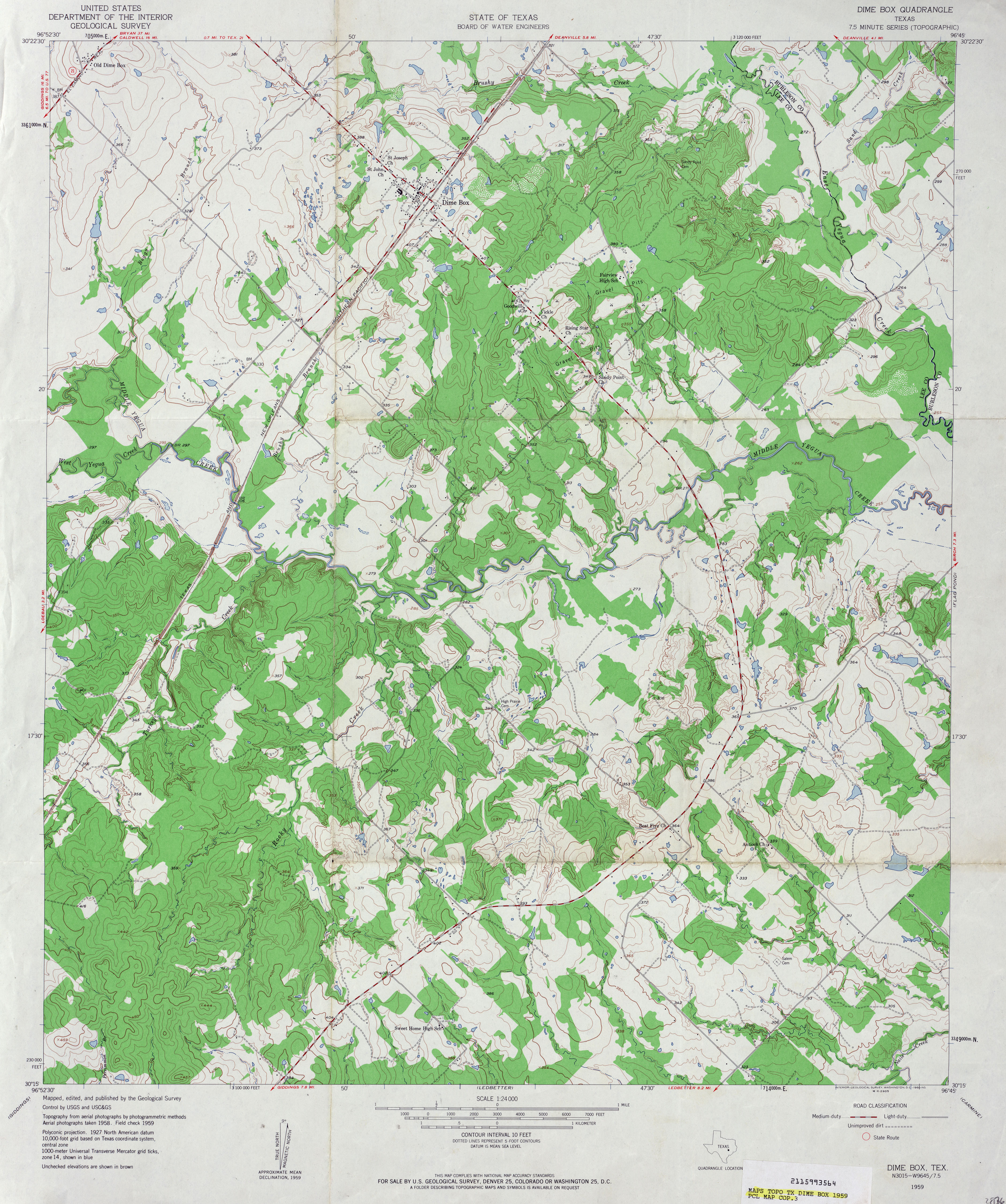
- Dime Box 1:24,000 1959 (4.2MB)
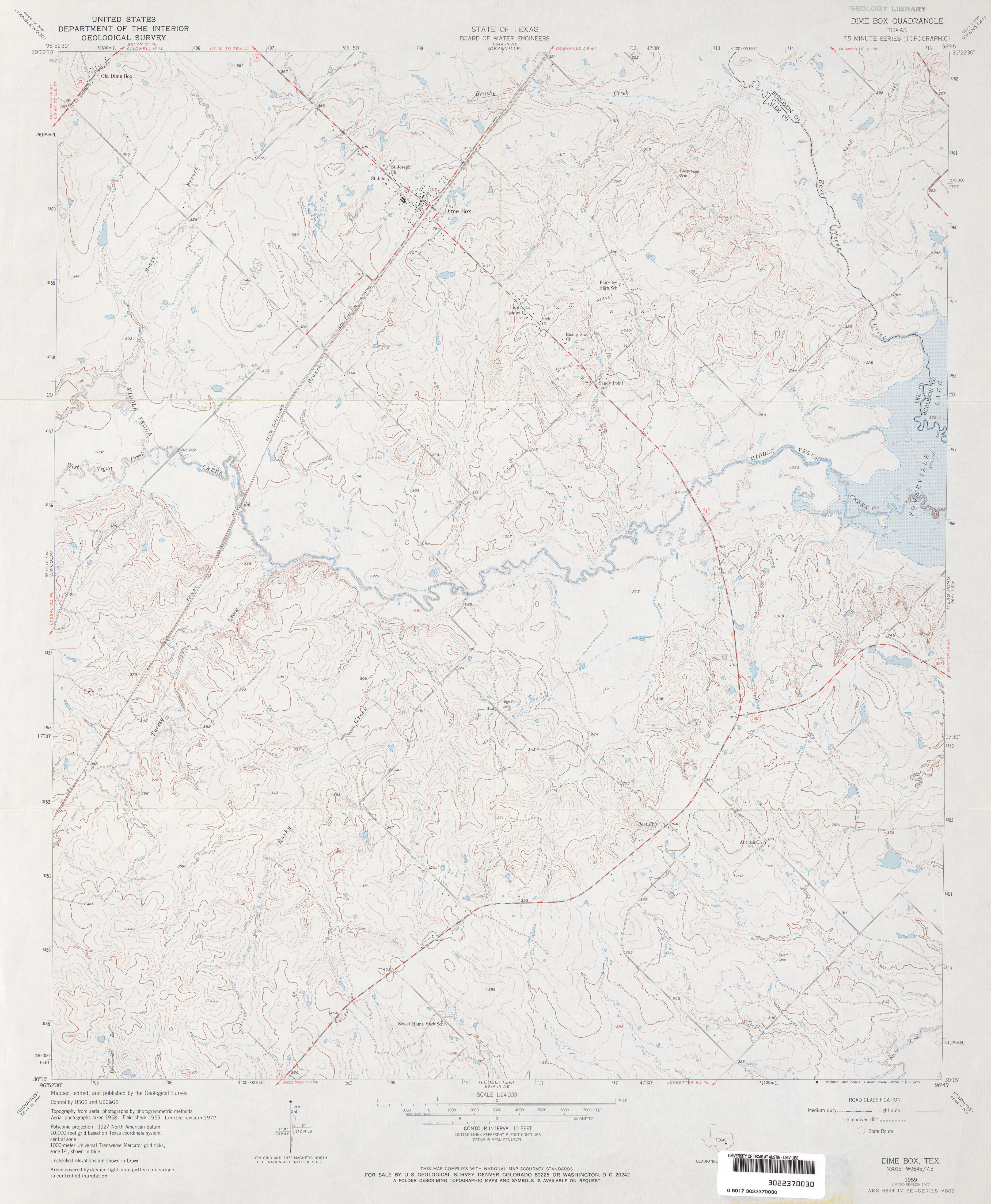
- Dime Box 1:24,000 1972 (3MB)
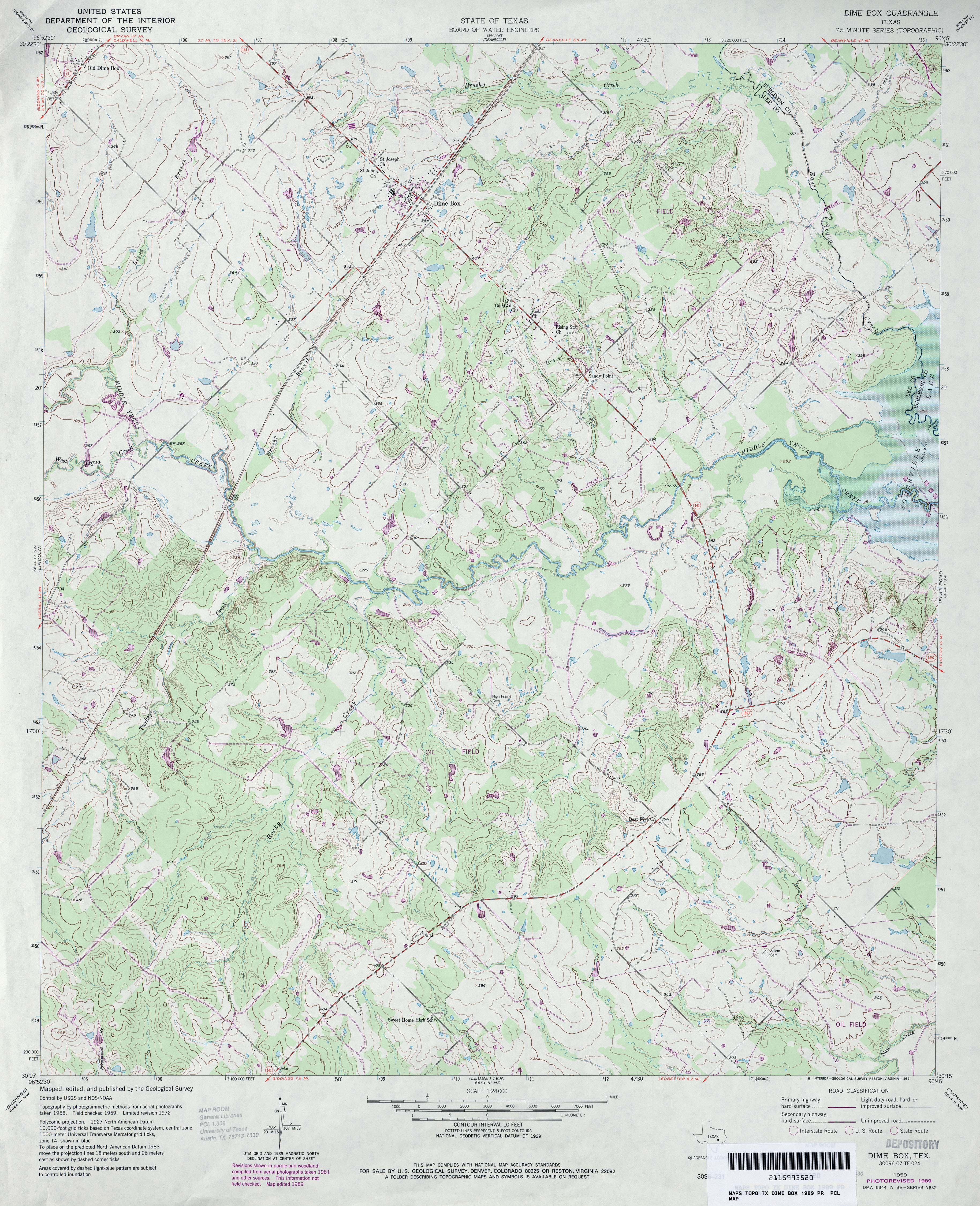
- Dime Box 1:24,000 1989 (4.2MB)
- Dime Box 1:24,000 2008 (14.9MB) [GeoPDF]
- Dime Box 1:24,000 2013 (24.4MB) [GeoPDF]
- Dimmitt (Castro County) 1:24,000 1965 (2.6MB)
- Dimmitt (Castro County) 1:24,000 1980 (2.7MB)
- Dimmitt 1:24,000 2008 (8.8MB) [GeoPDF]
- Dimmitt 1:24,000 2012 (13.7MB) [GeoPDF]
- Dimmitt SW (Castro County) 1:24,000 1965 (2.8MB)
- Dimmitt SW 1:24,000 2008 (8.5MB) [GeoPDF]
- Dimmitt SW 1:24,000 2012 (12.6MB) [GeoPDF]
- Dimple (Red River County) 1:24,000 1964 (3.4MB)
- Dimple 1:24,000 2008 (16.6MB) [GeoPDF]
- Dimple 1:24,000 2013 (21.6MB) [GeoPDF]
- Dimple Hills 1:24,000 1968 (3.3MB)
- Dimple Hills 1:24,000 2008 (21.9MB) [GeoPDF]
- Dimple Hills 1:24,000 2012 (27.5MB) [GeoPDF]
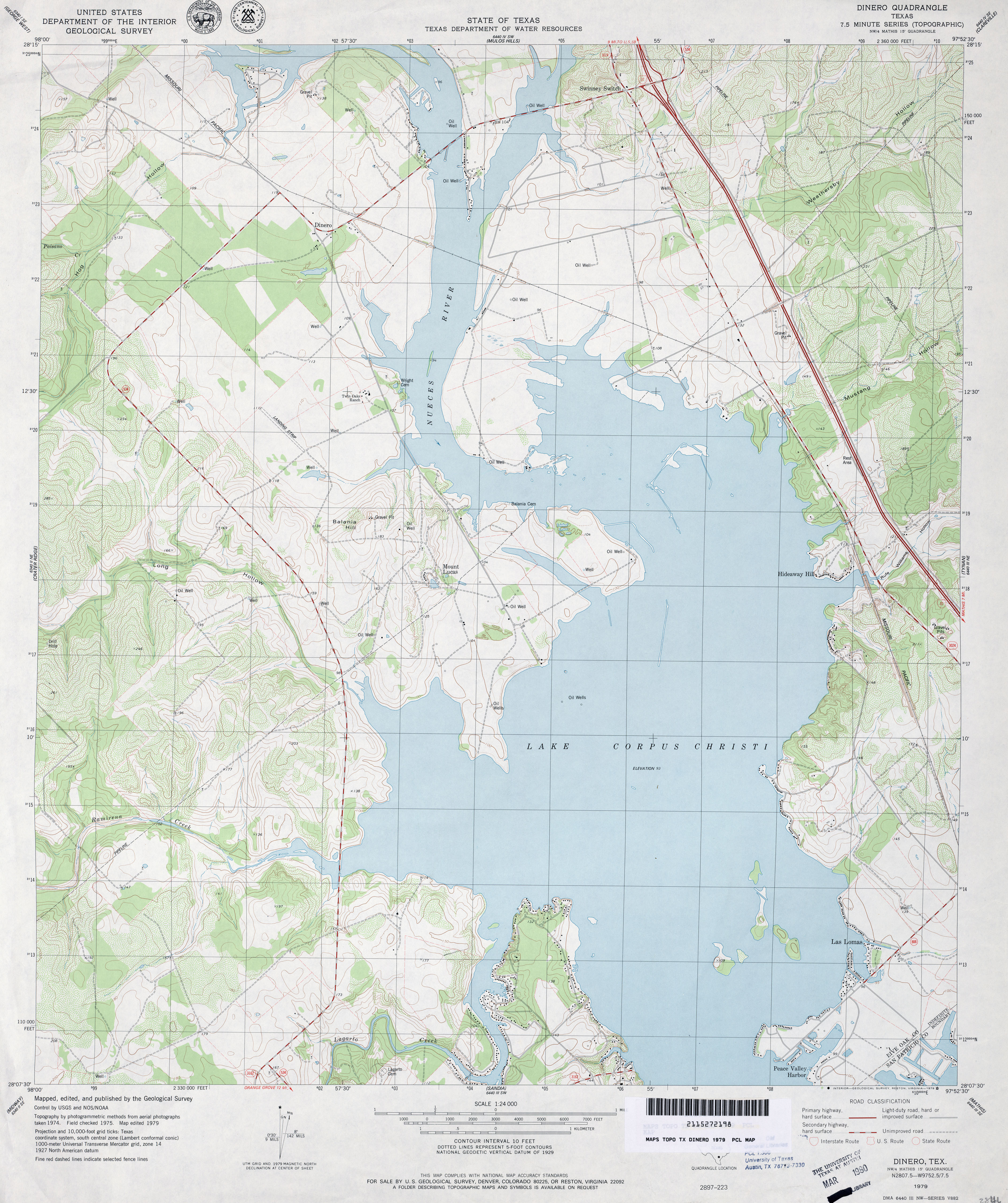
- Dinero 1:24,000 1979 (3.8MB)
- Dinero 1:24,000 2009 (13.3MB) [GeoPDF]
- Dinero 1:24,000 2013 (21.6MB) [GeoPDF]
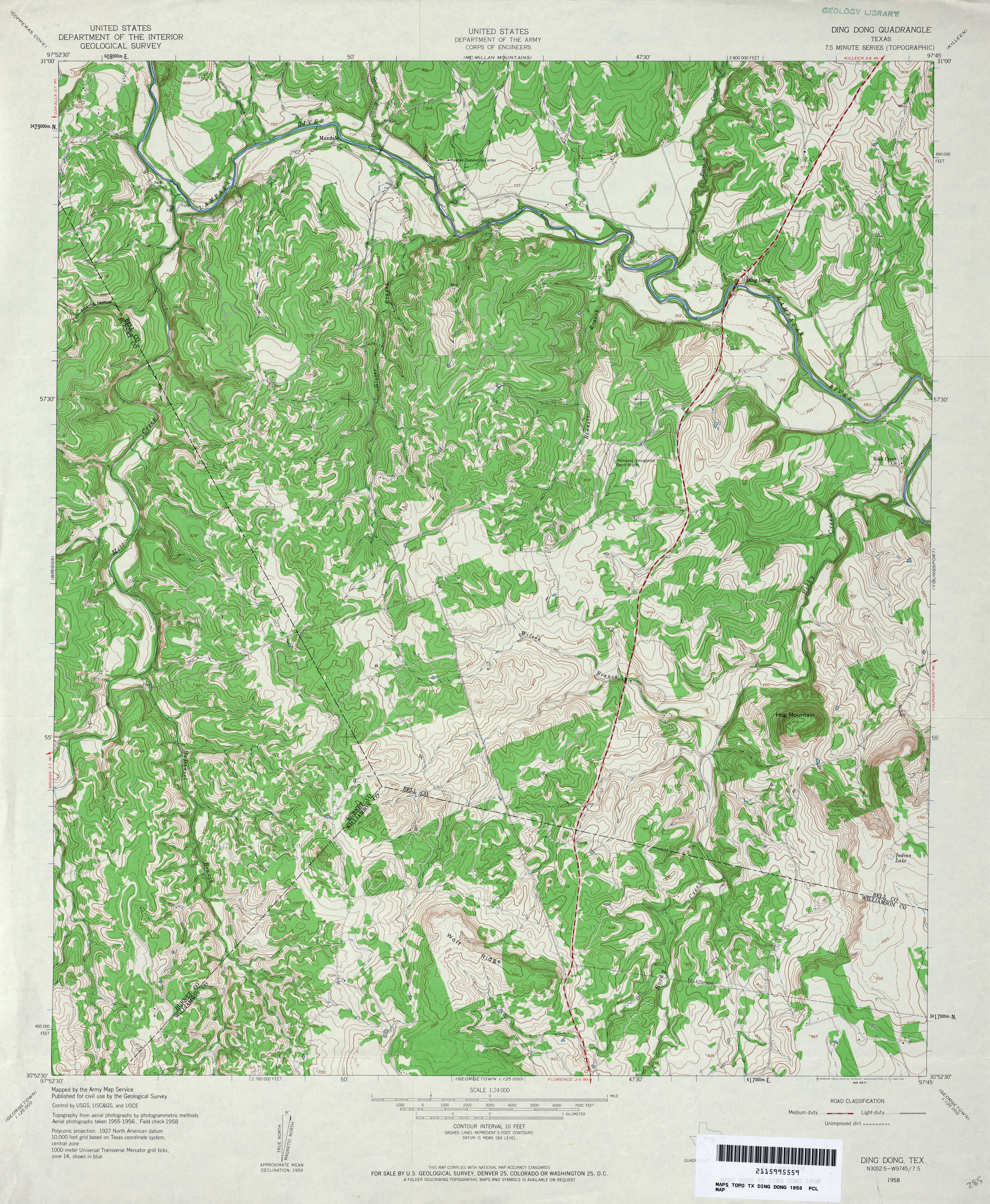
- Ding Dong 1:24,000 1958 (5.2MB)
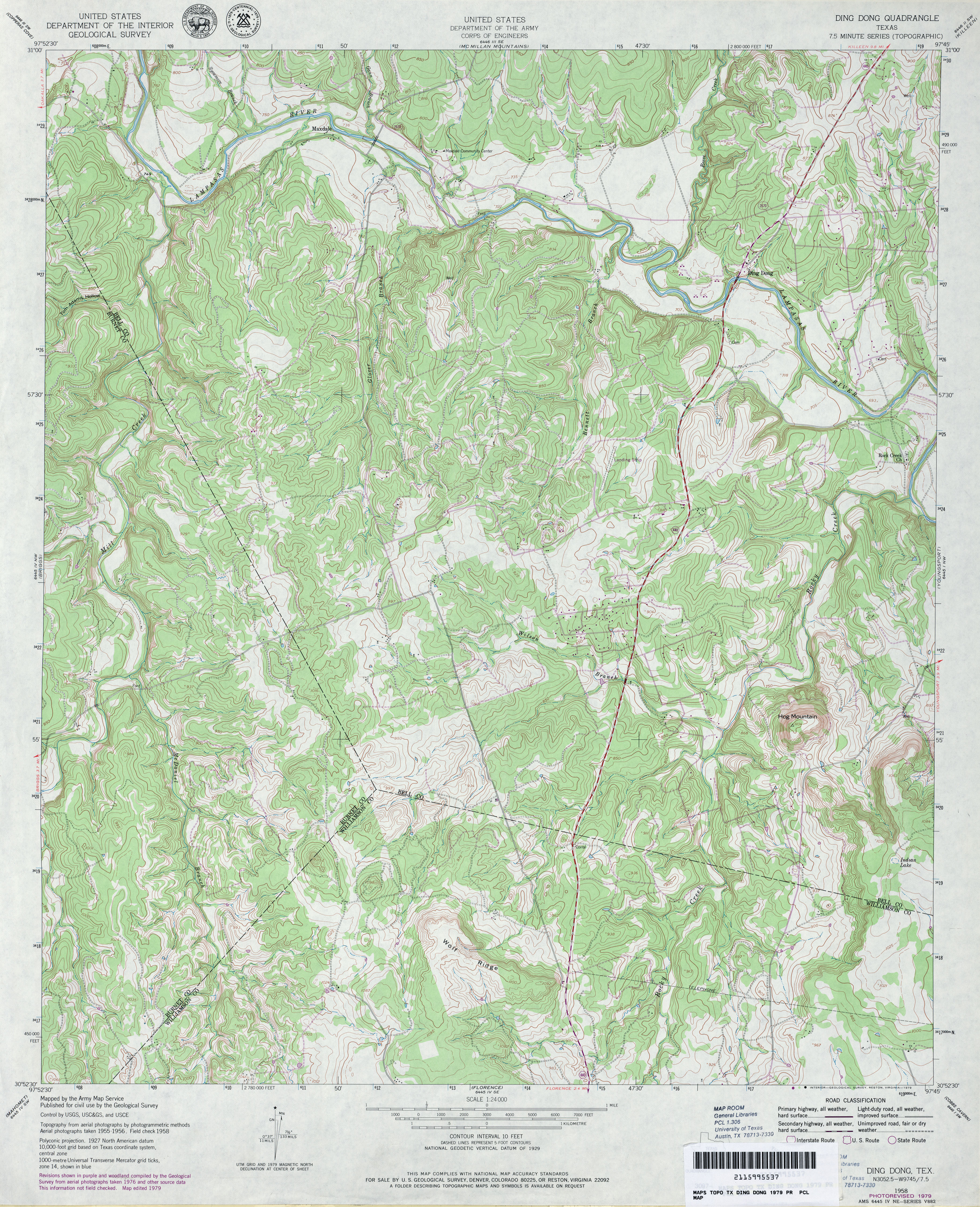
- Ding Dong 1:24,000 1979 (5MB)
- Ding Dong 1:24,000 2008 (19.8MB) [GeoPDF]
- Ding Dong 1:24,000 2013 (27MB) [GeoPDF]
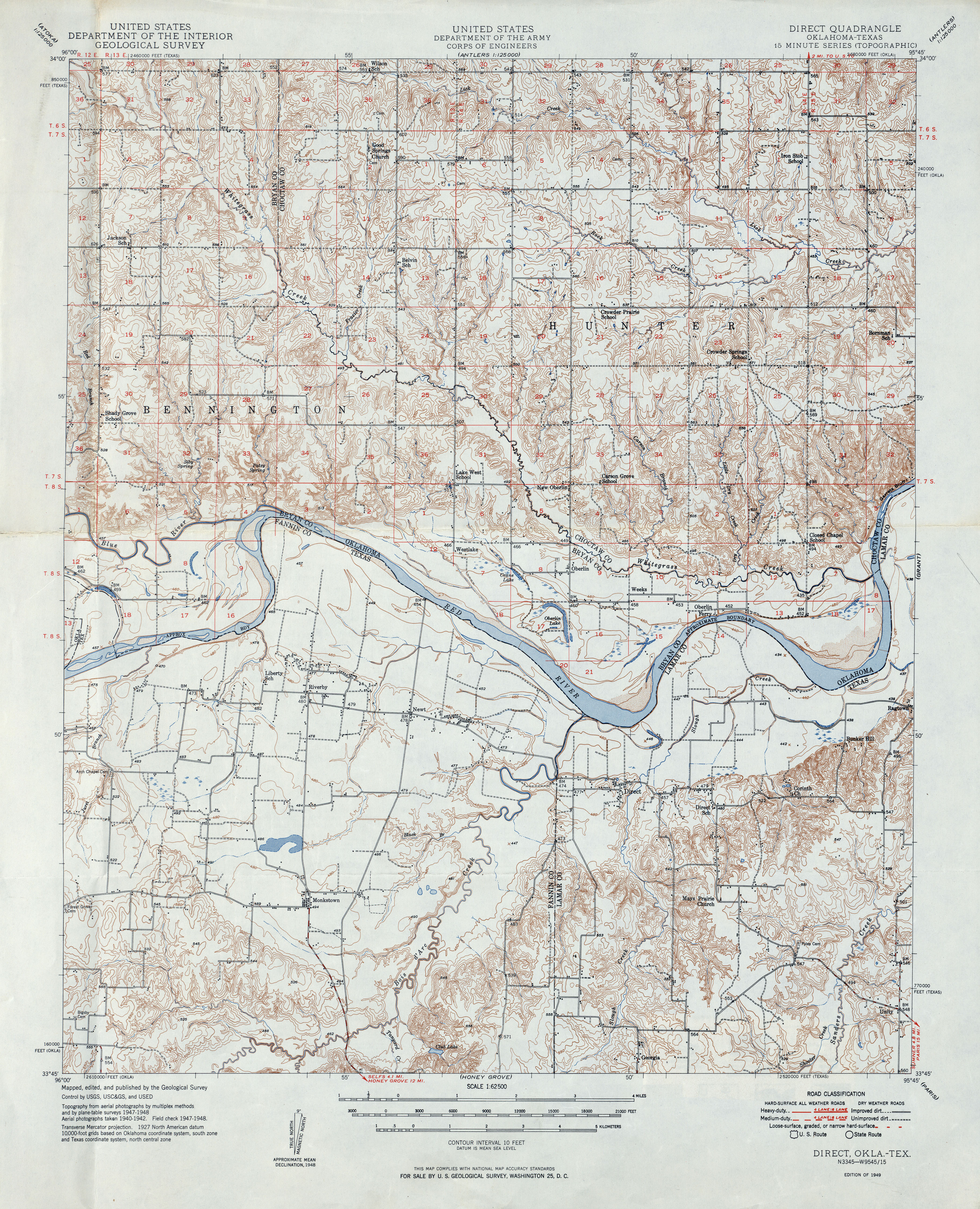
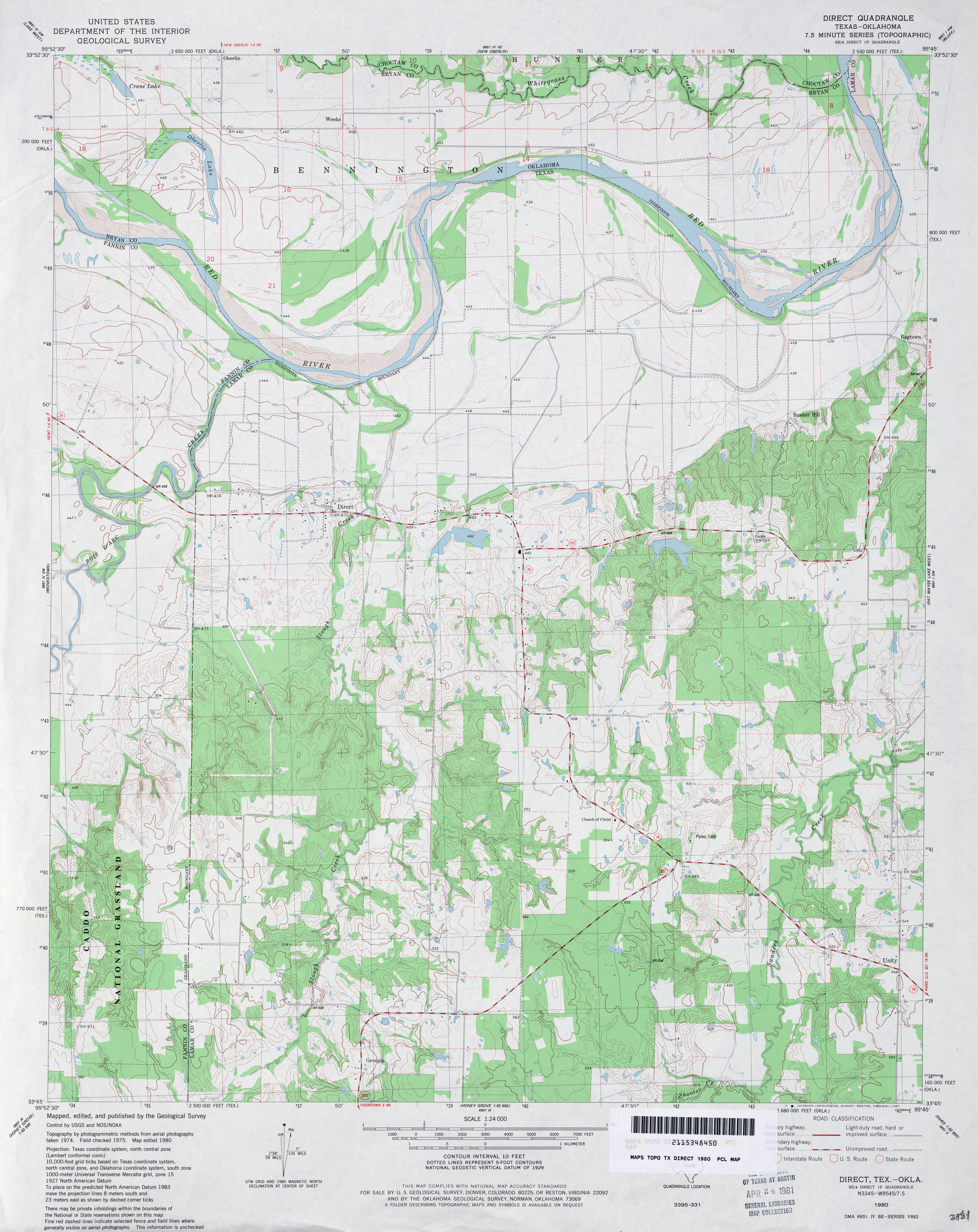
- Direct 1:62,500 1949 (5.4MB)
- Direct 1:24,000 1980 (3.7MB)
- Direct 1:24,000 2008 (17.5MB) [GeoPDF]
- Direct 1:24,000 2013 (21.8MB) [GeoPDF]
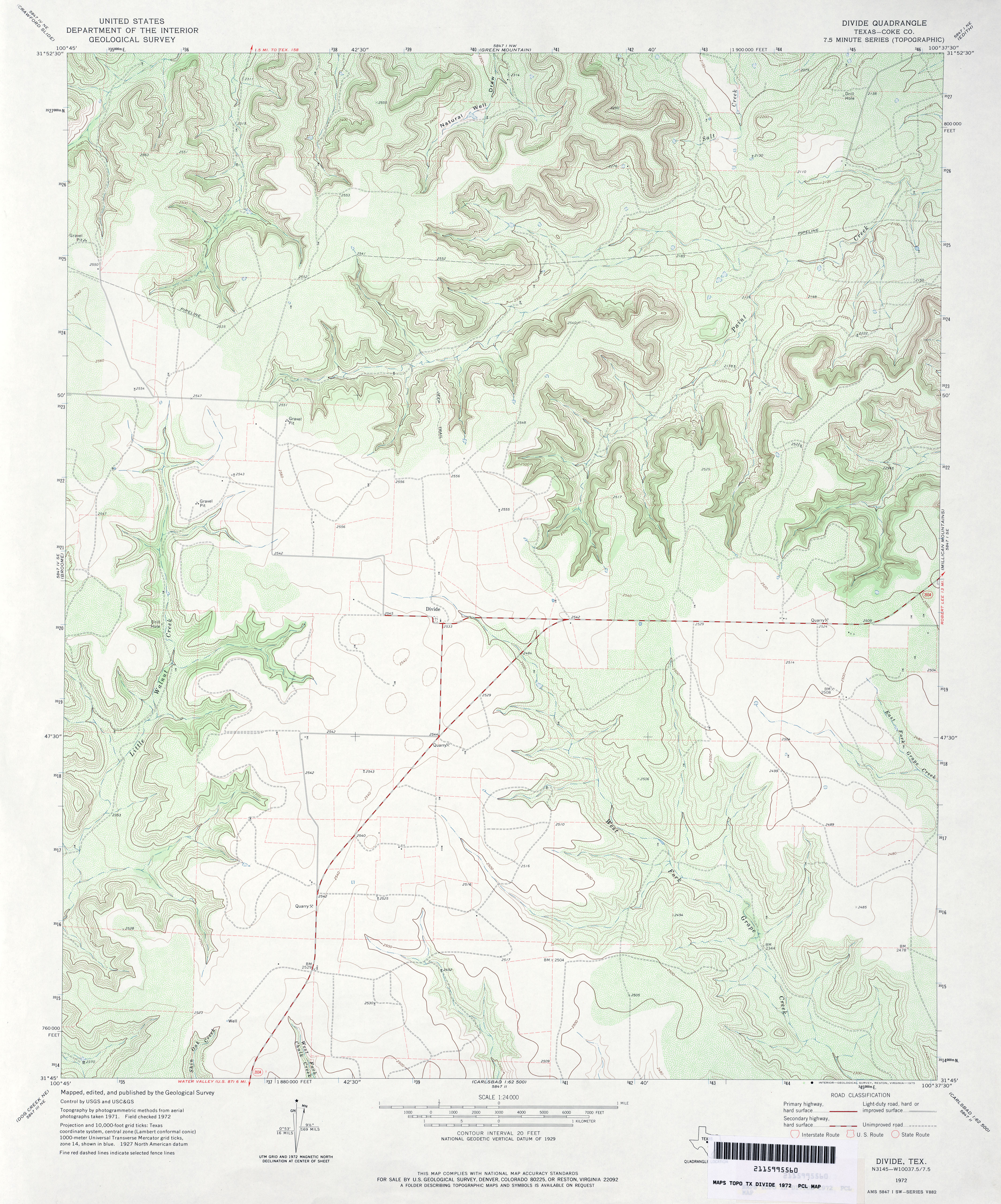
- Divide (Coke County) 1:24,000 1972 (4MB)
- Divide 1:24,000 2012 (29.1MB) [GeoPDF]
- Divide Country (Pecos County) 1:24,000 1967 (4.3MB)
- Divide Country 1:24,000 2008 (26.9MB) [GeoPDF]
- Divide Country 1:24,000 2012 (32.1MB) [GeoPDF]
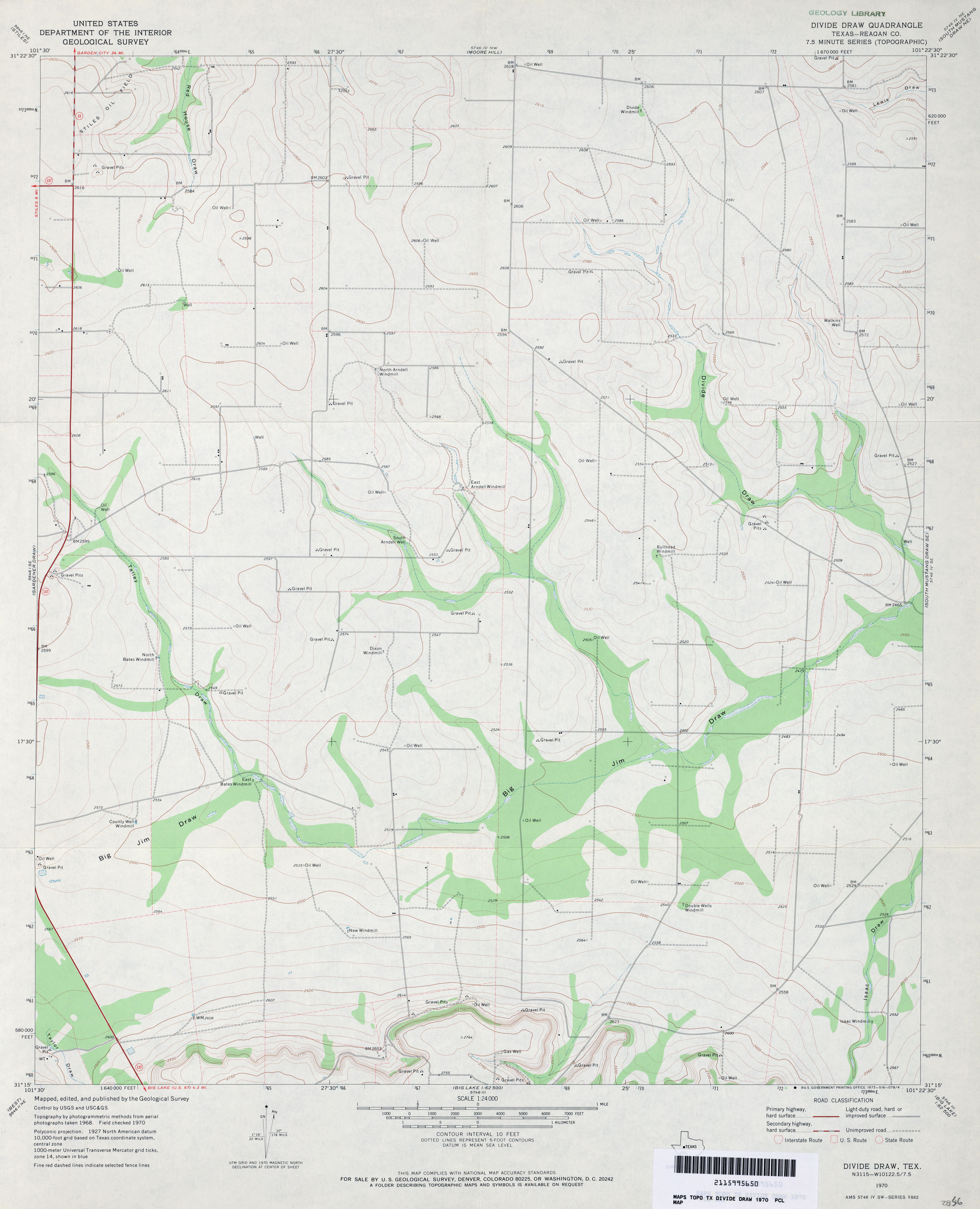
- Divide Draw (Reagan County) 1:24,000 1970 (2.5MB)
- Divide Draw 1:24,000 2008 (20.9MB) [GeoPDF]
- Divide Draw 1:24,000 2013 (25.3MB) [GeoPDF]
- Divide Well Draw (Val Verde County) 1:24,000 1970 (5.8MB)
- Divide Well Draw 1:24,000 2008 (24.9MB) [GeoPDF]
- Divide Well Draw 1:24,000 2012 (36.2MB) [GeoPDF]
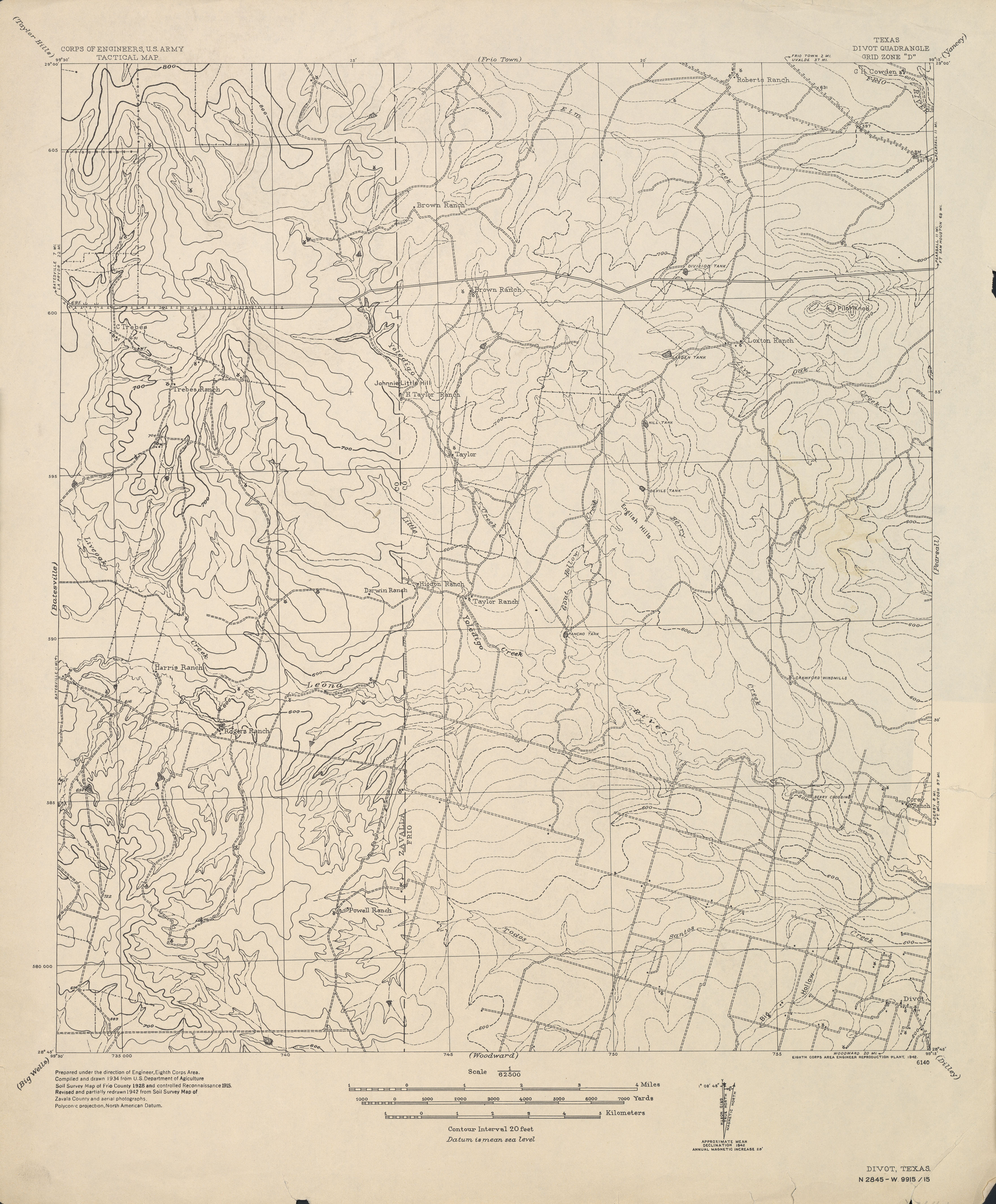
- Divot 1:62,500 1942 (2.8 MB) U.S. Army. Corps of Engineers. Tactical Map
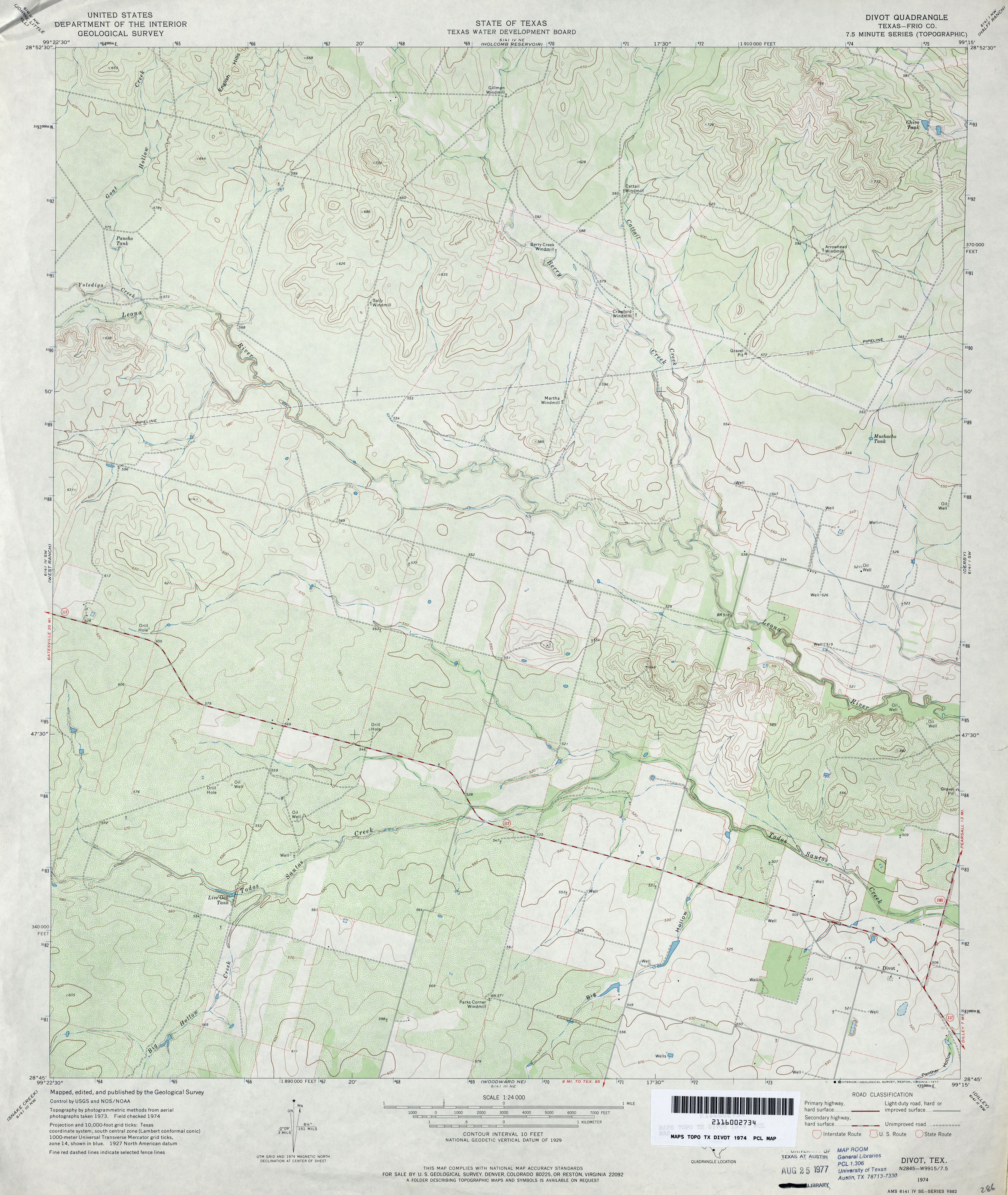
- Divot (Frio County) 1:24,000 1974 (3.8MB)
- Divot 1:24,000 2008 (17.4MB) [GeoPDF]
- Divot 1:24,000 2013 (24.8MB) [GeoPDF]
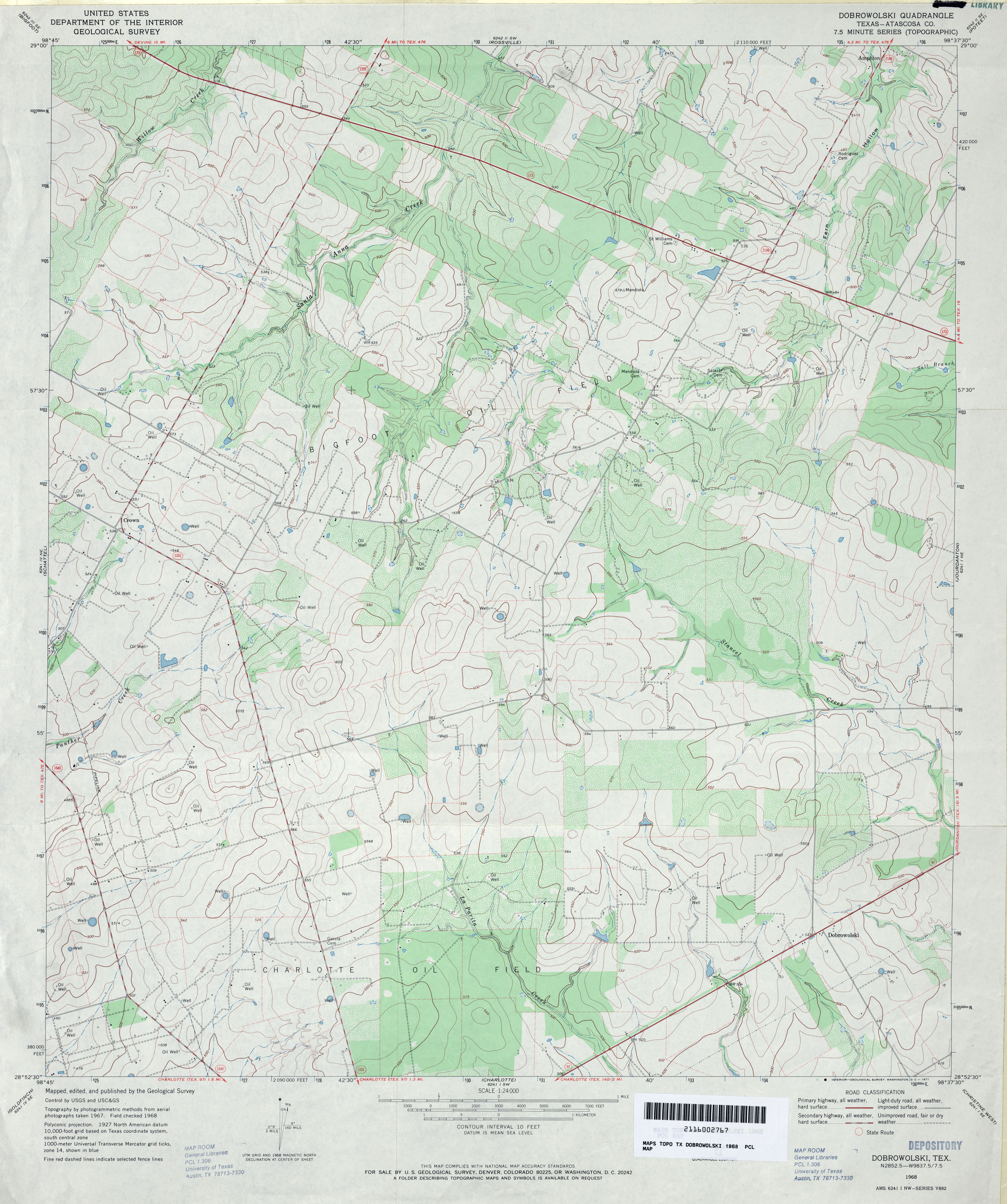
- Dobrowolski (Atascosa County) 1:24,000 1968 (3.7MB)
- Dobrowolski 1:24,000 2008 (13.3MB) [GeoPDF]
- Dobrowolski 1:24,000 2013 (20.2MB) [GeoPDF]
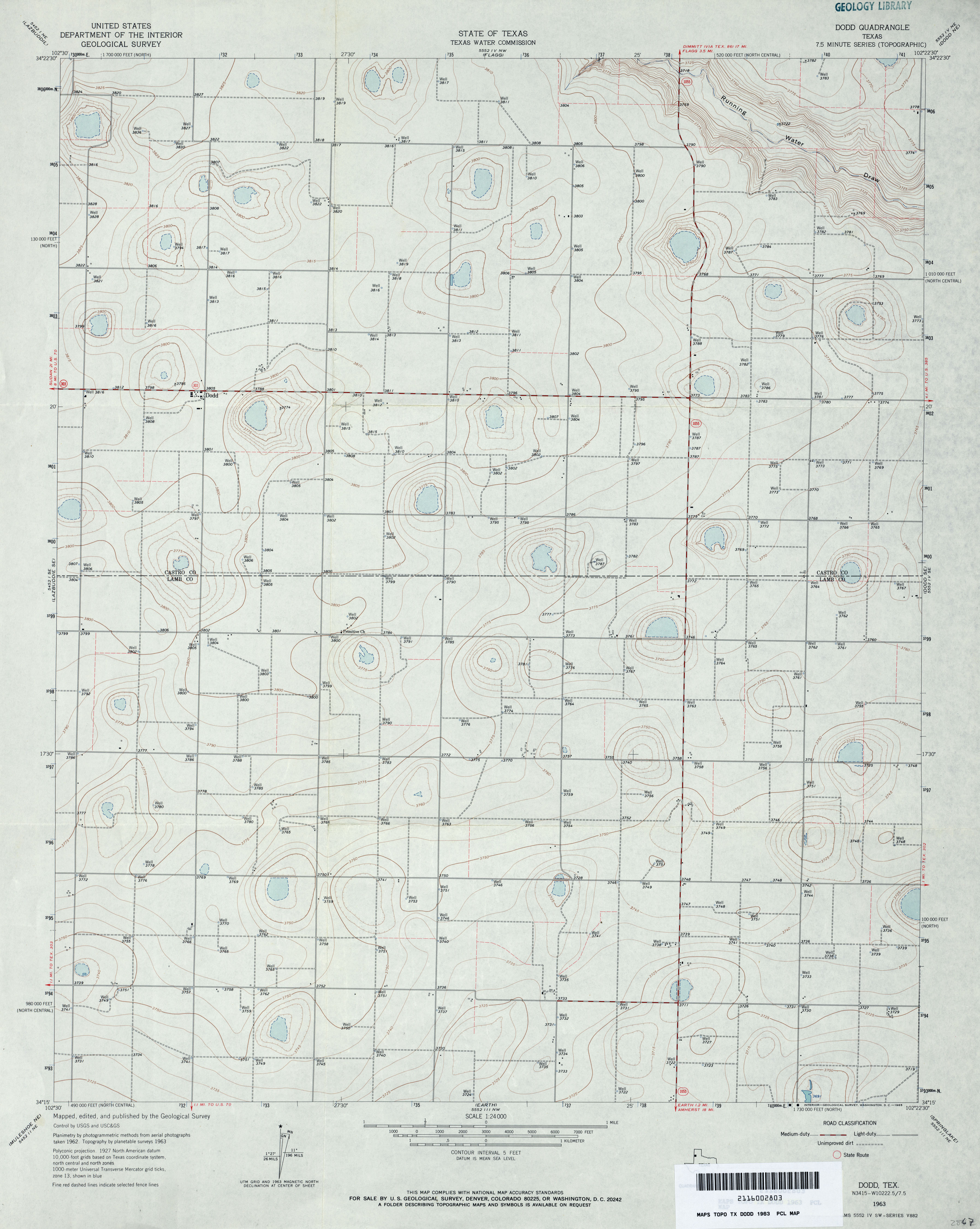
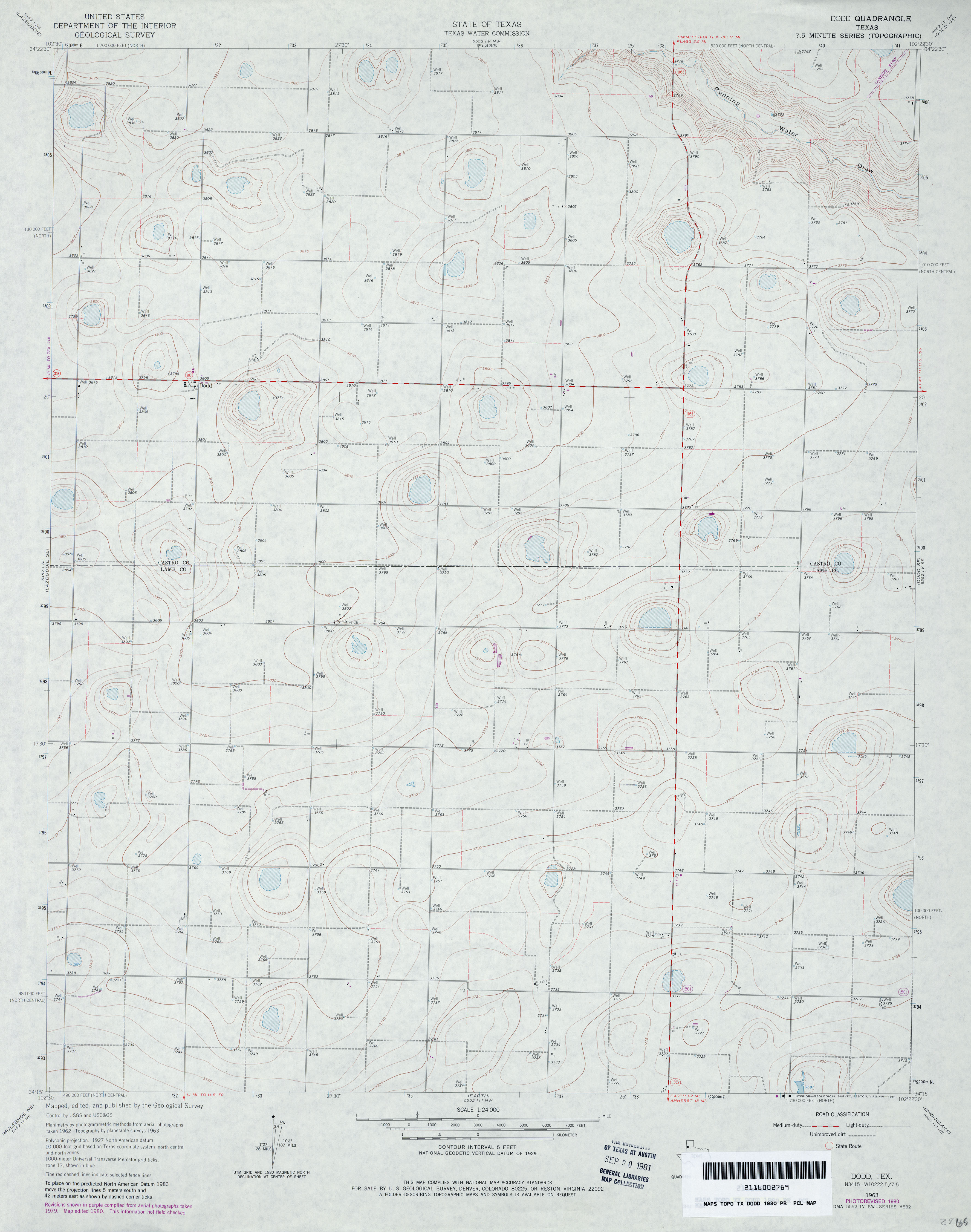
- Dodd 1:24,000 1963 (2.7MB)
- Dodd 1:24,000 1980 (2.6MB)
- Dodd 1:24,000 2008 (9.2MB) [GeoPDF]
- Dodd 1:24,000 2012 (13.1MB) [GeoPDF]
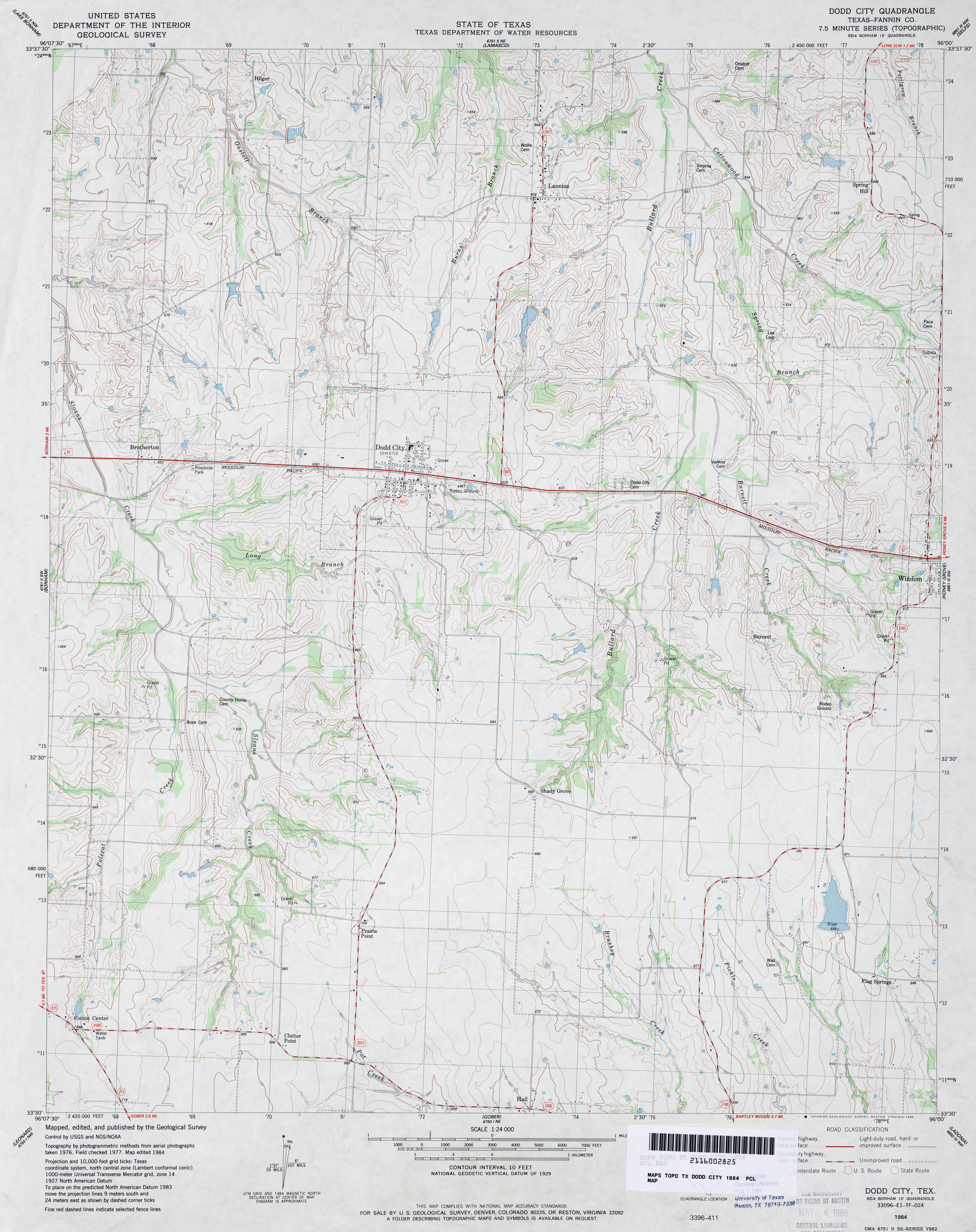
- Dodd City (Fannin County) 1:24,000 1984 (3.6MB)
- Dodd City 1:24,000 2008 (12.1MB) [GeoPDF]
- Dodd City 1:24,000 2013 (19.8MB) [GeoPDF]
- Dodd NE (Castro County) 1:24,000 1962 (2.5MB)
- Dodd NE 1:24,000 2008 (8.5MB) [GeoPDF]
- Dodd NE 1:24,000 2012 (12.6MB) [GeoPDF]
- Dodd SE 1:24,000 1963 (2.8MB)
- Dodd SE 1:24,000 2008 (9.5MB) [GeoPDF]
- Dodd SE 1:24,000 2012 (14.4MB) [GeoPDF]
- Dodson 1:24,000 1964 (3.8MB)
- Dodson 1:24,000 2013 (18MB) [GeoPDF]
- Dog Canyon (Brewster County) 1:24,000 1983 (3.5MB)
- Dog Canyon 1:24,000 2008 (22.3MB) [GeoPDF]
- Dog Canyon 1:24,000 2012 (24.9MB) [GeoPDF]
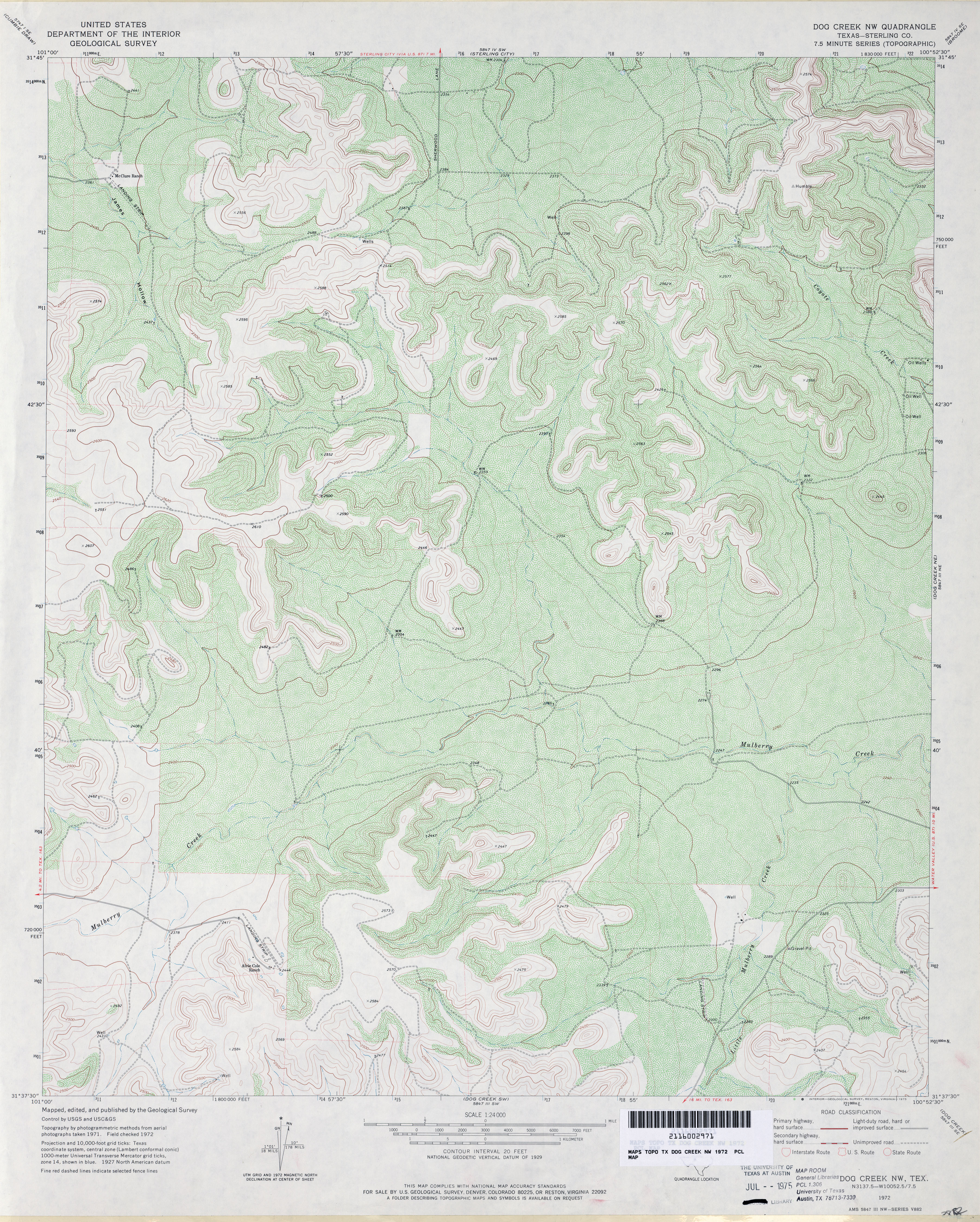
- Dog Creek 1:24,000 1972 (4MB)
- Dog Creek 1:24,000 1987 (3.8MB)
- Dog Creek 1:24,000 2008 (21.4MB) [GeoPDF]
- Dog Creek 1:24,000 2012 (26MB) [GeoPDF]
- Dog Creek NE 1:24,000 1972 (5.1MB)
- Dog Creek NE 1:24,000 1987 (4.3MB)
- Dog Creek NE 1:24,000 2008 (21.3MB) [GeoPDF]
- Dog Creek NE 1:24,000 2012 (25.2MB) [GeoPDF]
- Dog Creek NW (Sterling County) 1:24,000 1972 (4.6MB)
- Dog Creek NW 1:24,000 2008 (21.8MB) [GeoPDF]
- Dog Creek NW 1:24,000 2012 (25.3MB) [GeoPDF]
- Dog Creek SW 1:24,000 1972 (3.7MB)
- Dog Creek SW 1:24,000 2008 (23.2MB) [GeoPDF]
- Dog Creek SW 1:24,000 2012 (27.2MB) [GeoPDF]
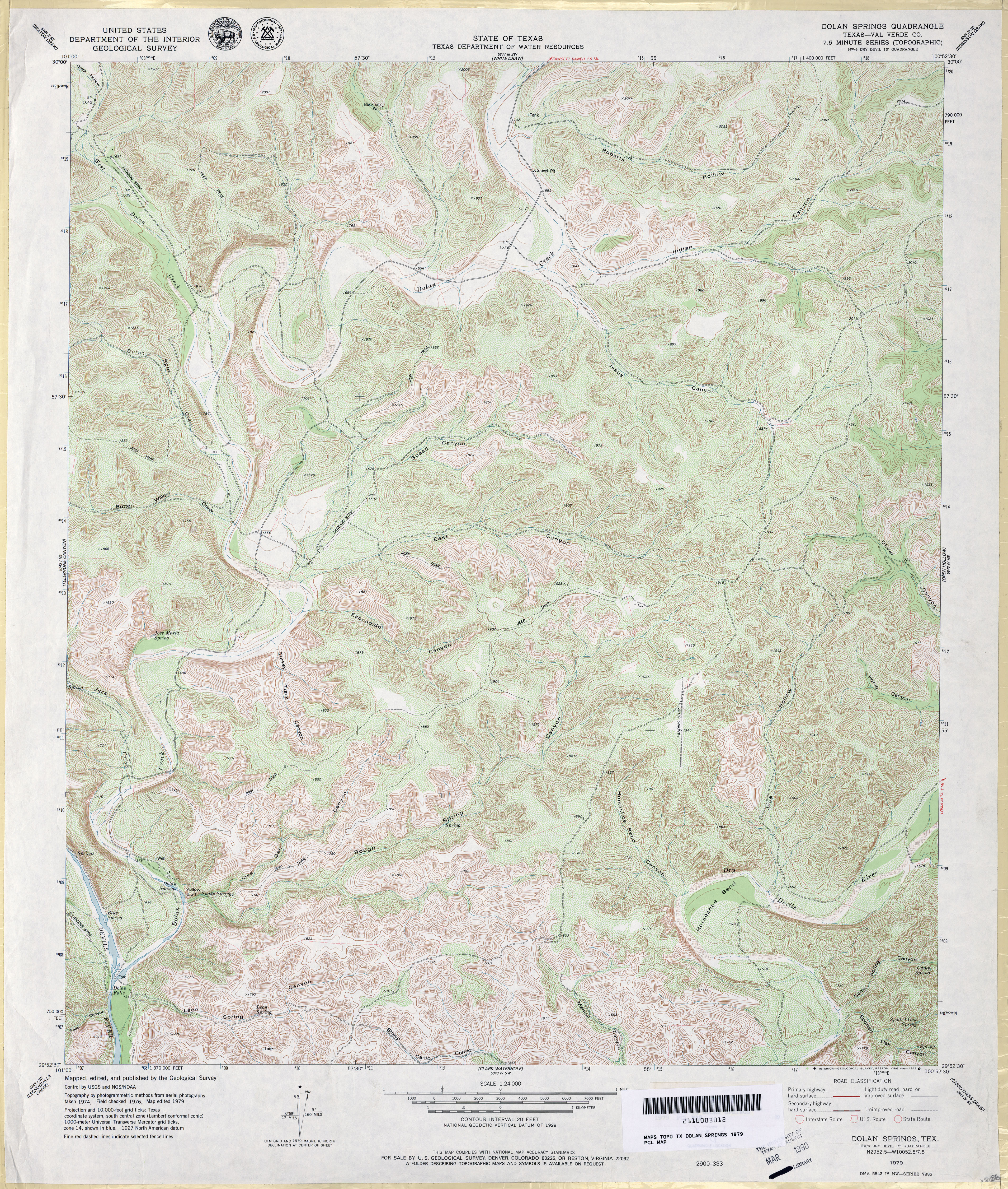
- Dolan Springs (Val Verde County) 1:24,000 1979 (6.3MB)
- Dolan Springs 1:24,000 2008 (26.0MB) [GeoPDF]
- Dolan Springs 1:24,000 2013 (36.1MB) [GeoPDF]
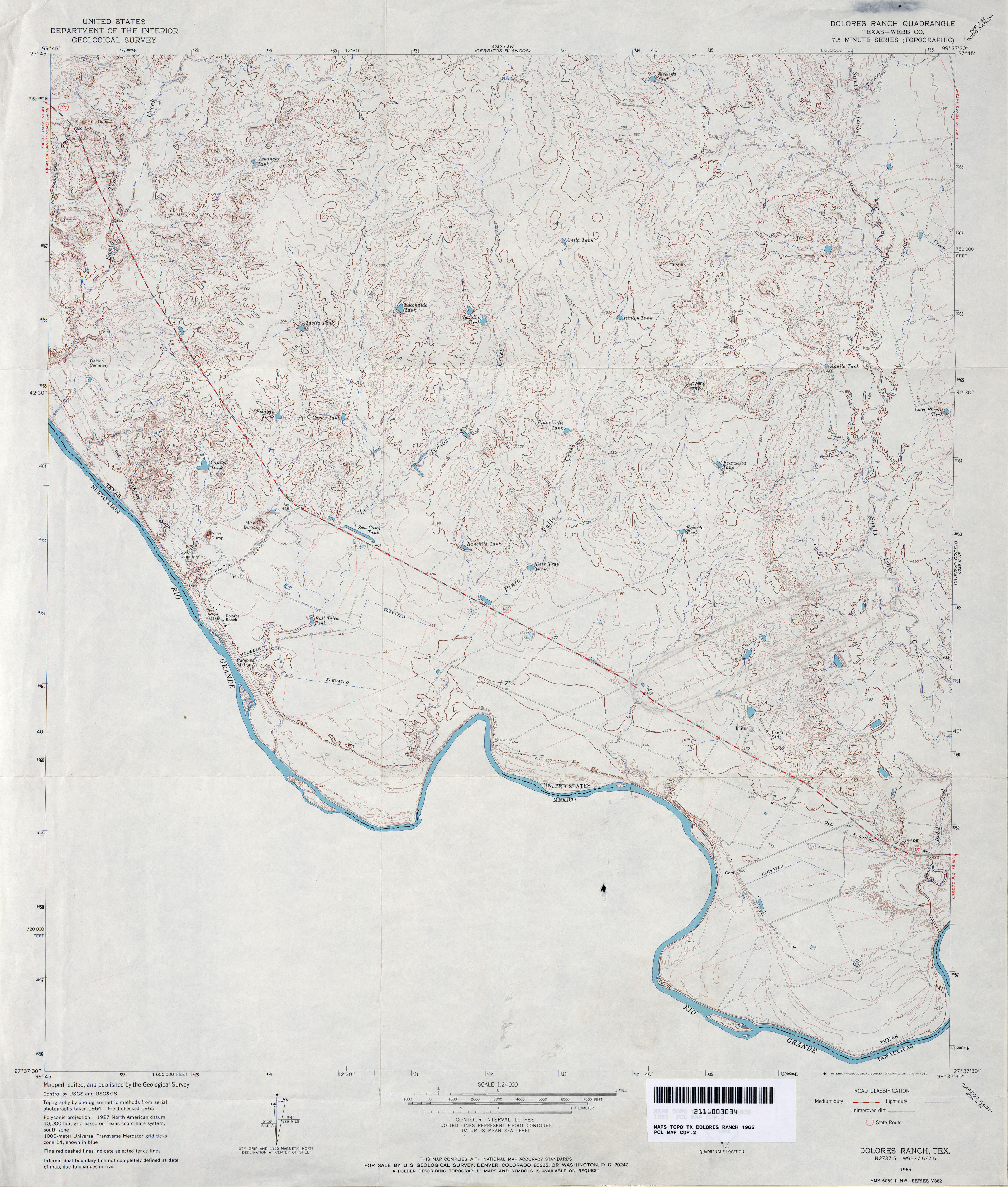
- Dolores Ranch (Webb County) 1:24,000 1965 (3.6MB)
- Dolores Ranch 1:24,000 2008 (18.9MB) [GeoPDF]
- Dolores Ranch 1:24,000 2013 (27.4MB) [GeoPDF]
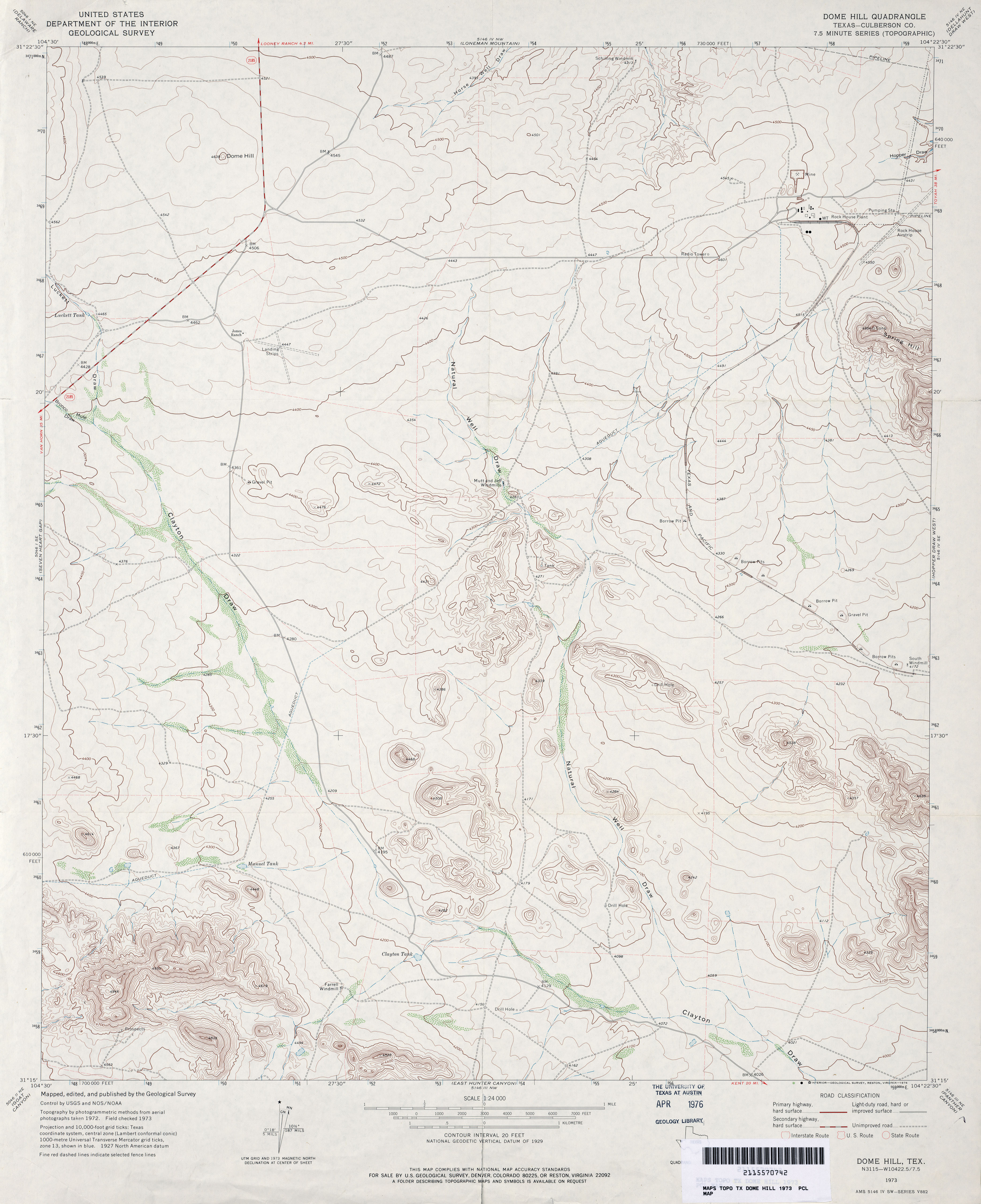
- Dome Hill (Culberson County) 1:24,000 1973 (3MB)
- Dome Hill 1:24,000 2008 (23.6MB) [GeoPDF]
- Dome Hill 1:24,000 2012 (24.7MB) [GeoPDF]
- Dome Peak (Hudspeth County) 1:24,000 1964 (3.7MB)
- Dome Peak 1:24,000 2008 (21.2MB) [GeoPDF]
- Dome Peak 1:24,000 2013 (26MB) [GeoPDF]
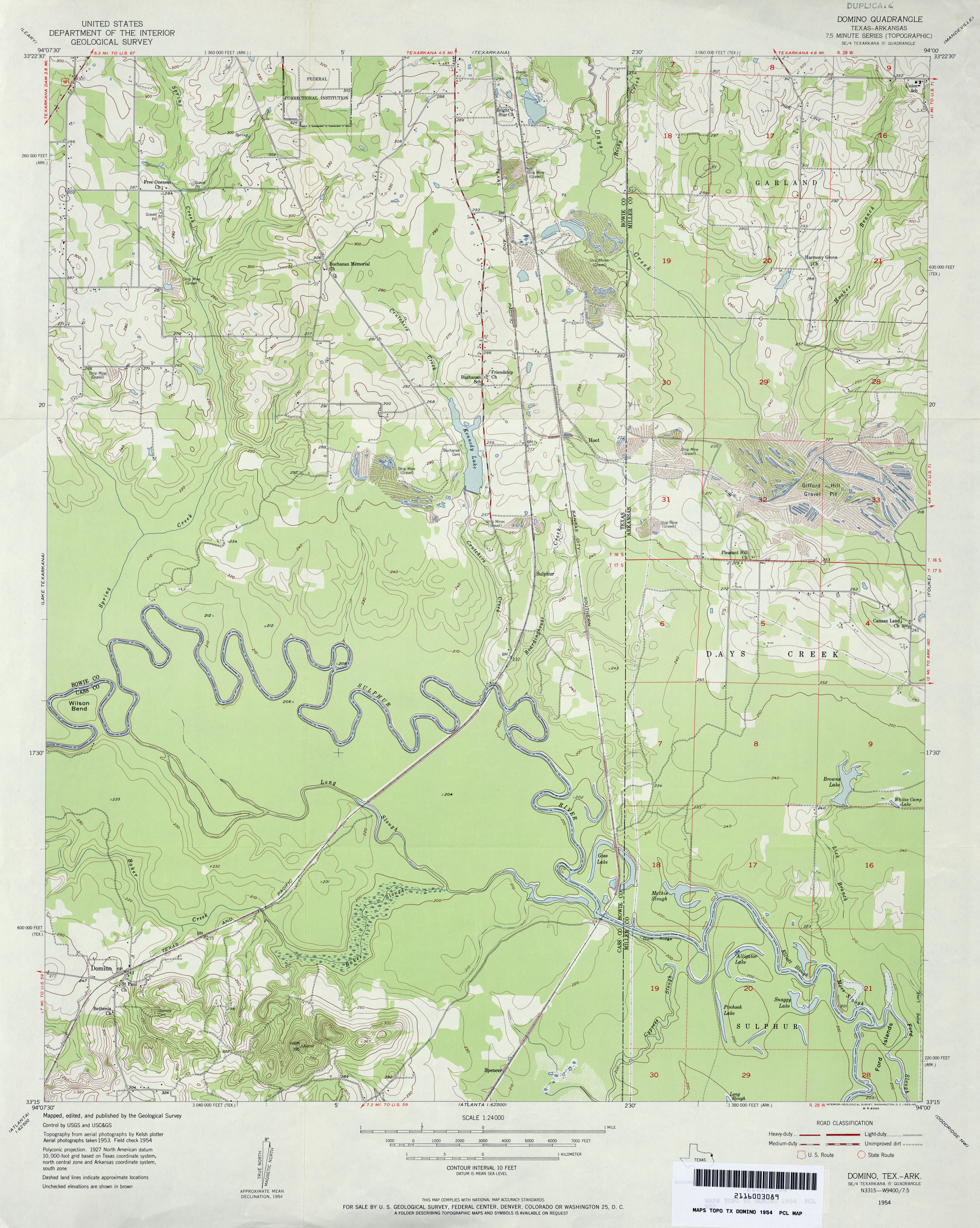
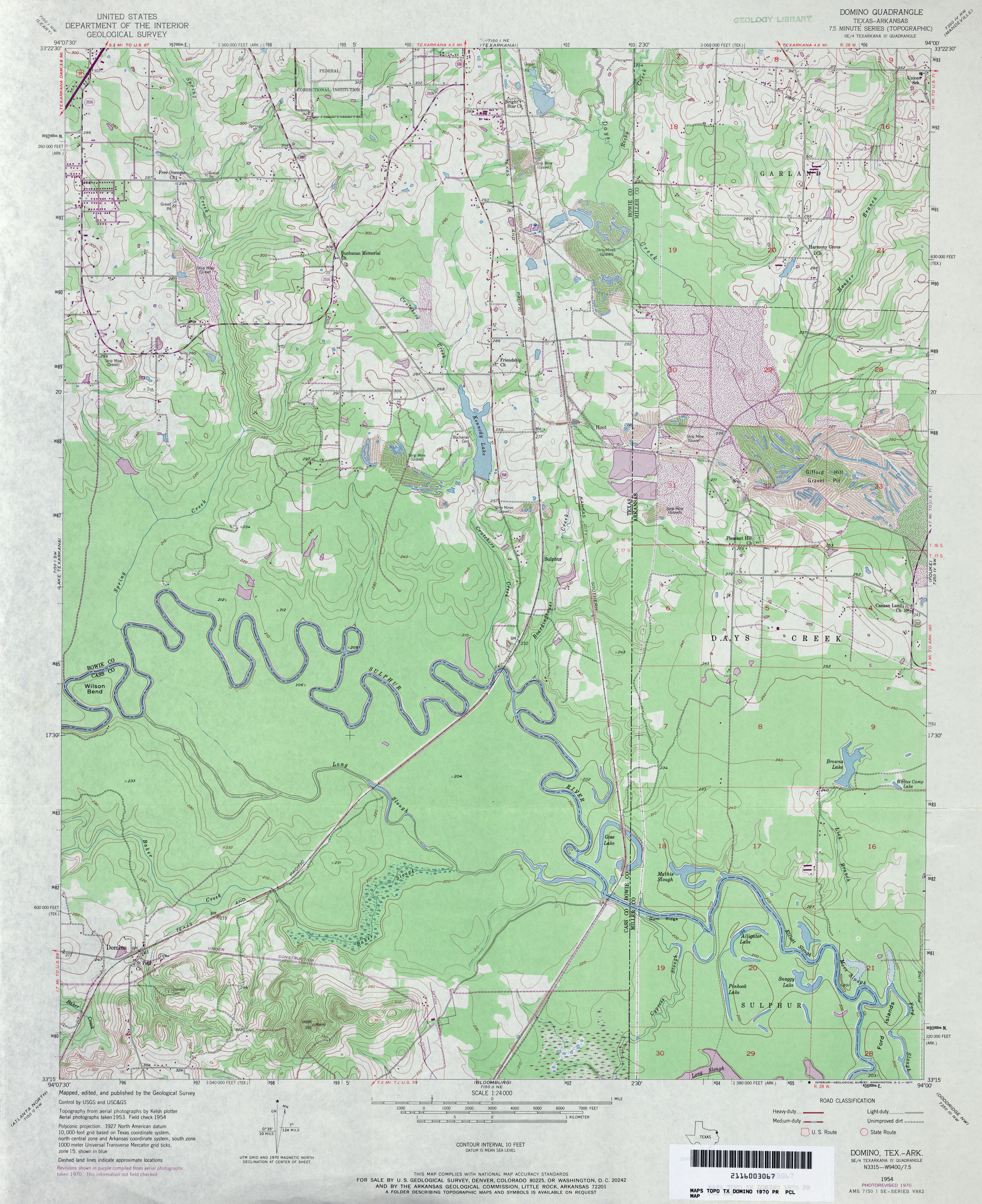
- Domino 1:24,000 1954 (3.4MB)
- Domino 1:24,000 1970 (3.9MB)
- Domino 1:24,000 1975 (3.6MB)
- Domino 1:24,000 2013 (22.8MB) [GeoPDF]
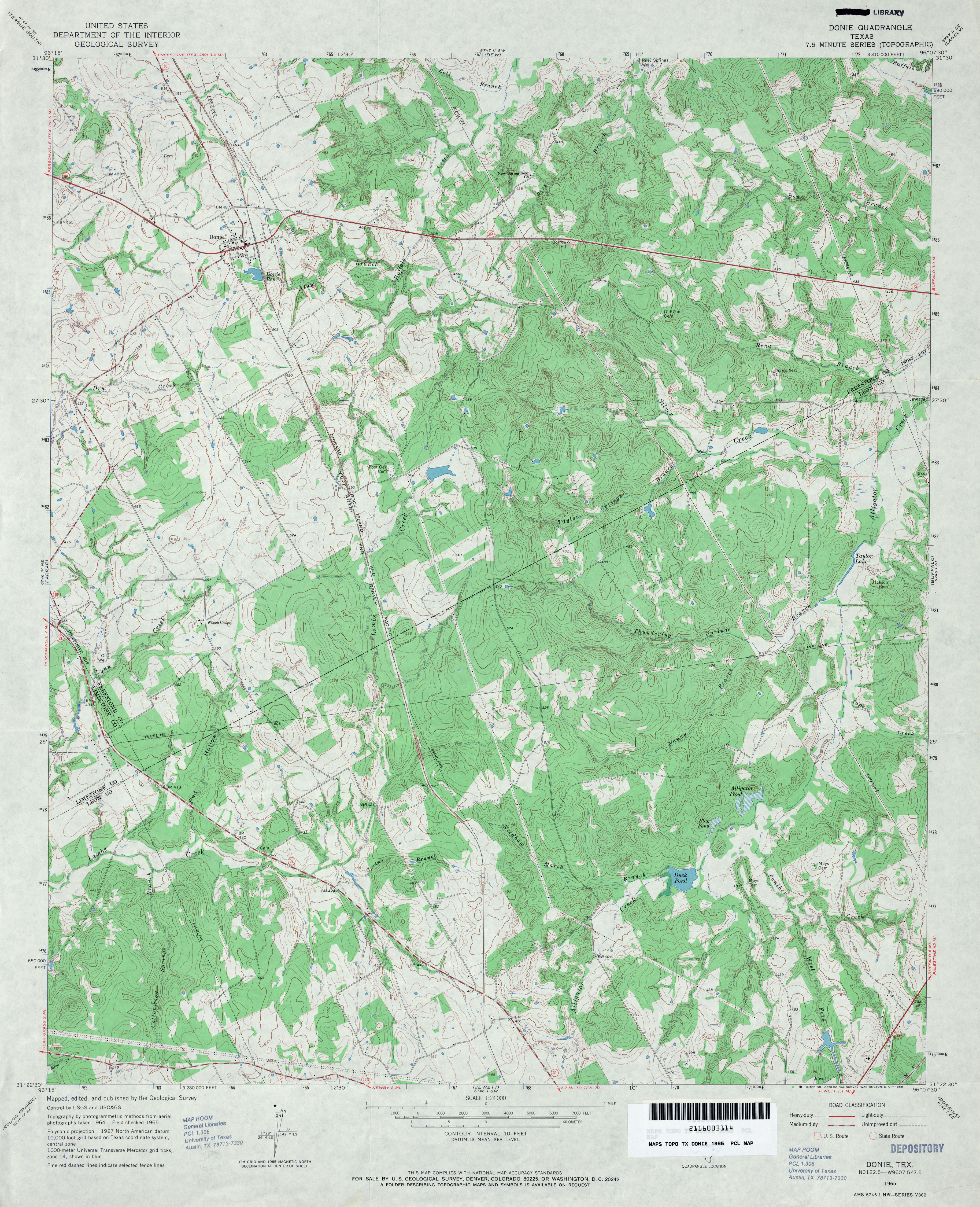
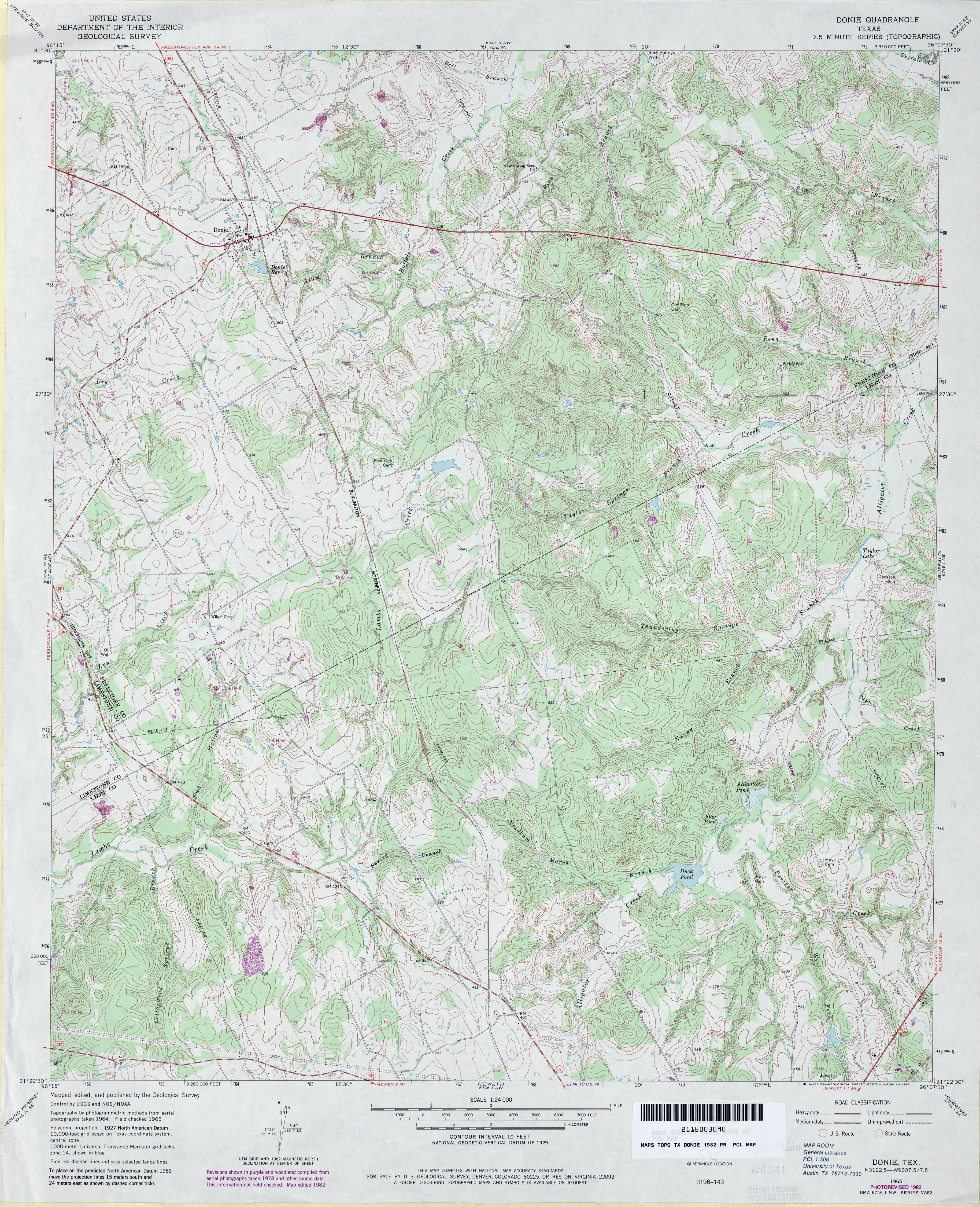
- Donie 1:24,000 1965 (4.5MB)
- Donie 1:24,000 1982 (4.8MB)
- Donie 1:24,000 2008 (17.9MB) [GeoPDF]
- Donie 1:24,000 2013 (24.3MB) [GeoPDF]
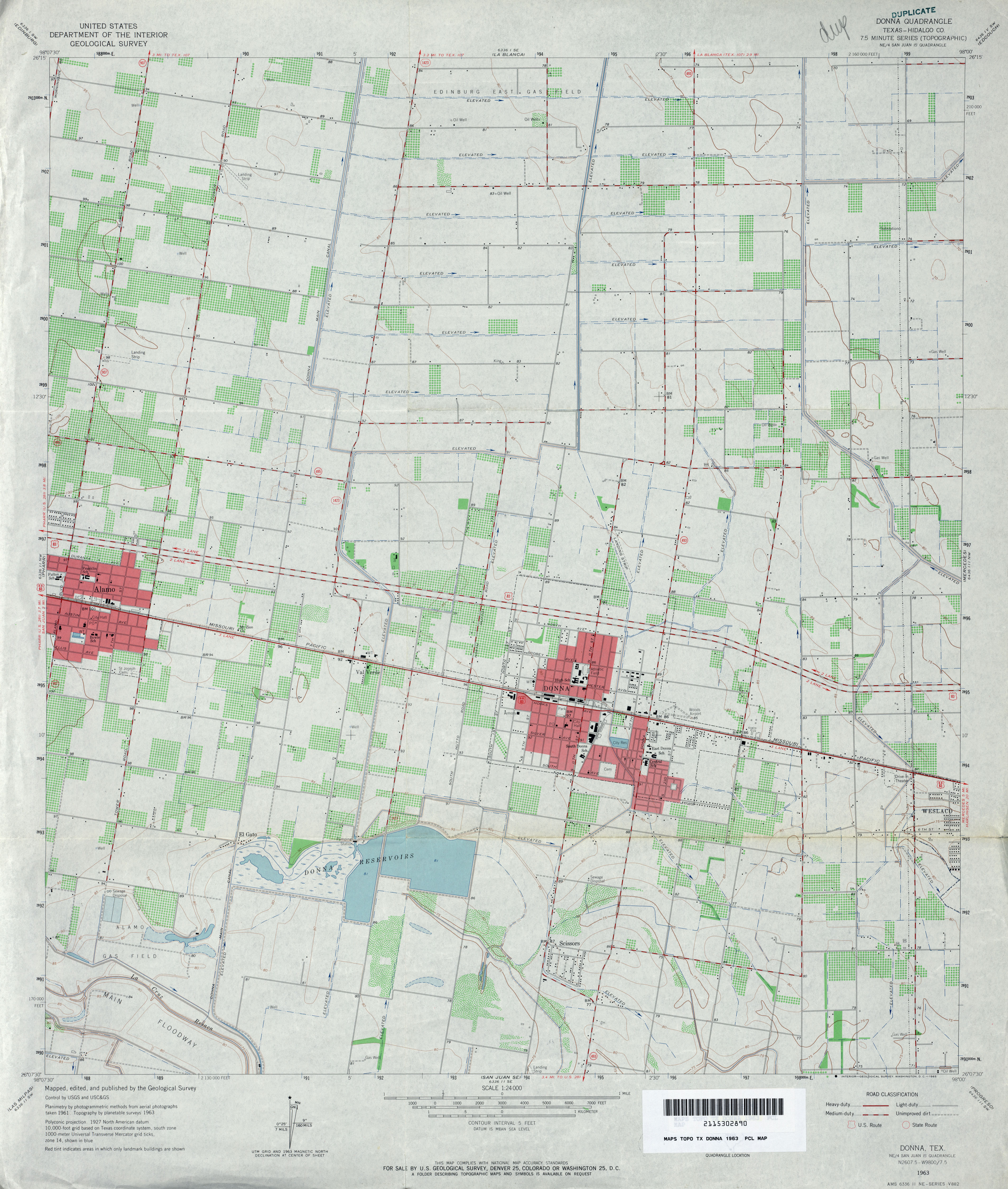
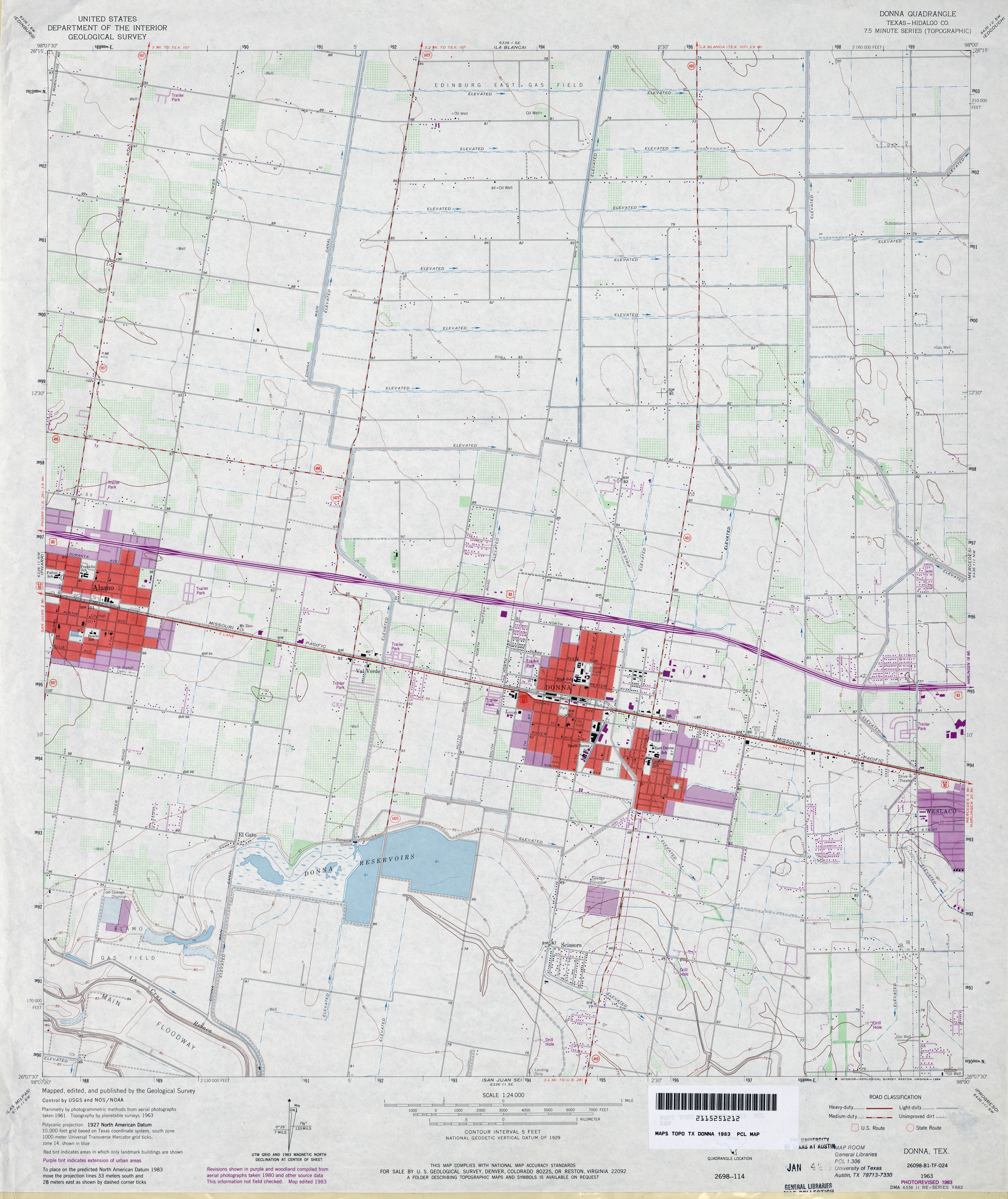
- Donna (Hidalgo County) 1:24,000 1963 (3.4MB)
- Donna (Hidalgo County) 1:24,000 1983 (3.3MB)
- Donna (Hidalgo County) 1:24,000 2002 (3.8MB)
- Donna 1:24,000 2009 (20.5MB) [GeoPDF]
- Donna 1:24,000 2012 (21.8MB) [GeoPDF]
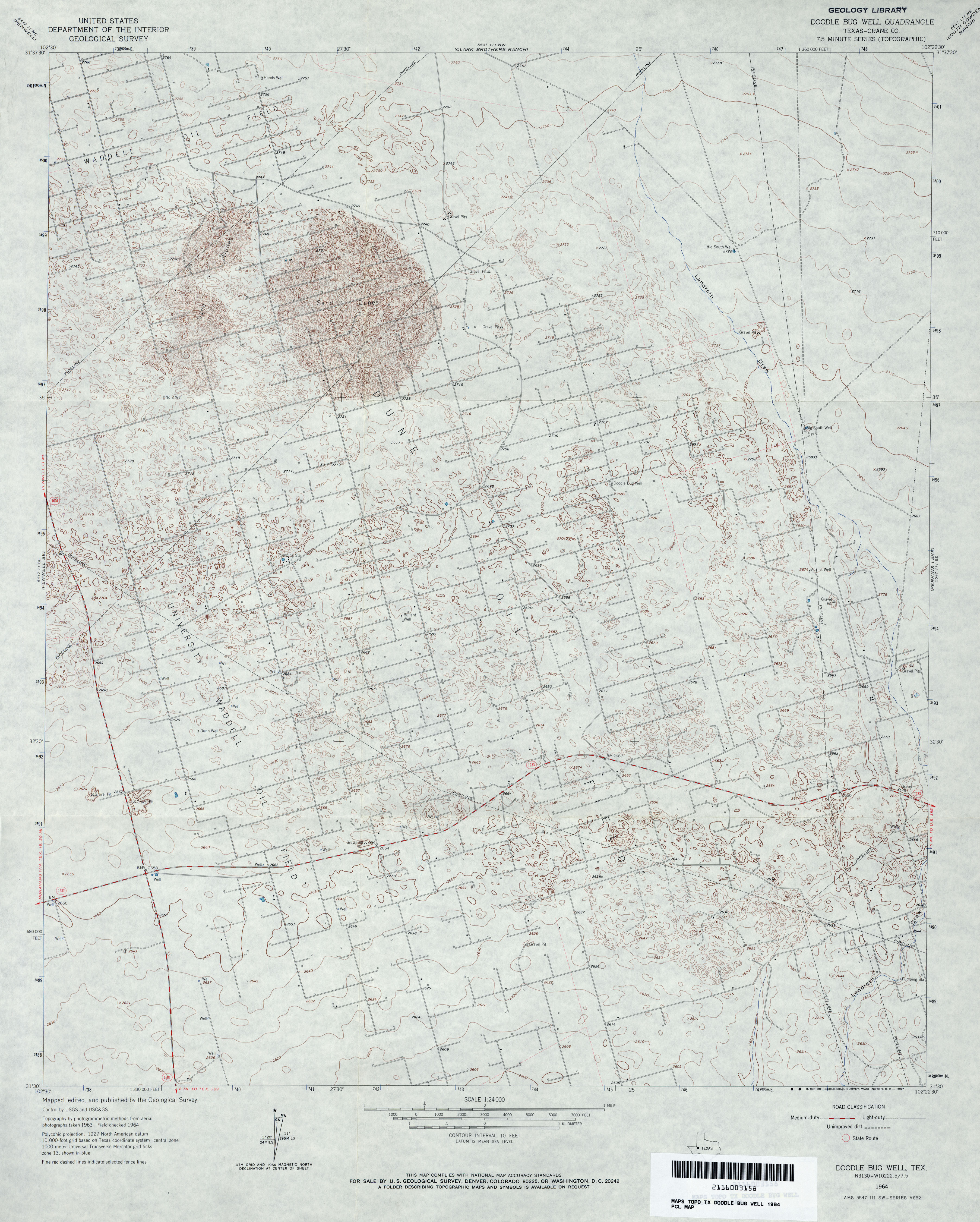
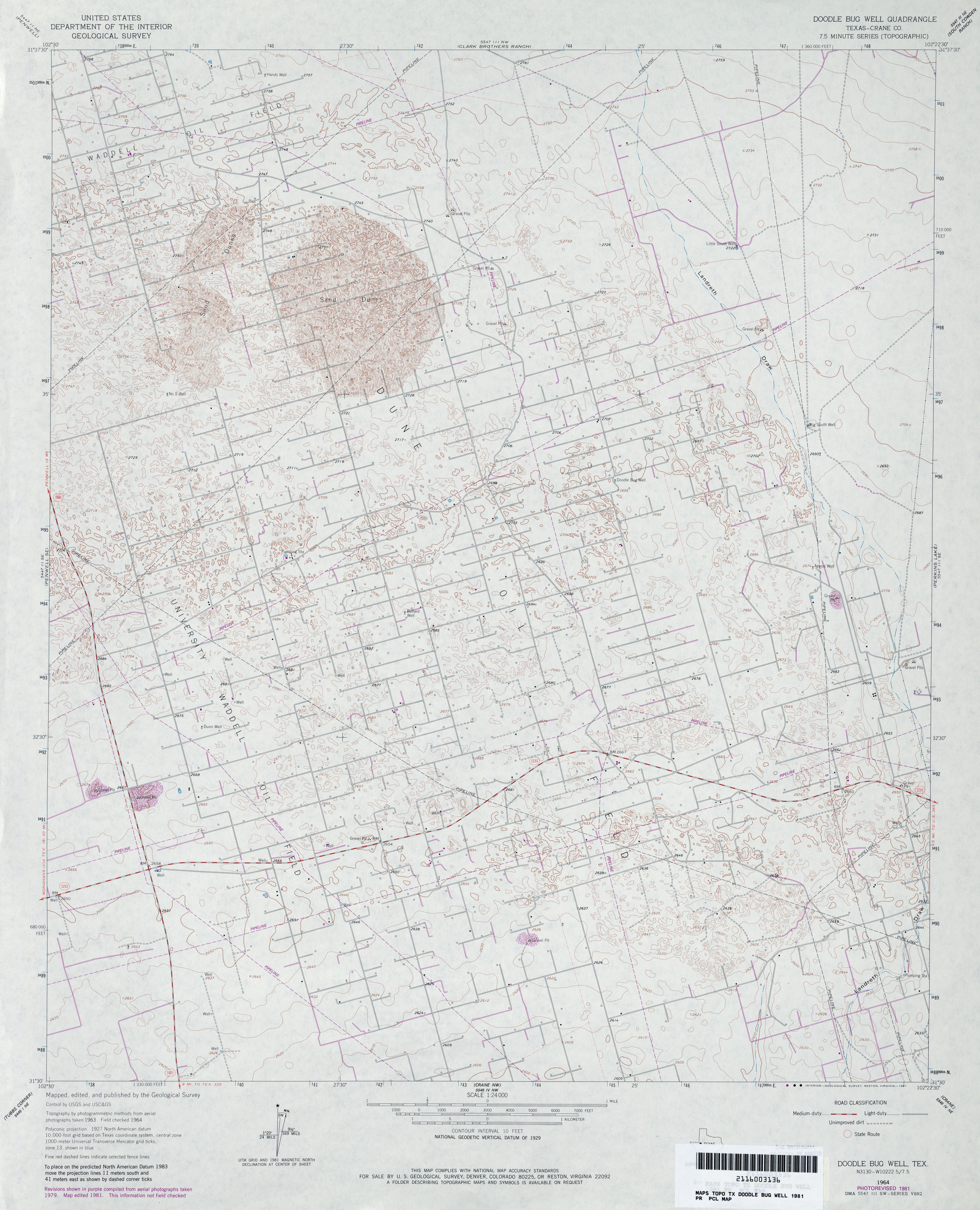
- Doodle Bug Well (Crane County) 1:24,000 1964 (3.5MB)
- Doodle Bug Well (Crane County) 1:24,000 1981 (3.5MB)
- Doodle Bug Well 1:24,000 2008 (22.9MB) [GeoPDF]
- Doodle Bug Well 1:24,000 2013 (26.1MB) [GeoPDF]
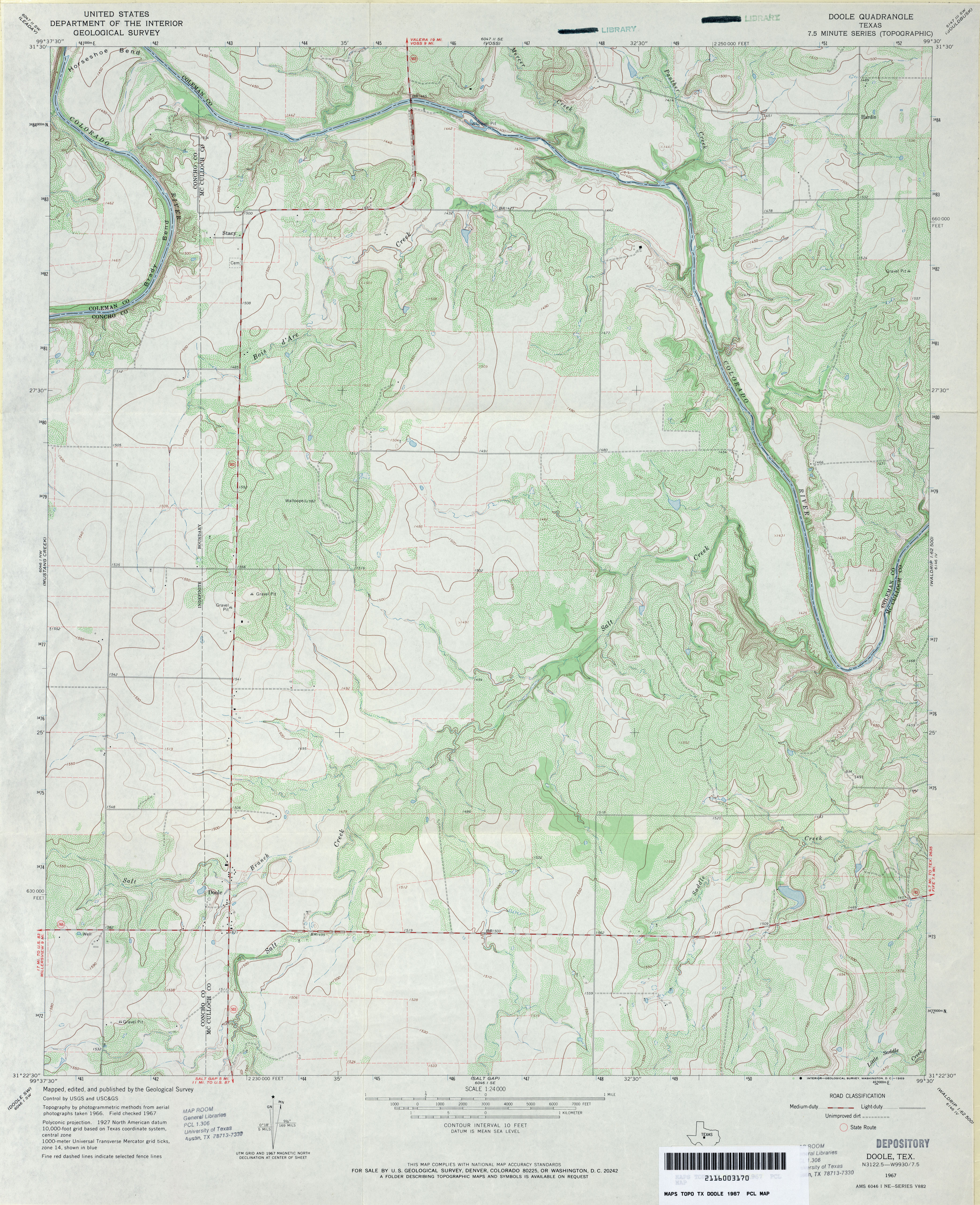
- Doole 1:24,000 1967 (3.9MB)
- Doole 1:24,000 2013 (22.9MB) [GeoPDF]
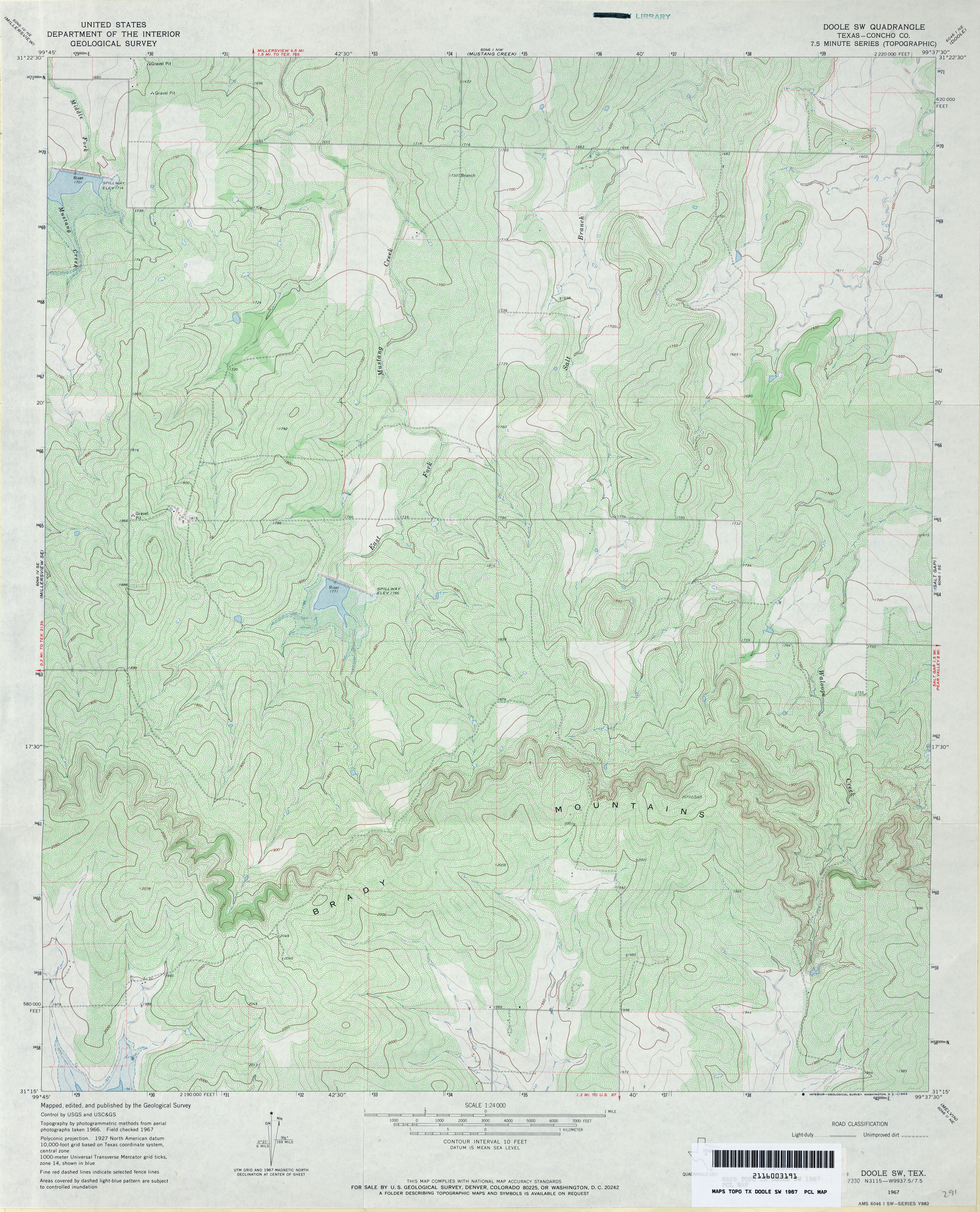
- Doole SW (Concho County) 1:24,000 1967 (4.5MB)
- Doole SW 1:24,000 2013 (24.4MB) [GeoPDF]
- Dorchester (Grayson County) 1:24,000 1958 (3.3MB)
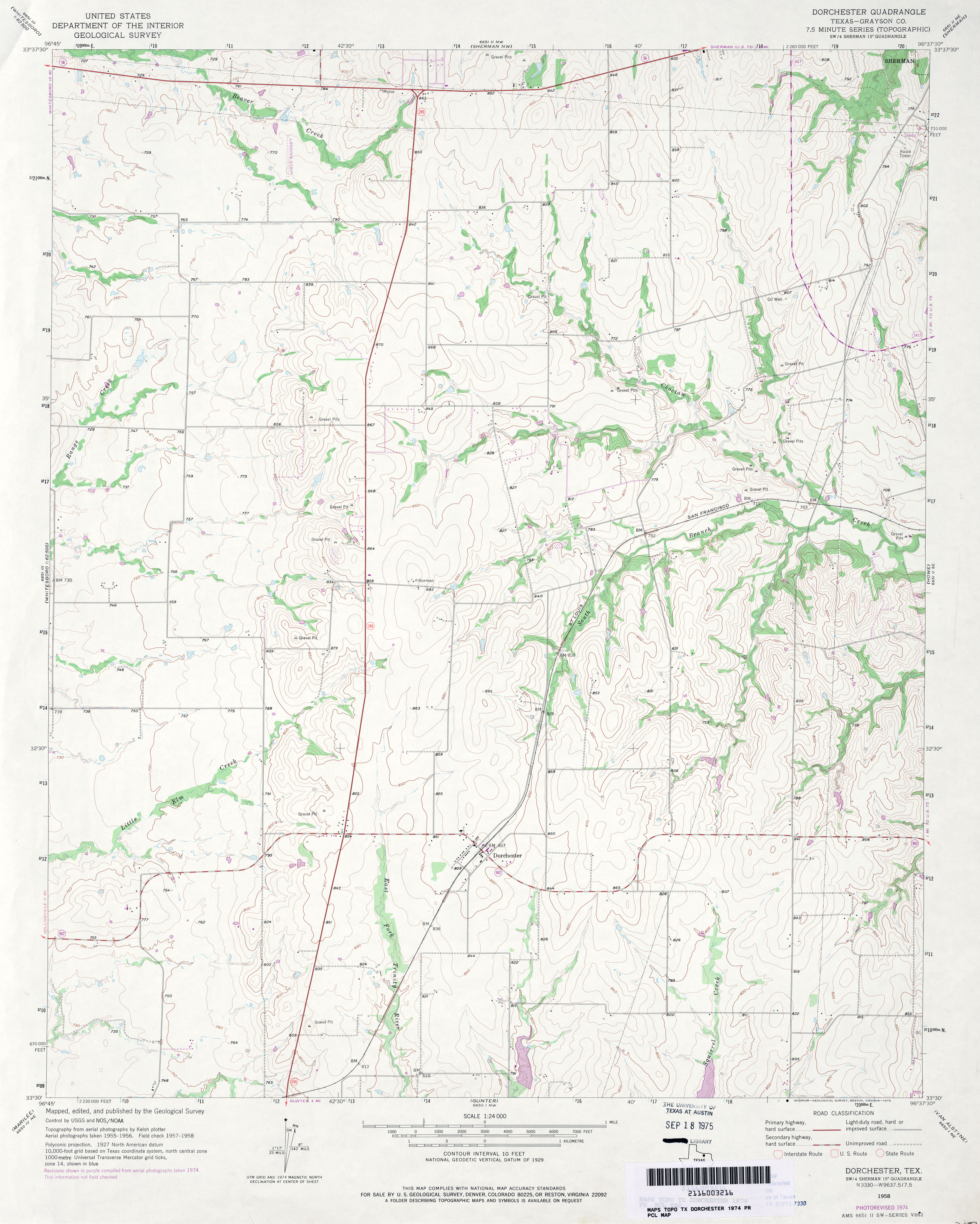
- Dorchester (Grayson County) 1:24,000 1974 (3.1MB)
- Dorchester 1:24,000 2008 (11.4MB) [GeoPDF]
- Dorchester 1:24,000 2013 (17.6MB) [GeoPDF]
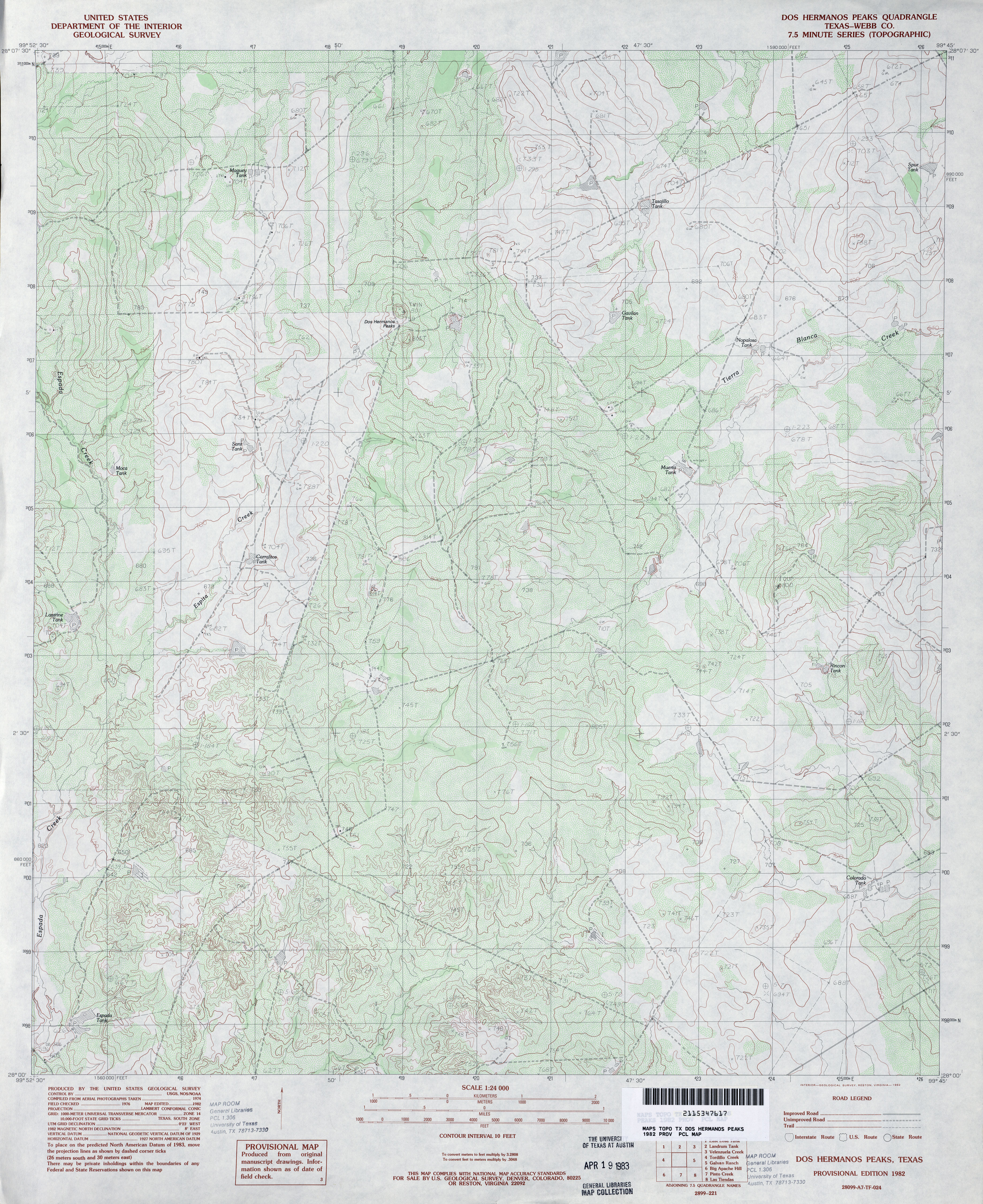
- Dos Hermanos Peaks (Webb County) 1:24,000 1982 (4.3MB)
- Dos Hermanos Peaks 1:24,000 2008 (16.4MB) [GeoPDF]
- Dos Hermanos Peaks 1:24,000 2013 (28.4MB) [GeoPDF]
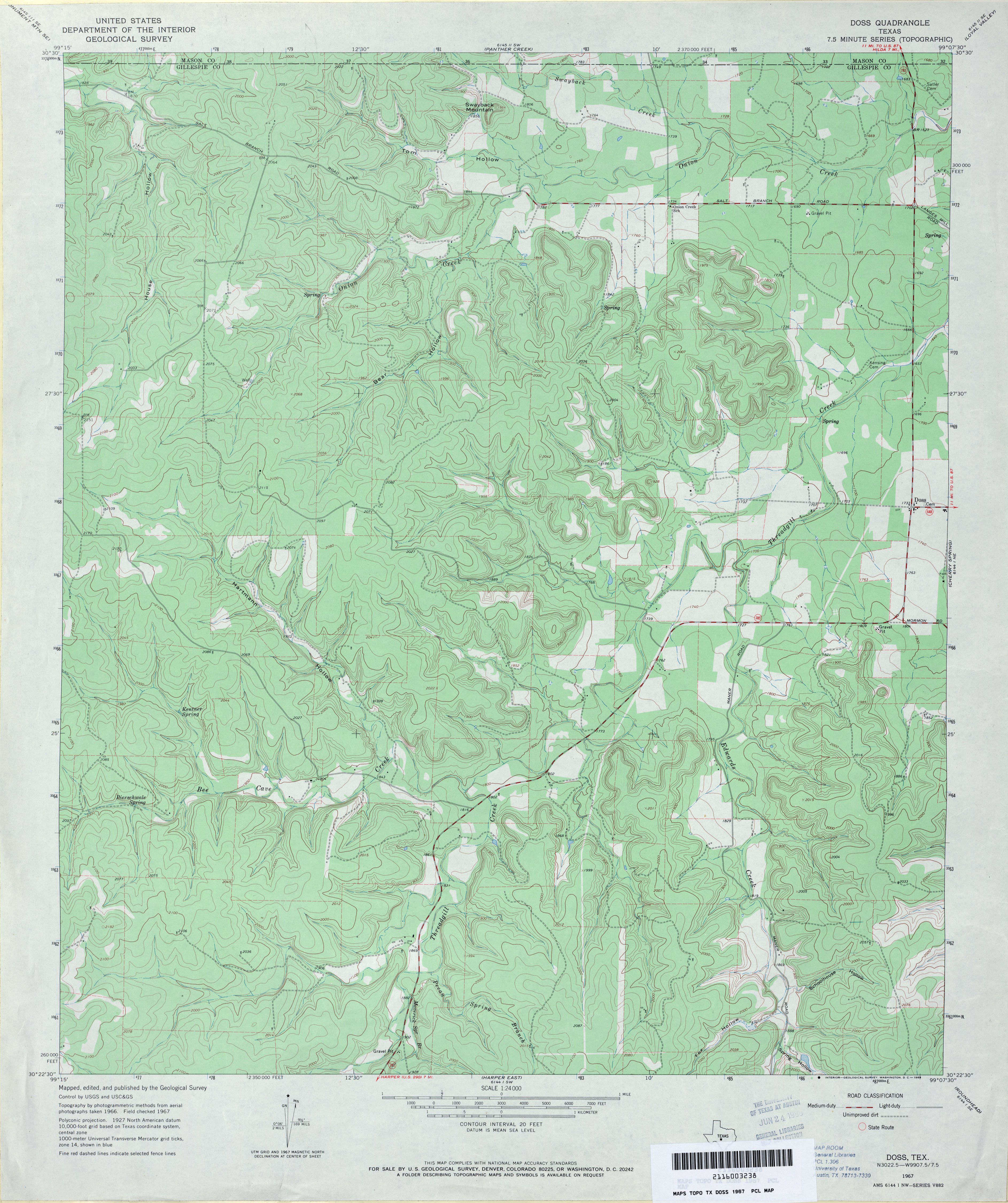
- Doss 1:24,000 1967 (3.7MB)
- Doss 1:24,000 2012 (28.8MB) [GeoPDF]
- Double Lake (Lynn County) 1:24,000 1969 (4.1MB)
- Double Lakes 1:24,000 2008 (15.1MB) [GeoPDF]
- Double Lakes 1:24,000 2012 (18.5MB) [GeoPDF]
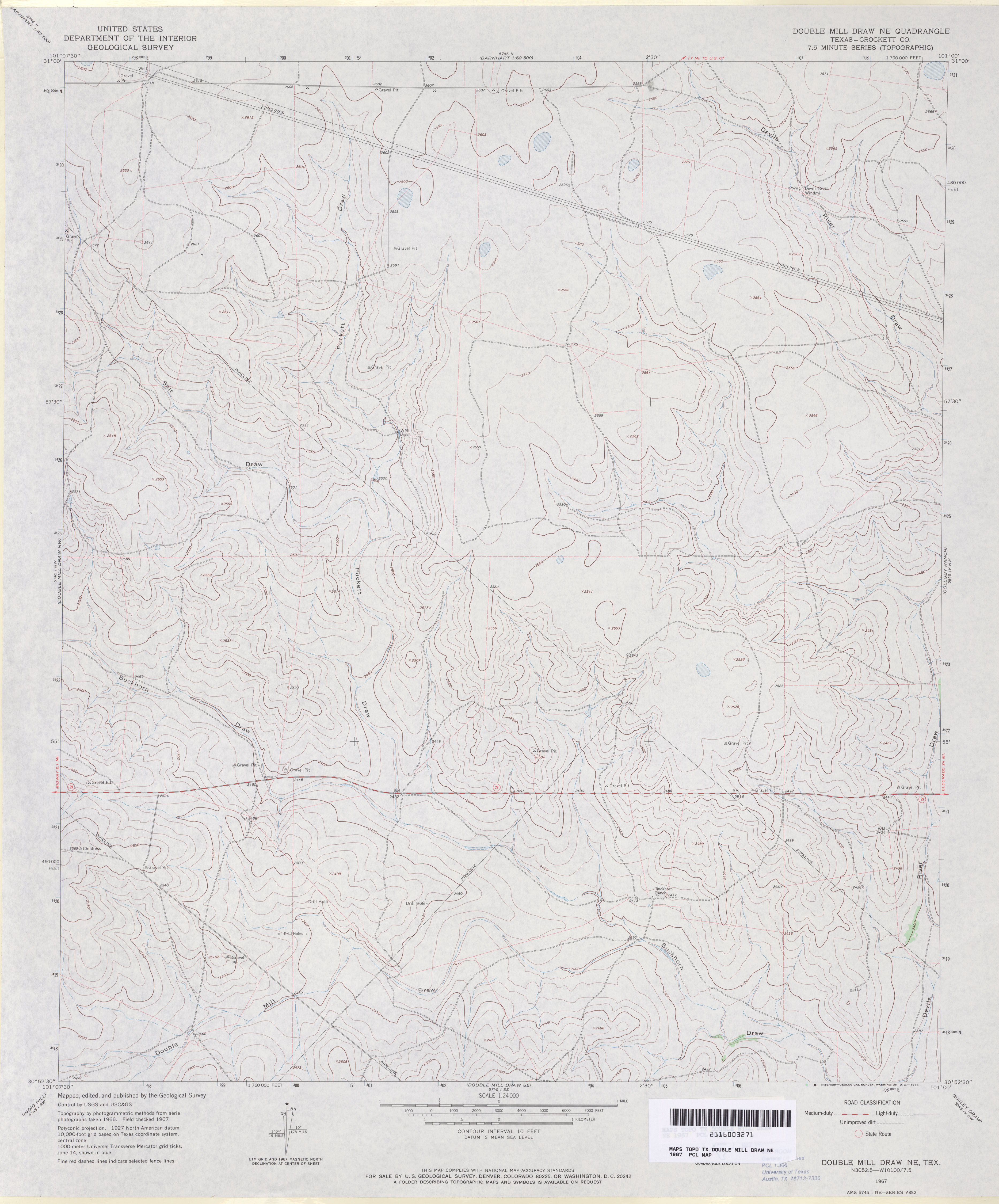
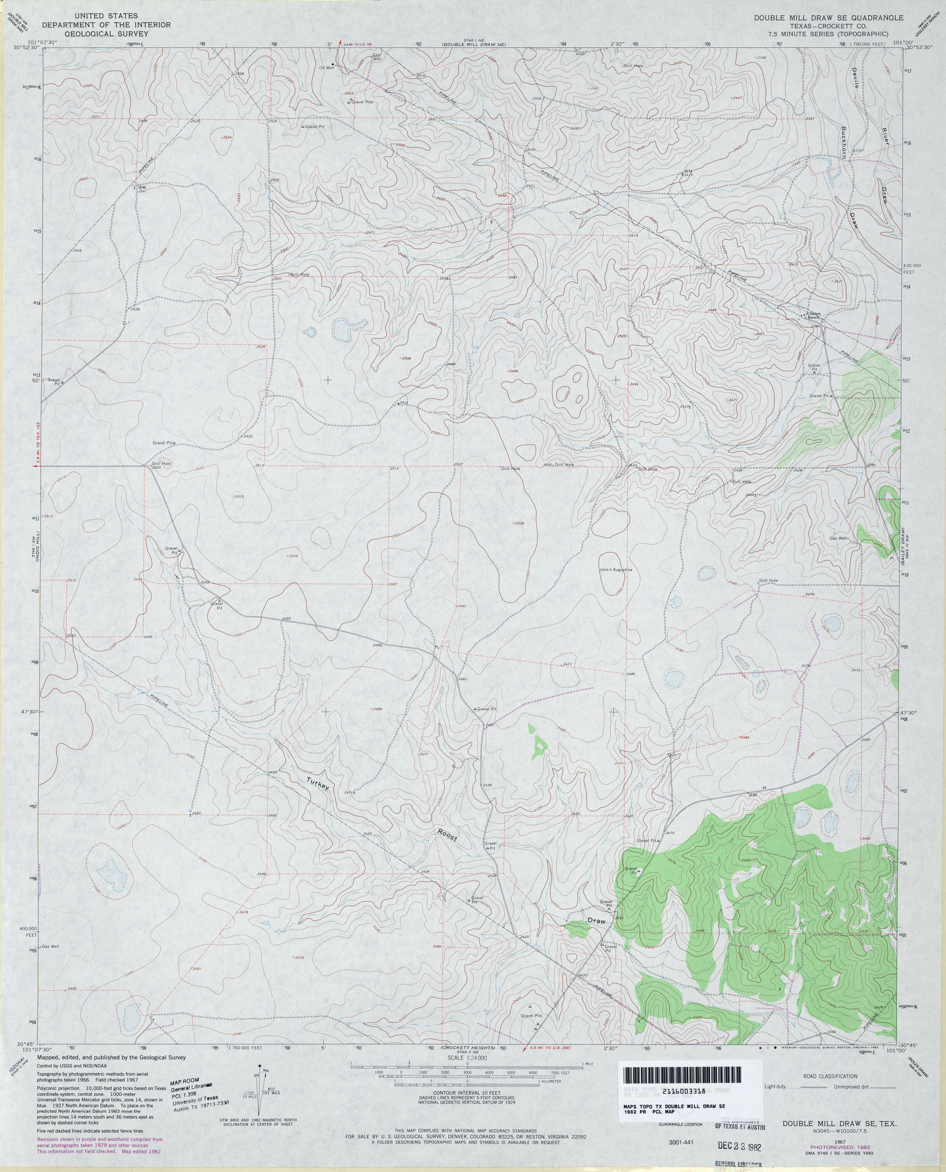
- Double Mill Draw NE (Crockett County) 1:24,000 1967 (2.8MB)
- Double Mill Draw NE 1:24,000 2008 (19.4MB) [GeoPDF]
- Double Mill Draw NE 1:24,000 2012 (23.9MB) [GeoPDF]
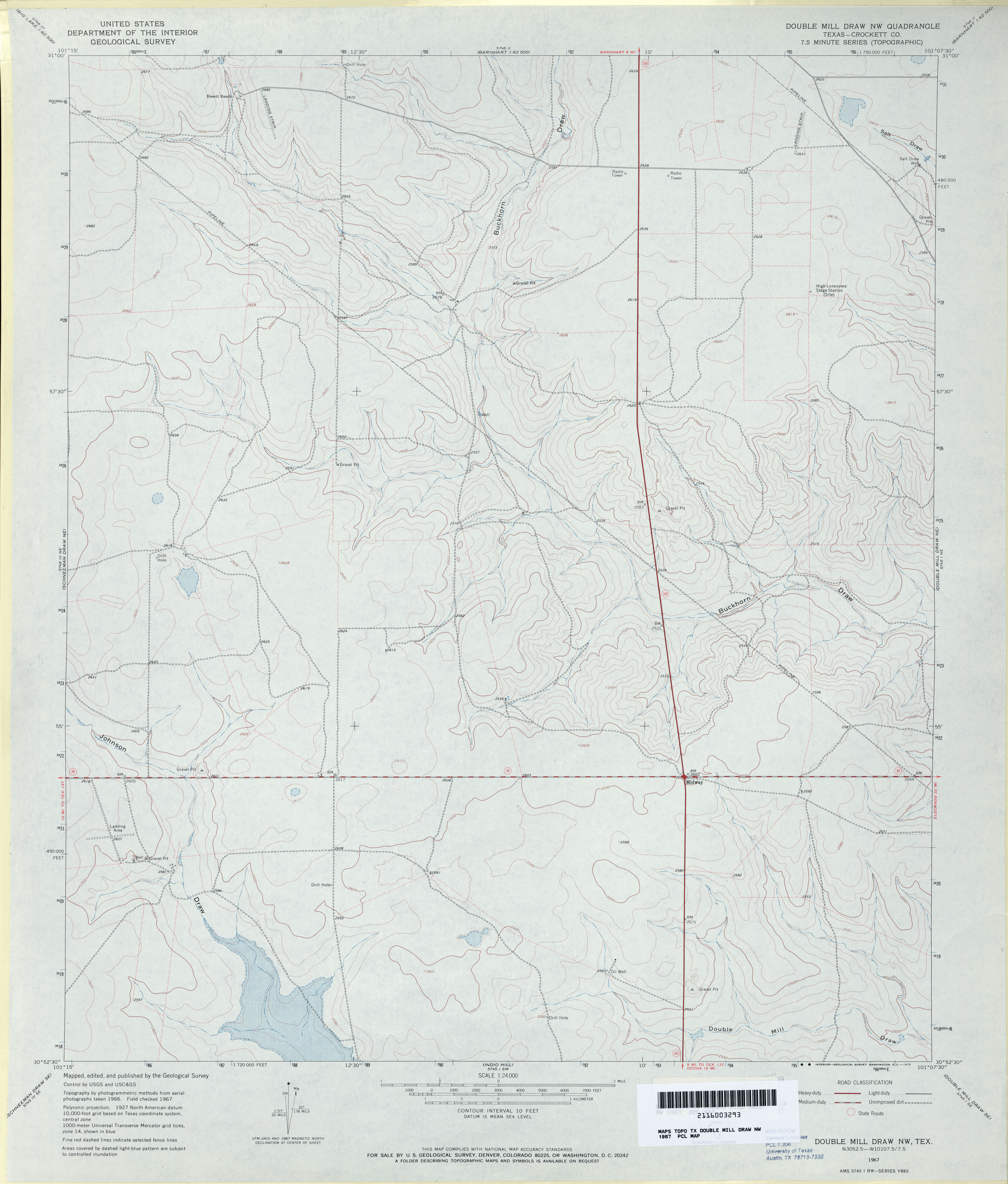
- Double Mill Draw NW (Crockett County) 1:24,000 1967 (2.7MB)
- Double Mill Draw NW 1:24,000 2008 (21.6MB) [GeoPDF]
- Double Mill Draw NW 1:24,000 2012 (24.2MB) [GeoPDF]
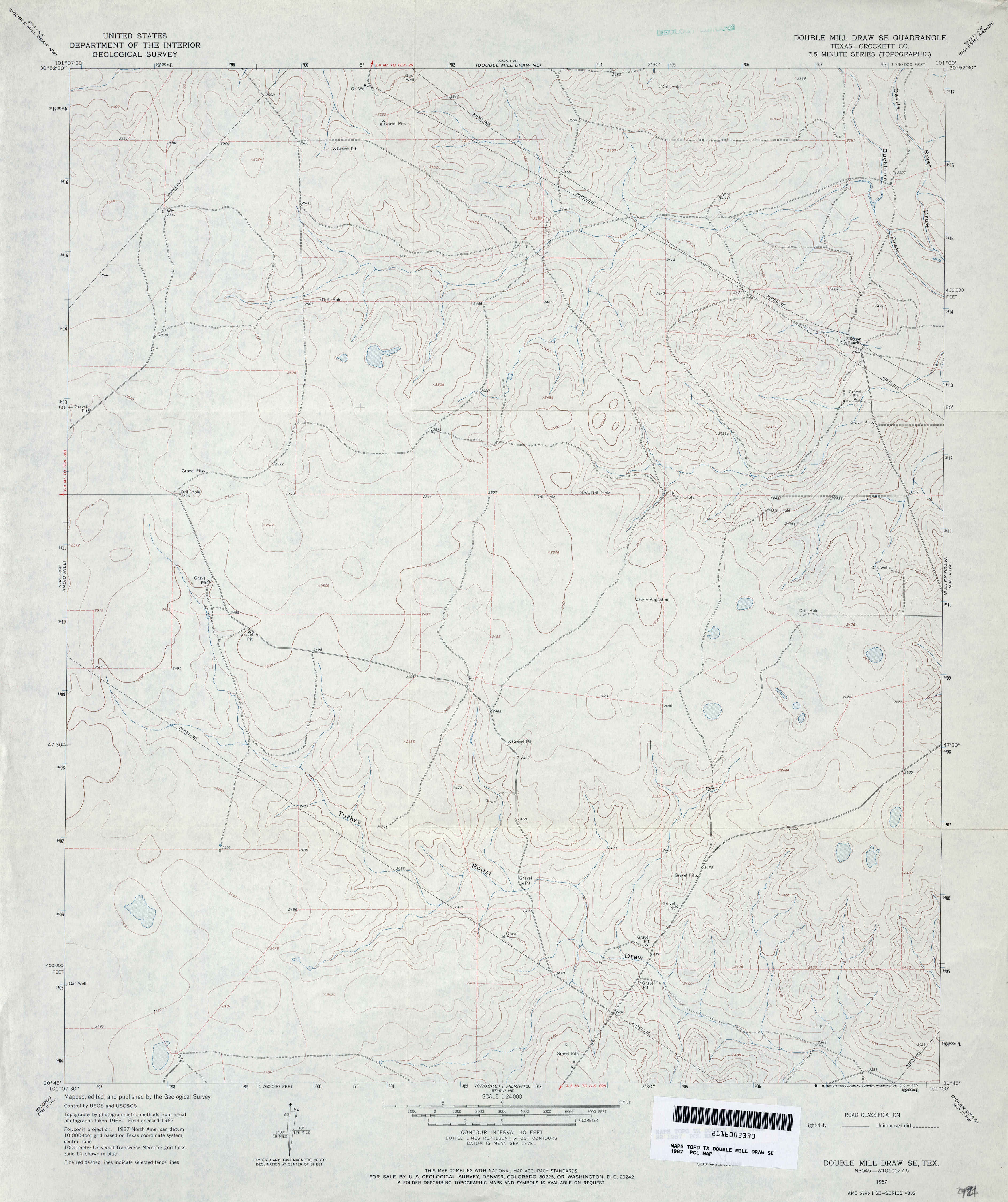
- Double Mill Draw SE (Crockett County) 1:24,000 1967 (2.9MB)
- Double Mill Draw SE (Crockett County) 1:24,000 1982 (3.1MB)
- Double Mill Draw SE 1:24,000 2008 (20.5MB) [GeoPDF]
- Double Mill Draw SE 1:24,000 2012 (24.3MB) [GeoPDF]
- Double Mountains (Stonewall County) 1:24,000 1968 (3.8MB)
- Double Mountains 1:24,000 2008 (15.8MB) [GeoPDF]
- Double Mountains 1:24,000 2012 (22.6MB) [GeoPDF]
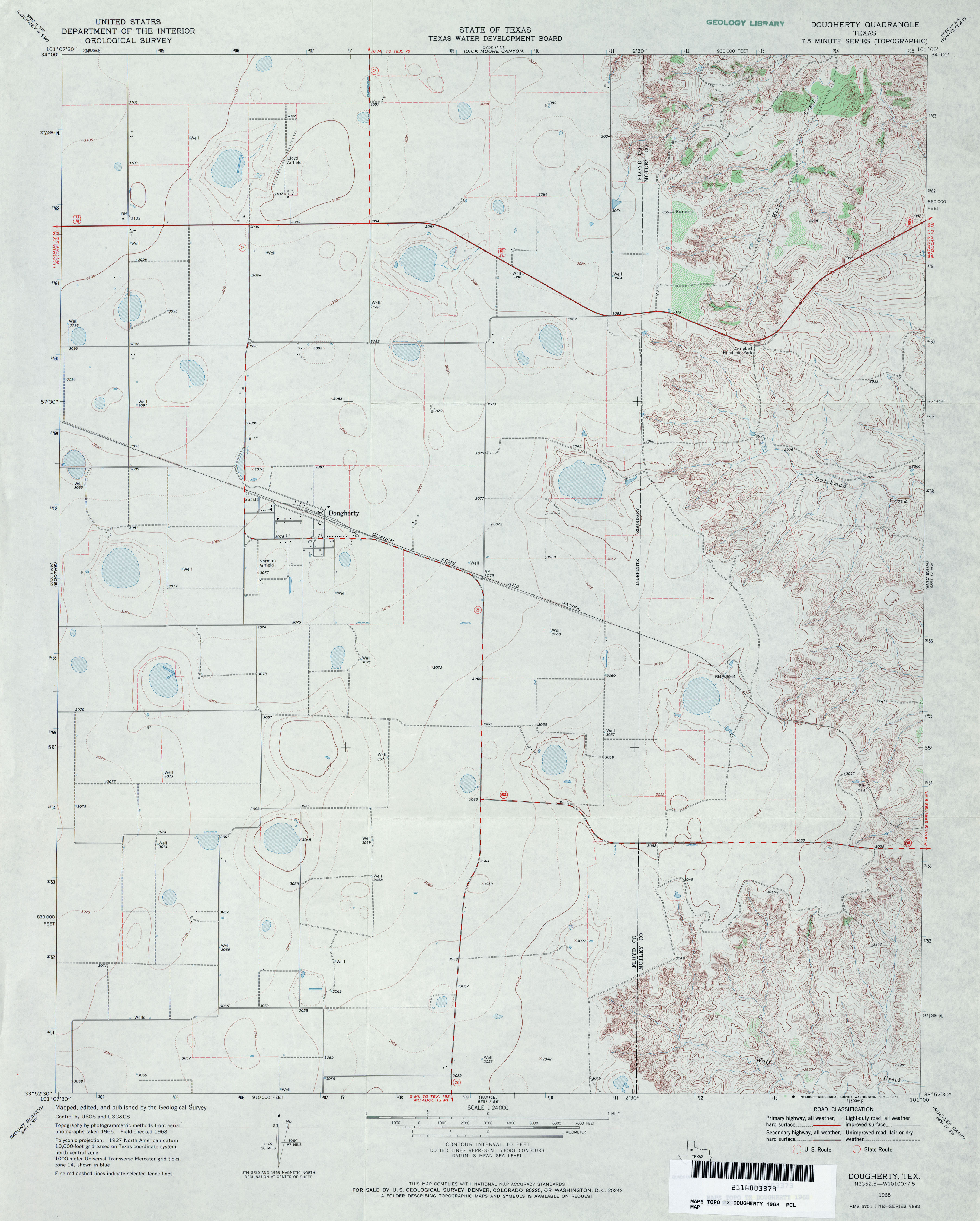
- Dougherty 1:24,000 1968 (3MB)
- Dougherty 1:24,000 2008 (10.5MB) [GeoPDF]
- Doughterty 1:24,000 2012 (17.7MB) [GeoPDF]
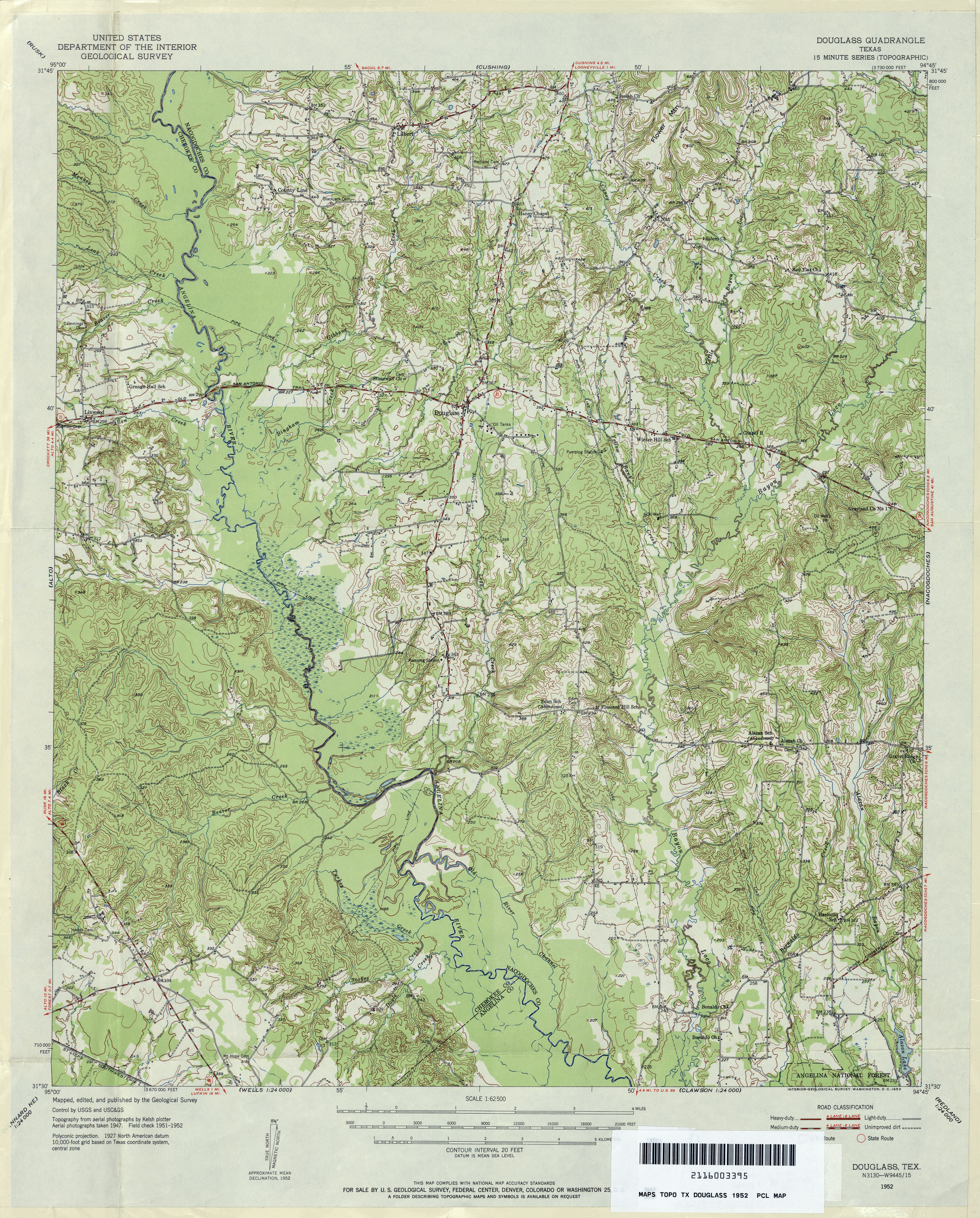
- Douglass 1:62,500 1952 (5.2MB)
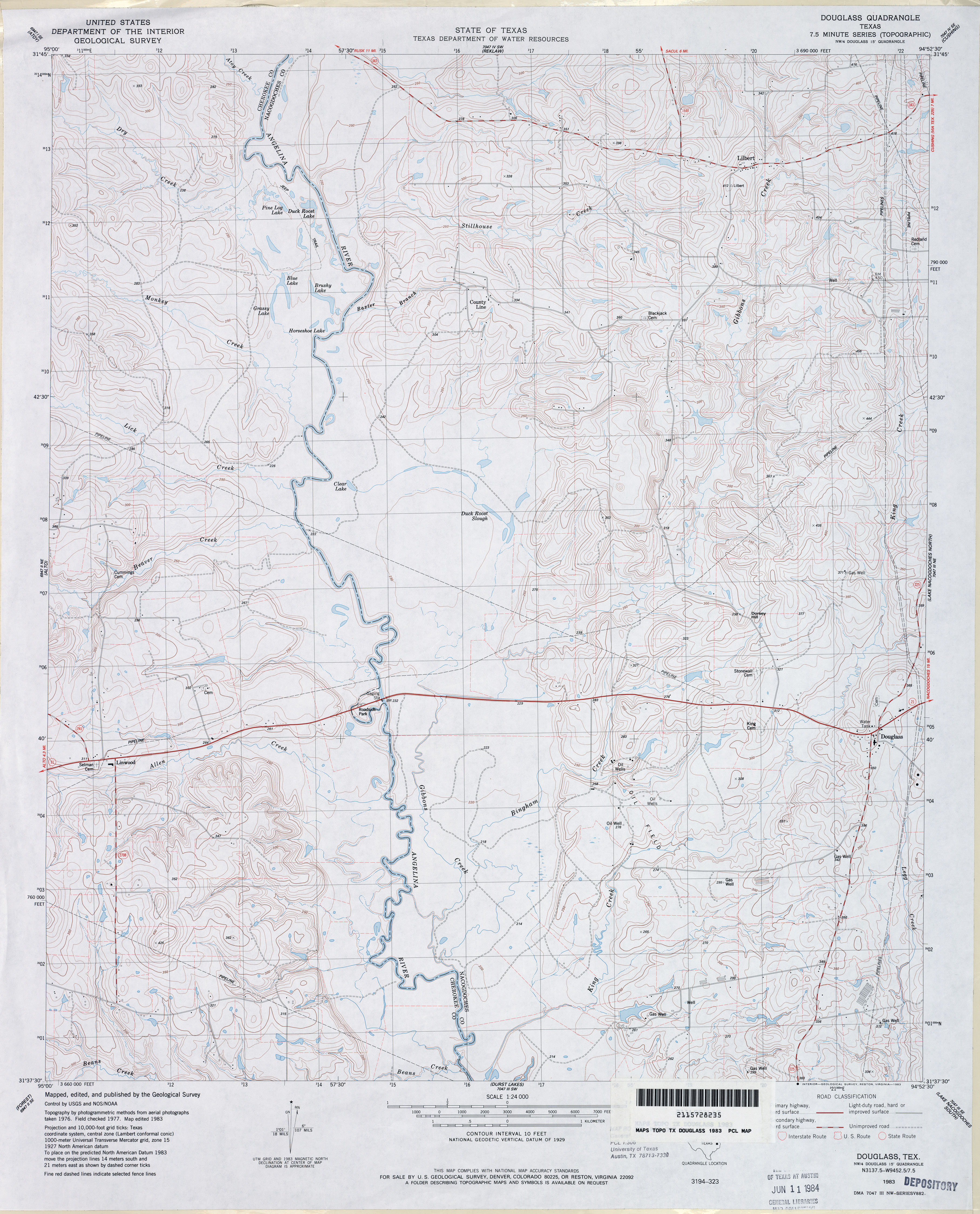
- Douglass 1:24,000 1983 (4MB)
- Douglass 1:24,000 2009 (21.4MB) [GeoPDF]
- Douglass 1:24,000 2013 (25.3MB) [GeoPDF]
- Douglassville 1:24,000 1969 (4.7MB)
- Douglassville 1:24,000 2009 (21.4MB) [GeoPDF]
- Douglassville 1:24,000 2013 (25.1MB) [GeoPDF]
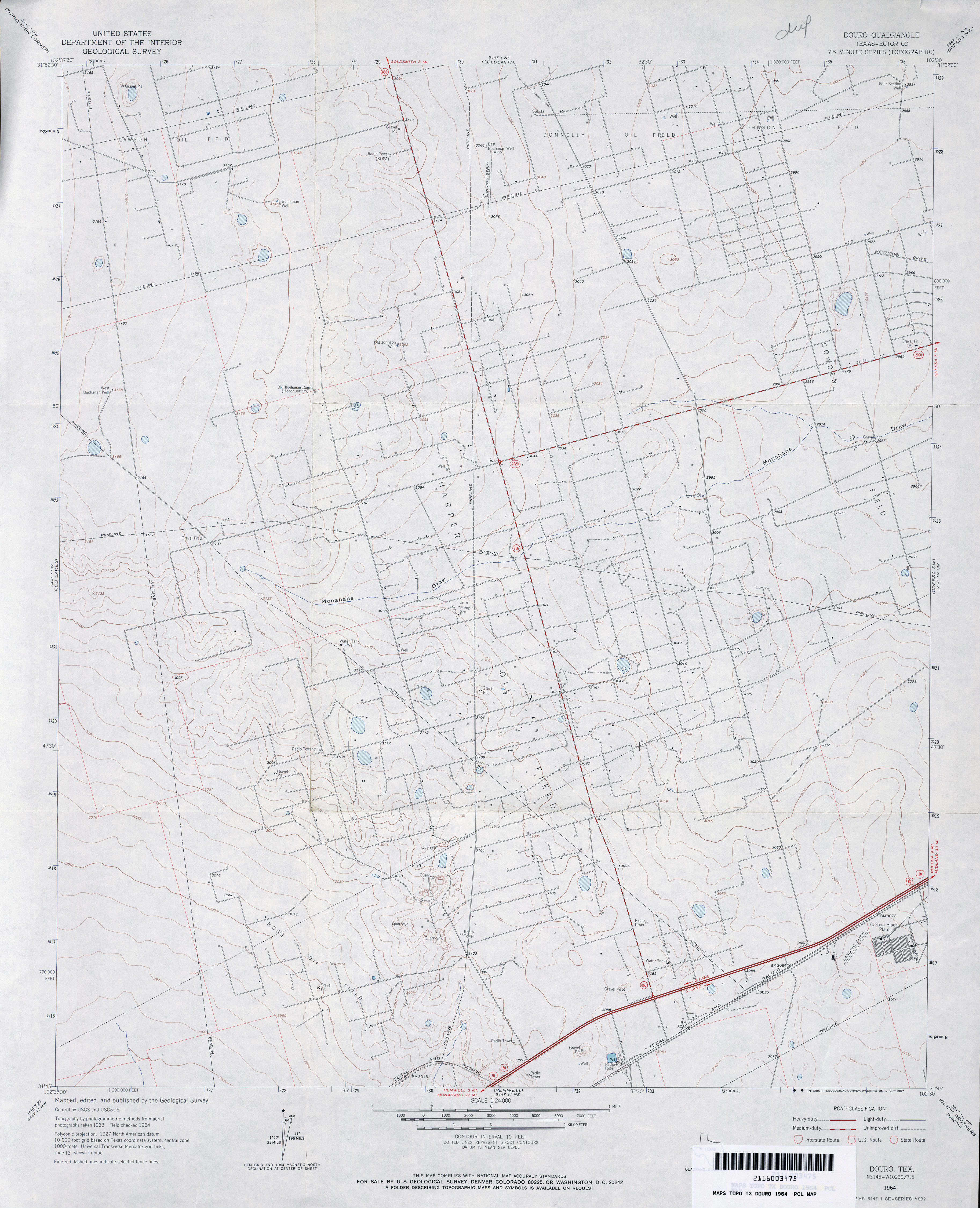
- Douro (Ector County) 1:24,000 1964 (2.8MB)
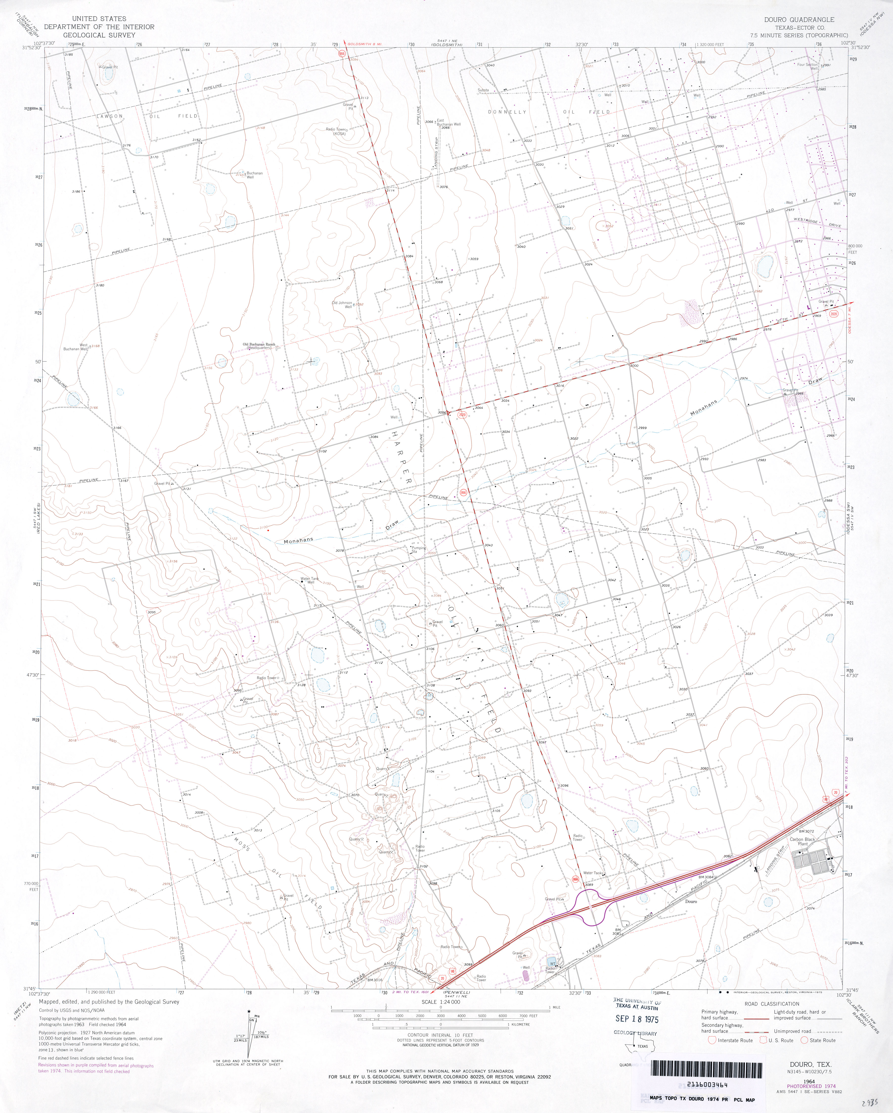
- Douro (Ector County) 1:24,000 1974 (2.3MB)
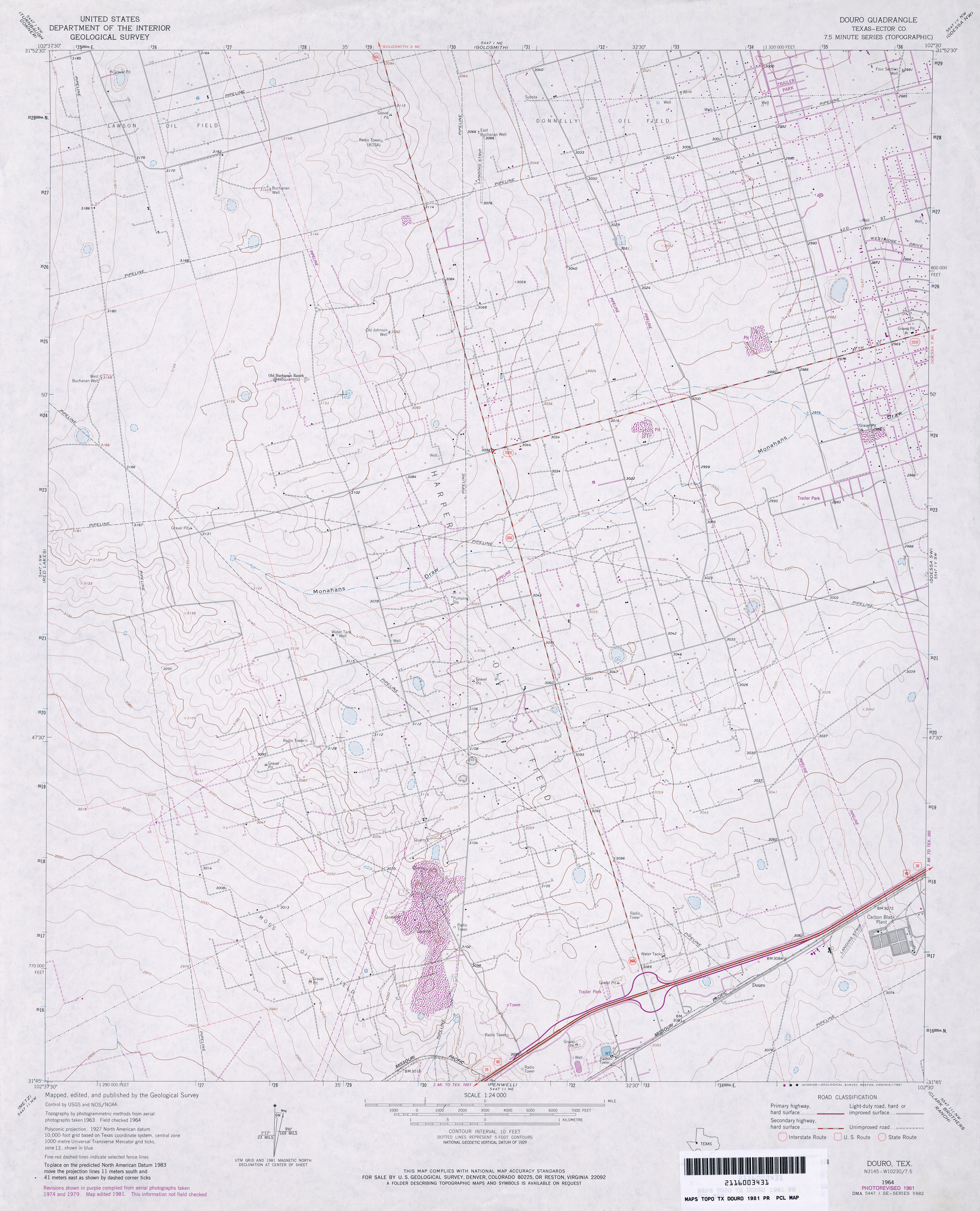
- Douro (Ector County) 1:24,000 1981 (3.2MB)
- Douro 1:24,000 2008 (23.2MB) [GeoPDF]
- Douro 1:24,000 2012 (23.7MB) [GeoPDF]
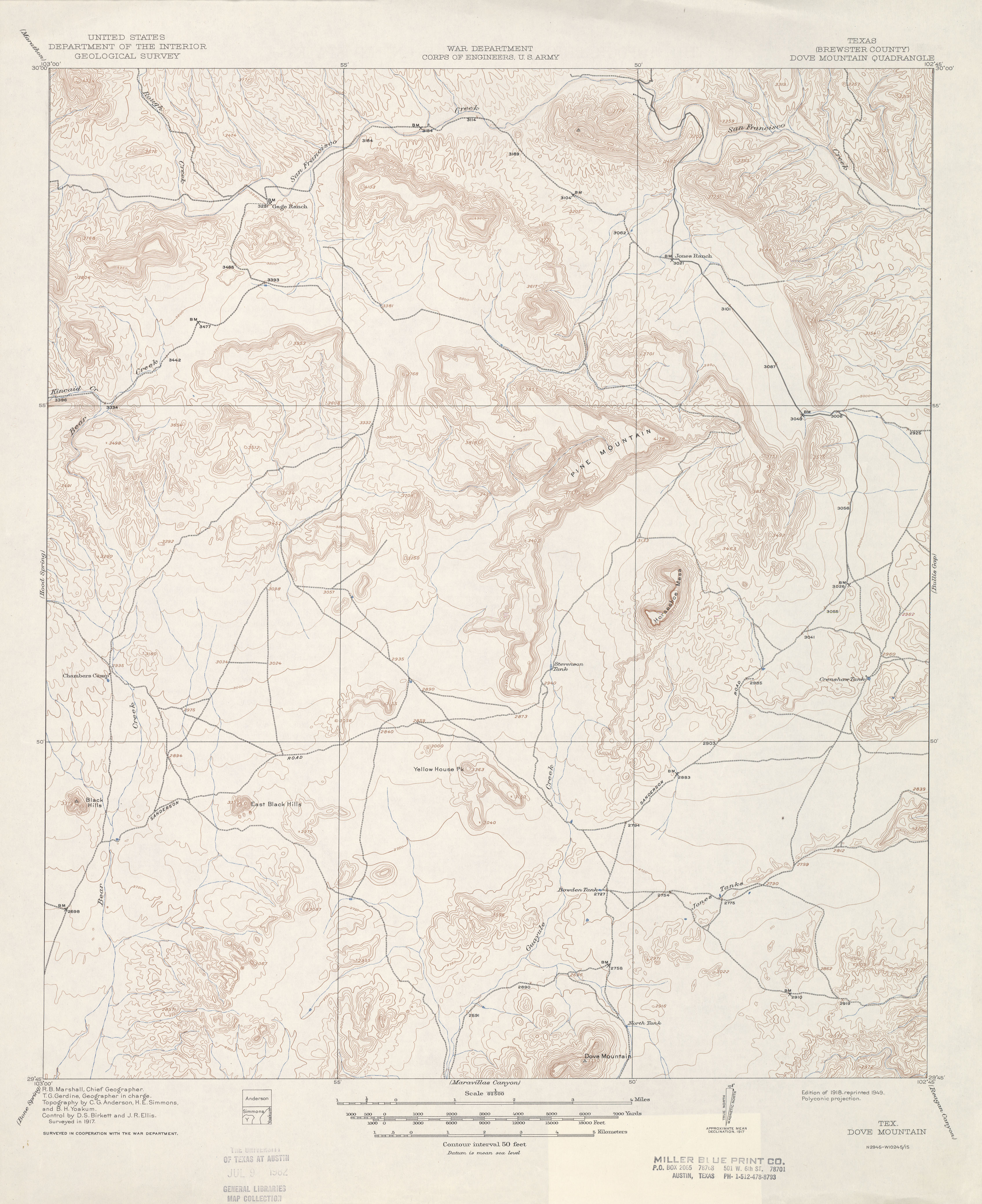
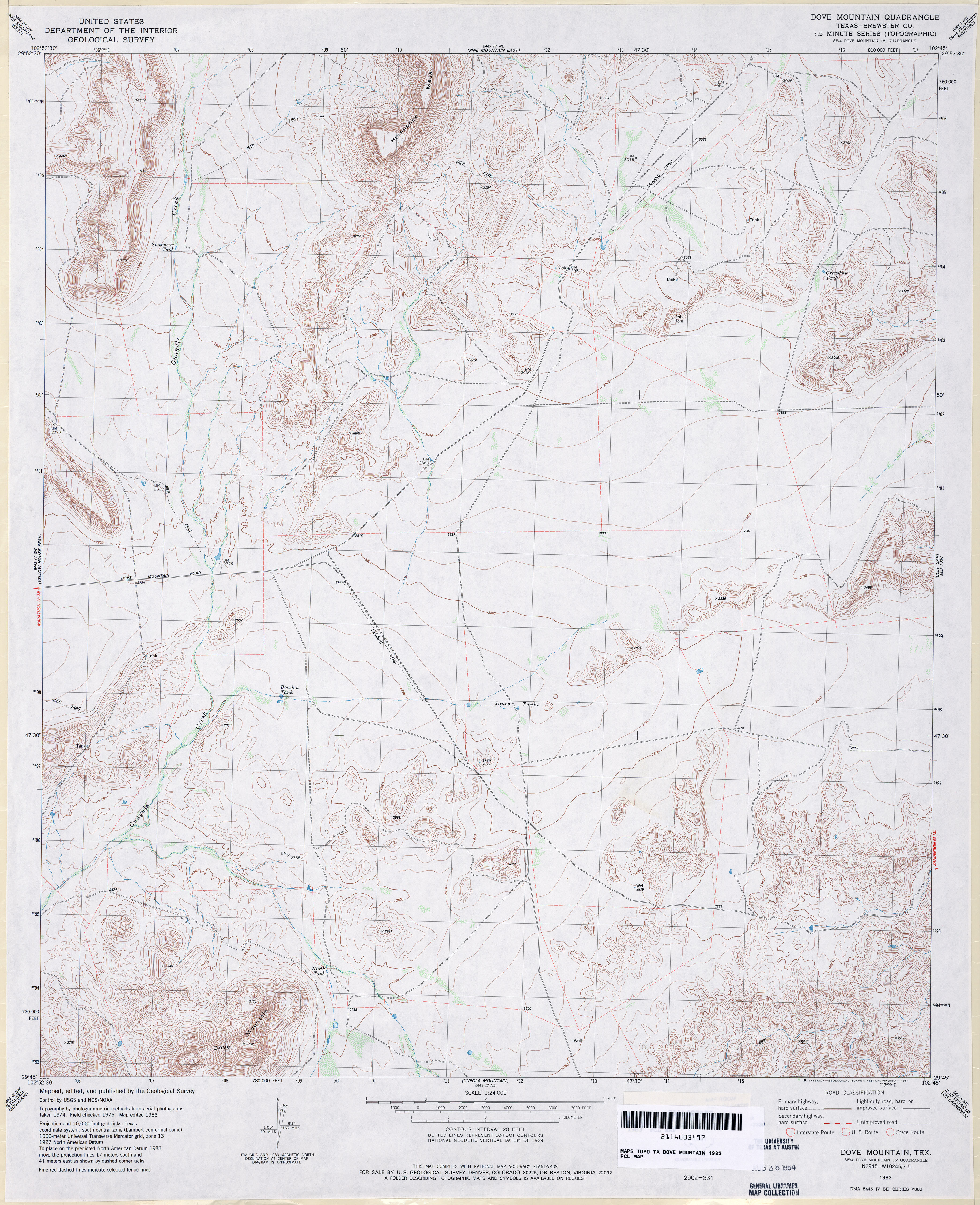
- Dove Mountain (Brewster County) 1:62,500 1917 (2.9 MB)
- Dove Mountain (Brewster County) 1:24,000 1983 (4MB)
- Dove Mountain 1:24,000 2008 (16.8MB) [GeoPDF]
- Dove Mountain 1:24,000 2013 (24.5MB) [GeoPDF]
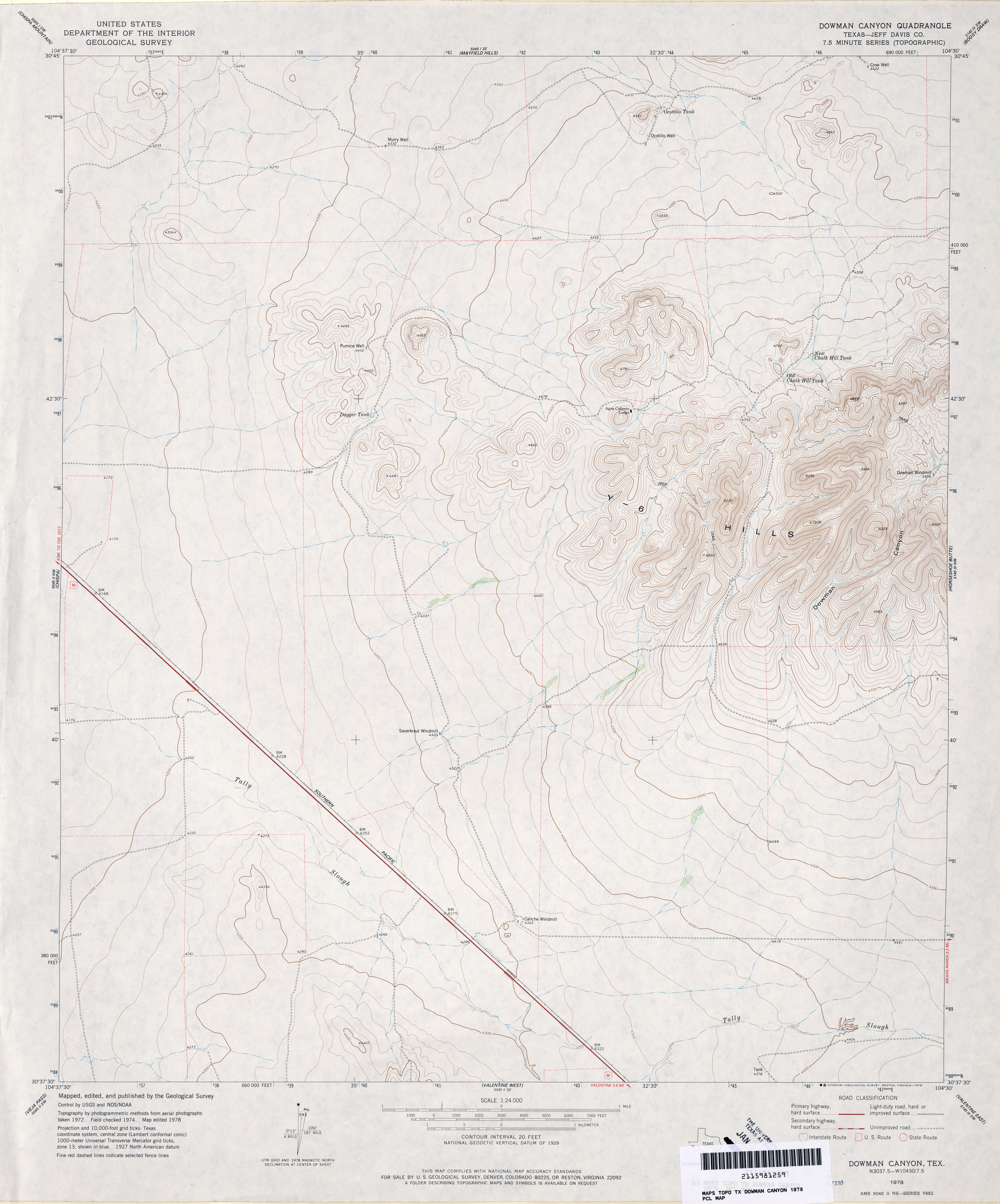
- Dowman Canyon (Jeff Davis County) 1:24,000 1978 (3MB)
- Dowman Canyon 1:24,000 2008 (17.9MB) [GeoPDF]
- Dowman Canyon 1:24,000 2012 (22.4MB) [GeoPDF]
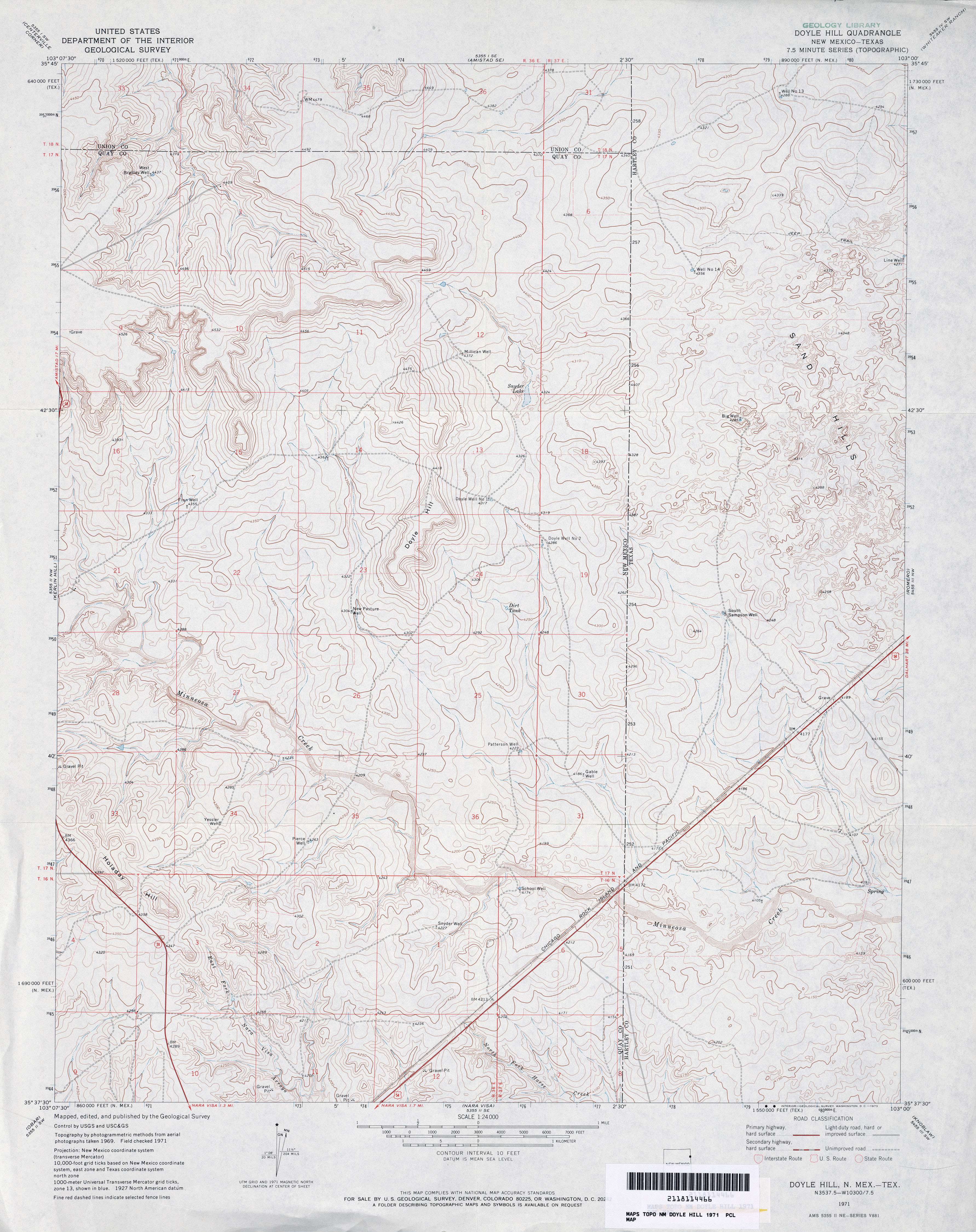
- Doyle Hill 1:24,000 1971 (4.1MB)
- Doyle Hill [New Mexico, Texas] 1:24,000 2009 (24.5MB) [GeoPDF]
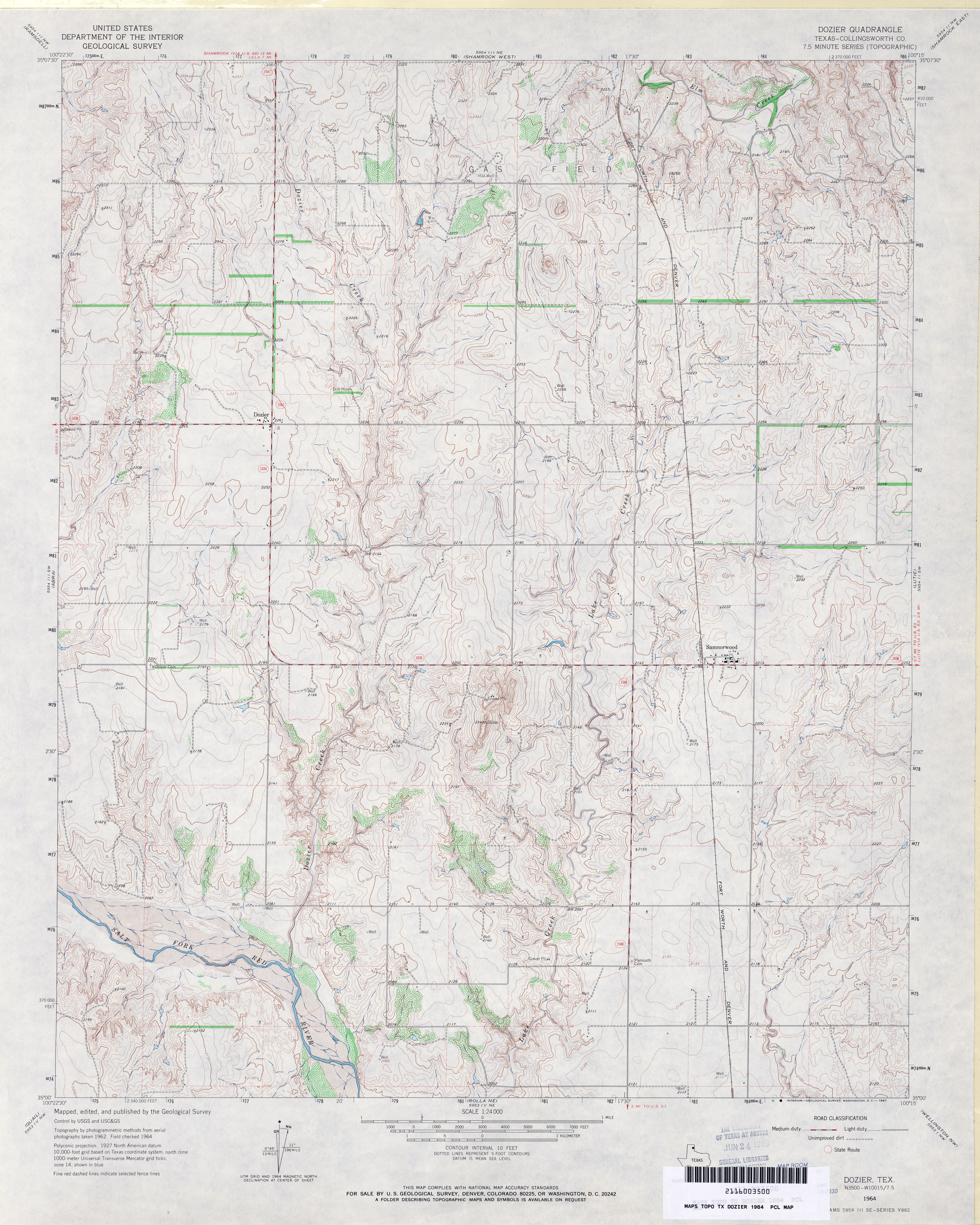
- Dozier (Collingsworth County) 1:24,000 1964 (4.1MB)
- Dozier 1:24,000 2008 (13.0MB) [GeoPDF]
- Dozier 1:24,000 2012 (17.9MB) [GeoPDF]
- Draw (Lynn County) 1:24,000 1970 (2.5MB)
- Draw 1:24,000 2008 (11.0MB) [GeoPDF]
- Draw 1:24,000 2012 (15.5MB) [GeoPDF]
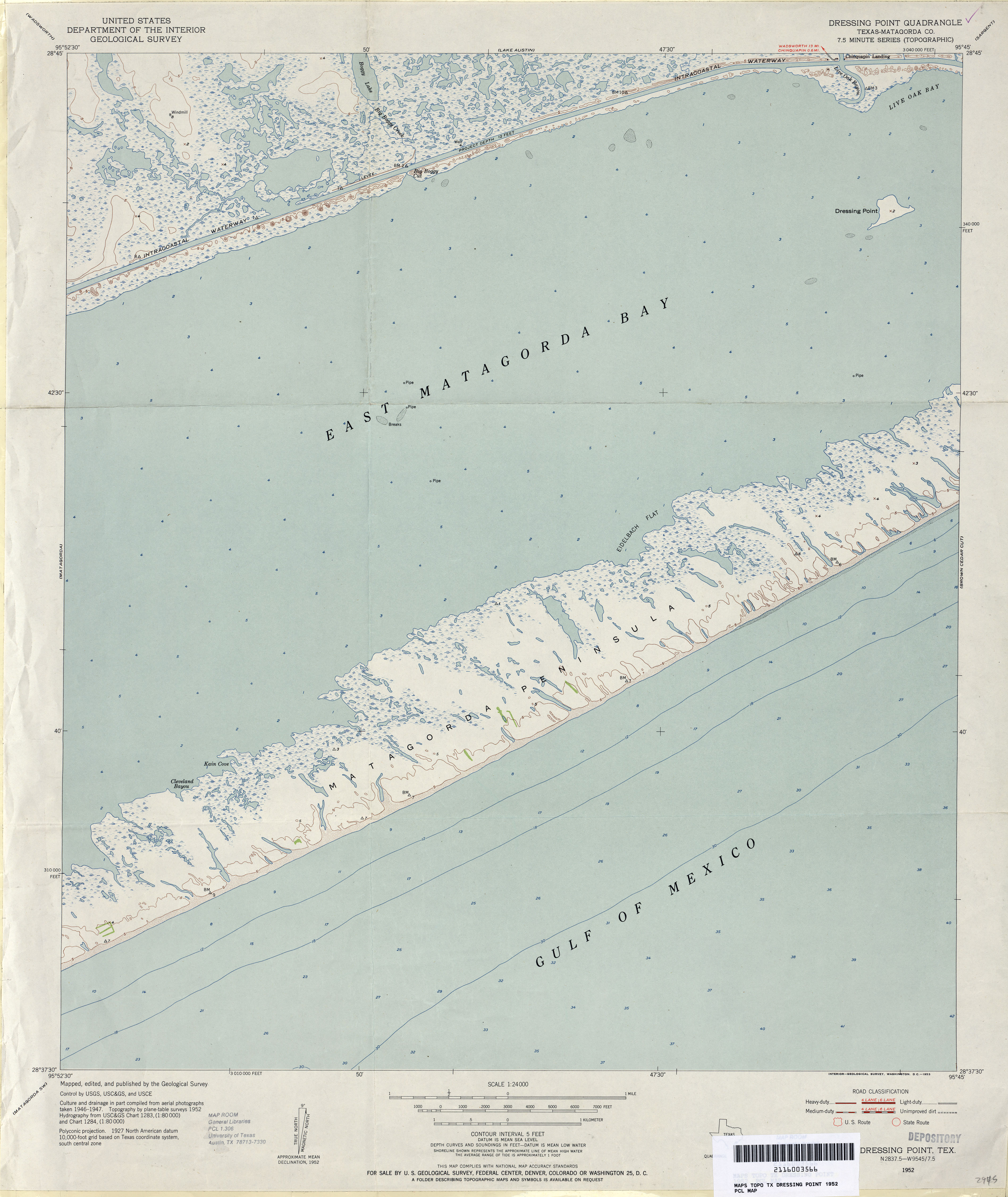
- Dressing Point (Matagorda County) 1:24,000 1952 (2.6MB)
- Dressing Point 1:24,000 2008 (8.1MB) [GeoPDF]
- Dressing point 1:24,000 2013 (19MB) [GeoPDF]
- Dreyfoos (Hemphill County) 1:24,000 1972 (3.2MB)
- Dreyfoos 1:24,000 2008 (13.1MB) [GeoPDF]
- Dreyfoos 1:24,000 2012 (17.2MB) [GeoPDF]
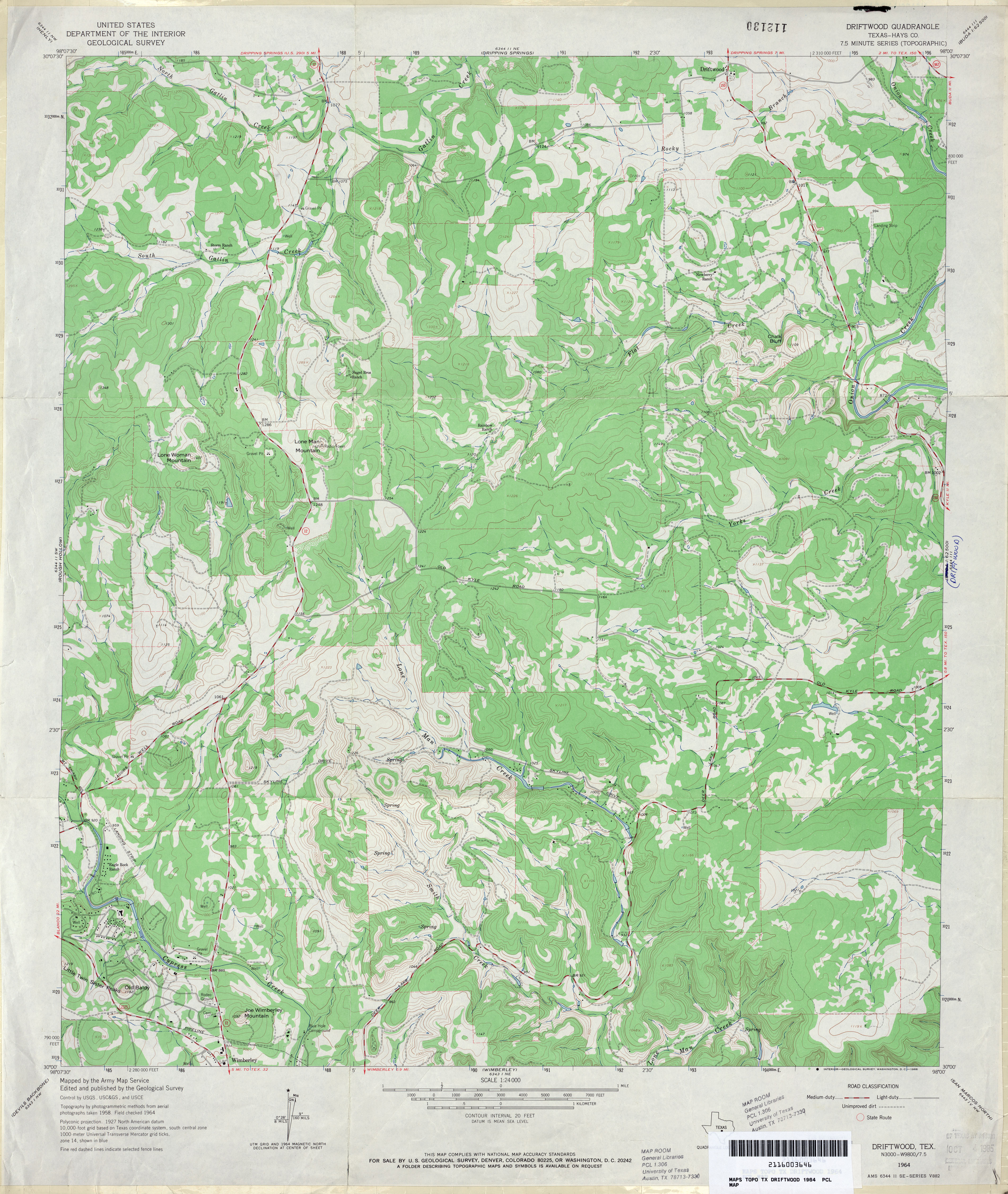
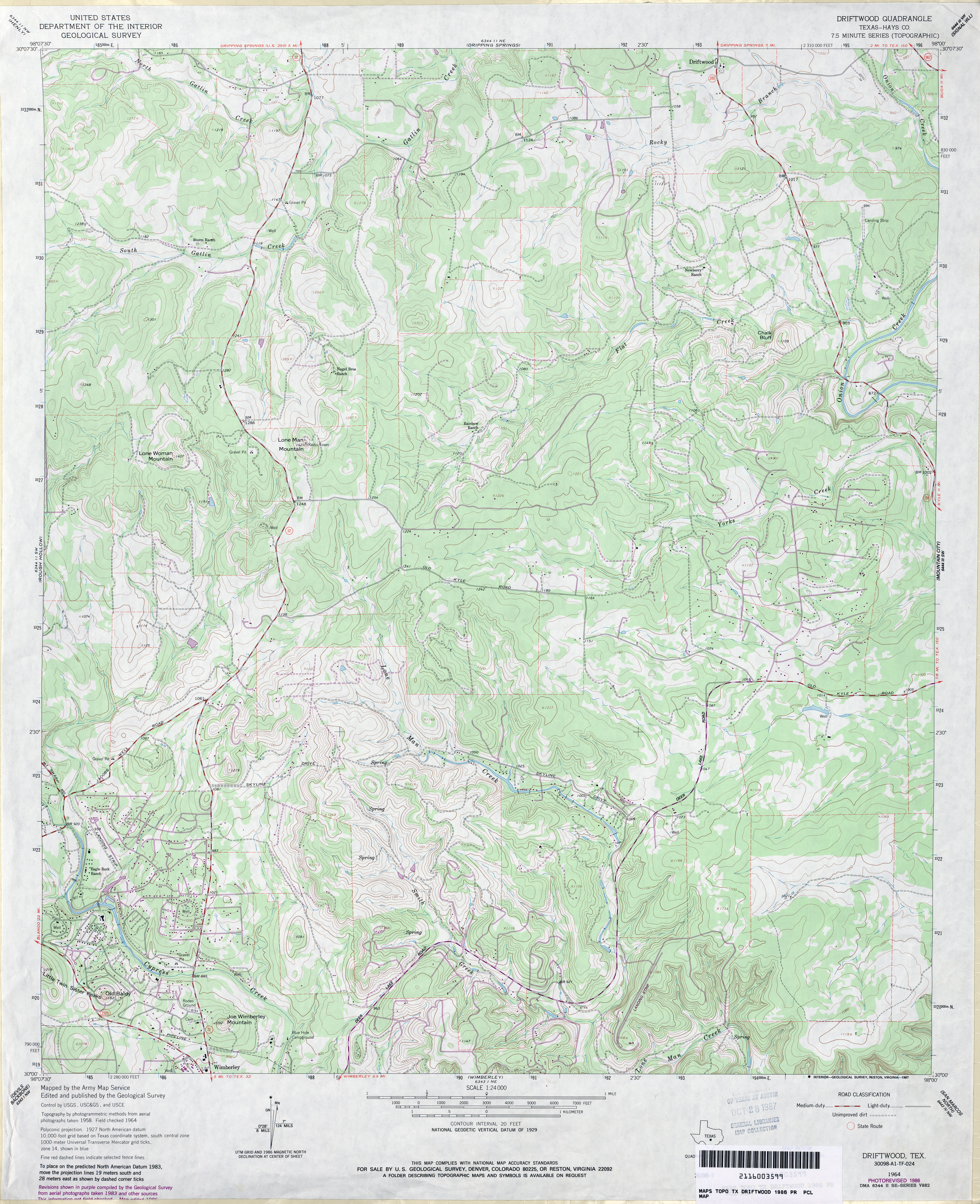
- Driftwood (Hays County) 1:24,000 1964 (4.1MB)
- Driftwood (Hays County) 1:24,000 1986 (4.3MB)
- Driftwood 1:24,000 2008 (20.4MB) [GeoPDF]
- Driftwood 1:24,000 2012 (28.4MB) [GeoPDF]
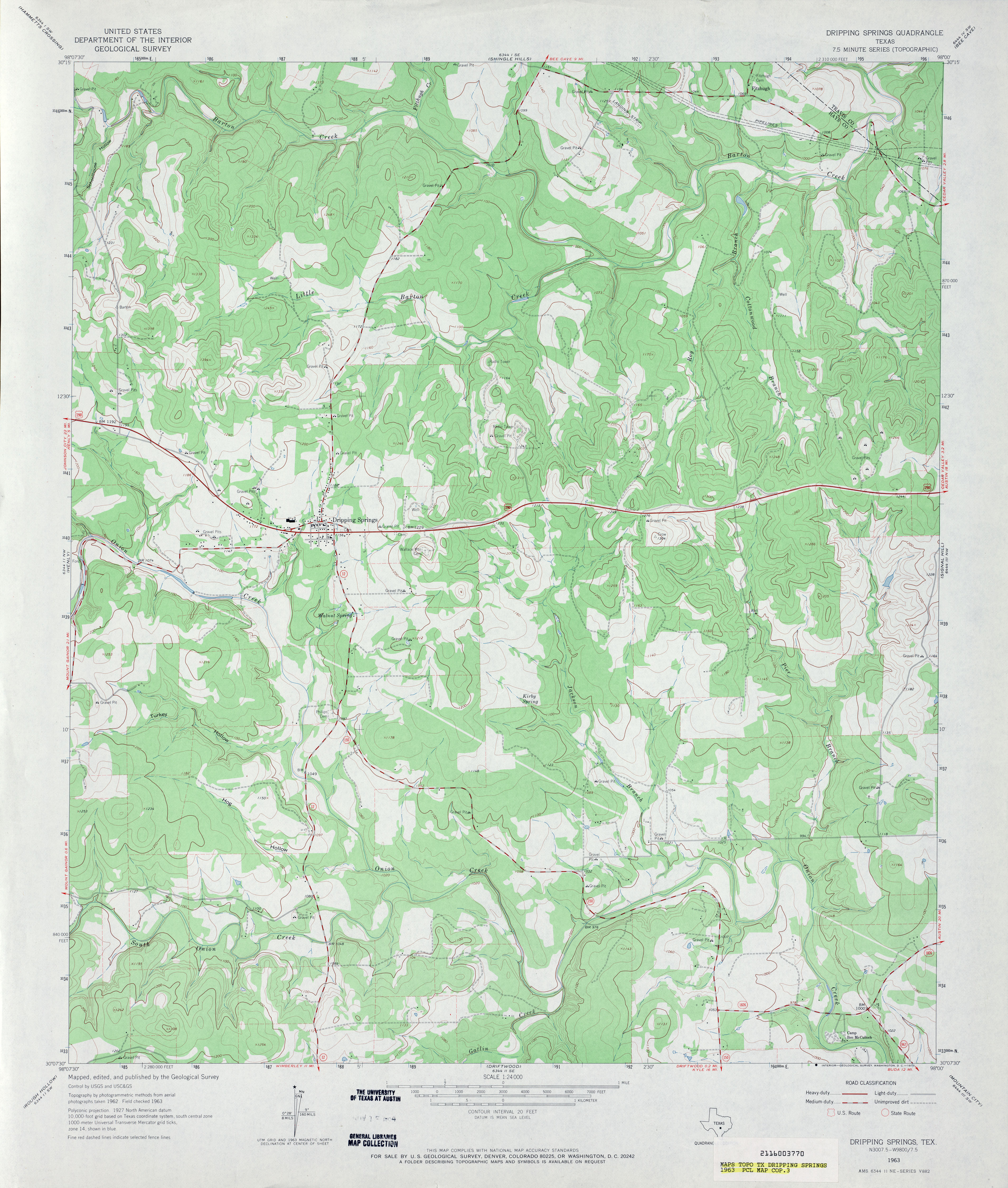
- Dripping Springs 1:24,000 1963 (3.9MB)
- Dripping Springs 1:24,000 1986 (4.5MB)
- Dripping Springs 1:24,000 2008 (19.4MB) [GeoPDF]
- Dripping Springs 1:24,000 2012 (28.6MB) [GeoPDF]
- Dripping Springs Draw (Sterling County) 1:24,000 1973 (3.3MB)
- Dripping Springs Draw 1:24,000 2008 (19.3MB) [GeoPDF]
- Dripping Springs Draw 1:24,000 2012 (22.6MB) [GeoPDF]
- Driscoll East (Nueces County) 1:24,000 1969 (2.3MB)
- Driscoll East (Nueces County) 1:24,000 1975 (2.4MB)
- Driscoll East 1:24,000 2008 (8.2MB) [GeoPDF]
- Driscoll East 1:24,000 2013 (13.7MB) [GeoPDF]
- Driscoll West (Nueces County) 1:24,000 1978 (2.6MB)
- Driscoll West 1:24,000 2008 (9.1MB) [GeoPDF]
- Driscoll West 1:24,000 2013 (13.8MB) [GeoPDF]
- Dry Creek NE (Roberts County) 1:24,000 1971 (4.7MB)
- Dry Creek NE 1:24,000 2008 (16.1MB) [GeoPDF]
- Dry Creek NE 1:24,000 2012 (21.8MB) [GeoPDF]
- Dry Creek North (Roberts County) 1:24,000 1971 (5.1MB)
- Dry Creek North 1:24,000 2008 (17.7MB) [GeoPDF]
- Dry Creek North 1:24,000 2012 (22.1MB) [GeoPDF]
- Dry Creek SE (Roberts County) 1:24,000 1971 (4.4MB)
- Dry Creek SE 1:24,000 2008 (11.5MB) [GeoPDF]
- Dry Creek SE 1:24,000 2012 (18.6MB) [GeoPDF]
- Dry Creek South (Roberts County) 1:24,000 1971 (4.5MB)
- Dry Creek South 1:24,000 2008 (12.1MB) [GeoPDF]
- Dry Creek South 1:24,000 2012 (18.5MB) [GeoPDF]
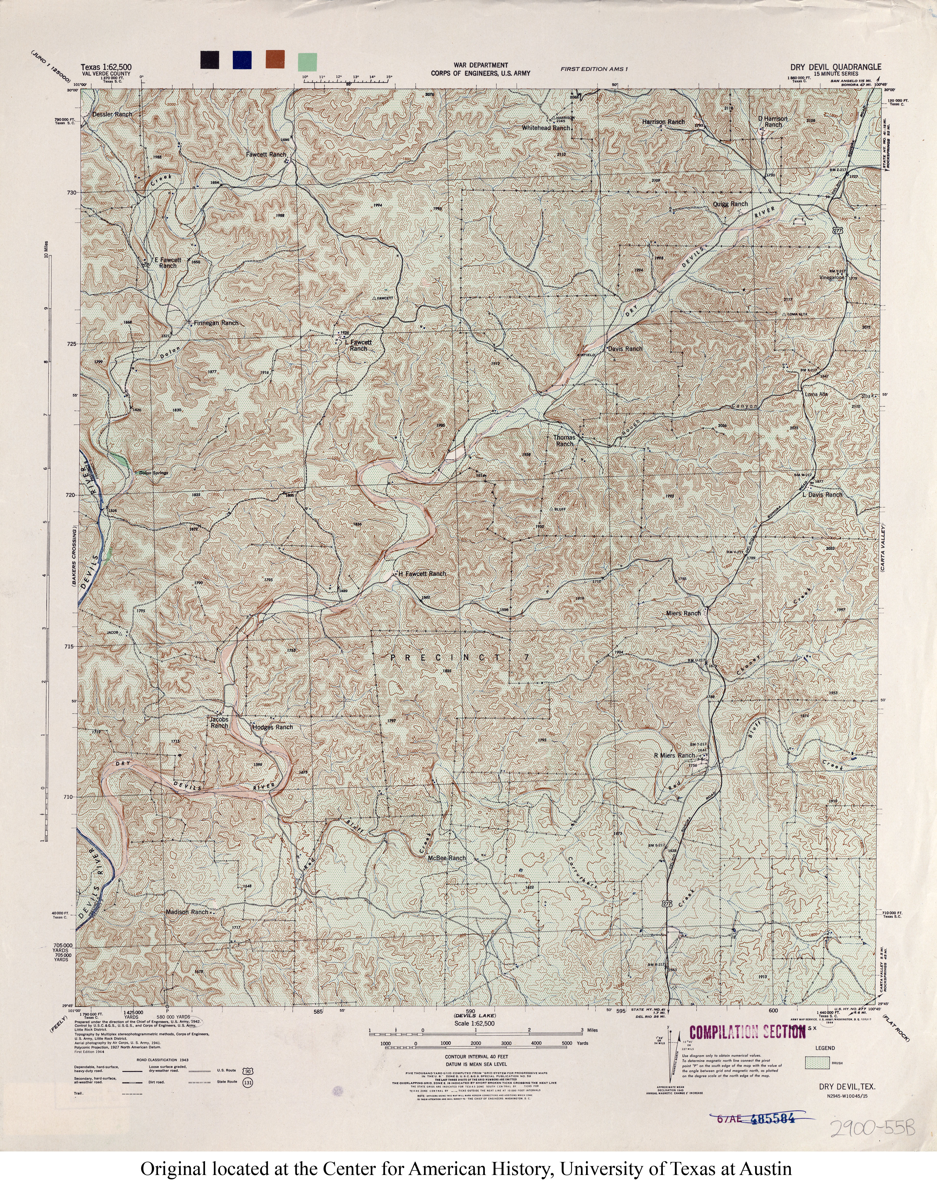
- Dry Devil 1:62,500 1943 (7.2MB) U.S. Army. Corps of Engineers. 15 Minute Series
- Dry Lake 1:24,000 1973 (3MB)
- Dry Lake 1:24,000 2008 (21.0MB) [GeoPDF]
- Dry Lake 1:24,000 2012 (21.2MB) [GeoPDF]
- Dryden (Terrell County) 1:24,000 1968 (4MB)
- Dryden 1:24,000 2008 (18.9MB) [GeoPDF]
- Dryden 1:24,000 2012 (27.3MB) [GeoPDF]
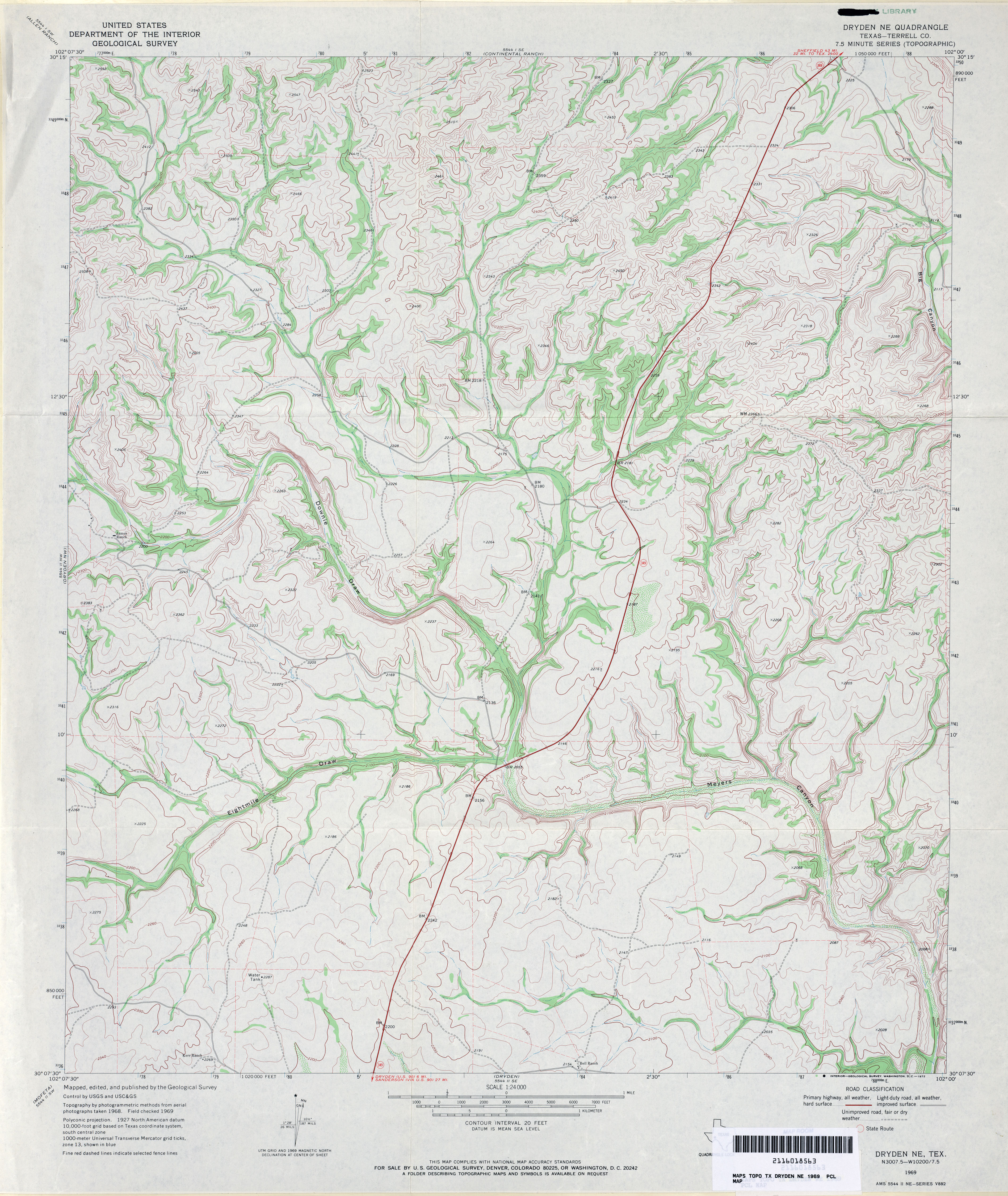
- Dryden NE (Terrell County) 1:24,000 1969 (4.2MB)
- Dryden NE 1:24,000 2008 (21.7MB) [GeoPDF]
- Dryden NE 1:24,000 2012 (30.2MB) [GeoPDF]
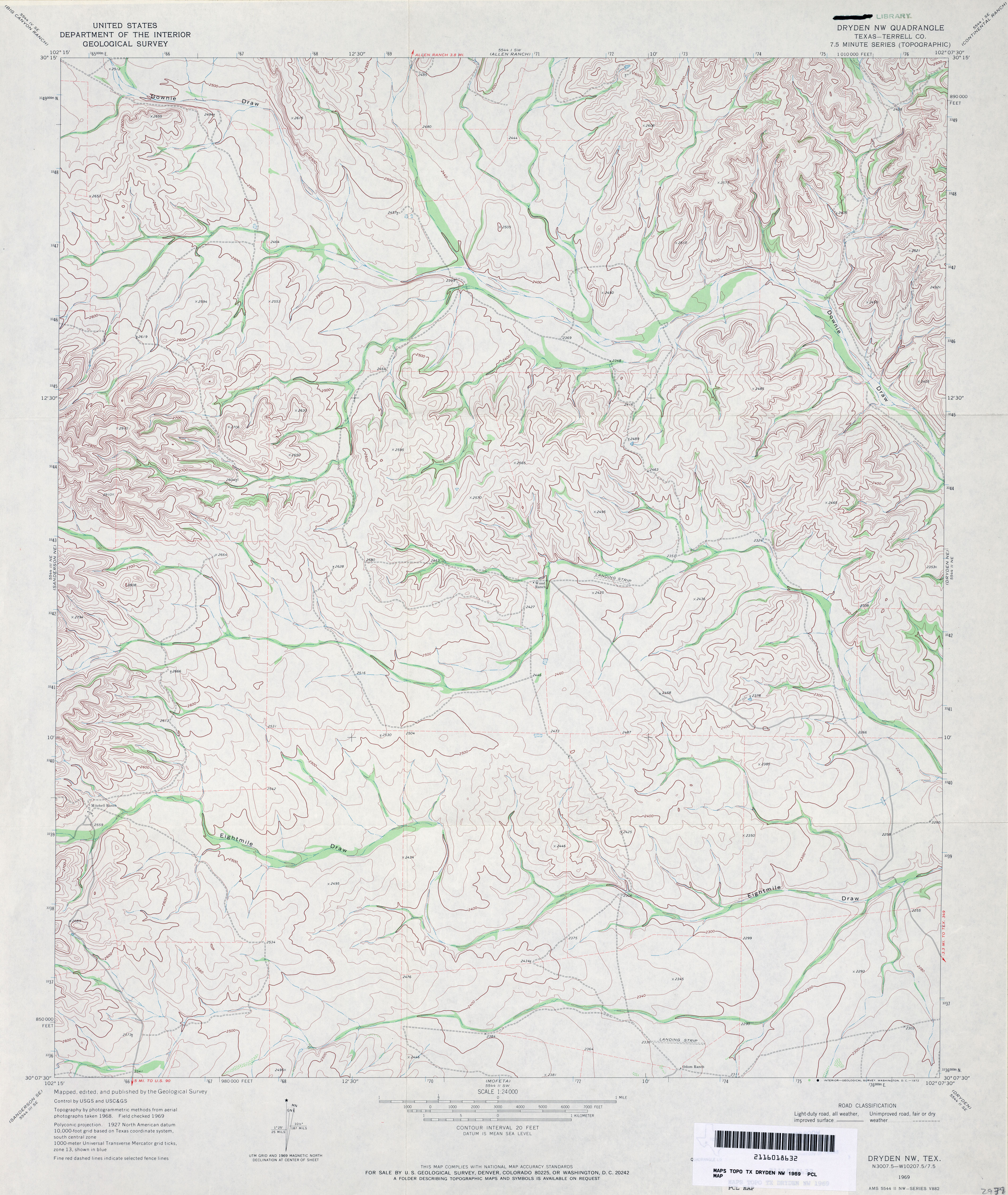
- Dryden NW (Terrell County) 1:24,000 1969 (4.1MB)
- Dryden NW 1:24,000 2008 (22.4MB) [GeoPDF]
- Dryden NW 1:24,000 2012 (29.6MB) [GeoPDF]
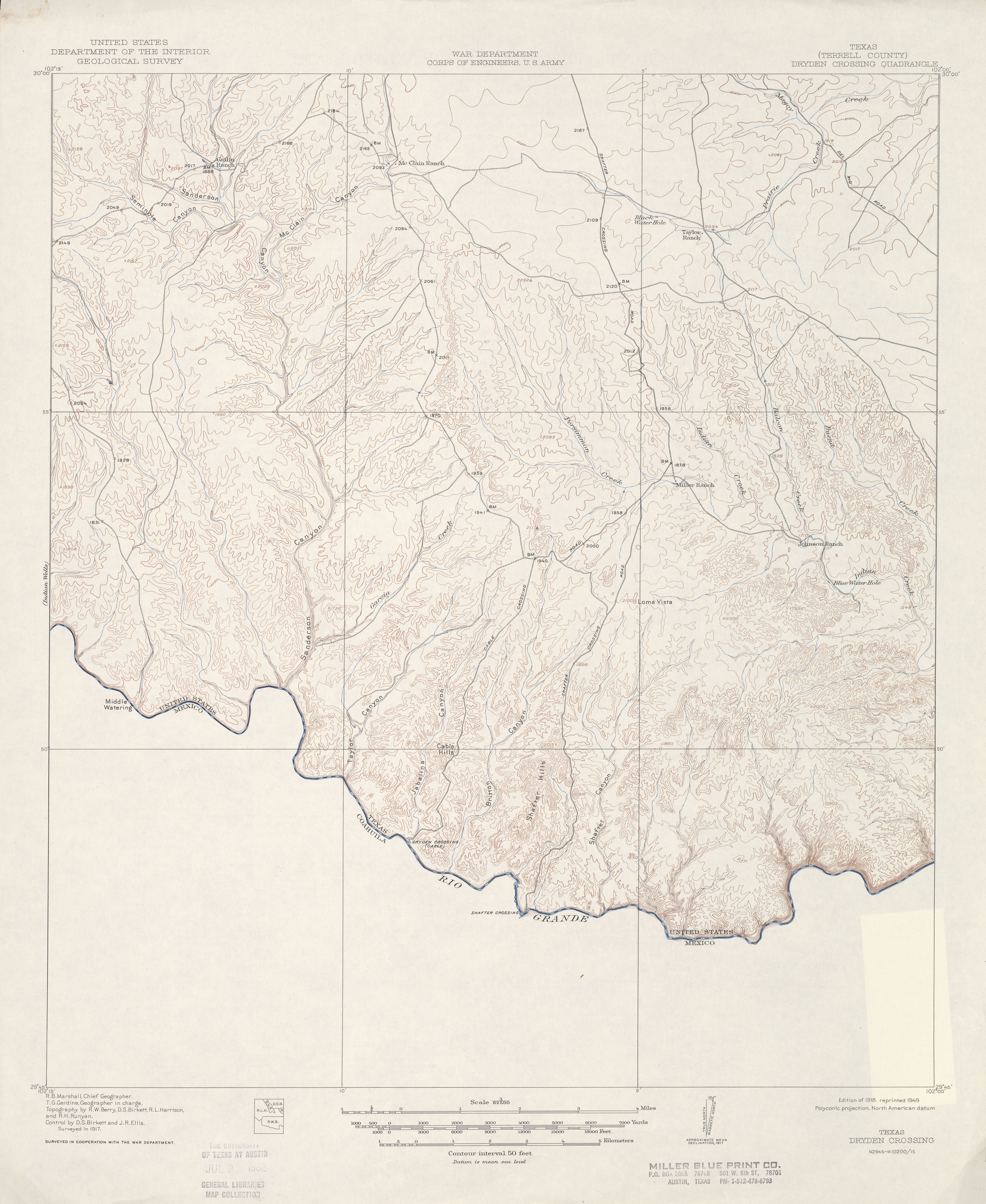
- Dryden Crossing (Terrell County) 1:62,500 1917 (2.6 MB)
- Dublin 1:24,000 1965 (4.1MB)
- Dublin 1:24,000 2008 (15.7MB) [GeoPDF]
- Dublin 1:24,000 2012 (19.9MB) [GeoPDF]
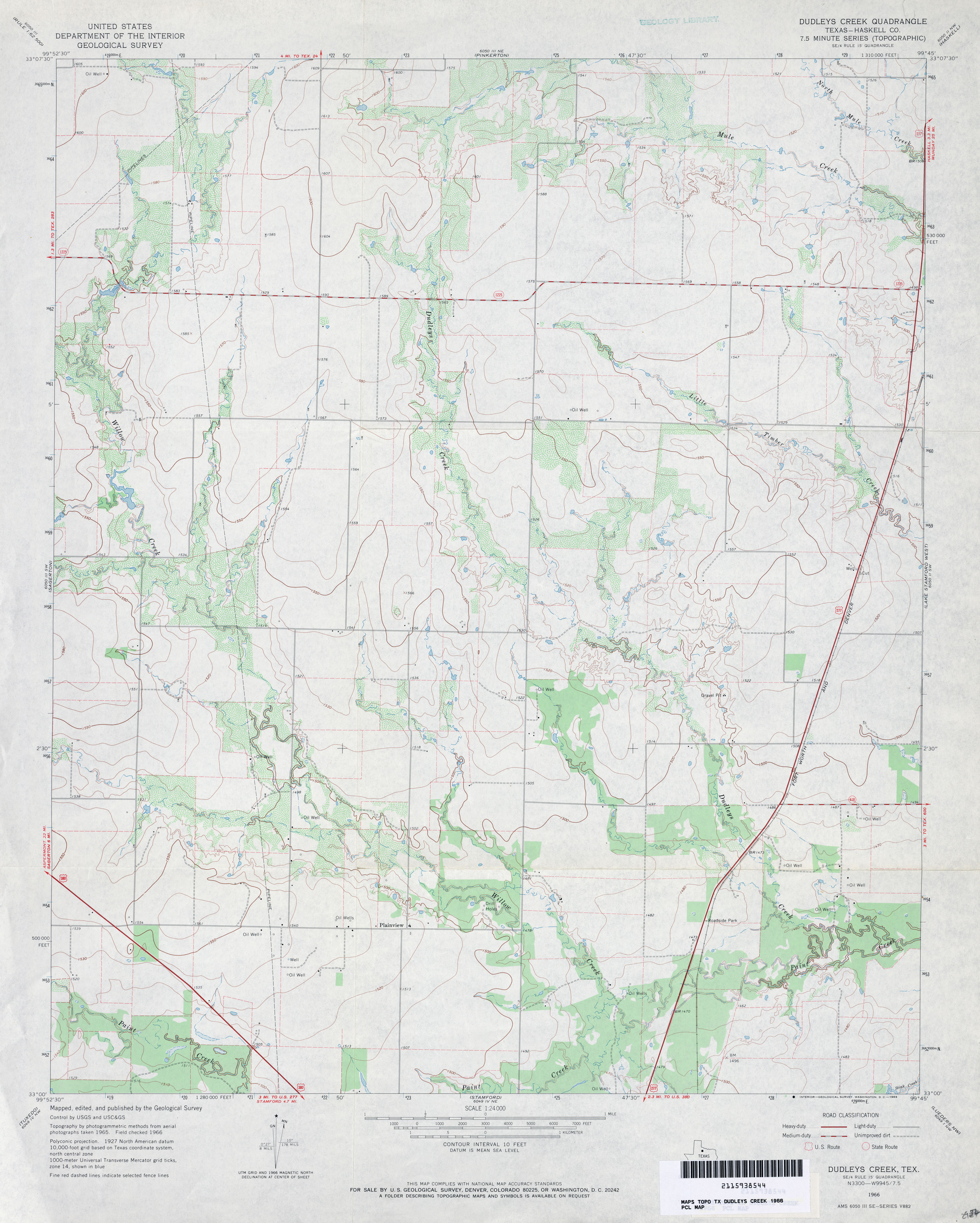
- Dudleys Creek (Haskell County) 1:24,000 1966 (3.2MB)
- Dudleys Creek 1:24,000 2008 (11.2MB) [GeoPDF]
- Dudleys Creek 1:24,000 2012 (18.5MB) [GeoPDF]
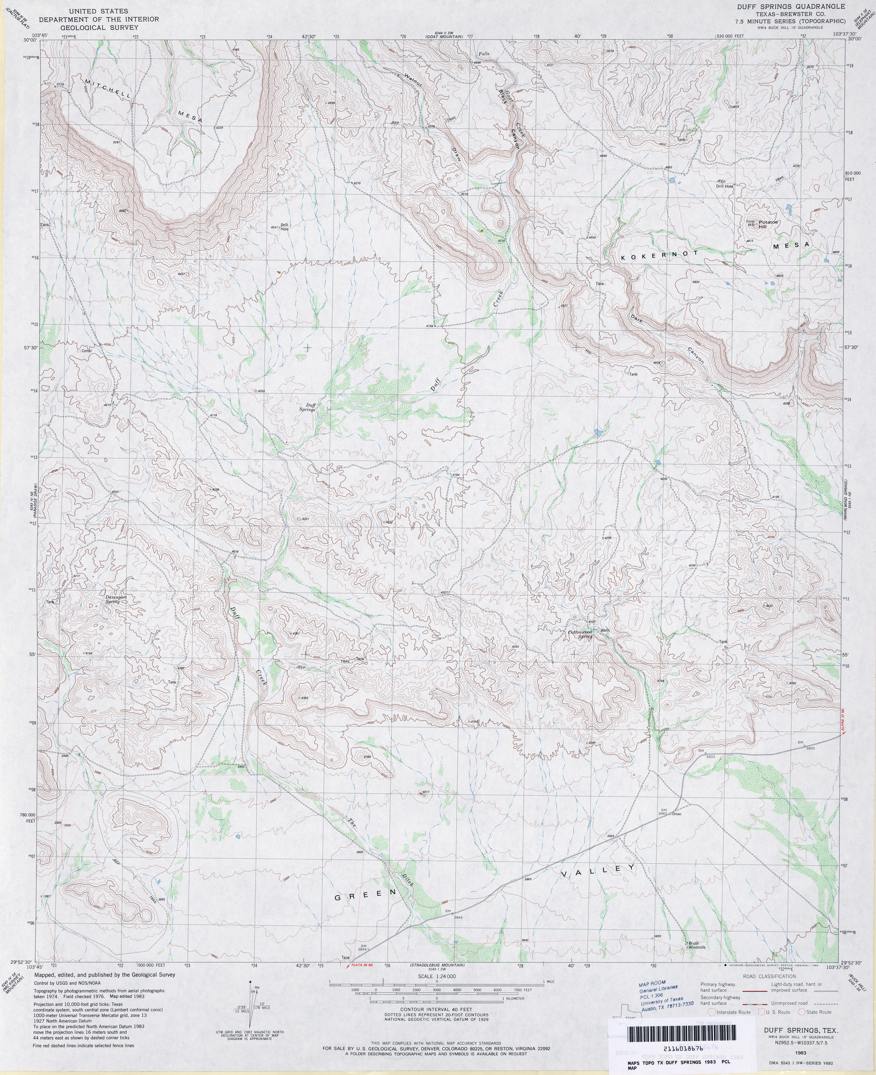
- Duff Springs (Brewster County) 1:24,000 1983 (4.1MB)
- Duff Springs 1:24,000 2008 (20.6MB) [GeoPDF]
- Duff Springs 1:24,000 2012 (23.2MB) [GeoPDF]
- Dugout Creek (Lipscomb County) 1:24,000 1972 (2.9MB)
- Dugout Creek 1:24,000 2008 (9.7MB) [GeoPDF]
- Dugout Creek 1:24,000 2012 (17MB) [GeoPDF]
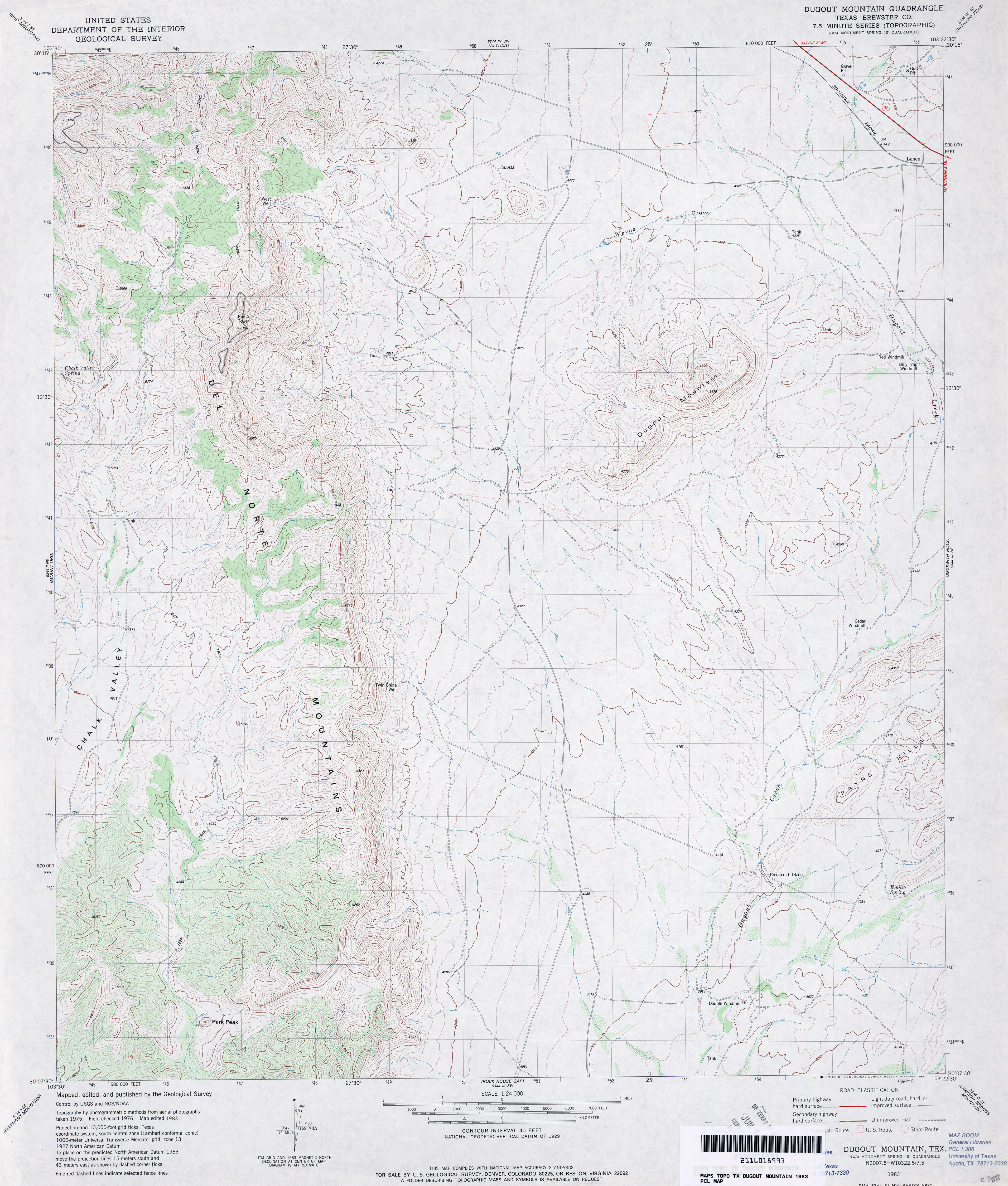
- Dugout Mountain (Brewster County) 1:24,000 1983 (4MB)
- Dugout Mountain 1:24,000 2008 (24.3MB) [GeoPDF]
- Dugout Mountain 1:24,000 2012 (27.1MB) [GeoPDF]
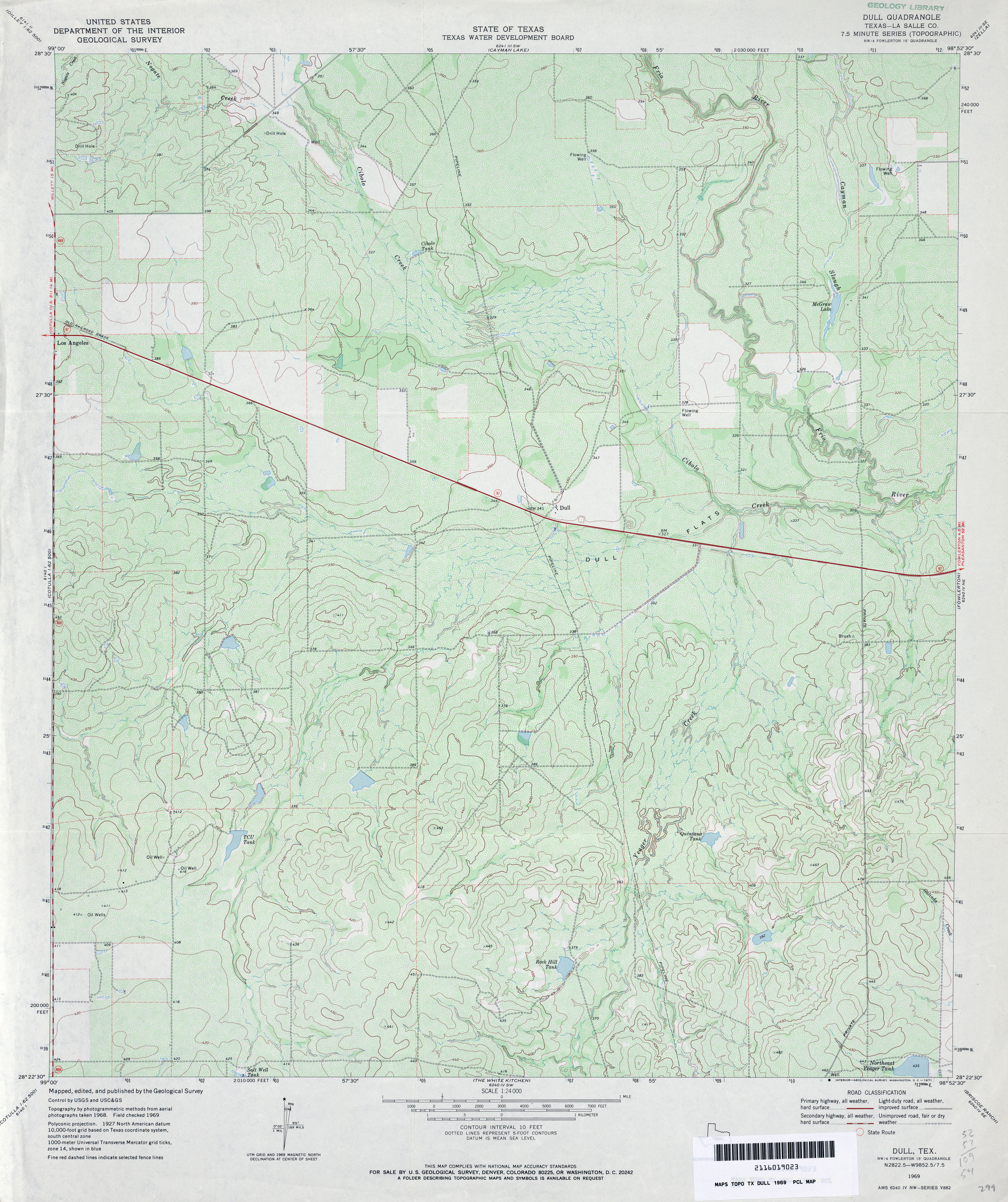
- Dull (La Salle County) 1:24,000 1969 (4.8MB)
- Dull 1:24,000 2008 (19.1MB) [GeoPDF]
- Dull 1:24,000 2012 (24.2MB) [GeoPDF]
- Dumas NE (Moore County) 1:24,000 1972 (2.7MB)
- Dumas NE 1:24,000 2008 (9.8MB) [GeoPDF]
- Dumas NE 1:24,000 2012 (15.1MB) [GeoPDF]
- Dumas North (Moore County) 1:24,000 1965 (2.5MB)
- Dumas North 1:24,000 2008 (9.9MB) [GeoPDF]
- Dumas North 1:24,000 2012 (15.7MB) [GeoPDF]
- Dumas South (Moore County) 1:24,000 1965 (4.4MB)
- Dumas South 1:24,000 2008 (19.6MB) [GeoPDF]
- Dumas South 1:24,000 2013 (20.7MB) [GeoPDF]
- Dumont 1:24,000 1968 (4MB)
- Dumont 1:24,000 1981 (5.1MB)
- Dumont 1:24,000 2008 (13.1MB) [GeoPDF]
- Dumont 1:24,000 2012 (19.4MB) [GeoPDF]
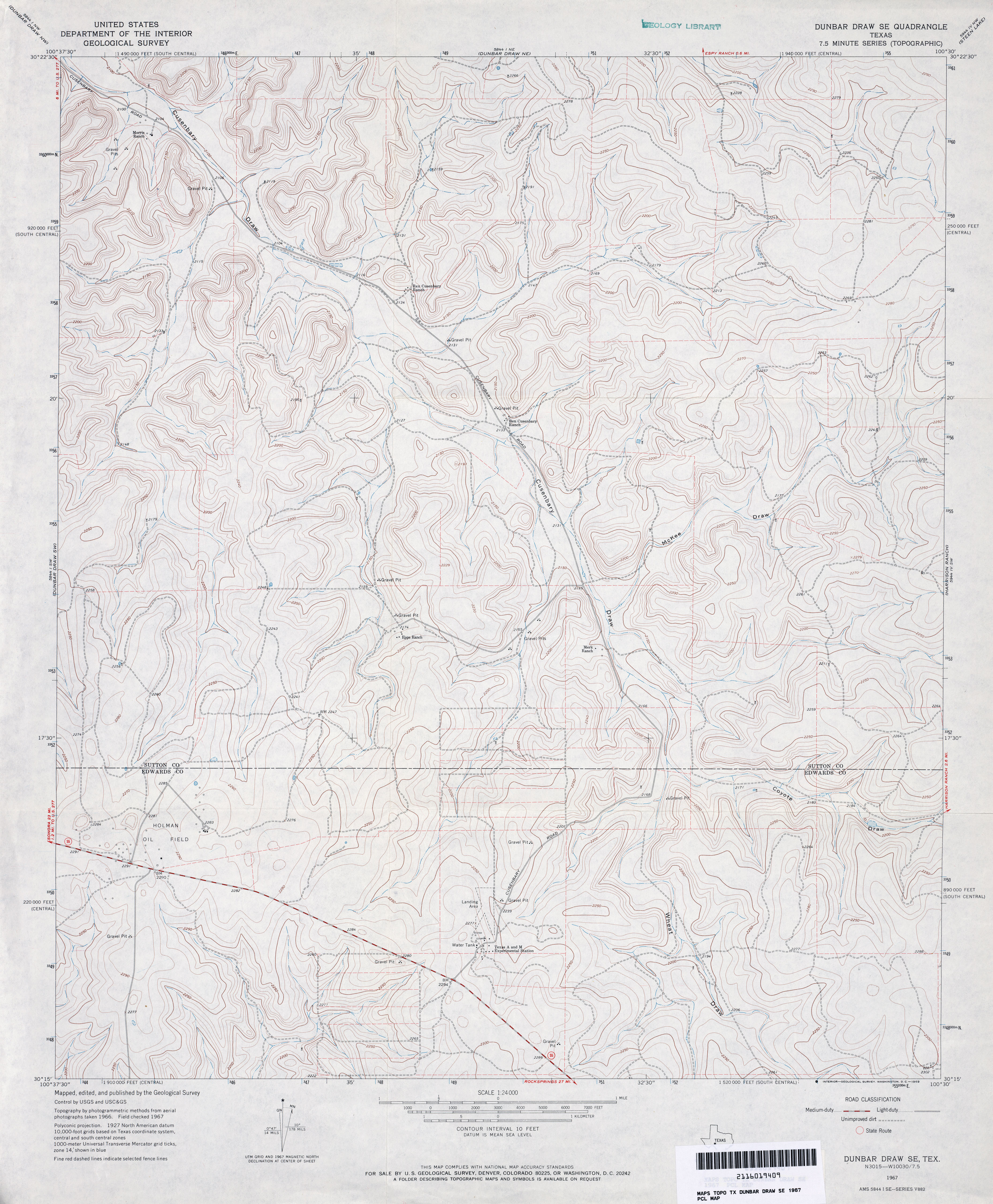
- Dunbar Draw NE (Sutton County) 1:24,000 1967 (4.1MB)
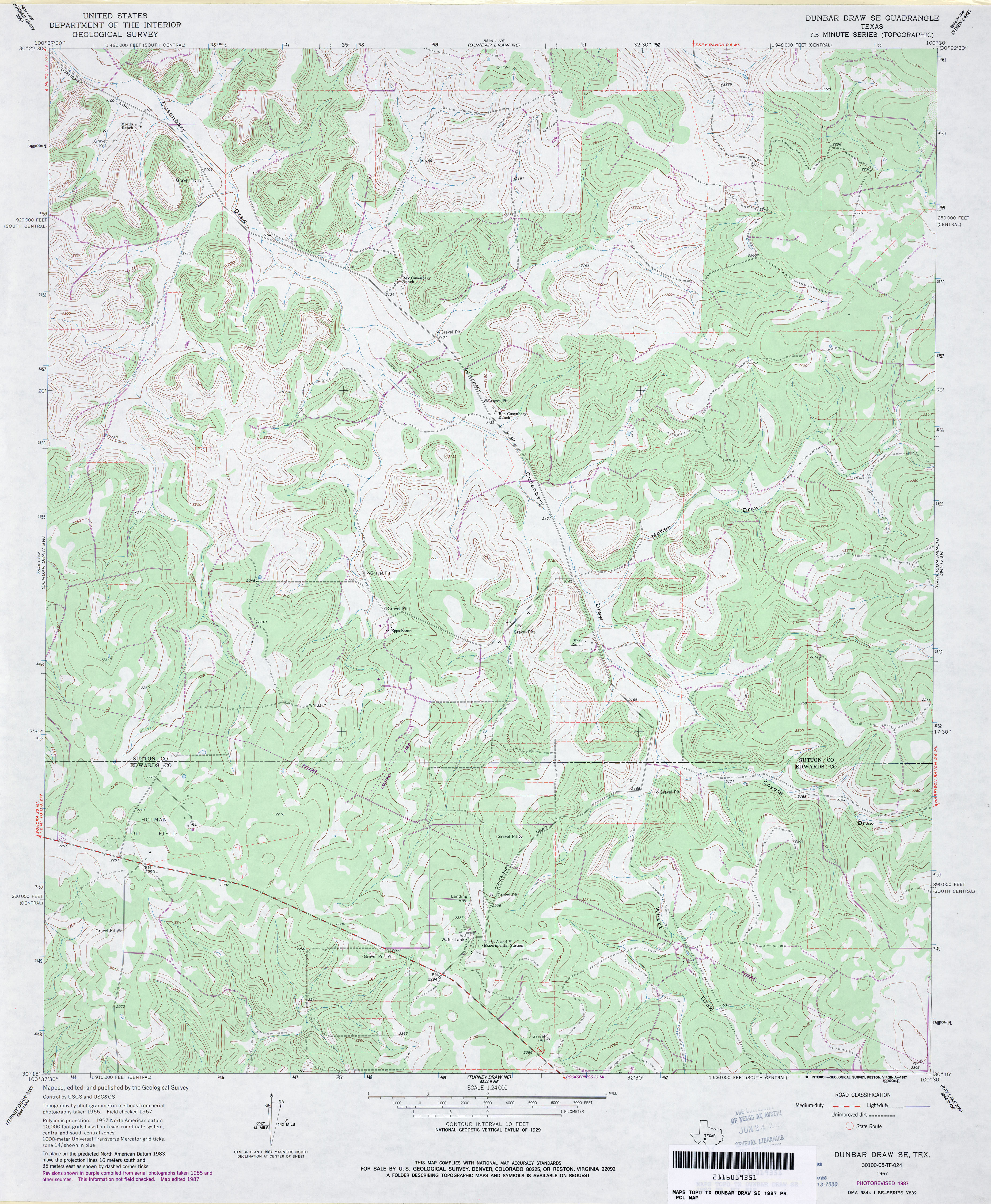
- Dunbar Draw NE (Sutton County) 1:24,000 1982 (4.4MB)
- Dunbar Draw NE 1:24,000 2008 (21.1MB) [GeoPDF]
- Dunbar Draw NE 1:24,000 2012 (30.9MB) [GeoPDF]
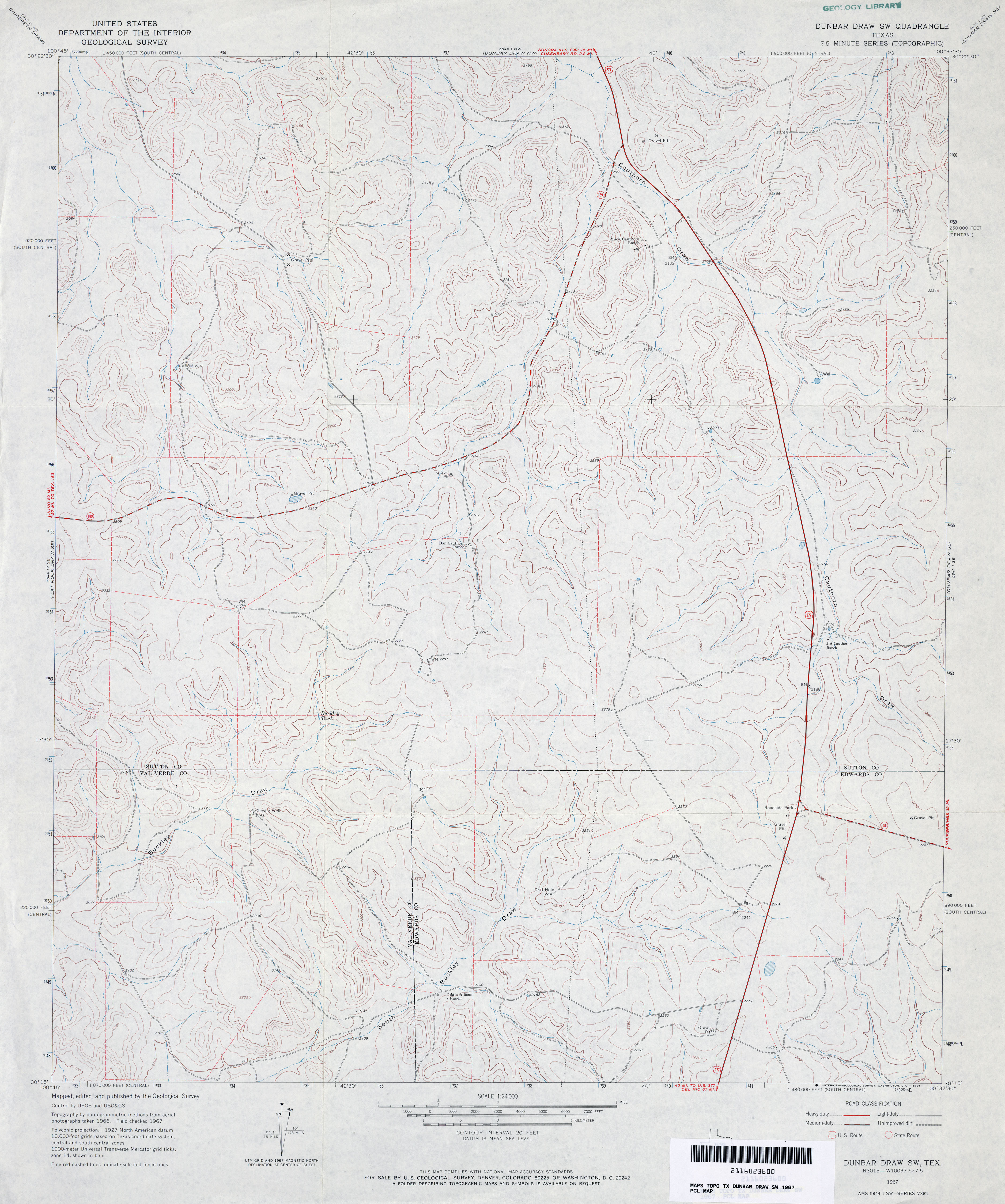
- Dunbar Draw NW (Sutton County) 1:24,000 1967 (4.1MB)
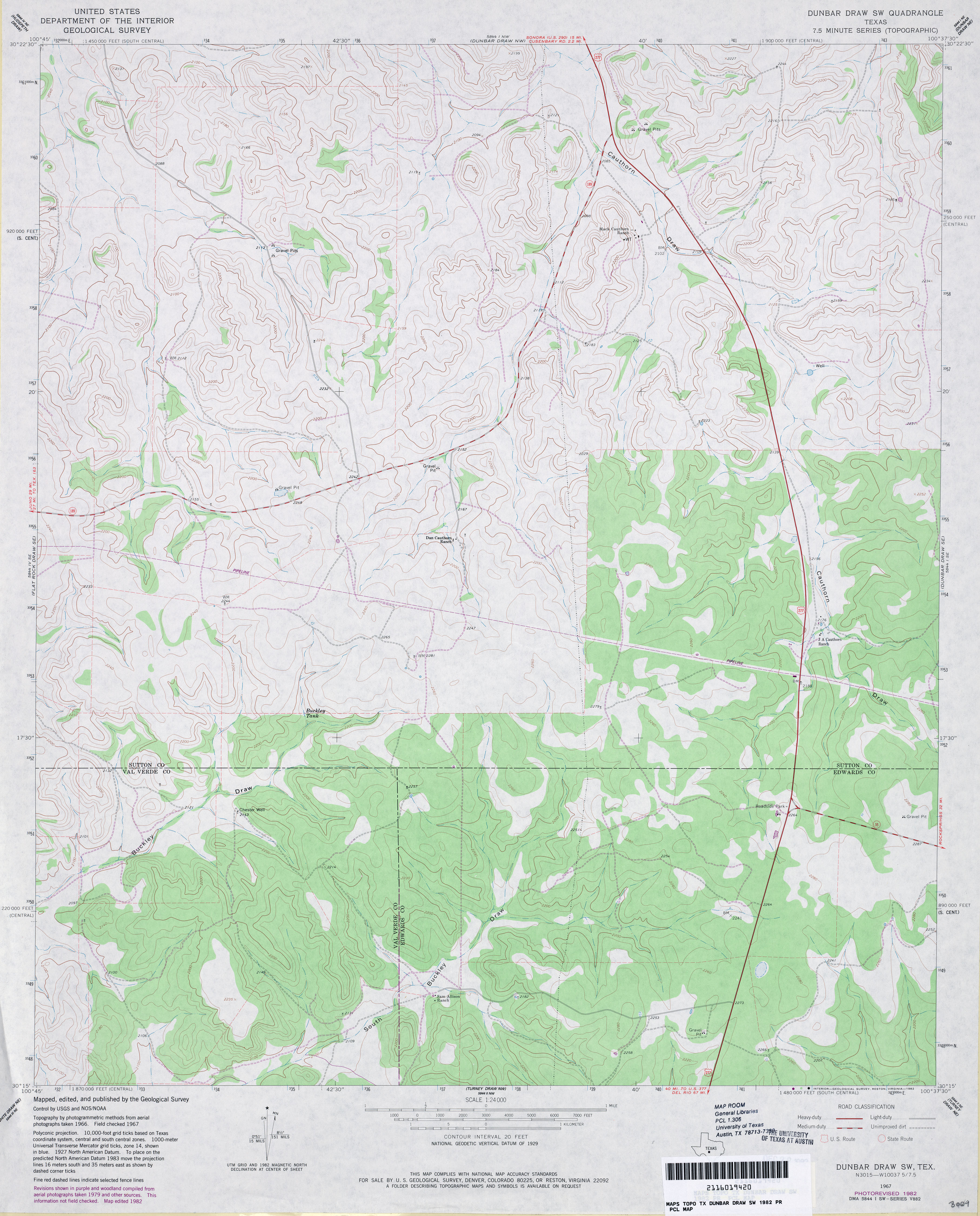
- Dunbar Draw NW (Sutton County) 1:24,000 1982 (4.3MB)
- Dunbar Draw NW 1:24,000 2008 (21.4MB) [GeoPDF]
- Dunbar Draw NW 1:24,000 2012 (30.8MB) [GeoPDF]
- Dunbar Draw SE 1:24,000 1967 (3.9MB)
- Dunbar Draw SE 1:24,000 1987 (4.3MB)
- Dunbar Draw SE 1:24,000 2008 (19.6MB) [GeoPDF]
- Dunbar Draw SE 1:24,000 2012 (29.7MB) [GeoPDF]
- Dunbar Draw SW 1:24,000 1967 (3.4MB)
- Dunbar Draw SW 1:24,000 1982 (3.6MB)
- Dunbar Draw SW 1:24,000 2008 (21.1MB) [GeoPDF]
- Dunbar Draw SW 1:24,000 2012 (31.1MB) [GeoPDF]
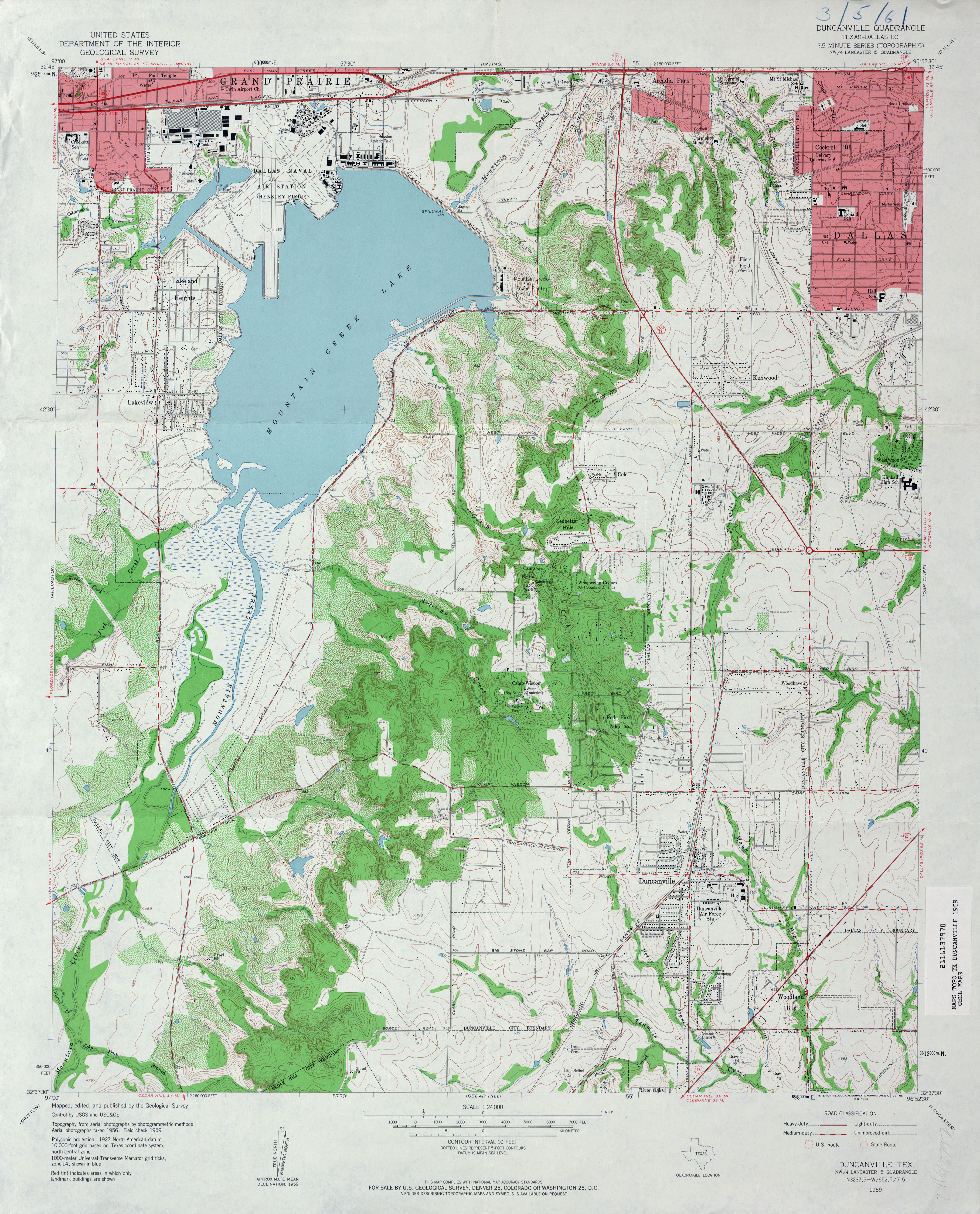
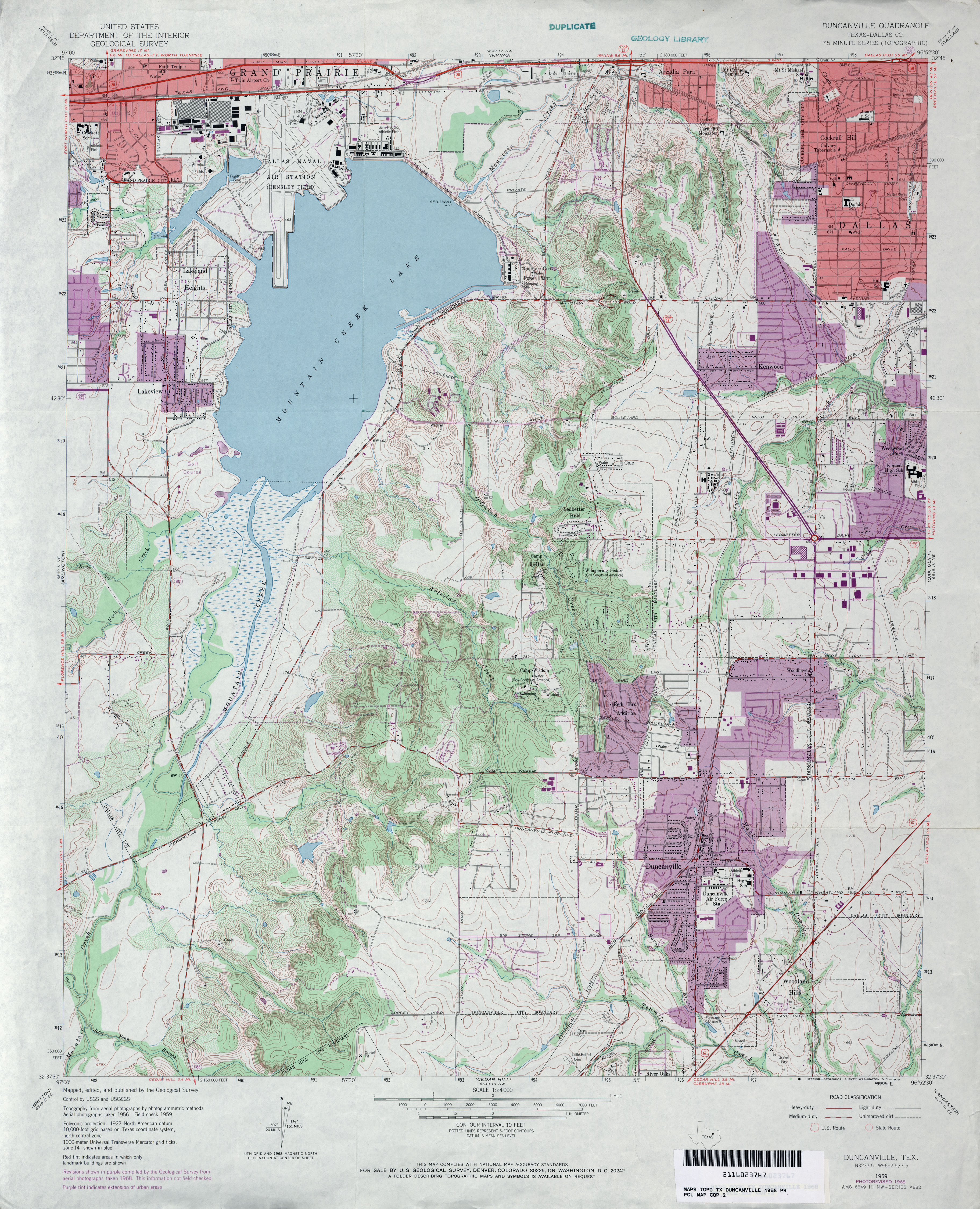
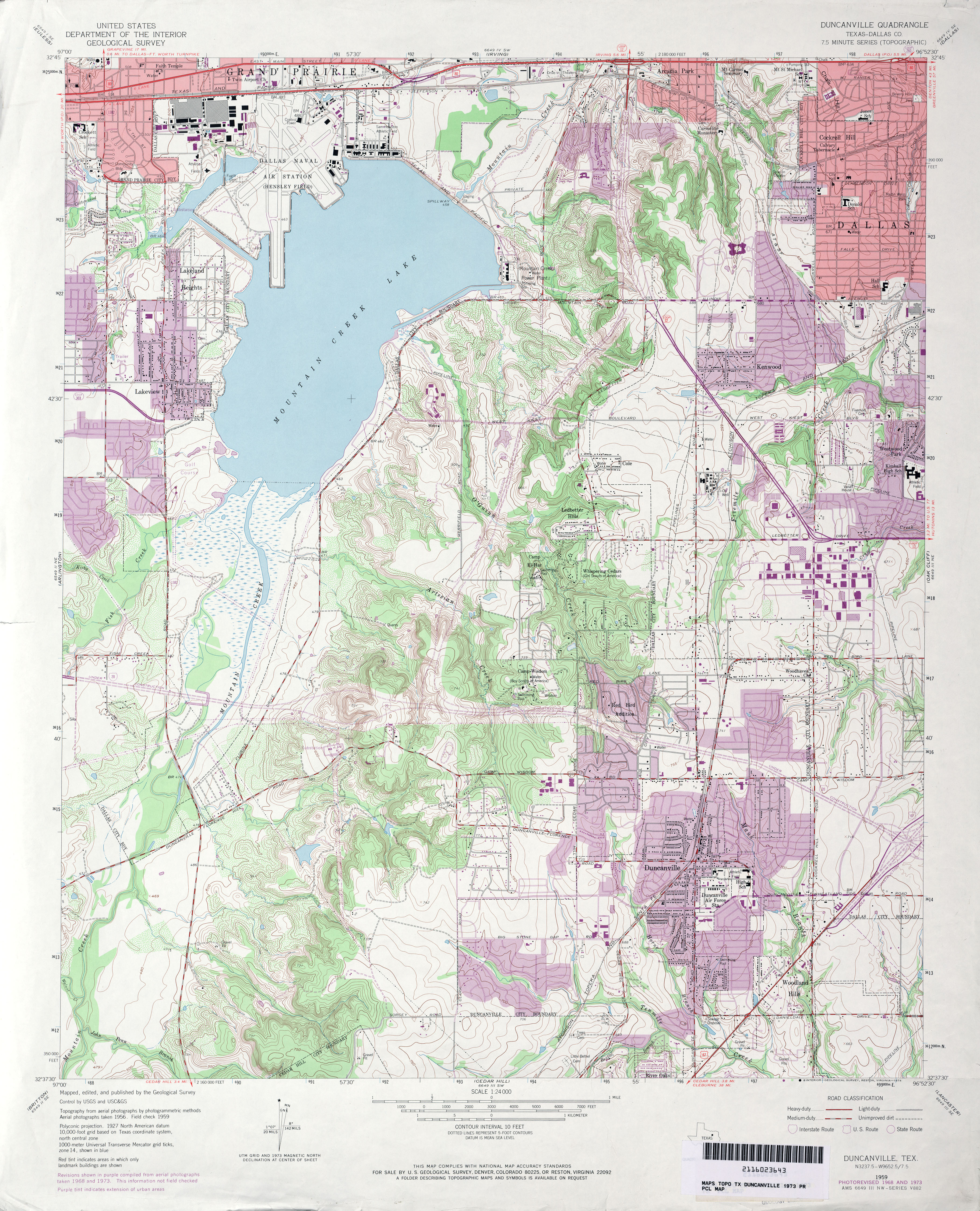
- Duncanville (Dallas County) 1:24,000 1959 (4.3MB)
- Duncanville (Dallas County) 1:24,000 1968 (4.3MB)
- Duncanville (Dallas County) 1:24,000 1973 (4.5MB)
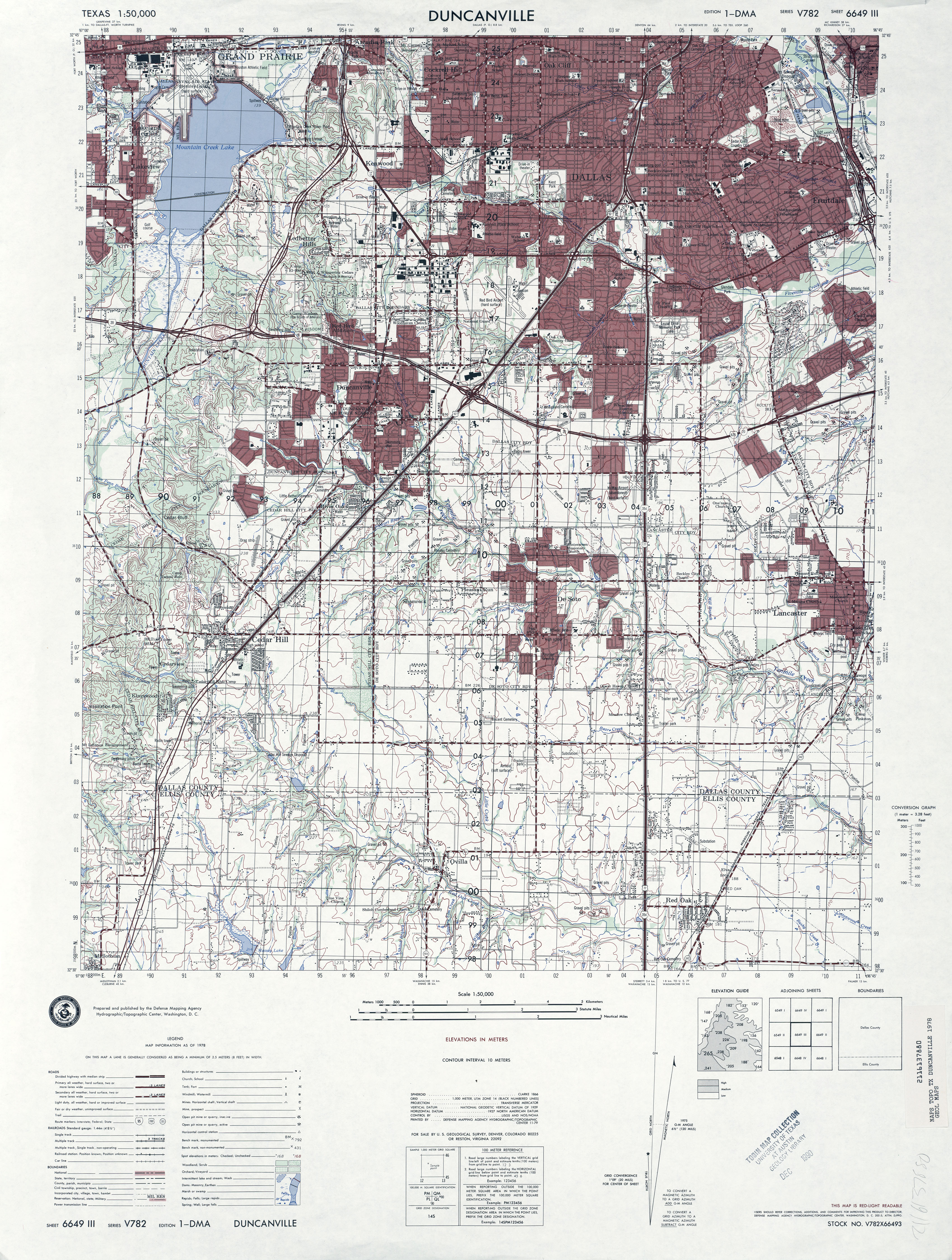
- Duncanville 1:50,000 1978 (4.7MB) U.S. Defense Mapping Agency, Series V782.
- Duncanville (Dallas County) 1:24,000 1981 (4.8MB)
- Duncanville (Dallas County) 1:24,000 1995 (4.7MB)
- Duncanville 1:24,000 2008 (20.1MB) [GeoPDF]
- Duncanville 1:24,000 2012 (24.4MB) [GeoPDF]
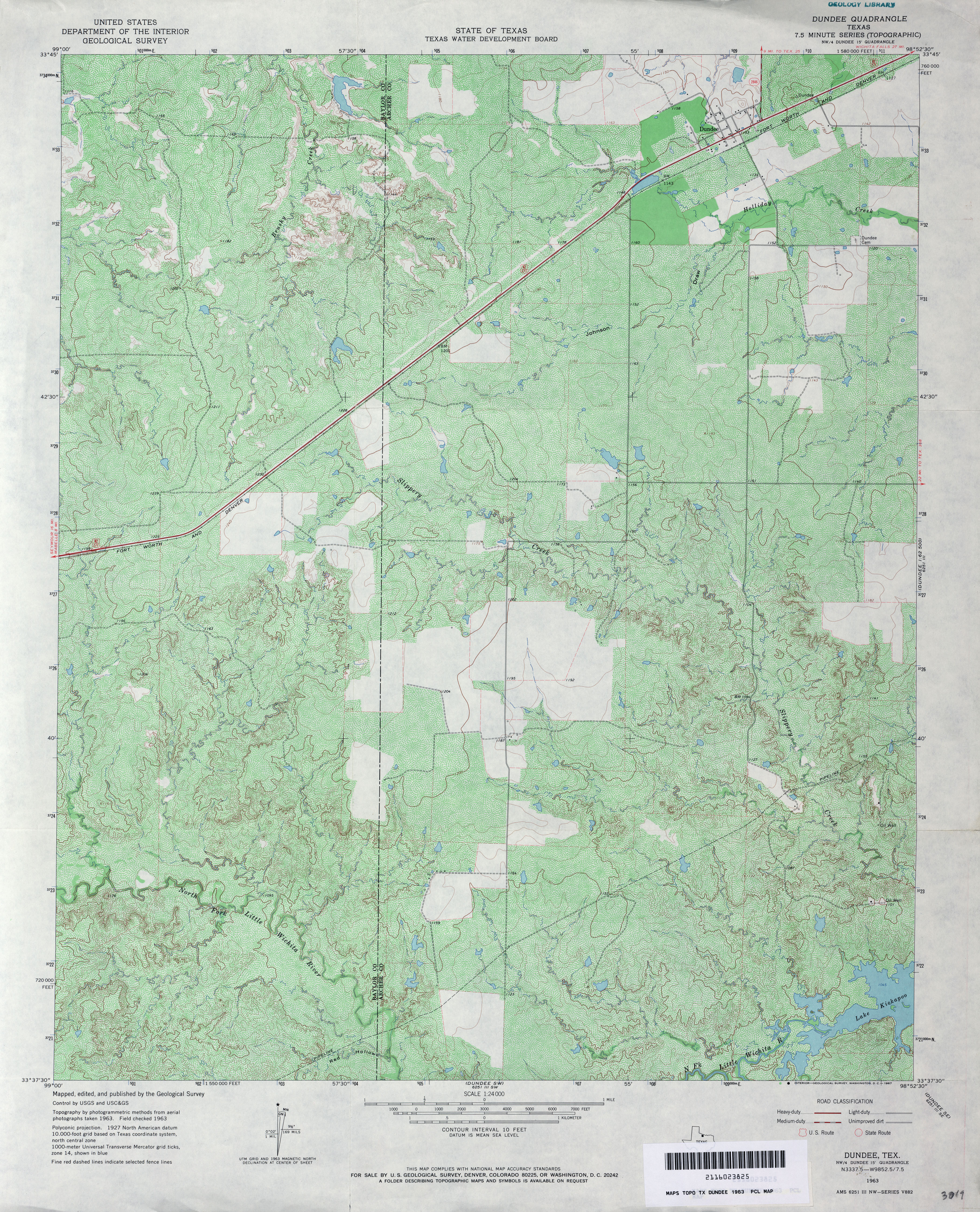
- Dundee (Archer County) 1:62,500 1929 (2.6 MB)
- Dundee 1:24,000 1963 (5.1MB)
- Dundee 1:24,000 2008 (15.1MB) [GeoPDF]
- Dundee 1:24,000 2012 (20.8MB) [GeoPDF]
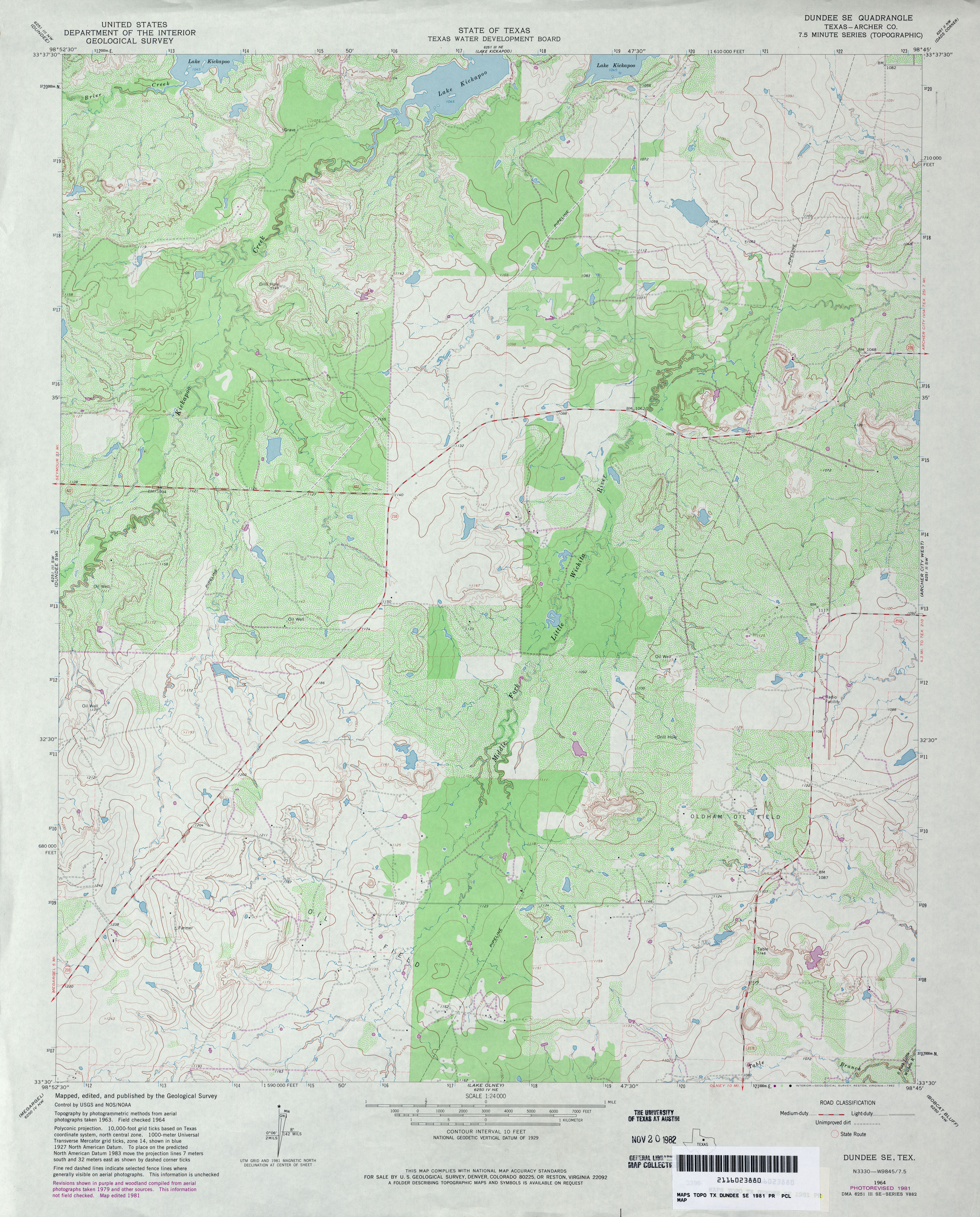
- Dundee SE (Archer County) 1:24,000 1964 (4MB)
- Dundee SE (Archer County) 1:24,000 1981 (4.1MB)
- Dundee SE 1:24,000 2008 (13.5MB) [GeoPDF]
- Dundee SE 1:24,000 2012 (17.8MB) [GeoPDF]
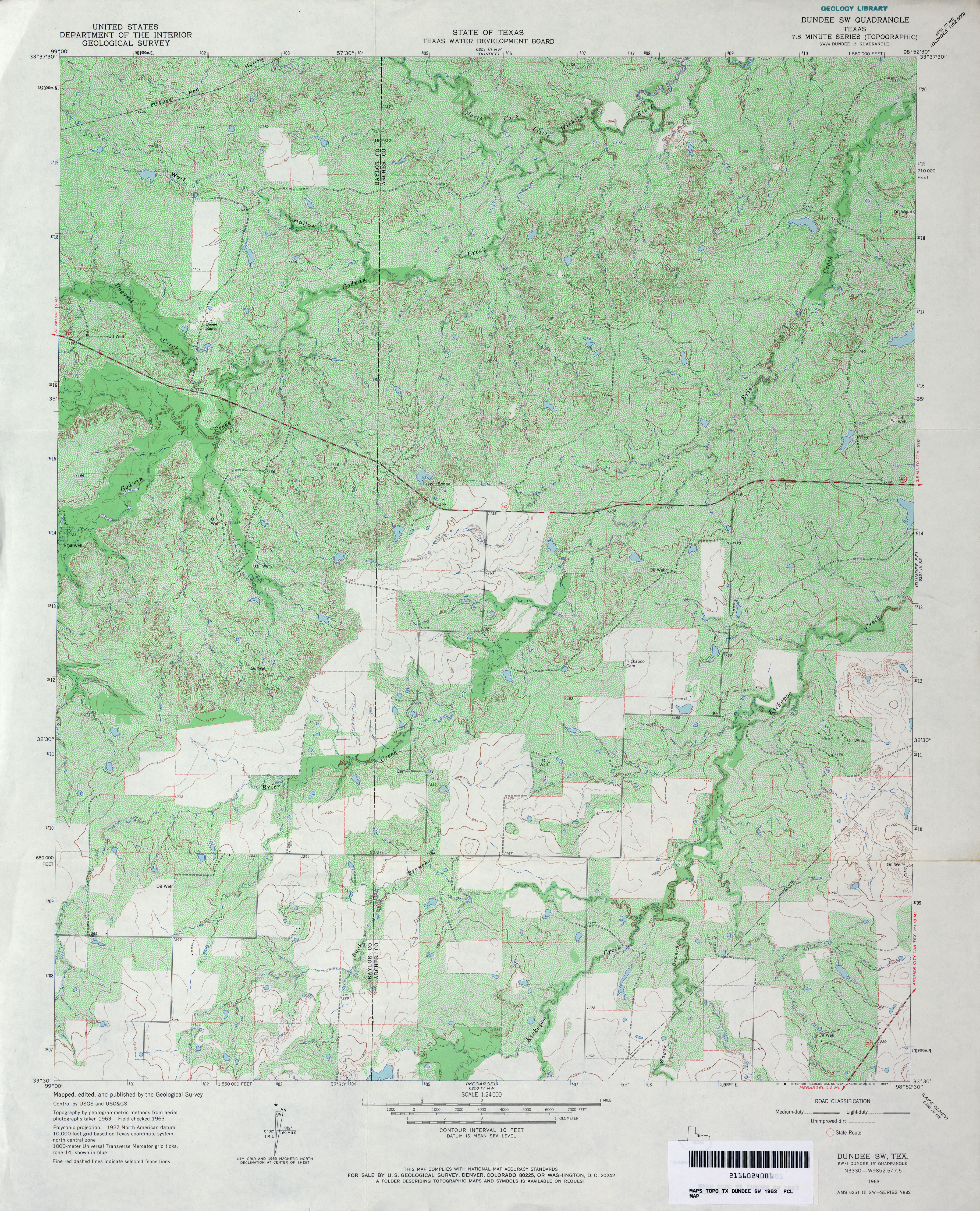
- Dundee SW 1:24,000 1963 (5.5MB)
- Dundee SW 1:24,000 2008 (14.8MB) [GeoPDF]
- Dundee SW 1:24,000 2012 (20.4MB) [GeoPDF]
- Dunlap (Cottle County) 1:24,000 1967 (3.5MB)
- Dunlap (Cottle County) 1:24,000 1981 (4.5MB)
- Dunlap 1:24,000 2008 (18.6MB) [GeoPDF]
- Dunlap 1:24,000 2012 (23.2MB) [GeoPDF]
- Dunman Mountain 1:24,000 1967 (3.6MB)
- Dunman Mountain 1:24,000 1982 (3.9MB)
- Dunman Mountain 1:24,000 2008 (19.7MB) [GeoPDF]
- Dunman Mountain 1:24,000 2012 (25.6MB) [GeoPDF]
- Dunn 1:24,000 1951 (3.3MB)
- Dunn 1:24,000 1979 (3.4MB)
- Dunn 1:24,000 2008 (13.7MB) [GeoPDF]
- Dunn 1:24,000 2012 (21.8MB) [GeoPDF]
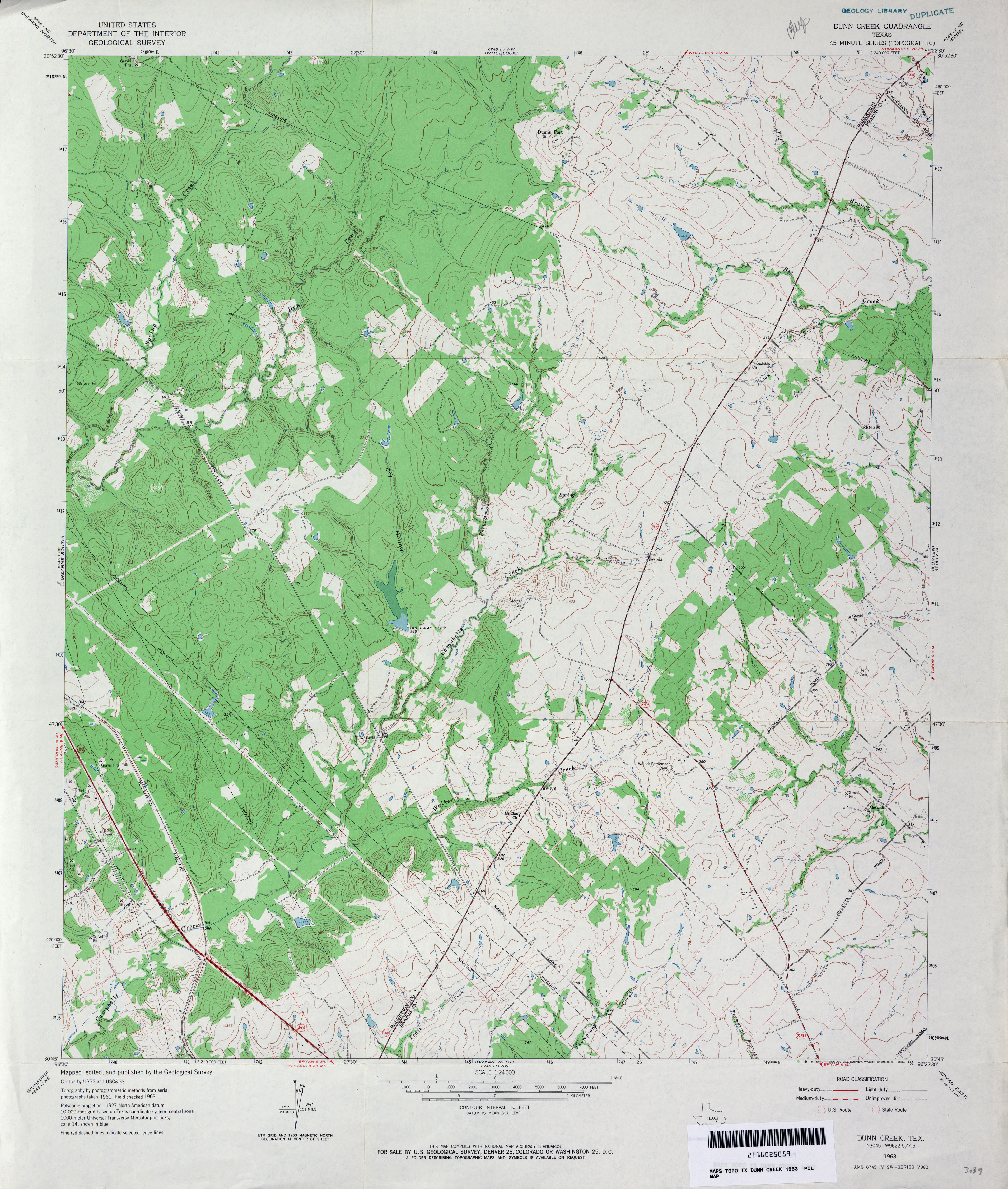
- Dunn Creek 1:24,000 1963 (3.9MB)
- Dunn Creek 1:24,000 1980 (3.8MB)
- Dunn Creek 1:24,000 2008 (16.0MB) [GeoPDF]
- Dunn Creek 1:24,000 2013 (23.1MB) [GeoPDF]
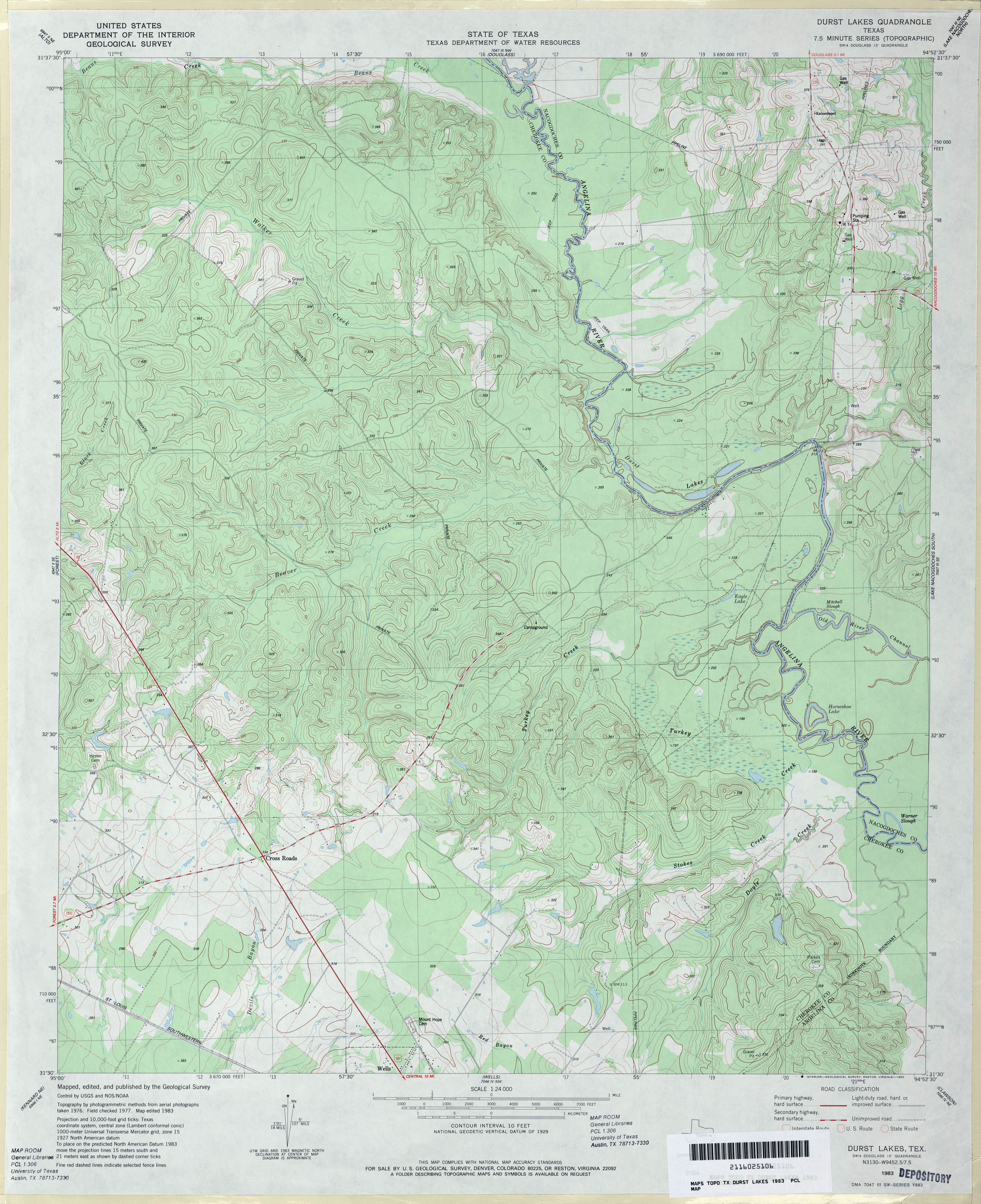
- Durst Lakes 1:24,000 1983 (3.9MB)
- Durst Lakes 1:24,000 2009 (23.1MB) [GeoPDF]
- Durst Lakes 1:24,000 2013 (26.4MB) [GeoPDF]
- Duster (Comanche County) 1:24,000 1969 (3.4MB)
- Duster 1:24,000 2008 (13.6MB) [GeoPDF]
- Duster 1:24,000 2012 (18.4MB) [GeoPDF]
Return to the top