Perry-Castañeda Library
Map Collection
Texas Topographic Maps
Maps in this online collection are from the Perry-Castañeda Library, Walter Geology Library and Dolph Briscoe Center for American History at the University of Texas at Austin as well as the Texas State Library. All maps on this site were published by the U.S. Geological Survey unless otherwise noted and are in the public domain. The date given for each map is the date of latest survey. The Geographic Names Information System allows searches of geographic names to determine which map sheets they appear on. Indexes are available for Texas - East and Texas - West for the 1:24,000 map series. Maps published prior to 1923 are on the Texas Historical Topographic Map Index. More information about these maps is available on the Topographic Maps Home Page.Note: To fully view the GeoPDF files use Adobe Reader as your default PDF viewer or download the files and open them within Adobe Reader.
A, B, C, D, E, F, G, H, I, J, K, L, M, N, O, P, Q, R, S, T, U, V, W, X, Y, Z
- Hacienda (Uvalde County) 1:24,000 1960 (6.1MB)
- Hacienda 1:24,000 2008 (18.6MB) [GeoPDF]
- Hacienda 1:24,000 2013 (28.4MB) [GeoPDF]
- Hackberry 1:62,500 1943 (6.6MB) U.S. Army. Corps of Engineers. 15 Minute Series
- Hackberry 1:50,000 1944 (5.8MB) U.S. Army Map Service, Series V782.
- Hackberry 1:24,000 1971 (4.2MB)
- Hackberry 1:24,000 2008 (25.6MB) [GeoPDF]
- Hackberry 1:24,000 2012 (32MB) [GeoPDF]
- Hackberry Creek 1:24,000 1967 (3.9MB)
- Hackberry Creek 1:24,000 2008 (14.7MB) [GeoPDF]
- Hackberry Creek 1:24,000 2012 (17.8MB) [GeoPDF]
- Hackberry Crossing (Val Verde County) 1:24,000 1973 (4.1MB)
- Hackberry Crossing 1:24,000 2008 (23.5MB) [GeoPDF]
- Hackberry Crossing 1:24,000 2012 (33.5MB) [GeoPDF]
- Hackberry Draw NE (Pecos County) 1:24,000 1969 (4.3MB)
- Hackberry Draw NE 1:24,000 2008 (19.5MB) [GeoPDF]
- Hackberry Draw NE 1:24,000 2012 (27.9MB) [GeoPDF]
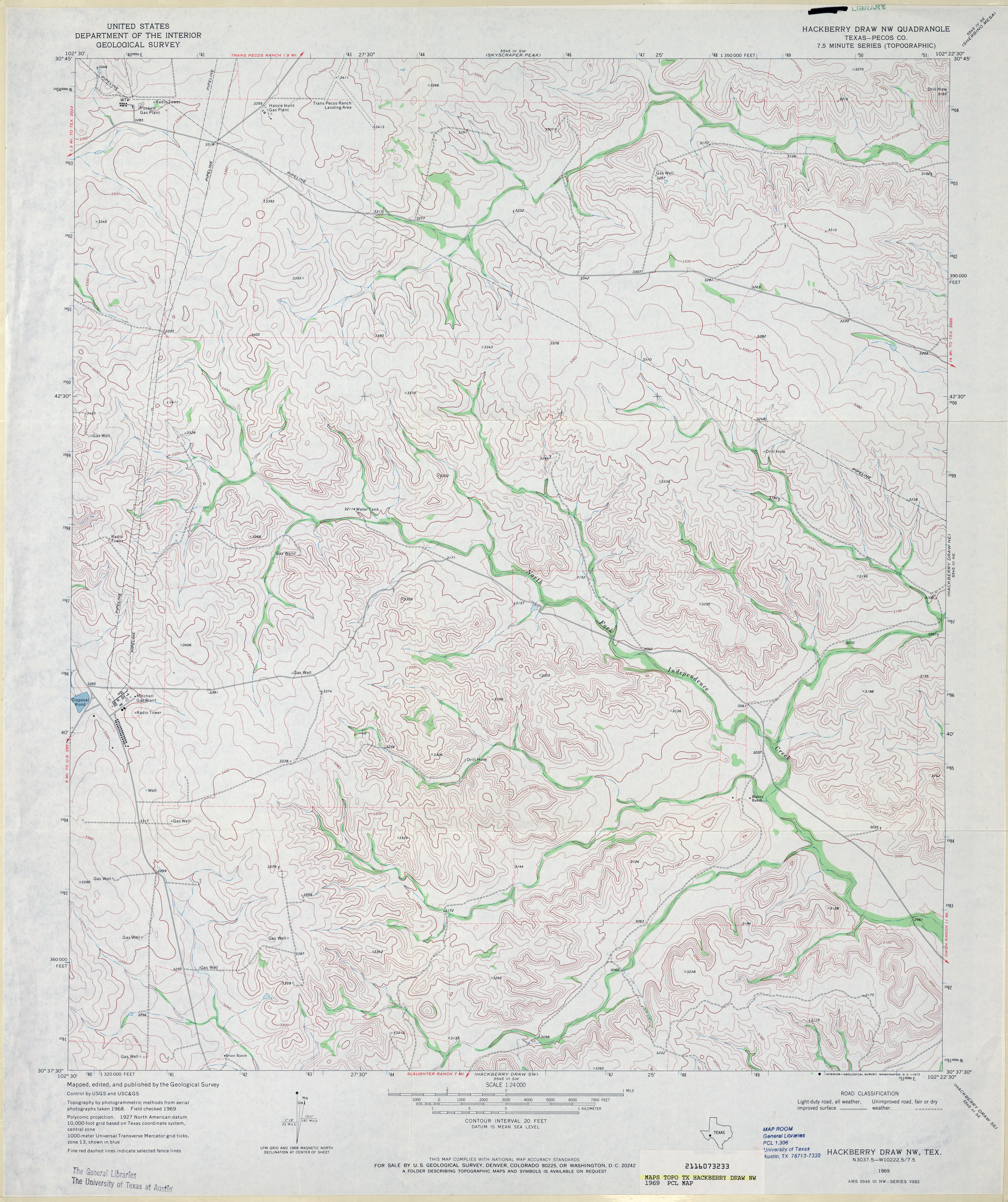
- Hackberry Draw NW (Pecos County) 1:24,000 1969 (4.1MB)
- Hackberry Draw NW 1:24,000 2008 (21.5MB) [GeoPDF]
- Hackberry Draw NW 1:24,000 2012 (27.8MB) [GeoPDF]
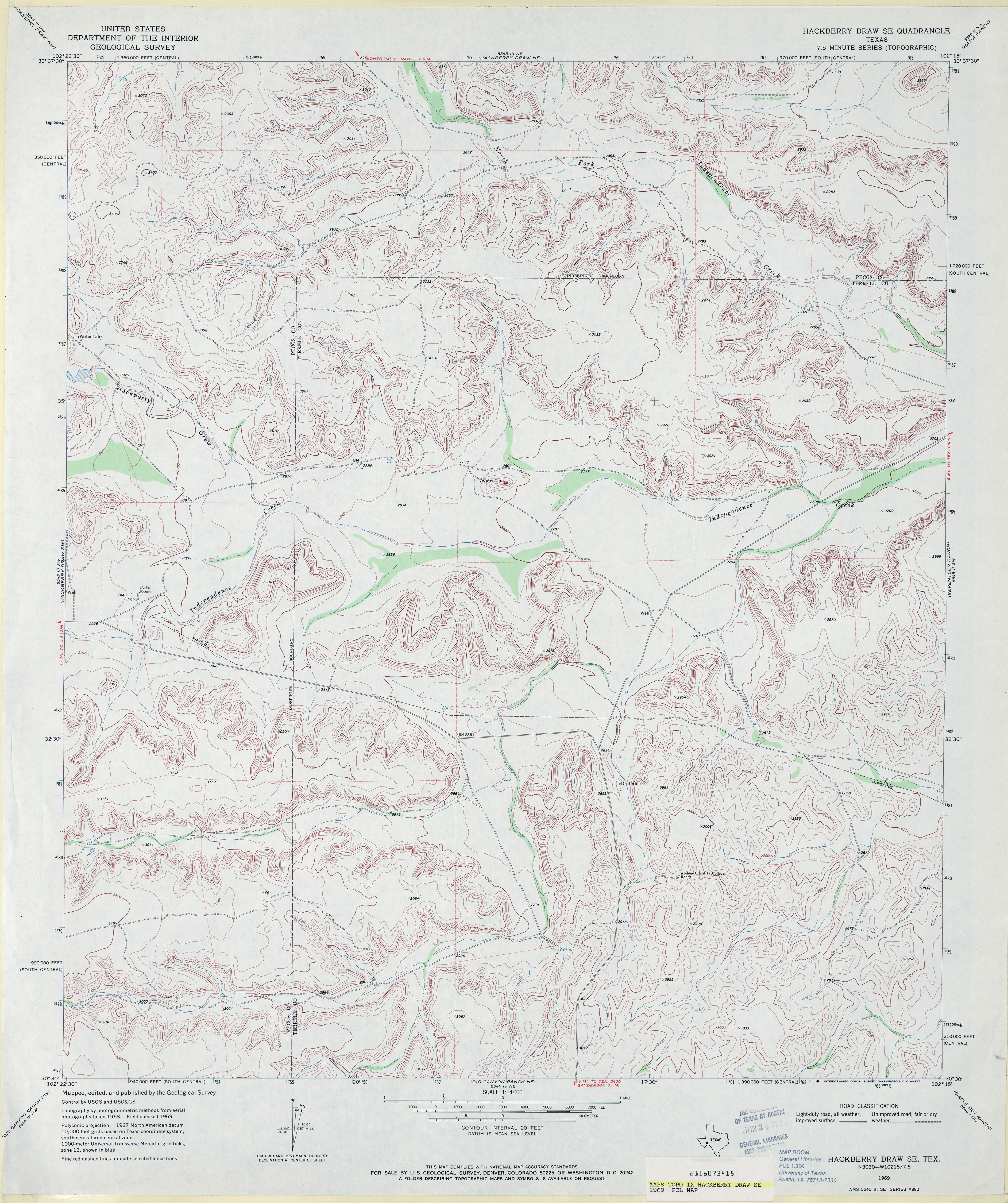
- Hackberry Draw SE 1:24,000 1969 (4.1MB)
- Hackberry Draw SE 1:24,000 2008 (21.8MB) [GeoPDF]
- Hackberry Draw SE 1:24,000 2012 (31.3MB) [GeoPDF]
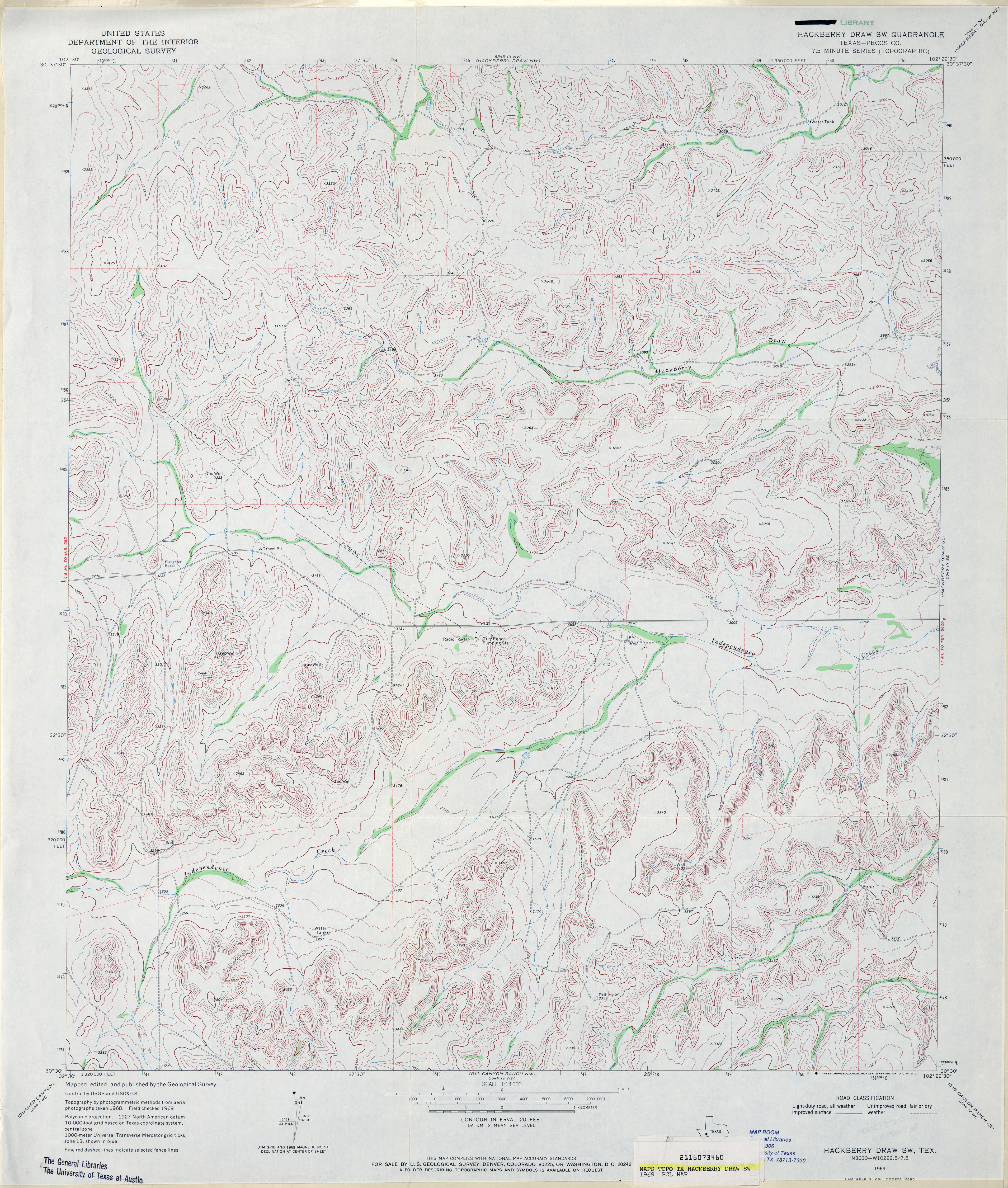
- Hackberry Draw SW (Pecos County) 1:24,000 1969 (4.4MB)
- Hackberry Draw SW 1:24,000 2008 (23.7MB) [GeoPDF]
- Hackberry Draw SW 1:24,000 2012 (30.4MB) [GeoPDF]
- Hackberry Lake 1:24,000 1968 (2.7MB)
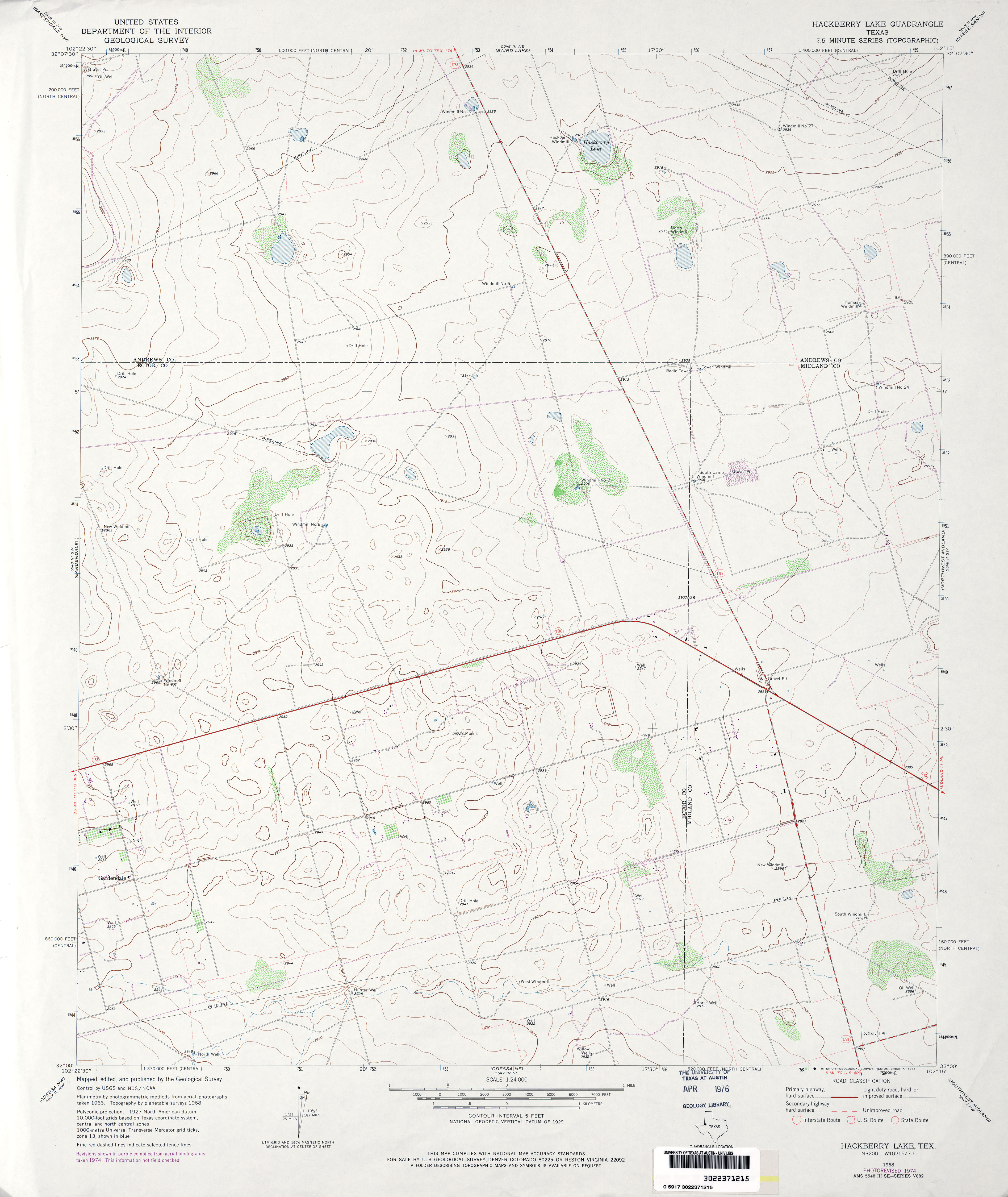
- Hackberry Lake 1:24,000 1974 (2.8MB)
- Hackberry Lake 1:24,000 2008 (18.1MB) [GeoPDF]
- Hackberry Lake 1:24,000 2012 (19.4MB) [GeoPDF]
- Hackett Peak 1:24,000 1964 (5.4MB)
- Hackett Peak 1:24,000 2008 (21.6MB) [GeoPDF]
- Hackett Peak 1:24,000 2013 (24.4MB) [GeoPDF]
- Haddens 1:24,000 1954 (5.4MB)
- Haddens 1:24,000 1969 (6MB)
- Haddens 1:24,000 1985 (4.2MB)
- Haddens 1:24,000 2003 (4.9MB)
- Haddens 1:24,000 2008 (29.6MB) [GeoPDF]
- Hagansport 1:24,000 1964 (3.4MB)
- Hagansport 1:24,000 2009 (17.0MB) [GeoPDF]
- Hagansport 1:24,000 2013 (21.8MB) [GeoPDF]
- Hagler Canyon 1:24,000 1969 (4.6MB)
- Hagler Canyon 1:24,000 2008 (22.8MB) [GeoPDF]
- Hagler Canyon 1:24,000 2012 (31.9MB) [GeoPDF]
- Hahn 1:24,000 1965 (2.9MB)
- Hahn 1:24,000 1981 (2.9MB)
- Hahn 1:24,000 2009 (9.9MB) [GeoPDF]
- Hahn 1:24,000 2013 (17.5MB) [GeoPDF]
- Hainesville (Wood County) 1:24,000 1960 (4.8MB)
- Hainesville (Wood County) 1:24,000 1981 (5.3MB)
- Hainesville 1:24,000 2009 (23.5MB) [GeoPDF]
- Hainesville 1:24,000 2012 (26.2MB) [GeoPDF]
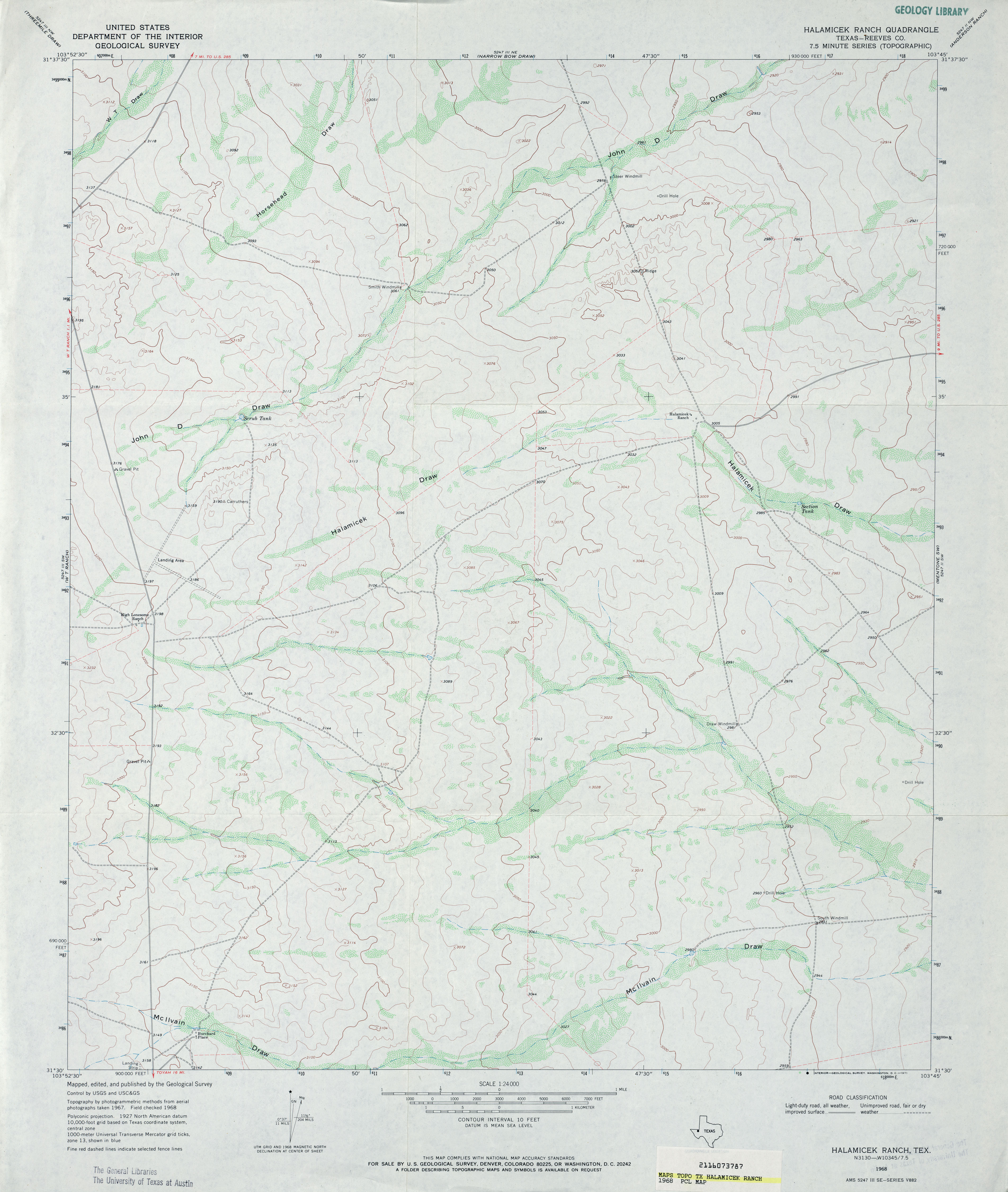
- Halamicek Ranch (Reeves County) 1:24,000 1968 (2.8MB)
- Halamicek Ranch 1:24,000 2008 (17.6MB) [GeoPDF]
- Halamicek Ranch 1:24,000 2012 (22.7MB) [GeoPDF]
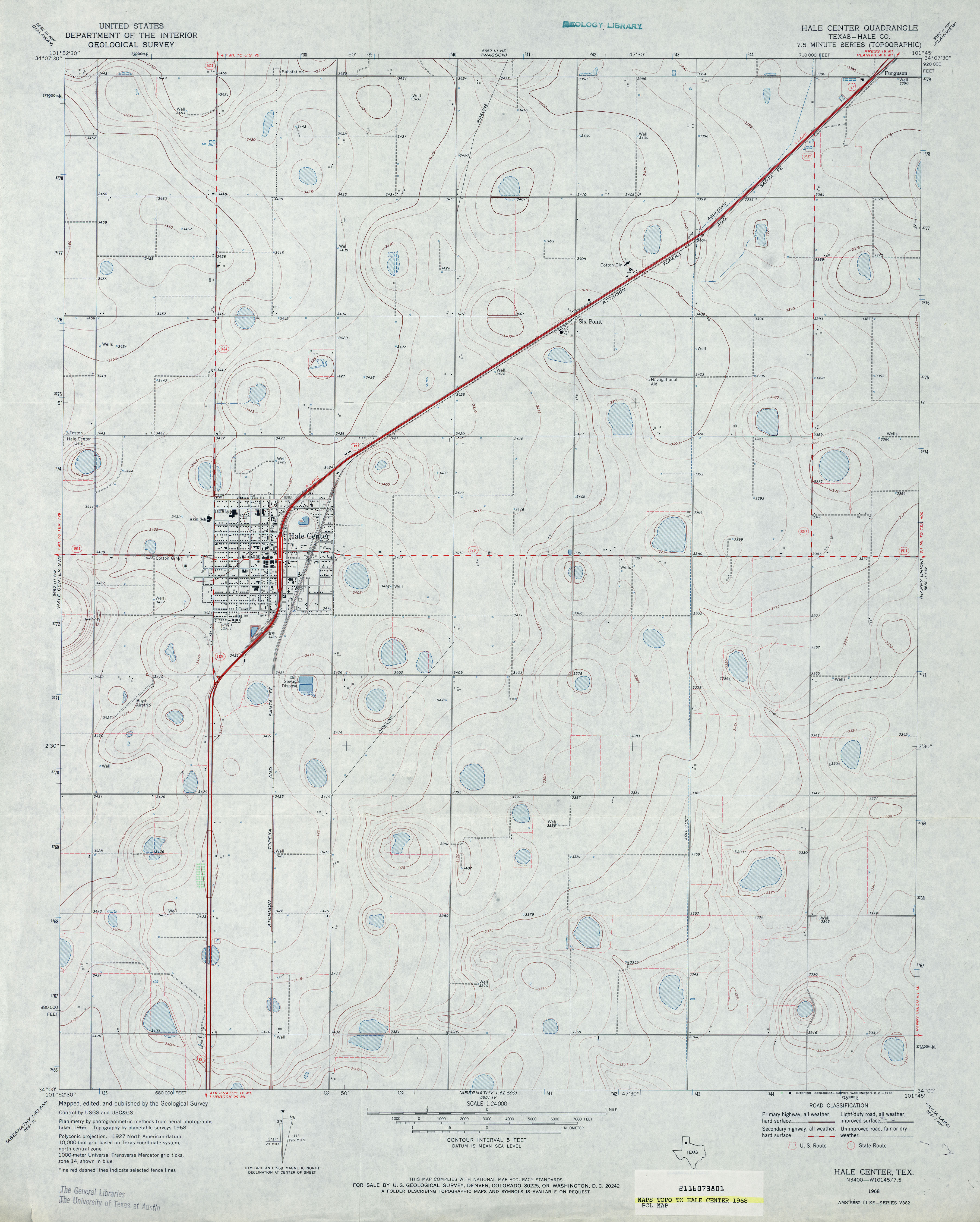
- Hale Center (Hale County) 1:24,000 1968 (3.1MB)
- Hale Center 1:24,000 2008 (10.3MB) [GeoPDF]
- Hale Center 1:24,000 2012 (15MB) [GeoPDF]
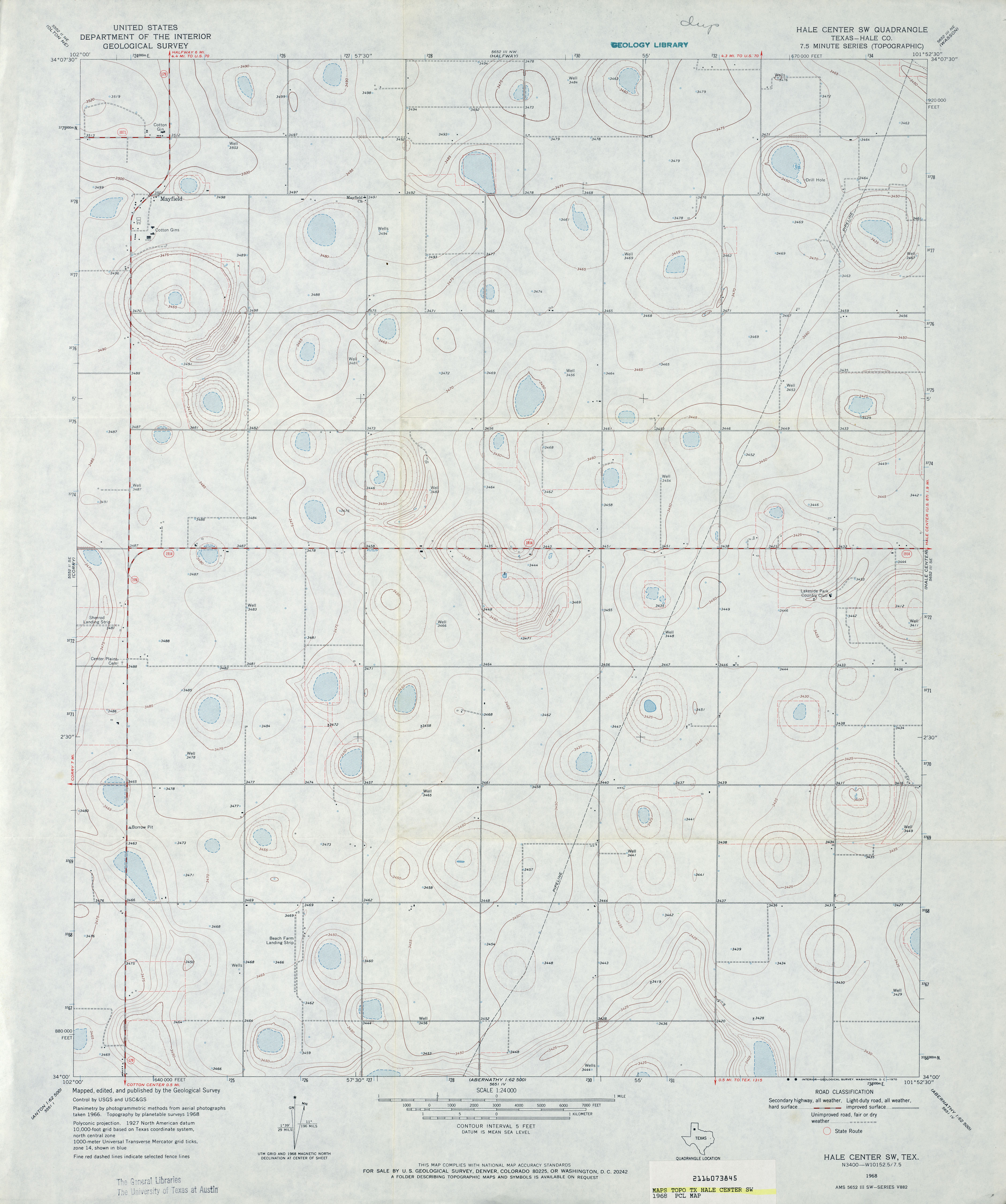
- Hale Center SW (Hale County) 1:24,000 1968 (2.8MB)
- Hale Center SW 1:24,000 2008 (10.8MB) [GeoPDF]
- Hale Center SW 1:24,000 2012 (15.7MB) [GeoPDF]
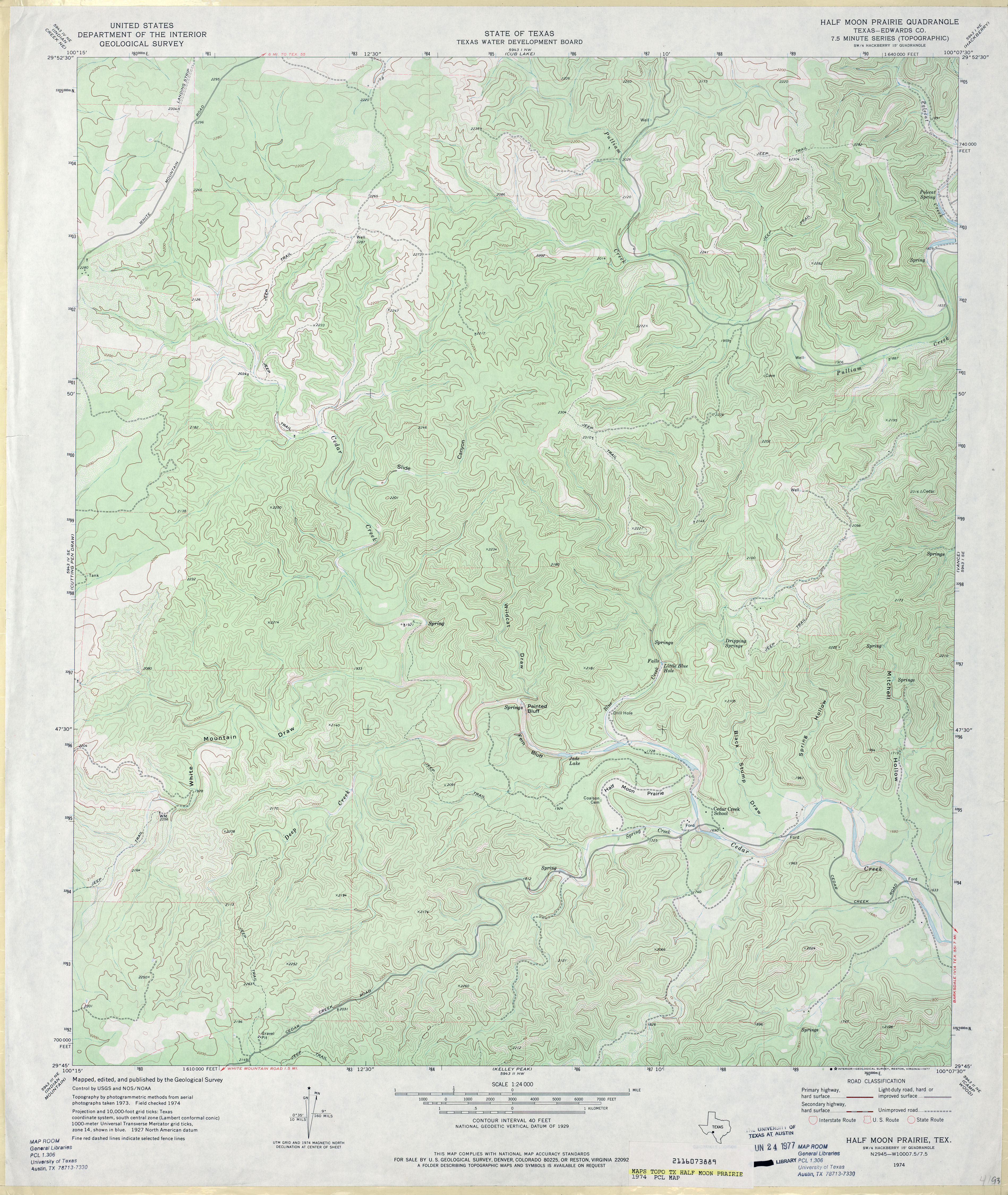
- Half Moon Prairie (Edwards County) 1:24,000 1974 (4.5MB)
- Half Moon Prairie 1:24,000 2008 (26.1MB) [GeoPDF]
- Half Moon Prairie 1:24,000 2012 (30.7MB) [GeoPDF]
- Halff Ranch (Frio County) 1:24,000 1964 (4.7MB)
- Halff Ranch 1:24,000 2008 (16.5MB) [GeoPDF]
- Halff Ranch 1:24,000 2013 (23.7MB) [GeoPDF]
- Halfway (Hale County) 1:24,000 1968 (2.6MB)
- Halfway 1:24,000 2008 (12.6MB) [GeoPDF]
- Halfway 1:24,000 2012 (14.9MB) [GeoPDF]
- Halfway Creek (Oldham County) 1:24,000 1966 (4MB)
- Halfway Creek 1:24,000 2008 (19.0MB) [GeoPDF]
- Halfway Creek 1:24,000 2012 (23.3MB) [GeoPDF]
- Hall 1:24,000 1979 (4.6MB)
- Hall 1:24,000 2008 (19.6MB) [GeoPDF]
- Hall 1:24,000 2013 (24MB) [GeoPDF]
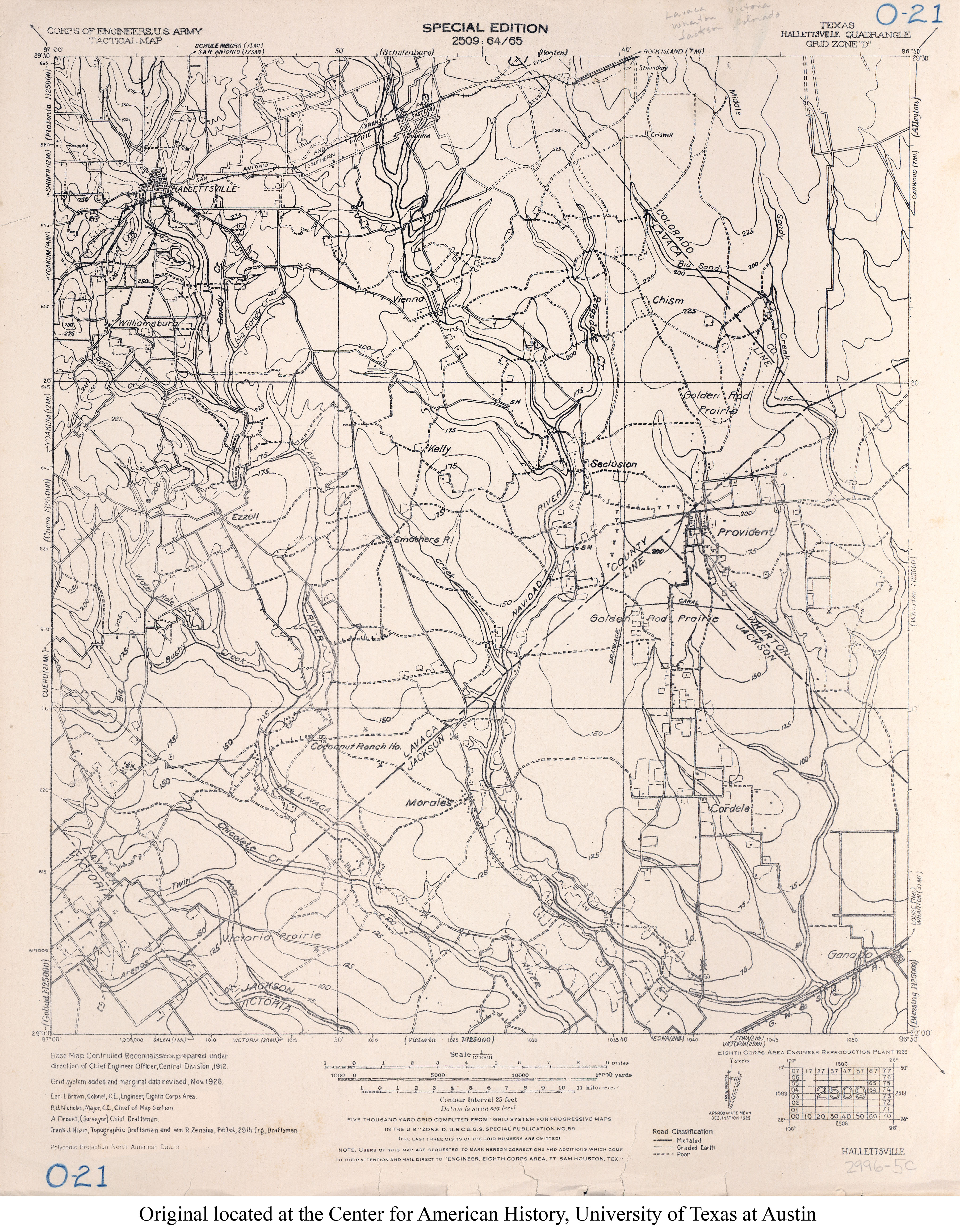
- Halletsville 1:125,000 1928 (3.8MB) U.S. Army. Corps of Engineers. Tactical Map
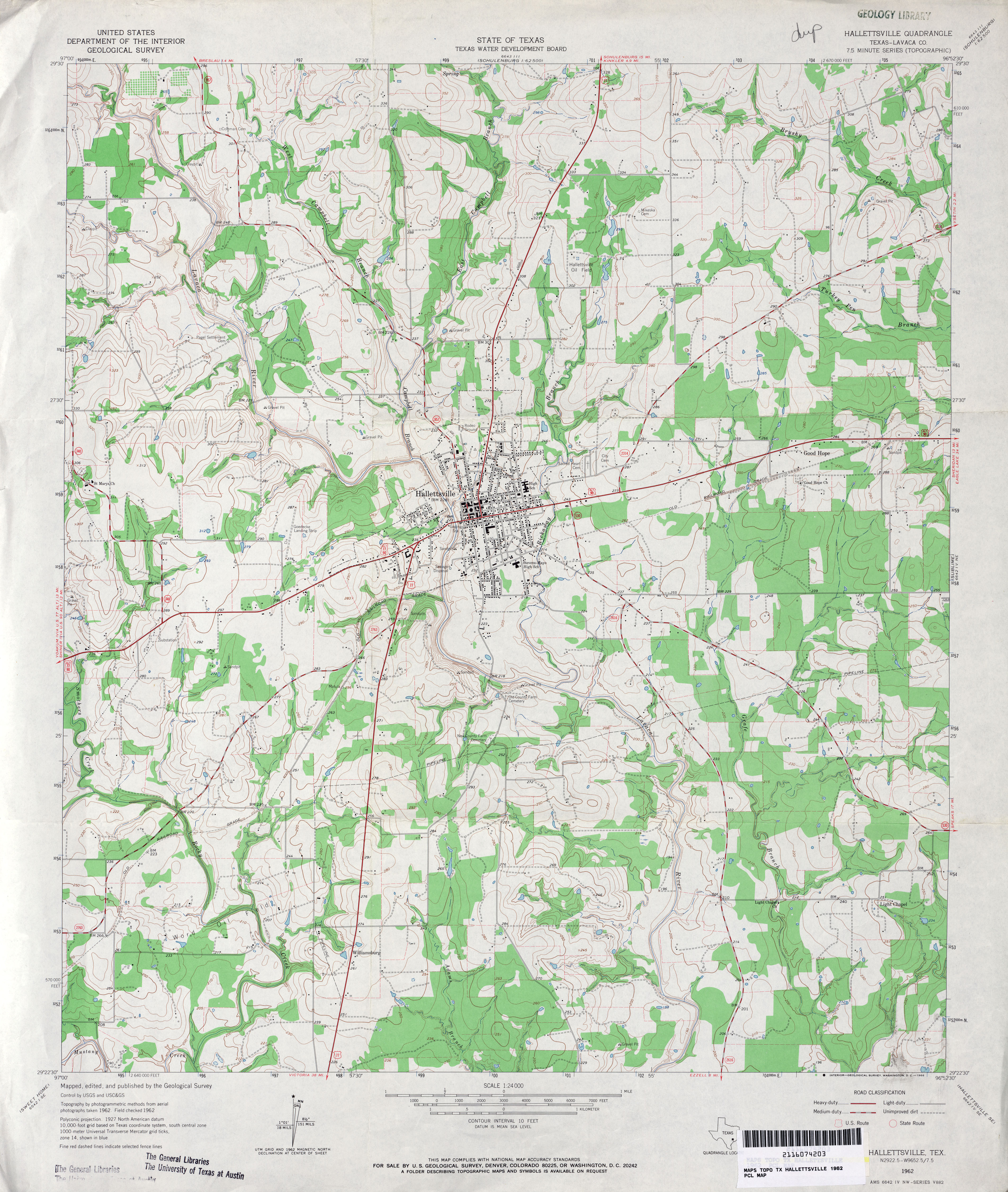
- Hallettsville (Lavaca County) 1:24,000 1962 (4MB)
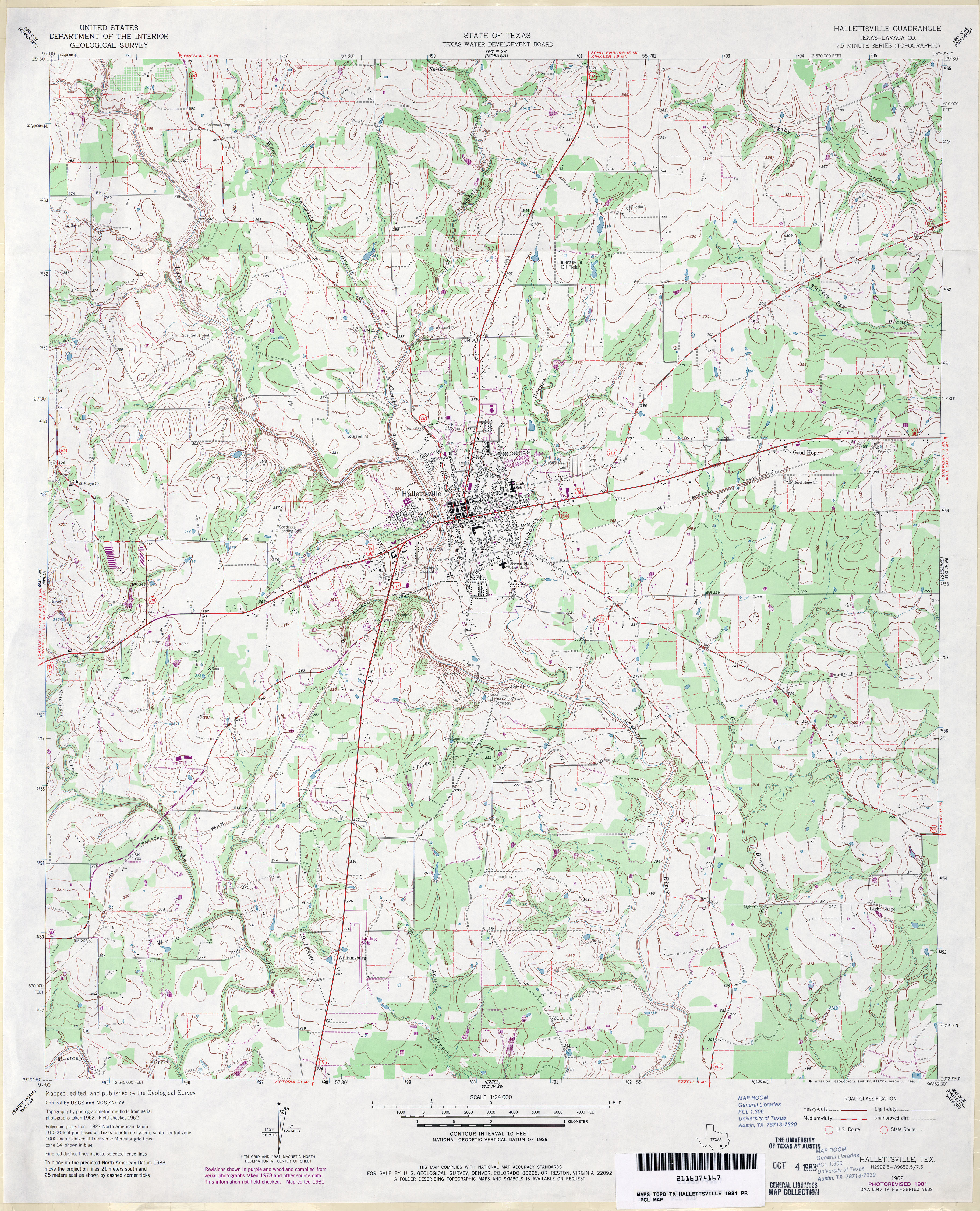
- Hallettsville (Lavaca County) 1:24,000 1981 (4.5MB)
- Hallettsville 1:24,000 2008 (14.7MB) [GeoPDF]
- Hallettsville 1:24,000 2013 (23.5MB) [GeoPDF]
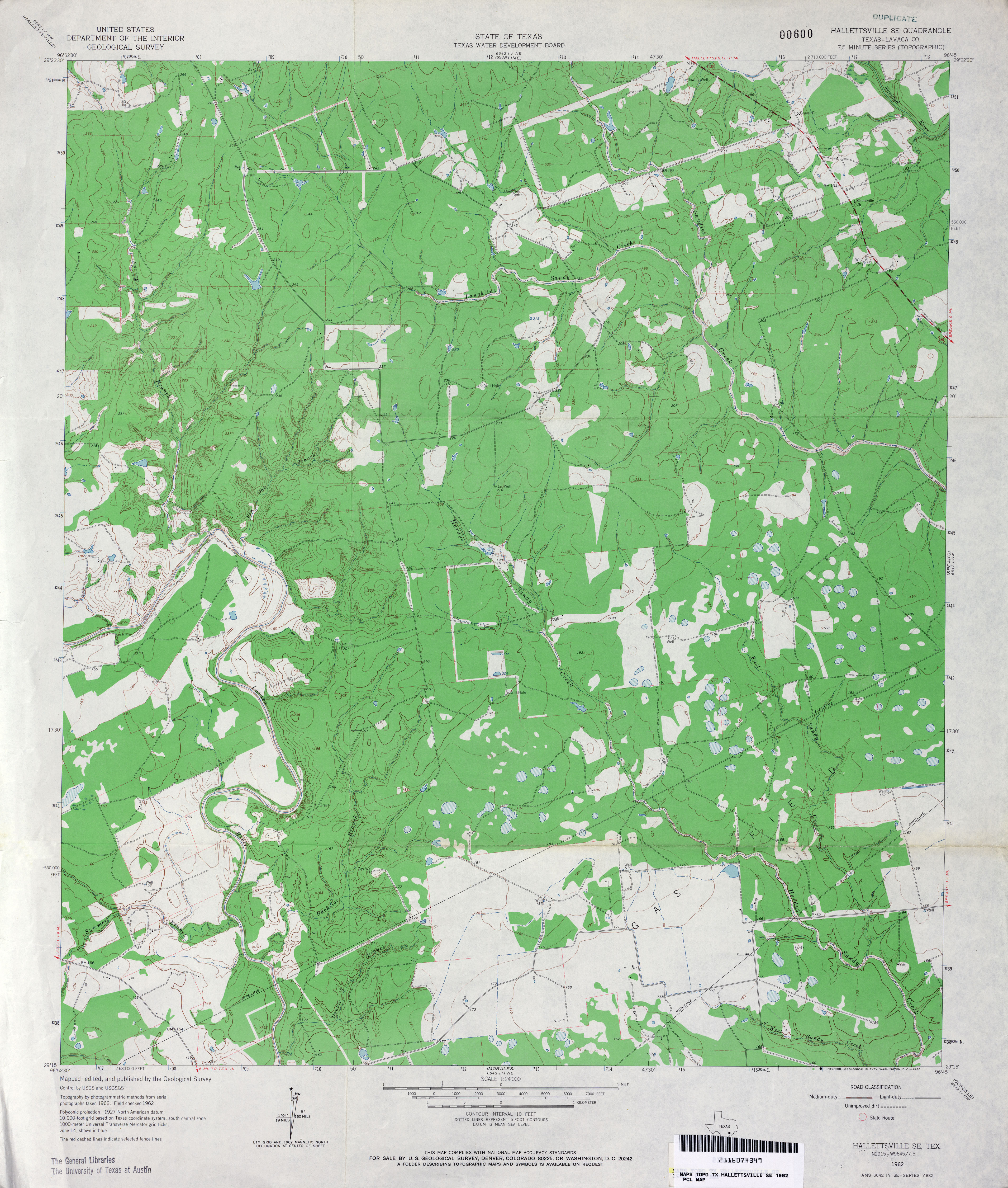
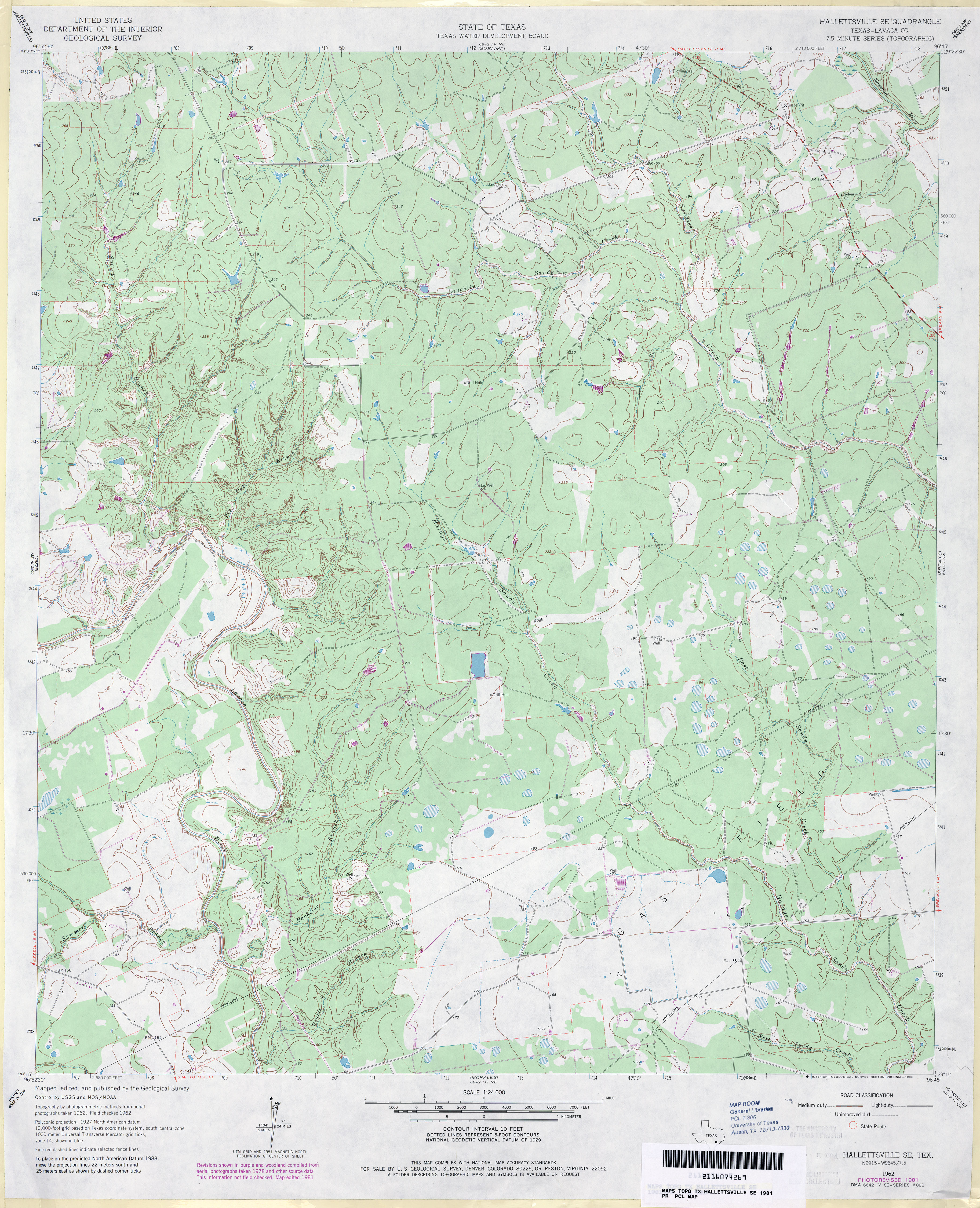
- Hallettsville SE (Lavaca County) 1:24,000 1962 (3.8MB)
- Hallettsville SE (Lavaca County) 1:24,000 1981 (3.9MB)
- Hallettsville SE 1:24,000 2009 (18.4MB) [GeoPDF]
- Hallettsville SE 1:24,000 2013 (26.3MB) [GeoPDF]
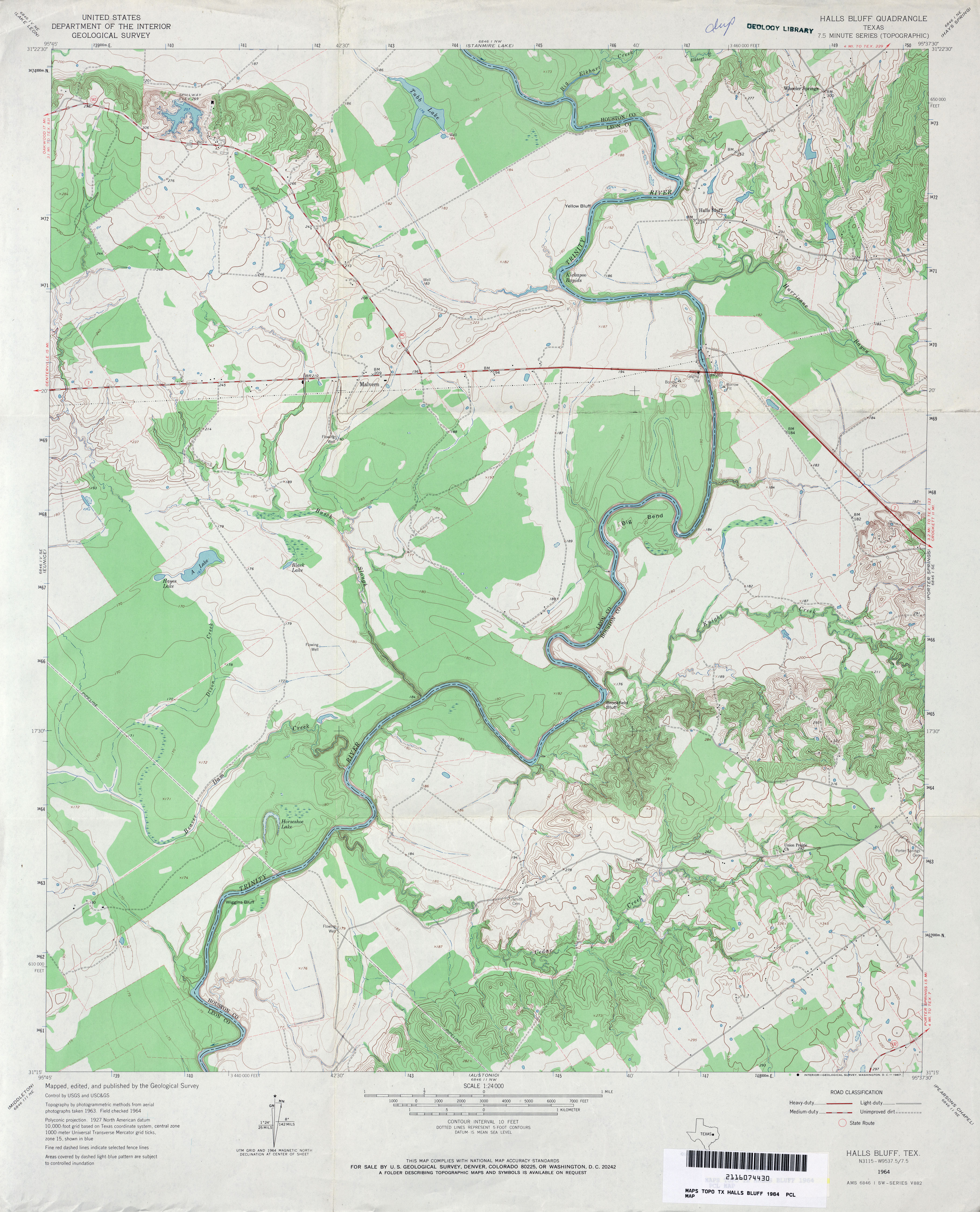
- Halls Bluff 1:24,000 1964 (3.7MB)
- Halls Bluff 1:24,000 1972 (3.5MB)
- Halls Bluff 1:24,000 2009 (18.3MB) [GeoPDF]
- Halls Bluff 1:24,000 2013 (21.8MB) [GeoPDF]
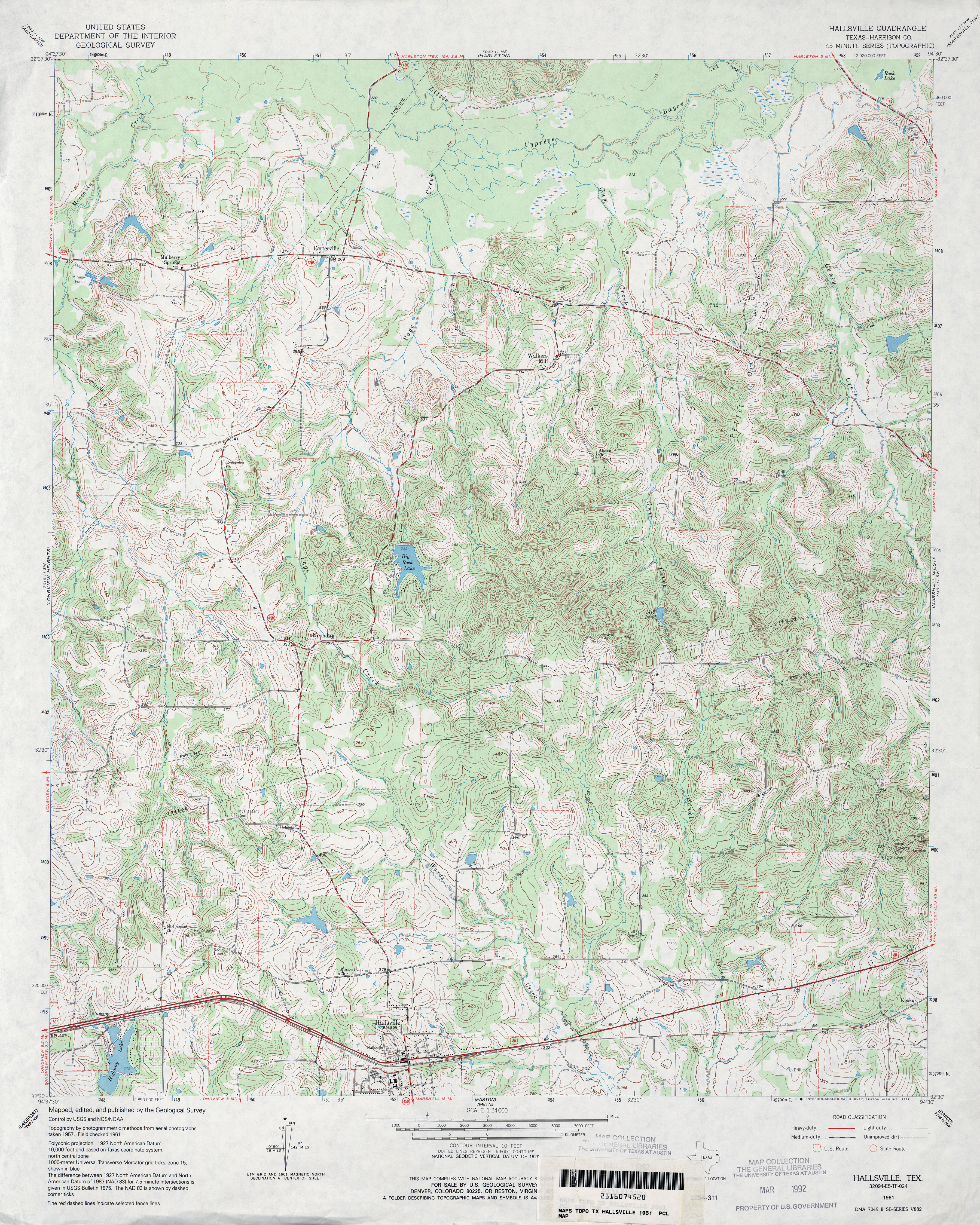
- Hallsville (Harrison County) 1:24,000 1961 (5.3MB)
- Hallsville 1:24,000 2008 (22.0MB) [GeoPDF]
- Hallsville 1:24,000 2013 (25.1MB) [GeoPDF]
- Halsell Ranch 1:24,000 1966 (4.9MB)
- Halsell Ranch 1:24,000 2008 (16.2MB) [GeoPDF]
- Halsell Ranch 1:24,000 2013 (24.4MB) [GeoPDF]
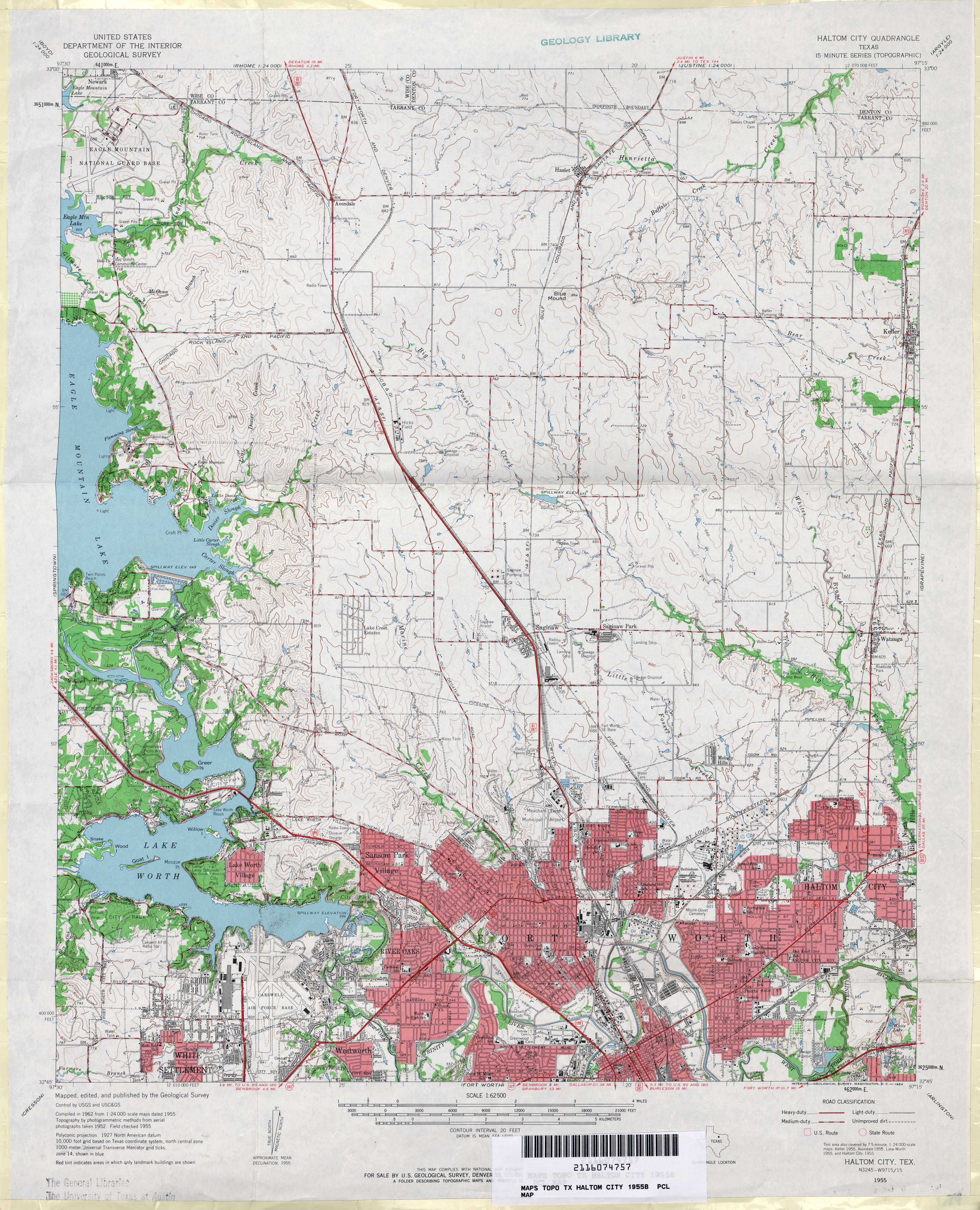
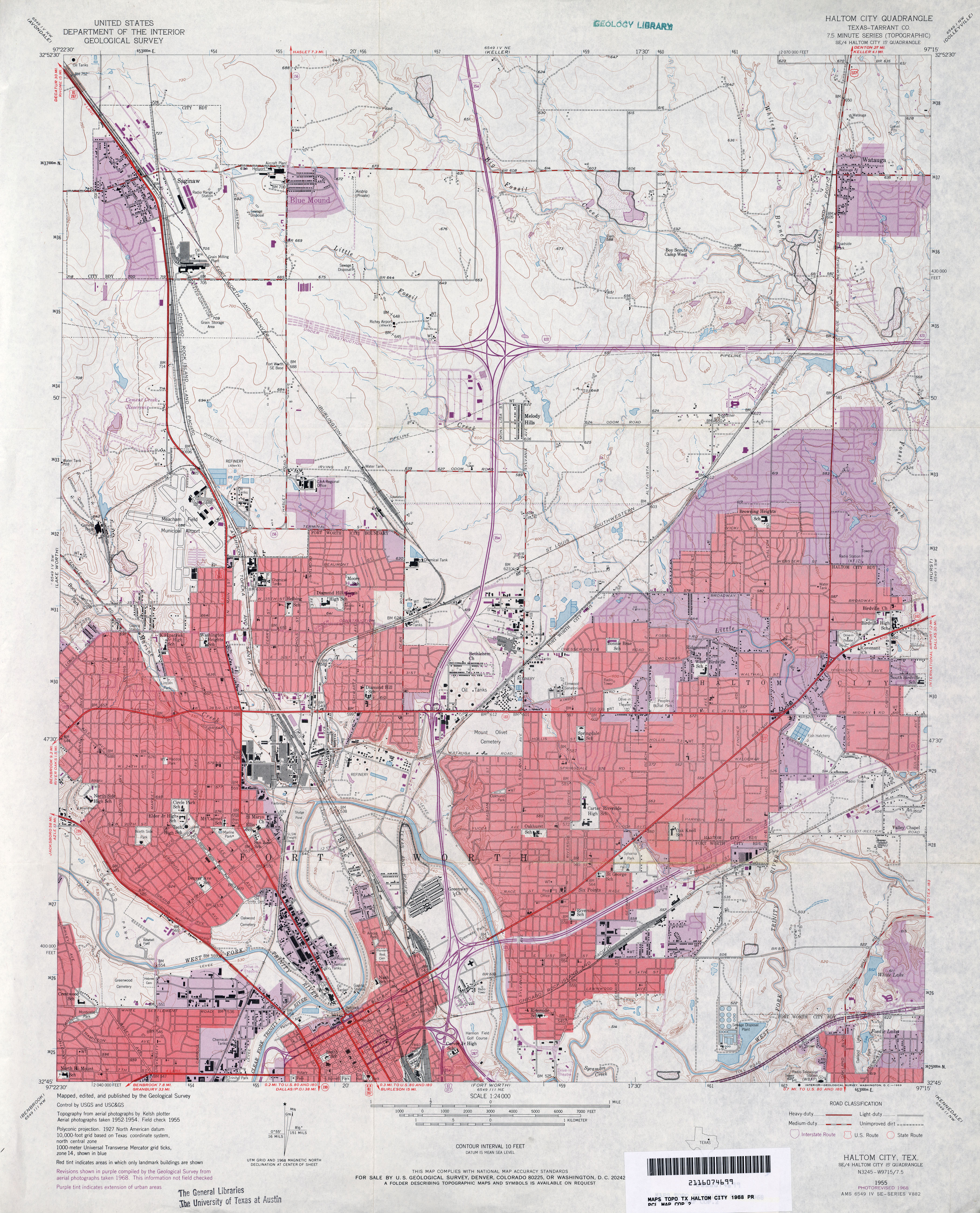
- Haltom City (Tarrant County) 1:24,000 1955 (4.8MB)
- Haltom City 1:62,500 1955 (4.6MB)
- Haltom City (Tarrant County) 1:24,000 1968 (4.3MB)
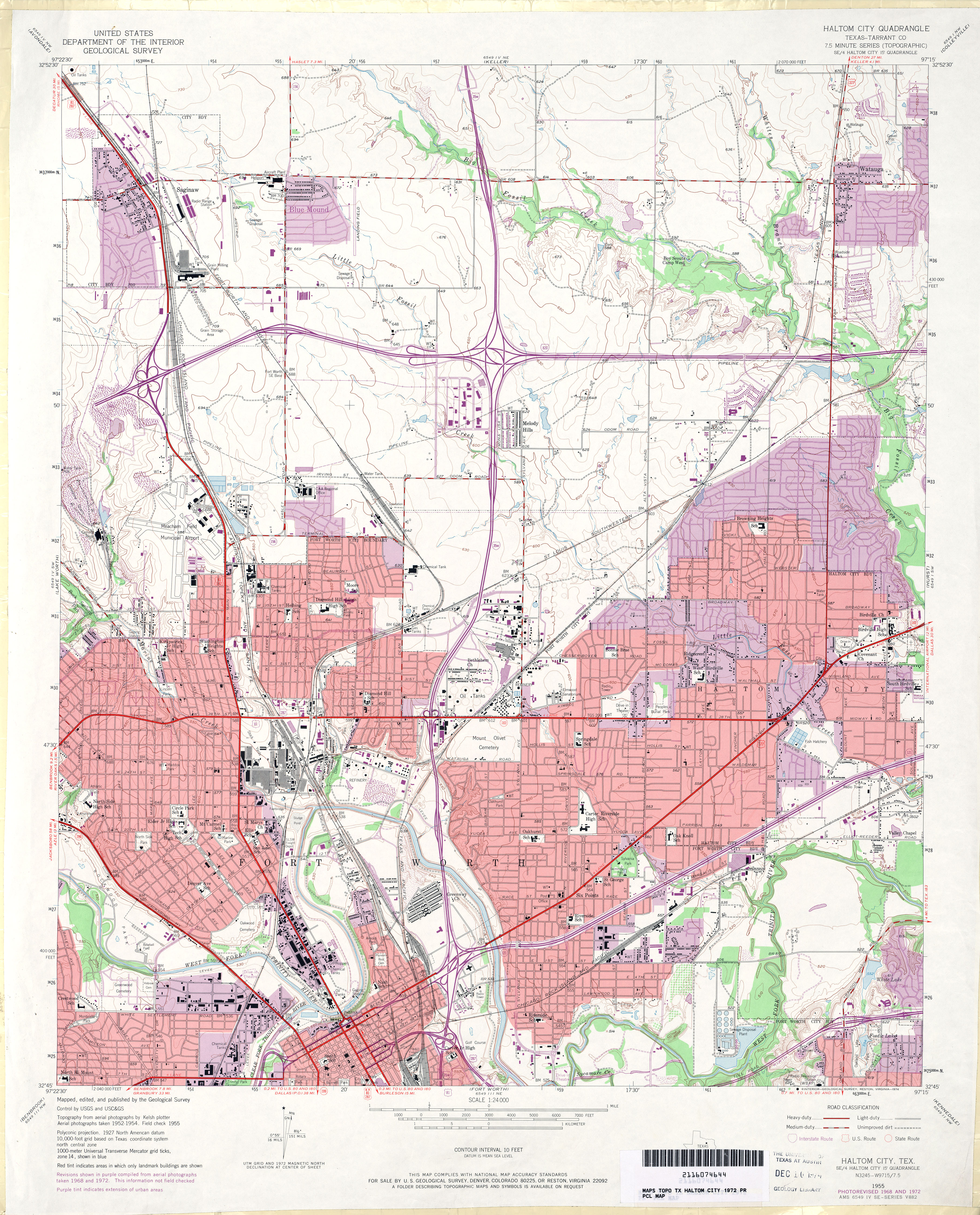
- Haltom City (Tarrant County) 1:24,000 1972 (4.5MB)
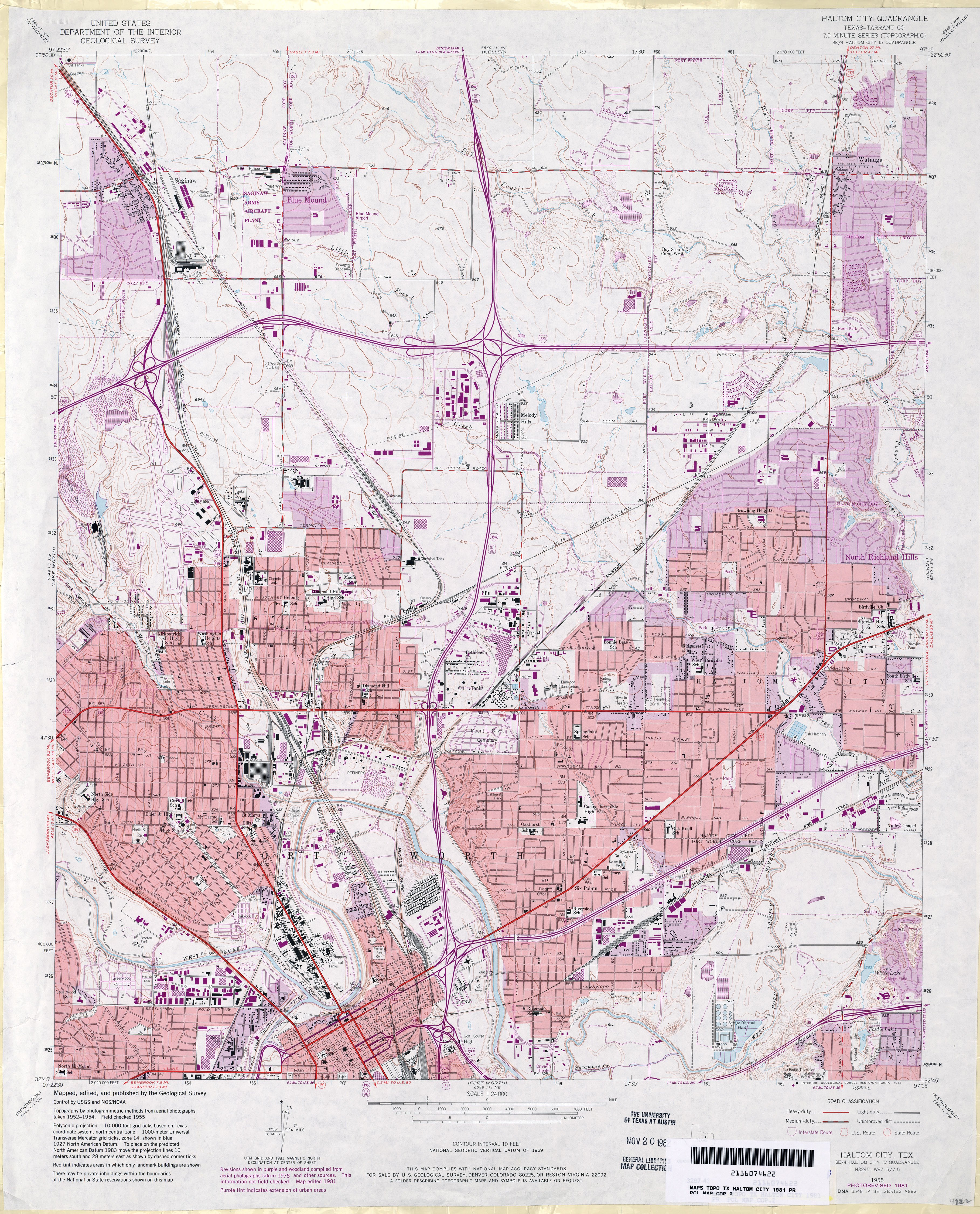
- Haltom City (Tarrant County) 1:24,000 1981 (4.8MB)
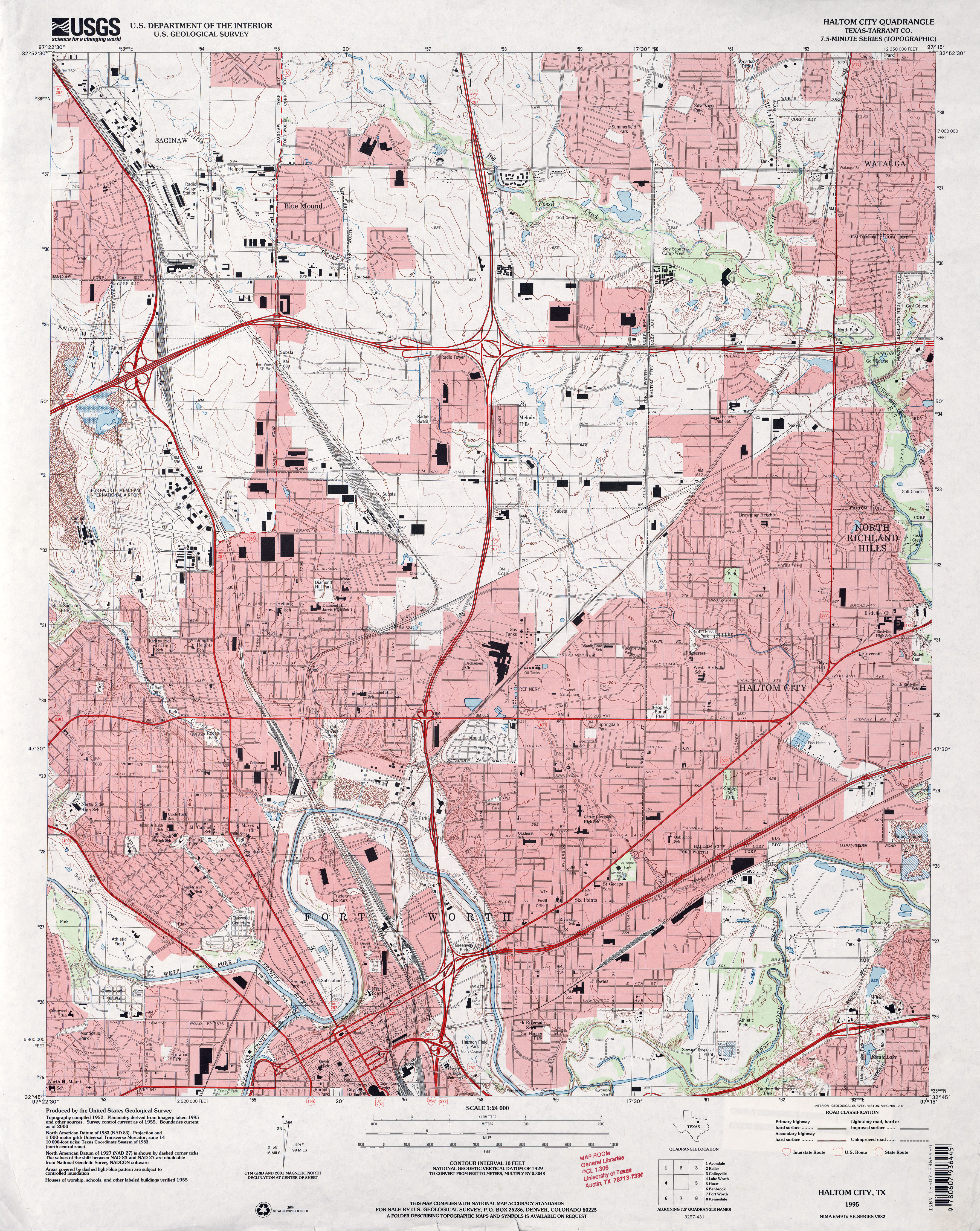
- Haltom City (Tarrant County) 1:24,000 1995 (5MB)
- Haltom City 1:24,000 2008 (20.6MB) [GeoPDF]
- Haltom City 1:24,000 2012 (25MB) [GeoPDF]
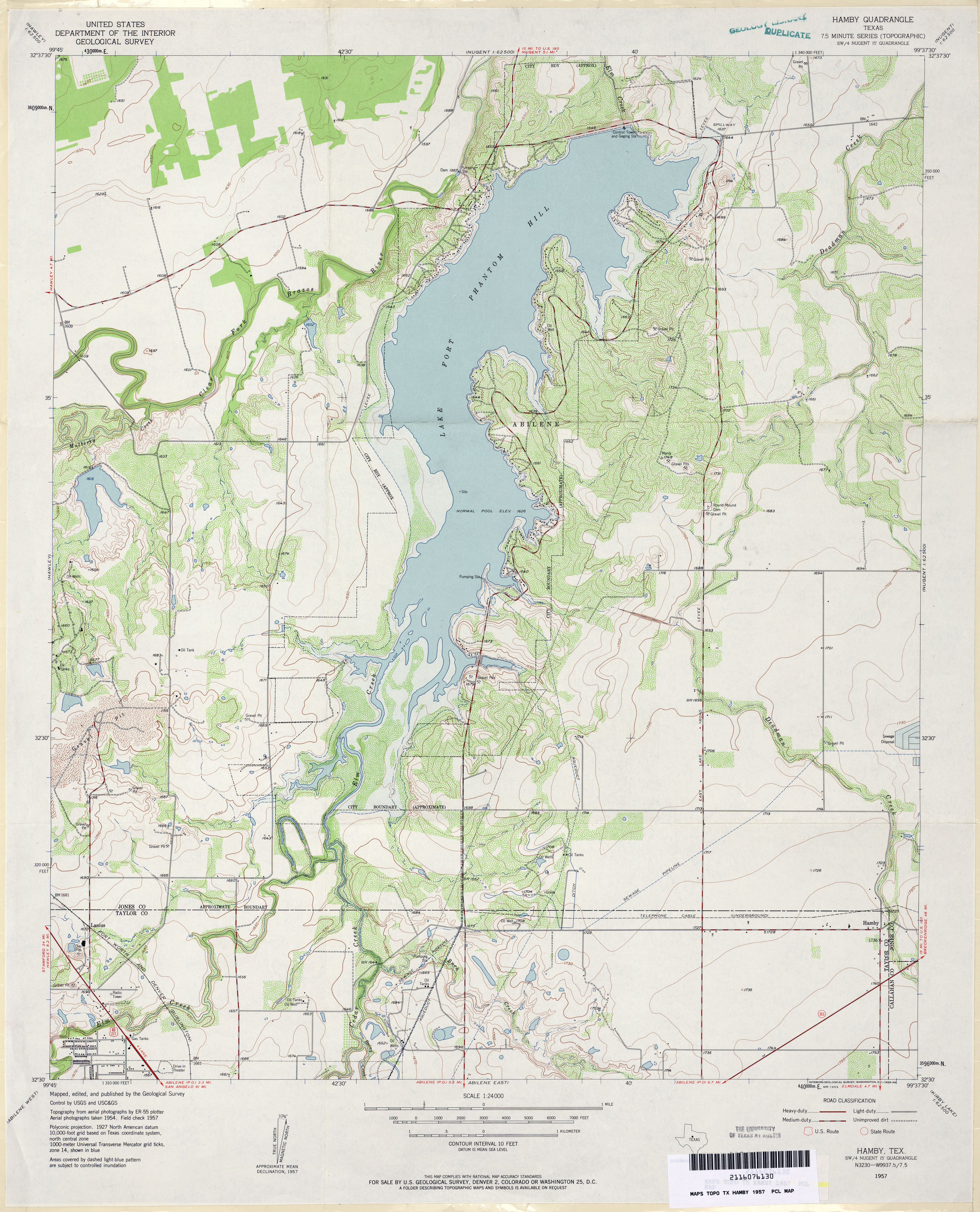
- Hamby 1:24,000 1957 (3.9MB)
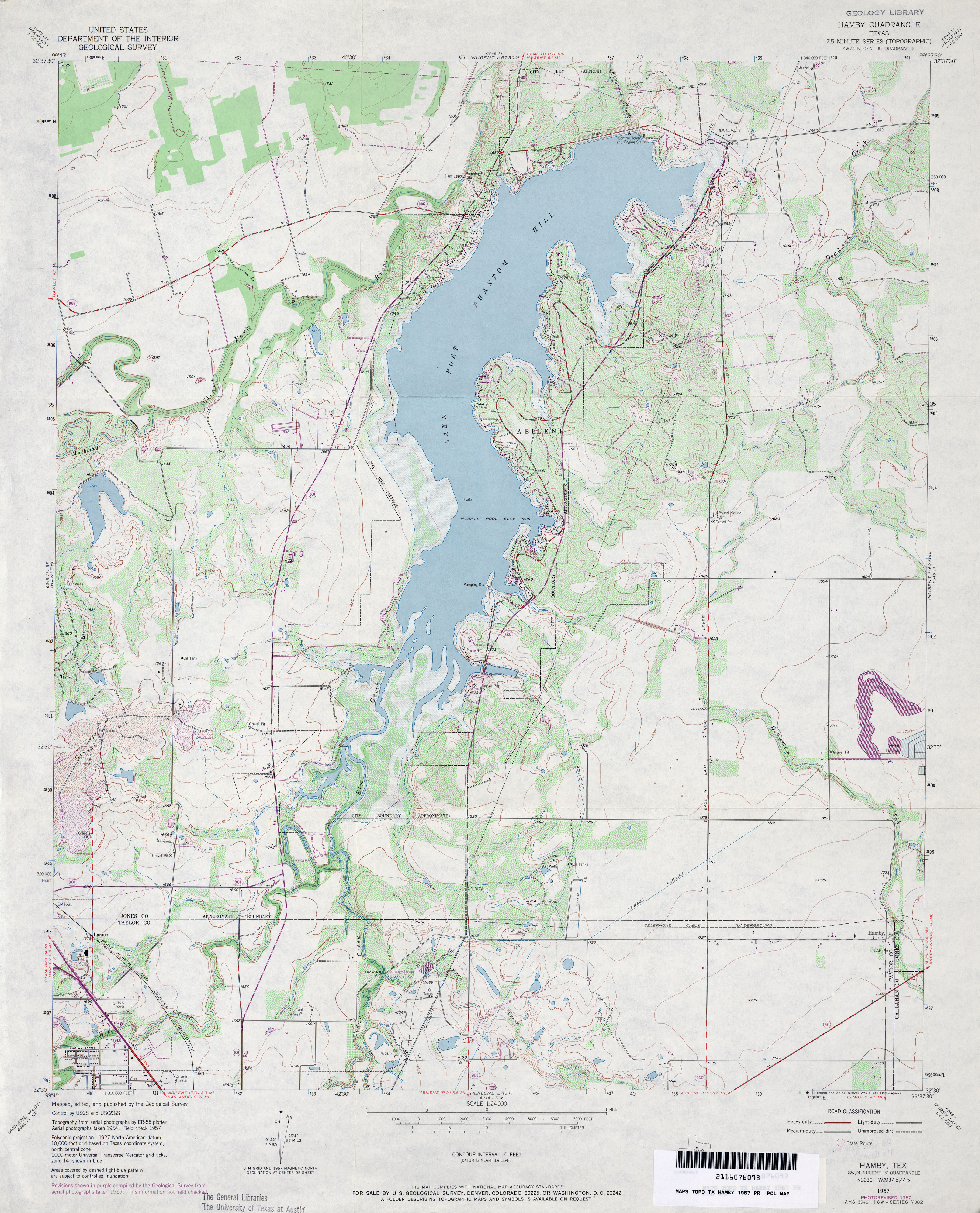
- Hamby 1:24,000 1967 (3.9MB)
- Hamby 1:24,000 1974 (3.6MB)
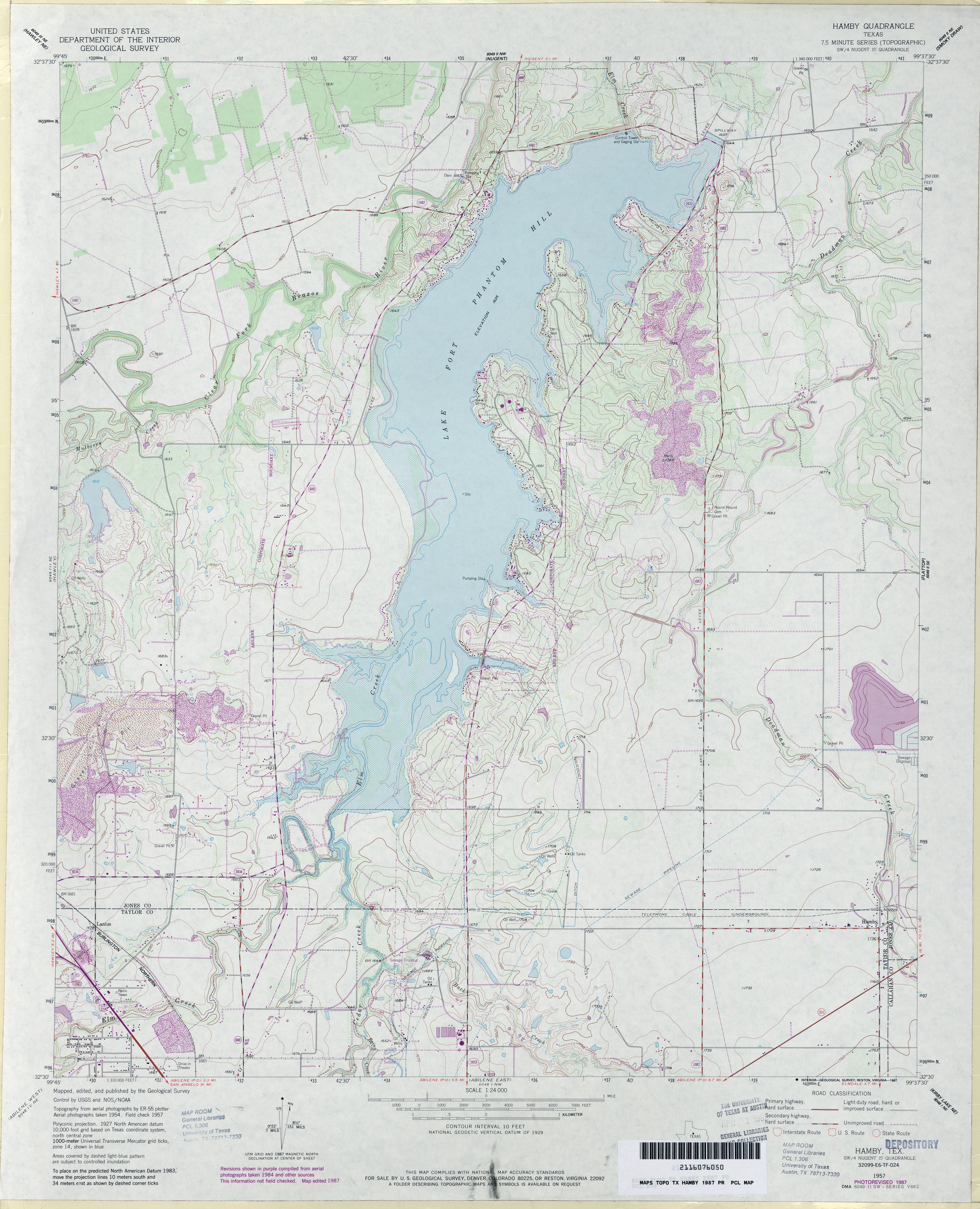
- Hamby 1:24,000 1987 (3.9MB)
- Hamby 1:24,000 2008 (13.0MB) [GeoPDF]
- Hamby 1:24,000 2012 (19.1MB) [GeoPDF]
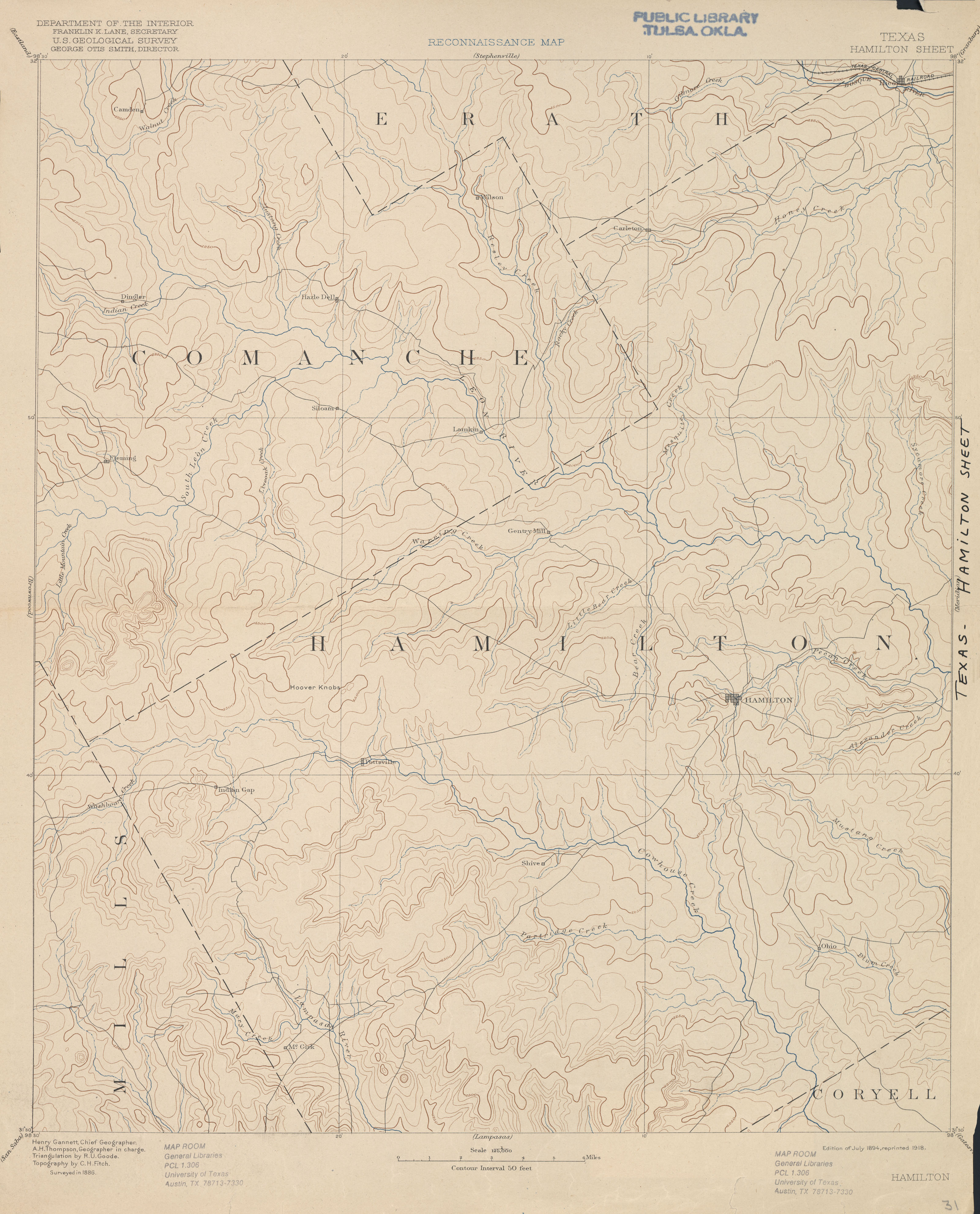
- Hamilton 1:125,000 1886 (2.4 MB)
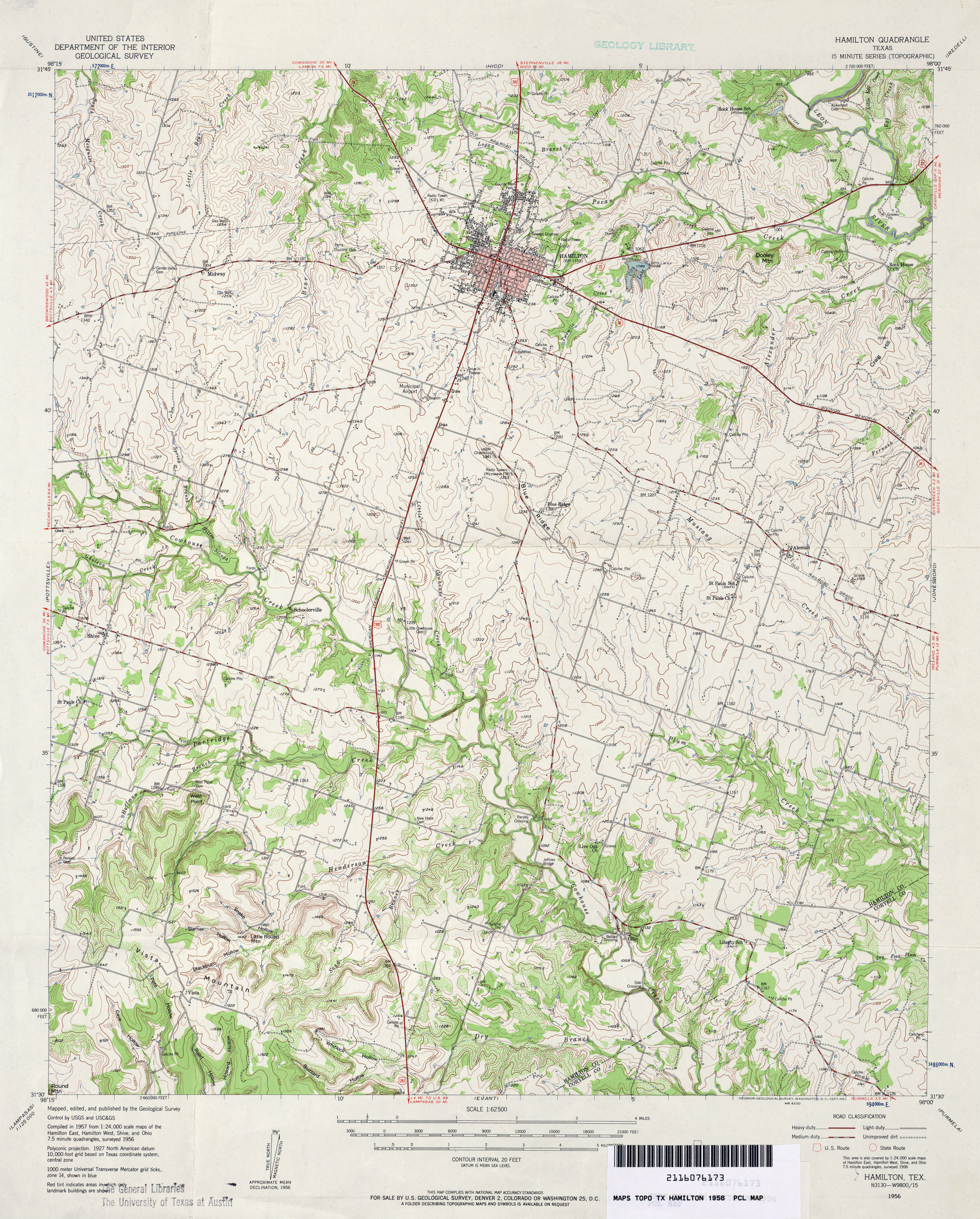
- Hamilton 1:62,500 1956 (5MB)
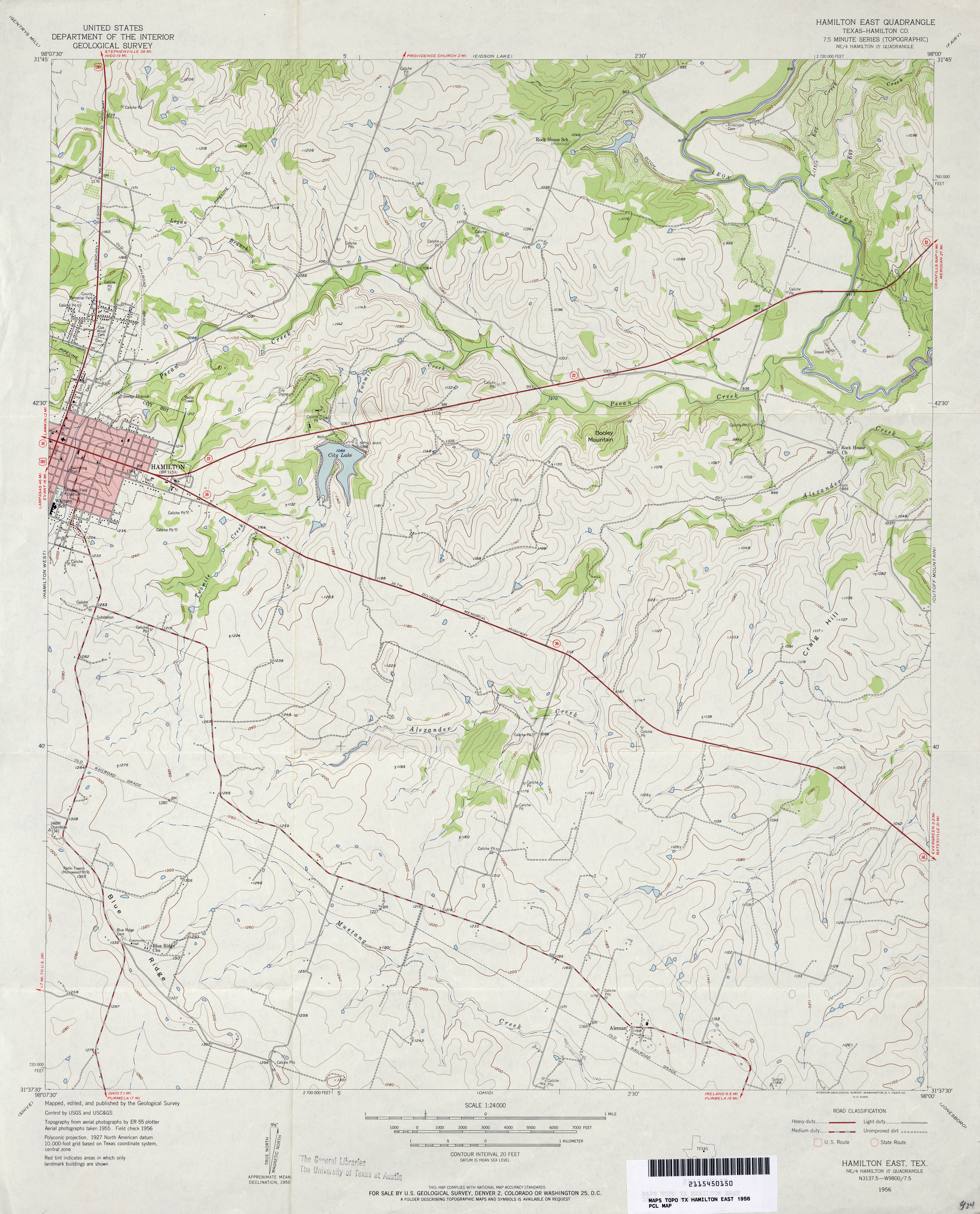
- Hamilton East (Hamilton County) 1:24,000 1956 (3.5MB)
- Hamilton East (Hamilton County) 1:24,000 1979 (3.5MB)
- Hamilton East 1:24,000 2008 (14.6MB) [GeoPDF]
- Hamilton East 1:24,000 2012 (20MB) [GeoPDF]
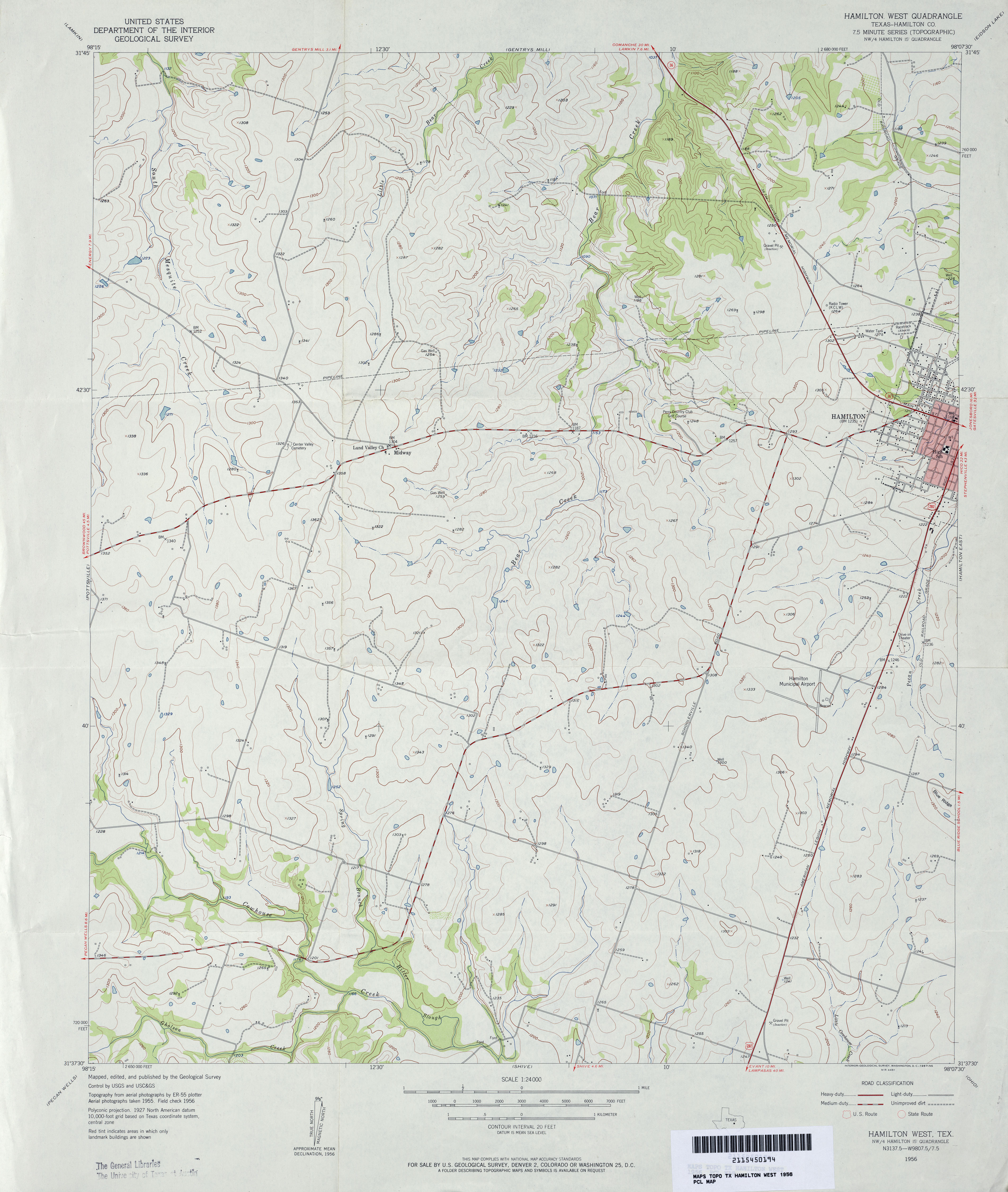
- Hamilton West (Hamilton County) 1:24,000 1956 (3.3MB)
- Hamilton West (Hamilton County) 1:24,000 1979 (3.3MB)
- Hamilton West 1:24,000 2008 (13.1MB) [GeoPDF]
- Hamilton West 1:24,000 2012 (17.4MB) [GeoPDF]
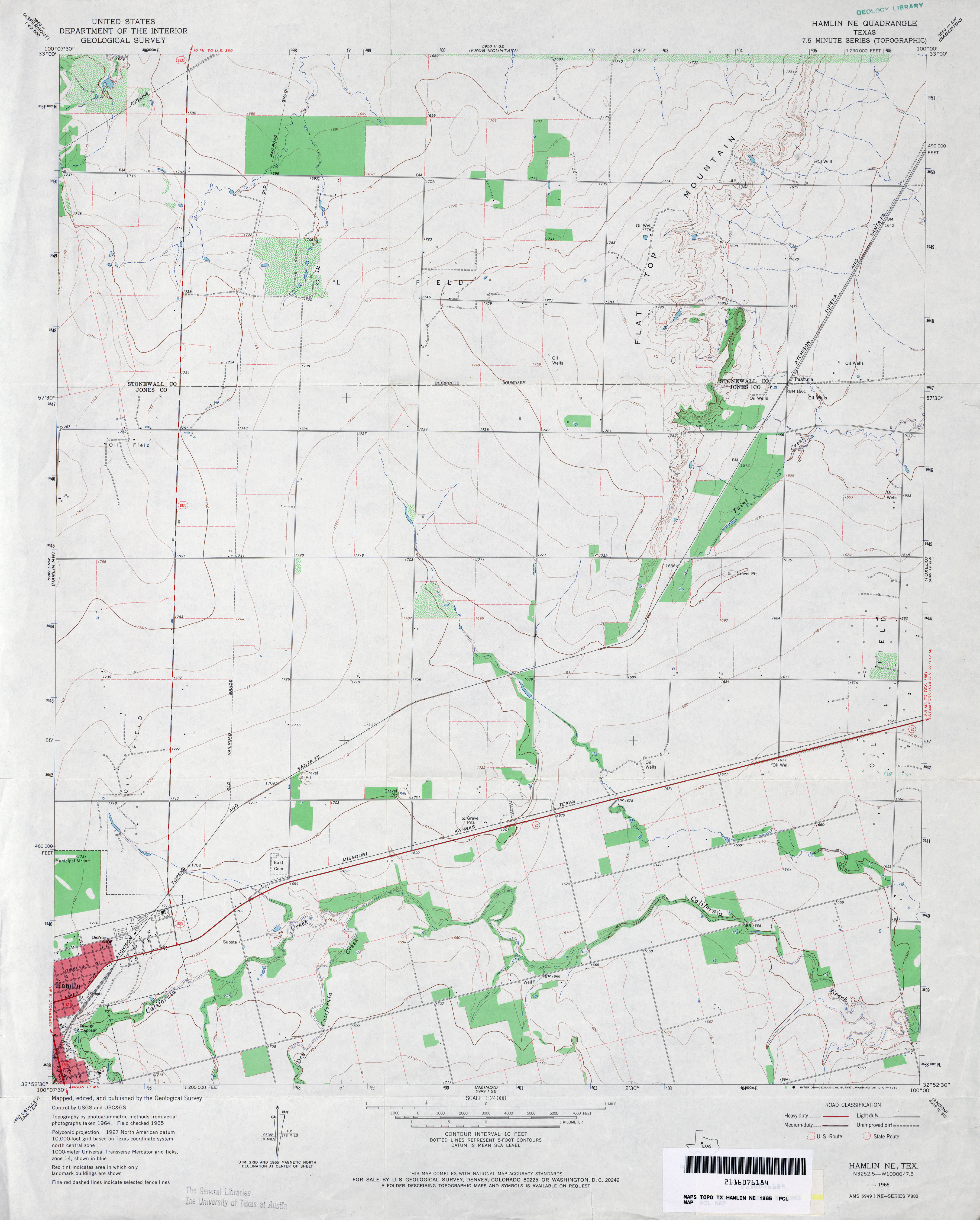
- Hamlin NE 1:24,000 1965 (2.7MB)
- Hamlin NE 1:24,000 2008 (9.8MB) [GeoPDF]
- Hamlin NE 1:24,000 2012 (16.8MB) [GeoPDF]
- Hamlin NW 1:24,000 1965 (3.2MB)
- Hamlin NW 1:24,000 2008 (12.2MB) [GeoPDF]
- Hamlin NW 1:24,000 2012 (19.7MB) [GeoPDF]
- Hammetts Crossing 1:24,000 1967 (4.6MB)
- Hammetts Crossing 1:24,000 1986 (5.1MB)
- Hammetts Crossing 1:24,000 2008 (19.6MB) [GeoPDF]
- Hammetts Crossing 1:24,000 2012 (29.8MB) [GeoPDF]
- Hammond 1:24,000 1962 (4.2MB)
- Hammond 1:24,000 1978 (4.3MB)
- Hammond 1:24,000 2008 (15.5MB) [GeoPDF]
- Hammond 1:24,000 2013 (21.5MB) [GeoPDF]
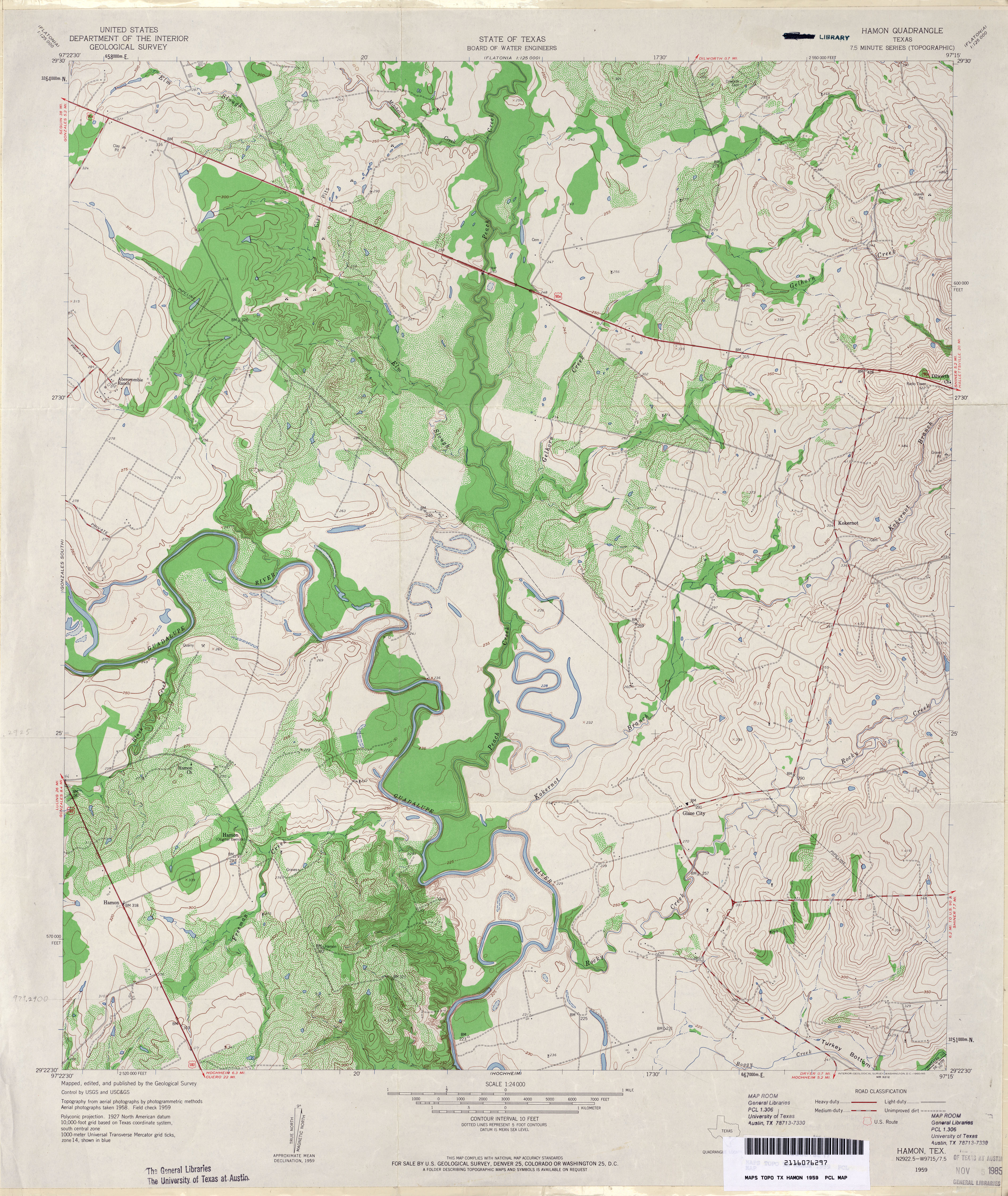
- Hamon 1:24,000 1959 (4.4MB)
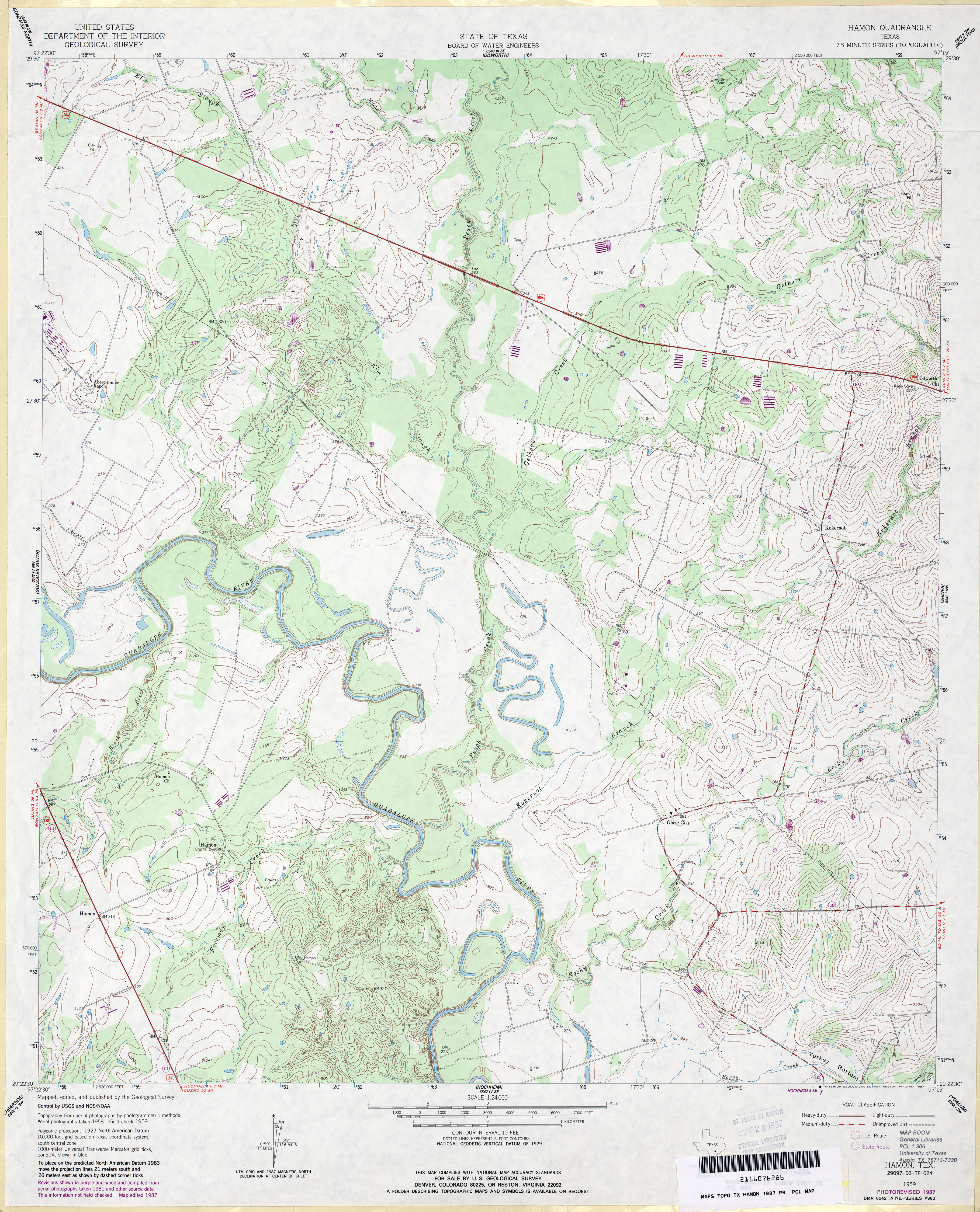
- Hamon 1:24,000 1987 (4MB)
- Hamon 1:24,000 2008 (13.0MB) [GeoPDF]
- Hamon 1:24,000 2013 (24.2MB) [GeoPDF]
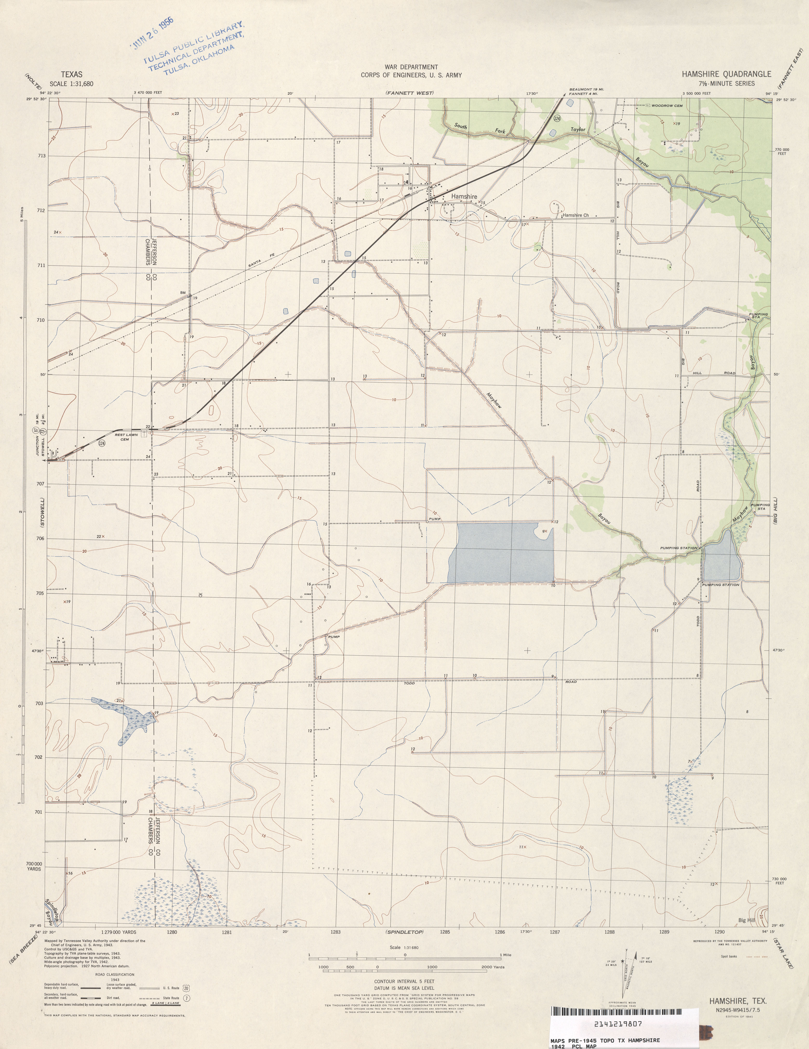
- Hamshire 1:31,680 1943 (2.0 MB) Tennessee Valley Authority
- Hamshire 1:25,000 1948 (2.8MB) Army Map Service, Series V882
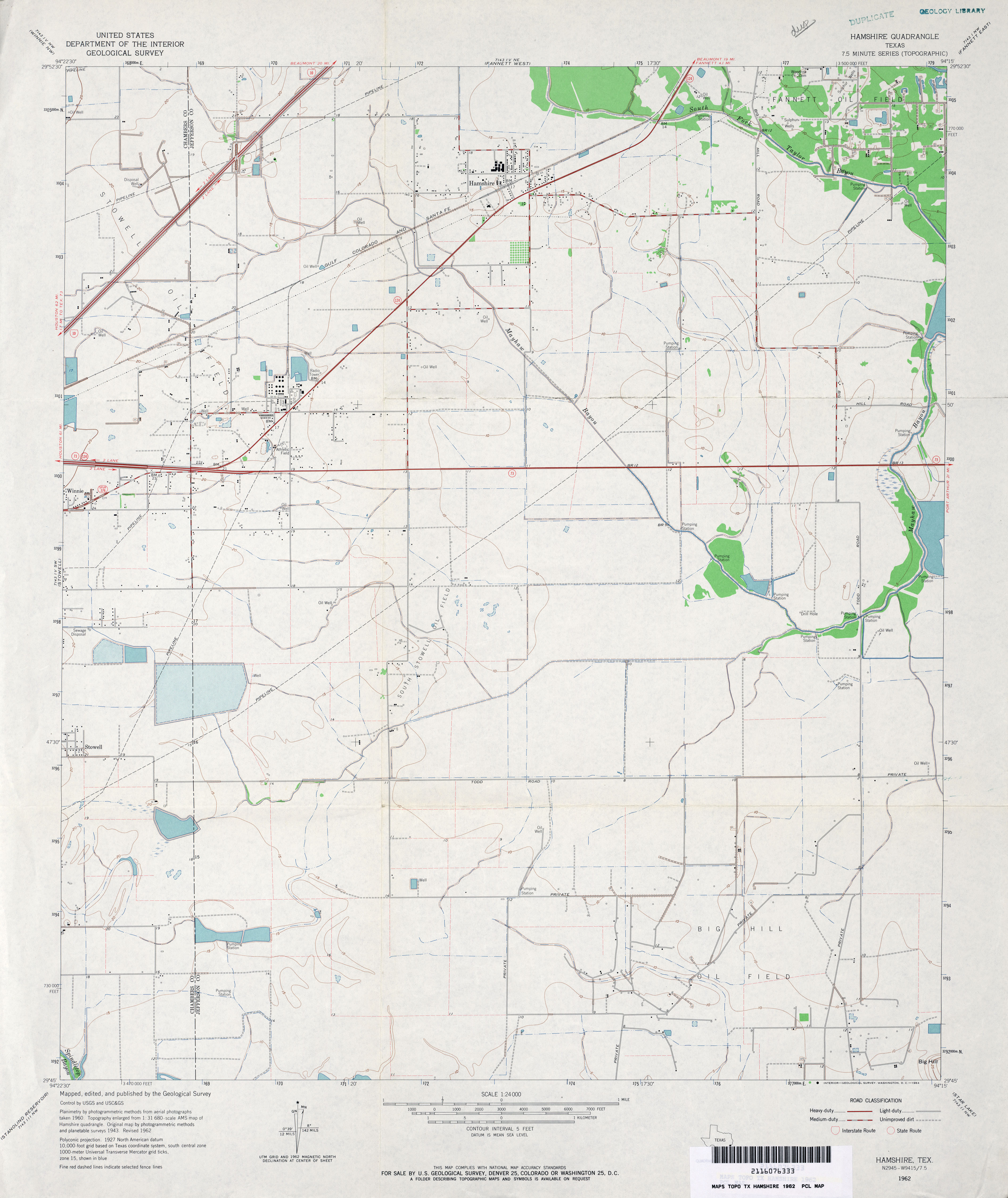
- Hamshire 1:24,000 1962 (2.8MB)
- Hamshire 1:24,000 1974 (2.7MB)
- Hamshire 1:24,000 1994 (3.2MB)
- Hamshire 1:24,000 2009 (15.6MB) [GeoPDF]
- Hamshire 1:24,000 2013 (18MB) [GeoPDF]
- Hancock (Dawson County) 1:24,000 1968 (3.8MB)
- Hancock 1:24,000 2008 (14.5MB) [GeoPDF]
- Hancock 1:24,000 2012 (20.1MB) [GeoPDF]
- Hankamer 1:31,680 1942 (2.8MB) Tennessee Valley Authority
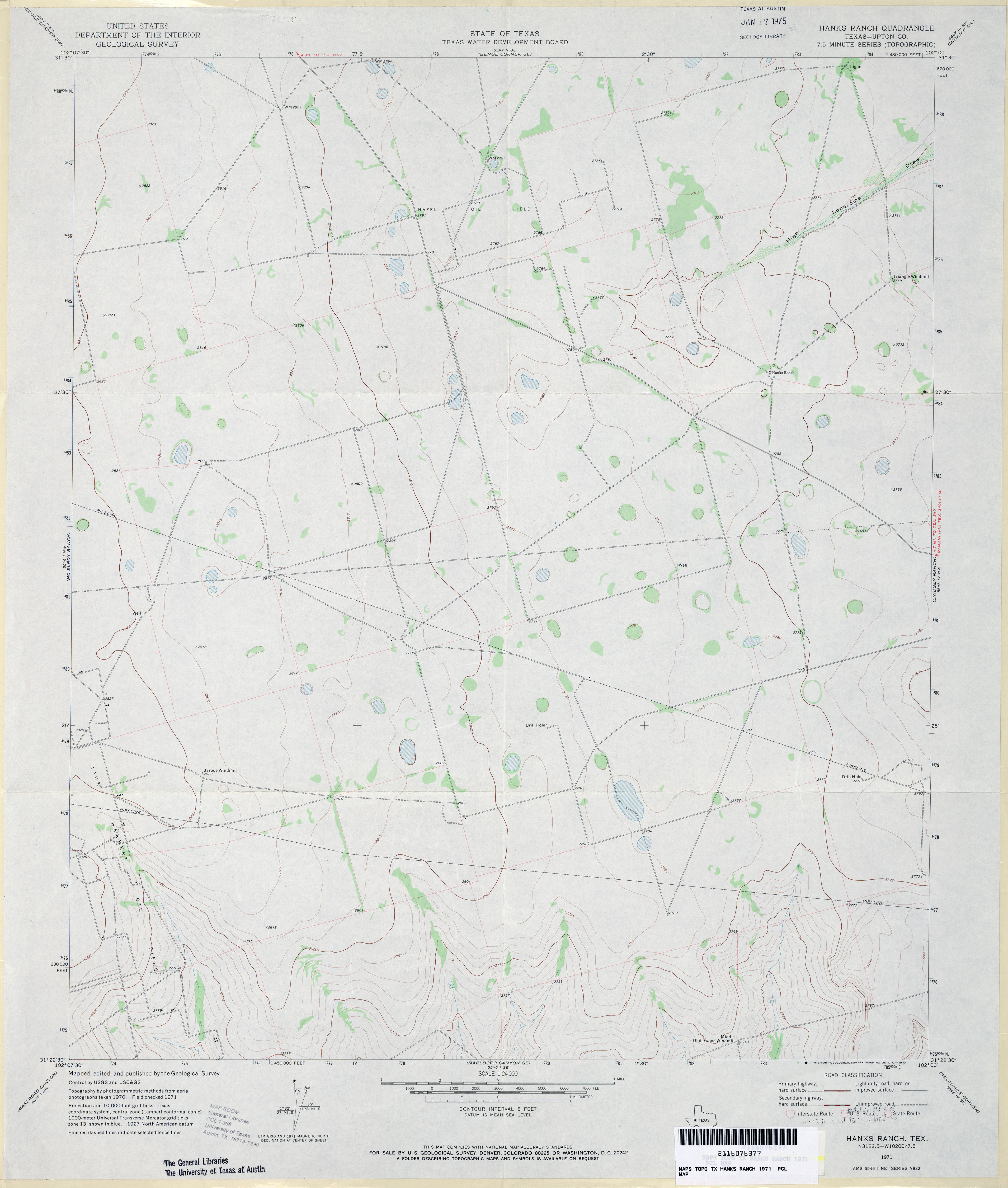
- Hanks Ranch (Upton County) 1:24,000 1971 (2.5MB)
- Hanks Ranch 1:24,000 2008 (18.8MB) [GeoPDF]
- Hanks Ranch 1:24,000 2013 (23.1MB) [GeoPDF]
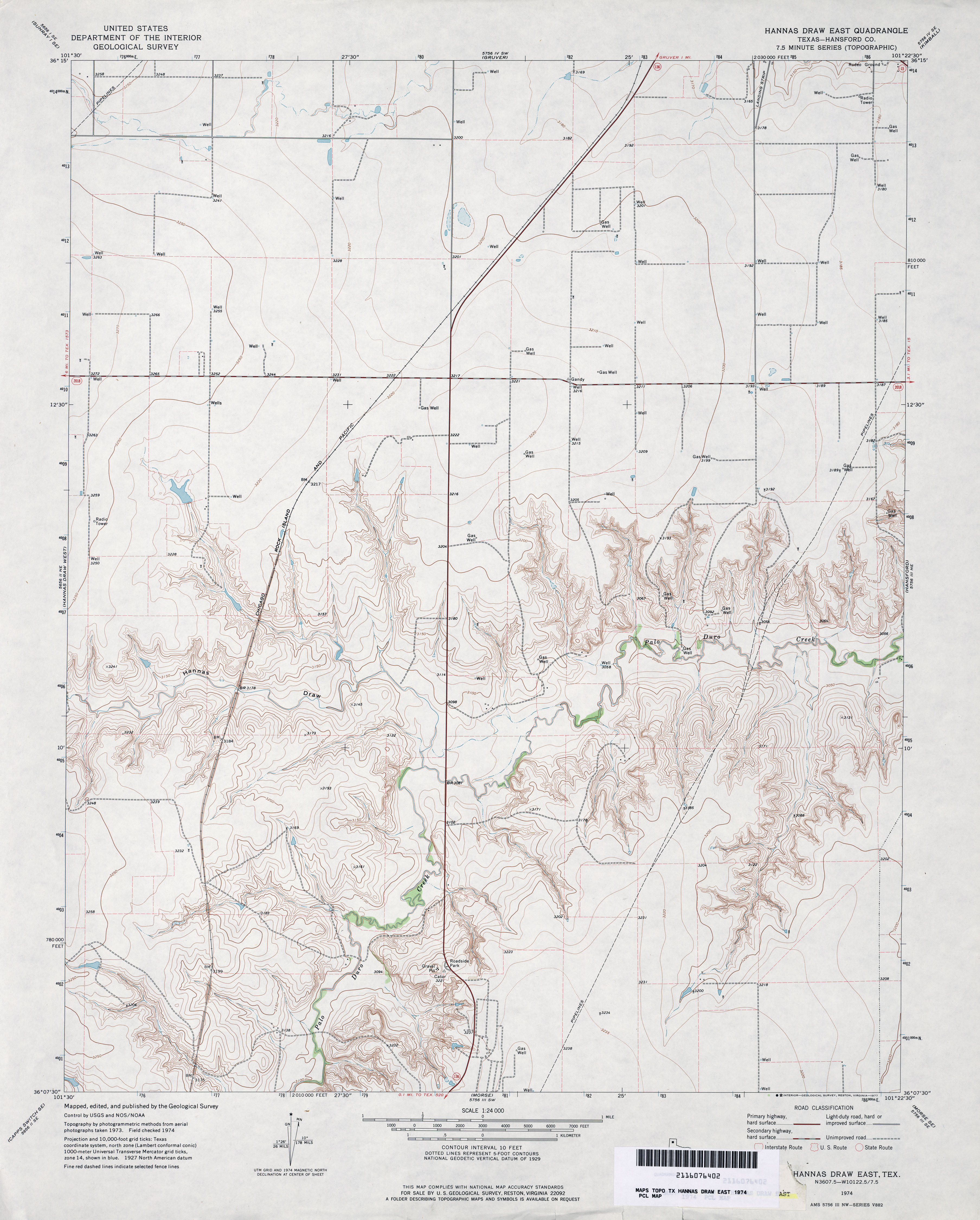
- Hannas Draw East (Hansford County) 1:24,000 1974 (3.3MB)
- Hannas Draw East 1:24,000 2008 (10.4MB) [GeoPDF]
- Hannas Draw East 1:24,000 2012 (17.1MB) [GeoPDF]
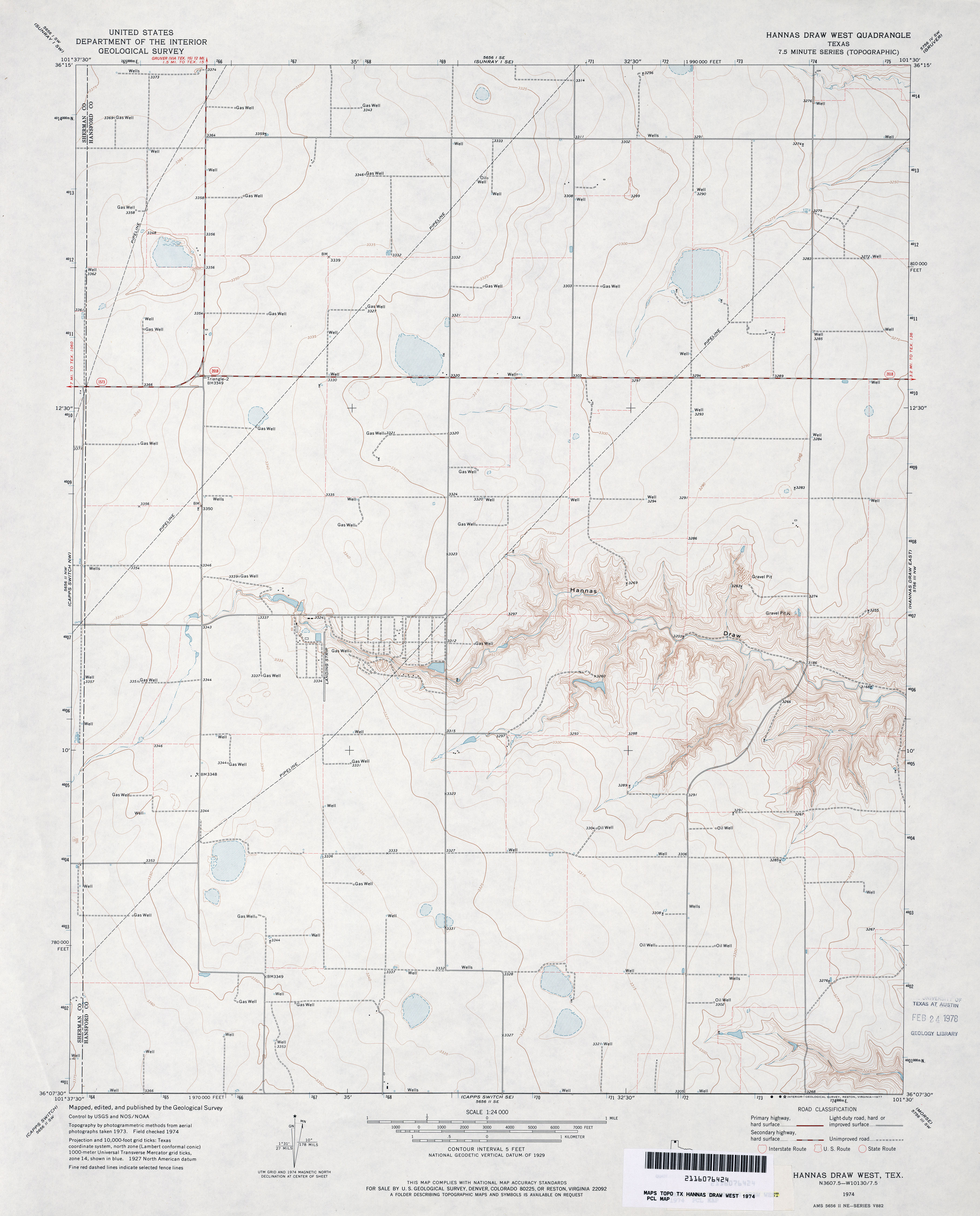
- Hannas Draw West 1:24,000 1974 (2.6MB)
- Hannas Draw West 1:24,000 2008 (8.6MB) [GeoPDF]
- Hannas Draw West 1:24,000 2012 (15.6MB) [GeoPDF]
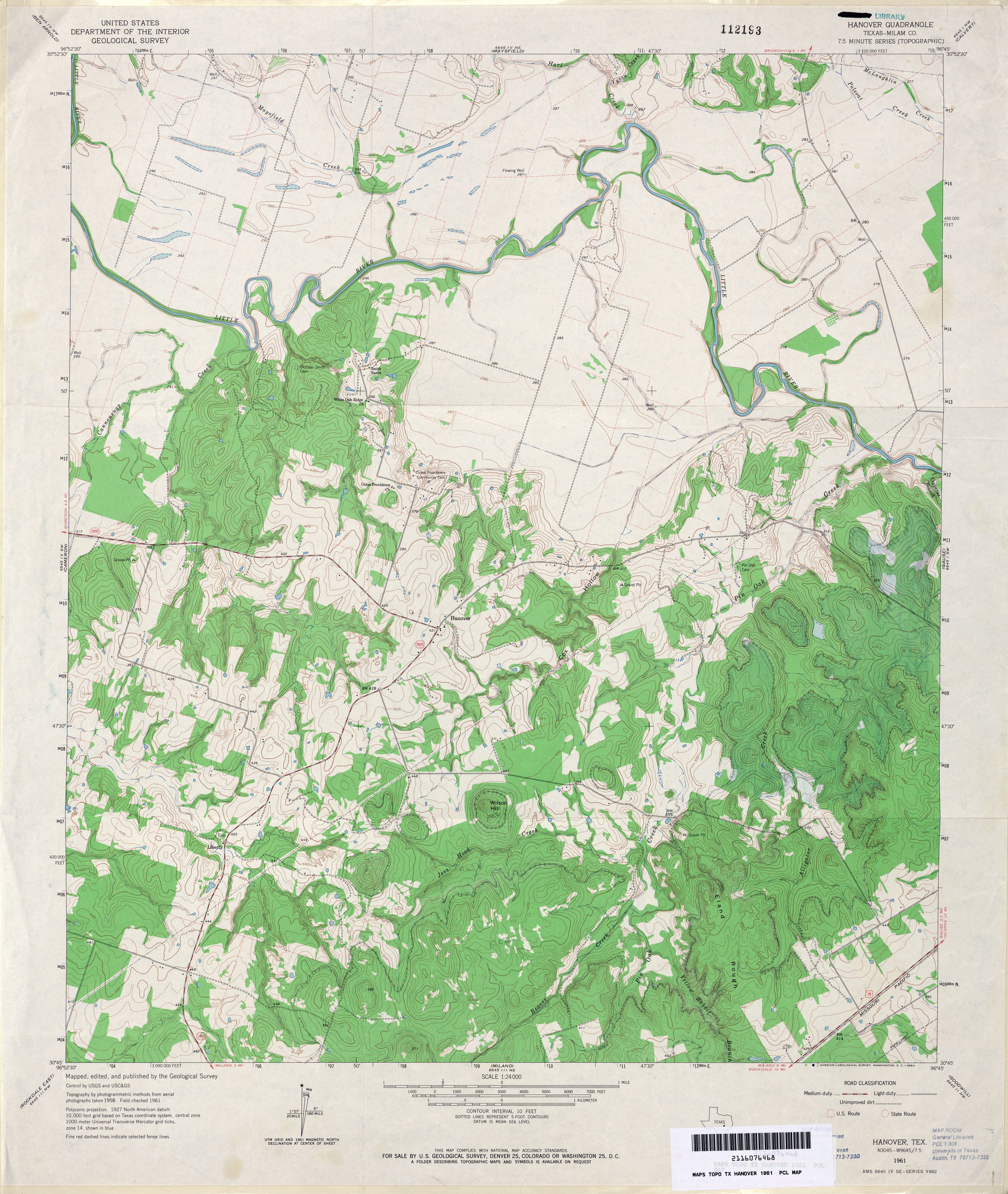
- Hanover (Milam County) 1:24,000 1961 (4.1MB)
- Hanover (Milam County) 1:24,000 1989 (4.2MB)
- Hanover 1:24,000 2008 (14.8MB) [GeoPDF]
- Hanover 1:24,000 2013 (22.3MB) [GeoPDF]
- Hansford (Hansford County) 1:24,000 1962 (3.5MB)
- Hansford 1:24,000 2008 (10.7MB) [GeoPDF]
- Hansford 1:24,000 2012 (16.8MB) [GeoPDF]
- Hansford Camp 1:24,000 1962 (3.4MB)
- Hansford Camp 1:24,000 1974 (3.1MB)
- Hansford Camp 1:24,000 2008 (9.3MB) [GeoPDF]
- Hansford Camp 1:24,000 2012 (16.4MB) [GeoPDF]
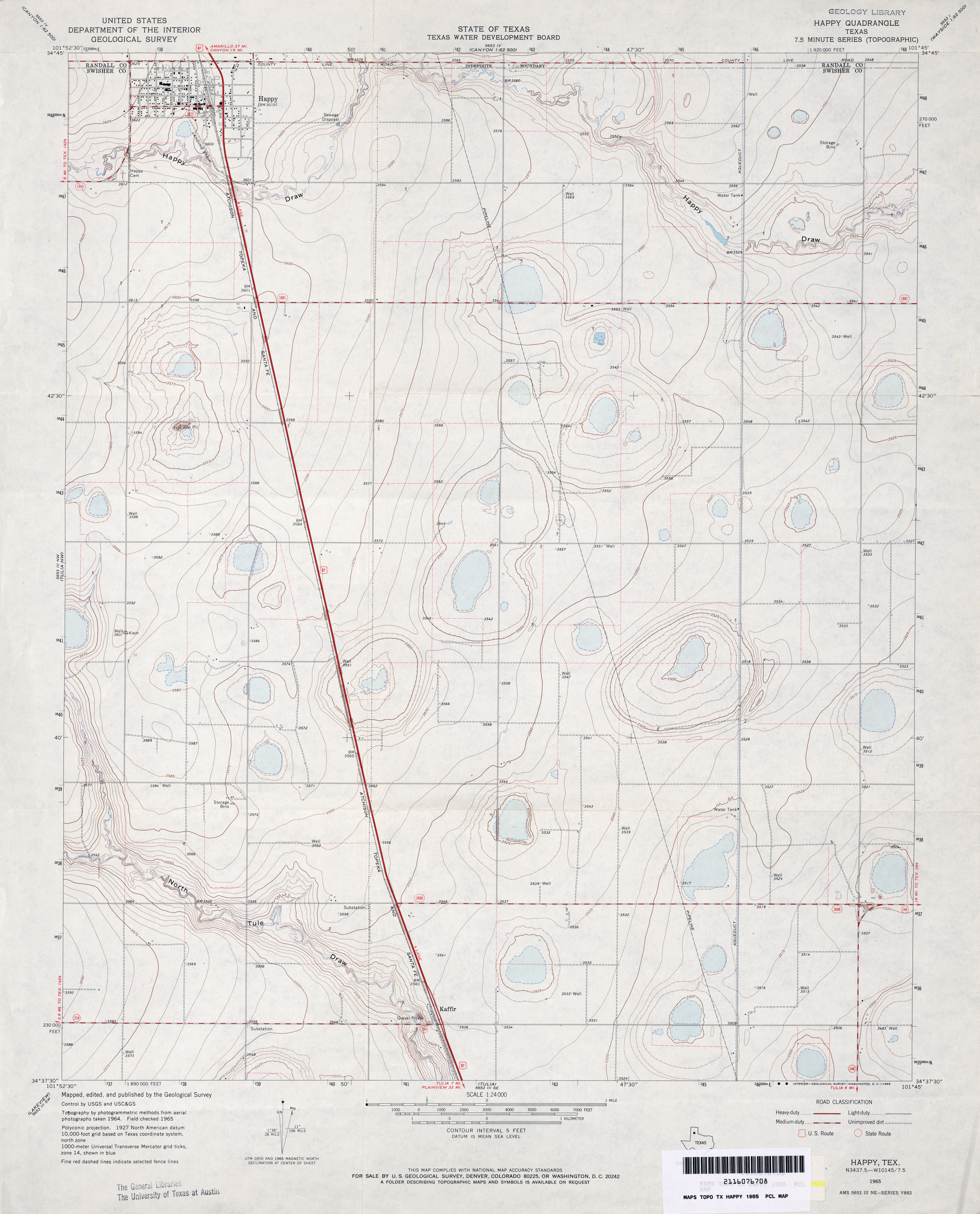
- Happy 1:24,000 1965 (2.9MB)
- Happy 1:24,000 2008 (7.6MB) [GeoPDF]
- Happy 1:24,000 2012 (14.7MB) [GeoPDF]
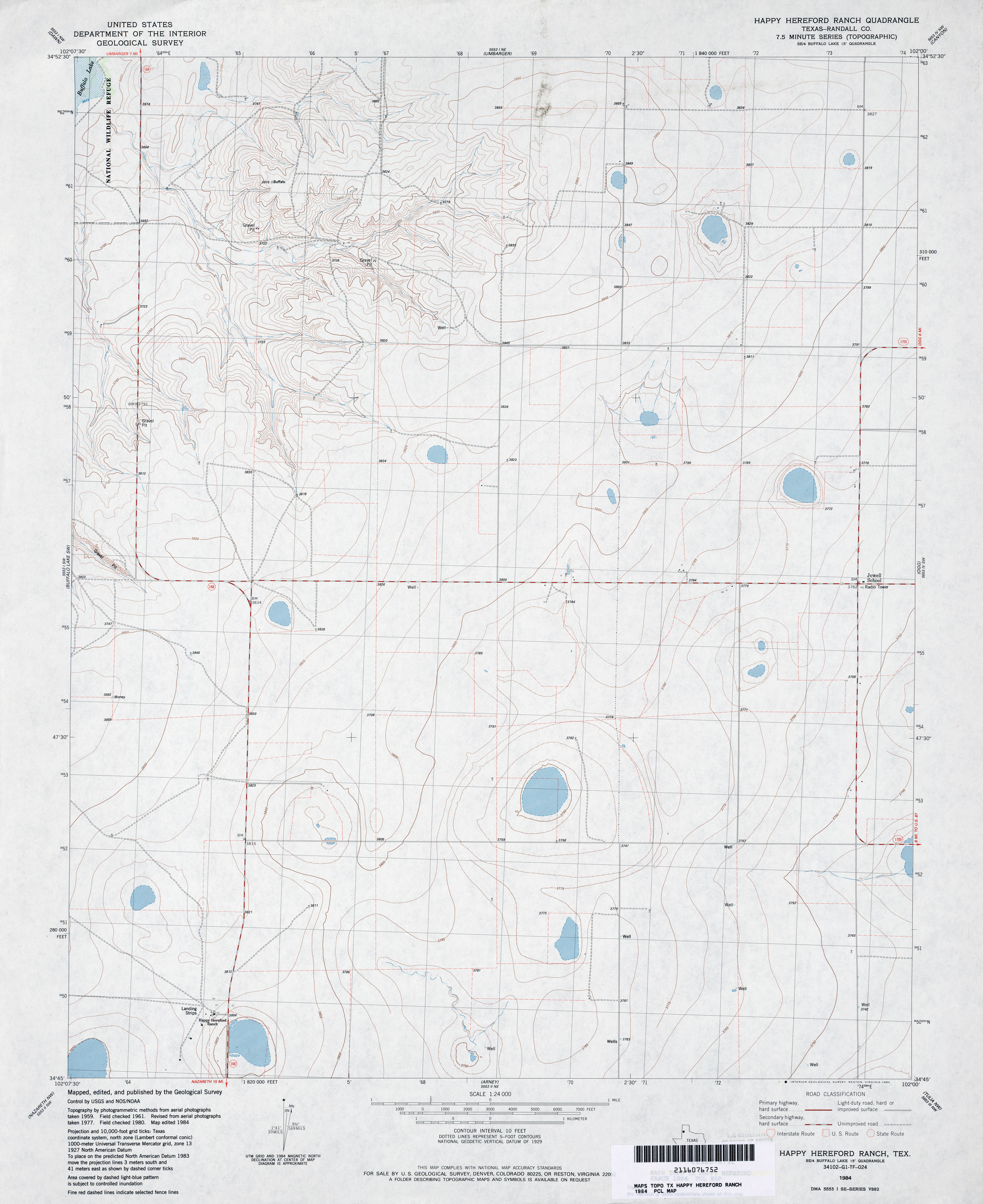
- Happy Hereford Ranch (Randall County) 1:24,000 1984 (3MB)
- Happy Hereford Ranch 1:24,000 2008 (8.2MB) [GeoPDF]
- Happy Hereford Ranch 1:24,000 2012 (13.2MB) [GeoPDF]
- Happy Union (Hale County) 1:24,000 1968 (2.7MB)
- Happy Union 1:24,000 2008 (9.8MB) [GeoPDF]
- Happy Union 1:24,000 2012 (14.9MB) [GeoPDF]
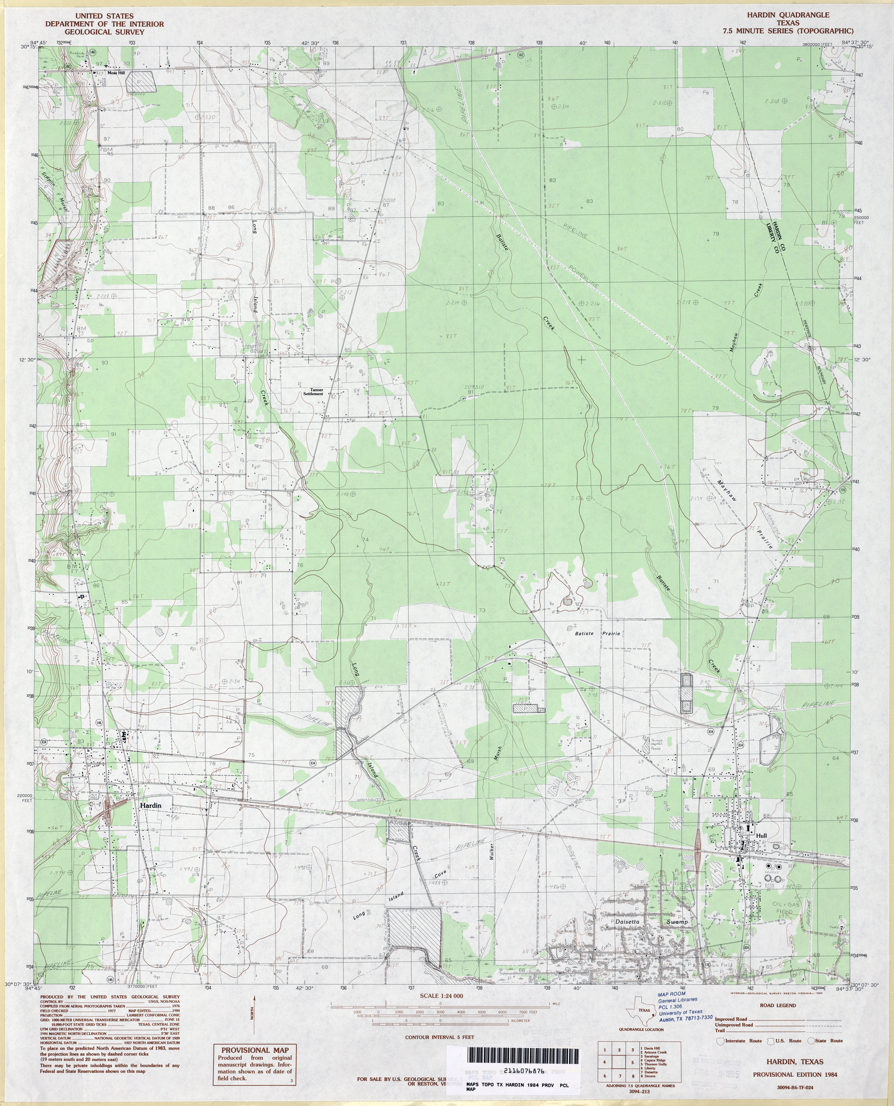
- Hardin 1:24,000 1984 (3.2MB)
- Hardin 1:24,000 2009 (19.5MB) [GeoPDF]
- Hardin 1:24,000 2013 (20.1MB) [GeoPDF]
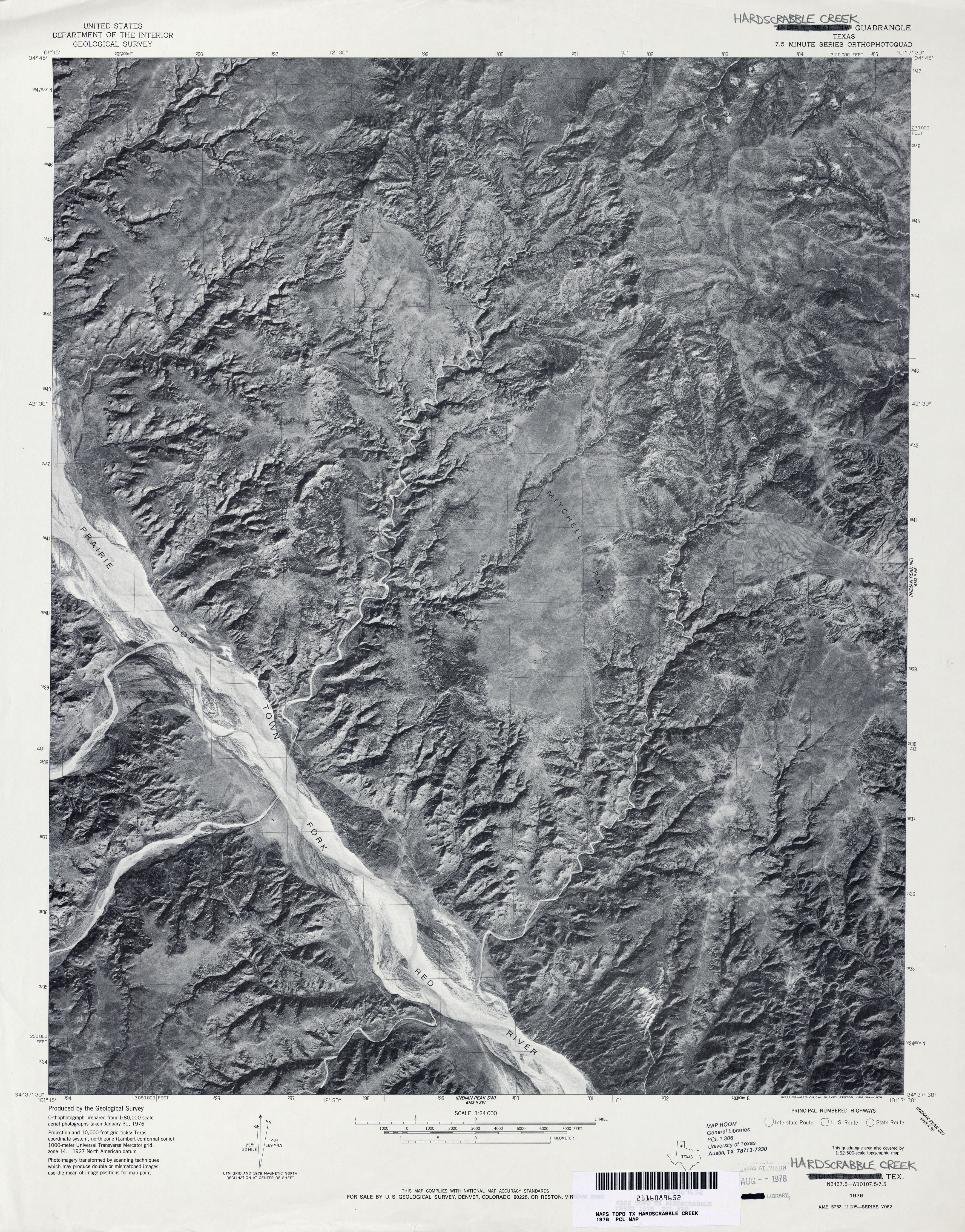
- Hardscrabble Creek 1:24,000 1976 (4MB) 7.5 Minute Series Orthophotoquad.
- Hardscrabble Creek 1:24,000 1985 (6.4MB)
- Hardscrabble Creek 1:24,000 2008 (24.5MB) [GeoPDF]
- Hardscrabble Creek 1:24,000 2012 (30.4MB) [GeoPDF]
- Hargill 1:24,000 1963 (4MB)
- Hargill 1:24,000 2009 (16.1MB) [GeoPDF]
- Hargill 1:24,000 2012 (19.6MB) [GeoPDF]
- Harkell Canyon (Val Verde County) 1:24,000 1973 (3.9MB)
- Harkell Canyon 1:24,000 2008 (22.1MB) [GeoPDF]
- Harkell Canyon 1:24,000 2013 (33.2MB) [GeoPDF]
- Harleton 1:24,000 1961 (5.1MB)
- Harleton 1:24,000 1978 (5.4MB)
- Harleton 1:24,000 2009 (22.2MB) [GeoPDF]
- Harleton 1:24,000 2013 (25.2MB) [GeoPDF]
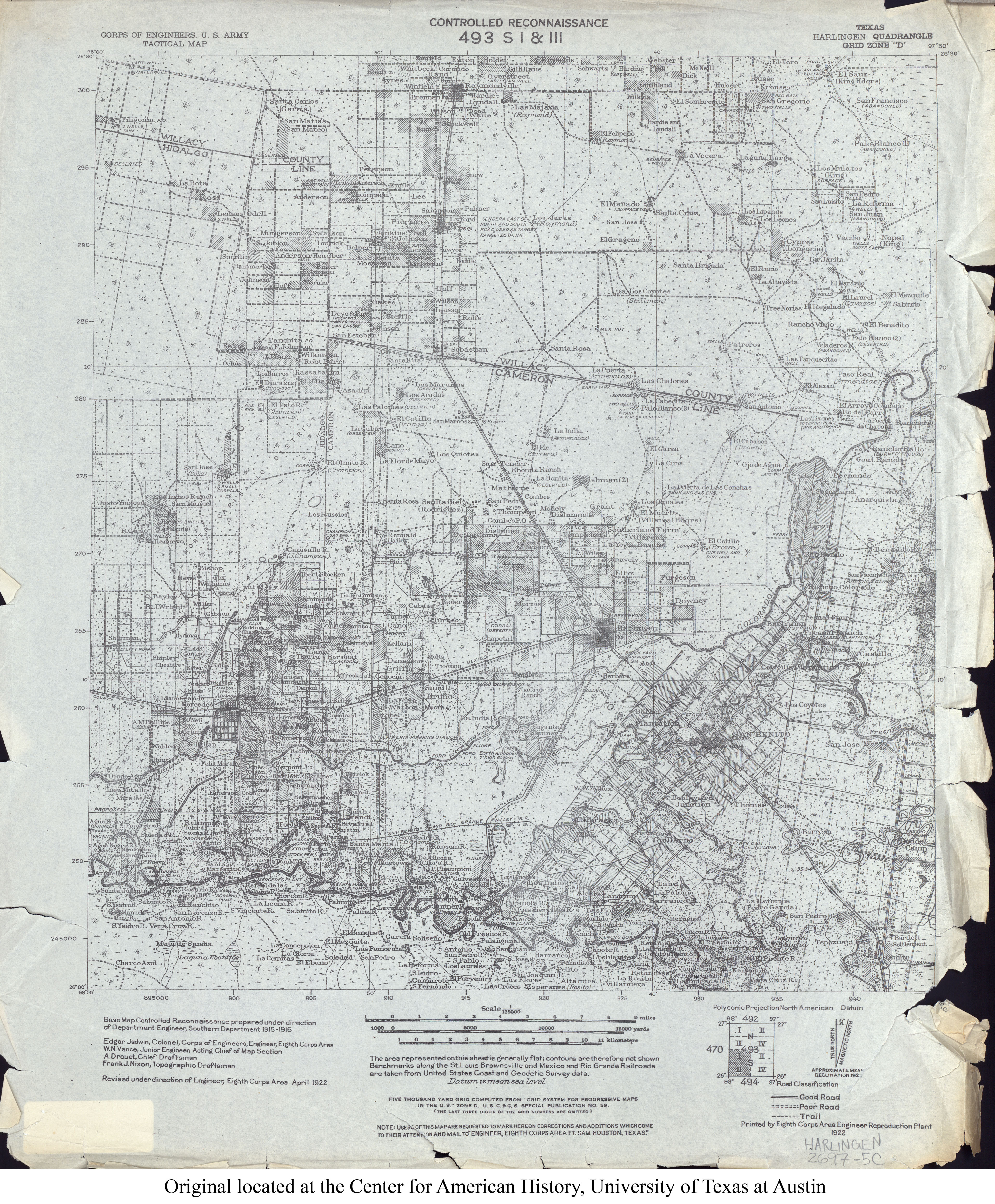
- Harlingen 1:125,000 1922 (4.6MB) U.S. Army. Corps of Engineers. Tactical Map
- Harlingen (Cameron County) 1:31,680 1929 survey, 1932 overprint (3.1 MB)
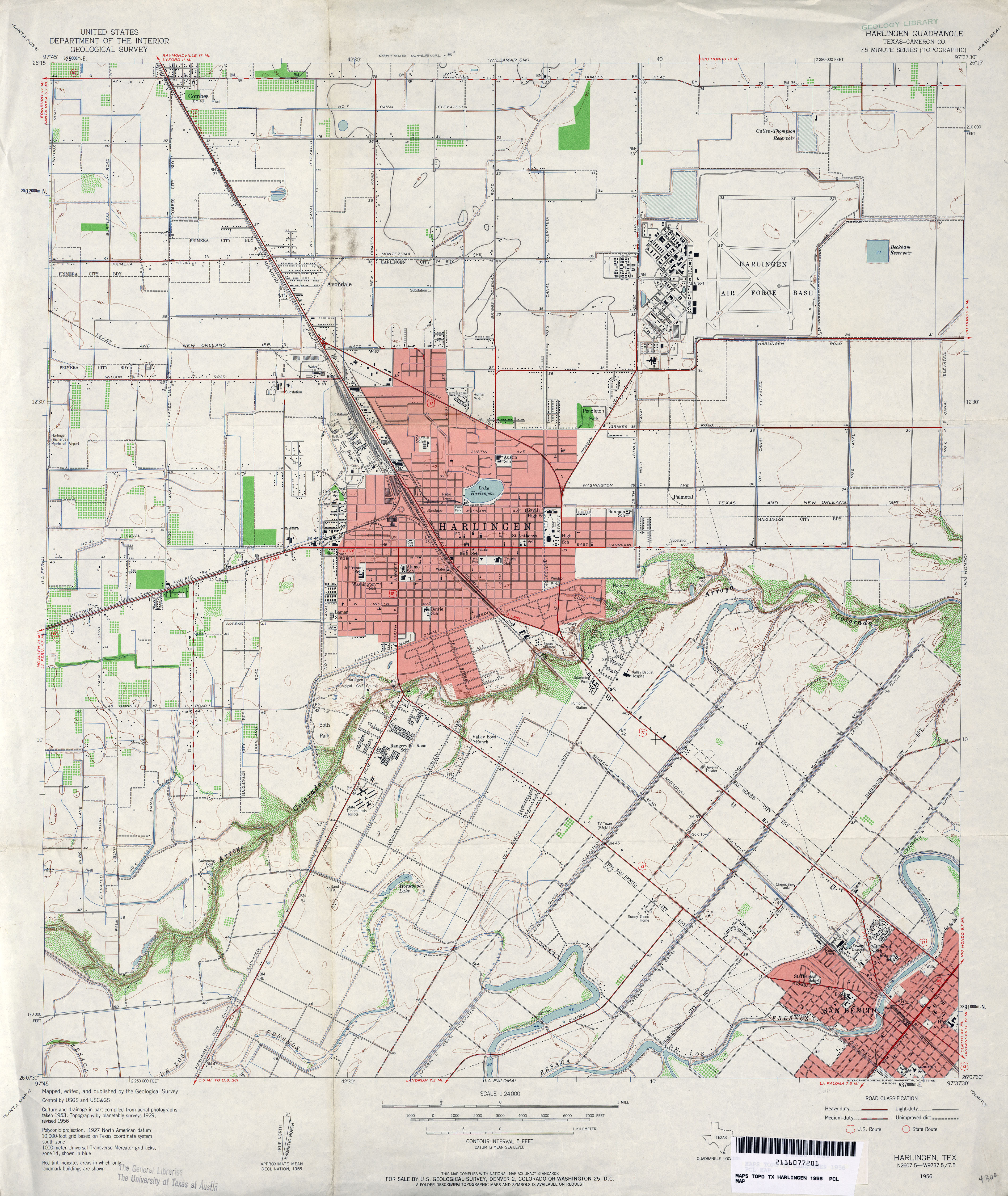
- Harlingen (Cameron County) 1:24,000 1956 (4.1MB)
- Harlingen (Cameron County) 1:24,000 1970 (3.9MB)
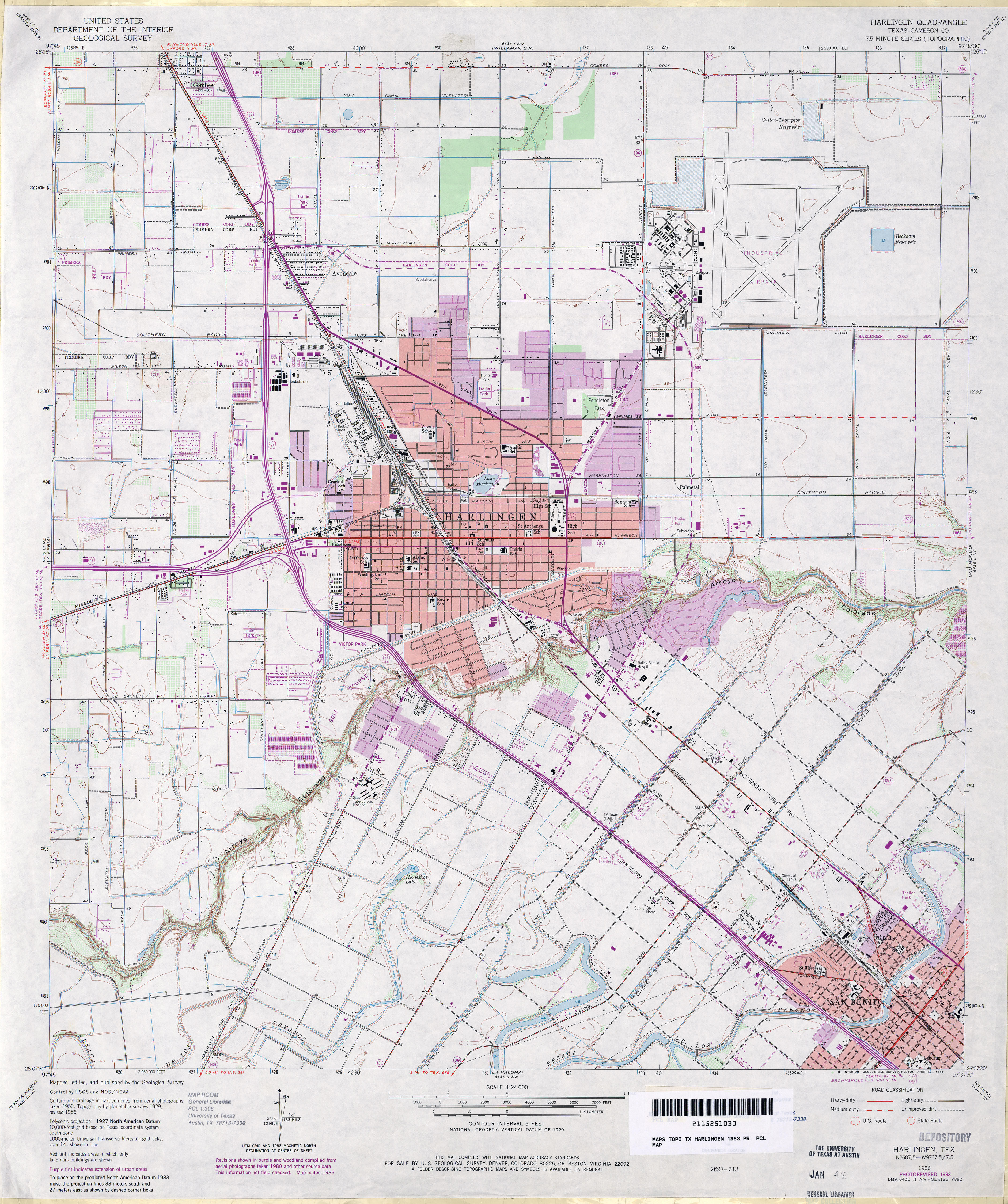
- Harlingen (Cameron County) 1:24,000 1983 (4.2MB)
- Harlingen (Cameron County) 1:24,000 2002 (4.4MB)
- Harlingen 1:24,000 2009 (20.1MB) [GeoPDF]
- Harlingen 1:24,000 2013 (22.1MB) [GeoPDF]
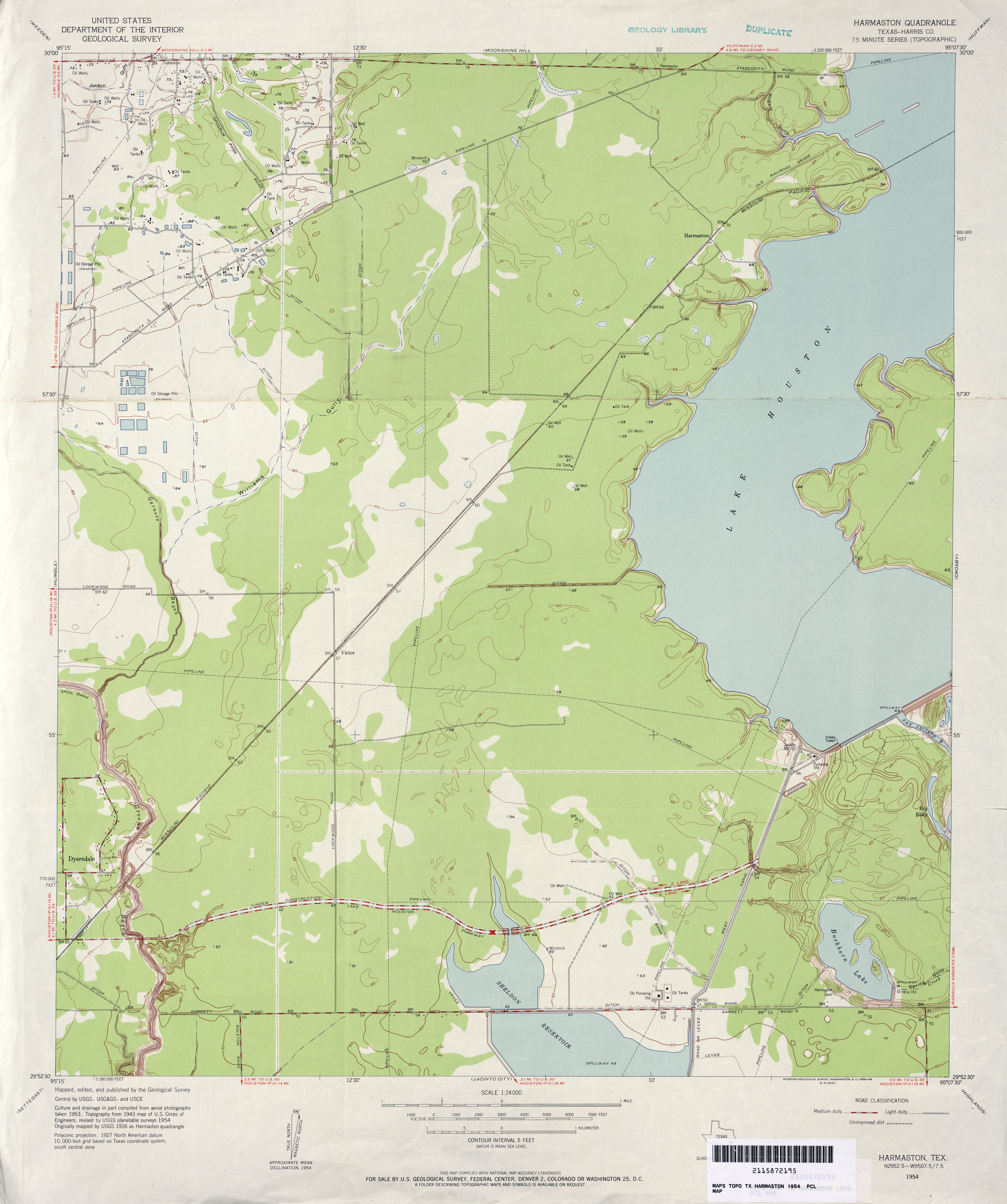
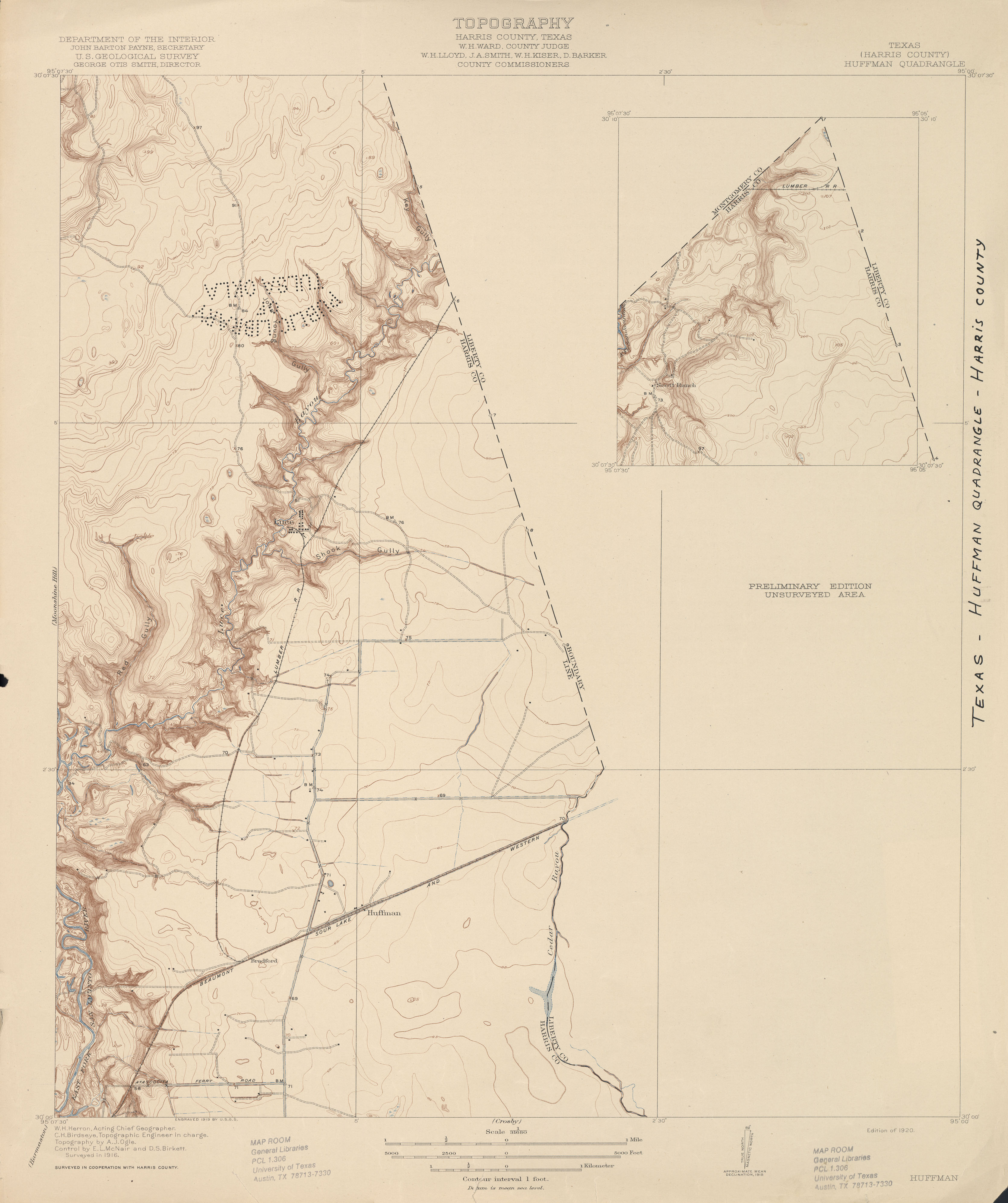
- Harmaston (Harris County) 1:31,680 1916 (3.0 MB)
- Harmaston 1:25,000 1944 (3MB) U.S. Army Map Service, Series V882.
- Harmaston (Harris County) 1:24,000 1954 (2.8MB)
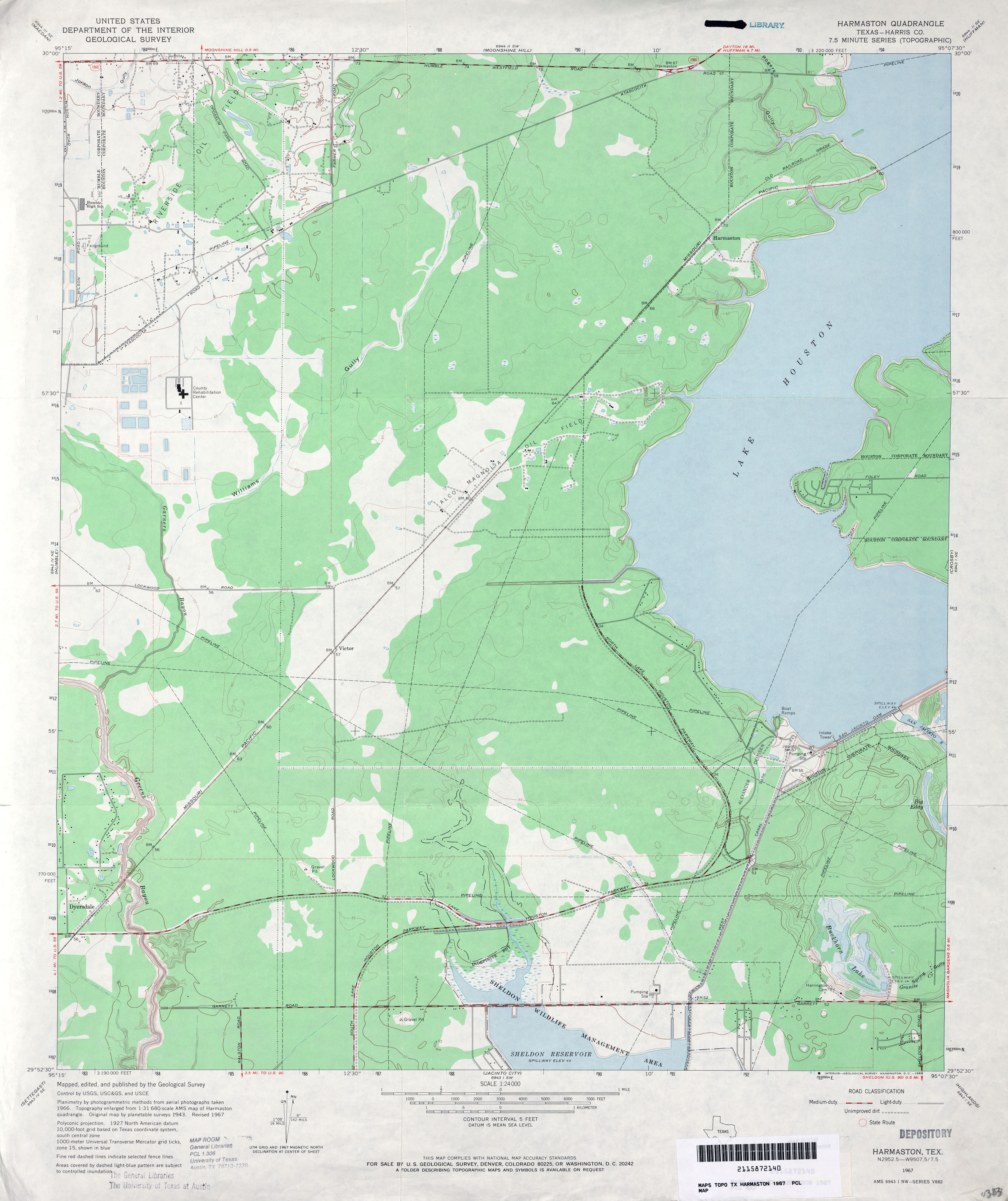
- Harmaston (Harris County) 1:24,000 1967 (2.9MB)
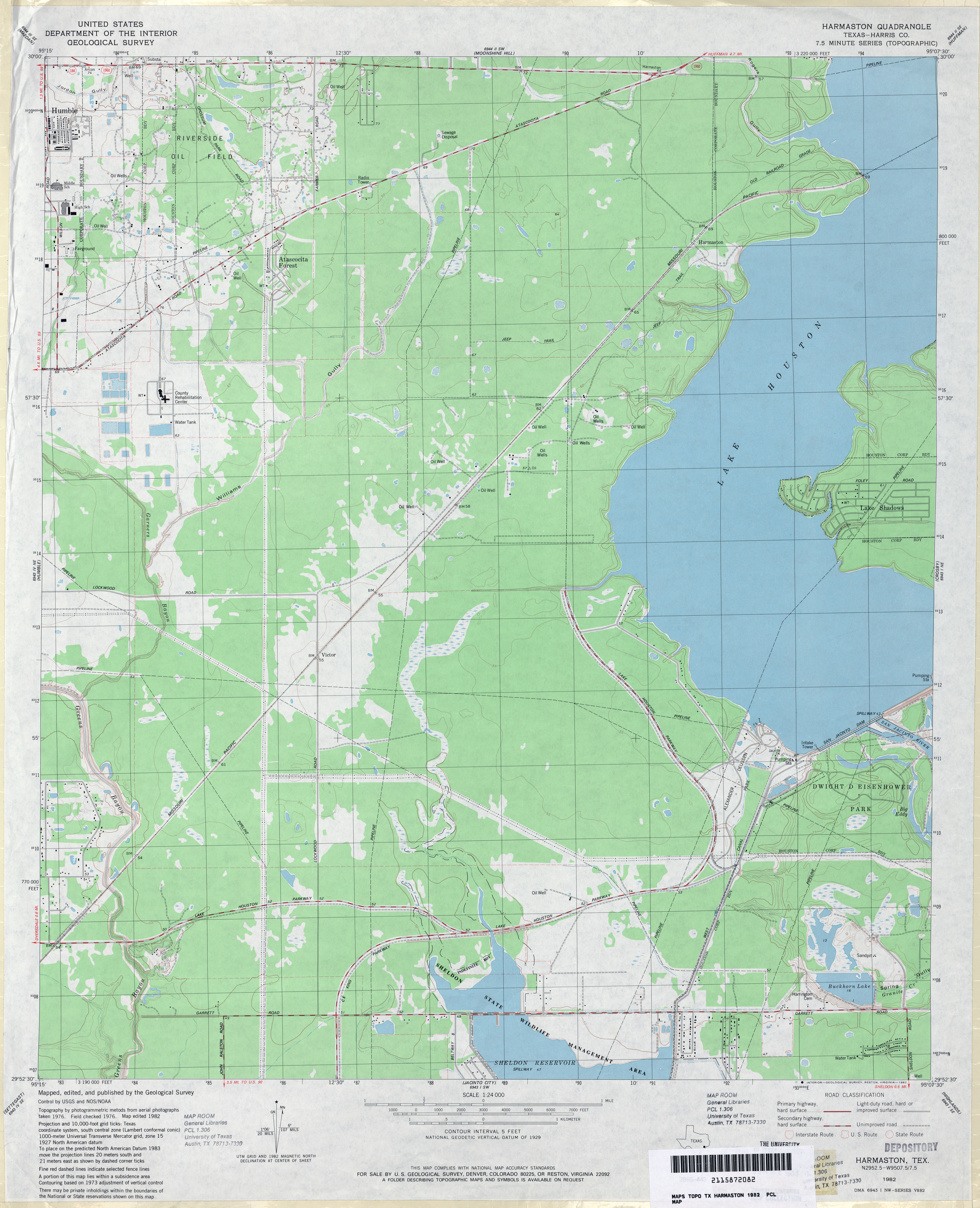
- Harmaston (Harris County) 1:24,000 1982 (3.1MB)
- Harmaston (Harris County) 1:24,000 1995 (3.4MB)
- Harmaston 1:24,000 2009 (21.4MB) [GeoPDF]
- Harmaston 1:24,000 2013 (23.8MB) [GeoPDF]
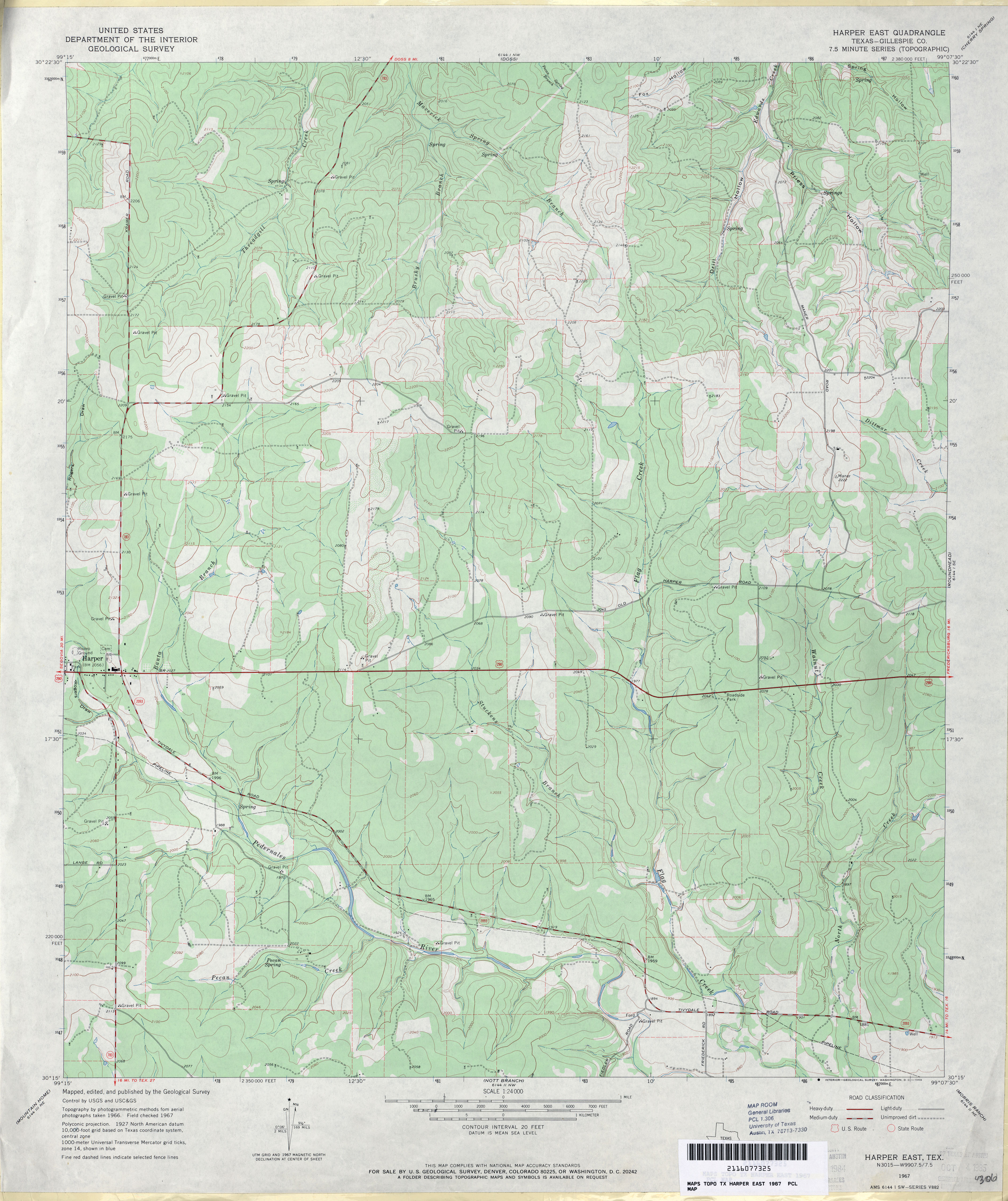
- Harper East (Gillespie County) 1:24,000 1967 (3.6MB)
- Harper East 1:24,000 2012 (25.9MB) [GeoPDF]
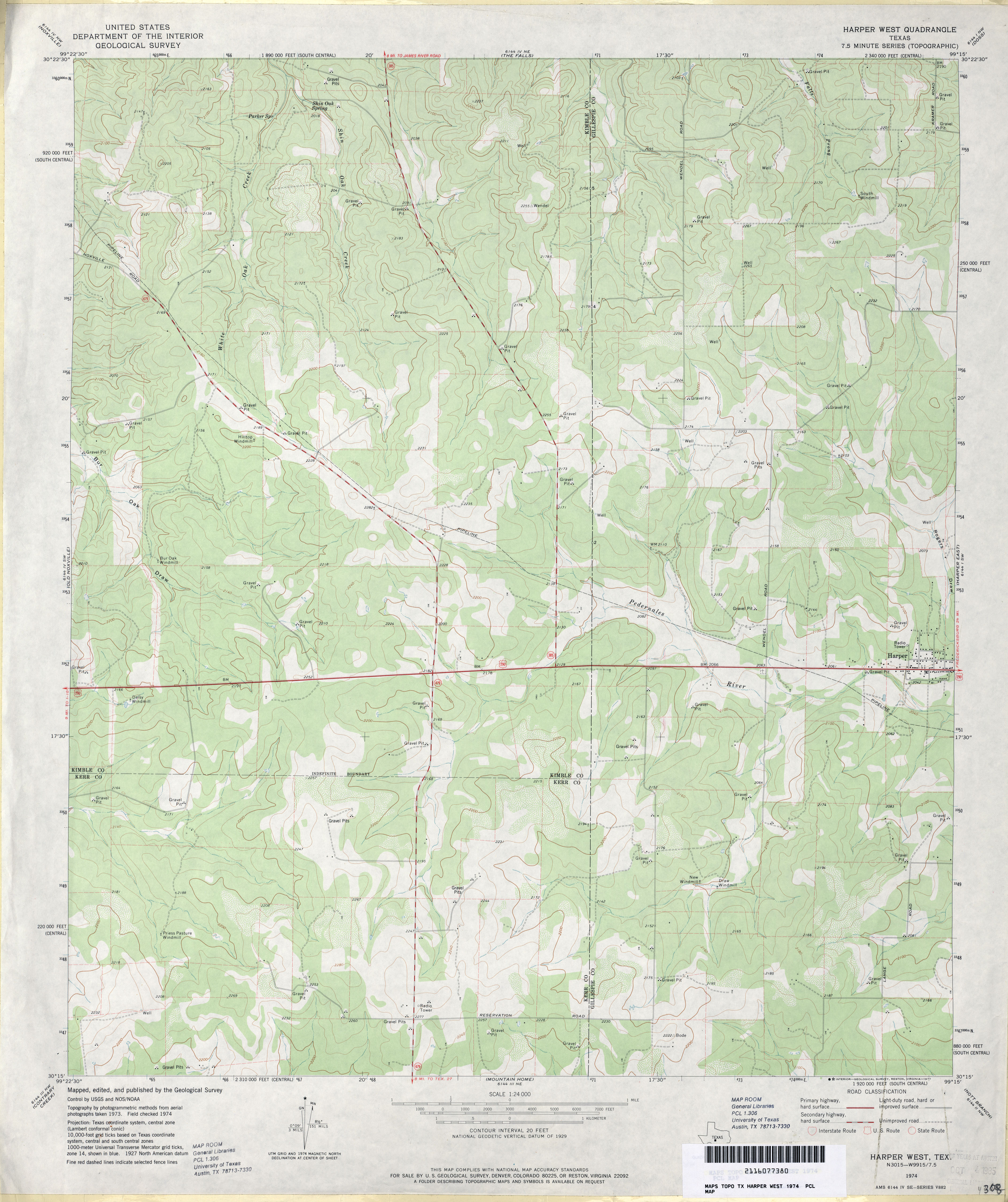
- Harper West 1:24,000 1974 (3.2MB)
- Harper West 1:24,000 2008 (17.9MB) [GeoPDF]
- Harper West 1:24,000 2012 (26MB) [GeoPDF]
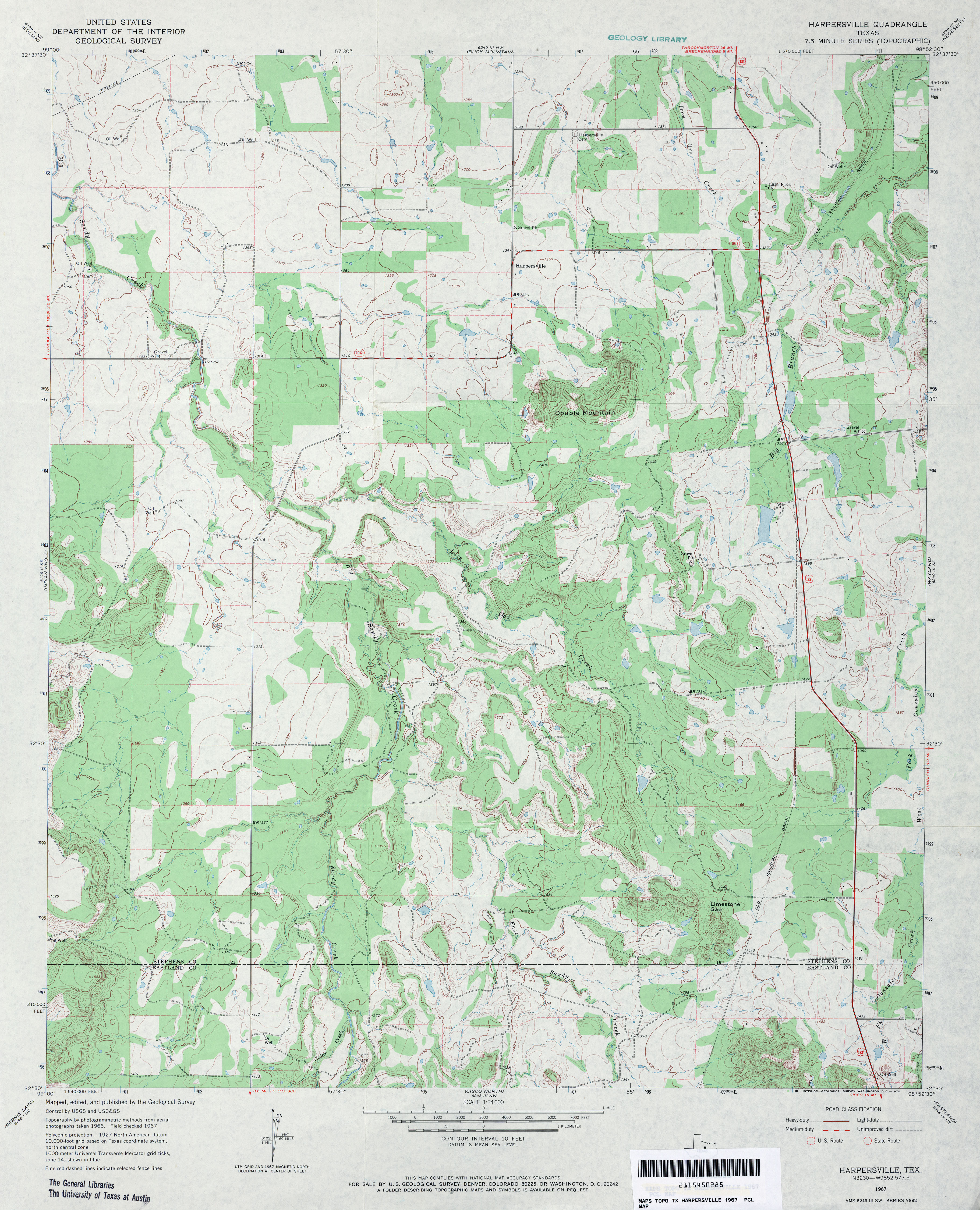
- Harpersville 1:24,000 1967 (3.8MB)
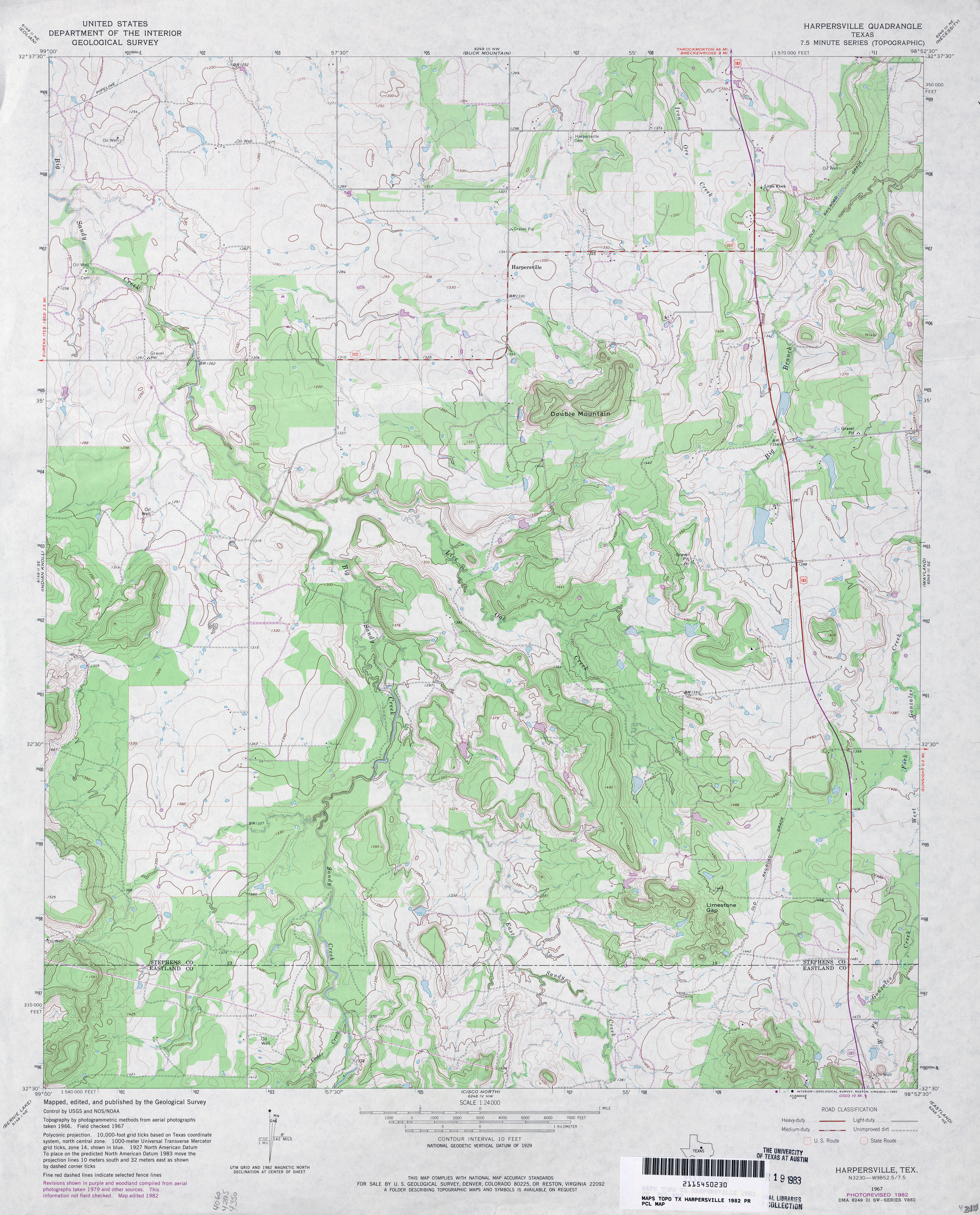
- Harpersville 1:24,000 1982 (4MB)
- Harpersville 1:24,000 2008 (18.1MB) [GeoPDF]
- Harpersville 1:24,000 2012 (23.5MB) [GeoPDF]
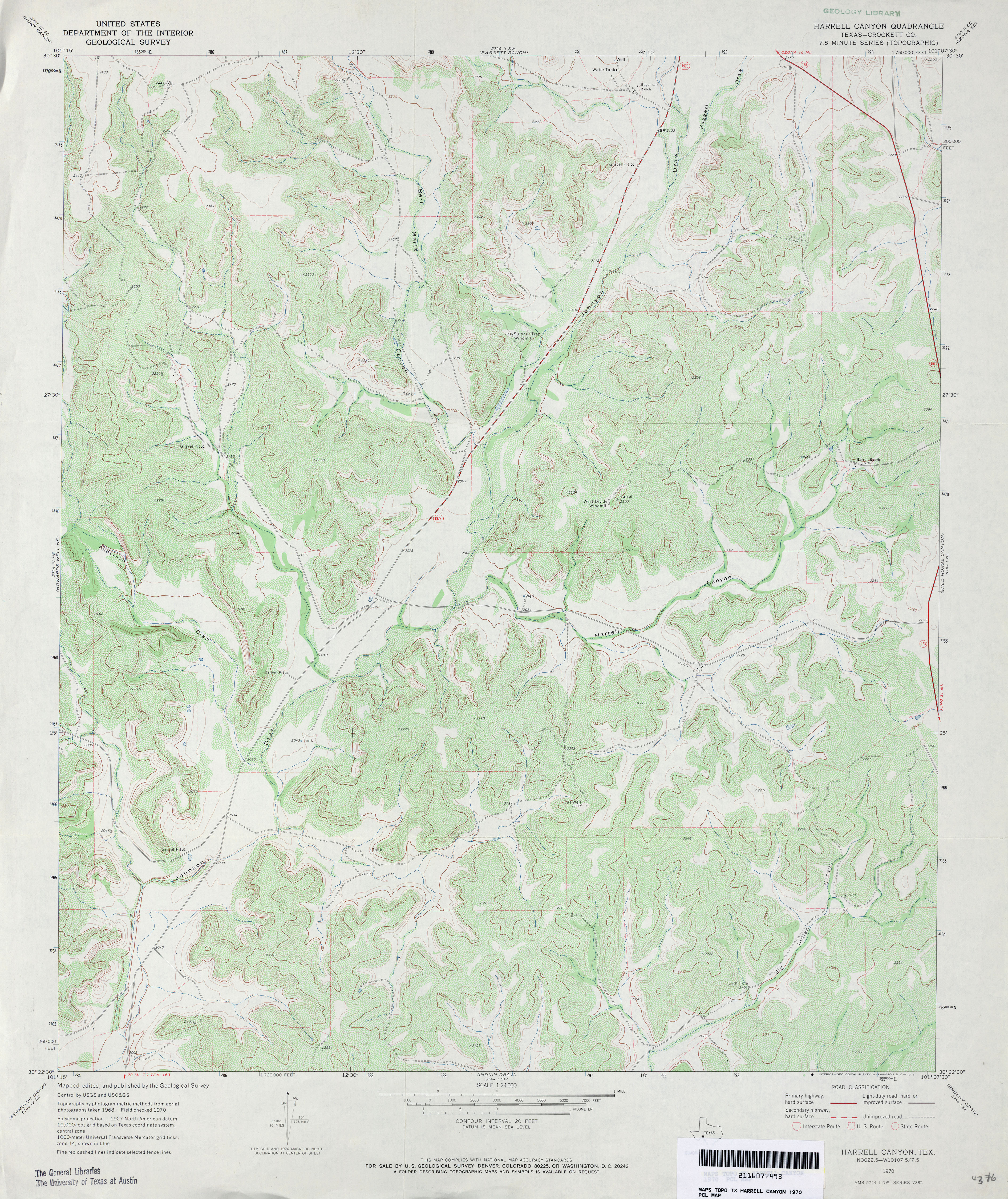
- Harrell Canyon (Crockett County) 1:24,000 1970 (4.8MB)
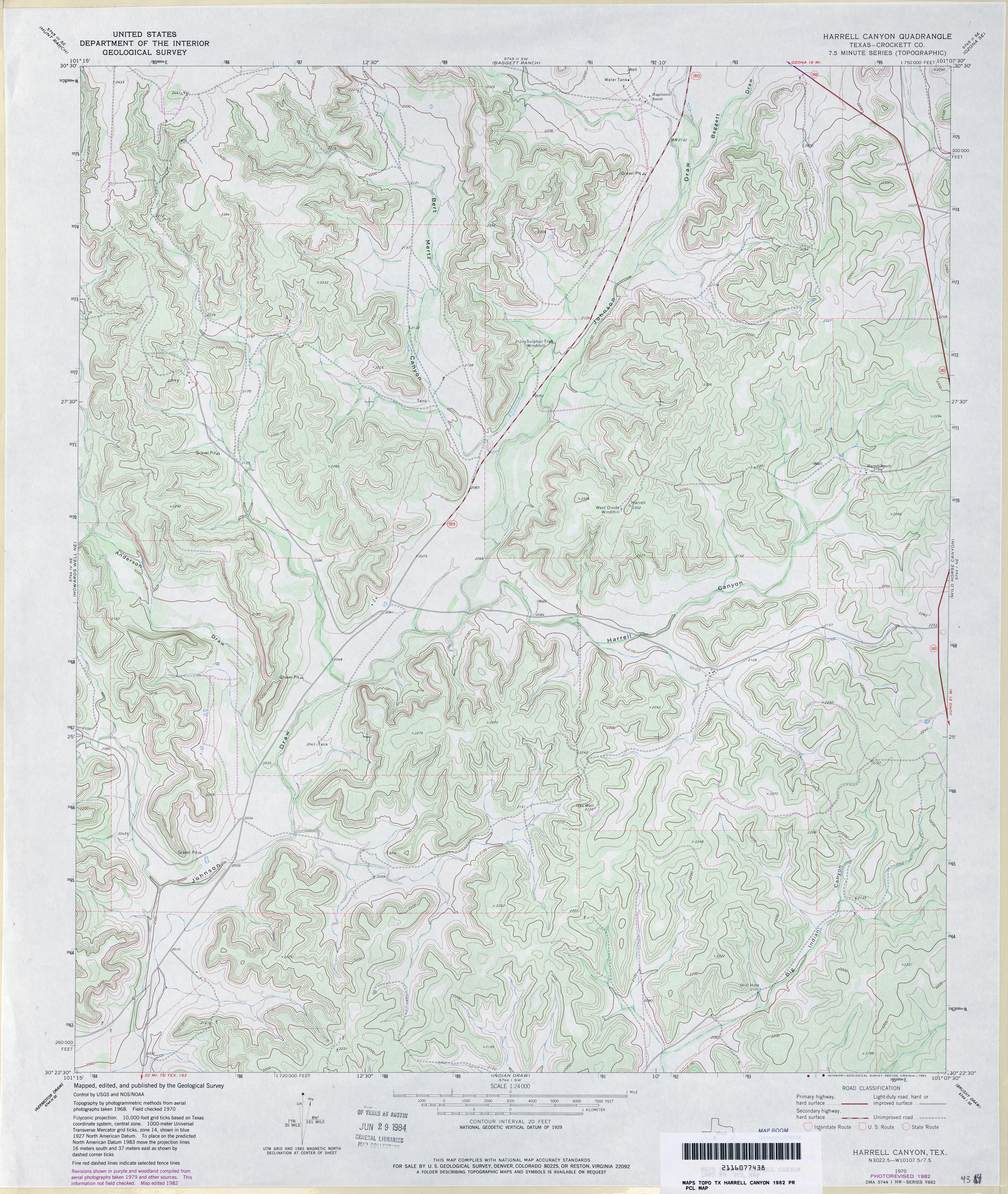
- Harrell Canyon (Crockett County) 1:24,000 1982 (4.8MB)
- Harrell Canyon 1:24,000 2008 (23.2MB) [GeoPDF]
- Harrell Canyon 1:24,000 2012 (34MB) [GeoPDF]
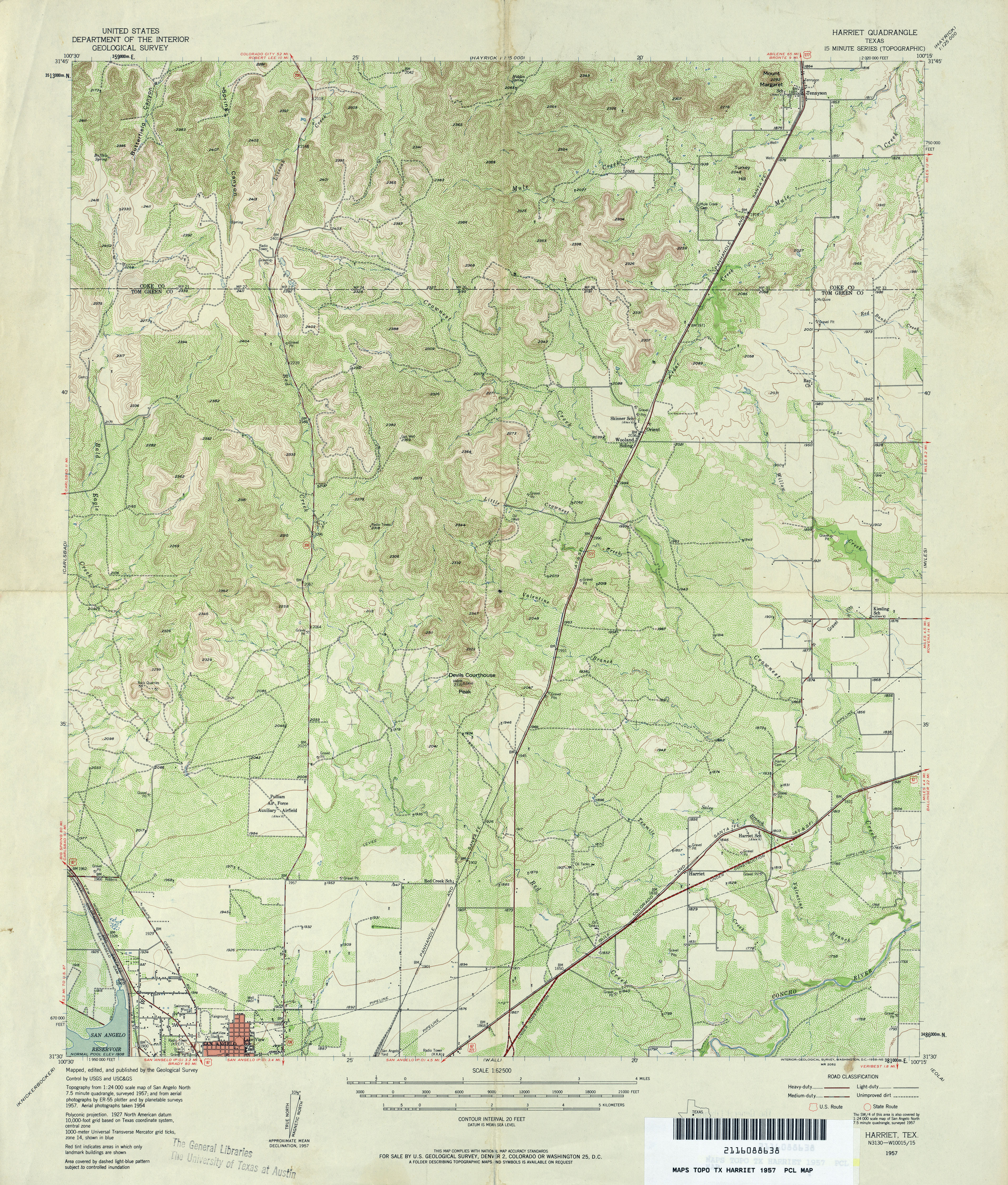
- Harriet 1:62,500 1957 (5.6MB)
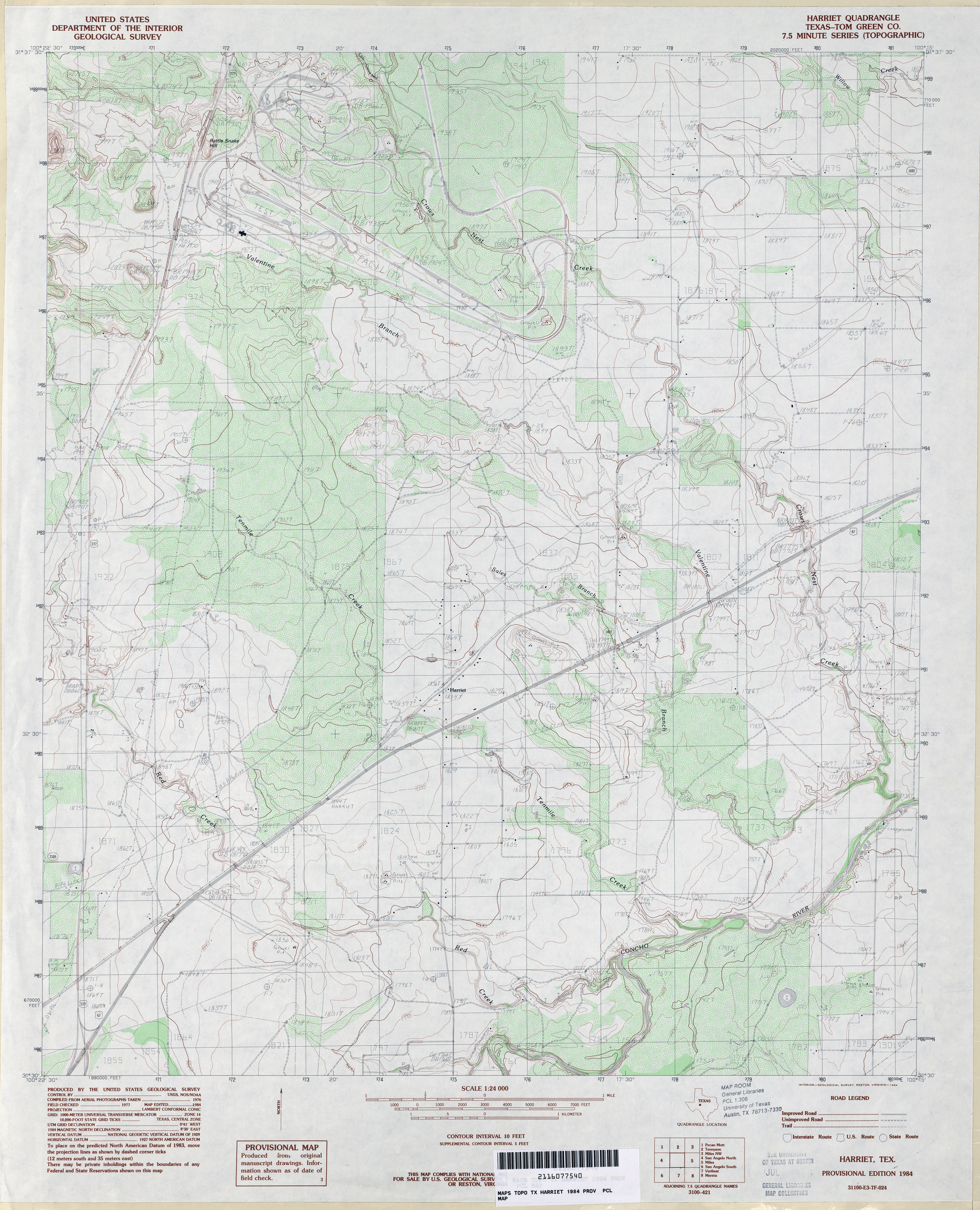
- Harriet (Tom Green County) 1:24,000 1984 (4MB)
- Harriet 1:24,000 2008 (17.1MB) [GeoPDF]
- Harriet 1:24,000 2013 (23.1MB) [GeoPDF]
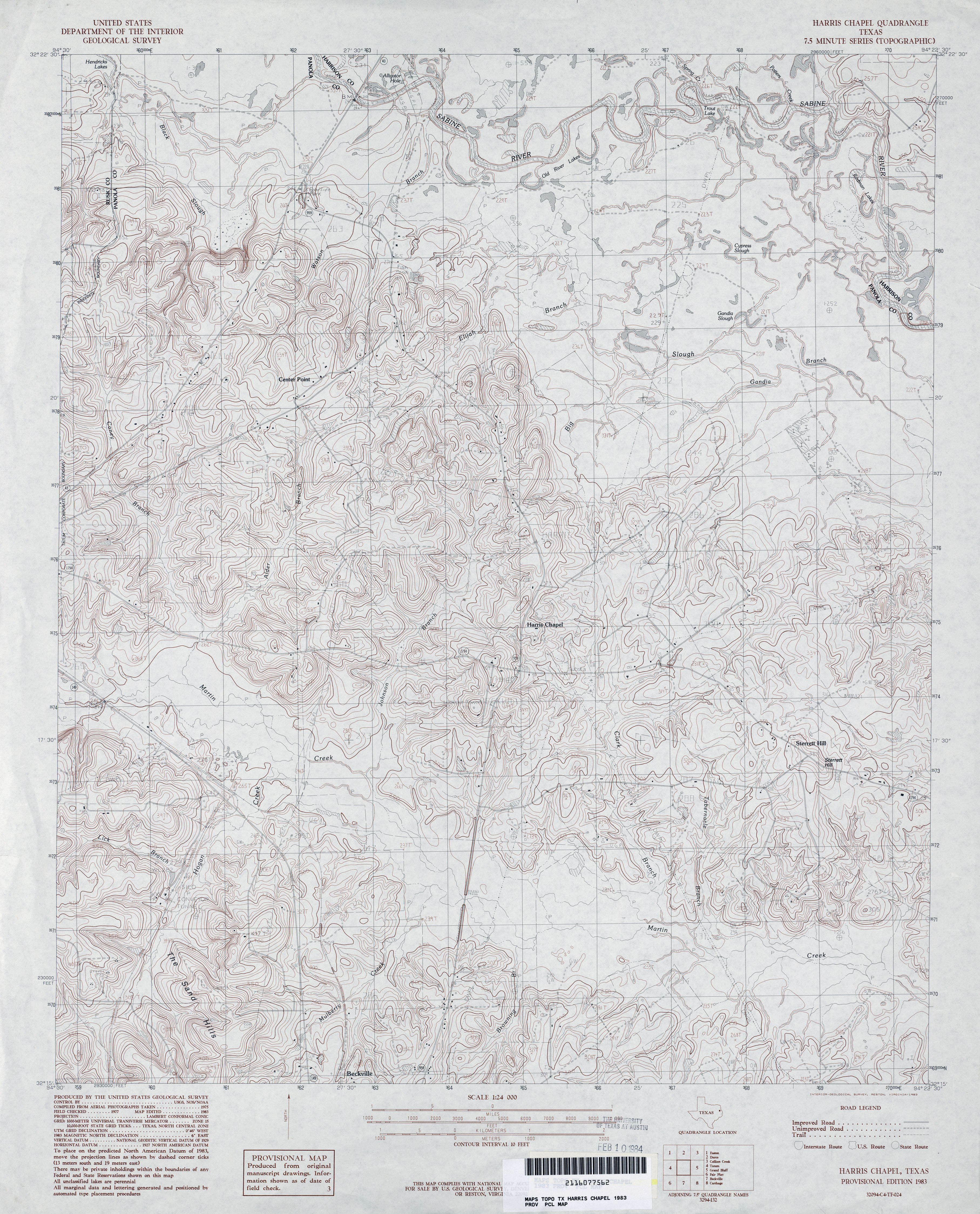
- Harris Chapel 1:24,000 1983 (4.8MB)
- Harris Chapel 1:24,000 2009 (21.3MB) [GeoPDF]
- Harris Chapel 1:24,000 2013 (23.9MB) [GeoPDF]
- Harris Lake (La Salle County) 1:24,000 1974 (4.3MB)
- Harris Lake 1:24,000 2008 (16.4MB) [GeoPDF]
- Harris Lake 1:24,000 2013 (24.4MB) [GeoPDF]
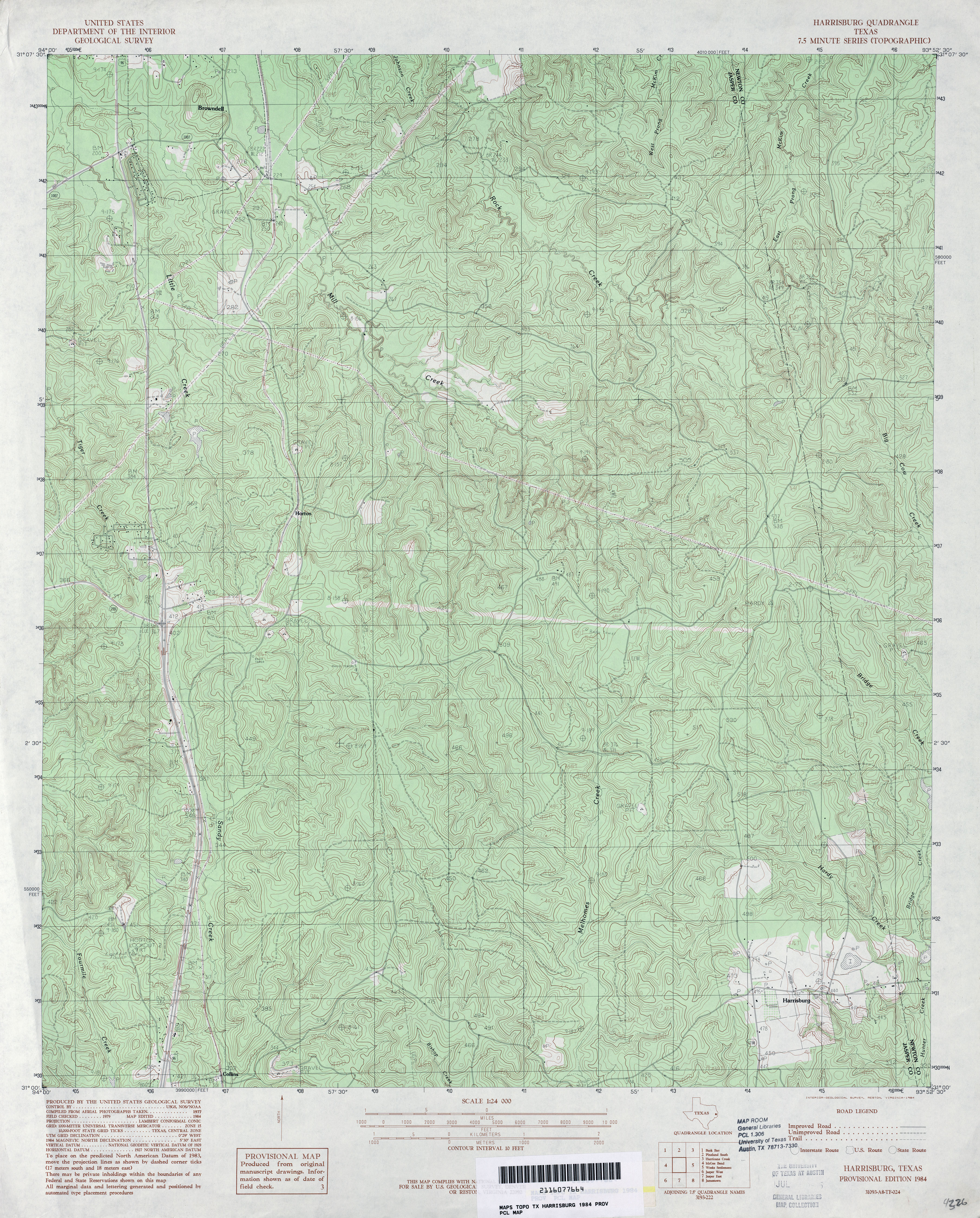
- Harrisburg 1:24,000 1984 (5.5MB)
- Harrisburg 1:24,000 2009 (26.5MB) [GeoPDF]
- Harrisburg 1:24,000 2012 (29.3MB) [GeoPDF]
- Harrison Ranch 1:24,000 1963 (3.5MB)
- Harrison Ranch 1:24,000 1987 (3.5MB)
- Harrison Ranch 1:24,000 2008 (18.0MB) [GeoPDF]
- Harrison Ranch 1:24,000 2012 (26.8MB) [GeoPDF]
- Harrold (Wilbarger County) 1:24,000 1983 (4.4MB)
- Harrold (Wilbarger County) 1:24,000 1990 (4.2MB)
- Harrold 1:24,000 2008 (9.8MB) [GeoPDF]
- Harrold 1:24,000 2012 (16.5MB) [GeoPDF]
- Hart (Castro County) 1:24,000 1965 (2.9MB)
- Hart 1:24,000 2008 (9.3MB) [GeoPDF]
- Hart 1:24,000 2012 (13.3MB) [GeoPDF]
- Hart NW (Castro County) 1:24,000 1963 (2.7MB)
- Hart NW (Castro County) 1:24,000 1980 (2.8MB)
- Hart NW 1:24,000 2008 (8.2MB) [GeoPDF]
- Hart NW 1:24,000 2012 (12.5MB) [GeoPDF]
- Hart SW 1:24,000 1963 (2.6MB)
- Hart SW 1:24,000 1981 (2.7MB)
- Hart SW 1:24,000 2008 (9.4MB) [GeoPDF]
- Hart SW 1:24,000 2012 (13.3MB) [GeoPDF]
- Hartburg 1:24,000 1984 (2.9MB)
- Hartburg 1:24,000 2009 (22.8MB) [GeoPDF]
- Hartburg 1:24,000 2012 (22.2MB) [GeoPDF]
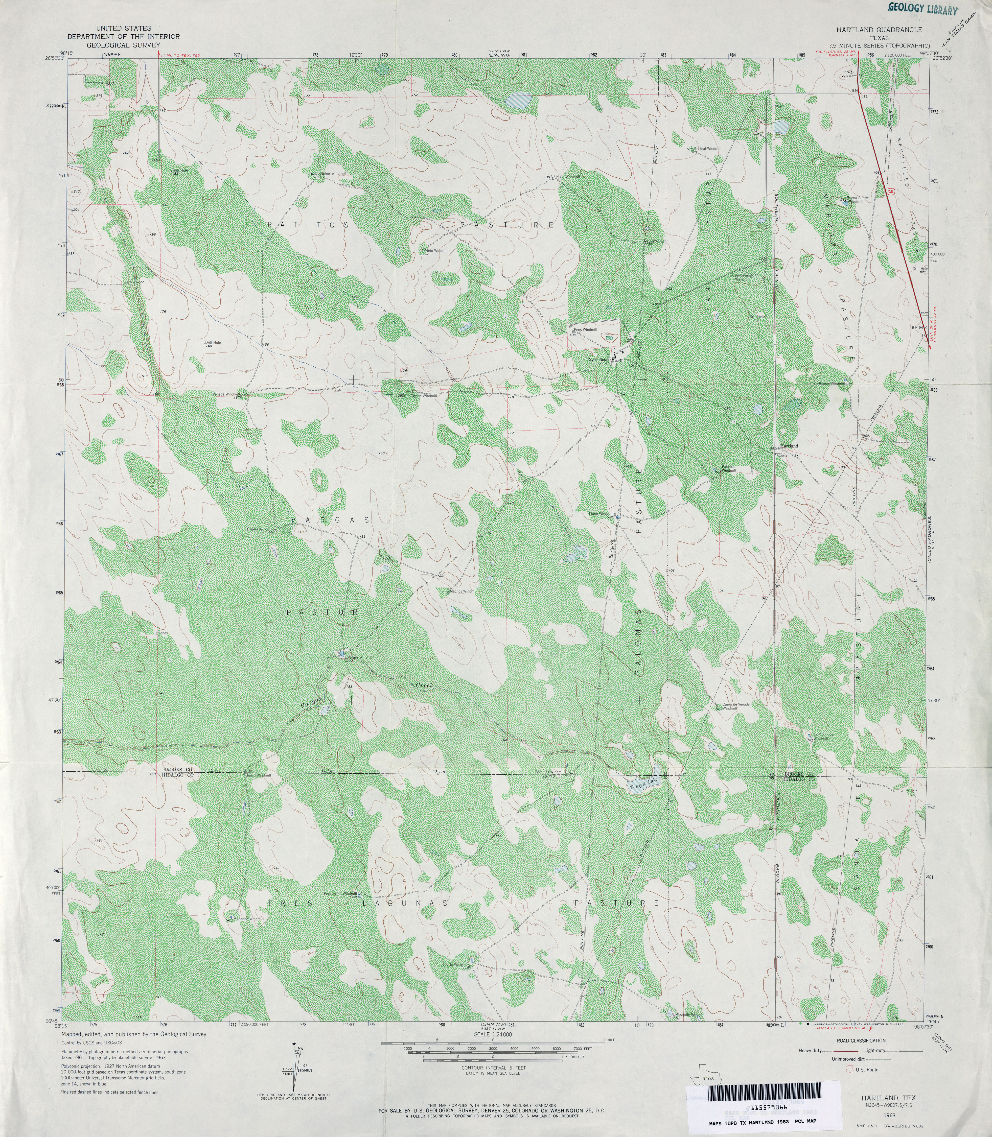
- Hartland 1:24,000 1963 (5.2MB)
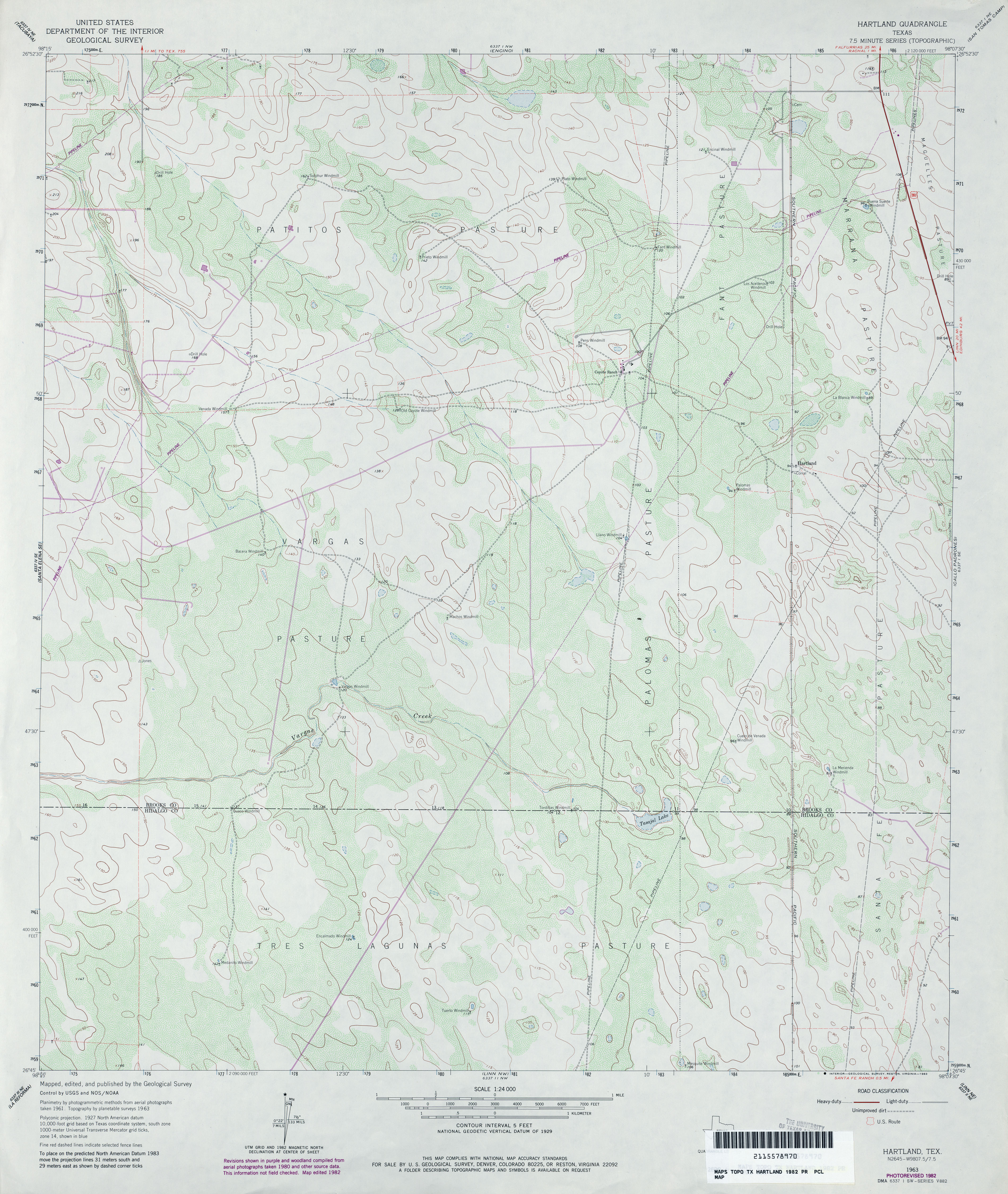
- Hartland 1:24,000 1982 (3.5MB)
- Hartland 1:24,000 2009 (18.3MB) [GeoPDF]
- Hartland 1:24,000 2012 (21.5MB) [GeoPDF]
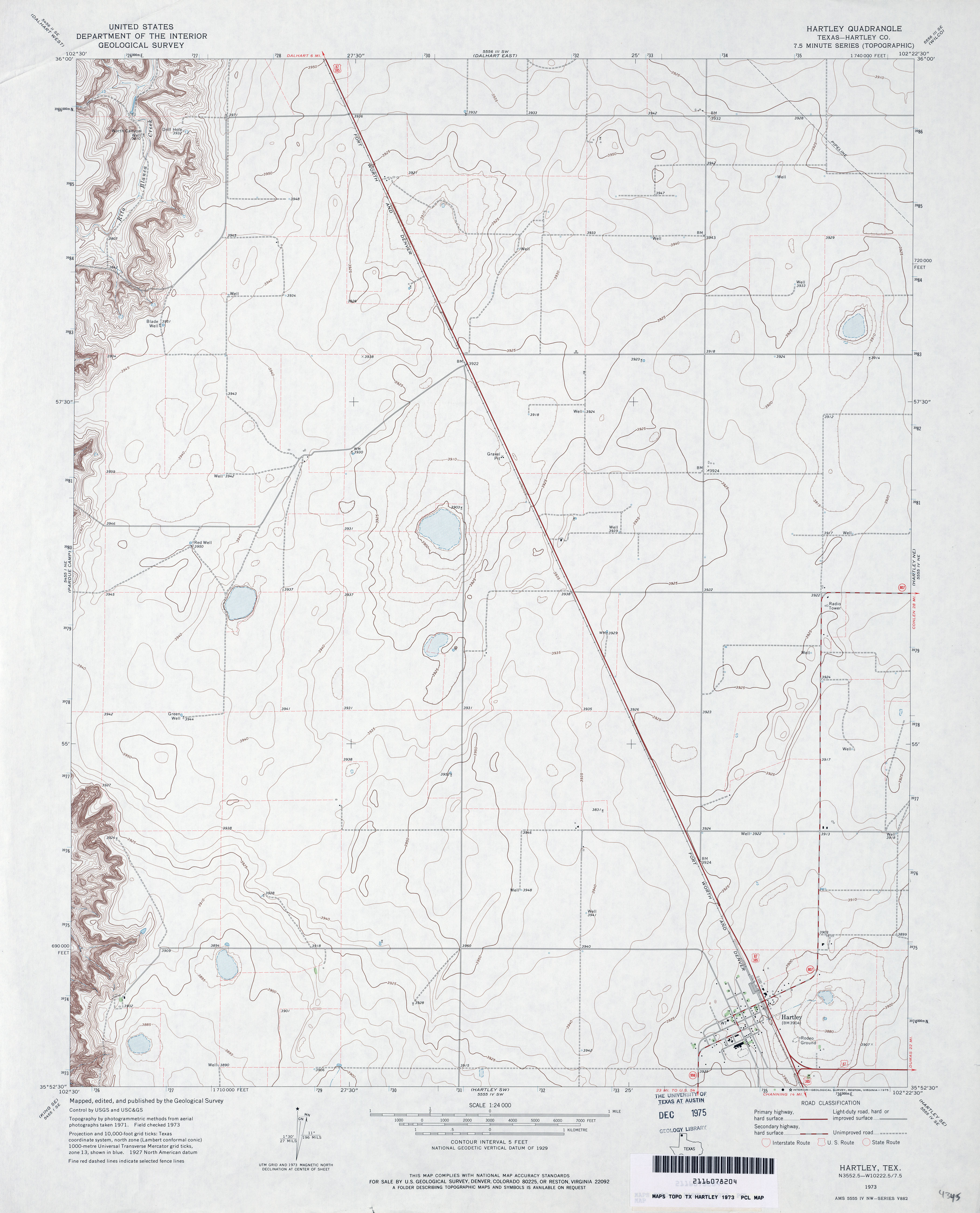
- Hartley (Hartley County) 1:24,000 1973 (2.7MB)
- Hartley 1:24,000 2008 (11.0MB) [GeoPDF]
- Hartley 1:24,000 2012 (14.8MB) [GeoPDF]
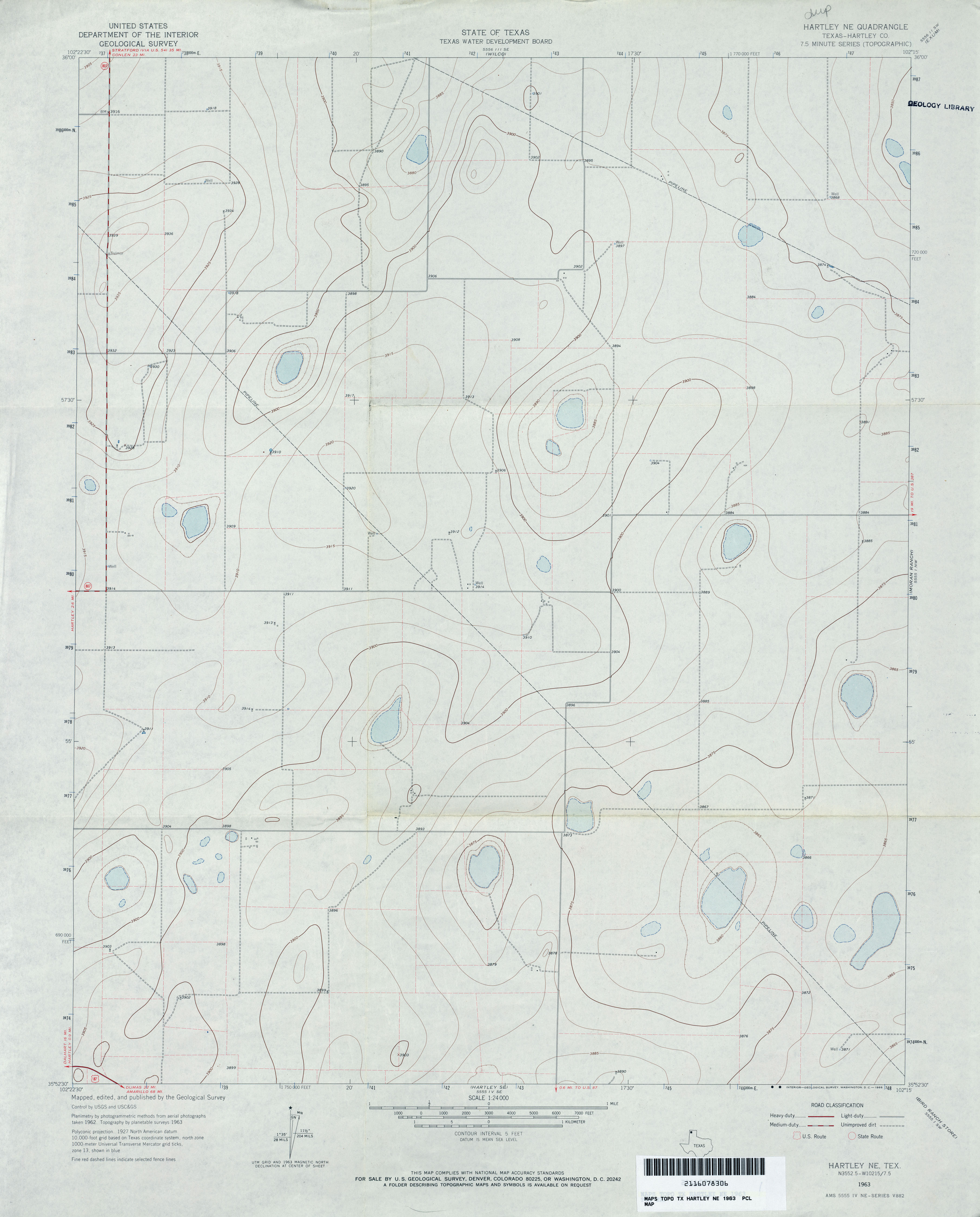
- Hartley NE (Hartley County) 1:24,000 1963 (2.3MB)
- Hartley NE 1:24,000 2008 (10.6MB) [GeoPDF]
- Hartley NE 1:24,000 2012 (13.8MB) [GeoPDF]
- Hartley SE (Hartley County) 1:24,000 1963 (2.7MB)
- Hartley SE 1:24,000 2008 (9.9MB) [GeoPDF]
- Hartley SE 1:24,000 2012 (13.8MB) [GeoPDF]
- Hartley SW (Hartley County) 1:24,000 1972 (3.2MB)
- Hartley SW 1:24,000 2008 (12.5MB) [GeoPDF]
- Hartley SW 1:24,000 2012 (16.1MB) [GeoPDF]
- Harvard 1:24,000 1964 (4.1MB)
- Harvard 1:24,000 2009 (19.1MB) [GeoPDF]
- Harvard 1:24,000 2013 (23.8MB) [GeoPDF]
- Harvey Creek (San Augustine County) 1:24,000 1984 (4.3MB)
- Harvey Creek (San Augustine County) 1:24,000 2004 (5.3MB)
- Harvey Creek 1:24,000 2008 (2.4MB) Texas Natural Resources Information System (TNRIS). [pdf]
- Harvey Creek 1:24,000 2009 (25.7MB) [GeoPDF]
- Harvey Creek 1:24,000 2009 (25.7MB) [GeoPDF]
- Harvey Creek 1:24,000 2013 (29.4MB) [GeoPDF]
- Harwood 1:24,000 1964 (4.6MB)
- Harwood 1:24,000 1981 (4.6MB)
- Harwood 1:24,000 2008 (14.5MB) [GeoPDF]
- Harwood 1:24,000 2013 (24.9MB) [GeoPDF]
- Haskell (Haskell County) 1:24,000 1966 (3.6MB)
- Haskell 1:24,000 2008 (11.7MB) [GeoPDF]
- Haskell 1:24,000 2013 (17.8MB) [GeoPDF]
- Hastings 1:62,500 1957 (4.6MB)
- Hat-A Ranch 1:24,000 1969 (4MB)
- Hat-A Ranch 1:24,000 2008 (22.7MB) [GeoPDF]
- Hat-A Ranch 1:24,000 2012 (29.6MB) [GeoPDF]
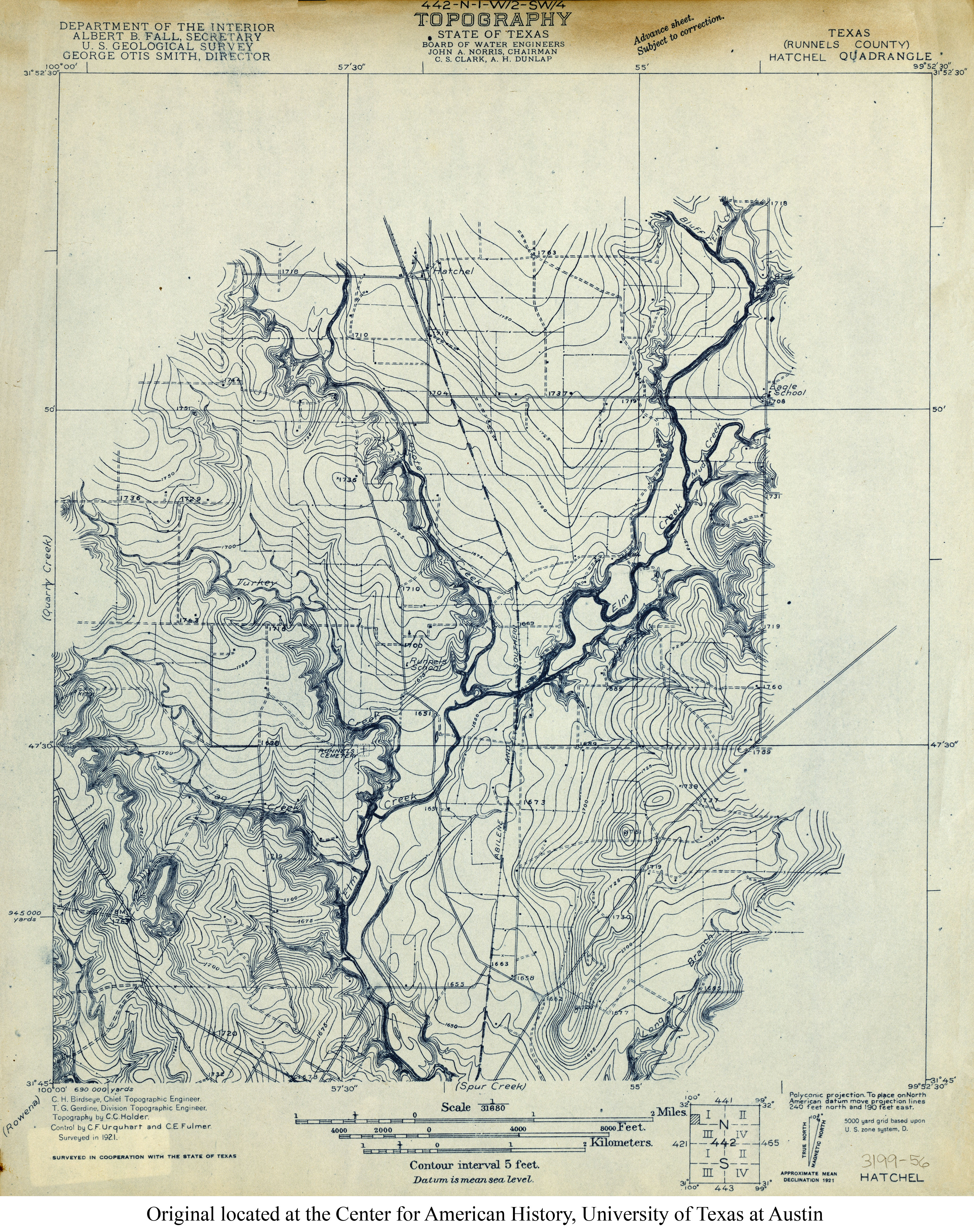
- Hatchel (Runnels County) 1:31,680 1921 (4.1MB)
- Hatchel (Runnels County) 1:24,000 1967 (3.9MB)
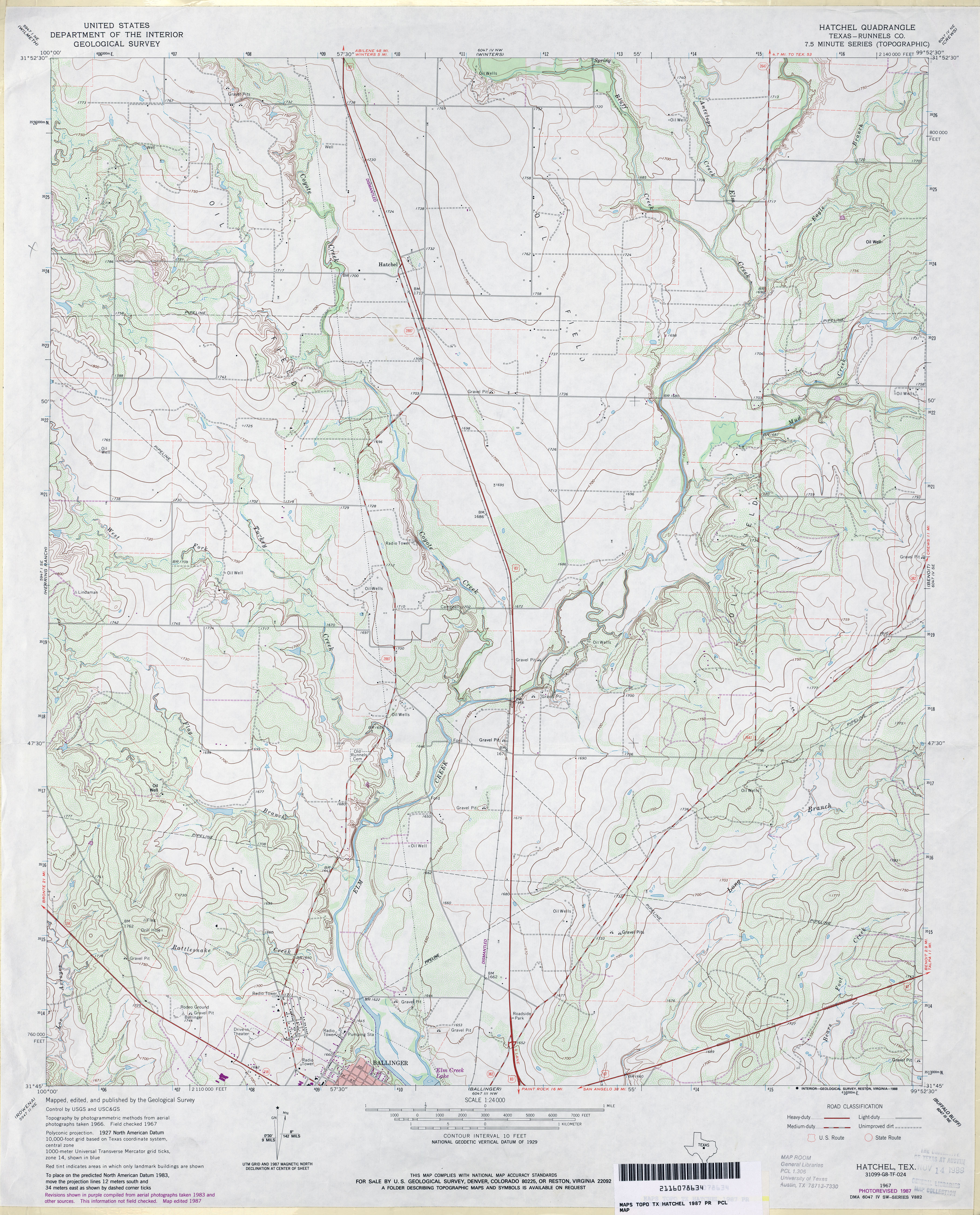
- Hatchel (Runnels County) 1:24,000 1987 (4MB)
- Hatchel 1:24,000 2013 (22.4MB) [GeoPDF]
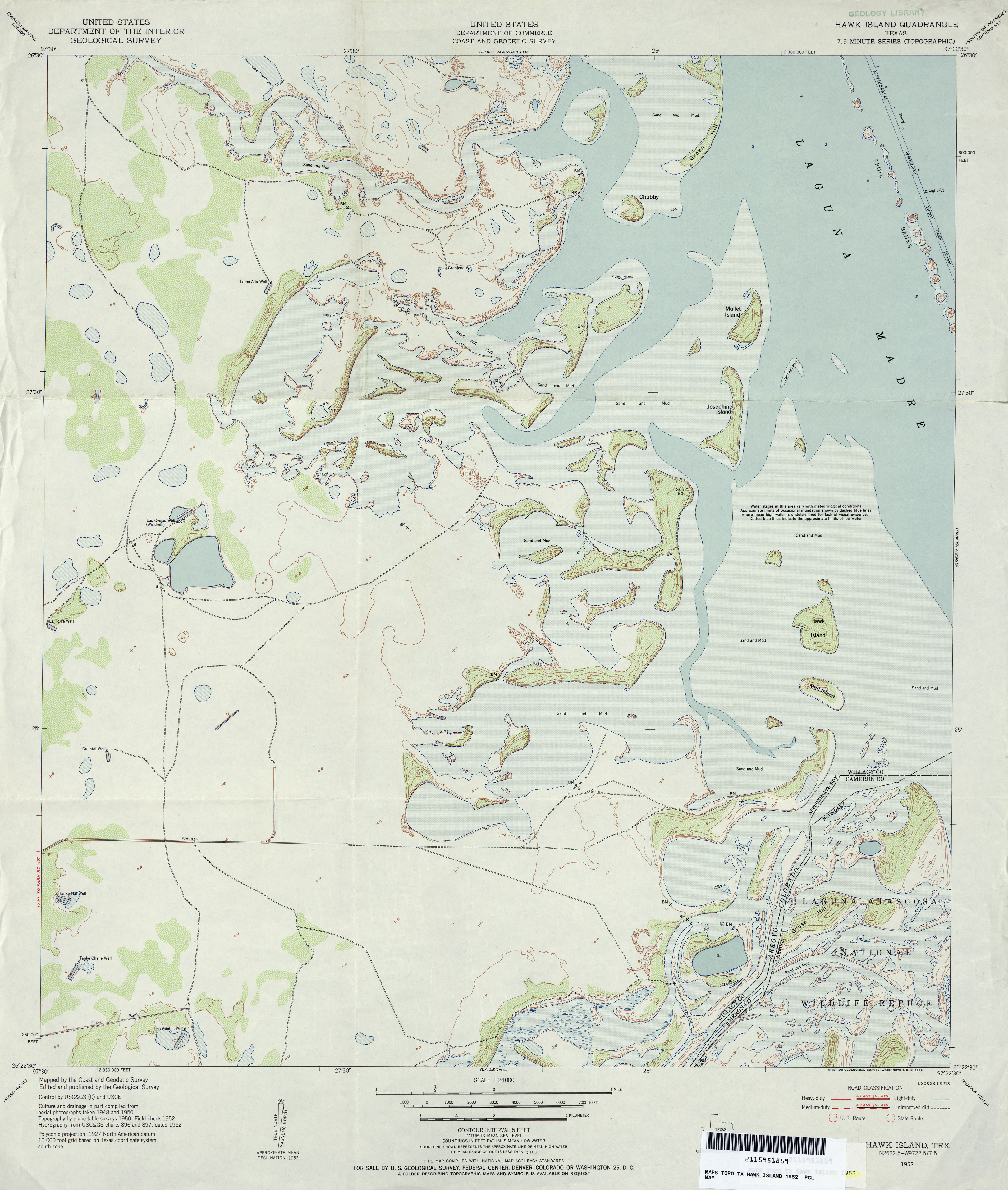
- Hawk Island 1:24,000 1952 (3.3MB)
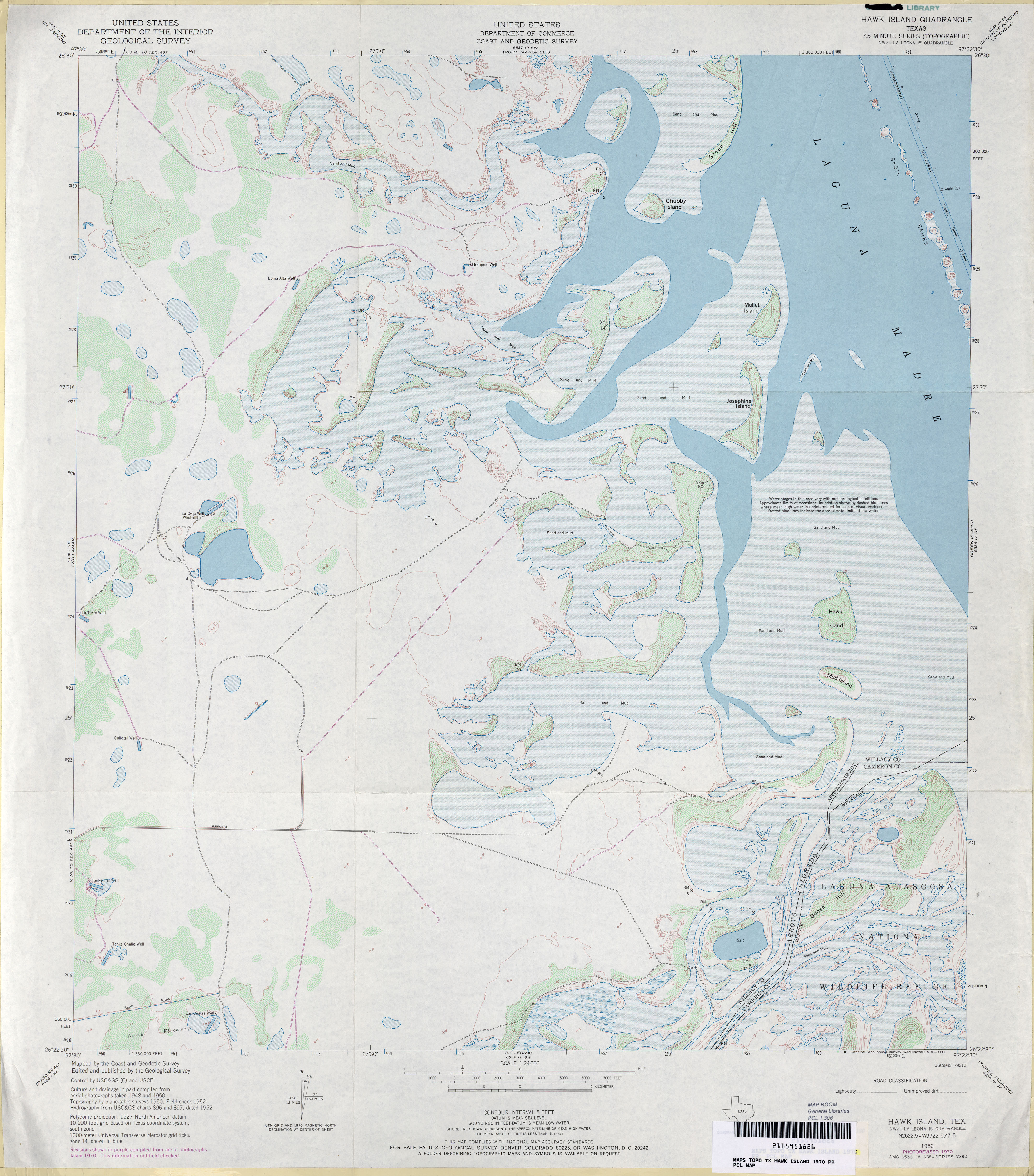
- Hawk Island 1:24,000 1970 (3.5MB)
- Hawk Island 1:24,000 2009 (33.5MB) [GeoPDF]
- Hawk Island 1:24,000 2013 (19MB) [GeoPDF]
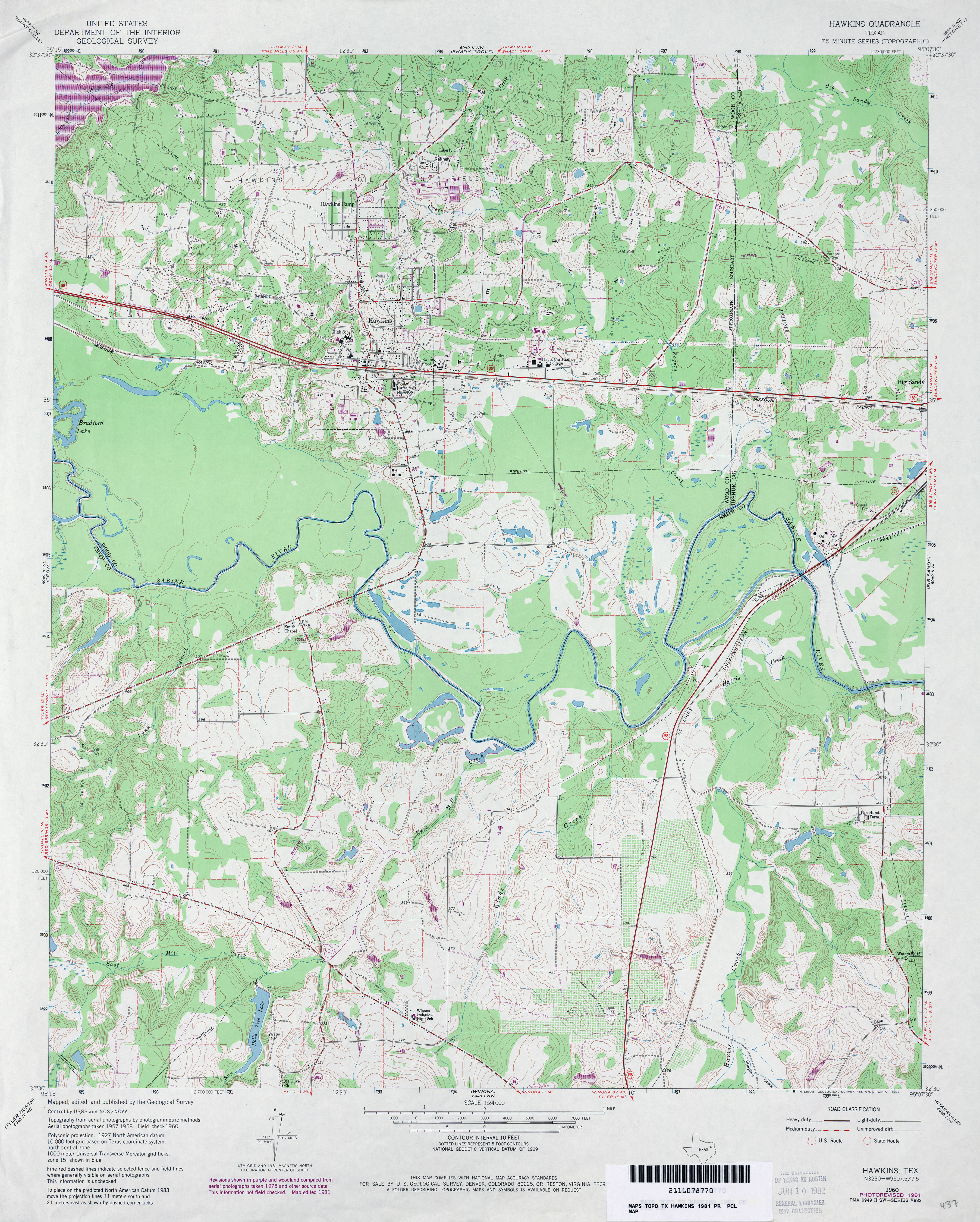
- Hawkins 1:24,000 1960 (4.5MB)
- Hawkins 1:24,000 1981 (4.5MB)
- Hawkins 1:24,000 2008 (21.3MB) [GeoPDF]
- Hawkins 1:24,000 2012 (24MB) [GeoPDF]
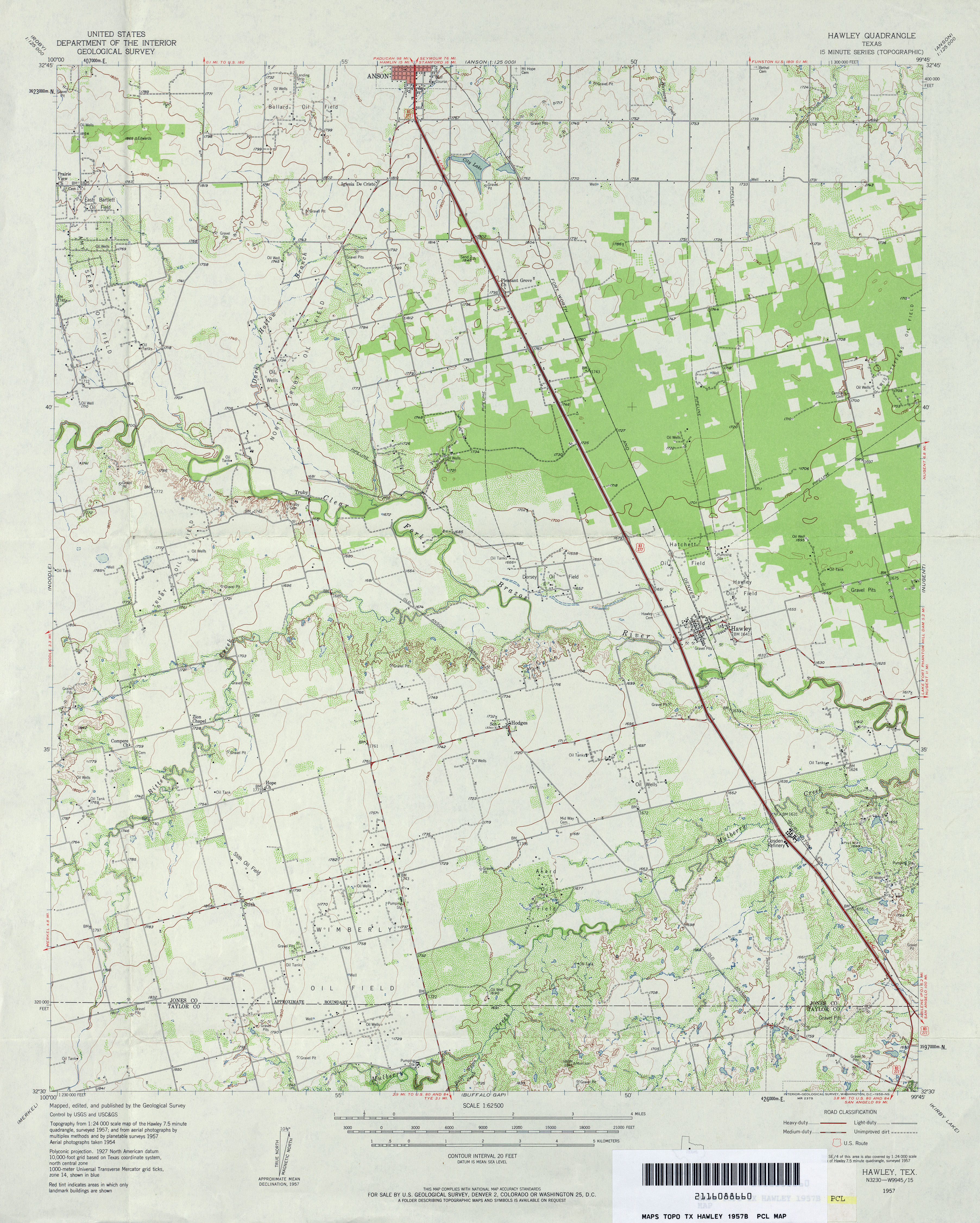
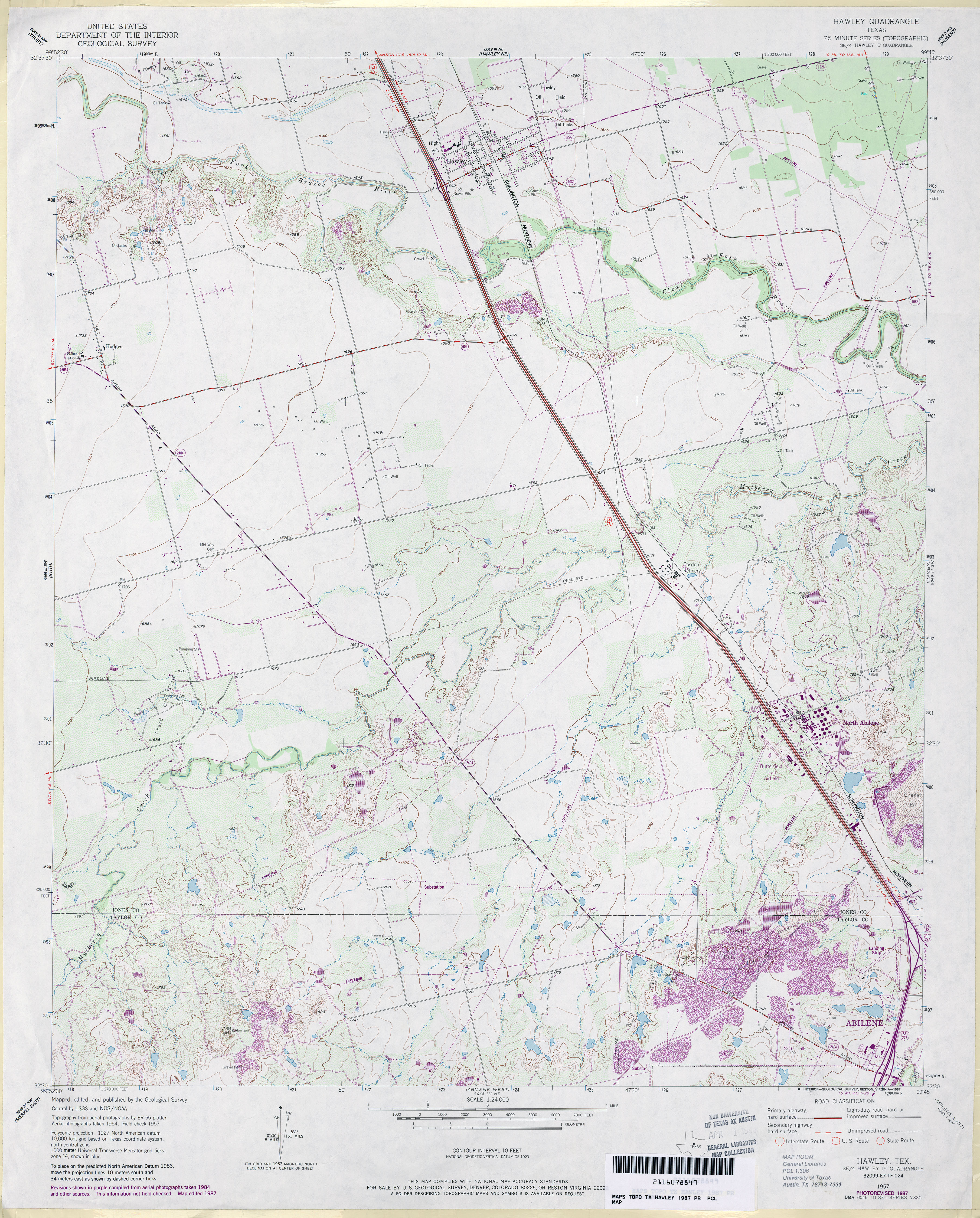
- Hawley 1:24,000 1957 (4.2MB)
- Hawley 1:62,500 1957 (4MB)
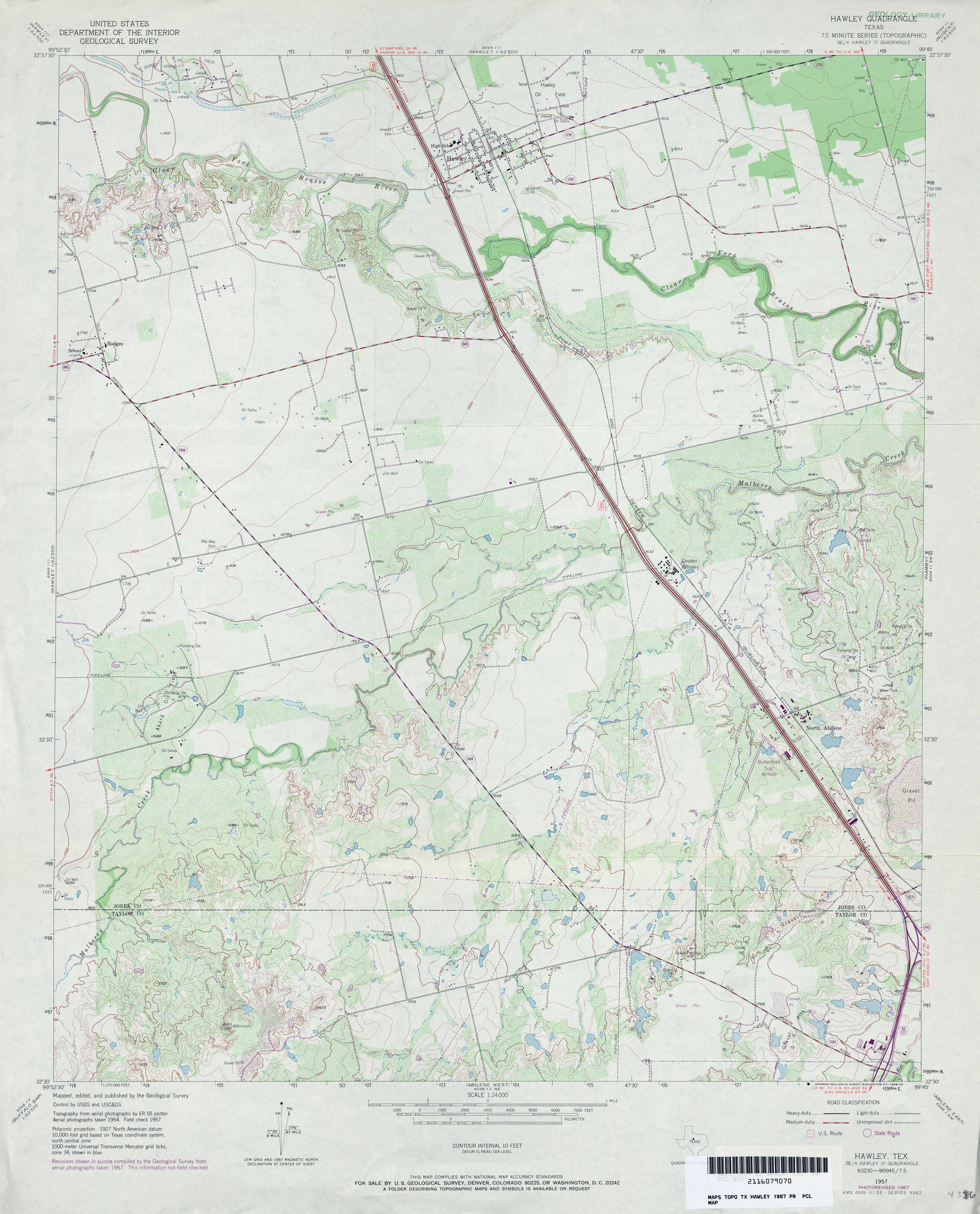
- Hawley 1:24,000 1967 (3.7MB)
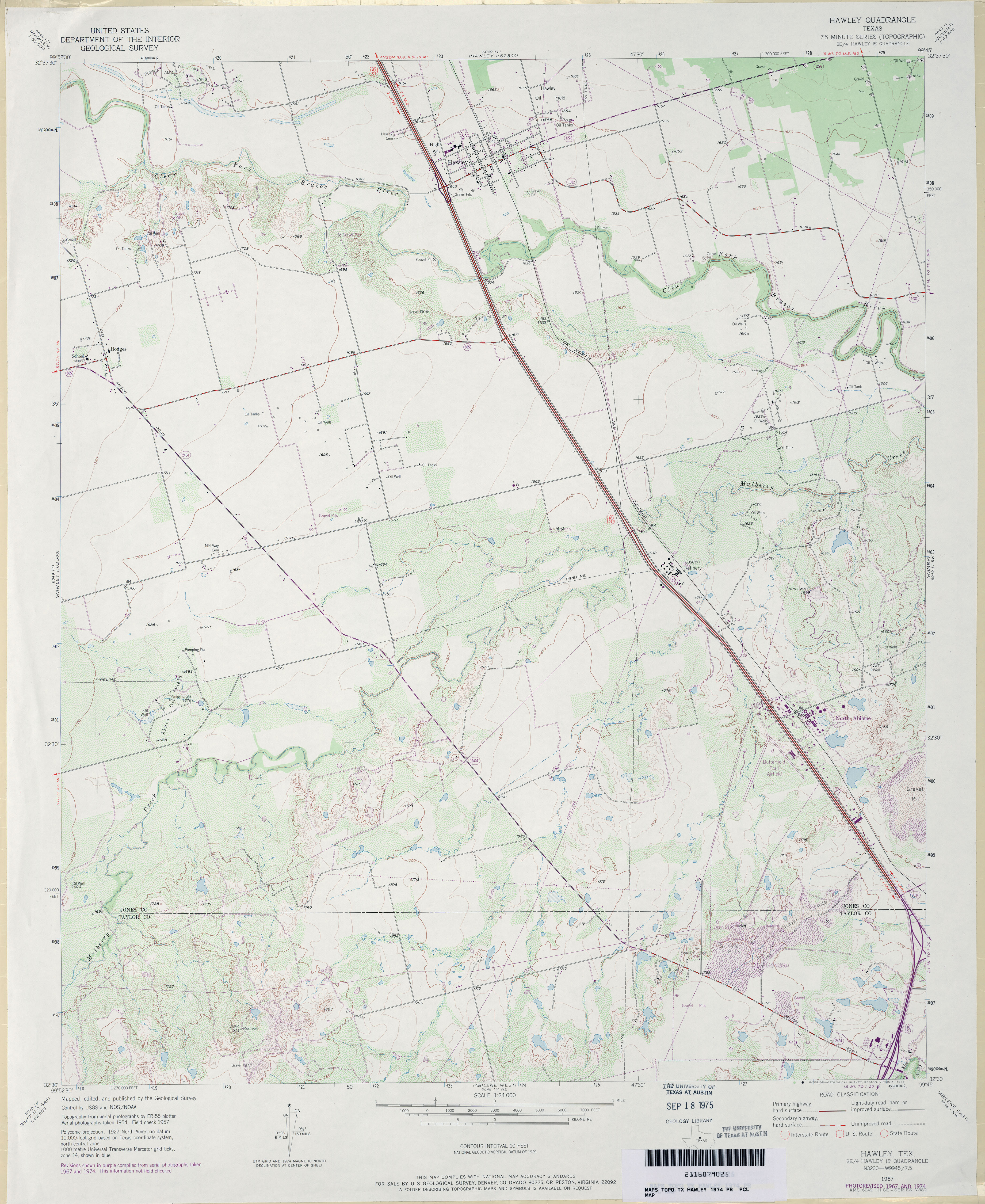
- Hawley 1:24,000 1974 (3.4MB)
- Hawley 1:24,000 1987 (3.9MB)
- Hawley 1:24,000 2008 (13.2MB) [GeoPDF]
- Hawley 1:24,000 2012 (20.8MB) [GeoPDF]
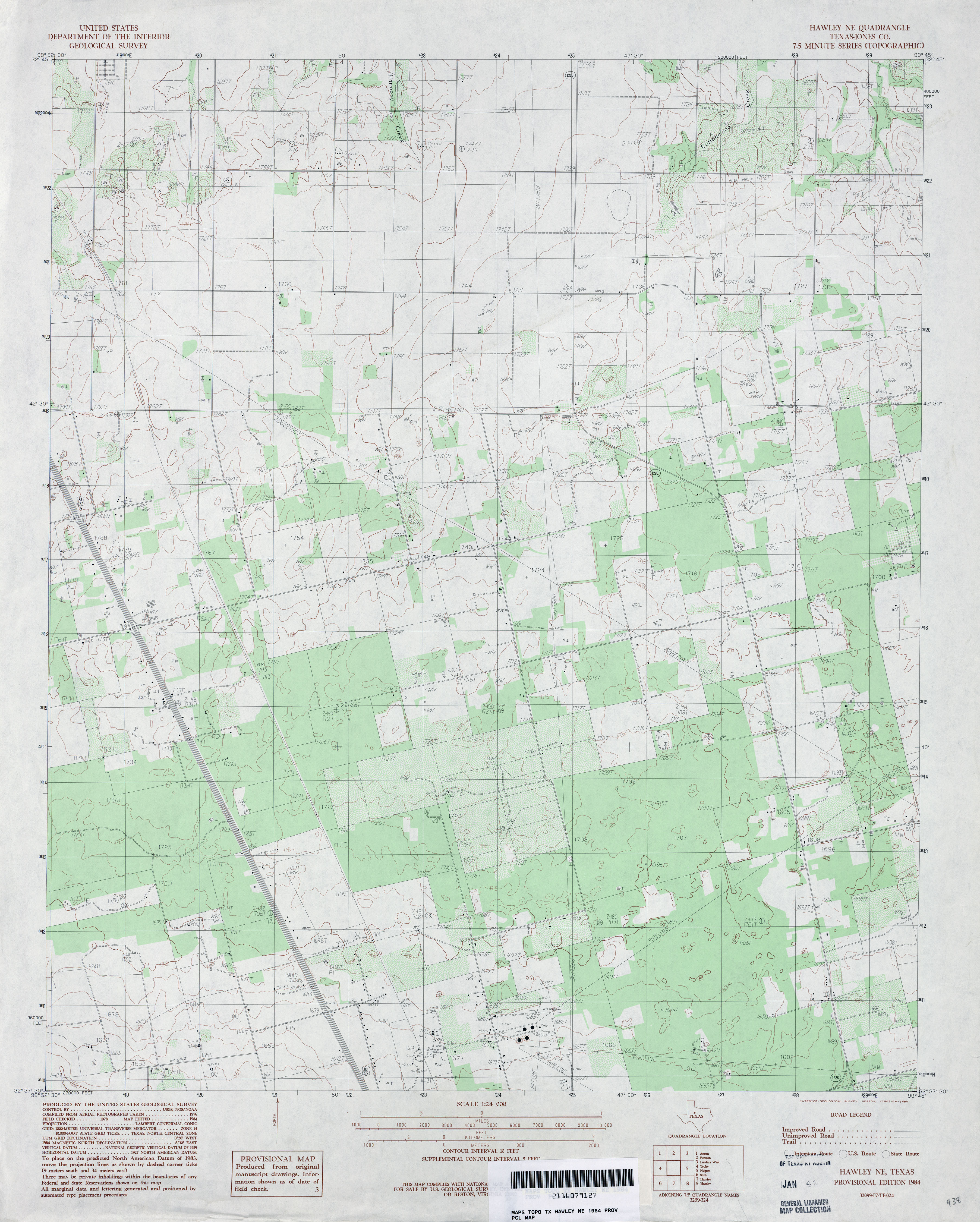
- Hawley NE (Jones County) 1:24,000 1984 (3.3MB)
- Hawley NE 1:24,000 2008 (14.5MB) [GeoPDF]
- Hawley NE 1:24,000 2012 (20MB) [GeoPDF]
- Hay Hollow 1:24,000 1973 (5MB)
- Hay Hollow 1:24,000 2008 (19.7MB) [GeoPDF]
- Hay Hollow 1:24,000 2012 (23.3MB) [GeoPDF]
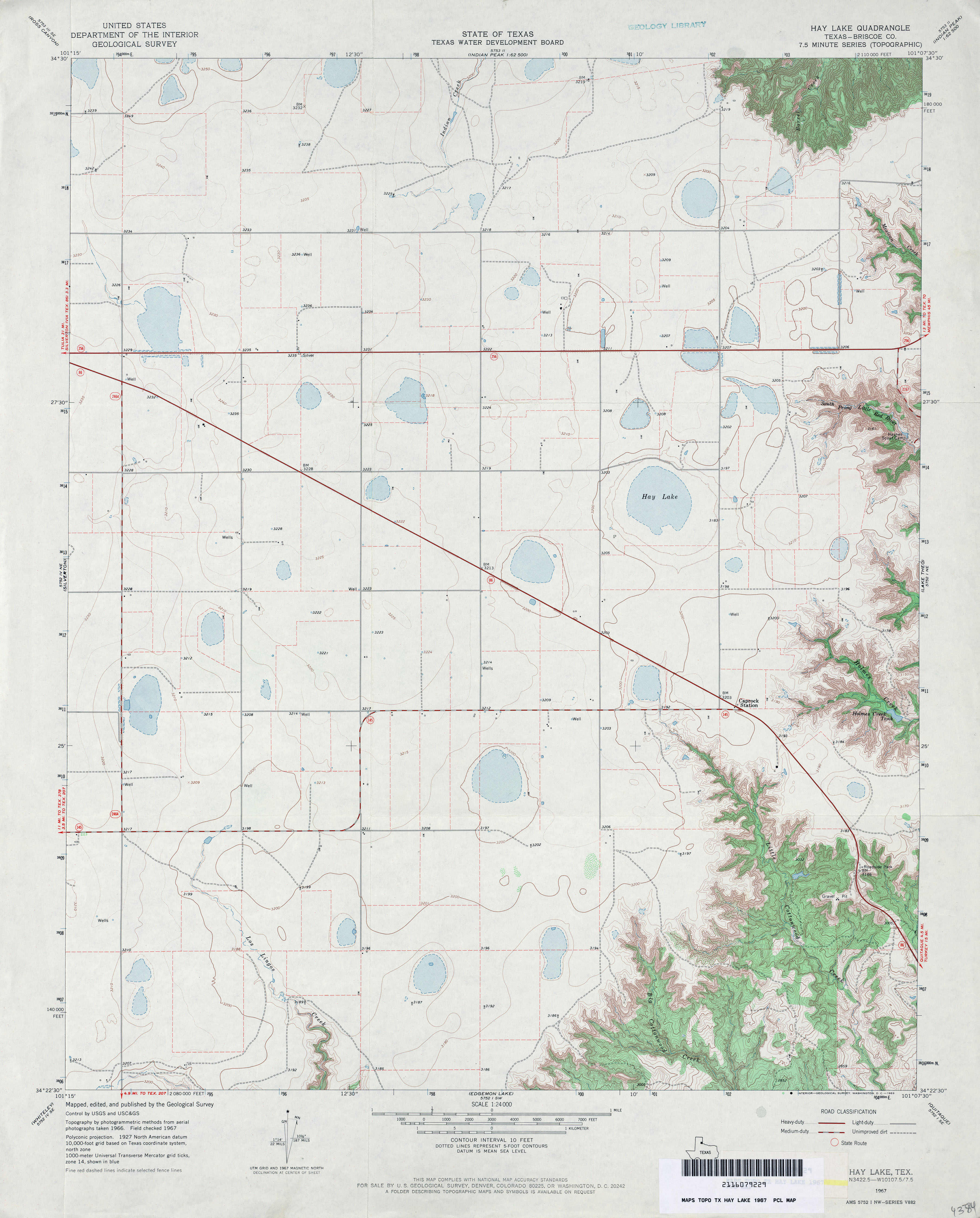
- Hay Lake (Briscoe County) 1:24,000 1967 (3.1MB)
- Hay Lake 1:24,000 2008 (12.8MB) [GeoPDF]
- Hay Lake 1:24,000 2012 (18.4MB) [GeoPDF]
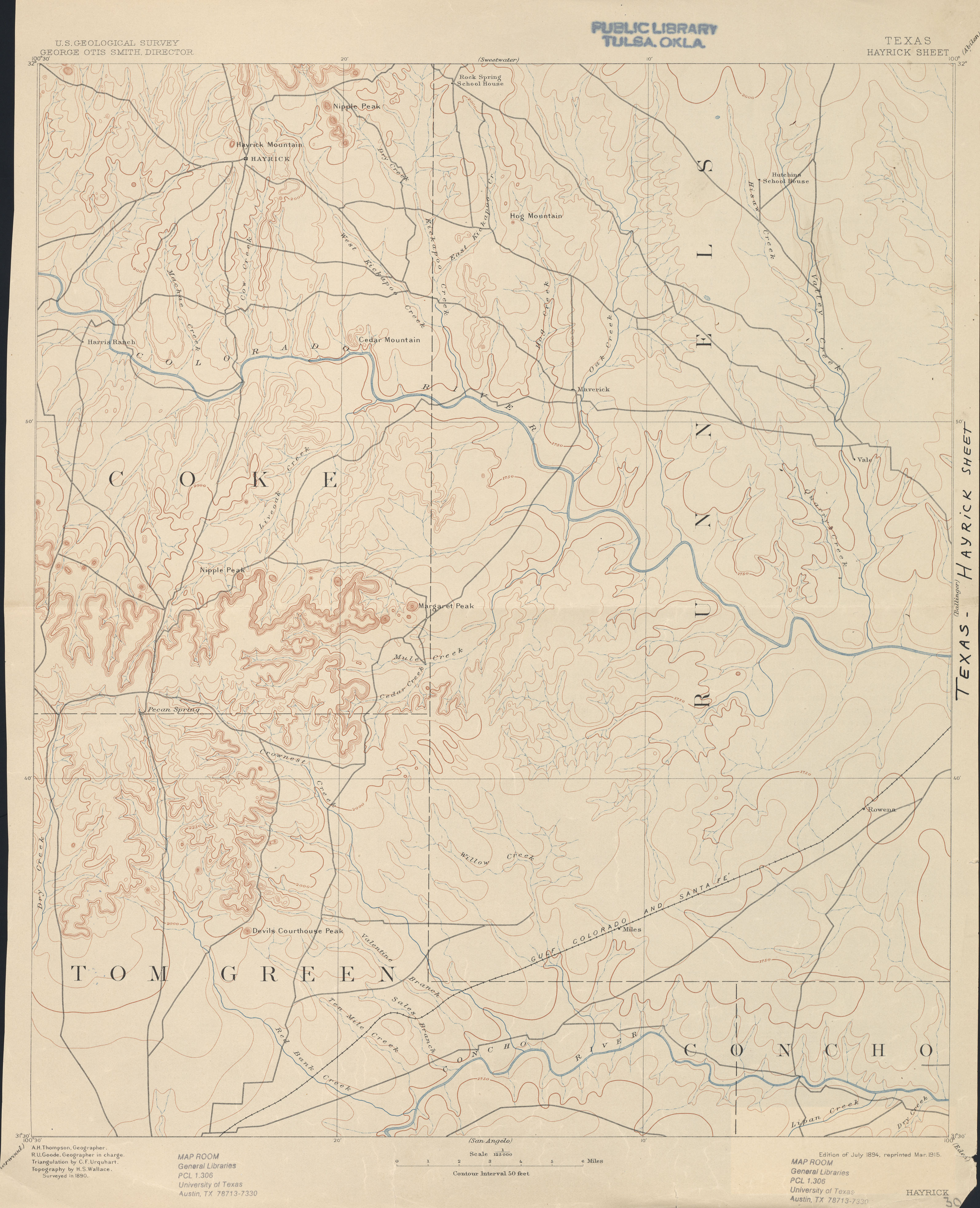
- Hayrick 1:125,000 1890 (2.3 MB)
- Hayrick Mountain 1:24,000 1963 (6MB)
- Hayrick Mountain 1:24,000 2008 (20.1MB) [GeoPDF]
- Hayrick Mountain 1:24,000 2012 (29.5MB) [GeoPDF]
- Hays Spring (Houston County) 1:24,000 1964 (4.9MB)
- Hays Spring 1:24,000 2009 (23.7MB) [GeoPDF]
- Hays Spring 1:24,000 2013 (24.7MB) [GeoPDF]
- Haystack Mountain (Dickens County) 1:24,000 1967 (4MB)
- Haystack Mountain (Dickens County) 1:24,000 1981 (4.6MB)
- Haystack Mountain 1:24,000 2008 (14.6MB) [GeoPDF]
- Haystack Mountain 1:24,000 2012 (22.1MB) [GeoPDF]
- Hearne North (Robertson County) 1:24,000 1961 (4.6MB)
- Hearne North (Robertson County) 1:24,000 1989 (4.9MB)
- Hearne North 1:24,000 2008 (18.2MB) [GeoPDF]
- Hearne North 1:24,000 2013 (23.7MB) [GeoPDF]
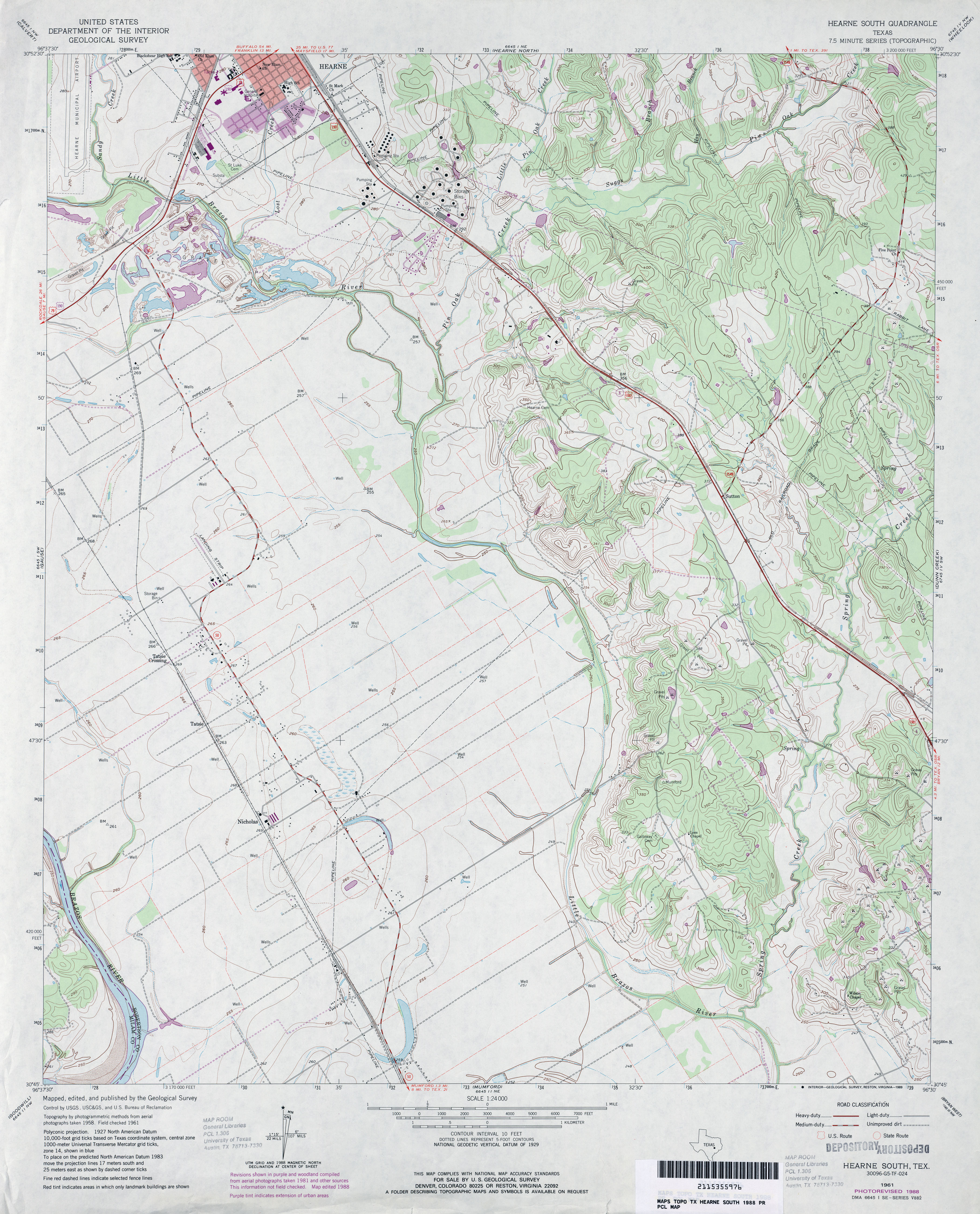
- Hearne South 1:24,000 1961 (4MB)
- Hearne South 1:24,000 1988 (4MB)
- Hearne South 1:24,000 2008 (15.3MB) [GeoPDF]
- Hearne South 1:24,000 2013 (21.2MB) [GeoPDF]
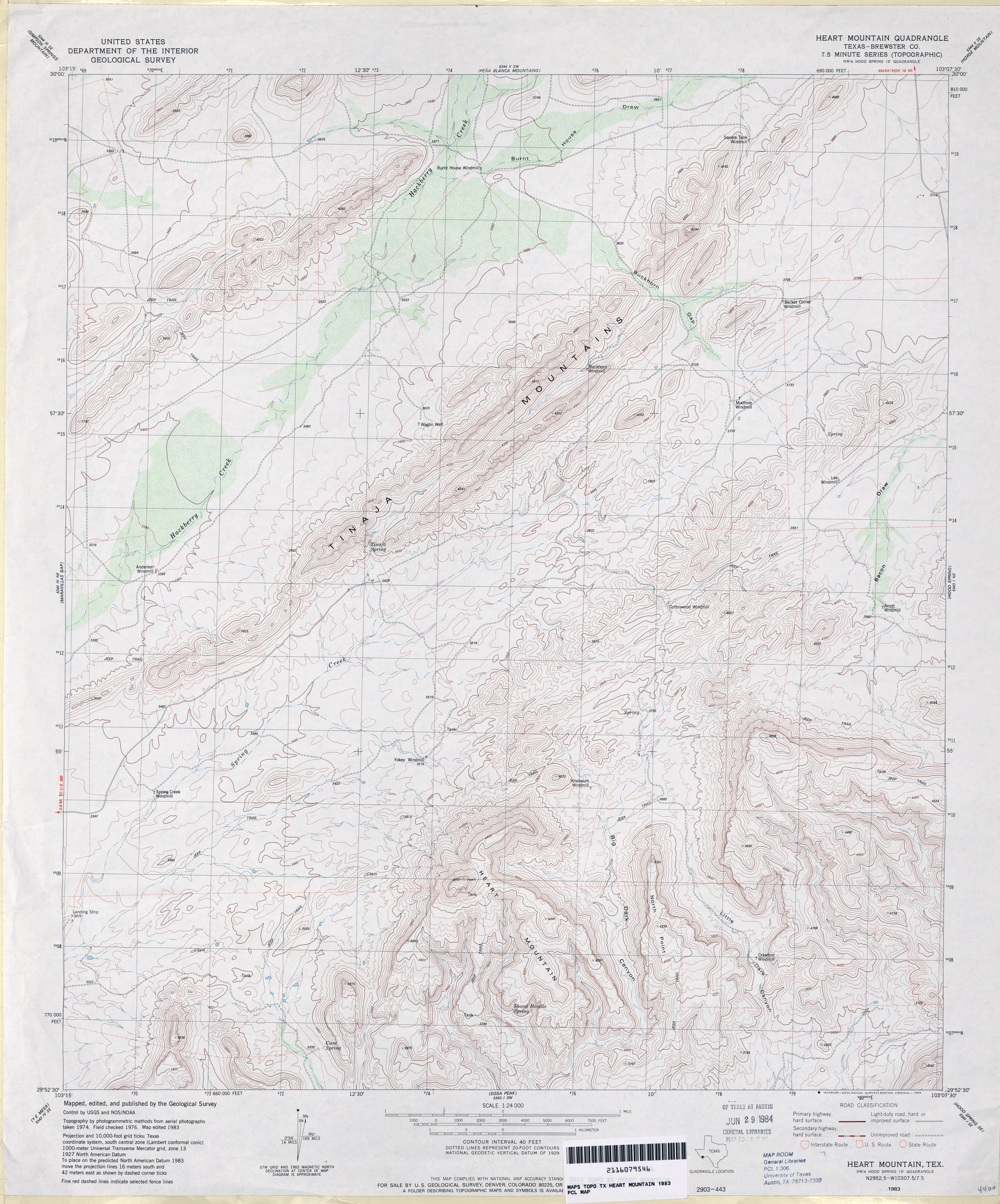
- Heart Mountain (Brewster County) 1:24,000 1983 (4.4MB)
- Heart Mountain 1:24,000 2008 (24.3MB) [GeoPDF]
- Heart Mountain 1:24,000 2013 (26.4MB) [GeoPDF]
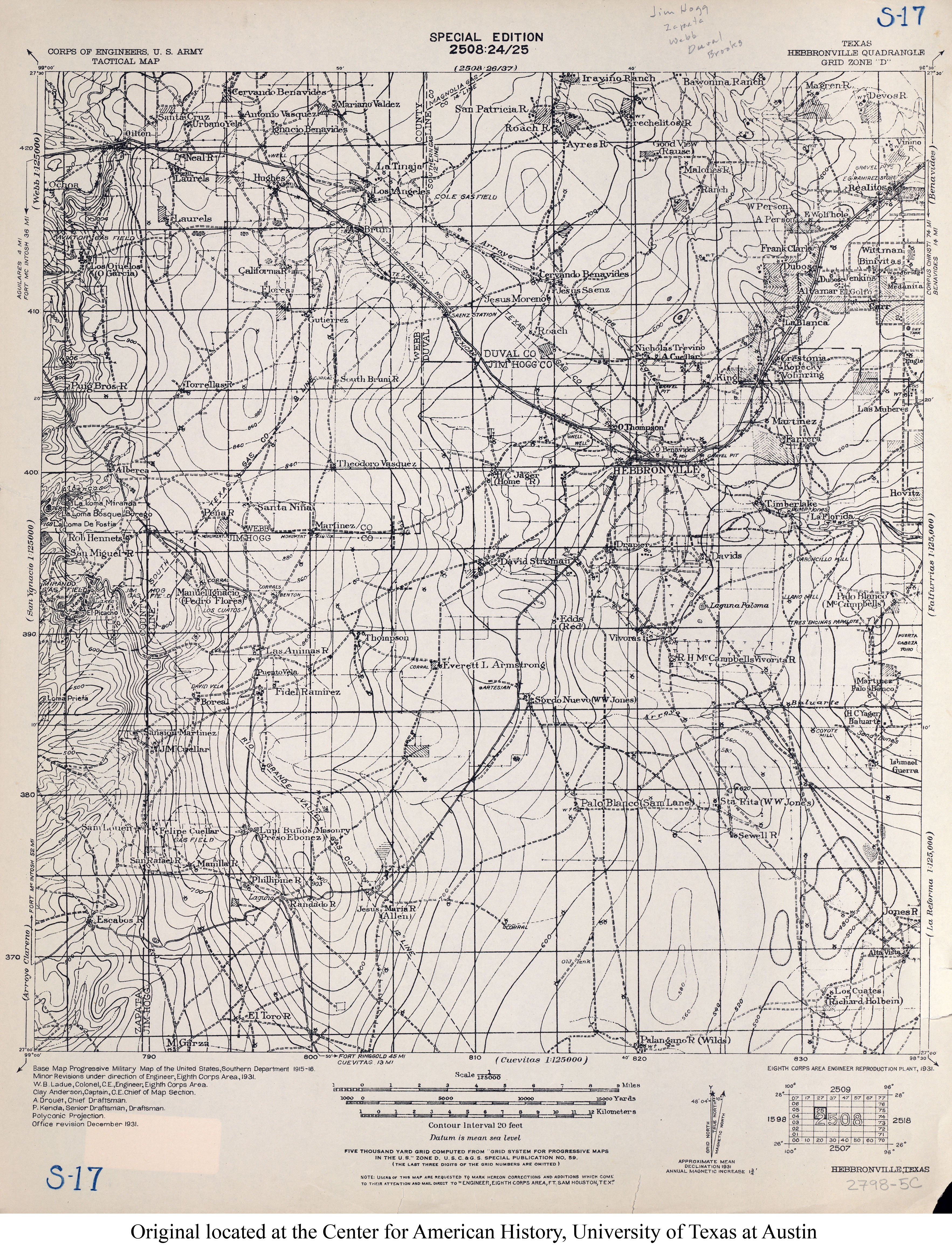
- Hebbronville 1:125,000 1931 (4.3MB) U.S. Army. Corps of Engineers. Tactical Map
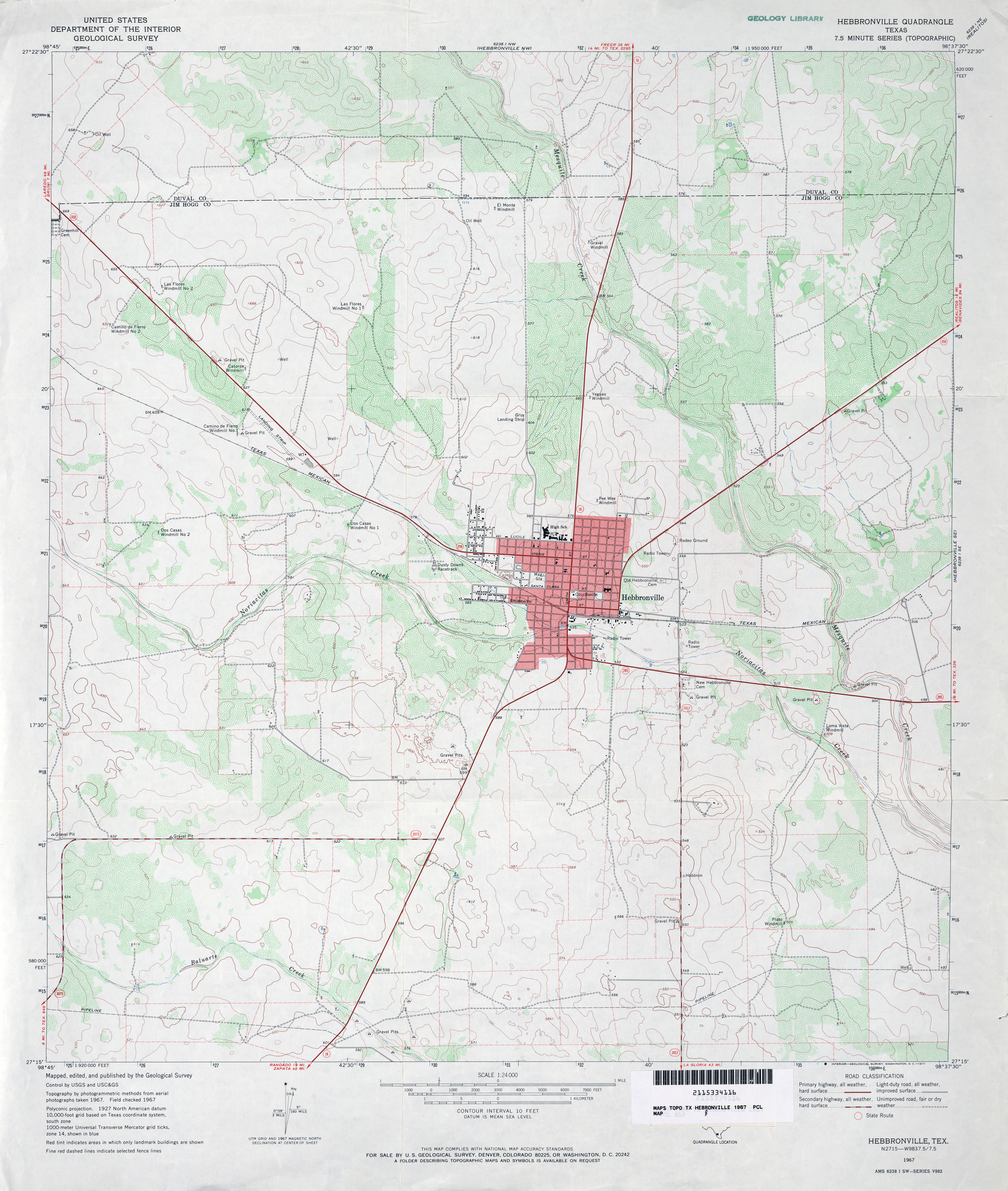
- Hebbronville 1:24,000 1967 (3.6MB)
- Hebbronville 1:24,000 2008 (16.3MB) [GeoPDF]
- Hebbronville 1:24,000 2013 (22MB) [GeoPDF]
- Hebbronville NW (Duval County) 1:24,000 1967 (2.8MB)
- Hebbronville NW 1:24,000 2008 (17.7MB) [GeoPDF]
- Hebbronville NW 1:24,000 2013 (24MB) [GeoPDF]
- Hebbronville SE 1:24,000 1967 (2.5MB)
- Hebbronville SE 1:24,000 2008 (15.2MB) [GeoPDF]
- Hebbronville SE 1:24,000 2013 (21.9MB) [GeoPDF]
- Hebron 1:24,000 1968 (3.6MB)
- Hebron 1:24,000 1973 (3.5MB)
- Hebron 1:24,000 1981 (3.8MB)
- Hebron 1:24,000 2008 (19.9MB) [GeoPDF]
- Hebron 1:24,000 2013 (27MB) [GeoPDF]
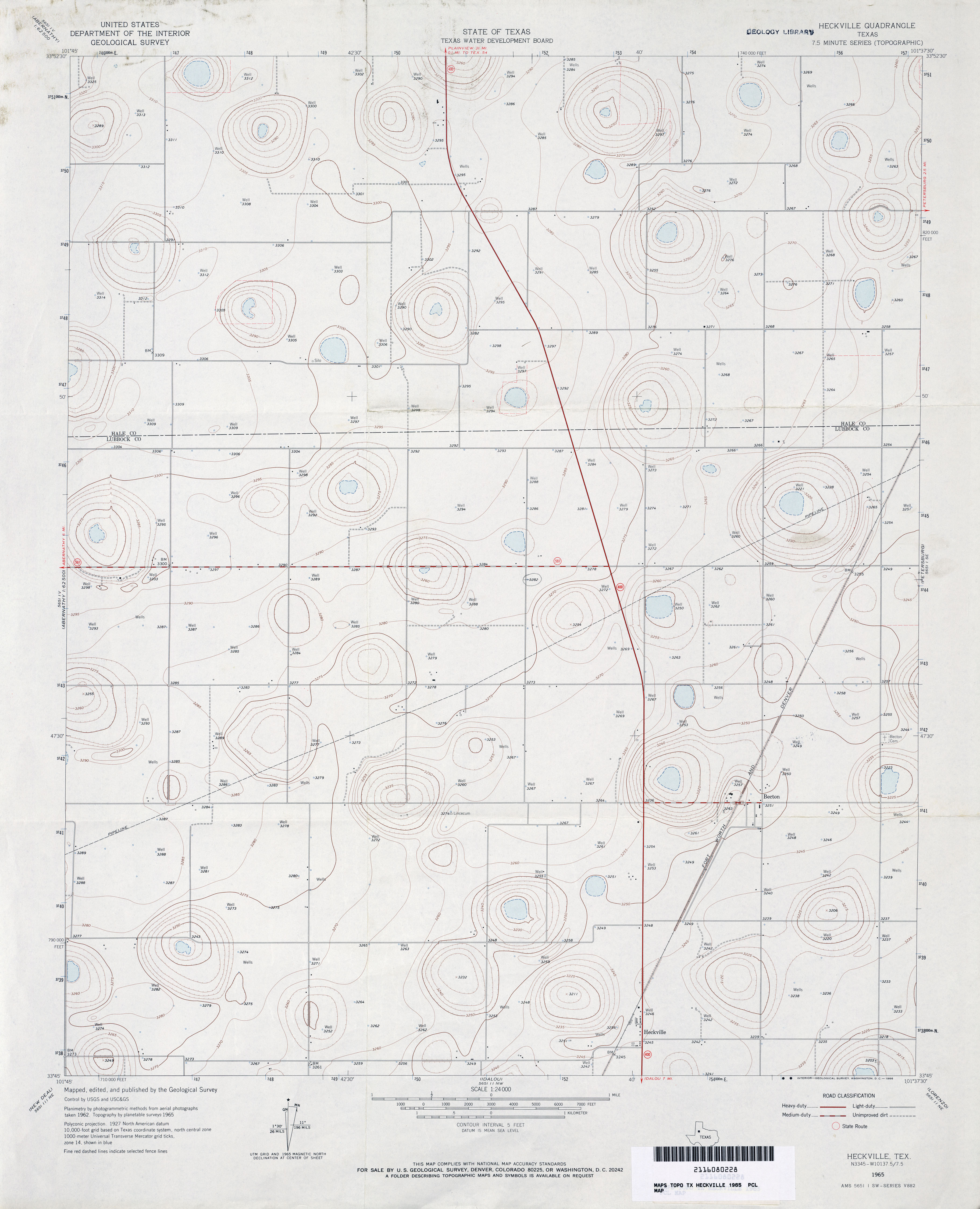
- Heckville 1:24,000 1965 (2.7MB)
- Heckville 1:24,000 2008 (10.4MB) [GeoPDF]
- Heckville 1:24,000 2012 (15.4MB) [GeoPDF]
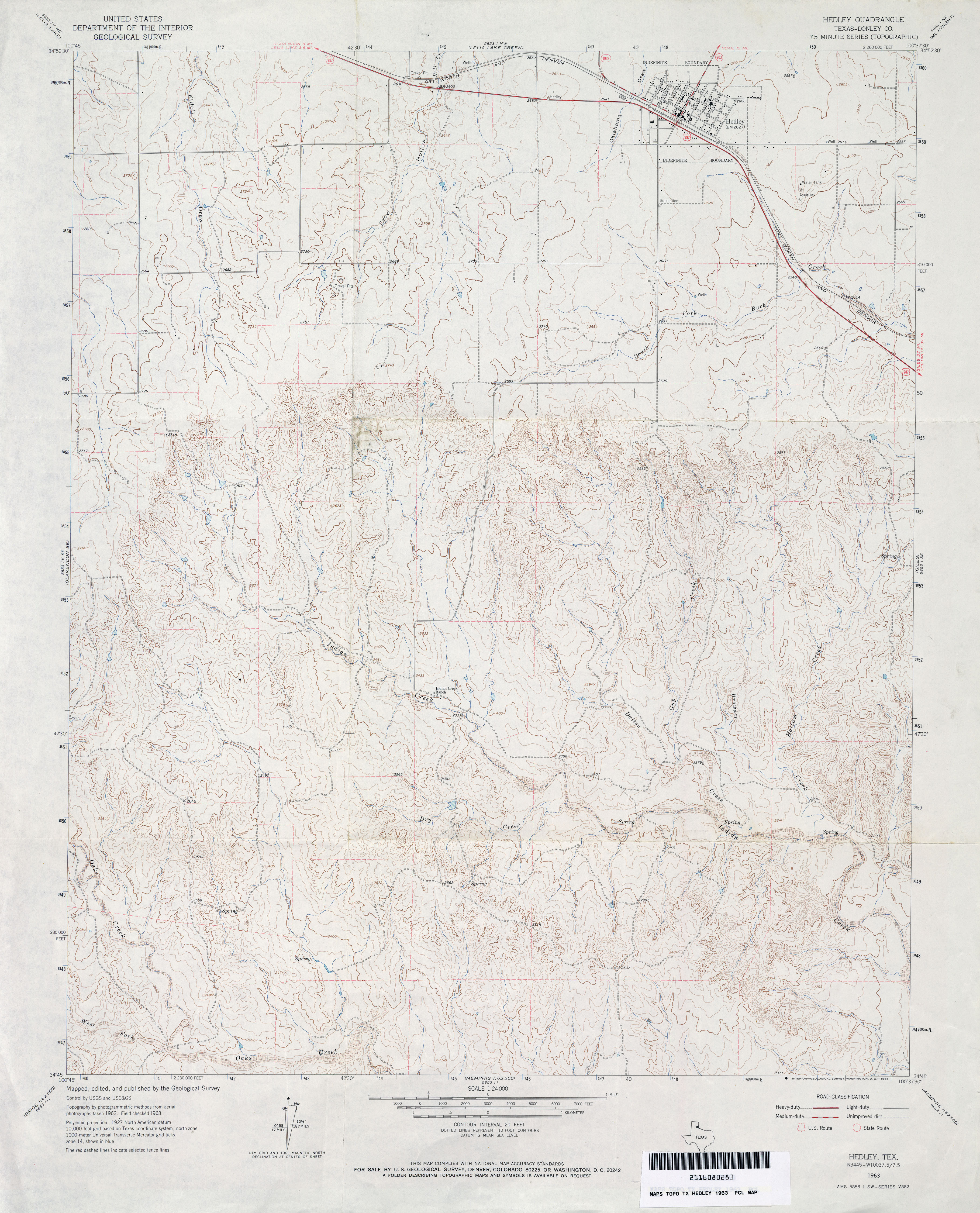
- Hedley (Donley County) 1:24,000 1963 (3.8MB)
- Hedley (Donley County) 1:24,000 1982 (4.5MB)
- Hedley 1:24,000 2008 (16.1MB) [GeoPDF]
- Hedley 1:24,000 2012 (23MB) [GeoPDF]
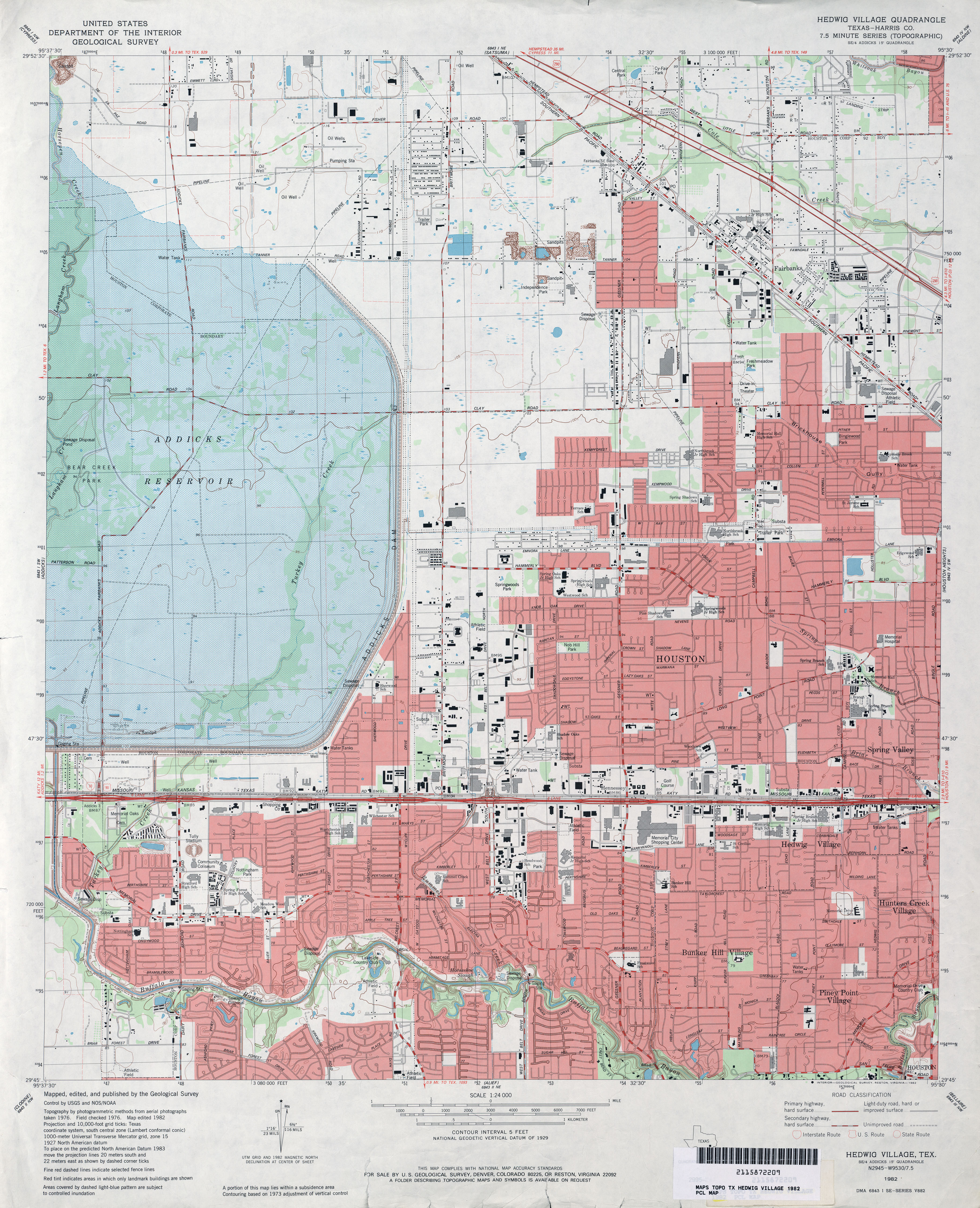
- Hedwig Village (Harris County) 1:24,000 1970 (3.9MB)
- Hedwig Village (Harris County) 1:24,000 1982 (4.6MB)
- Hedwig Village (Harris County) 1:24,000 1995 (5MB)
- Hedwig Village 1:24,000 2009 (25.8MB) [GeoPDF]
- Hedwig Village 1:24,000 2013 (26.4MB) [GeoPDF]
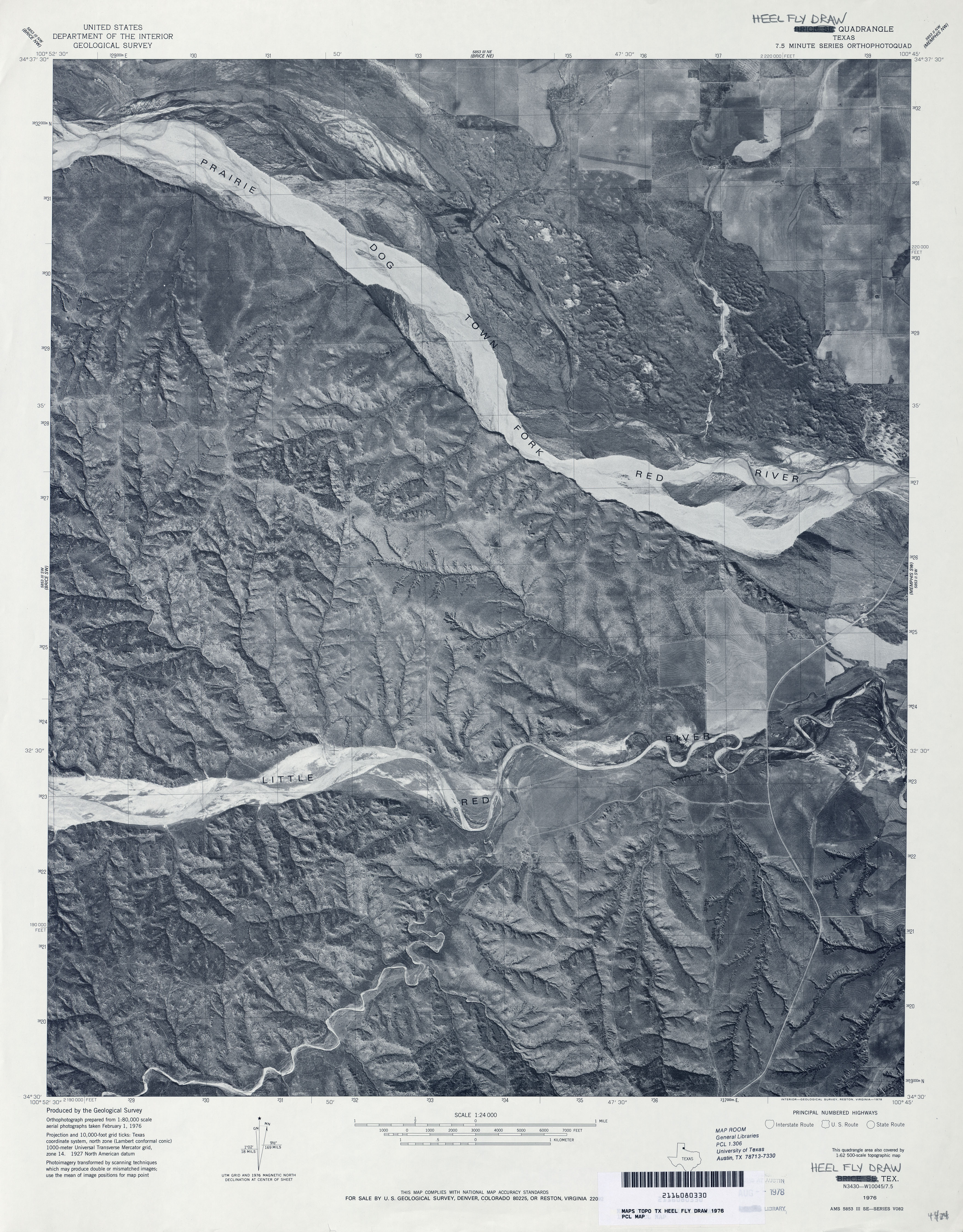
- Heel Fly Draw 1:24,000 1976 (3.5MB) 7.5 Minute Series Orthophotoquad.
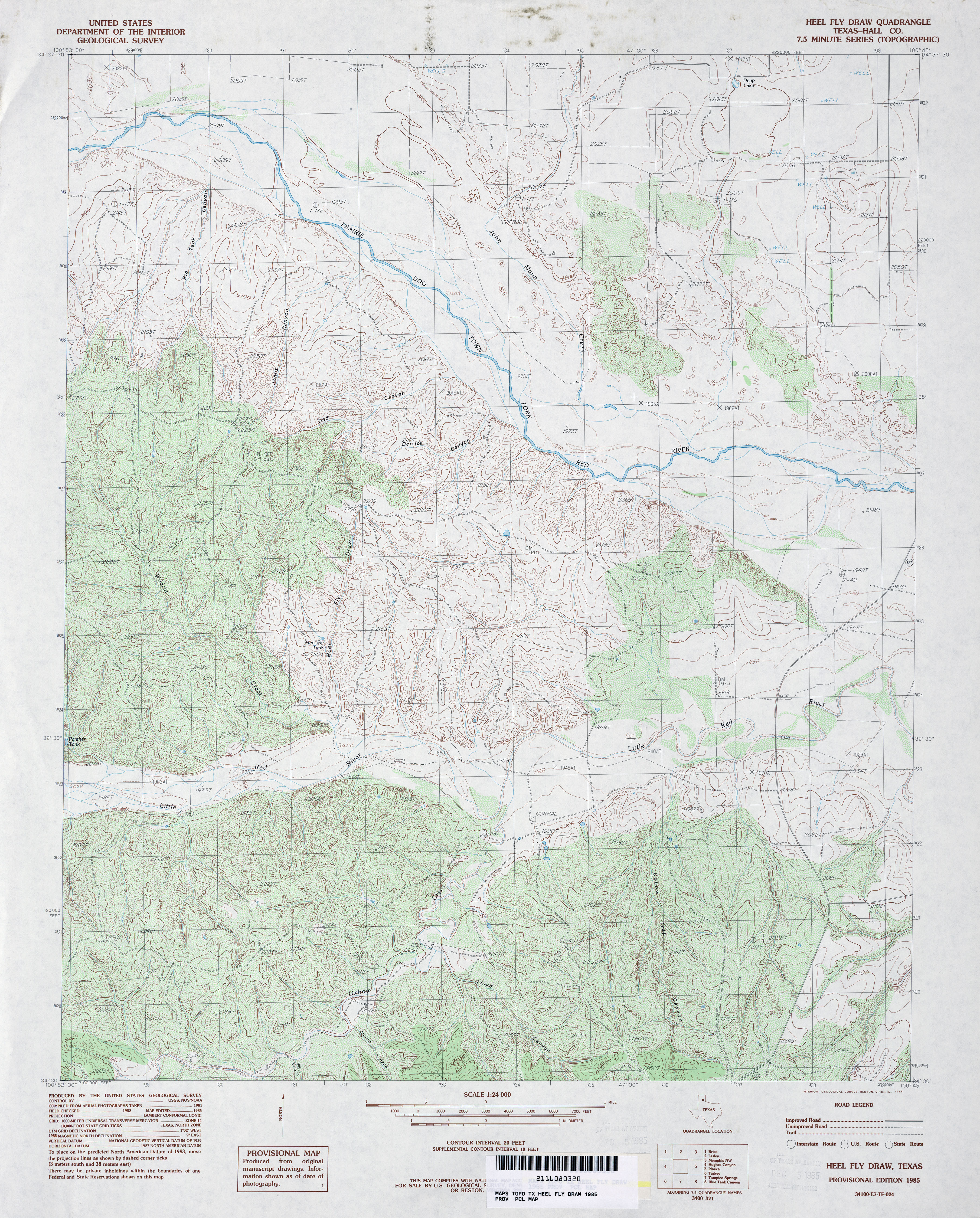
- Heel Fly Draw (Hall County) 1:24,000 1985 (4.9MB)
- Heel Fly Draw 1:24,000 2008 (18.3MB) [GeoPDF]
- Heel Fly Draw 1:24,000 2012 (24.5MB) [GeoPDF]
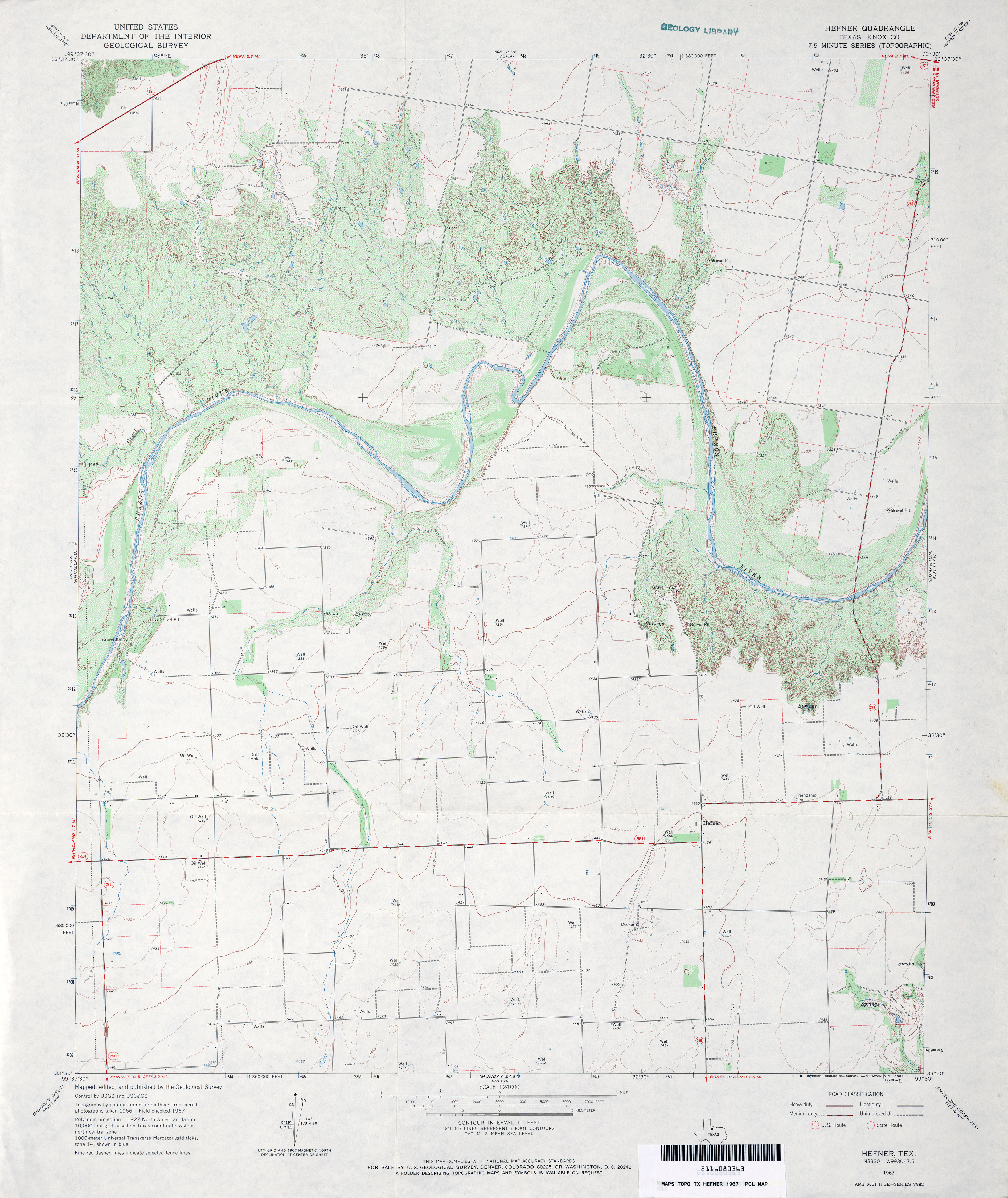
- Hefner (Knox County) 1:24,000 1967 (3.5MB)
- Hefner 1:24,000 2008 (11.5MB) [GeoPDF]
- Hefner 1:24,000 2013 (17.2MB) [GeoPDF]
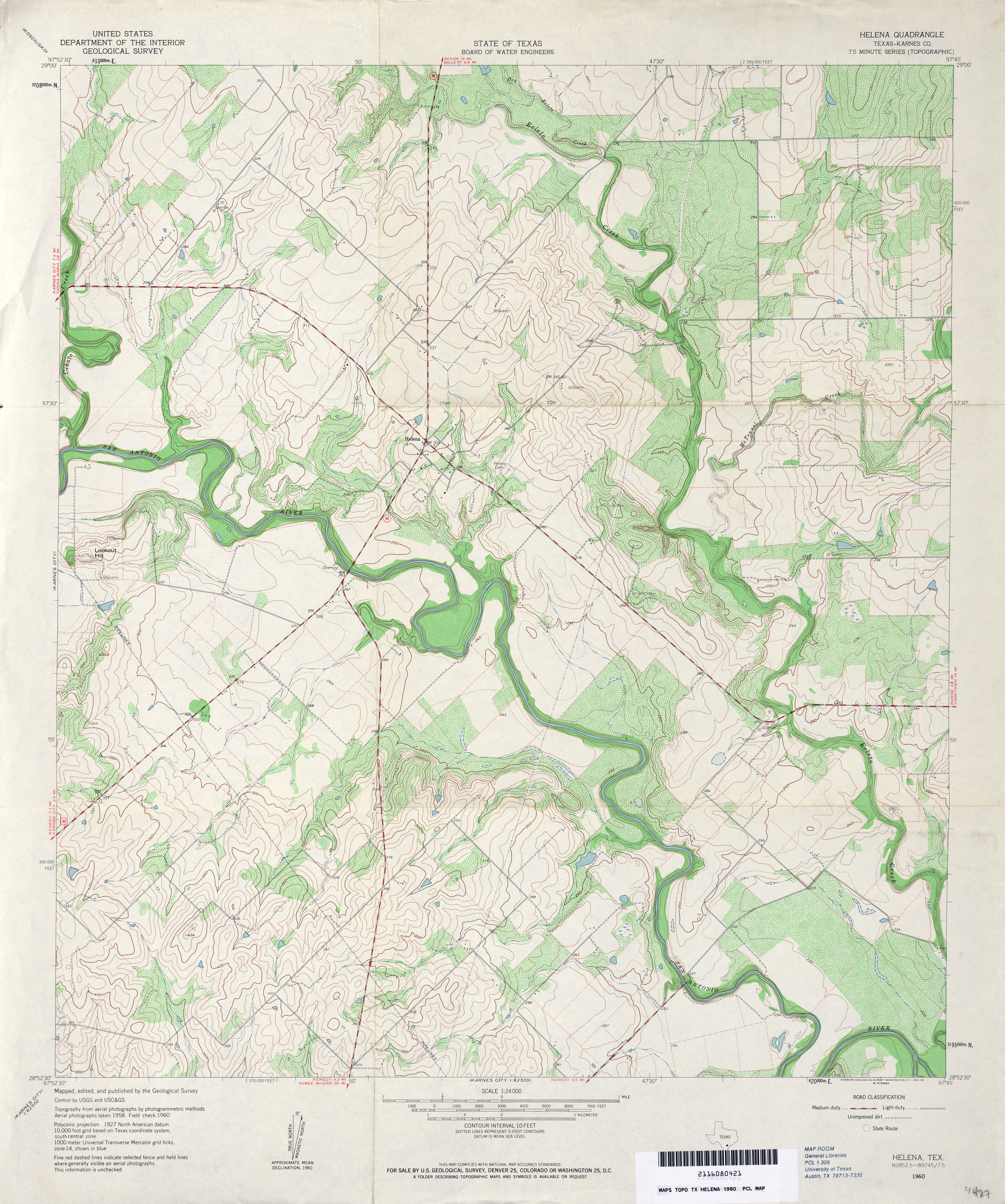
- Helena (Karnes County) 1:24,000 1960 (4.7MB)
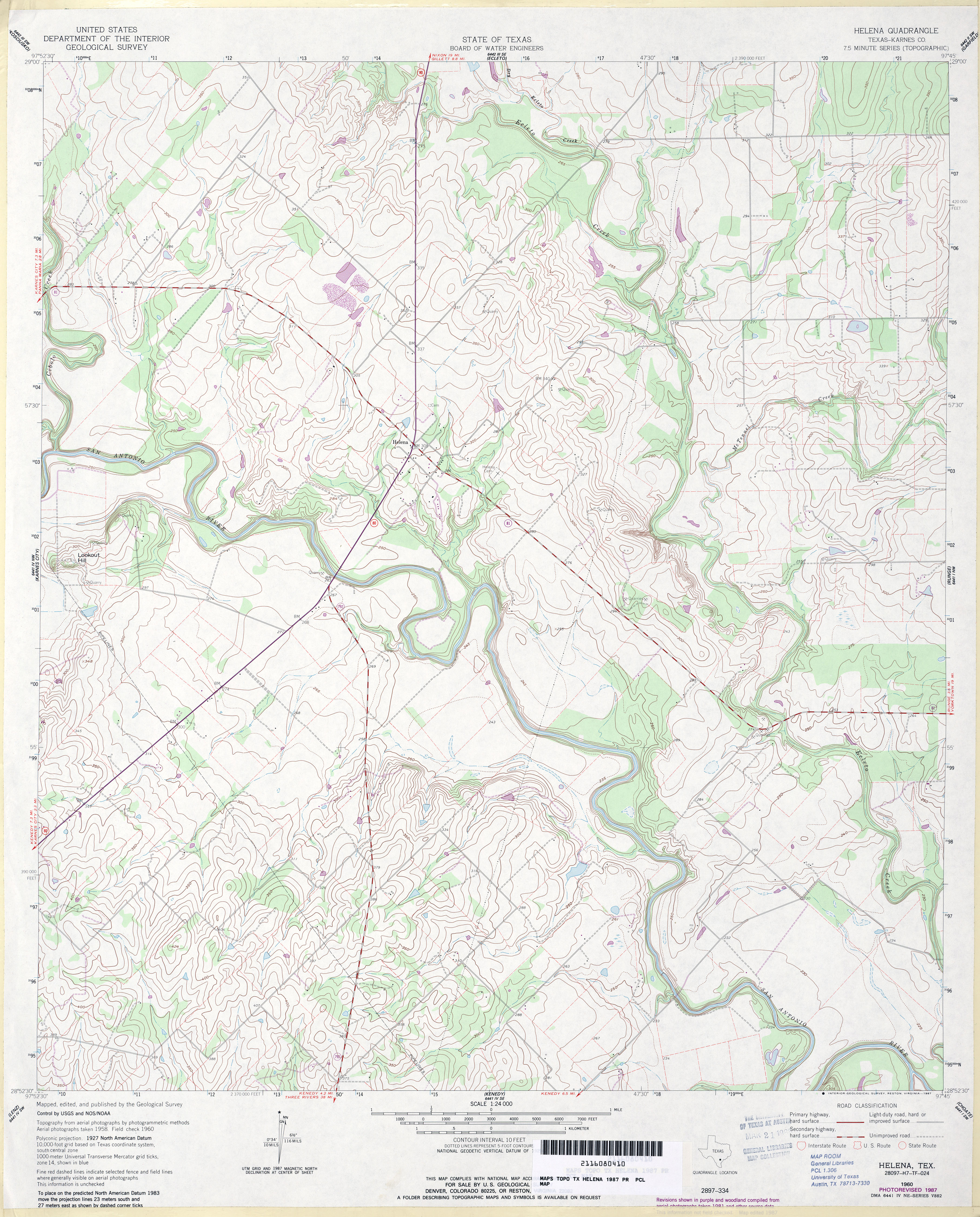
- Helena (Karnes County) 1:24,000 1987 (4.3MB)
- Helena 1:24,000 2008 (13.3MB) [GeoPDF]
- Helena 1:24,000 2013 (22.7MB) [GeoPDF]
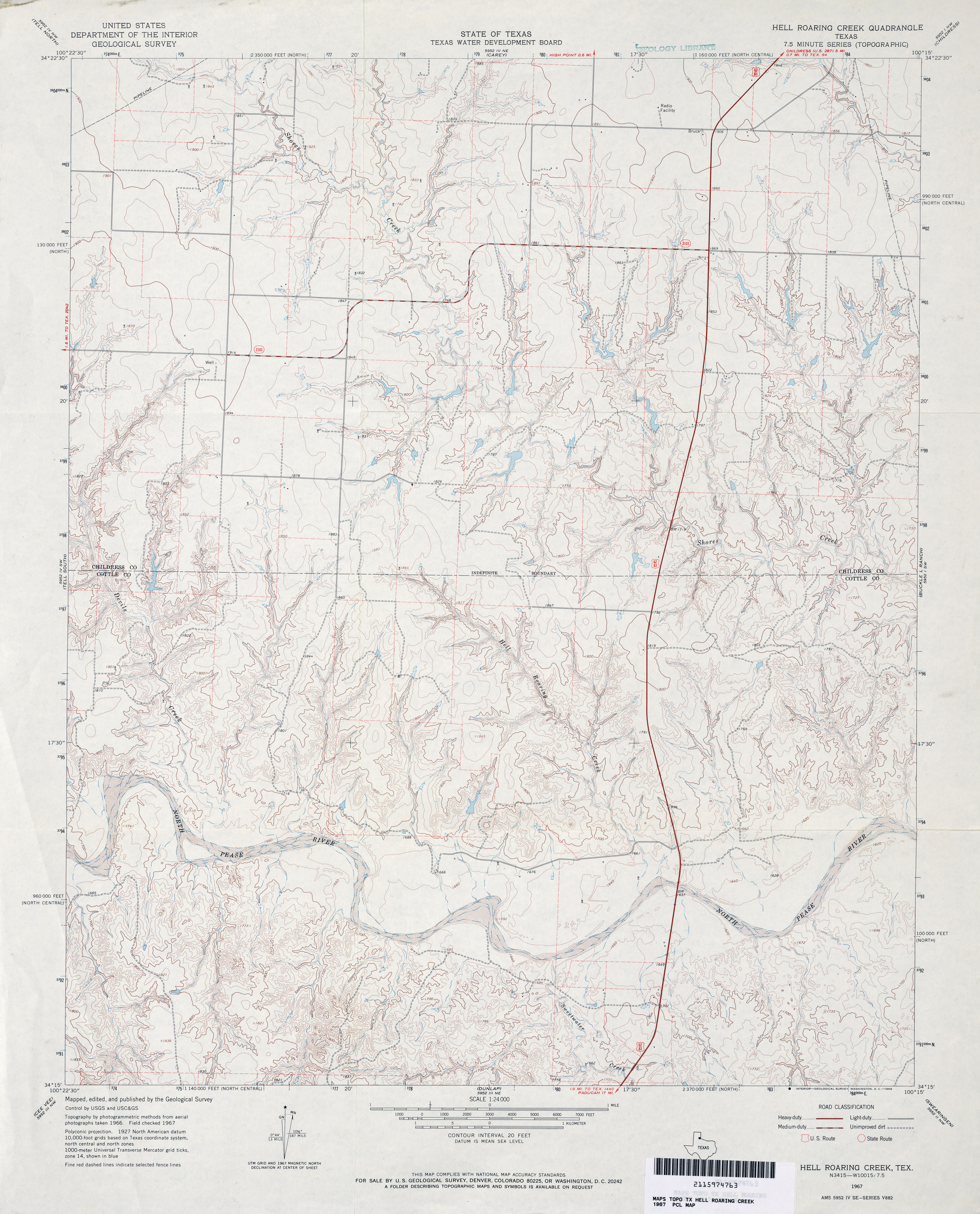
- Hell Roaring Creek 1:24,000 1967 (3.9MB)
- Hell Roaring Creek 1:24,000 1981 (4.1MB)
- Hell Roaring Creek 1:24,000 2008 (17.4MB) [GeoPDF]
- Hell Roaring Creek 1:24,000 2013 (23MB) [GeoPDF]
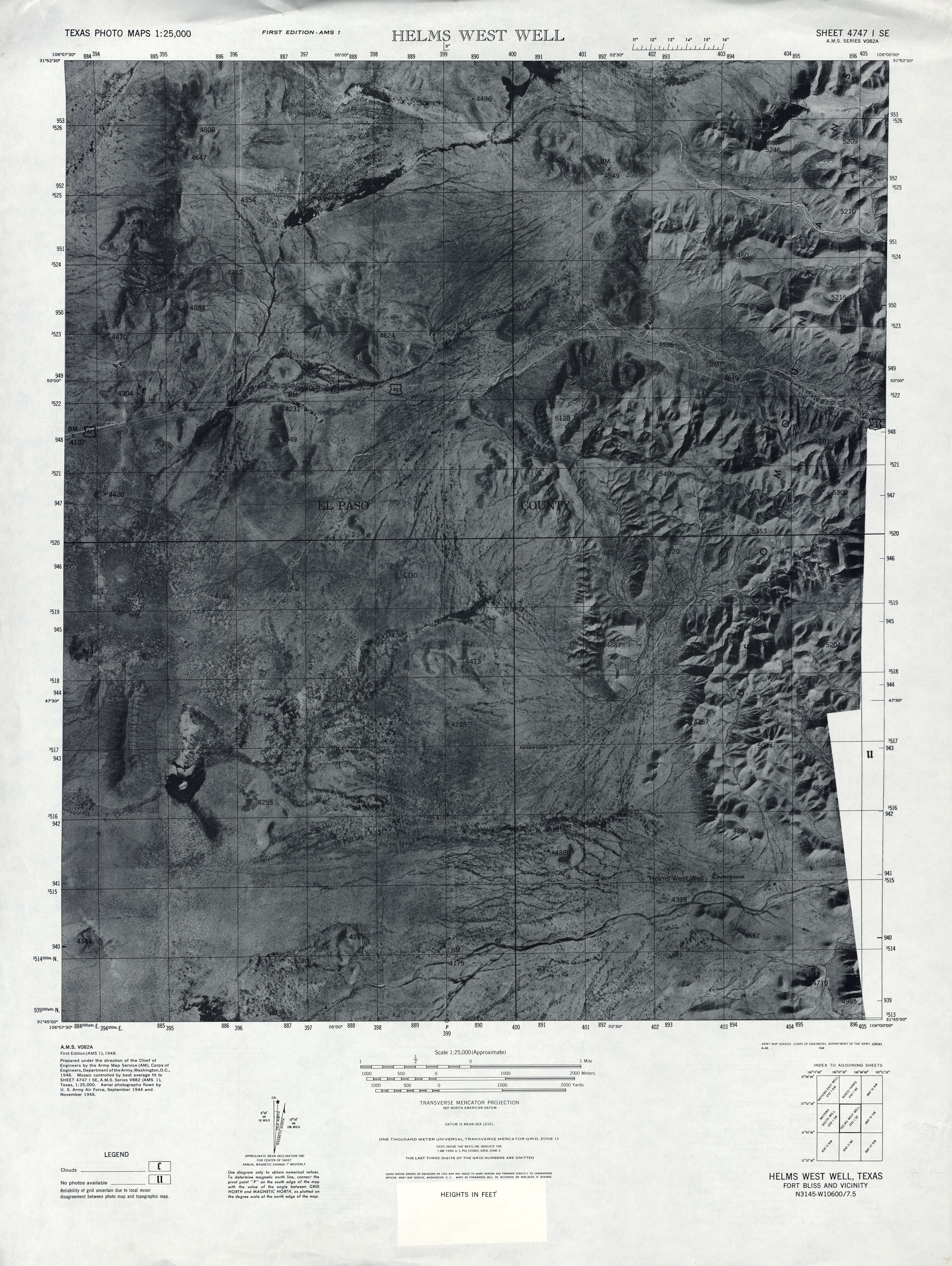
- Helms West Well 1:25,000 1947 (4.3MB) U.S. Army Map Service, Series V882.
- Helms West Well 1:25,000 1947 (3.3MB) U.S. Army Map Service, Series V082A, Texas Photo Maps.
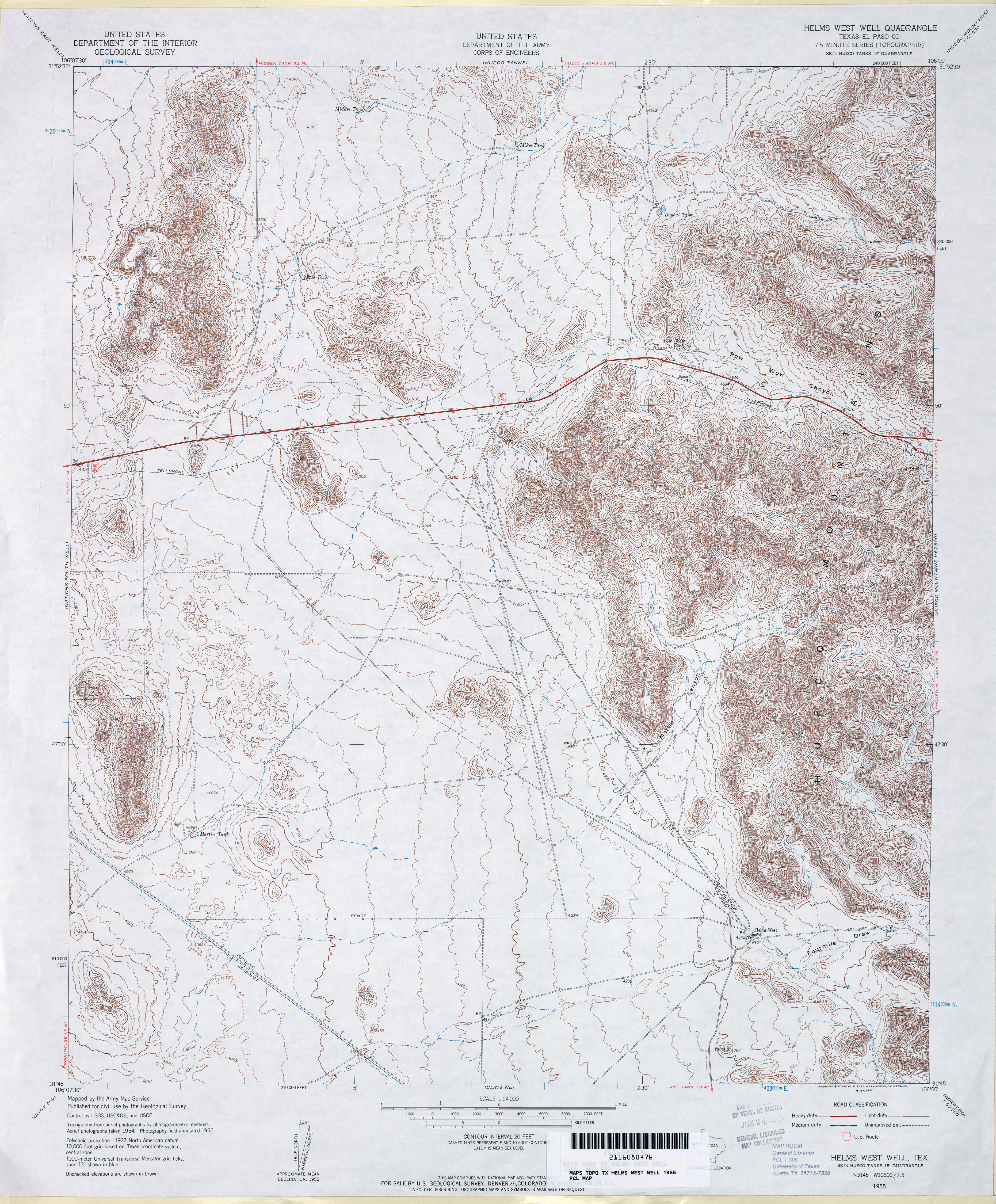
- Helms West Well (El Paso County) 1:24,000 1955 (4.7MB) U.S. Department of the Army Corps of Engineers
- Helms West Well 1:24,000 2008 (20.8MB) [GeoPDF]
- Helms West Well 1:24,000 2012 (26.5MB) [GeoPDF]
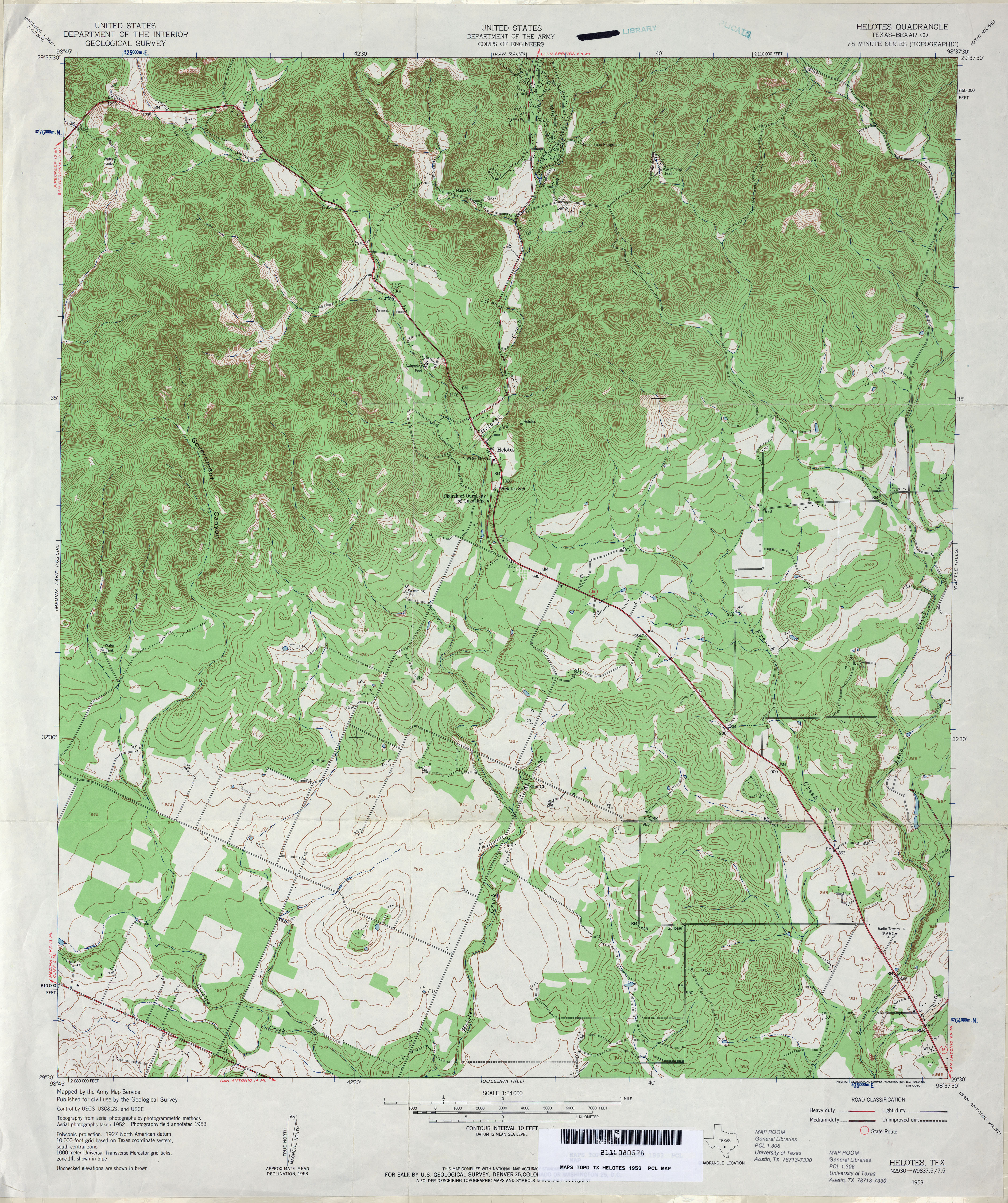
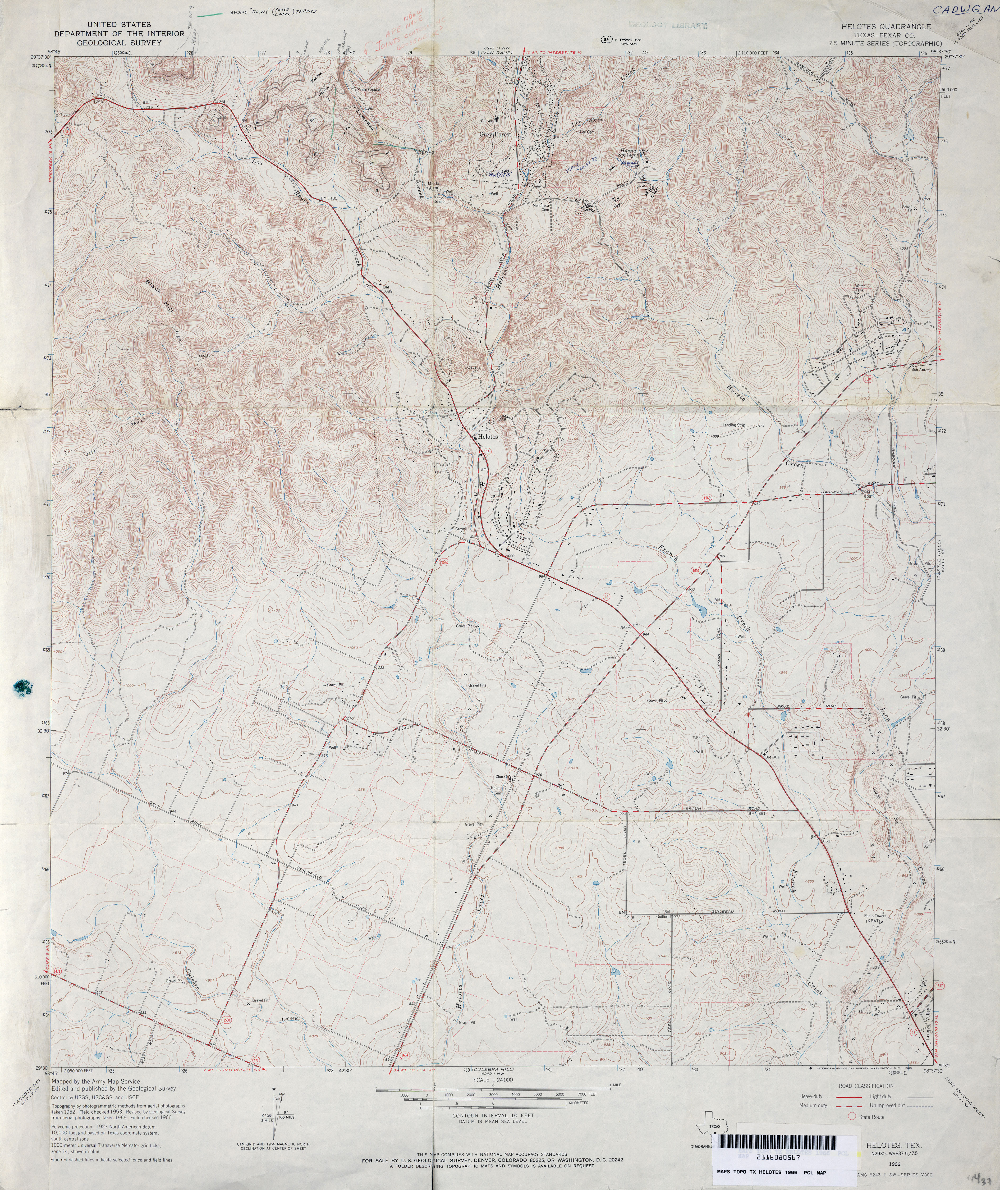
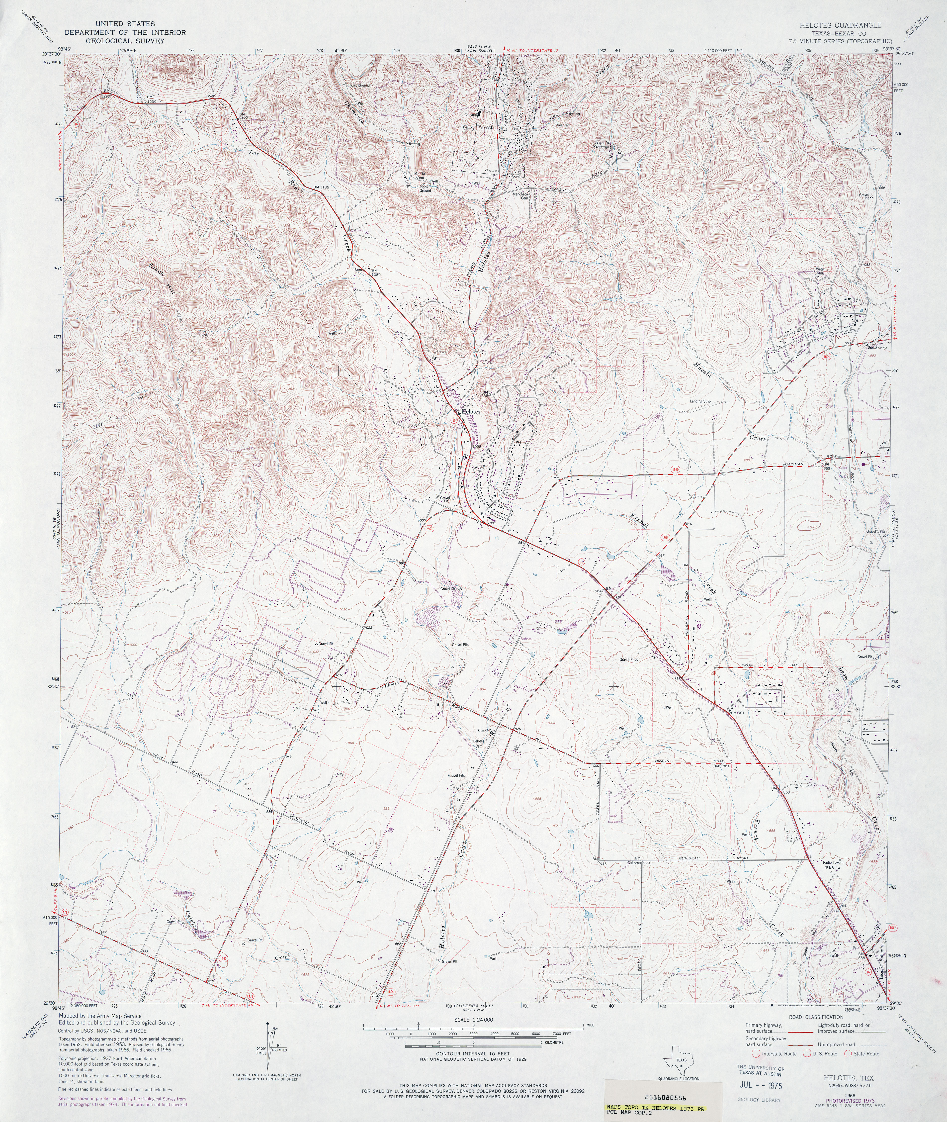
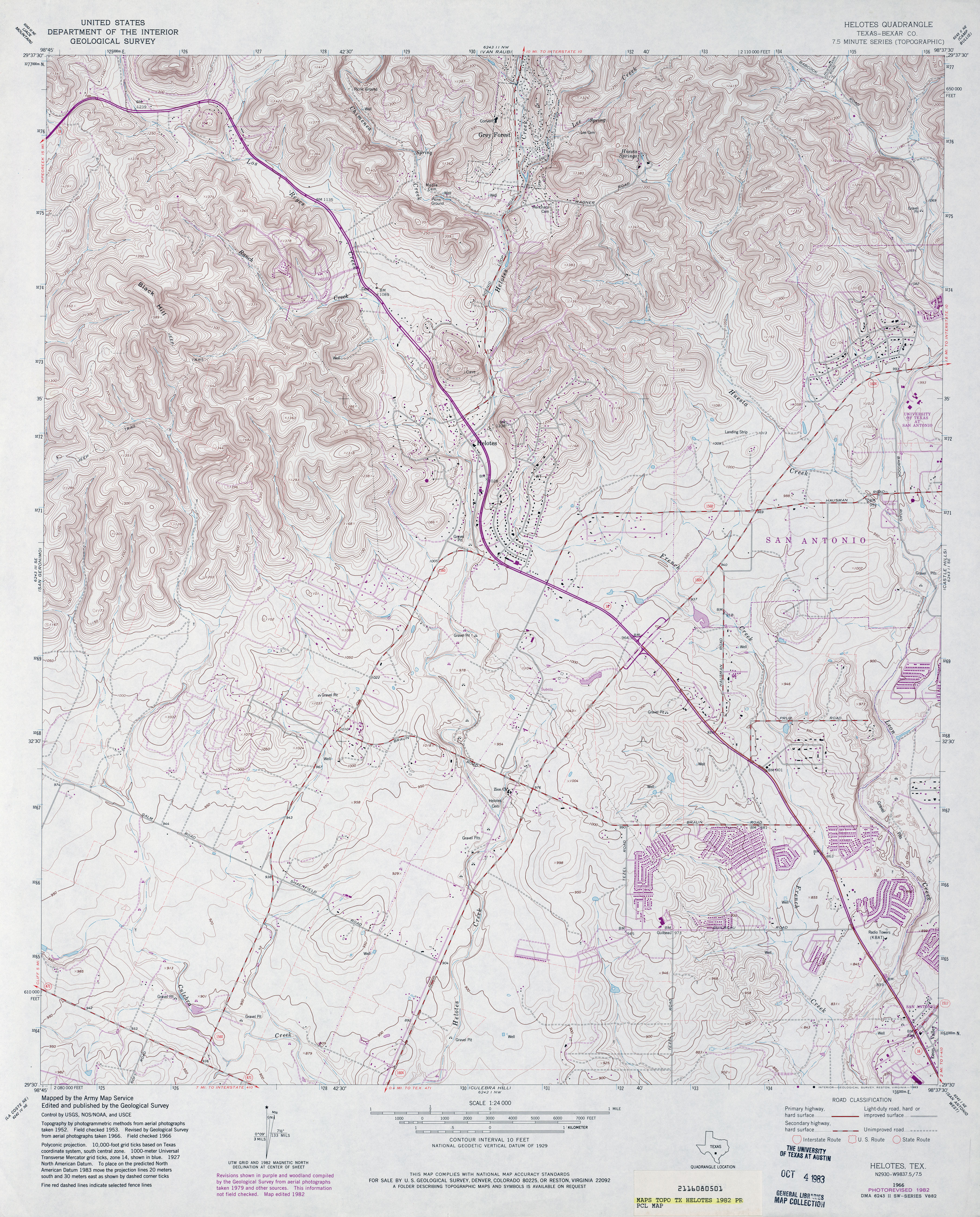
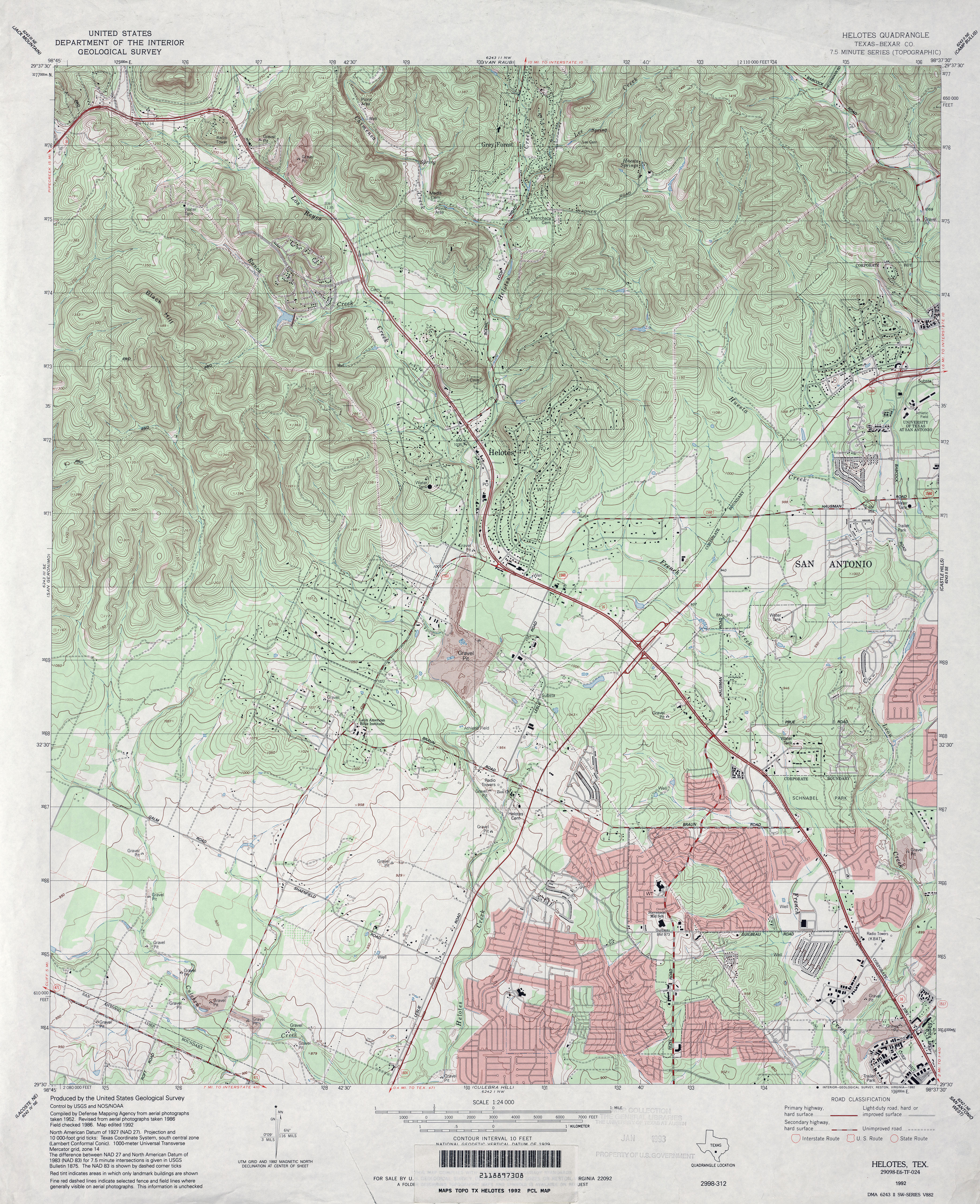
- Helotes (Bexar County) 1:24,000 1953 (5.2MB)
- Helotes (Bexar County) 1:24,000 1966 (4.5MB)
- Helotes (Bexar County) 1:24,000 1973 (4.8MB)
- Helotes (Bexar County) 1:24,000 1982 (5.2MB)
- Helotes (Bexar County) 1:24,000 1992 (5.7MB)
- Helotes 1:24,000 2008 (22.6MB) [GeoPDF]
- Helotes 1:24,000 2013 (29.3MB) [GeoPDF]
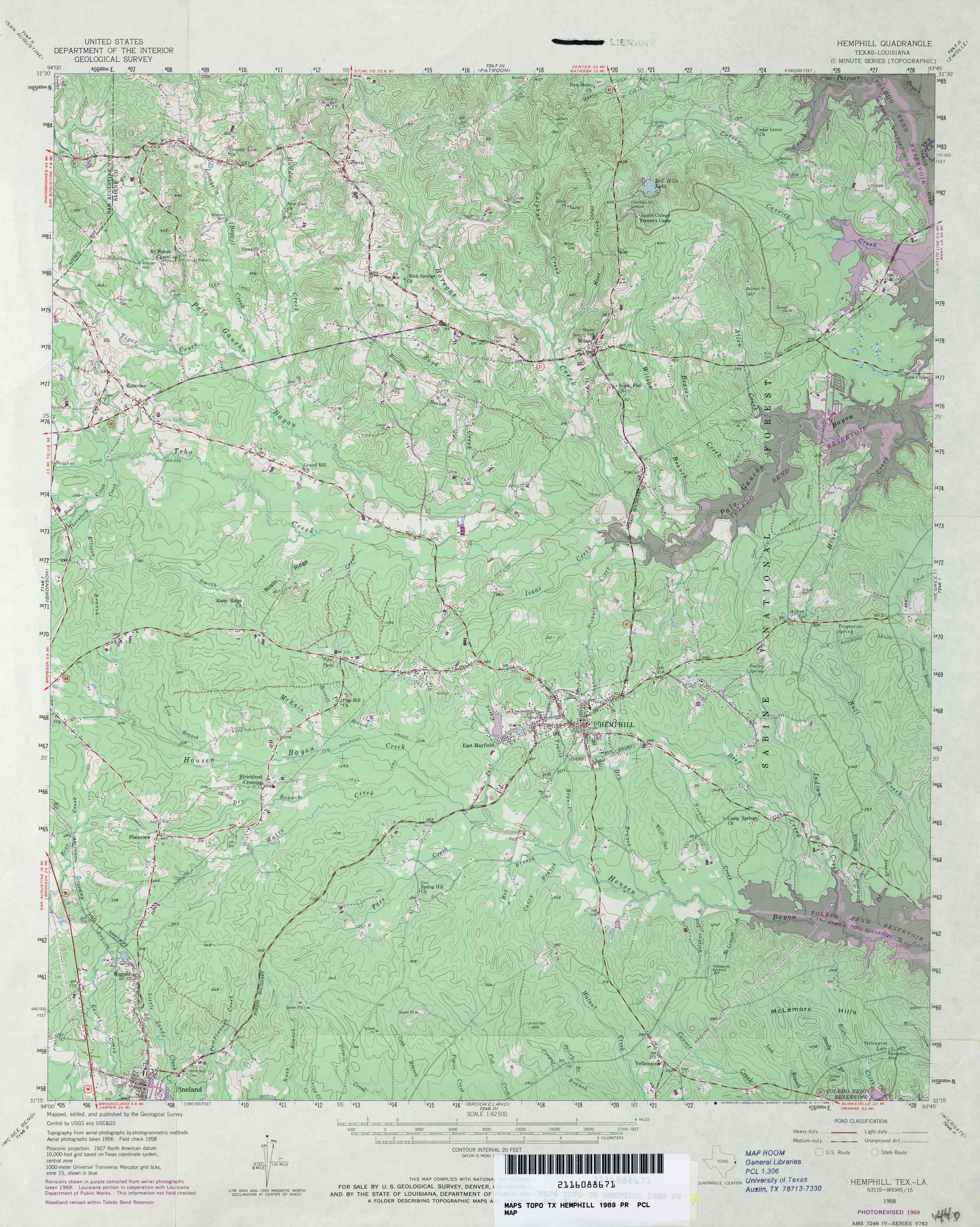
- Hemphill 1:62,500 1969 (4.5MB)
- Hemphill (Sabine County) 1:24,000 1984 (4.5MB)
- Hemphill (Sabine County) 1:24,000 2003 (5.1MB)
- Hemphill 1:24,000 2008 (25.8MB) [GeoPDF]
- Hemphill 1:24,000 2012 (28.2MB) [GeoPDF]
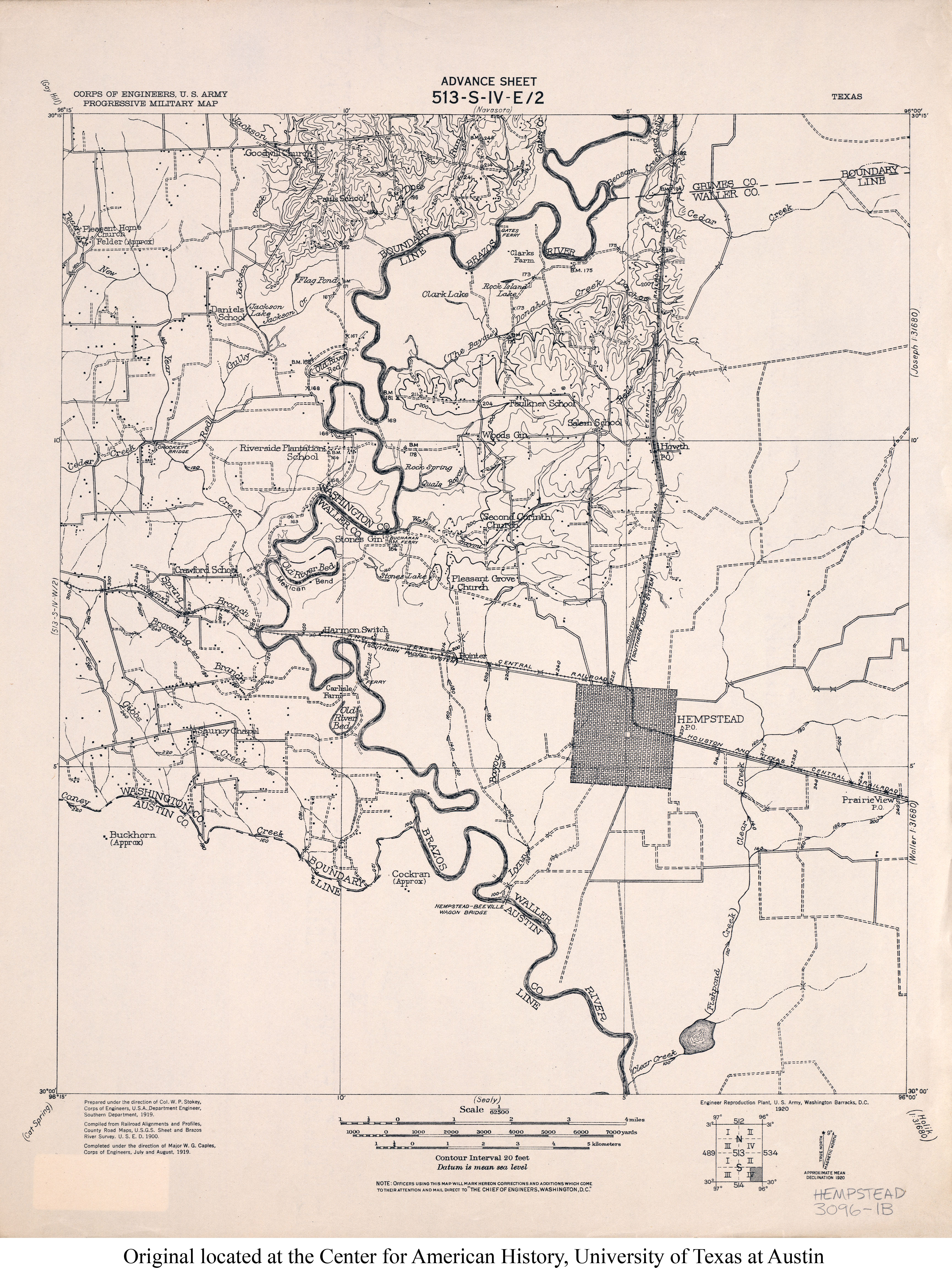
- Hempstead 1:62,500 1919 (3.1MB)
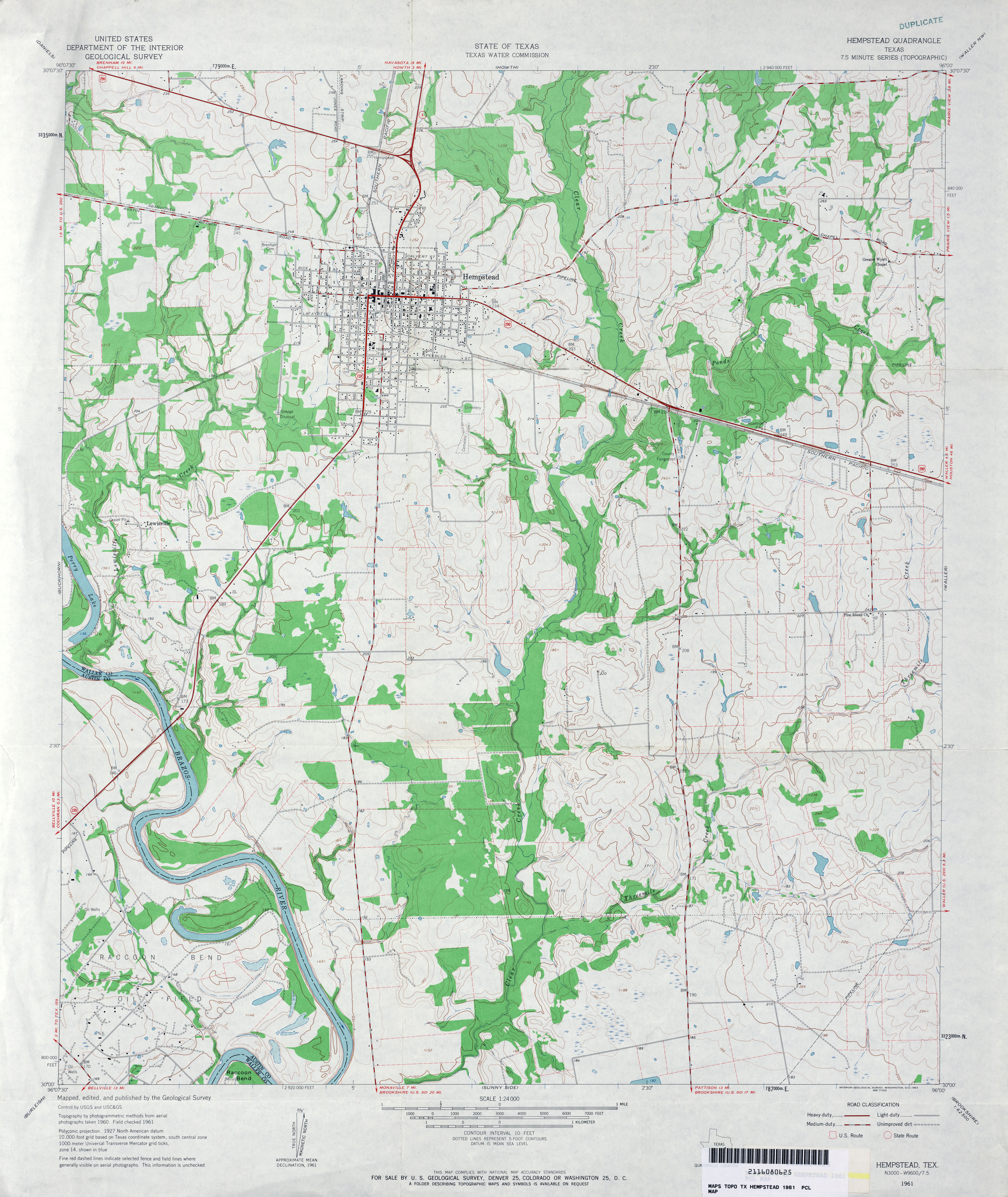
- Hempstead 1:24,000 1961 (3.8MB)
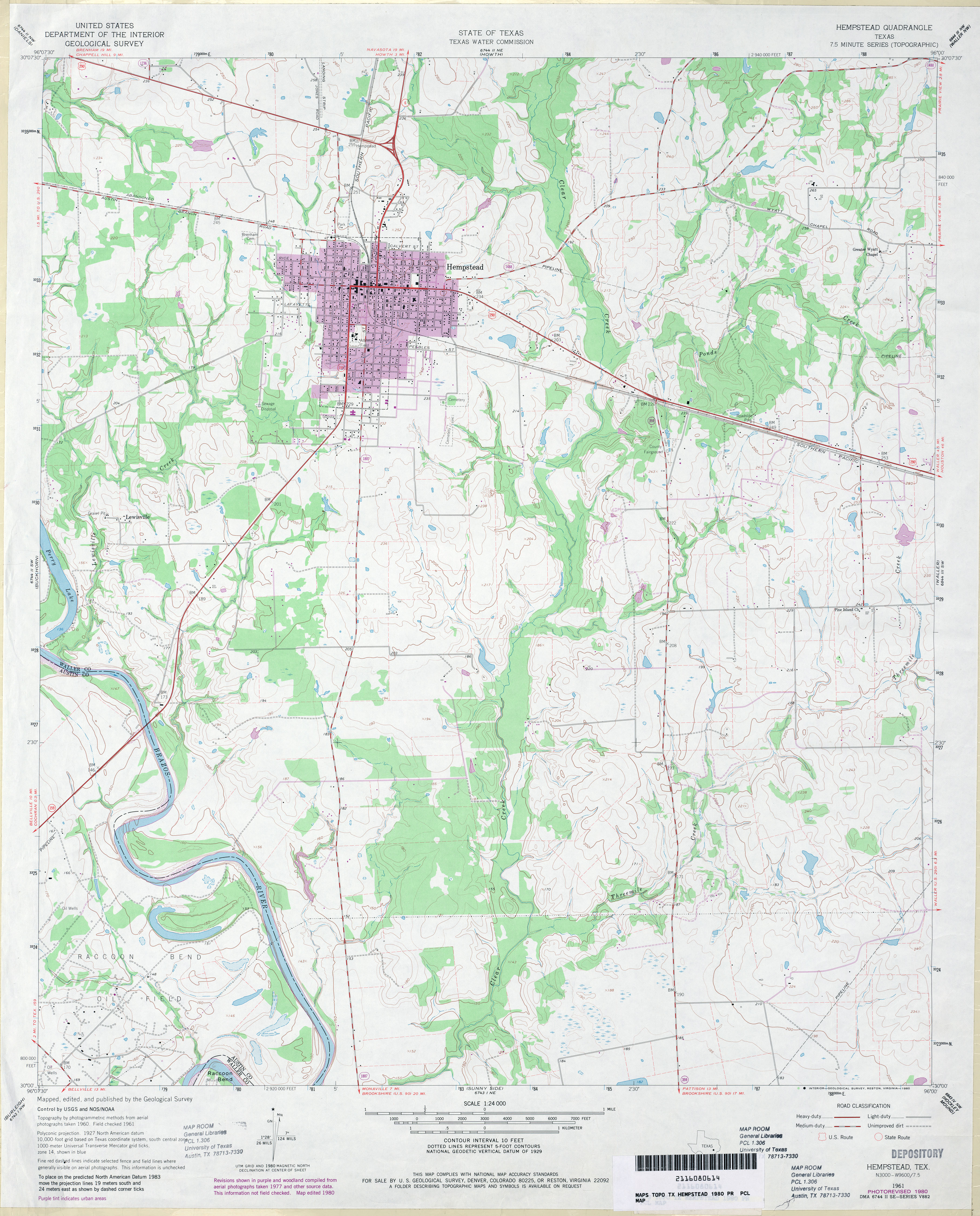
- Hempstead 1:24,000 1980 (3.6MB)
- Hempstead 1:24,000 2009 (13.7MB) [GeoPDF]
- Hempstead 1:24,000 2013 (22.6MB) [GeoPDF]
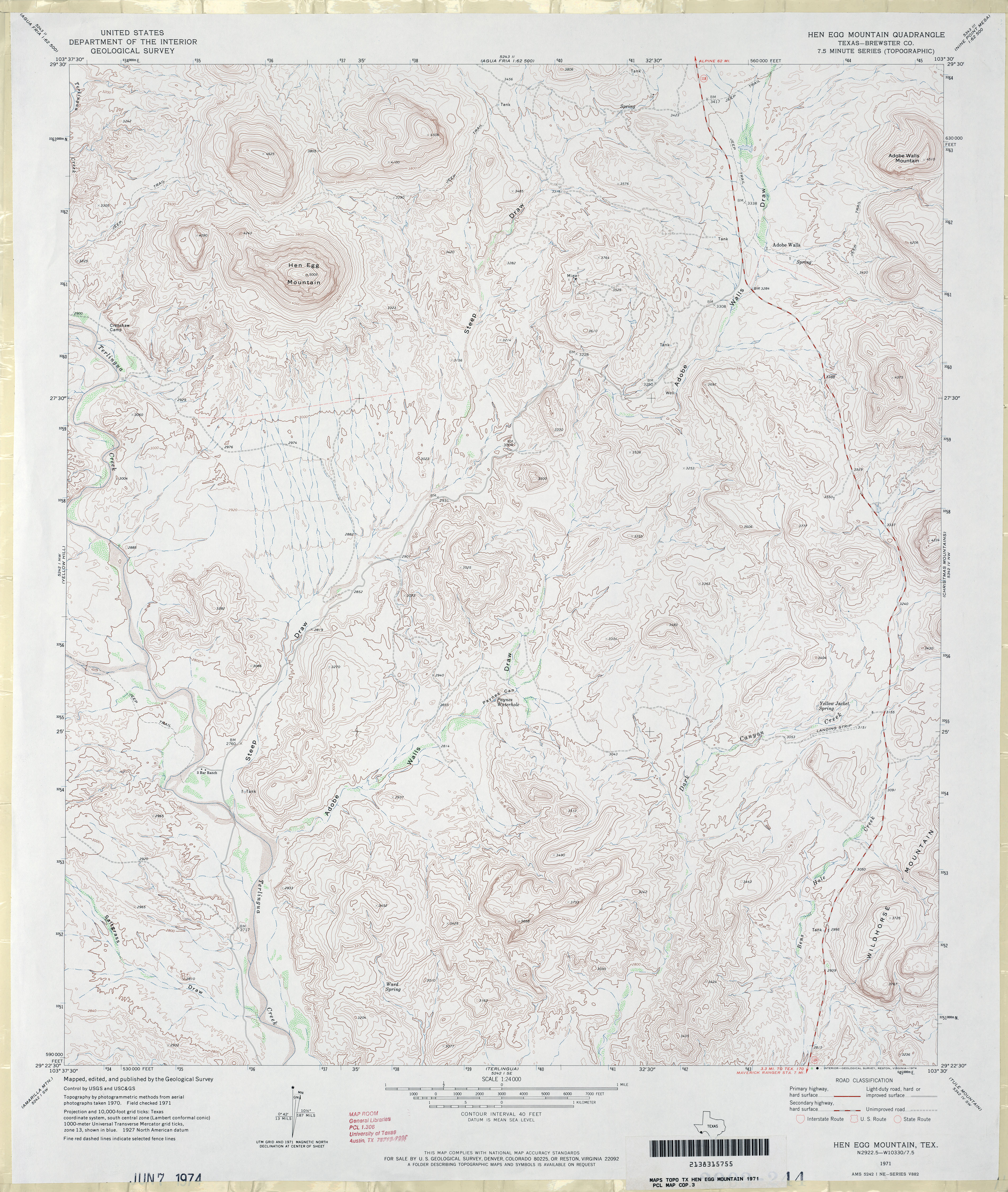
- Hen Egg Mountain (Brewster County) 1:24,000 1971 (4.4MB)
- Hen Egg Mountain 1:24,000 2008 (24.1MB) [GeoPDF]
- Hen Egg Mountain 1:24,000 2012 (25.1MB) [GeoPDF]
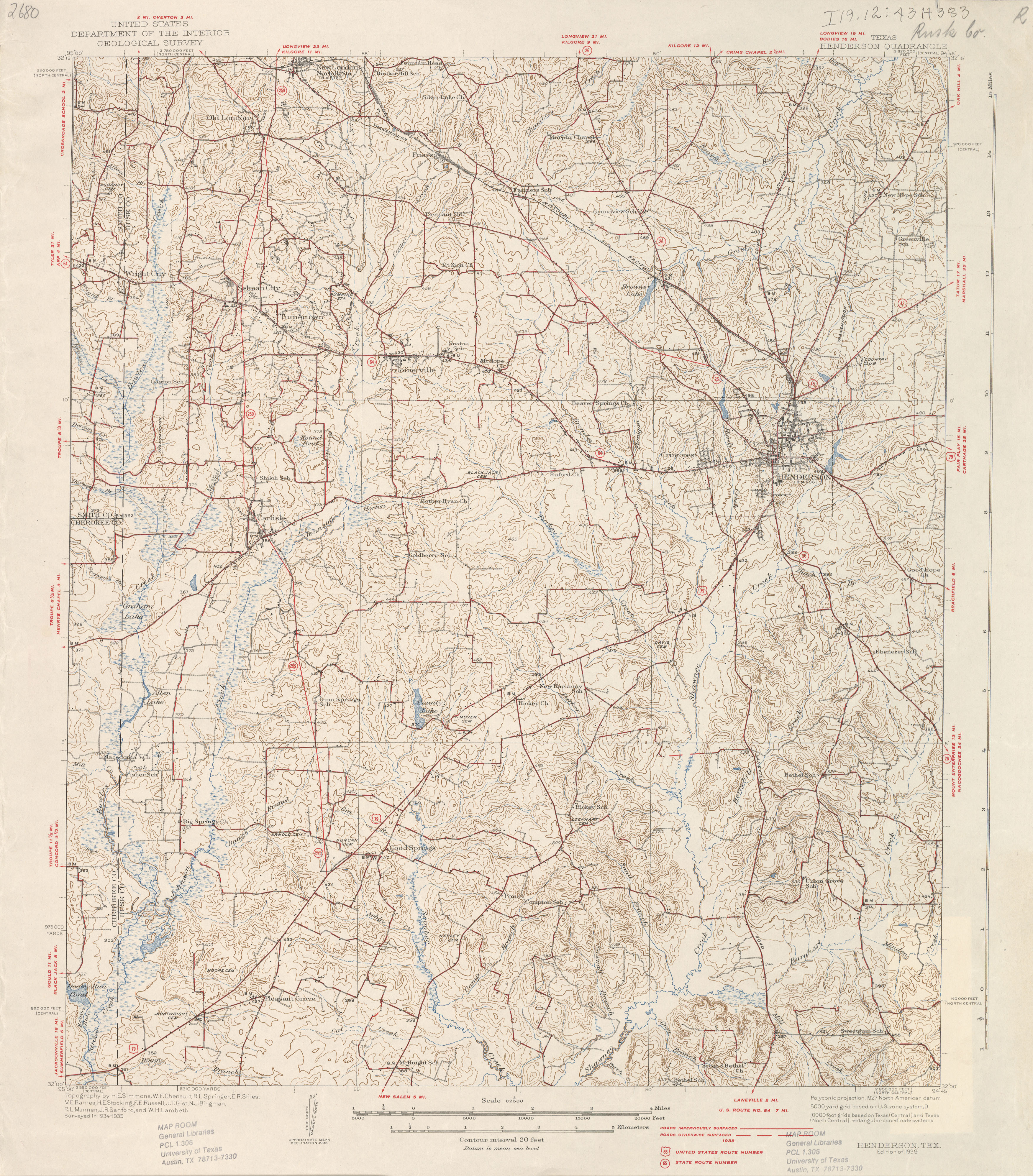
- Henderson 1:62,500 1935 survey, 1938 overprint (4.1 MB)
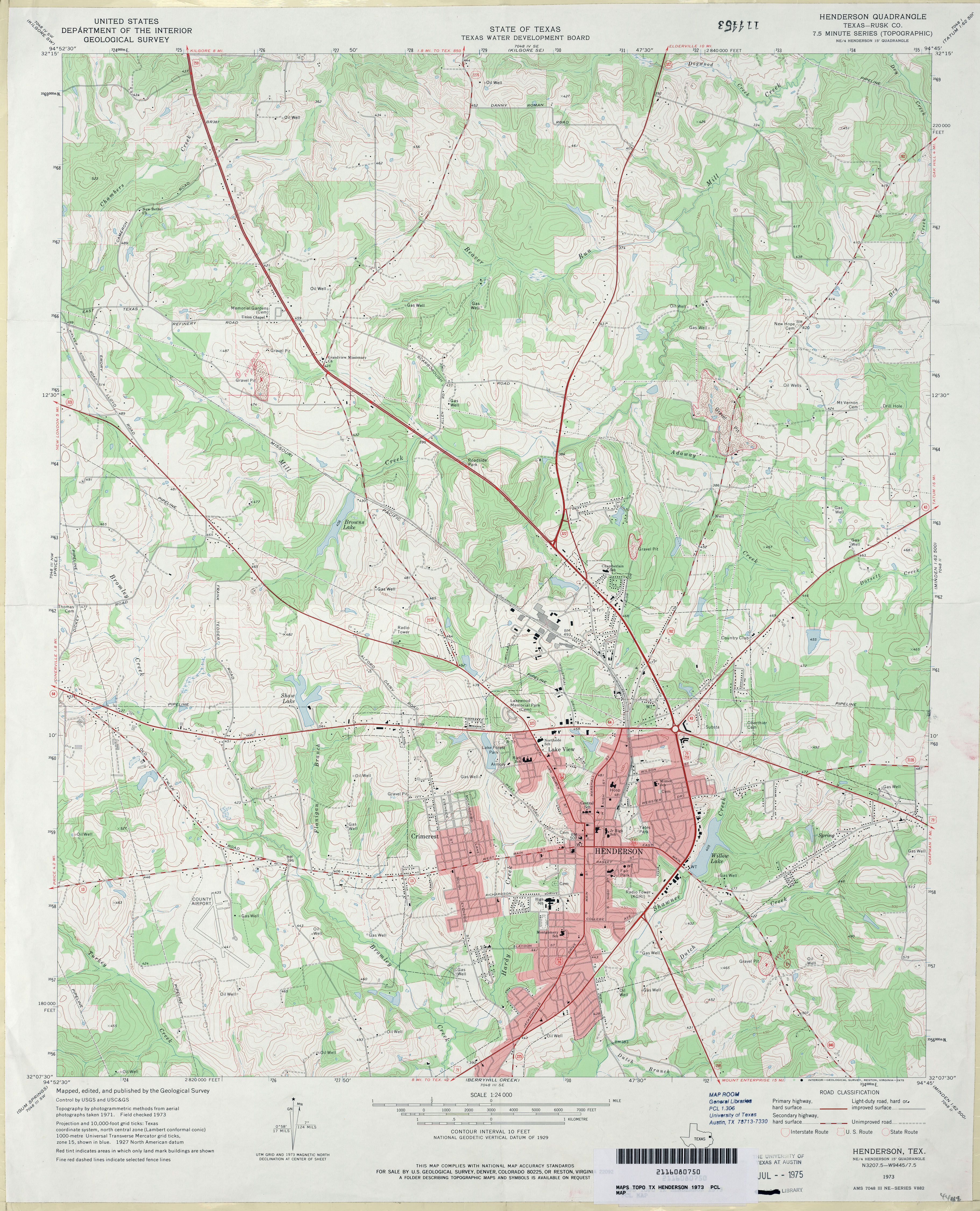
- Henderson (Rusk County) 1:24,000 1973 (4.3MB)
- Henderson 1:24,000 2009 (21.0MB) [GeoPDF]
- Henderson 1:24,000 2013 (24.6MB) [GeoPDF]
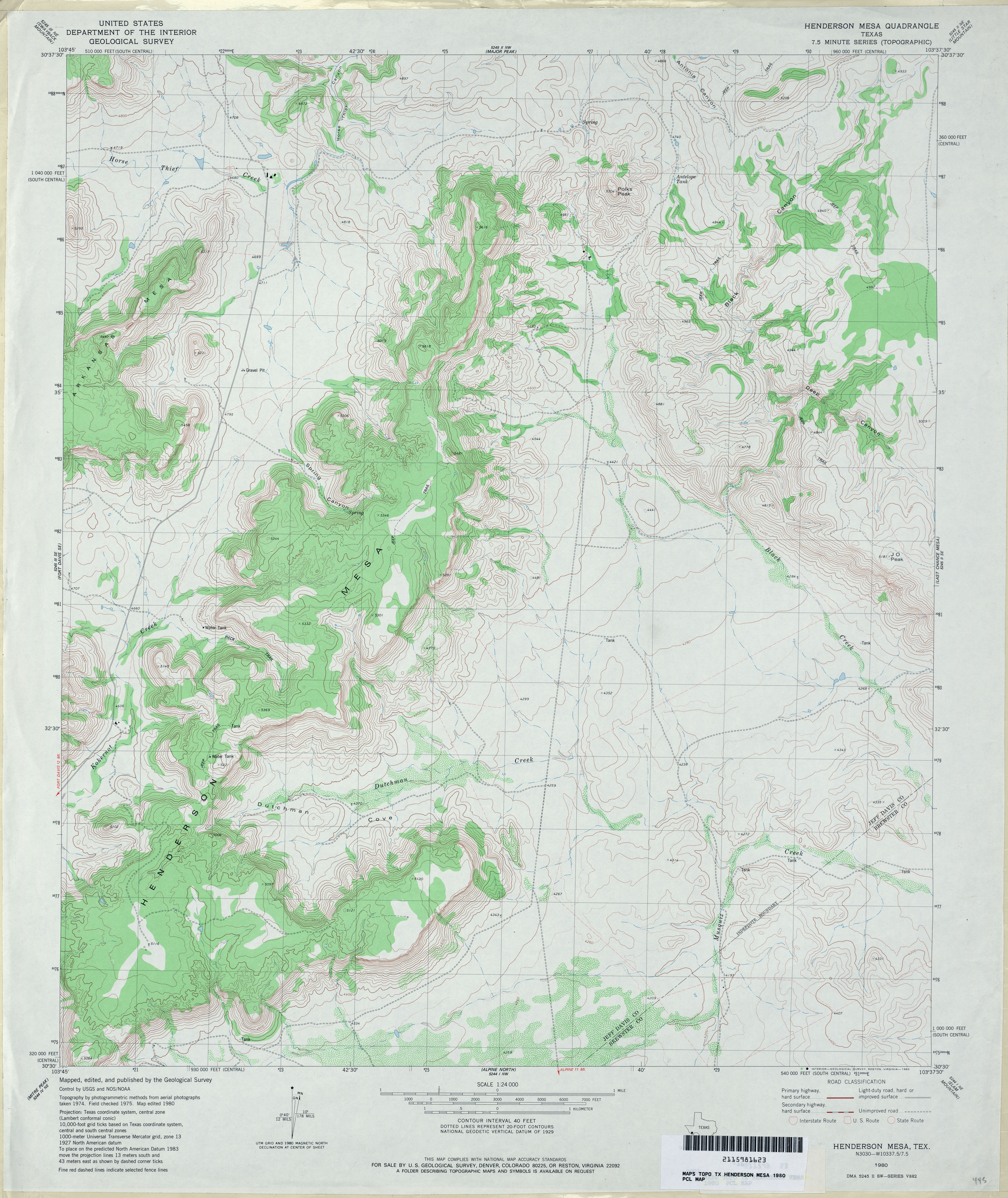
- Henderson Mesa 1:24,000 1980 (4.2MB)
- Henderson Mesa 1:24,000 2008 (17.5MB) [GeoPDF]
- Henderson Mesa 1:24,000 2012 (22.2MB) [GeoPDF]
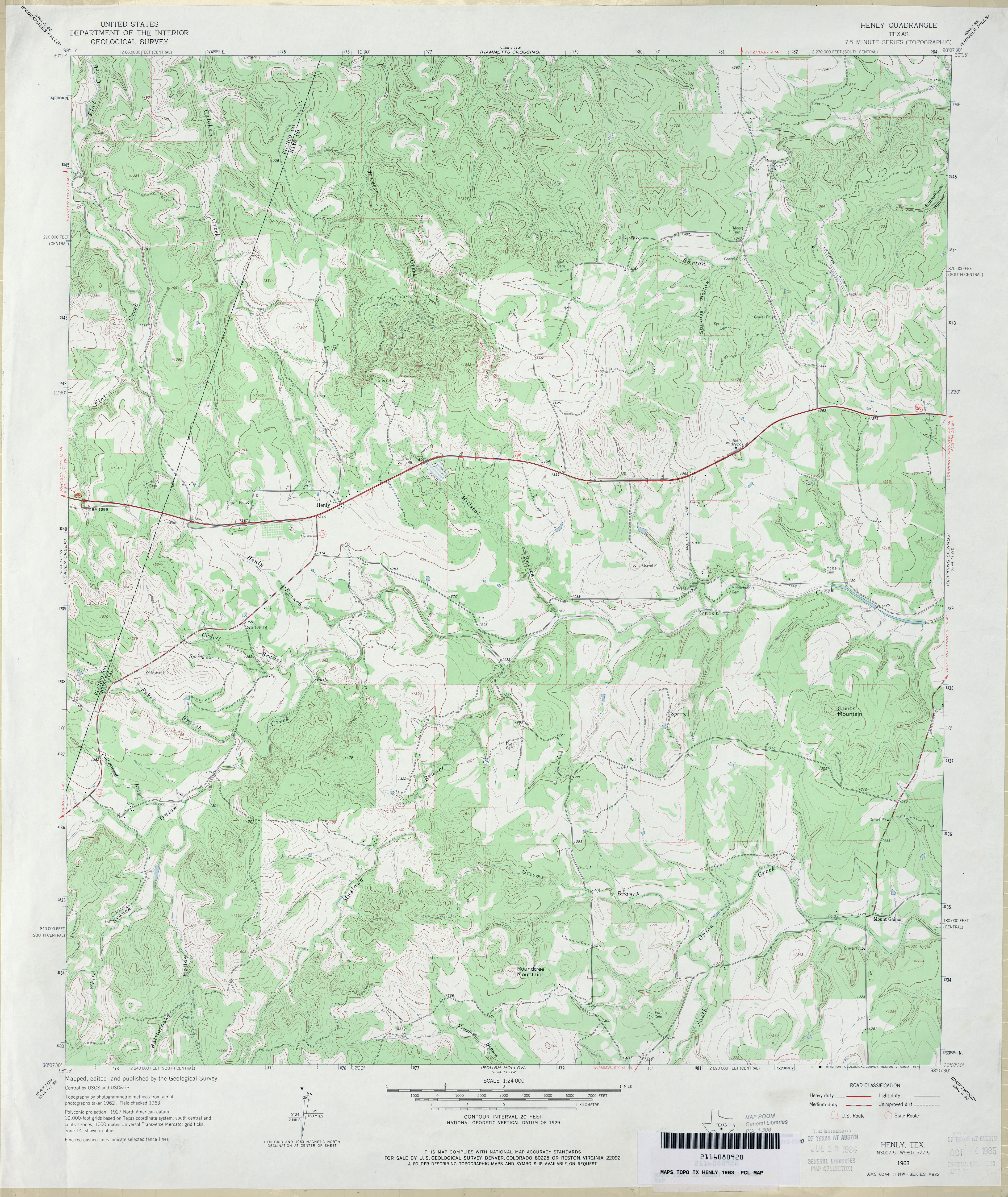
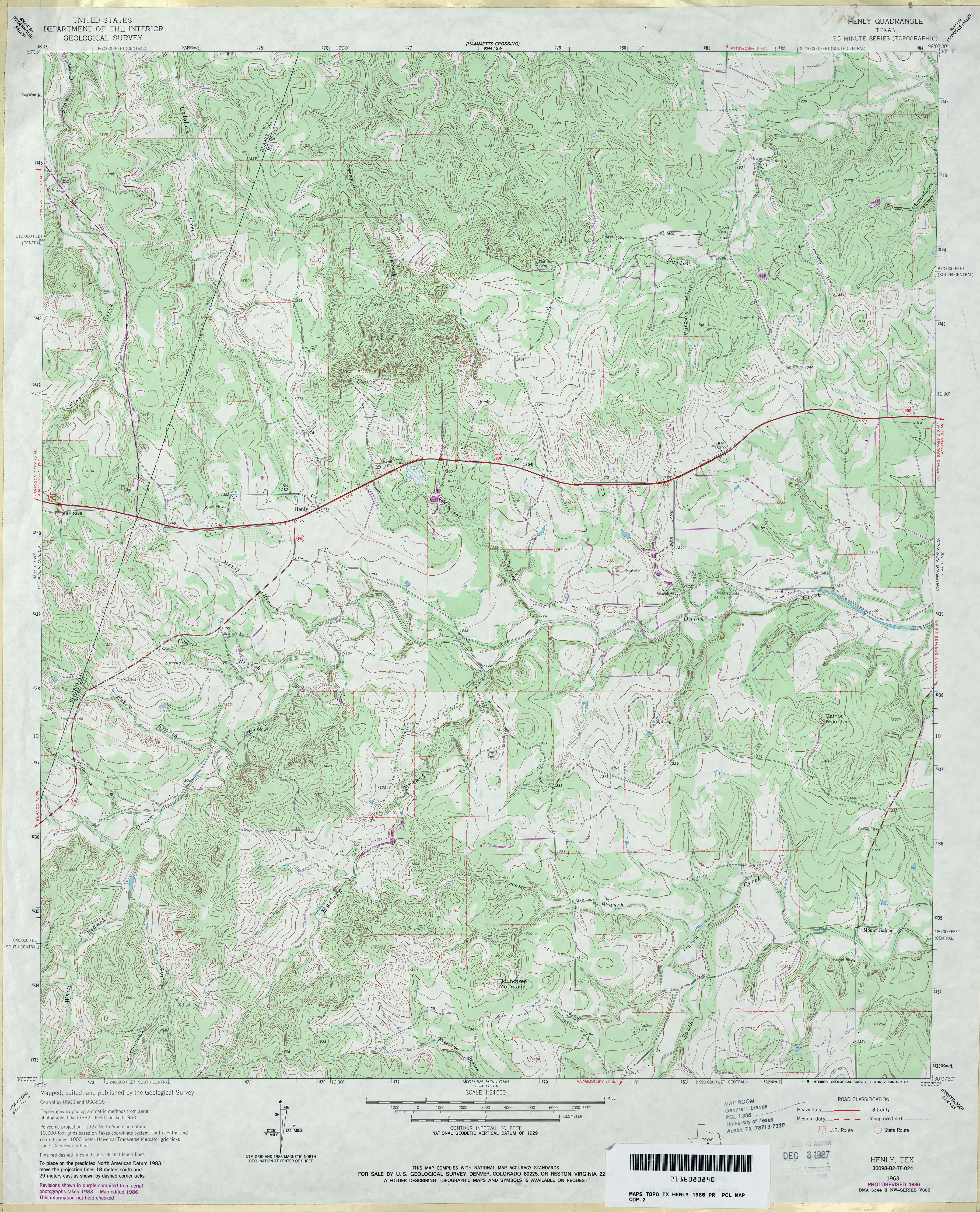
- Henly 1:24,000 1963 (4MB)
- Henly 1:24,000 1986 (4.7MB)
- Henly 1:24,000 2008 (19.0MB) [GeoPDF]
- Henly 1:24,000 2012 (28.8MB) [GeoPDF]
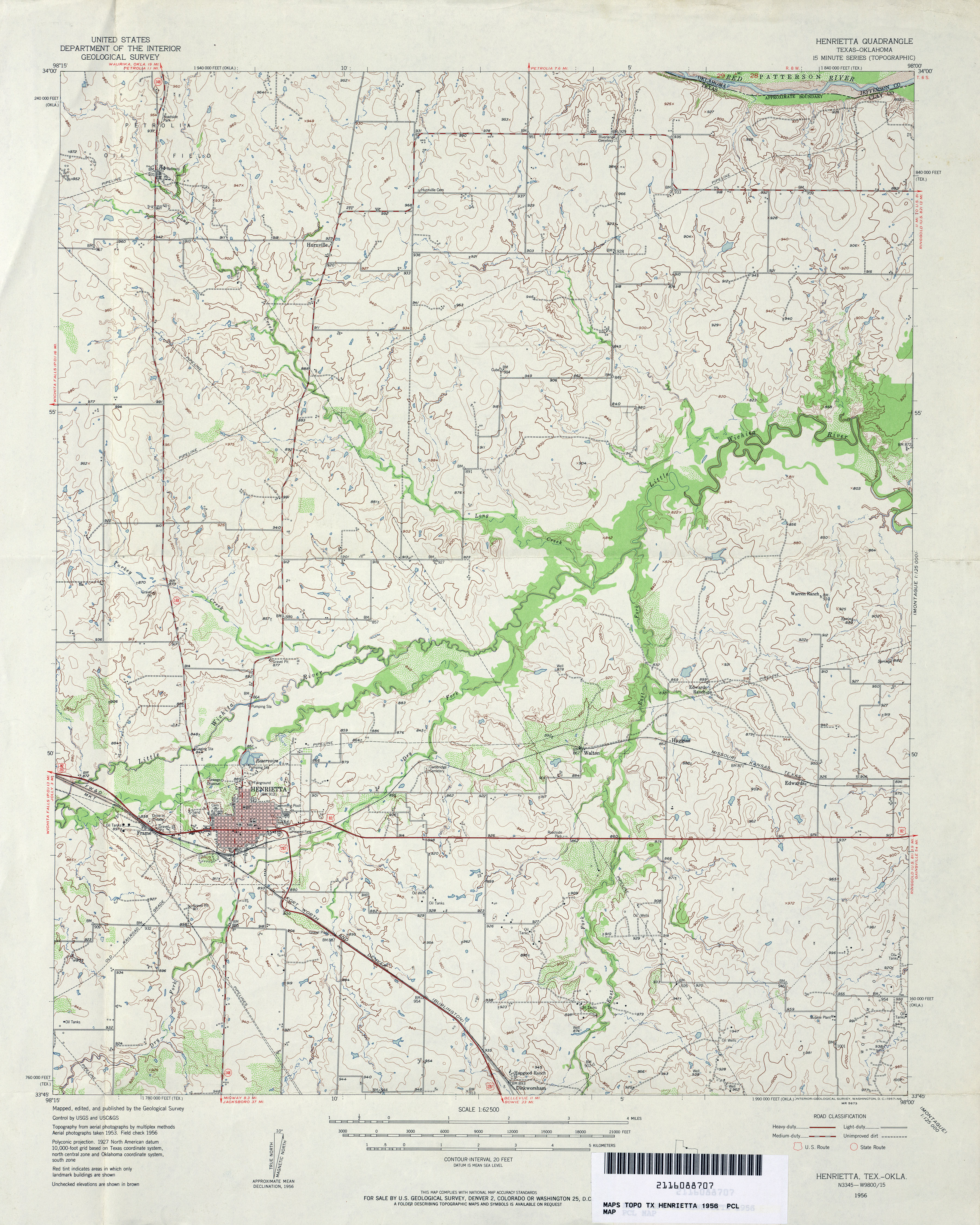
- Henrietta 1:62,500 1956 (4.1MB)
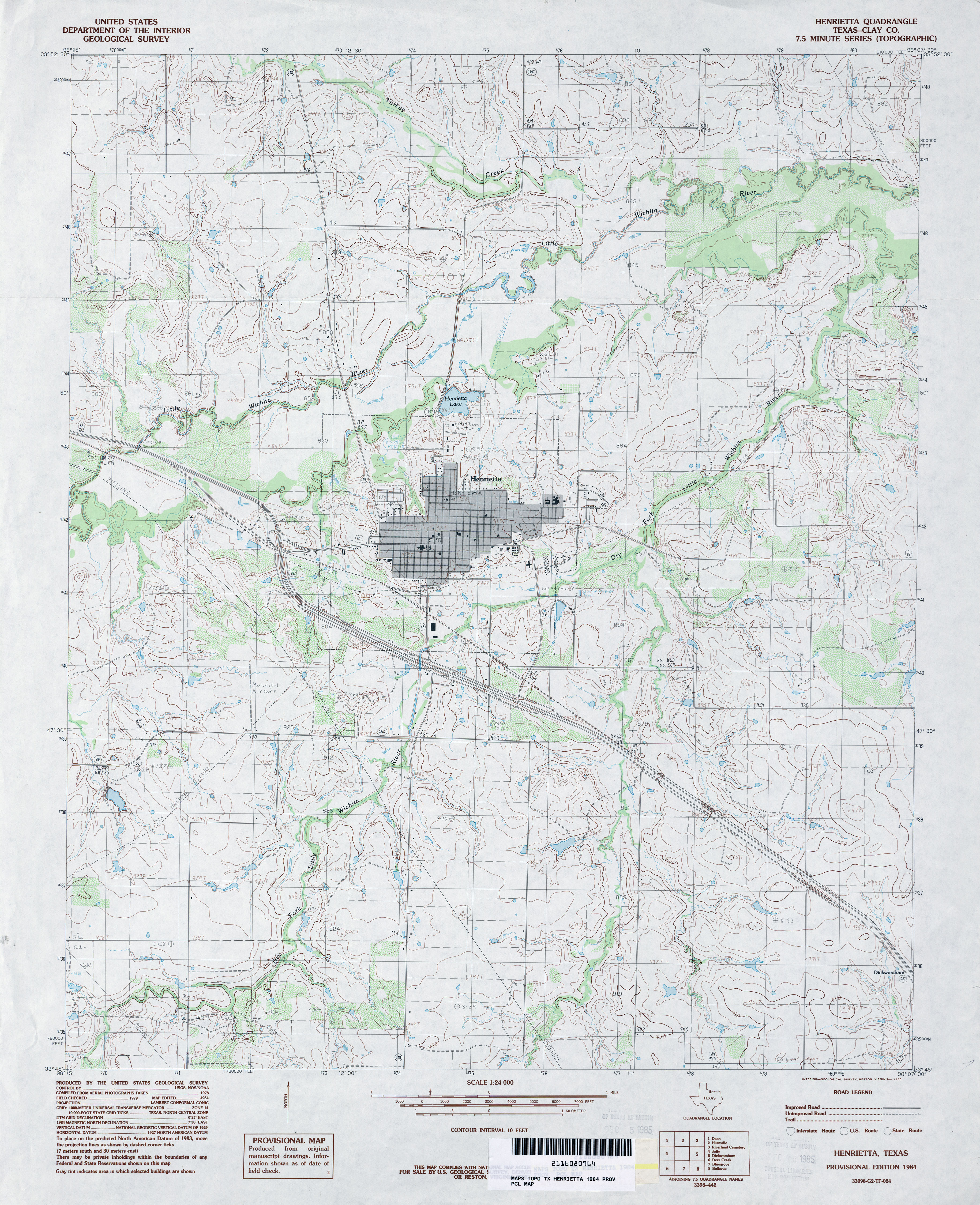
- Henrietta (Clay County) 1:24,000 1984 (4.1MB)
- Henrietta 1:24,000 2008 (13.8MB) [GeoPDF]
- Henrietta 1:24,000 2012 (17.8MB) [GeoPDF]
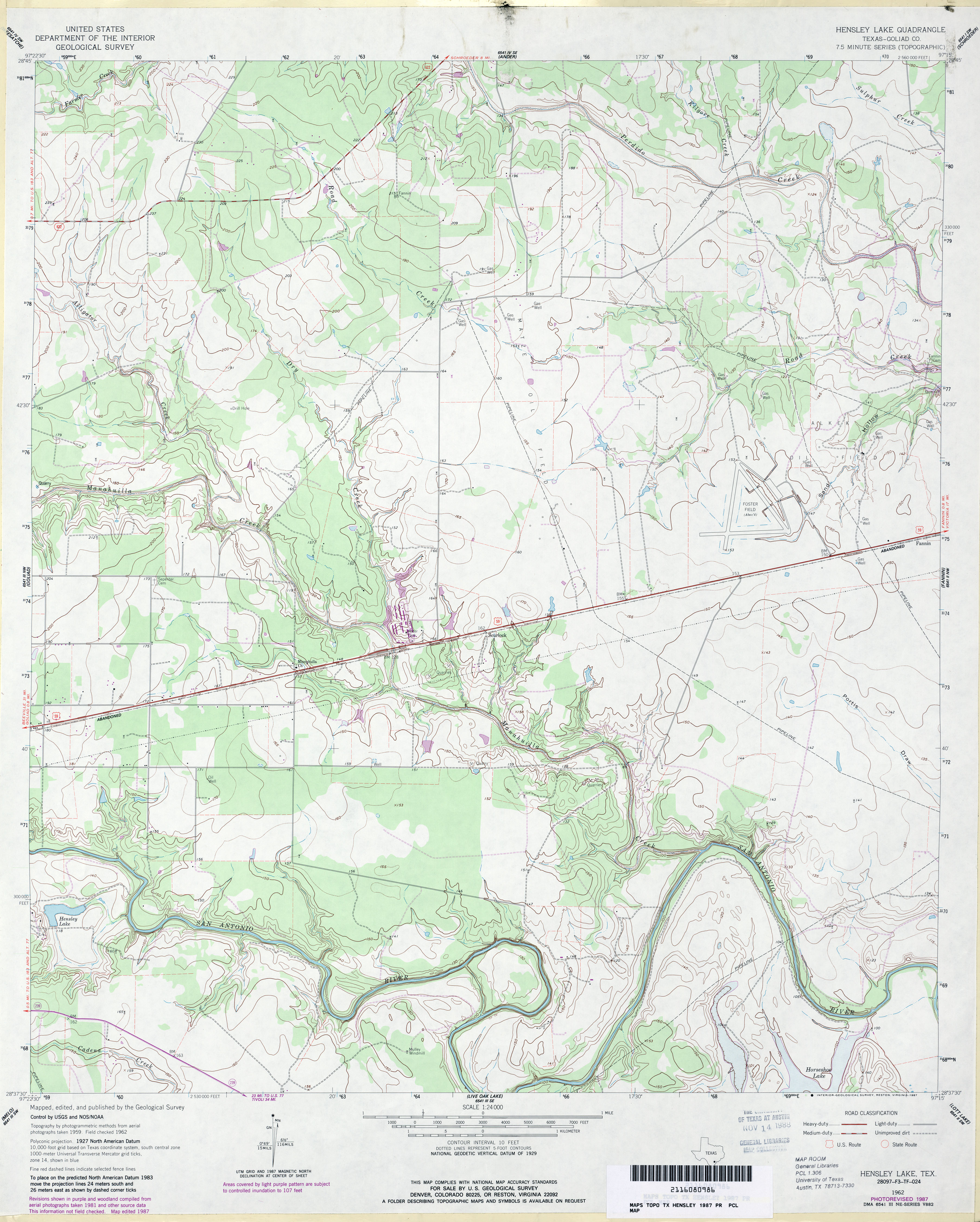
- Hensley Lake (Goliad County) 1:24,000 1962 (4.2MB)
- Hensley Lake (Goliad County) 1:24,000 1987 (3.6MB)
- Hensley Lake 1:24,000 2009 (16.0MB) [GeoPDF]
- Hensley Lake 1:24,000 2013 (24.4MB) [GeoPDF]
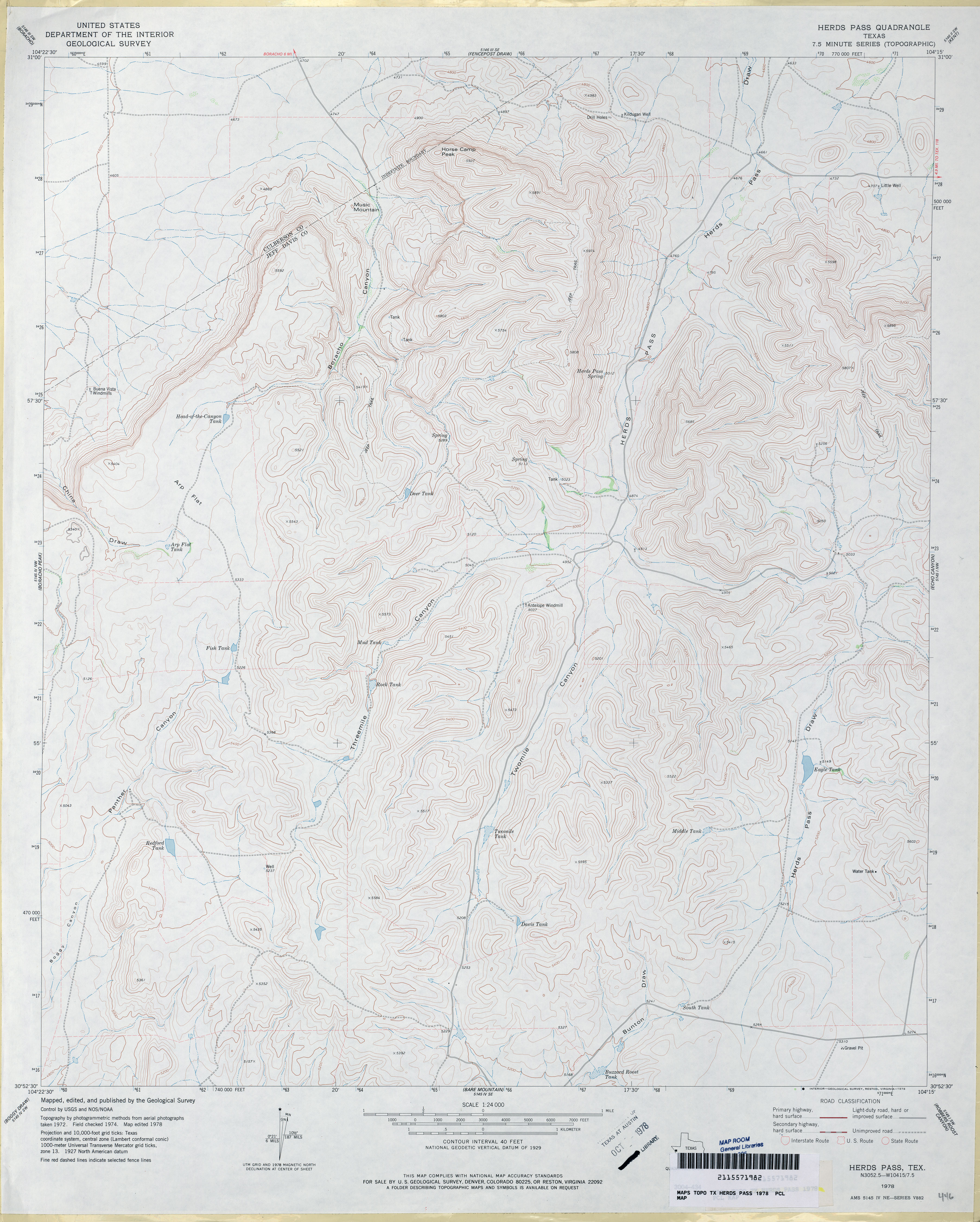
- Herds Pass 1:24,000 1978 (3.6MB)
- Herds Pass 1:24,000 2008 (20.0MB) [GeoPDF]
- Herds Pass 1:24,000 2012 (21.1MB) [GeoPDF]
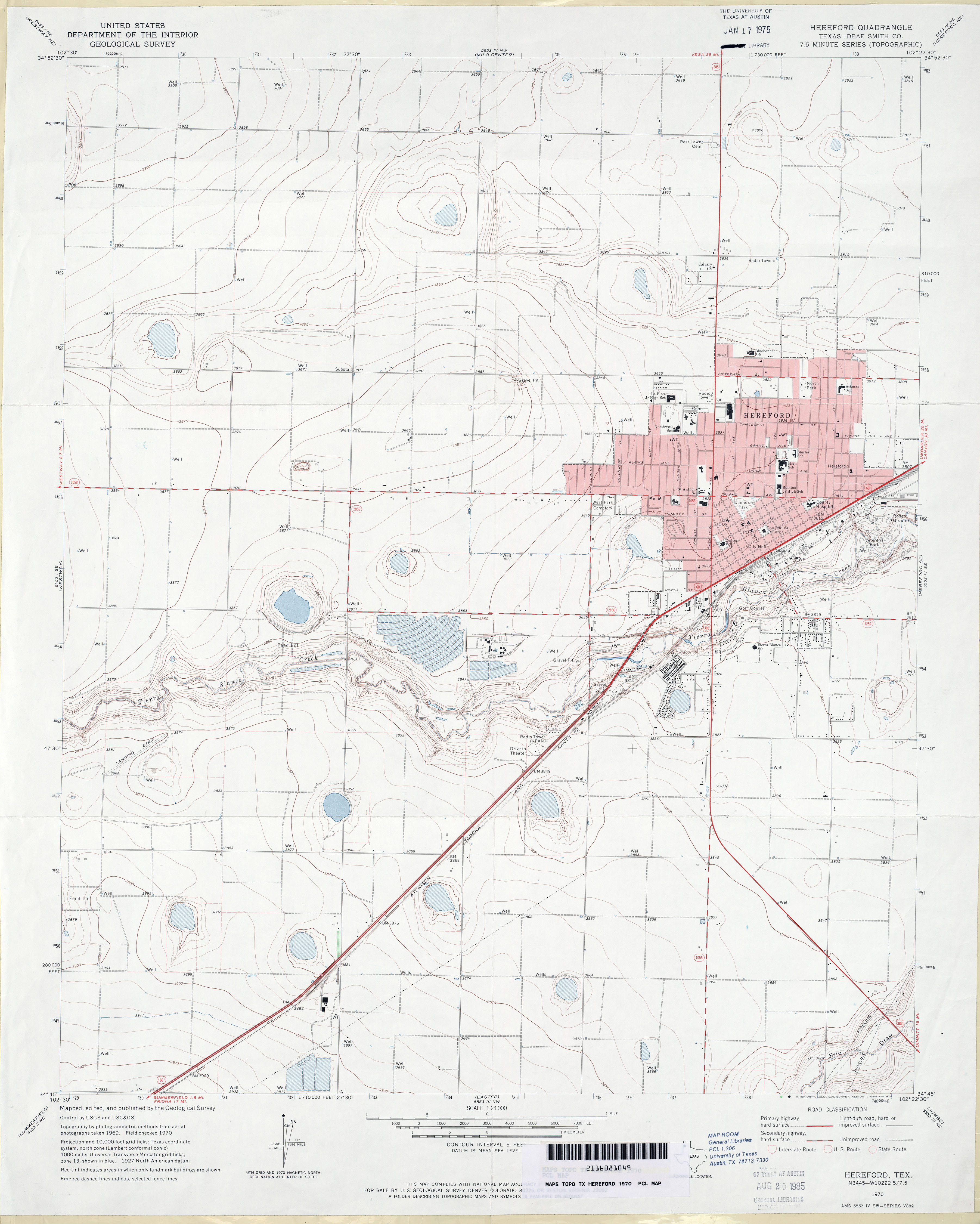
- Hereford (Deaf Smith County) 1:24,000 1970 (2.7MB)
- Hereford 1:24,000 2008 (11.6MB) [GeoPDF]
- Hereford 1:24,000 2012 (15.6MB) [GeoPDF]
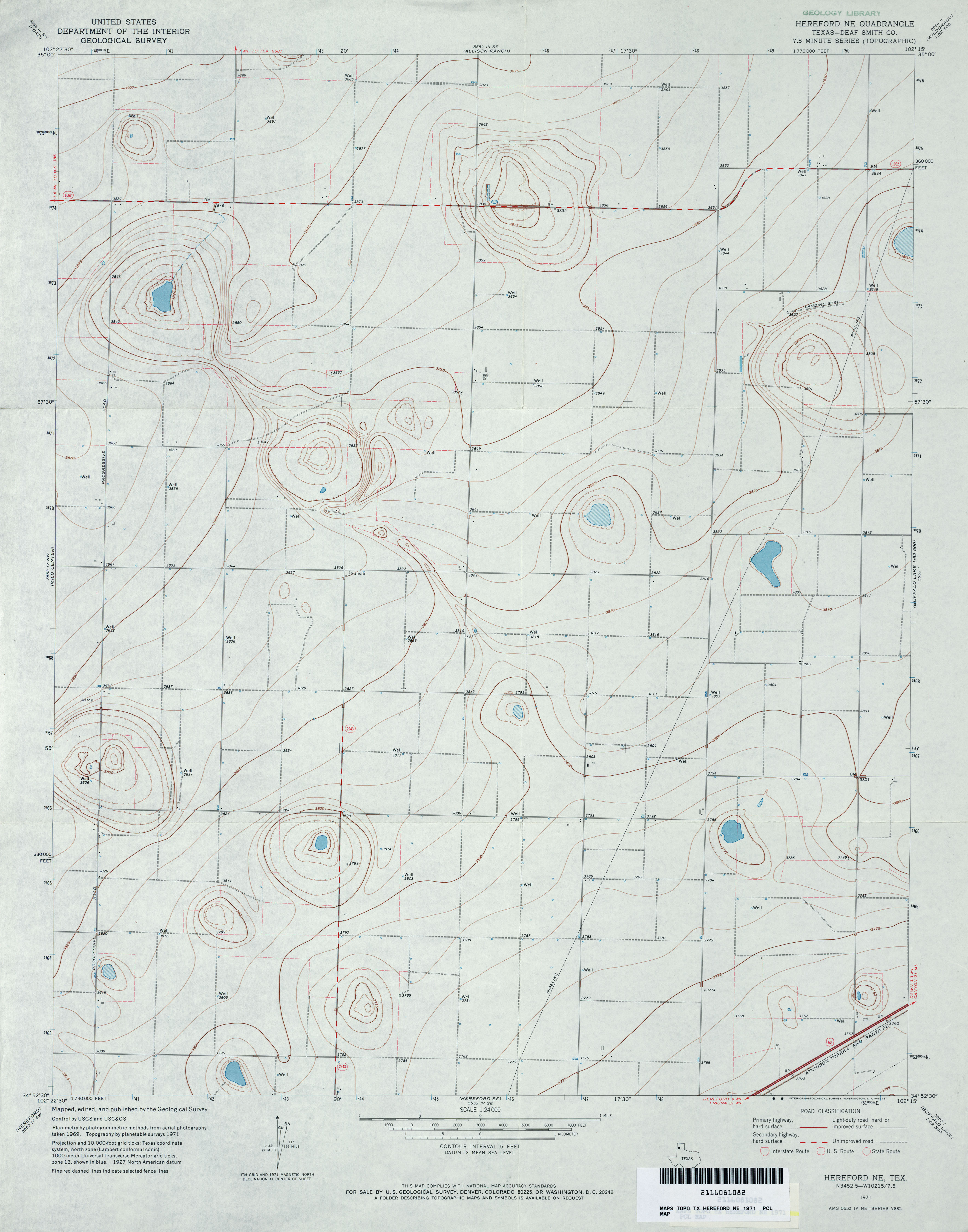
- Hereford NE (Deaf Smith County) 1:24,000 1971 (2.6MB)
- Hereford NE 1:24,000 2008 (8.3MB) [GeoPDF]
- Hereford NE 1:24,000 2012 (13.2MB) [GeoPDF]
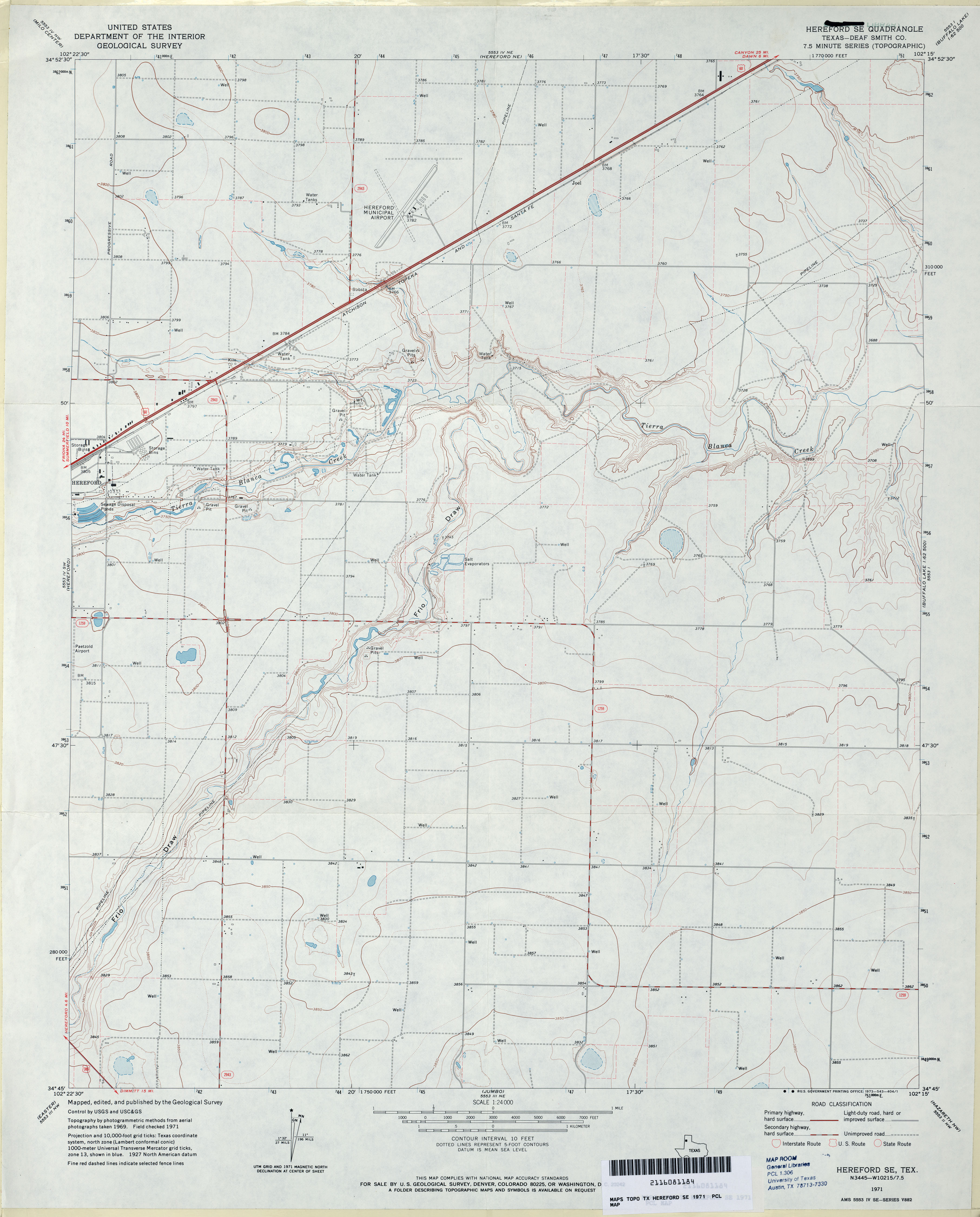
- Hereford SE (Deaf Smith County) 1:24,000 1971 (2.7MB)
- Hereford SE 1:24,000 2008 (9.8MB) [GeoPDF]
- Hereford SE 1:24,000 2012 (14.7MB) [GeoPDF]
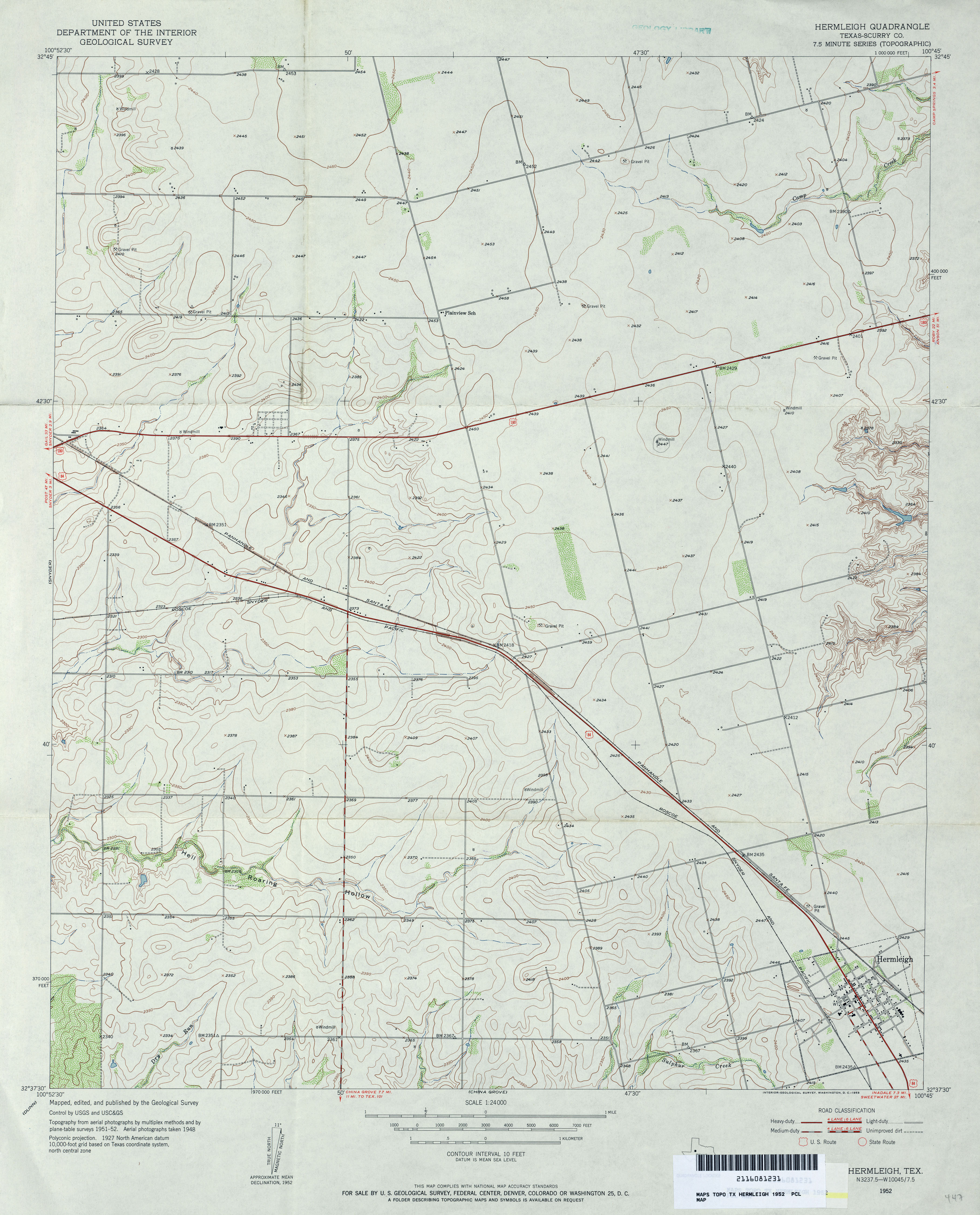
- Hermleigh (Scurry County) 1:24,000 1952 (3.2MB)
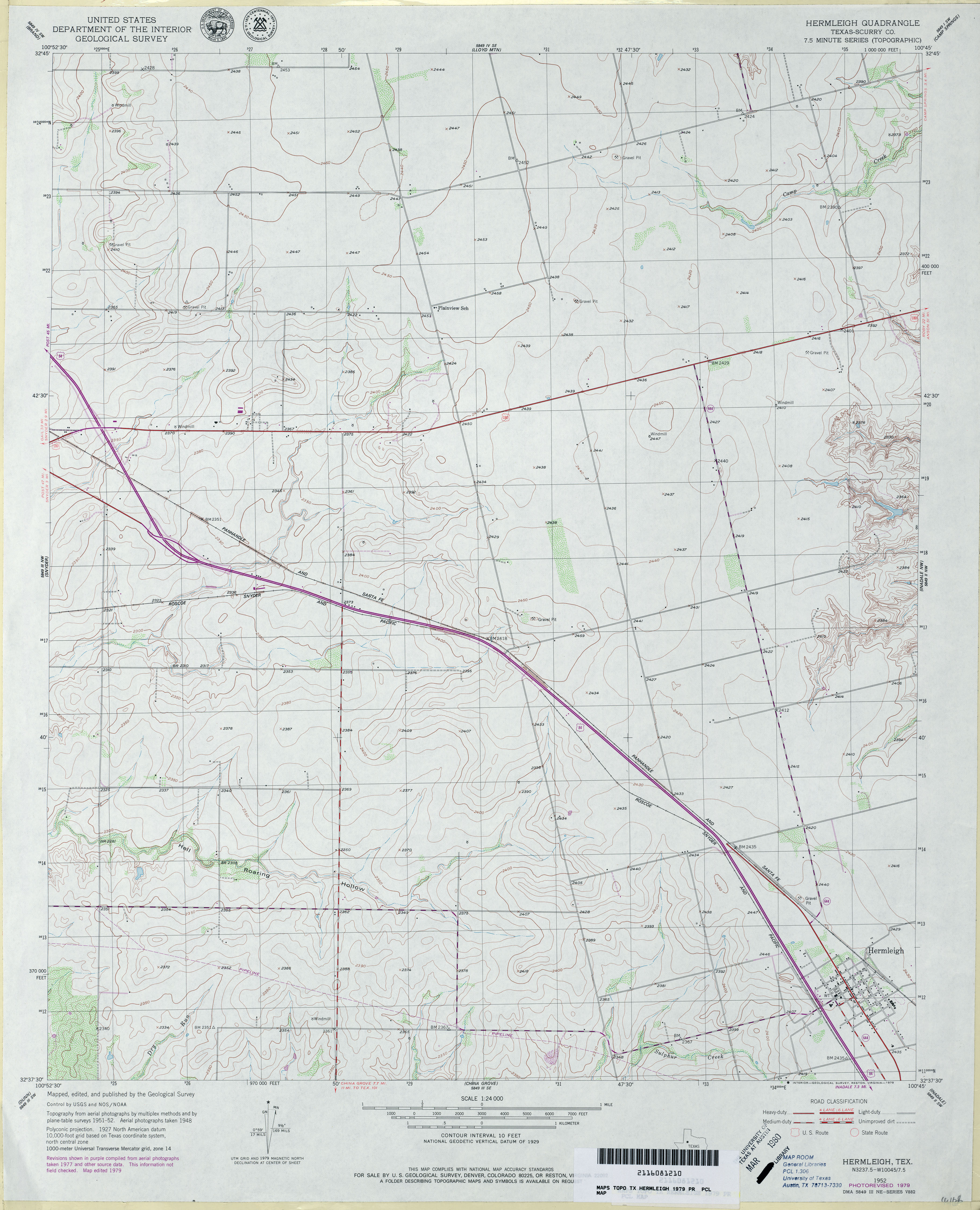
- Hermleigh (Scurry County) 1:24,000 1979 (3.1MB)
- Hermleigh 1:24,000 2008 (10.7MB) [GeoPDF]
- Hermleigh 1:24,000 2012 (18.3MB) [GeoPDF]
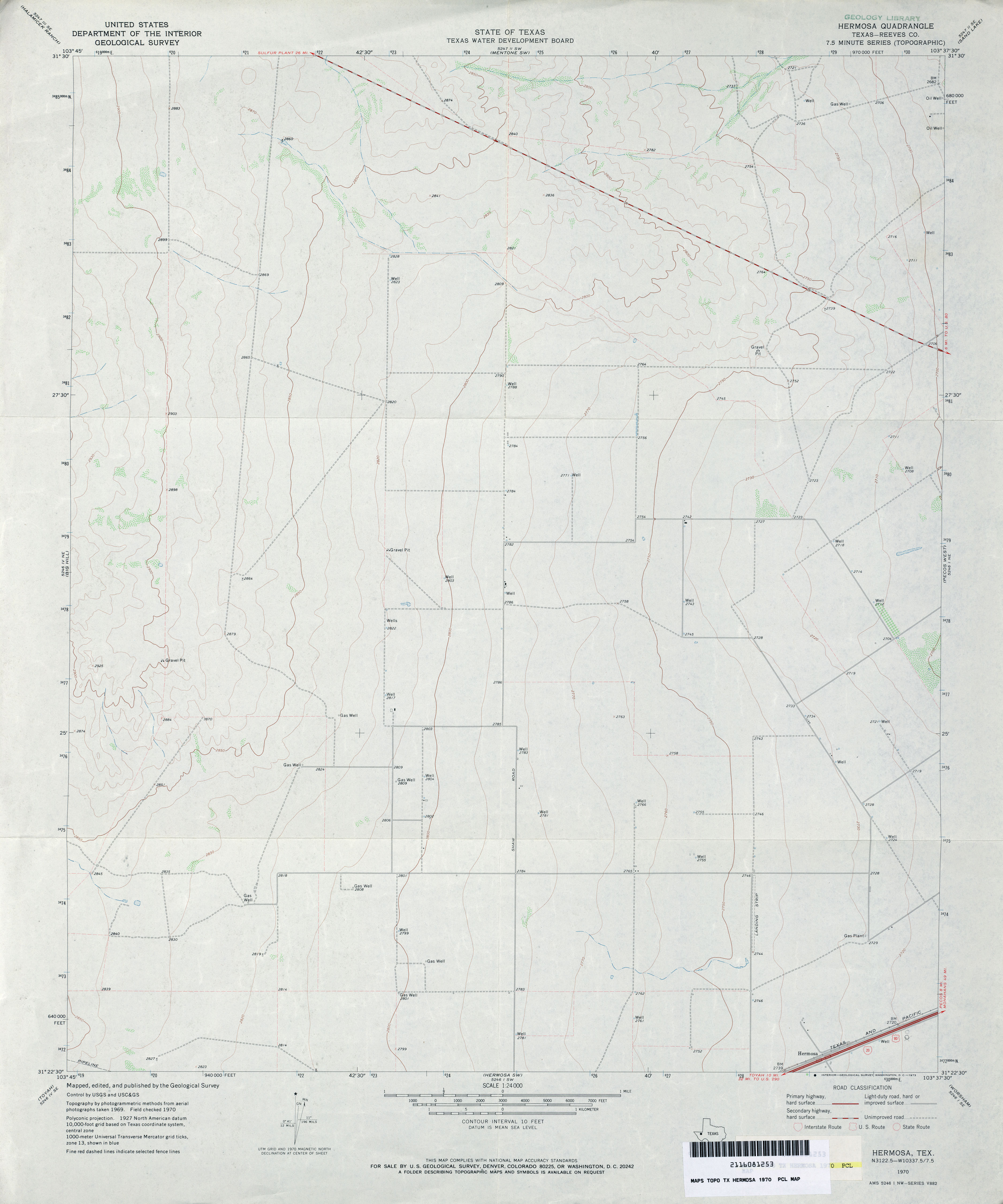
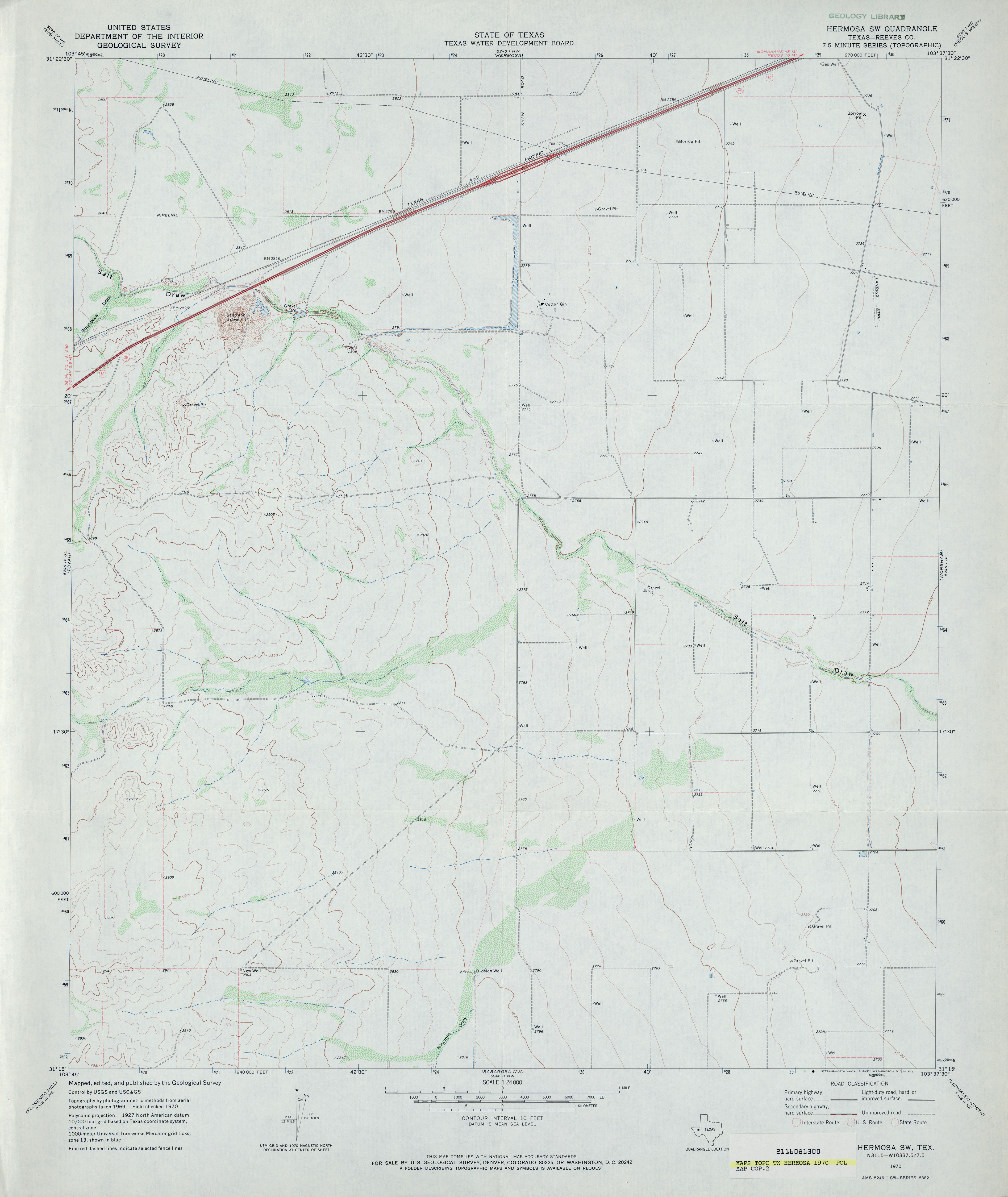
- Hermosa (Reeves County) 1:24,000 1970 (2.4MB)
- Hermosa 1:24,000 2008 (19.4MB) [GeoPDF]
- Hermosa 1:24,000 2012 (23.9MB) [GeoPDF]
- Hermosa SW (Reeves County) 1:24,000 1970 (2.5MB)
- Hermosa SW 1:24,000 2008 (21.1MB) [GeoPDF]
- Hermosa SW 1:24,000 2012 (25.1MB) [GeoPDF]
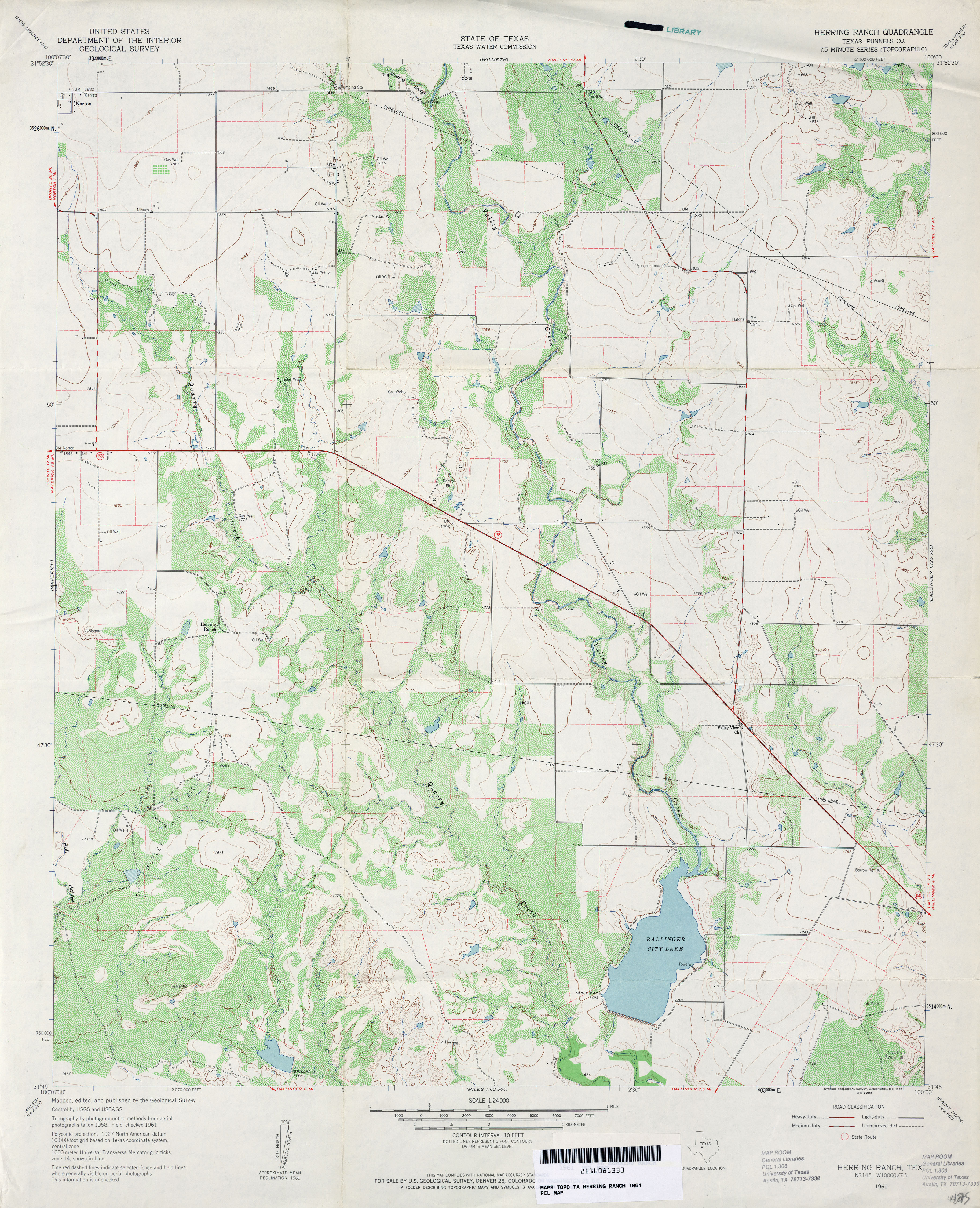
- Herring Ranch (Runnels County) 1:24,000 1961 (4.1MB)
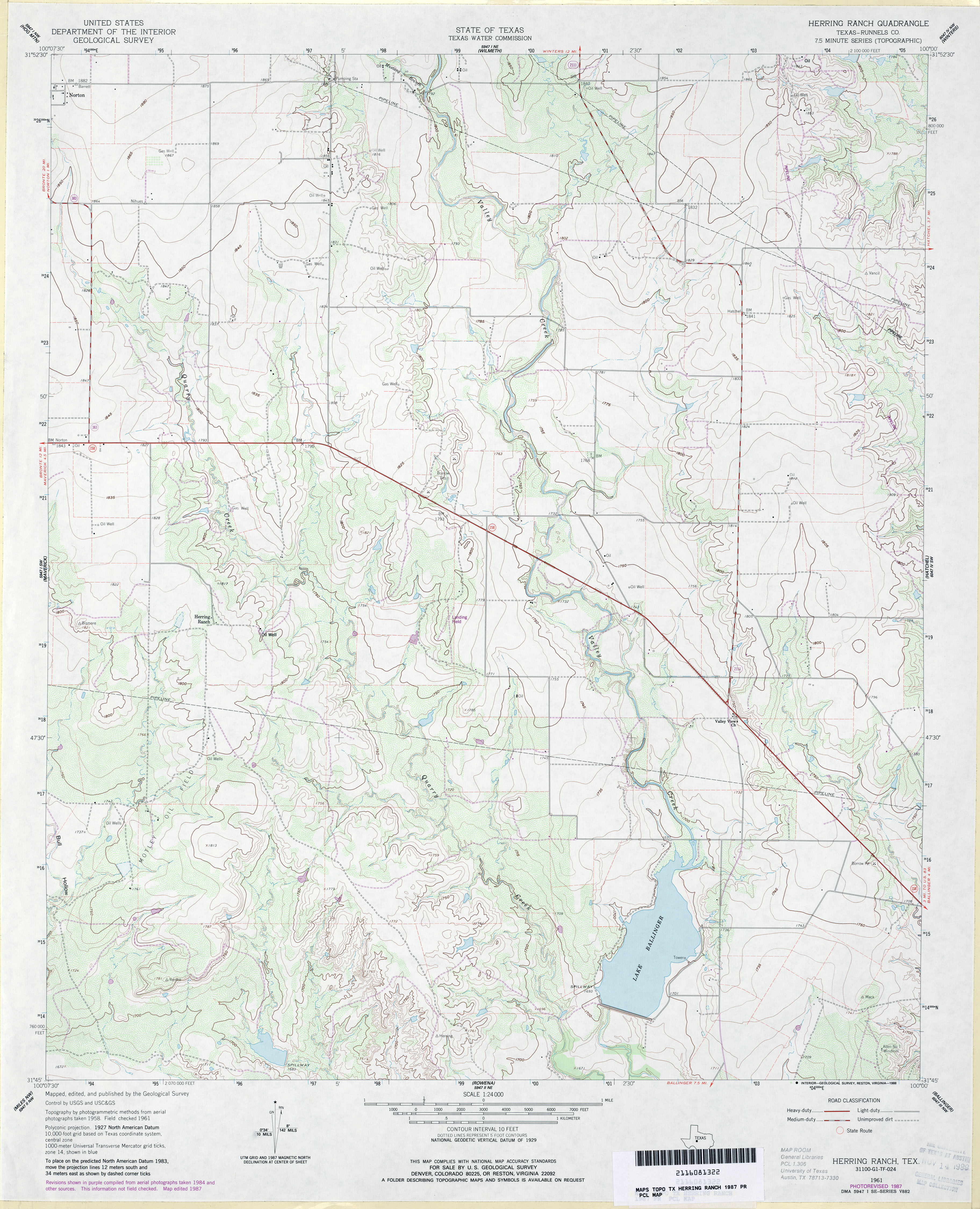
- Herring Ranch (Runnels County) 1:24,000 1987 (3.6MB)
- Herring Ranch 1:24,000 2008 (16.3MB) [GeoPDF]
- Herring Ranch 1:24,000 2013 (21.3MB) [GeoPDF]
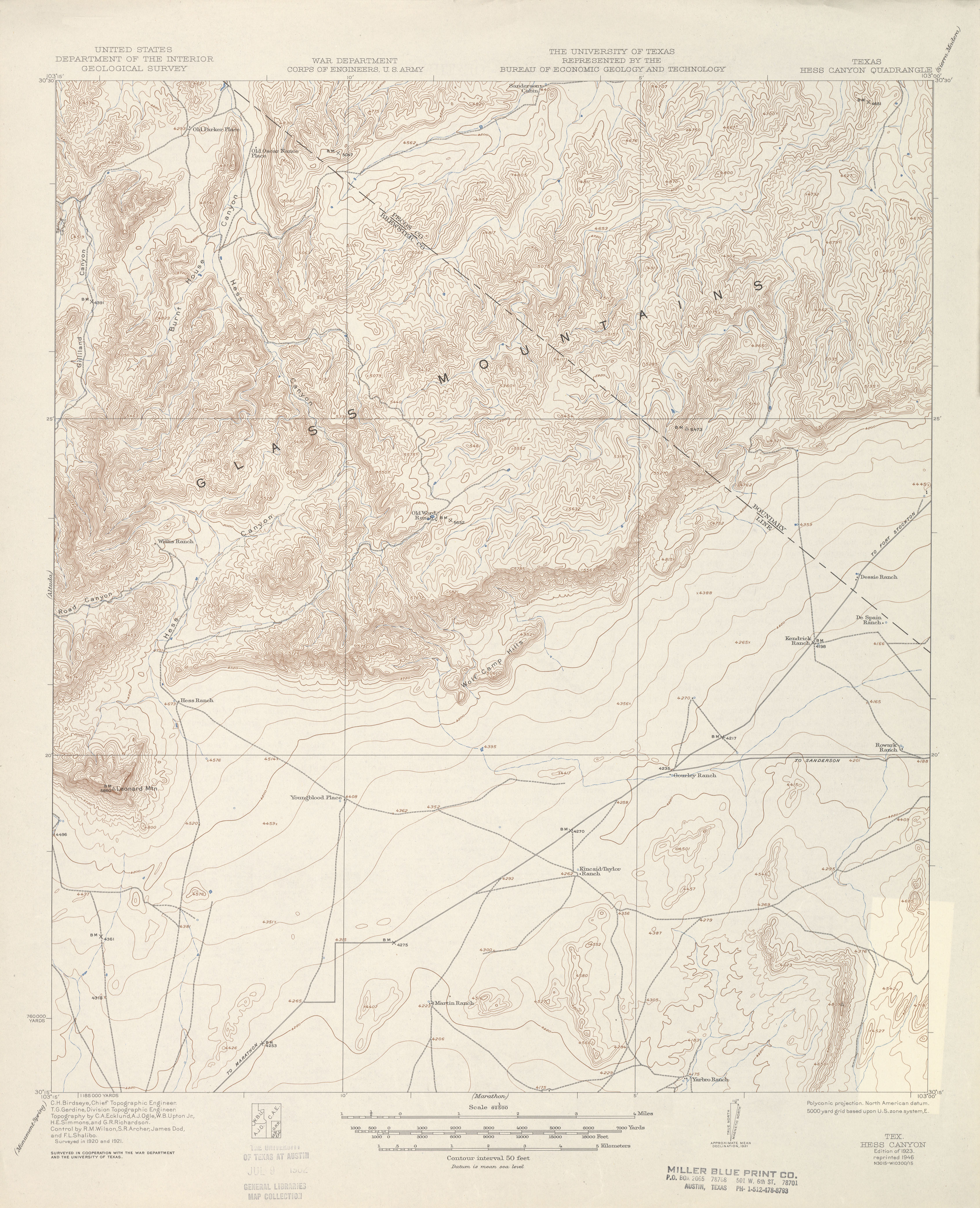
- Hess Canyon 1:62,500 1921 (3.3 MB)
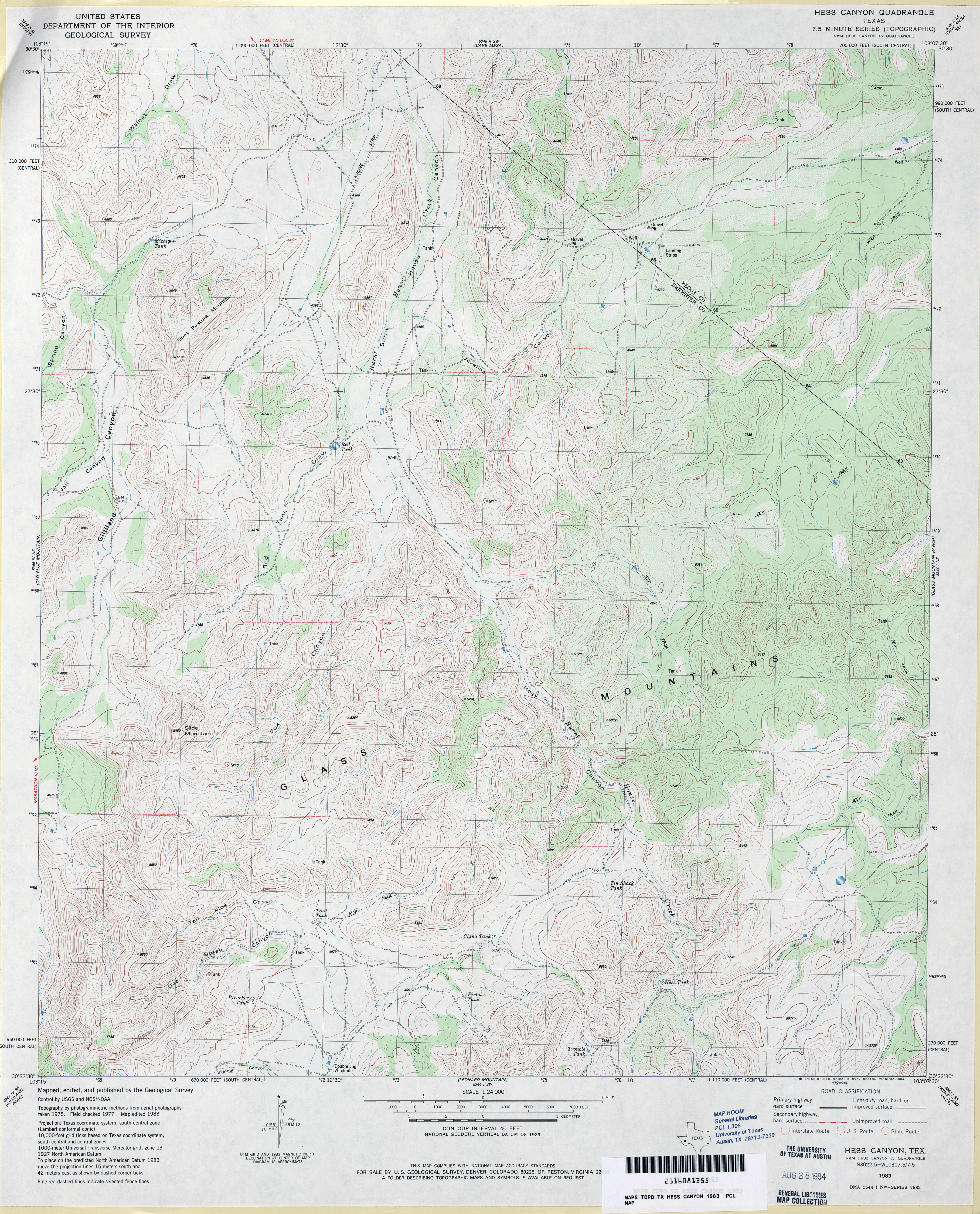
- Hess Canyon 1:24,000 1983 (4.7MB)
- Hess Canyon 1:24,000 2008 (27.2MB) [GeoPDF]
- Hess Canyon 1:24,000 2012 (30.8MB) [GeoPDF]
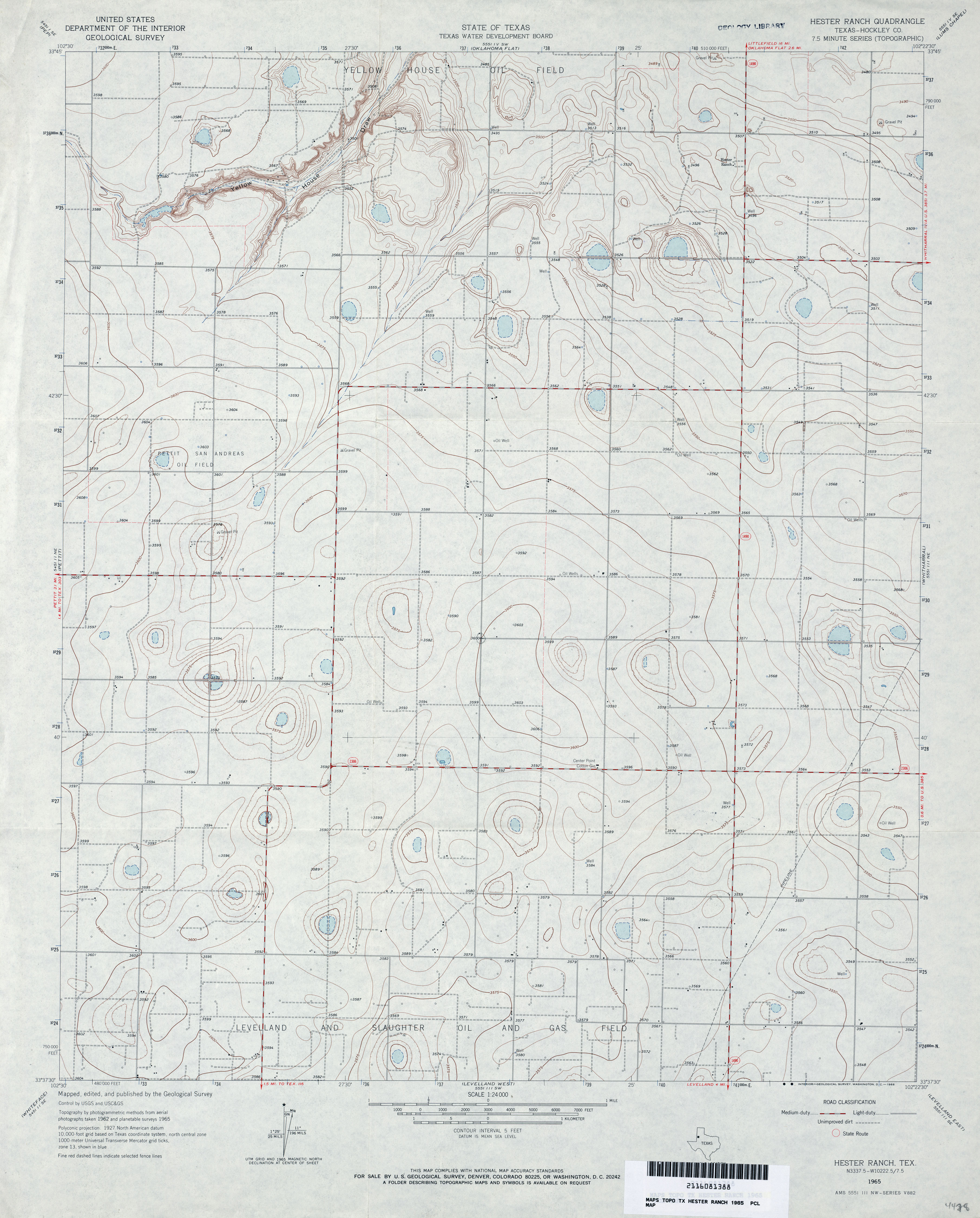
- Hester Ranch (Hockley County) 1:24,000 1965 (3.1MB)
- Hester Ranch 1:24,000 2008 (9.7MB) [GeoPDF]
- Hester Ranch 1:24,000 2012 (14.4MB) [GeoPDF]
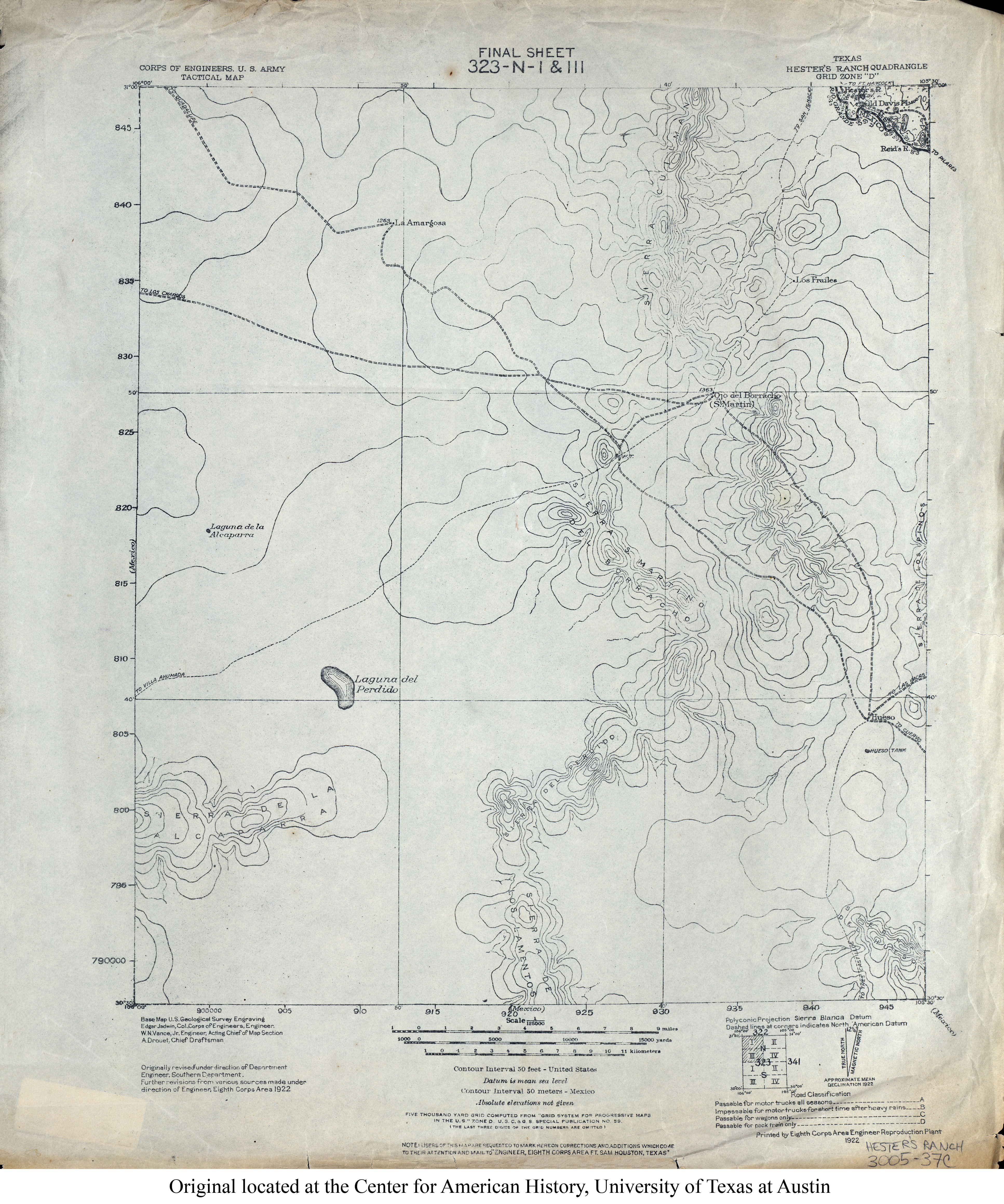
- Hester's Ranch 1:125,000 1922 (3.4MB) U.S. Army. Corps of Engineers. Tactical Map
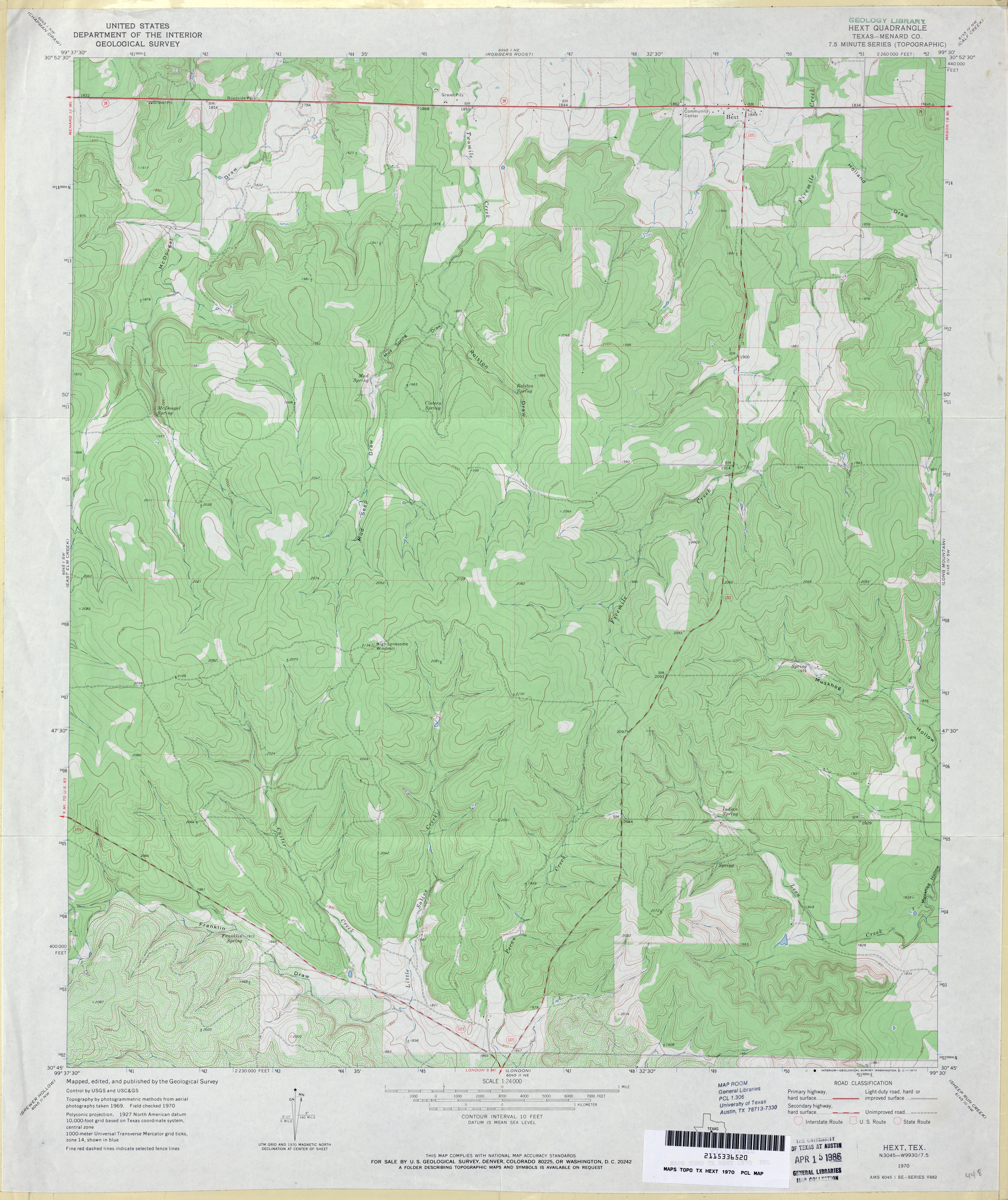
- Hext (Menard County) 1:24,000 1970 (3.7MB)
- Hext 1:24,000 2008 (25.1MB) [GeoPDF]
- Hext 1:24,000 2012 (27.2MB) [GeoPDF]
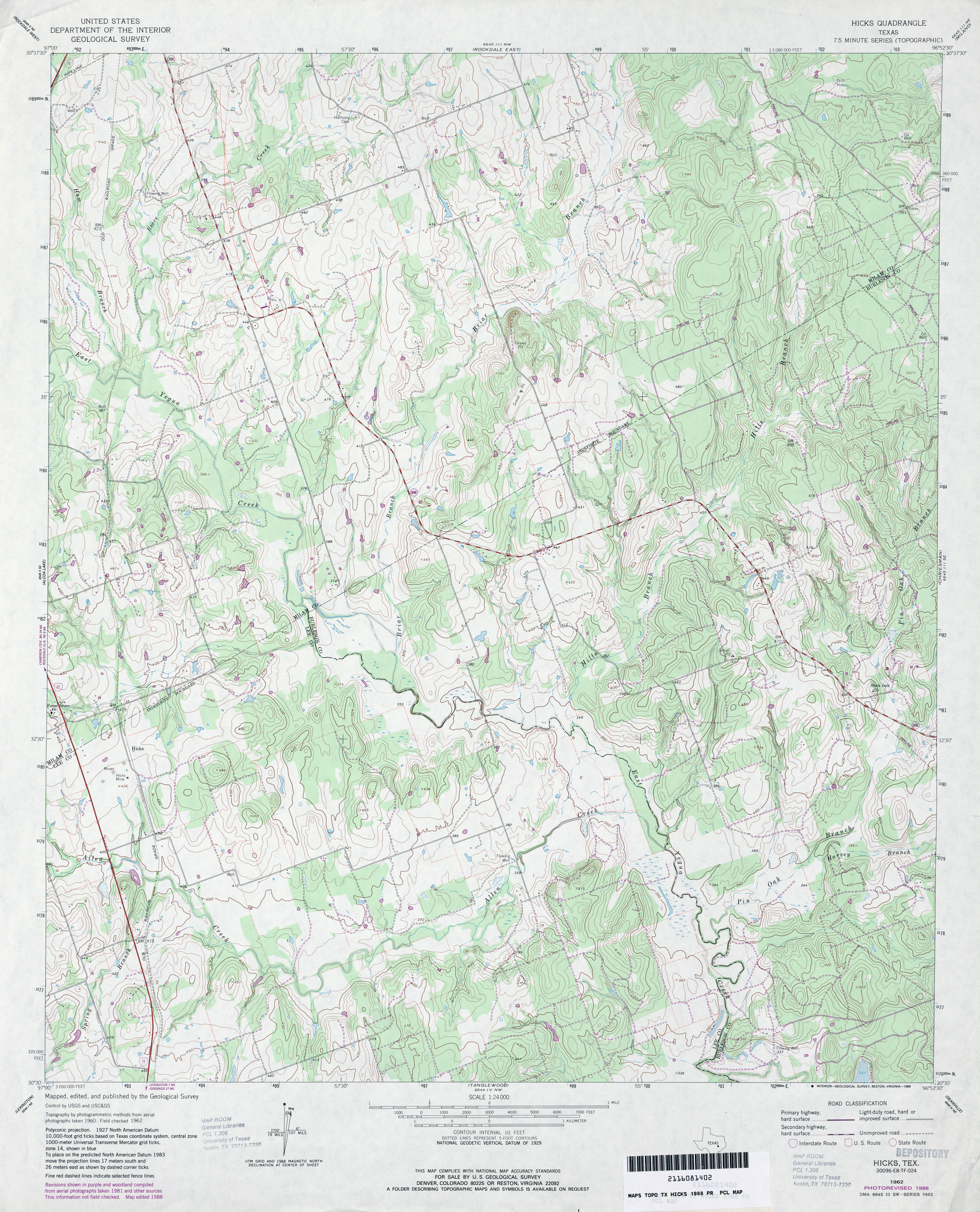
- Hicks 1:24,000 1962 (4.1MB)
- Hicks 1:24,000 1988 (4.4MB)
- Hicks 1:24,000 2008 (15.1MB) [GeoPDF]
- Hicks 1:24,000 2013 (25.8MB) [GeoPDF]
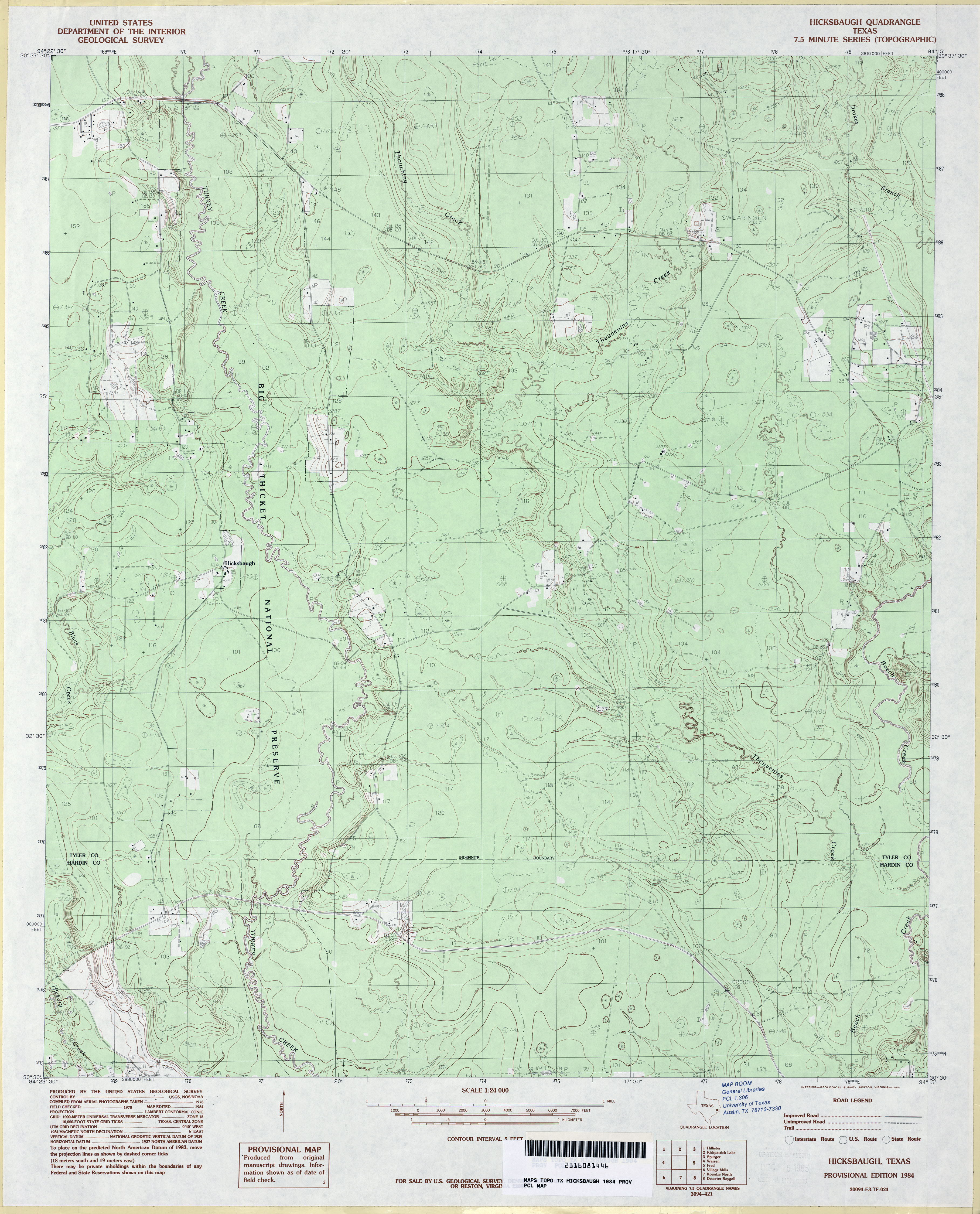
- Hicksbaugh 1:24,000 1984 (3.6MB)
- Hicksbaugh 1:24,000 2009 (24.3MB) [GeoPDF]
- Hicksbaugh 1:24,000 2009 (24.3MB) [GeoPDF]
- Hicksbaugh 1:24,000 2013 (24.9MB) [GeoPDF]
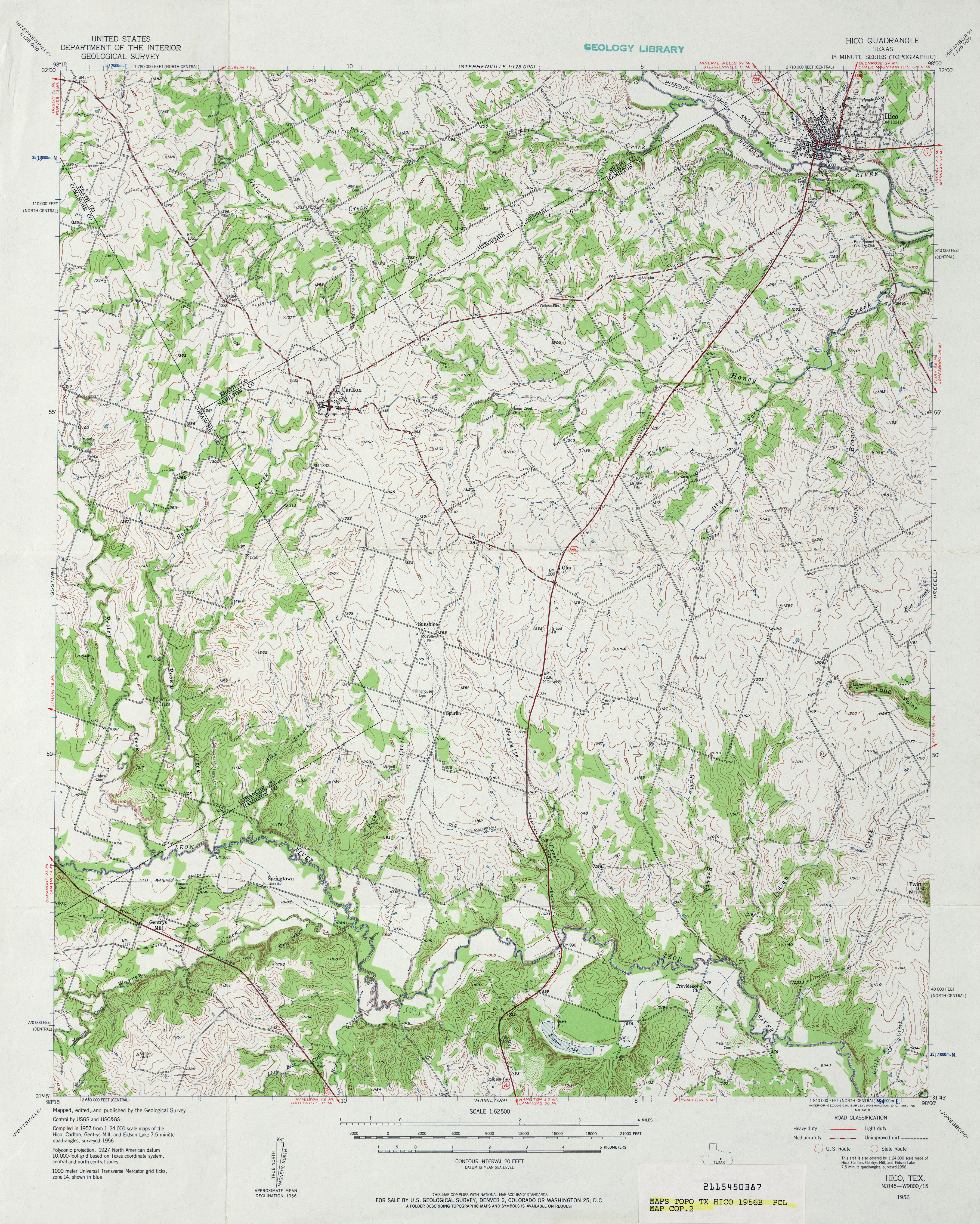
- Hico 1:24,000 1956 (3.5MB)
- Hico 1:62,500 1956 (5.1MB)
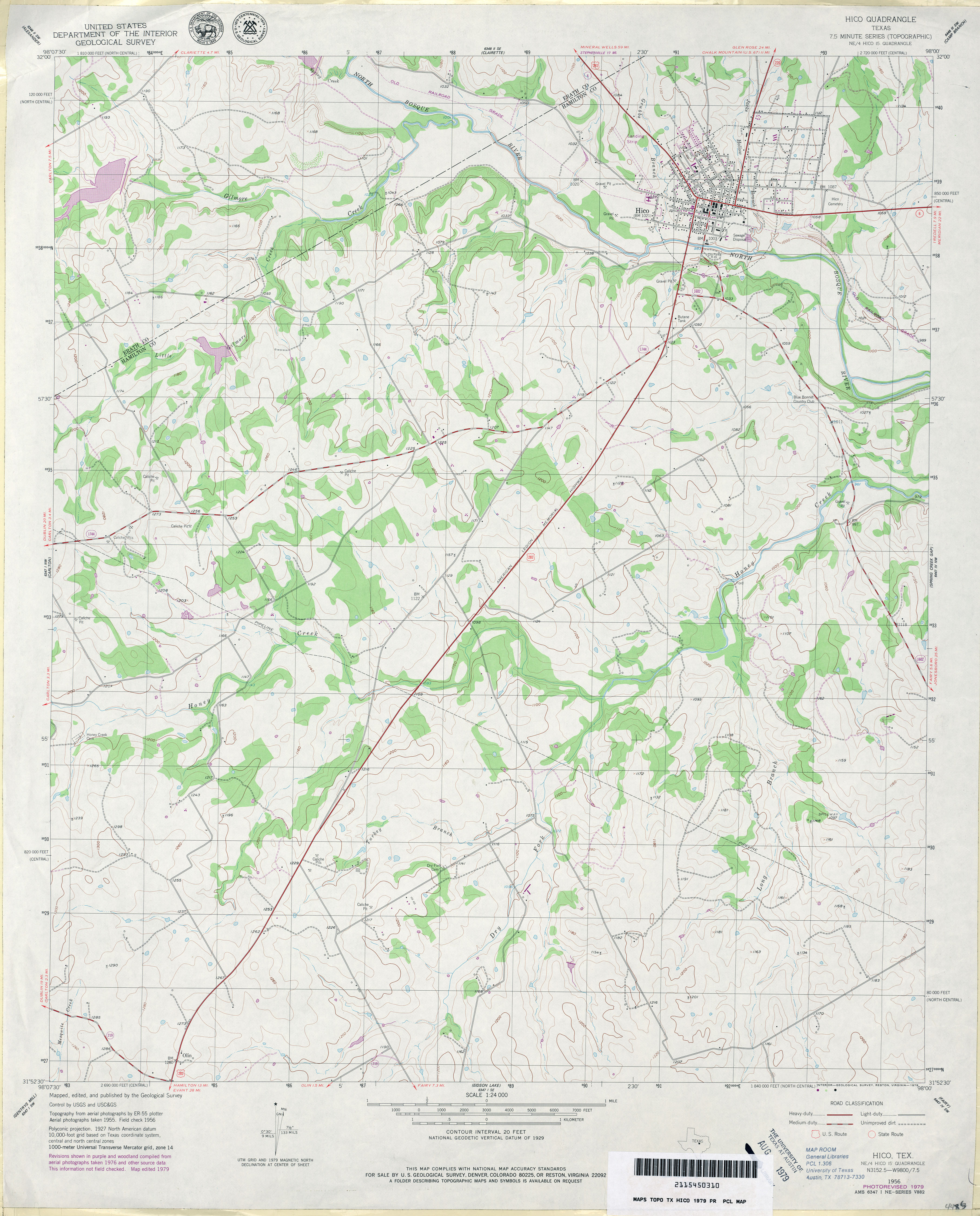
- Hico 1:24,000 1979 (3.4MB)
- Hico 1:24,000 2008 (15.4MB) [GeoPDF]
- Hico 1:24,000 2013 (21.3MB) [GeoPDF]
- Hidalgo 1:125,000 192- (4.3MB) U.S. Army. Corps of Engineers. Tactical Map
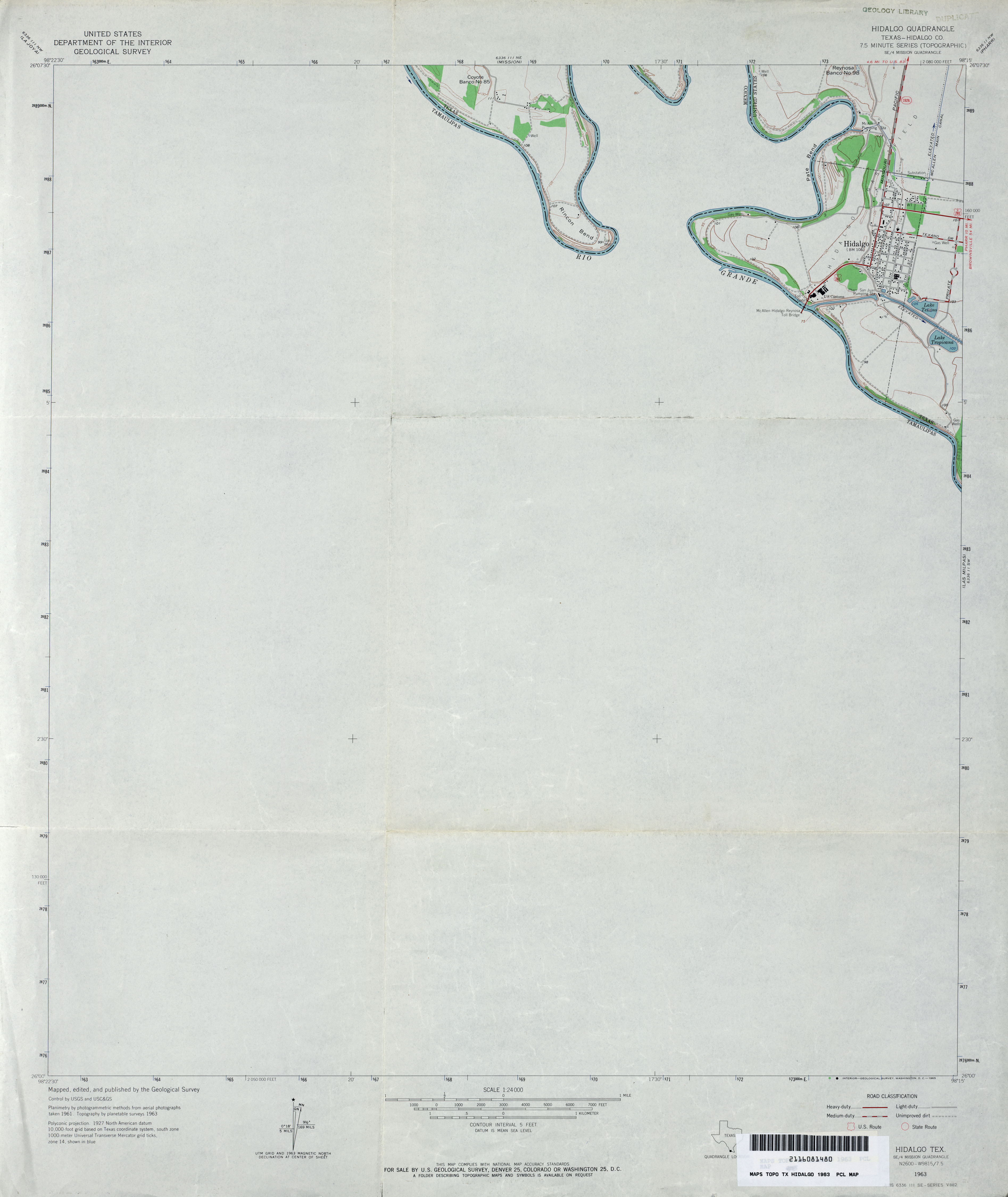
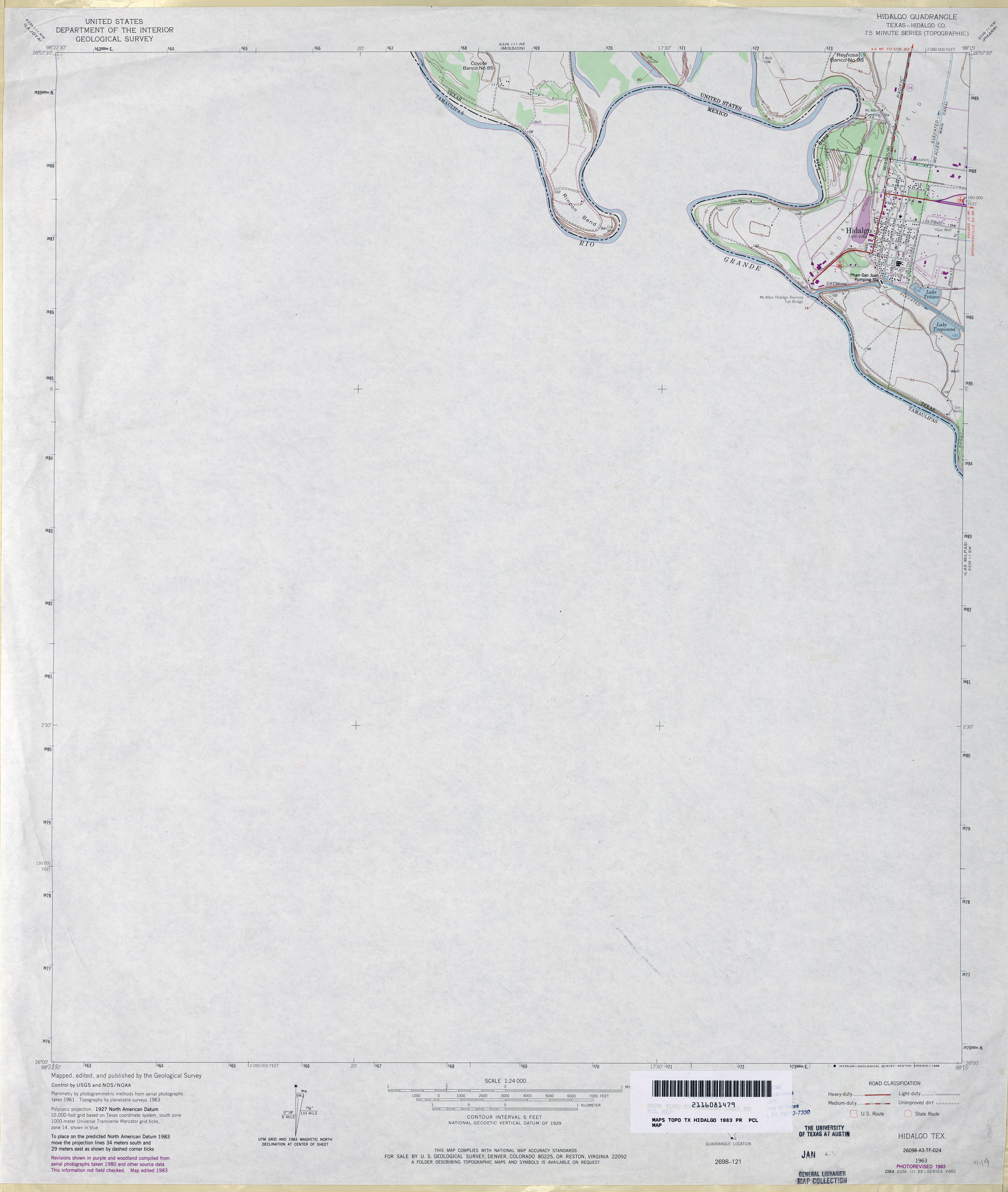
- Hidalgo (Hidalgo County) 1:24,000 1963 (2MB)
- Hidalgo (Hidalgo County) 1:24,000 1983 (2.2MB)
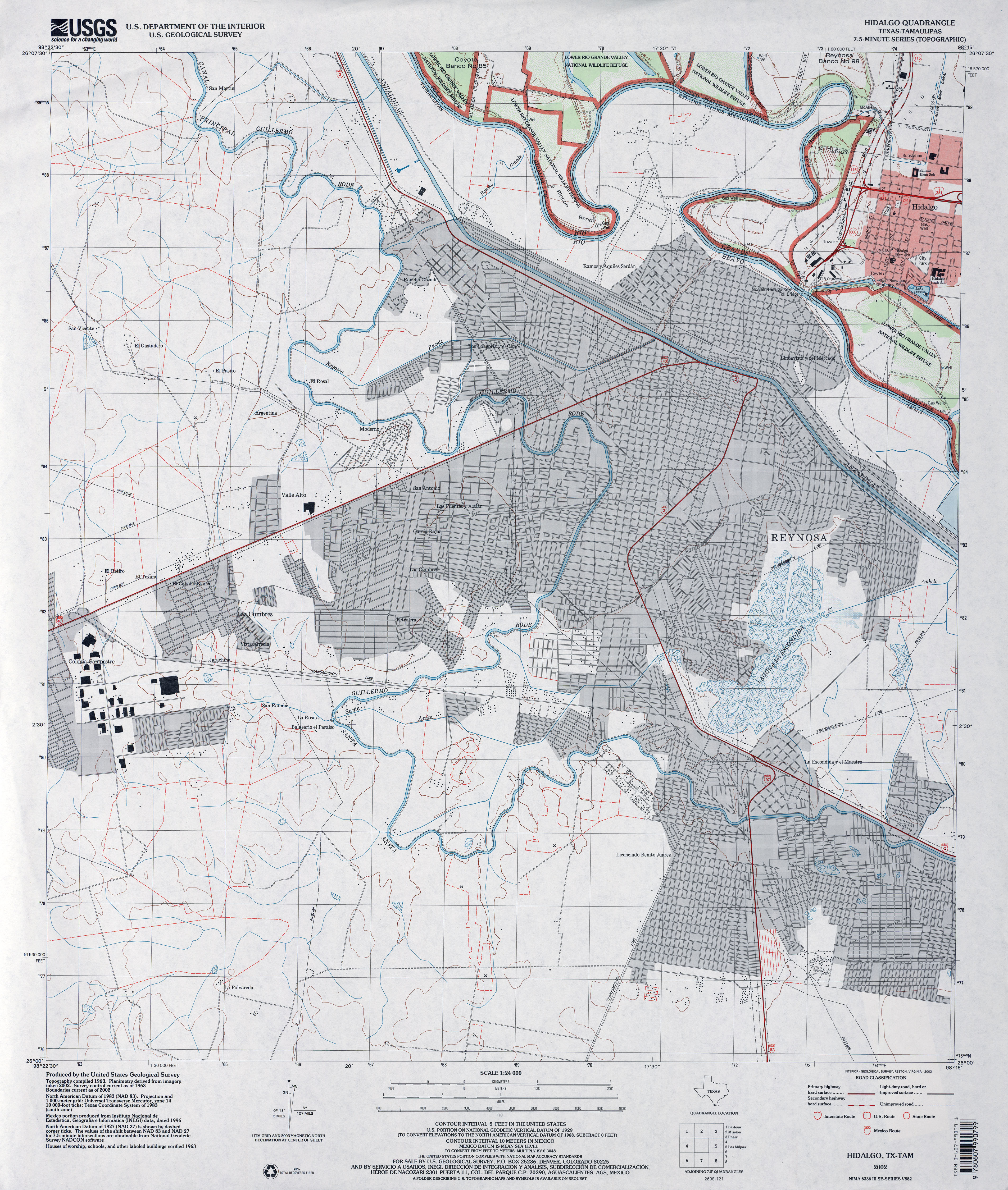
- Hidalgo 1:24,000 2002 (4.2MB)
- Hidalgo 1:24,000 2009 (23.1MB) [GeoPDF]
- Hidalgo 1:24,000 2013 (15.1MB) [GeoPDF]
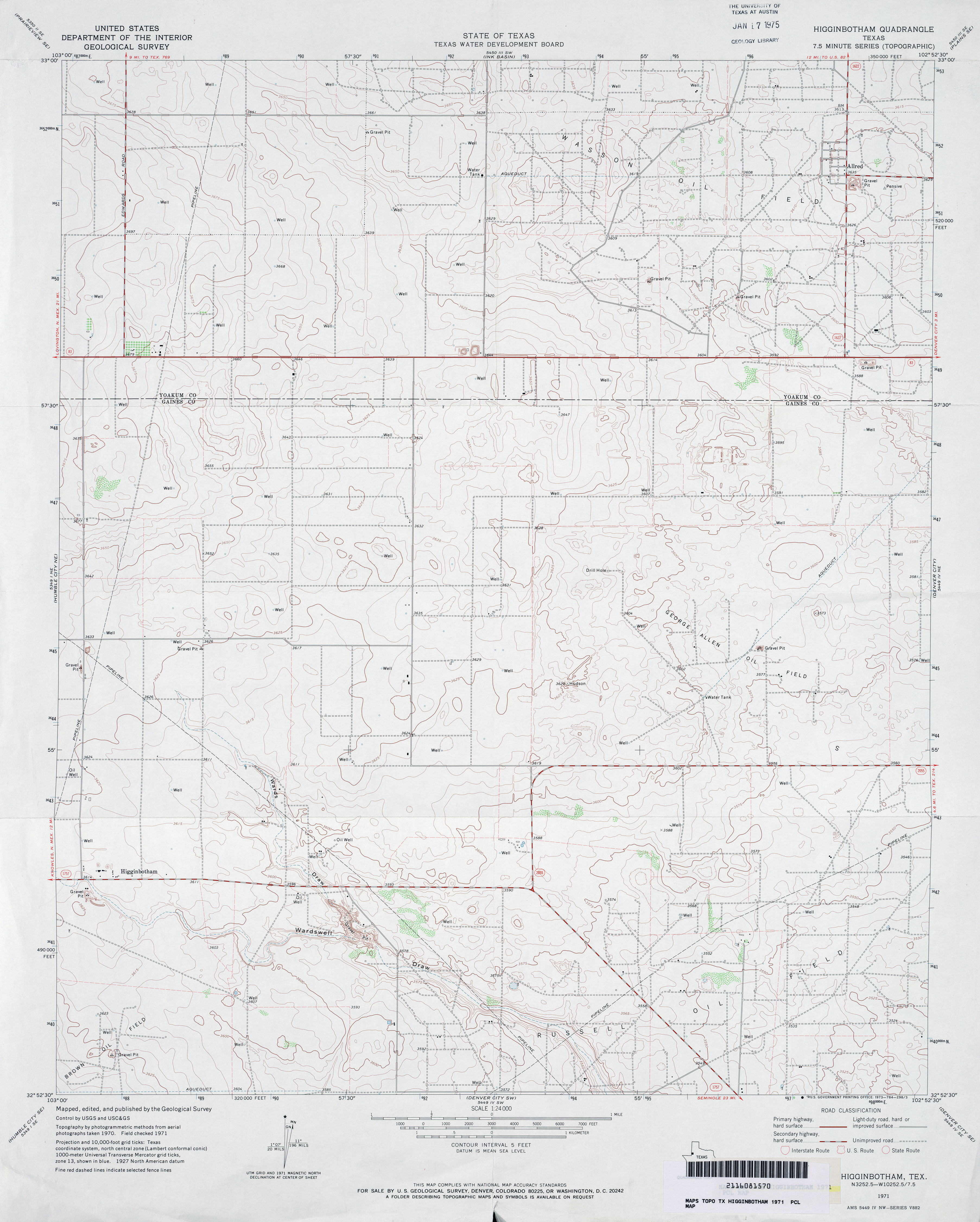
- Higginbotham 1:24,000 1971 (3MB)
- Higginbotham 1:24,000 2008 (12.2MB) [GeoPDF]
- Higginbotham 1:24,000 2012 (17.7MB) [GeoPDF]
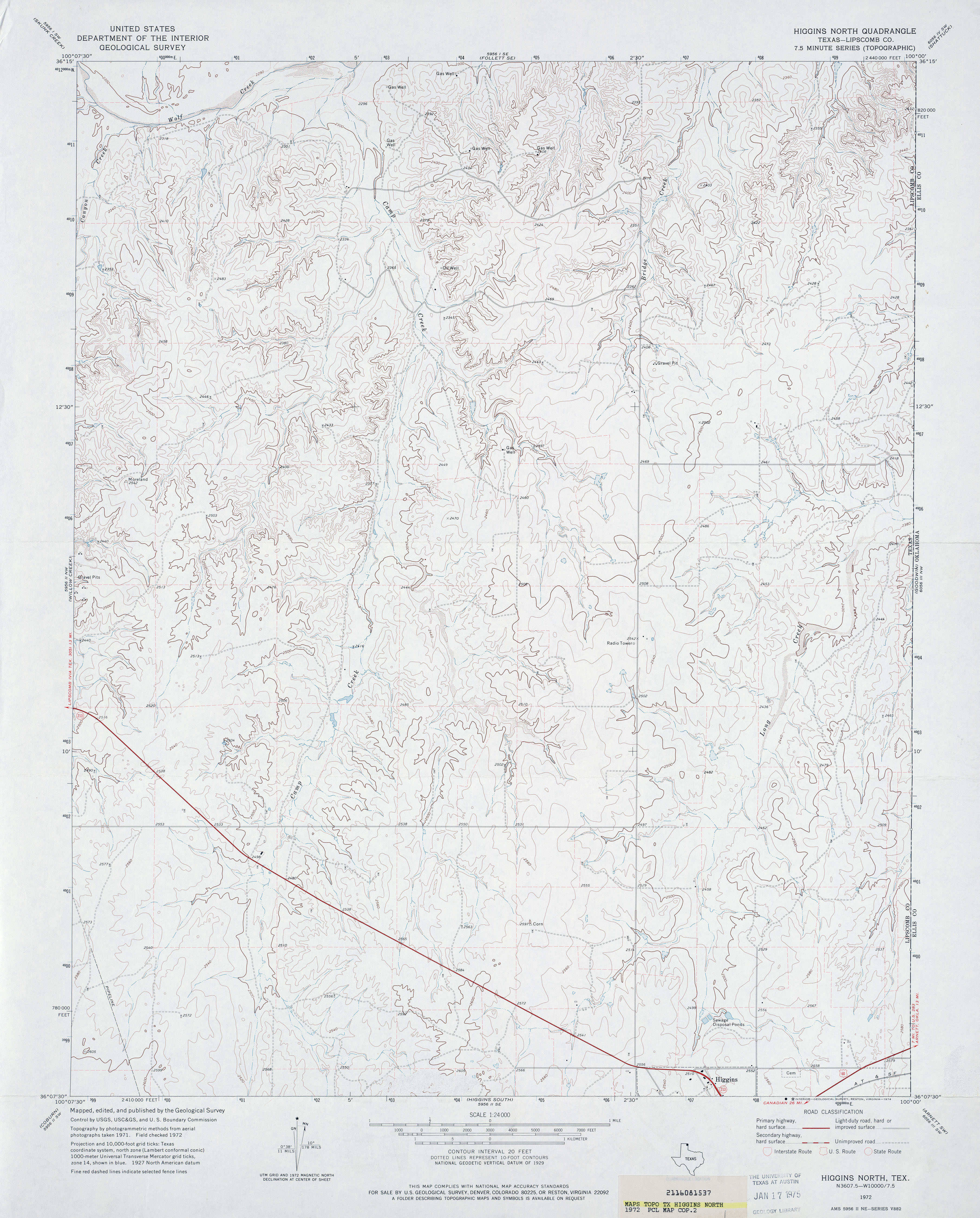
- Higgins North (Lipscomb County) 1:24,000 1972 (3.5MB)
- Higgins North 1:24,000 2008 (13.3MB) [GeoPDF]
- Higgins North 1:24,000 2012 (15.9MB) [GeoPDF]
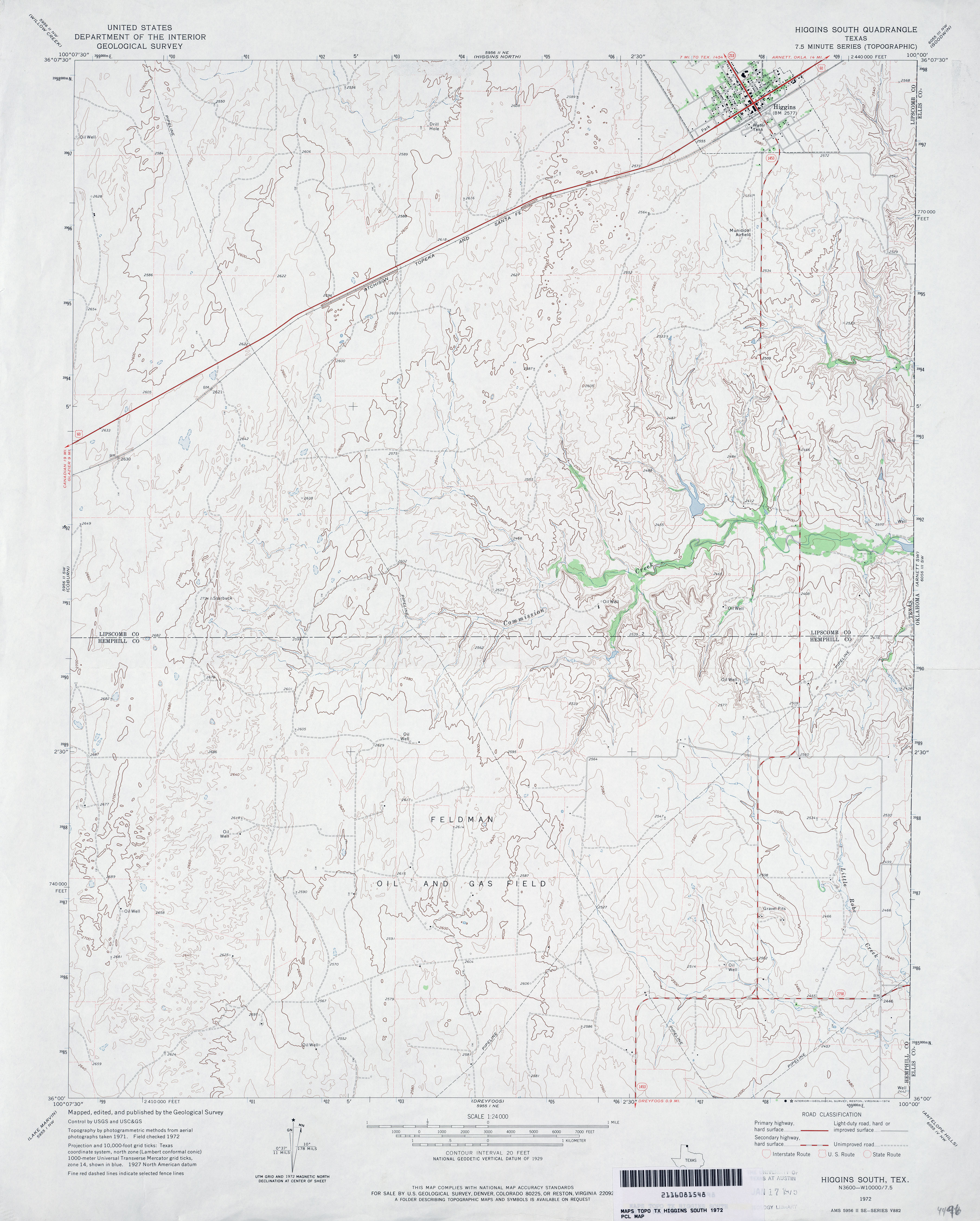
- Higgins South 1:24,000 1972 (3.2MB)
- Higgins South 1:24,000 2008 (13.8MB) [GeoPDF]
- Higgins South 1:24,000 2012 (16.9MB) [GeoPDF]
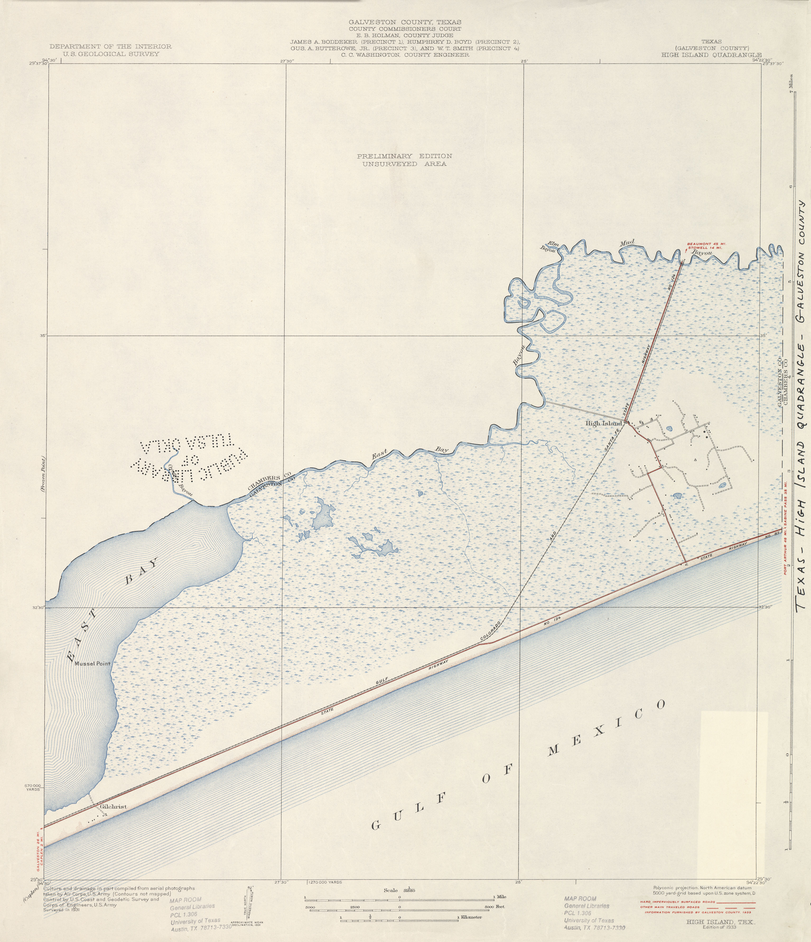
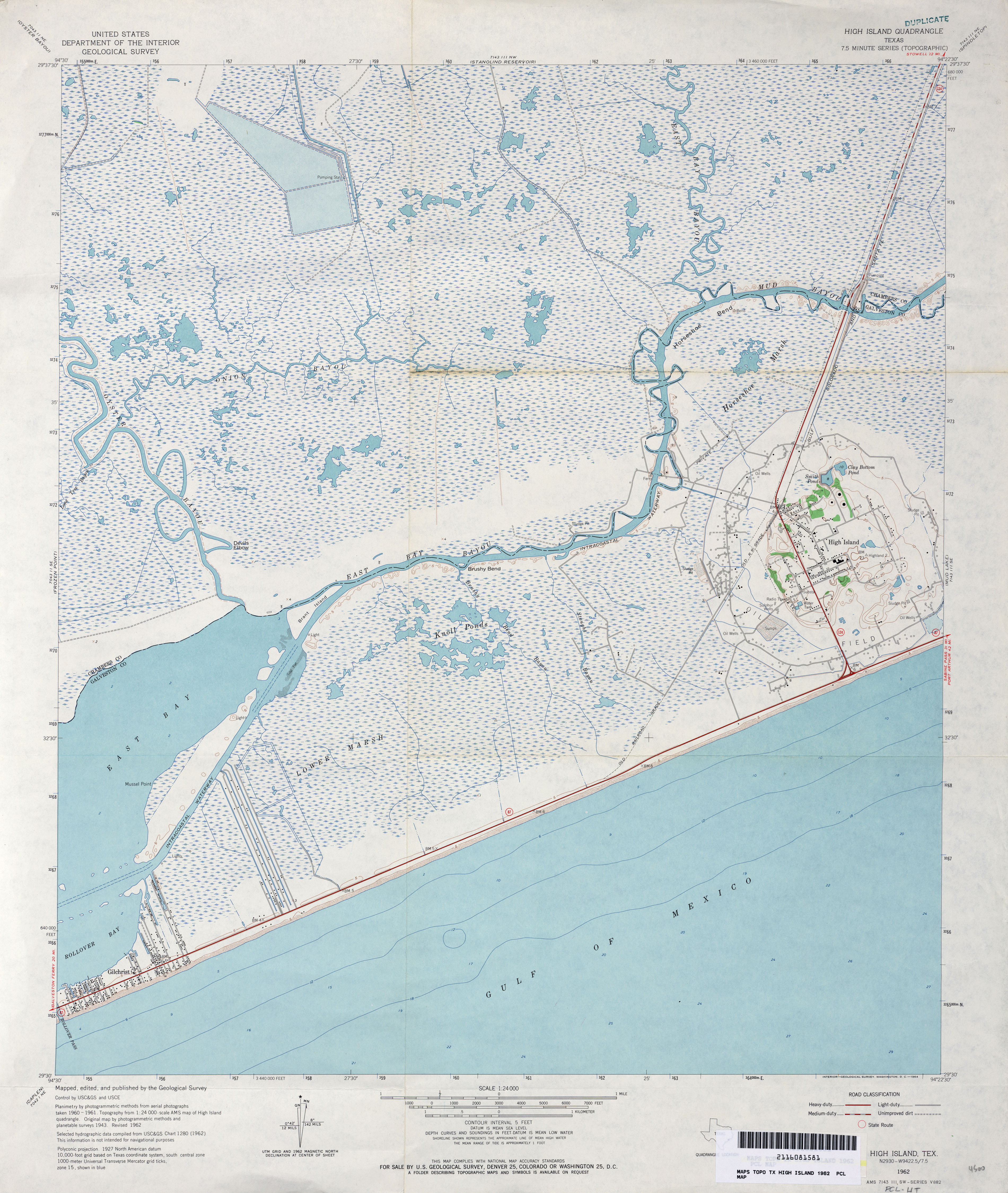
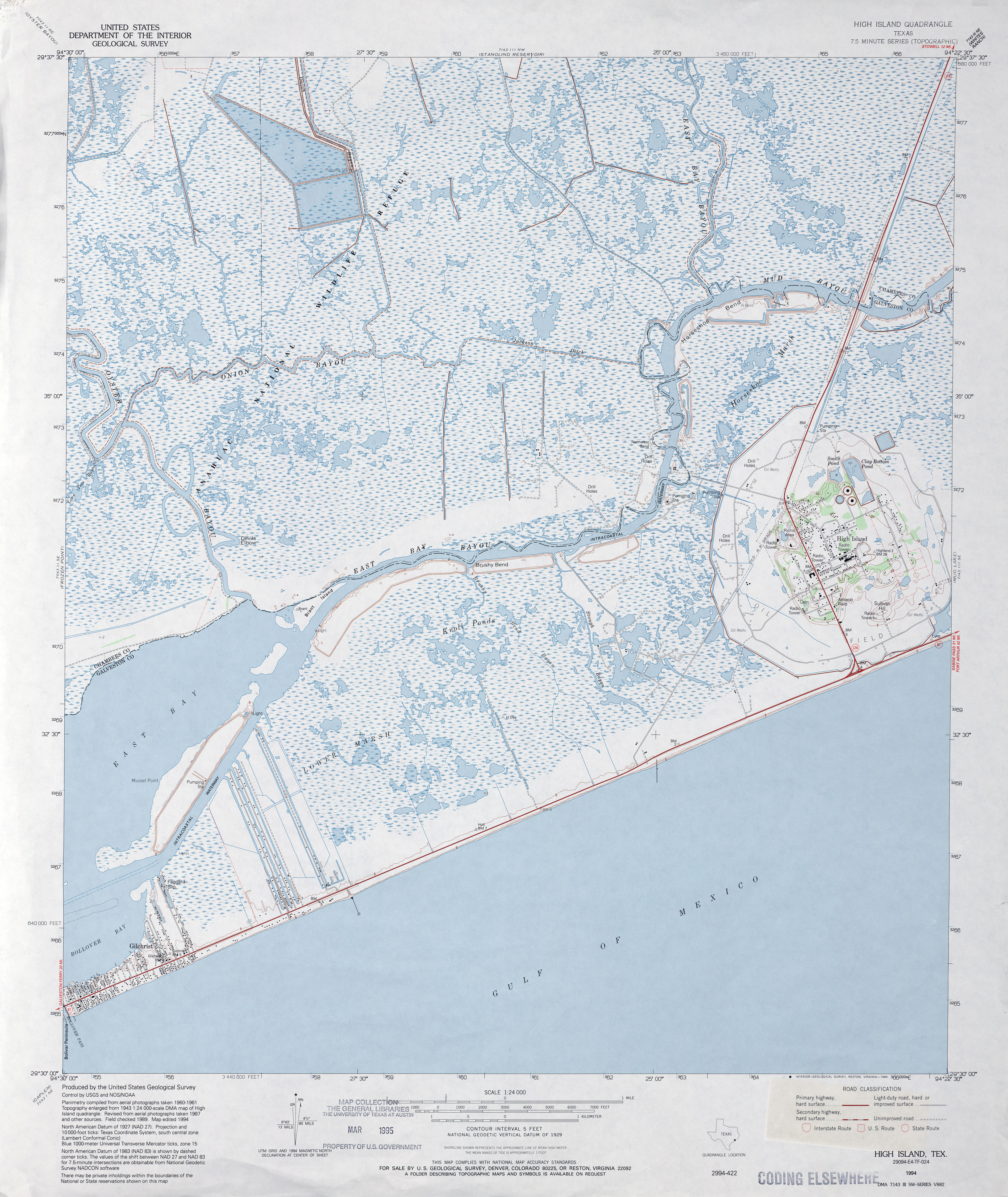
- High Island (Galveston County) 1:31,680 1931 survey, 1933 overprint (2.1 MB)
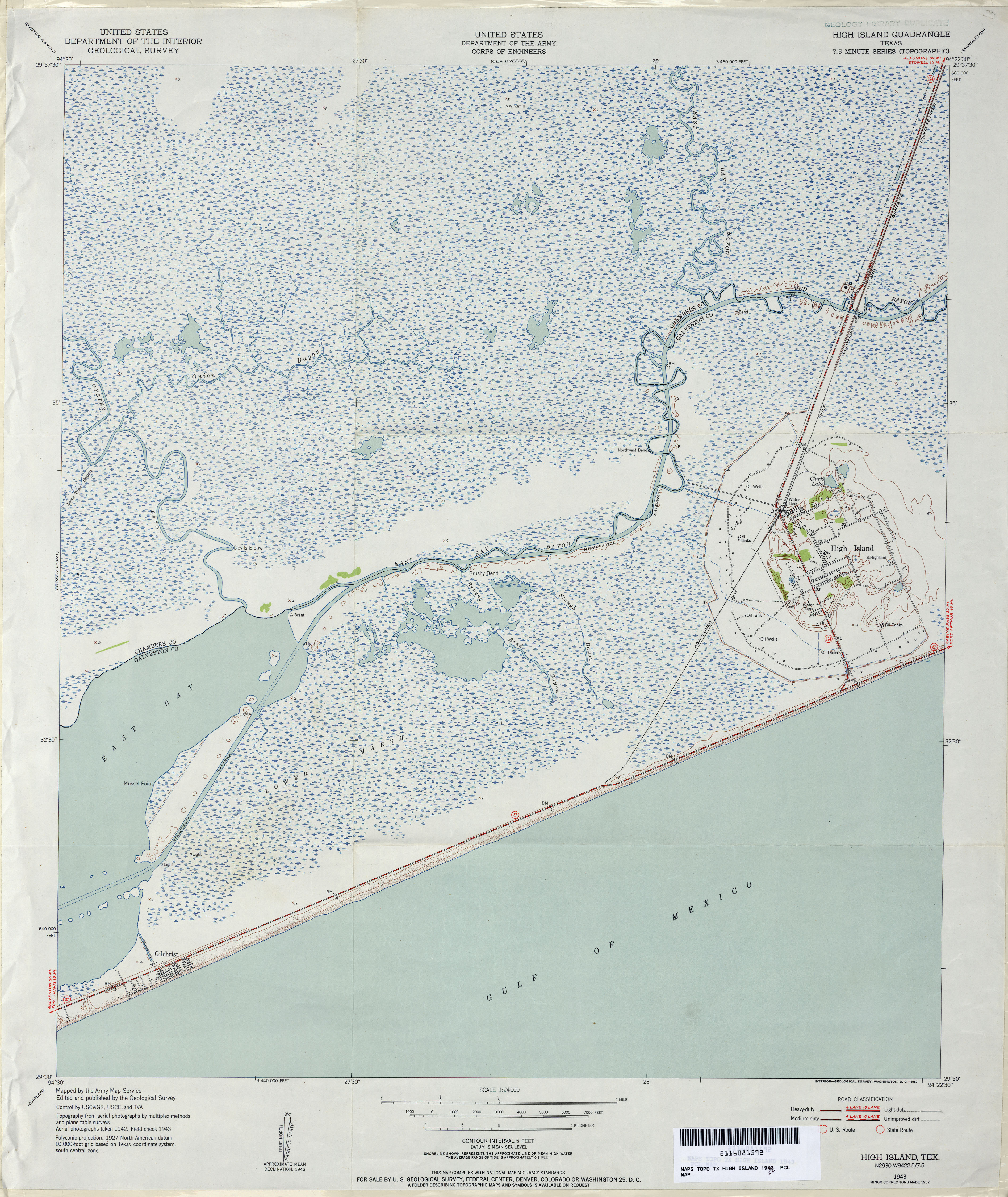
- High Island 1:24,000 1952 (4.2MB)
- High Island 1:24,000 1962 (4.1MB)
- High Island 1:24,000 1974 (3.5MB)
- High Island 1:24,000 1994 (4.4MB)
- High Island 1:24,000 2008 (940KB) Texas Natural Resources Information System (TNRIS). [pdf]
- High Island 1:24,000 2009 (14.3MB) [GeoPDF]
- High Island 1:24,000 2013 (17.8MB) [GeoPDF]
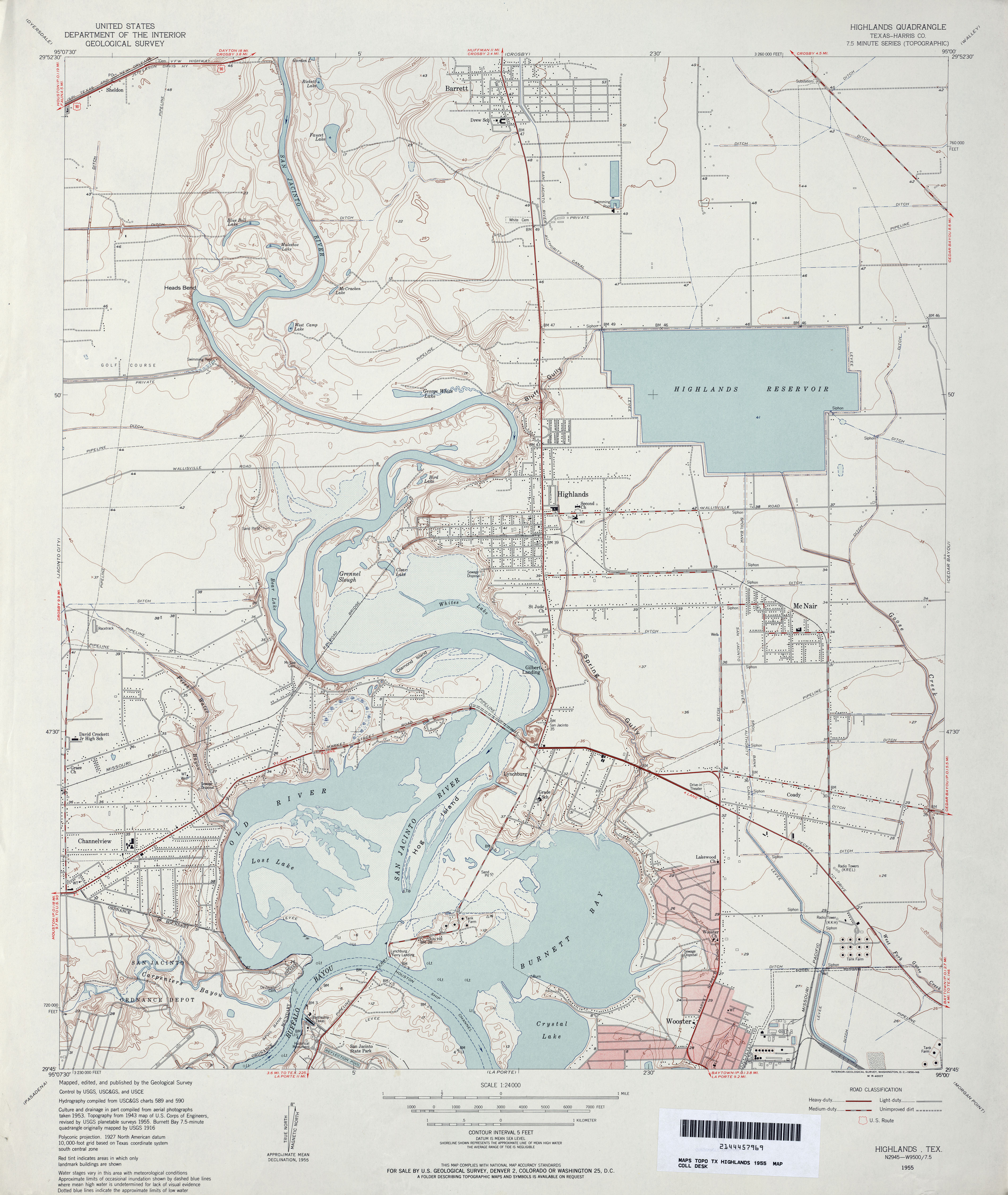
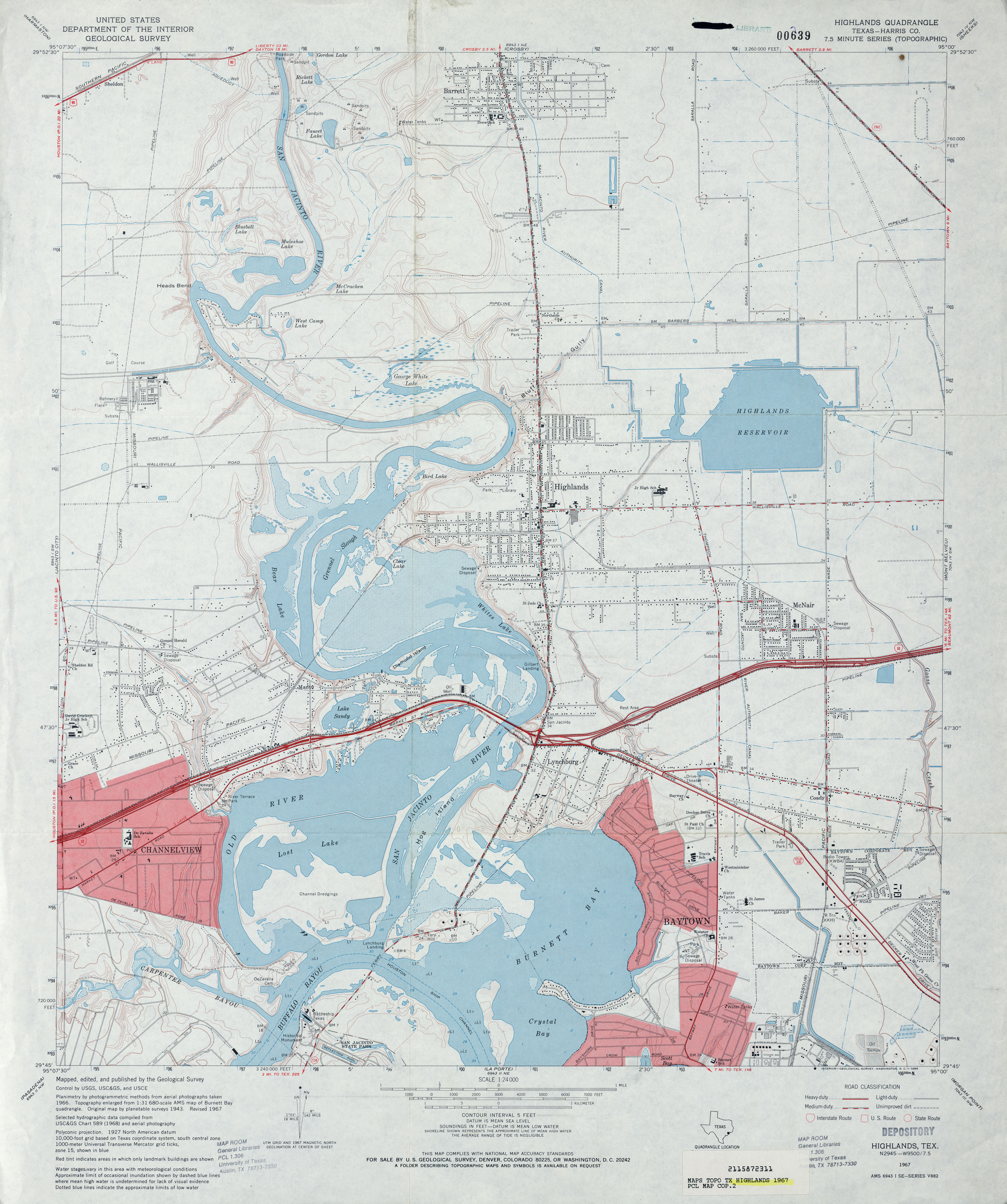
- Highlands (Harris County) 1:24,000 1955 (3.5MB)
- Highlands (Harris County) 1:24,000 1967 (3.5MB)
- Highlands (Harris County) 1:24,000 1982 (4MB)
- Highlands (Harris County) 1:24,000 1995 (4.1MB)
- Highlands 1:24,000 2009 (22.1MB) [GeoPDF]
- Highlands 1:24,000 2013 (22.2MB) [GeoPDF]
- Hilburn 1:24,000 1965 (2.8MB)
- Hilburn 1:24,000 1981 (2.7MB)
- Hilburn 1:24,000 2008 (9.7MB) [GeoPDF]
- Hilburn 1:24,000 2012 (13.7MB) [GeoPDF]
- Hill City 1:24,000 1961 (4.2MB)
- Hill City 1:24,000 1979 (5.1MB)
- Hill City 1:24,000 2008 (17.2MB) [GeoPDF]
- Hill City 1:24,000 2013 (22.6MB) [GeoPDF]
- Hill Ranch 1:24,000 1962 (4.1MB)
- Hill Ranch 1:24,000 2008 (21.8MB) [GeoPDF]
- Hill Ranch 1:24,000 2012 (31.2MB) [GeoPDF]
- Hillcrest Ranch 1:24,000 1964 (4MB)
- Hillcrest Ranch 1:24,000 2008 (20.1MB) [GeoPDF]
- Hillcrest Ranch 1:24,000 2012 (29MB) [GeoPDF]
- Hillendahl (Harris County) 1:31,680 1915 (2.4 MB)
- Hillendhal (Harris County) 1:24,000 1915 (3.7MB)
- Hillister (Tyler County) 1:24,000 1984 (4.7MB)
- Hillister 1:24,000 2009 (24.8MB) [GeoPDF]
- Hillister 1:24,000 2013 (26.3MB) [GeoPDF]
- Hillsboro East (Hill County) 1:24,000 1966 (4.1MB)
- Hillsboro East (Hill County) 1:24,000 1978 (3.8MB)
- Hillsboro East 1:24,000 2008 (14.9MB) [GeoPDF]
- Hillsboro East 1:24,000 2012 (19.3MB) [GeoPDF]
- Hillsboro West (Hill County) 1:24,000 1966 (3.5MB)
- Hillsboro West (Hill County) 1:24,000 1976 (4.4MB)
- Hillsboro East 1:24,000 2008 (14.9MB) [GeoPDF]
- Hillsboro West 1:24,000 2012 (17.4MB) [GeoPDF]
- Hilltop Lakes 1:24,000 1964 (3.8MB)
- Hilltop Lakes 1:24,000 1982 (4.2MB)
- Hilltop Lakes 1:24,000 2009 (20.3MB) [GeoPDF]
- Hilltop Lakes 1:24,000 2013 (25.8MB) [GeoPDF]
- Hindes 1:62,500 1942 (2.9 MB) U.S. Army. Corps of Engineers. Tactical Map
- Hindes 1:24,000 1969 (5.6MB)
- Hindes 1:24,000 2008 (17.8MB) [GeoPDF]
- Hindes 1:24,000 2013 (22.8MB) [GeoPDF]
- Hitchcock (Galveston County) 1:31,680 1929 survey, 1932 overprint (2.1 MB)
- Hitchcock 1:25,000 1949 (2.7MB) U.S. Army Map Service, Series V882.
- Hitchcock 1:24,000 1950 (2.9MB)
- Hitchcock 1:24,000 1964 (3MB)
- Hitchcock 1:24,000 1969 (3MB)
- Hitchcock 1:24,000 1974 (3MB)
- Hitchcock 1:24,000 2008 (1MB) Texas Natural Resources Information System (TNRIS). [pdf]
- Hitchcock 1:24,000 2009 (17.3MB) [GeoPDF]
- Hitchcock 1:24,000 2013 (18.9MB) [GeoPDF]
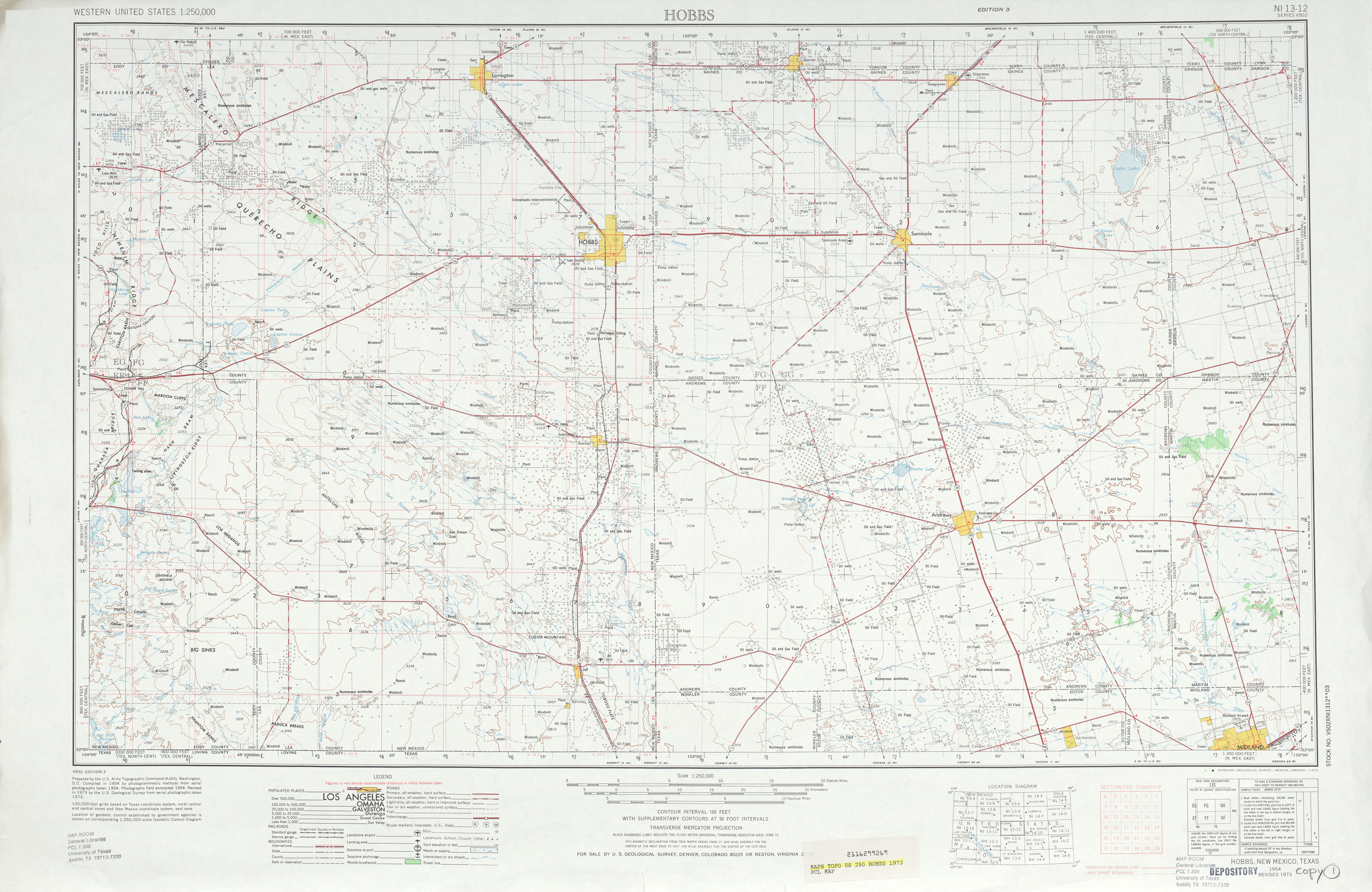
- Hobbs 1:250,000 1962 (5.7MB)
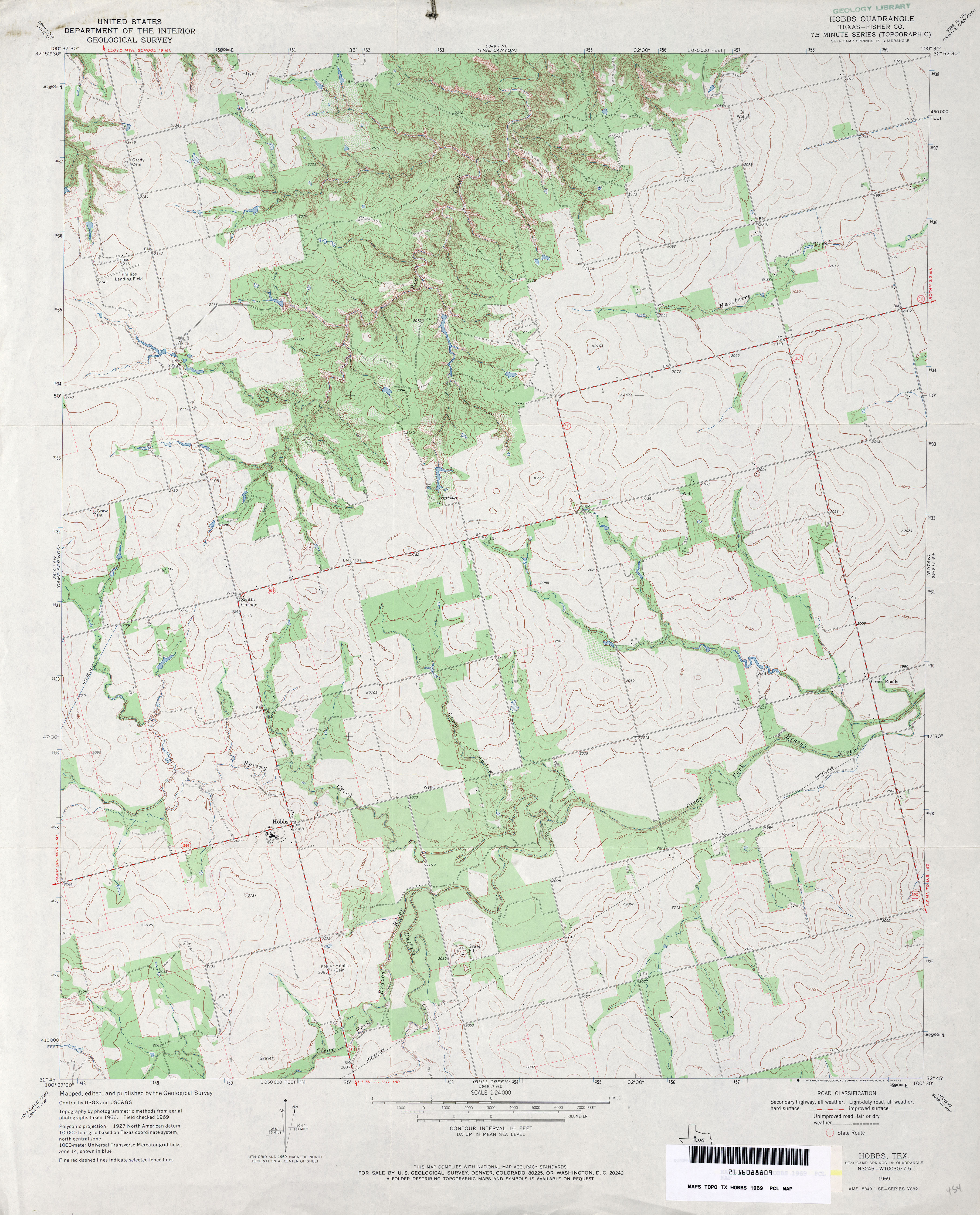
- Hobbs (Fisher County) 1:24,000 1969 (3.8MB)
- Hobbs 1:250,000 1973 (5.7MB)
- Hobbs 1:24,000 2008 (14.4MB) [GeoPDF]
- Hobbs 1:24,000 2012 (22MB) [GeoPDF]
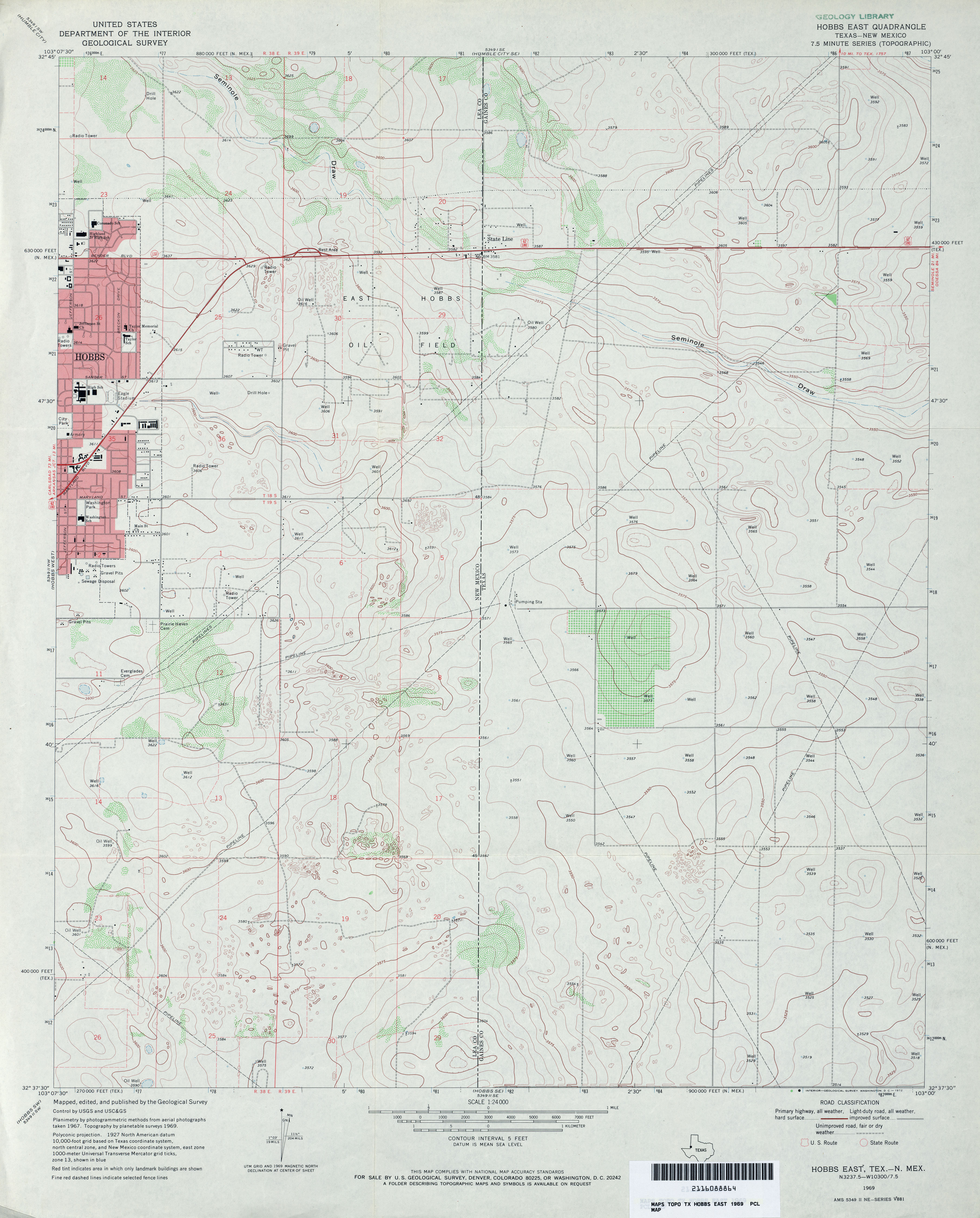
- Hobbs East 1:24,000 1969 (3.1MB)
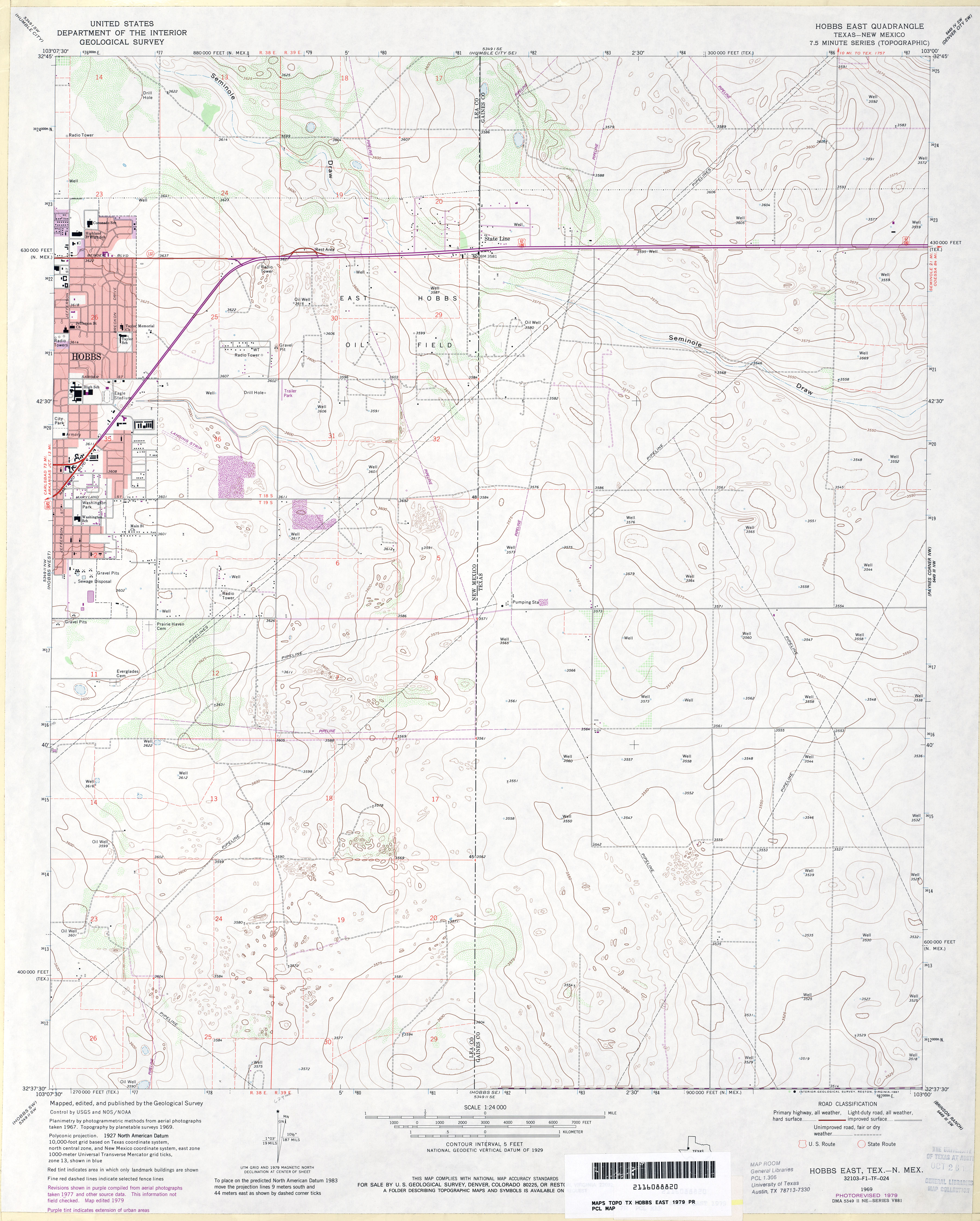
- Hobbs East 1:24,000 1979 (3.1MB)
- Hobbs East [New Mexico, Texas] 1:24,000 2009 (12.7MB) [GeoPDF]
- Hobbs SE 1:24,000 1969 (3.6MB)
- Hobbs SE 1:24,000 1979 (3.9MB)
- Hobbs SE 1:24,000 2008 (17.8MB) [GeoPDF]
- Hobbs SE 1:24,000 2012 (20.2MB) [GeoPDF]
- Hobo Tank (Hudspeth County) 1:24,000 1979 (3.8MB)
- Hobo Tank 1:24,000 2008 (14.2MB) [GeoPDF]
- Hobo Tank 1:24,000 2012 (21.2MB) [GeoPDF]
- Hochheim 1:24,000 1959 (4.1MB)
- Hochheim 1:24,000 1987 (4.5MB)
- Hochheim 1:24,000 2008 (11.9MB) [GeoPDF]
- Hochheim 1:24,000 2013 (24.8MB) [GeoPDF]
- Hockley (Harris County) 1:31,680 1916 (2.7 MB)
- Hockley 1:24,000 1962 (3.6MB)
- Hockley 1:24,000 1980 (3.9MB)
- Hockley 1:24,000 2009 (18.2MB) [GeoPDF]
- Hockley 1:24,000 2013 (20.6MB) [GeoPDF]
- Hockley Mound 1:24,000 1971 (2.8MB)
- Hockley Mound 1:24,000 1980 (3MB)
- Hockley Mound 1:24,000 2009 (12.8MB) [GeoPDF]
- Hockley Mound 1:24,000 2013 (16.6MB) [GeoPDF]
- Hodgson 1:24,000 1965 (3.5MB)
- Hodgson 1:24,000 1975 (3.4MB)
- Hodgson 1:24,000 2009 (14.5MB) [GeoPDF]
- Hodgson 1:24,000 2012 (20.7MB) [GeoPDF]
- Hog Mountain 1:24,000 1961 (3.1MB)
- Hog Mountain 1:24,000 2008 (14.5MB) [GeoPDF]
- Hog Mountain 1:24,000 2012 (21MB) [GeoPDF]
- Holcomb Draw 1:24,000 1978 (4.9MB)
- Holcomb Draw 1:24,000 2008 (28.2MB) [GeoPDF]
- Holcomb Draw 1:24,000 2012 (35.4MB) [GeoPDF]
- Holcomb Reservoir (Frio County) 1:24,000 1974 (4.6MB)
- Holcomb Reservoir 1:24,000 2008 (17.2MB) [GeoPDF]
- Holcomb Reservoir 1:24,000 2013 (24.9MB) [GeoPDF]
- Holder Creek (Nolan County) 1:24,000 1969 (4MB)
- Holder Creek 1:24,000 2008 (16.7MB) [GeoPDF]
- Holder Creek 1:24,000 2012 (24.9MB) [GeoPDF]
- Holland (Bell County) 1:24,000 1964 (4.1MB)
- Holland (Bell County) 1:24,000 1978 (4MB)
- Holland 1:24,000 2008 (14.0MB) [GeoPDF]
- Holland 1:24,000 2013 (20.2MB) [GeoPDF]
- Holland Dam 1:24,000 2008 (17.5MB) [GeoPDF]
- Holland Dam 1:24,000 2013 (24.7MB) [GeoPDF]
- Holland Dam (La Salle County) 1:24,000 1974 (4.8MB)
- Holliday 1:24,000 1966 (4.1MB)
- Holliday 1:24,000 2008 (14.0MB) [GeoPDF]
- Holliday 1:24,000 2012 (18.6MB) [GeoPDF]
- Hollis SW [Oklahoma, Texas] 1:24,000 2008 (16.6MB) [GeoPDF]
- Hollis SW [Oklahoma, Texas] 1:24,000 2012 (21.0MB) [GeoPDF]
- Holloway Canyon (Borden County) 1:24,000 1969 (3.6MB)
- Holloway Canyon 1:24,000 2008 (16.2MB) [GeoPDF]
- Holloway Canyon 1:24,000 2012 (22.4MB) [GeoPDF]
- Holt 1:24,000 1974 (2.7MB)
- Holt 1:24,000 2008 (8.1MB) [GeoPDF]
- Holt 1:24,000 2012 (14.8MB) [GeoPDF]
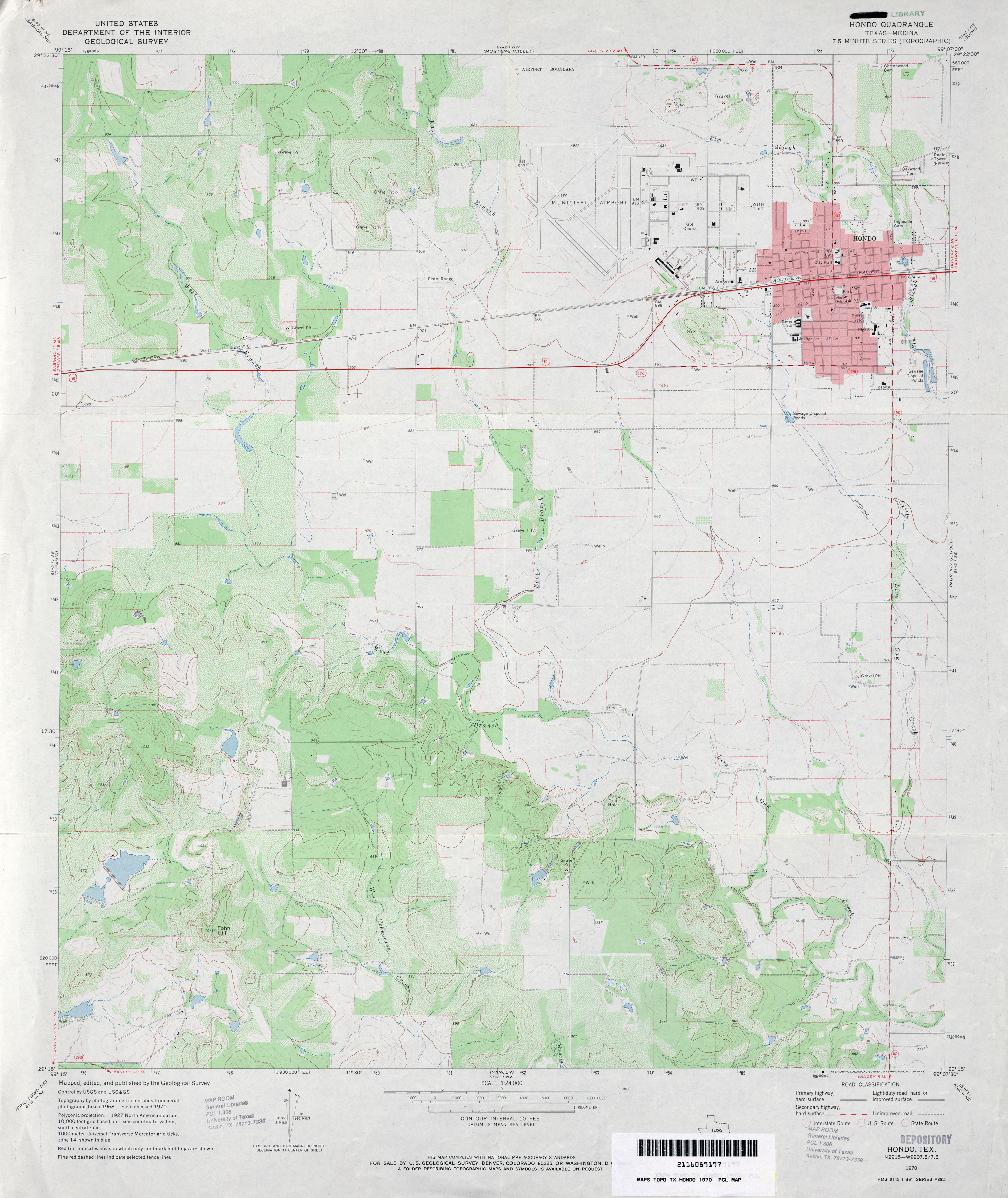
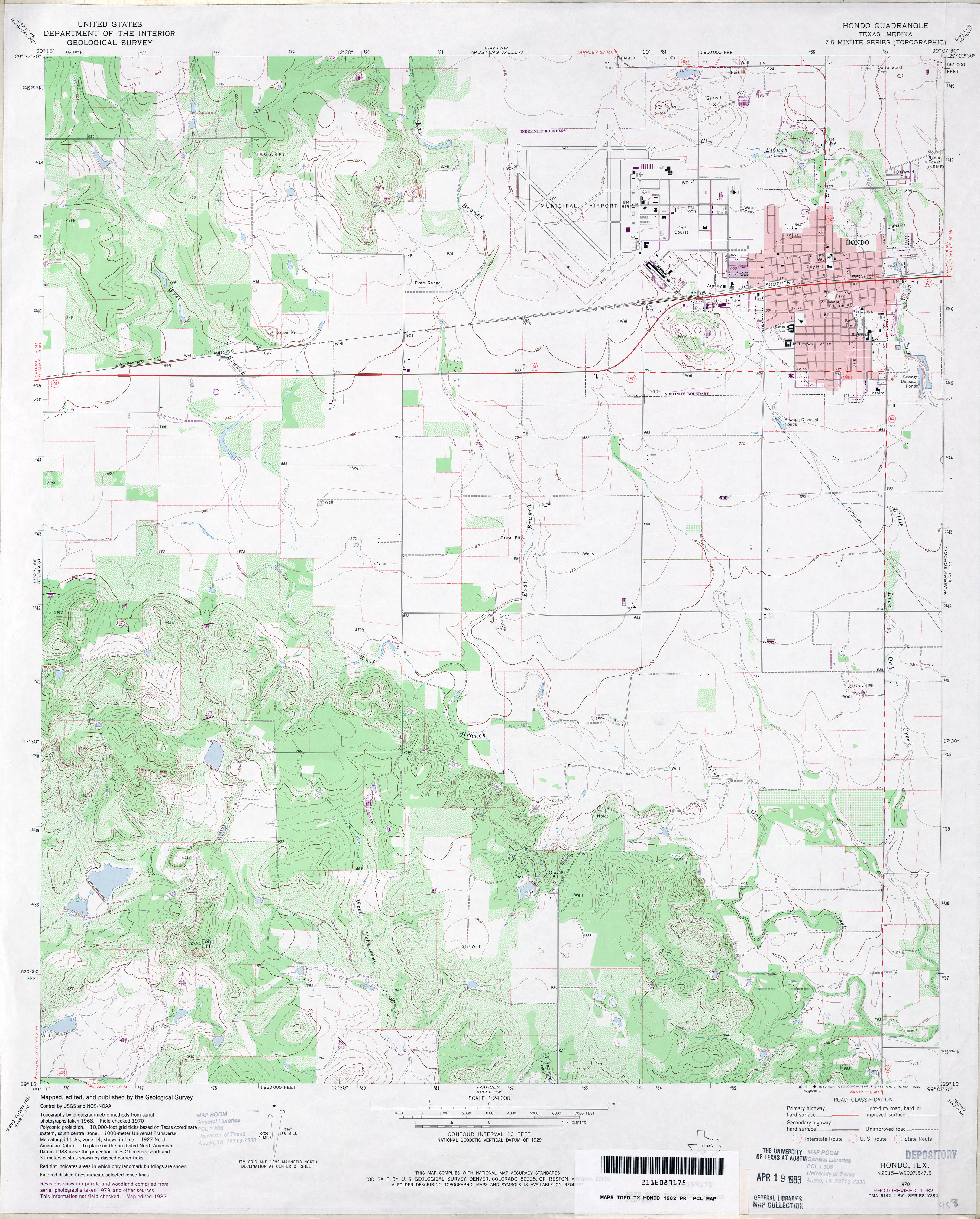
- Hondo (Medina County) 1:24,000 1970 (3.3MB)
- Hondo (Medina County) 1:24,000 1982 (3.7MB)
- Hondo 1:24,000 2008 (13.4MB) [GeoPDF]
- Hondo 1:24,000 2012 (20.6MB) [GeoPDF]
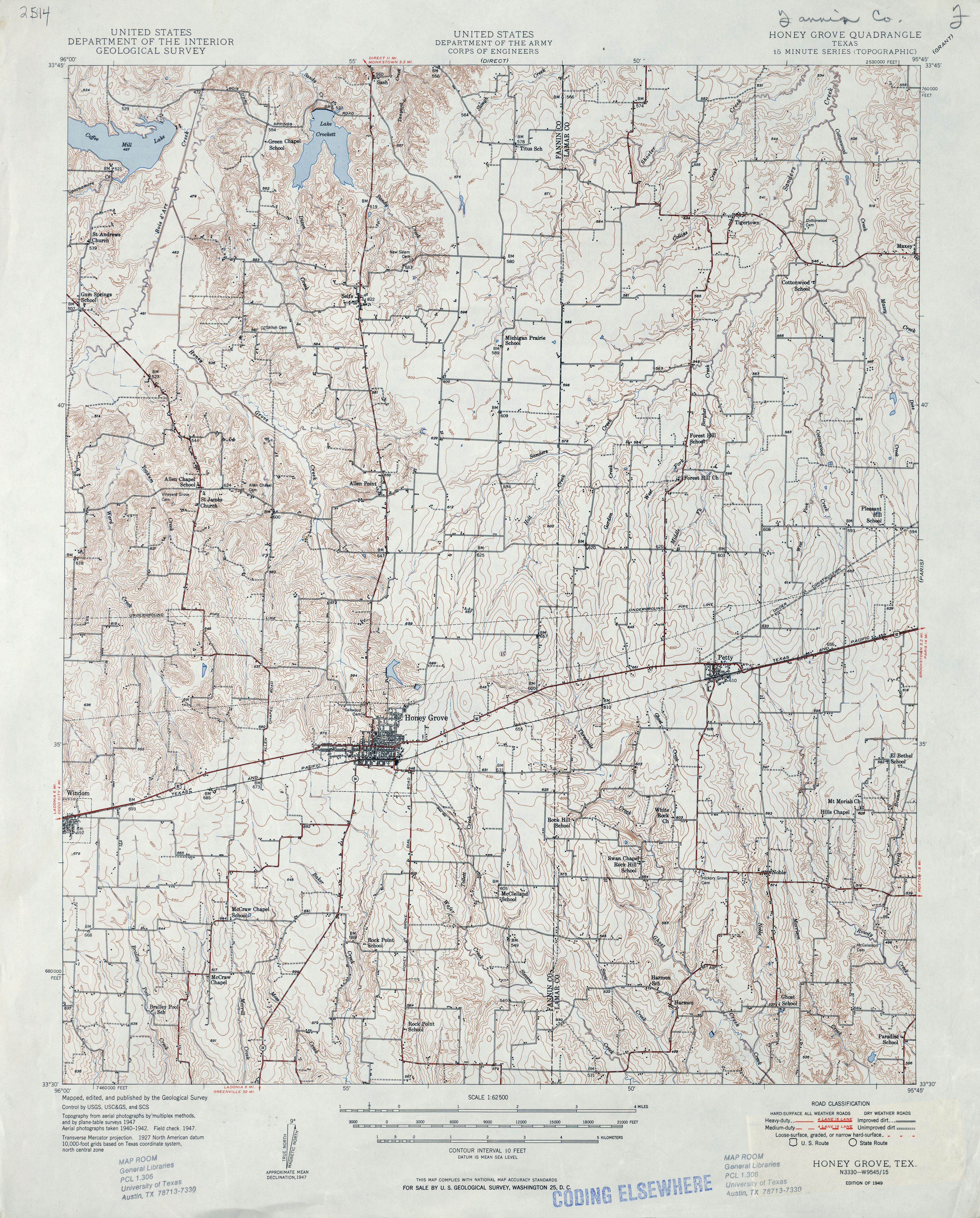
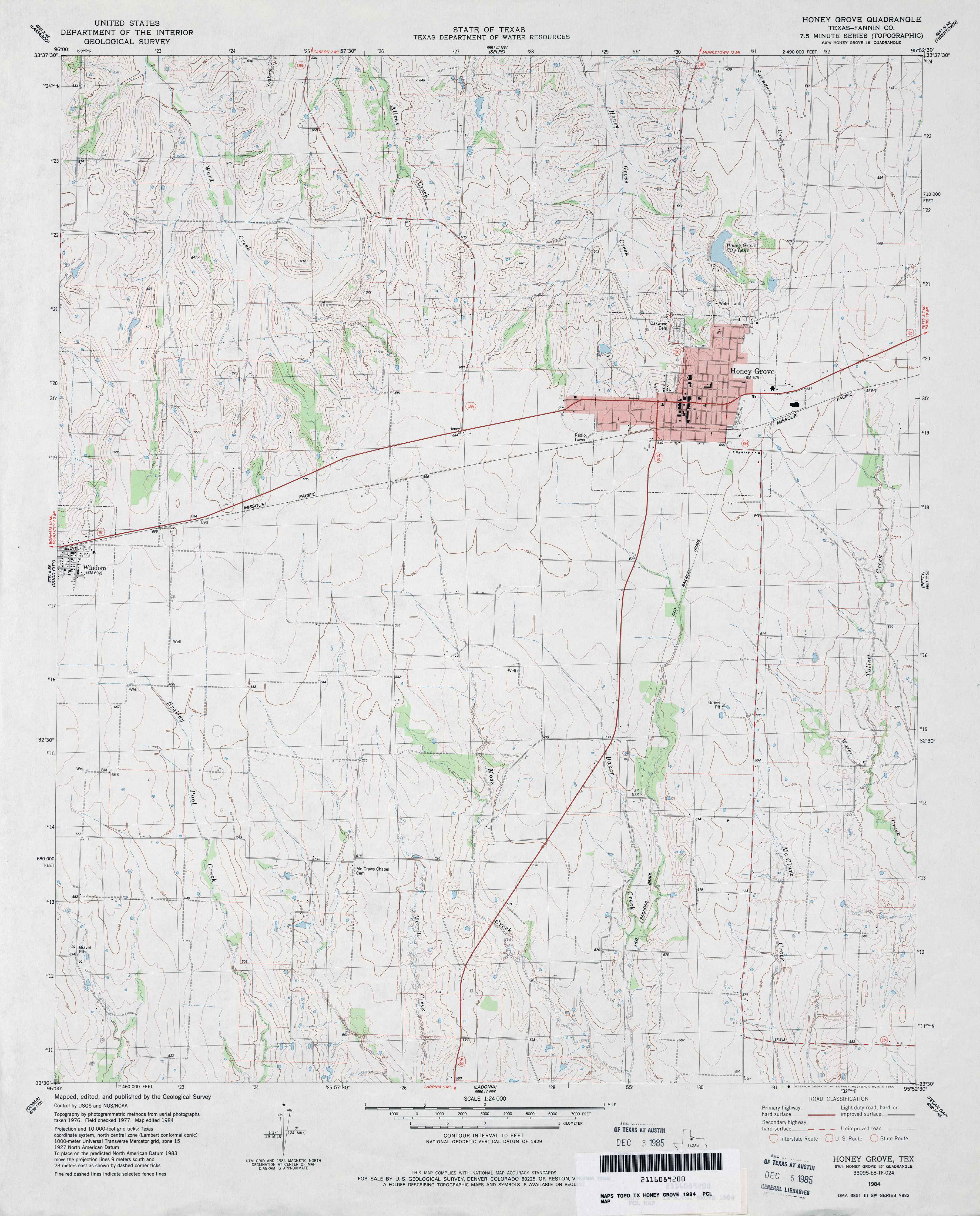
- Honey Grove 1:50,000 1947 (4.8MB) U.S. Army Map Service, Series V782.
- Honey Grove 1:62,500 1947 (5MB)
- Honey Grove (Fannin County) 1:24,000 1984 (3.3MB)
- Honey Grove 1:24,000 2008 (13.6MB) [GeoPDF]
- Honey Grove 1:24,000 2012 (18.6MB) [GeoPDF]
- Hood (Cooke County) 1:24,000 1961 (3.7MB)
- Hood (Cooke County) 1:24,000 1976 (4.3MB)
- Hood 1:24,000 2008 (9.8MB) [GeoPDF]
- Hood 1:24,000 2013 (15.3MB) [GeoPDF]
- Hood Spring (Brewster County) 1:62,500 1917 (3.1 MB)
- Hood Spring (Brewster County) 1:24,000 1983 (4.4MB)
- Hood Spring 1:24,000 2008 (26.0MB) [GeoPDF]
- Hood Spring 1:24,000 2012 (27.5MB) [GeoPDF]
- Hood Spring SE (Brewster County) 1:24,000 1983 (3.9MB)
- Hood Spring SE 1:24,000 2008 (24.9MB) [GeoPDF]
- Hood Spring SE 1:24,000 2012 (28MB) [GeoPDF]
- Hooks (Bowie County) 1:24,000 1954 (3.6MB)
- Hooks (Bowie County) 1:24,000 1970 (3.5MB)
- Hooks 1:24,000 2009 (18.1MB) [GeoPDF]
- Hooks 1:24,000 2012 (24.2MB) [GeoPDF]
- Hooper [Oklahoma, Texas] 1:24,000 2008 (14.3MB) [GeoPDF]
- Hooper [Oklahoma, Texas] 1:24,000 2012 (15.6MB) [GeoPDF]
- Hoover 1:24,000 1967 (3.9MB)
- Hoover 1:24,000 2008 (12.5MB) [GeoPDF]
- Hoover 1:24,000 2012 (17MB) [GeoPDF]
- Hoover Mountain 1:24,000 1966 (4.3MB)
- Hoover Mountain 1:24,000 2008 (17.8MB) [GeoPDF]
- Hoover Mountain 1:24,000 2013 (26.1MB) [GeoPDF]
- Hope 1:24,000 1965 (3.6MB)
- Hope 1:24,000 1981 (3.8MB)
- Hope 1:24,000 2009 (17.0MB) [GeoPDF]
- Hope 1:24,000 2013 (26.7MB) [GeoPDF]
- Hope Pond (Smith County) 1:24,000 1966 (4.8MB)
- Hope Pond 1:24,000 2009 (21.5MB) [GeoPDF]
- Hope Pond 1:24,000 2012 (25.2MB) [GeoPDF]
- Hopper Draw East (Culberson County) 1:24,000 1973 (3MB)
- Hopper Draw East 1:24,000 2008 (19.7MB) [GeoPDF]
- Hopper Draw East 1:24,000 2012 (21.2MB) [GeoPDF]
- Hopper Draw West (Culberson County) 1:24,000 1973 (4.1MB)
- Hopper Draw West 1:24,000 2008 (23.4MB) [GeoPDF]
- Hopper Draw West 1:24,000 2012 (24.3MB) [GeoPDF]
- Hornica Creek (Motley County) 1:24,000 1967 (4.1MB)
- Hornica Creek (Motley County) 1:24,000 1981 (4.4MB)
- Hornica Creek 1:24,000 2008 (17.6MB) [GeoPDF]
- Hornica Creek 1:24,000 2012 (22.9MB) [GeoPDF]
- Horse Camp Waterhole 1:24,000 1971 (3.7MB)
- Horse Camp Waterhole 1:24,000 2008 (21.5MB) [GeoPDF]
- Horse Camp Waterhole 1:24,000 2012 (30.8MB) [GeoPDF]
- Horse Creek North (Roberts County) 1:24,000 1972 (4.6MB)
- Horse Creek North 1:24,000 2008 (16.3MB) [GeoPDF]
- Horse Creek North 1:24,000 2012 (21.9MB) [GeoPDF]
- Horse Creek South (Roberts County) 1:24,000 1972 (4.2MB)
- Horse Creek South 1:24,000 2008 (11.7MB) [GeoPDF]
- Horse Creek South 1:24,000 2012 (18.8MB) [GeoPDF]
- Horse Mountain (Brewster County) 1:24,000 1983 (4.8MB)
- Horse Mountain 1:24,000 2008 (22.0MB) [GeoPDF]
- Horse Mountain 1:24,000 2012 (24.3MB) [GeoPDF]
- Horsehead Canyon (Terrell County) 1:24,000 1967 (4MB)
- Horsehead Canyon 1:24,000 2008 (23.9MB) [GeoPDF]
- Horsehead Canyon 1:24,000 2012 (30.1MB) [GeoPDF]
- Horseshoe Bend 1:24,000 1968 (5MB)
- Horseshoe Bend 1:24,000 2008 (15.7MB) [GeoPDF]
- Horseshoe Bend 1:24,000 2013 (23.9MB) [GeoPDF]
- Horseshoe Butte (Jeff Davis County) 1:24,000 1978 (3.1MB)
- Horseshoe Butte 1:24,000 2008 (15.2MB) [GeoPDF]
- Horseshoe Butte 1:24,000 2012 (20.2MB) [GeoPDF]
- Horseshoe Hill 1:24,000 1973 (4MB)
- Horseshoe Hill 1:24,000 2008 (9.4MB) [GeoPDF]
- Horseshoe Hill 1:24,000 2012 (16.9MB) [GeoPDF]
- Horseshoe Mountains (Presidio County) 1:24,000 1983 (4.1MB)
- Horseshoe Mountains 1:24,000 2008 (18.2MB) [GeoPDF]
- Horseshoe Mountains 1:24,000 2012 (24.3MB) [GeoPDF]
- Hortense 1:24,000 1984 (4.7MB)
- Hortense 1:24,000 2009 (25.1MB) [GeoPDF]
- Hortense 1:24,000 2013 (25.5MB) [GeoPDF]
- Hoskins Mound (Brazoria County) 1:24,000 1963 (2.9MB)
- Hoskins Mound (Brazoria County) 1:24,000 1974 (2.8MB)
- Hoskins Mound 1:24,000 2009 (13.1MB) [GeoPDF]
- Hoskins Mound 1:24,000 2013 (18.3MB) [GeoPDF]
- Hospital Ranch 1:24,000 1967 (4.3MB)
- Hospital Ranch 1:24,000 1982 (4.1MB)
- Hospital Ranch 1:24,000 2008 (21.9MB) [GeoPDF]
- Hospital Ranch 1:24,000 2012 (31.9MB) [GeoPDF]
- House Mountain 1:24,000 1967 (3.9MB)
- House Mountain 1:24,000 2008 (19.7MB) [GeoPDF]
- House Mountain 1:24,000 2012 (24.2MB) [GeoPDF]
- Housetop Mountains (Brewster County) 1:24,000 1968 (5.4MB)
- Housetop Mountains 1:24,000 2008 (25.0MB) [GeoPDF]
- Housetop Mountains 1:24,000 2012 (30MB) [GeoPDF]
- Houston 1:250,000 1949 (6.5MB)
- Houston 1:250,000 1949 [verso] [Houston, Texas and Vicinity] (879 K)
- Houston 1:250,000 1956 (7MB)
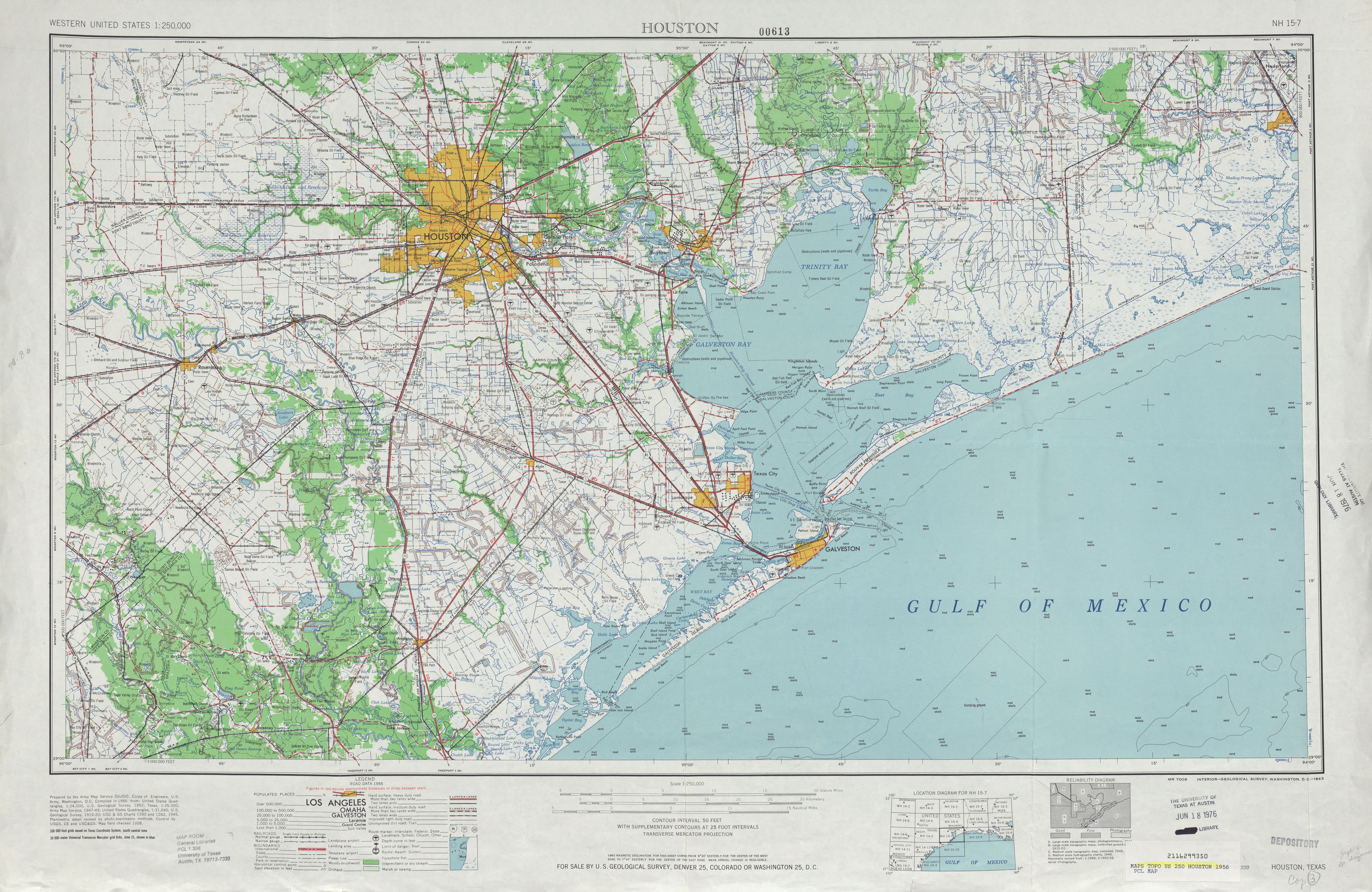
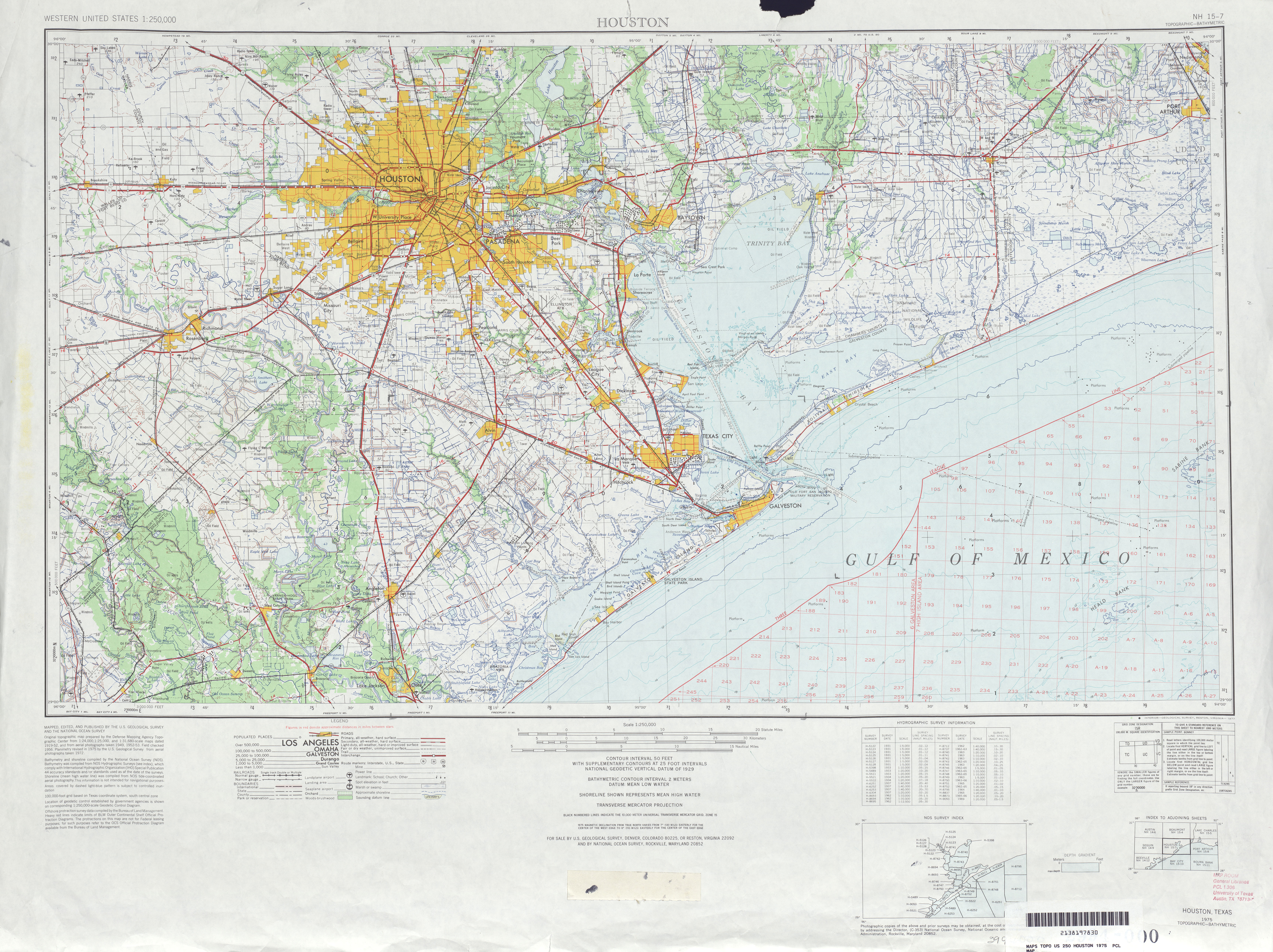
- Houston 1:250,000 1968 (8.2MB)
- Houston 1:250,000 1975 (8.3MB)
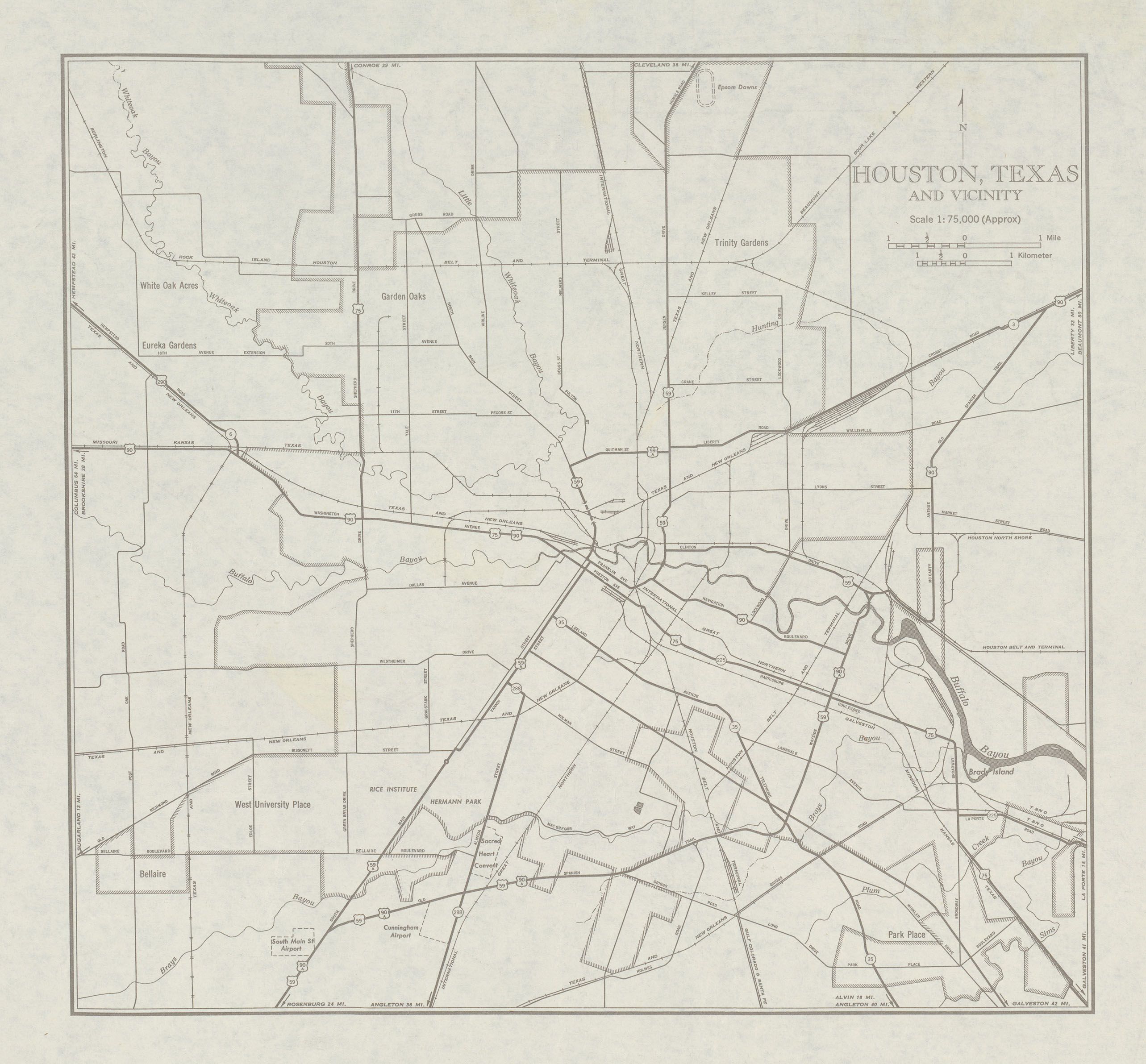
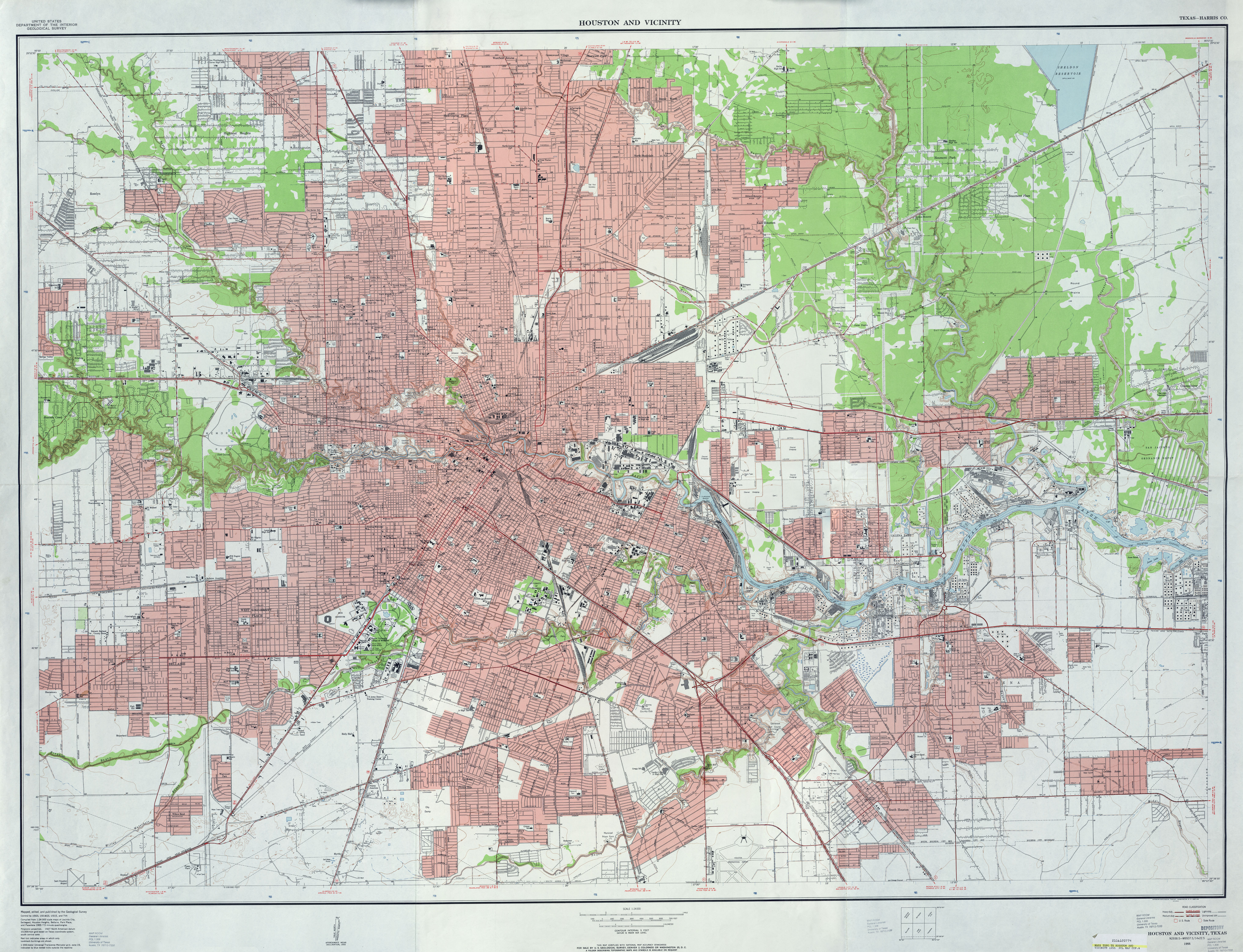
- Houston and Vicinity (Harris County) 1:24,000 1955 (7.1MB)
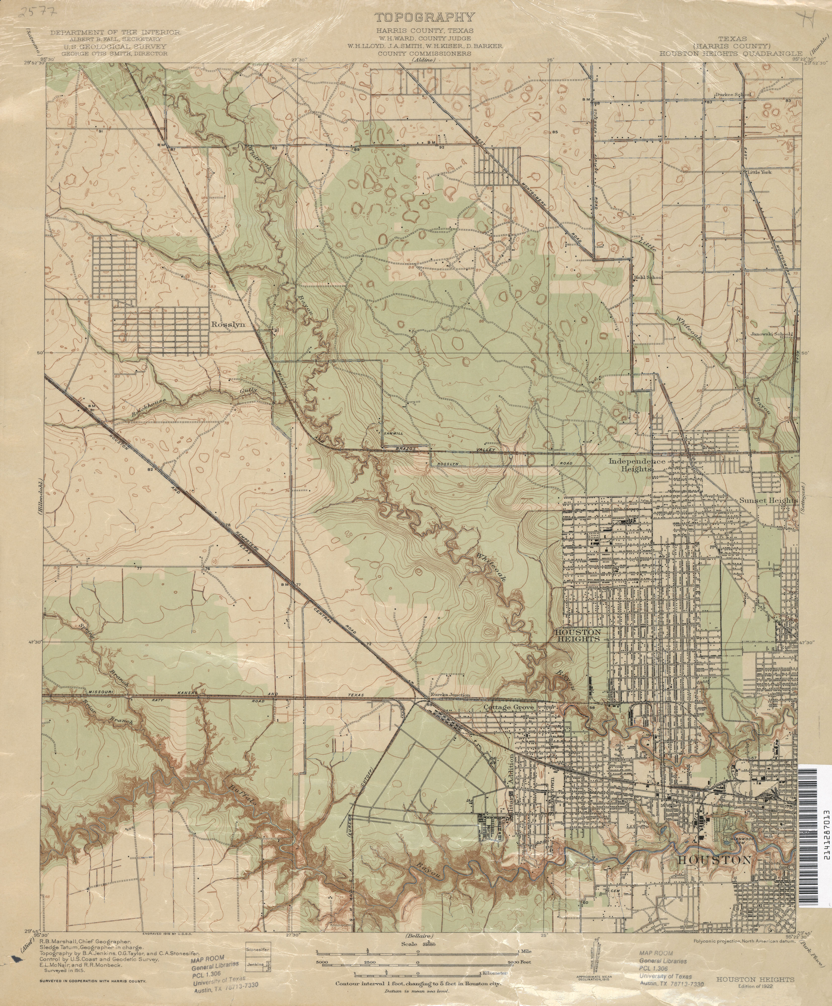
- Houston Heights (Harris County) 1:31,680 1915 (2.8 MB)
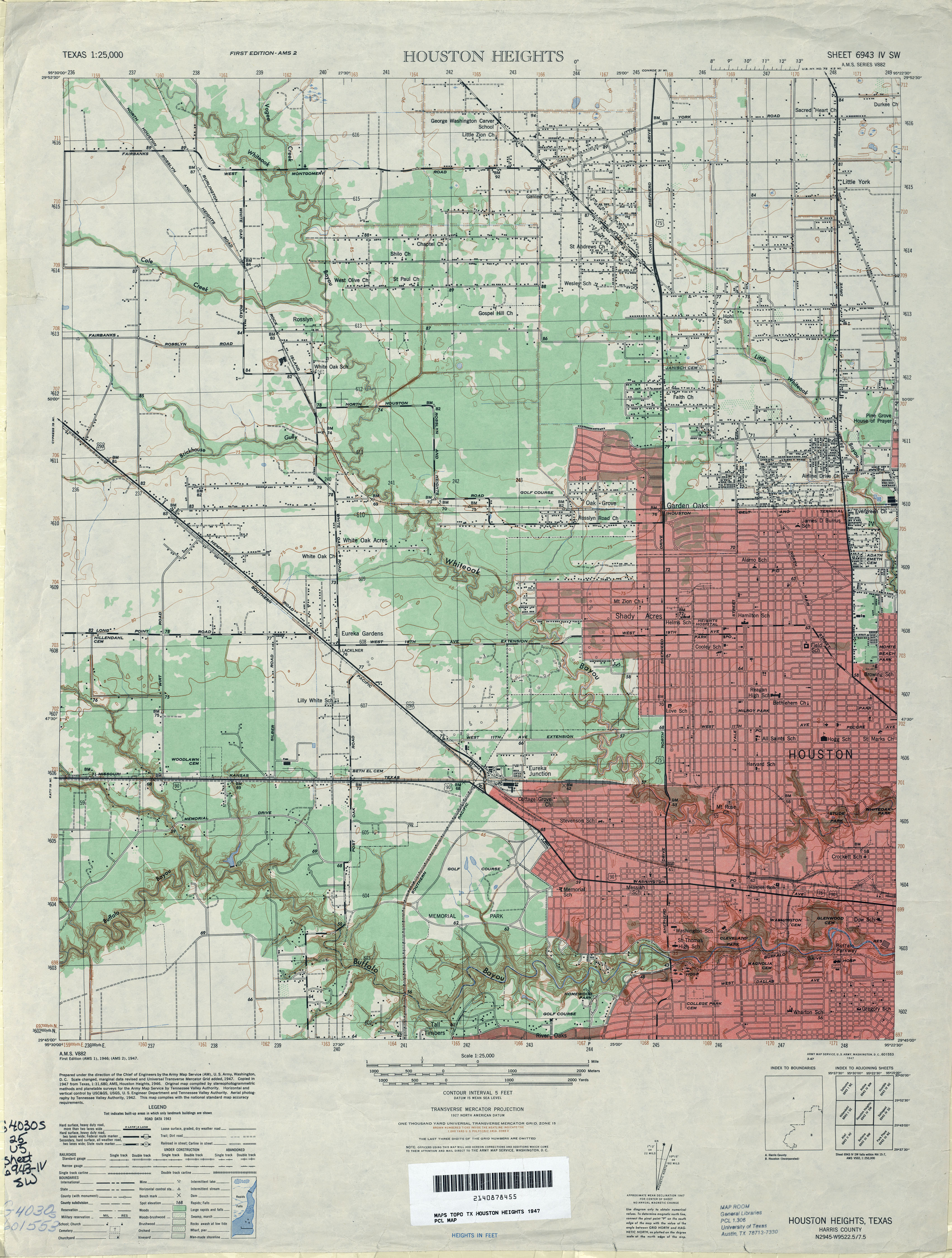
- Houston Heights 1:25,000 1947 (3.8MB) U.S. Army Map Service, Series V882
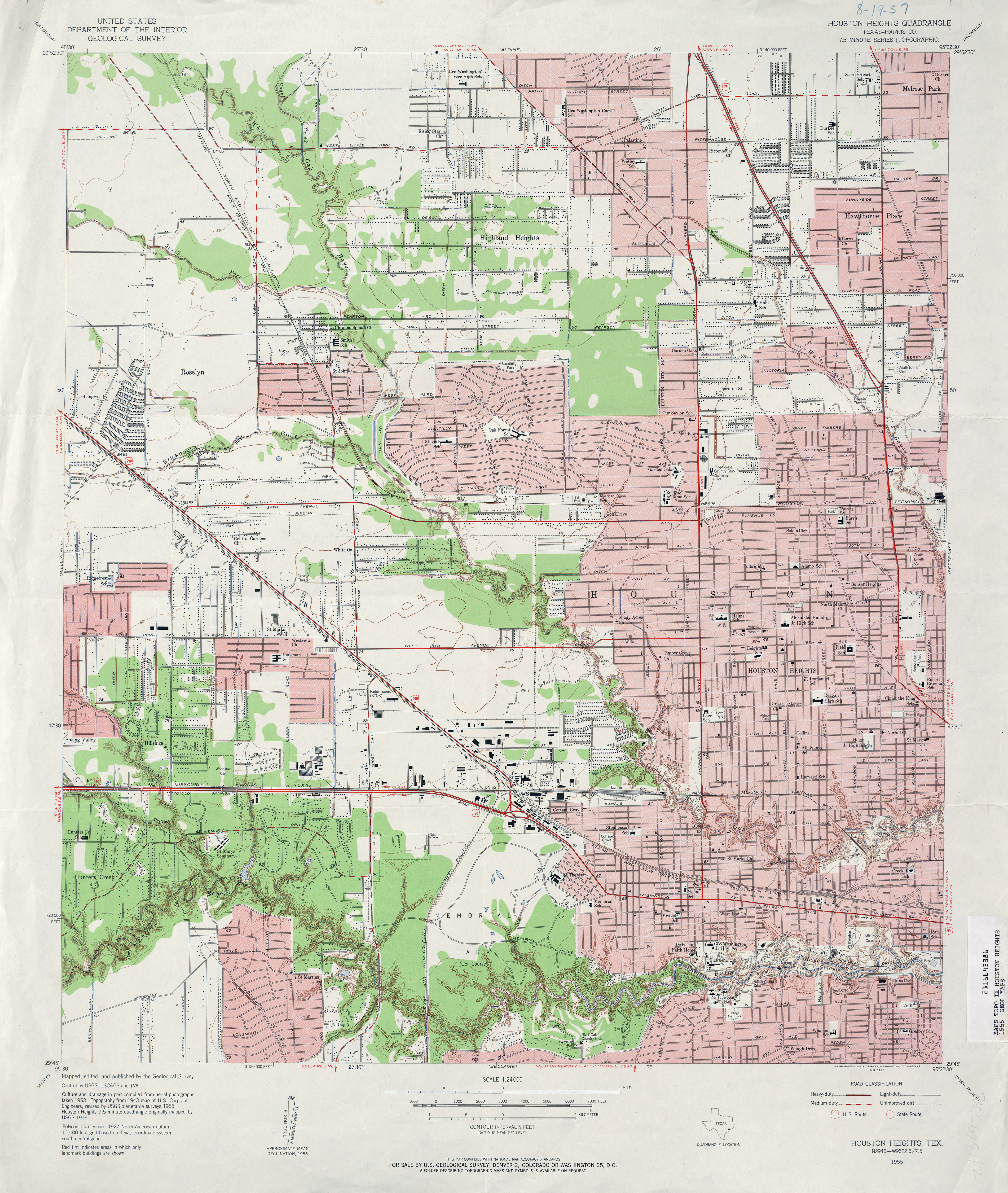
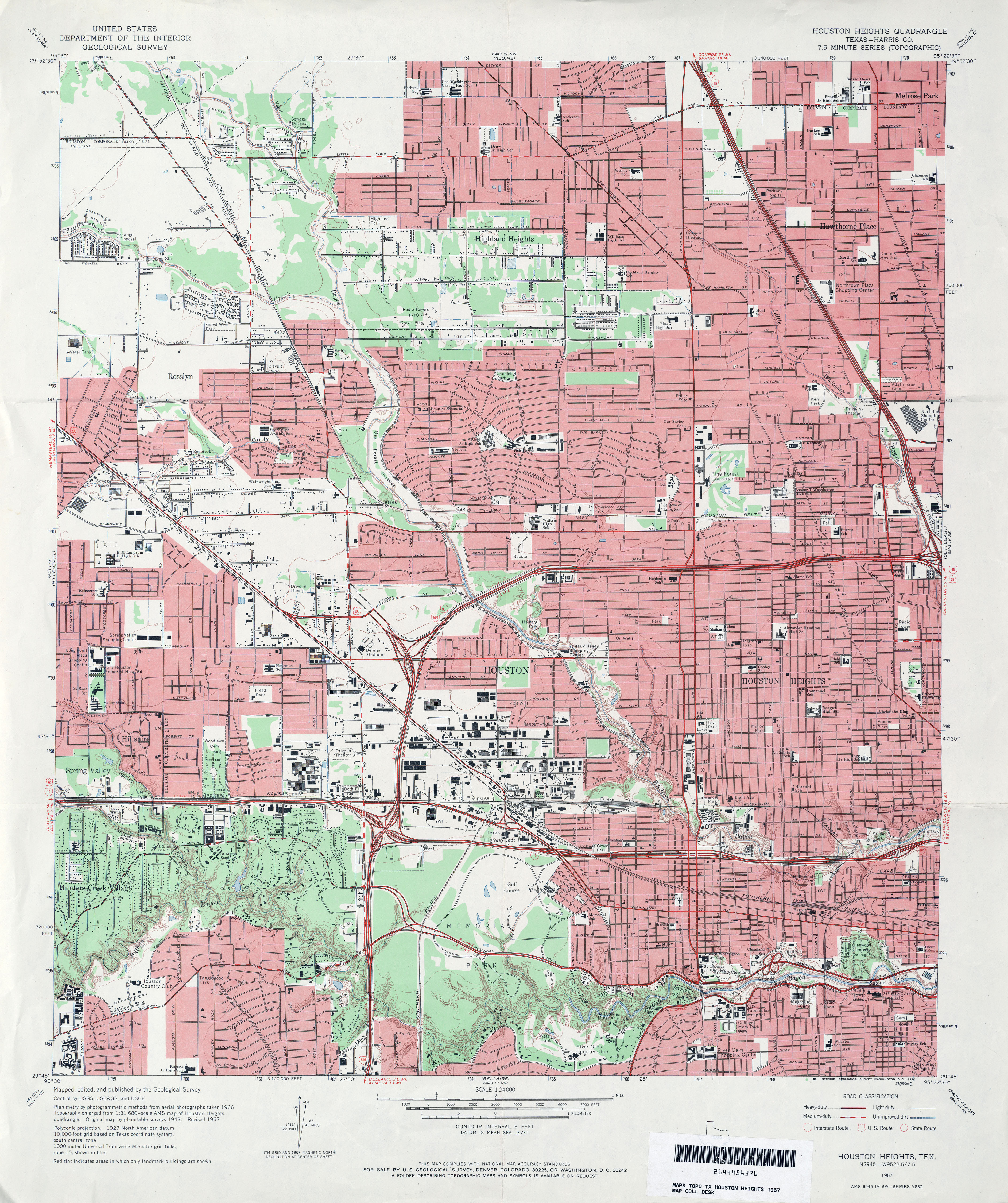
- Houston Heights (Harris County) 1:24,000 1955 (4.9MB)
- Houston Heights (Harris County) 1:24,000 1967 (4.6MB)
- Houston Heights (Harris County) 1:24,000 1982 (4.3MB)
- Houston Heights (Harris County) 1:24,000 1995 (5MB)
- Houston Heights 1:24,000 2009 (26.4MB) [GeoPDF]
- Houston Heights 1:24,000 2013 (28.3MB) [GeoPDF]
- Houston Ranch 1:24,000 1966 (2.8MB)
- Houston Ranch 1:24,000 2008 (12.8MB) [GeoPDF]
- Houston Ranch 1:24,000 2012 (19.3MB) [GeoPDF]
- Hovey 1:24,000 1980 (2.8MB)
- Hovey 1:24,000 2008 (23.5MB) [GeoPDF]
- Hovey 1:24,000 2012 (27.3MB) [GeoPDF]
- Hovey NE (Pecos County) 1:24,000 1980 (3.3MB)
- Hovey NE 1:24,000 2008 (21.6MB) [GeoPDF]
- Hovey NE 1:24,000 2012 (25.6MB) [GeoPDF]
- Hovey SW 1:24,000 1980 (4.2MB)
- Hovey SW 1:24,000 2008 (25.3MB) [GeoPDF]
- Hovey SW 1:24,000 2012 (27.5MB) [GeoPDF]
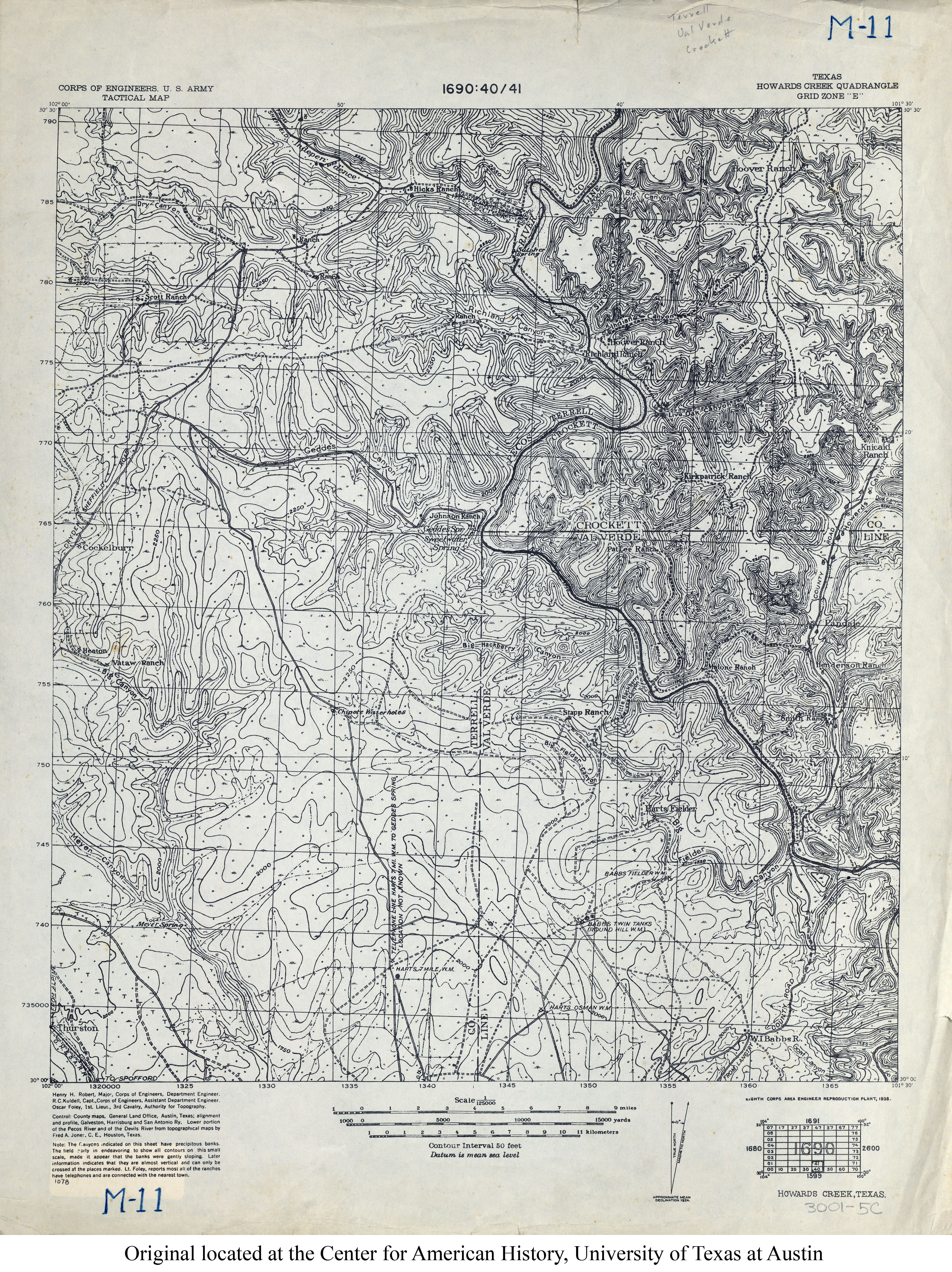
- Howards Creek 1:125,000 1938 (5MB) U.S. Army. Corps of Engineers. Tactical Map
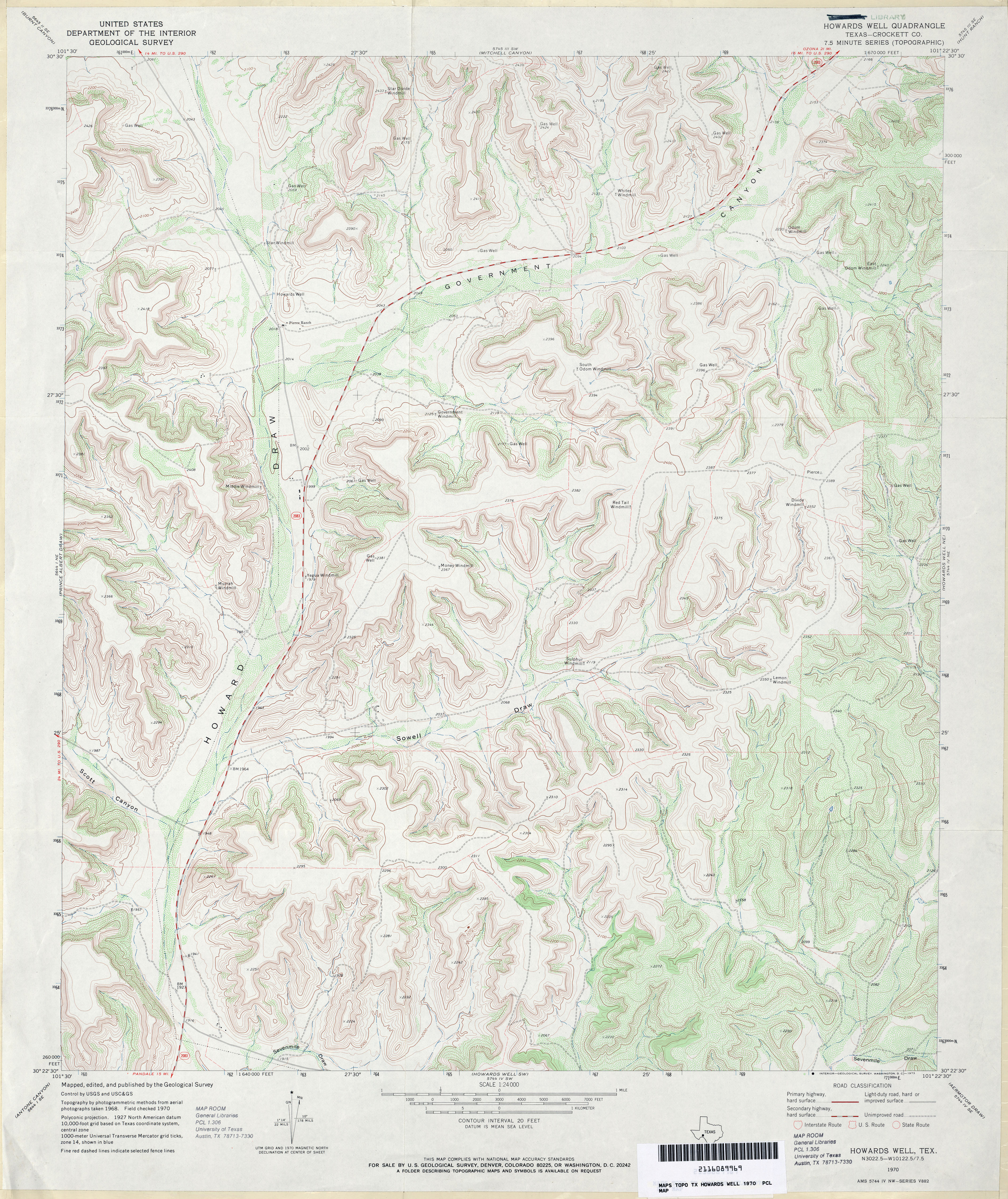
- Howards Well (Crockett County) 1:24,000 1970 (5MB)
- Howards Well 1:24,000 2008 (25.9MB) [GeoPDF]
- Howards Well 1:24,000 2012 (36MB) [GeoPDF]
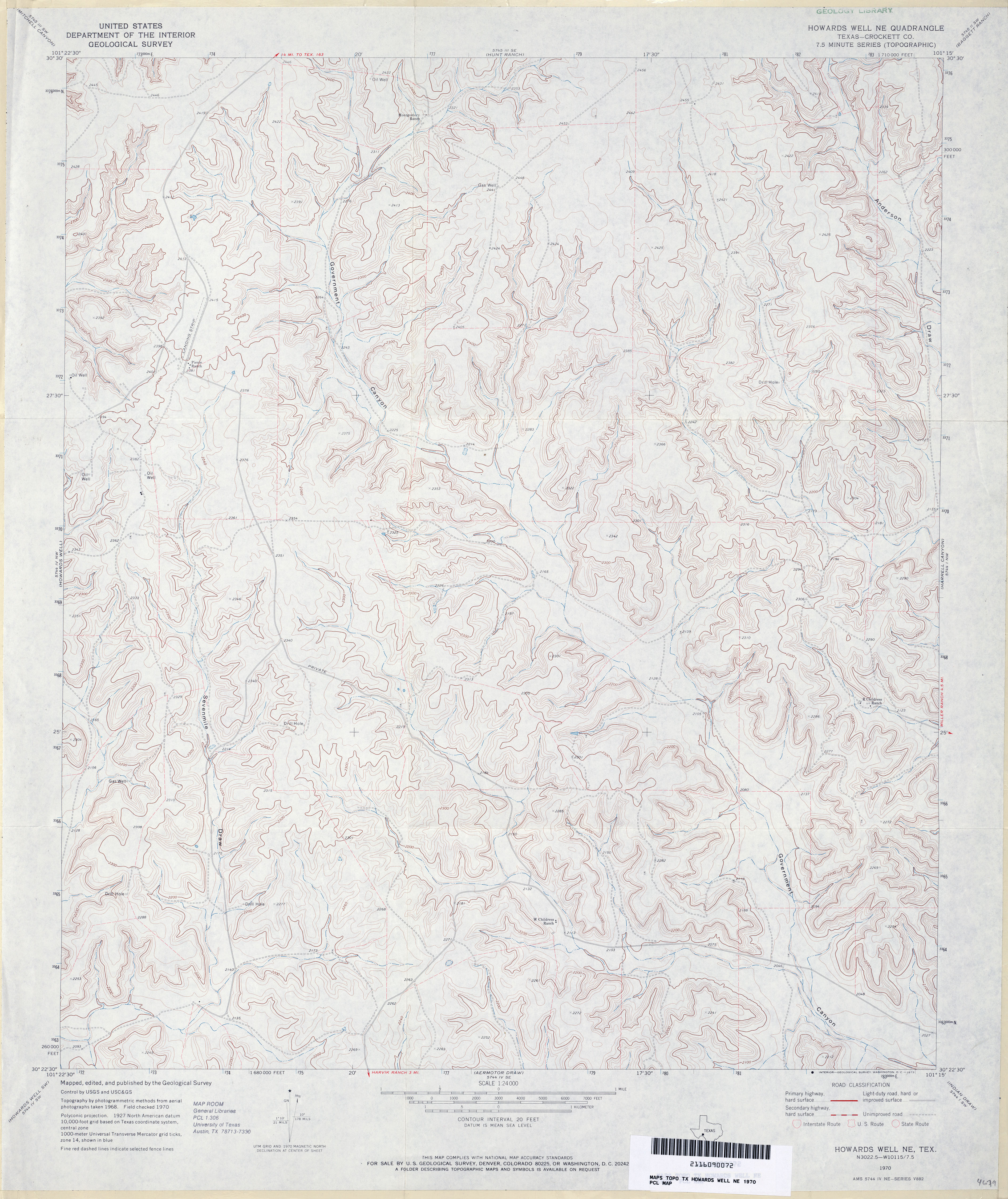
- Howards Well NE (Crockett County) 1:24,000 1970 (4.1MB)
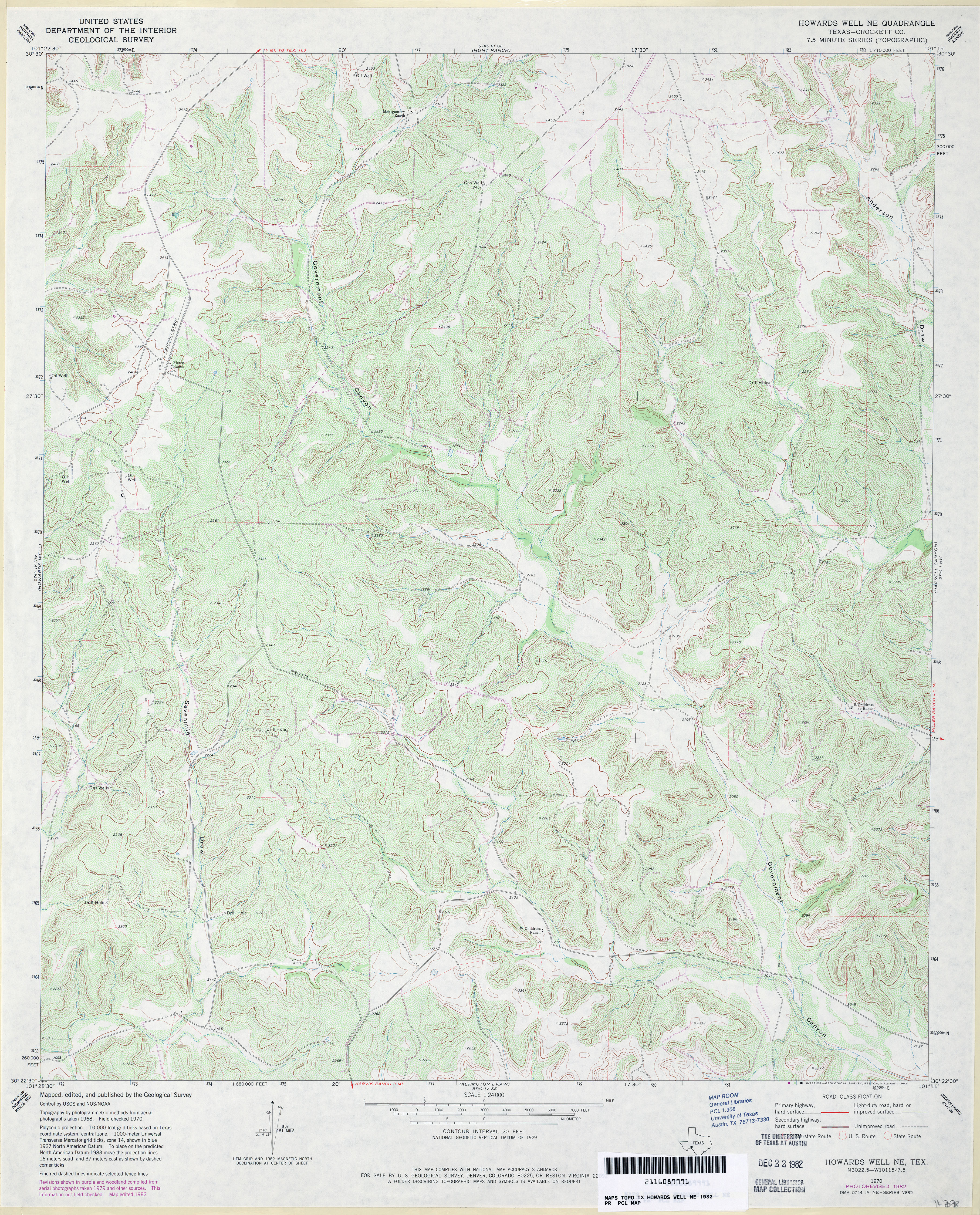
- Howards Well NE (Crockett County) 1:24,000 1982 (5.7MB)
- Howards Well NE 1:24,000 2008 (23.8MB) [GeoPDF]
- Howards Well NE 1:24,000 2012 (34.5MB) [GeoPDF]
- Howards Well SW 1:24,000 1970 (4.4MB)
- Howards Well SW 1:24,000 2008 (25.3MB) [GeoPDF]
- Howards Well SW 1:24,000 2012 (35.8MB) [GeoPDF]
- Howe (Grayson County) 1:24,000 1958 (4.4MB)
- Howe (Grayson County) 1:24,000 1974 (4.1MB)
- Howe 1:24,000 2008 (14.1MB) [GeoPDF]
- Howe 1:24,000 2013 (20.3MB) [GeoPDF]
- Howell Mountain 1:24,000 1967 (4.3MB)
- Howell Mountain 1:24,000 1979 (4.4MB)
- Howell Mountain 1:24,000 2008 (18.5MB) [GeoPDF]
- Howell Mountain 1:24,000 2012 (24.8MB) [GeoPDF]
- Howth 1:31,680 1910 (2.6 MB)
- Howth 1:24,000 1961 (4MB)
- Howth 1:24,000 1979 (3.9MB)
- Howth 1:24,000 2009 (14.4MB) [GeoPDF]
- Howth 1:24,000 2013 (23.8MB) [GeoPDF]
- Hub (Parmer County) 1:24,000 1965 (2.8MB)
- Hub 1:24,000 2008 (10.4MB) [GeoPDF]
- Hub 1:24,000 2012 (12MB) [GeoPDF]
- Hubbard 1:24,000 1956 (4.3MB)
- Hubbard 1:24,000 1978 (4.1MB)
- Hubbard 1:24,000 2008 (14.5MB) [GeoPDF]
- Hubbard 1:24,000 2013 (20.3MB) [GeoPDF]
- Huckabay (Erath County) 1:24,000 1965 (4.6MB)
- Huckabay (Erath County) 1:24,000 1979 (4.4MB)
- Huckabay 1:24,000 2008 (17.0MB) [GeoPDF]
- Huckabay 1:24,000 2012 (21.3MB) [GeoPDF]
- Huckabay SW 1:24,000 1965 (4.5MB)
- Huckabay SW 1:24,000 1979 (4.2MB)
- Huckabay SW 1:24,000 2008 (18.4MB) [GeoPDF]
- Huckabay SW 1:24,000 2012 (22.2MB) [GeoPDF]
- Hudd 1:24,000 1969 (4.2MB)
- Hudd 1:24,000 2008 (19.8MB) [GeoPDF]
- Hudd 1:24,000 2012 (27.1MB) [GeoPDF]
- Hudgens Ranch (Gray County) 1:24,000 1962 (4.6MB)
- Hudgens Ranch 1:24,000 2008 (12.4MB) [GeoPDF]
- Hudgens Ranch 1:24,000 2012 (19.8MB) [GeoPDF]
- Hudspeth Draw (Sutton County) 1:24,000 1967 (4MB)
- Hudspeth Draw (Sutton County) 1:24,000 1982 (4.2MB)
- Hudspeth Draw 1:24,000 2008 (21.6MB) [GeoPDF]
- Hudspeth Draw 1:24,000 2012 (30.7MB) [GeoPDF]
- Hueco Mountains 1:62,500 1943 (6.3MB)
- Hueco Station (Hudspeth County) 1:24,000 1984 (3.5MB)
- Hueco Station 1:24,000 2008 (19.3MB) [GeoPDF]
- Hueco Station 1:24,000 2013 (25.2MB) [GeoPDF]
- Hueco Tanks (El Paso County) 1:62,500 1939 survey, 1944 overprint (2.6 MB)
- Hueco Tanks 1:25,000 1950 (4.1MB) U.S. Army Map Service, Series V882.
- Hueco Tanks 1:25,000 1950 (3.4MB) Army Map Service, Series V082A, Texas Photo Map.
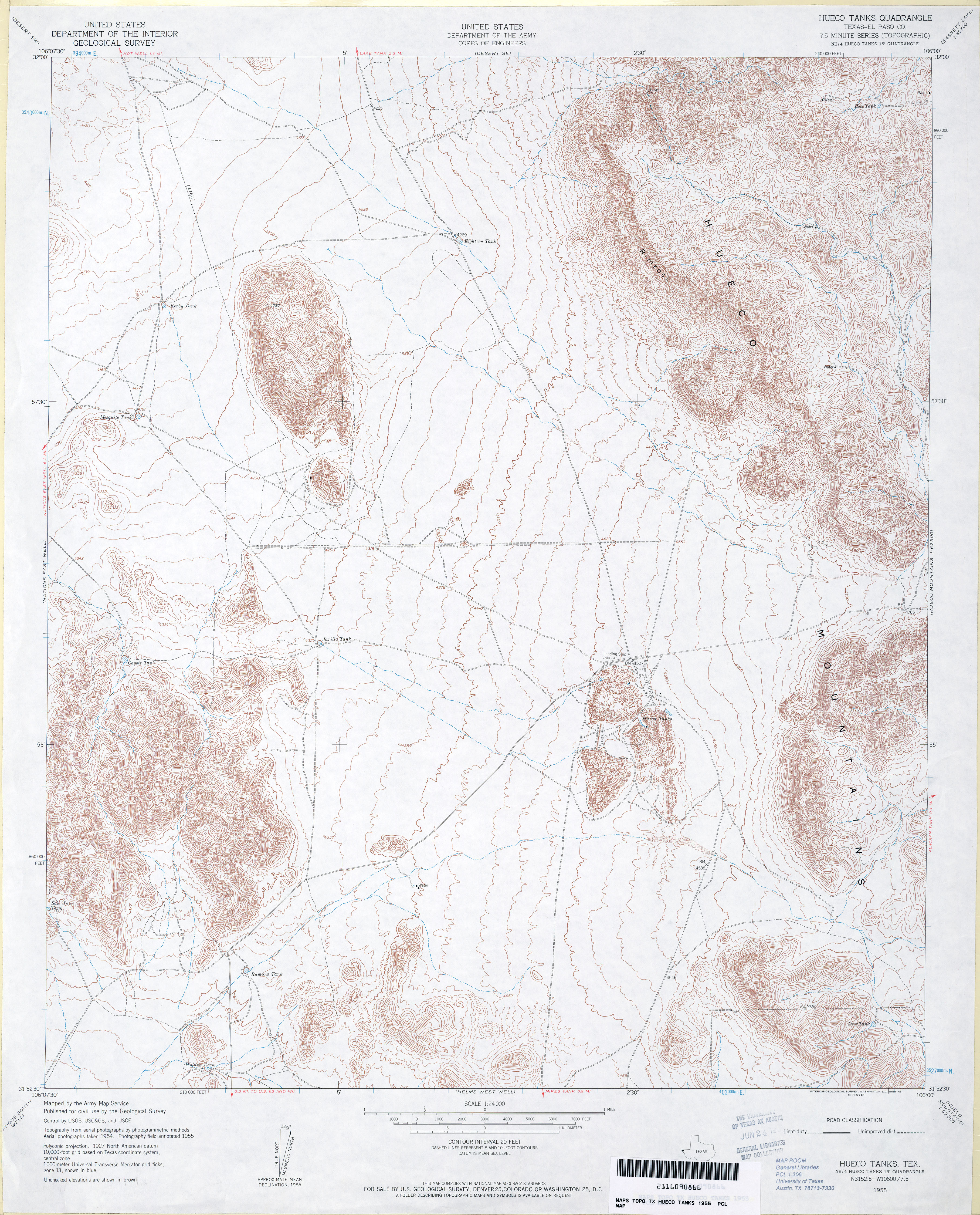
- Hueco Tanks (El Paso County) 1:24,000 1955 (4.5MB)
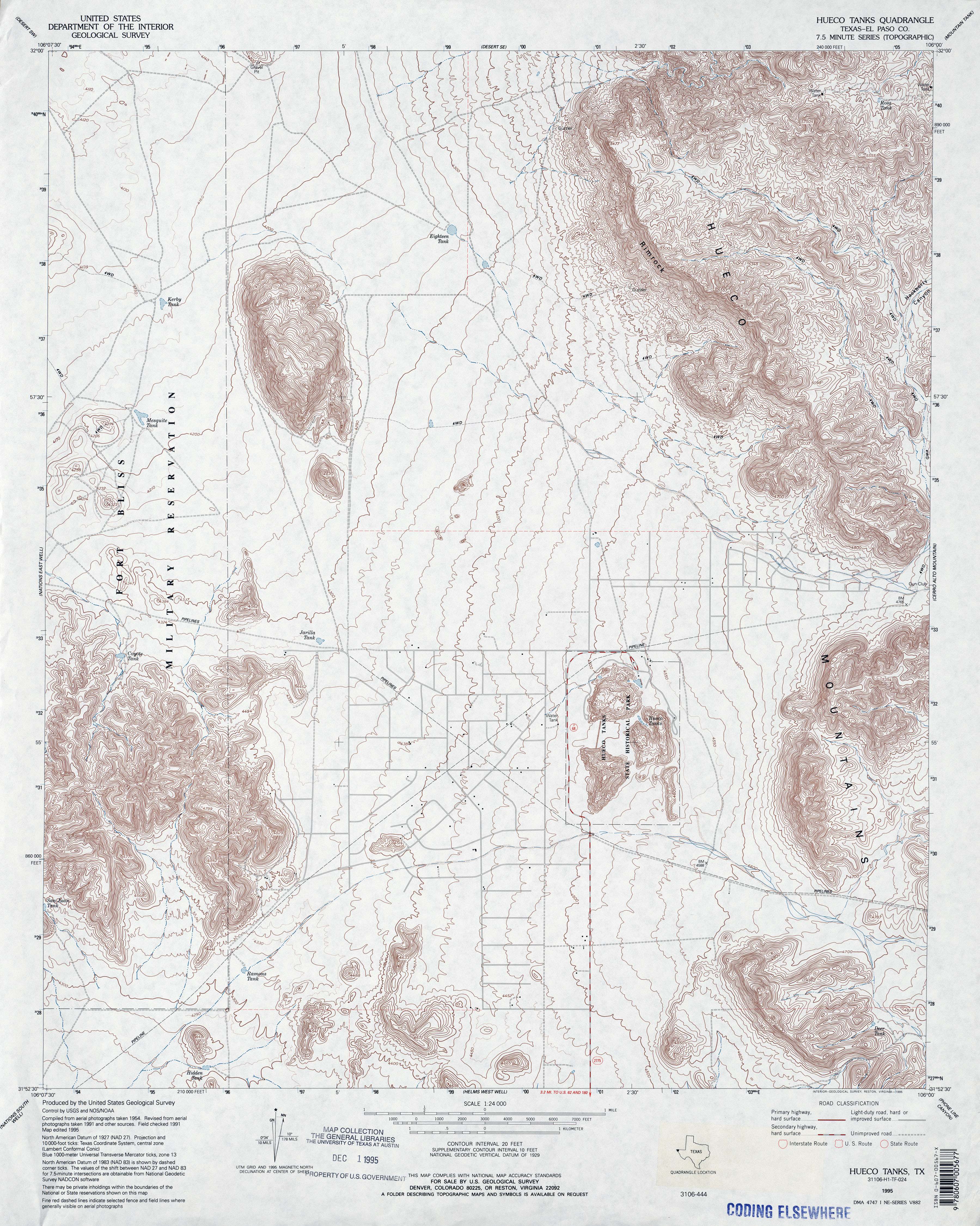
- Hueco Tanks (El Paso County) 1:24,000 1995 (4.9MB)
- Hueco Tanks 1:24,000 2008 (20.3MB) [GeoPDF]
- Hueco Tanks 1:24,000 2012 (27.7MB) [GeoPDF]
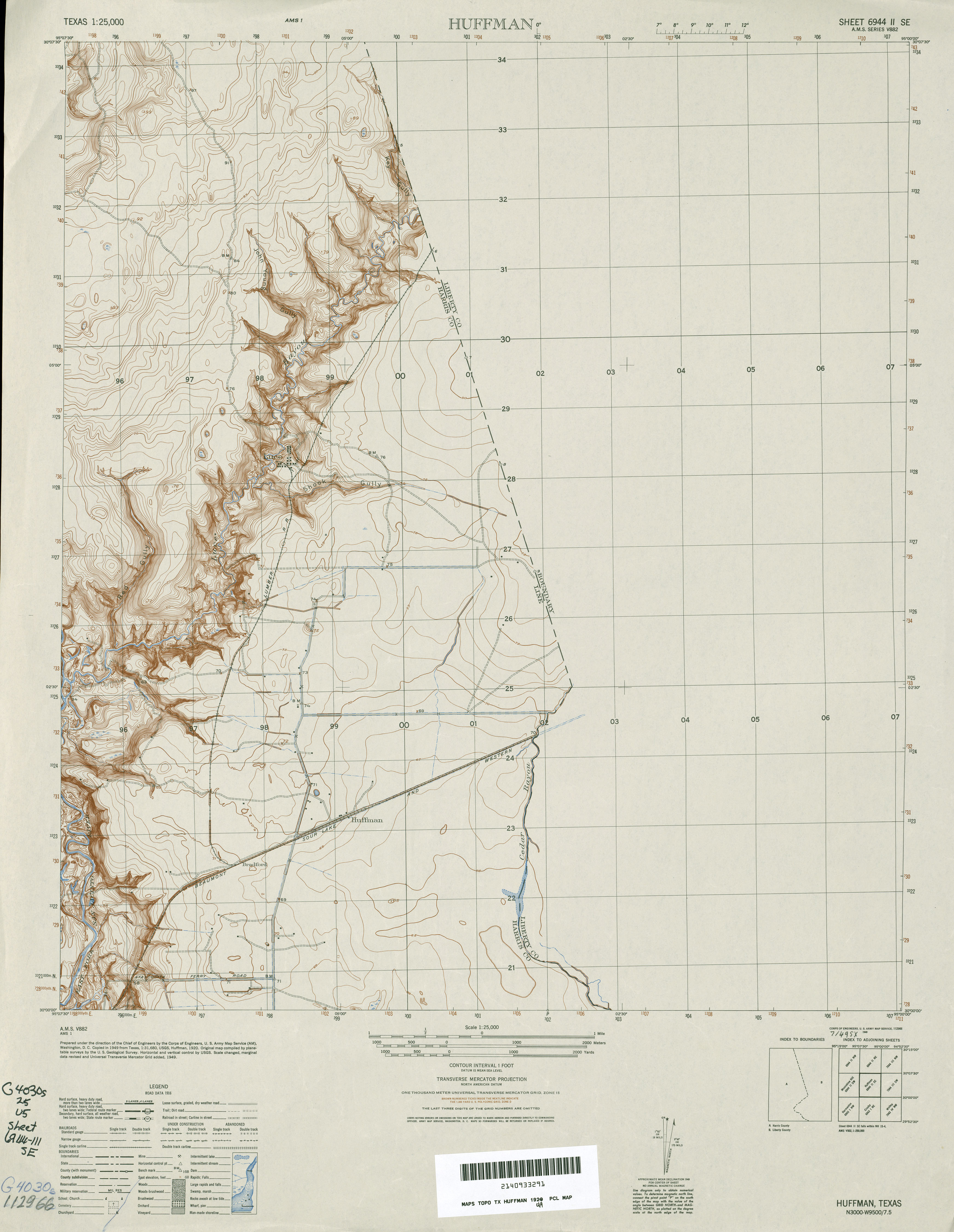
- Huffman (Harris County) 1:31,680 1916 (1.9 MB)
- Huffman 1:25,000 1949 (2.8MB) U.S. Army Map Service, Series V882.
- Huffman 1:24,000 1960 (2.8MB)
- Huffman 1:24,000 1980 (3MB)
- Huffman 1:24,000 2009 (18.7MB) [GeoPDF]
- Hughes Canyon 1:24,000 1976 (3.8MB) 7.5 Minute Series Orthophotoquad.
- Hughes Canyon 1:24,000 1985 (5.4MB) Hughes Canyon
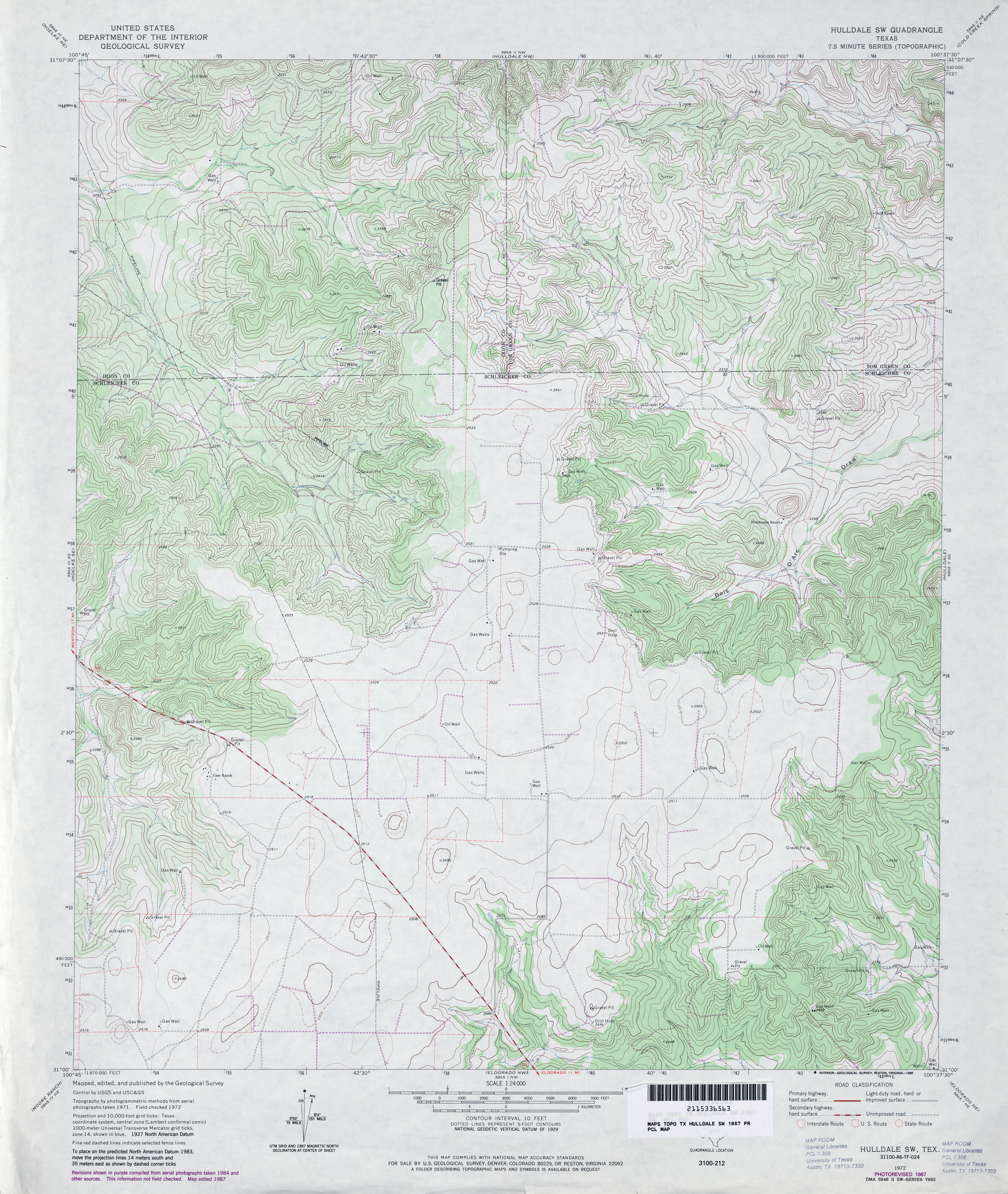
- Hulldale 1:24,000 1972 (3.8MB)
- Hulldale 1:24,000 1987 (4.2MB)
- Hulldale 1:24,000 2008 (21.0MB) [GeoPDF]
- Hulldale 1:24,000 2012 (27.7MB) [GeoPDF]
- Hulldale NW 1:24,000 1972 (5.3MB)
- Hulldale NW 1:24,000 1987 (5.2MB)
- Hulldale NW 1:24,000 2008 (22.5MB) [GeoPDF]
- Hulldale NW 1:24,000 2012 (28.4MB) [GeoPDF]
- Hulldale SW 1:24,000 1972 (4.5MB)
- Hulldale SW 1:24,000 1987 (4.5MB)
- Hulldale SW 1:24,000 2008 (20.3MB) [GeoPDF]
- Hulldale SW 1:24,000 2012 (26.4MB) [GeoPDF]
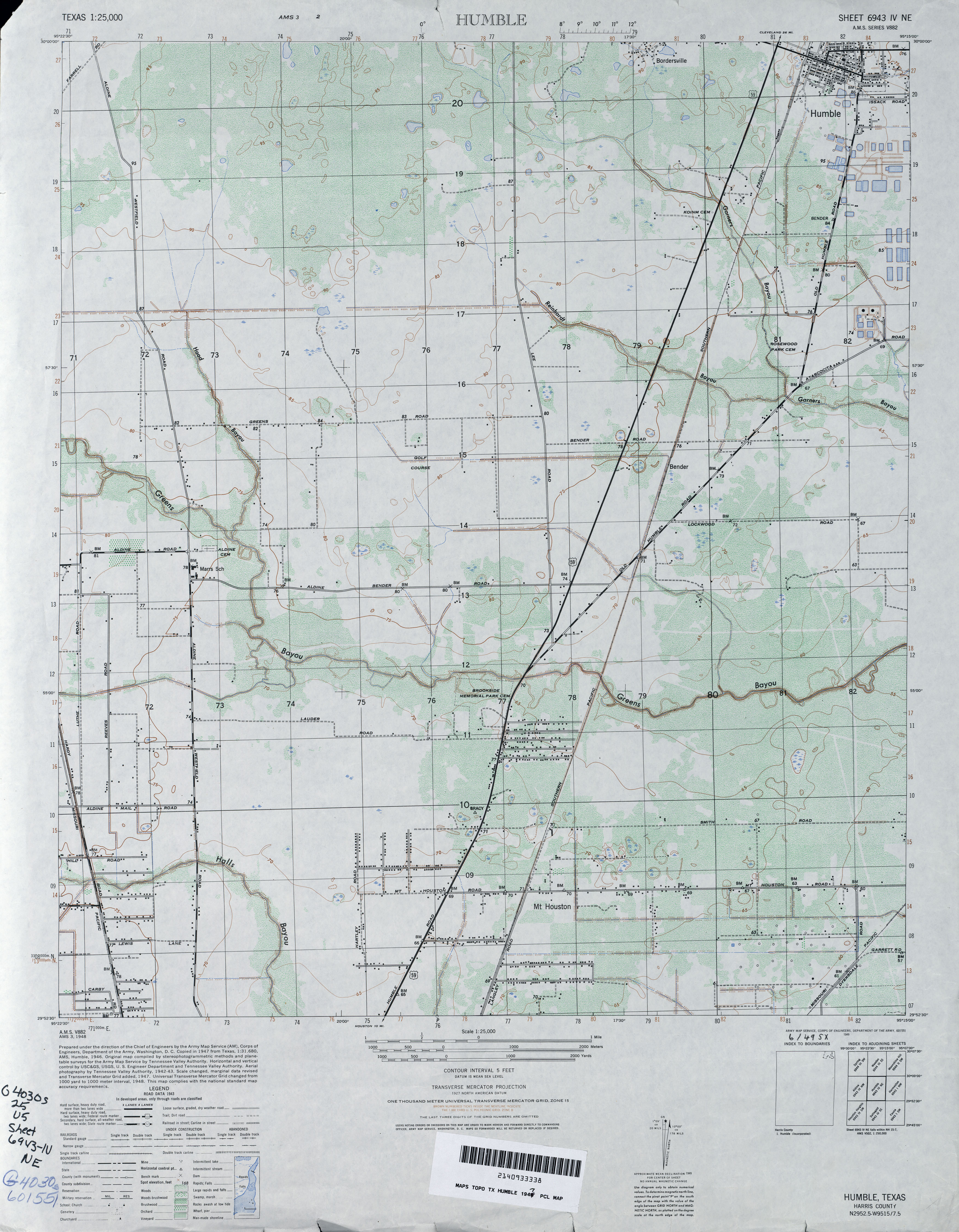
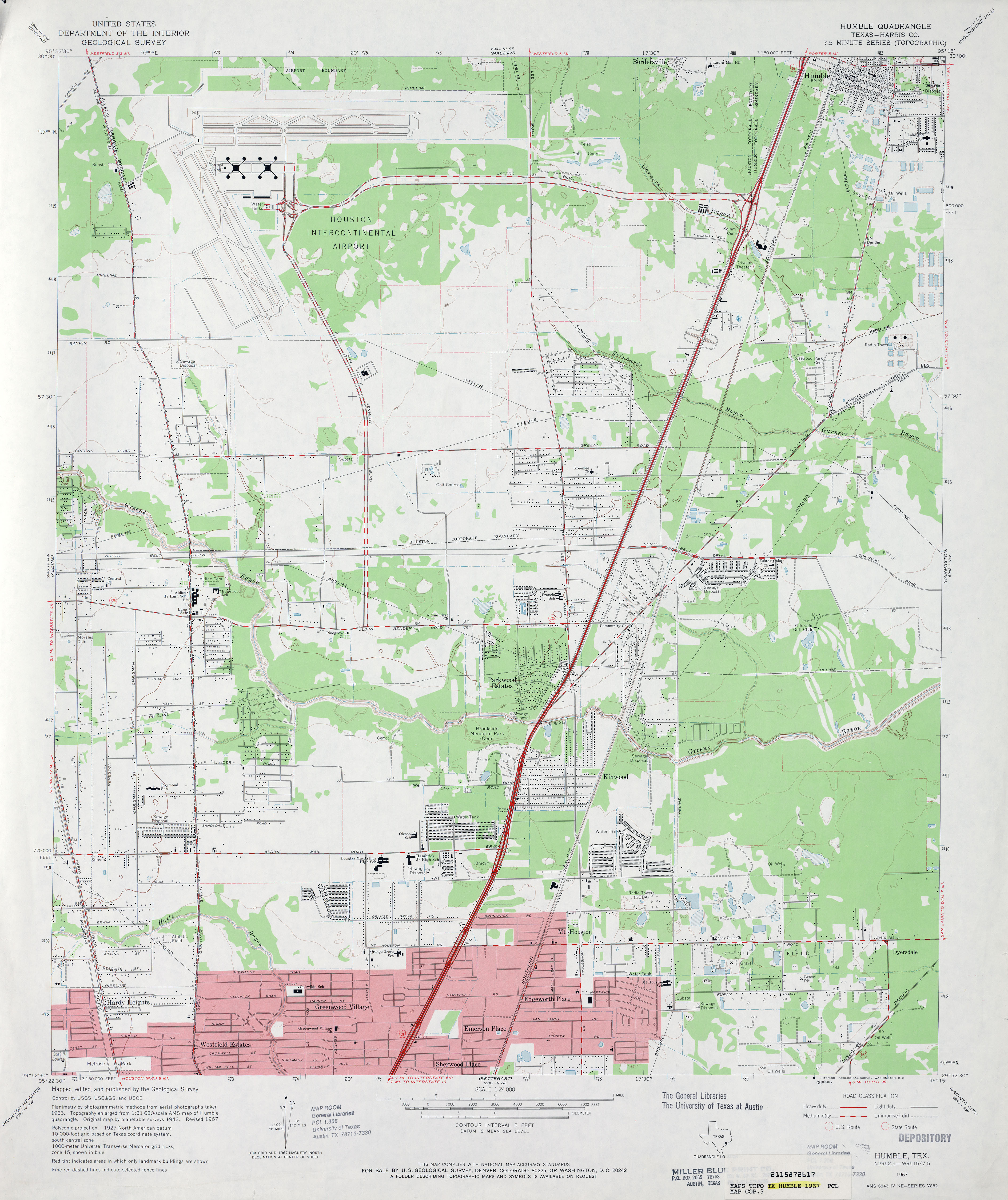
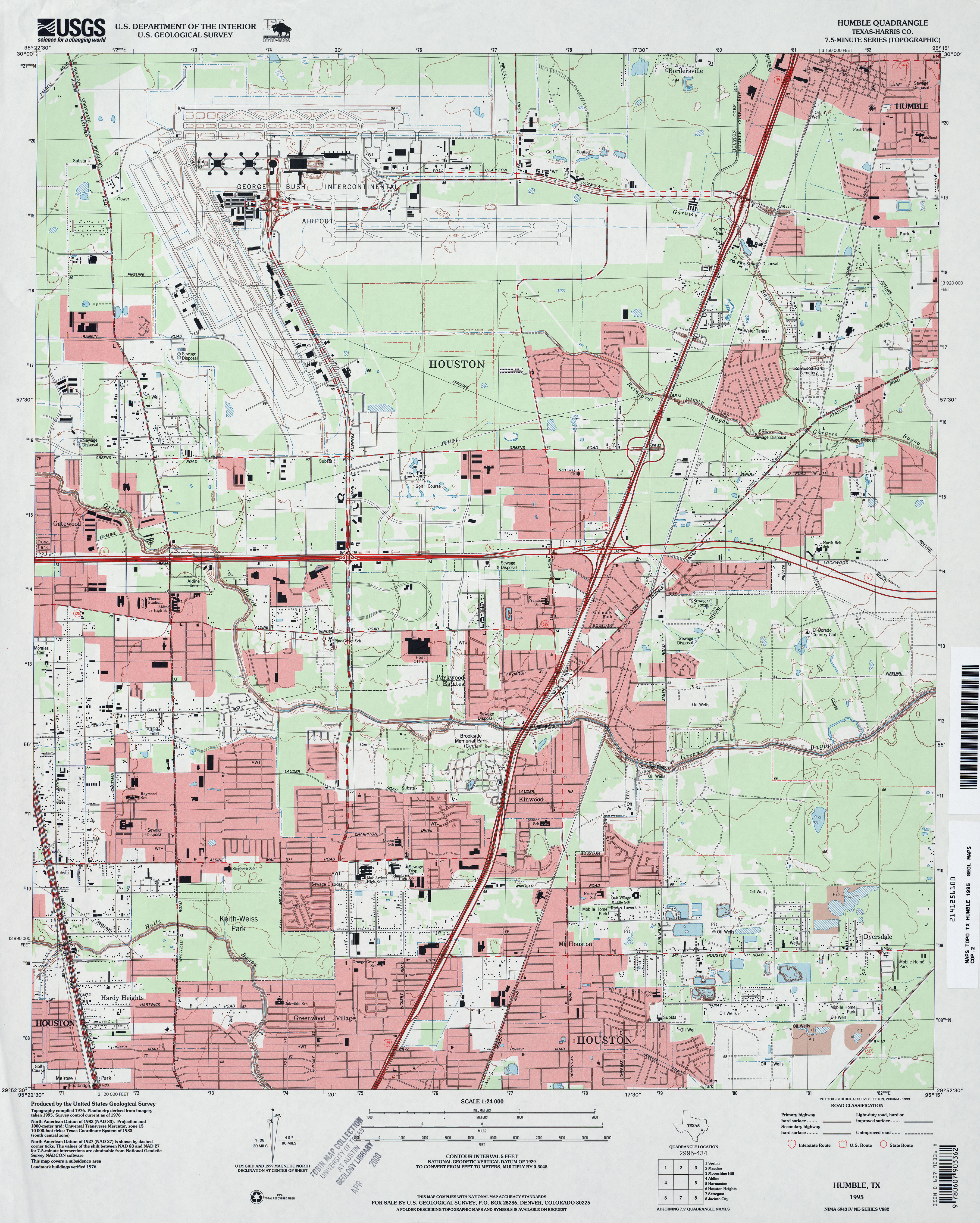
- Humble (Harris County) 1:31,680 1916 (2.7 MB)
- Humble 1:25,000 1947 (3.7MB) U.S. Army Map Service, Series V882
- Humble (Harris County) 1:24,000 1954 (3MB)
- Humble (Harris County) 1:24,000 1967 (3.1MB)
- Humble (Harris County) 1:24,000 1982 (3.4MB)
- Humble (Harris County) 1:24,000 1995 (3.9MB)
- Humble 1:24,000 2009 (23.5MB) [GeoPDF]
- Humble 1:24,000 2013 (24.7MB) [GeoPDF]
- Humble City NE 1:24,000 1969 (2.8MB)
- Humble City NE 1:24,000 1979 (2.6MB)
- Humble City NE 1:24,000 2008 (11.5MB) [GeoPDF]
- Humble City NE 1:24,000 2012 (16.3MB) [GeoPDF]
- Humble City SE 1:24,000 1969 (2.8MB)
- Humble City SE 1:24,000 1979 (3.2MB)
- Humble City SE 1:24,000 2008 (11.6MB) [GeoPDF]
- Humble City SE 1:24,000 2012 (16MB) [GeoPDF]
- Humdinger Spring 1:24,000 1971 (3.2MB)
- Humdinger Spring 1:24,000 2008 (15.0MB) [GeoPDF]
- Humdinger Spring 1:24,000 2012 (21.1MB) [GeoPDF]
- Hungerford 1:24,000 1953 (3.5MB)
- Hungerford 1:24,000 1980 (3.3MB)
- Hungerford 1:24,000 2008 (11.2MB) [GeoPDF]
- Hungerford 1:24,000 2013 (19.2MB) [GeoPDF]
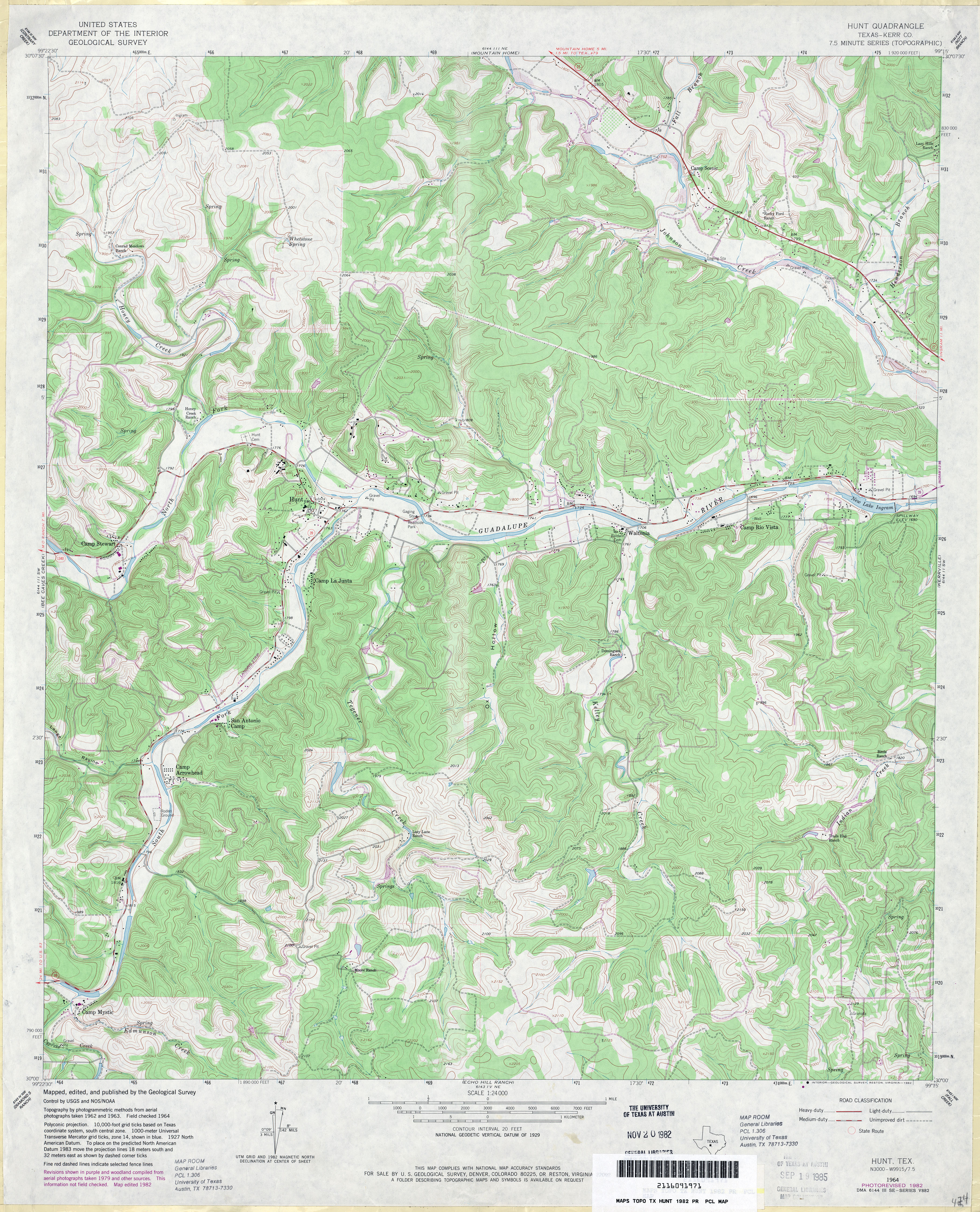
- Hunt (Kerr County) 1:24,000 1964 (4.5MB)
- Hunt (Kerr County) 1:24,000 1982 (5.3MB)
- Hunt 1:24,000 2008 (21.6MB) [GeoPDF]
- Hunt 1:24,000 2012 (29.3MB) [GeoPDF]
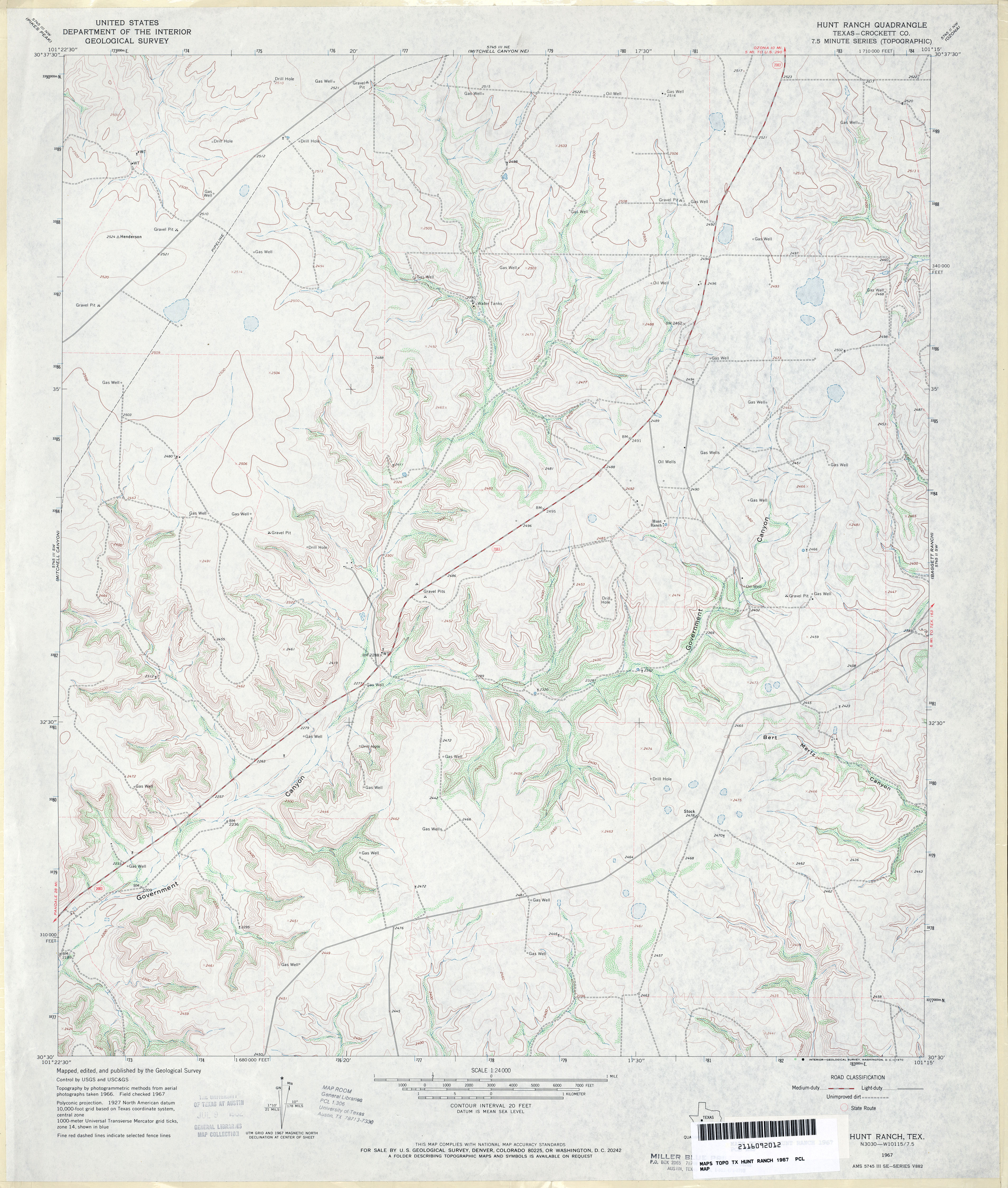
- Hunt Ranch (Crockett County) 1:24,000 1967 (3.7MB)
- Hunt Ranch 1:24,000 2008 (20.6MB) [GeoPDF]
- Hunt Ranch 1:24,000 2012 (31.3MB) [GeoPDF]
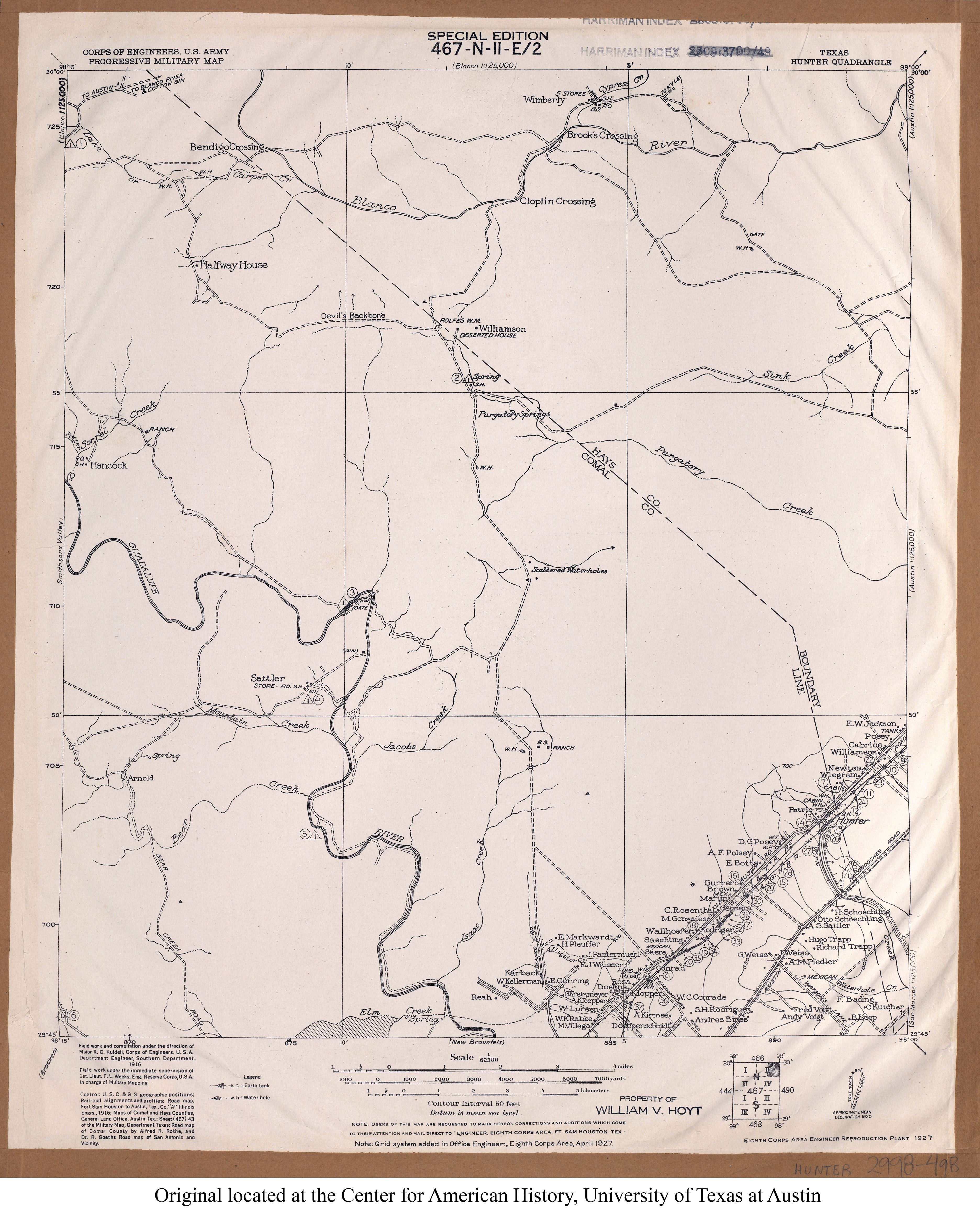
- Hunter 1:62,500 1916 (2.9MB) U.S. Army. Corps of Engineers. Progressive Military Map
- Hunter (Comal County) 1:62,500 1925 (2.0 MB)
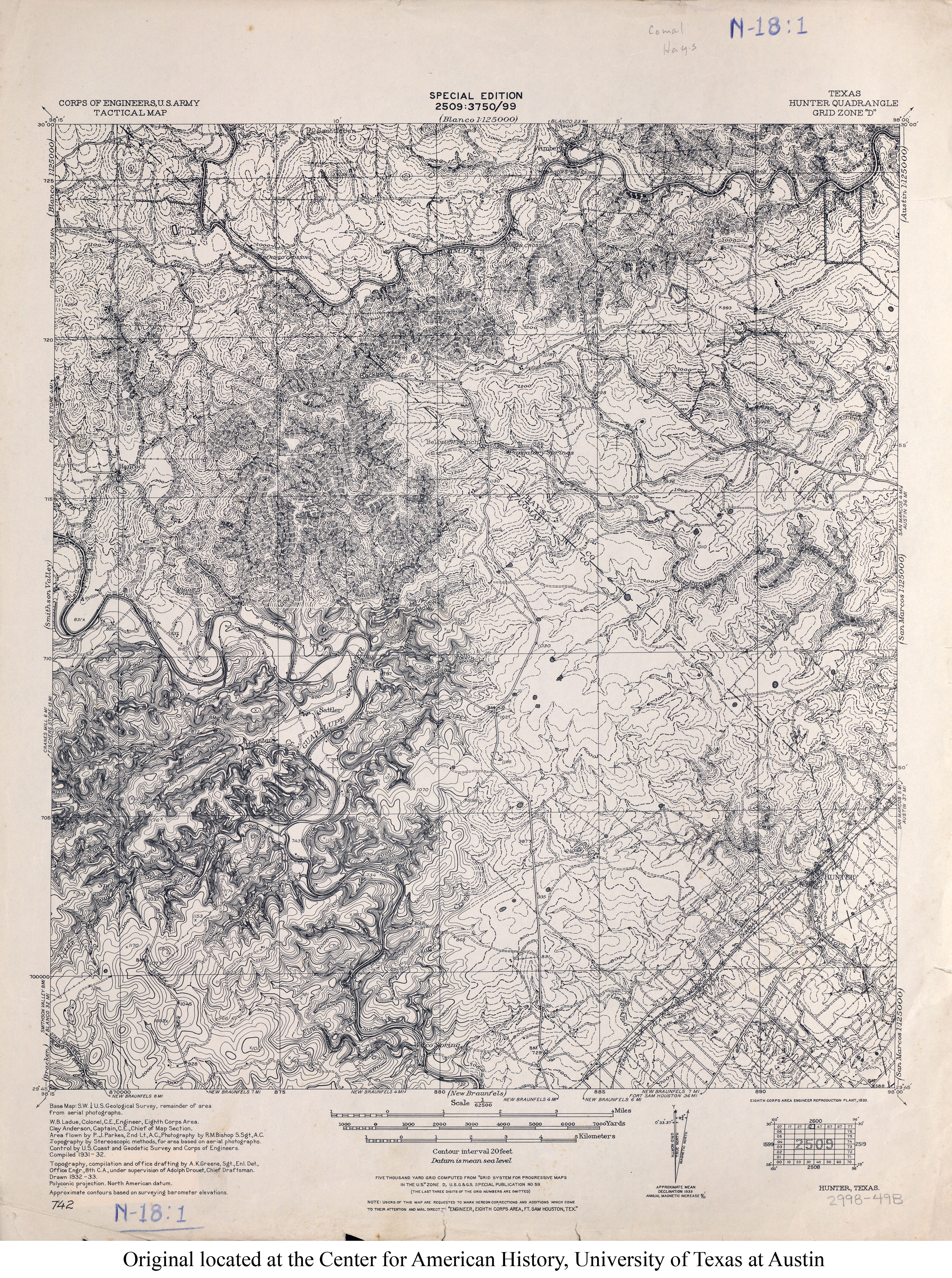
- Hunter 1:62,500 1932 (5.8MB) U.S. Army. Corps of Engineers. Tactical Map
- Hunter 1:24,000 1964 (3.9MB)
- Hunter 1:24,000 1973 (3.9MB)
- Hunter 1:24,000 1994 (4.5MB)
- Hunter 1:24,000 2008 (18.1MB) [GeoPDF]
- Hunter 1:24,000 2013 (25.6MB) [GeoPDF]
- Hunting Shirt Creek 1:24,000 1969 (3.4MB)
- Hunting Shirt Creek 1:24,000 1987 (4.1MB)
- Hunting Shirt Creek 1:24,000 2008 (16.6MB) [GeoPDF]
- Hunting Shirt Creek 1:24,000 2012 (22.7MB) [GeoPDF]
- Huntington (Angelina County) 1:24,000 1949 (4.3MB)
- Huntington (Angelina County) 1:24,000 1980 (4.7MB)
- Huntington (Angelina County) 1:24,000 2003 (5MB)
- Huntington 1:24,000 2008 (2.2MB) Texas Natural Resources Information System (TNRIS). [pdf]
- Huntington 1:24,000 2008 (23.7MB) [GeoPDF]
- Huntington 1:24,000 2013 (25.5MB) [GeoPDF]
- Huntoon 1:24,000 1973 (2.4MB)
- Huntoon 1:24,000 2008 (7.8MB) [GeoPDF]
- Huntoon 1:24,000 2012 (14.4MB) [GeoPDF]
- Huntsville (Walker County) 1:24,000 1963 (5.1MB)
- Huntsville (Walker County) 1:24,000 1976 (5.5MB)
- Huntsville (Walker County) 1:24,000 1997 (5.5MB)
- Hurnville (Clay County) 1:24,000 1984 (3.9MB)
- Huntsville 1:24,000 2009 (25.6MB) [GeoPDF]
- Huntsville 1:24,000 2013 (23.2MB) [GeoPDF]
- Hurnville 1:24,000 2008 (10.8MB) [GeoPDF]
- Hurnville 1:24,000 2012 (15.6MB) [GeoPDF]
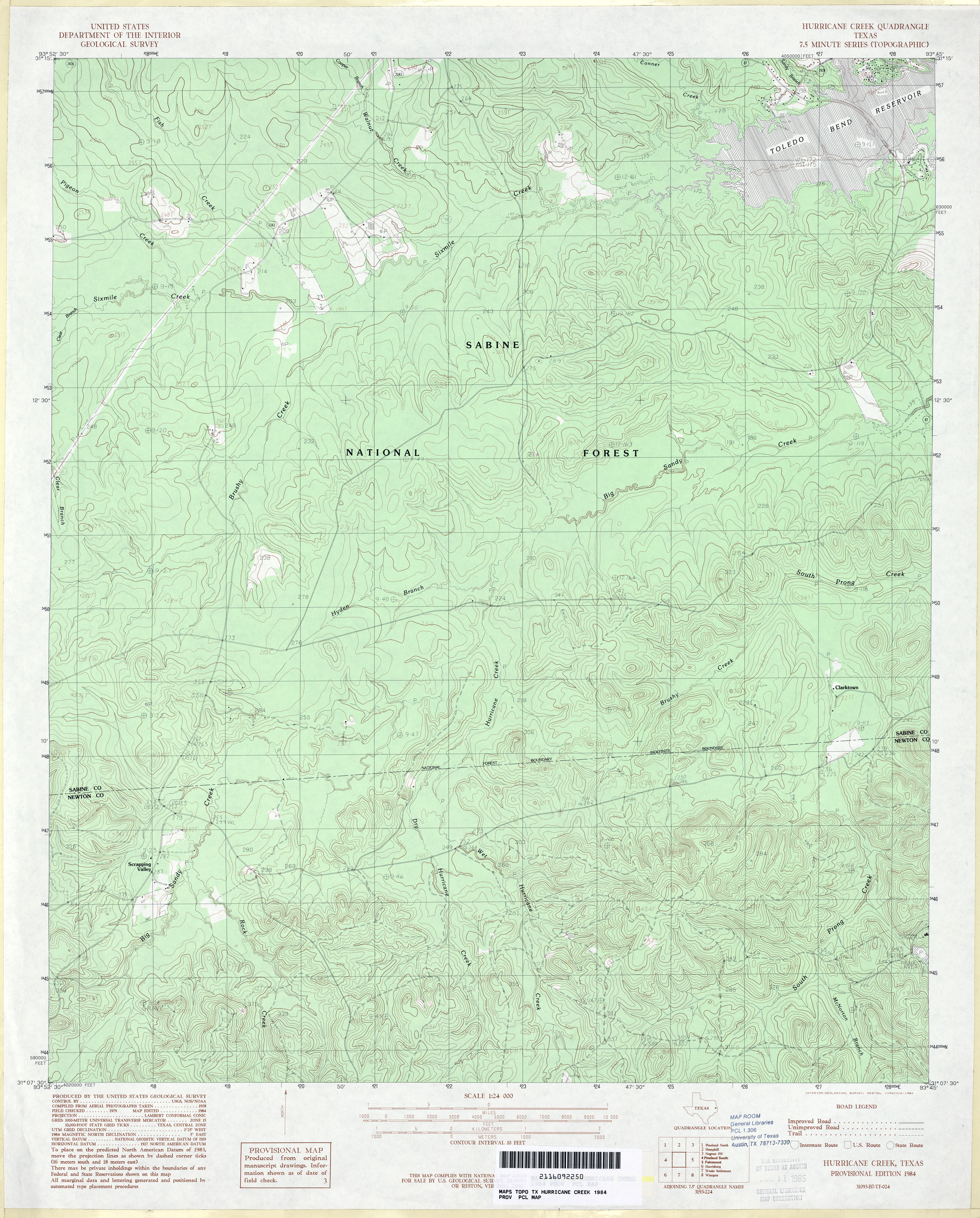
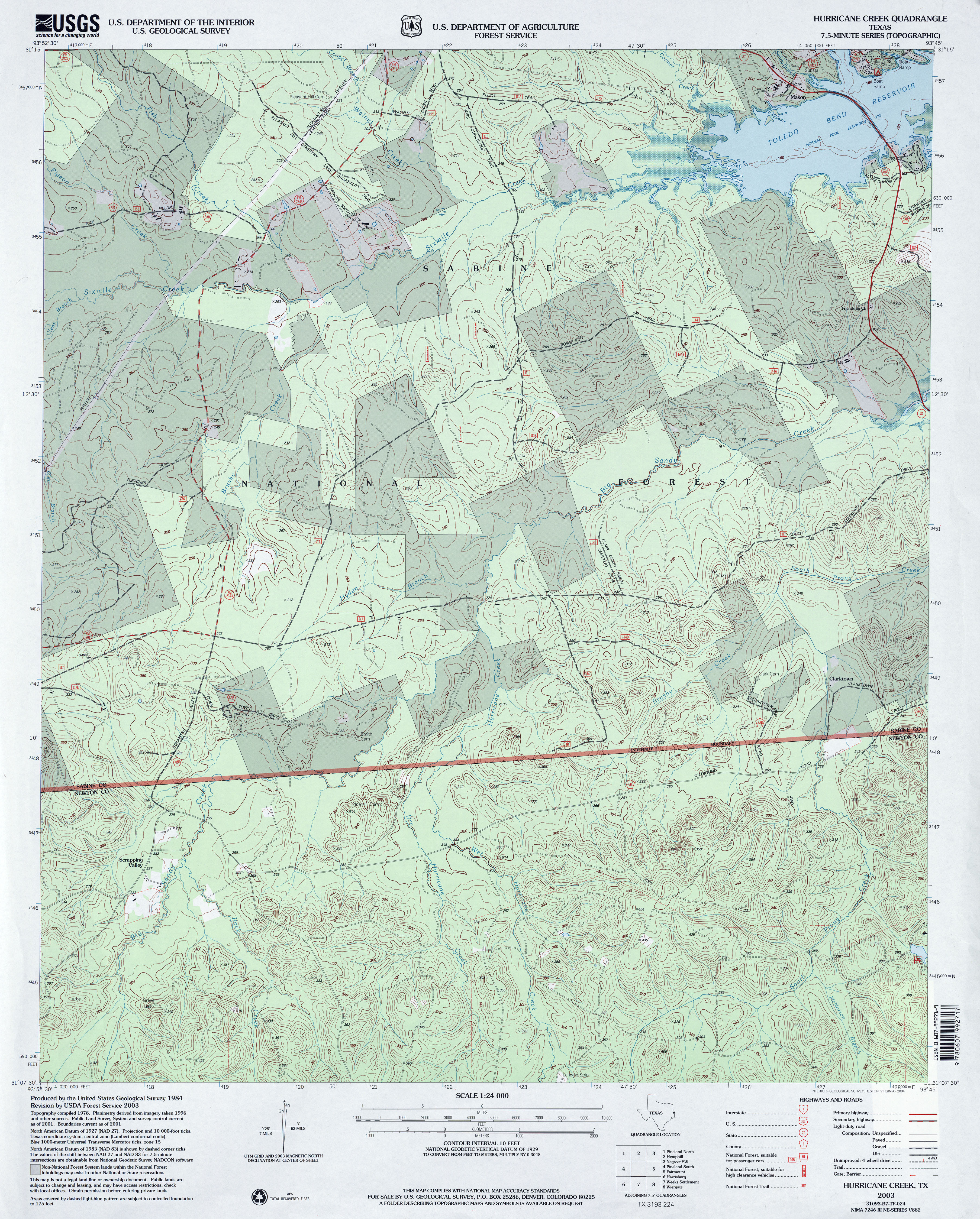
- Hurricane Creek 1:24,000 1984 (4.4MB)
- Hurricane Creek 1:24,000 2003 (5.3MB)
- Hurricane Creek 1:24,000 2008 (26.0MB) [GeoPDF]
- Hurricane Creek 1:24,000 2012 (27.5MB) [GeoPDF]
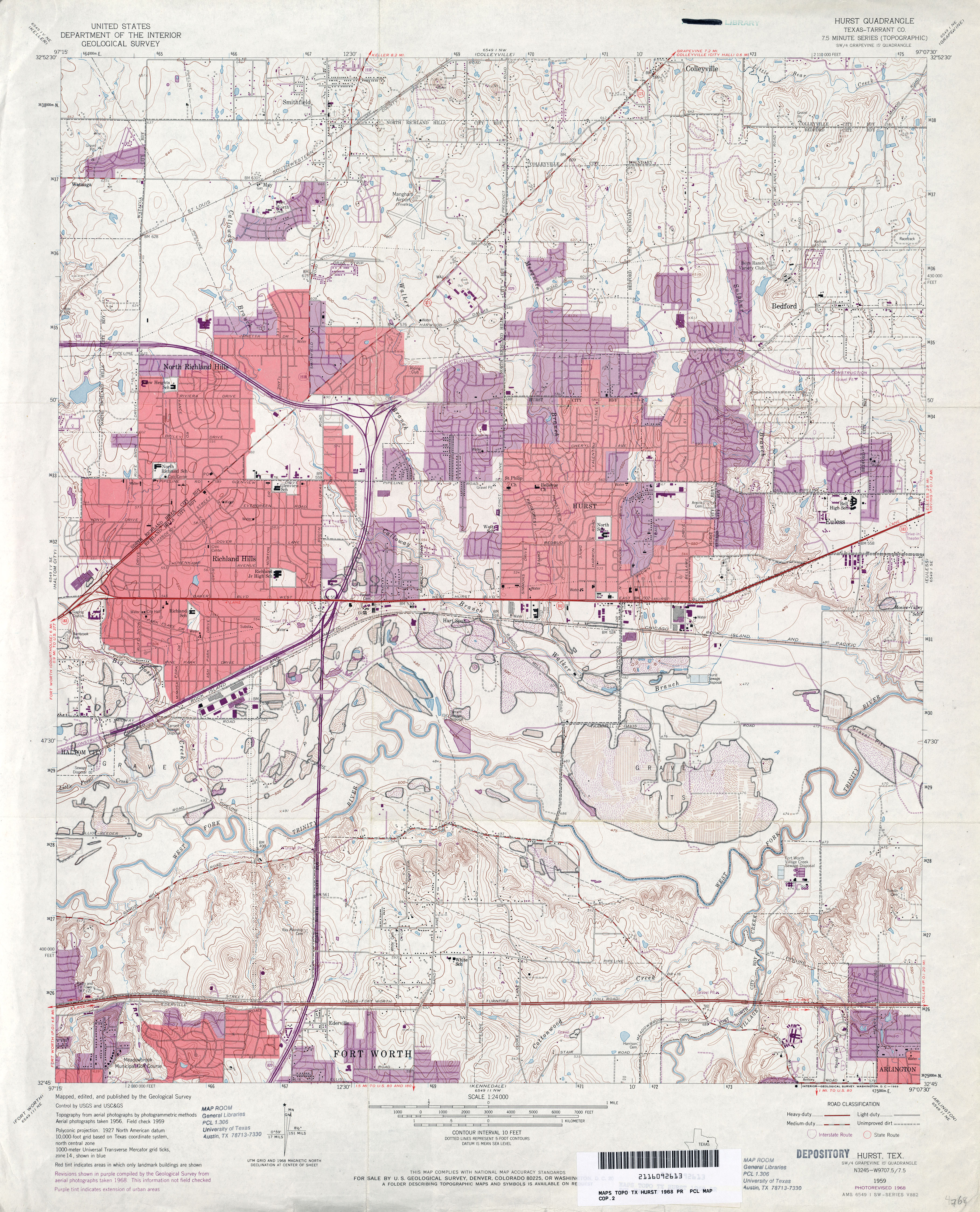
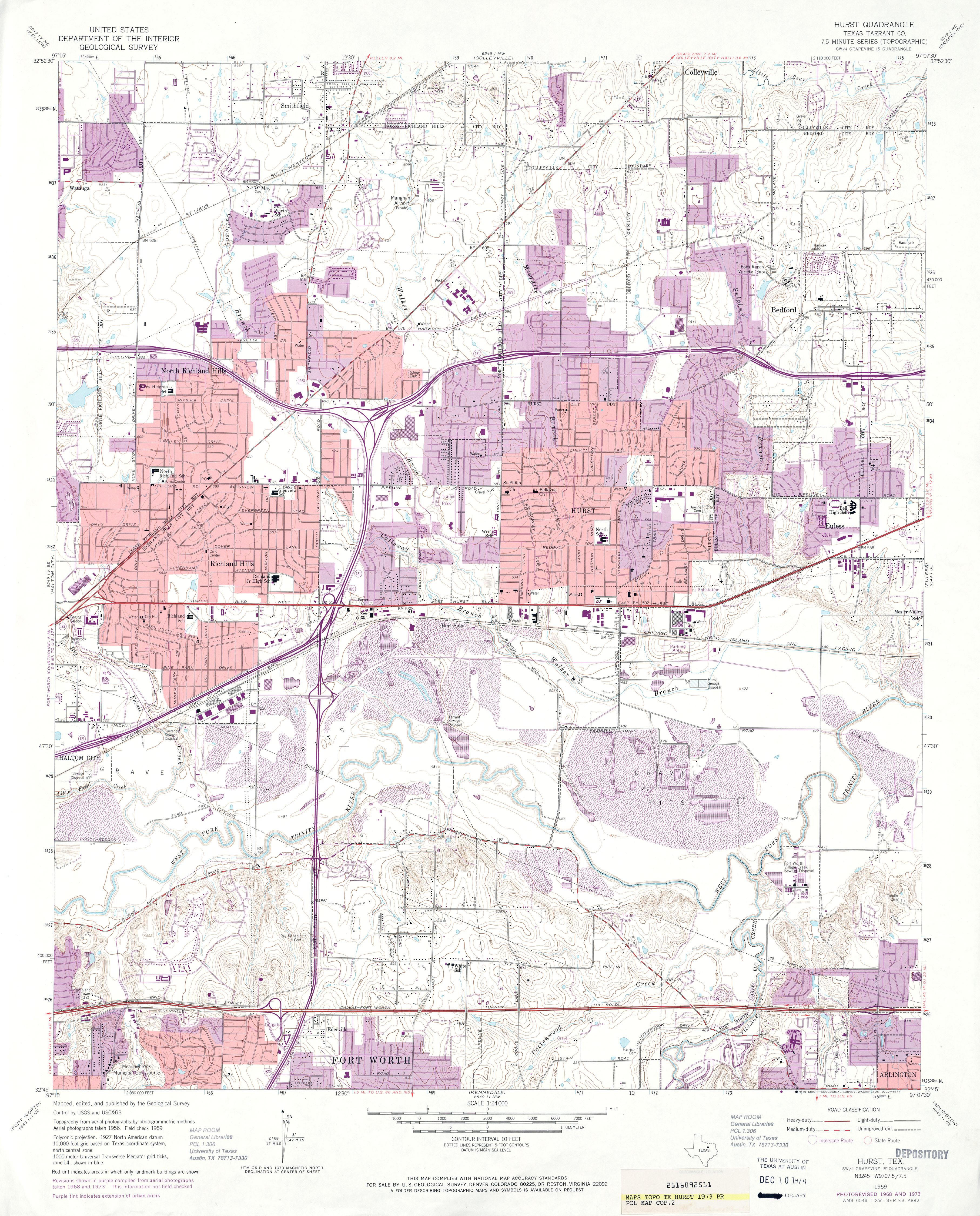
- Hurst (Tarrant County) 1:24,000 1959 (4.5MB)
- Hurst (Tarrant County) 1:24,000 1968 (4.8MB)
- Hurst (Tarrant County) 1:24,000 1973 (4.5MB)
- Hurst (Tarrant County) 1:24,000 1981 (5.2MB)
- Hurst (Tarrant County) 1:24,000 1995 (5.1MB)
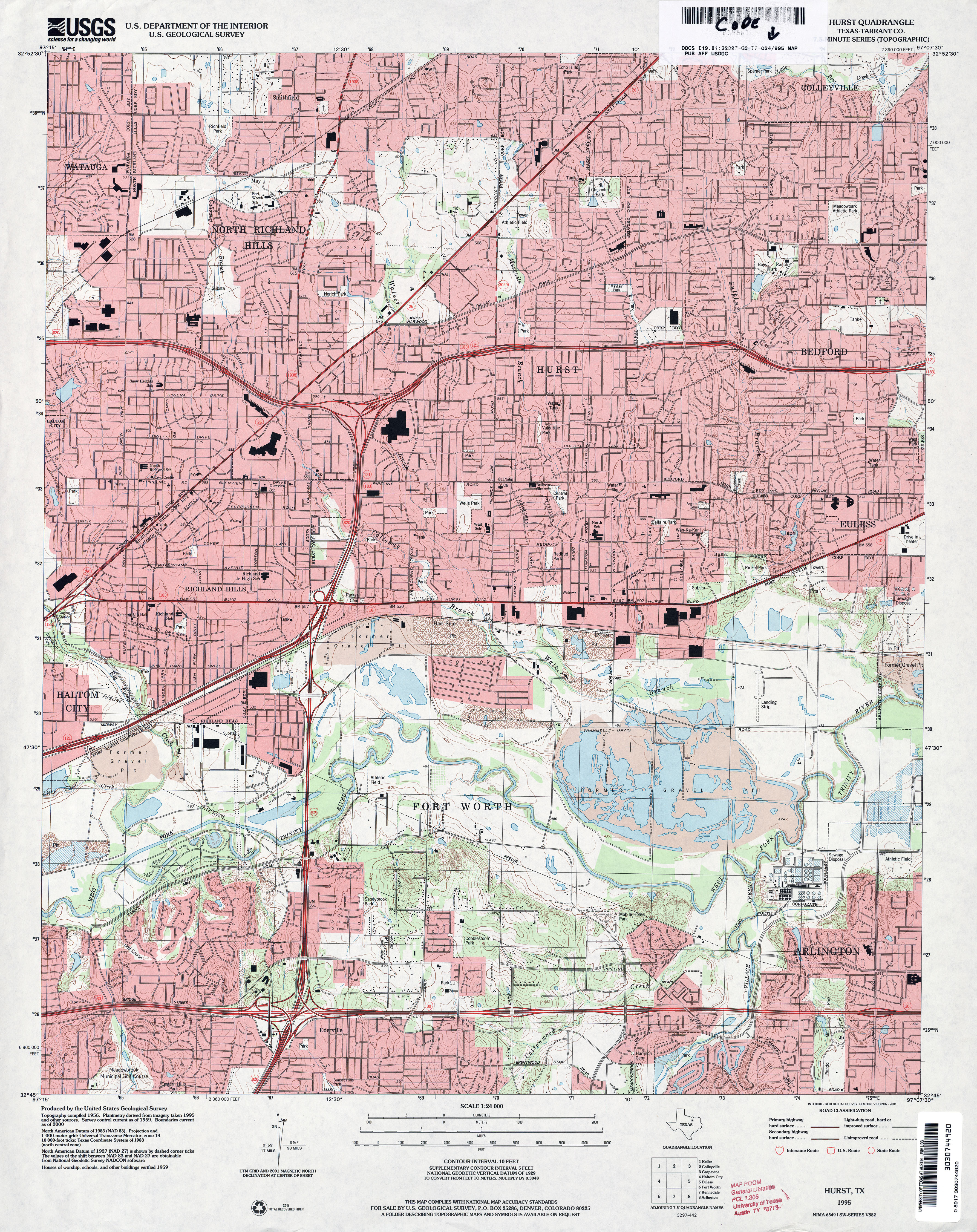
- Hurst 1:24,000 2008 (22.7MB) [GeoPDF]
- Hurst 1:24,000 2012 (27.6MB) [GeoPDF]
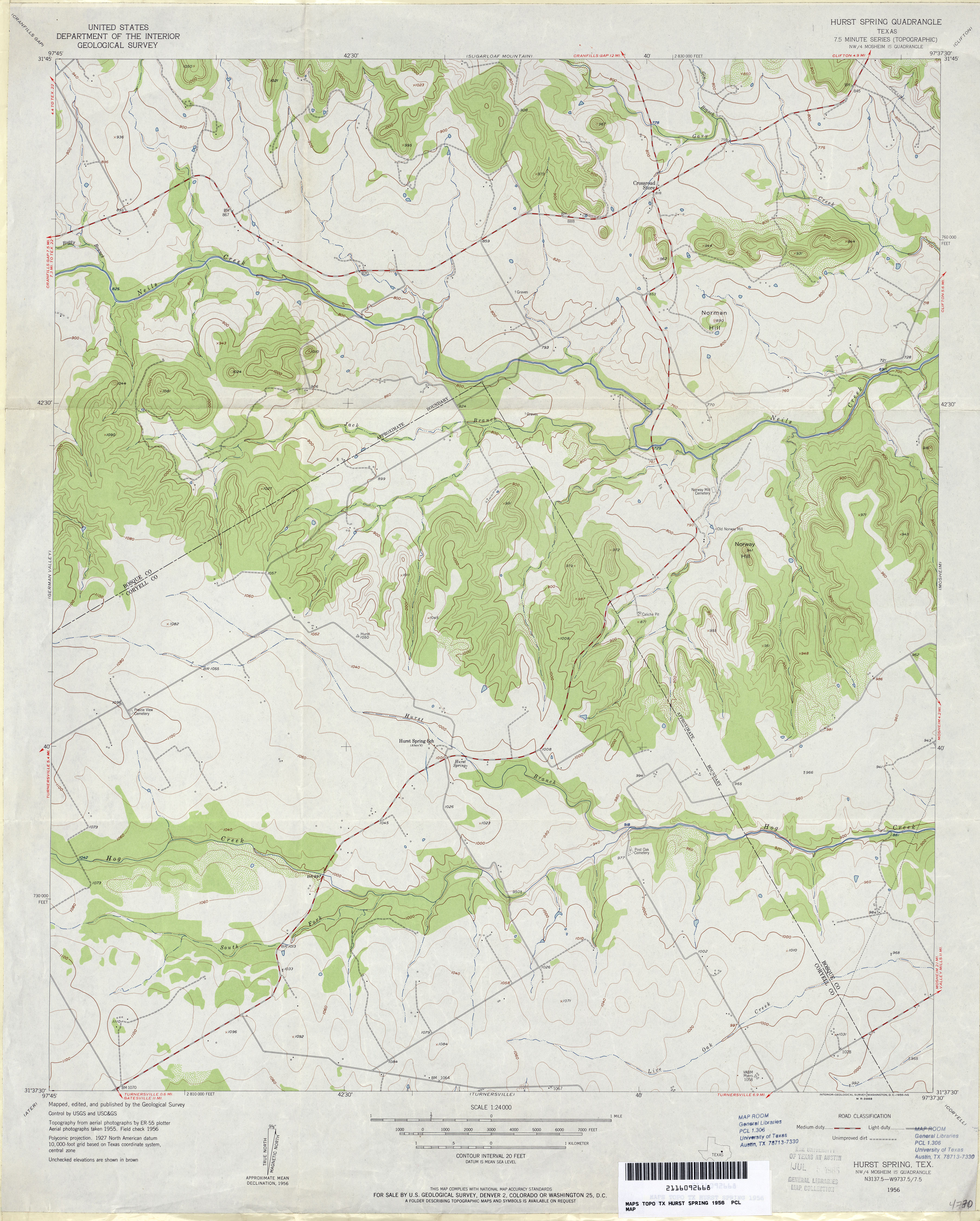
- Hurst Spring 1:24,000 1956 (3.4MB)
- Hurst Spring 1:24,000 2008 (14.7MB) [GeoPDF]
- Hurst Spring 1:24,000 2012 (19.9MB) [GeoPDF]
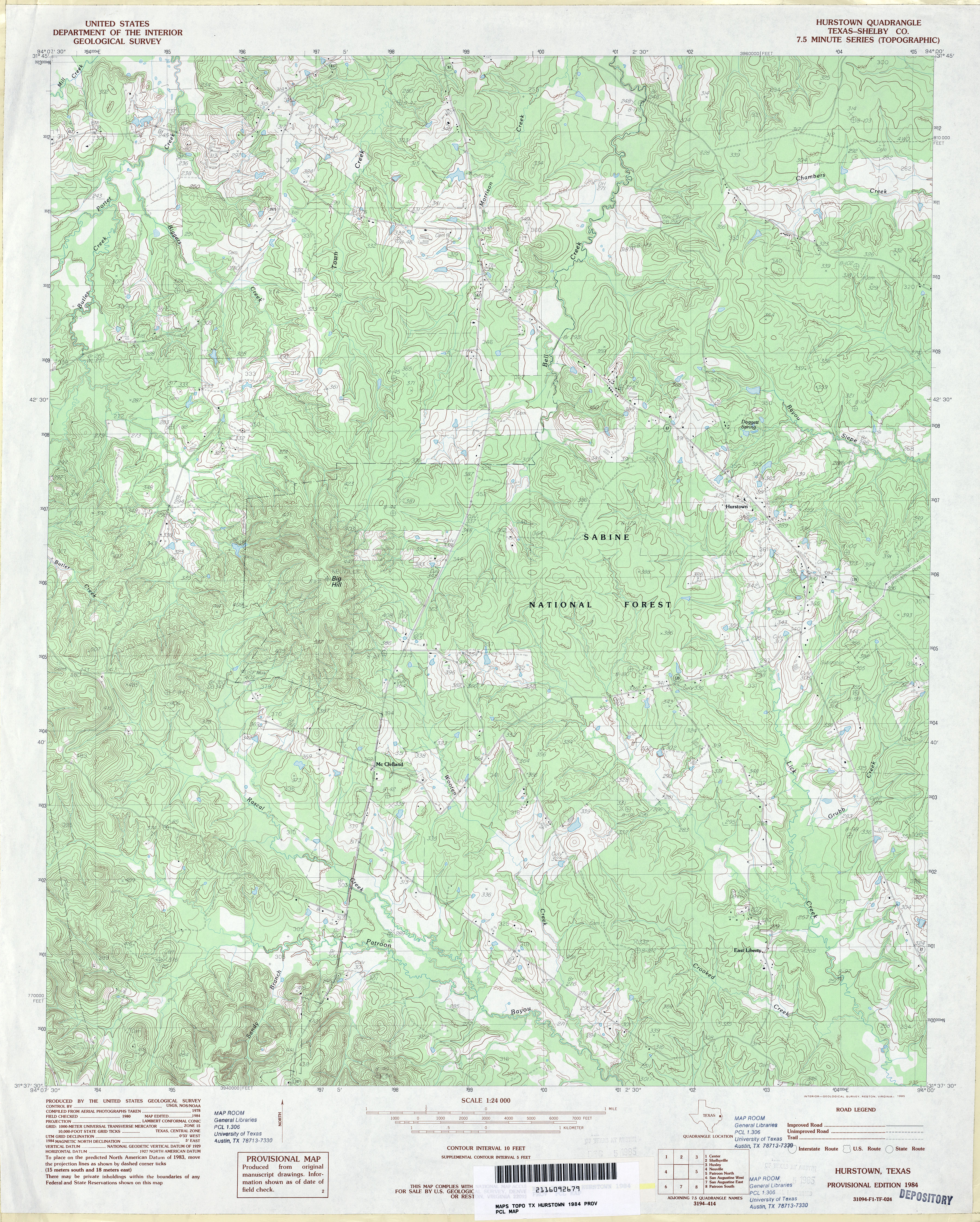
- Hurstown (Shelby County) 1:24,000 1984 (5.4MB)
- Hurstown (Shelby County) 1:24,000 2003 (5.8MB)
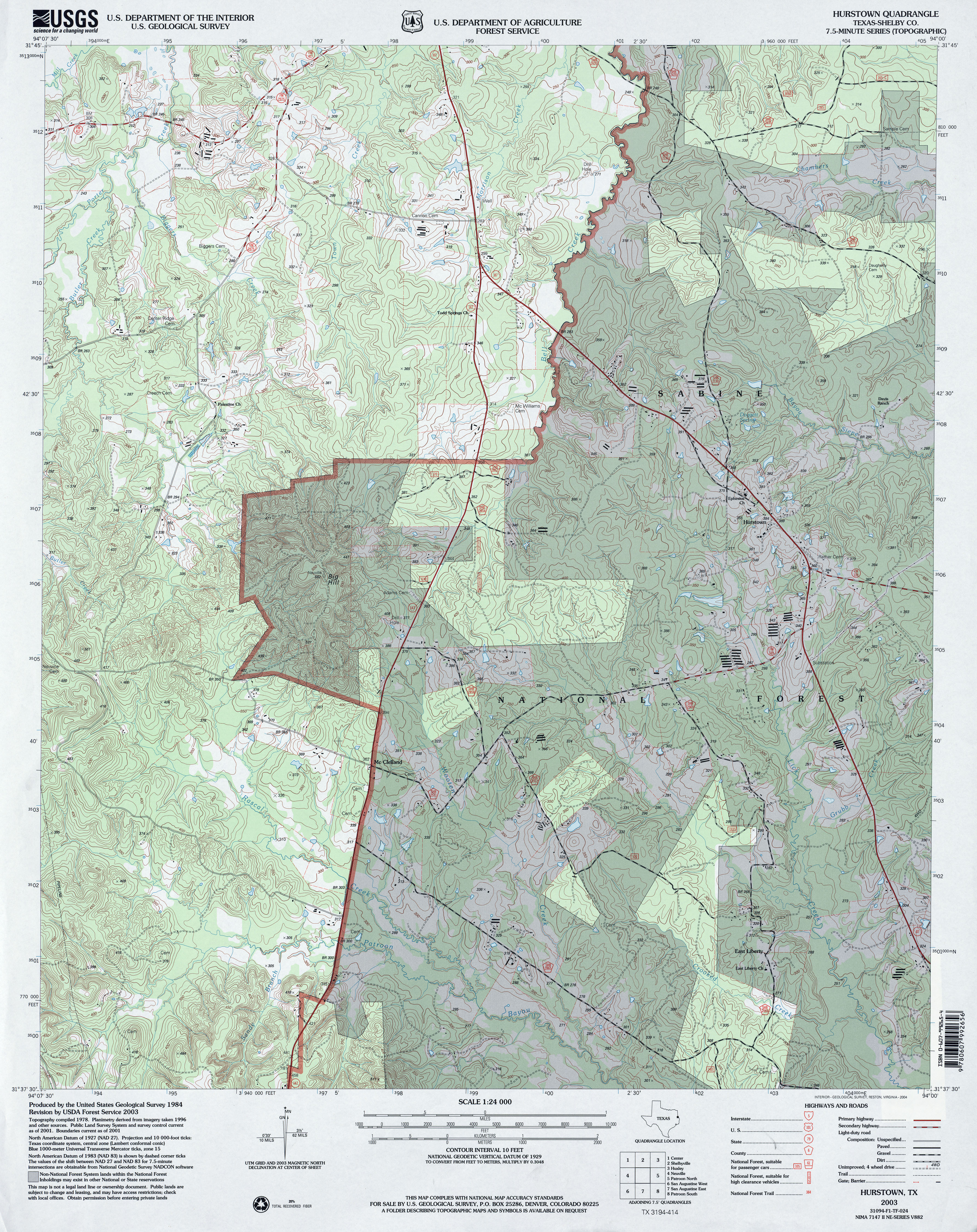
- Hurstown 1:24,000 2008 (23.3MB) [GeoPDF]
- Hurstown 1:24,000 2013 (26.5MB) [GeoPDF]
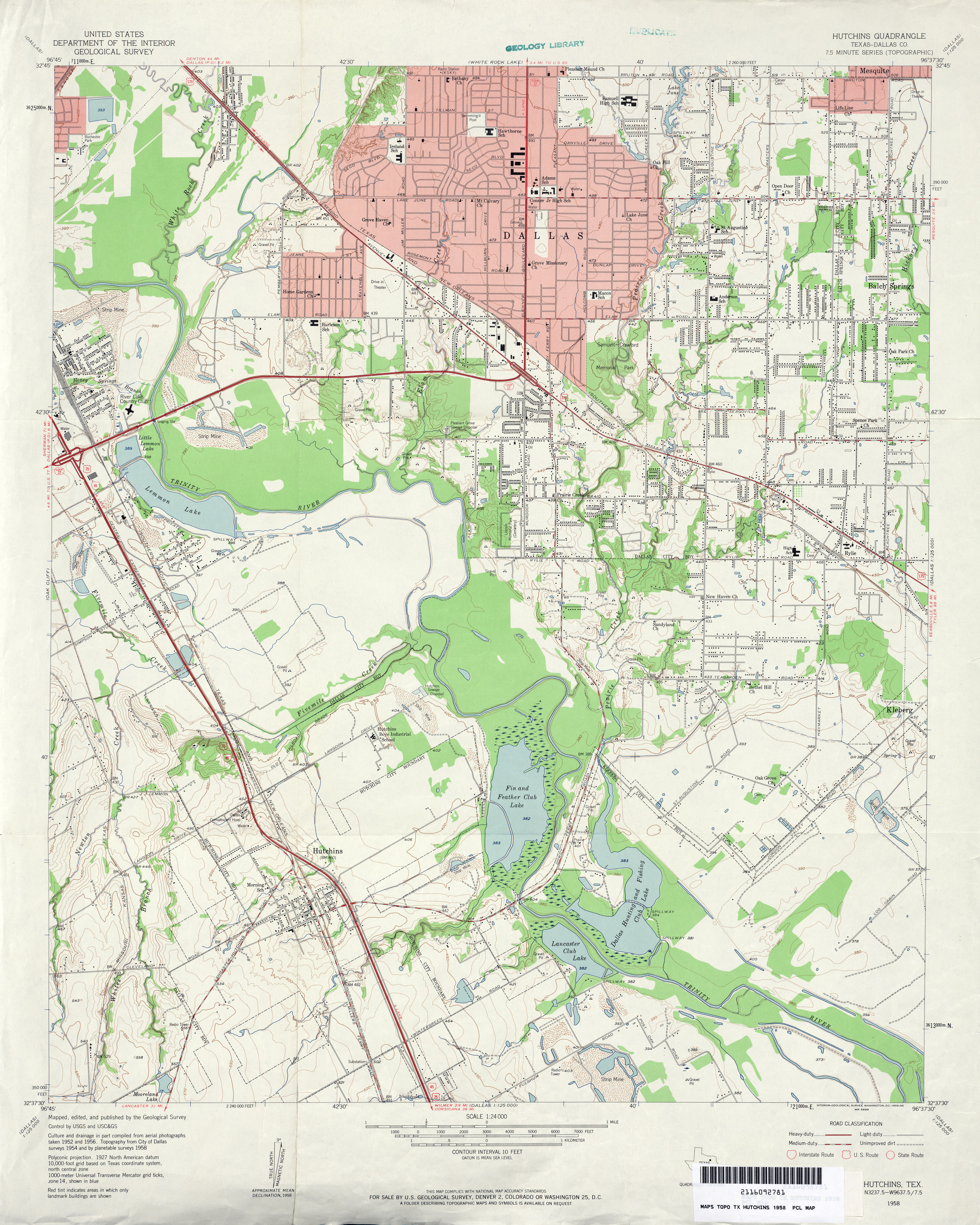
- Hutchins (Dallas County) 1:24,000 1958 (3.9MB)
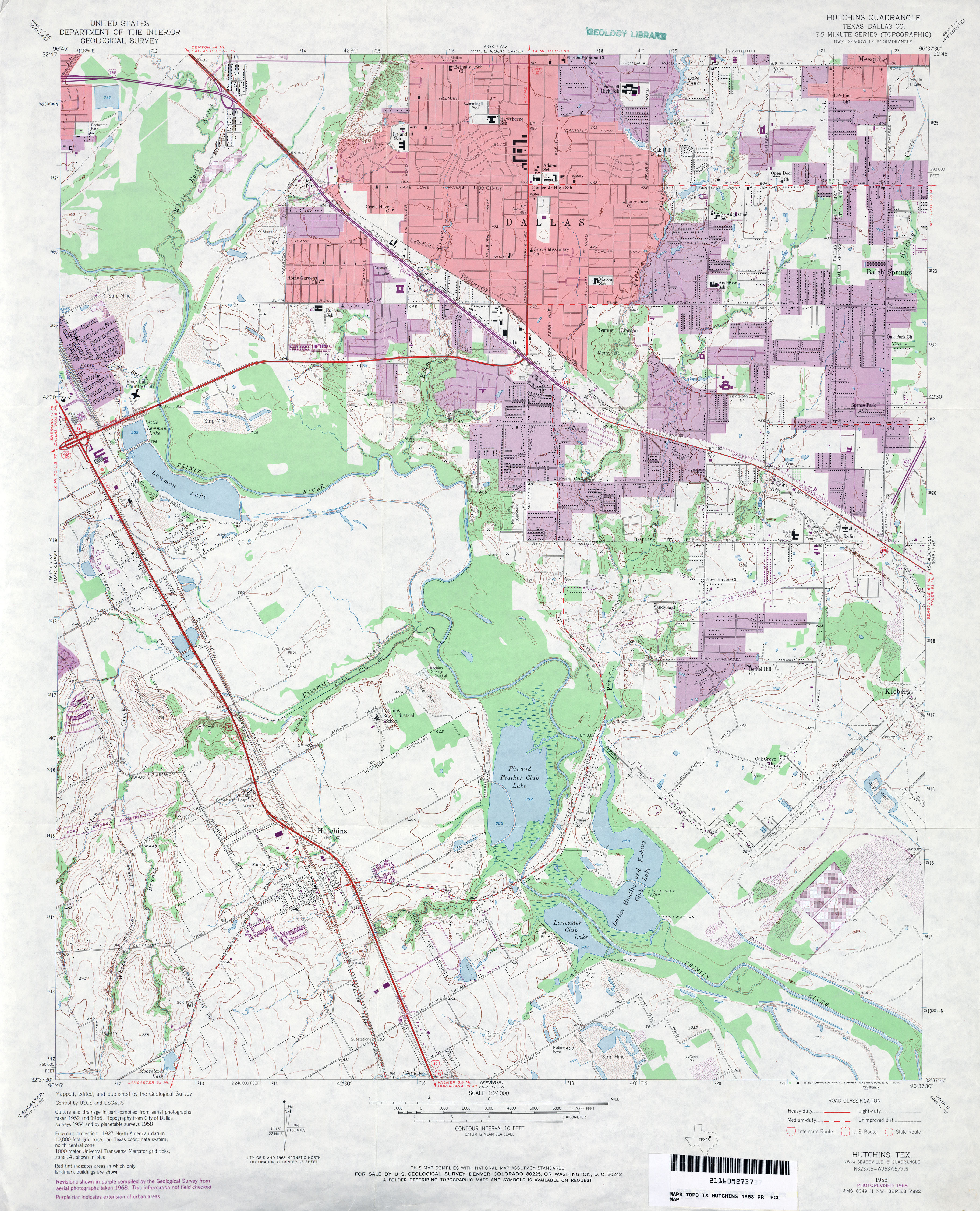
- Hutchins (Dallas County) 1:24,000 1968 (4.2MB)
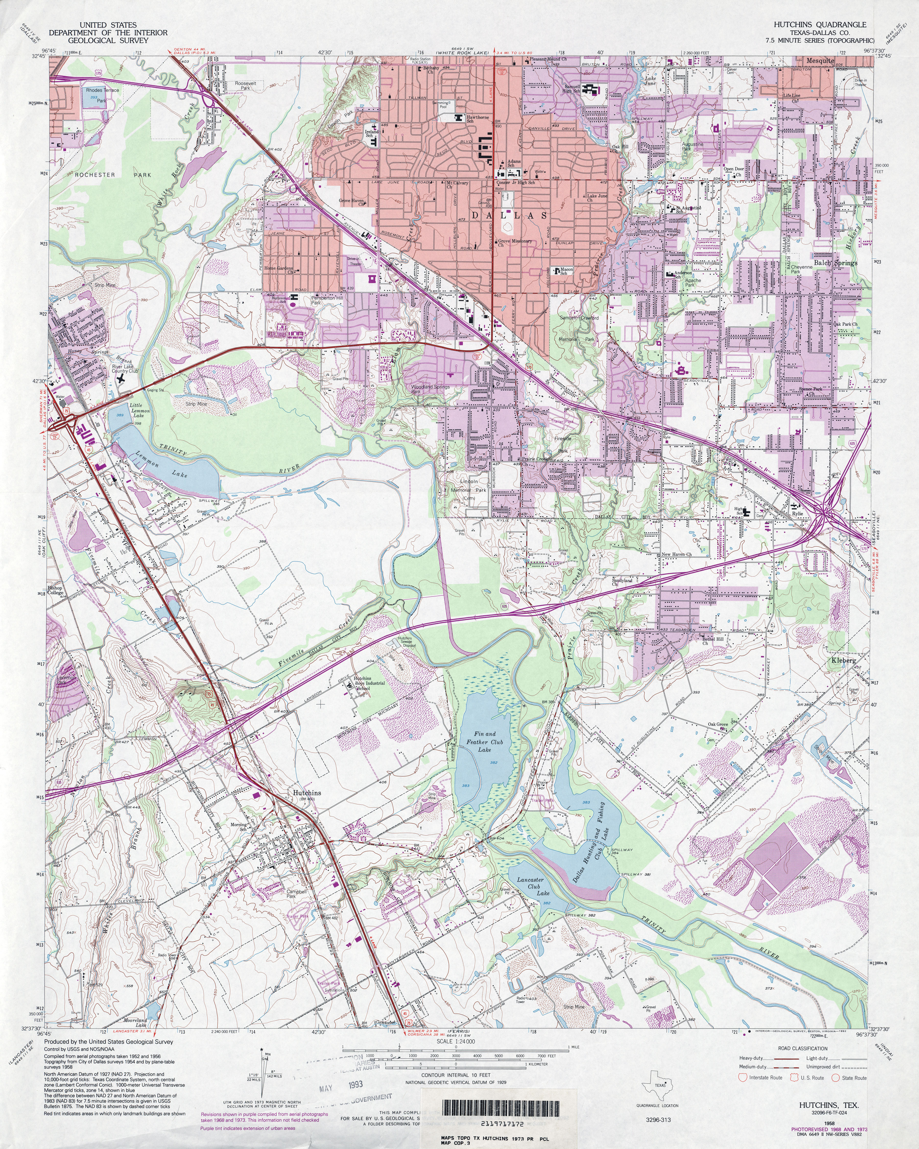
- Hutchins (Dallas County) 1:24,000 1973 (4.8MB)
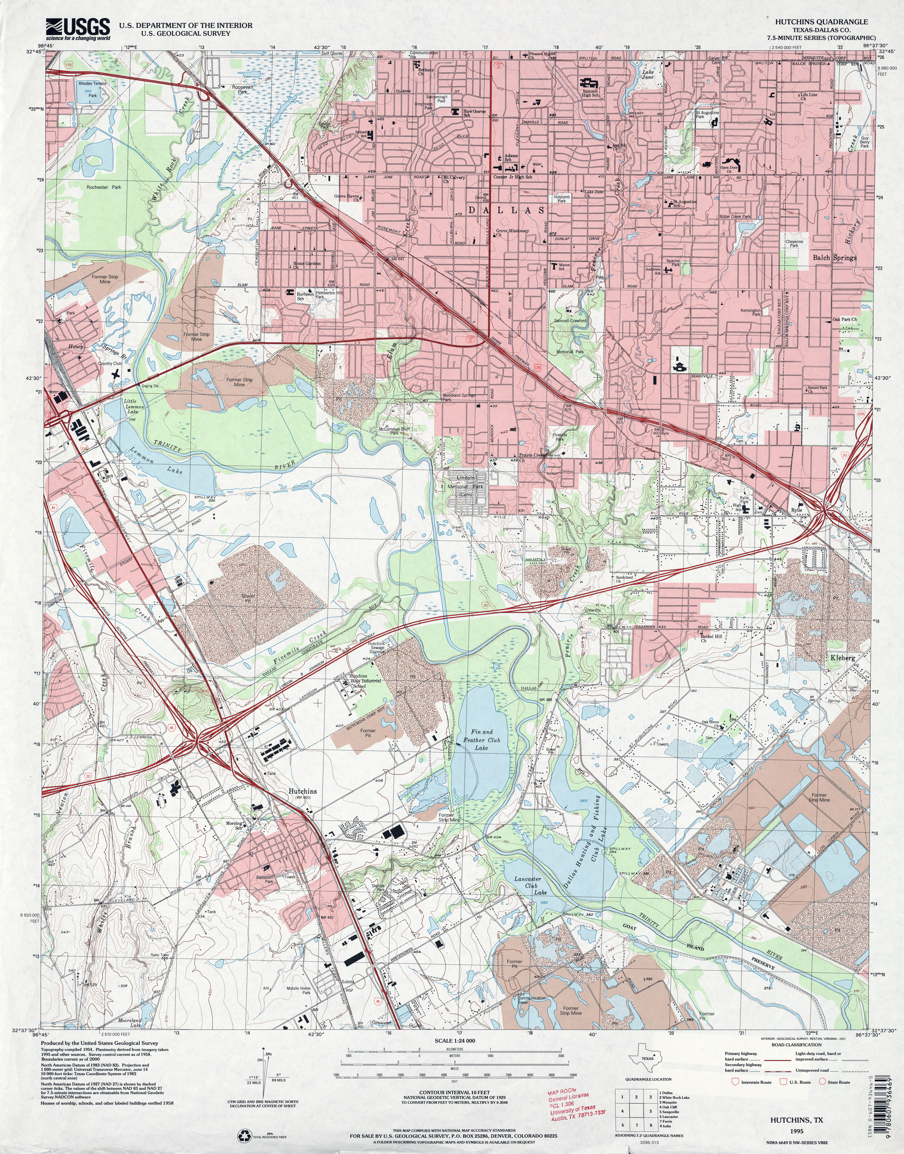
- Hutchins (Dallas County) 1:24,000 1995 (4.8MB)
- Hutchins 1:24,000 2008 (19.8MB) [GeoPDF]
- Hutchins 1:24,000 2012 (21.8MB) [GeoPDF]
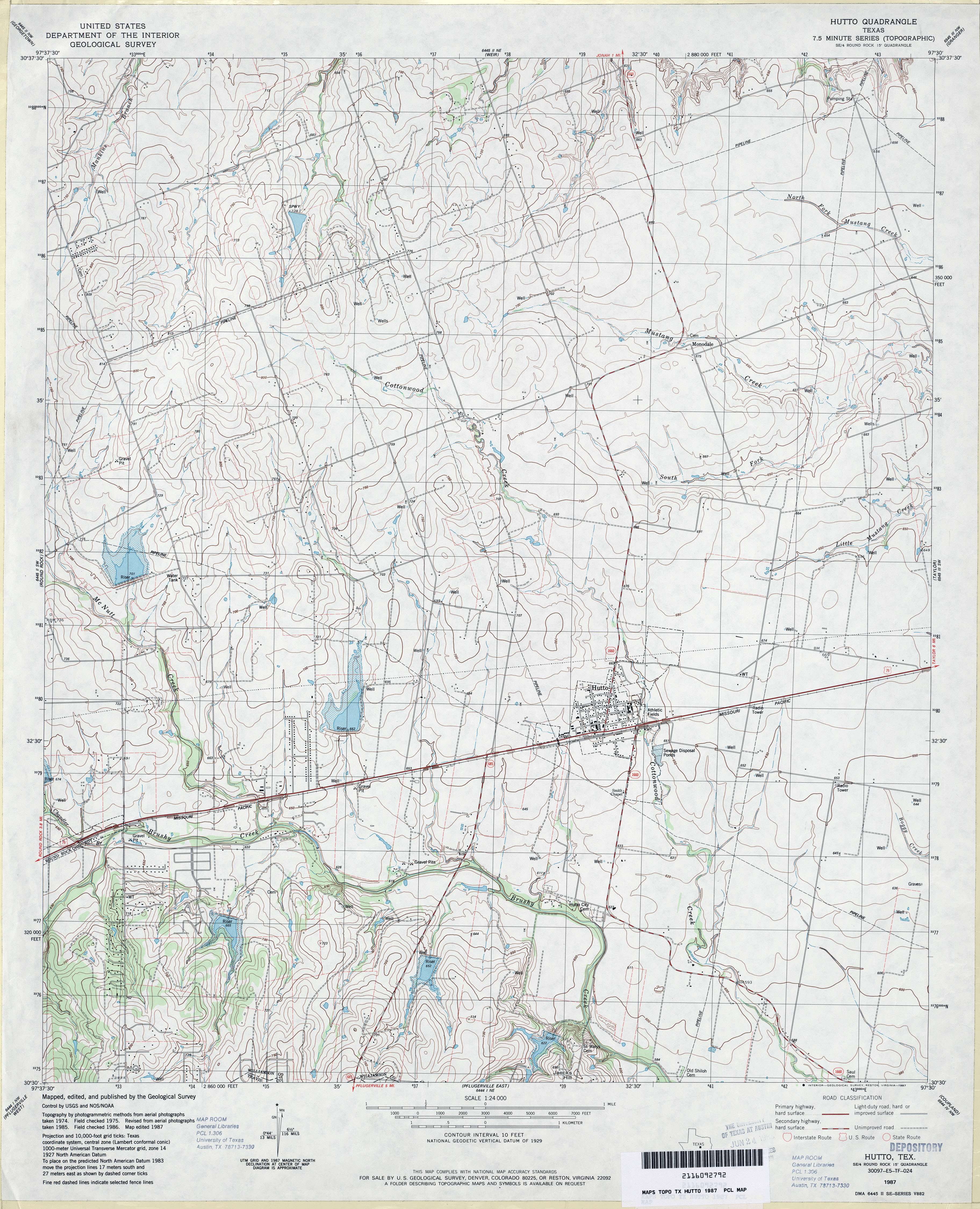
- Hutto 1:24,000 1982 (3.5MB)
- Hutto 1:24,000 1987 (3.9MB)
- Hutto 1:24,000 2008 (11.3MB) [GeoPDF]
- Hutto 1:24,000 2013 (20.3MB) [GeoPDF]
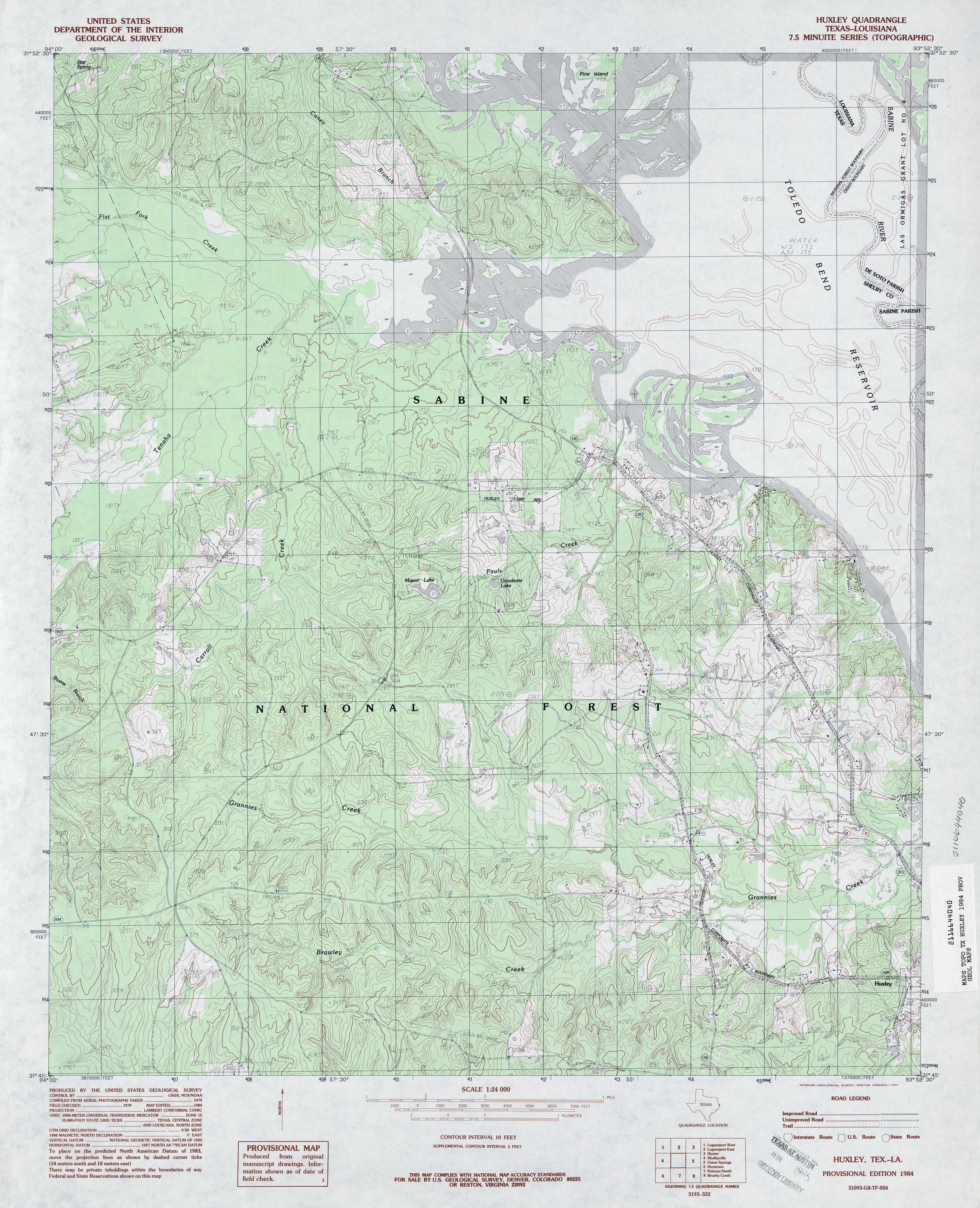
- Huxley 1:24,000 1984 (4.7MB)
- Huxley 1:24,000 2003 (5.5MB)
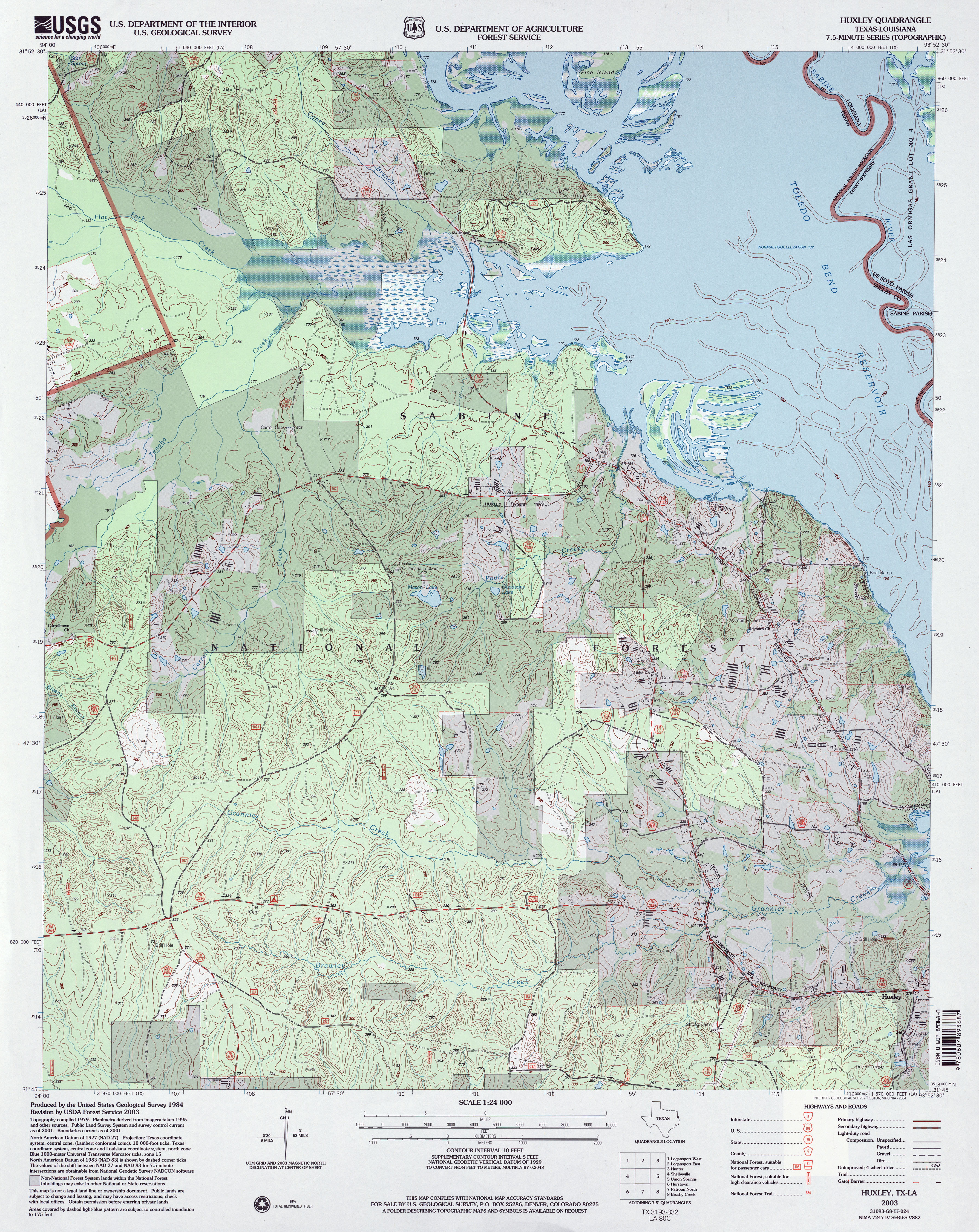
- Huxley 1:24,000 2008 (21.2MB) [GeoPDF]
- Huxley 1:24,000 2012 (25.1MB) [GeoPDF]
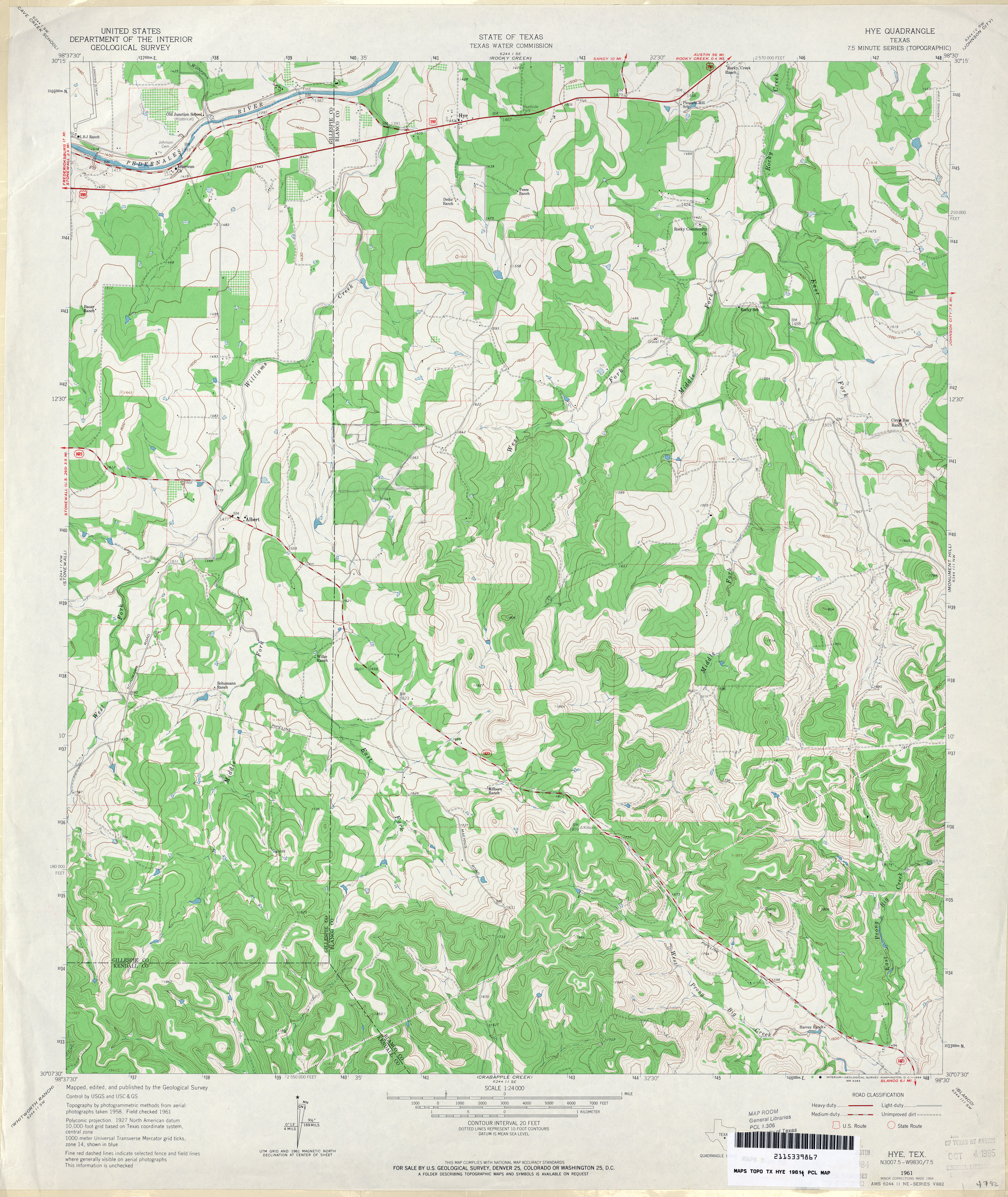
- Hye 1:24,000 1954 (4.3MB)
- Hye 1:24,000 1961 (5.2MB)
- Hye 1:24,000 2008 (17.8MB) [GeoPDF]
- Hye 1:24,000 2012 (25.1MB) [GeoPDF]
- Hylton 1:24,000 1967 (3.7MB)
- Hylton 1:24,000 2008 (16.5MB) [GeoPDF]
- Hylton 1:24,000 2012 (24.8MB) [GeoPDF]
- Hyman 1:24,000 1963 (5.5MB)
- Hyman 1:24,000 2008 (18.2MB) [GeoPDF]
- Hyman 1:24,000 2012 (27.5MB) [GeoPDF]
- Hyman NE (Mitchell County) 1:24,000 1962 (5.7MB)
- Hyman NE 1:24,000 2008 (16.5MB) [GeoPDF]
- Hyman NE 1:24,000 2012 (25.8MB) [GeoPDF]
Return to the top