Perry-Castañeda Library
Map Collection
Texas Topographic Maps
Maps in this online collection are from the Perry-Castañeda Library, Walter Geology Library and Dolph Briscoe Center for American History at the University of Texas at Austin as well as the Texas State Library. All maps on this site were published by the U.S. Geological Survey unless otherwise noted and are in the public domain. The date given for each map is the date of latest survey. The Geographic Names Information System allows searches of geographic names to determine which map sheets they appear on. Indexes are available for Texas - East and Texas - West for the 1:24,000 map series. Maps published prior to 1923 are on the Texas Historical Topographic Map Index. More information about these maps is available on the Topographic Maps Home Page. Note: To fully view the GeoPDF files use Adobe Reader as your default PDF viewer or download the files and open them within Adobe Reader.
A, B, C, D, E, F, G, H, I, J, K, L, M, N, O, P, Q, R, S, T, U, V, W, X, Y, Z
- P X Flat 1:24,000 1973 (4.1MB)
- P X Flat 1:24,000 2013 (24.3MB) [GeoPDF]
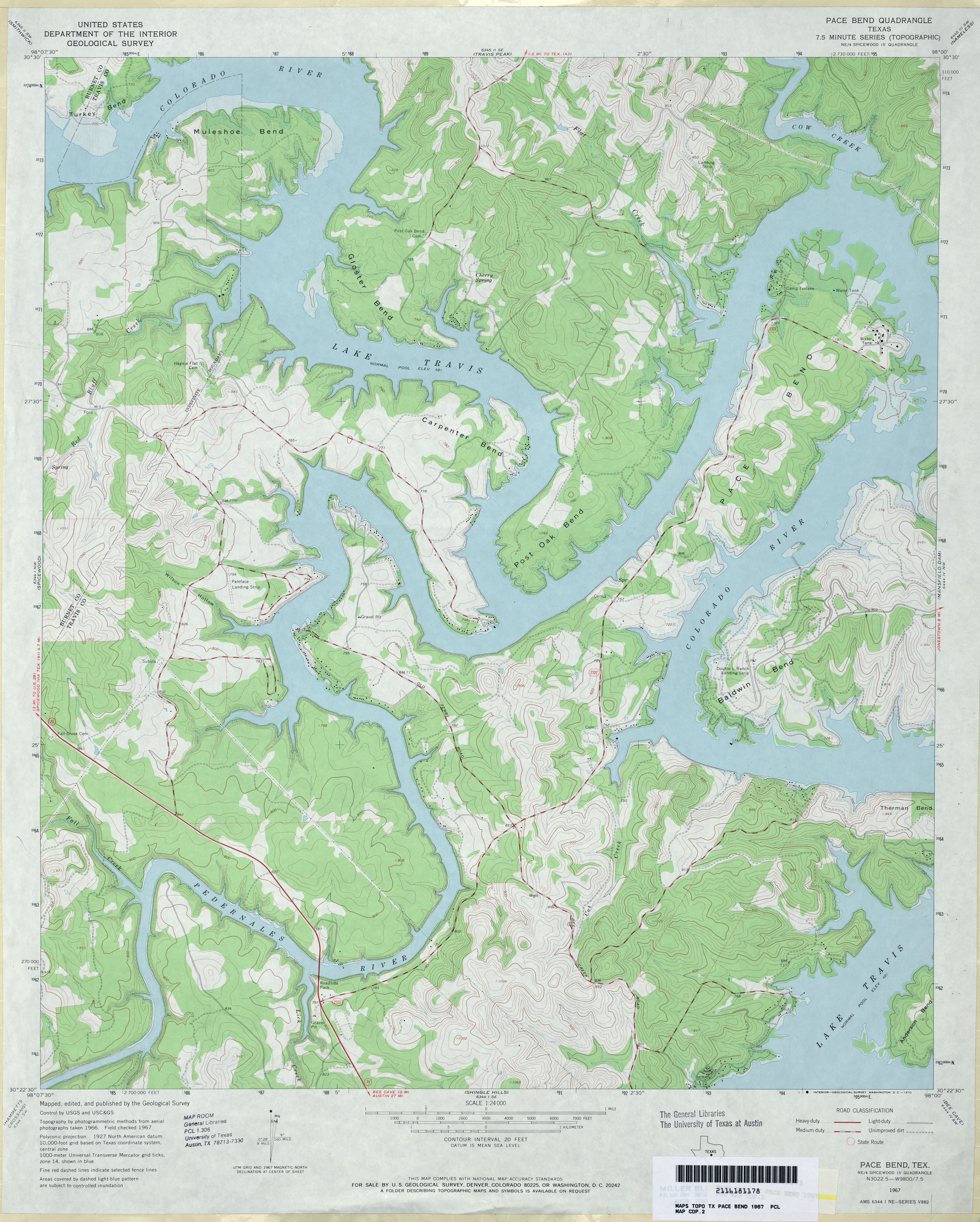
- Pace Bend 1:24,000 1967 (3.8MB)
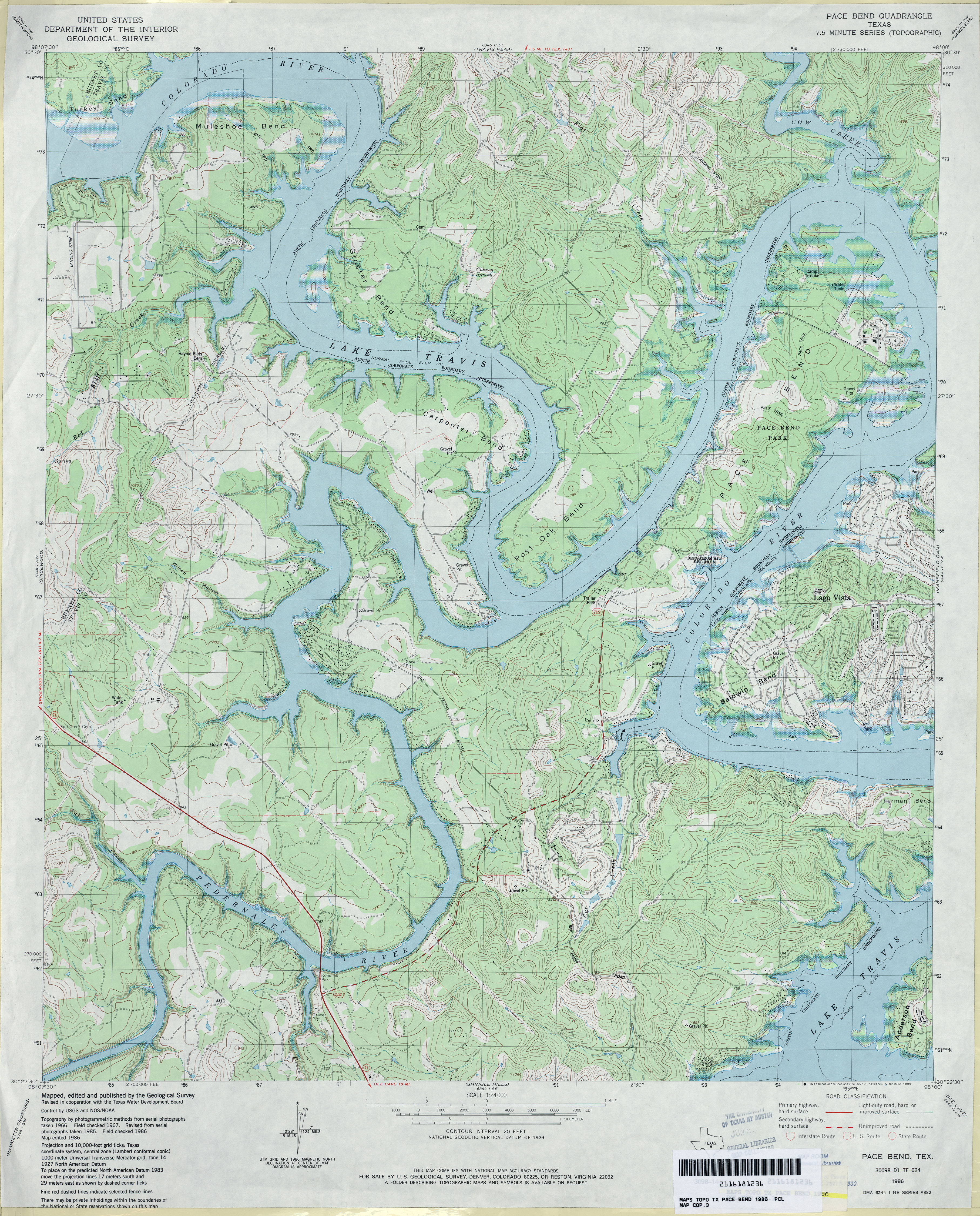
- Pace Bend 1:24,000 1986 (4.7MB)
- Pace Bend 1:24,000 2008 (21.8MB) [GeoPDF]
- Pace Bend 1:24,000 2012 (29.4MB) [GeoPDF]
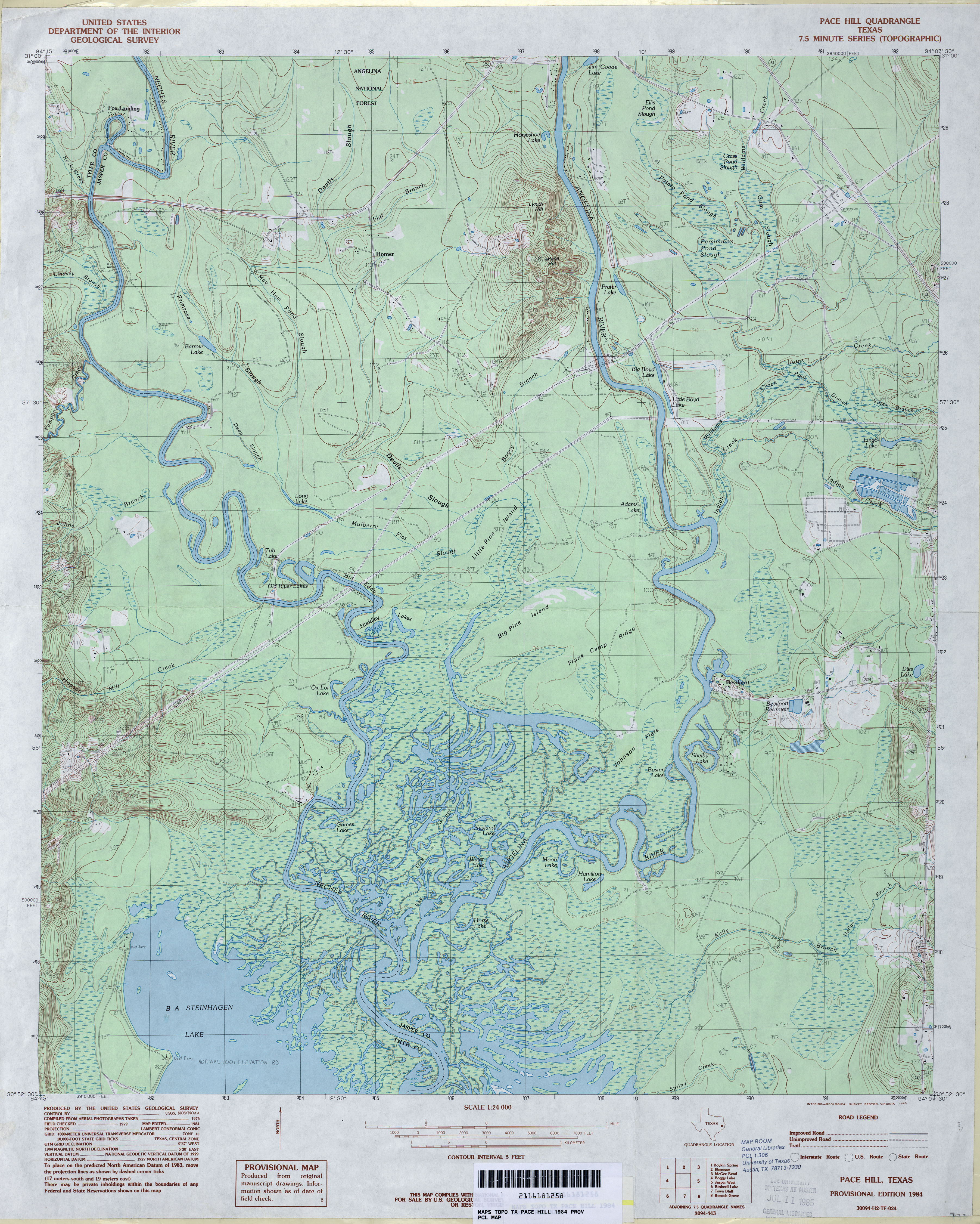
- Pace Hill 1:24,000 1984 (4.4MB)
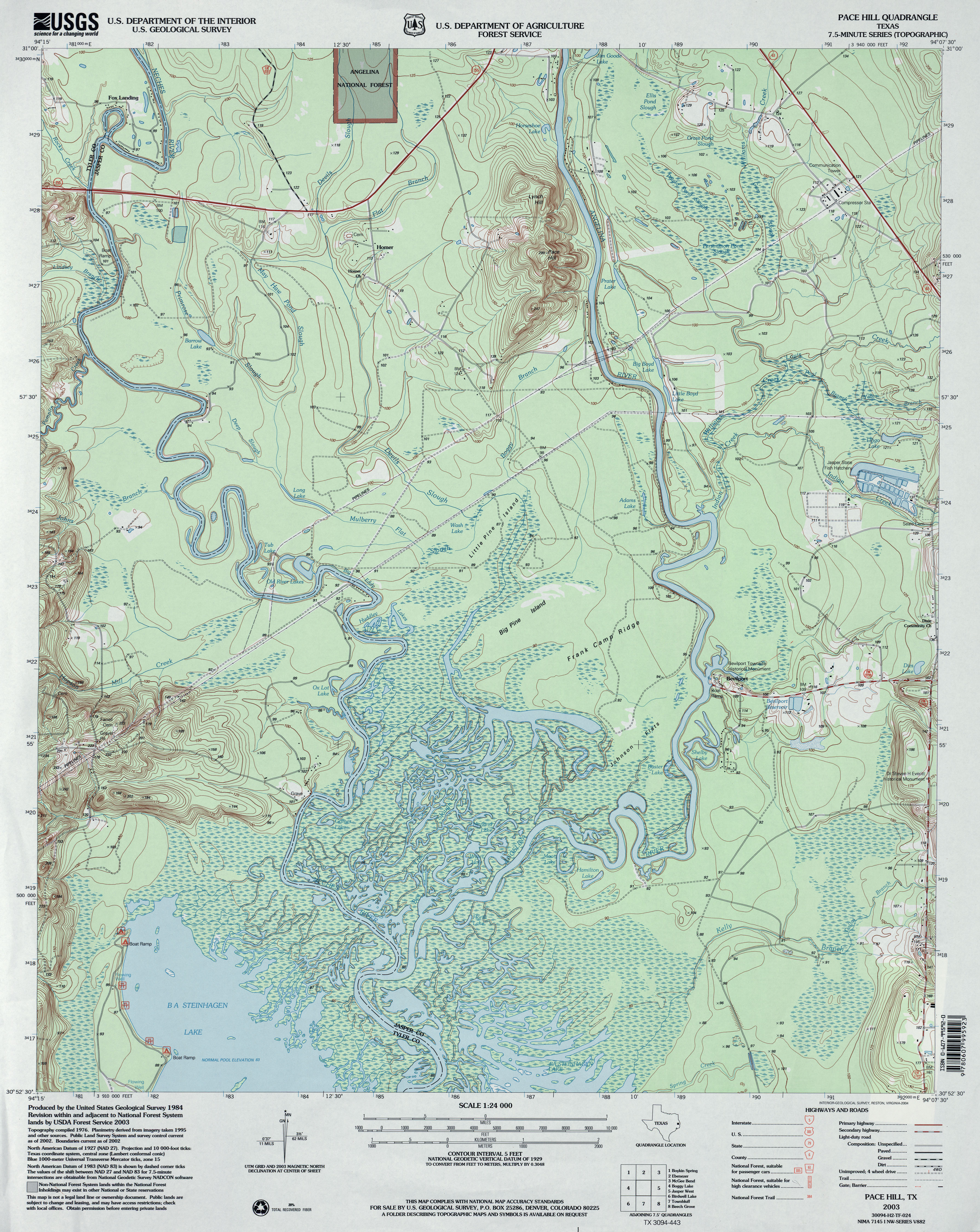
- Pace Hill 1:24,000 2003 (4.6MB)
- Pace Hill 1:24,000 2008 (2.8MB) Texas Natural Resources Information System (TNRIS). [pdf]
- Pace Hill 1:24,000 2013 (28.3MB) [GeoPDF]
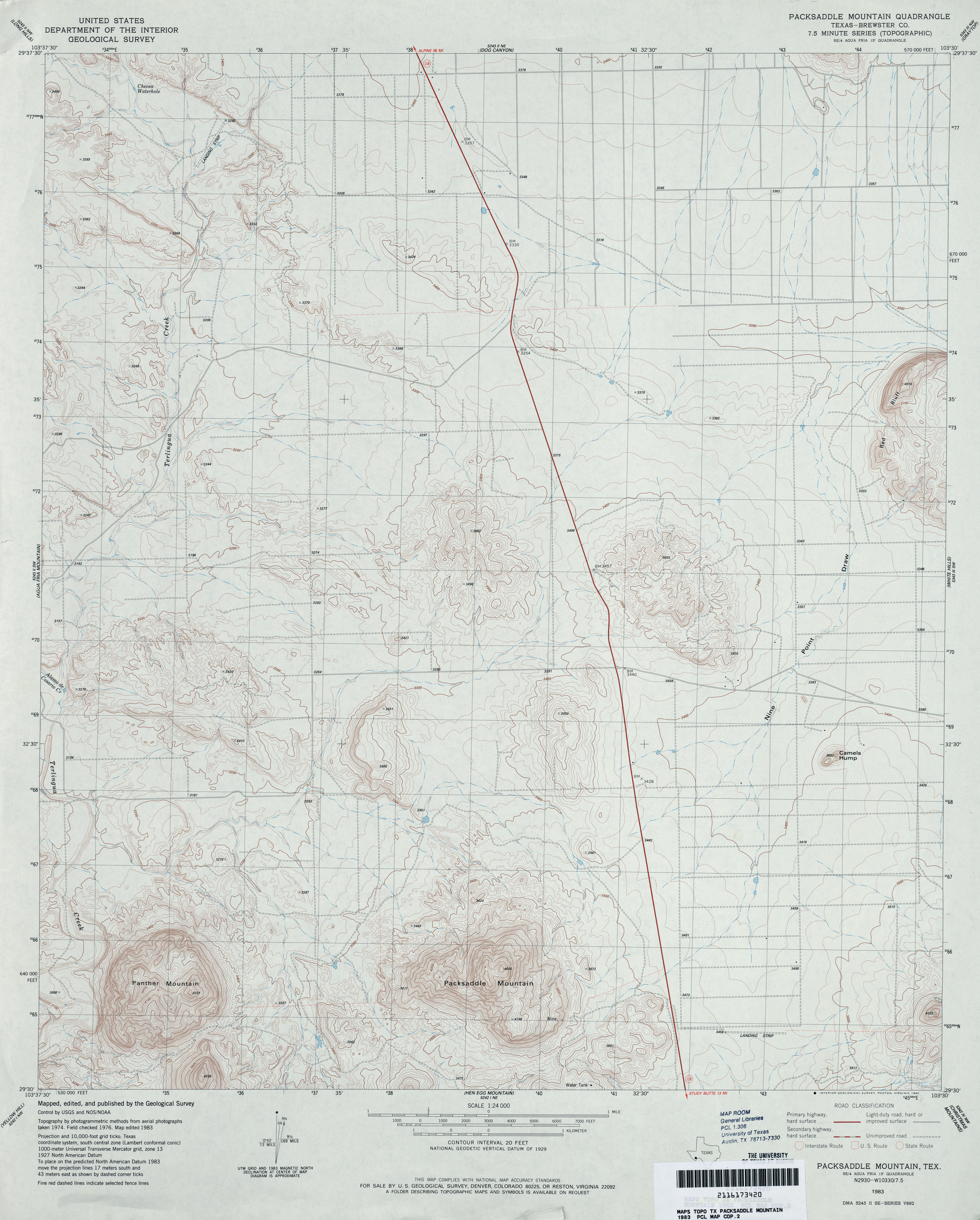
- Packsaddle Mountain (Brewster County) 1:24,000 1983 (3.5MB)
- Packsaddle Mountain 1:24,000 2008 (22.1MB) [GeoPDF]
- Packsaddle Mountain 1:24,000 2012 (24.6MB) [GeoPDF]
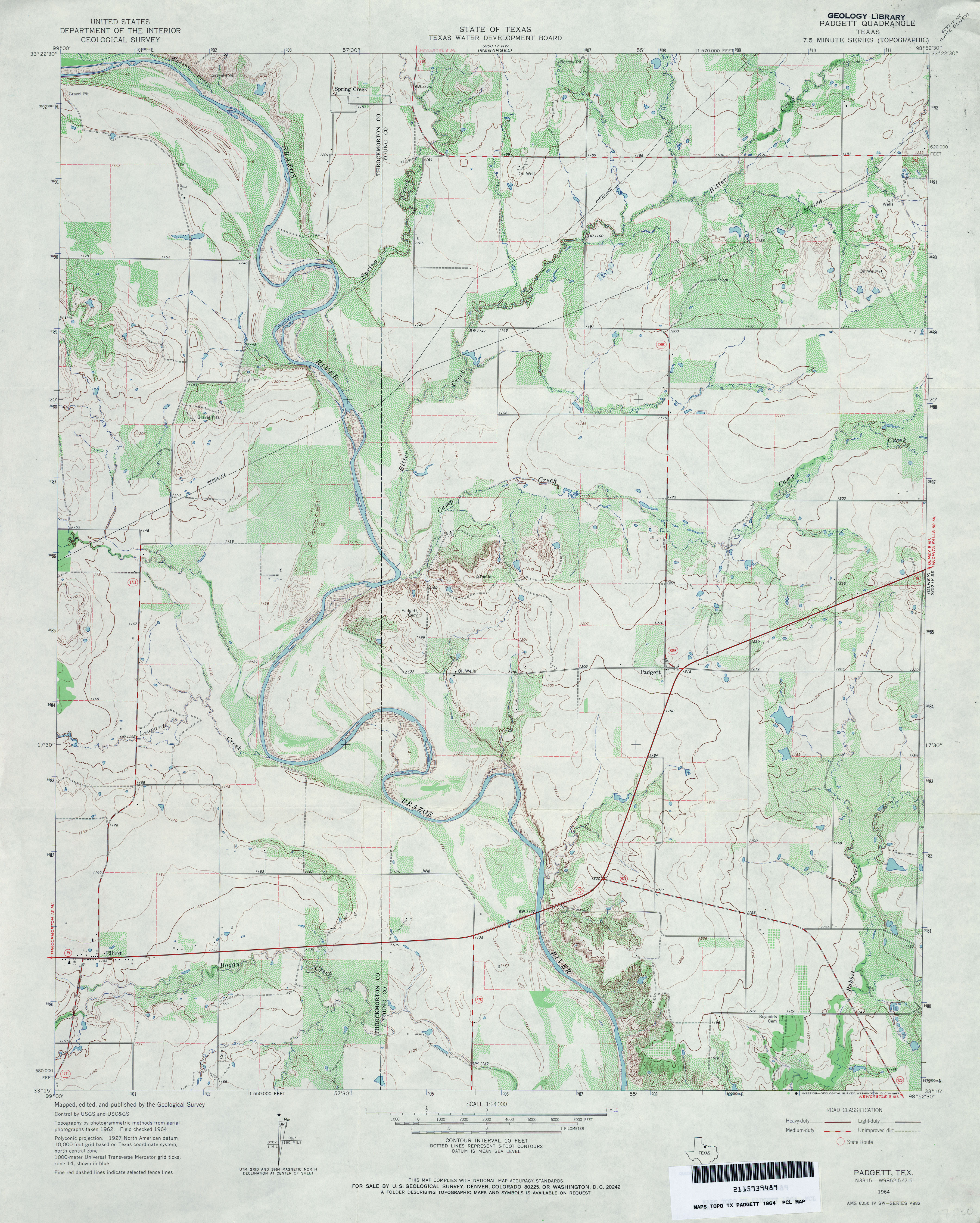
- Padgett 1:24,000 1964 (3.9MB)
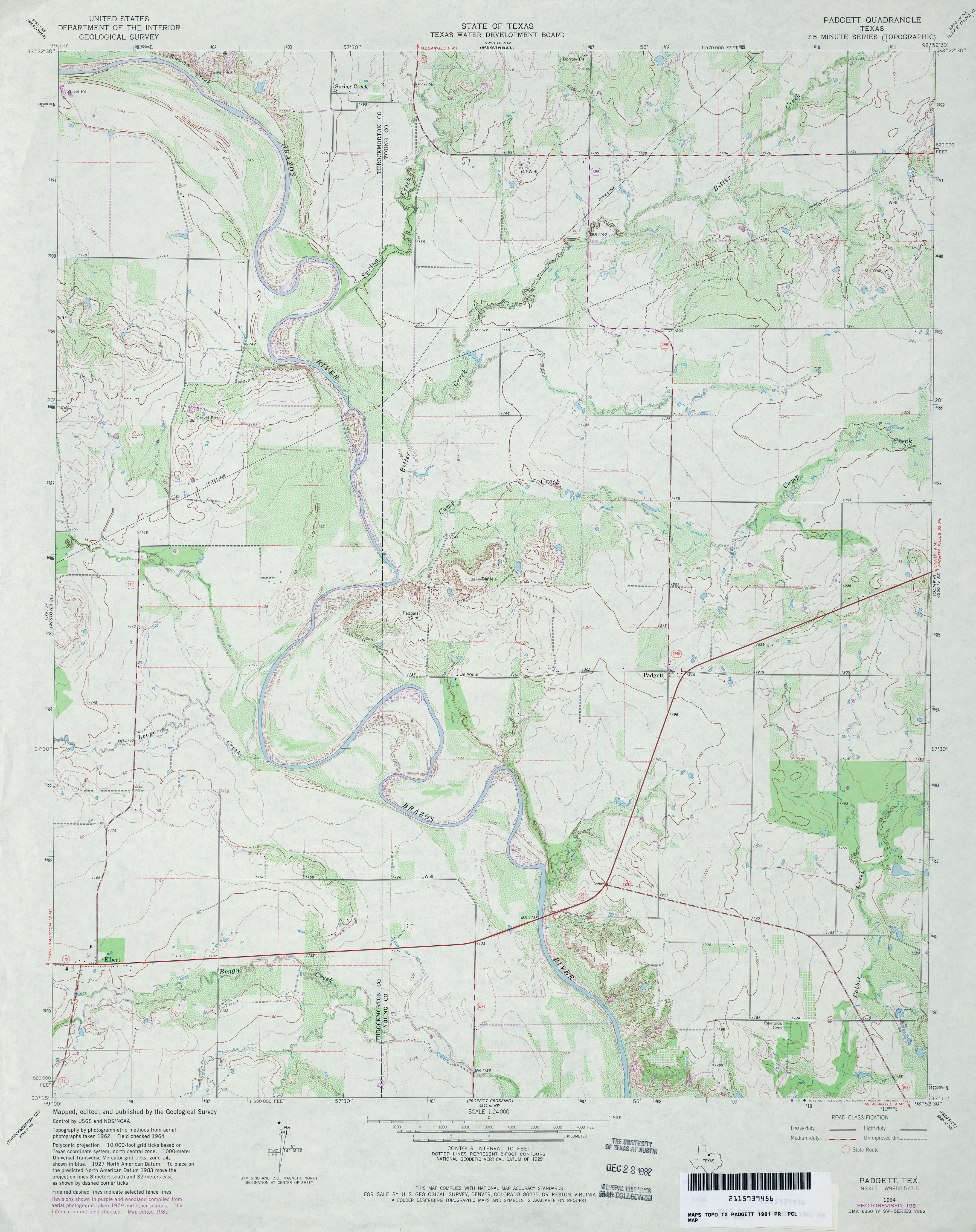
- Padgett 1:24,000 1981 (3.7MB)
- Padgett 1:24,000 2008 (12.7MB) [GeoPDF]
- Padgett 1:24,000 2013 (18.3MB) [GeoPDF]
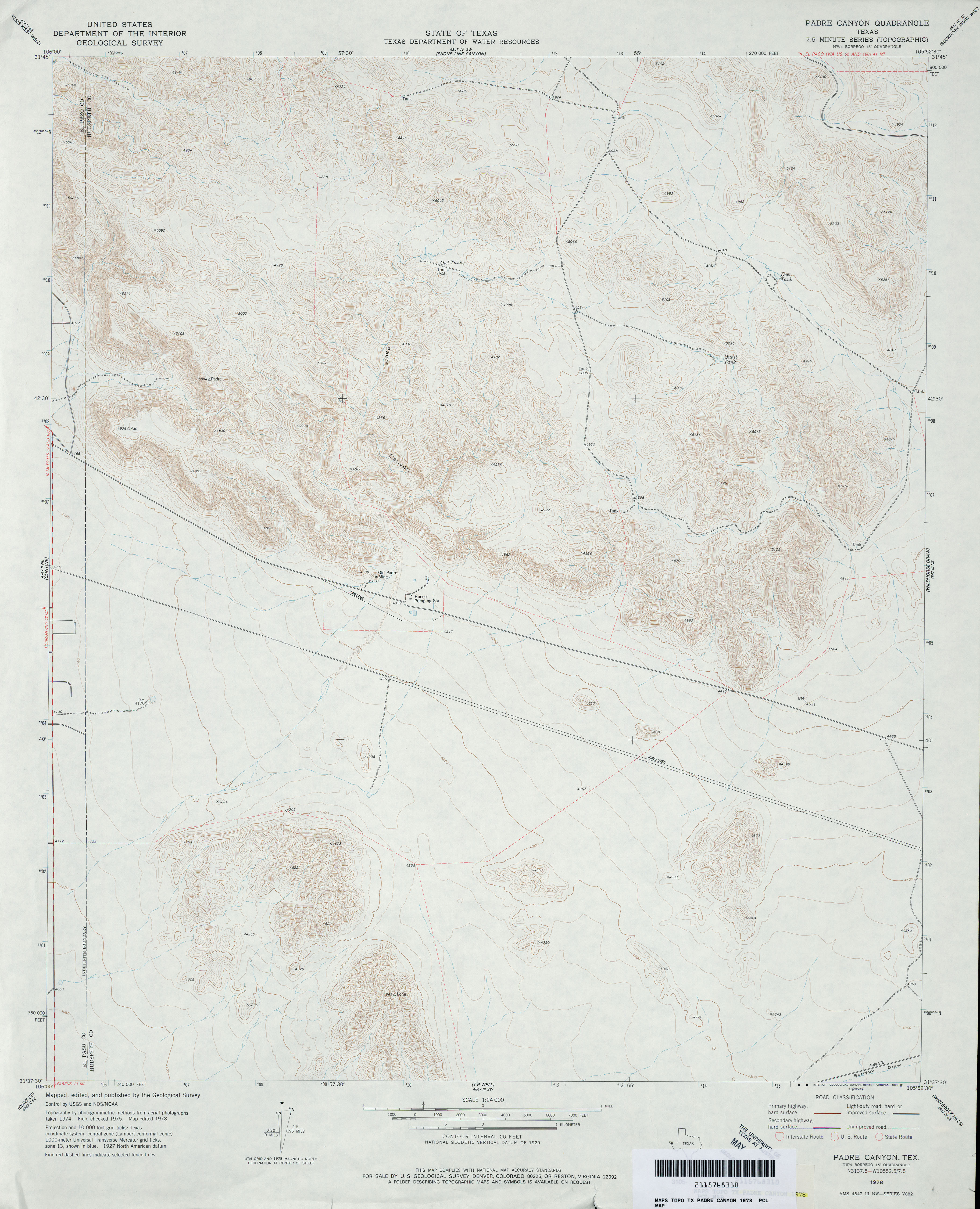
- Padre Canyon 1:24,000 1978 (3.3MB)
- Padre Canyon 1:24,000 2008 (22.6MB) [GeoPDF]
- Padre Canyon 1:24,000 2013 (26.2MB) [GeoPDF]
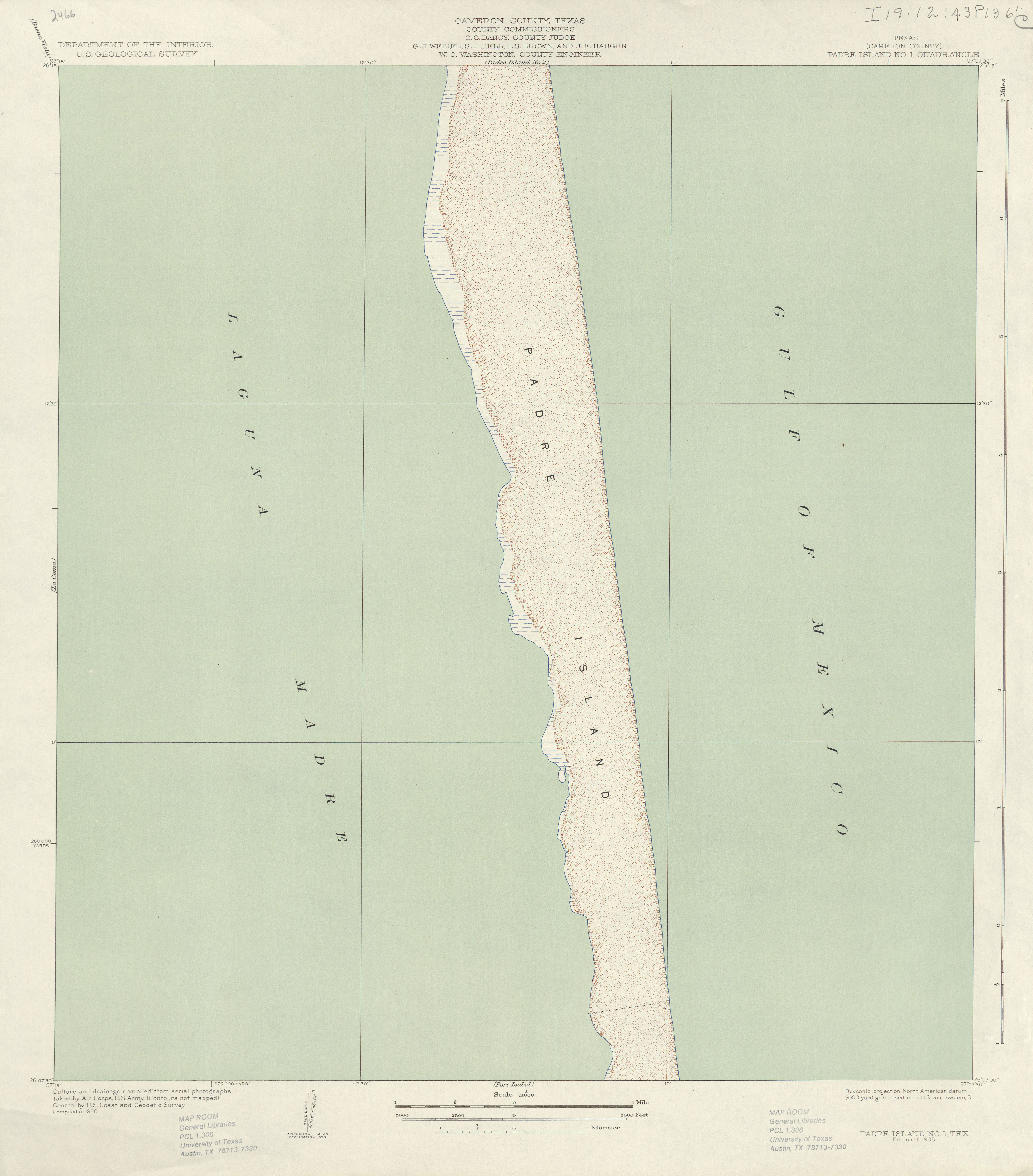
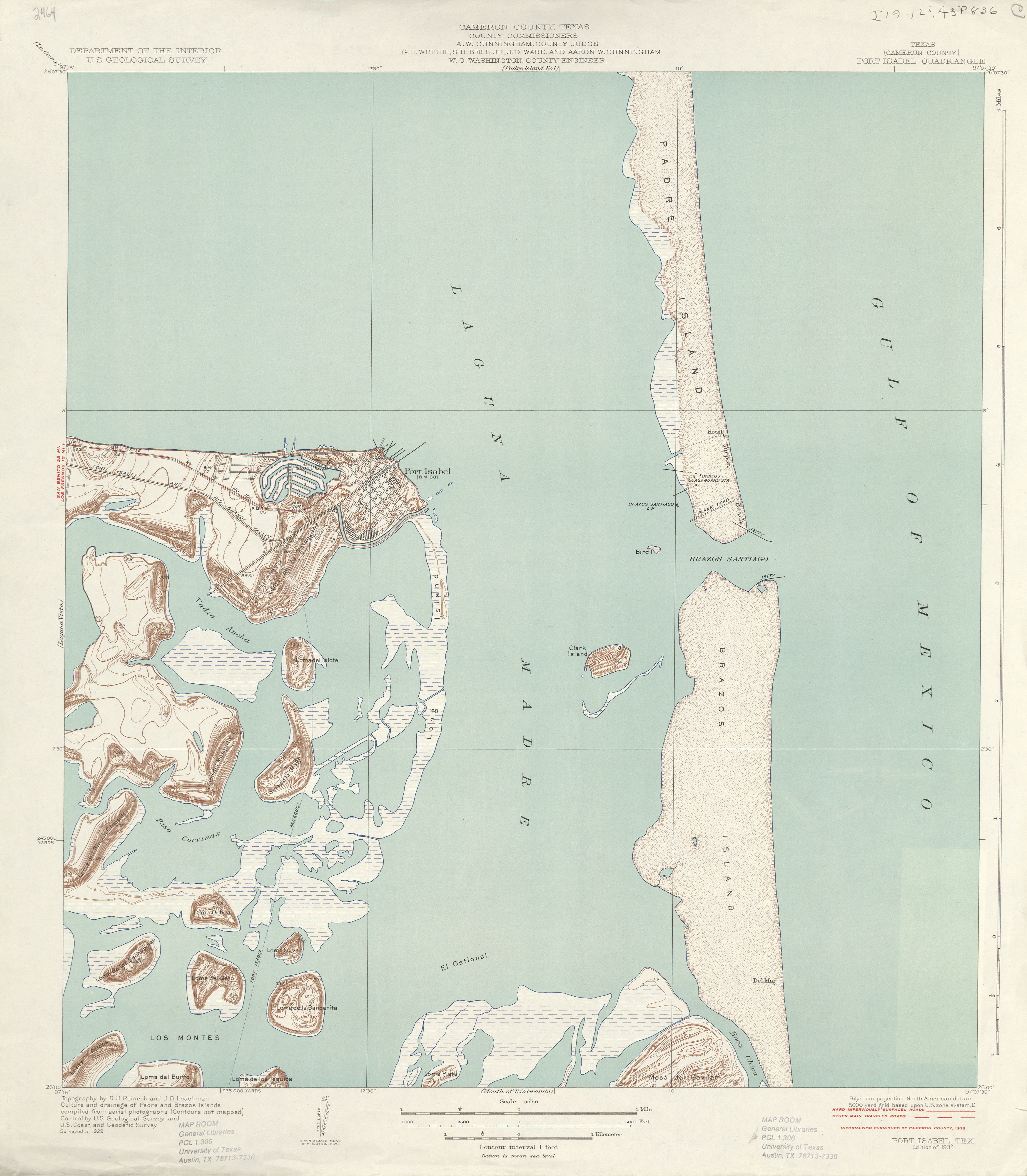
- Padre Island No. 1 (Cameron County) 1:31,680 1930 (4.1 MB)
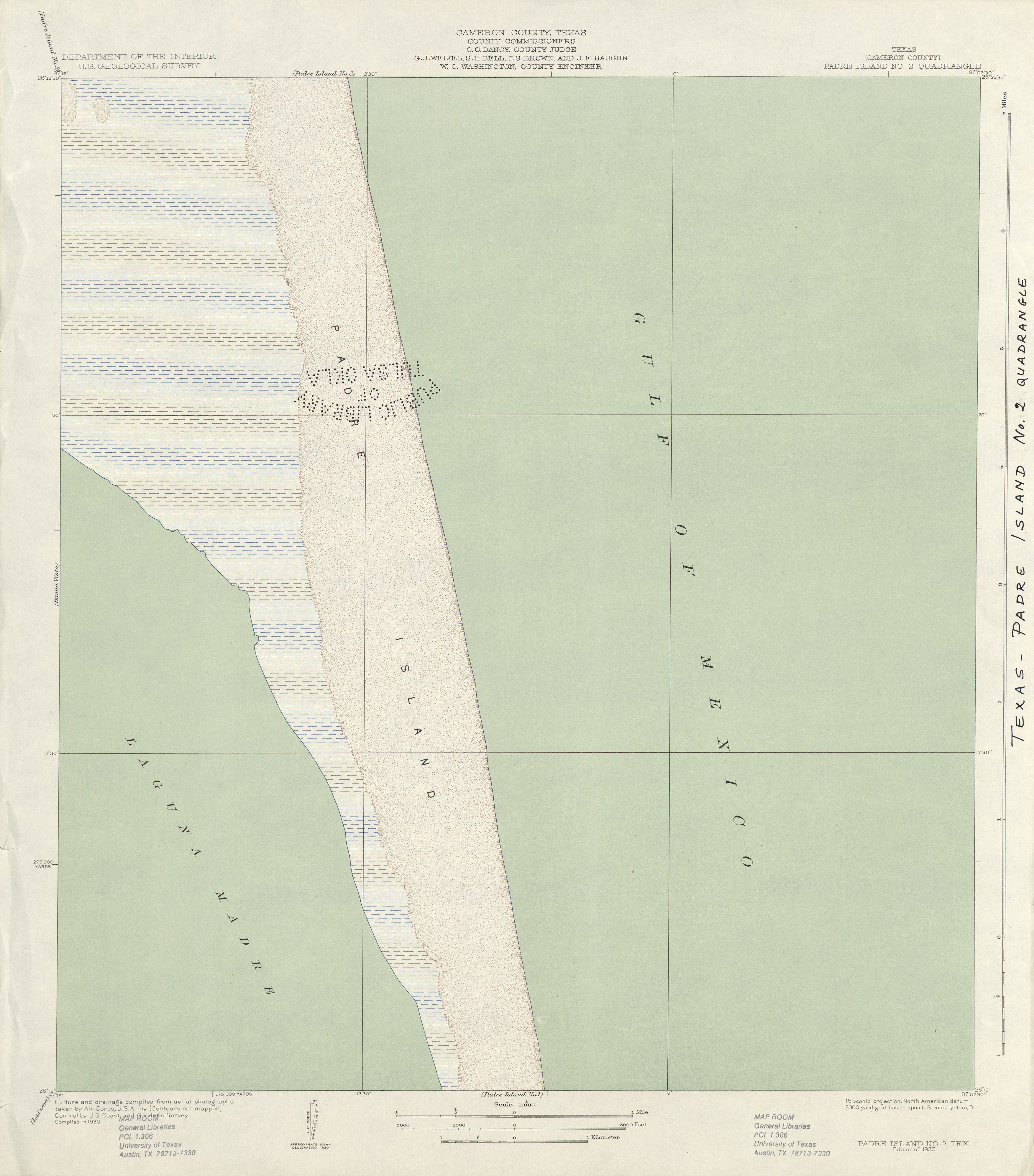
- Padre Island No. 2 (Cameron County) 1:31,680 1930 (2.0 MB)
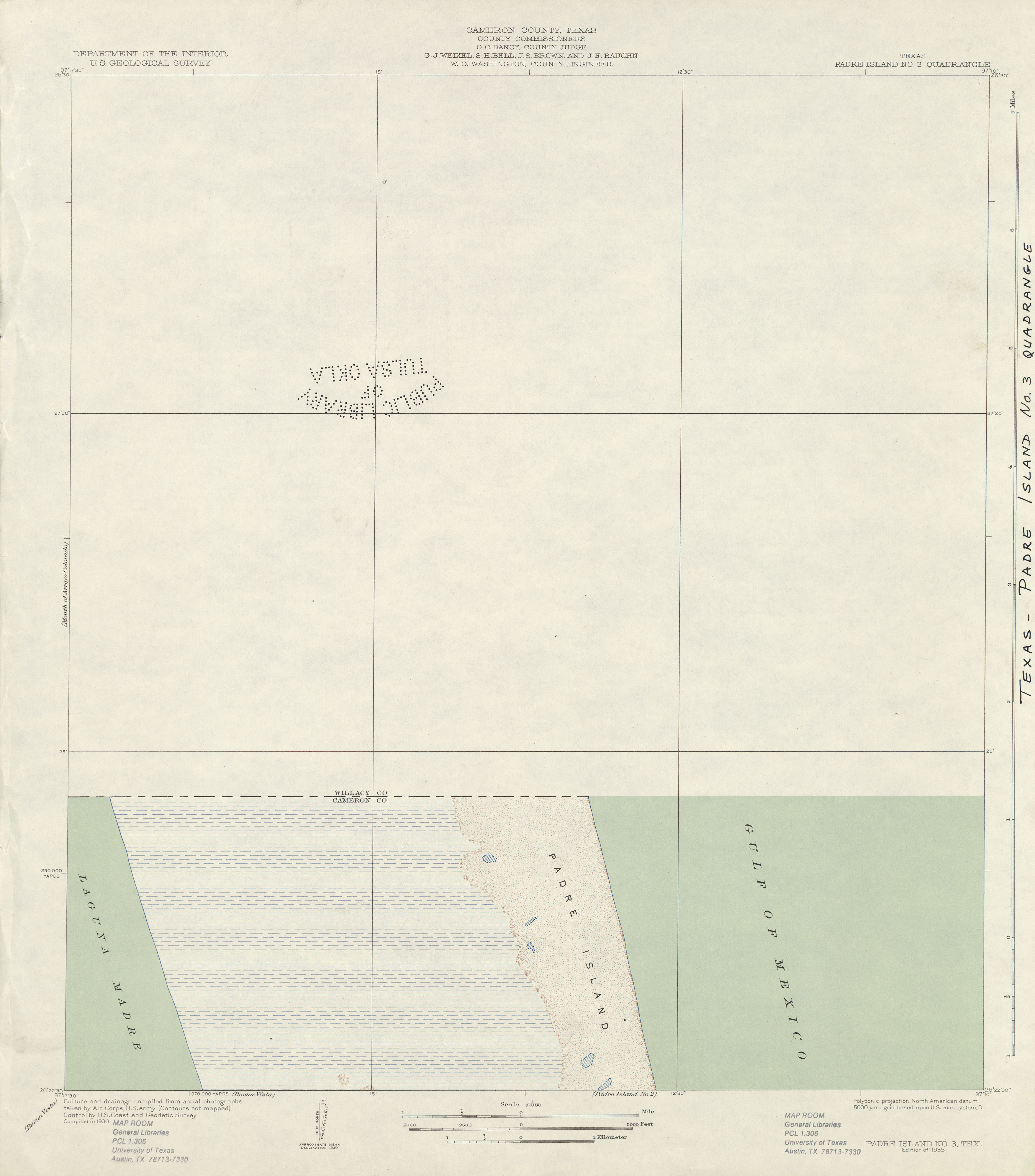
- Padre Island No. 3 (Cameron County) 1:31,680 1930 (1.6 MB)
- Paduca Breaks East [New Mexico, Texas] 1:24,000 2009 (27.8MB) [GeoPDF]
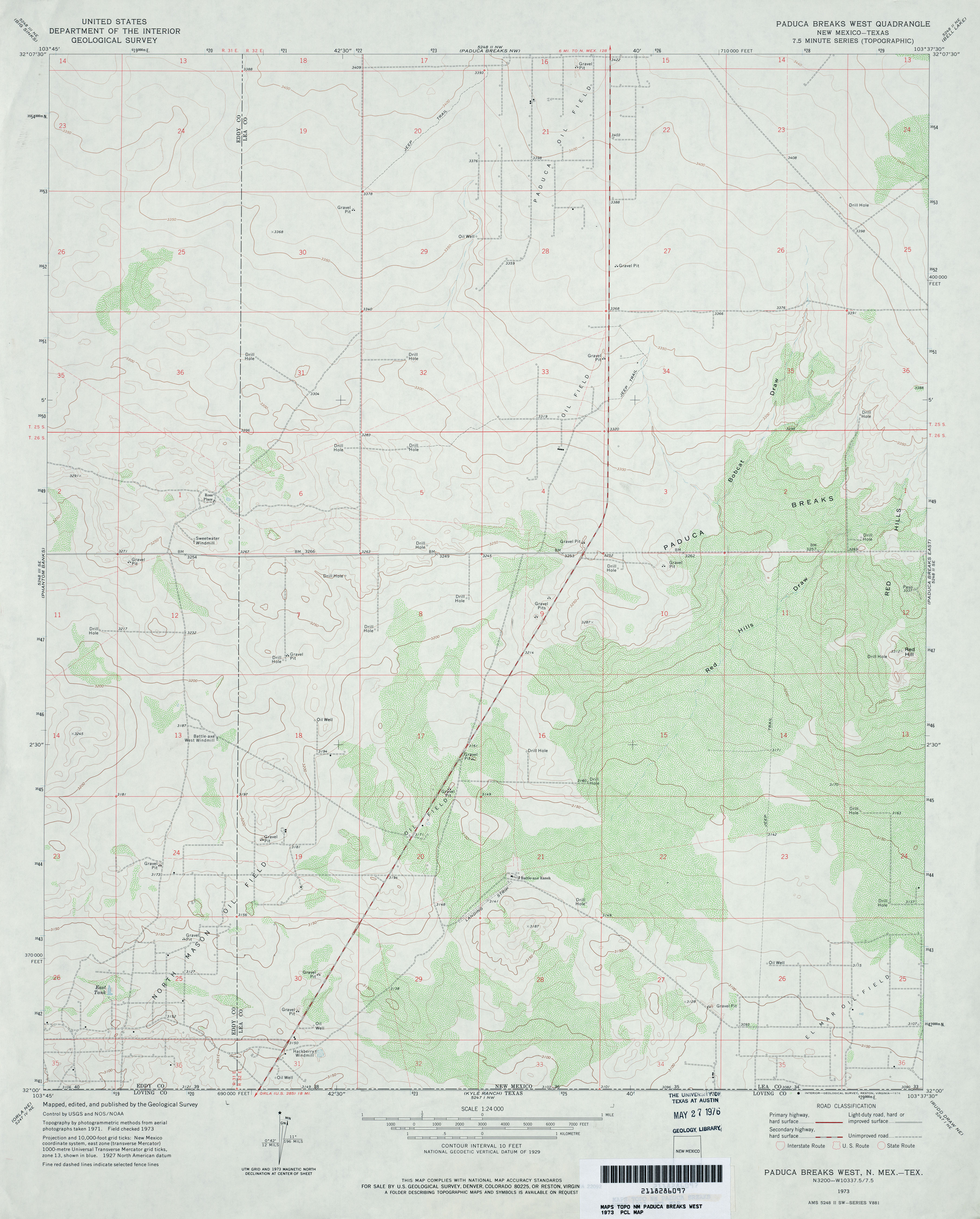
- Paduca Breaks West 1:24,000 1973 (3MB)
- Paduca Breaks West [New Mexico, Texas] 1:24,000 2009 (28.5MB) [GeoPDF]
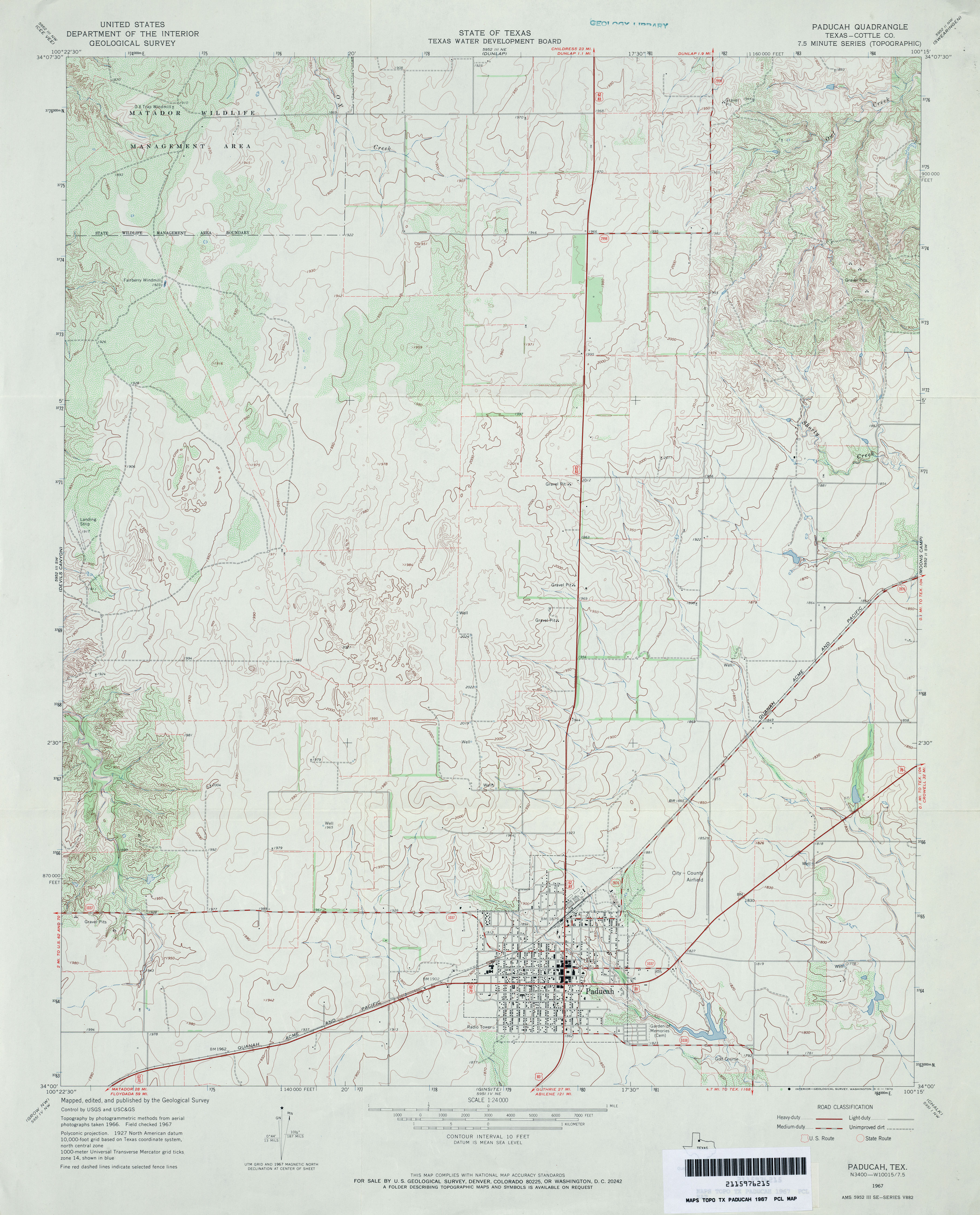
- Paducah (Cottle County) 1:24,000 1967 (3.5MB)
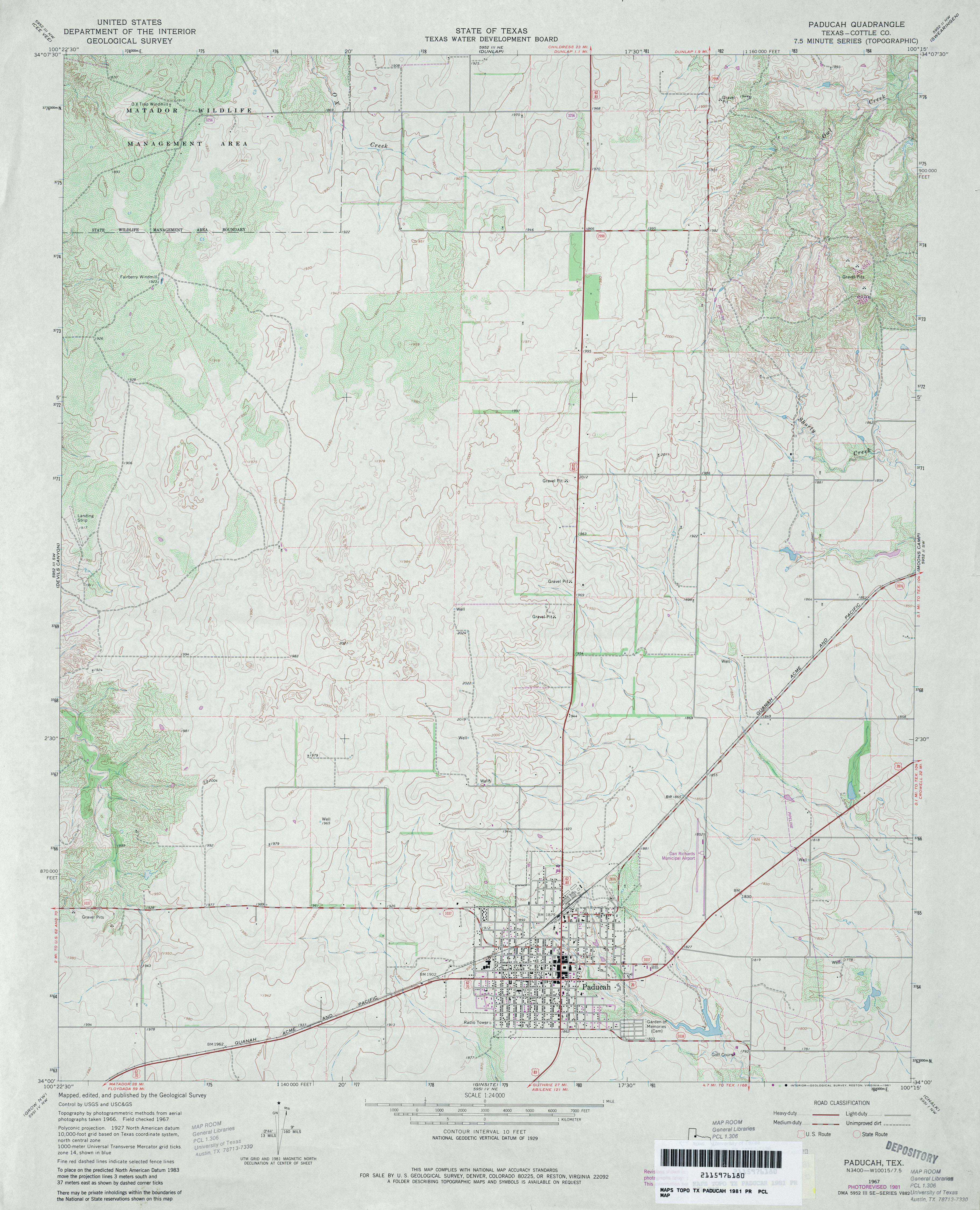
- Paducah (Cottle County) 1:24,000 1981 (3.6MB)
- Paducah 1:24,000 2008 (11.4MB) [GeoPDF]
- Paducah 1:24,000 2012 (17.1MB) [GeoPDF]
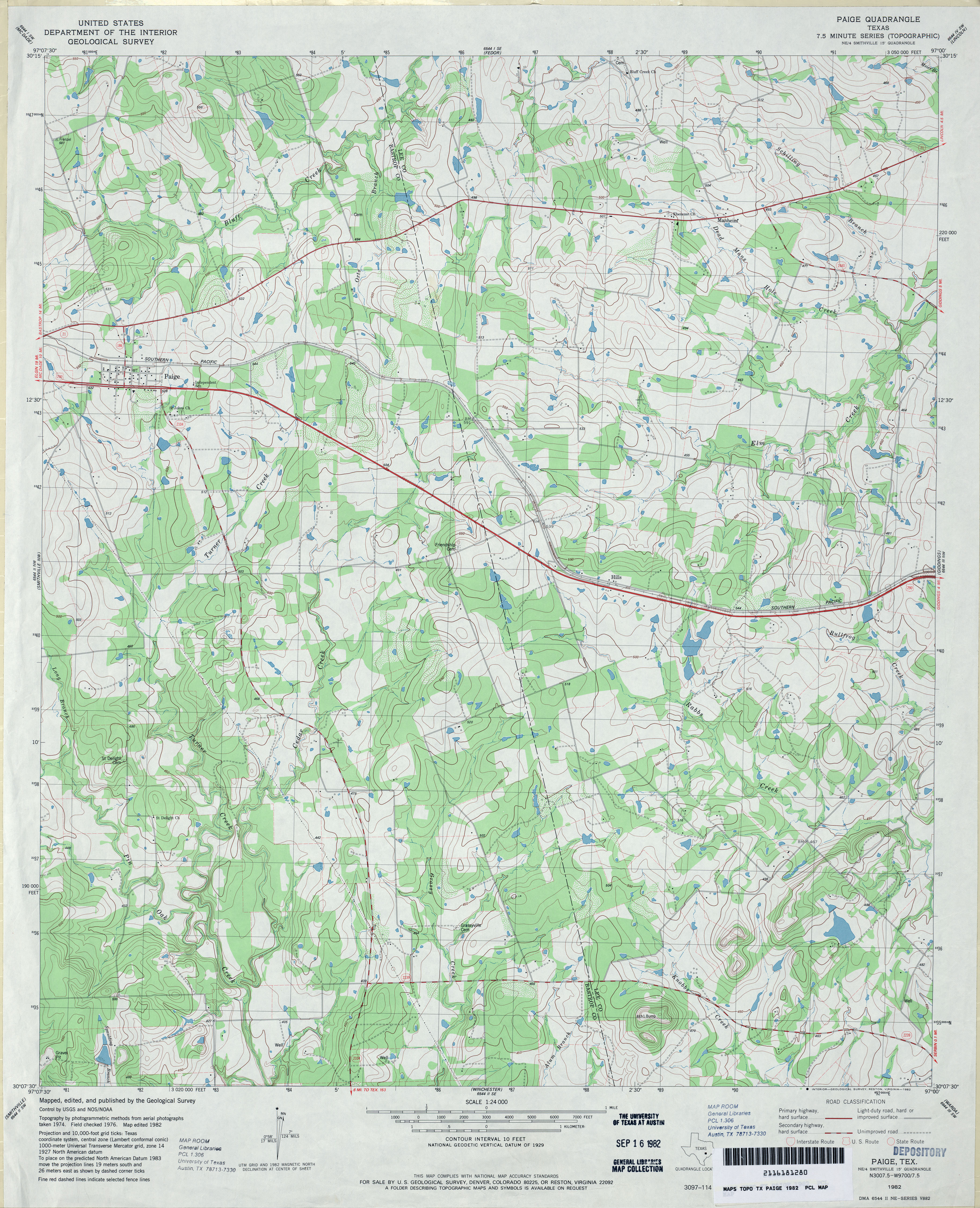
- Paige 1:24,000 1982 (4.3MB)
- Paige 1:24,000 2008 (15.0MB) [GeoPDF]
- Paige 1:24,000 2012 (24.3MB) [GeoPDF]
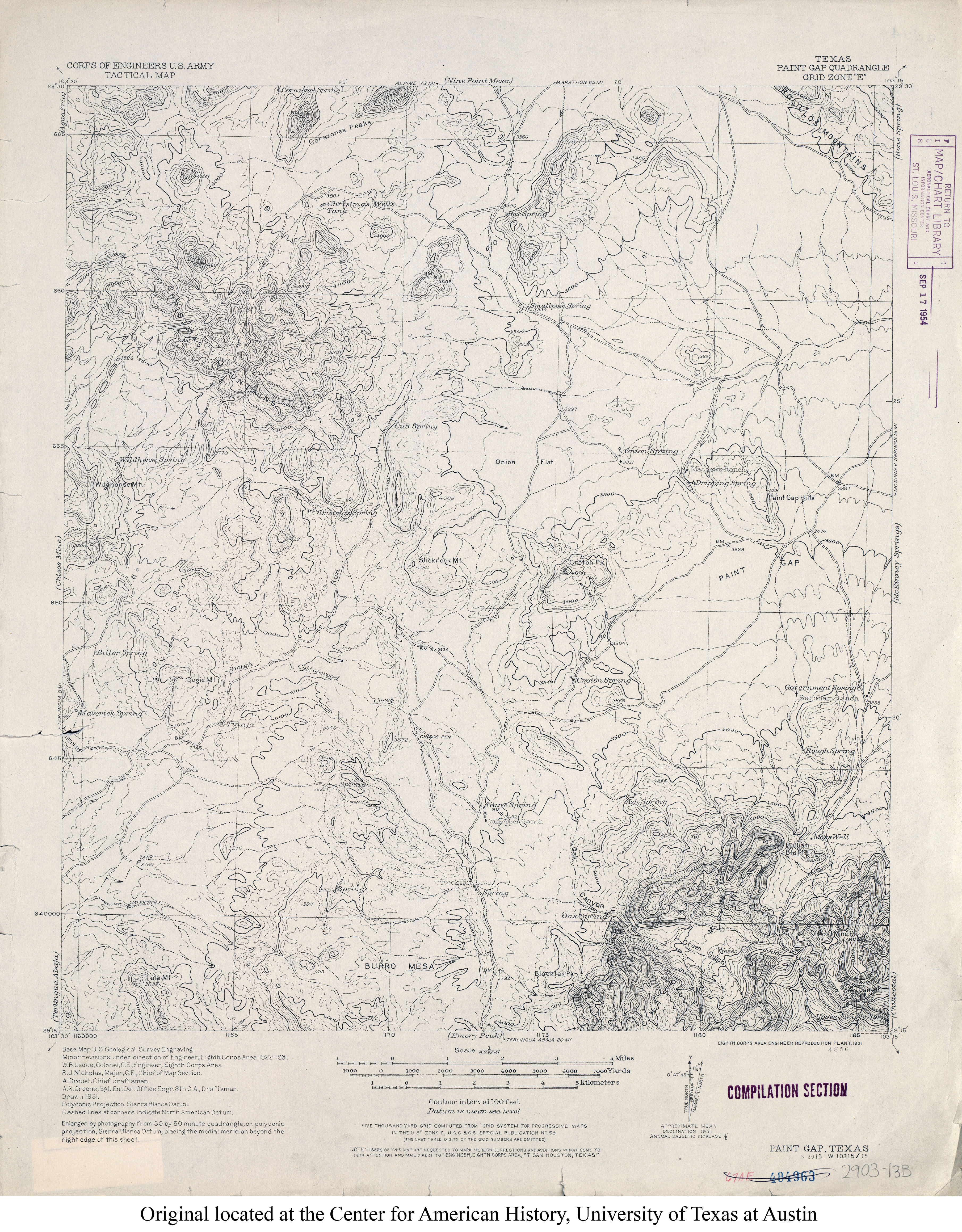
- Paint Gap 1:62,500 1931 (4.2MB) U.S. Army. Corps of Engineers. Tactical Map
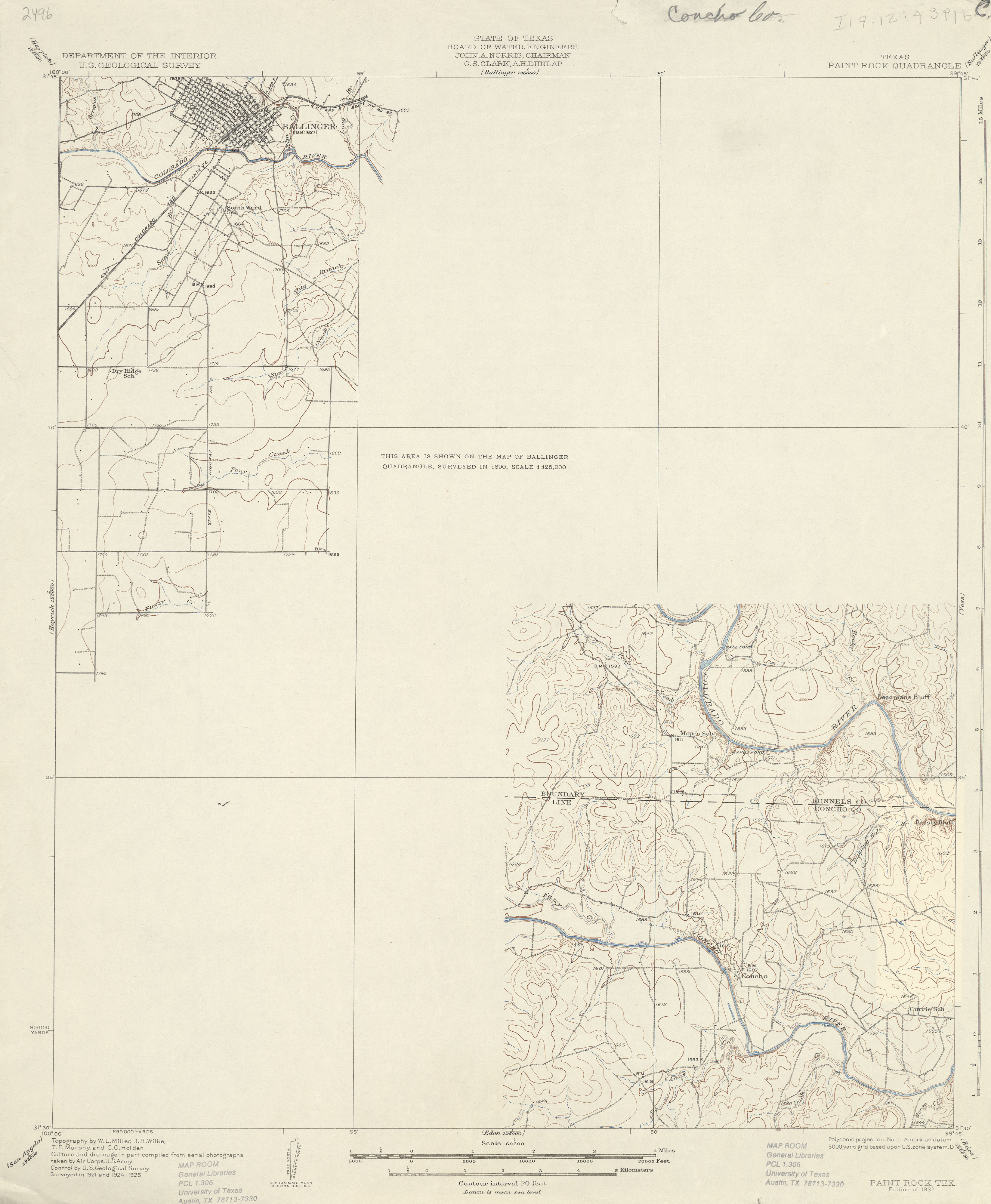
- Paint Rock 1:62,500 1925 (2.1 MB)
- Paint Rock 1:24,000 1967 (3.7MB)
- Paint Rock 1:24,000 2008 (18.2MB) [GeoPDF]
- Paint Rock 1:24,000 2013 (22.3MB) [GeoPDF]
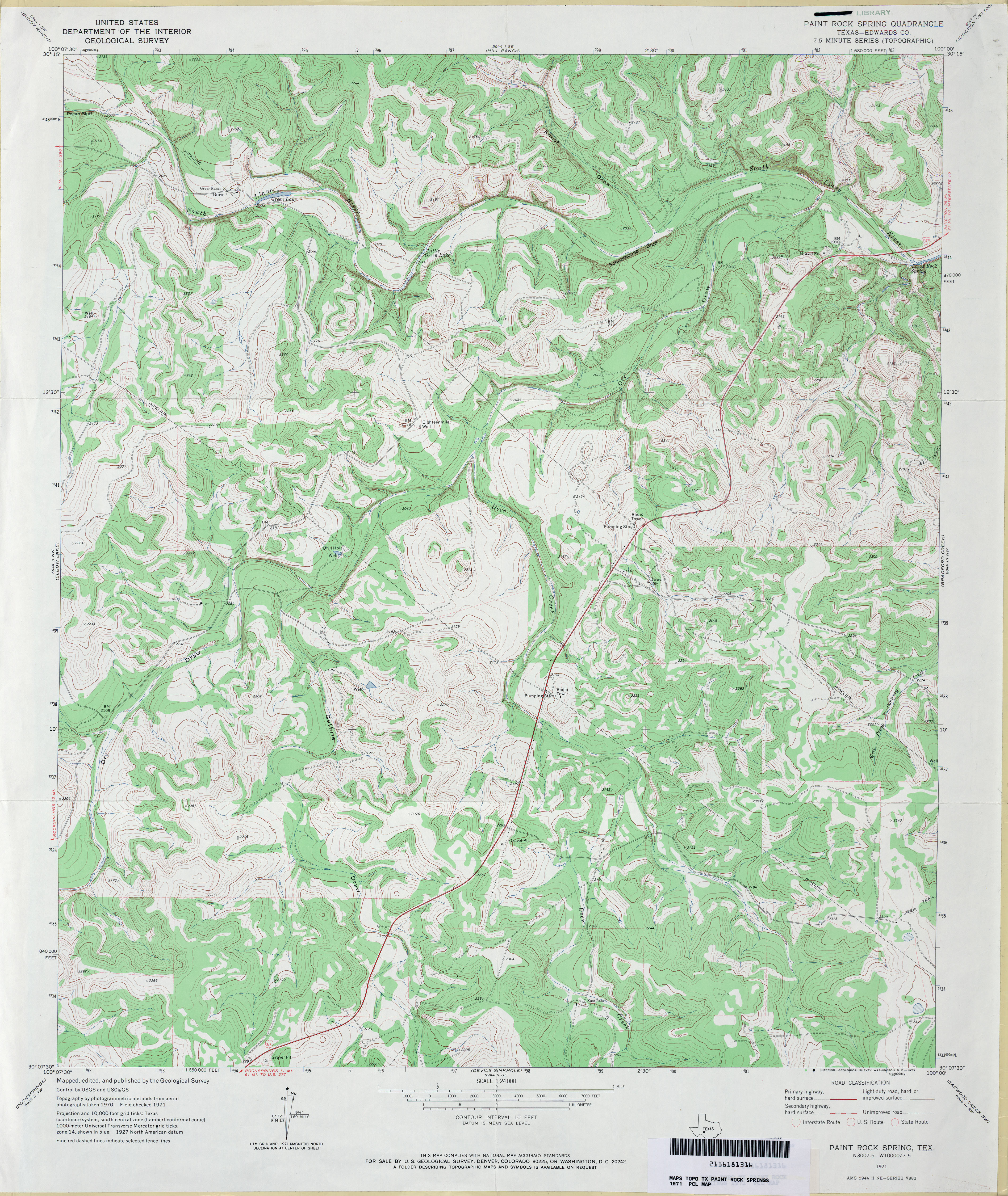
- Paint Rock Spring (Edwards County) 1:24,000 1971 (4.8MB)
- Paint Rock Spring 1:24,000 2008 (22.8MB) [GeoPDF]
- Paint Rock Spring 1:24,000 2012 (32.5MB) [GeoPDF]
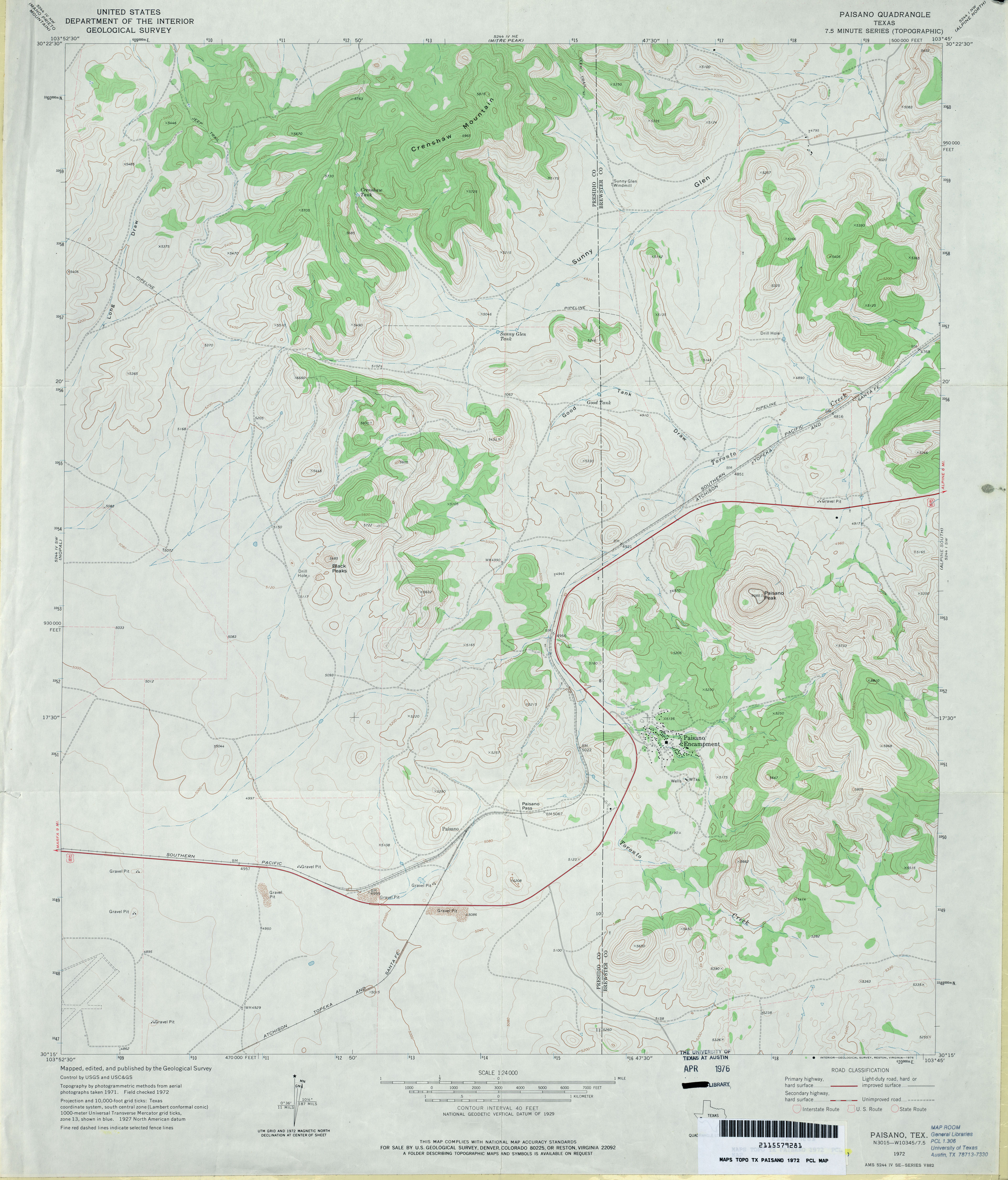
- Paisano 1:24,000 1972 (3.3MB)
- Paisano 1:24,000 2008 (16.8MB) [GeoPDF]
- Paisano 1:24,000 2012 (22.2MB) [GeoPDF]
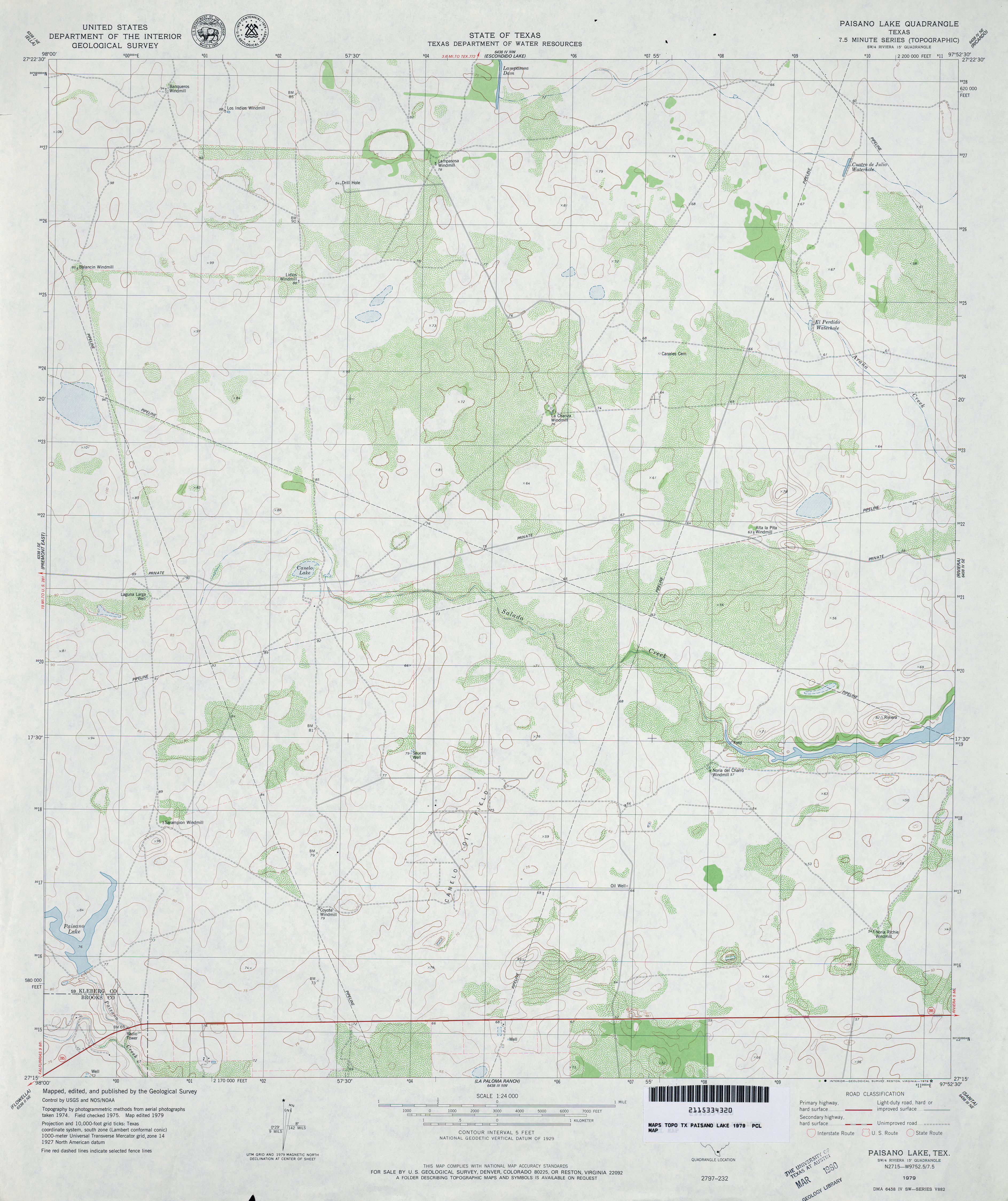
- Paisano Lake 1:24,000 1979 (3.4MB)
- Paisano Lake 1:24,000 2009 (14.3MB) [GeoPDF]
- Paisano Lake 1:24,000 2013 (19.3MB) [GeoPDF]
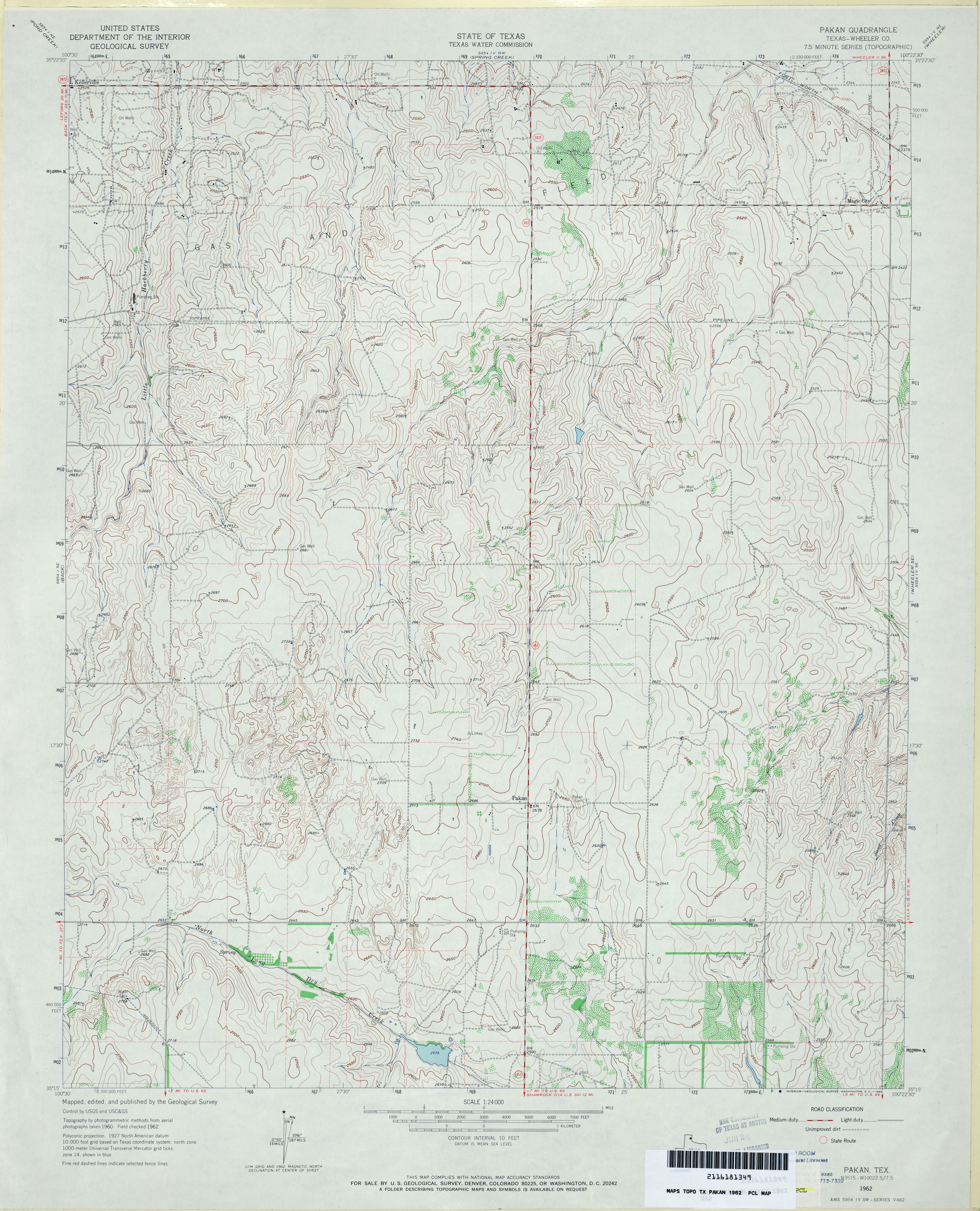
- Pakan (Wheeler County) 1:24,000 1962 (3.9MB)
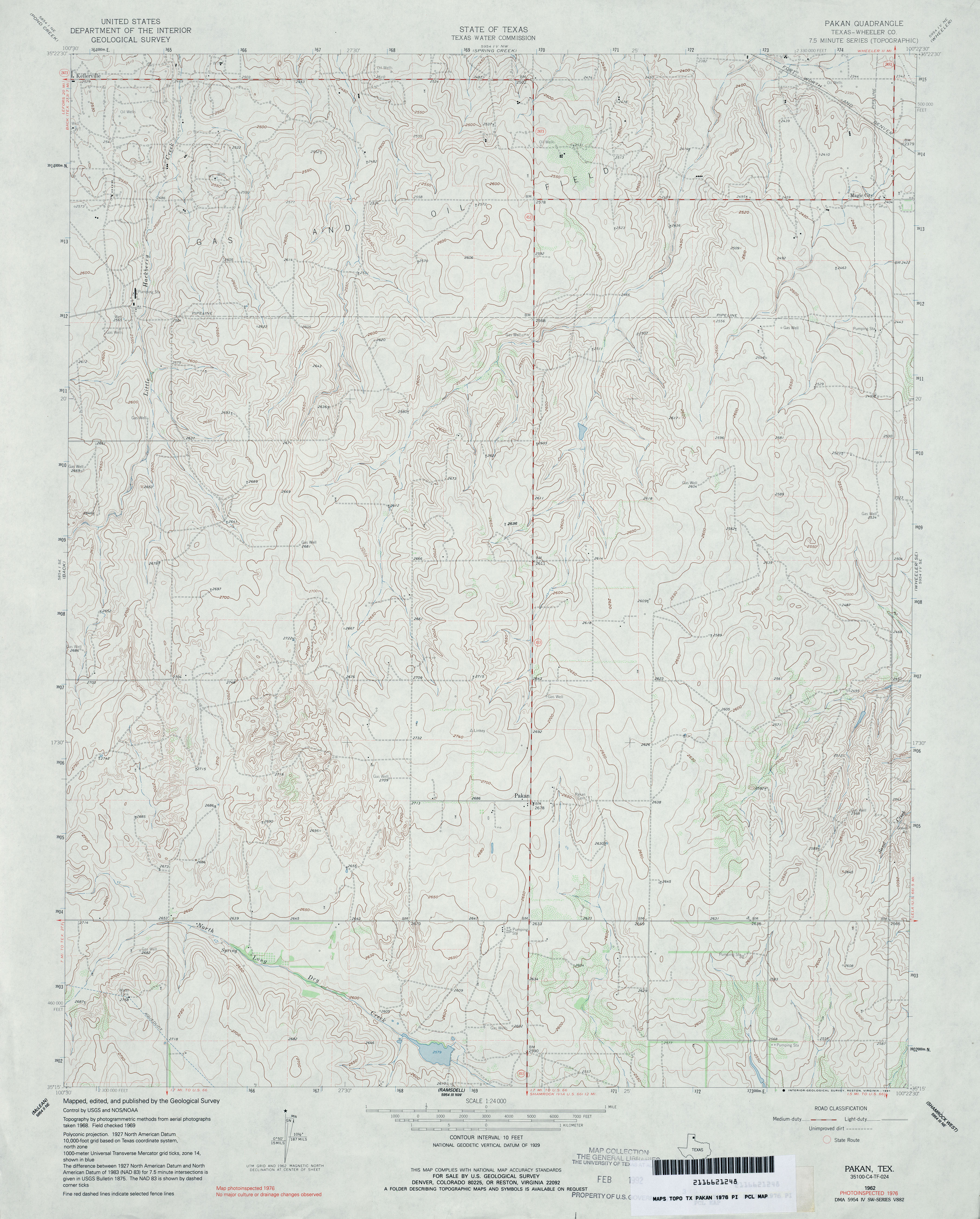
- Pakan (Wheeler County) 1:24,000 1976 (3.7MB)
- Pakan 1:24,000 2008 (11.6MB) [GeoPDF]
- Pakan 1:24,000 2012 (17.5MB) [GeoPDF]
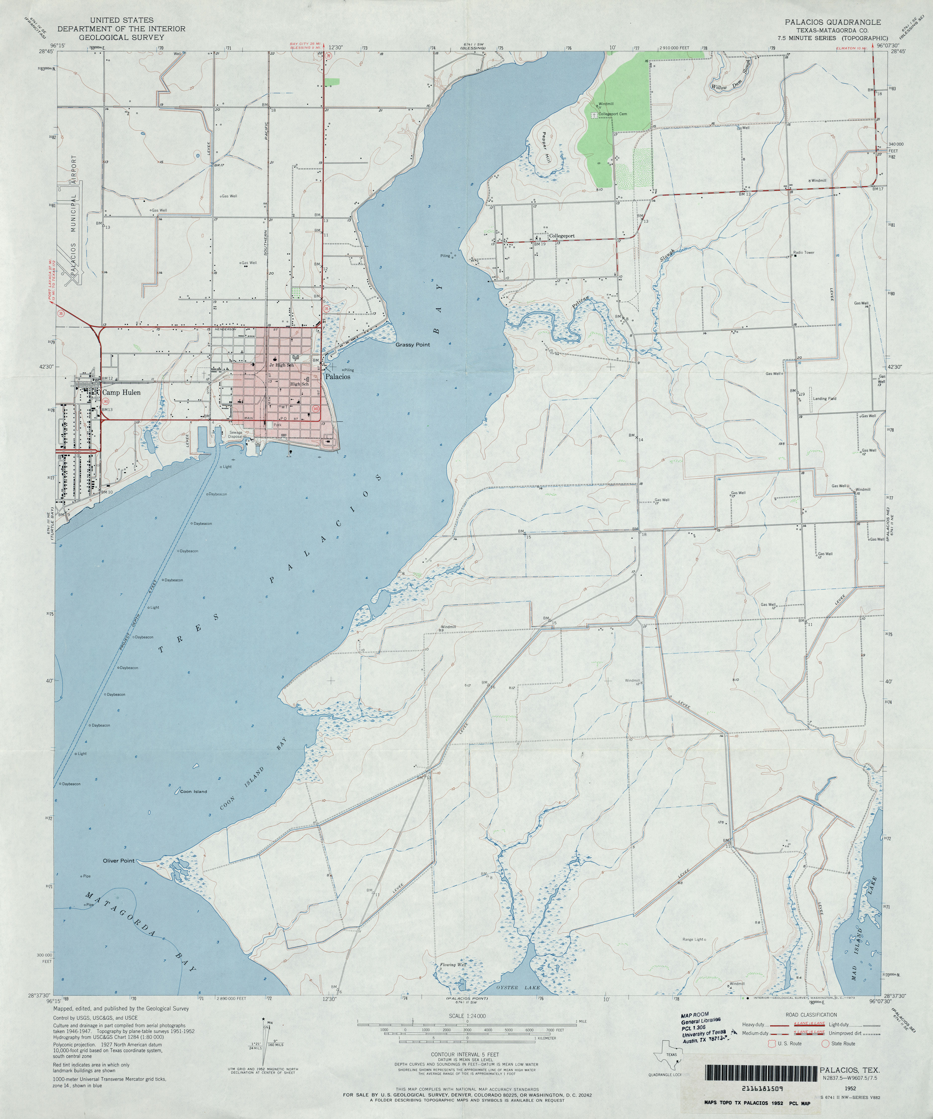
- Palacios (Matagorda County) 1:24,000 1952 (2.6MB)
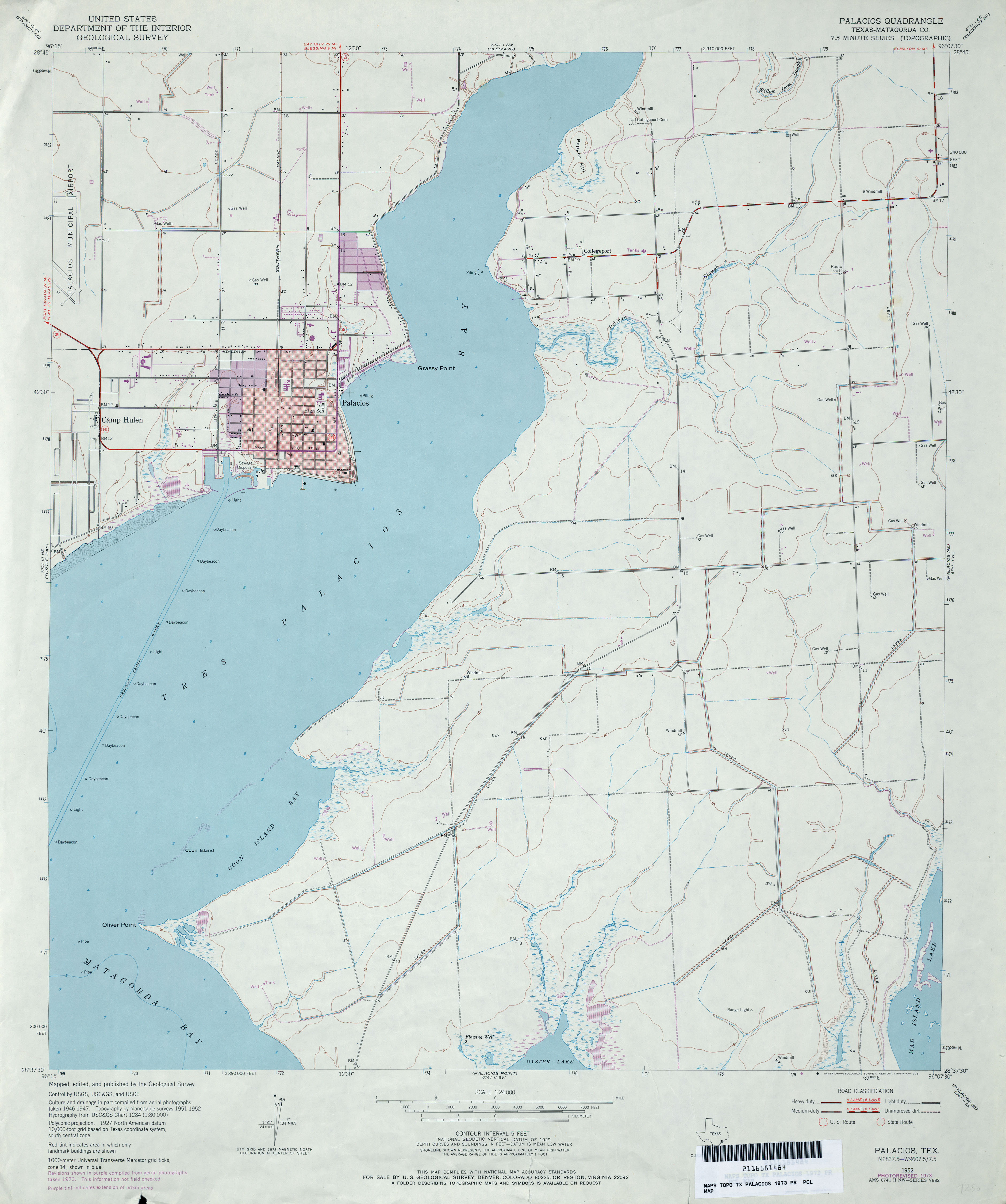
- Palacios (Matagorda County) 1:24,000 1973 (2.6MB)
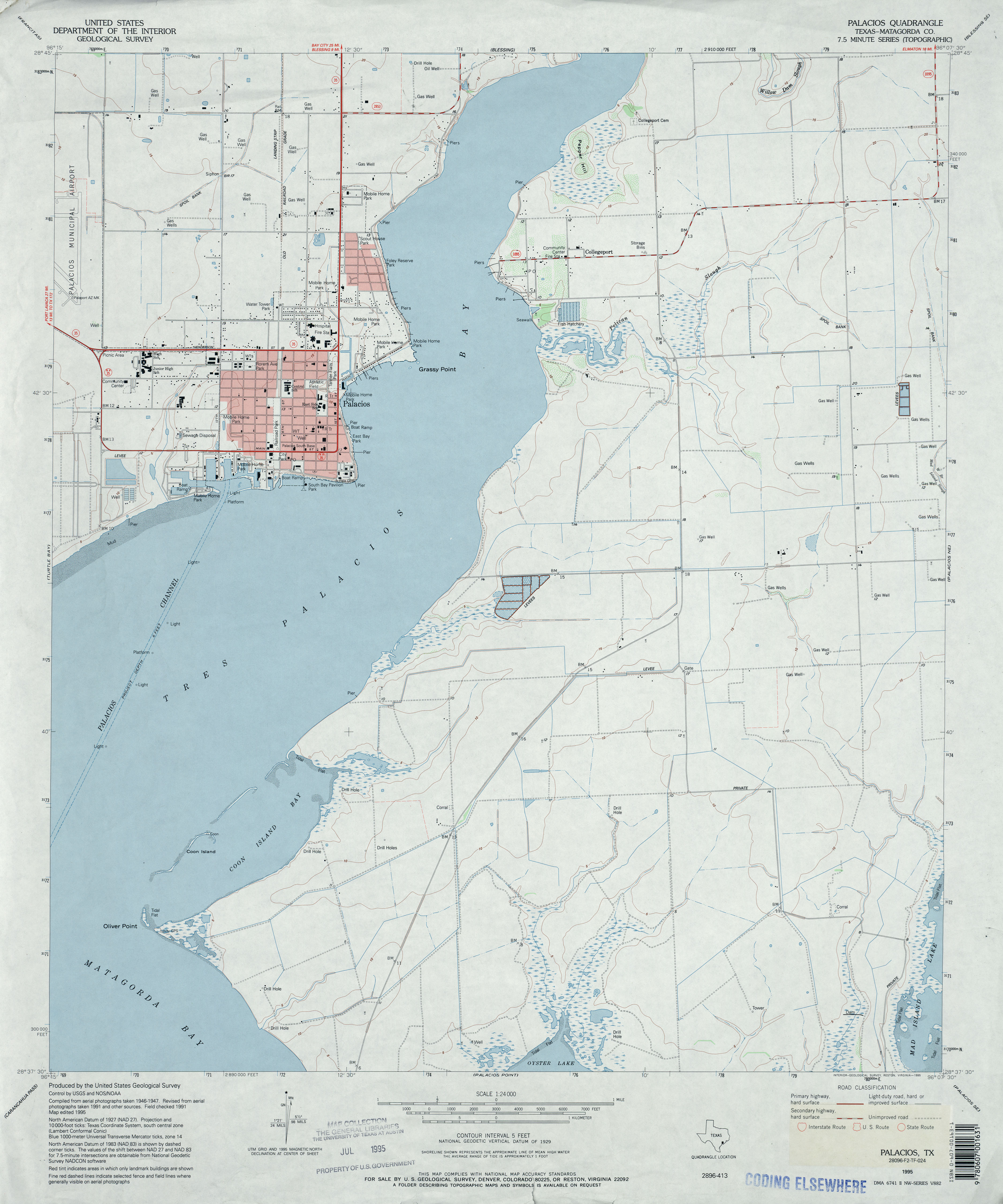
- Palacios (Matagorda County) 1:24,000 1995 (2.8MB)
- Palacios 1:24,000 2008 (11.7MB) [GeoPDF]
- Palacios 1:24,000 2013 (17.6MB) [GeoPDF]
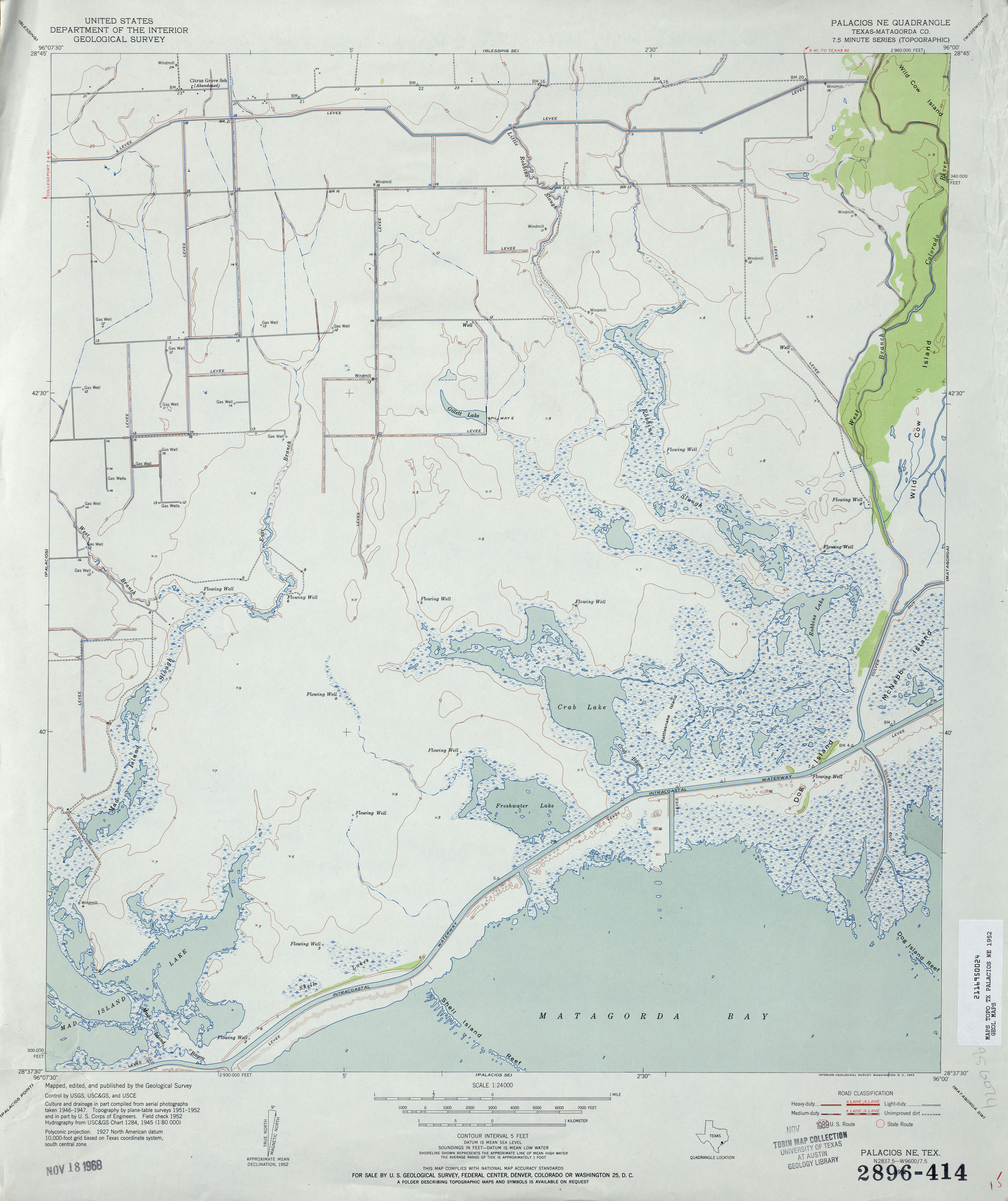
- Palacios NE (Matagorda County) 1:24,000 1952 (3.1MB)
- Palacios NE (Matagorda County) 1:24,000 1972 (2.9MB)
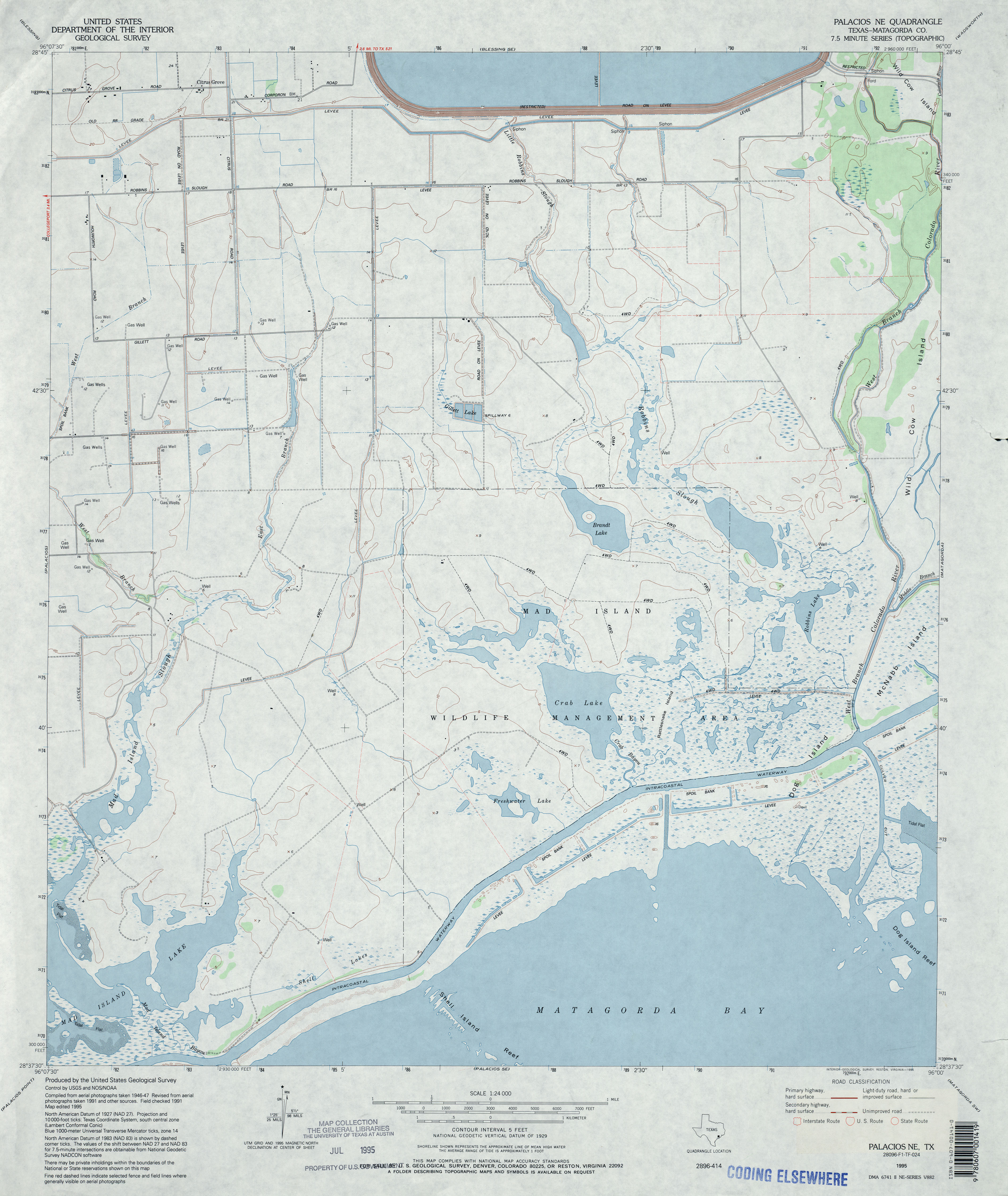
- Palacios NE (Matagorda County) 1:24,000 1995 (3.1MB)
- Palacios NE 1:24,000 2008 (10.4MB) [GeoPDF]
- Palacios NE 1:24,000 2013 (16.7MB) [GeoPDF]
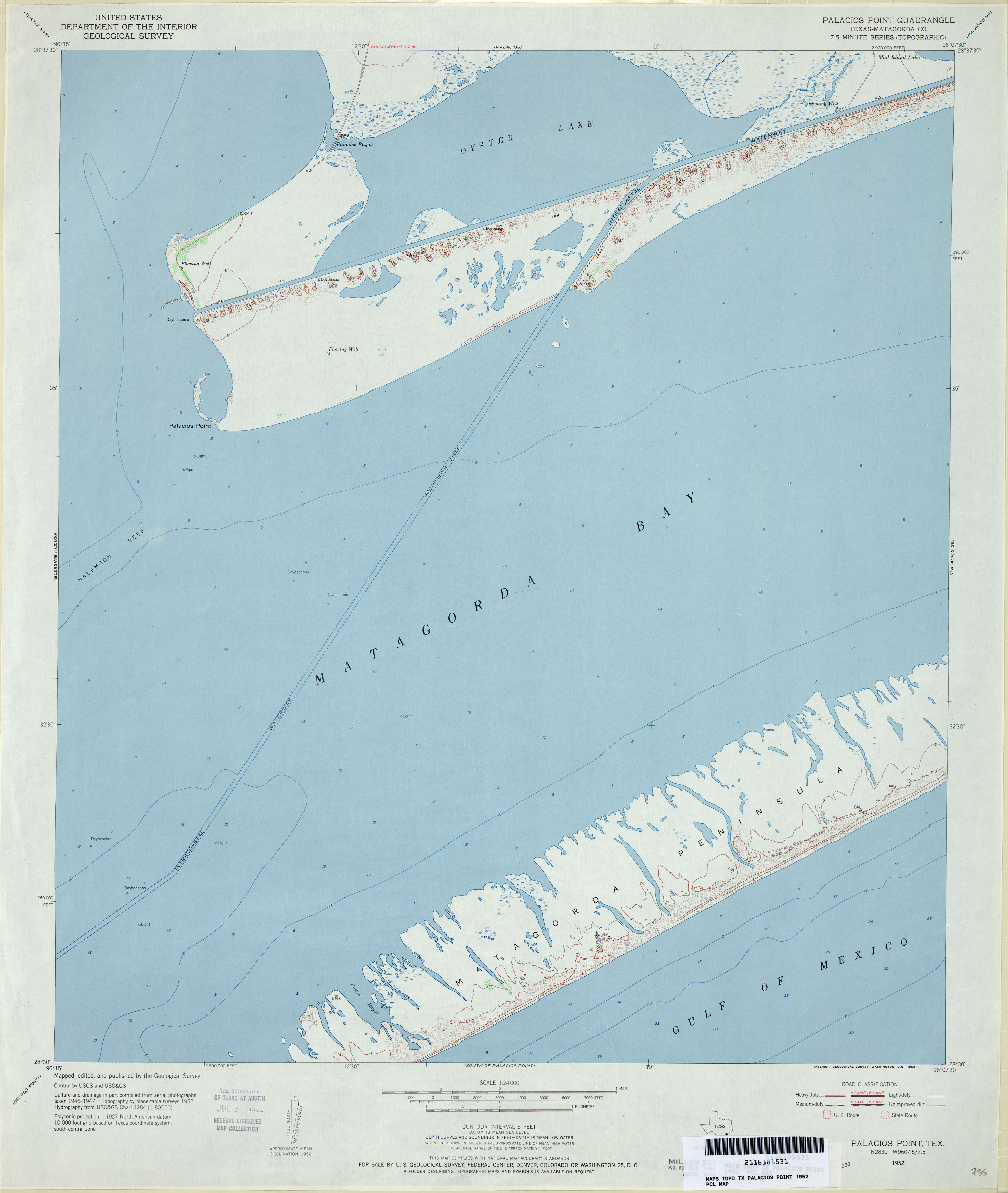
- Palacios Point (Matagorda County) 1:24,000 1952 (2.3MB)
- Palacios Point 1:24,000 2008 (11.8MB) [GeoPDF]
- Palacios Point 1:24,000 2013 (16.5MB) [GeoPDF]
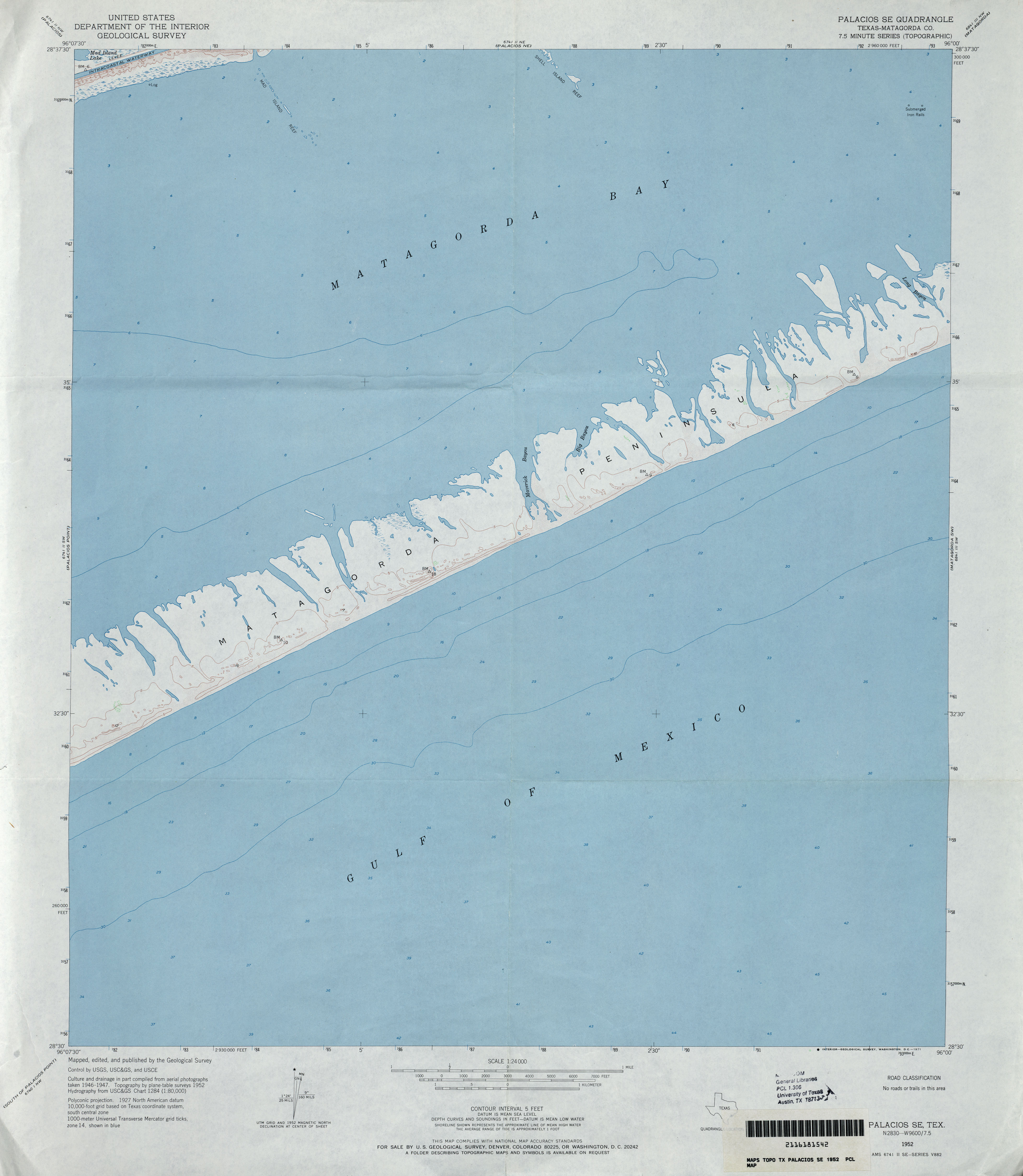
- Palacios SE (Matagorda County) 1:24,000 1952 (2.1MB)
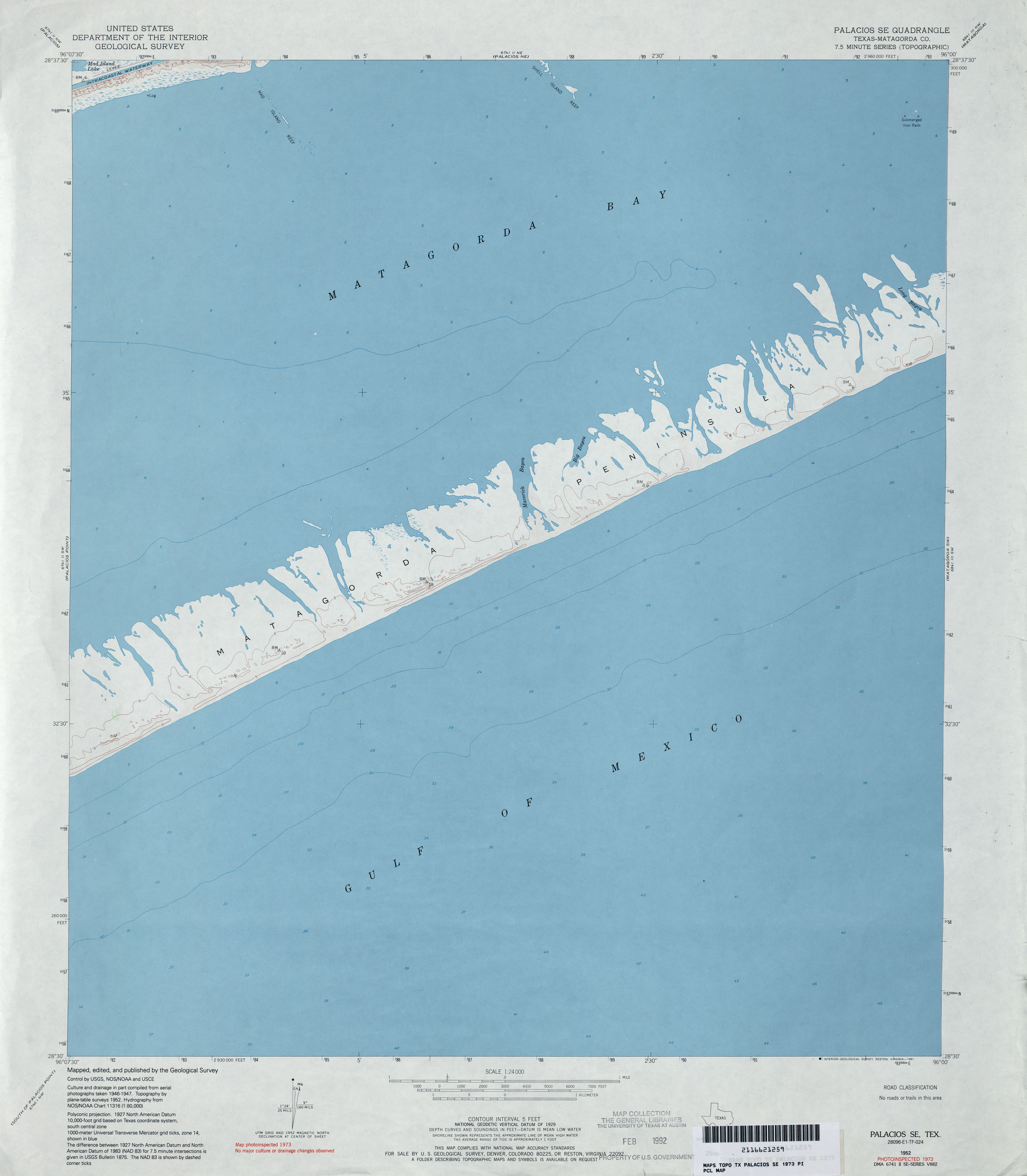
- Palacios SE (Matagorda County) 1:24,000 1973 (2.1MB)
- Palacios SE 1:24,000 2008 (10.7MB) [GeoPDF]
- Palacios SE 1:24,000 2013 (16.5MB) [GeoPDF]
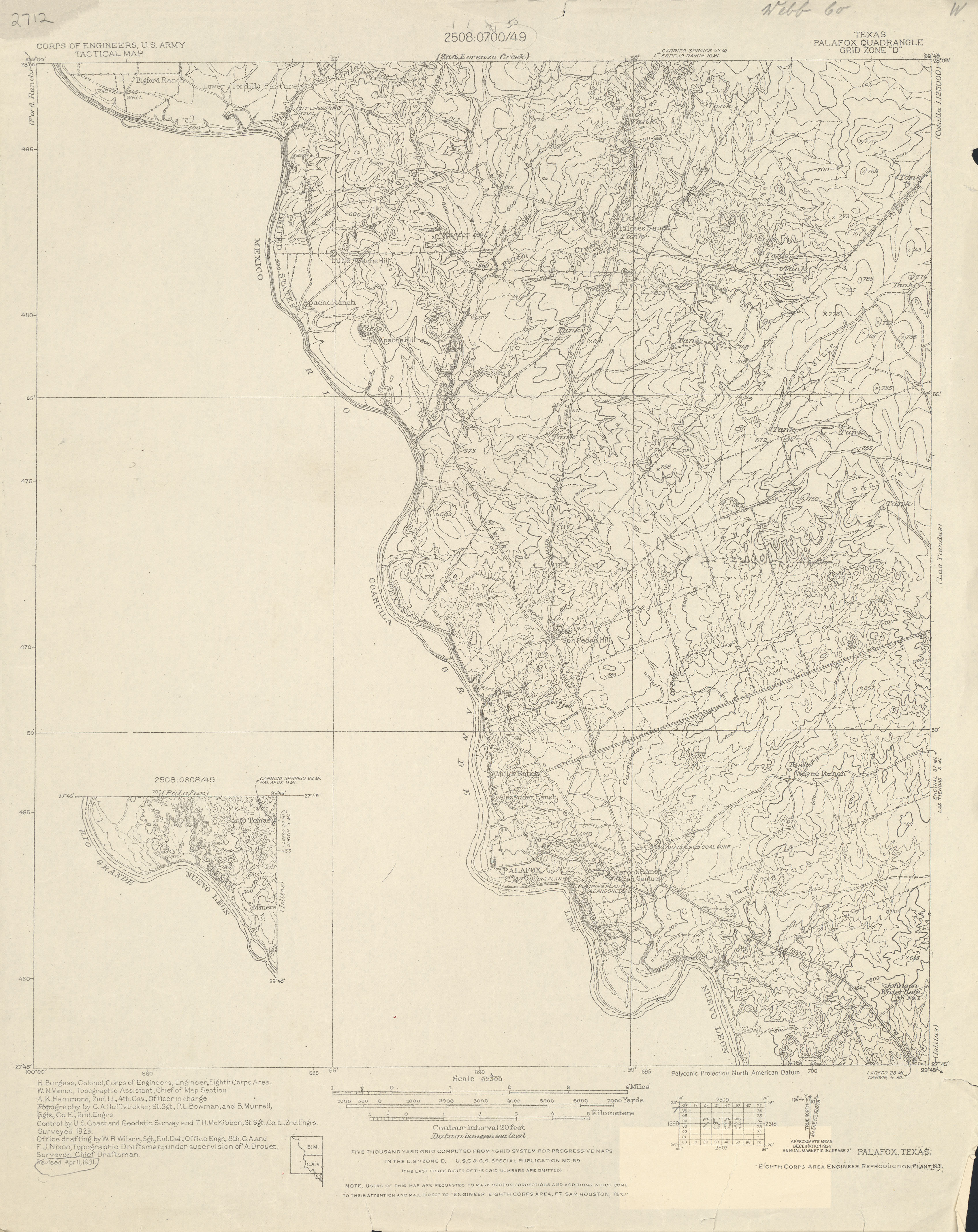
- Palafox 1:62,500 1931 (2.9 MB) U.S. Army. Corps of Engineers. Tactical Map
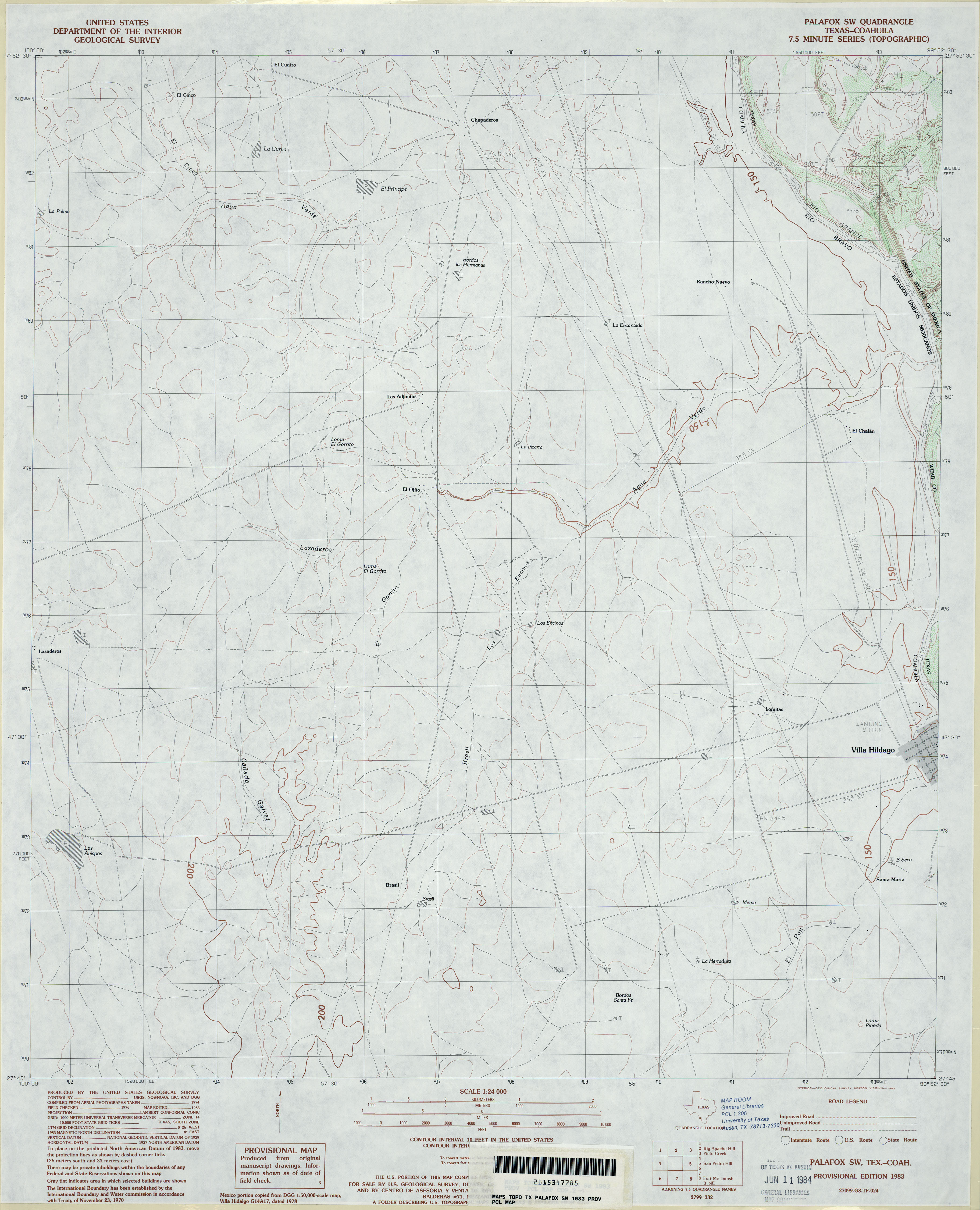
- Palafox SW 1:24,000 1983 (2.7MB)
- Palafox SW 1:24,000 2008 (18.3MB) [GeoPDF]
- Palafox SW 1:24,000 2013 (15.4MB) [GeoPDF]
- Palestine (Anderson County) 1:62,500 1950 (5.5MB) U.S. Department of the Army Corps of Engineers
- Palestine 1:250,000 1953 (10.8MB)
- Palestine 1:250,000 1963 (9.5MB)
- Palestine 1:250,000 1984 (10.4MB)
- Palito Blanco 1:24,000 1963 (5.2MB)
- Palito Blanco 1:24,000 2009 (14.4MB) [GeoPDF]
- Palito Blanco 1:24,000 2013 (20.1MB) [GeoPDF]
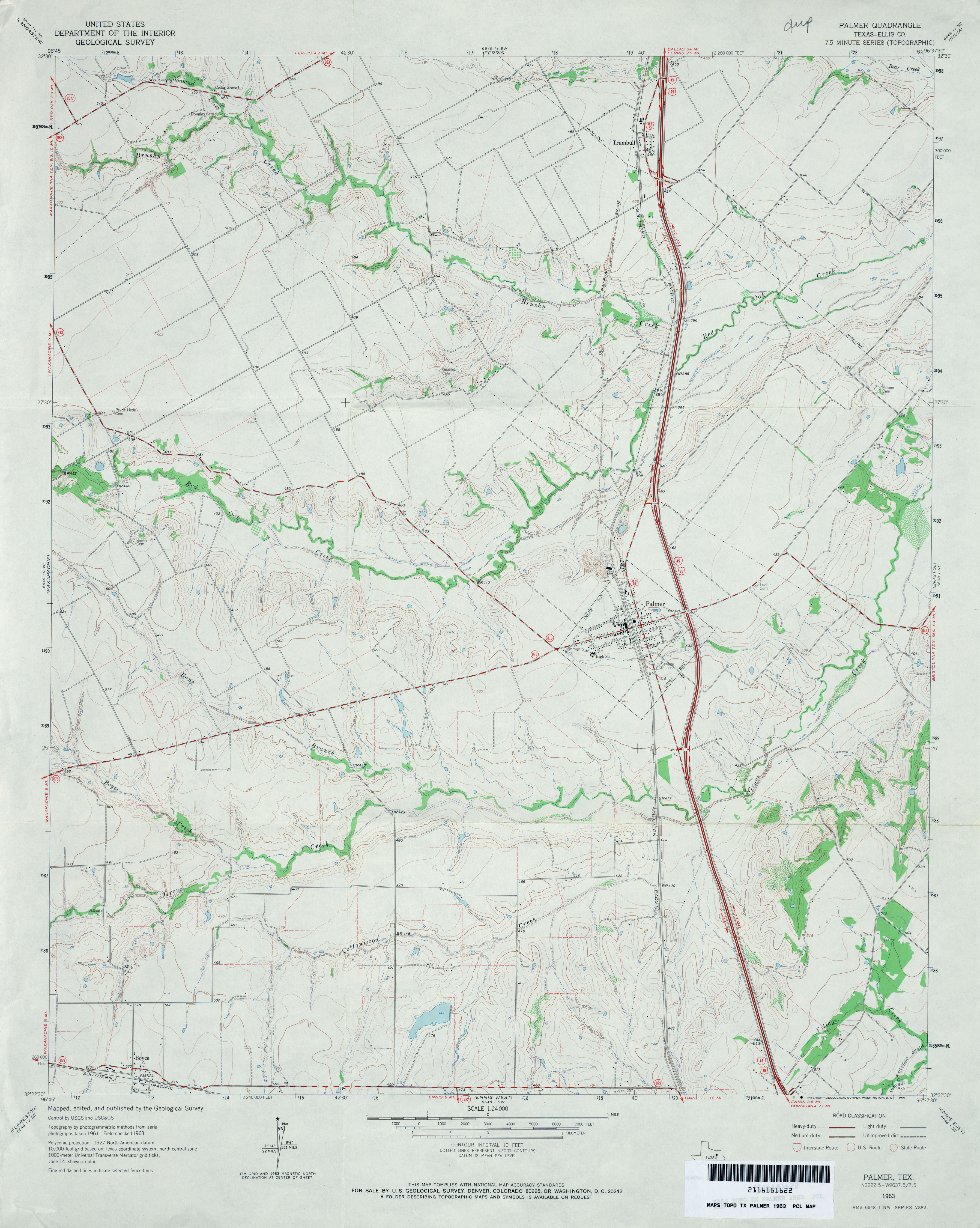
- Palmer (Ellis County) 1:24,000 1963 (3.3MB)
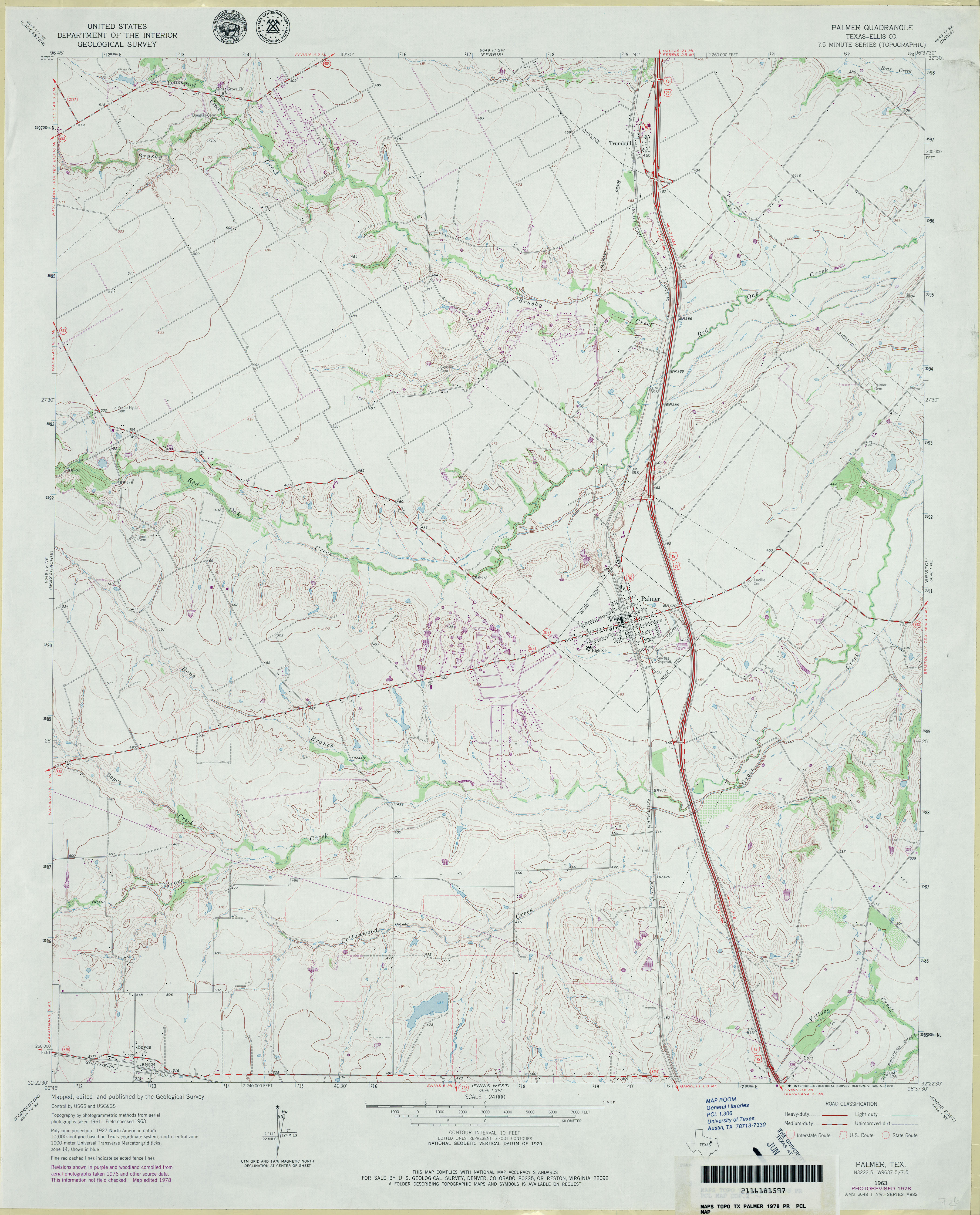
- Palmer (Ellis County) 1:24,000 1978 (3.5MB)
- Palmer 1:24,000 2008 (14.4MB) [GeoPDF]
- Palmer 1:24,000 2012 (18.2MB) [GeoPDF]
- Palmito Hill (Cameron County) 1:31,680 1929 survey, 1932 overprint (2.4 MB)
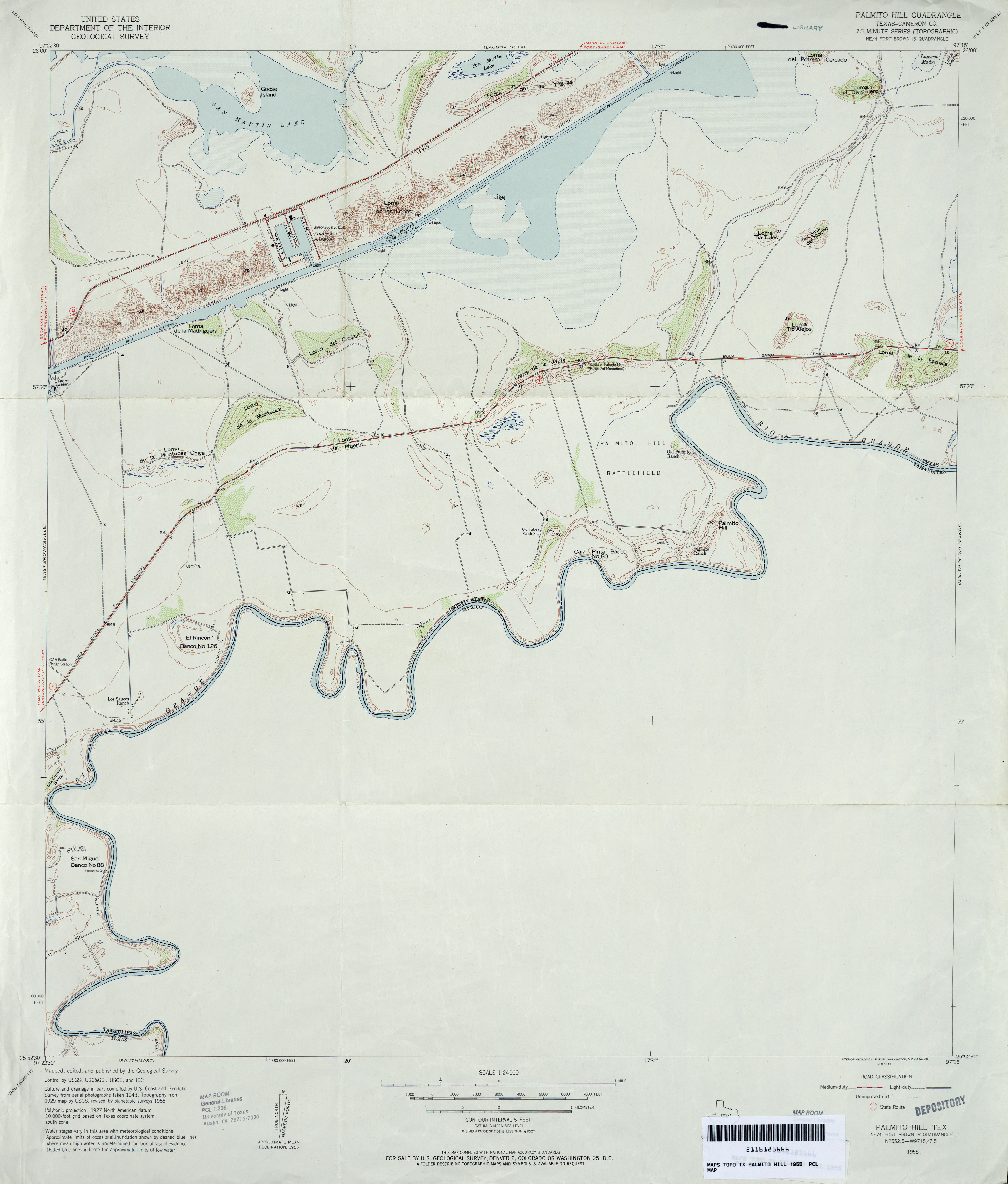
- Palmito Hill (Cameron County) 1:24,000 1955 (2.5MB)
- Palmito Hill (Cameron County) 1:24,000 1970 (2.6MB)
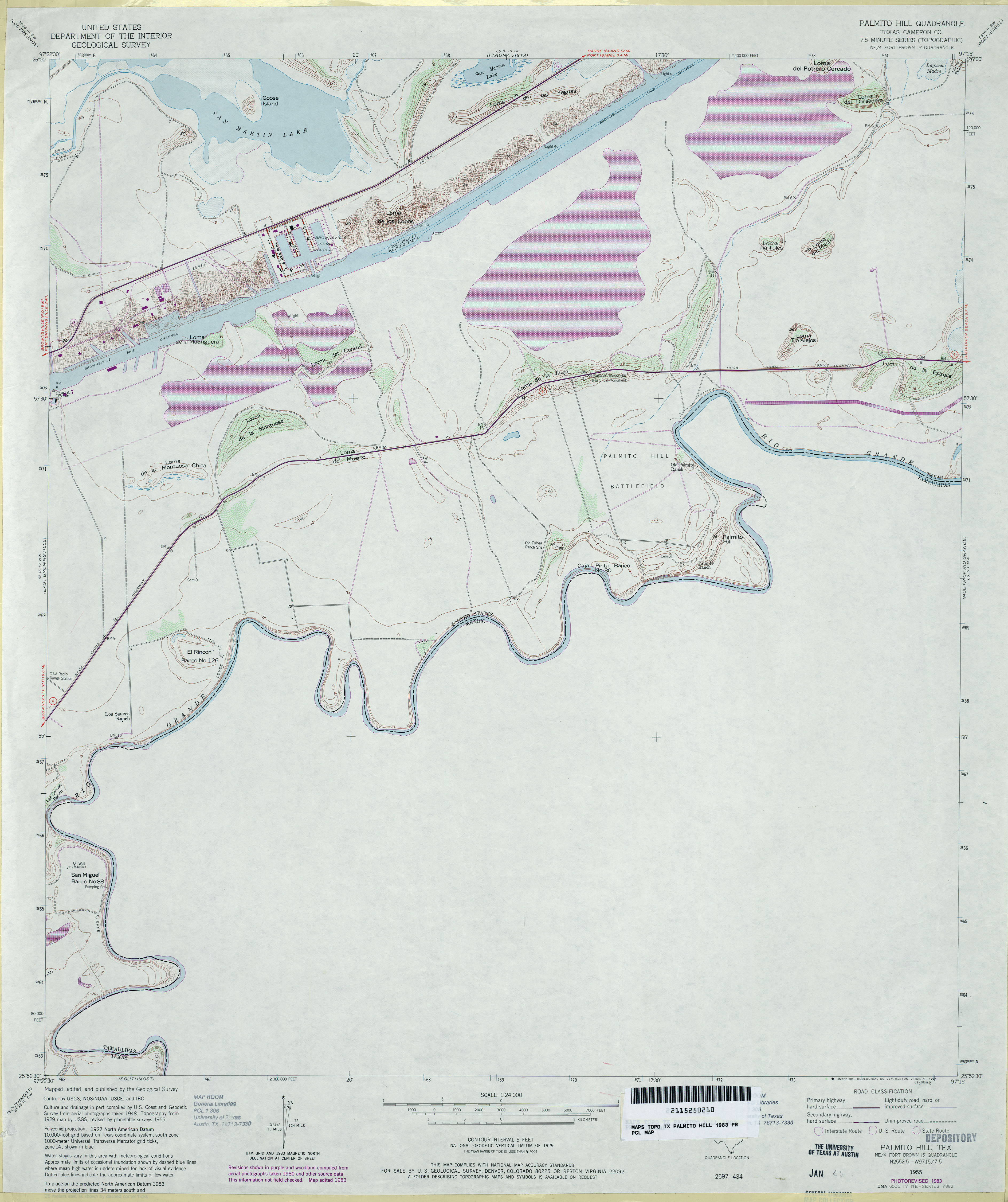
- Palmito Hill (Cameron County) 1:24,000 1983 (2.9MB)
- Palmito Hill 1:24,000 2009 (17.1MB) [GeoPDF]
- Palmito Hill 1:24,000 2012 (17.1MB) [GeoPDF]
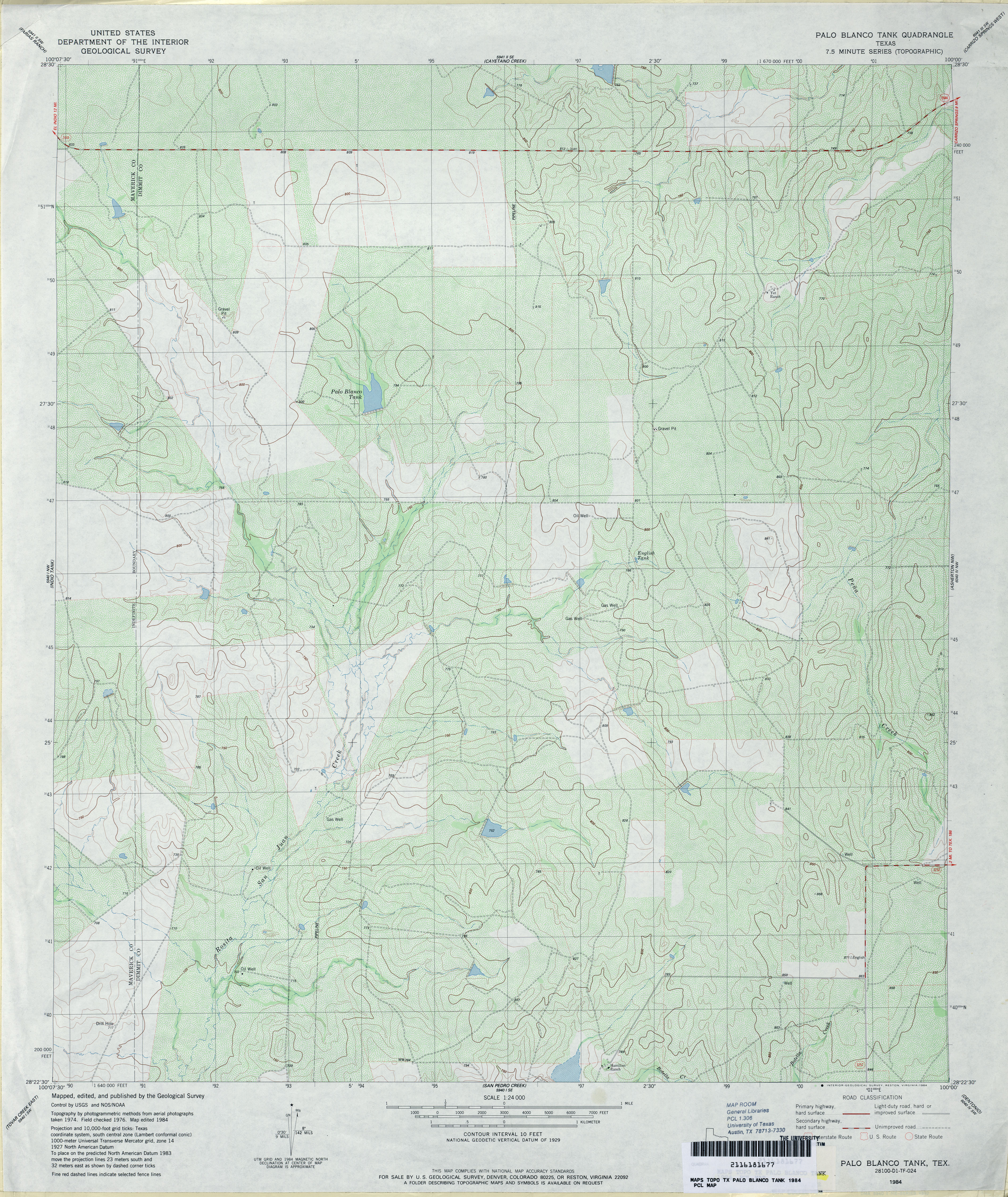
- Palo Blanco Tank 1:24,000 1984 (4.5MB)
- Palo Blanco Tank 1:24,000 2008 (17.3MB) [GeoPDF]
- Palo Blanco Tank 1:24,000 2012 (26.9MB) [GeoPDF]
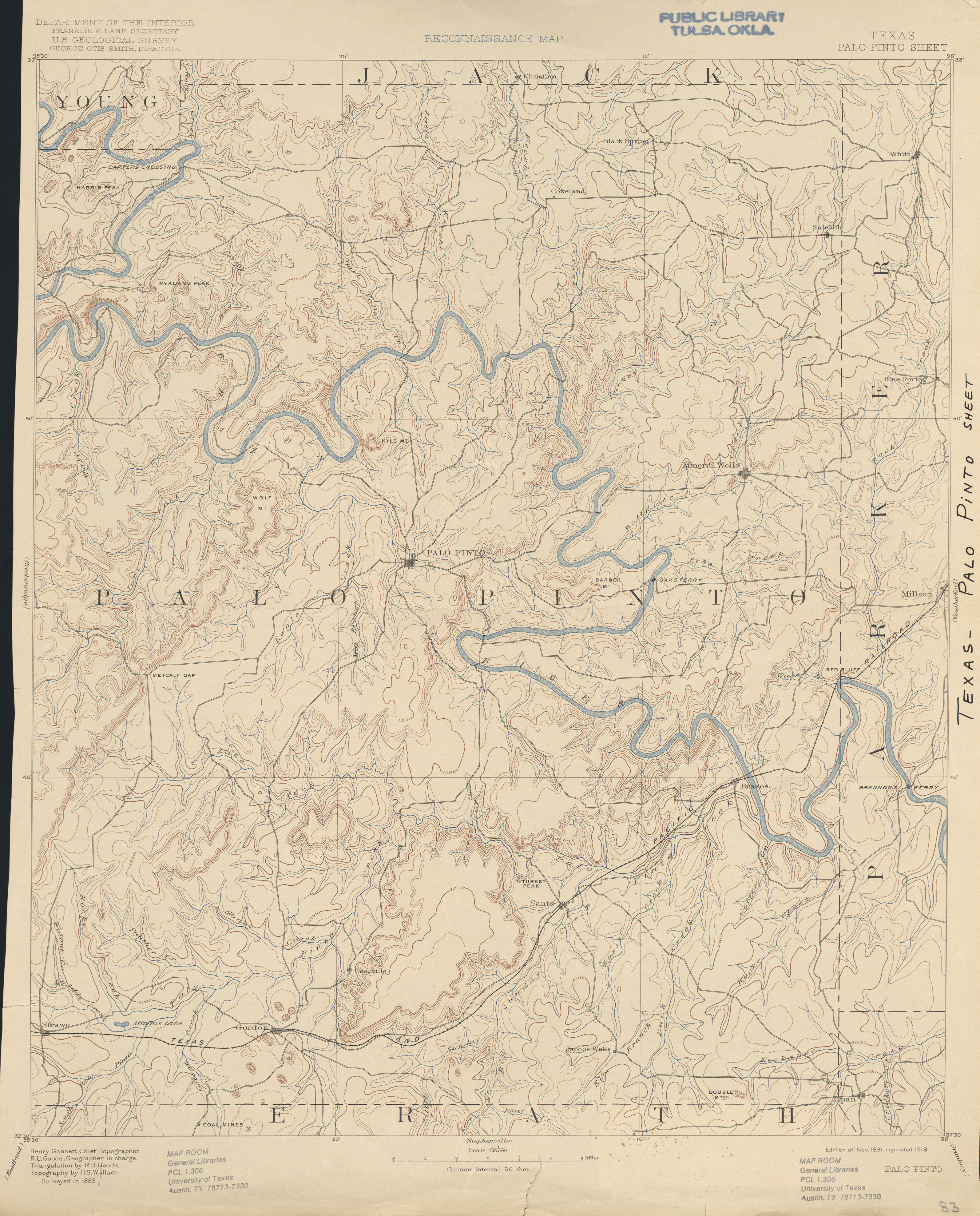
- Palo Pinto 1:125,000 1889 (3.4 MB)
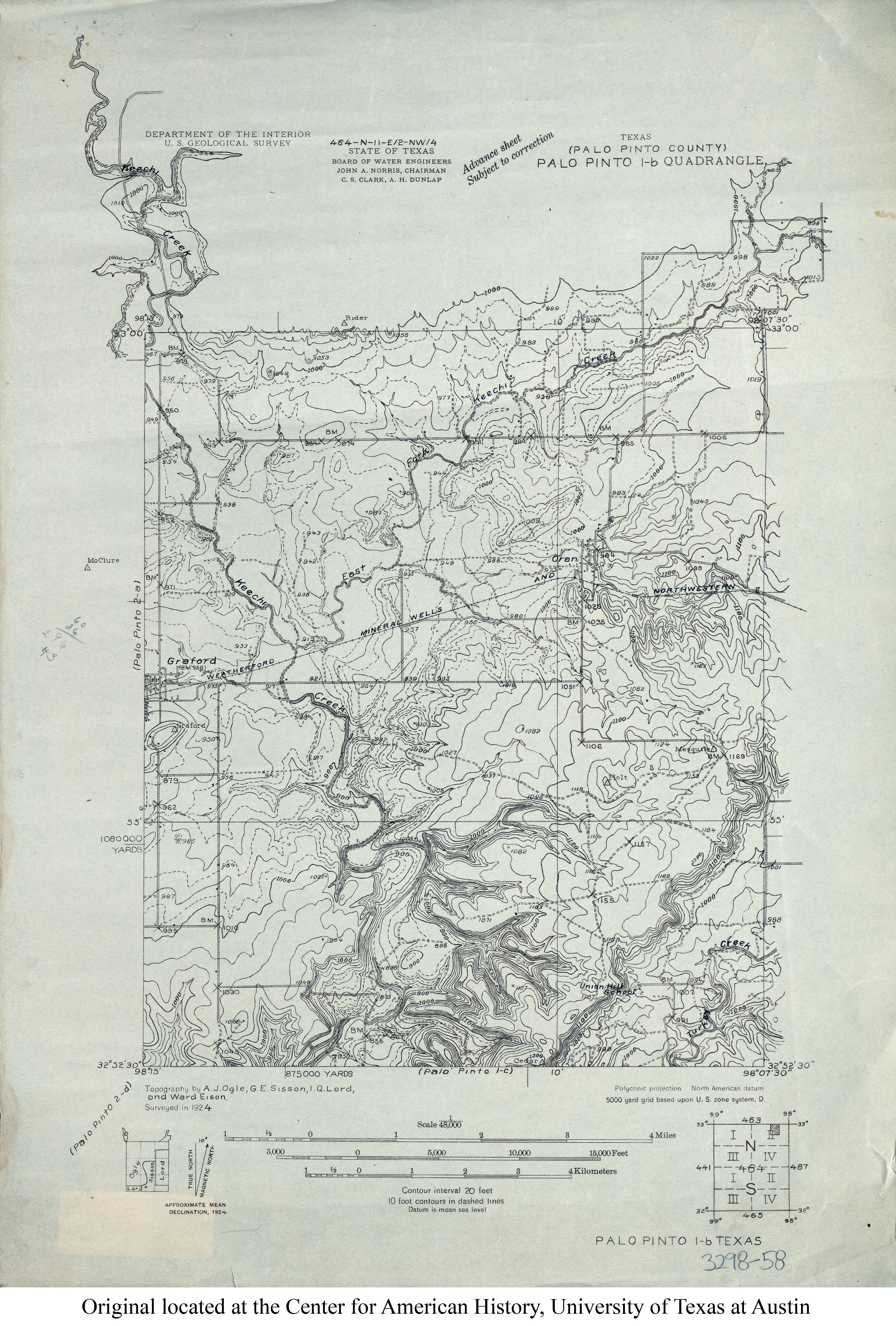
- Palo Pinto 1-b (Palo Pinto County) 1:48,000 1924 (3.4MB)
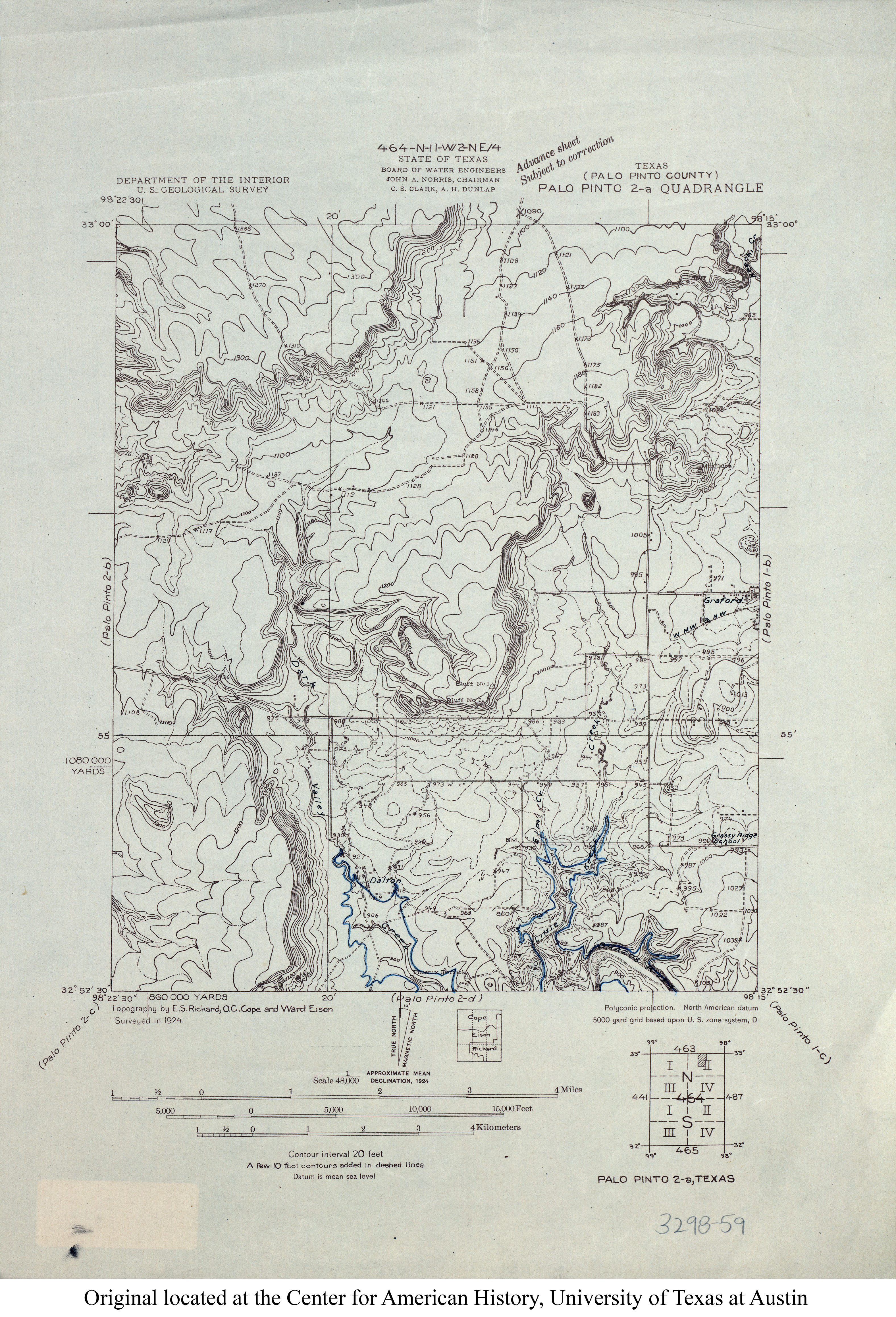
- Palo Pinto 2-a (Palo Pinto County) 1:48,000 1924 (3.2MB)
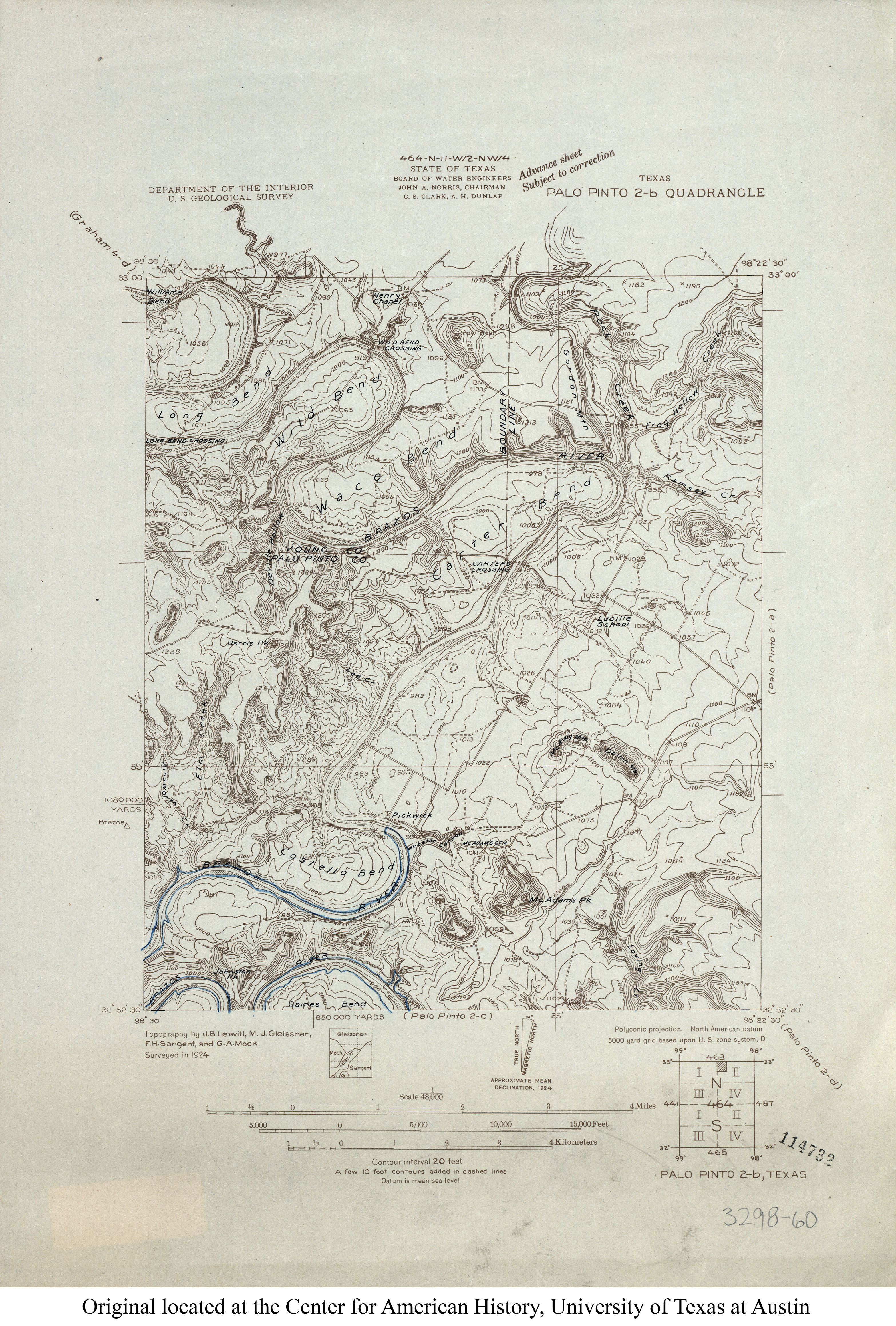
- Palo Pinto 2-b 1:48,000 1924 (3.3MB)
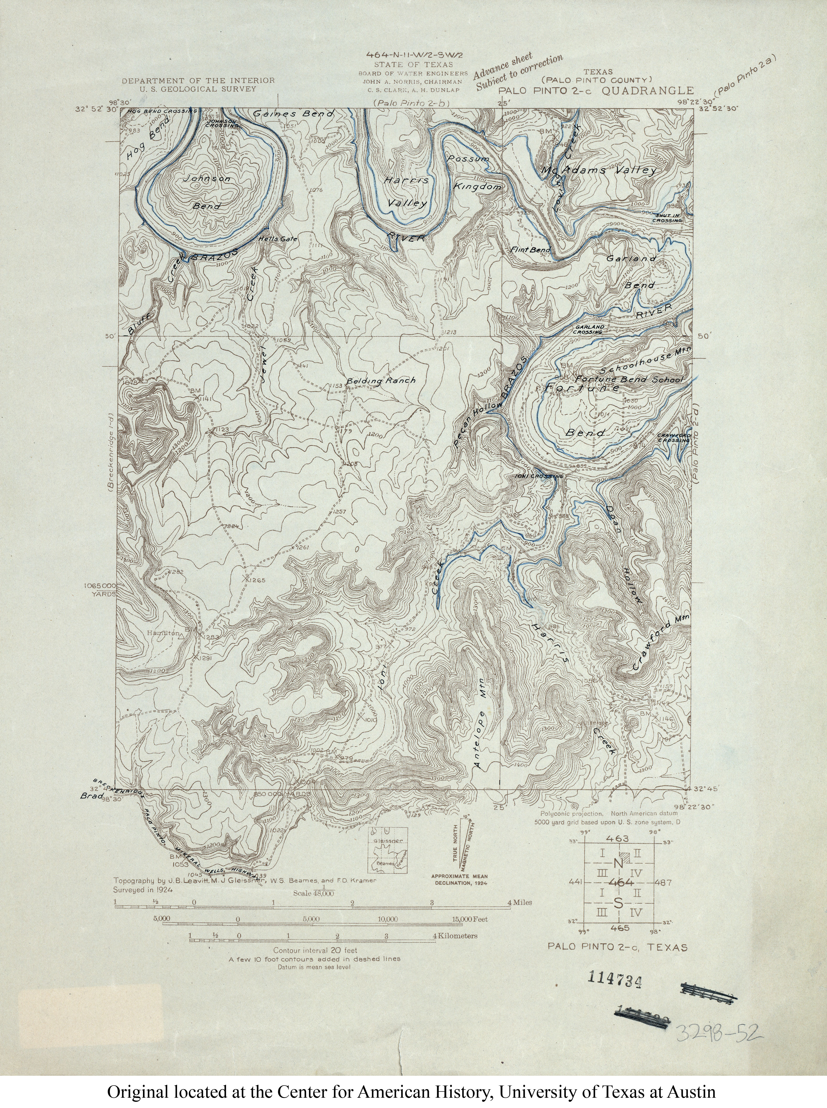
- Palo Pinto 2-c (Palo Pinto County) 1:48,000 1924 (3.7MB)
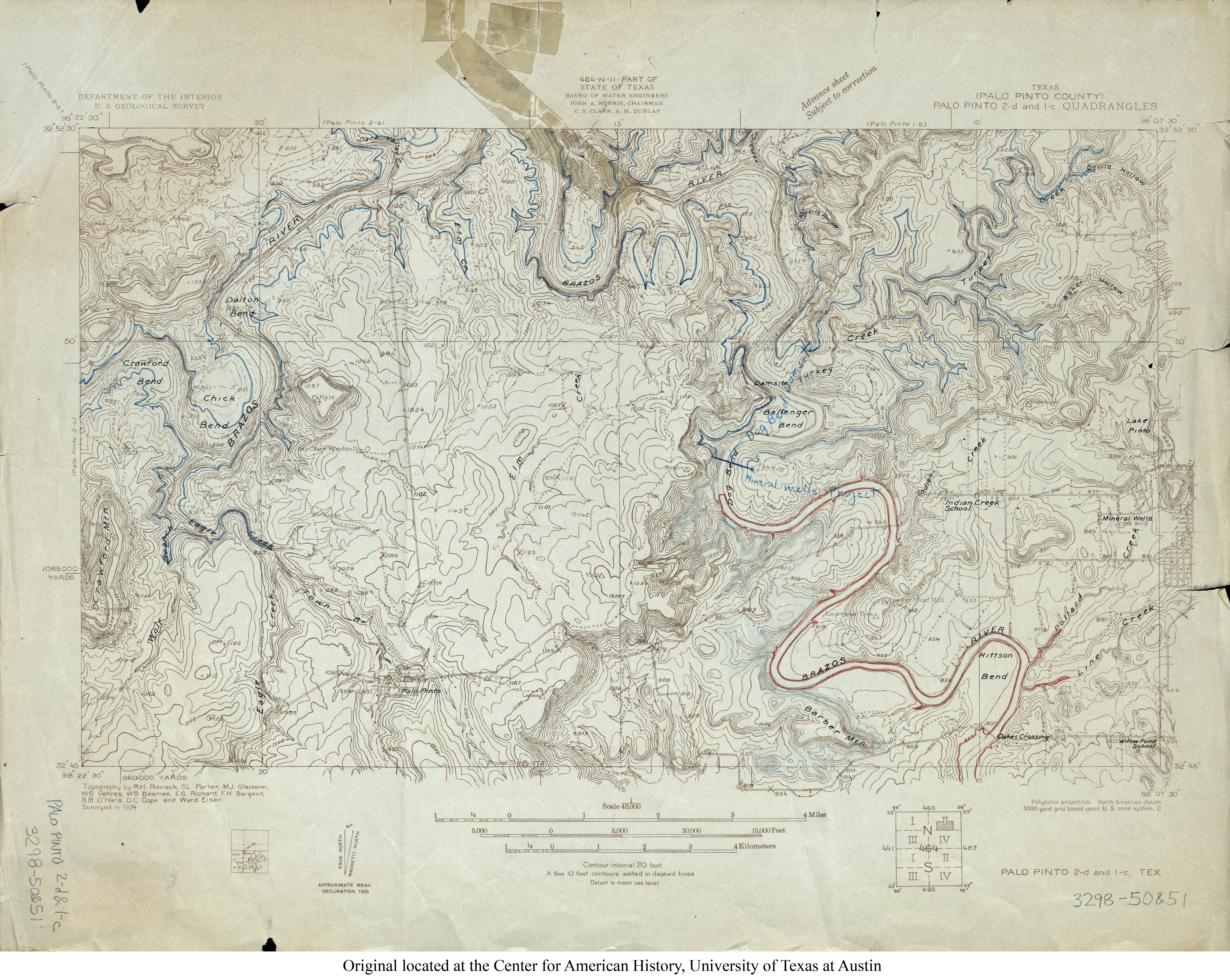
- Palo Pinto 2-d & 1-c (Palo Pinto County) 1:48,000 1924 (7.1MB)
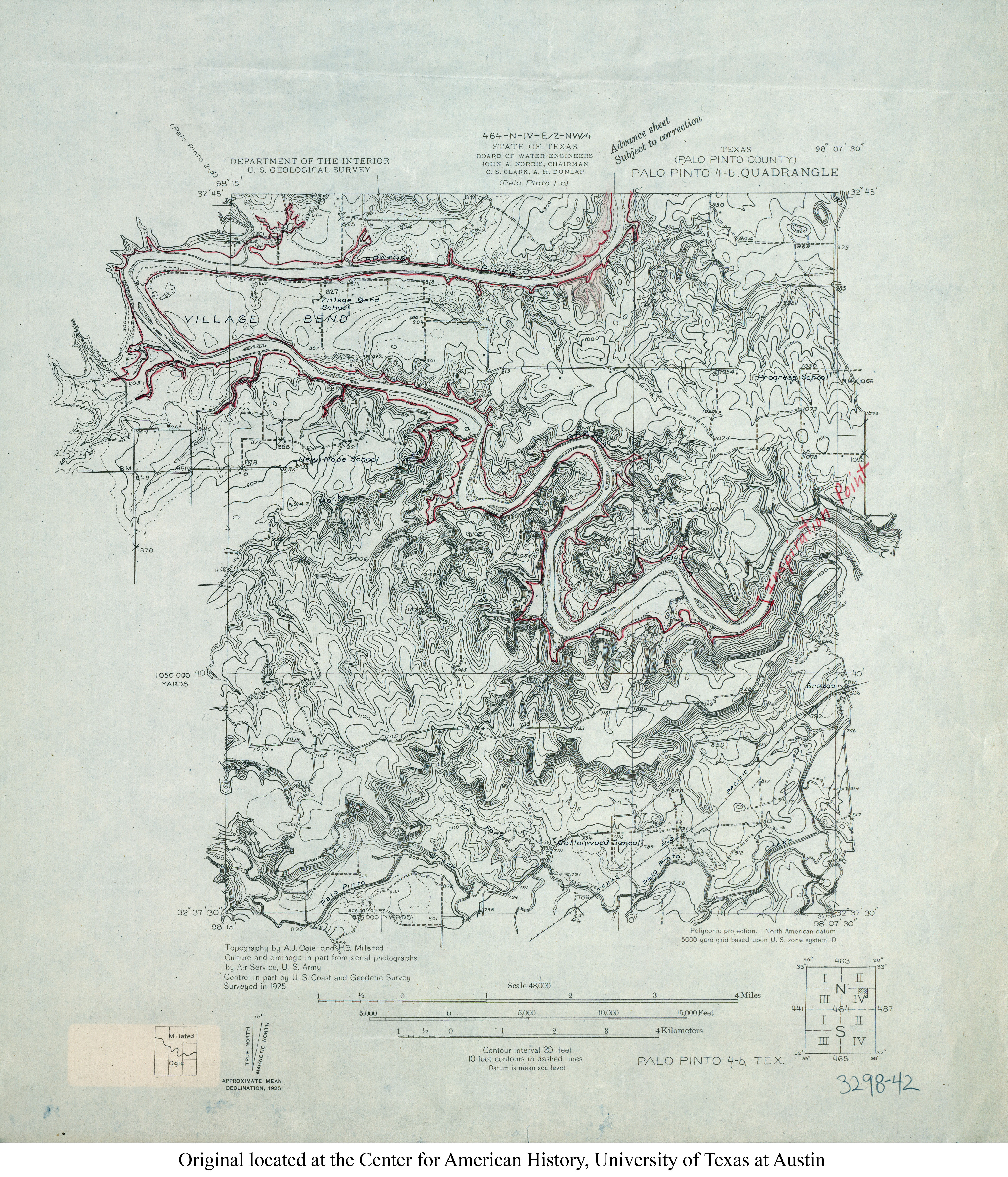
- Palo Pinto 4-b (Palo Pinto County) 1:48,000 1925 (4.5MB)
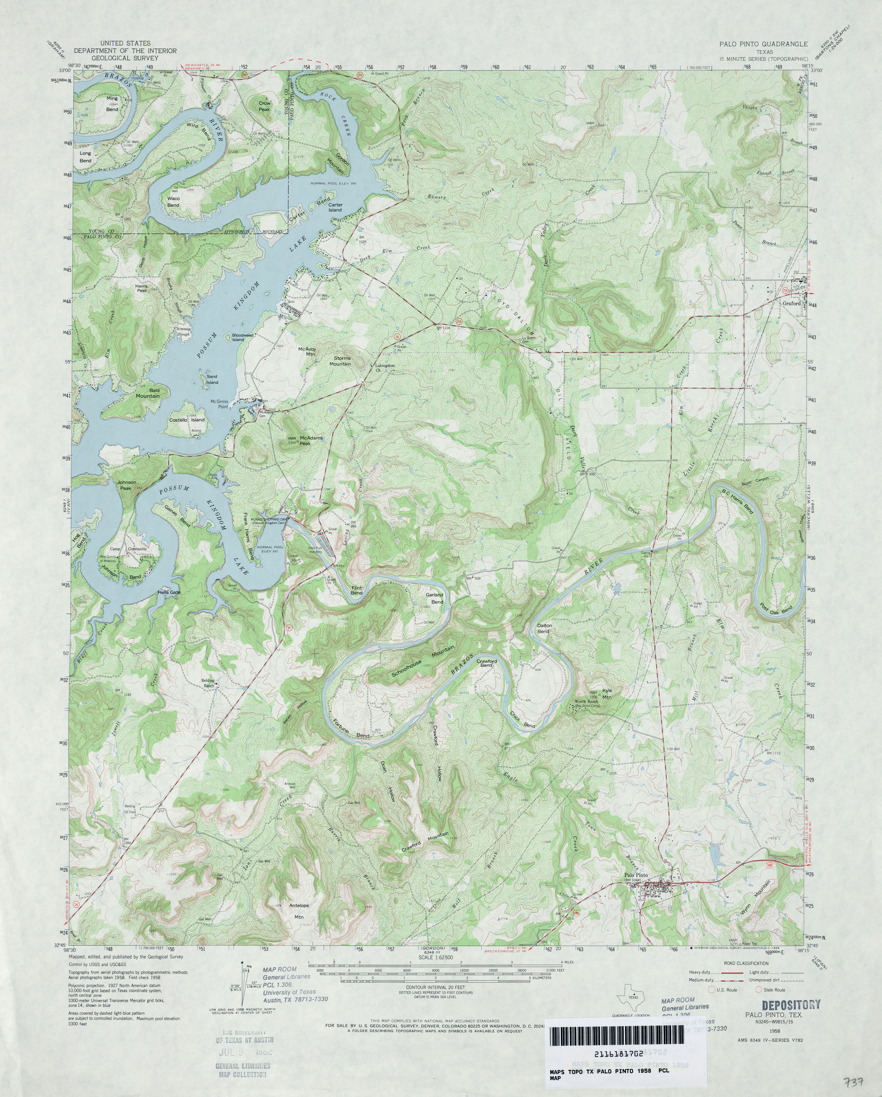
- Palo Pinto 1:62,500 1958 (4.4MB)
- Palo Pinto (Palo Pinto County) 1:24,000 1984 (4.7MB)
- Palo Pinto 1:24,000 2008 (19.6MB) [GeoPDF]
- Palo Pinto 1:24,000 2012 (24.2MB) [GeoPDF]
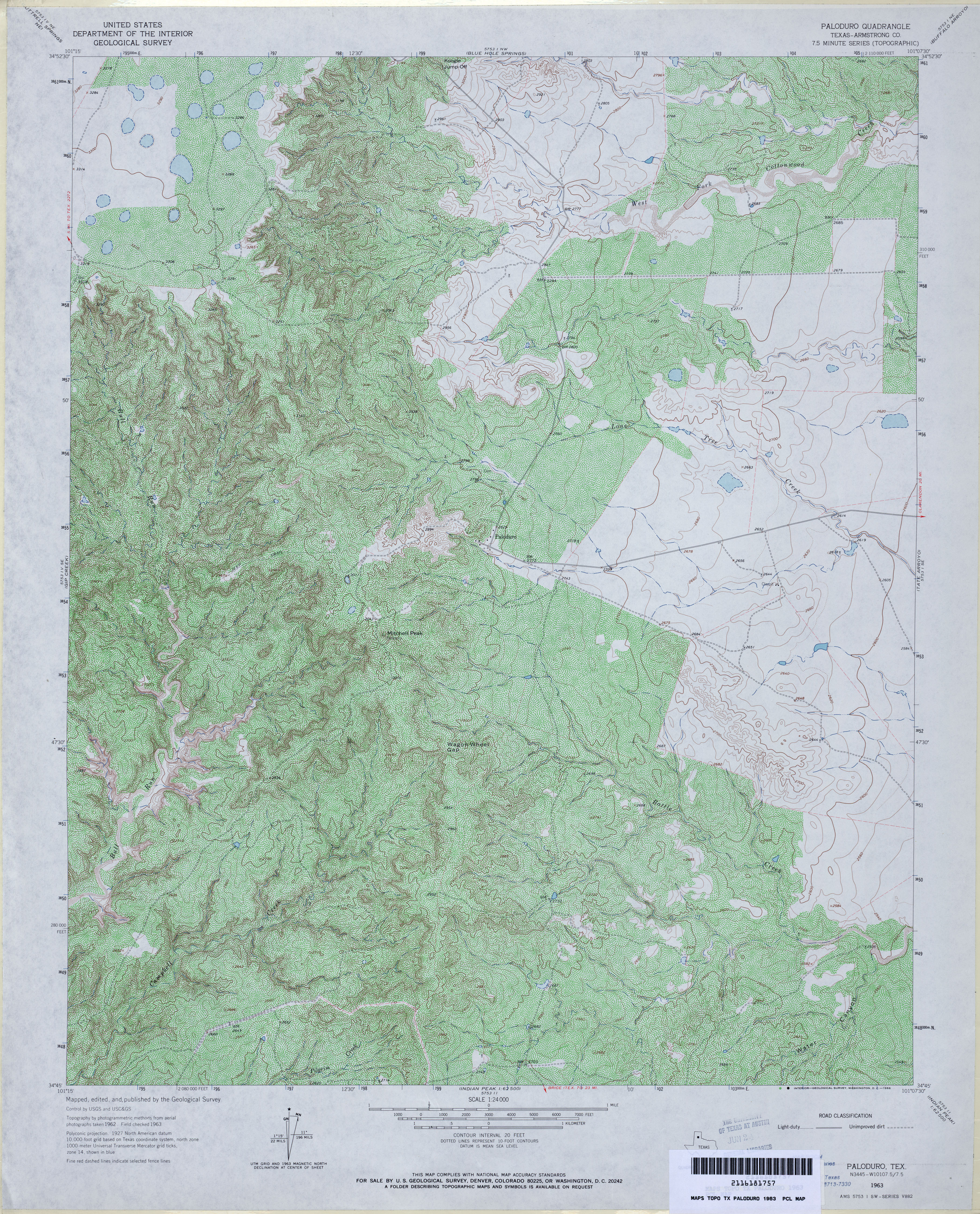
- Paloduro (Armstrong County) 1:24,000 1963 (5.9MB)
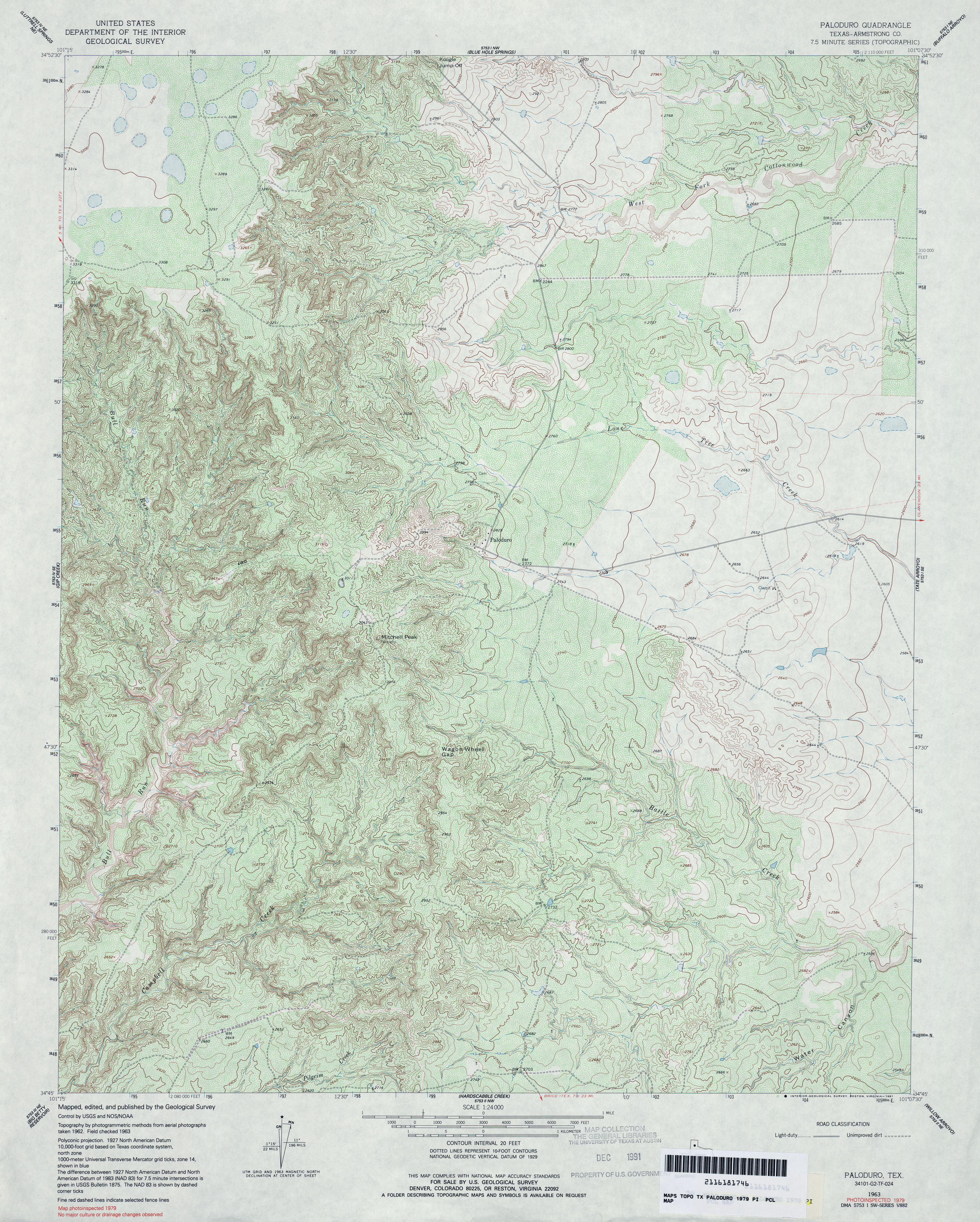
- Paloduro (Armstrong County) 1:24,000 1979 (5.4MB)
- Paloduro 1:24,000 2008 (22.5MB) [GeoPDF]
- Paloduro 1:24,000 2012 (26.8MB) [GeoPDF]
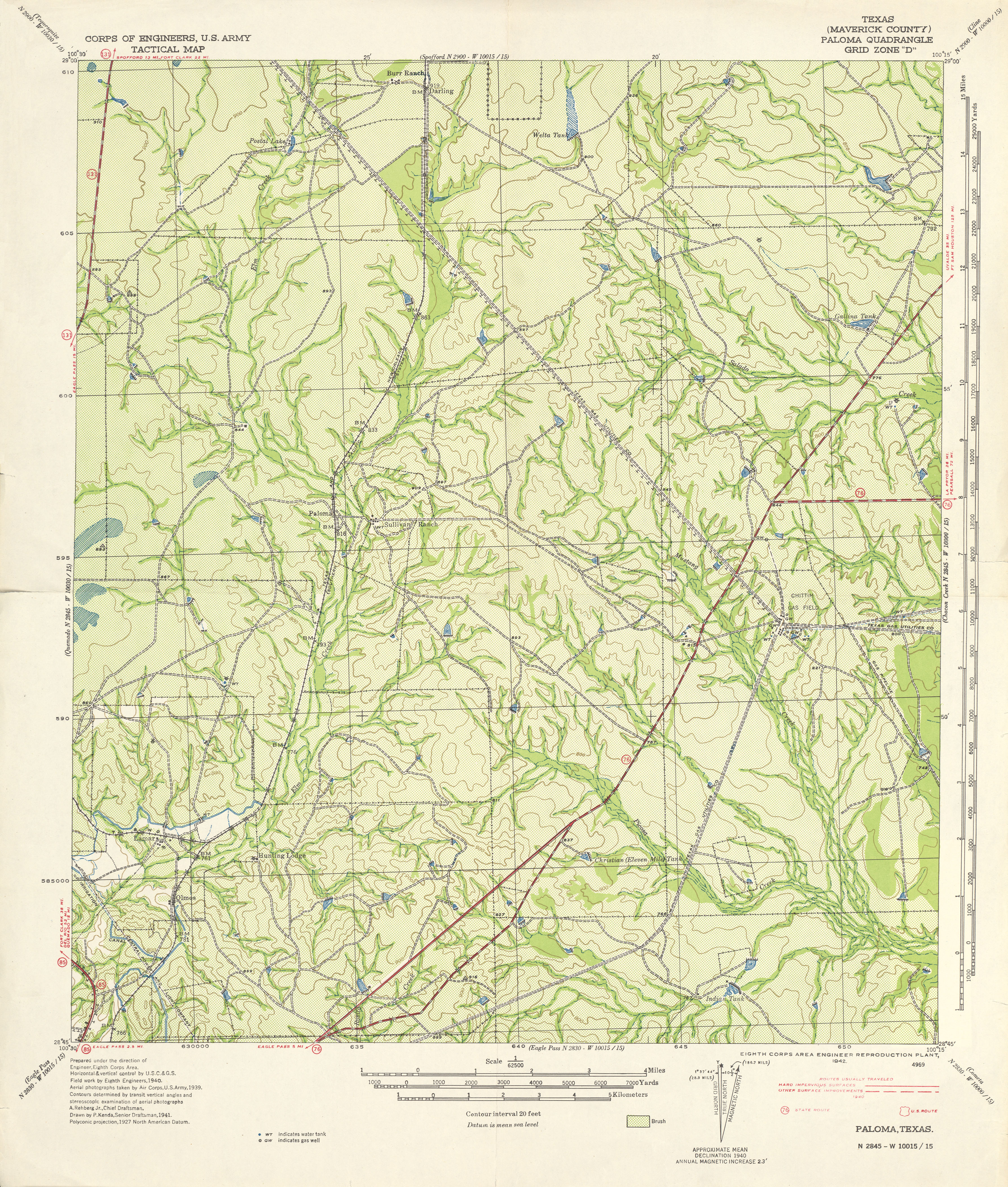
- Paloma 1:62,500 1941 (4.5 MB) U.S. Army. Corps of Engineers. Tactical Map
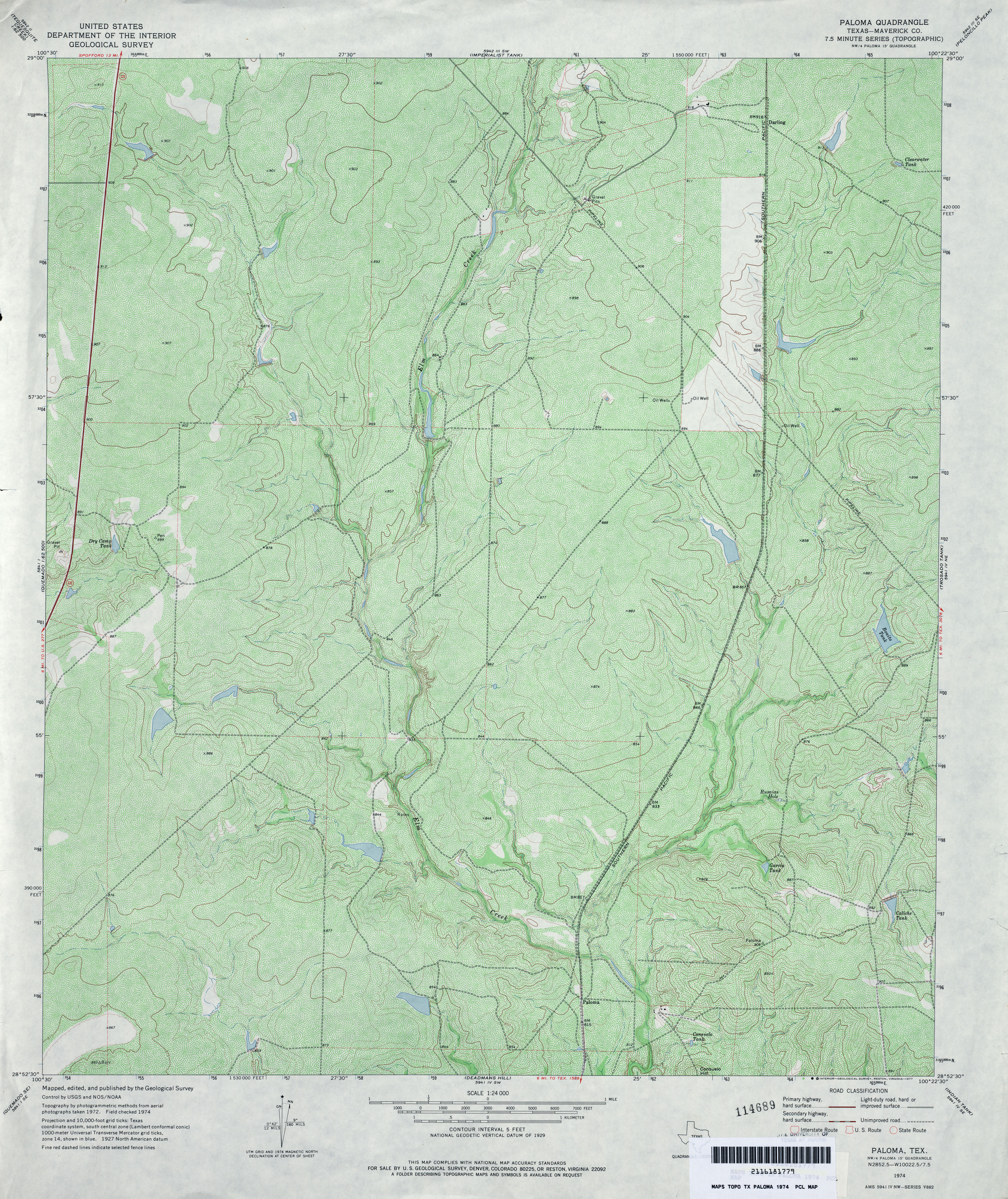
- Paloma (Maverick County) 1:24,000 1974 (5.5MB)
- Paloma 1:24,000 2008 (20.5MB) [GeoPDF]
- Paloma 1:24,000 2012 (30MB) [GeoPDF]
- Palomas Ranch (Brooks County) 1:24,000 1968 (3.8MB)
- Palomas Ranch 1:24,000 2008 (15.4MB) [GeoPDF]
- Palomas Ranch 1:24,000 2013 (22.2MB) [GeoPDF]
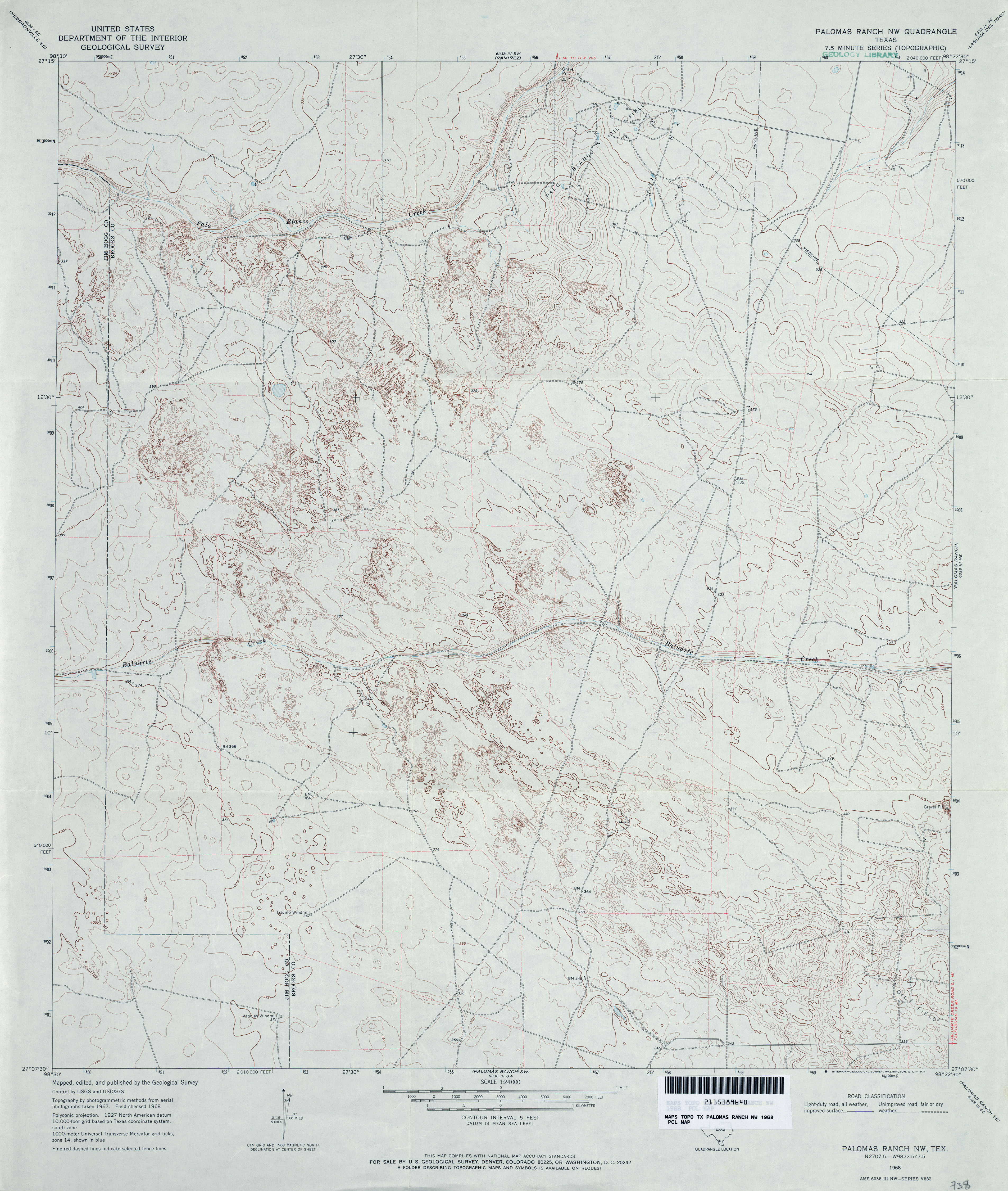
- Palomas Ranch NW 1:24,000 1968 (3.7MB)
- Palomas Ranch NW 1:24,000 2013 (21.3MB) [GeoPDF]
- Palomas Ranch SE (Brooks County) 1:24,000 1968 (3.8MB)
- Palomas Ranch SE 1:24,000 2008 (20.7MB) [GeoPDF]
- Palomas Ranch SE 1:24,000 2013 (24.6MB) [GeoPDF]
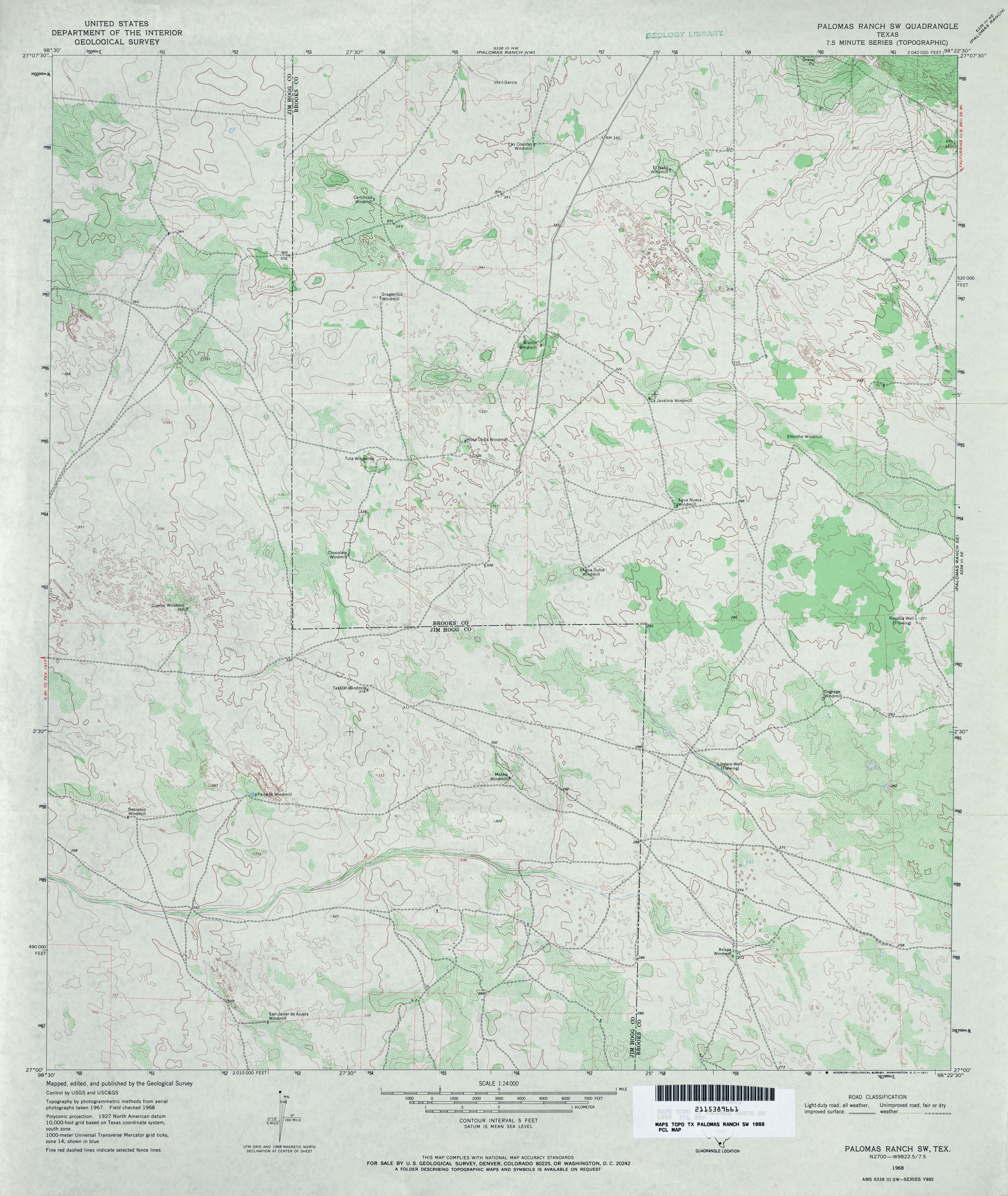
- Palomas Ranch SW 1:24,000 1968 (3.6MB)
- Palomas Ranch SW 1:24,000 2008 (15.8MB) [GeoPDF]
- Palomas Ranch SW 1:24,000 2013 (19.9MB) [GeoPDF]
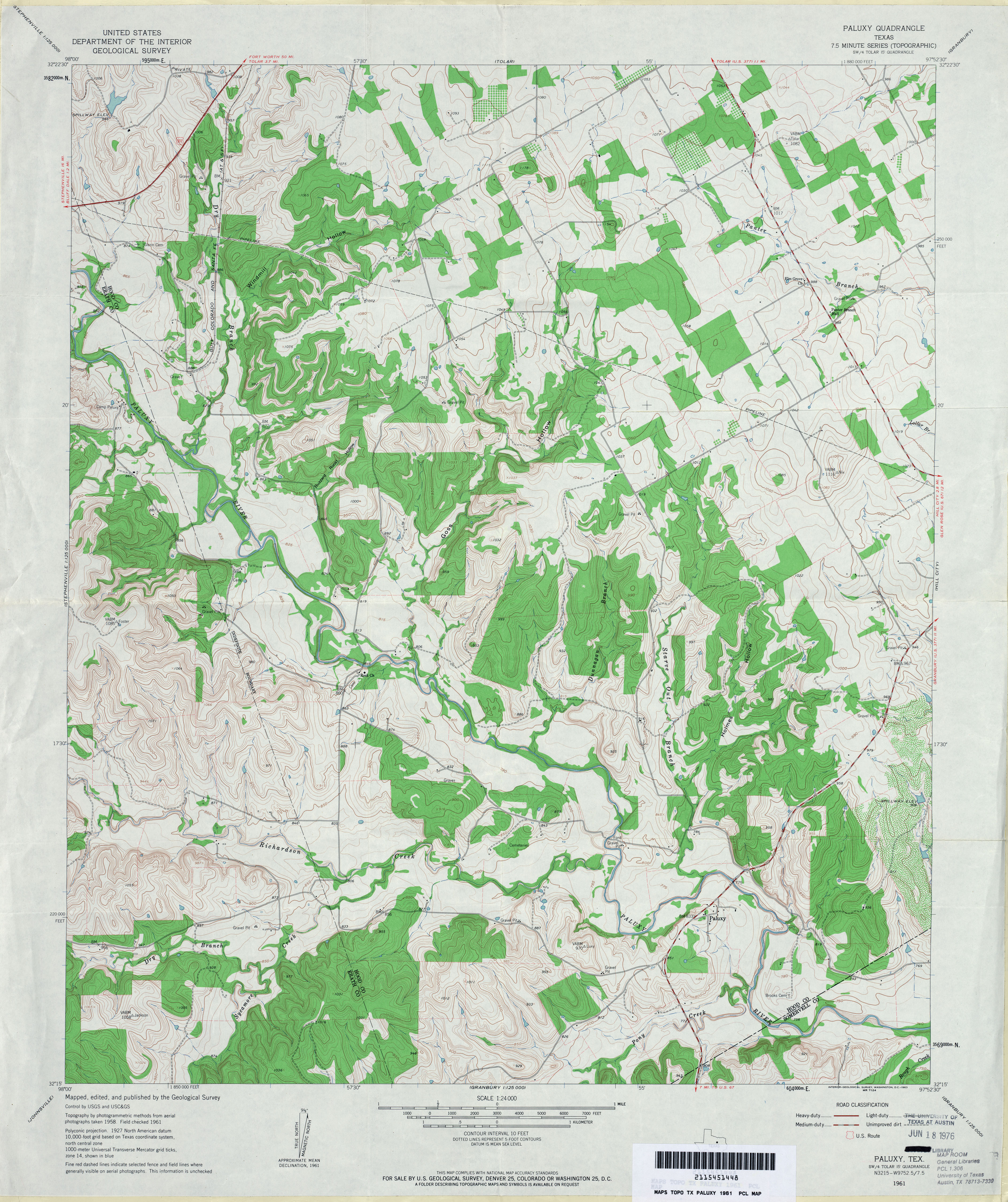
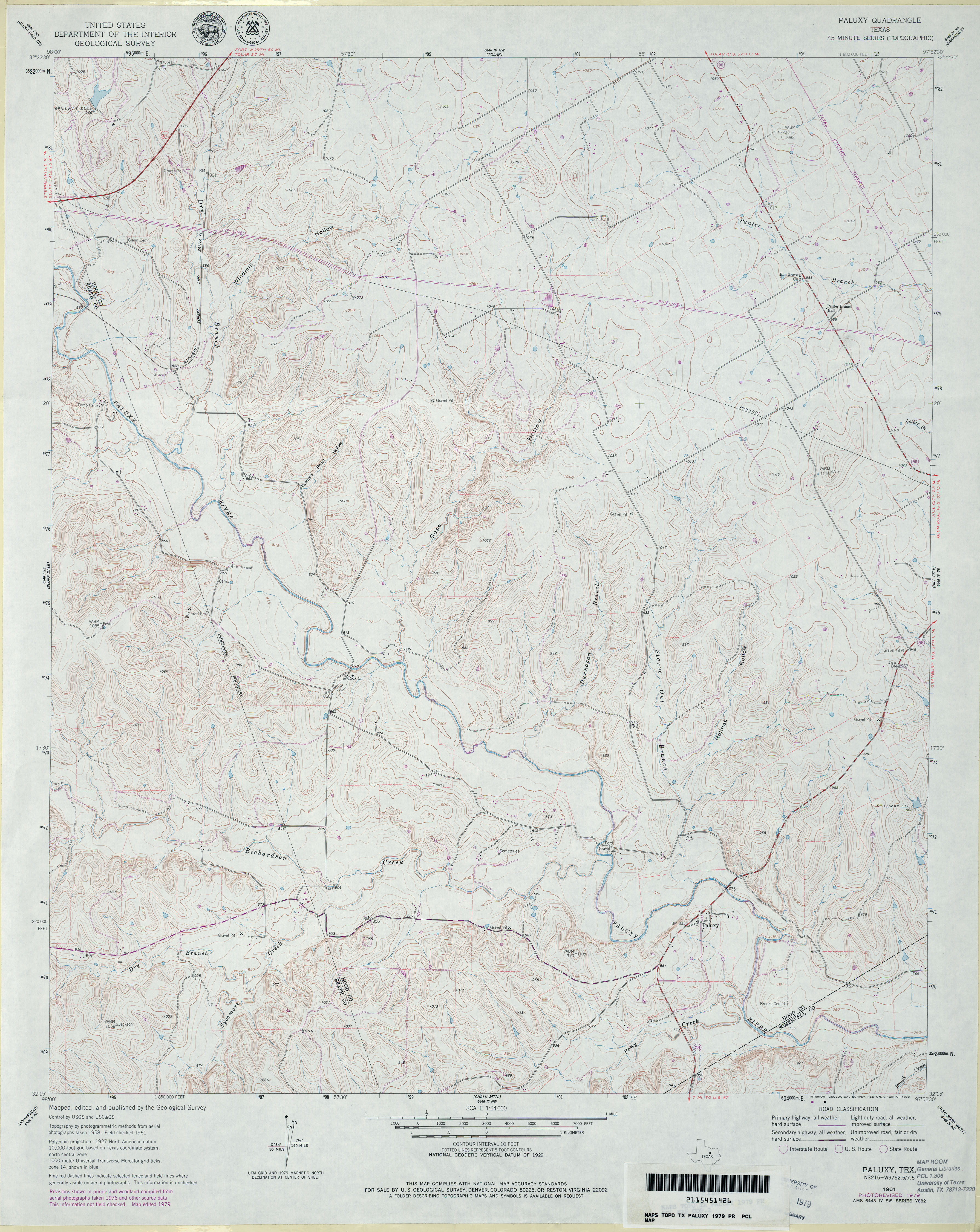
- Paluxy 1:24,000 1961 (4.3MB)
- Paluxy 1:24,000 1979 (4MB)
- Paluxy 1:24,000 2008 (17.4MB) [GeoPDF]
- Paluxy 1:24,000 2012 (23.7MB) [GeoPDF]
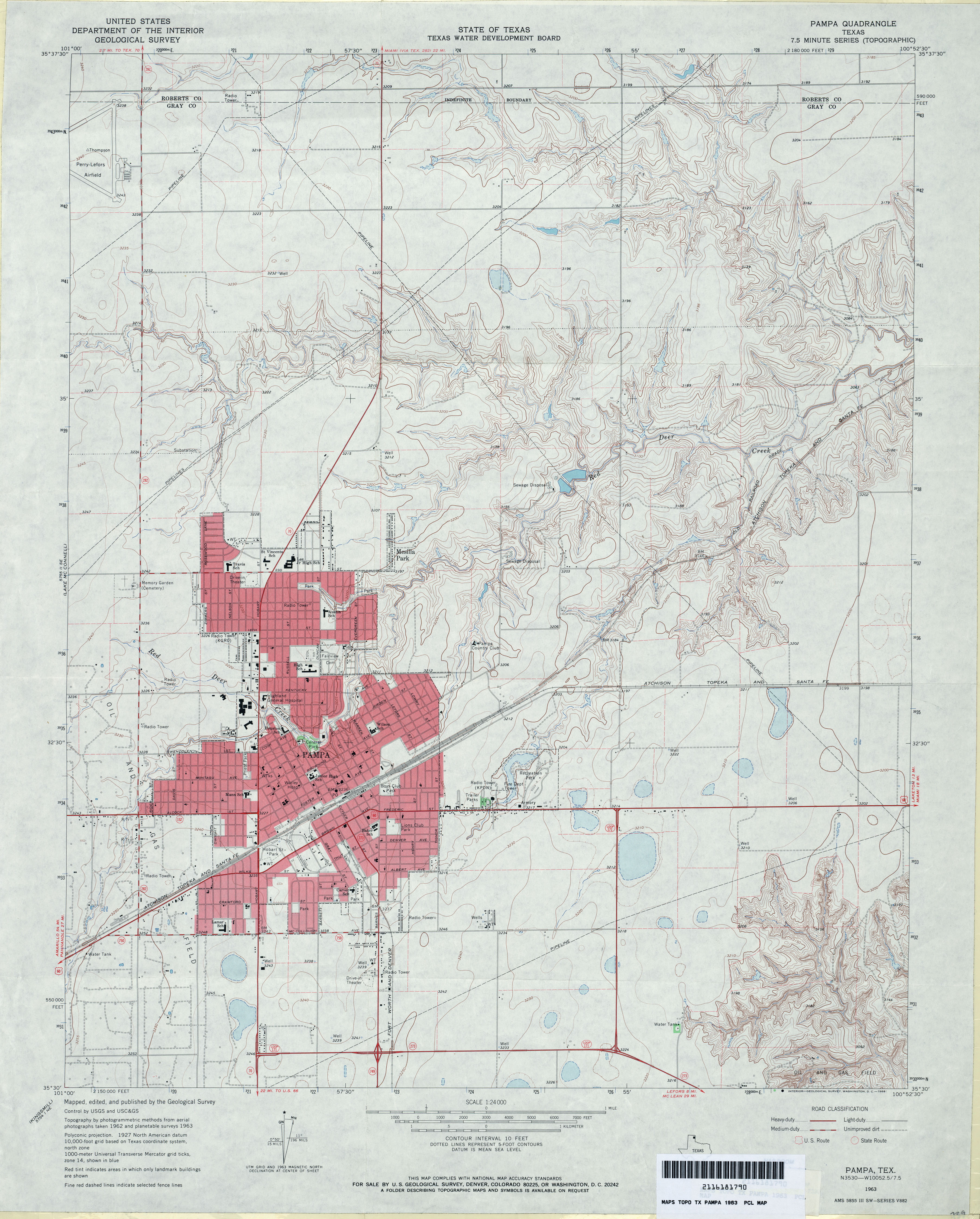
- Pampa 1:24,000 1963 (3.6MB)
- Pampa 1:24,000 2012 (17.6MB) [GeoPDF]
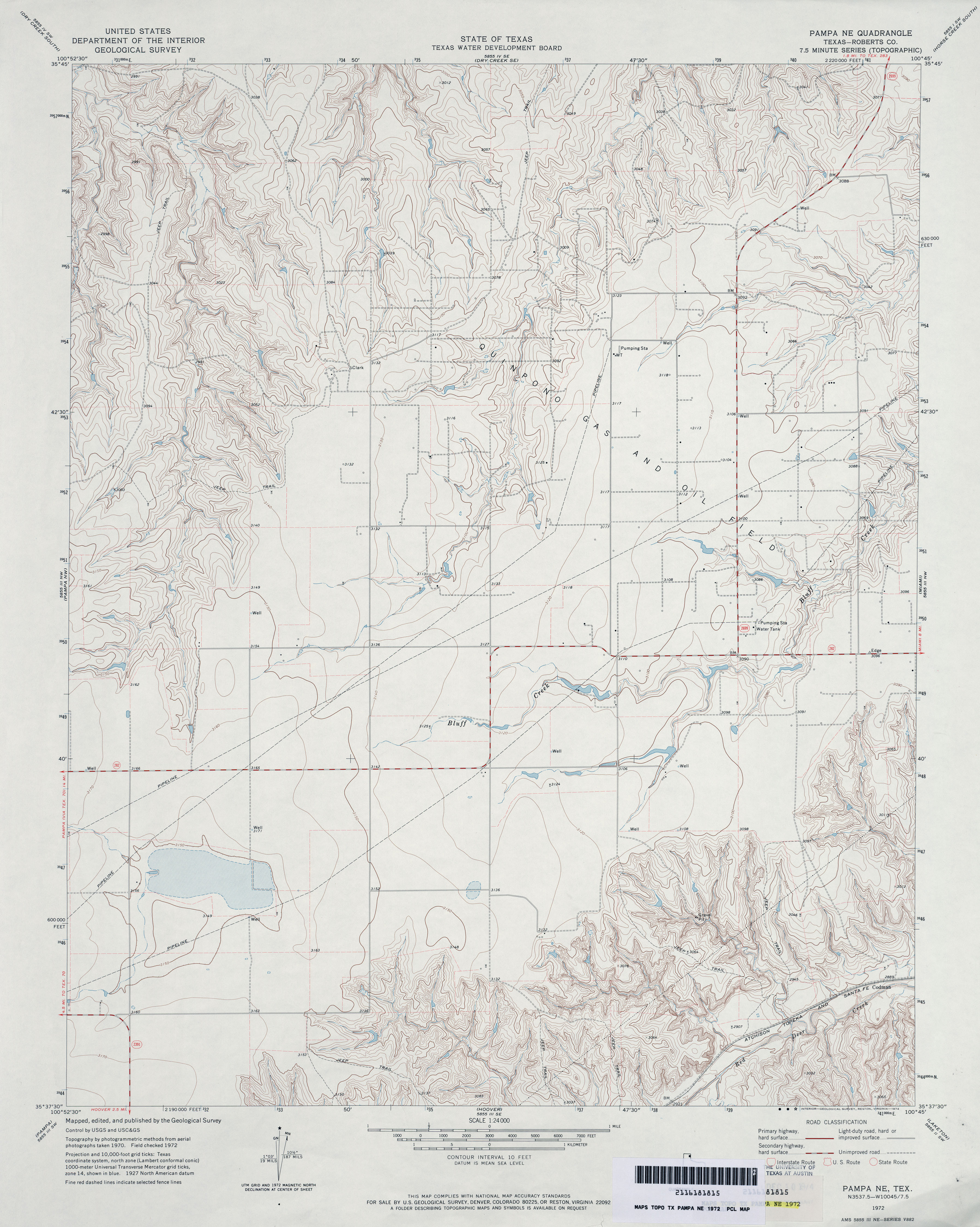
- Pampa NE (Roberts County) 1:24,000 1972 (3.6MB)
- Pampa NE 1:24,000 2008 (10.0MB) [GeoPDF]
- Pampa NE 1:24,000 2012 (15.6MB) [GeoPDF]
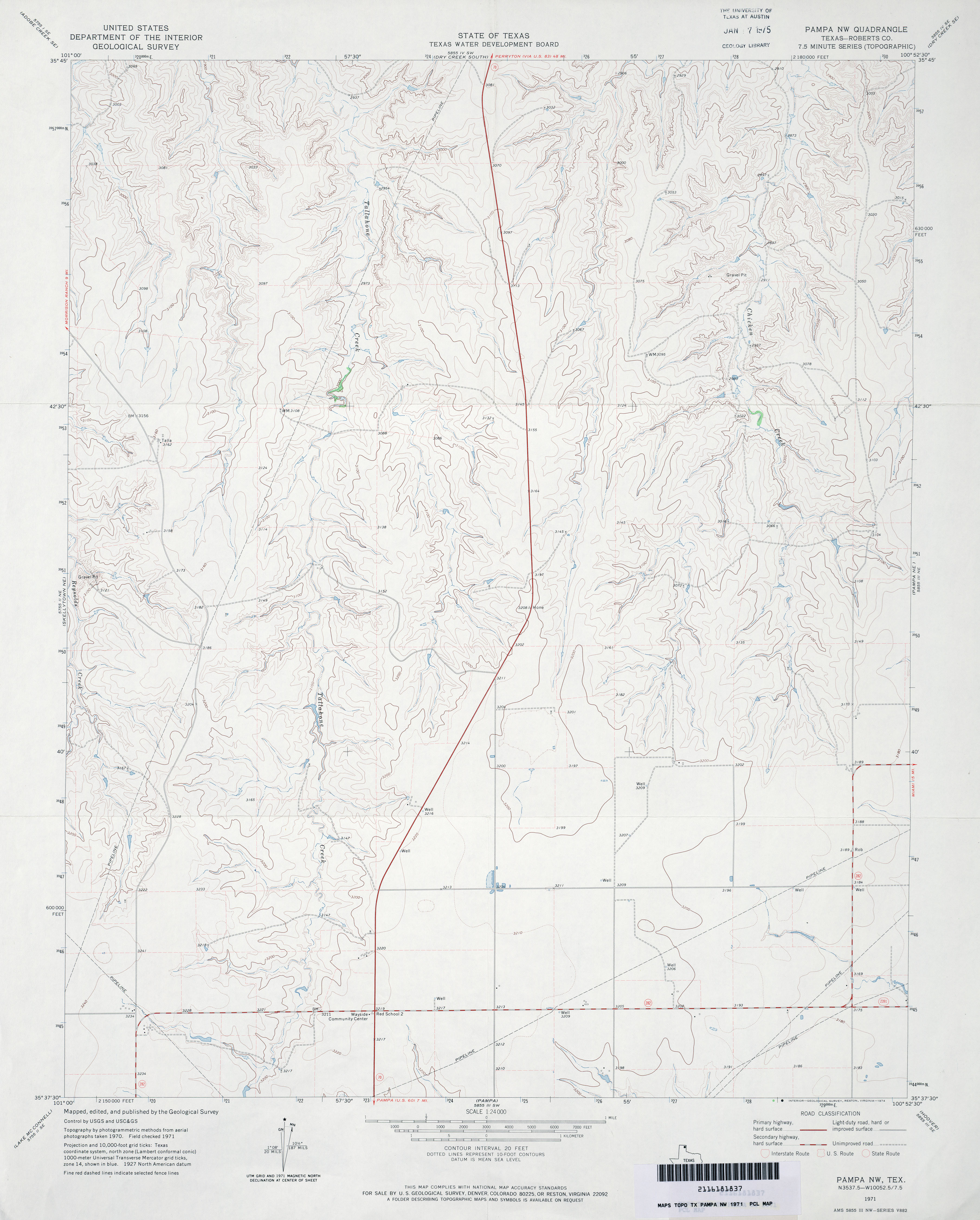
- Pampa NW (Roberts County) 1:24,000 1971 (2.9MB)
- Pampa NW 1:24,000 2008 (9.5MB) [GeoPDF]
- Pampa NW 1:24,000 2012 (15.1MB) [GeoPDF]
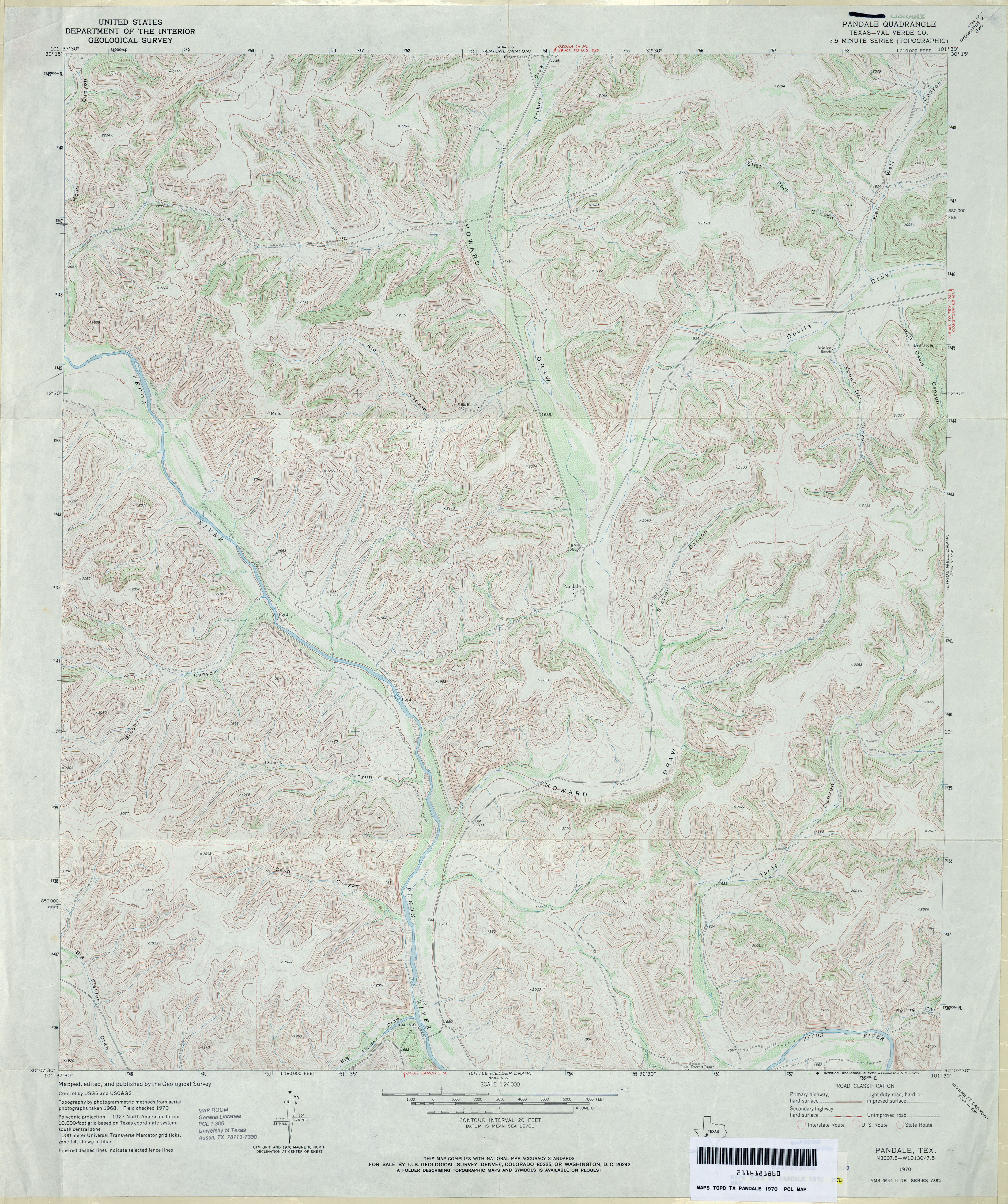
- Pandale (Val Verde County) 1:24,000 1970 (5MB)
- Pandale 1:24,000 2008 (30.7MB) [GeoPDF]
- Pandale 1:24,000 2012 (37.4MB) [GeoPDF]
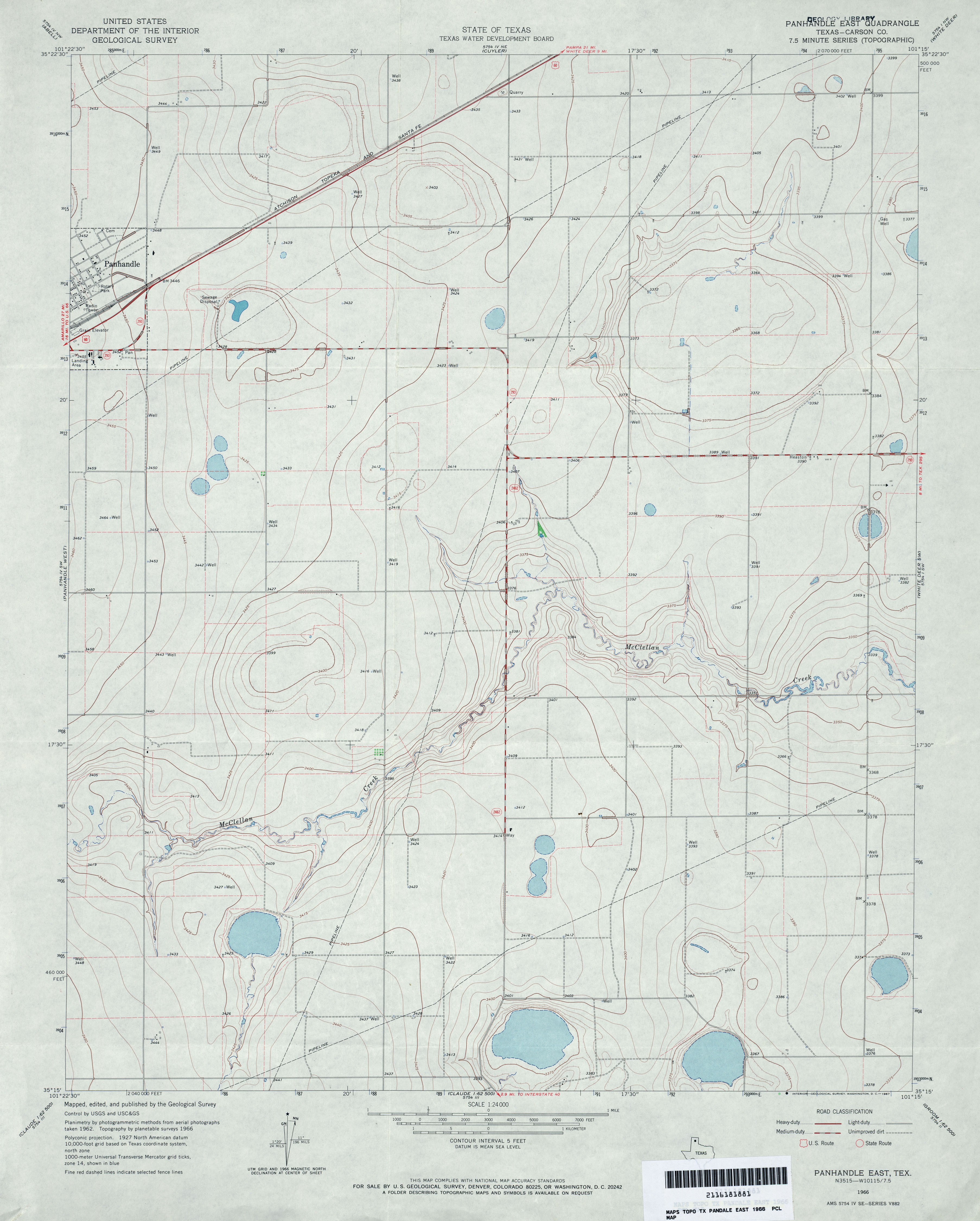
- Panhandle East (Carson County) 1:24,000 1966 (2.8MB)
- Panhandle East 1:24,000 2008 (9.3MB) [GeoPDF]
- Panhandle East 1:24,000 2012 (15.1MB) [GeoPDF]
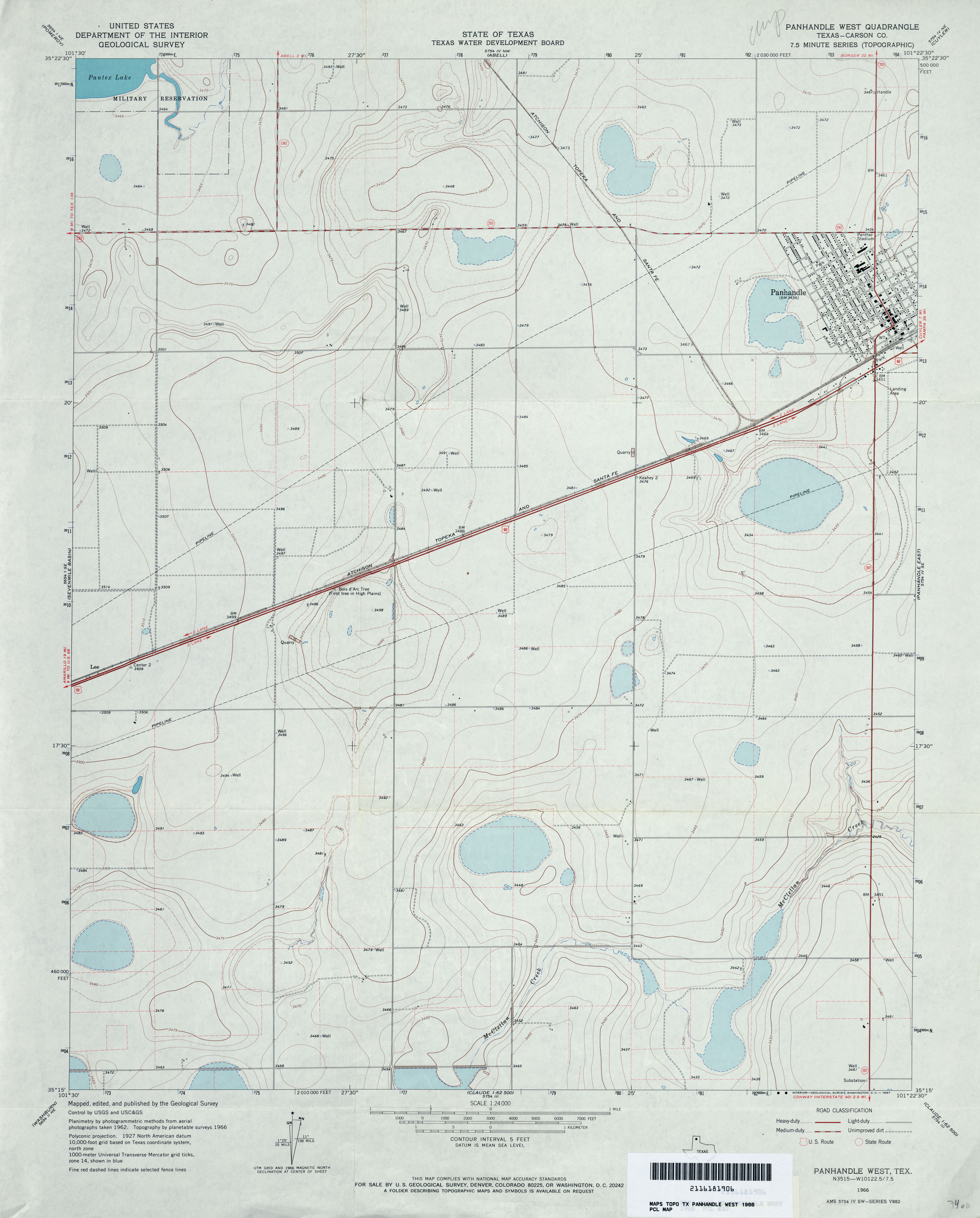
- Panhandle West (Carson County) 1:24,000 1966 (2.7MB)
- Panhandle West 1:24,000 2008 (9.0MB) [GeoPDF]
- Panhandle West 1:24,000 2012 (15MB) [GeoPDF]
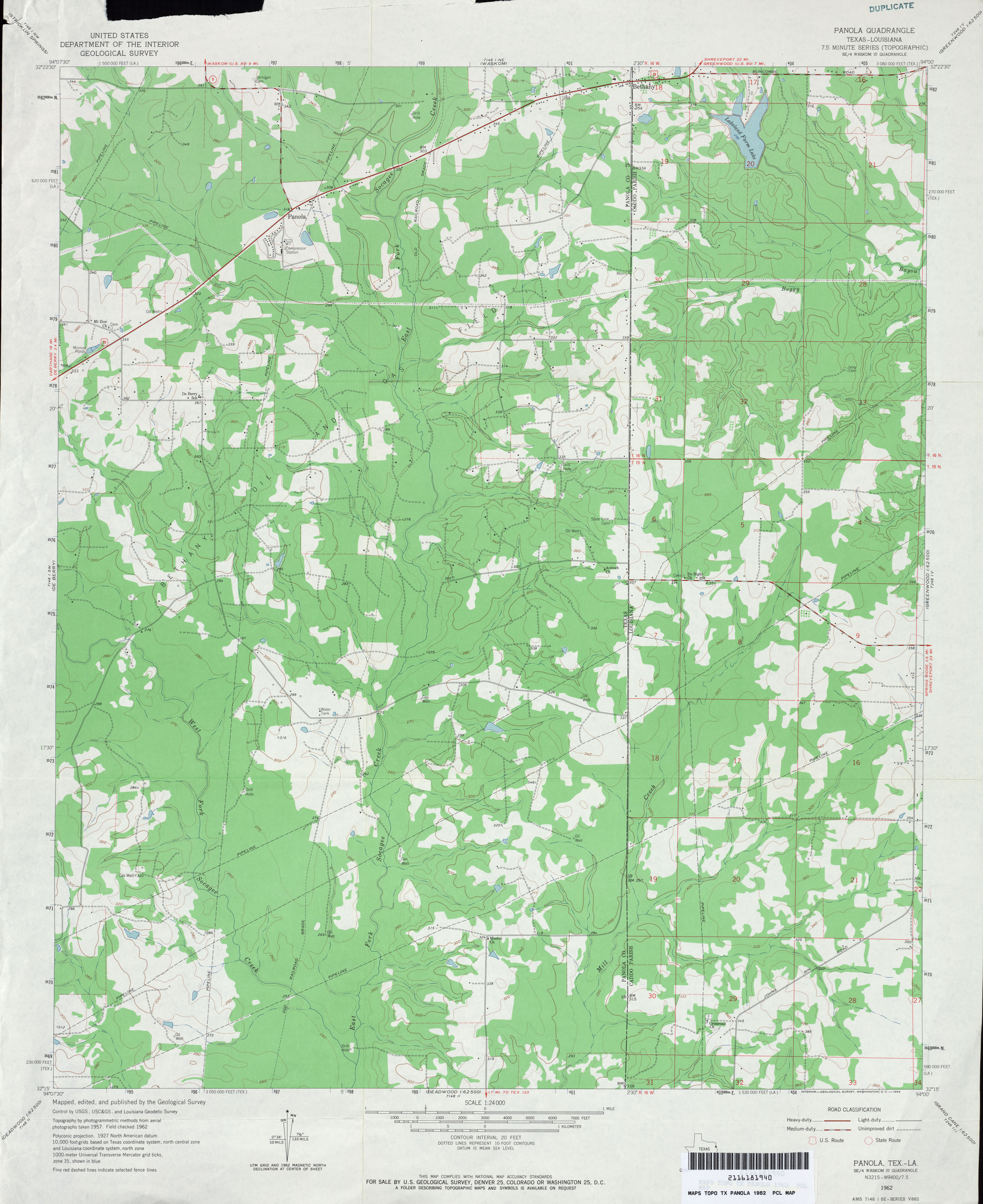
- Panola 1:24,000 1962 (3MB)
- Panola 1:24,000 1969 (2.7MB)
- Panola 1:24,000 2009 (22.6MB) [GeoPDF]
- Panther Bluff (Pecos County) 1:24,000 1970 (3.9MB)
- Panther Bluff 1:24,000 2008 (22.6MB) [GeoPDF]
- Panther Bluff 1:24,000 2012 (28.9MB) [GeoPDF]
- Panther Canyon (Culberson County) 1:24,000 1970 (3.4MB)
- Panther Canyon 1:24,000 2008 (22.3MB) [GeoPDF]
- Panther Canyon 1:24,000 2012 (26.3MB) [GeoPDF]
- Panther Creek (Mason County) 1:24,000 1967 (3.9MB)
- Panther Creek 1:24,000 2008 (20.4MB) [GeoPDF]
- Panther Creek 1:24,000 2012 (28.8MB) [GeoPDF]
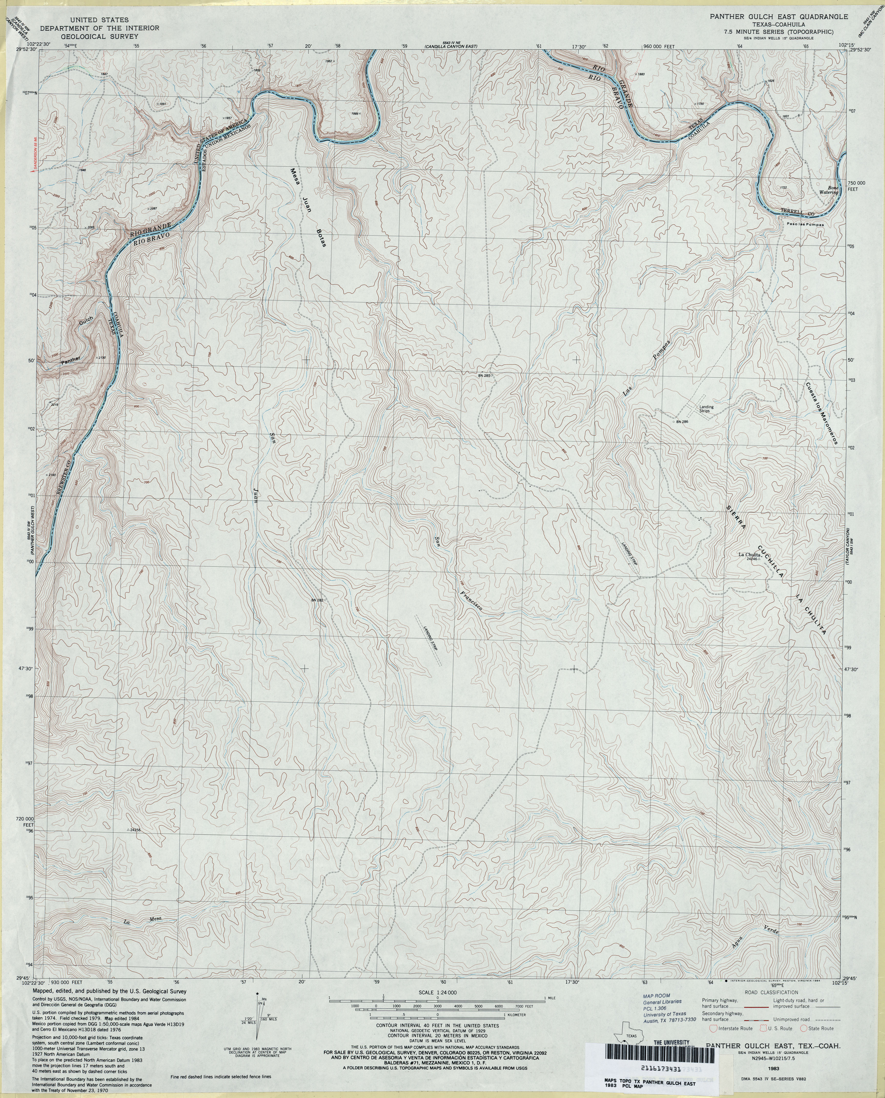
- Panther Gulch East 1:24,000 1983 (4MB)
- Panther Gulch East 1:24,000 2008 (22.0MB) [GeoPDF]
- Panther Gulch East 1:24,000 2013 (24MB) [GeoPDF]
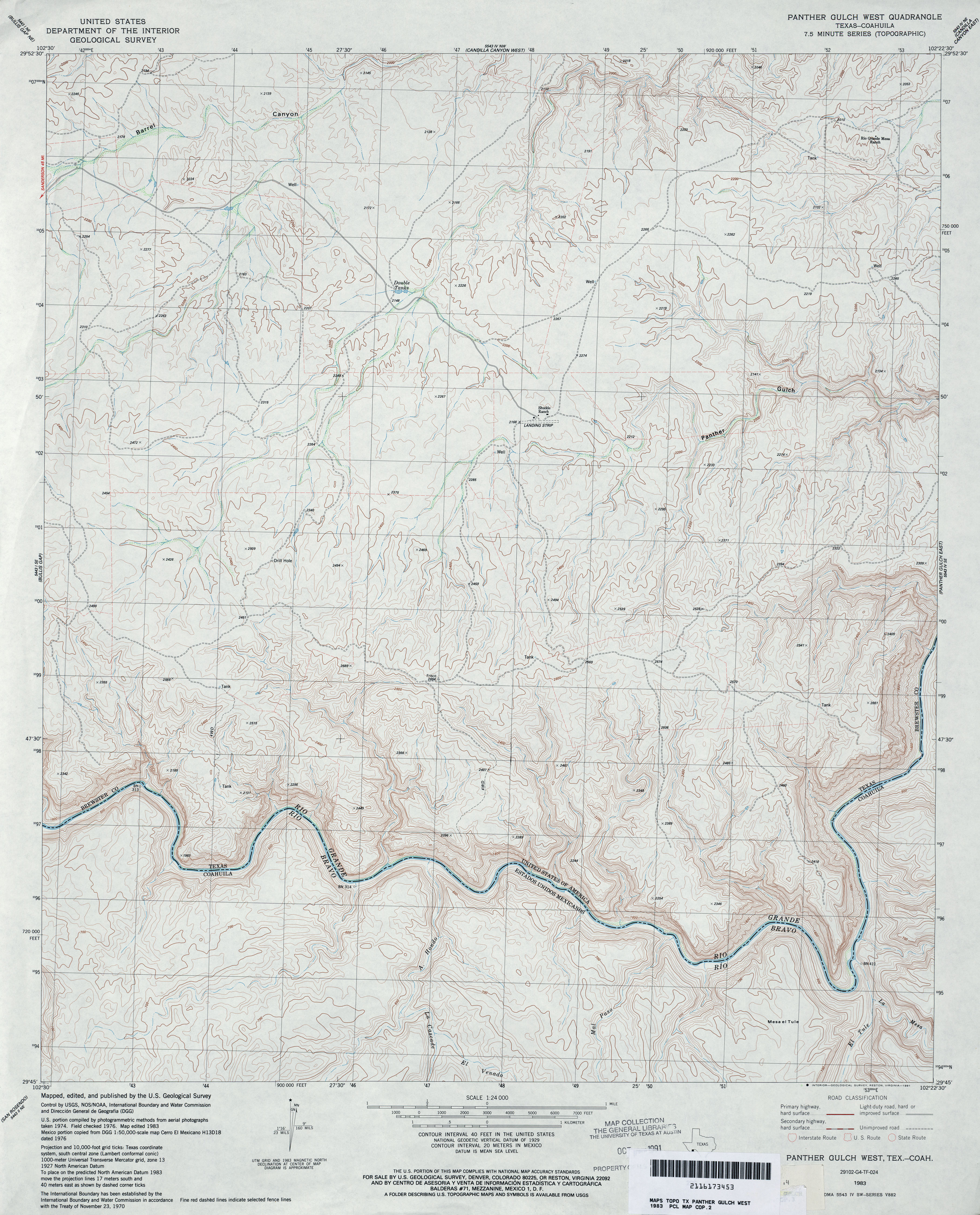
- Panther Gulch West 1:24,000 1983 (4.3MB)
- Panther Gulch West 1:24,000 2008 (22.3MB) [GeoPDF]
- Panther Gulch West 1:24,000 2013 (29.8MB) [GeoPDF]
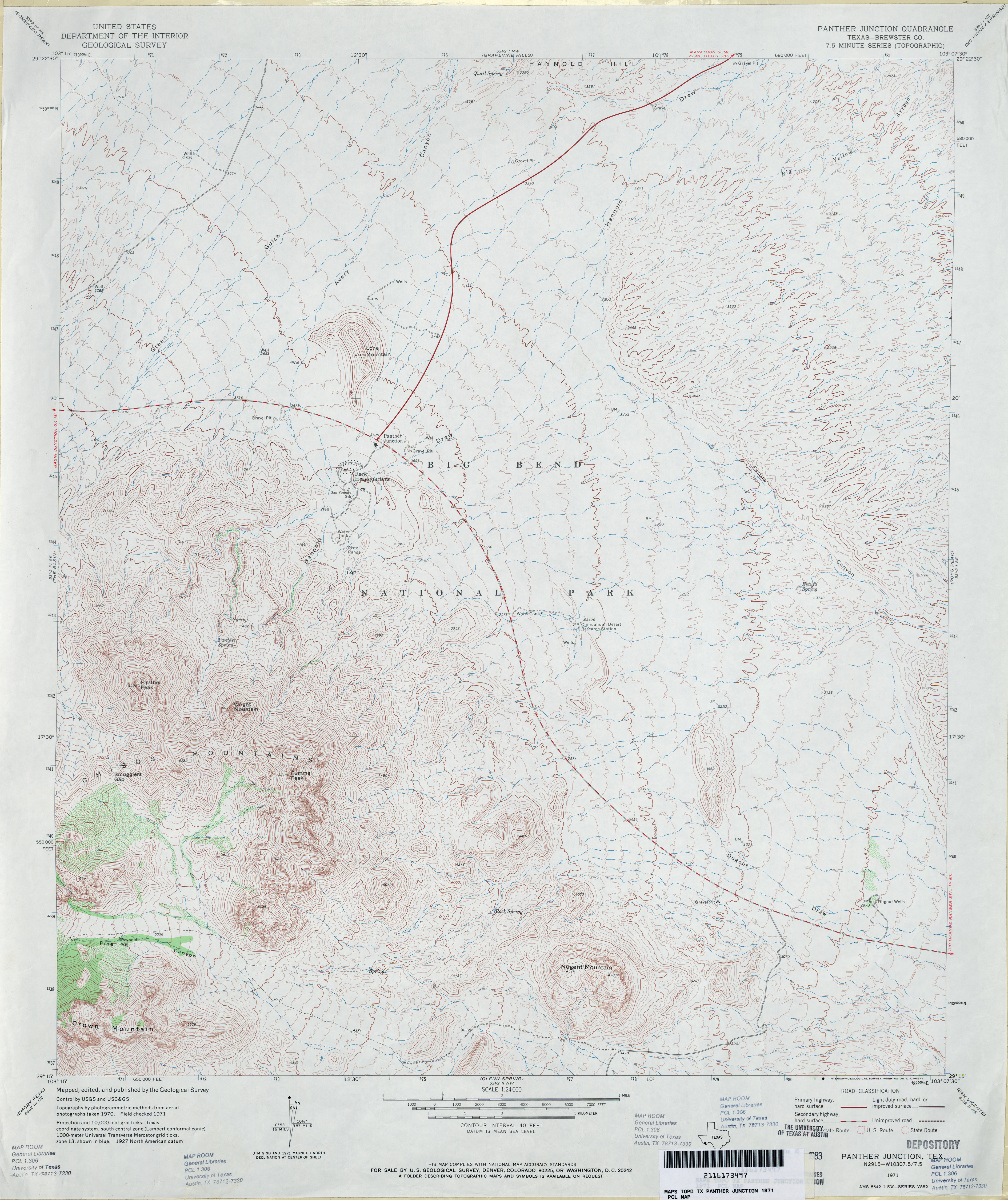
- Panther Junction (Brewster County) 1:24,000 1971 (4.2MB)
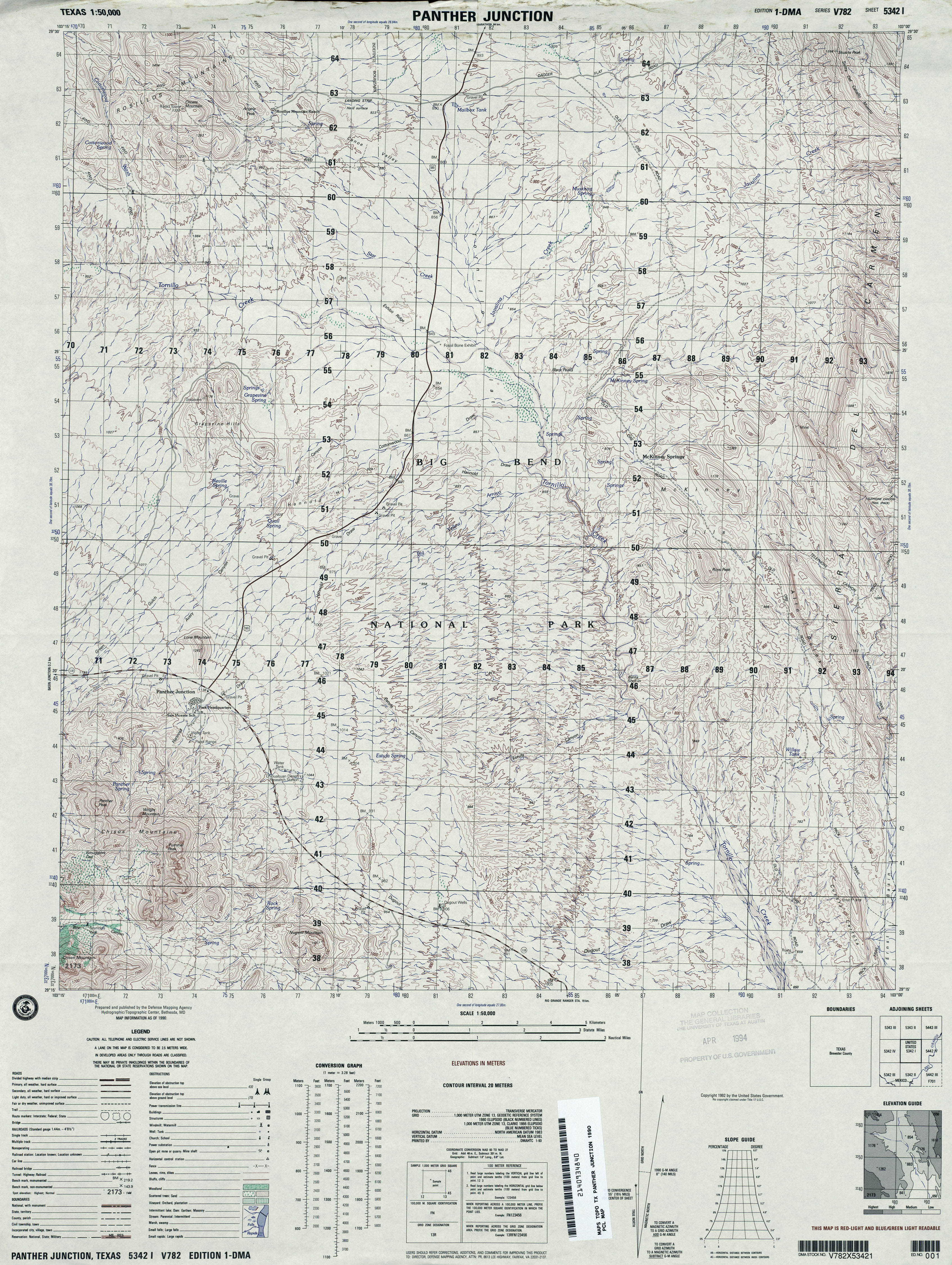
- Panther Junction 1:50,000 1990 (4.5MB) U.S. Defense Mapping Agency, Edition 1-DMA, Series V782
- Panther Junction 1:24,000 2008 (24.5MB) [GeoPDF]
- Panther Junction 1:24,000 2012 (26.6MB) [GeoPDF]
- Panther Point (Calhoun County) 1:24,000 1952 (2.7MB)
- Panther Point 1:24,000 2008 (8.6MB) [GeoPDF]
- Panther Point 1:24,000 2013 (20.5MB) [GeoPDF]
- Panther Point NE (Calhoun County) 1:24,000 1952 (2.1MB)
- Panther Point NE (Calhoun County) 1:24,000 1973 (1.9MB)
- Panther Point NE 1:24,000 2008 (19.7MB) [GeoPDF]
- Panther Point NE 1:24,000 2013 (11.6MB) [GeoPDF]
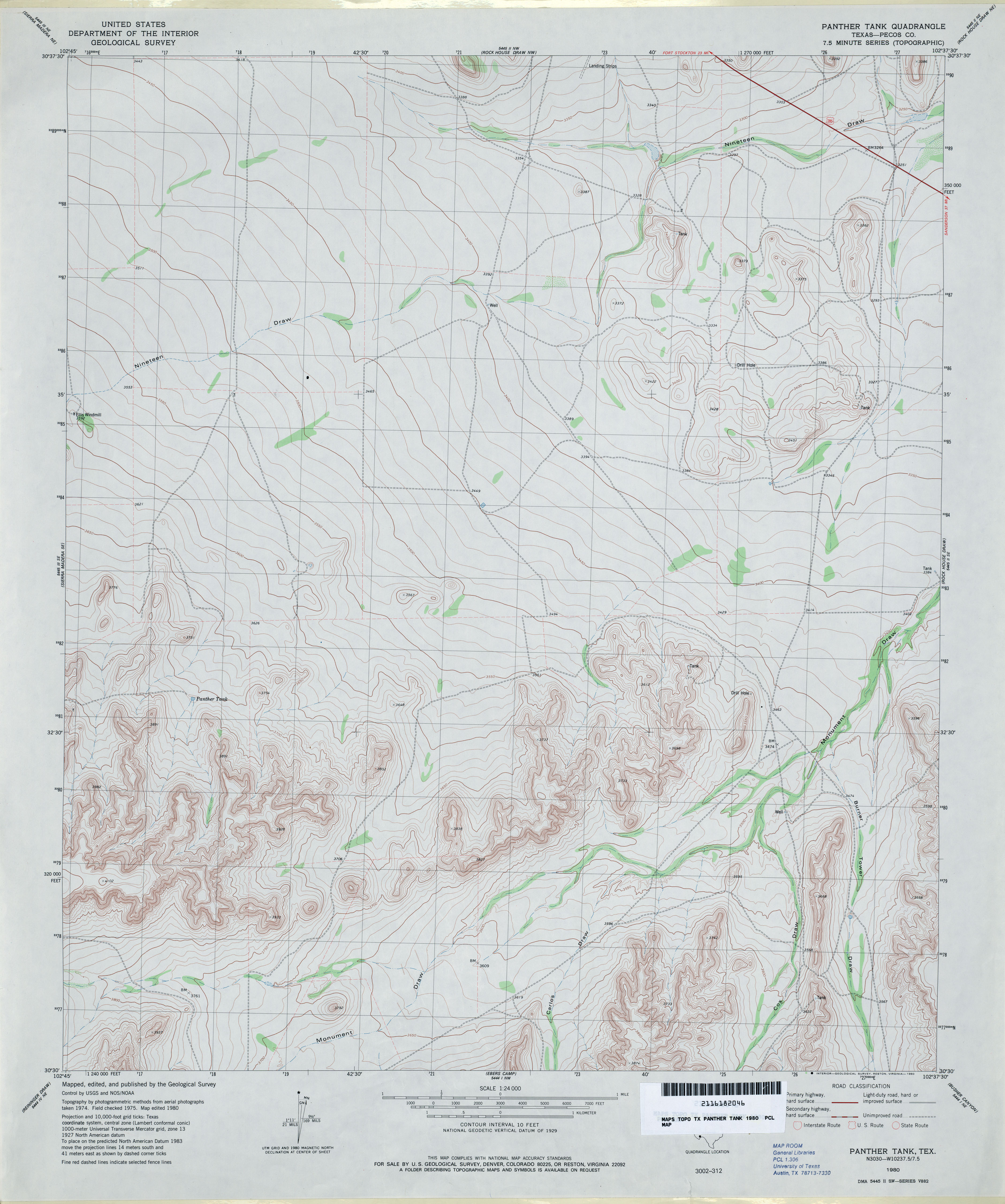
- Panther Tank (Pecos County) 1:24,000 1980 (3.3MB)
- Panther Tank 1:24,000 2008 (21.6MB) [GeoPDF]
- Panther Tank 1:24,000 2012 (29.4MB) [GeoPDF]
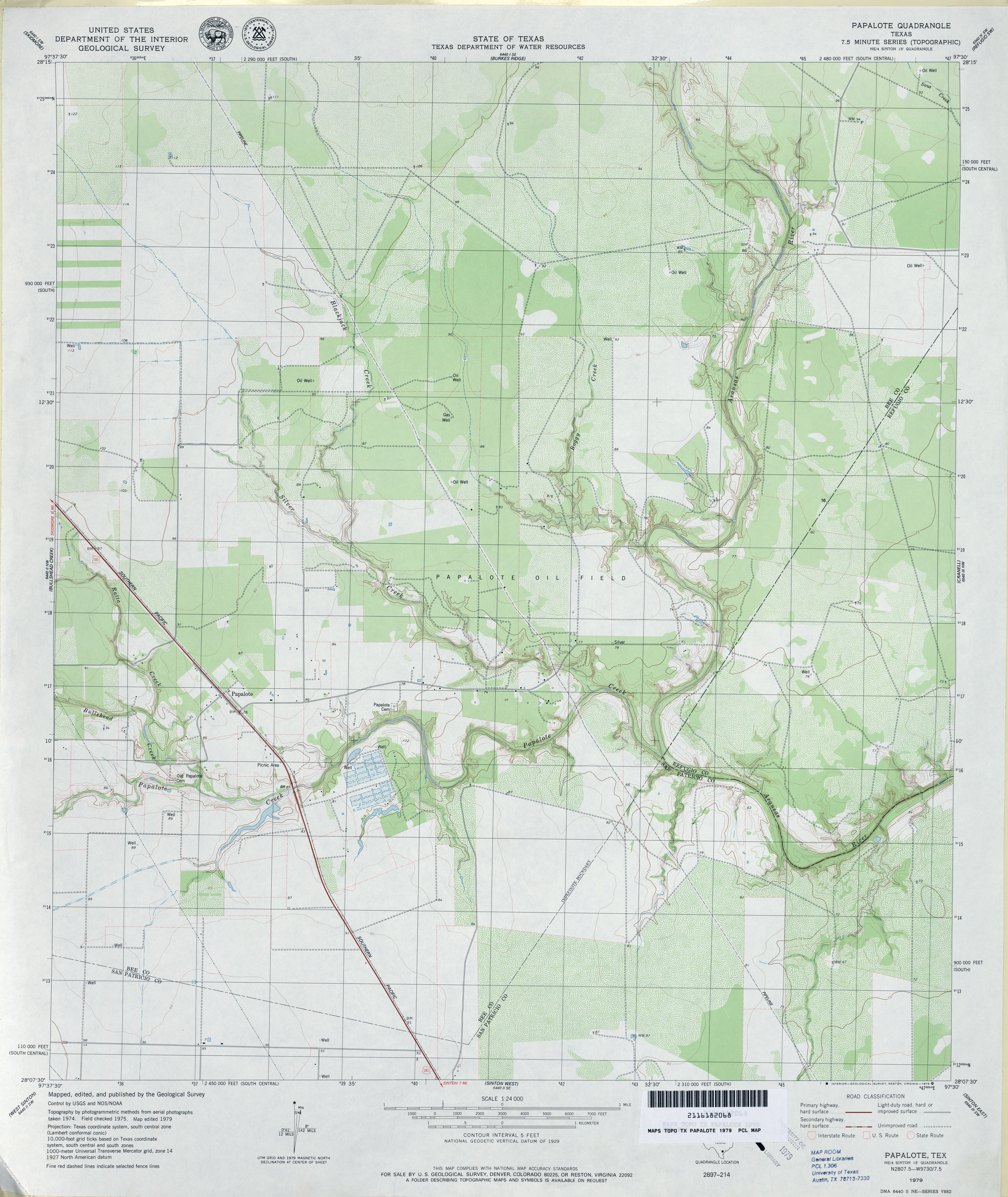
- Papalote 1:24,000 1979 (3.5MB)
- Papalote 1:24,000 2009 (14.6MB) [GeoPDF]
- Papalote 1:24,000 2013 (21.4MB) [GeoPDF]
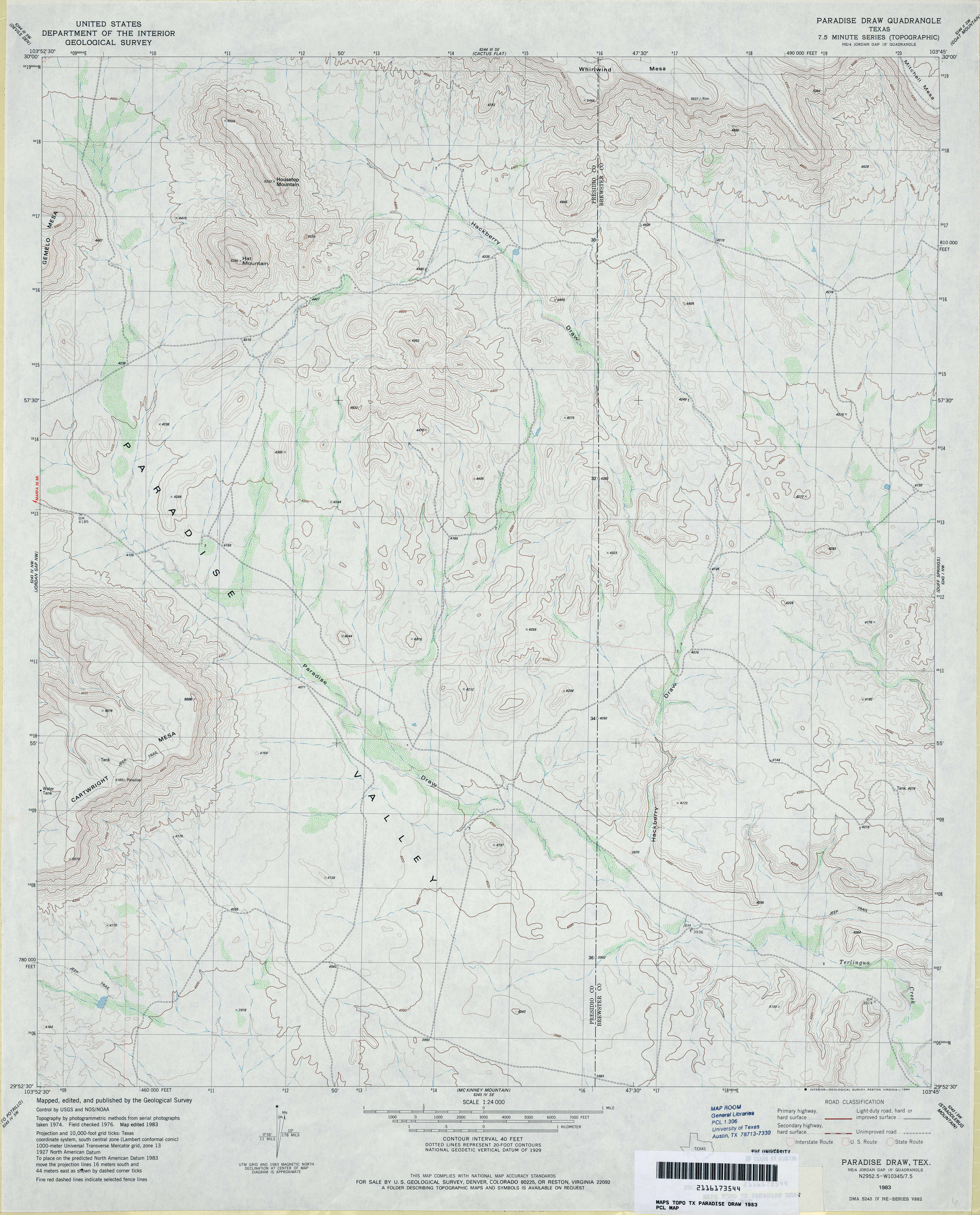
- Paradise Draw 1:24,000 1983 (3.6MB)
- Paradise Draw 1:24,000 2008 (19.7MB) [GeoPDF]
- Paradise Draw 1:24,000 2012 (24MB) [GeoPDF]
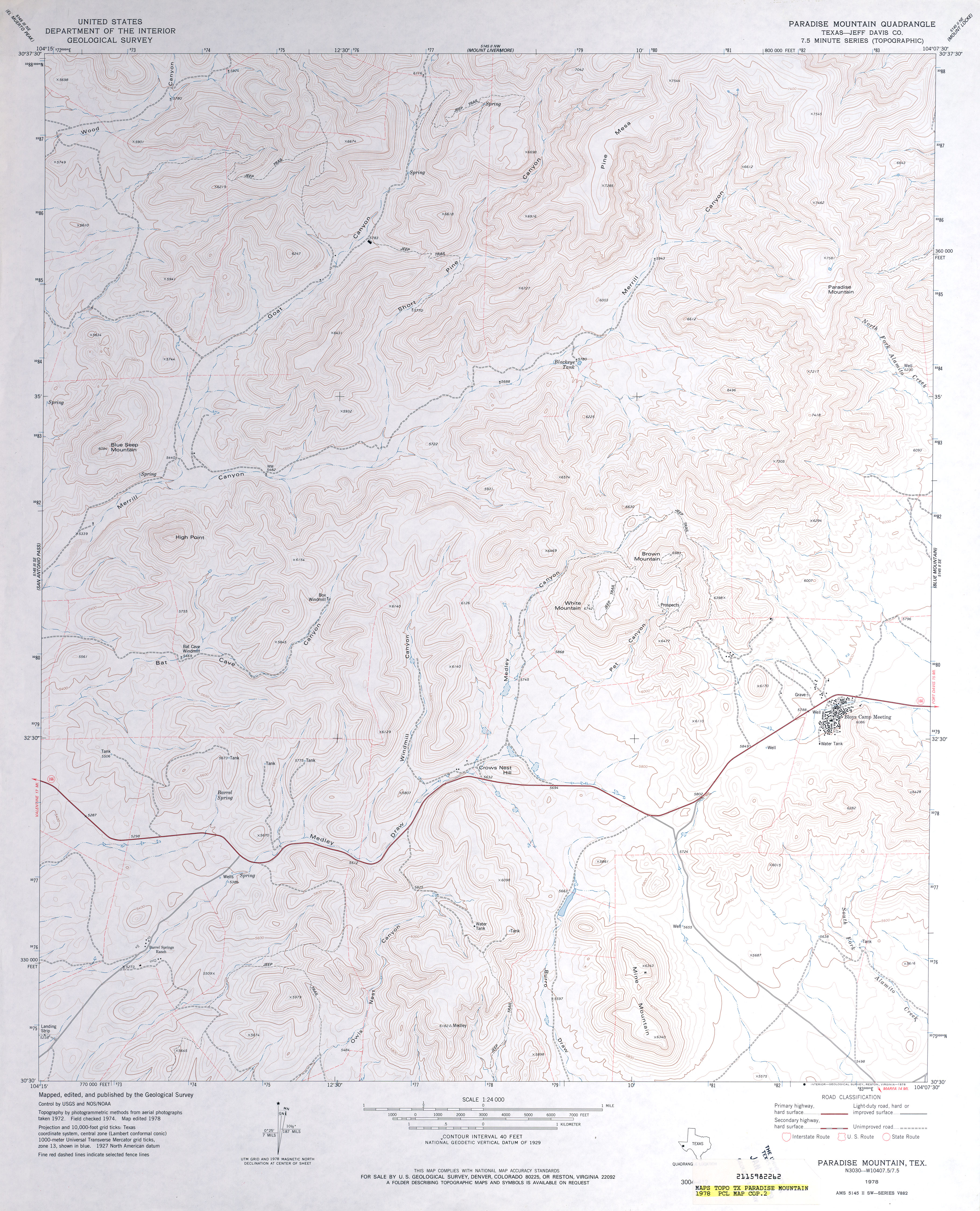
- Paradise Mountain (Jeff Davis County) 1:24,000 1978 (4MB)
- Paradise Mountain 1:24,000 2008 (18.0MB) [GeoPDF]
- Paradise Mountain 1:24,000 2012 (23.9MB) [GeoPDF]
- Pardue Camp (Hartley County) 1:24,000 1973 (3MB)
- Pardue Camp 1:24,000 2008 (10.8MB) [GeoPDF]
- Pardue Camp 1:24,000 2012 (16.3MB) [GeoPDF]
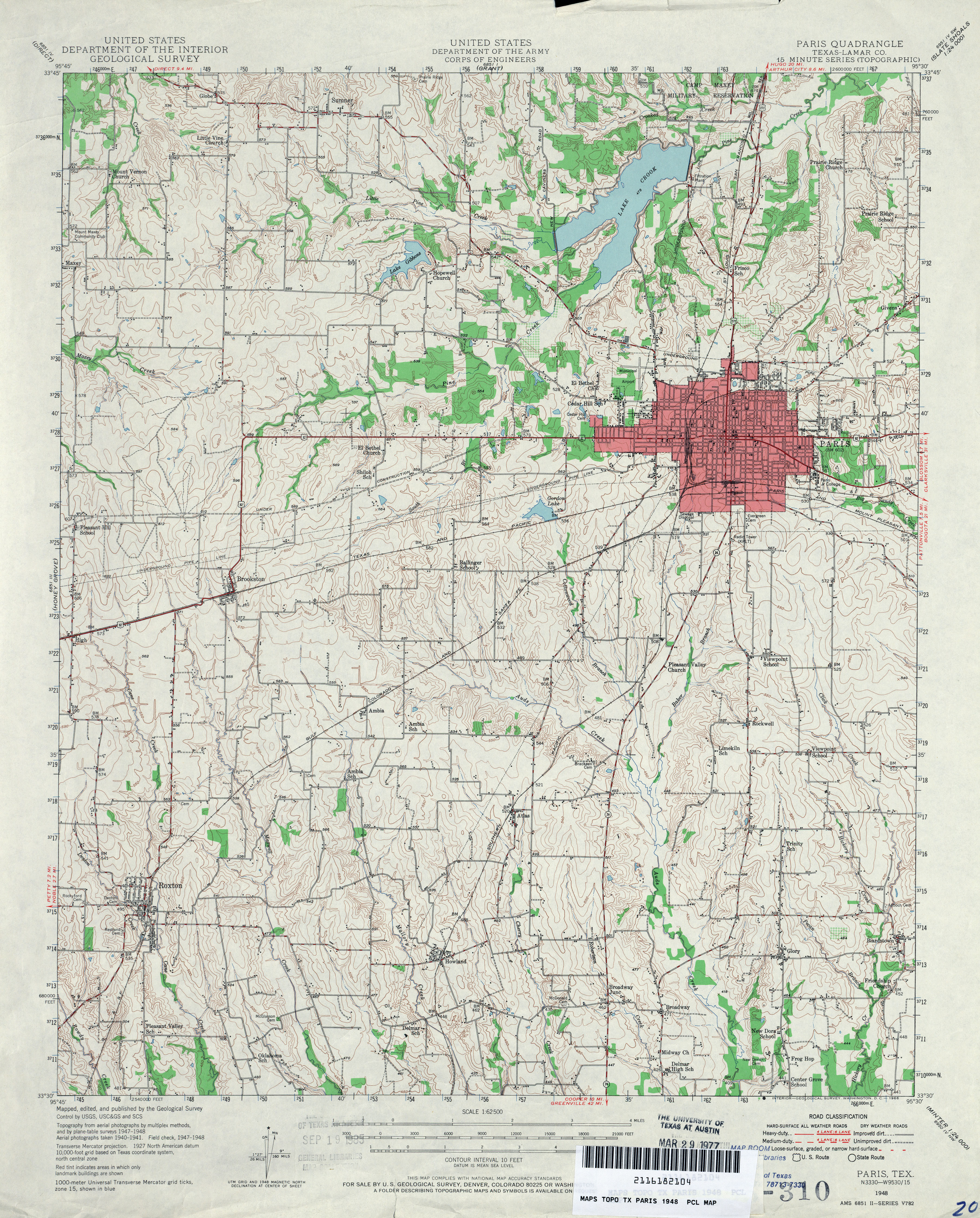
- Paris (Lamar County) 1:62,500 1948 (4.8MB) U.S. Department of the Army Corps of Engineers
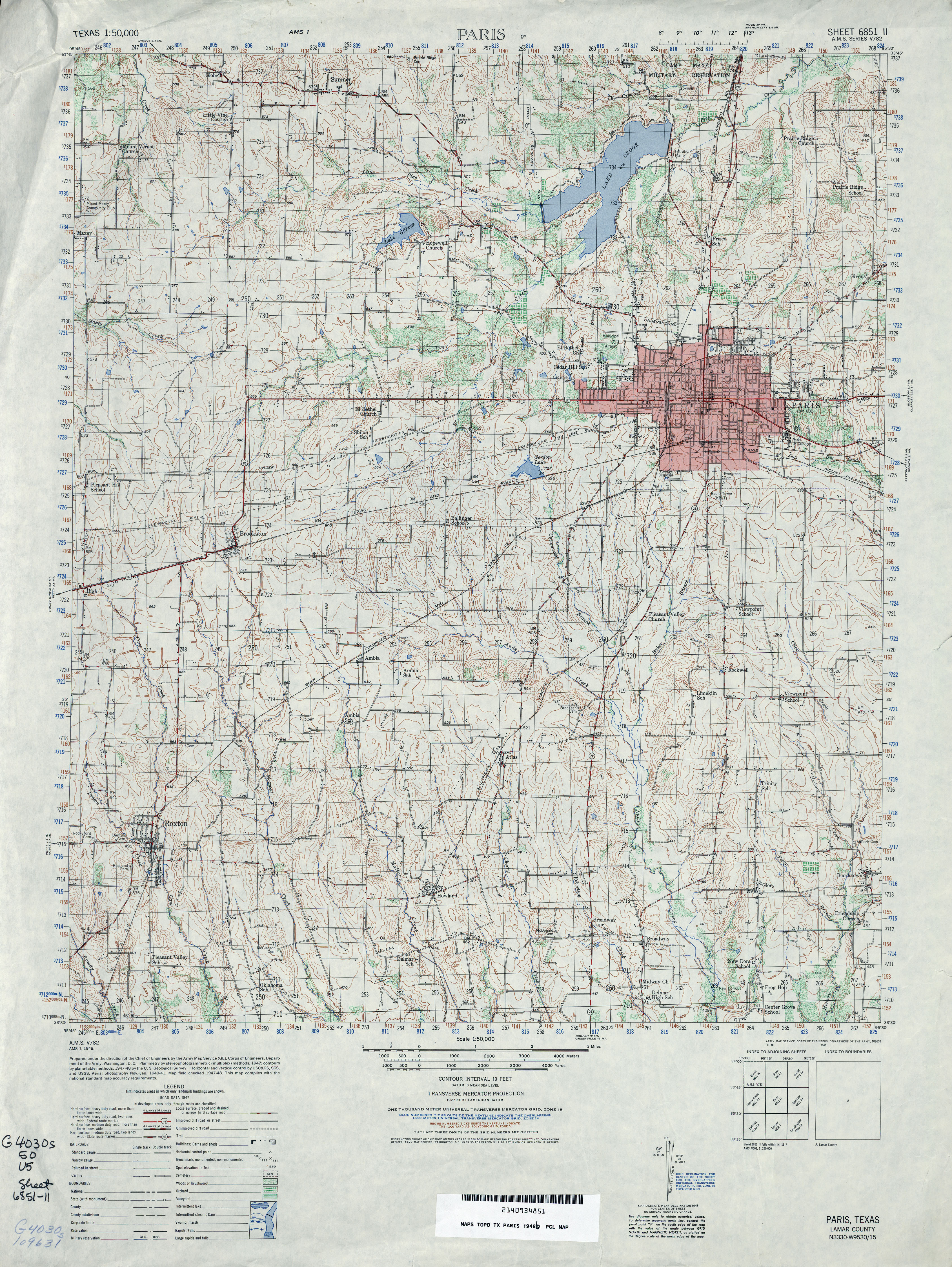
- Paris 1:50,000 1948 (4.9MB) U.S. Army Map Service, Series V782
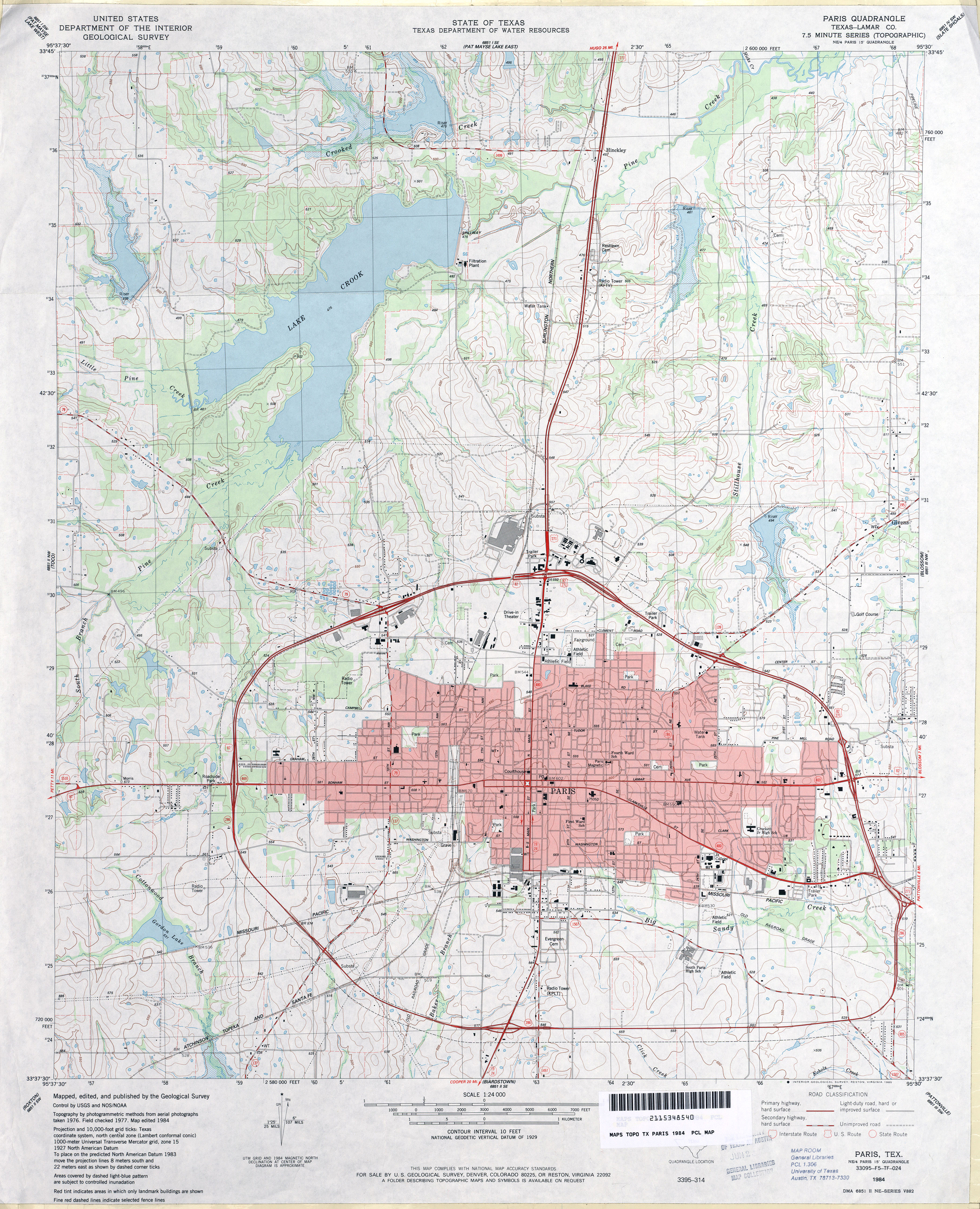
- Paris (Lamar County) 1:24,000 1984 (4.3MB)
- Paris 1:24,000 2008 (17.8MB) [GeoPDF]
- Paris 1:24,000 2013 (24.1MB) [GeoPDF]
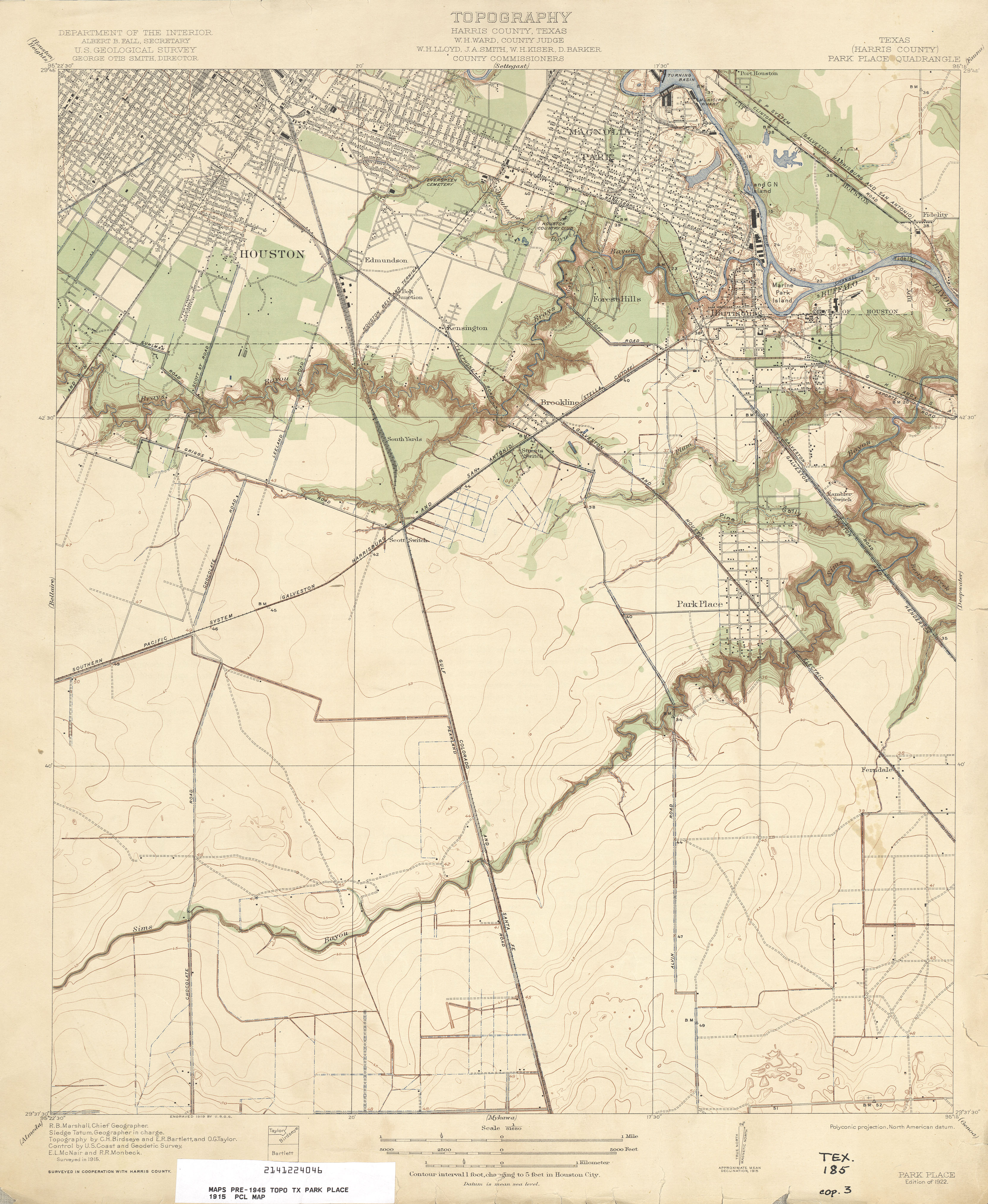
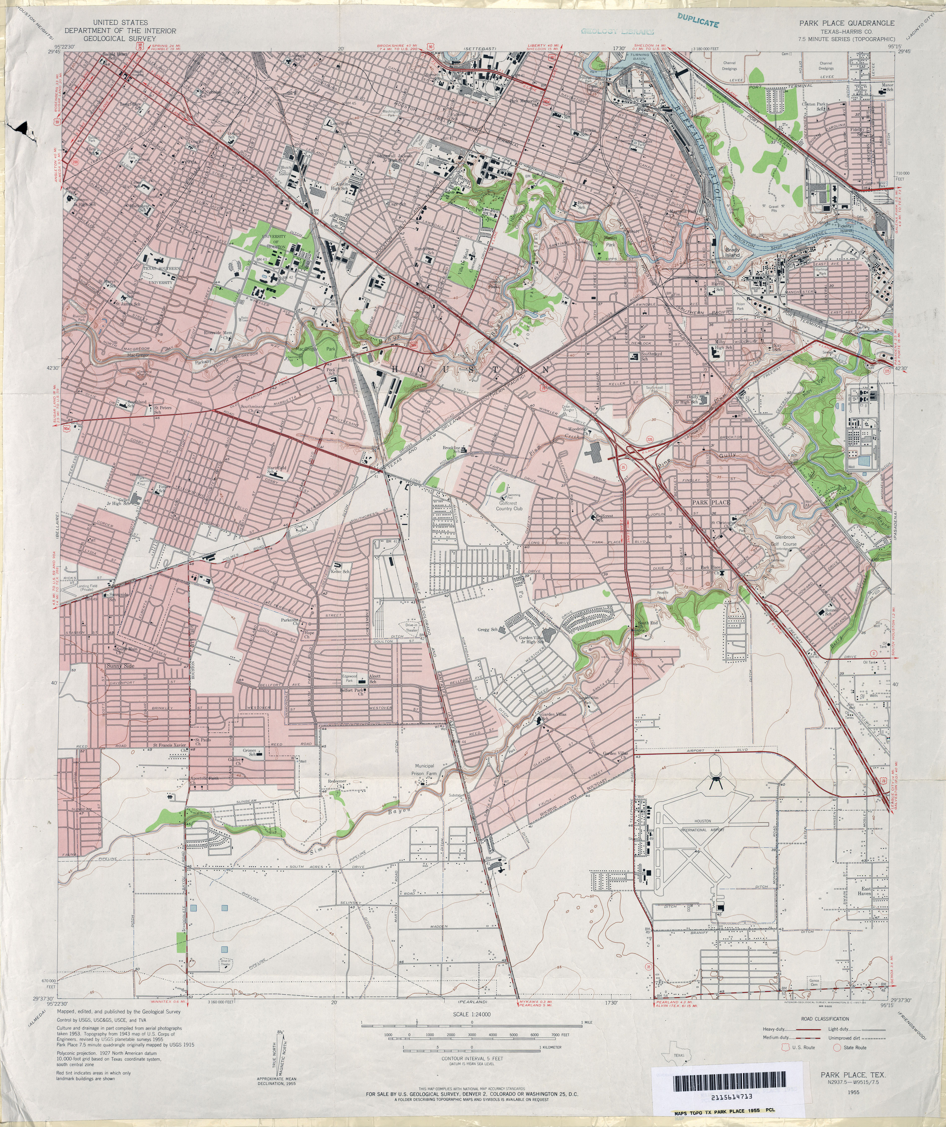
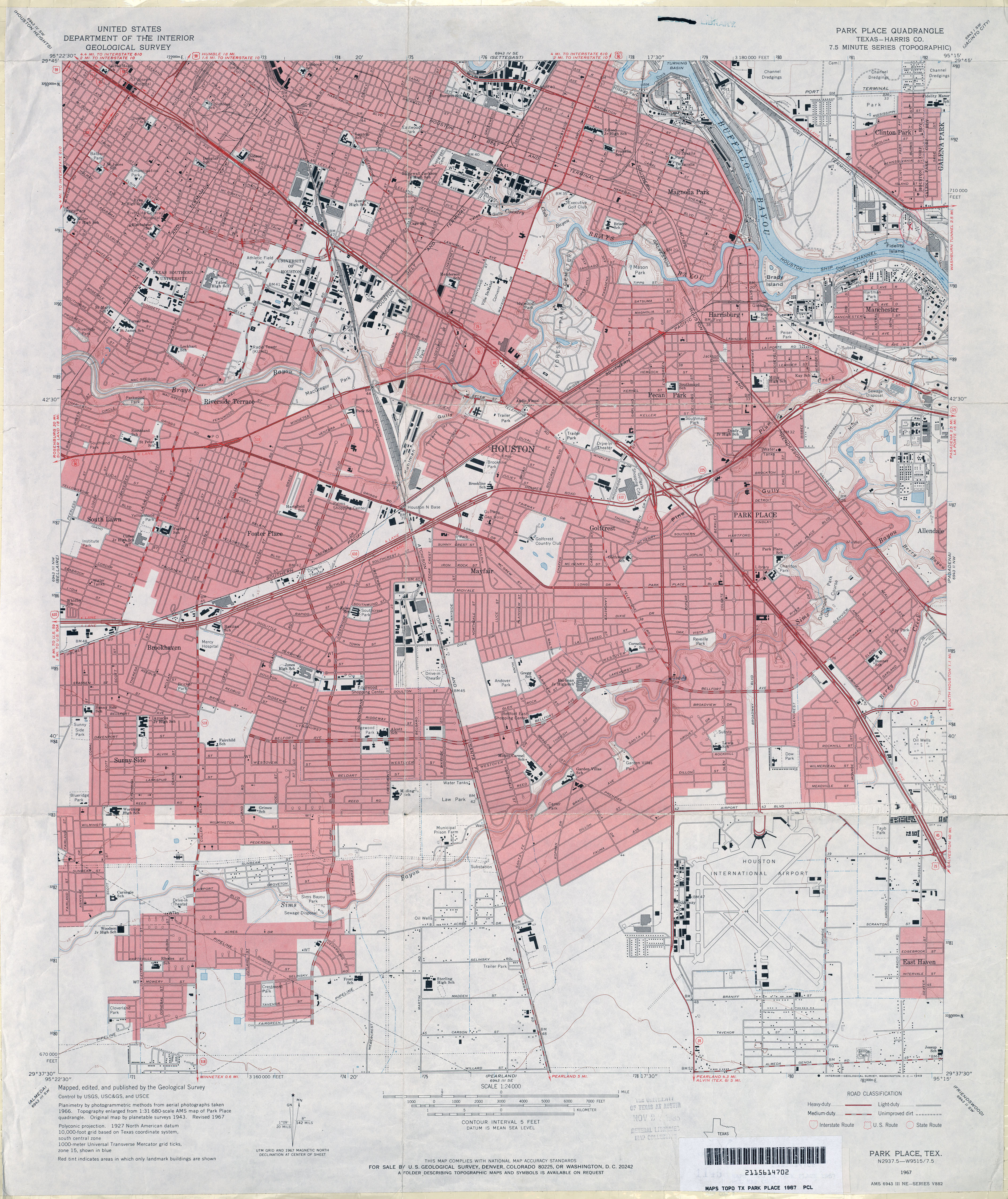
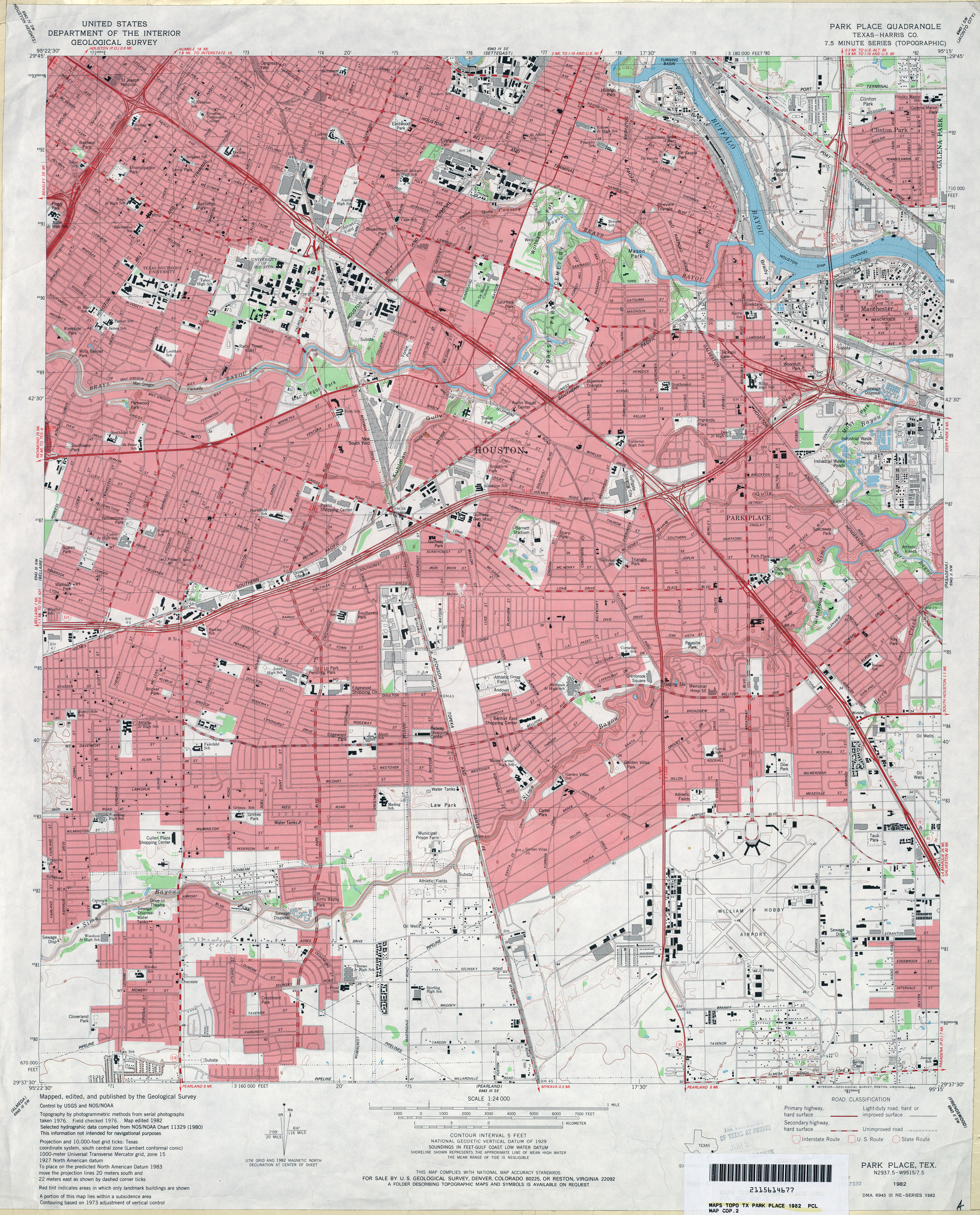
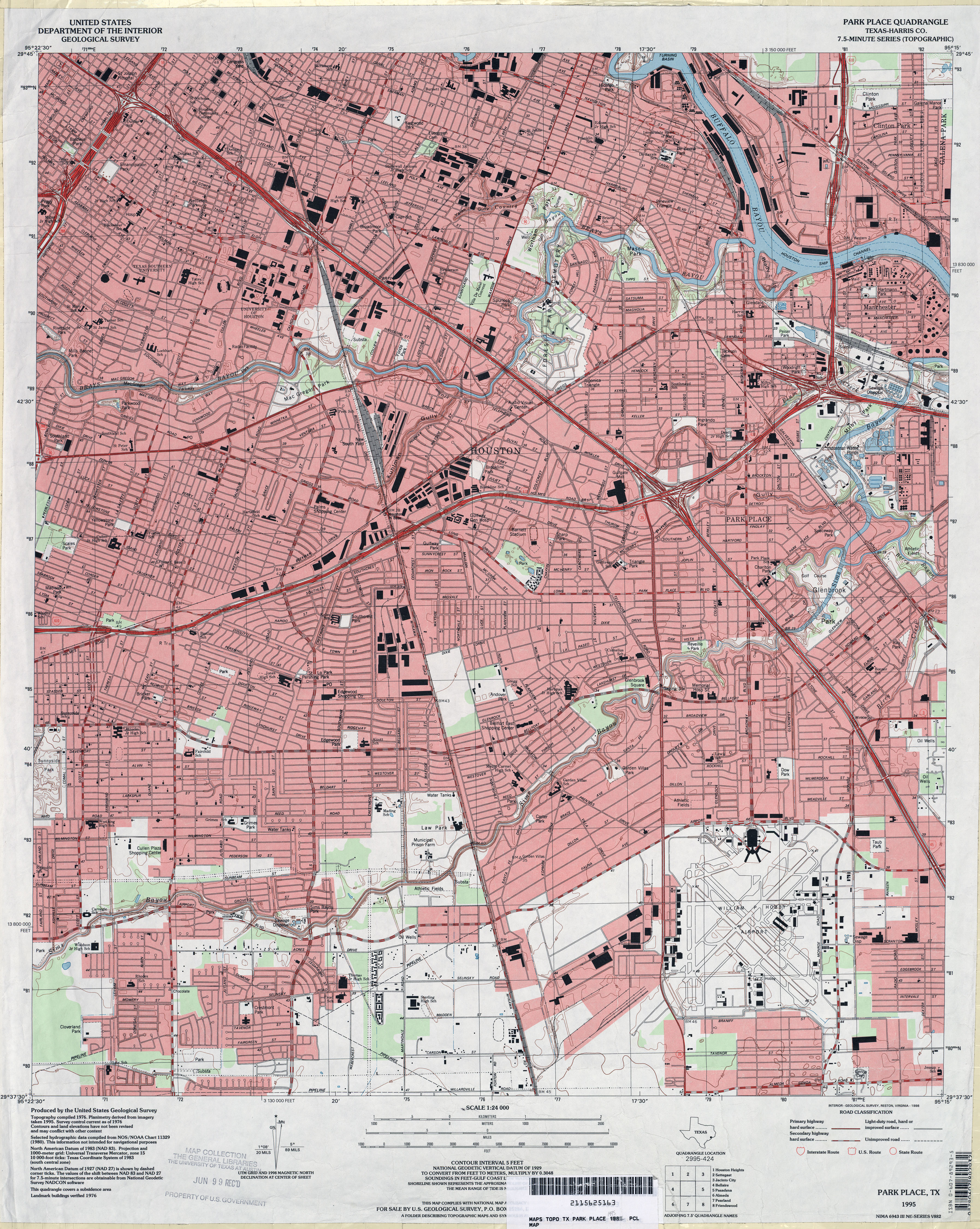
- Park Place (Harris County) 1:31,680 1915 (3.1 MB)
- Park Place 1:25,000 1947 (3.9MB) U.S. Army Map Service, Series V882
- Park Place (Harris County) 1:24,000 1955 (5.3MB)
- Park Place (Harris County) 1:24,000 1967 (4.8MB)
- Park Place (Harris County) 1:24,000 1982 (5MB)
- Park Place (Harris County) 1:24,000 1995 (5.5MB)
- Park Place 1:24,000 2009 (25.4MB) [GeoPDF]
- Park Place 1:24,000 2013 (28MB) [GeoPDF]
- Parks (Midland County) 1:24,000 1964 (2.7MB)
- Parks (Midland County) 1:24,000 1974 (2.5MB)
- Parks 1:24,000 2008 (19.4MB) [GeoPDF]
- Parks 1:24,000 2013 (19.7MB) [GeoPDF]
- Parmerton (Parmer County) 1:24,000 1965 (2.8MB)
- Parmerton 1:24,000 2008 (10.0MB) [GeoPDF]
- Parmerton 1:24,000 2012 (12.7MB) [GeoPDF]
- Parnell (Hall County) 1:24,000 1985 (4.1MB)
- Parnell 1:24,000 2008 (13.6MB) [GeoPDF]
- Parnell 1:24,000 2013 (20.6MB) [GeoPDF]
- Parrilla Creek NE (Duval County) 1:24,000 1968 (5.3MB)
- Parrilla Creek NE 1:24,000 2008 (16.6MB) [GeoPDF]
- Parrilla Creek NE 1:24,000 2013 (23.4MB) [GeoPDF]
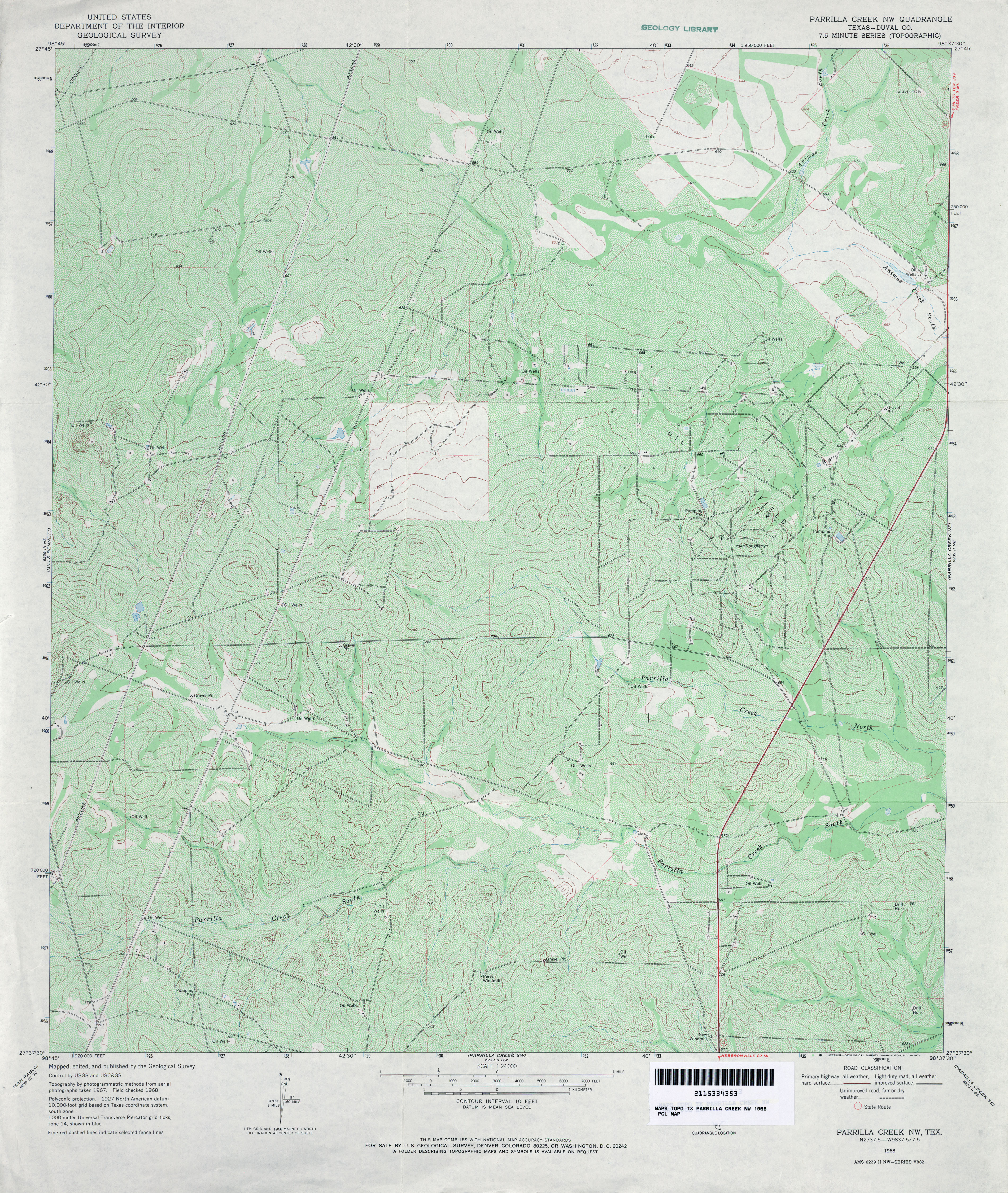
- Parrilla Creek NW (Duval County) 1:24,000 1968 (5.3MB)
- Parrilla Creek NW 1:24,000 2008 (18.6MB) [GeoPDF]
- Parrilla Creek NW 1:24,000 2013 (24.2MB) [GeoPDF]
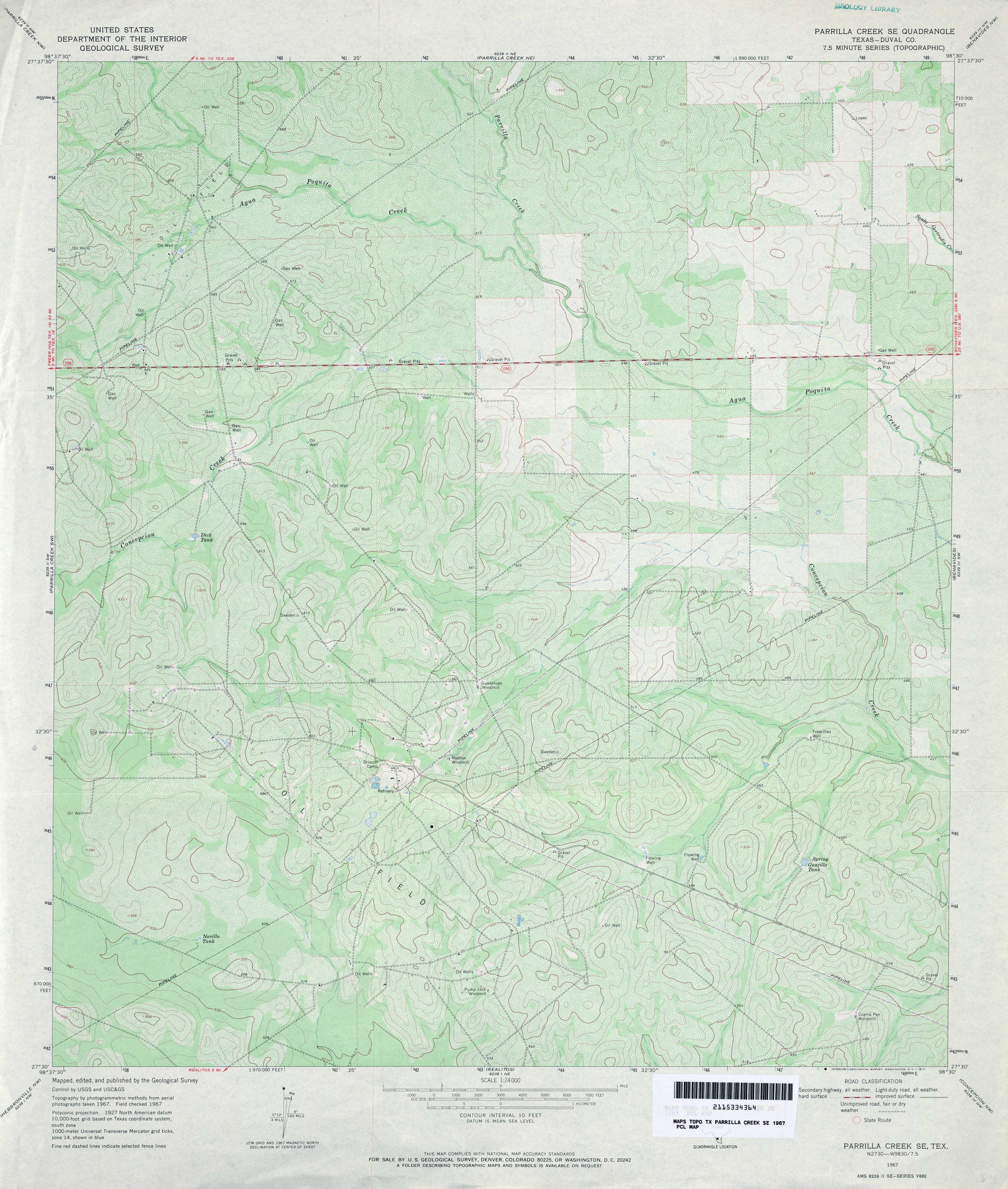
- Parrilla Creek SE (Duval County) 1:24,000 1967 (4.4MB)
- Parrilla Creek SE 1:24,000 2008 (16.3MB) [GeoPDF]
- Parrilla Creek SE 1:24,000 2013 (22.5MB) [GeoPDF]
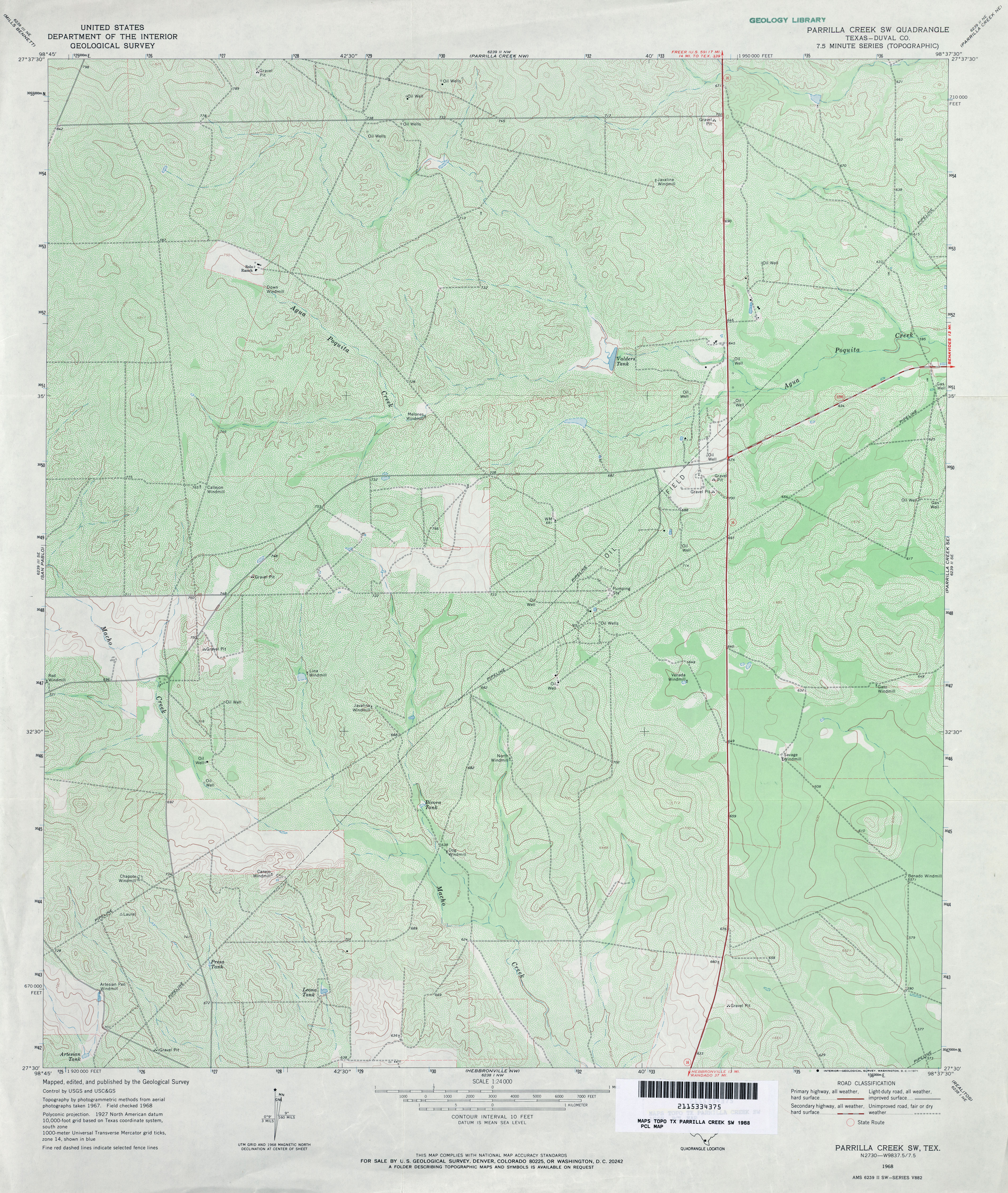
- Parrilla Creek SW (Duval County) 1:24,000 1968 (4.7MB)
- Parrilla Creek SW 1:24,000 2008 (17.7MB) [GeoPDF]
- Parrilla Creek SW 1:24,000 2013 (24.2MB) [GeoPDF]
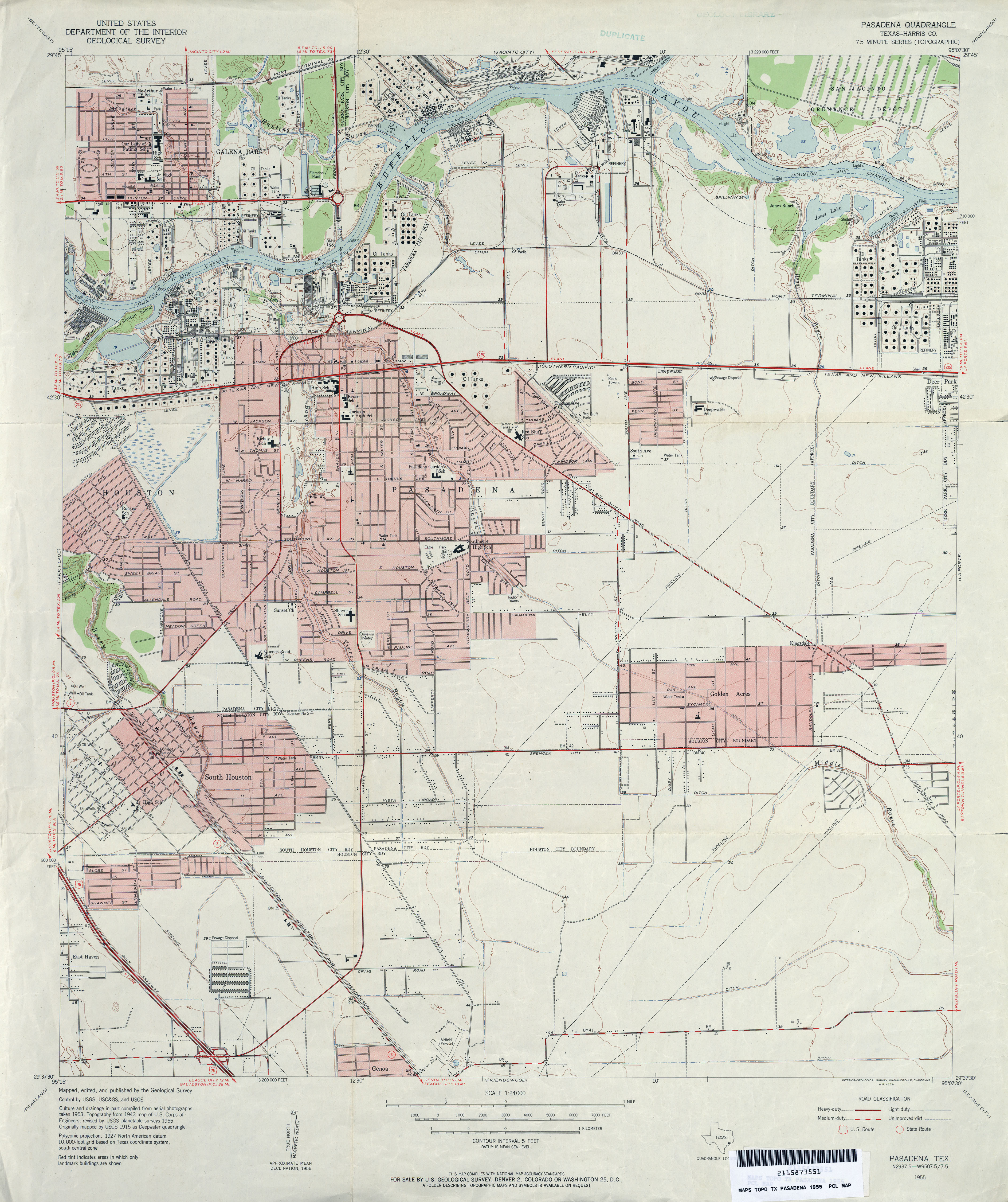
- Pasadena (Harris County) 1:24,000 1955 (4.1MB)
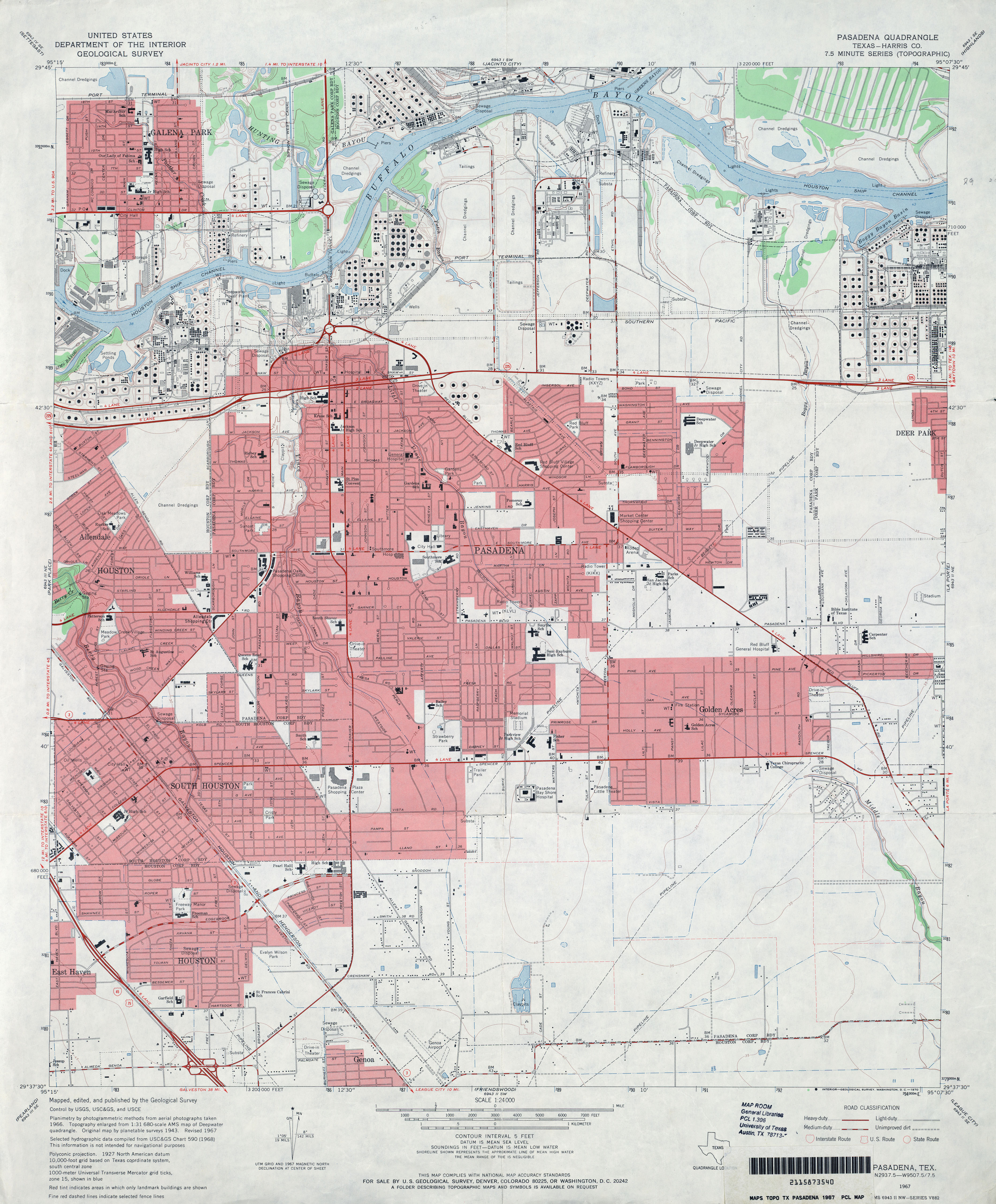
- Pasadena (Harris County) 1:24,000 1967 (4MB)
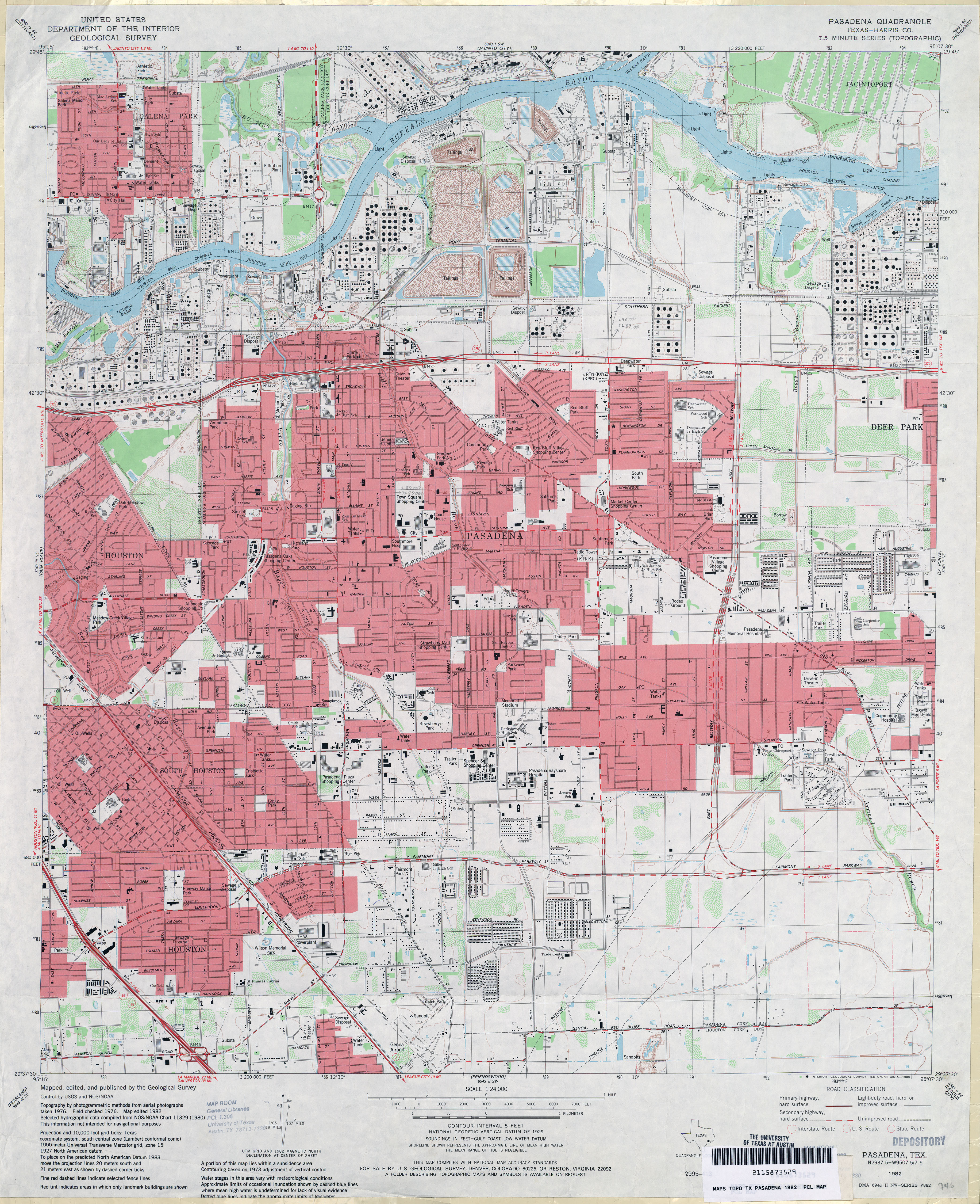
- Pasadena (Harris County) 1:24,000 1982 (4.6MB)
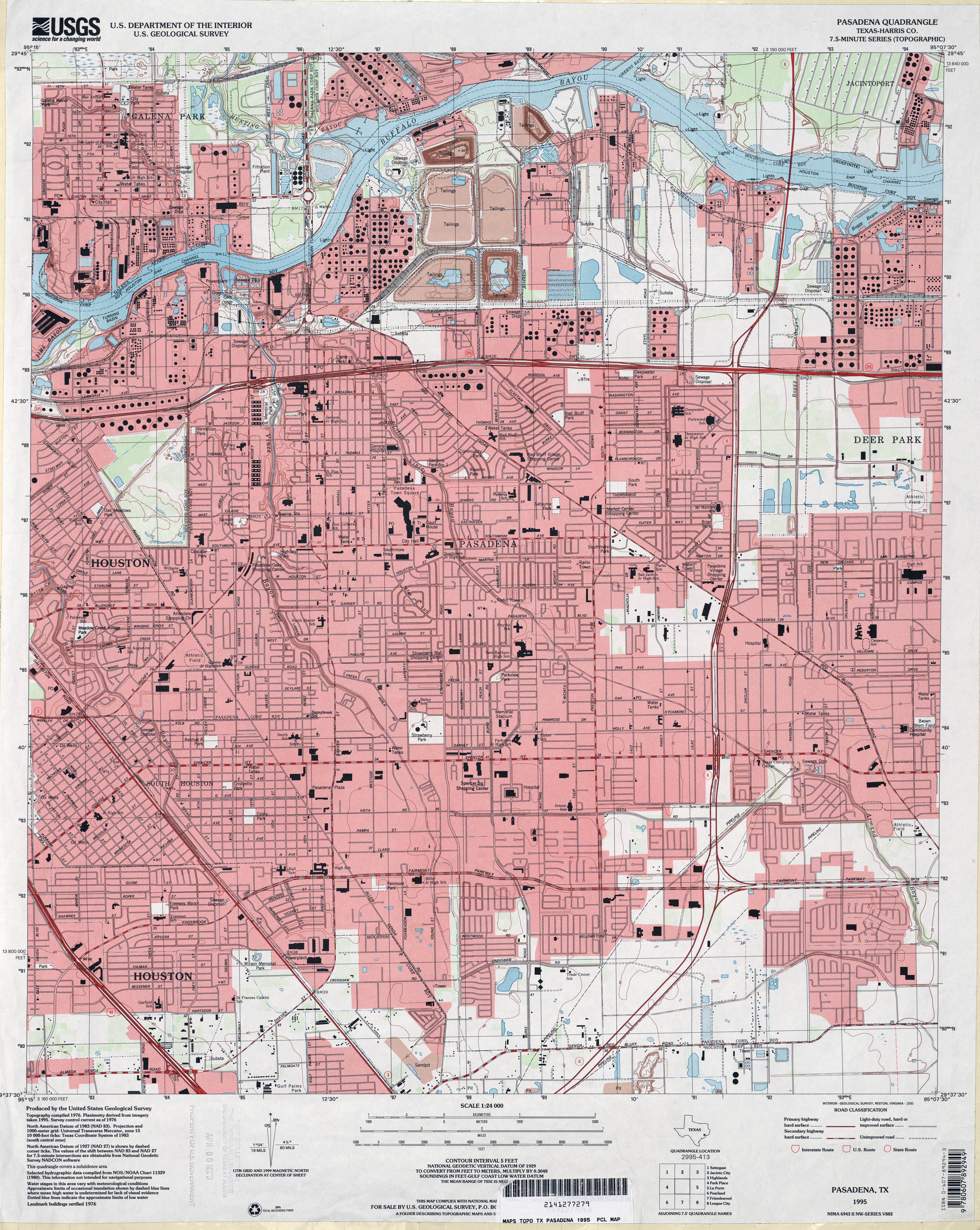
- Pasadena (Harris County) 1:24,000 1995 (4.9MB)
- Pasadena 1:24,000 2009 (23.8MB) [GeoPDF]
- Pasadena 1:24,000 2013 (26.2MB) [GeoPDF]
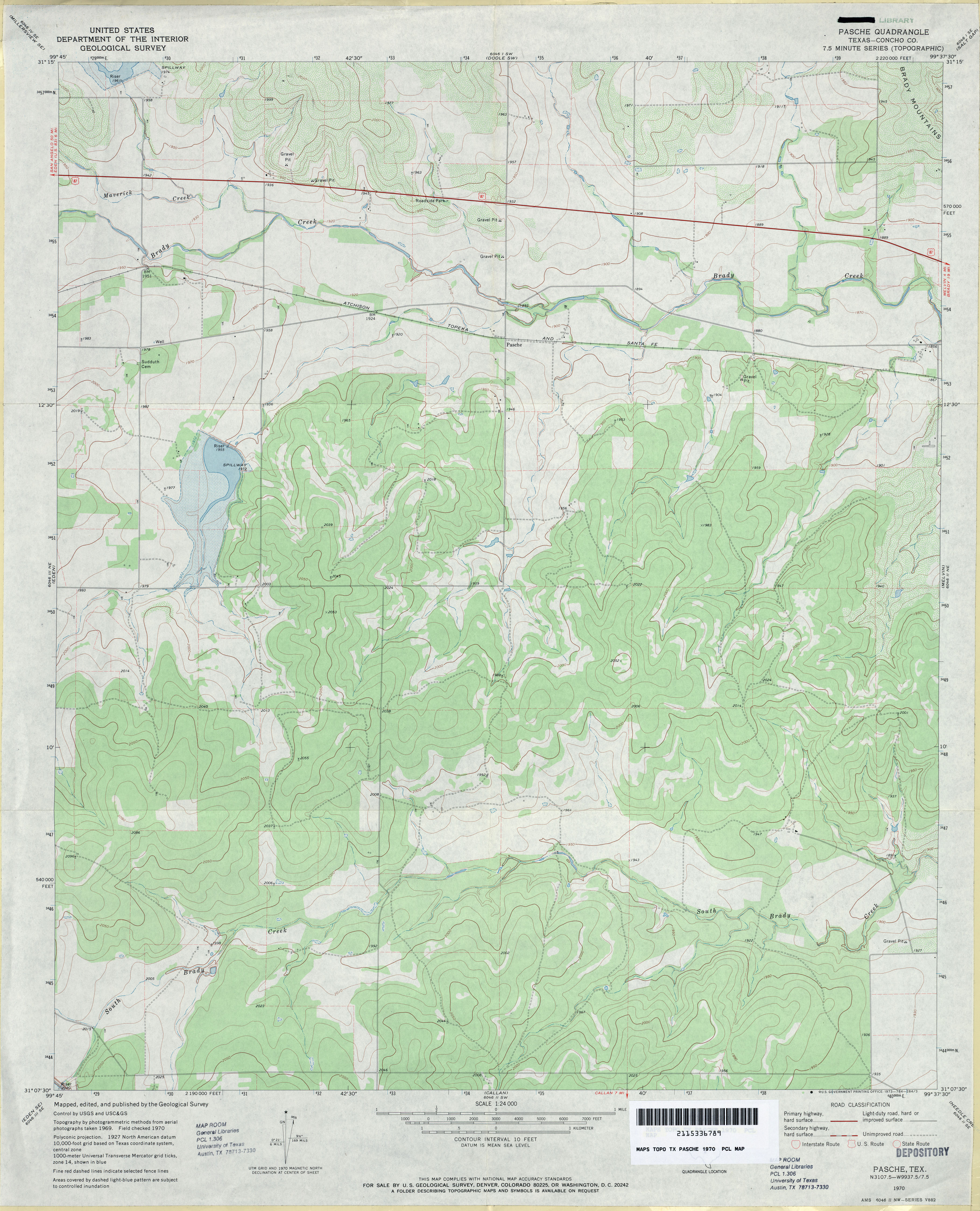
- Pasche (Concho County) 1:24,000 1970 (3.4MB)
- Pasche 1:24,000 2008 (18.8MB) [GeoPDF]
- Pasche 1:24,000 2012 (22.1MB) [GeoPDF]
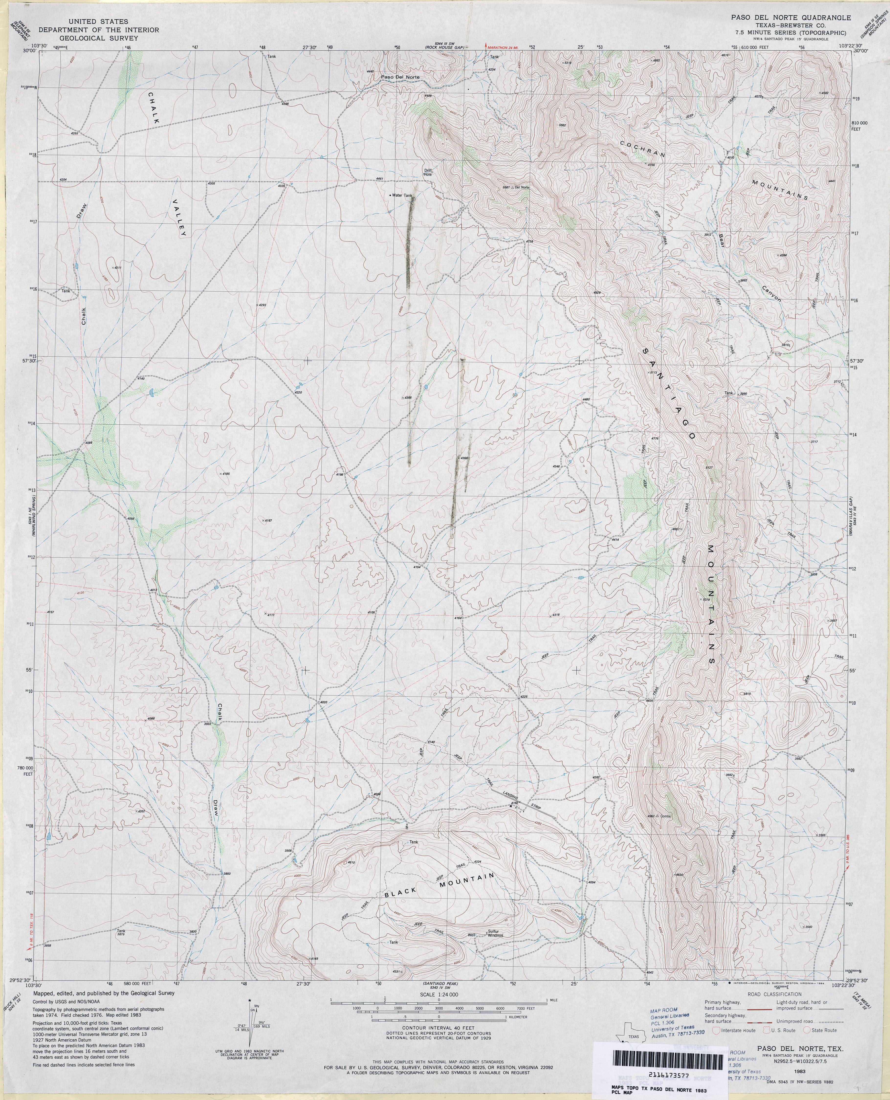
- Paso Del Norte (Brewster County) 1:24,000 1983 (3.8MB)
- Paso Del Norte 1:24,000 2008 (25.3MB) [GeoPDF]
- Paso Del Norte 1:24,000 2012 (27.7MB) [GeoPDF]
- Paso Real (Cameron County) 1:31,680 1929 (2.2 MB)
- Paso Real 1:24,000 1956 (2.9MB)
- Paso Real 1:24,000 1970 (2.7MB)
- Paso Real 1:24,000 2009 (14.3MB) [GeoPDF]
- Paso Real 1:24,000 2013 (14.3MB) [GeoPDF]
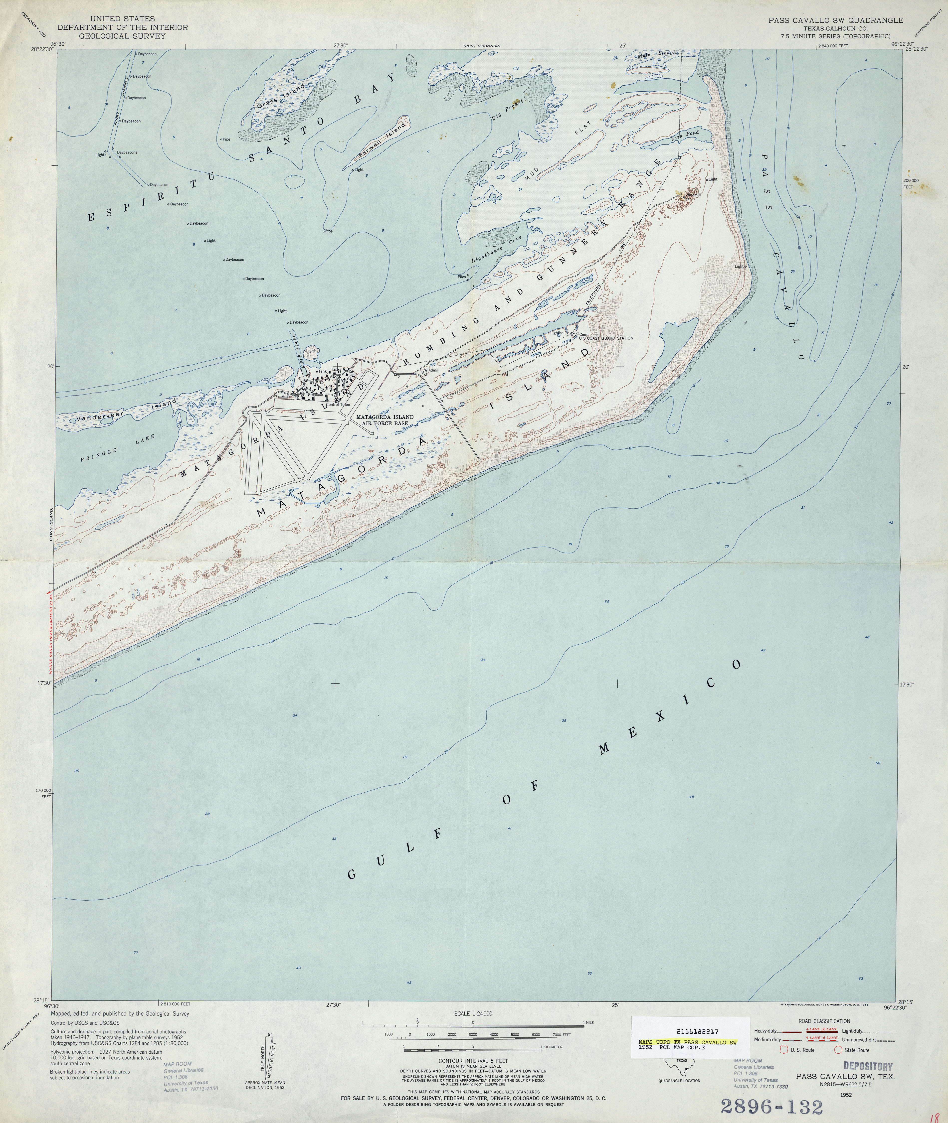
- Pass Cavallo SW (Calhoun County) 1:24,000 1952 (2.7MB)
- Pass Cavallo SW 1:24,000 2008 (11.7MB) [GeoPDF]
- Pass Cavallo SW 1:24,000 2013 (17.8MB) [GeoPDF]
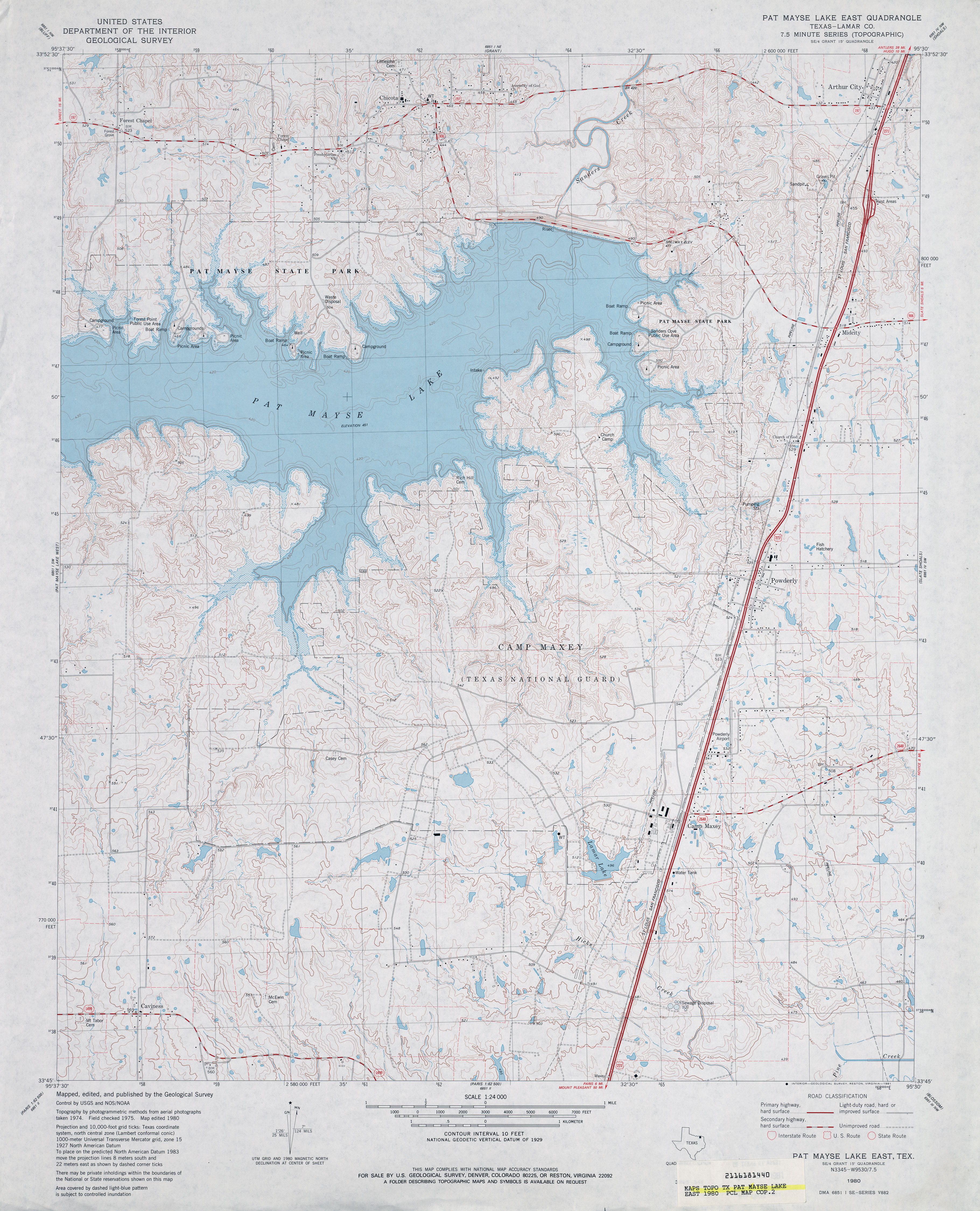
- Pat Mayse Lake East (Lamar County) 1:24,000 1980 (4.4MB)
- Pat Mayse Lake East 1:24,000 2013 (25.4MB) [GeoPDF]
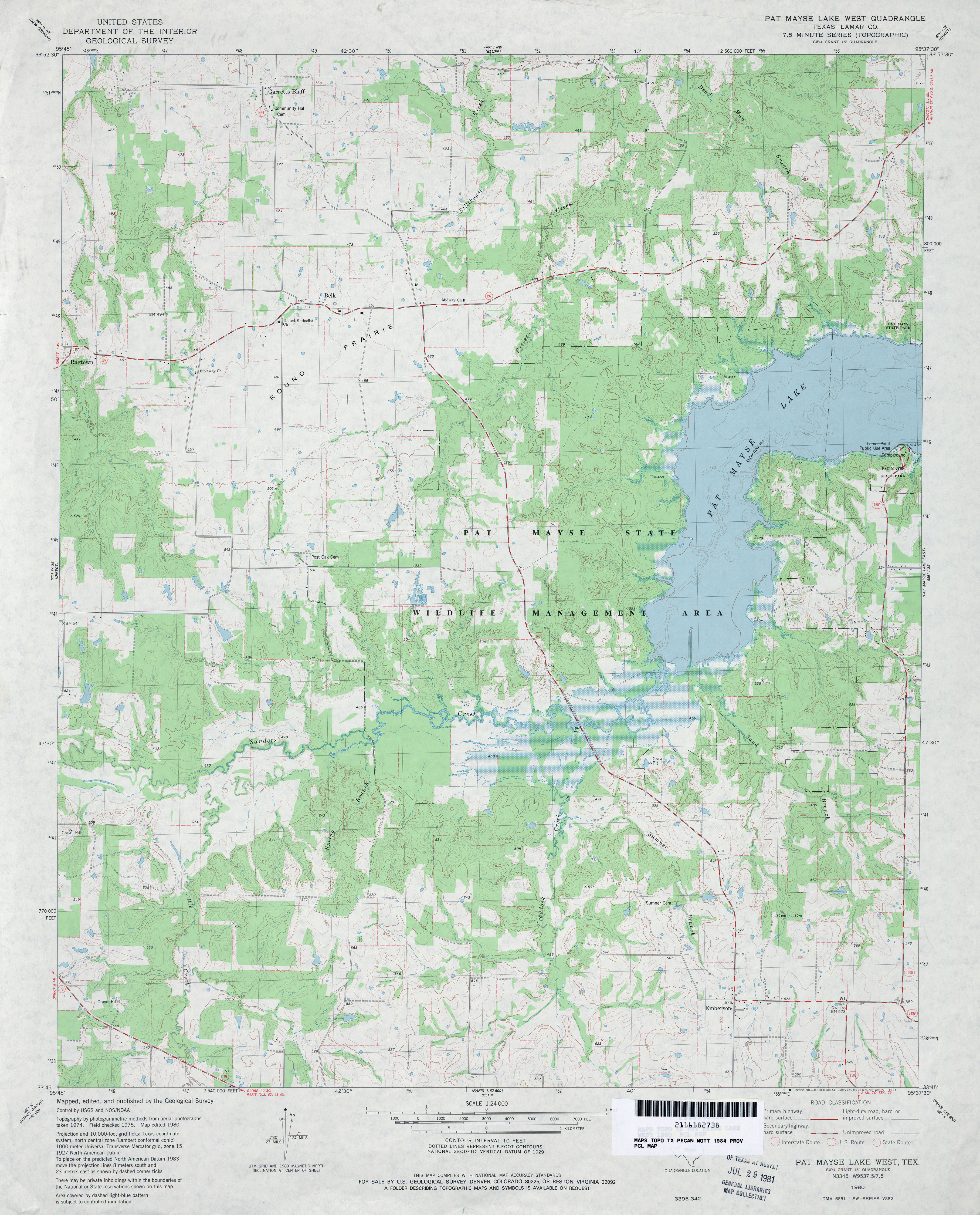
- Pat Mayse Lake West (Lamar County) 1:24,000 1980 (3.9MB)
- Pat Mayse Lake West 1:24,000 2010 (19.7MB) [GeoPDF]
- Pat Mayse Lake West 1:24,000 2013 (22.8MB) [GeoPDF]
- Pato Creek (Webb County) 1:24,000 1980 (4.3MB)
- Pato Creek 1:24,000 2008 (16.4MB) [GeoPDF]
- Pato Creek 1:24,000 2013 (26MB) [GeoPDF]
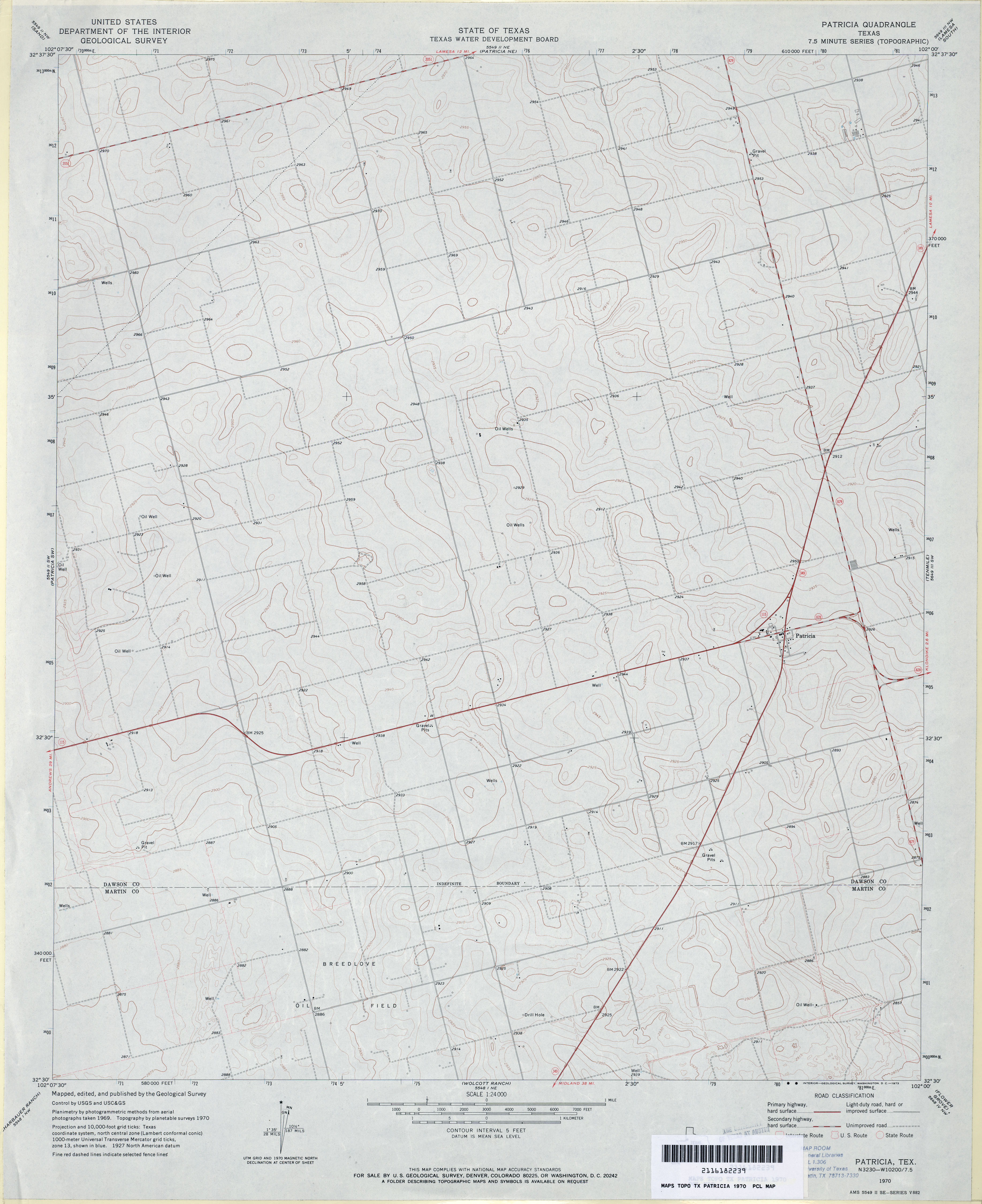
- Patricia 1:24,000 1970 (3MB)
- Patricia 1:24,000 2008 (8.6MB) [GeoPDF]
- Patricia 1:24,000 2012 (15.6MB) [GeoPDF]
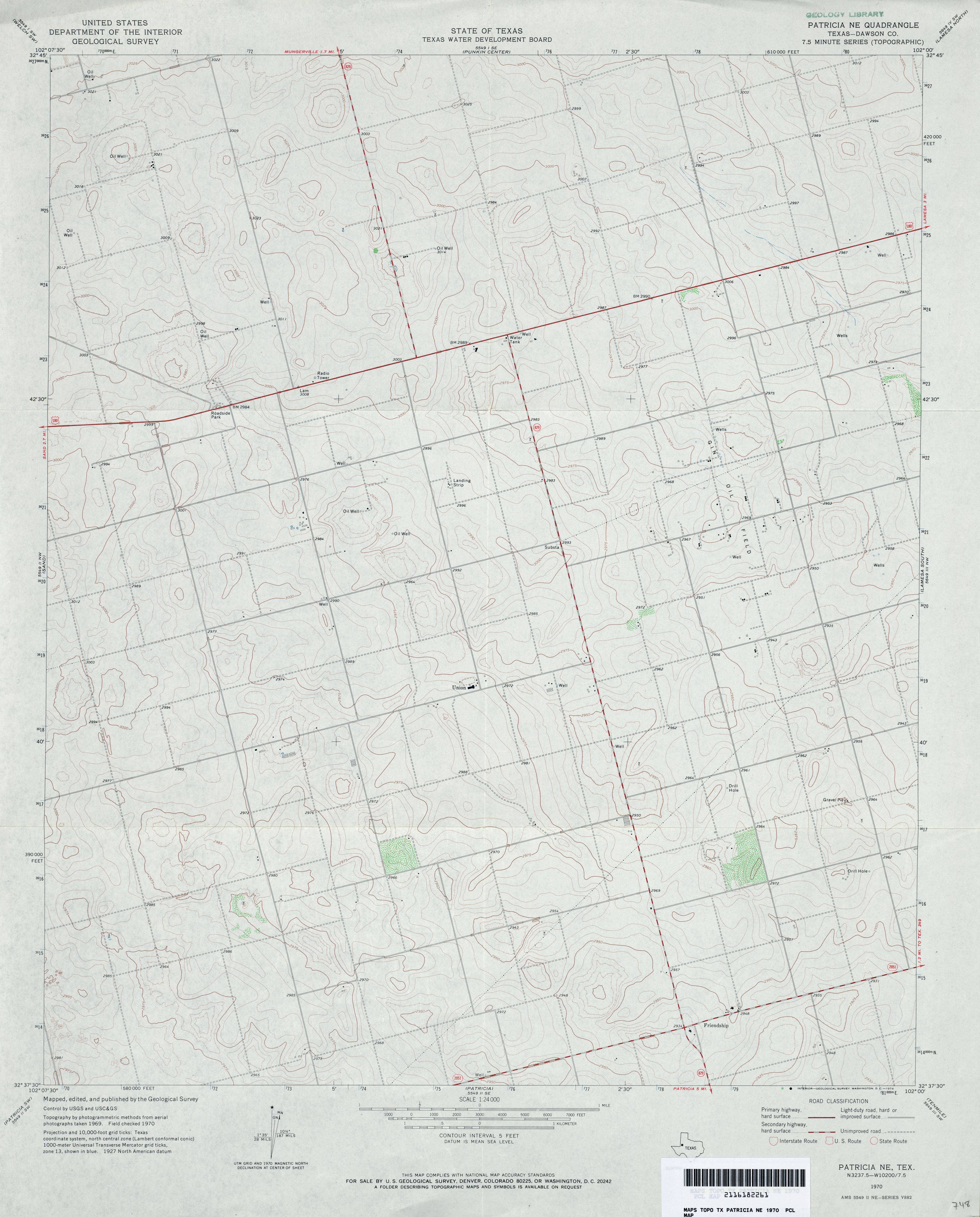
- Patricia NE (Dawson County) 1:24,000 1970 (2.9MB)
- Patricia NE 1:24,000 2008 (8.7MB) [GeoPDF]
- Patricia NE 1:24,000 2012 (14.9MB) [GeoPDF]
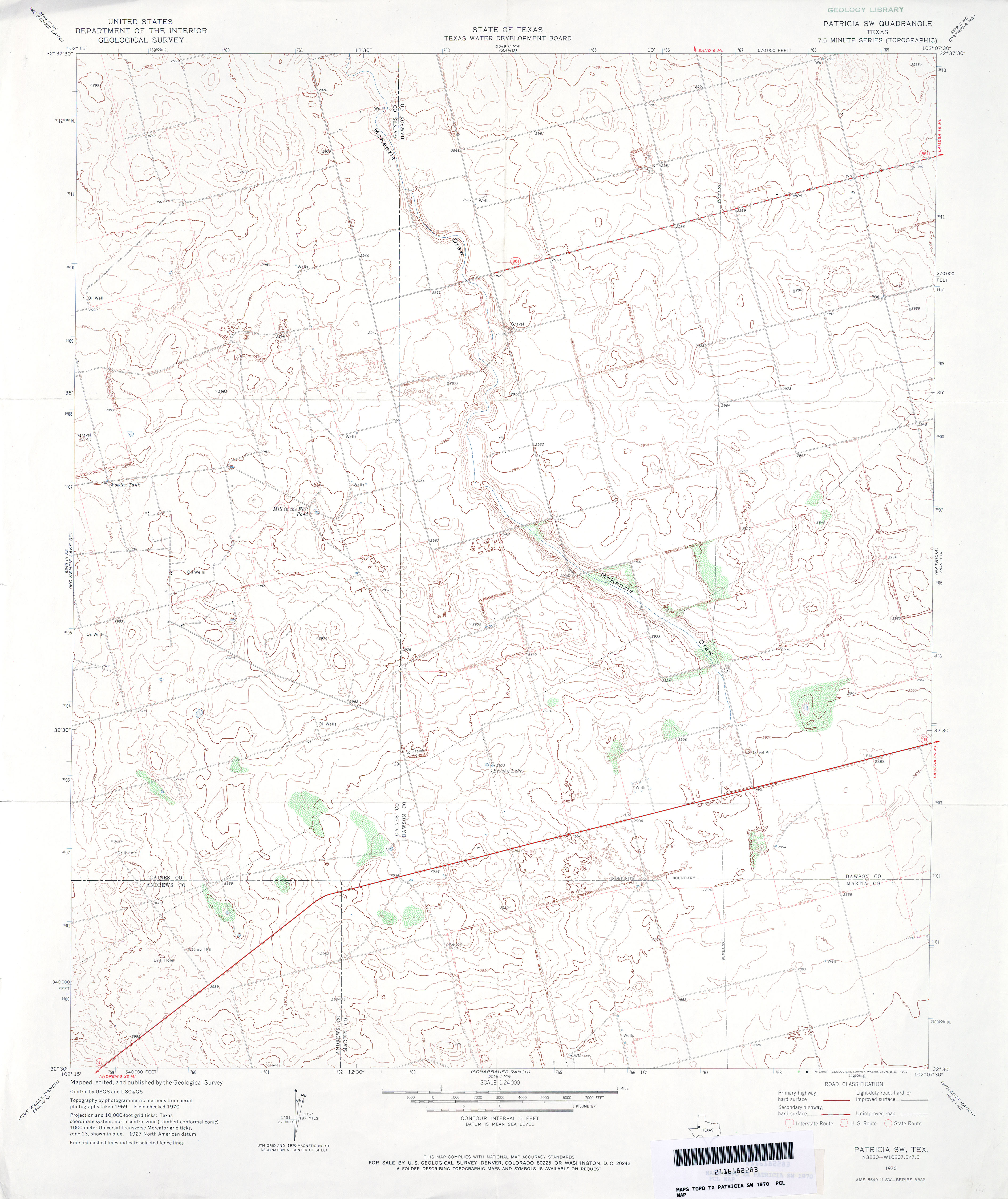
- Patricia SW 1:24,000 1970 (3.2MB)
- Patricia SW 1:24,000 2008 (10.5MB) [GeoPDF]
- Patricia SW 1:24,000 2012 (16.1MB) [GeoPDF]
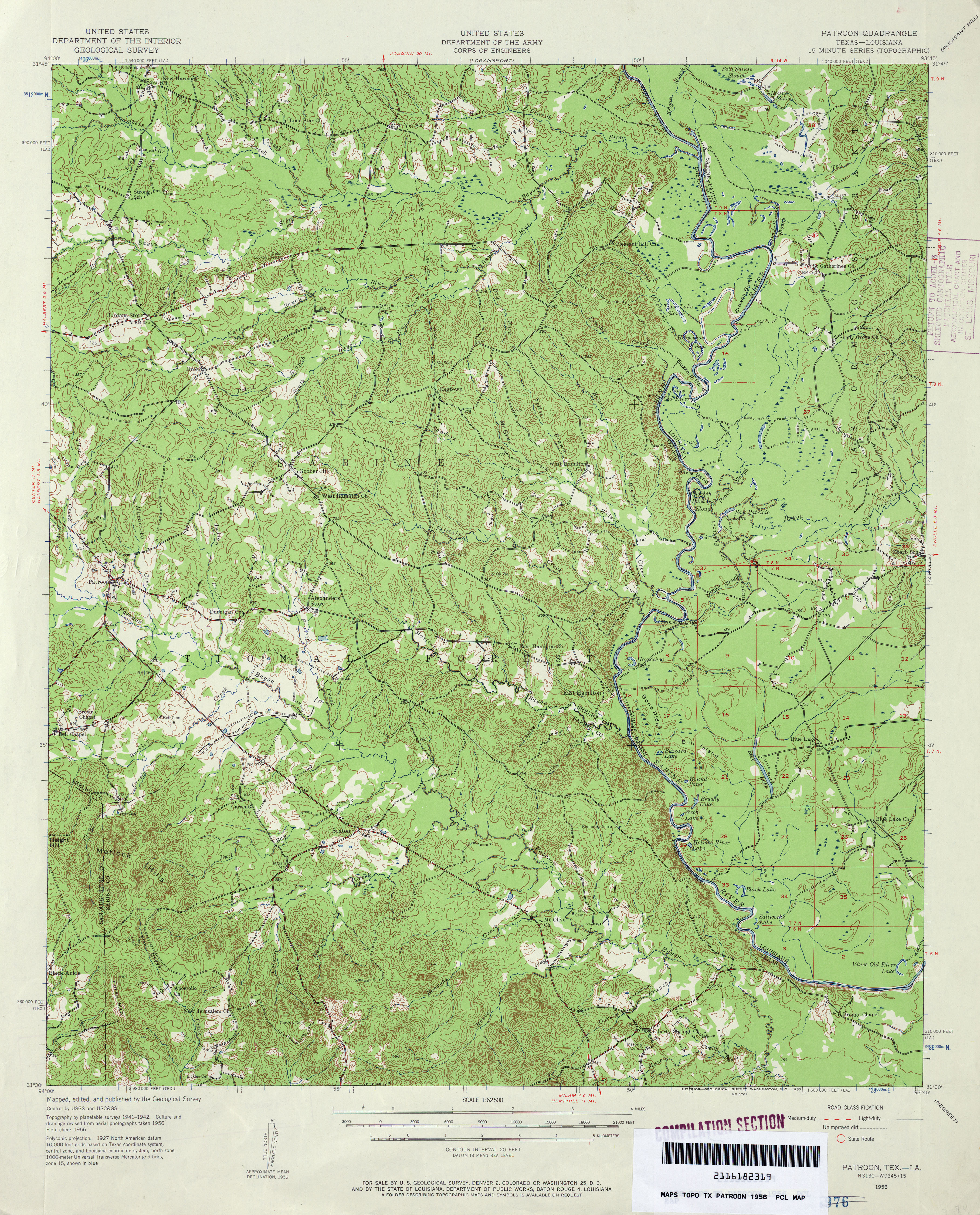
- Patroon 1:62,500 1943 (6.4MB)
- Patroon 1:62,500 1956 (5.5MB) U.S. Department of the Army Corps of Engineers
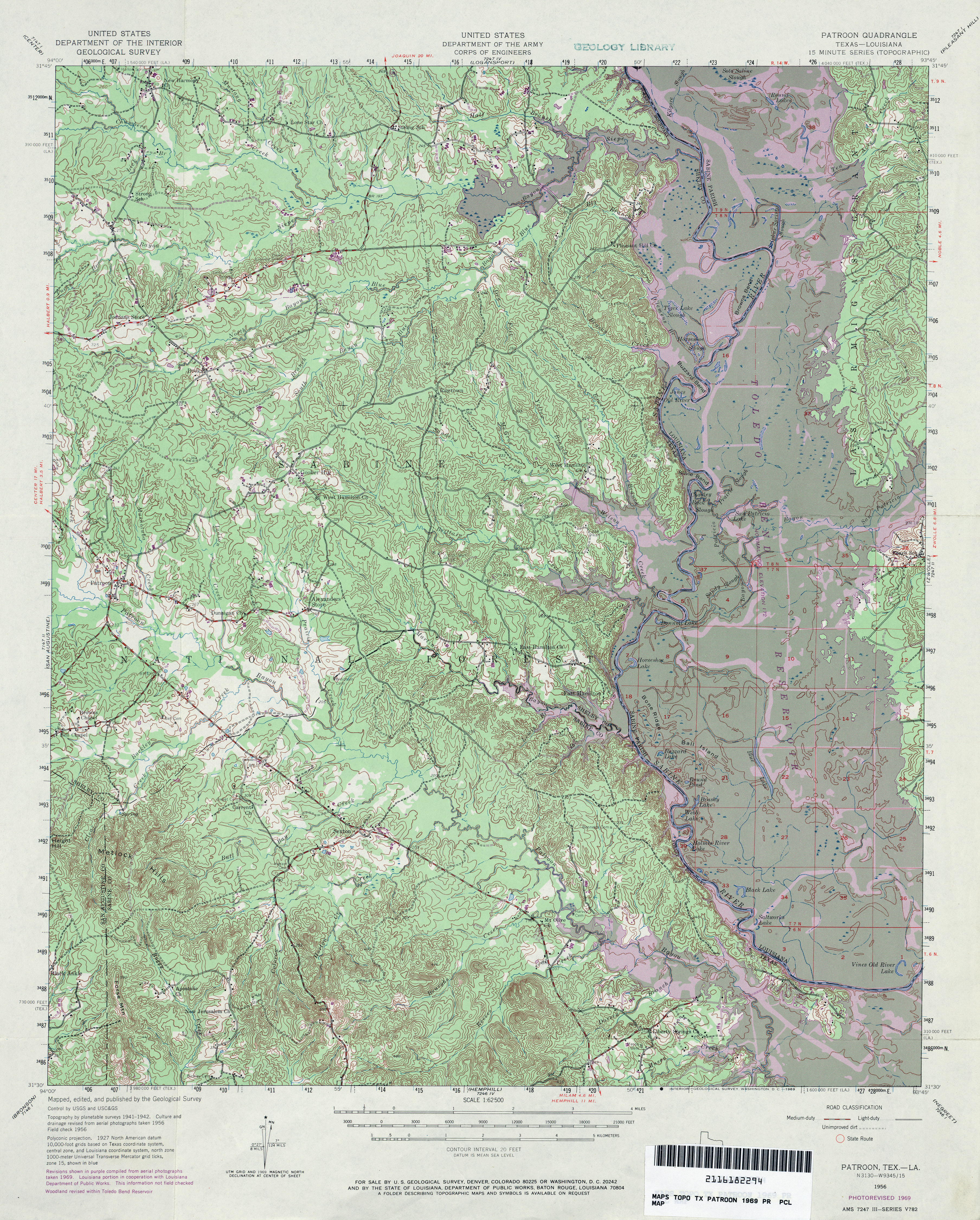
- Patroon 1:62,500 1969 (6.6MB) U.S. Department of the Army Corps of Engineers
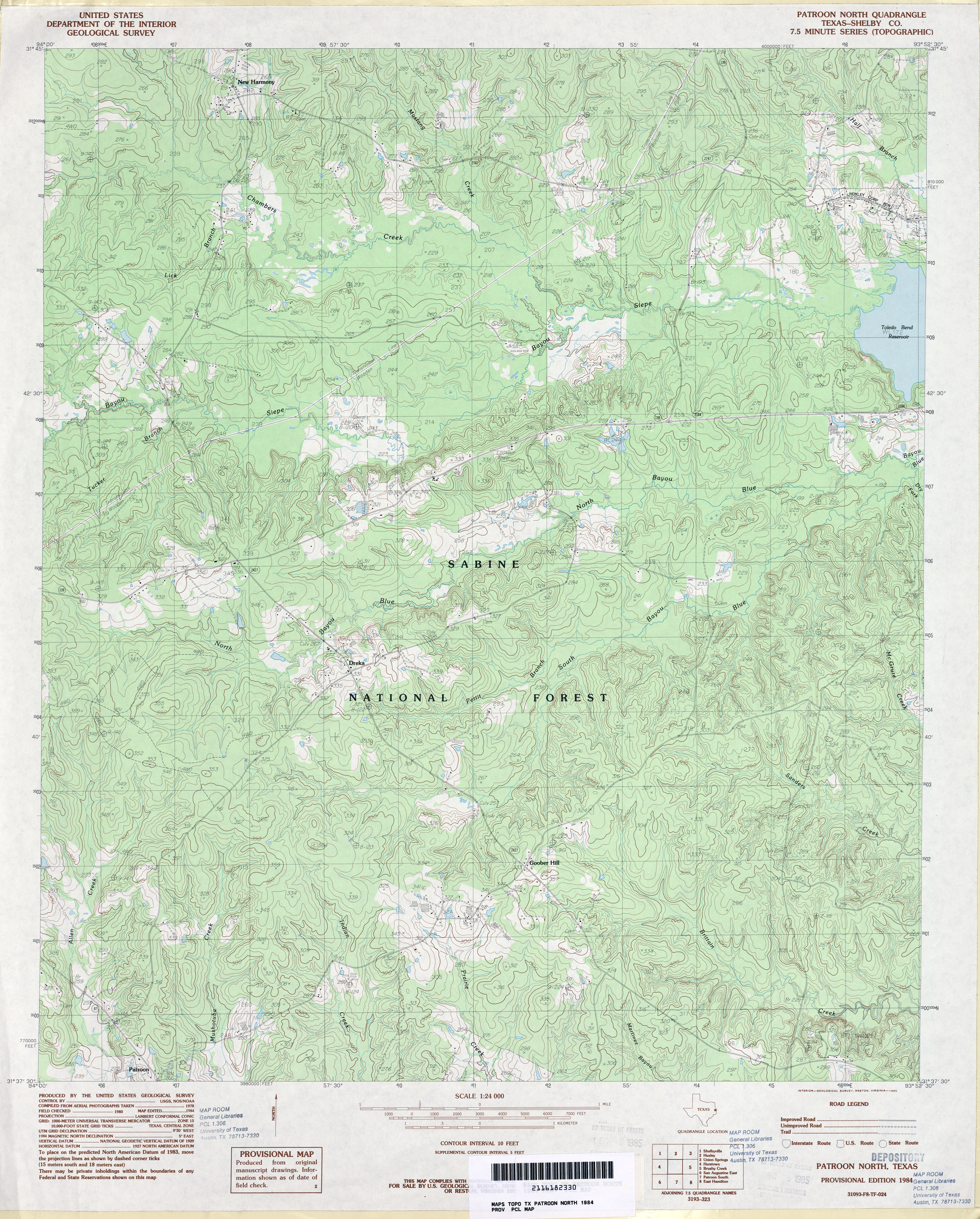
- Patroon North (Shelby County) 1:24,000 1984 (4.8MB)
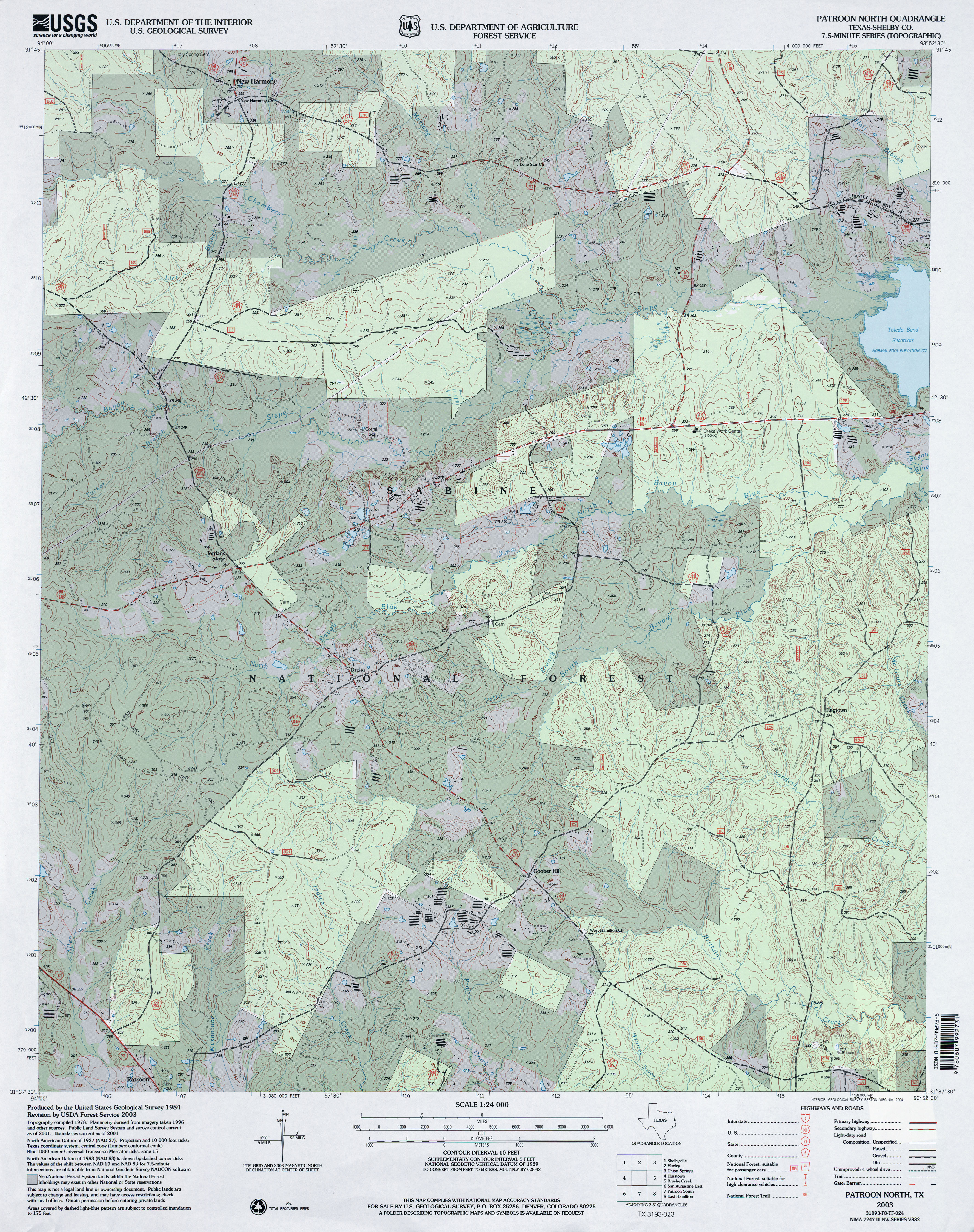
- Patroon North (Shelby County) 1:24,000 2003 (5.2MB)
- Patroon North 1:24,000 2009 (24.3MB) [GeoPDF]
- Patroon North 1:24,000 2012 (26.9MB) [GeoPDF]
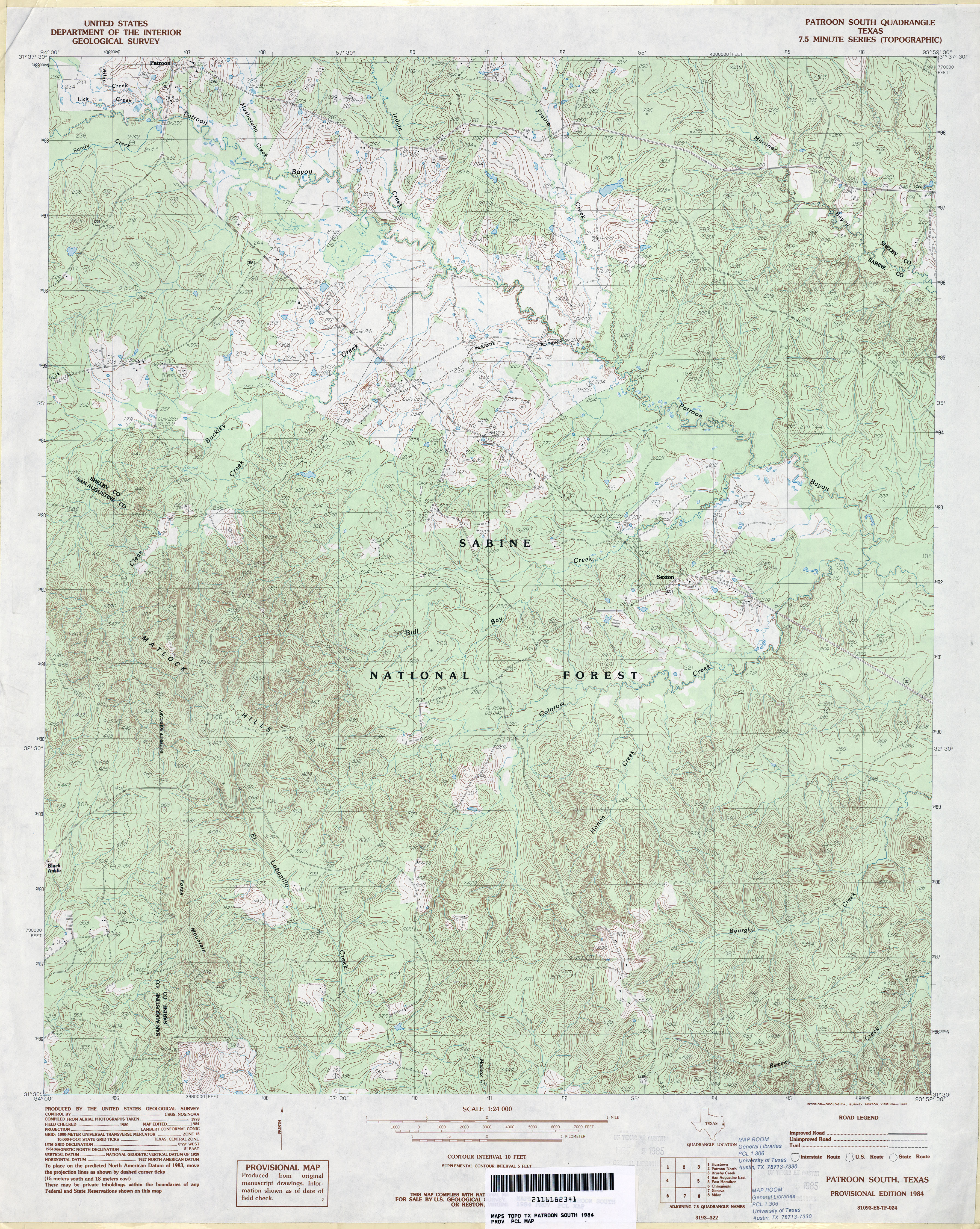
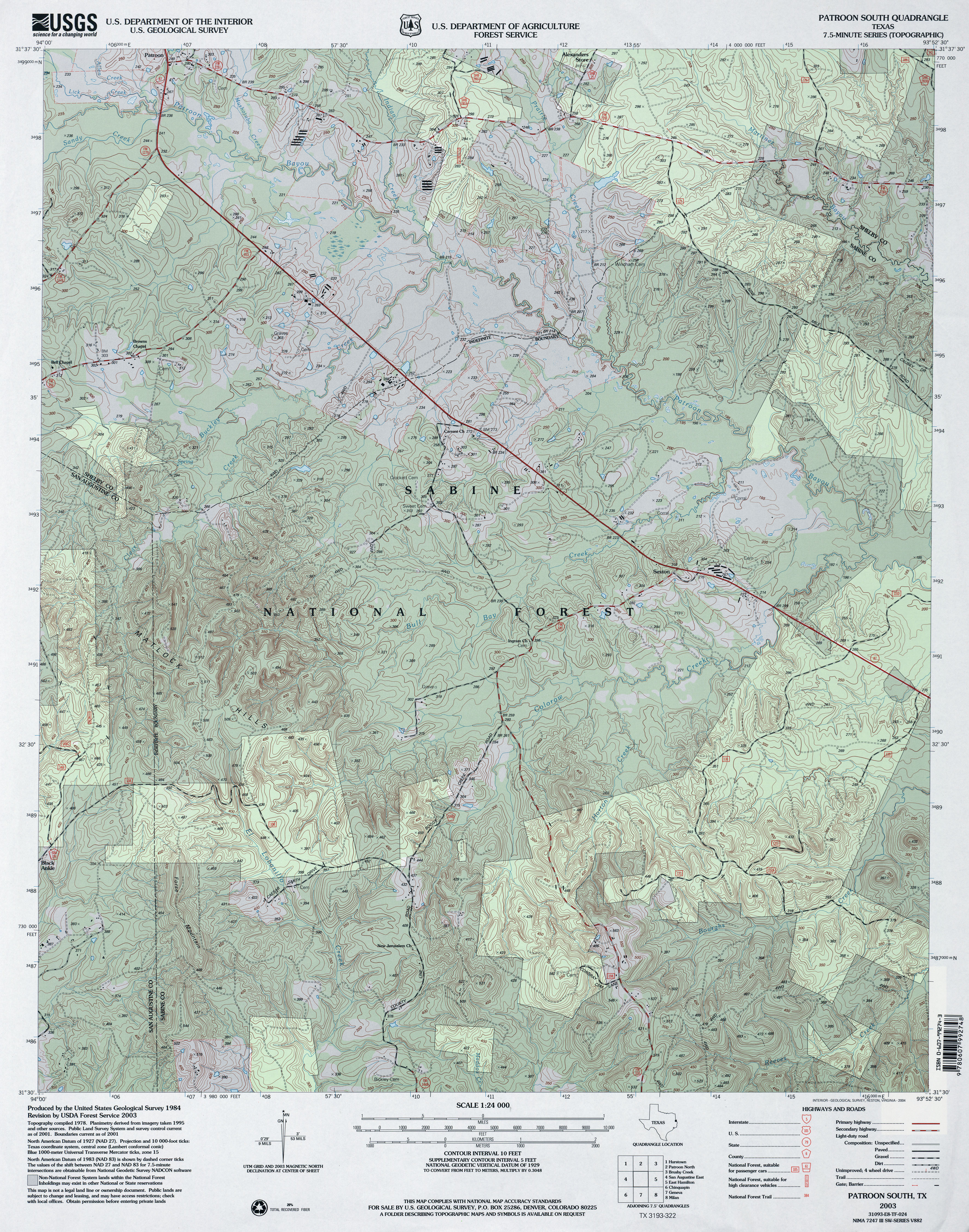
- Patroon South 1:24,000 1984 (5.6MB)
- Patroon South 1:24,000 2003 (5.9MB)
- Patroon South 1:24,000 2009 (26.2MB) [GeoPDF]
- Patroon South 1:24,000 2012 (28.3MB) [GeoPDF]
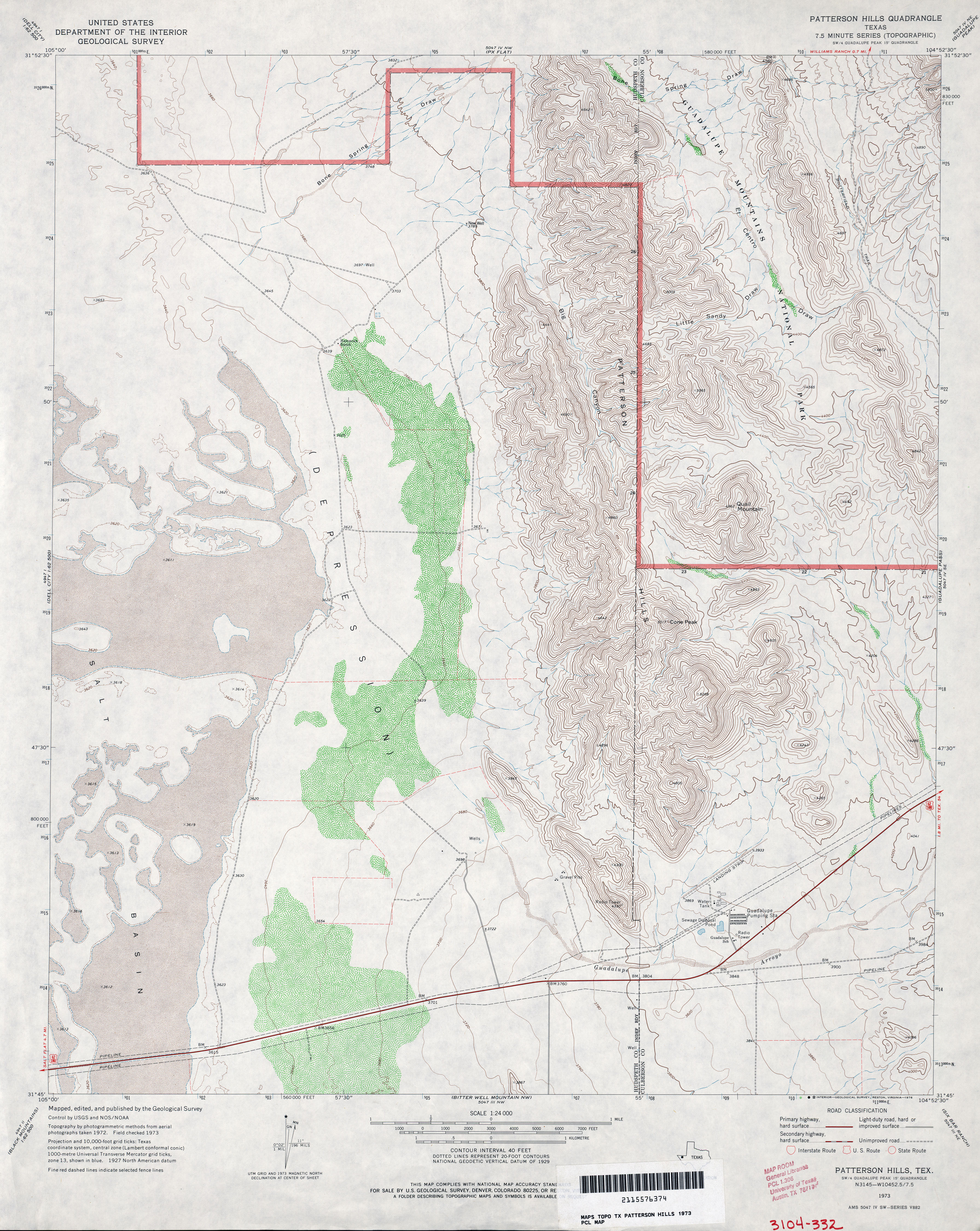
- Patterson Hills 1:24,000 1973 (4.3MB)
- Patterson Hills 1:24,000 2012 (21.2MB) [GeoPDF]
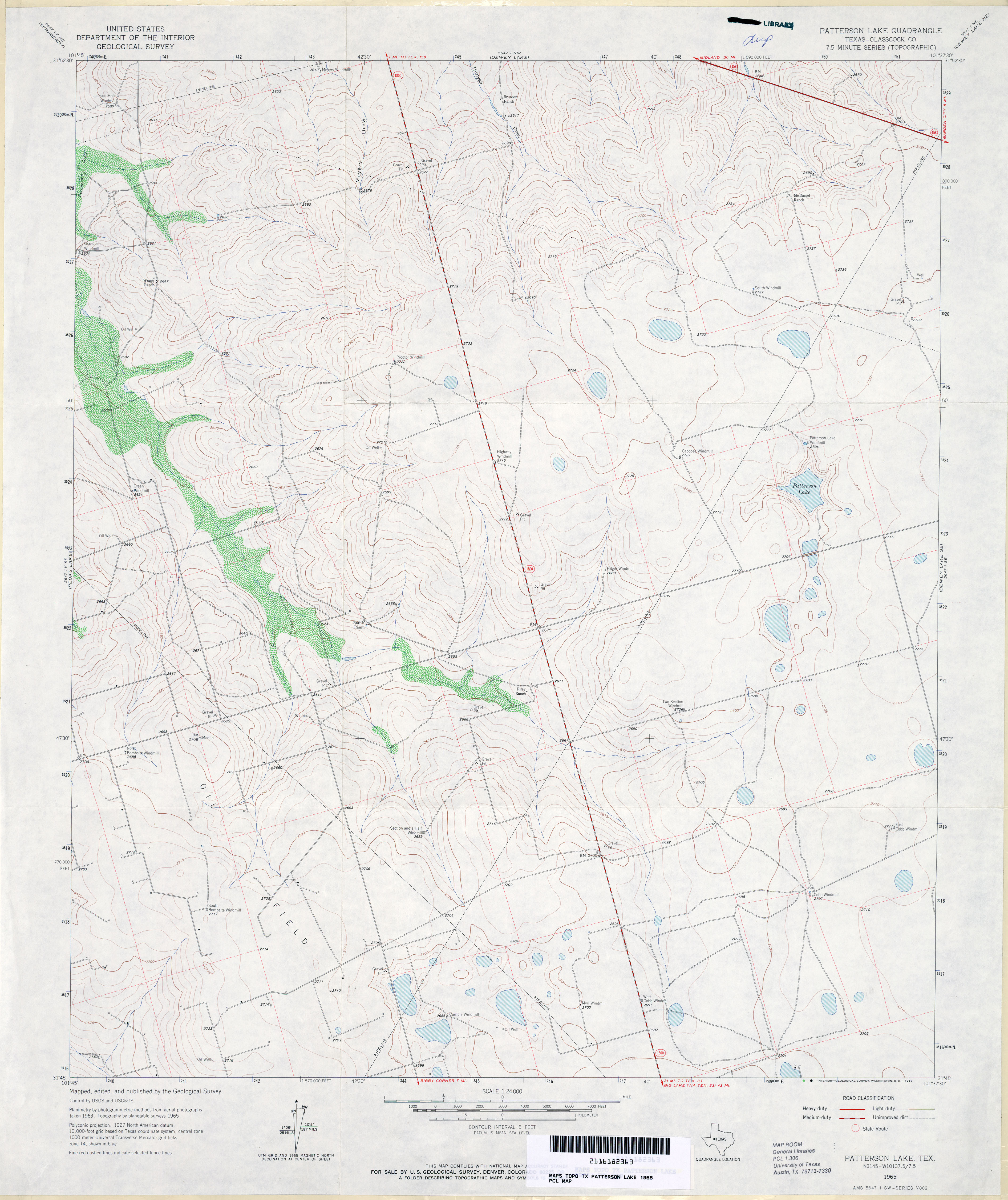
- Patterson Lake (Glasscock County) 1:24,000 1965 (3.2MB)
- Patterson Lake 1:24,000 2008 (18.6MB) [GeoPDF]
- Patterson Lake 1:24,000 2012 (24.8MB) [GeoPDF]
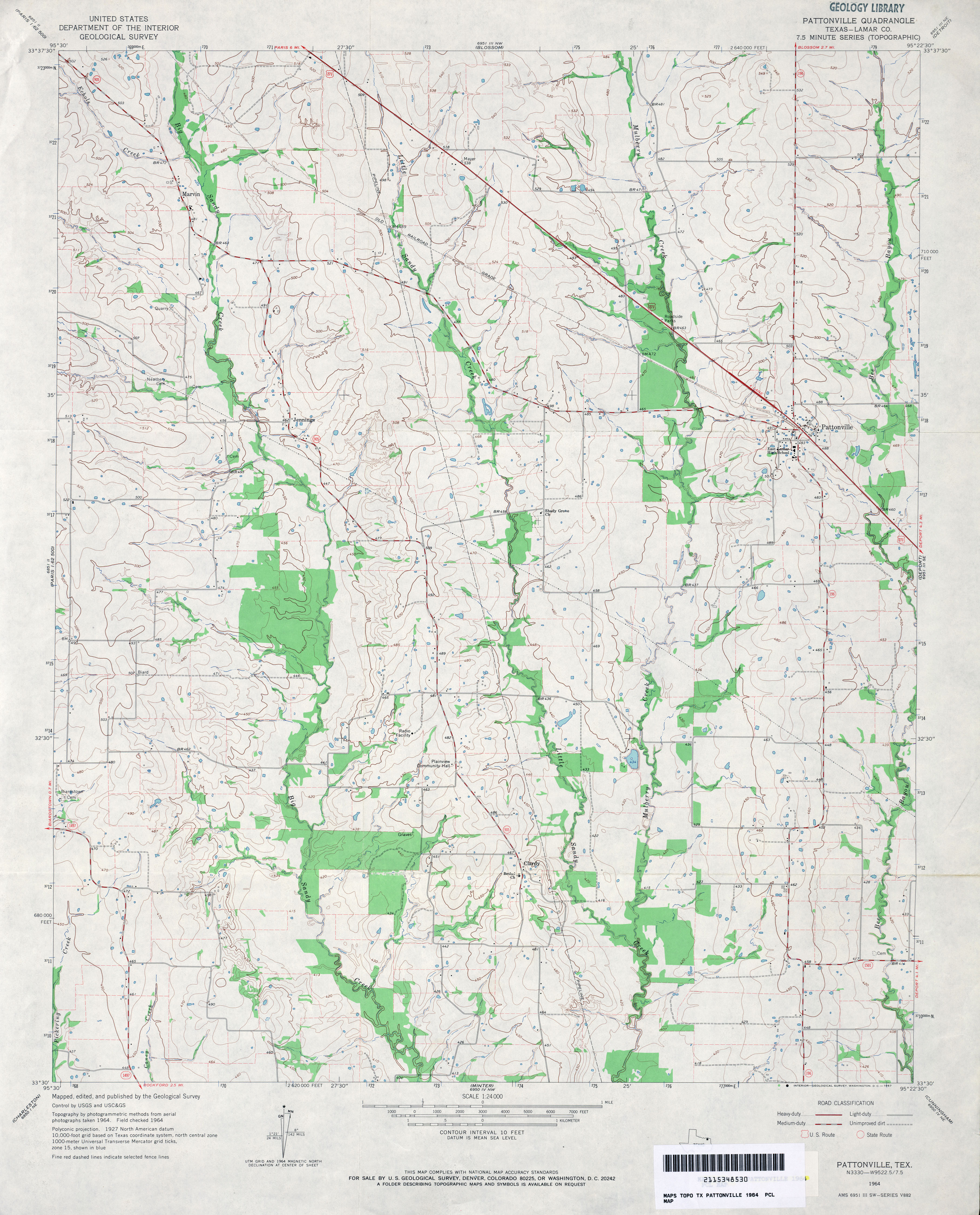
- Pattonville (Lamar County) 1:24,000 1964 (3.5MB)
- Pattonville 1:24,000 2009 (12.7MB) [GeoPDF]
- Pattonville 1:24,000 2013 (19.8MB) [GeoPDF]
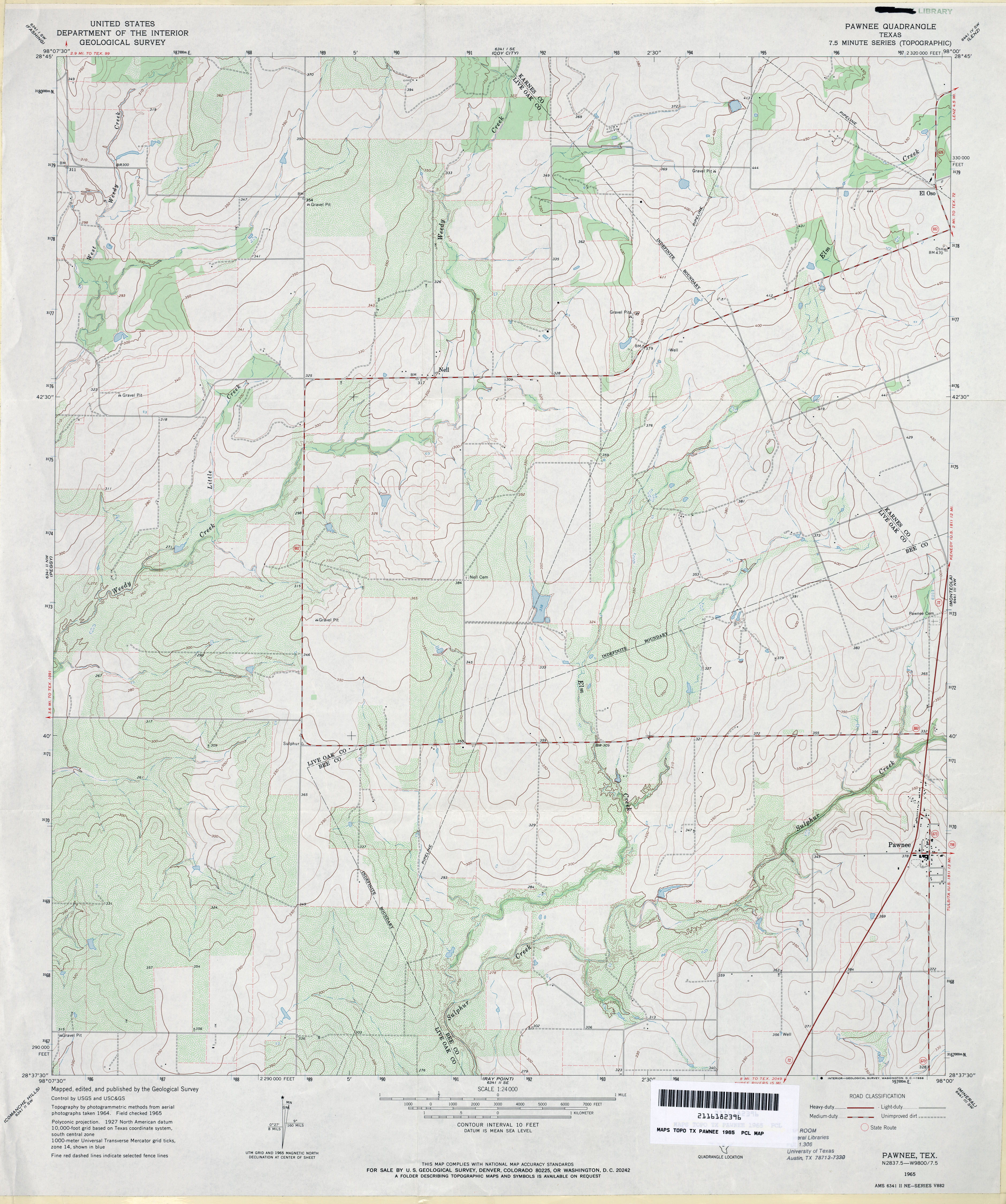
- Pawnee 1:24,000 1965 (3.6MB)
- Pawnee 1:24,000 2008 (13.4MB) [GeoPDF]
- Pawnee 1:24,000 2012 (20MB) [GeoPDF]
- Paynes Corner (Gaines County) 1:24,000 1971 (3.3MB)
- Paynes Corner 1:24,000 2008 (13.3MB) [GeoPDF]
- Paynes Corner 1:24,000 2012 (17.2MB) [GeoPDF]
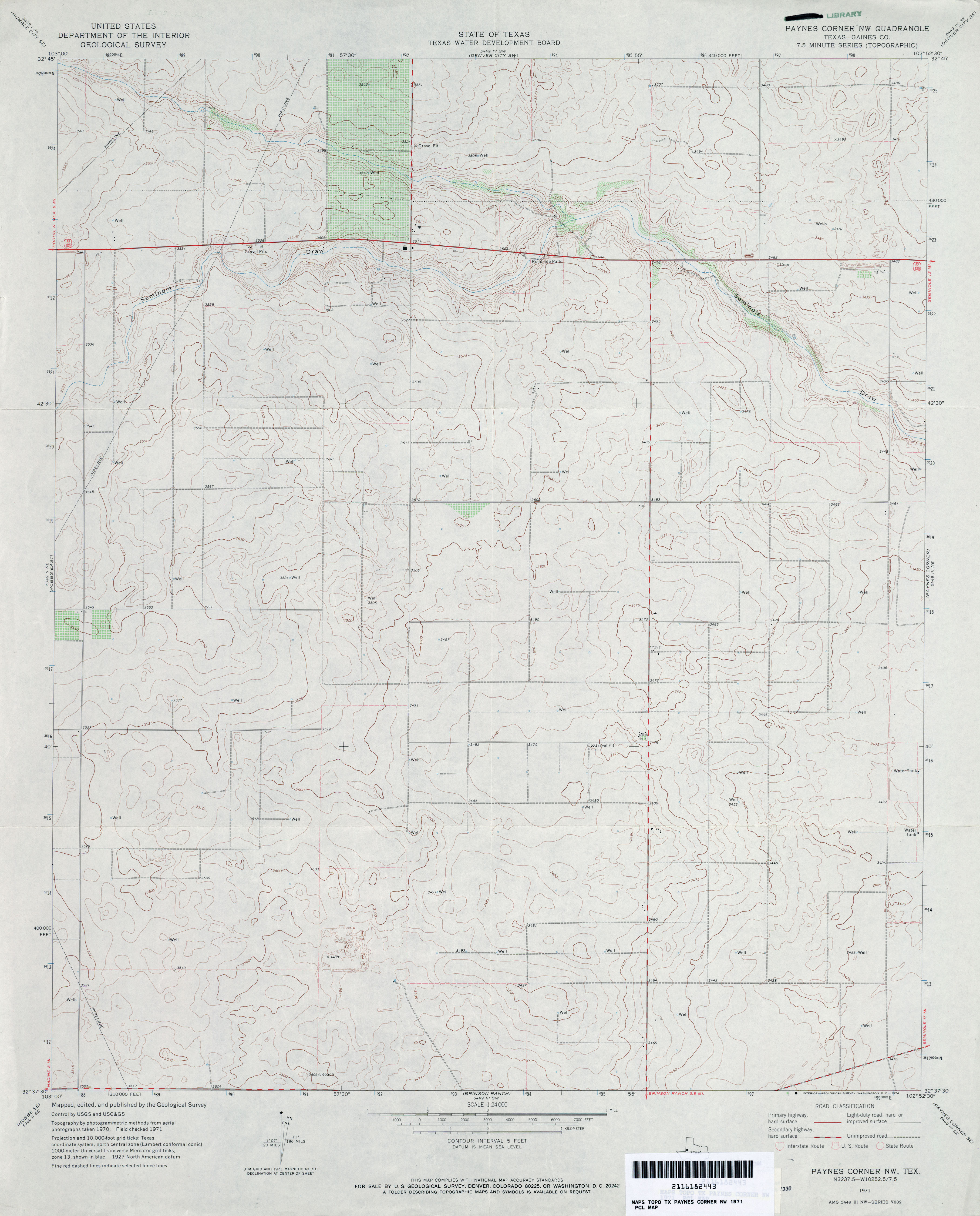
- Paynes Corner NW (Gaines County) 1:24,000 1971 (2.9MB)
- Paynes Corner NW 1:24,000 2008 (11.9MB) [GeoPDF]
- Paynes Corner NW 1:24,000 2012 (15MB) [GeoPDF]
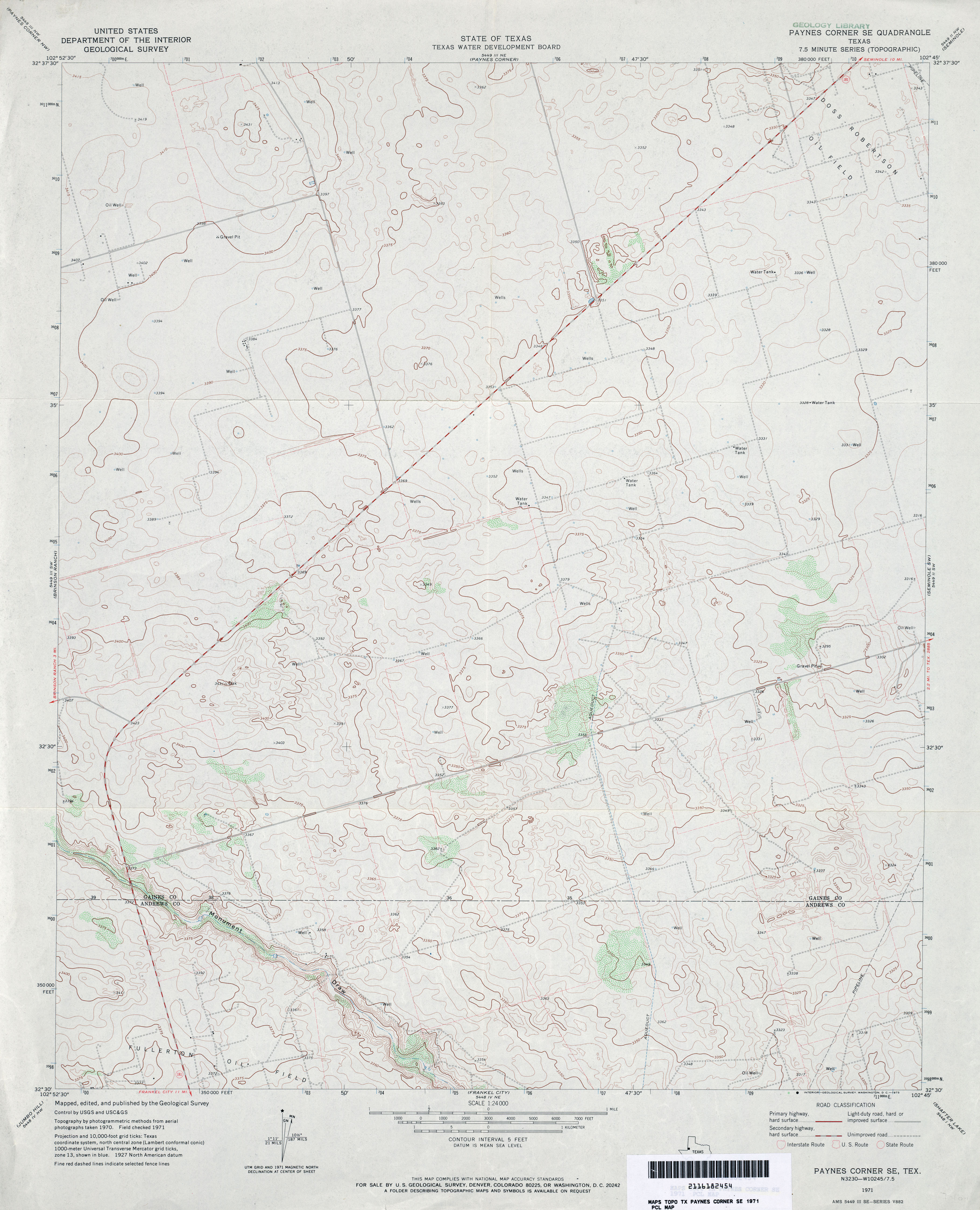
- Paynes Corner SE 1:24,000 1971 (3.1MB)
- Paynes Corner SE 1:24,000 2008 (12.8MB) [GeoPDF]
- Paynes Corner SE 1:24,000 2012 (17.4MB) [GeoPDF]
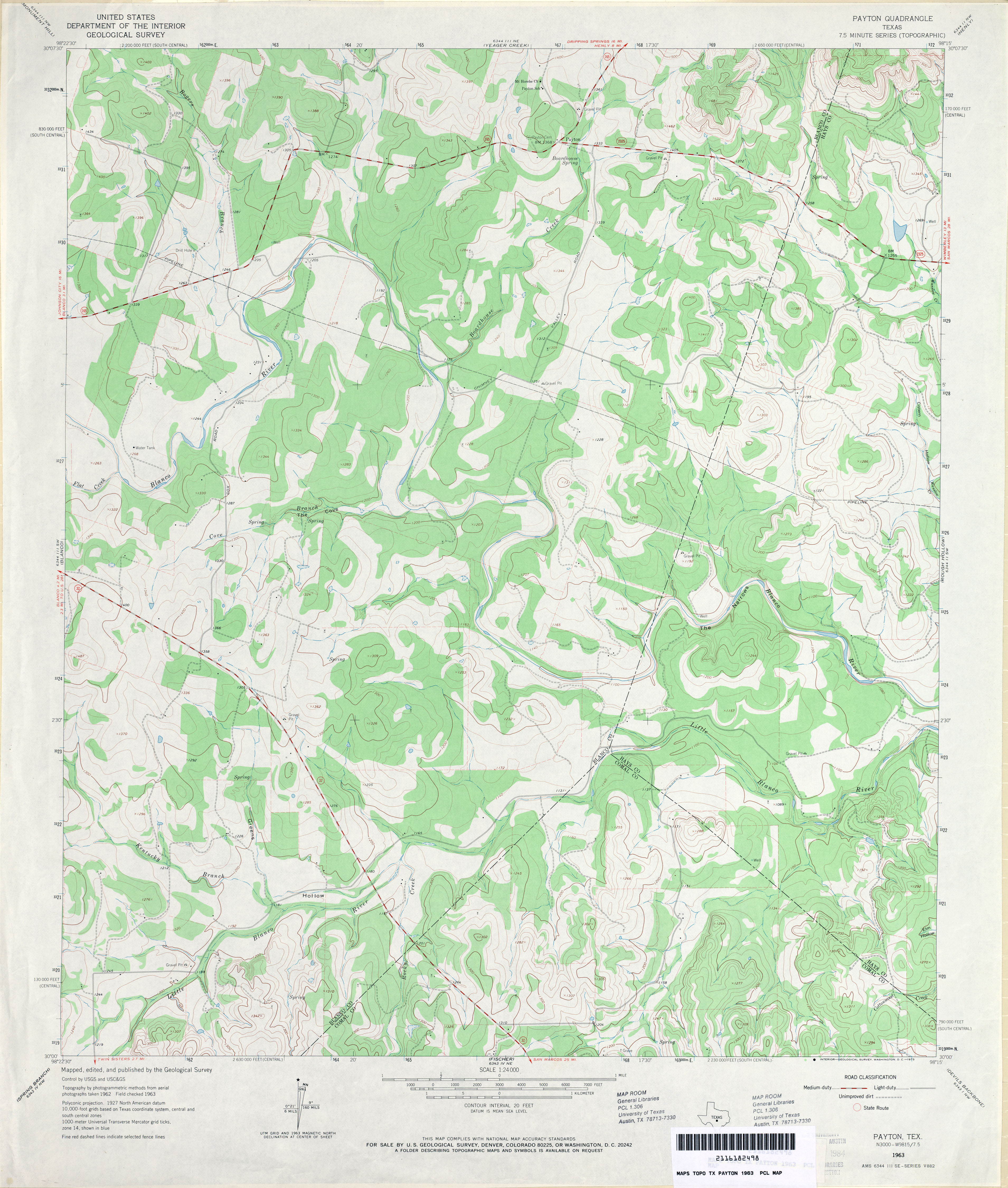
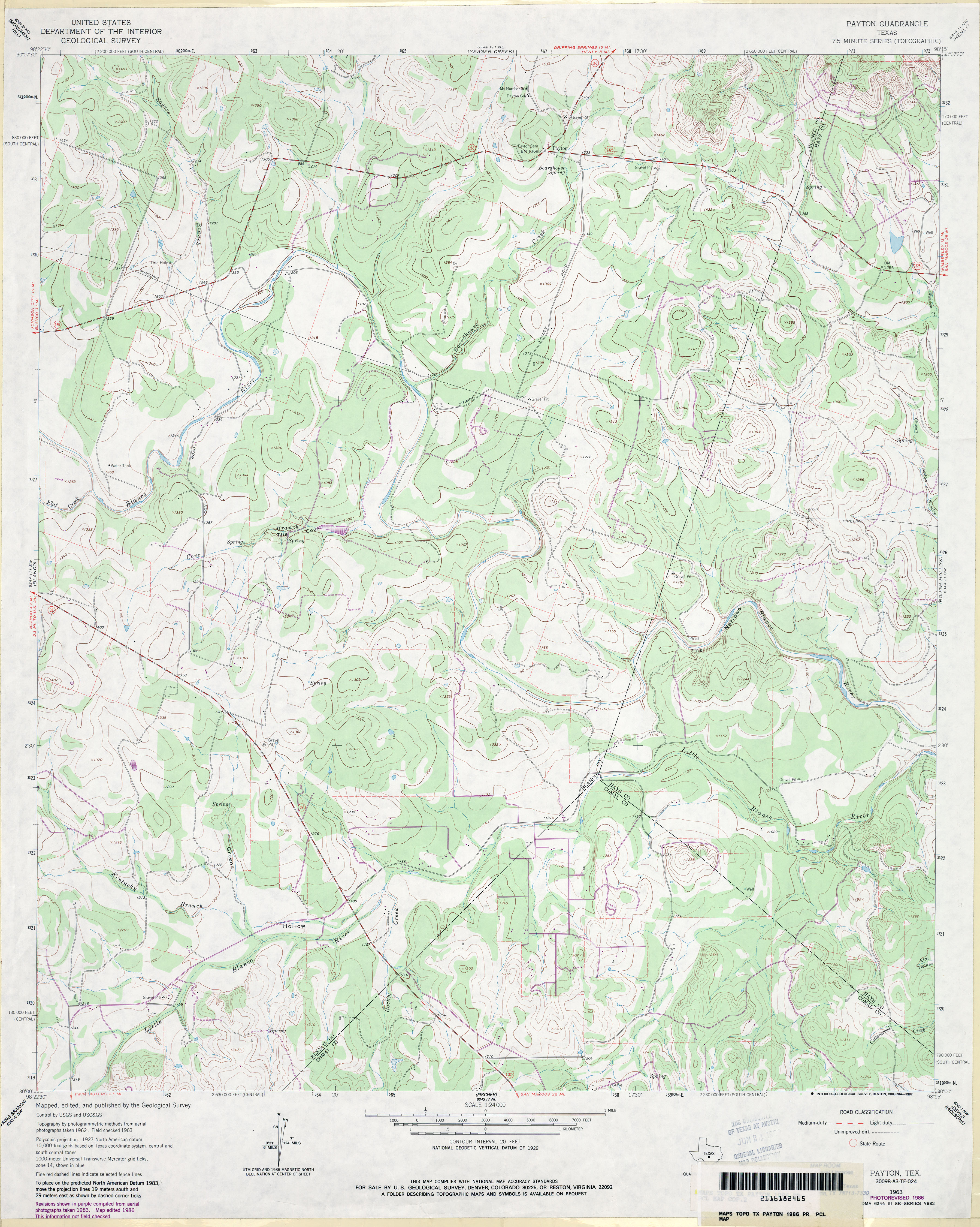
- Payton 1:24,000 1963 (3.5MB)
- Payton 1:24,000 1986 (3.7MB)
- Payton 1:24,000 2008 (17.8MB) [GeoPDF]
- Payton 1:24,000 2012 (26.9MB) [GeoPDF]
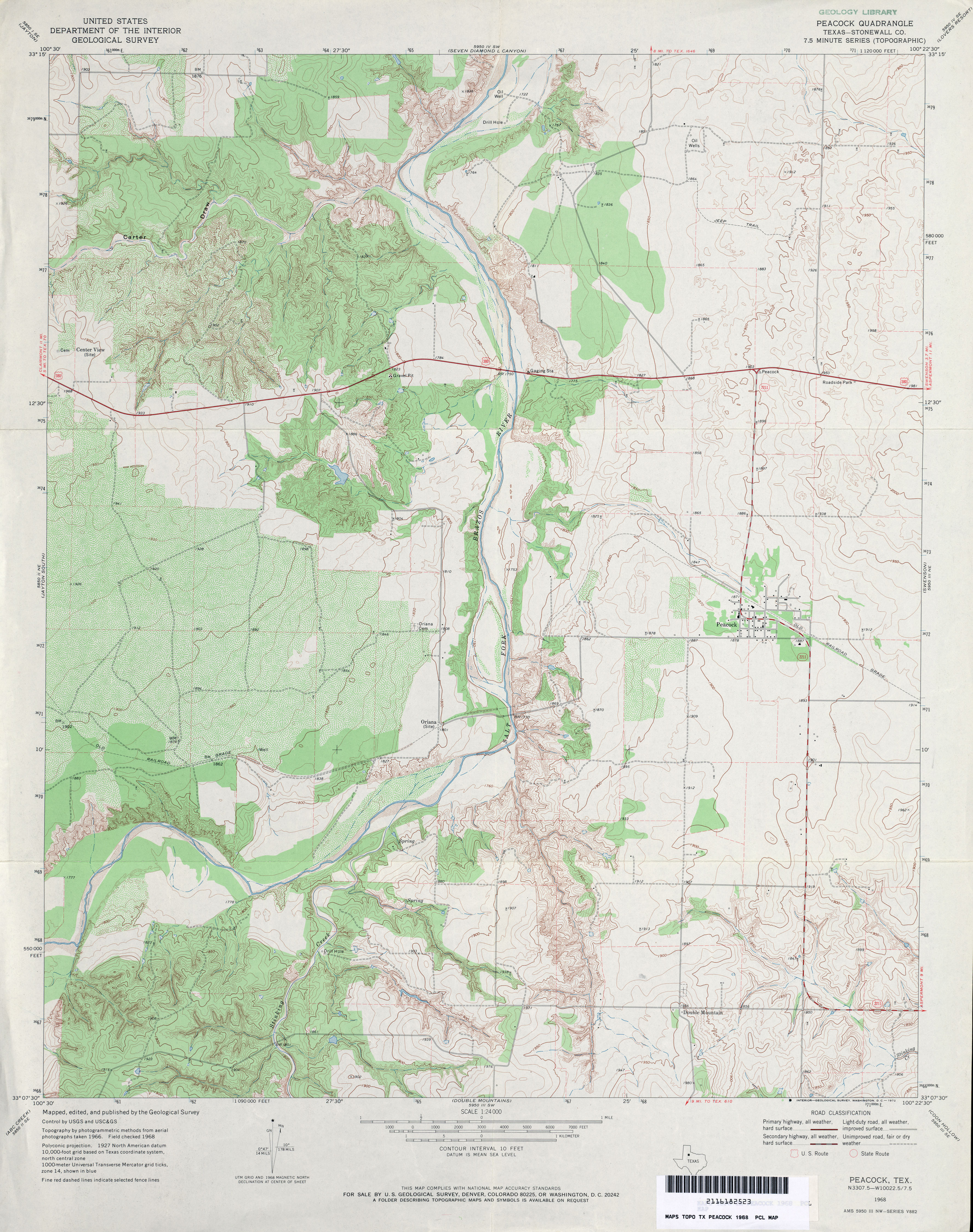
- Peacock (Stonewall County) 1:24,000 1968 (4MB)
- Peacock 1:24,000 2008 (15.2MB) [GeoPDF]
- Peacock 1:24,000 2012 (21.6MB) [GeoPDF]
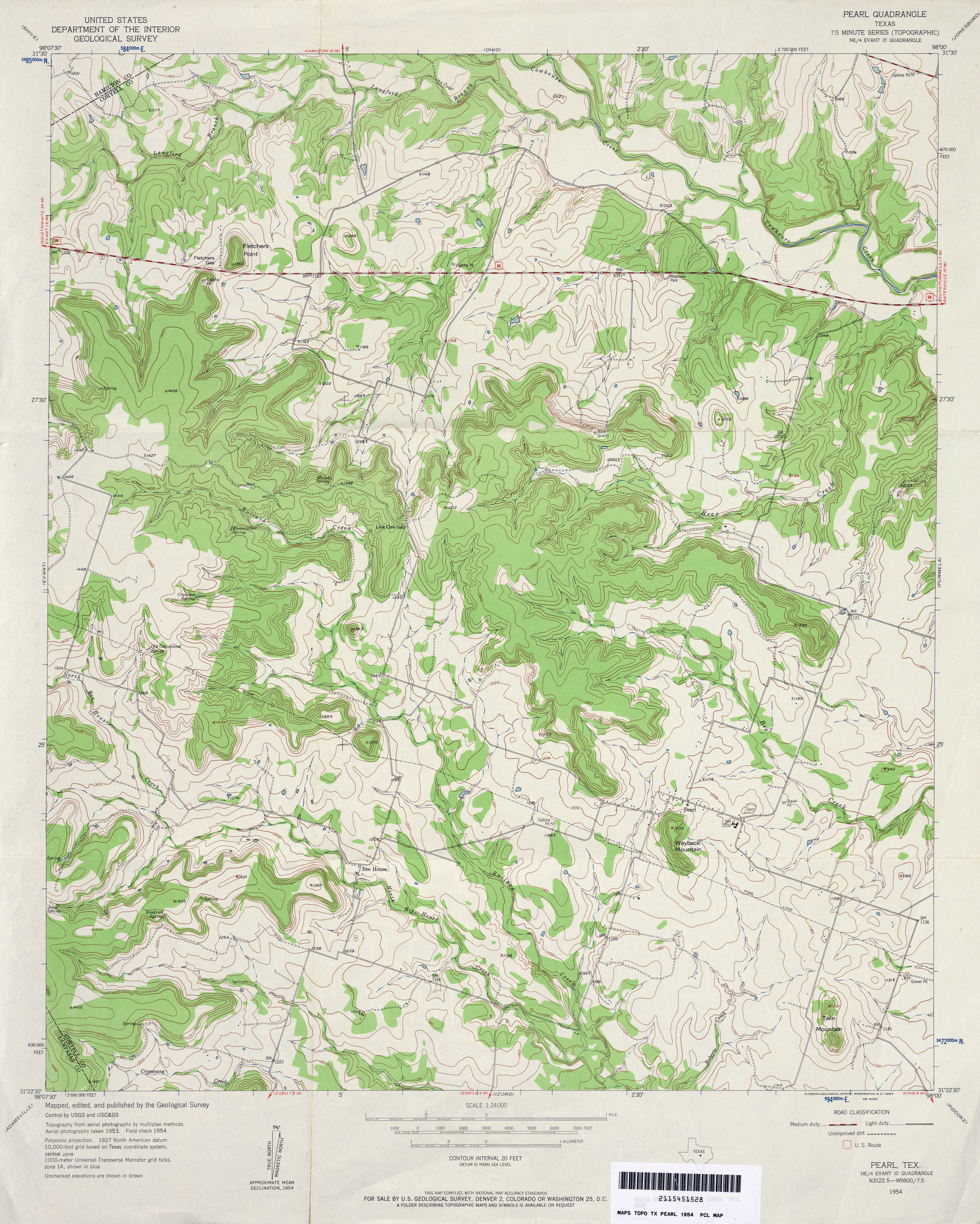
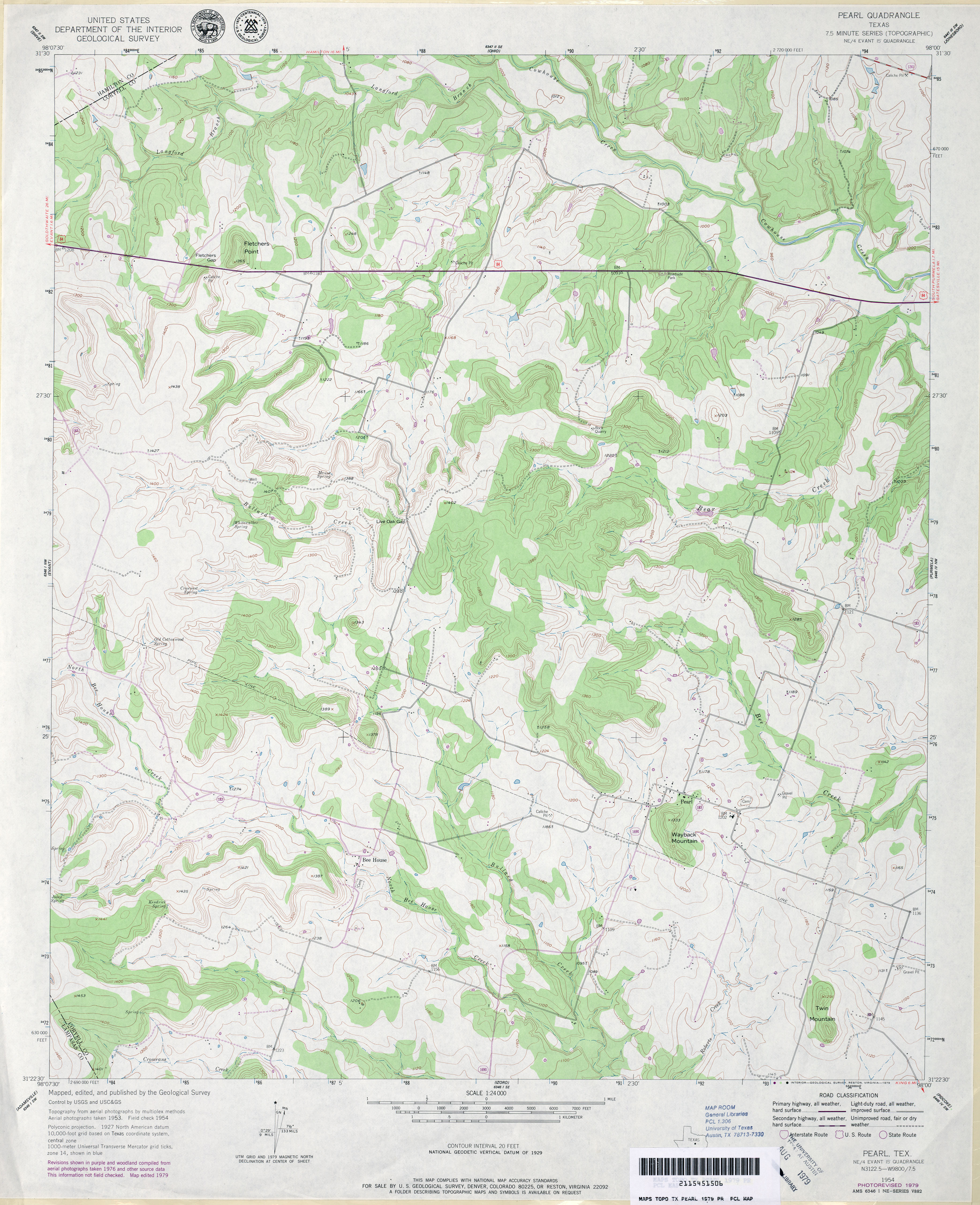
- Pearl 1:24,000 1954 (4.1MB)
- Pearl 1:24,000 1979 (3.7MB)
- Pearl 1:24,000 2008 (16.6MB) [GeoPDF]
- Pearl 1:24,000 2012 (21.9MB) [GeoPDF]
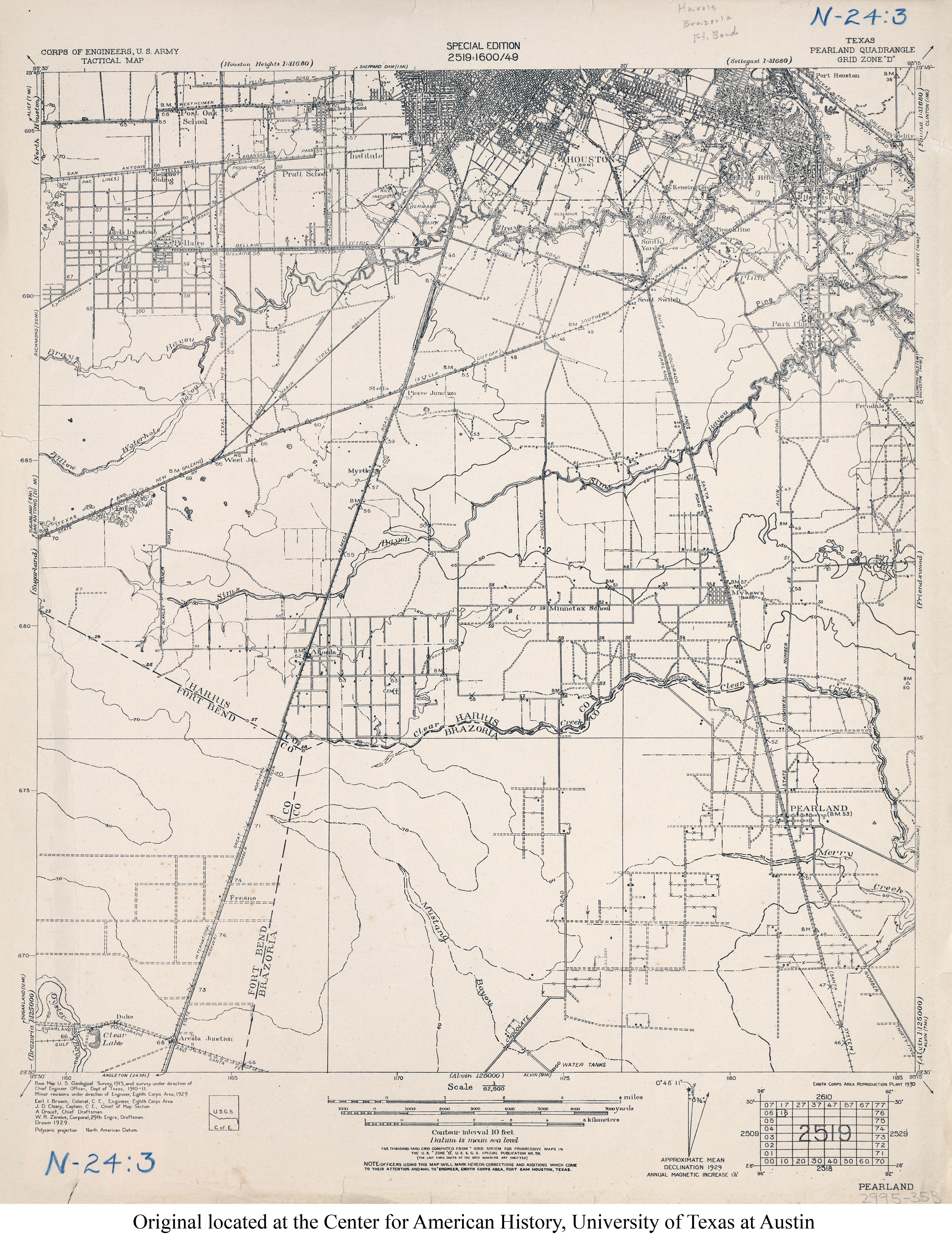
- Pearland 1:62,500 1929 (3.7MB) U.S. Army. Corps of Engineers. Tactical Map
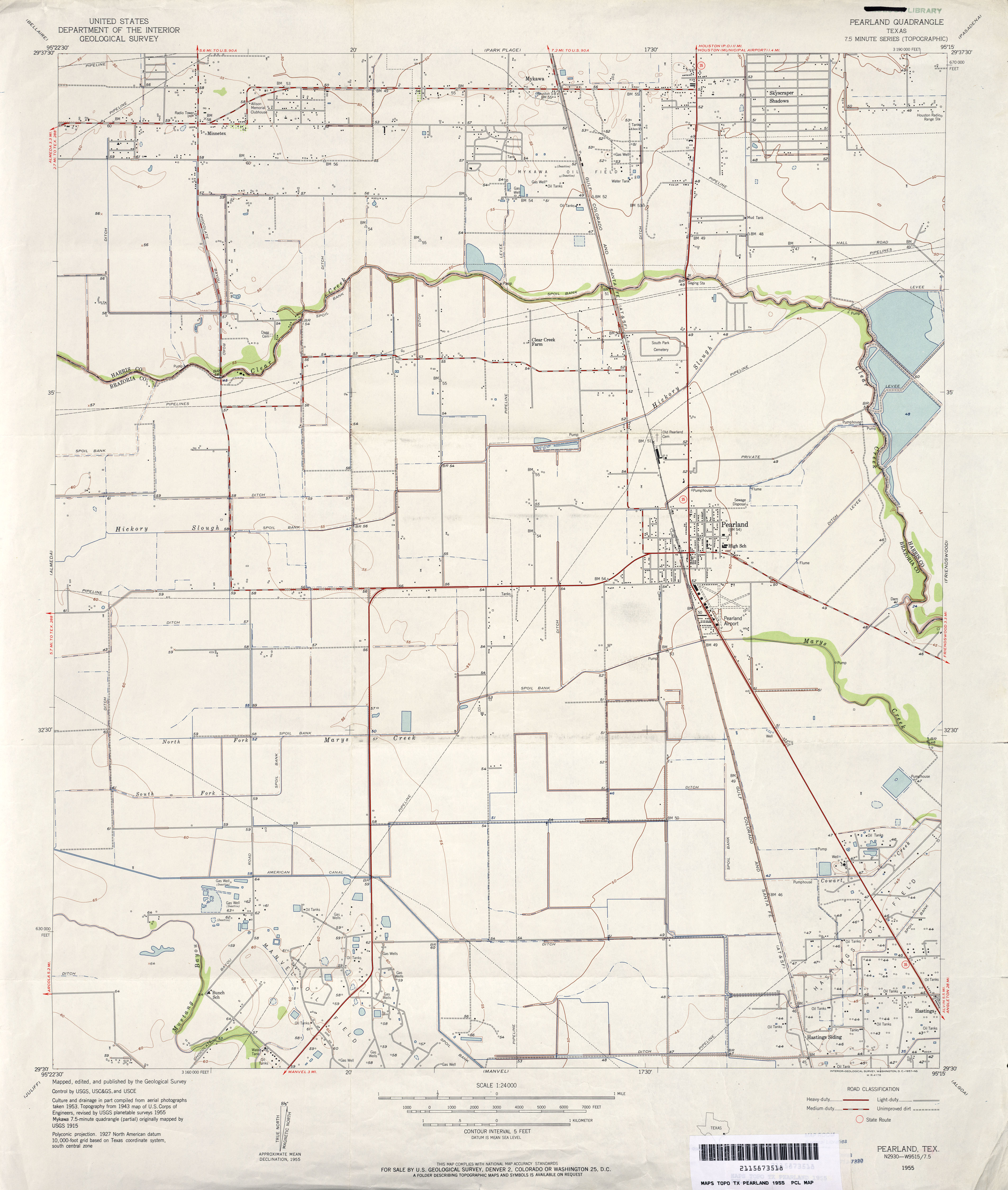
- Pearland 1:24,000 1955 (2.7MB)
- Pearland 1:24,000 1969 (2.9MB)
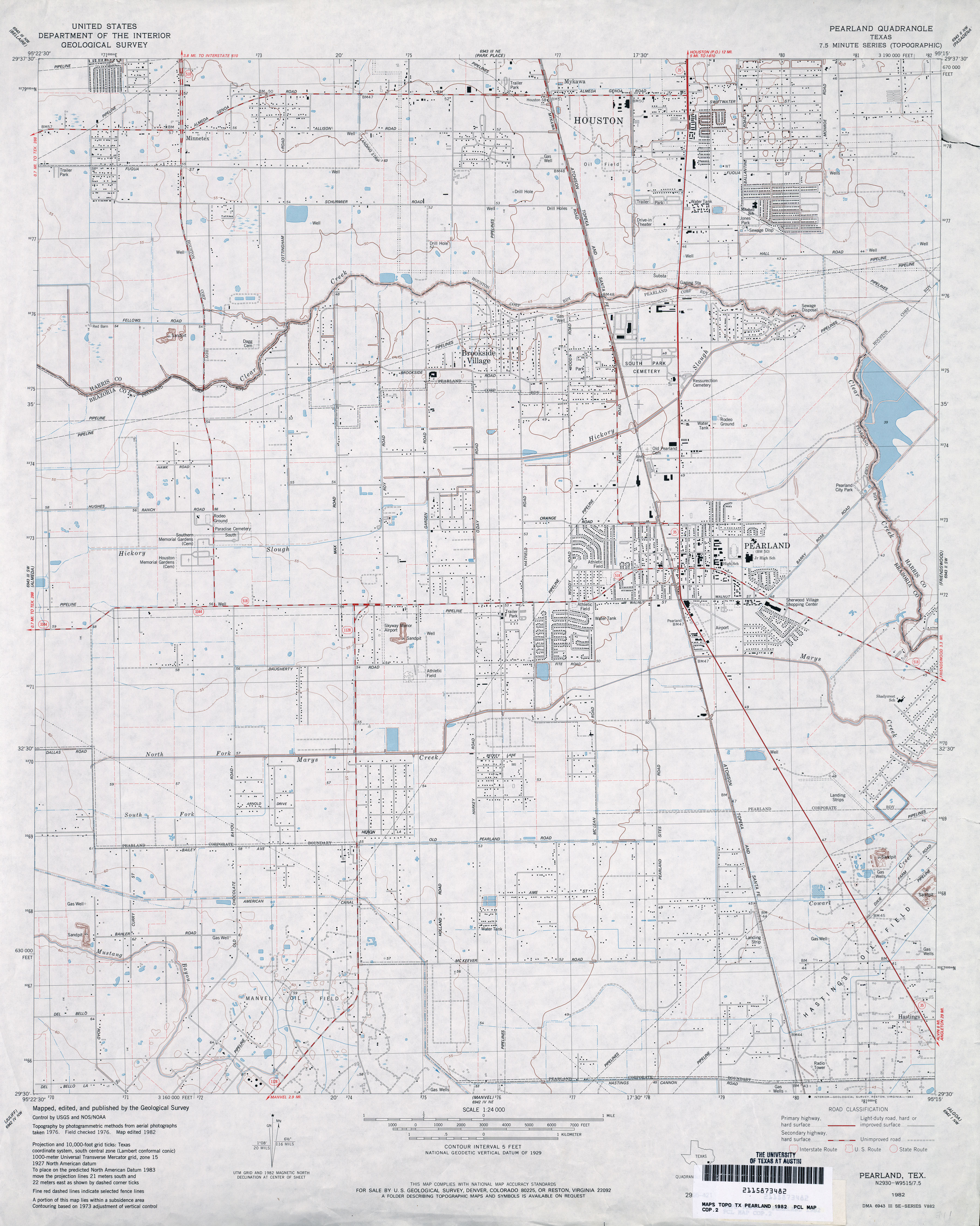
- Pearland 1:24,000 1982 (3.2MB)
- Pearland 1:24,000 1995 (3.7MB)
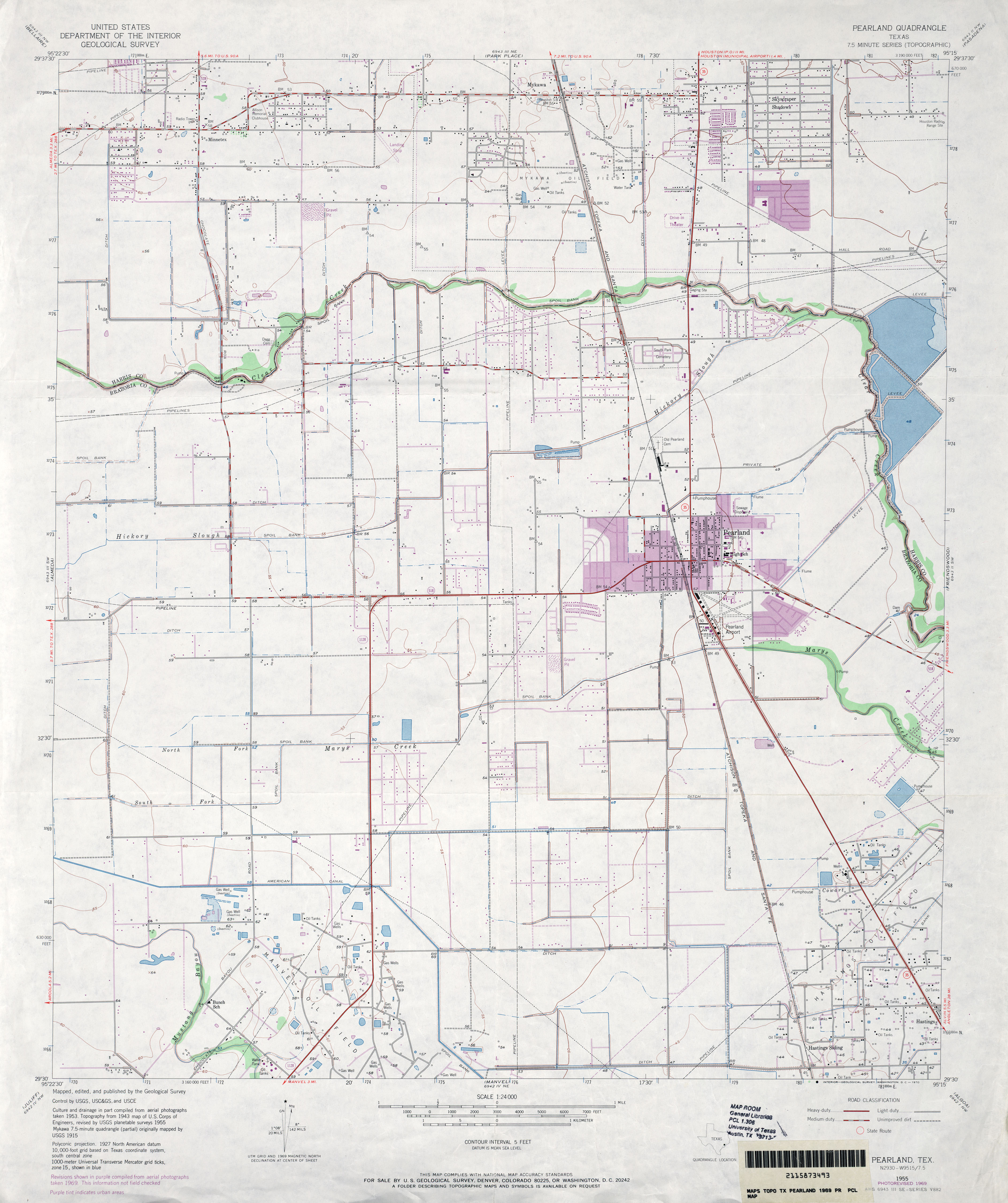
- Pearland 1:24,000 2009 (20.2MB) [GeoPDF]
- Pearland 1:24,000 2013 (25.1MB) [GeoPDF]
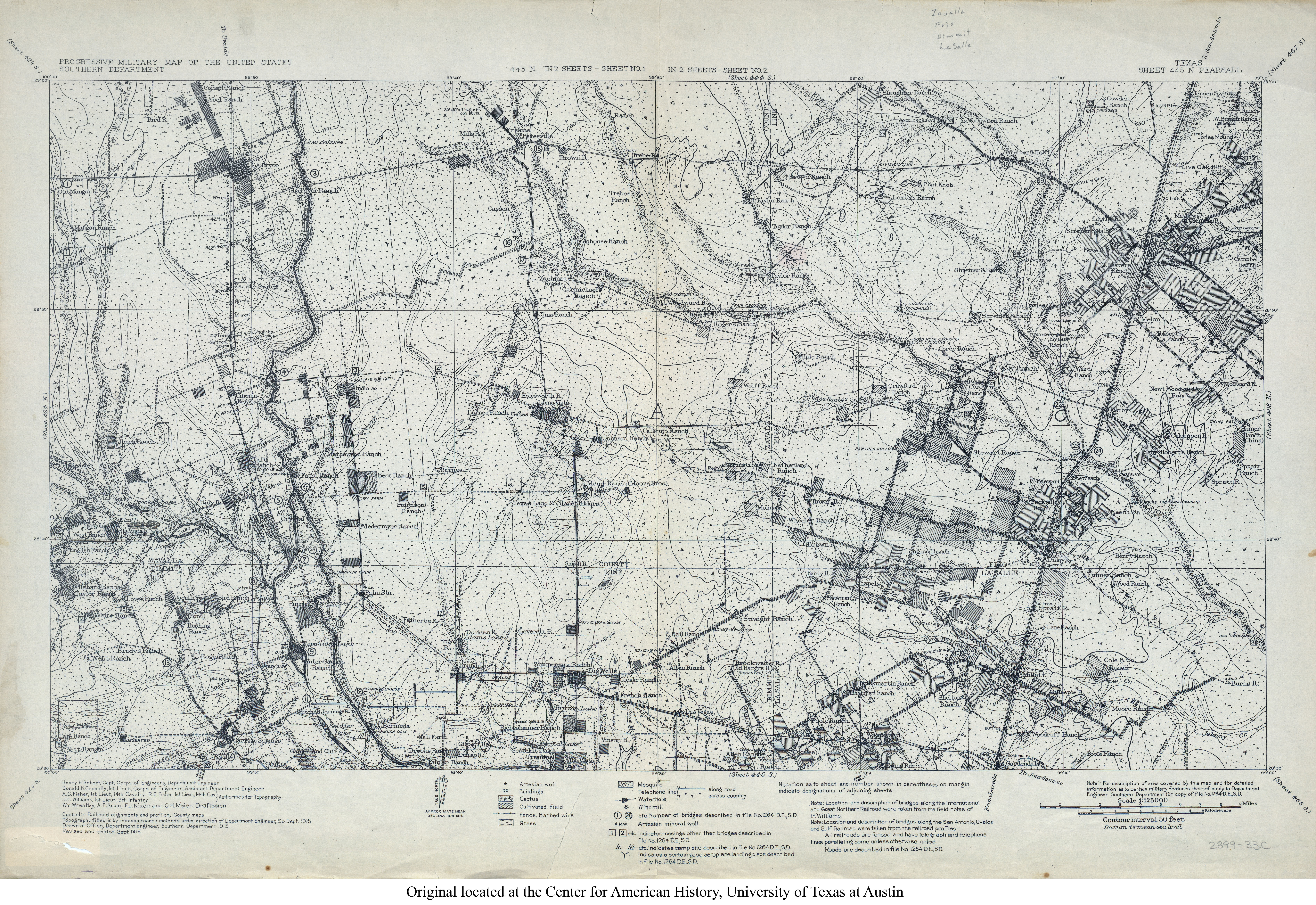
- Pearsall 1:125,000 1916 (9.3MB) U.S. Army. Corps of Engineers. Progressive Military Map
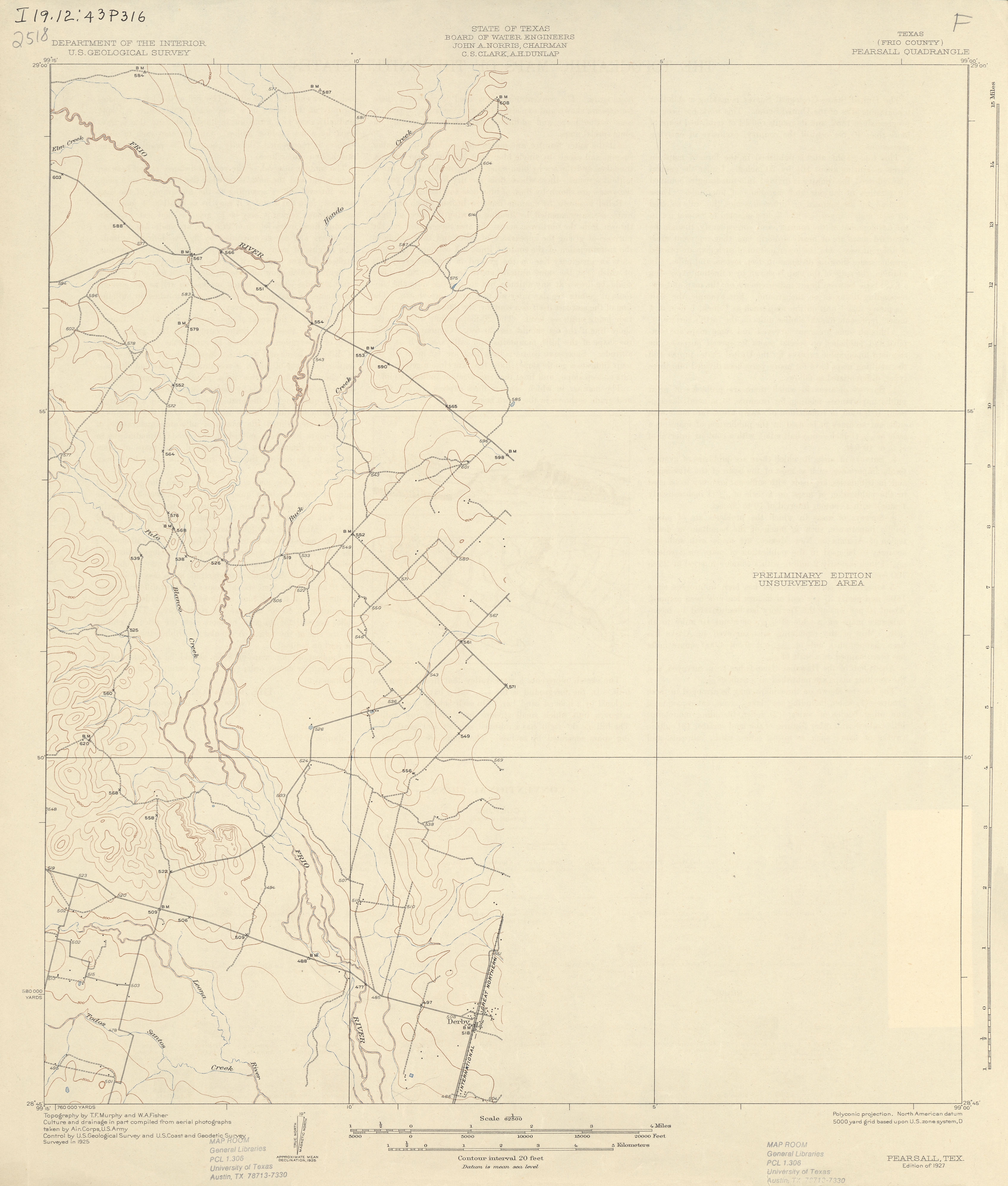
- Pearsall (Frio County) 1:62,500 1925 (1.8 MB)
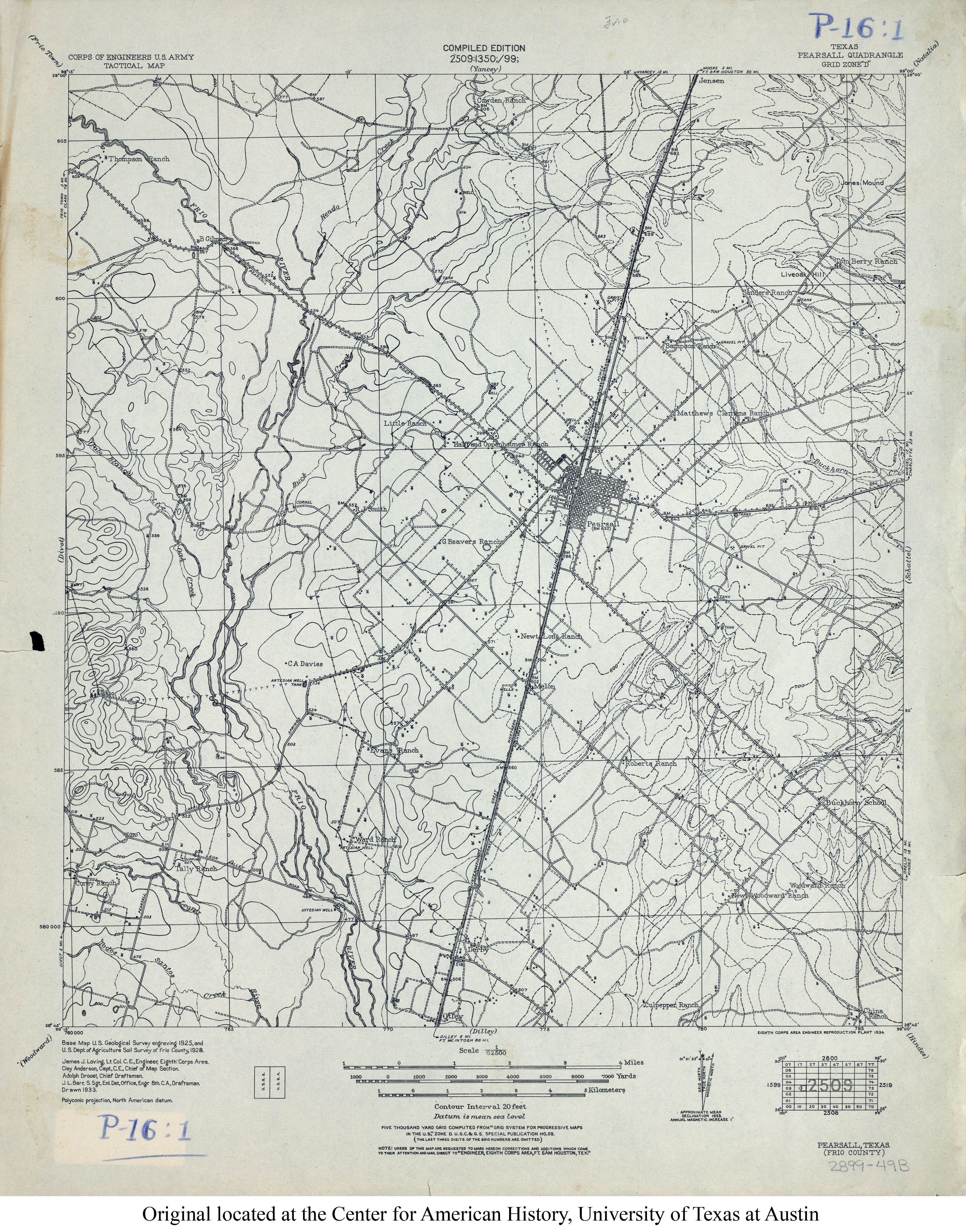
- Pearsall 1:62,500 1928 (4.2MB) U.S. Army. Corps of Engineers. Tactical Map
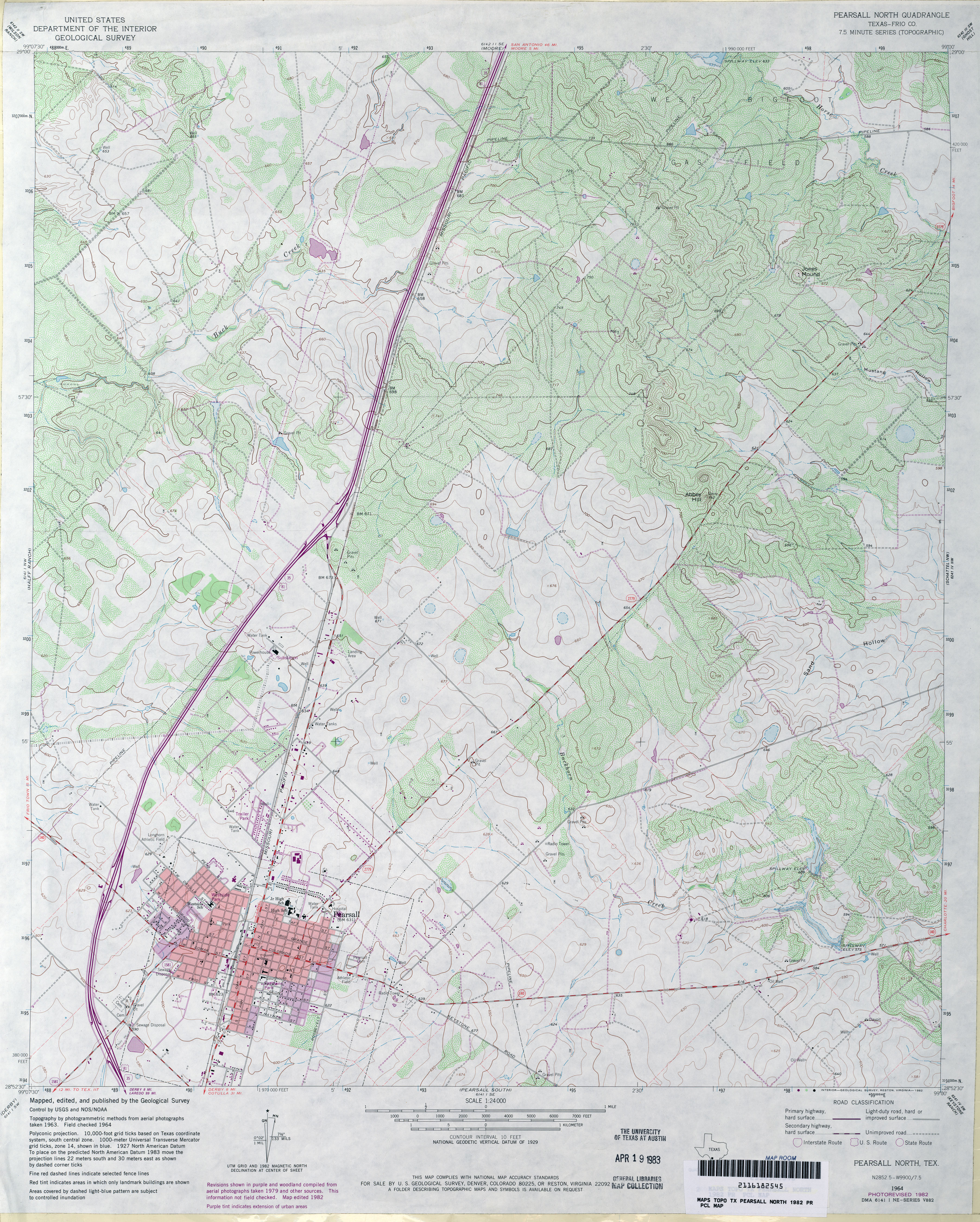
- Pearsall North (Frio County) 1:24,000 1964 (4.9MB)
- Pearsall North (Frio County) 1:24,000 1982 (4.3MB)
- Pearsall North 1:24,000 2008 (16.4MB) [GeoPDF]
- Pearsall North 1:24,000 2013 (24MB) [GeoPDF]
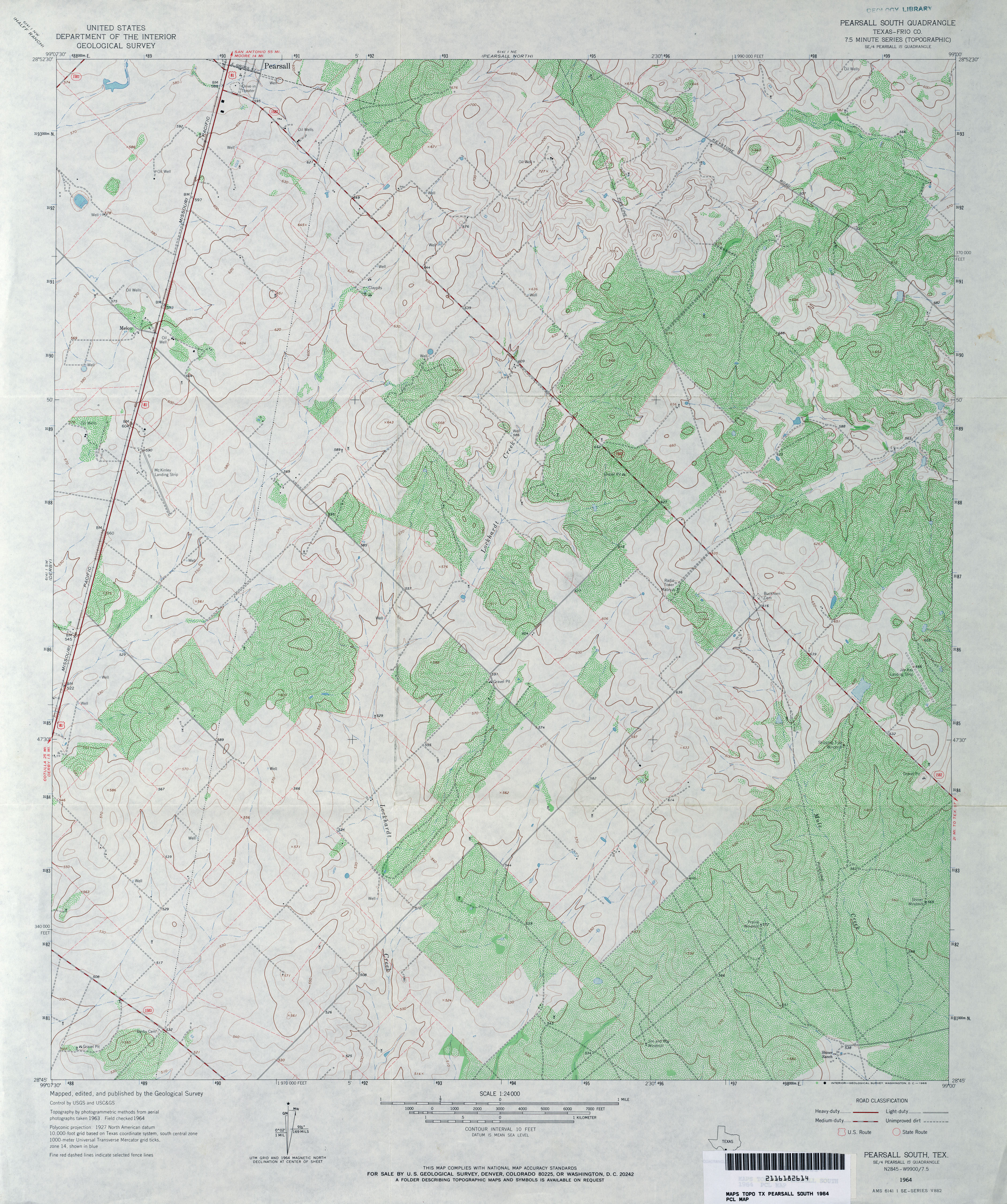
- Pearsall South (Frio County) 1:24,000 1964 (4.5MB)
- Pearsall South (Frio County) 1:24,000 1982 (4.2MB)
- Pearsall South 1:24,000 2008 (12.8MB) [GeoPDF]
- Pearsall South 1:24,000 2013 (19.8MB) [GeoPDF]
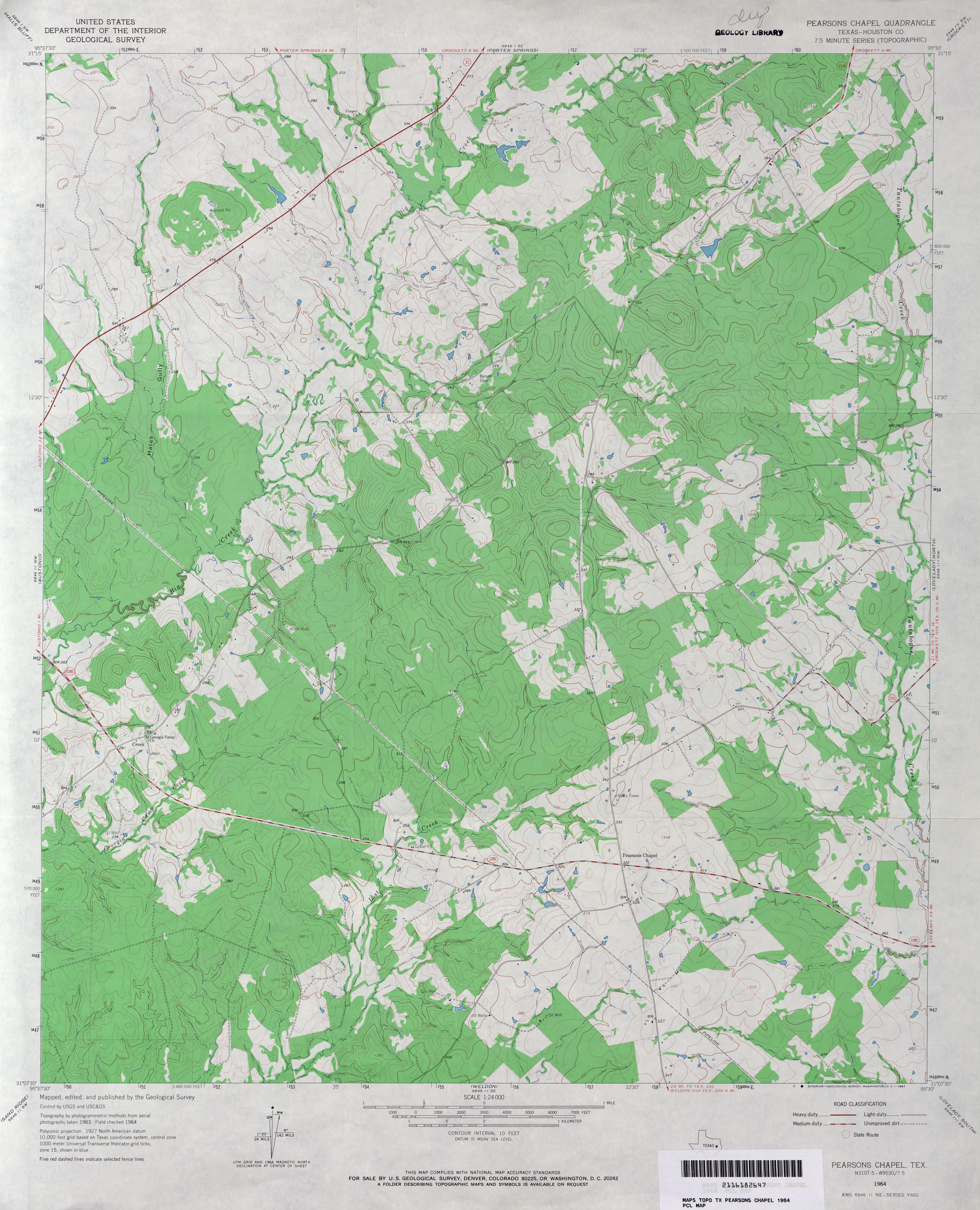
- Pearsons Chapel (Houston County) 1:24,000 1964 (3.6MB)
- Pearsons Chapel 1:24,000 2009 (19.9MB) [GeoPDF]
- Pearsons Chapel 1:24,000 2013 (22.4MB) [GeoPDF]
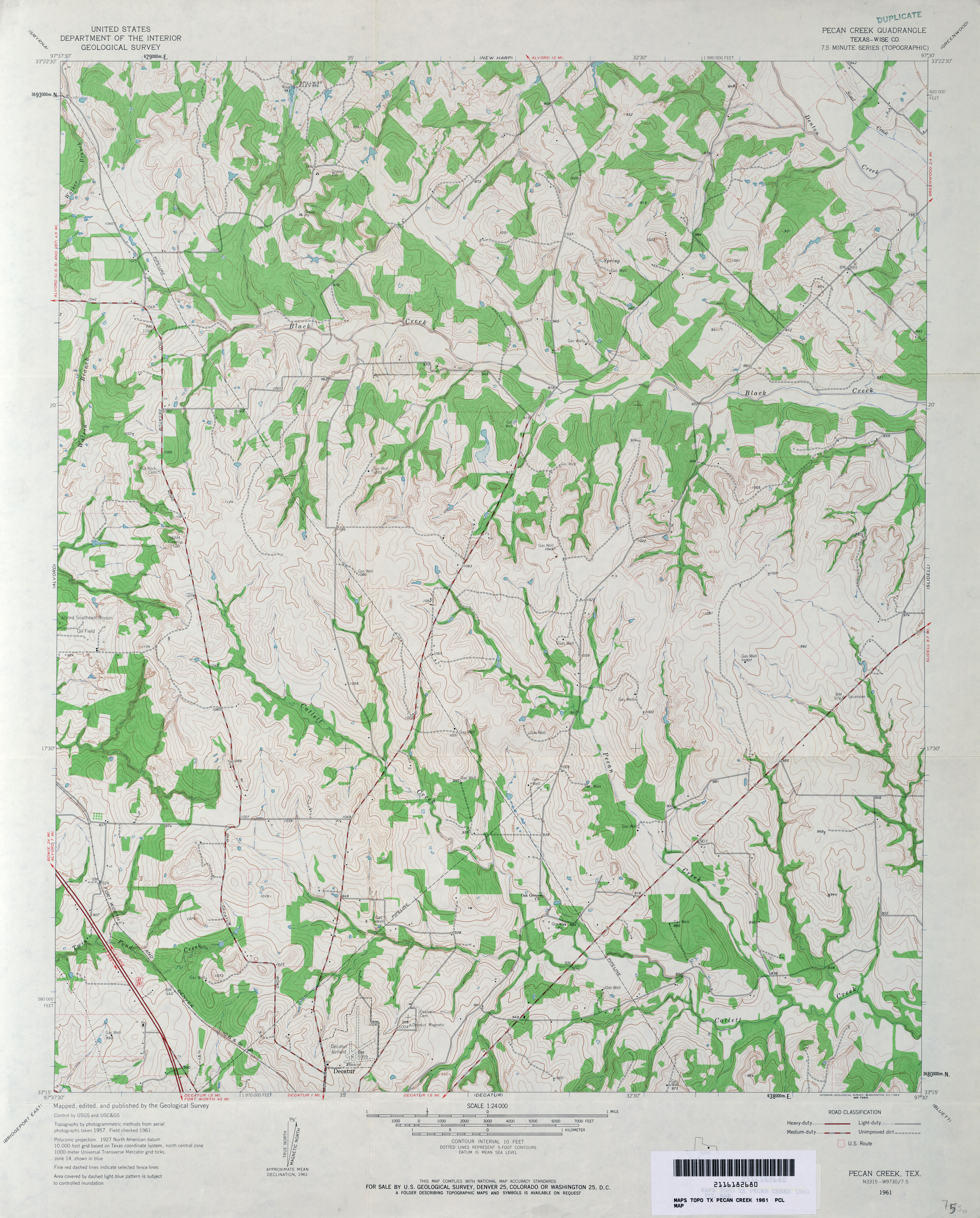
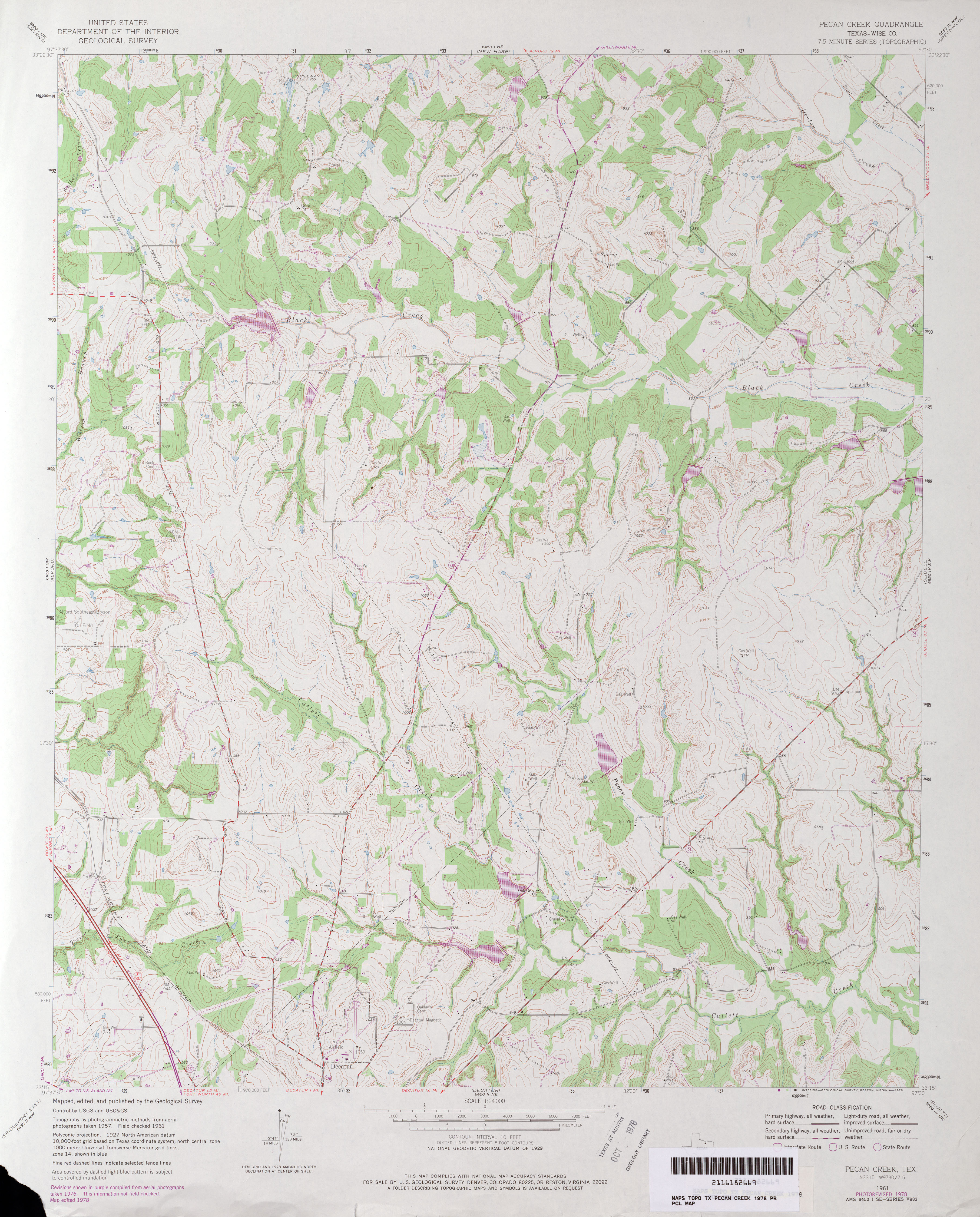
- Pecan Creek (Wise County) 1:24,000 1961 (4MB)
- Pecan Creek (Wise County) 1:24,000 1978 (3.9MB)
- Pecan Creek 1:24,000 2008 (16.4MB) [GeoPDF]
- Pecan Creek 1:24,000 2013 (20.7MB) [GeoPDF]
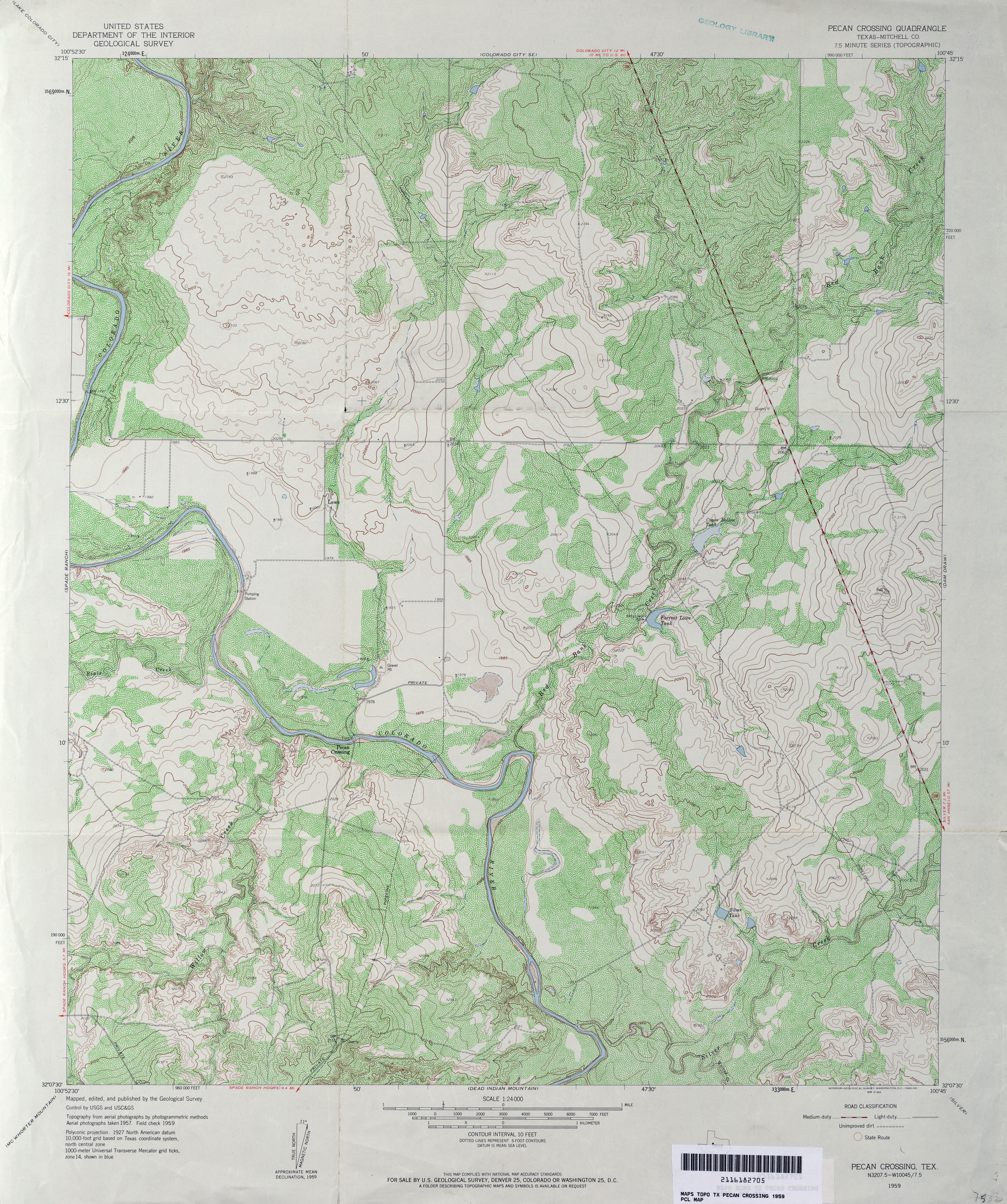
- Pecan Crossing (Mitchell County) 1:24,000 1959 (5.2MB)
- Pecan Crossing 1:24,000 2008 (16MB) [GeoPDF]
- Pecan Crossing 1:24,000 2012 (24.8MB) [GeoPDF]
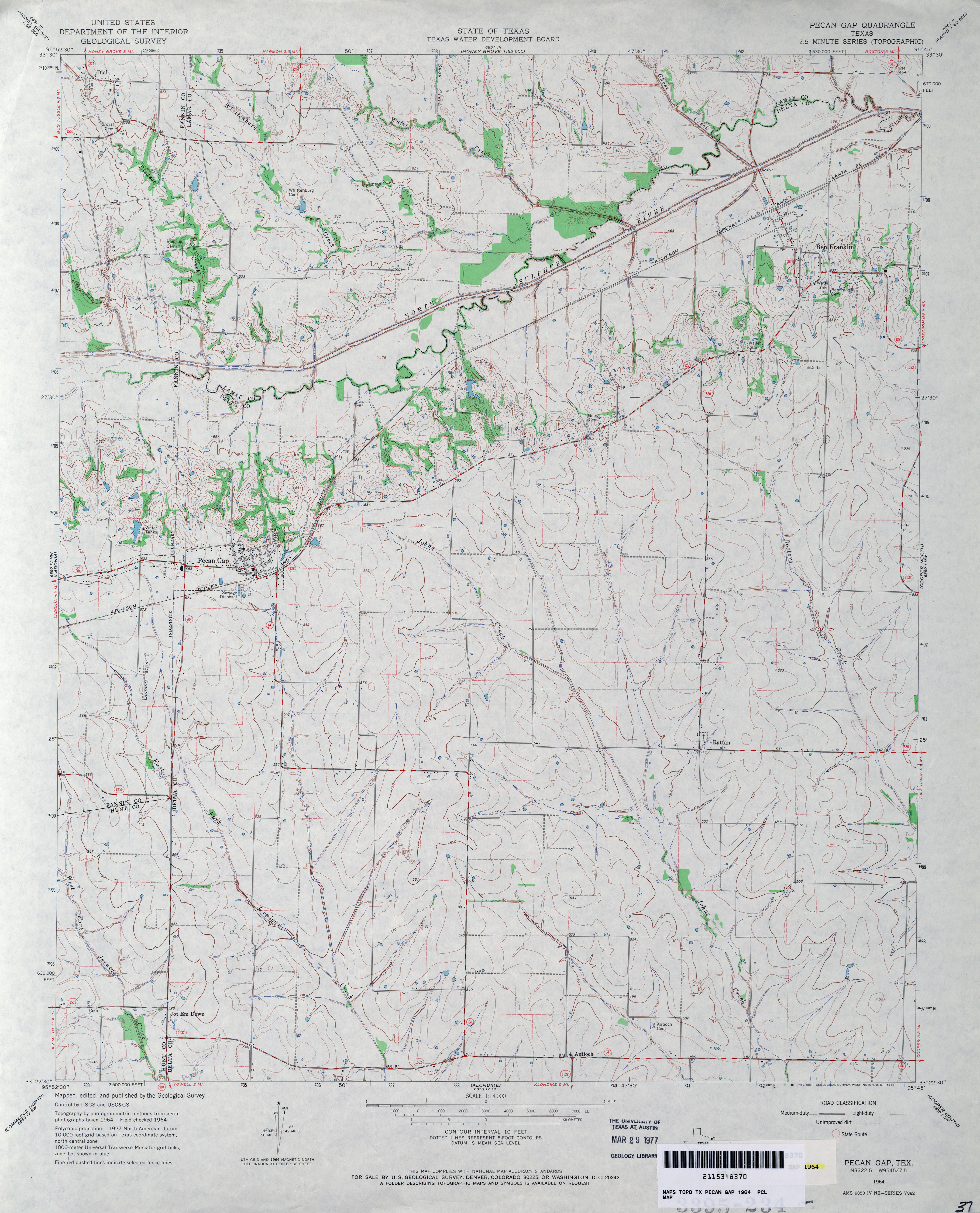
- Pecan Gap 1:24,000 1964 (3.5MB)
- Pecan Gap 1:24,000 2008 (13.8MB) [GeoPDF]
- Pecan Gap 1:24,000 2013 (18.4MB) [GeoPDF]
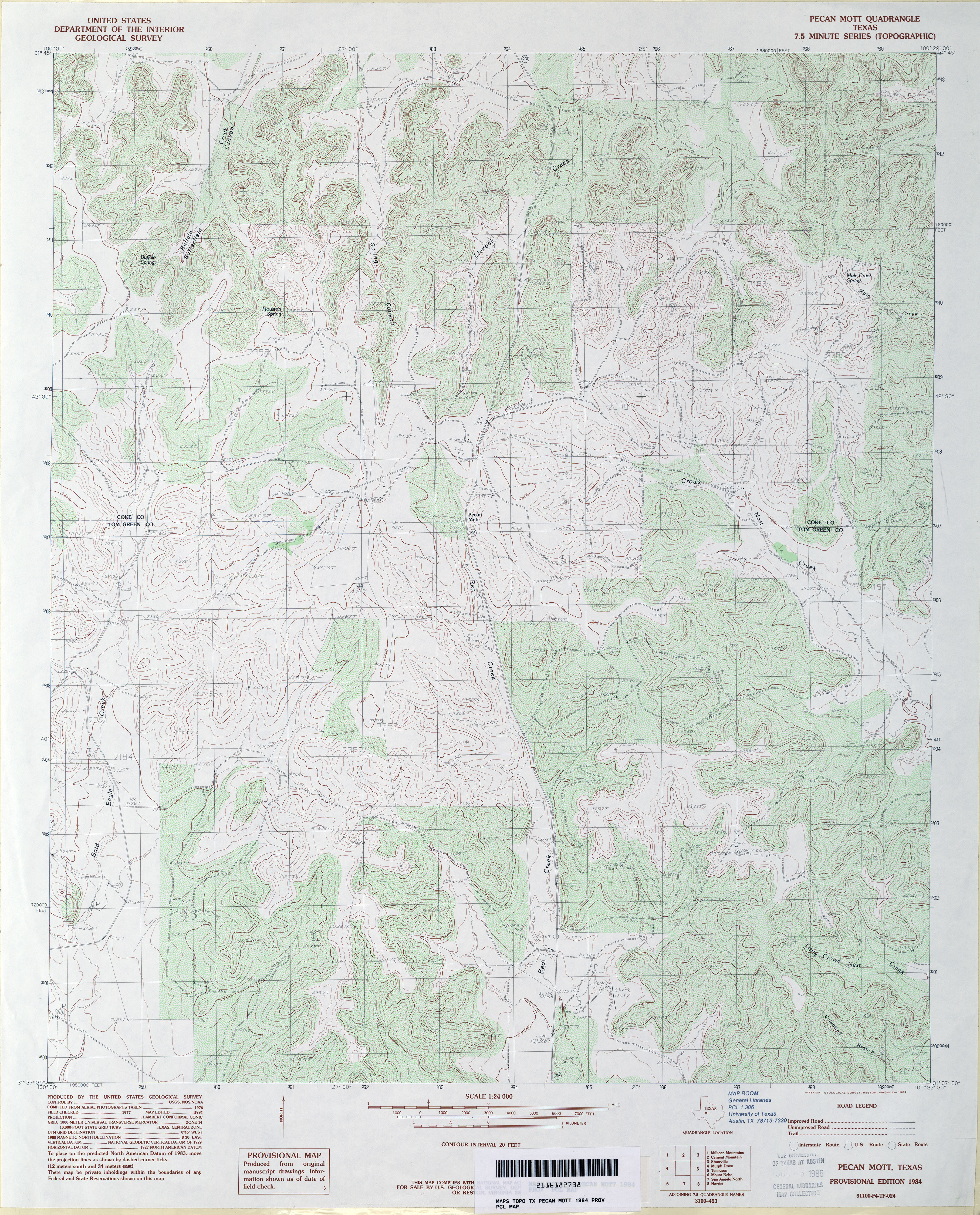
- Pecan Mott 1:24,000 1984 (5MB)
- Pecan Mott 1:24,000 2008 (24.9MB) [GeoPDF]
- Pecan Mott 1:24,000 2012 (29.7MB) [GeoPDF]
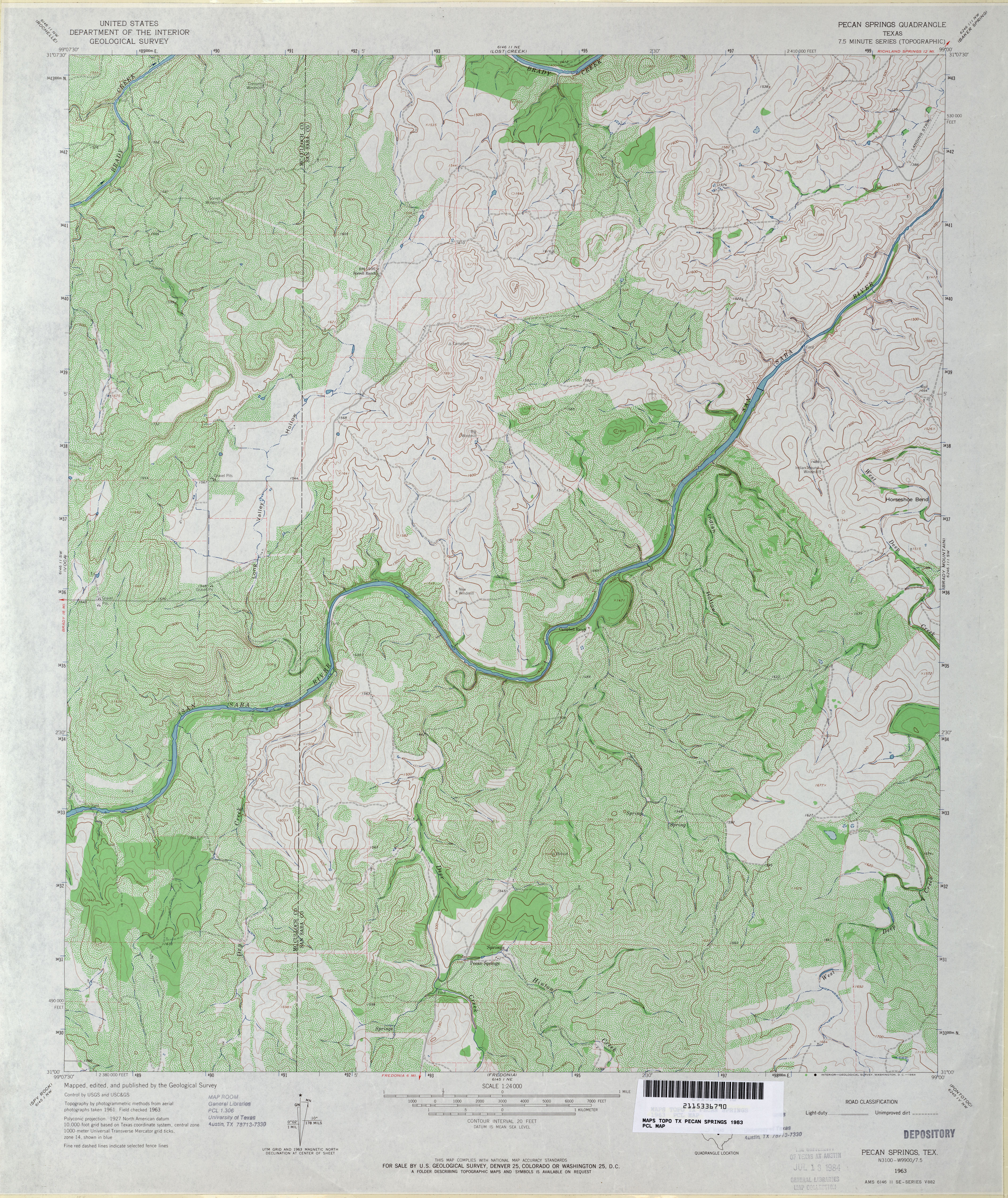
- Pecan Springs 1:24,000 1963 (5.2MB)
- Pecan Springs 1:24,000 1979 (3.7MB)
- Pecan Springs 1:24,000 2008 (23.7MB) [GeoPDF]
- Pecan Springs 1:24,000 2012 (26.7MB) [GeoPDF]
- Pecan Station (Tom Green County) 1:24,000 1984 (4.2MB)
- Pecan Station 1:24,000 2008 (18.9MB) [GeoPDF]
- Pecan Station 1:24,000 2013 (24MB) [GeoPDF]
- Pecan Wells 1:24,000 1956 (3.4MB)
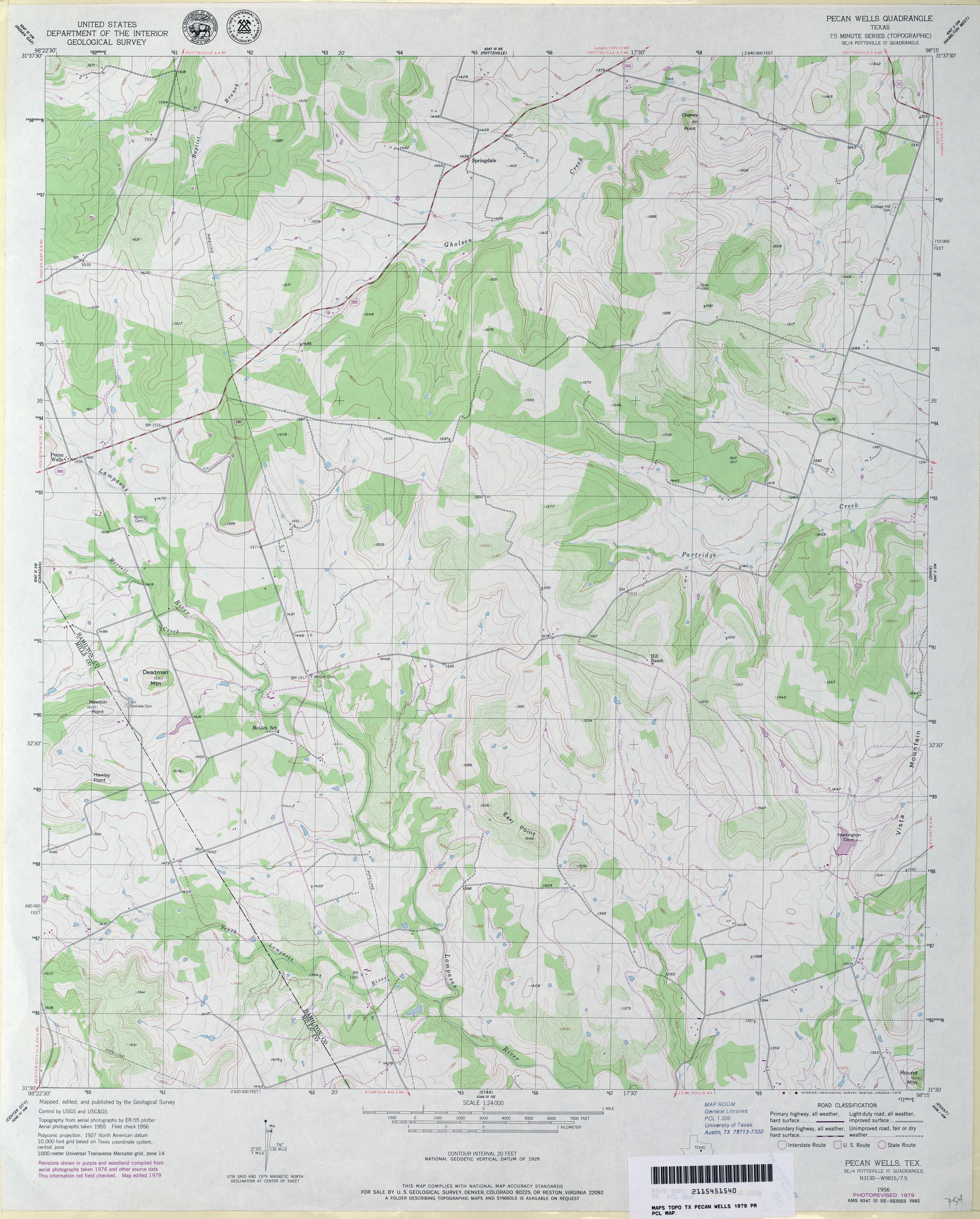
- Pecan Wells 1:24,000 1979 (3.5MB)
- Pecan Wells 1:24,000 2008 (14.9MB) [GeoPDF]
- Pecan Wells 1:24,000 2012 (19.4MB) [GeoPDF]
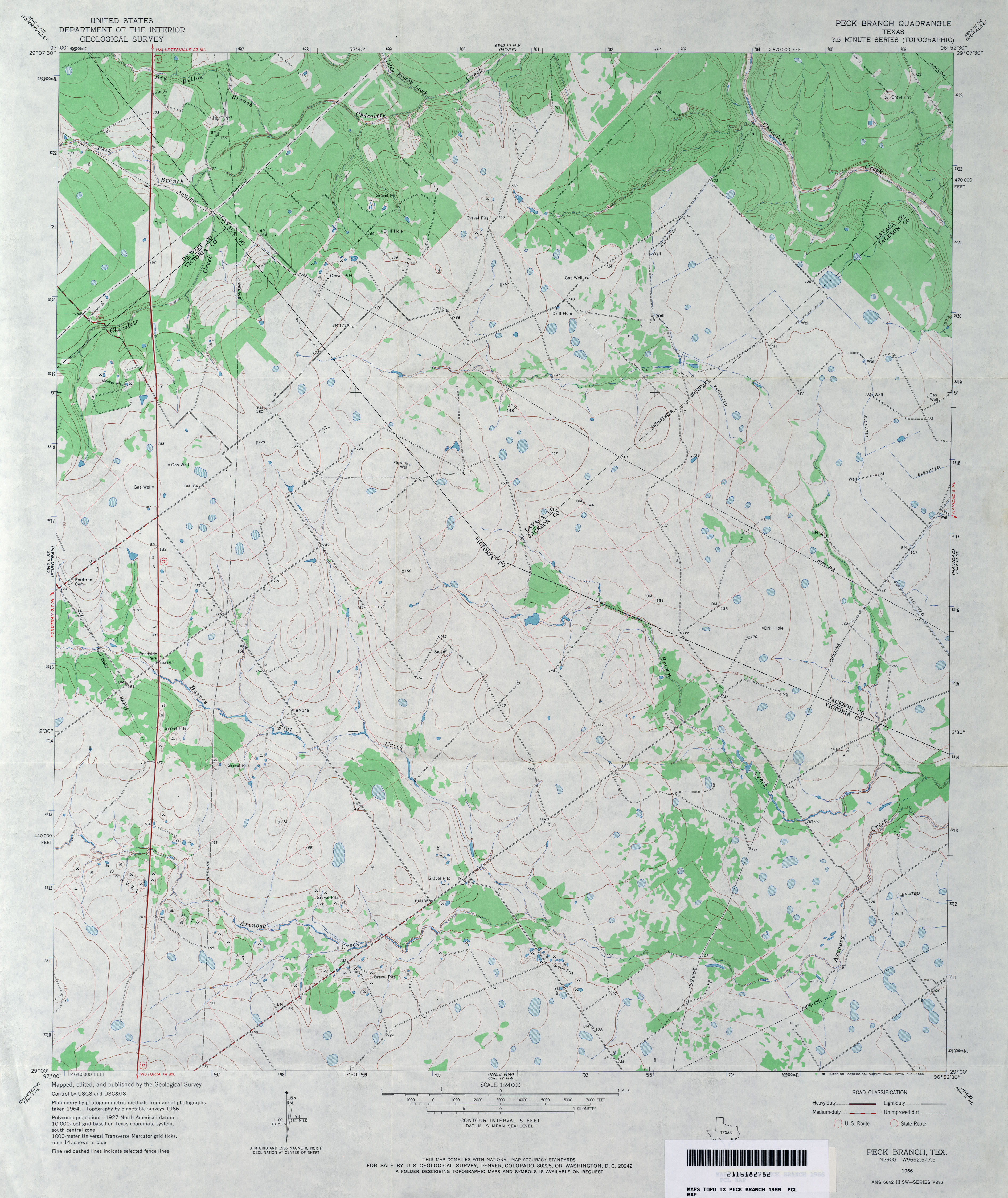
- Peck Branch 1:24,000 1966 (3.4MB)
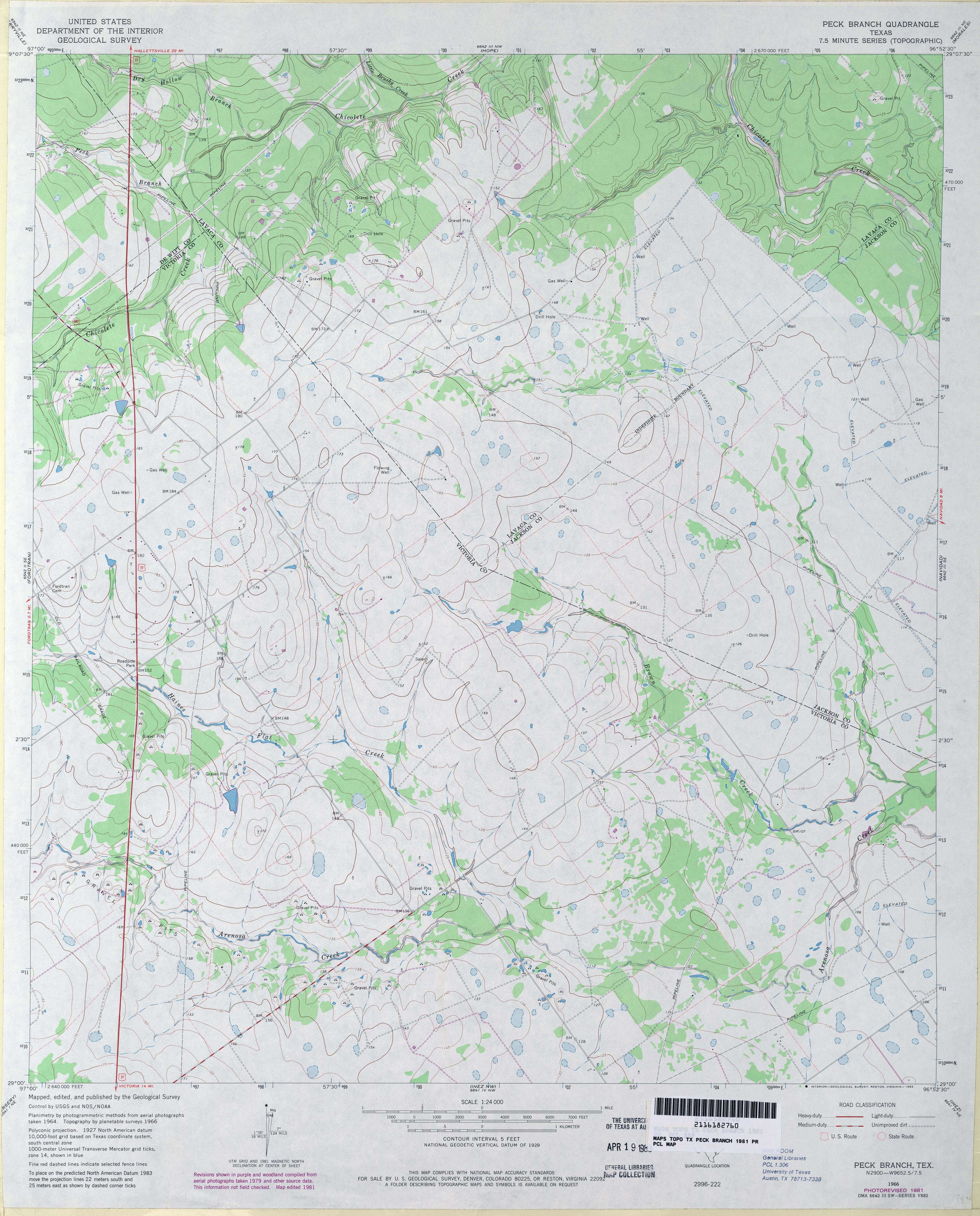
- Peck Branch 1:24,000 1981 (3.4MB)
- Peck Branch 1:24,000 2009 (13.0MB) [GeoPDF]
- Peck Branch 1:24,000 2013 (23.3MB) [GeoPDF]
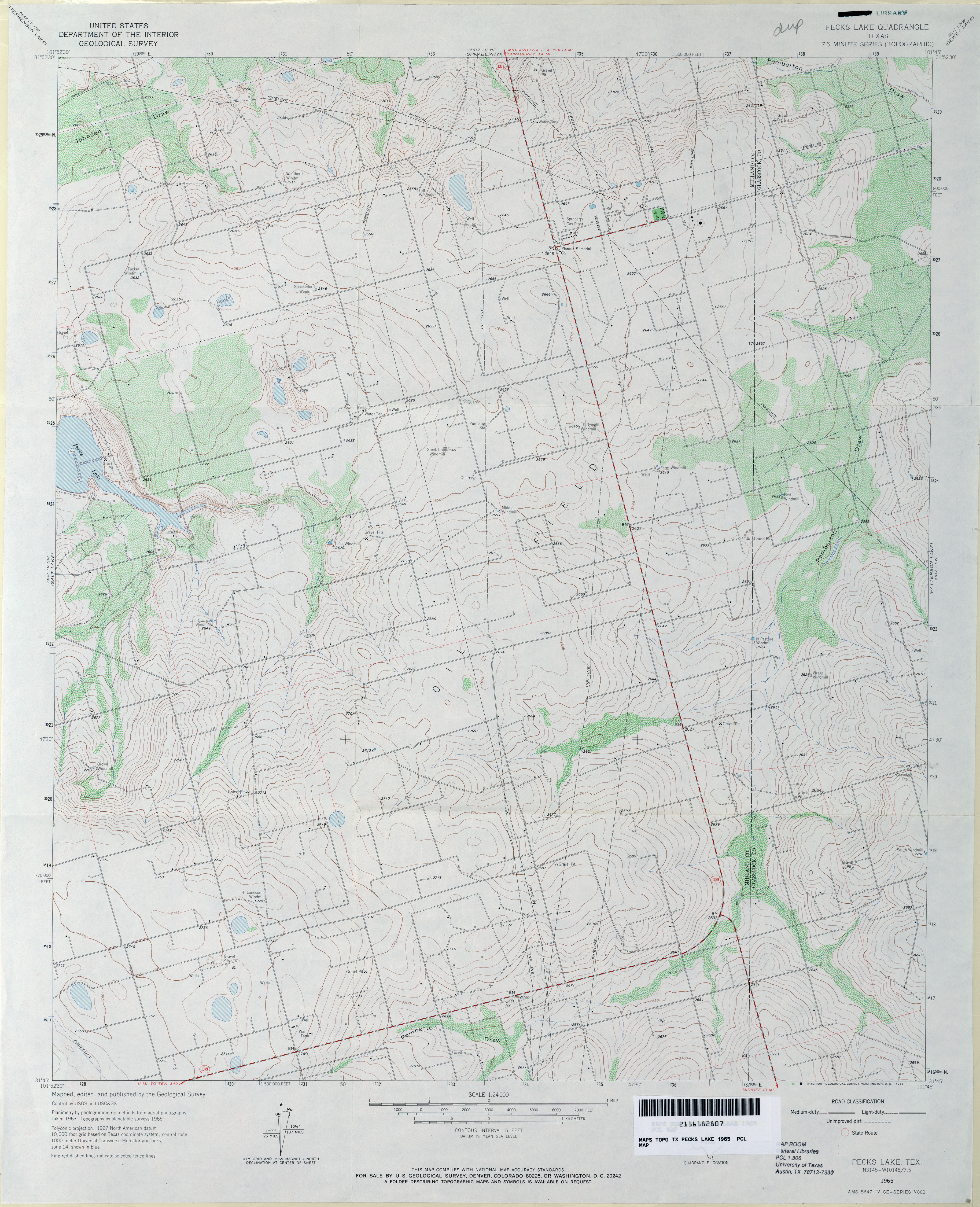
- Pecks Lake 1:24,000 1965 (3.6MB)
- Pecks Lake 1:24,000 2008 (19.9MB) [GeoPDF]
- Pecks Lake 1:24,000 2012 (26.2MB) [GeoPDF]
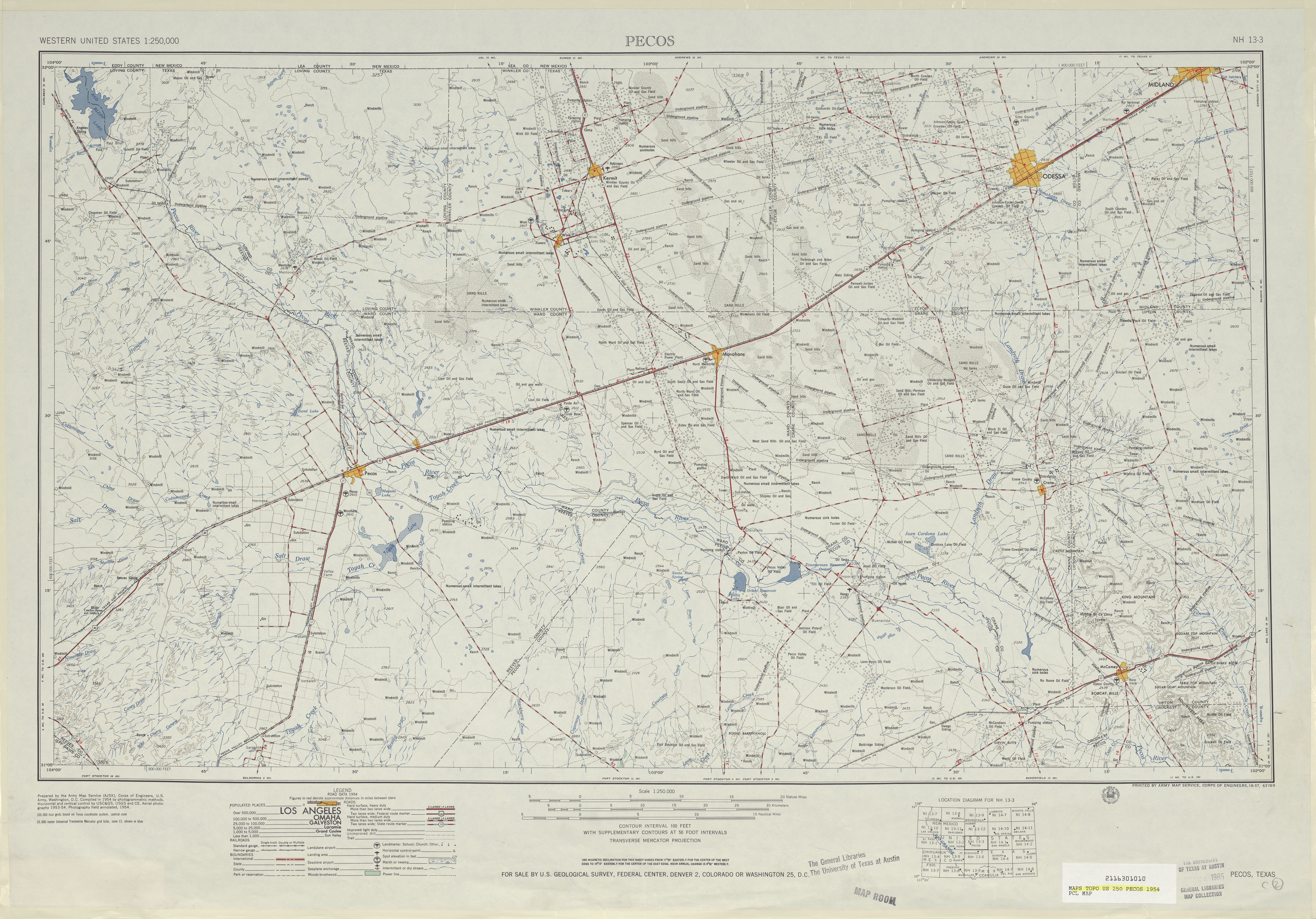
- Pecos 1:250,000 1954 (6.1MB)
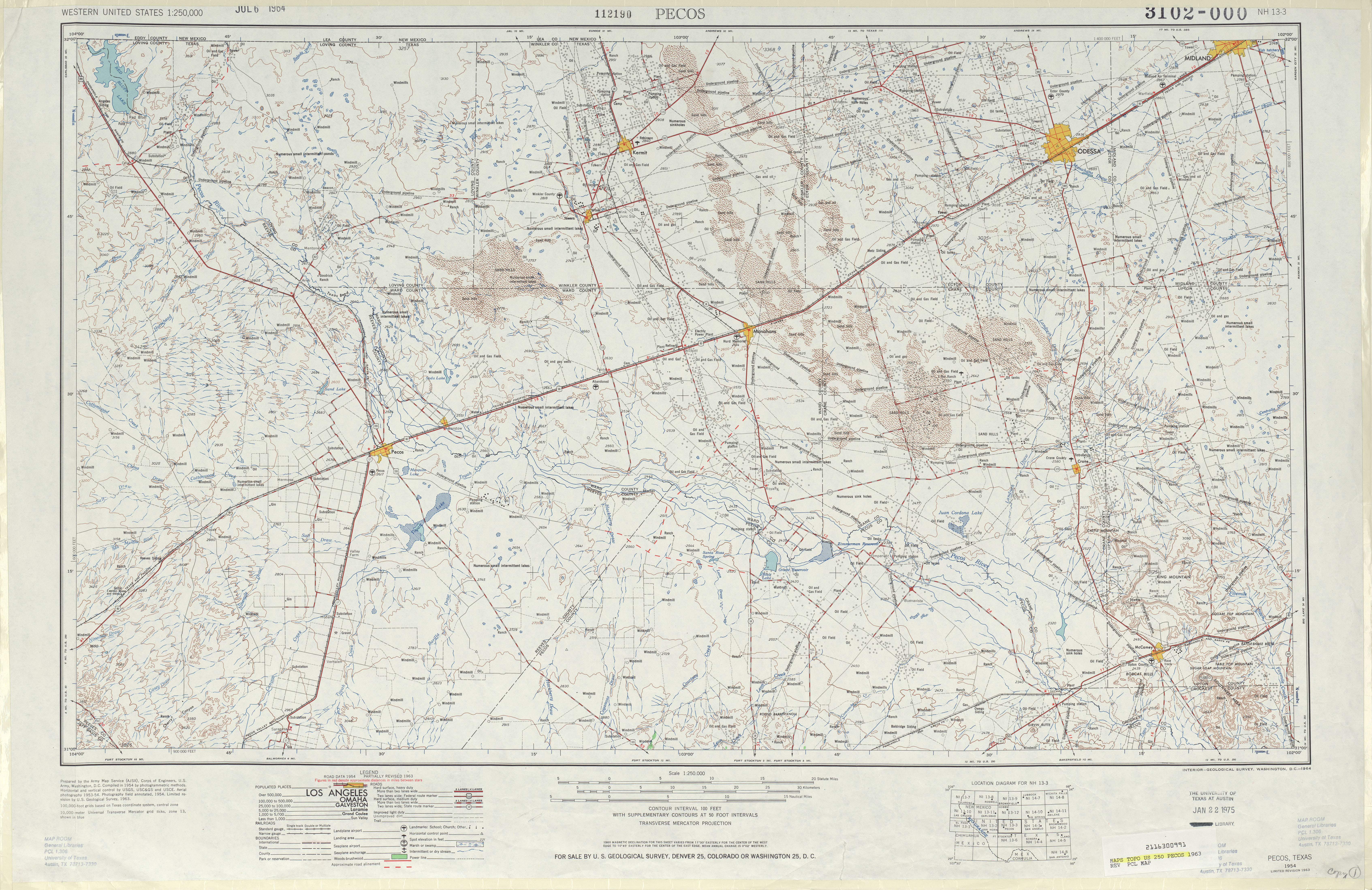
- Pecos 1:250,000 1963 (6.9MB)
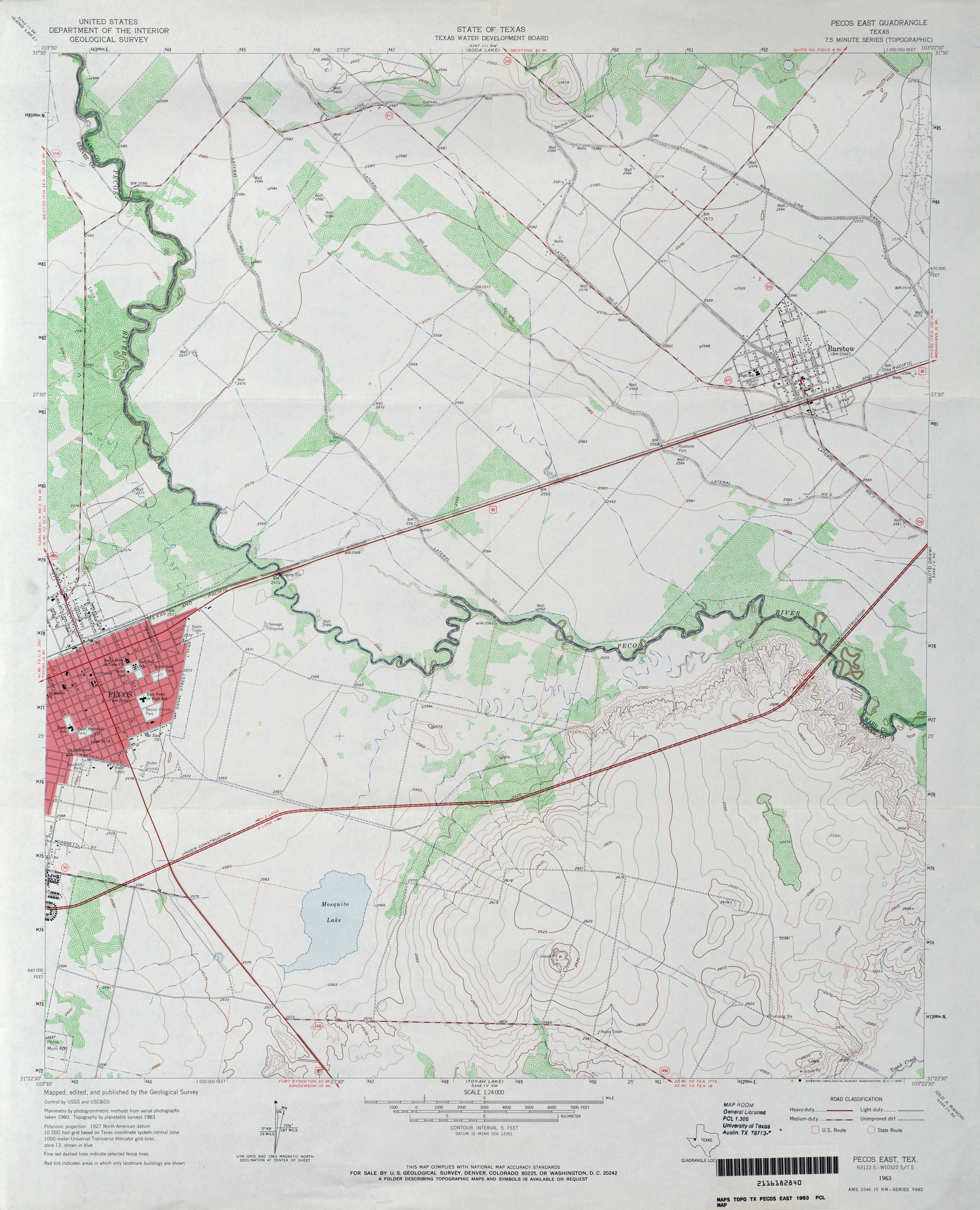
- Pecos East 1:24,000 1963 (3.3MB)
- Pecos East 1:24,000 1981 (3.4MB)
- Pecos East 1:24,000 2008 (24.1MB) [GeoPDF]
- Pecos East 1:24,000 2012 (26.8MB) [GeoPDF]
- Pecos High Bridge (Val Verde County) 1:24,000 1979 (5.4MB)
- Pecos High Bridge 1:24,000 2008 (22.3MB) [GeoPDF]
- Pecos High Bridge 1:24,000 2013 (33.3MB) [GeoPDF]
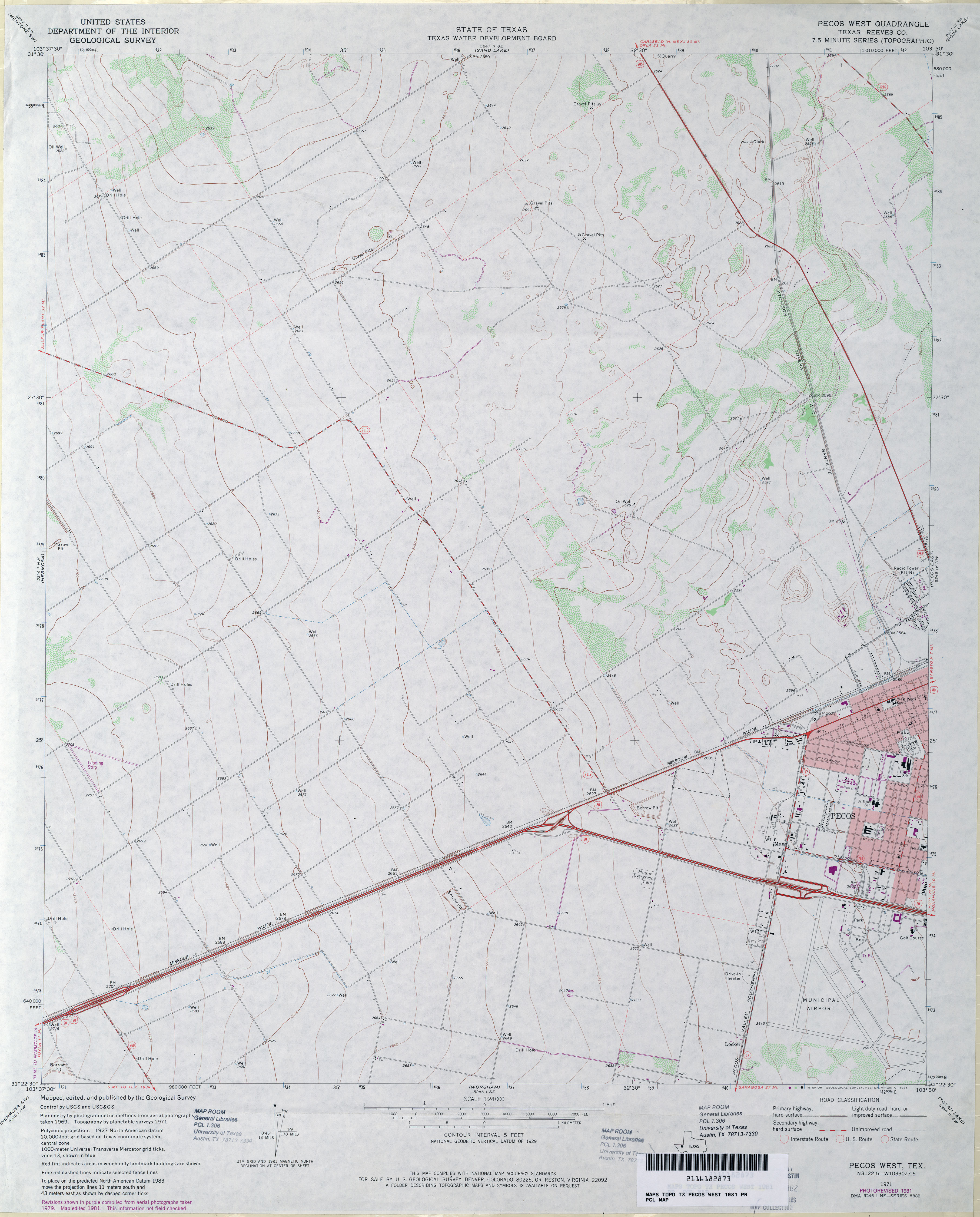
- Pecos West (Reeves County) 1:24,000 1971 (2.8MB)
- Pecos West (Reeves County) 1:24,000 1981 (2.9MB)
- Pecos West 1:24,000 2008 (22.3MB) [GeoPDF]
- Pecos West 1:24,000 2012 (25.6MB) [GeoPDF]
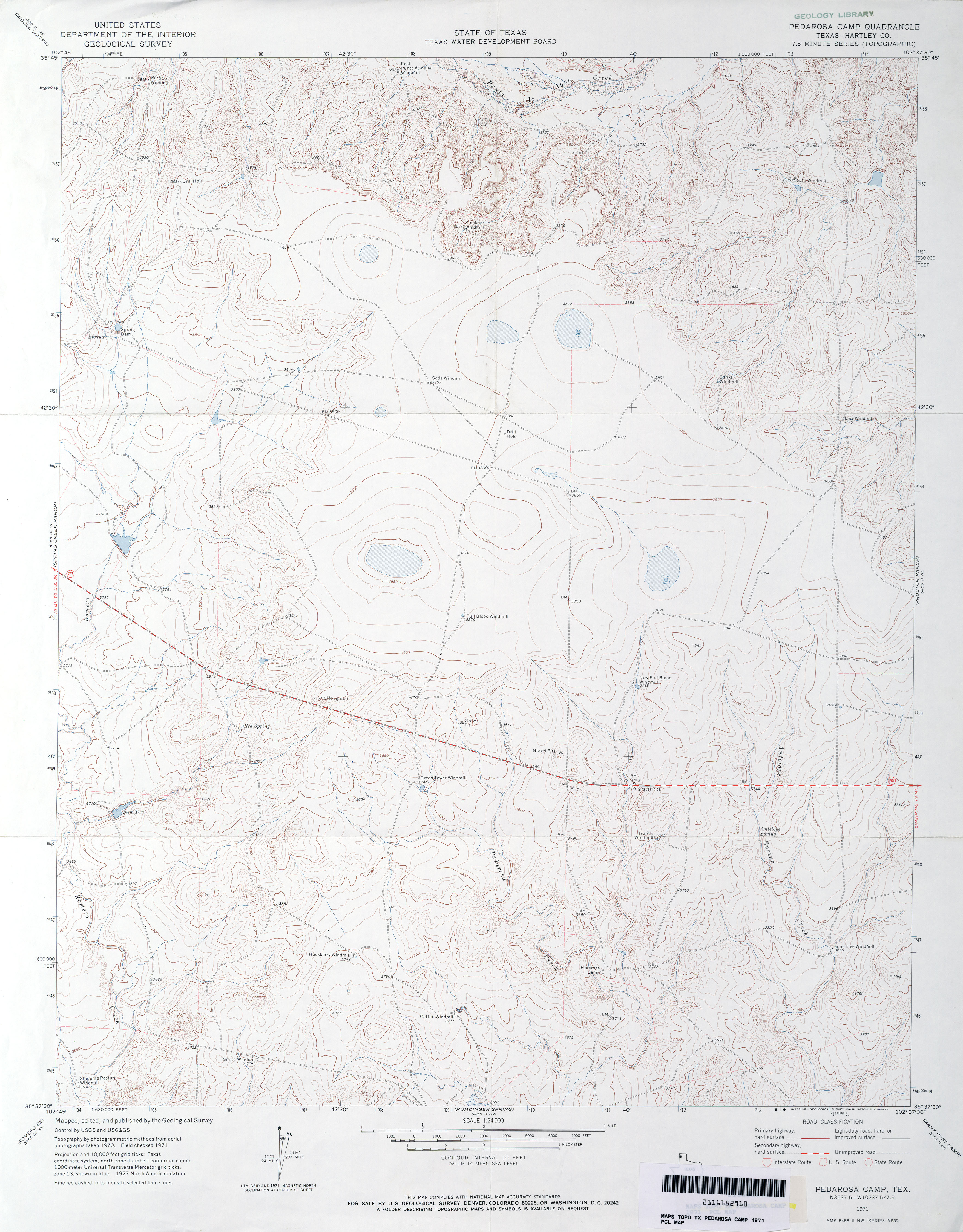
- Pedarosa Camp (Hartley County) 1:24,000 1971 (3.4MB)
- Pedarosa Camp 1:24,000 2008 (13.5MB) [GeoPDF]
- Pedarosa Camp 1:24,000 2012 (17.9MB) [GeoPDF]
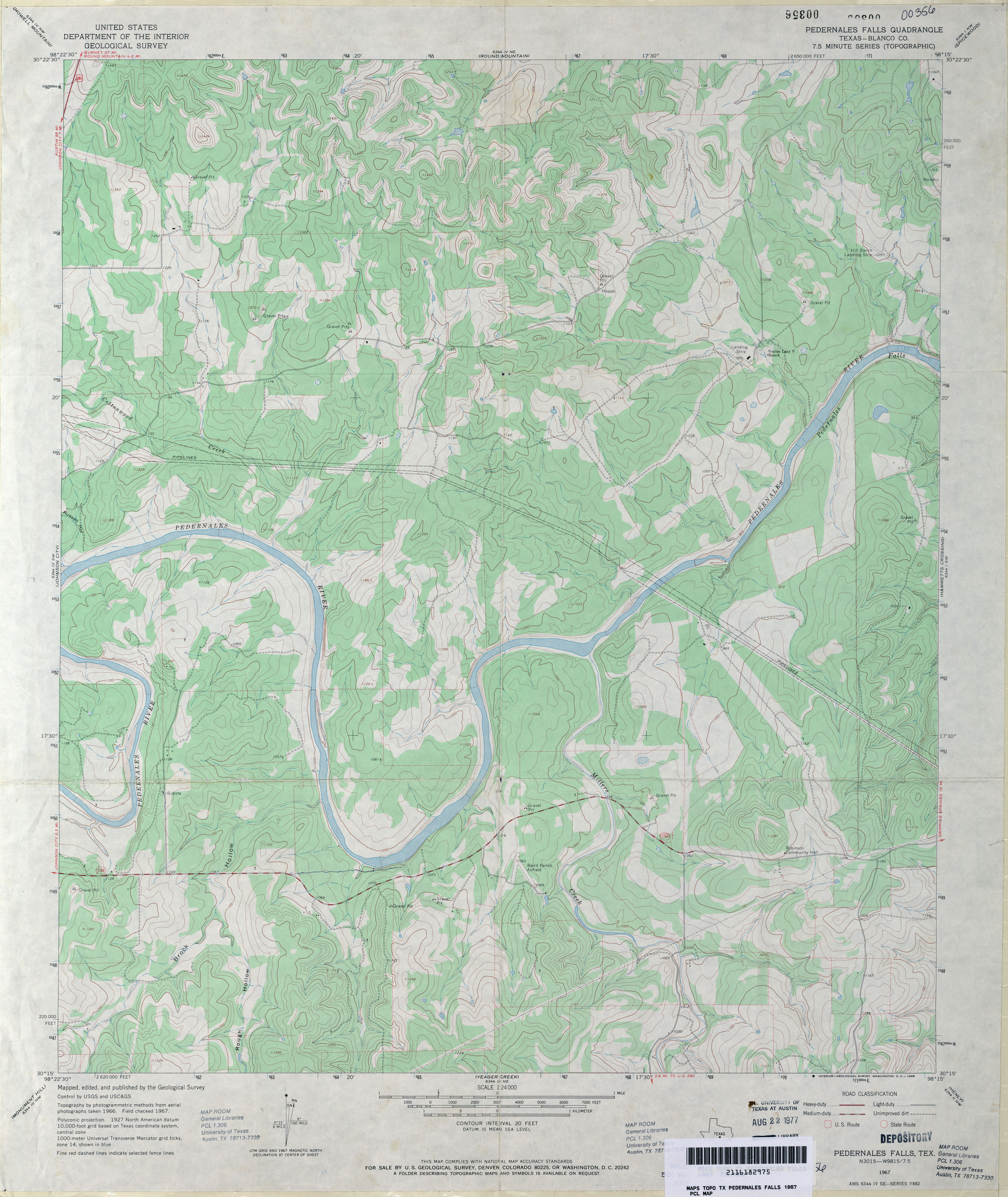
- Pedernales Falls (Blanco County) 1:24,000 1967 (3.7MB)
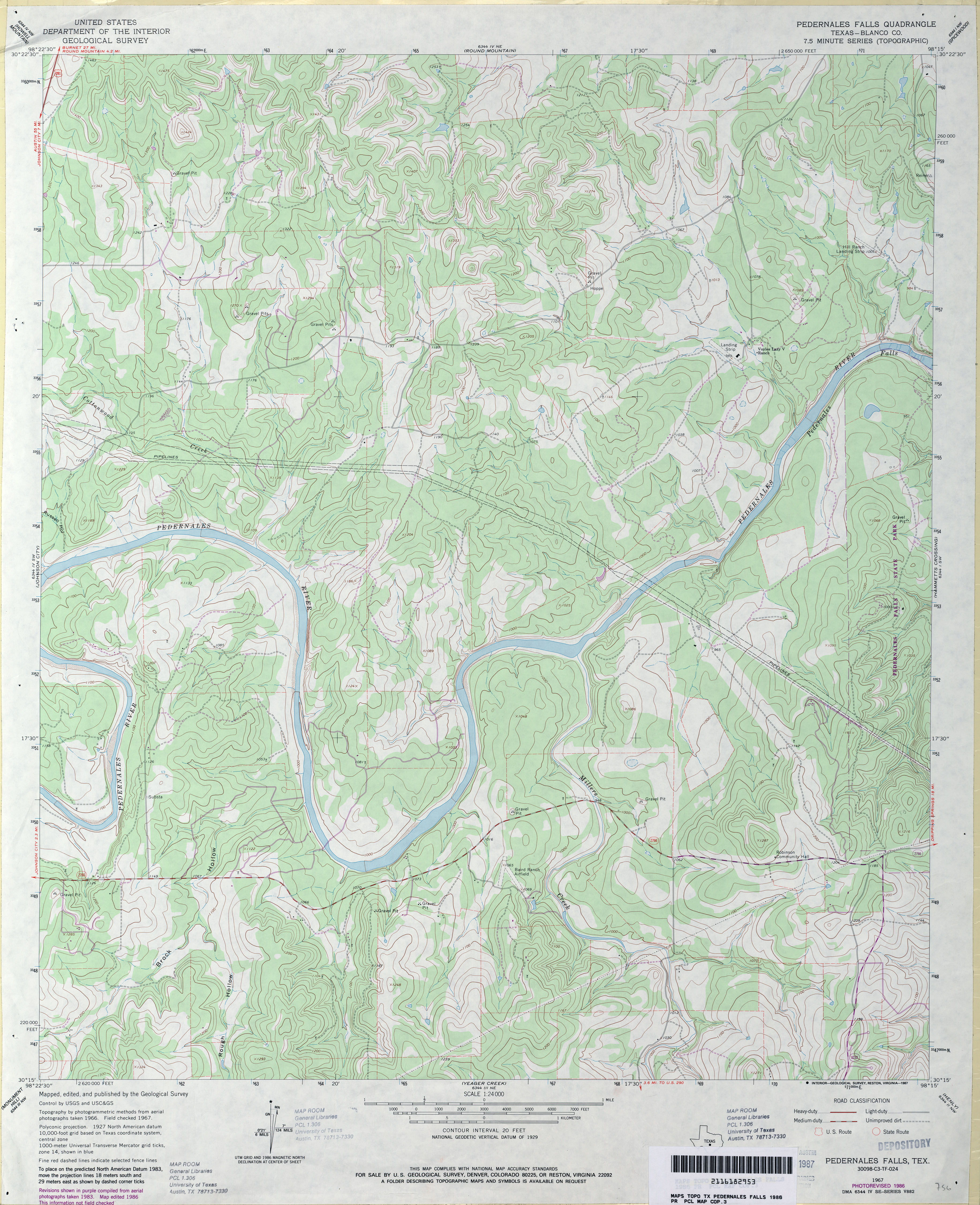
- Pedernales Falls (Blanco County) 1:24,000 1986 (4MB)
- Pedernales Falls 1:24,000 2008 (16.8MB) [GeoPDF]
- Pedernales Falls 1:24,000 2012 (26.3MB) [GeoPDF]
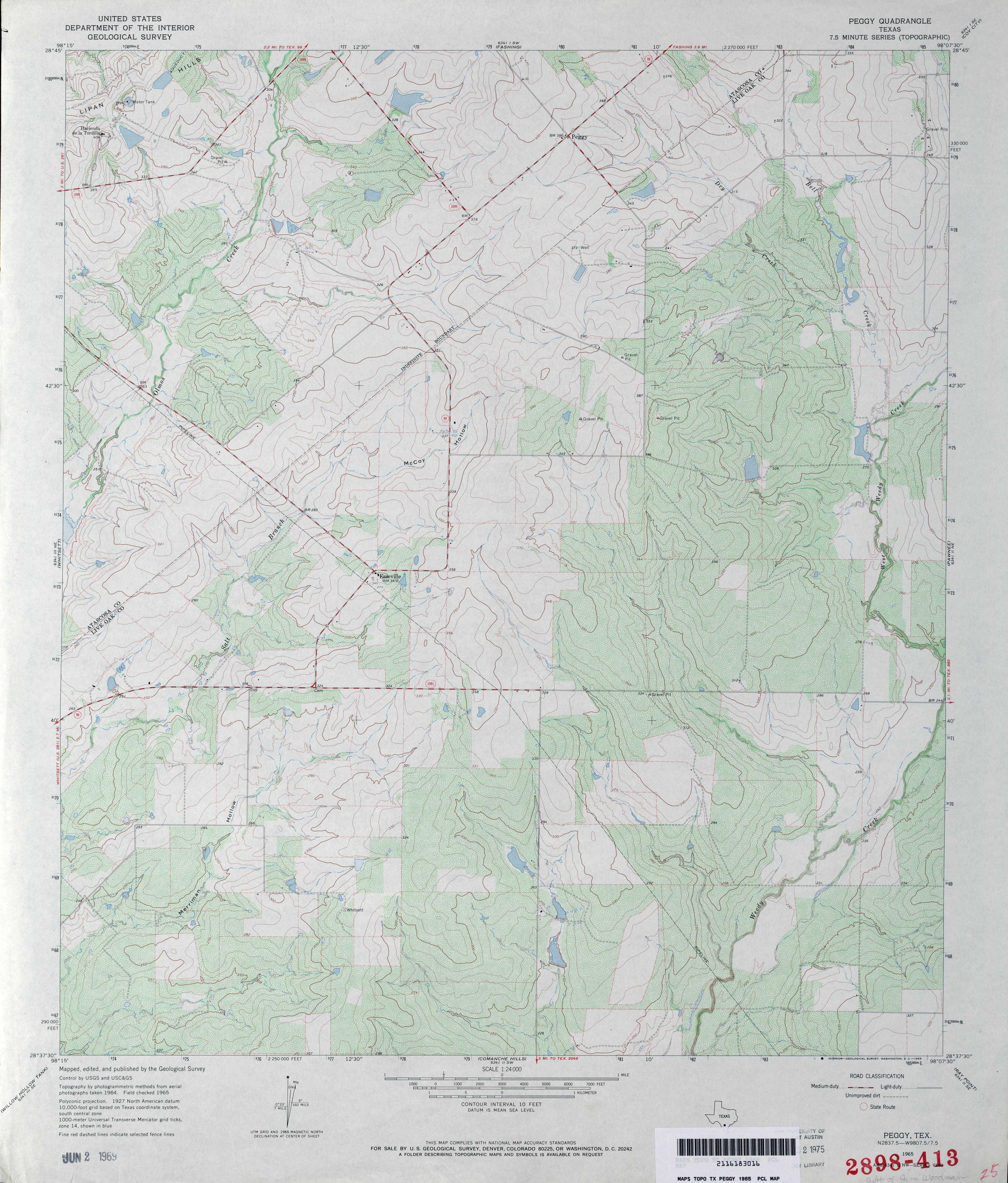
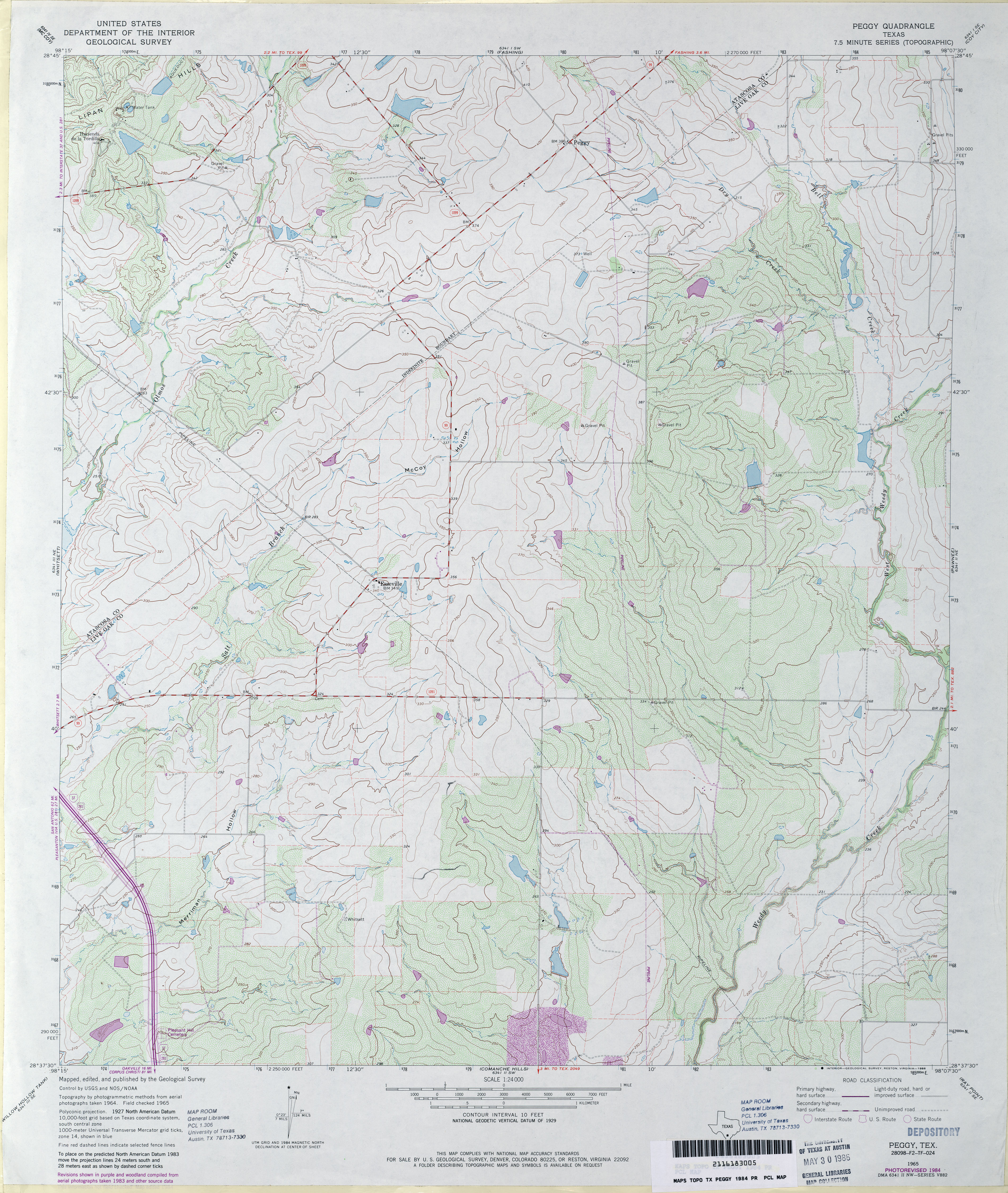
- Peggy 1:24,000 1965 (3.9MB)
- Peggy 1:24,000 1984 (4.1MB)
- Peggy 1:24,000 2008 (12.7MB) [GeoPDF]
- Peggy 1:24,000 2012 (21.6MB) [GeoPDF]
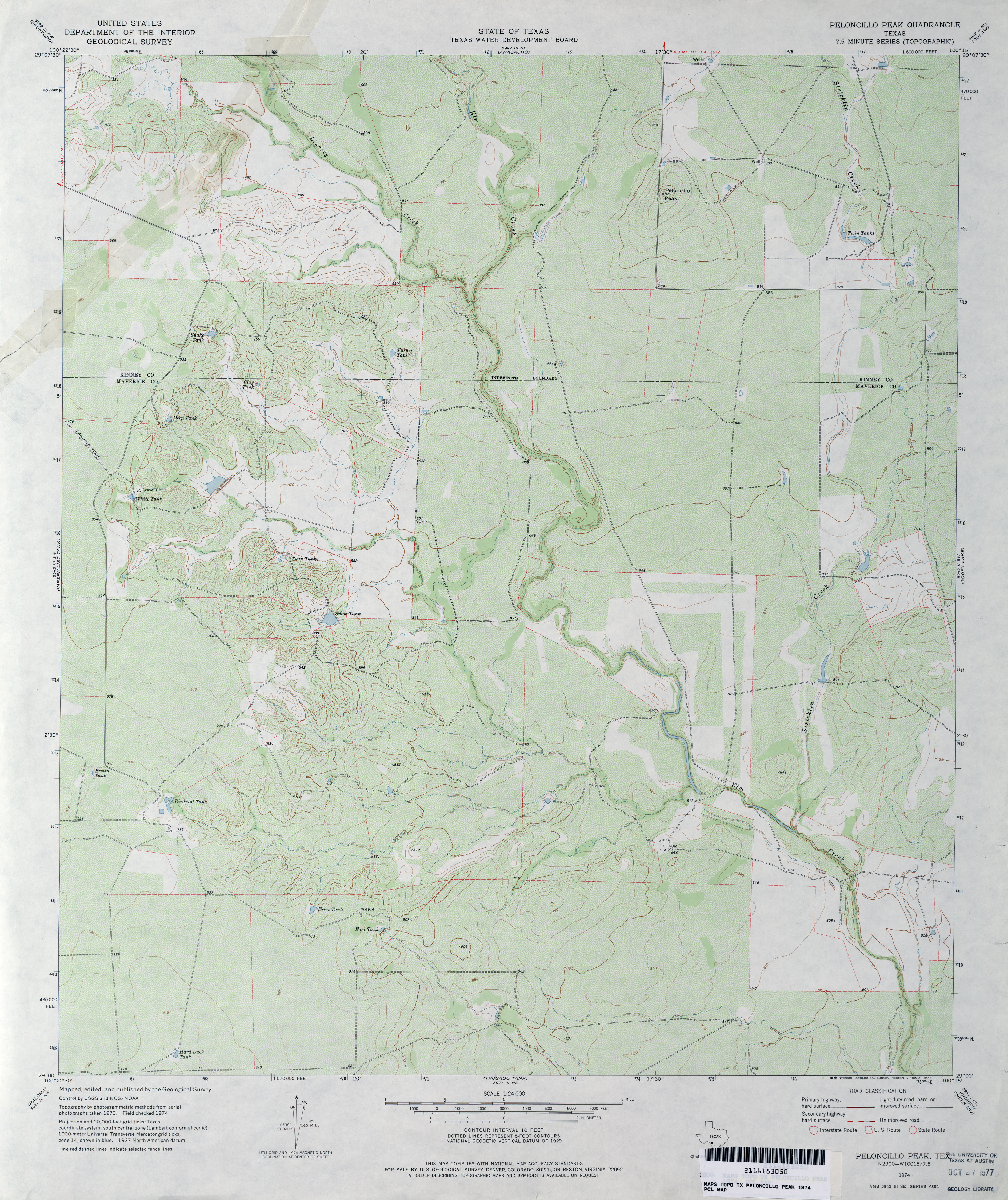
- Peloncillo Peak 1:24,000 1974 (4.1MB)
- Peloncillo Peak 1:24,000 2008 (21.7MB) [GeoPDF]
- Peloncillo Peak 1:24,000 2013 (32.1MB) [GeoPDF]
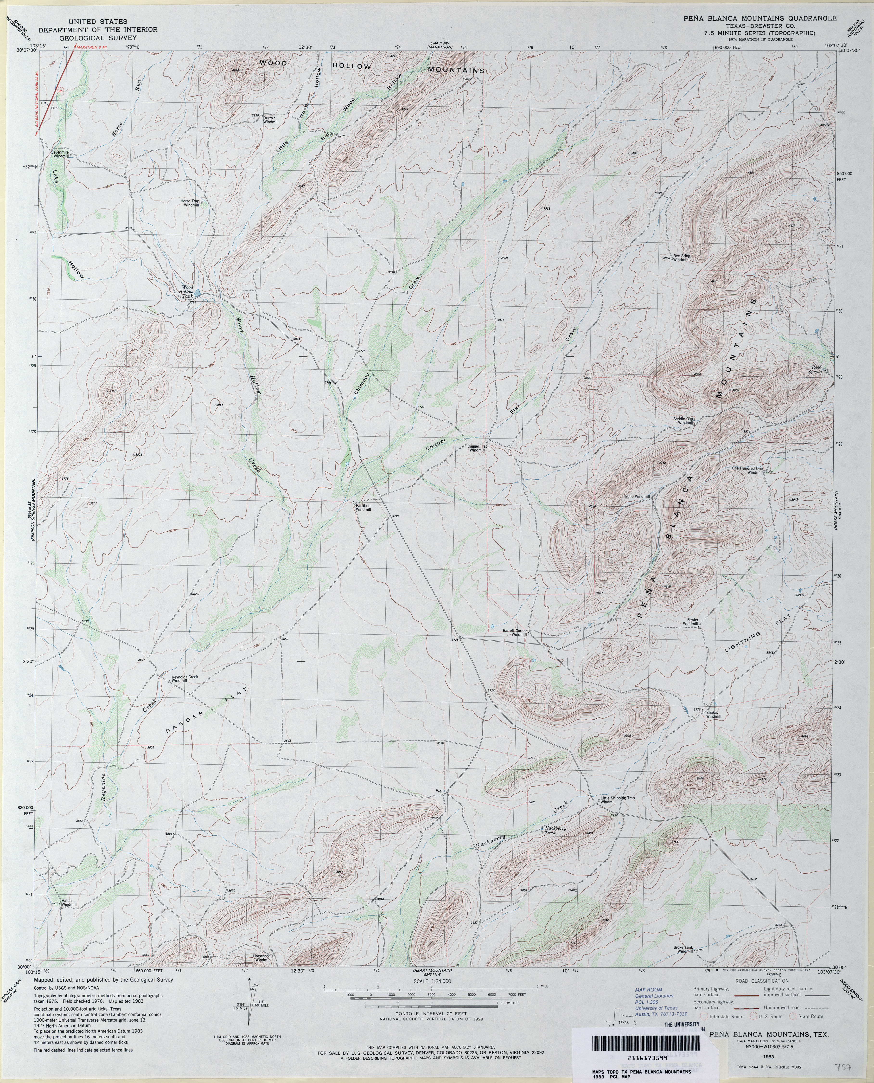
- Pena Blanca Mountains (Brewster County) 1:24,000 1983 (3.7MB)
- Pena Blanca Mountains 1:24,000 2008 (23.0MB) [GeoPDF]
- Pena Blanca Mountains 1:24,000 2012 (25.7MB) [GeoPDF]
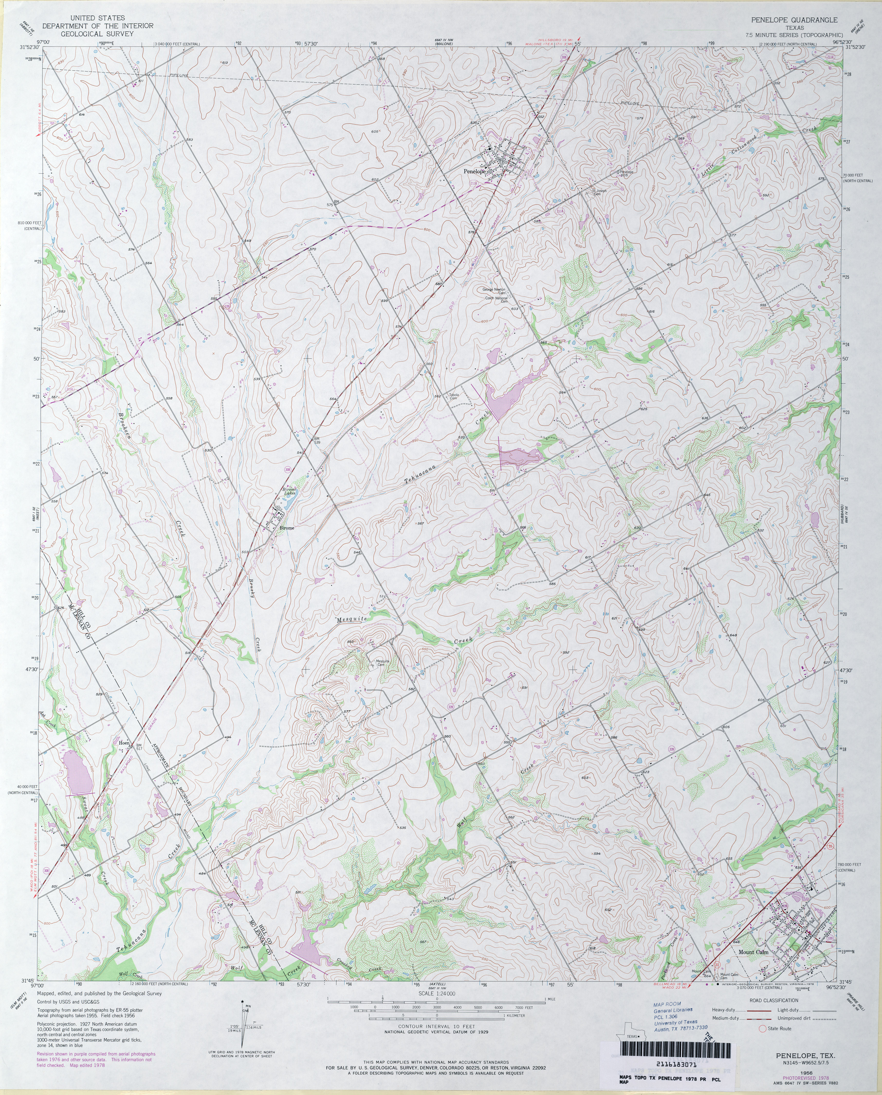
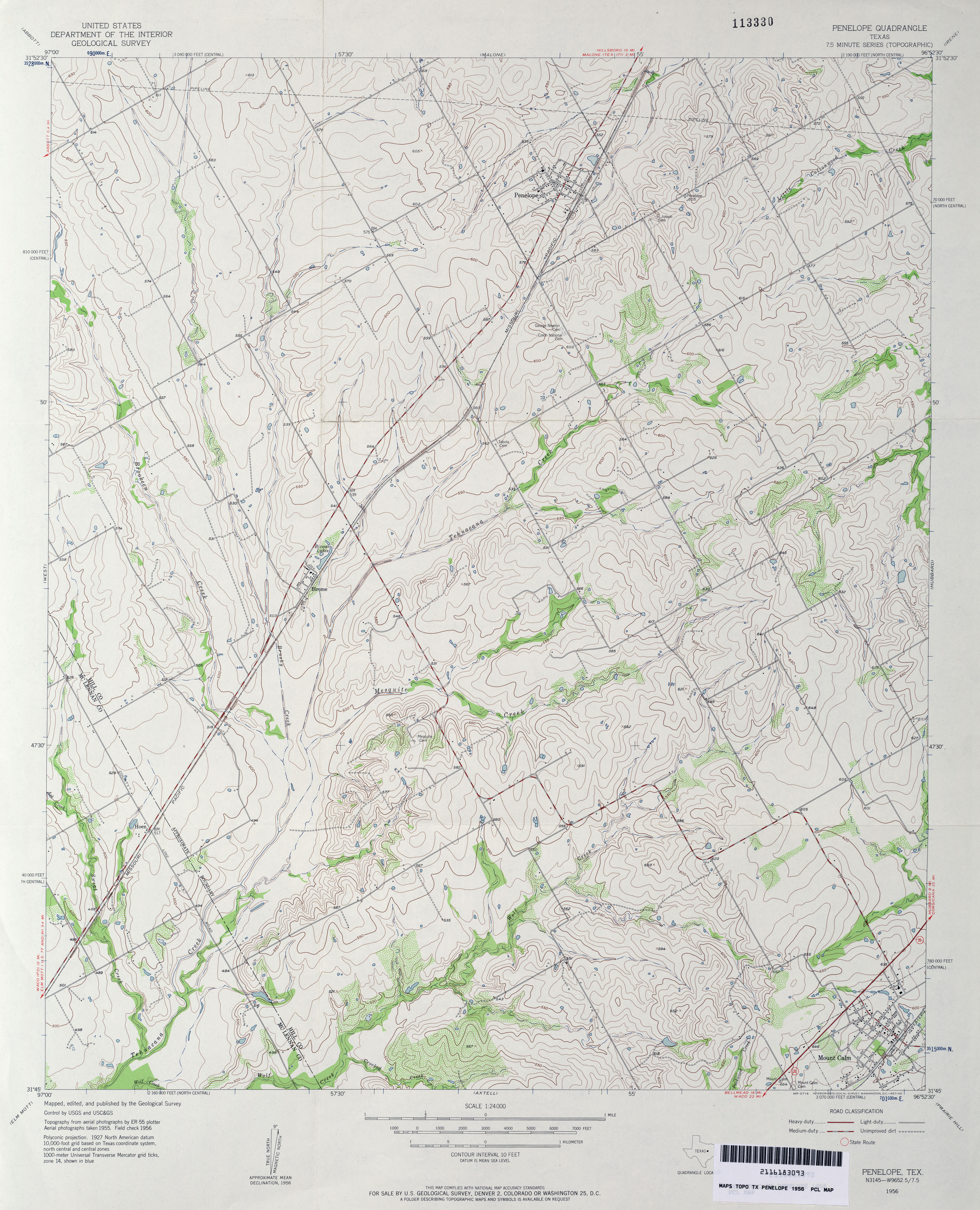
- Penelope 1:24,000 1978 (3.9MB)
- Penelope 1:24,000 1956 (4MB)
- Penelope 1:24,000 2008 (13.4MB) [GeoPDF]
- Penelope 1:24,000 2013 (18.7MB) [GeoPDF]
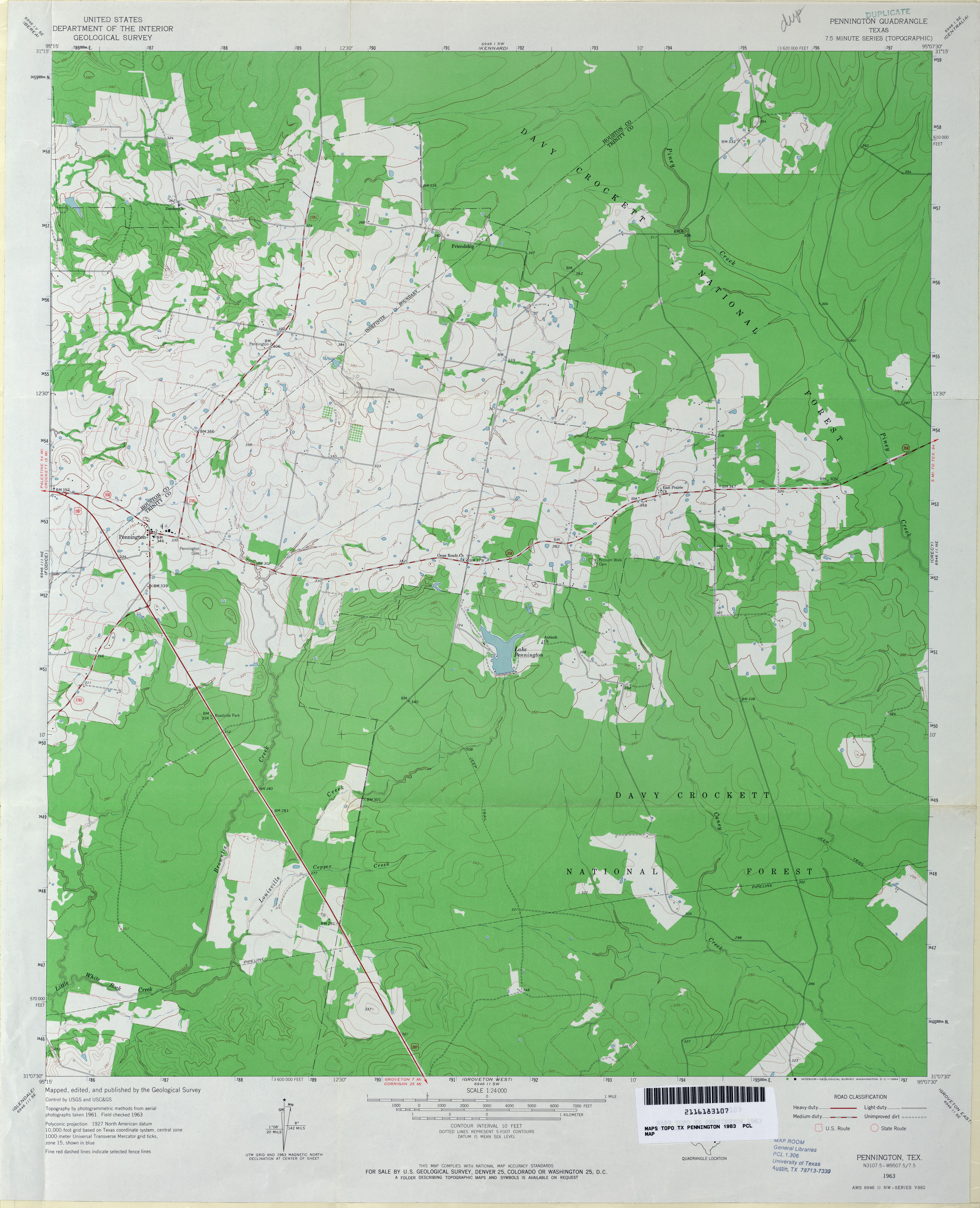
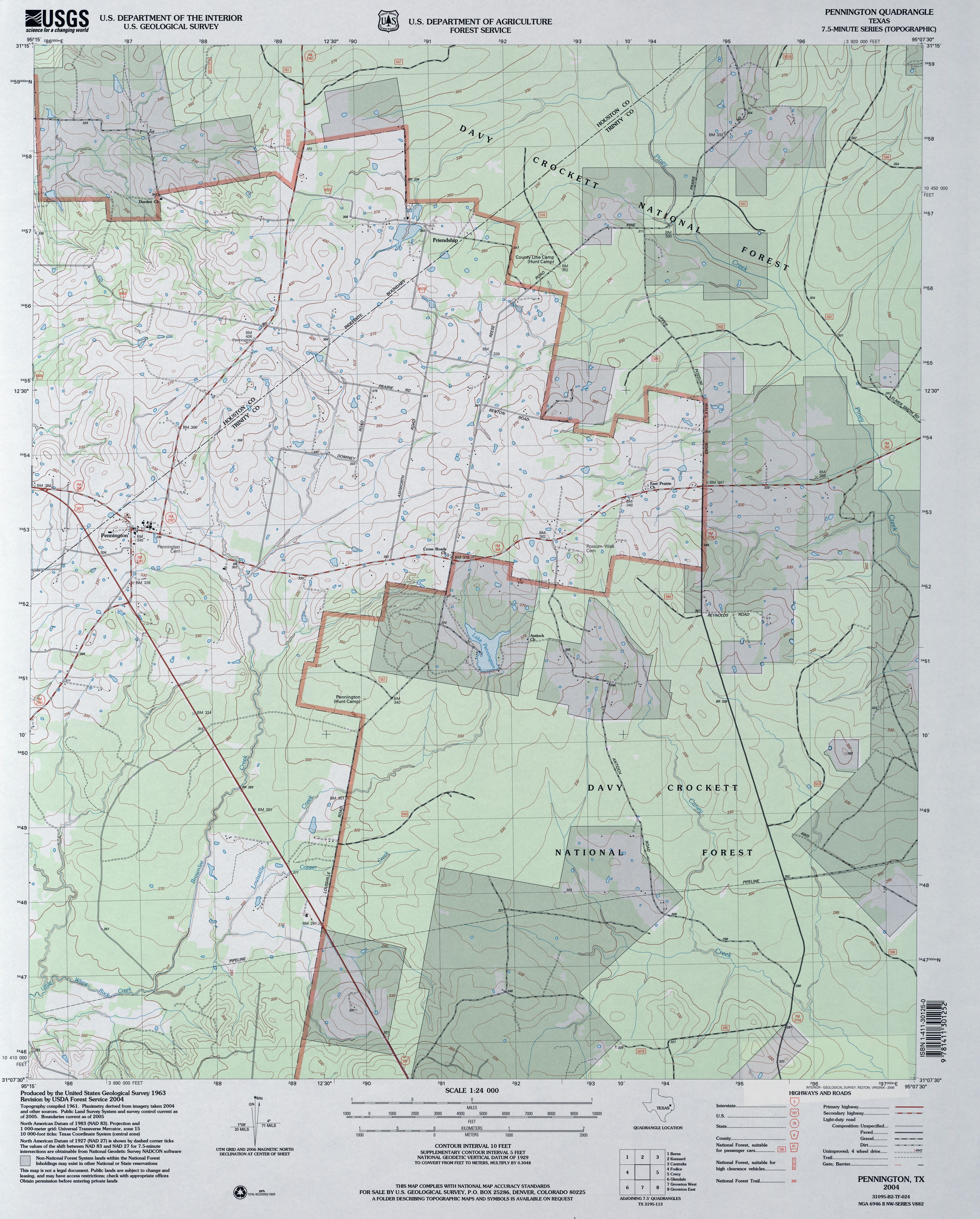
- Pennington 1:24,000 1963 (3.1MB)
- Pennington 1:24,000 2004 (3.6MB)
- Pennington 1:24,000 2009 (21.5MB) [GeoPDF]
- Pennington 1:24,000 2013 (25MB) [GeoPDF]
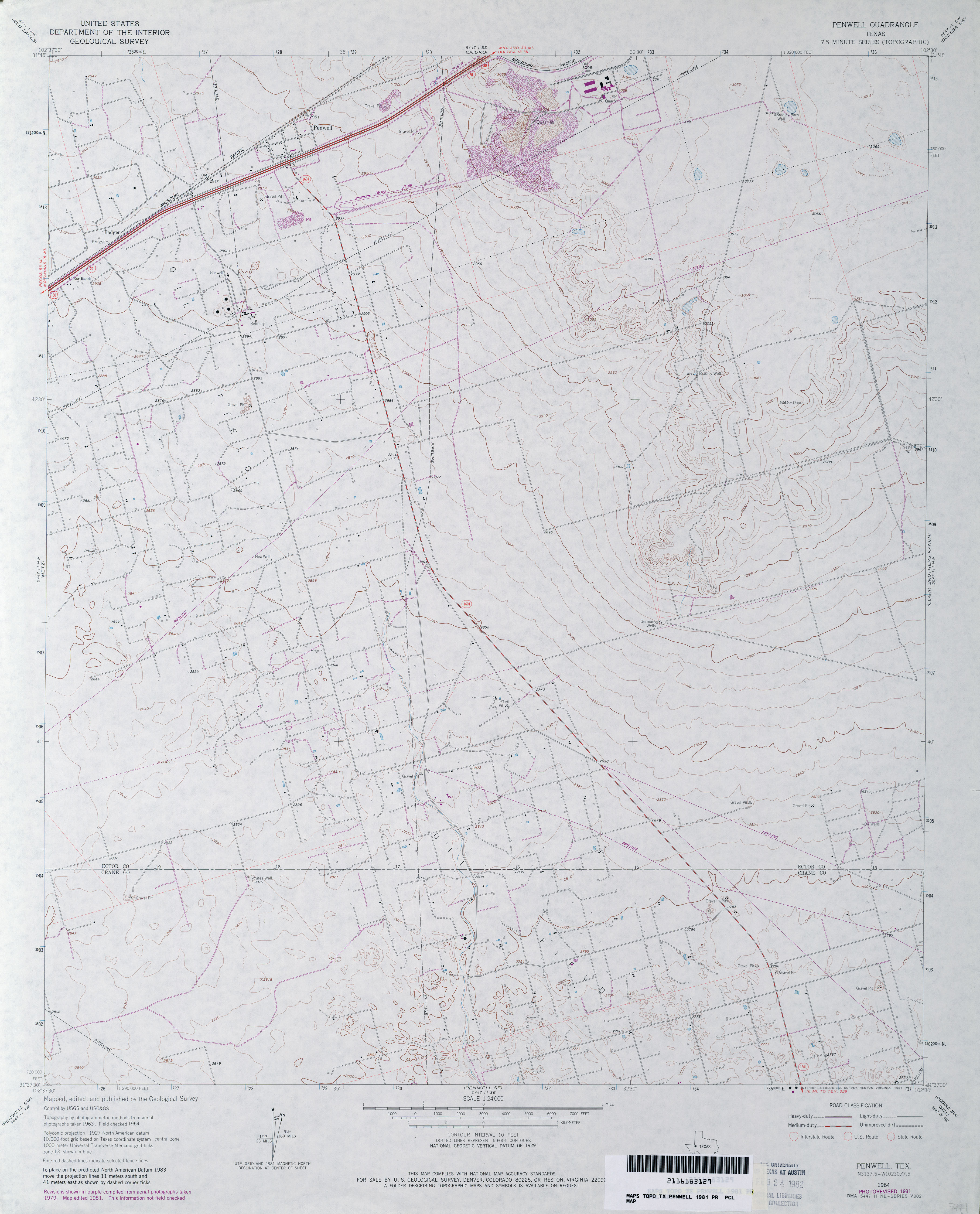
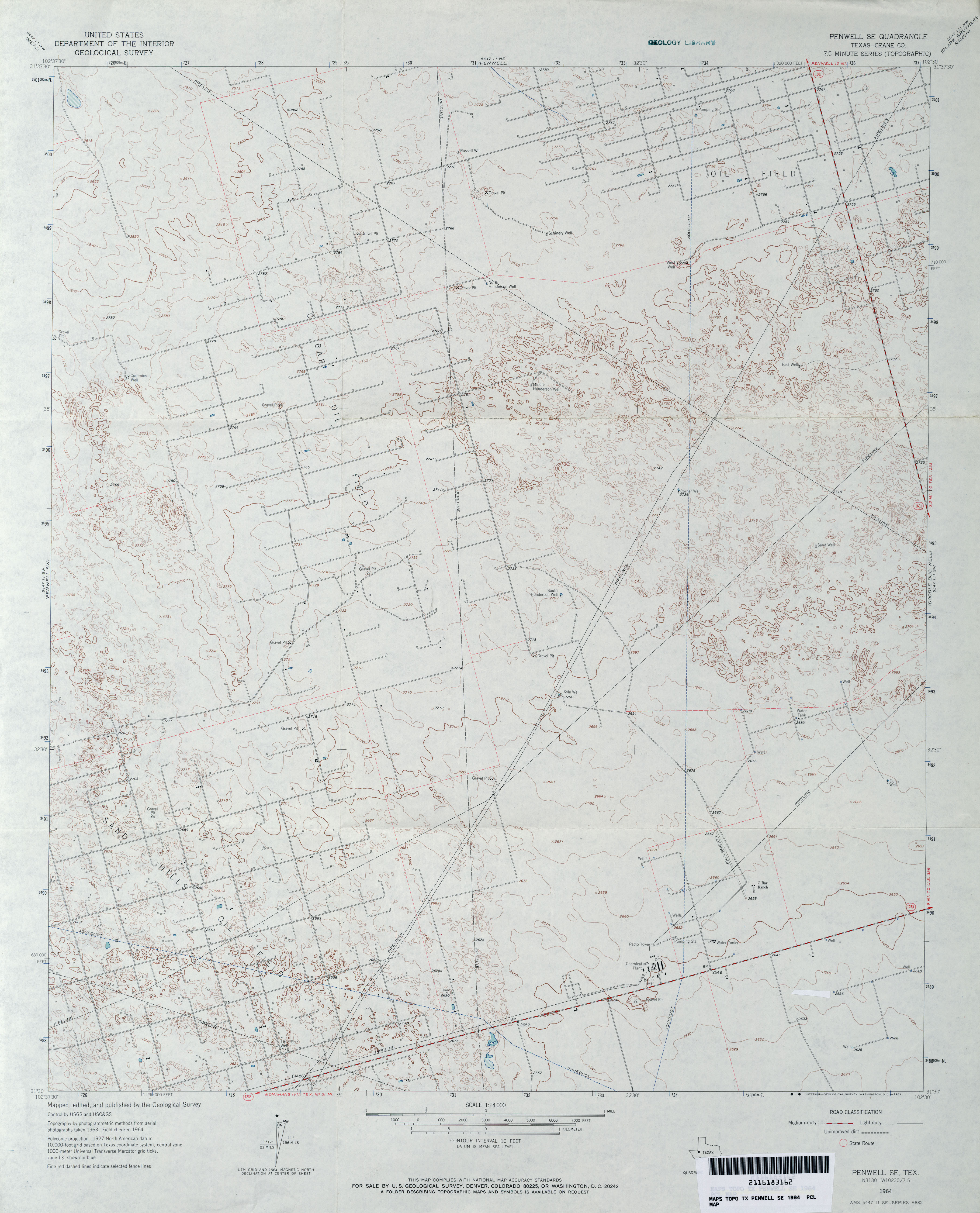
- Penwell 1:24,000 1964 (2.9MB)
- Penwell 1:24,000 1981 (2.9MB)
- Penwell 1:24,000 2008 (23.5MB) [GeoPDF]
- Penwell 1:24,000 2012 (23.6MB) [GeoPDF]
- Penwell SE (Crane County) 1:24,000 1964 (3.1MB)
- Penwell SE 1:24,000 2008 (23.6MB) [GeoPDF]
- Penwell SE 1:24,000 2012 (25.2MB) [GeoPDF]
- Penwell SW (Crane County) 1:24,000 1964 (3.1MB)
- Penwell SW 1:24,000 2008 (24.0MB) [GeoPDF]
- Penwell SW 1:24,000 2012 (25.8MB) [GeoPDF]
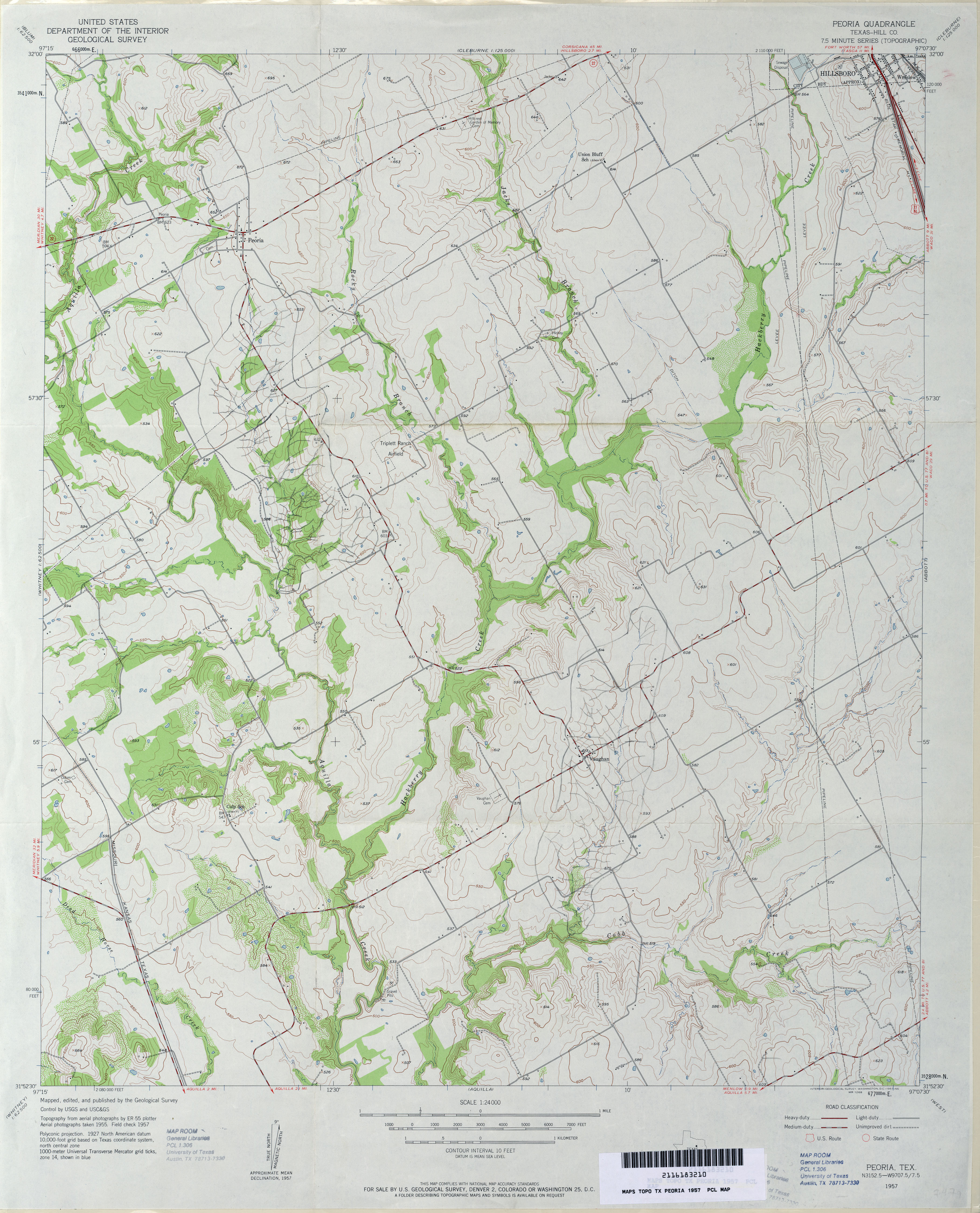
- Peoria (Hill County) 1:24,000 1957 (3.5MB)
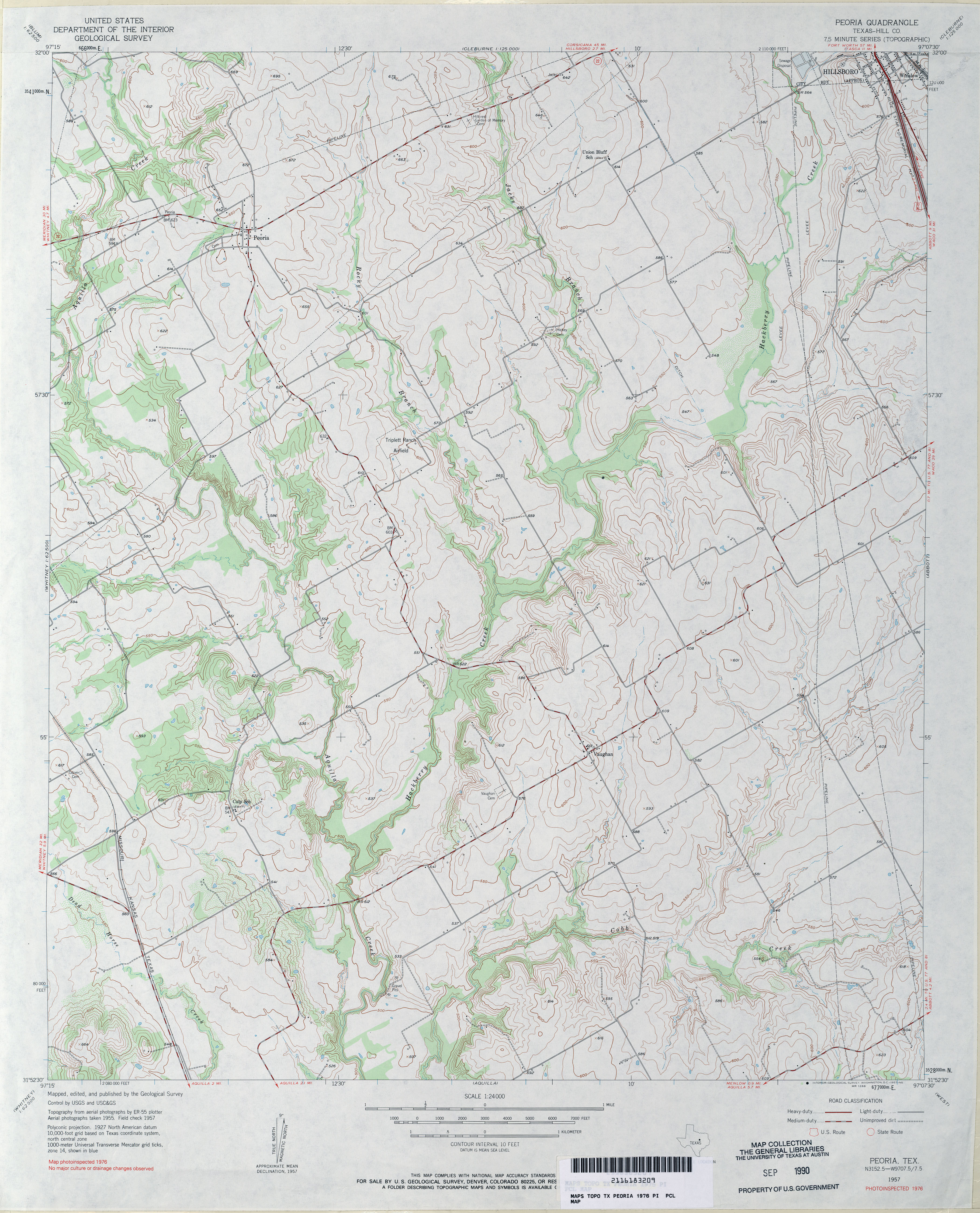
- Peoria (Hill County) 1:24,000 1976 (3.8MB)
- Peoria 1:24,000 2008 (13.2MB) [GeoPDF]
- Peoria 1:24,000 2012 (18.5MB) [GeoPDF]
- Pep 1:24,000 1964 (2.7MB)
- Pep 1:24,000 2008 (11.0MB) [GeoPDF]
- Pep 1:24,000 2012 (14.7MB) [GeoPDF]
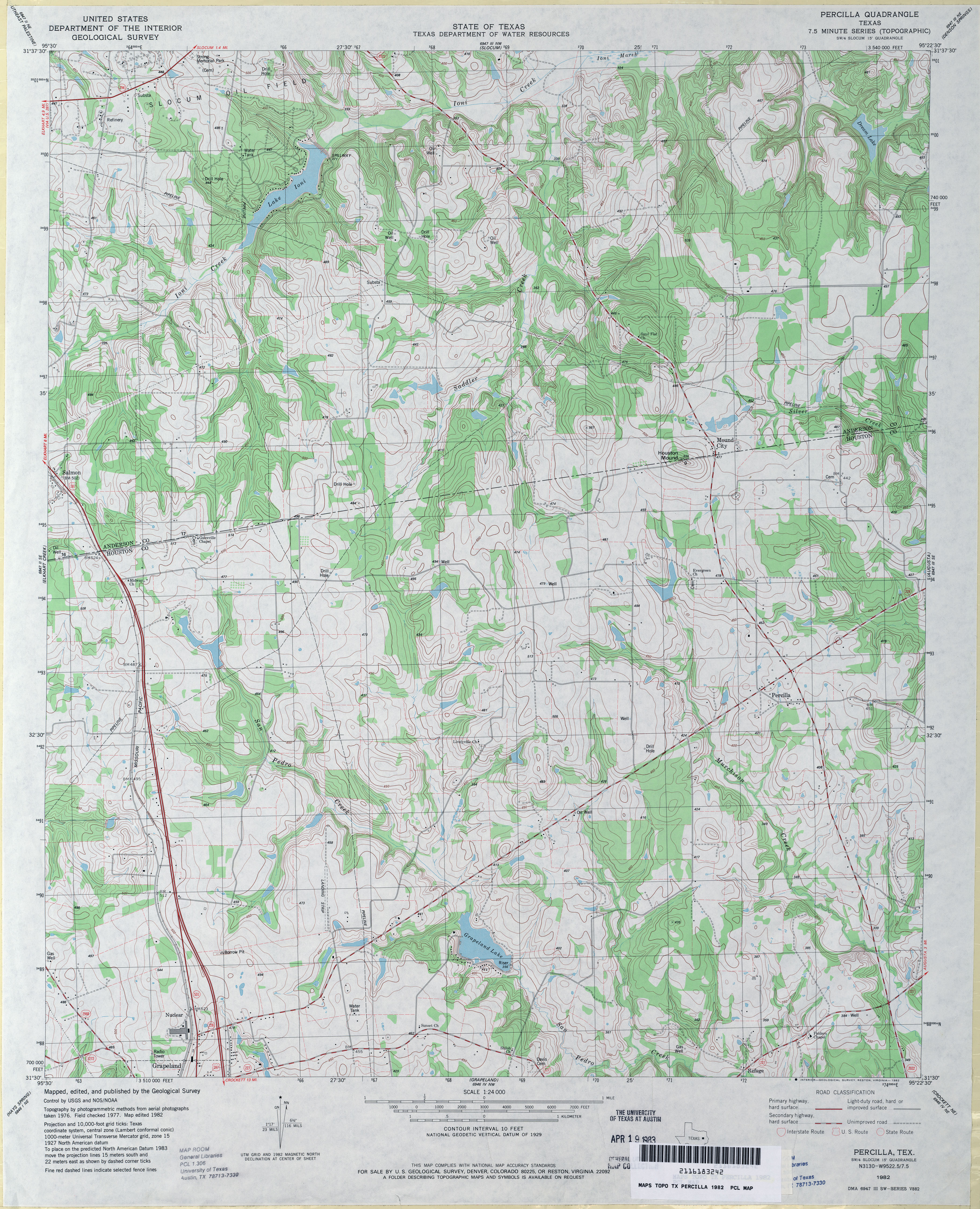
- Percilla 1:24,000 1982 (4.6MB)
- Percilla 1:24,000 2009 (20.7MB) [GeoPDF]
- Percilla 1:24,000 2013 (22.9MB) [GeoPDF]
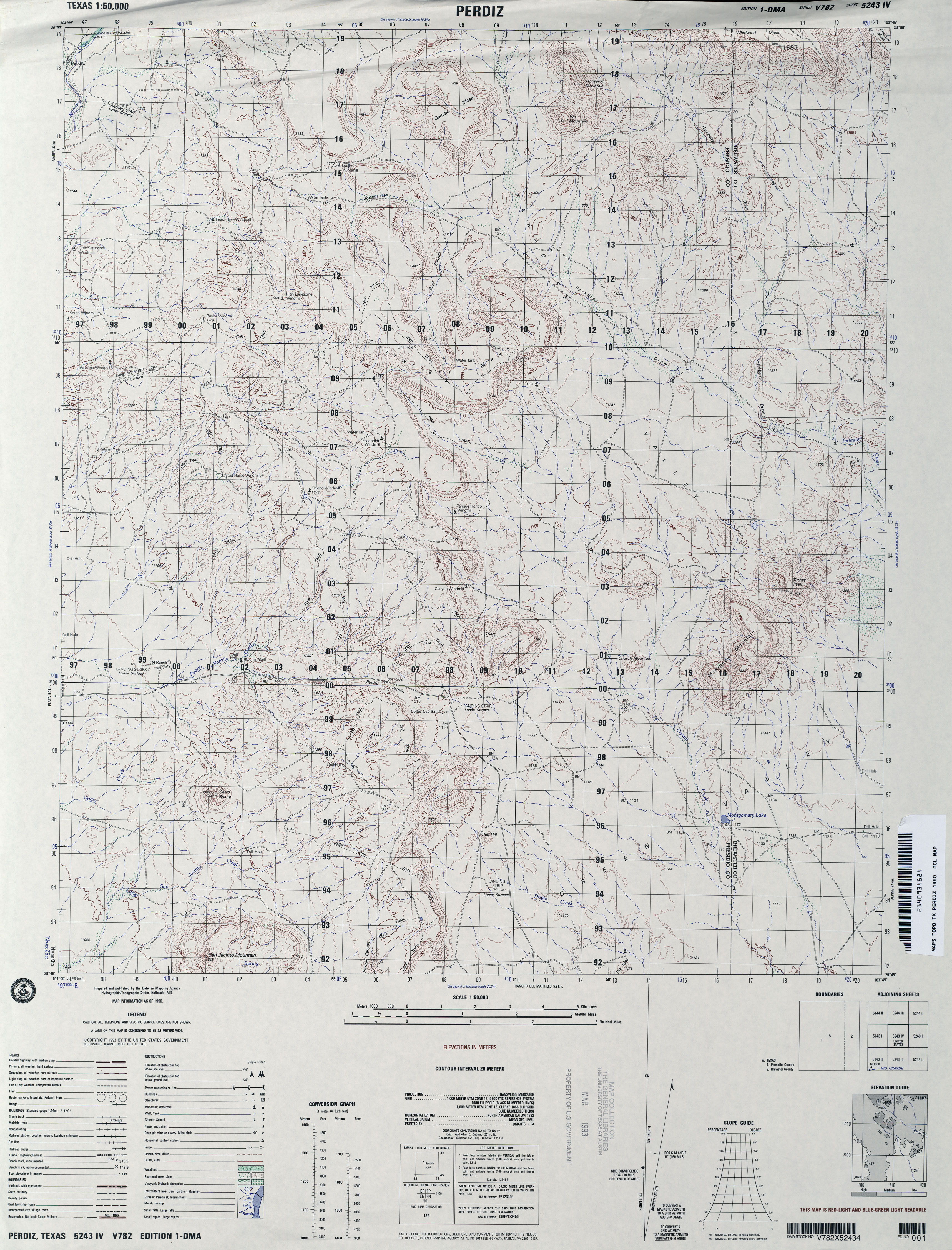
- Perdiz 1:50,000 1990 (3.9MB) U.S. Defense Mapping Agency, Edition 1-DMA, Series V782
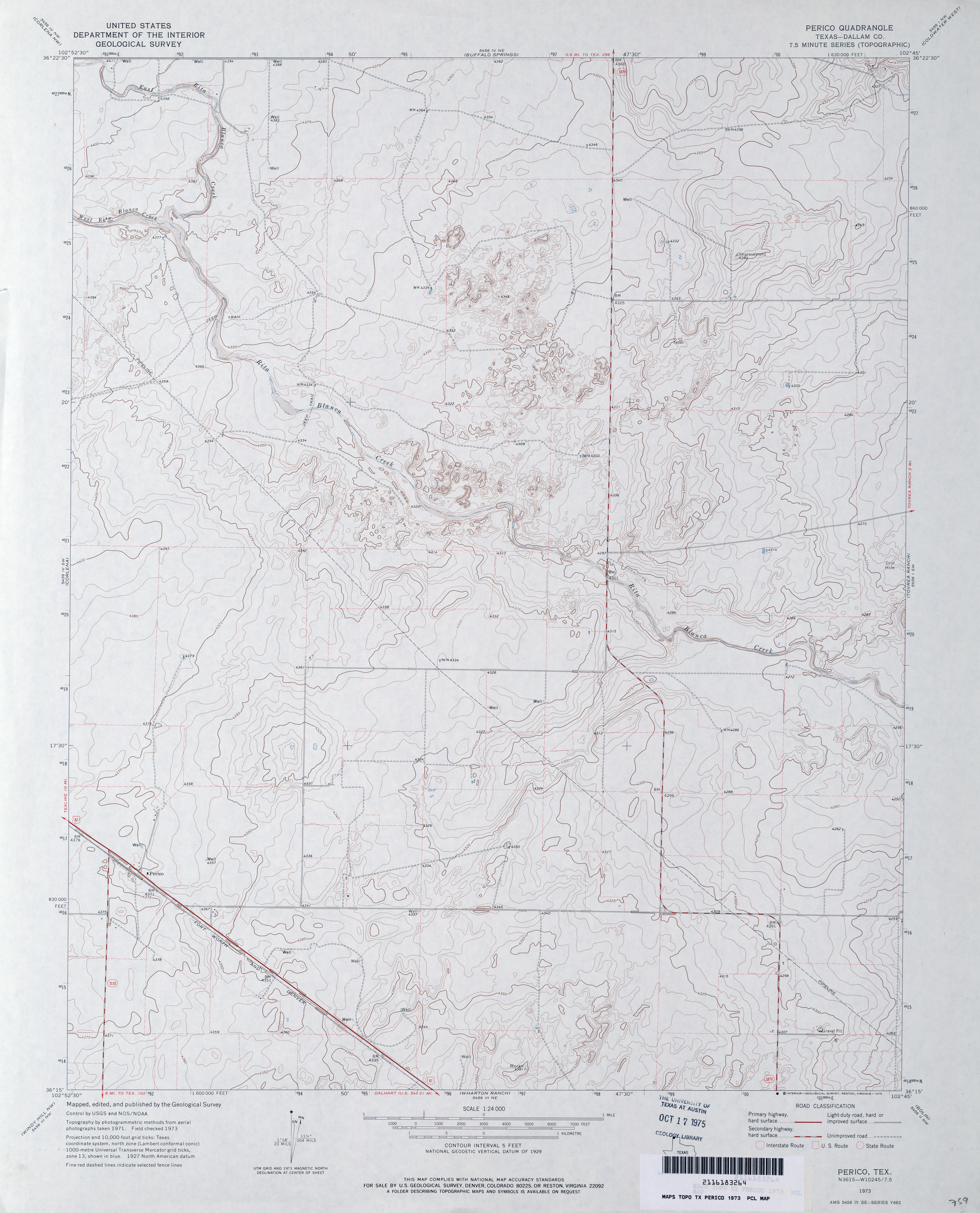
- Perico (Dallam County) 1:24,000 1973 (3.1MB)
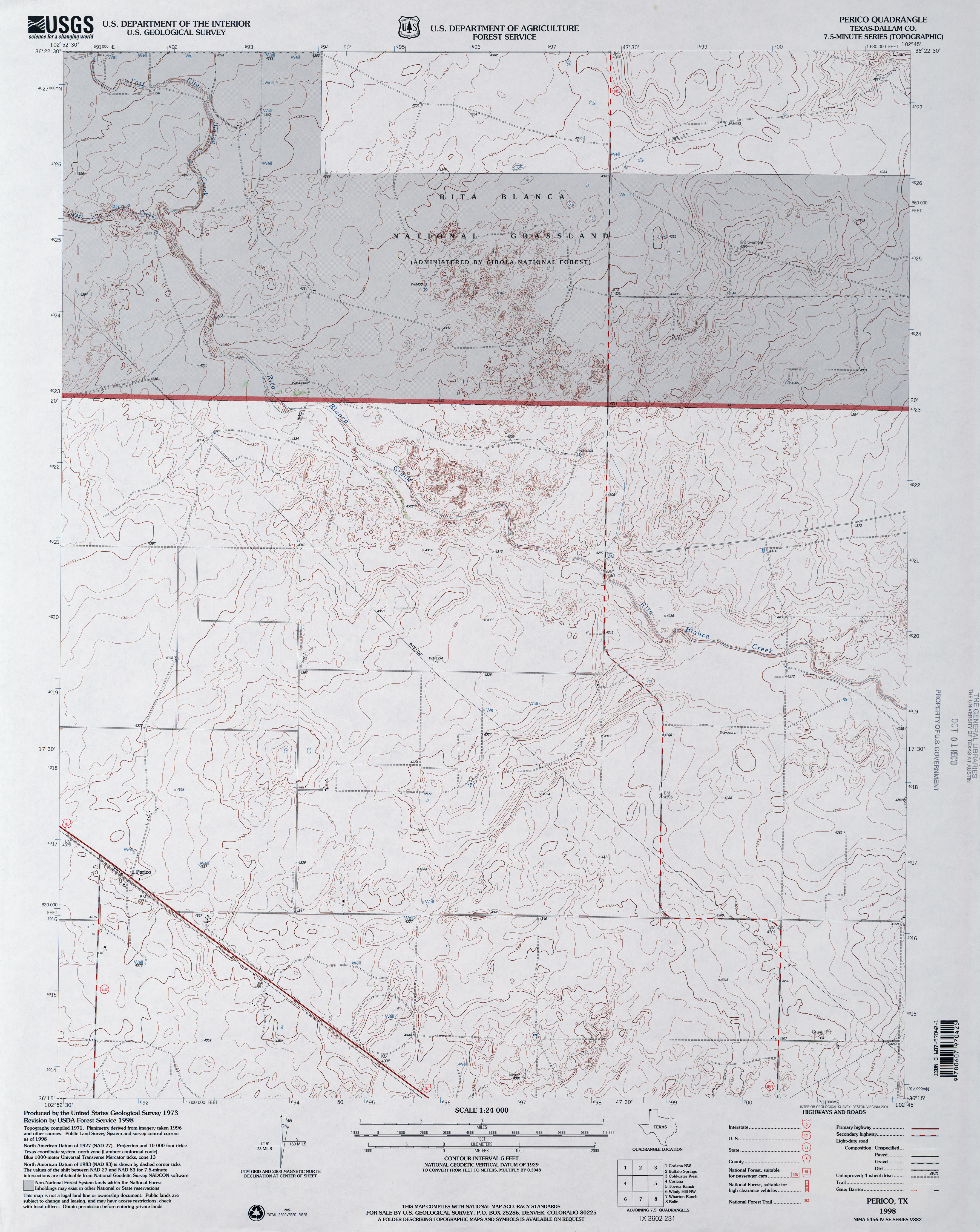
- Perico (Dallam County) 1:24,000 1998 (3.5MB)
- Perico 1:24,000 2008 (10.5MB) [GeoPDF]
- Perico 1:24,000 2012 (15.3MB) [GeoPDF]
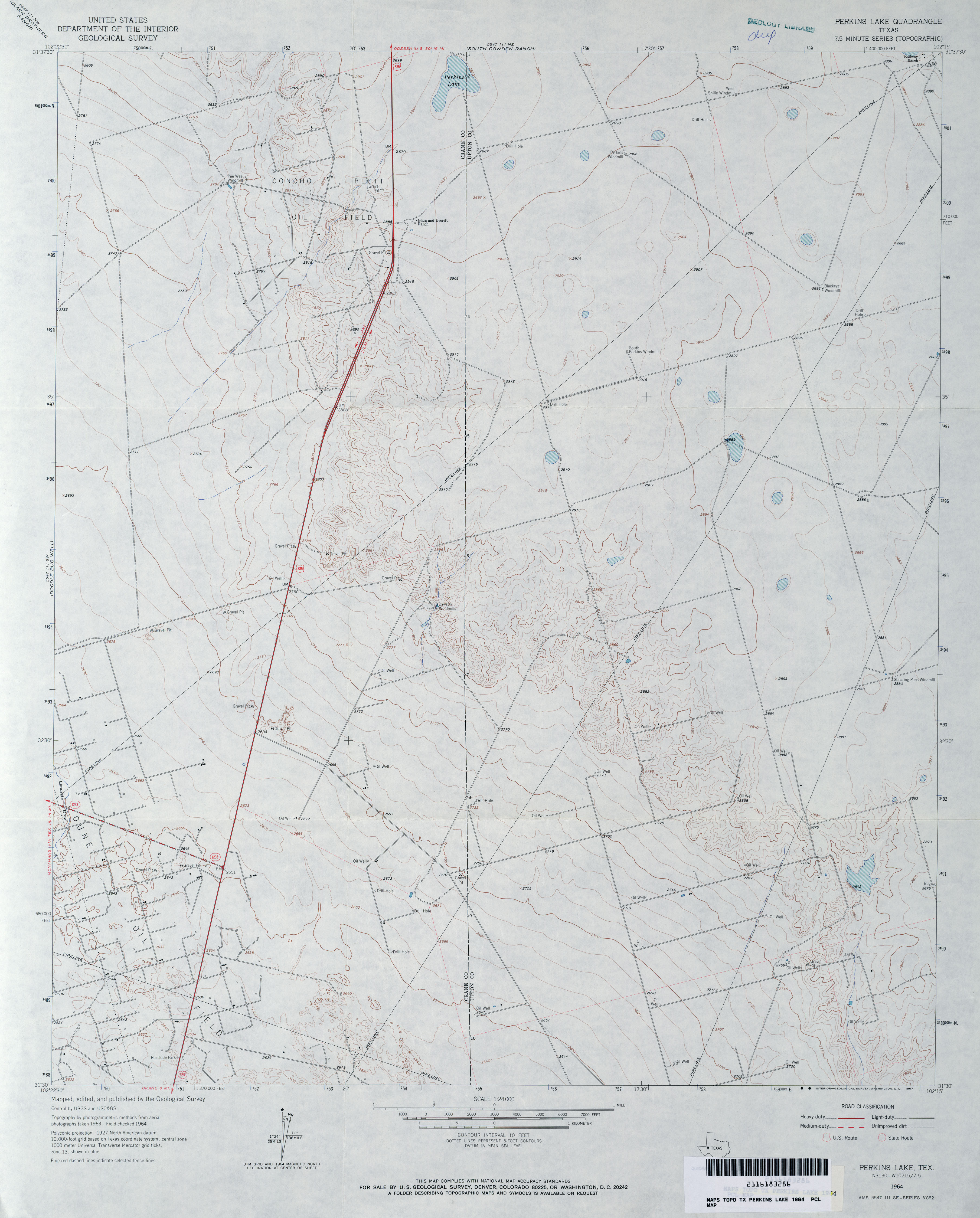
- Perkins Lake 1:24,000 1964 (2.7MB)
- Perkins Lake 1:24,000 2008 (21.6MB) [GeoPDF]
- Perkins Lake 1:24,000 2012 (24.4MB) [GeoPDF]
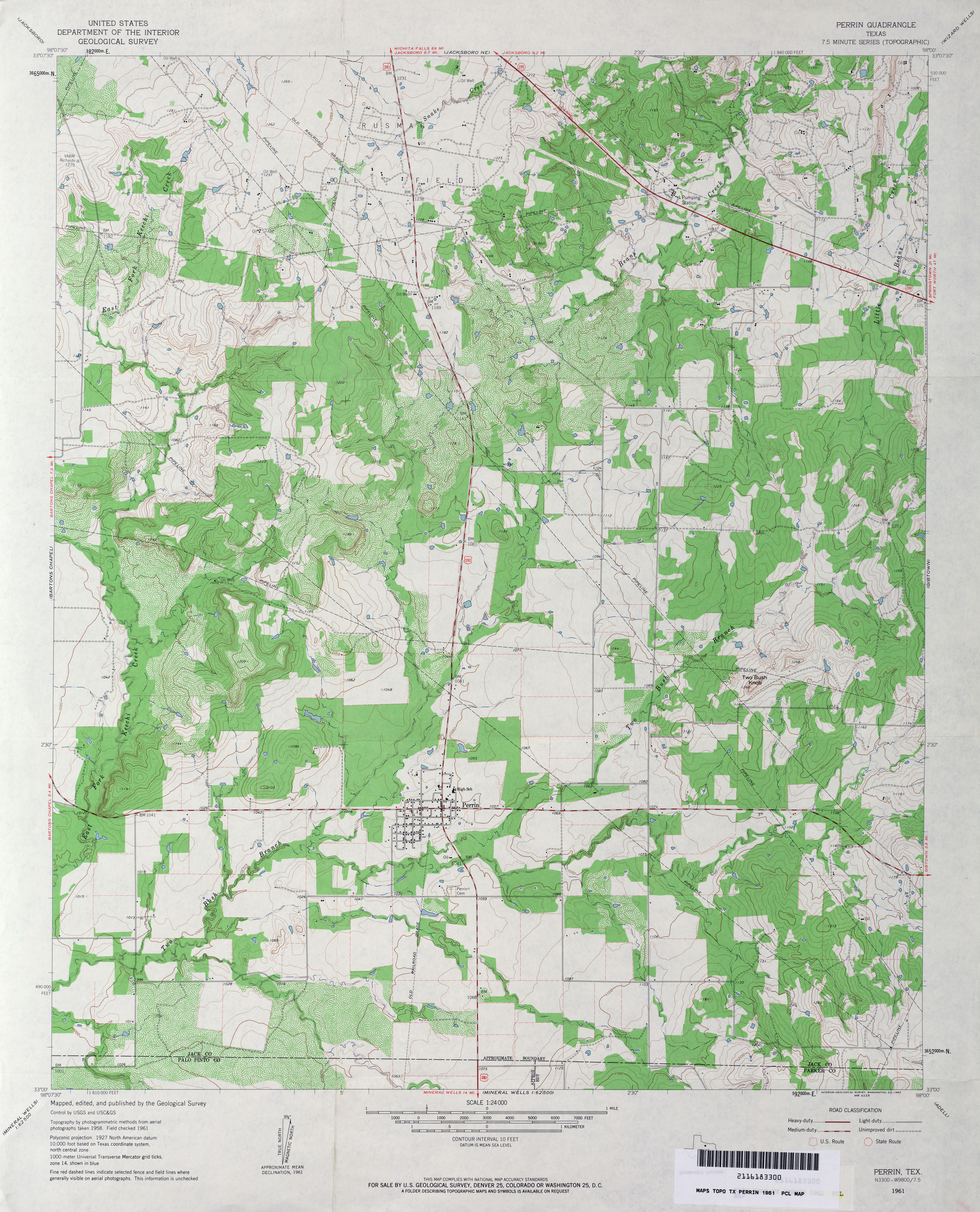
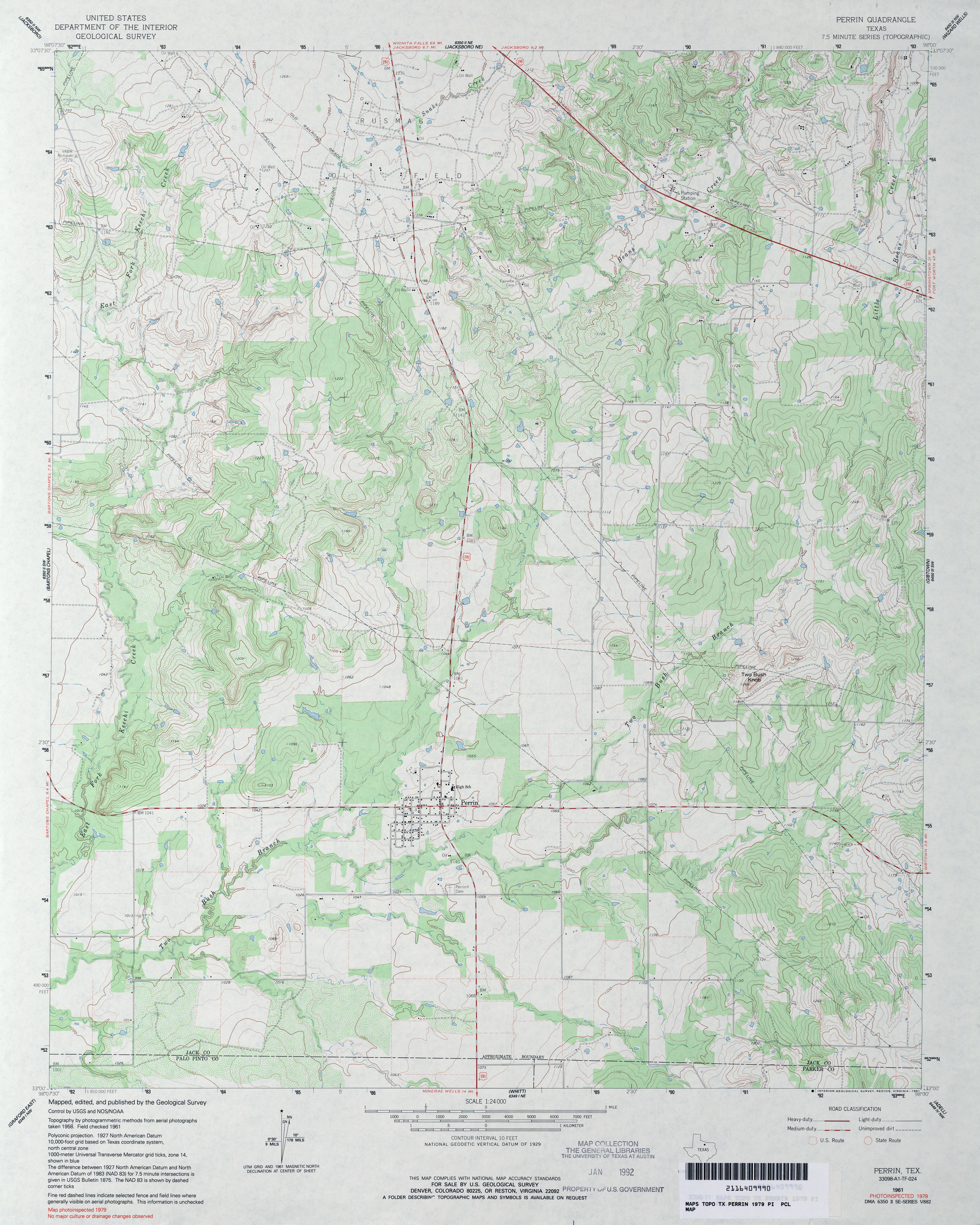
- Perrin 1:24,000 1961 (4MB)
- Perrin 1:24,000 1979 (3.9MB)
- Perrin 1:24,000 2008 (16.4MB) [GeoPDF]
- Perrin 1:24,000 2012 (19.3MB) [GeoPDF]
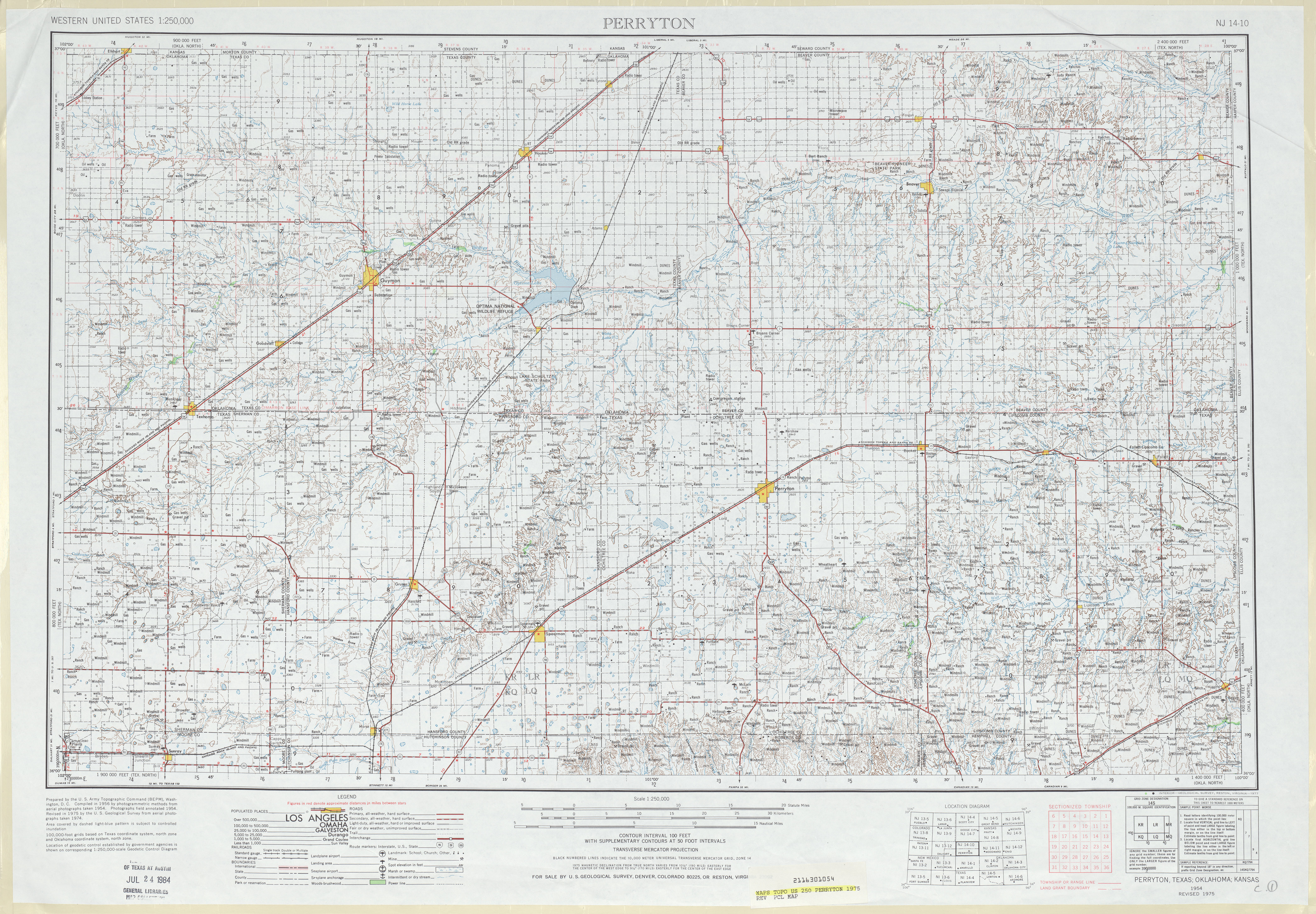
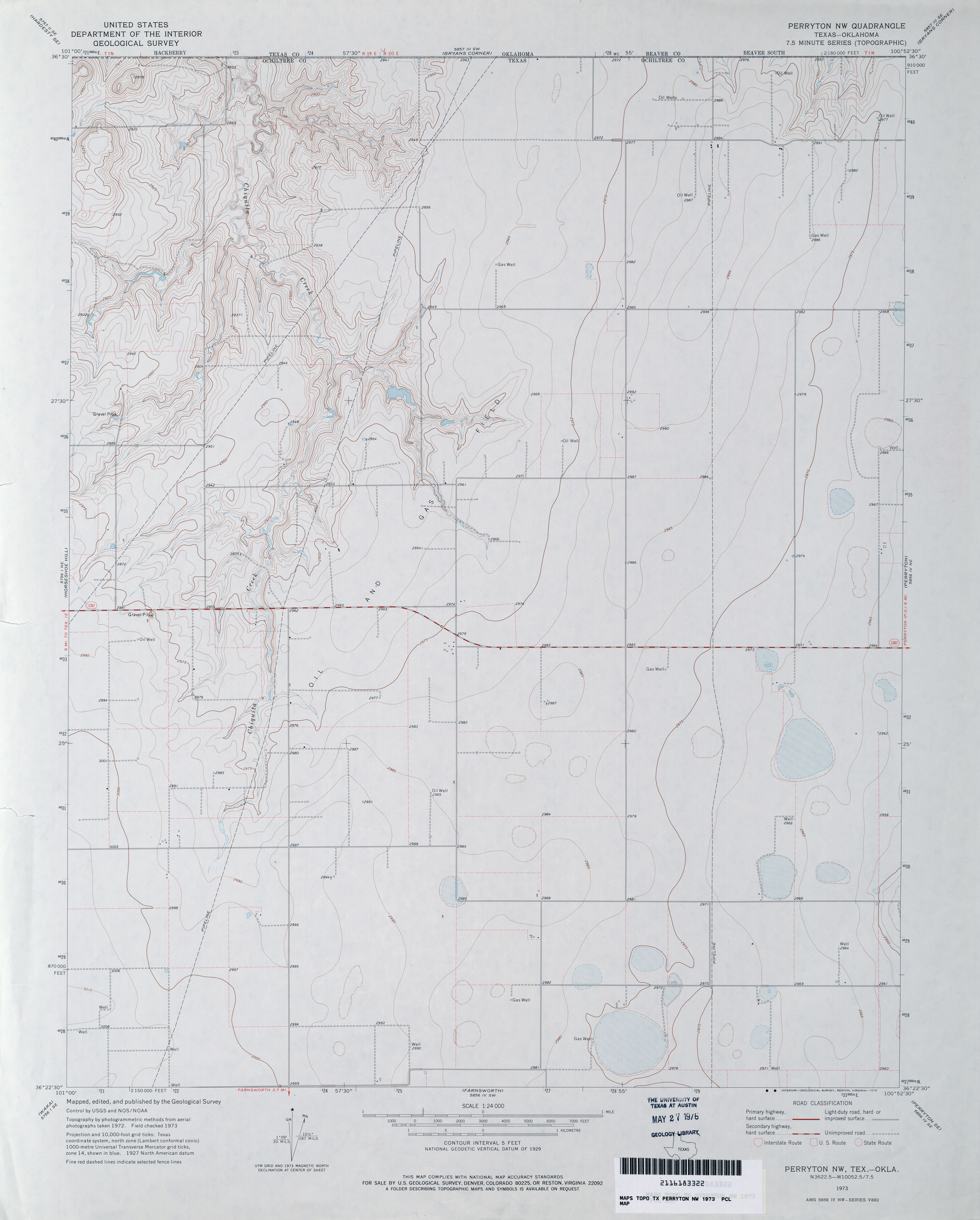
- Perryton 1:250,000 1975 (7.7MB)
- Perryton 1:24,000 2008 (8.1MB) [GeoPDF]
- Perryton 1:24,000 2012 (15.5MB) [GeoPDF]
- Perryton NW 1:24,000 2008 (7.2MB) [GeoPDF]
- Perryton NW 1:24,000 2012 (14.6MB) [GeoPDF]
- Perryton SE 1:24,000 2008 (10.6MB) [GeoPDF]
- Perryton SE 1:24,000 2012 (16.4MB) [GeoPDF]
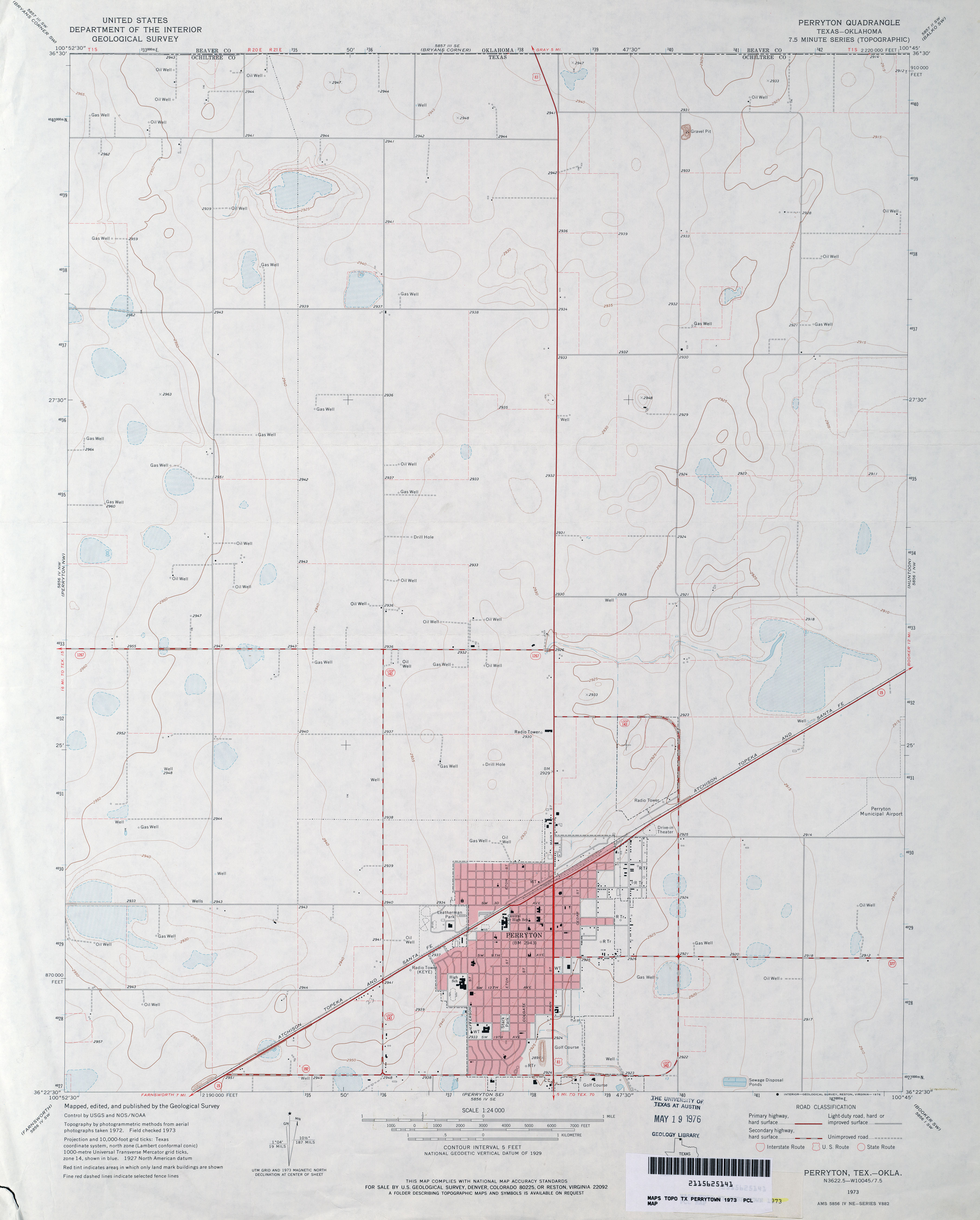
- Perrytown 1:24,000 1973 (2.1MB)
- Perrytown NW 1:24,000 1973 (2.3MB)
- Perrytown SE (Ochiltree County) 1:24,000 1973 (3.2MB)
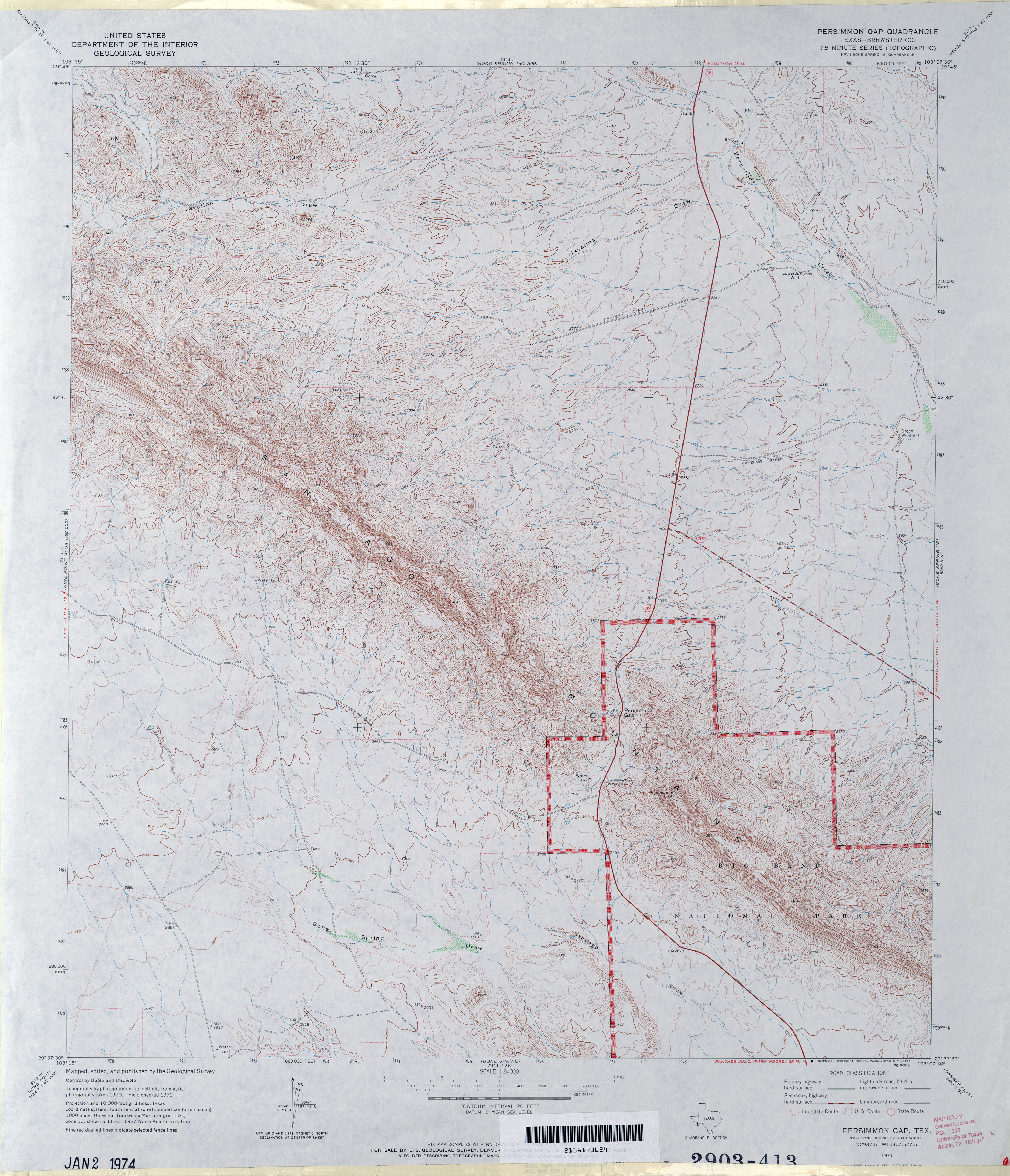
- Persimmon Gap (Brewster County) 1:24,000 1971 (4.4MB)
- Persimmon Gap 1:24,000 2008 (24.5MB) [GeoPDF]
- Persimmon Gap 1:24,000 2012 (28MB) [GeoPDF]
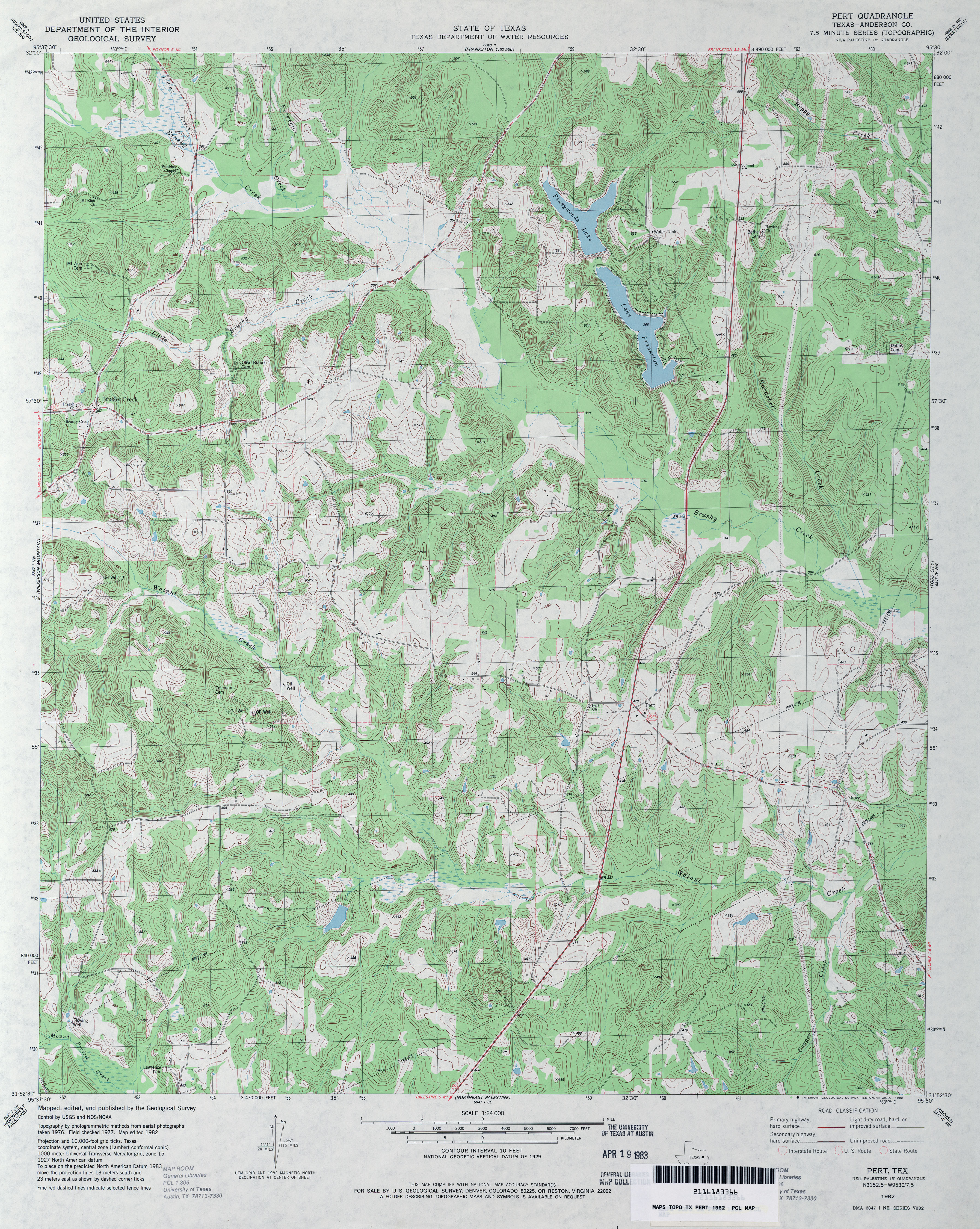
- Pert (Anderson County) 1:24,000 1982 (5.3MB)
- Pert 1:24,000 2009 (22.8MB) [GeoPDF]
- Pert 1:24,000 2013 (25.1MB) [GeoPDF]
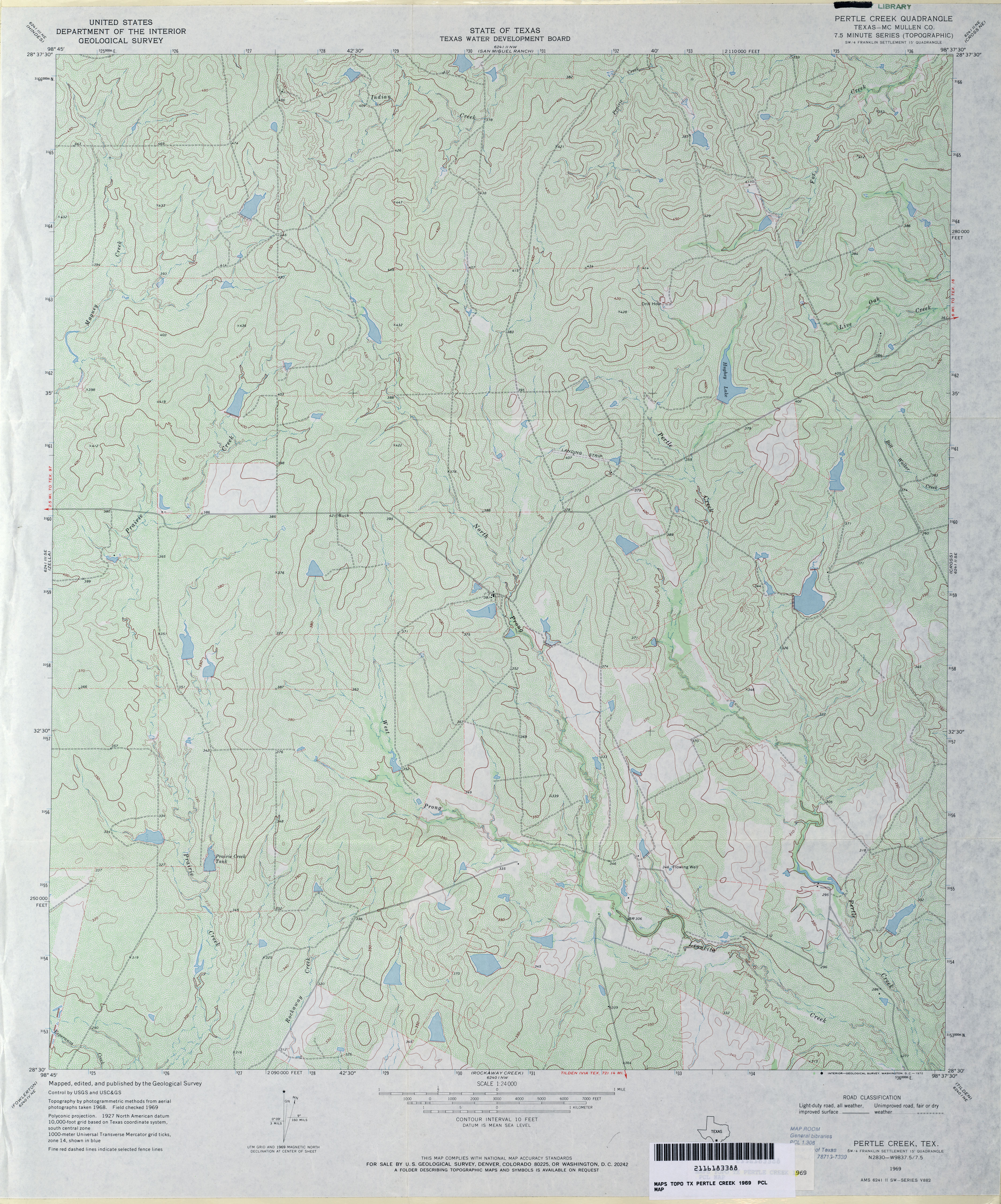
- Pertle Creek (McMullen County) 1:24,000 1969 (4.5MB)
- Pertle Creek 1:24,000 2008 (19.3MB) [GeoPDF]
- Pertle Creek 1:24,000 2013 (23.9MB) [GeoPDF]
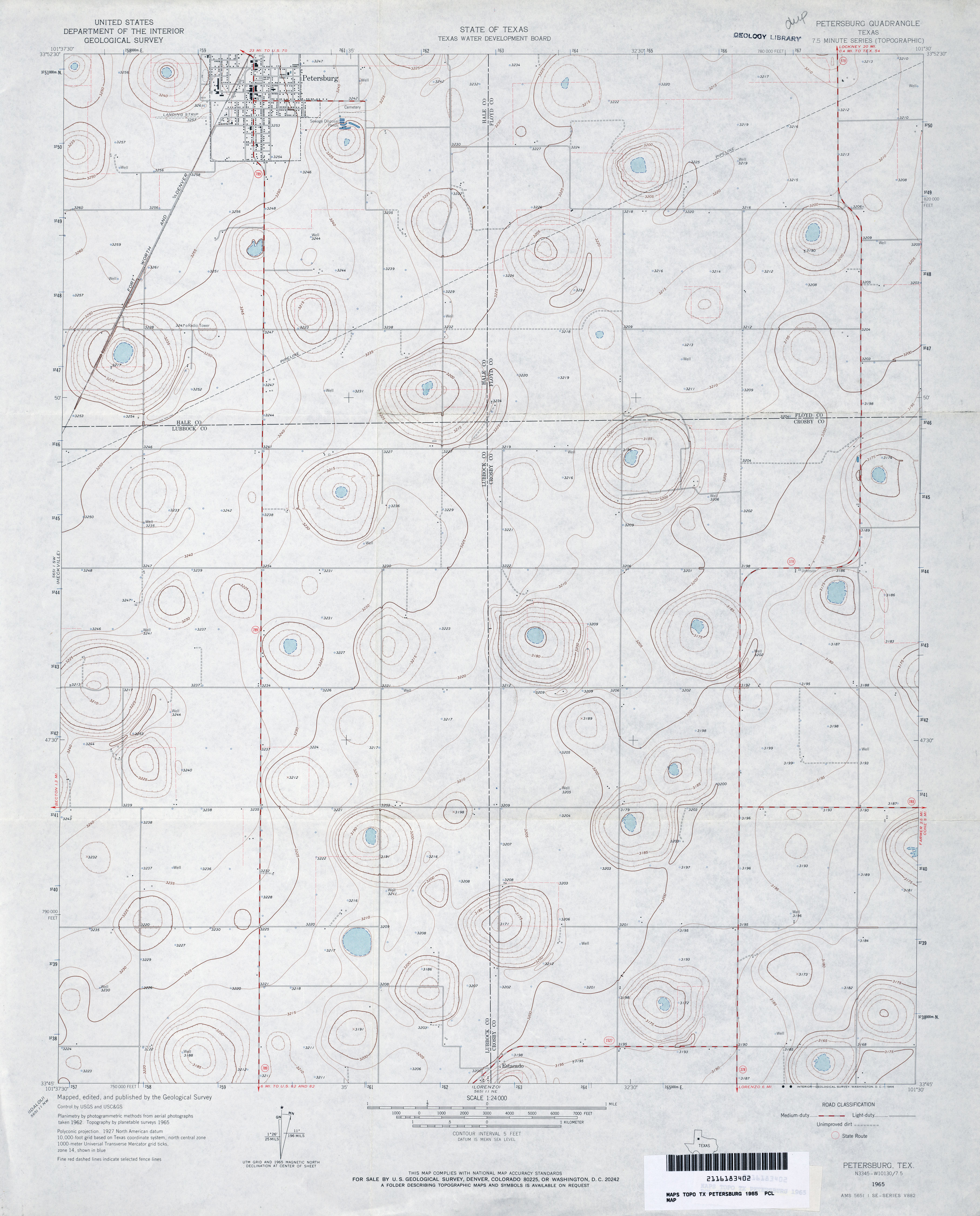
- Petersburg 1:24,000 1965 (2.7MB)
- Petersburg 1:24,000 2008 (10.2MB) [GeoPDF]
- Petersburg 1:24,000 2012 (15.2MB) [GeoPDF]
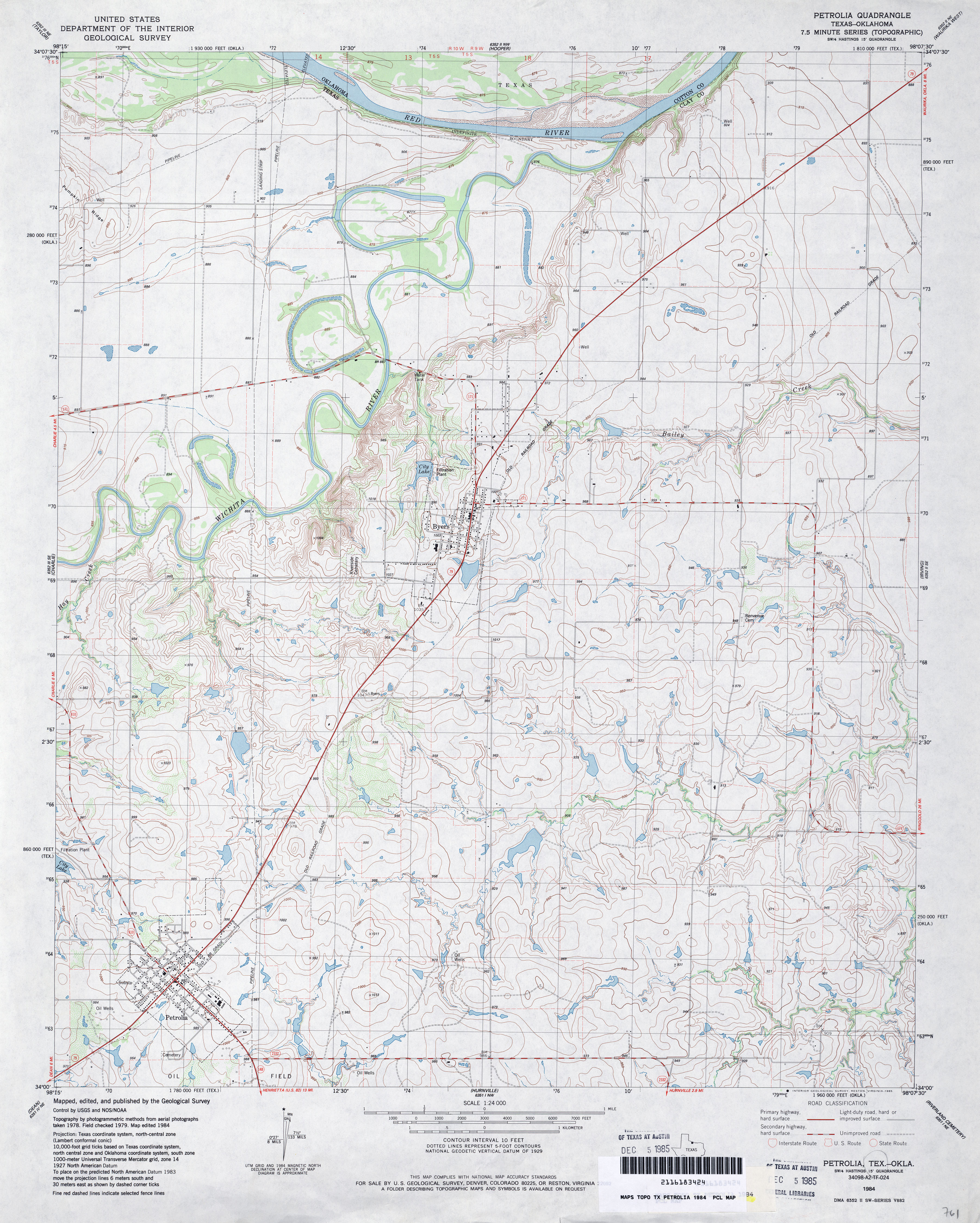
- Petrolia 1:24,000 1984 (4MB)
- Petrolia 1:24,000 2008 (12.4MB) [GeoPDF]
- Petrolia 1:24,000 2012 (16.9MB) [GeoPDF]
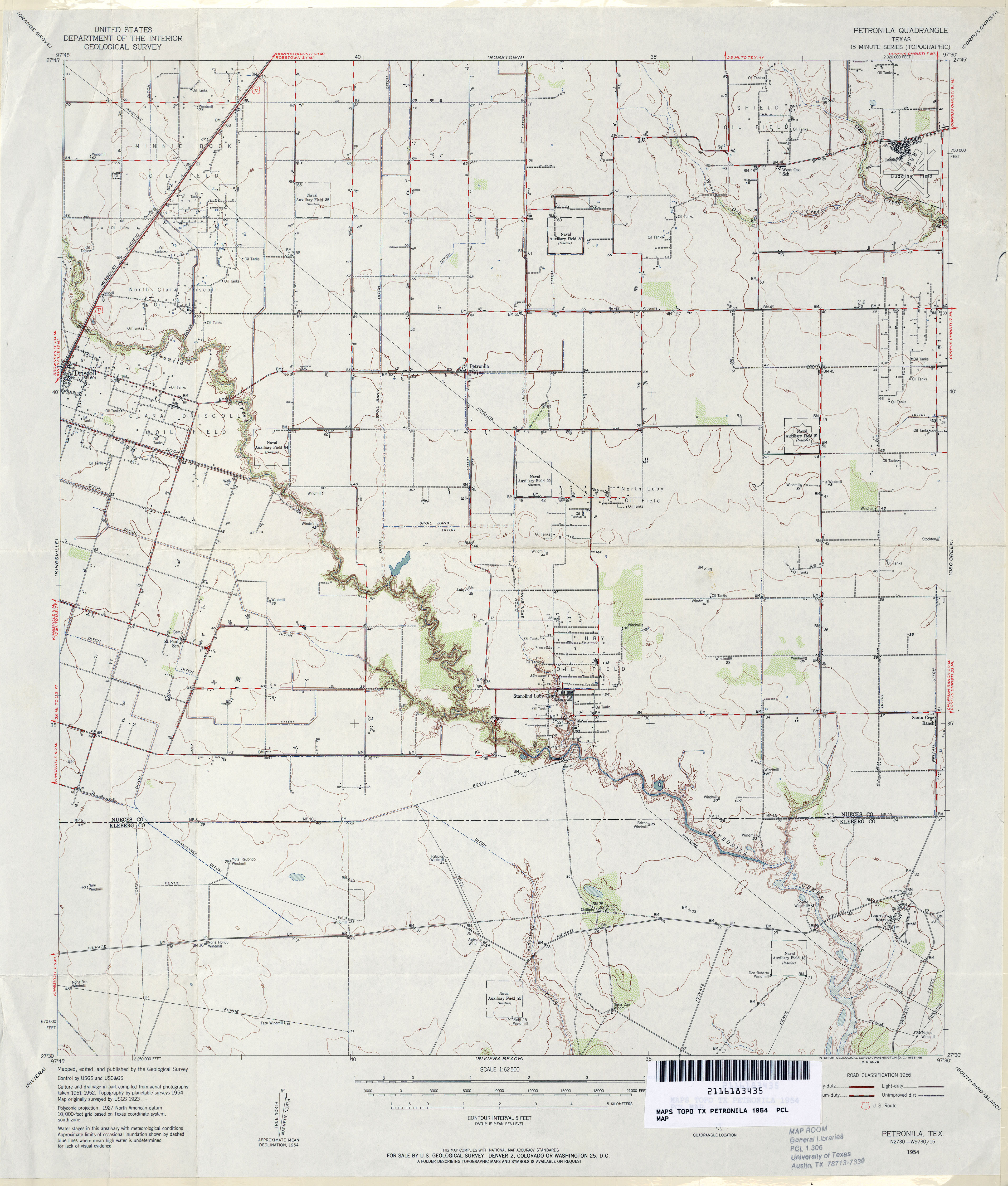
- Petronila 1:62,500 1954 (3.3MB)
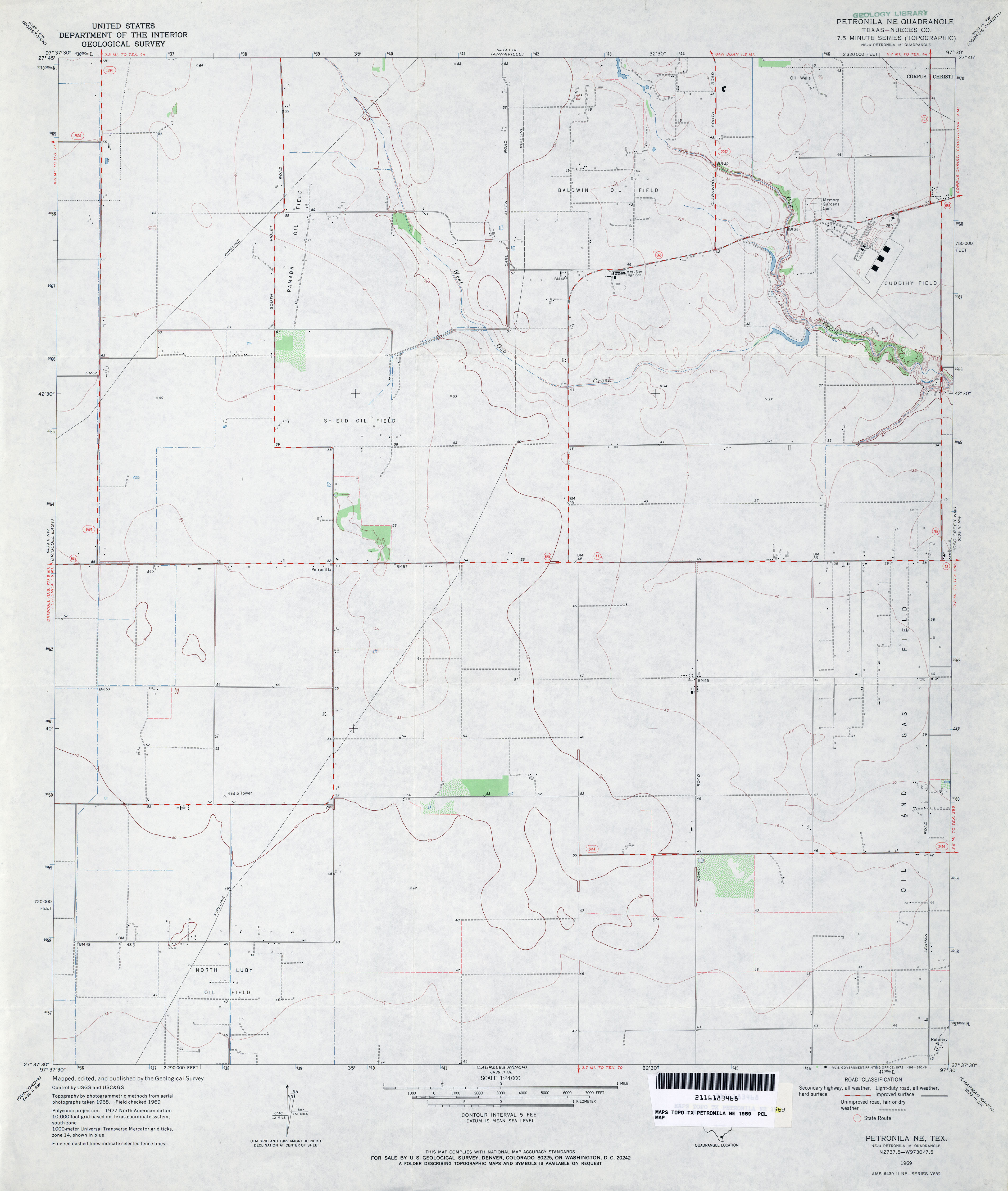
- Petronila NE (Nueces County) 1:24,000 1969 (2.4MB)
- Petronila NE (Nueces County) 1:24,000 1975 (2.3MB)
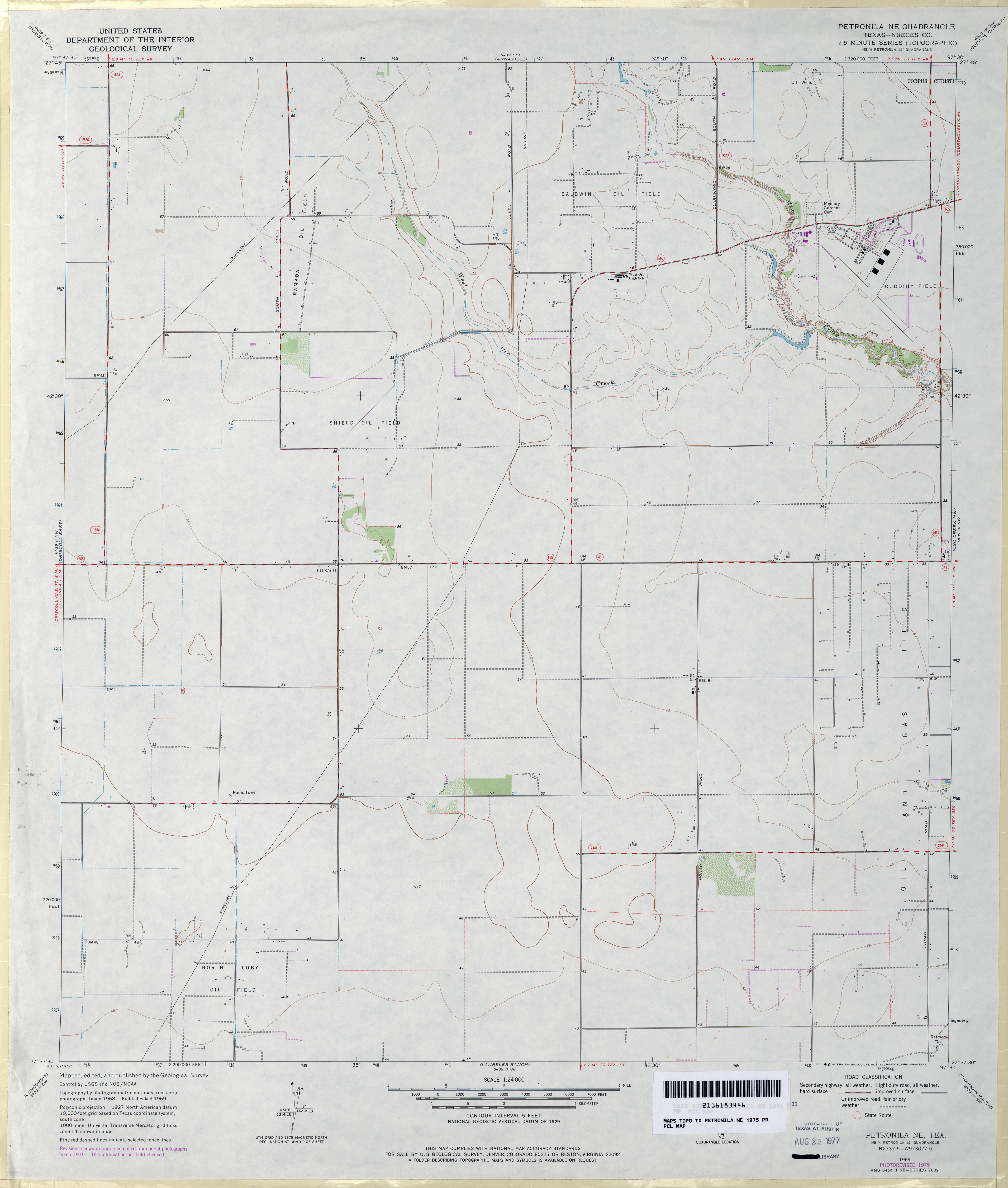
- Petronila NE 1:24,000 2008 (7.4MB) [GeoPDF]
- Petronila NE 1:24,000 2013 (14.3MB) [GeoPDF]
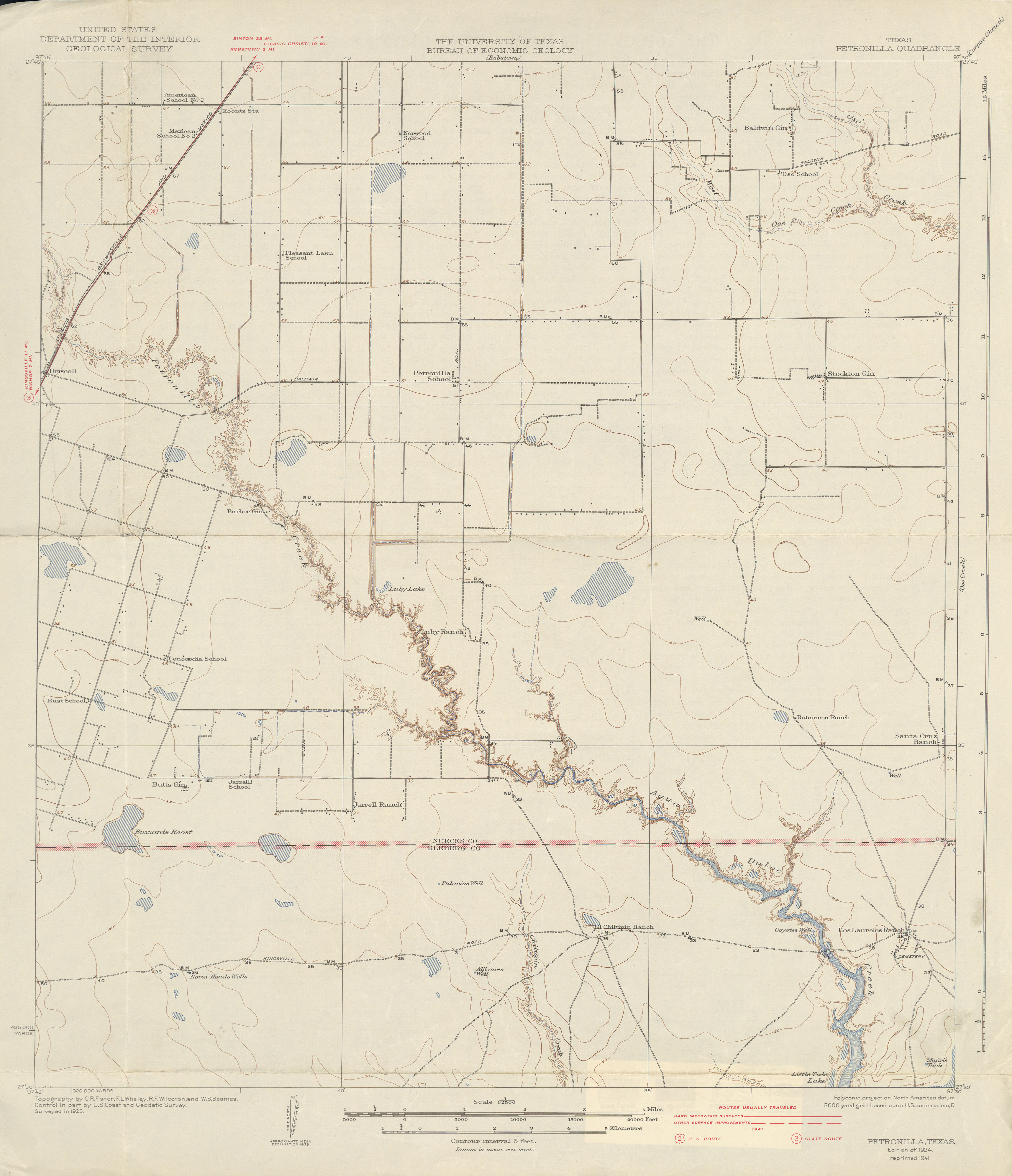
- Petronilla 1:62,500 1923 survey, 1941 overprint (2.1 MB)
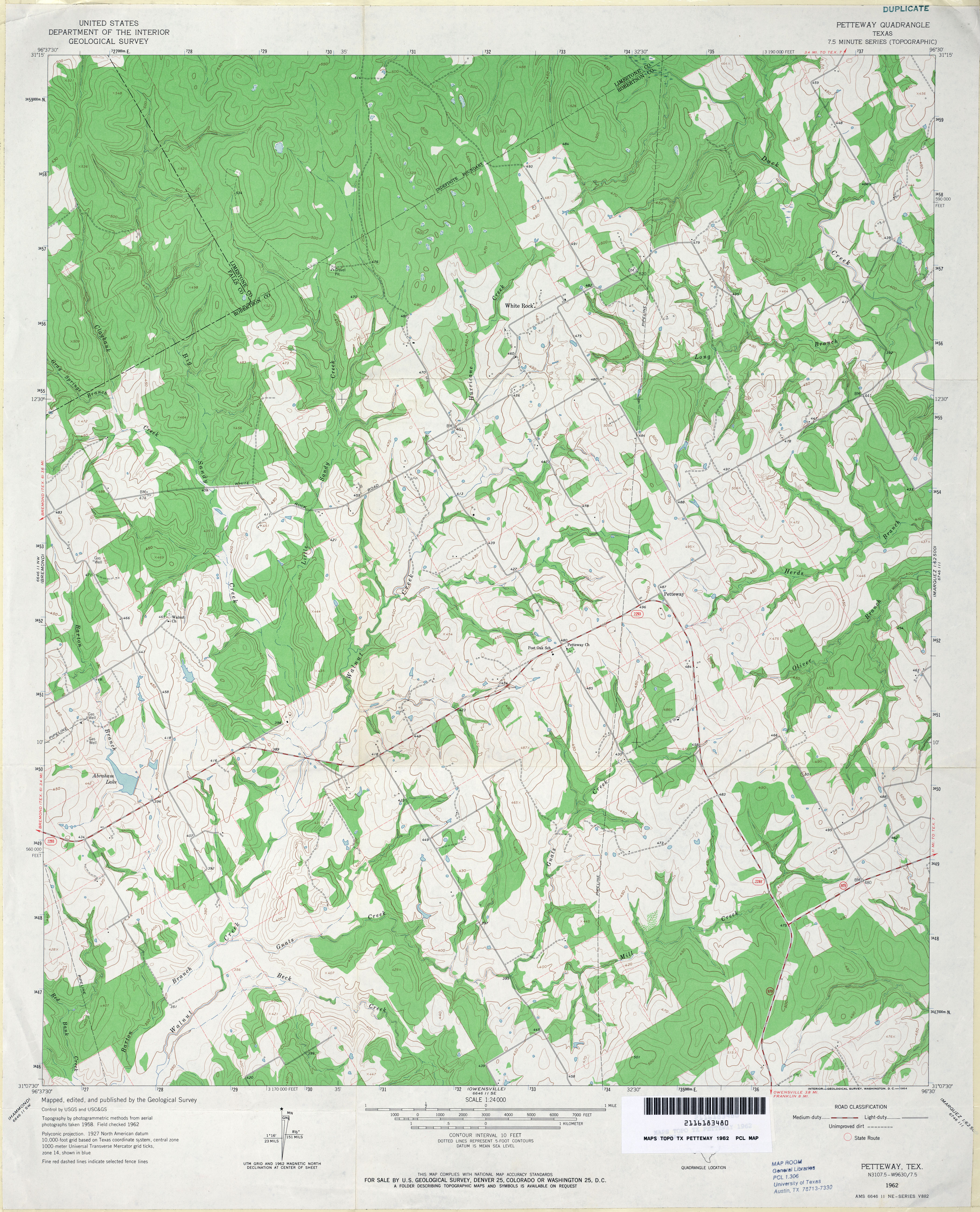
- Petteway 1:24,000 1962 (4MB)
- Petteway 1:24,000 2008 (17.4MB) [GeoPDF]
- Petteway 1:24,000 2013 (22.6MB) [GeoPDF]
- Pettibone (Milam County) 1:24,000 1962 (4.5MB)
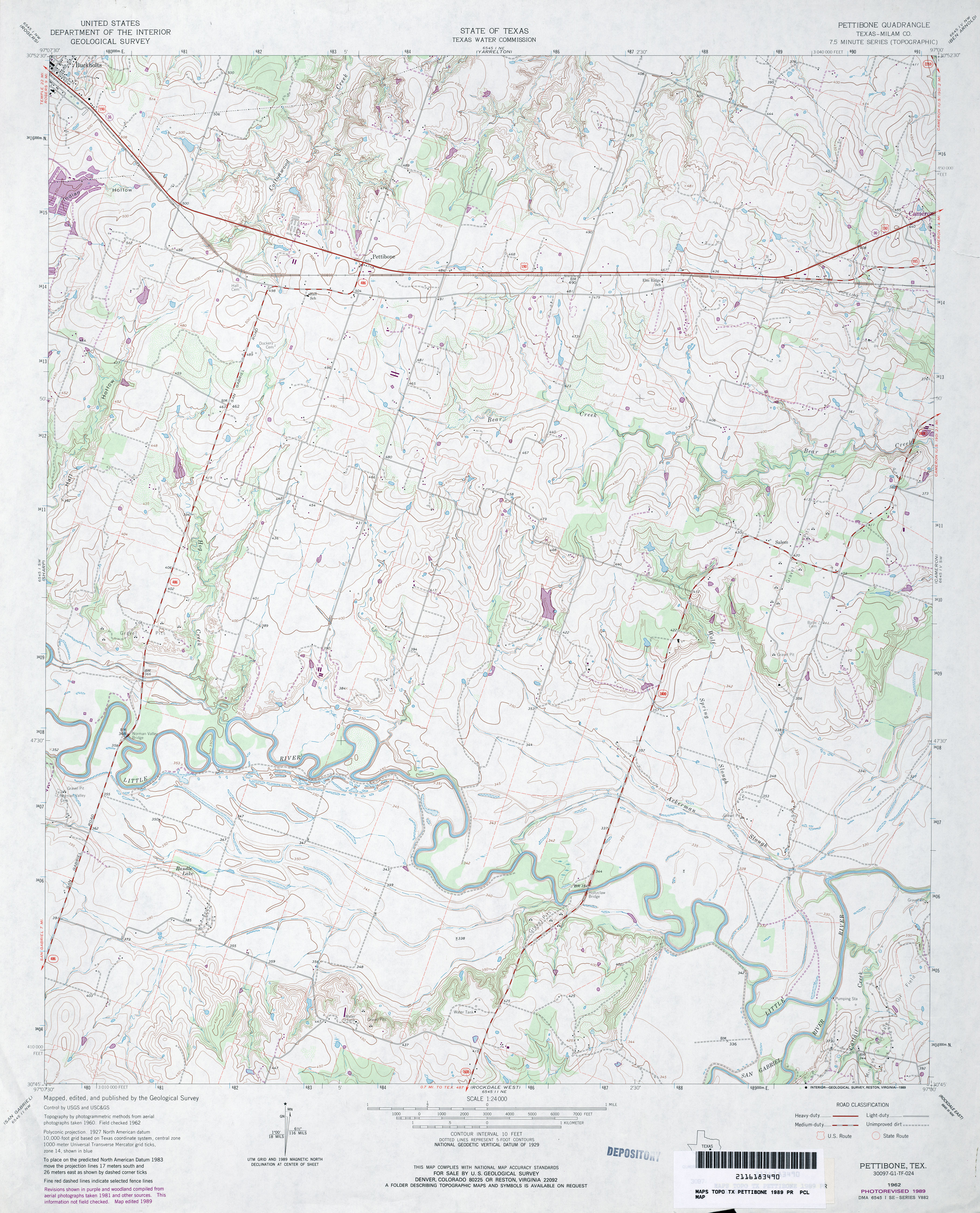
- Pettibone (Milam County) 1:24,000 1989 (4.1MB)
- Pettibone 1:24,000 2008 (14.2MB) [GeoPDF]
- Pettibone 1:24,000 2013 (21.2MB) [GeoPDF]
- Pettit 1:24,000 1965 (2.8MB)
- Pettit 1:24,000 1979 (3MB)
- Pettit 1:24,000 2008 (10.3MB) [GeoPDF]
- Pettit 1:24,000 2012 (14.6MB) [GeoPDF]
- Pettus 1:62,500 1942 (5MB) U.S. Army. Corps of Engineers. Tactical Map
- Petty 1:24,000 1984 (3.8MB)
- Petty 1:24,000 2008 (13.6MB) [GeoPDF]
- Petty 1:24,000 2012 (18.3MB) [GeoPDF]
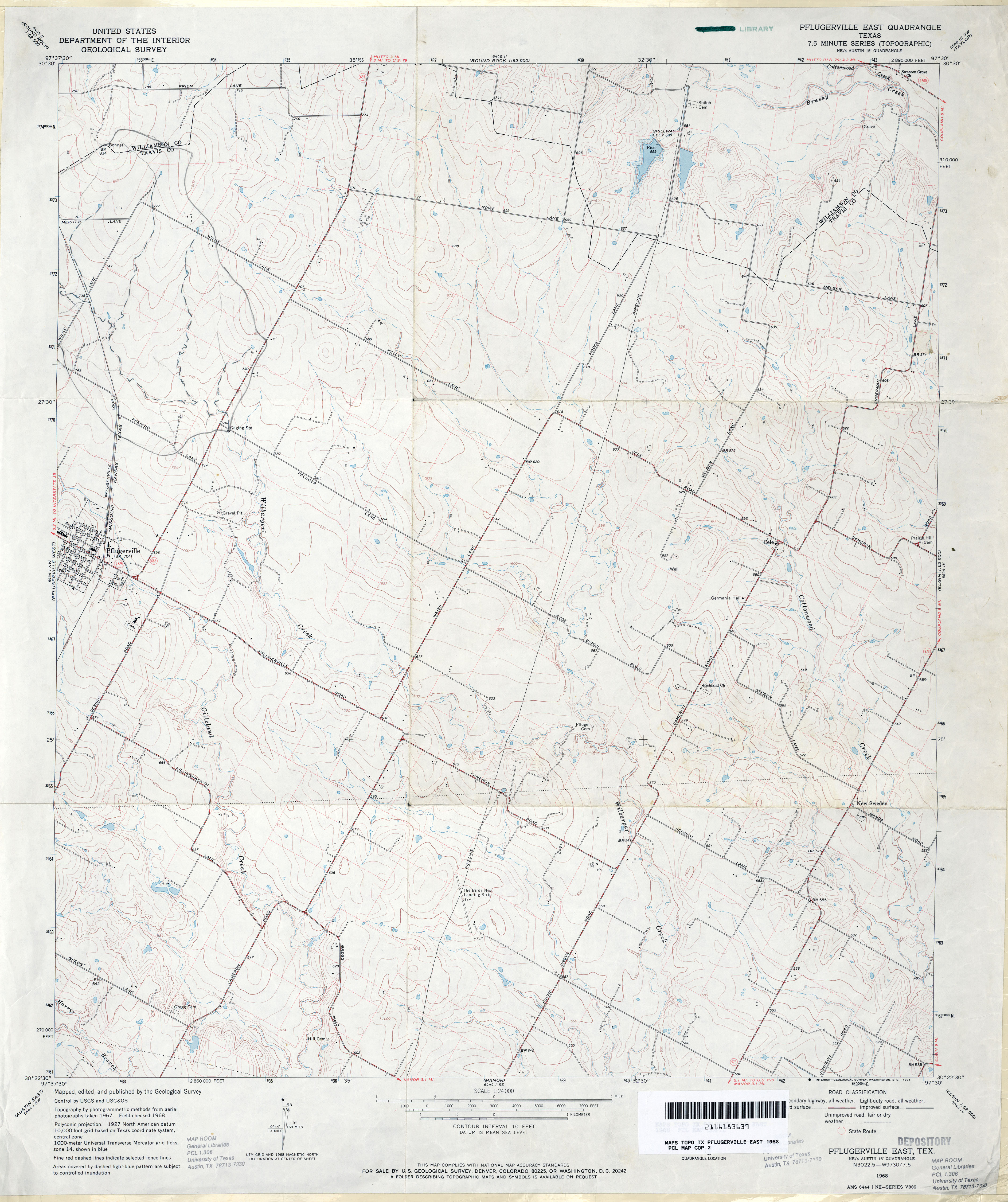
- Pflugerville East 1:24,000 1968 (3.4MB)
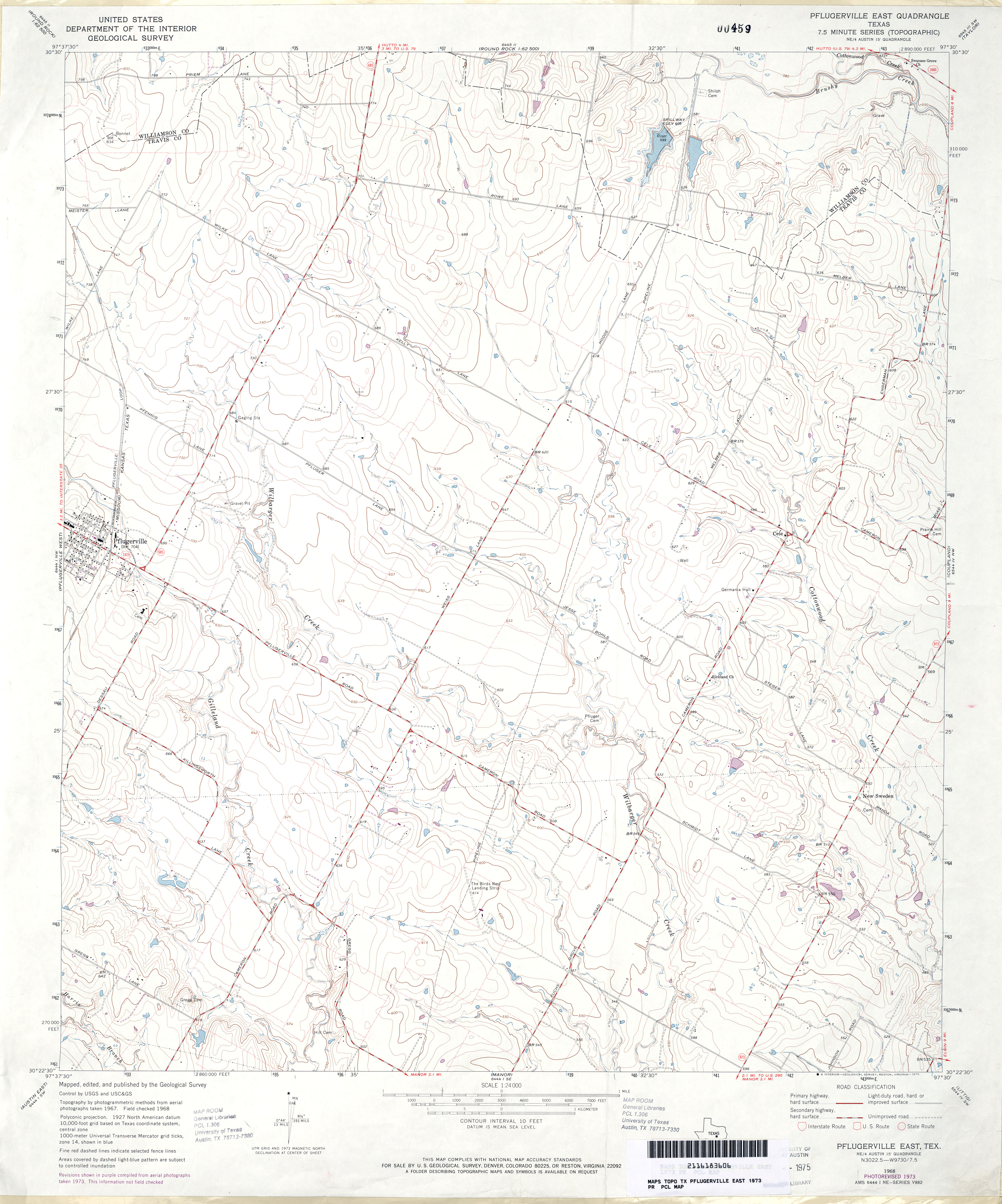
- Pflugerville East 1:24,000 1973 (3.4MB)
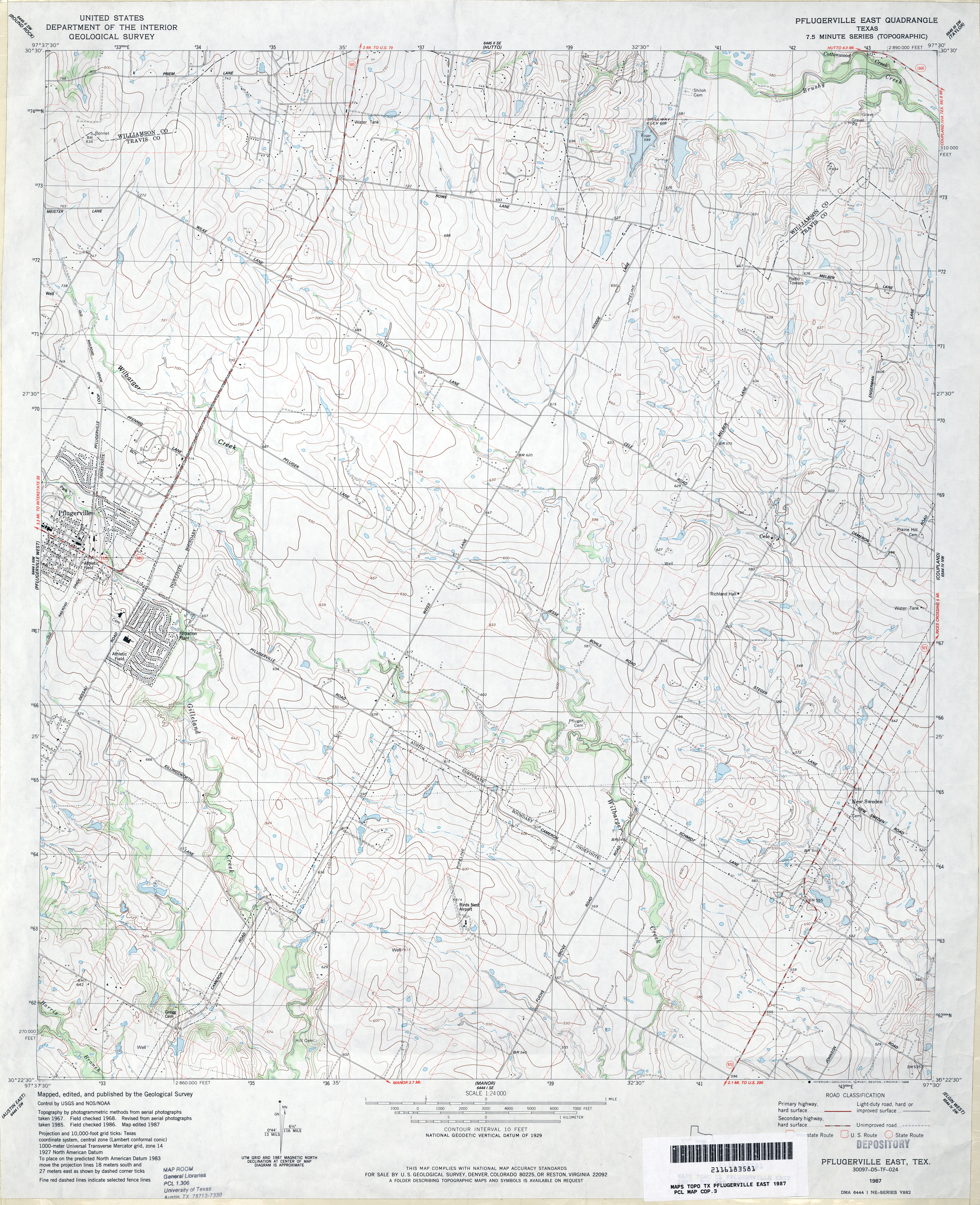
- Pflugerville East 1:24,000 1987 (4.2MB)
- Pflugerville East 1:24,000 2008 (11.3MB) [GeoPDF]
- Pflugerville East 1:24,000 2013 (21.7MB) [GeoPDF]
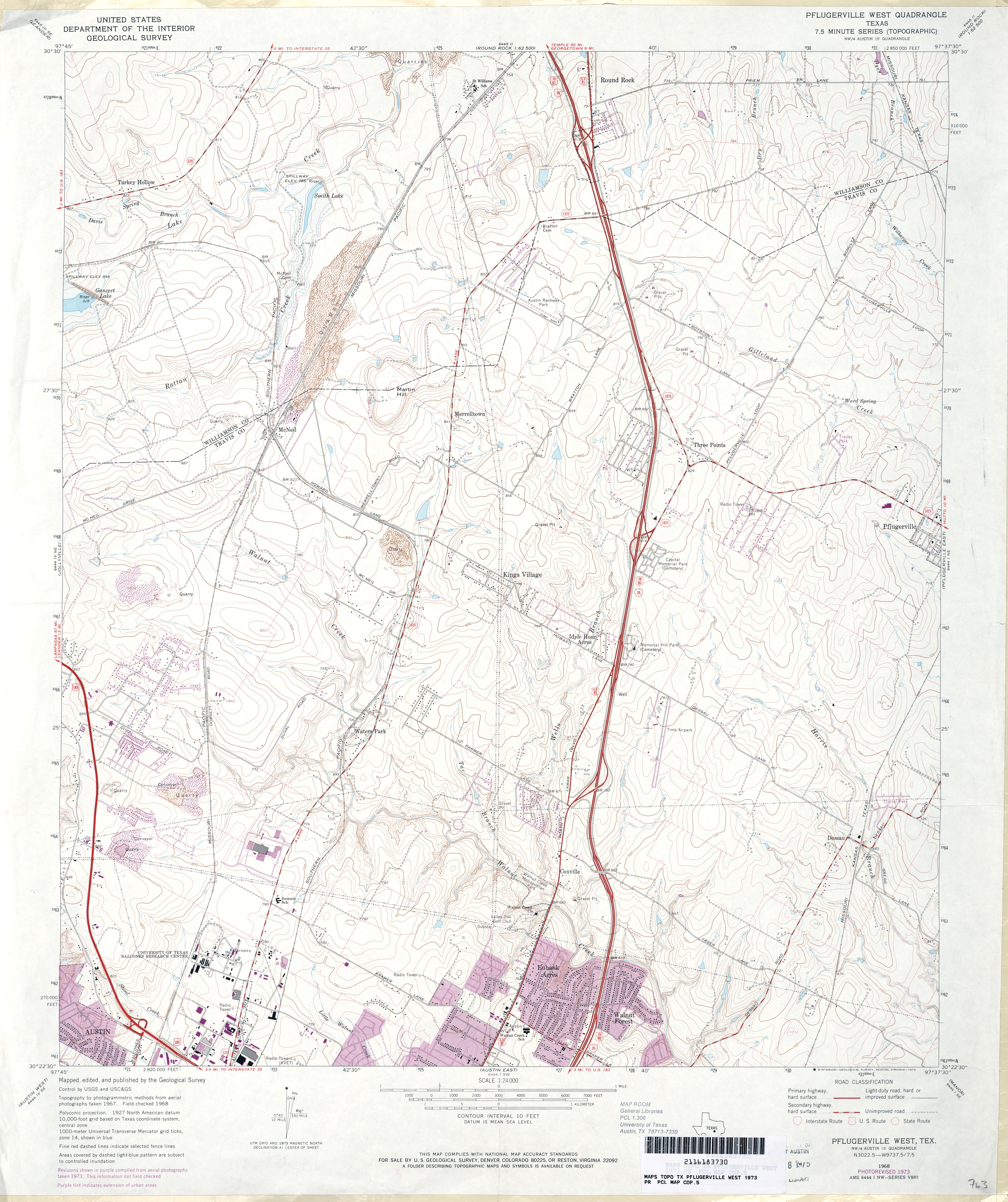
- Pflugerville West 1:24,000 1973 (4.1MB)
- Pflugerville West 1:24,000 1987 (5.3MB)
- Pflugerville West 1:24,000 2008 (18.3MB) [GeoPDF]
- Pflugerville West 1:24,000 2013 (29.4MB) [GeoPDF]
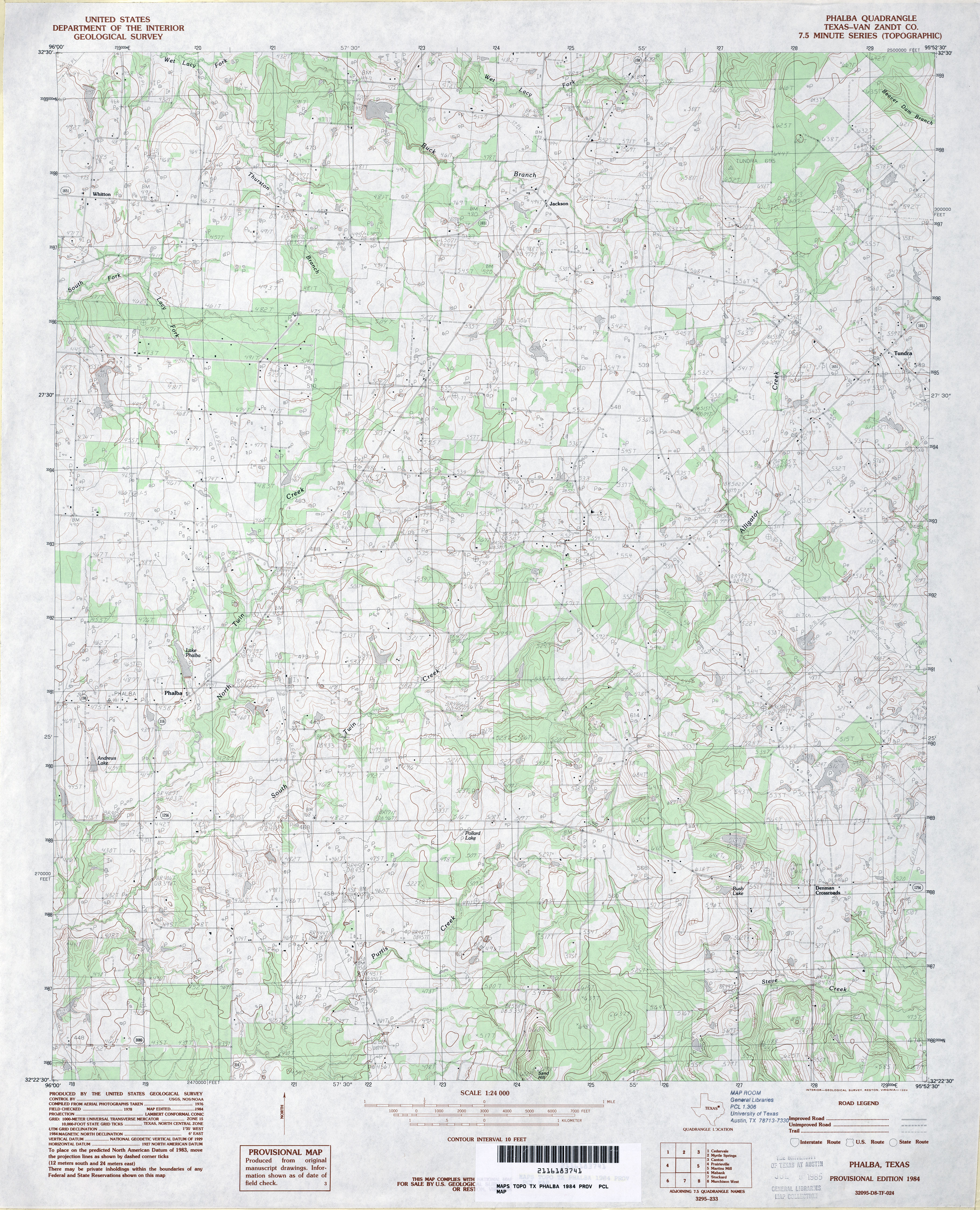
- Phalba (Van Zandt County) 1:24,000 1984 (4.4MB)
- Phalba 1:24,000 2008 (18.4MB) [GeoPDF]
- Phalba 1:24,000 2013 (21.5MB) [GeoPDF]
- Phantom Banks [New Mexico, Texas] 1:24,000 2009 (27.2MB) [GeoPDF]
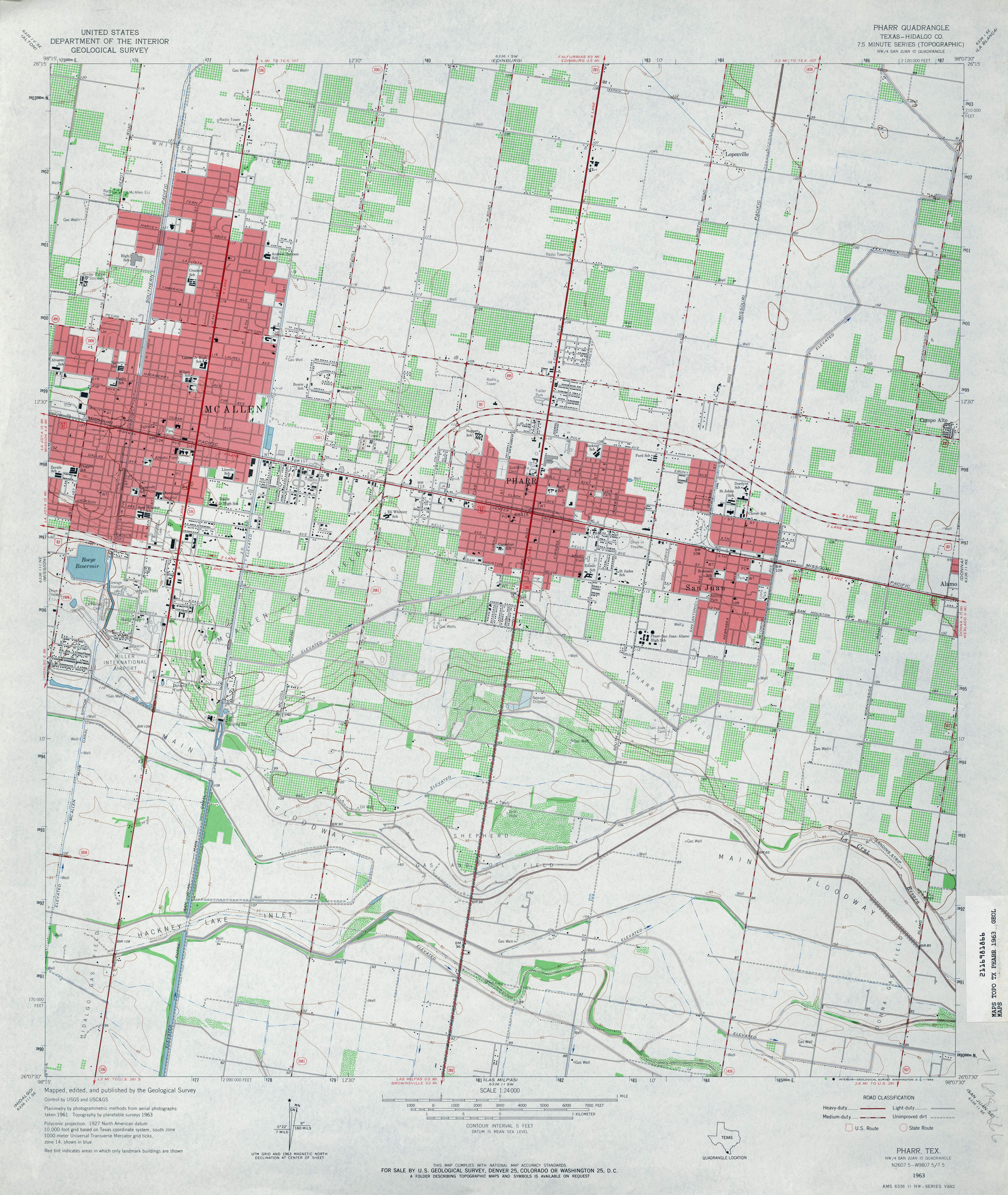
- Pharr (Hidalgo County) 1:24,000 1963 (4MB)
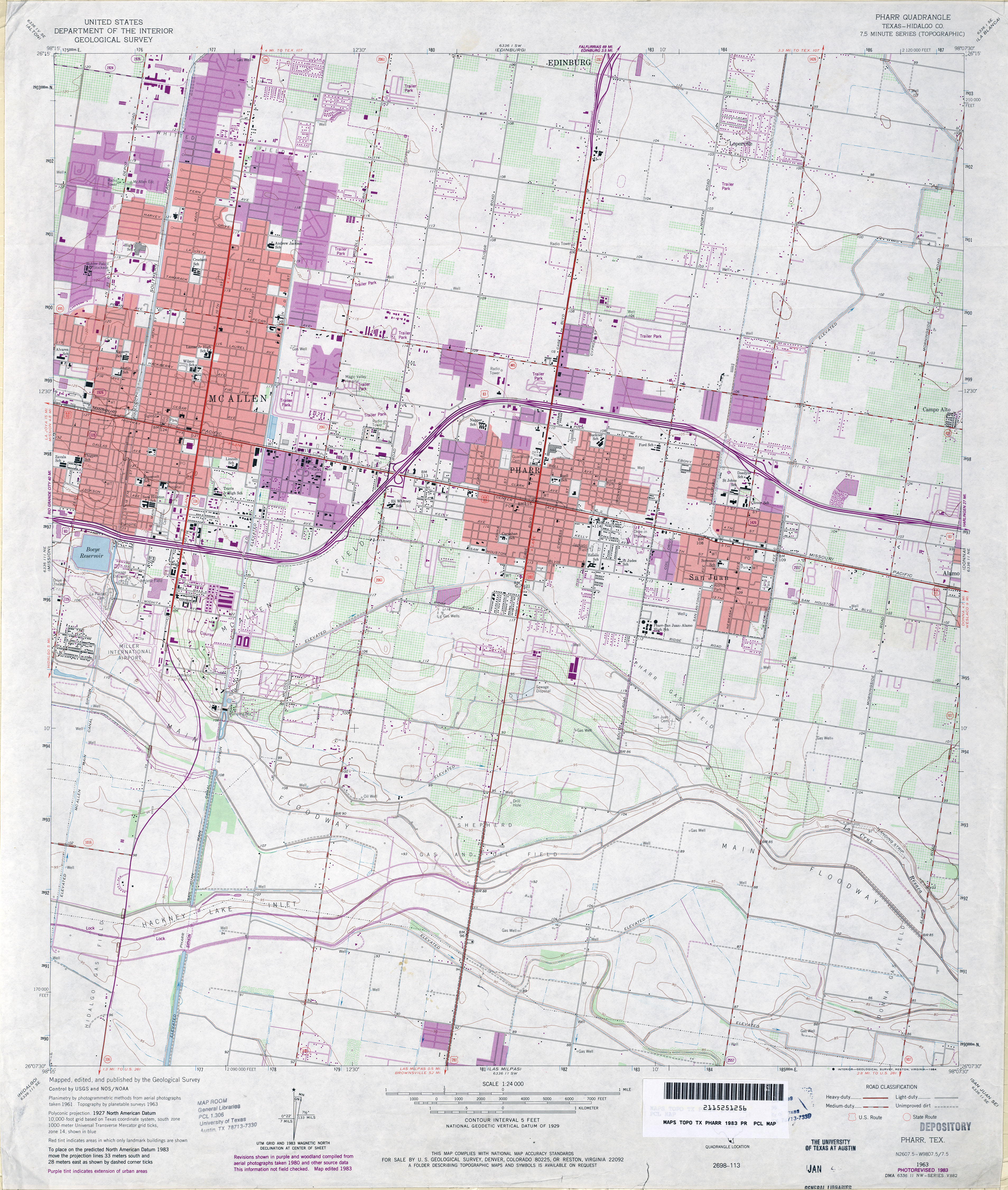
- Pharr (Hidalgo County) 1:24,000 1983 (4.2MB)
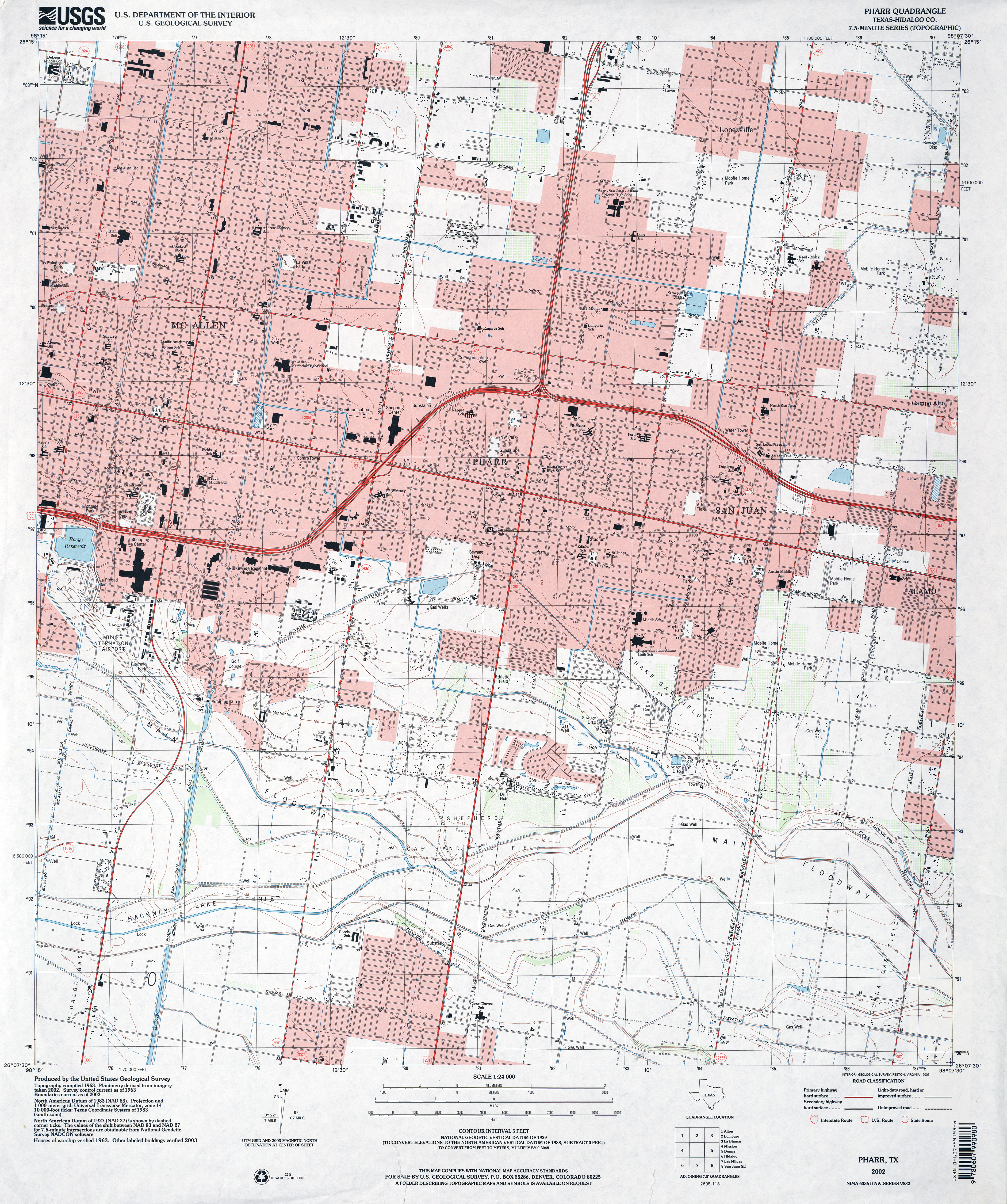
- Pharr (Hidalgo County) 1:24,000 2002 (4.4MB)
- Pharr 1:24,000 2009 (23.4MB) [GeoPDF]
- Pharr 1:24,000 2013 (24.7MB) [GeoPDF]
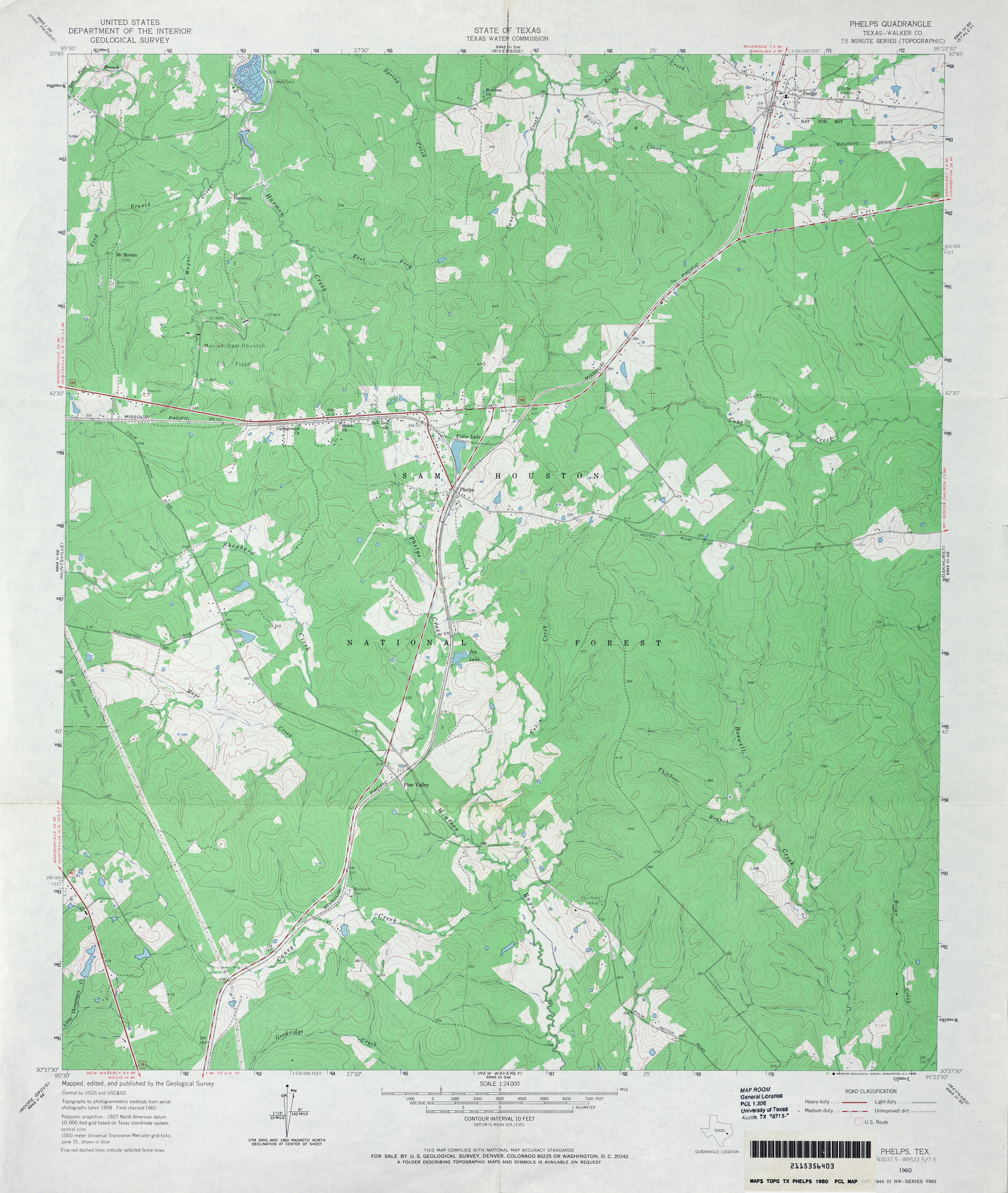
- Phelps (Walker County) 1:24,000 1960 (3.7MB)
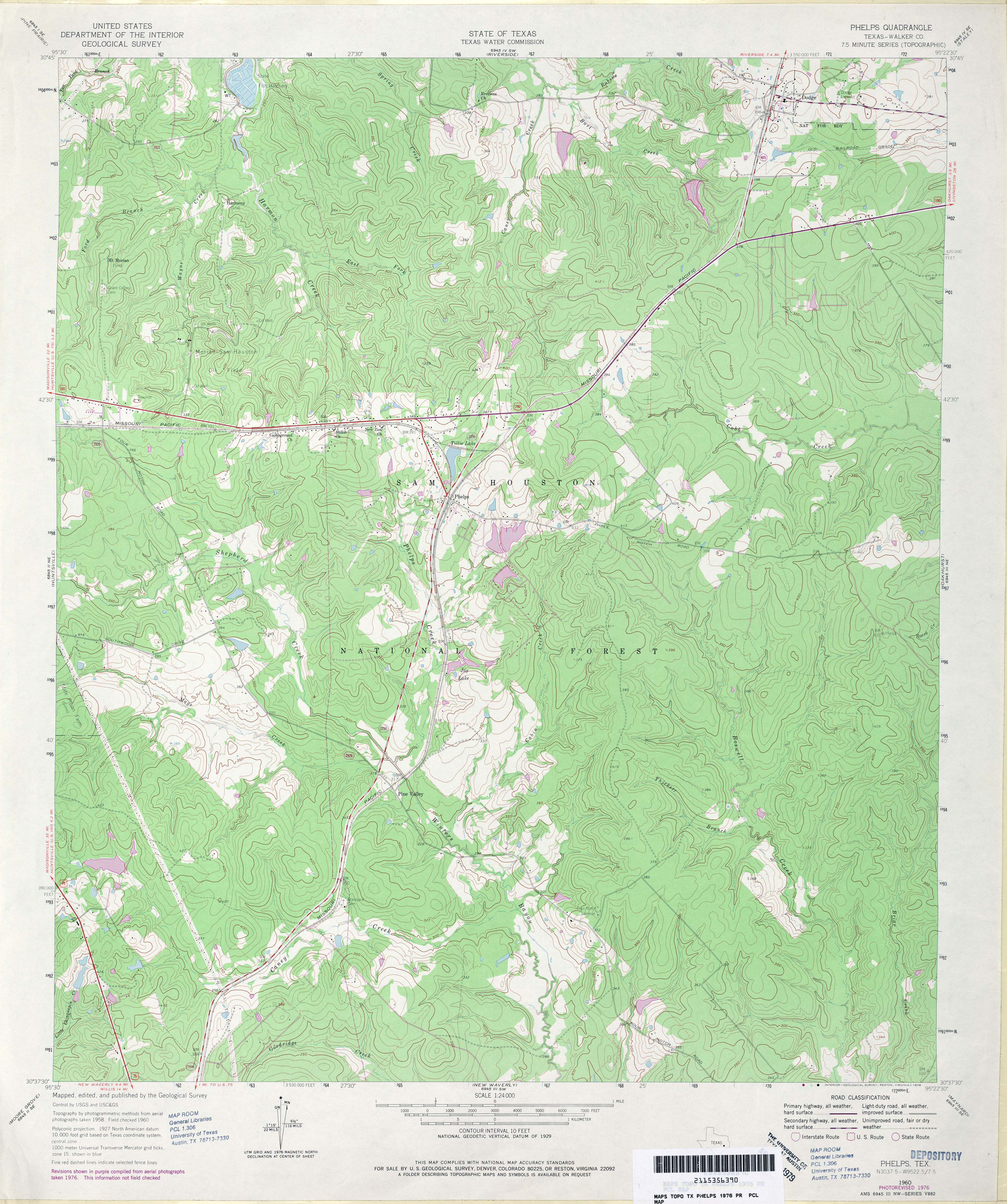
- Phelps (Walker County) 1:24,000 1976 (4.7MB)
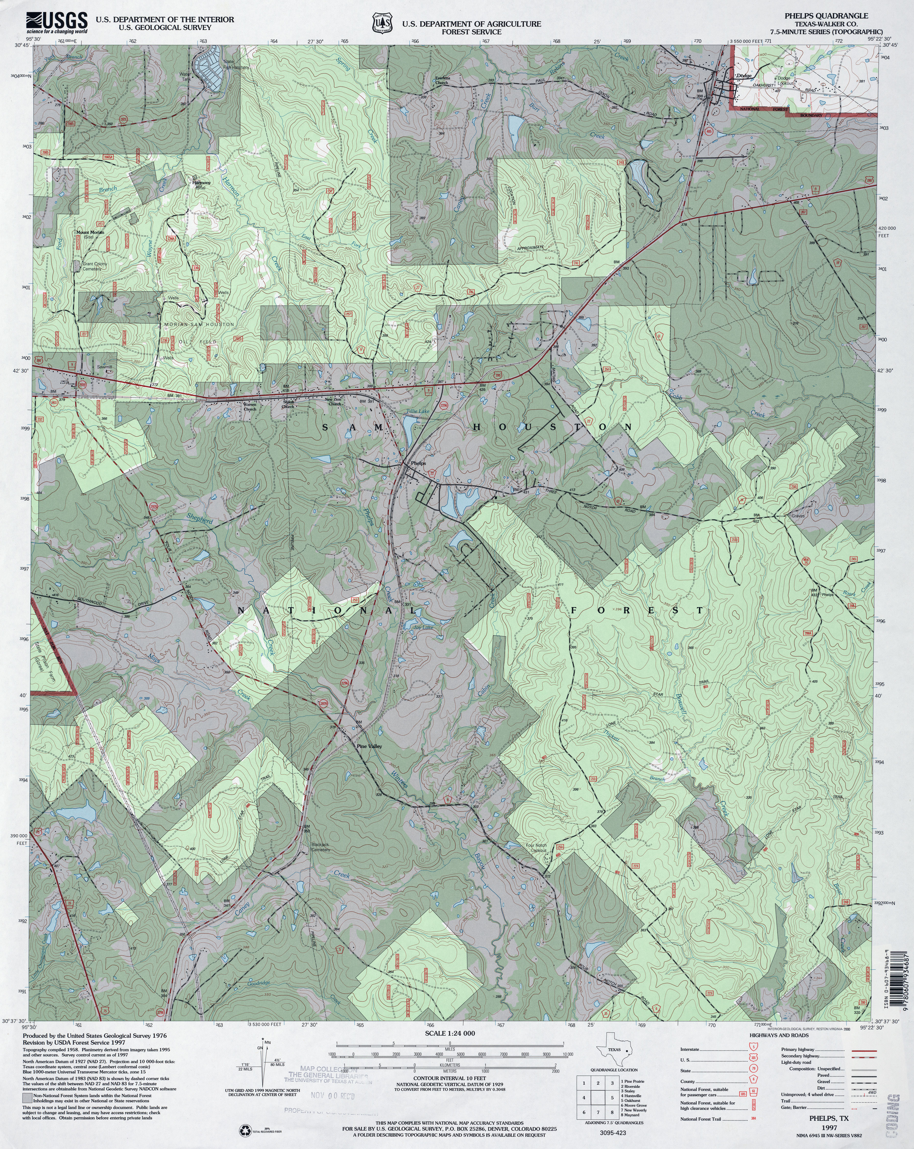
- Phelps (Walker County) 1:24,000 1997 (5.3MB)
- Phelps 1:24,000 2009 (25.5MB) [GeoPDF]
- Phelps 1:24,000 2013 (23.1MB) [GeoPDF]
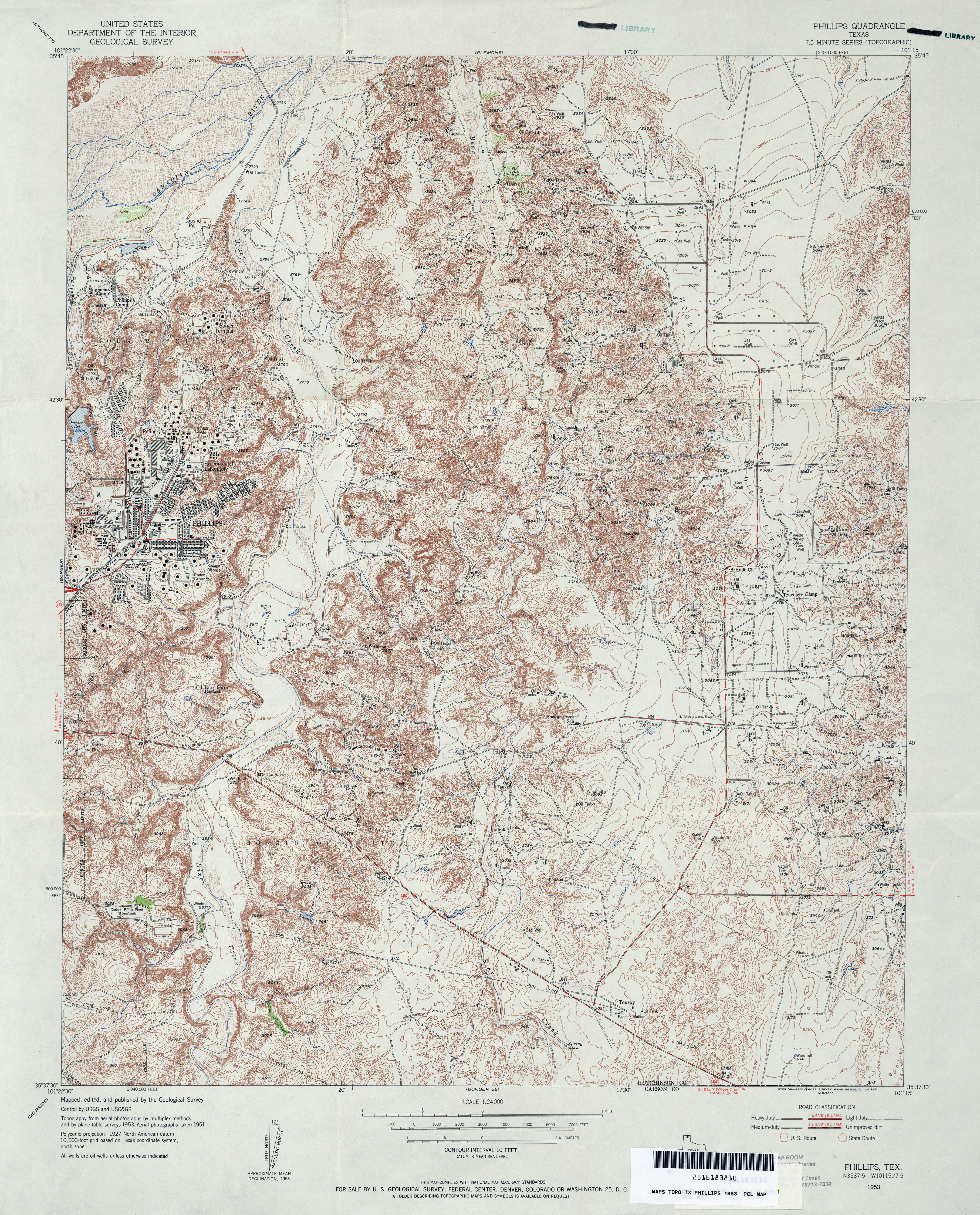
- Phillips 1:24,000 1953 (6.2MB)
- Phillips (Hutchinson County) 1:24,000 1970 (5.3MB)
- Phillips (Hutchinson County) 1:24,000 1978 (5.8MB)
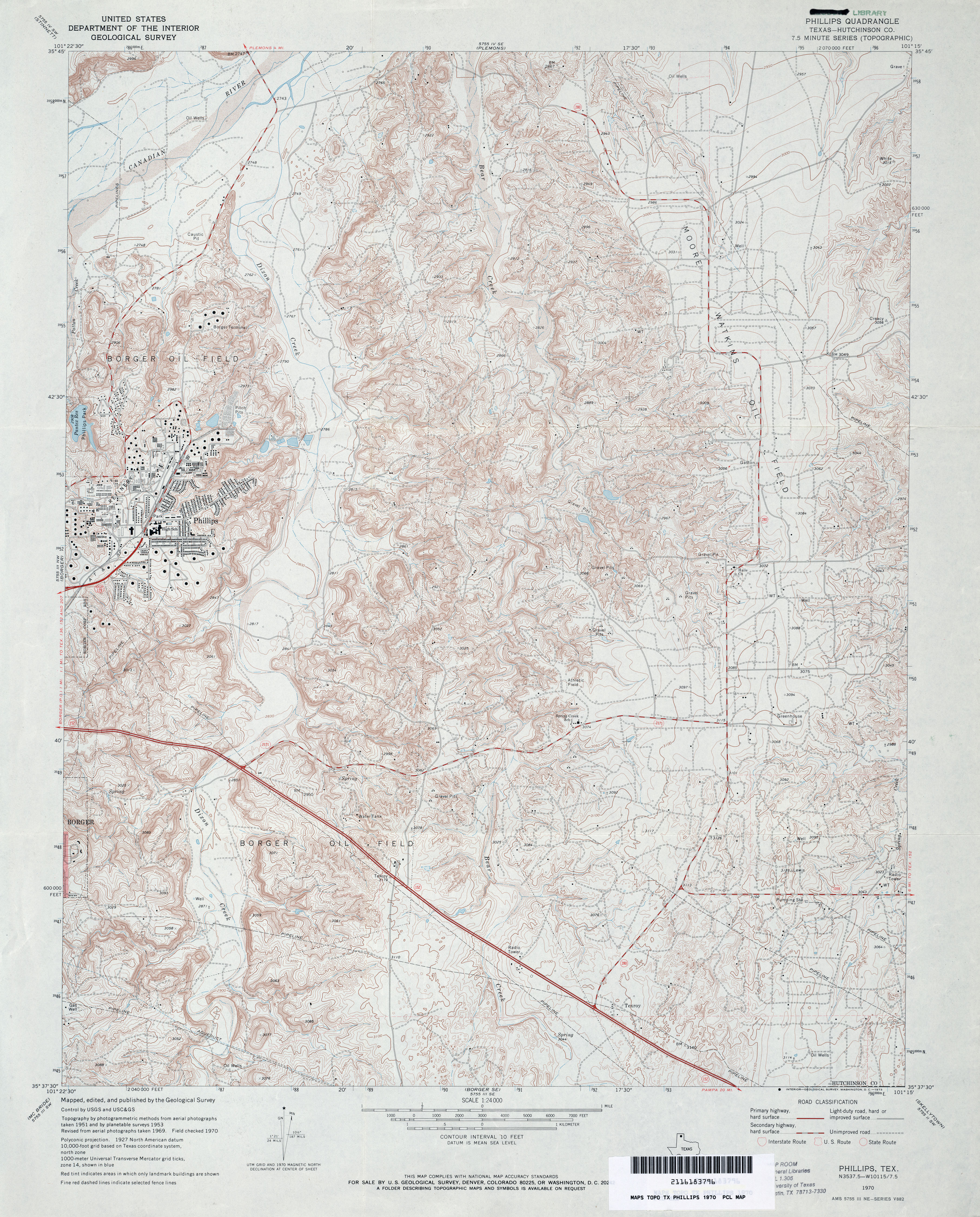
- Phillips 1:24,000 2008 (17.8MB) [GeoPDF]
- Phillips 1:24,000 2013 (24.6MB) [GeoPDF]
- Phillips Camp 1:24,000 1974 (3.4MB)
- Phillips Camp 1:24,000 2008 (9.7MB) [GeoPDF]
- Phillips Camp 1:24,000 2012 (17.5MB) [GeoPDF]
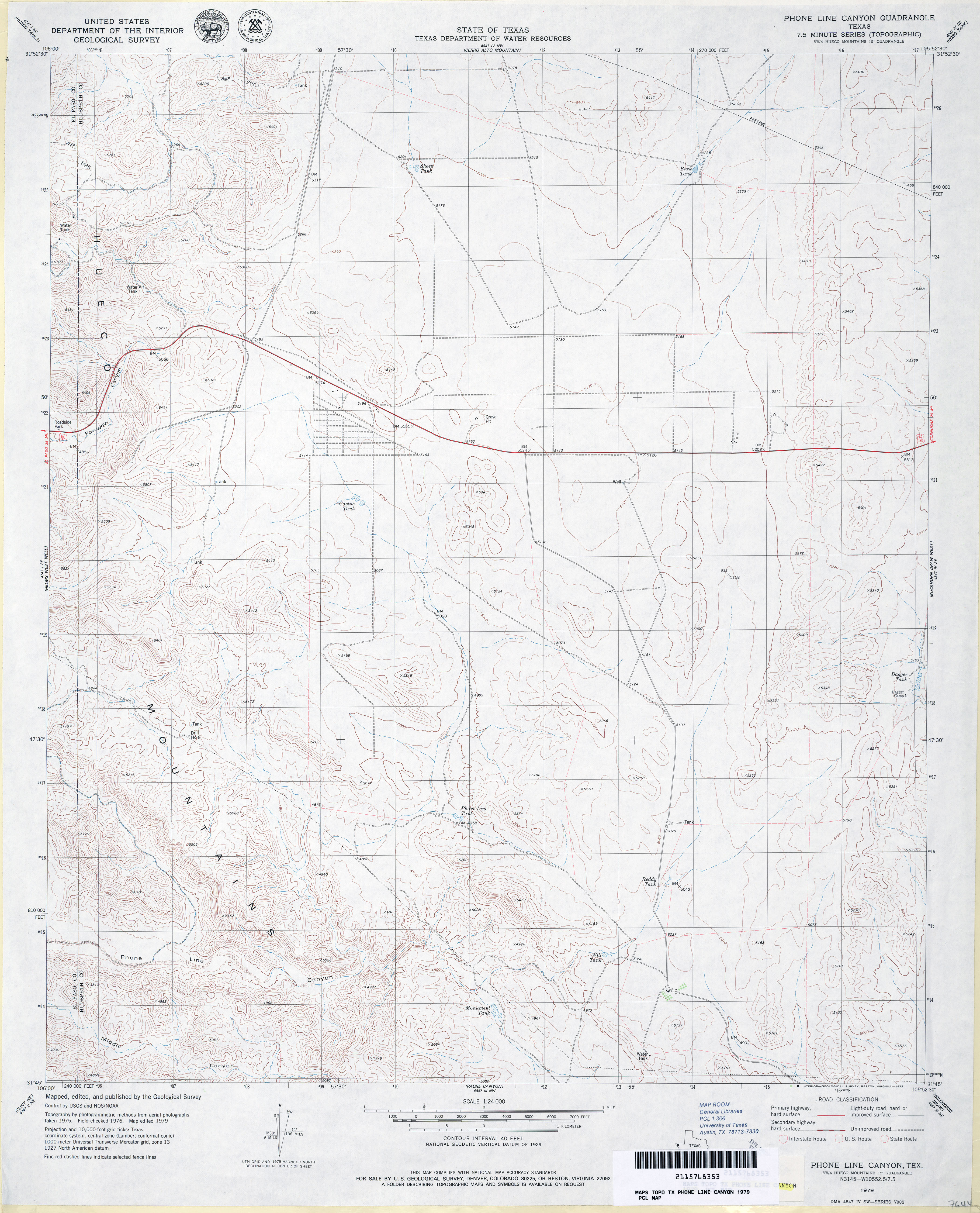
- Phone Line Canyon 1:24,000 1979 (3.5MB)
- Phone Line Canyon 1:24,000 2008 (19.2MB) [GeoPDF]
- Phone Line Canyon 1:24,000 2013 (24.1MB) [GeoPDF]
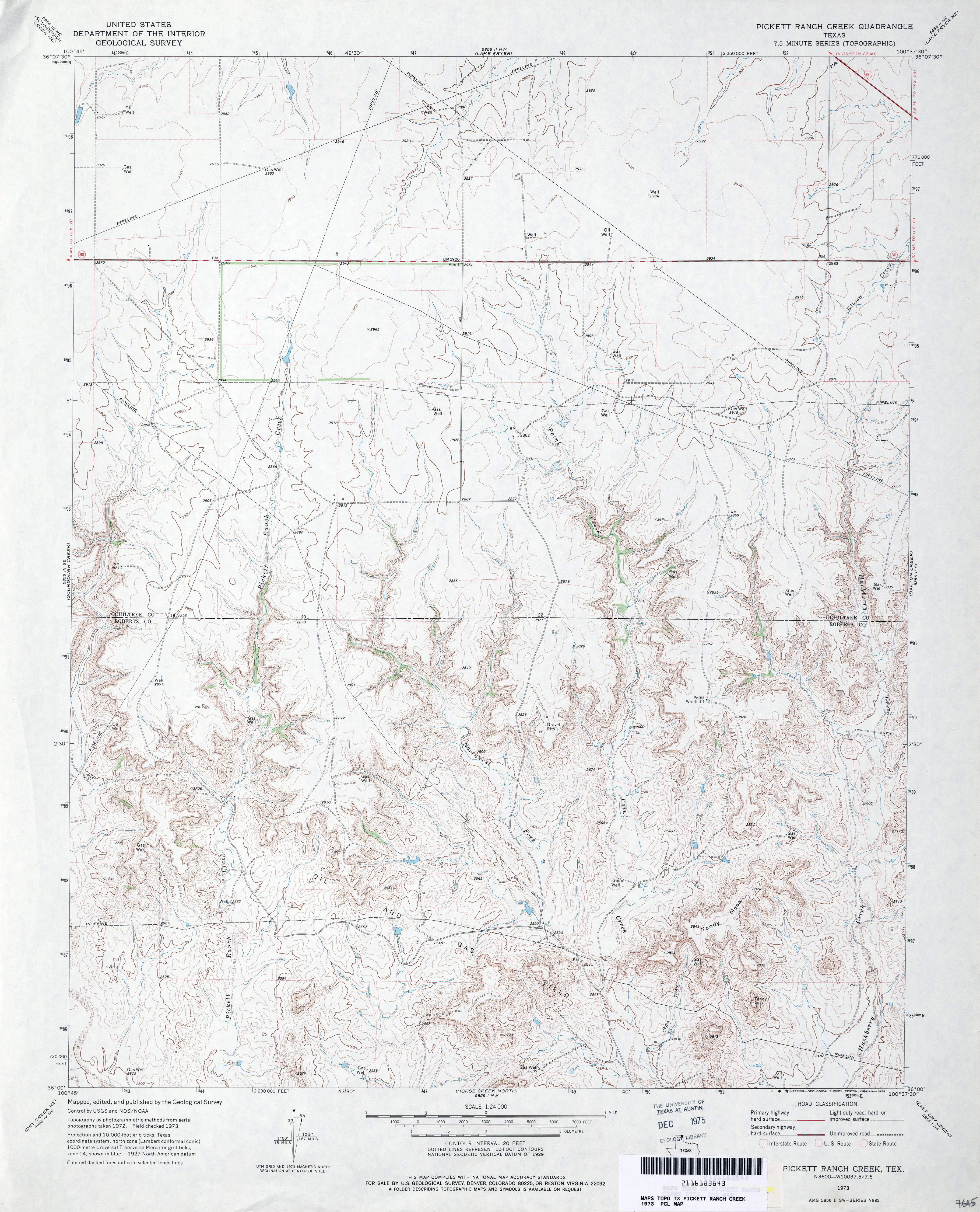
- Pickett Ranch Creek 1:24,000 1973 (3.8MB)
- Pickett Ranch Creek 1:24,000 2008 (14.8MB) [GeoPDF]
- Pickett Ranch Creek 1:24,000 2012 (19.5MB) [GeoPDF]
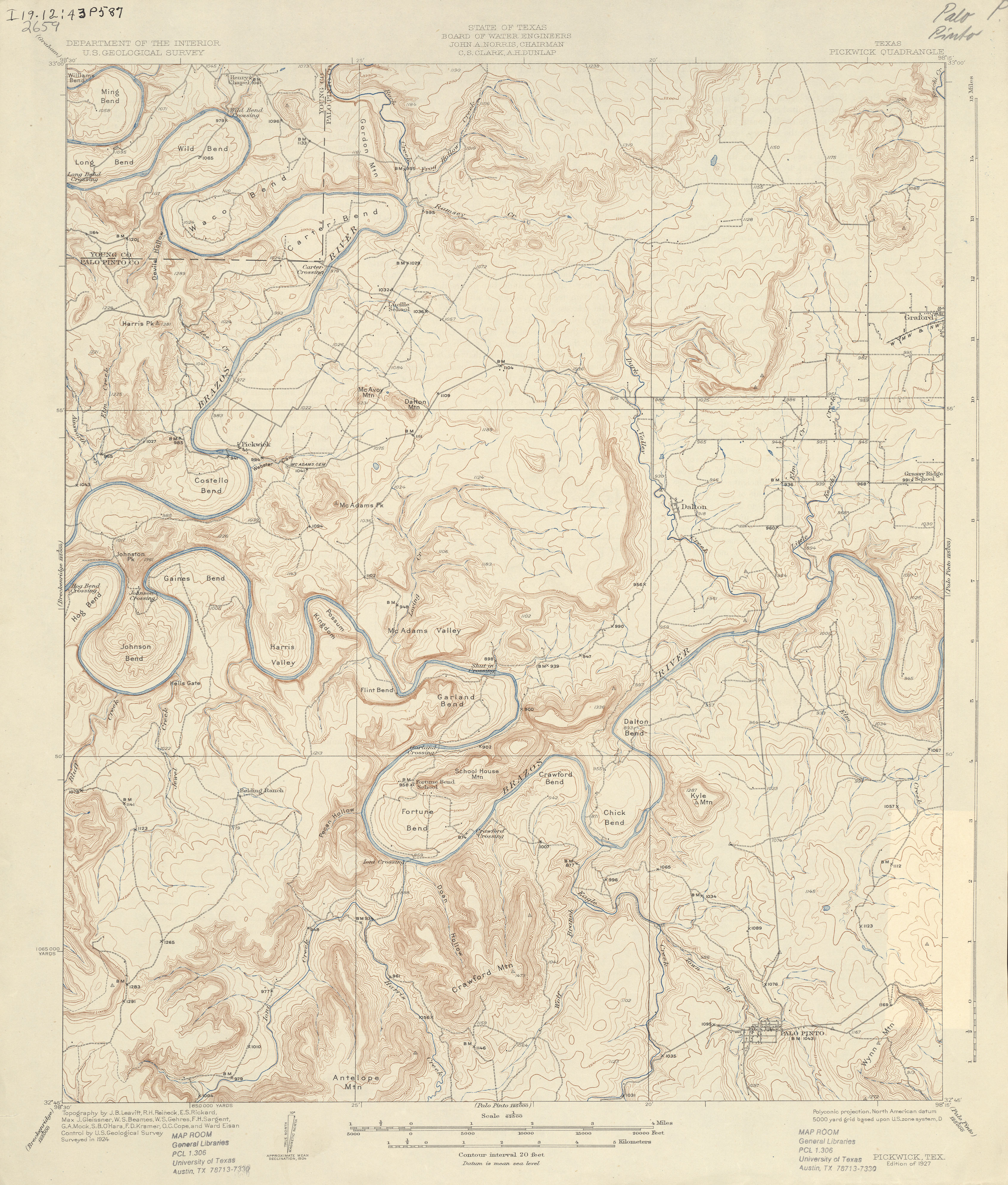
- Pickwick 1:62,500 1924 (3.5 MB)
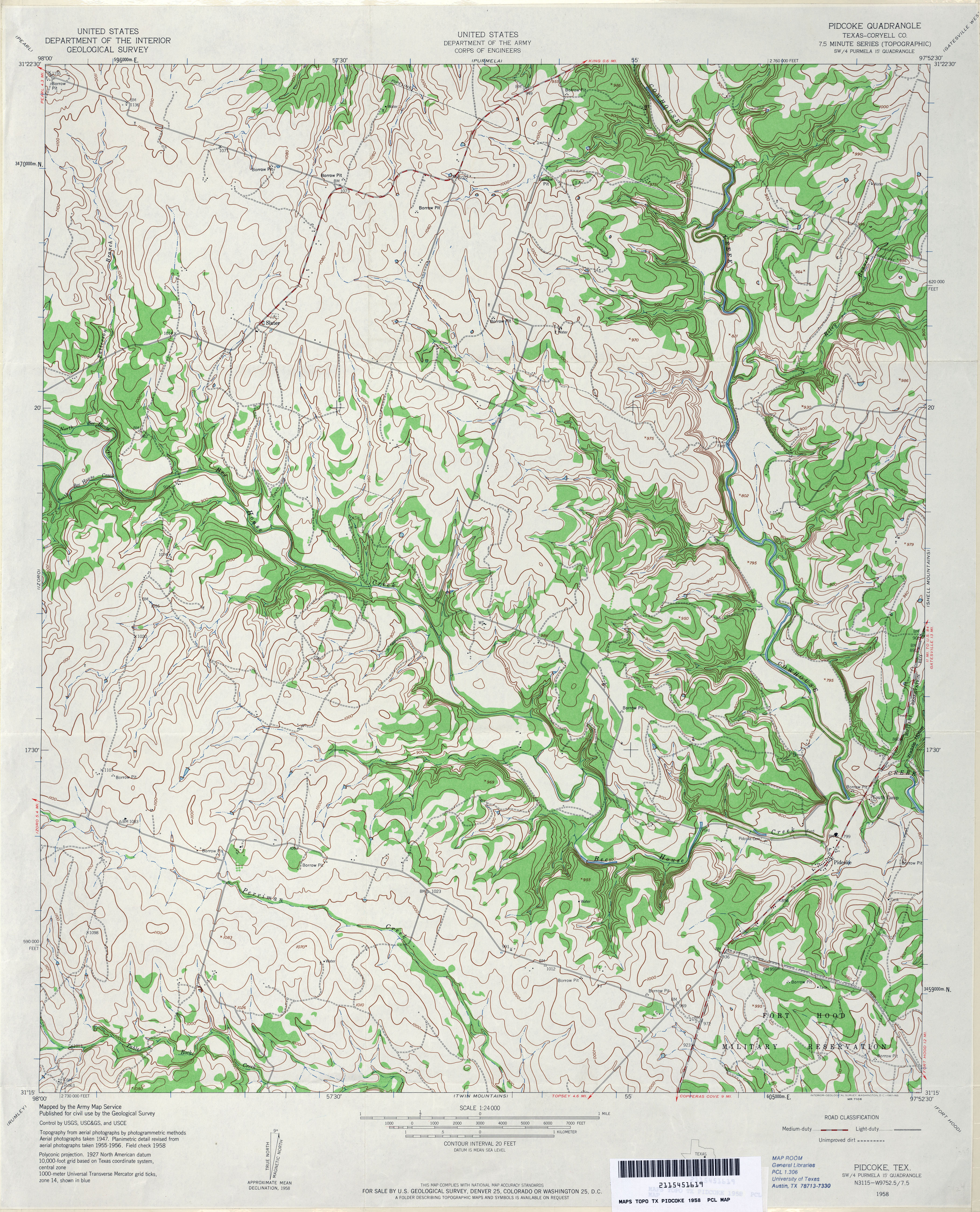
- Pidcoke (Coryell County) 1:24,000 1958 (4.4MB) U.S. Department of the Army Corps of Engineers
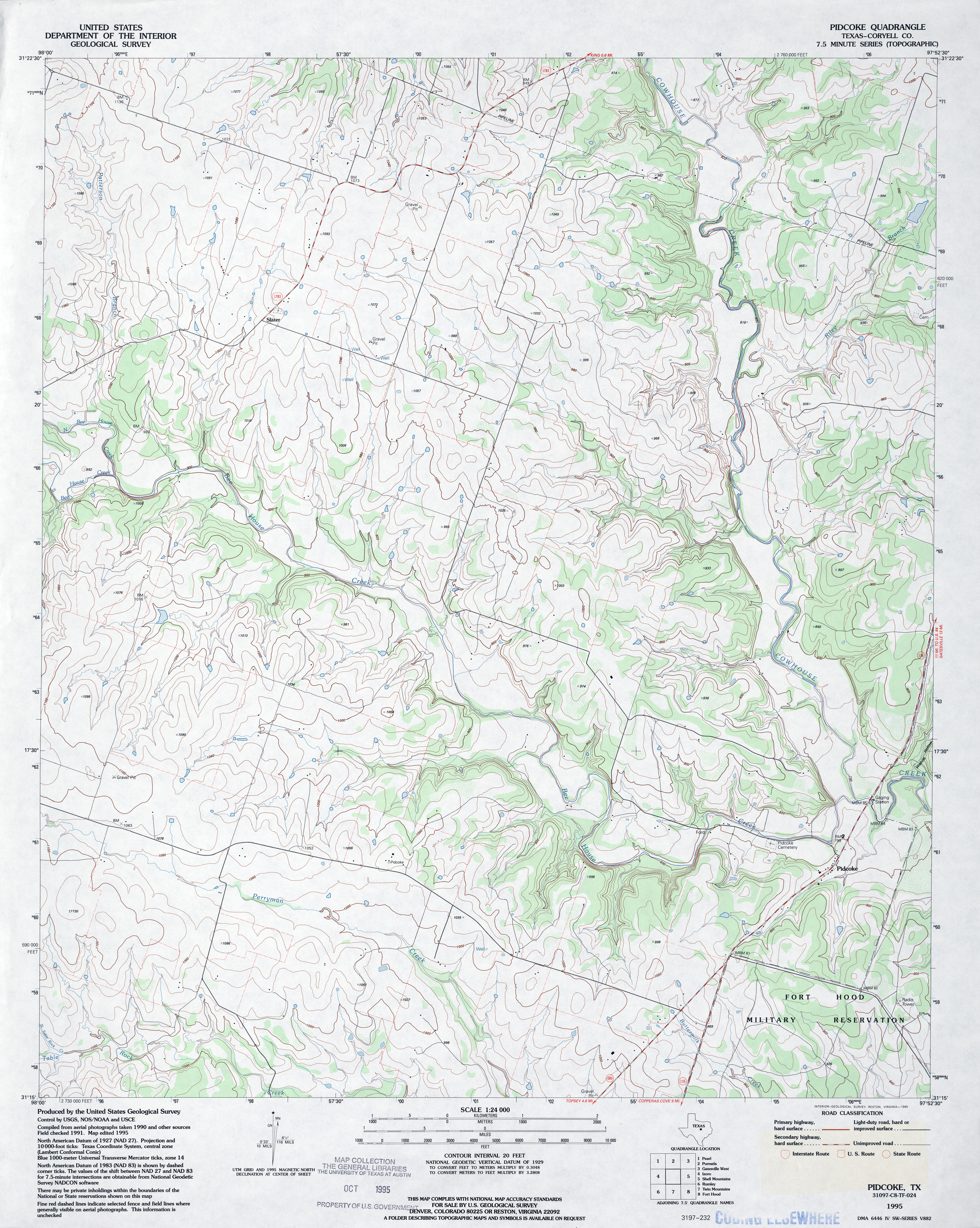
- Pidcoke (Coryell County) 1:24,000 1995 (4MB)
- Pidcoke 1:24,000 2008 (15.9MB) [GeoPDF]
- Pidcoke 1:24,000 2012 (22.3MB) [GeoPDF]
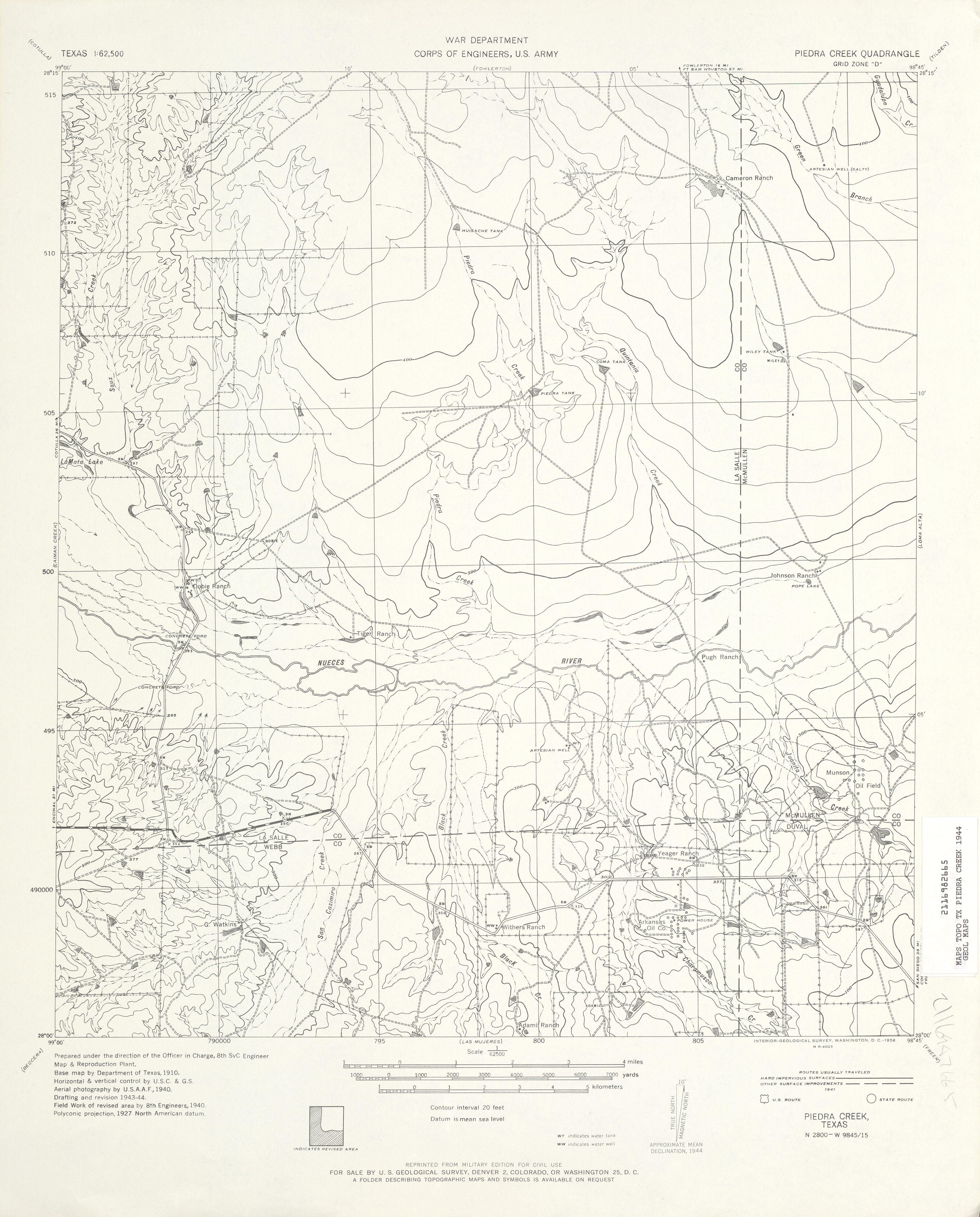
- Piedra Creek 1:62,500 1944 (3.1 MB) U.S. Army. Corps of Engineers
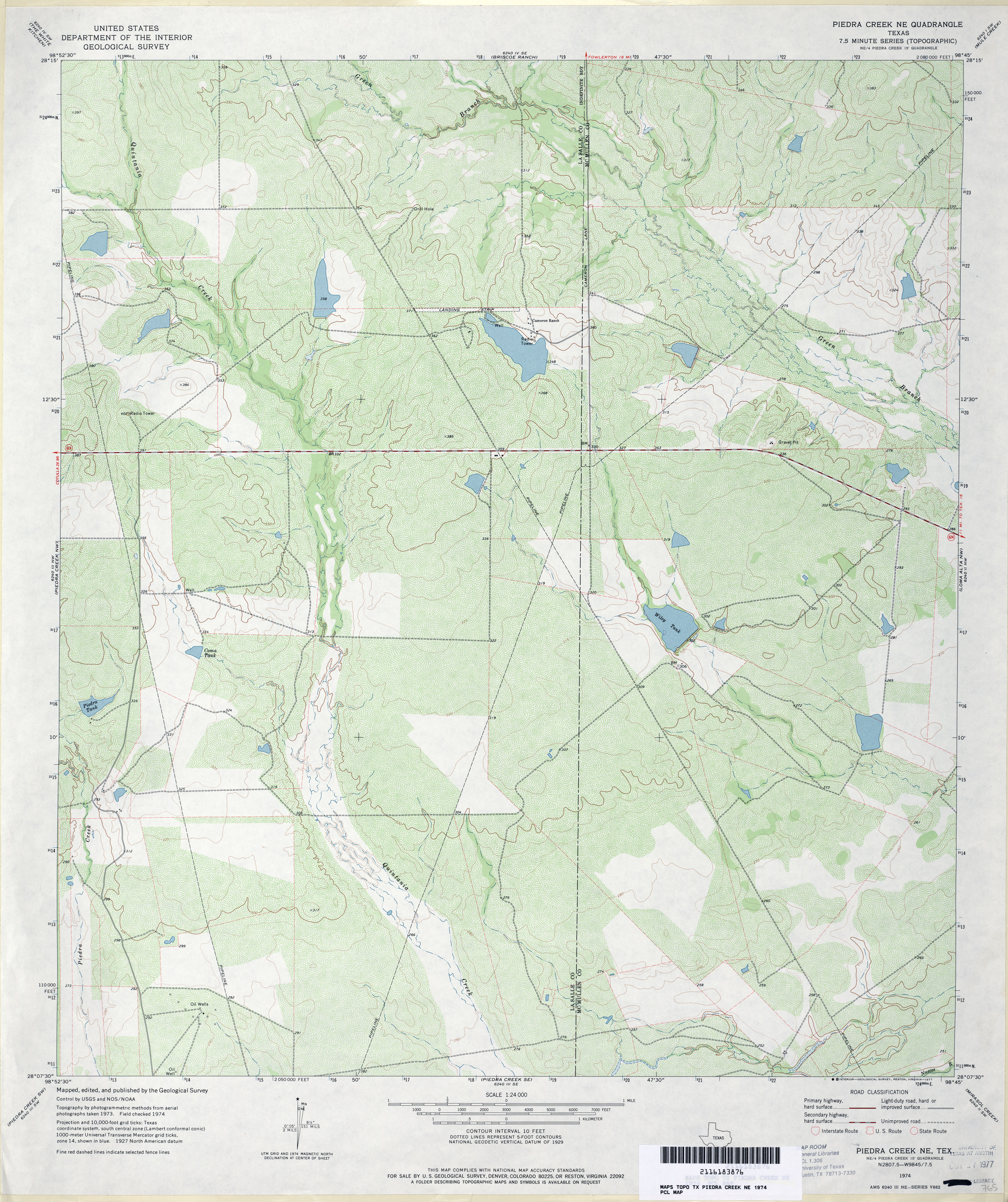
- Piedra Creek NE 1:24,000 1974 (4.5MB)
- Piedra Creek NE 1:24,000 2008 (19.8MB) [GeoPDF]
- Piedra Creek NE 1:24,000 2012 (24.9MB) [GeoPDF]
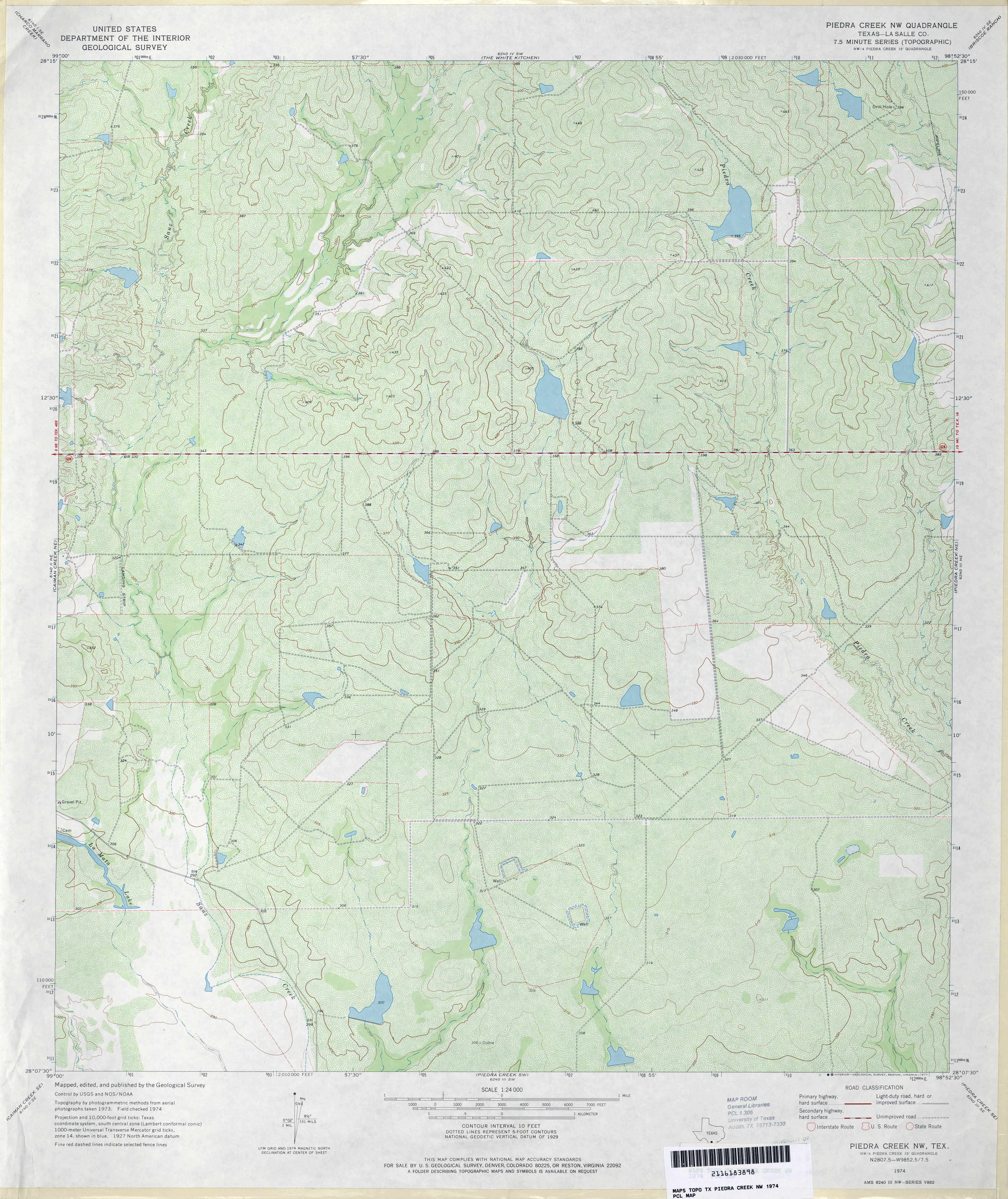
- Piedra Creek NW (La Salle County) 1:24,000 1974 (4.5MB)
- Piedra Creek NW 1:24,000 2008 (18.1MB) [GeoPDF]
- Piedra Creek NW 1:24,000 2012 (24.3MB) [GeoPDF]
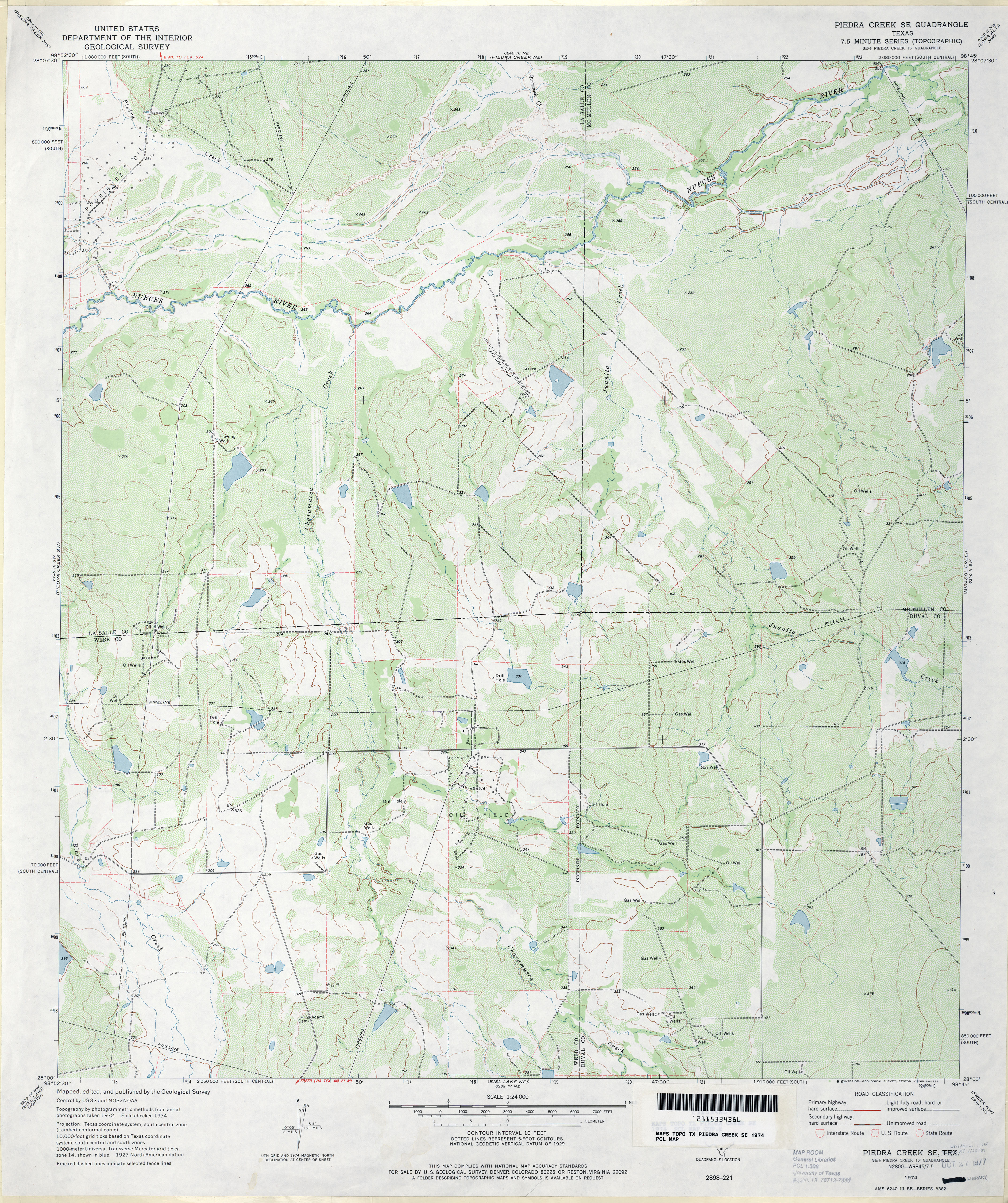
- Piedra Creek SE 1:24,000 1974 (4.4MB)
- Piedra Creek SE 1:24,000 2008 (20.2MB) [GeoPDF]
- Piedra Creek SE 1:24,000 2012 (24.7MB) [GeoPDF]
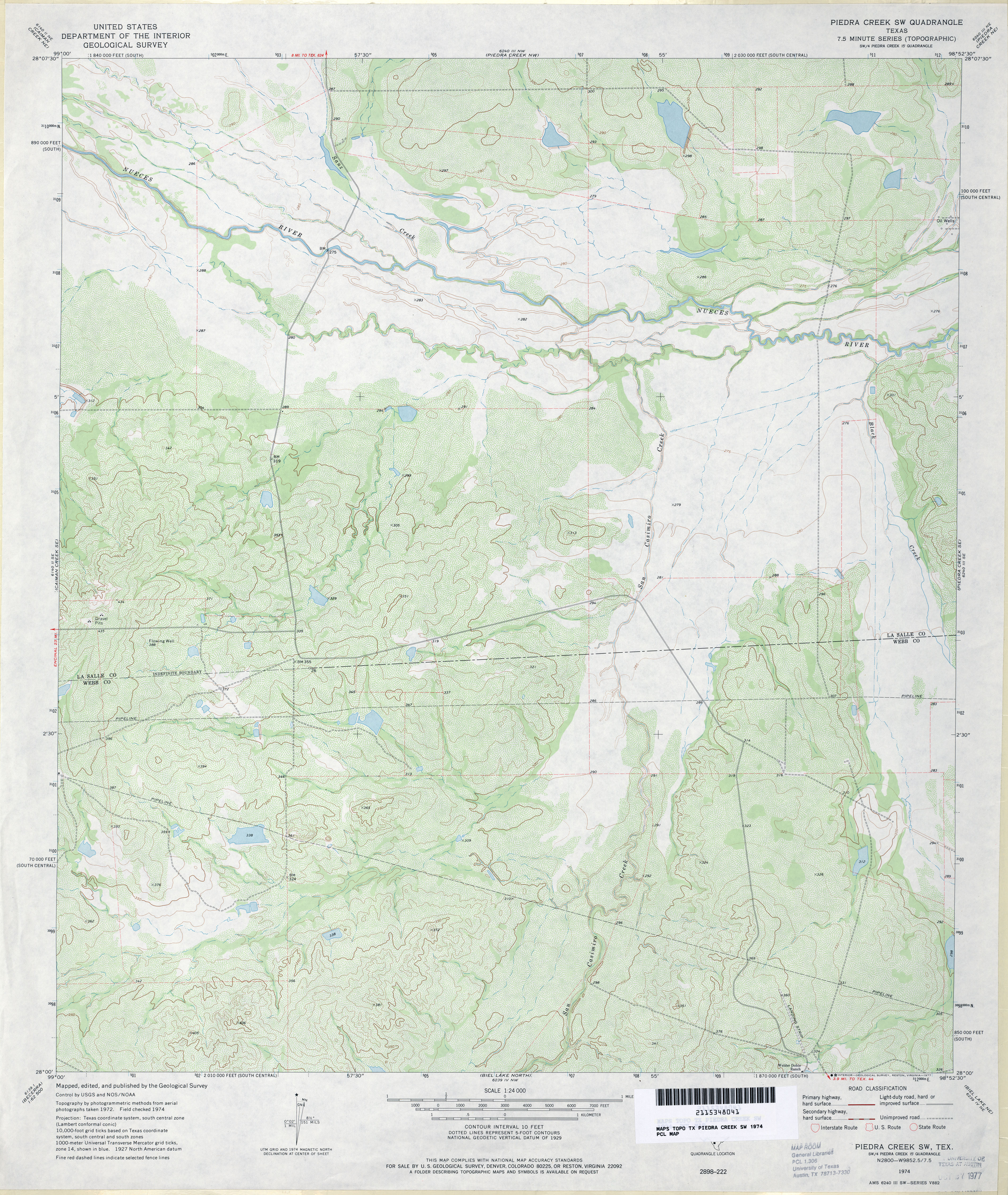
- Piedra Creek SW 1:24,000 1974 (4MB)
- Piedra Creek SW 1:24,000 2008 (17.5MB) [GeoPDF]
- Piedra Creek SW 1:24,000 2012 (23.6MB) [GeoPDF]
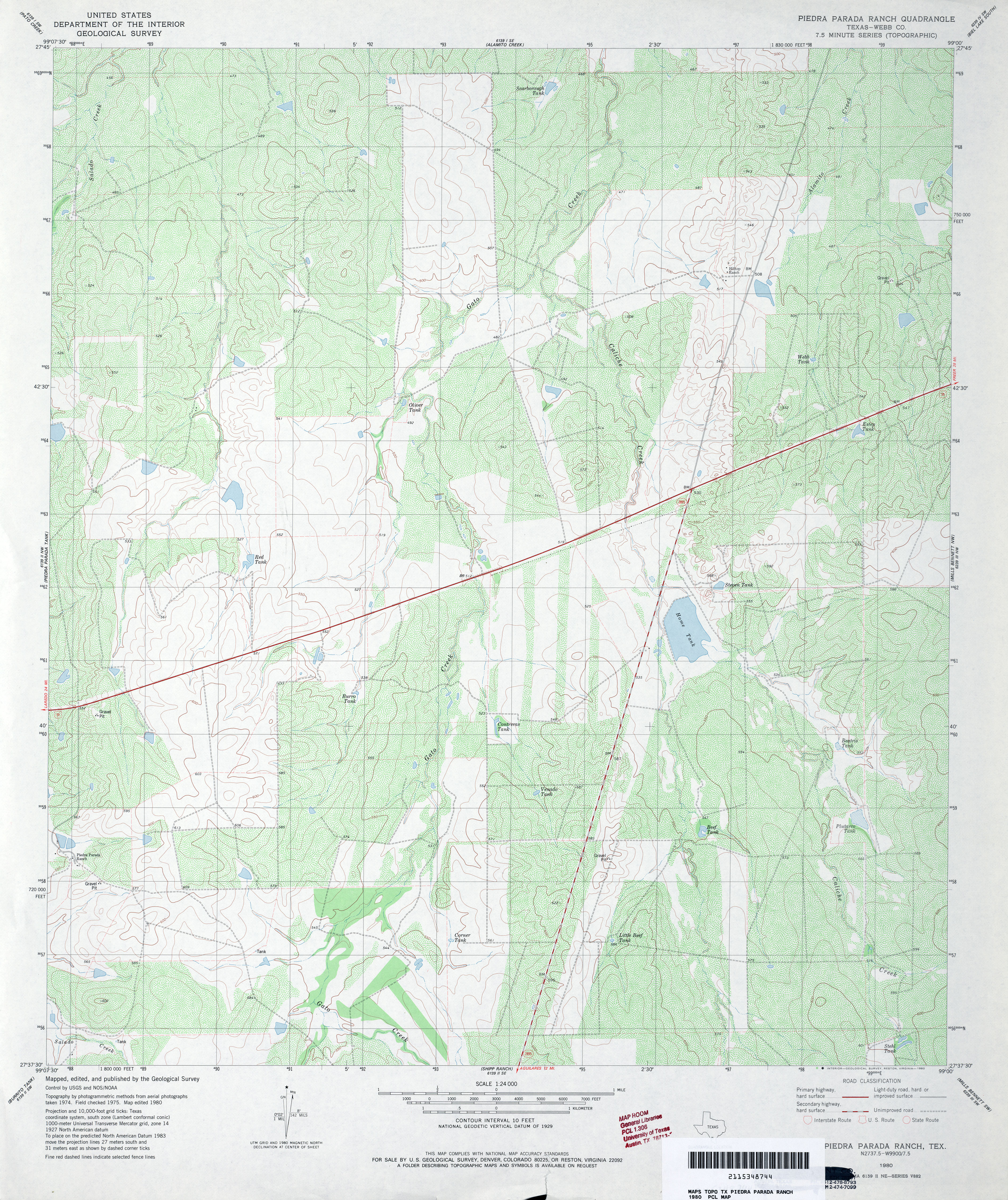
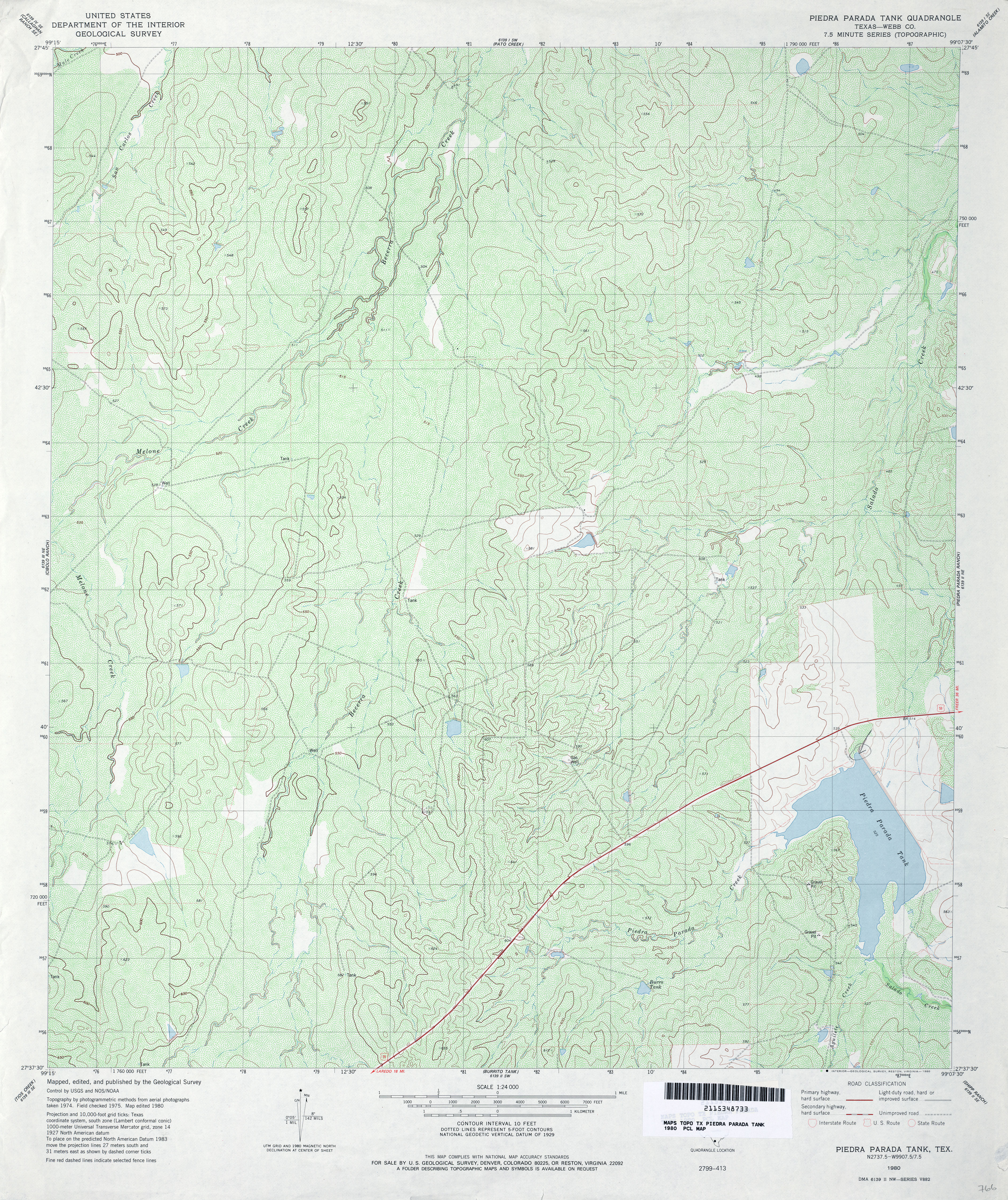
- Piedra Parada Ranch (Webb County) 1:24,000 1980 (5MB)
- Piedra Parada Ranch 1:24,000 2008 (16.7MB) [GeoPDF]
- Piedra Parada Ranch 1:24,000 2013 (25.8MB) [GeoPDF]
- Piedra Parada Tank (Webb County) 1:24,000 1980 (5.6MB)
- Piedra Parada Tank 1:24,000 2008 (17.1MB) [GeoPDF]
- Piedra Parada Tank 1:24,000 2013 (26.4MB) [GeoPDF]
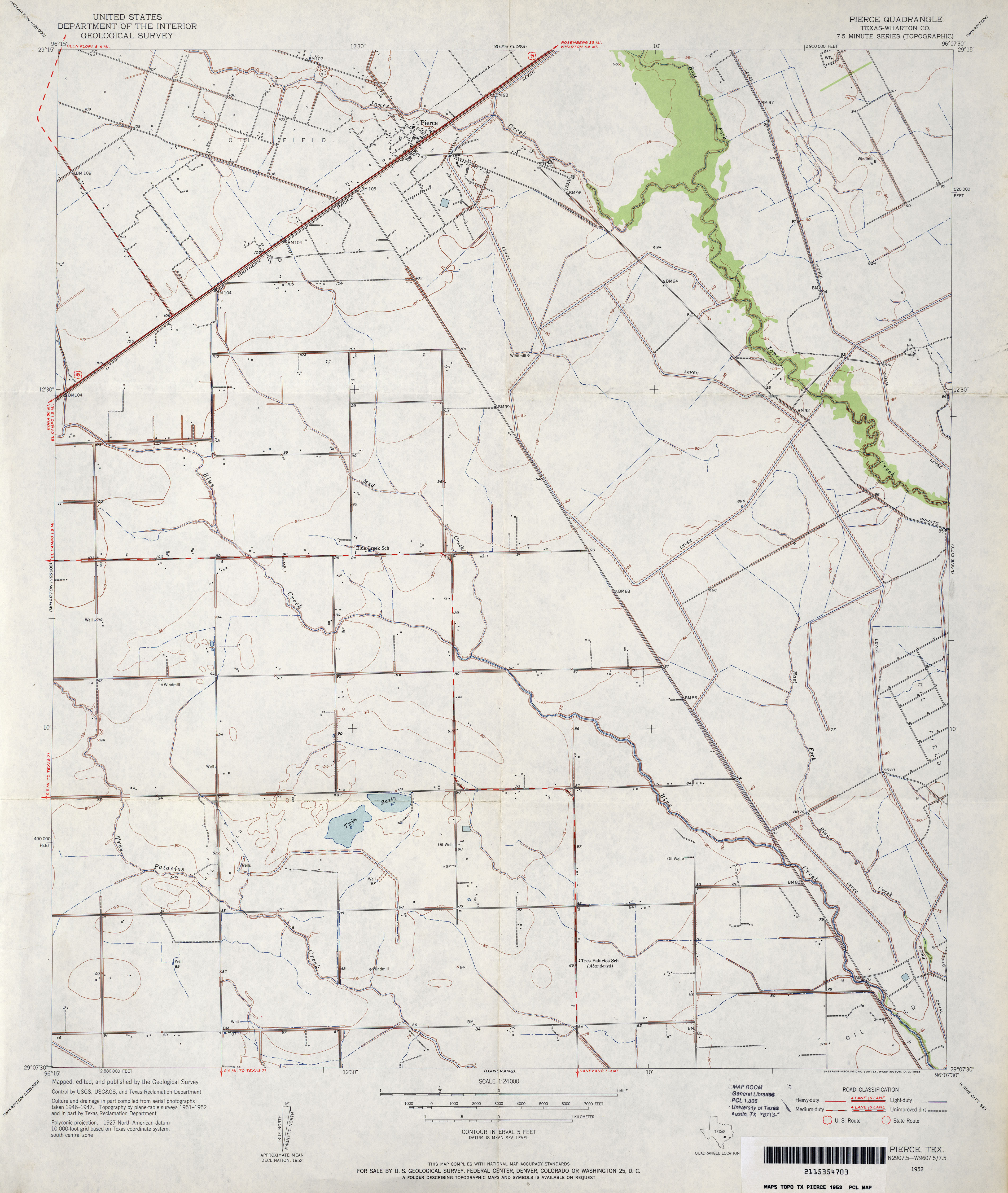
- Pierce (Wharton County) 1:24,000 1952 (3MB)
- Pierce (Wharton County) 1:24,000 1980 (2.9MB)
- Pierce 1:24,000 2009 (8.7MB) [GeoPDF]
- Pierce 1:24,000 2013 (16.3MB) [GeoPDF]
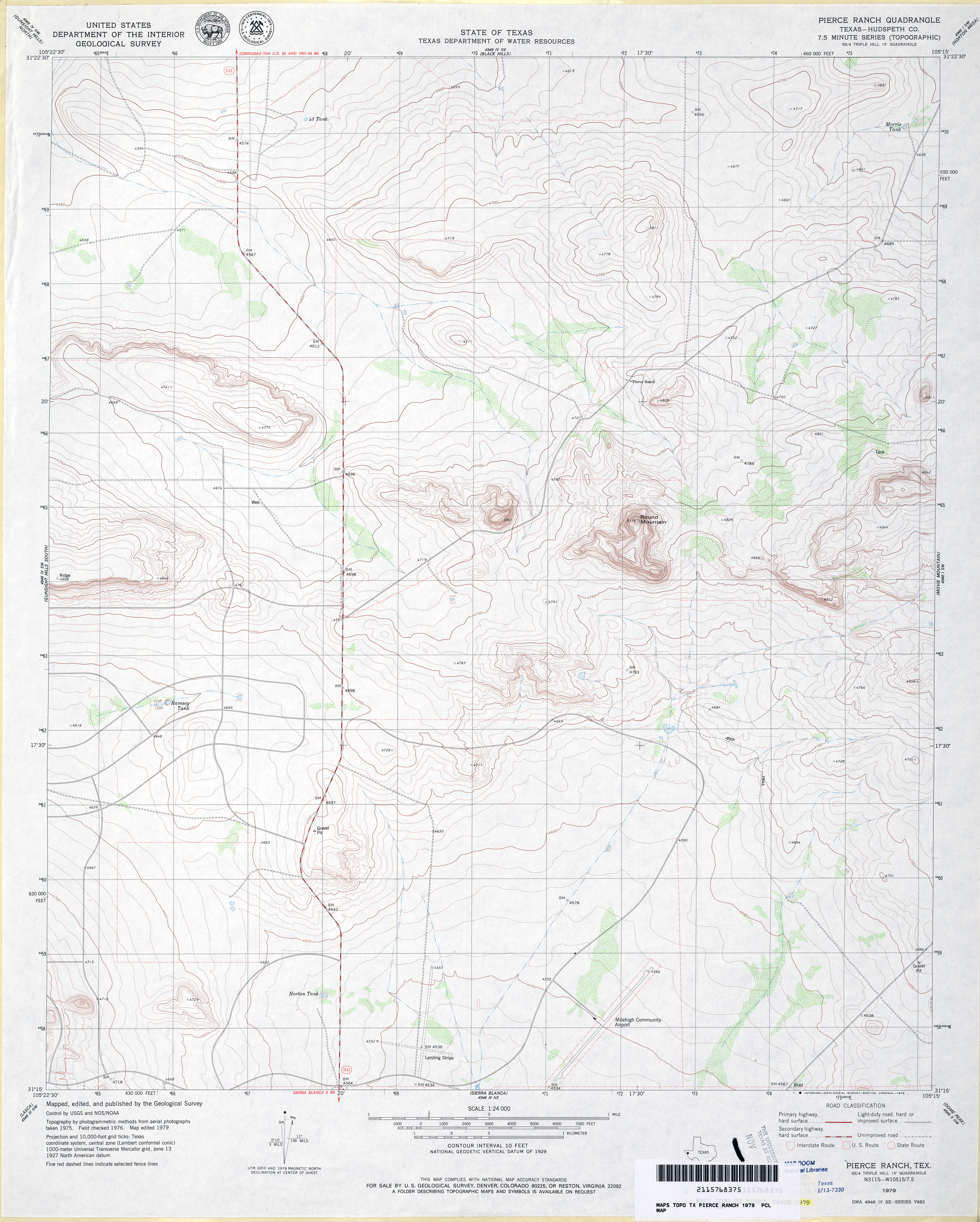
- Pierce Ranch (Hudspeth County) 1:24,000 1979 (3.2MB)
- Pierce Ranch 1:24,000 2008 (18.6MB) [GeoPDF]
- Pierce Ranch 1:24,000 2012 (26.6MB) [GeoPDF]
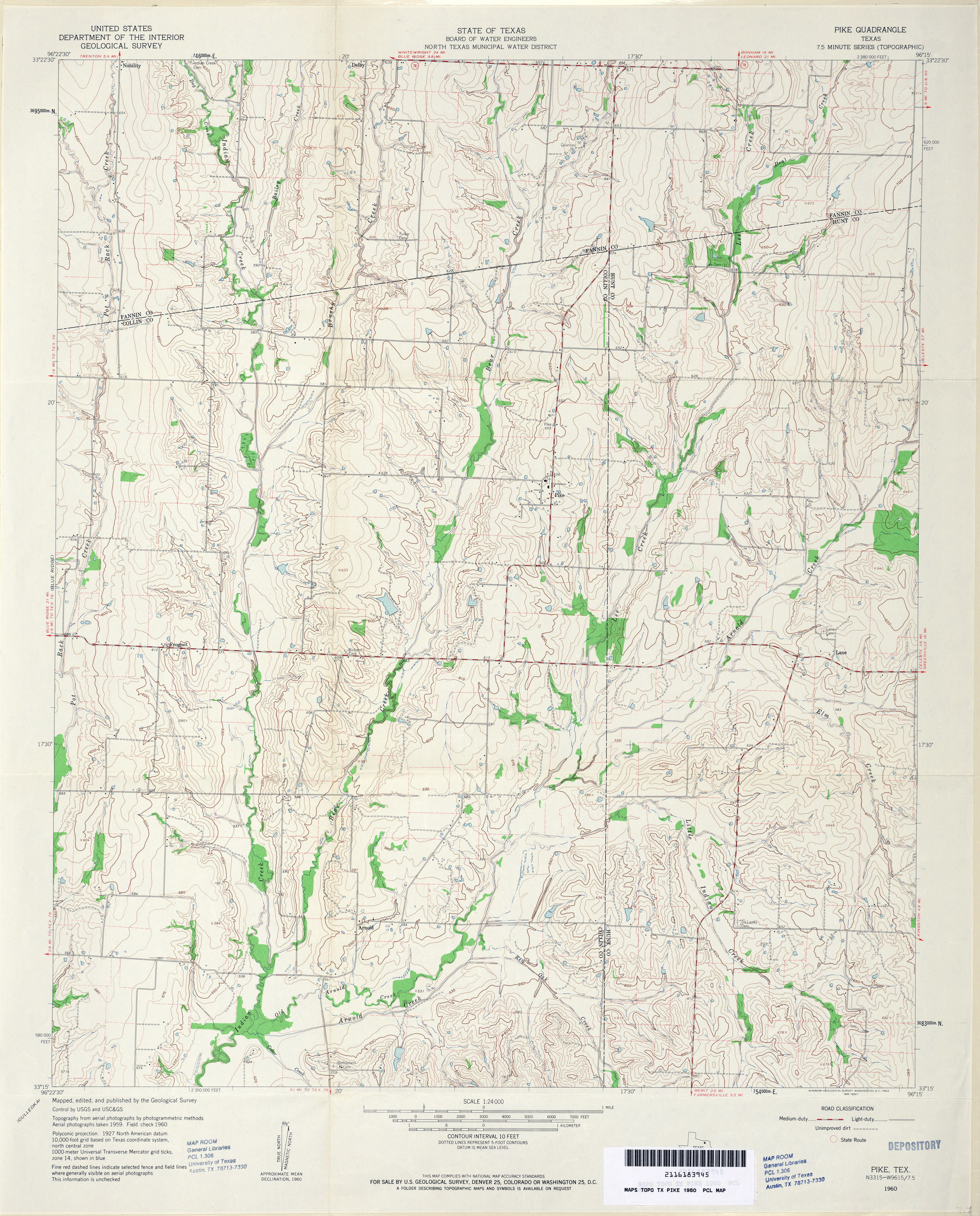
- Pike 1:24,000 1960 (4.2MB)
- Pike 1:24,000 2008 (13.1MB) [GeoPDF]
- Pike 1:24,000 2013 (20MB) [GeoPDF]
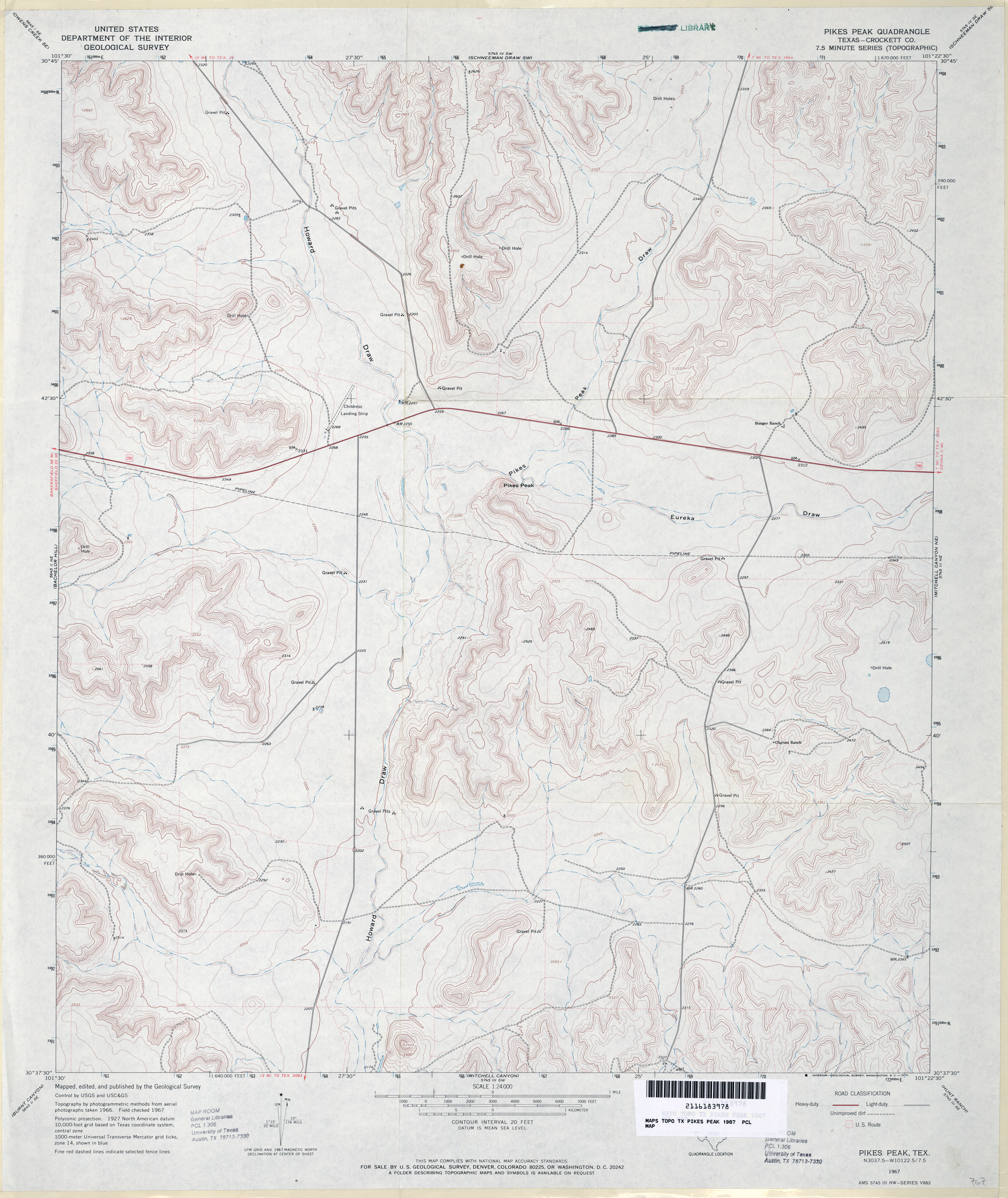
- Pikes Peak (Crockett County) 1:24,000 1967 (3.6MB)
- Pikes Peak (Crockett County) 1:24,000 1979 (3.7MB)
- Pikes Peak 1:24,000 2008 (28.1MB) [GeoPDF]
- Pikes Peak 1:24,000 2012 (34.7MB) [GeoPDF]
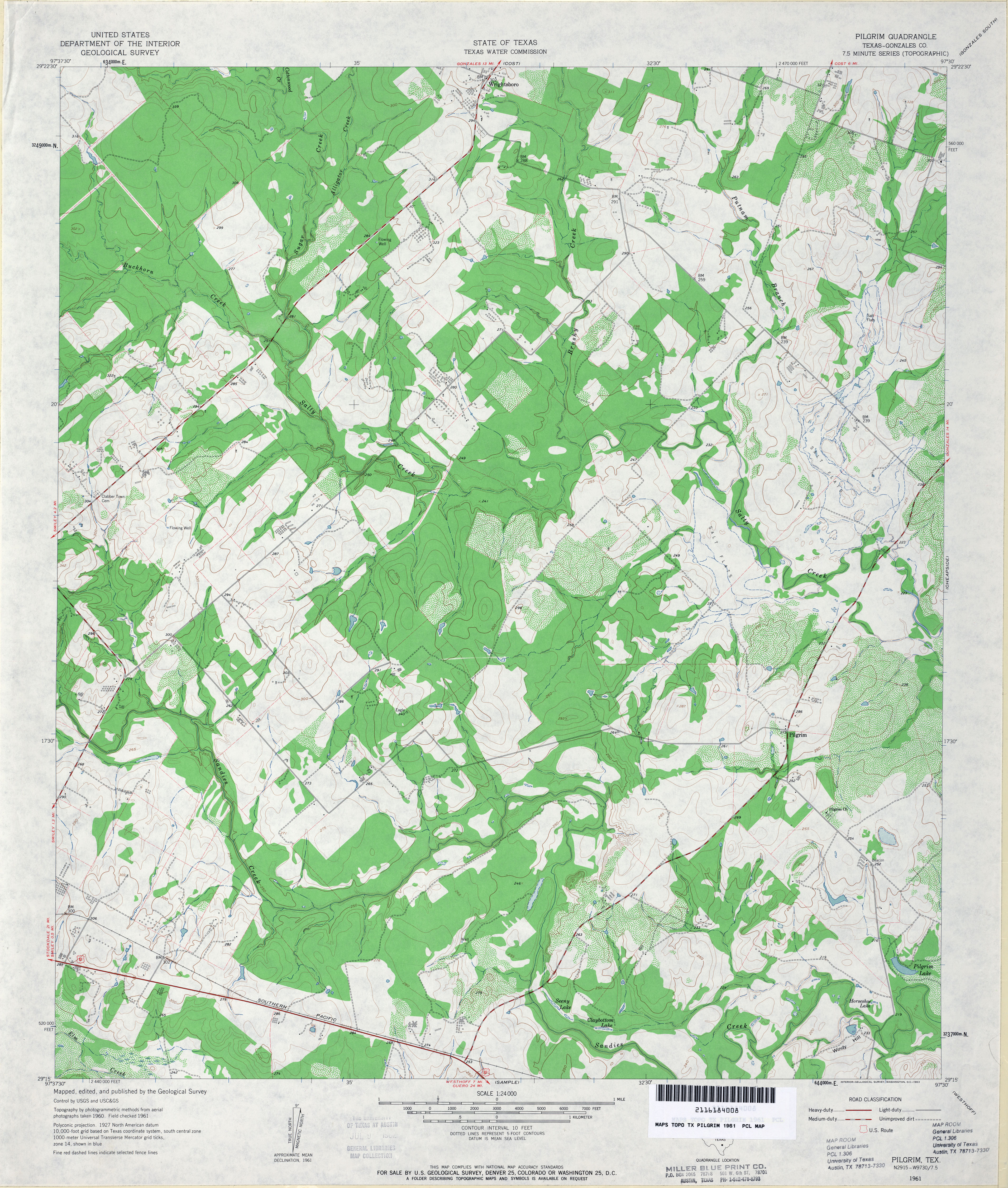
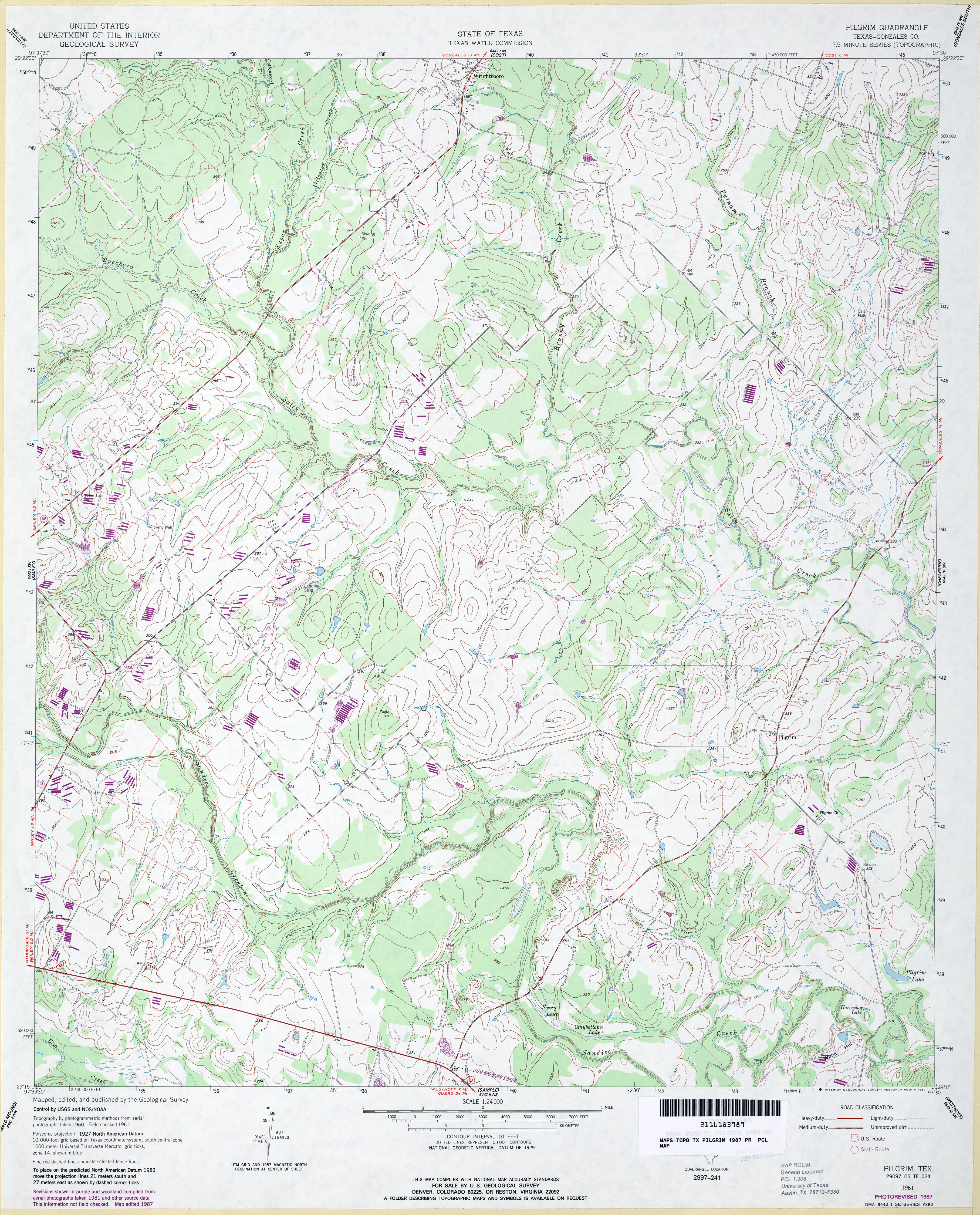
- Pilgrim (Gonzales County) 1:24,000 1961 (4.1MB)
- Pilgrim (Gonzales County) 1:24,000 1987 (4.3MB)
- Pilgrim 1:24,000 2008 (14.6MB) [GeoPDF]
- Pilgrim 1:24,000 2013 (24.3MB) [GeoPDF]
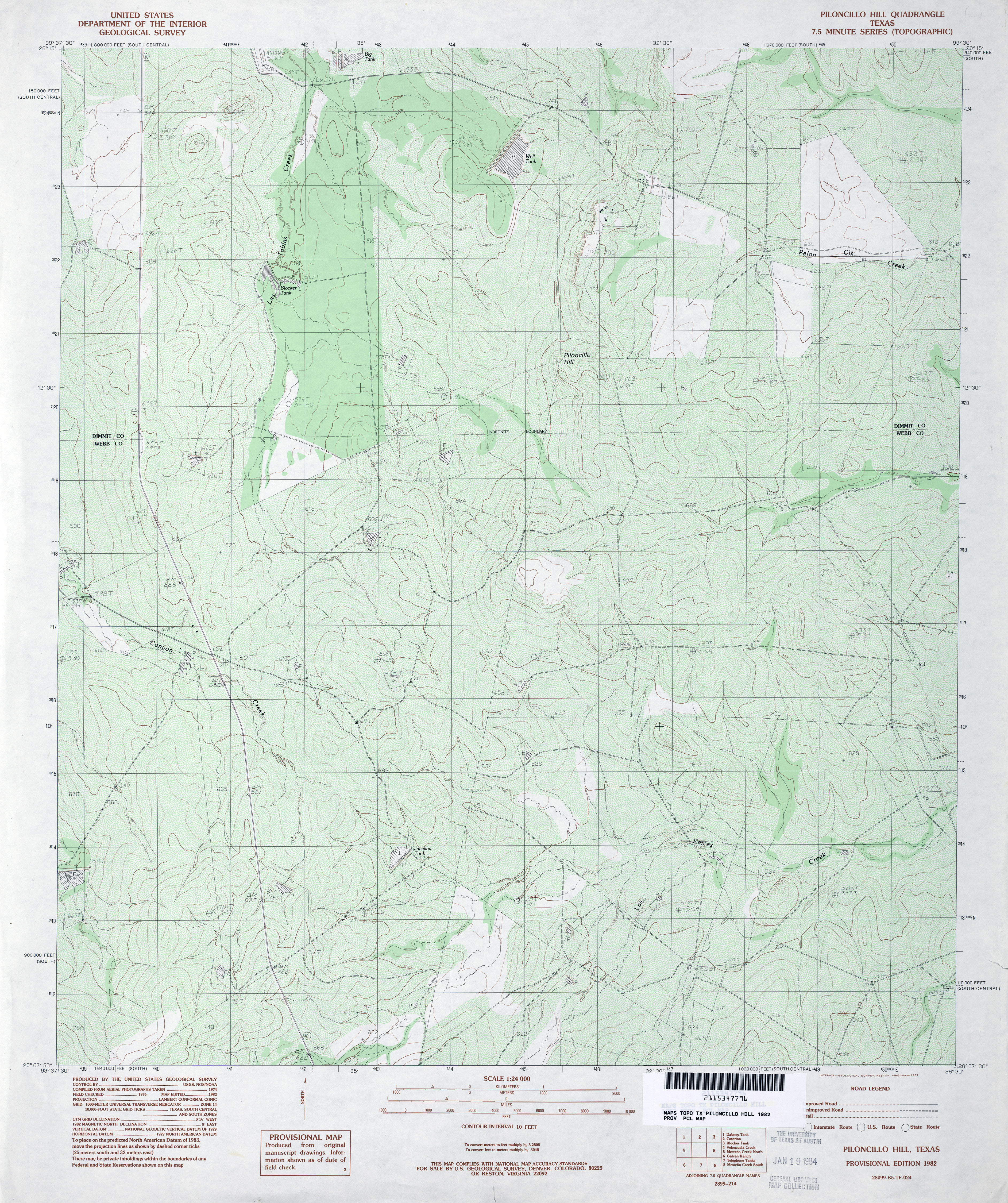
- Piloncillo Hill 1:24,000 1982 (4.9MB)
- Piloncillo Hill 1:24,000 2008 (18MB) [GeoPDF]
- Piloncillo Hill 1:24,000 2013 (24.7MB) [GeoPDF]
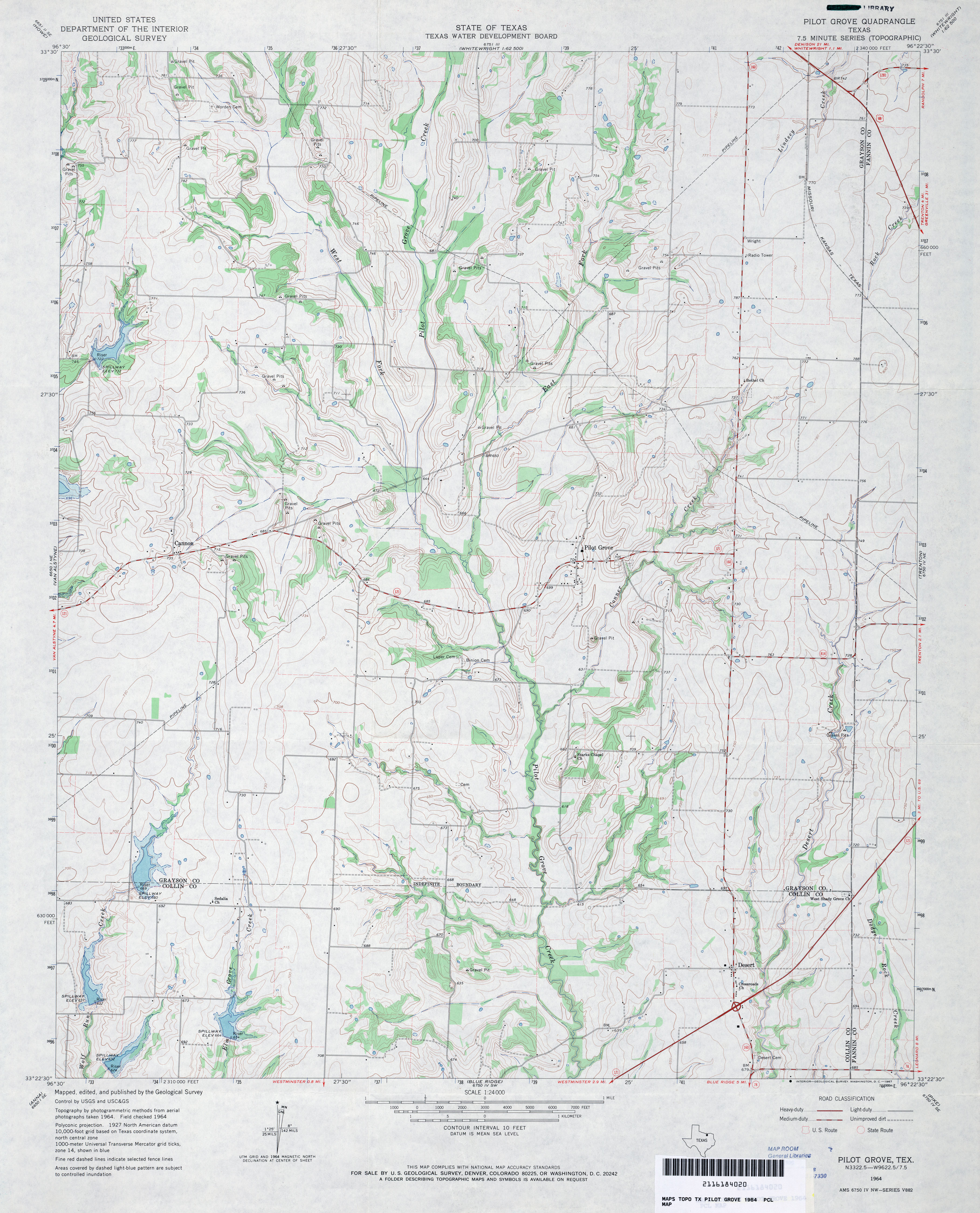
- Pilot Grove 1:24,000 1964 (3.7MB)
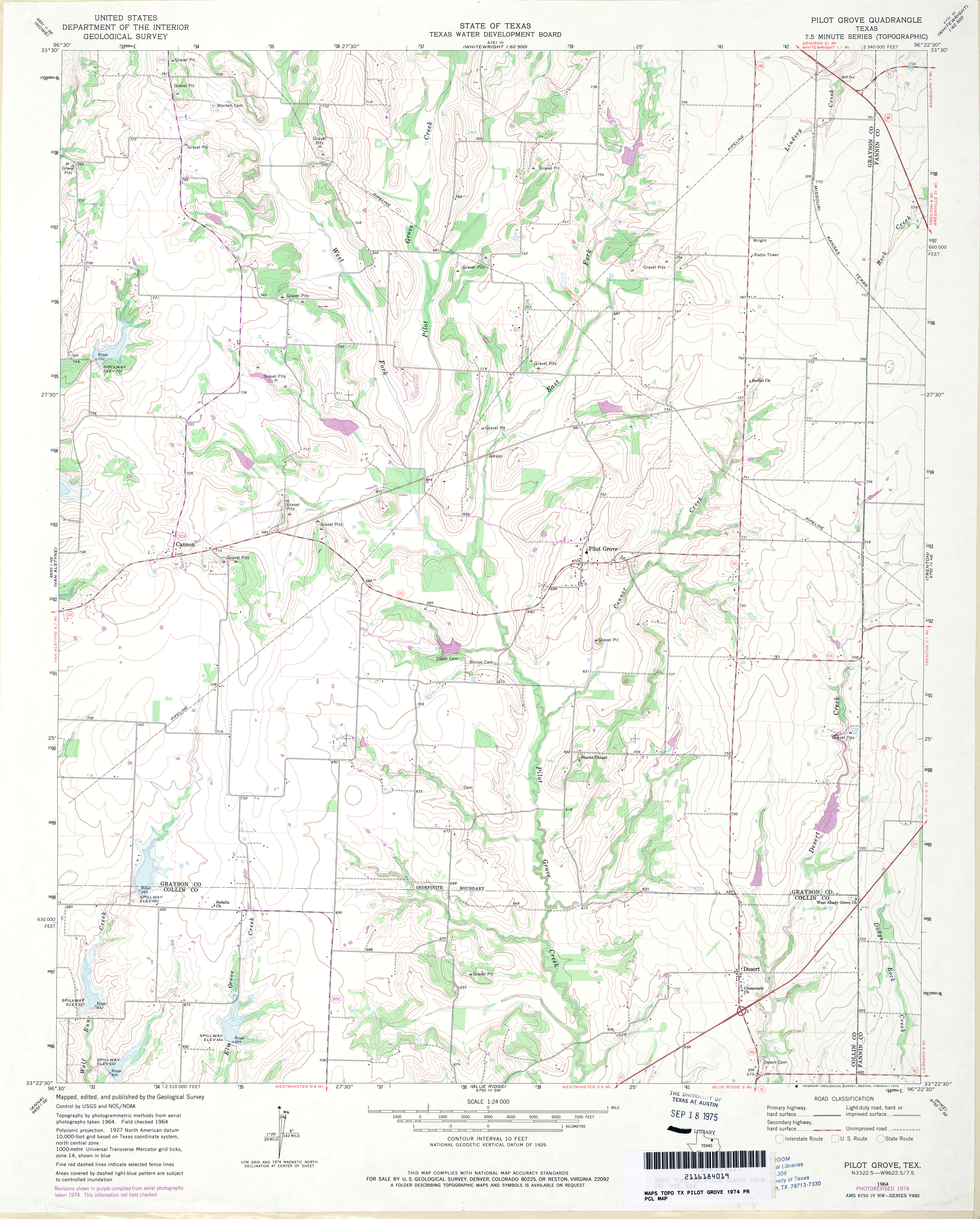
- Pilot Grove 1:24,000 1974 (3.4MB)
- Pilot Grove 1:24,000 2008 (14.2MB) [GeoPDF]
- PIlot Grove 1:24,000 2013 (20.5MB) [GeoPDF]
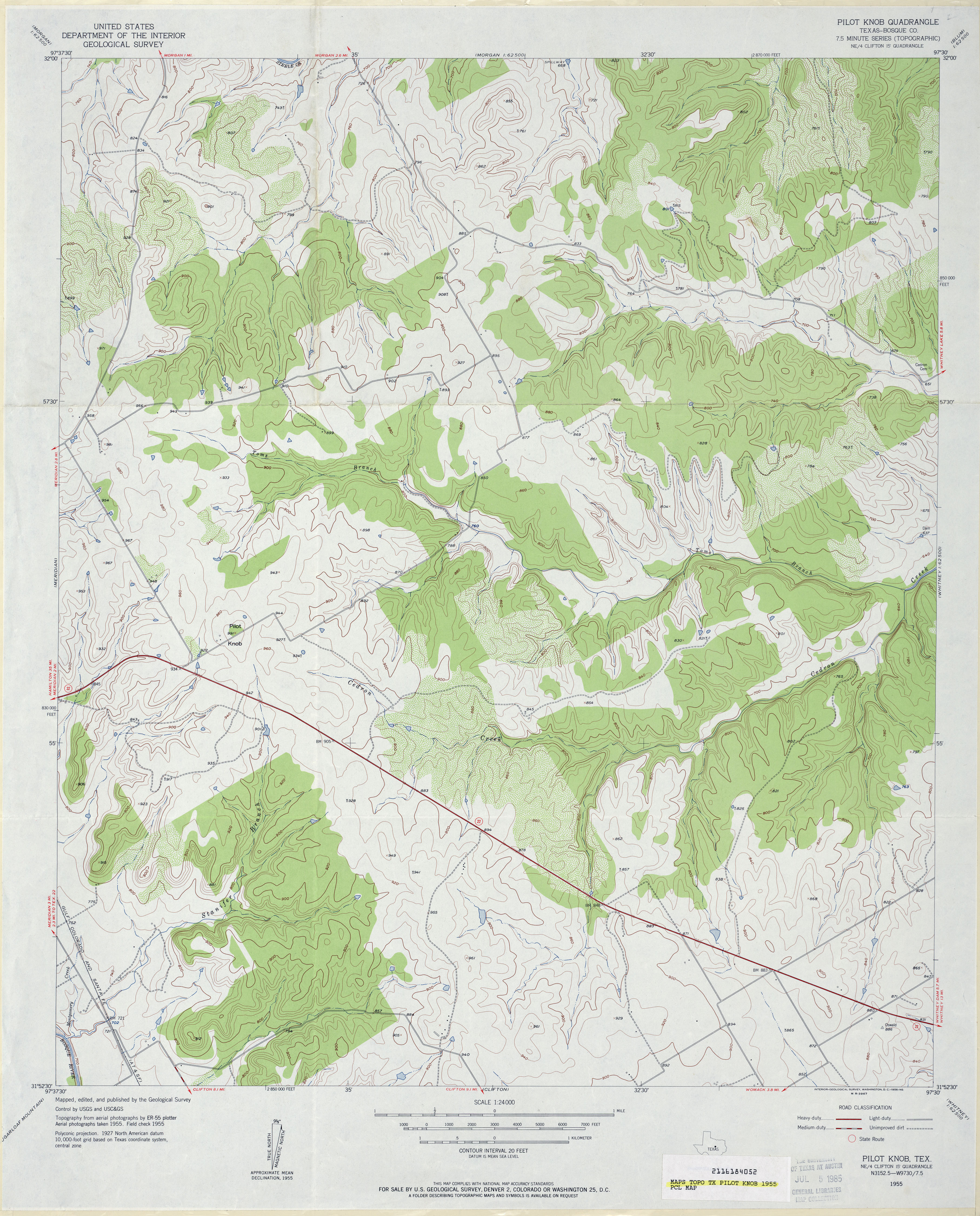
- Pilot Knob (Bosque County) 1:24,000 1955 (3.8MB)
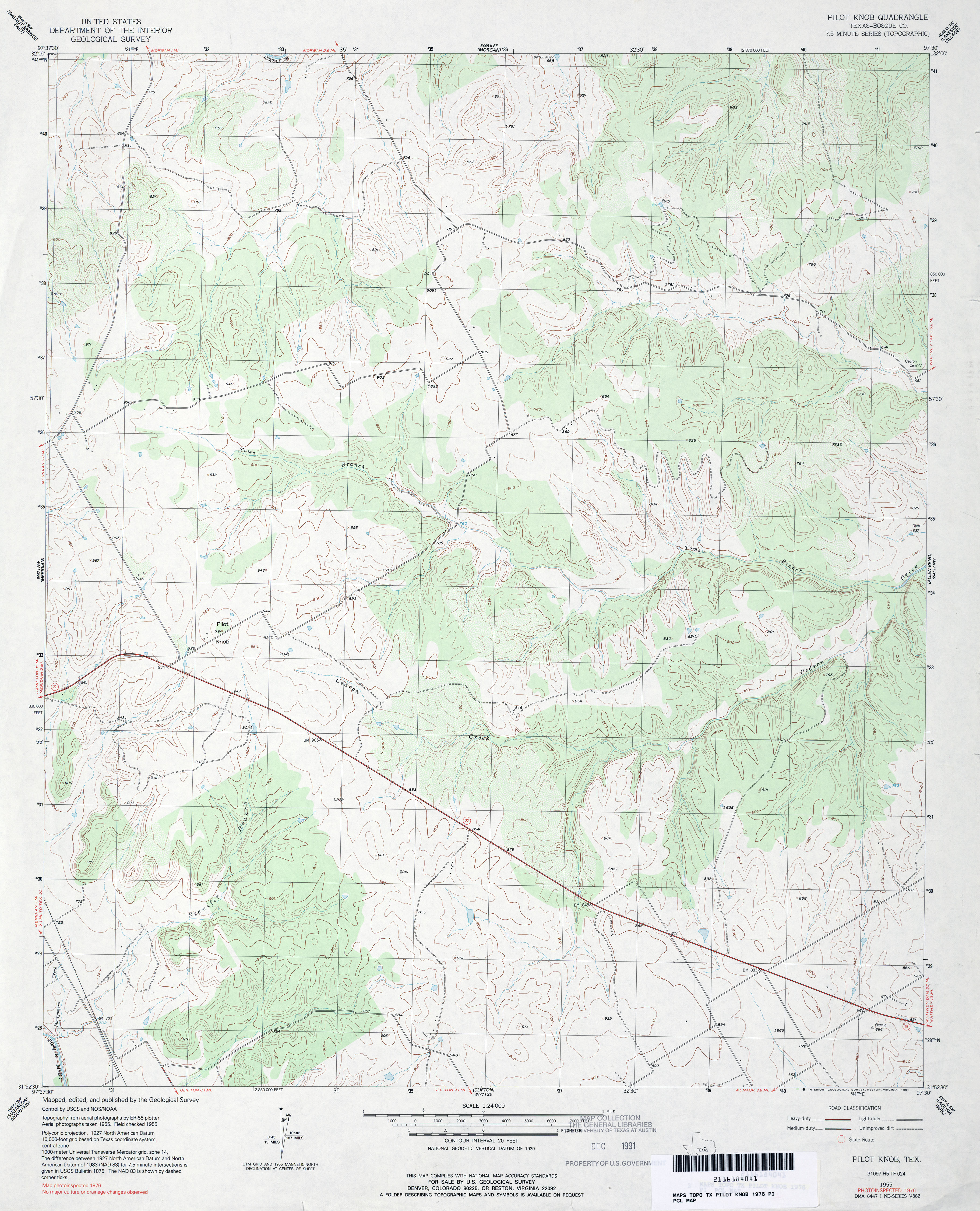
- Pilot Knob (Bosque County) 1:24,000 1976 (3.8MB)
- Pilot Knob 1:24,000 2008 (16.7MB) [GeoPDF]
- Pilot Knob 1:24,000 2012 (21.9MB) [GeoPDF]
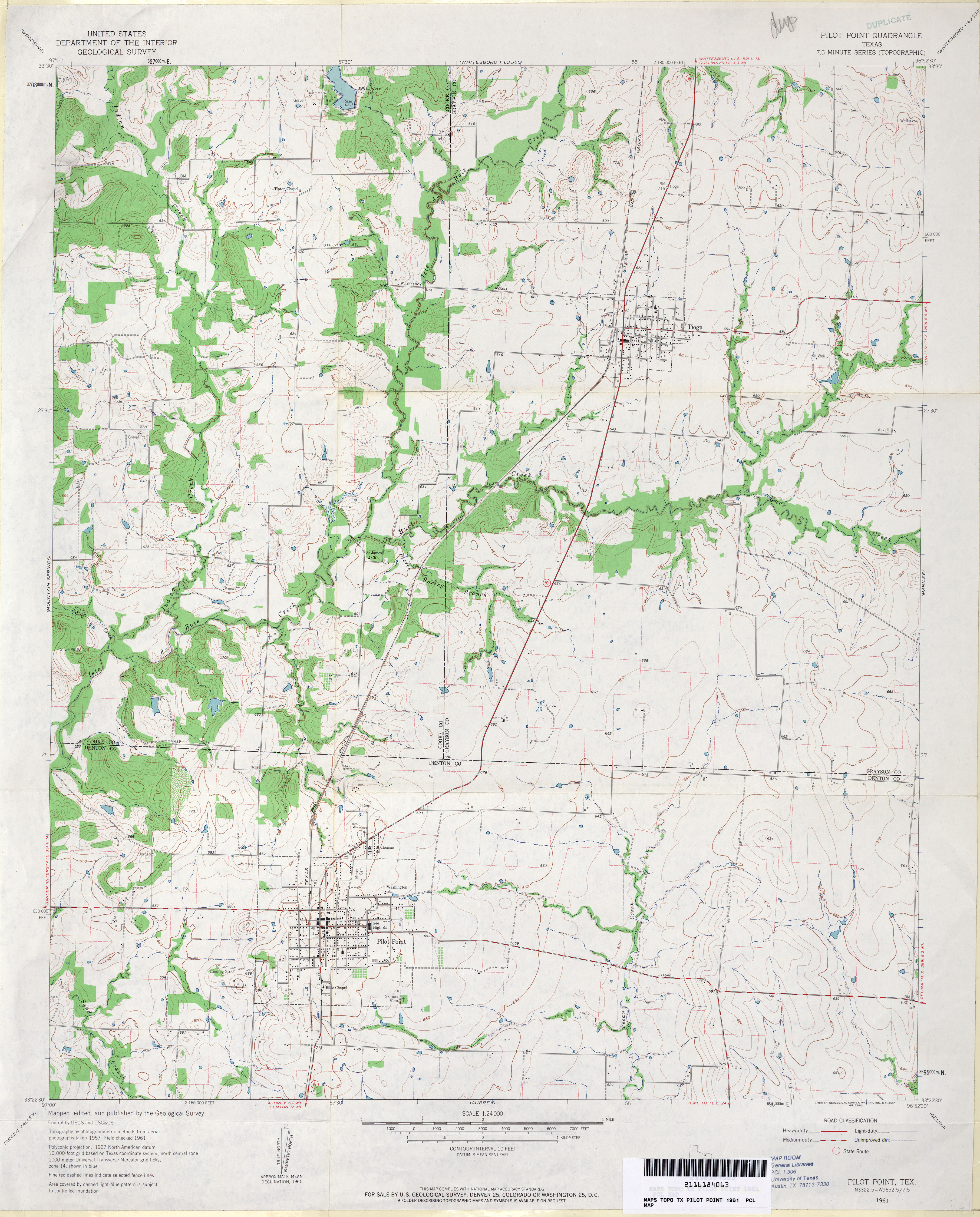
- Pilot Point 1:24,000 1961 (3.5MB)
- Pilot Point 1:24,000 2008 (11.3MB) [GeoPDF]
- Pilot Point 1:24,000 2013 (17.2MB) [GeoPDF]
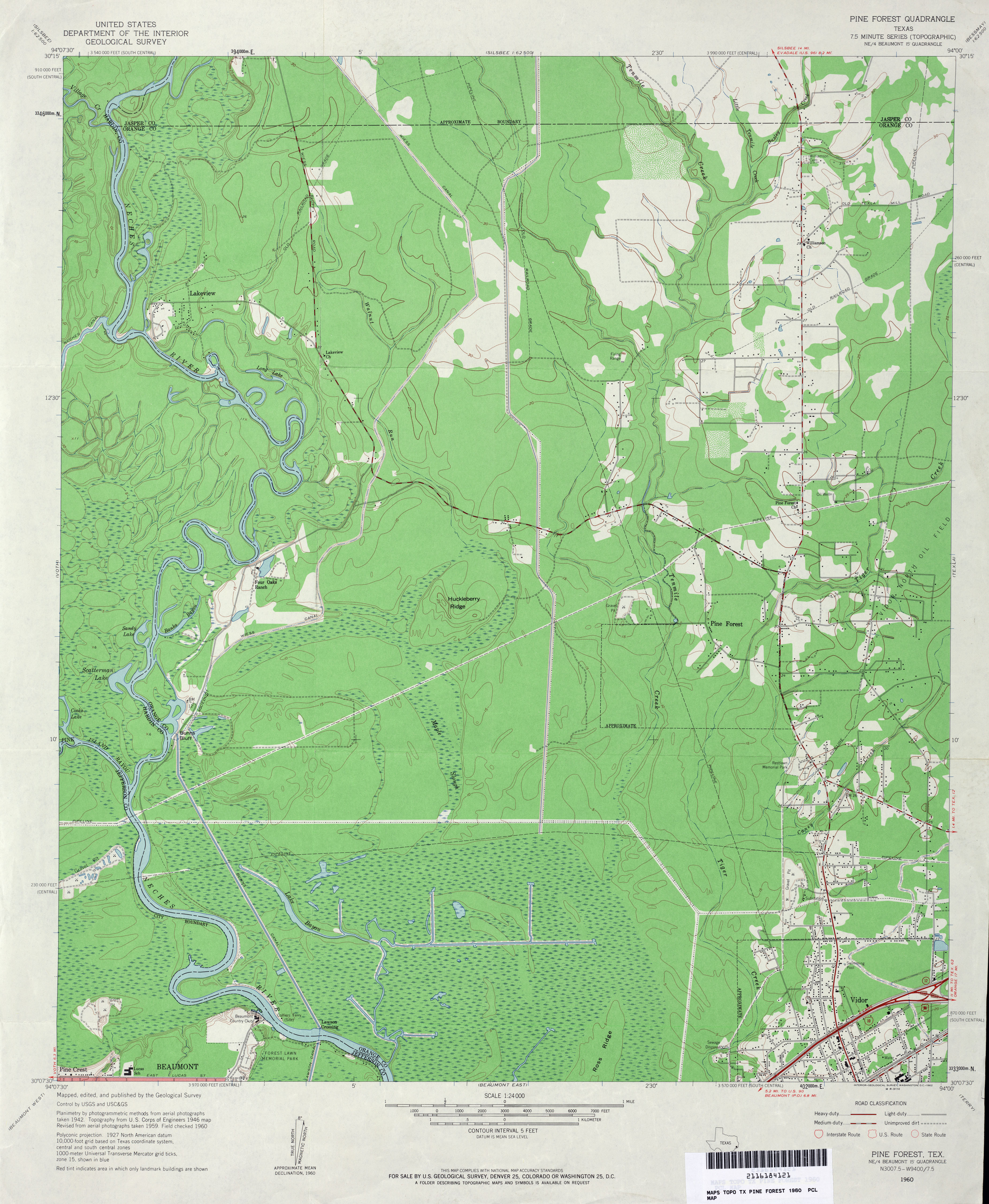
- Pine Forest 1:24,000 1960 (3.7MB)
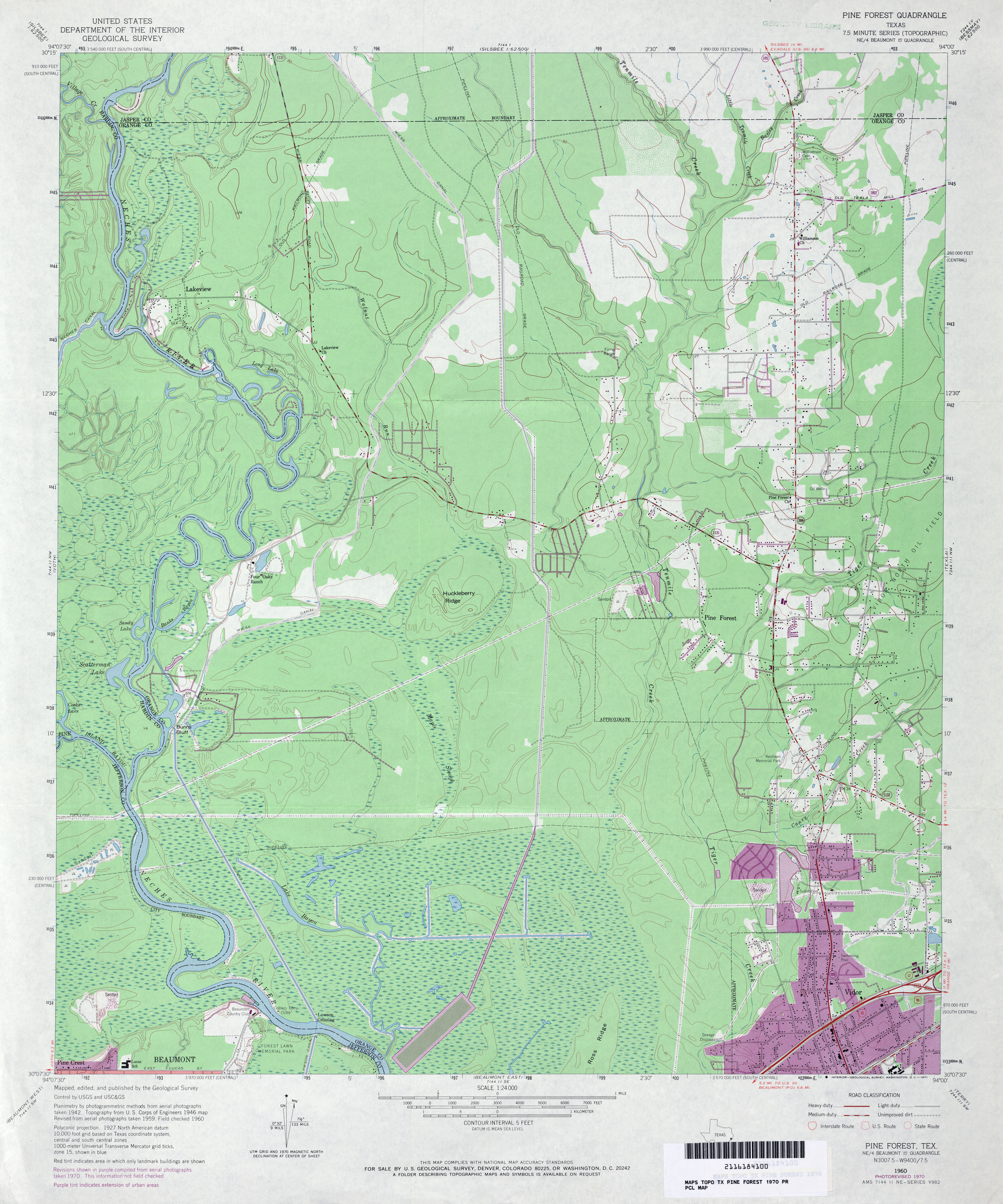
- Pine Forest 1:24,000 1970 (3.8MB)
- Pine Forest 1:24,000 1974 (3.7MB)
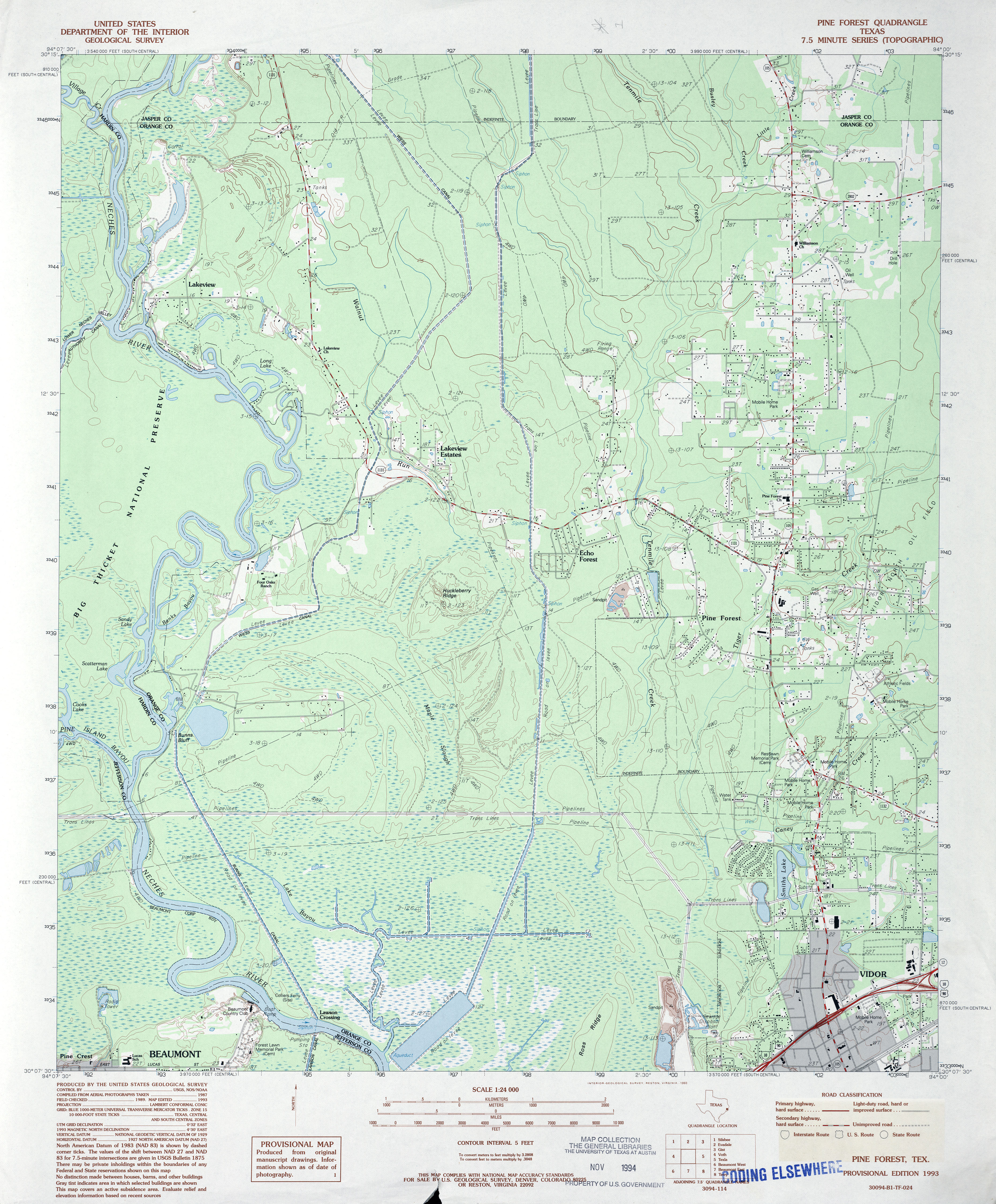
- Pine Forest 1:24,000 1993 (4.2MB)
- Pine Forest 1:24,000 2009 (24.2MB) [GeoPDF]
- Pine Forest 1:24,000 2013 (24MB) [GeoPDF]
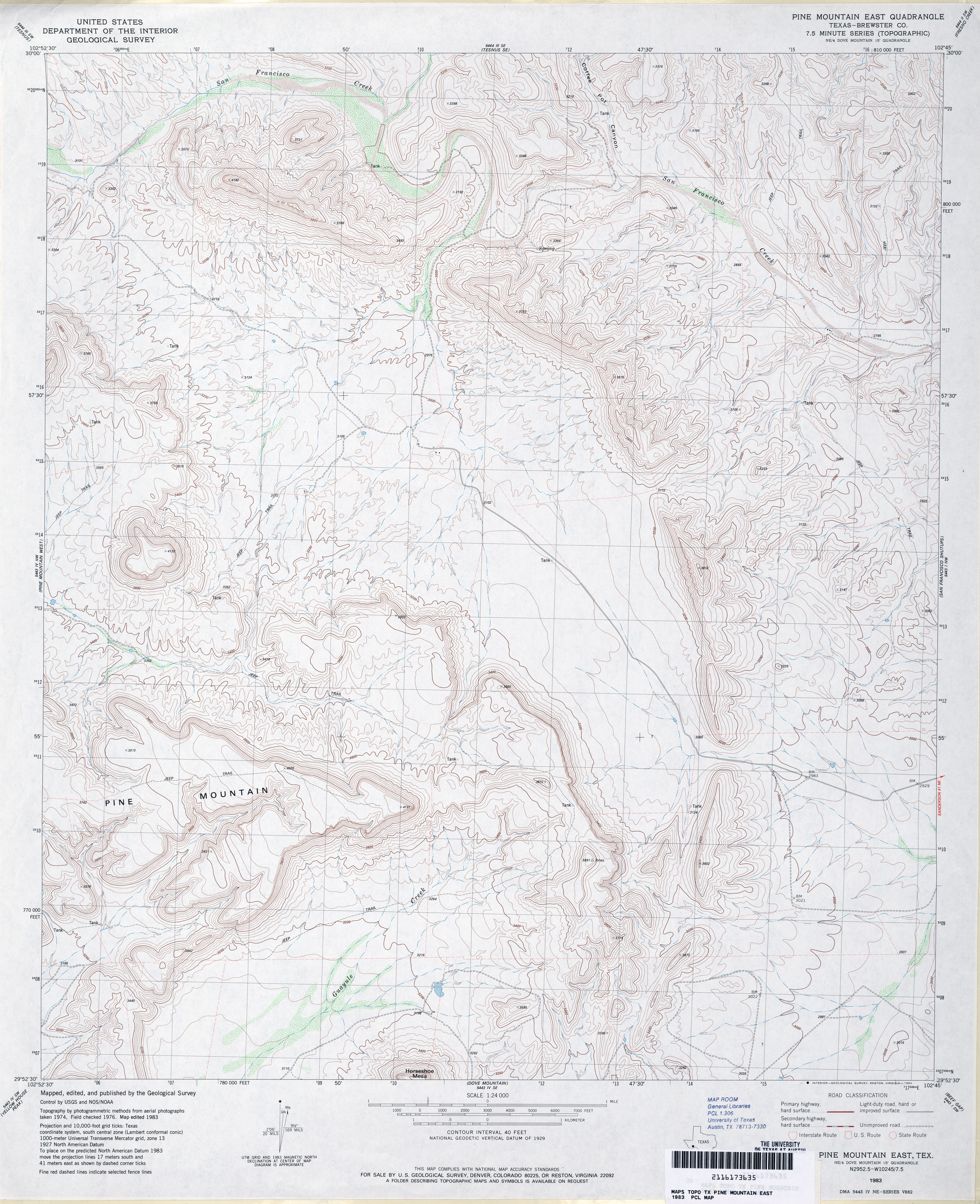
- Pine Mountain East (Brewster County) 1:24,000 1983 (4.4MB)
- Pine Mountain East 1:24,000 2008 (22.0MB) [GeoPDF]
- Pine Mountain East 1:24,000 2013 (28.3MB) [GeoPDF]
- Pine Mountain West (Brewster County) 1:24,000 1983 (3.9MB)
- Pine Mountain West 1:24,000 2008 (22.3MB) [GeoPDF]
- Pine Mountain West 1:24,000 2013 (26.8MB) [GeoPDF]
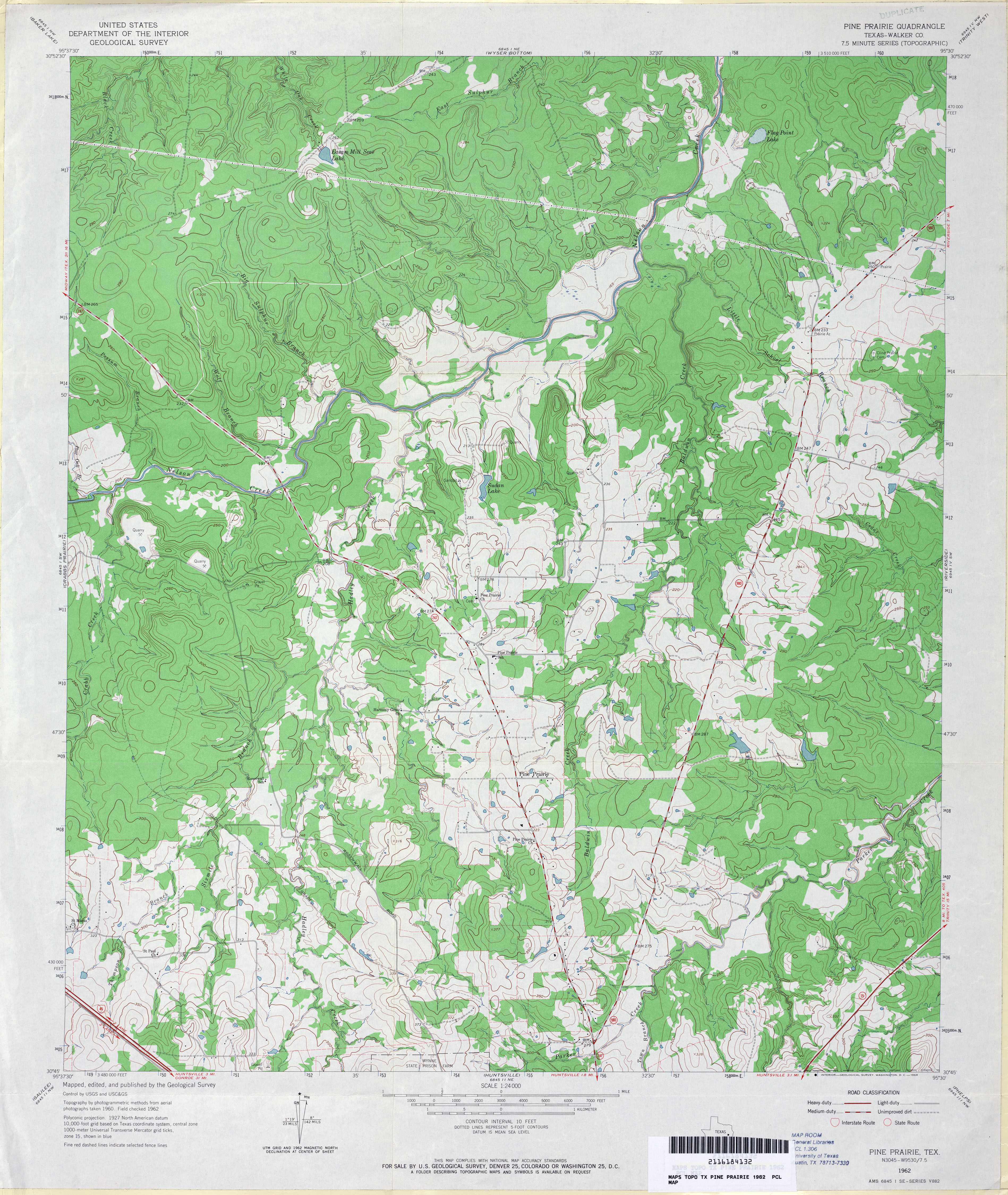
- Pine Prairie (Walker County) 1:24,000 1962 (4.5MB)
- Pine Prairie (Walker County) 1:24,000 1997 (4.5MB)
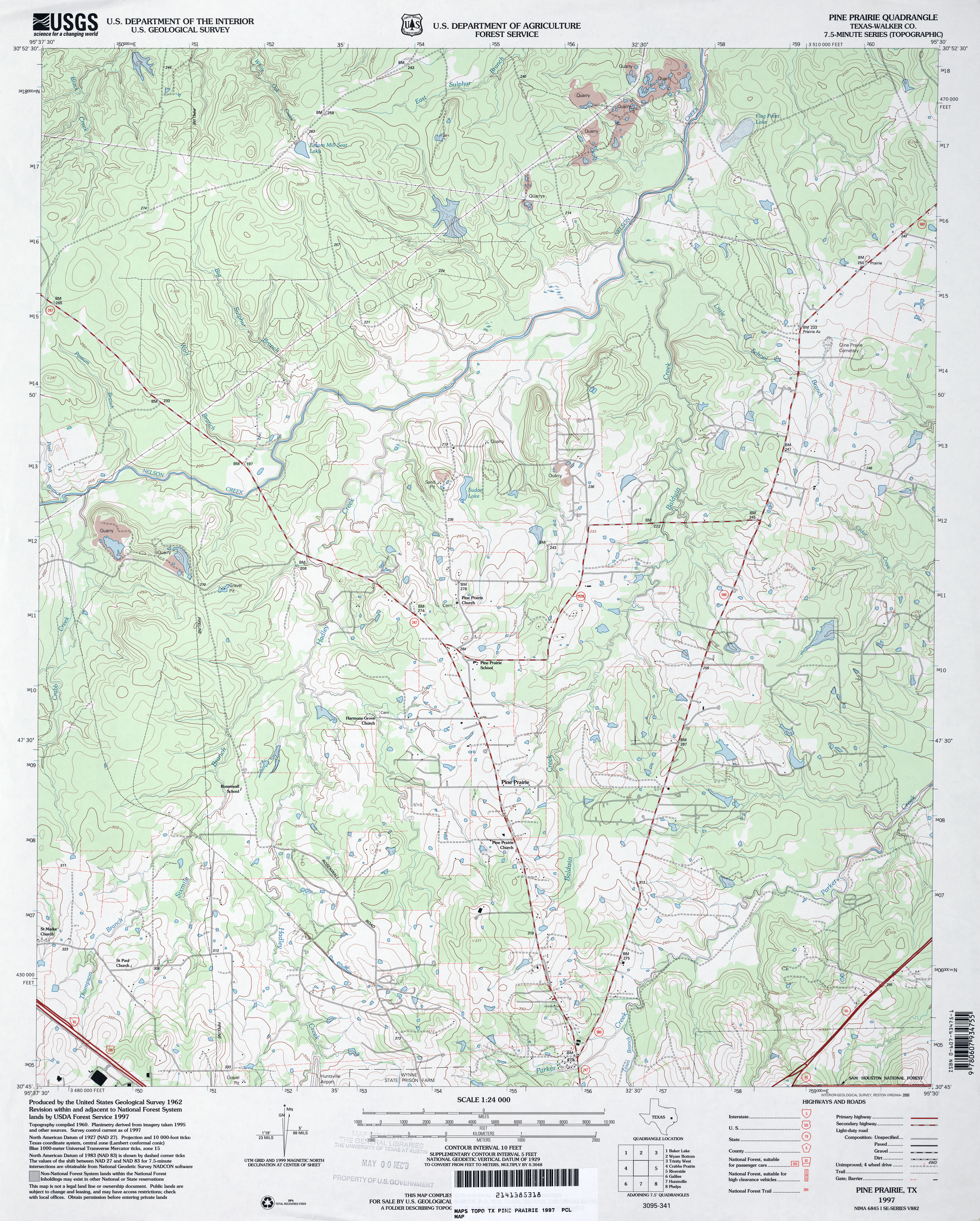
- Pine Prairie 1:24,000 2009 (24.2MB) [GeoPDF]
- Pine Prairie 1:24,000 2013 (22.6MB) [GeoPDF]
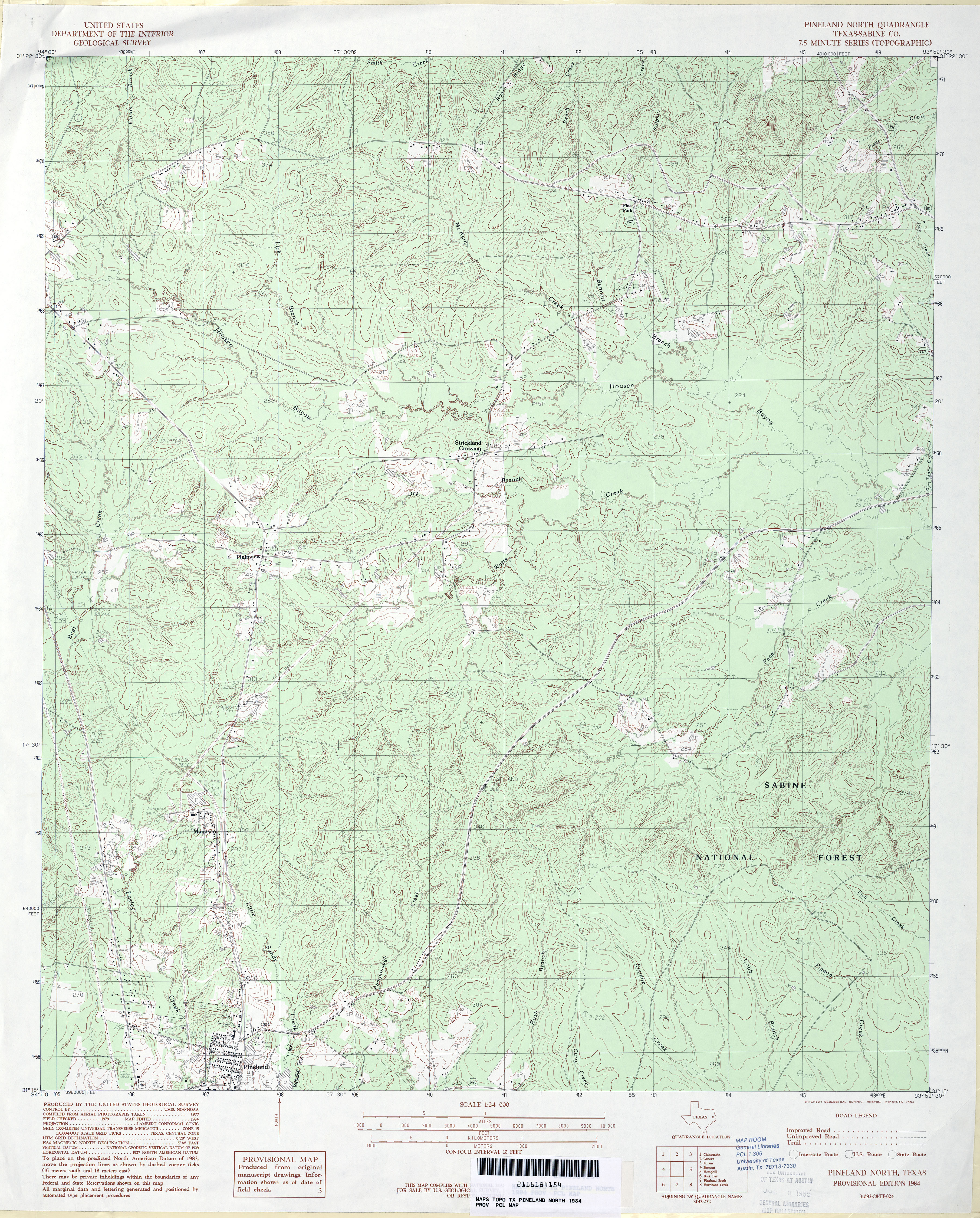
- Pineland North (Sabine County) 1:24,000 1984 (4.9MB)
- Pineland North (Sabine County) 1:24,000 2003 (5.2MB)
- Pineland North 1:24,000 2009 (25.9MB) [GeoPDF]
- Pineland North 1:24,000 2012 (28MB) [GeoPDF]
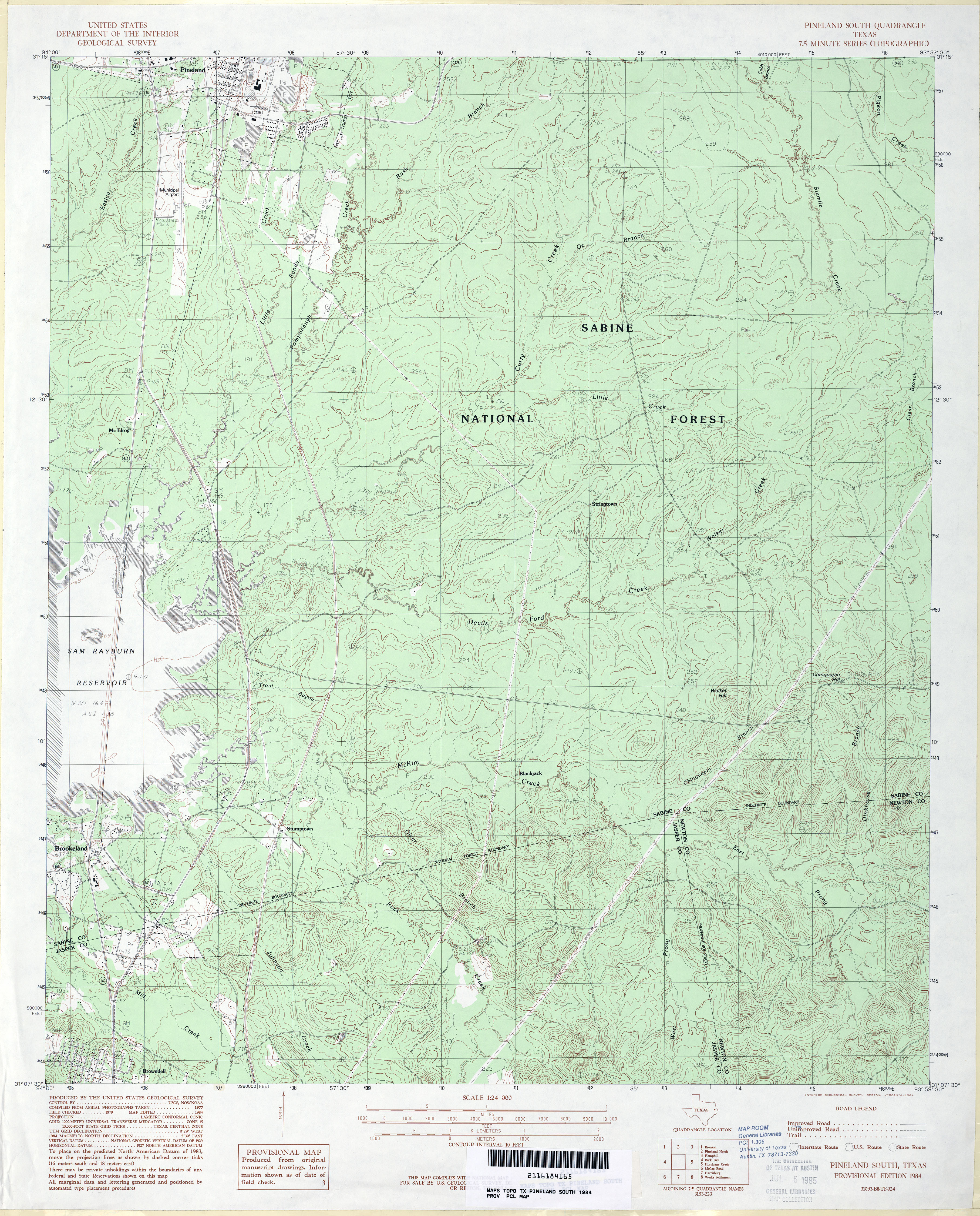
- Pineland South 1:24,000 1984 (4.6MB)
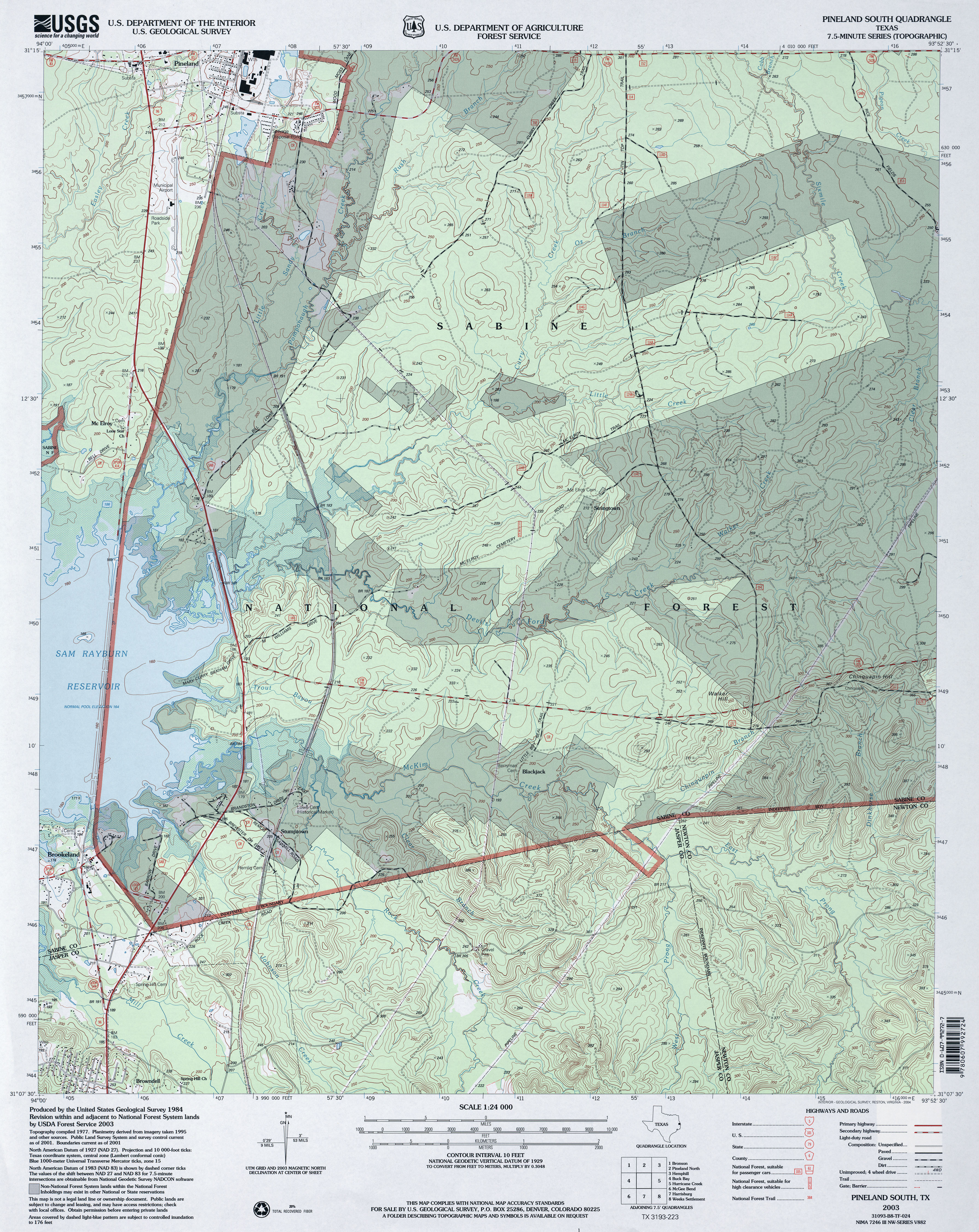
- Pineland South 1:24,000 2003 (5.1MB)
- Pineland South 1:24,000 2009 (26.6MB) [GeoPDF]
- Pineland South 1:24,000 2012 (27.8MB) [GeoPDF]
- Pinkerton (Haskell County) 1:24,000 1966 (3MB)
- Pinkerton 1:24,000 2008 (10.3MB) [GeoPDF]
- Pinkerton 1:24,000 2012 (16MB) [GeoPDF]
- Pinto Creek (Webb County) 1:24,000 1982 (5.5MB)
- Pinto Creek 1:24,000 2008 (17.6MB) [GeoPDF]
- Pinto Creek 1:24,000 2013 (29.8MB) [GeoPDF]
- Pinto Mountain (Kinney County) 1:24,000 1974 (5.8MB)
- Pinto Mountain 1:24,000 2008 (22.0MB) [GeoPDF]
- Pinto Mountain 1:24,000 2012 (30.8MB) [GeoPDF]
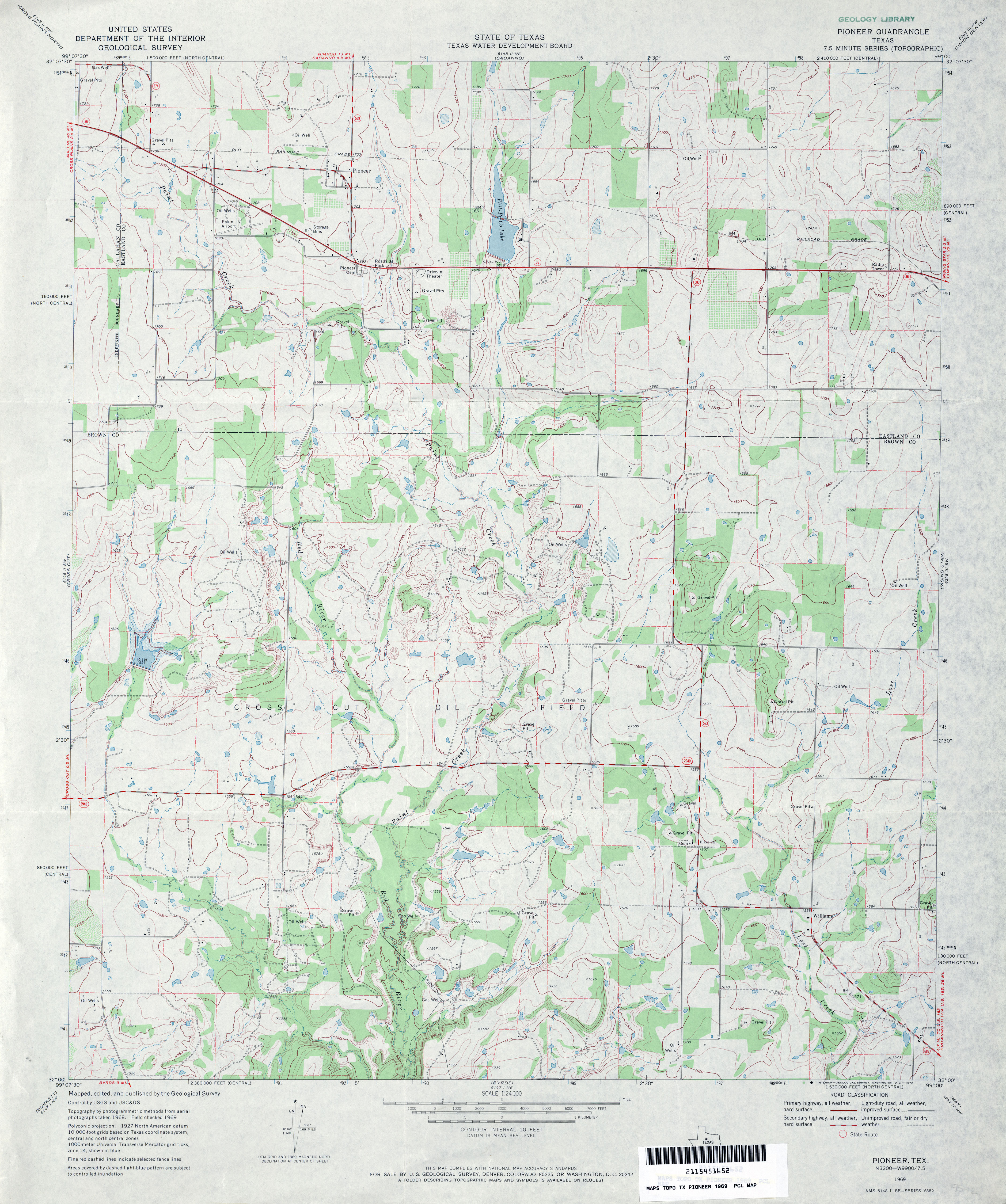
- Pioneer 1:24,000 1969 (3.8MB)
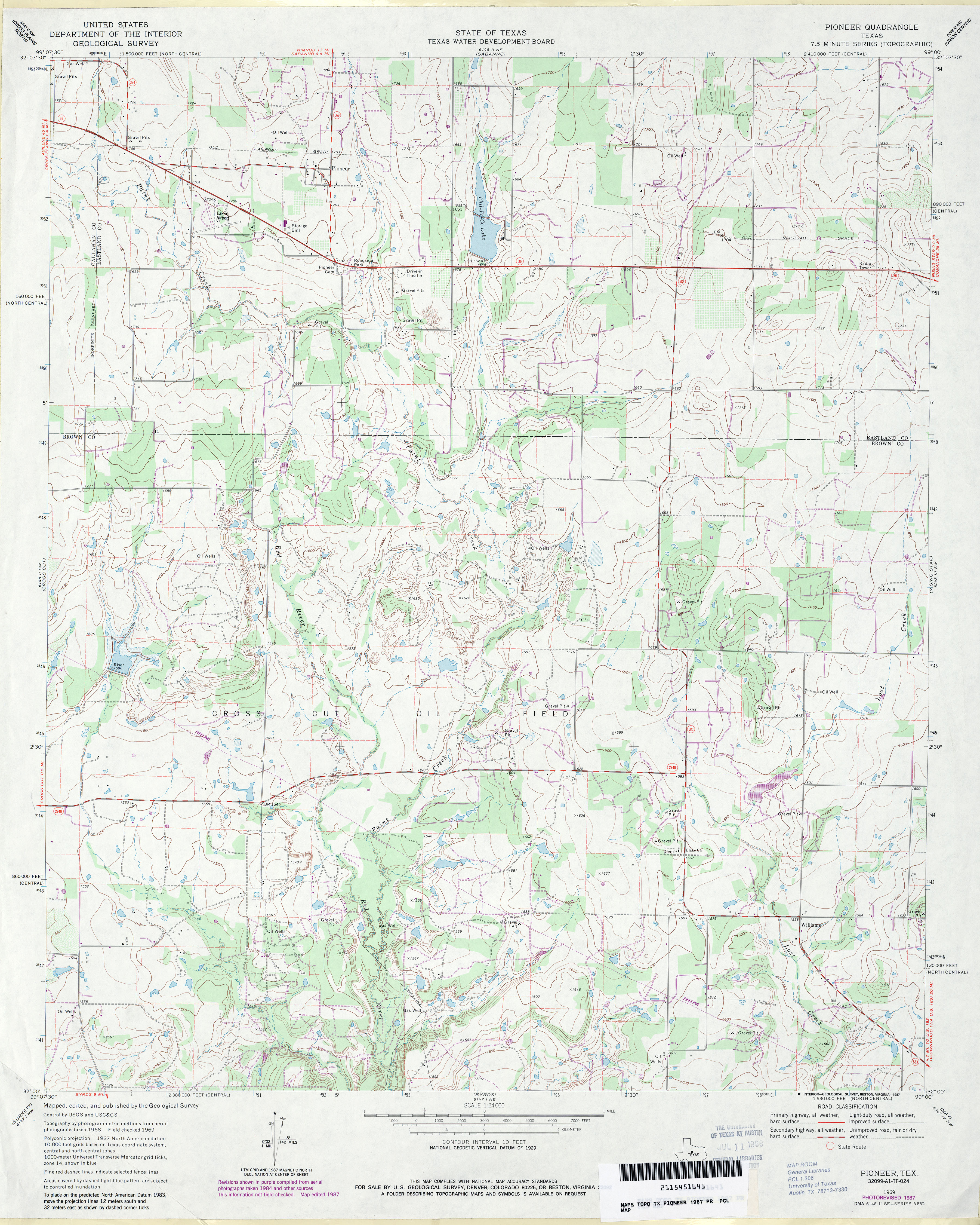
- Pioneer 1:24,000 1987 (3.9MB)
- Pioneer 1:24,000 2008 (13.4MB) [GeoPDF]
- Pioneer 1:24,000 2012 (21MB) [GeoPDF]
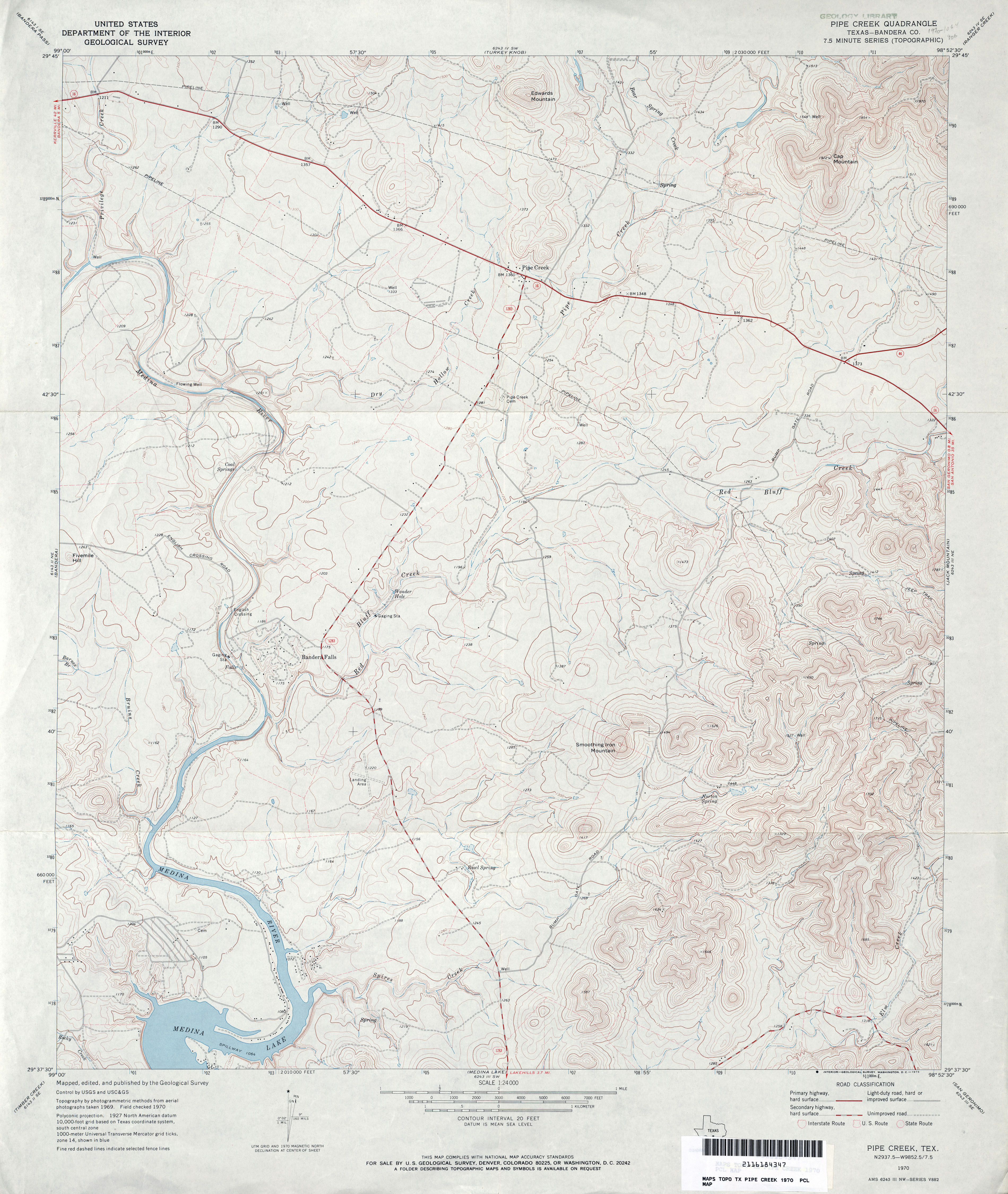
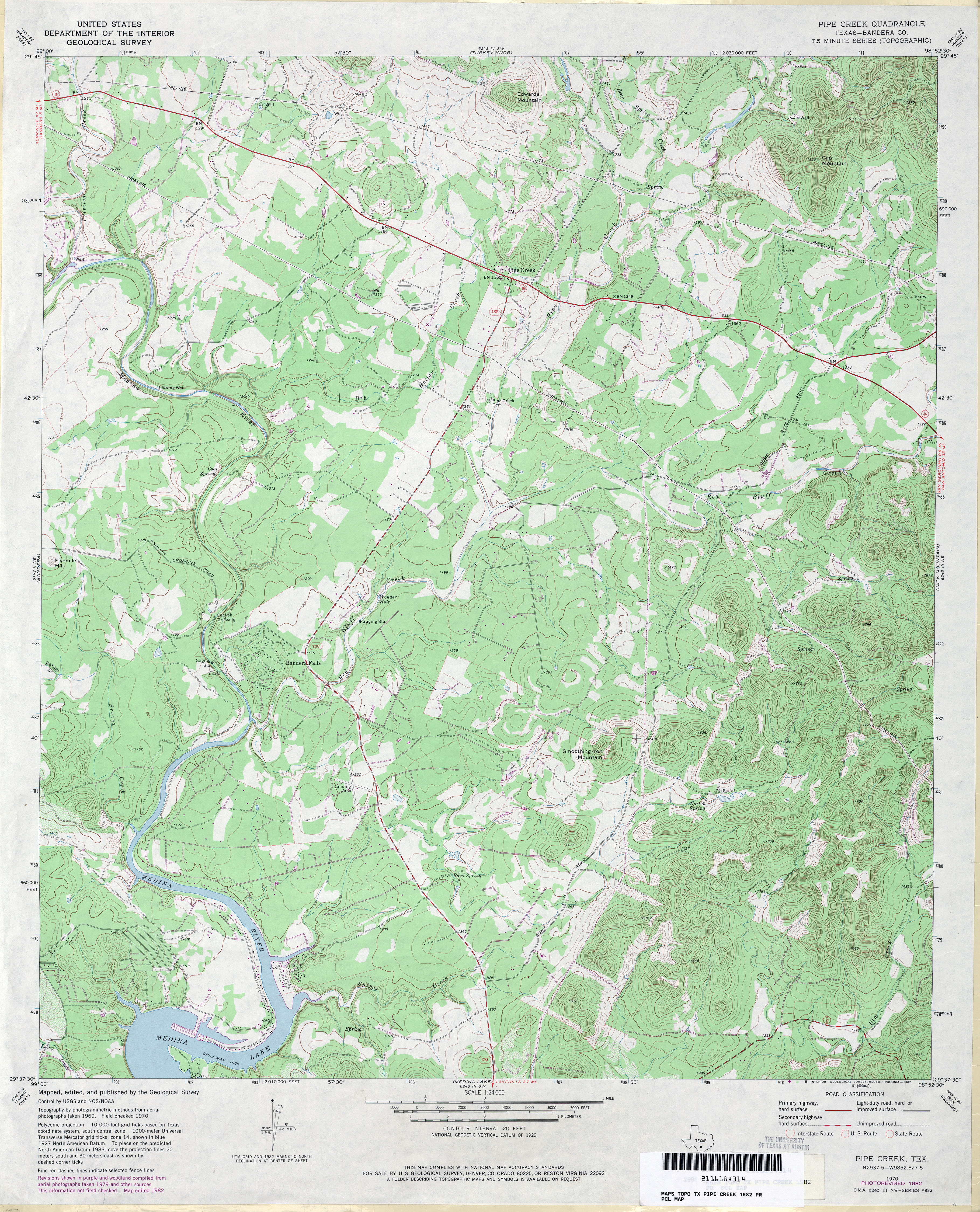
- Pipe Creek (Bandera County) 1:24,000 1970 (4MB)
- Pipe Creek (Bandera County) 1:24,000 1982 (4.8MB)
- Pipe Creek 1:24,000 2008 (22.1MB) [GeoPDF]
- Pipe Creek 1:24,000 2013 (27.3MB) [GeoPDF]
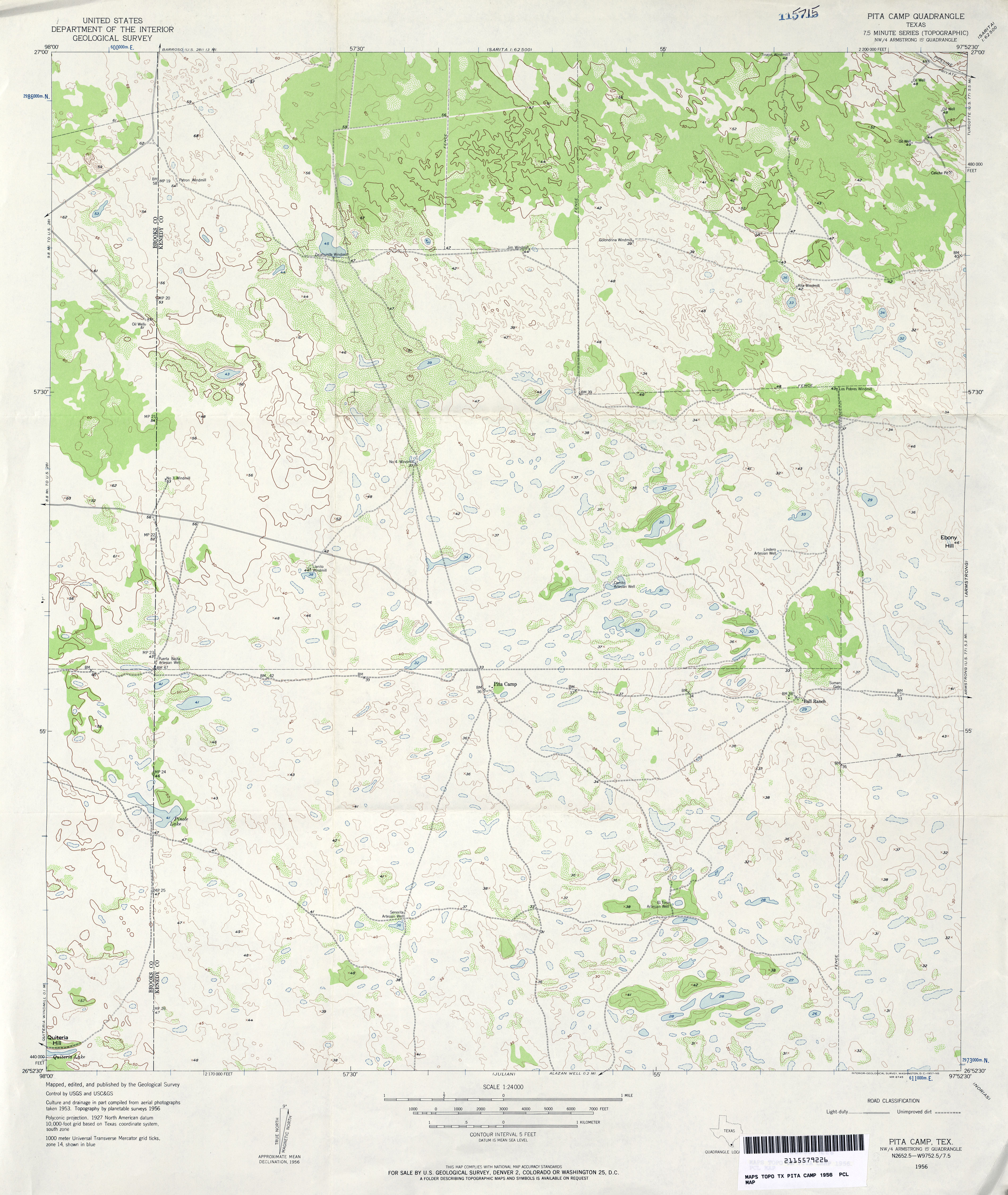
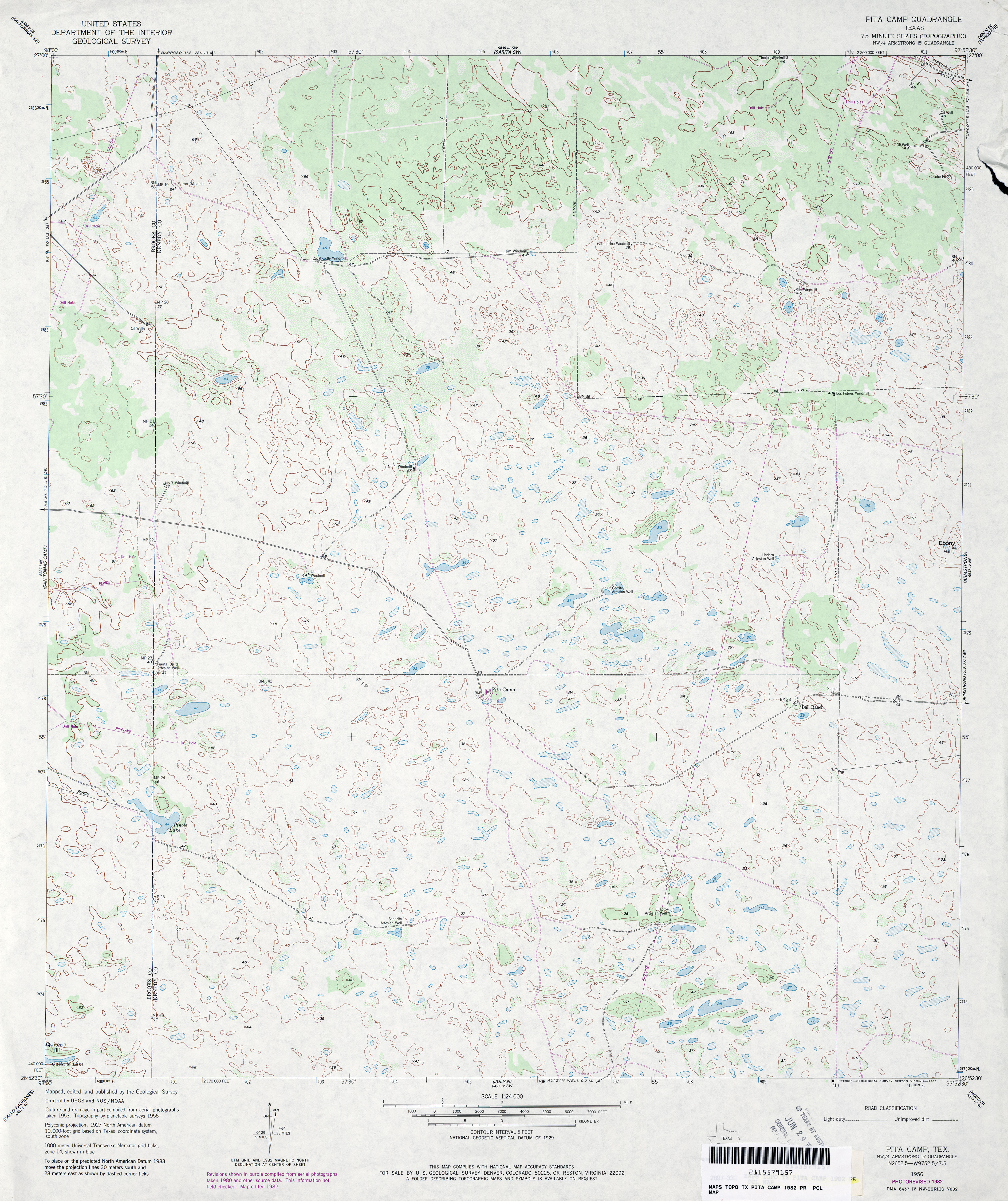
- Pita Camp 1:24,000 1956 (3.4MB)
- Pita Camp 1:24,000 1982 (3.7MB)
- Pita Camp 1:24,000 2009 (16.5MB) [GeoPDF]
- Pita Camp 1:24,000 2013 (21.2MB) [GeoPDF]
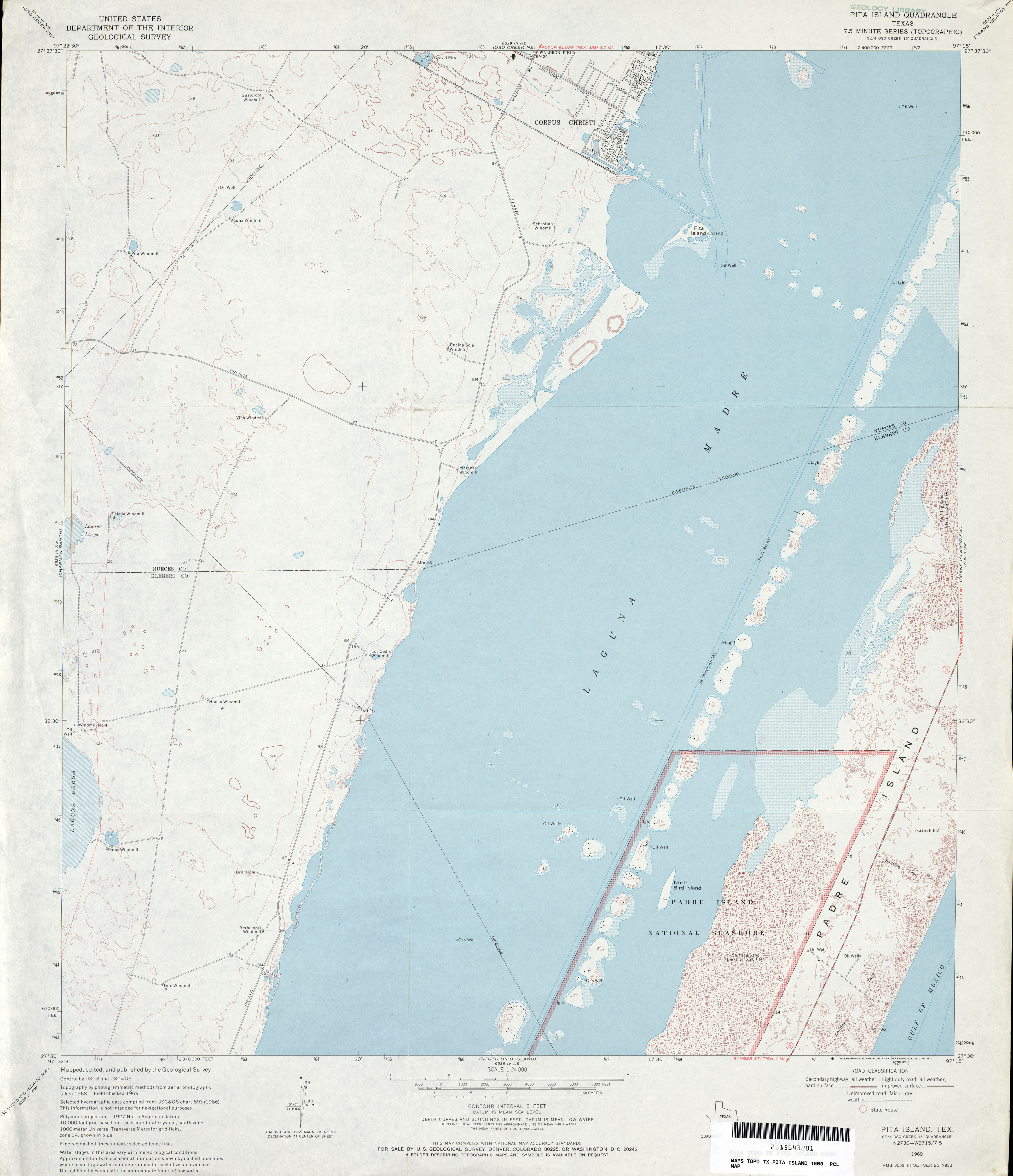
- Pita Island 1:24,000 1969 (2.8MB)
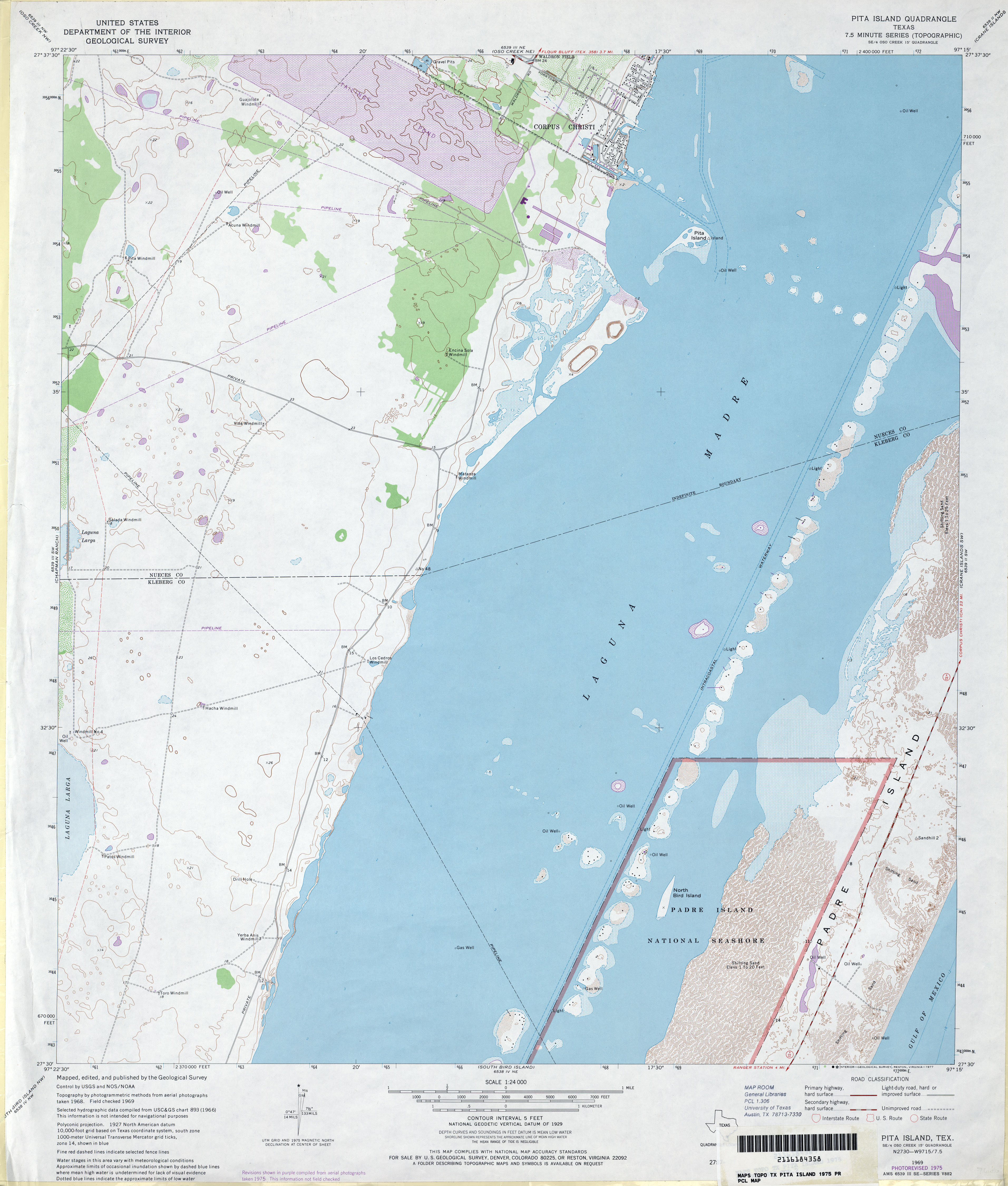
- Pita Island 1:24,000 1975 (3.2MB)
- Pita Island 1:24,000 2009 (10.3MB) [GeoPDF]
- Pita Island 1:24,000 2013 (18.1MB) [GeoPDF]
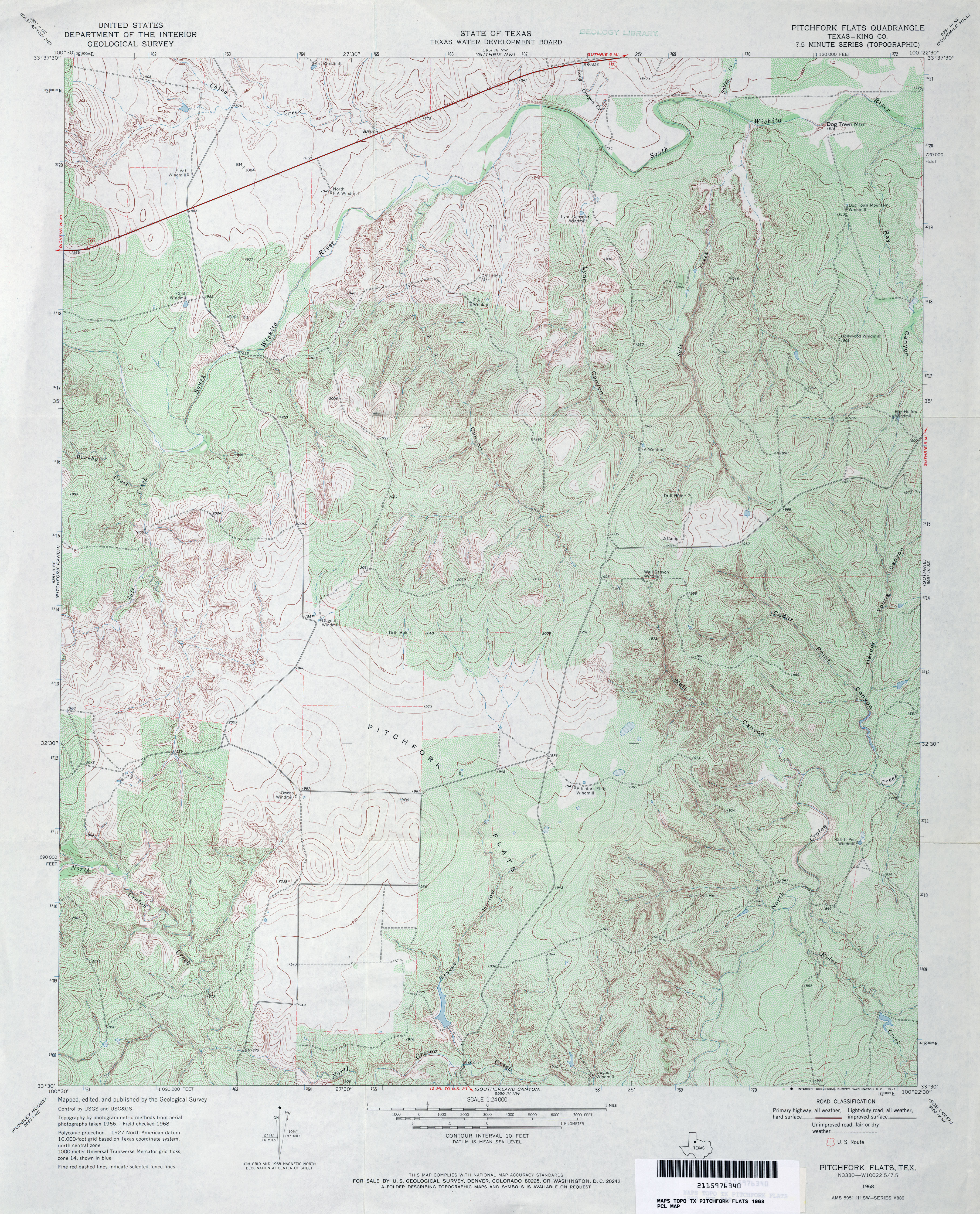
- Pitchfork Flats (King County) 1:24,000 1968 (5.2MB)
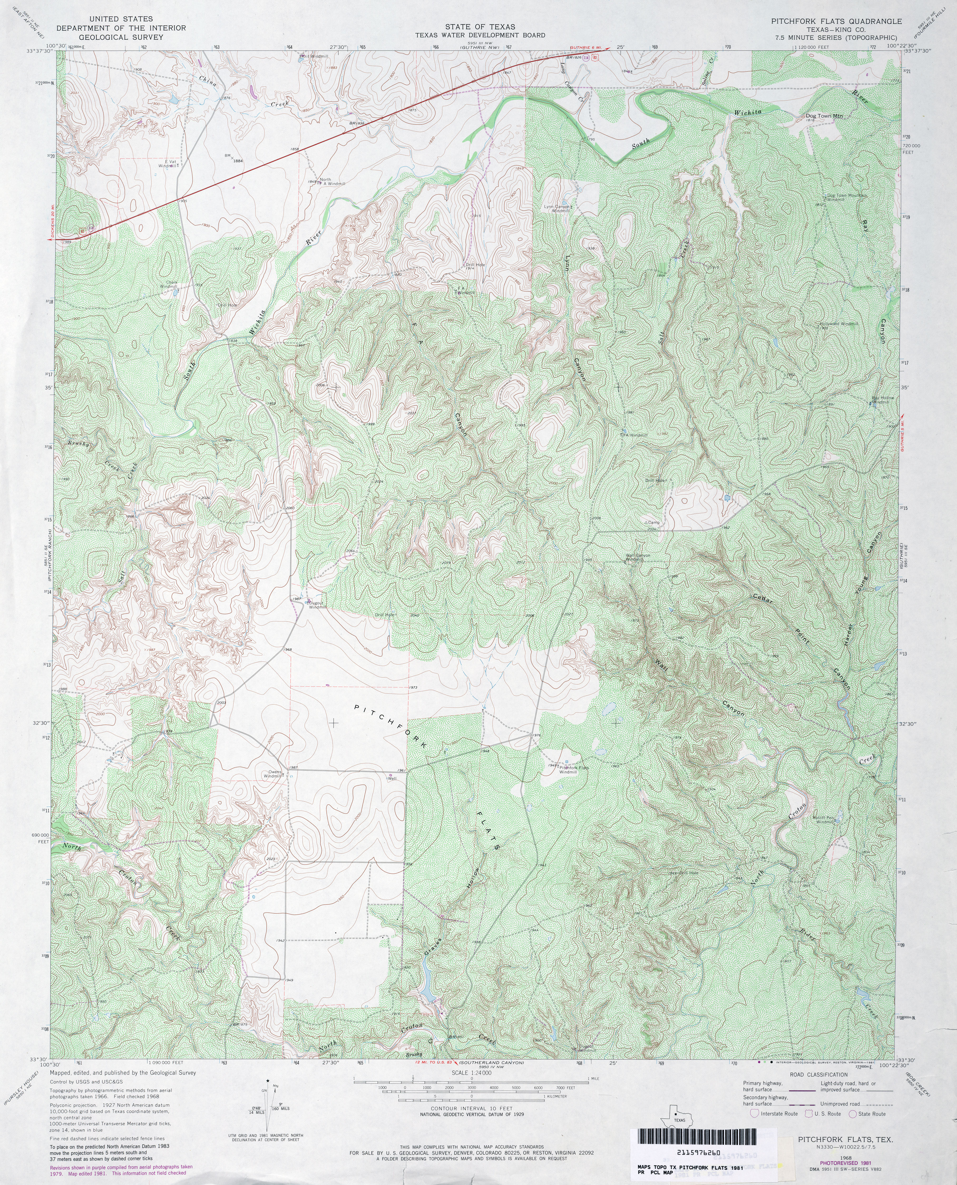
- Pitchfork Flats (King County) 1:24,000 1981 (5.6MB)
- Pitchfork Flats 1:24,000 2008 (13.3MB) [GeoPDF]
- Pitchfork Flats 1:24,000 2012 (19.2MB) [GeoPDF]
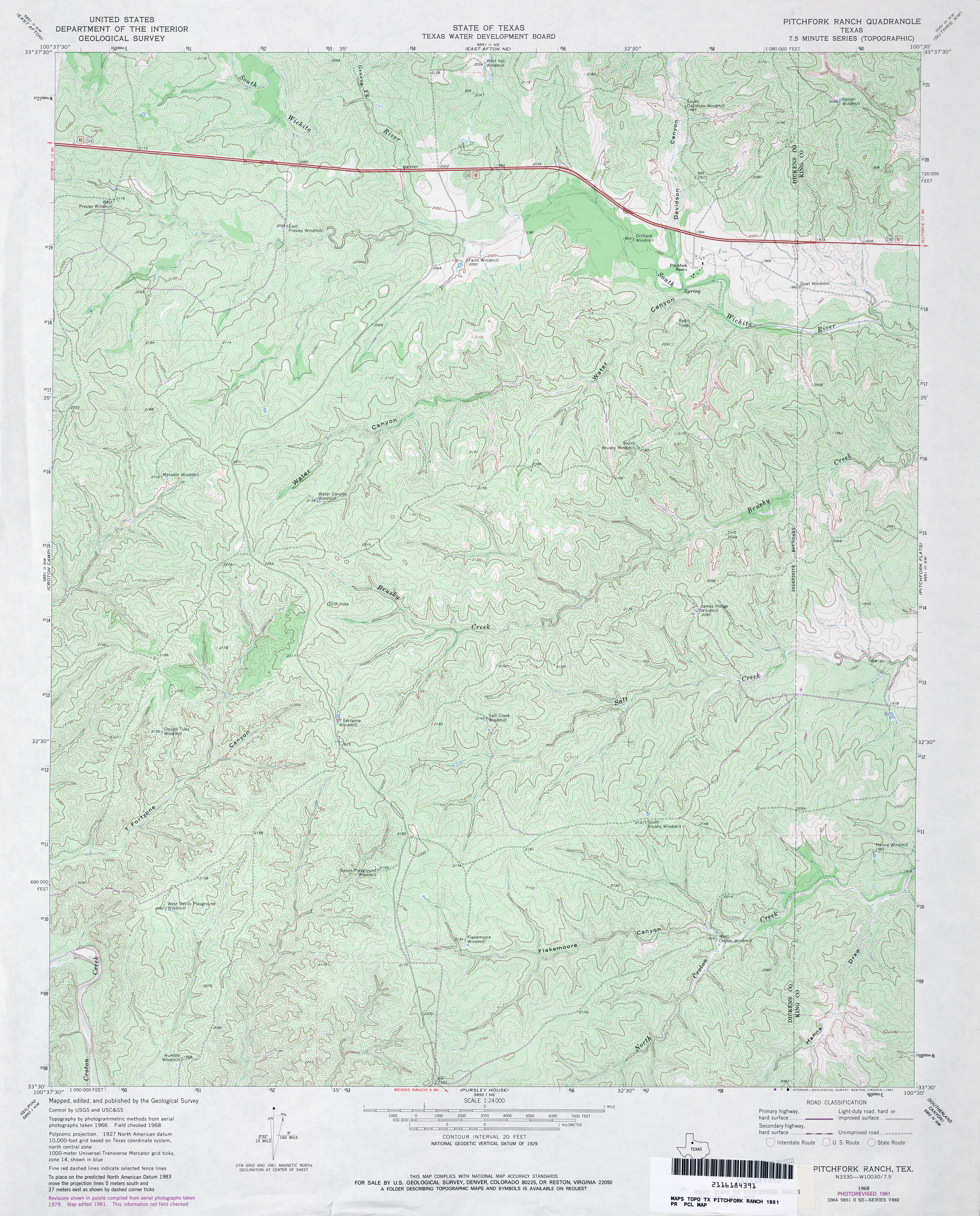
- Pitchfork Ranch 1:24,000 1968 (4.1MB)
- Pitchfork Ranch 1:24,000 1981 (5.8MB)
- Pitchfork Ranch 1:24,000 2012 (22.3MB) [GeoPDF]
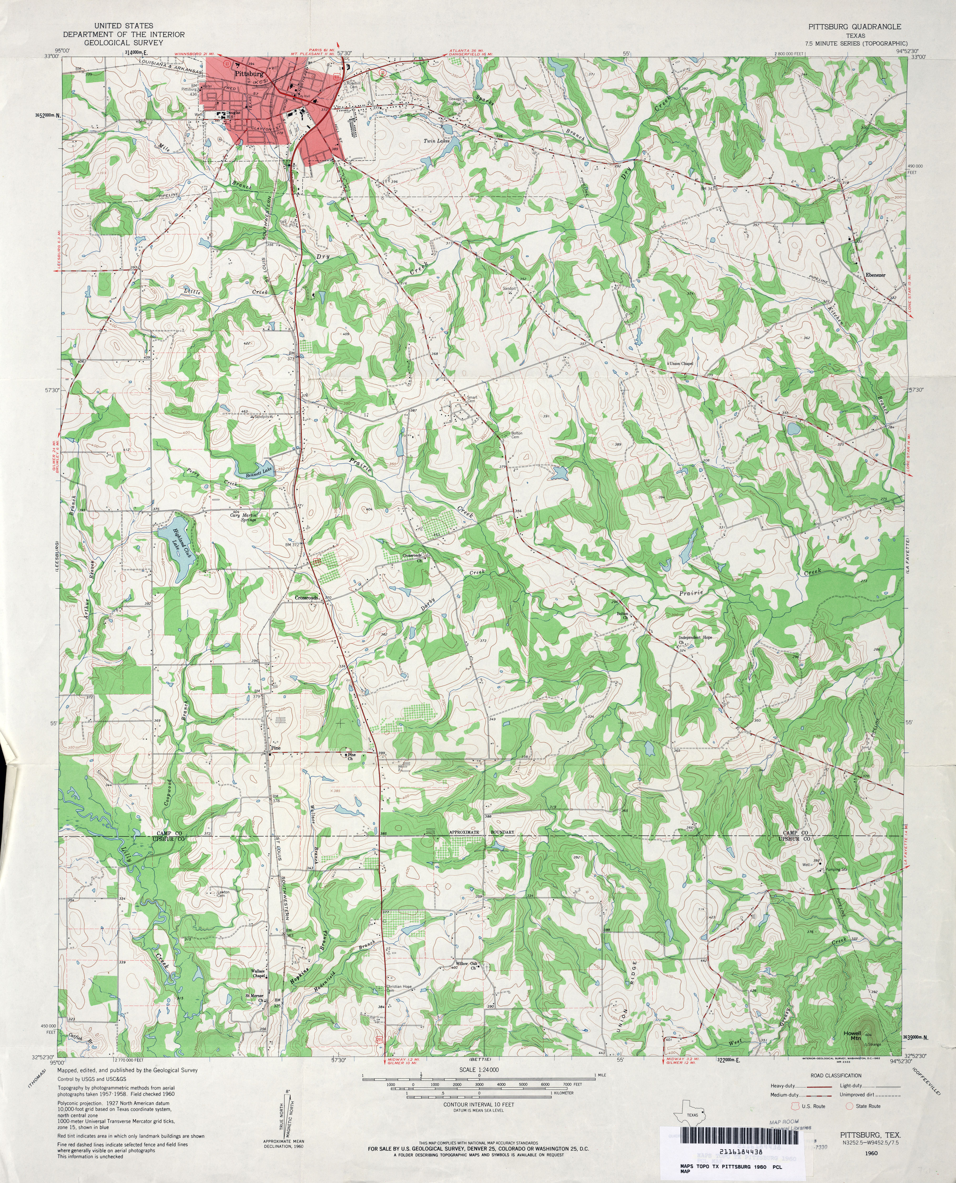
- Pittsburg 1:24,000 1960 (4.2MB)
- Pittsburg 1:24,000 2009 (19.4MB) [GeoPDF]
- Pittsburg 1:24,000 2013 (23.2MB) [GeoPDF]
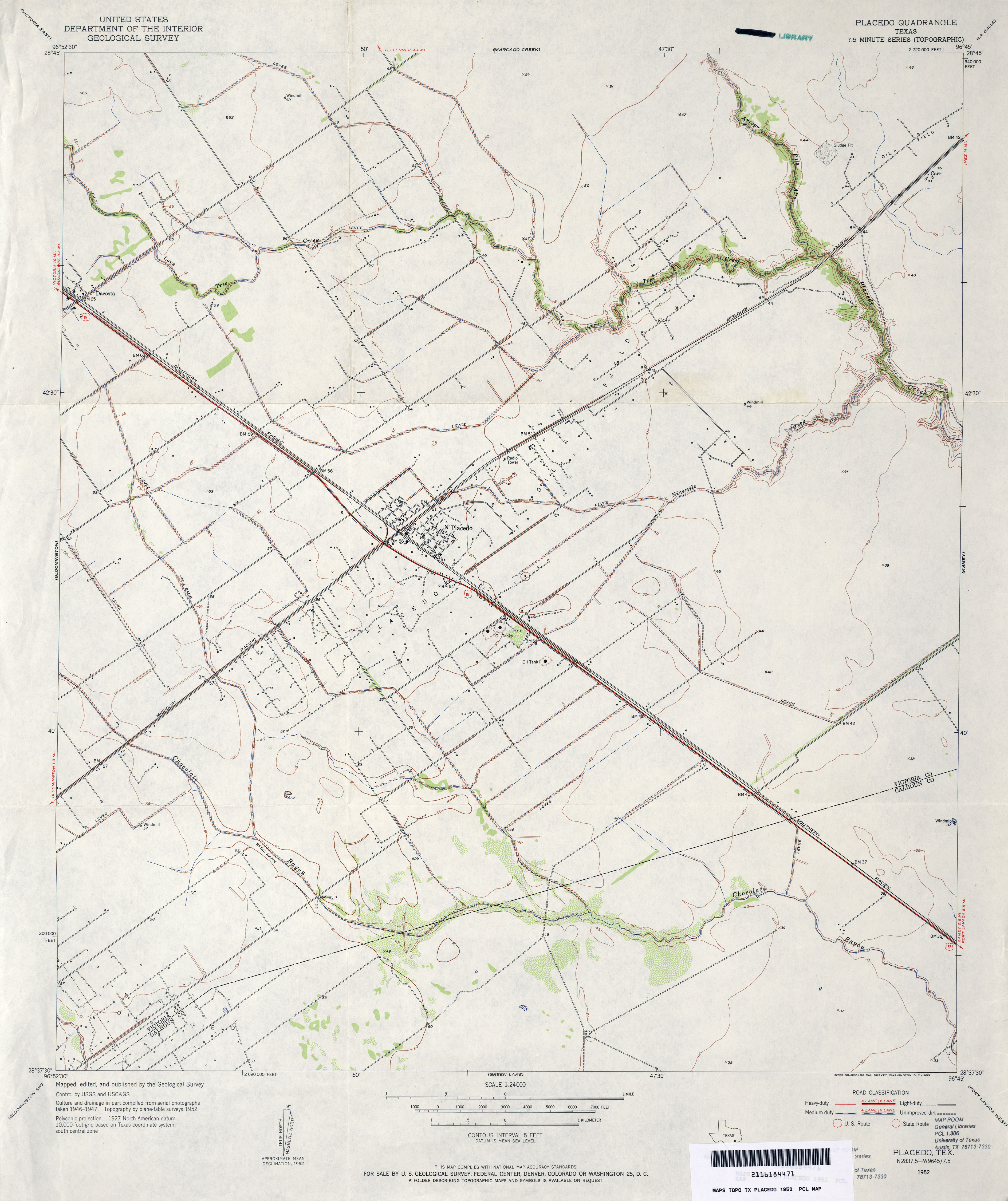
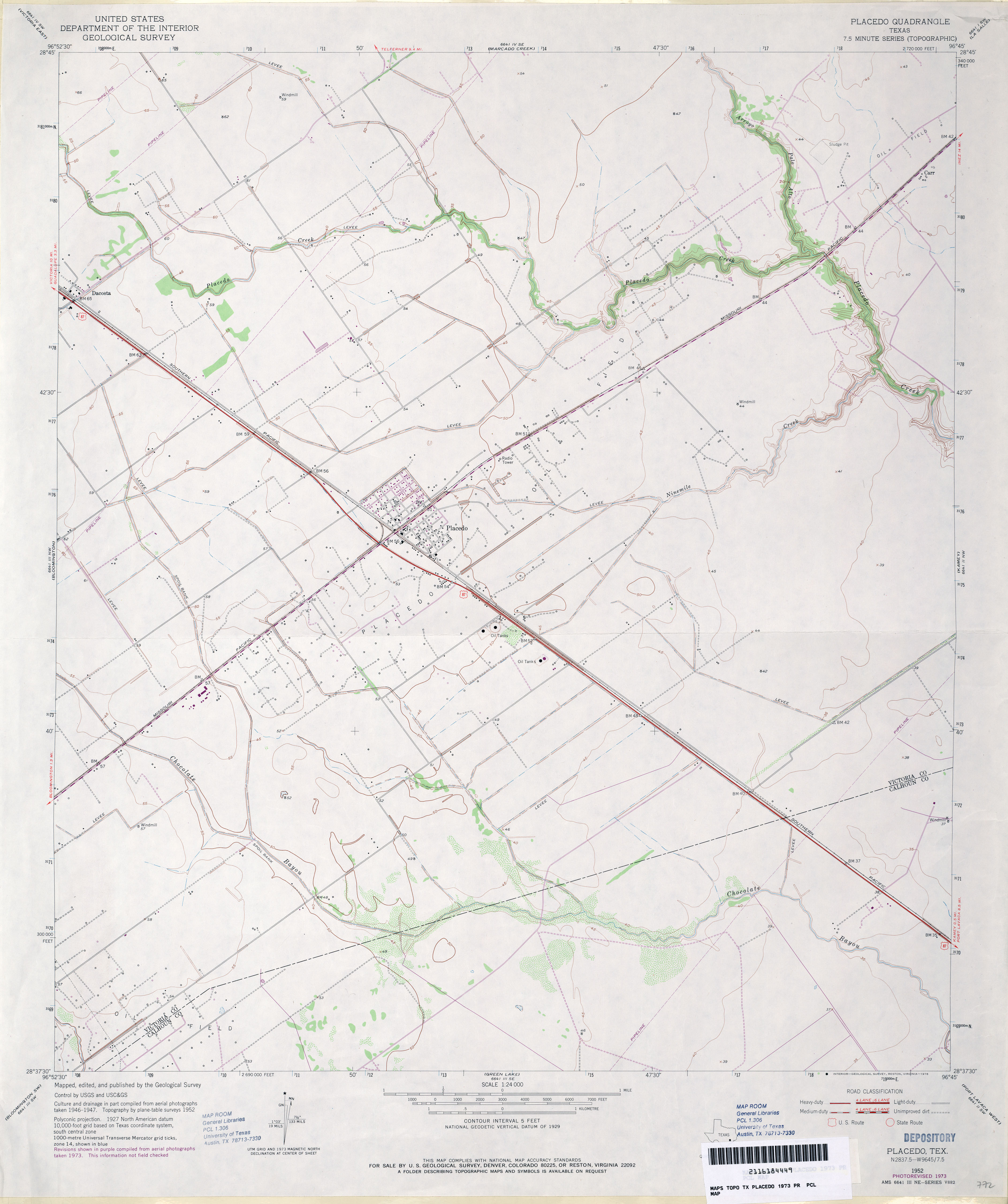
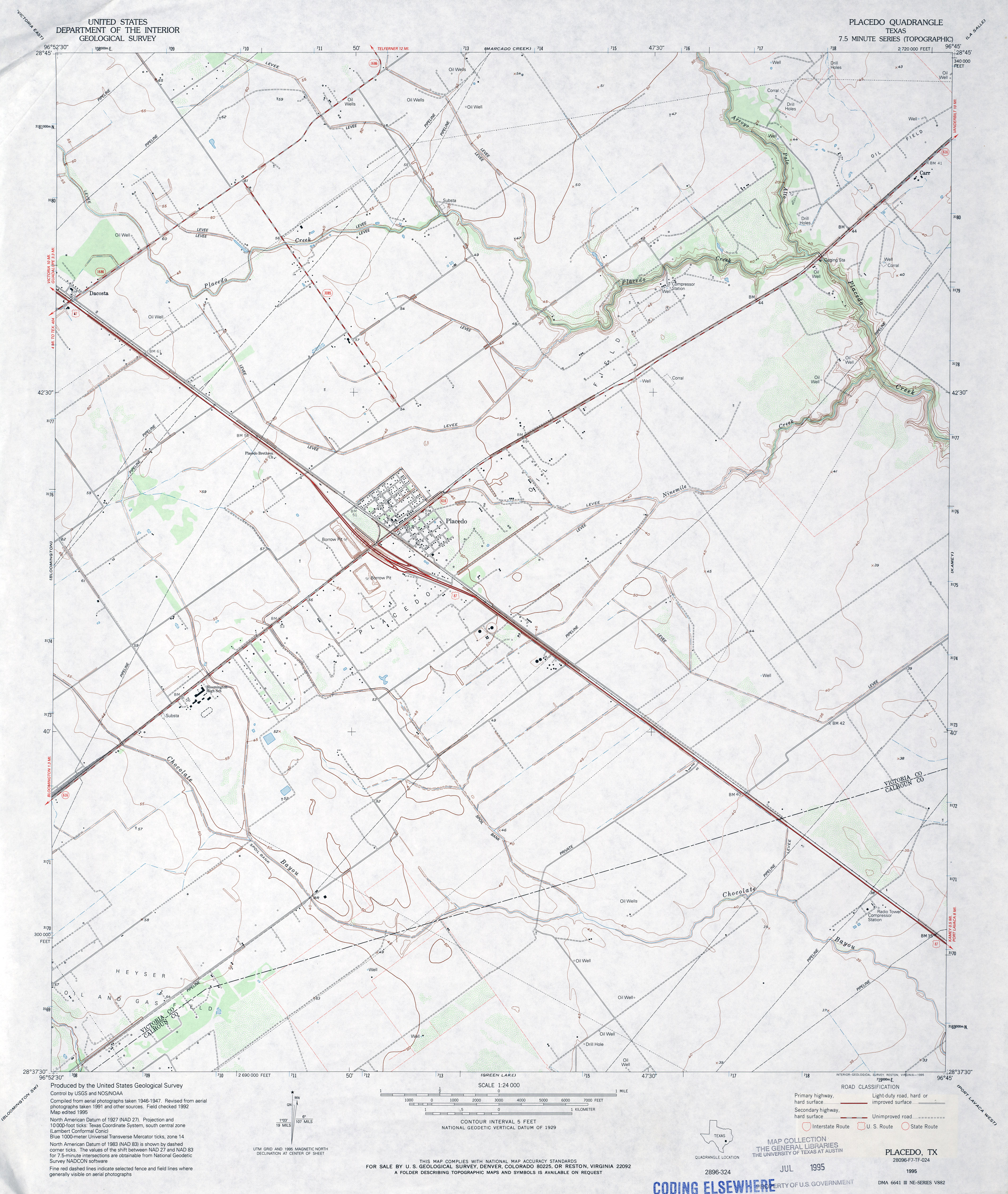
- Placedo 1:24,000 1952 (3MB)
- Placedo 1:24,000 1973 (2.6MB)
- Placedo 1:24,000 1995 (3.2MB)
- Placedo 1:24,000 2008 (9.9MB) [GeoPDF]
- Placedo 1:24,000 2013 (17.7MB) [GeoPDF]
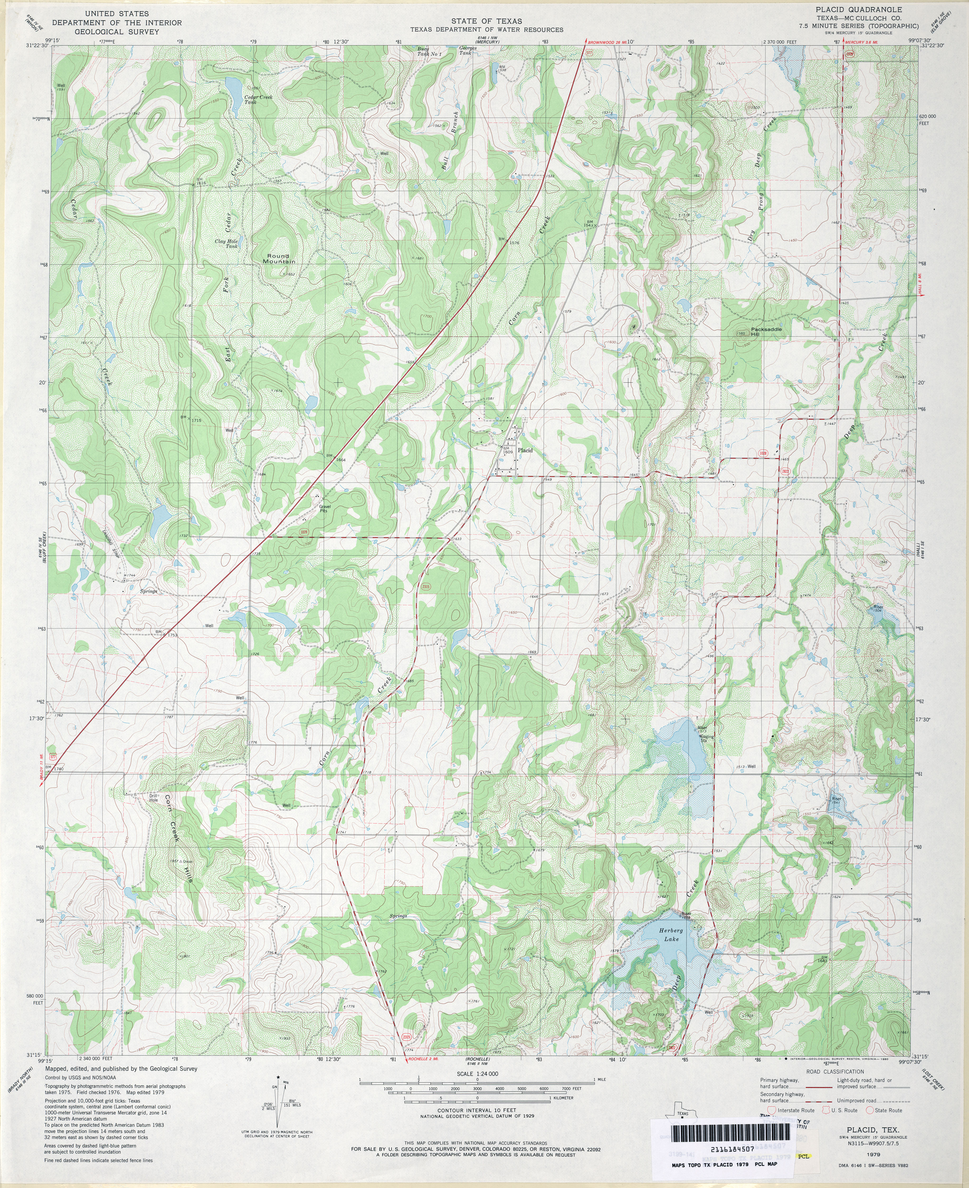
- Placid (McCulloch County) 1:24,000 1979 (4.3MB)
- Placid 1:24,000 2008 (21.6MB) [GeoPDF]
- Placid 1:24,000 2013 (25.3MB) [GeoPDF]
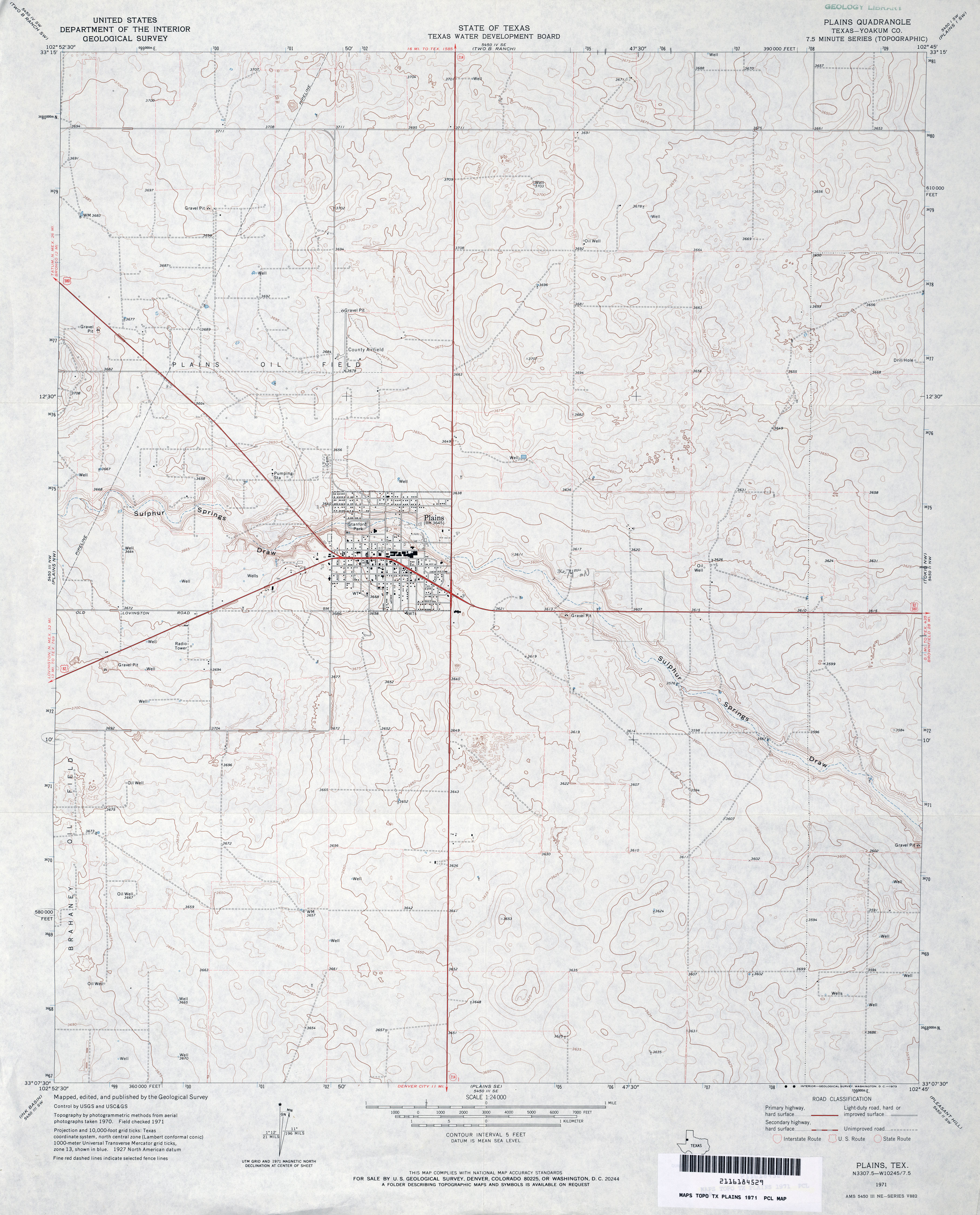
- Plains (Yoakum County) 1:24,000 1971 (3.4MB)
- Plains 1:24,000 2008 (11.7MB) [GeoPDF]
- Plains 1:24,000 2012 (16.7MB) [GeoPDF]
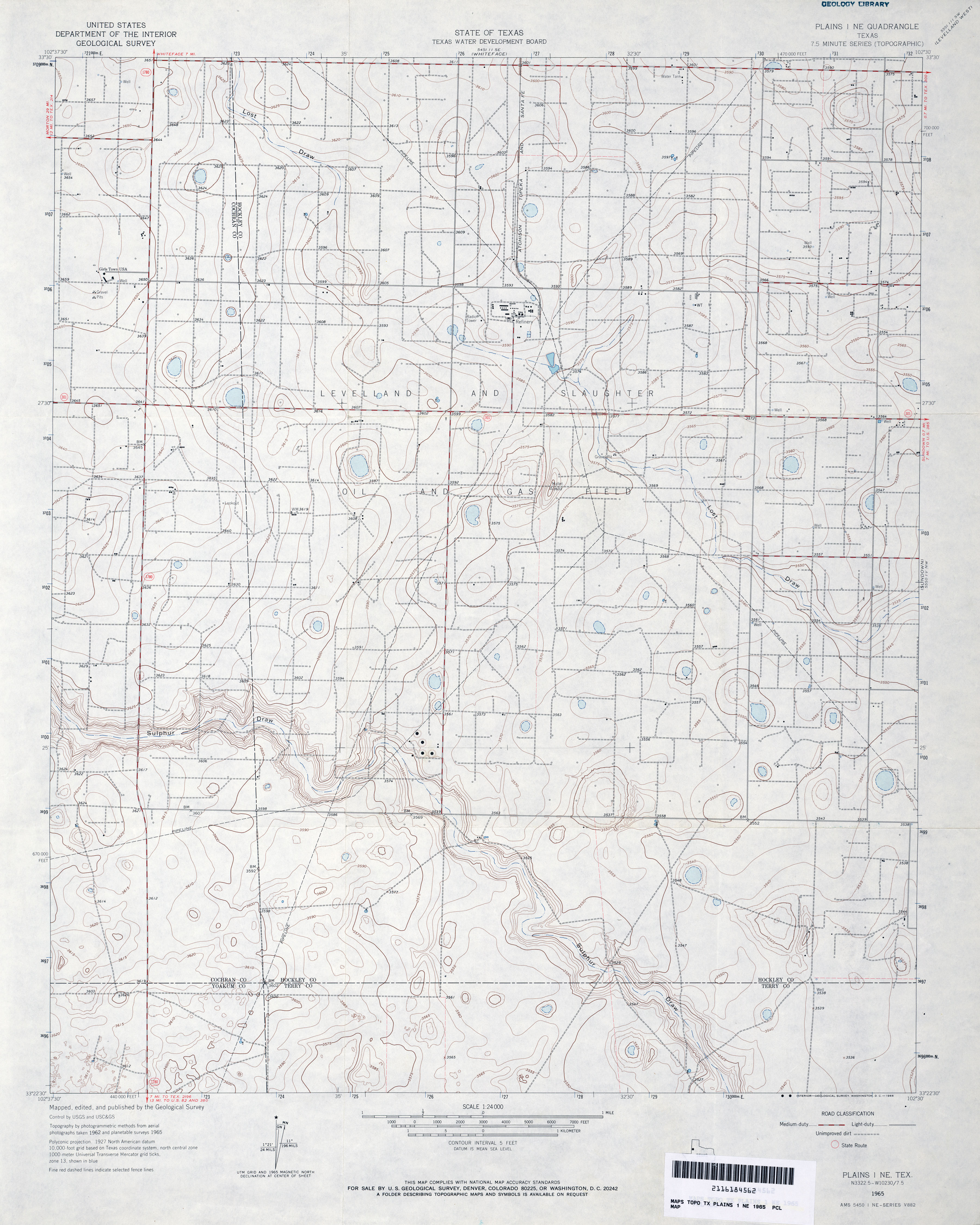
- Plains 1 NE 1:24,000 1965 (3.3MB)
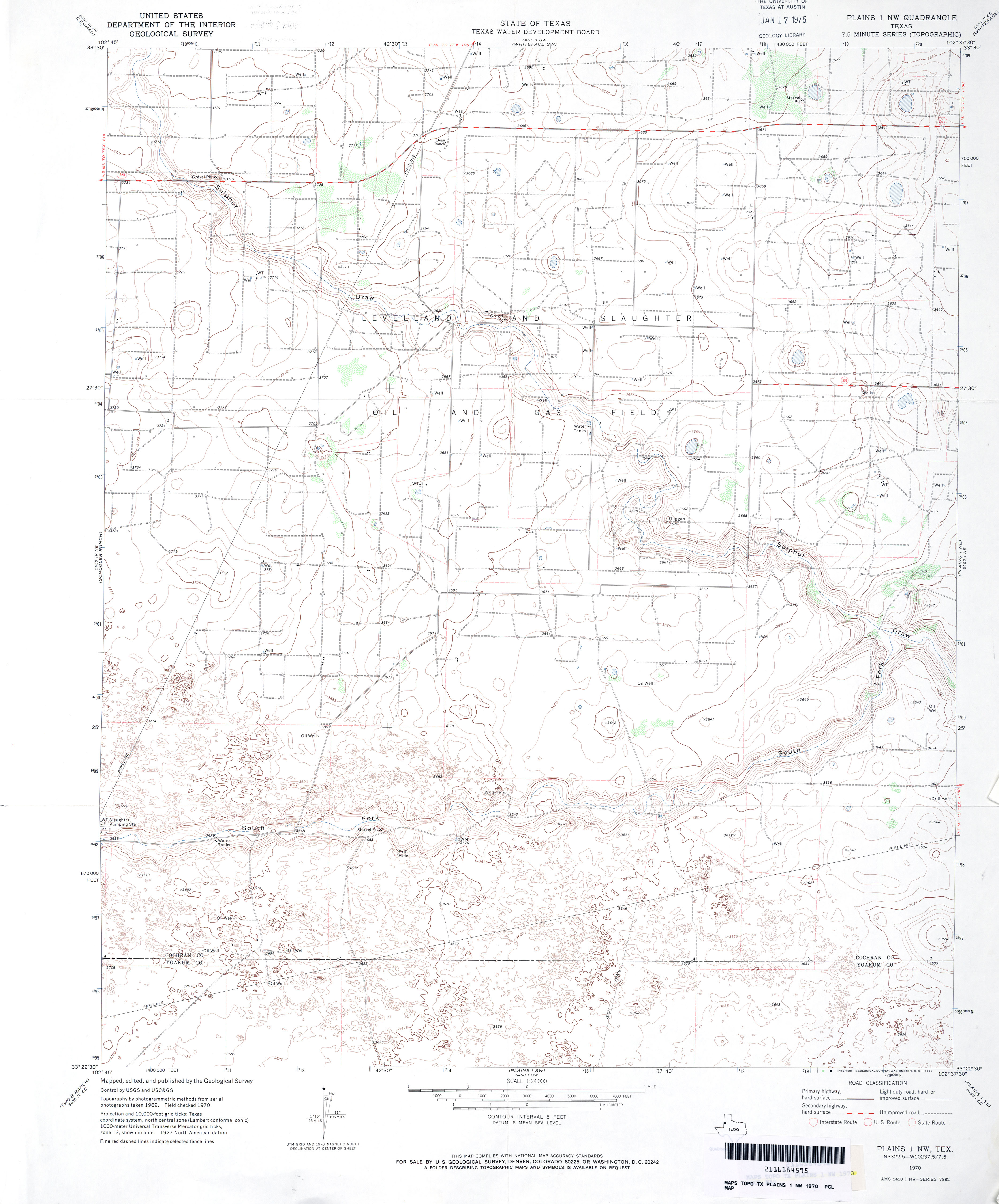
- Plains 1 NW 1:24,000 1970 (3MB)
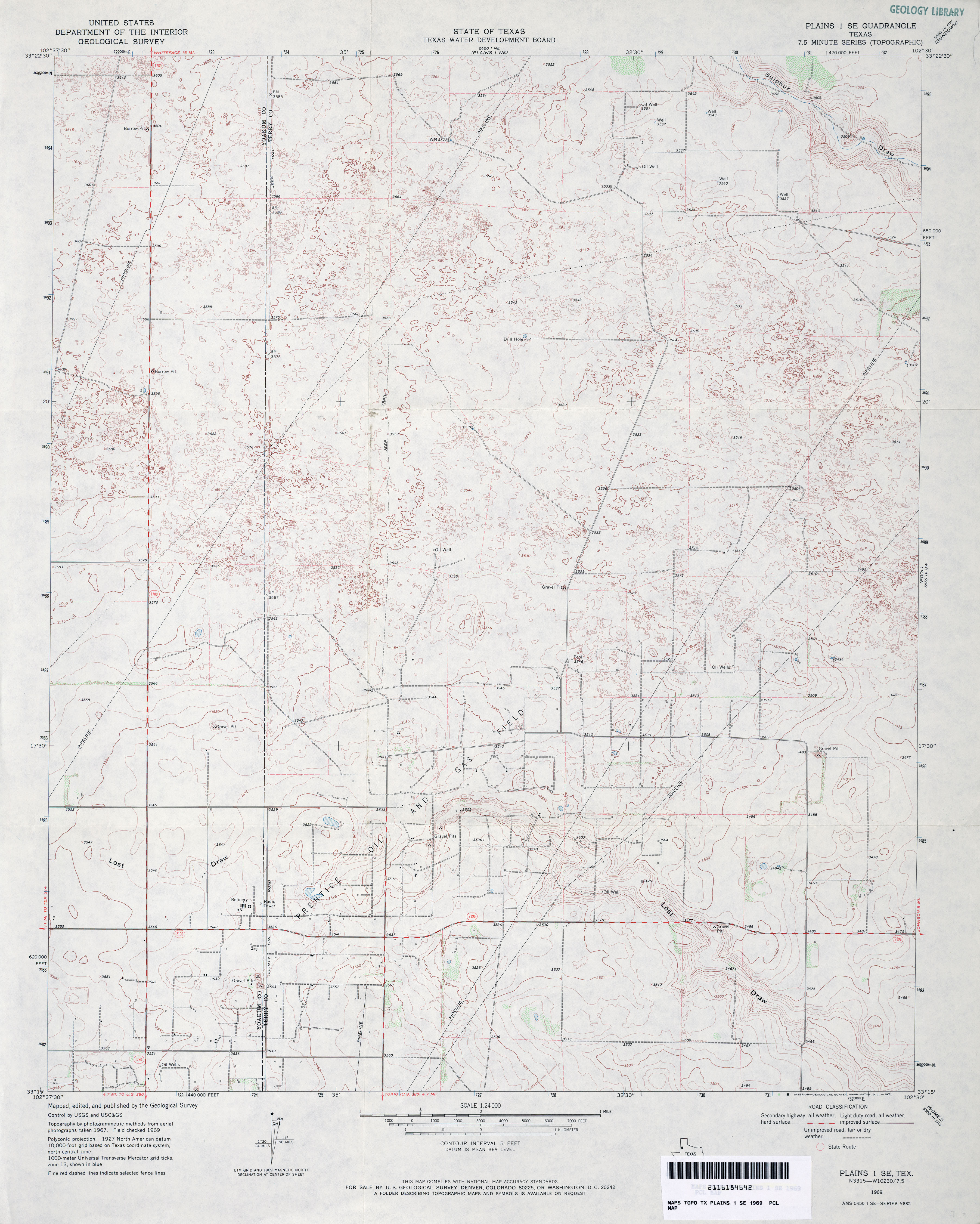
- Plains 1 SE 1:24,000 1969 (3.4MB)
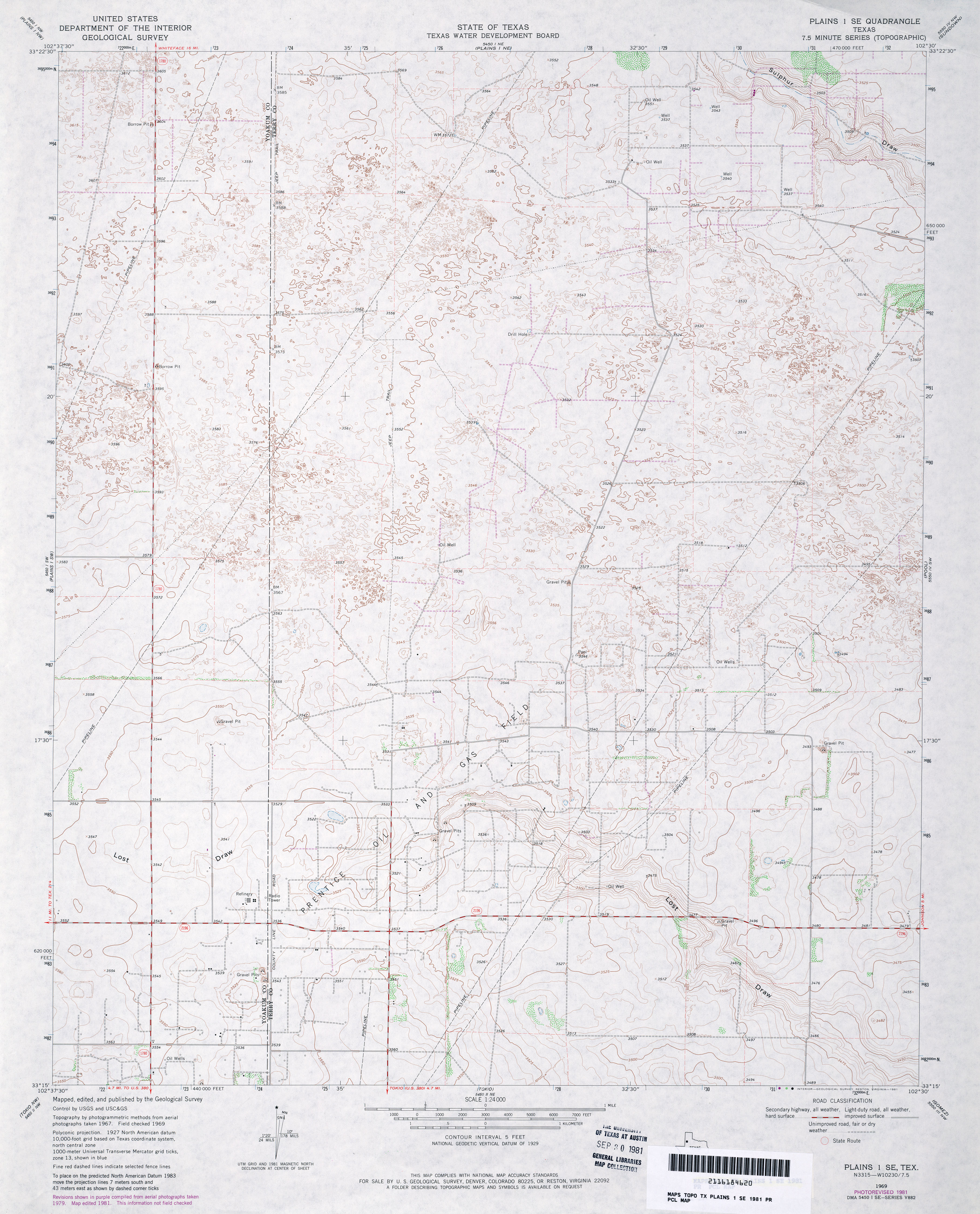
- Plains 1 SE 1:24,000 1981 (3.6MB)
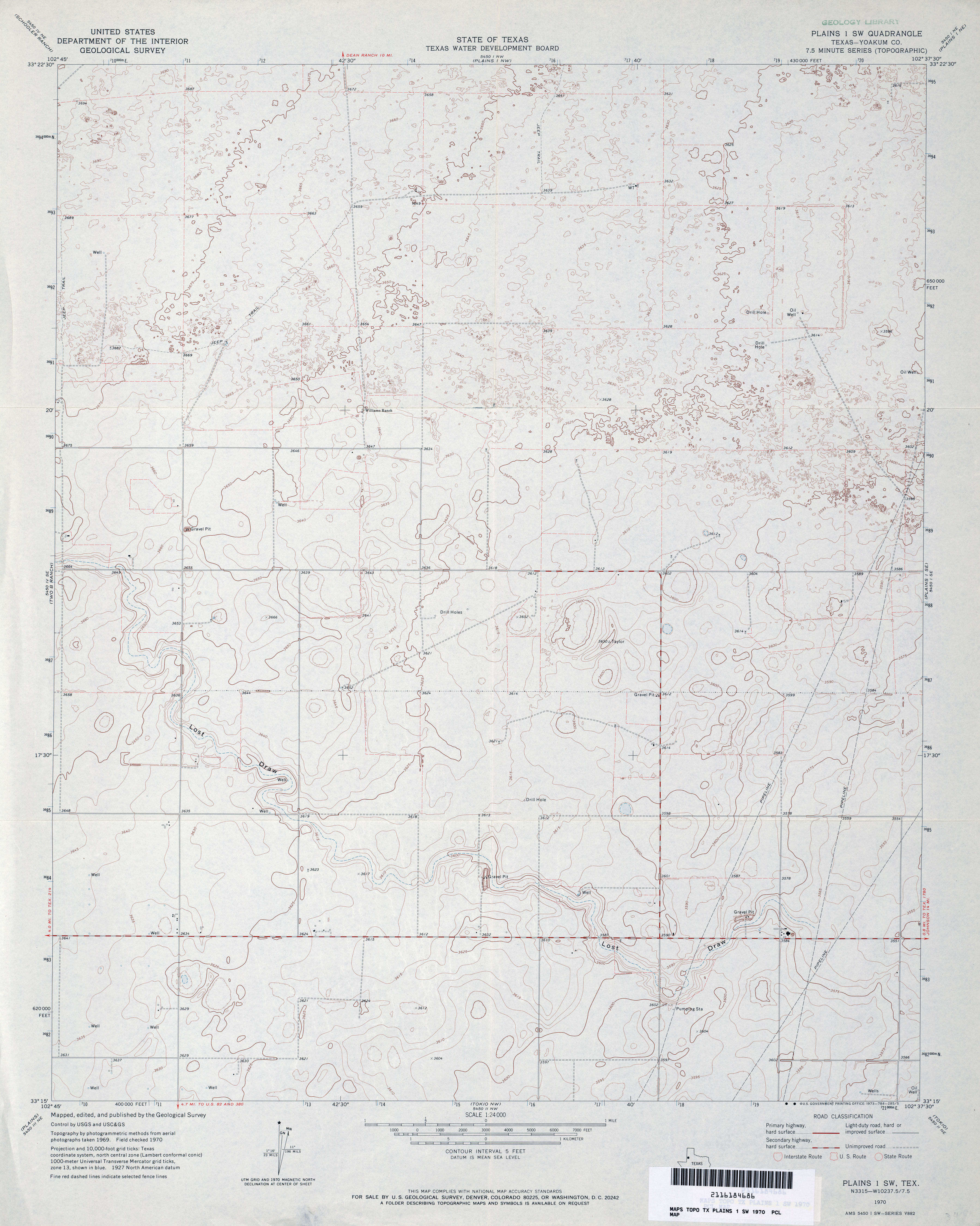
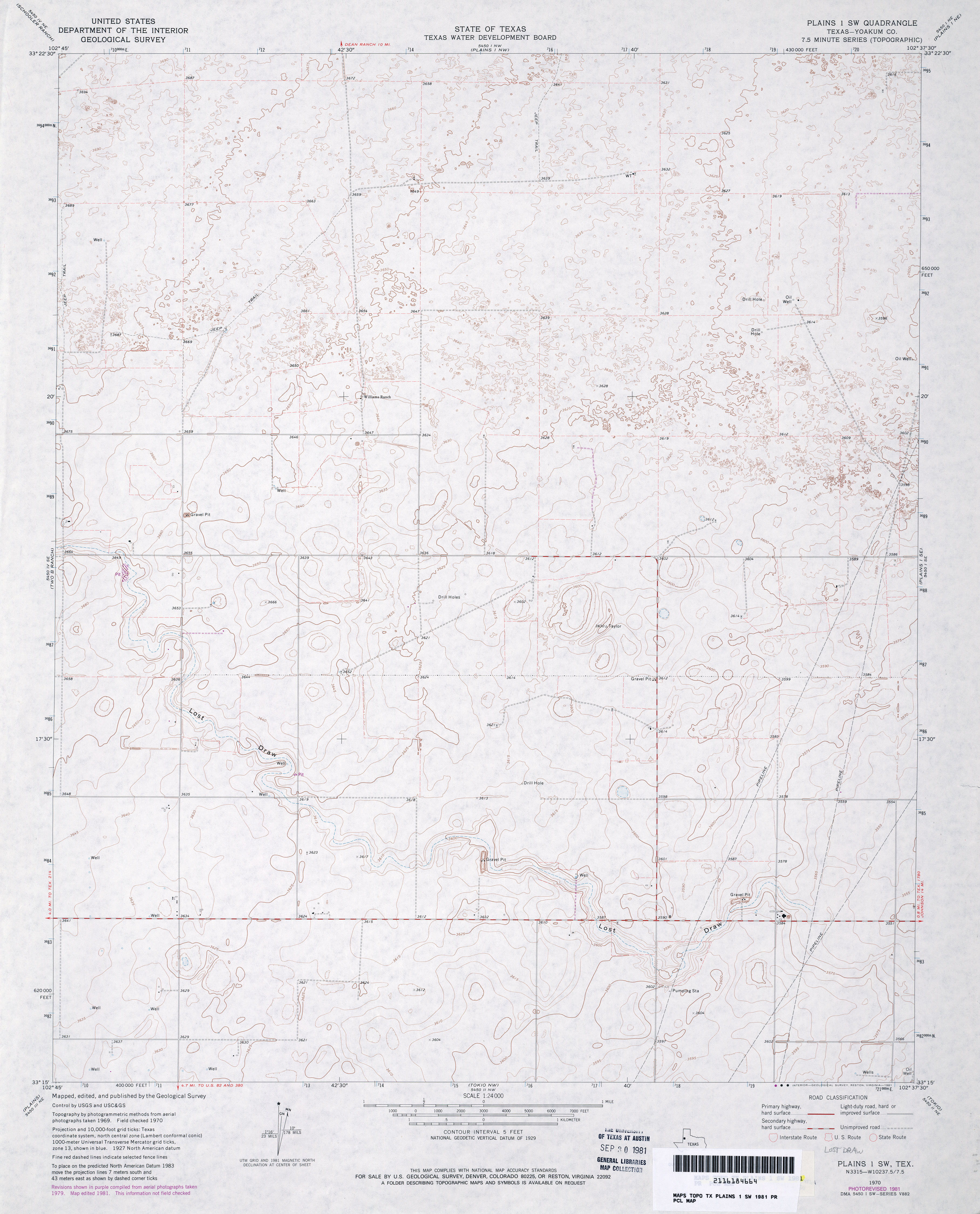
- Plains 1 SW (Yoakum County) 1:24,000 1970 (2.9MB)
- Plains 1 SW (Yoakum County) 1:24,000 1981 (3MB)
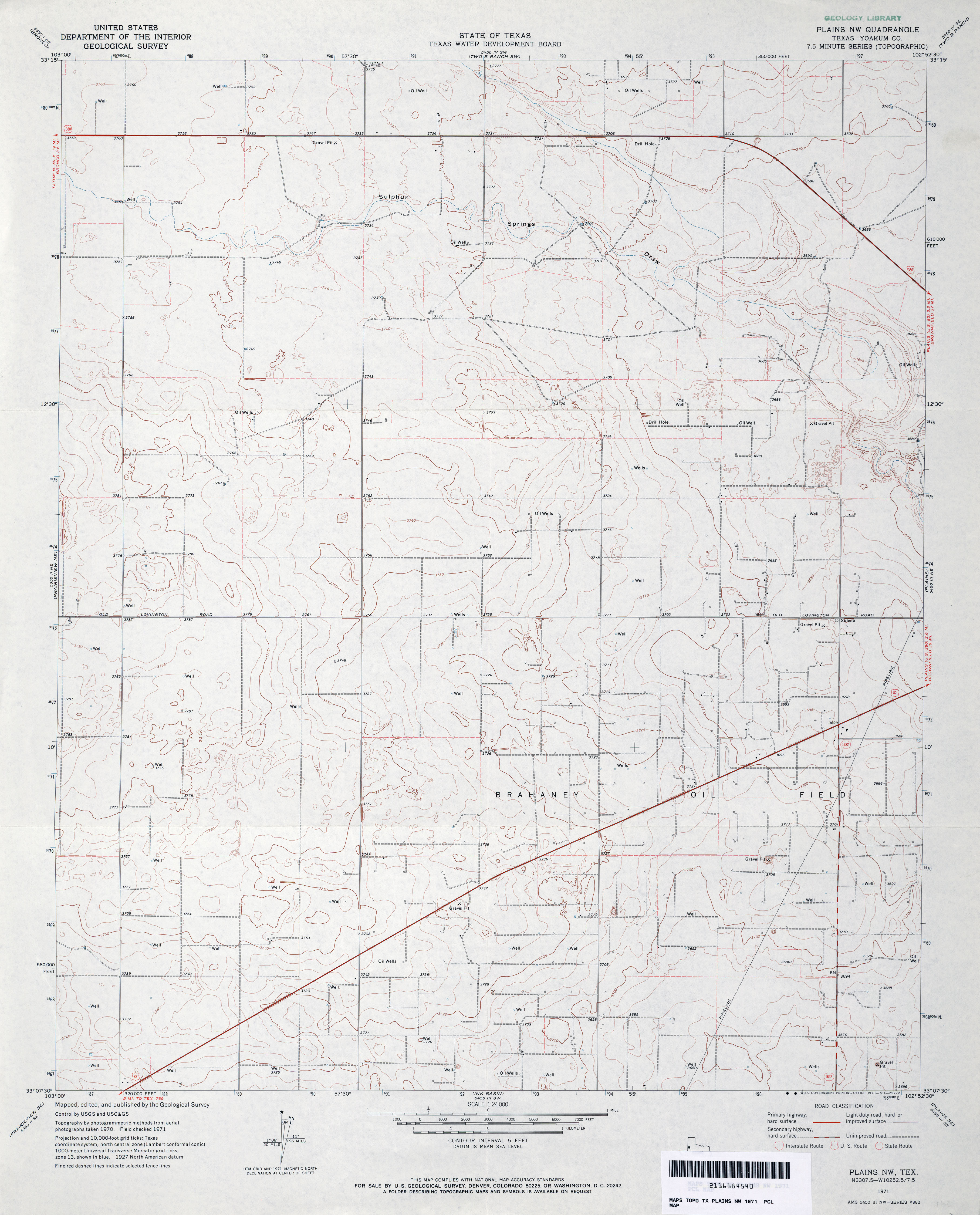
- Plains NW (Yoakum County) 1:24,000 1971 (3MB)
- Plains NW 1:24,000 2008 (11.0MB) [GeoPDF]
- Plains NW 1:24,000 2012 (15.7MB) [GeoPDF]
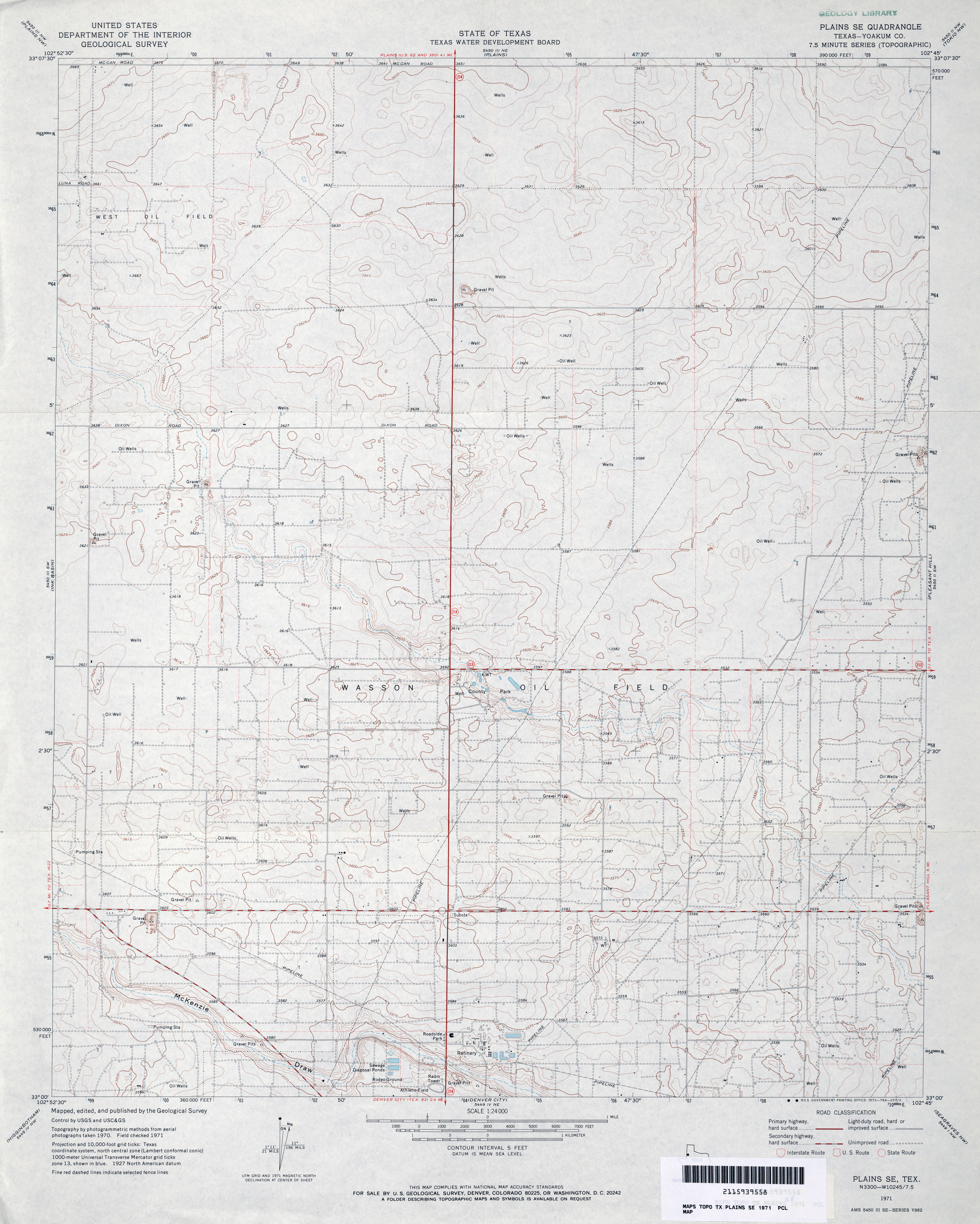
- Plains SE (Yoakum County) 1:24,000 1971 (3.3MB)
- Plains SE 1:24,000 2008 (12.3MB) [GeoPDF]
- Plains SE 1:24,000 2012 (17.8MB) [GeoPDF]
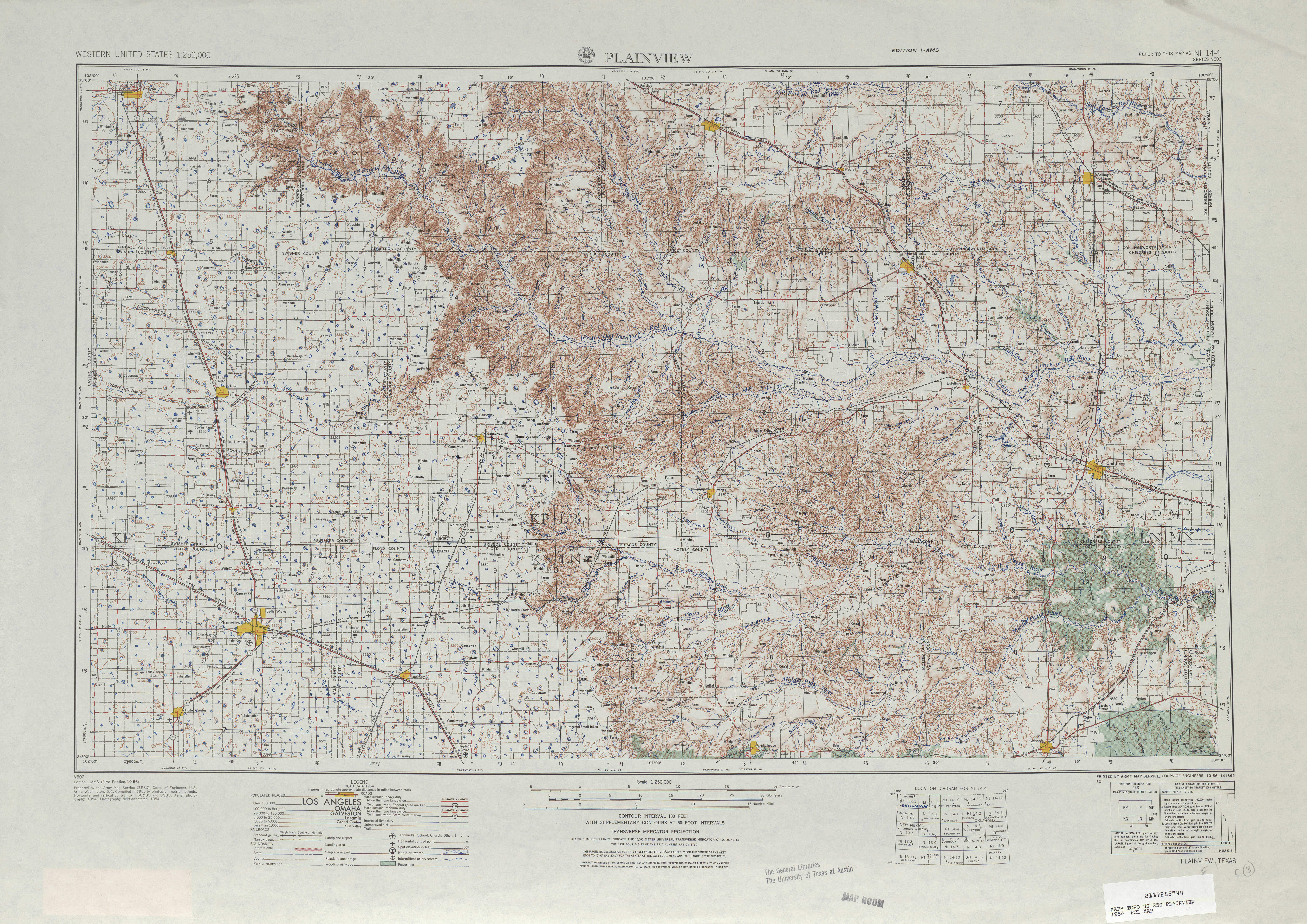
- Plainview 1:250,000 1954 (9.0MB)
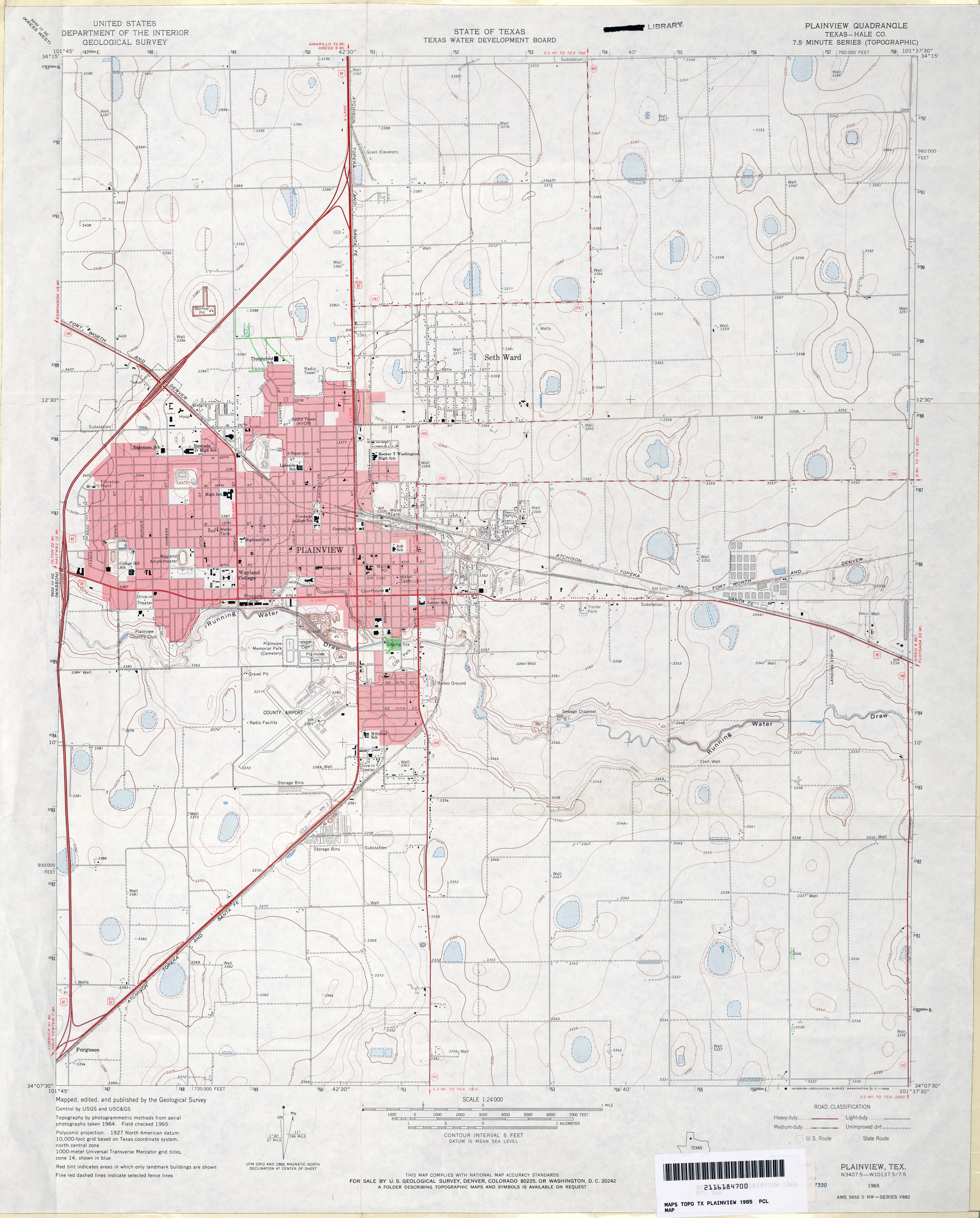
- Plainview (Hale County) 1:24,000 1965 (3MB)
- Plainview 1:250,000 1965 (8.2MB)
- Plainview 1:24,000 2008 (13.3MB) [GeoPDF]
- Plainview 1:24,000 2012 (17.2MB) [GeoPDF]
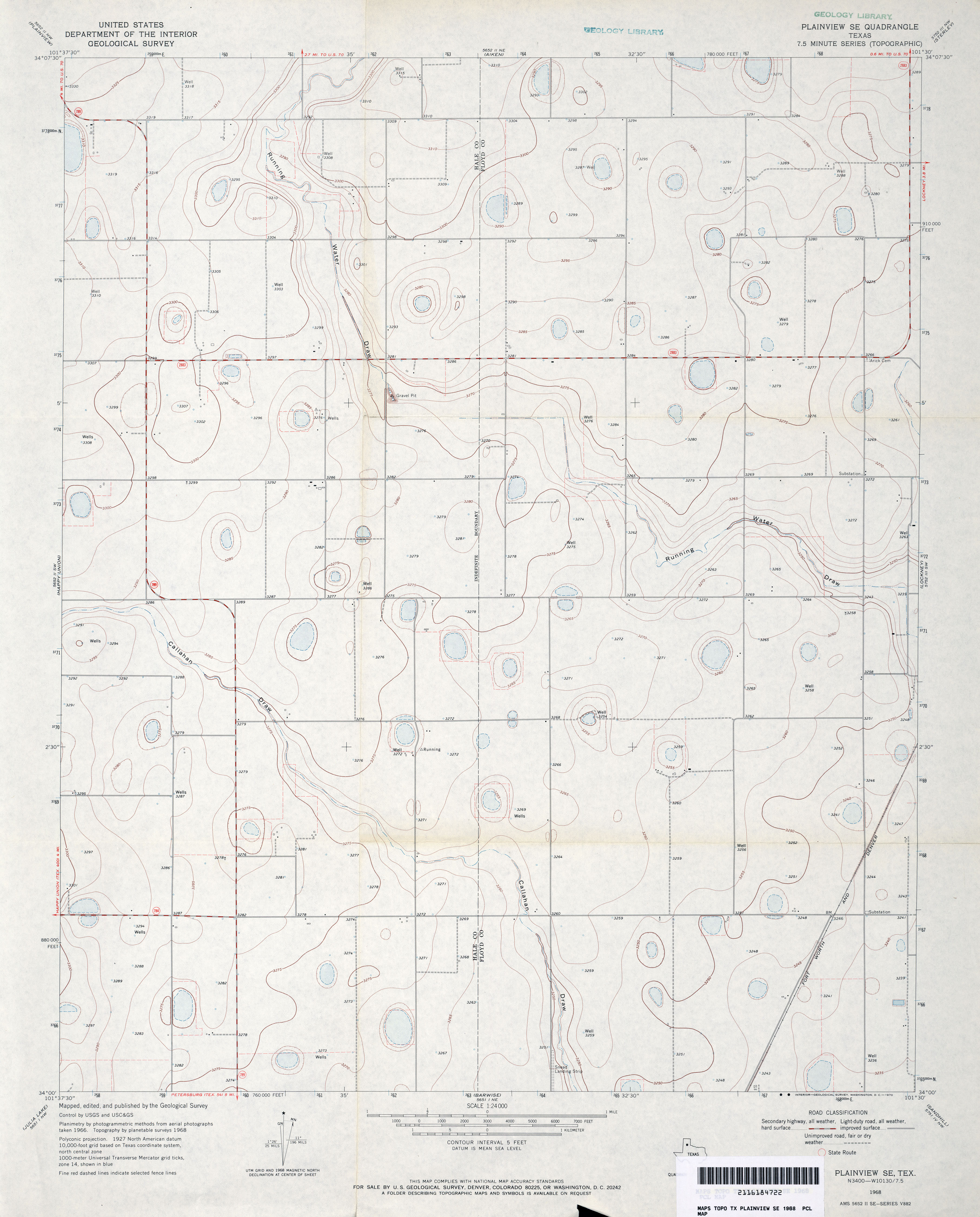
- Plainview SE 1:24,000 1968 (2.6MB)
- Plainview SE 1:24,000 2008 (10.2MB) [GeoPDF]
- Plainview SE 1:24,000 2012 (15.5MB) [GeoPDF]
- Plano (Collin County) 1:24,000 1960 (3.6MB)
- Plano (Collin County) 1:24,000 1968 (3.9MB)
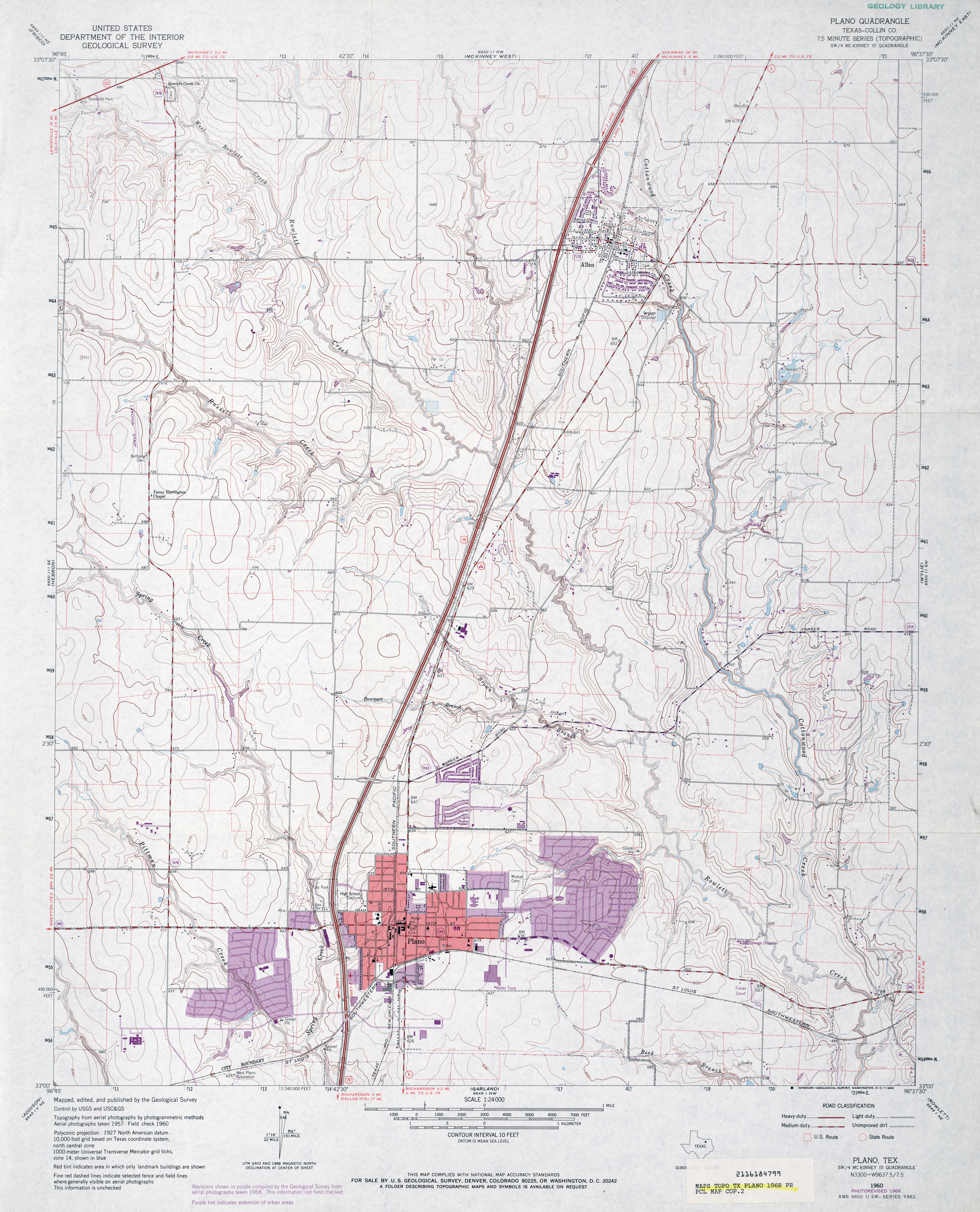
- Plano (Collin County) 1:24,000 1973 (3.6MB)
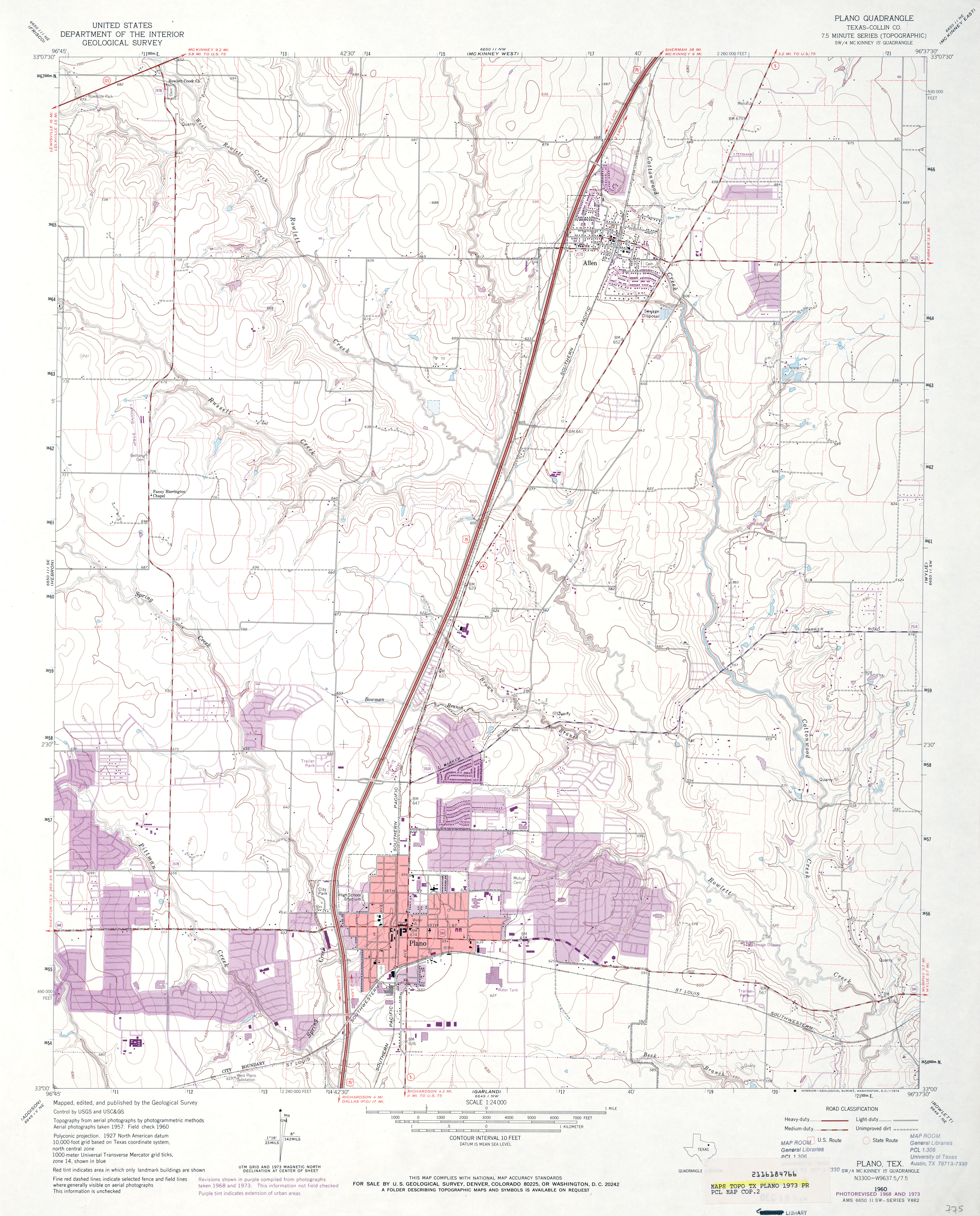
- Plano 1:24,000 2008 (18.5MB) [GeoPDF]
- Plano 1:24,000 2013 (25.7MB) [GeoPDF]
- Plantersville 1:24,000 1962 (4.3MB)
- Plantersville 1:24,000 2009 (23.2MB) [GeoPDF]
- Plantersville 1:24,000 2013 (22.5MB) [GeoPDF]
- Plaska (Hall County) 1:24,000 1985 (3.6MB)
- Plaska 1:24,000 2008 (11.7MB) [GeoPDF]
- Plaska 1:24,000 2013 (19.9MB) [GeoPDF]
- Plata (Presidio County) 1:24,000 1983 (4.2MB)
- Plata 1:24,000 2008 (16.7MB) [GeoPDF]
- Plata 1:24,000 2012 (23.6MB) [GeoPDF]
- Plata NE (Presidio County) 1:24,000 1983 (4.9MB)
- Plata NE 1:24,000 2008 (18.8MB) [GeoPDF]
- Plata NE 1:24,000 2012 (24.6MB) [GeoPDF]
- Plateau (Culberson County) 1:24,000 1964 (2.8MB)
- Plateau (Culberson County) 1:24,000 1979 (2.6MB)
- Plateau 1:24,000 2008 (25.6MB) [GeoPDF]
- Plateau 1:24,000 2012 (25.1MB) [GeoPDF]
- Platt 1:24,000 1950 (4.3MB) U.S. Department of the Army Corps of Engineers
- Platt 1:24,000 1980 (5MB) U.S. Department of the Army Corps of Engineers
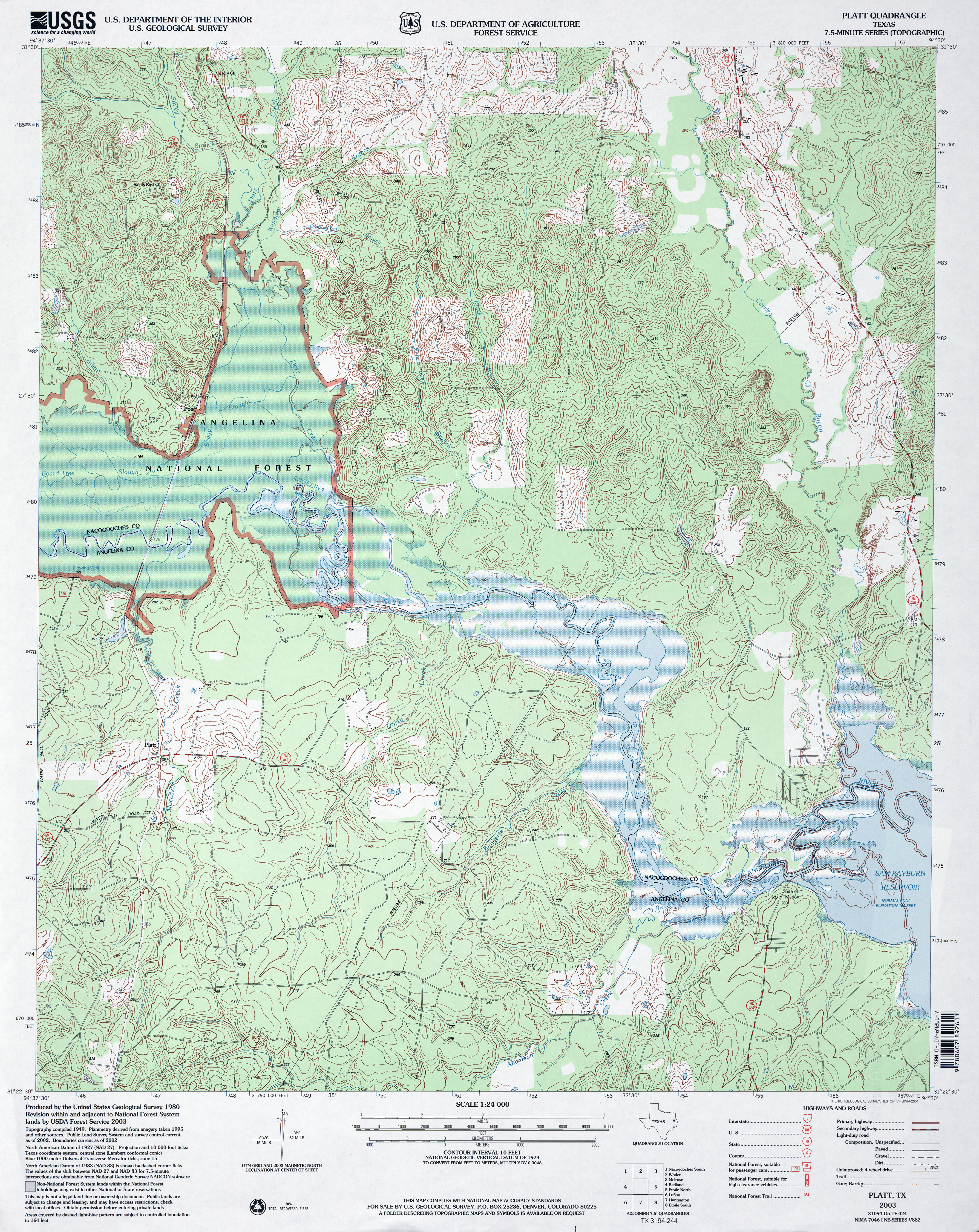
- Platt 1:24,000 2003 (5.6MB)
- Platt 1:24,000 2008 (2.9MB) Texas Natural Resources Information System (TNRIS). [pdf]
- Platt 1:24,000 2009 (25.9MB) [GeoPDF]
- Platt 1:24,000 2013 (26.5MB) [GeoPDF]
- Platter [Oklahoma, Texas] 1:24,000 2008 (19.7MB) [GeoPDF]
- Platter 1:24,000 2012 (22.5MB) [GeoPDF]
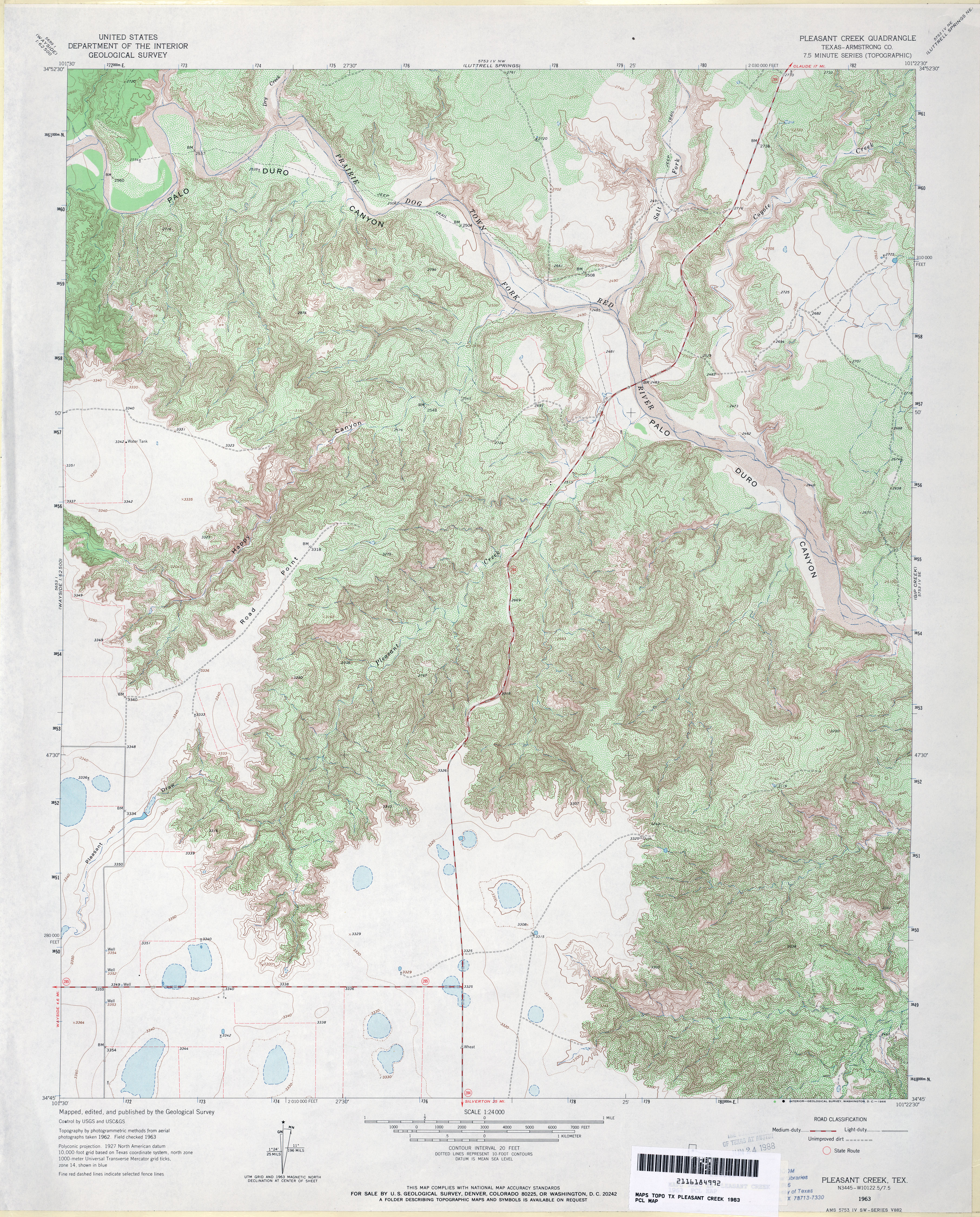
- Pleasant Creek (Armstrong County) 1:24,000 1963 (5.6MB)
- Pleasant Creek 1:24,000 2008 (24.3MB) [GeoPDF]
- Pleasant Creek 1:24,000 2012 (29.3MB) [GeoPDF]
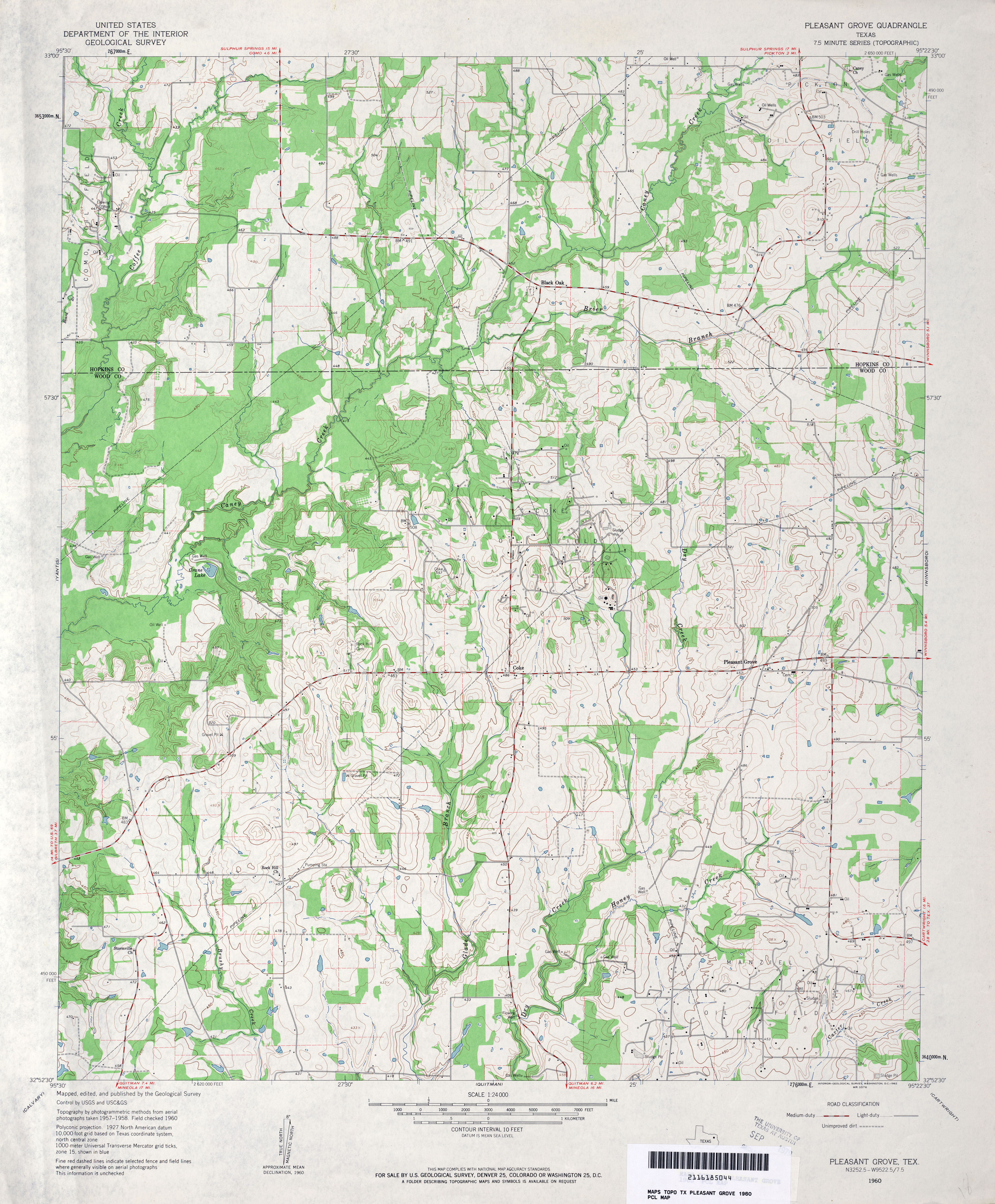
- Pleasant Grove 1:24,000 1960 (4MB)
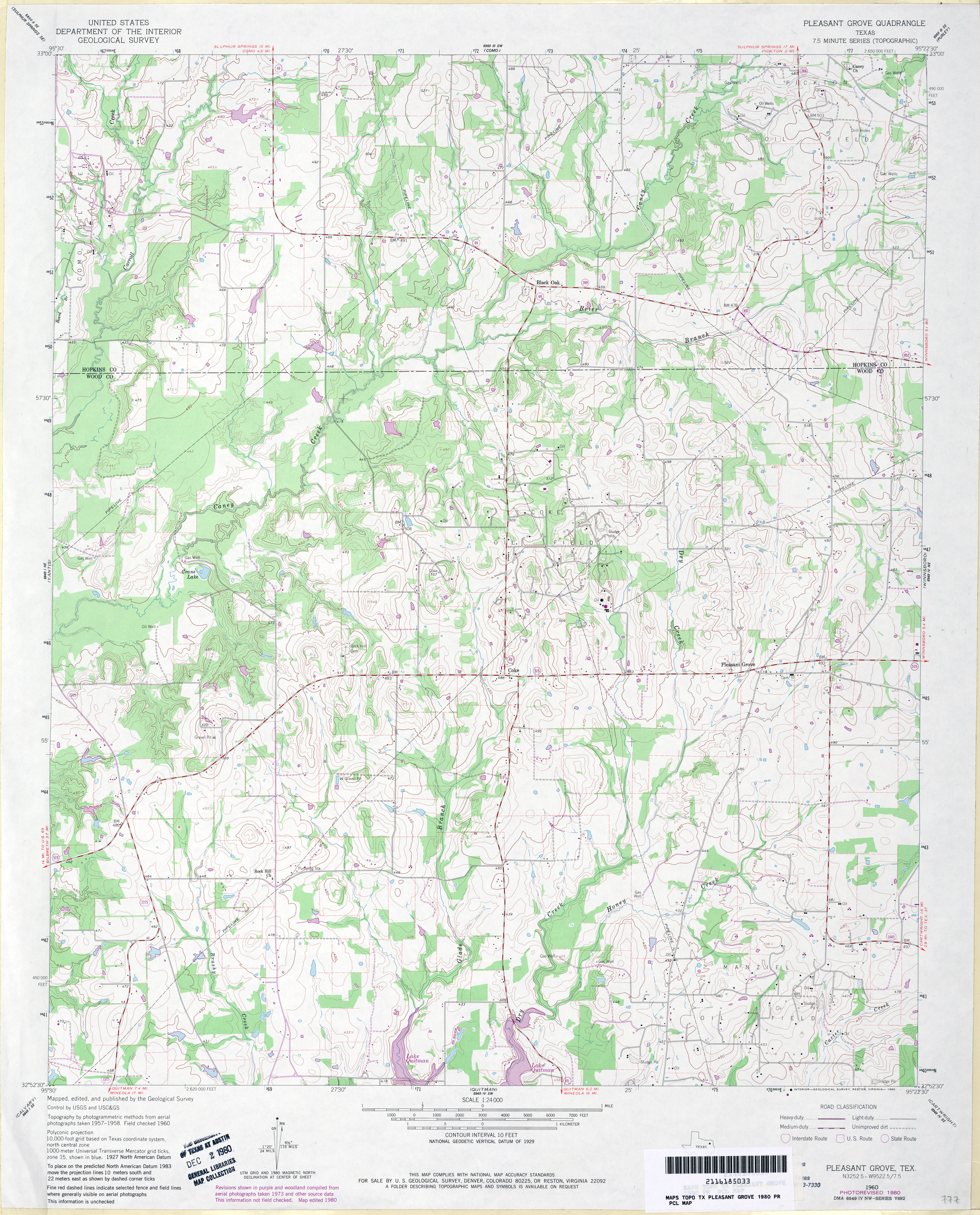
- Pleasant Grove 1:24,000 1980 (4MB)
- Pleasant Grove 1:24,000 2009 (16.7MB) [GeoPDF]
- Pleasant Grove 1:24,000 2012 (22.6MB) [GeoPDF]
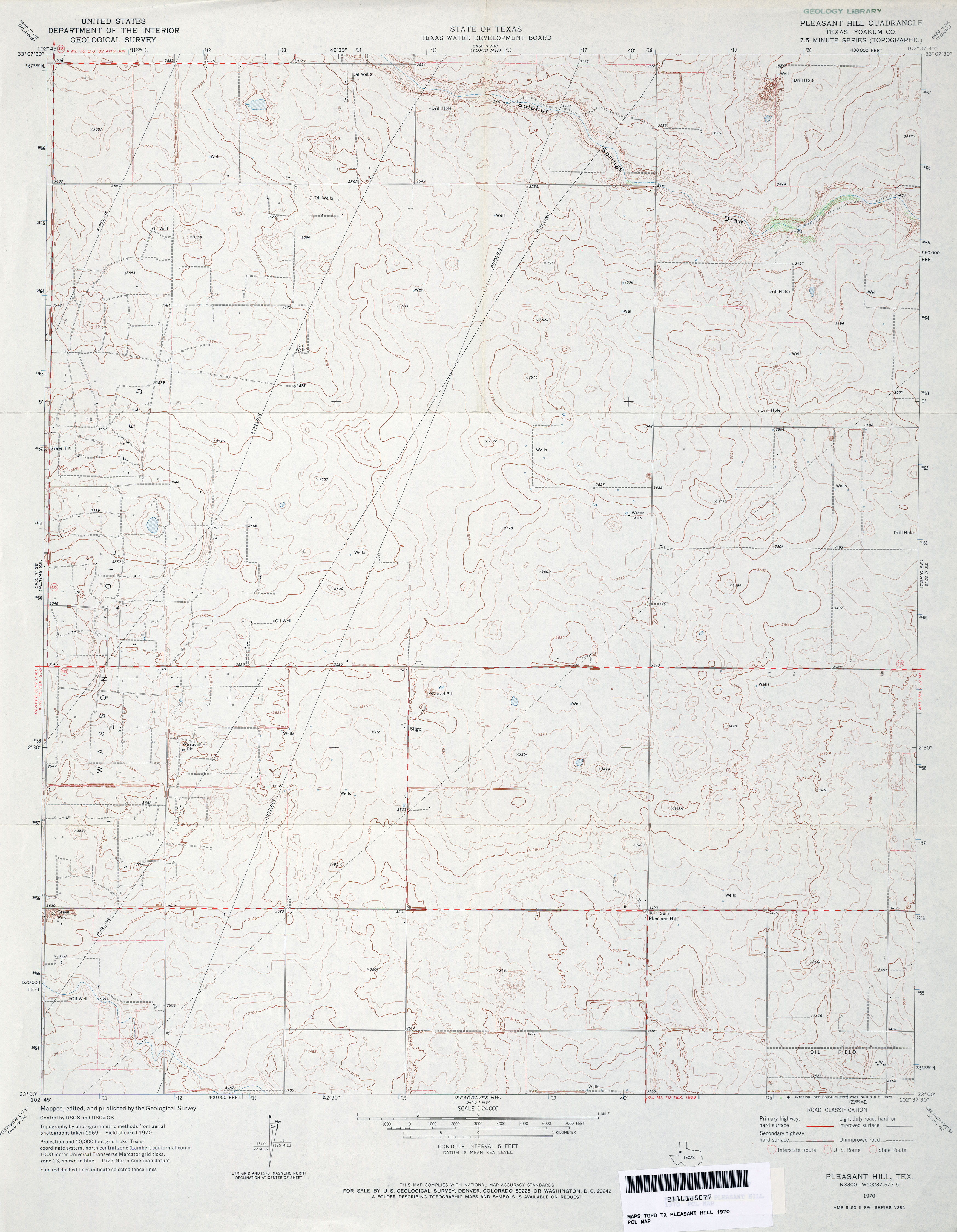
- Pleasant Hill (Yoakum County) 1:24,000 1970 (3.2MB)
- Pleasant Hill 1:24,000 2008 (11.3MB) [GeoPDF]
- Pleasant Hill [New Mexico, Texas] 1:24,000 2009 (12.7MB) [GeoPDF]
- Pleasant Hill 1:24,000 2012 (16.8MB) [GeoPDF]
- Pleasant Hill NE [New Mexico, Texas] 1:24,000 2009 (12.8MB) [GeoPDF]
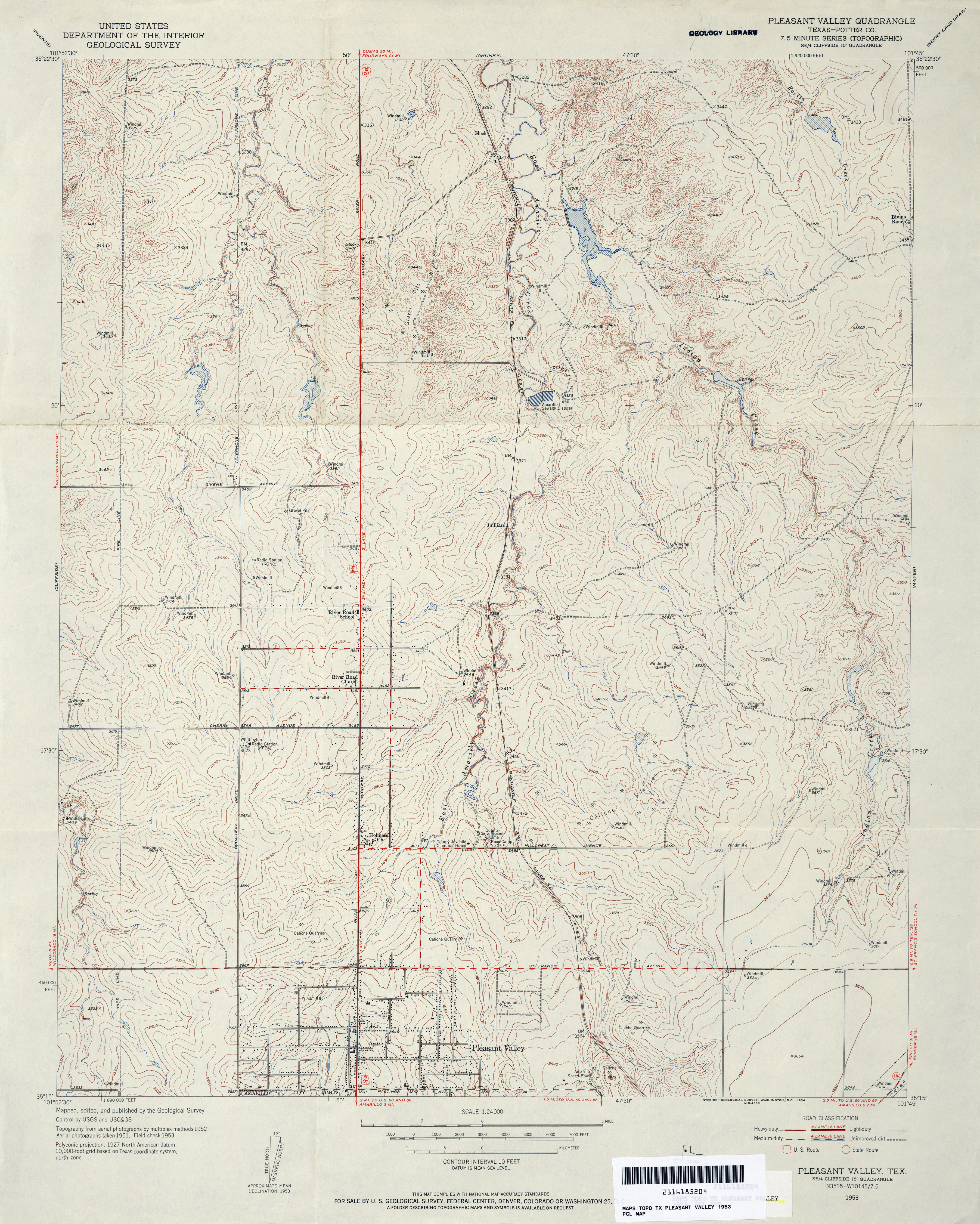
- Pleasant Valley (Potter County) 1:24,000 1953 (4.3MB)
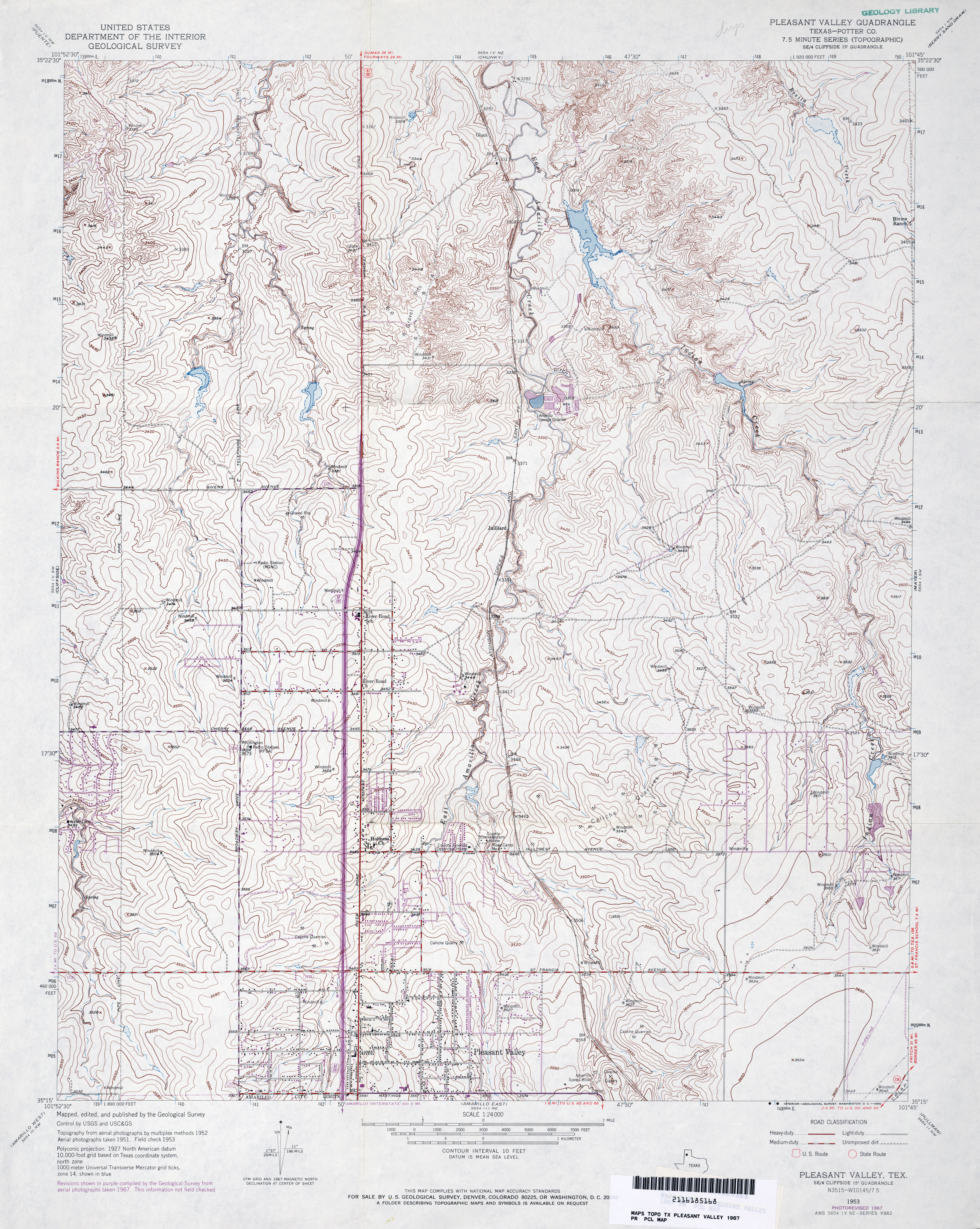
- Pleasant Valley (Potter County) 1:24,000 1967 (4.7MB)
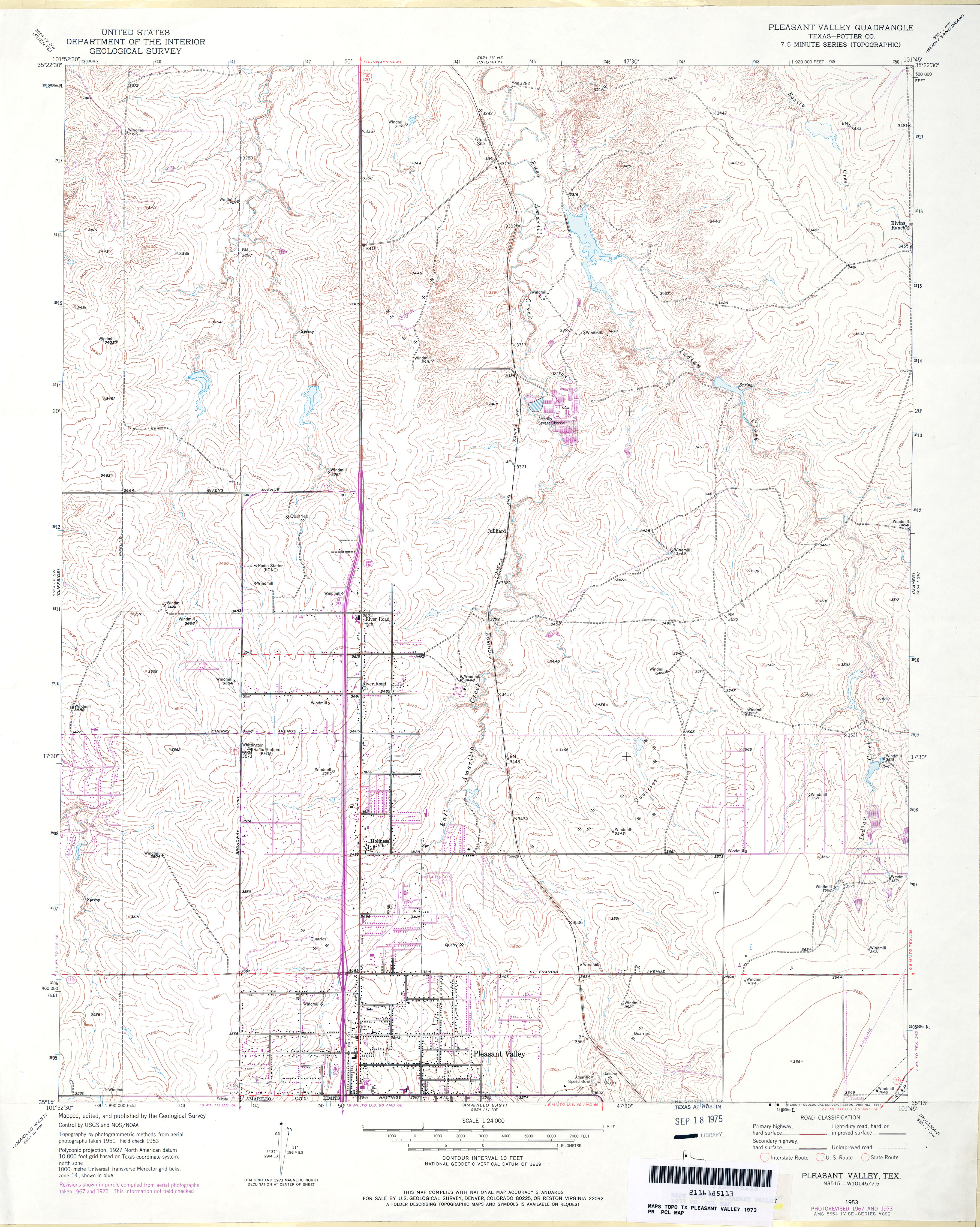
- Pleasant Valley (Potter County) 1:24,000 1973 (4.1MB)
- Pleasant Valley 1:24,000 2008 (13.2MB) [GeoPDF]
- Pleasant Valley 1:24,000 2012 (21.3MB) [GeoPDF]
- Pleasanton 1:62,500 1942 (4.5 MB) U.S. Army. Corps of Engineers. Tactical Map
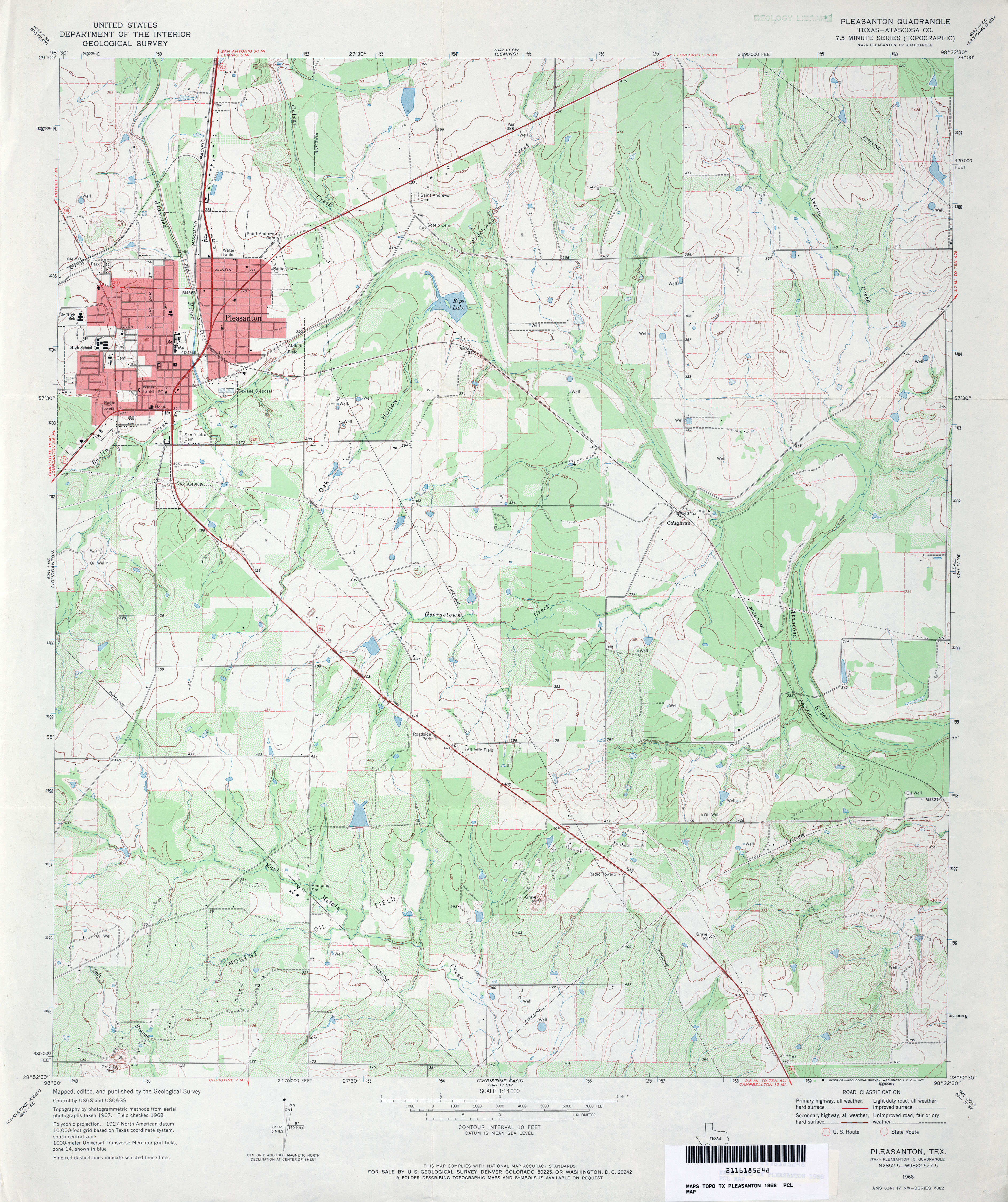
- Pleasanton (Atascosa County) 1:24,000 1968 (4.1MB)
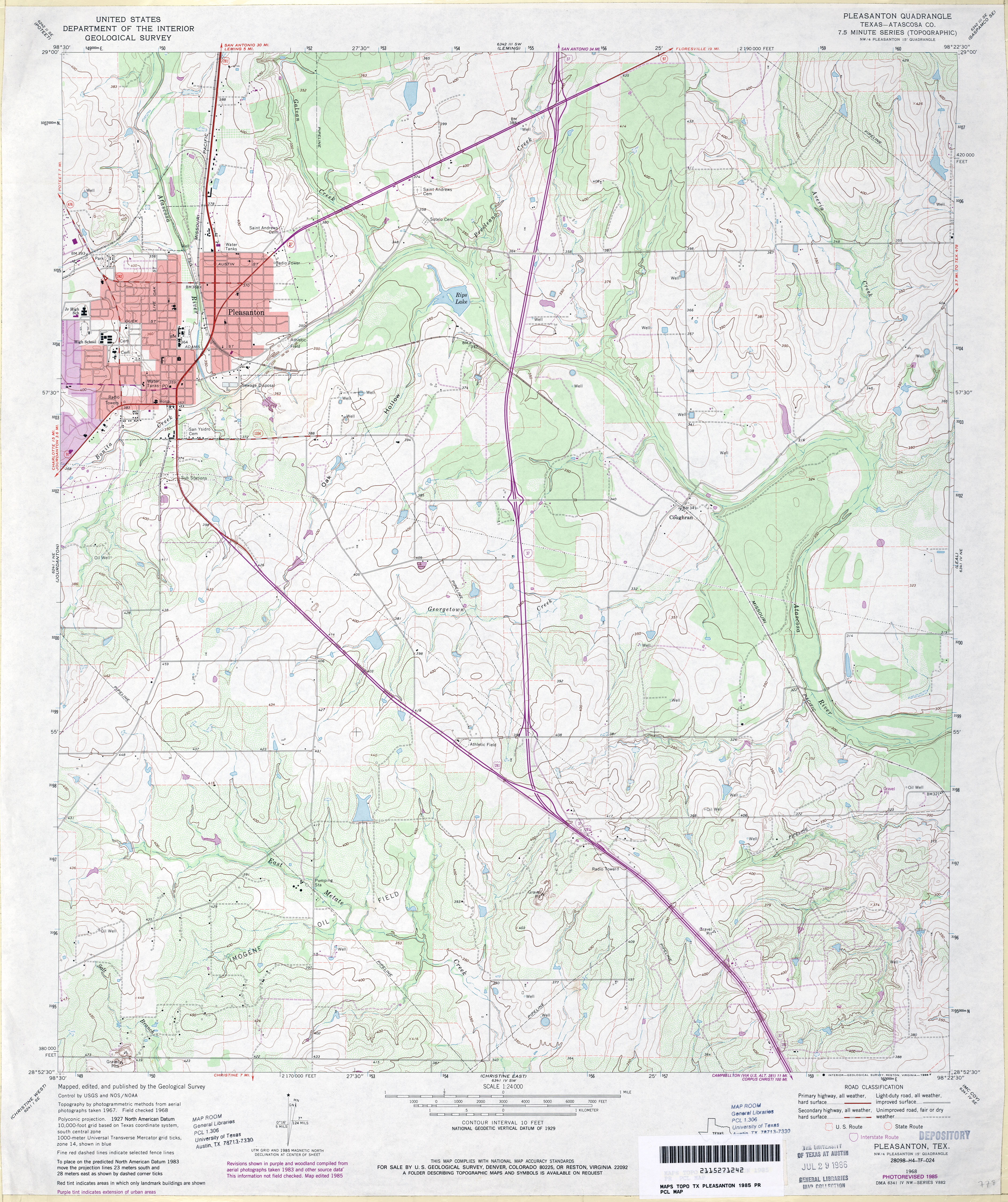
- Pleasanton (Atascosa County) 1:24,000 1985 (4.5MB)
- Pleasanton 1:24,000 2008 (16.9MB) [GeoPDF]
- Pleasanton 1:24,000 2013 (22.5MB) [GeoPDF]
- Pleasure Lake [New Mexico, Texas] 1:24,000 2009 (12.9MB) [GeoPDF]
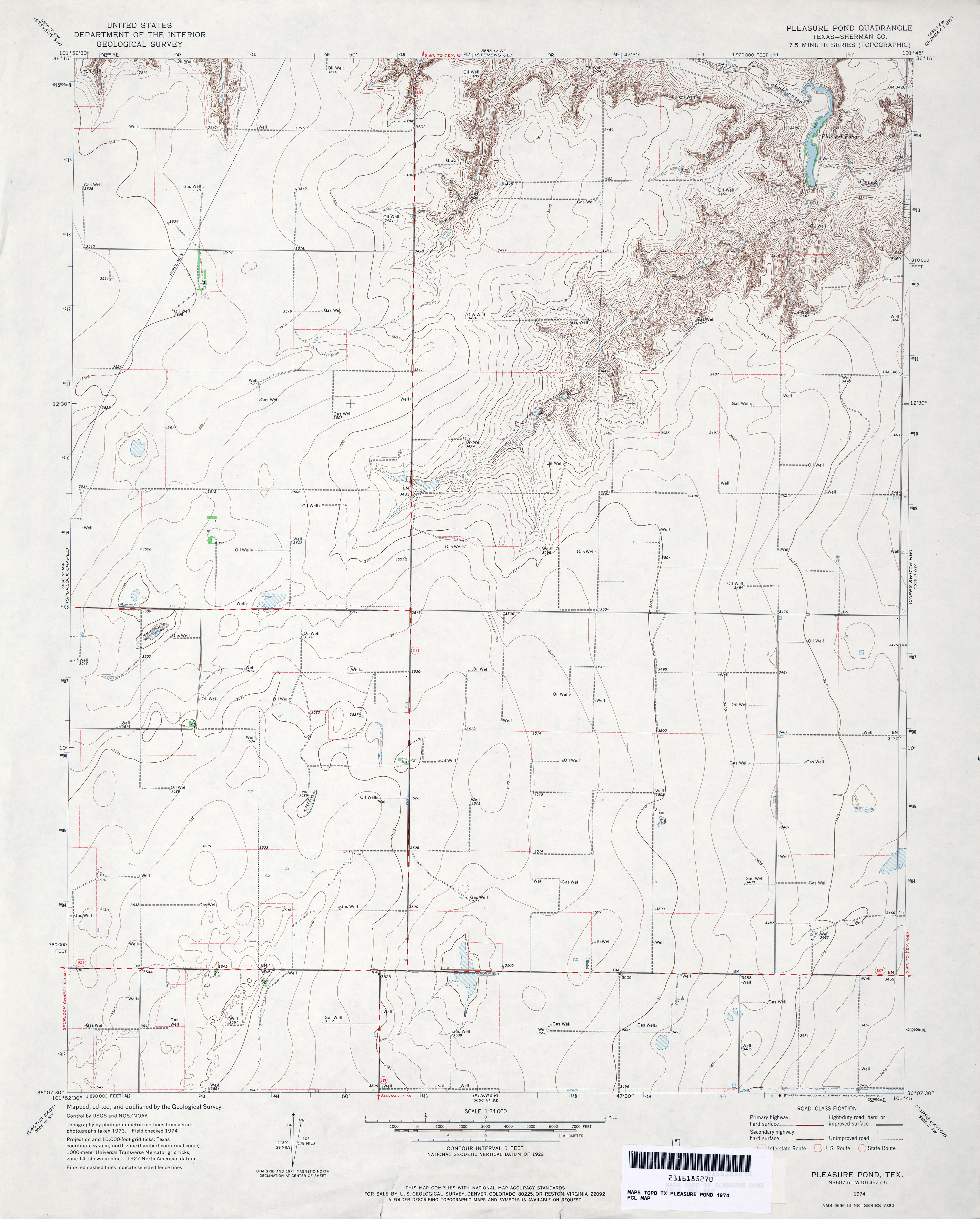
- Pleasure Pond (Sherman County) 1:24,000 1974 (2.9MB)
- Pleasure Pond 1:24,000 2008 (9.6MB) [GeoPDF]
- Pleasure Pond 1:24,000 2012 (16.1MB) [GeoPDF]
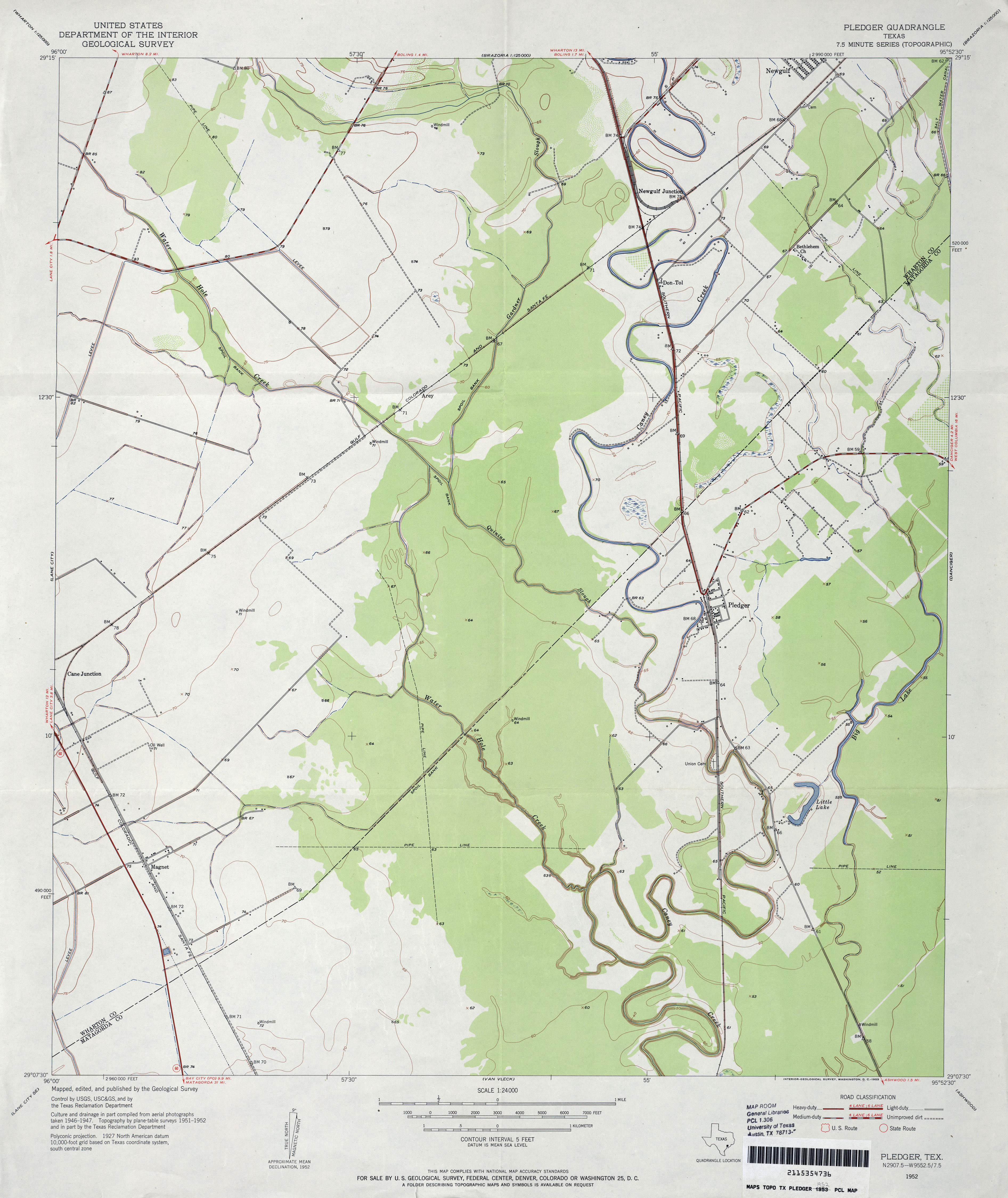
- Pledger 1:24,000 1952 (2.8MB)
- Pledger 1:24,000 1980 (2.8MB)
- Pledger 1:24,000 2009 (15.1MB) [GeoPDF]
- Pledger 1:24,000 2013 (17.7MB) [GeoPDF]
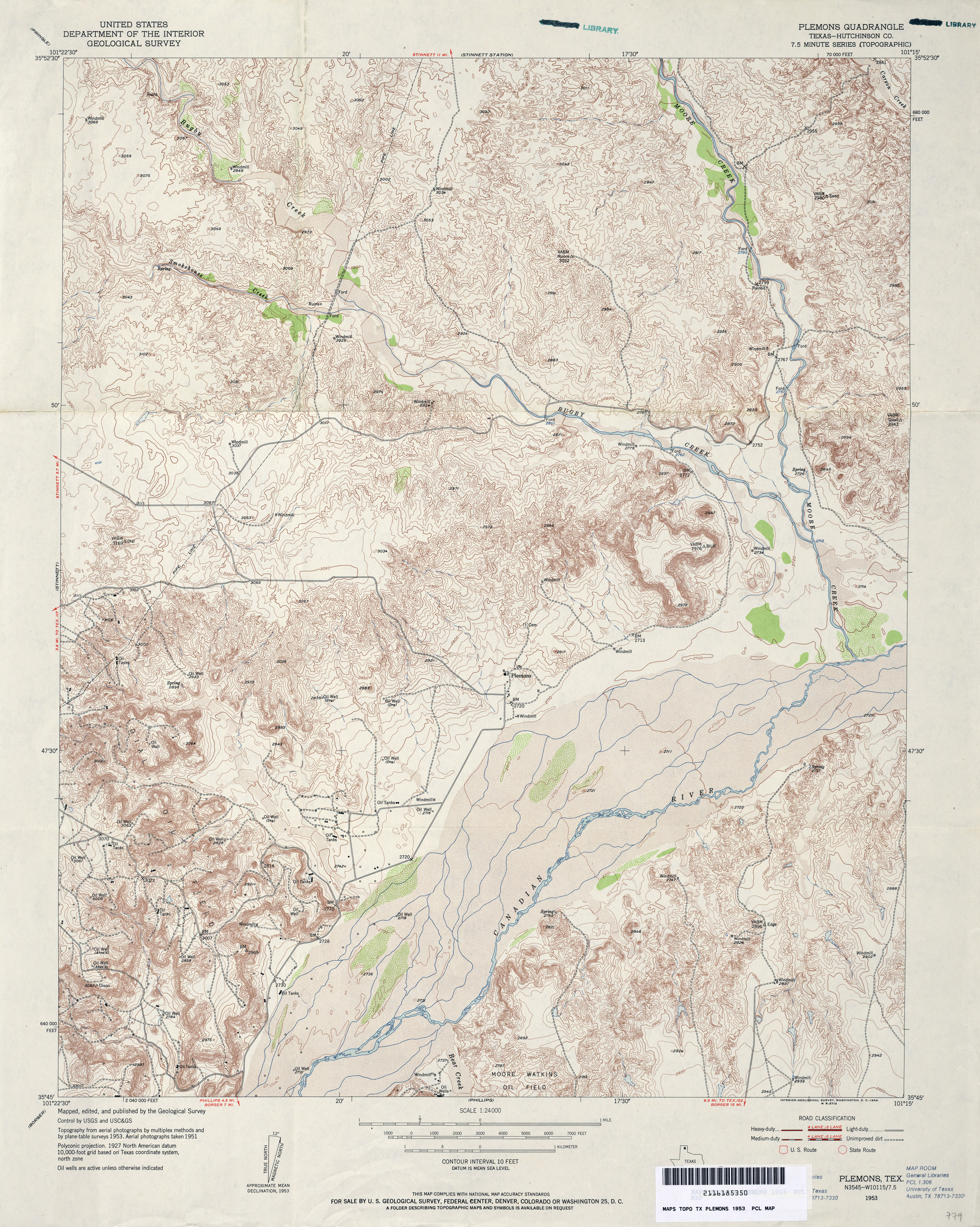
- Plemons (Hutchinson County) 1:24,000 1953 (5.6MB)
- Plemons (Hutchinson County) 1:24,000 1978 (5.7MB)
- Plemons 1:24,000 2008 (20.8MB) [GeoPDF]
- Plemons 1:24,000 2013 (24.7MB) [GeoPDF]
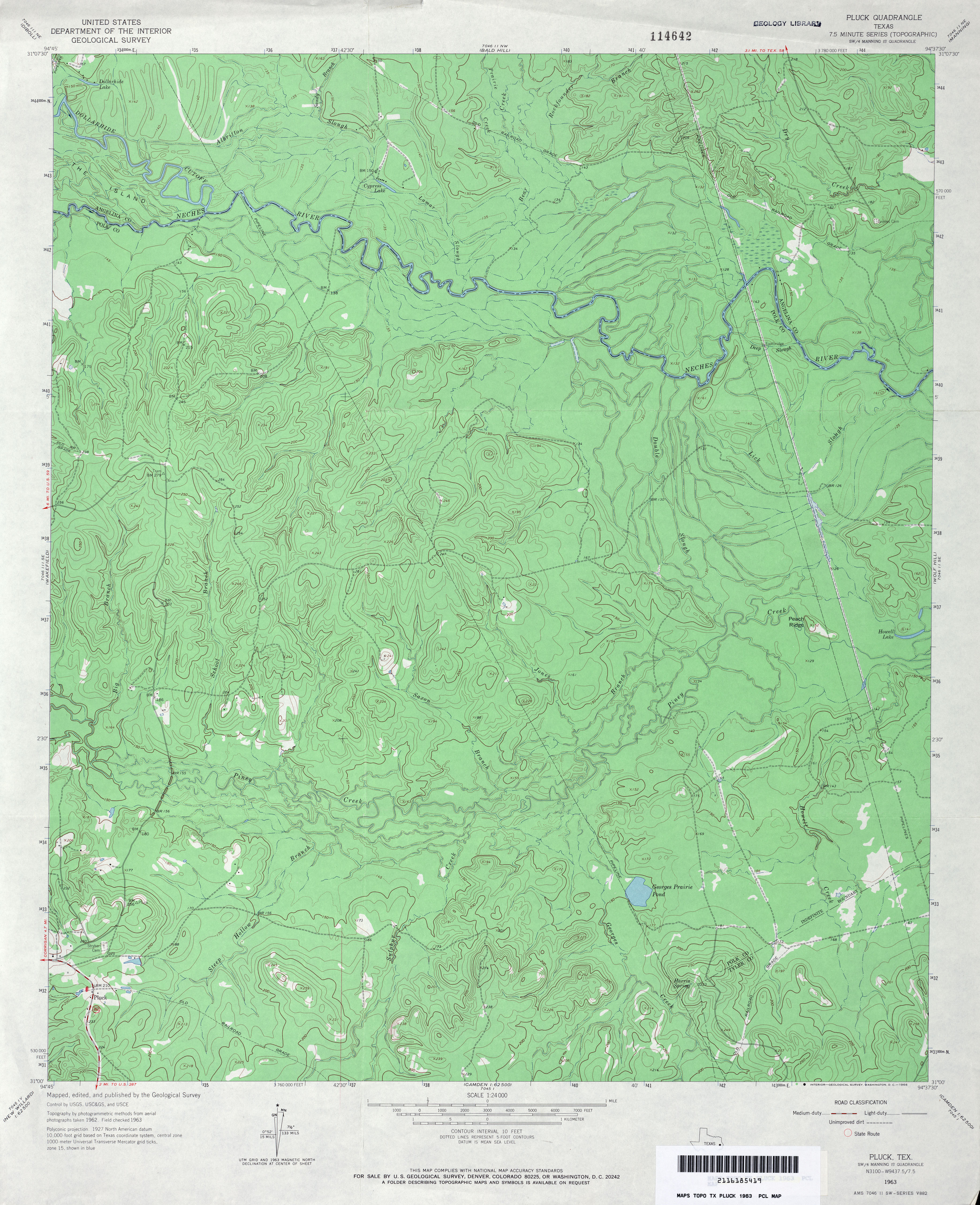
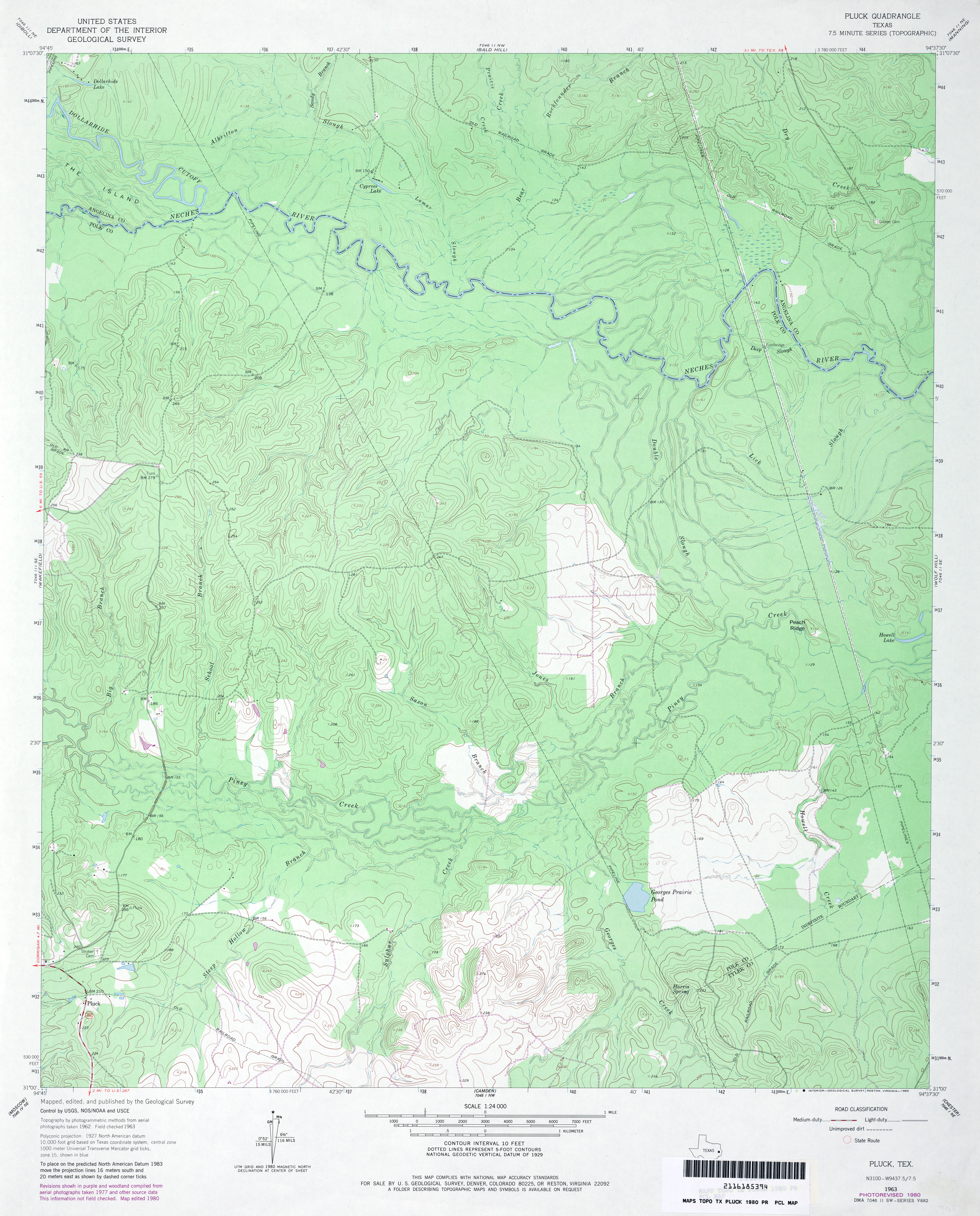
- Pluck 1:24,000 1963 (4.2MB)
- Pluck 1:24,000 1980 (4MB)
- Pluck 1:24,000 2008 (2MB) Texas Natural Resources Information System (TNRIS). [pdf]
- Pluck 1:24,000 2009 (25.2MB) [GeoPDF]
- Pluck 1:24,000 2013 (27MB) [GeoPDF]
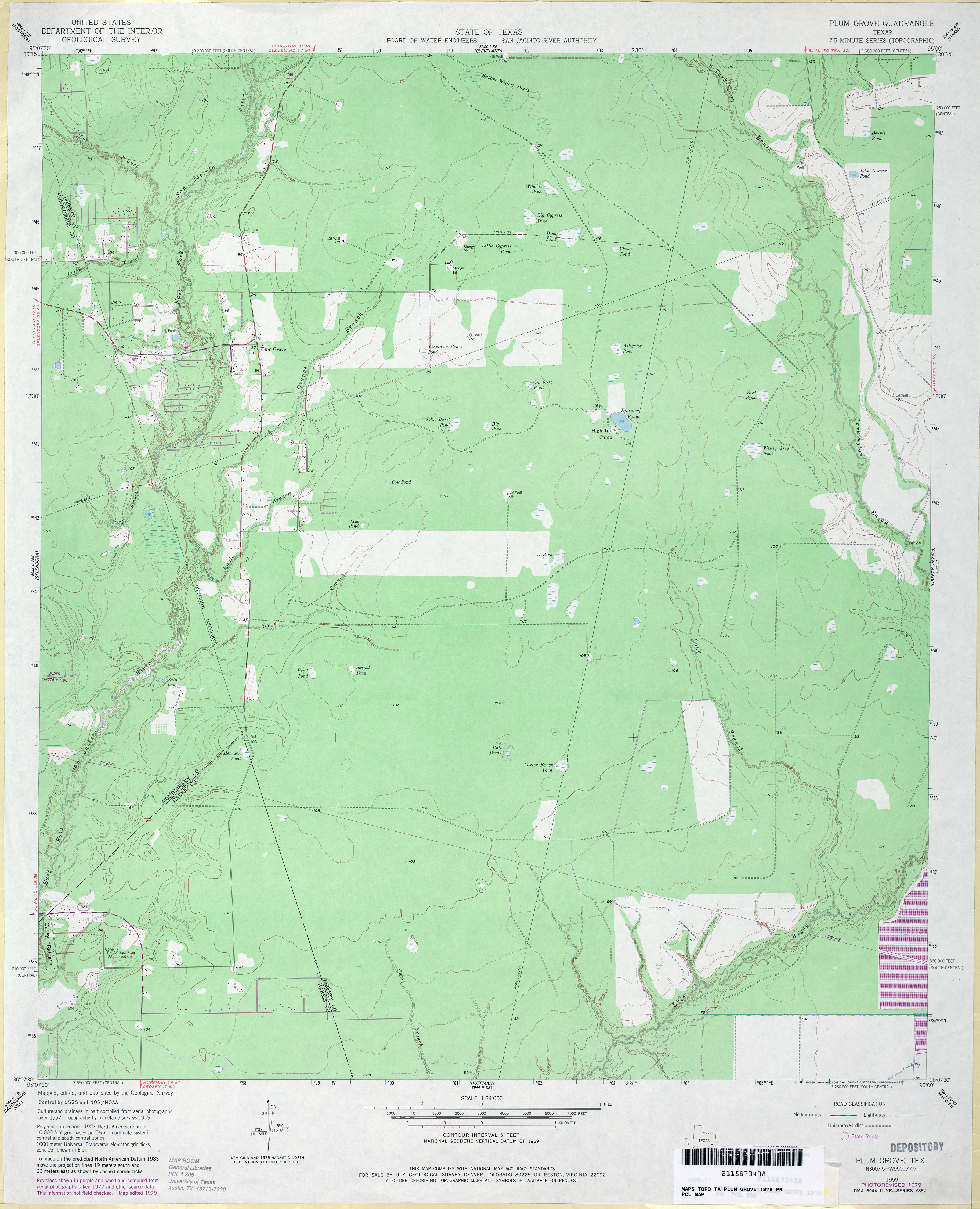
- Plum Grove 1:24,000 1959 (3MB)
- Plum Grove 1:24,000 1979 (3.1MB)
- Plum Grove 1:24,000 2009 (23.5MB) [GeoPDF]
- Plum Grove 1:24,000 2013 (21.8MB) [GeoPDF]
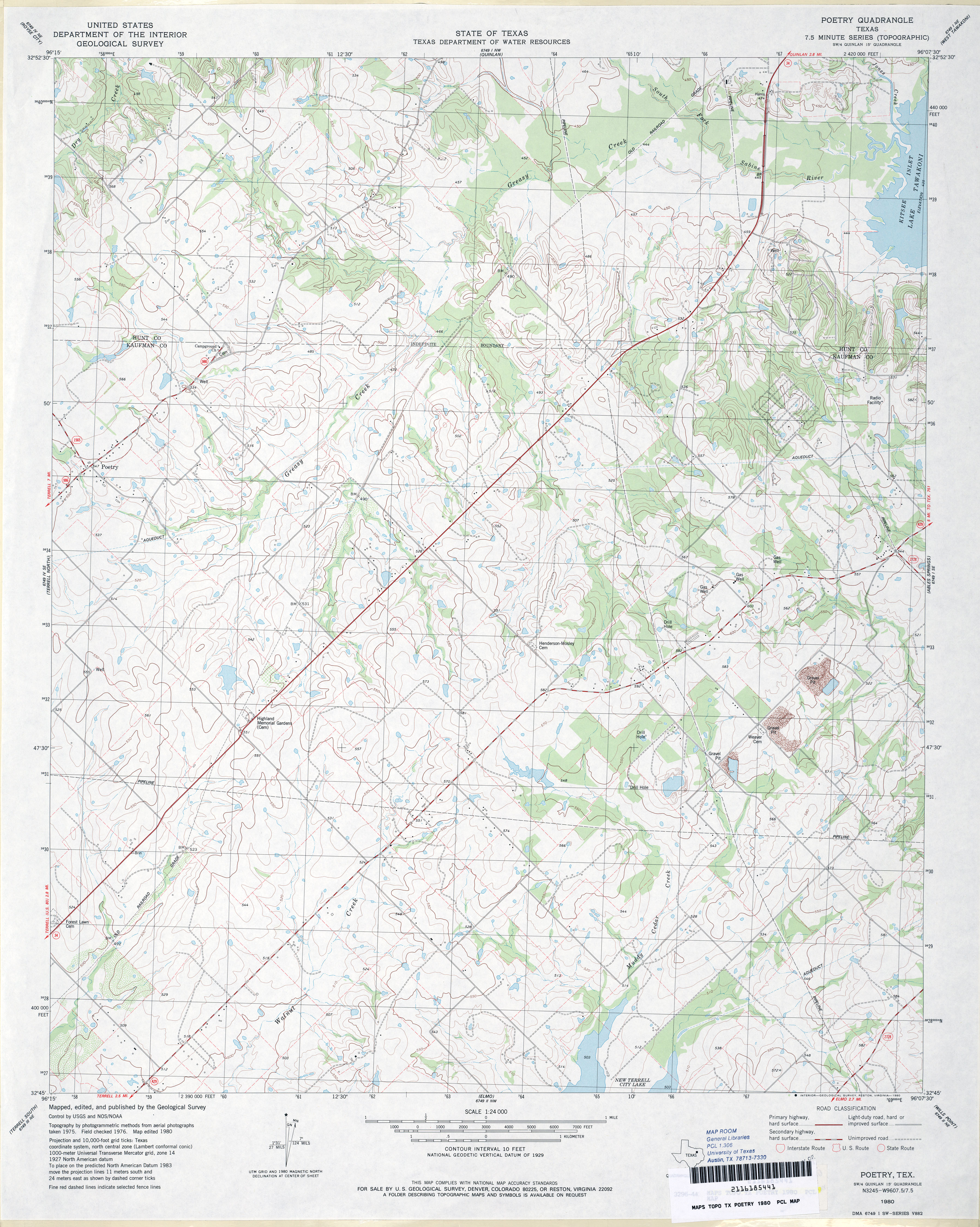
- Poetry 1:24,000 1980 (4MB)
- Poetry 1:24,000 2009 (17.5MB) [GeoPDF]
- Poetry 1:24,000 2012 (20.5MB) [GeoPDF]
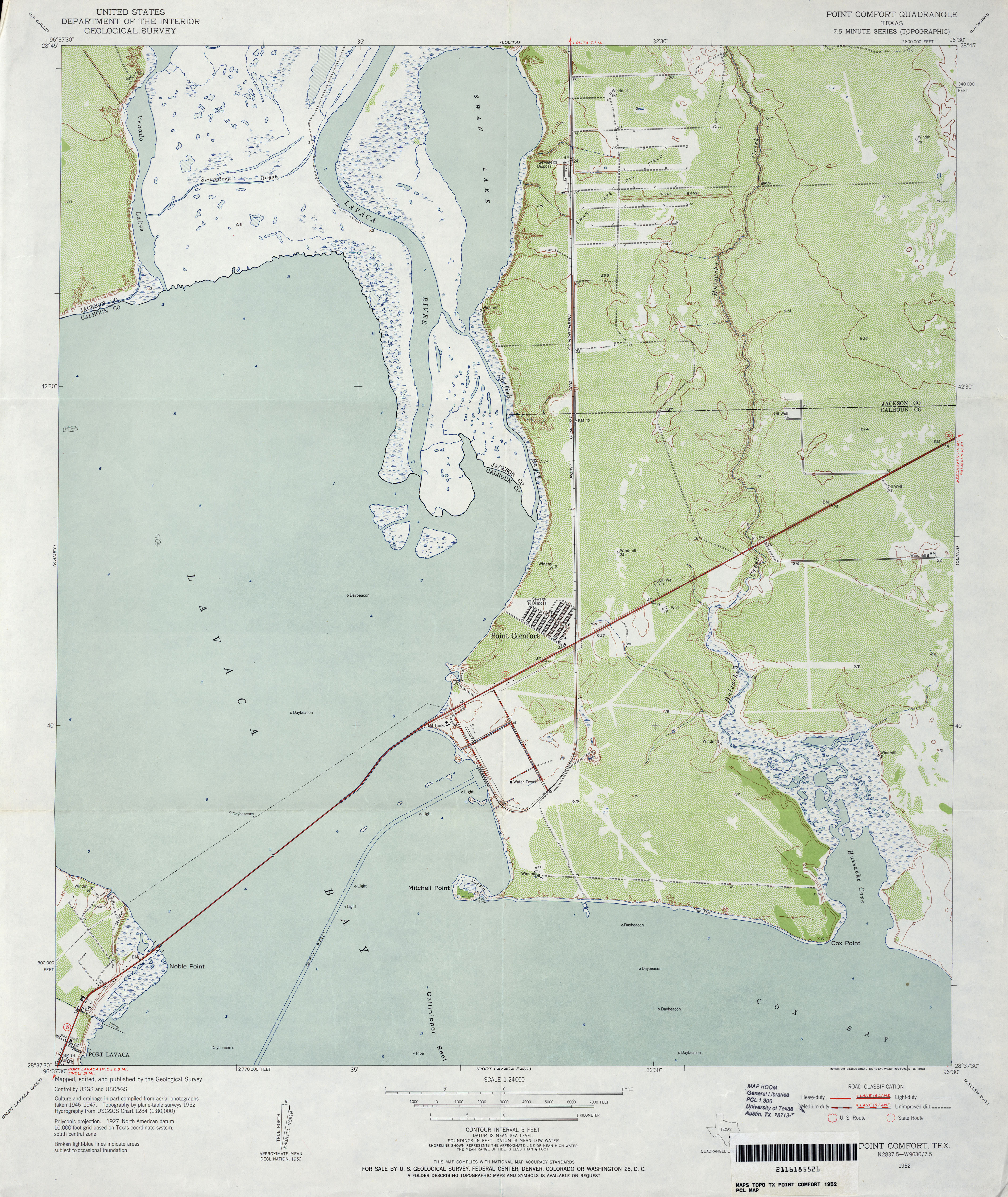
- Point Comfort 1:24,000 1952 (3.7MB)
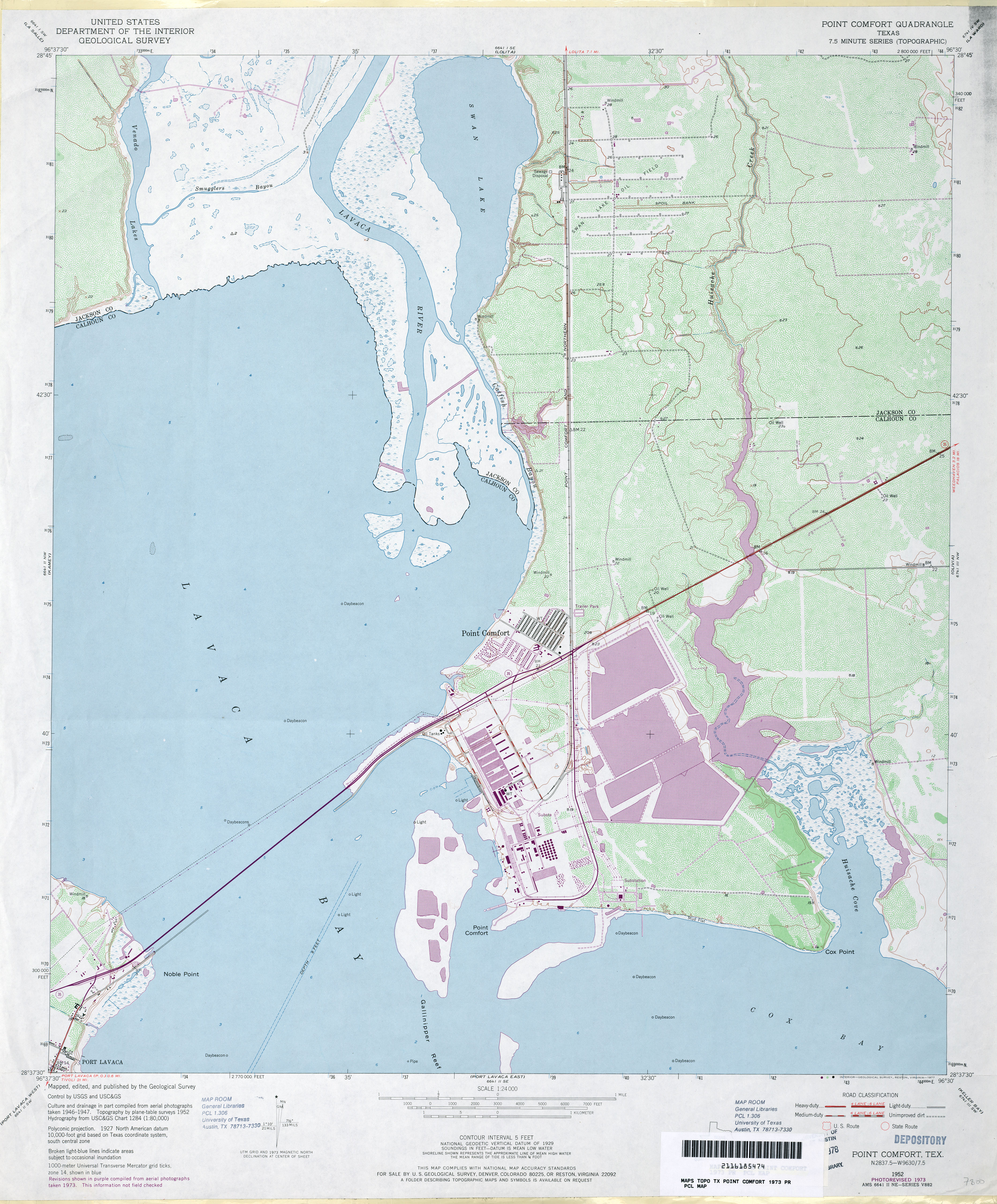
- Point Comfort 1:24,000 1973 (3.7MB)
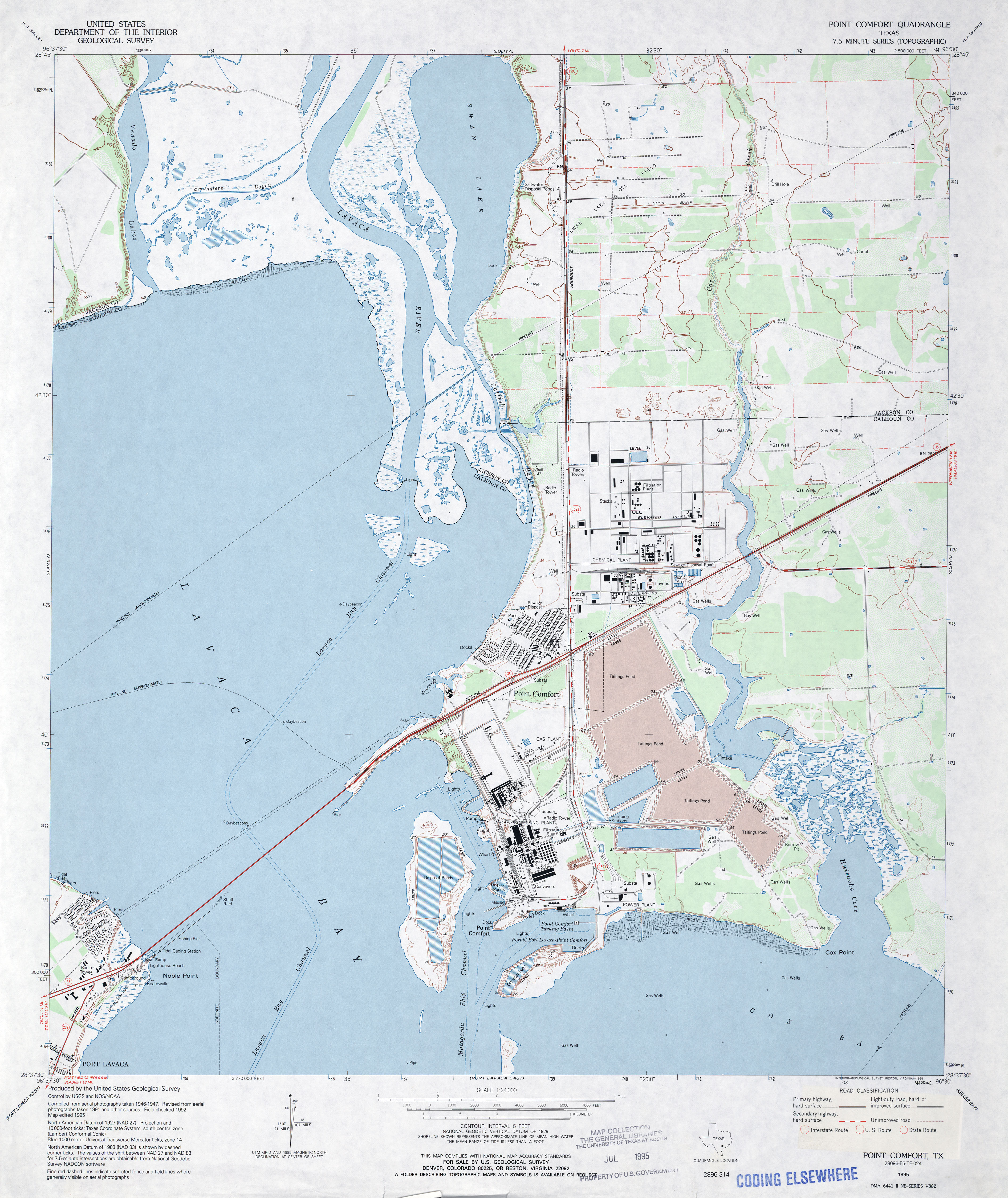
- Point Comfort 1:24,000 1995 (3.4MB)
- Point Comfort 1:24,000 2008 (12.3MB) [GeoPDF]
- Point Comfort 1:24,000 2013 (21.1MB) [GeoPDF]
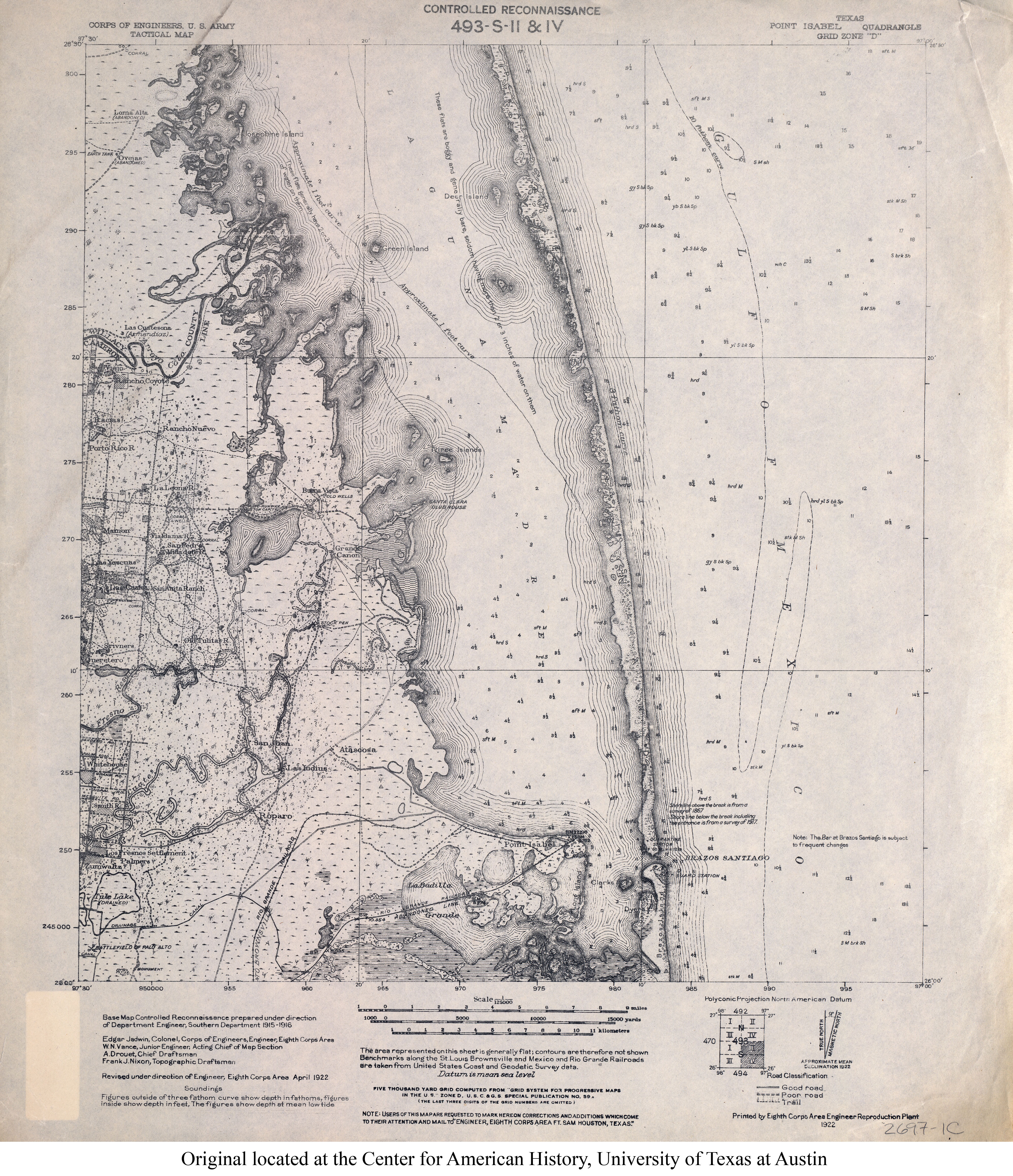
- Point Isabel 1:125,000 1922 (4.5MB) U.S. Army. Corps of Engineers. Tactical Map
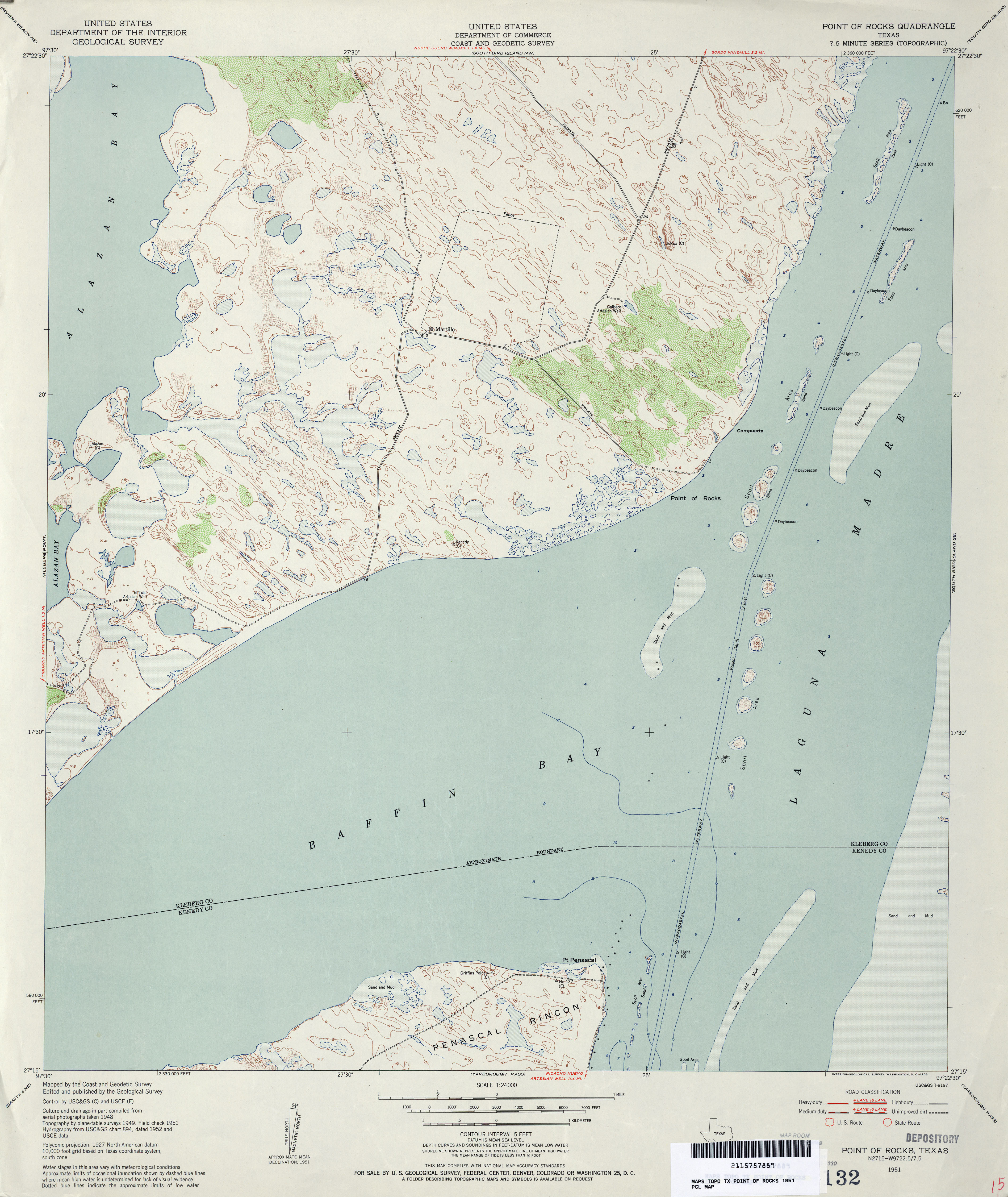
- Point of Rocks 1:24,000 1951 (3.2MB)
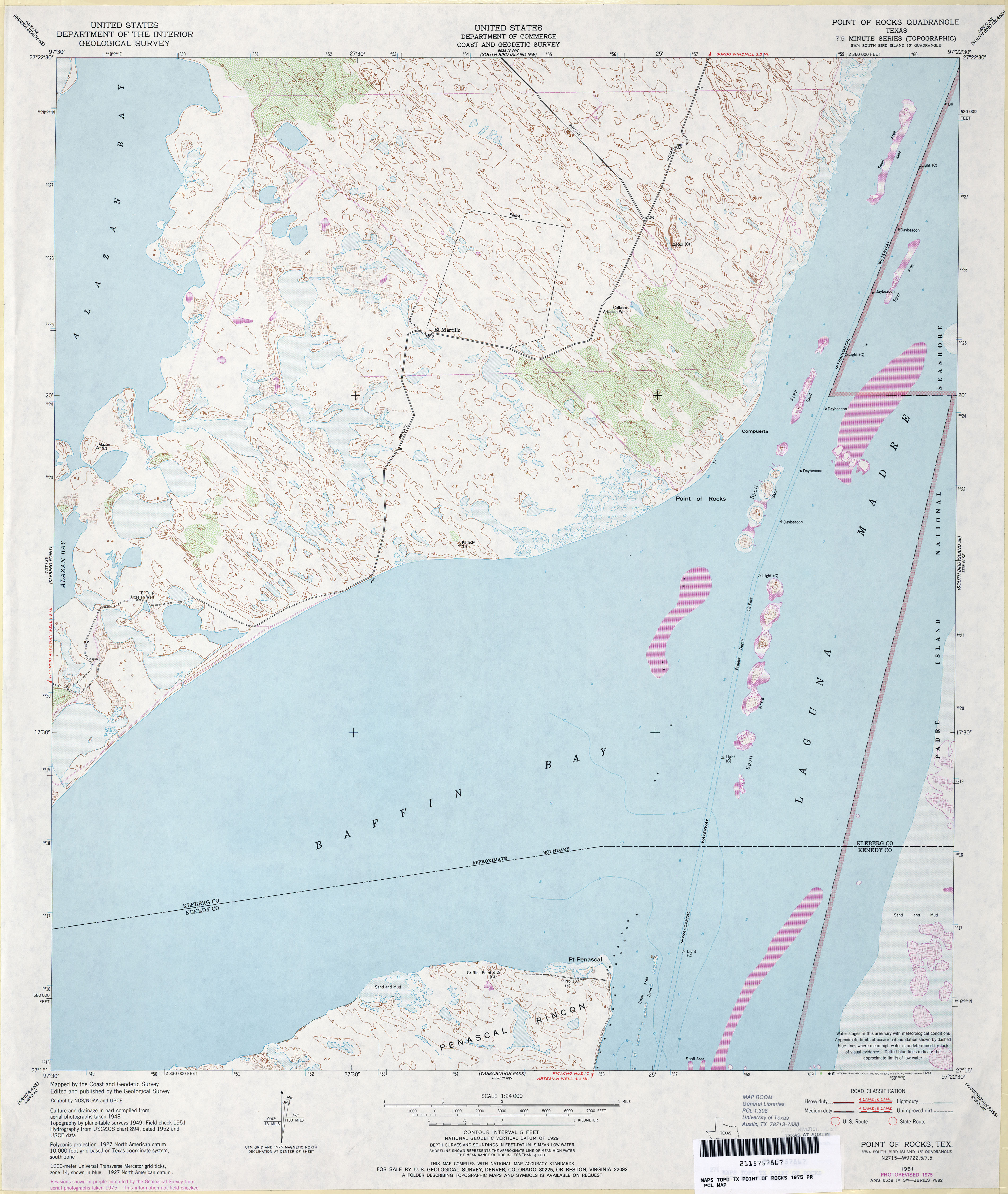
- Point of Rocks 1:24,000 1975 (3.3MB)
- Point of Rocks 1:24,000 2009 (11.4MB) [GeoPDF]
- Point of Rocks 1:24,000 2013 (15MB) [GeoPDF]
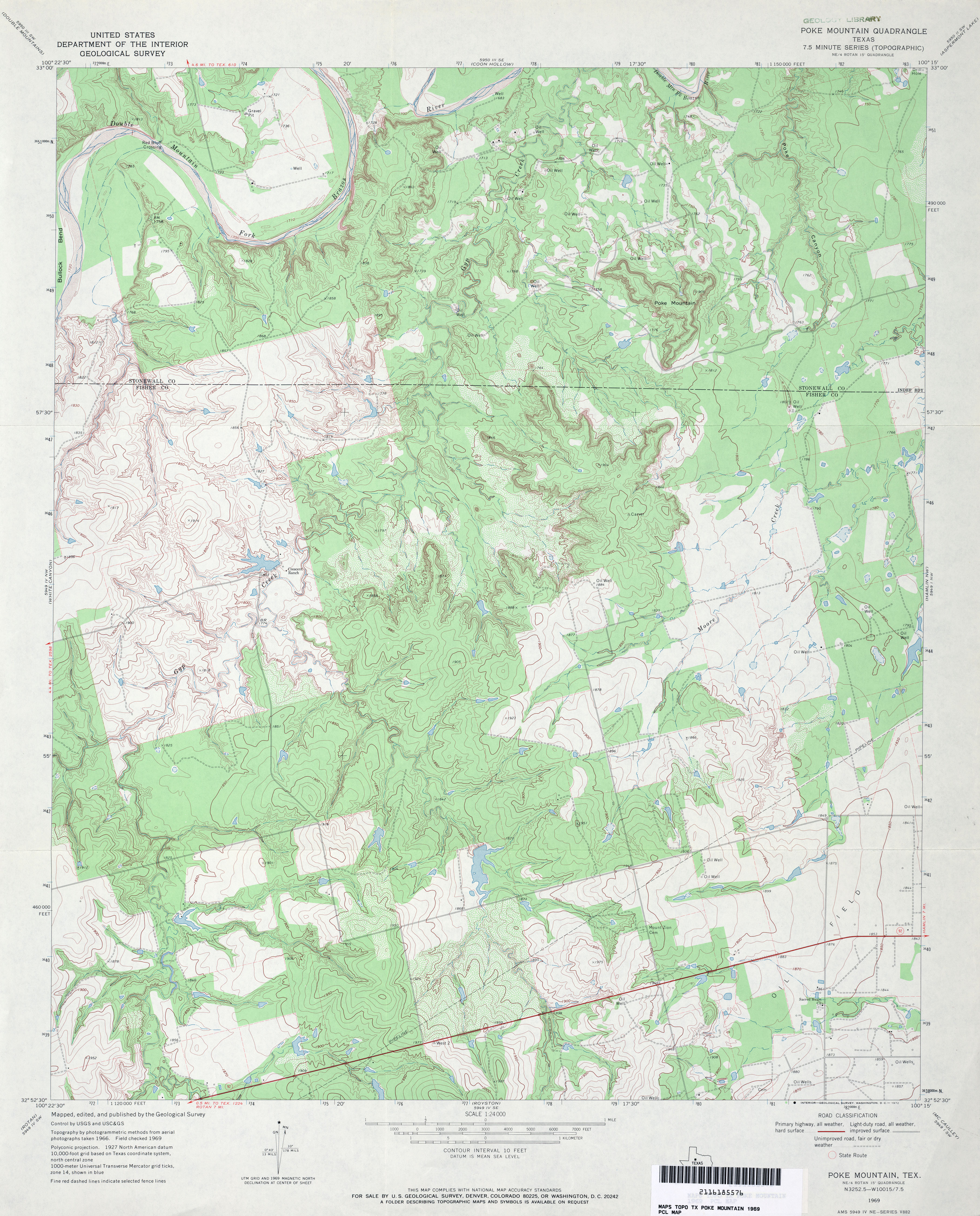
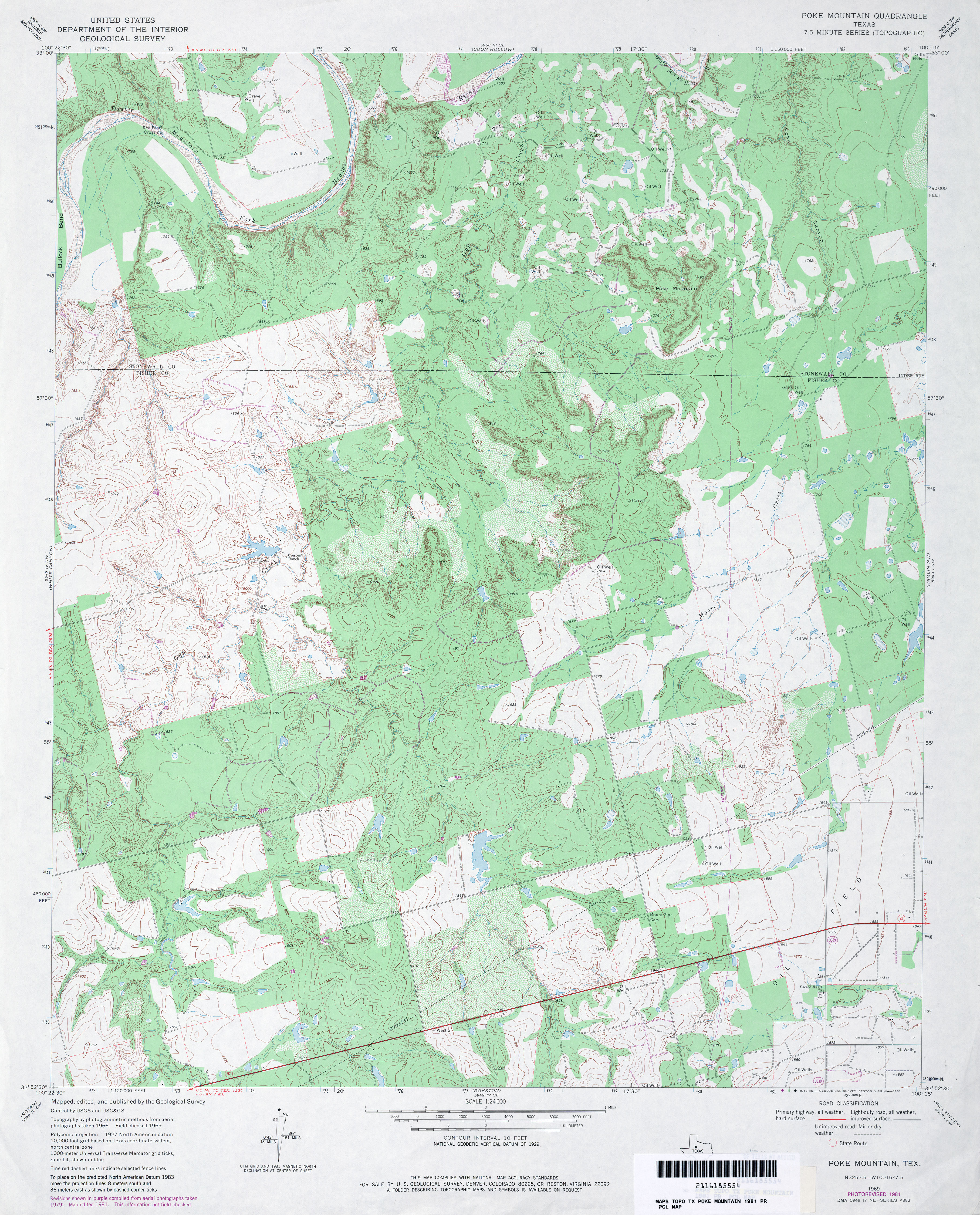
- Poke Mountain 1:24,000 1969 (4.4MB)
- Poke Mountain 1:24,000 1981 (4.5MB)
- Poke Mountain 1:24,000 2008 (17.1MB) [GeoPDF]
- Poke Mountain 1:24,000 2012 (24.3MB) [GeoPDF]
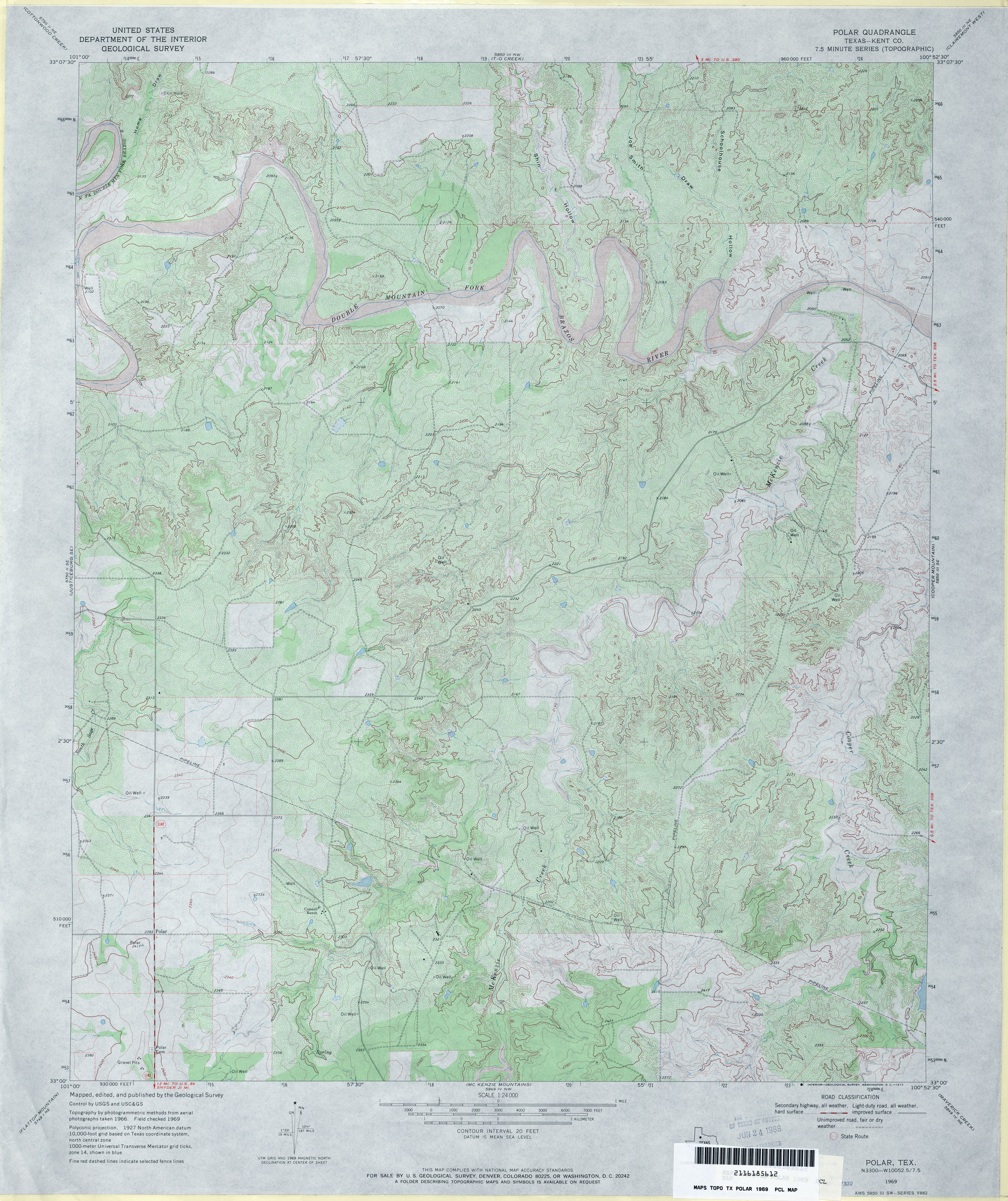
- Polar (Kent County) 1:24,000 1969 (5MB)
- Polar (Kent County) 1:24,000 1978 (4.8MB)
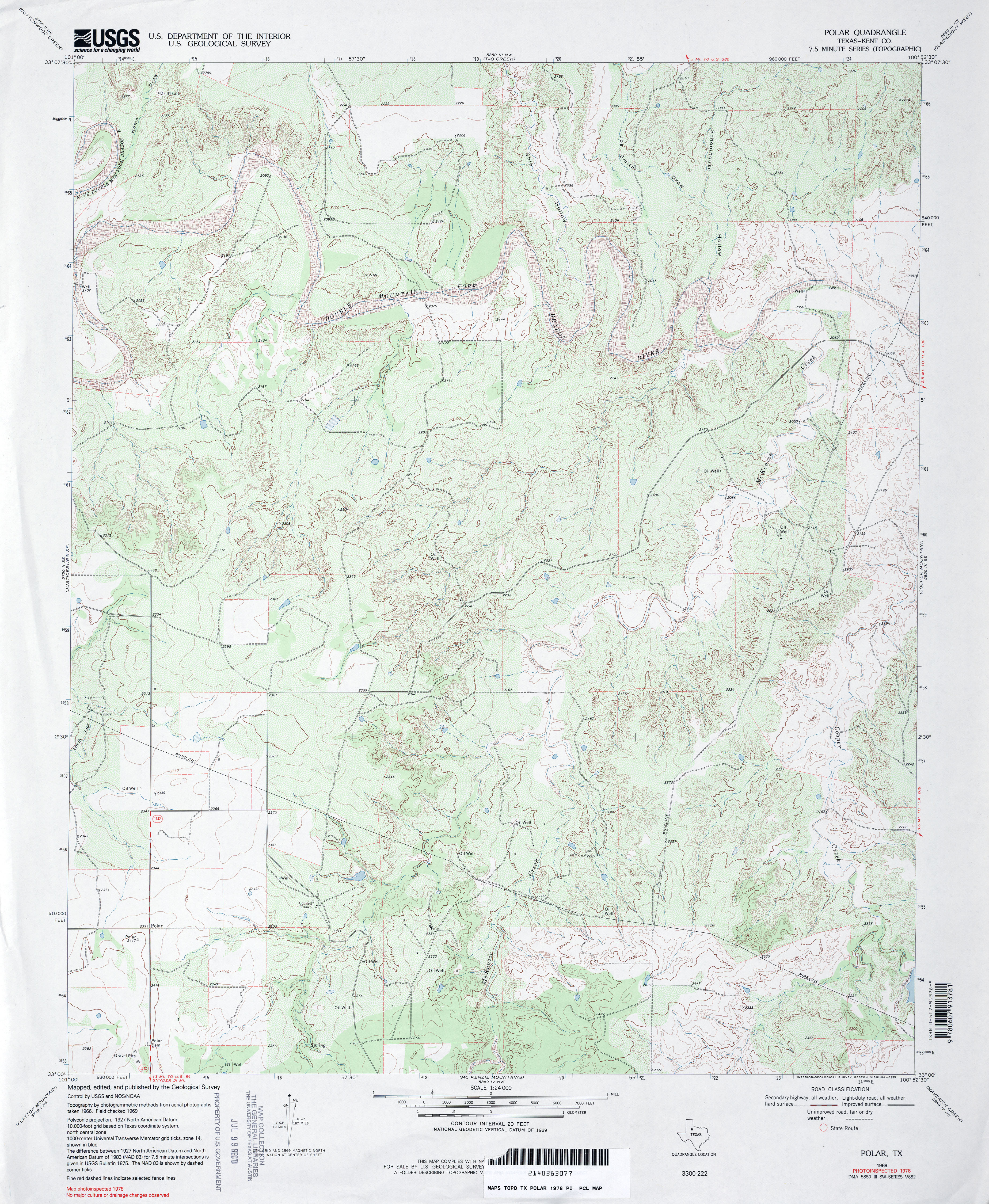
- Polar 1:24,000 2008 (19.3MB) [GeoPDF]
- Polar 1:24,000 2012 (28.7MB) [GeoPDF]
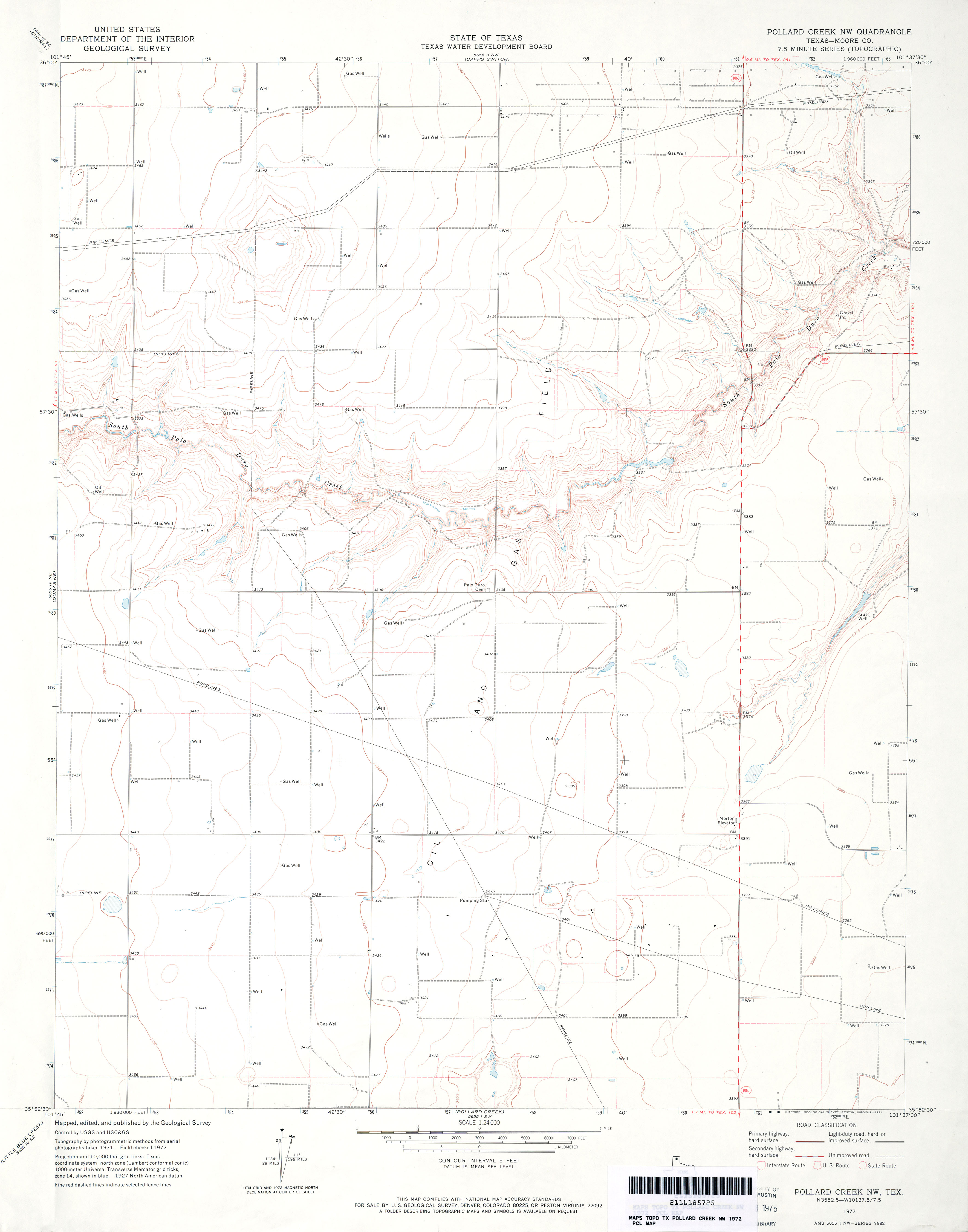
- Pollard Creek (Moore County) 1:24,000 1972 (3.7MB)
- Pollard Creek 1:24,000 2008 (11.0MB) [GeoPDF]
- Pollard Creek 1:24,000 2012 (16.9MB) [GeoPDF]
- Pollard Creek NE 1:24,000 1974 (3MB)
- Pollard Creek NE 1:24,000 2008 (9.6MB) [GeoPDF]
- Pollard Creek NE 1:24,000 2012 (14.7MB) [GeoPDF]
- Pollard Creek NW (Moore County) 1:24,000 1972 (2.2MB)
- Pollard Creek NW 1:24,000 2008 (9.6MB) [GeoPDF]
- Pollard Creek NW 1:24,000 2012 (14.9MB) [GeoPDF]
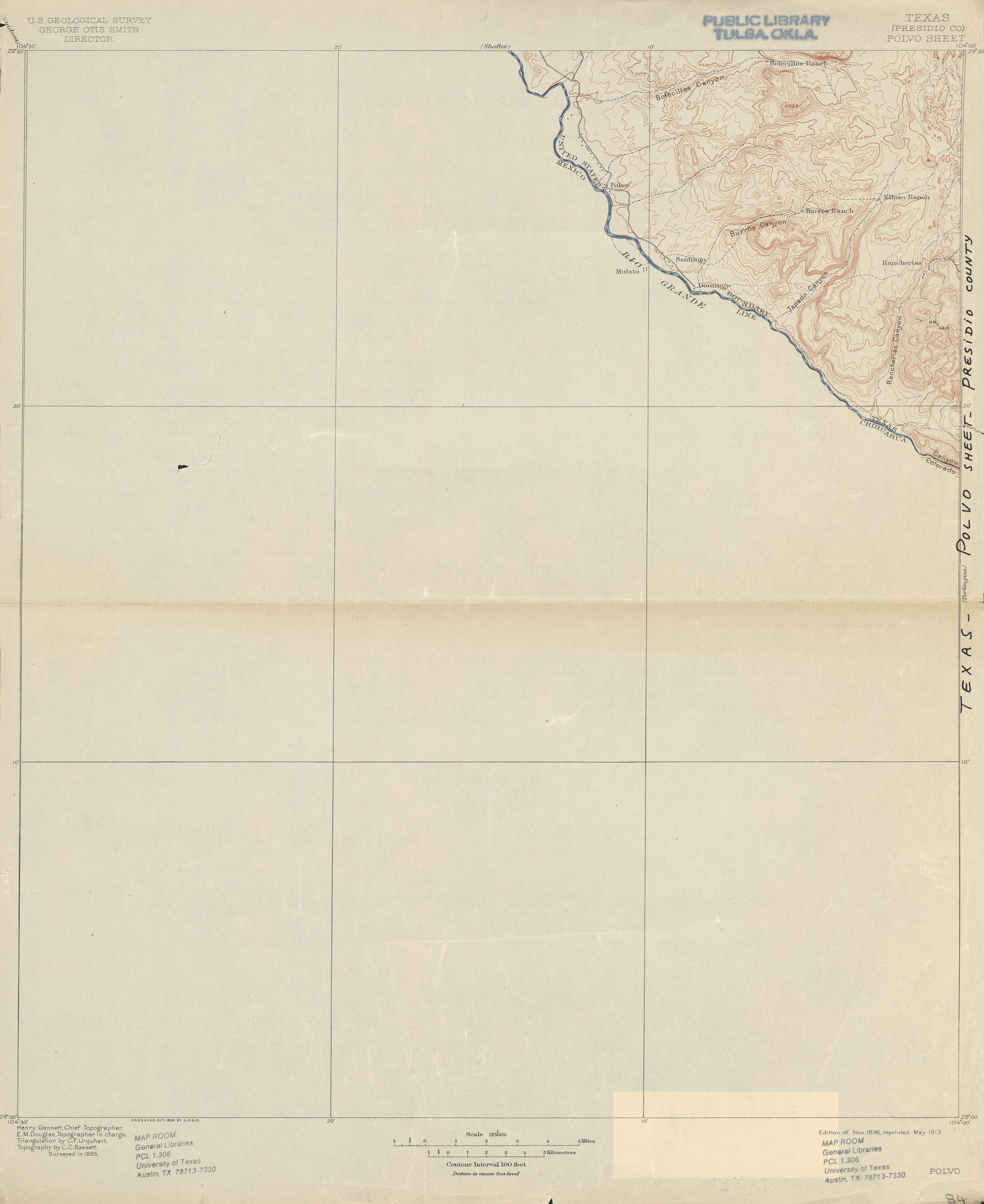
- Polvo (Presidio County) 1:125,000 1895 (1.5 MB)
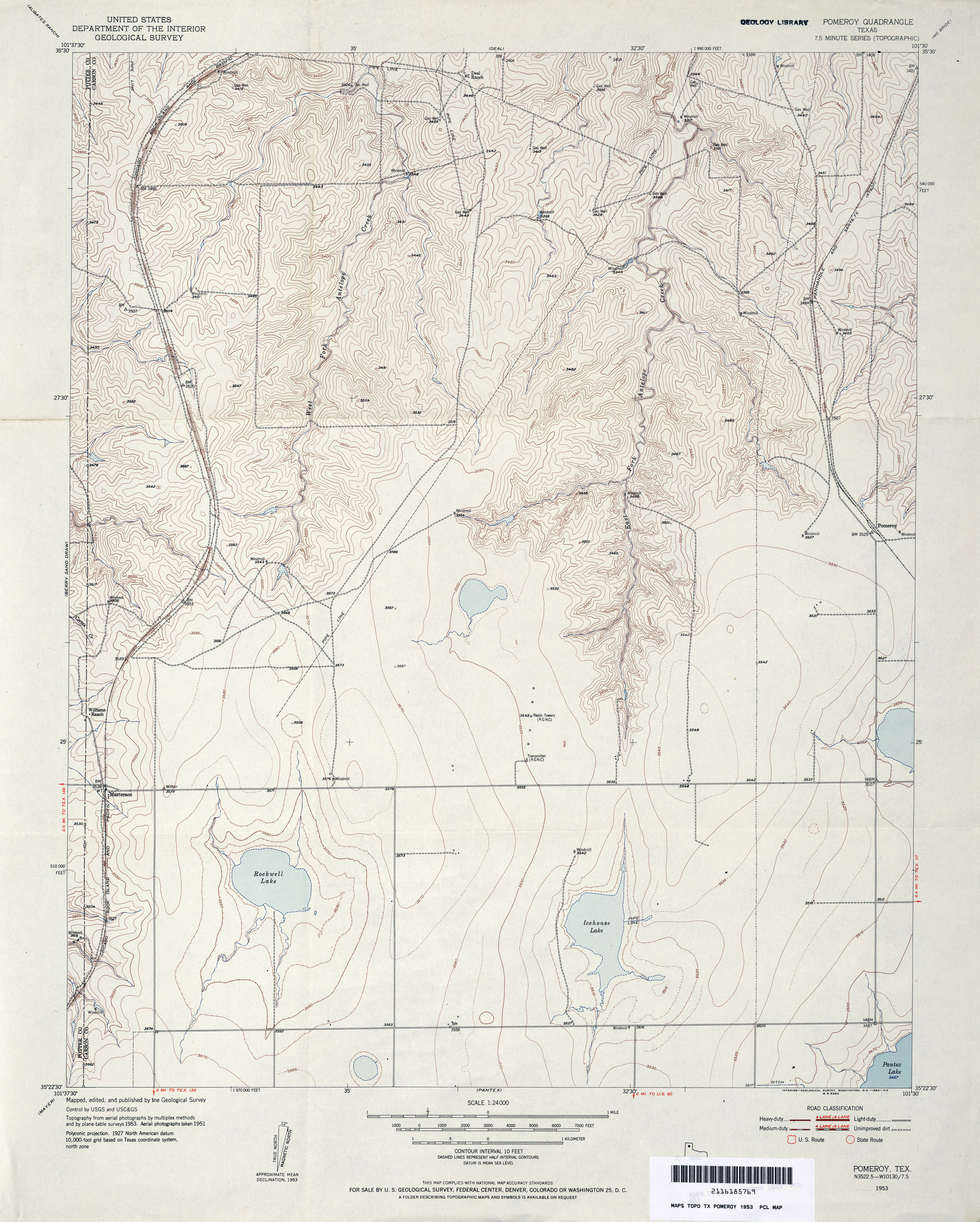
- Pomeroy 1:24,000 1953 (3.8MB)
- Pomeroy 1:24,000 2008 (10.1MB) [GeoPDF]
- Pomeroy 1:24,000 2012 (15.8MB) [GeoPDF]
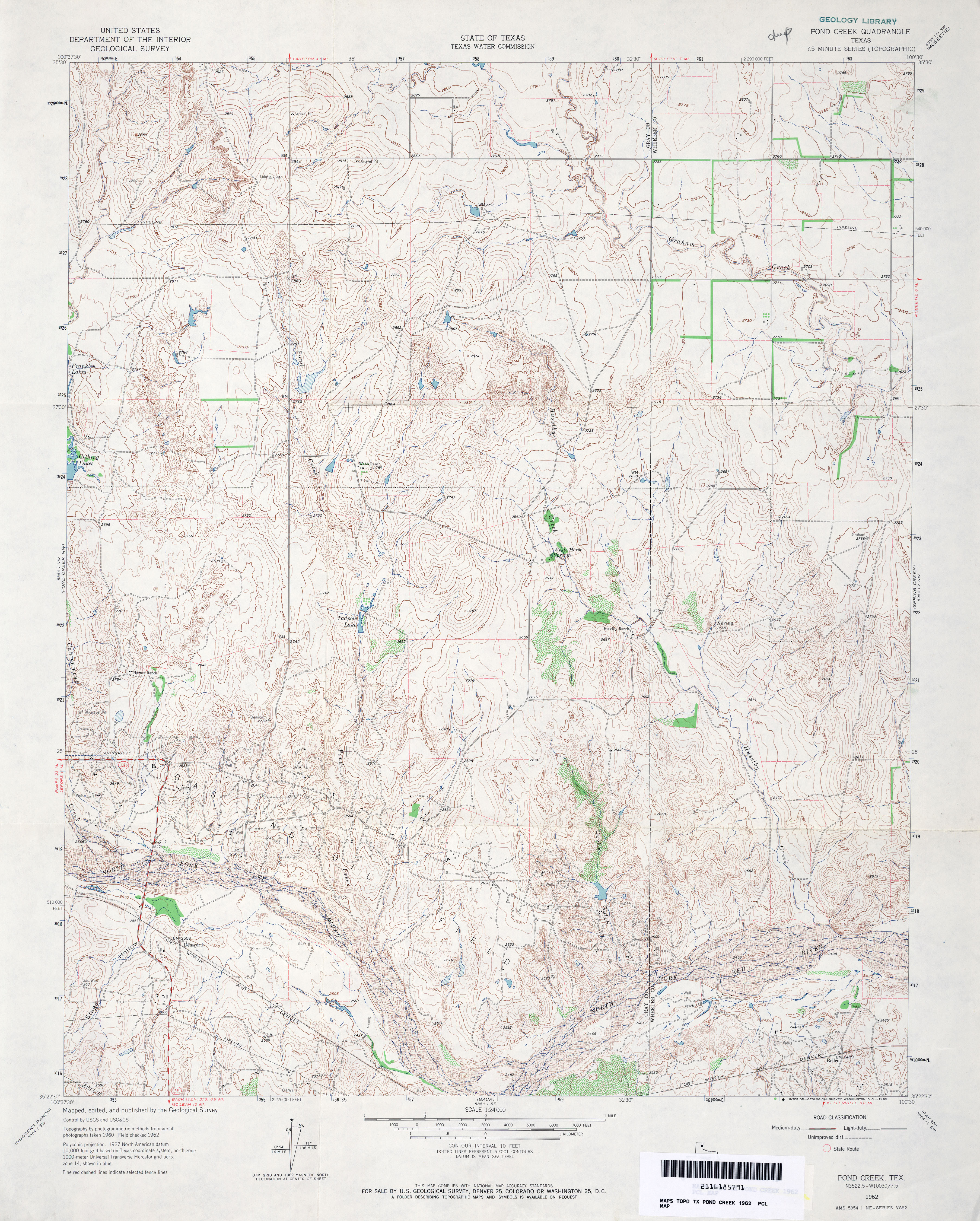
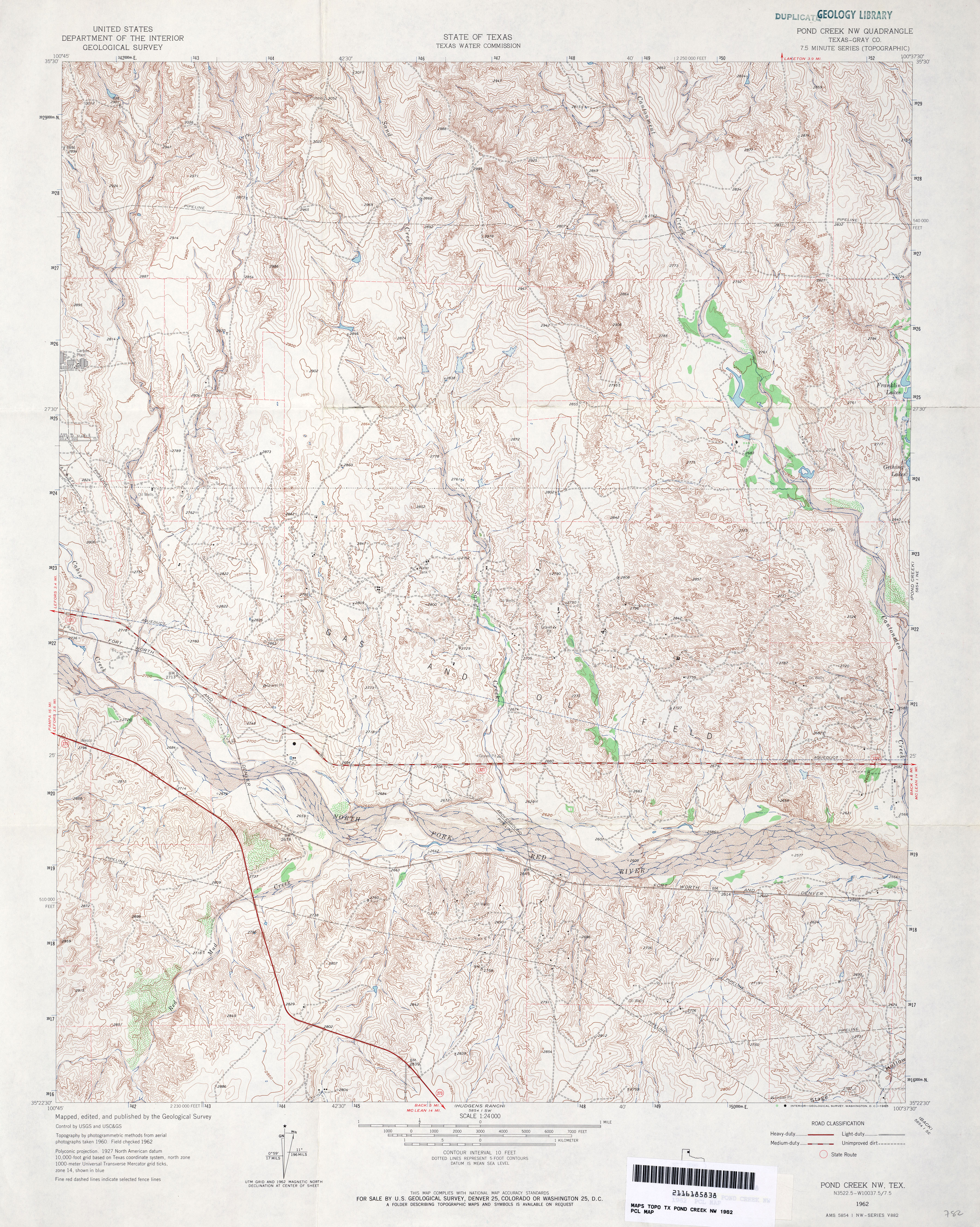
- Pond Creek 1:24,000 1962 (4.7MB)
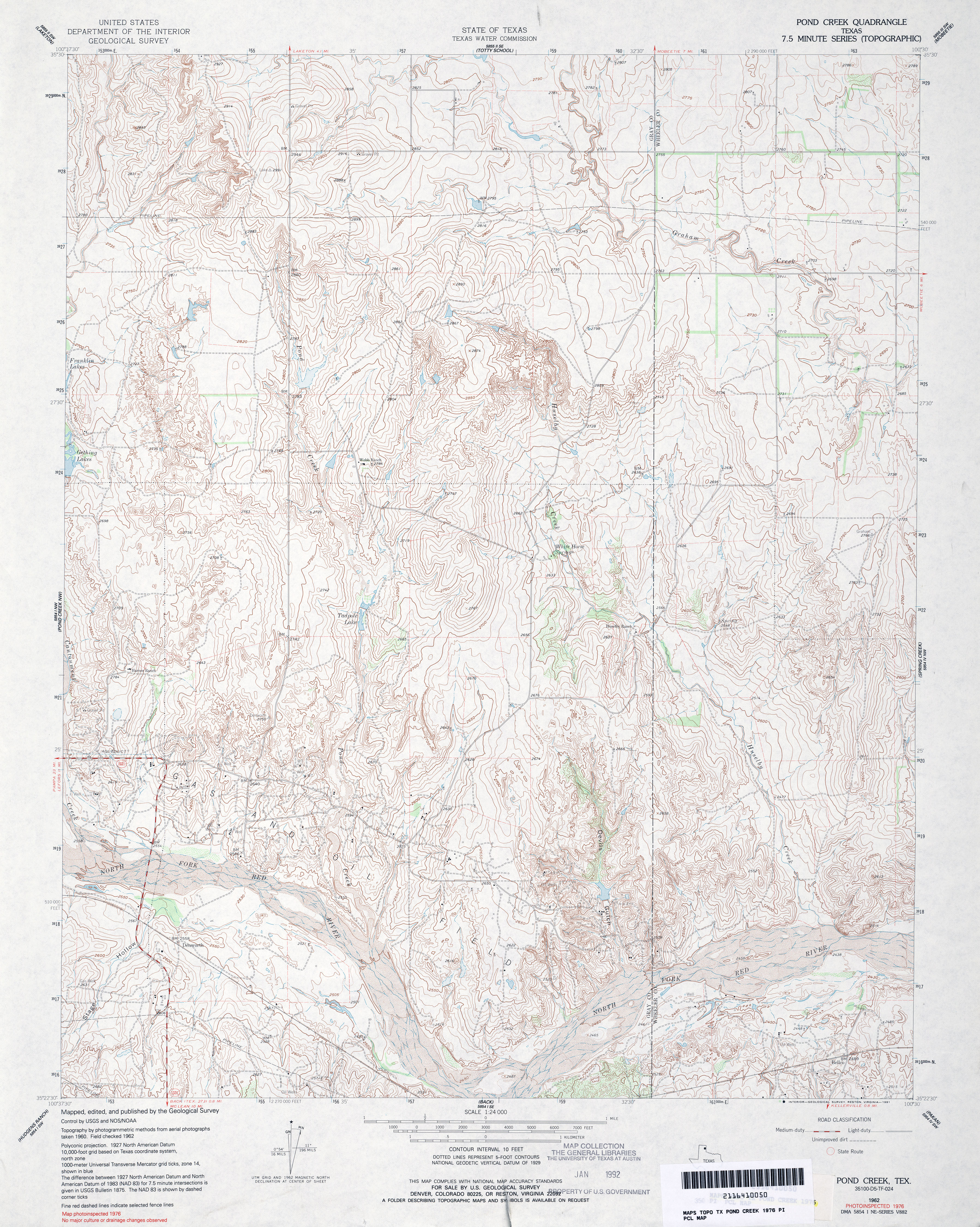
- Pond Creek 1:24,000 1976 (5.2MB)
- Pond Creek 1:24,000 2008 (12.2MB) [GeoPDF]
- Pond Creek 1:24,000 2012 (19.8MB) [GeoPDF]
- Pond Creek NW (Gray County) 1:24,000 1962 (5.5MB)
- Pond Creek NW 1:24,000 2008 (14.5MB) [GeoPDF]
- Pond Creek NW 1:24,000 2012 (21MB) [GeoPDF]
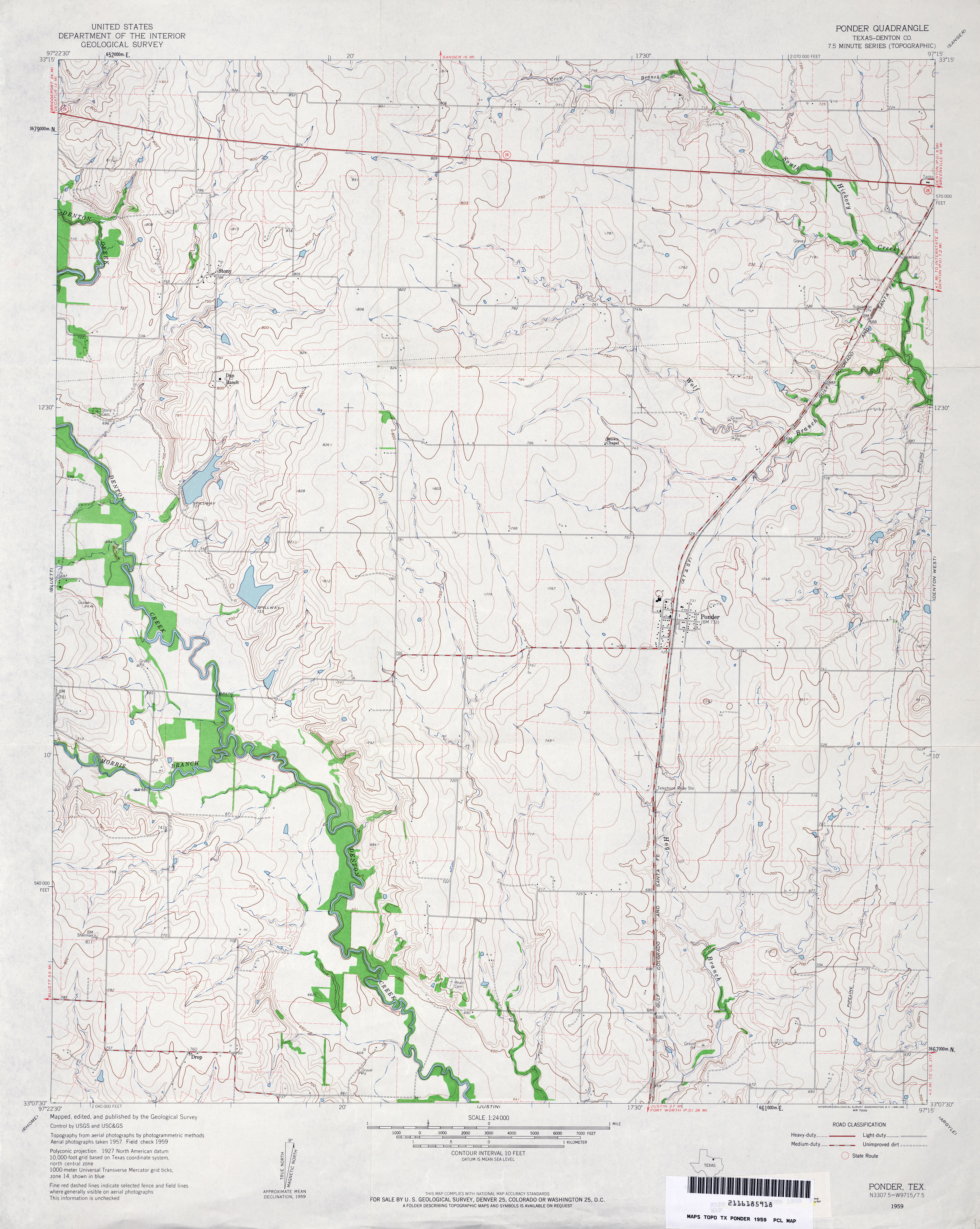
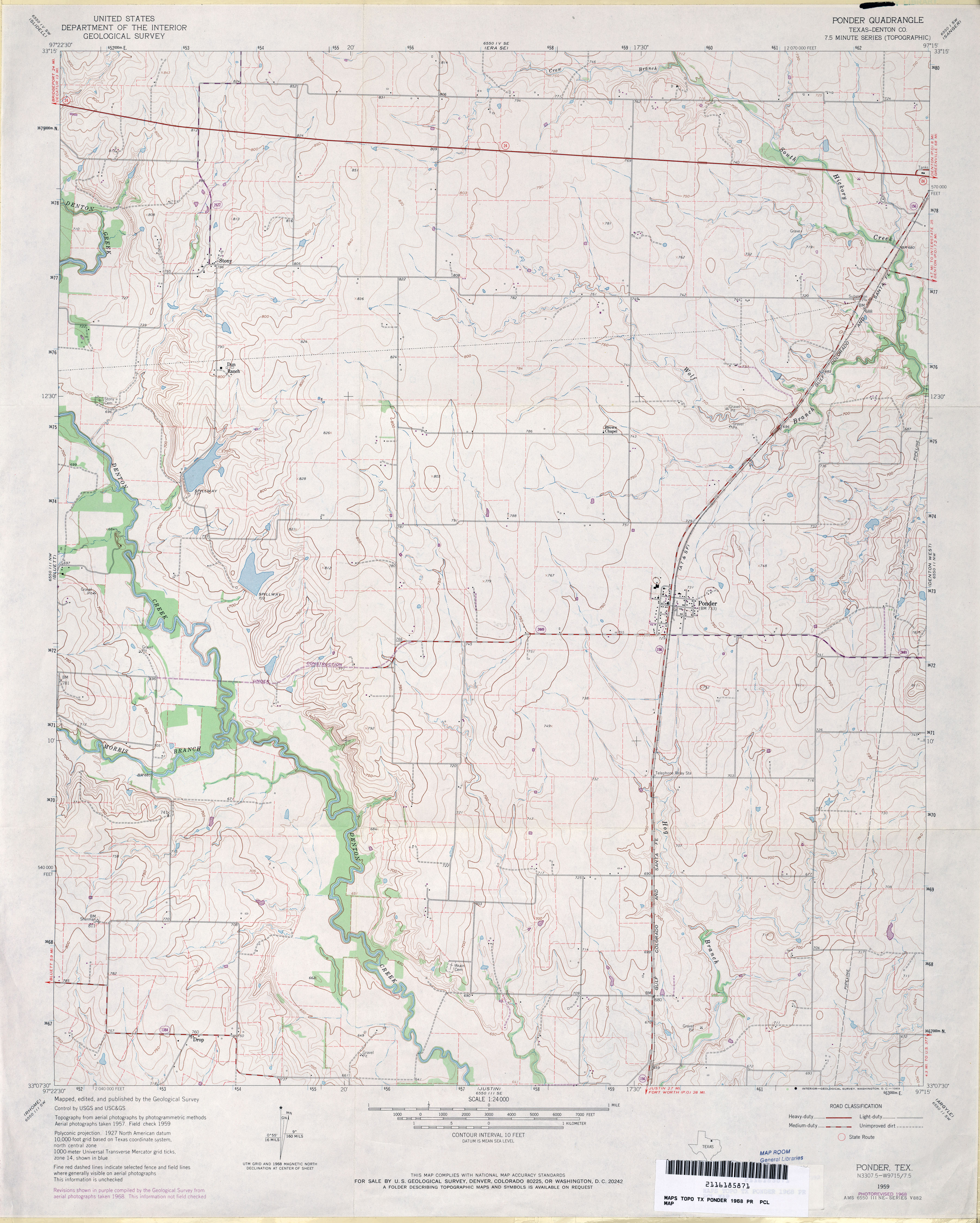
- Ponder (Denton County) 1:24,000 1959 (3.6MB)
- Ponder (Denton County) 1:24,000 1968 (3.5MB)
- Ponder 1:24,000 2008 (11.5MB) [GeoPDF]
- Ponder 1:24,000 2013 (16.5MB) [GeoPDF]
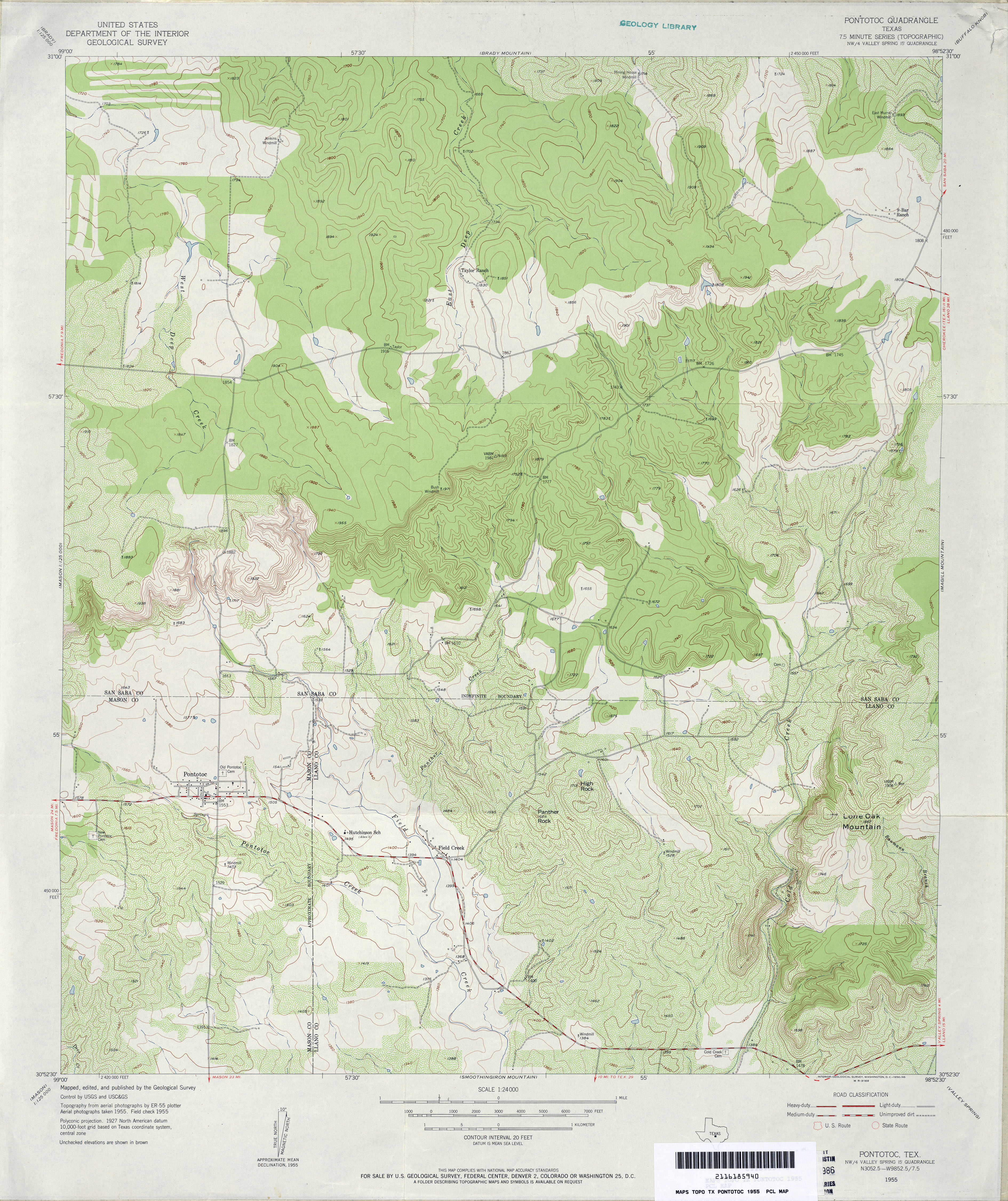
- Pontotoc 1:24,000 1955 (4.4MB)
- Pontotoc 1:24,000 2008 (19.2MB) [GeoPDF]
- Pontotoc 1:24,000 2012 (23.7MB) [GeoPDF]
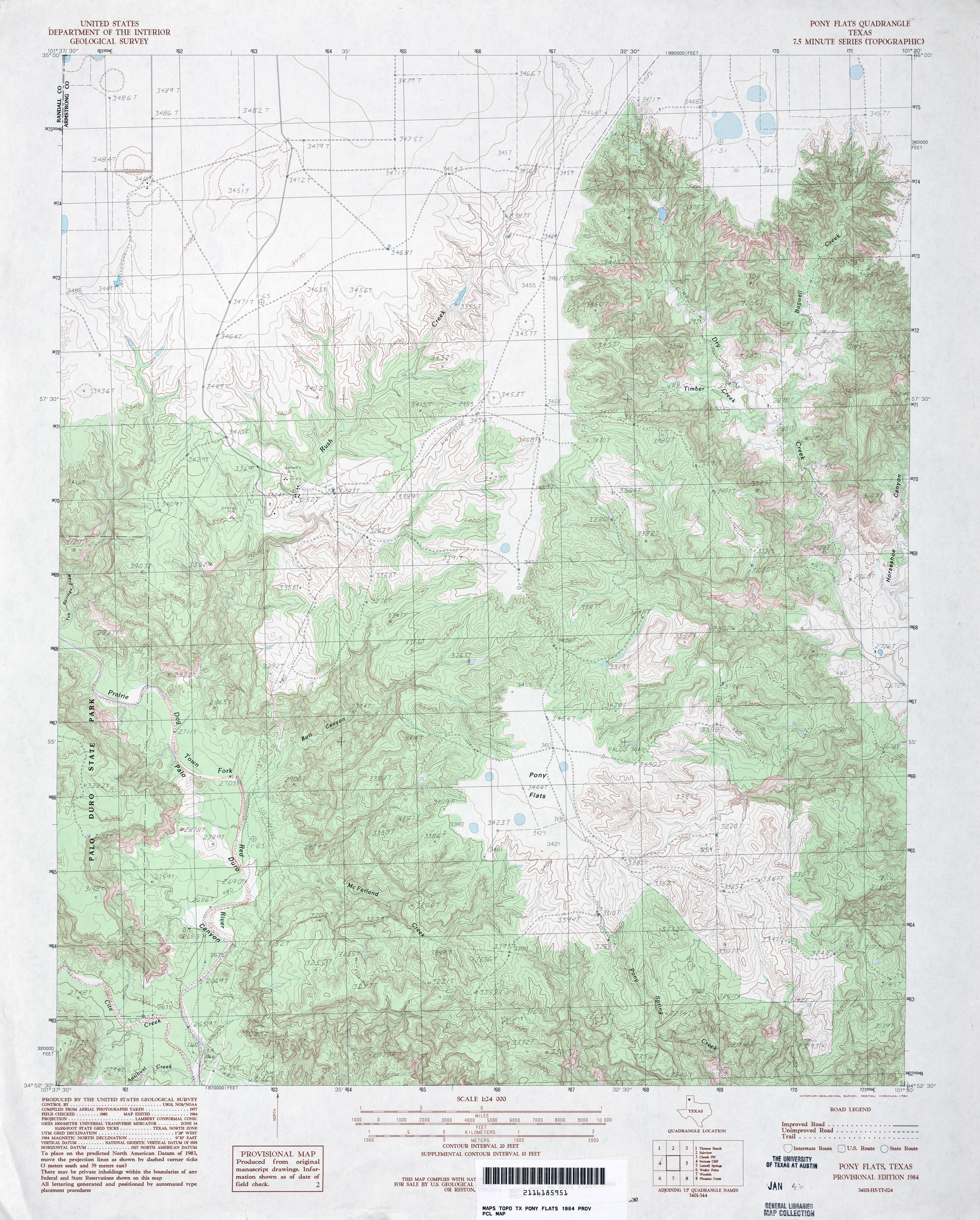
- Pony Flats 1:24,000 1984 (5.1MB)
- Pony Flats 1:24,000 2008 (21.8MB) [GeoPDF]
- Pony Flats 1:24,000 2012 (26.7MB) [GeoPDF]
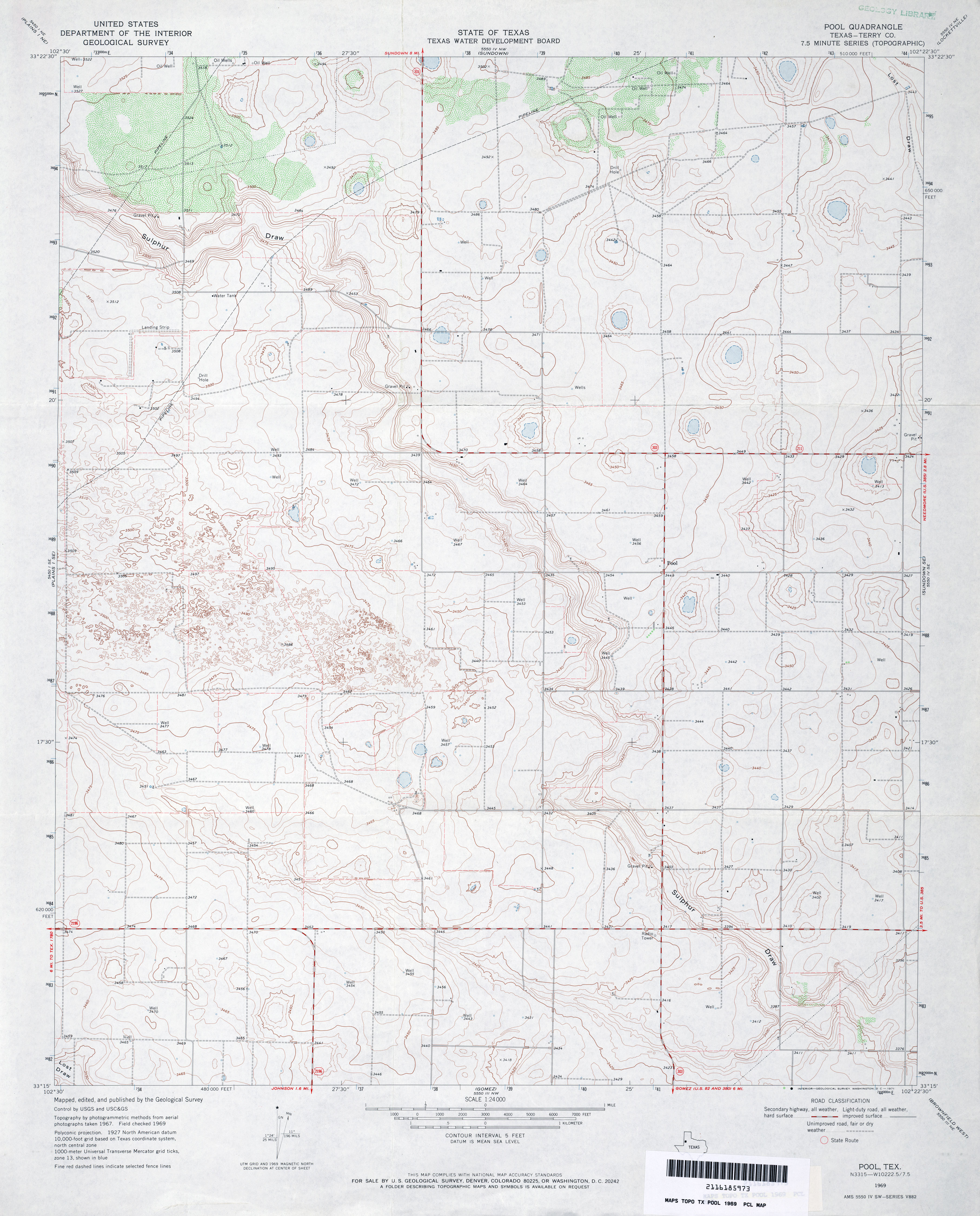
- Pool (Terry County) 1:24,000 1969 (3.4MB)
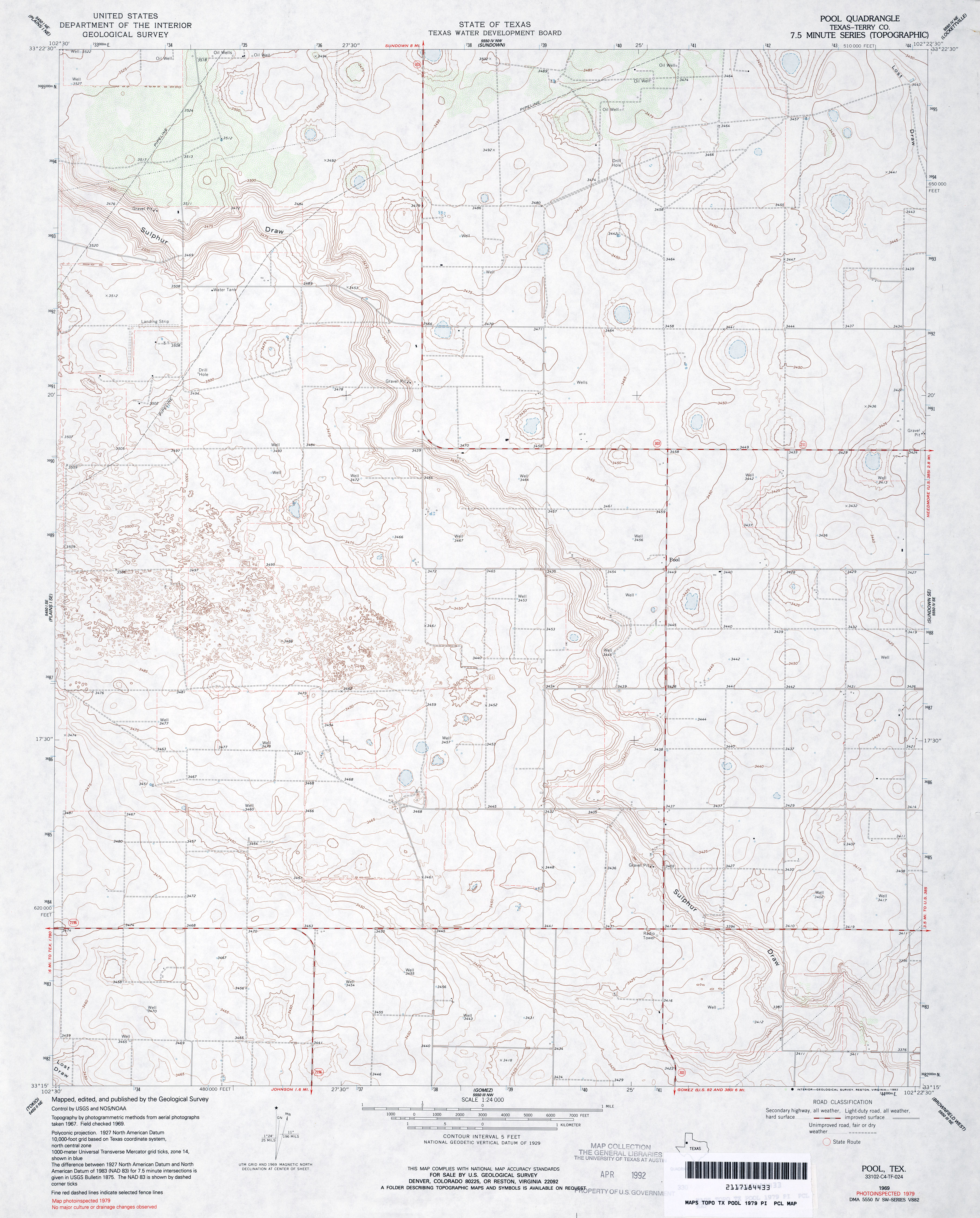
- Pool (Terry County) 1:24,000 1979 (3.4MB)
- Pool 1:24,000 2008 (11.9MB) [GeoPDF]
- Pool 1:24,000 2012 (17.1MB) [GeoPDF]
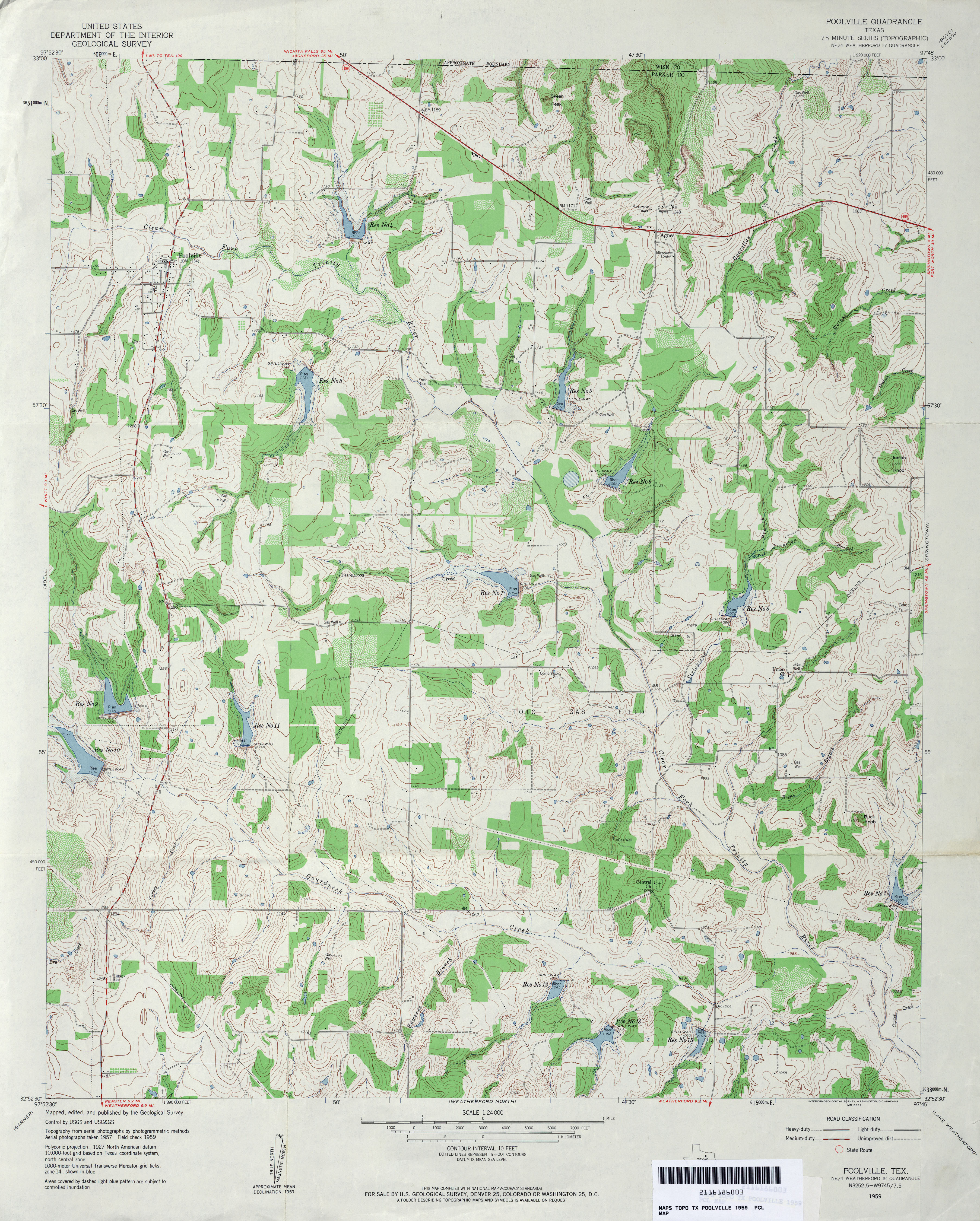
- Poolville 1:24,000 1959 (4.5MB)
- Poolville 1:24,000 2008 (19.9MB) [GeoPDF]
- Poolville 1:24,000 2012 (22.2MB) [GeoPDF]
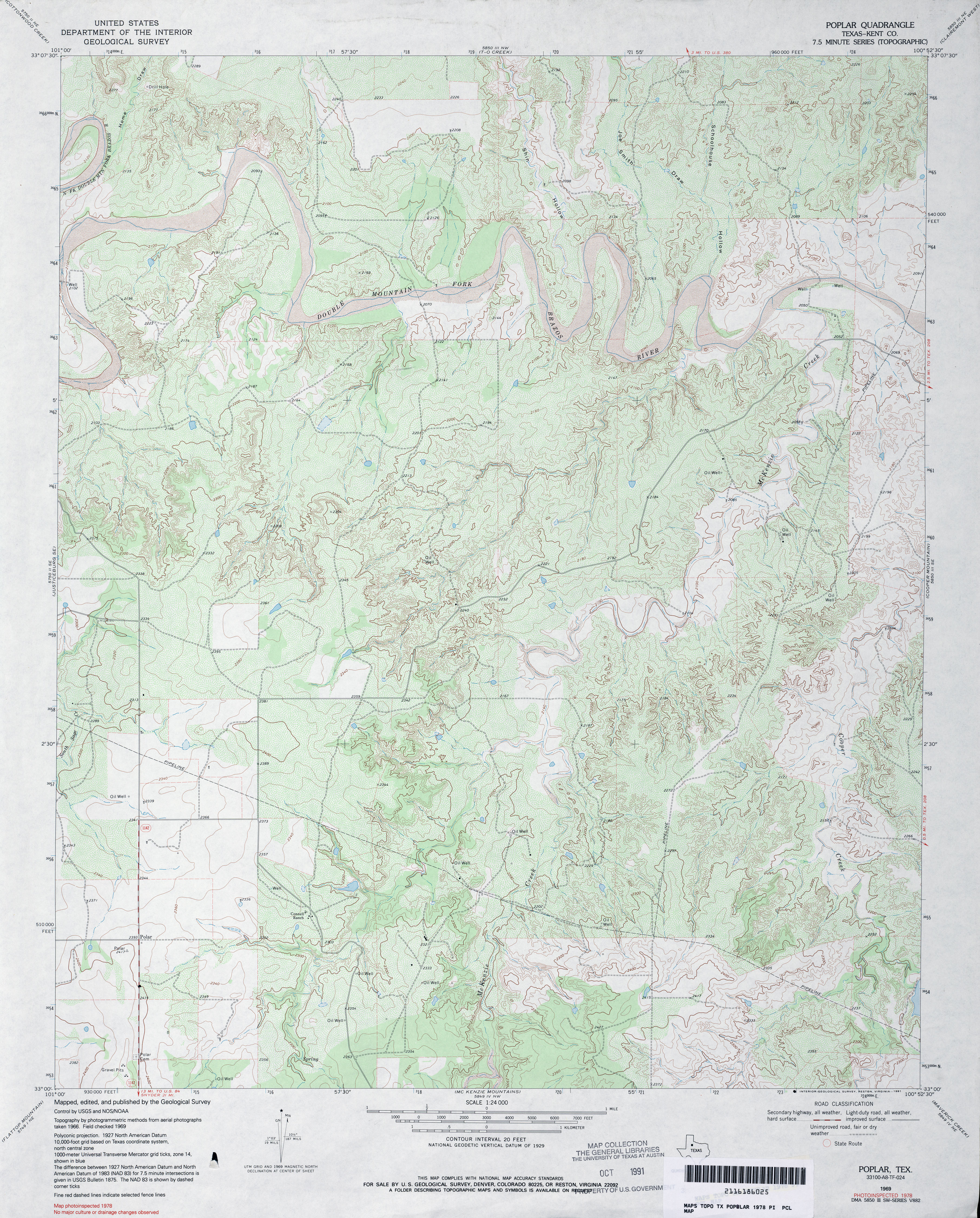
- Poplar (Kent County) 1:24,000 1978 (4.9MB)
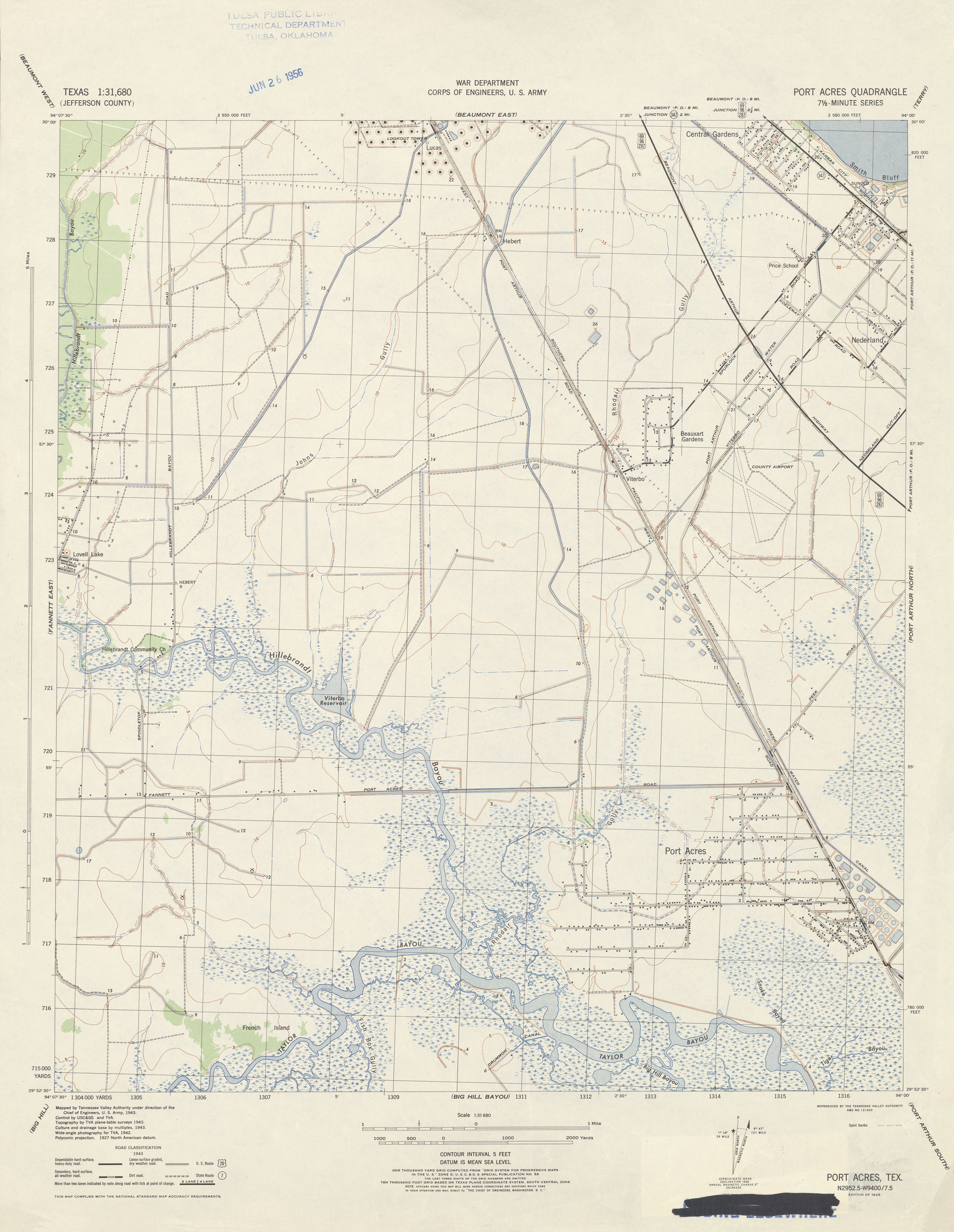
- Port Acres 1:31,680 1943 (2.9 MB) Tennessee Valley Authority
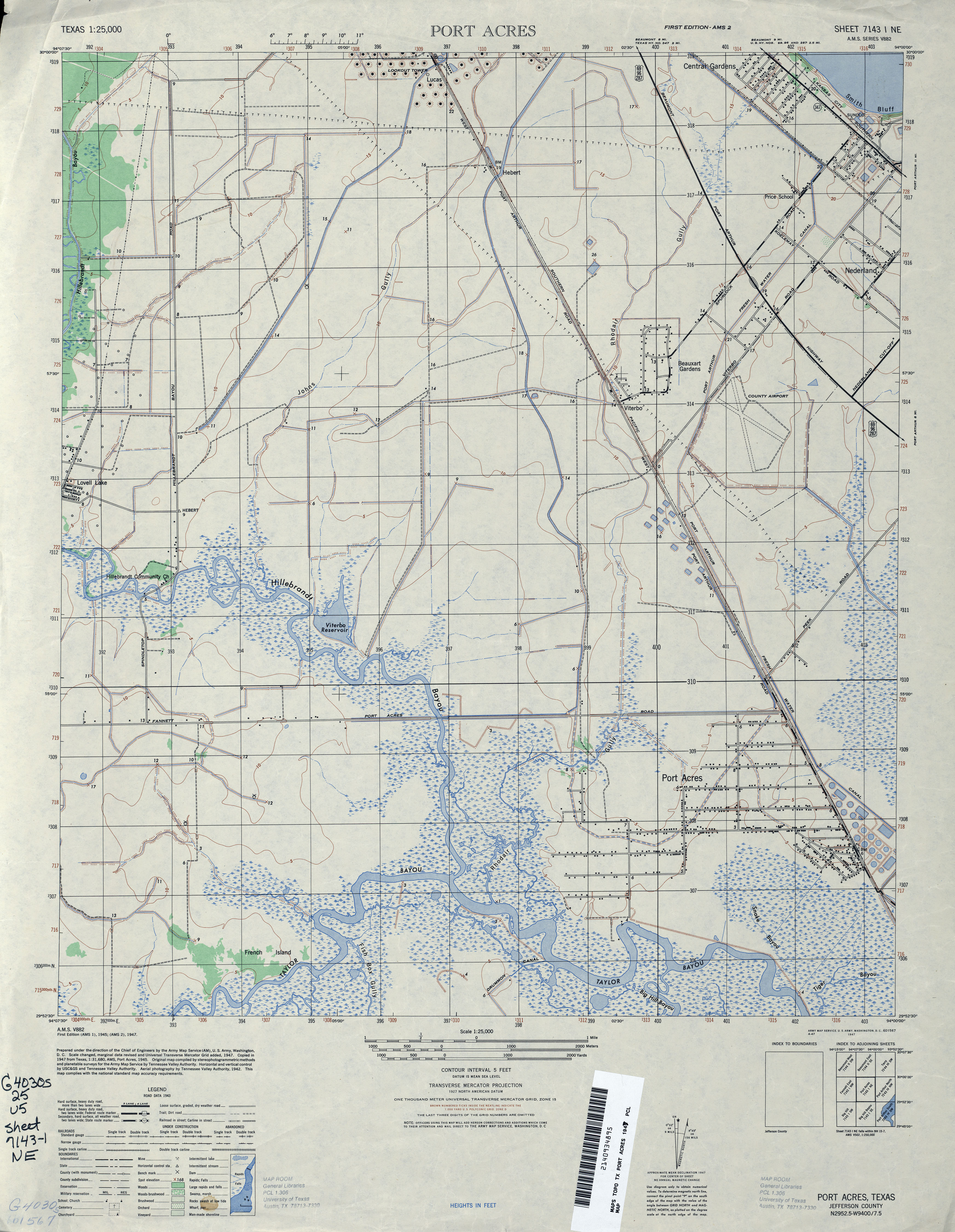
- Port Acres 1:25,000 1947 (3.7MB) U.S. Army Map Service, Series V882
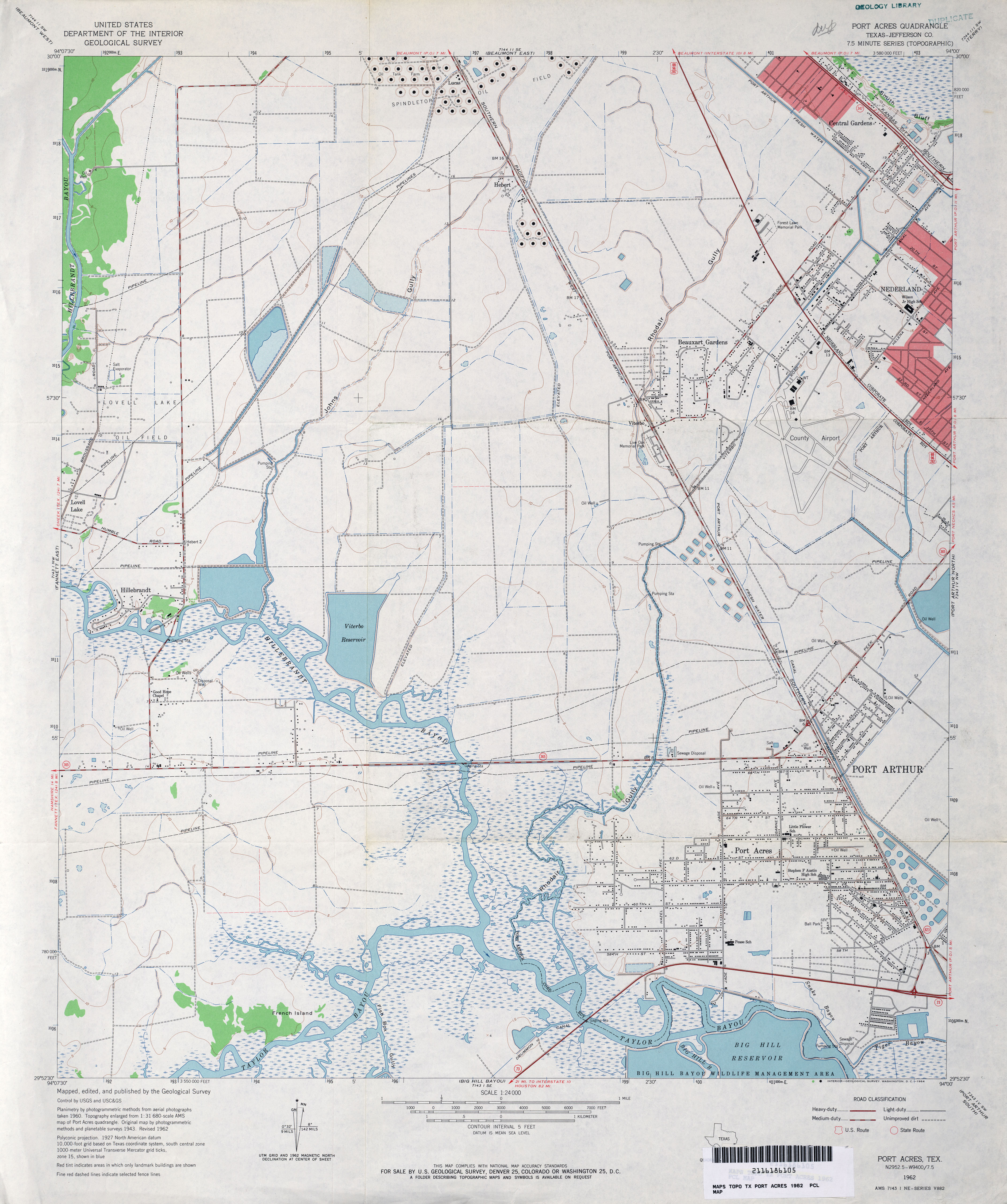
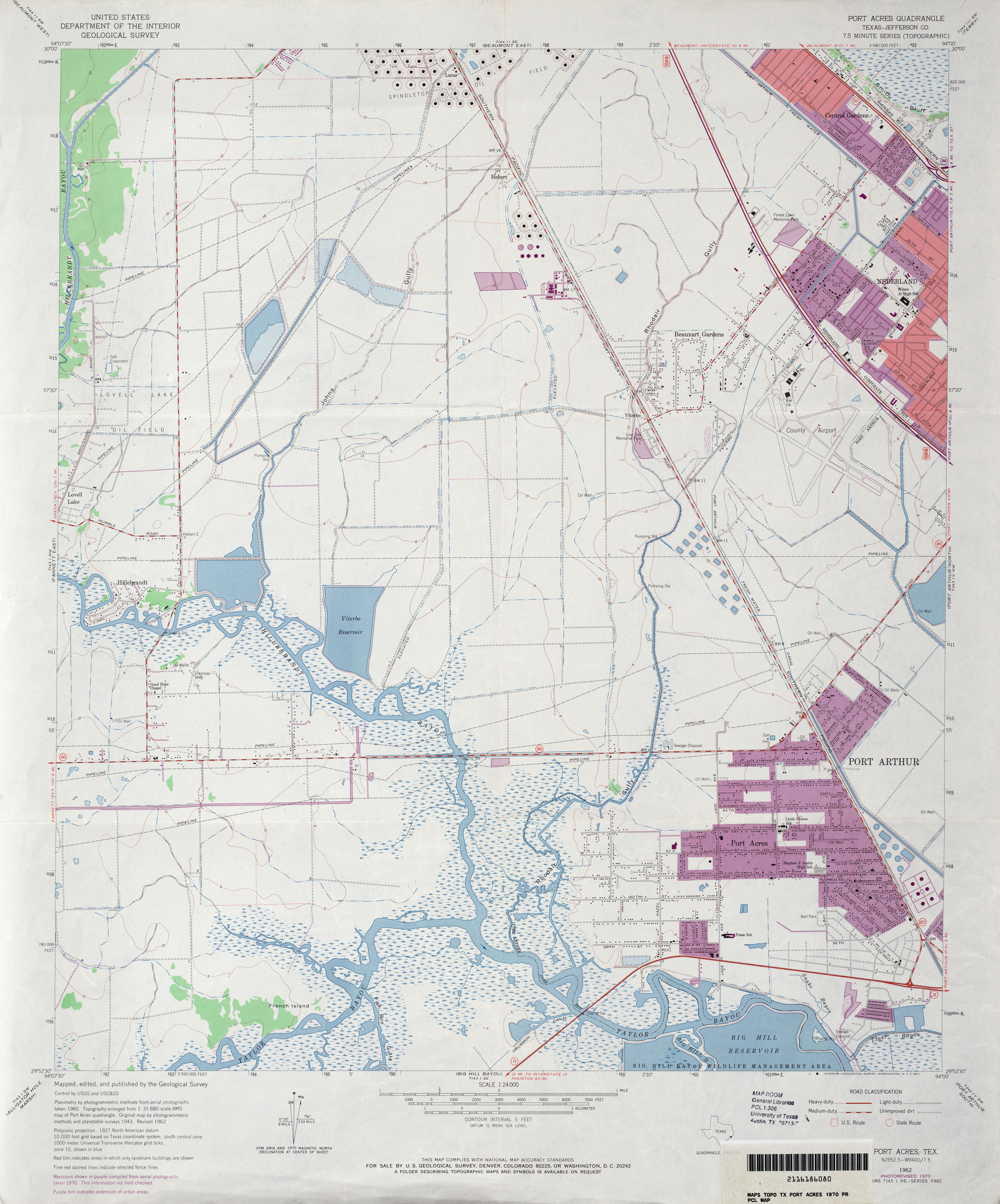
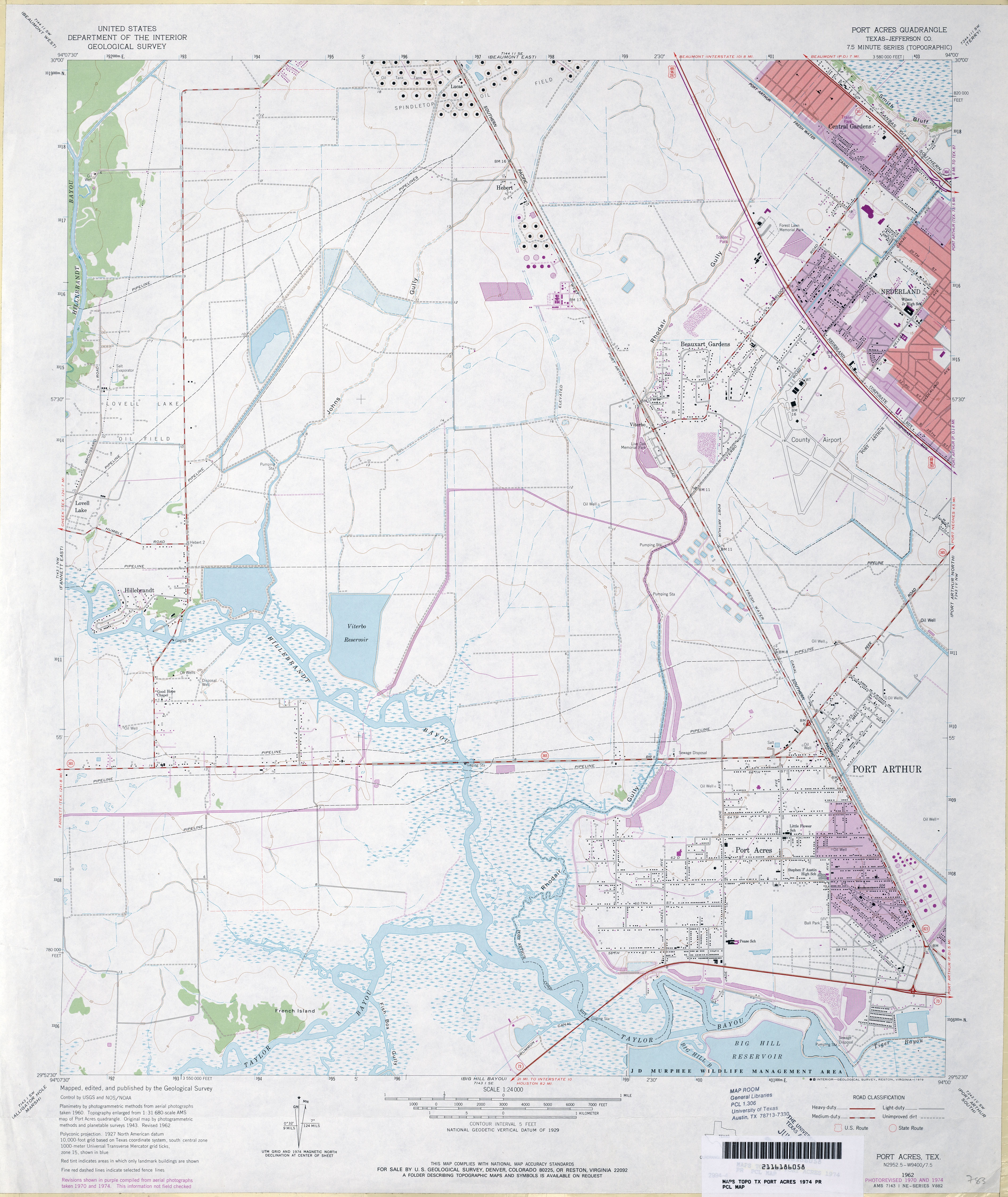
- Port Acres (Jefferson County) 1:24,000 1962 (3.4MB)
- Port Acres (Jefferson County) 1:24,000 1970 (3.3MB)
- Port Acres (Jefferson County) 1:24,000 1974 (3.4MB)
- Port Acres (Jefferson County) 1:24,000 1993 (3.9MB)
- Port Acres 1:24,000 2009 (16.7MB) [GeoPDF]
- Port Acres 1:24,000 2013 (17.9MB) [GeoPDF]
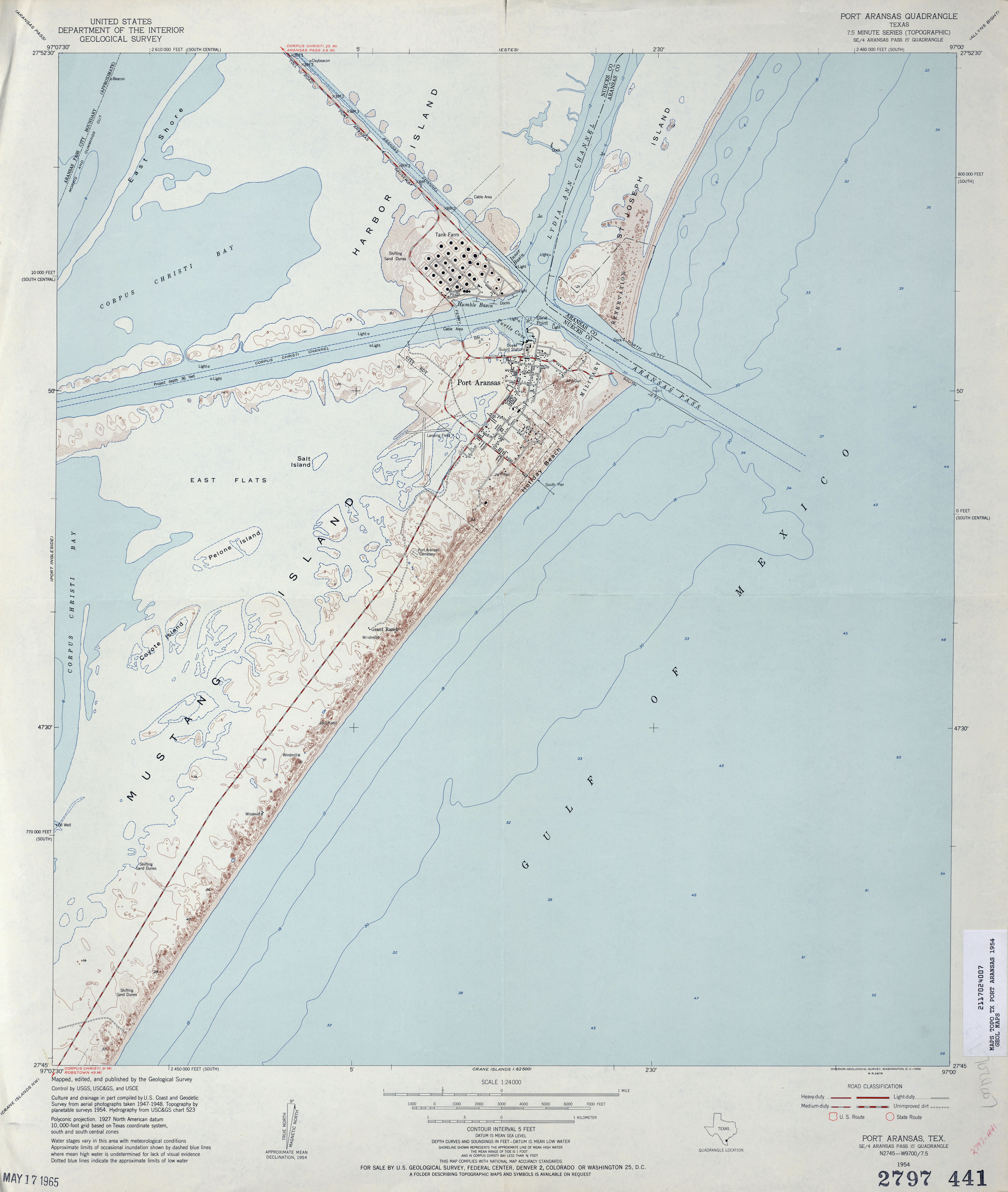
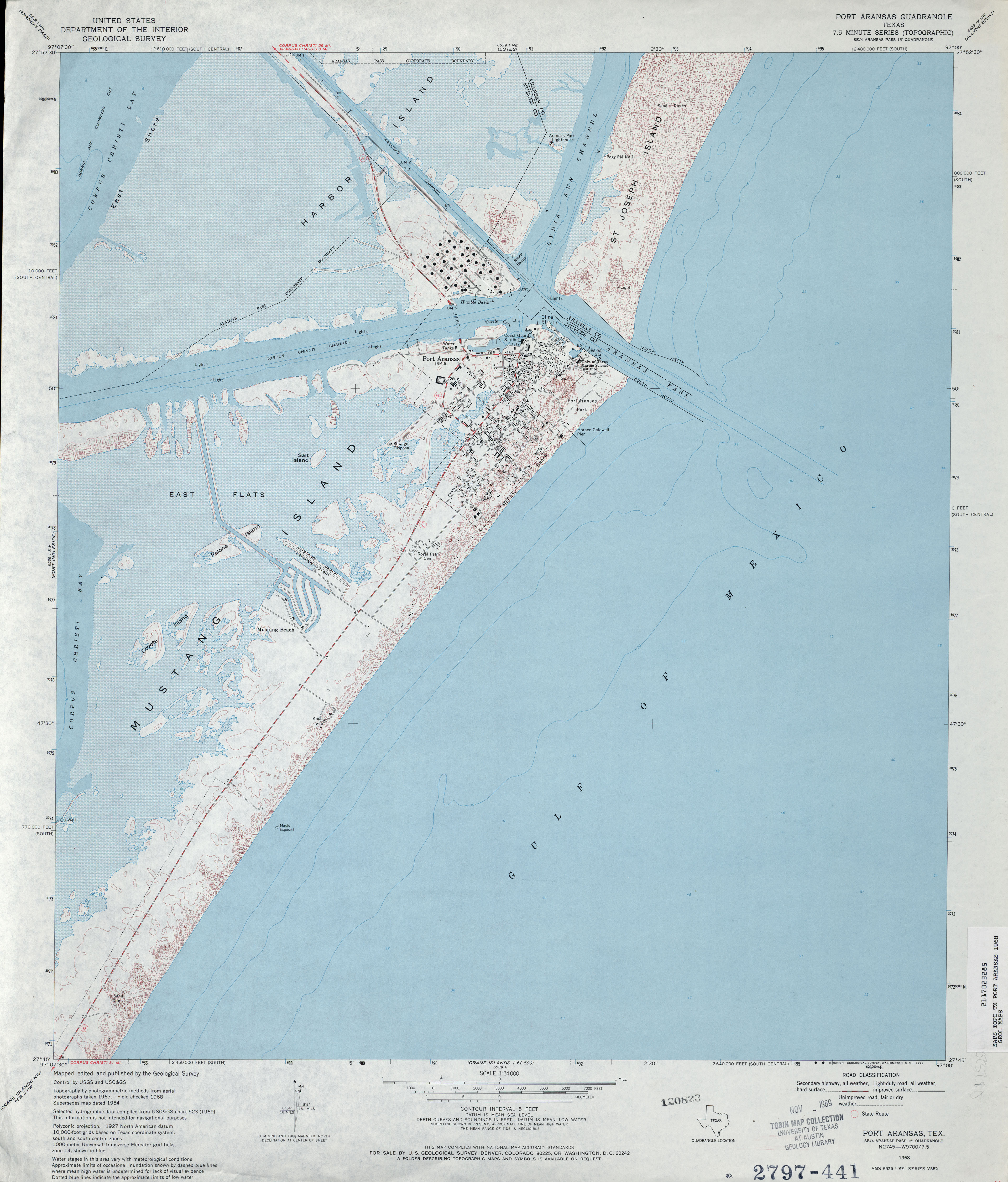
- Port Aransas 1:24,000 1954 (2.7MB)
- Port Aransas 1:24,000 1968 (3.2MB)
- Port Aransas 1:24,000 1975 (3.3MB)
- Port Aransas 1:24,000 2008 (2.7MB) Texas Natural Resources Information System (TNRIS). [pdf]
- Port Aransas 1:24,000 2008 (15.5MB) [GeoPDF]
- Port Aransas 1:24,000 2013 (21.5MB) [GeoPDF]
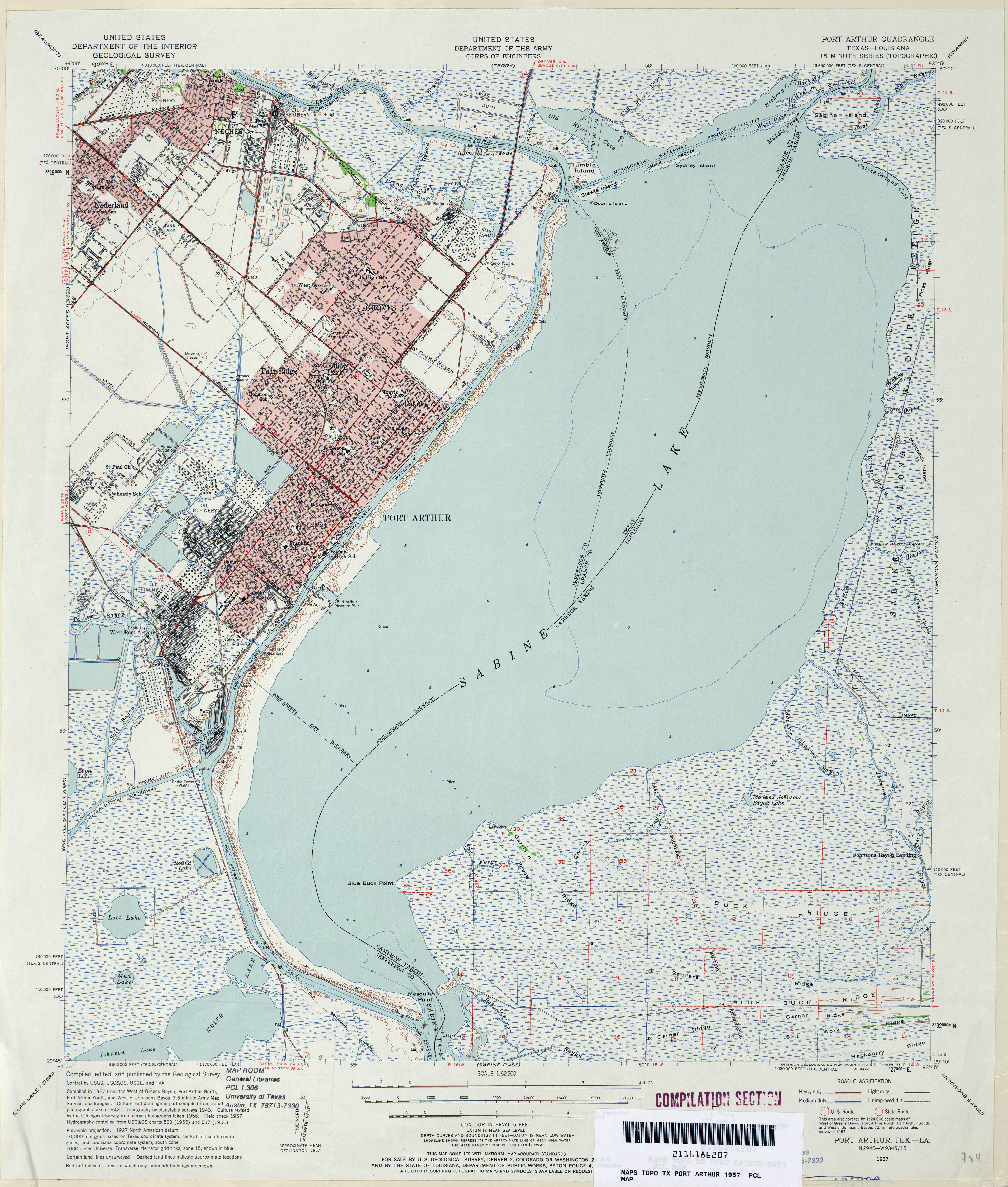
- Port Arthur 1:62,500 1957 (4.5MB) U.S. Department of the Army Corps of Engineers
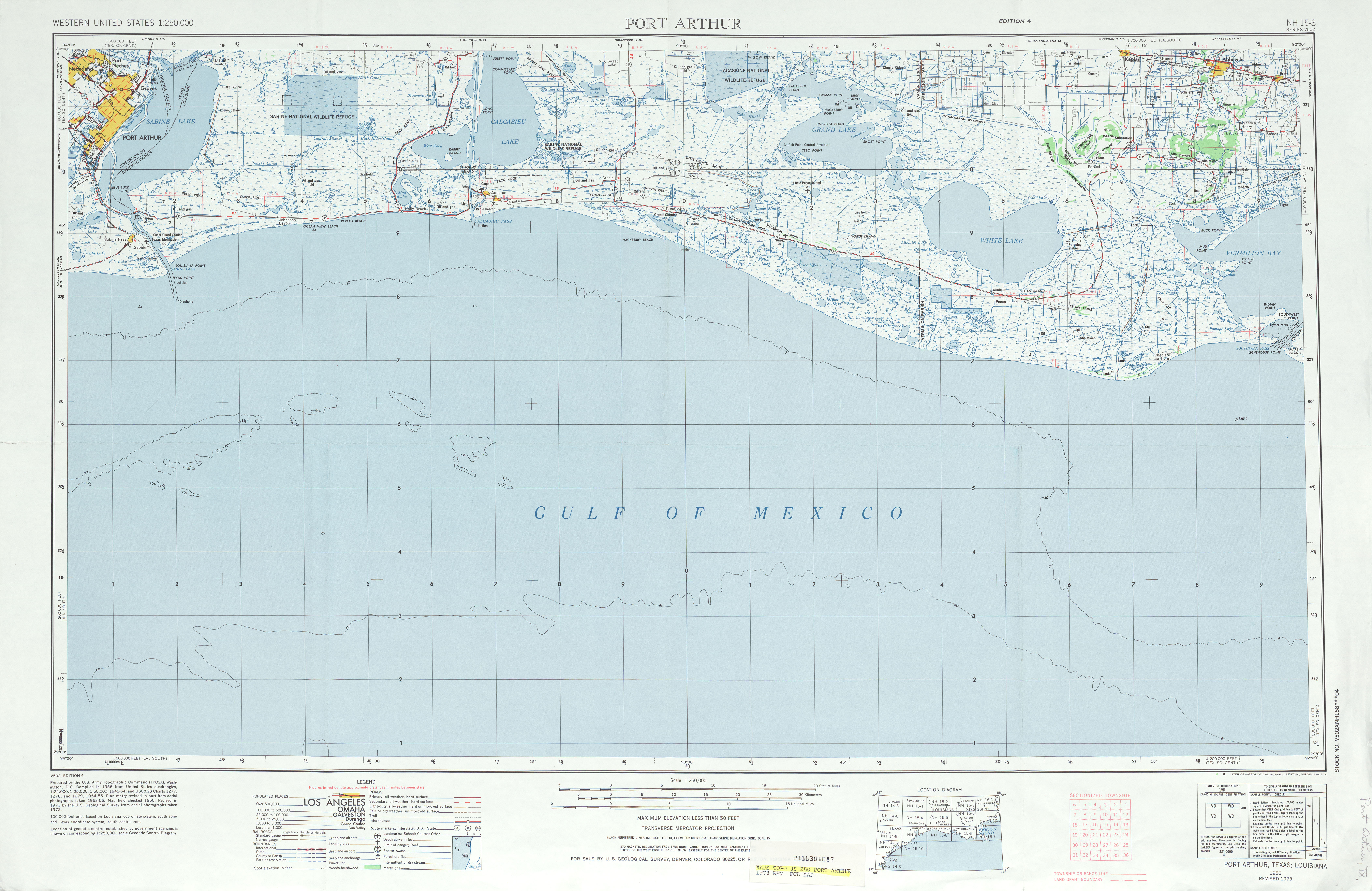
- Port Arthur 1:250,000 1973 (5.5MB)
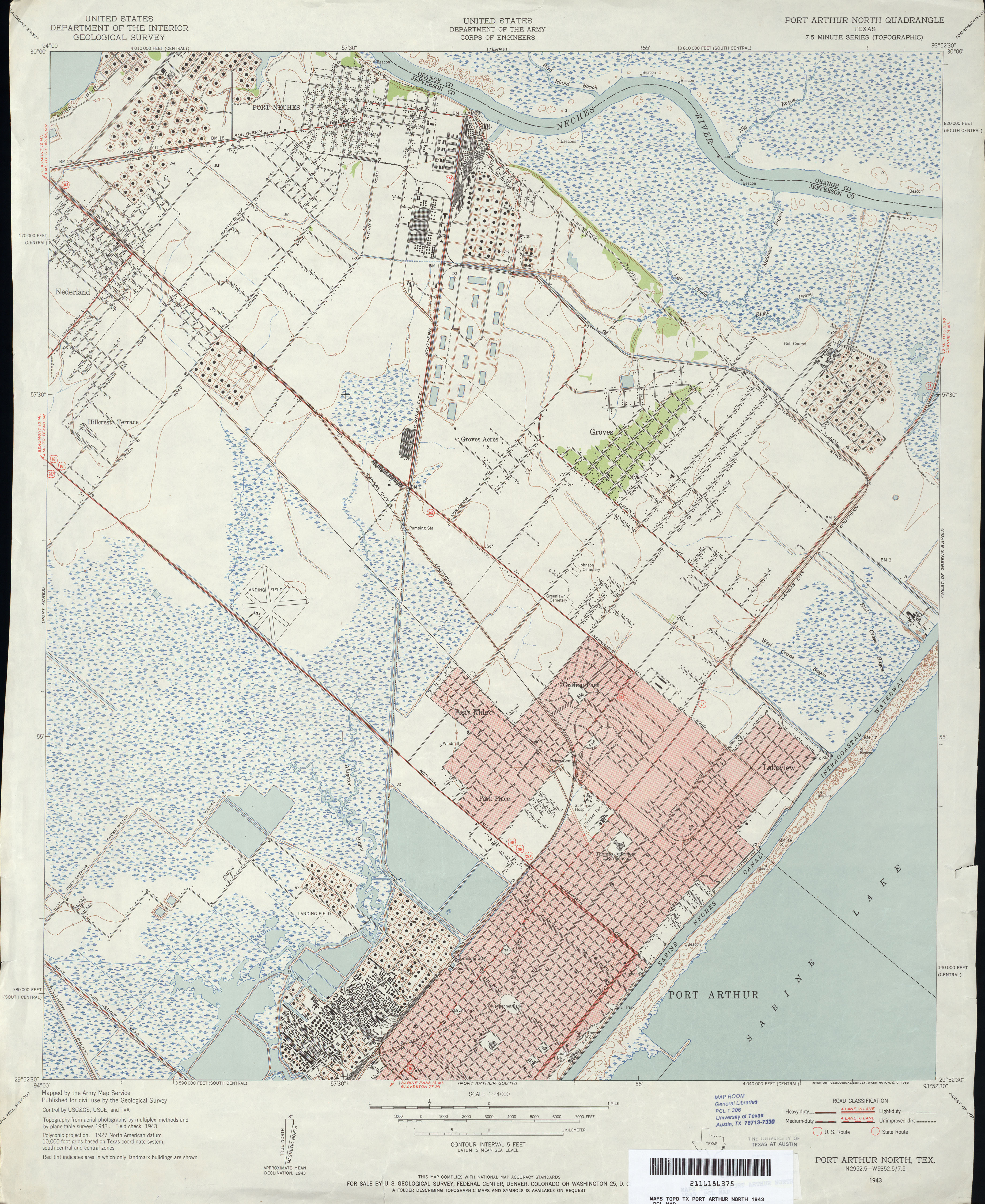
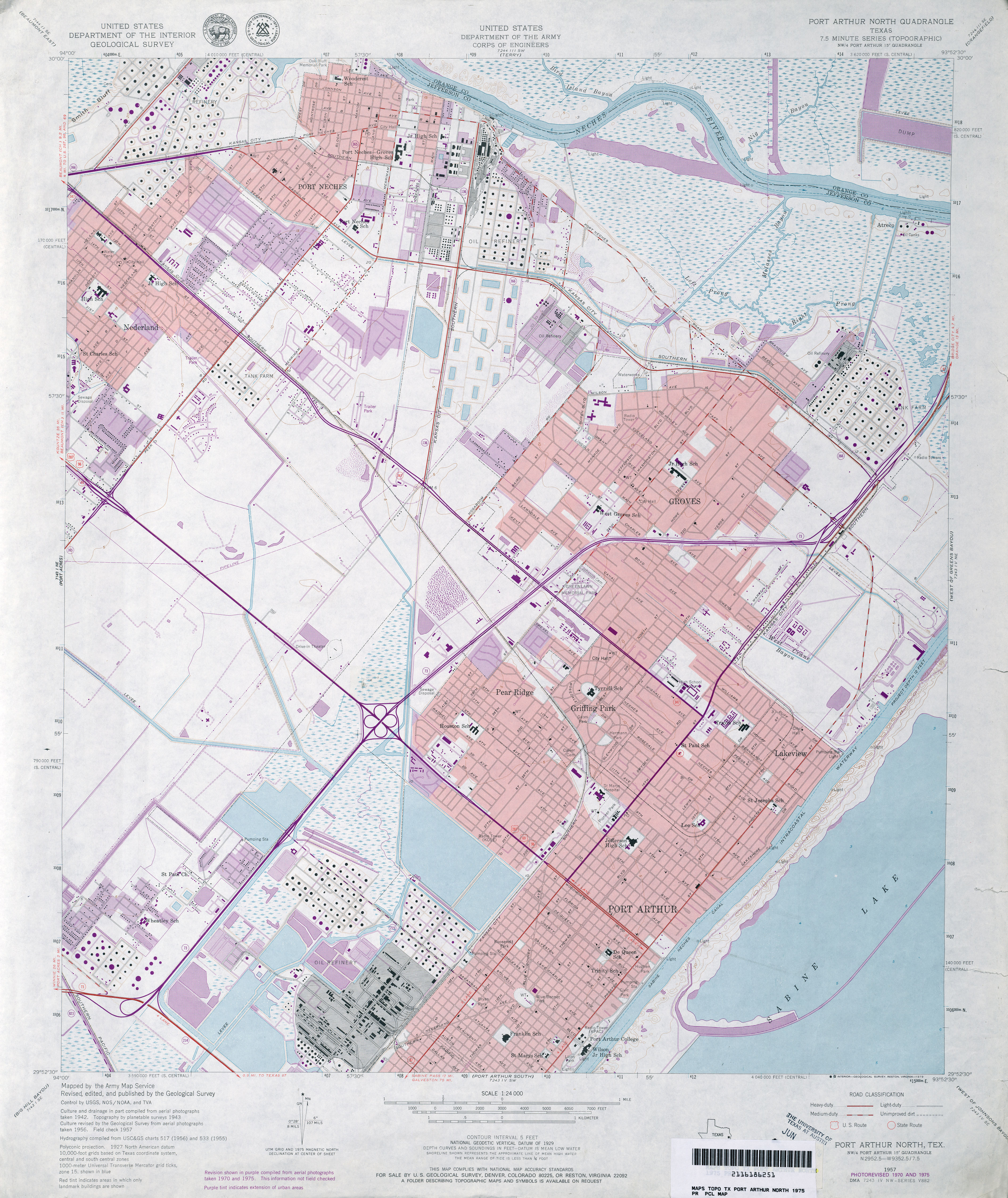
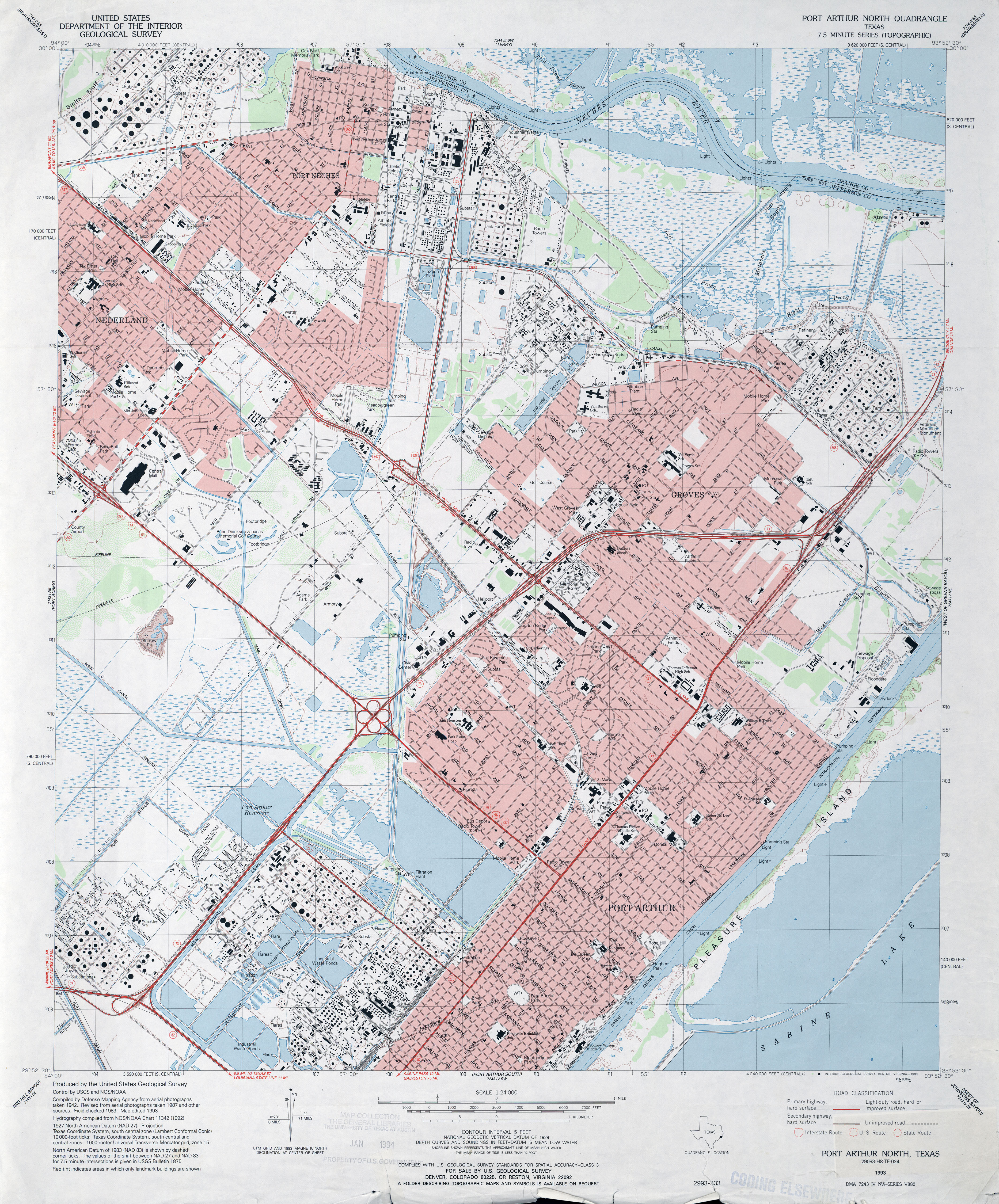
- Port Arthur North 1:24,000 1943 (4.5MB) U.S. Department of the Army Corps of Engineers
- Port Arthur North 1:24,000 1957 (4.1MB) U.S. Department of the Army Corps of Engineers
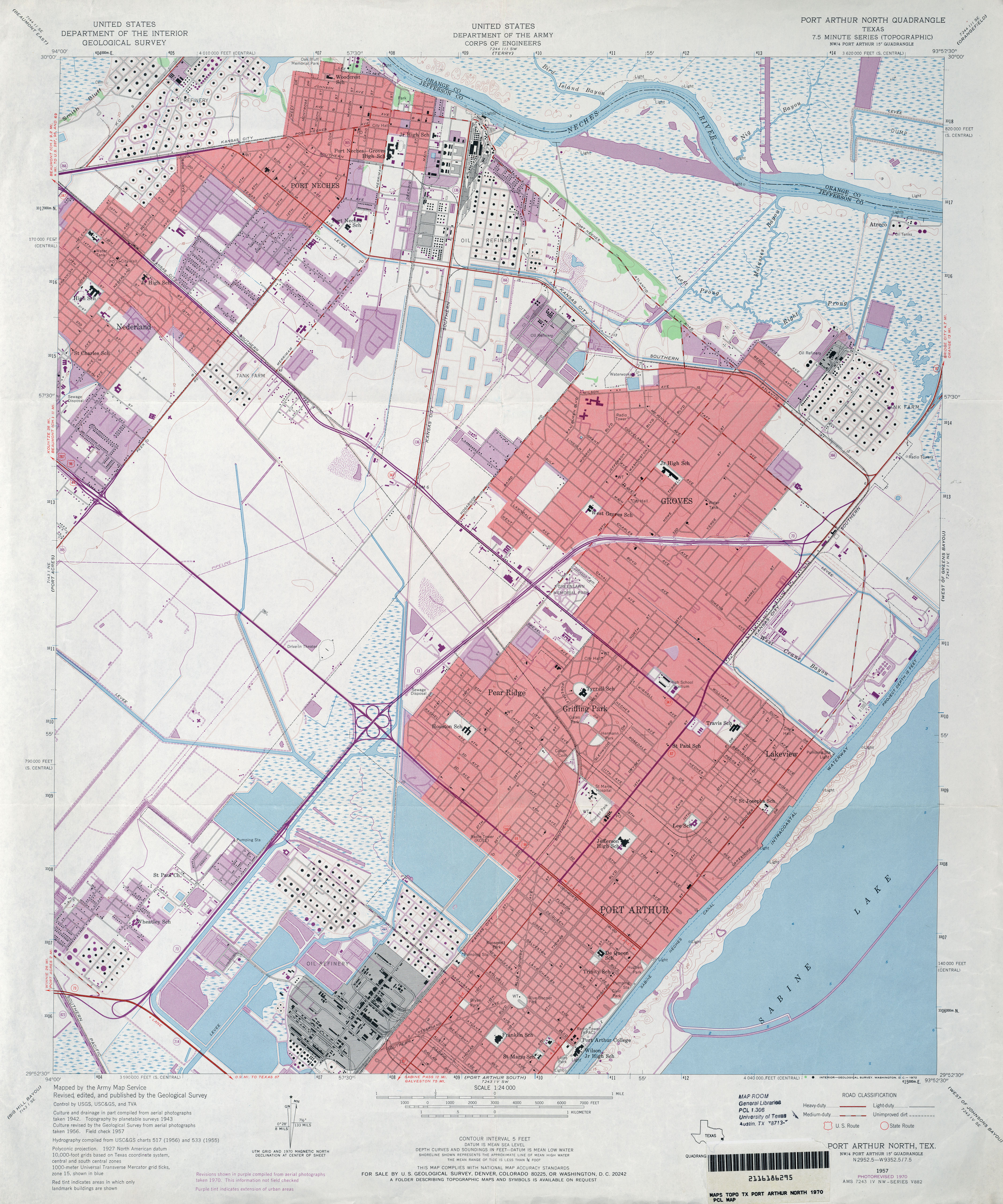
- Port Arthur North 1:24,000 1970 (4.5MB) U.S. Department of the Army Corps of Engineers
- Port Arthur North 1:24,000 1975 (4.6MB) U.S. Department of the Army Corps of Engineers
- Port Arthur North 1:24,000 1993 (5MB)
- Port Arthur North 1:24,000 2009 (20.2MB) [GeoPDF]
- Port Arthur North 1:24,000 2013 (21.8MB) [GeoPDF]
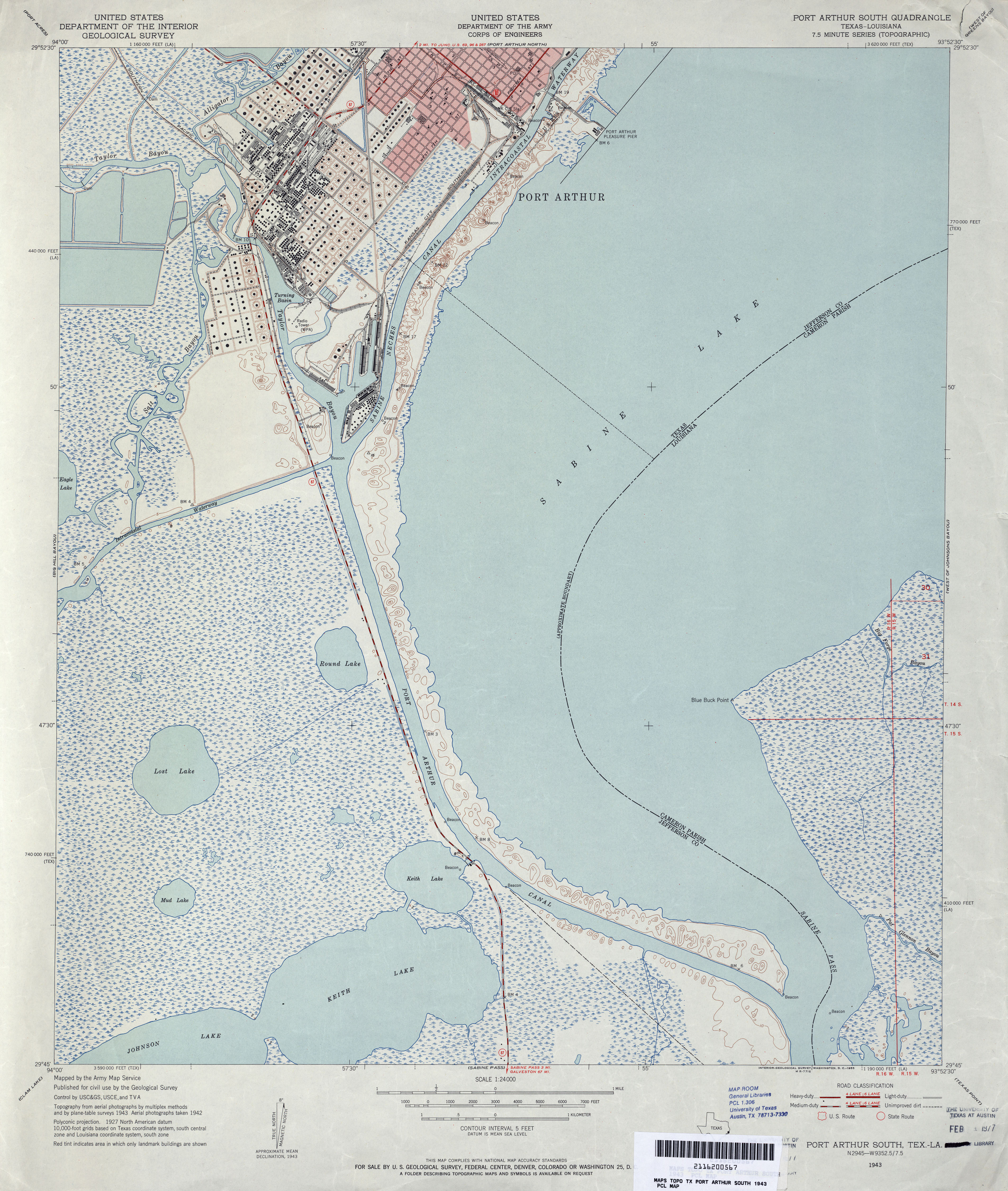
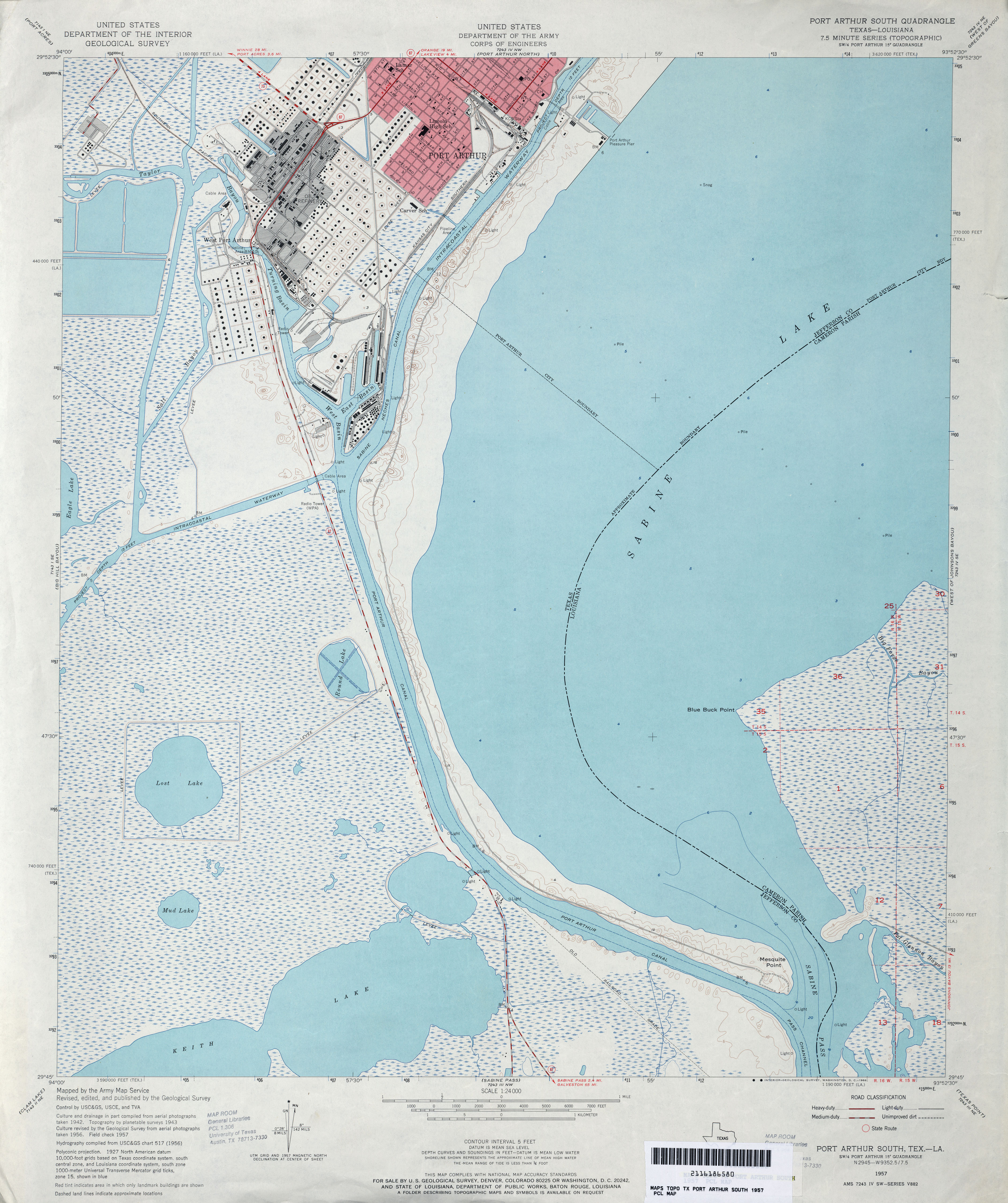
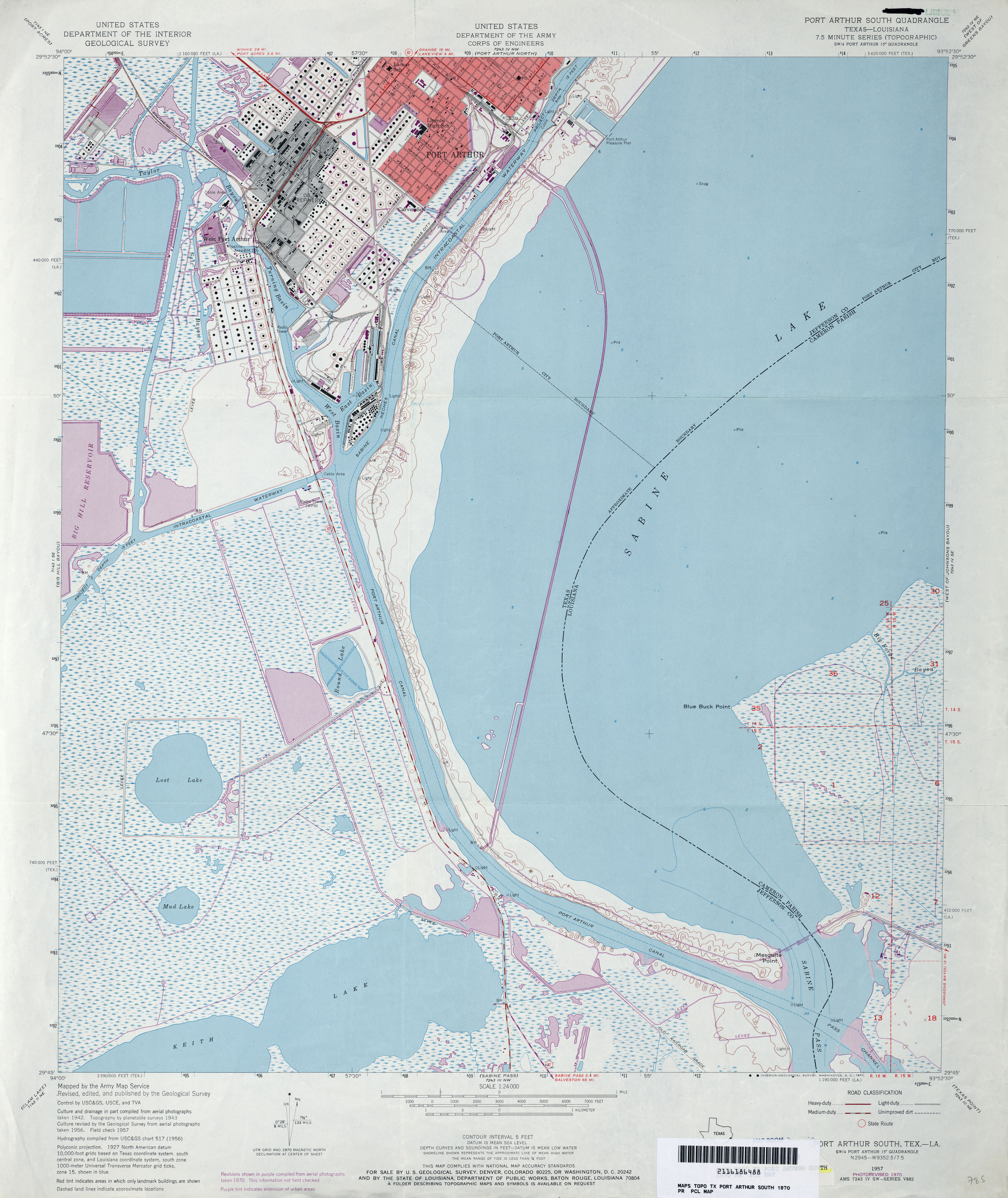
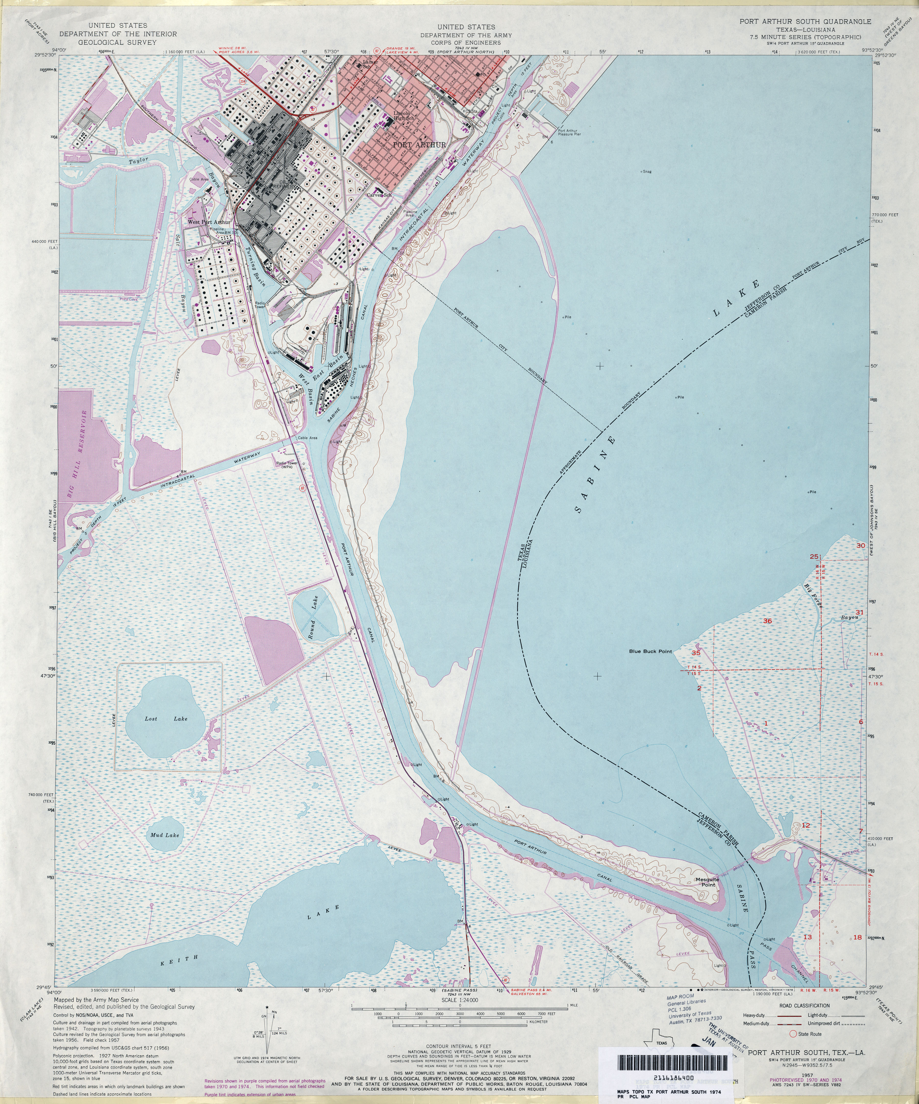
- Port Arthur South 1:24,000 1943 (4MB) U.S. Department of the Army Corps of Engineers
- Port Arthur South 1:24,000 1957 (3.5MB) U.S. Department of the Army Corps of Engineers
- Port Arthur South 1:24,000 1970 (3.9MB) U.S. Department of the Army Corps of Engineers
- Port Arthur South 1:24,000 1974 (3.6MB) U.S. Department of the Army Corps of Engineers
- Port Arthur South 1:24,000 1993 (3.8MB)
- Port Arthur South 1:24,000 2009 (11.8MB) [GeoPDF]
- Port Arthur South 1:24,000 2013 (17.5MB) [GeoPDF]
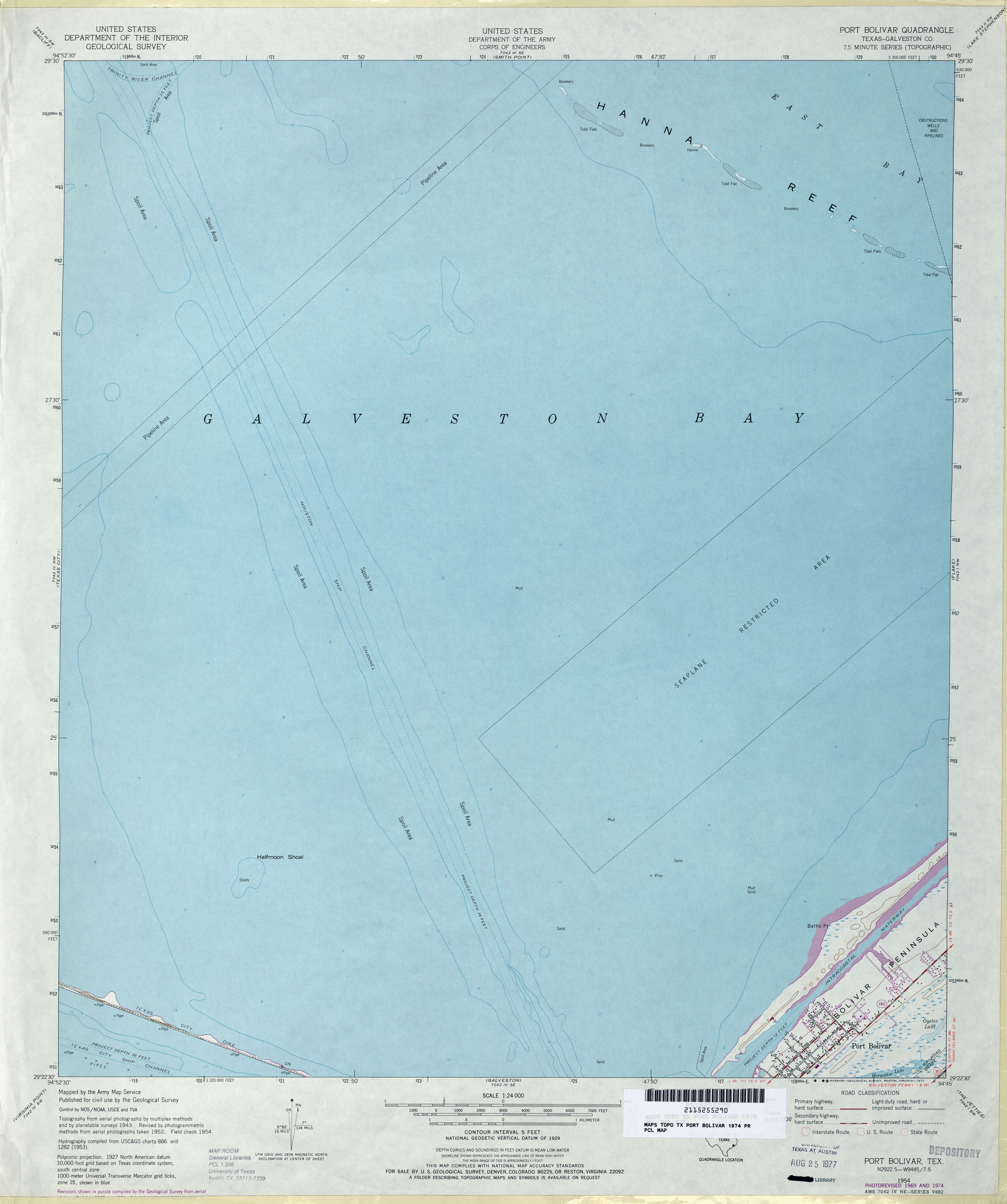
- Port Bolivar (Galveston County) 1:24,000 1954 (2.1MB) U.S. Department of the Army Corps of Engineers
- Port Bolivar (Galveston County) 1:24,000 1969 (2.5MB) U.S. Department of the Army Corps of Engineers
- Port Bolivar (Galveston County) 1:24,000 1974 (2.3MB) U.S. Department of the Army Corps of Engineers
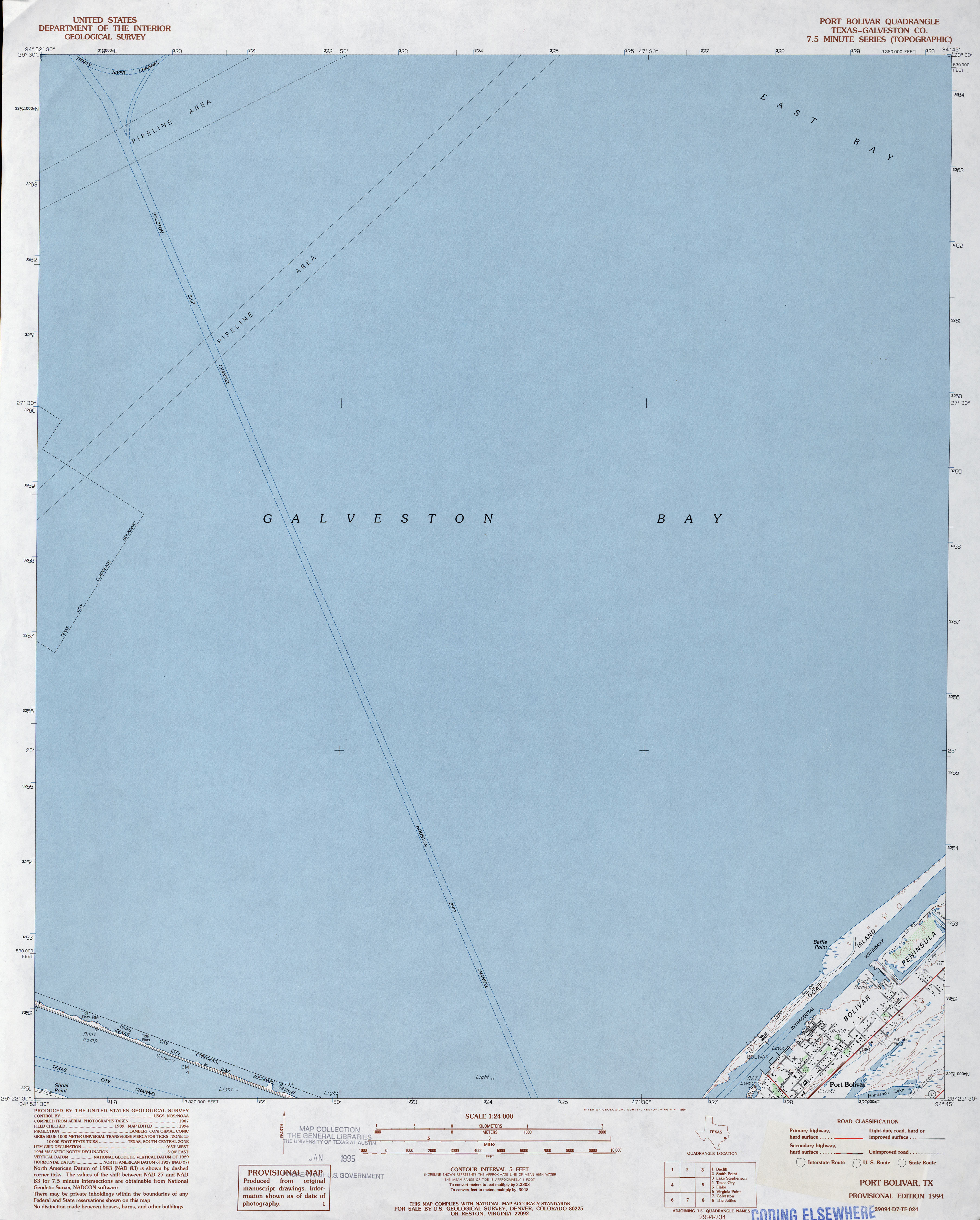
- Port Bolivar (Galveston County) 1:24,000 1994 (2.7MB)
- Port Bolivar 1:24,000 2008 (400KB) Texas Natural Resources Information System (TNRIS). [pdf]
- Port Bolivar 1:24,000 2009 (7.2MB) [GeoPDF]
- Port Bolivar 1:24,000 2013 (14.1MB) [GeoPDF]
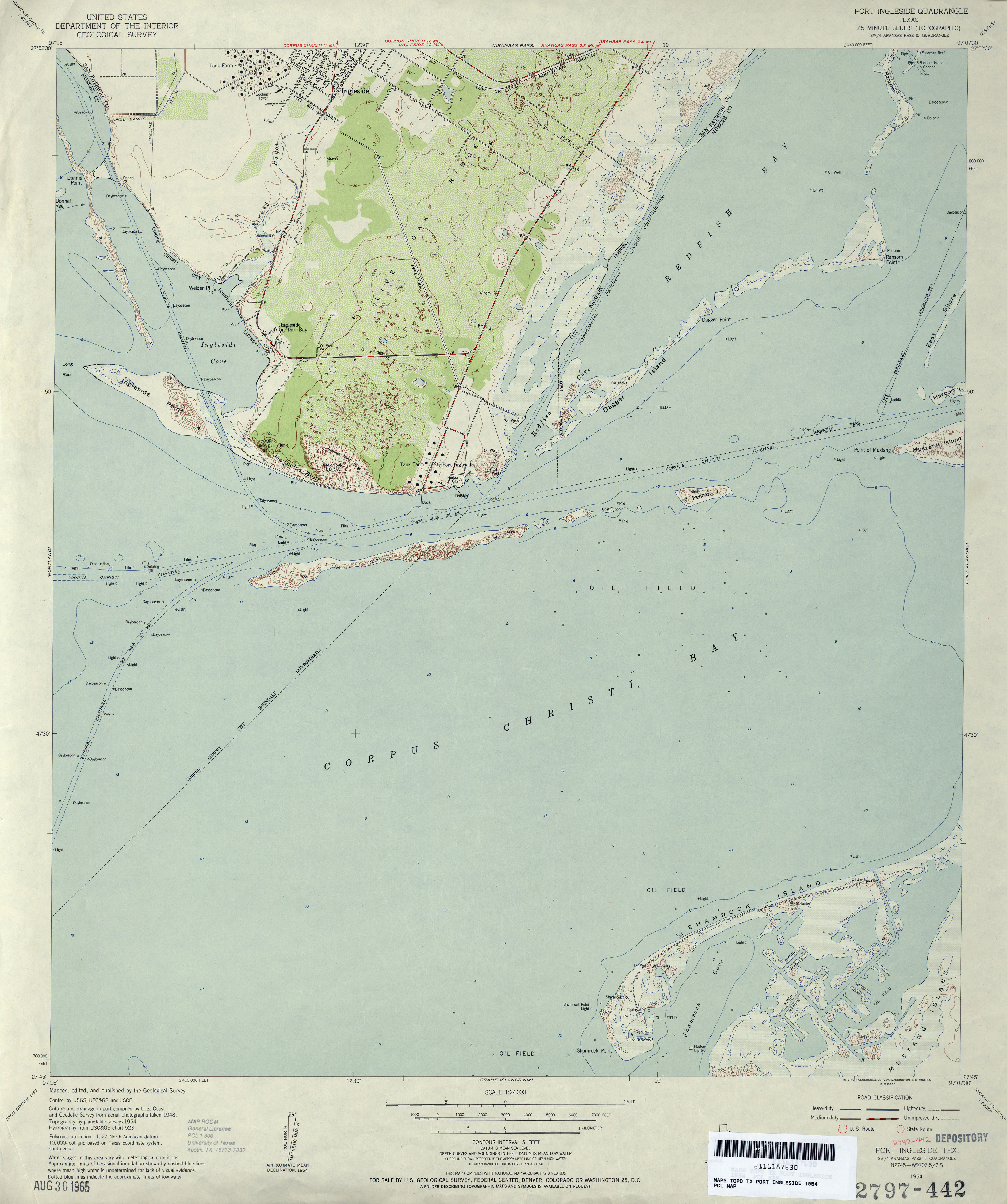
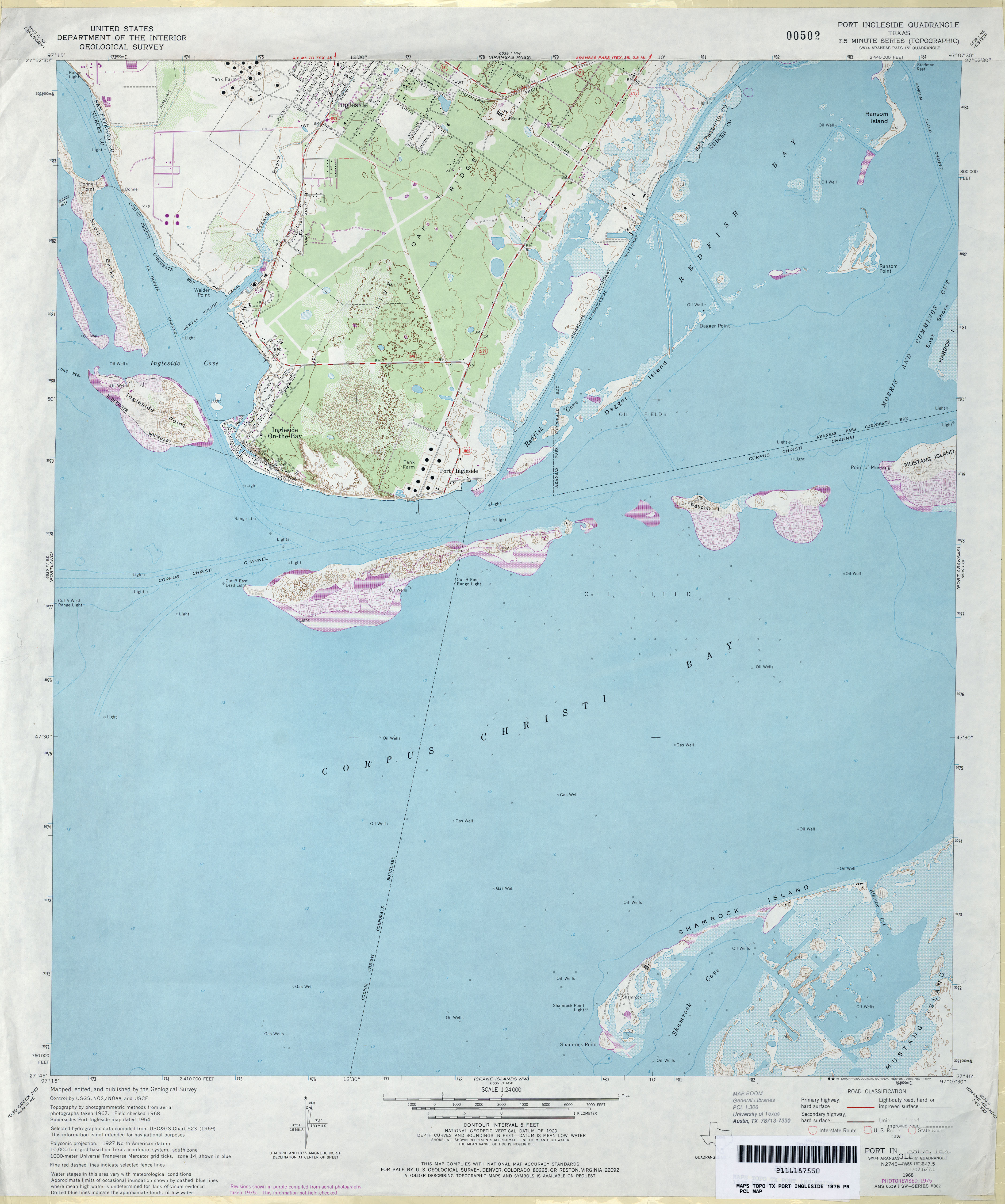
- Port Ingleside 1:24,000 1954 (2.9MB)
- Port Ingleside 1:24,000 1968 (3MB)
- Port Ingleside 1:24,000 1975 (3MB)
- Port Ingleside 1:24,000 2008 (10MB) [GeoPDF]
- Port Ingleside 1:24,000 2013 (22.1MB) [GeoPDF]
- Port Isabel (Cameron County) 1:31,680 1929 (2.4 MB)
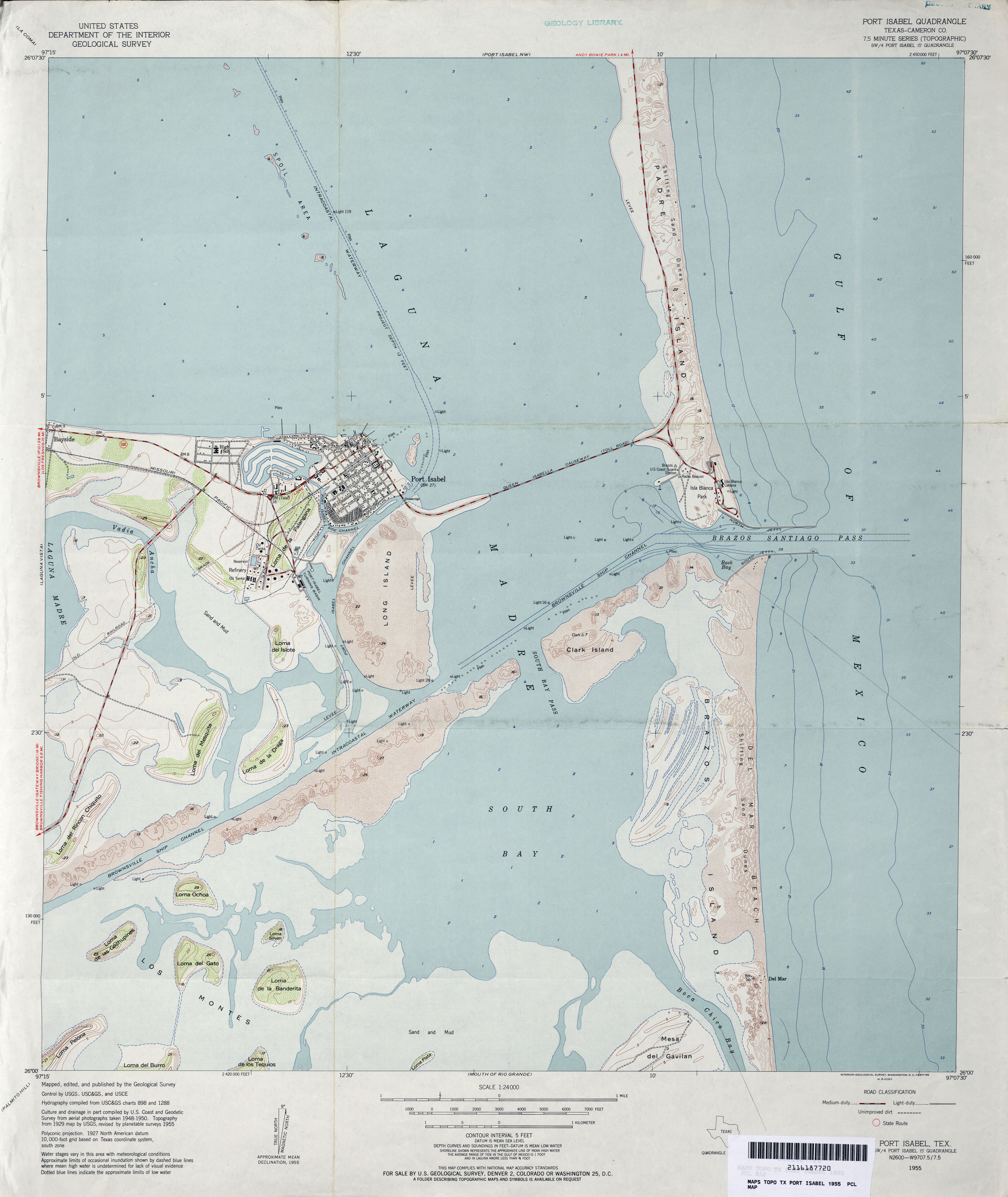
- Port Isabel (Cameron County) 1:24,000 1955 (3.1MB)
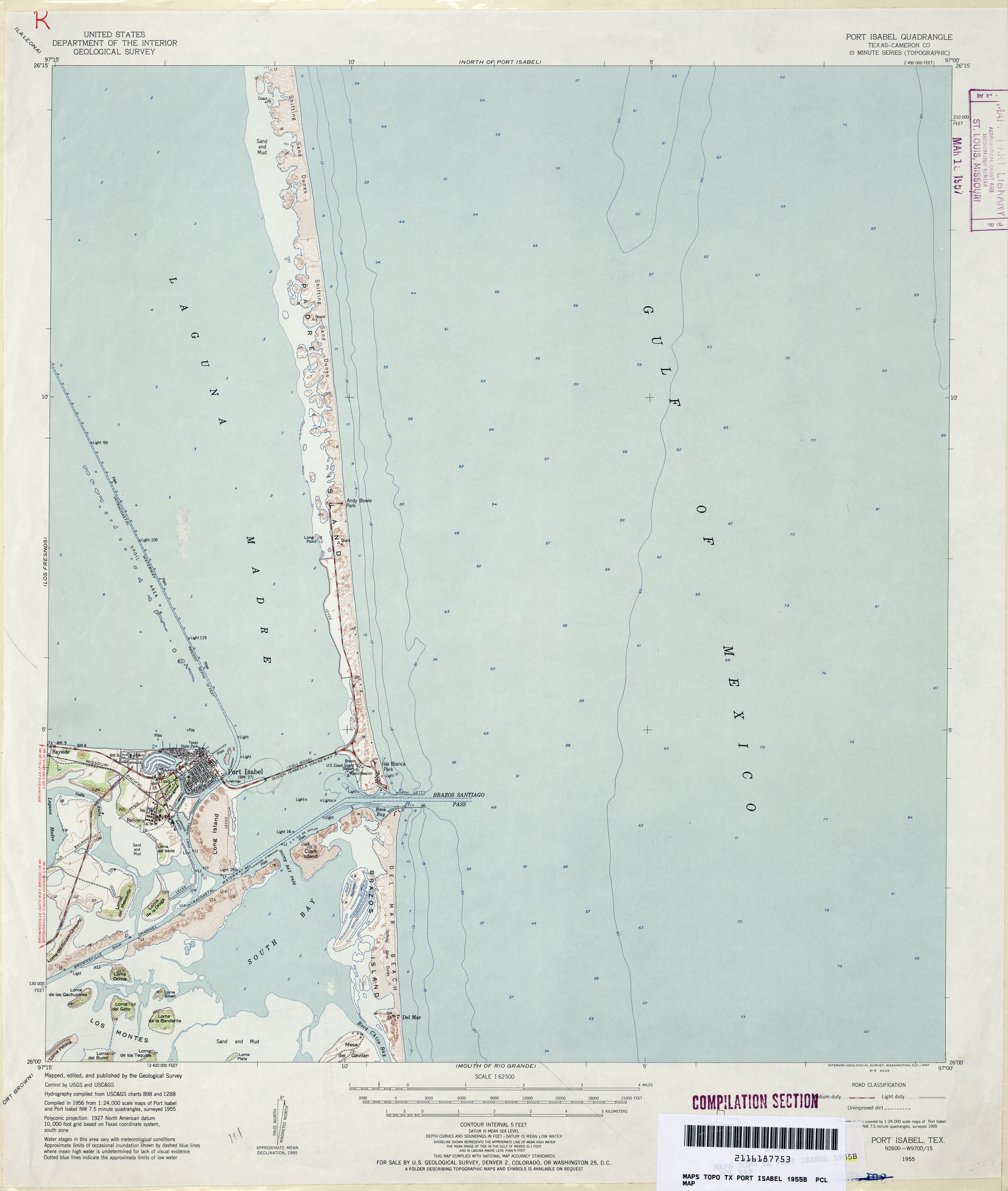
- Port Isabel (Cameron County) 1:62,500 1955 (2.5MB)
- Port Isabel (Cameron County) 1:24,000 1970 (3.6MB)
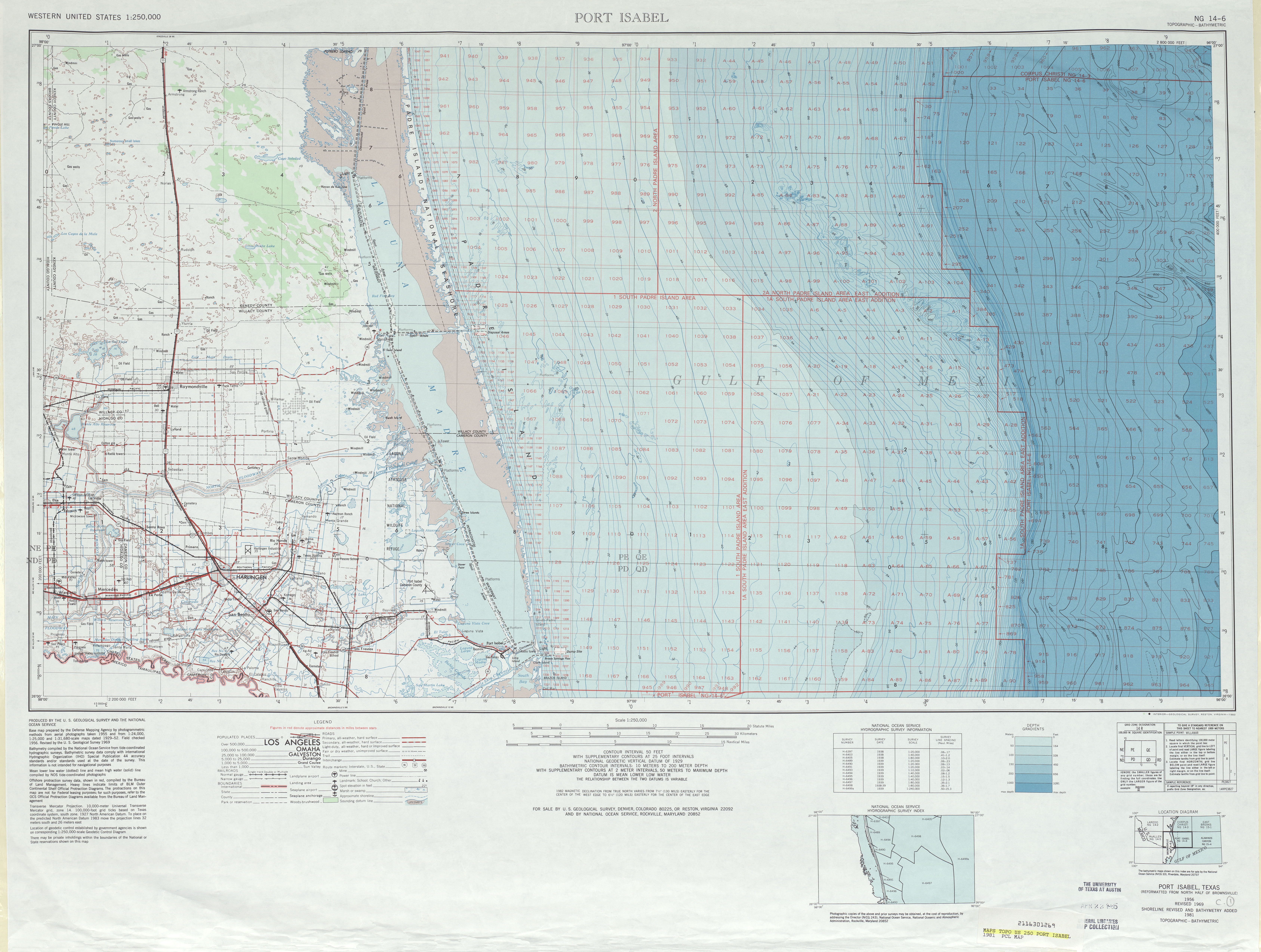
- Port Isabel 1:250,000 1981 (7.9MB)
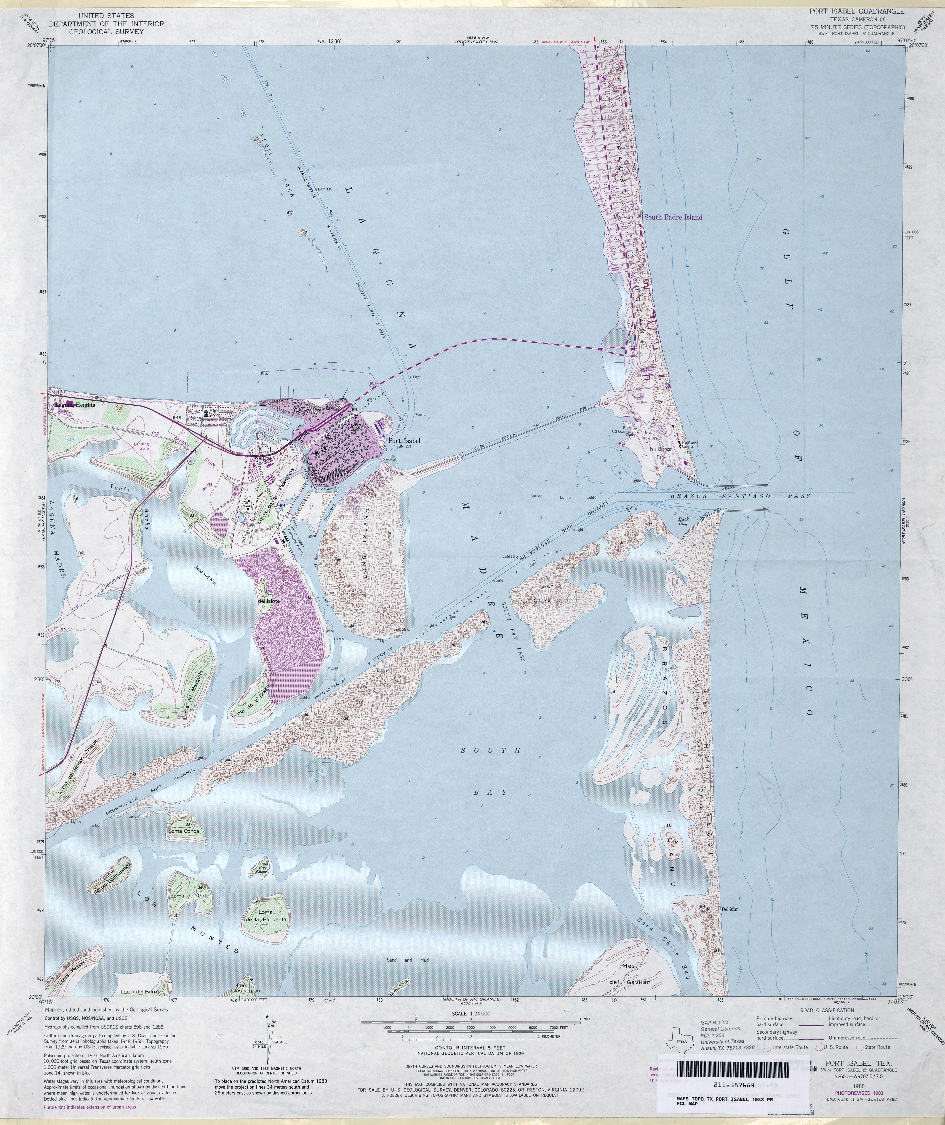
- Port Isabel (Cameron County) 1:24,000 1983 (3.8MB)
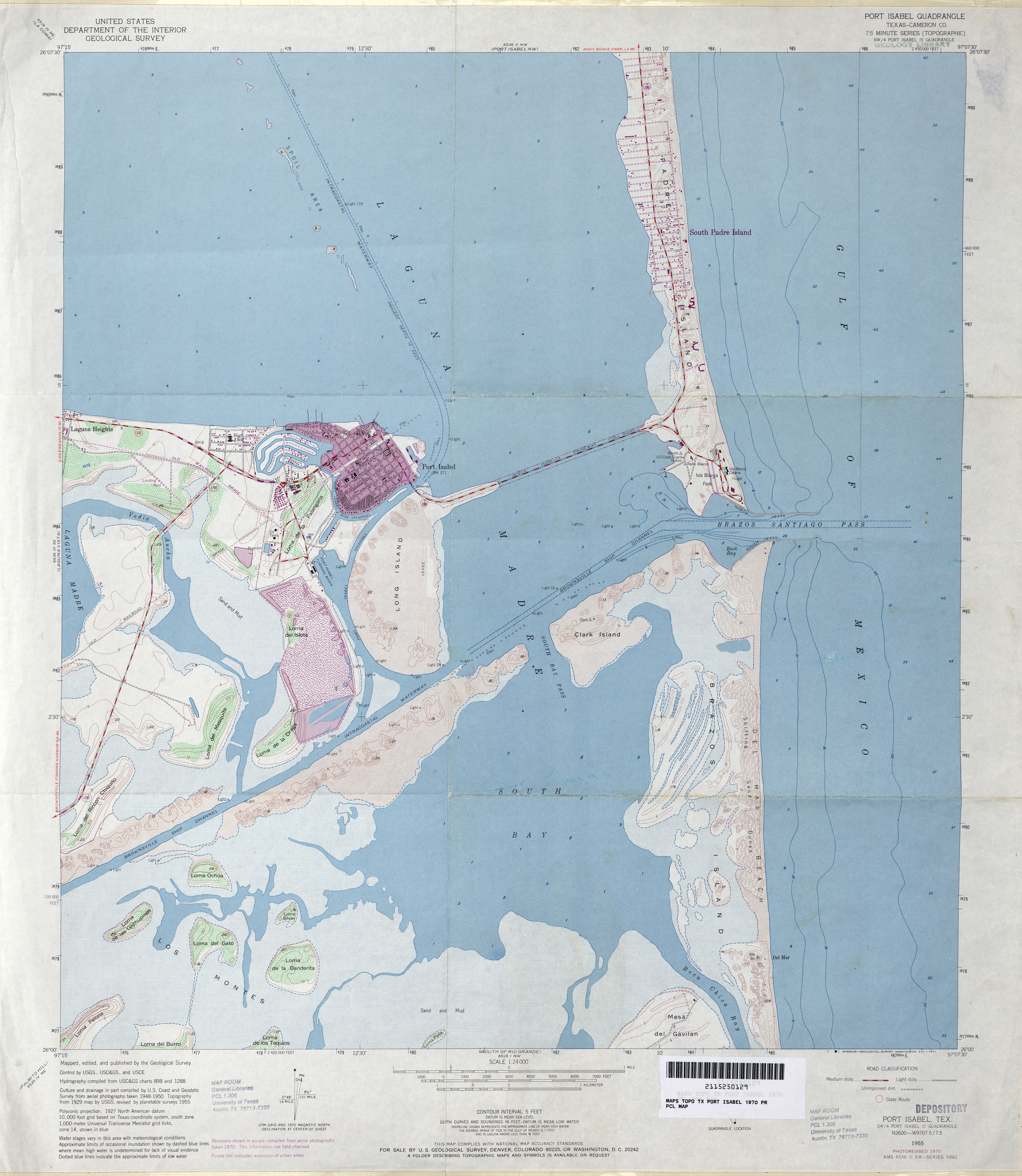
- Port Isabel 1:24,000 2008 (28.2MB) [GeoPDF]
- Port Isabel 1:24,000 2013 (15.7MB) [GeoPDF]
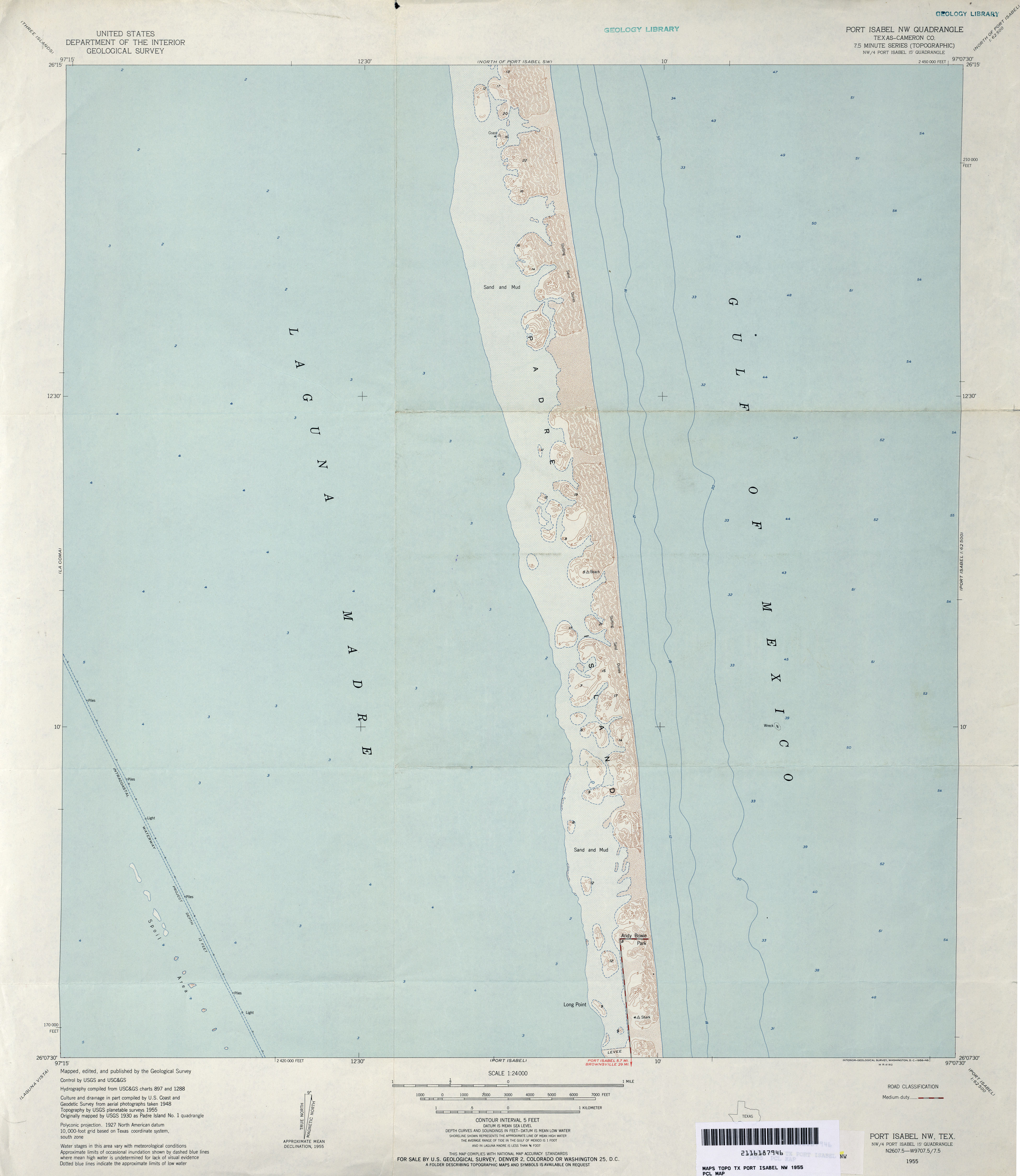
- Port Isabel NW (Cameron County) 1:24,000 1955 (2.2MB)
- Port Isabel NW (Cameron County) 1:24,000 1970 (2.3MB)
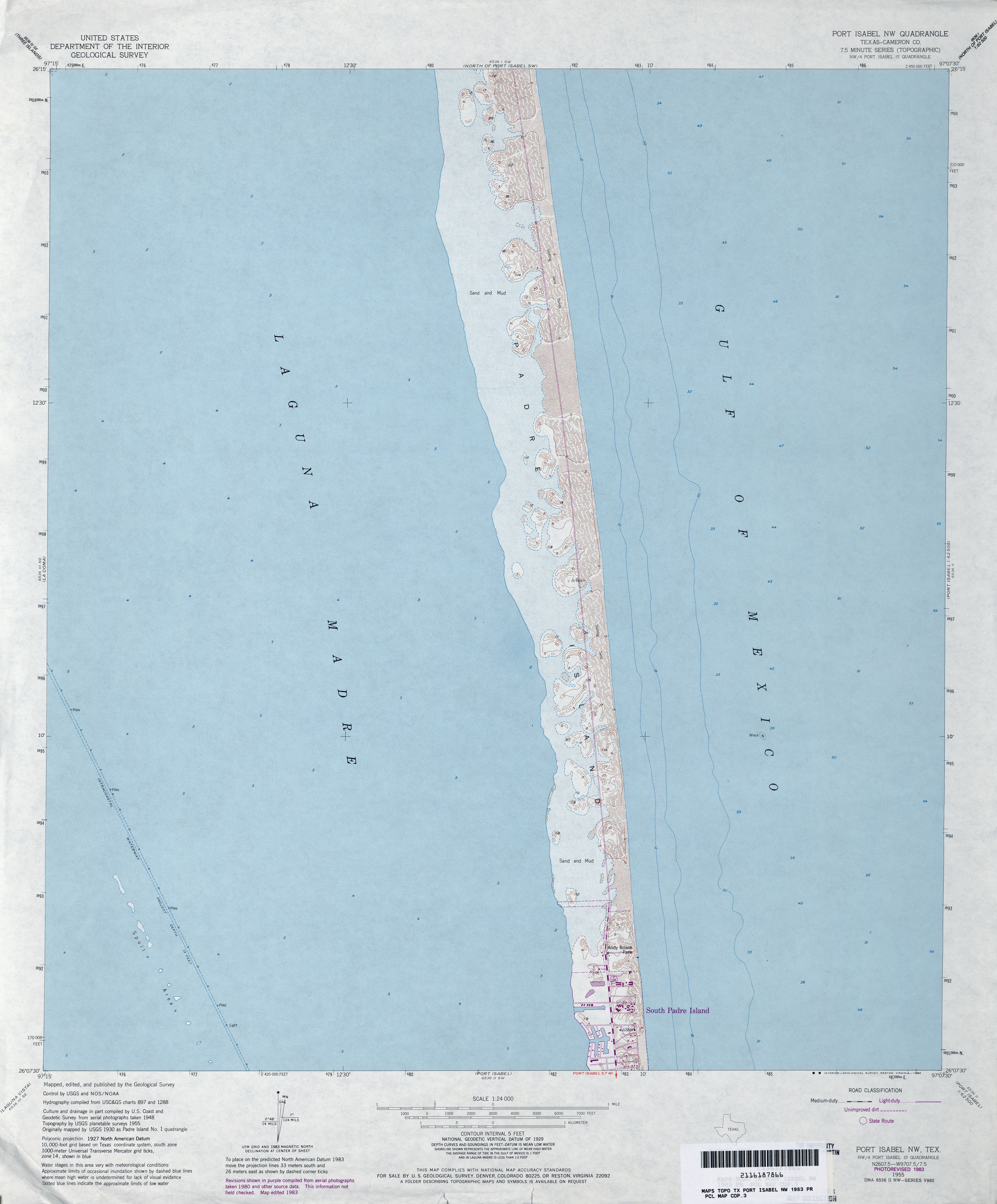
- Port Isabel NW (Cameron County) 1:24,000 1983 (2.6MB)
- Port Isabel NW 1:24,000 2008 (24.6MB) [GeoPDF]
- Port Isabel NW 1:24,000 2013 (14.4MB) [GeoPDF]
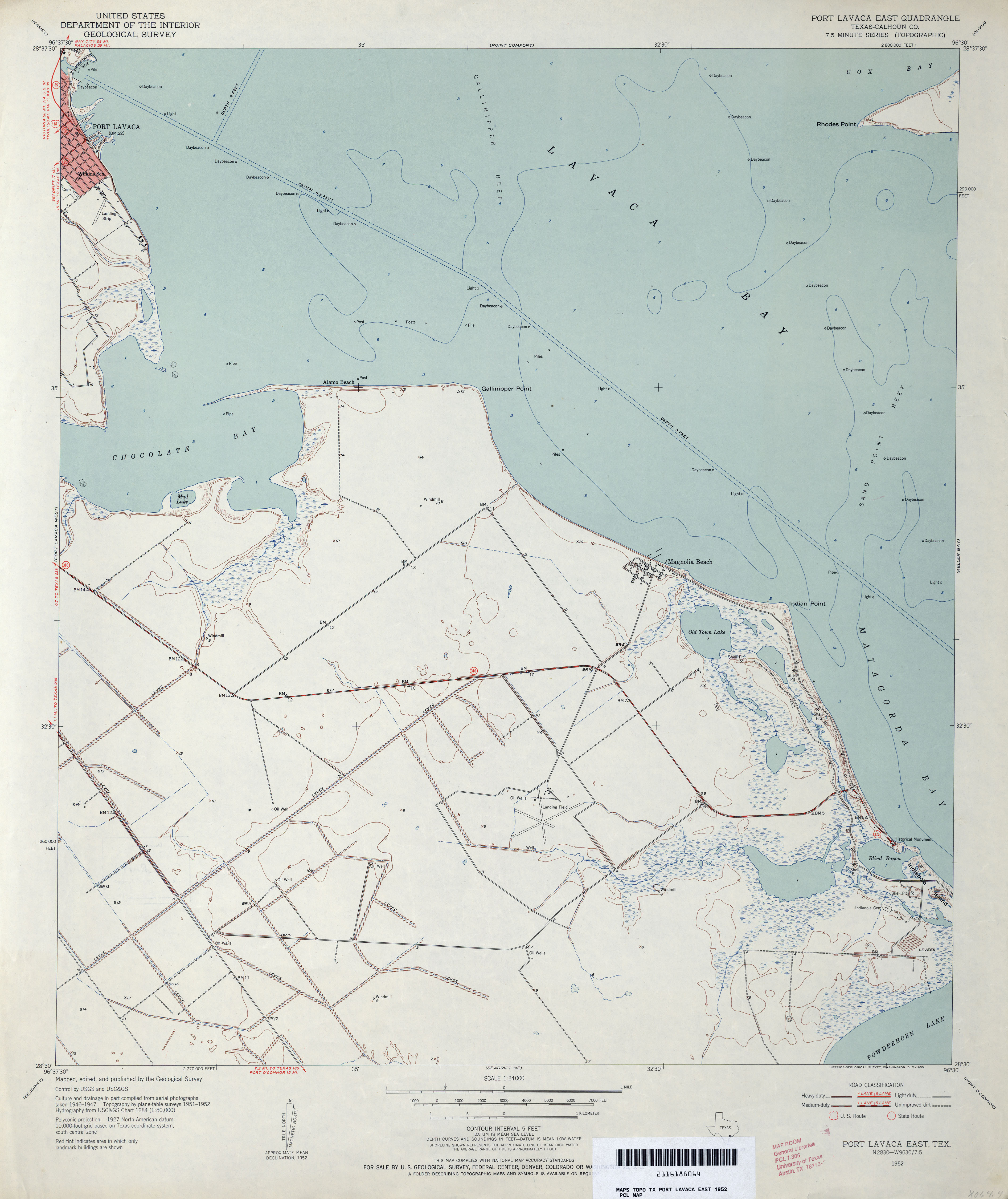
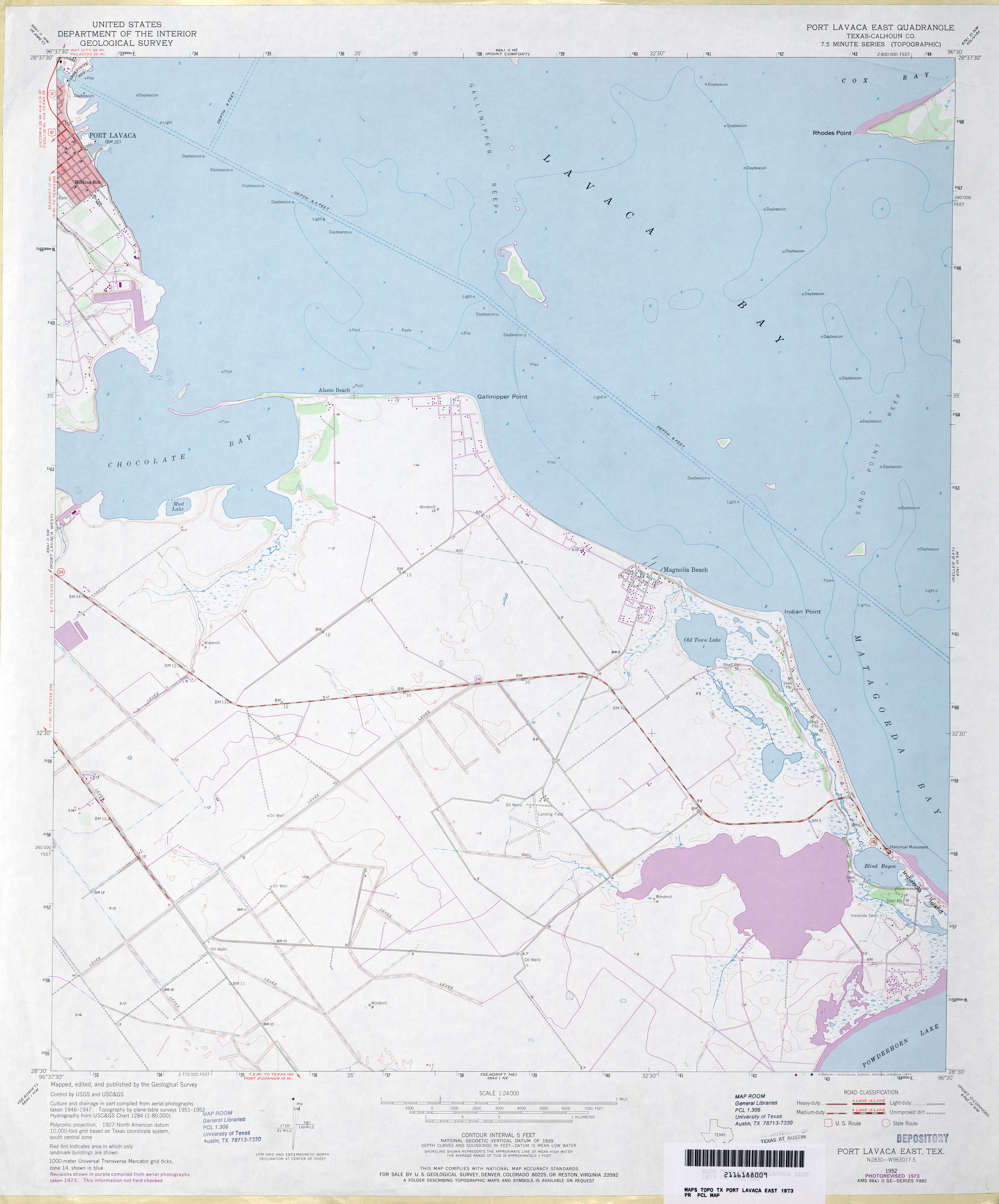
- Port Lavaca East (Calhoun County) 1:24,000 1952 (2.6MB)
- Port Lavaca East (Calhoun County) 1:24,000 1973 (2.6MB)
- Port Lavaca East (Calhoun County) 1:24,000 1995 (2.7MB)
- Port Lavaca East 1:24,000 2008 (10.6MB) [GeoPDF]
- Port Lavaca East 1:24,000 2013 (19.5MB) [GeoPDF]
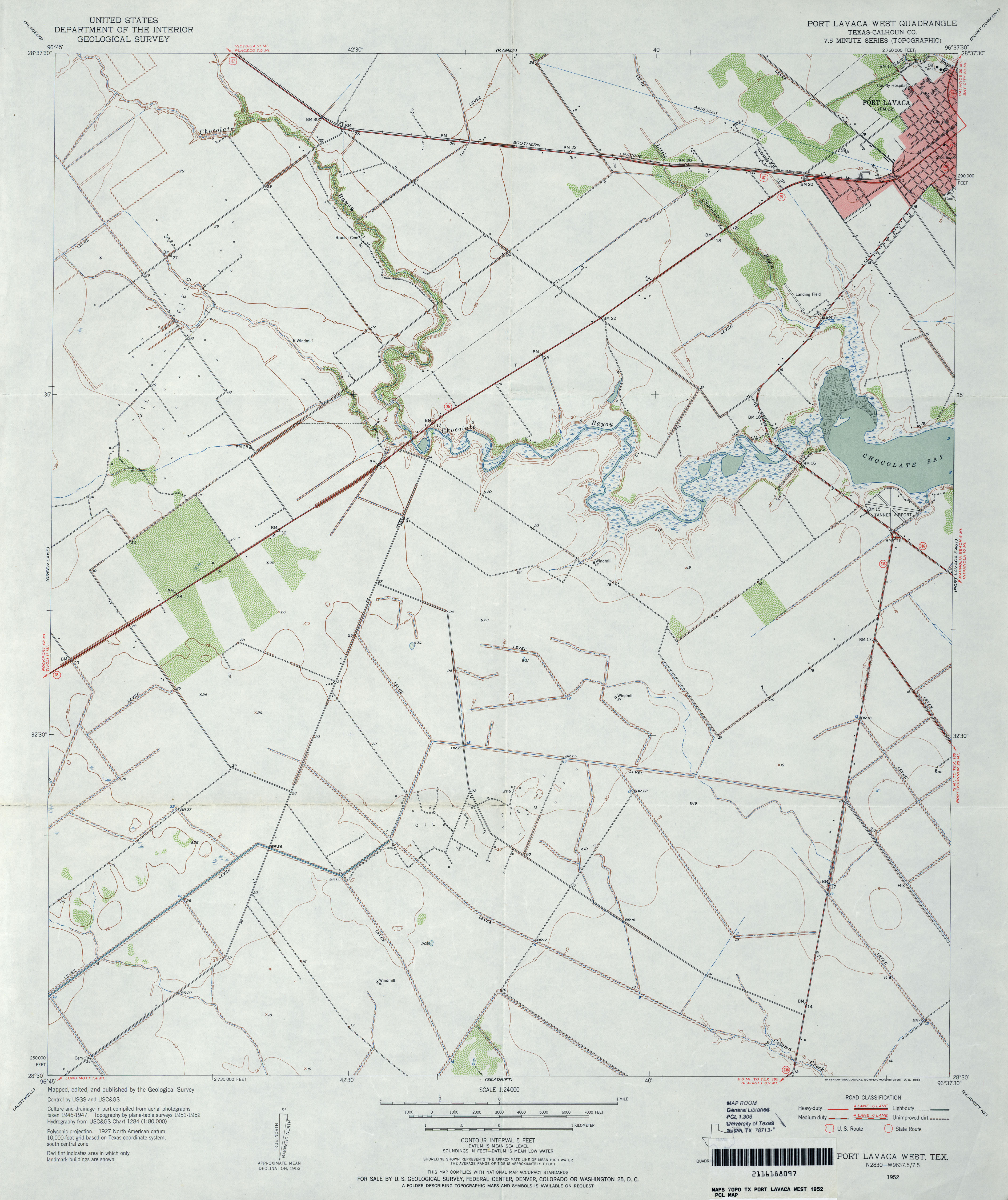
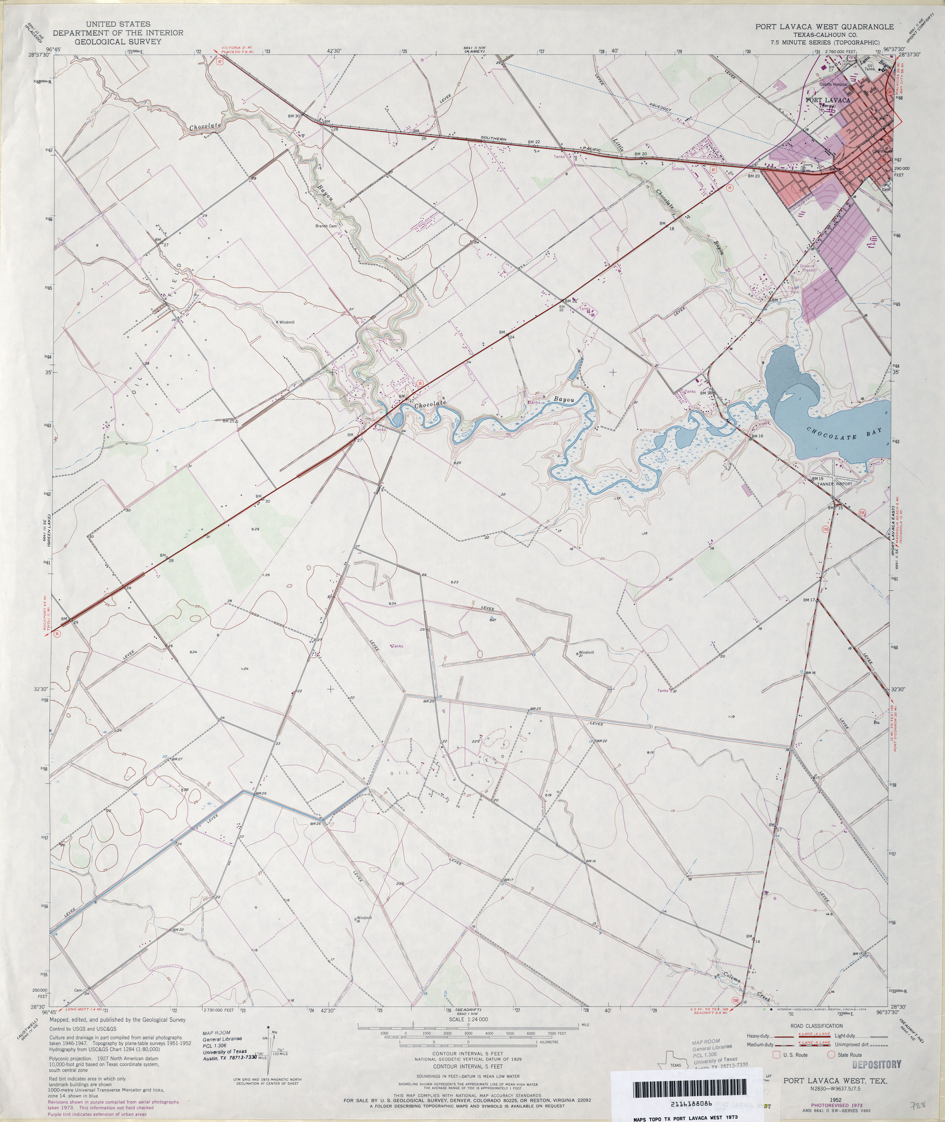
- Port Lavaca West (Calhoun County) 1:24,000 1952 (3.1MB)
- Port Lavaca West (Calhoun County) 1:24,000 1973 (2.9MB)
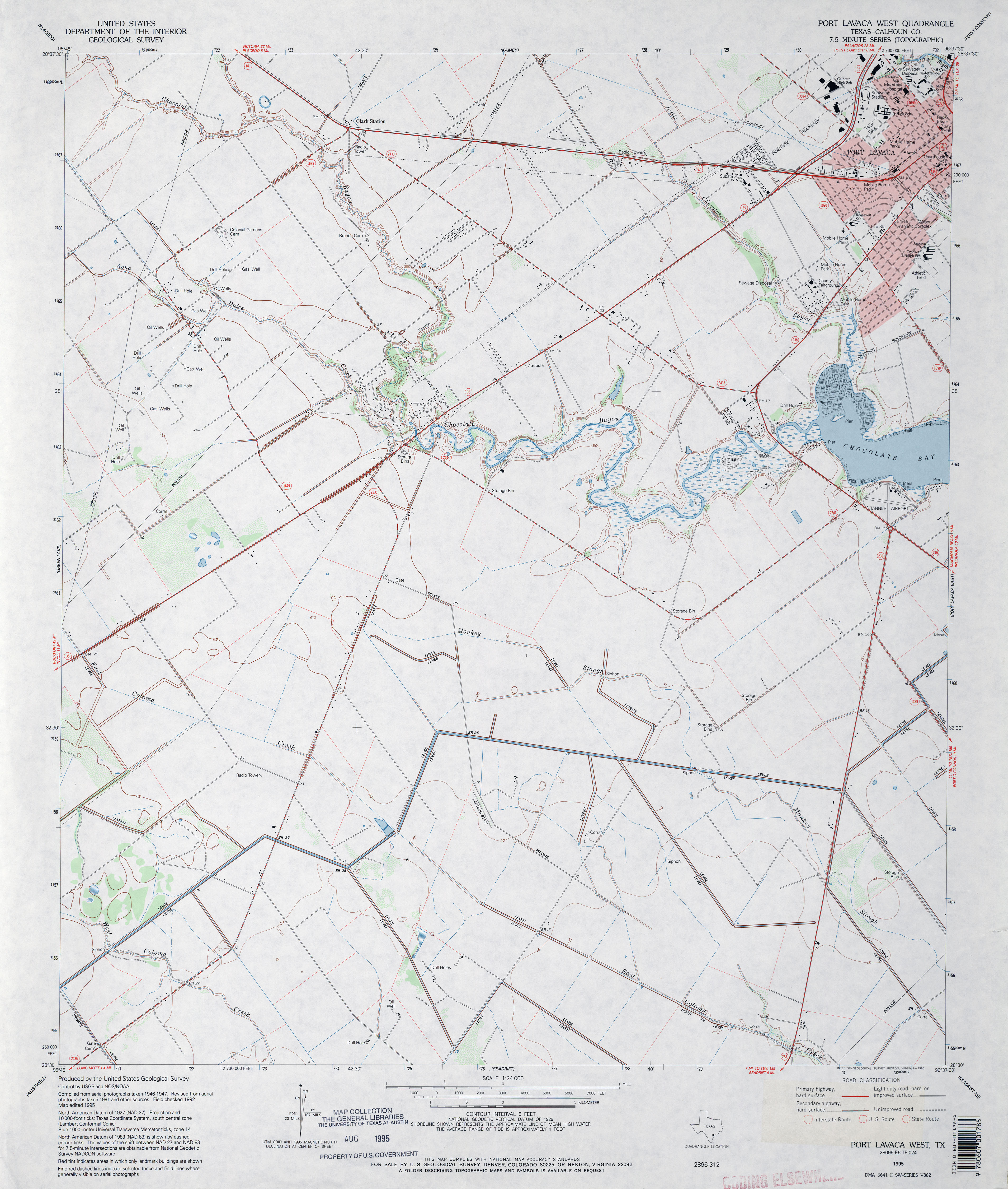
- Port Lavaca West (Calhoun County) 1:24,000 1995 (3.3MB)
- Port Lavaca West 1:24,000 2008 (10.0MB) [GeoPDF]
- Port Lavaca West 1:24,000 2013 (16.6MB) [GeoPDF]
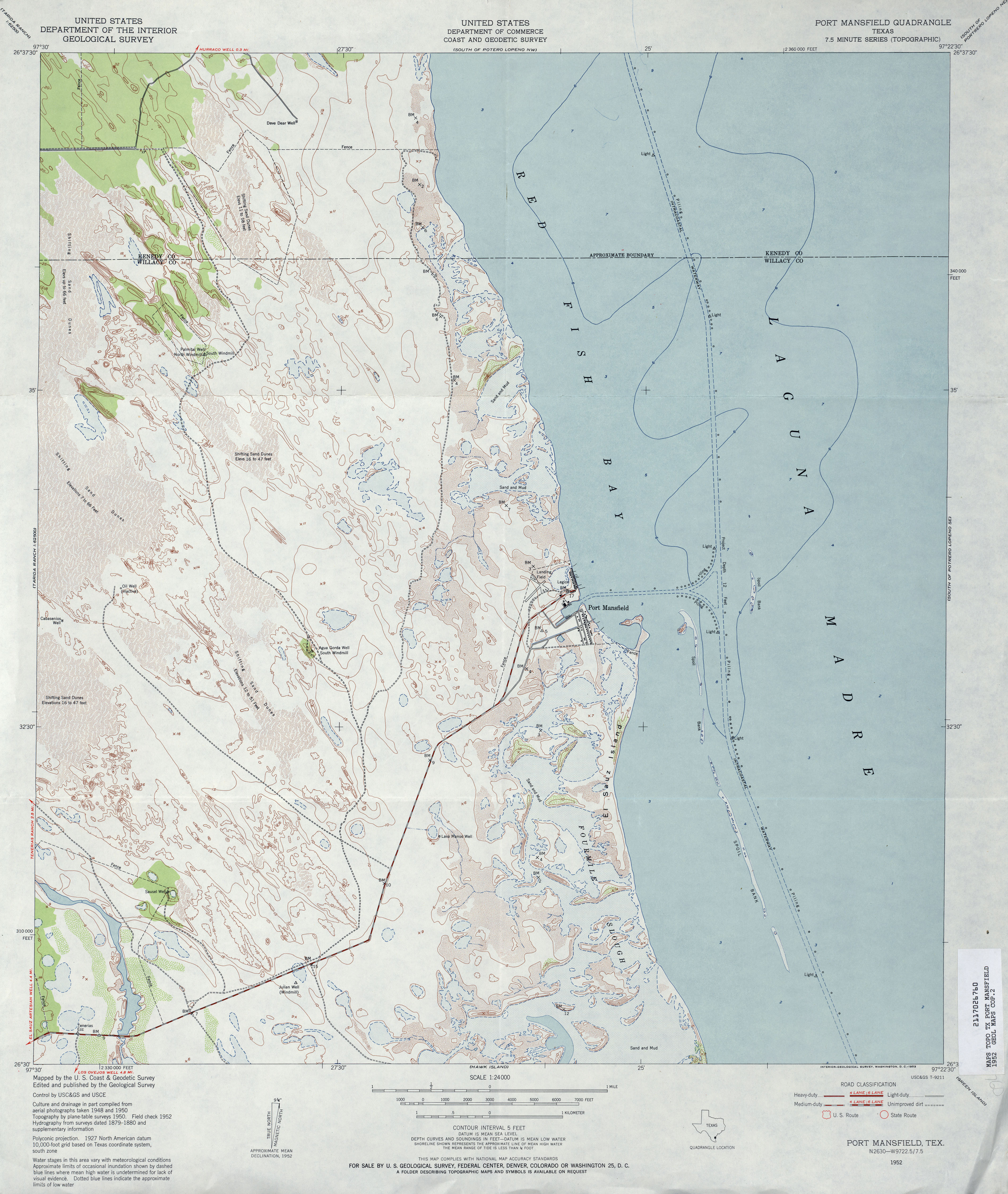
- Port Mansfield 1:24,000 1952 (3.6MB)
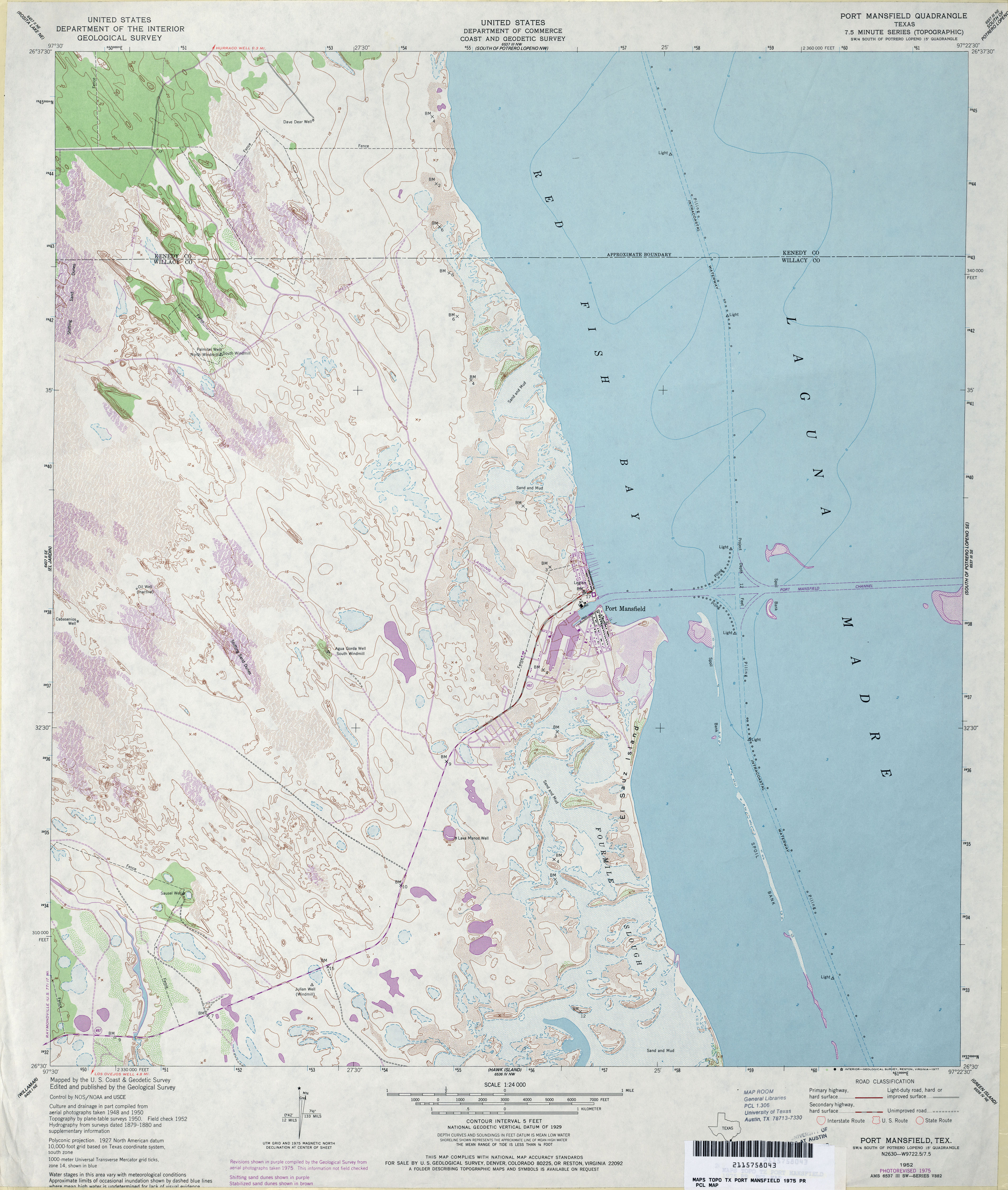
- Port Mansfield 1:24,000 1975 (3.8MB)
- Port Mansfield 1:24,000 2009 (10.2MB) [GeoPDF]
- Port Mansfield 1:24,000 2013 (16.5MB) [GeoPDF]
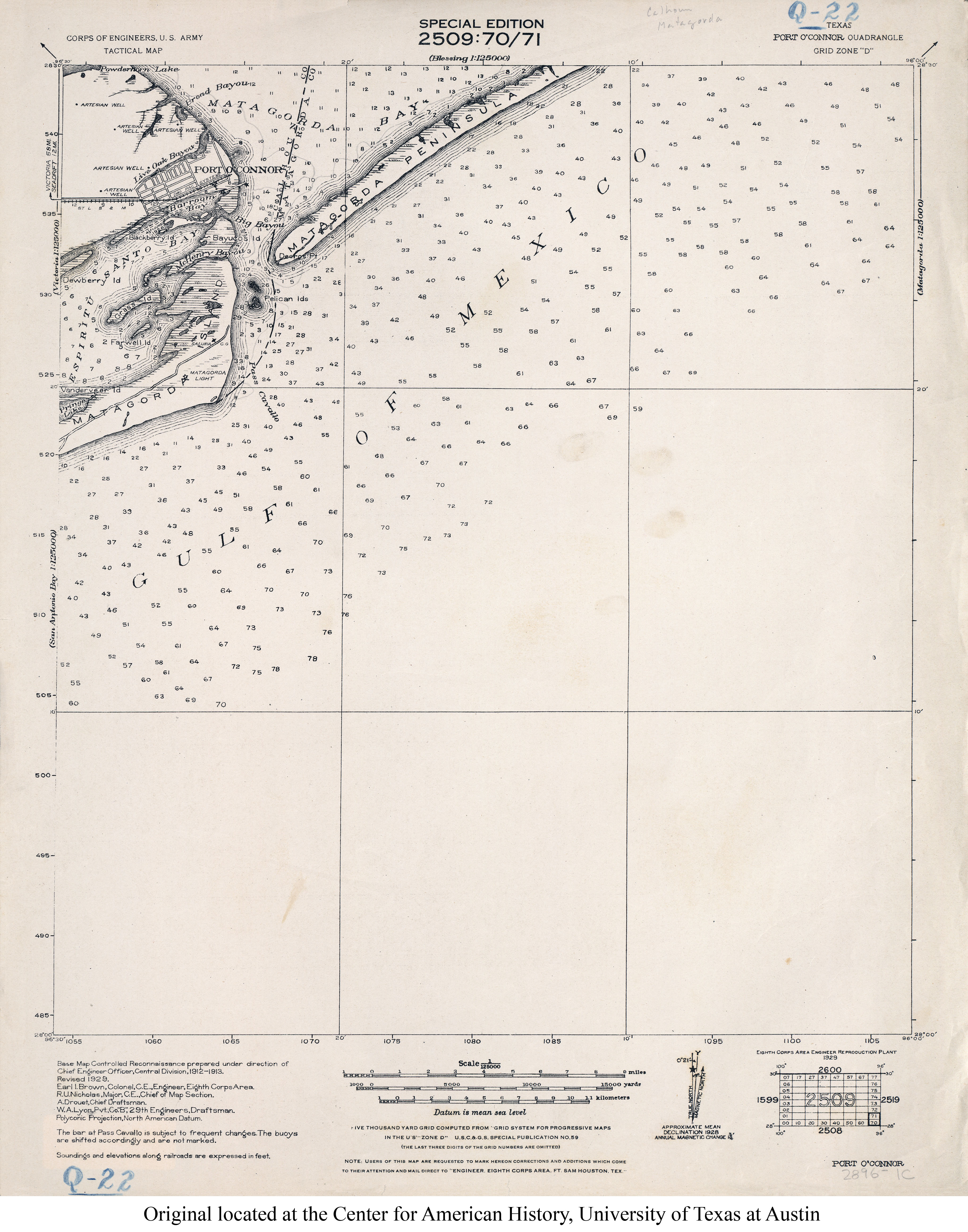
- Port O'Connor 1:125,000 1929 (2.6MB) U.S. Army. Corps of Engineers. Tactical Map
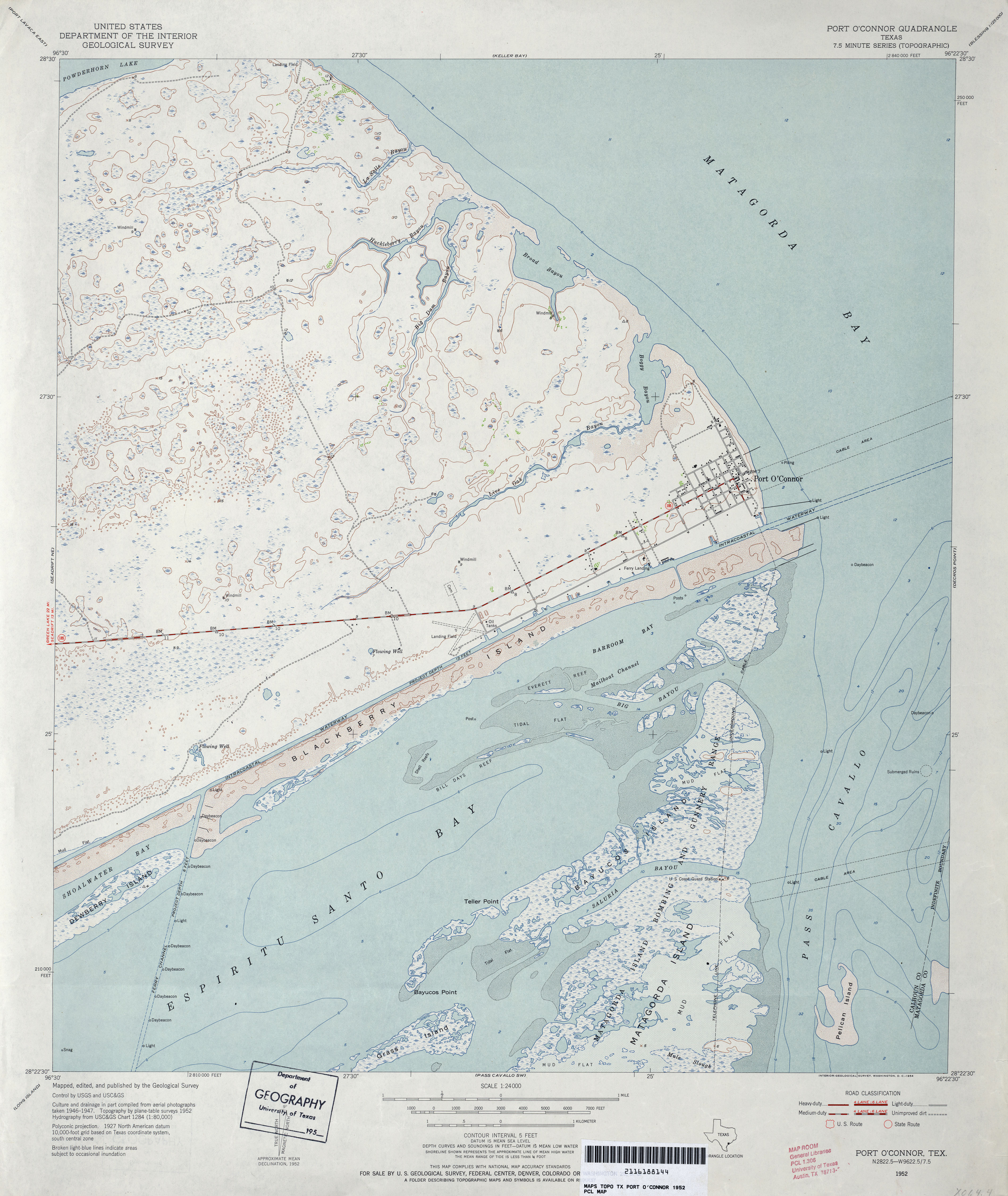
- Port O'Connor 1:24,000 1952 (3.4MB)
- Port O�Connor 1:24,000 2008 (10.1MB) [GeoPDF]
- Port O'Connor 1:24,000 2013 (21.3MB) [GeoPDF]
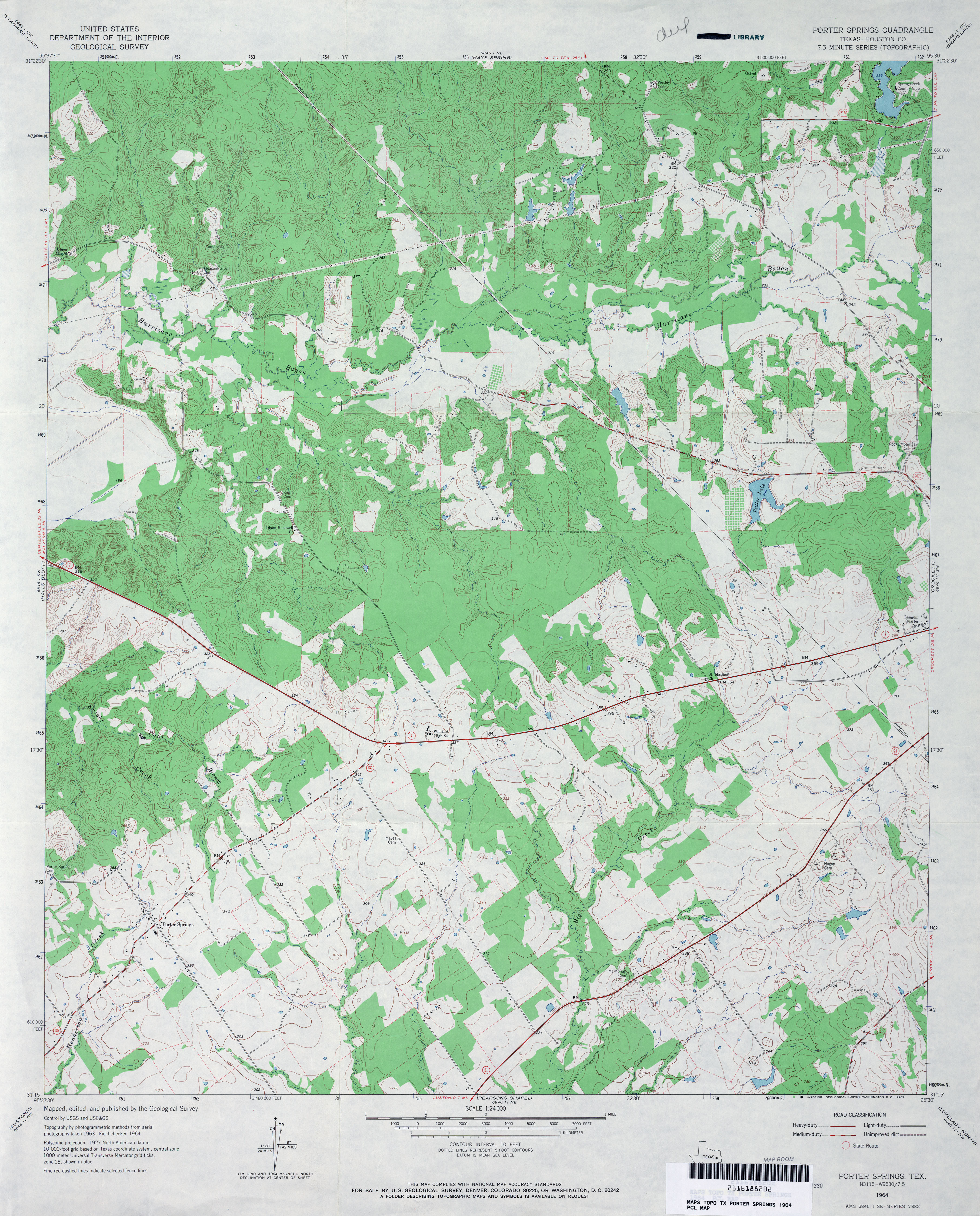
- Porter Springs (Houston County) 1:24,000 1964 (4.2MB)
- Porter Springs 1:24,000 2009 (20.8MB) [GeoPDF]
- Porter Springs 1:24,000 2013 (23MB) [GeoPDF]
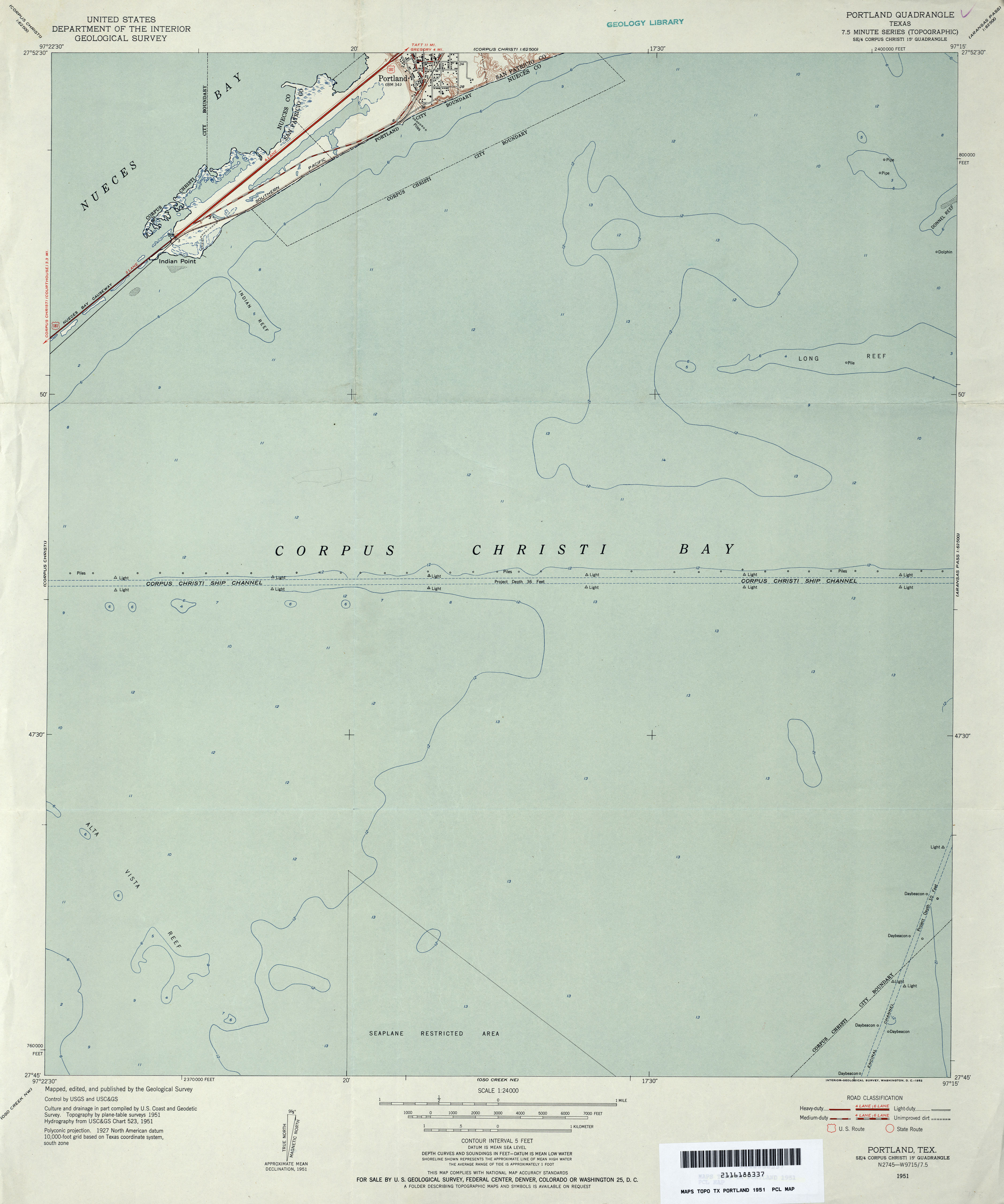
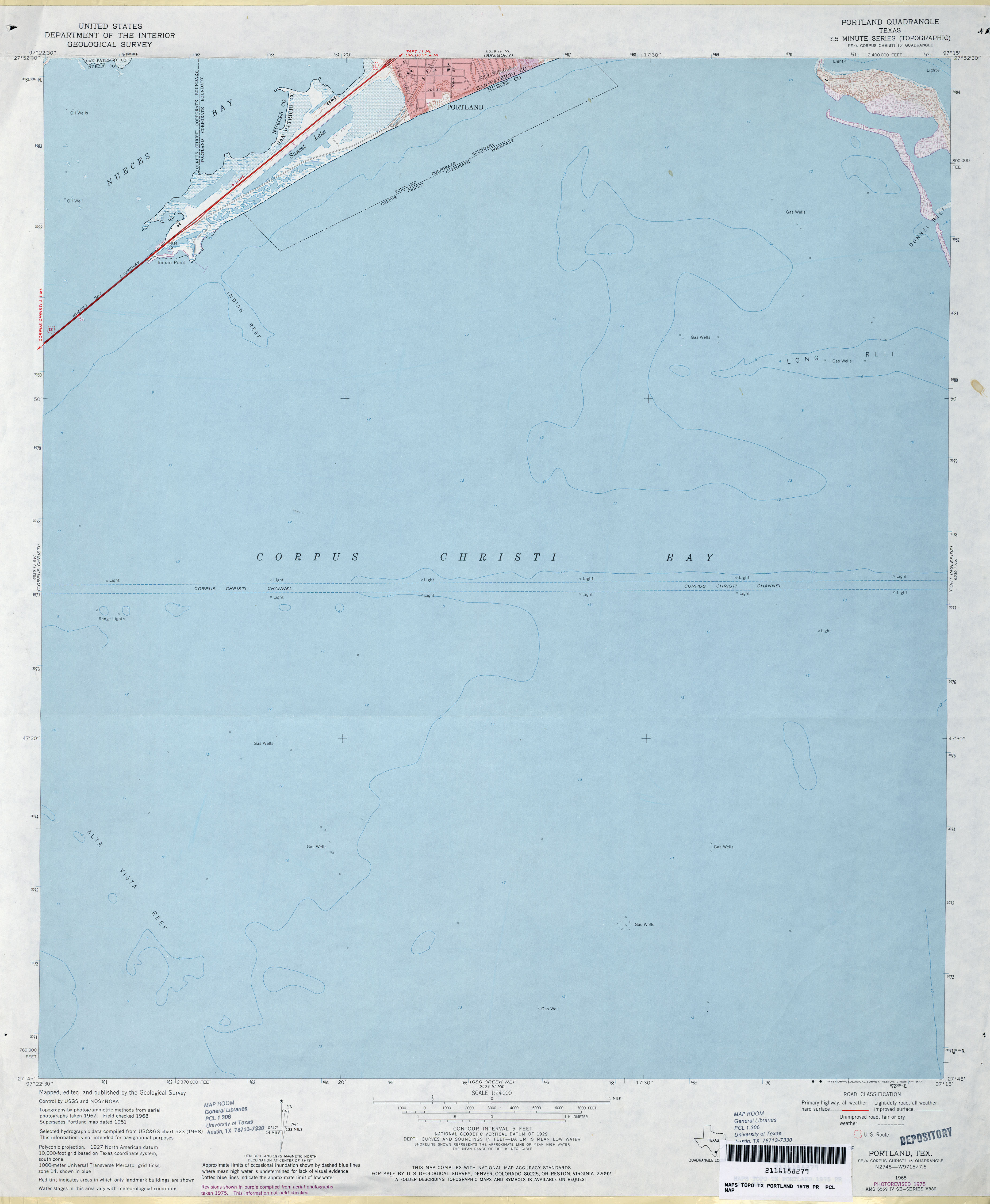
- Portland 1:24,000 1951 (2.2MB)
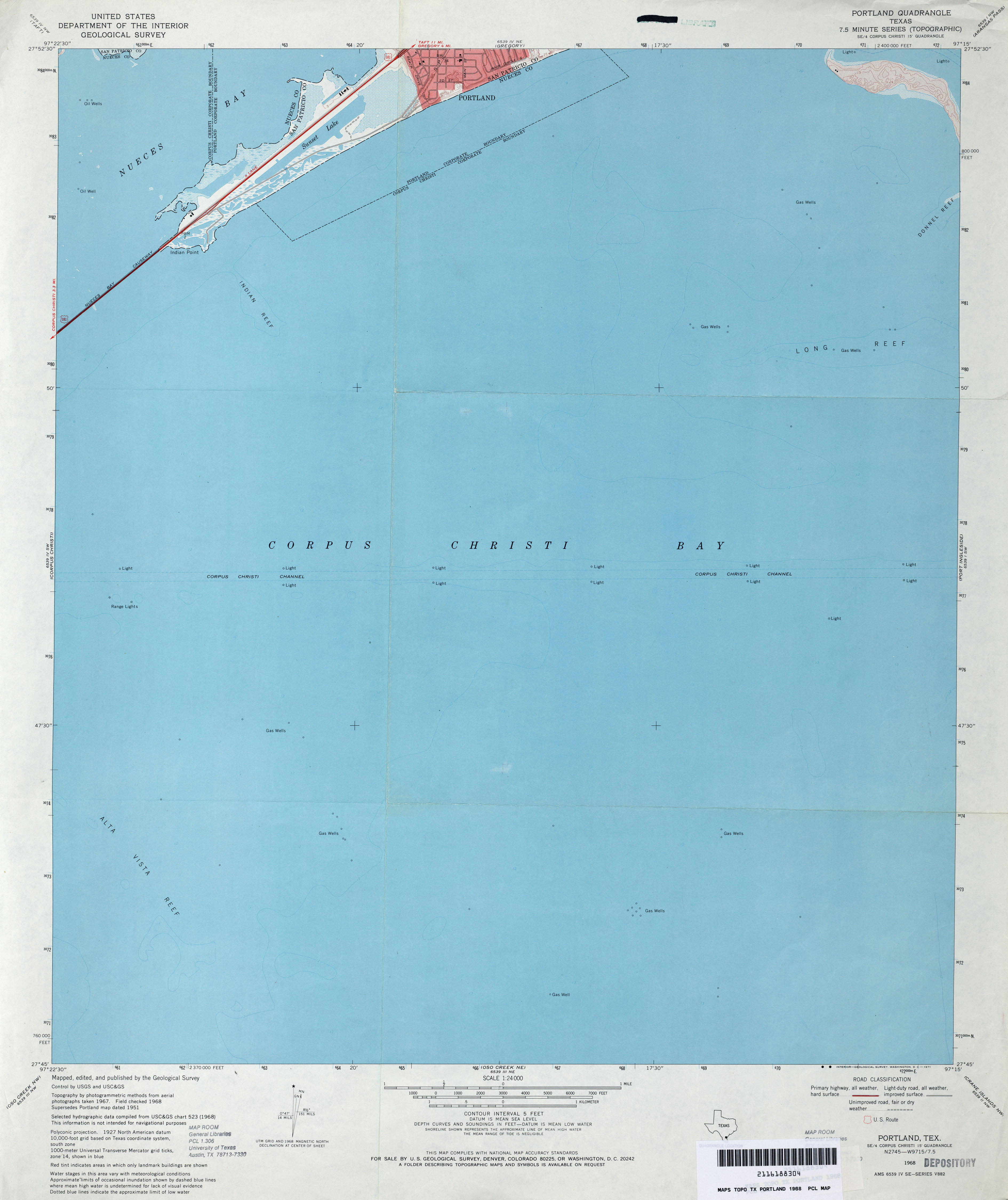
- Portland 1:24,000 1968 (2MB)
- Portland 1:24,000 1975 (2.3MB)
- Portland 1:24,000 2008 (7.7MB) [GeoPDF]
- Portland 1:24,000 2013 (12MB) [GeoPDF]
- Post Canyon 1:24,000 1973 (5MB)
- Post Canyon 1:24,000 2008 (23.2MB) [GeoPDF]
- Post Canyon 1:24,000 2012 (33.8MB) [GeoPDF]
- Post East (Garza County) 1:24,000 1969 (4.4MB)
- Post East 1:24,000 2008 (16.3MB) [GeoPDF]
- Post East 1:24,000 2012 (22.5MB) [GeoPDF]
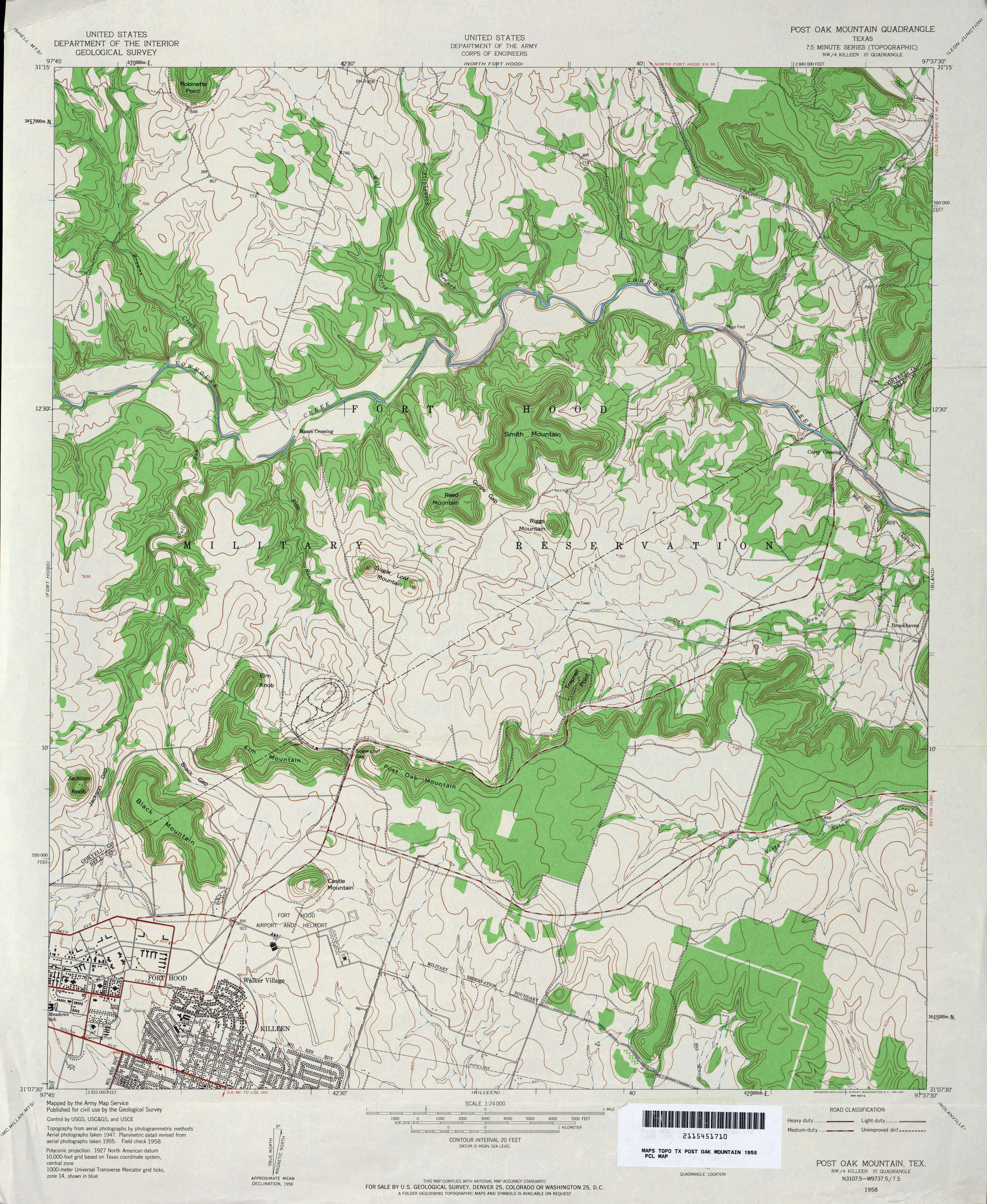
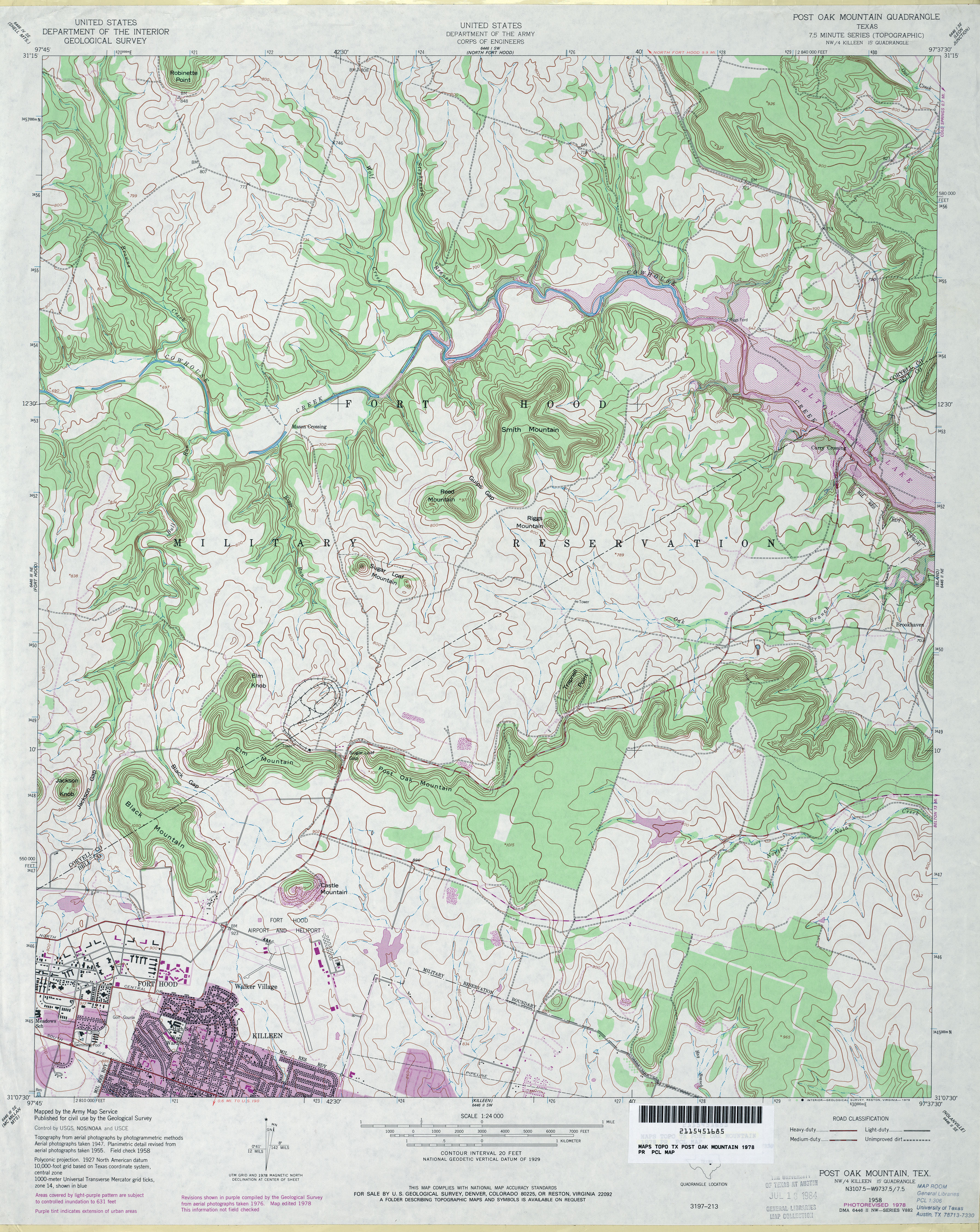
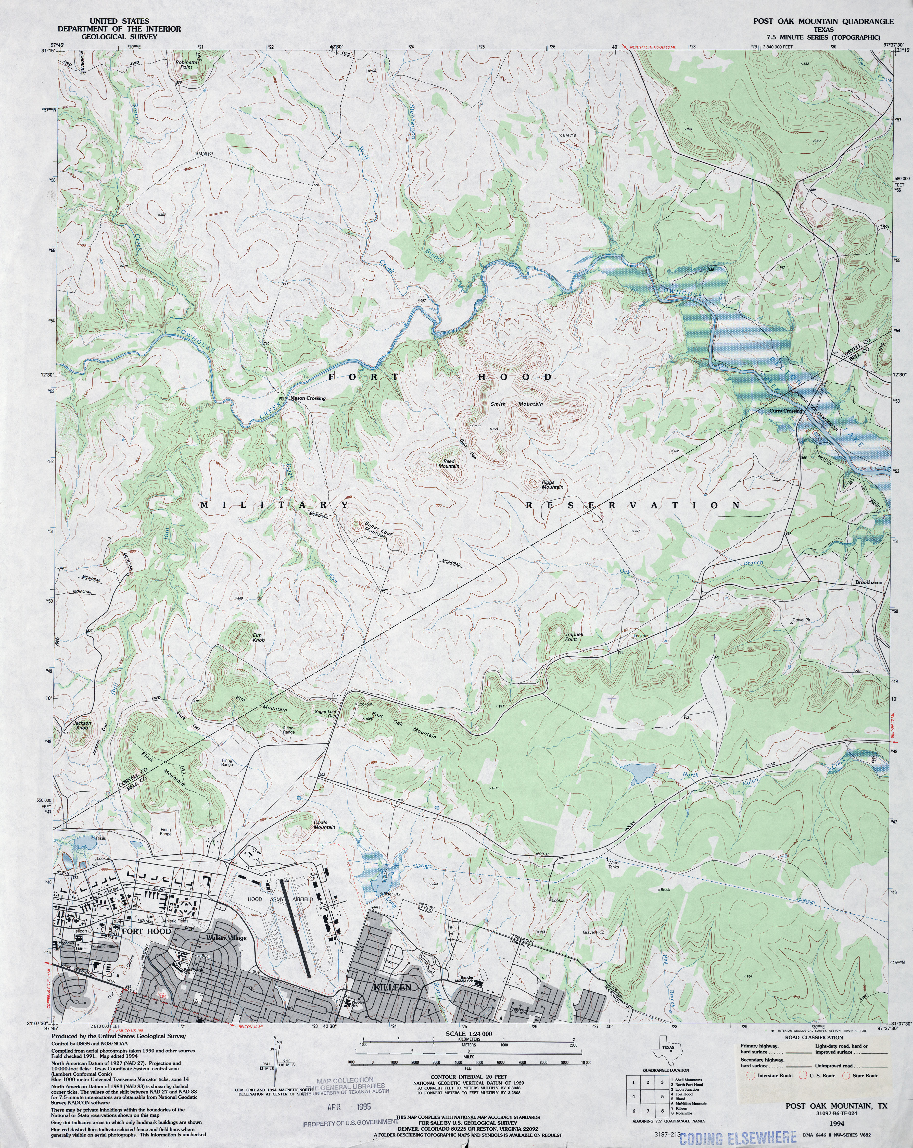
- Post Oak Mountain 1:24,000 1958 (4.1MB) U.S. Department of the Army Corps of Engineers
- Post Oak Mountain 1:24,000 1978 (4.4MB) U.S. Department of the Army Corps of Engineers
- Post Oak Mountain 1:24,000 1994 (4.1MB)
- Post Oak Mountain 1:24,000 2008 (16.2MB) [GeoPDF]
- Post Oak Mountain 1:24,000 2012 (23.1MB) [GeoPDF]
- Post West (Garza County) 1:24,000 1969 (3.4MB)
- Post West 1:24,000 2008 (14.0MB) [GeoPDF]
- Post West 1:24,000 2012 (20.9MB) [GeoPDF]
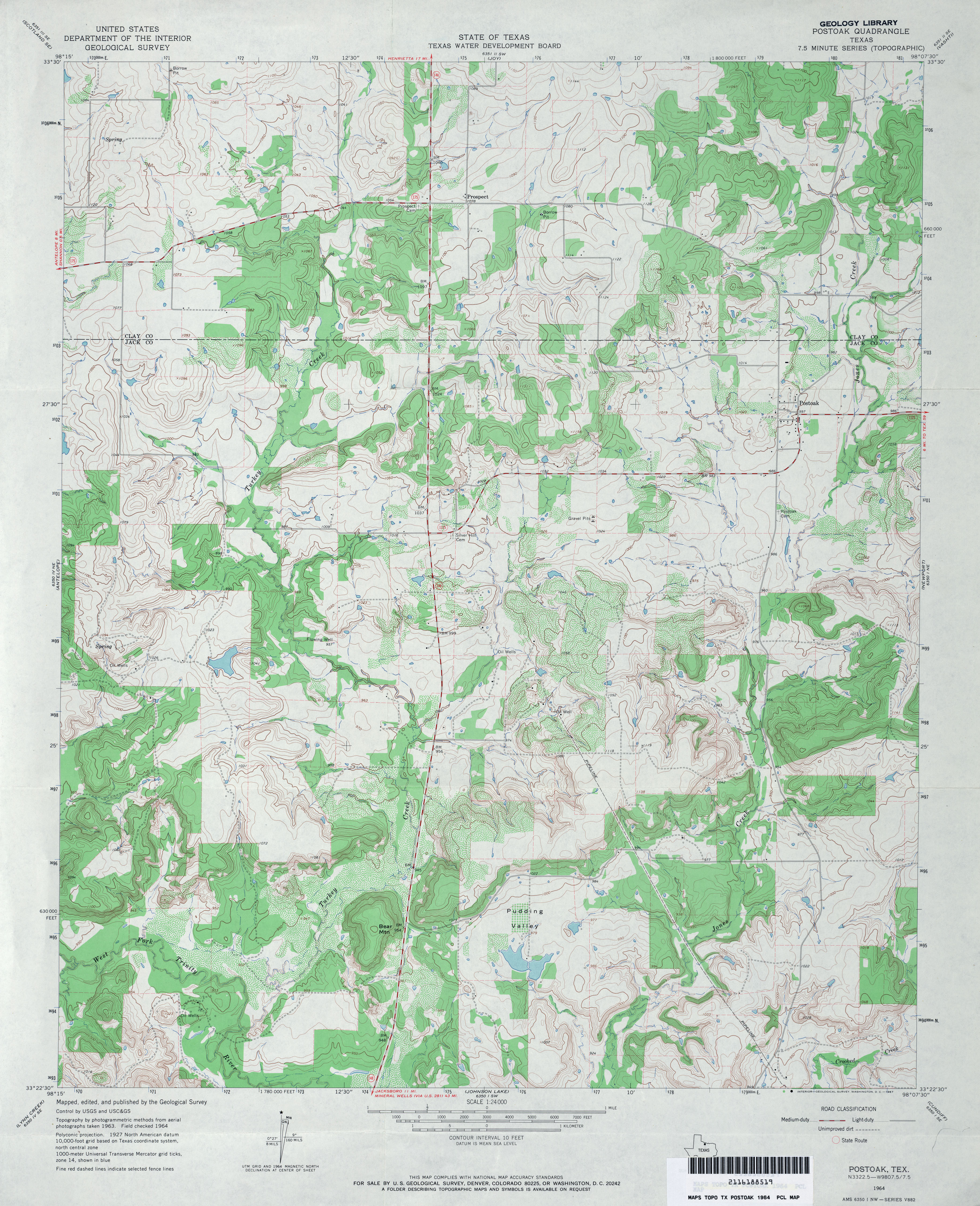
- Postoak 1:24,000 1964 (4.3MB)
- Postoak 1:24,000 2012 (21.4MB) [GeoPDF]
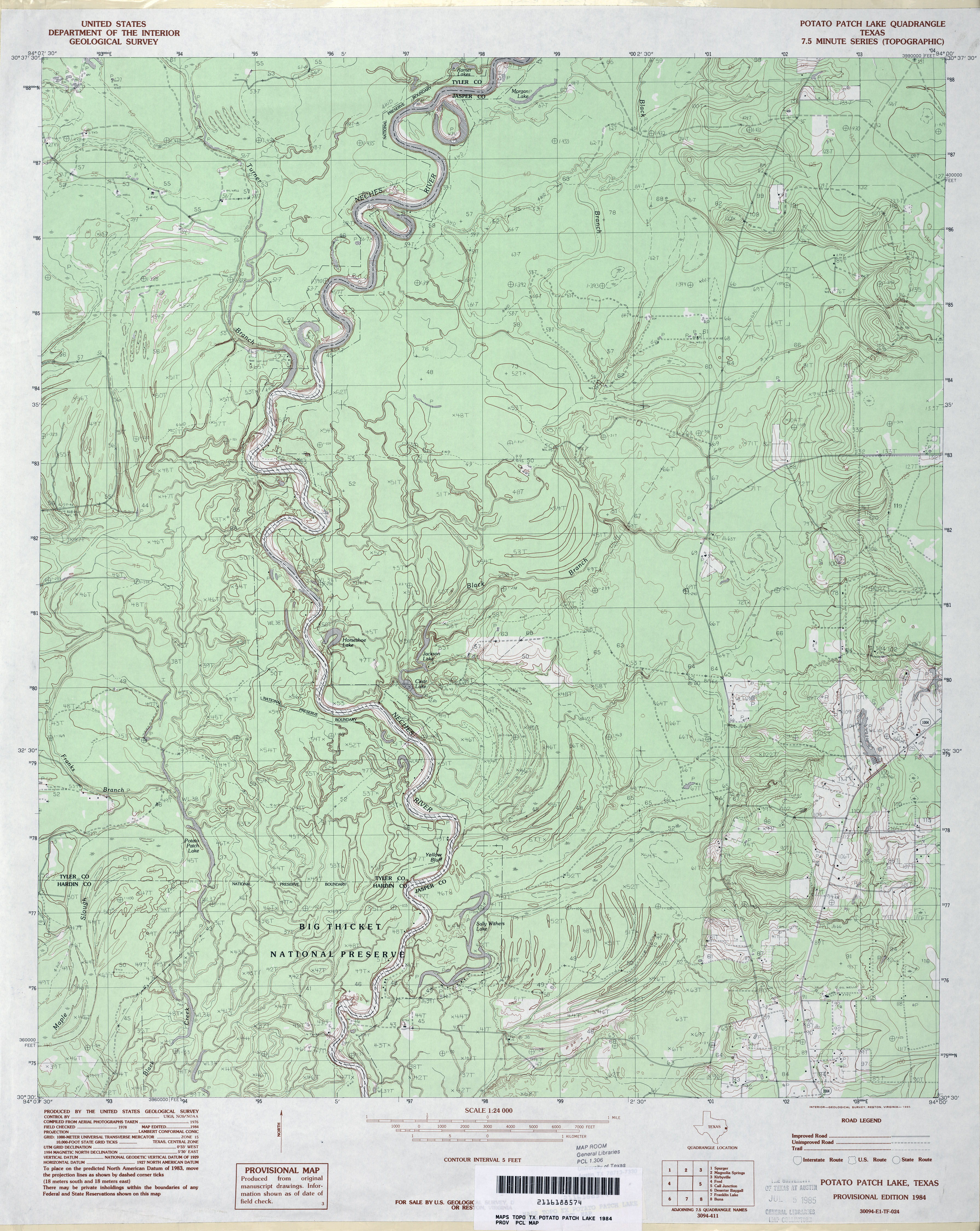
- Potato Patch Lake 1:24,000 1984 (4.3MB)
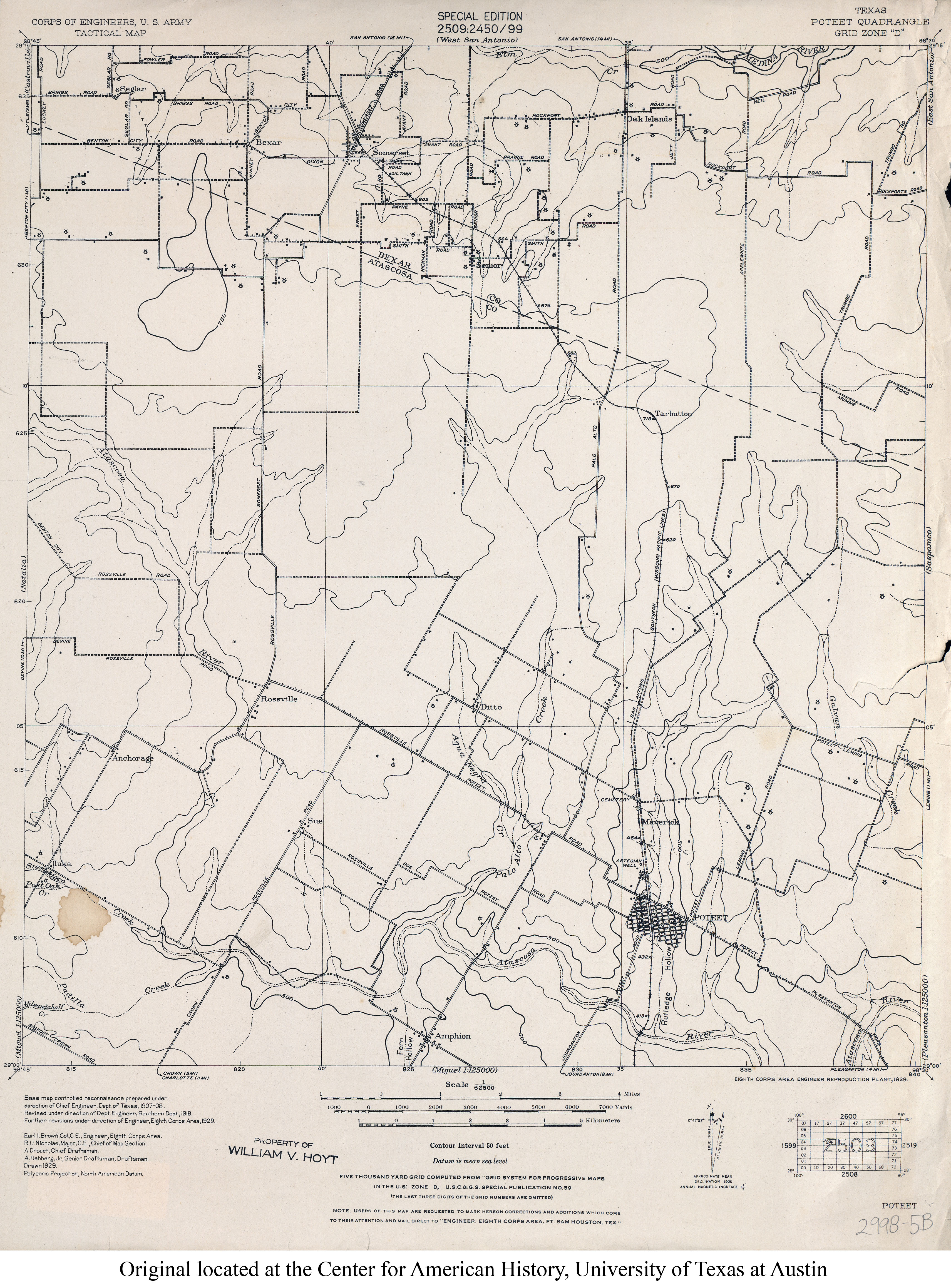
- Poteet 1:62,500 1929 (3.1MB) U.S. Army. Corps of Engineers. Tactical Map
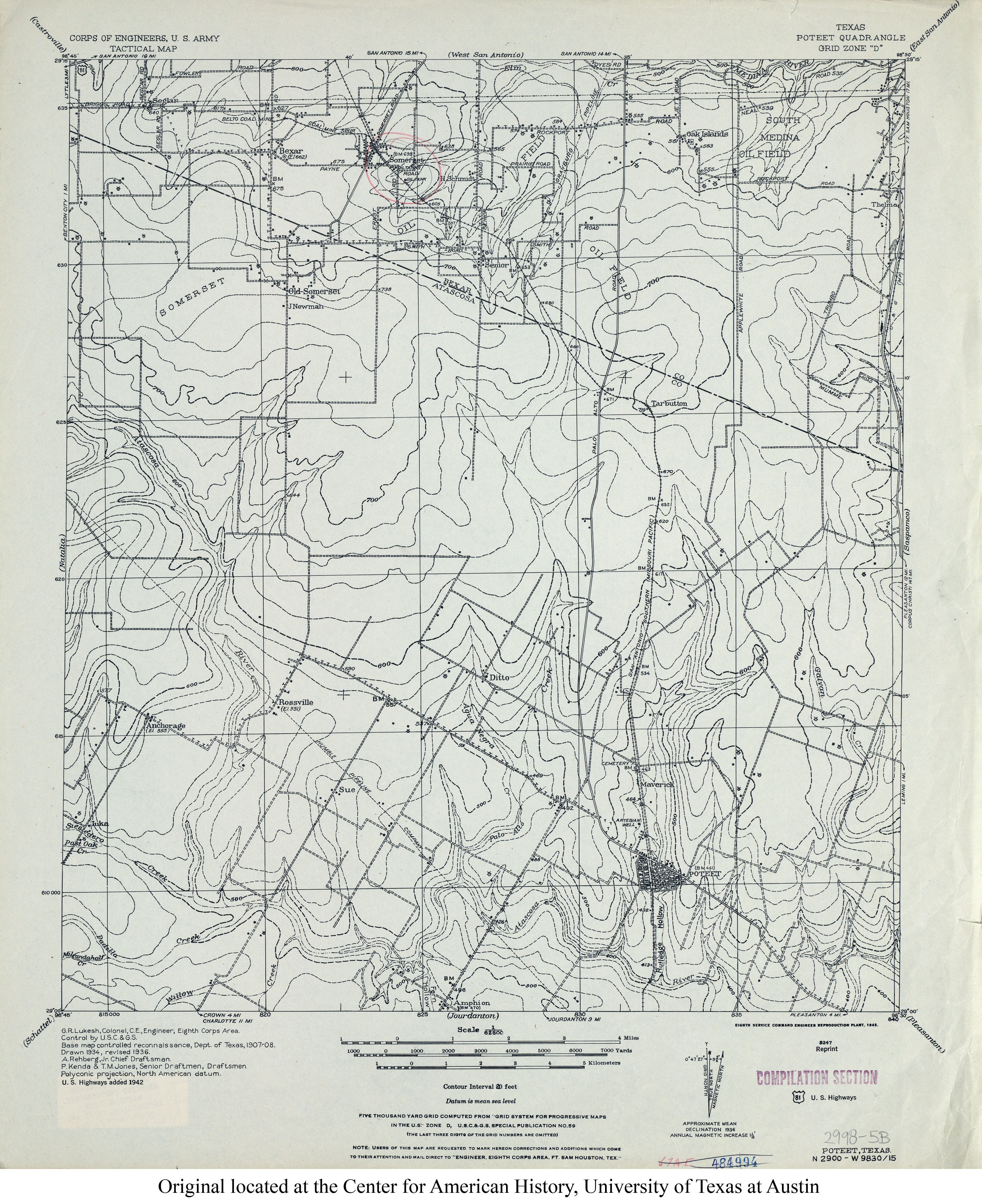
- Poteet 1:62,500 1936 (3.6MB) U.S. Army. Corps of Engineers. Tactical Map
- Poteet 1:62,500 1942 (3.8MB) U.S. Army. Corps of Engineers. Tactical Map
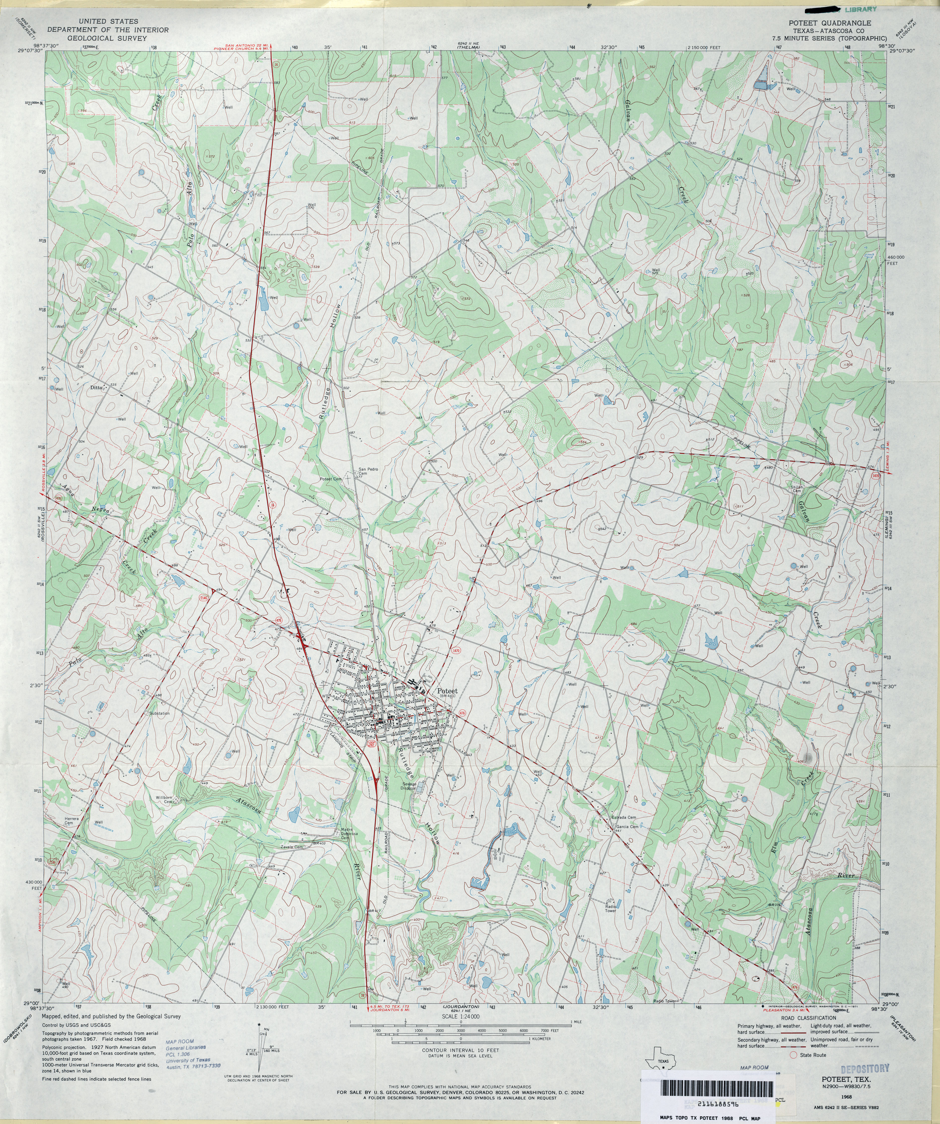
- Poteet (Atascosa County) 1:24,000 1968 (4MB)
- Poteet 1:24,000 2008 (15.0MB) [GeoPDF]
- Poteet 1:24,000 2013 (21.4MB) [GeoPDF]
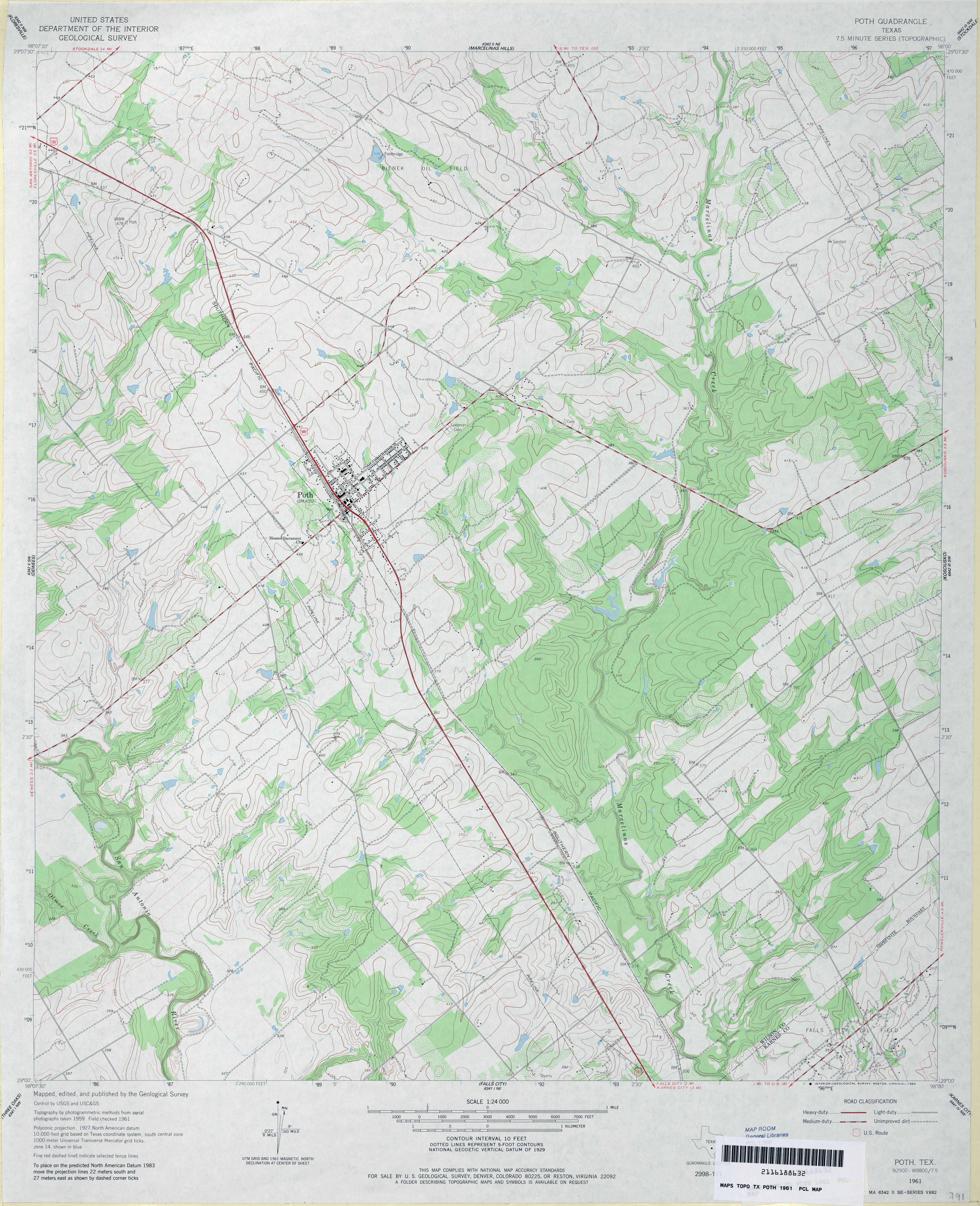
- Poth 1:24,000 1961 (4MB)
- Poth 1:24,000 2008 (12.5MB) [GeoPDF]
- Poth 1:24,000 2013 (21.8MB) [GeoPDF]
- Potosi 1:24,000 1984 (3.9MB)
- Potosi 1:24,000 2008 (16.7MB) [GeoPDF]
- Potosi 1:24,000 2012 (22.4MB) [GeoPDF]
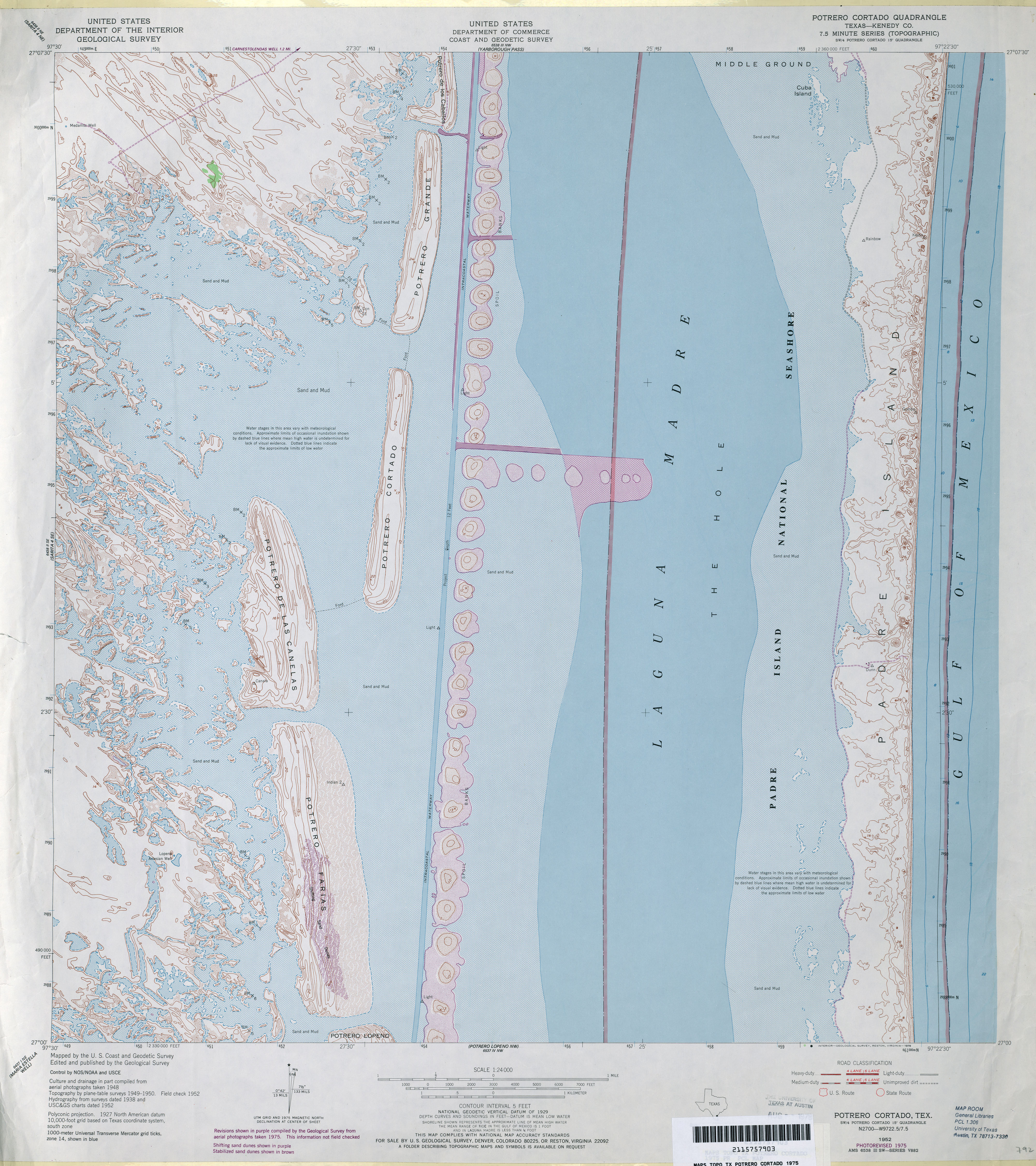
- Potrero Cortado (Kenedy County) 1:24,000 1952 (3.3MB)
- Potrero Cortado (Kenedy County) 1:62,500 1955 (3.4MB)
- Potrero Cortado (Kenedy County) 1:24,000 1975 (5.1MB)
- Potrero Cortado 1:24,000 2009 (29.5MB) [GeoPDF]
- Potrero Cortado 1:24,000 2013 (17.1MB) [GeoPDF]
- Potrero Cortado OE E 1:24,000 2008 (19.5MB) [GeoPDF]
- Potrero Cortado OE E 1:24,000 2013 (7.8MB) [GeoPDF]
- Portrero Lopeno NE OE E 1:24,000 2009 (21.3MB) [GeoPDF]
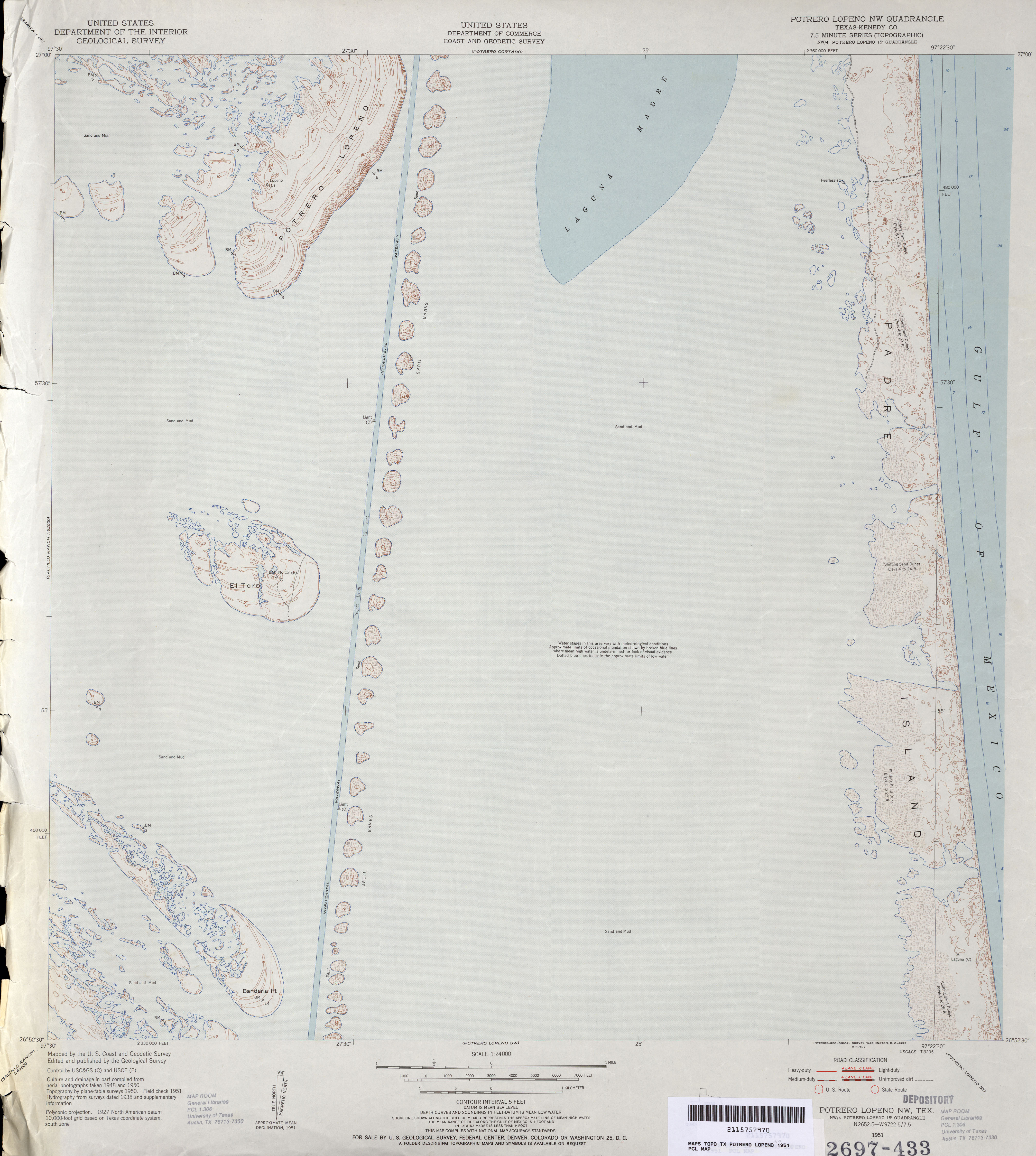
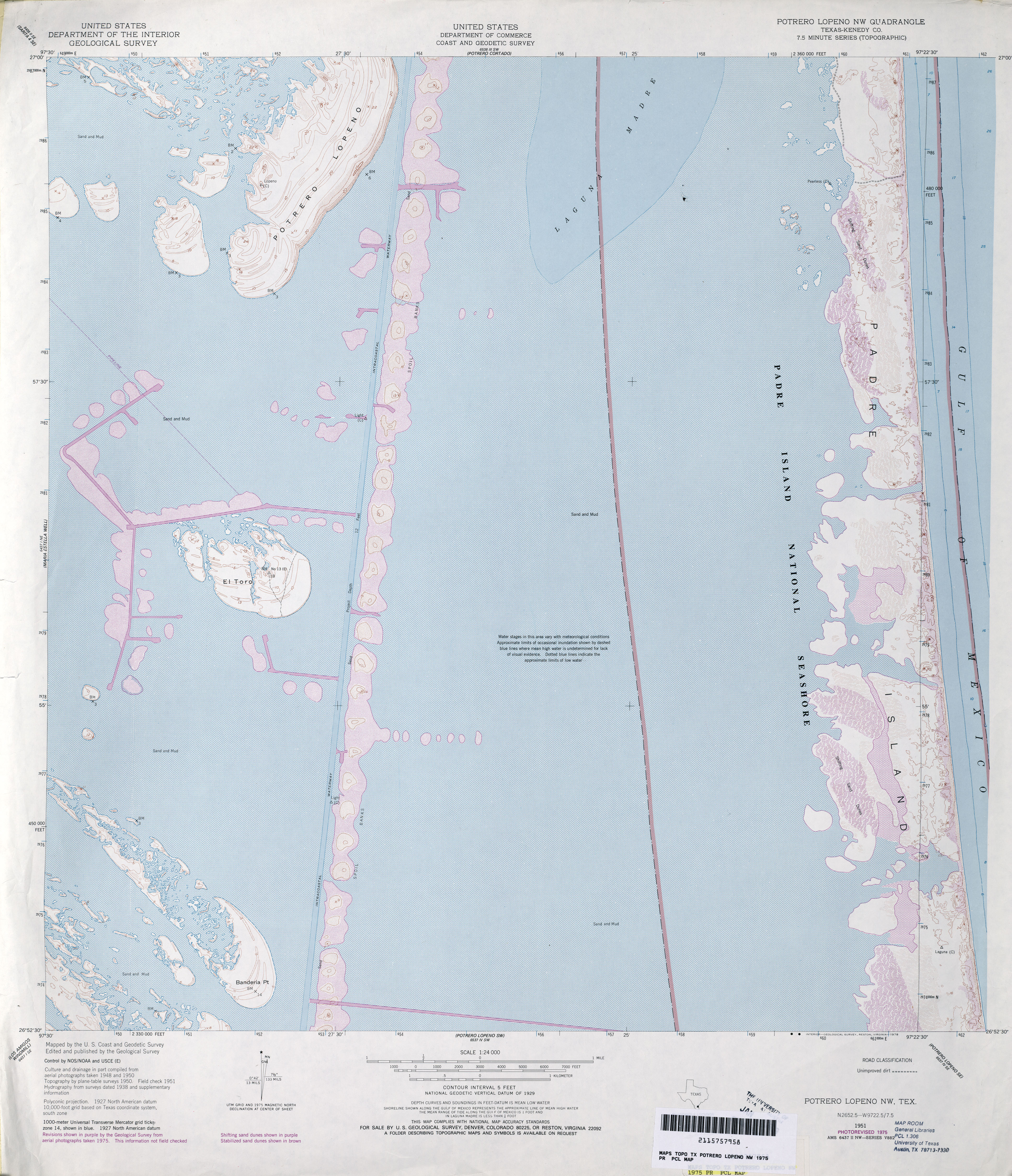
- Potrero Lopeno NW (Kenedy County) 1:24,000 1951 (2.9MB)
- Potrero Lopeno NW (Kenedy County) 1:24,000 1975 (6.5MB)
- Potrero Lopeno NW 1:24,000 2013 (18.3MB) [GeoPDF]
- Potrero Lopeno NW 1:24,000 2009 (31.6MB) [GeoPDF]
- Potrero Lopeno NW OE E 1:24,000 2009 (21.3MB) [GeoPDF]
- Potrero Lopeno NW OE E 1:24,000 2013 (10.1MB) [GeoPDF]
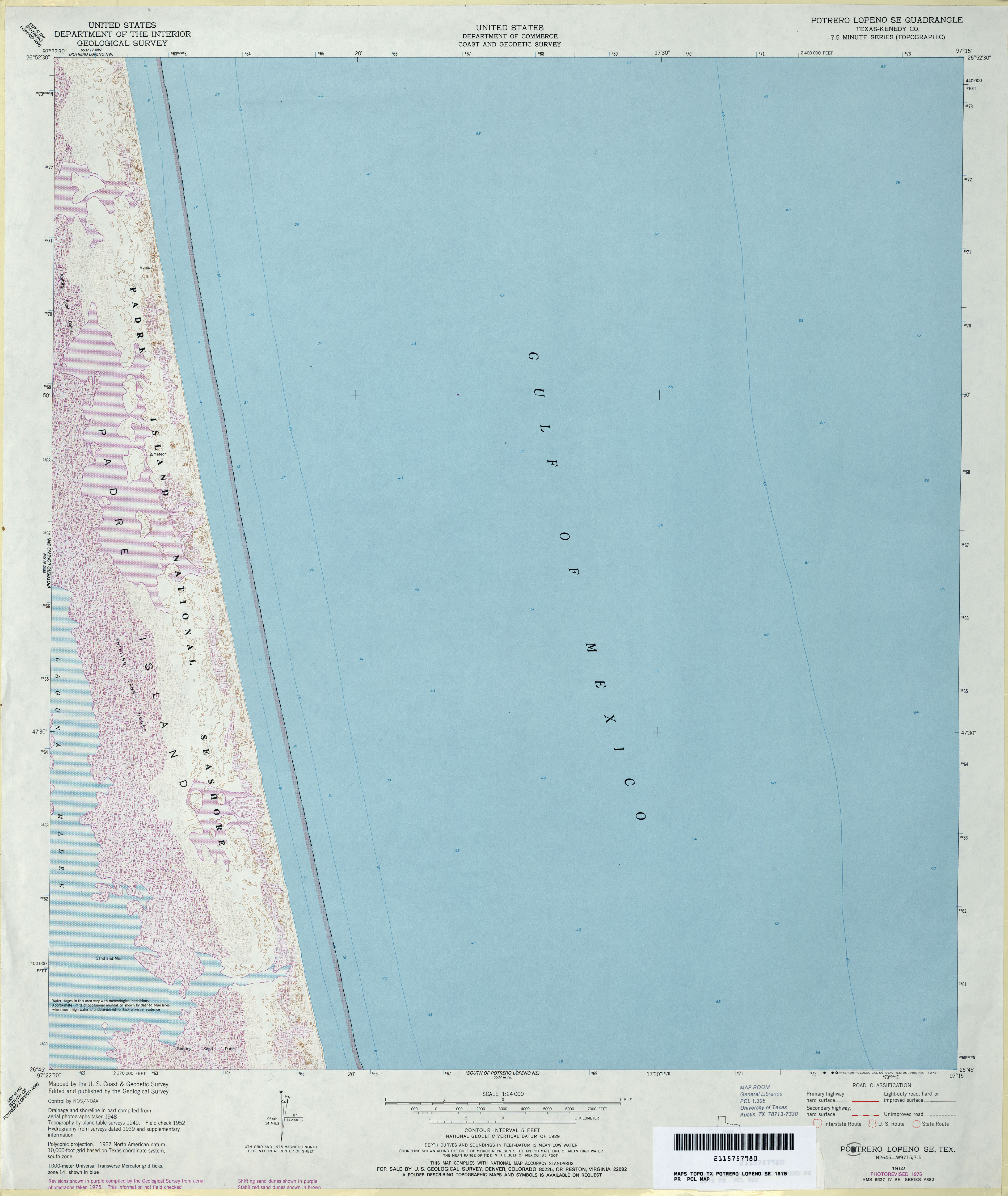
- Potrero Lopeno SE (Kenedy County) 1:24,000 1952 (2.6MB)
- Potrero Lopeno SE (Kenedy County) 1:24,000 1975 (3MB)
- Potrero Lopeno SE 1:24,000 2009 (26.1MB) [GeoPDF]
- Potrero Lopeno SE 1:24,000 2013 (12.5MB) [GeoPDF]
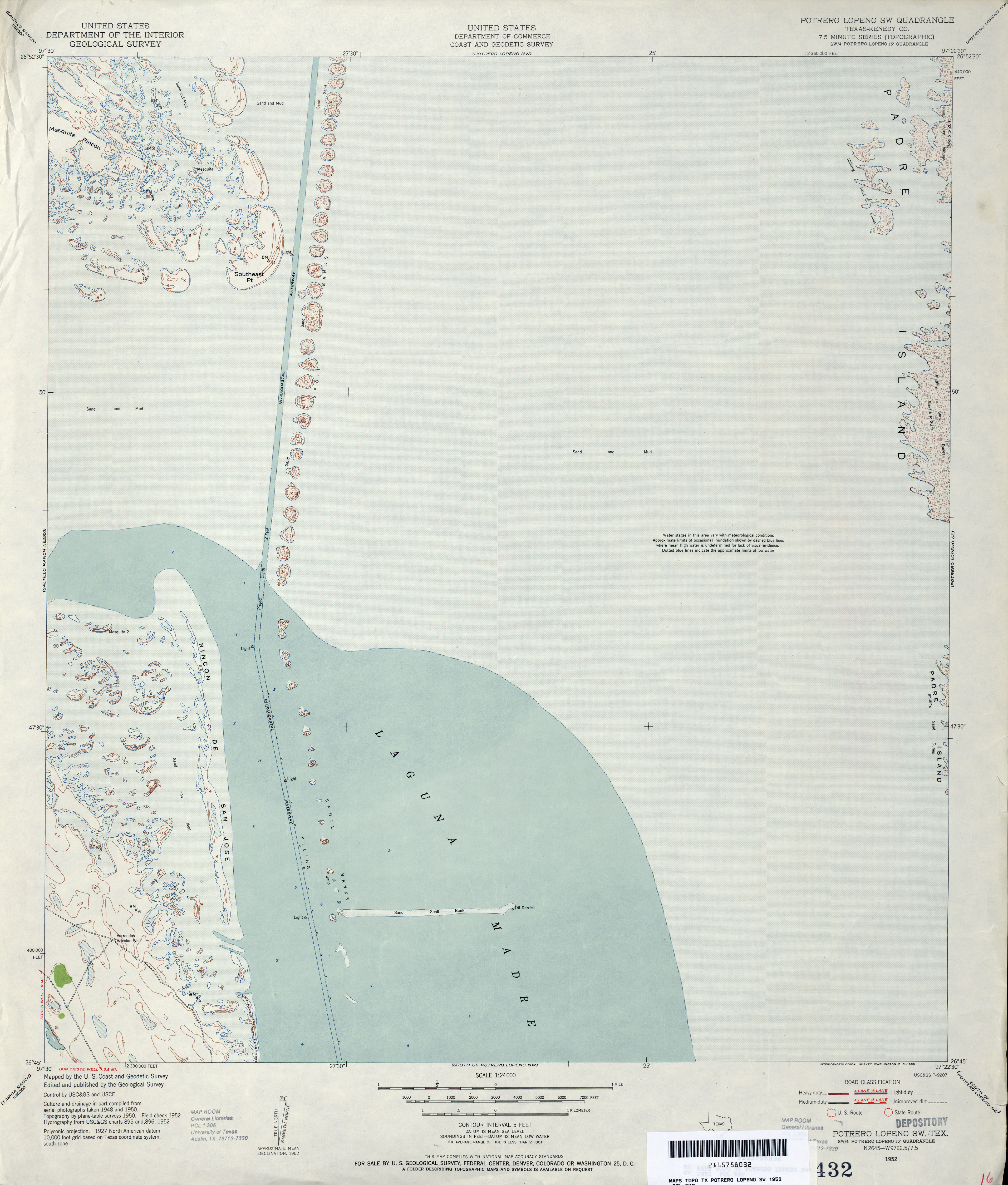
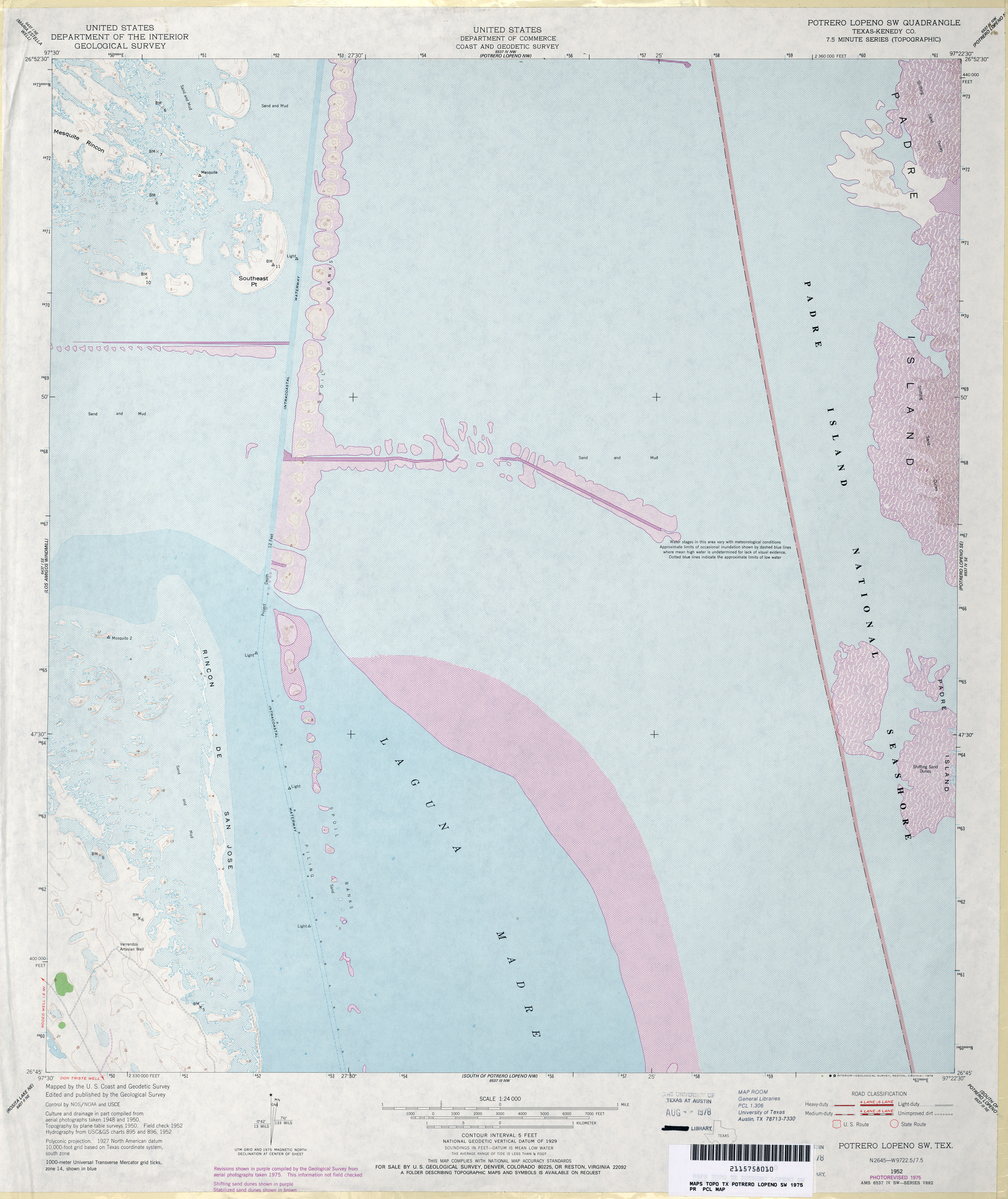
- Potrero Lopeno SW (Kenedy County) 1:24,000 1952 (2.9MB)
- Potrero Lopeno SW (Kenedy County) 1:24,000 1975 (4.8MB)
- Potrero Lopeno SW 1:24,000 2009 (30.1MB) [GeoPDF]
- Potrero Lopeno SW 1:24,000 2013 (16MB) [GeoPDF]
- Potters Point 1:24,000 1962 (3.5MB)
- Potters Point 1:24,000 1978 (3.2MB)
- Potters Point 1:24,000 2009 (18.9MB) [GeoPDF]
- Potters Point 1:24,000 2013 (21.2MB) [GeoPDF]
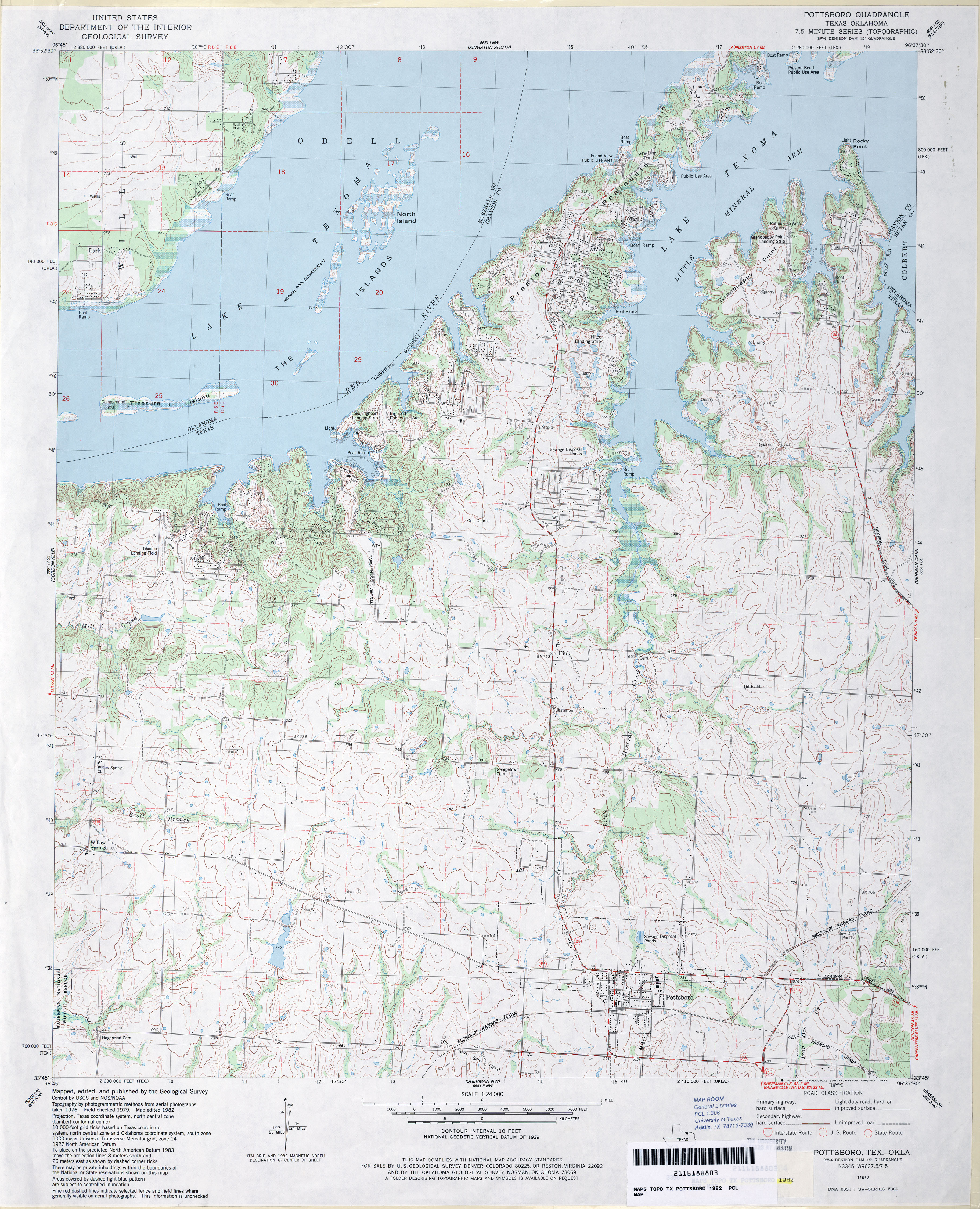
- Pottsboro 1:24,000 1982 (4.1MB)
- Pottsboro 1:24,000 2008 (12.9MB) [GeoPDF]
- Pottsboro 1:24,000 2013 (22.6MB) [GeoPDF]
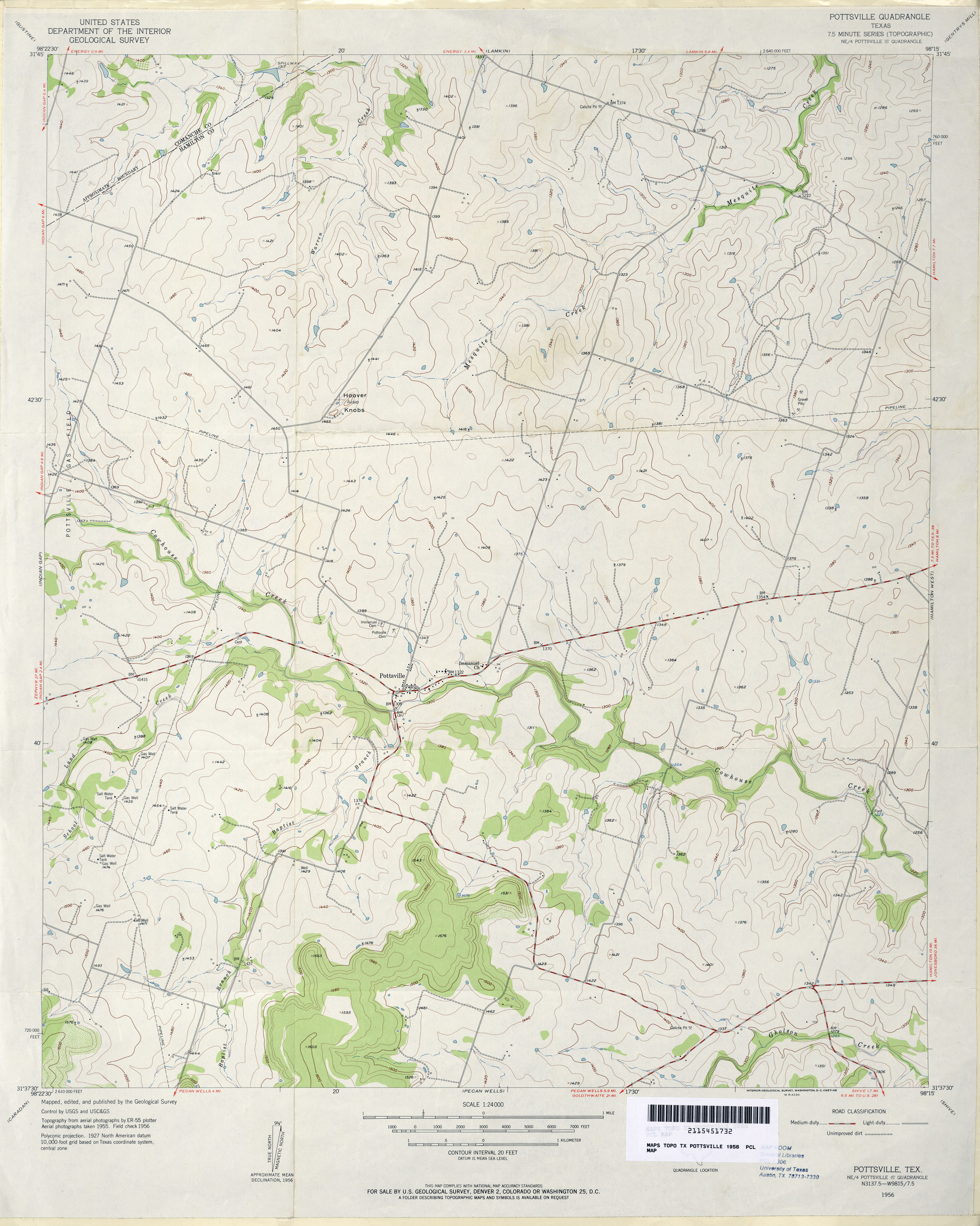
- Pottsville 1:24,000 1956 (3.1MB)
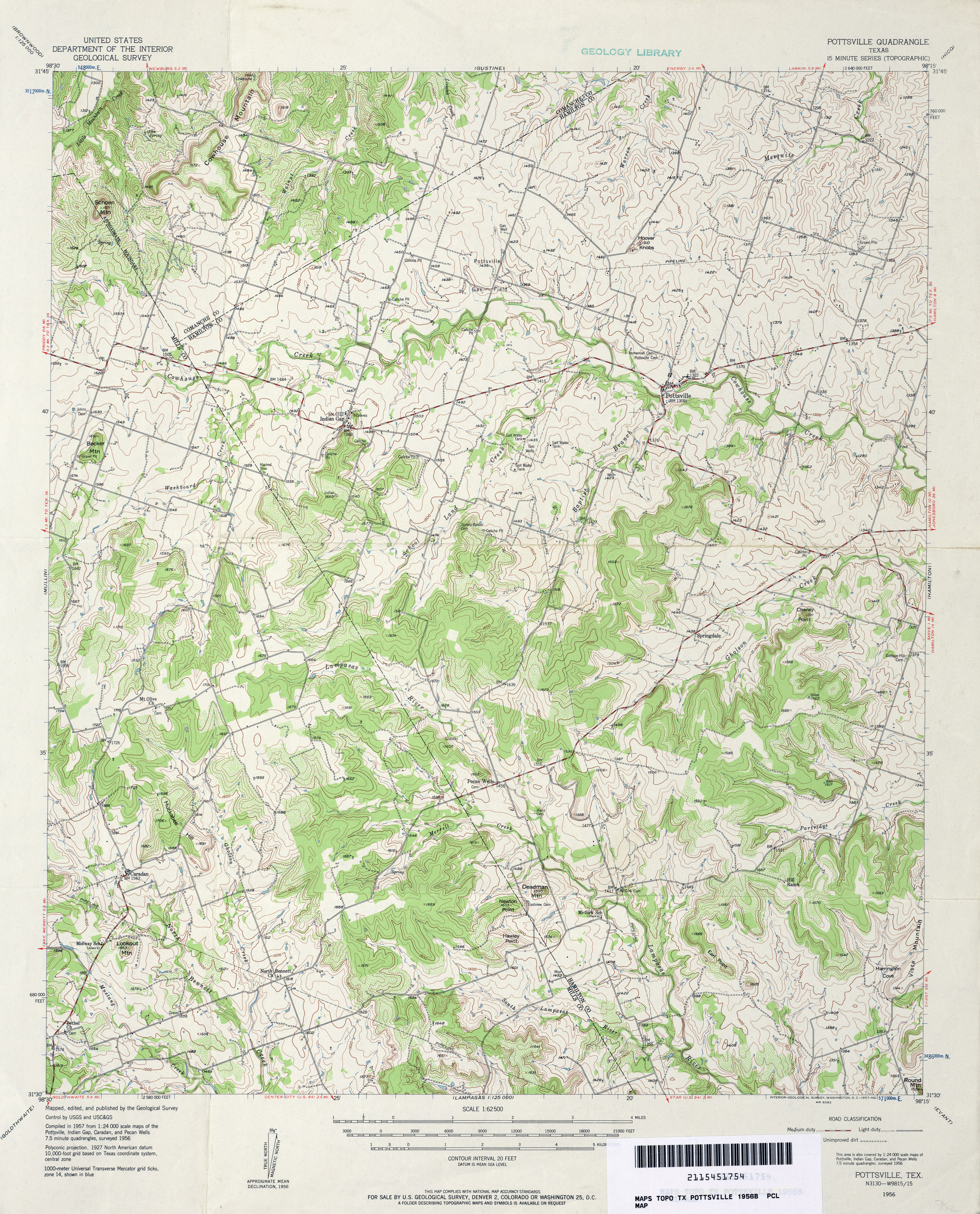
- Pottsville 1:62,500 1956 (5.3MB)
- Pottsville 1:24,000 2008 (12.6MB) [GeoPDF]
- Pottsville 1:24,000 2012 (17.3MB) [GeoPDF]
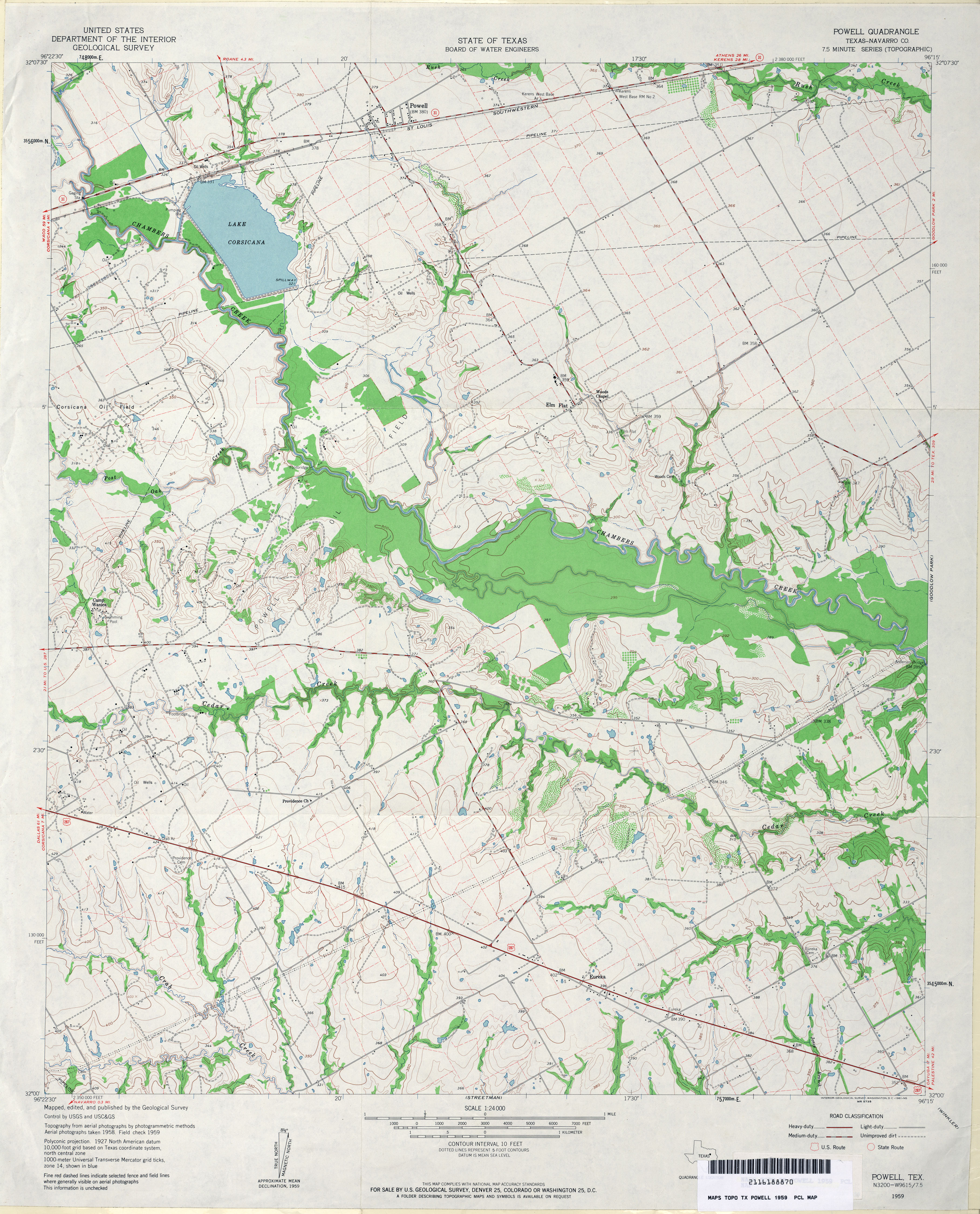
- Powell (Navarro County) 1:24,000 1959 (4MB)
- Powell 1:24,000 2008 (14.1MB) [GeoPDF]
- Powell 1:24,000 2012 (19.3MB) [GeoPDF]
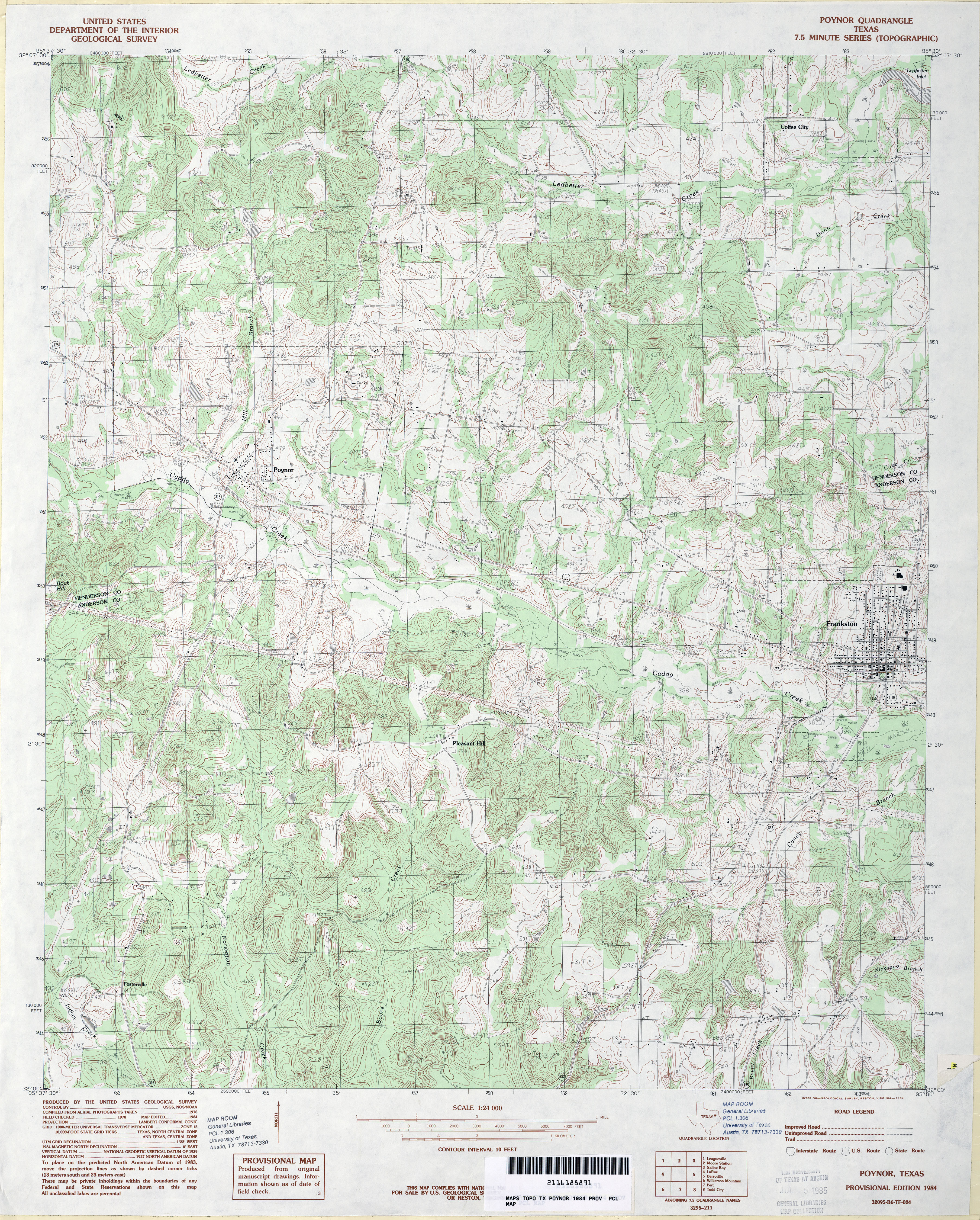
- Poynor 1:24,000 1984 (5.5MB)
- Poynor 1:24,000 2009 (21.7MB) [GeoPDF]
- Poynor 1:24,000 2012 (25.1MB) [GeoPDF]
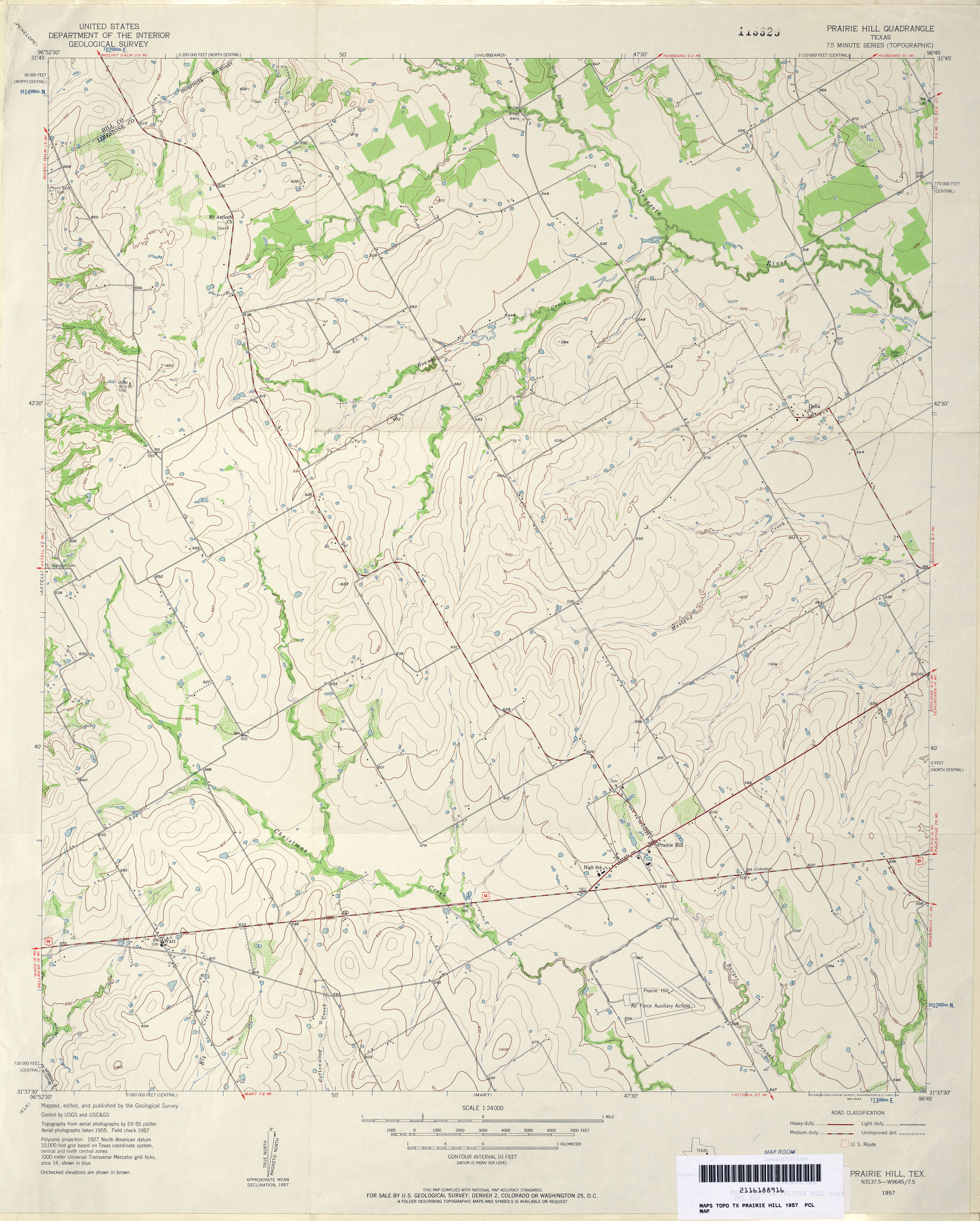
- Prairie Hill 1:24,000 1957 (3.4MB)
- Prairie Hill 1:24,000 2008 (11.7MB) [GeoPDF]
- Prairie Hill 1:24,000 2013 (18.2MB) [GeoPDF]
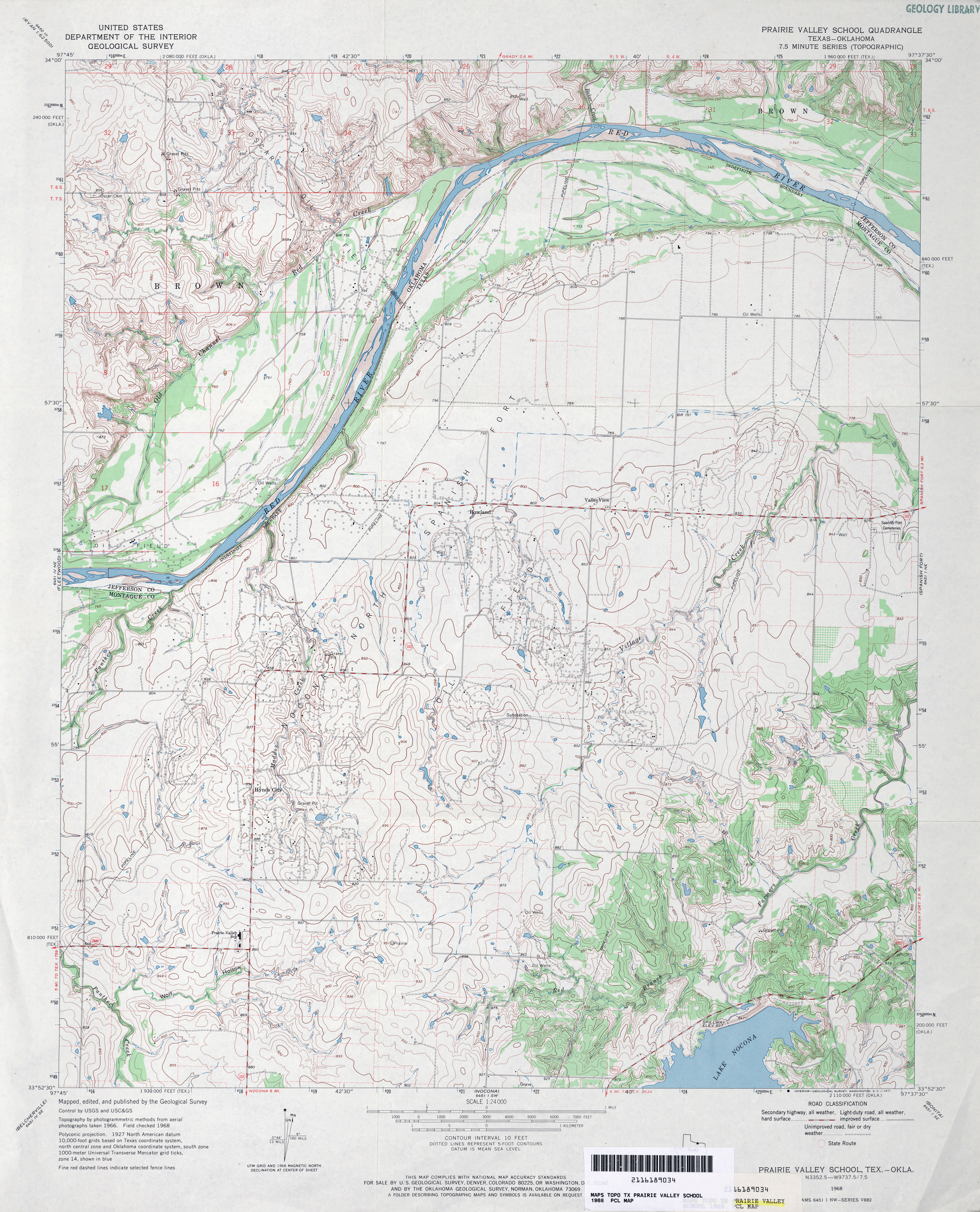
- Prairie Valley School 1:24,000 1968 (4.3MB)
- Prairie Valley School 1:24,000 2008 (14.4MB) [GeoPDF]
- Prairie Valley School 1:24,000 2013 (20.2MB) [GeoPDF]
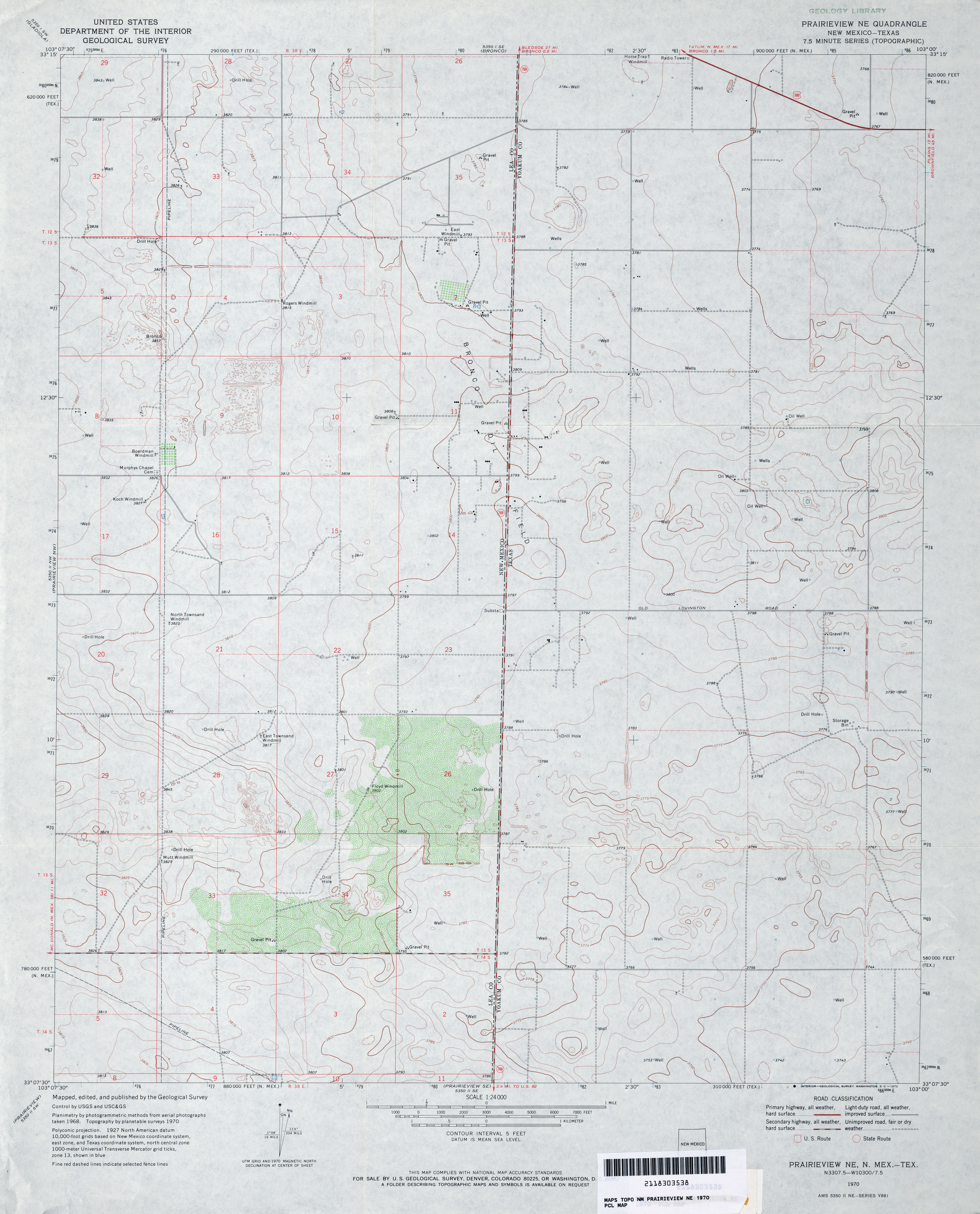
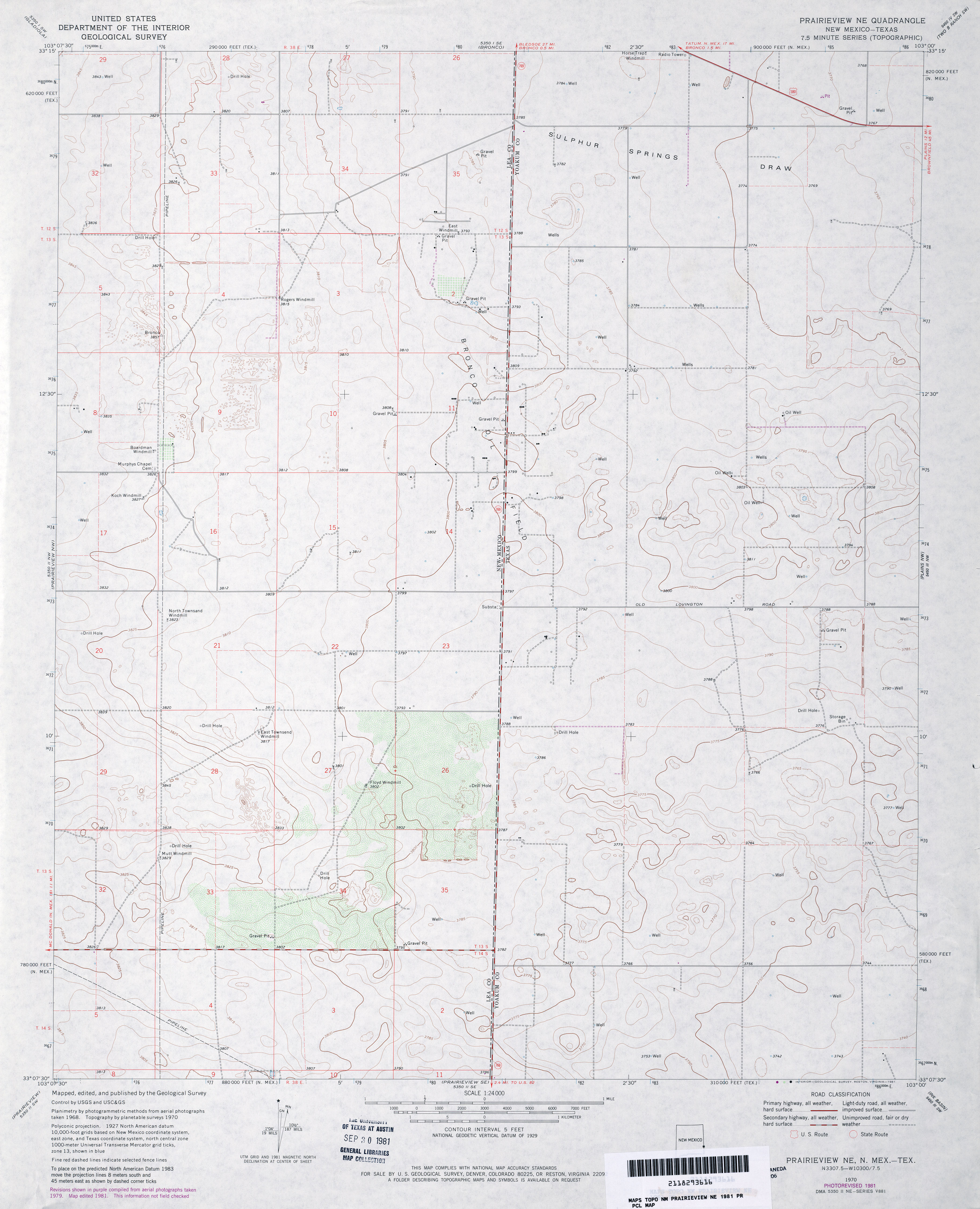
- Prairieview NE 1:24,000 1970 (2.9MB)
- Prairieview NE 1:24,000 1981 (2.8MB)
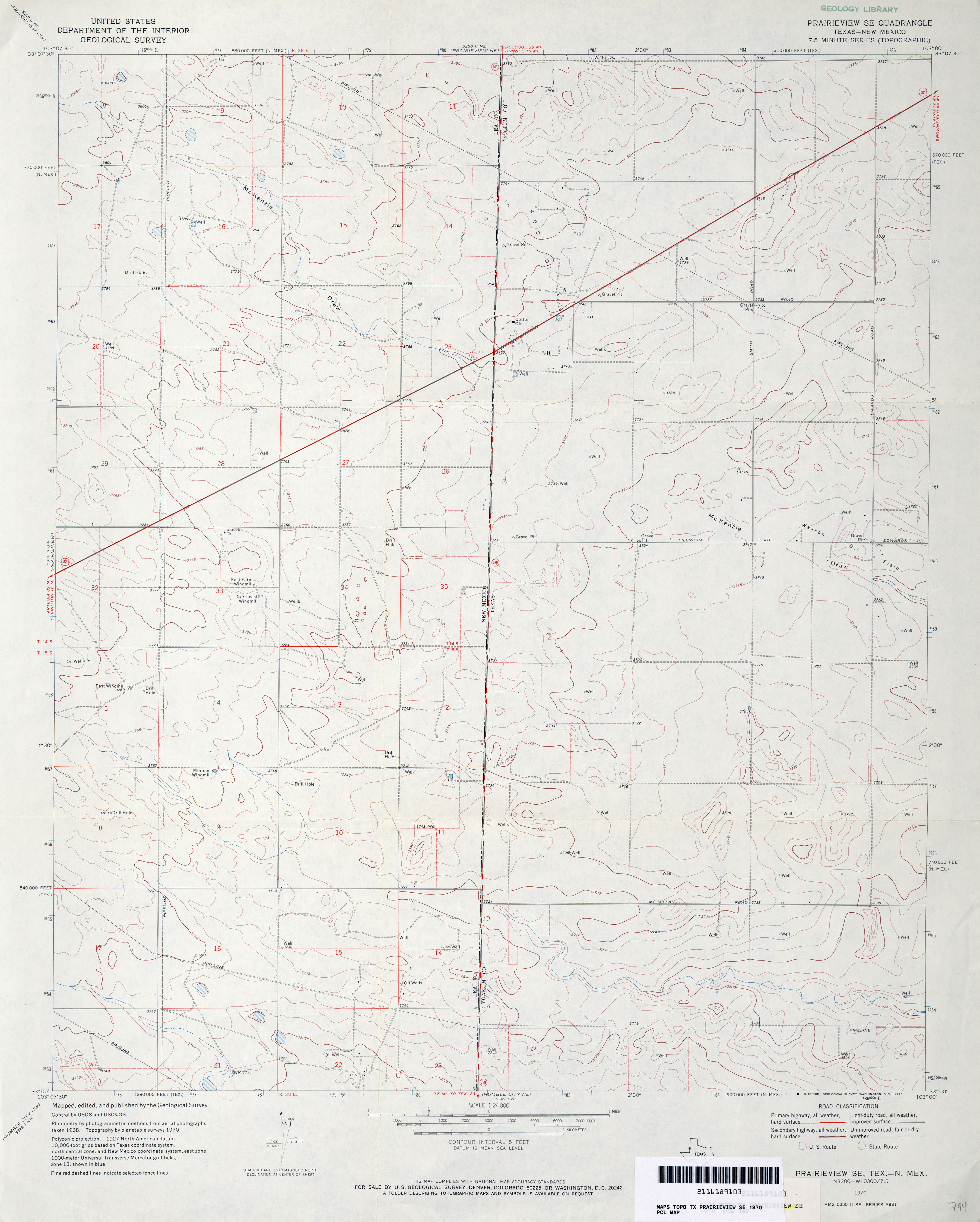
- Prairieview SE 1:24,000 1970 (2.7MB)
- Prairieview SE 1:24,000 2012 (16MB) [GeoPDF]
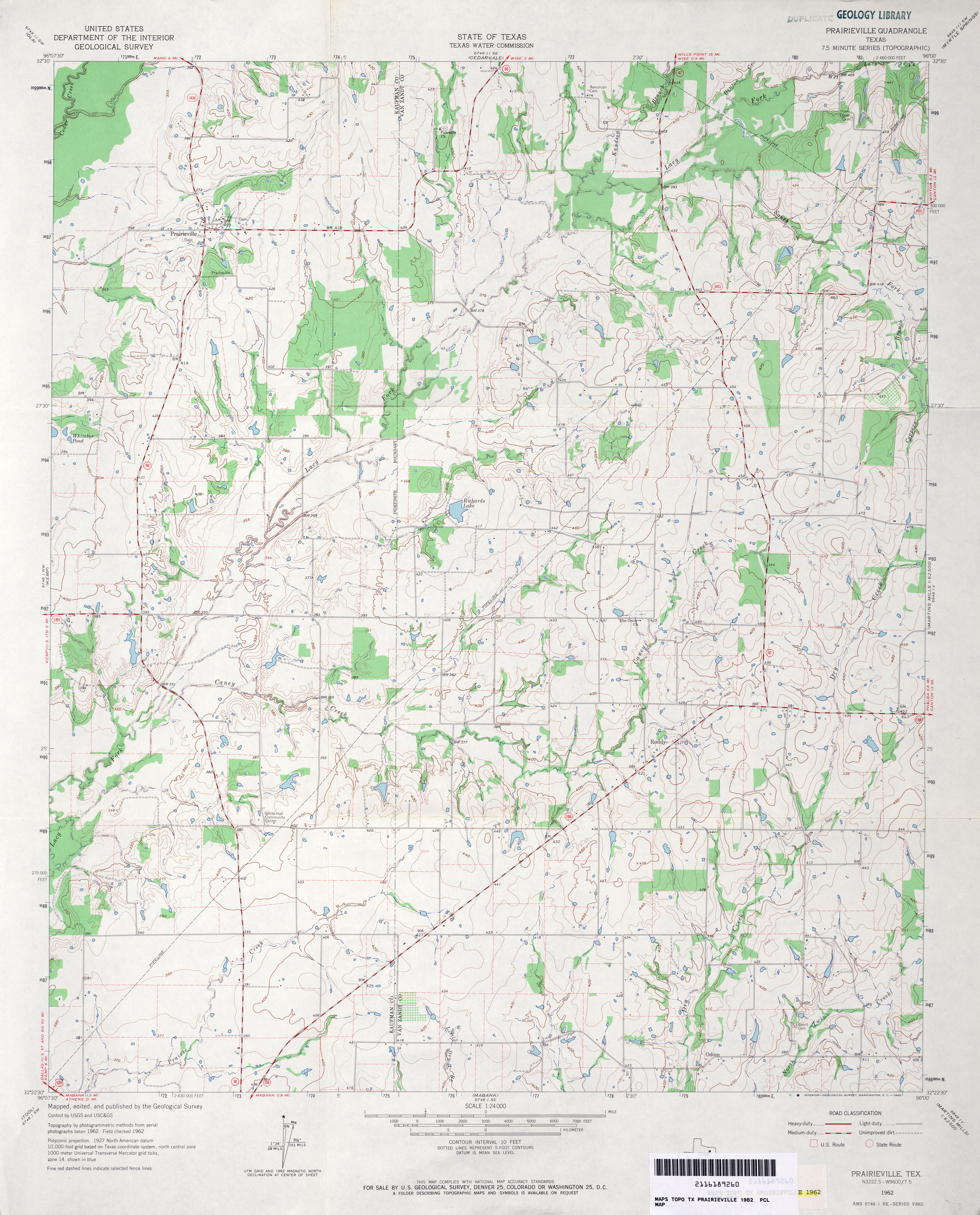
- Prairieville 1:24,000 1962 (3.7MB)
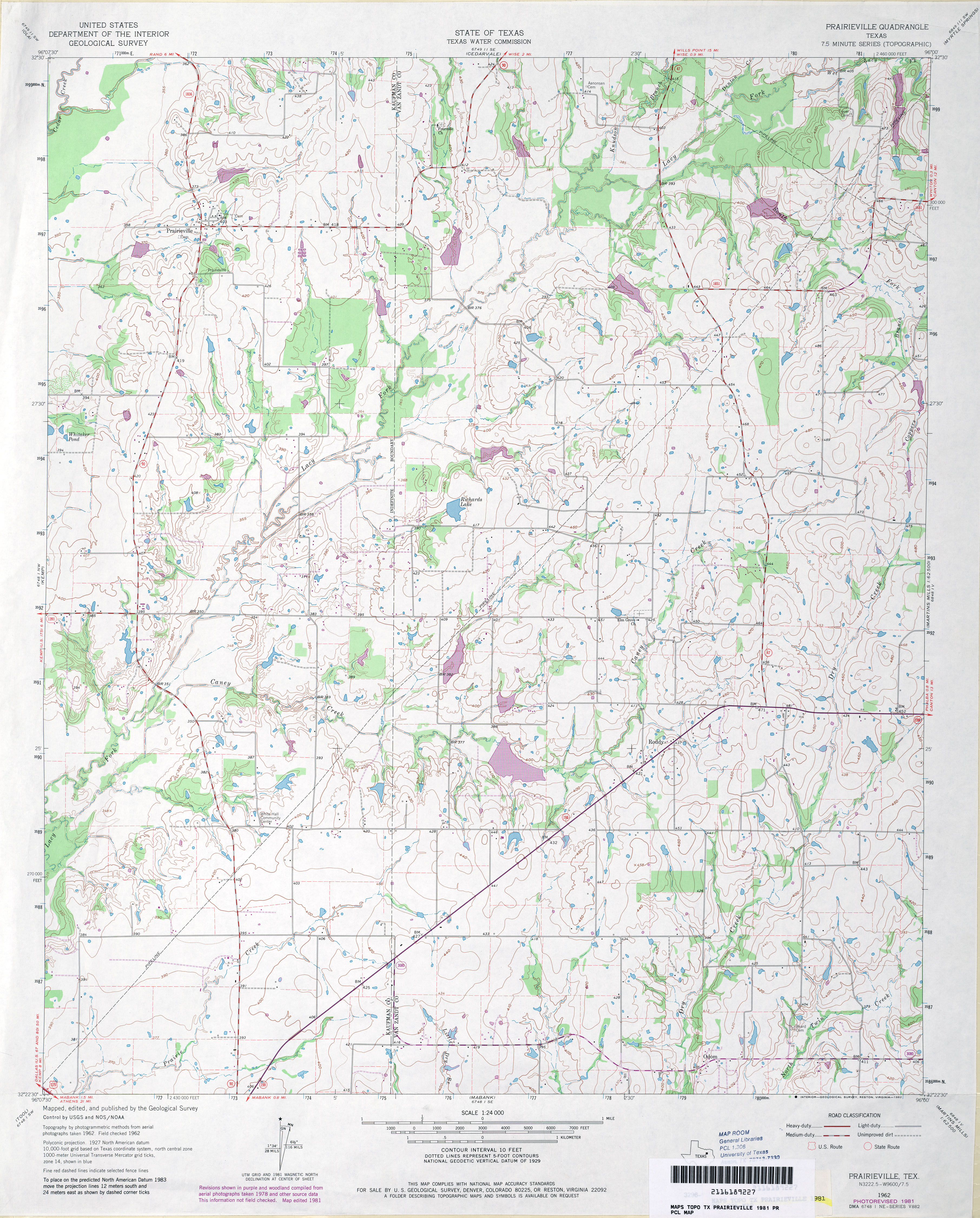
- Prairieville 1:24,000 1981 (4MB)
- Prairieville 1:24,000 2008 (17.4MB) [GeoPDF]
- Prairieville 1:24,000 2012 (20MB) [GeoPDF]
- Prairieview NE [New Mexico, Texas] 1:24,000 2009 (15.7MB) [GeoPDF]
- Prairieview SE 1:24,000 2008 (11.6MB) [GeoPDF]
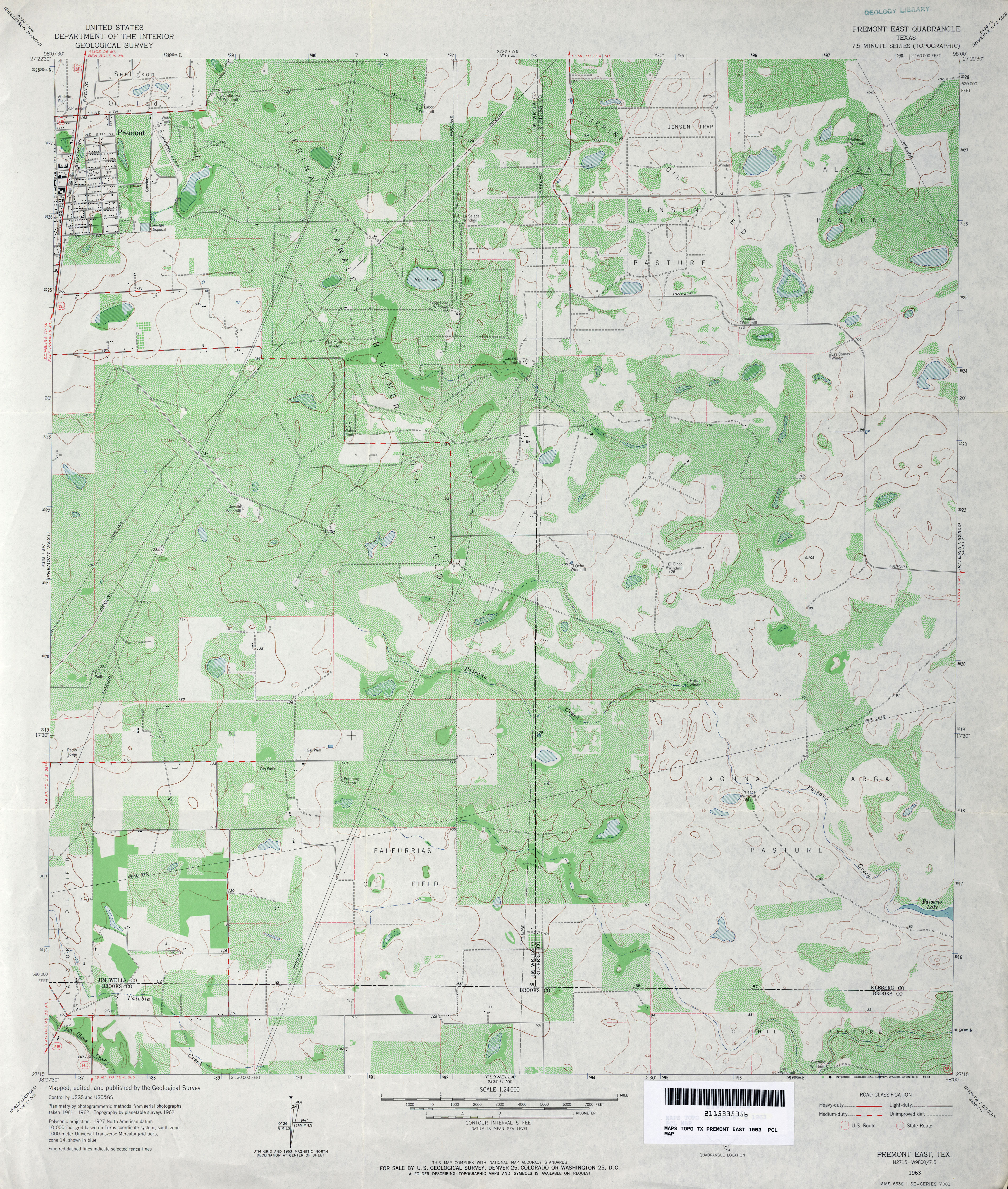
- Premont East 1:24,000 1963 (4.7MB)
- Premont East 1:24,000 2009 (15MB) [GeoPDF]
- Premont East 1:24,000 2013 (19.9MB) [GeoPDF]
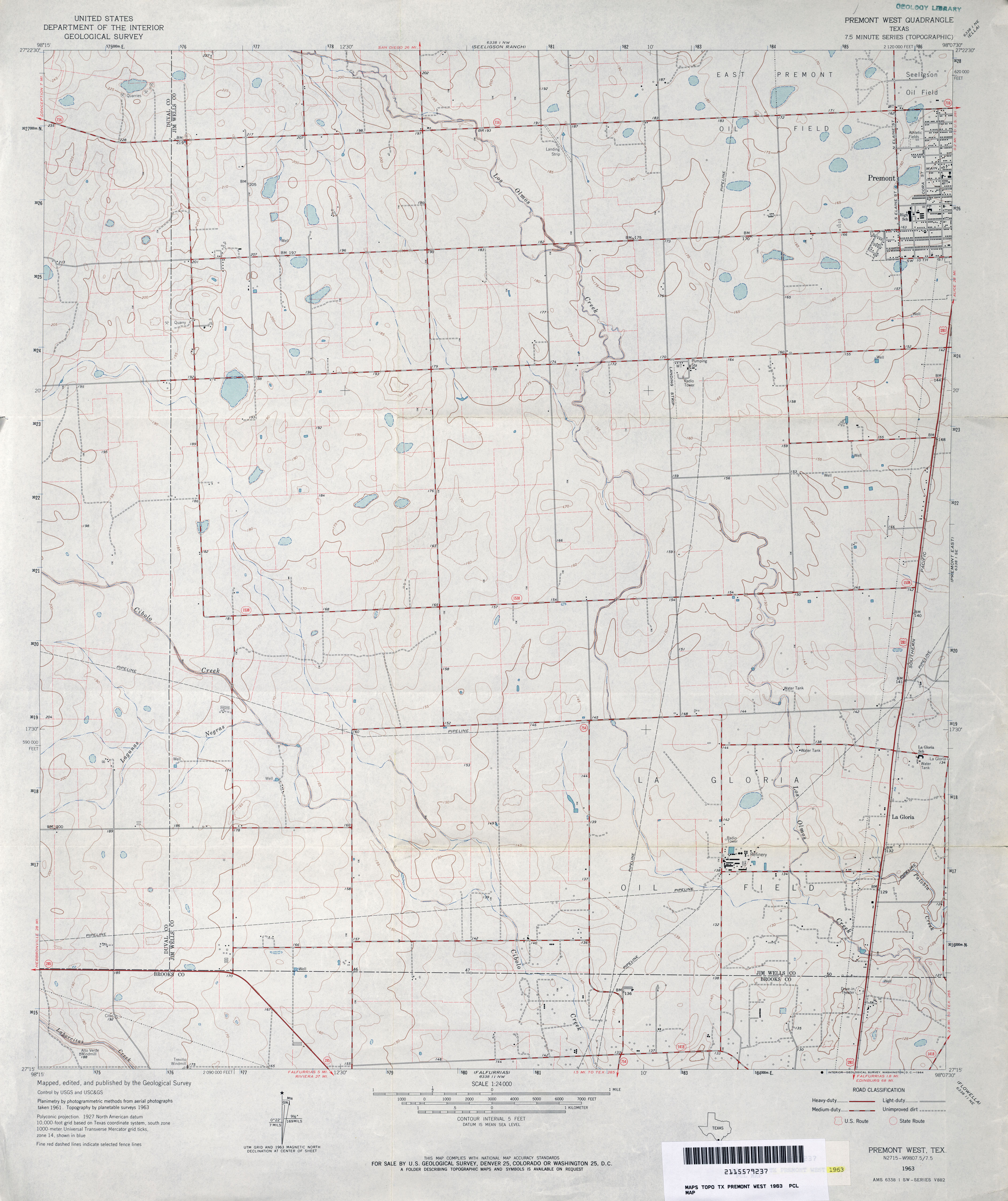
- Premont West 1:24,000 1963 (3.1MB)
- Premont West 1:24,000 2009 (12.4MB) [GeoPDF]
- Premont West 1:24,000 2013 (19MB) [GeoPDF]
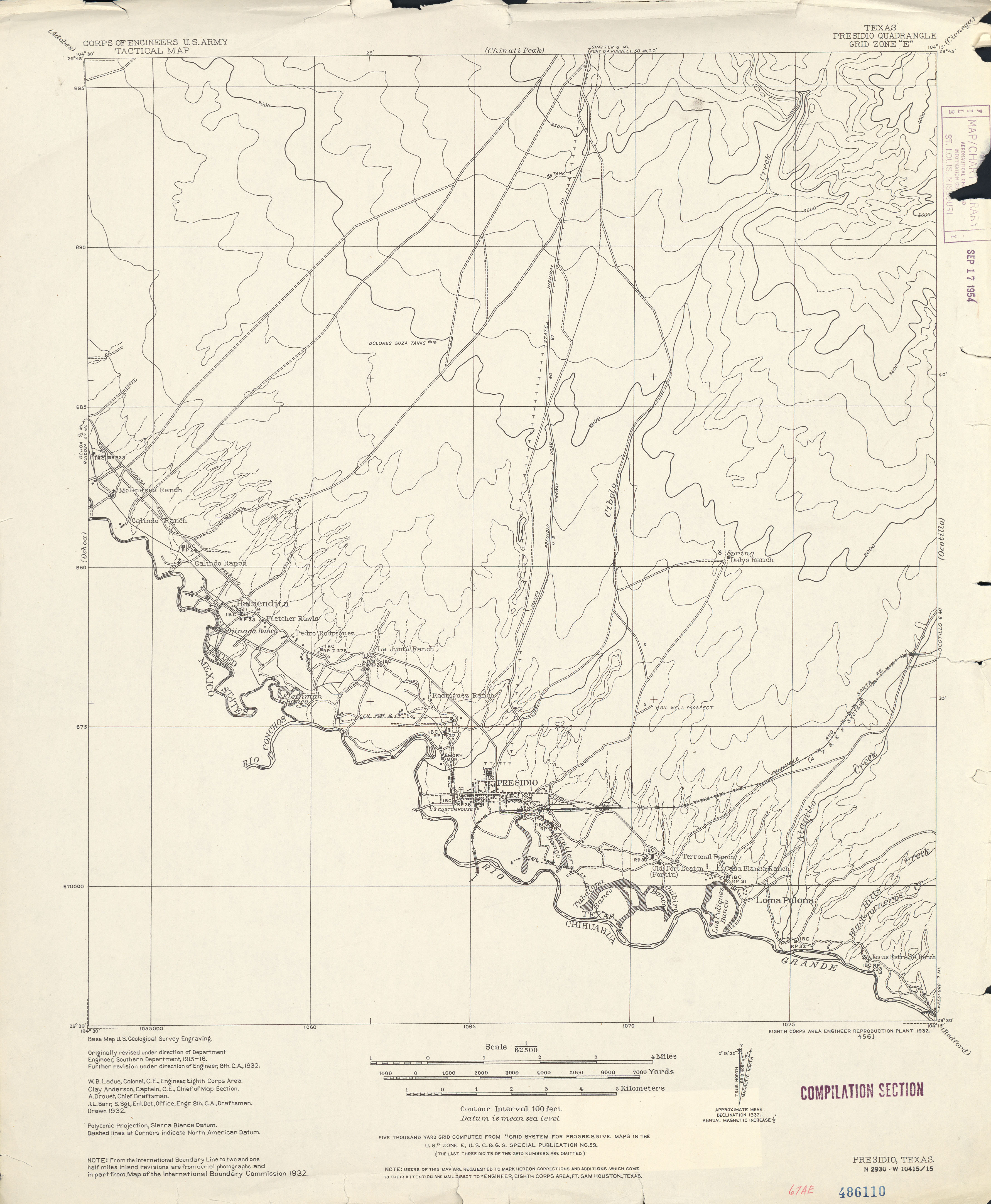
- Presidio 1:62,500 1932 (2.4 MB) U.S. Army. Corps of Engineers. Tactical Map
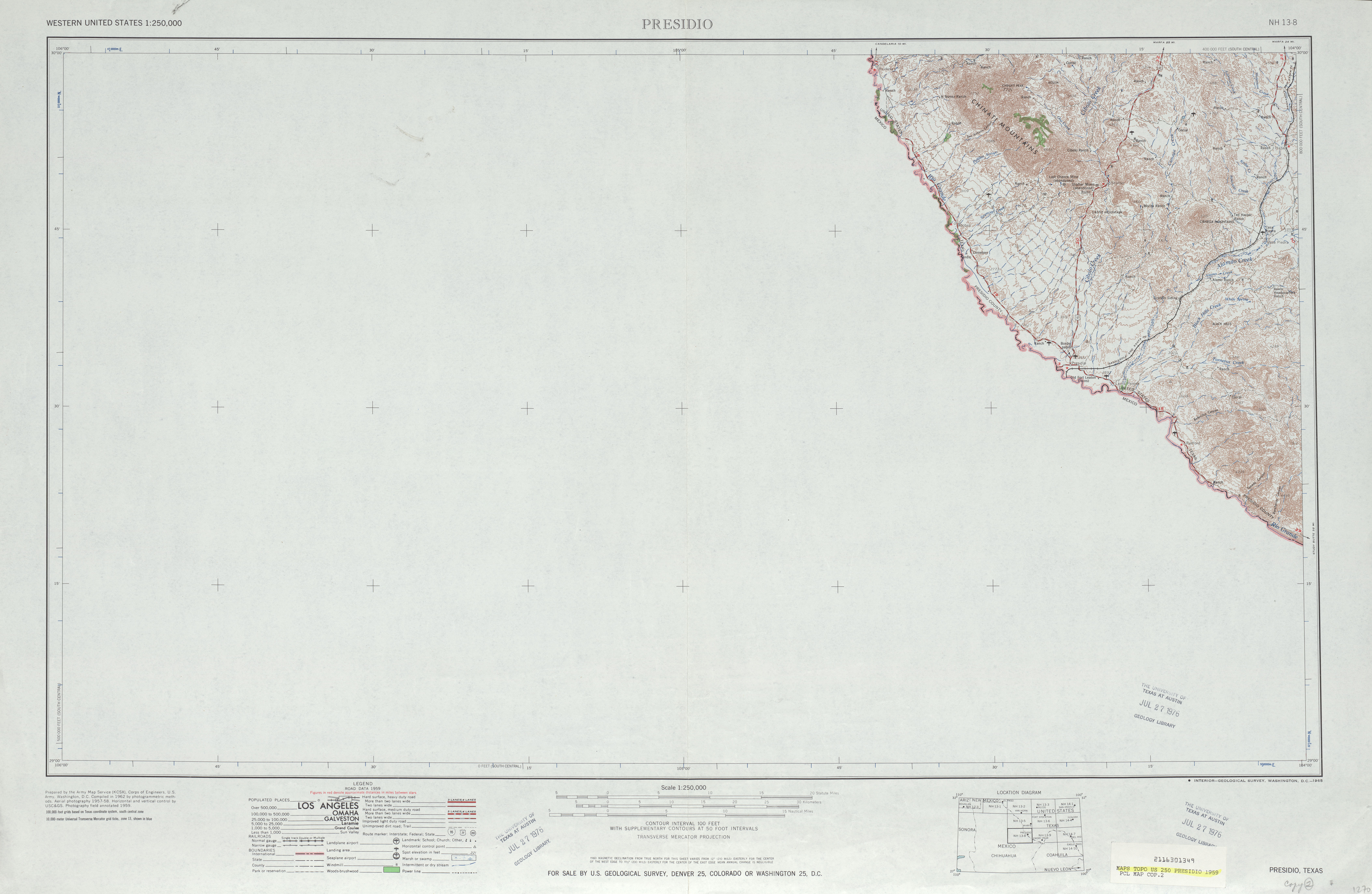
- Presidio 1:250,000 1959 (4.0MB)
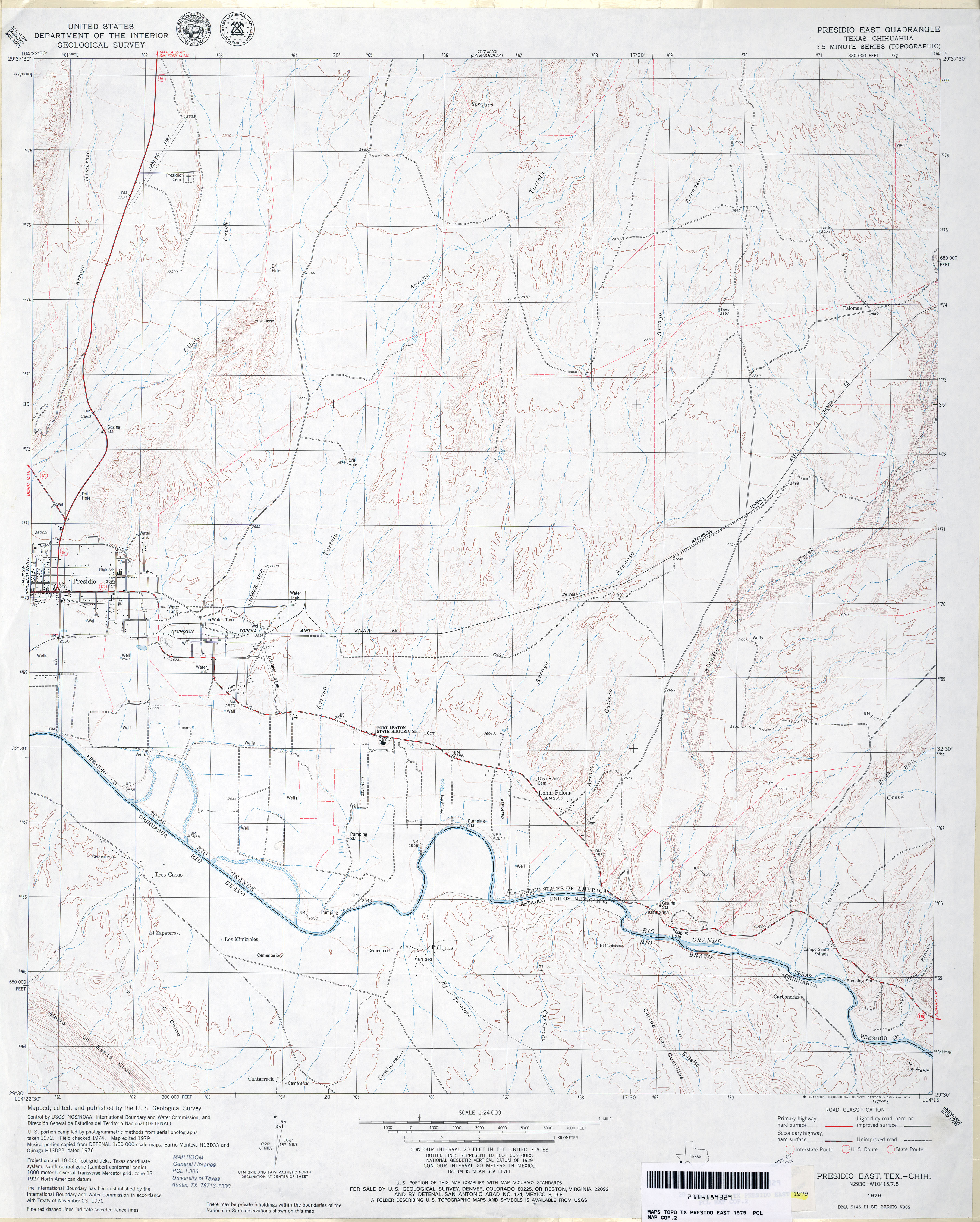
- Presidio East 1:24,000 1979 (3.6MB)
- Presidio East 1:24,000 2008 (17.3MB) [GeoPDF]
- Presidio East 1:24,000 2012 (25.5MB) [GeoPDF]
- Presidio West 1:24,000 1979 (3.1MB)
- Presidio West 1:24,000 2008 (14.1MB) [GeoPDF]
- Presidio West 1:24,000 2012 (16.4MB) [GeoPDF]
- Price 1:24,000 1973 (5.4MB)
- Price 1:24,000 2009 (22.1MB) [GeoPDF]
- Price 1:24,000 2013 (26.1MB) [GeoPDF]
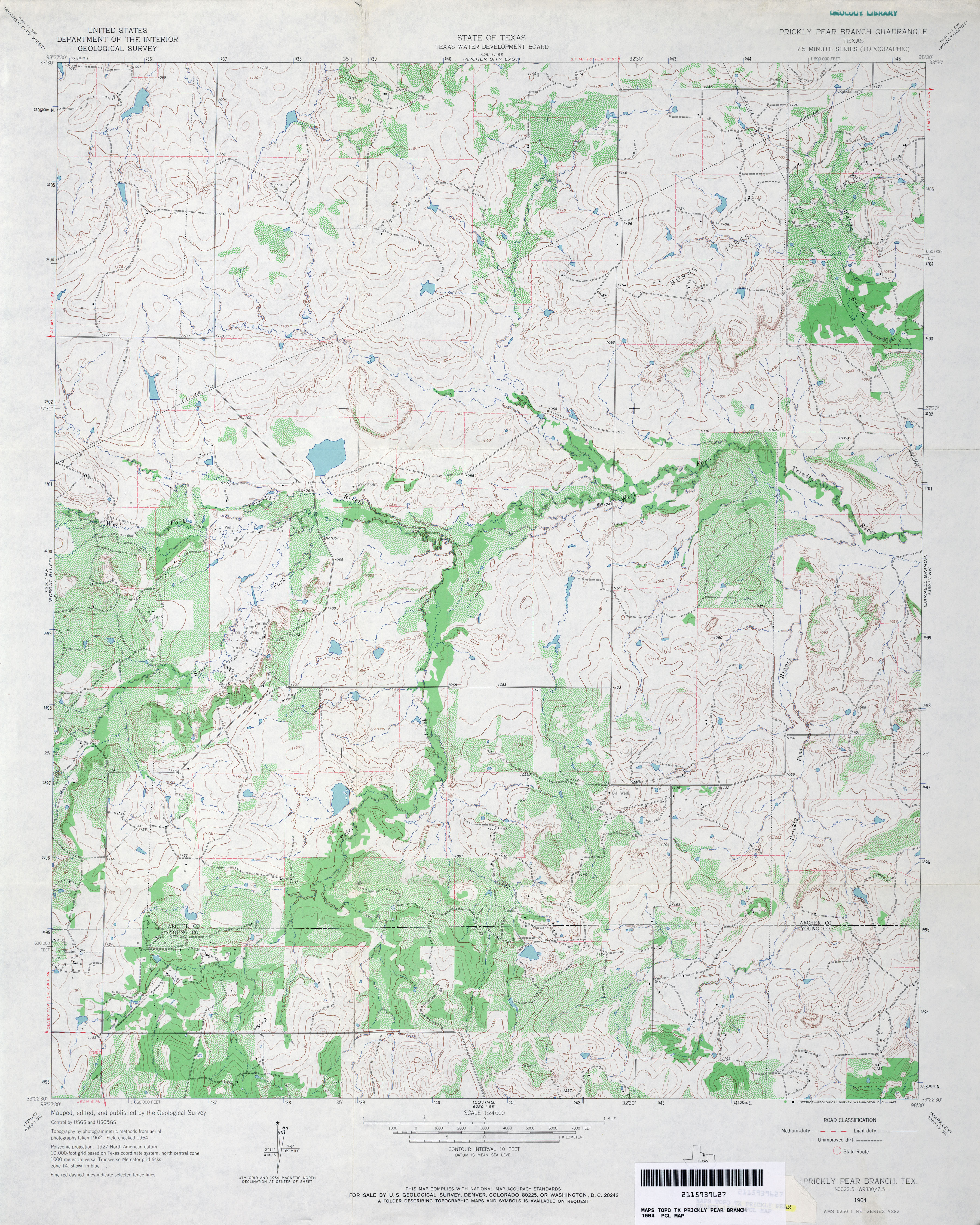
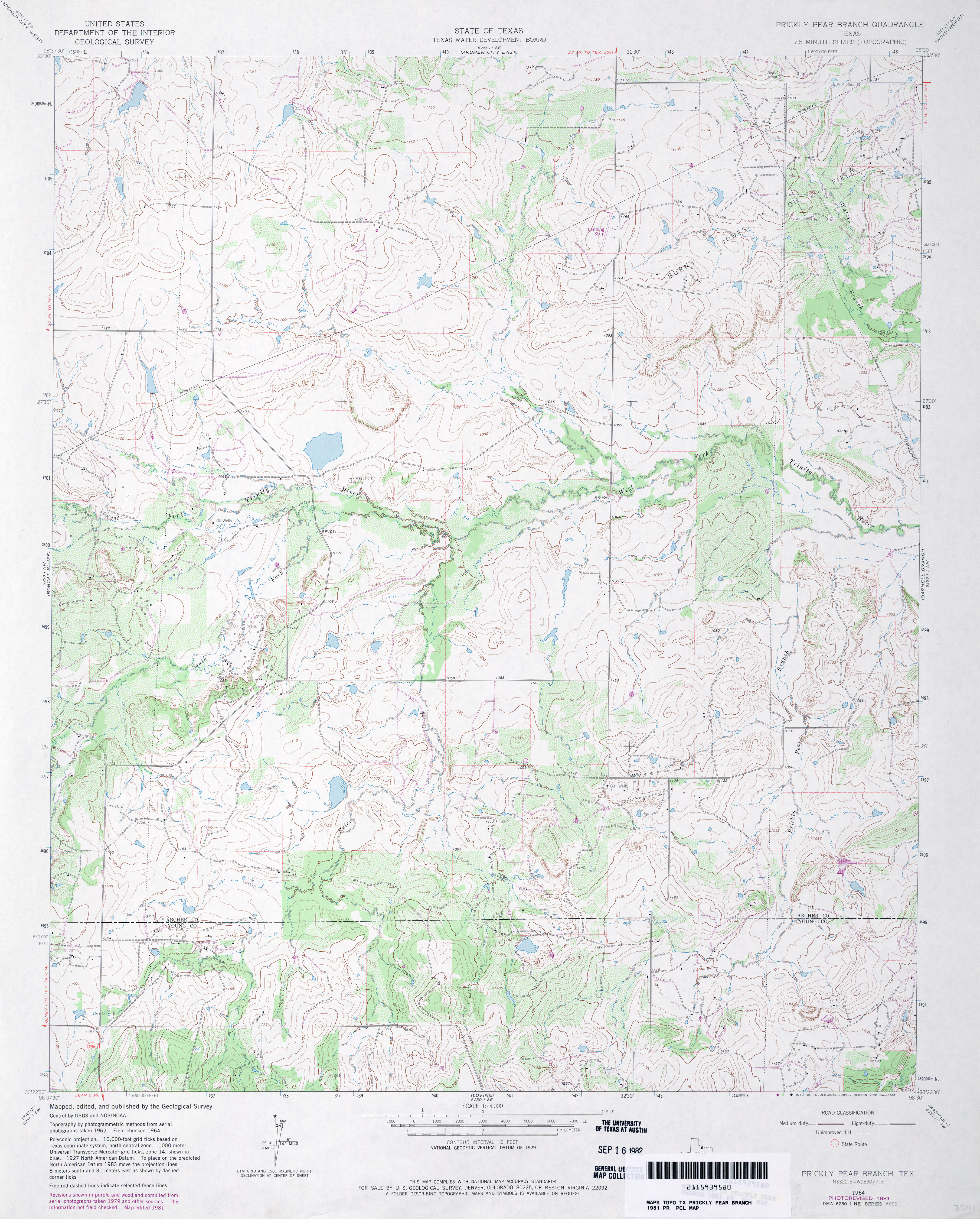
- Prickly Pear Branch 1:24,000 1964 (4.3MB)
- Prickly Pear Branch 1:24,000 1981 (4.2MB)
- Prickly Pear Branch 1:24,000 2008 (15.4MB) [GeoPDF]
- Prickly Pear Branch 1:24,000 2012 (19.8MB) [GeoPDF]
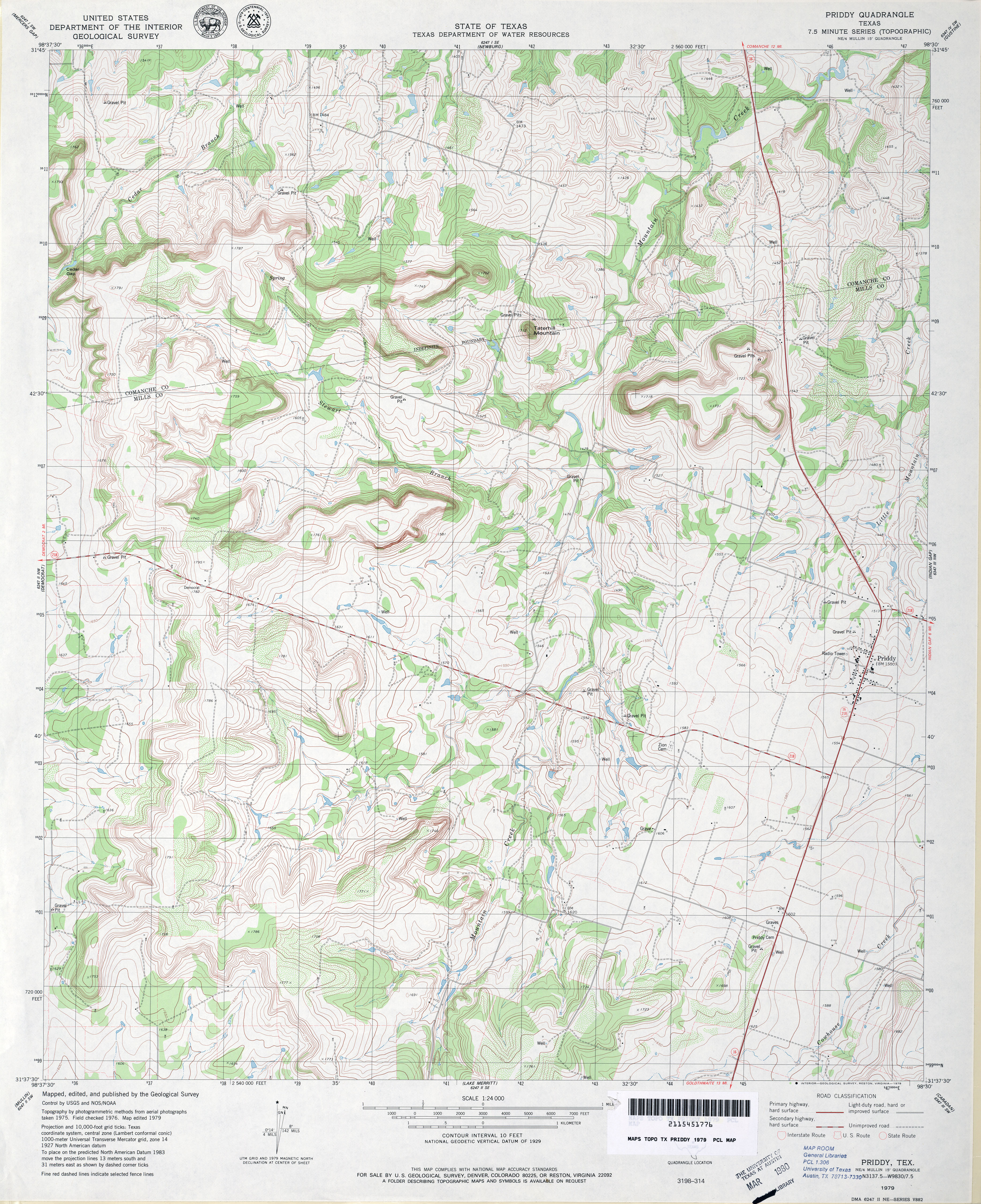
- Priddy 1:24,000 1979 (4.9MB)
- Priddy 1:24,000 2008 (15.4MB) [GeoPDF]
- Priddy 1:24,000 2012 (21.2MB) [GeoPDF]
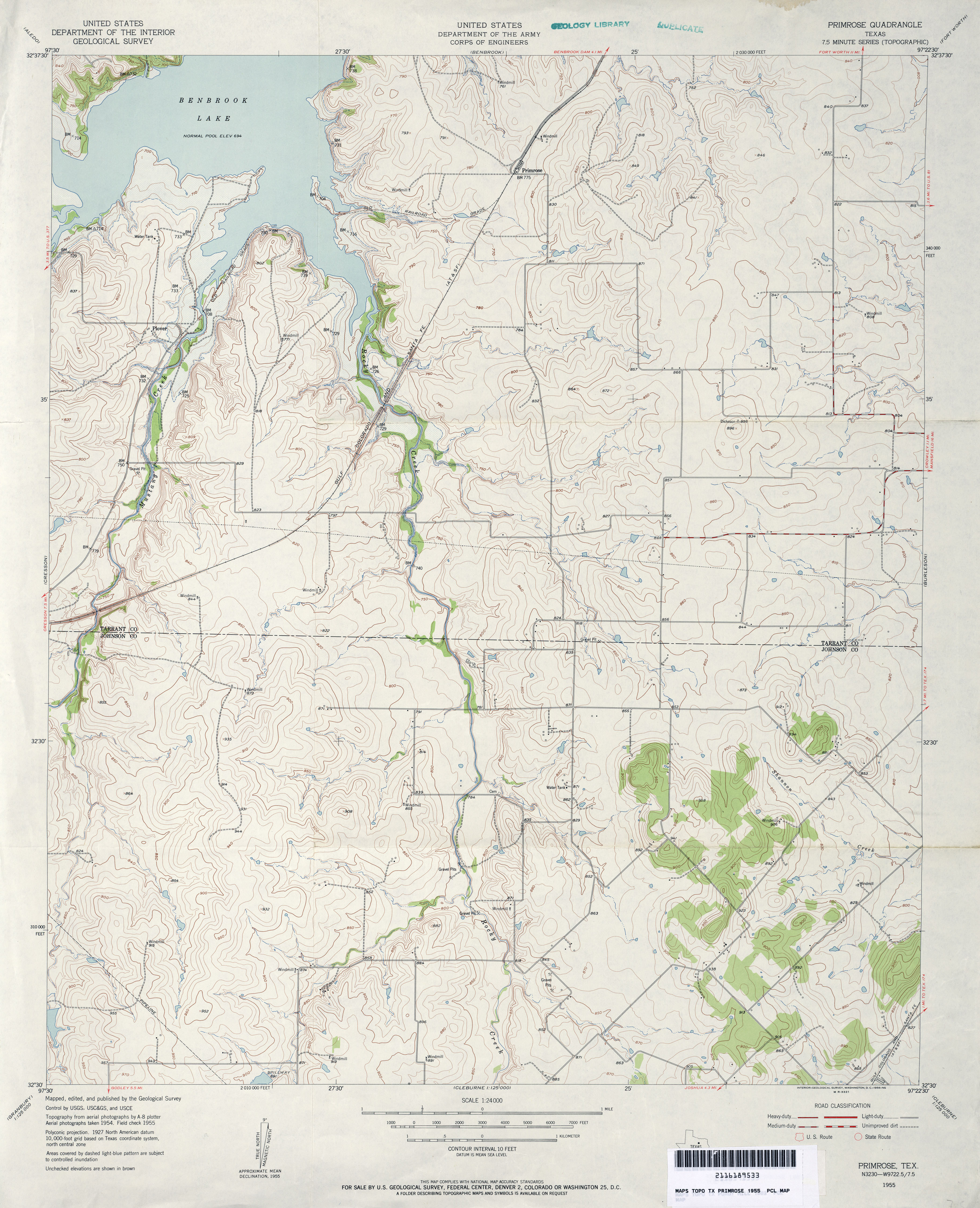
- Primrose 1:24,000 1955 (3.7MB) U.S. Department of the Army Corps of Engineers
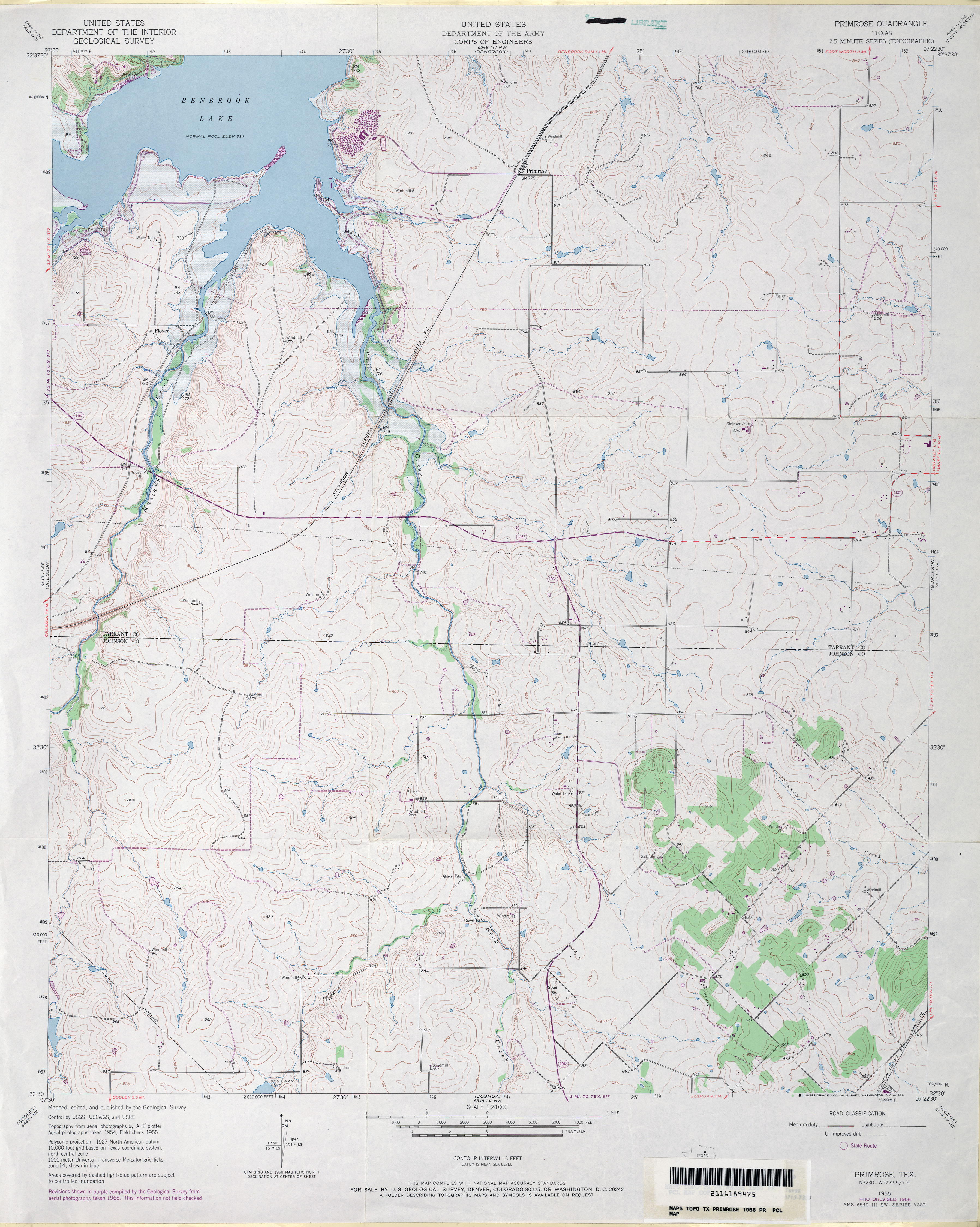
- Primrose 1:24,000 1968 (3.5MB) U.S. Department of the Army Corps of Engineers
- Primrose 1:24,000 2012 (19.4MB) [GeoPDF]
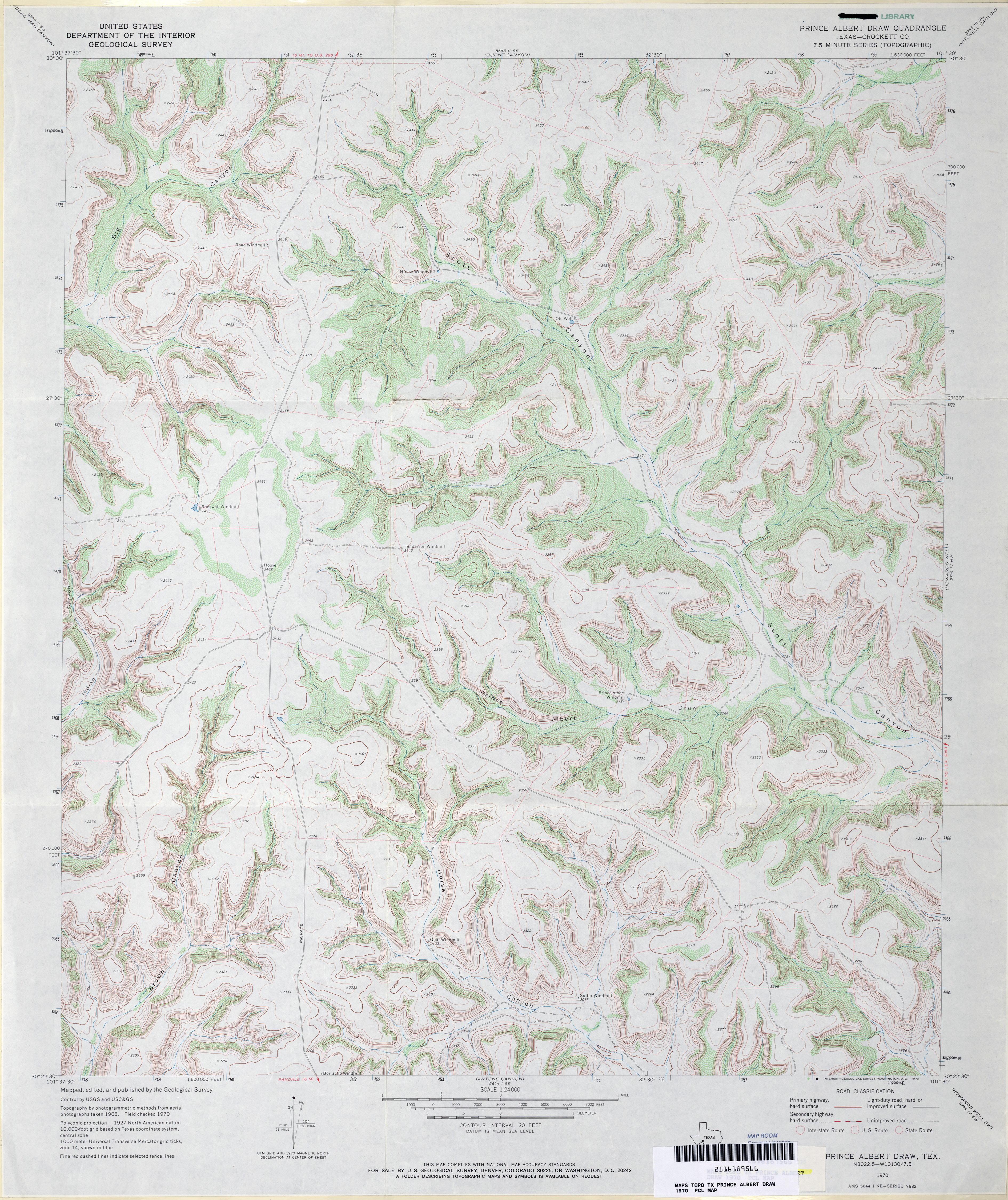
- Prince Albert Draw (Crockett County) 1:24,000 1970 (4.7MB)
- Prince Albert Draw 1:24,000 2008 (24.3MB) [GeoPDF]
- Prince Albert Draw 1:24,000 2012 (35.3MB) [GeoPDF]
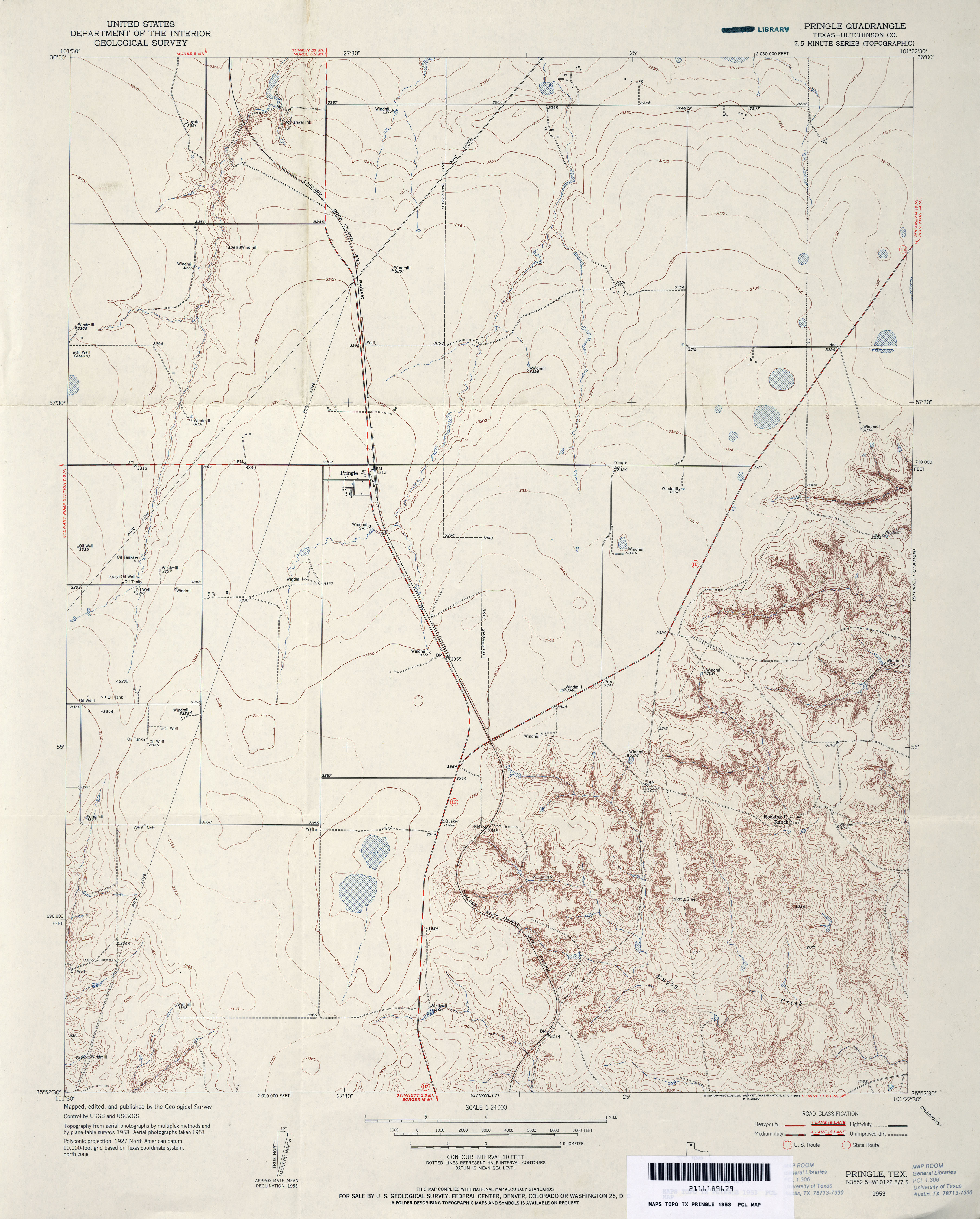
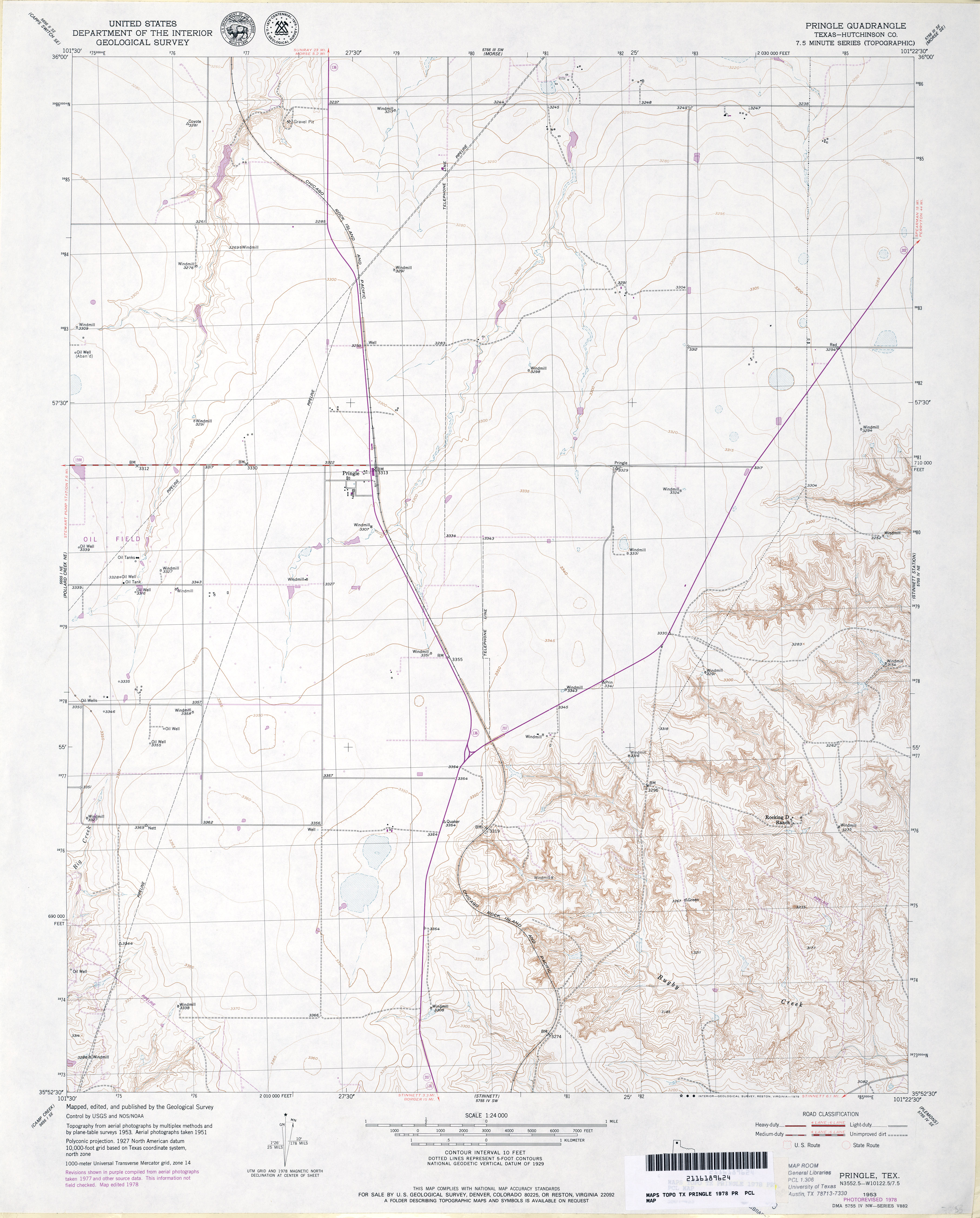
- Pringle (Hutchinson County) 1:24,000 1953 (3.4MB)
- Pringle (Hutchinson County) 1:24,000 1978 (3.2MB)
- Pringle 1:24,000 2008 (10.6MB) [GeoPDF]
- Pringle 1:24,000 2012 (16.8MB) [GeoPDF]
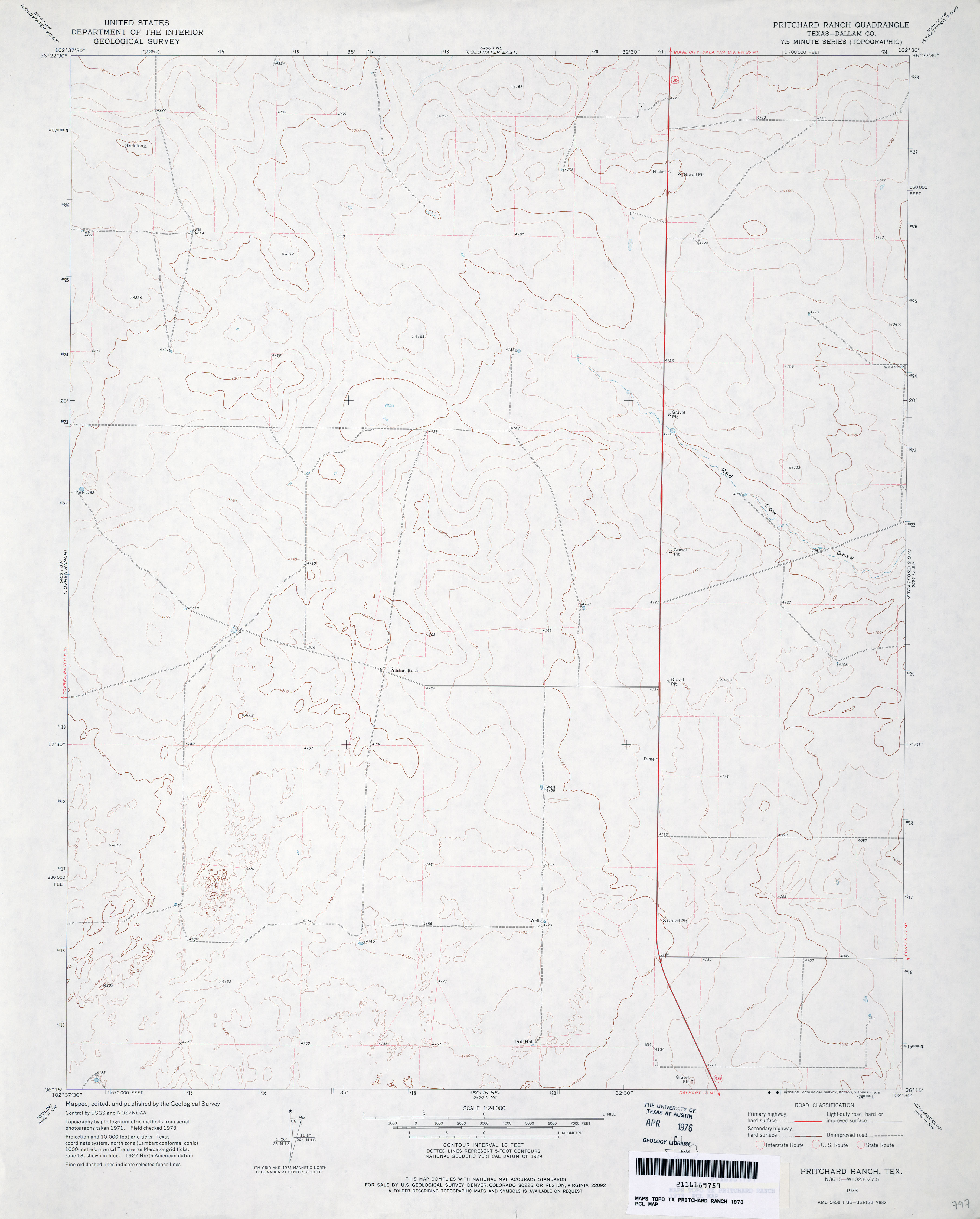
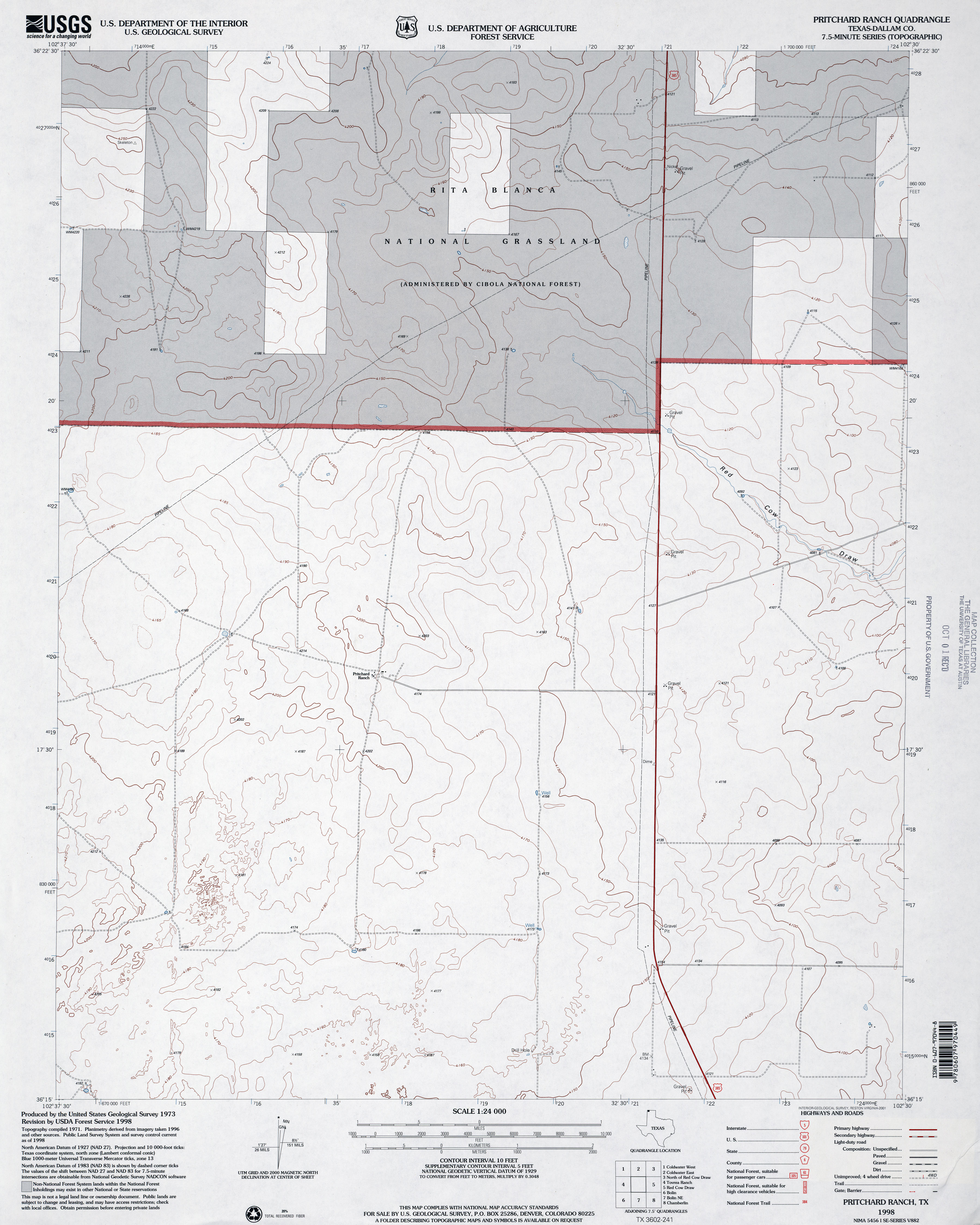
- Pritchard Ranch (Dallam County) 1:24,000 1973 (2.1MB)
- Pritchard Ranch (Dallam County) 1:24,000 1998 (2.9MB)
- Pritchard Ranch 1:24,000 2008 (8.6MB) [GeoPDF]
- Pritchard Ranch 1:24,000 2012 (14.6MB) [GeoPDF]
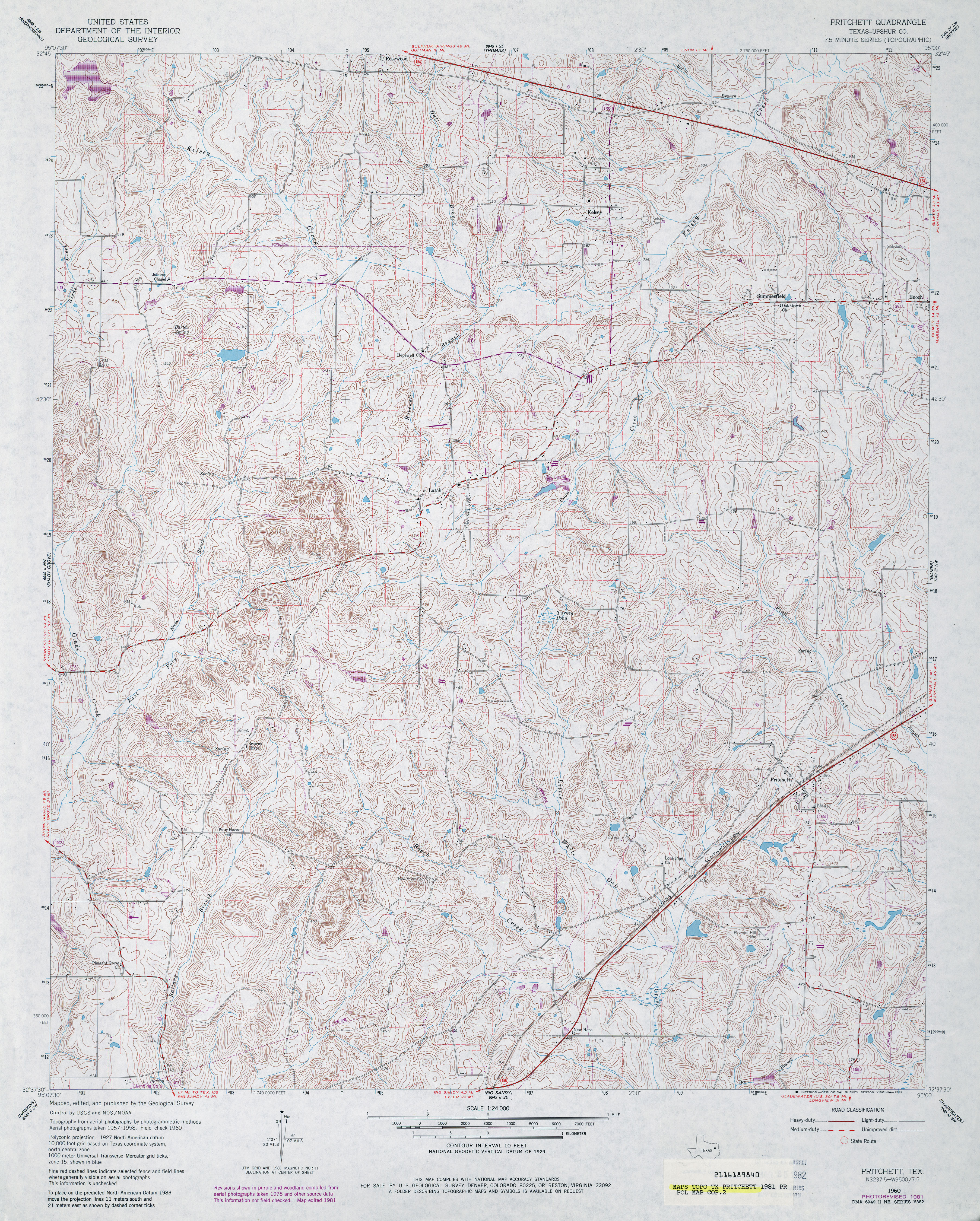
- Pritchett (Upshur County) 1:24,000 1960 (5.2MB)
- Pritchett (Upshur County) 1:24,000 1981 (5.8MB)
- Pritchett 1:24,000 2009 (22.2MB) [GeoPDF]
- Pritchett 1:24,000 2012 (25.1MB) [GeoPDF]
- Proctor (Comanche County) 1:24,000 1956 (3.2MB)
- Proctor (Comanche County) 1:24,000 1979 (3.4MB)
- Proctor 1:24,000 2008 (13.6MB) [GeoPDF]
- Proctor 1:24,000 2012 (18.6MB) [GeoPDF]
- Proctor Ranch 1:24,000 1971 (3.6MB)
- Proctor Ranch 1:24,000 2008 (14.4MB) [GeoPDF]
- Proctor Ranch 1:24,000 2012 (19MB) [GeoPDF]
- Proffitt (Young County) 1:24,000 1966 (3.9MB)
- Proffitt (Young County) 1:24,000 1981 (3.8MB)
- Proffitt 1:24,000 2008 (17.2MB) [GeoPDF]
- Proffitt 1:24,000 2013 (20.2MB) [GeoPDF]
- Proffitt Crossing 1:24,000 1966 (3.4MB)
- Proffitt Crossing 1:24,000 1981 (3.7MB)
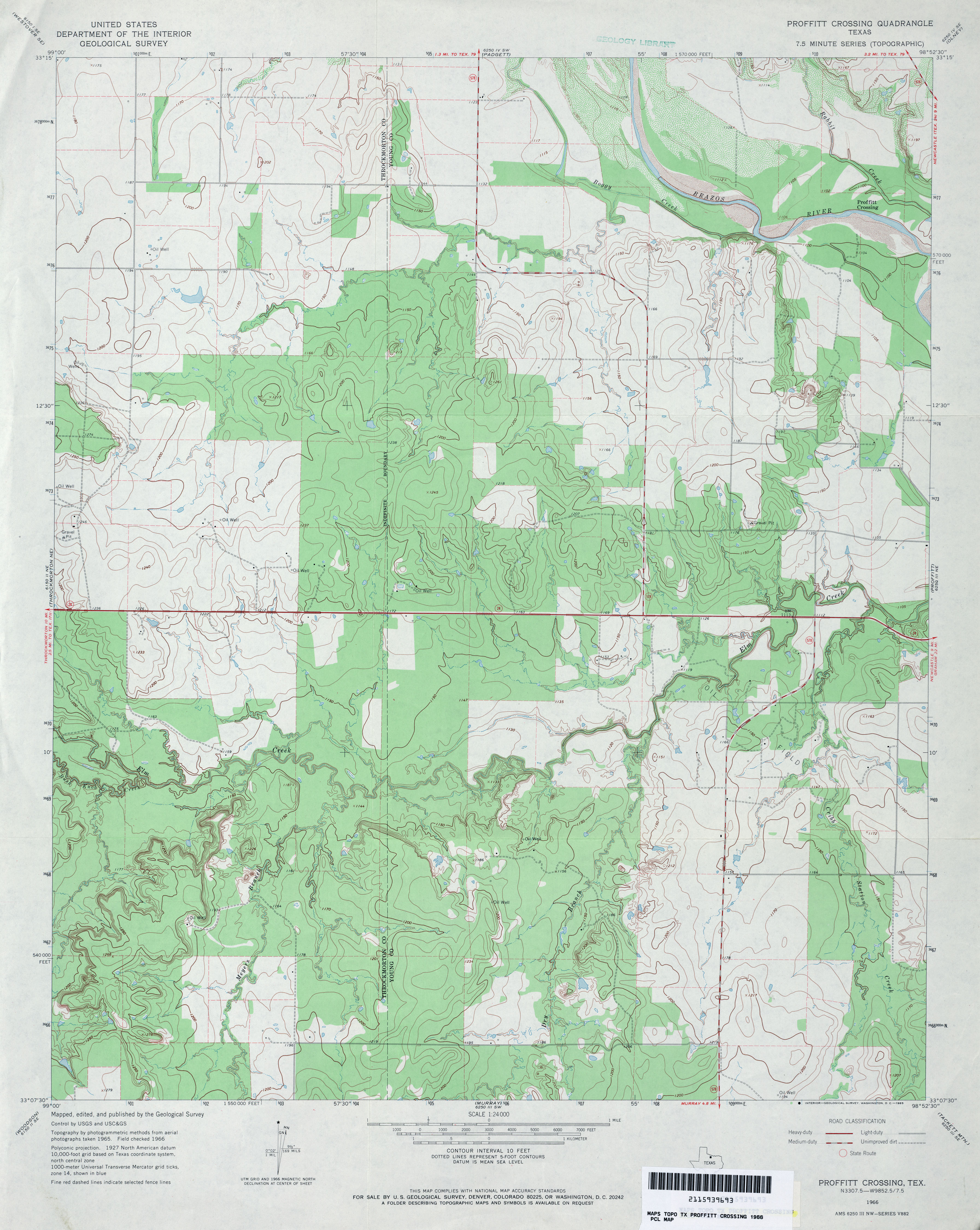
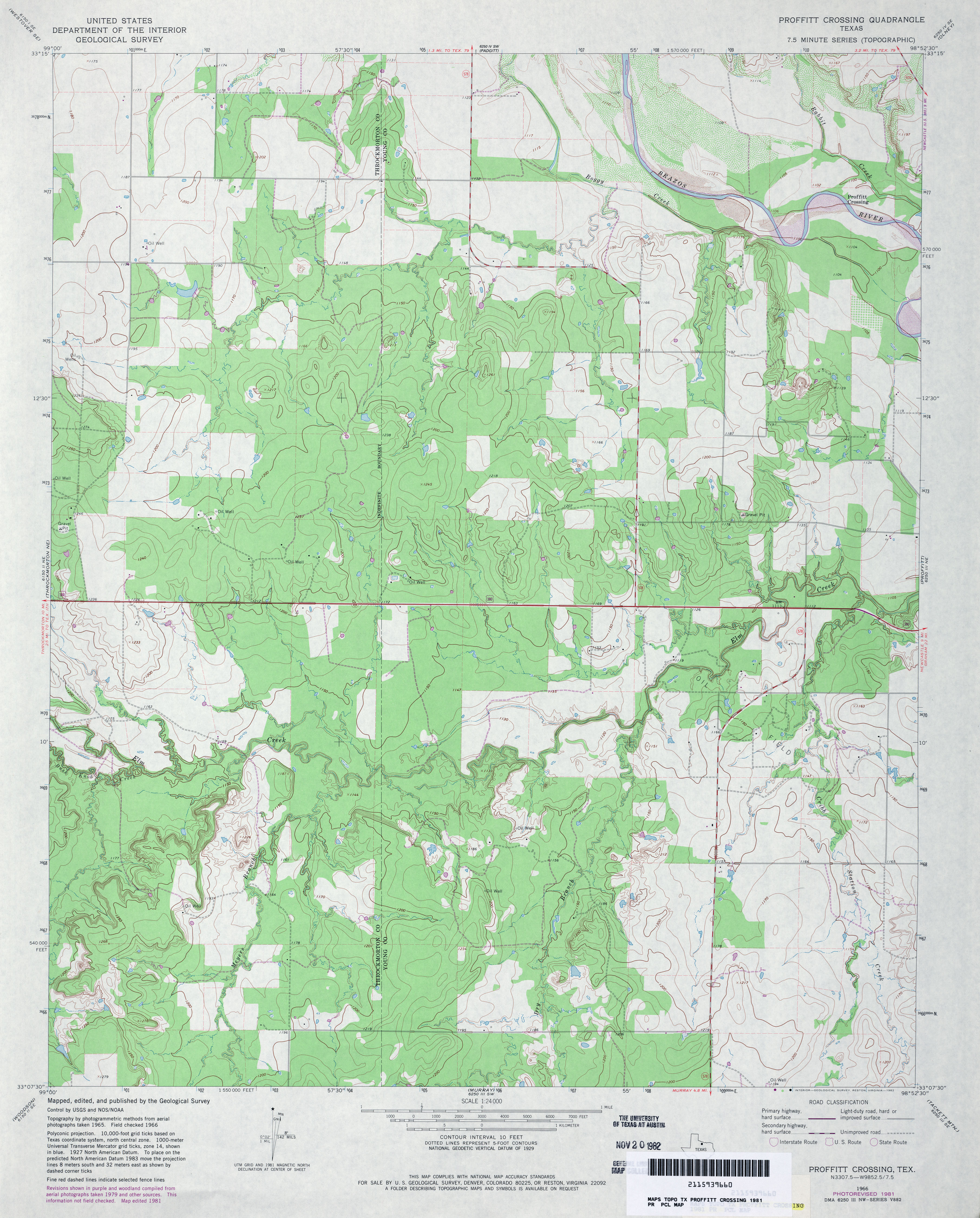
- Proffitt Crossing 1:24,000 2008 (15.5MB) [GeoPDF]
- Proffitt Crossing 1:24,000 2012 (20.2MB) [GeoPDF]
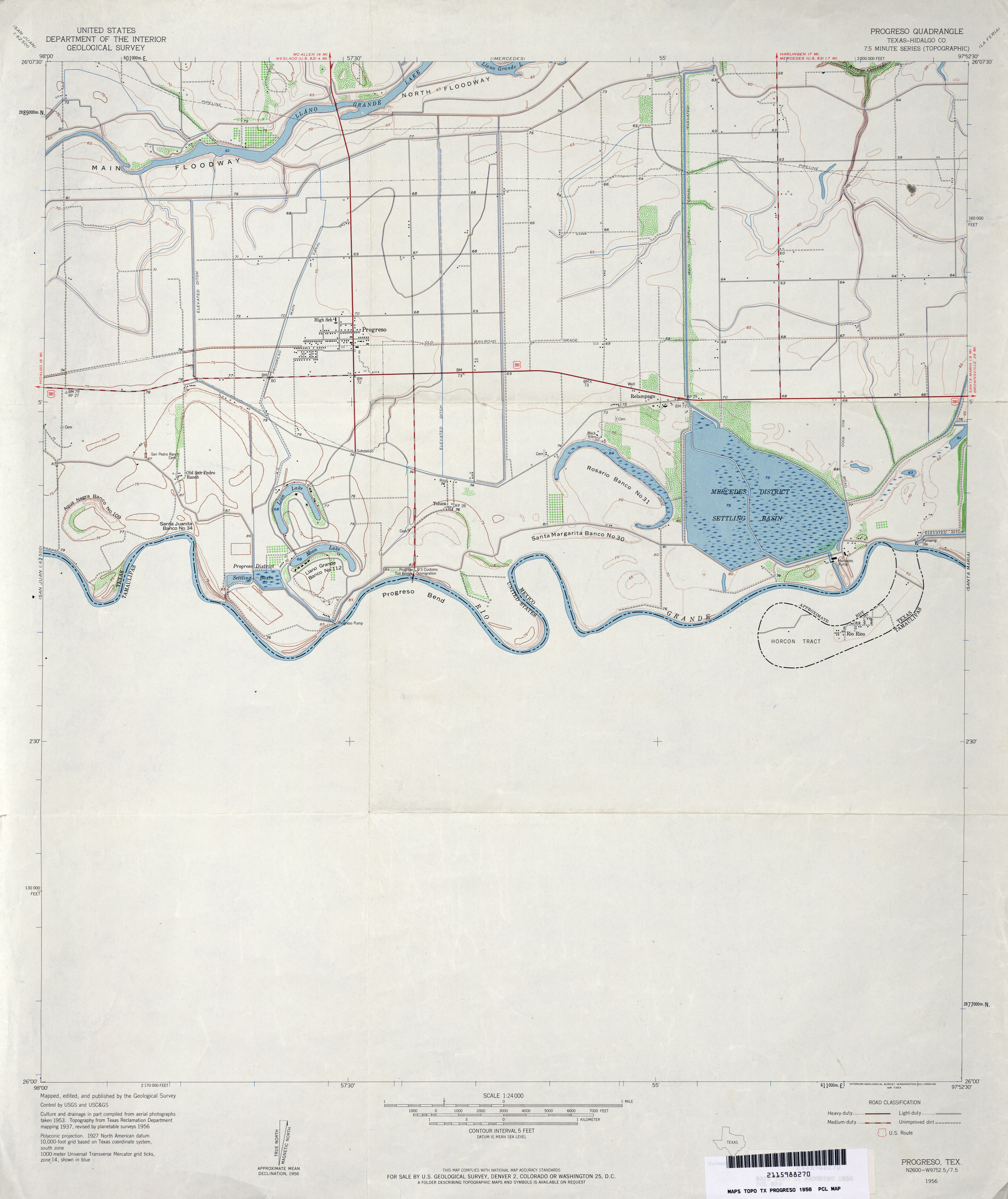
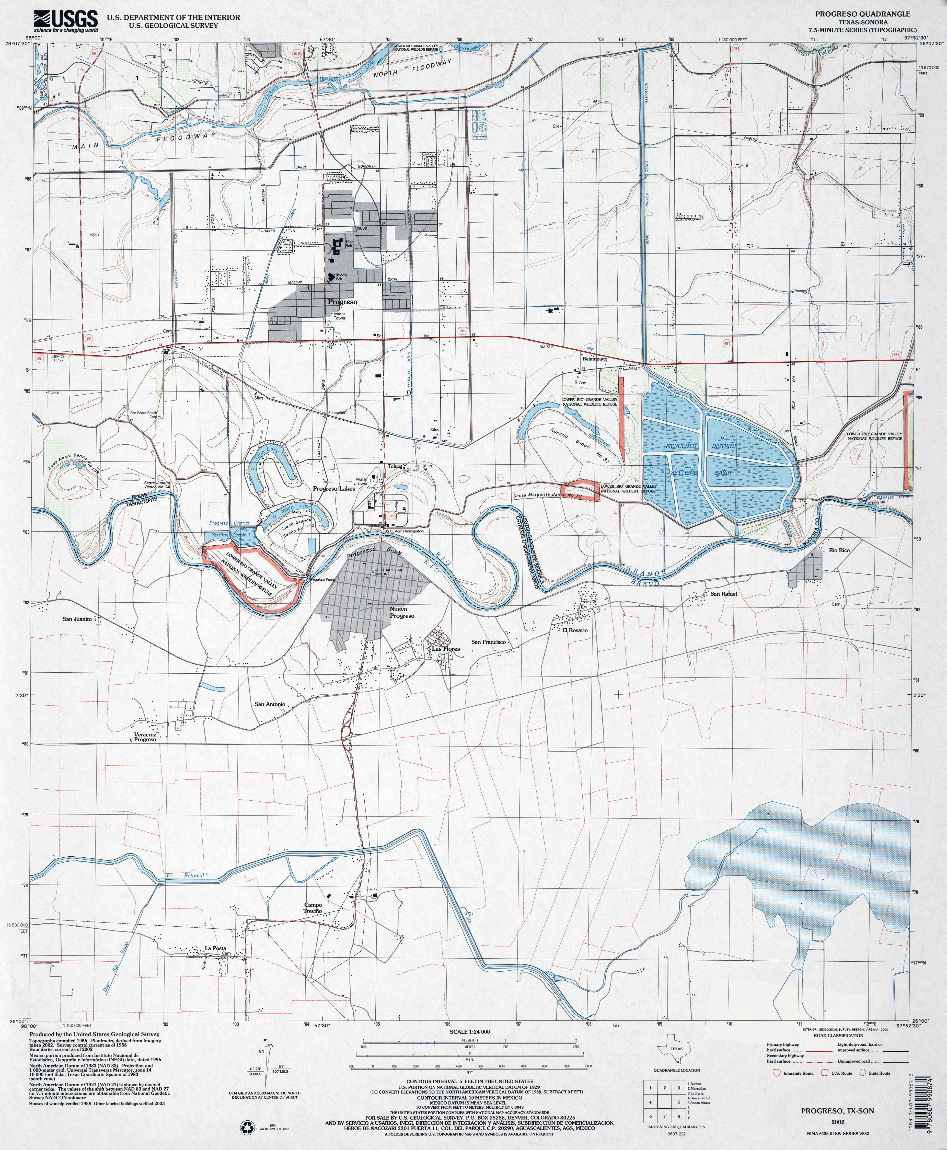
- Progreso (Hidalgo County) 1:24,000 1956 (2.5MB)
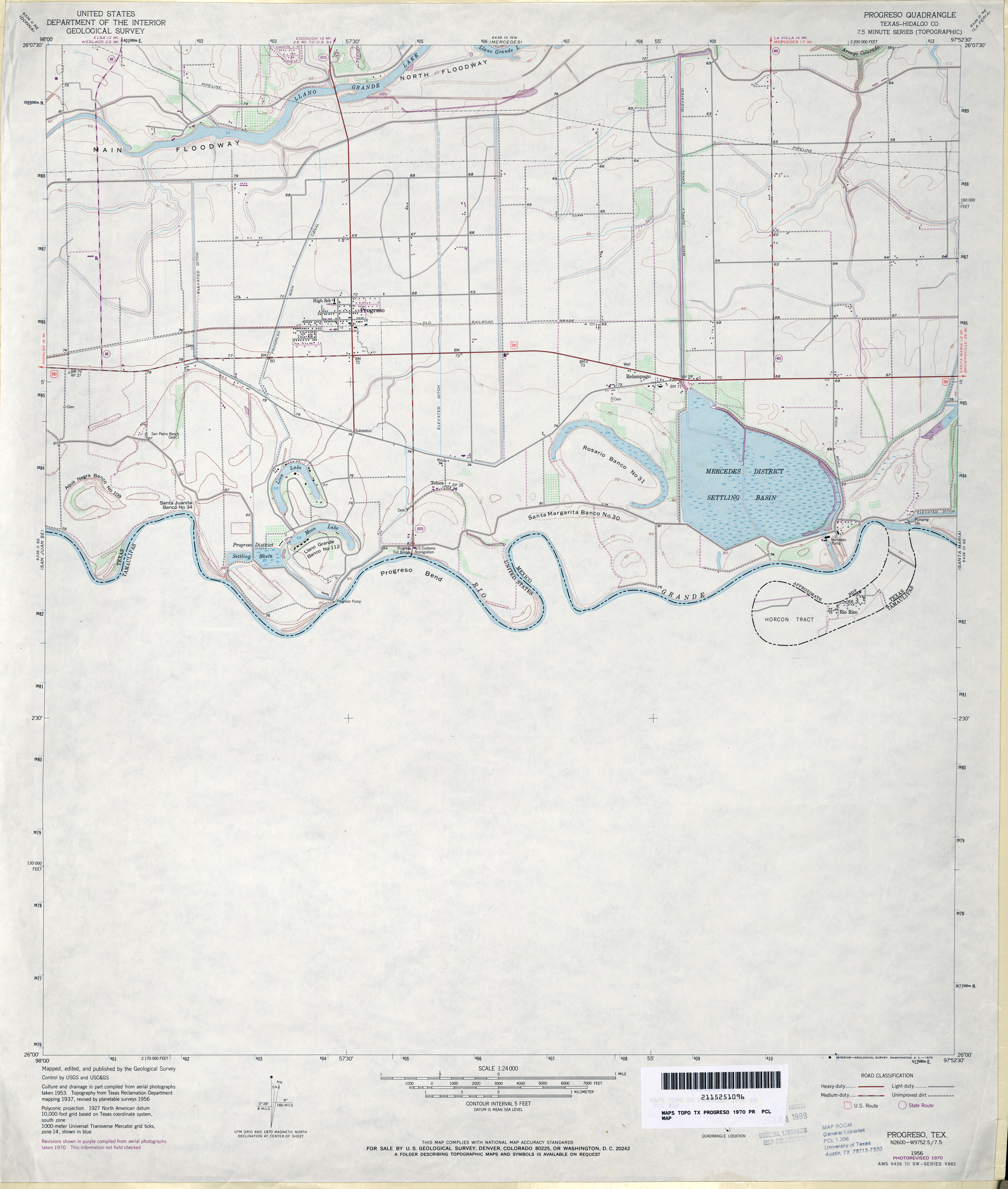
- Progreso (Hidalgo County) 1:24,000 1970 (2.5MB)
- Progreso 1:24,000 2002 (3.3MB)
- Progreso 1:24,000 2008 (14.9MB) [GeoPDF]
- Progresso 1:24,000 2013 (15.2MB) [GeoPDF]
- Progress 1:24,000 1963 (2.7MB)
- Progress 1:24,000 2008 (10.4MB) [GeoPDF]
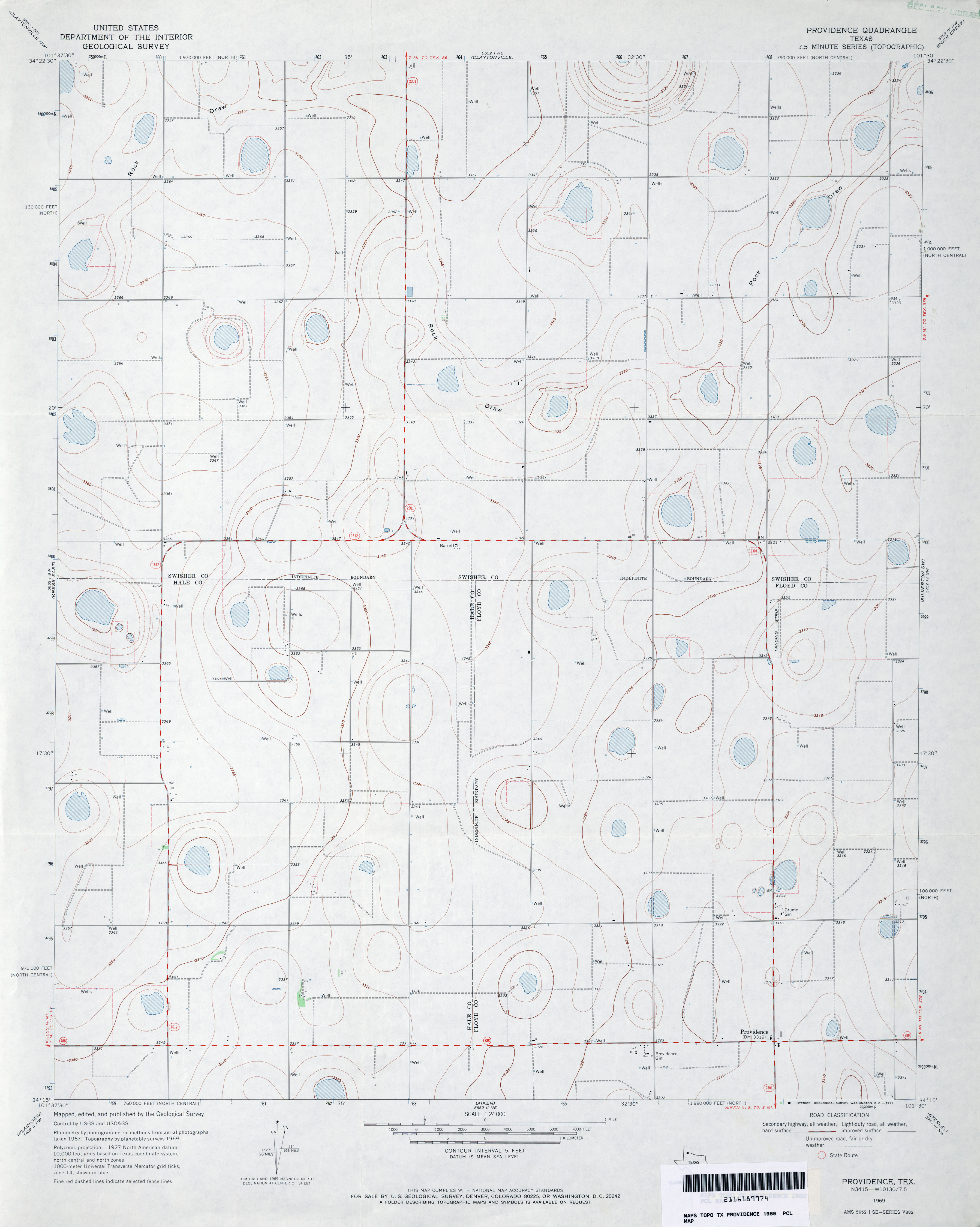
- Providence 1:24,000 1969 (2.4MB)
- Providence 1:24,000 2008 (11.0MB) [GeoPDF]
- Providence 1:24,000 2012 (15.8MB) [GeoPDF]
- Pryor Mountain (Cherokee County) 1:24,000 1973 (5.7MB)
- Pryor Mountain 1:24,000 2009 (24.3MB) [GeoPDF]
- Pryor Mountain 1:24,000 2013 (27.1MB) [GeoPDF]
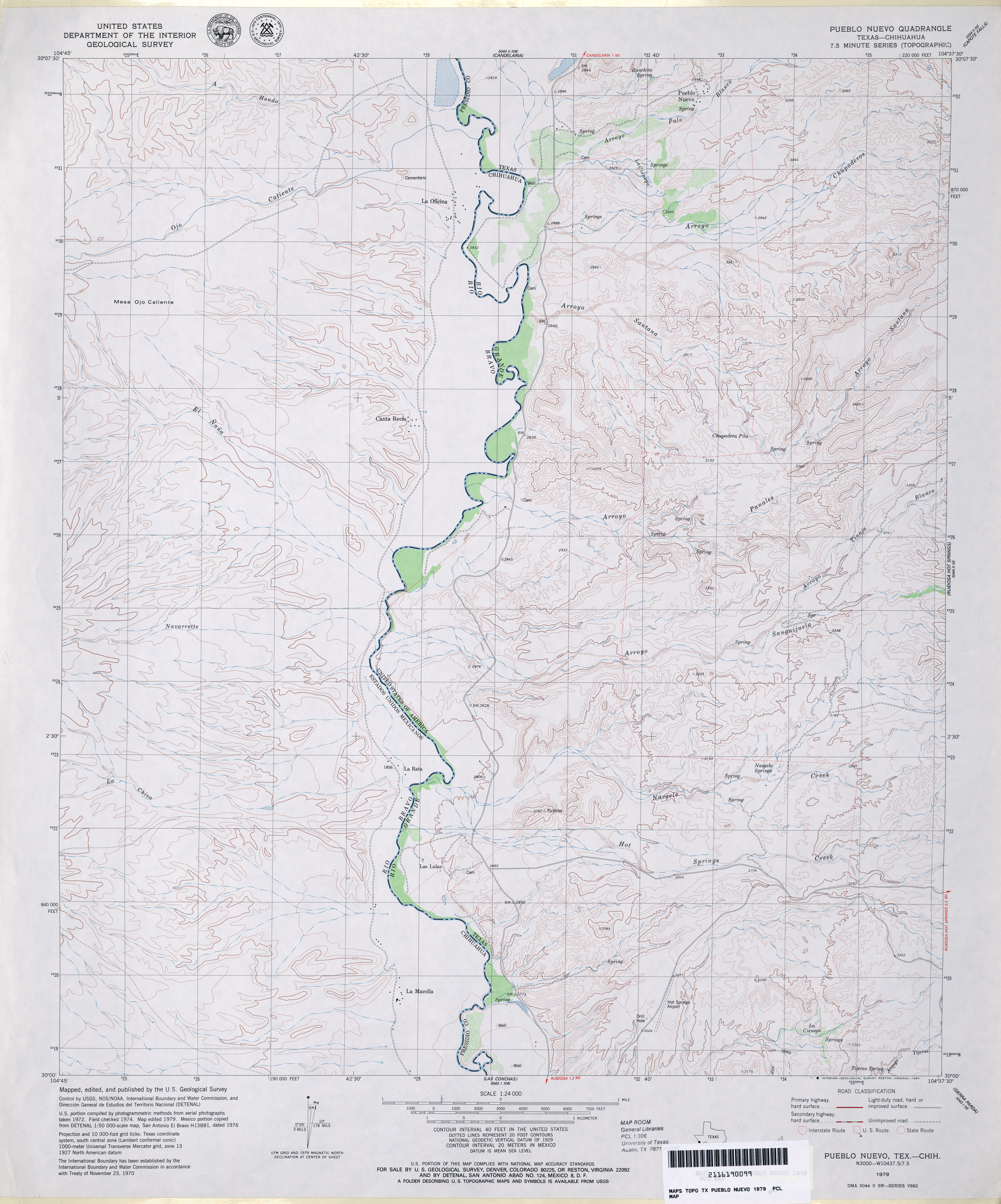
- Pueblo Nuevo 1:24,000 1979 (3.4MB)
- Pueblo Nuevo 1:24,000 2008 (22.2MB) [GeoPDF]
- Pueblo Nuevo 1:24,000 2012 (25.4MB) [GeoPDF]
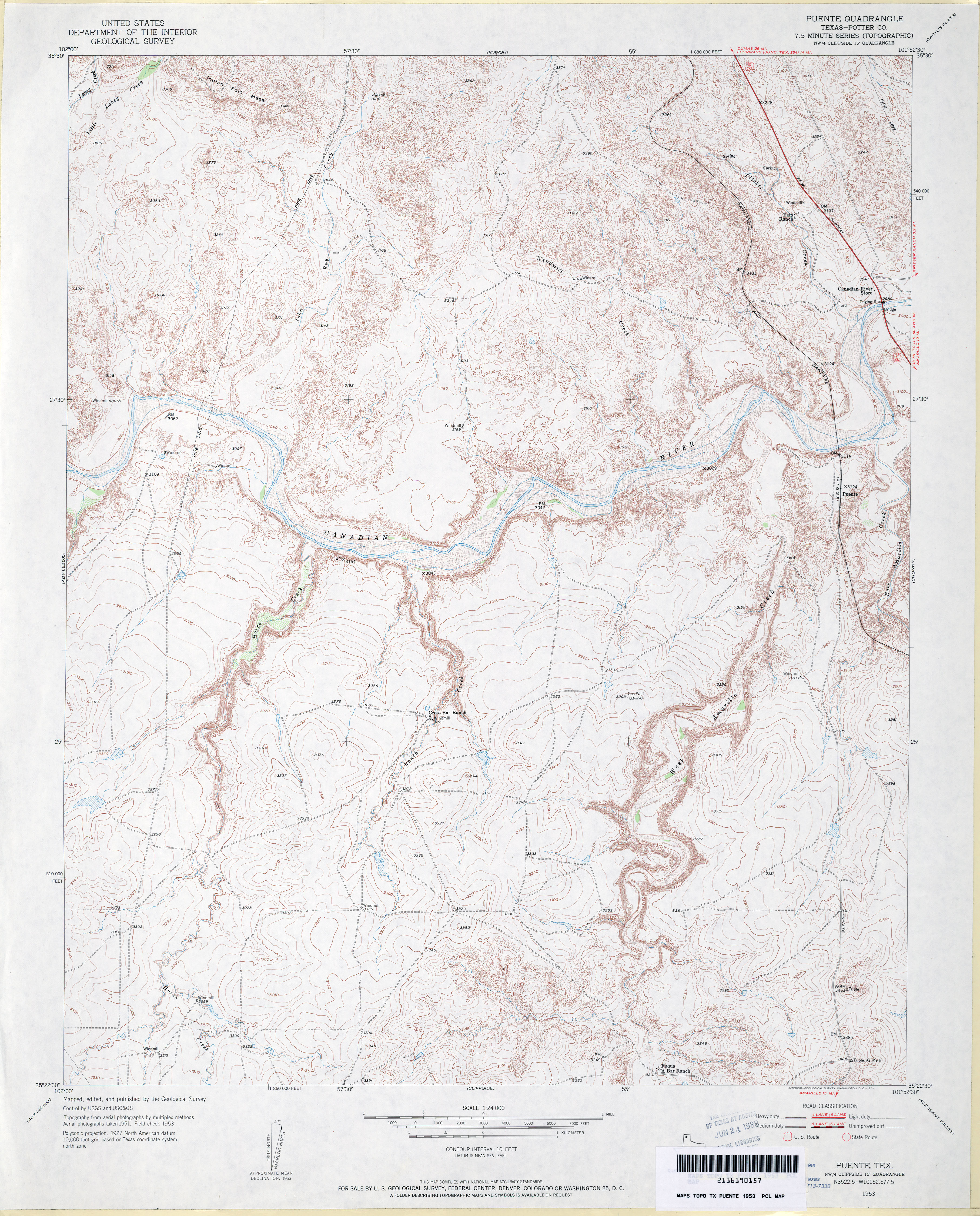
- Puente (Potter County) 1:24,000 1953 (4.4MB)
- Puente 1:24,000 2008 (22.8MB) [GeoPDF]
- Puente 1:24,000 2012 (25MB) [GeoPDF]
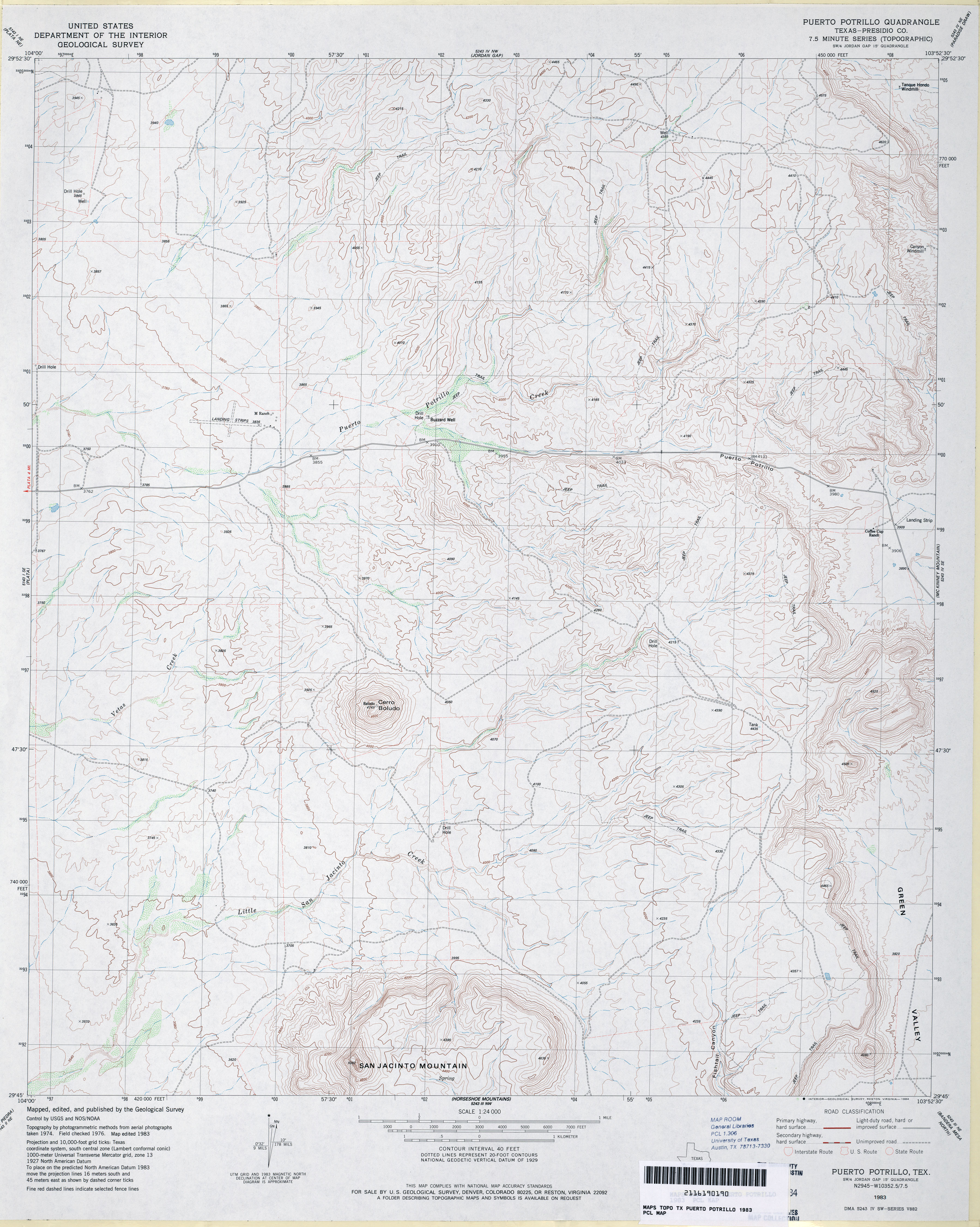
- Puerto Potrillo (Presidio County) 1:24,000 1983 (3.7MB)
- Puerto Potrillo 1:24,000 2008 (16.7MB) [GeoPDF]
- Puerto Potrillo 1:24,000 2012 (24.2MB) [GeoPDF]
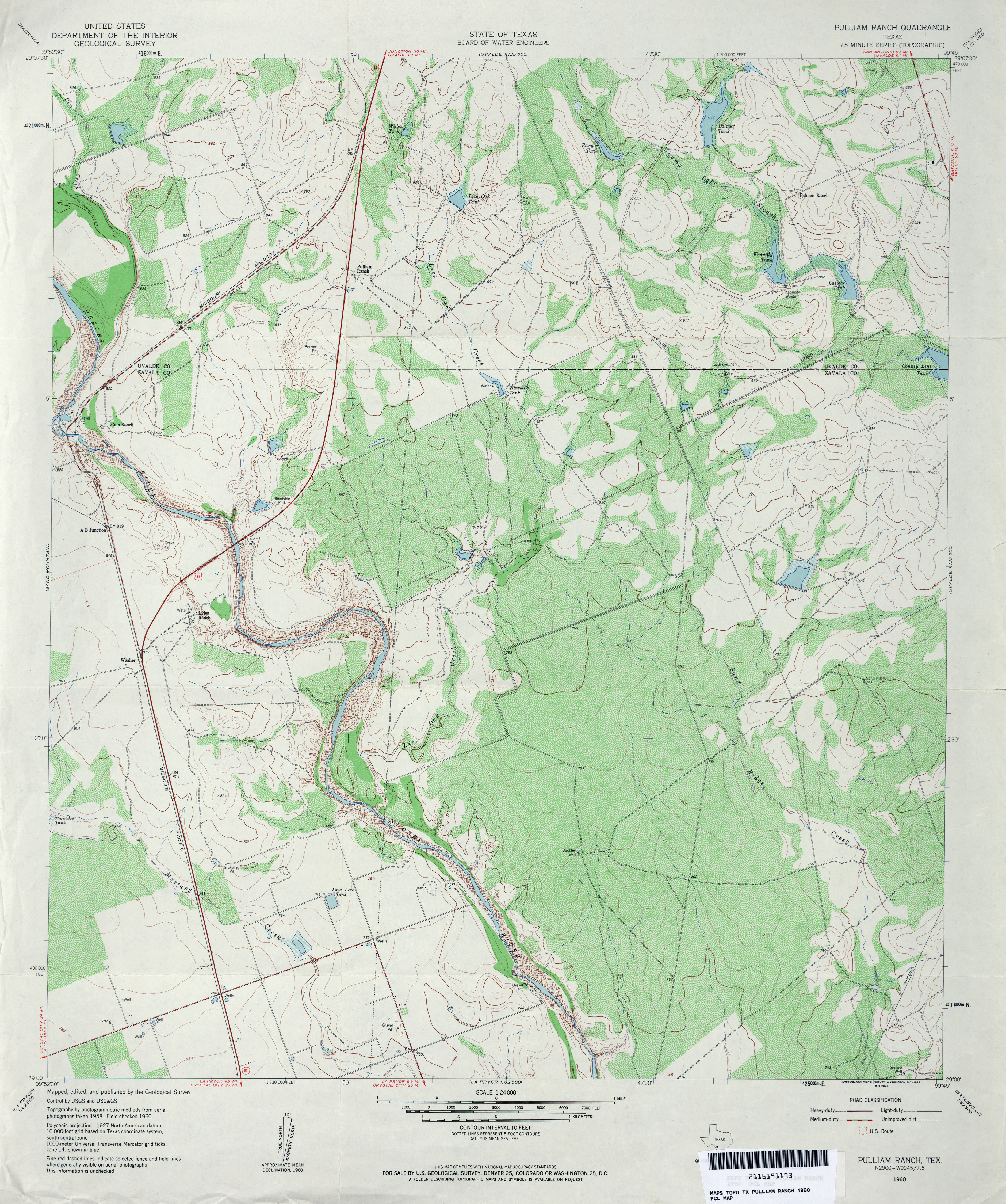
- Pulliam Ranch 1:24,000 1960 (4.6MB)
- Pulliam Ranch 1:24,000 2008 (18.4MB) [GeoPDF]
- Pulliam Ranch 1:24,000 2013 (27.6MB) [GeoPDF]
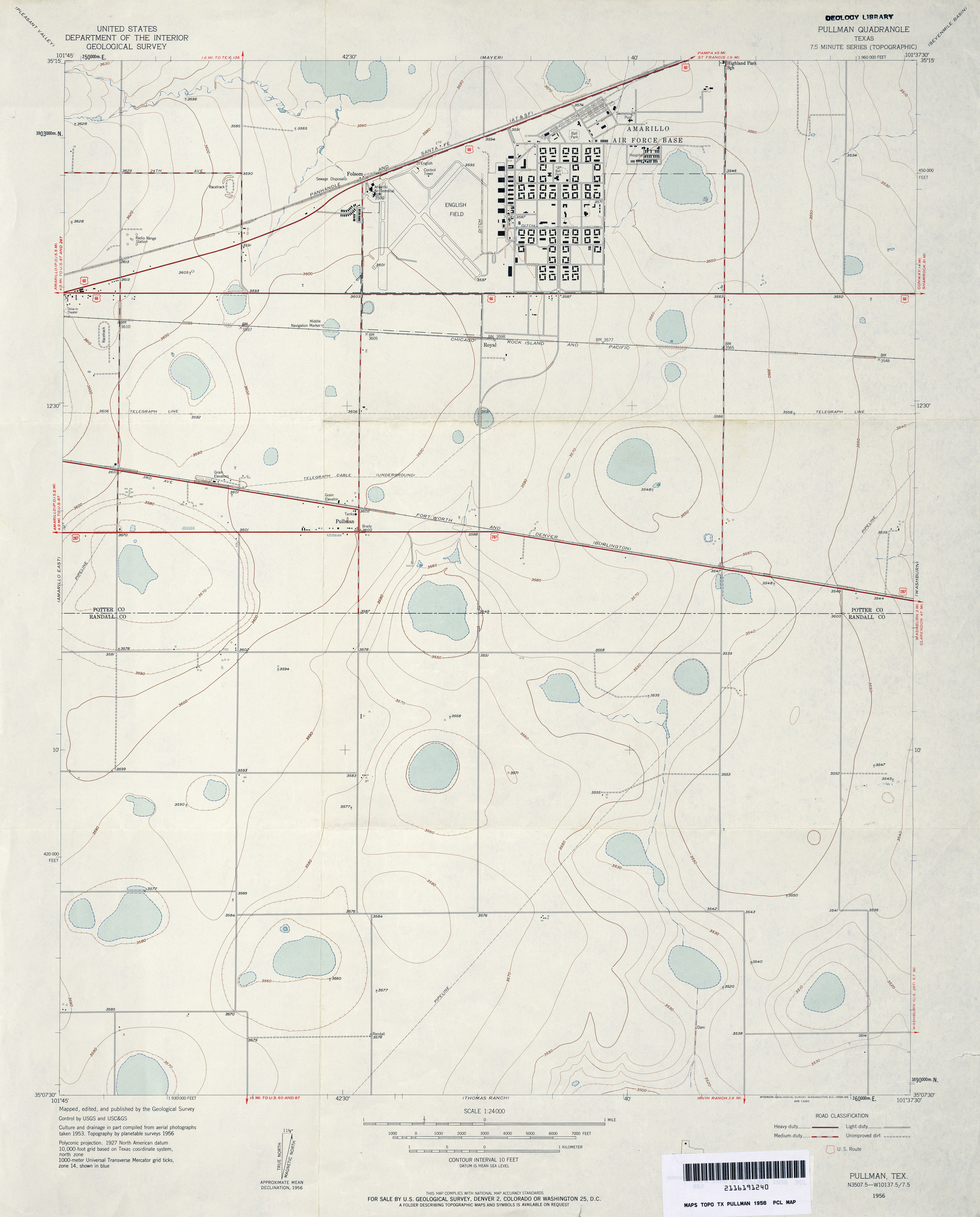
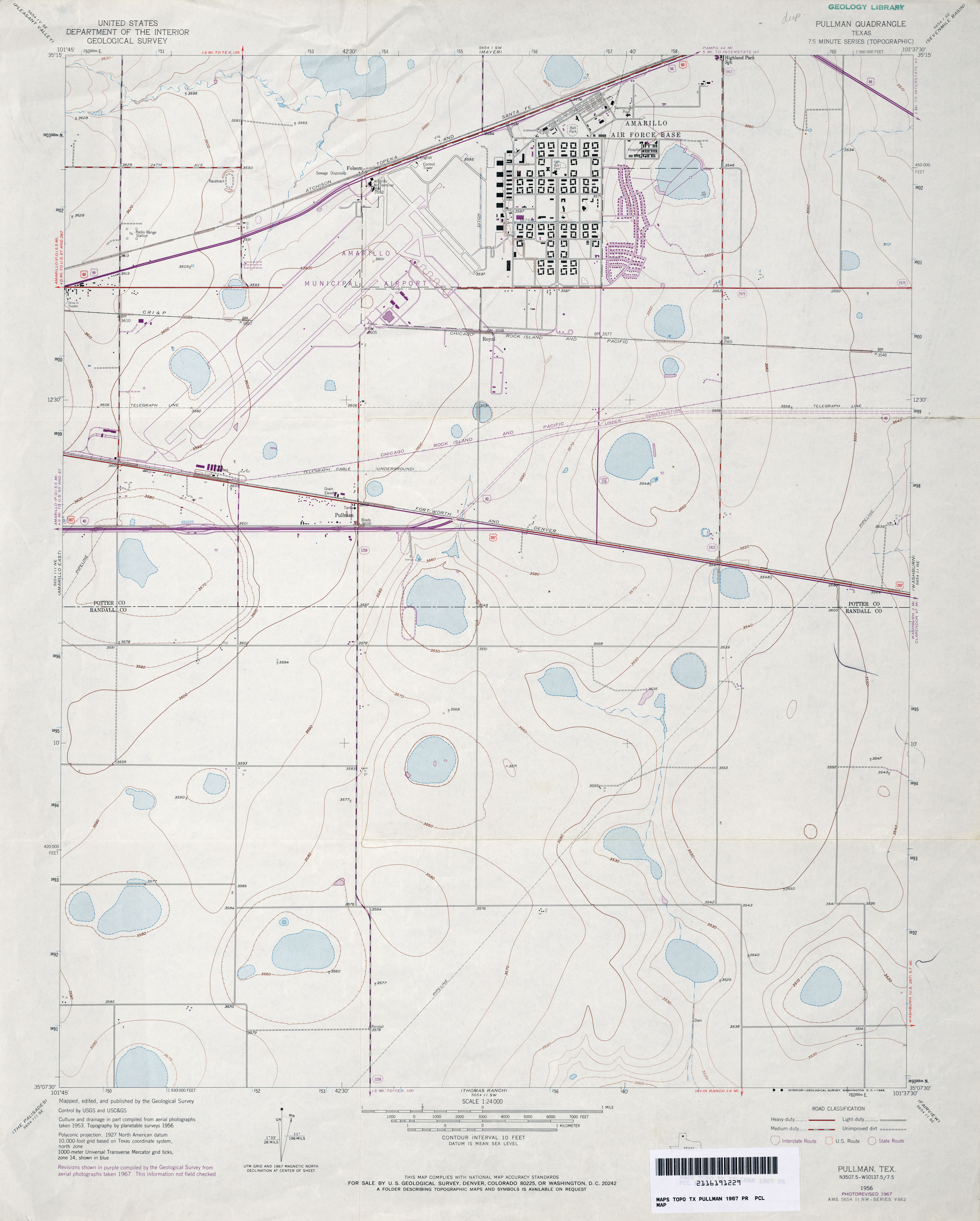
- Pullman 1:24,000 1956 (2.4MB)
- Pullman 1:24,000 1967 (2.5MB)
- Pullman 1:24,000 1973 (2.3MB)
- Pullman 1:24,000 2008 (9.5MB) [GeoPDF]
- Pullman 1:24,000 2012 (14.8MB) [GeoPDF]
- Pumpville 1:125,000 1938 (3.2MB) U.S. Army. Corps of Engineers. Tactical Map
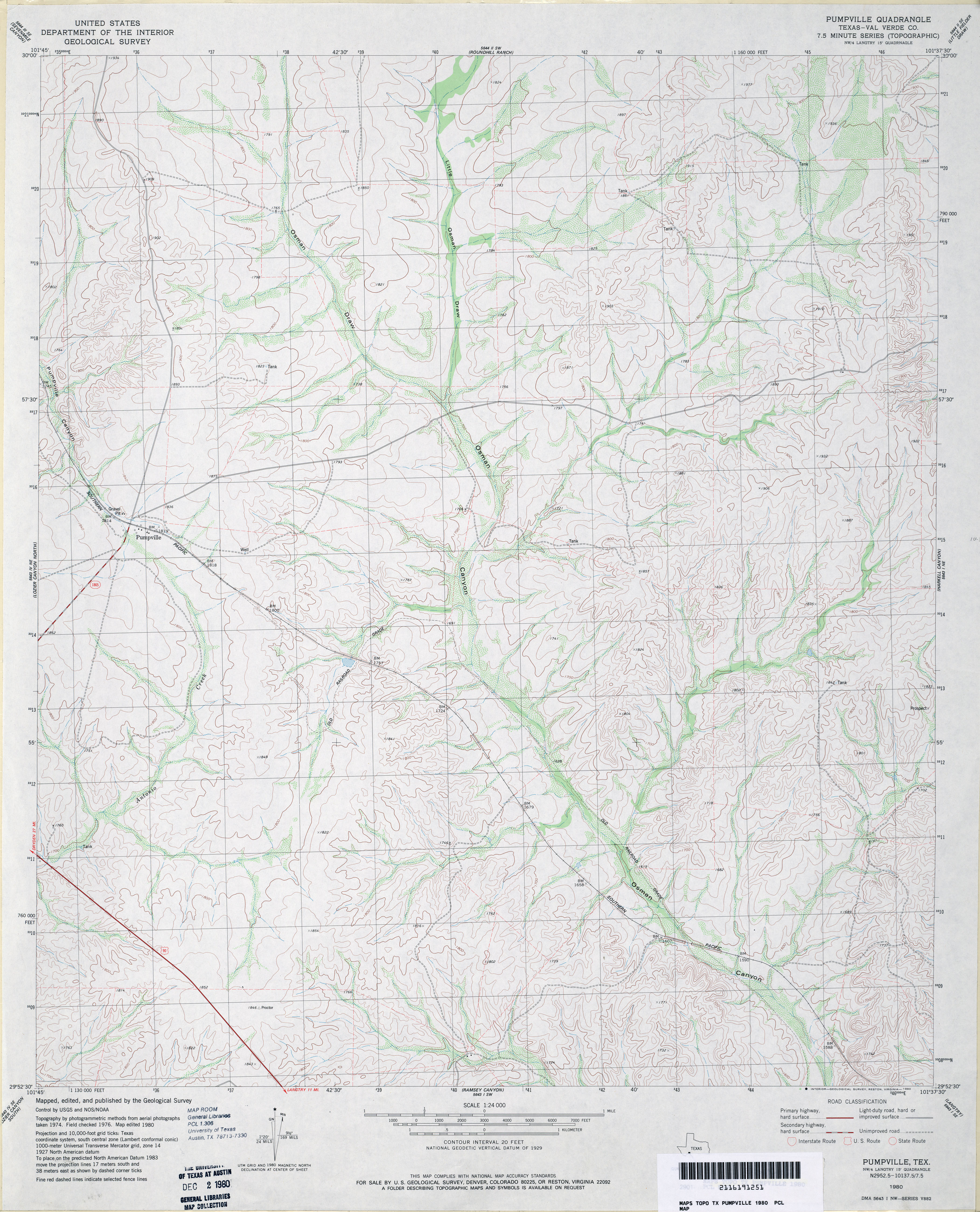
- Pumpville (Val Verde County) 1:24,000 1980 (3.9MB)
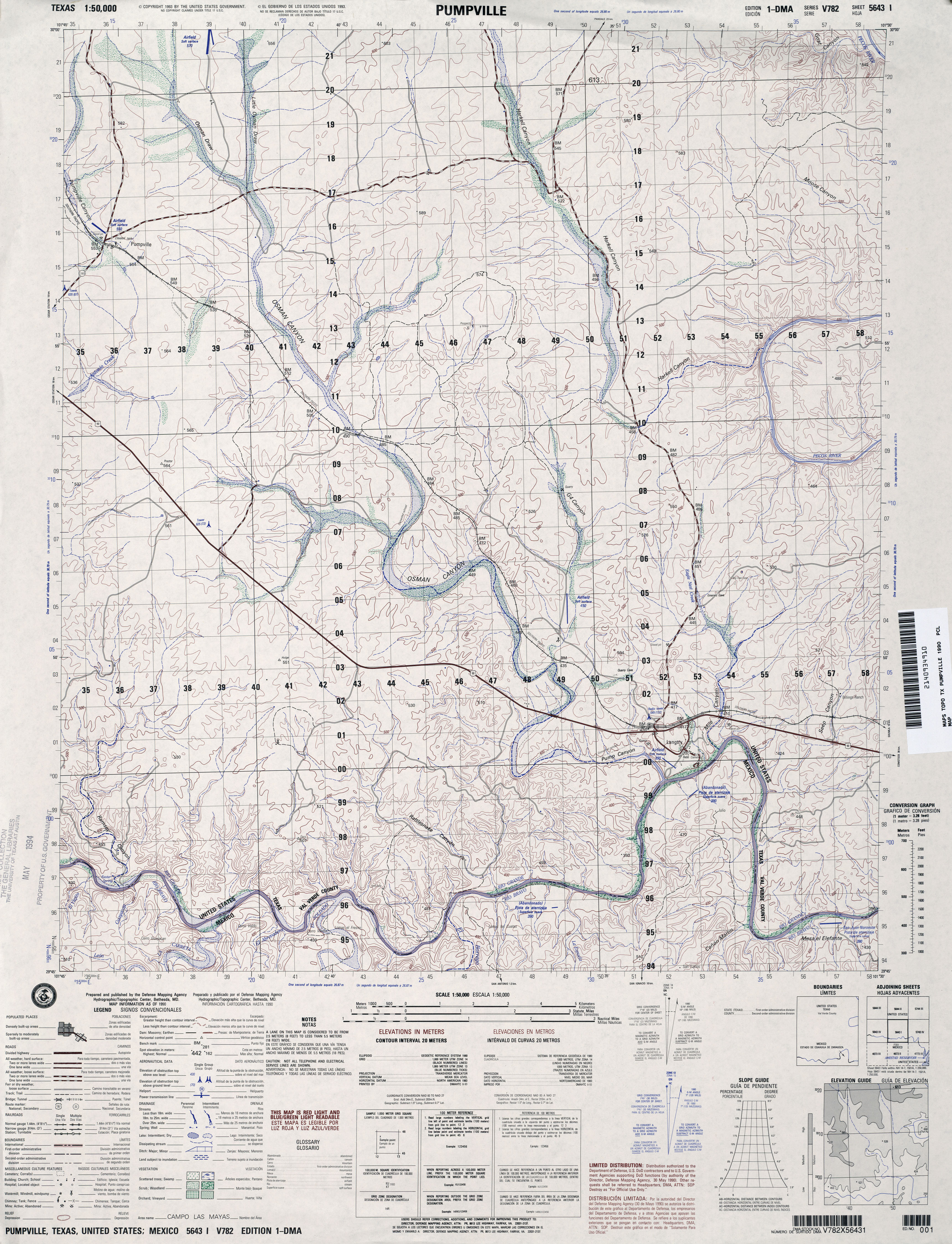
- Pumpville 1:50,000 1990 (4.1MB) U.S. Defense Mapping Agency, Edition 1-DMA, Series V782
- Pumpville 1:24,000 2008 (21.4MB) [GeoPDF]
- Pumpville 1:24,000 2013 (31.4MB) [GeoPDF]
- Punkin Center (Dawson County) 1:24,000 1969 (3.2MB)
- Punkin Center 1:24,000 2008 (9.3MB) [GeoPDF]
- Punkin Center 1:24,000 2012 (15.1MB) [GeoPDF]
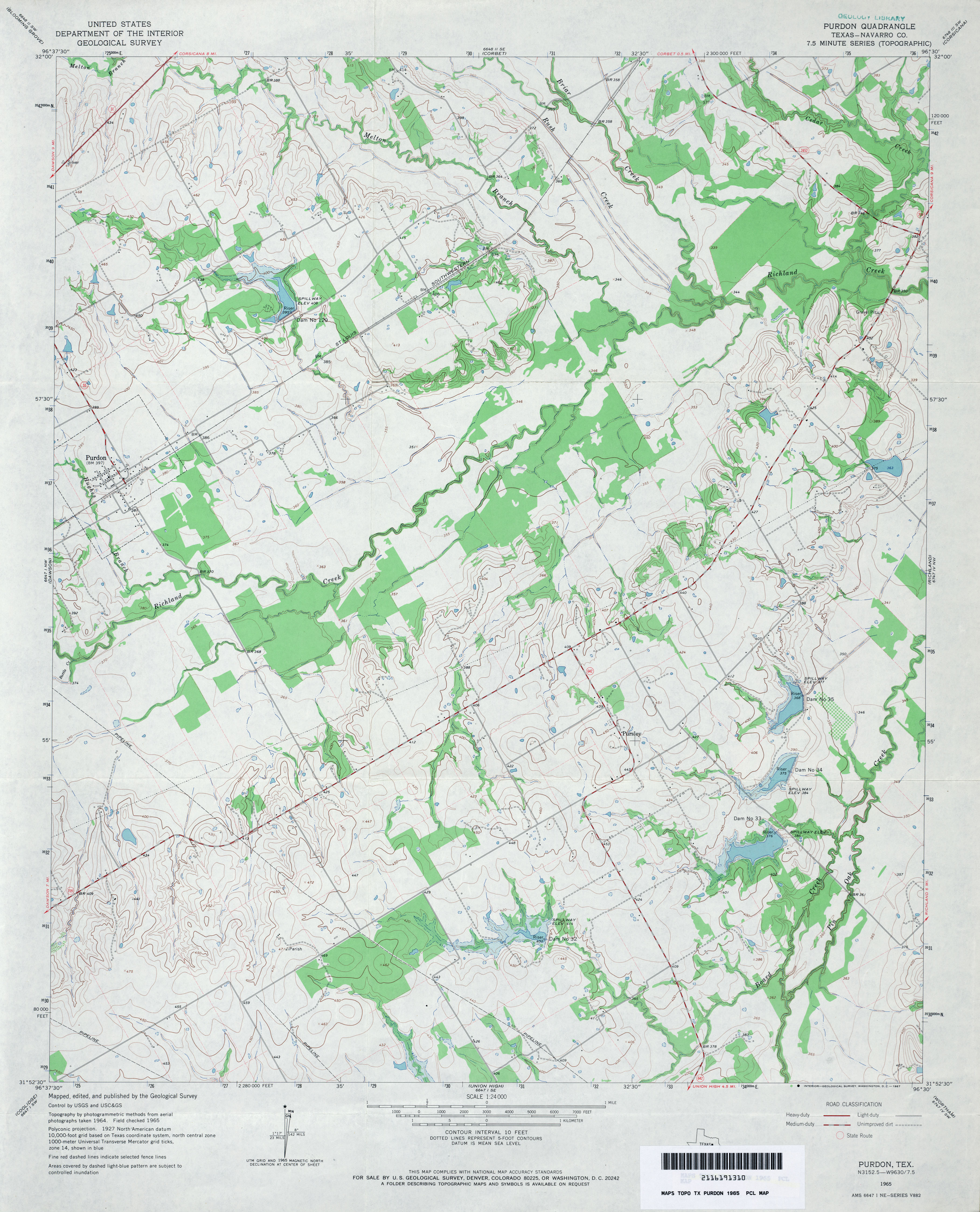
- Purdon (Navarro County) 1:24,000 1965 (3.5MB)
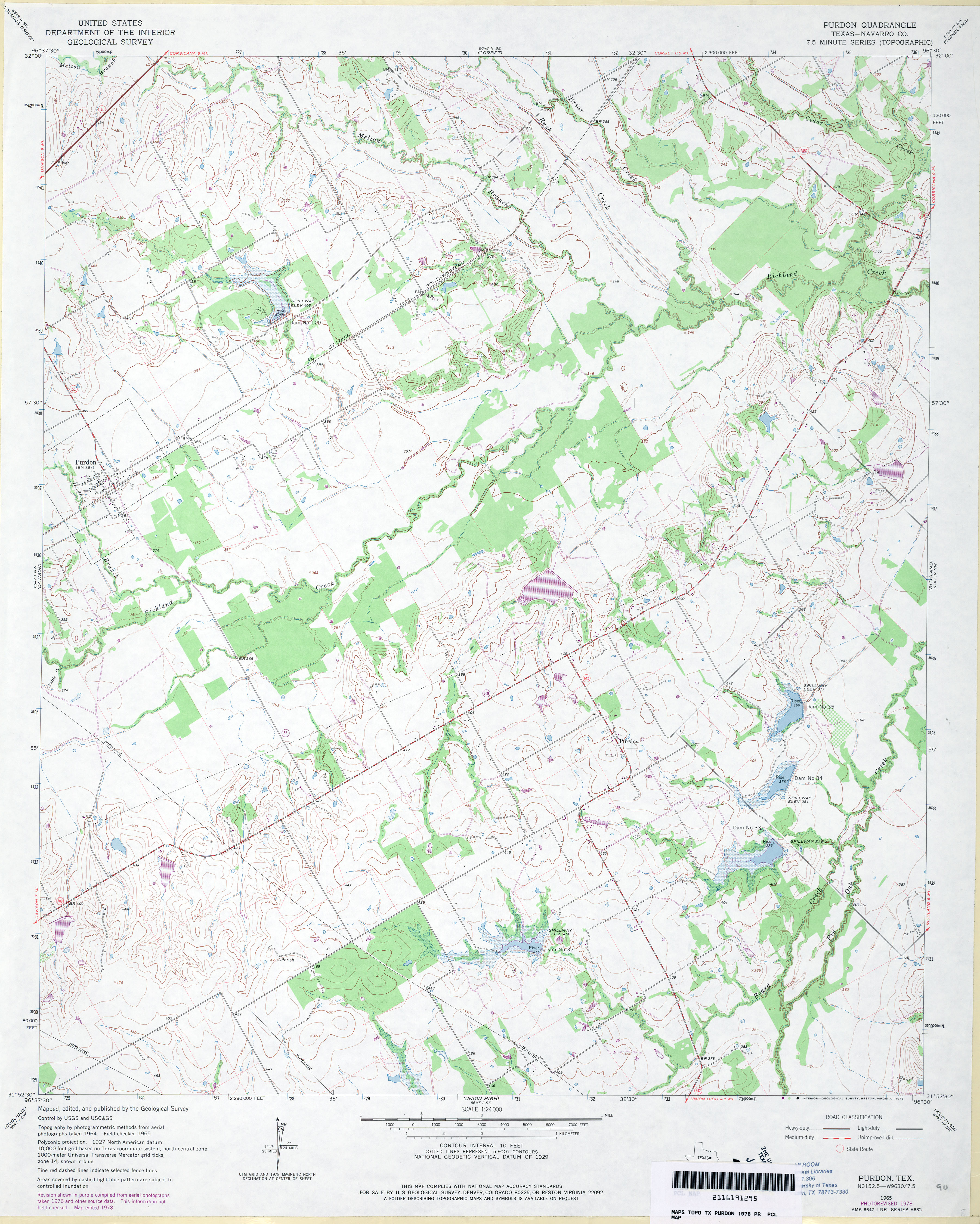
- Purdon (Navarro County) 1:24,000 1978 (3.7MB)
- Purdon 1:24,000 2008 (14.7MB) [GeoPDF]
- Purdon 1:24,000 2013 (20MB) [GeoPDF]
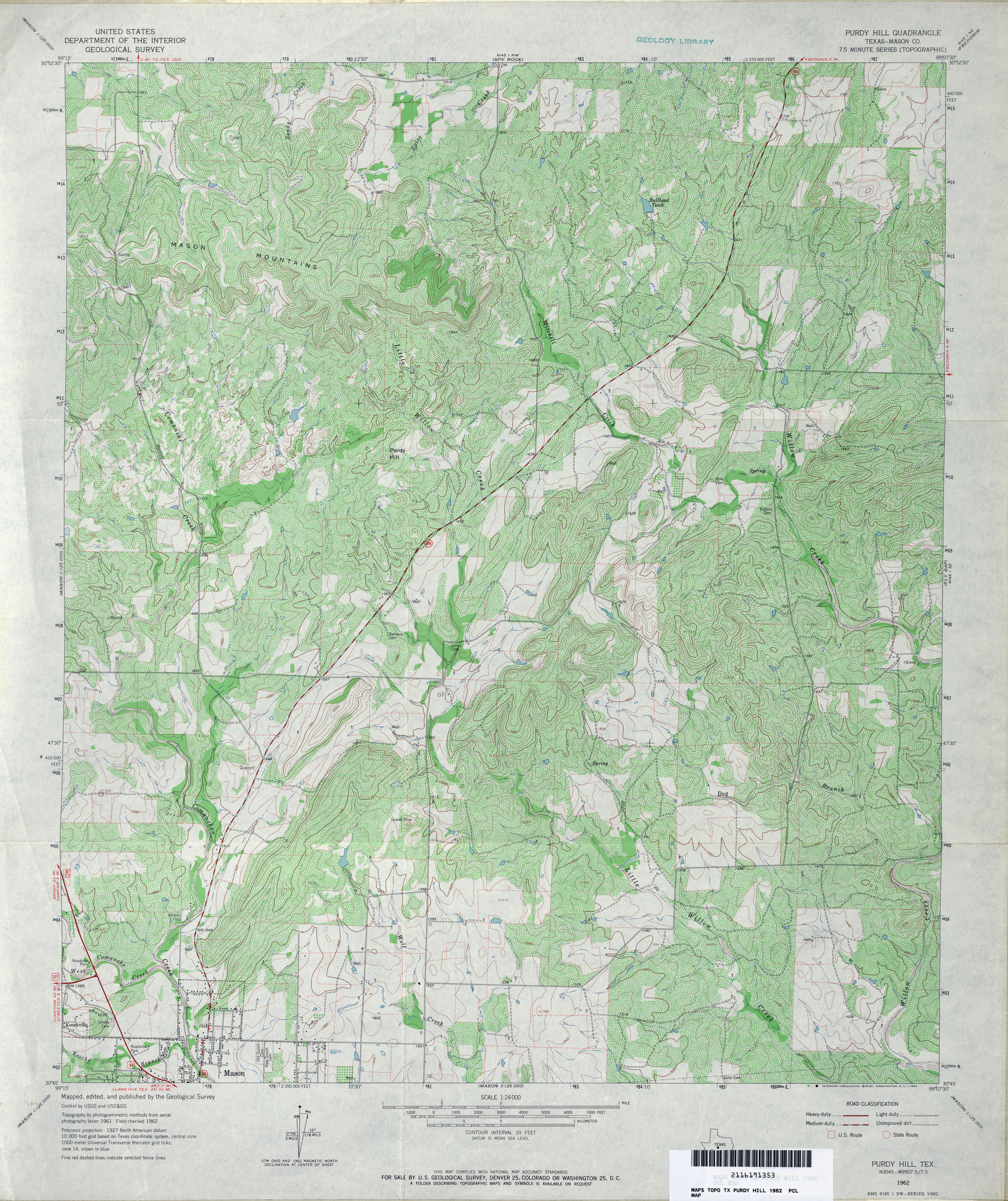
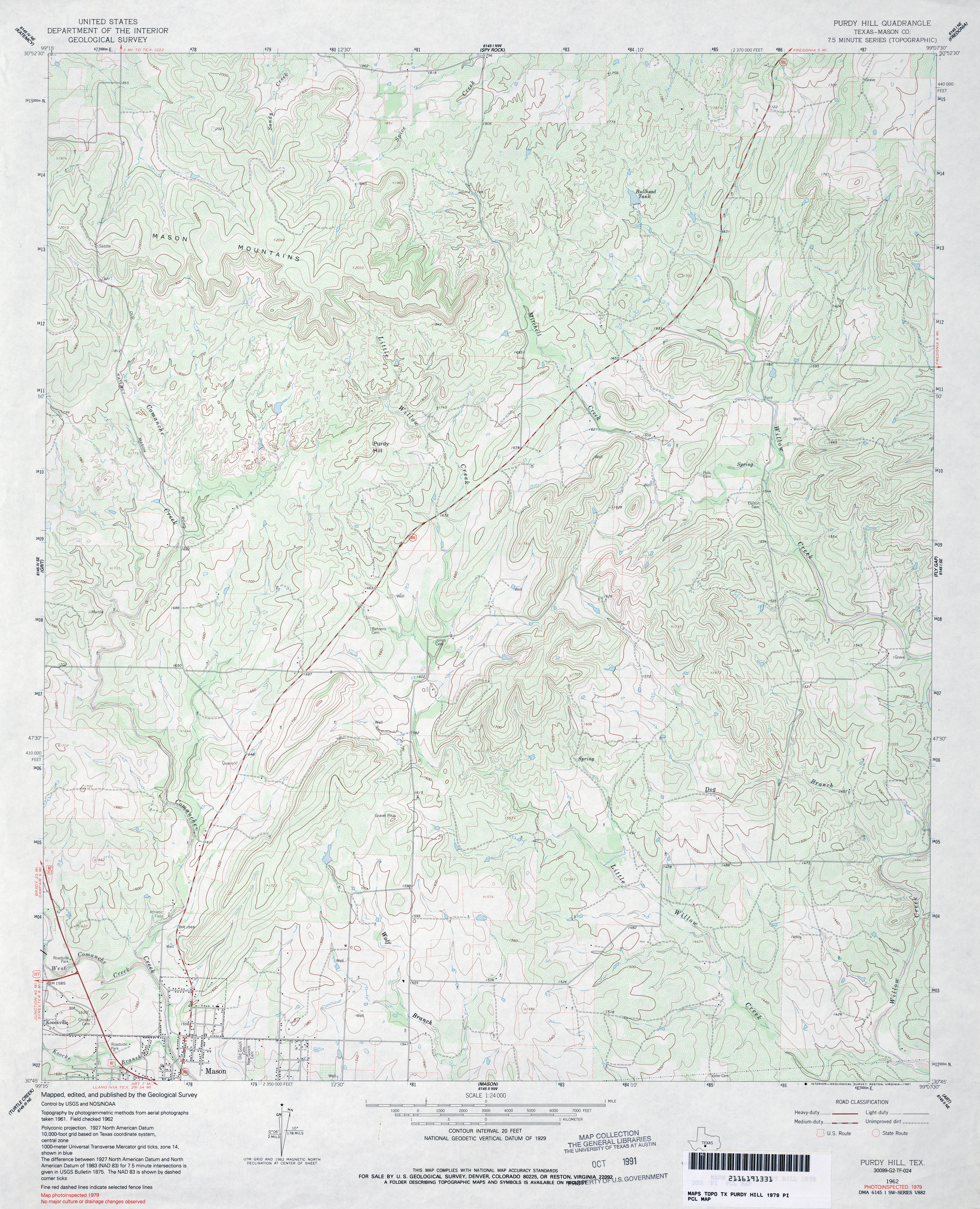
- Purdy Hill (Mason County) 1:24,000 1962 (5.8MB)
- Purdy Hill (Mason County) 1:24,000 1979 (4.6MB)
- Purdy Hill 1:24,000 2008 (23.0MB) [GeoPDF]
- Purdy Hill 1:24,000 2012 (24.9MB) [GeoPDF]
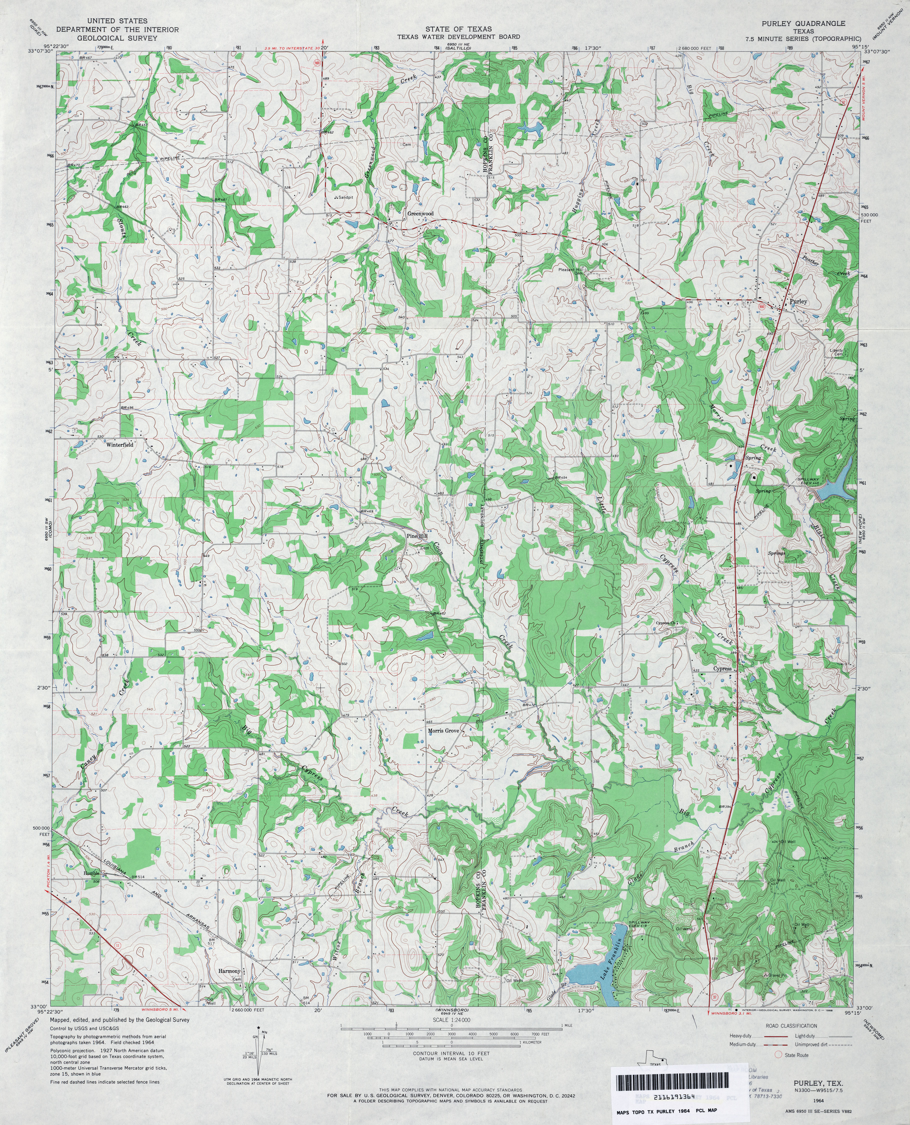
- Purley 1:24,000 1964 (4.2MB)
- Purley 1:24,000 2009 (16.2MB) [GeoPDF]
- Purley 1:24,000 2013 (22.4MB) [GeoPDF]
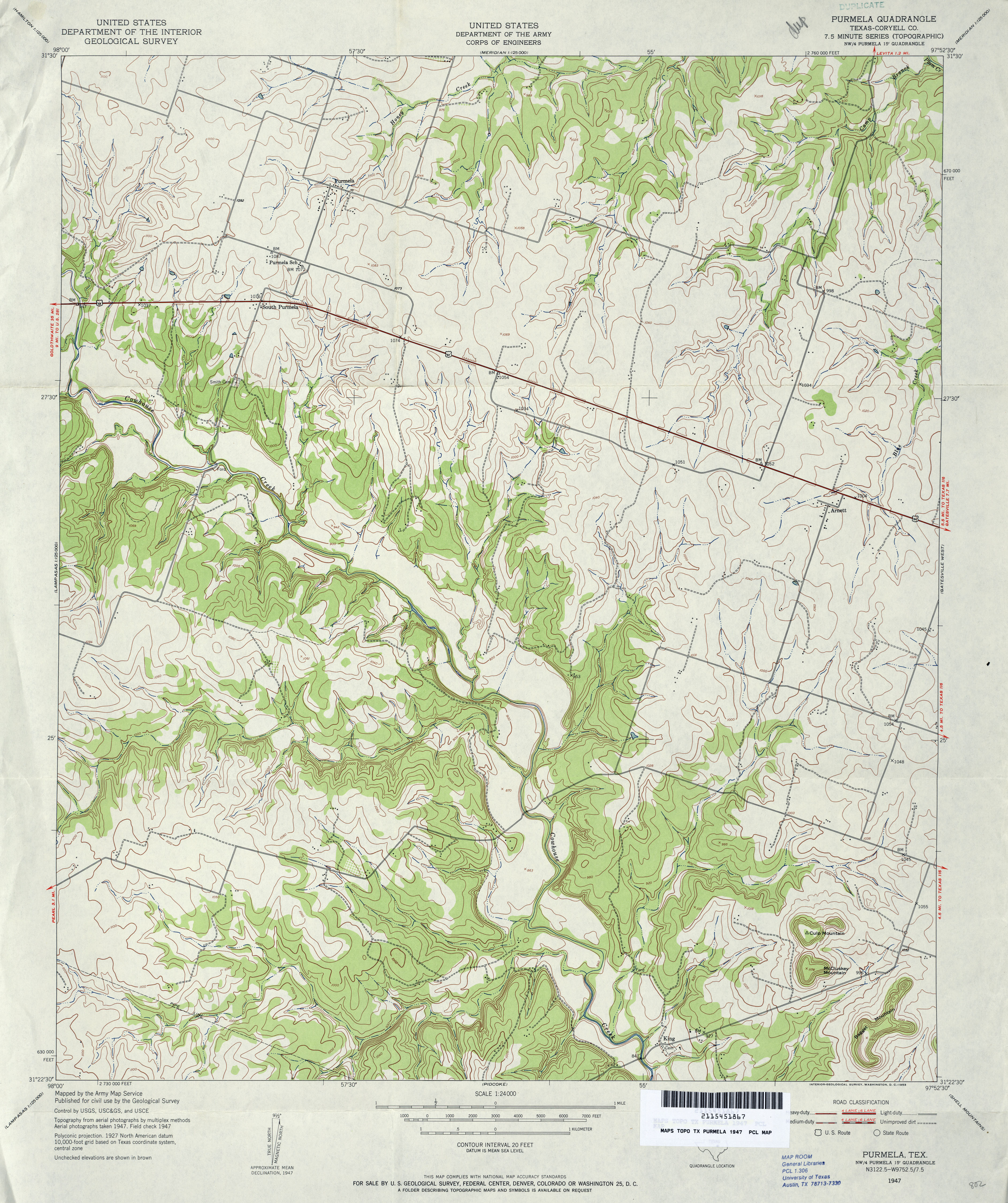
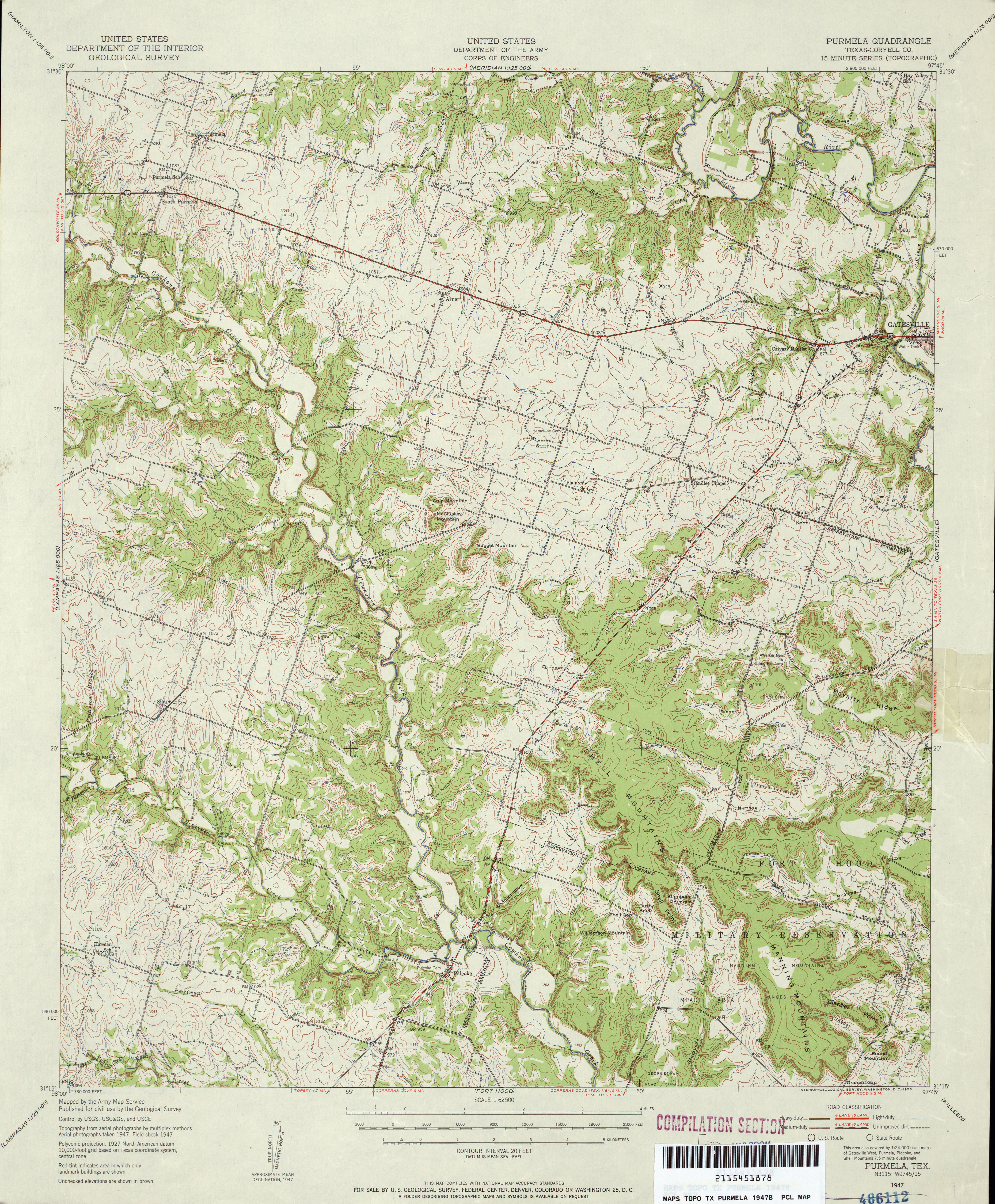
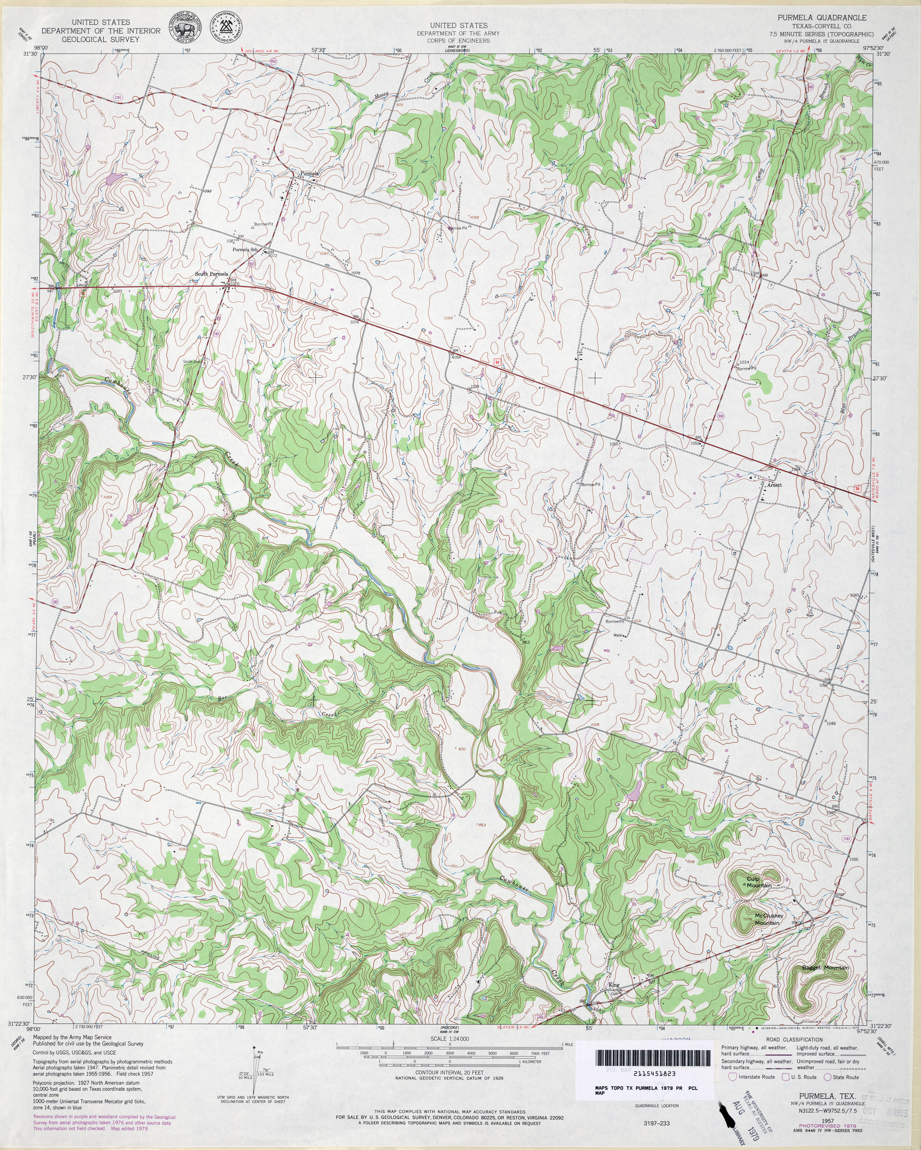
- Purmela (Coryell County) 1:24,000 1947 (4.1MB) U.S. Department of the Army Corps of Engineers
- Purmela (Coryell County) 1:62,500 1947 (5.1MB) U.S. Department of the Army Corps of Engineers
- Purmela (Coryell County) 1:24,000 1957 (4.3MB) U.S. Department of the Army Corps of Engineers
- Purmela (Coryell County) 1:62,500 1958 (5.2MB)
- Purmela (Coryell County) 1:24,000 1979 (4.2MB)
- Purmela (Coryell County) 1:24,000 1995 (3.5MB)
- Purmela 1:24,000 2008 (15.0MB) [GeoPDF]
- Purmela 1:24,000 2012 (21.4MB) [GeoPDF]
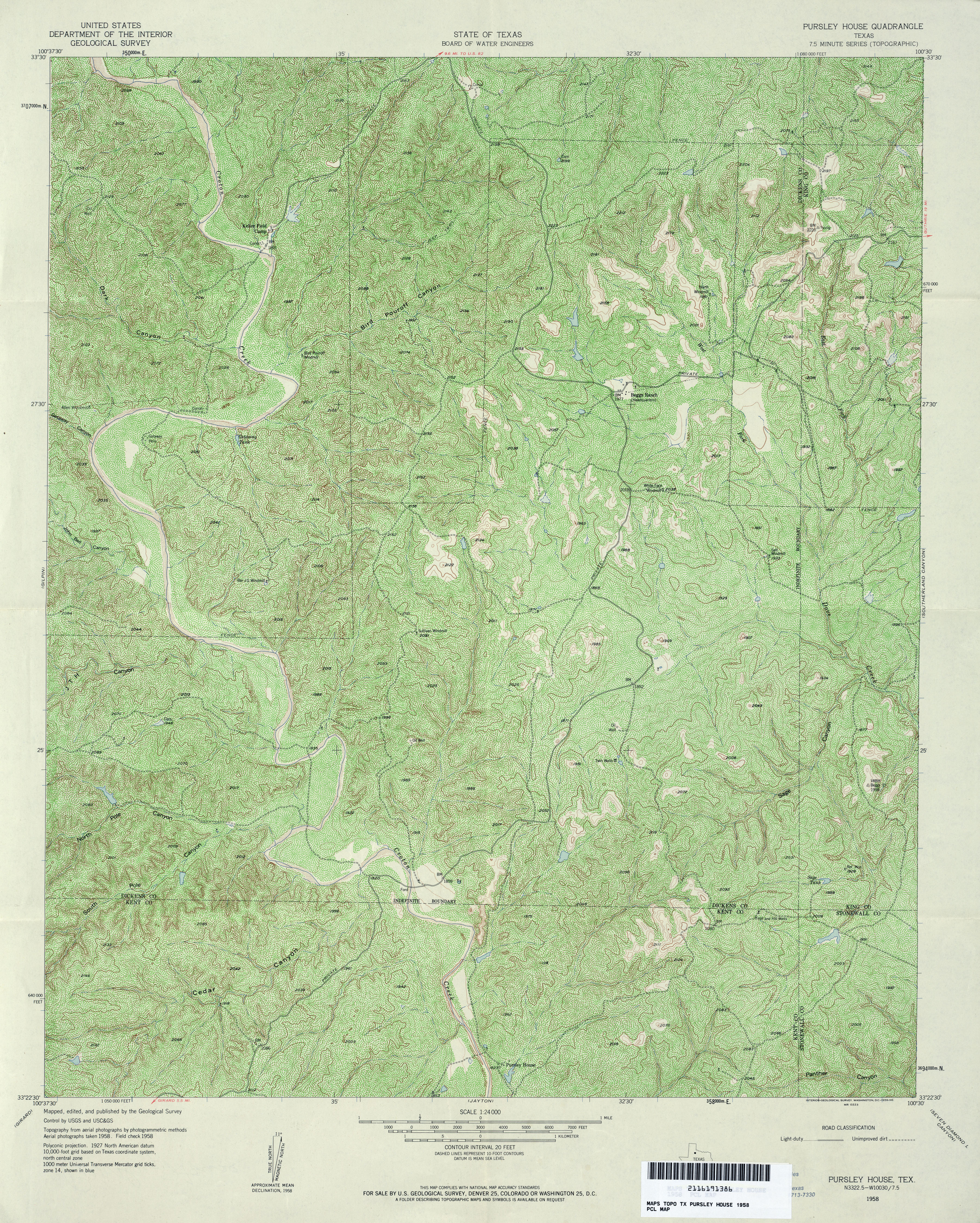
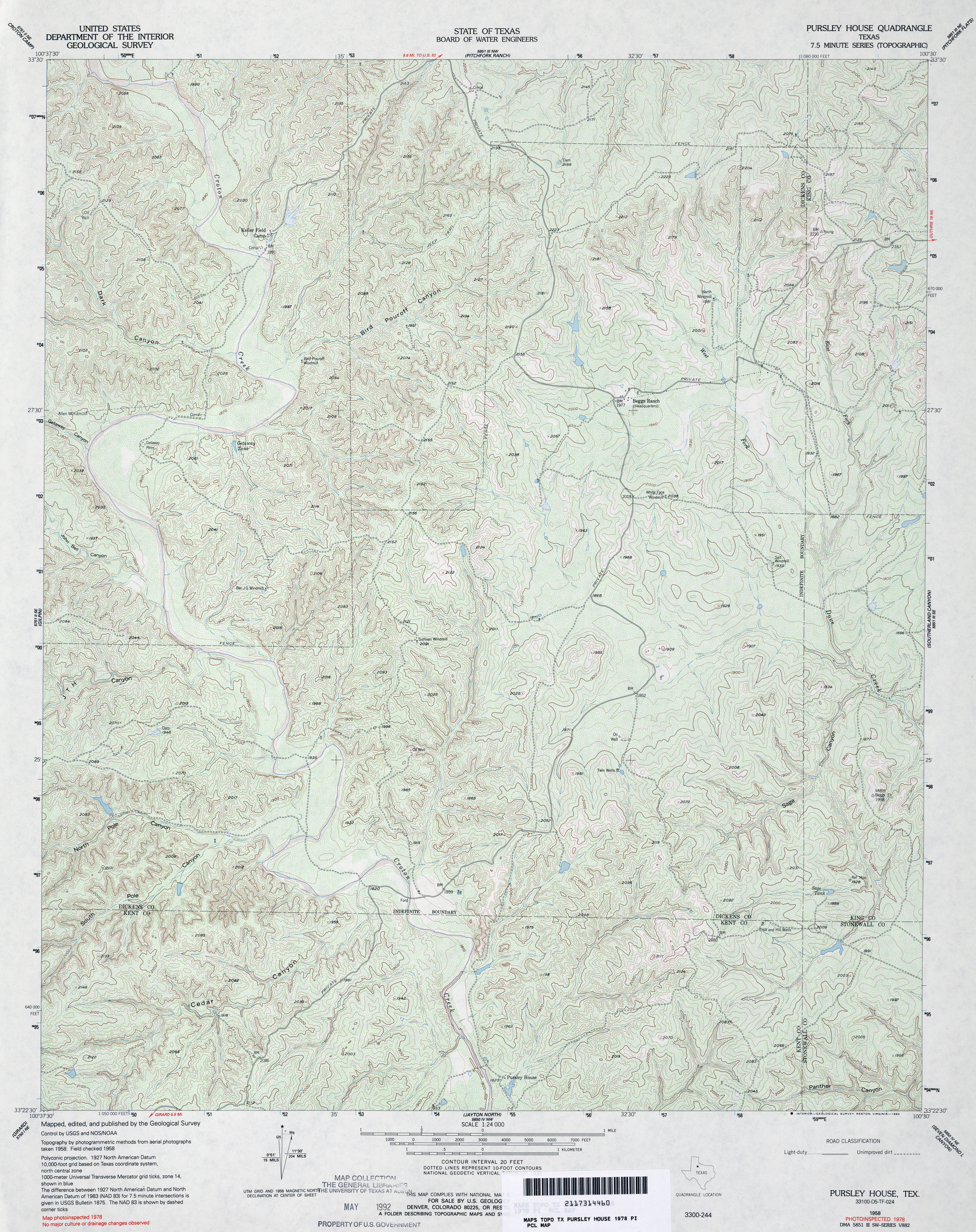
- Pursley House 1:24,000 1958 (6.6MB)
- Pursley House 1:24,000 1978 (5.5MB)
- Pursley House 1:24,000 2008 (19.0MB) [GeoPDF]
- Pursley House 1:24,000 2012 (24.8MB) [GeoPDF]
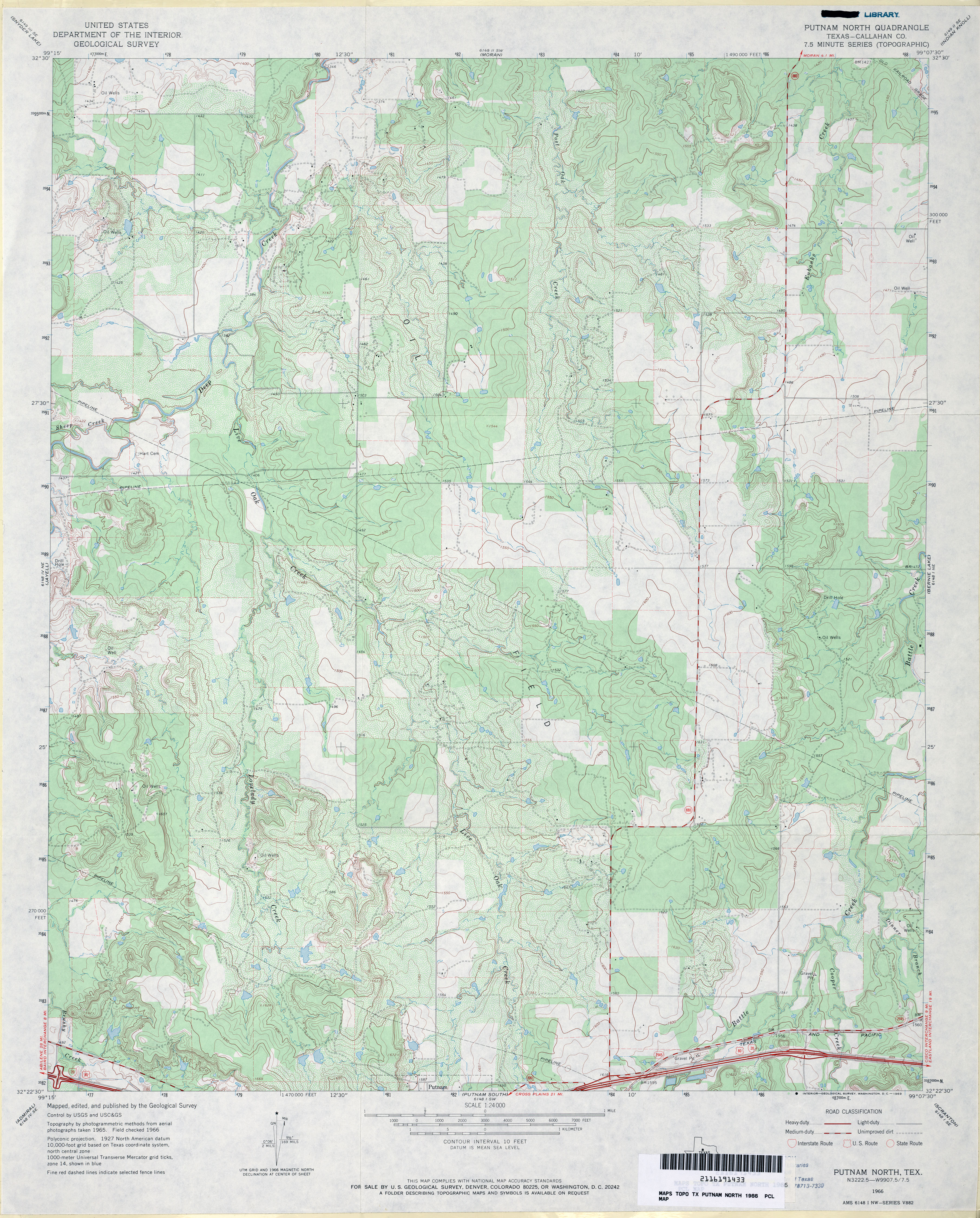
- Putnam North (Callahan County) 1:24,000 1966 (4.2MB)
- Putnam North 1:24,000 2008 (15.4MB) [GeoPDF]
- Putnam North 1:24,000 2012 (23.3MB) [GeoPDF]
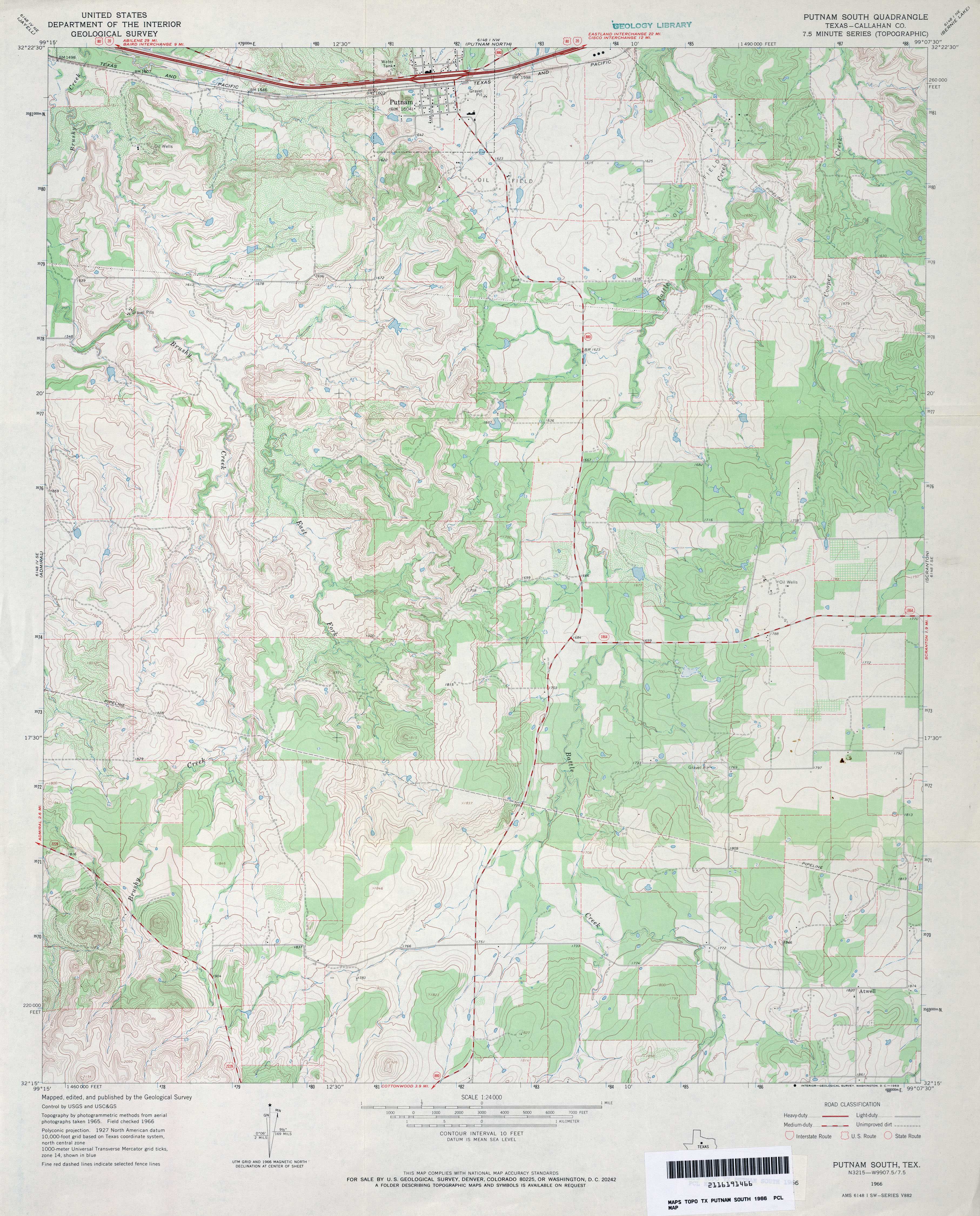
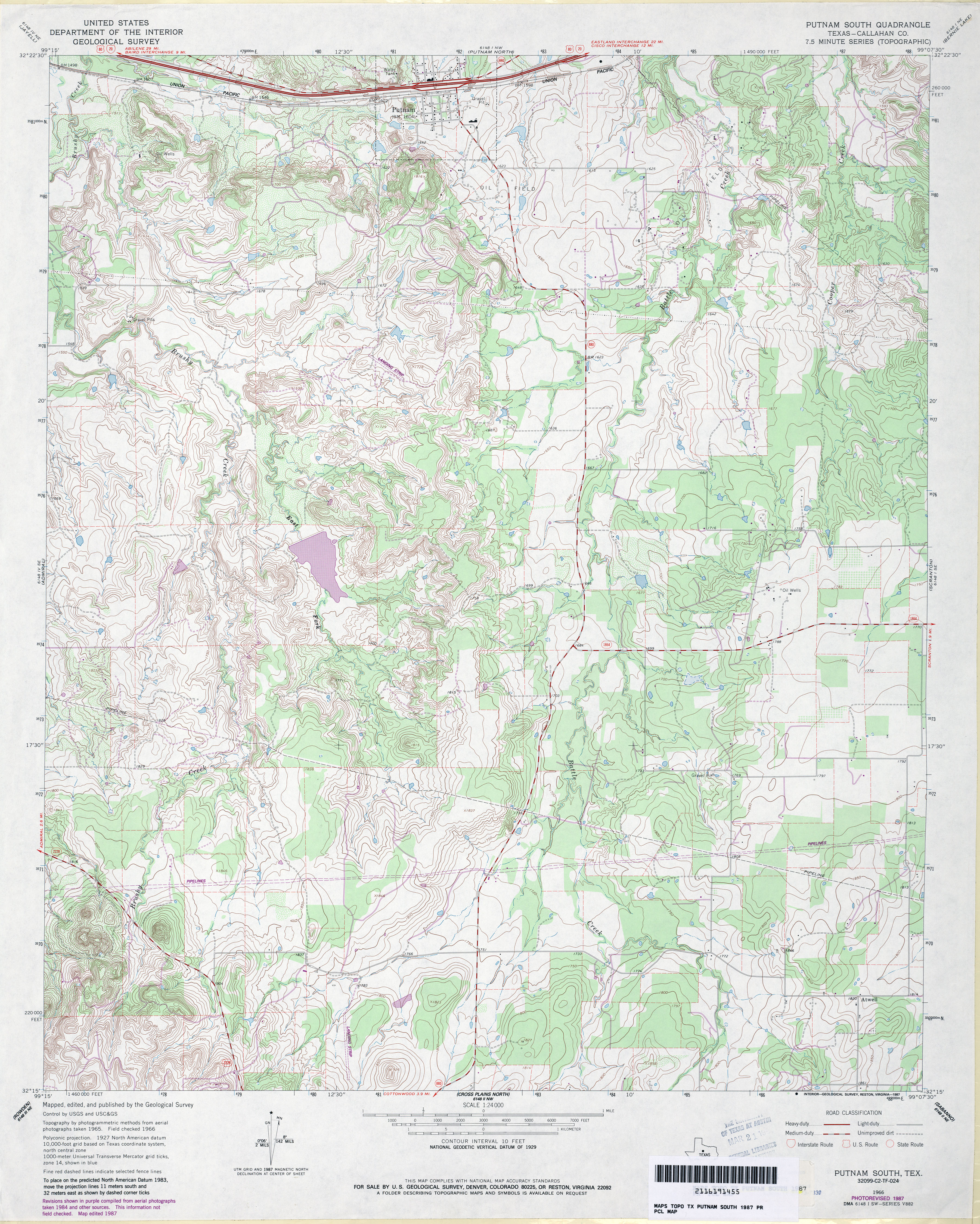
- Putnam South (Callahan County) 1:24,000 1966 (3.9MB)
- Putnam South (Callahan County) 1:24,000 1987 (4.8MB)
- Putnam South 1:24,000 2008 (17.8MB) [GeoPDF]
- Putnam South 1:24,000 2012 (24.9MB) [GeoPDF]
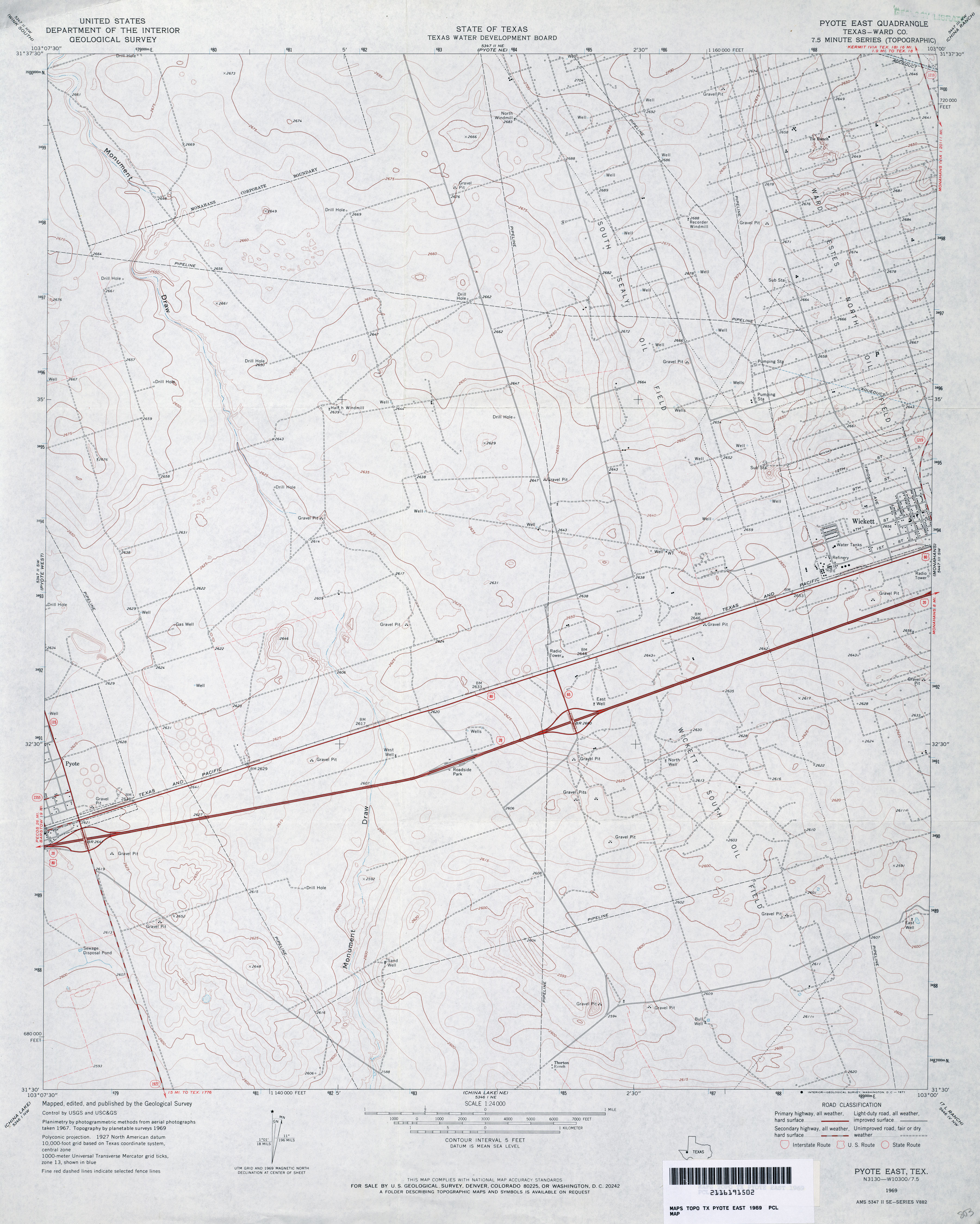
- Pyote East (Ward County) 1:24,000 1969 (3.1MB)
- Pyote East (Ward County) 1:24,000 1981 (3.2MB)
- Pyote East 1:24,000 2008 (22.3MB) [GeoPDF]
- Pyote East 1:24,000 2013 (23.3MB) [GeoPDF]
- Pyote NE 1:24,000 1969 (3.7MB)
- Pyote NE 1:24,000 2008 (21.3MB) [GeoPDF]
- Pyote NE 1:24,000 2012 (21.8MB) [GeoPDF]
- Pyote West (Ward County) 1:24,000 1969 (3MB)
- Pyote West (Ward County) 1:24,000 1981 (3.3MB)
- Pyote West 1:24,000 2008 (MB) [GeoPDF]
- Pyote West 1:24,000 2012 (25.5MB) [GeoPDF]
Return to the top