Finding Information > PCL Map Collection > Texas Topographic Maps';
$menuitems='
Maps
Maps FAQ

Map Room Guide
World
Africa
Americas
Asia
Australia/Pacific
Europe
Middle East
Polar/Oceans
Russia/Republics
U.S.
Texas
Historical
Thematic
Topographic
Other Map Sites
Map Sites
Map Dealers
Cartographic Reference
City Map Sites
Country Map Sites
Historical Map Sites
Outline Map Sites
Route Planning Sites
State Map Sites
Topical Map Sites
Weather Map Sites
';
include('2nd-surround.php');
?>
Perry-Castañeda Library
Map Collection
Texas Topographic Maps
Maps in this online collection are from the Perry-Castañeda Library, Walter Geology Library and Dolph Briscoe Center for American History at the University of Texas at Austin as well as the Texas State Library. All maps on this site were published by the U.S. Geological Survey unless otherwise noted and are in the public domain. The date given for each map is the date of latest survey. The Geographic Names Information System allows searches of geographic names to determine which map sheets they appear on. Indexes are available for Texas - East and Texas - West for the 1:24,000 map series. Maps published prior to 1923 are on the Texas Historical Topographic Map Index. More information about these maps is available on the Topographic Maps Home Page.Note: To fully view the GeoPDF files use Adobe Reader as your default PDF viewer or download the files and open them within Adobe Reader.
A,
B,
C,
D,
E,
F,
G,
H,
I,
J,
K,
L,
M,
N,
O,
P,
Q,
R,
S,
T,
U,
V,
W,
X,
Y,
Z
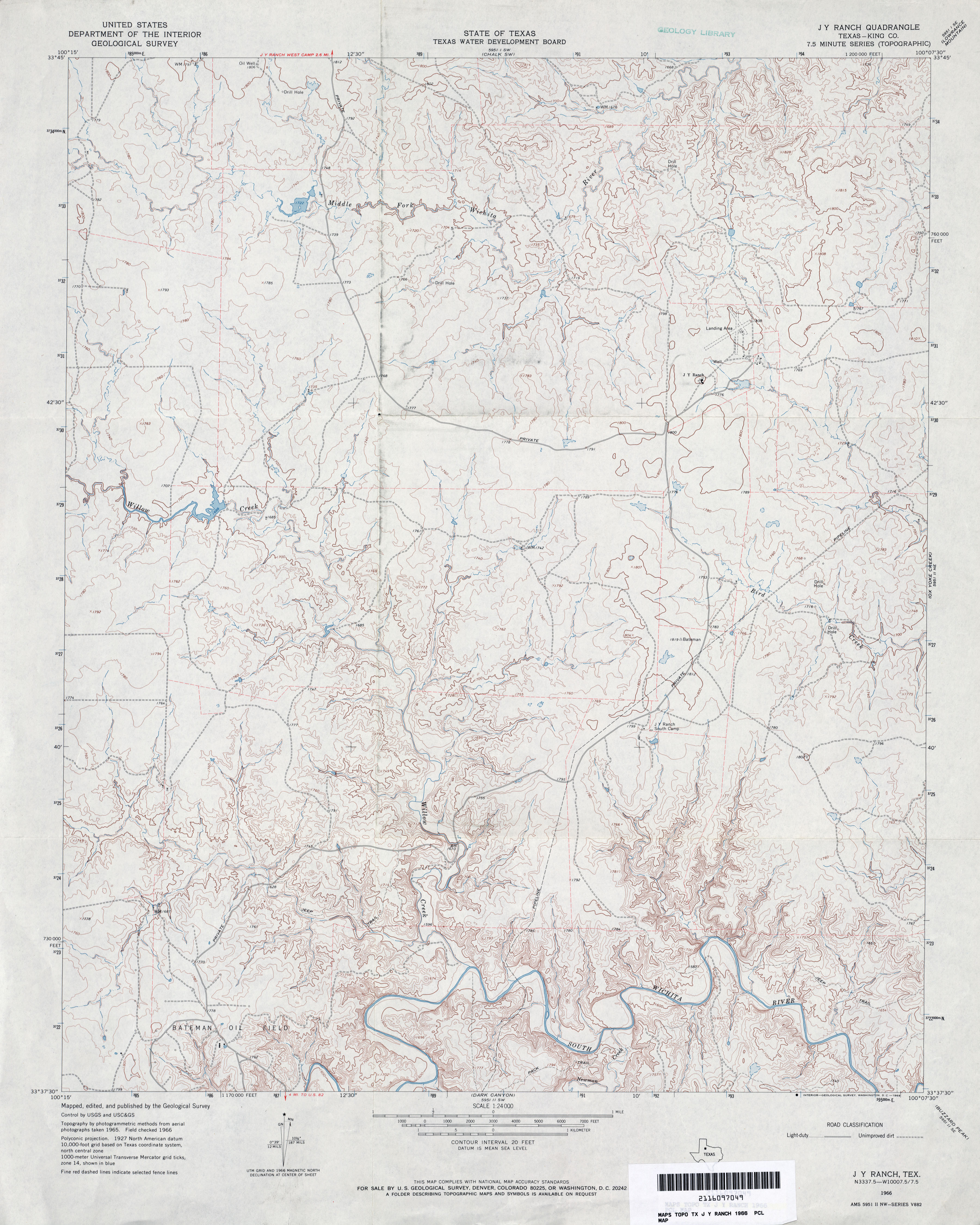
- J Y Ranch (King County) 1:24,000 1966 (3.4MB)
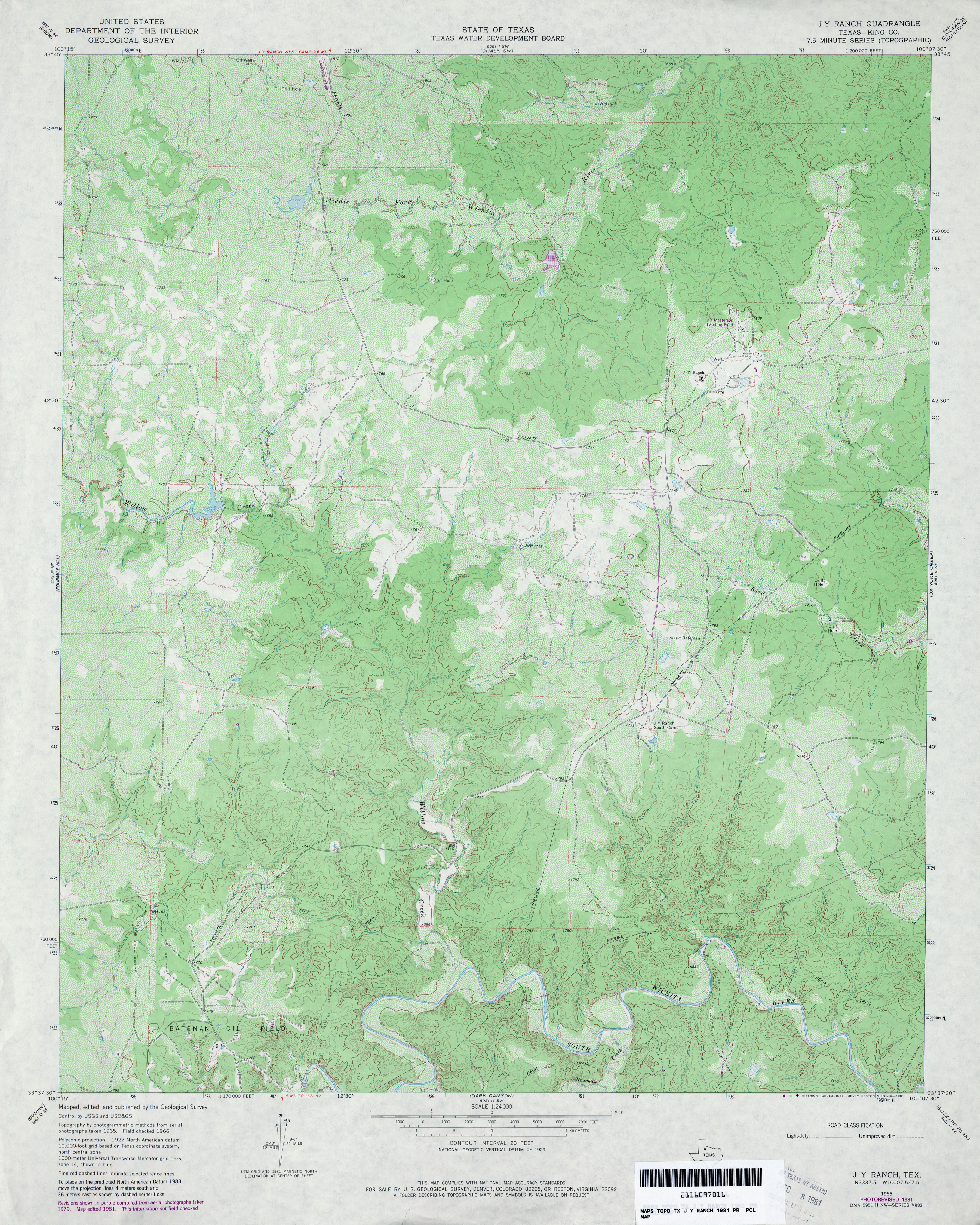
- J Y Ranch (King County) 1:24,000 1981 (4.3MB)
- J Y Ranch 1:24,000 2008 (17.2MB) [GeoPDF]
- J Y Ranch 1:24,000 2012 (24.7MB) [GeoPDF]
- [Jacinto City] Fauna (Harris County) 1:31,680 1916 (2.8 MB)
- [Jacinto City] Fauna 1:25,000 1947 (2.9MB) U.S. Army Mapping Service, Series V882.
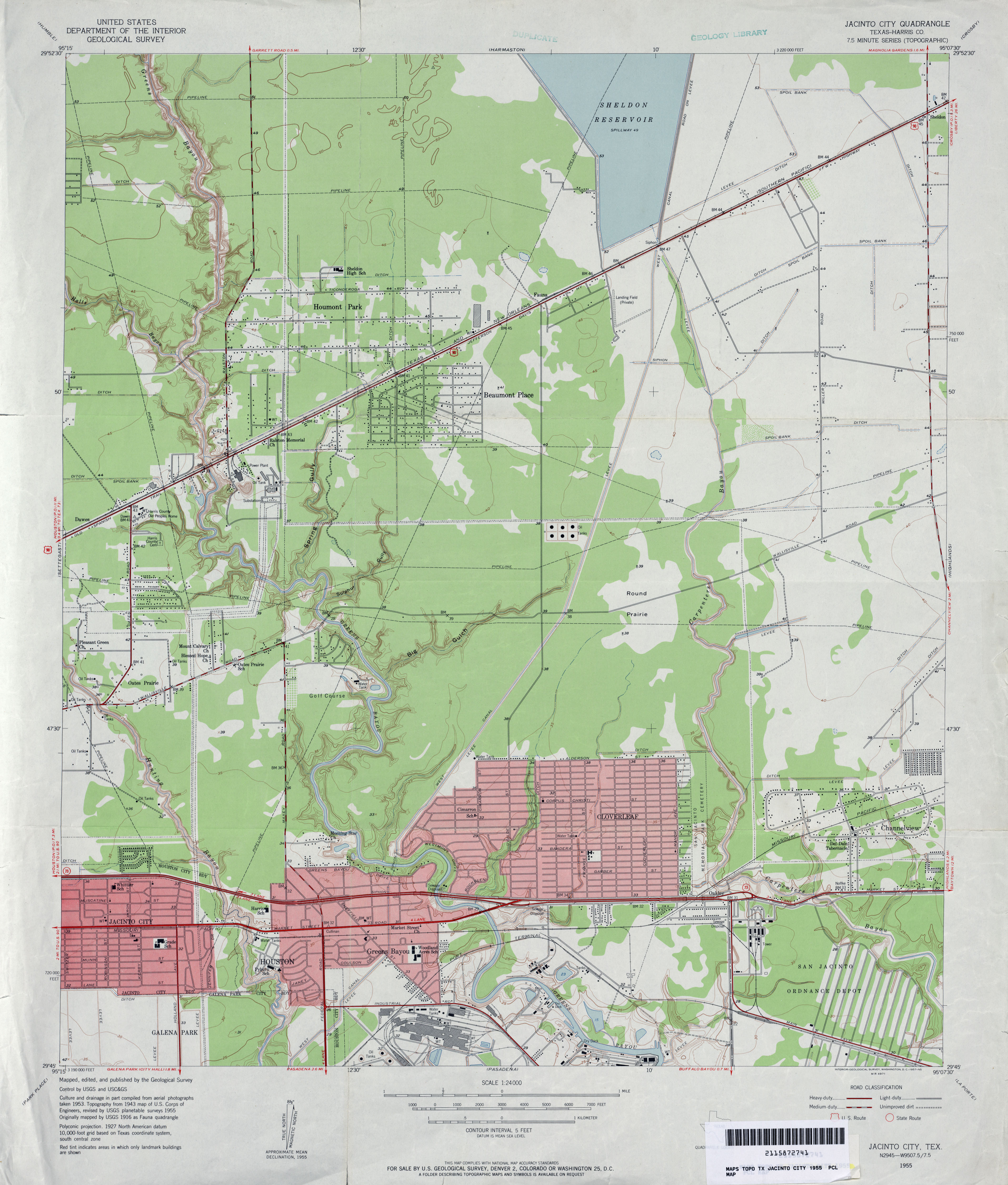
- Jacinto City (Harris County) 1:24,000 1955 (3MB)
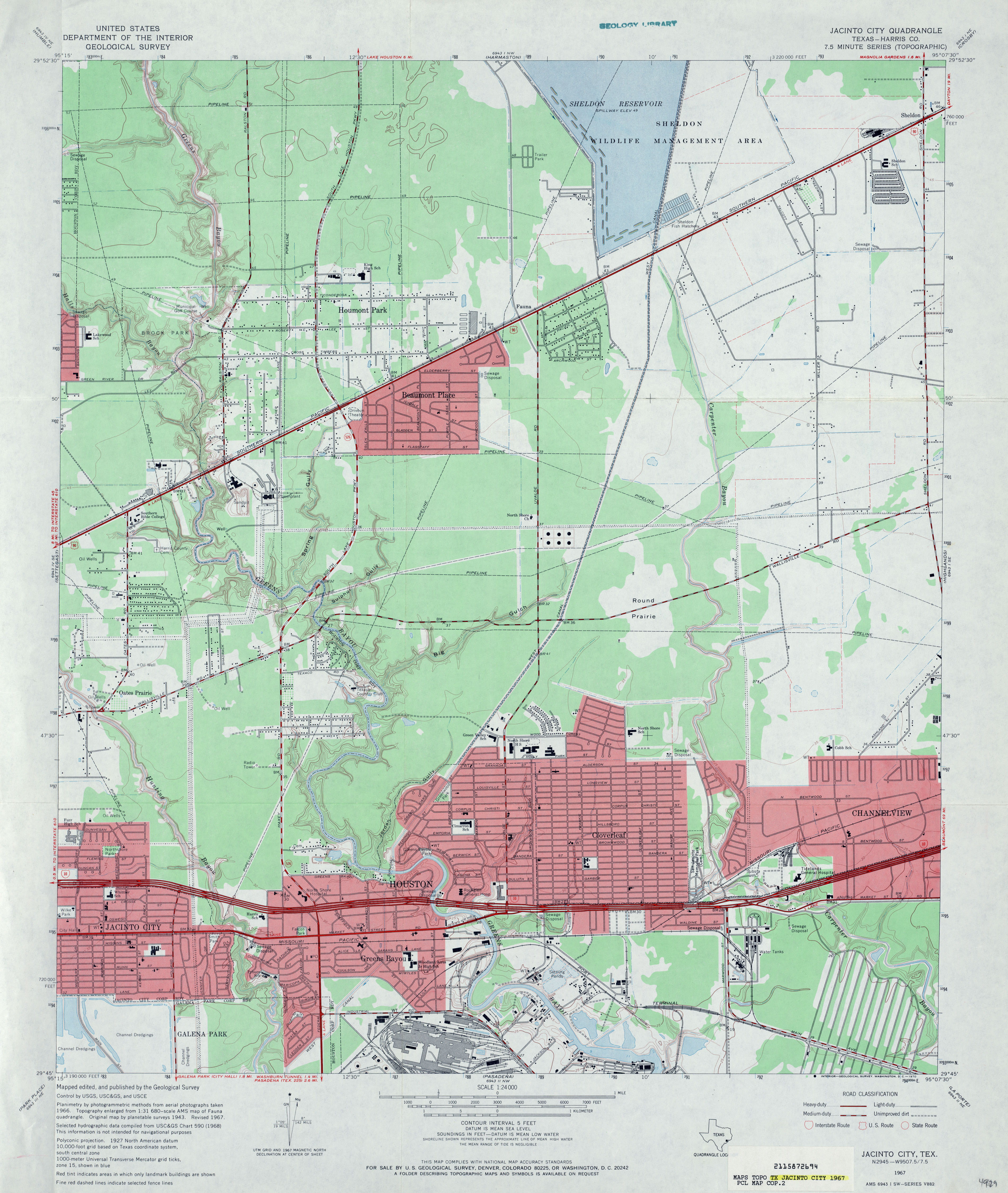
- Jacinto City (Harris County) 1:24,000 1967 (3.3MB)
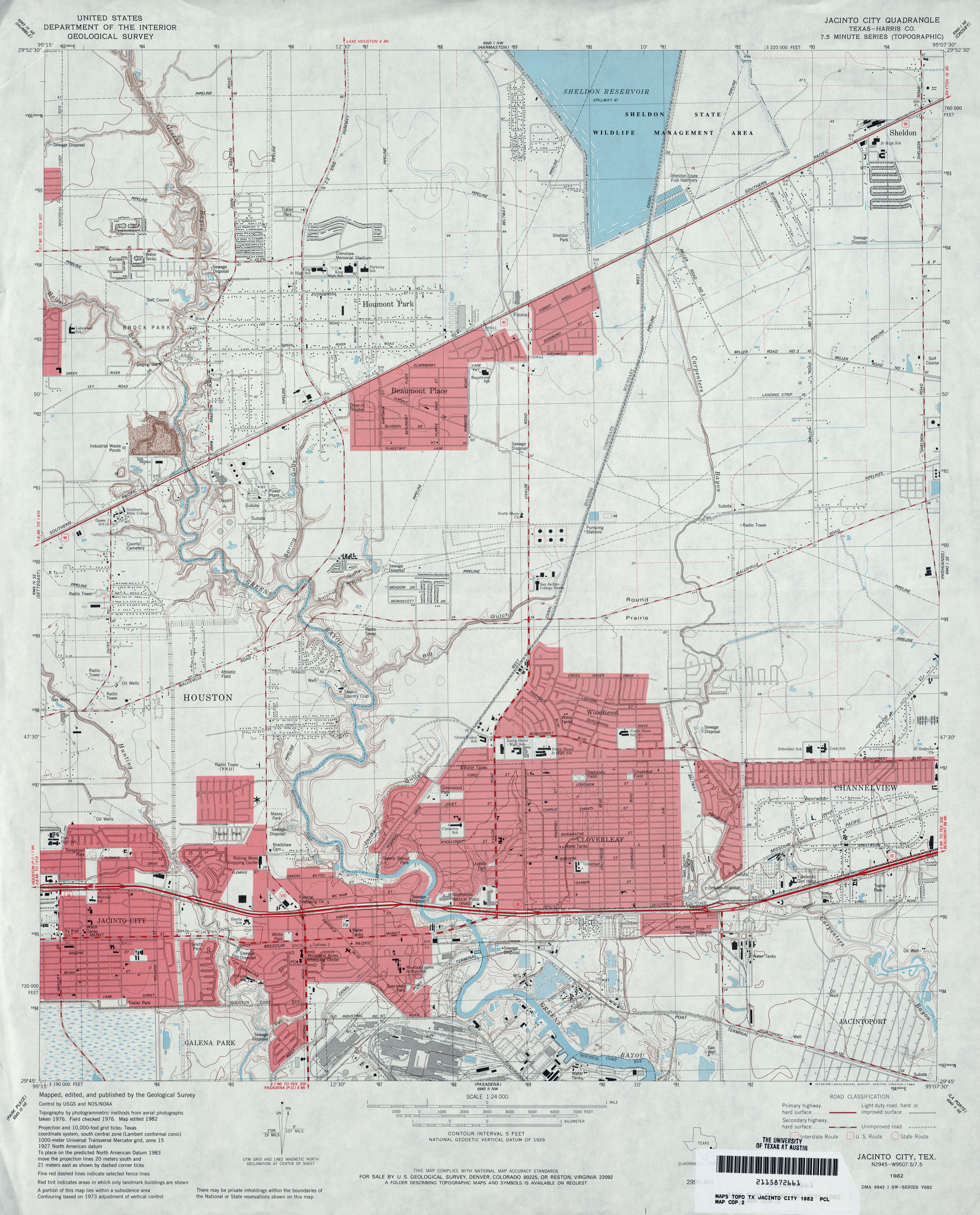
- Jacinto City (Harris County) 1:24,000 1982 (3.4MB)
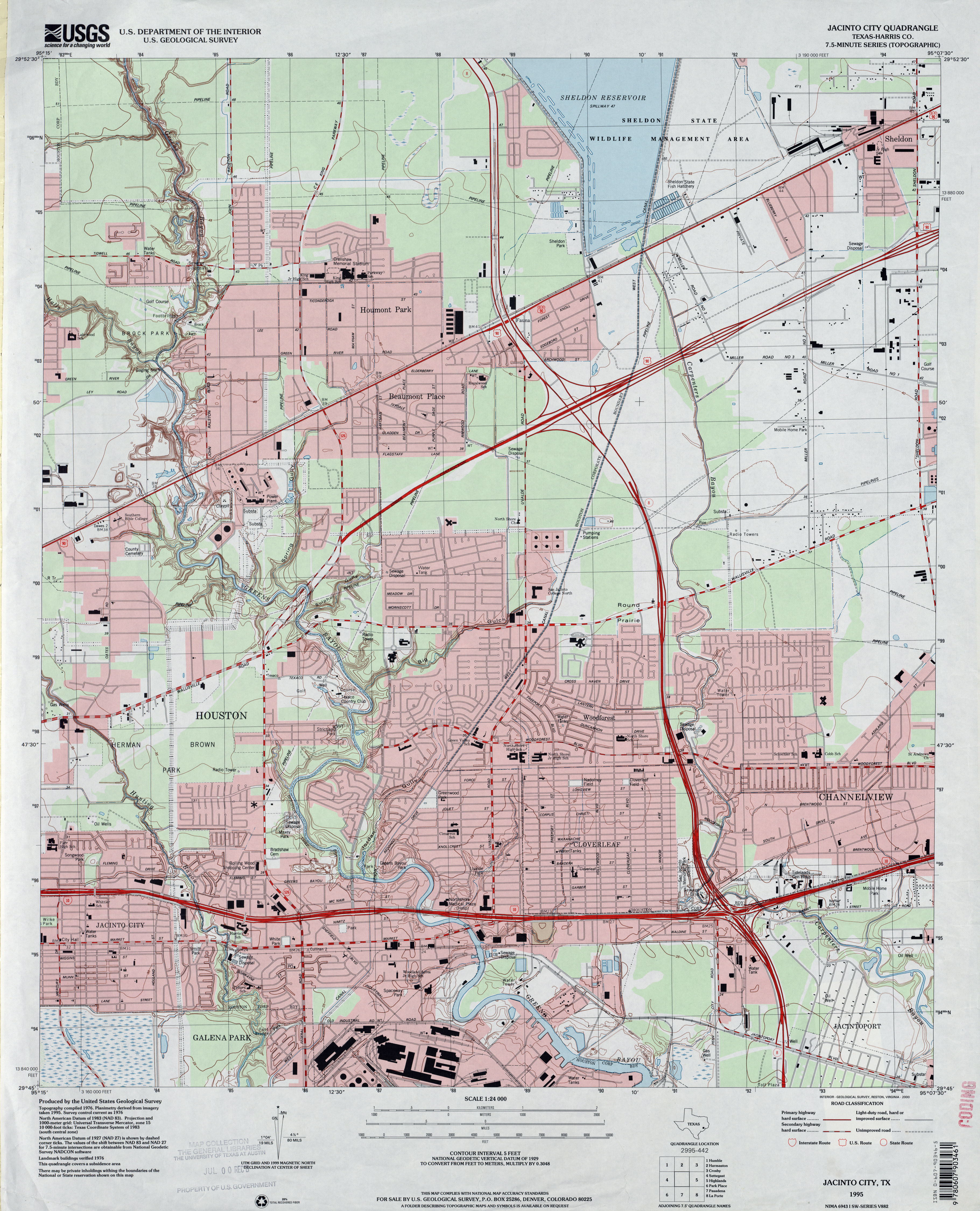
- Jacinto City (Harris County) 1:24,000 1995 (3.6MB)
- Jacinto City 1:24,000 2009 (23.7MB) [GeoPDF]
- Jacinto City (Harris County) 1:24,000 2013 (25.1MB) [GeoPDF]
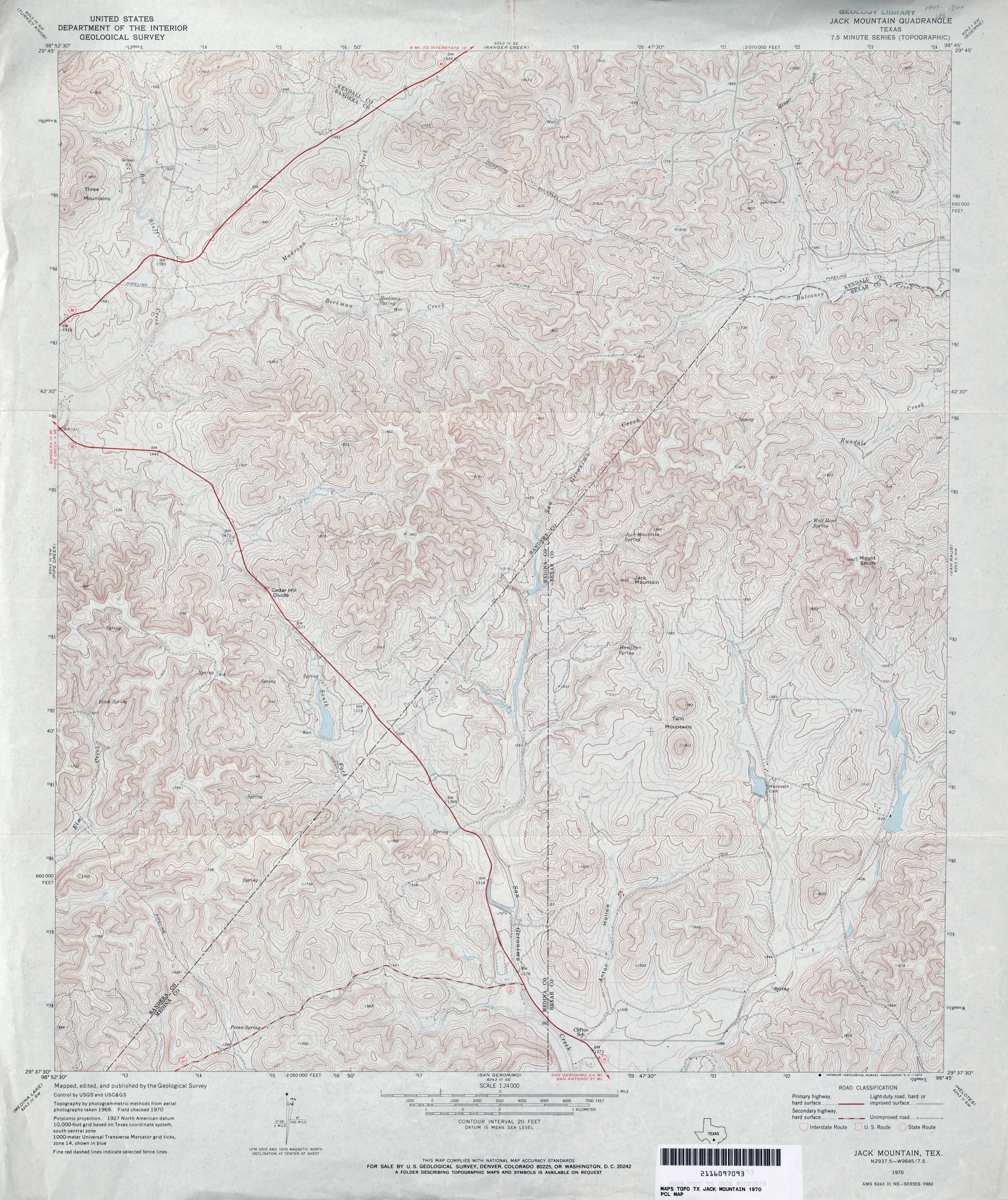
- Jack Mountain 1:24,000 1970 (4.6MB)
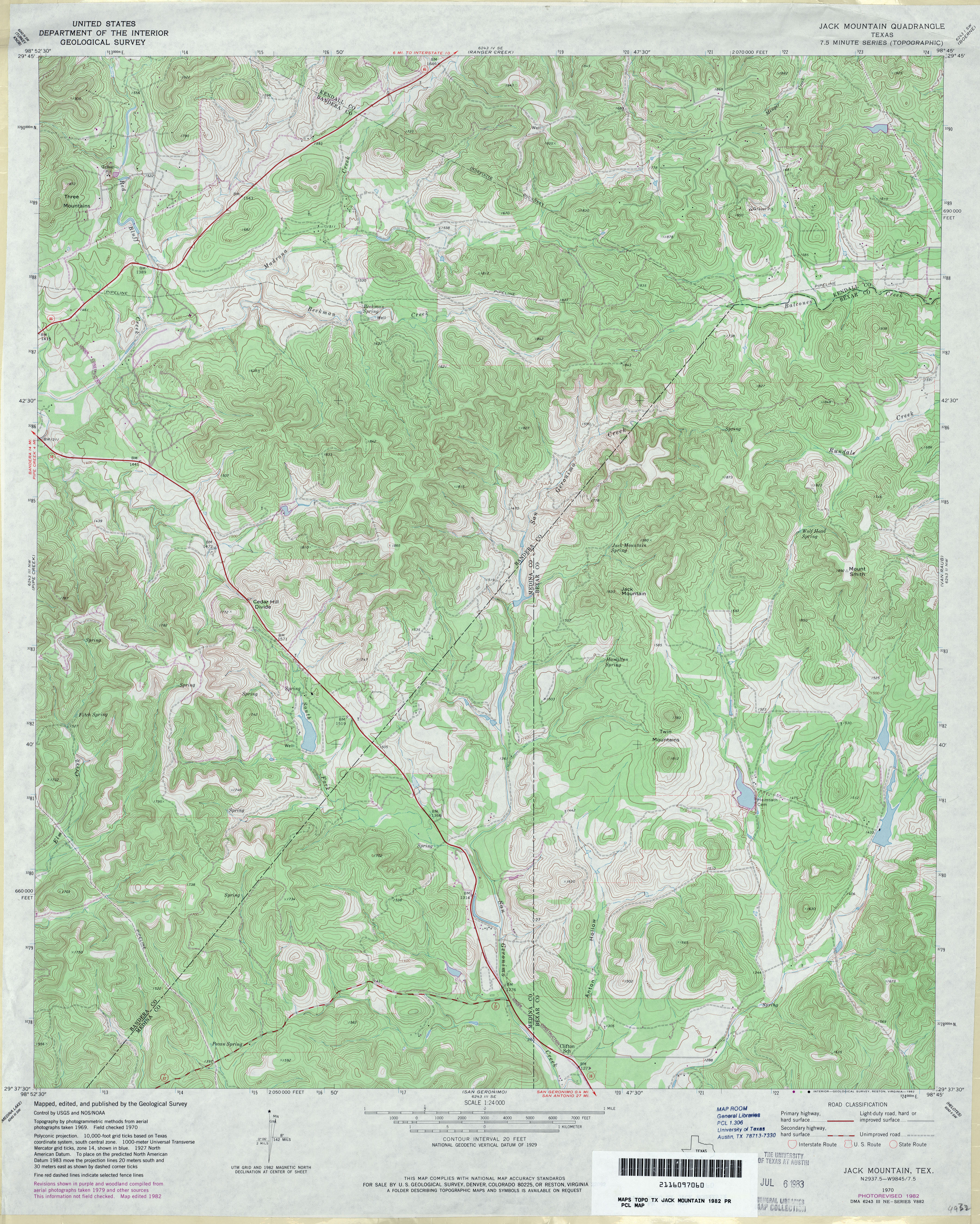
- Jack Mountain 1:24,000 1982 (4.8MB)
- Jack Mountain 1:24,000 2008 (23.0MB) [GeoPDF]
- Jack Mountain 1:24,000 2013 (29.8MB) [GeoPDF]
- Jacks Creek North 1:24,000 1984 (4MB)
- Jacks Creek North 1:24,000 2009 (24.9MB) [GeoPDF]
- Jacks Creek North 1:24,000 2013 (25.6MB) [GeoPDF]
- Jacks Creek South 1:24,000 1984 (3.7MB)
- Jacks Creek South 1:24,000 2009 (24.2MB) [GeoPDF]
- Jacks Creek South 1:24,000 2013 (25MB) [GeoPDF]
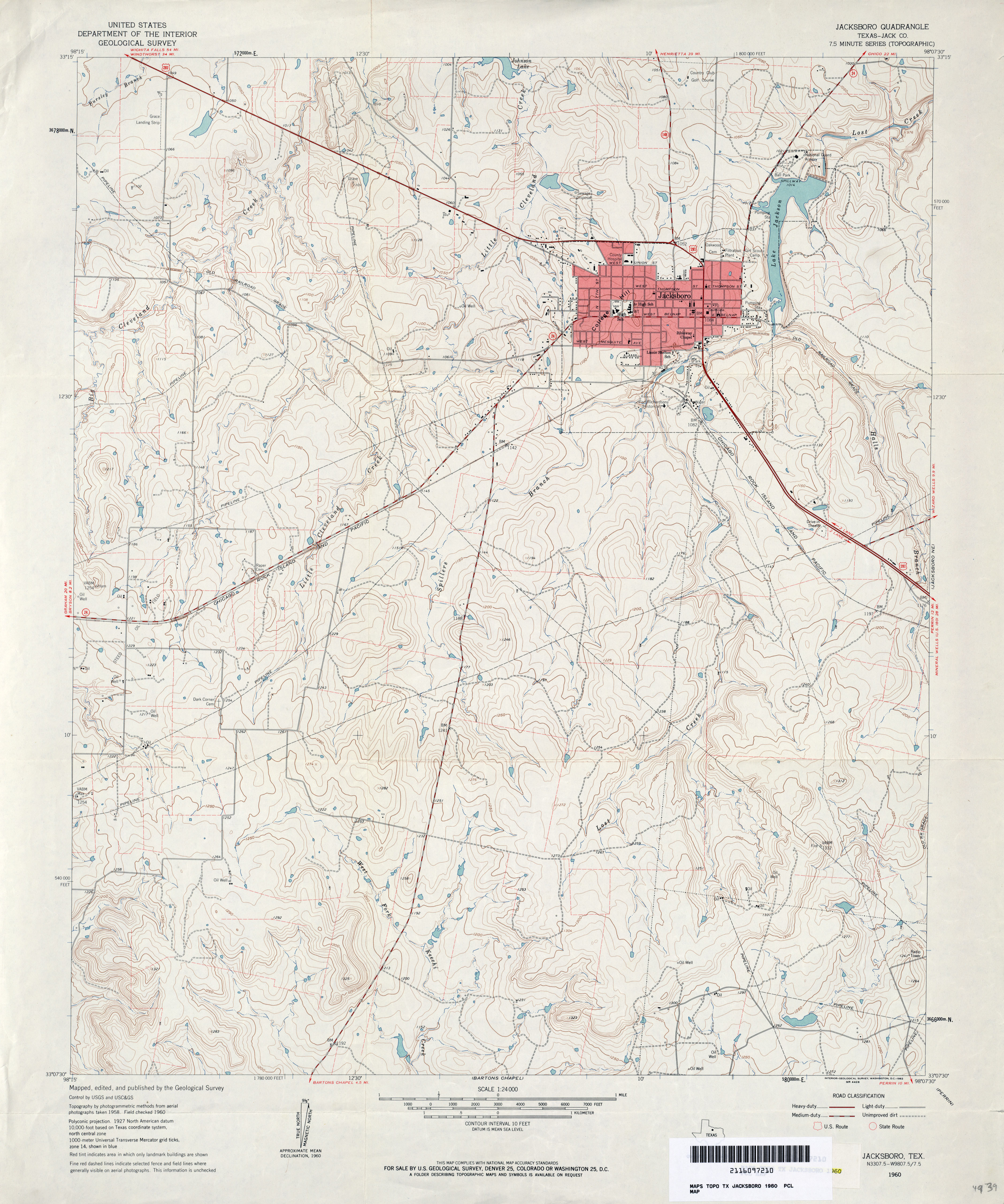
- Jacksboro (Jack County) 1:24,000 1960 (3.5MB)
- Jacksboro (Jack County) 1:24,000 1982 (4.3MB)
- Jacksboro 1:24,000 2012 (20.6MB) [GeoPDF]
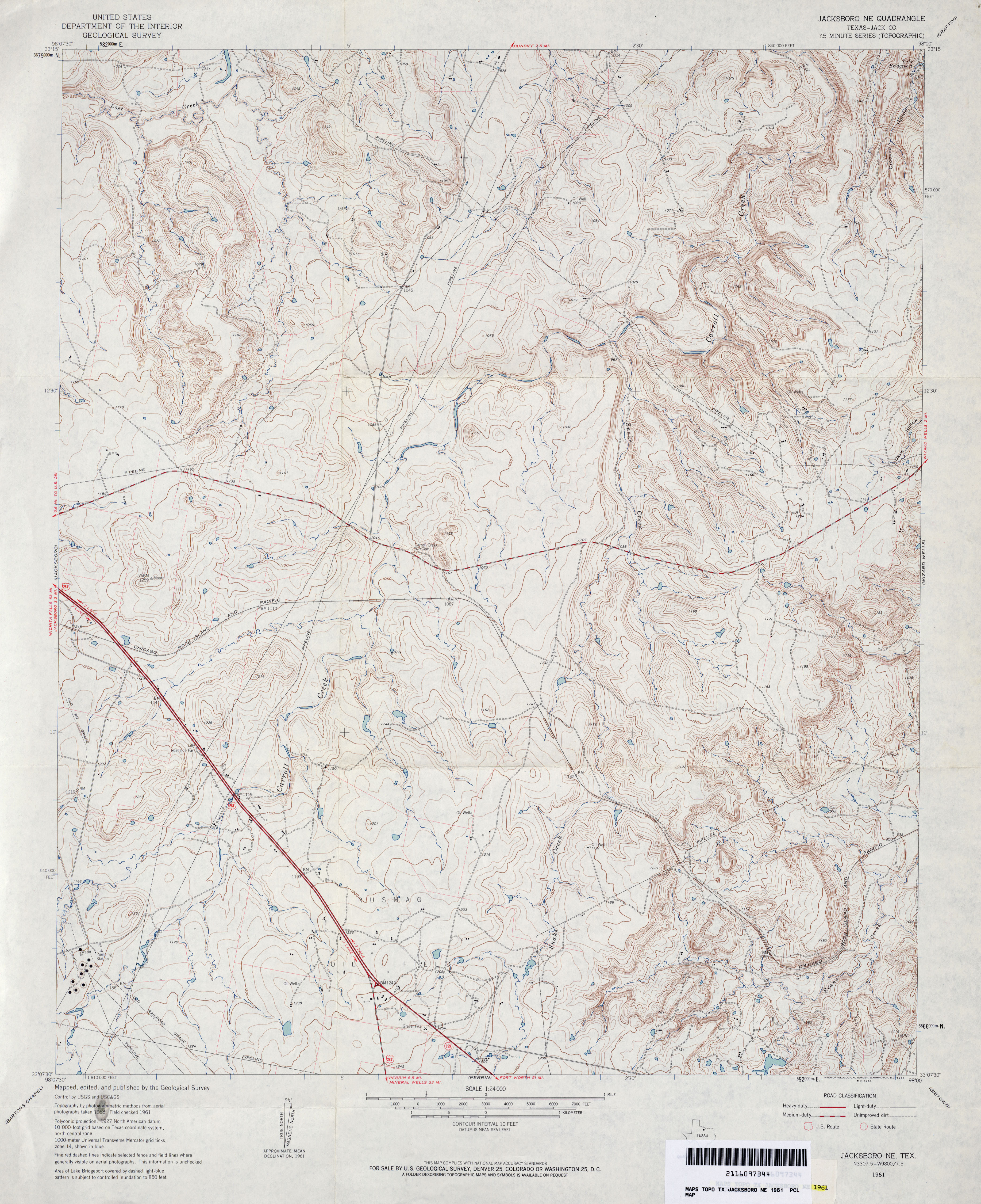
- Jacksboro NE (Jack County) 1:24,000 1961 (3.9MB)
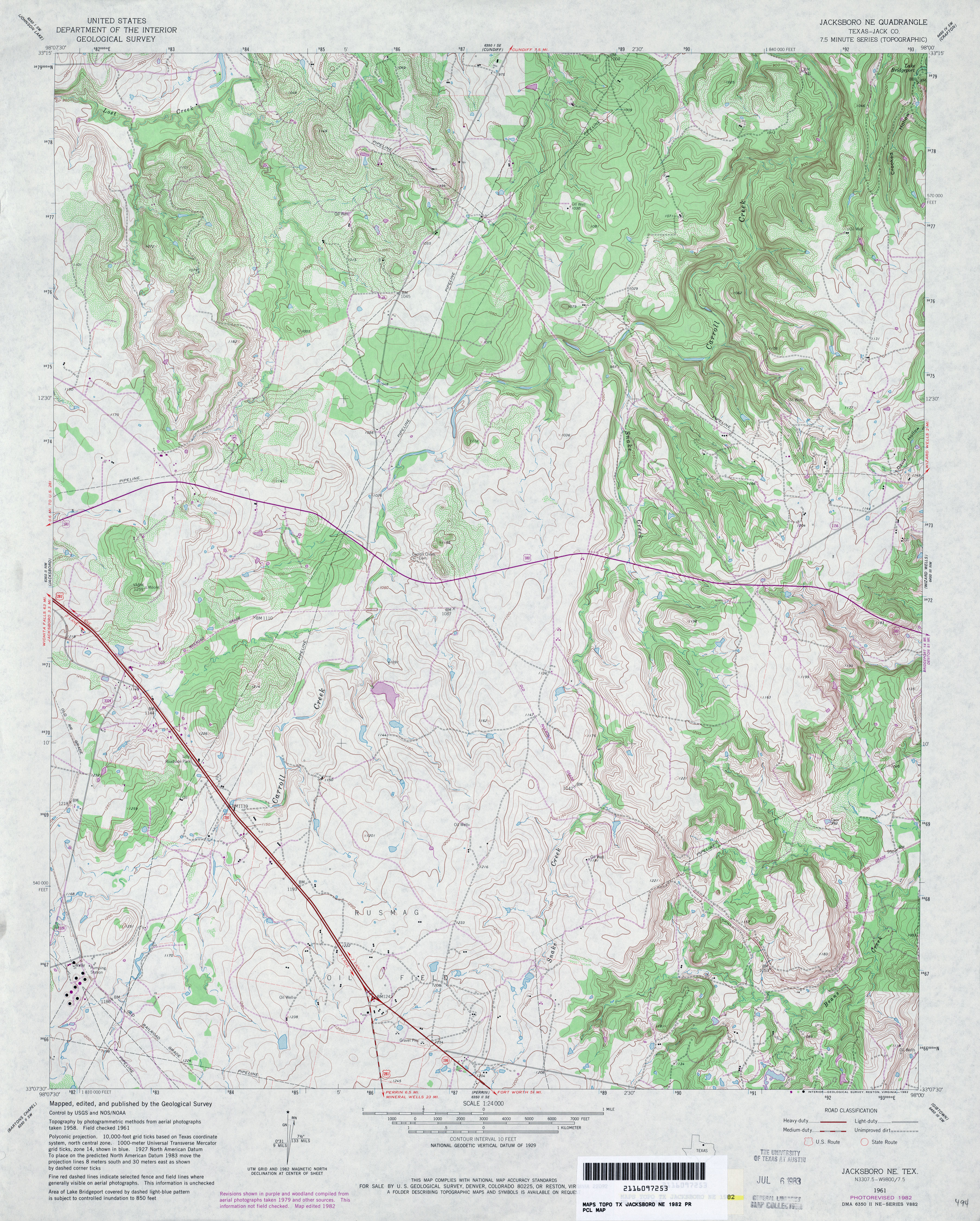
- Jacksboro NE (Jack County) 1:24,000 1982 (4.5MB)
- Jacksboro NE 1:24,000 2008 (17.5MB) [GeoPDF]
- Jacksboro NE 1:24,000 2012 (19.7MB) [GeoPDF]
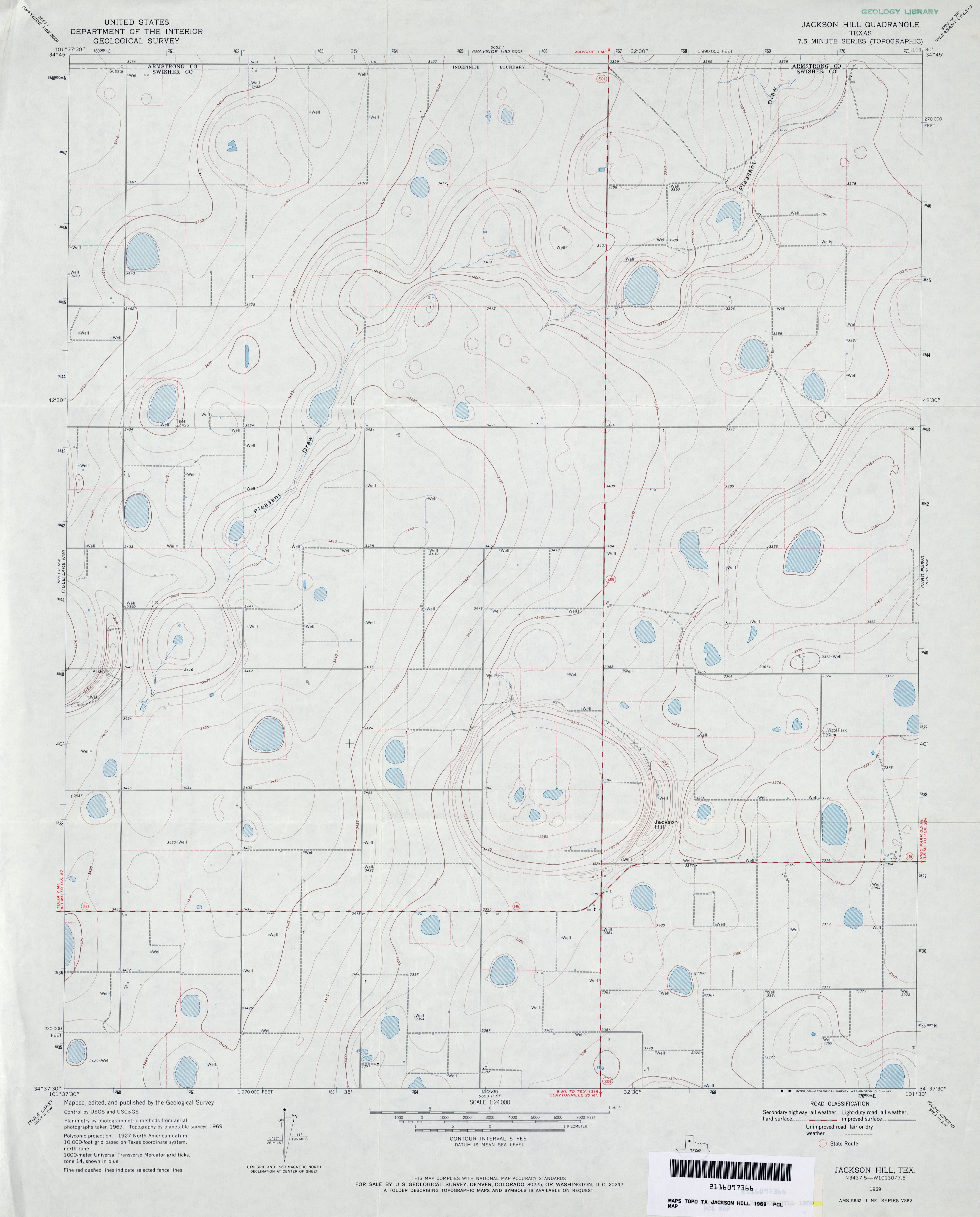
- Jackson Hill 1:24,000 1969 (2.2MB)
- Jackson Hill 1:24,000 2008 (7.6MB) [GeoPDF]
- Jackson Hill 1:24,000 2012 (13.3MB) [GeoPDF]
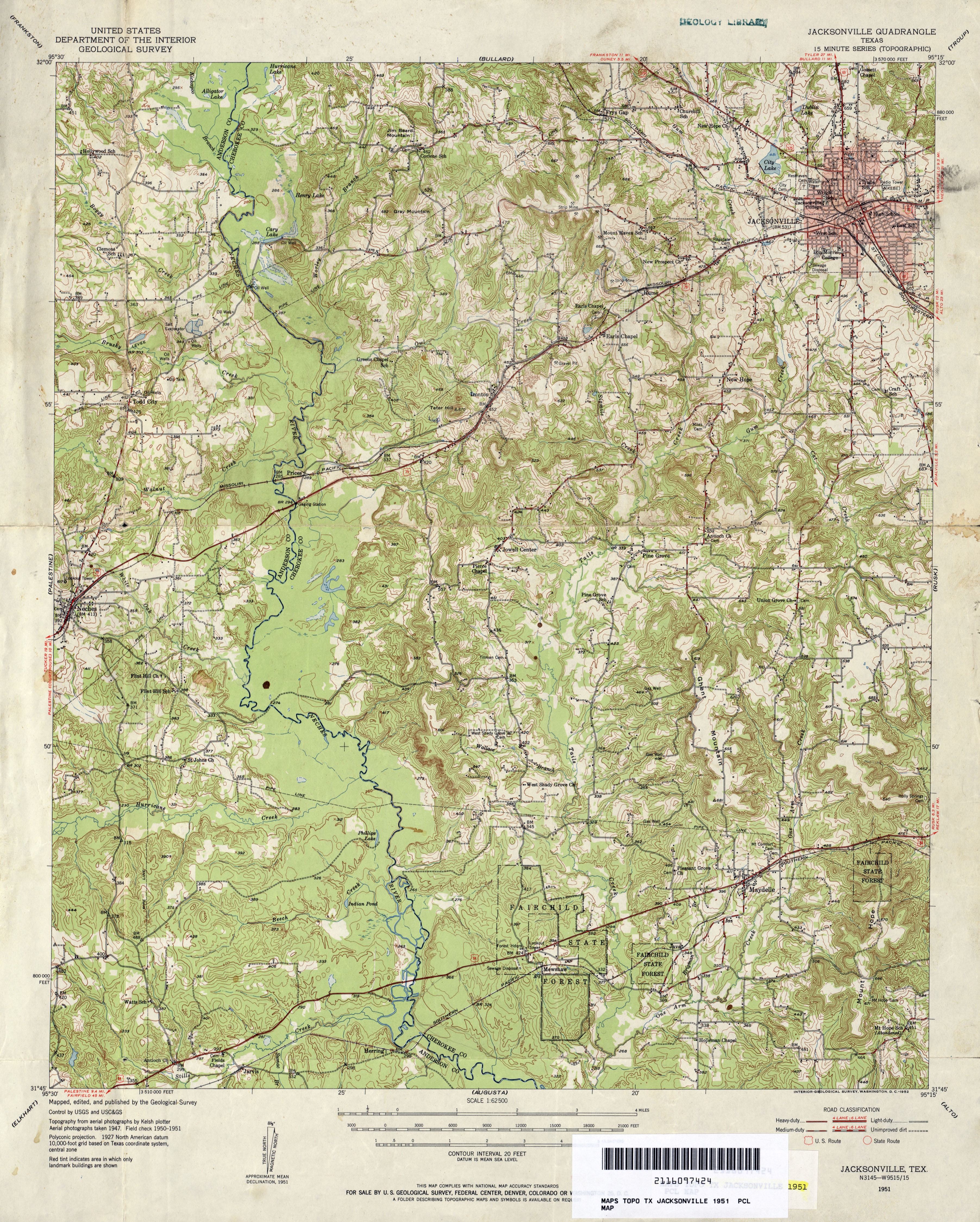
- Jacksonville 1:62,500 1951 (4.5MB)
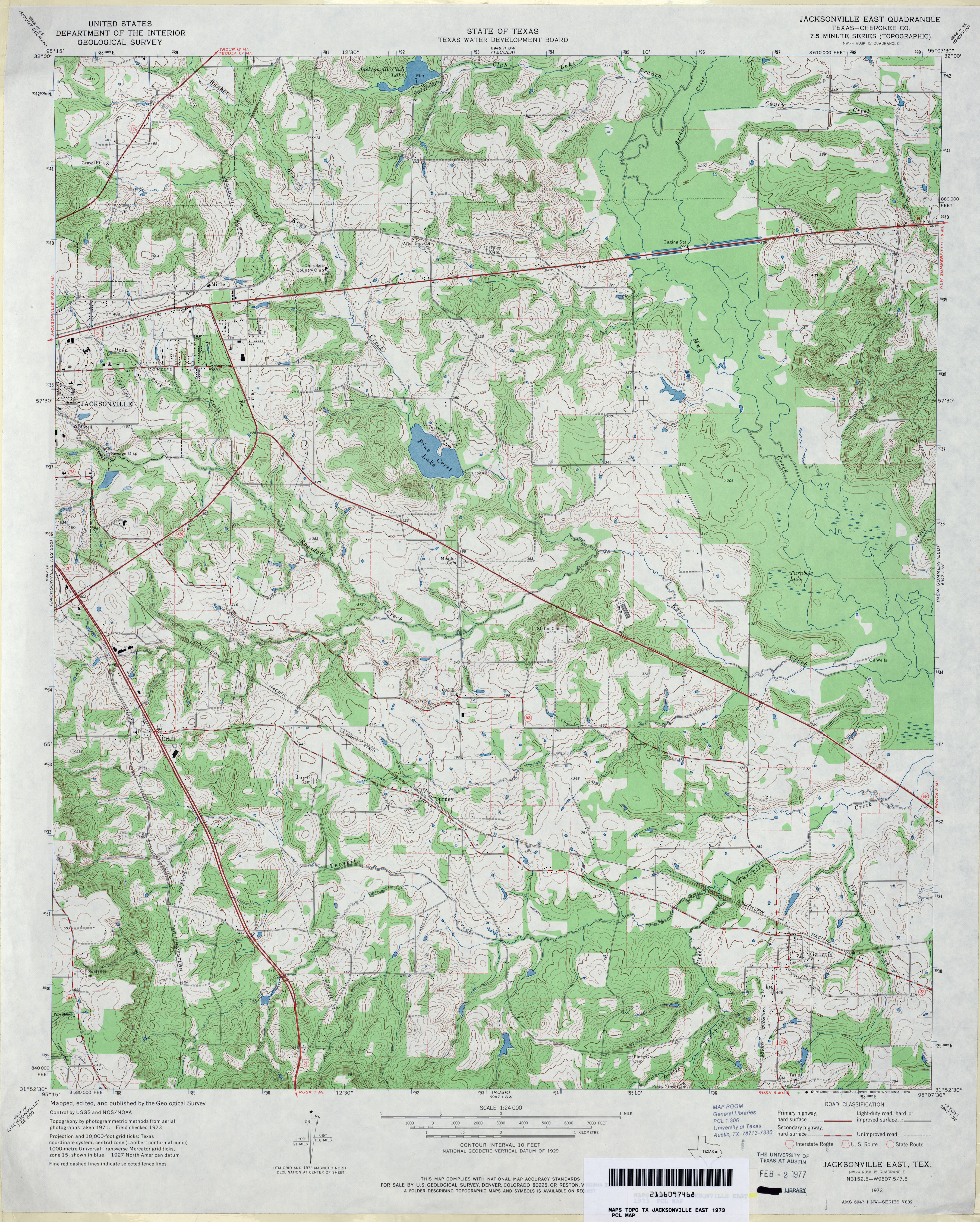
- Jacksonville East (Cherokee County) 1:24,000 1973 (4.3MB)
- Jacksonville East 1:24,000 2009 (21.9MB) [GeoPDF]
- Jacksonville East 1:24,000 2013 (25.5MB) [GeoPDF]
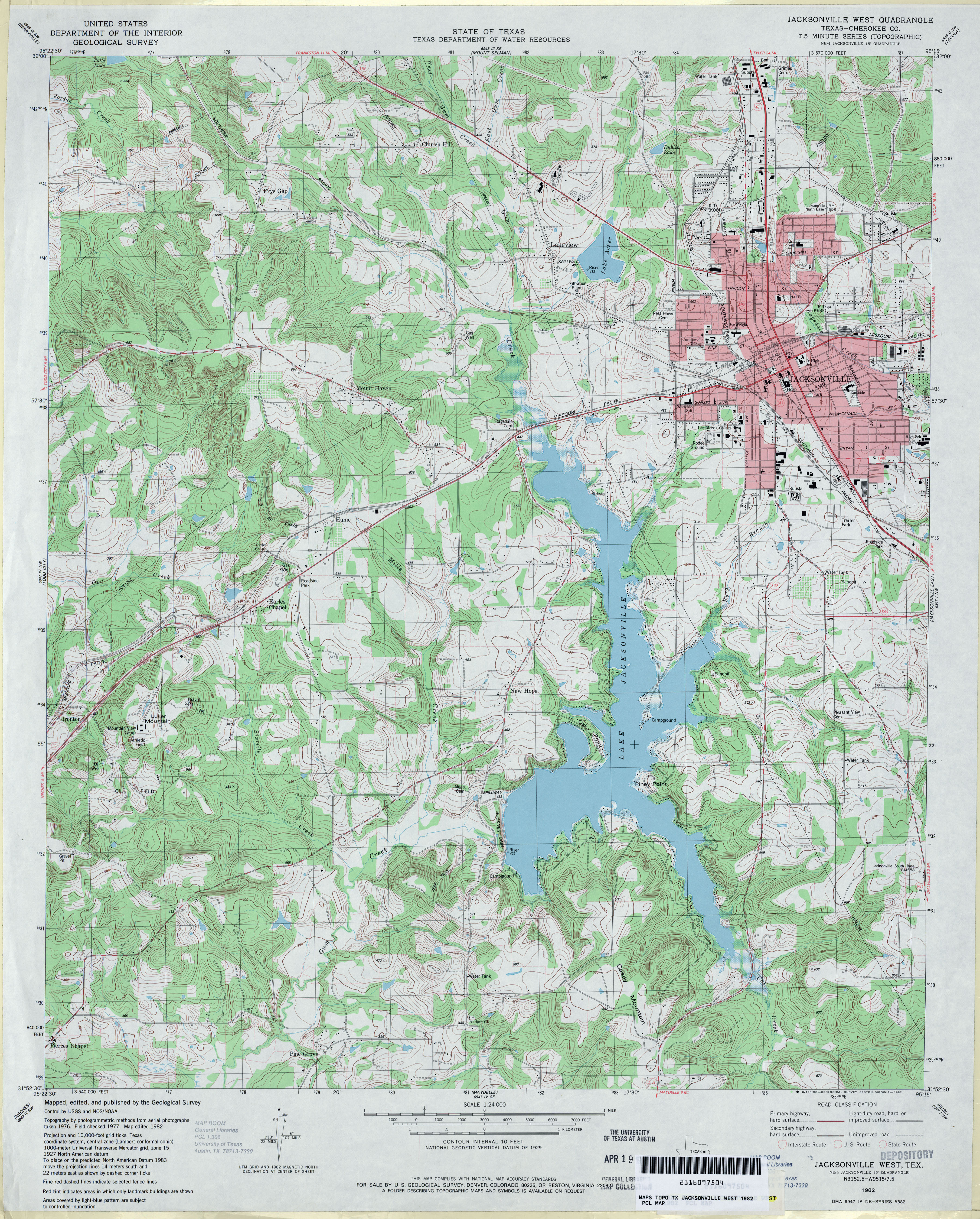
- Jacksonville West (Cherokee County) 1:24,000 1982 (4.6MB)
- Jacksonville West 1:24,000 2009 (23.0MB) [GeoPDF]
- Jacksonville West 1:24,000 2013 (26.2MB) [GeoPDF]
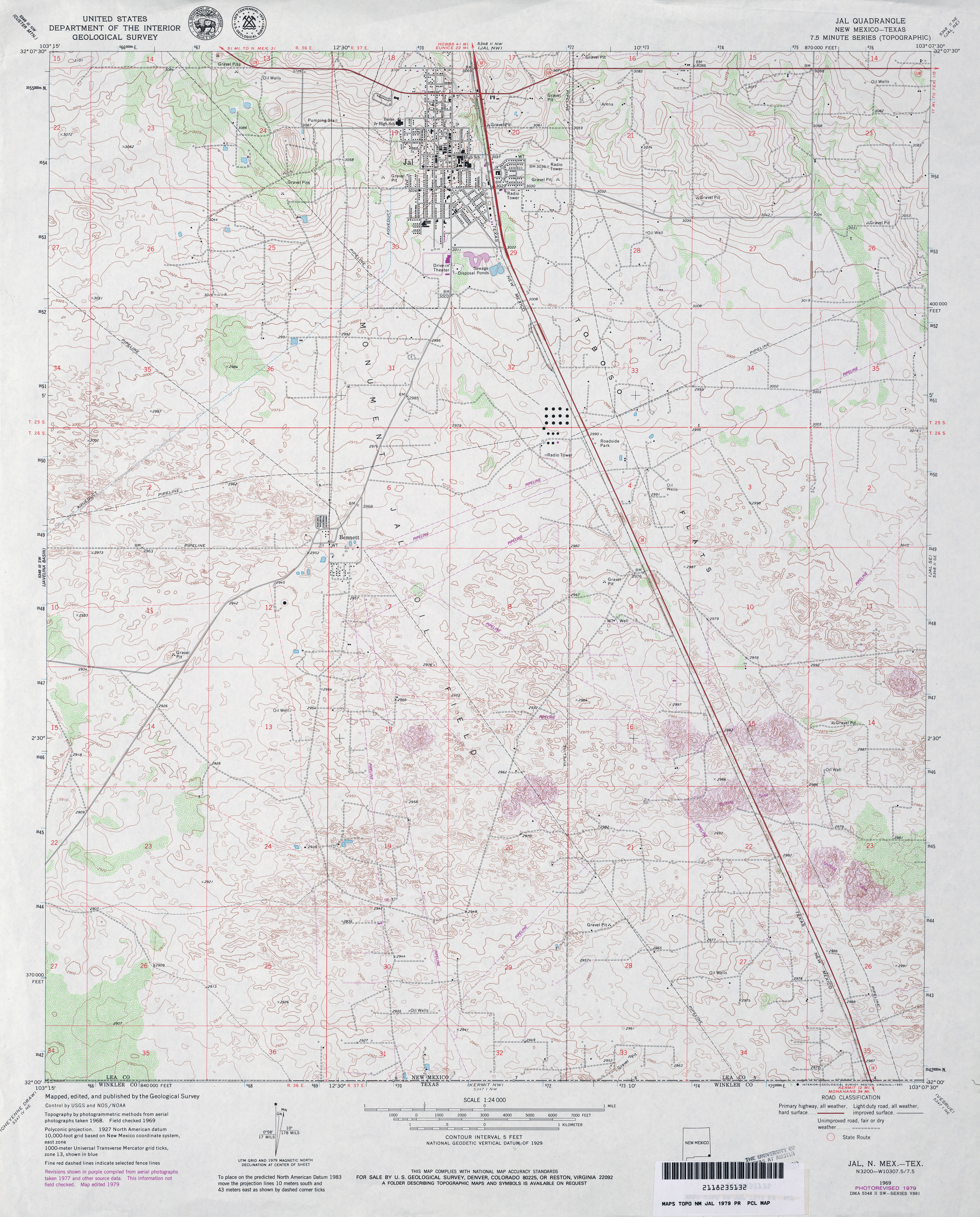
- Jal 1:24,000 1969 (4.2MB)
- Jal 1:24,000 1979 (4.1MB)
- Jal [New Mexico, Texas] 1:24,000 2009 (18.8MB) [GeoPDF]
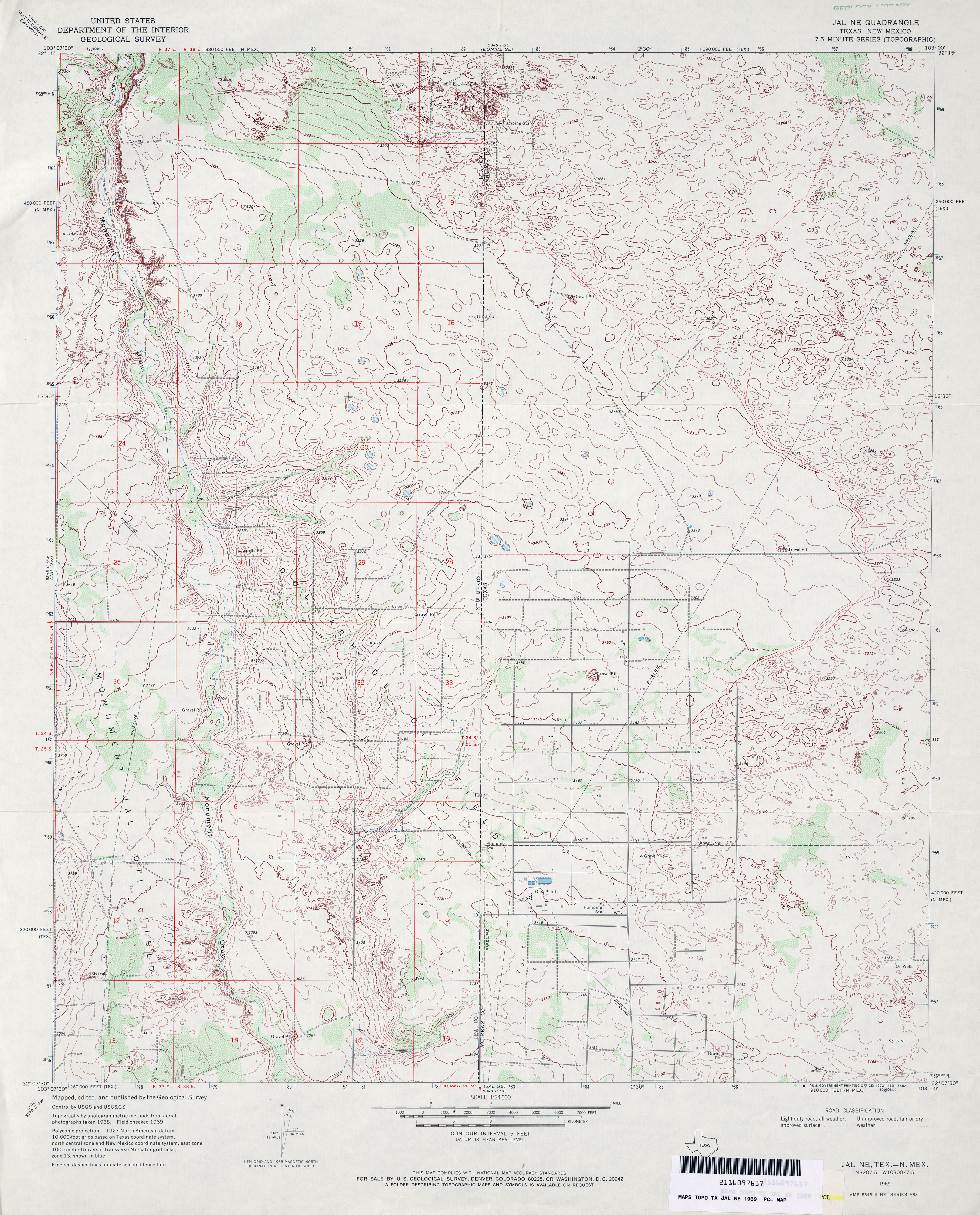
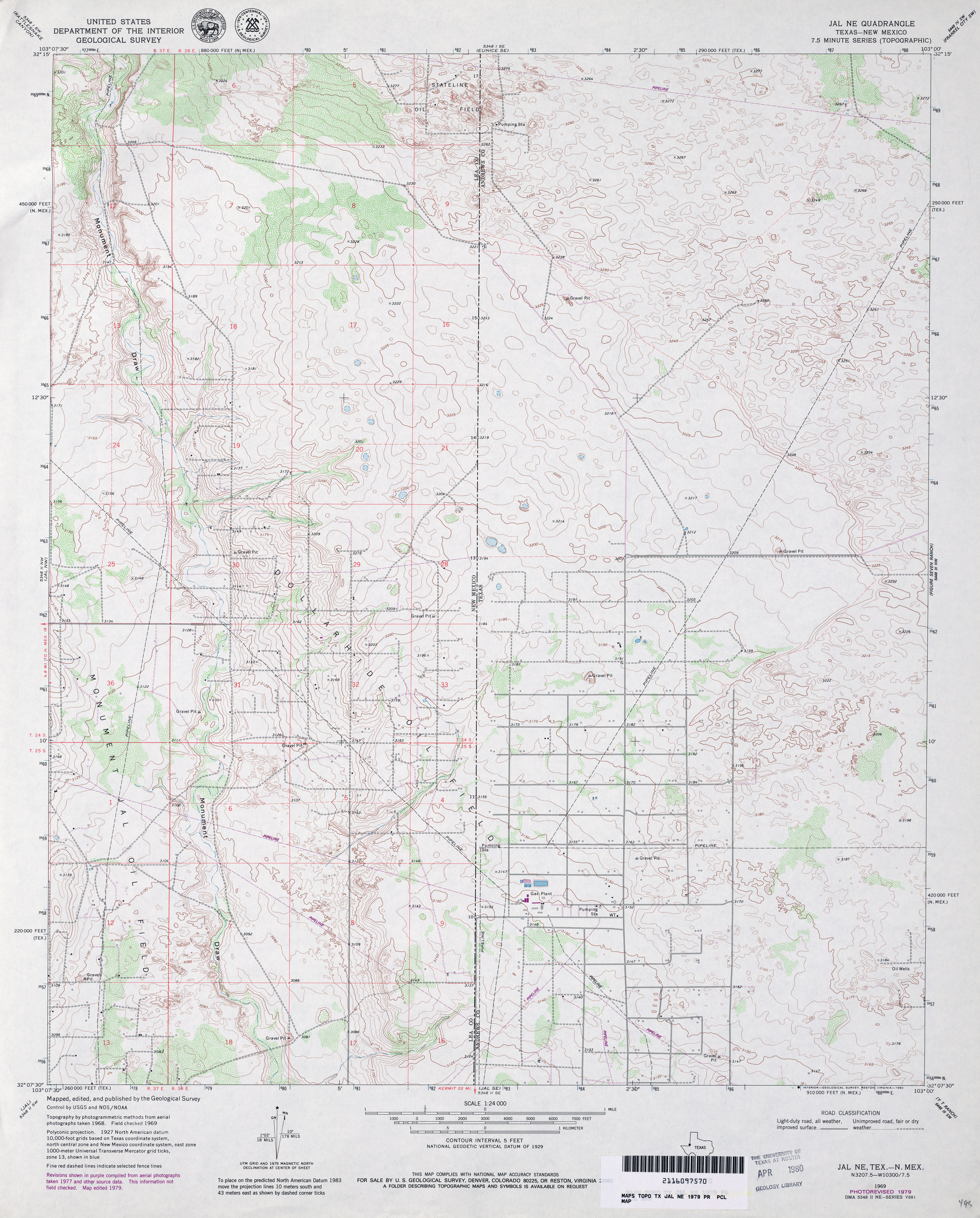
- Jal NE 1:24,000 1969 (4.1MB)
- Jal NE 1:24,000 1979 (3.8MB)
- Jal NE 1:24,000 2009 (19.6MB) [GeoPDF]
- Jal NE 1:24,000 2012 (20.6MB) [GeoPDF]
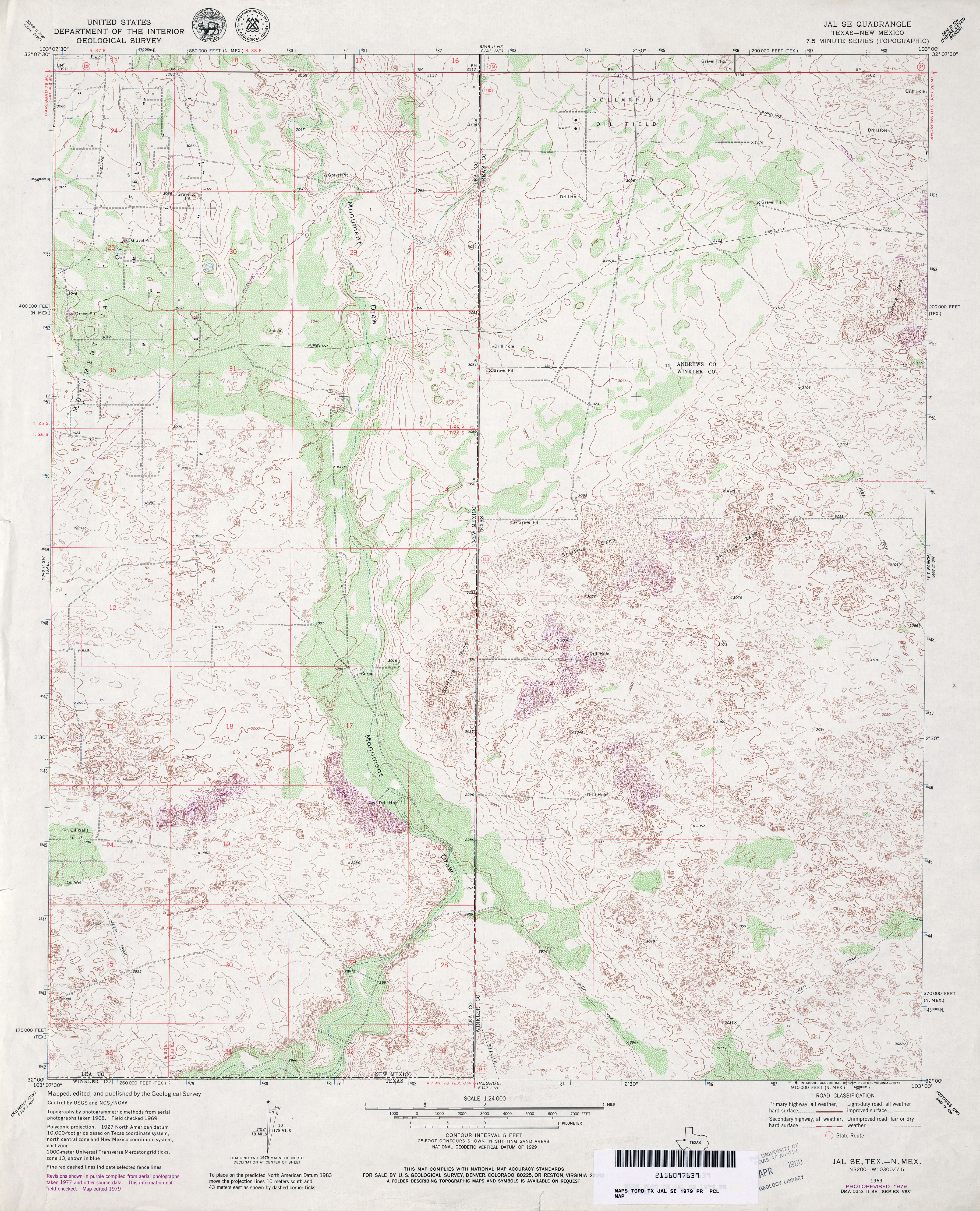
- Jal SE 1:24,000 1969 (3.9MB)
- Jal SE 1:24,000 1979 (4.6MB)
- Jal SE 1:24,000 2009 (21.7MB) [GeoPDF]
- Jal SE 1:24,000 2012 (25.8MB) [GeoPDF]
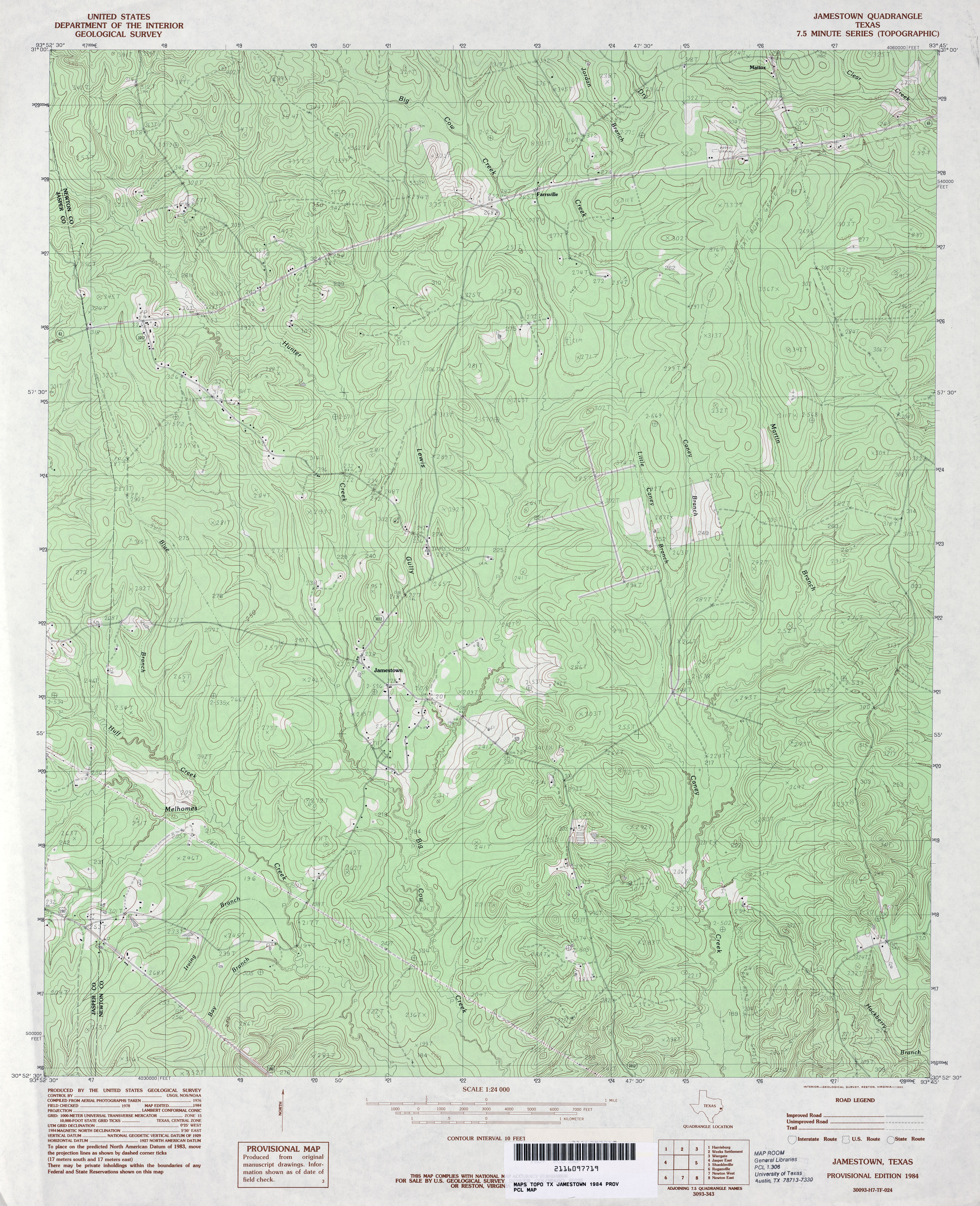
- Jamestown 1:24,000 1984 (4.8MB)
- Jamestown 1:24,000 2009 (24.7MB) [GeoPDF]
- Jamestown 1:24,000 2012 (27.8MB) [GeoPDF]
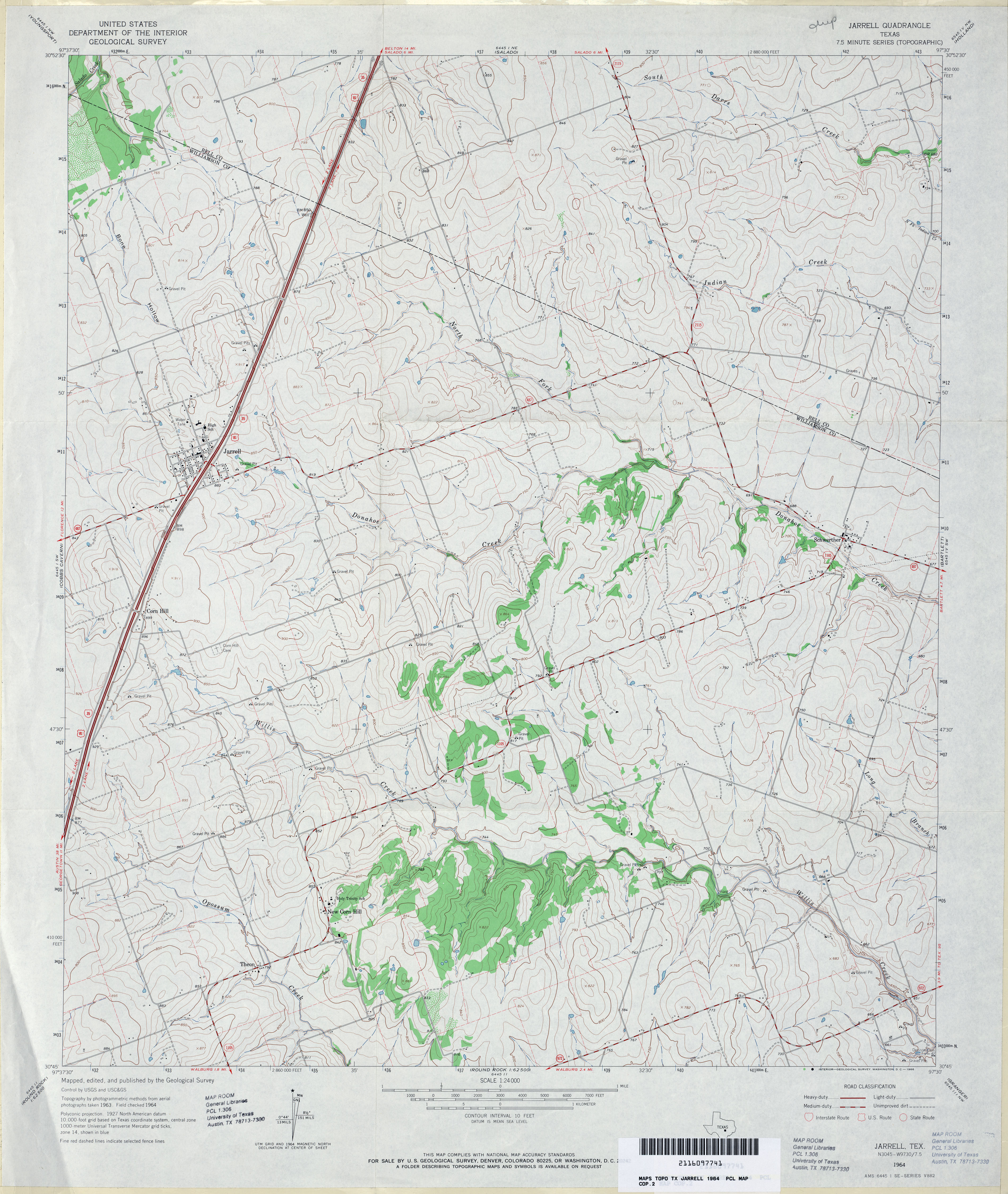
- Jarrell 1:24,000 1964 (3.9MB)
- Jarrell 1:24,000 2008 (11.5MB) [GeoPDF]
- Jarrell 1:24,000 2012 (19.2MB) [GeoPDF]
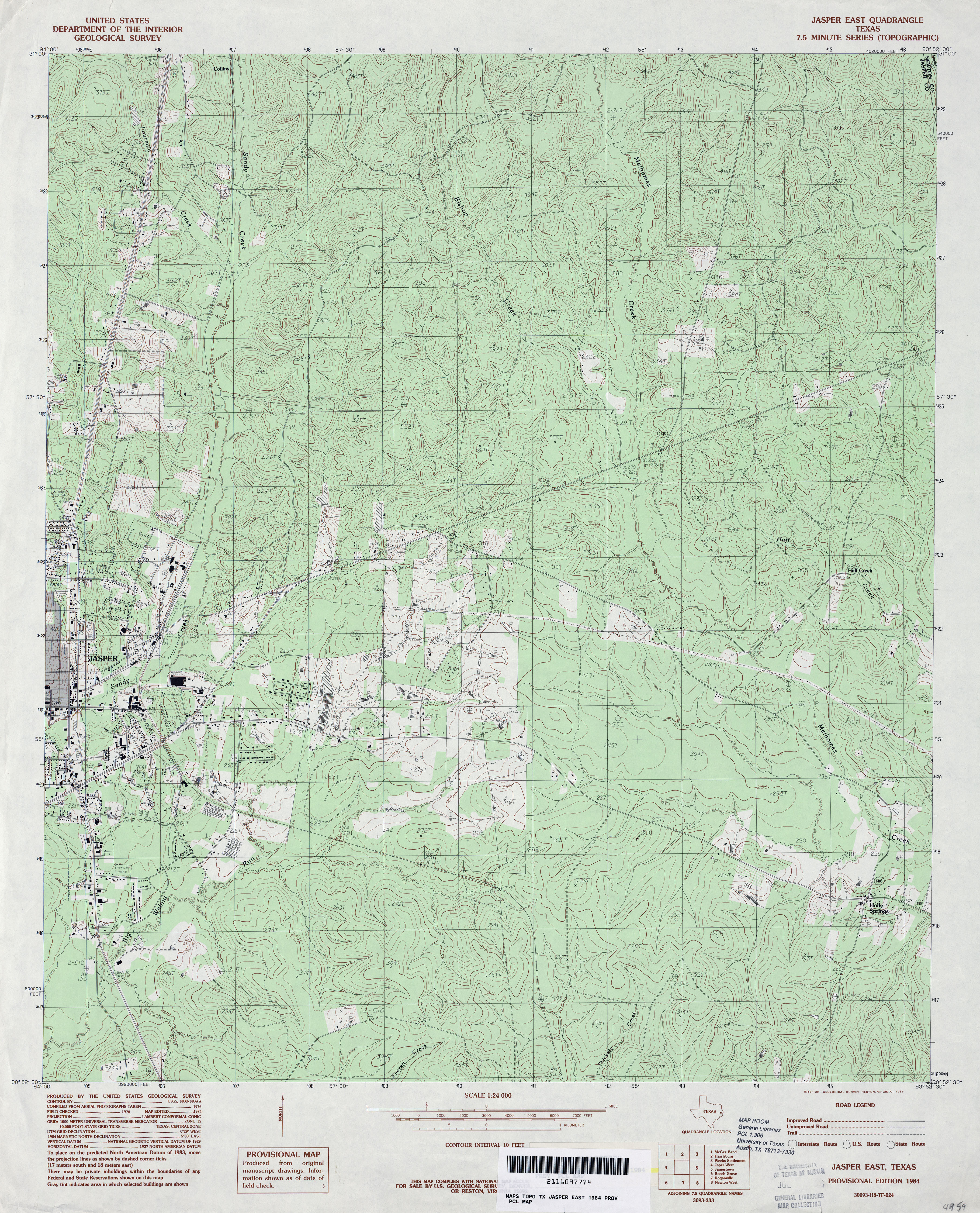
- Jasper East 1:24,000 1984 (5MB)
- Jasper East 1:24,000 2009 (24.3MB) [GeoPDF]
- Jasper East 1:24,000 2012 (27.3MB) [GeoPDF]
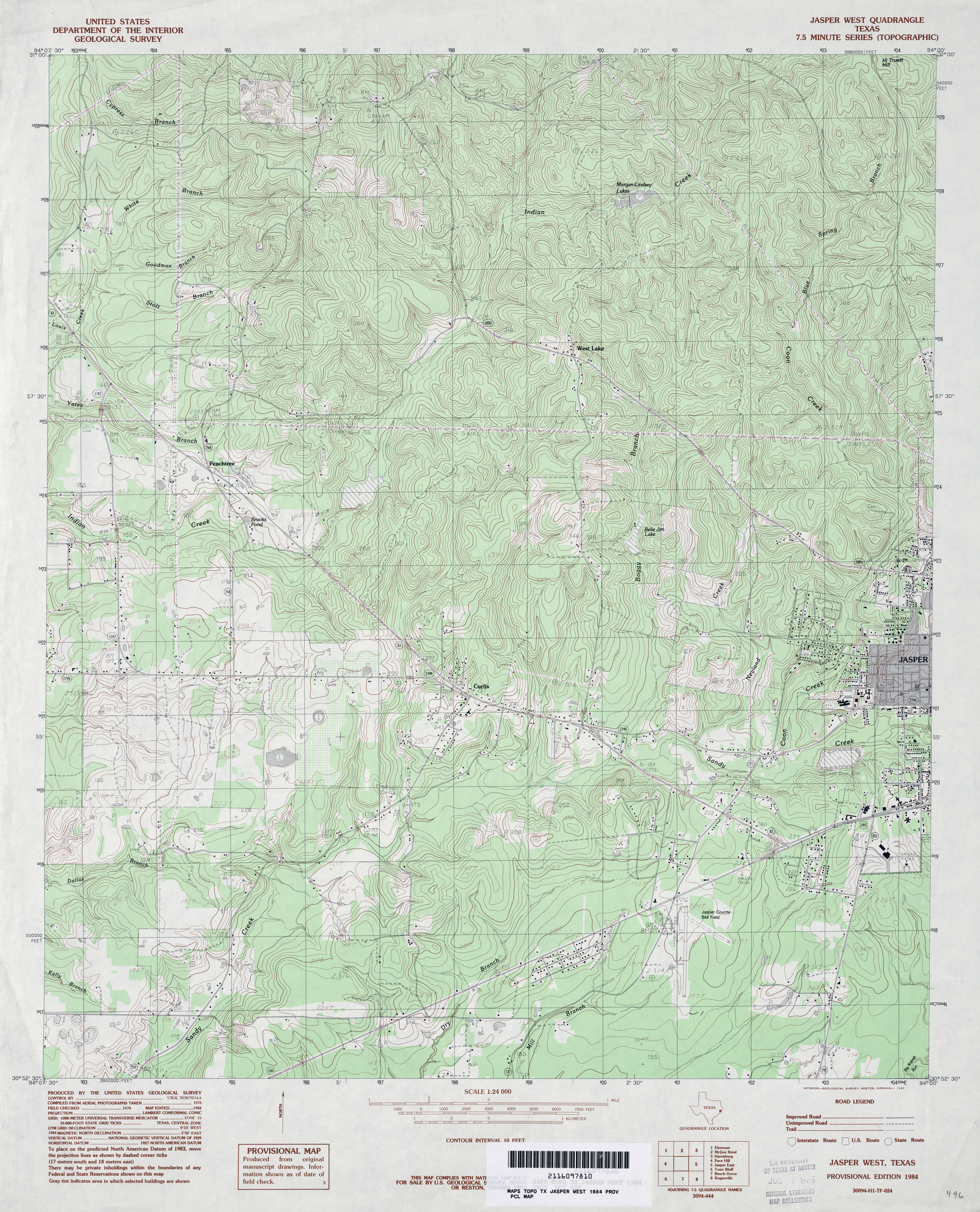
- Jasper West 1:24,000 1984 (5MB)
- Jasper West 1:24,000 2008 (2.2MB) Texas Natural Resources Information System (TNRIS). [pdf]
- Jasper West 1:24,000 2009 (24.6MB) [GeoPDF]
- Jasper West 1:24,000 2013 (27.6MB) [GeoPDF]
- Javelina Basin 1:24,000 1973 (3.8MB)
- Javelina Basin [New Mexico, Texas] 1:24,000 2009 (26.5MB) [GeoPDF]
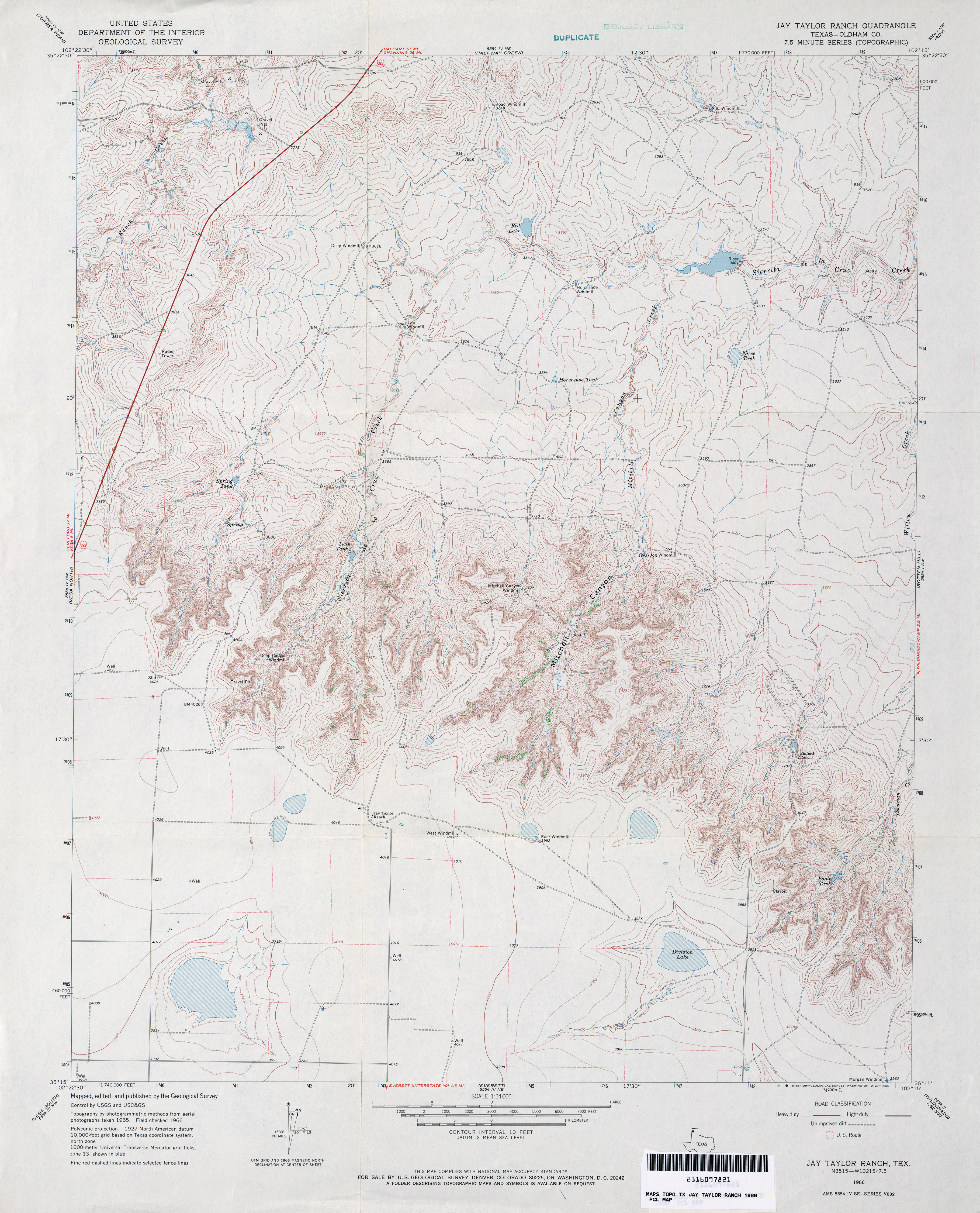
- Jay Taylor Ranch (Oldham County) 1:24,000 1966 (3.8MB)
- Jay Taylor Ranch 1:24,000 2008 (14.6MB) [GeoPDF]
- Jay Taylor Ranch 1:24,000 2012 (19.8MB) [GeoPDF]
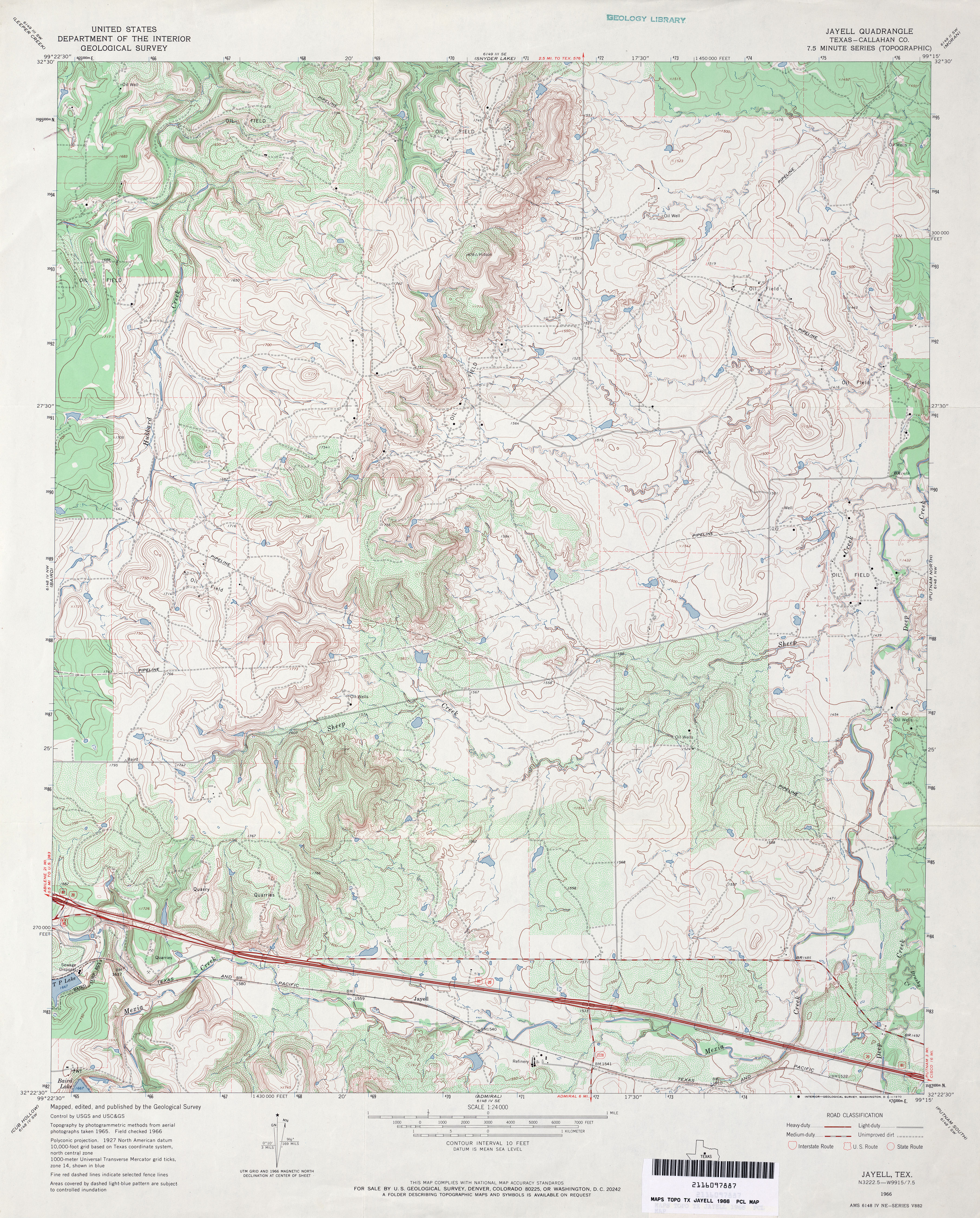
- Jayell (Callahan County) 1:24,000 1966 (4.9MB)
- Jayell 1:24,000 2008 (16.2MB) [GeoPDF]
- jayell 1:24,000 2012 (25.4MB) [GeoPDF]
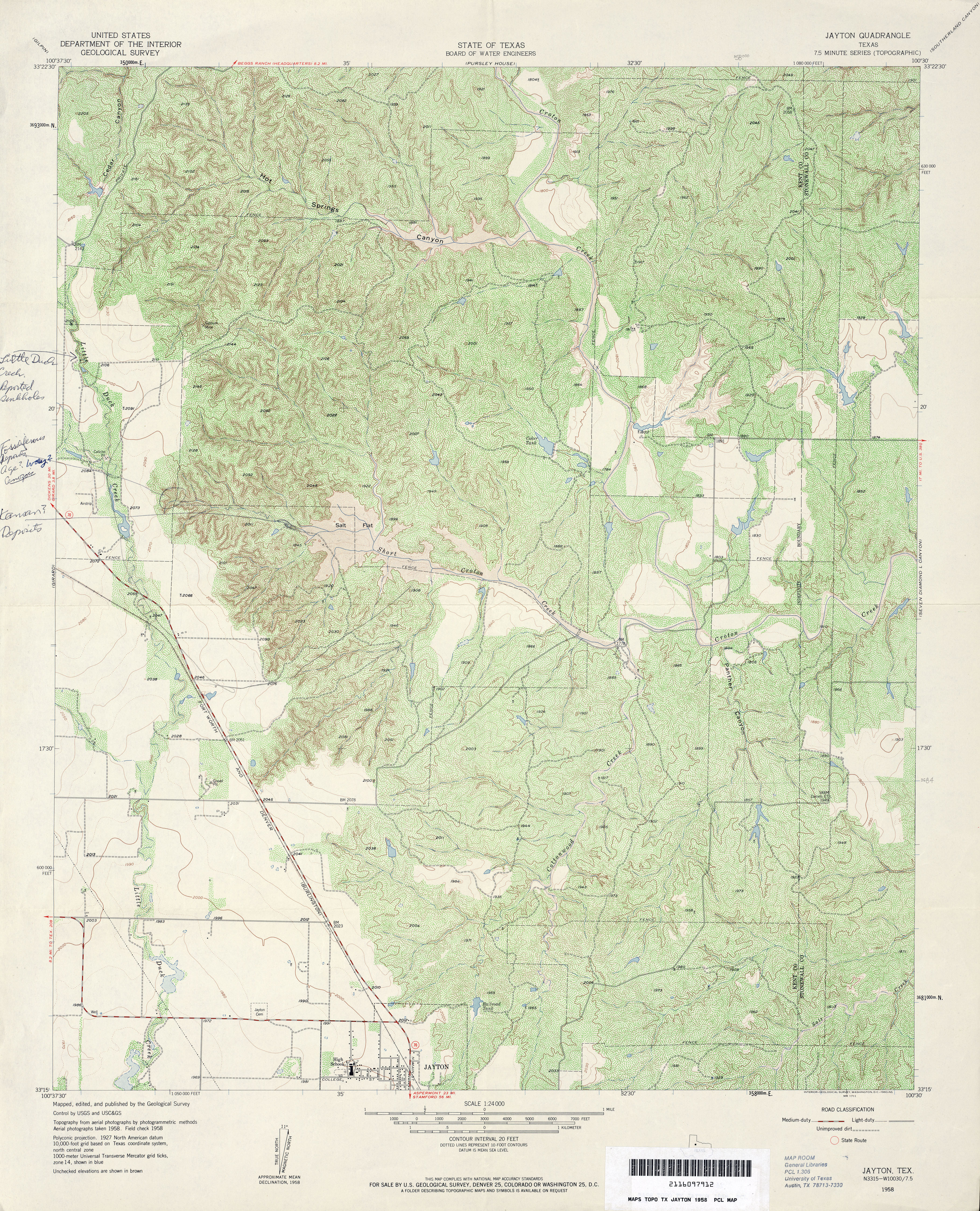
- Jayton 1:24,000 1958 (5.6MB)
- Jayton North 1:24,000 2008 (17.9MB) [GeoPDF]
- Jayton North 1:24,000 2012 (23.3MB) [GeoPDF]
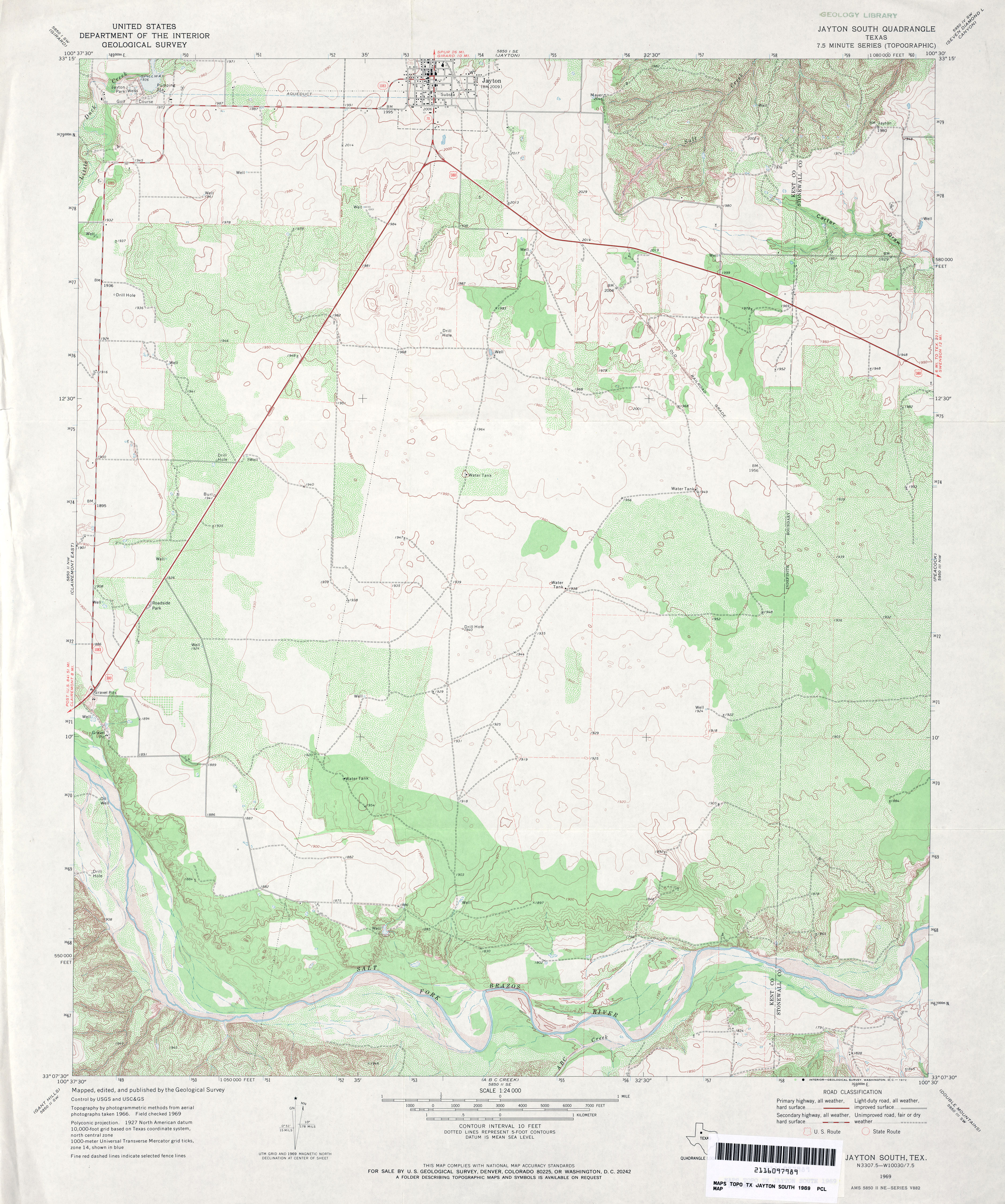
- Jayton South 1:24,000 1969 (4.1MB)
- Jayton South 1:24,000 2008 (13.9MB) [GeoPDF]
- Jayton South 1:24,000 2012 (19.9MB) [GeoPDF]
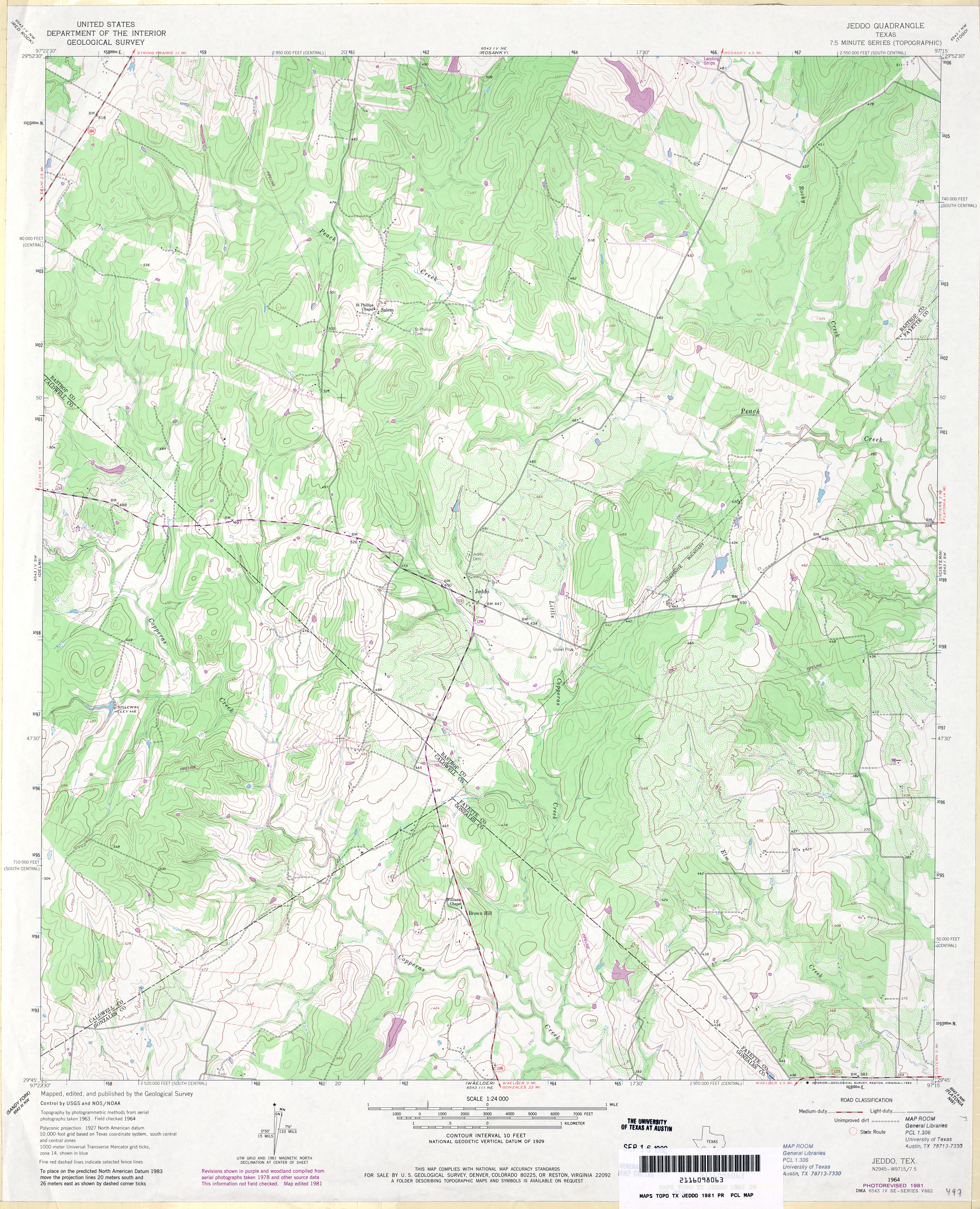
- Jeddo 1:24,000 1964 (4.6MB)
- Jeddo 1:24,000 1981 (4.5MB)
- Jeddo 1:24,000 2008 (15.1MB) [GeoPDF]
- Jeddo 1:24,000 2013 (27MB) [GeoPDF]
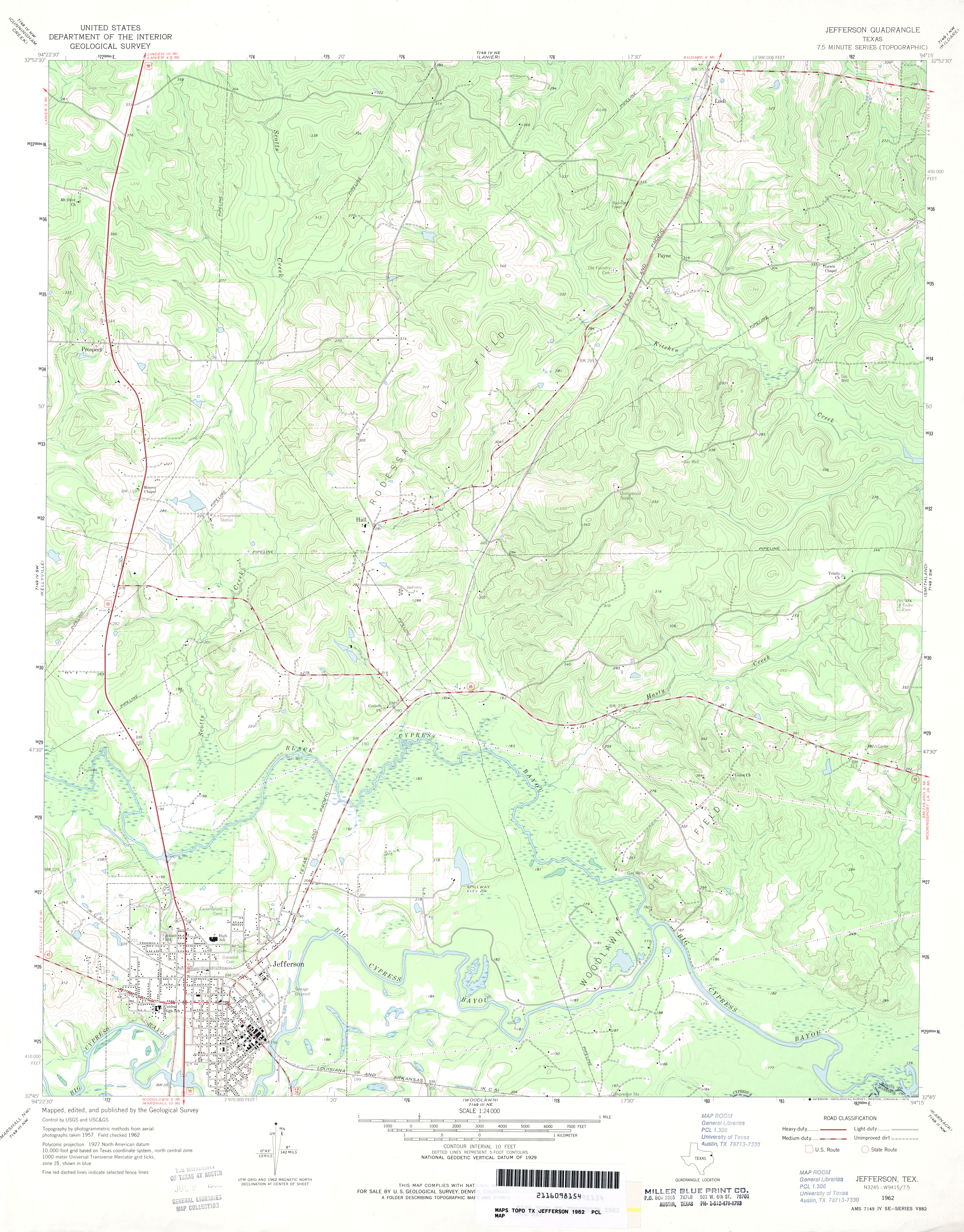
- Jefferson 1:24,000 1962 (3.7MB)
- Jefferson 1:24,000 2009 (22.8MB) [GeoPDF]
- Jefferson 1:24,000 2013 (25.5MB) [GeoPDF]
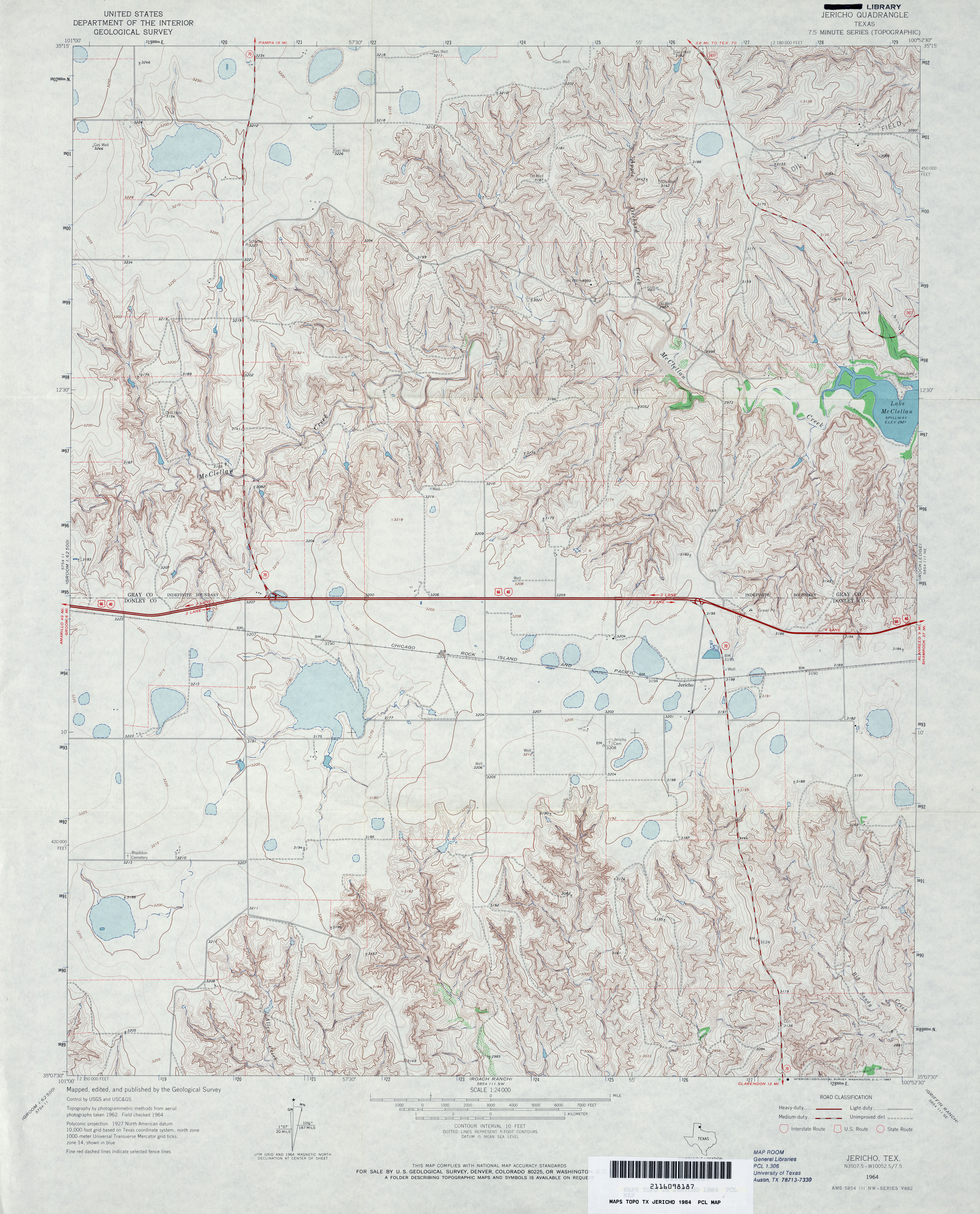
- Jericho 1:24,000 1964 (4.4MB)
- Jericho 1:24,000 1998 (5.3MB)
- Jericho 1:24,000 2009 (15.6MB) [GeoPDF]
- Jericho 1:24,000 2012 (20MB) [GeoPDF]
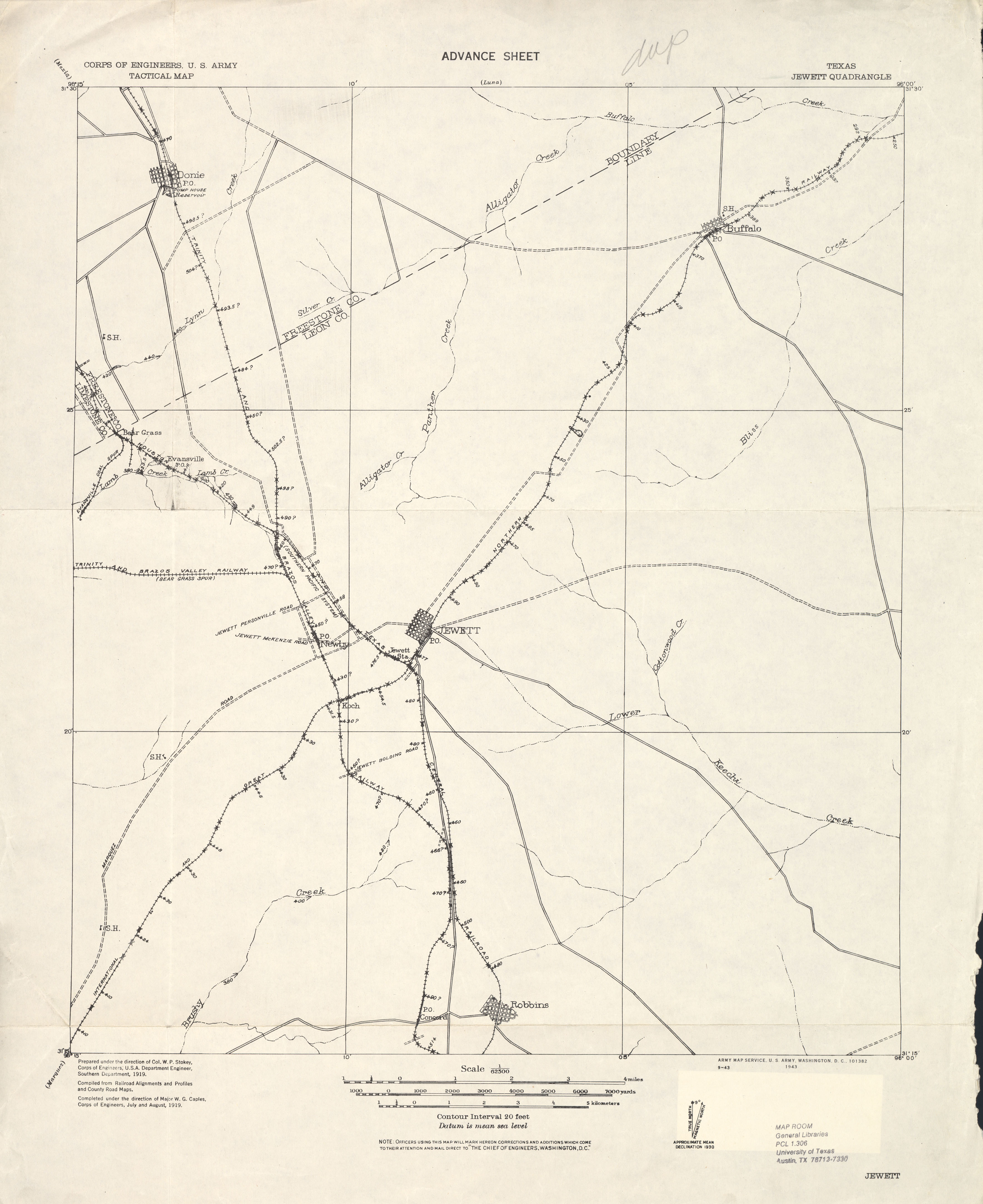
- Jewett 1:62,500 1919 (1.6 MB) U.S. Army. Corps of Engineers. Tactical Map
- Jewett (Leon County) 1:24,000 1965 (4.4MB)
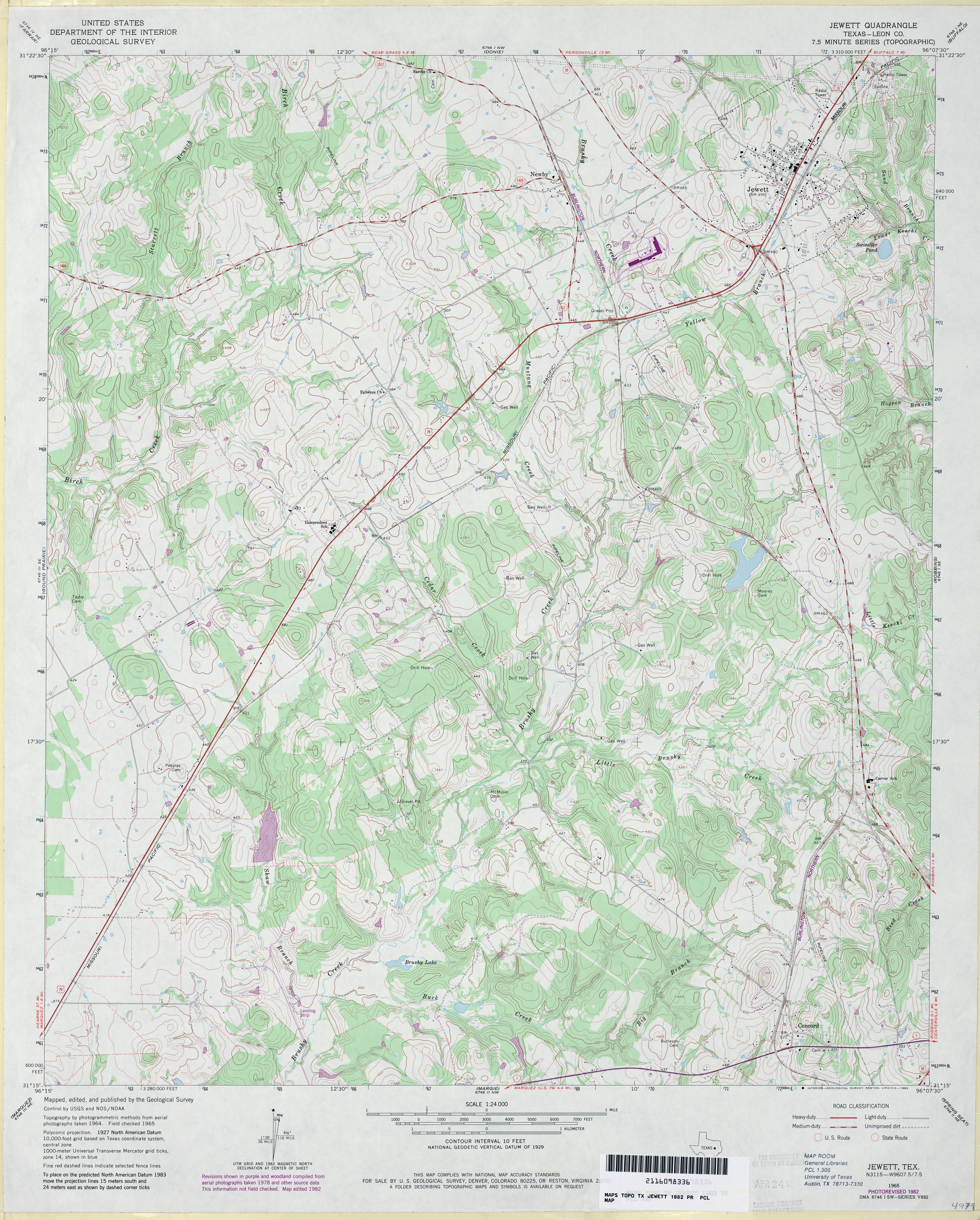
- Jewett (Leon County) 1:24,000 1982 (4.4MB)
- Jewett 1:24,000 2009 (17.8MB) [GeoPDF]
- Jewett 1:24,000 2013 (23.7MB) [GeoPDF]
- Jo Jan Van Camp (Real County) 1:24,000 1971 (4.6MB)
- Jo Jan Van Camp 1:24,000 2008 (25.9MB) [GeoPDF]
- Jo Jan Van Camp 1:24,000 2013 (31MB) [GeoPDF]
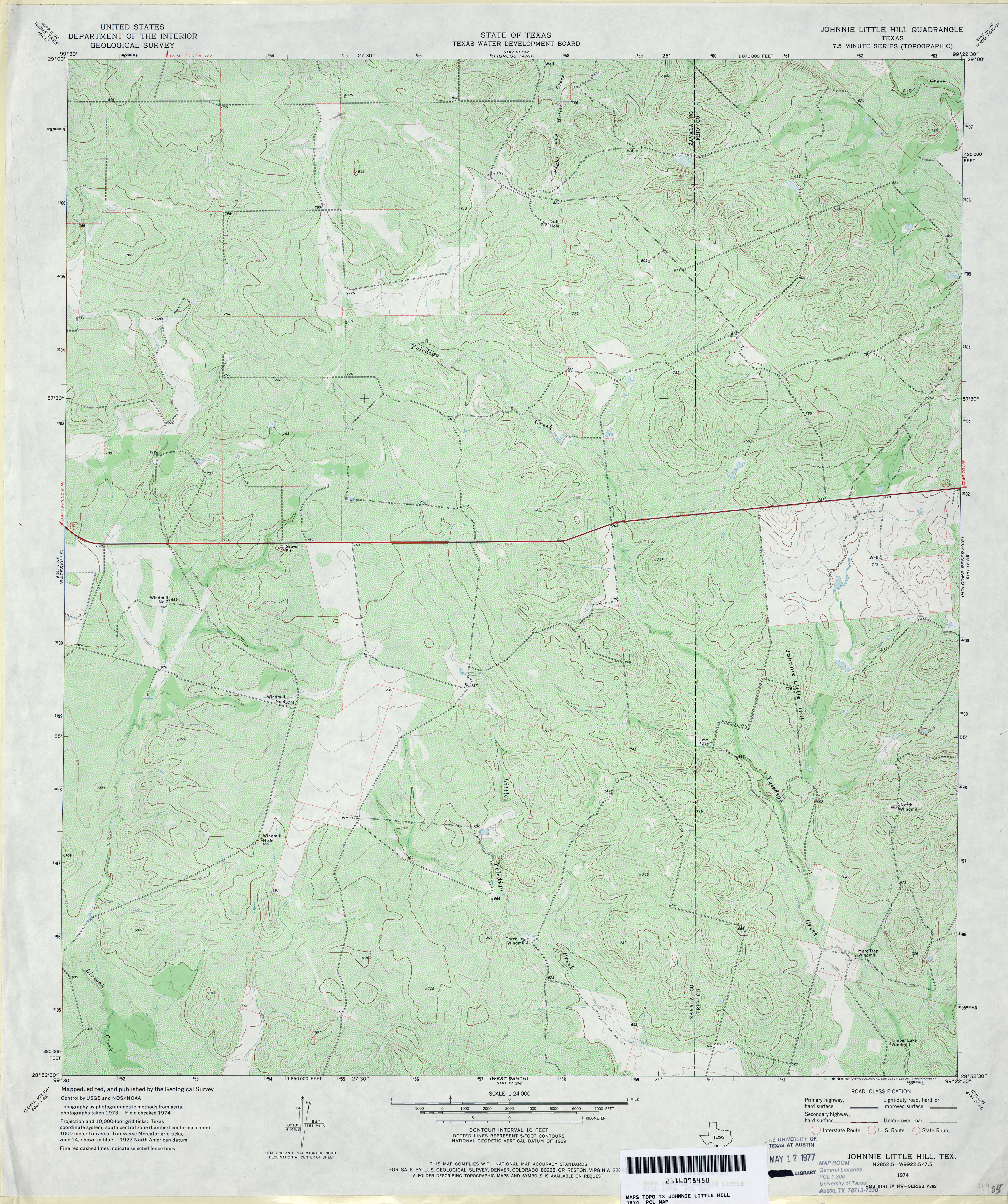
- Johnnie Little Hill 1:24,000 1974 (5.3MB)
- Johnnie Little Hill 1:24,000 2008 (18.3MB) [GeoPDF]
- Johnnie Little Hill 1:24,000 2013 (25.7MB) [GeoPDF]
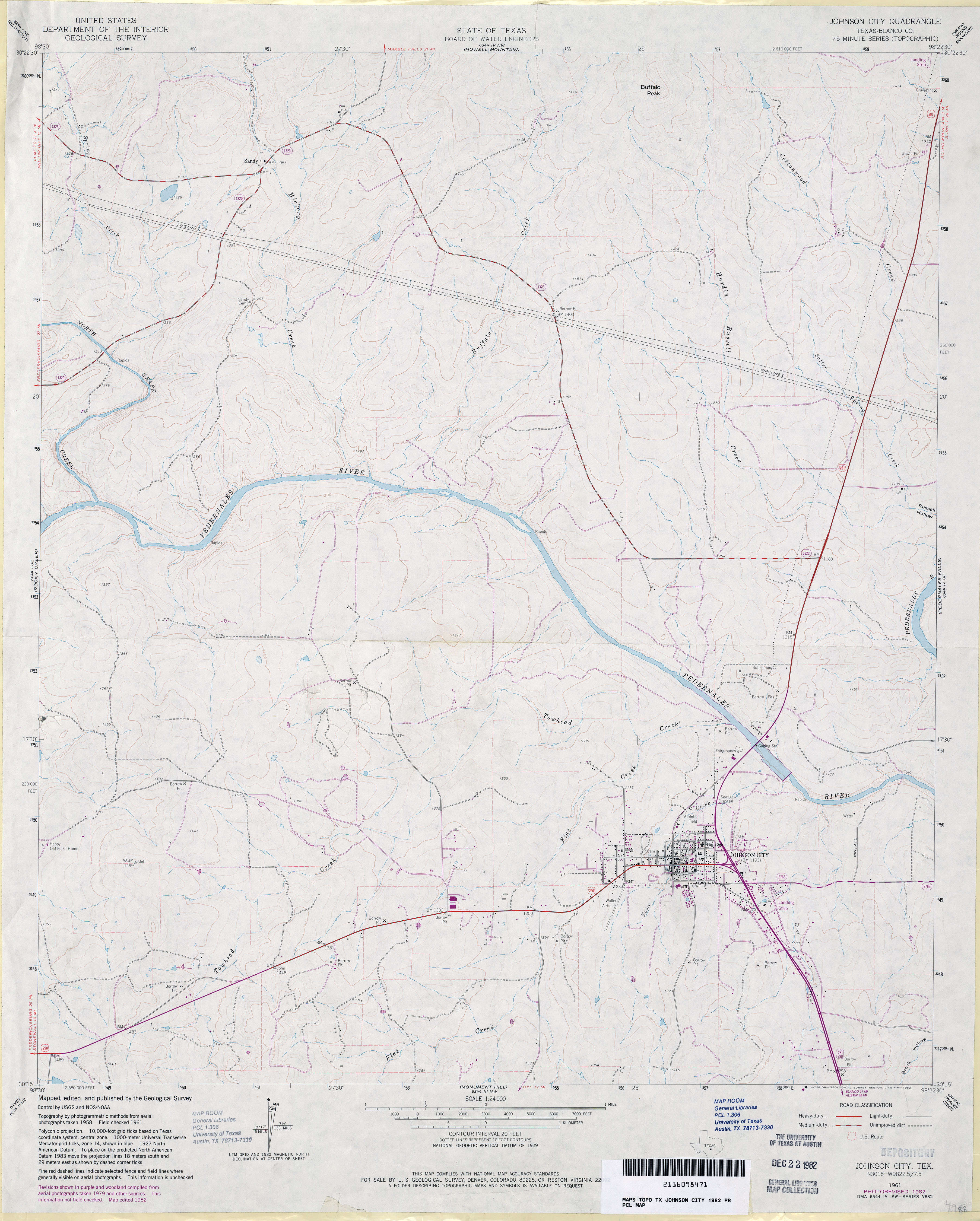
- Johnson City (Blanco County) 1:24,000 1961 (3.8MB)
- Johnson City (Blanco County) 1:24,000 1982 (3MB)
- Johnson City 1:24,000 2008 (18.5MB) [GeoPDF]
- Johnson City 1:24,000 2012 (24.7MB) [GeoPDF]
- Johnson Lake (Jack County) 1:24,000 1964 (4.4MB)
- Johnson Lake 1:24,000 2012 (22.5MB) [GeoPDF]
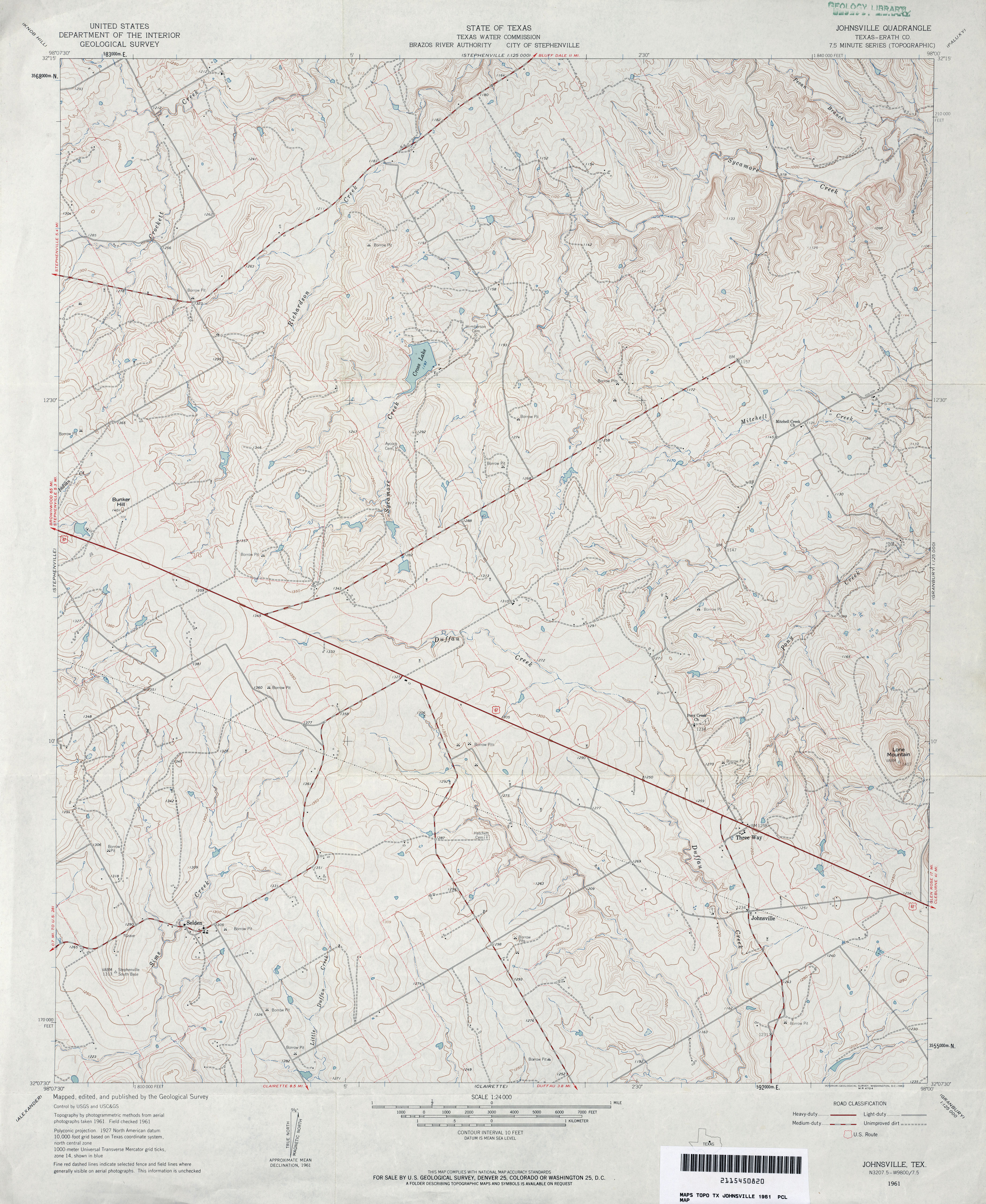
- Johnsville (Erath County) 1:24,000 1961 (4.2MB)
- Johnsville 1:24,000 2008 (16.2MB) [GeoPDF]
- Johnsville 1:24,000 2012 (21.3MB) [GeoPDF]
- Jolly (Clay County) 1:24,000 1972 (3.3MB)
- Jolly 1:24,000 2008 (13.5MB) [GeoPDF]
- Jolly 1:24,000 2012 (18.3MB) [GeoPDF]
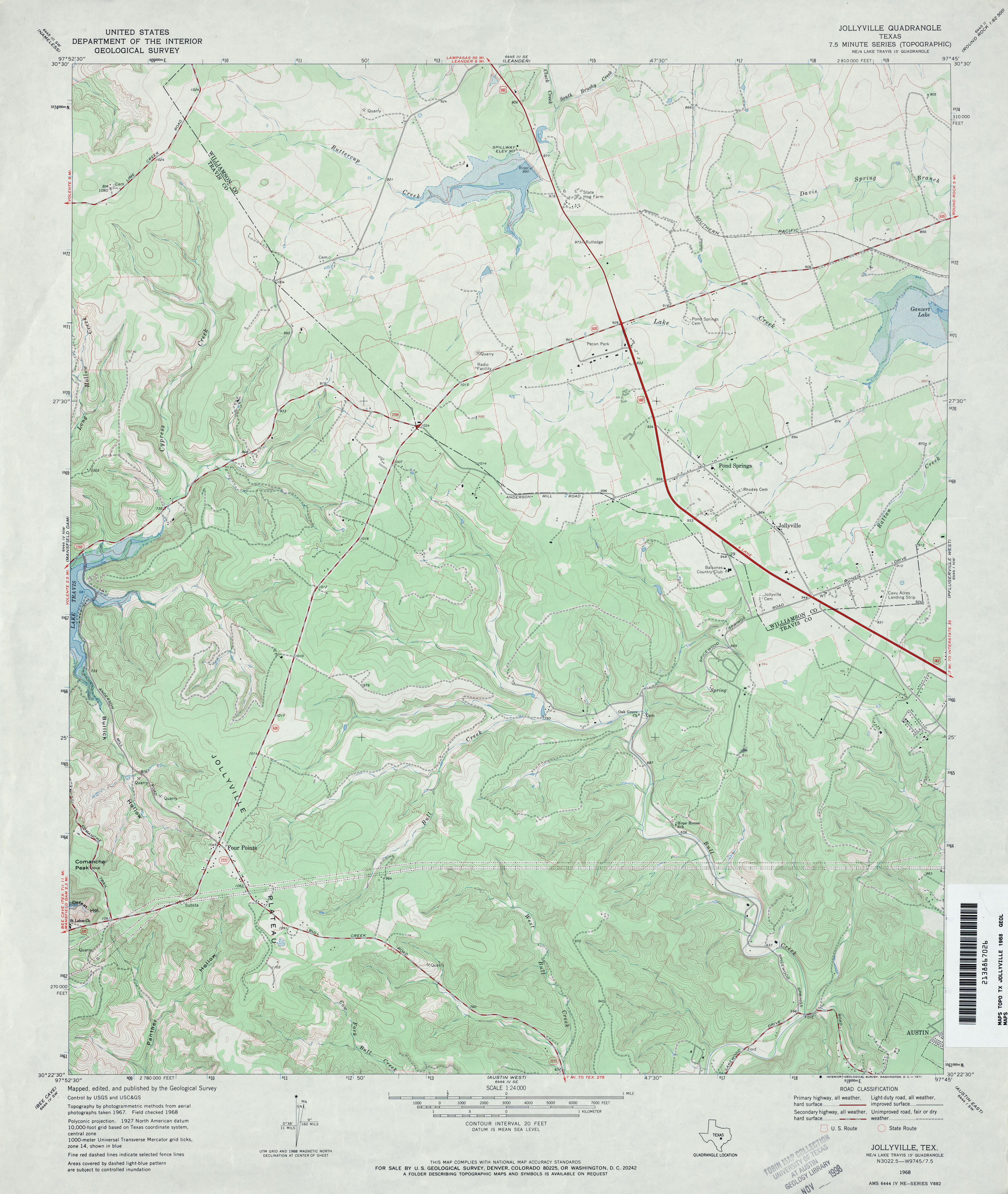
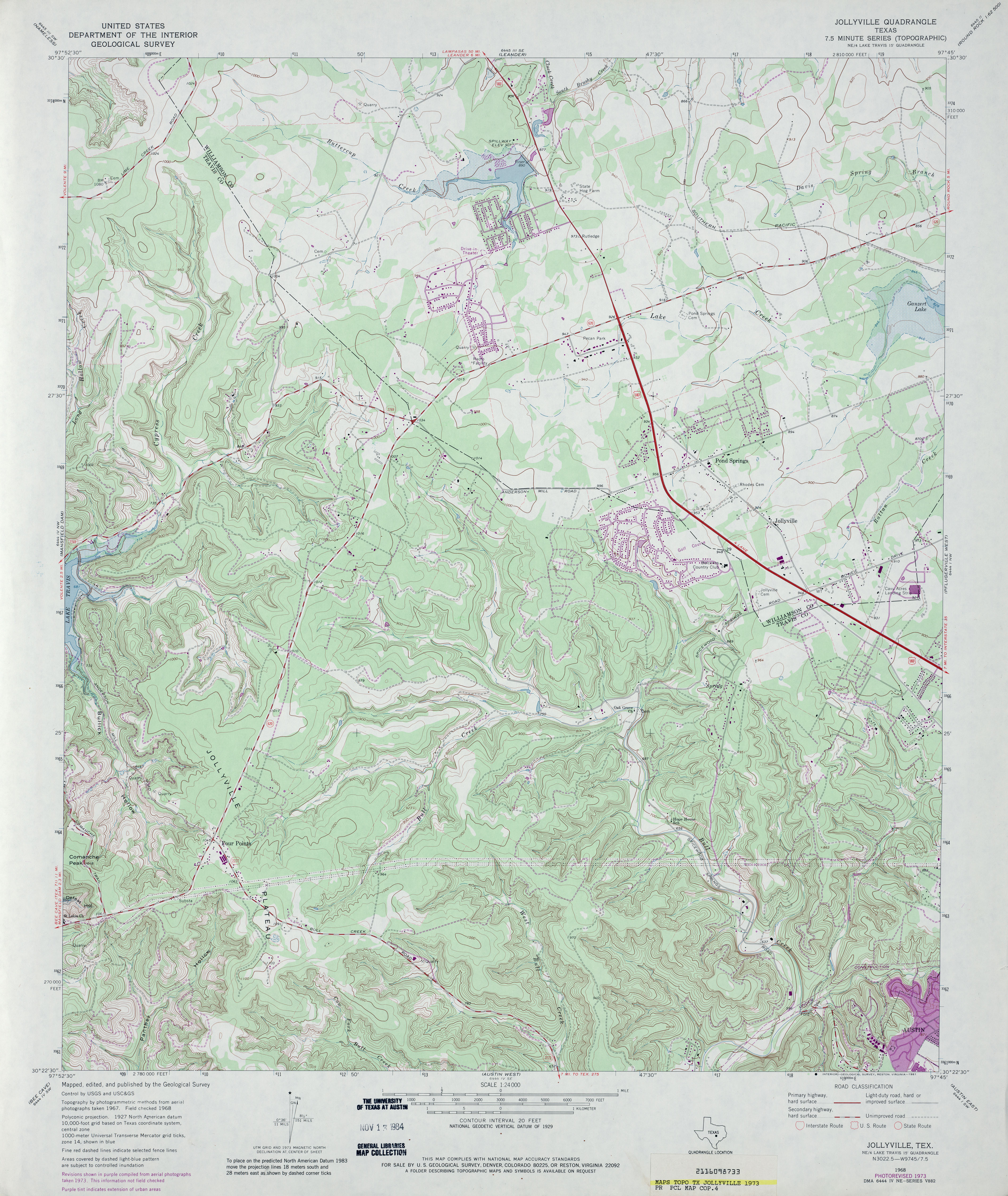
- Jollyville 1:24,000 1968 (3.8MB)
- Jollyville 1:24,000 1973 (4.4MB)
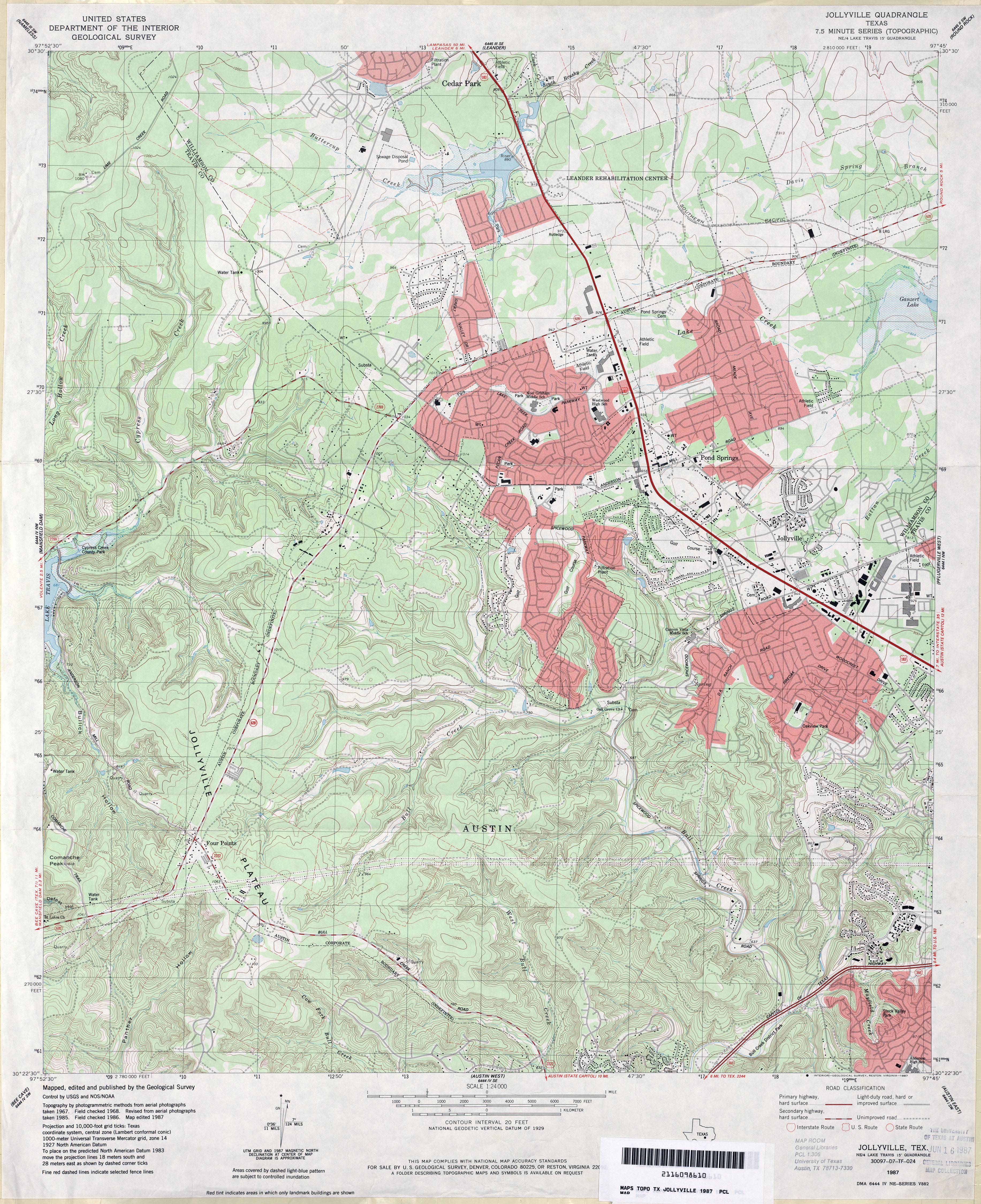
- Jollyville 1:24,000 1987 (5.1MB)
- Jollyville 1:24,000 2008 (19.6MB) [GeoPDF]
- Jollyville 1:24,000 2013 (30.3MB) [GeoPDF]
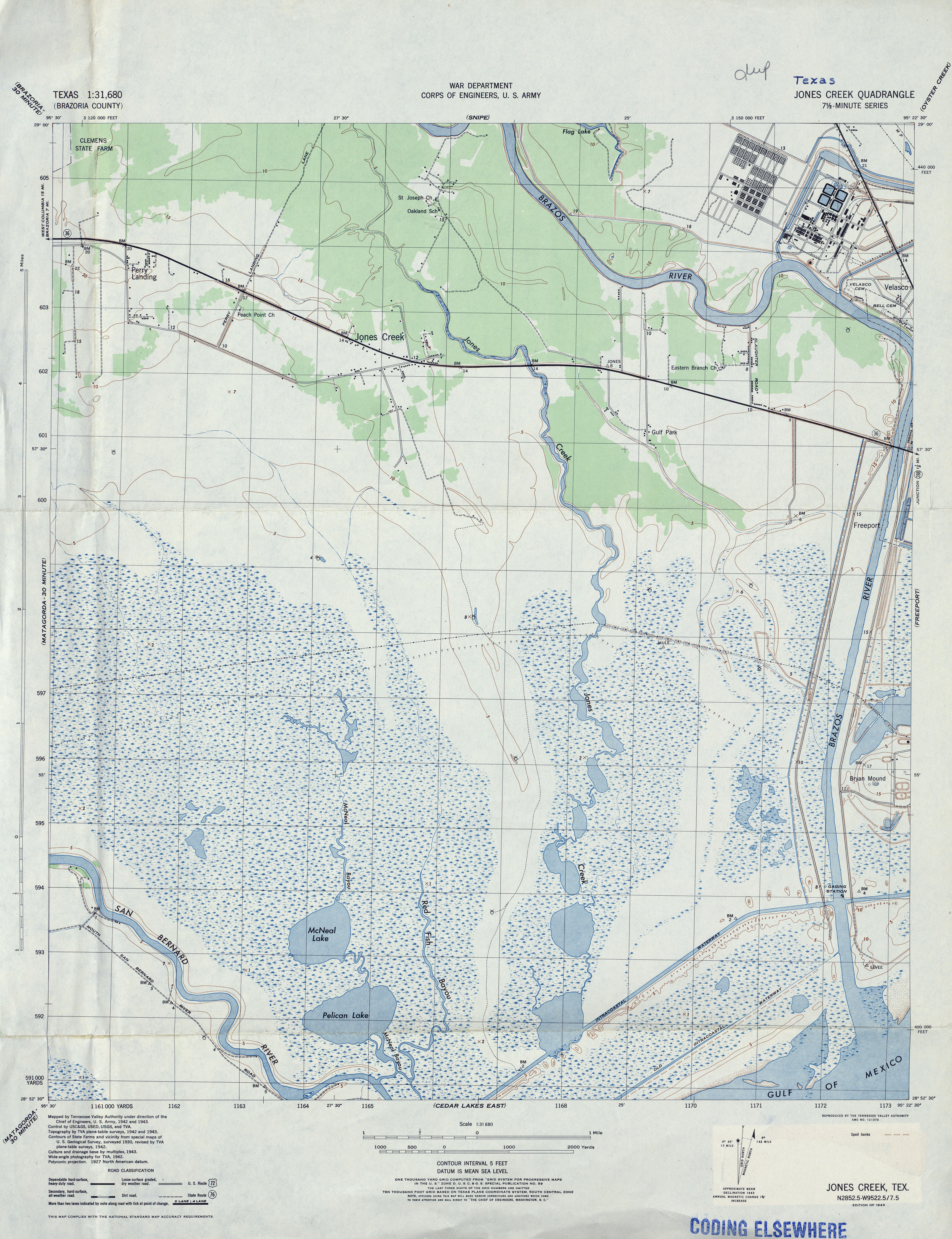
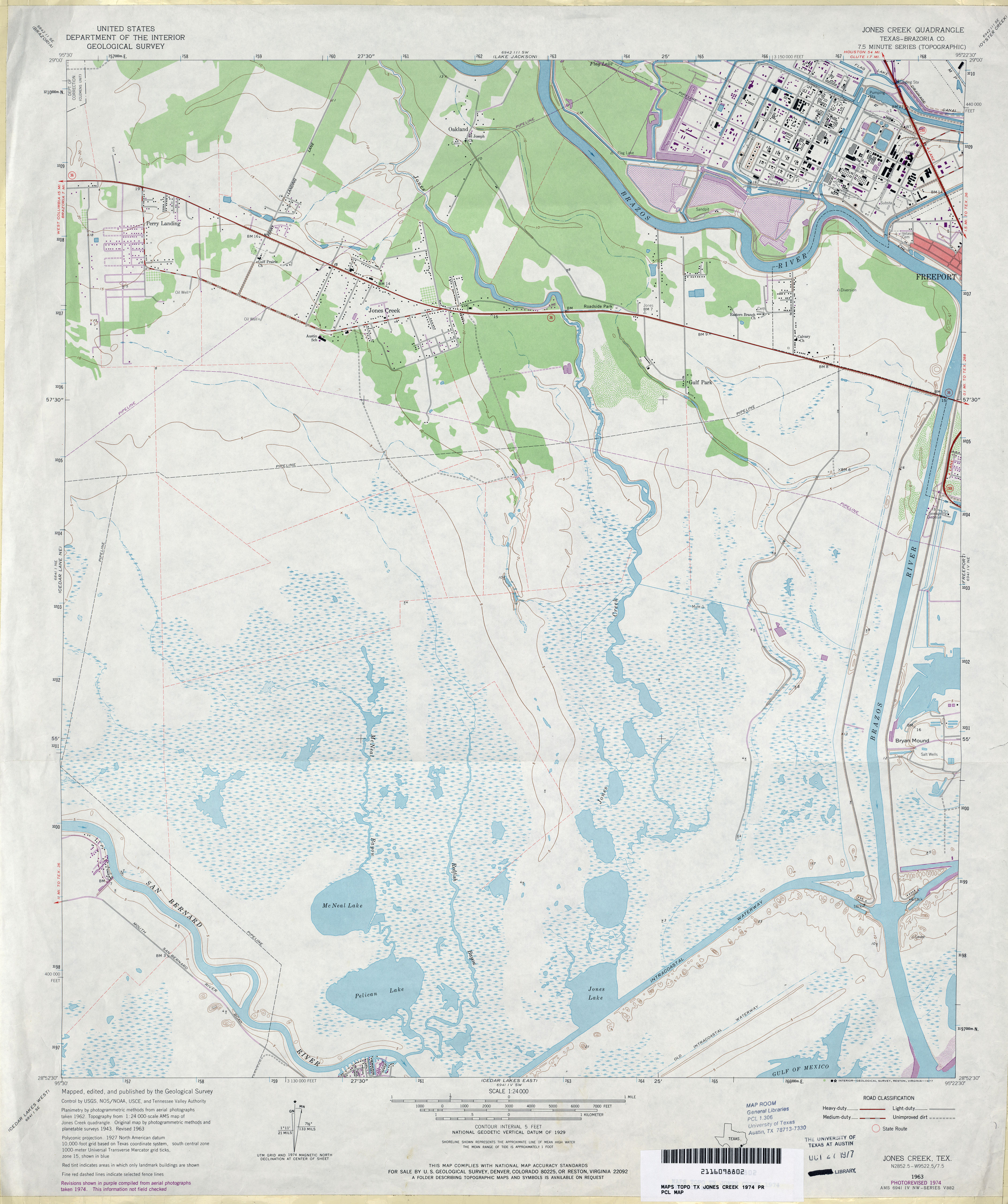
- Jones Creek (Brazoria County) 1:31,680 1943 (4MB) Tennessee Valley Authority
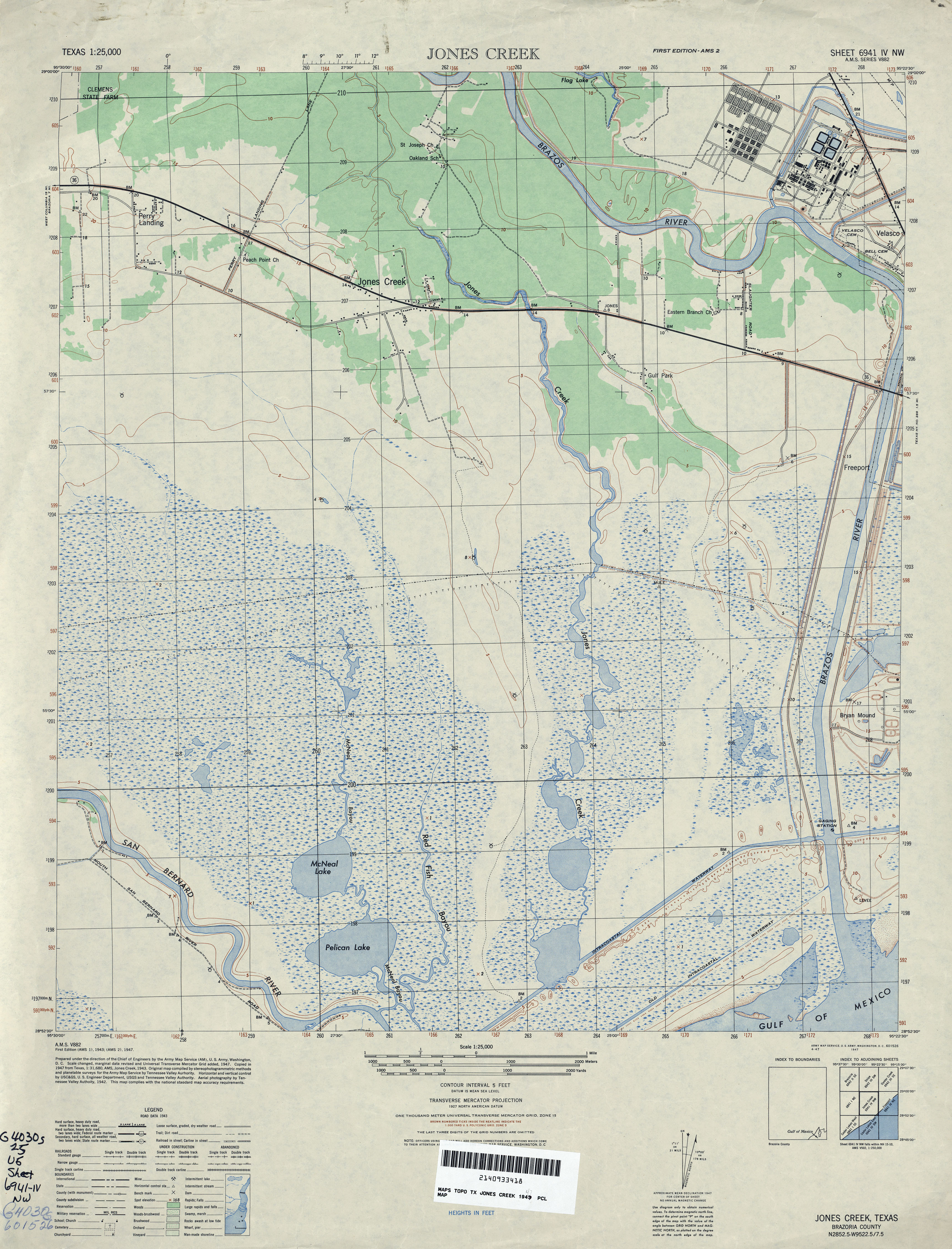
- Jones Creek 1:25,000 1947 (3.7MB) U.S. Army Mapping Service, Series V882
- Jones Creek (Brazoria County) 1:24,000 1963 (3.1MB)
- Jones Creek (Brazoria County) 1:24,000 1974 (3.4MB)
- Jones Creek 1:24,000 2008 (14.8MB) [GeoPDF]
- Jones Creek 1:24,000 2013 (17.3MB) [GeoPDF]
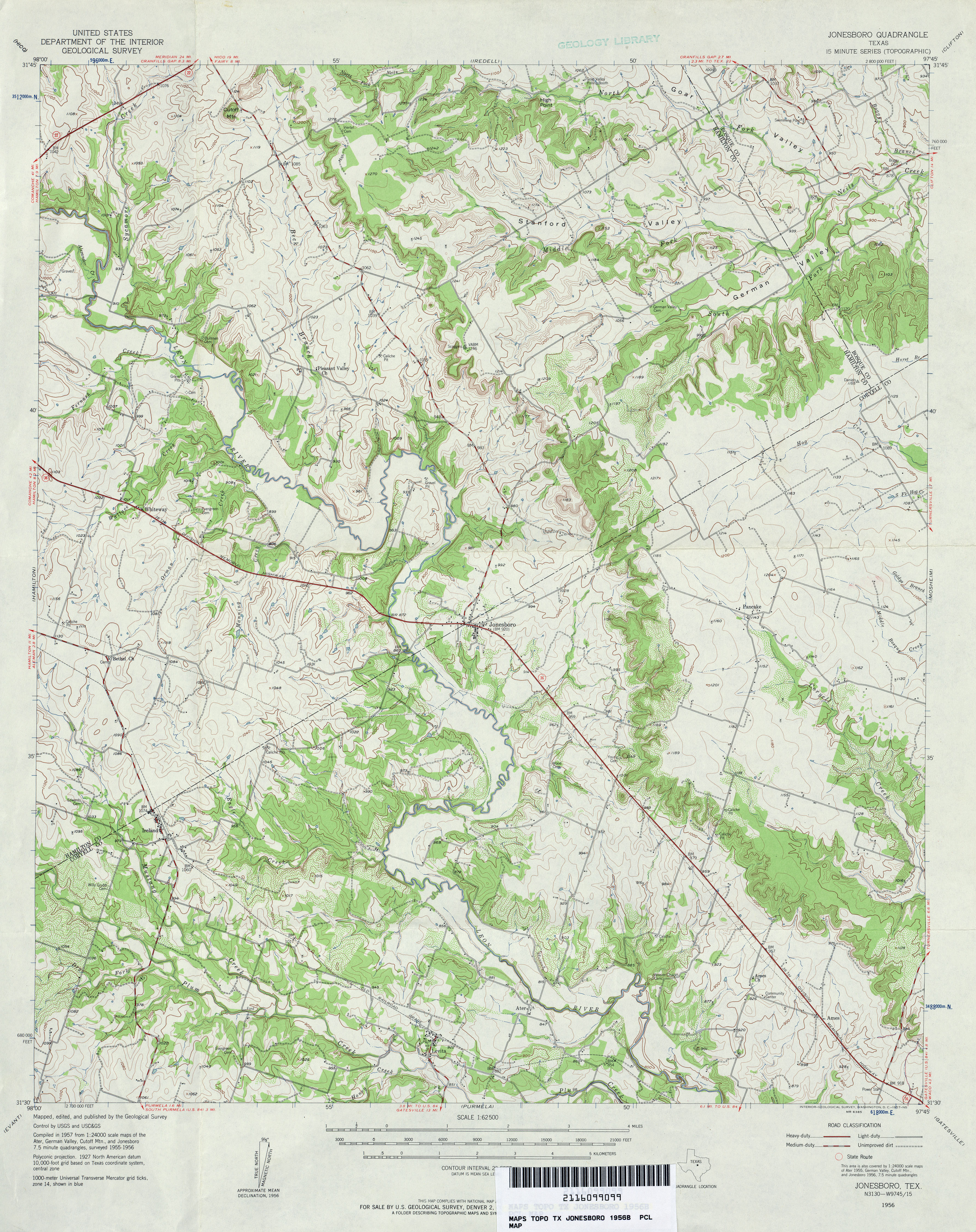
- Jonesboro 1:24,000 1956 (3.6MB)
- Jonesboro 1:62,500 1956 (4.8MB)
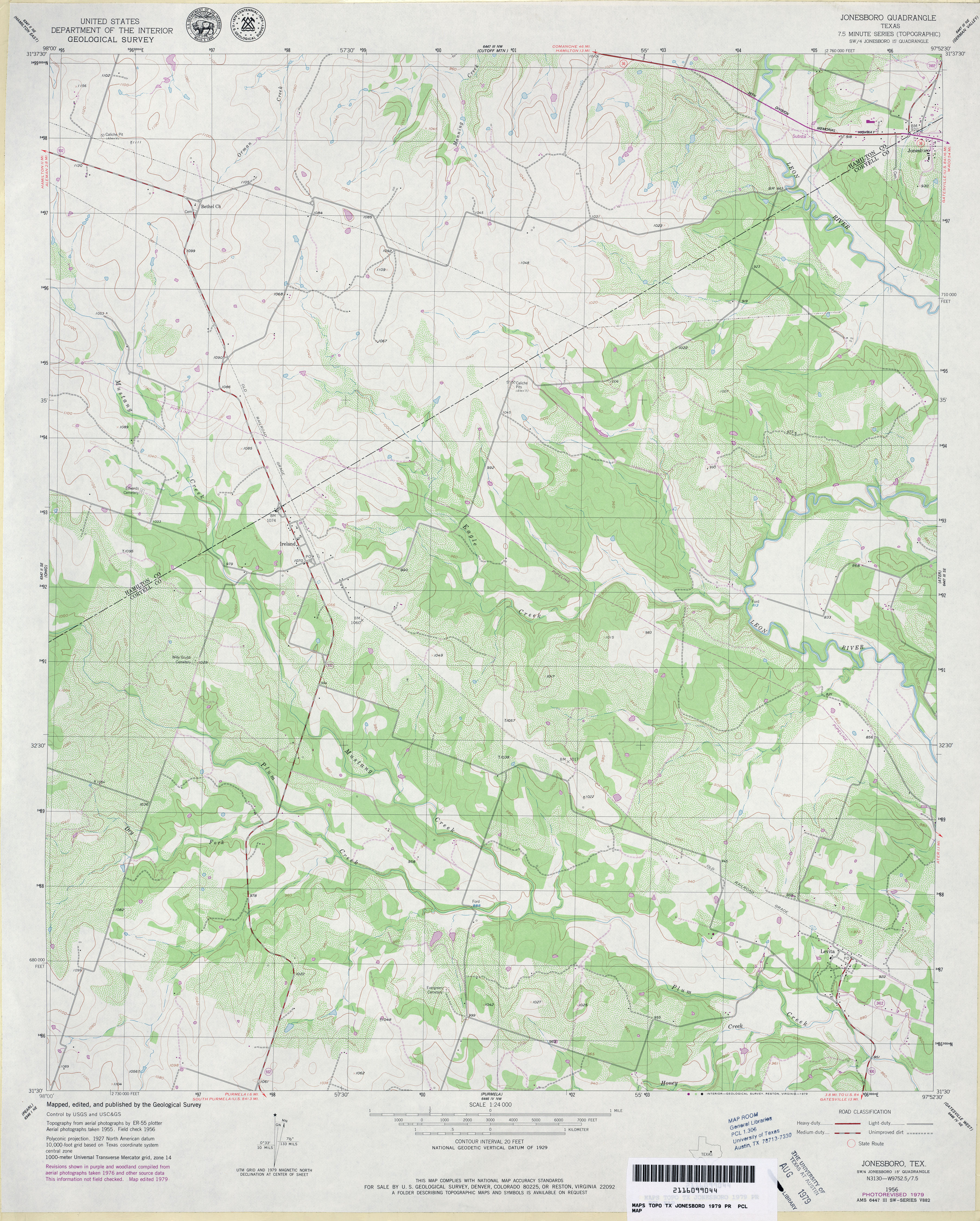
- Jonesboro 1:24,000 1979 (3.9MB)
- Jonesboro 1:24,000 2008 (15.6MB) [GeoPDF]
- Jonesboro 1:24,000 2012 (22.2MB) [GeoPDF]
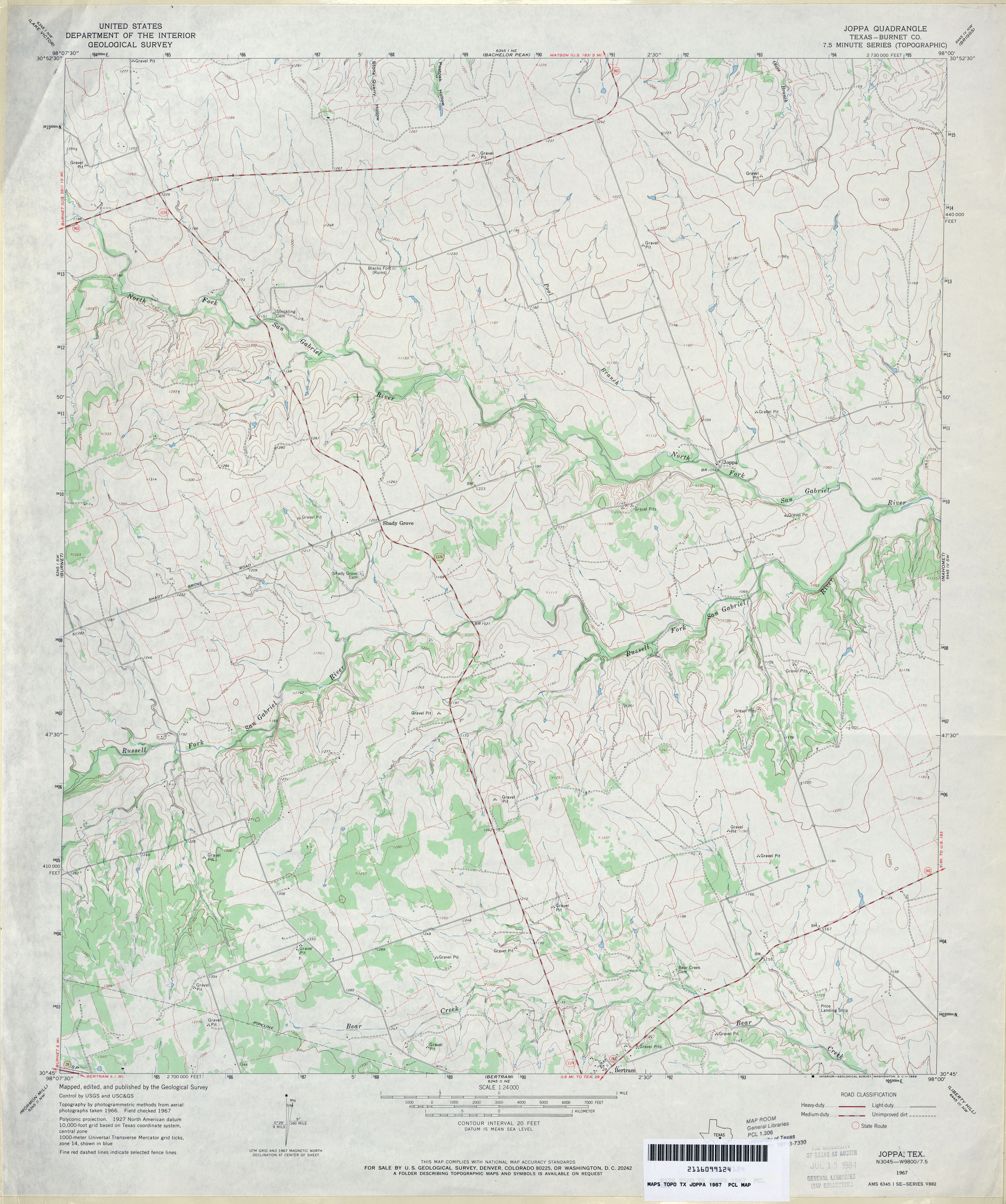
- Joppa (Burnet County) 1:24,000 1967 (3.5MB)
- Joppa 1:24,000 2008 (15.9MB) [GeoPDF]
- Joppa 1:24,000 2012 (21.6MB) [GeoPDF]
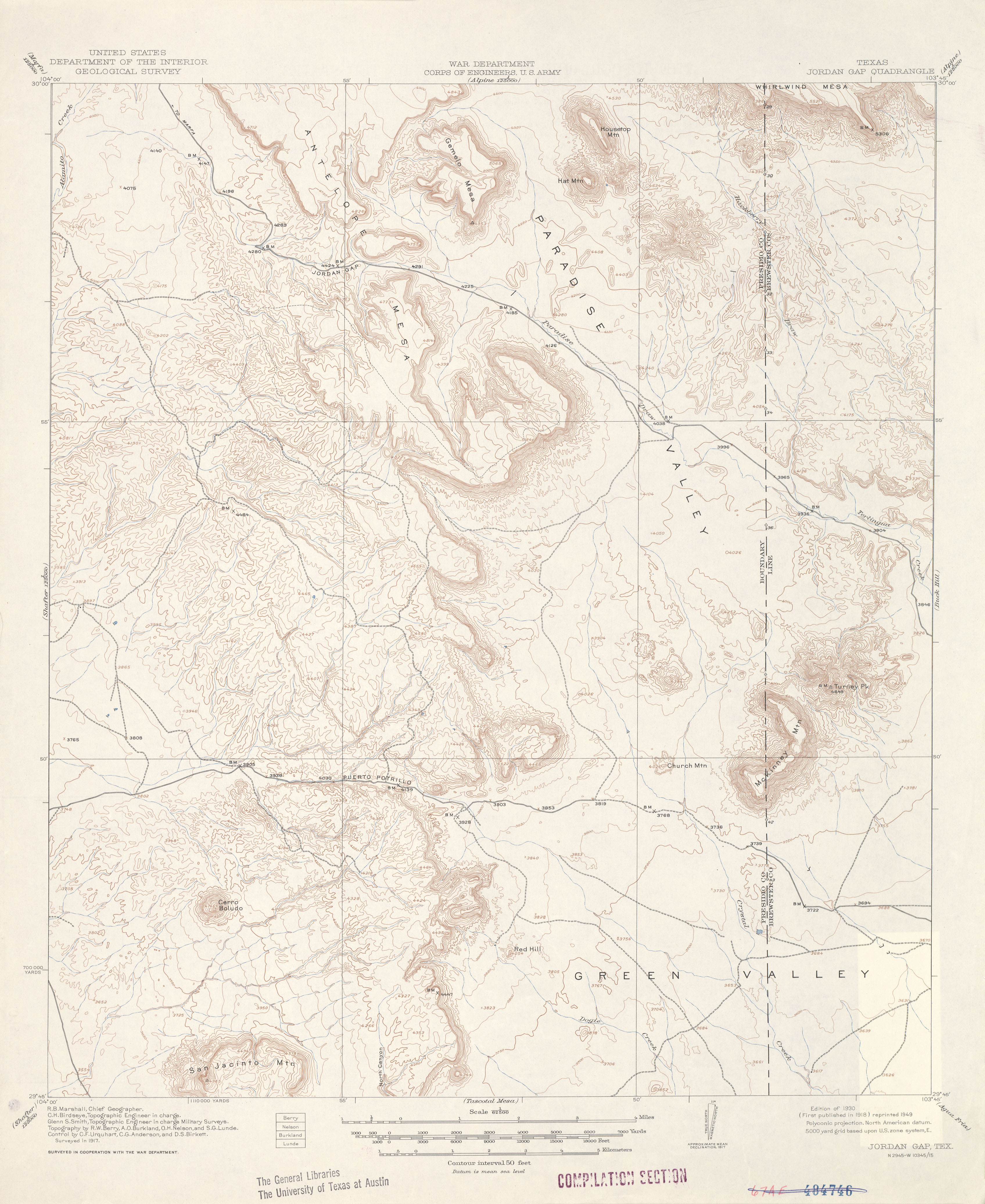
- Jordan Gap 1:62,500 1917 (2.9 MB)
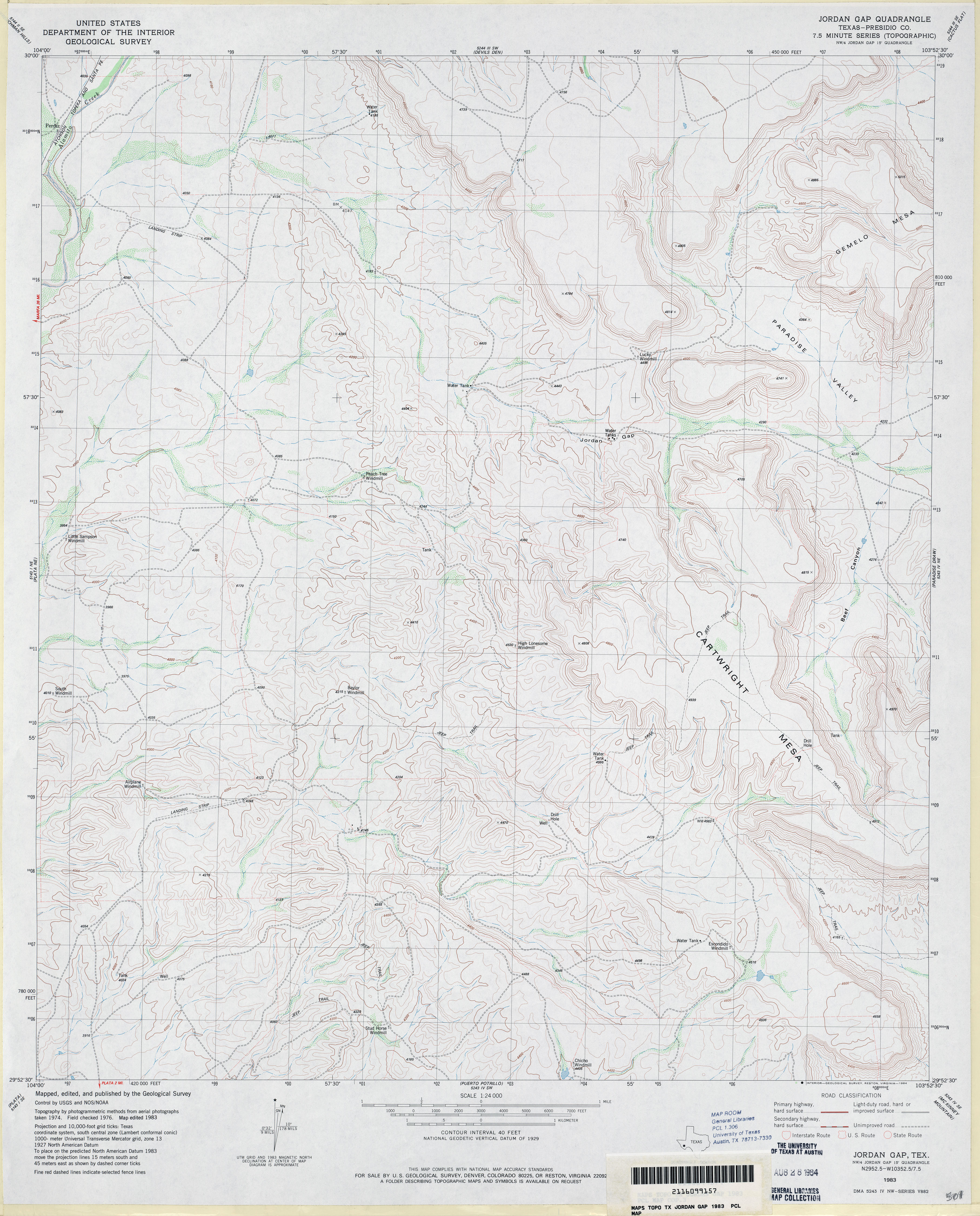
- Jordan Gap (Presidio County) 1:24,000 1983 (3.7MB)
- Jordan Gap 1:24,000 2008 (16.6MB) [GeoPDF]
- Jordan Gap 1:24,000 2012 (24.2MB) [GeoPDF]
- Josephine 1:24,000 1963 (3.2MB)
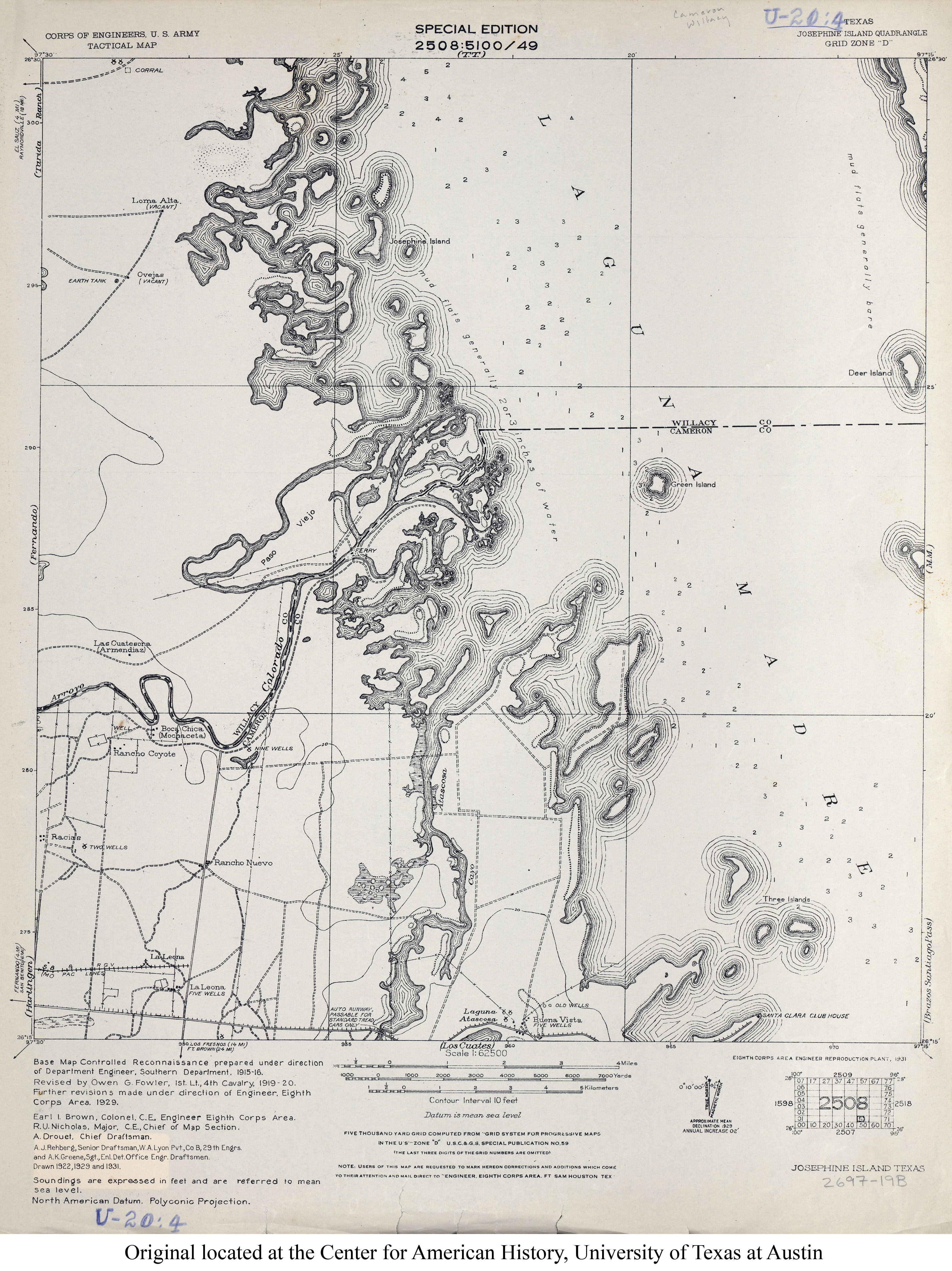
- Josephine Island 1:62,500 1929 (3.3MB) U.S. Army. Corps of Engineers. Tactical Map
- Josephine 1:24,000 2008 (10.8MB) [GeoPDF]
- Josephine 1:24,000 2013 (17.6MB) [GeoPDF]
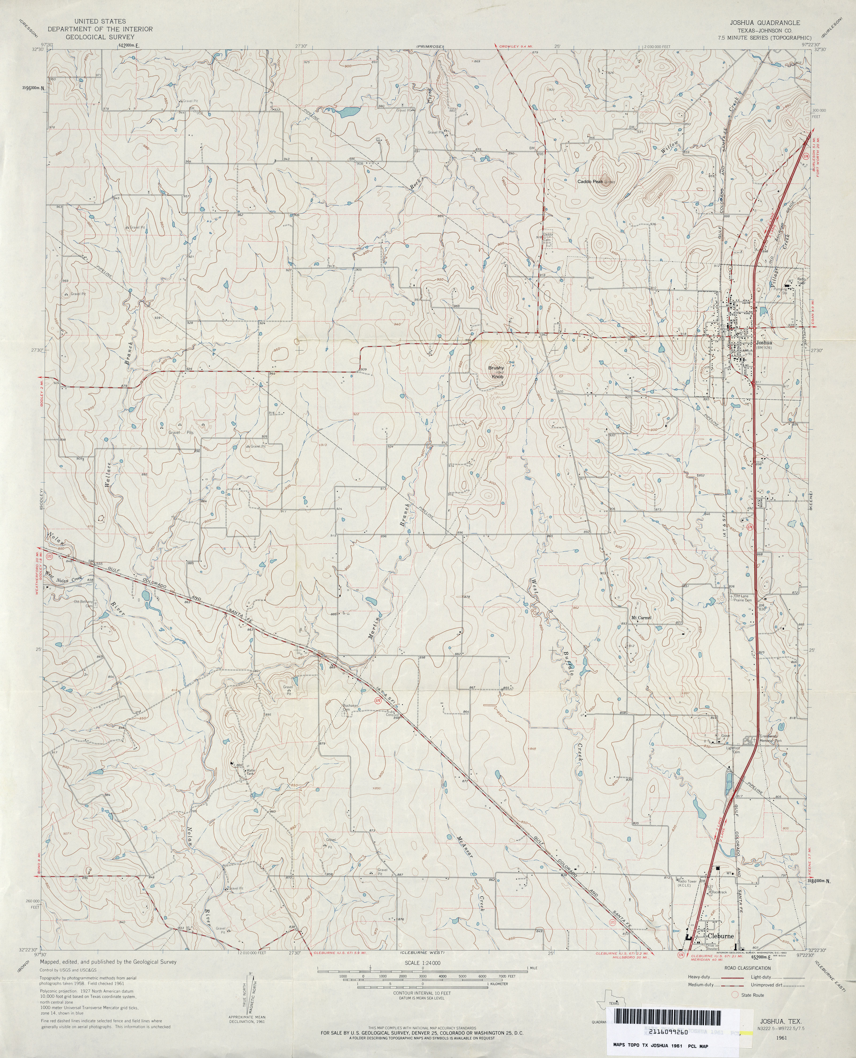
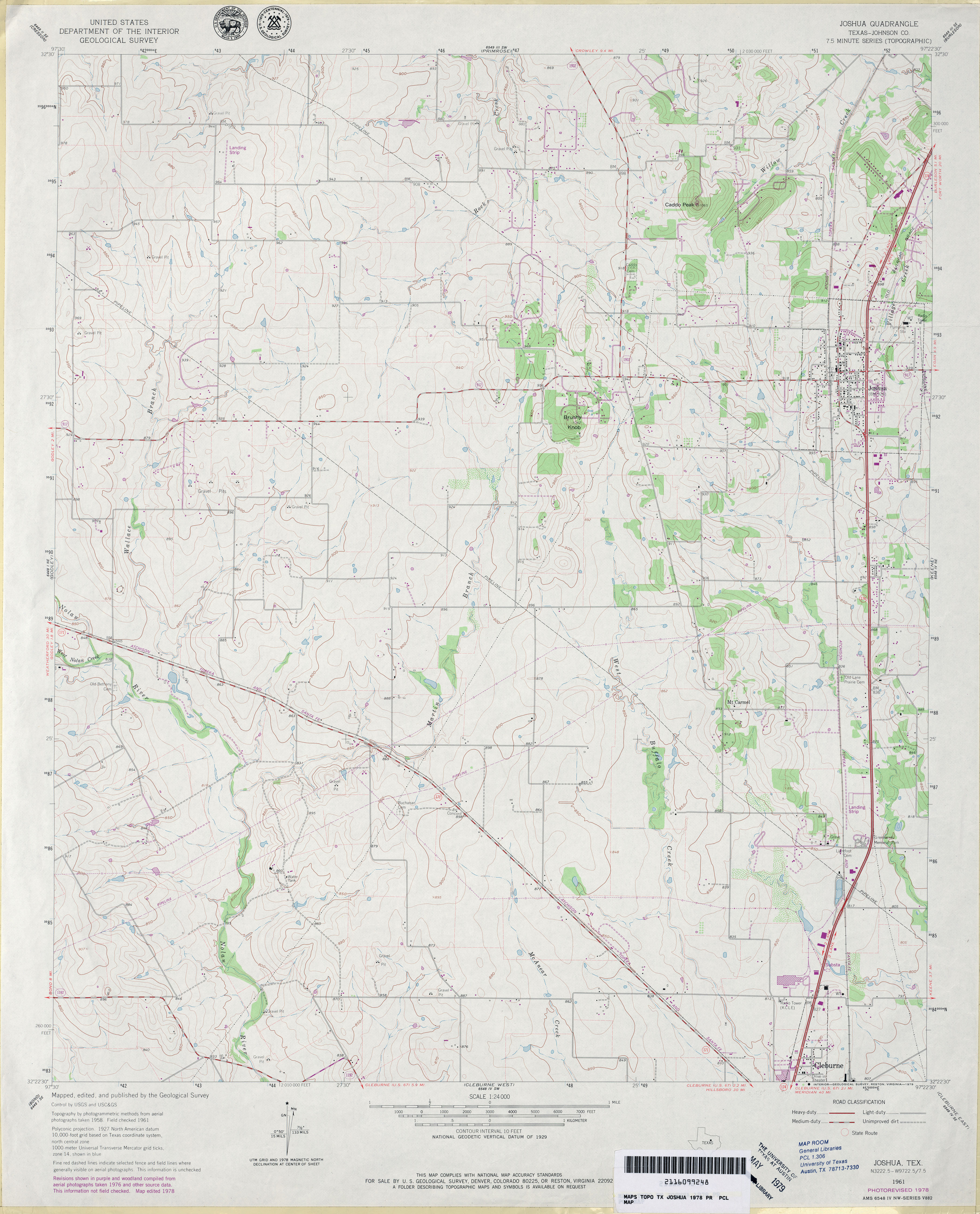
- Joshua (Johnson County) 1:24,000 1961 (3.4MB)
- Joshua (Johnson County) 1:24,000 1978 (3.5MB)
- Joshua 1:24,000 2008 (14.7MB) [GeoPDF]
- Joshua 1:24,000 2012 (19.7MB) [GeoPDF]
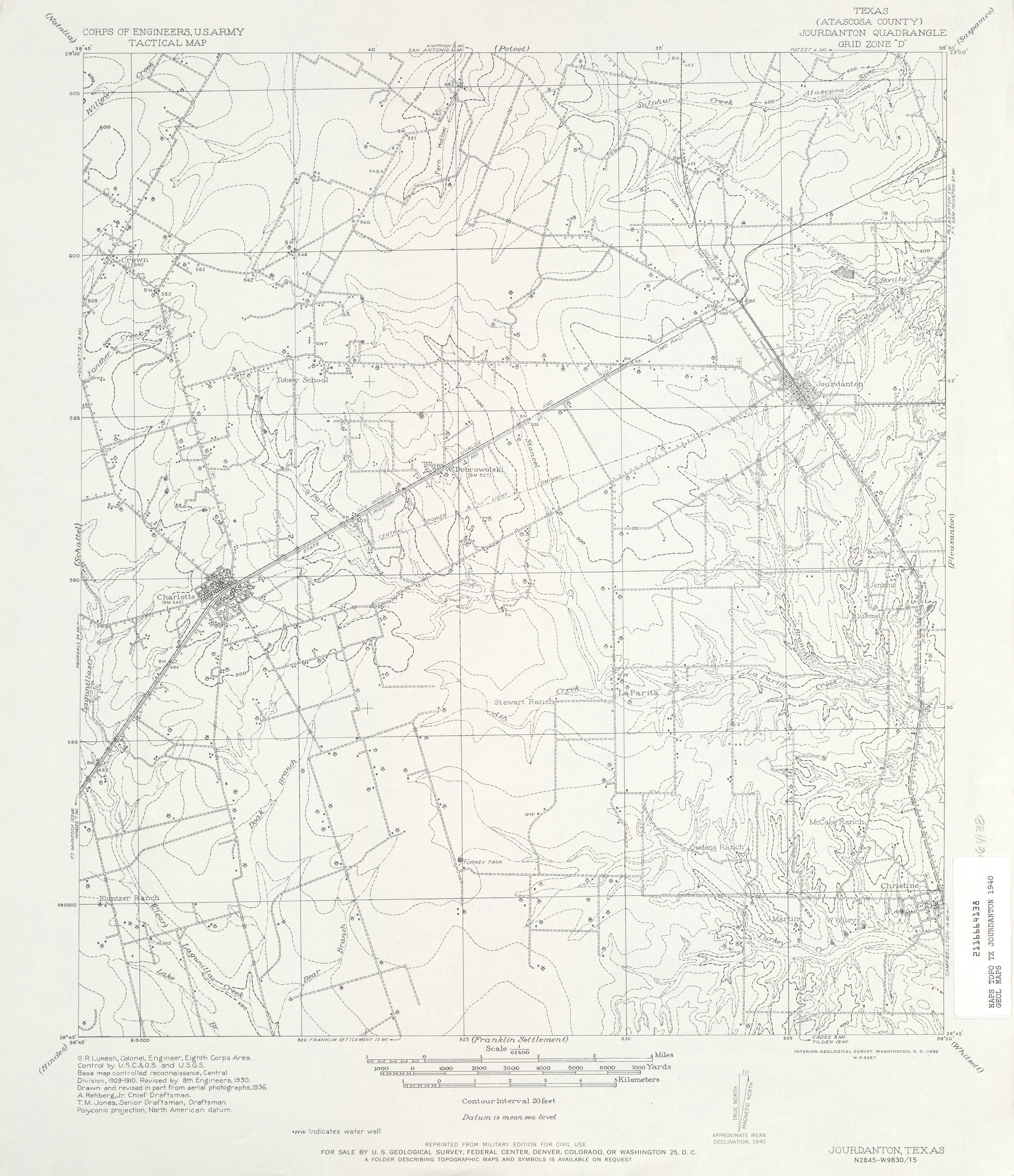
- Jourdanton (Atascosa County) 1:62,500 1936 (3.4 MB) U.S. Army. Corps of Engineers. Tactical Map.
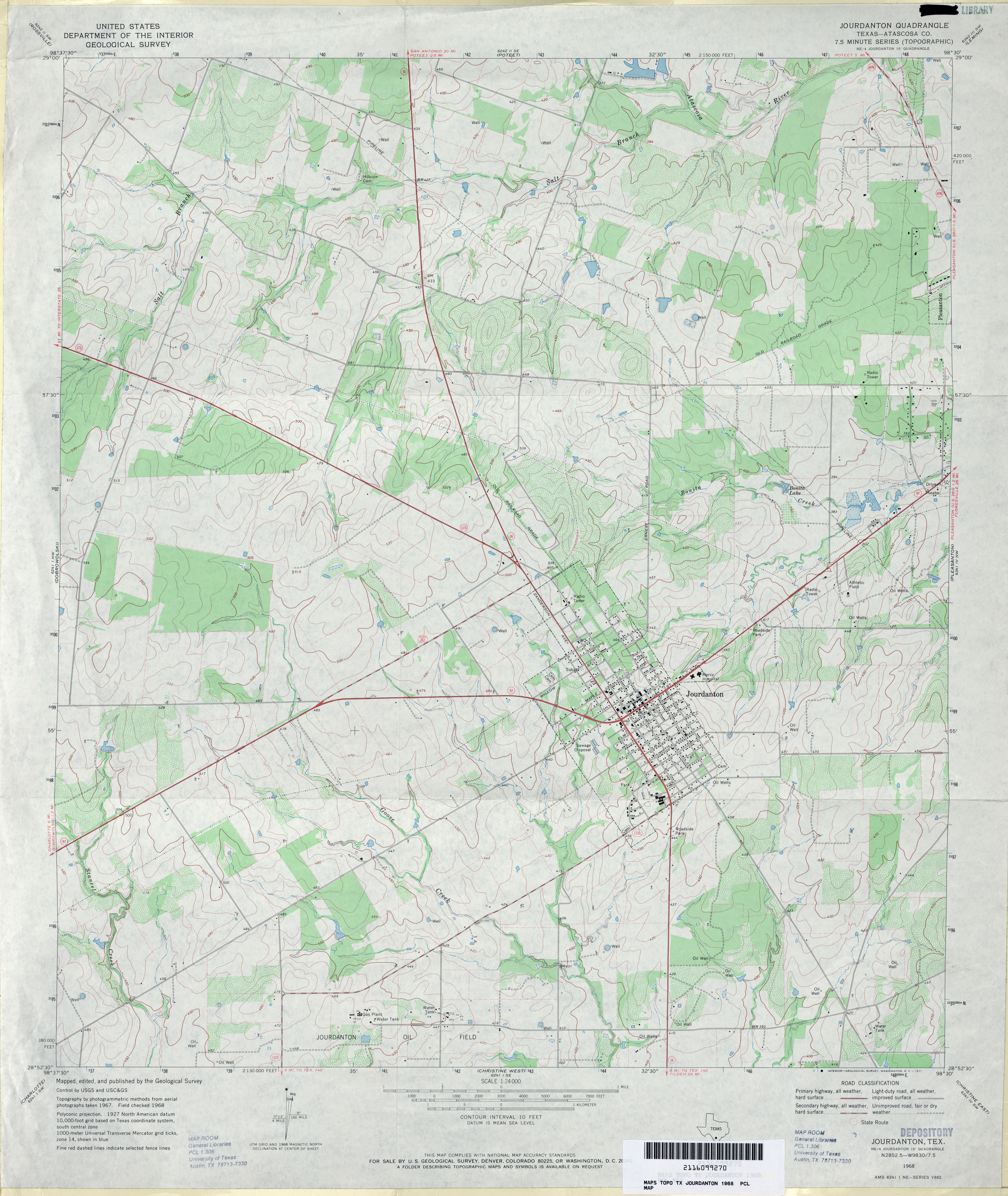
- Jourdanton (Atascosa County) 1:24,000 1968 (3.6MB)
- Jourdanton 1:24,000 2008 (15.0MB) [GeoPDF]
- Jourdanton 1:24,000 2013 (21MB) [GeoPDF]
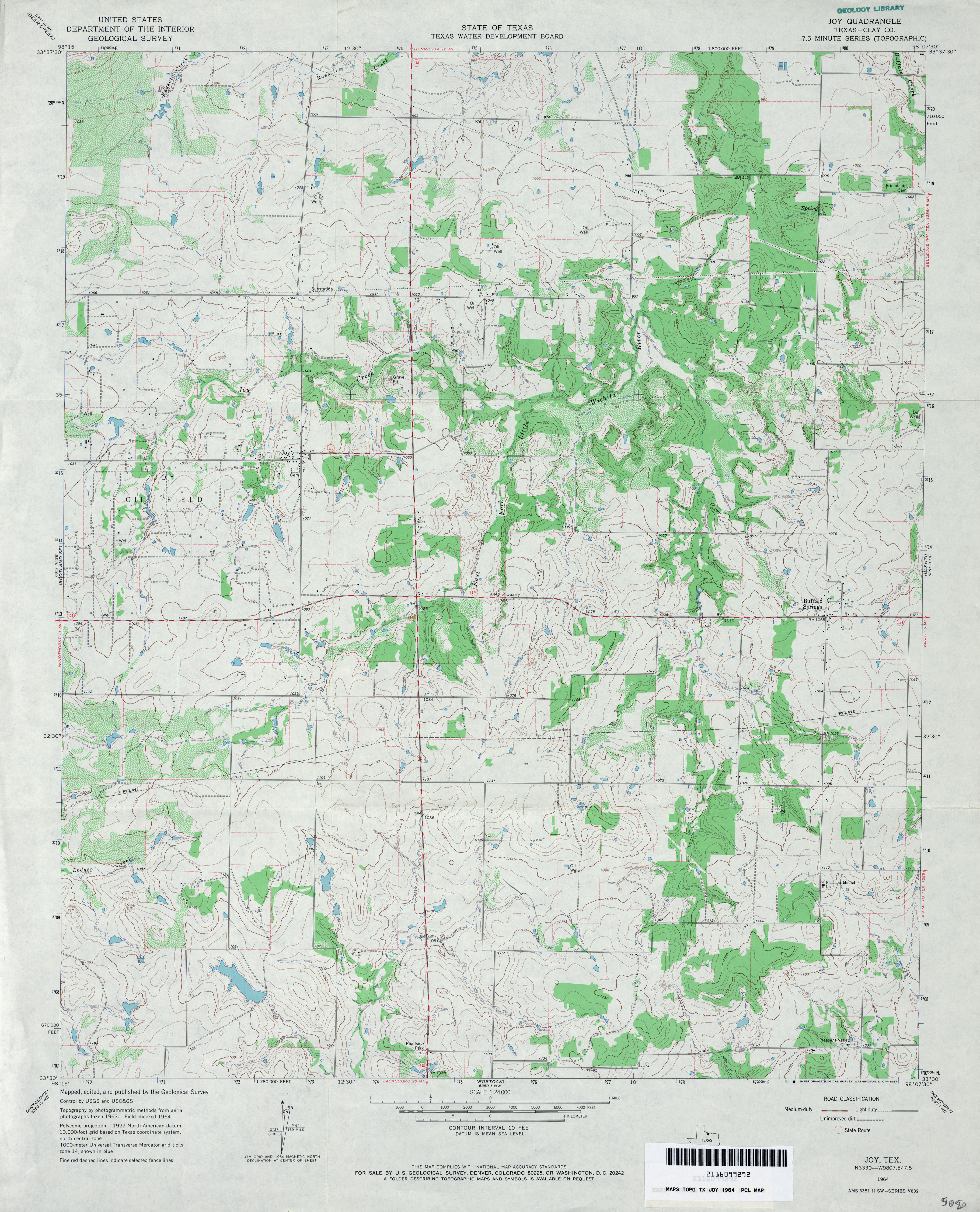
- Joy (Clay County) 1:24,000 1964 (3.8MB)
- Joy 1:24,000 2012 (18.3MB) [GeoPDF]
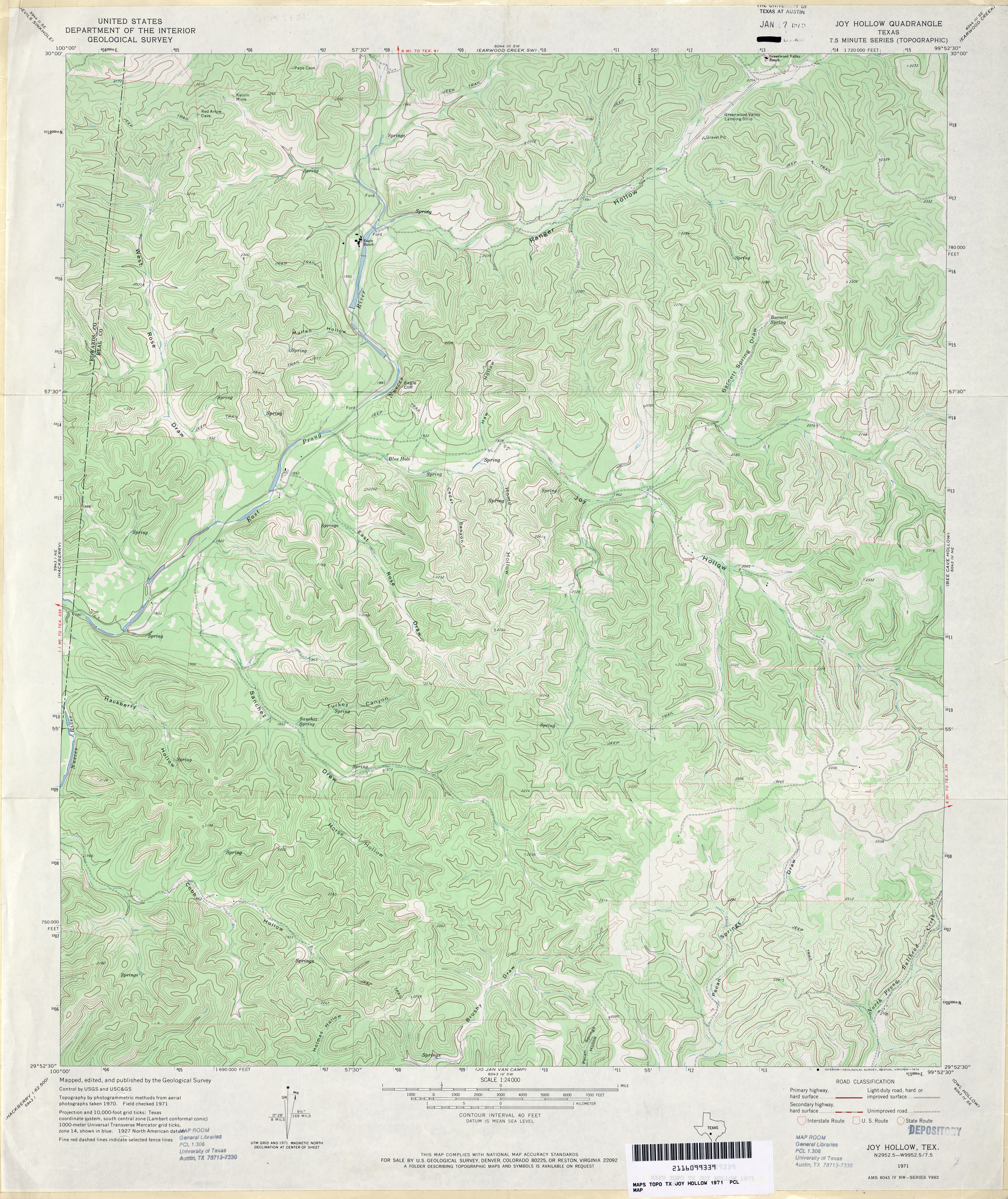
- Joy Hollow 1:24,000 1971 (4.7MB)
- Joy Hollow 1:24,000 2008 (25.4MB) [GeoPDF]
- Joy Hollow 1:24,000 2012 (32.5MB) [GeoPDF]
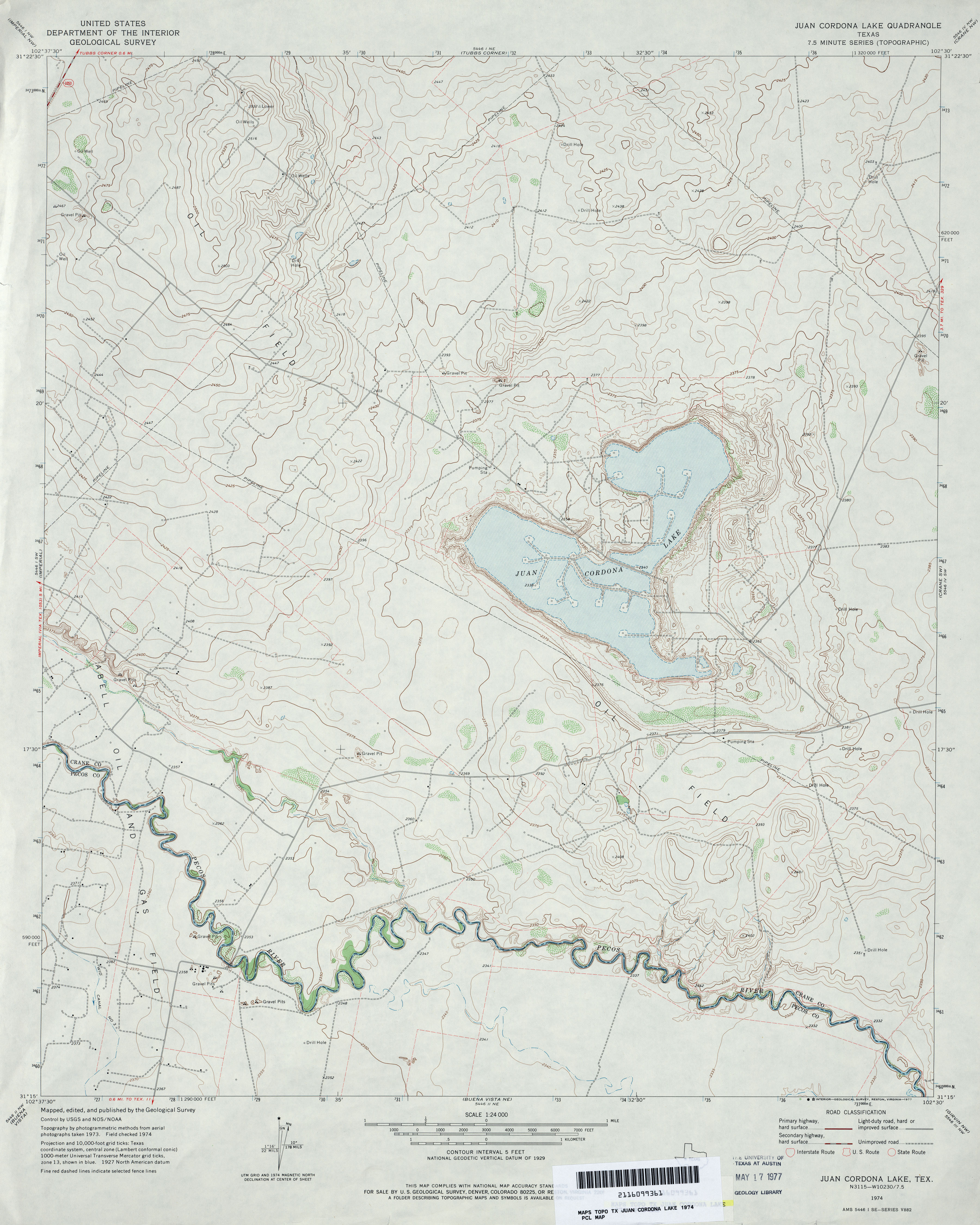
- Juan Cordona Lake 1:24,000 1974 (3.2MB)
- Juan Cordona Lake 1:24,000 2008 (24.4MB) [GeoPDF]
- Juan Cordona Lake 1:24,000 2012 (27.8MB) [GeoPDF]
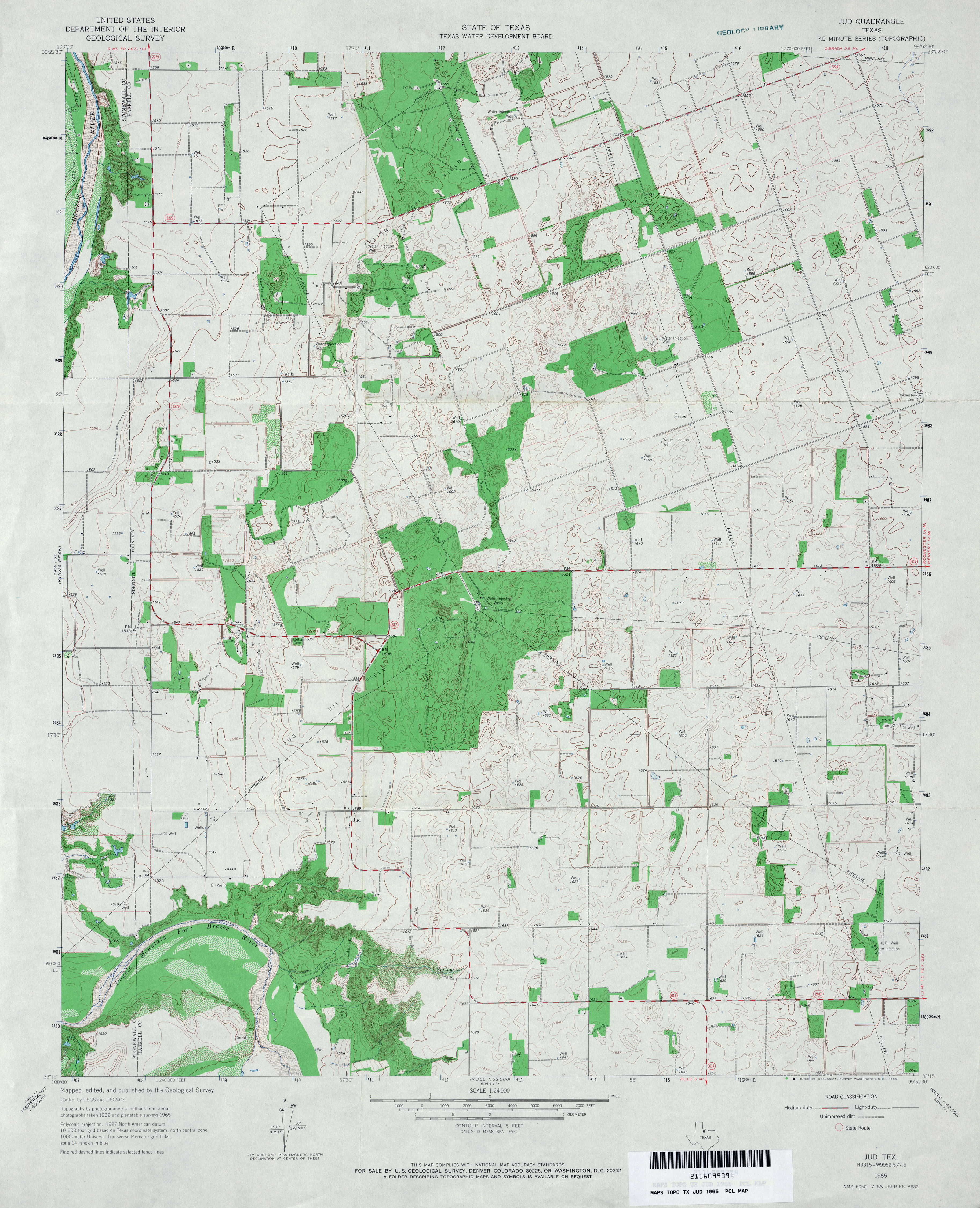
- Jud 1:24,000 1965 (3.7MB)
- Jud 1:24,000 2008 (11.6MB) [GeoPDF]
- Jud 1:24,000 2013 (17MB) [GeoPDF]
- Julia Lake (Hale County) 1:24,000 1968 (2.5MB)
- Julia Lake 1:24,000 2008 (10.1MB) [GeoPDF]
- Julia Lake 1:24,000 2012 (14.9MB) [GeoPDF]
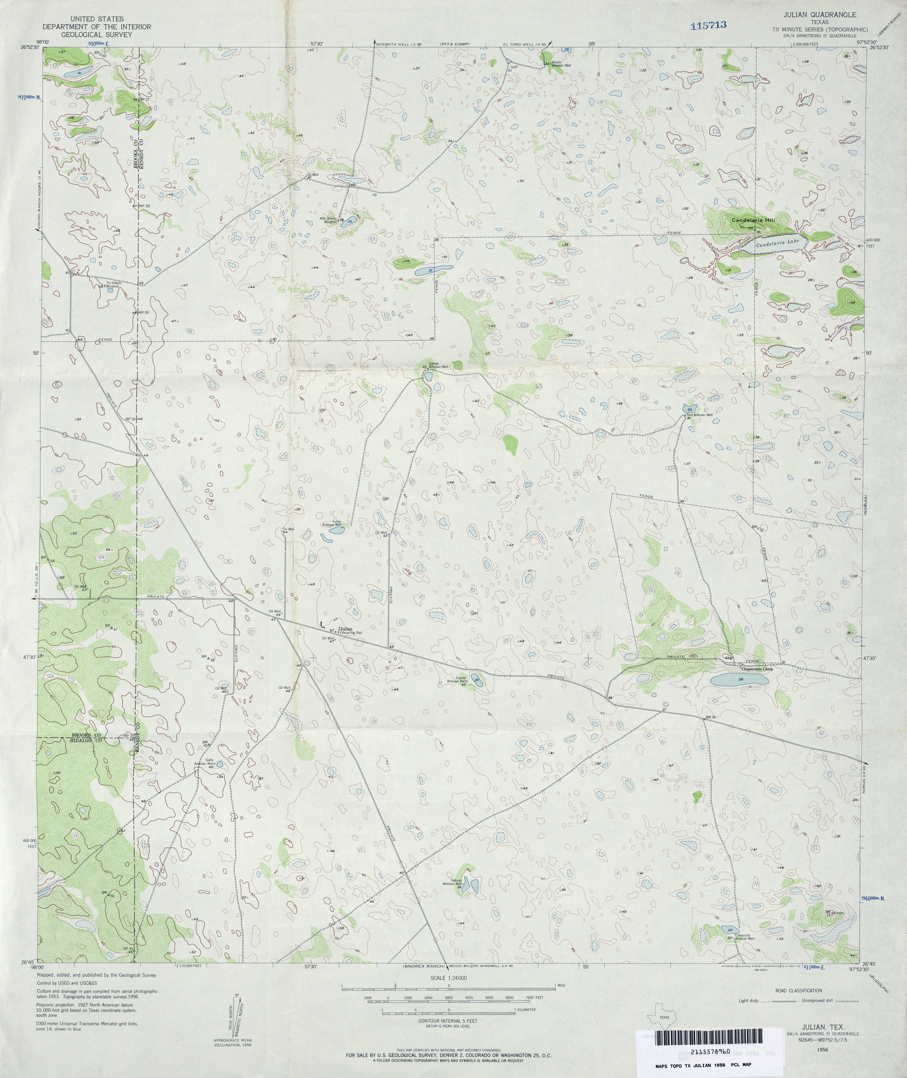
- Julian 1:24,000 1956 (3MB)
- Julian 1:24,000 1982 (2.9MB)
- Julian 1:24,000 2009 (15.3MB) [GeoPDF]
- Julian 1:24,000 2013 (19.4MB) [GeoPDF]
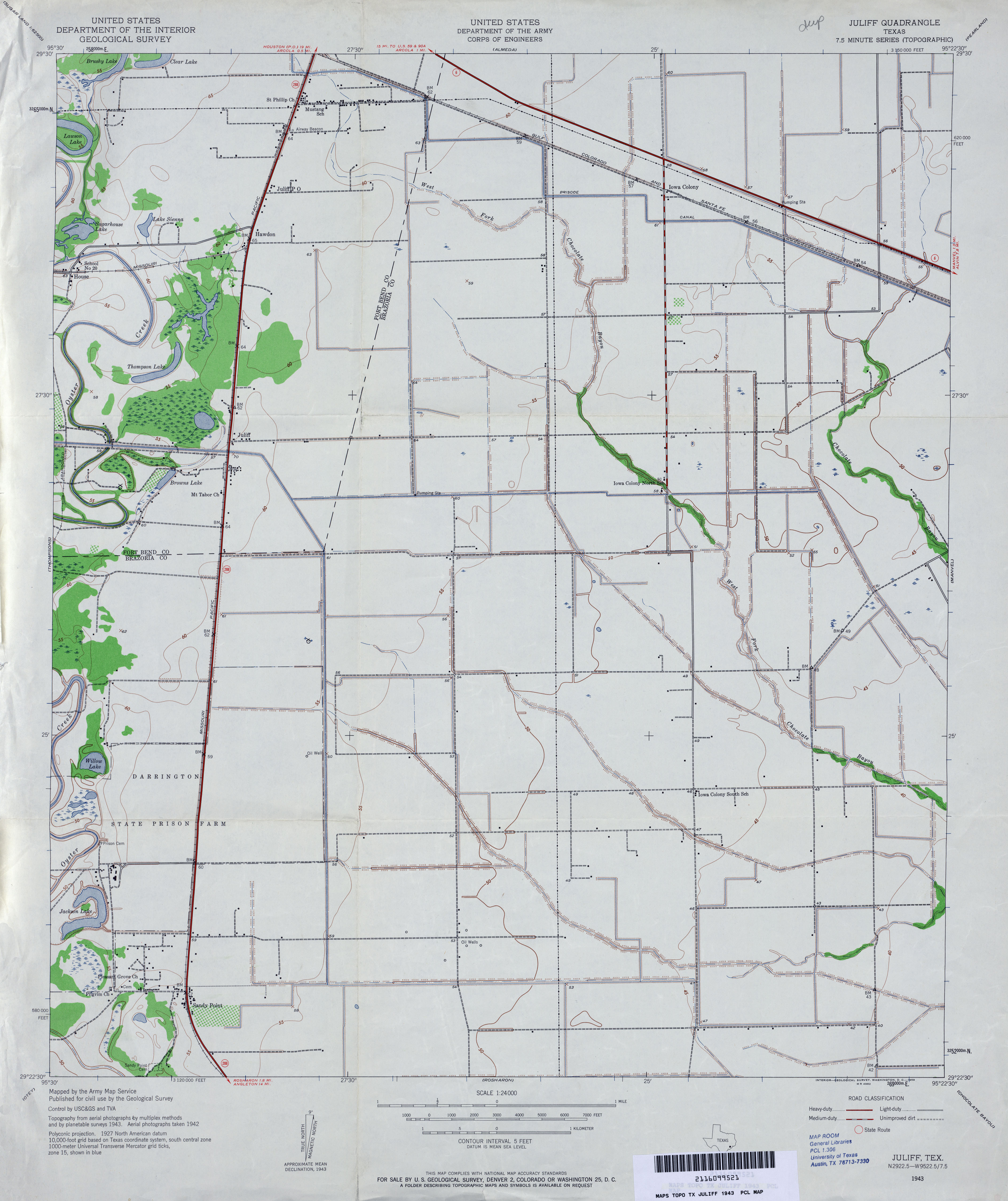
- Juliff 1:24,000 1943 (2.7MB)
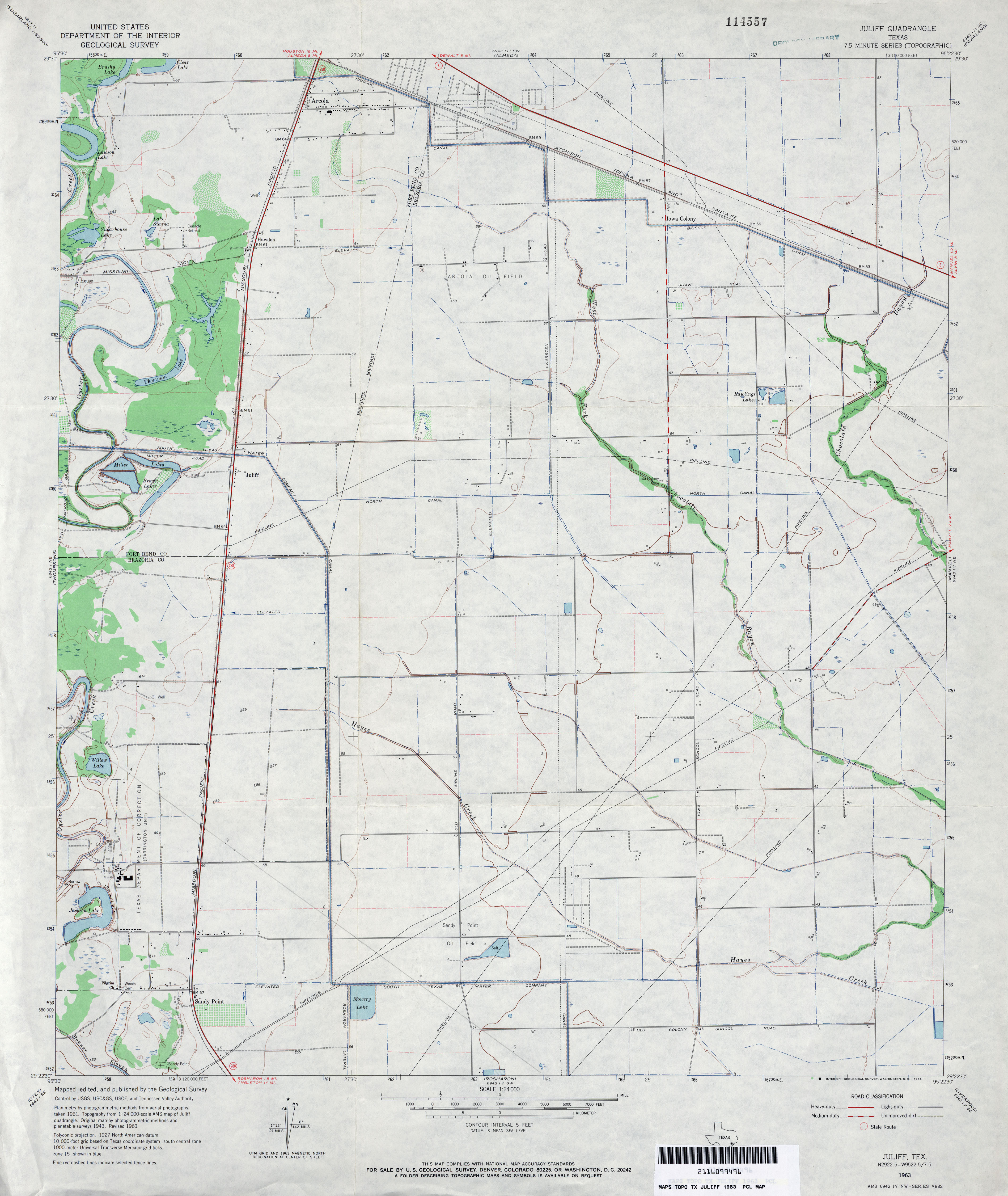
- Juliff 1:24,000 1963 (2.8MB)
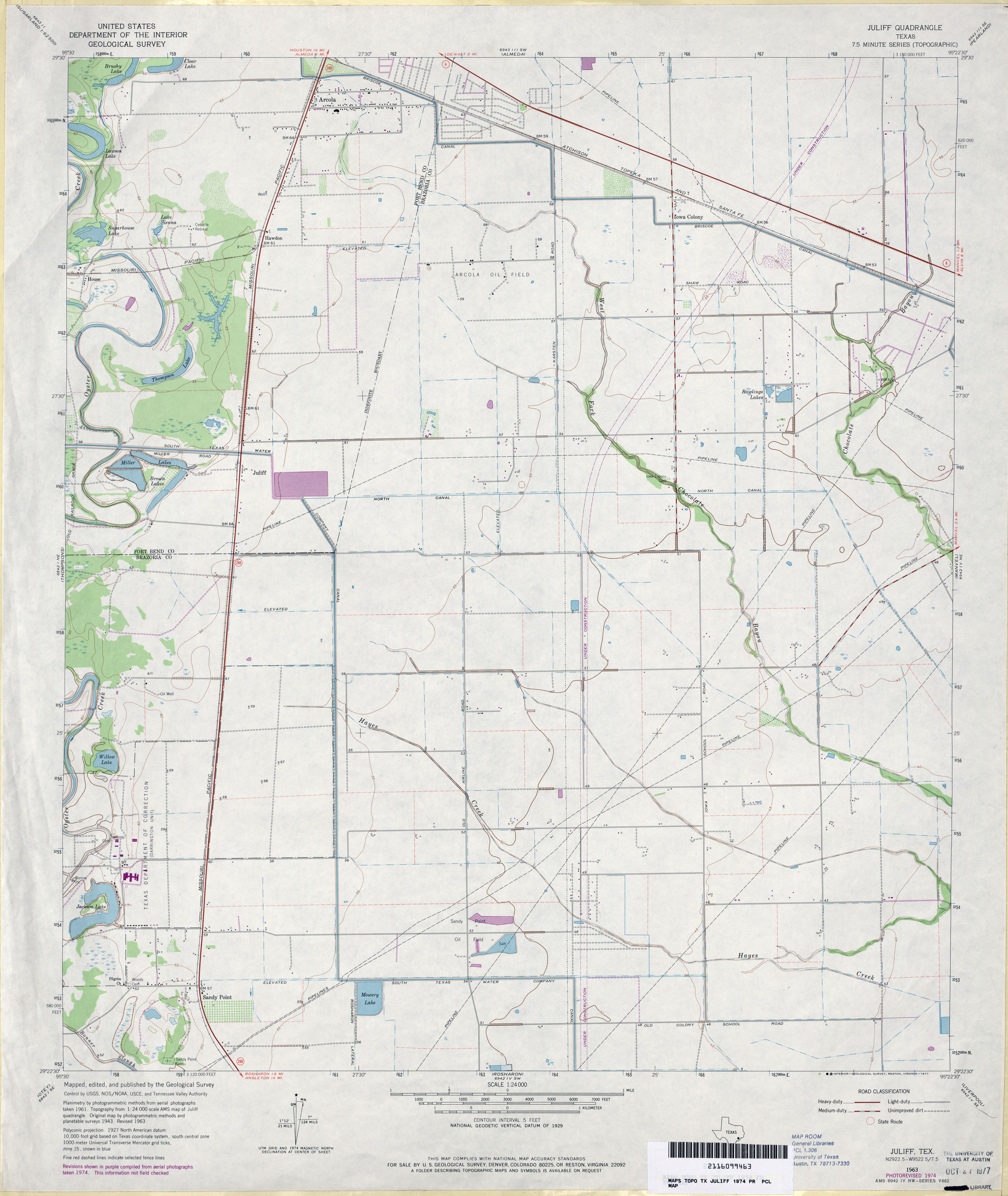
- Juliff 1:24,000 1974 (2.8MB)
- Juliff 1:24,000 2009 (16.7MB) [GeoPDF]
- Juliff 1:24,000 2013 (17.3MB) [GeoPDF]
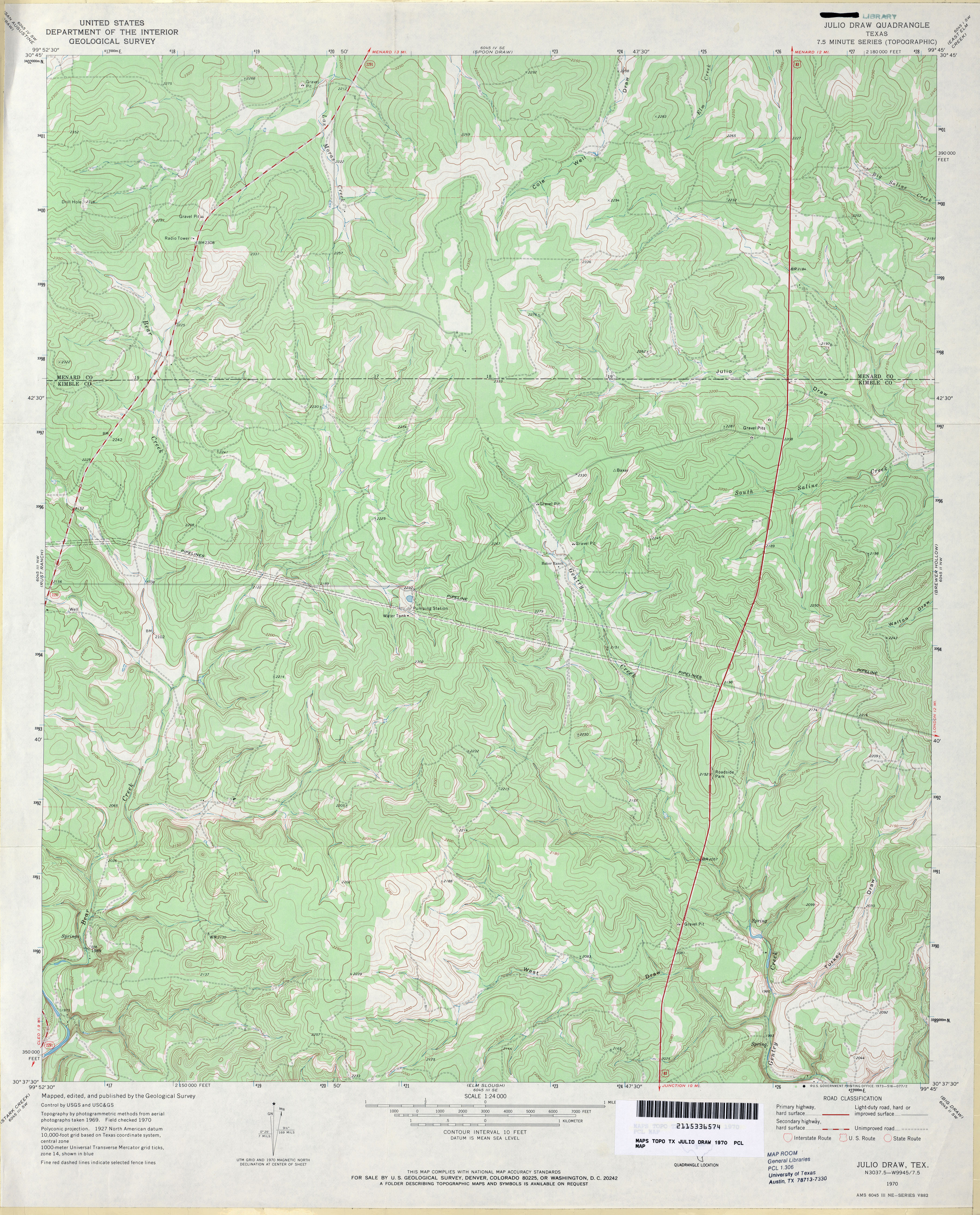
- Julio Draw 1:24,000 1970 (4.1MB)
- Julio Draw 1:24,000 2008 (25.2MB) [GeoPDF]
- Julio Draw 1:24,000 2012 (29.3MB) [GeoPDF]
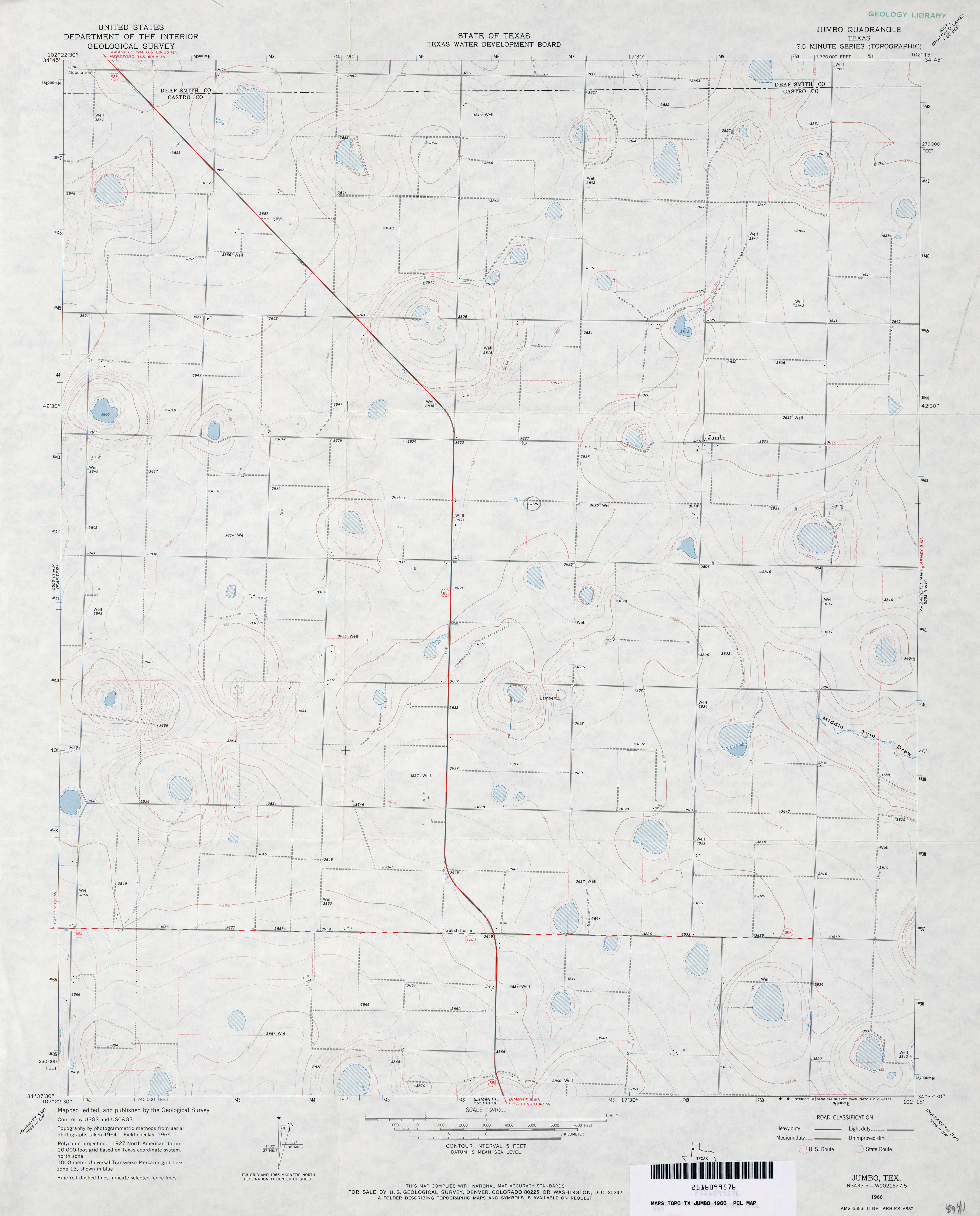
- Jumbo 1:24,000 1966 (2.4MB)
- Jumbo 1:24,000 1980 (2.5MB)
- Jumbo 1:24,000 2008 (9.2MB) [GeoPDF]
- Jumbo 1:24,000 2012 (14.1MB) [GeoPDF]
- Jumbo Hill (Andrews County) 1:24,000 1971 (3.5MB)
- Jumbo Hill 1:24,000 2008 (19.6MB) [GeoPDF]
- Jumbo Hill 1:24,000 2012 (19.3MB) [GeoPDF]
- Jumping Spring [New Mexico, Texas] 1:24,000 2009 (24.1MB) [GeoPDF]
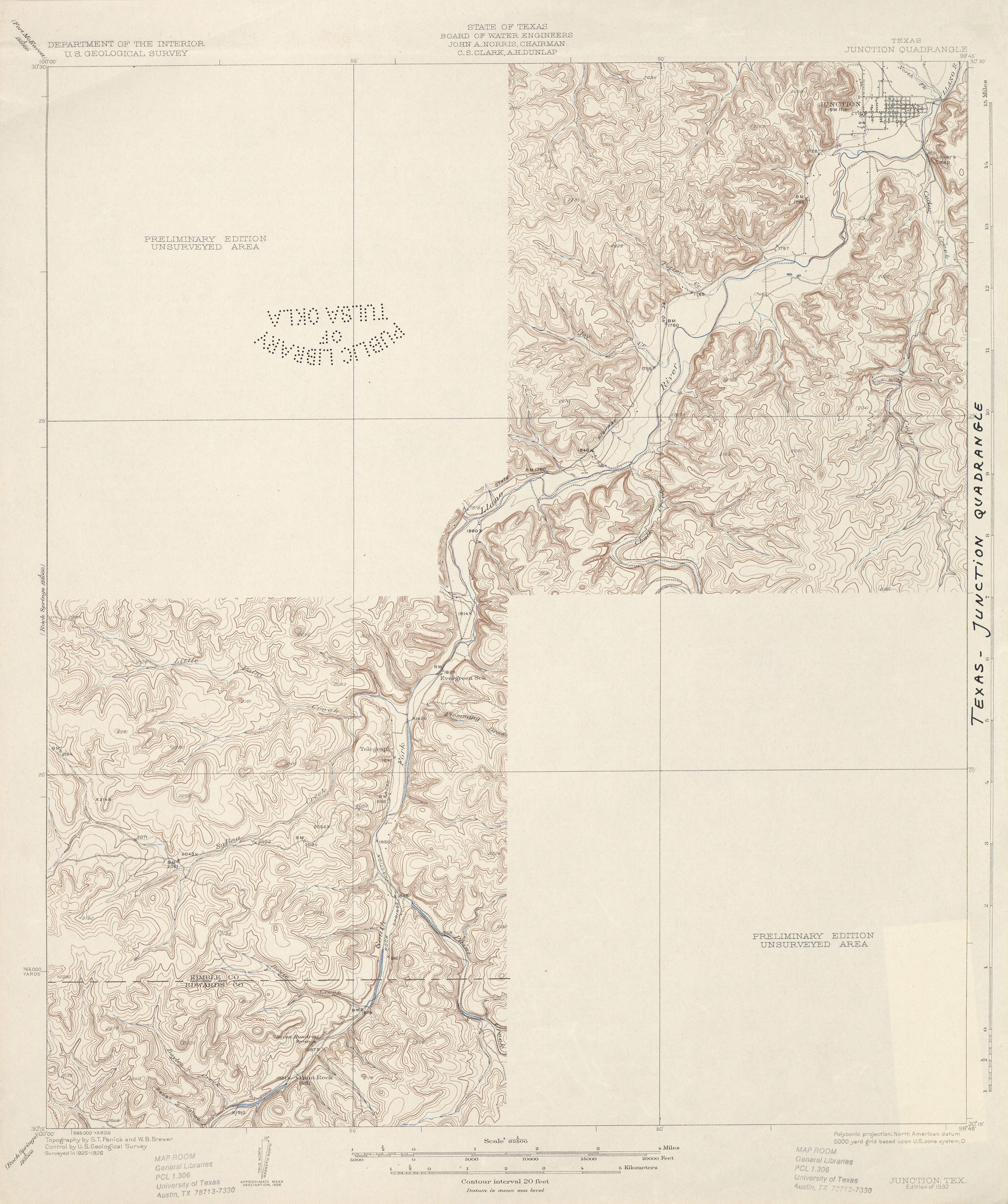
- Junction 1:62,500 1926 (2.7 MB)
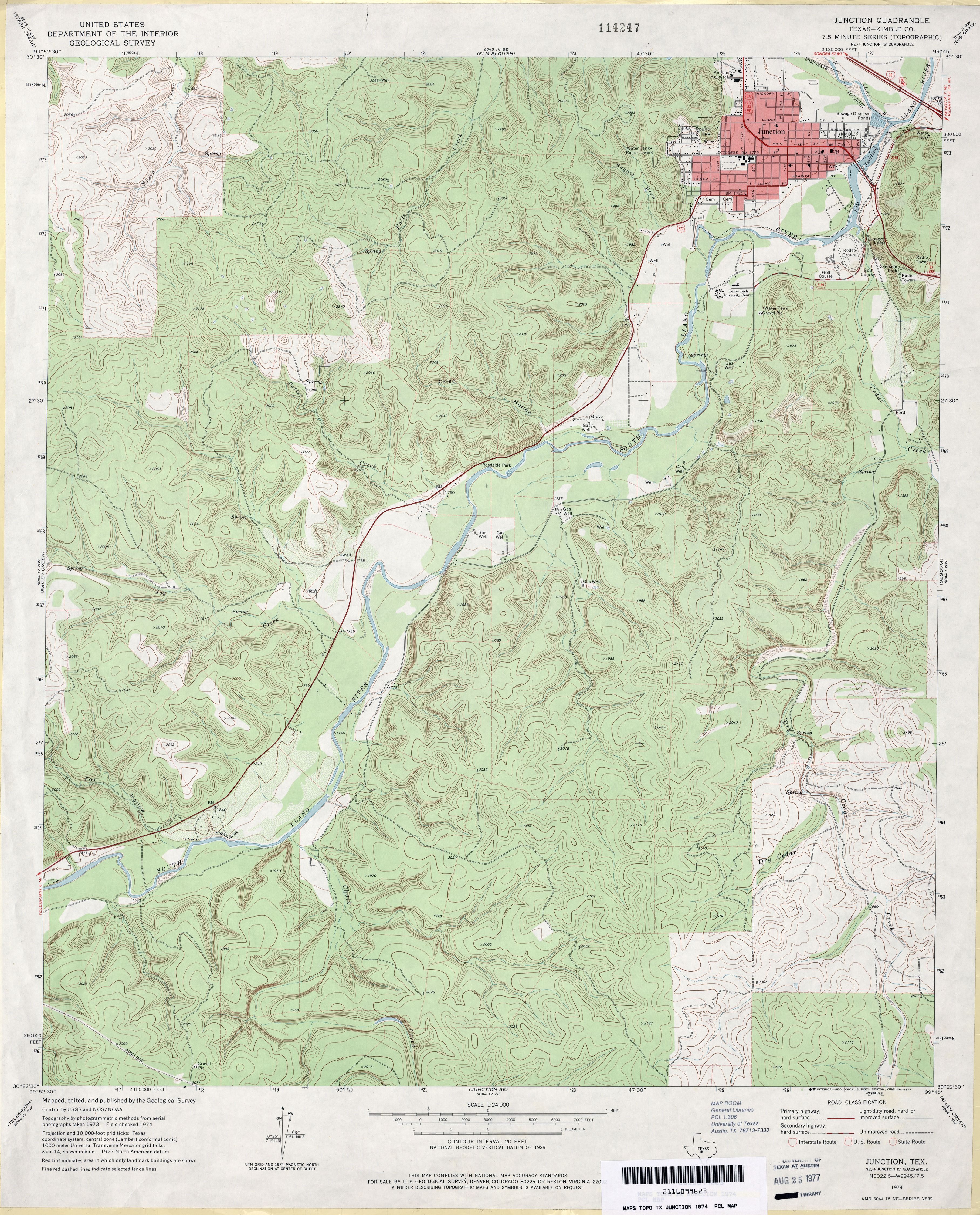
- Junction (Kimble County) 1:24,000 1974 (4.3MB)
- Junction 1:24,000 2008 (24.6MB) [GeoPDF]
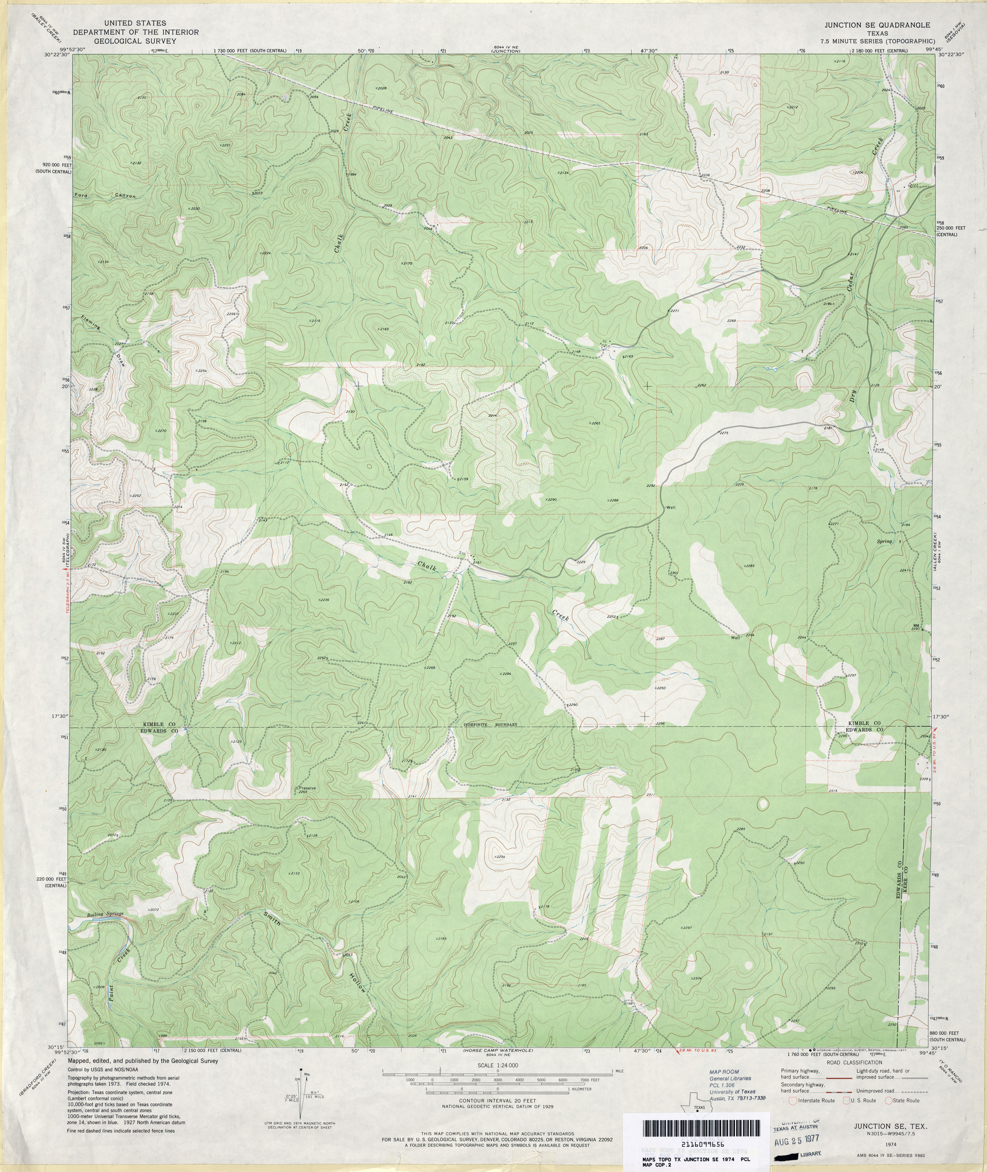
- Junction SE 1:24,000 1974 (3.3MB)
- Junction SE 1:24,000 2008 (21.9MB) [GeoPDF]
- Junction SE 1:24,000 2012 (31.2MB) [GeoPDF]
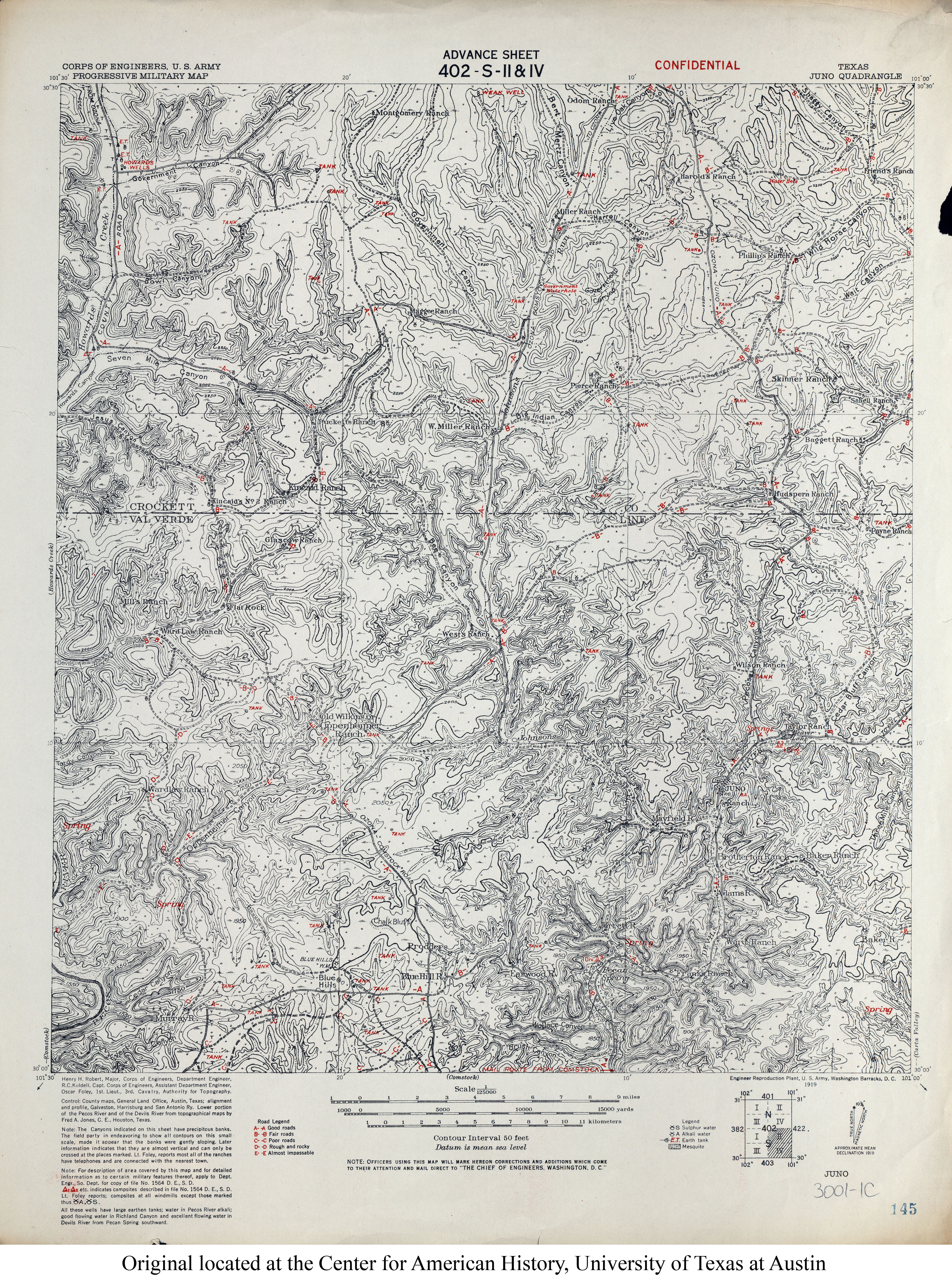
- Juno 1:125,000 1919 (5.4MB) U.S. Army. Corps of Engineers. Progressive Military Map
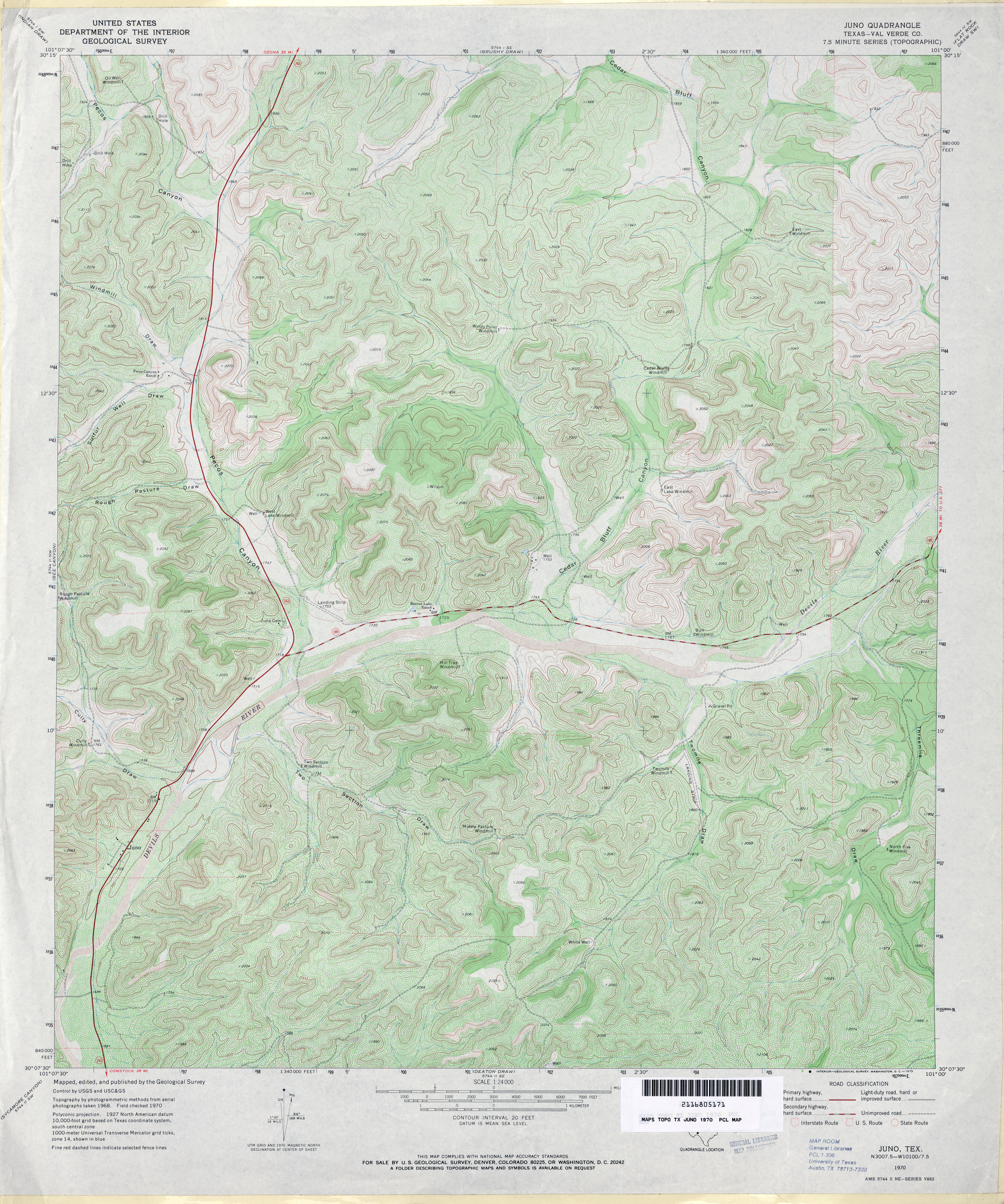
- Juno (Val Verde County) 1:24,000 1970 (5.3MB)
- Juno 1:24,000 2008 (26.1MB) [GeoPDF]
- Juno 1:24,000 2012 (35.9MB) [GeoPDF]
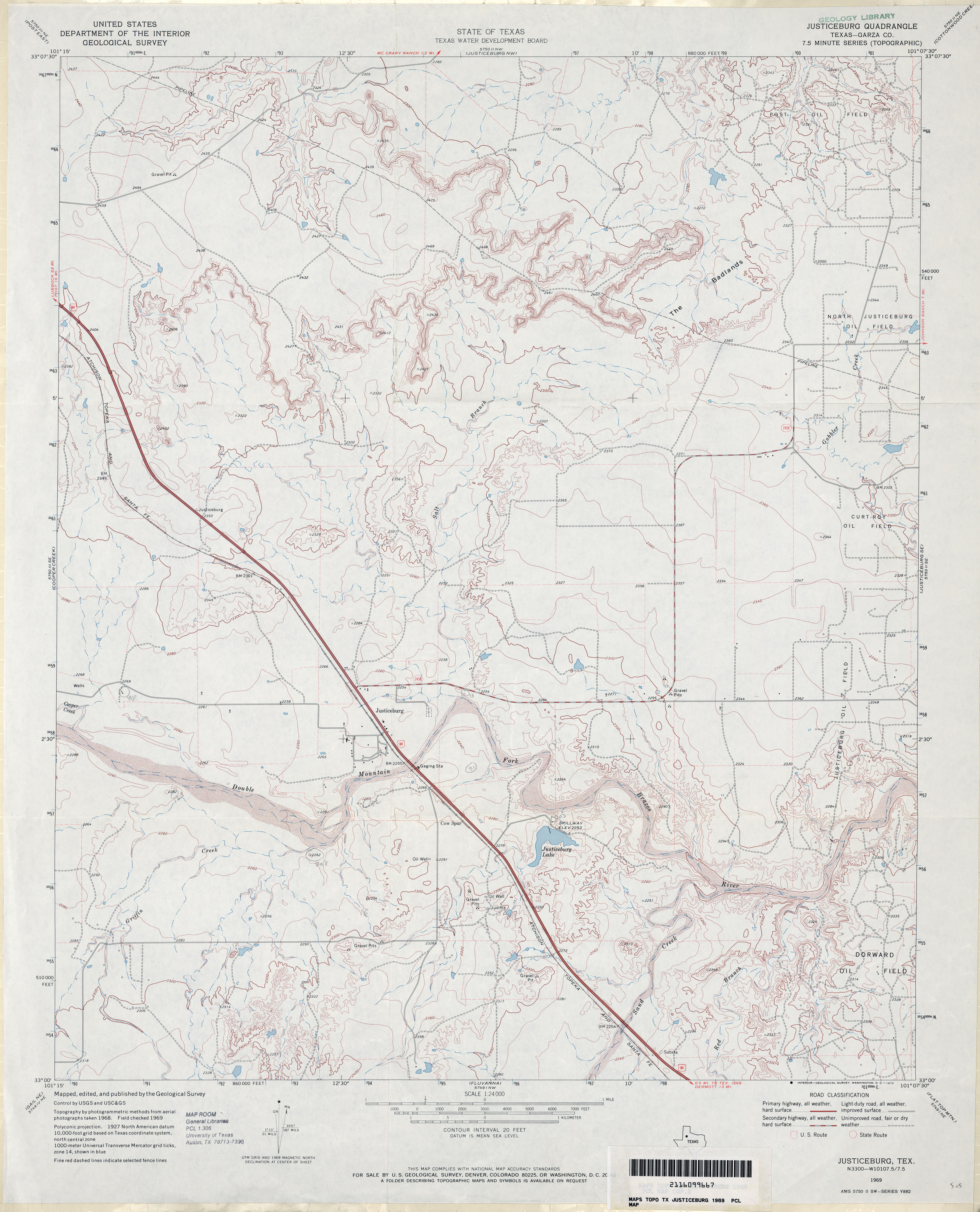
- Justiceburg (Garza County) 1:24,000 1969 (3.1MB)
- Justiceburg 1:24,000 2008 (16.7MB) [GeoPDF]
- Justiceburg 1:24,000 2012 (23.1MB) [GeoPDF]
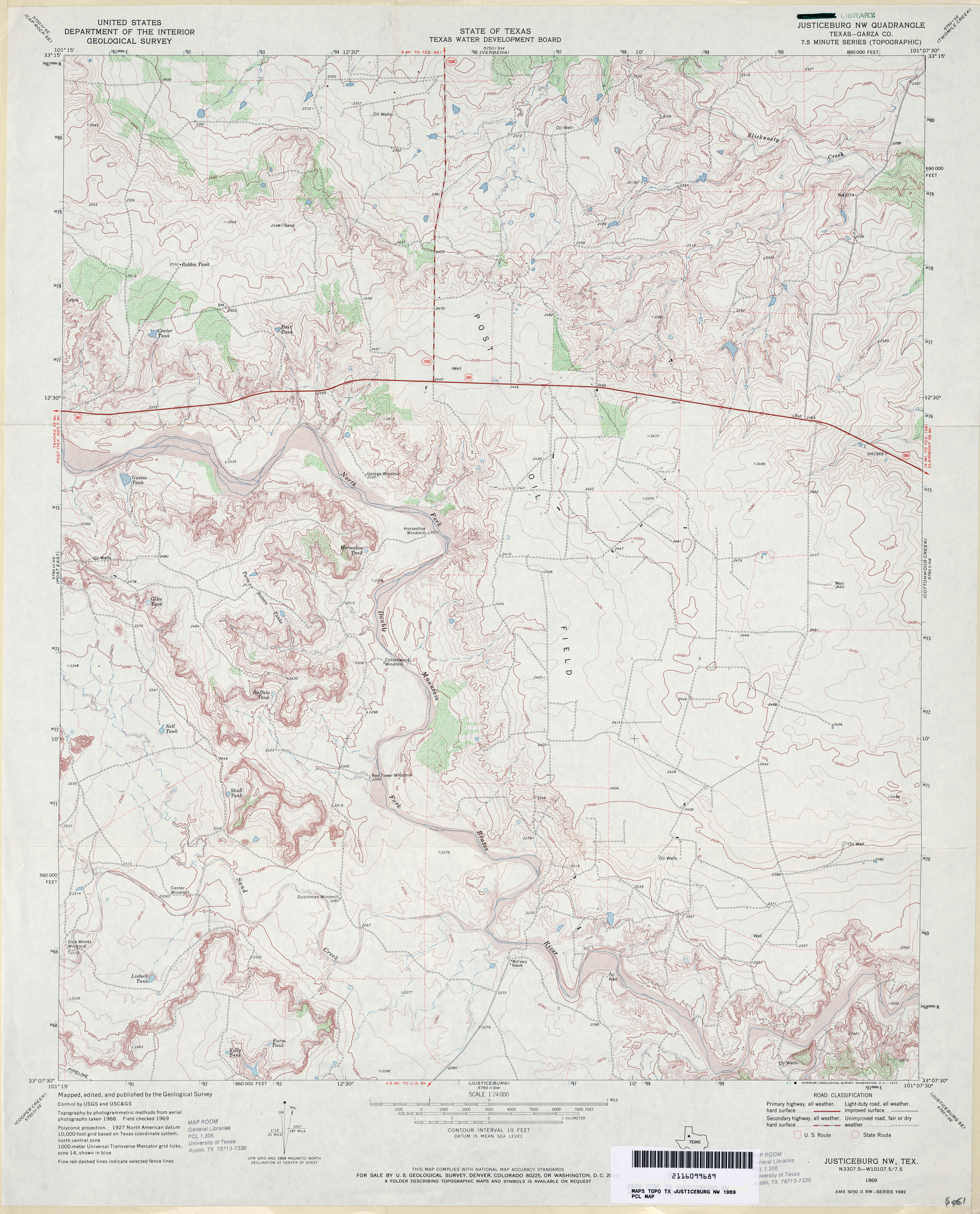
- Justiceburg NW (Garza County) 1:24,000 1969 (3.8MB)
- Justiceburg NW 1:24,000 2008 (16.1MB) [GeoPDF]
- Justiceburg NW 1:24,000 2012 (23MB) [GeoPDF]
- Justiceburg SE 1:24,000 1969 (3.8MB)
- Justiceburg SE 1:24,000 2008 (16.7MB) [GeoPDF]
- Justiceburg SE 1:24,000 2012 (25.2MB) [GeoPDF]
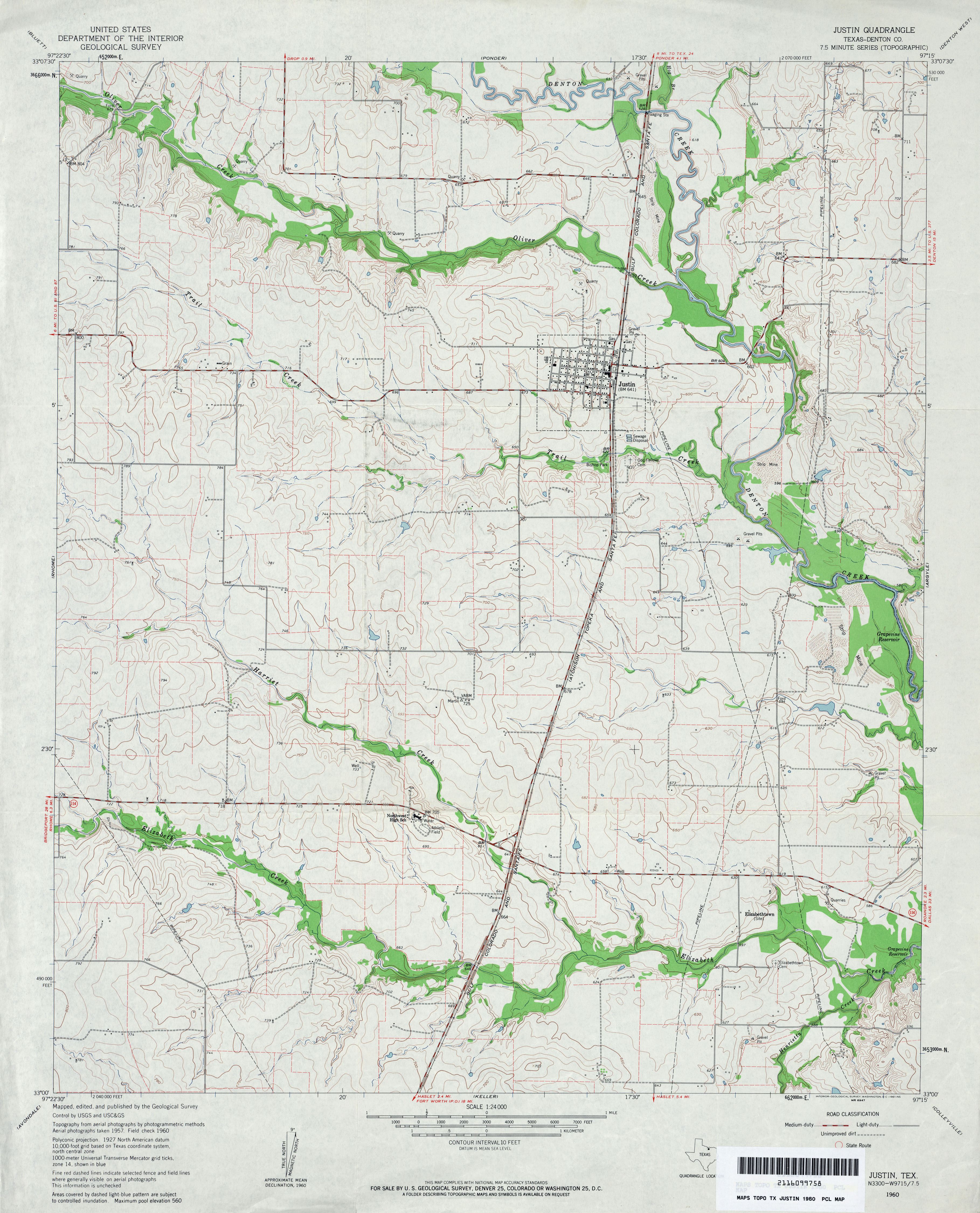
- Justin (Denton County) 1:24,000 1960 (3.6MB)
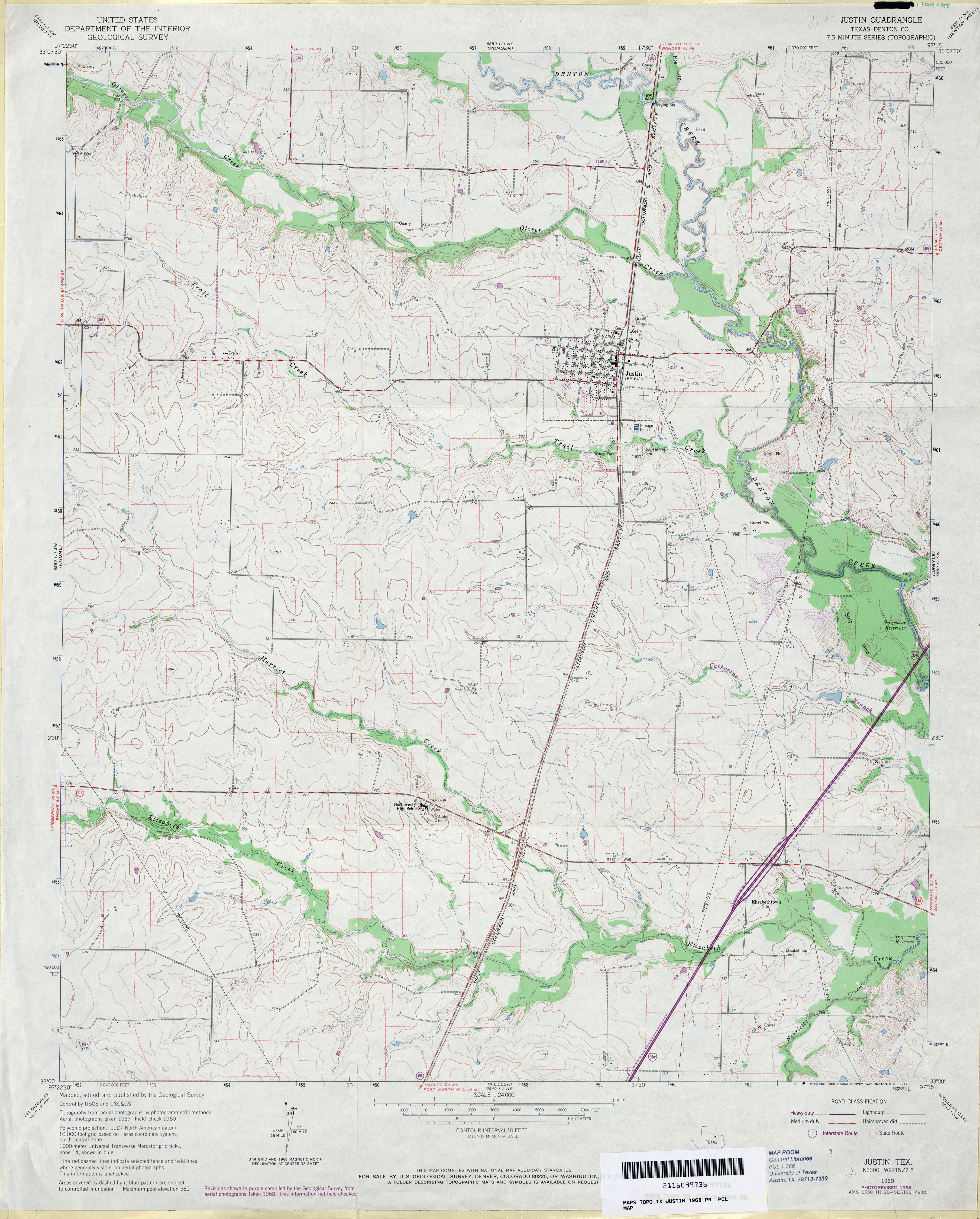
- Justin (Denton County) 1:24,000 1968 (3.5MB)
- Justin 1:24,000 2008 (12.8MB) [GeoPDF]
- Justin 1:24,000 2013 (18MB) [GeoPDF]
Return to the top
![[Jacinto City] Fauna (Harris County)](http://maps.lib.utexas.edu/maps/topo/texas/txu-pclmaps-topo-tx-fauna-1916.jpg)
![[Jacinto City] Fauna](http://maps.lib.utexas.edu/maps/topo/texas/txu-pclmaps-topo-tx-jacinto_city-1947.jpg)