Maps
Maps FAQ

Map Room Guide
World
Africa
Americas
Asia
Australia/Pacific
Europe
00
Middle East
Polar/Oceans
Russia/Republics
U.S.
Texas
Historical
Thematic
Topographic
Other Map Sites
Map Sites
Map Dealers
Cartographic Reference
City Map Sites
Country Map Sites
Historical Map Sites
Outline Map Sites
Route Planning Sites
State Map Sites
Topical Map Sites
Weather Map Sites
Perry-Castañeda Library
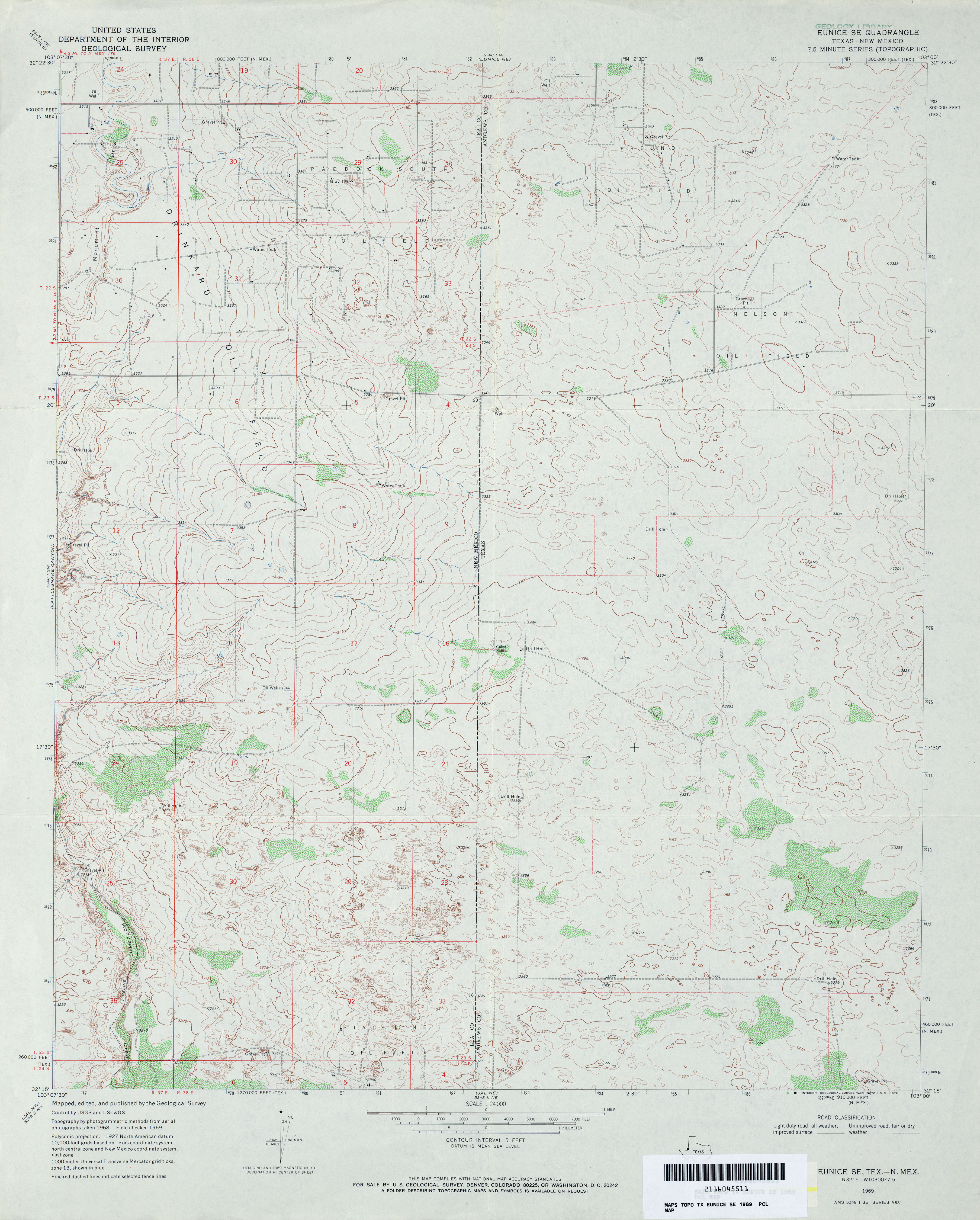
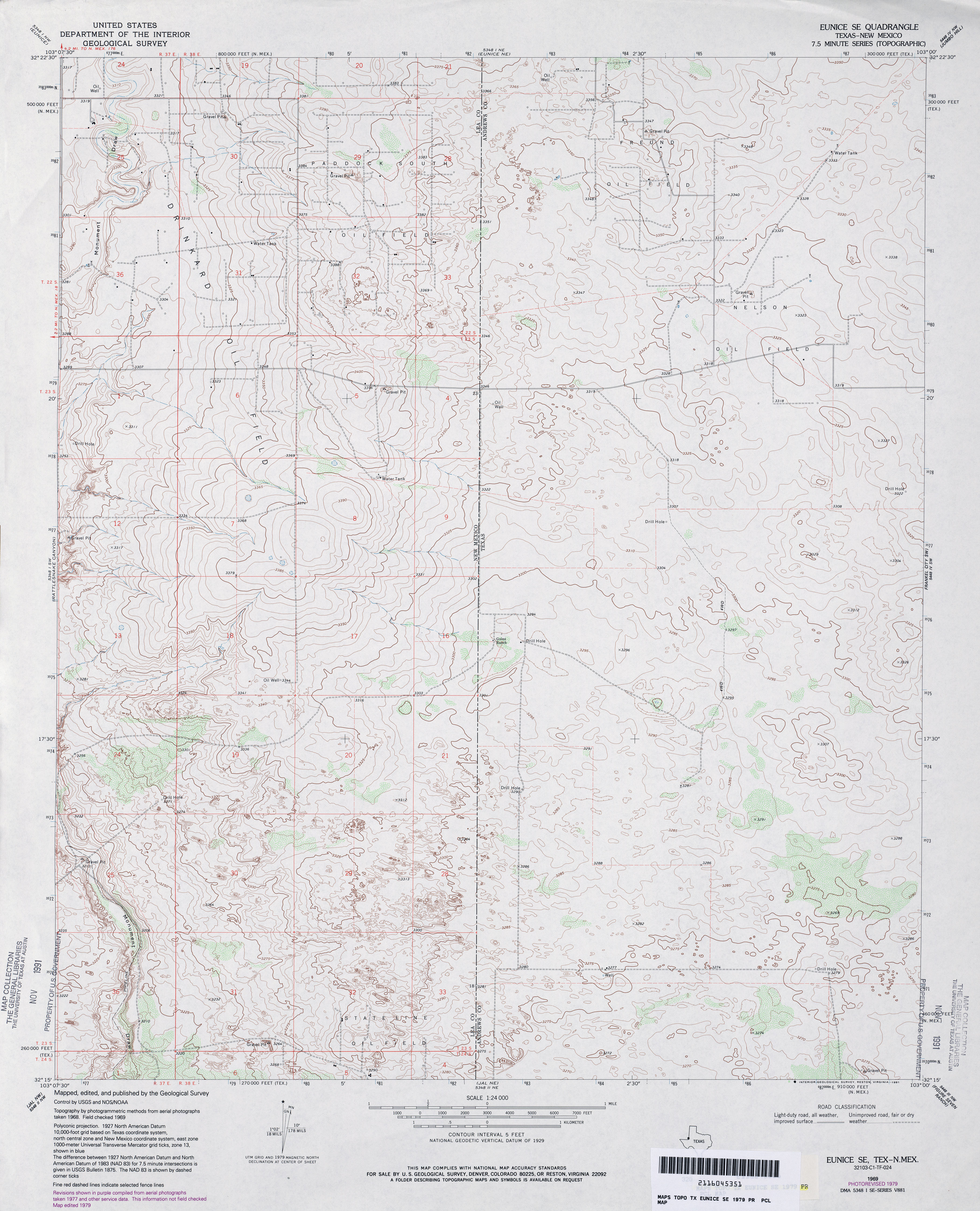
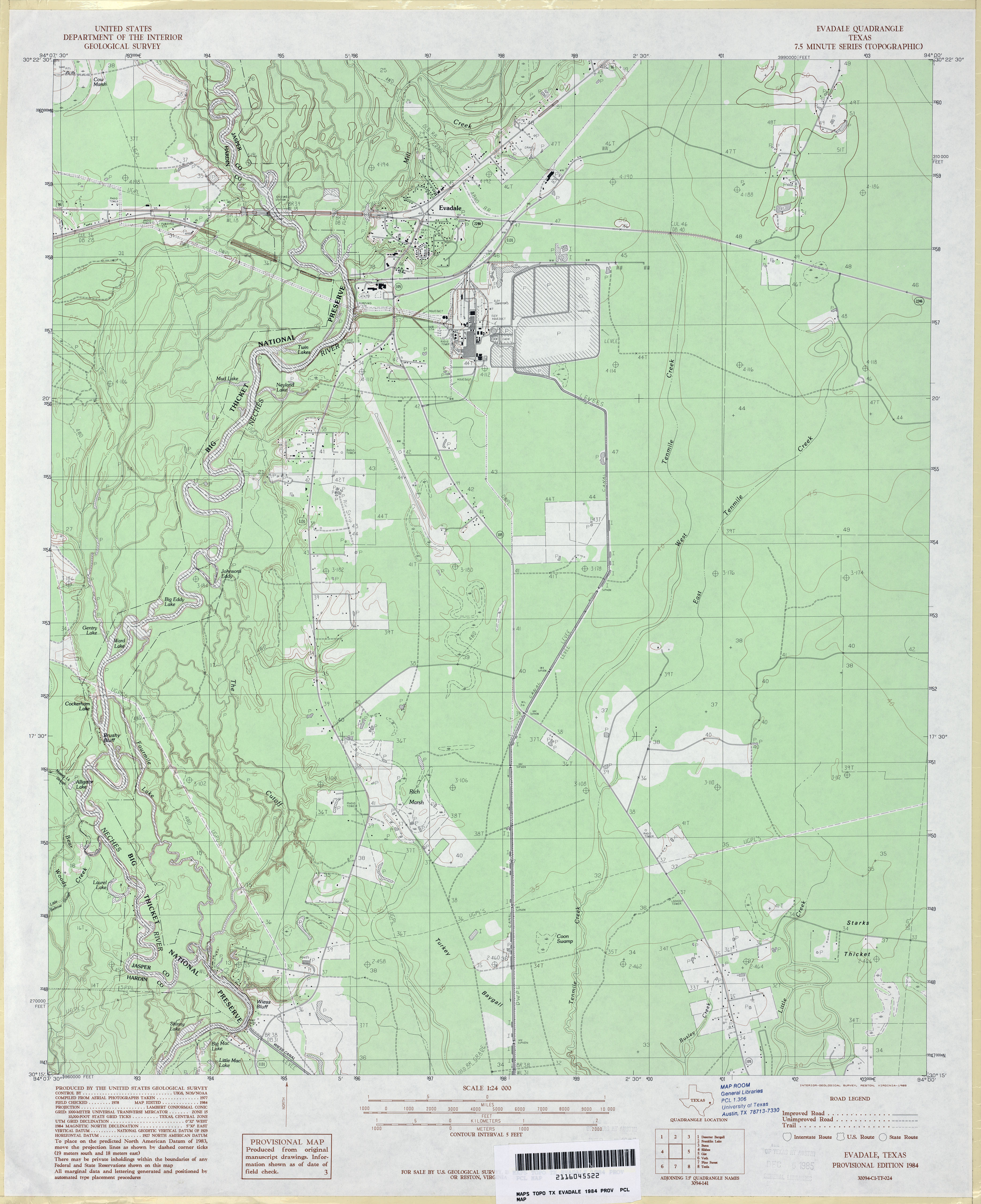
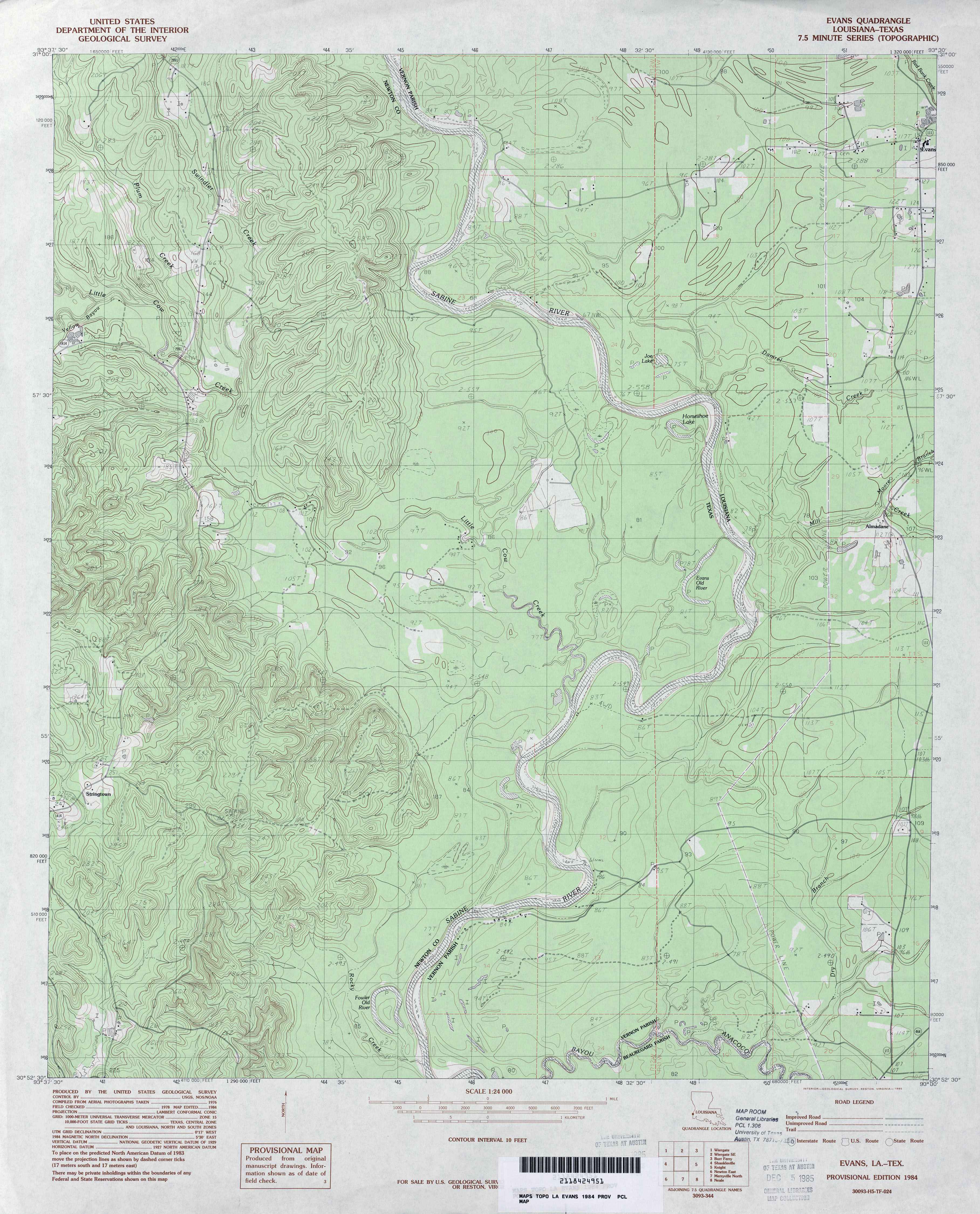
Maps in this online collection are from the Perry-Castañeda Library, Walter Geology Library and Dolph Briscoe Center for American History at the University of Texas at Austin as well as the Texas State Library. All maps on this site were published by the U.S. Geological Survey unless otherwise noted and are in the public domain. The date given for each map is the date of latest survey. The Geographic Names Information System allows searches of geographic names to determine which map sheets they appear on. Indexes are available for Texas - East and Texas - West for the 1:24,000 map series. Maps published prior to 1923 are on the Texas Historical Topographic Map Index. More information about these maps is available on the Topographic Maps Home Page.Note: To fully view the GeoPDF files use Adobe Reader as your default PDF viewer or download the files and open them within Adobe Reader.
Maps FAQ
Map Room Guide
World
Africa
Americas
Asia
Australia/Pacific
Europe
00
Middle East
Polar/Oceans
Russia/Republics
U.S.
Texas
Historical
Thematic
Topographic
Other Map Sites
Map Sites
Map Dealers
Cartographic Reference
City Map Sites
Country Map Sites
Historical Map Sites
Outline Map Sites
Route Planning Sites
State Map Sites
Topical Map Sites
Weather Map Sites
Perry-Castañeda Library
Map Collection
Texas Topographic Maps
Maps in this online collection are from the Perry-Castañeda Library, Walter Geology Library and Dolph Briscoe Center for American History at the University of Texas at Austin as well as the Texas State Library. All maps on this site were published by the U.S. Geological Survey unless otherwise noted and are in the public domain. The date given for each map is the date of latest survey. The Geographic Names Information System allows searches of geographic names to determine which map sheets they appear on. Indexes are available for Texas - East and Texas - West for the 1:24,000 map series. Maps published prior to 1923 are on the Texas Historical Topographic Map Index. More information about these maps is available on the Topographic Maps Home Page.Note: To fully view the GeoPDF files use Adobe Reader as your default PDF viewer or download the files and open them within Adobe Reader.
A, B, C, D, E, F, G, H, I, J, K, L, M, N, O, P, Q, R, S, T, U, V, W, X, Y, Z
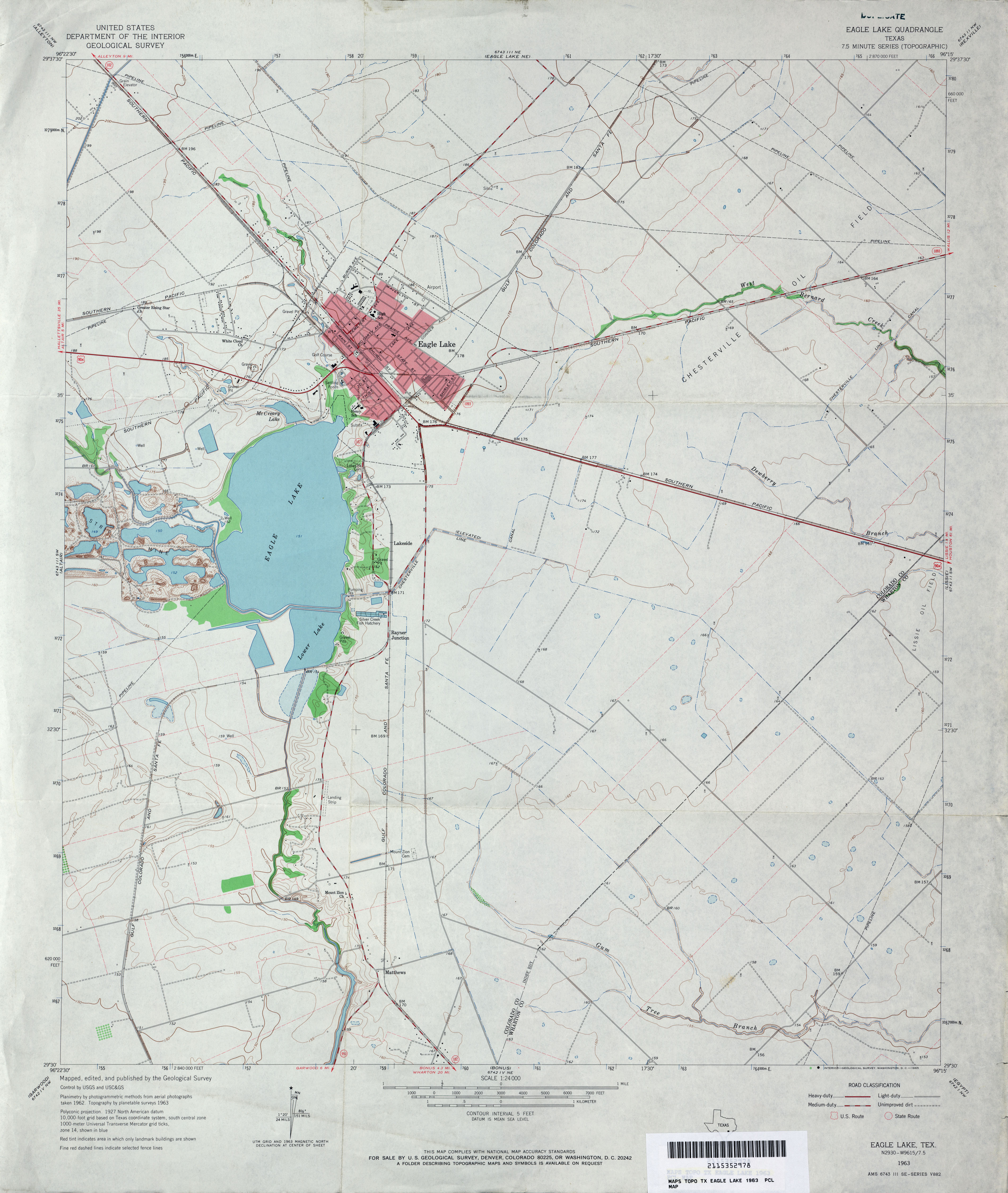
- Eagle Lake 1:24,000 1963 (2.9MB)
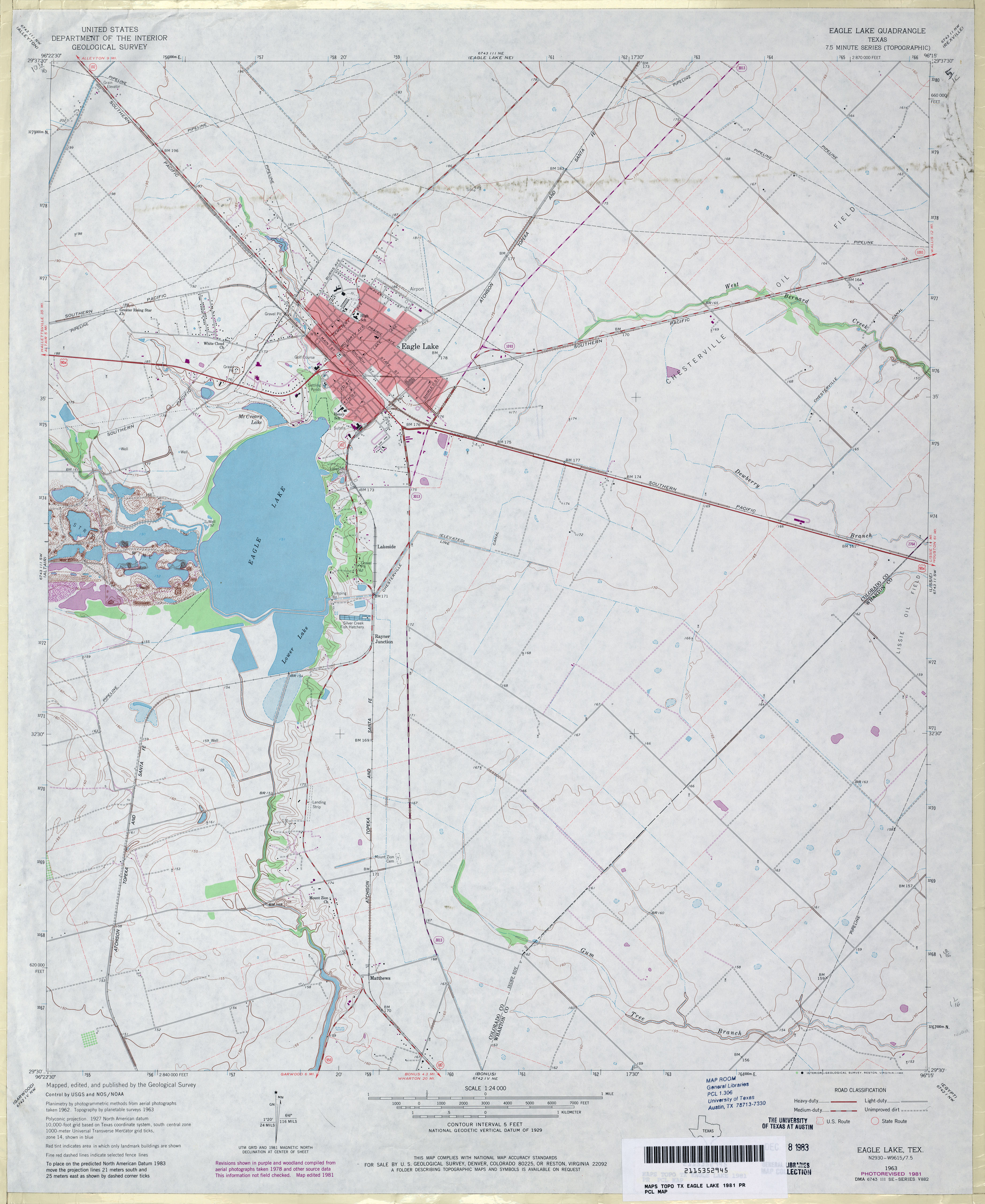
- Eagle Lake 1:24,000 1981 (2.9MB)
- Eagle Lake 1:24,000 2008 (10.2MB) [GeoPDF]
- Eagle Lake 1:24,000 2013 (18.4MB) [GeoPDF]
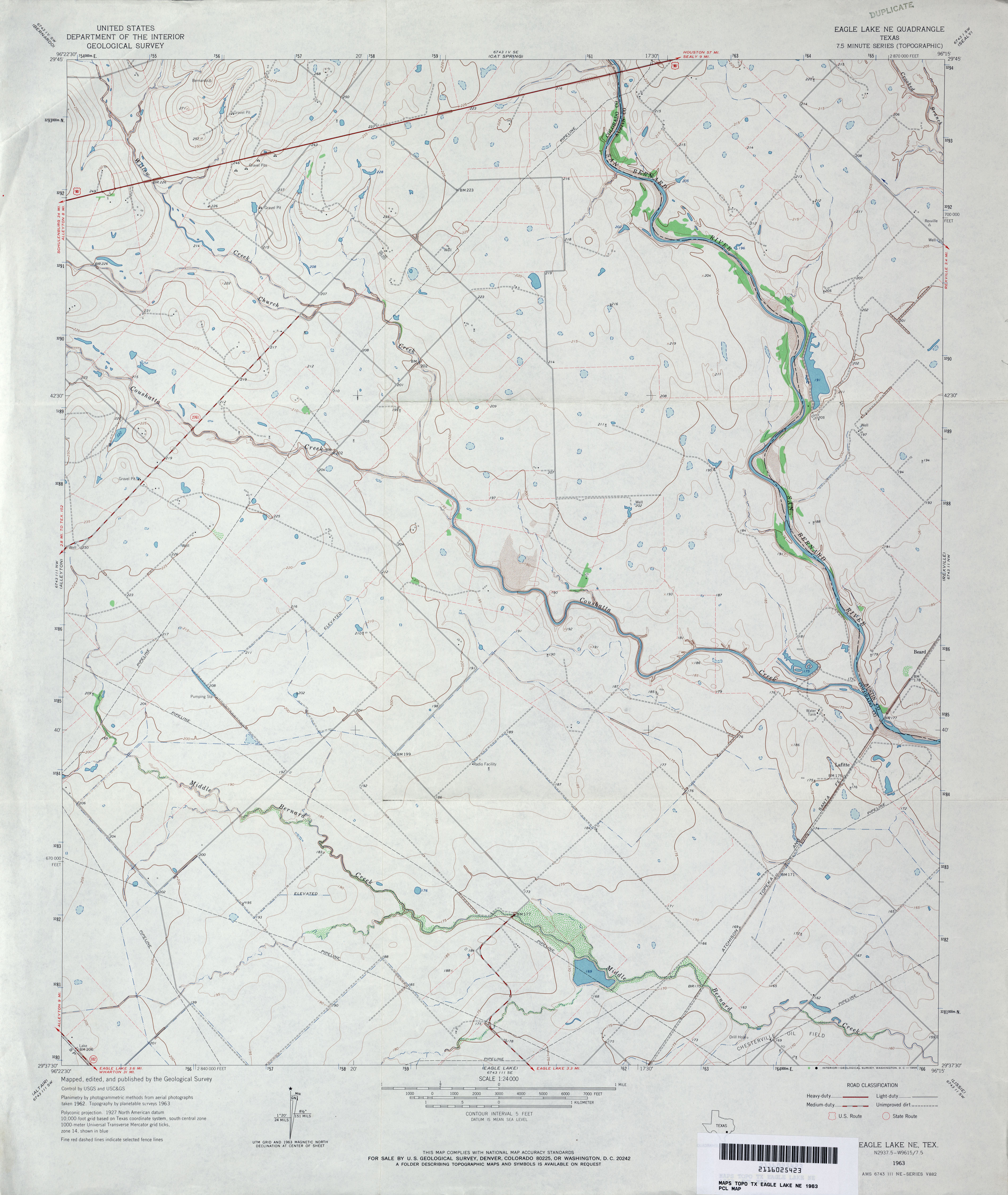
- Eagle Lake NE 1:24,000 1963 (2.9MB)
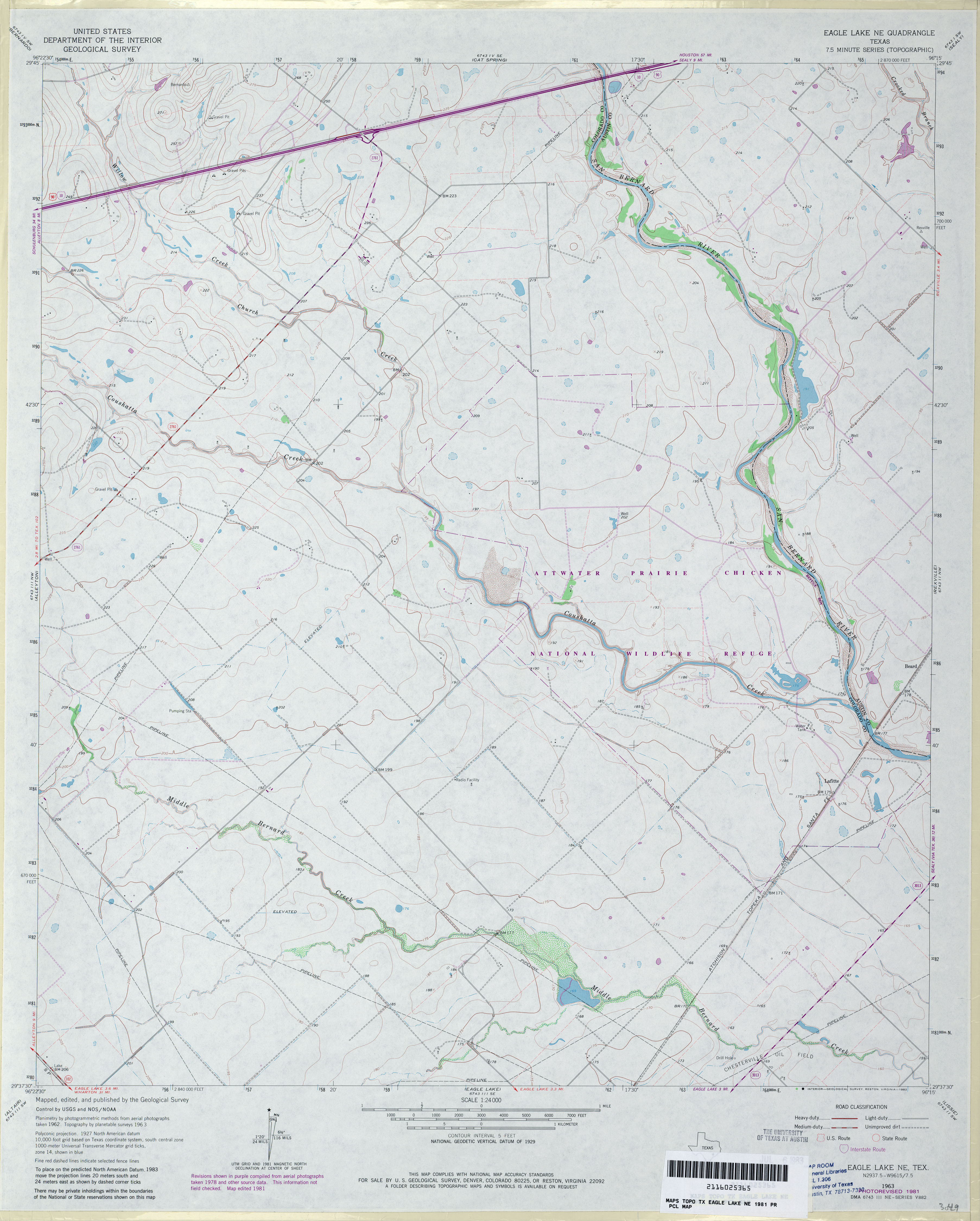
- Eagle Lake NE 1:24,000 1981 (3MB)
- Eagle Lake NE 1:24,000 2008 (9.9MB) [GeoPDF]
- Eagle Lake NE 1:24,000 2013 (19.3MB) [GeoPDF]
- Eagle Mountain (El Paso County) 1:125,000 1896 (3.6 MB)
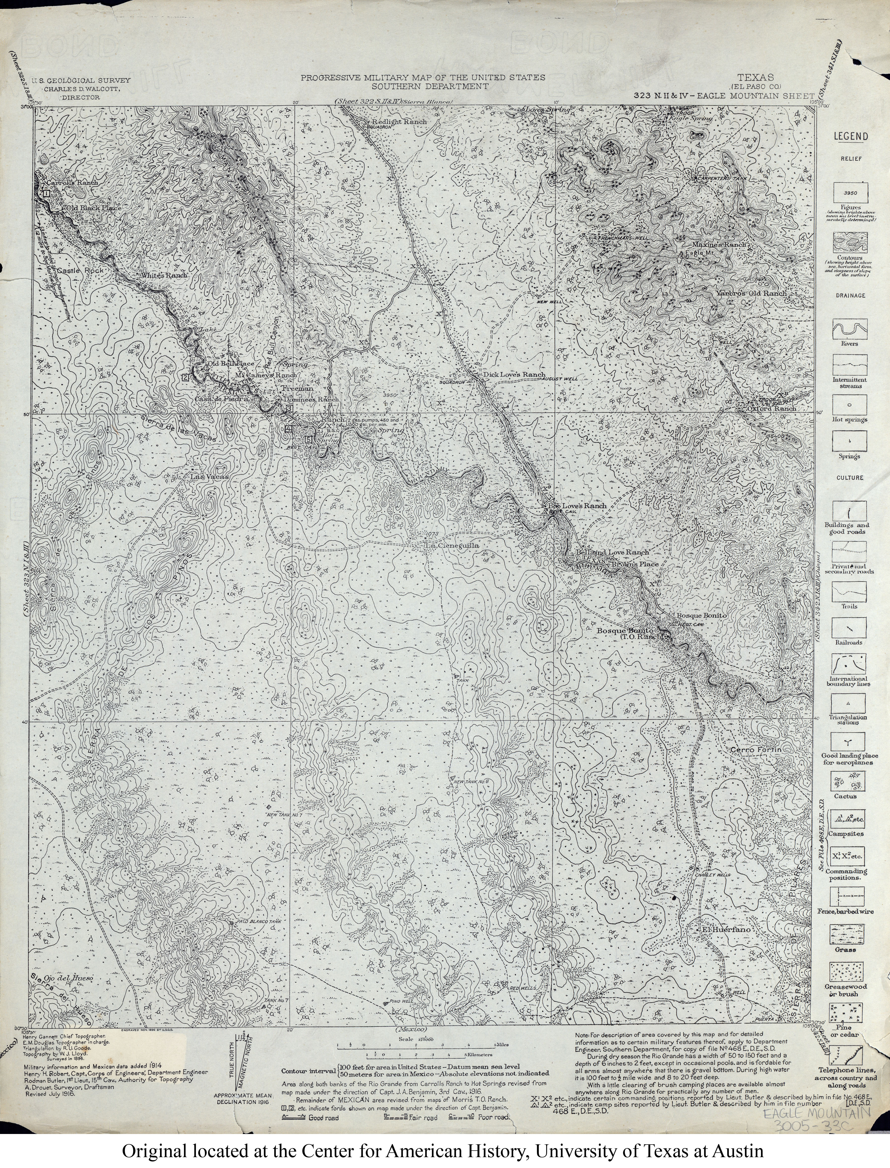
- Eagle Mountain (El Paso County) 1:125,000 1916 (4.9MB)
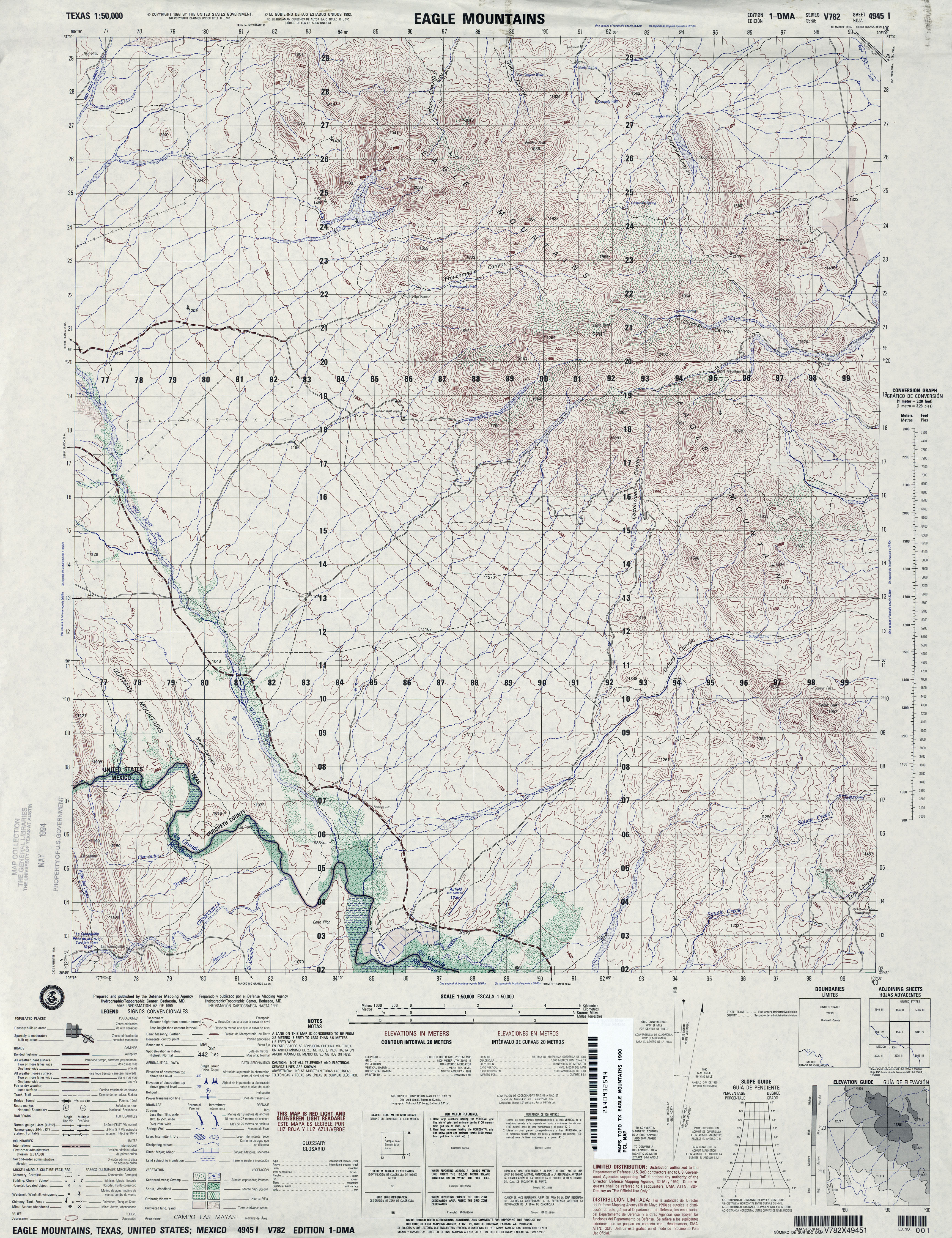
- Eagle Mountains 1:50,000 1990 (4.8MB) U.S. Defense Mapping Agency, Series V782.
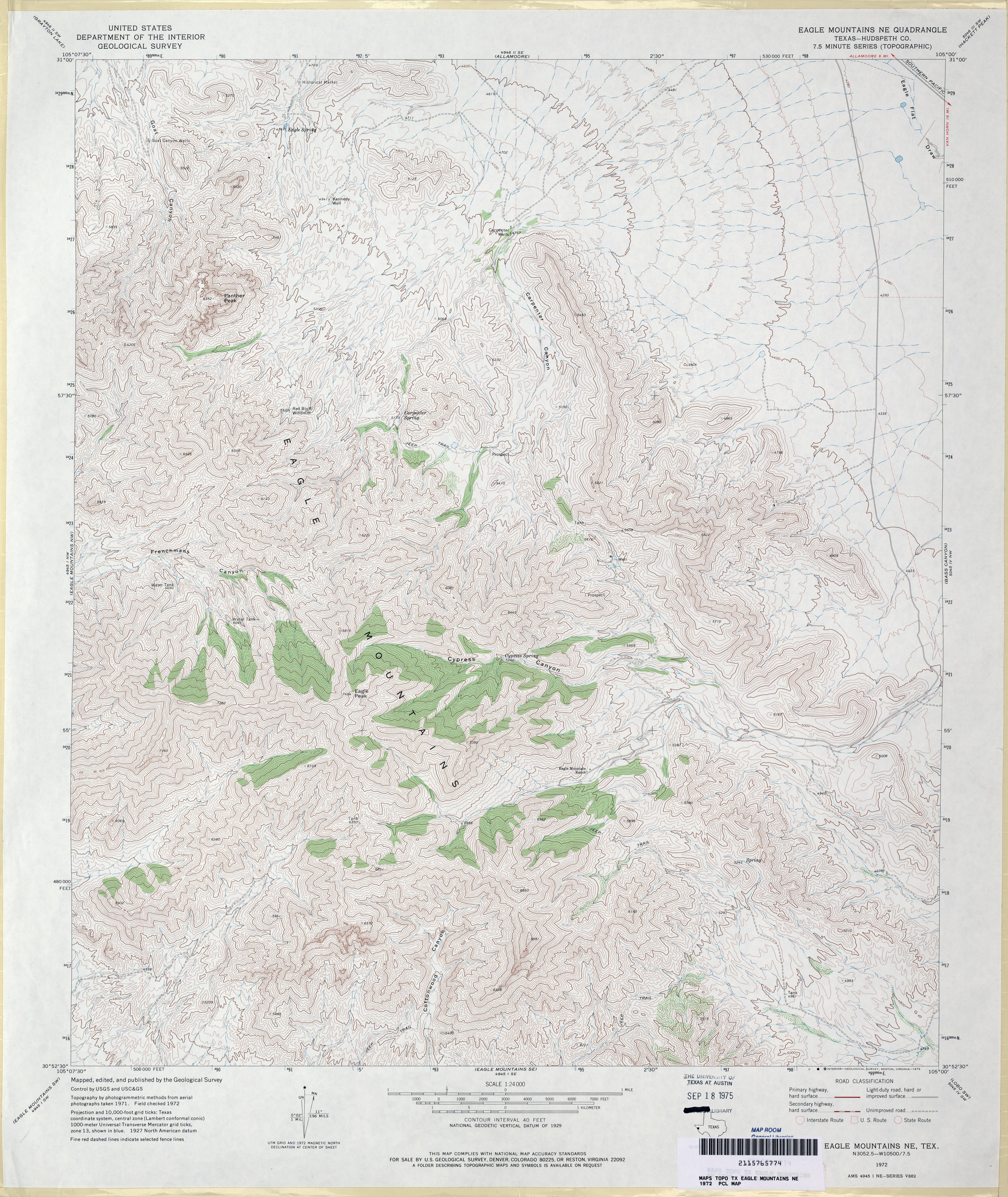
- Eagle Mountains NE (Hudspeth County) 1:24,000 1972 (5MB)
- Eagle Mountains NE 1:24,000 2008 (22.0MB) [GeoPDF]
- Eagle Mountains NE 1:24,000 2012 (26MB) [GeoPDF]
- Eagle Mountains NW (Hudspeth County) 1:24,000 1972 (3.5MB)
- Eagle Mountains NW 1:24,000 2008 (20.4MB) [GeoPDF]
- Eagle Mountains NW 1:24,000 2012 (24.5MB) [GeoPDF]
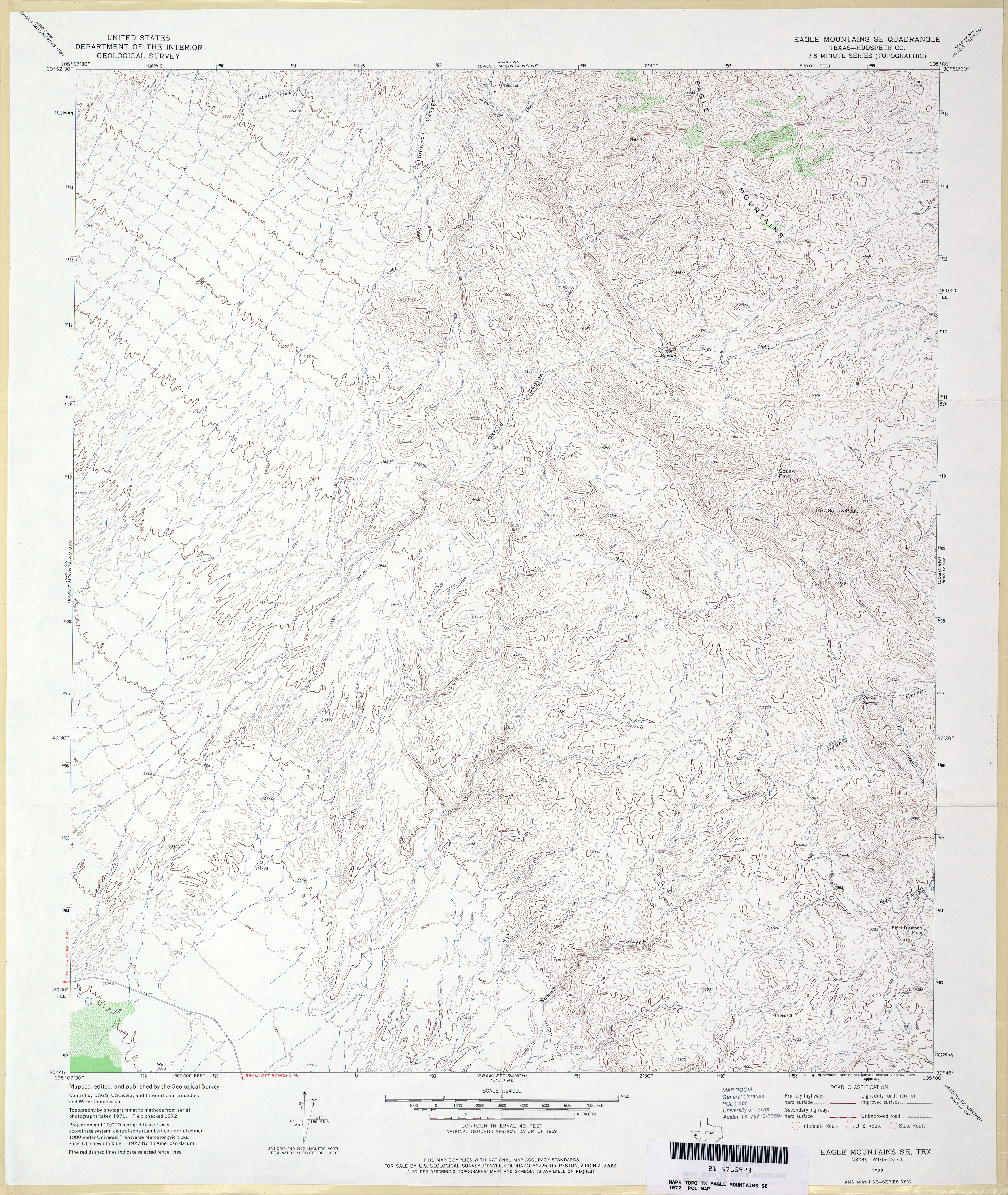
- Eagle Mountains SE (Hudspeth County) 1:24,000 1972 (4.3MB)
- Eagle Mountains SE 1:24,000 2008 (19.1MB) [GeoPDF]
- Eagle Mountains SE 1:24,000 2012 (23.8MB) [GeoPDF]
- Eagle Mountains SW (Hudspeth County) 1:24,000 1972 (3.6MB)
- Eagle Mountains SW 1:24,000 2008 (21.4MB) [GeoPDF]
- Eagle Mountains SW 1:24,000 2012 (24.1MB) [GeoPDF]
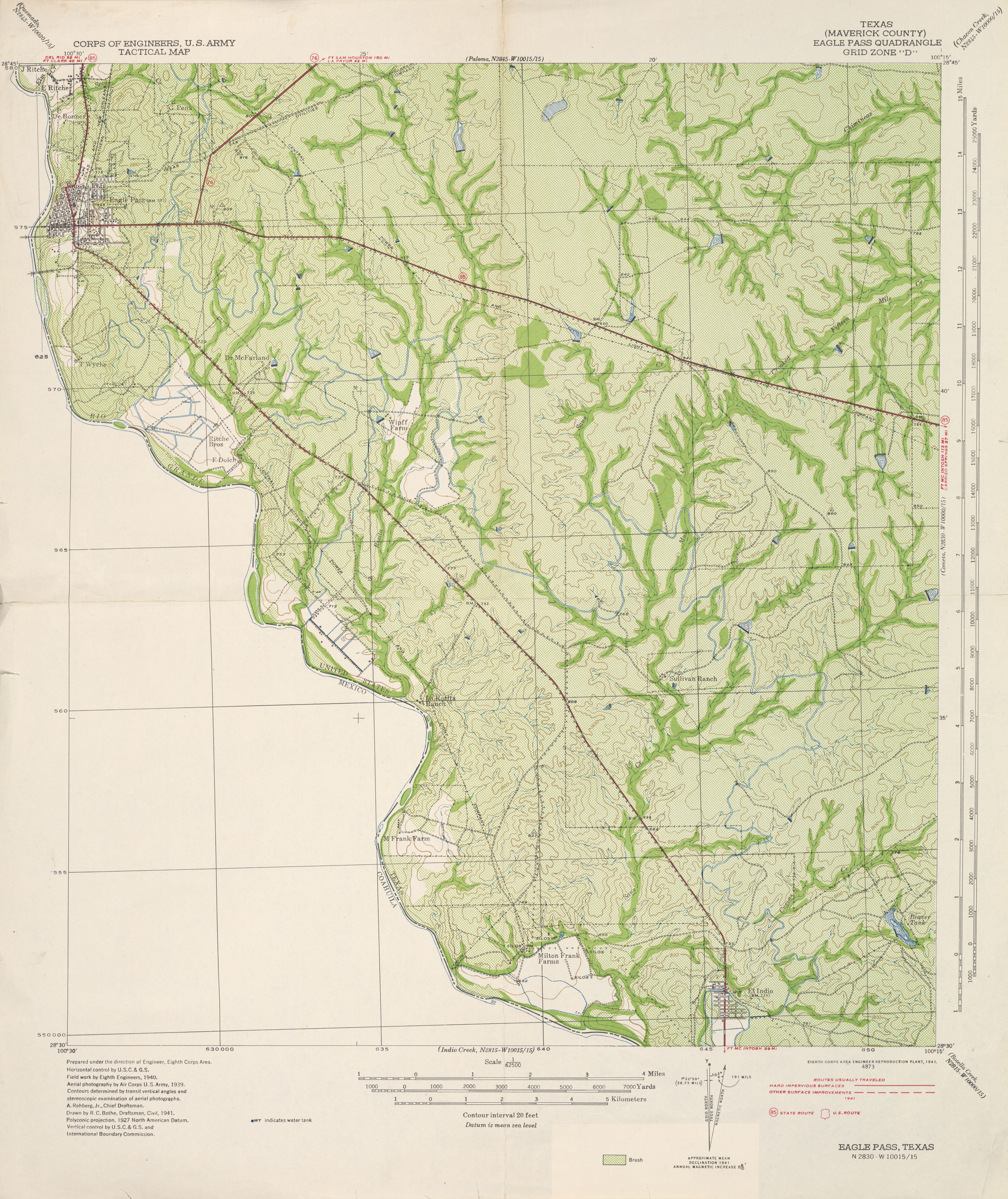
- Eagle Pass (Maverick County) 1:62,600 1941 (3.9 MB) U.S. Army. Corps of Engineers. Tactical Map
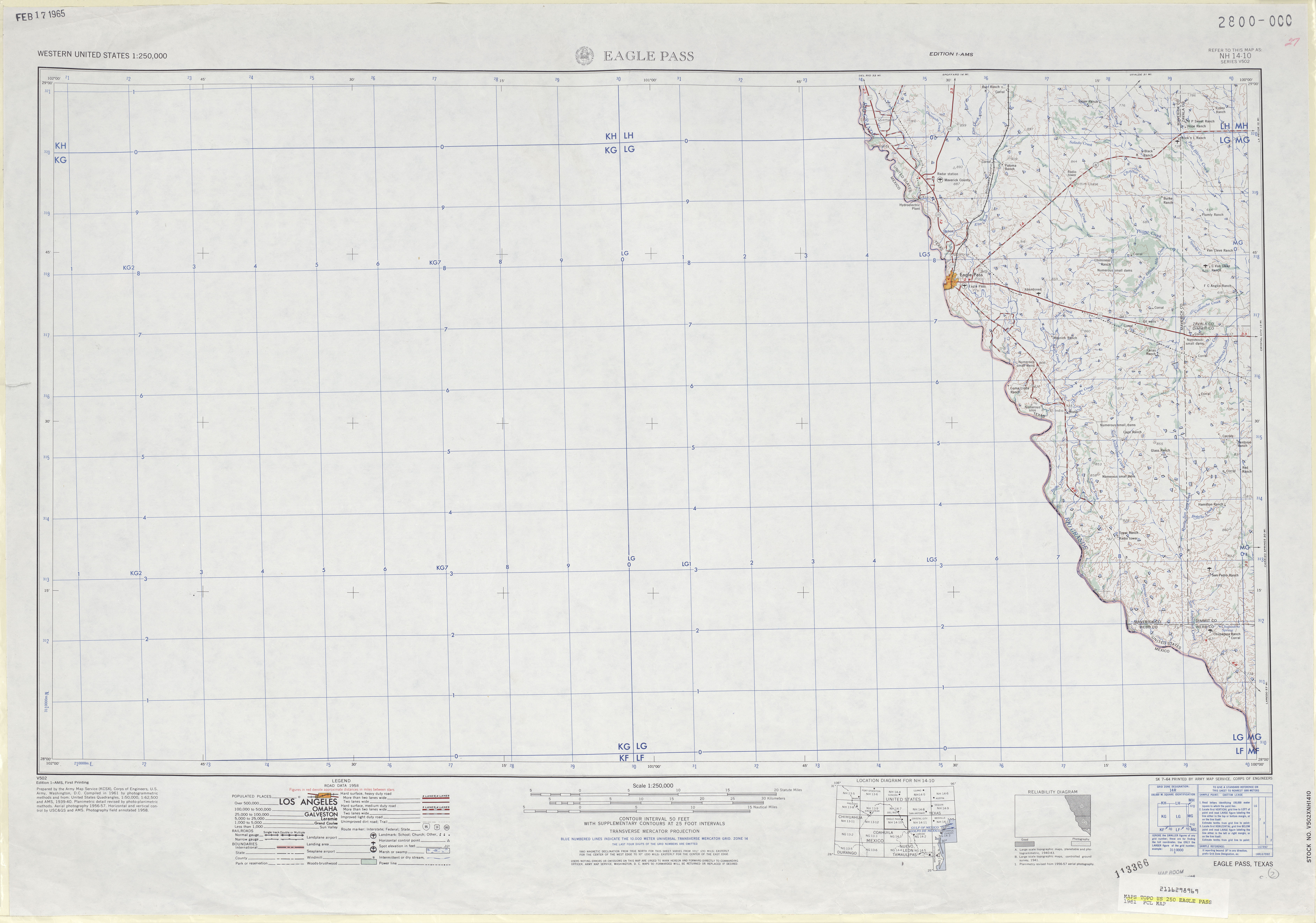
- Eagle Pass 1:250,000 1961 (4.2MB)
- Eagle Pass 1:250,000 1969 (3.7MB)
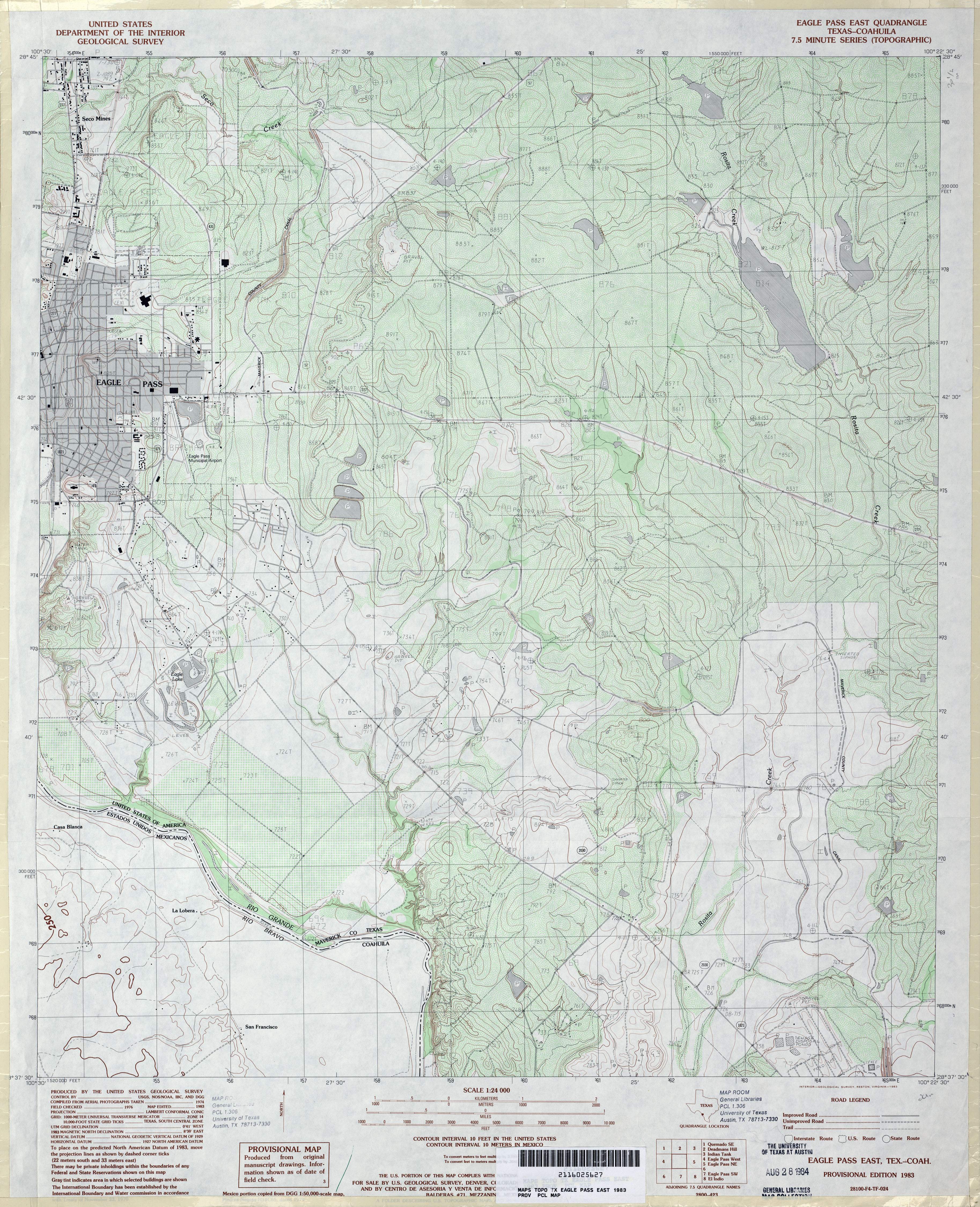
- Eagle Pass East 1:24,000 1983 (4.5MB)
- Eagle Pass East 1:24,000 2008 (21.7MB) [GeoPDF]
- Eagle Pass East 1:24,000 2012 (28MB) [GeoPDF]
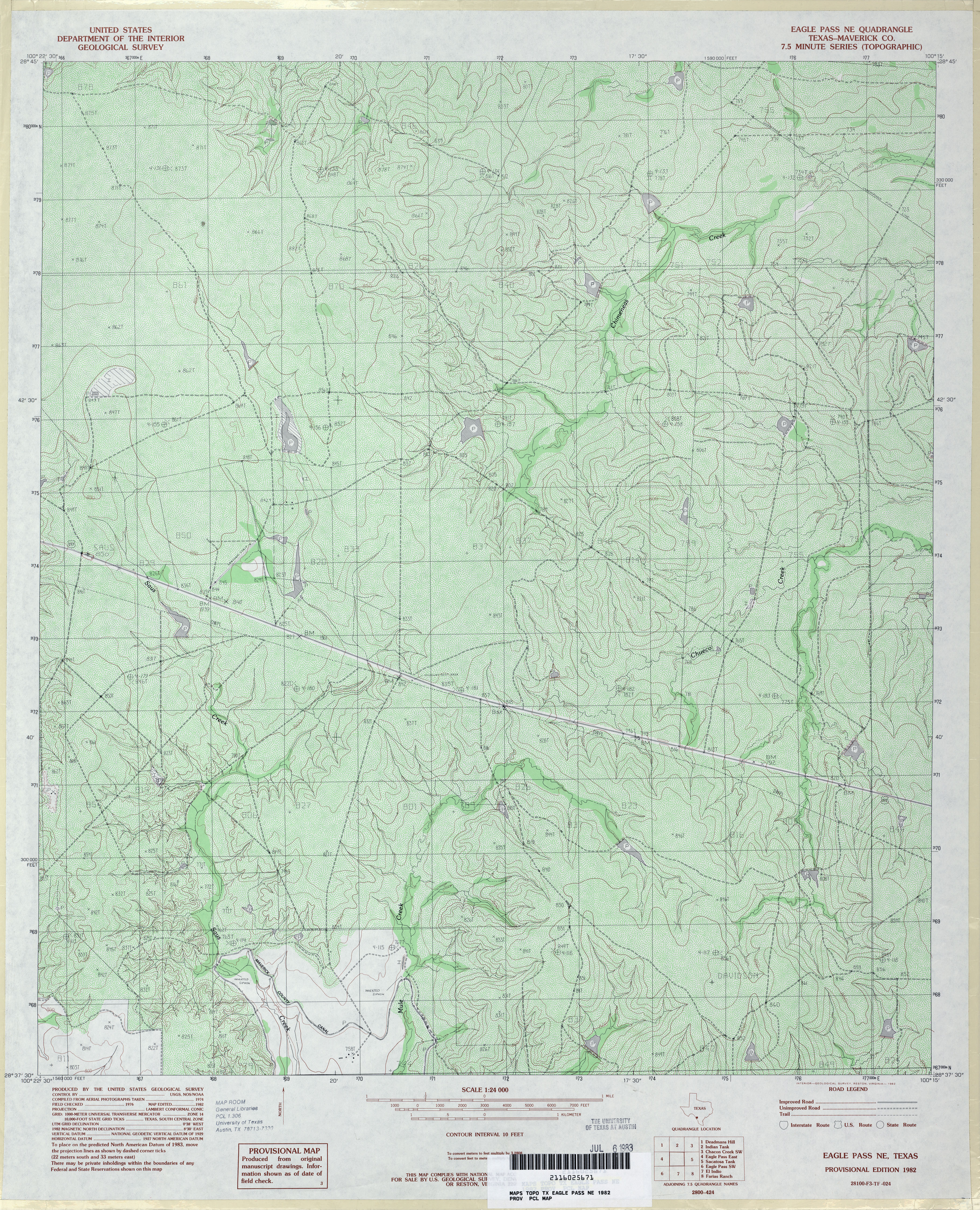
- Eagle Pass NE (Maverick County) 1:24,000 1982 (5.4MB)
- Eagle Pass NE 1:24,000 2008 (20.8MB) [GeoPDF]
- Eagle Pass NE 1:24,000 2012 (28.7MB) [GeoPDF]
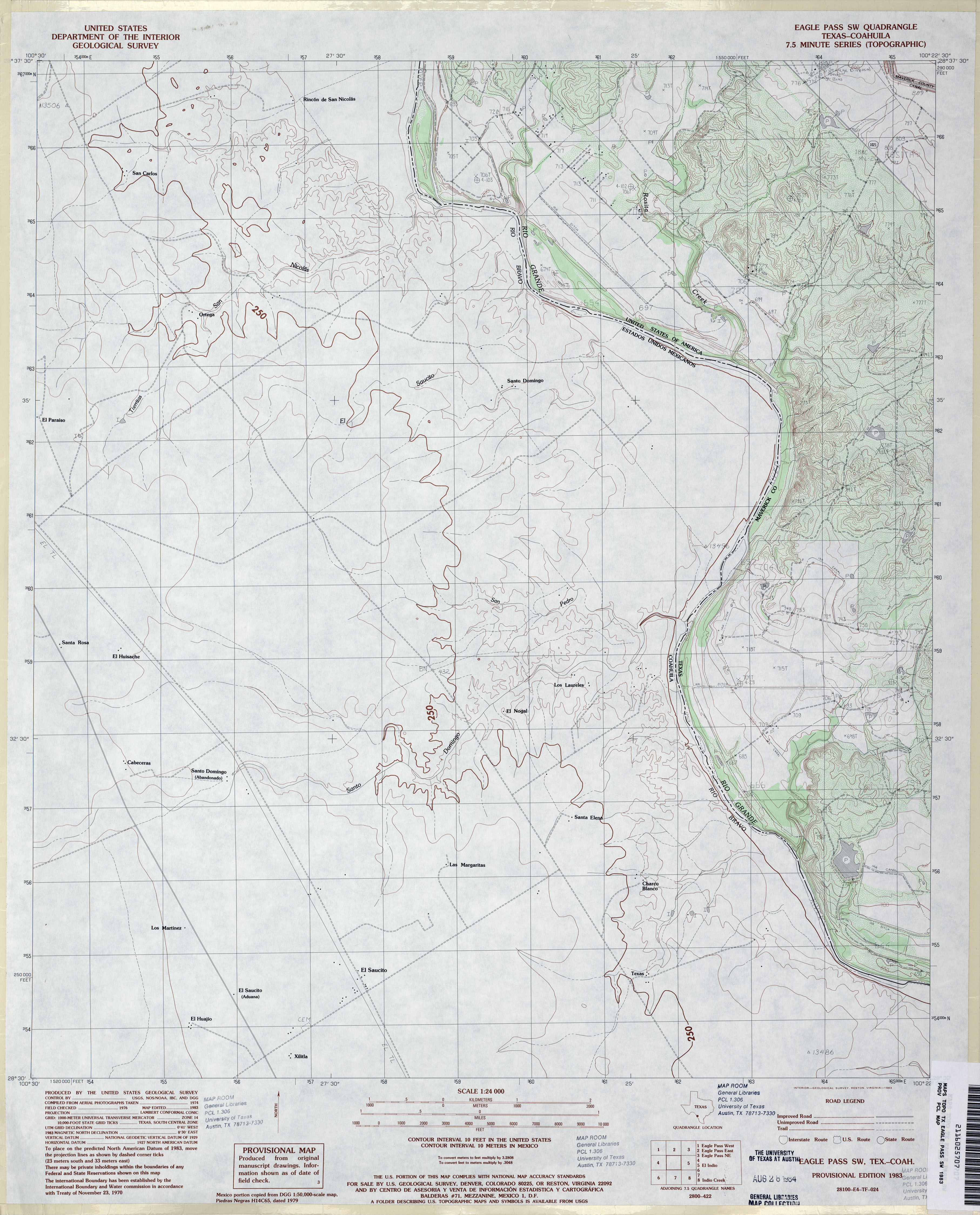
- Eagle Pass SW 1:24,000 1983 (3.2MB)
- Eagle Pass SW 1:24,000 2008 (17.5MB) [GeoPDF]
- Eagle Pass SW 1:24,000 2012 (21.2MB) [GeoPDF]
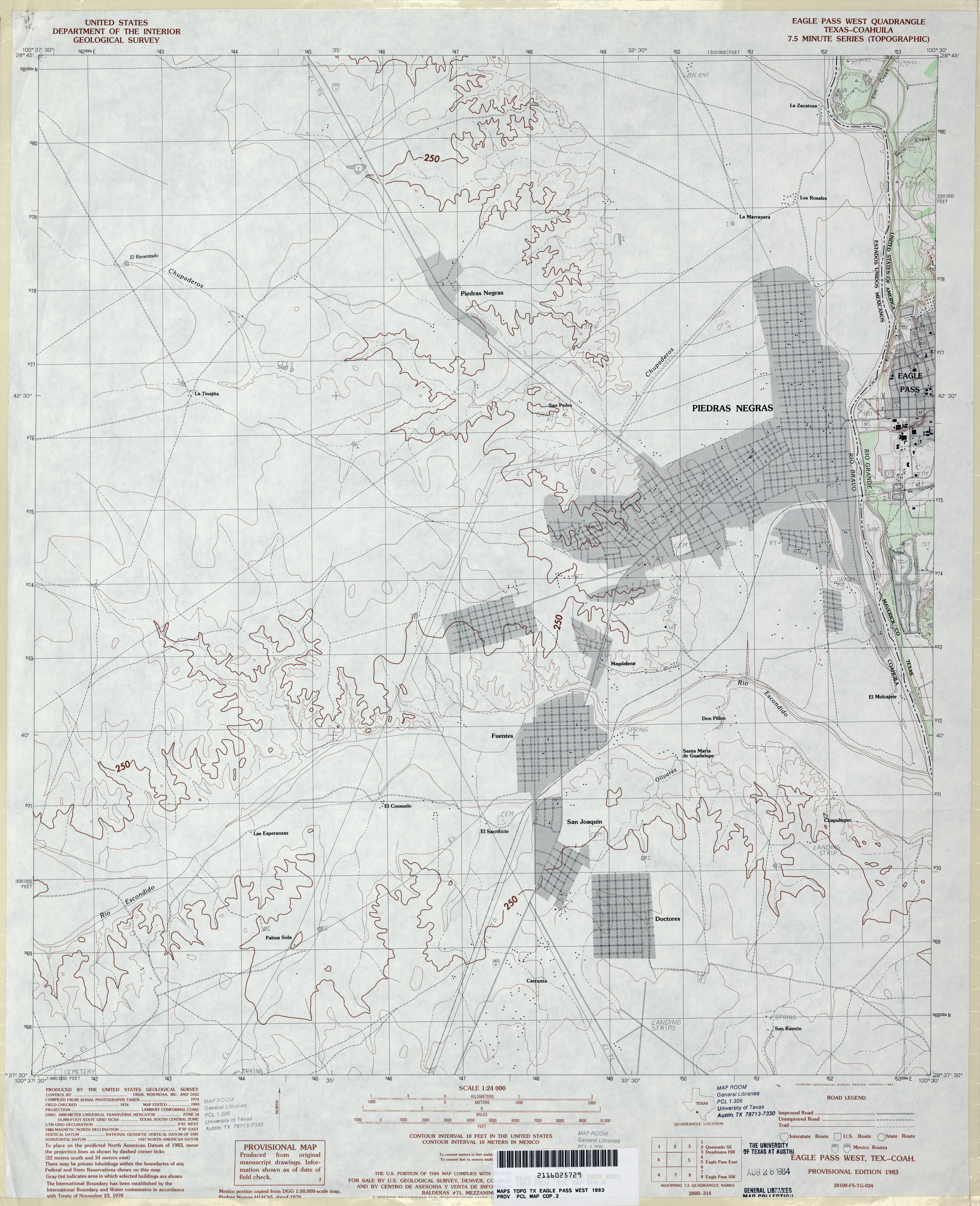
- Eagle Pass West 1:24,000 1983 (3MB)
- Eagle Pass West 1:24,000 2008 (19.3MB) [GeoPDF]
- Eagle Pass West 1:24,000 2012 (15.3MB) [GeoPDF]
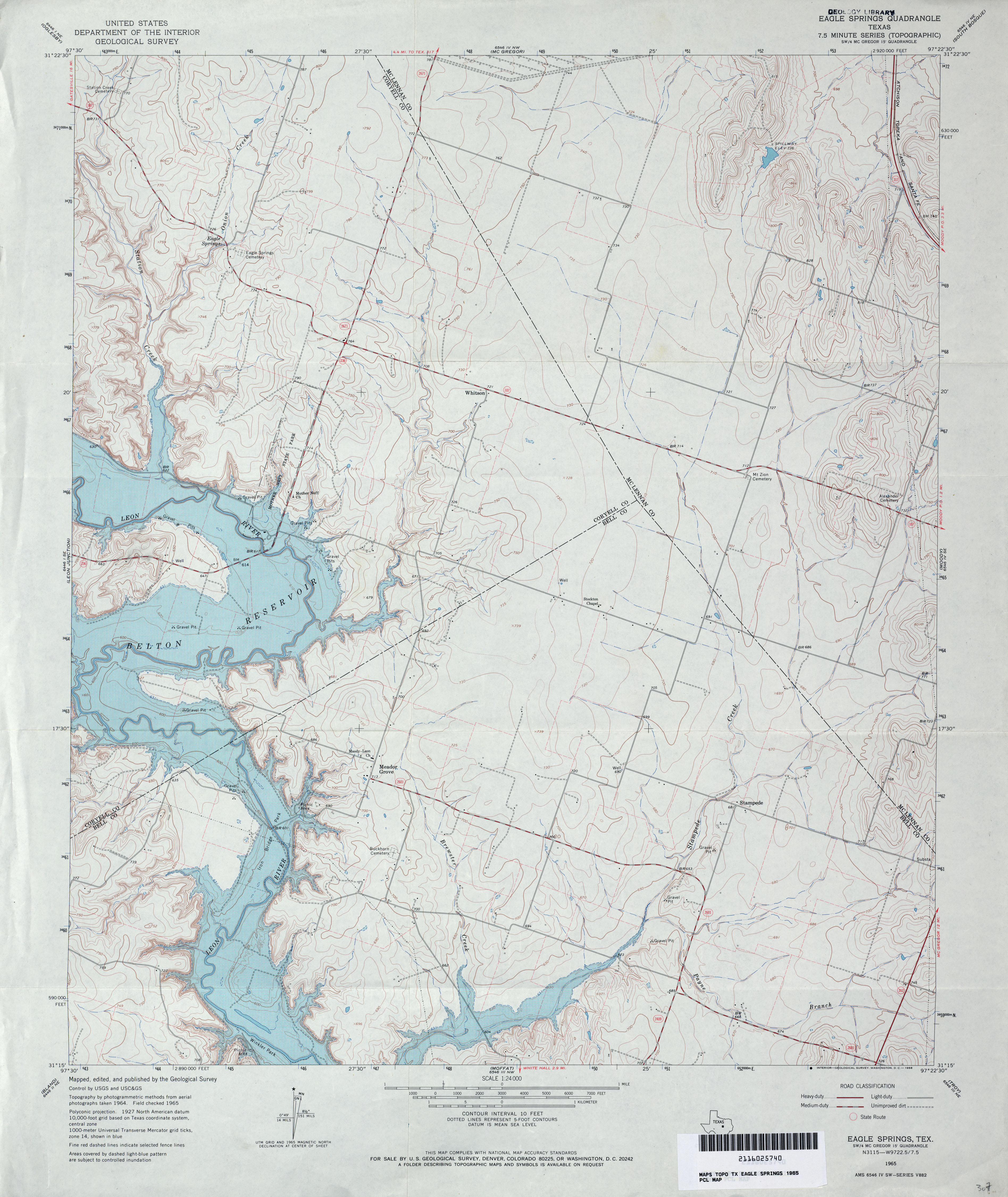
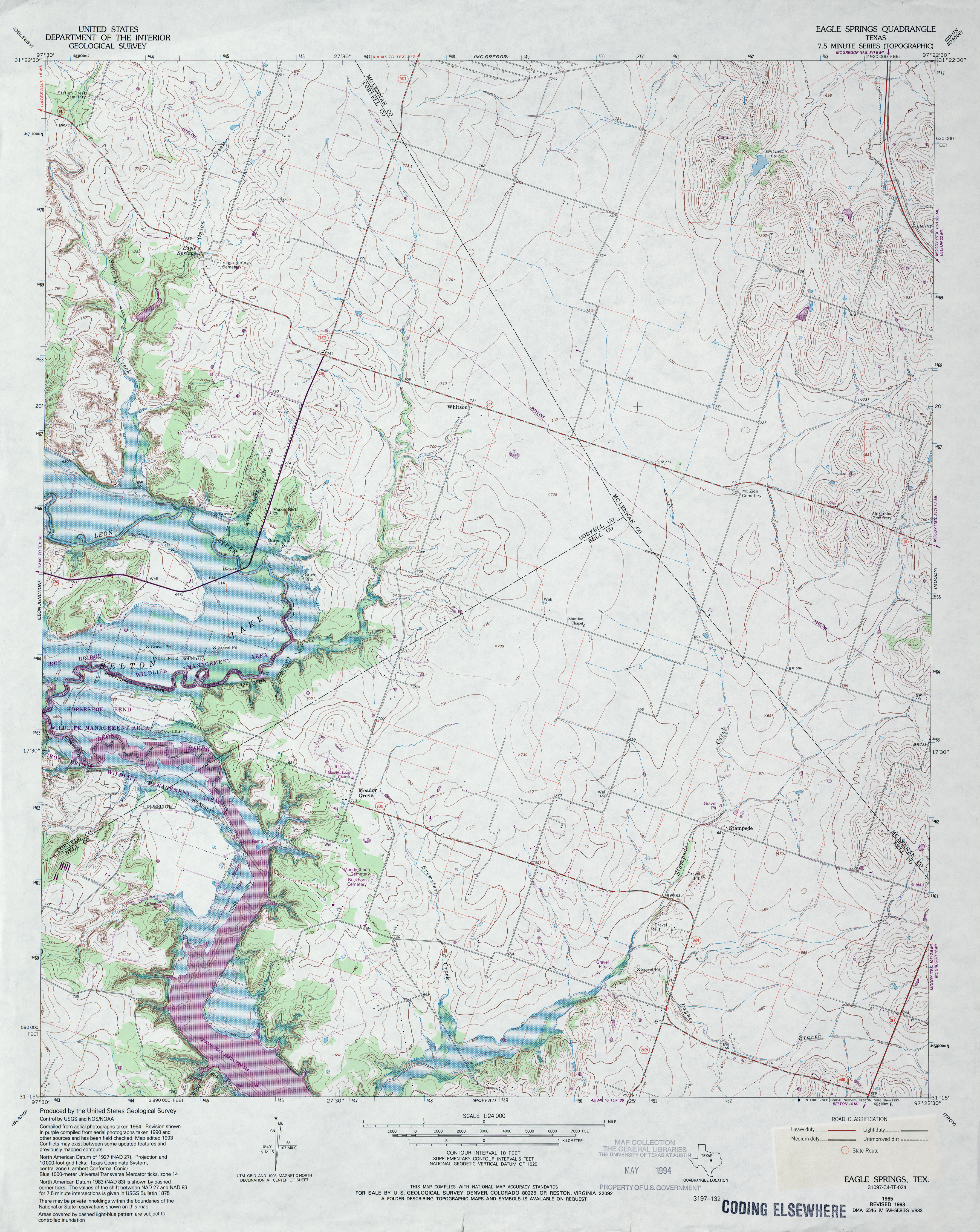
- Eagle Springs 1:24,000 1965 (3.5MB)
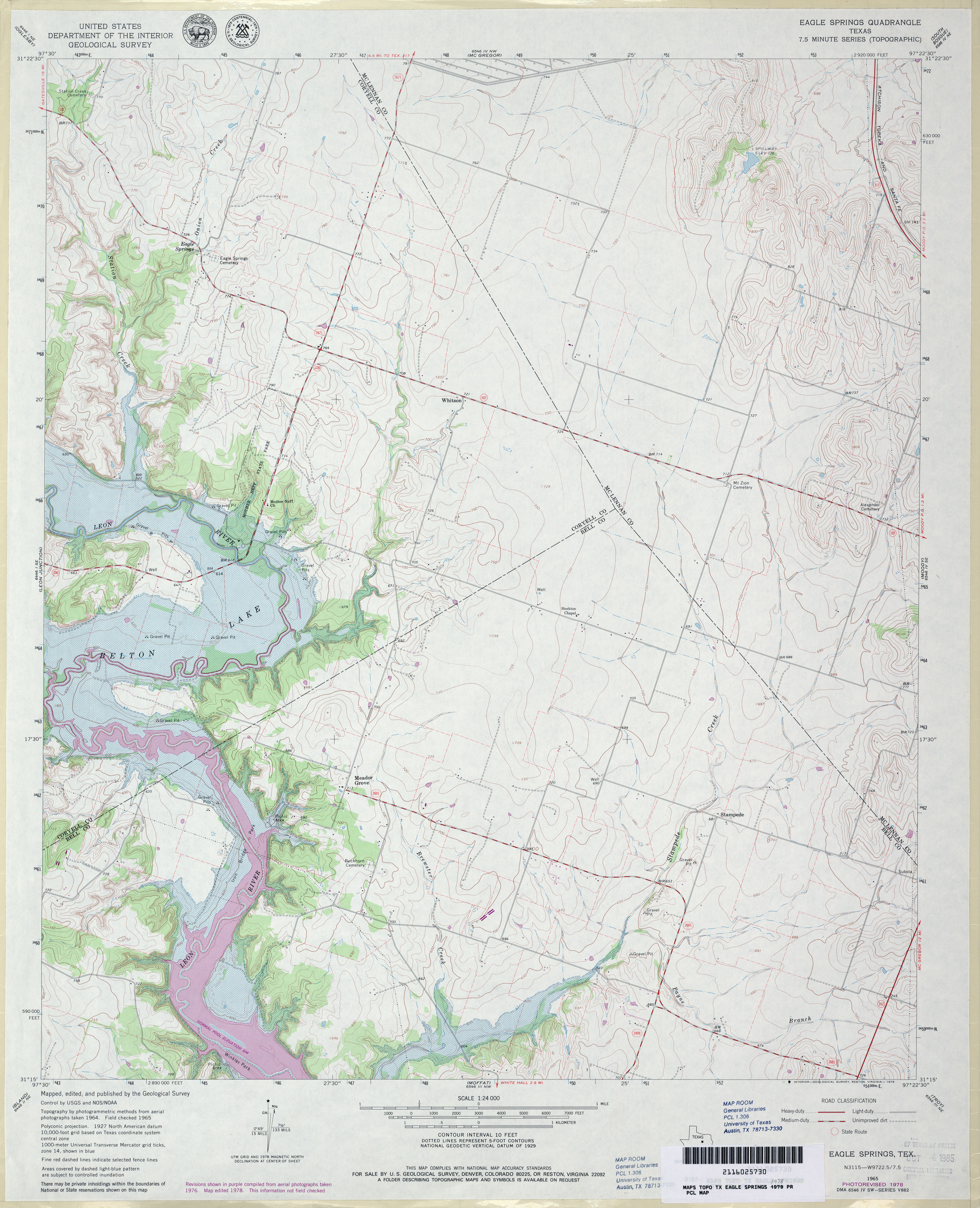
- Eagle Springs 1:24,000 1978 (3.7MB)
- Eagle Springs 1:24,000 1993 (4.2MB)
- Eagle Springs 1:24,000 2008 (13.0MB) [GeoPDF]
- Eagle Springs 1:24,000 2012 (20.4MB) [GeoPDF]
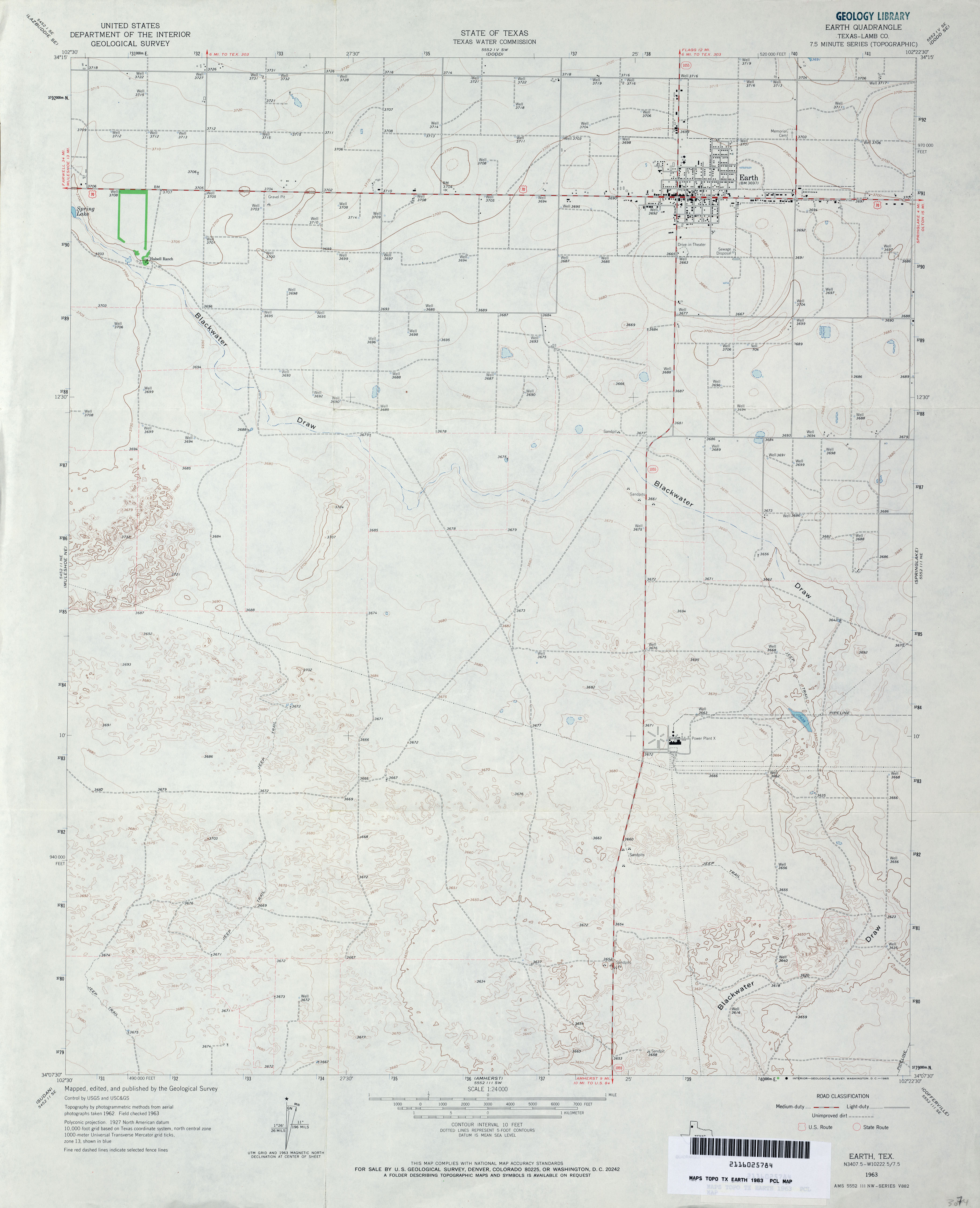
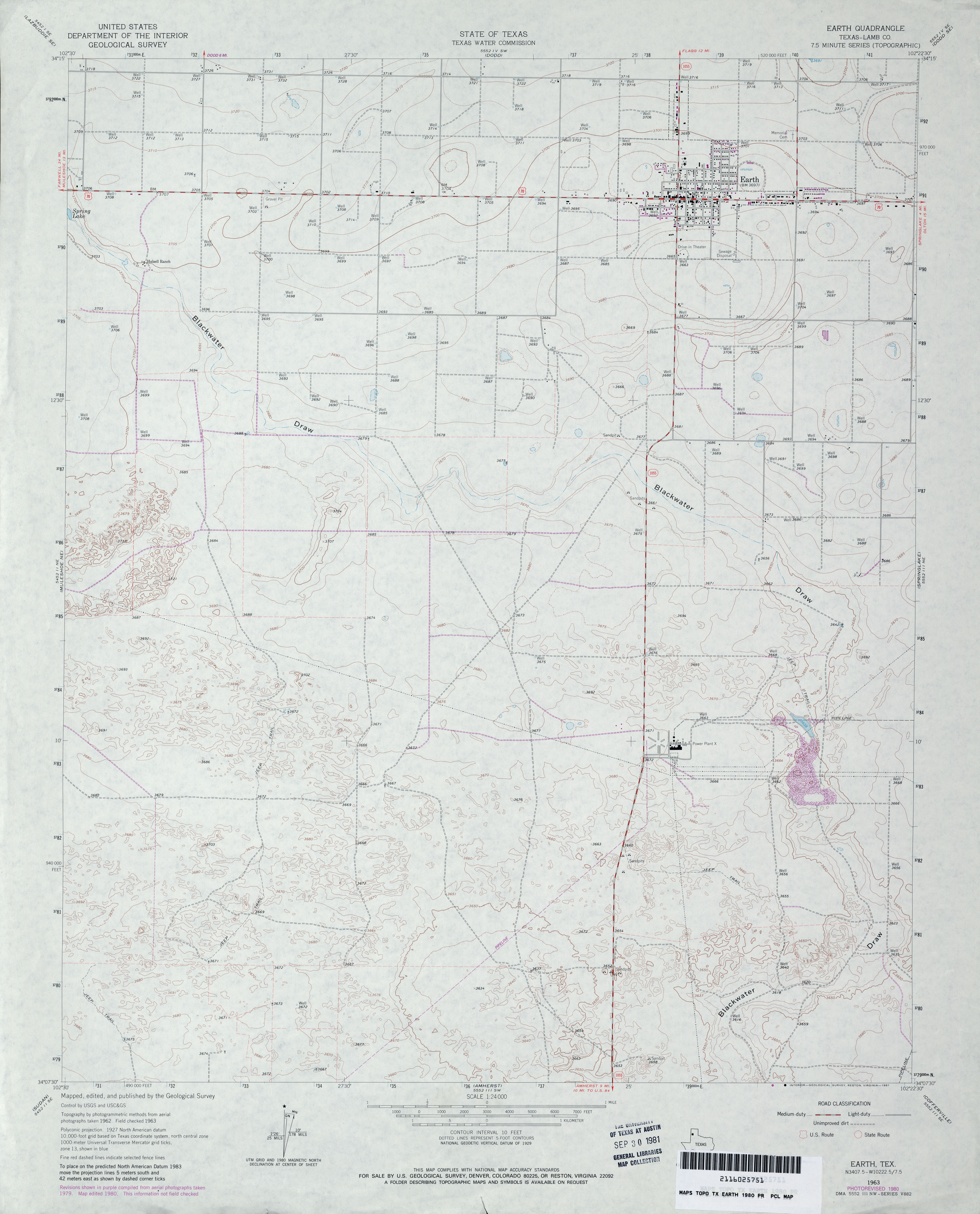
- Earth (Lamb County) 1:24,000 1963 (2.5MB)
- Earth (Lamb County) 1:24,000 1980 (2.7MB)
- Earth 1:24,000 2008 (12.1MB) [GeoPDF]
- Earth 1:24,000 2012 (15MB) [GeoPDF]
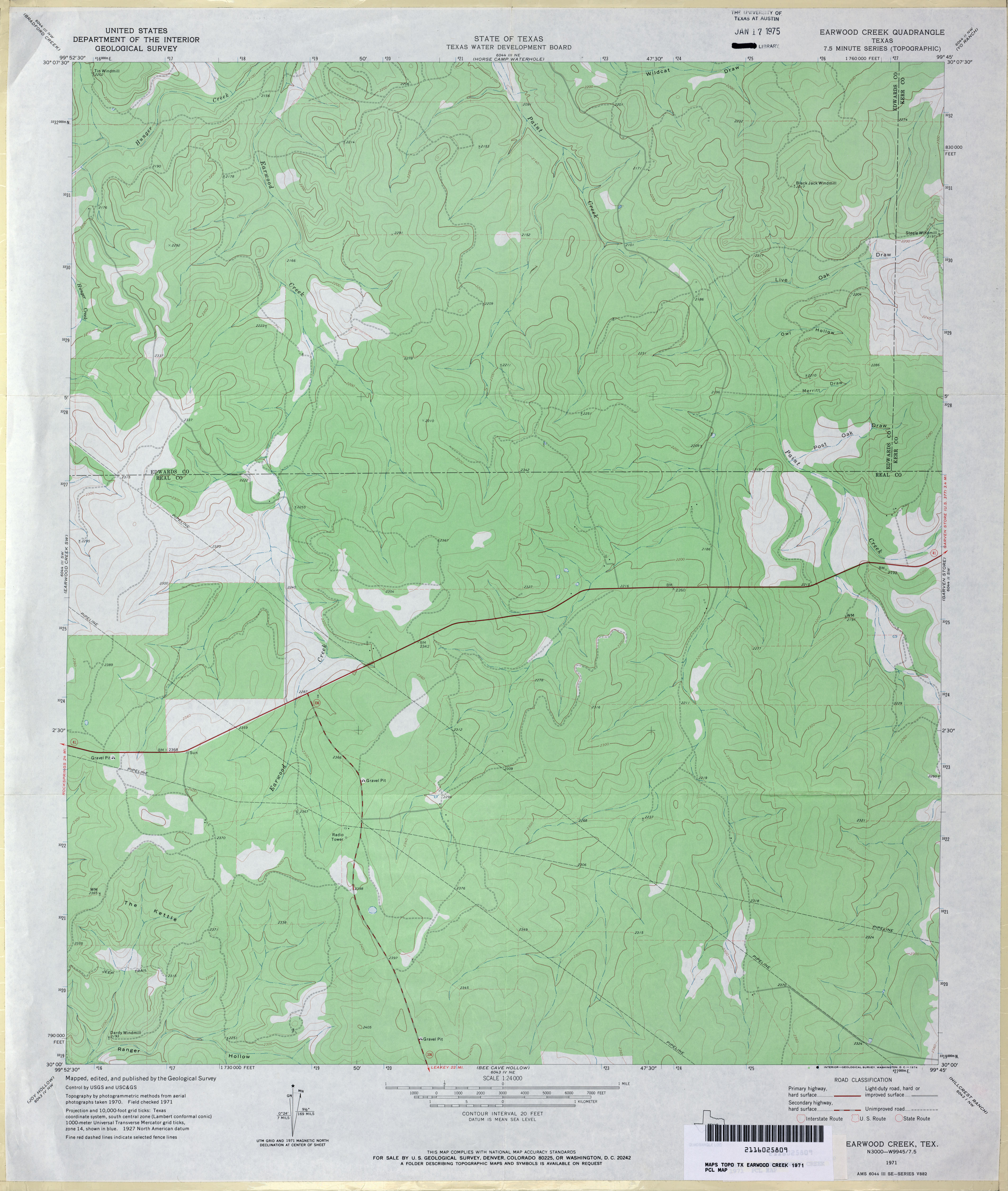
- Earwood Creek 1:24,000 1971 (3MB)
- Earwood Creek 1:24,000 2008 (18.4MB) [GeoPDF]
- Earwood Creek 1:24,000 2012 (26.8MB) [GeoPDF]
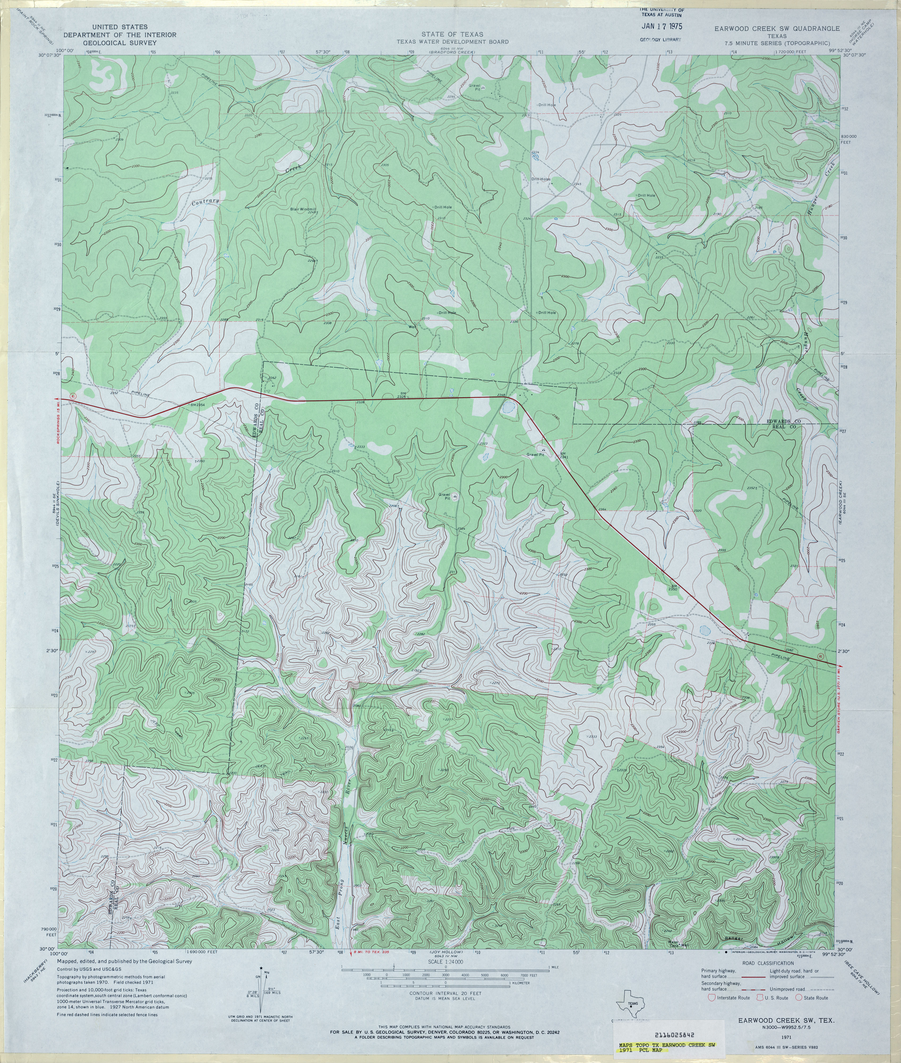
- Earwood Creek SW 1:24,000 1971 (3.9MB)
- Earwood Creek SW 1:24,000 1987 (3.8MB)
- Earwood Creek SW 1:24,000 2008 (21.9MB) [GeoPDF]
- Earwood Creek SW 1:24,000 2012 (30.2MB) [GeoPDF]
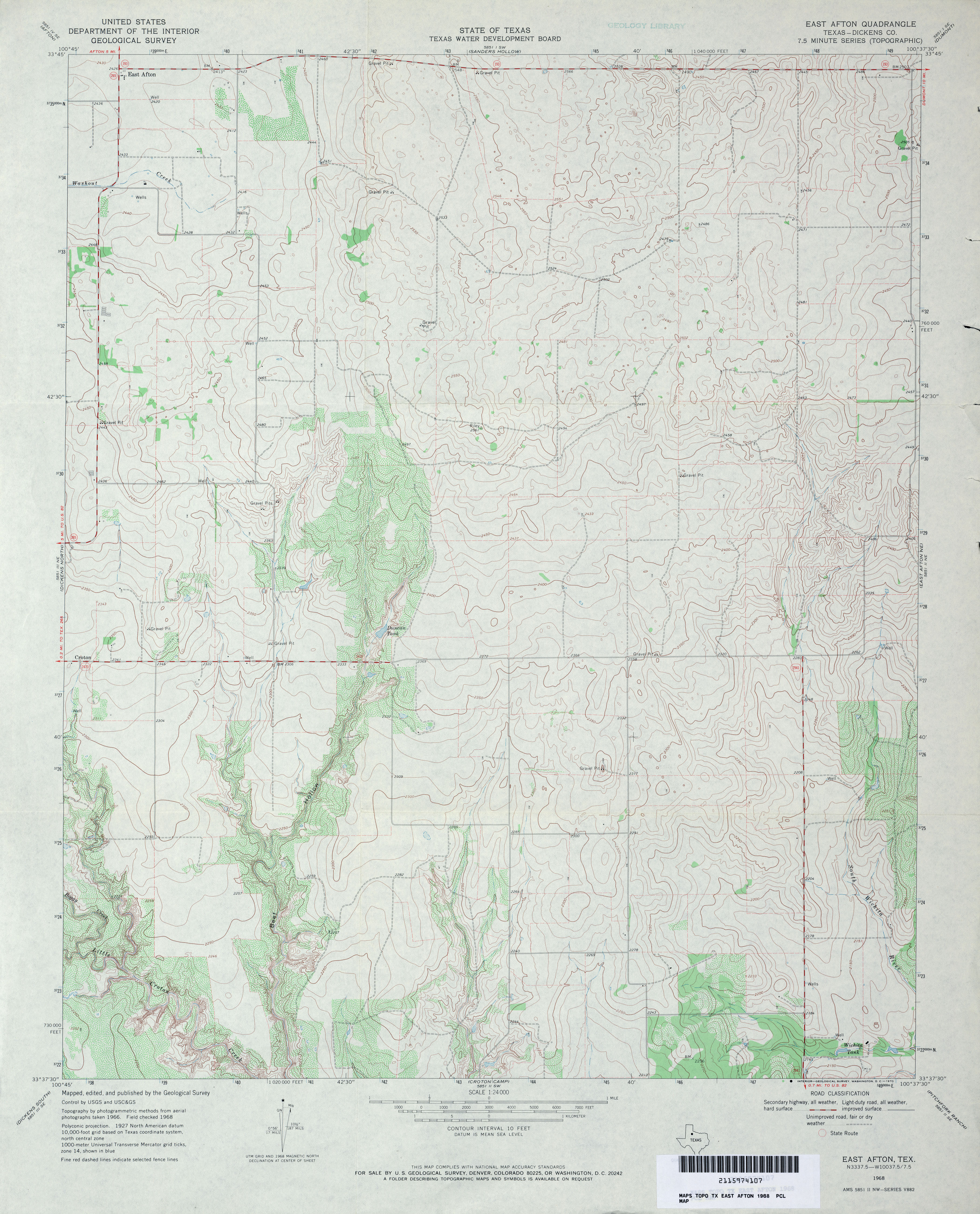
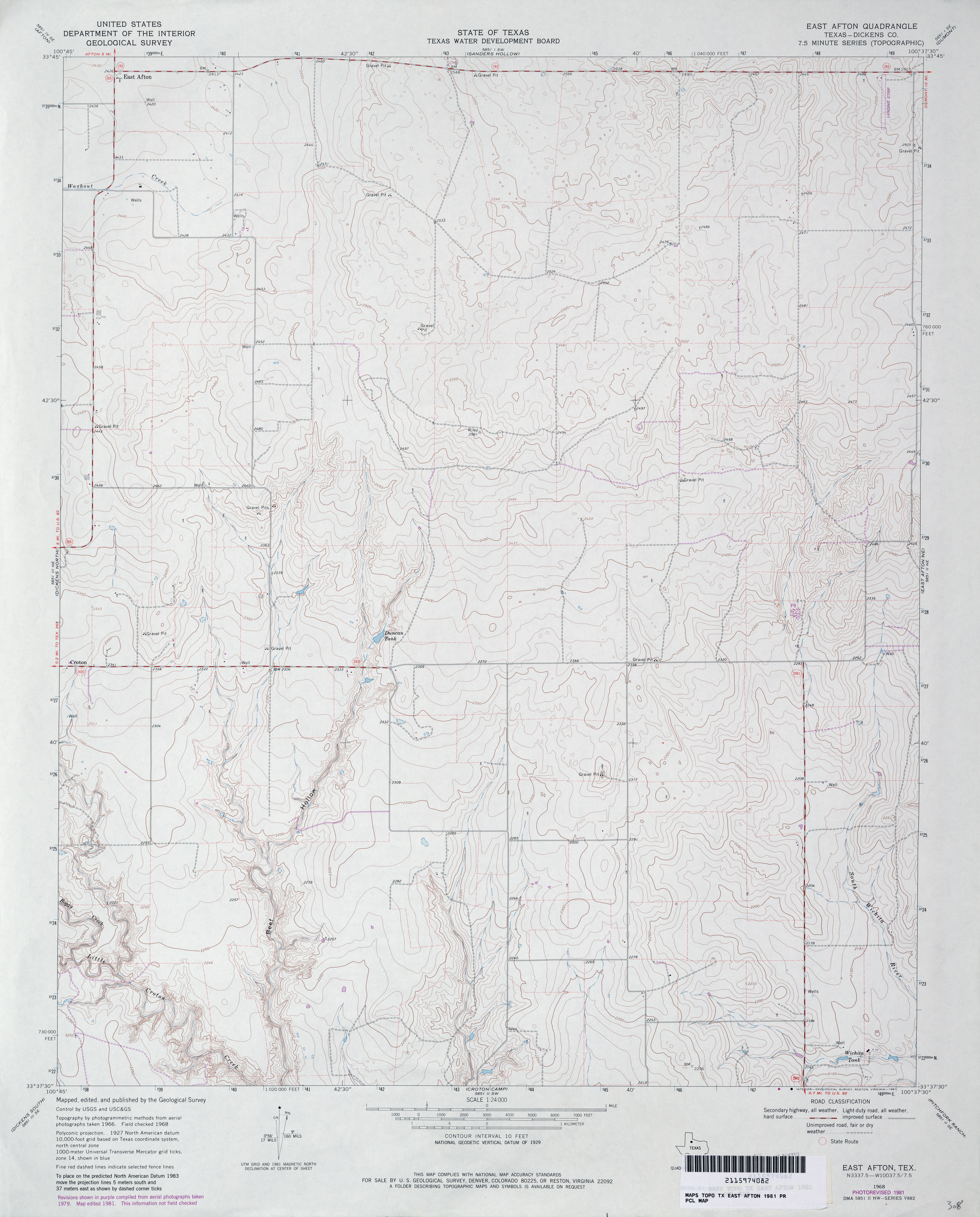
- East Afton (Dickens County) 1:24,000 1968 (3.4MB)
- East Afton (Dickens County) 1:24,000 1981 (3MB)
- East Afton 1:24,000 2008 (13.0MB) [GeoPDF]
- East Afton 1:24,000 2012 (18.7MB) [GeoPDF]
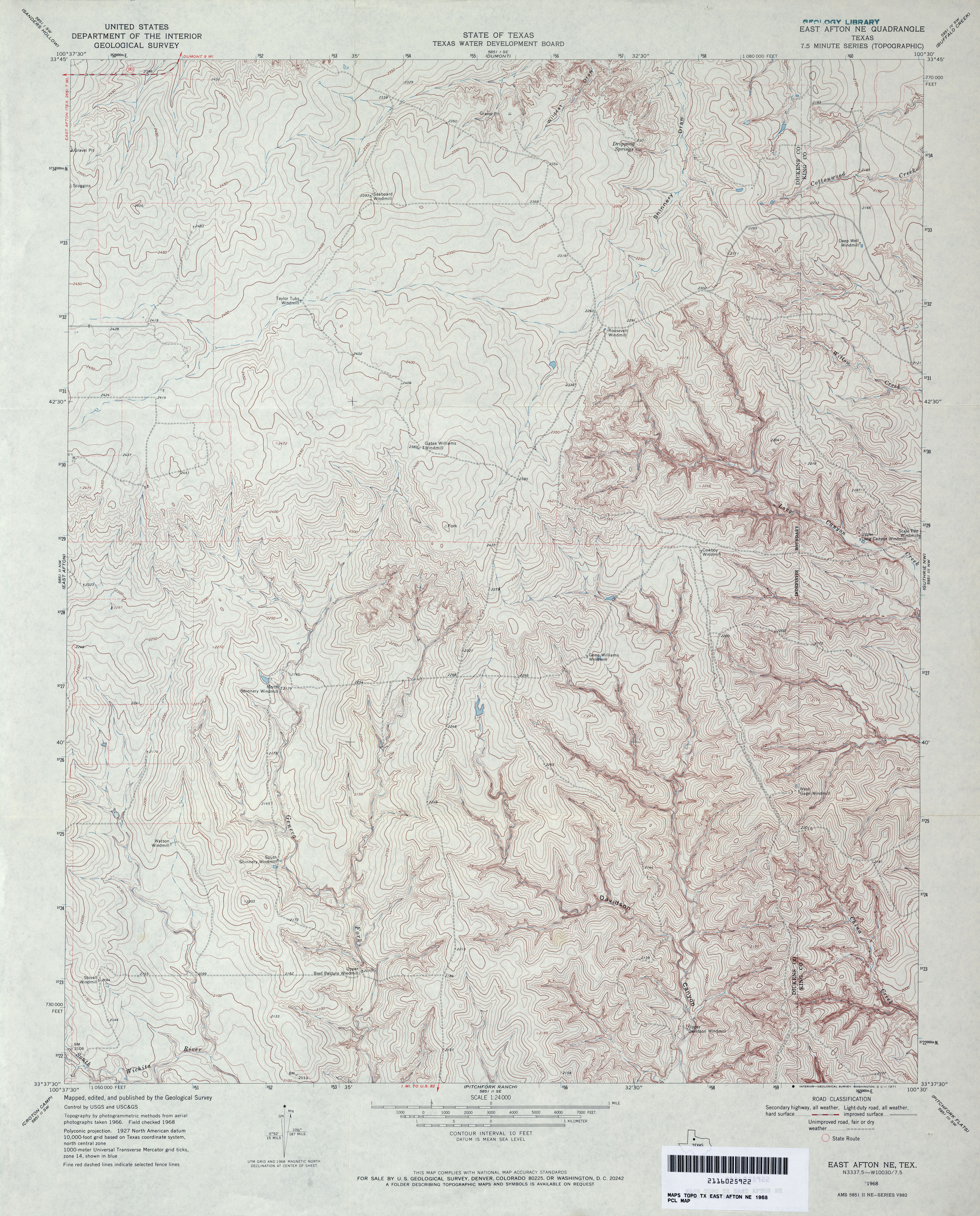
- East Afton NE 1:24,000 1968 (4.5MB)
- East Afton NE 1:24,000 1981 (4.7MB)
- East Afton NE 1:24,000 2008 (13.7MB) [GeoPDF]
- East Afton NE 1:24,000 2012 (20.3MB) [GeoPDF]
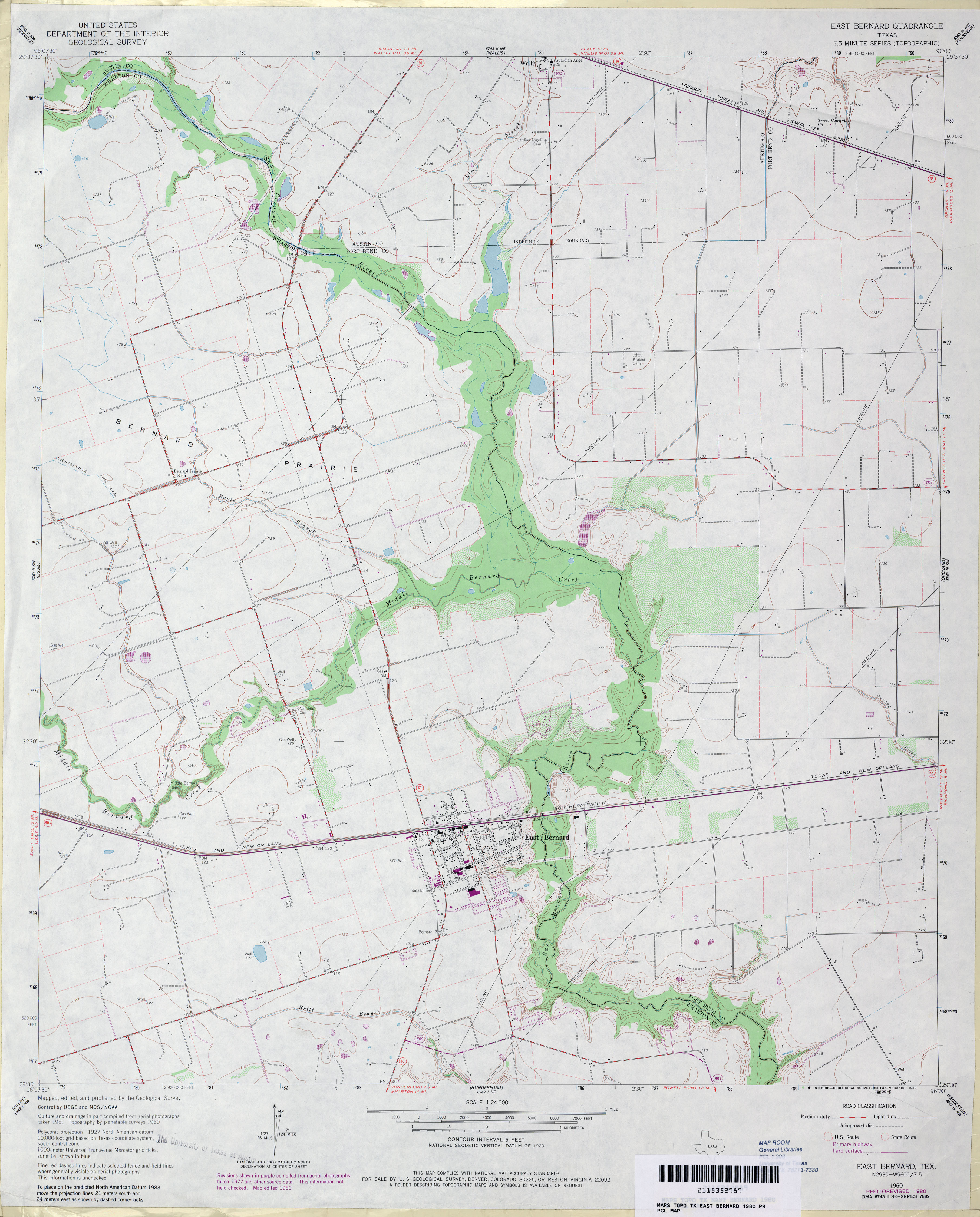
- East Bernard 1:24,000 1960 (2.9MB)
- East Bernard 1:24,000 1980 (2.9MB)
- East Bernard 1:24,000 2008 (11.0MB) [GeoPDF]
- East Bernard 1:24,000 2013 (19.5MB) [GeoPDF]
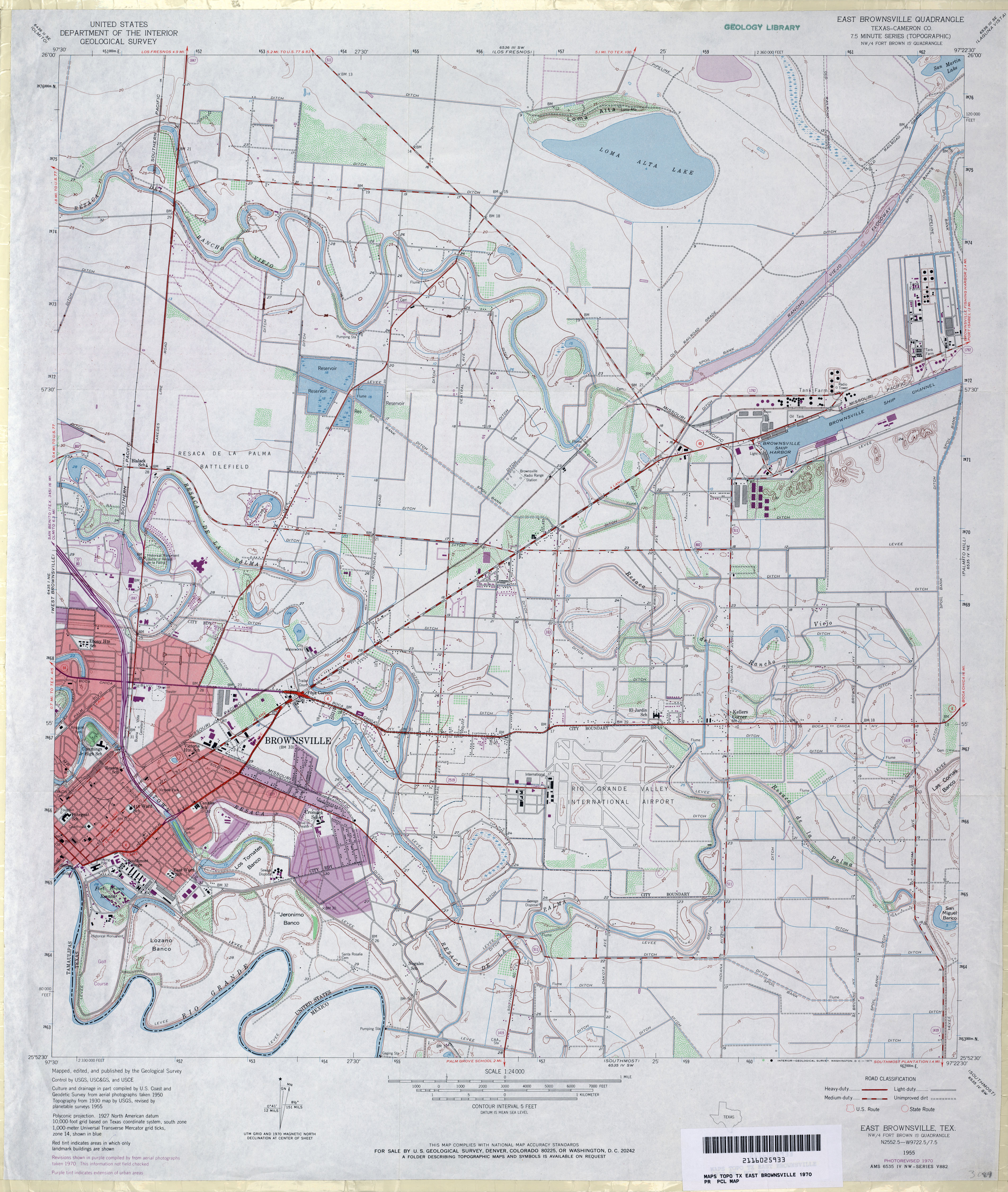
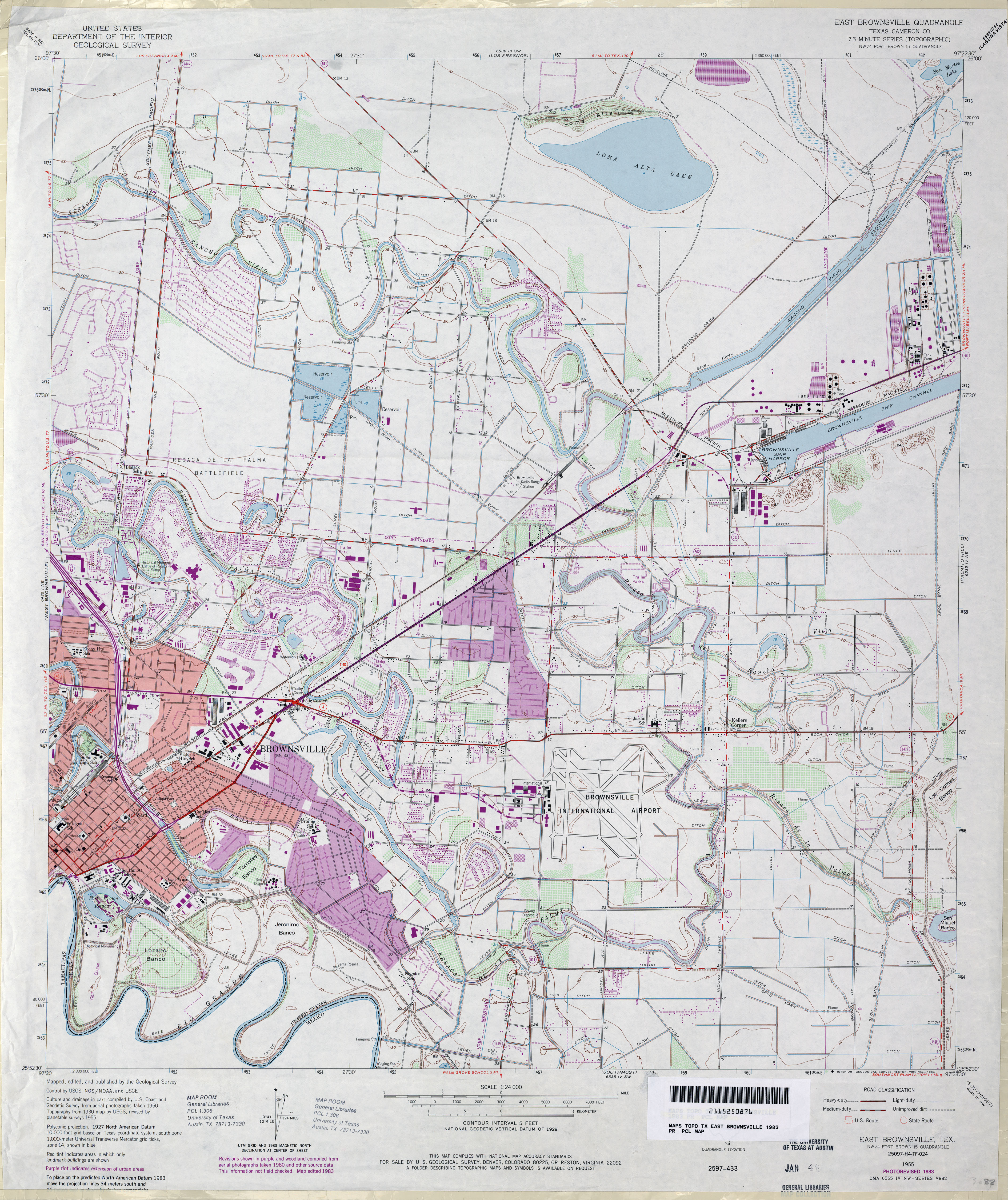
- East Brownsville (Cameron County) 1:31,680 1930 survey, 1932 overprint (3.3 MB)
- East Brownsville (Cameron County) 1:24,000 1955 (3.8MB)
- East Brownsville (Cameron County) 1:24,000 1970 (3.8MB)
- East Brownsville (Cameron County) 1:24,000 1983 (4.2MB)
- East Brownsville 1:24,000 2009 (23MB) [GeoPDF]
- East Brownsville 1:24,000 2012 (23.5MB) [GeoPDF]
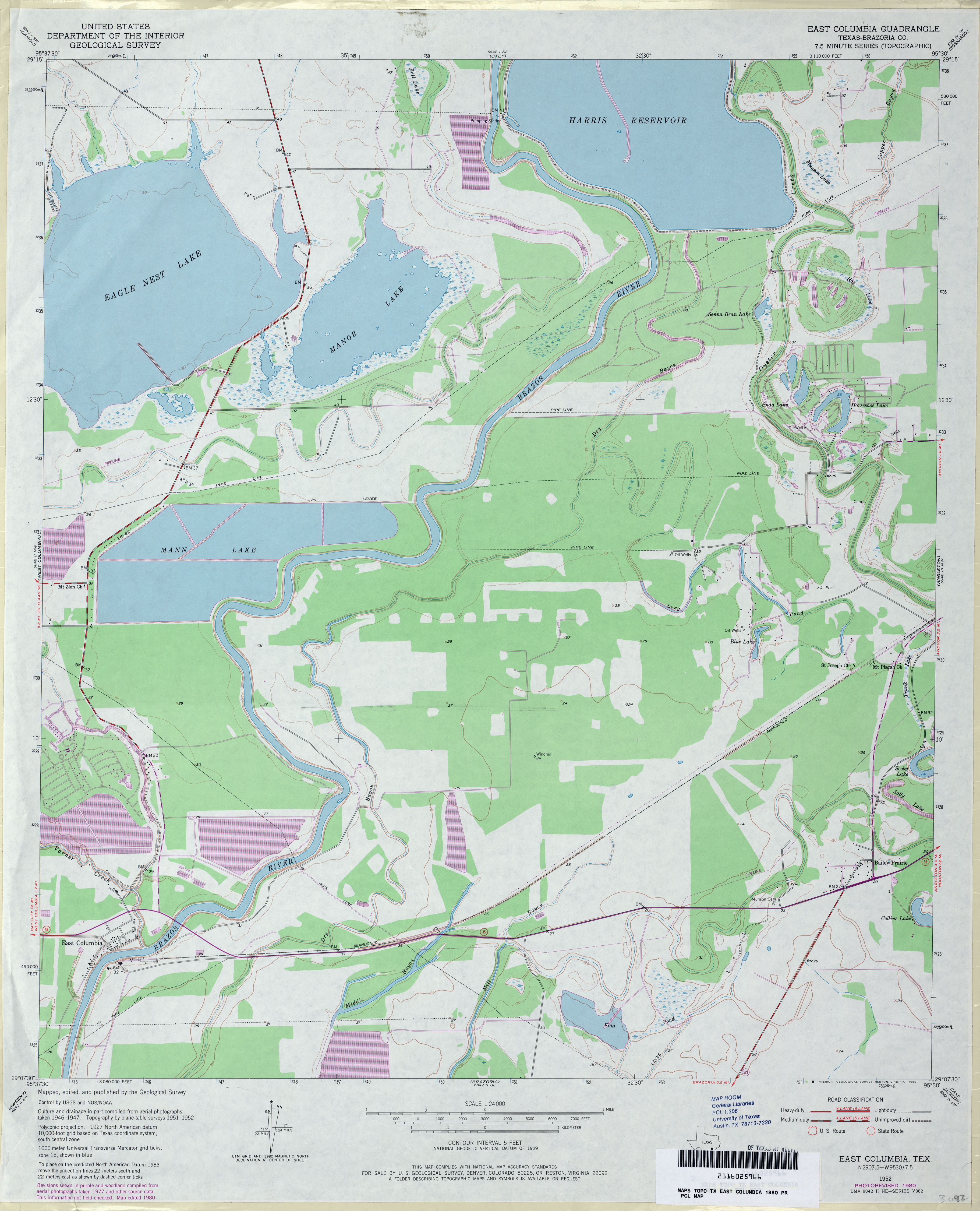
- East Columbia (Brazoria County) 1:24,000 1952 (3MB)
- East Columbia (Brazoria County) 1:24,000 1980 (3MB)
- East Columbia 1:24,000 2009 (19.6MB) [GeoPDF]
- East Columbia 1:24,000 2013 (18.5MB) [GeoPDF]
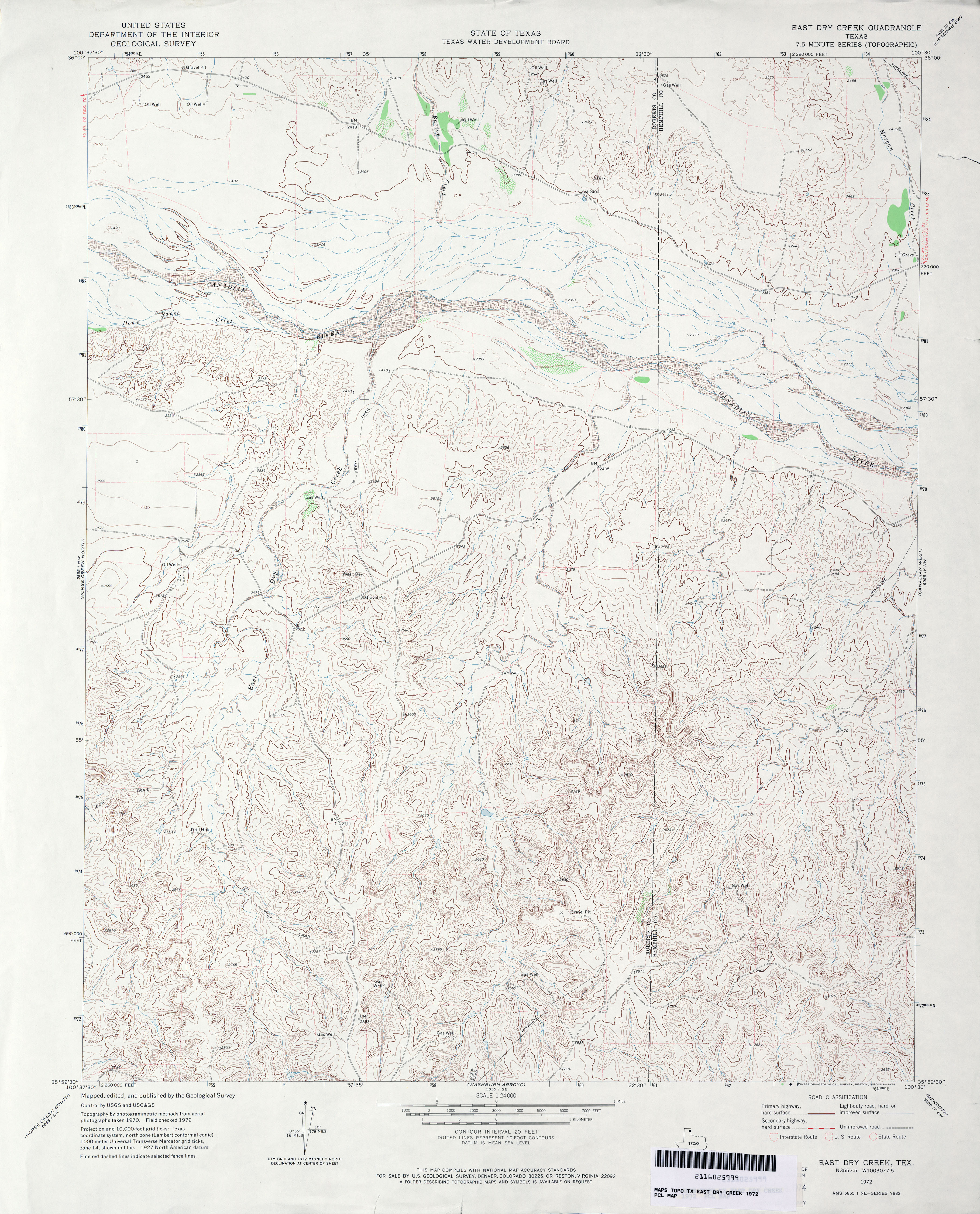
- East Dry Creek 1:24,000 1972 (4.1MB)
- East Dry Creek 1:24,000 2008 (15.3MB) [GeoPDF]
- East Dry Creek 1:24,000 2012 (21.8MB) [GeoPDF]
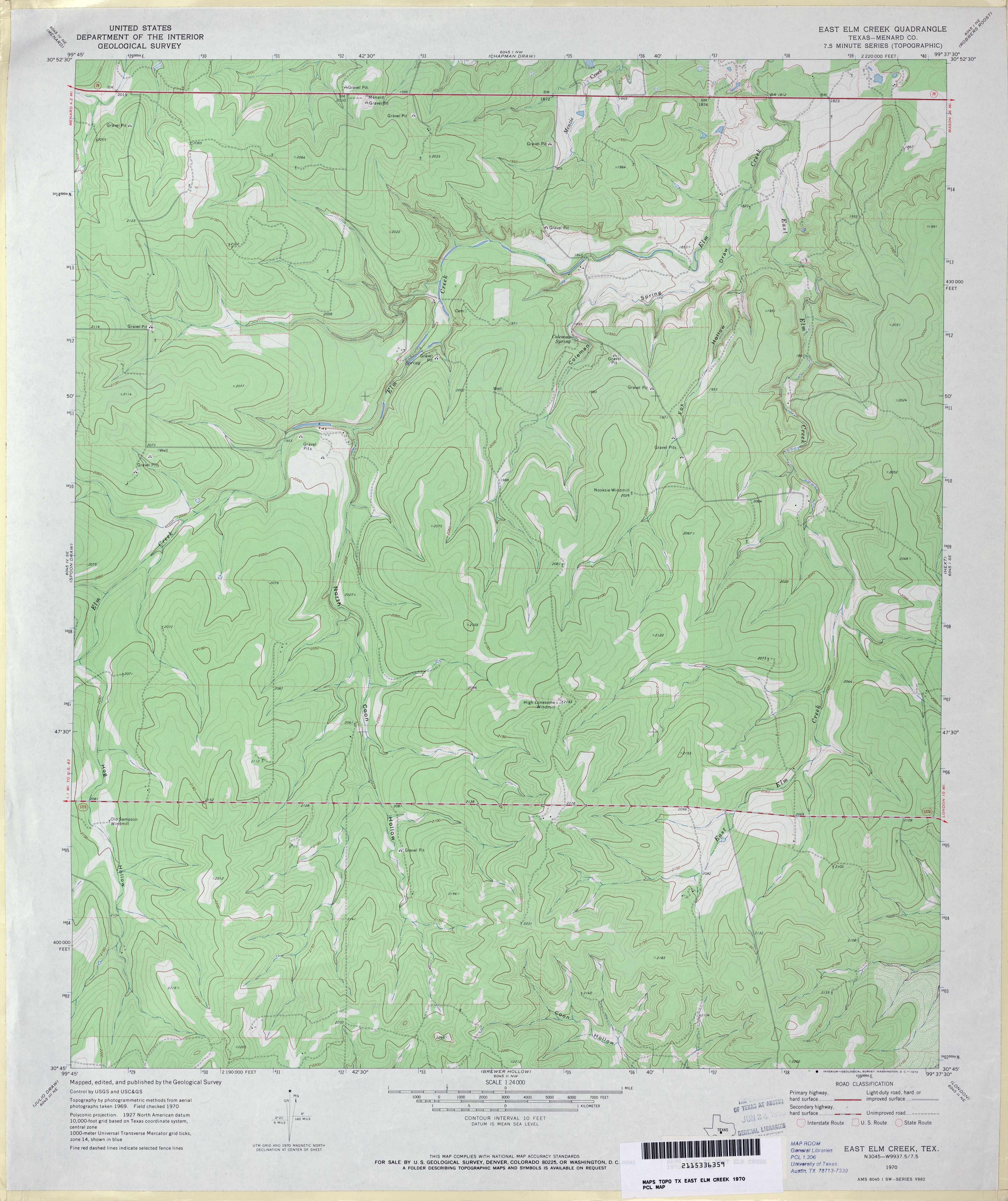
- East Elm Creek (Menard County) 1:24,000 1970 (3.3MB)
- East Elm Creek 1:24,000 2012 (27.2MB) [GeoPDF]
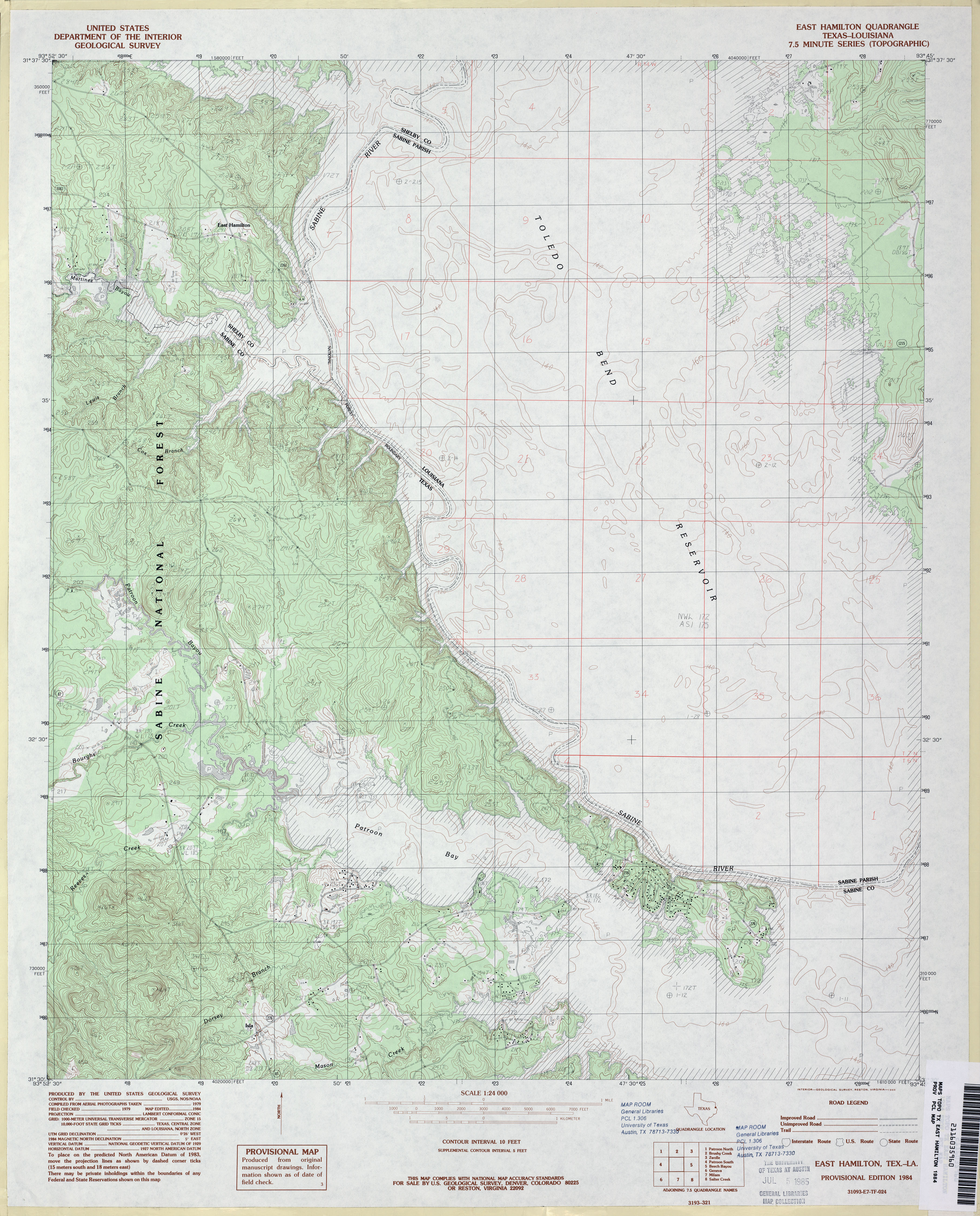
- East Hamilton 1:24,000 1984 (4MB)
- East Hamilton 1:24,000 2003 (4.2MB)
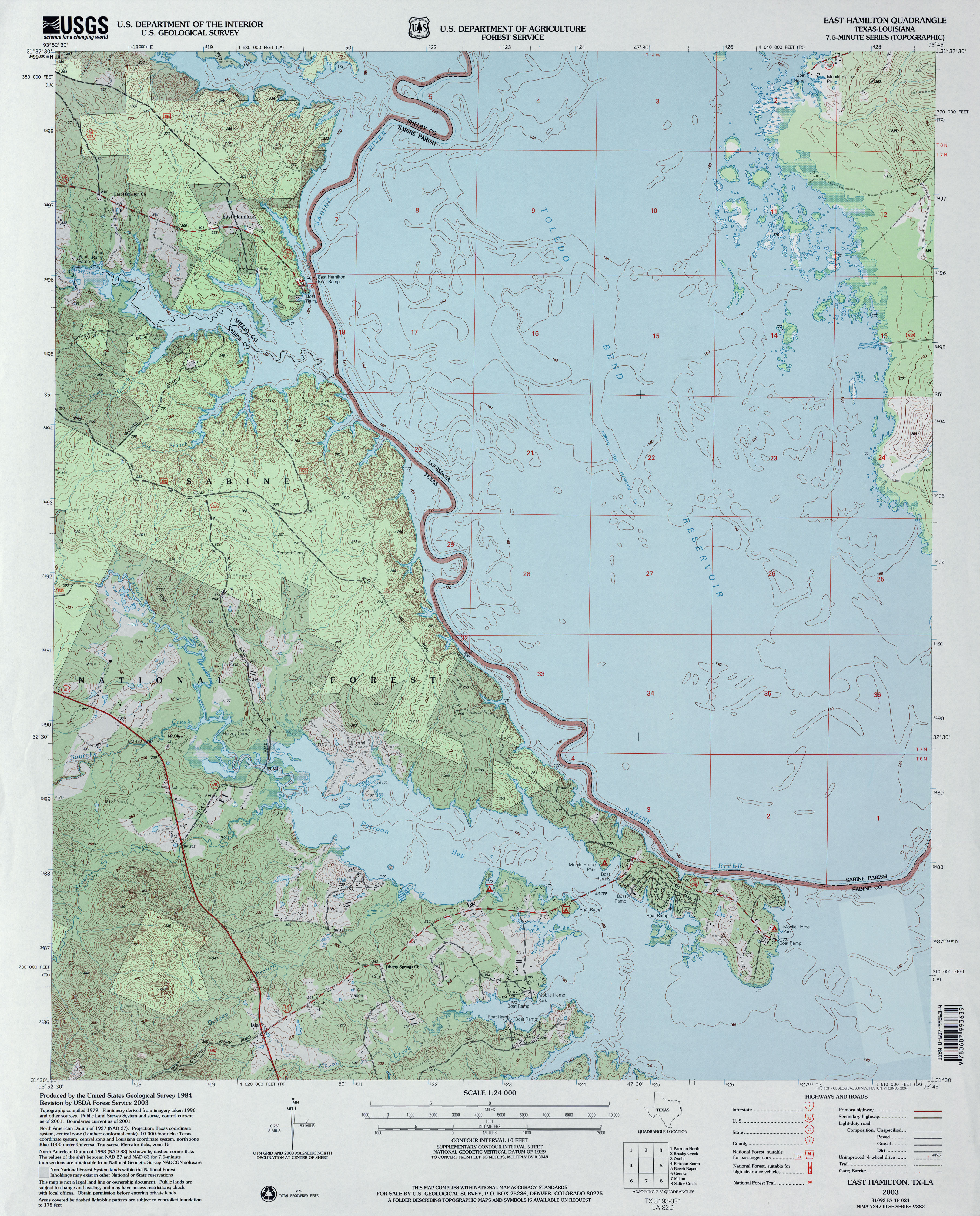
- East Hamilton 1:24,000 2009 (16.5MB) [GeoPDF]
- East Hamilton 1:24,000 2012 (25.2MB) [GeoPDF]
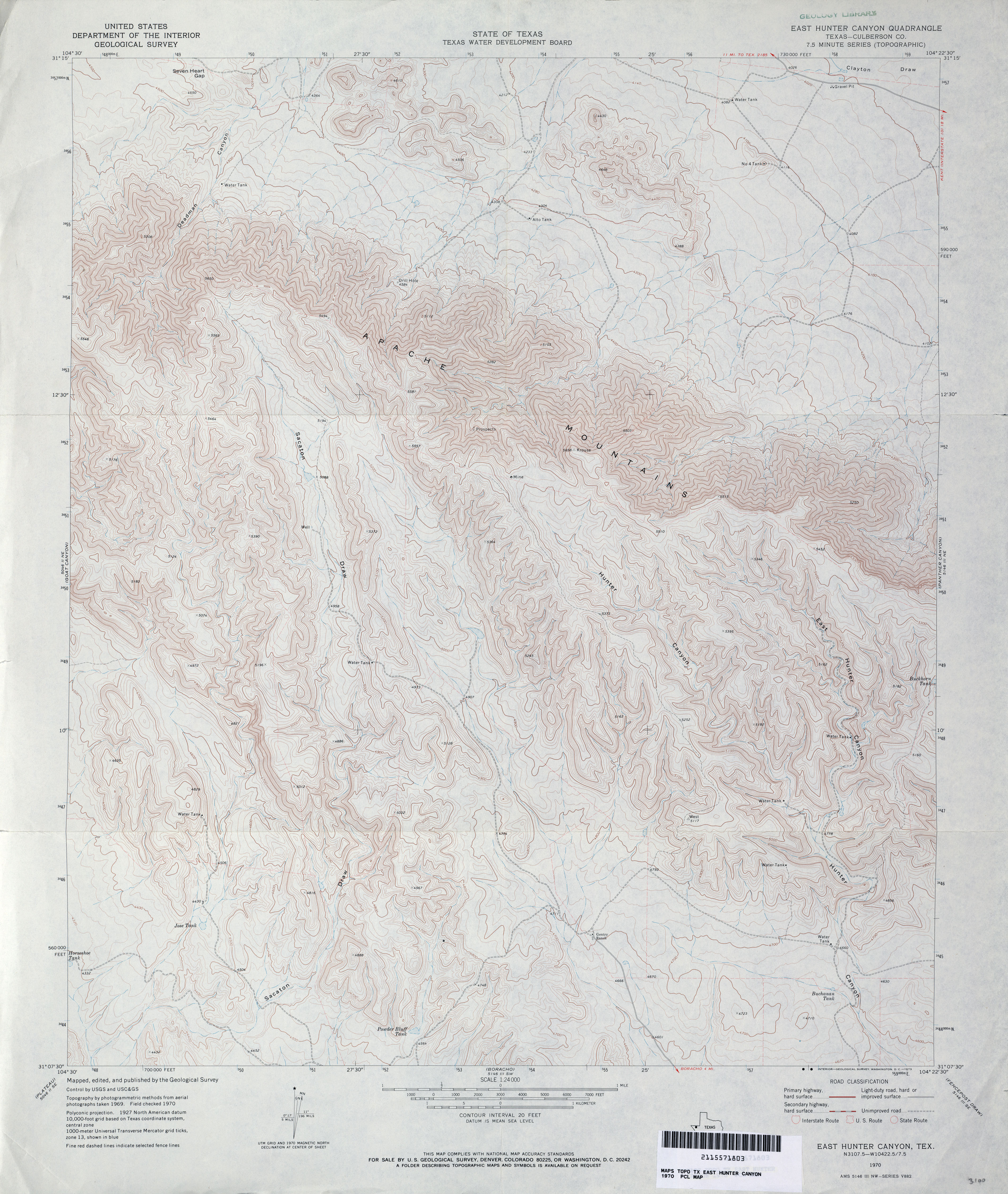
- East Hunter Canyon (Culberson County) 1:24,000 1970 (4.3MB)
- East Hunter Canyon 1:24,000 2008 (26.3MB) [GeoPDF]
- East Hunter Canyon 1:24,000 2012 (27.5MB) [GeoPDF]
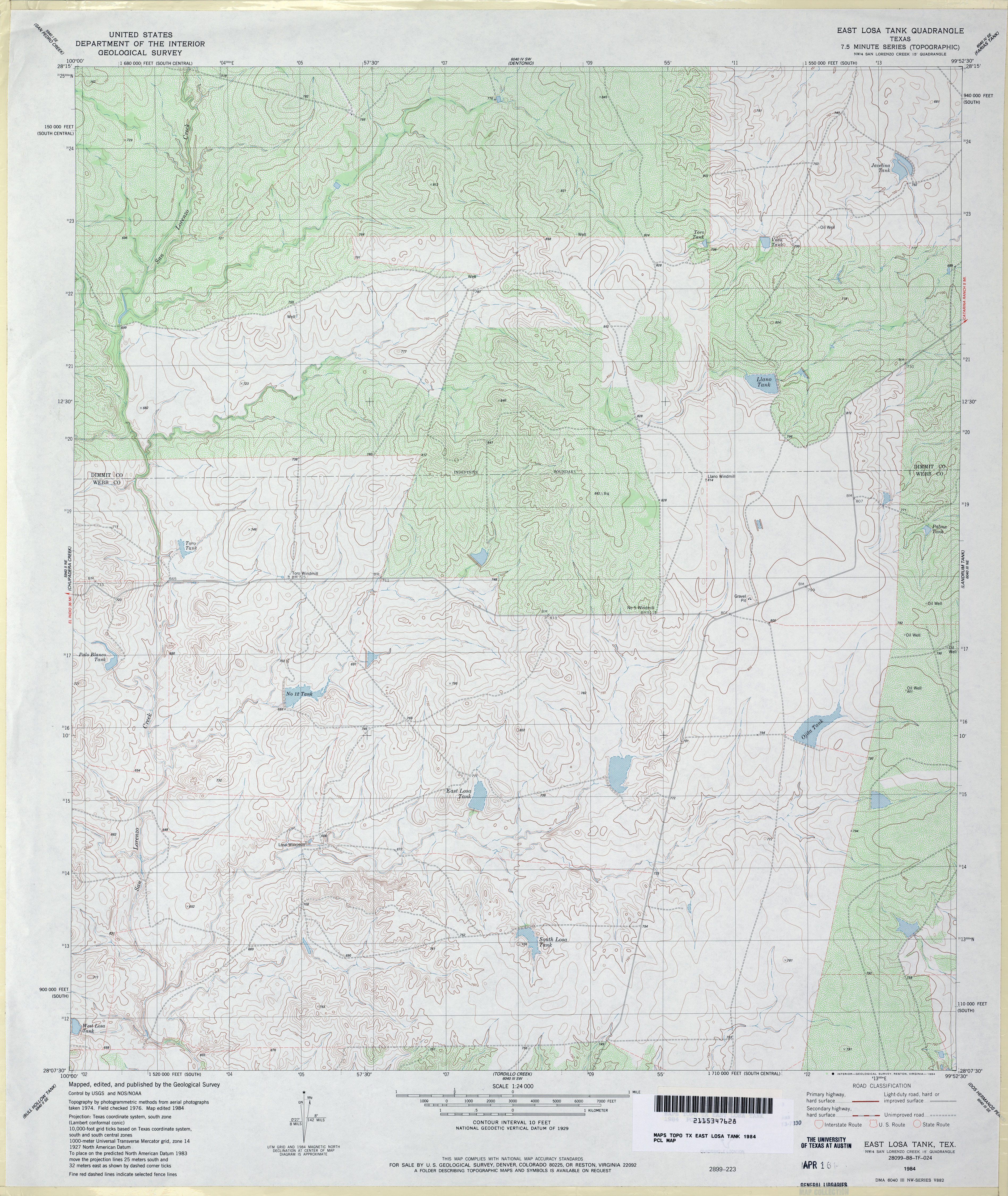
- East Losa Tank 1:24,000 1984 (4.3MB)
- East Losa Tank 1:24,000 2008 (18MB) [GeoPDF]
- East Losa Tank 1:24,000 2013 (29.4MB) [GeoPDF]
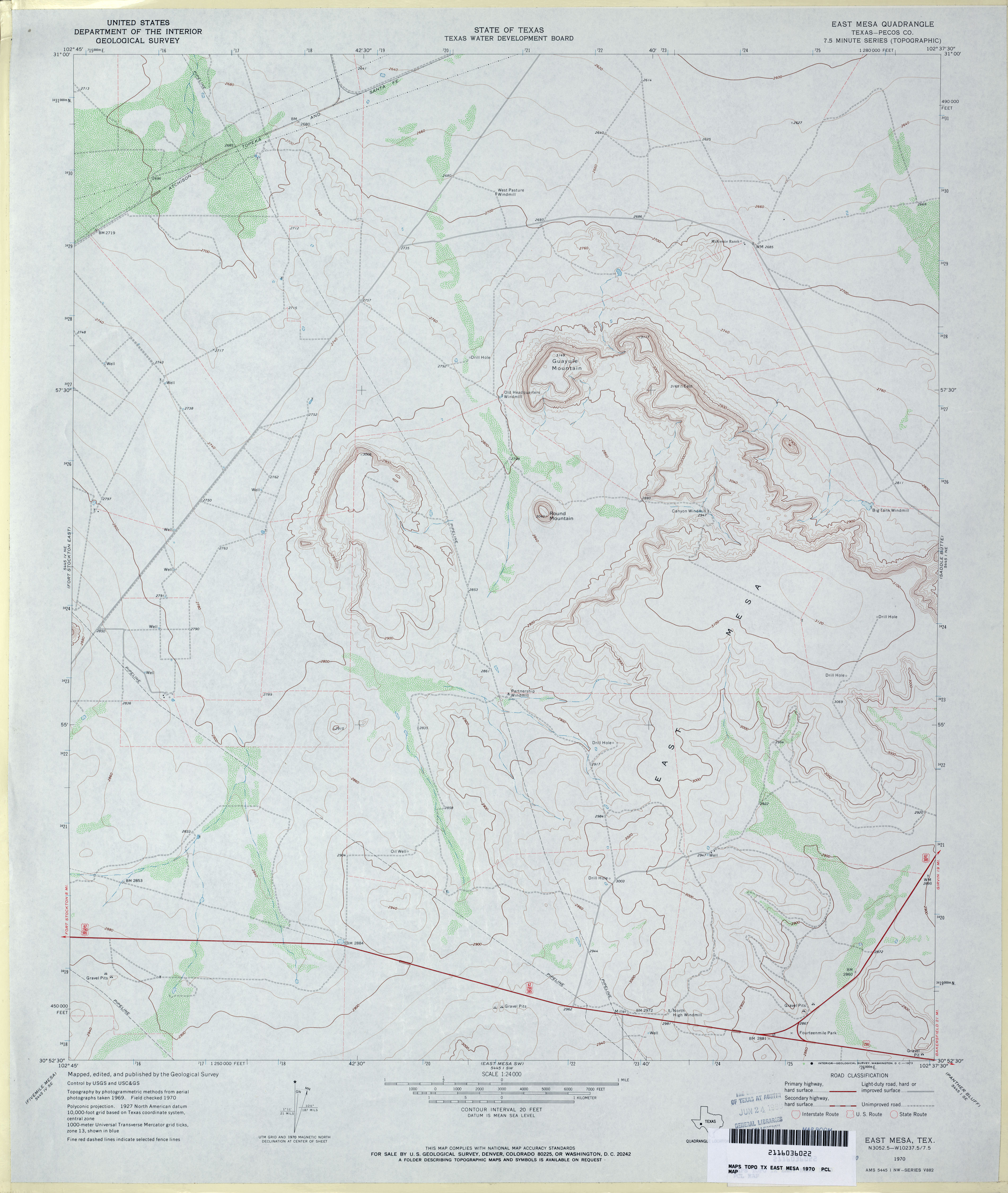
- East Mesa (Pecos County) 1:24,000 1970 (2.8MB)
- East Mesa 1:24,000 2008 (20.2MB) [GeoPDF]
- East Mesa 1:24,000 2012 (26.4MB) [GeoPDF]
- East Mesa SW (Pecos County) 1:24,000 1970 (2.9MB)
- East Mesa SW 1:24,000 2008 (19.8MB) [GeoPDF]
- East Mesa SW 1:24,000 2012 (26.8MB) [GeoPDF]
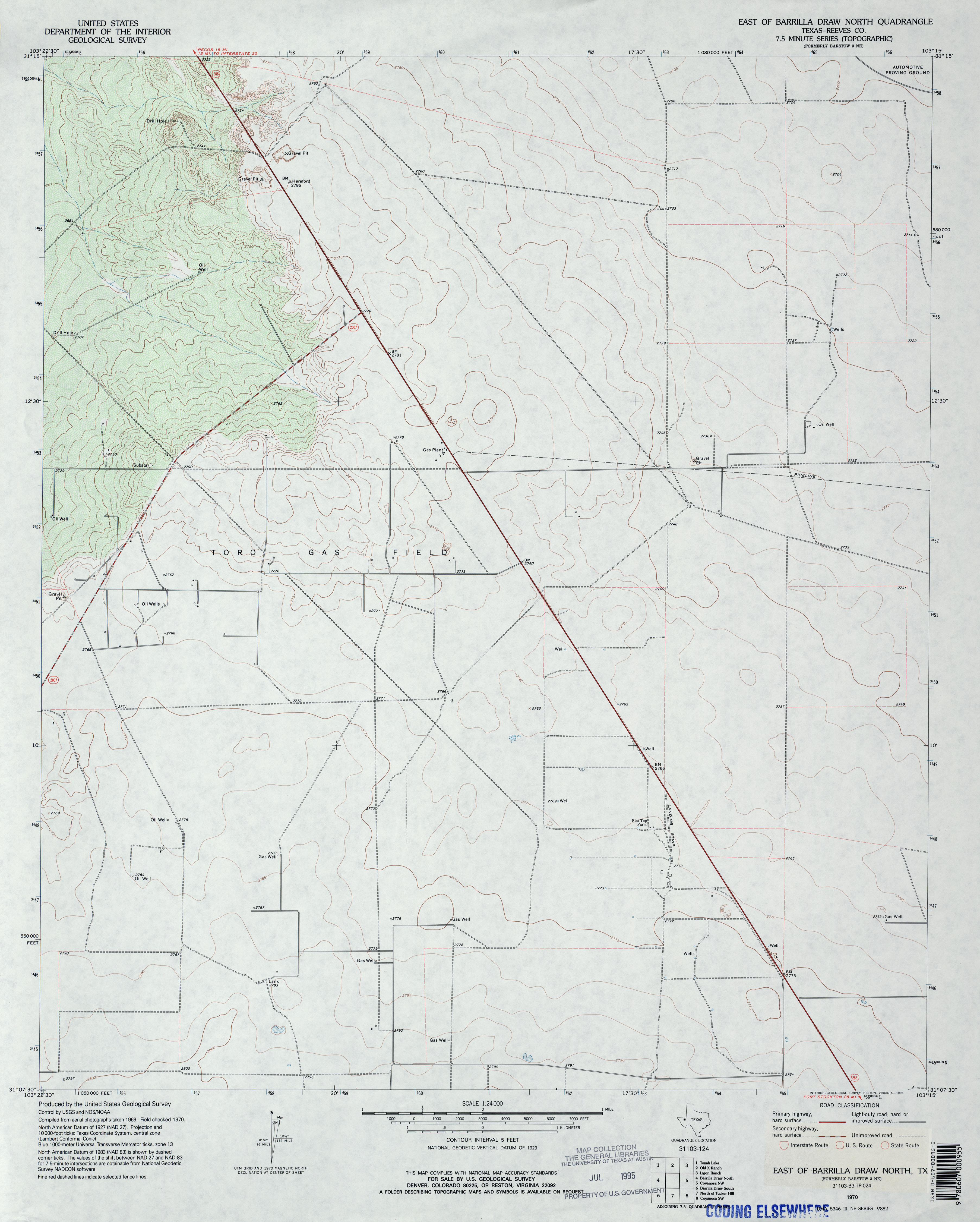
- East of Barilla Draw North (Reeves County) 1:24,000 1970 (2.7MB)
- East of Barilla Draw North 1:24,000 2008 (21.5MB) [GeoPDF]
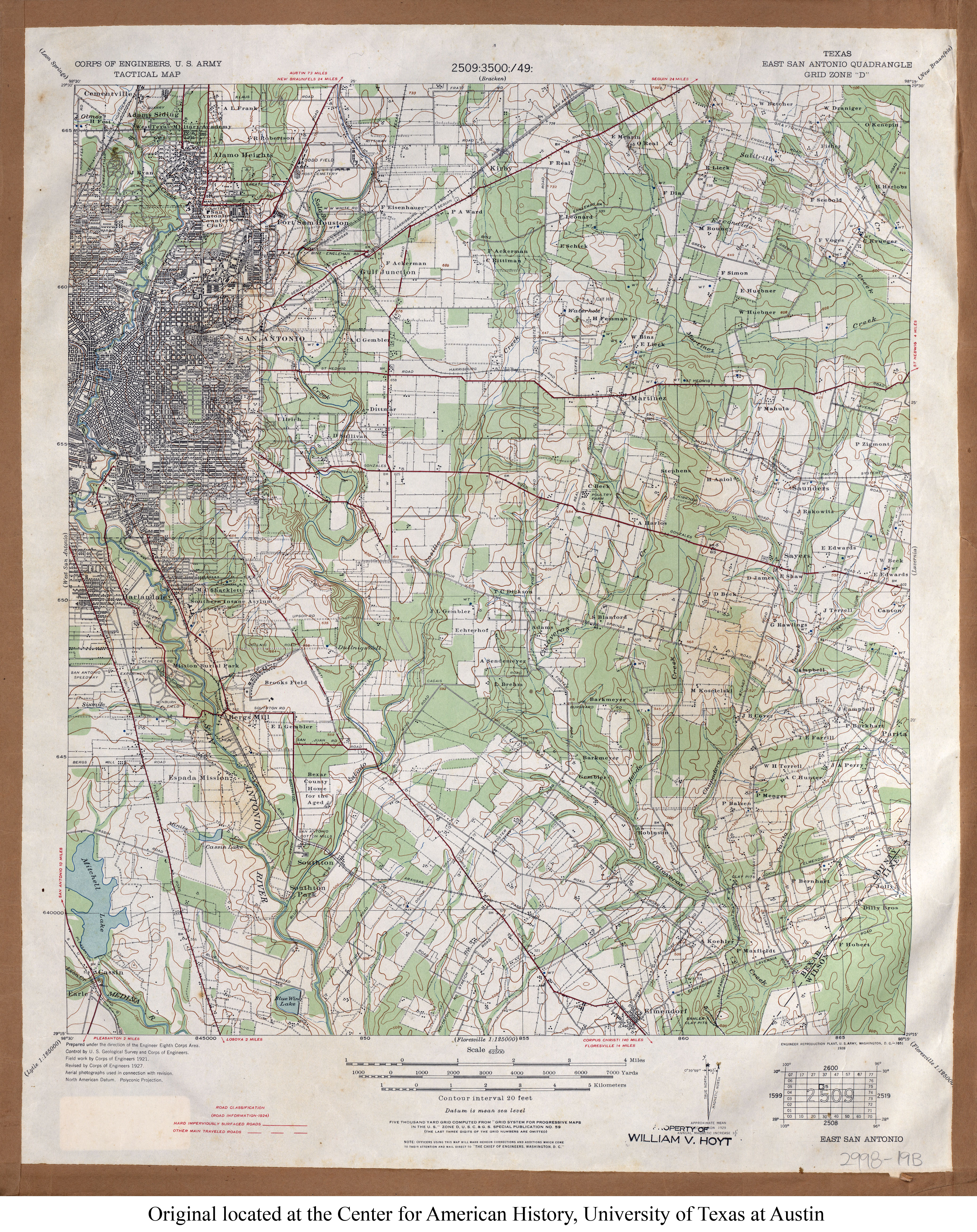
- East San Antonio 1:62,500 1927 (5MB) U.S. Army. Corps of Engineers. Tactical Map
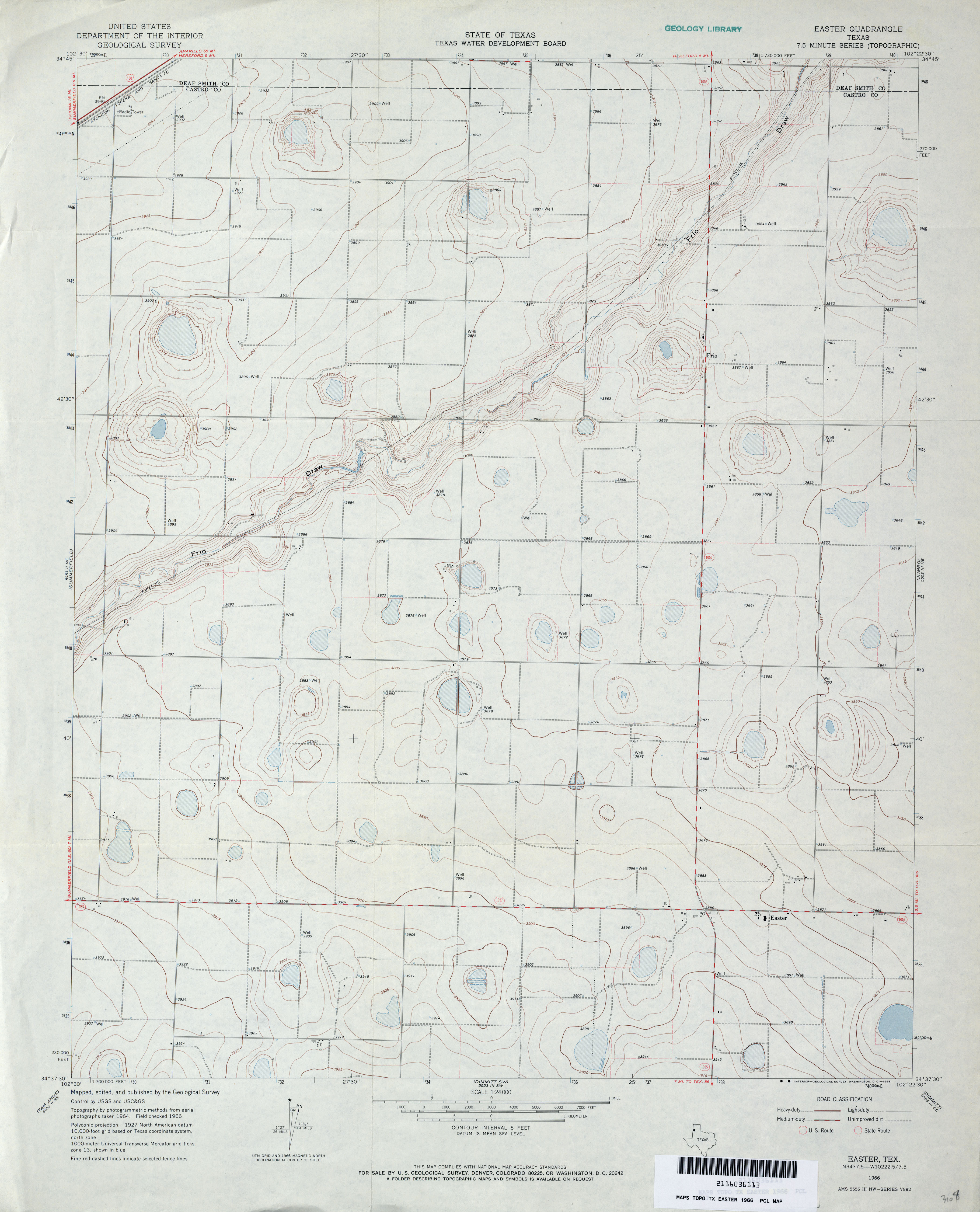
- Easter 1:24,000 1966 (2.6MB)
- Easter 1:24,000 2008 (9.8MB) [GeoPDF]
- Easter 1:24,000 2012 (13.6MB) [GeoPDF]
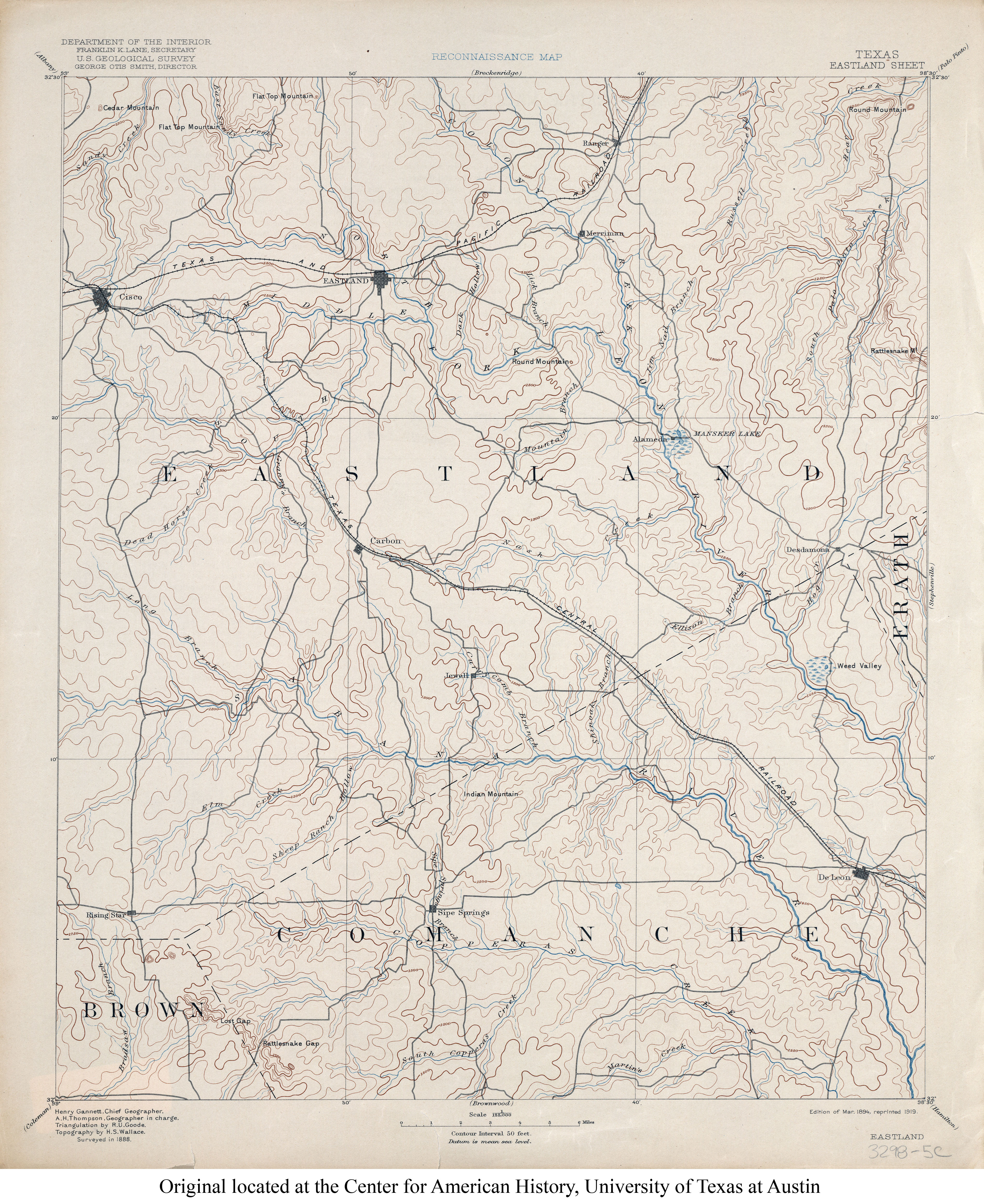
- Eastland 1:125,000 1888 (4.3MB)
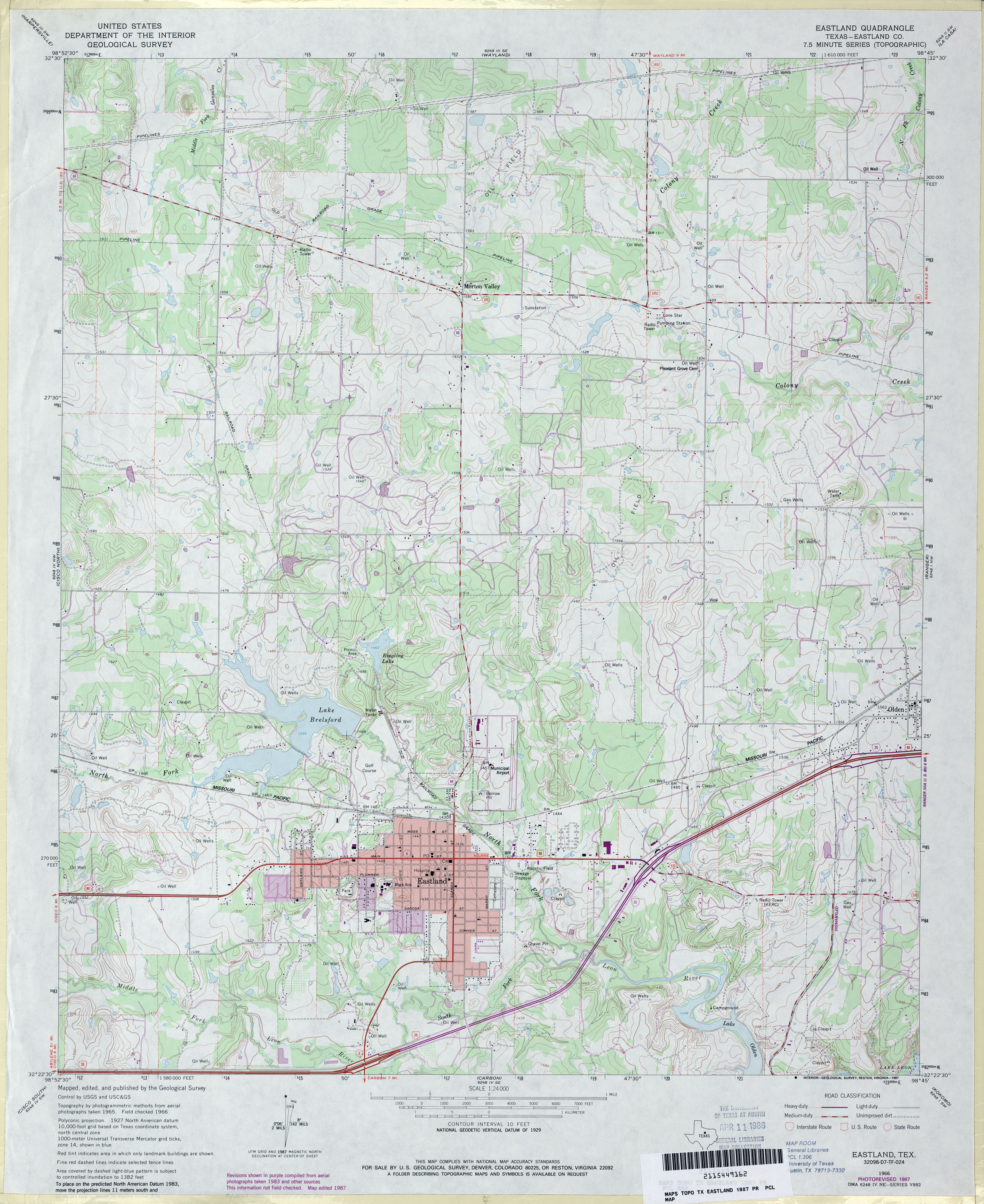
- Eastland (Eastland County) 1:24,000 1966 (3.5MB)
- Eastland (Eastland County) 1:24,000 1987 (3.8MB)
- Eastland 1:24,000 2008 (17.7MB) [GeoPDF]
- Eastland 1:24,000 2012 (22.5MB) [GeoPDF]
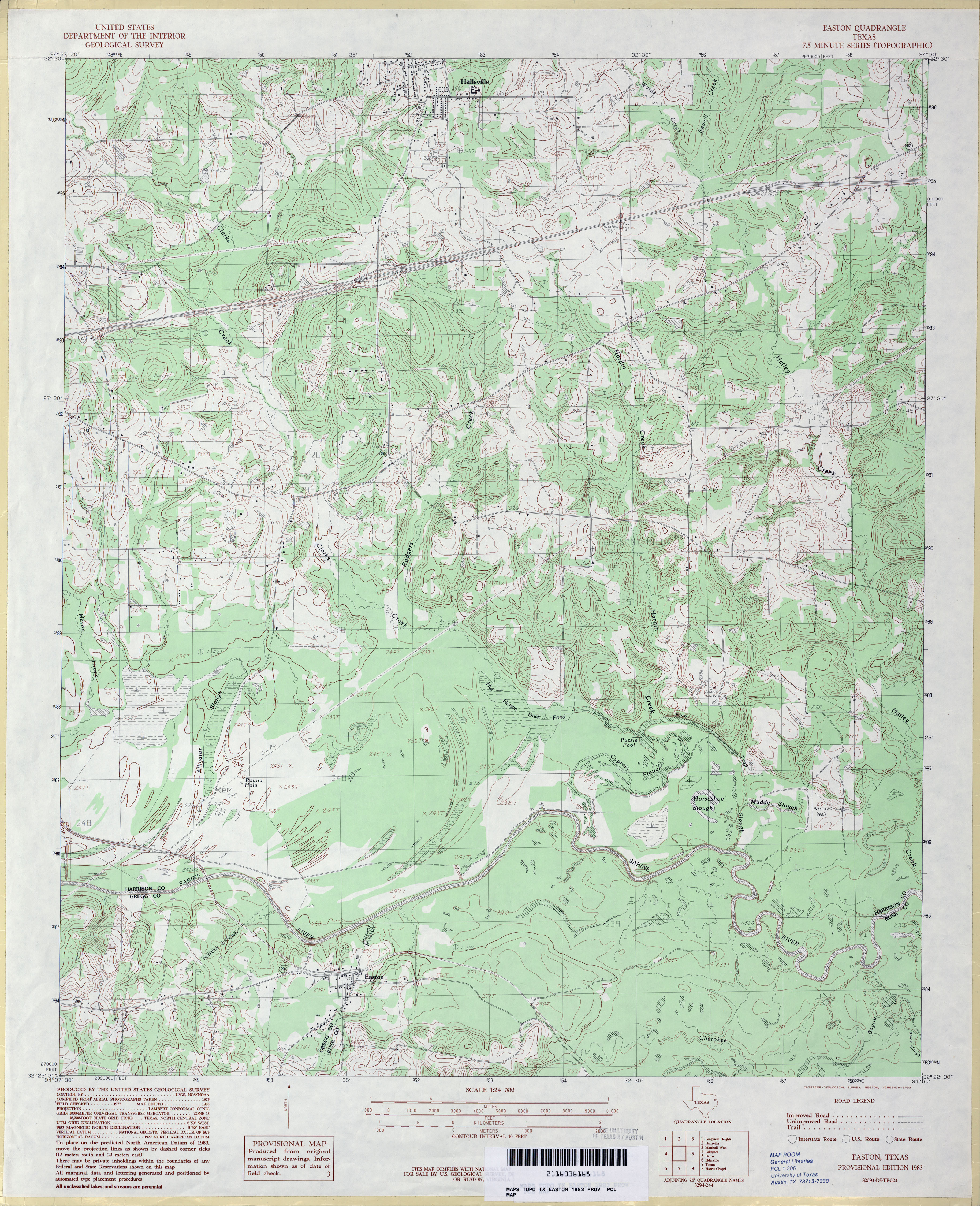
- Easton 1:24,000 1983 (4.1MB)
- Easton 1:24,000 2008 (20.4MB) [GeoPDF]
- Easton 1:24,000 2013 (23.6MB) [GeoPDF]
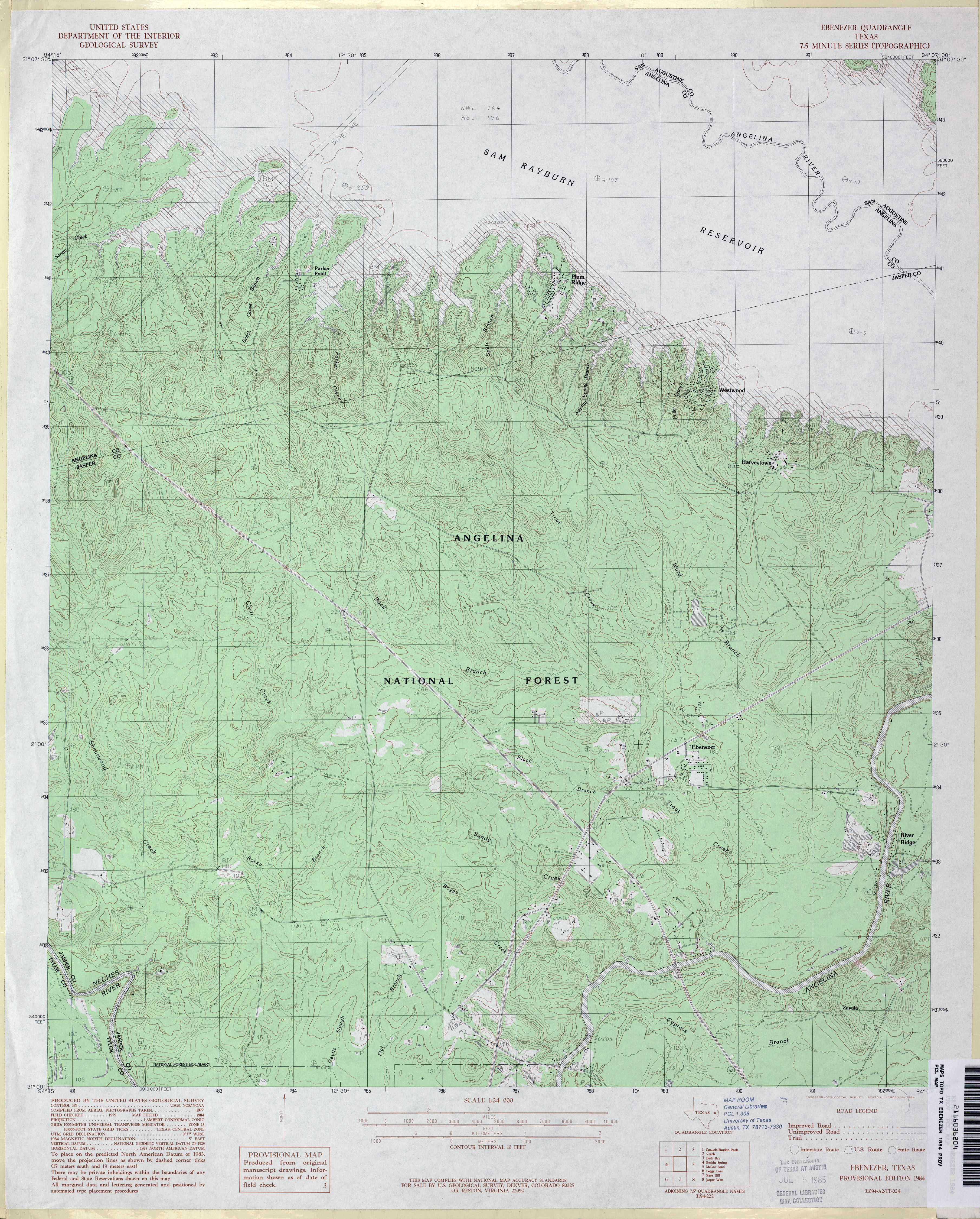
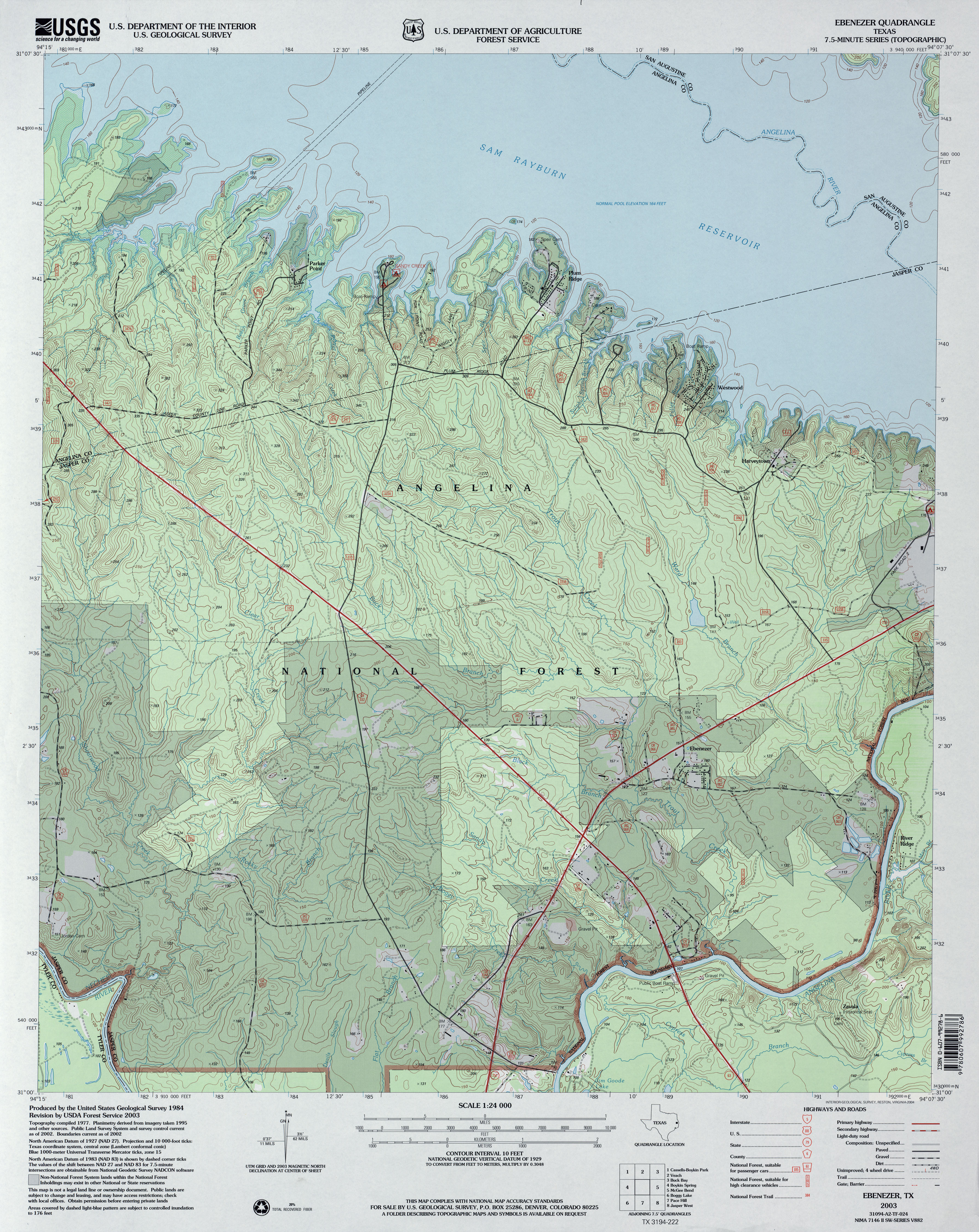
- Ebenezer 1:24,000 1984 (4.2MB)
- Ebenezer 1:24,000 2003 (4.5MB)
- Ebenezer 1:24,000 2008 (2.5MB) Texas Natural Resources Information System (TNRIS). [pdf]
- Ebenezer 1:24,000 2009 (24.0MB) [GeoPDF]
- Ebenezer 1:24,000 2013 (27MB) [GeoPDF]
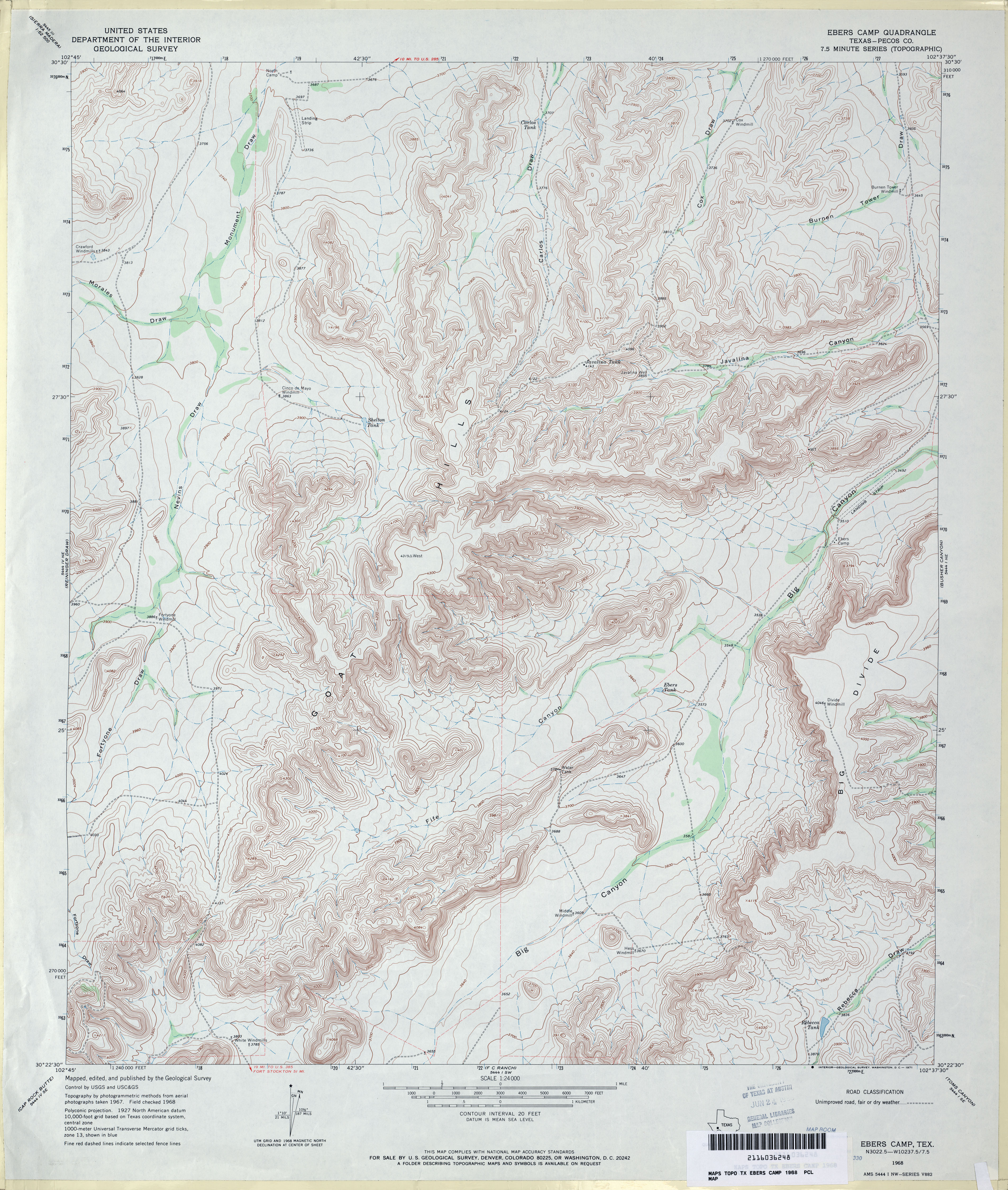
- Ebers Camp (Pecos County) 1:24,000 1968 (4.6MB)
- Ebers Camp 1:24,000 2008 (23.6MB) [GeoPDF]
- Ebers Camp 1:24,000 2012 (29.5MB) [GeoPDF]
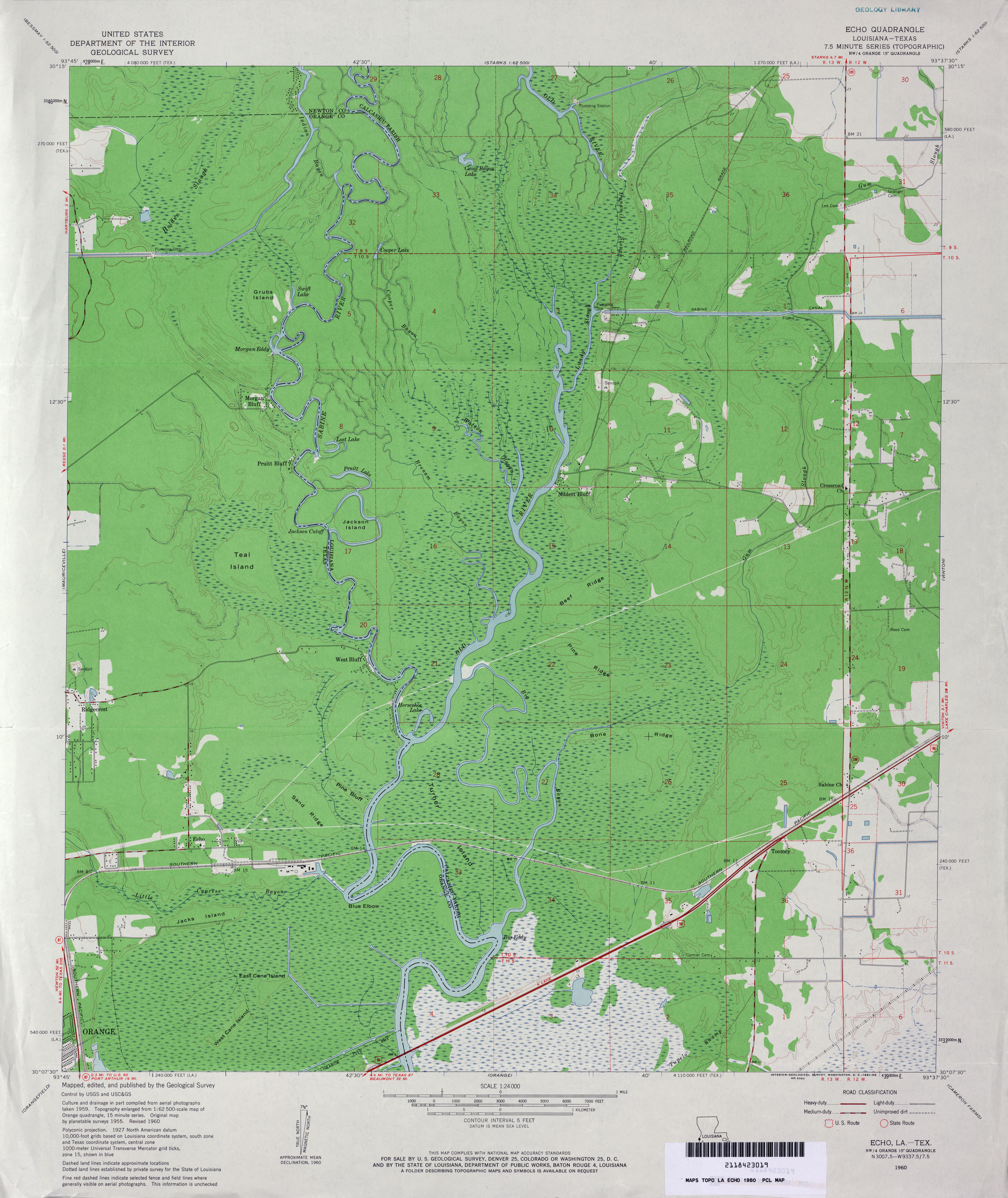
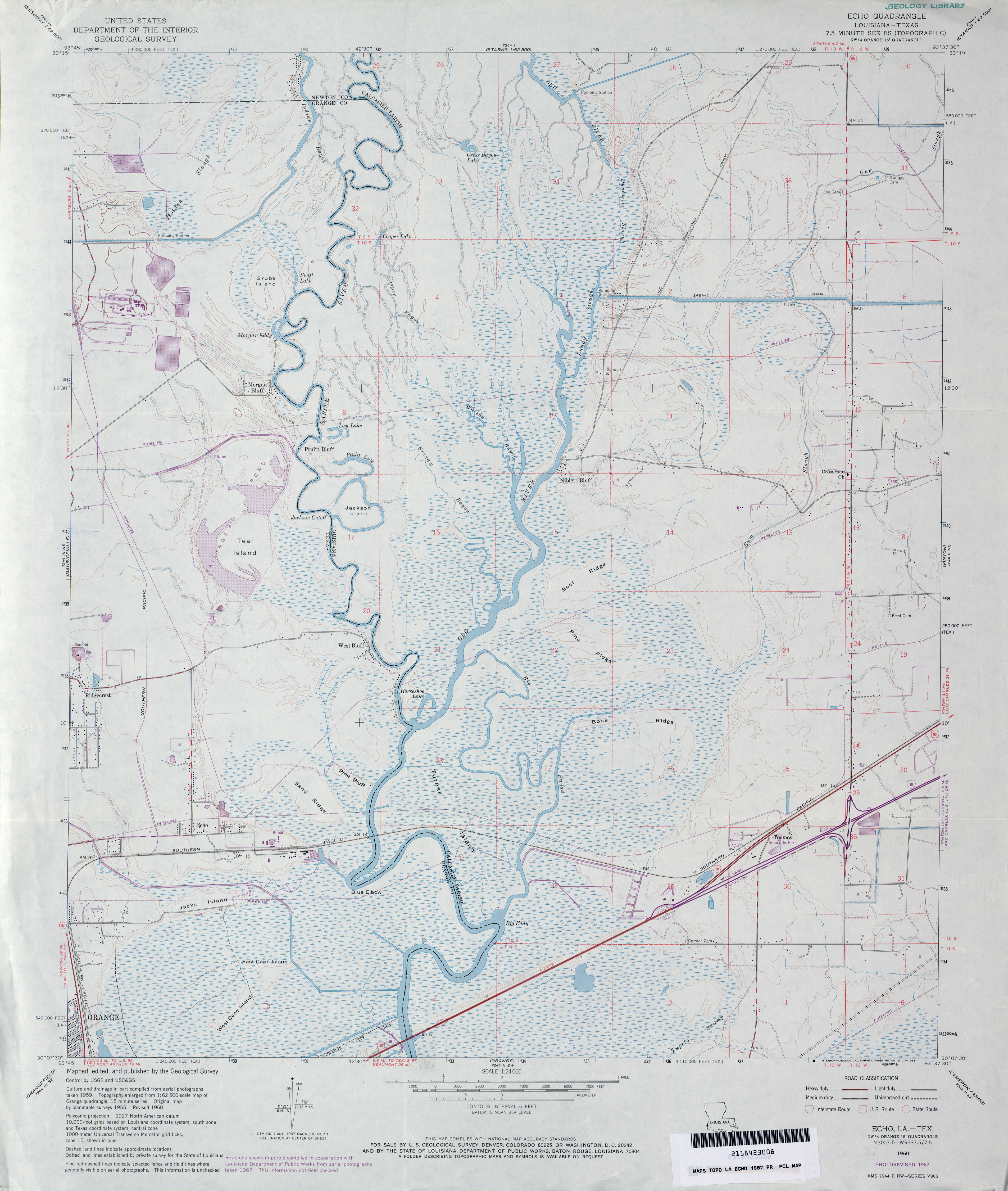
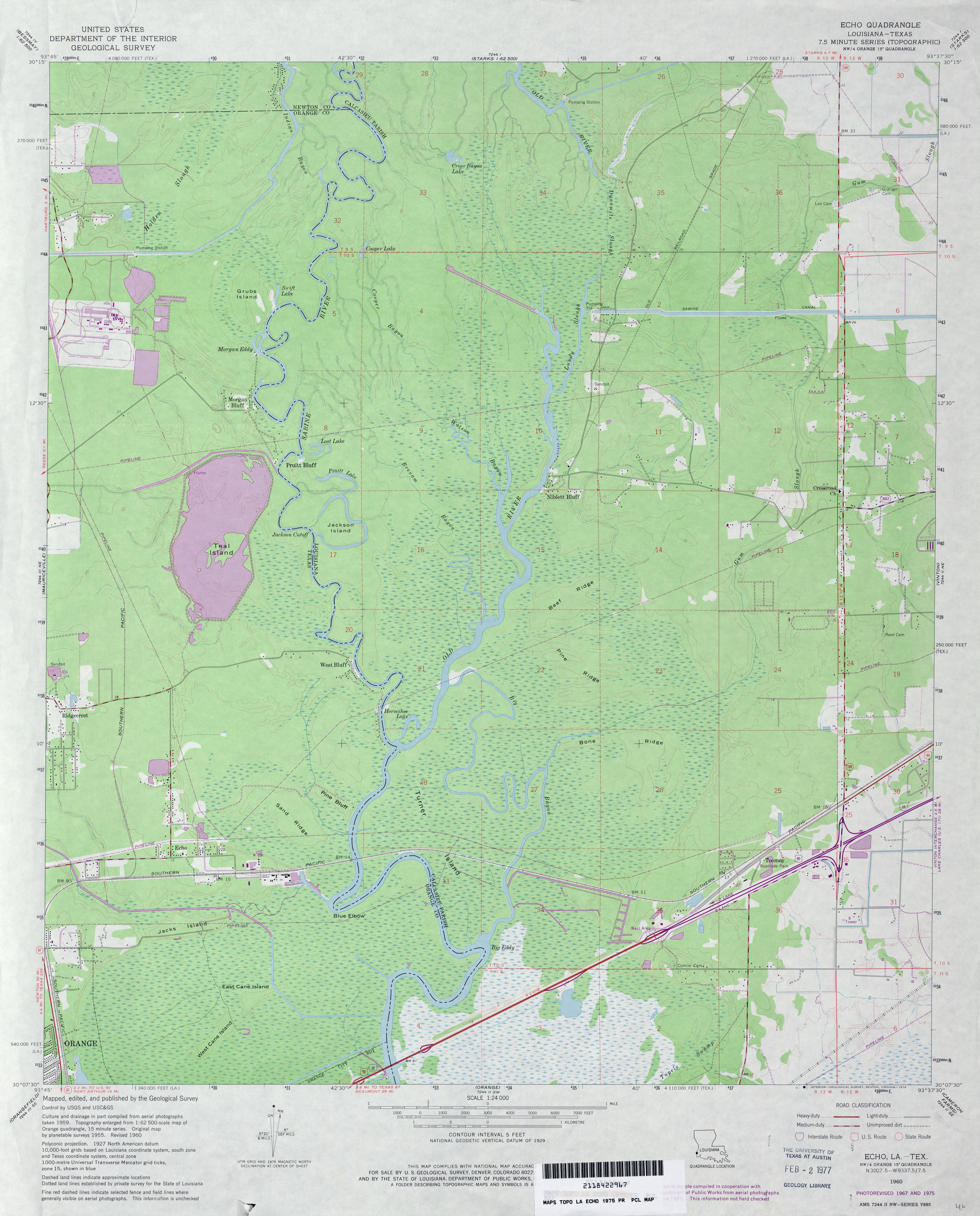
- Echo 1:24,000 1960 (3.4MB)
- Echo 1:24,000 1967 (3.4MB)
- Echo 1:24,000 1975 (3.3MB)
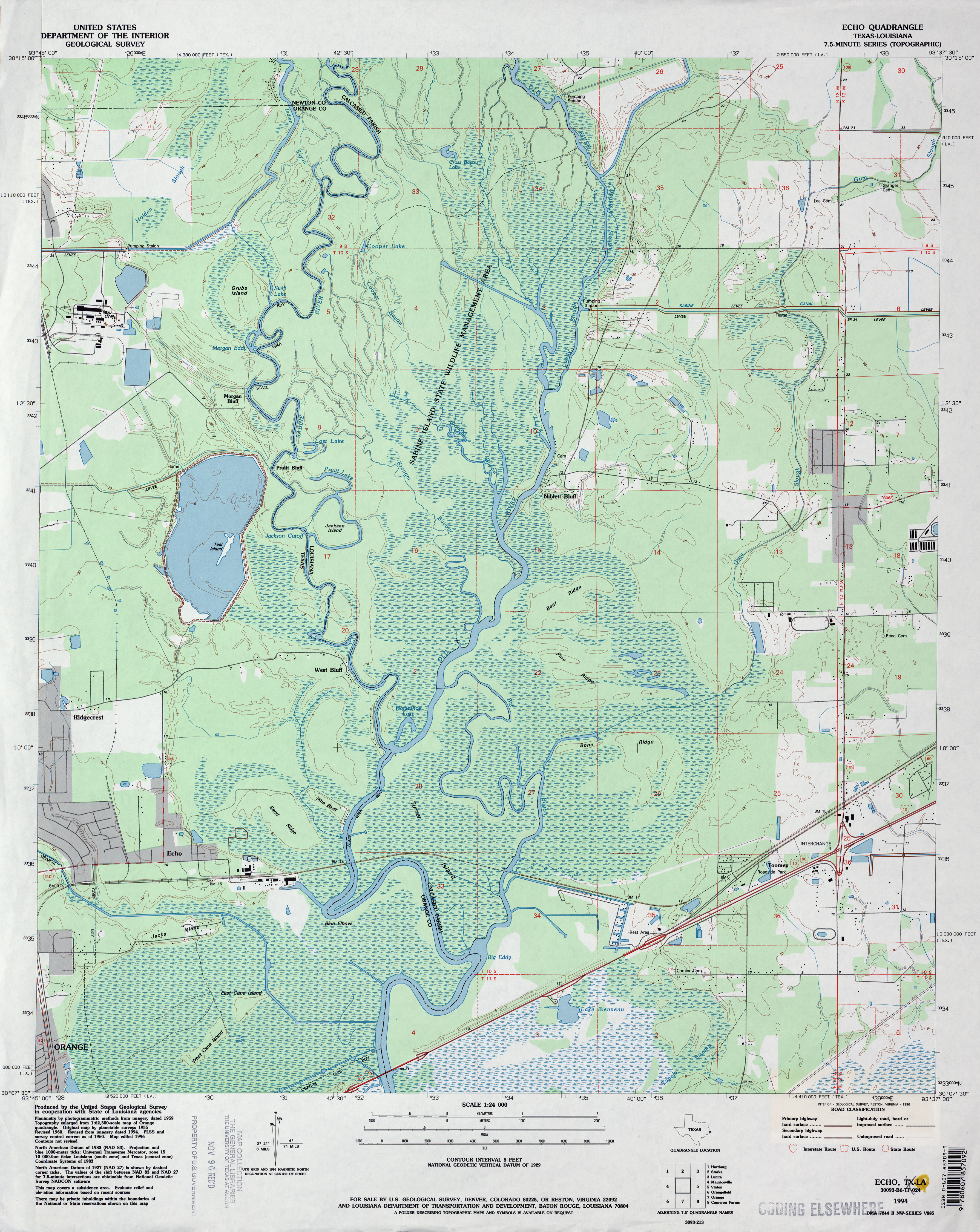
- Echo 1:24,000 1994 (4.2MB)
- Echo 1:24,000 2009 (23.8MB) [GeoPDF]
- Echo 1:24,000 2012 (27.2MB) [GeoPDF]
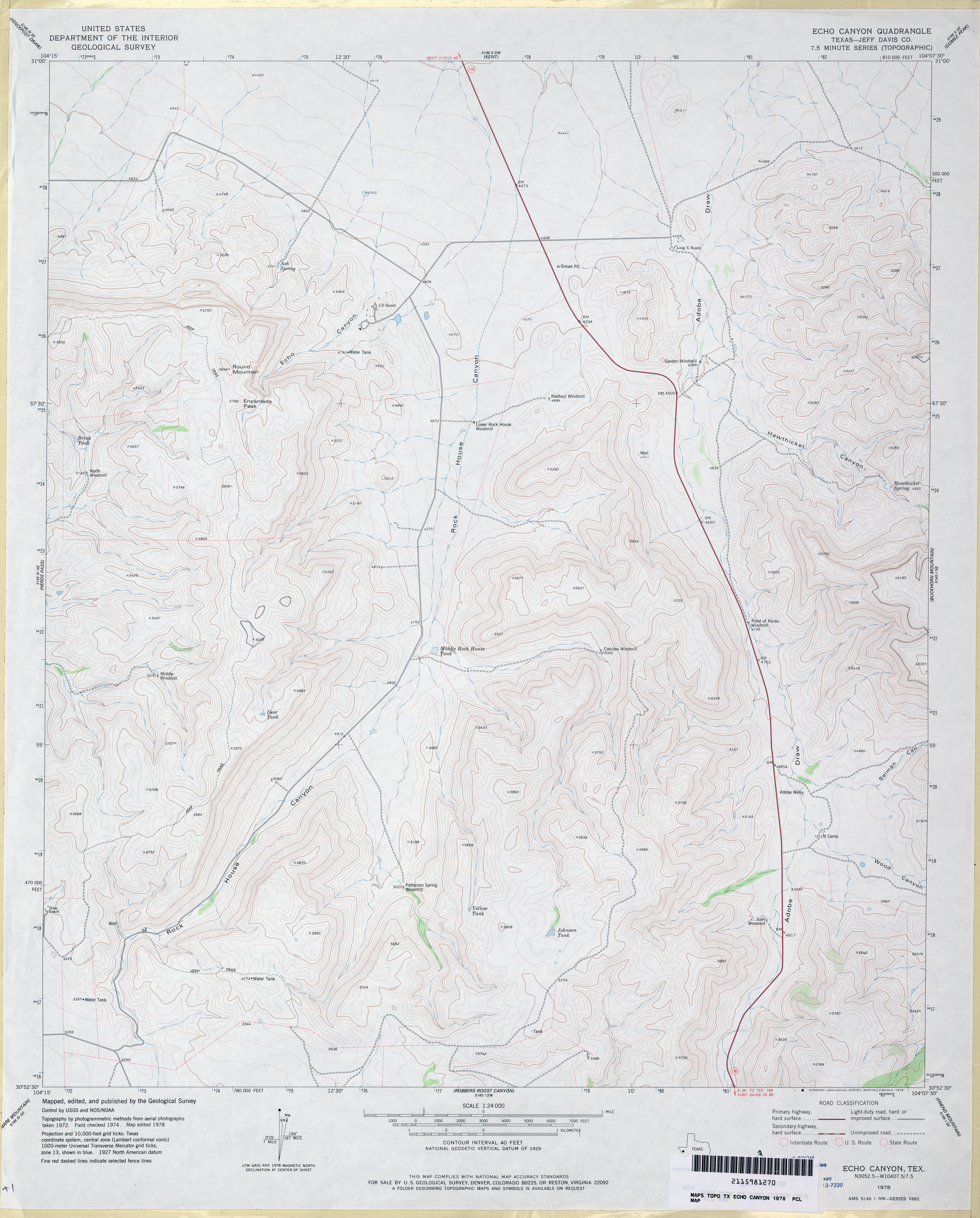
- Echo Canyon (Jeff Davis County) 1:24,000 1978 (3.3MB)
- Echo Canyon 1:24,000 2008 (20.4MB) [GeoPDF]
- Echo Canyon 1:24,000 2012 (22.1MB) [GeoPDF]
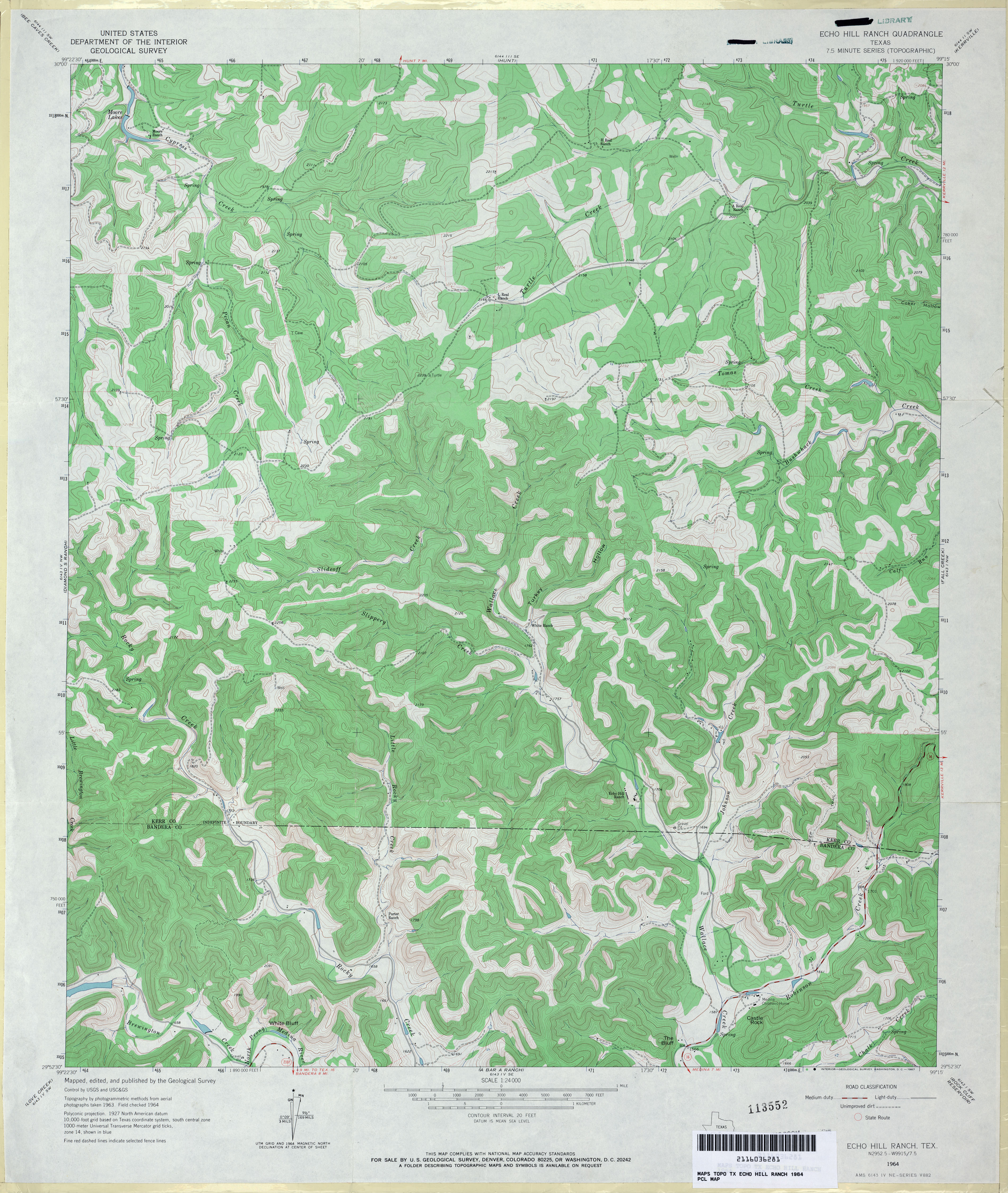
- Echo Hill Ranch 1:24,000 1964 (4.4MB)
- Echo Hill Ranch 1:24,000 2008 (21.8MB) [GeoPDF]
- Echo Hill Ranch 1:24,000 2012 (28.4MB) [GeoPDF]
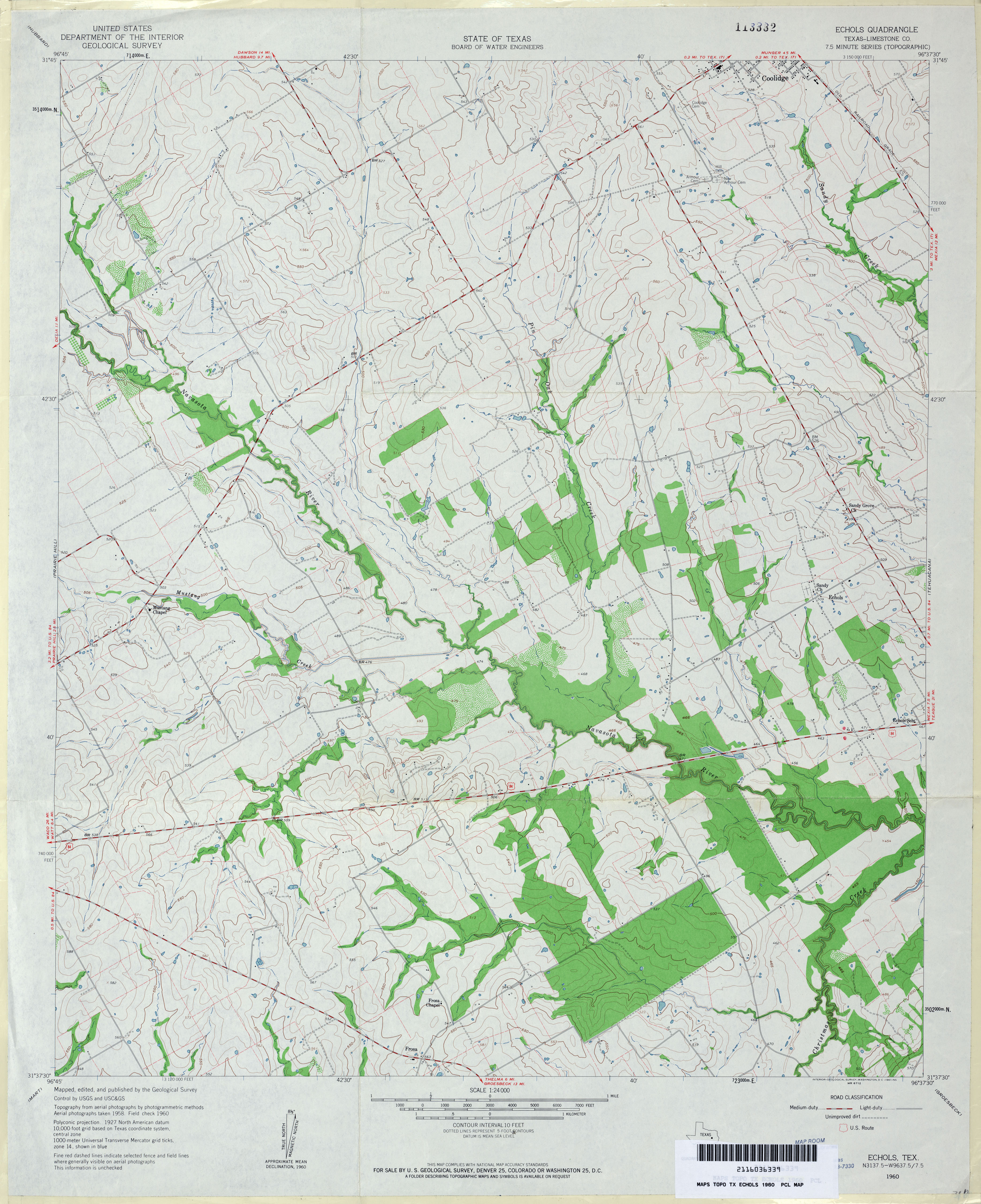
- Echols (Limestone County) 1:24,000 1960 (3.6MB)
- Echols 1:24,000 2008 (13.7MB) [GeoPDF]
- Echols 1:24,000 2013 (18.6MB) [GeoPDF]
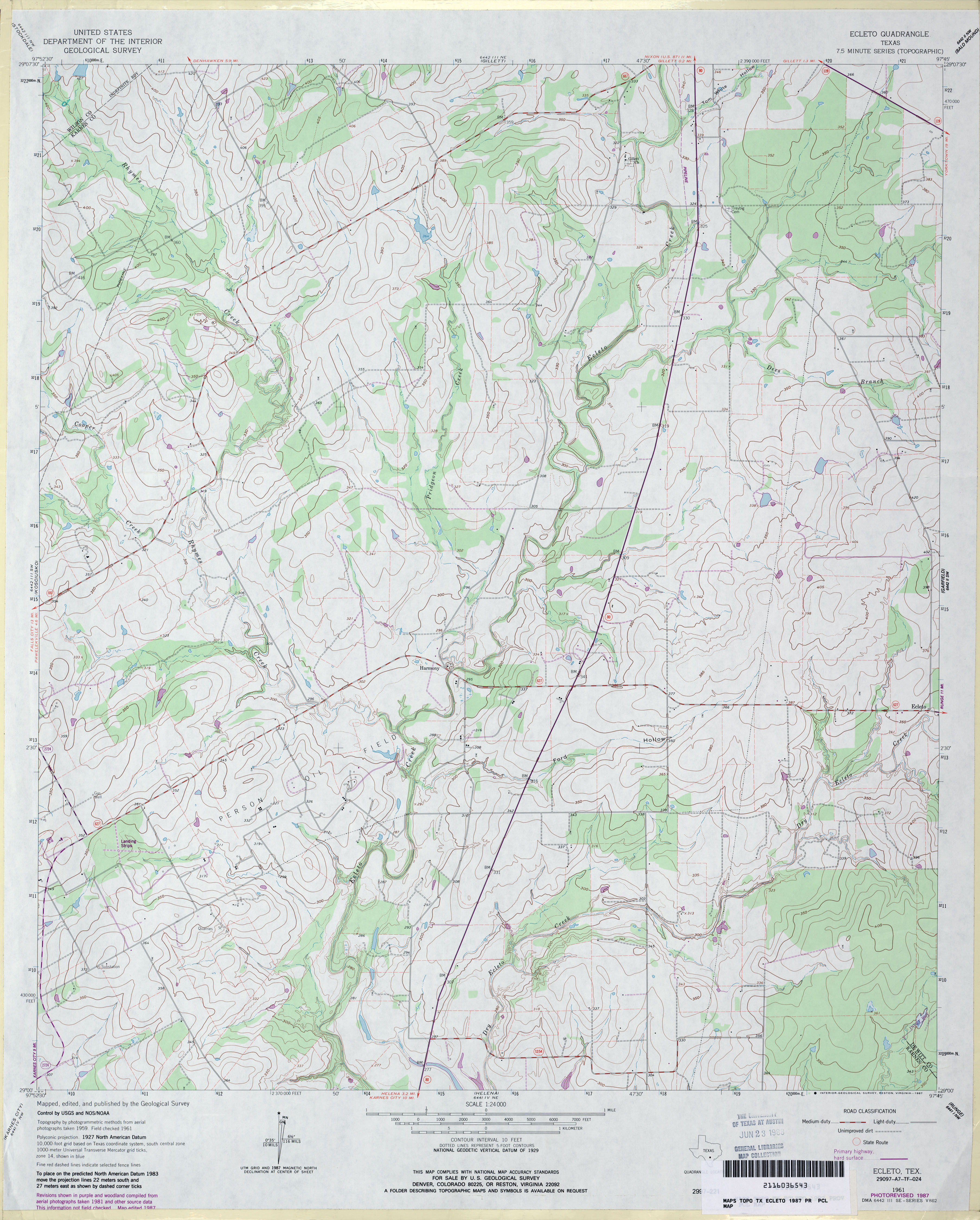
- Ecleto 1:24,000 1961 (4.2MB)
- Ecleto 1:24,000 1987 (3.5MB)
- Ecleto 1:24,000 2008 (15.5MB) [GeoPDF]
- Ecleto 1:24,000 2013 (25.1MB) [GeoPDF]
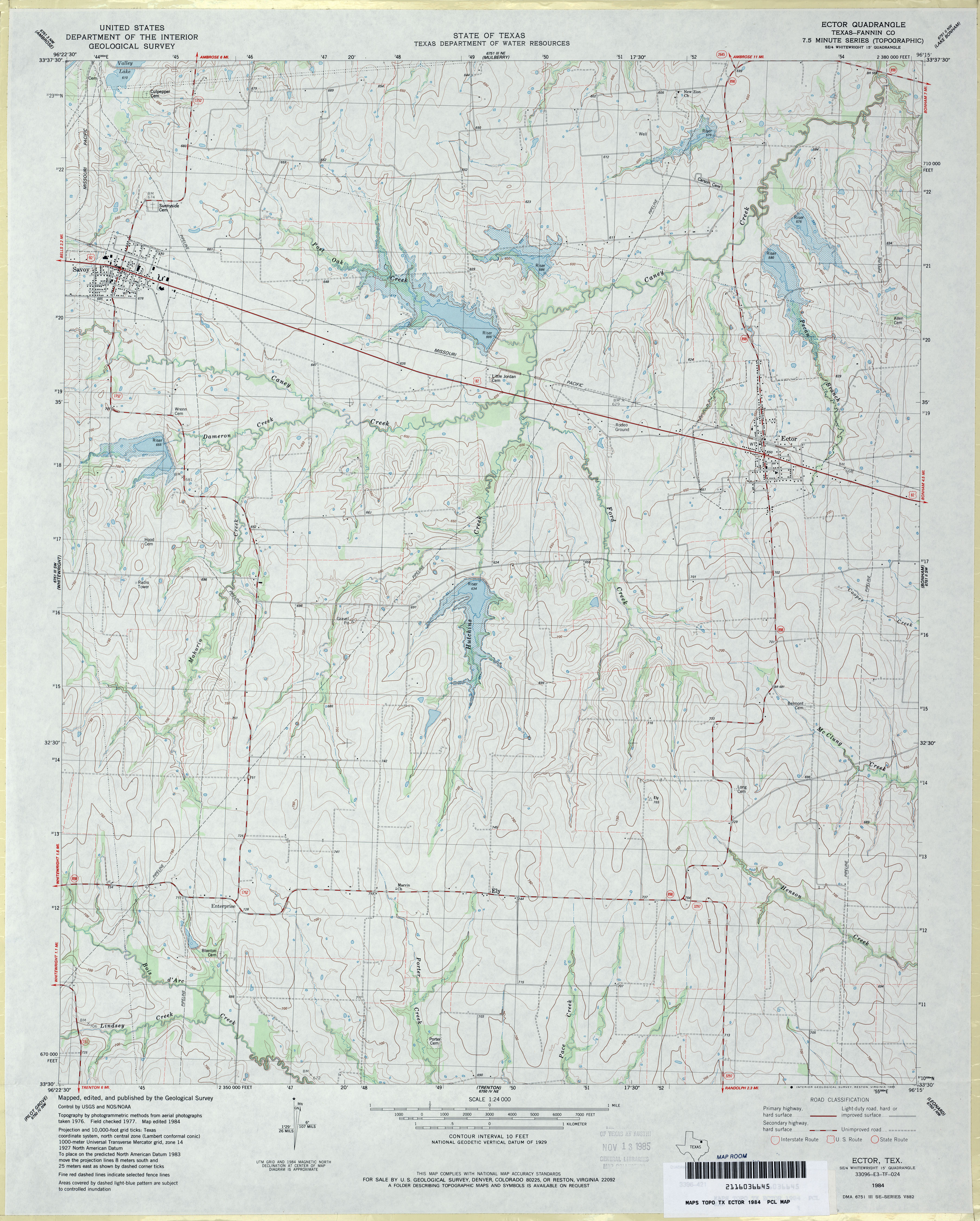
- Ector (Fannin County) 1:24,000 1984 (3.6MB)
- Ector 1:24,000 2008 (12.3MB) [GeoPDF]
- Ector 1:24,000 2013 (19.3MB) [GeoPDF]
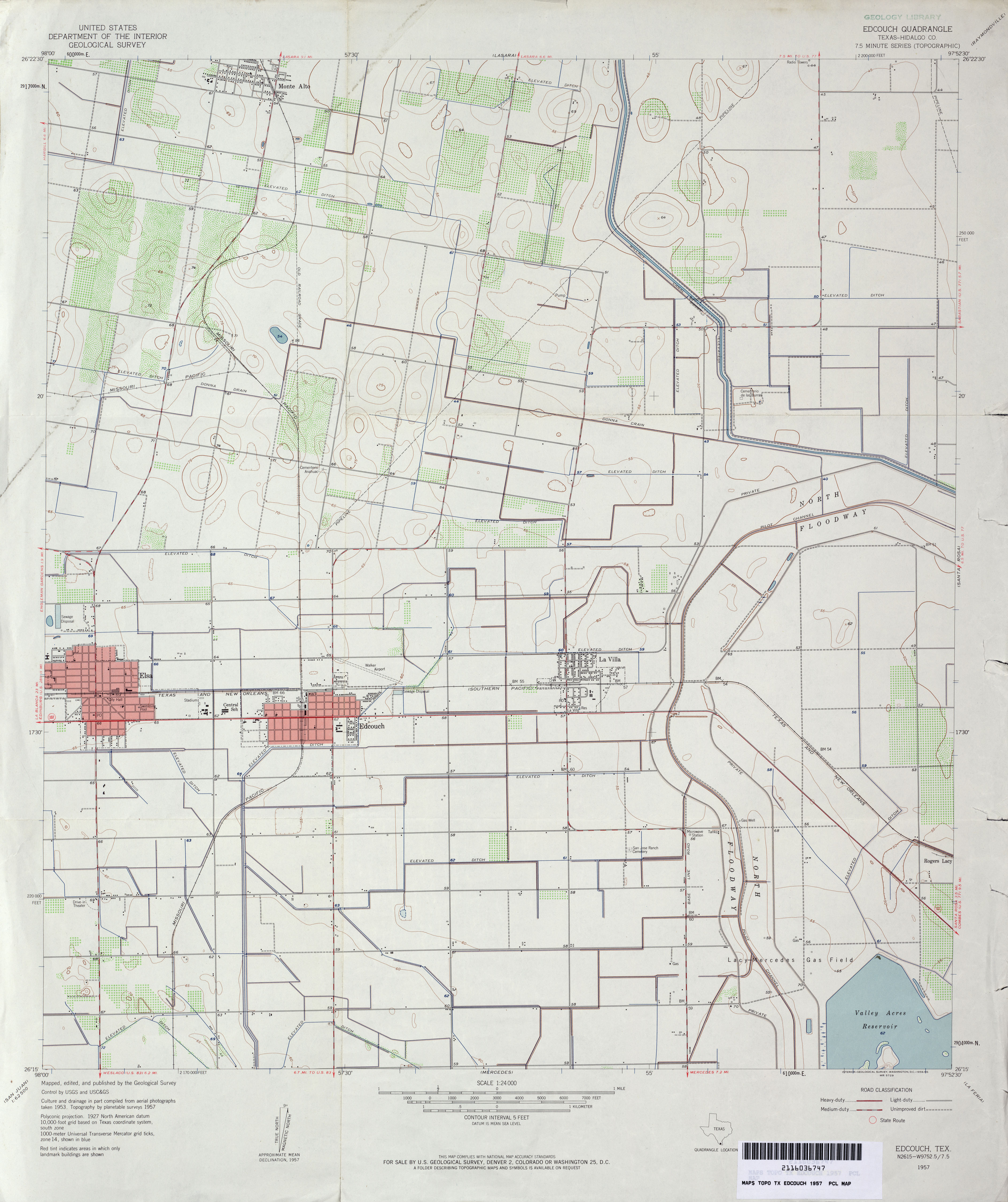
- Edcouch (Hidalgo County) 1:24,000 1957 (2.8MB)
- Edcouch (Hidalgo County) 1:24,000 1970 (2.9MB)
- Edcouch 1:24,000 2008 (13.3MB) [GeoPDF]
- Edcouch 1:24,000 2013 (17.5MB) [GeoPDF]
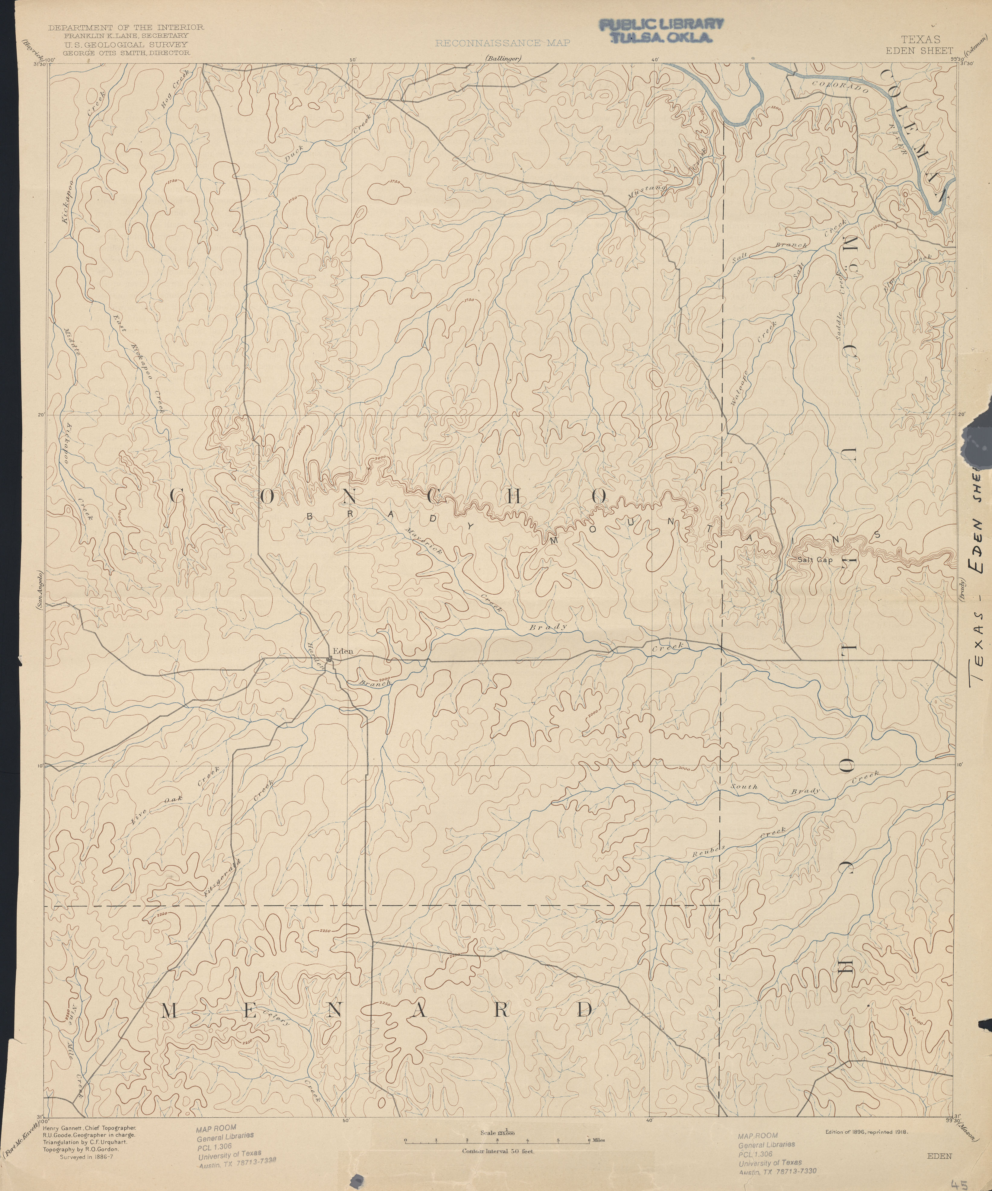
- Eden 1:125,000 1887 (2.3 MB)
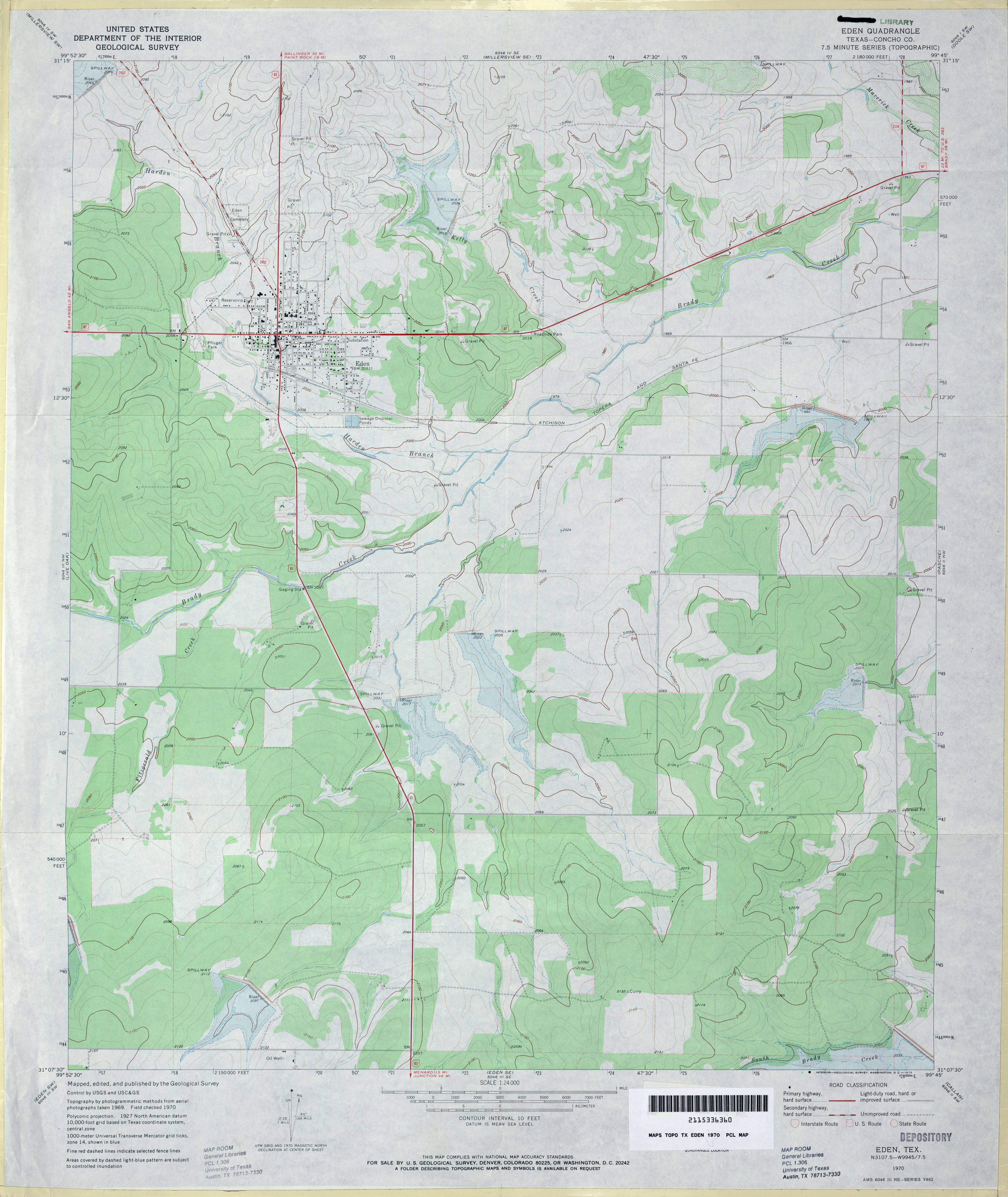
- Eden (Concho County) 1:24,000 1970 (2.9MB)
- Eden 1:24,000 2013 (21.7MB) [GeoPDF]
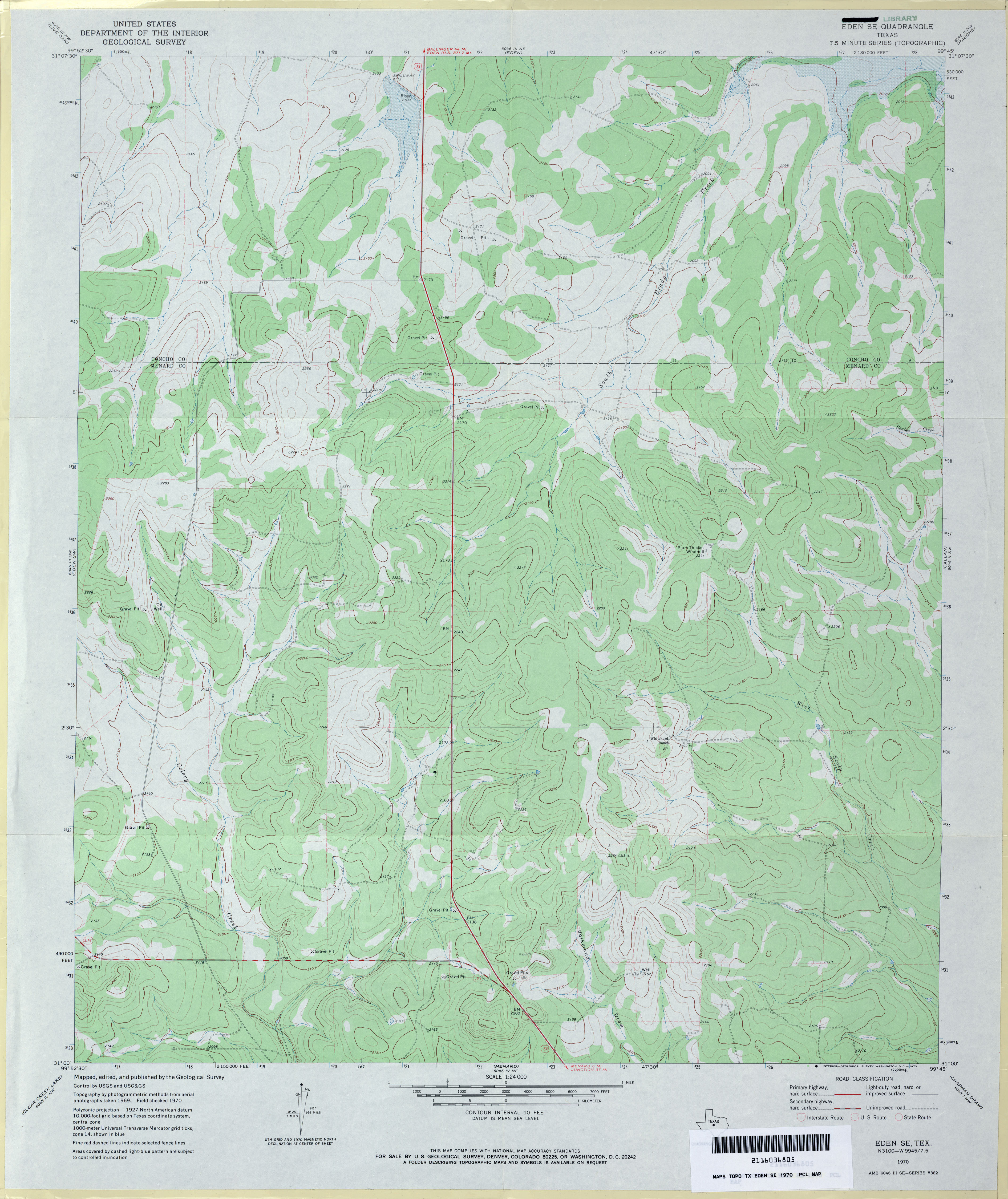
- Eden SE 1:24,000 1970 (3.3MB)
- Eden SE 1:24,000 1987 (3.4MB)
- Eden SE 1:24,000 2013 (25.2MB) [GeoPDF]
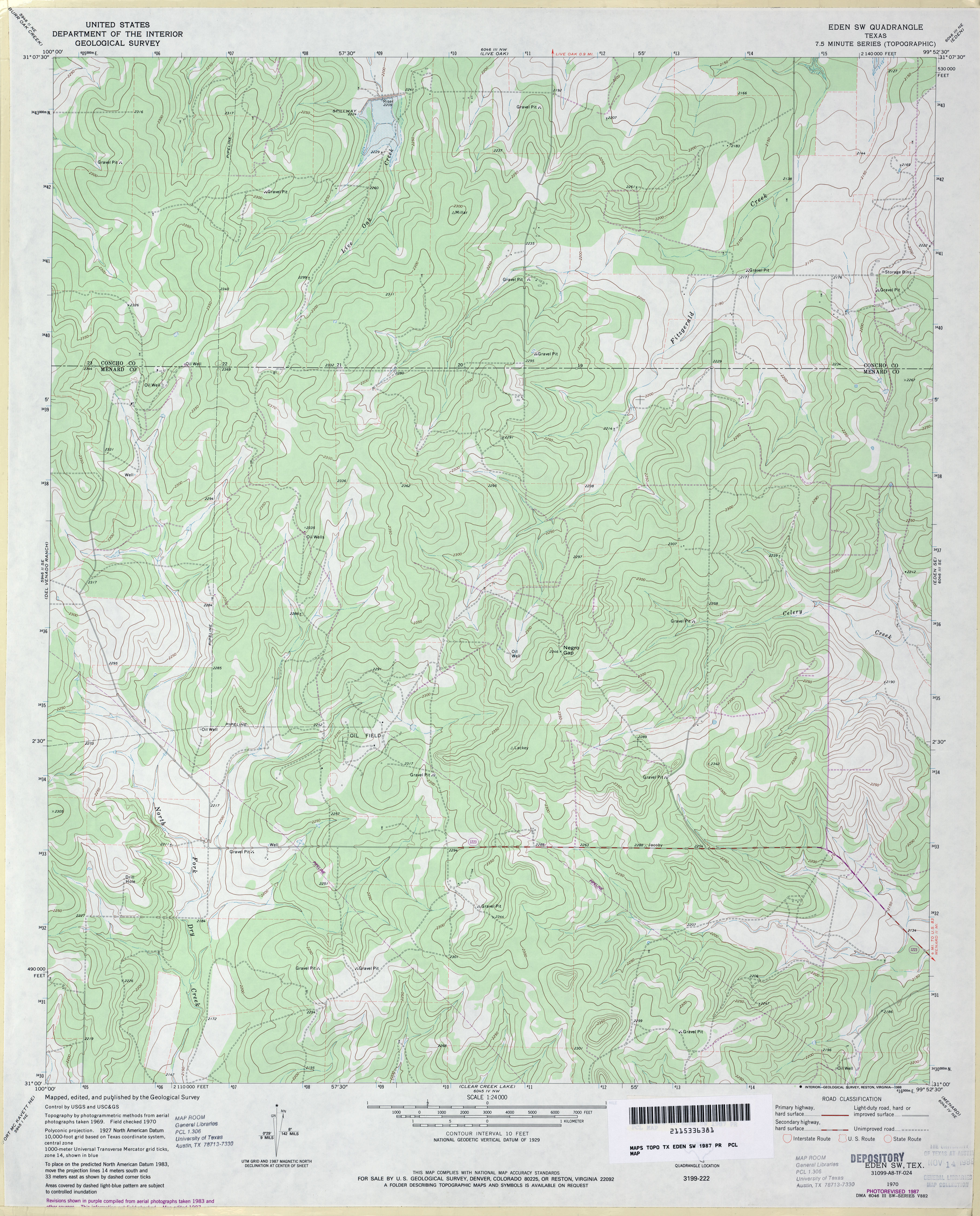
- Eden SW 1:24,000 1970 (3.1MB)
- Eden SW 1:24,000 1987 (3.6MB)
- Eden SW 1:24,000 2012 (25.7MB) [GeoPDF]
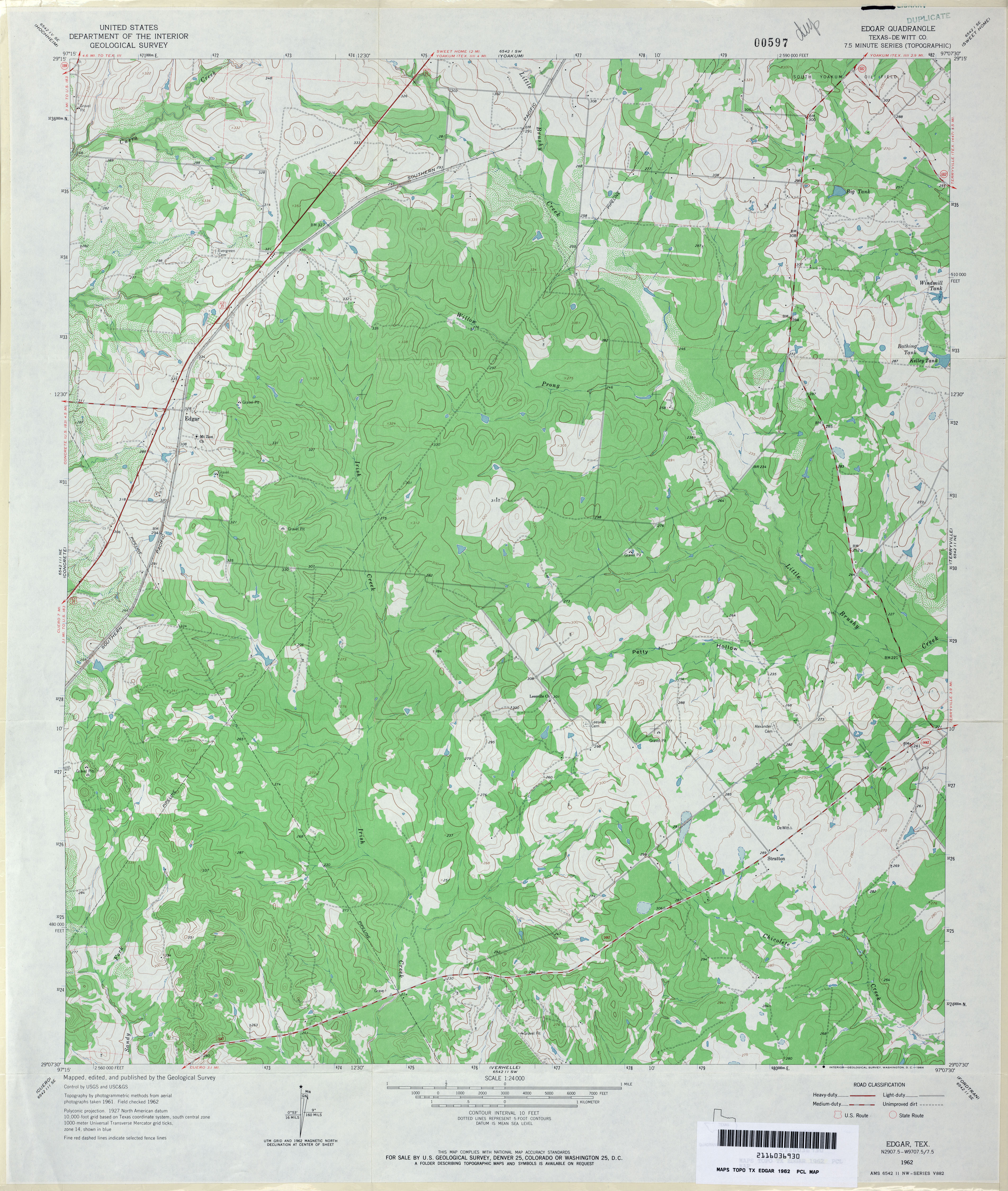
- Edgar (De Witt County) 1:24,000 1962 (3.8MB)
- Edgar (De Witt County) 1:24,000 1987 (3.8MB)
- Edgar 1:24,000 2009 (16.7MB) [GeoPDF]
- Edgar 1:24,000 2013 (27.1MB) [GeoPDF]
- Edge 1:62,500 1919 (3MB)
- Edge 1:24,000 1962 (3.8MB)
- Edge 1:24,000 1988 (3.4MB)
- Edge 1:24,000 2008 (18.0MB) [GeoPDF]
- Edge 1:24,000 2013 (23.6MB) [GeoPDF]
- Edgemon Lake 1:24,000 1967 (3.2MB)
- Edgemon Lake 1:24,000 2008 (20.3MB) [GeoPDF]
- Edgemon lake 1:24,000 2012 (25MB) [GeoPDF]
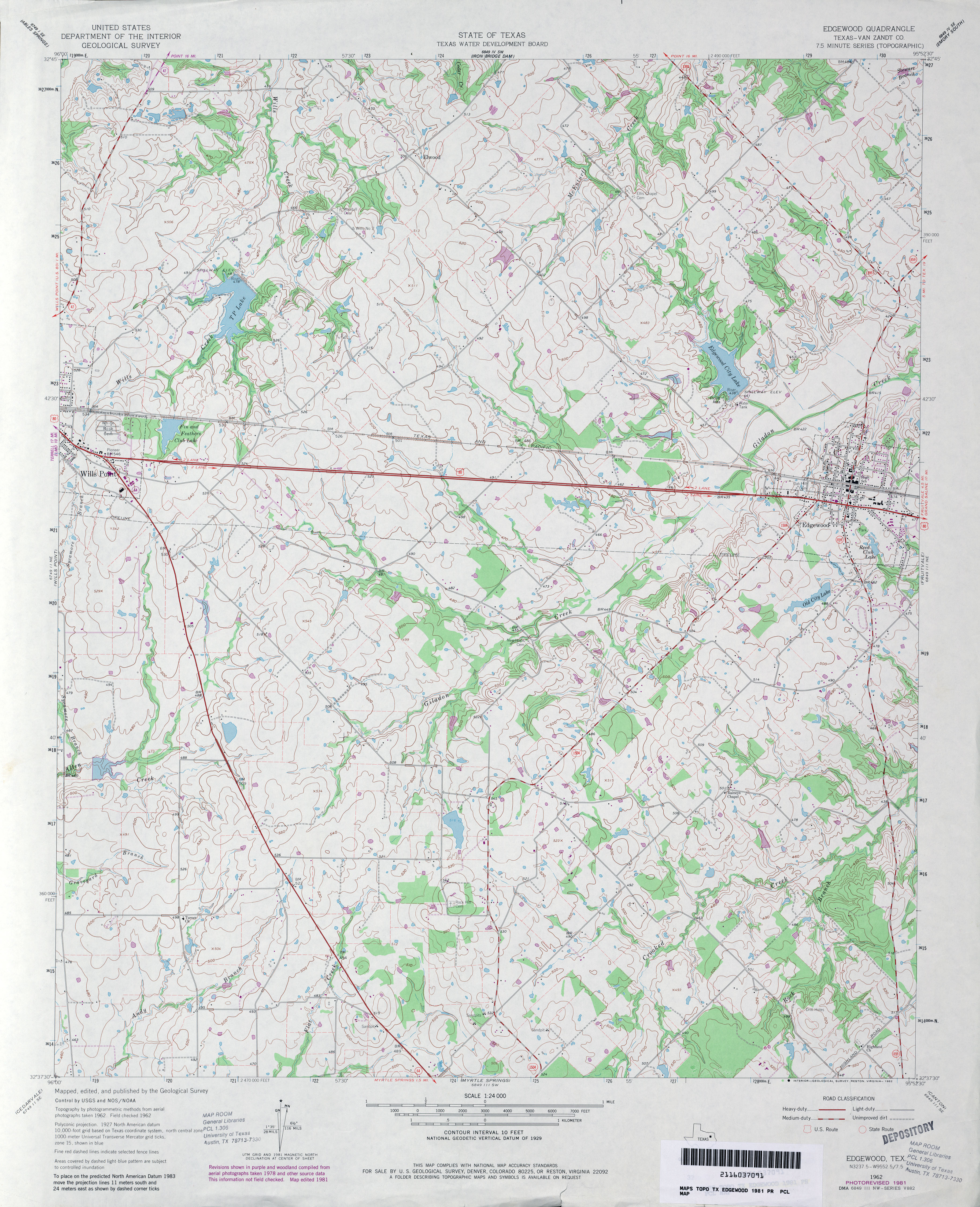
- Edgewood (Van Zandt County) 1:24,000 1962 (3.8MB)
- Edgewood (Van Zandt County) 1:24,000 1981 (4MB)
- Edgewood 1:24,000 2009 (17.0MB) [GeoPDF]
- Edgewood 1:24,000 2012 (21MB) [GeoPDF]
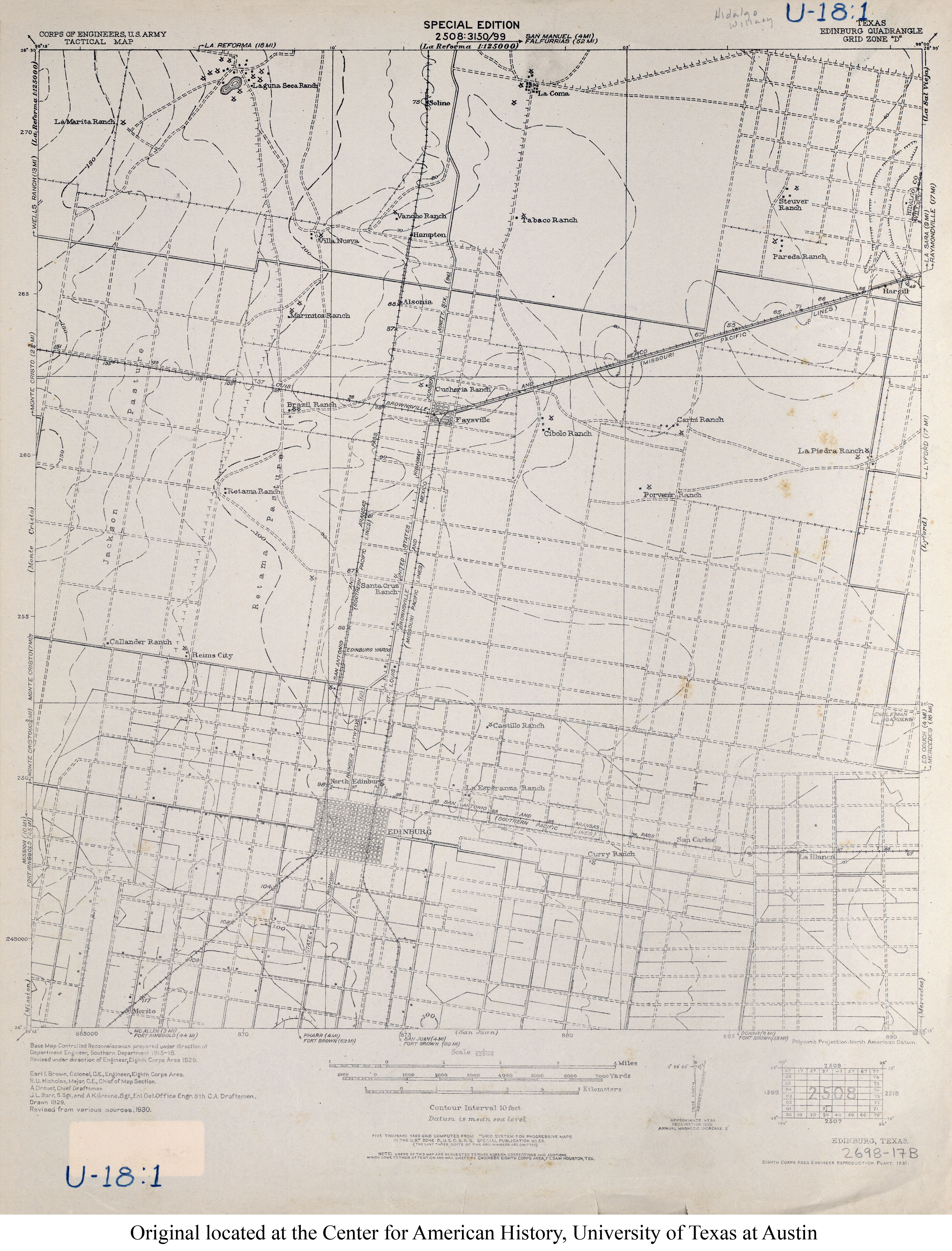
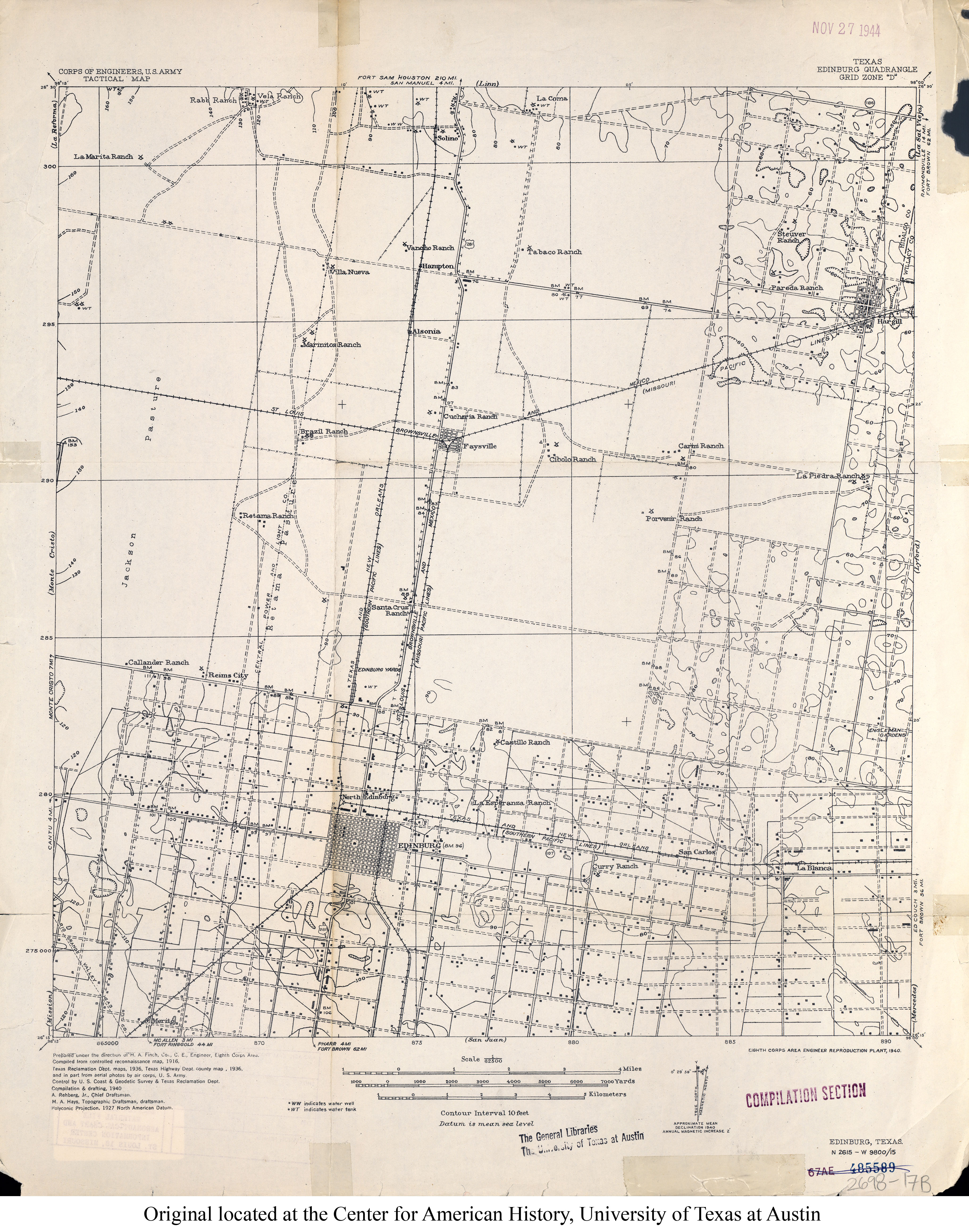
- Edinburg 1:62,500 1930 (3MB) U.S. Army. Corps of Engineers. Tactical Map
- Edinburg 1:62,500 1936 (3.2MB) U.S. Army. Corps of Engineers. Tactical Map
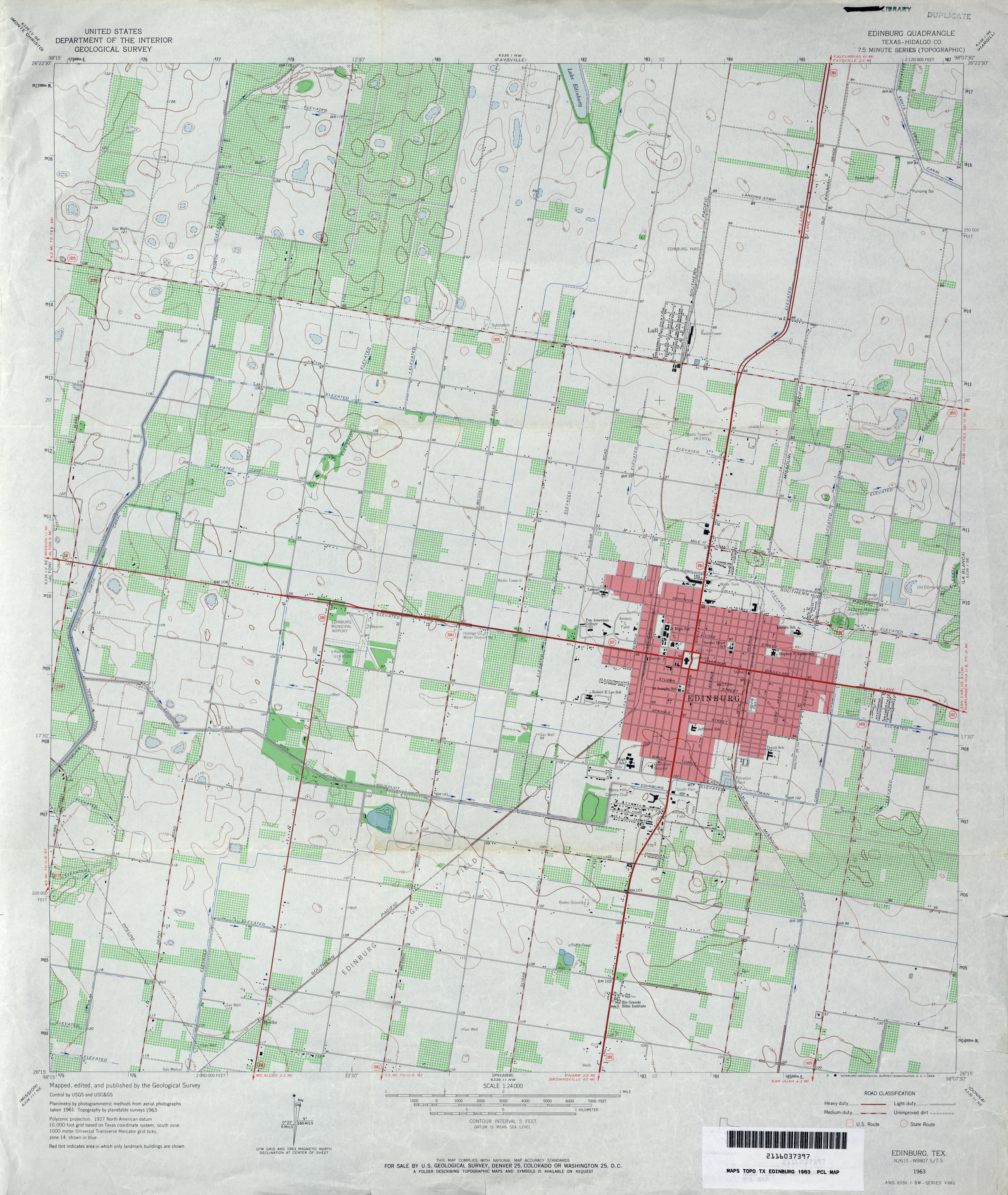
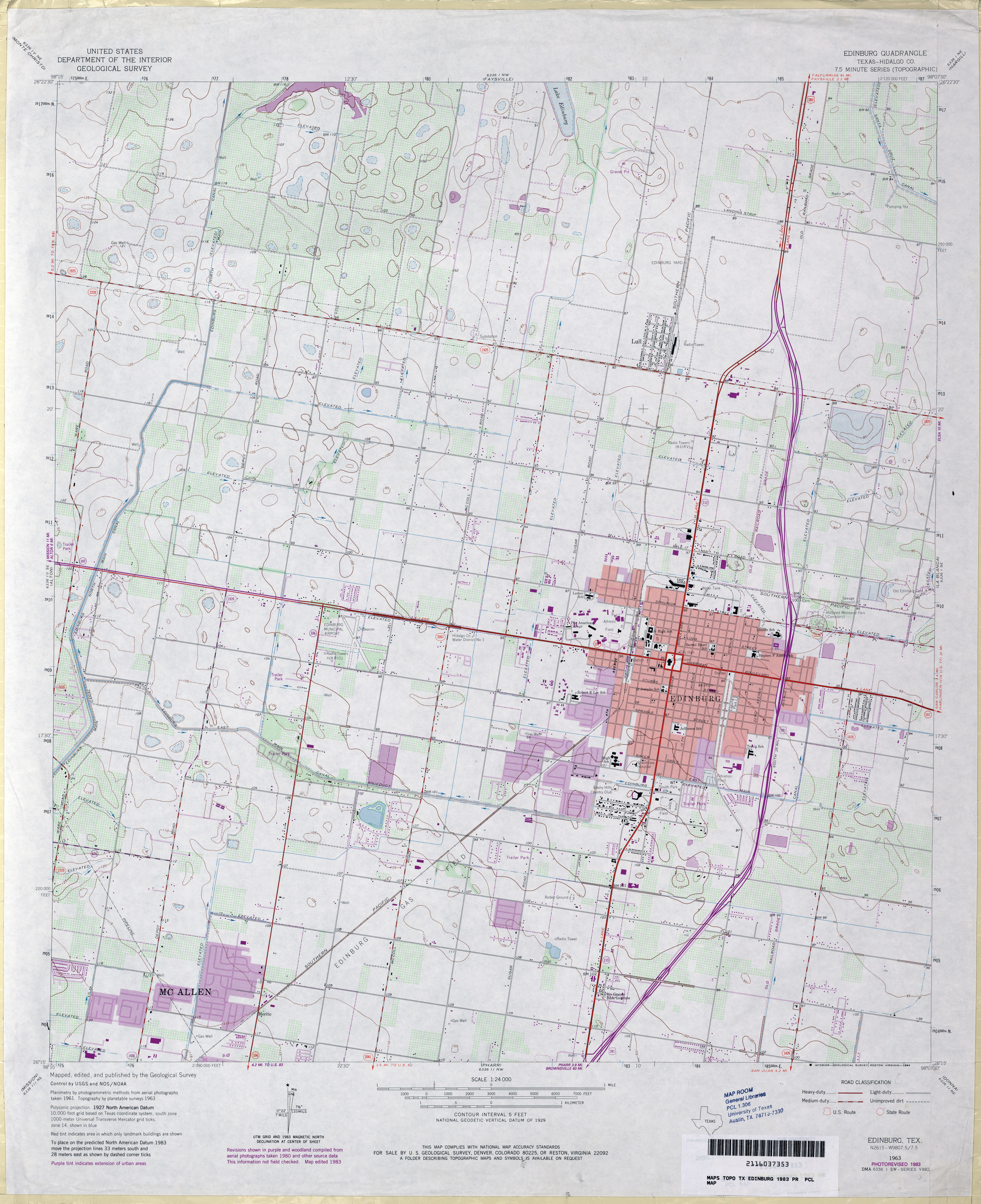
- Edinburg (Hidalgo County) 1:24,000 1963 (3.5MB)
- Edinburg (Hidalgo County) 1:24,000 1983 (3.3MB)
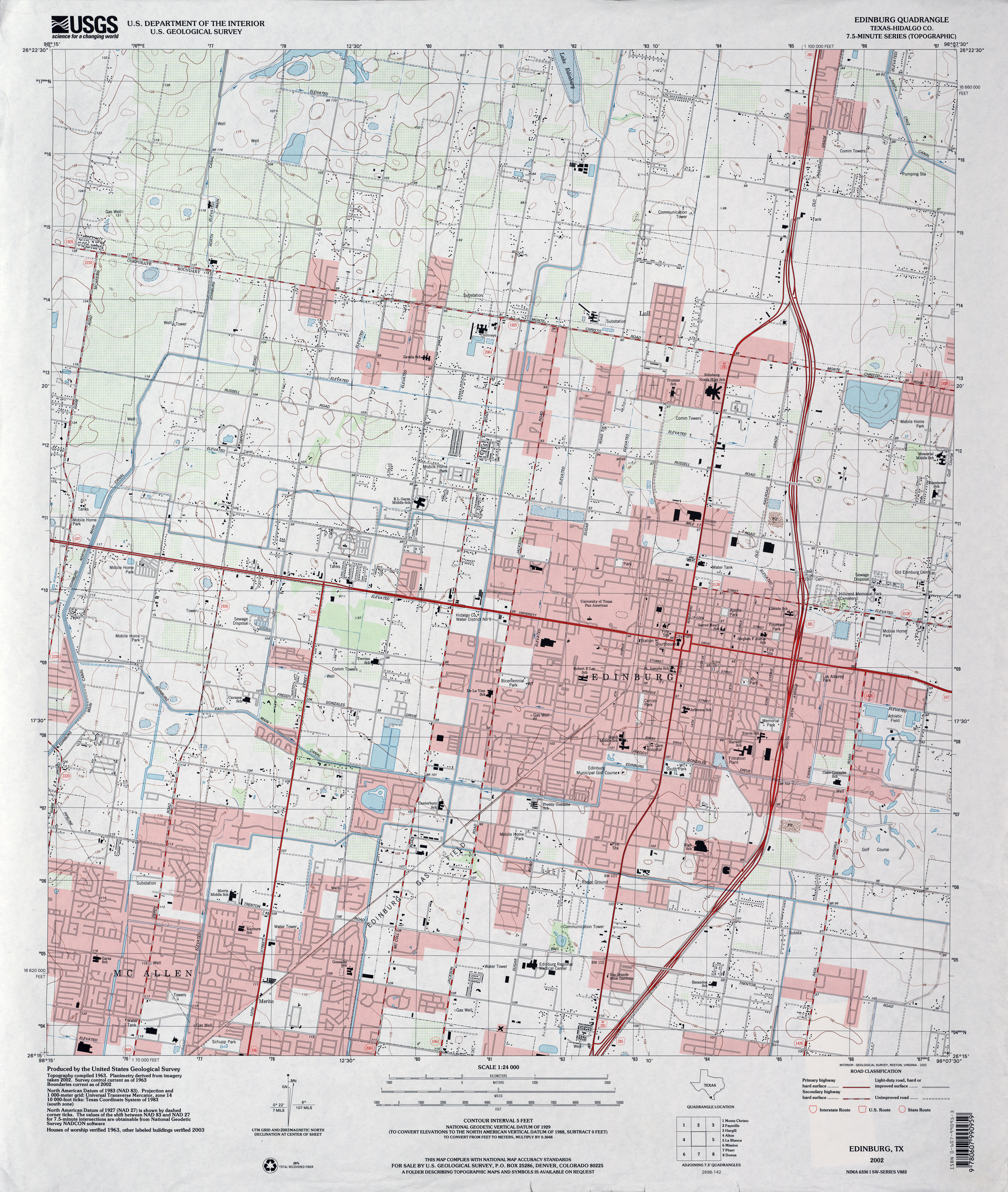
- Edinburg (Hidalgo County) 1:24,000 2002 (4MB)
- Edinburgh 1:24,000 2009 (23.2MB) [GeoPDF]
- Edinburg 1:24,000 2012 (24.7MB) [GeoPDF]
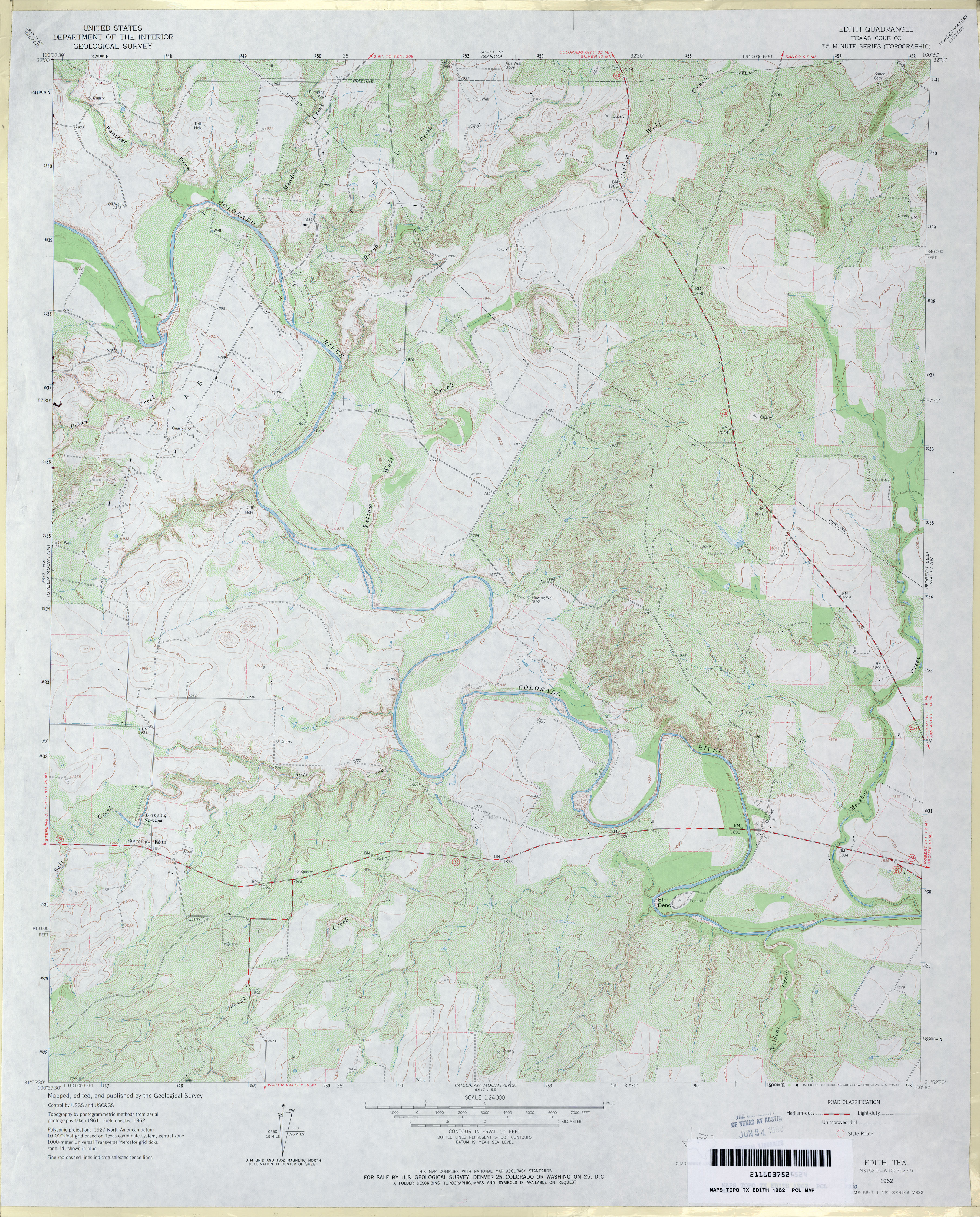
- Edith (Coke County) 1:24,000 1962 (4.2MB)
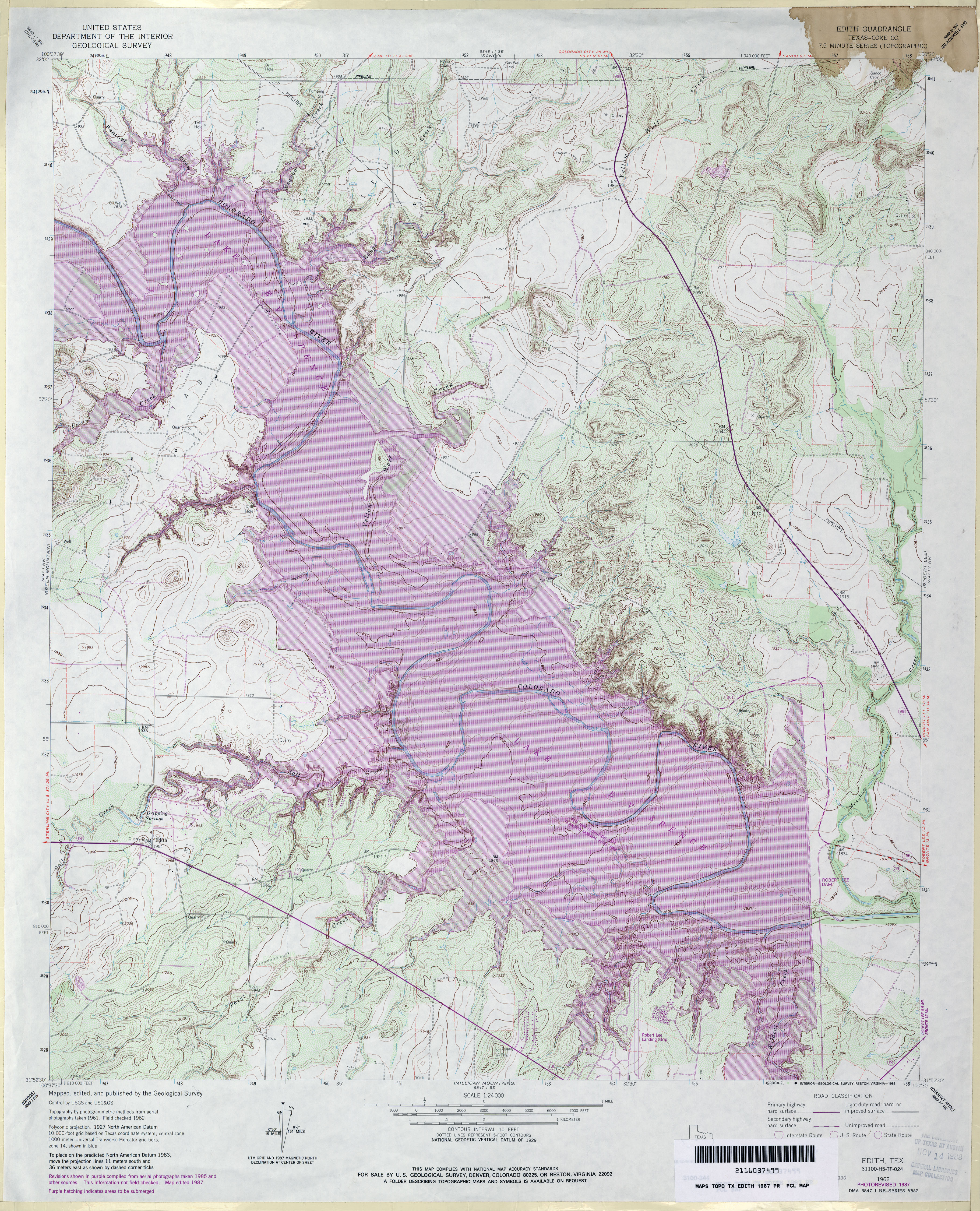
- Edith (Coke County) 1:24,000 1987 (5.4MB)
- Edith 1:24,000 2013 (26.9MB) [GeoPDF]
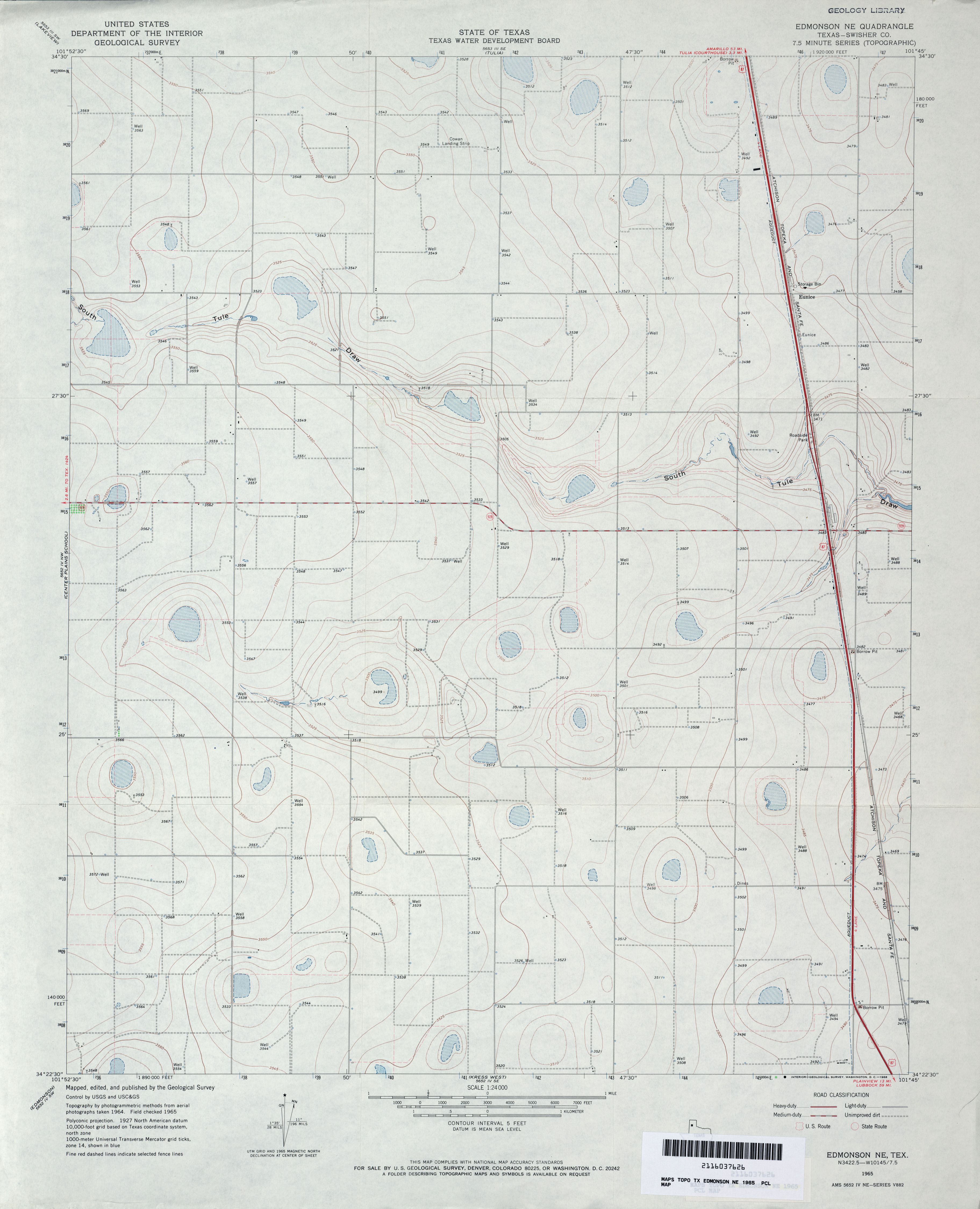
- Edmonson 1:24,000 1965 (2.6MB)
- Edomonson 1:24,000 2008 (12.7MB) [GeoPDF]
- Edmonson 1:24,000 2012 (14.3MB) [GeoPDF]
- Edmonson NE (Swisher County) 1:24,000 1965 (2.5MB)
- Edmonson NE 1:24,000 2008 (9.7MB) [GeoPDF]
- Edmonson NE 1:24,000 2012 (15.8MB) [GeoPDF]
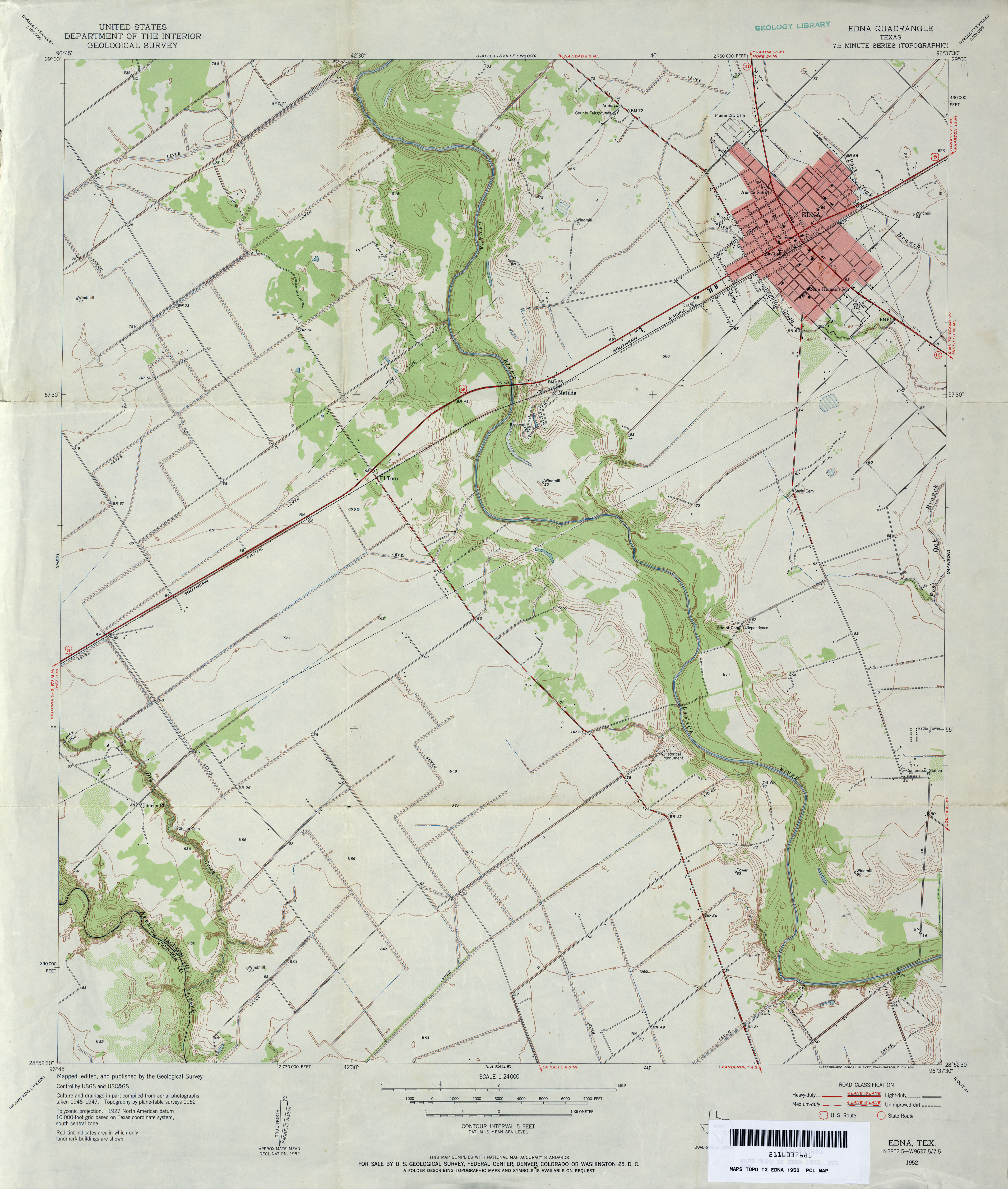
- Edna 1:24,000 1952 (3.2MB)
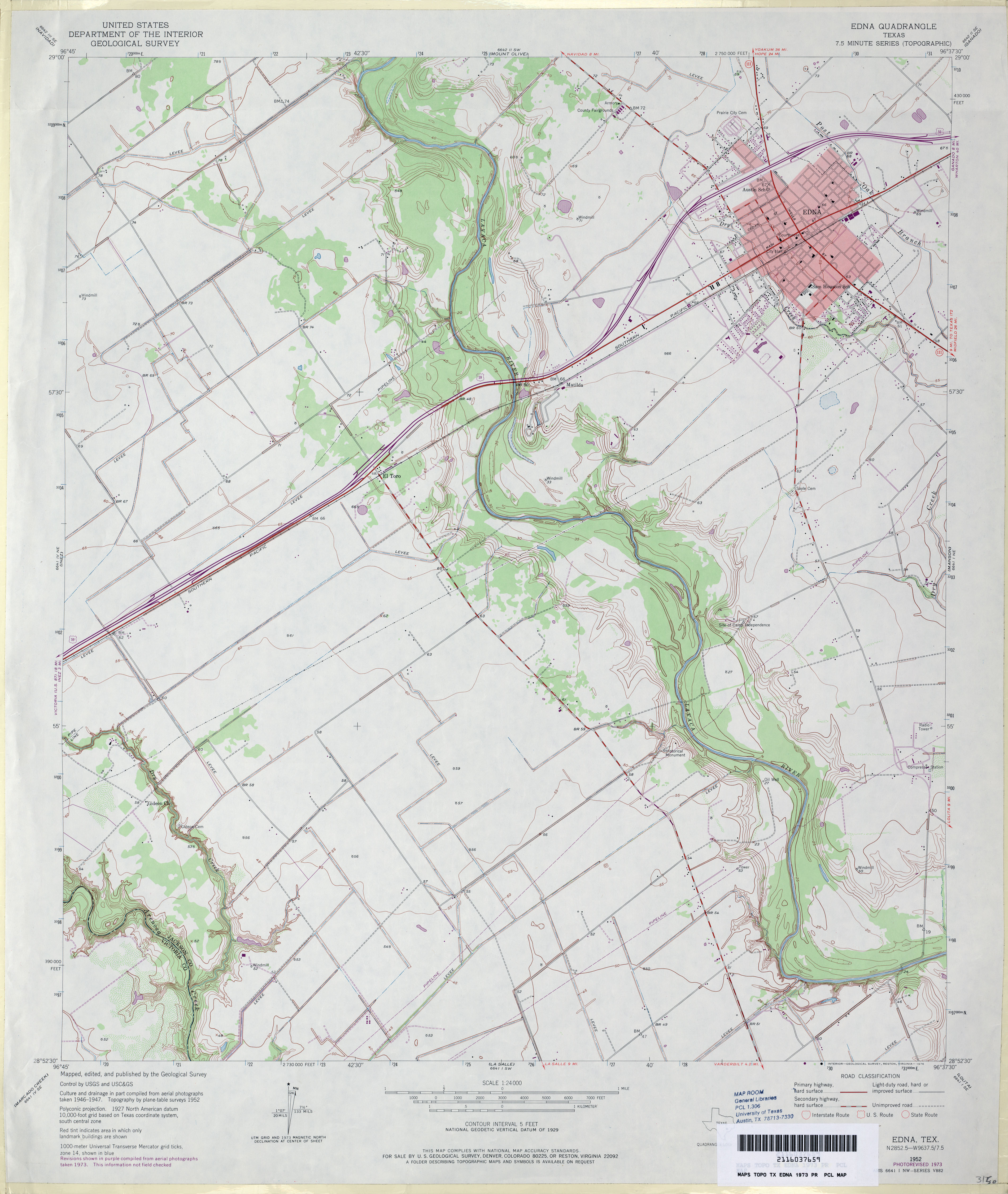
- Edna 1:24,000 1973 (3.2MB)
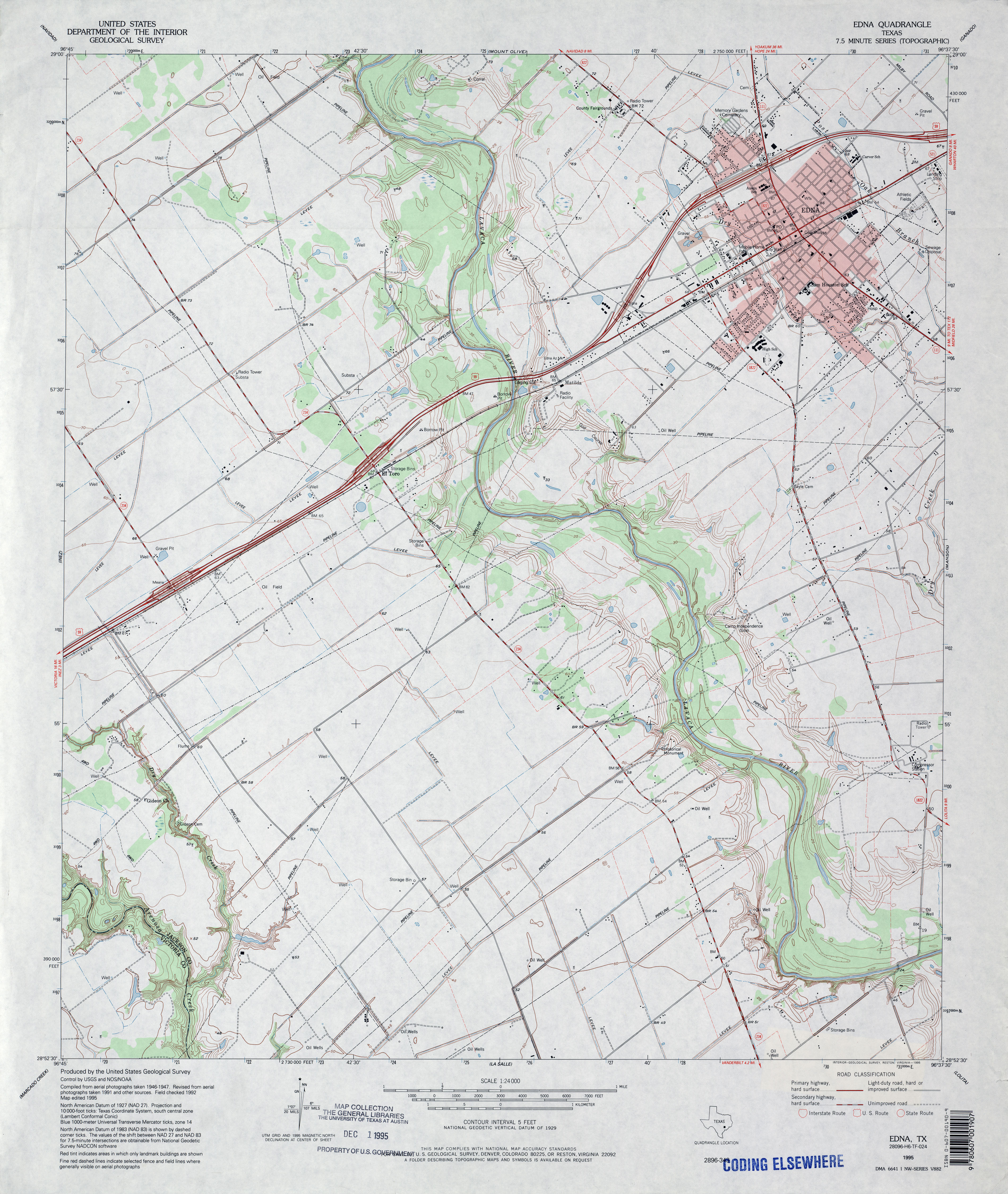
- Edna 1:24,000 1995 (3.7MB)
- Edna 1:24,000 2008 (12.5MB) [GeoPDF]
- Edna 1:24,000 2013 (20.5MB) [GeoPDF]
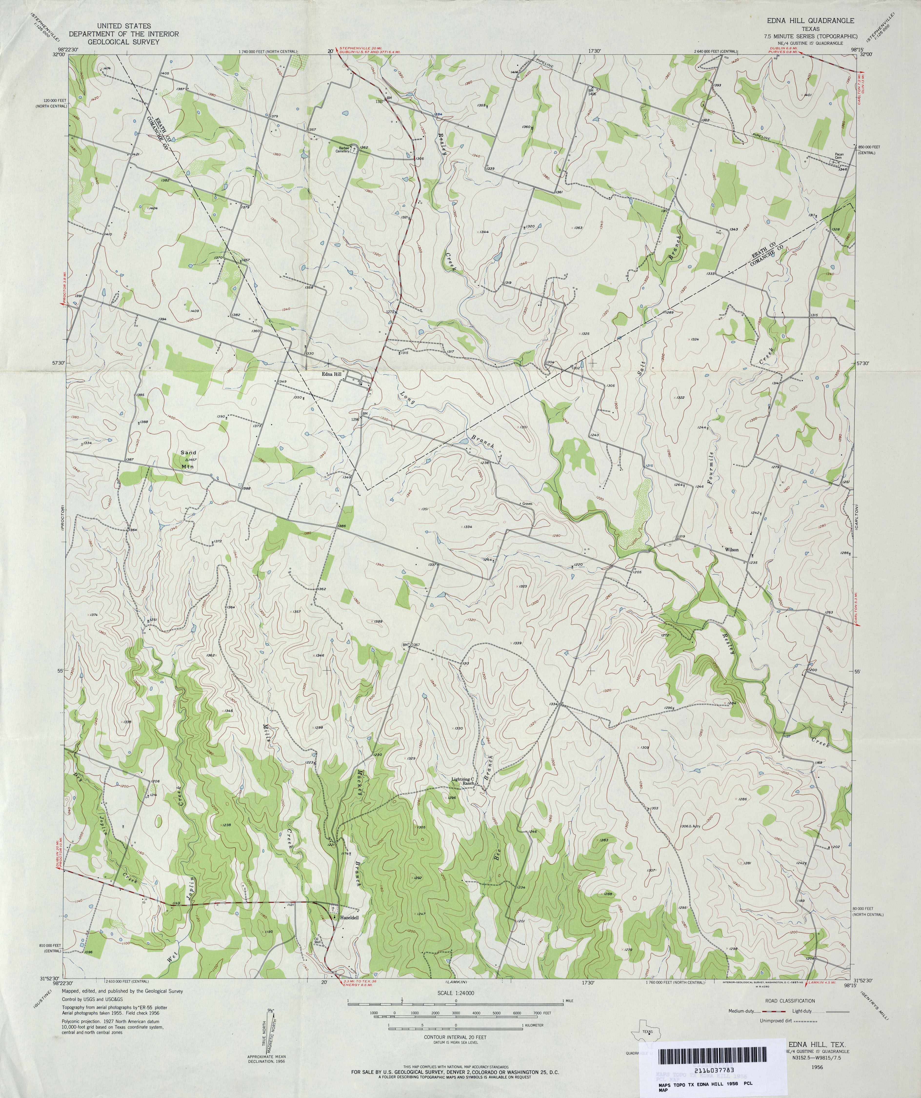
- Edna Hill 1:24,000 1956 (3MB)
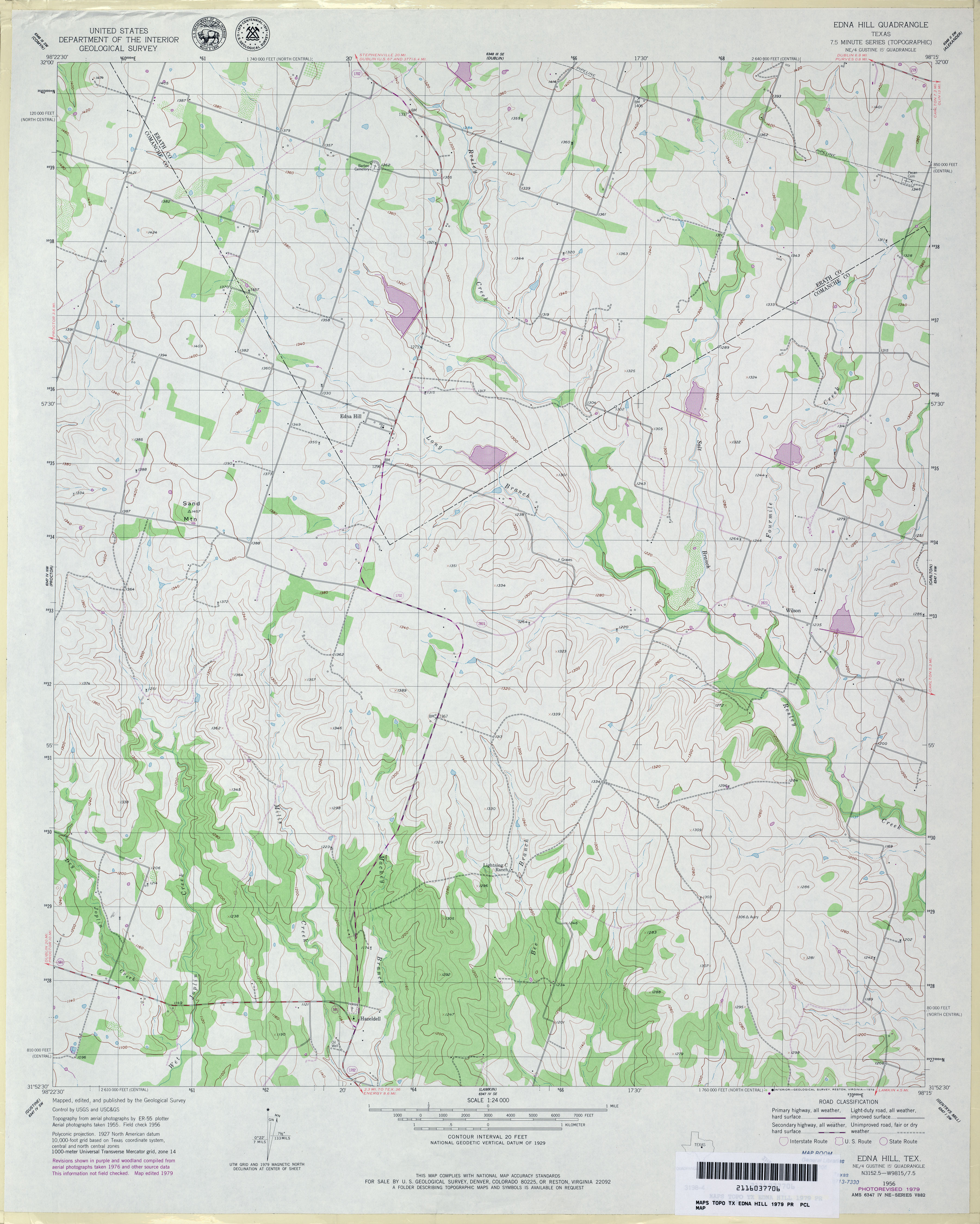
- Edna Hill 1:24,000 1979 (3.2MB)
- Edna Hill 1:24,000 2008 (14.6MB) [GeoPDF]
- Edna Hill 1:24,000 2013 (19.3MB) [GeoPDF]
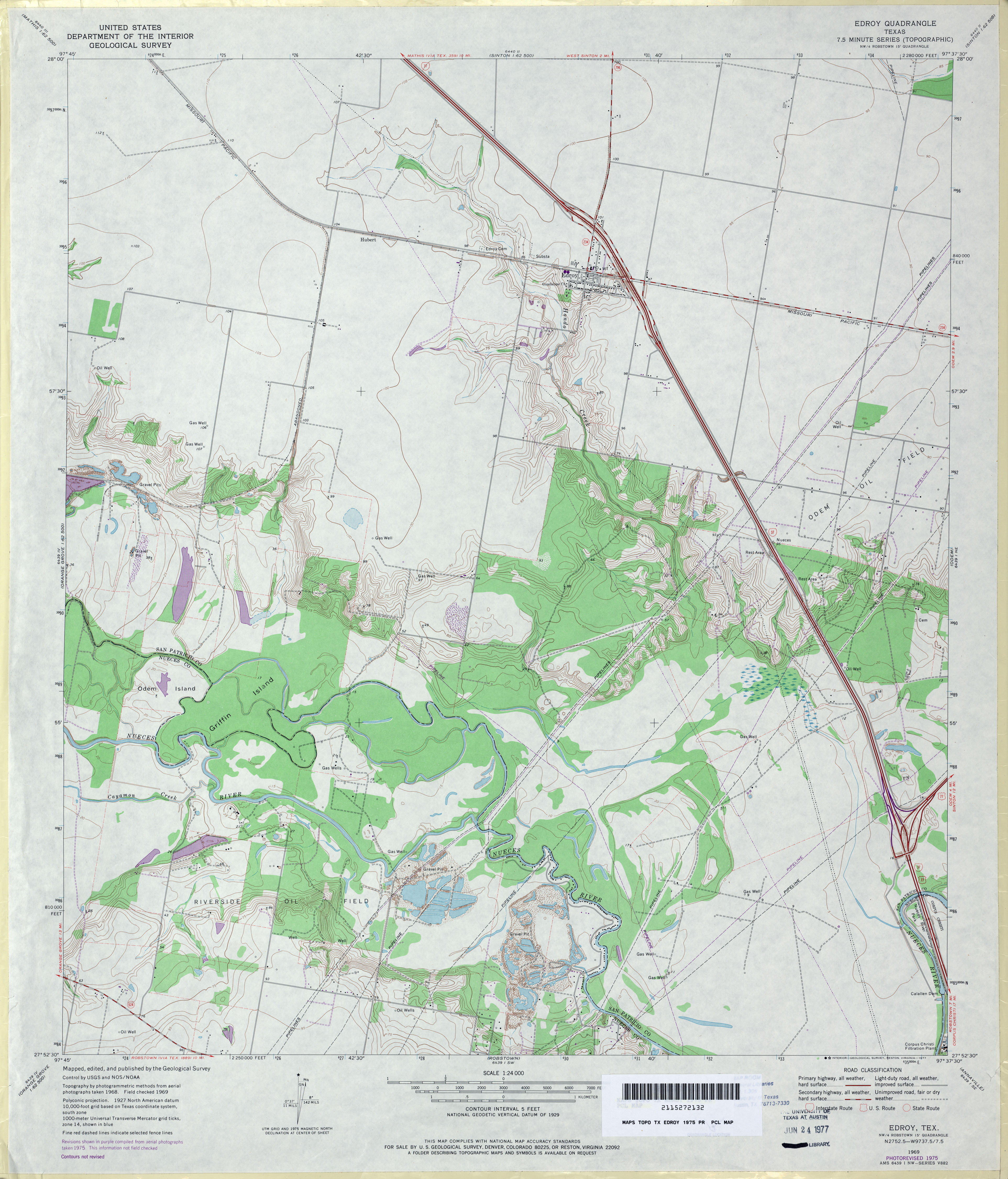
- Edroy 1:24,000 1969 (3.2MB)
- Edroy 1:24,000 1975 (3.4MB)
- Edroy 1:24,000 2008 (12.6MB) [GeoPDF]
- Edroy 1:24,000 2013 (18.7MB) [GeoPDF]
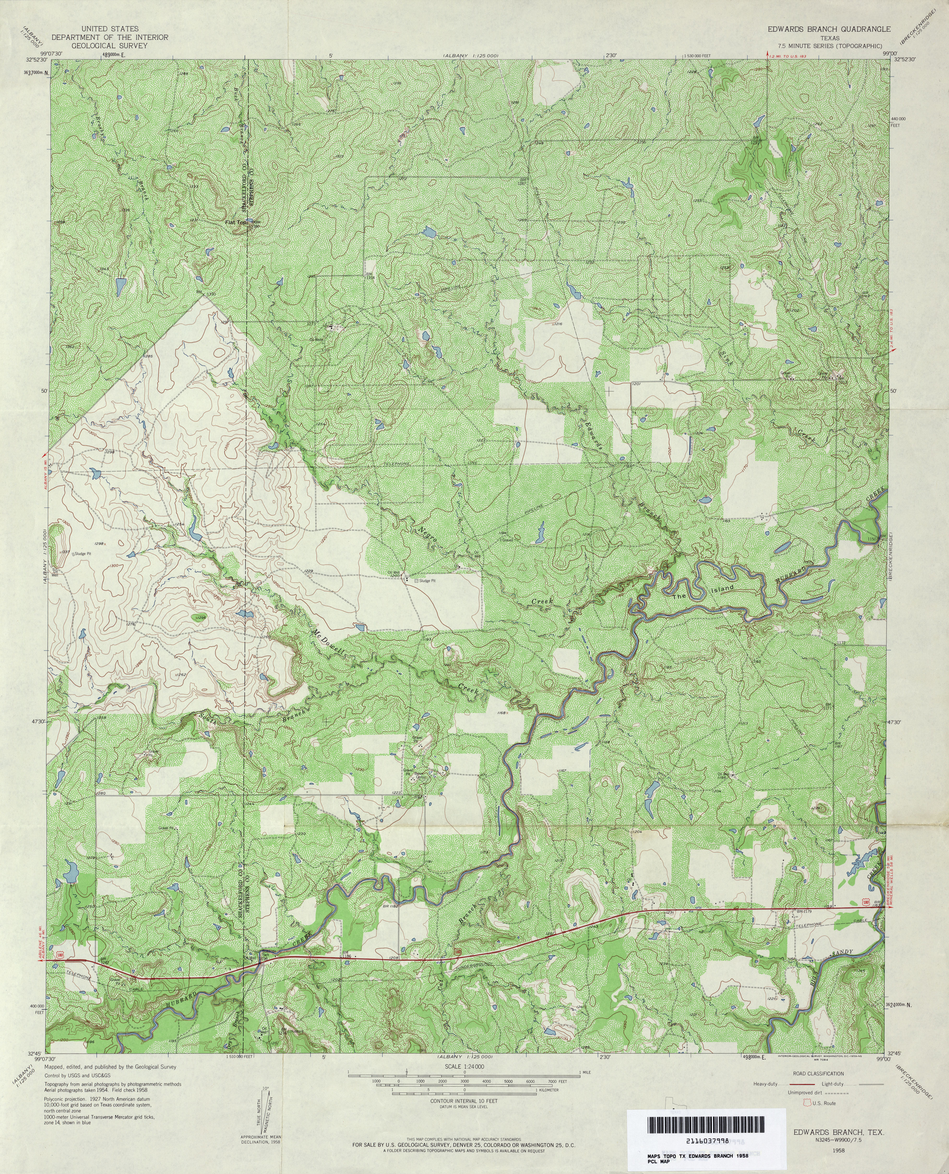
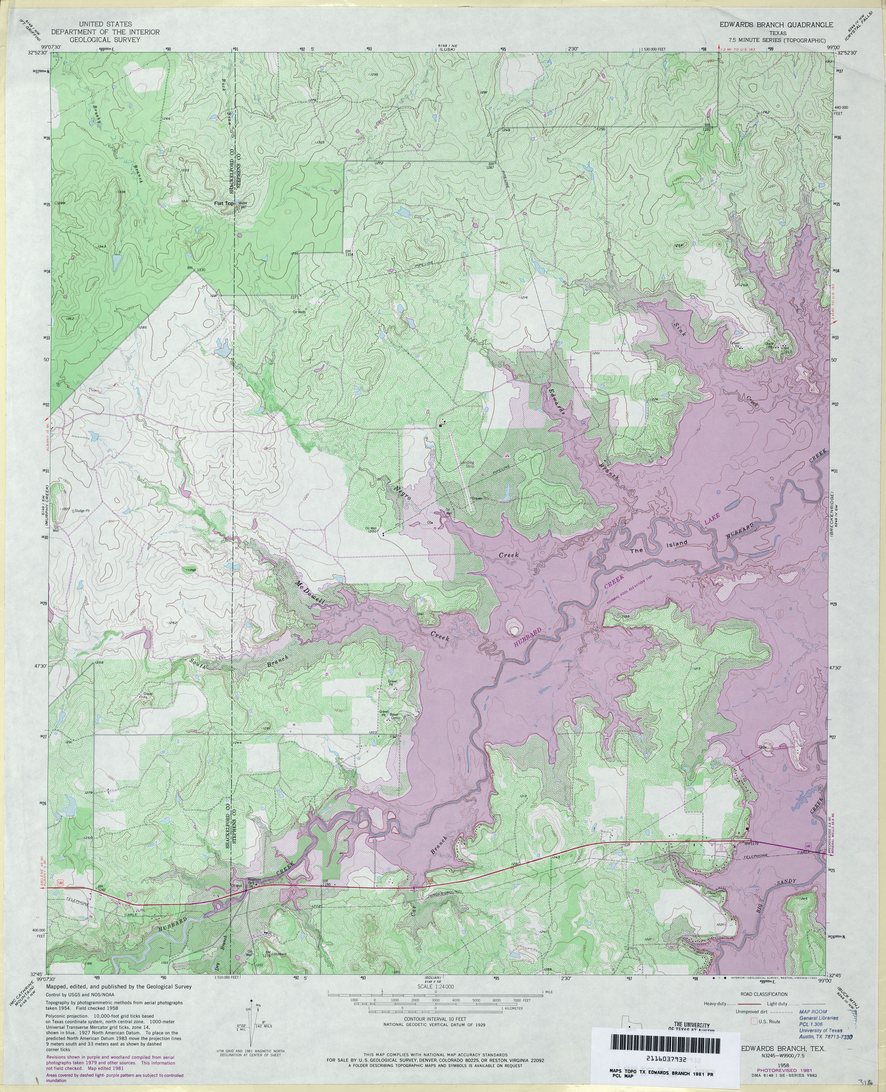
- Edwards Branch 1:24,000 1958 (5.2MB)
- Edwards Branch 1:24,000 1981 (5.5MB)
- Edwards Branch 1:24,000 2008 (13.0MB) [GeoPDF]
- Edwards Branch 1:24,000 2012 (21.4MB) [GeoPDF]
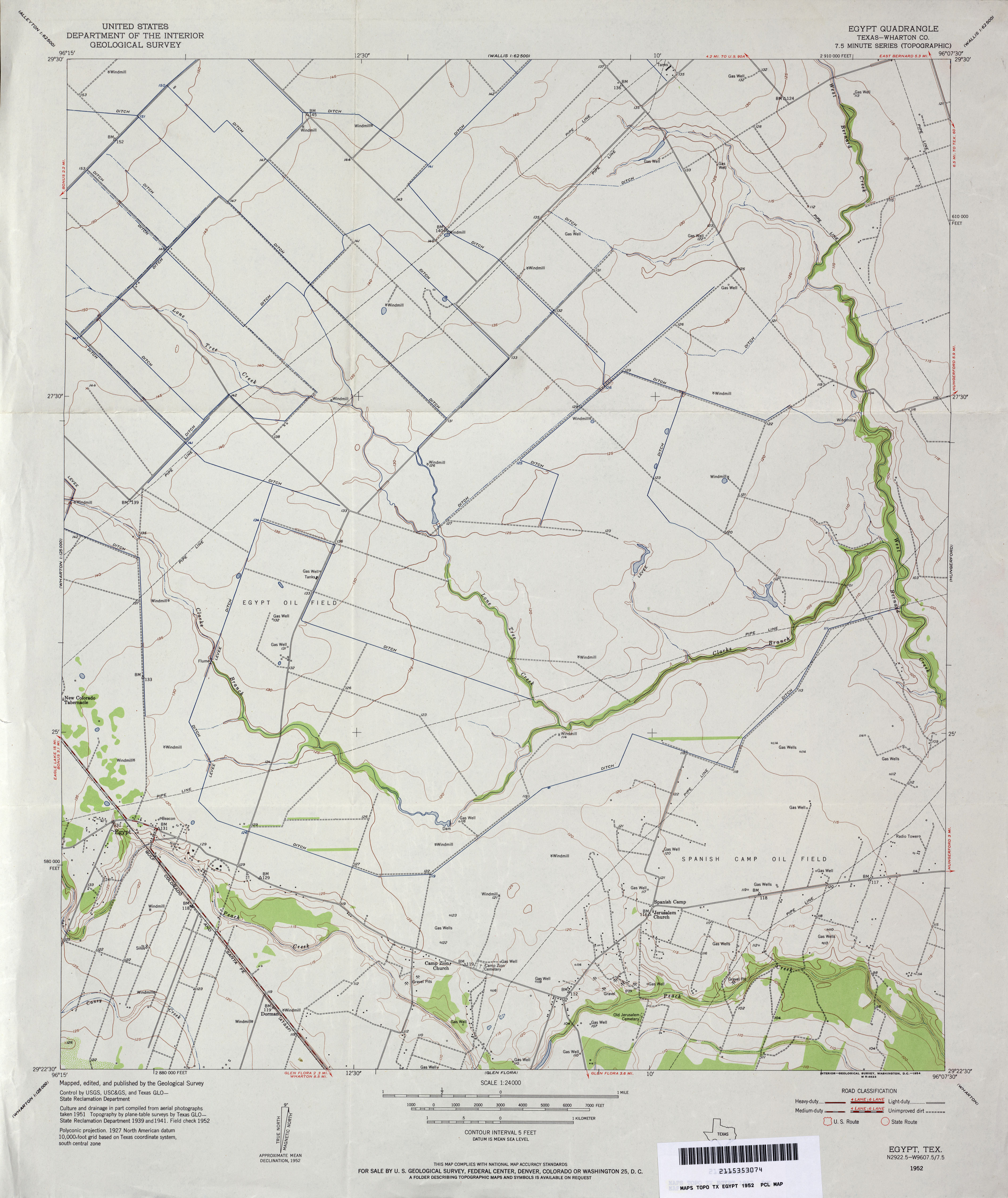
- Egypt (Wharton County) 1:24,000 1952 (2.7MB)
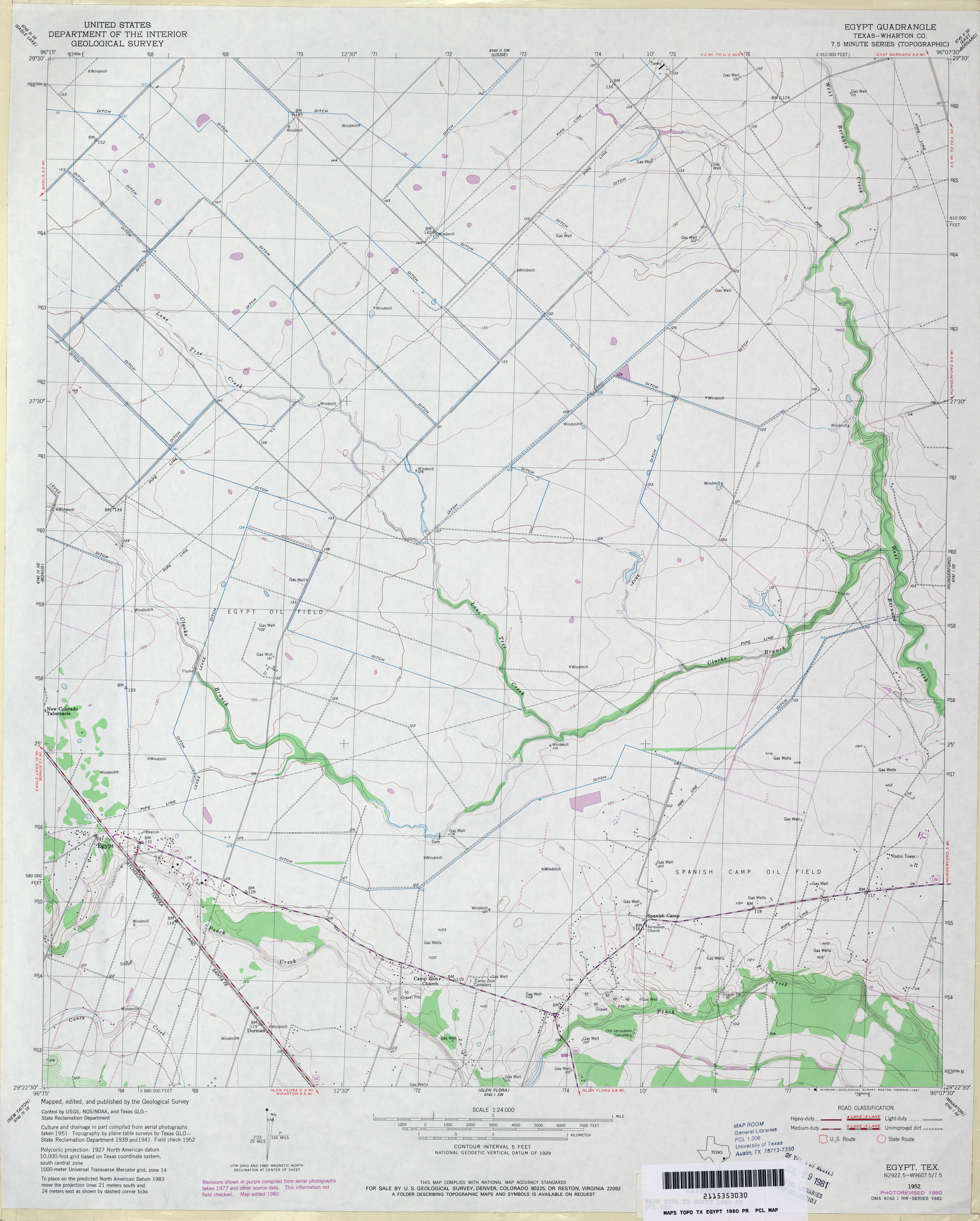
- Egypt (Wharton County) 1:24,000 1980 (2.8MB)
- Egypt 1:24,000 2008 (10.1MB) [GeoPDF]
- Egypt 1:24,000 2013 (17.8MB) [GeoPDF]
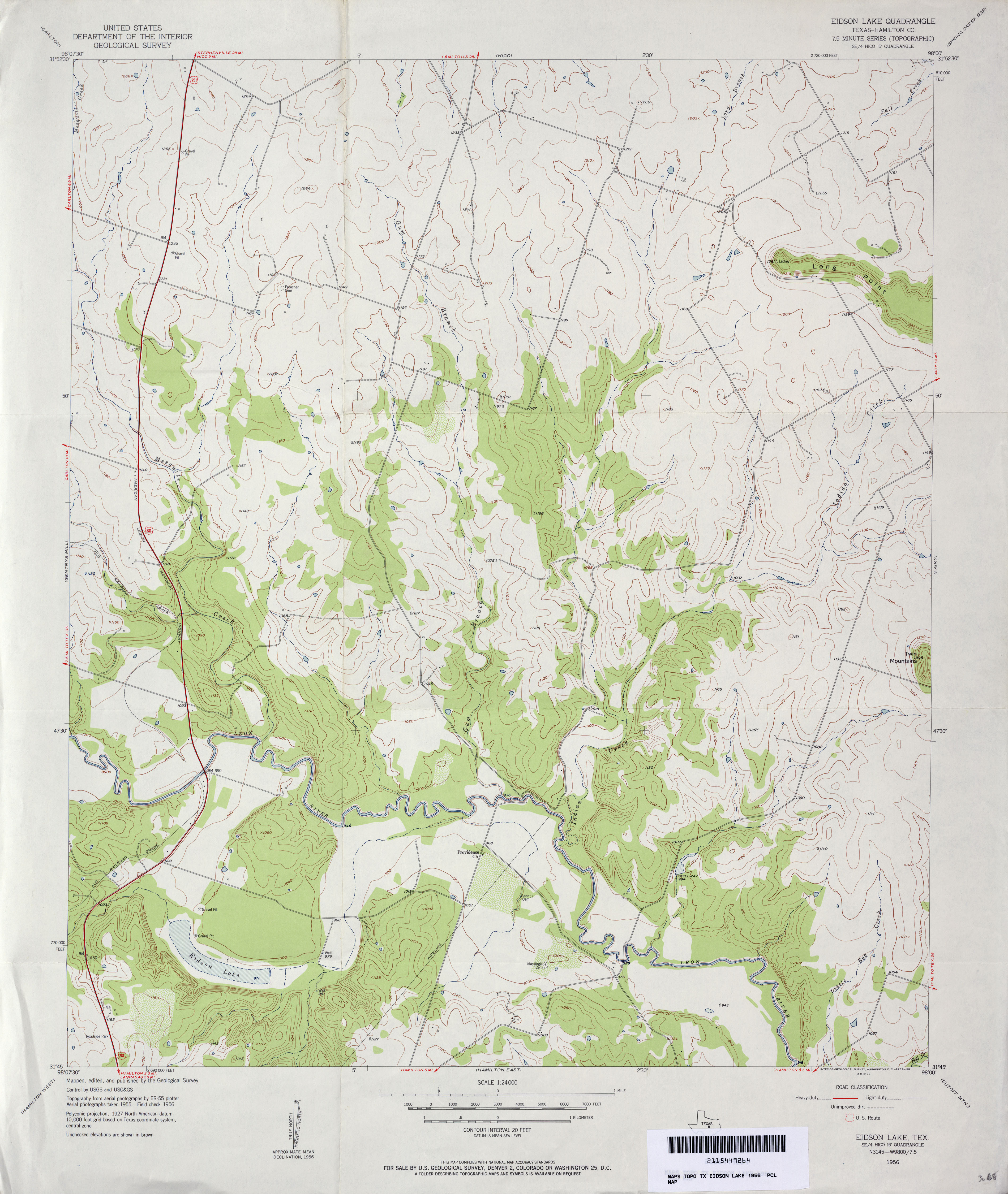
- Eidson Lake (Hamilton County) 1:24,000 1956 (3.1MB)
- Eidson Lake (Hamilton County) 1:24,000 1979 (3.2MB)
- Eidson Lake 1:24,000 2013 (19.6MB) [GeoPDF]
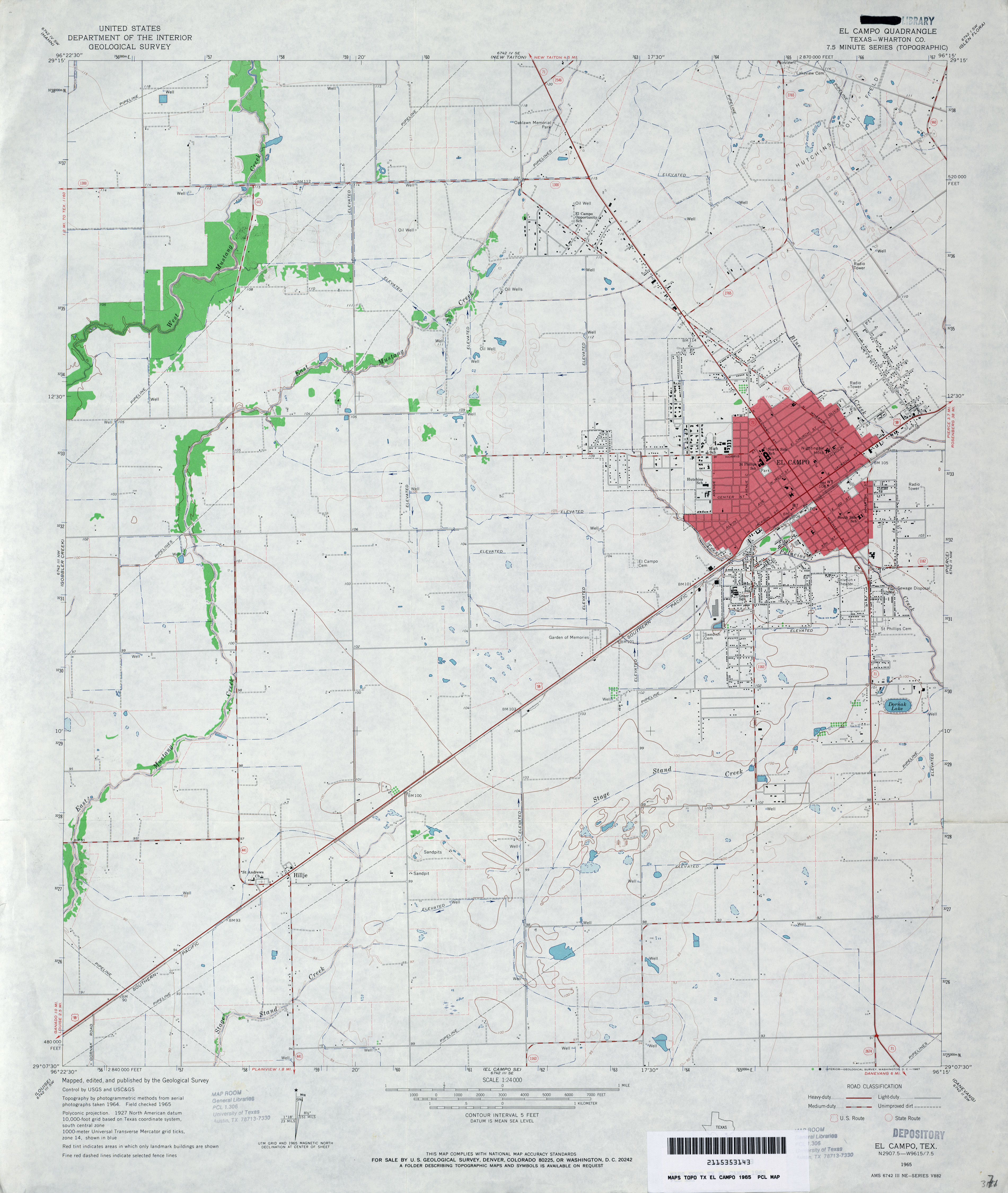
- El Campo (Wharton County) 1:24,000 1965 (2.7MB)
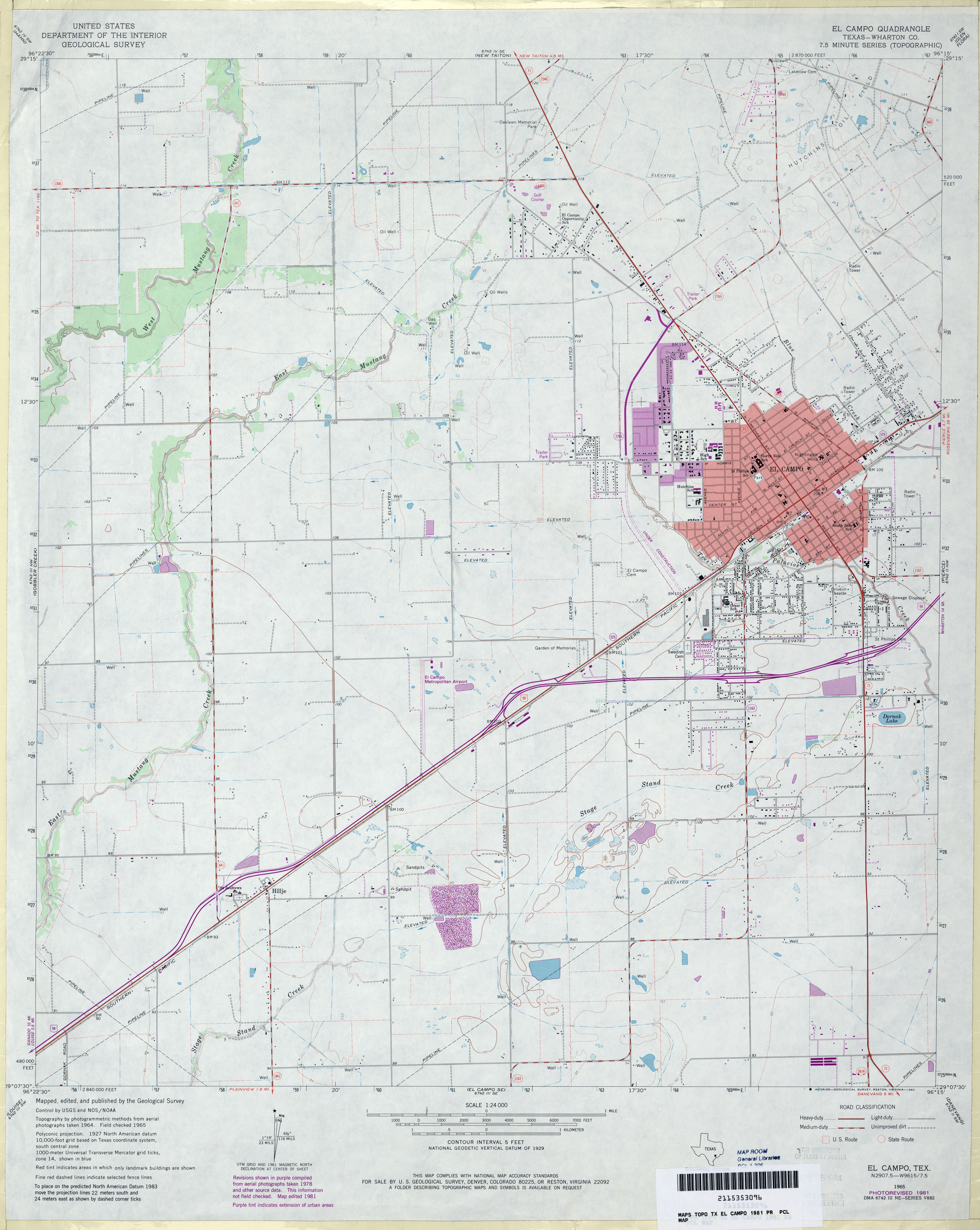
- El Campo (Wharton County) 1:24,000 1981 (2.8MB)
- El Campo 1:24,000 2009 (8.9MB) [GeoPDF]
- El Campo 1:24,000 2013 (18.5MB) [GeoPDF]
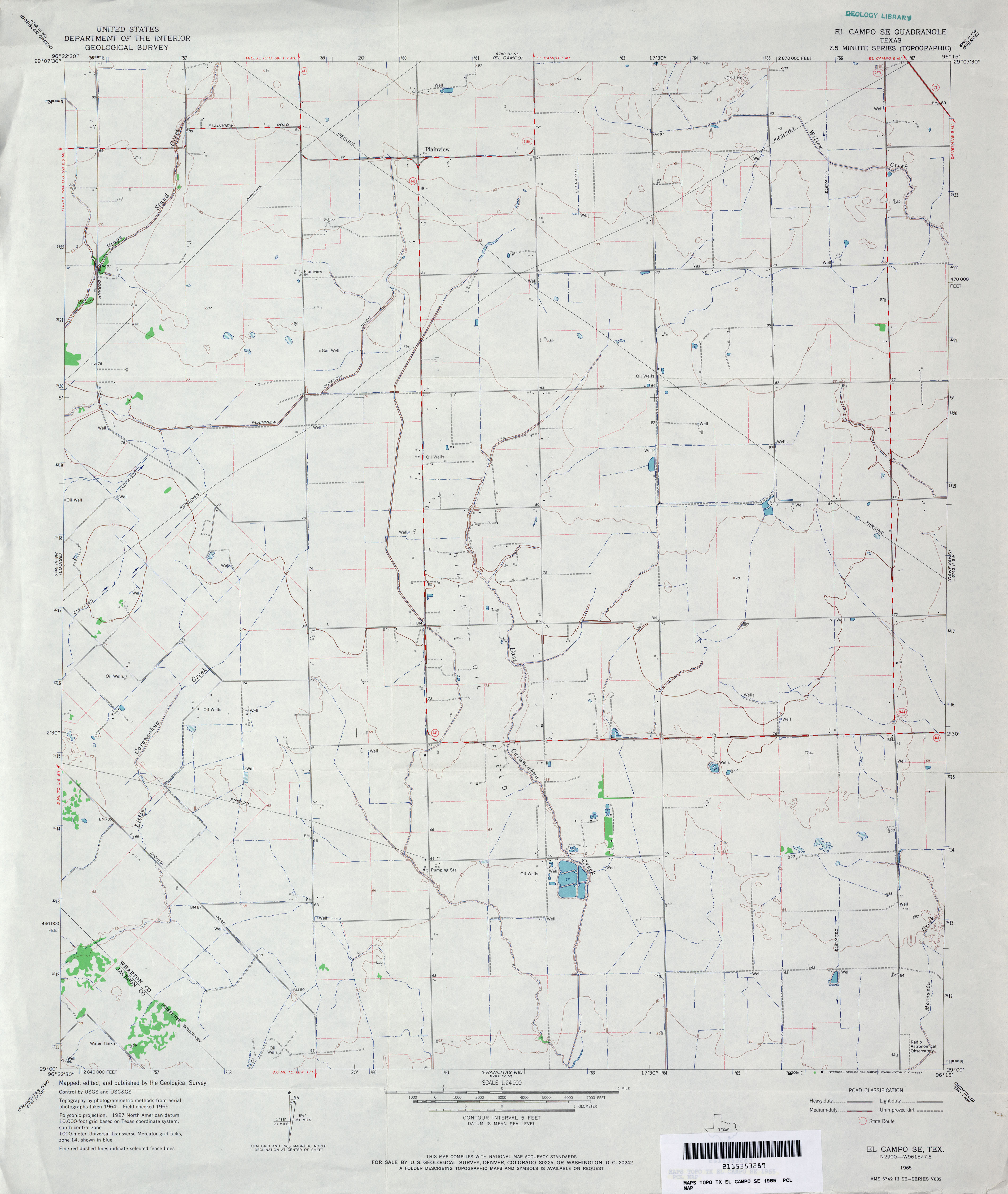
- El Campo SE 1:24,000 1965 (2.6MB)
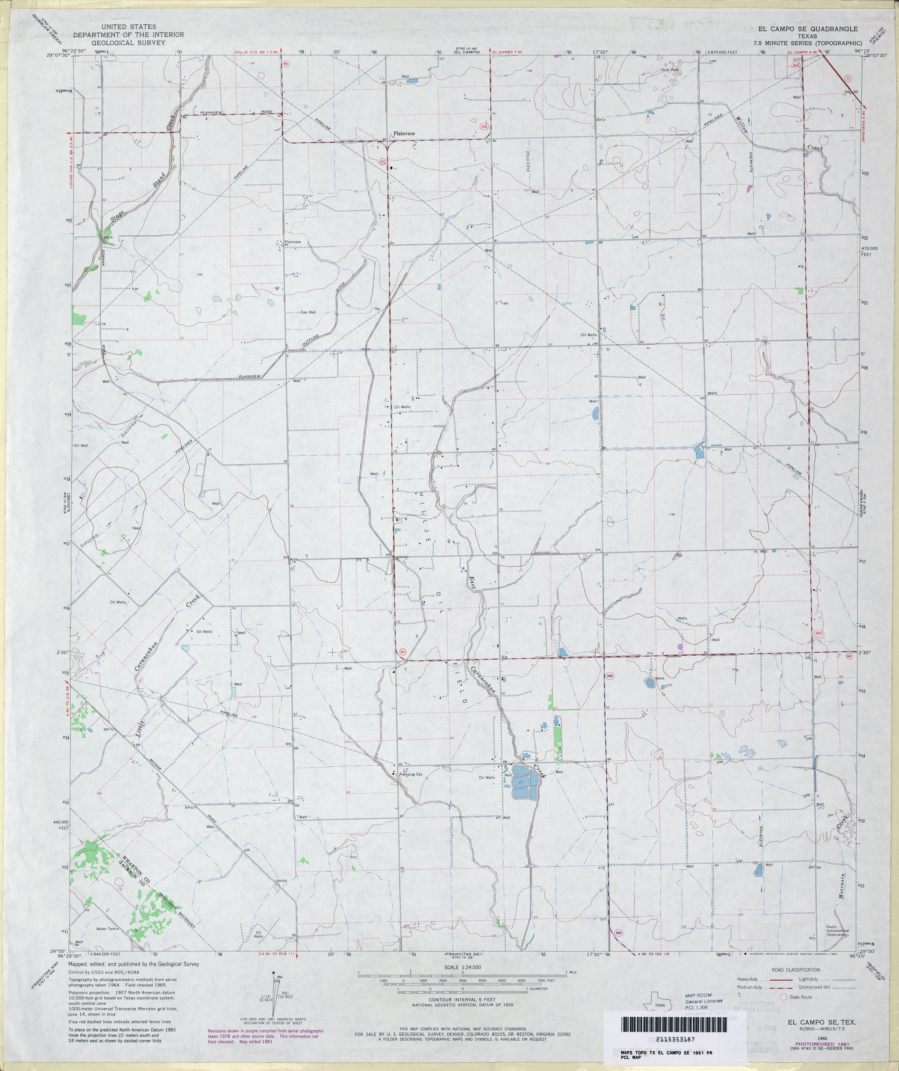
- El Campo SE 1:24,000 1981 (2.6MB)
- El Campo SE 1:24,000 2013 (16.8MB) [GeoPDF]
- El Chapote Creek (Starr County) 1:24,000 1972 (5.4MB)
- El Chapote Creek El Chapote Creek 1:24,000 2008 (23.9MB) [GeoPDF]
- El Chapote Creek 1:24,000 2012 (25.8MB) [GeoPDF]
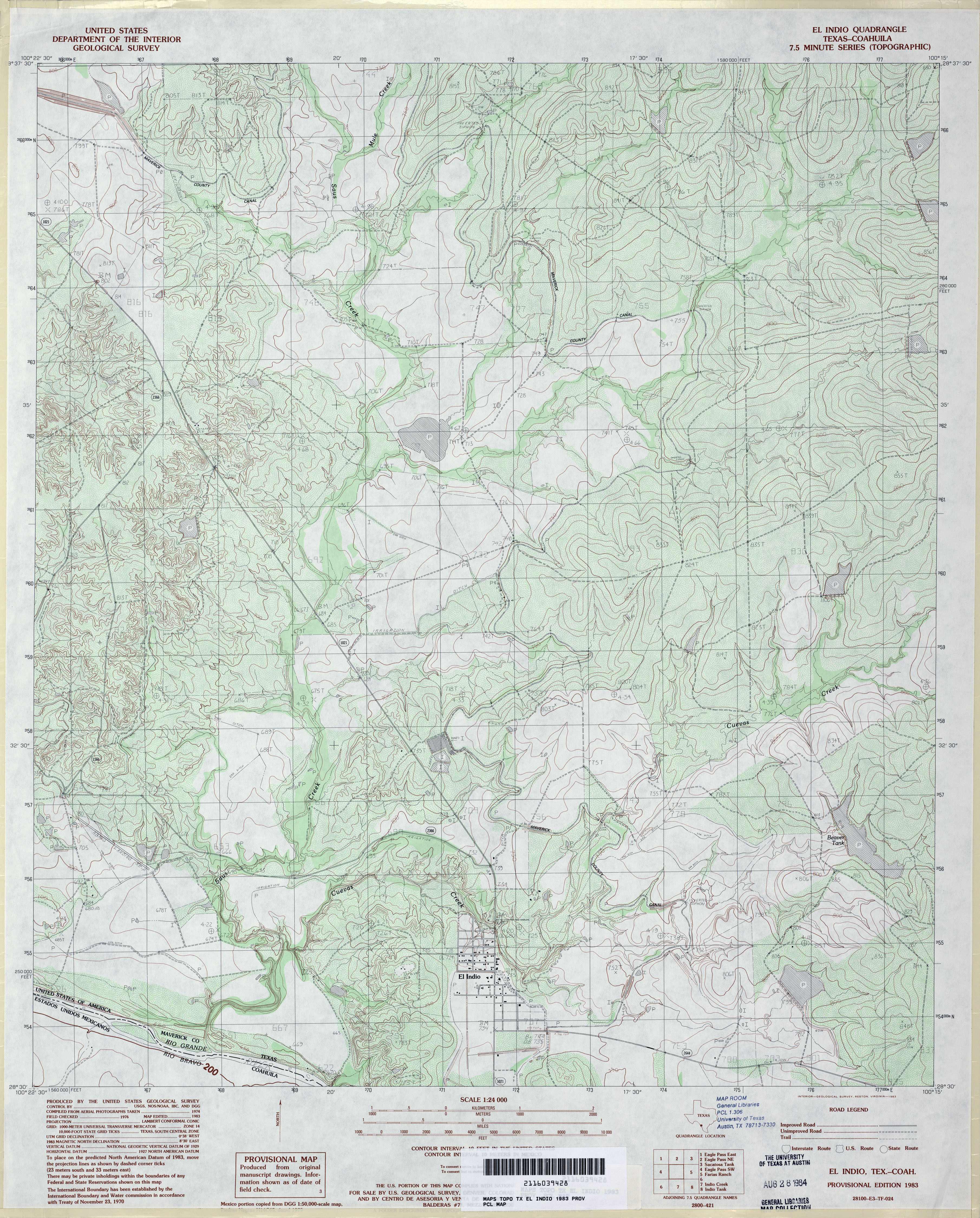
- El Indio 1:24,000 1983 (4.6MB)
- El Indio 1:24,000 2008 (19.1MB) [GeoPDF]
- El Indio 1:24,000 2012 (29.9MB) [GeoPDF]
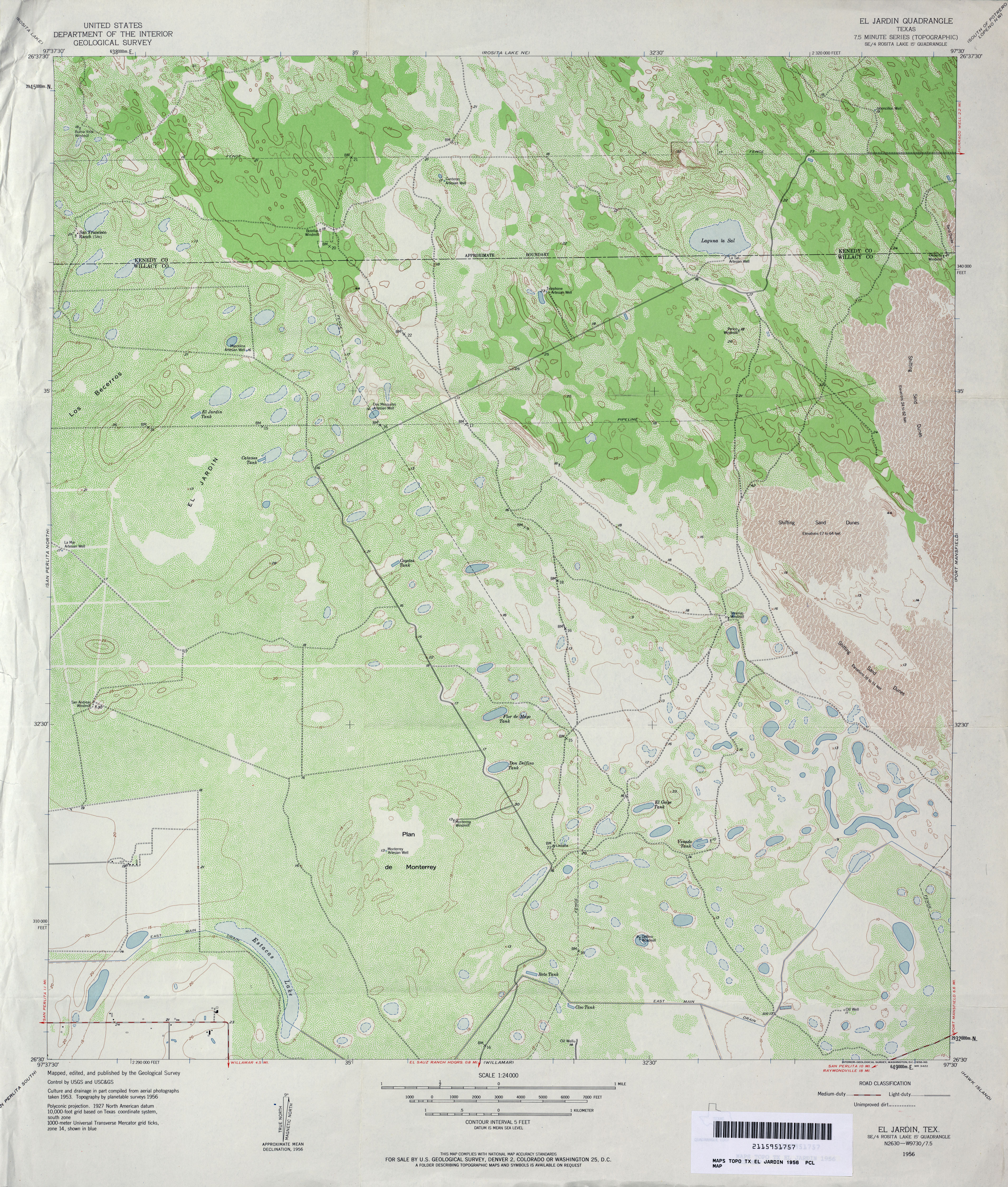
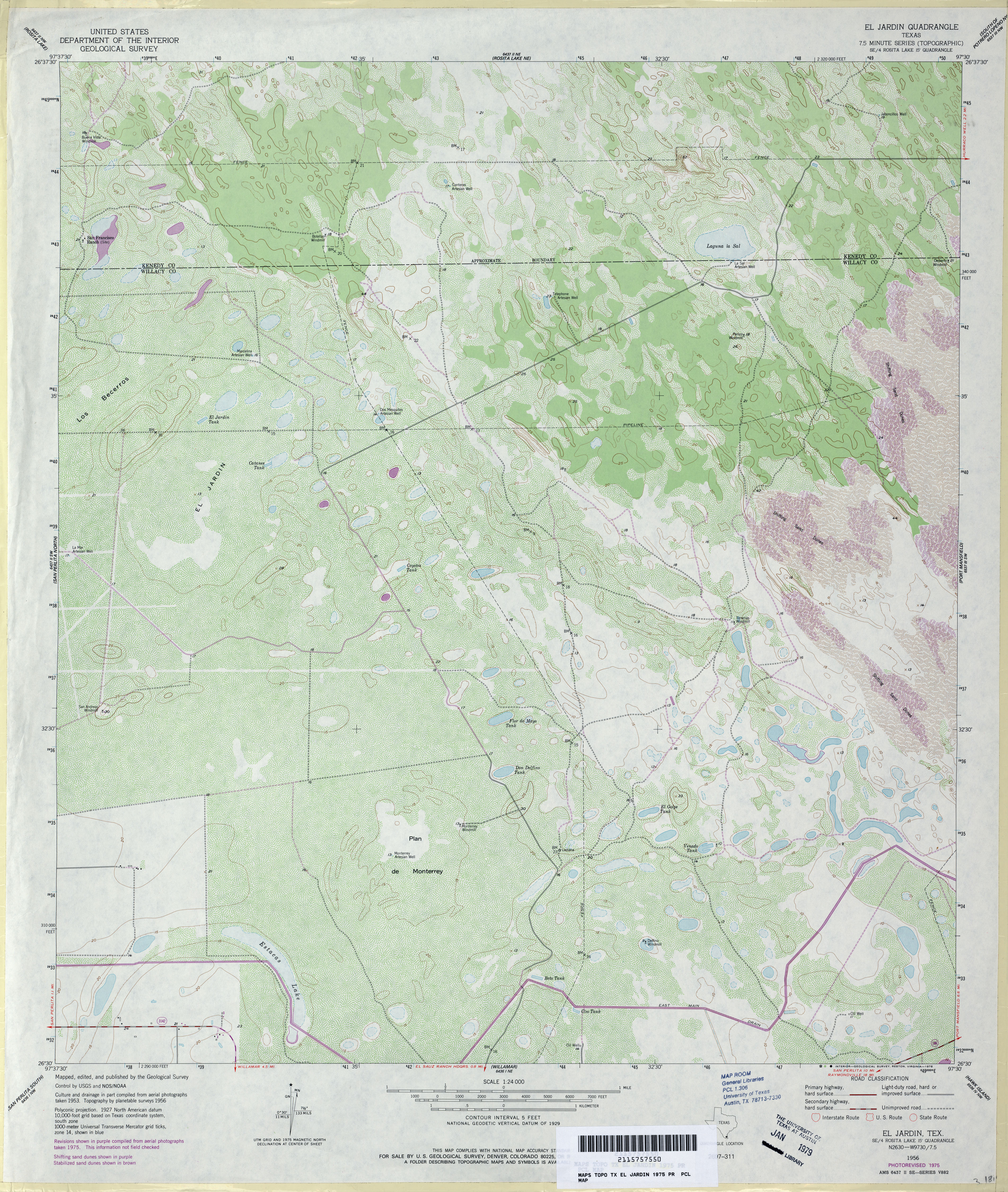
- El Jardin 1:24,000 1956 (4.7MB)
- El Jardin 1:24,000 1975 (4.4MB)
- El Jardin 1:24,000 2009 (19.1MB) [GeoPDF]
- El Jardin 1:24,000 2013 (20.7MB) [GeoPDF]
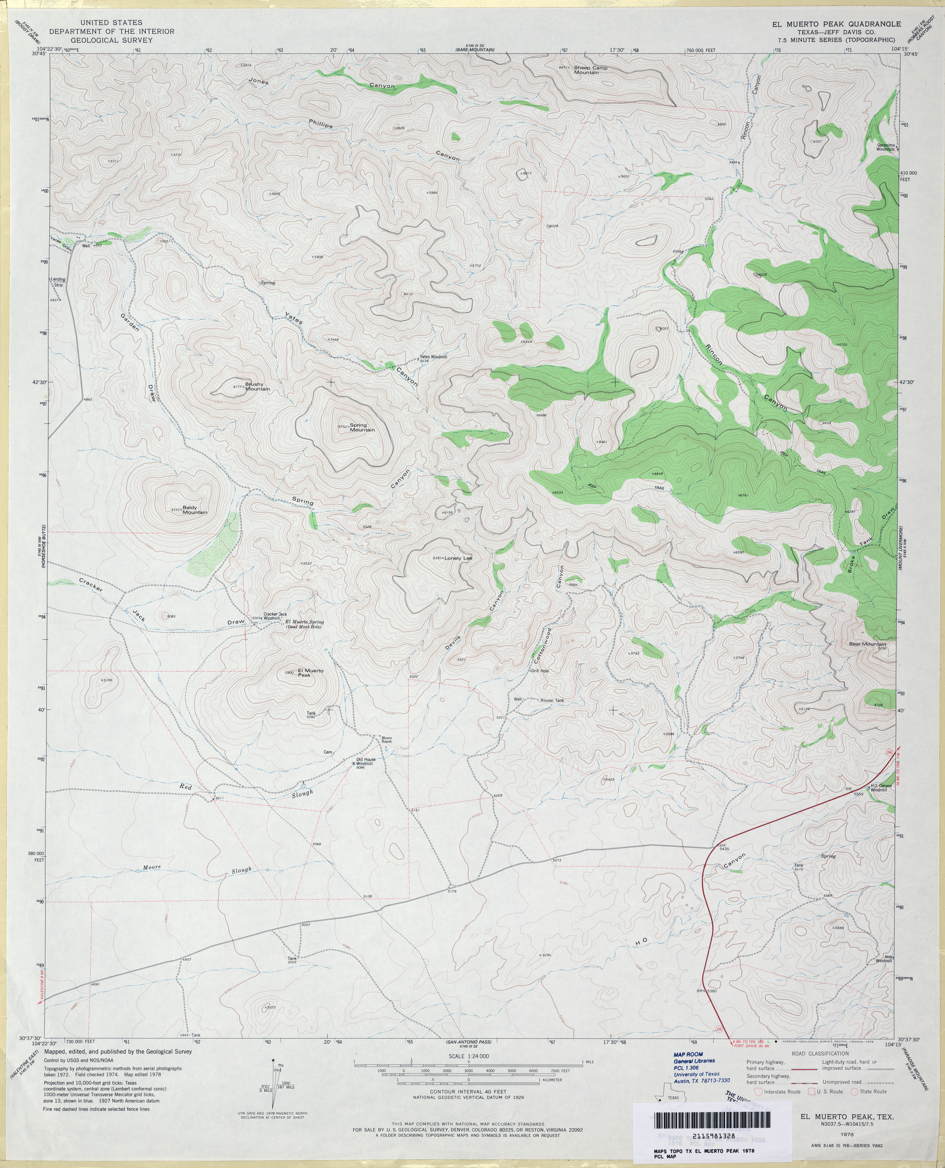
- El Muerto Peak (Jeff Davis County) 1:24,000 1978 (3.4MB)
- El Muerto Peak 1:24,000 2008 (18.0MB) [GeoPDF]
- El Muerto Peak 1:24,000 2012 (23MB) [GeoPDF]
- El Paso (El Paso County) 1:125,000 1896 Edition, Surveyed 1891 (5.1MB)
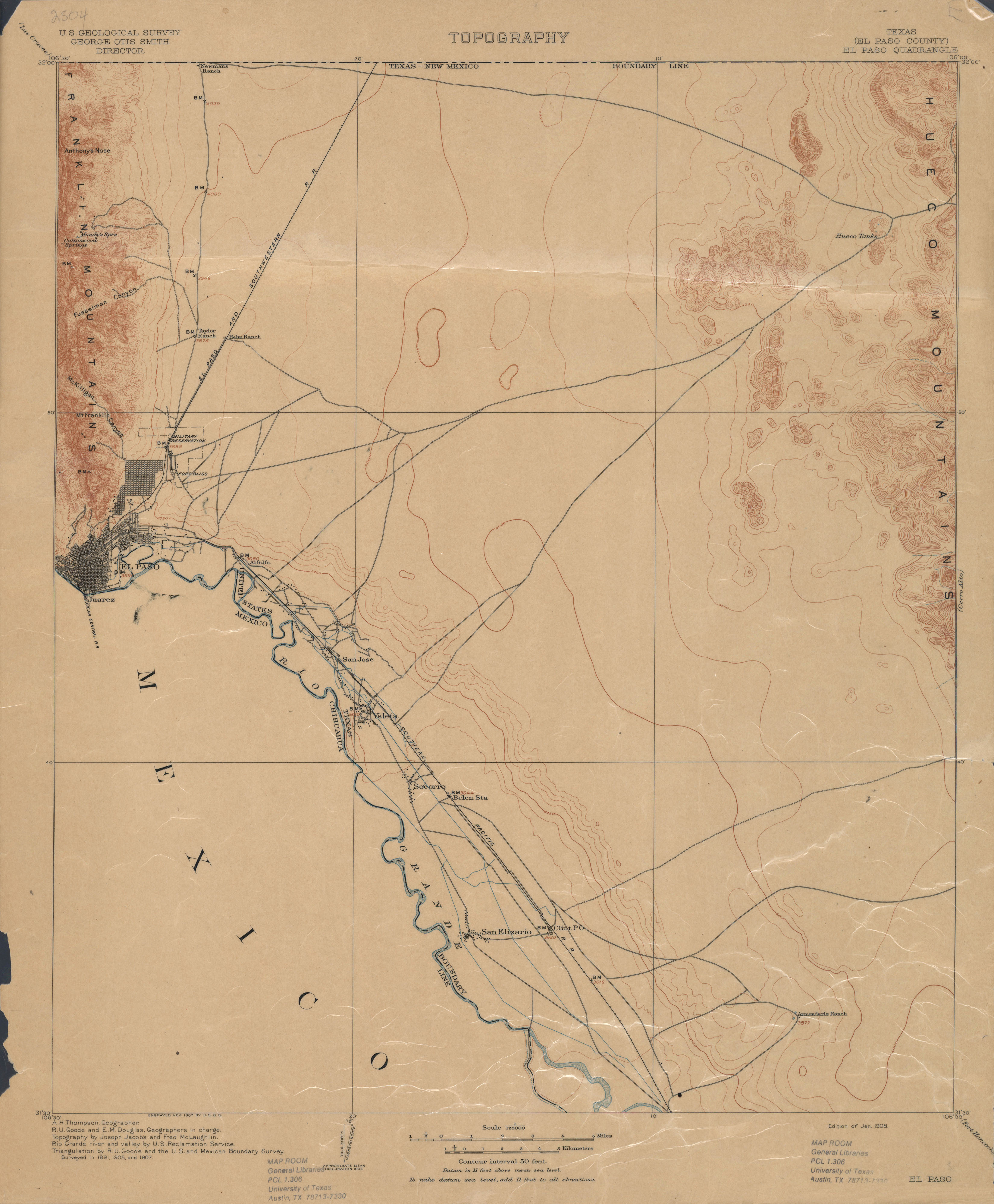
- El Paso (El Paso County) 1:125,000 1907 (1.9 MB)
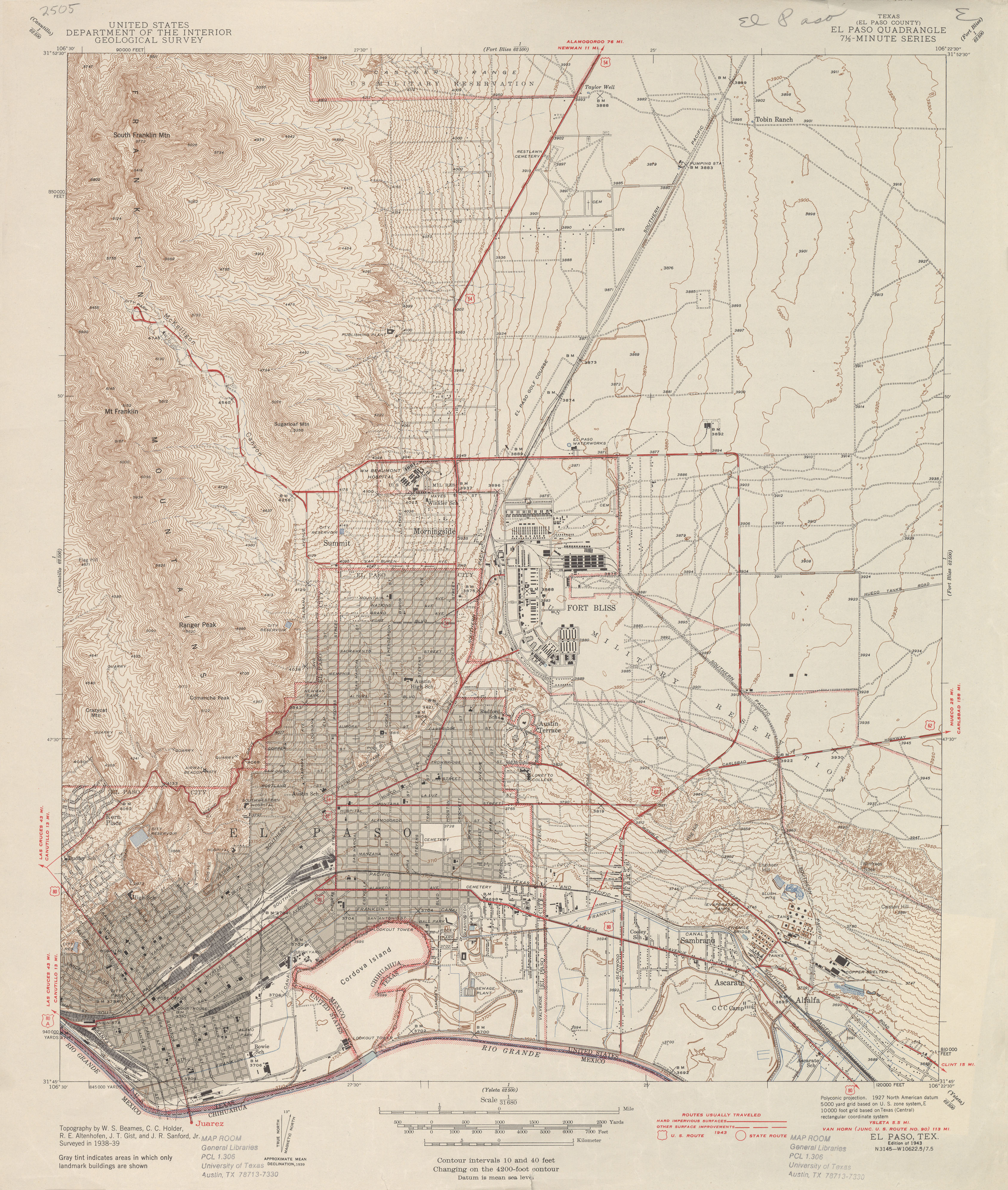
- El Paso (El Paso County) 1:31,680 1939 survey, 1943 overprint (3.7 MB)
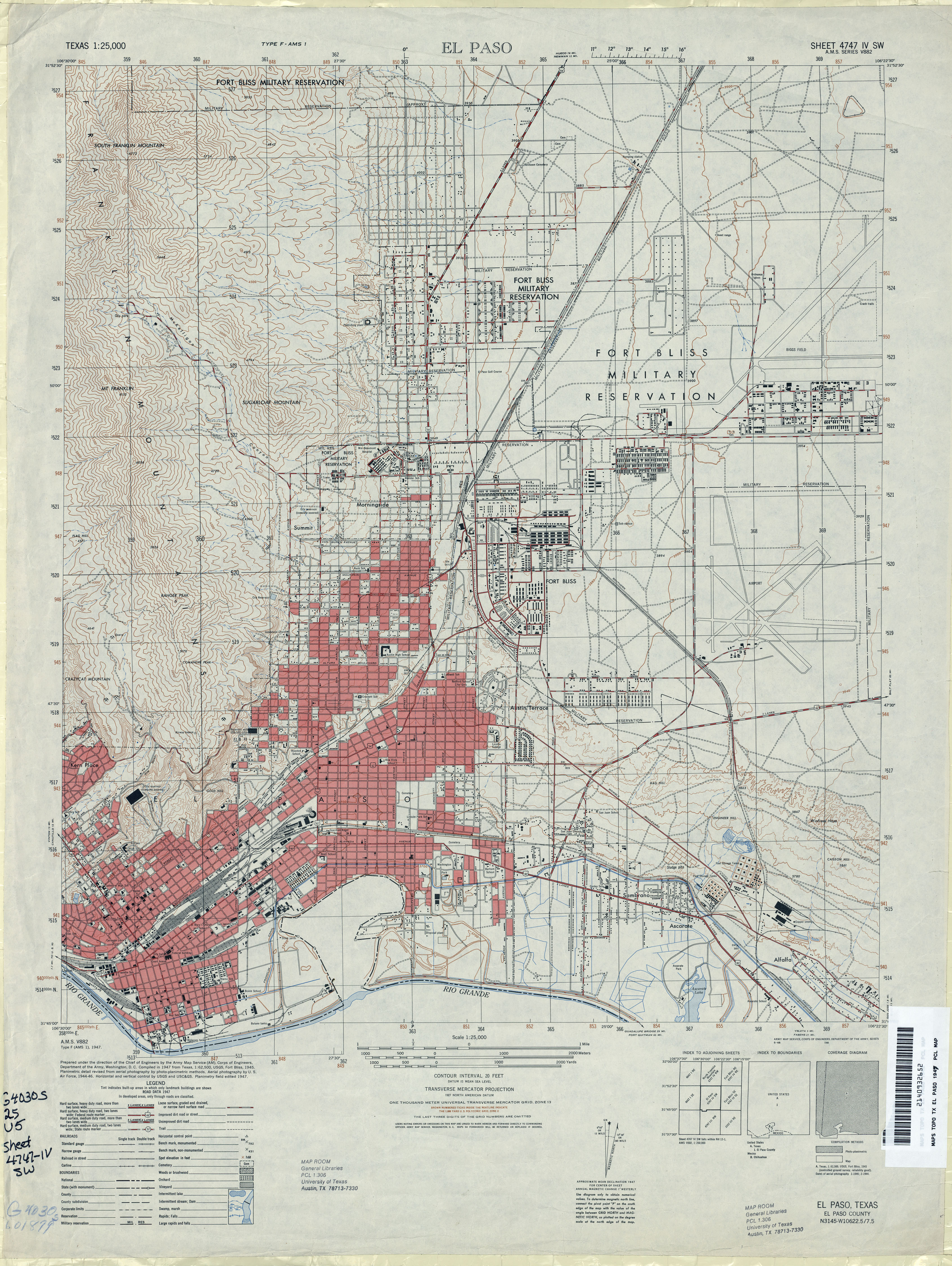
- El Paso 1:25,000 1947 (4.3MB) U.S. Army Map Service, Series V882.
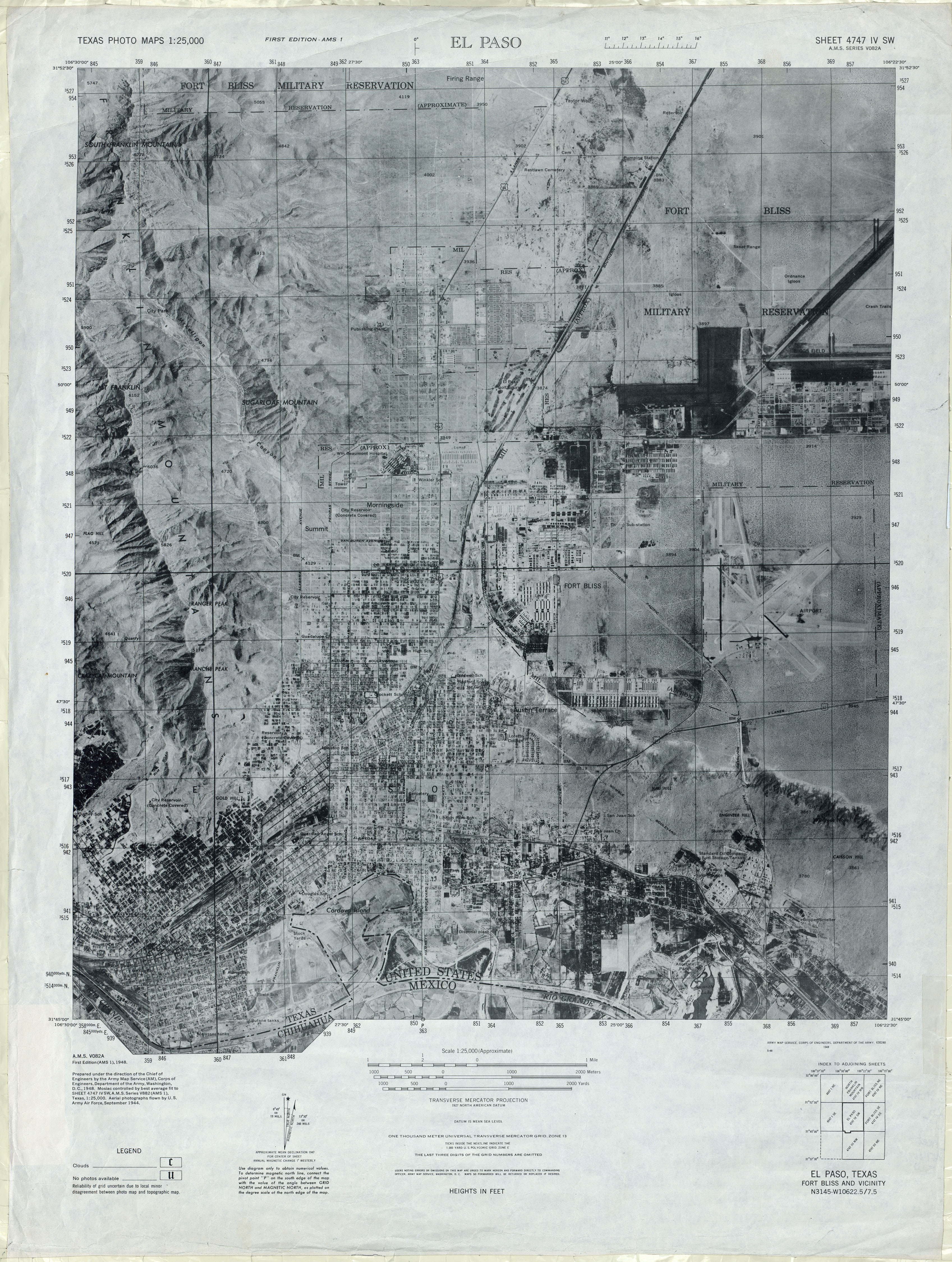
- El Paso 1:25,000 1947 (3.4MB) U.S. Army Map Service, Series V082A, Texas Photo Map.
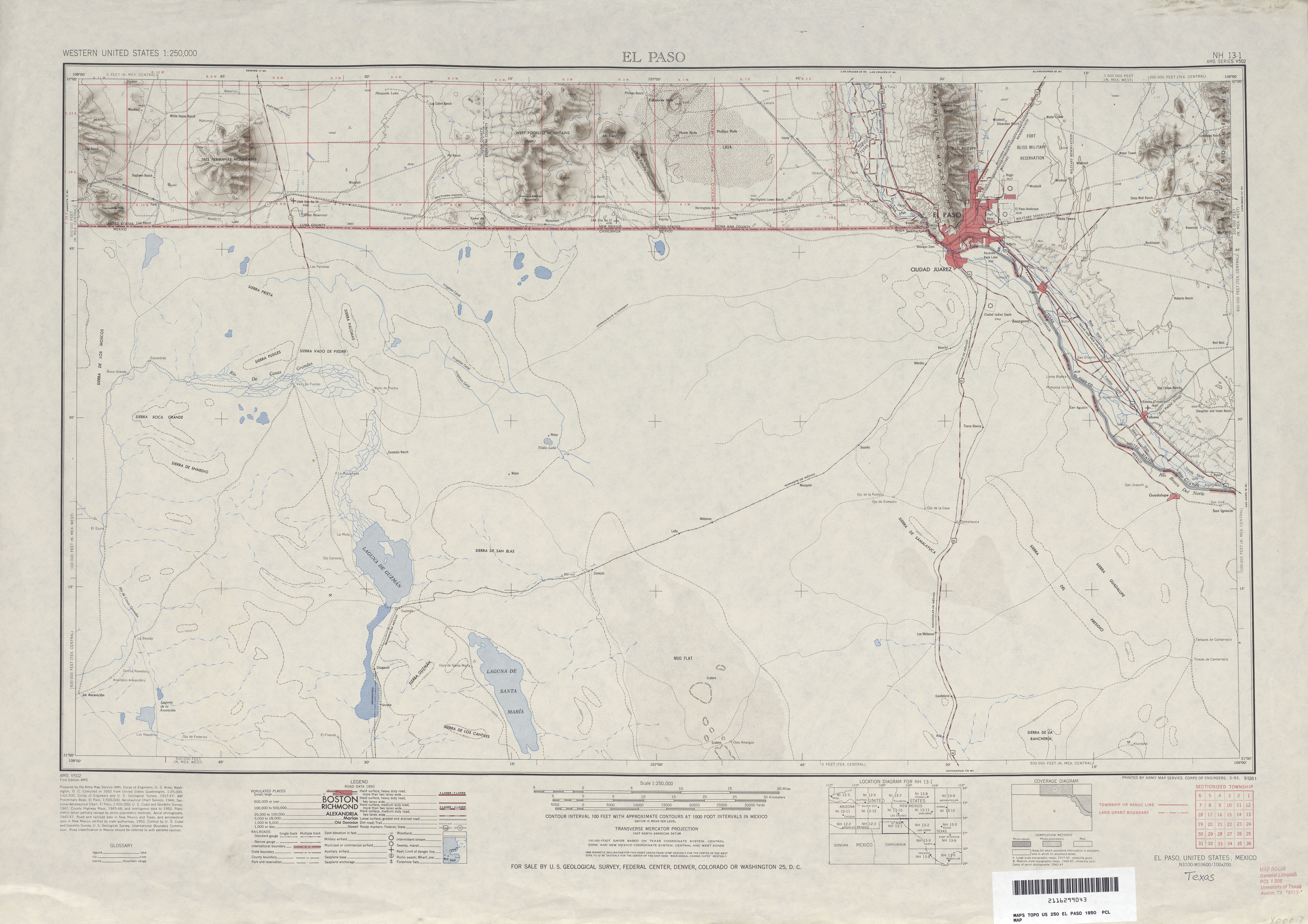
- El Paso 1:250,000 1950 Shaded Relief Map (4.9MB)
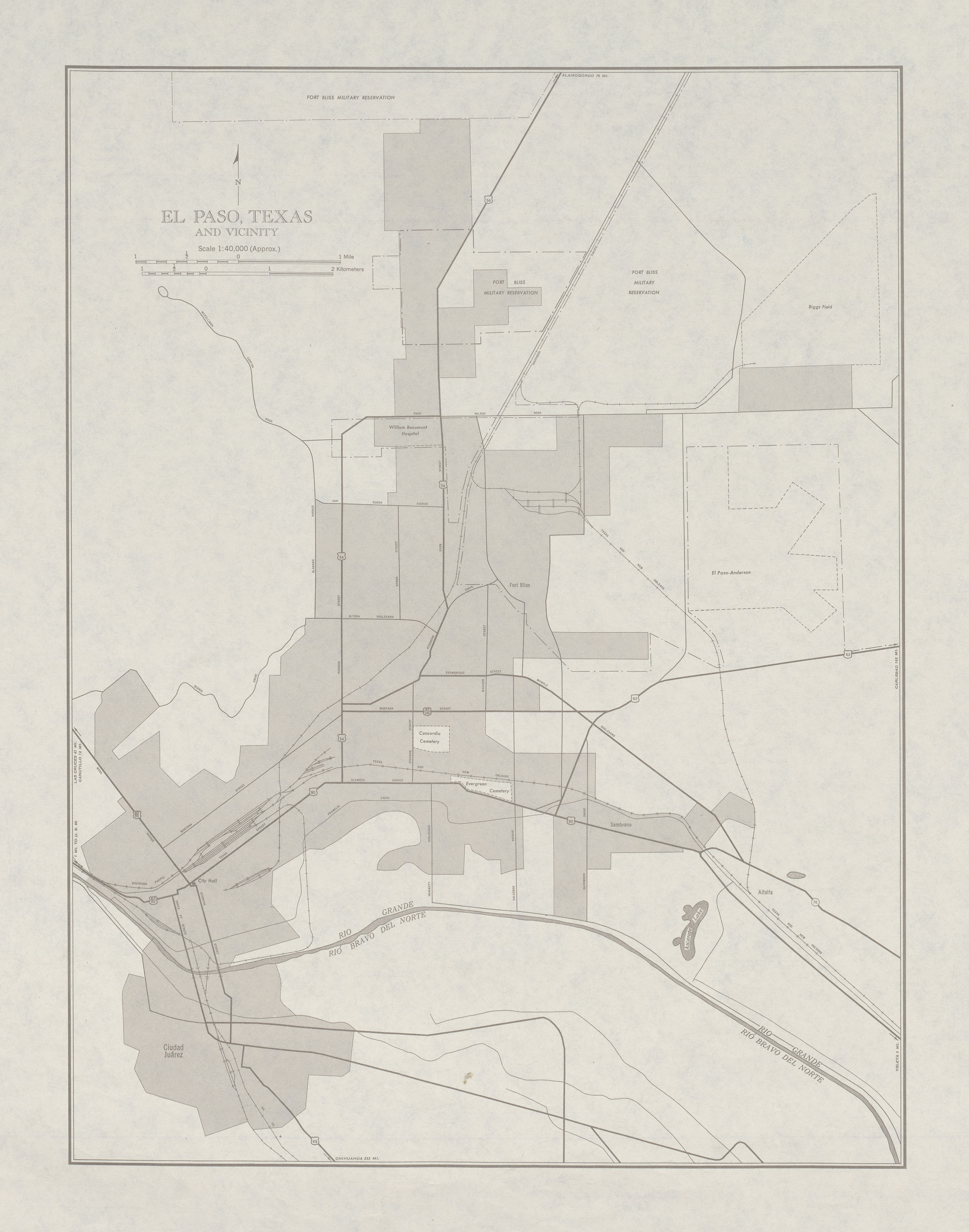
- El Paso 1:250,000 1950 [verso] [El Paso, Texas and Vicinity] (1.4MB)
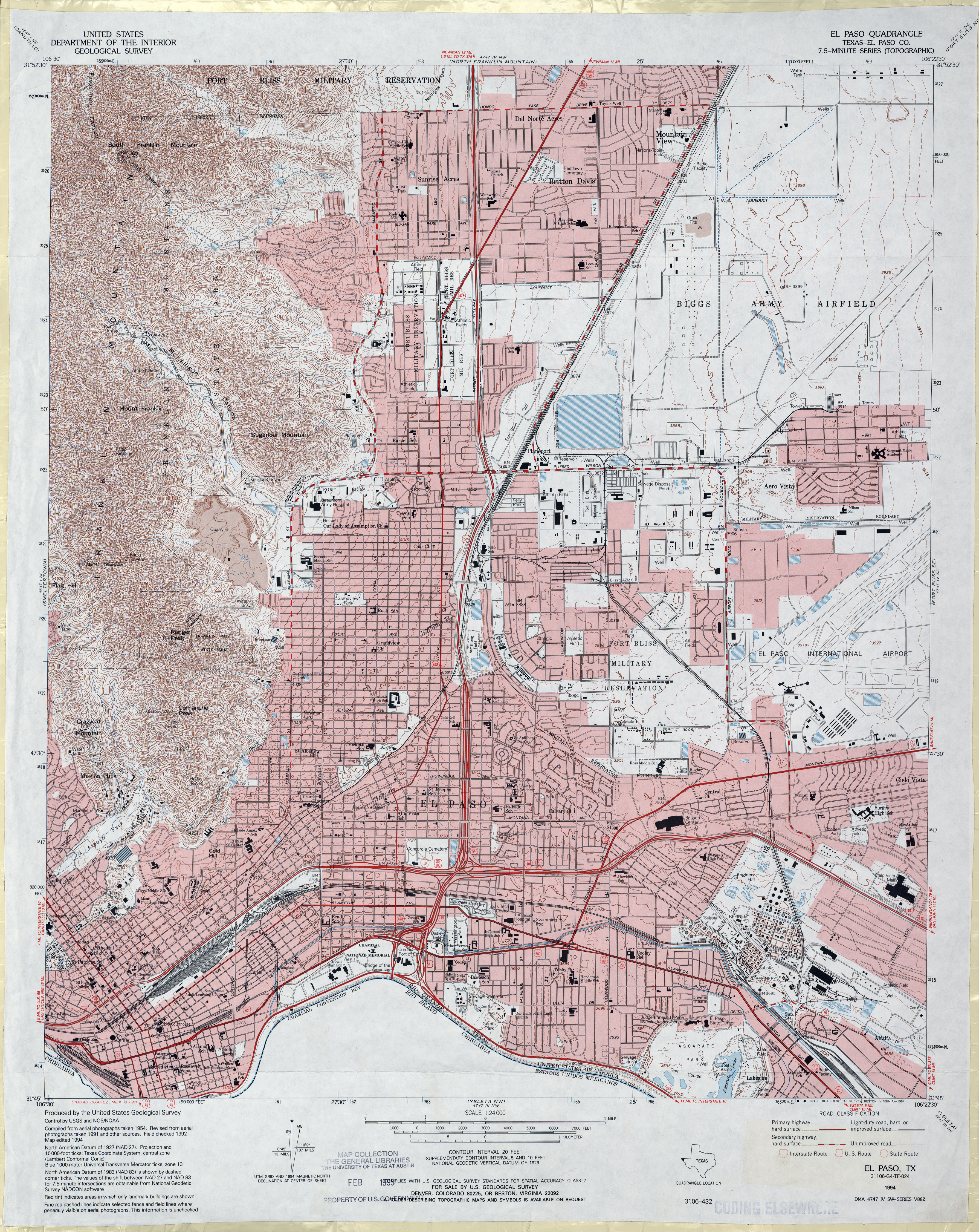
- El Paso (El Paso County) 1:24,000 1955 (5.2MB)
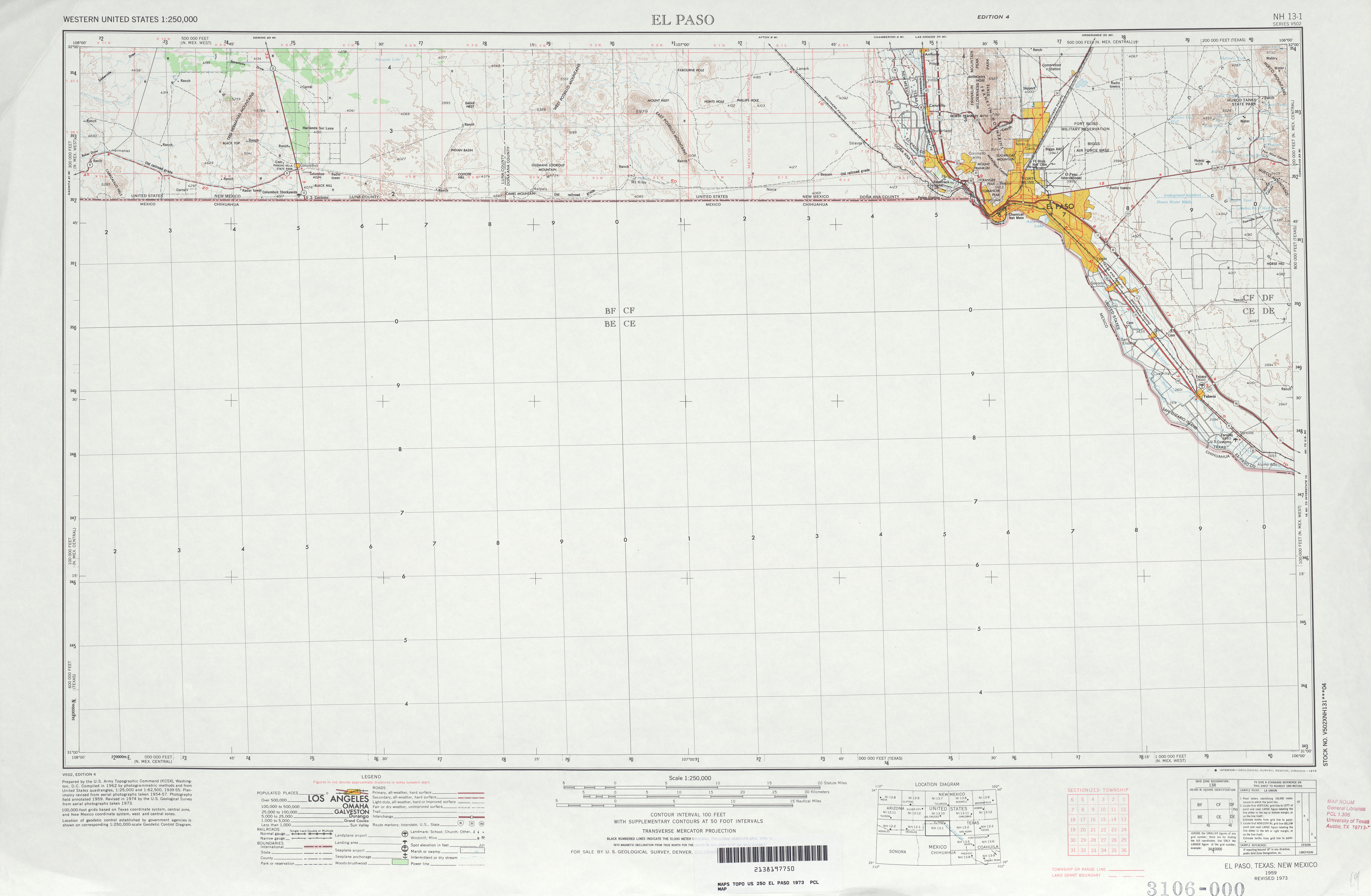
- El Paso 1:250,000 1962 (3.9MB)
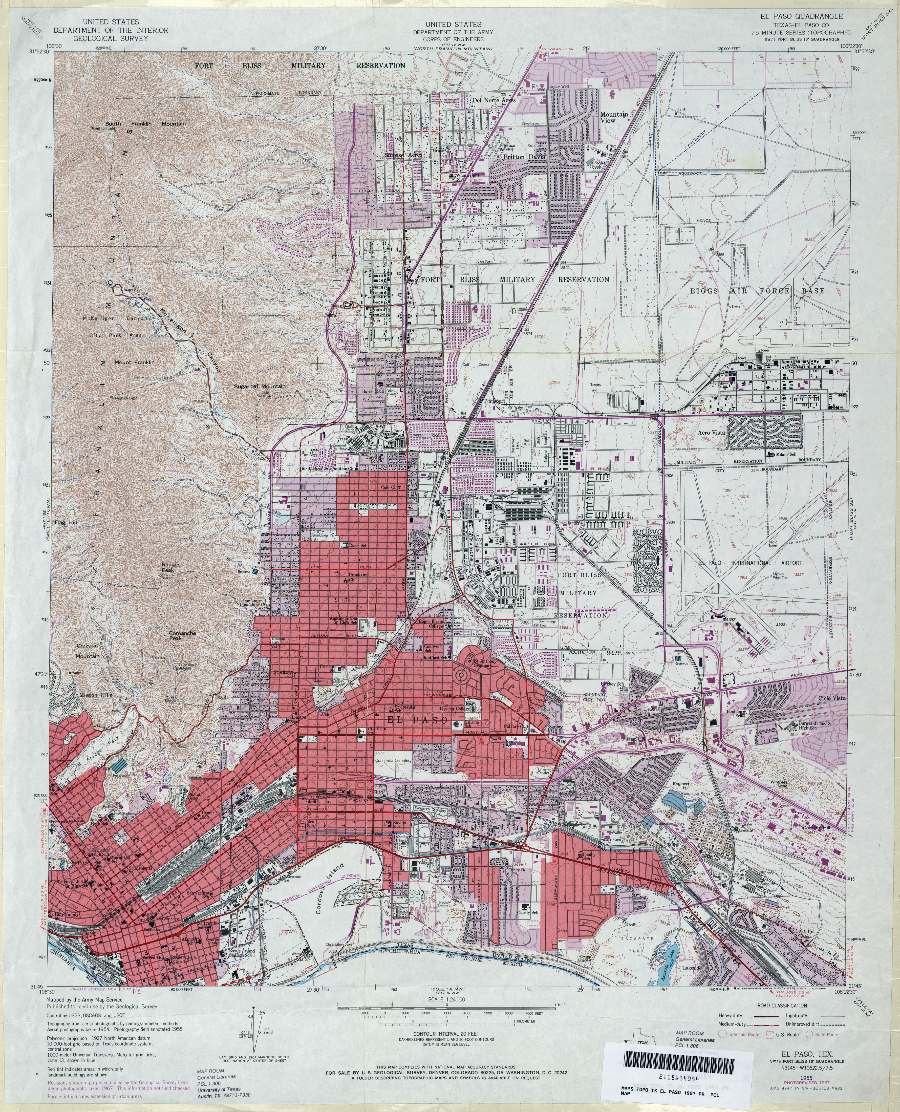
- El Paso (El Paso County) 1:24,000 1967 (5.1MB)
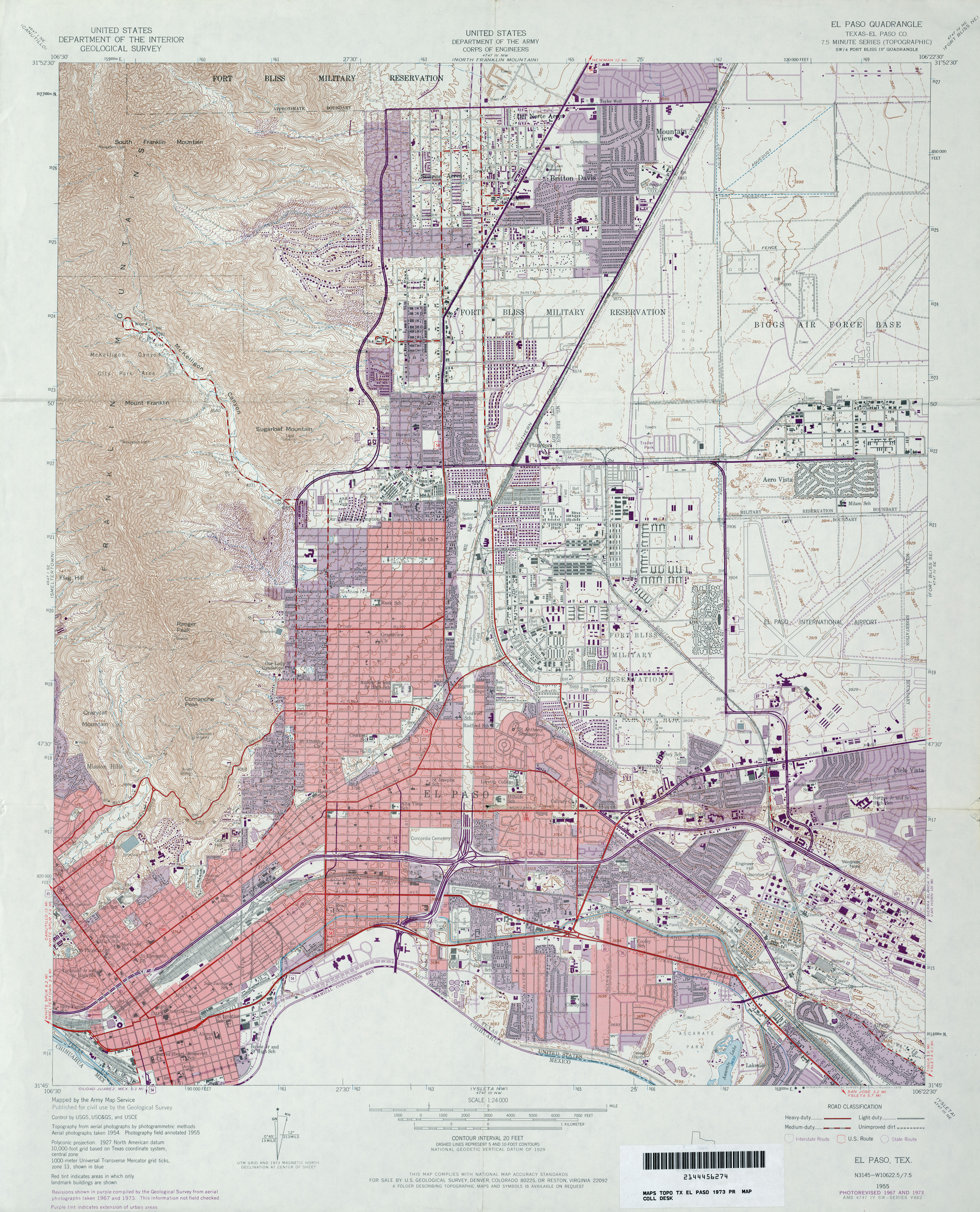
- El Paso (El Paso County) 1:24,000 1973 (5.1MB)
- El Paso 1:250,000 1973 (3.9MB)
- El Paso 1:50,000 1991 (5.8MB) U.S. Defense Mapping Agency, Series V782.
- El Paso (El Paso County) 1:24,000 1994 (5.4MB)
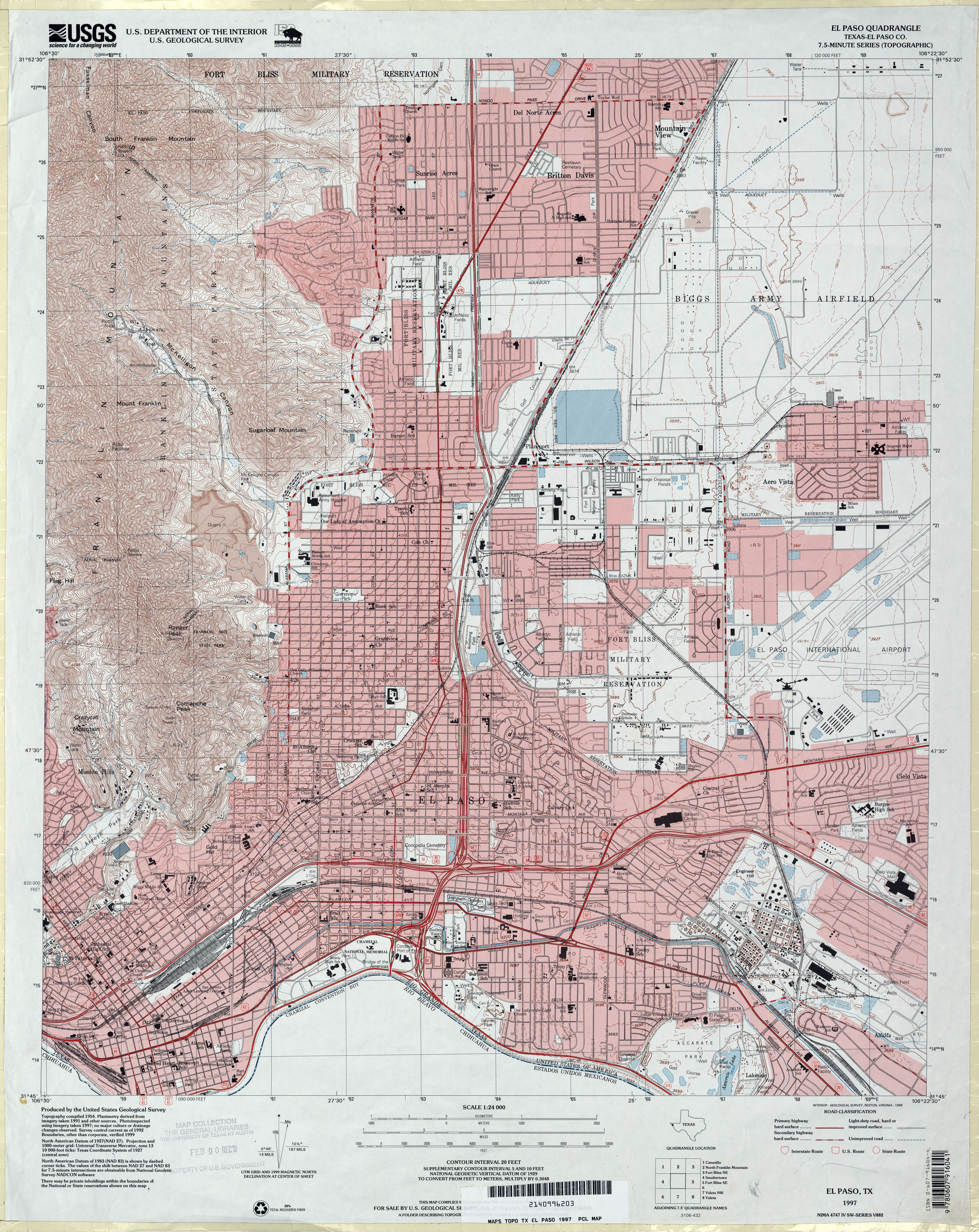
- El Paso (El Paso County) 1:24,000 1997 (5.3MB)
- El Paso 1:24,000 2008 (21.5MB) [GeoPDF]
- El Paso 1:24,000 2012 (27.7MB) [GeoPDF]
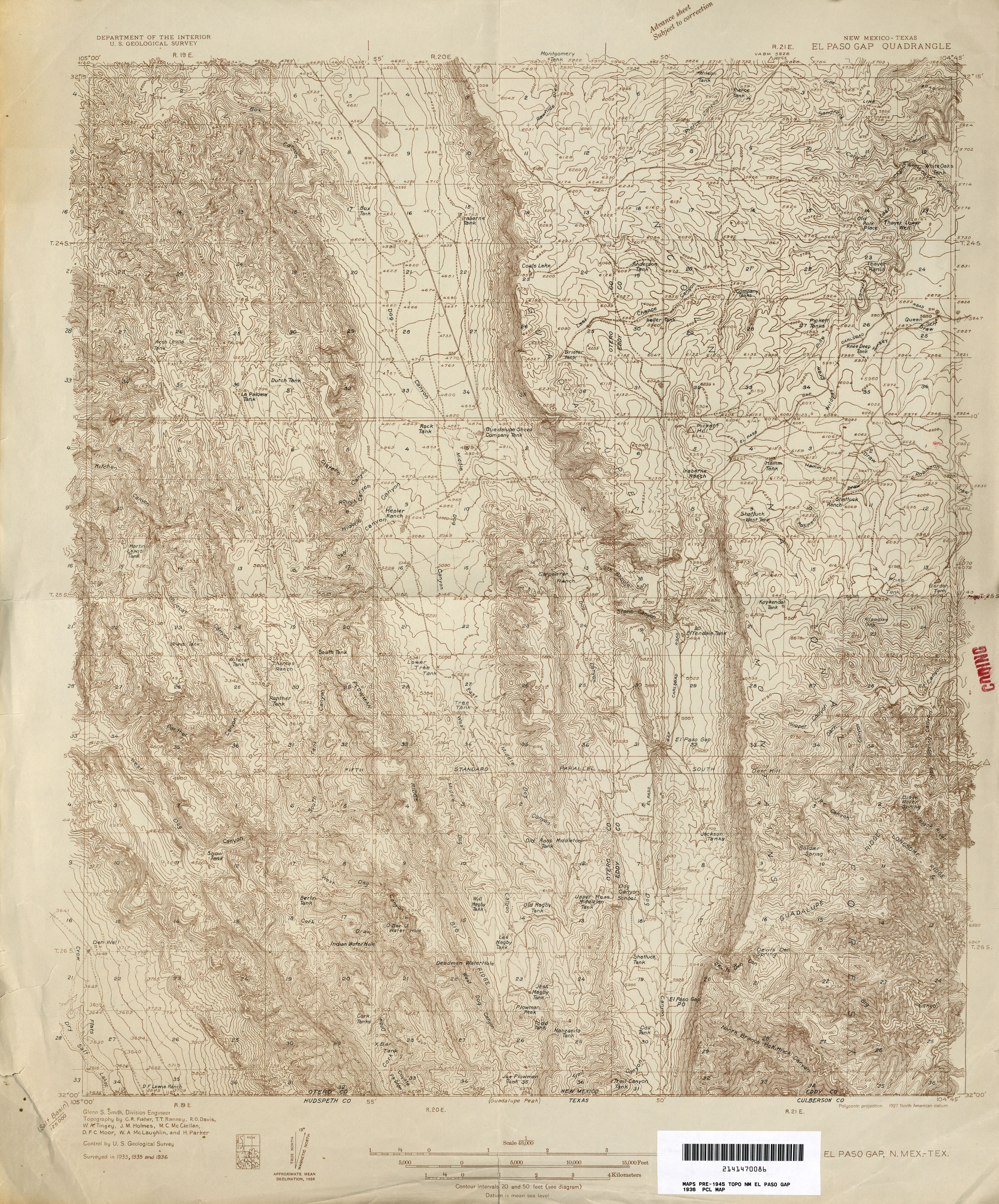
- El Paso Gap [New Mexico, Texas] 1:62,500 1935 (4.7MB)
- El Paso Gap [New Mexico, Texas] 1:48,000 1936 (5.1MB)
- El Paso Gap [New Mexico, Texas] 1:24,000 2009 (26.9MB) [GeoPDF]
- El Paso West 1:50,000 1991 (6MB) U.S. Defense Mapping Agency, Series V782.
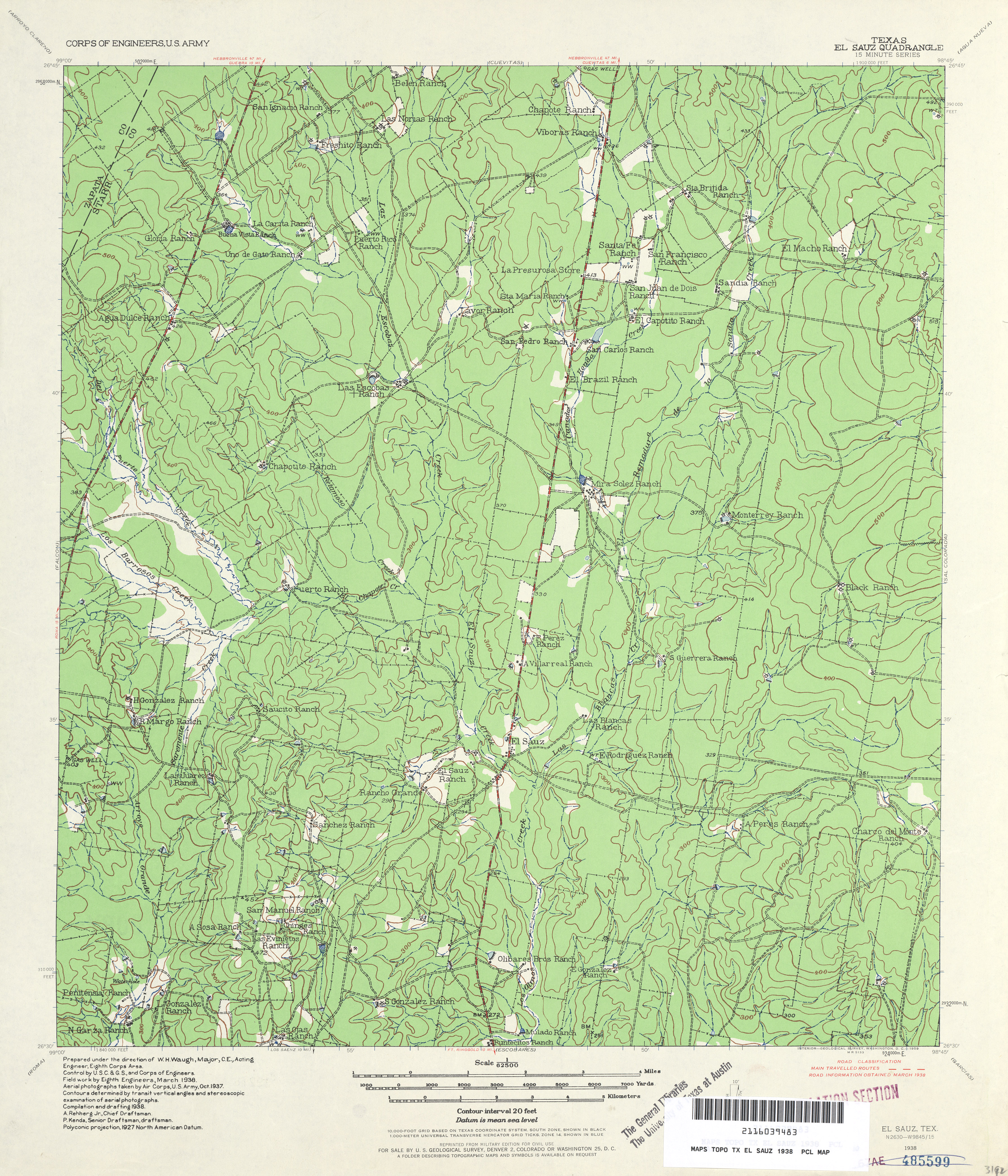
- El Sauz 1:62,500 1938 (4.6 MB) U.S. Army. Corps of Engineers. 15 Minute Series
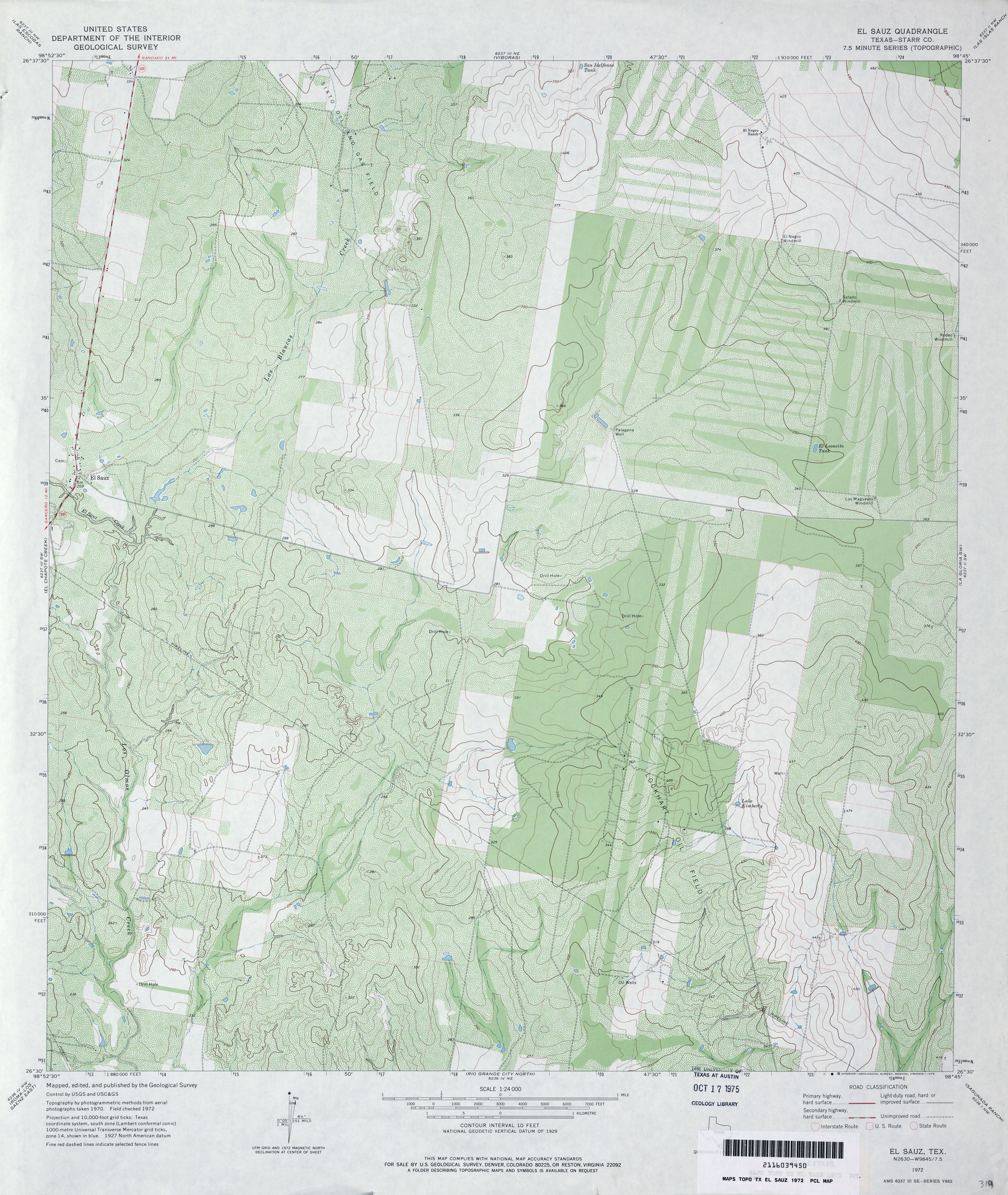
- El Sauz (Starr County) 1:24,000 1972 (4.3MB)
- El Sauz (Starr County) 1:24,000 1993 (3.9MB)
- El Sauz 1:24,000 2008 (25.2MB) [GeoPDF]
- El Sauz 1:24,000 2012 (25.7MB) [GeoPDF]
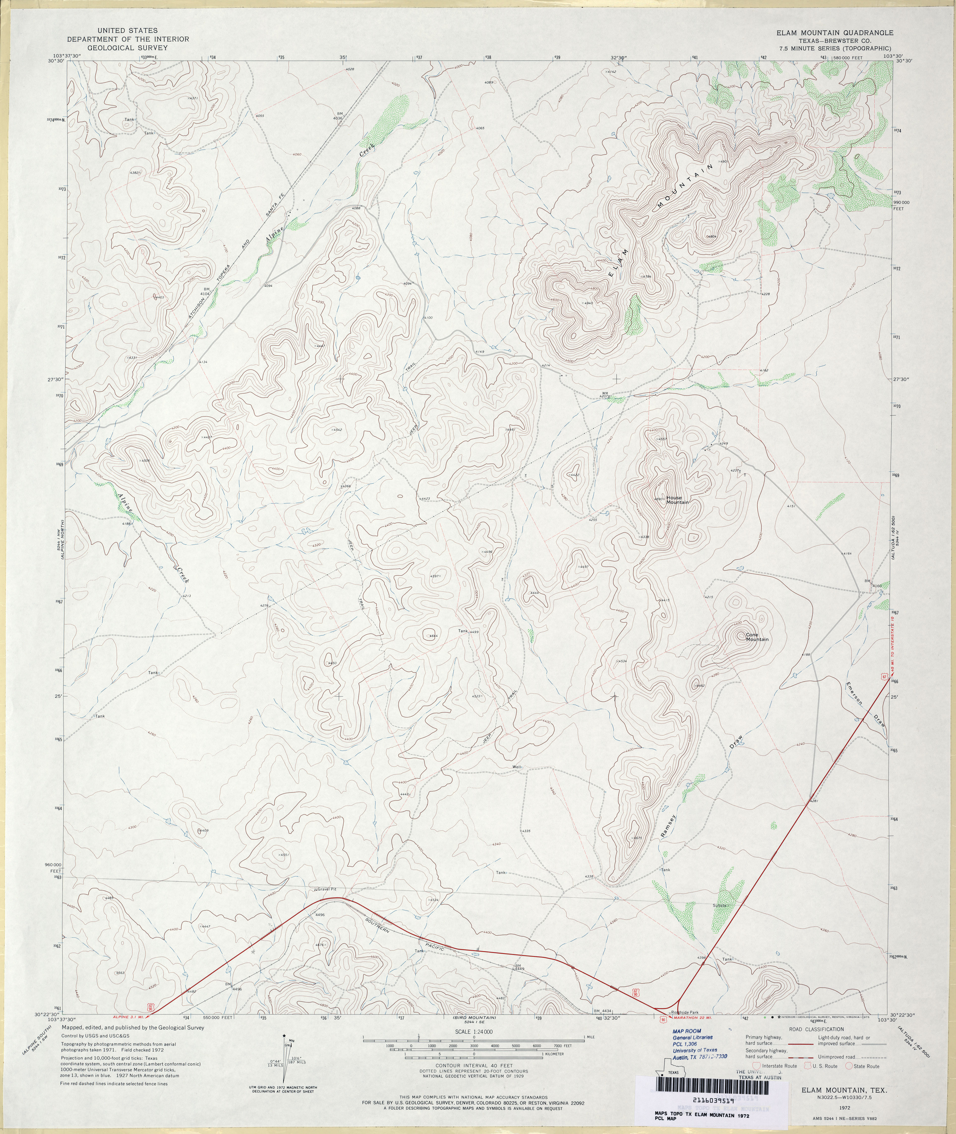
- Elam Mountain (Brewster County) 1:24,000 1972 (2.9MB)
- Elam Mountain 1:24,000 2008 (16.0MB) [GeoPDF]
- Elam Mountain 1:24,000 2012 (19.4MB) [GeoPDF]
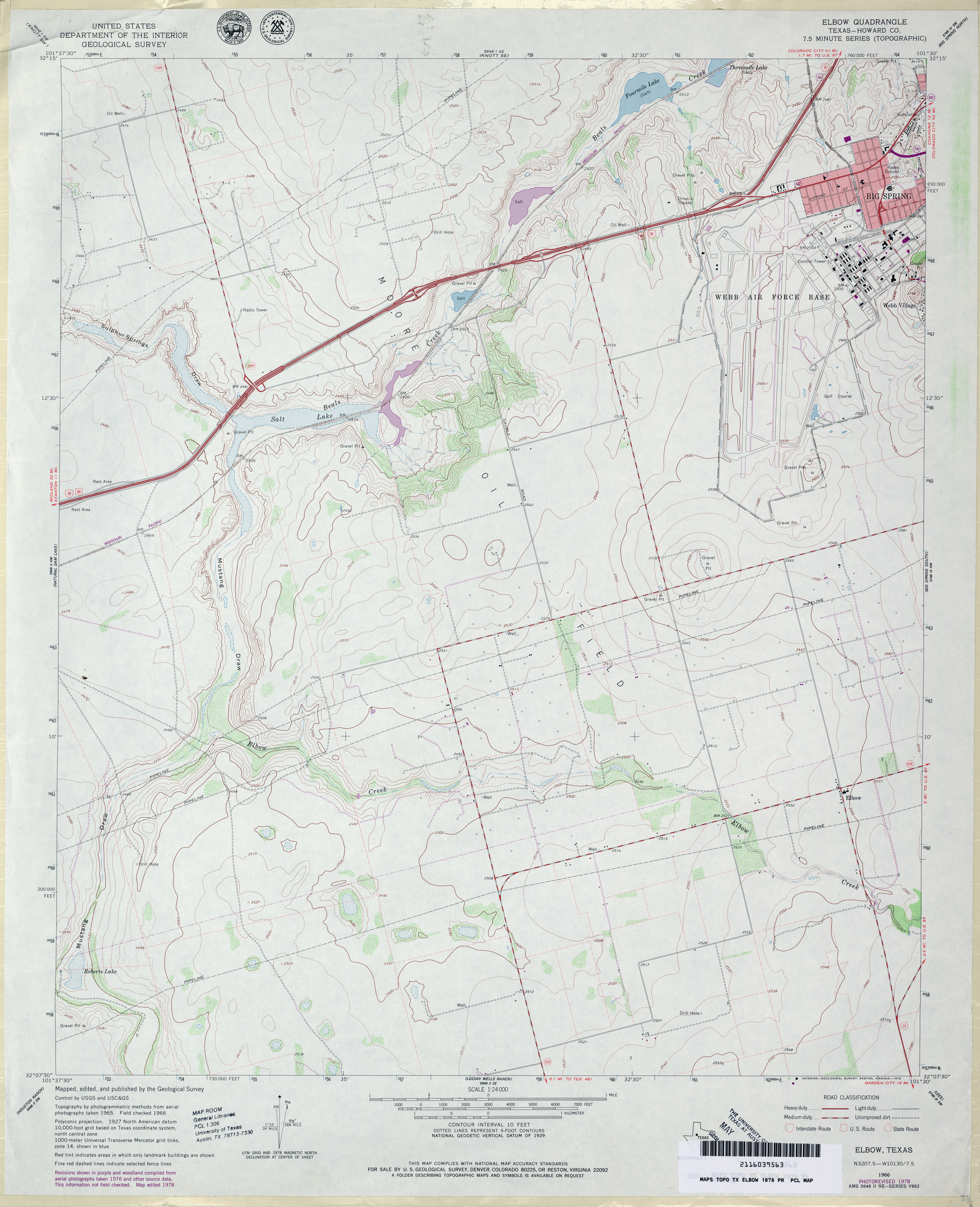
- Elbow (Howard County) 1:24,000 1966 (2.9MB)
- Elbow (Howard County) 1:24,000 1978 (3MB)
- Elbow 1:24,000 2008 (15.4MB) [GeoPDF]
- Elbow 1:24,000 2012 (21.5MB) [GeoPDF]
- Elbow Lake (Edwards County) 1:24,000 1971 (3.6MB)
- Elbow Lake (Edwards County) 1:24,000 1987 (3.8MB)
- Elbow Lake 1:24,000 2008 (20.5MB) [GeoPDF]
- Elbow lake 1:24,000 2012 (29.6MB) [GeoPDF]
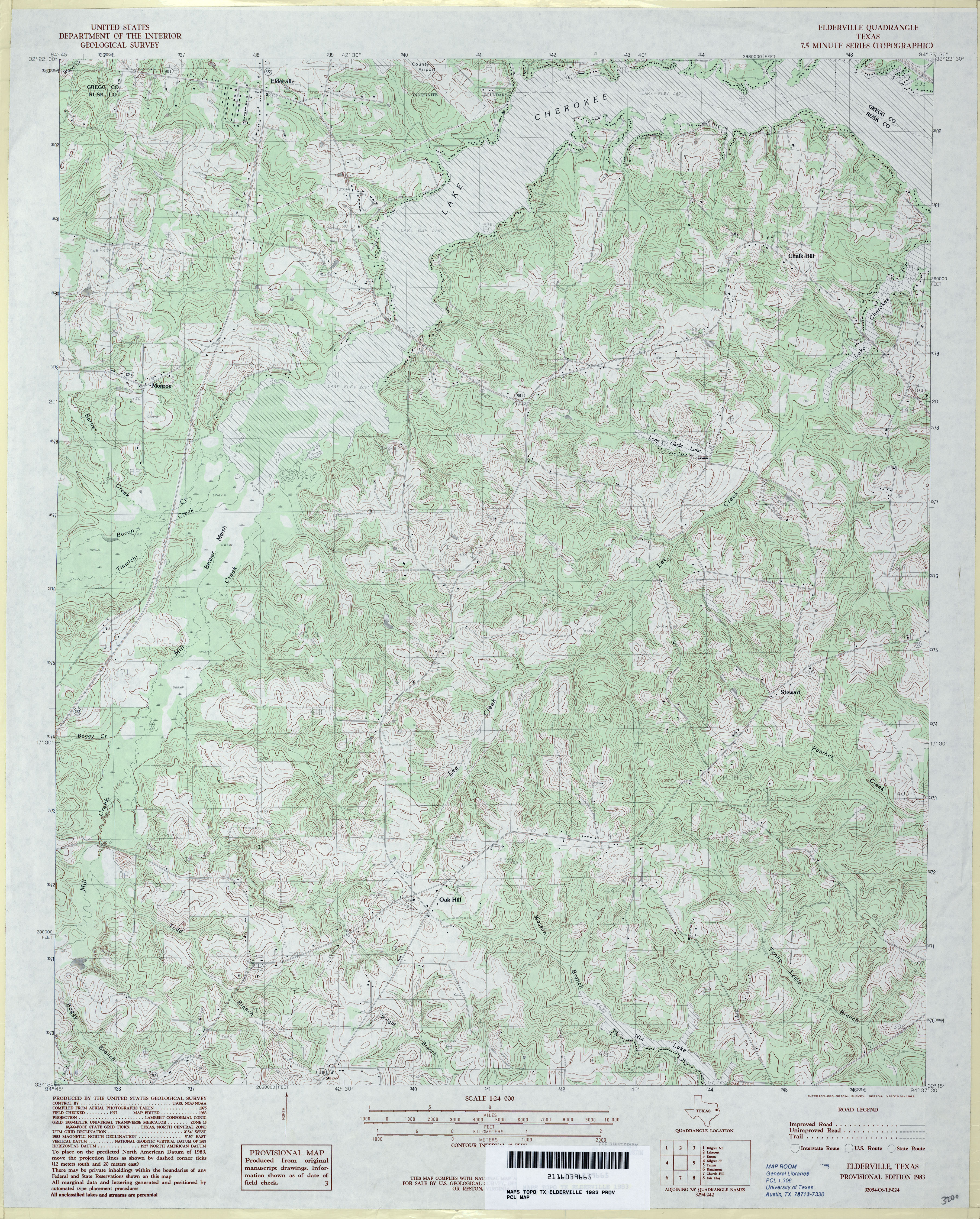
- Elderville 1:24,000 1983 (4.9MB)
- Elderville 1:24,000 2009 (22.1MB) [GeoPDF]
- Elderville 1:24,000 2013 (25.1MB) [GeoPDF]
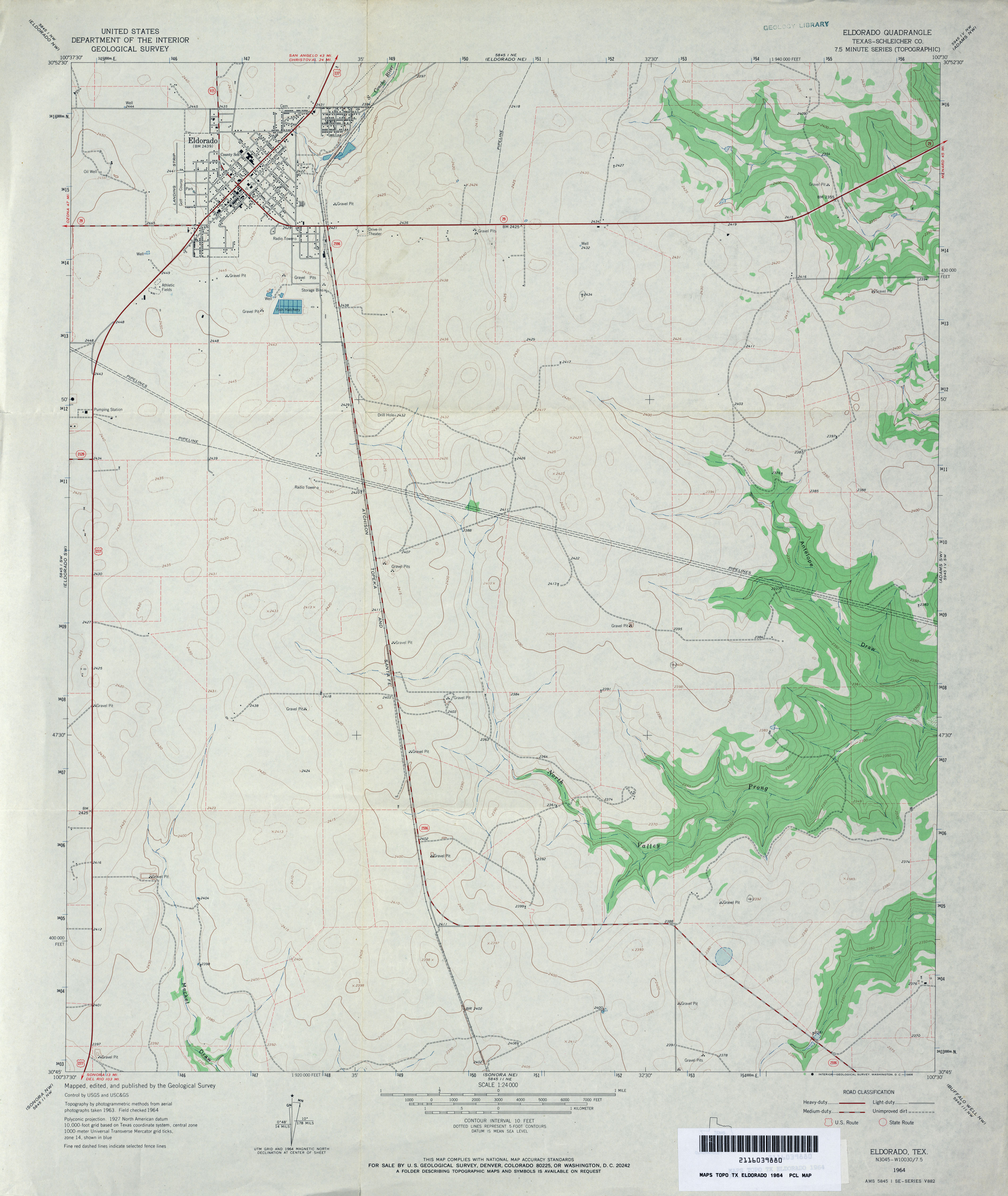
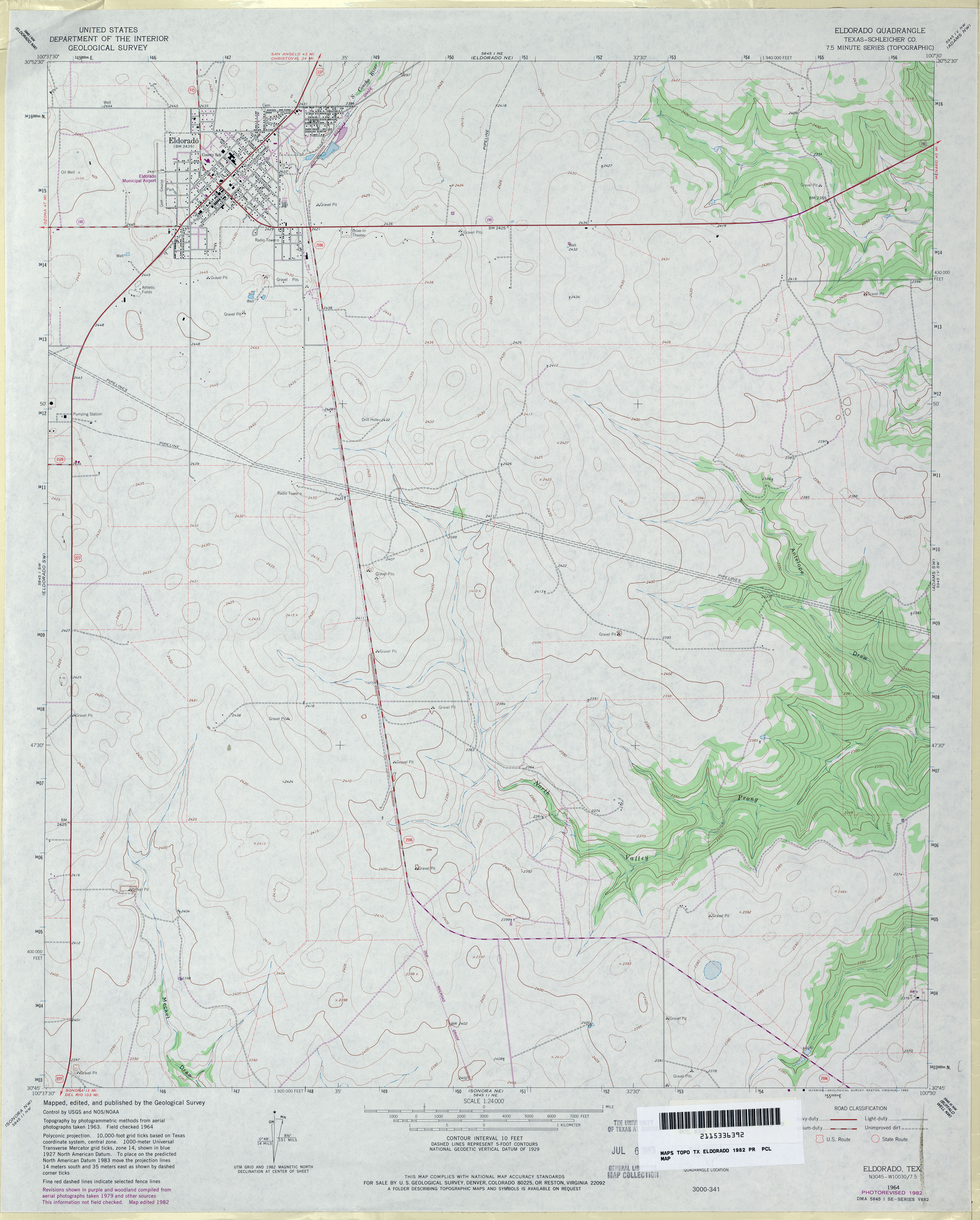
- Eldorado (Schleicher County) 1:24,000 1964 (2.7MB)
- Eldorado (Schleicher County) 1:24,000 1982 (3MB)
- Eldorado 1:24,000 2008 (17.5MB) [GeoPDF]
- Eldorado 1:24,000 2012 (24.4MB) [GeoPDF]
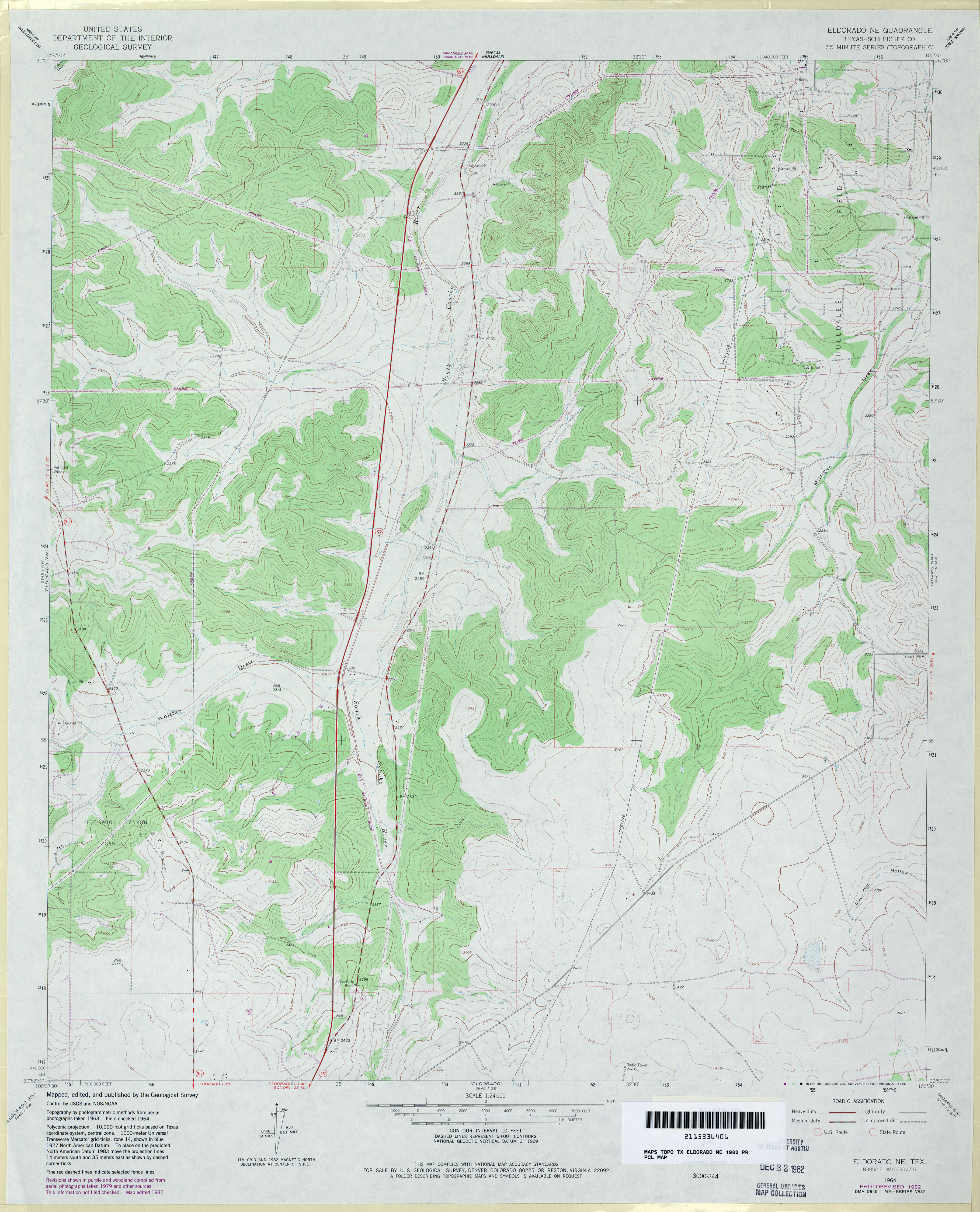
- Eldorado NE (Schleicher County) 1:24,000 1964 (3.3MB)
- Eldorado NE (Schleicher County) 1:24,000 1982 (3.6MB)
- Eldorado NE 1:24,000 2008 (20.2MB) [GeoPDF]
- Eldorado NE 1:24,000 2012 (27MB) [GeoPDF]
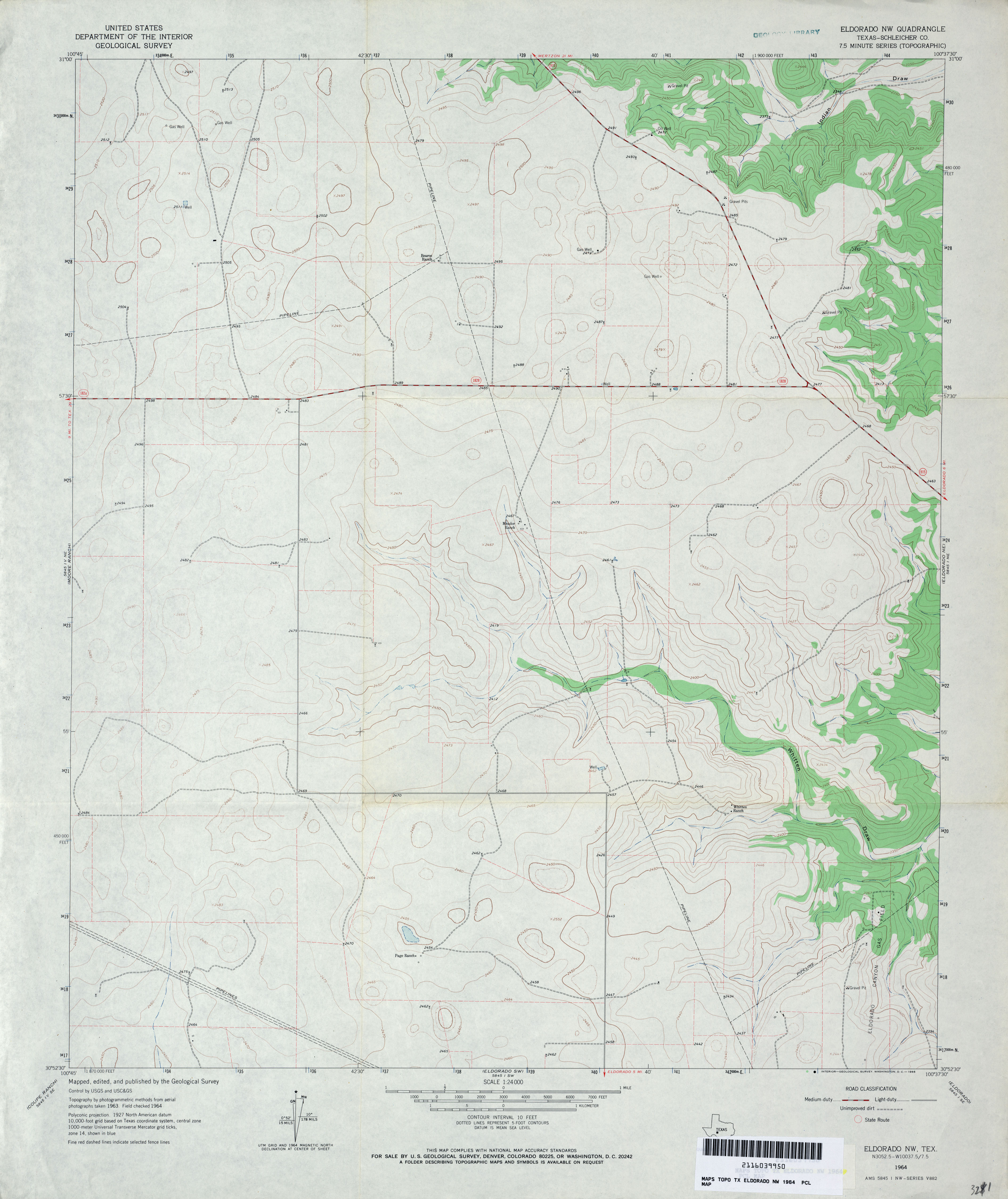
- Eldorado NW (Schleicher County) 1:24,000 1964 (2.7MB)
- Eldorado NW (Schleicher County) 1:24,000 1982 (2.7MB)
- Eldorado NW 1:24,000 2008 (17.4MB) [GeoPDF]
- Eldorado NW 1:24,000 2012 (24.2MB) [GeoPDF]
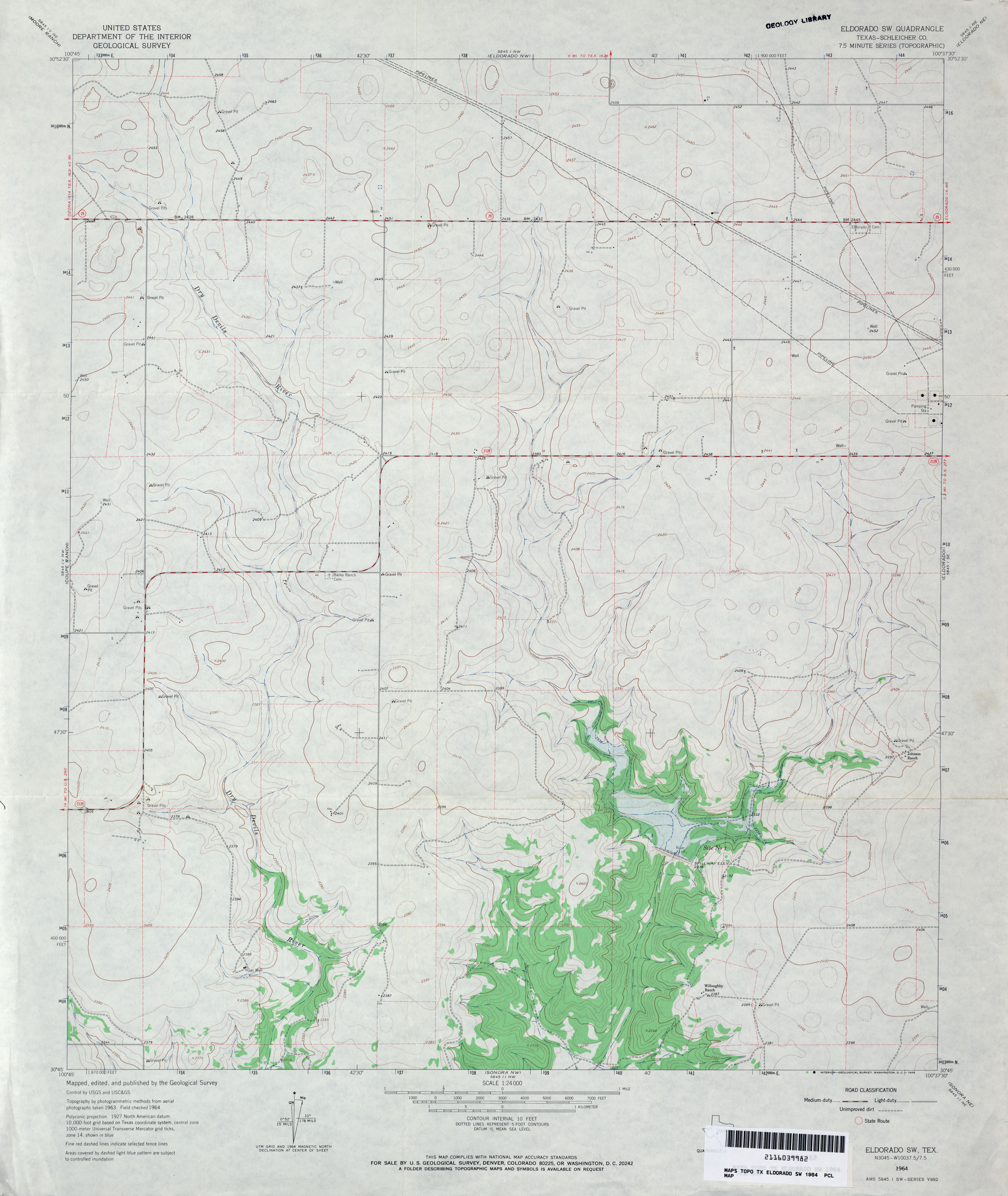
- Eldorado SW (Schleicher County) 1:24,000 1964 (2.9MB)
- Eldorado SW (Schleicher County) 1:24,000 1982 (3MB)
- Eldorado SW 1:24,000 2008 (16.8MB) [GeoPDF]
- Eldorado SW 1:24,000 2012 (23.3MB) [GeoPDF]
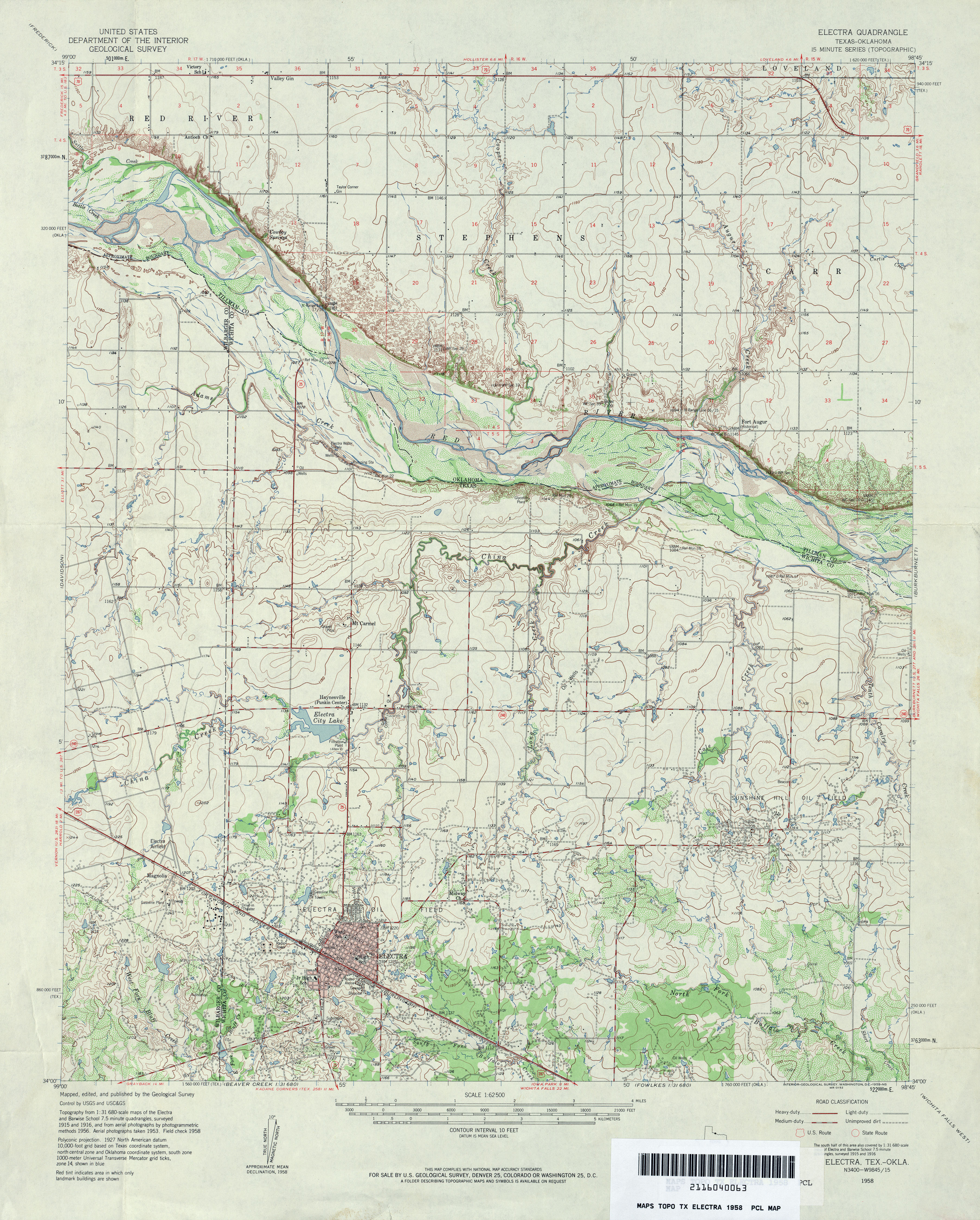
- Electra 1:24,000 1916 (3.7MB)
- Electra 1:62,500 1958 (4.6MB)
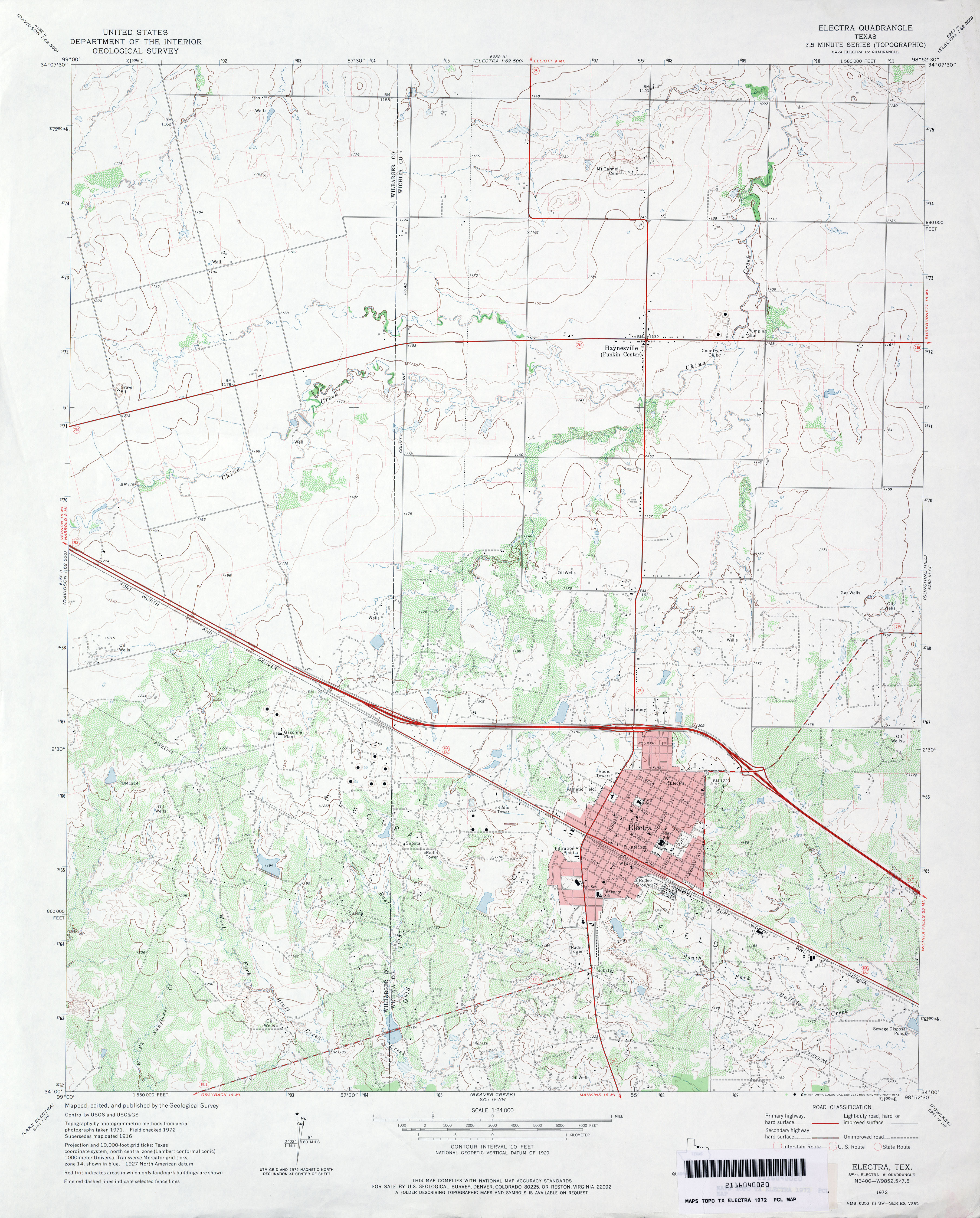
- Electra 1:24,000 1972 (3.5MB)
- Electra 1:24,000 1991 (3.5MB)
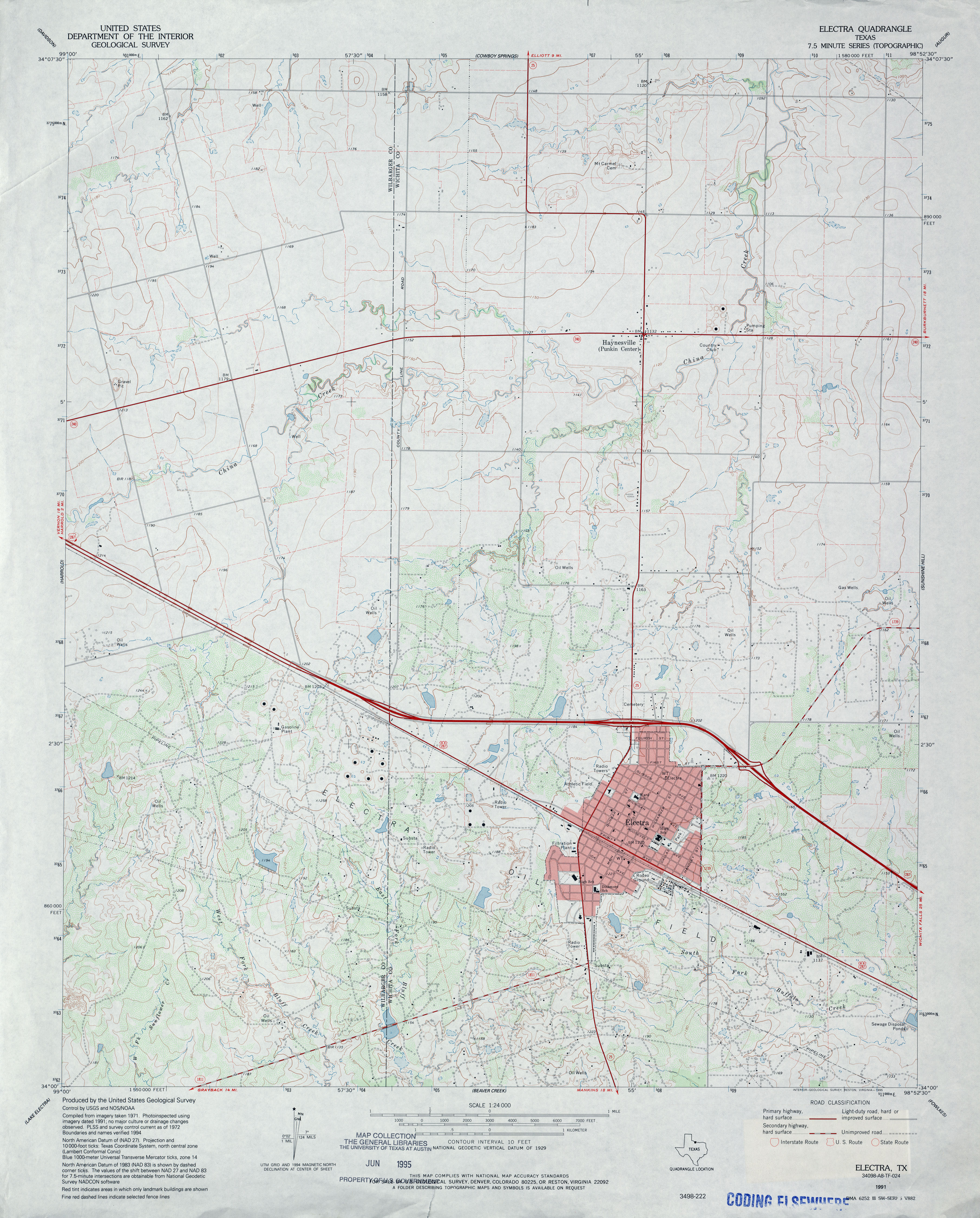
- Electra 1:24,000 2008 (11.6MB) [GeoPDF]
- Electra 1:24,000 2012 (18.2MB) [GeoPDF]
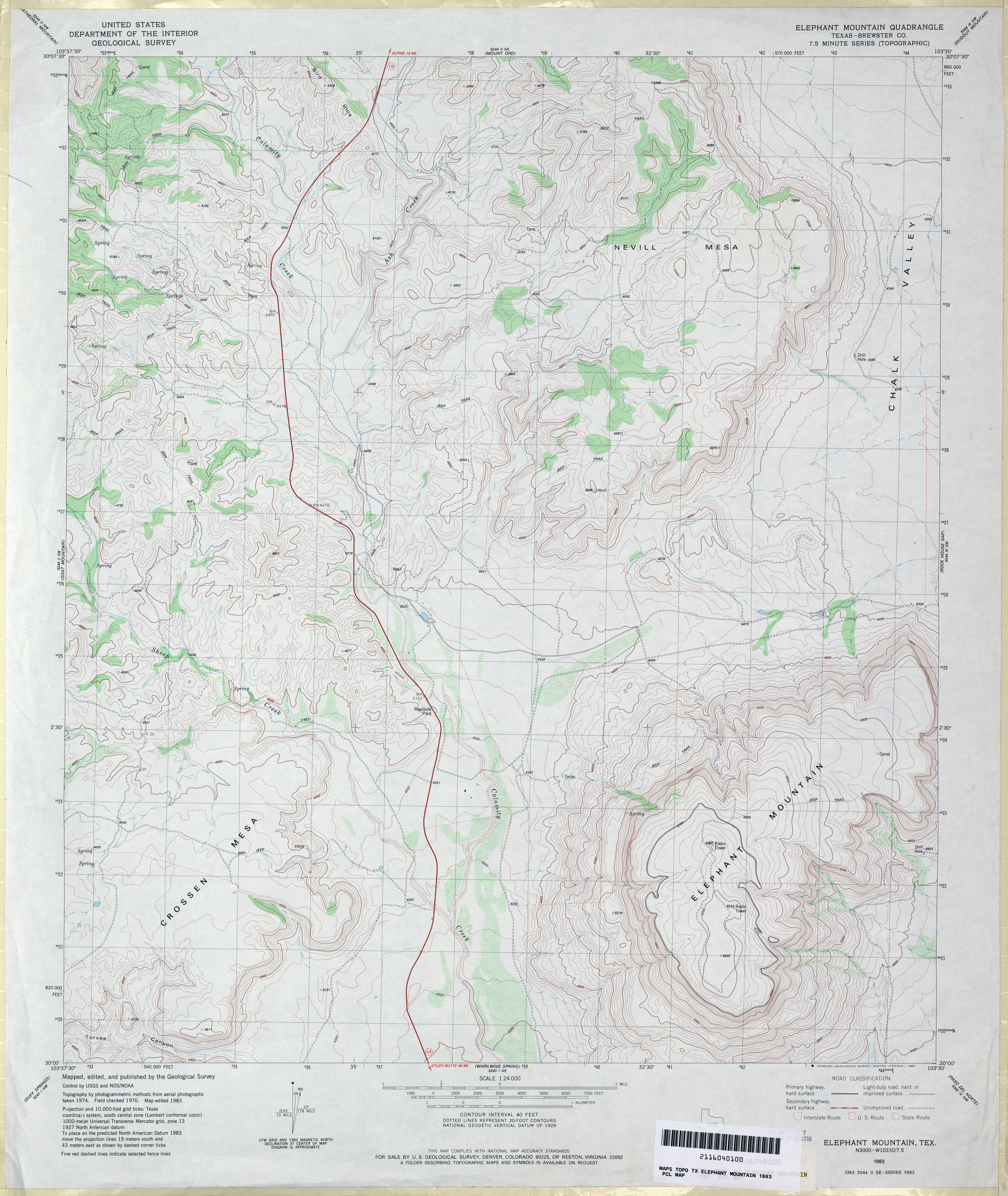
- Elephant Mountain (Brewster County) 1:24,000 1983 (3.7MB)
- Elephant Mountain 1:24,000 2008 (22.2MB) [GeoPDF]
- Elephant Mountain 1:24,000 2012 (21.9MB) [GeoPDF]
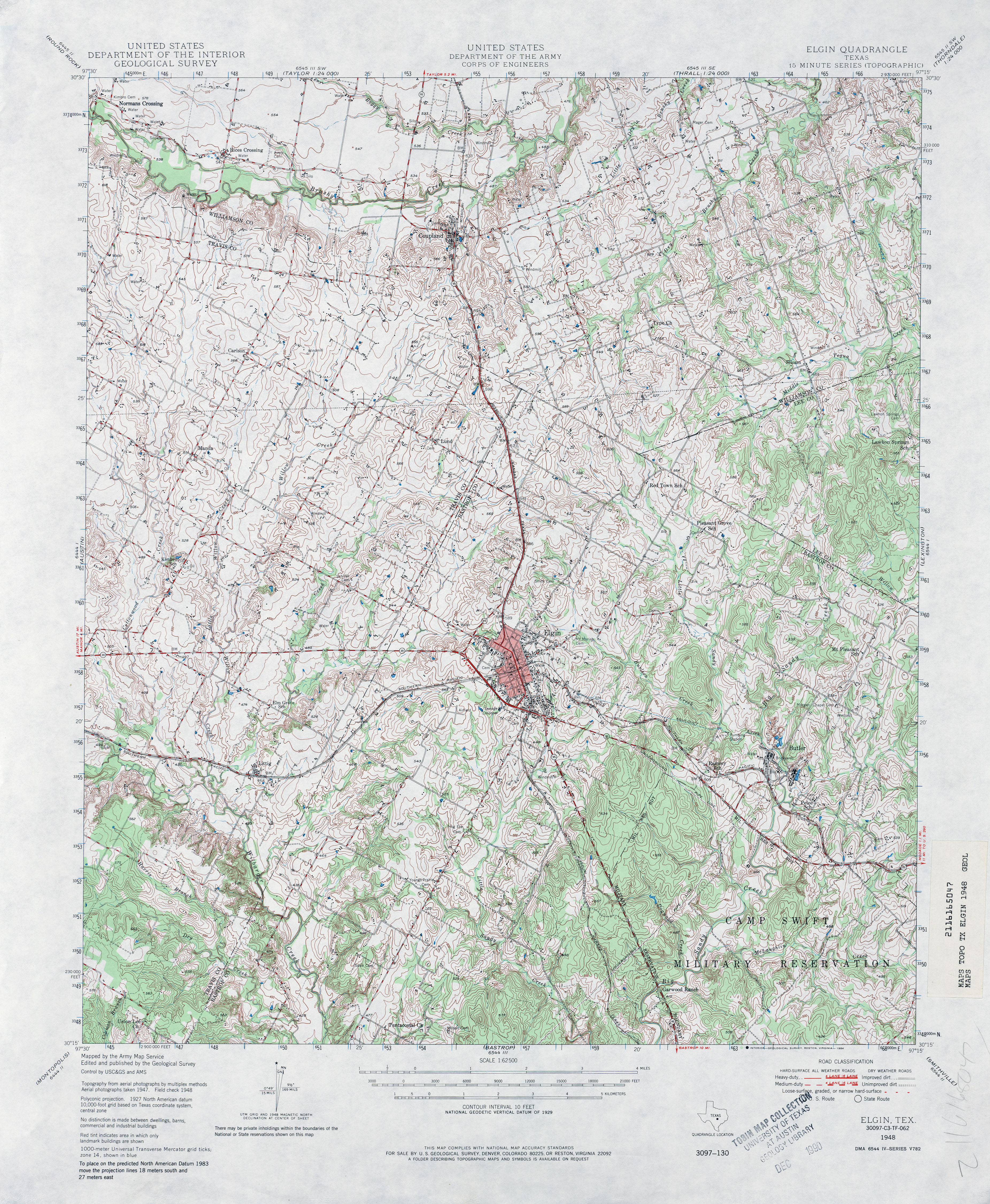
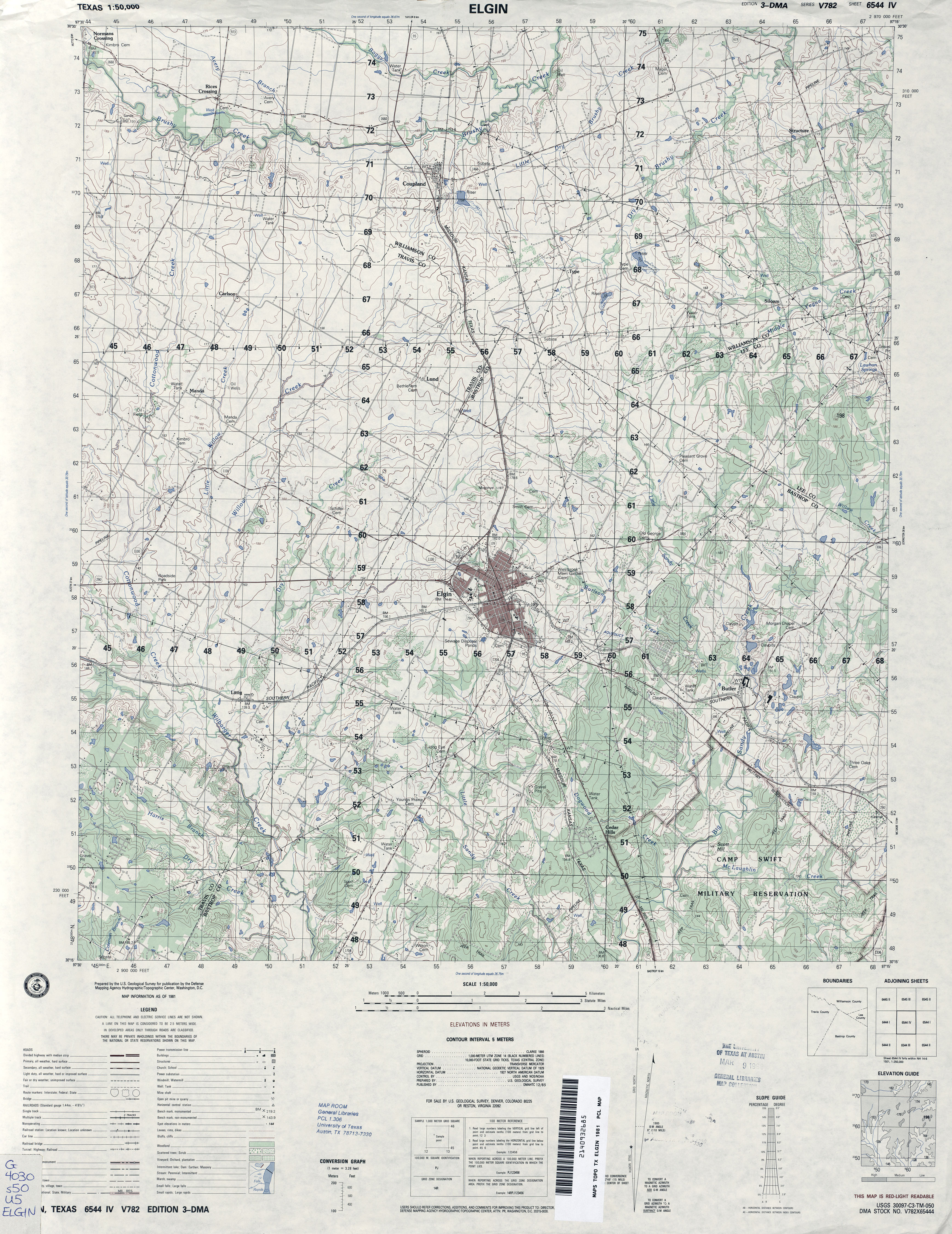
- Elgin 1:62,500 1948 (6MB)
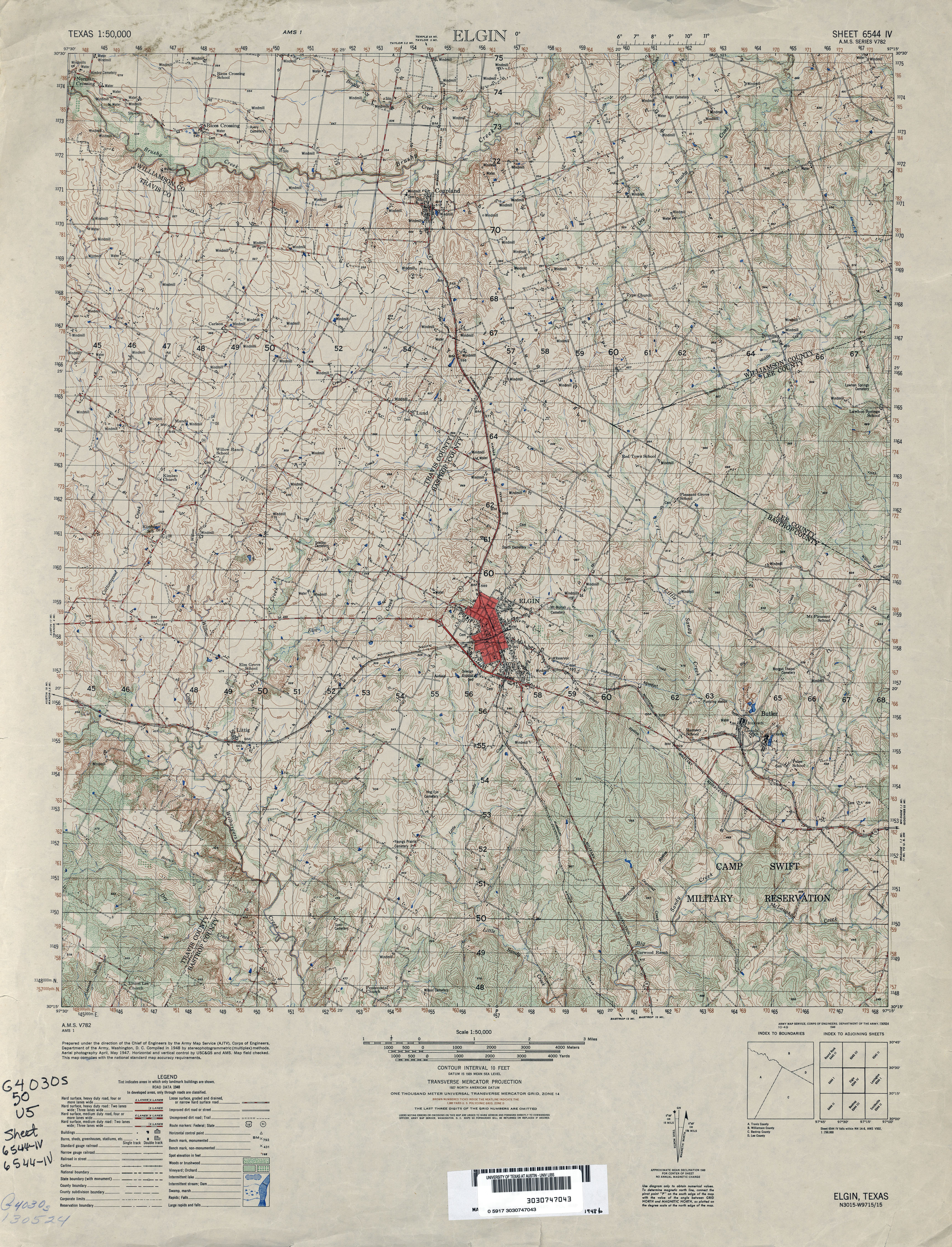
- Elgin 1:50,000 1948 (5.3MB) U.S. Army Map Service, Series V782.
- Elgin 1:50,000 1981 (4.3MB) U.S. Defense Mapping Agency, Series V782.
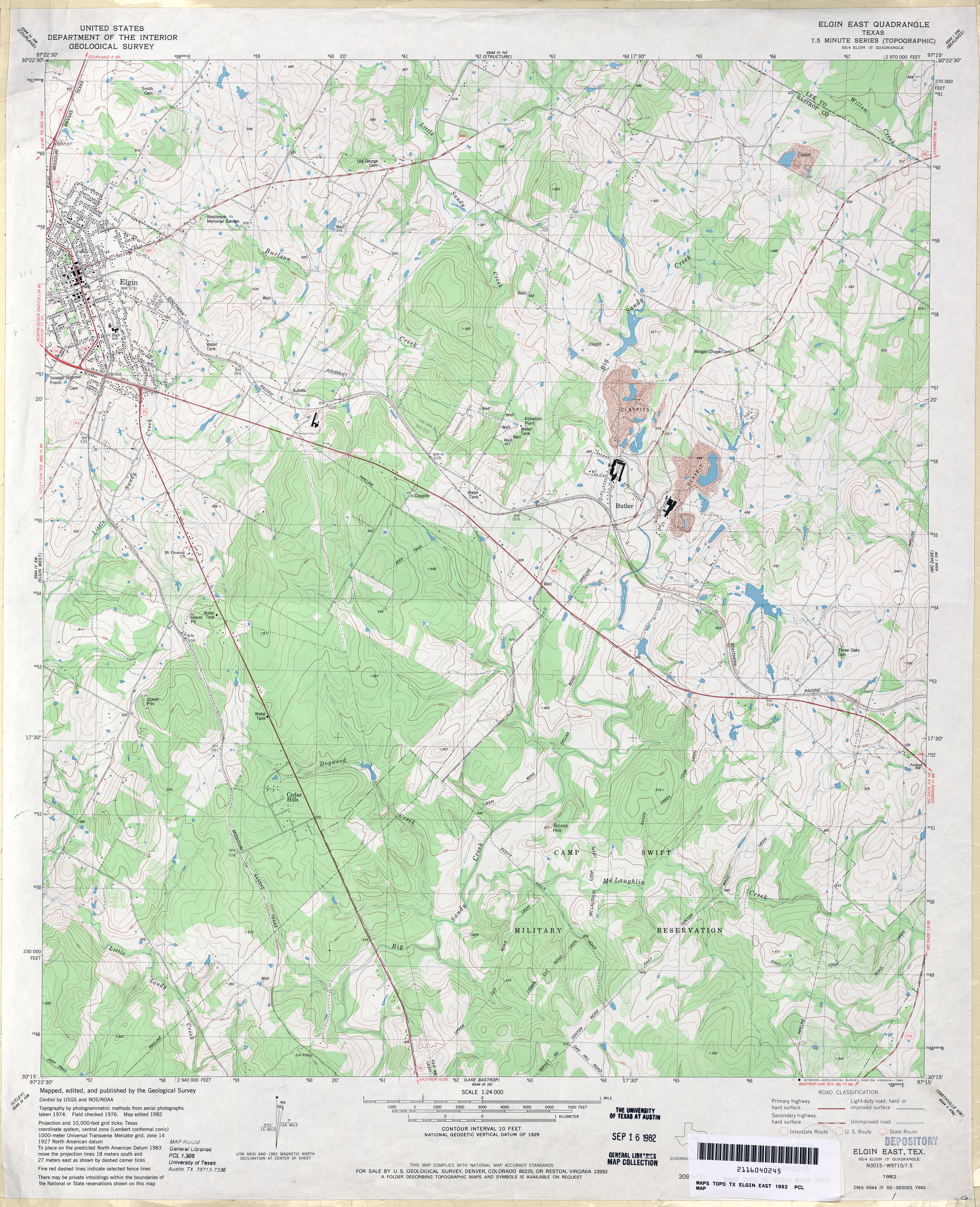
- Elgin East 1:24,000 1982 (4.5MB)
- Elgin East 1:24,000 2008 (15.4MB) [GeoPDF]
- Elgin East 1:24,000 2012 (27MB) [GeoPDF]
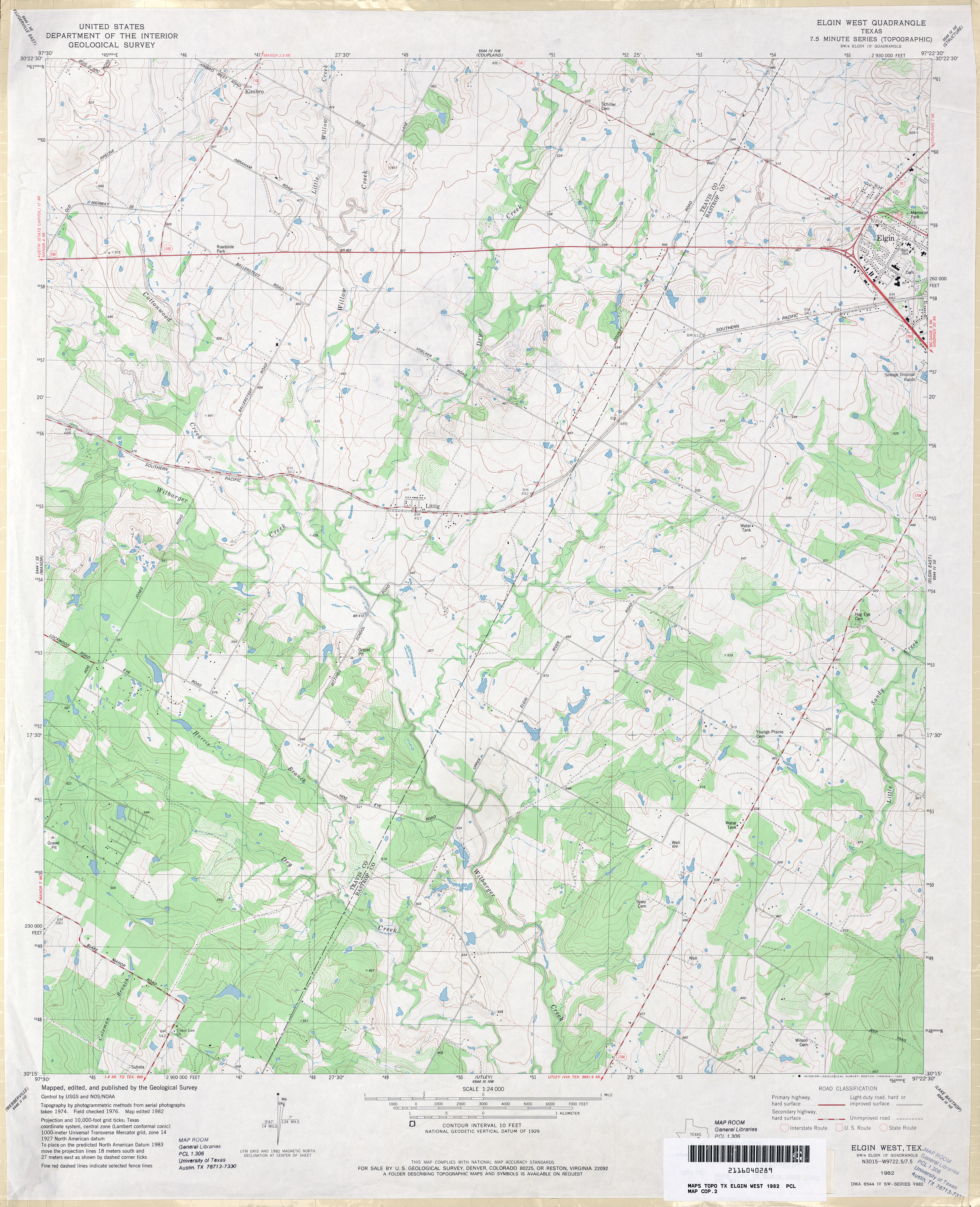
- Elgin West 1:24,000 1982 (4MB)
- Elgin West 1:24,000 2008 (13.7MB) [GeoPDF]
- Elgin West 1:24,000 2012 (24.2MB) [GeoPDF]
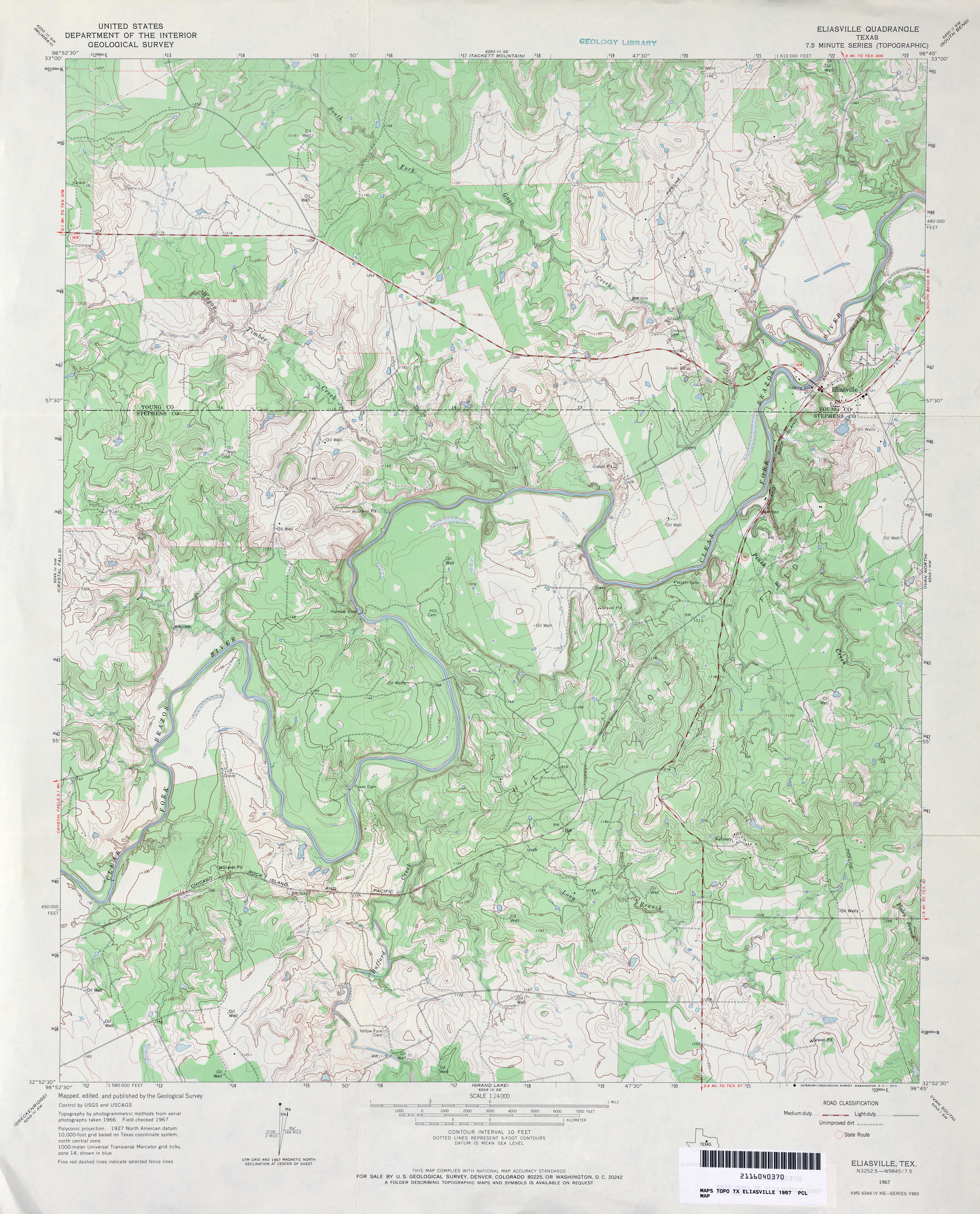
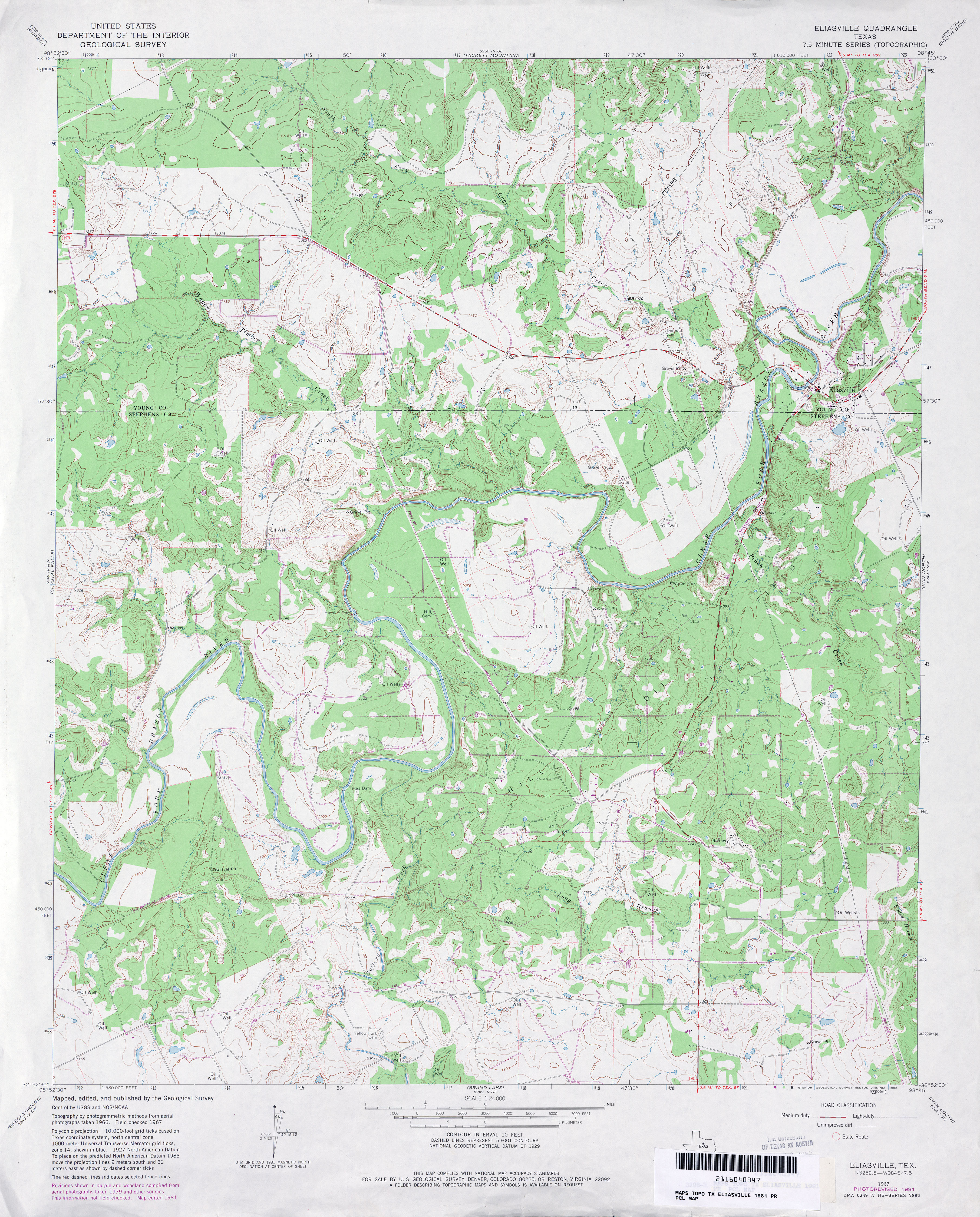
- Eliasville 1:24,000 1967 (4.3MB)
- Eliasville 1:24,000 1981 (4.5MB)
- Eliasville 1:24,000 2008 (18.9MB) [GeoPDF]
- Eliasville 1:24,000 2012 (23.8MB) [GeoPDF]
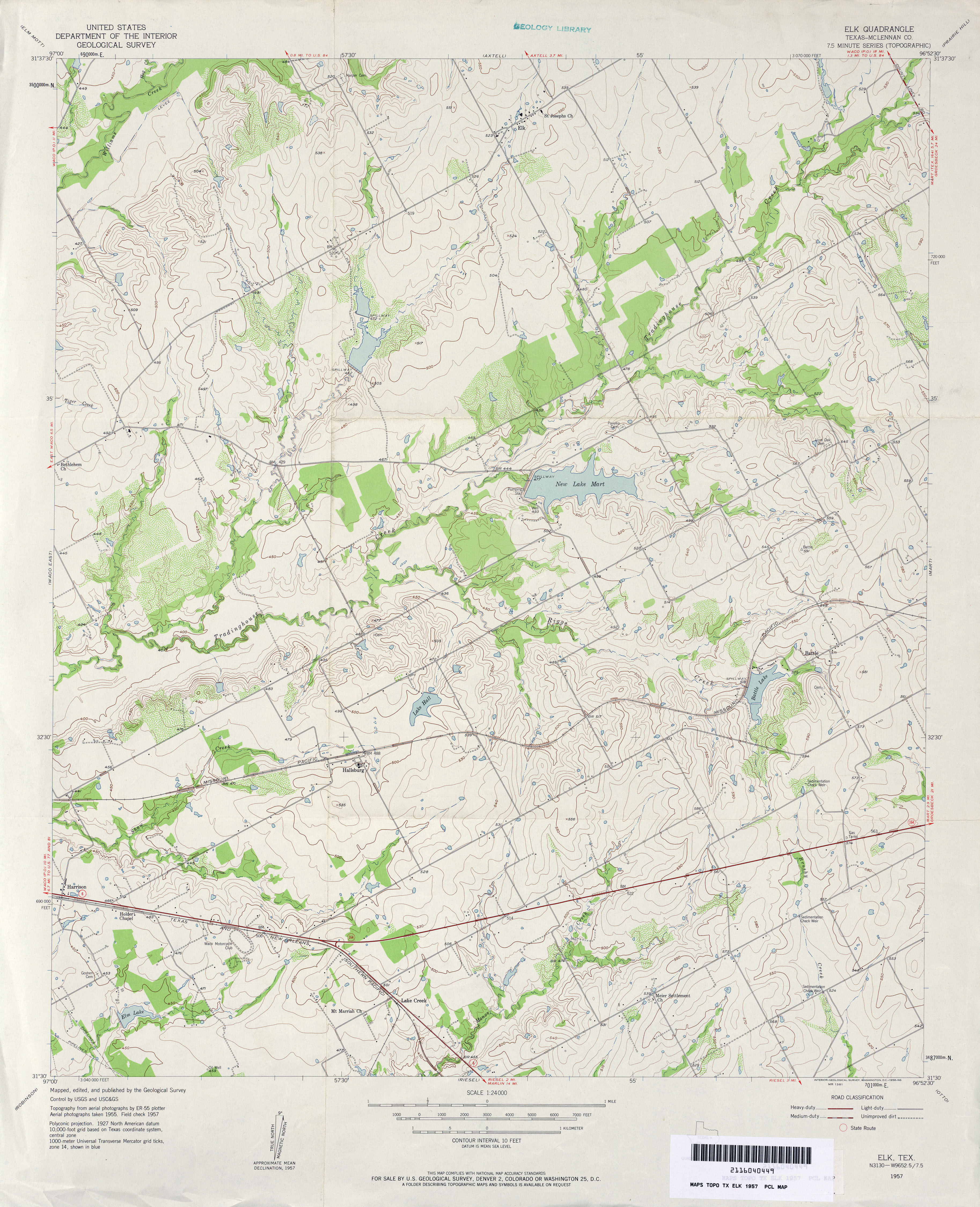
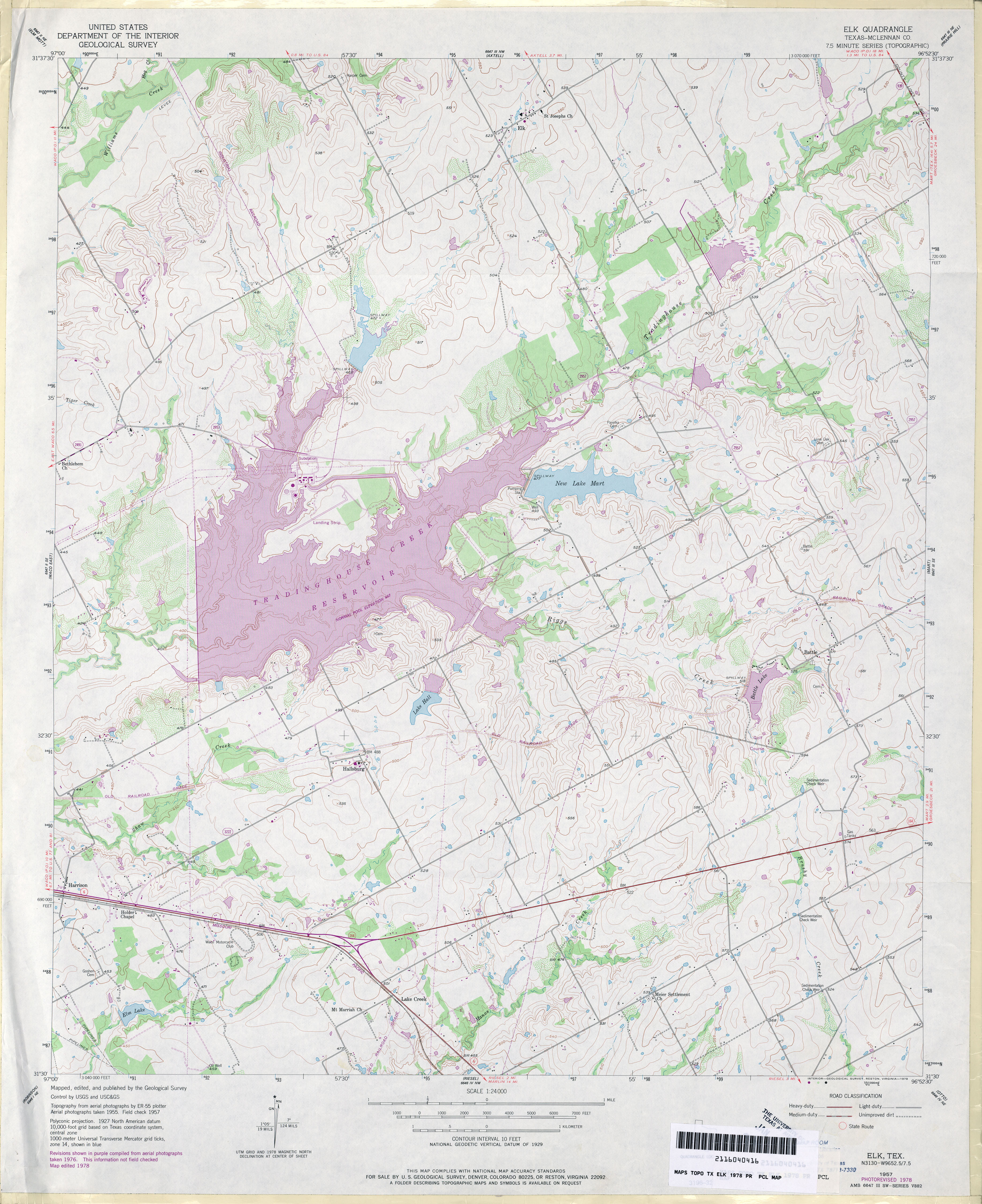
- Elk (McLennan County) 1:24,000 1957 (3.9MB)
- Elk (McLennan County) 1:24,000 1978 (4.1MB)
- Elk 1:24,000 2008 (13.7MB) [GeoPDF]
- Elk 1:24,000 2013 (20.1MB) [GeoPDF]
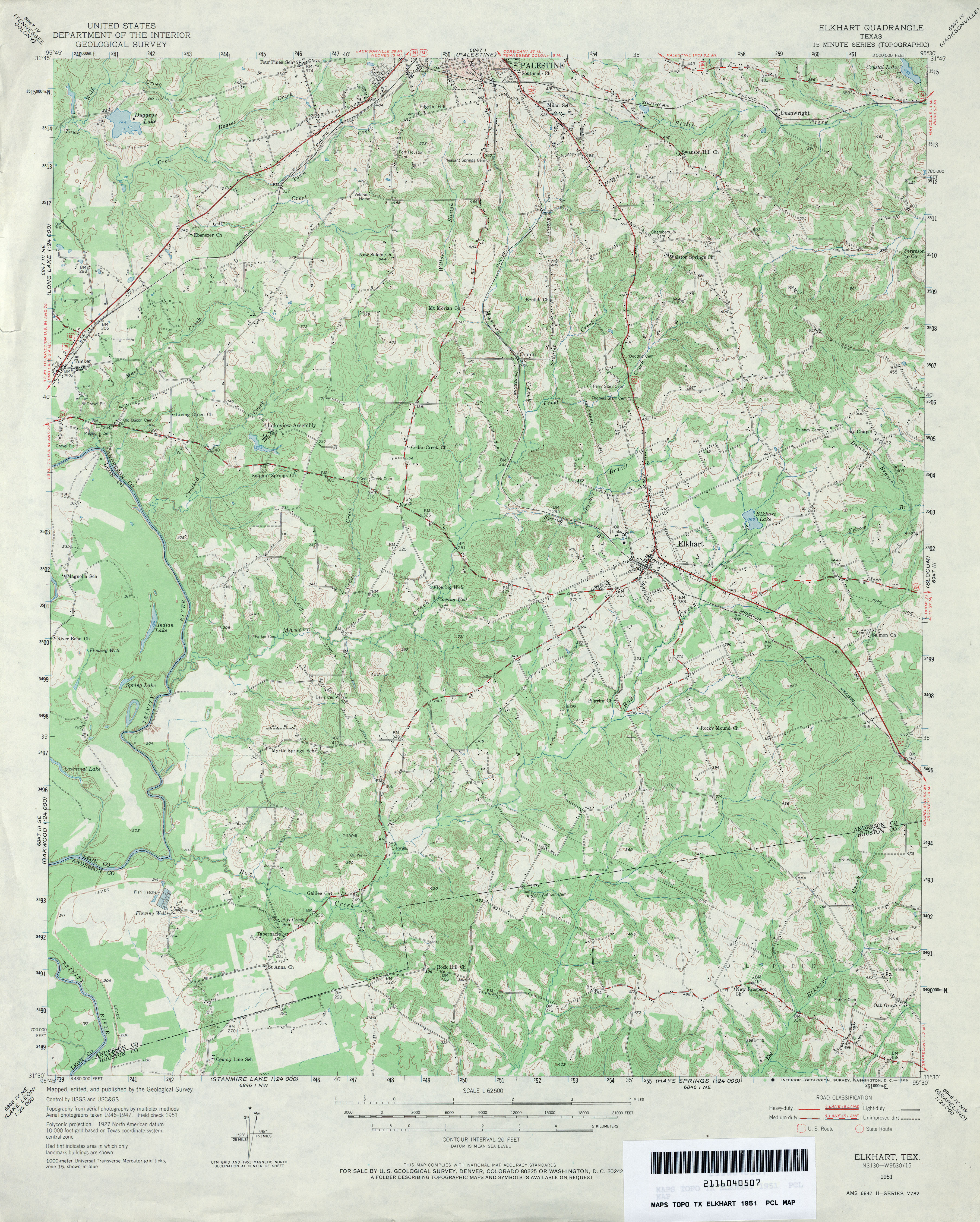
- Elkhart 1:62,500 1951 (4.7MB)
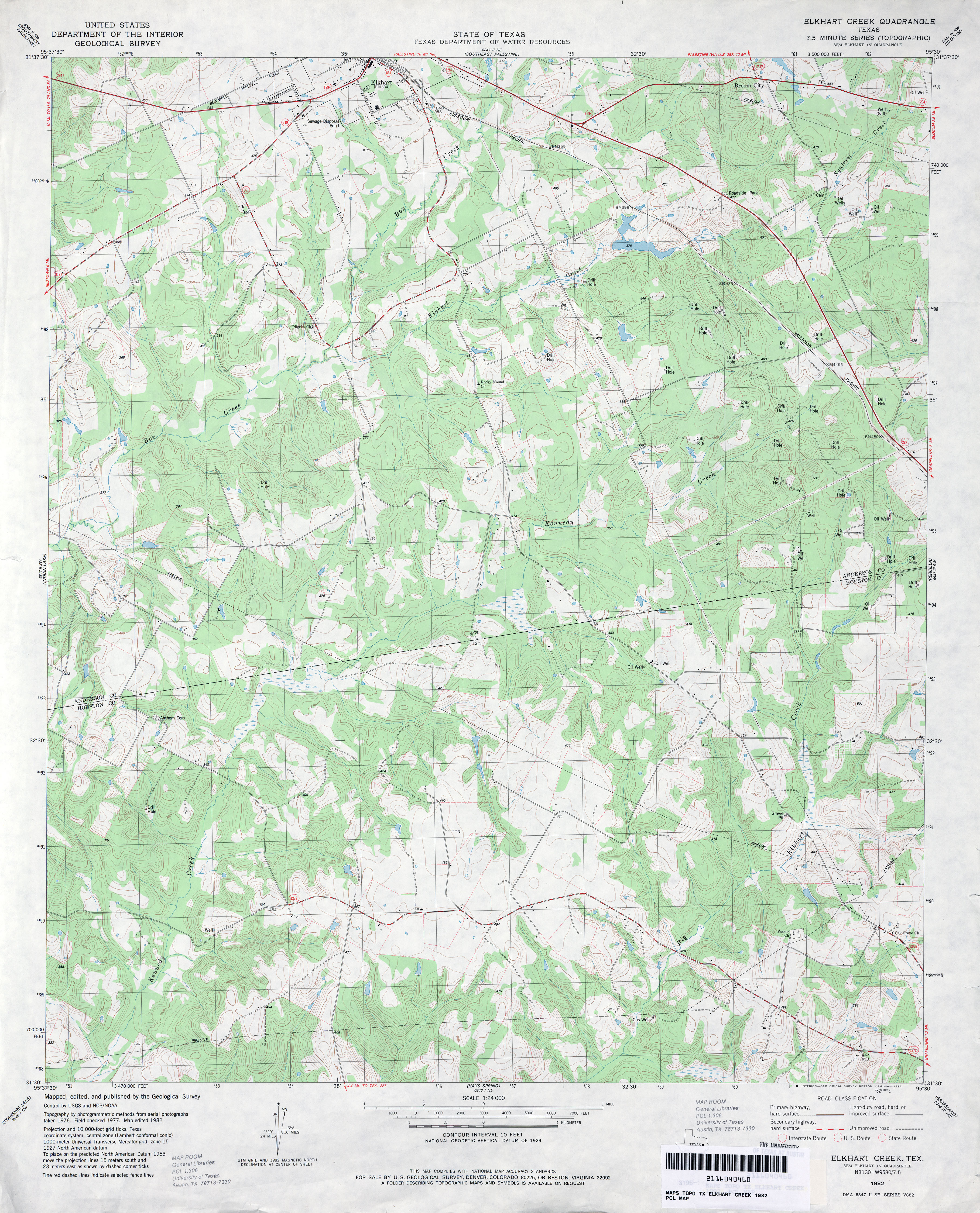
- Elkhart Creek 1:24,000 1982 (4.2MB)
- Elkhart Creek 1:24,000 20 (15.5MB) [GeoPDF]
- Elkhart Creek 1:24,000 2013 (25.3MB) [GeoPDF]
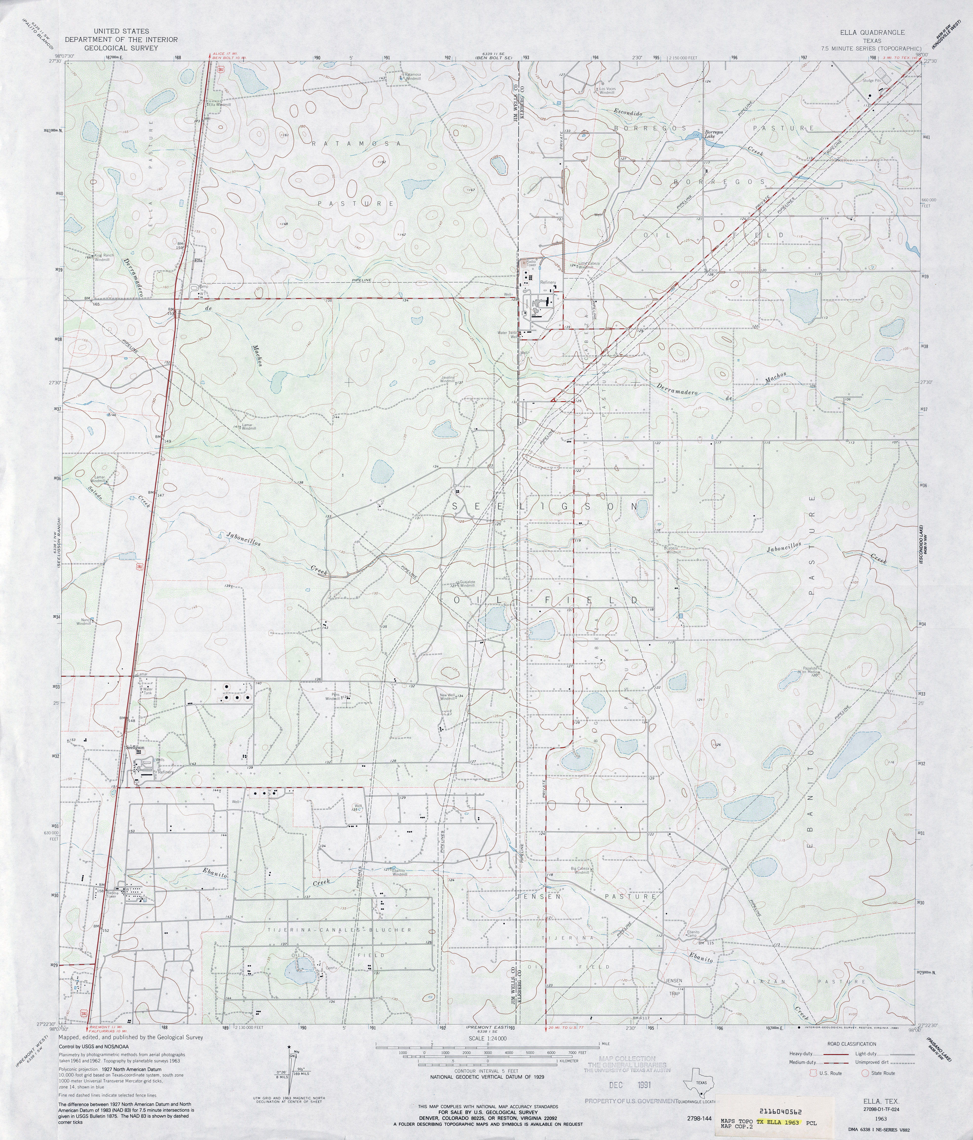
- Ella 1:24,000 1963 (3.4MB)
- Ella 1:24,000 2009 (16.6MB) [GeoPDF]
- Ella 1:24,000 2013 (20MB) [GeoPDF]
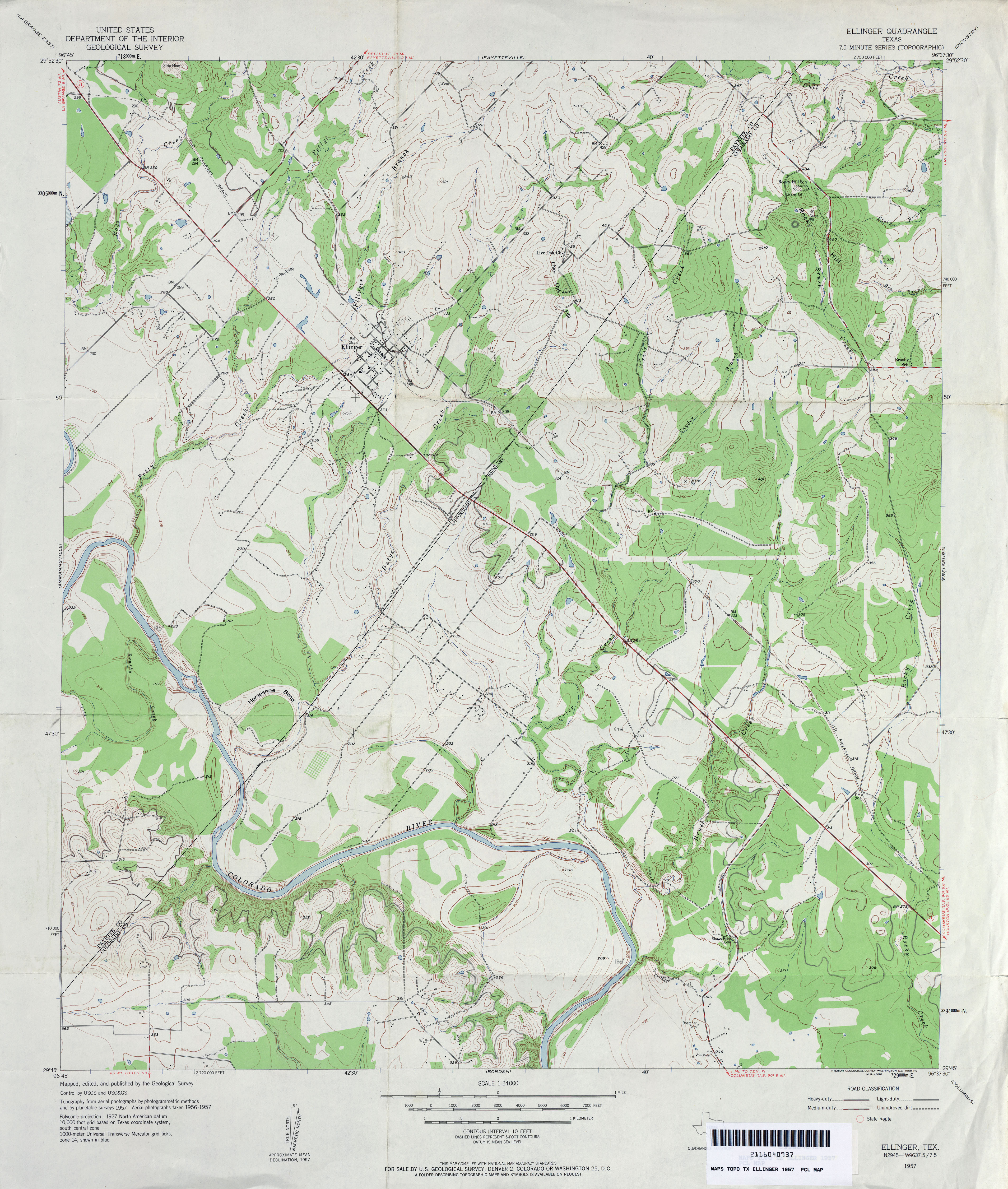
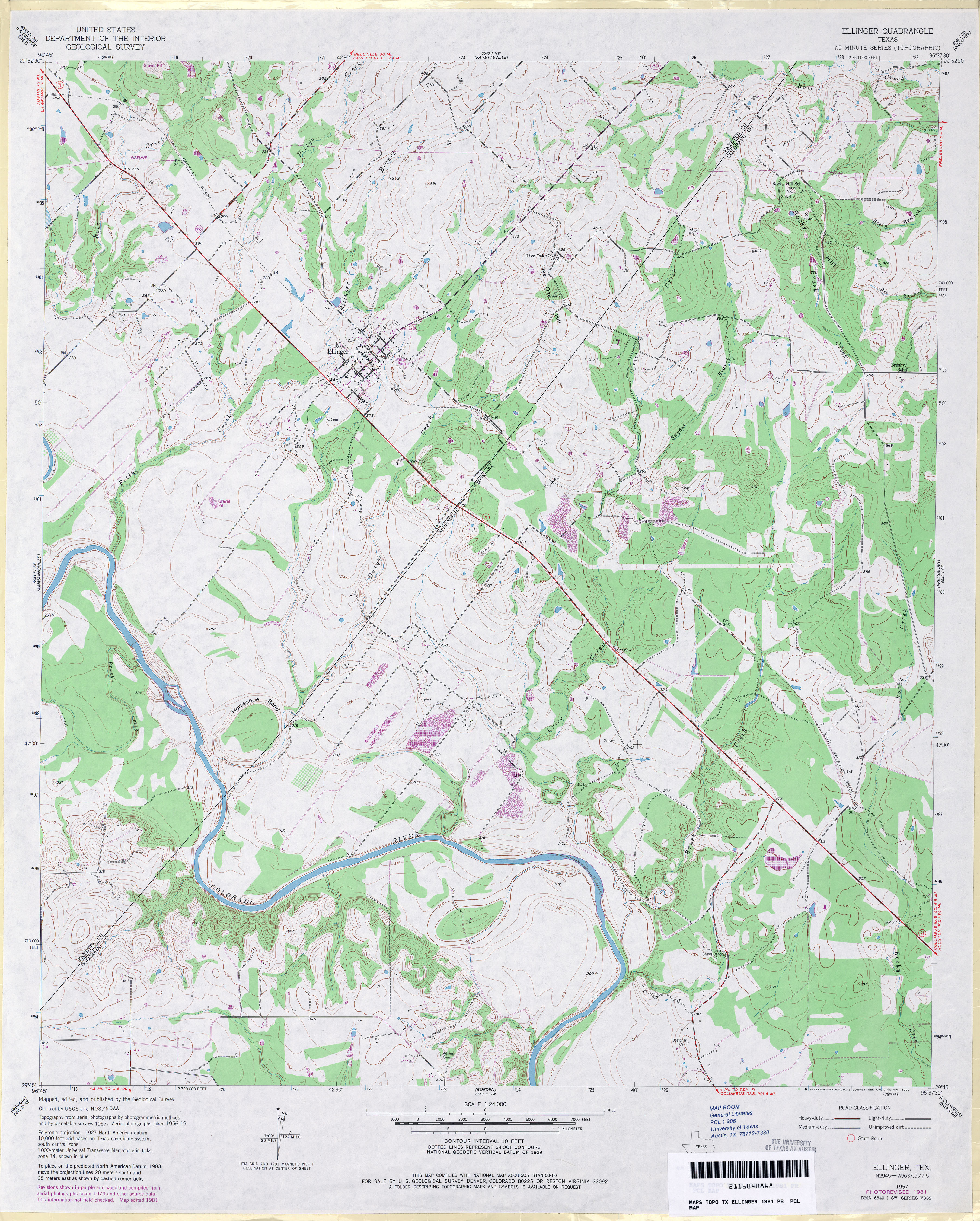
- Ellinger 1:24,000 1957 (4MB)
- Ellinger 1:24,000 1981 (4.2MB)
- Ellinger 1:24,000 2008 (15.6MB) [GeoPDF]
- Ellinger 1:24,000 2013 (24.9MB) [GeoPDF]
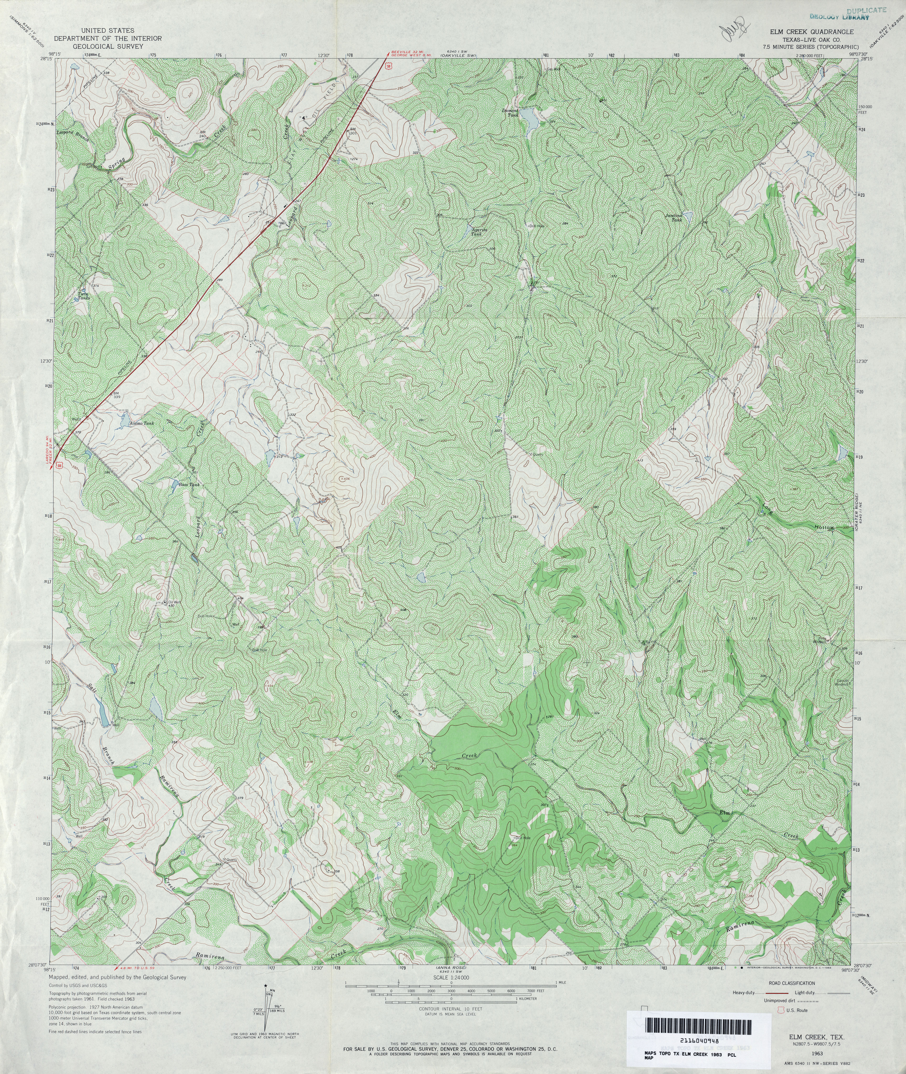
- Elm Creek (Live Oak County) 1:24,000 1963 (5.8MB)
- Elm Creek 1:24,000 2008 (15.5MB) [GeoPDF]
- Elm Creek 1:24,000 2012 (24.4MB) [GeoPDF]
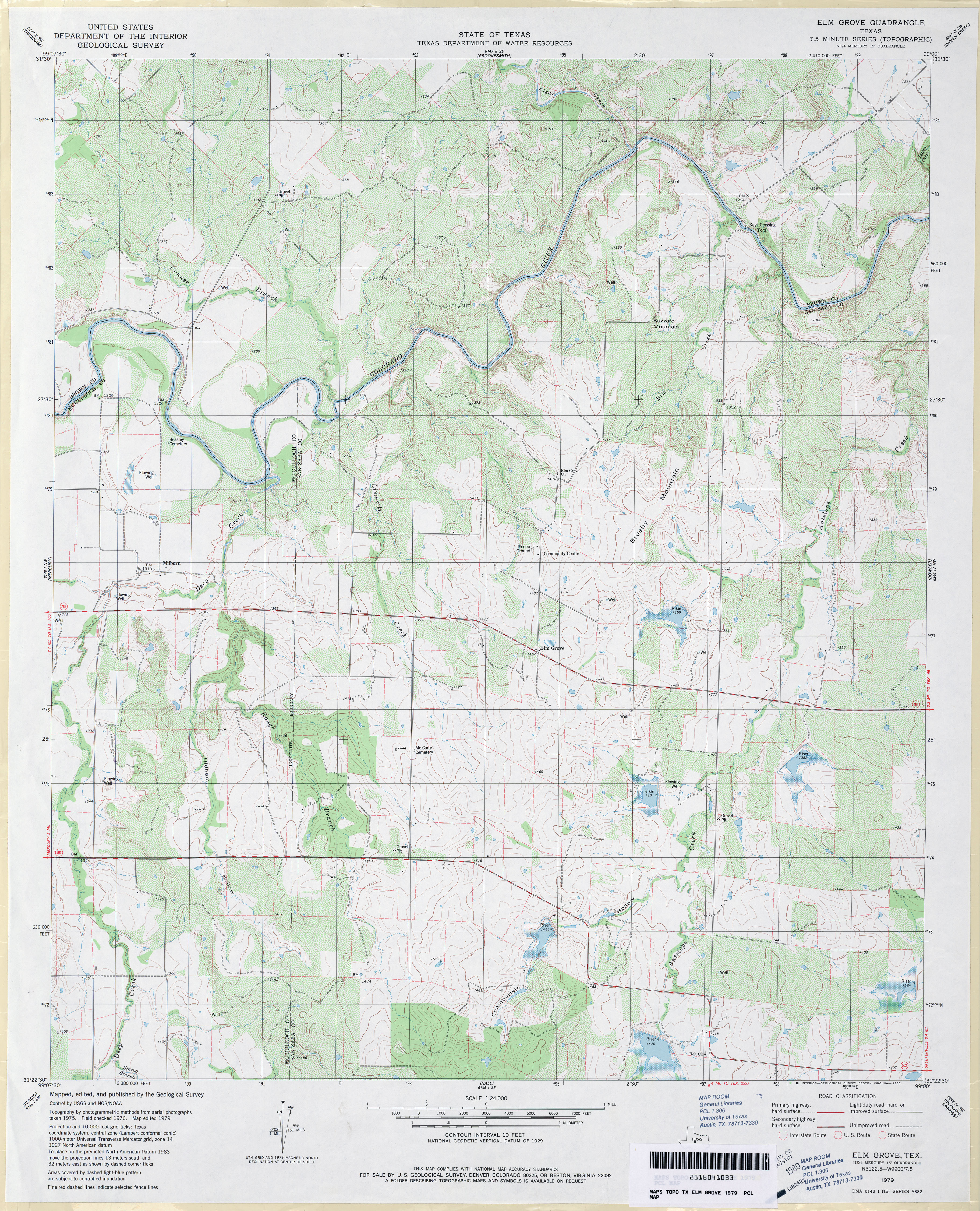
- Elm Grove 1:24,000 1979 (4.8MB)
- Elm Grove 1:24,000 2013 (24.5MB) [GeoPDF]
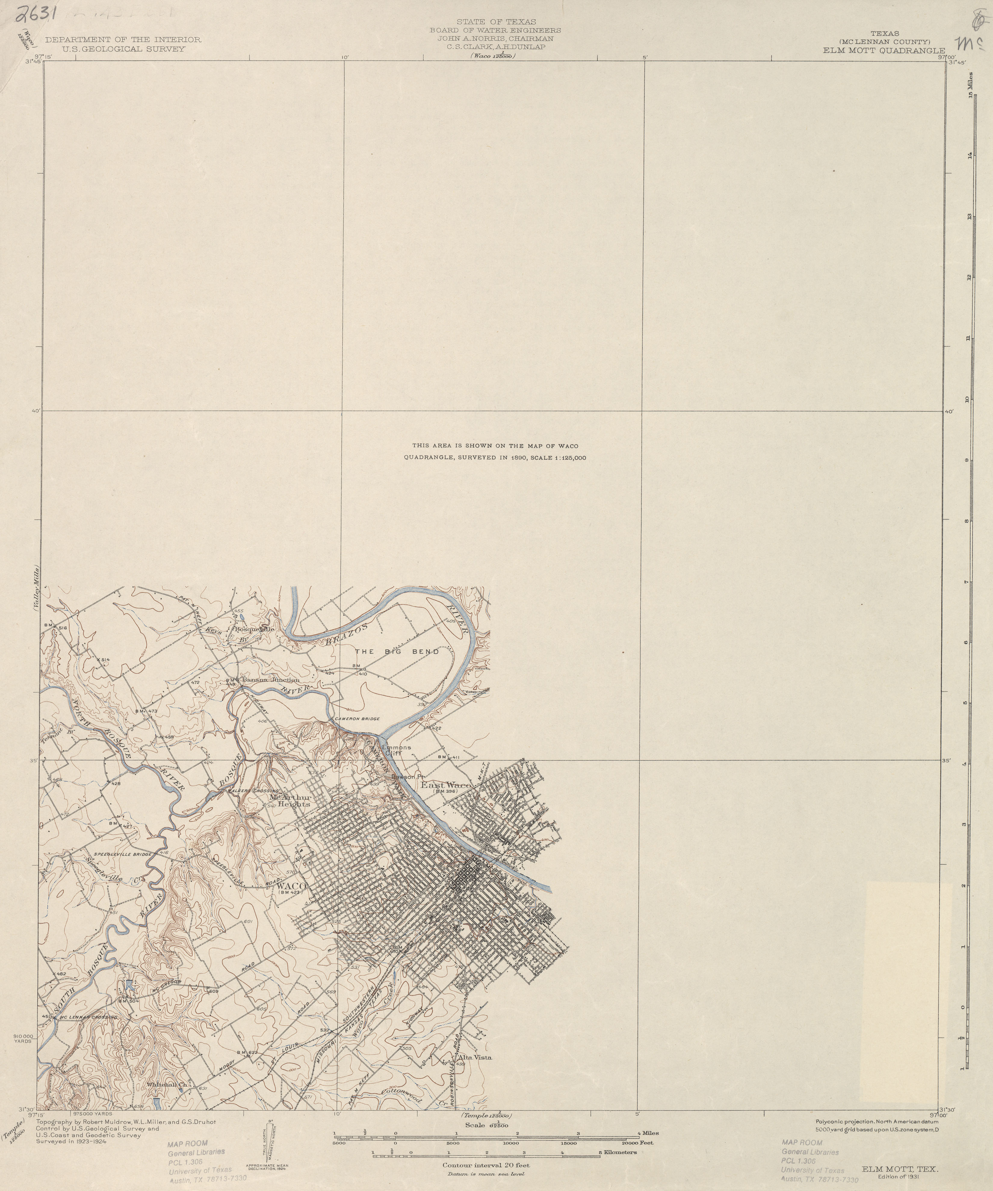
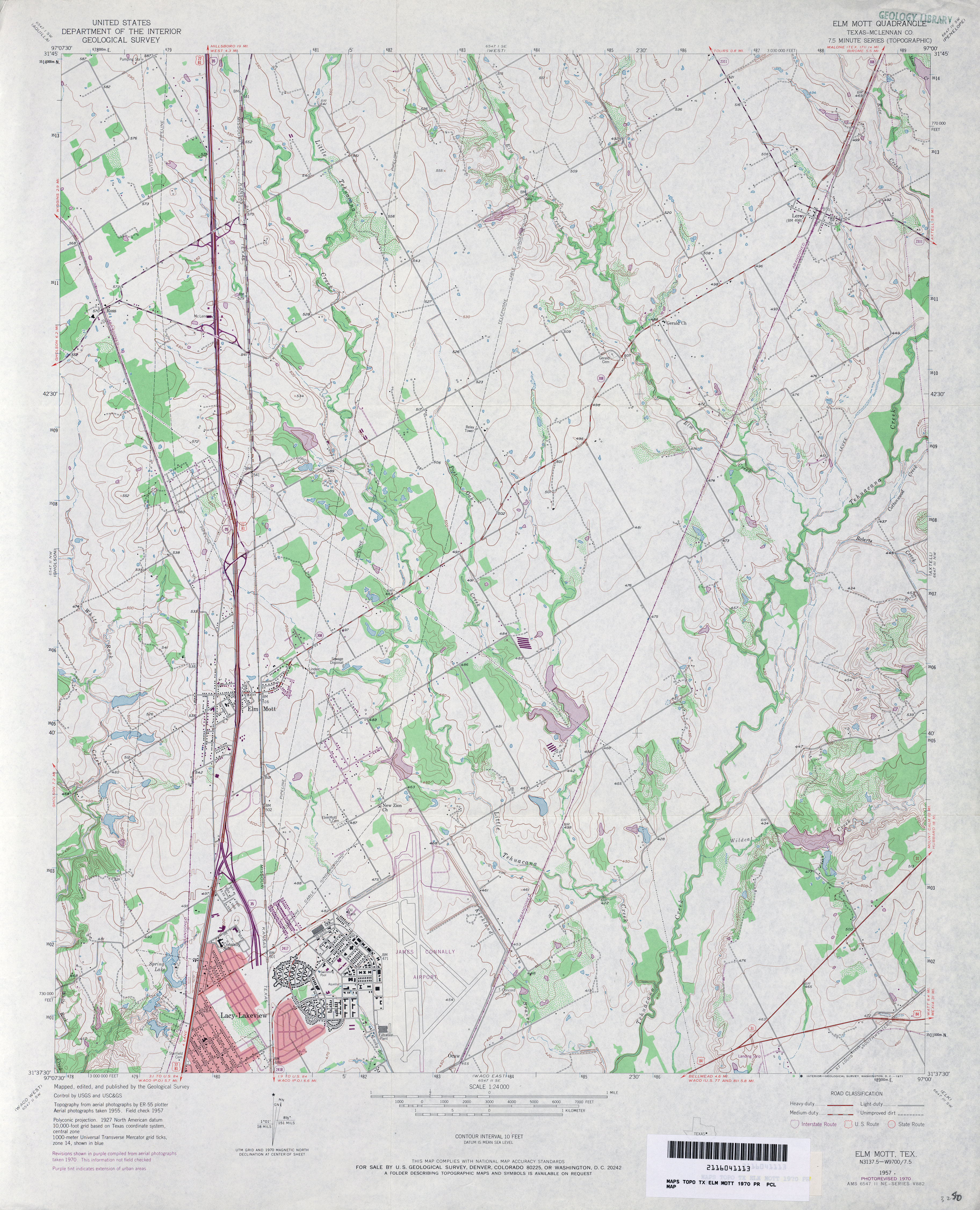
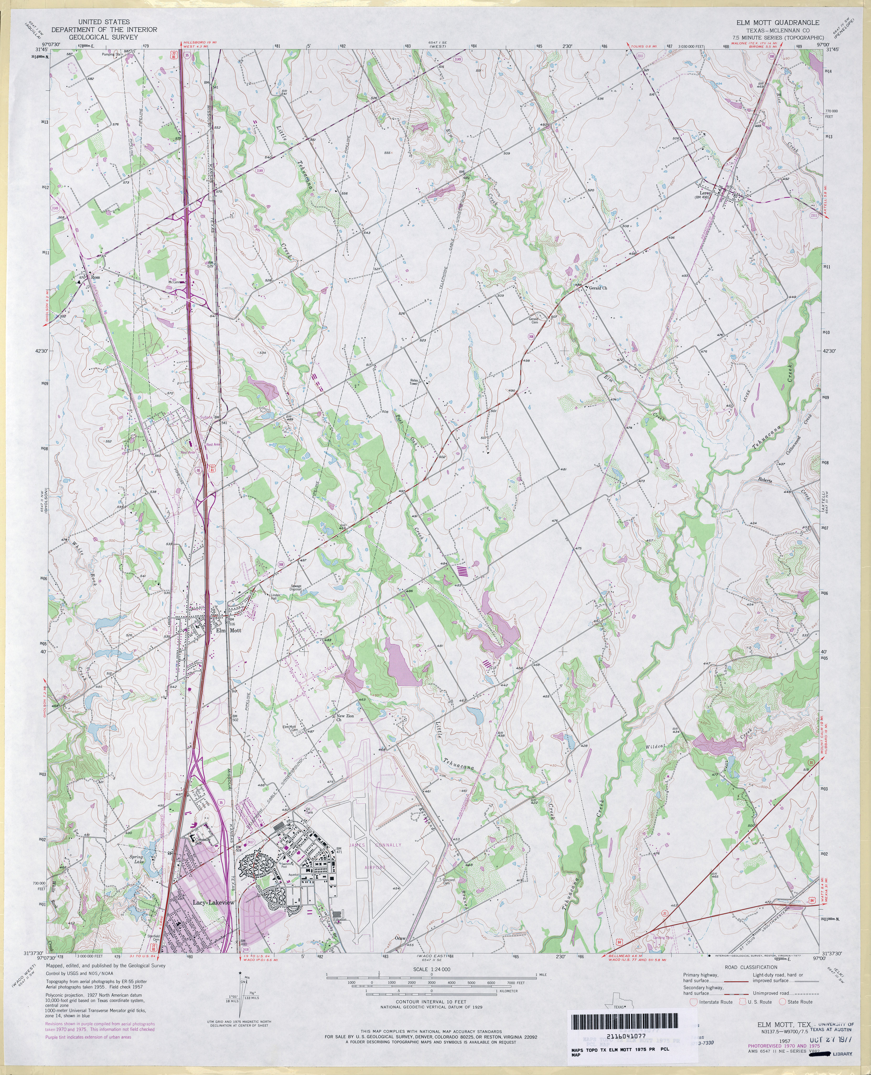
- Elm Mott (McLennan County) 1:62,500 1924 (1.9 MB)
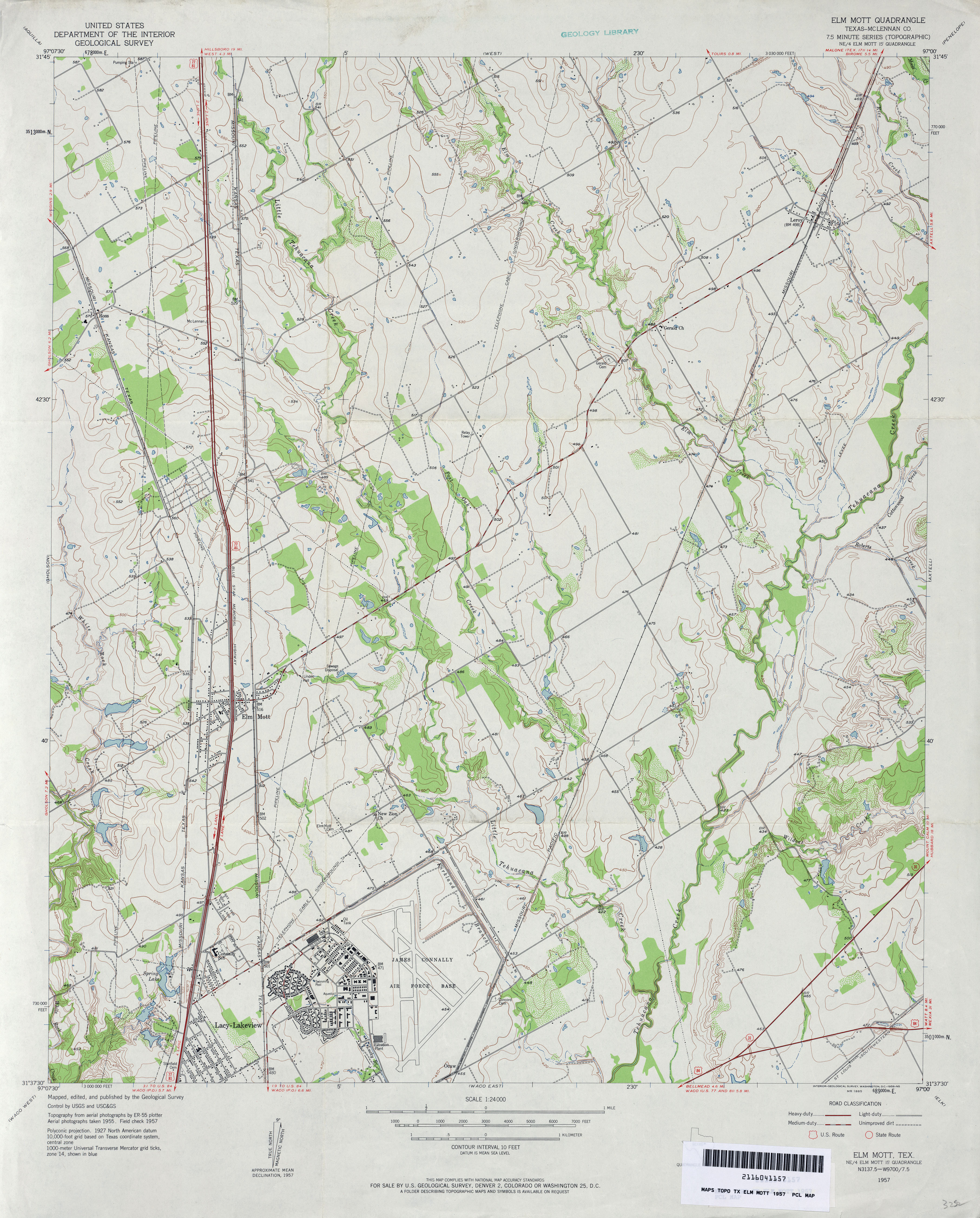
- Elm Mott (McLennan County) 1:24,000 1957 (3.8MB)
- Elm Mott (McLennan County) 1:24,000 1970 (3.9MB)
- Elm Mott (McLennan County) 1:24,000 1975 (3.8MB)
- Elm Mott 1:24,000 2008 (16.0MB) [GeoPDF]
- Elm Mott 1:24,000 2013 (20.9MB) [GeoPDF]
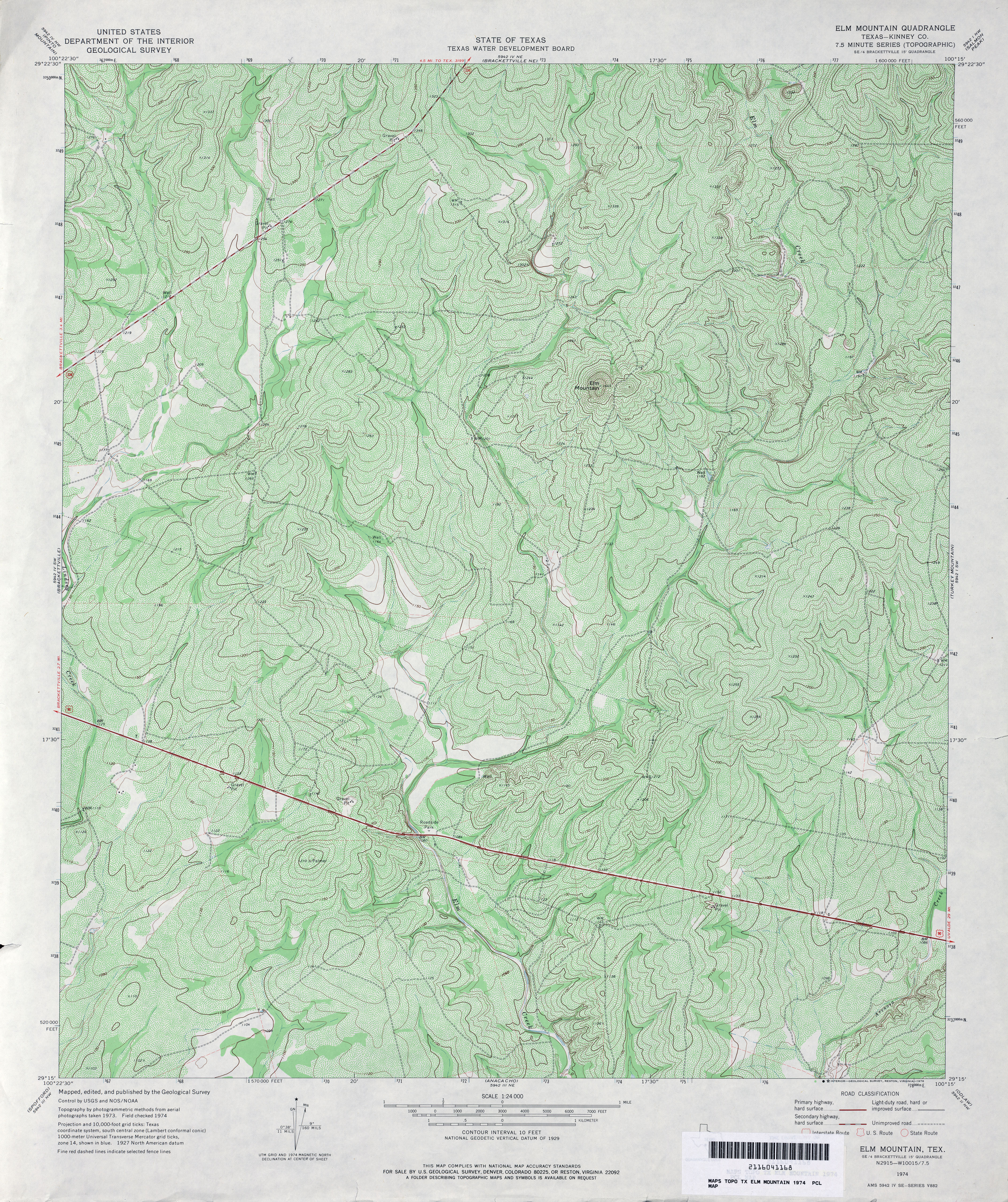
- Elm Mountain (Kinney County) 1:24,000 1974 (6.1MB)
- Elm Mountain 1:24,000 2008 (22.2MB) [GeoPDF]
- Elm Mountain 1:24,000 2012 (32.7MB) [GeoPDF]
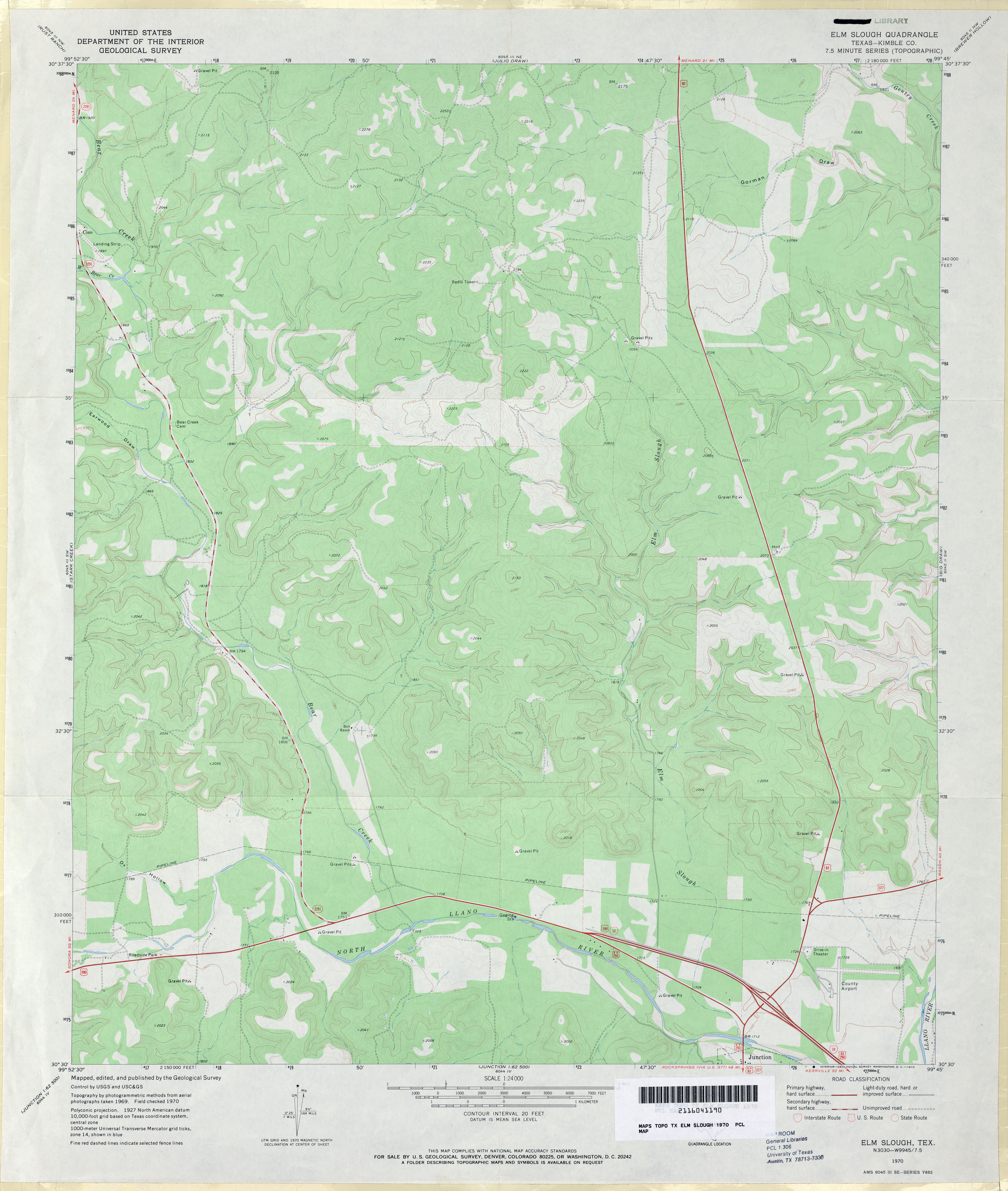
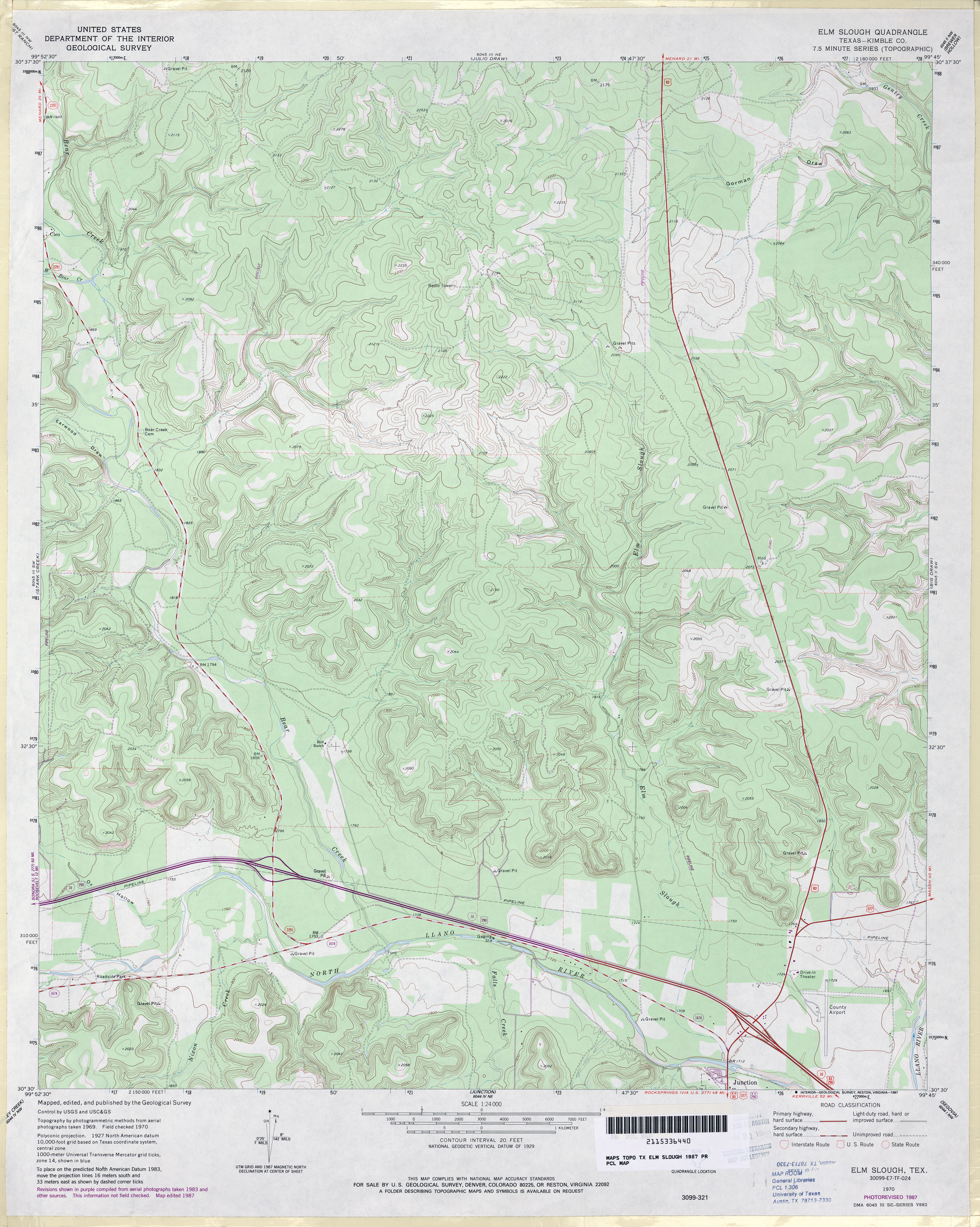
- Elm Slough (Kimble County) 1:24,000 1970 (3MB)
- Elm Slough (Kimble County) 1:24,000 1987 (4.1MB)
- Elm Slough 1:24,000 2012 (30MB) [GeoPDF]
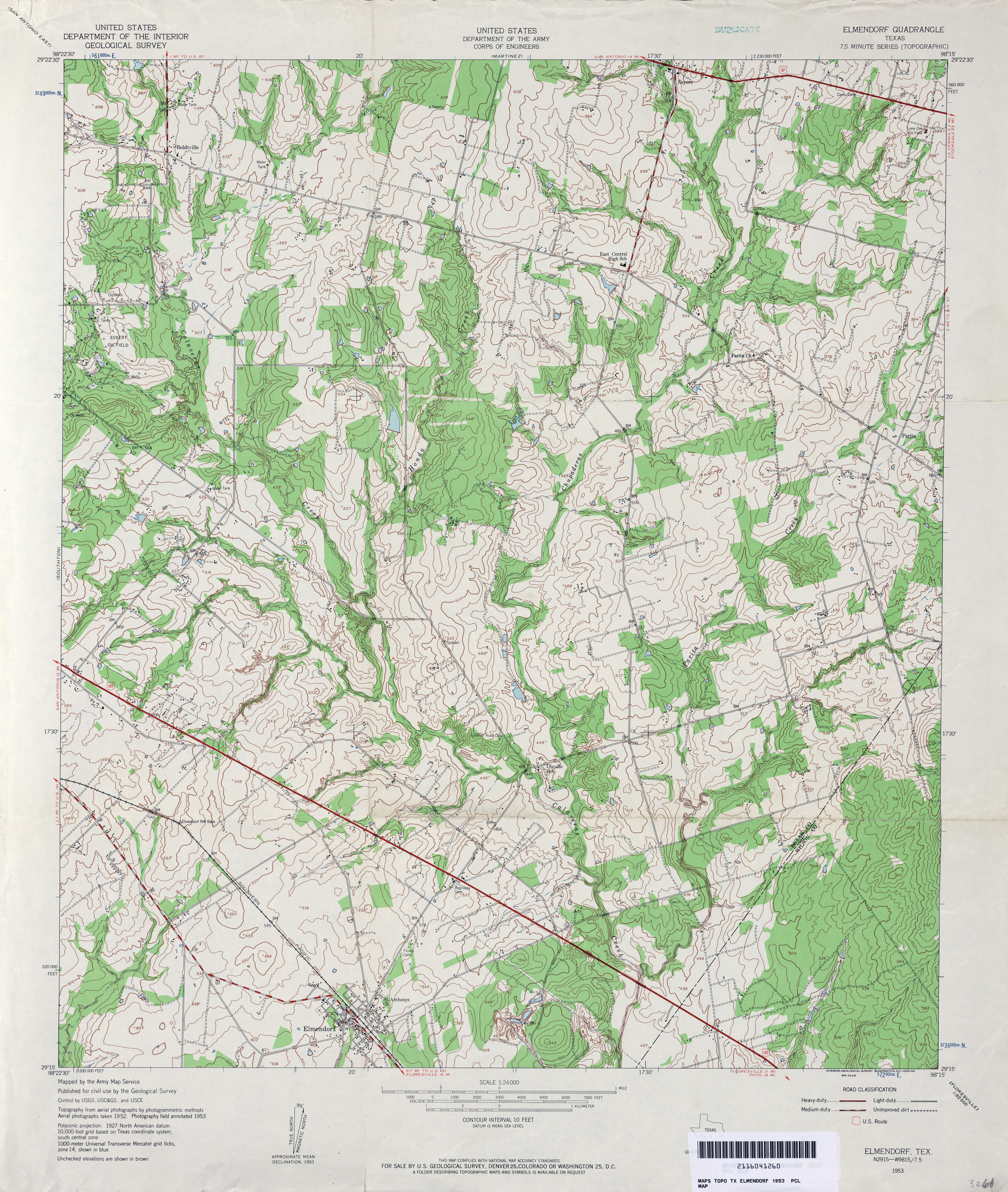
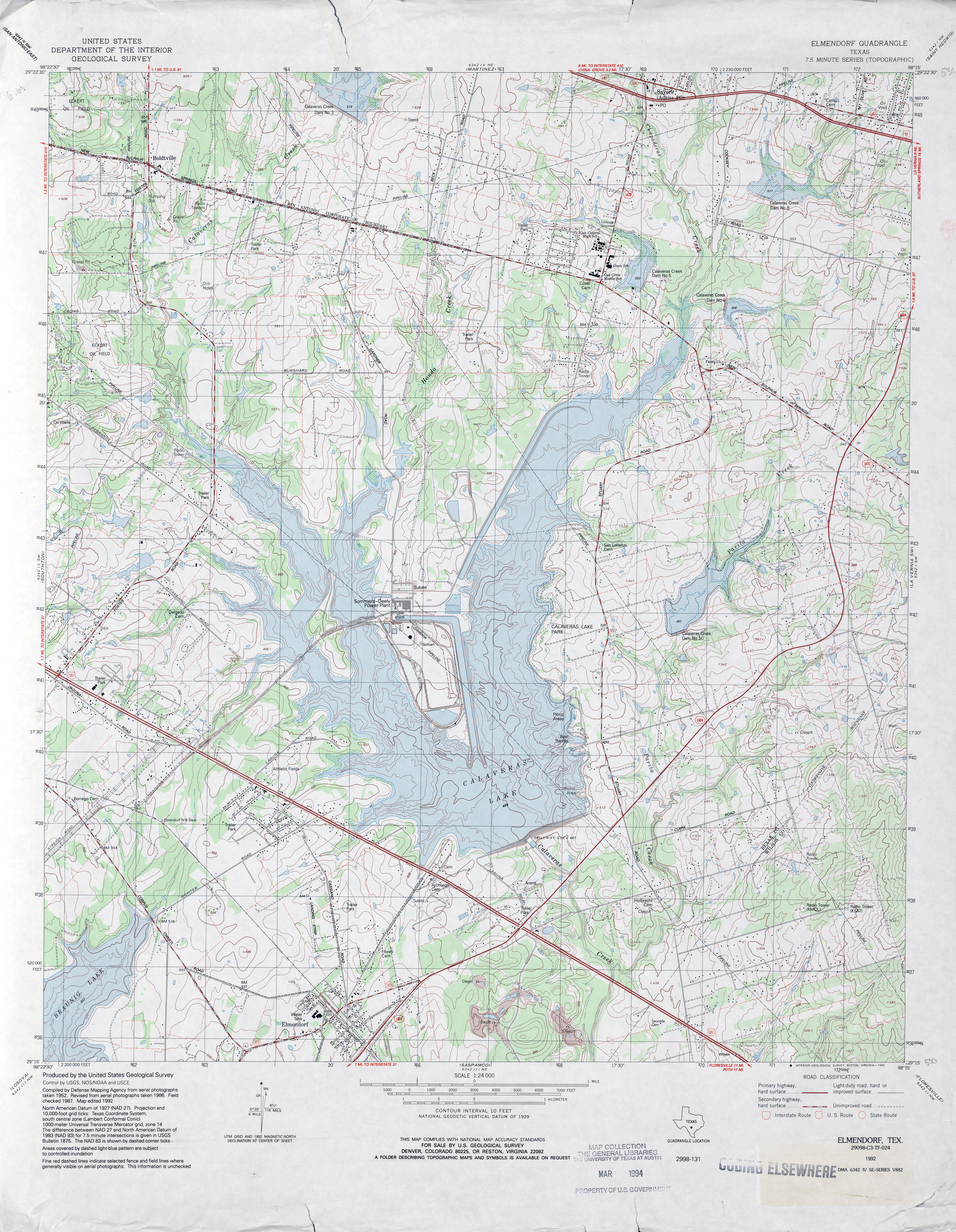
- Elmendorf 1:24,000 1953 (4.6MB)
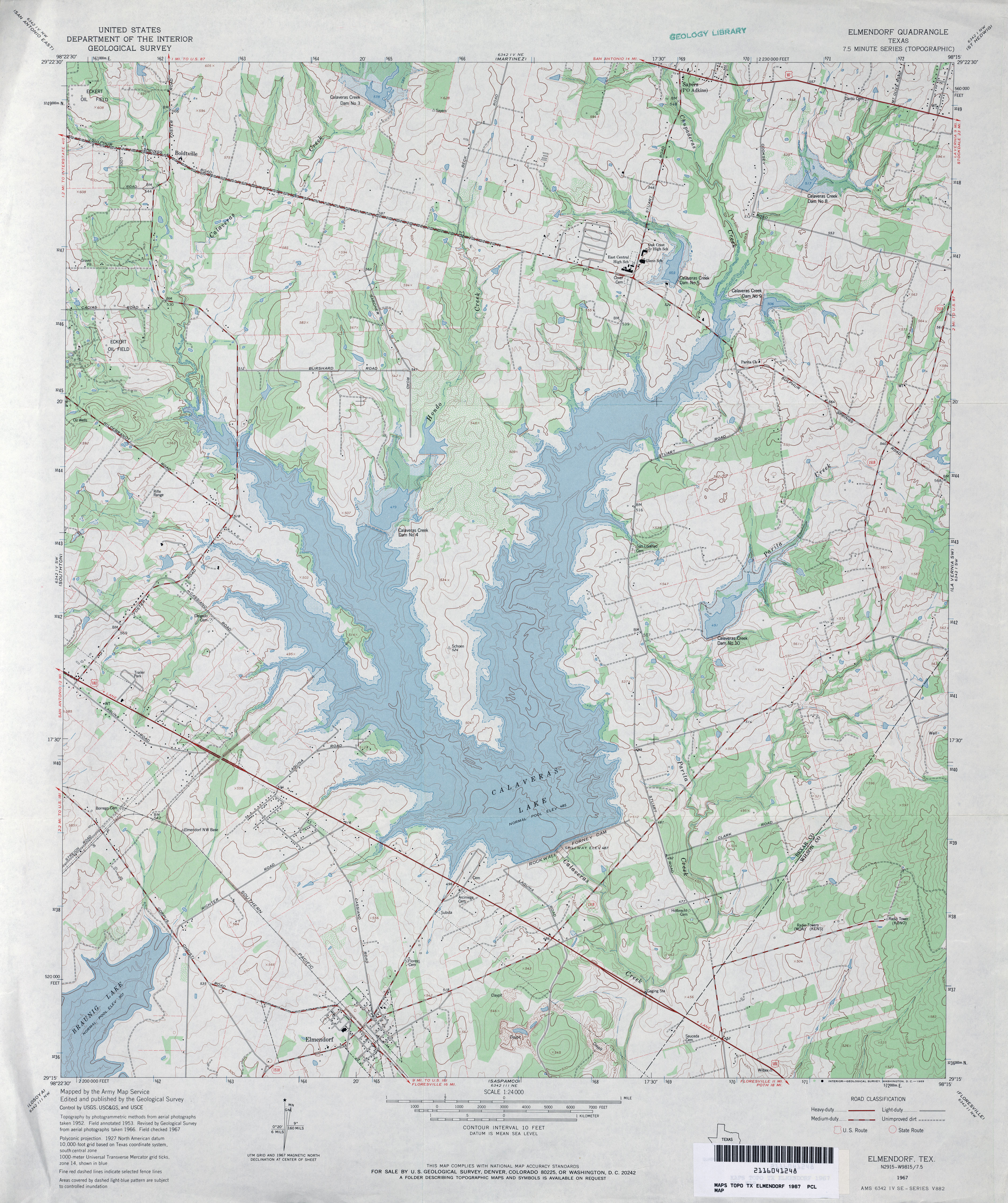
- Elmendorf 1:24,000 1967 (4.1MB)
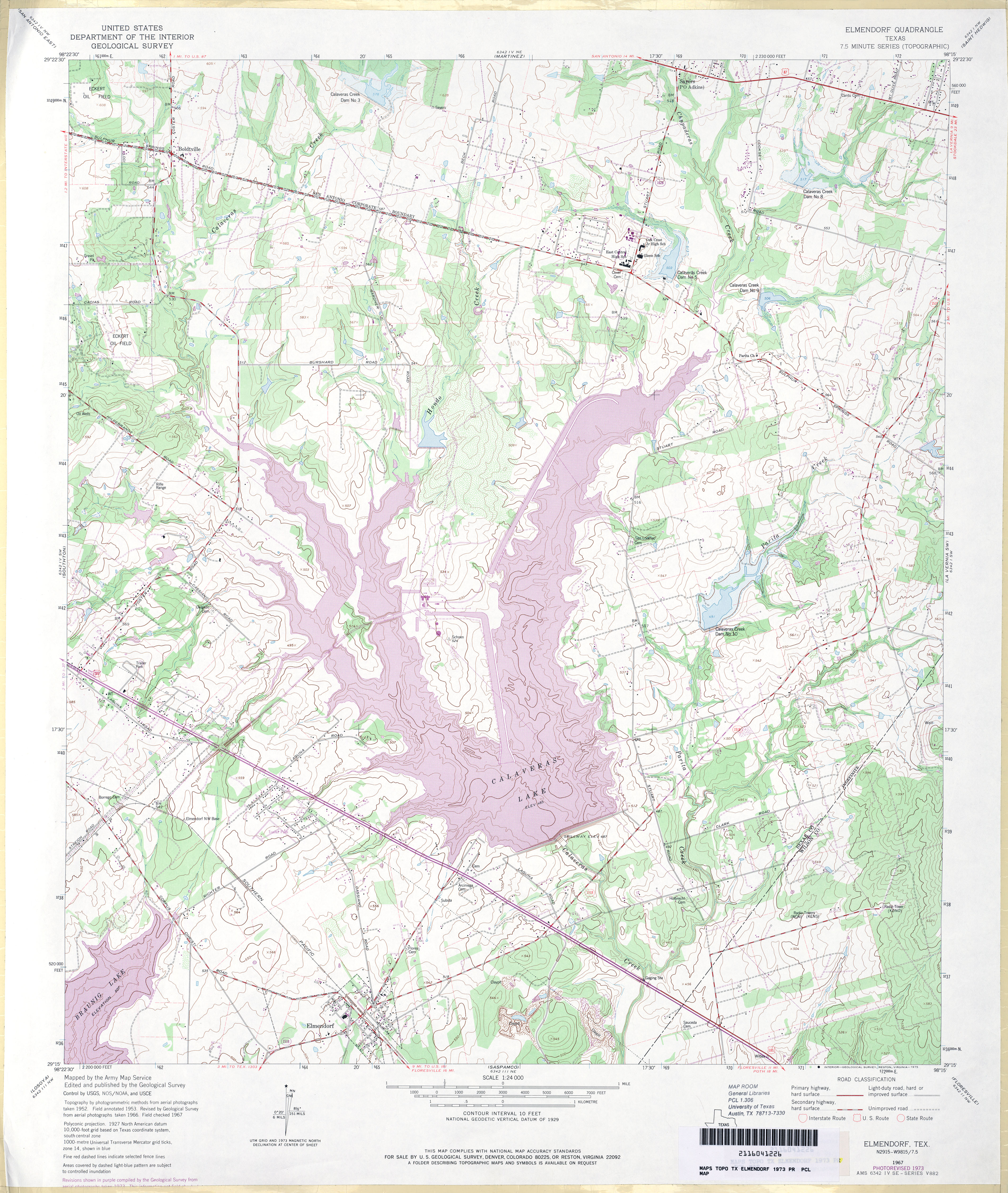
- Elmendorf 1:24,000 1973 (4.6MB)
- Elmendorf 1:24,000 1992 (4.5MB)
- Elmendorf 1:24,000 2008 (15.3MB) [GeoPDF]
- Elmendorf 1:24,000 2013 (23.1MB) [GeoPDF]
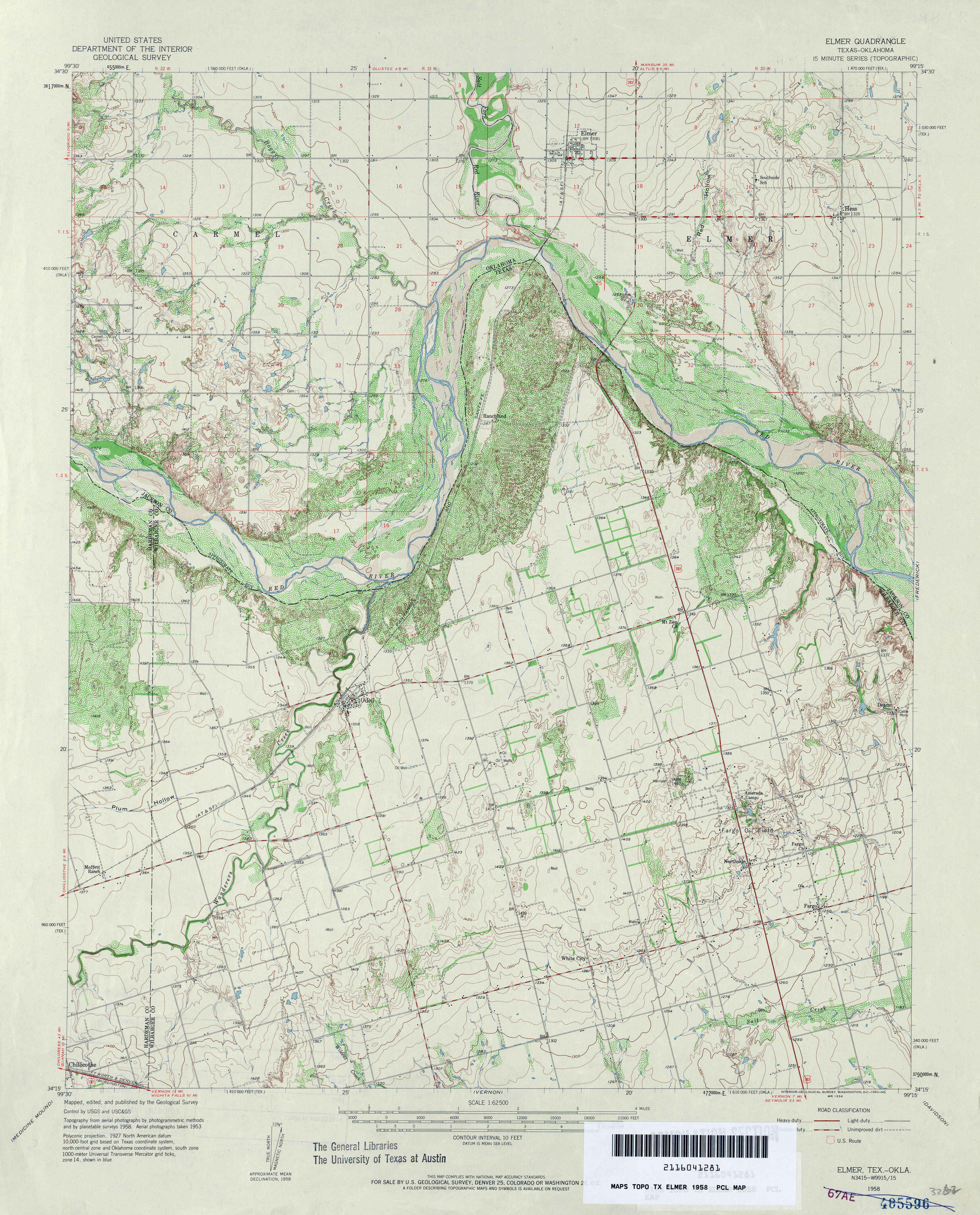
- Elmer [Oklahoma, Texas] 1:62,500 1958 (4.5MB)
- Elmer [Oklahoma, Texas] 1:24,000 1984 (3.8MB)
- Elmer [Oklahoma, Texas] 1:24,000 2008 (14.3MB) [GeoPDF]
- Elmer 1:24,000 2012 (16.7MB) [GeoPDF]
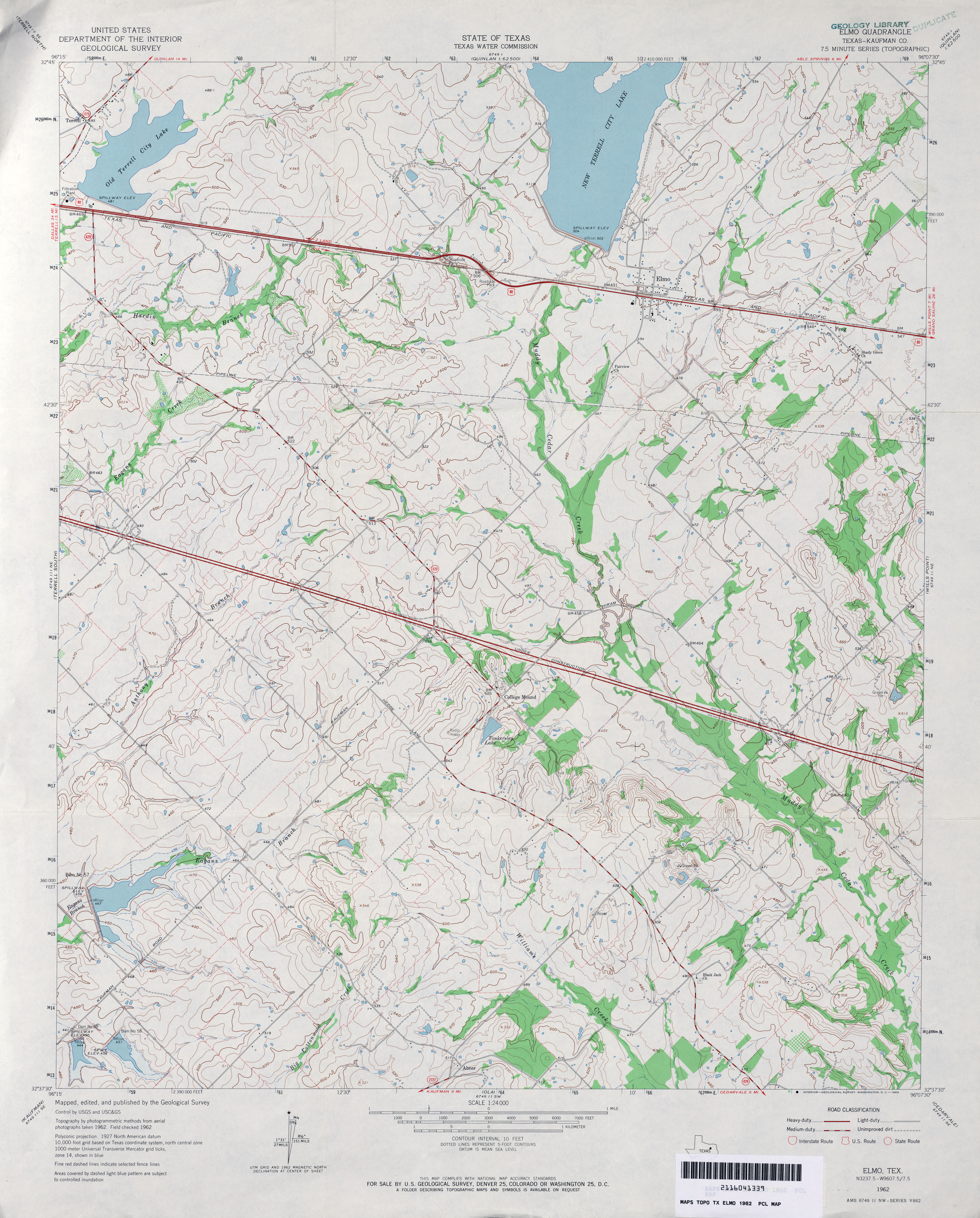
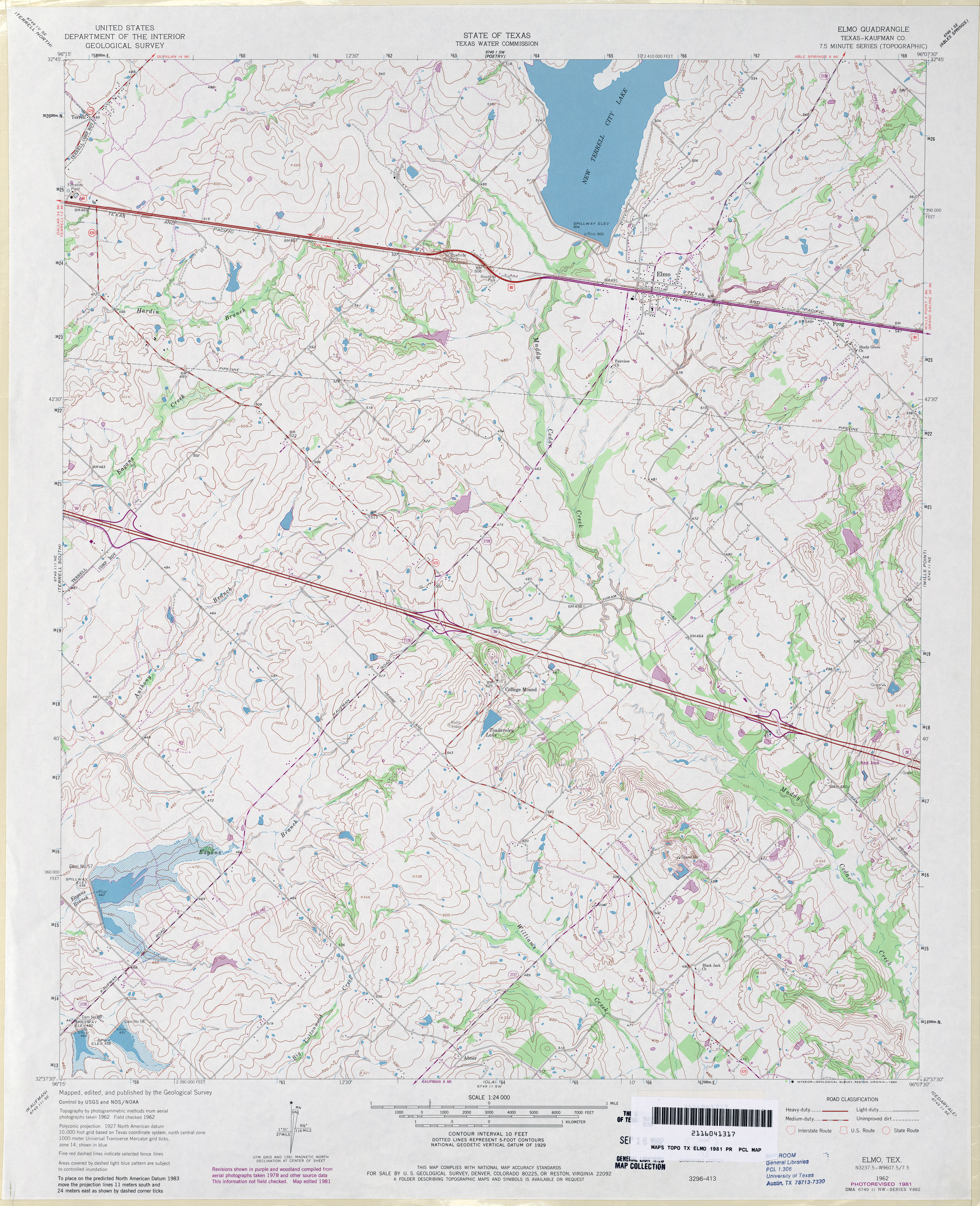
- Elmo (Kaufman County) 1:24,000 1962 (3.8MB)
- Elmo (Kaufman County) 1:24,000 1981 (4.3MB)
- Elmo 1:24,000 2009 (17.7MB) [GeoPDF]
- Elmo 1:24,000 2012 (20.8MB) [GeoPDF]
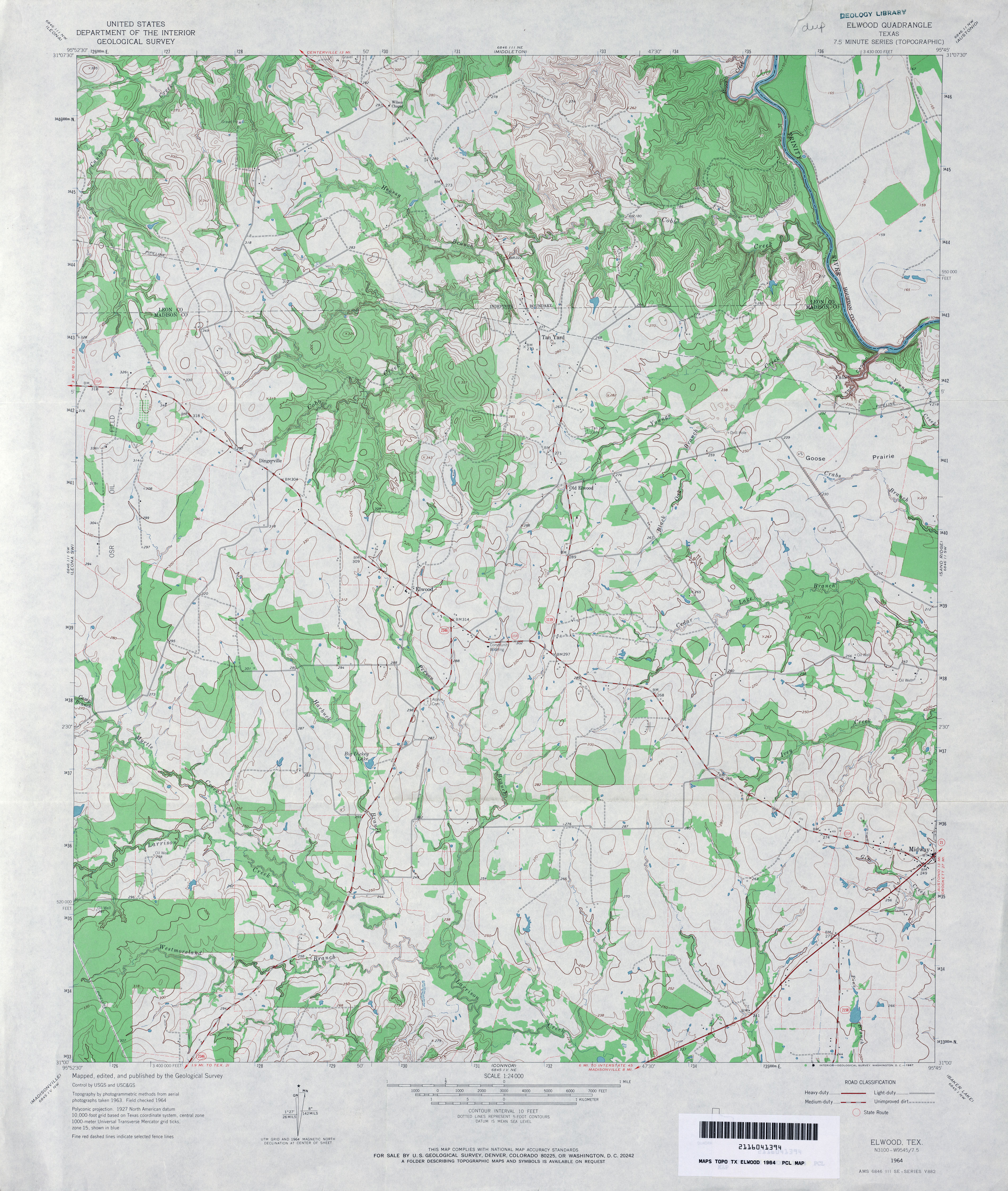
- Elwood 1:24,000 1964 (4.2MB)
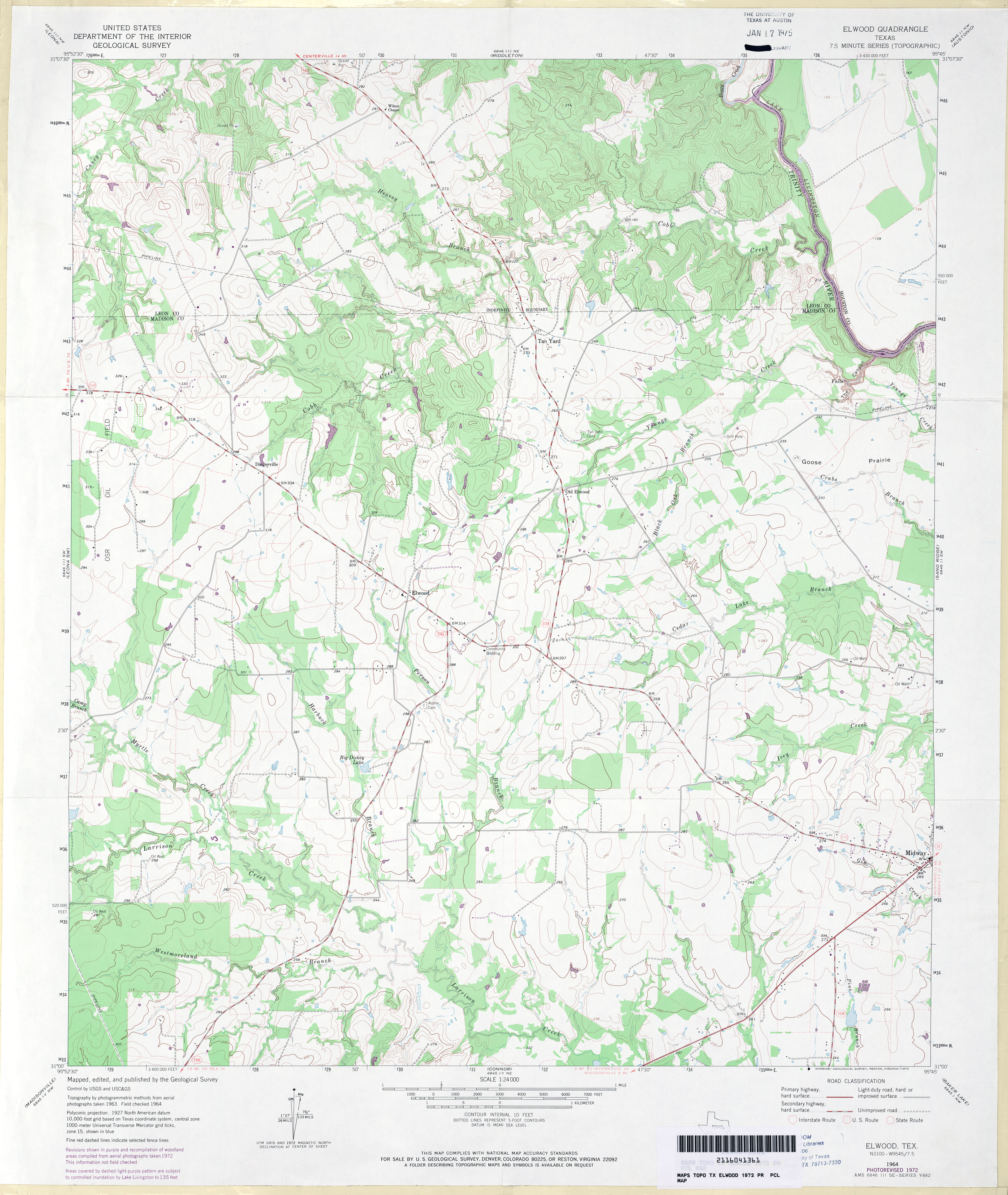
- Elwood 1:24,000 1972 (3.6MB)
- Elwood 1:24,000 2009 (18.3MB) [GeoPDF]
- Elwood 1:24,000 2013 (21.3MB) [GeoPDF]
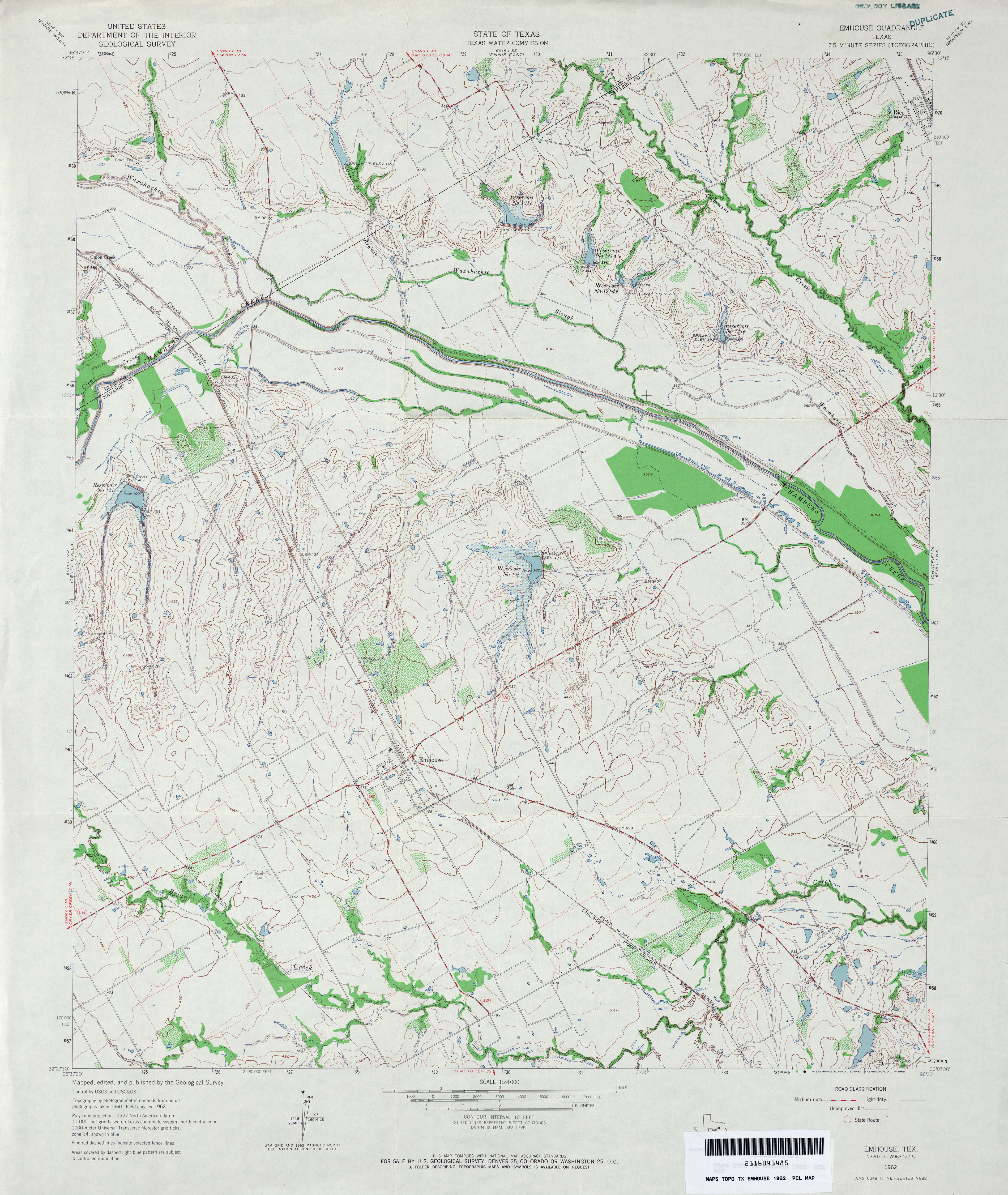
- Emhouse 1:24,000 1962 (4.1MB)
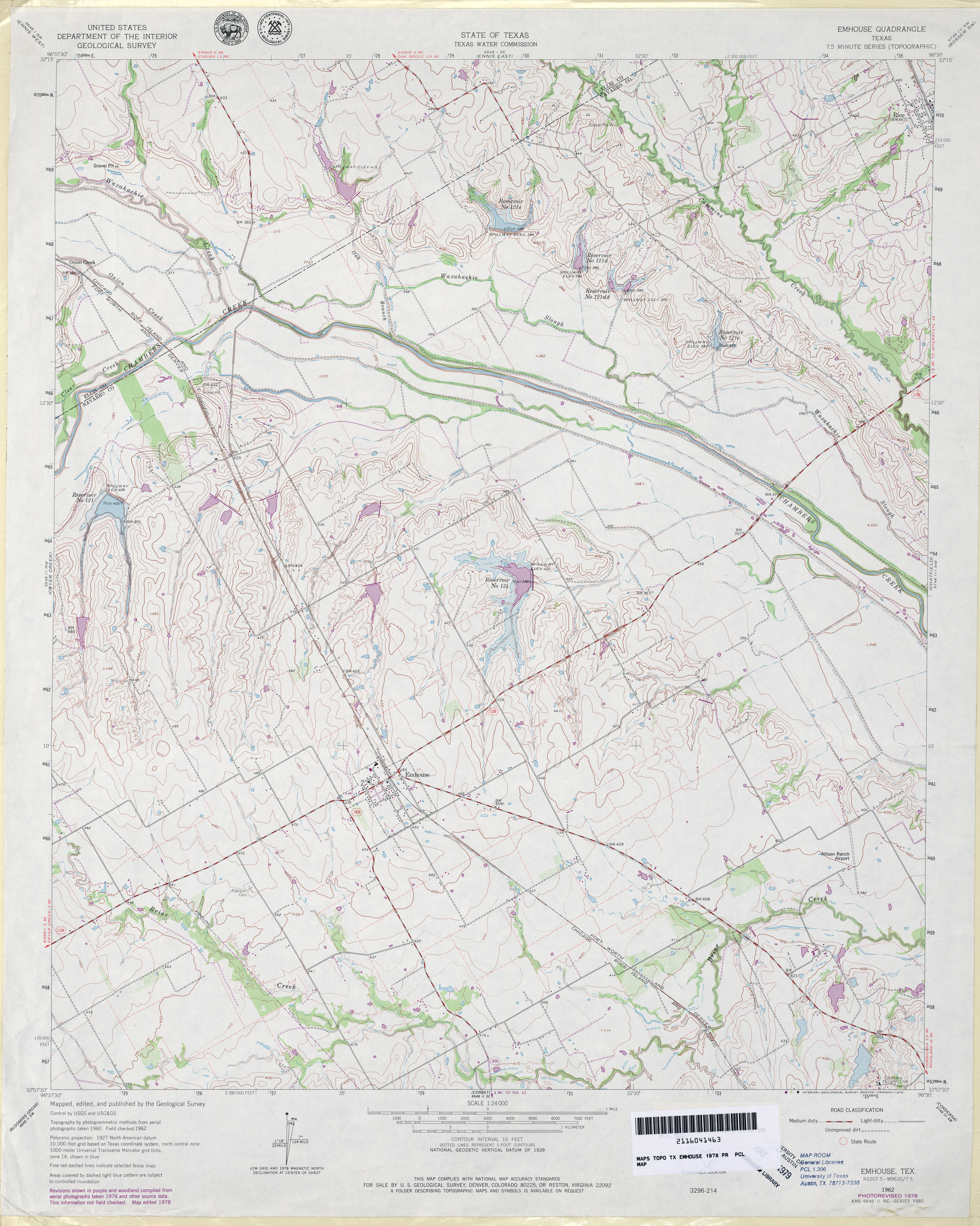
- Emhouse 1:24,000 1978 (4MB)
- Emhouse 1:24,000 2008 (14.3MB) [GeoPDF]
- Emhouse 1:24,000 2012 (19.9MB) [GeoPDF]
- Emory 1:62,500 1956 (3.8MB)
- Emory Corral (Culberson County) 1:24,000 1973 (4.7MB)
- Emory Corral 1:24,000 2008 (22.2MB) [GeoPDF]
- Emory Corral 1:24,000 2012 (23.9MB) [GeoPDF]
- Emory North 1:24,000 1980 (3.9MB)
- Emory North 1:24,000 2009 (17.9MB) [GeoPDF]
- Emory North 1:24,000 2012 (21.1MB) [GeoPDF]
- Emory Peak 1:62,500 1931 (4.2MB) U.S. Army. Corps of Engineers. Tactical Map
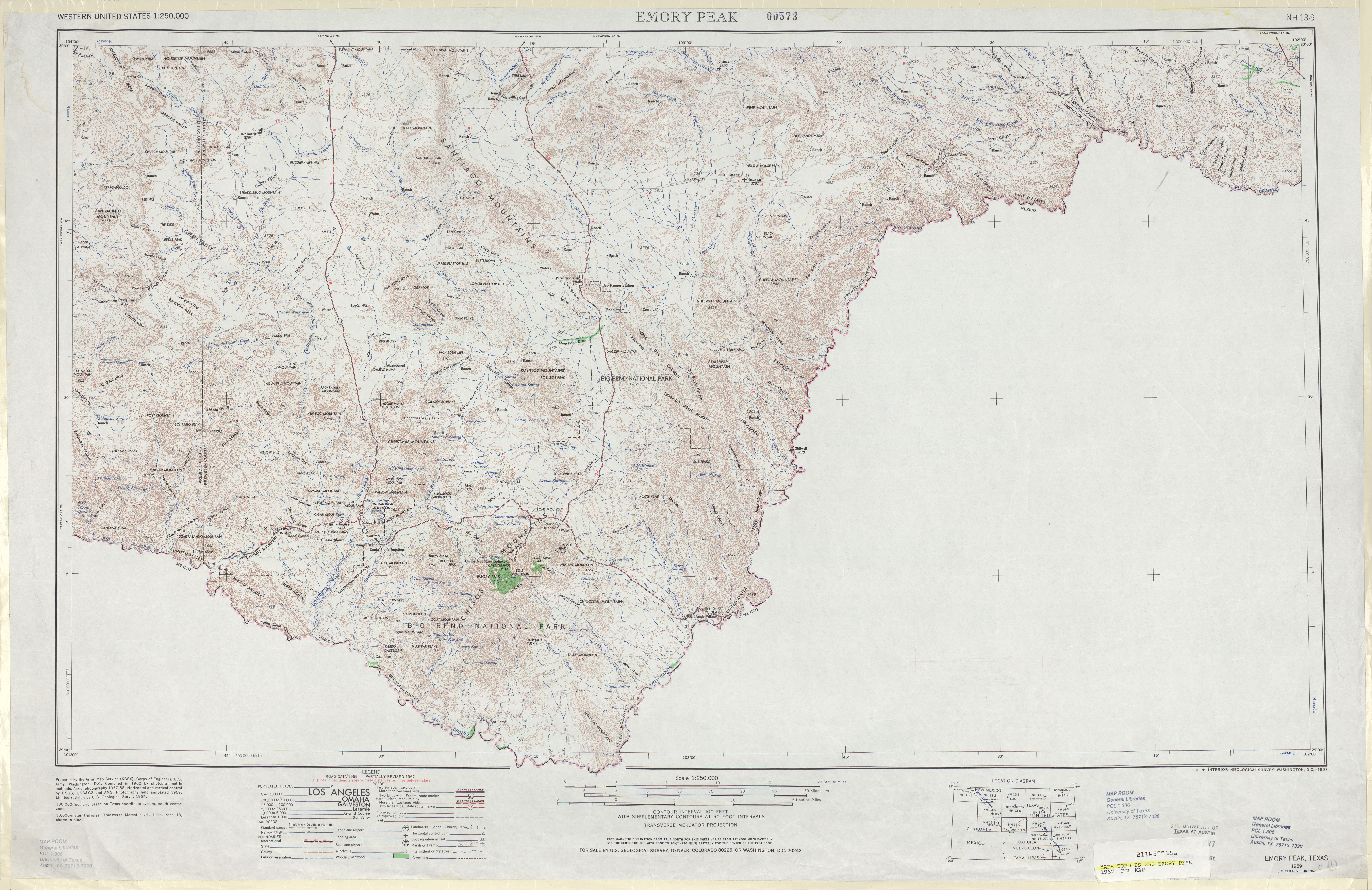
- Emory Peak 1:250,000 1959 (7.2MB)
- Emory Peak 1:250,000 1967 (6.5MB)
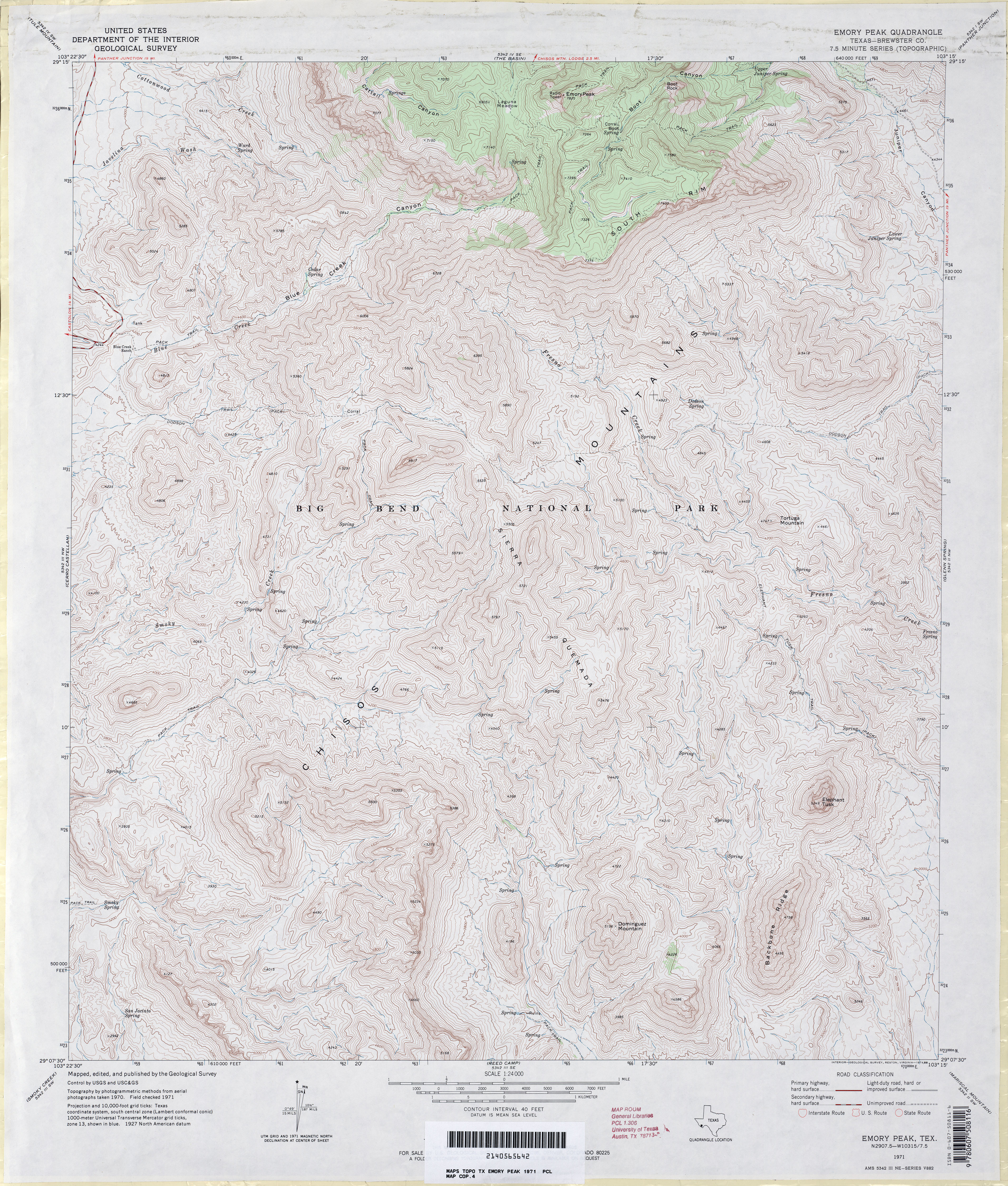
- Emory Peak (Brewster County) 1:24,000 1971 (5.8MB)
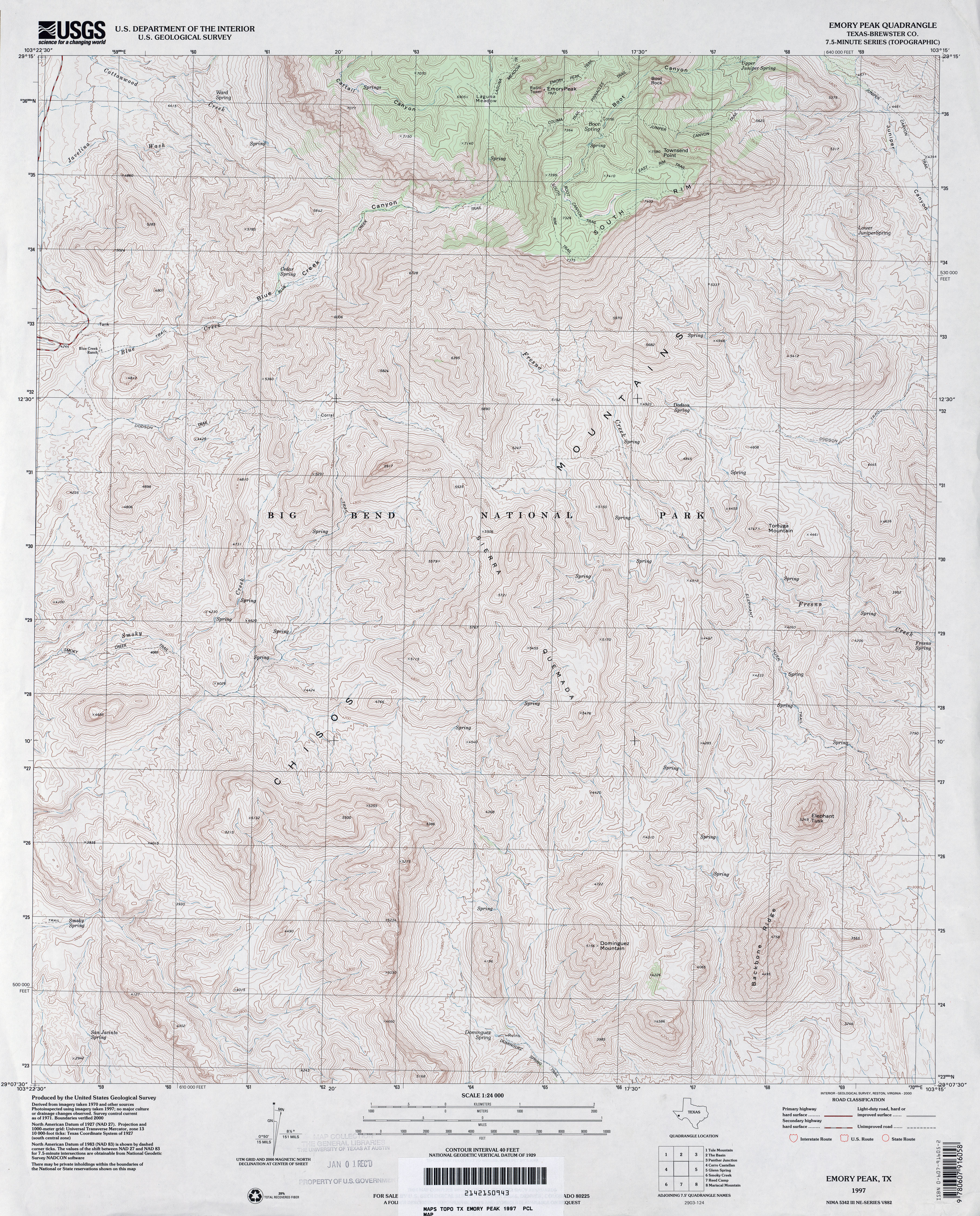
- Emory Peak (Brewster County) 1:24,000 1997 (5.8MB)
- Emory Peak 1:24,000 2008 (22.4MB) [GeoPDF]
- Emory Peak 1:24,000 2012 (25.4MB) [GeoPDF]
- Emory South 1:24,000 1980 (3.8MB)
- Emory South 1:24,000 2009 (19.1MB) [GeoPDF]
- Emory South 1:24,000 2012 (22.2MB) [GeoPDF]
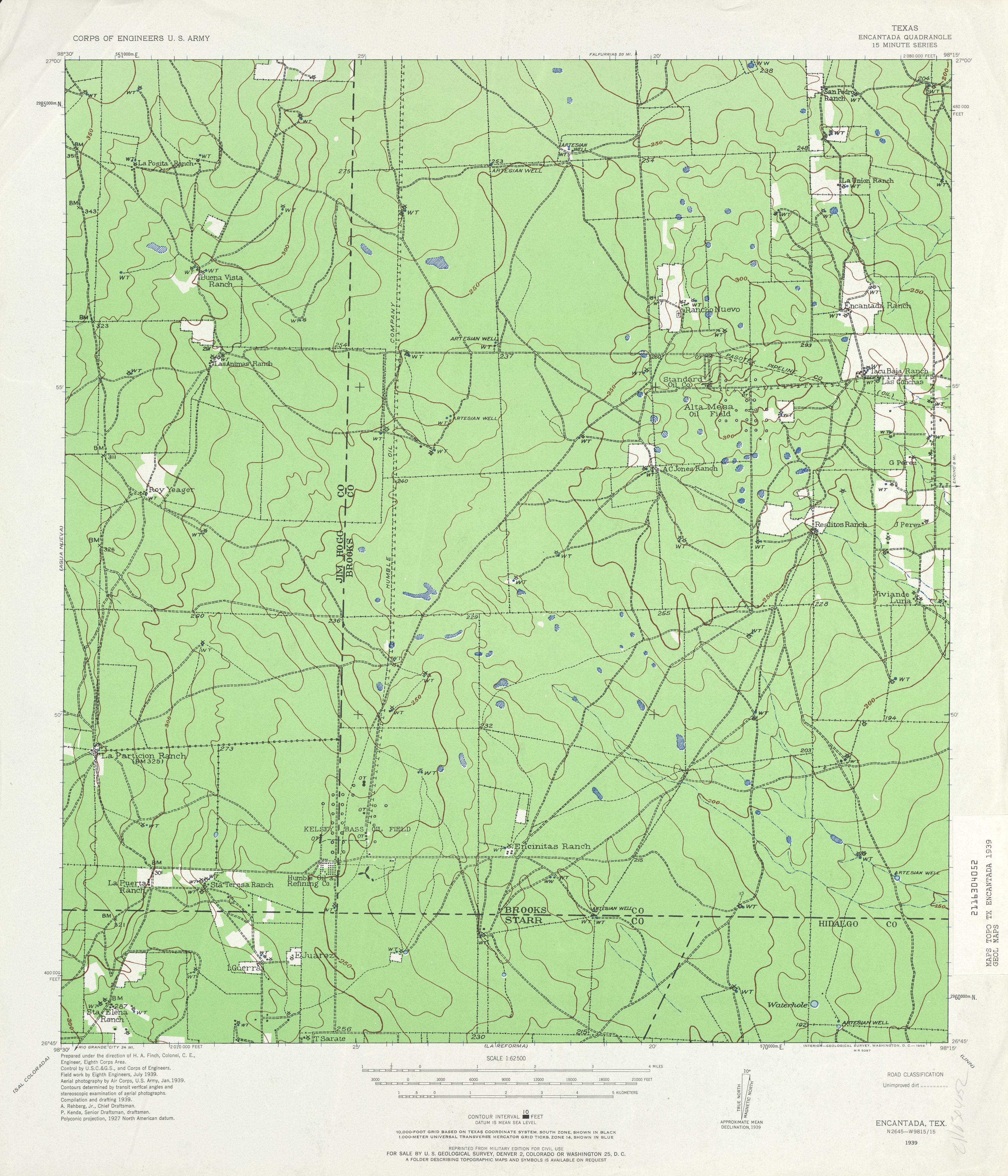
- Encantada 1:62,500 1939 (3.8 MB) U.S. Army. Corps of Engineers. Tactical Map
- Enchanted Rock (Llano County) 1:24,000 1967 (3.9MB)
- Enchanted Rock 1:24,000 2008 (19.1MB) [GeoPDF]
- Enchanted Rock 1:24,000 2012 (27.1MB) [GeoPDF]
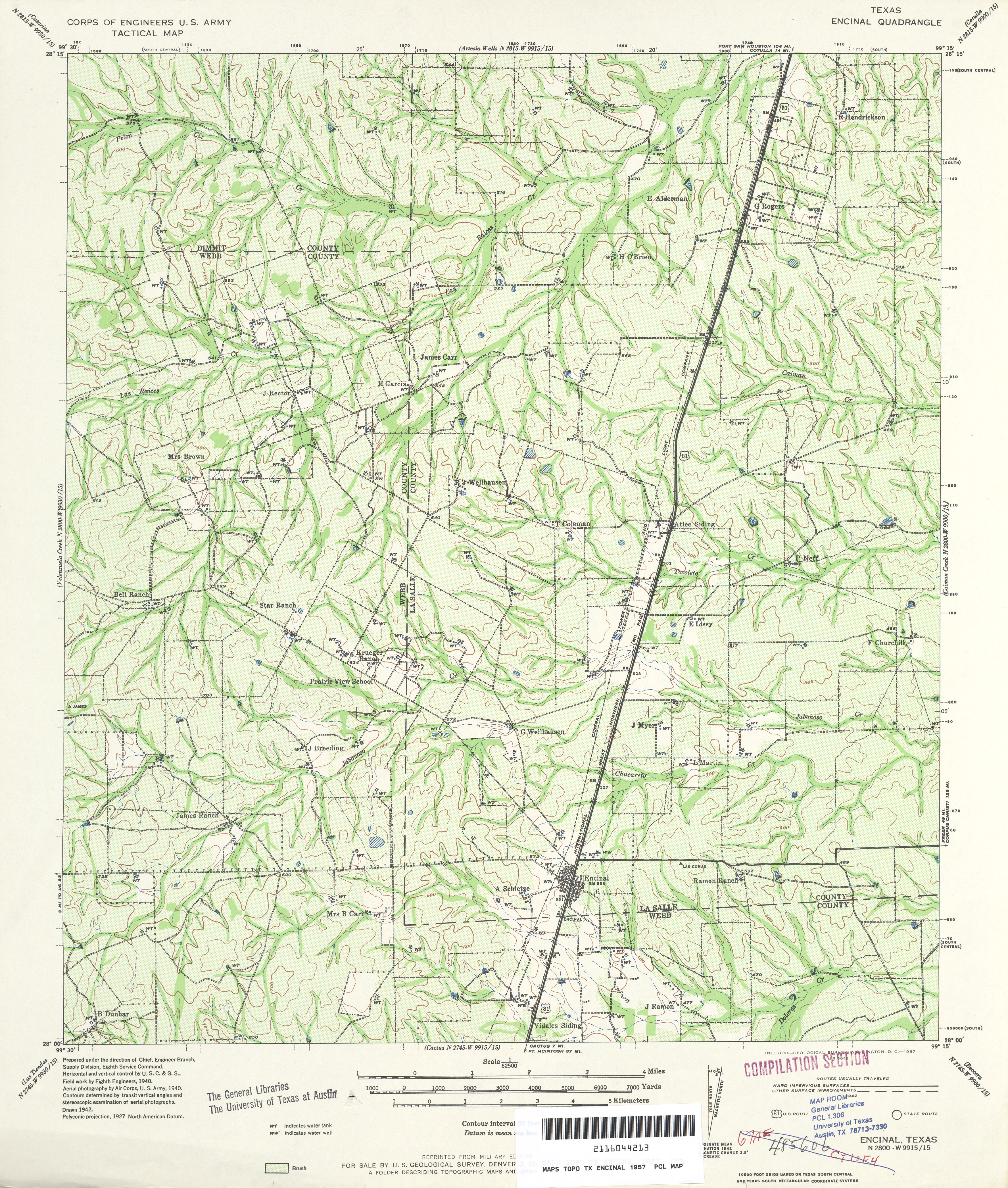
- Encinal 1:62,500 1940 survey, 1942 overprint (6.3 MB) U.S. Army. Corps of Engineers. 15 Minute Series
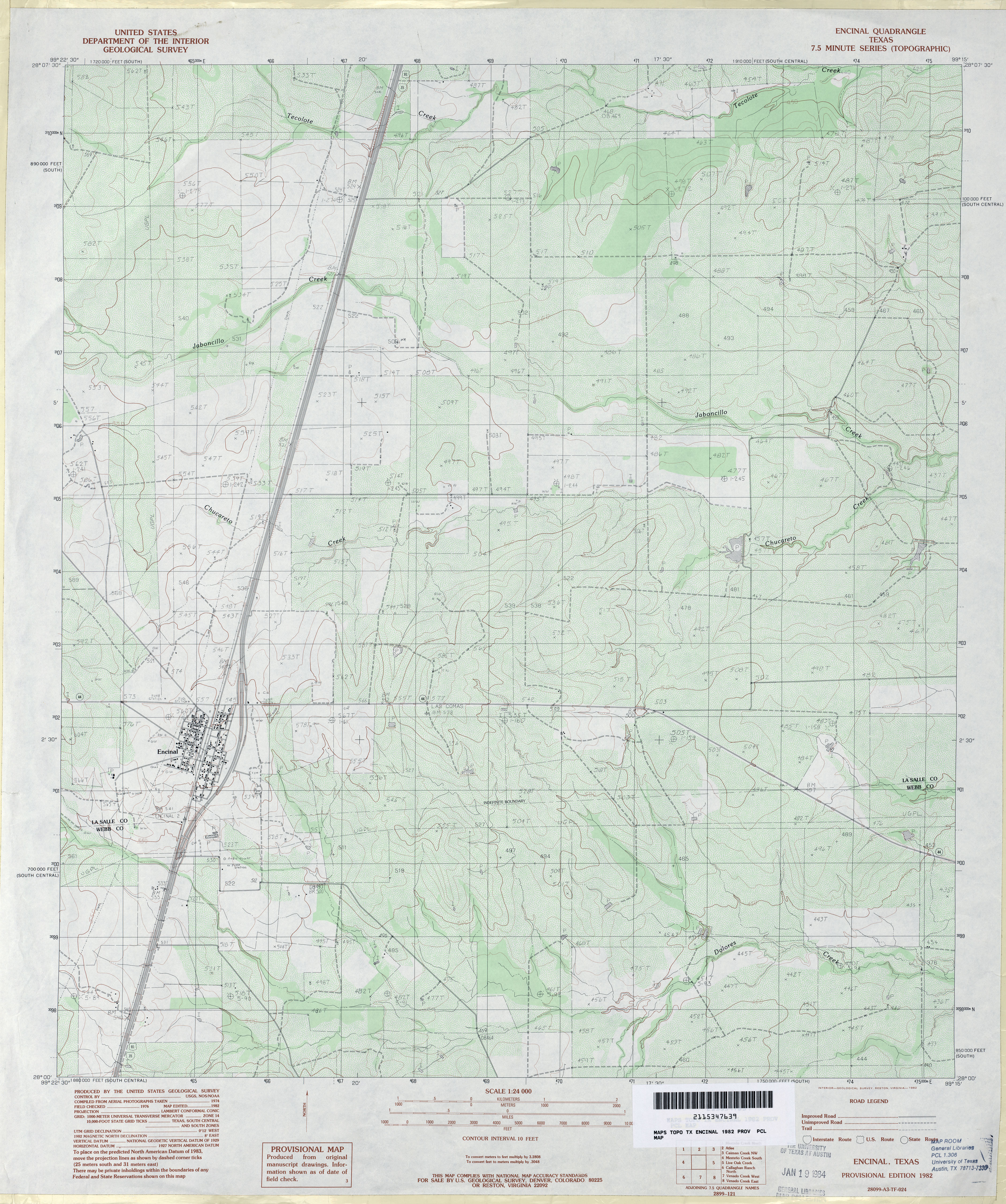
- Encinal 1:24,000 1982 (4MB)
- Encinal 1:24,000 2008 (17.6MB) [GeoPDF]
- Encinal 1:24,000 2013 (25.7MB) [GeoPDF]
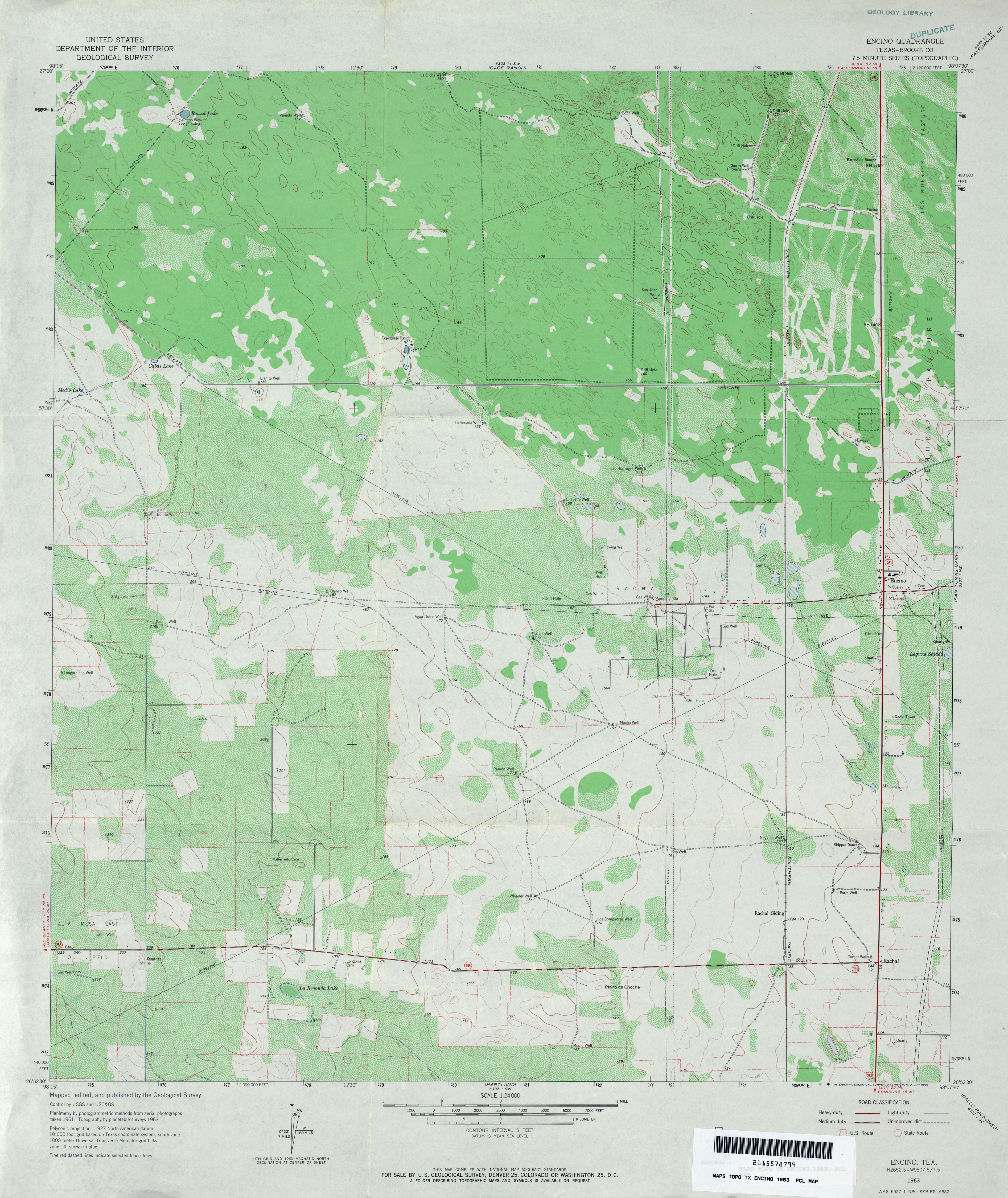
- Encino (Brooks County) 1:24,000 1963 (4.1MB)
- Encino (Brooks County) 1:24,000 1982 (3.6MB)
- Encino 1:24,000 2009 (19.8MB) [GeoPDF]
- Encino 1:24,000 2012 (23.3MB) [GeoPDF]
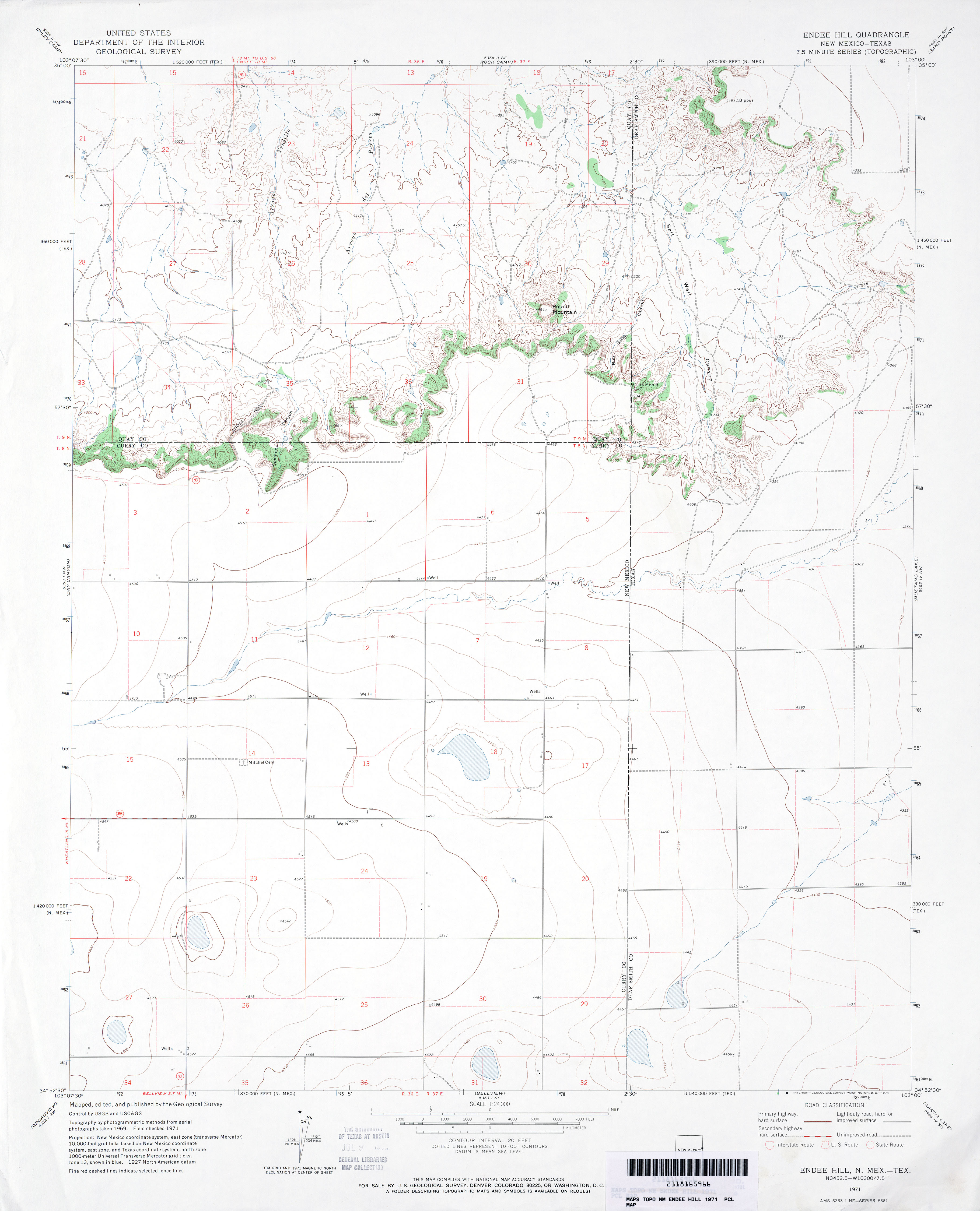
- Endee Hill 1:24,000 1971 (2.5MB)
- Endee Hill [New Mexico, Texas] 1:24,000 2009 (16.1MB) [GeoPDF]
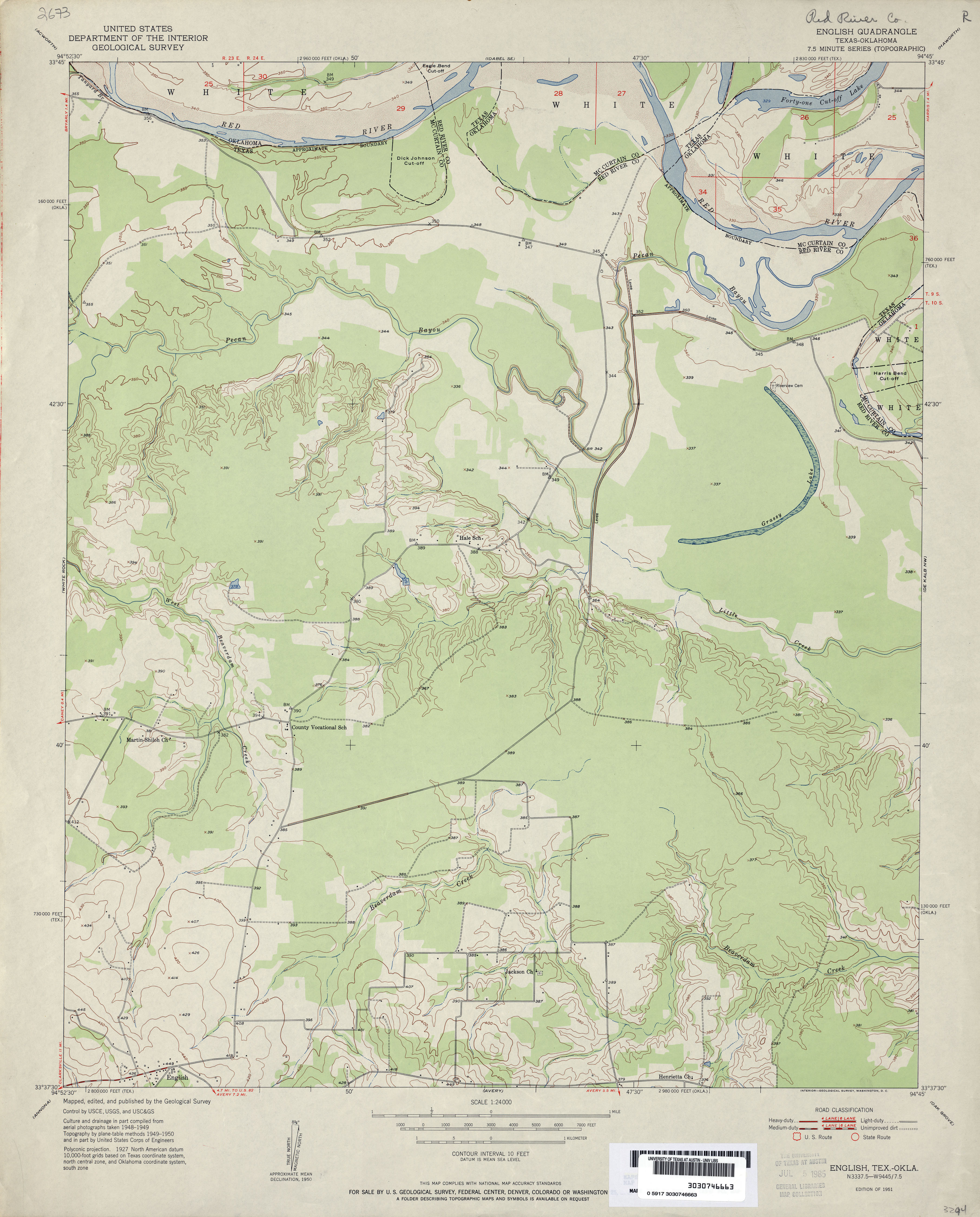
- English 1:24,000 1950 (3MB)
- English 1:24,000 2008 (17.0MB) [GeoPDF]
- English 1:24,000 2013 (23.1MB) [GeoPDF]
- Ennis 1:62,500 1919 (3.1MB)
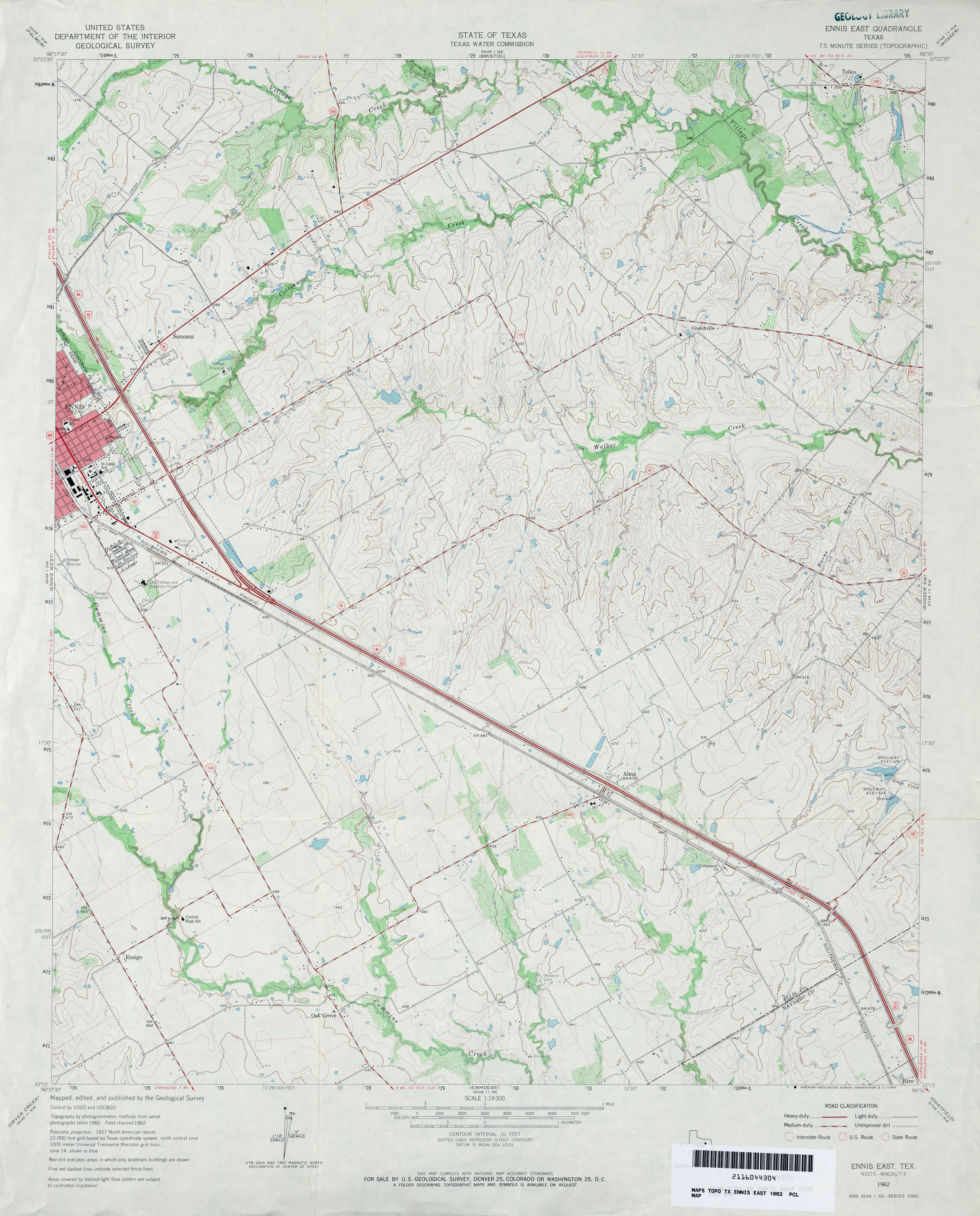
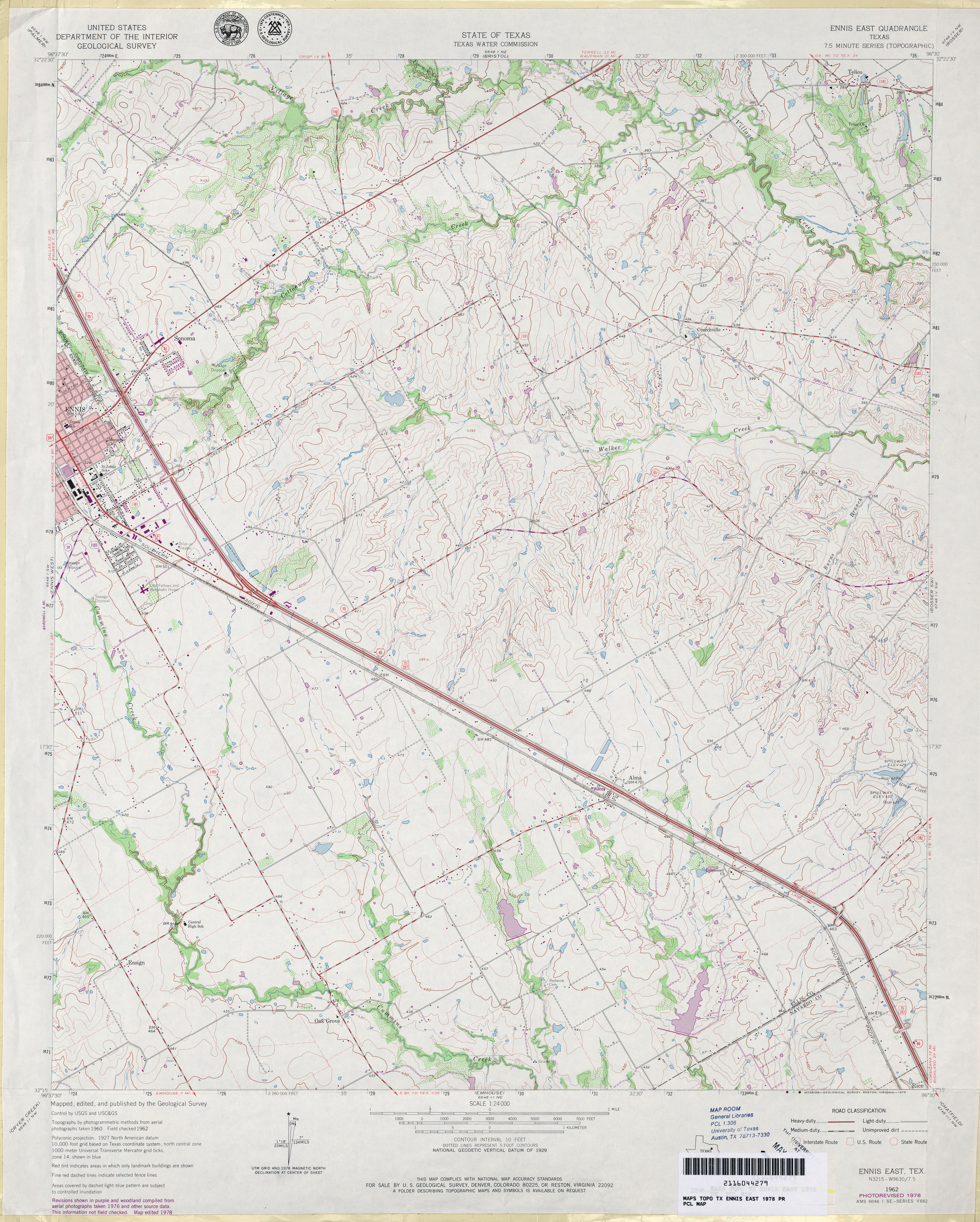
- Ennis East 1:24,000 1962 (3.7MB)
- Ennis East 1:24,000 1978 (4.2MB)
- Ennis East 1:24,000 2008 (14.7MB) [GeoPDF]
- Ennis East 1:24,000 2012 (20MB) [GeoPDF]
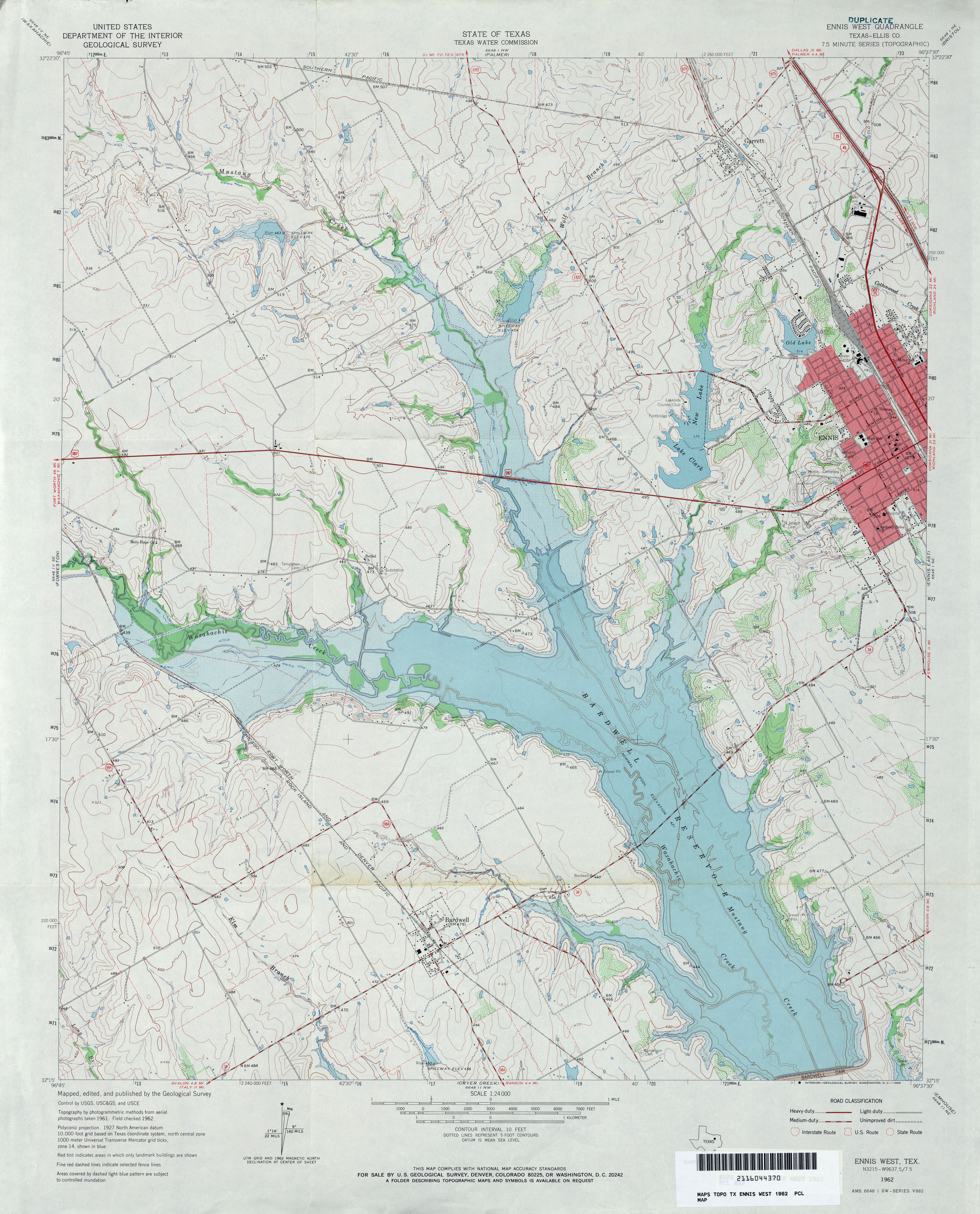
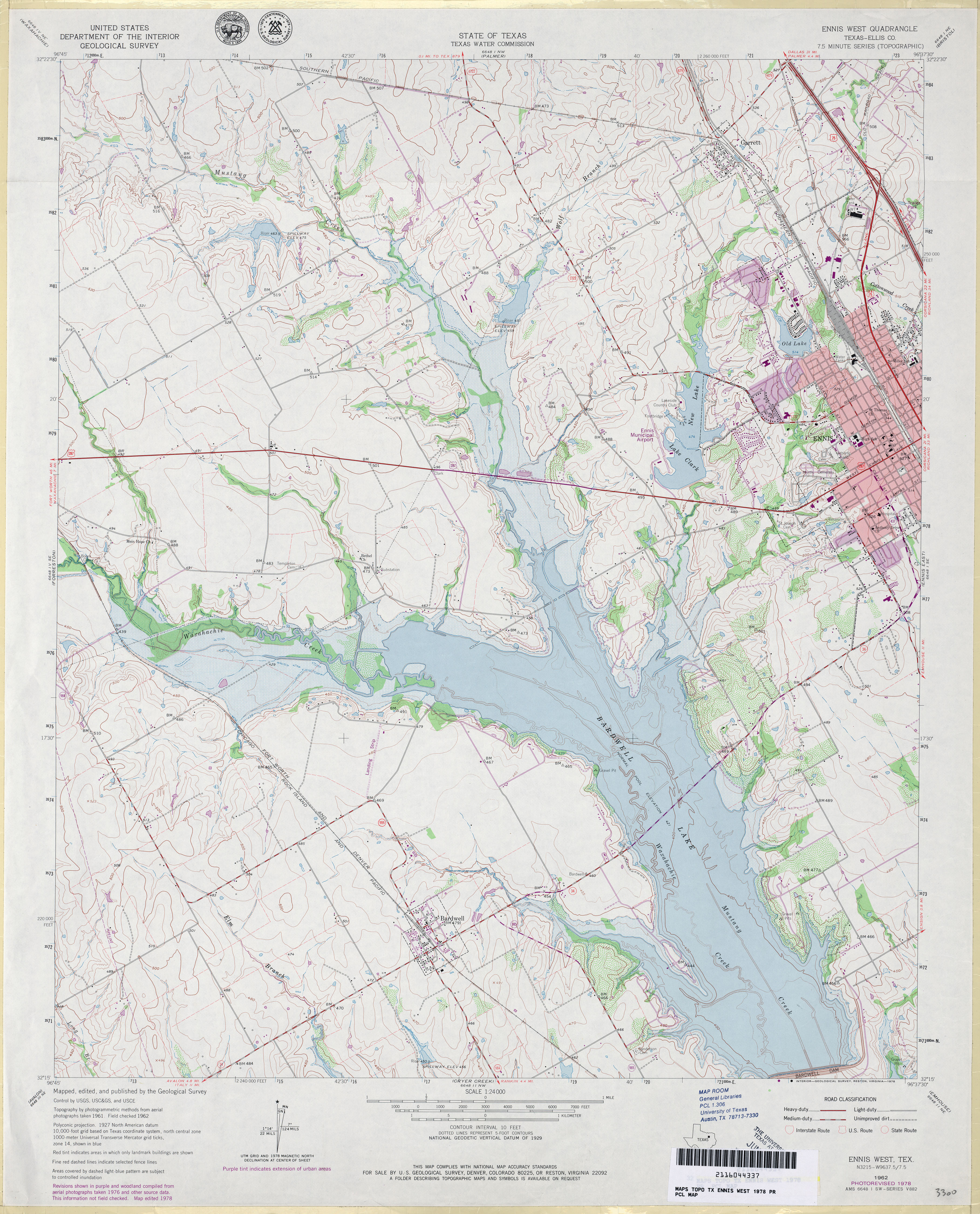
- Ennis West (Ellis County) 1:24,000 1962 (4.1MB)
- Ennis West (Ellis County) 1:24,000 1978 (4.2MB)
- Ennis West 1:24,000 2008 (15.4MB) [GeoPDF]
- Ennis West 1:24,000 2012 (19.1MB) [GeoPDF]
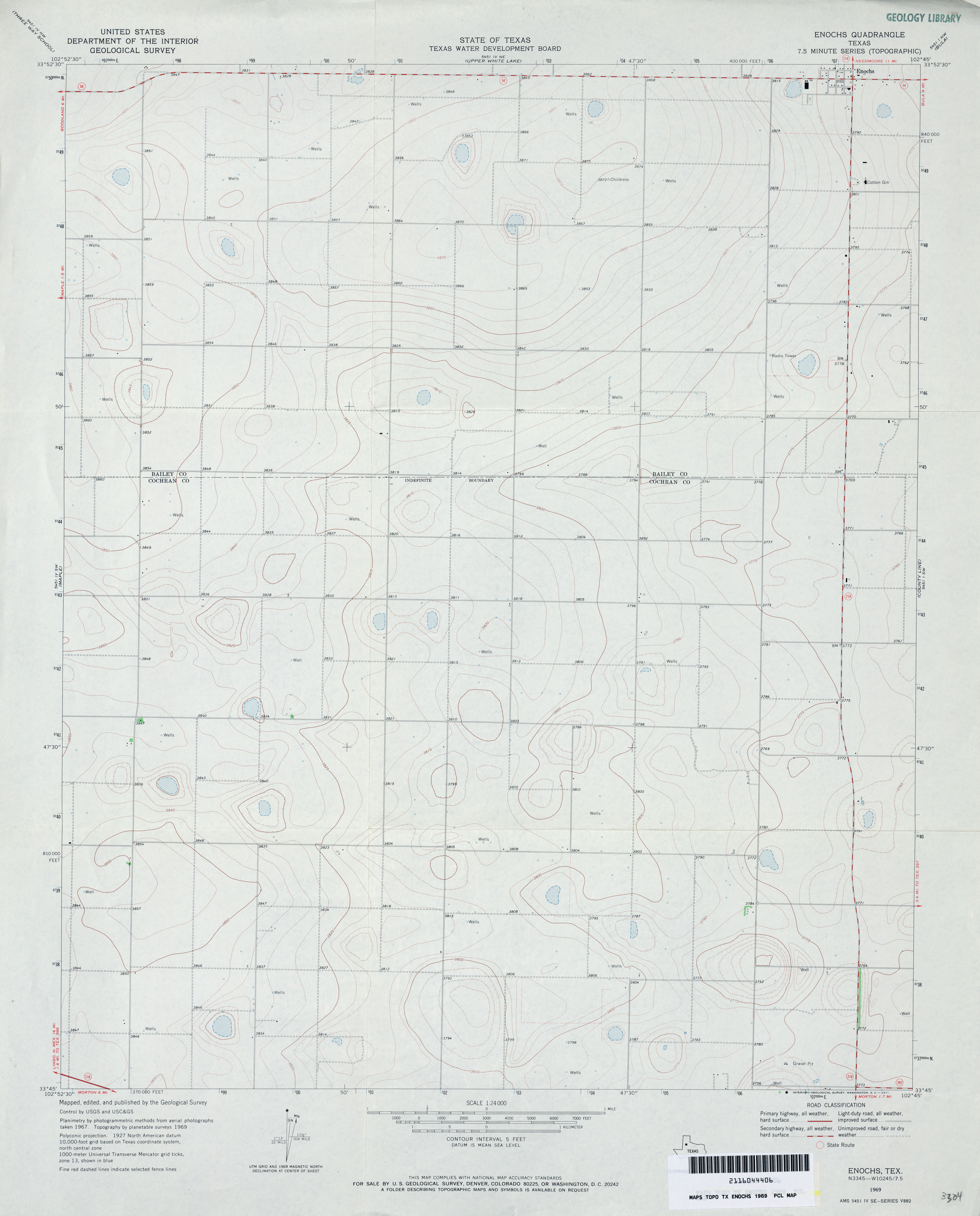
- Enochs 1:24,000 1969 (2.2MB)
- Enochs 1:24,000 2008 (9.2MB) [GeoPDF]
- Enochs 1:24,000 2012 (14.1MB) [GeoPDF]
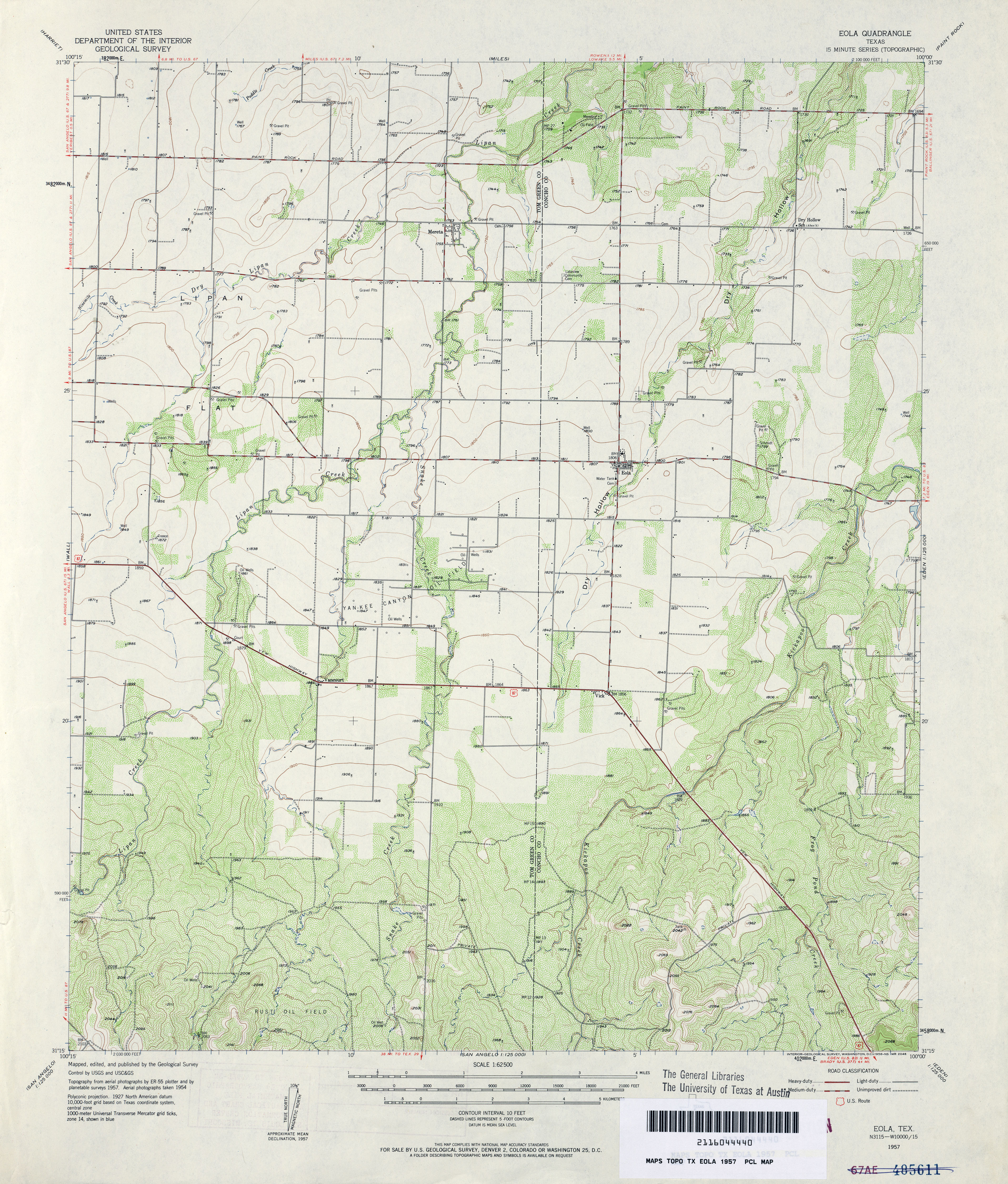
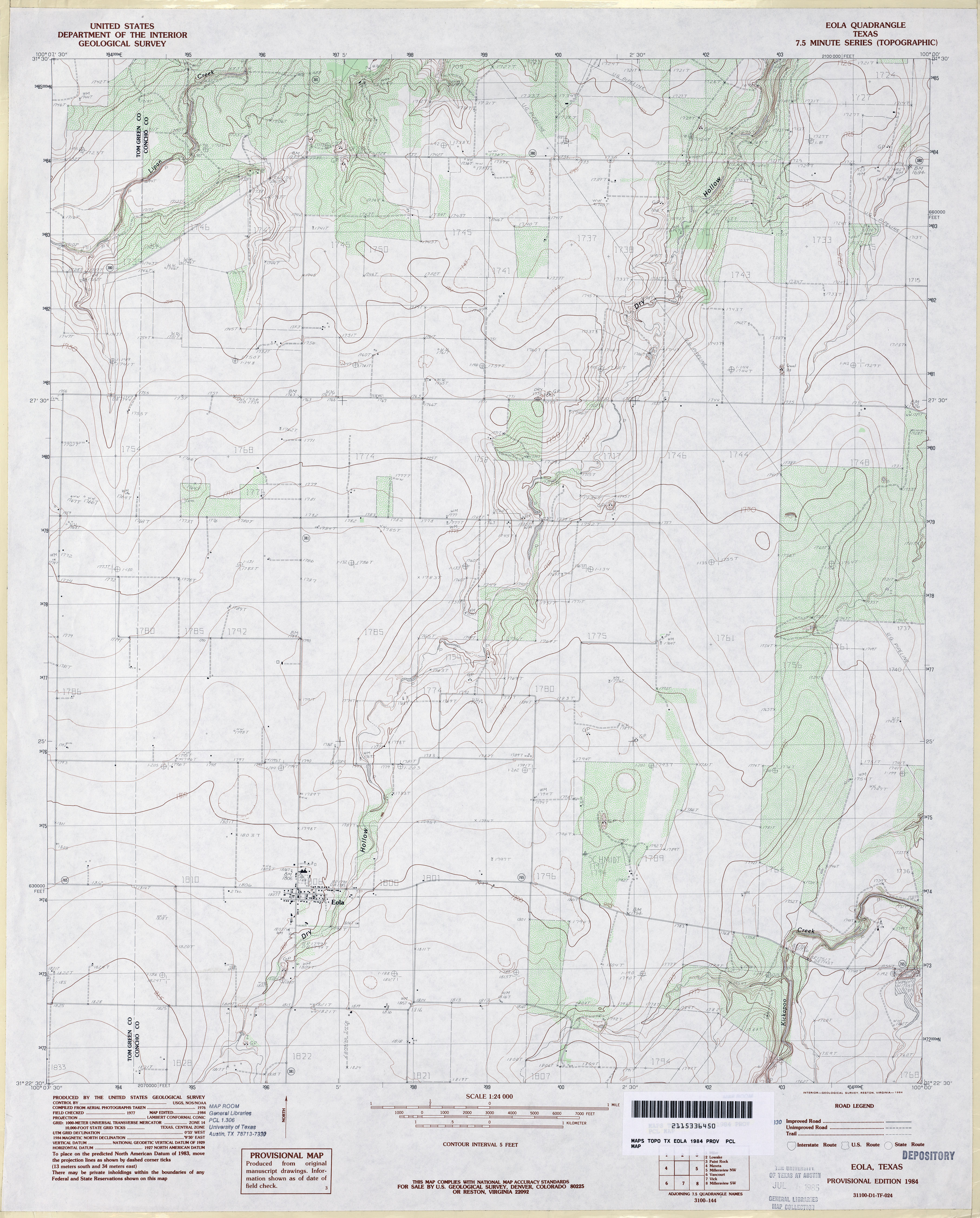
- Eola 1:62,500 1957 (4.3MB)
- Eola 1:24,000 1984 (3.5MB)
- Eola 1:24,000 2012 (18.6MB) [GeoPDF]
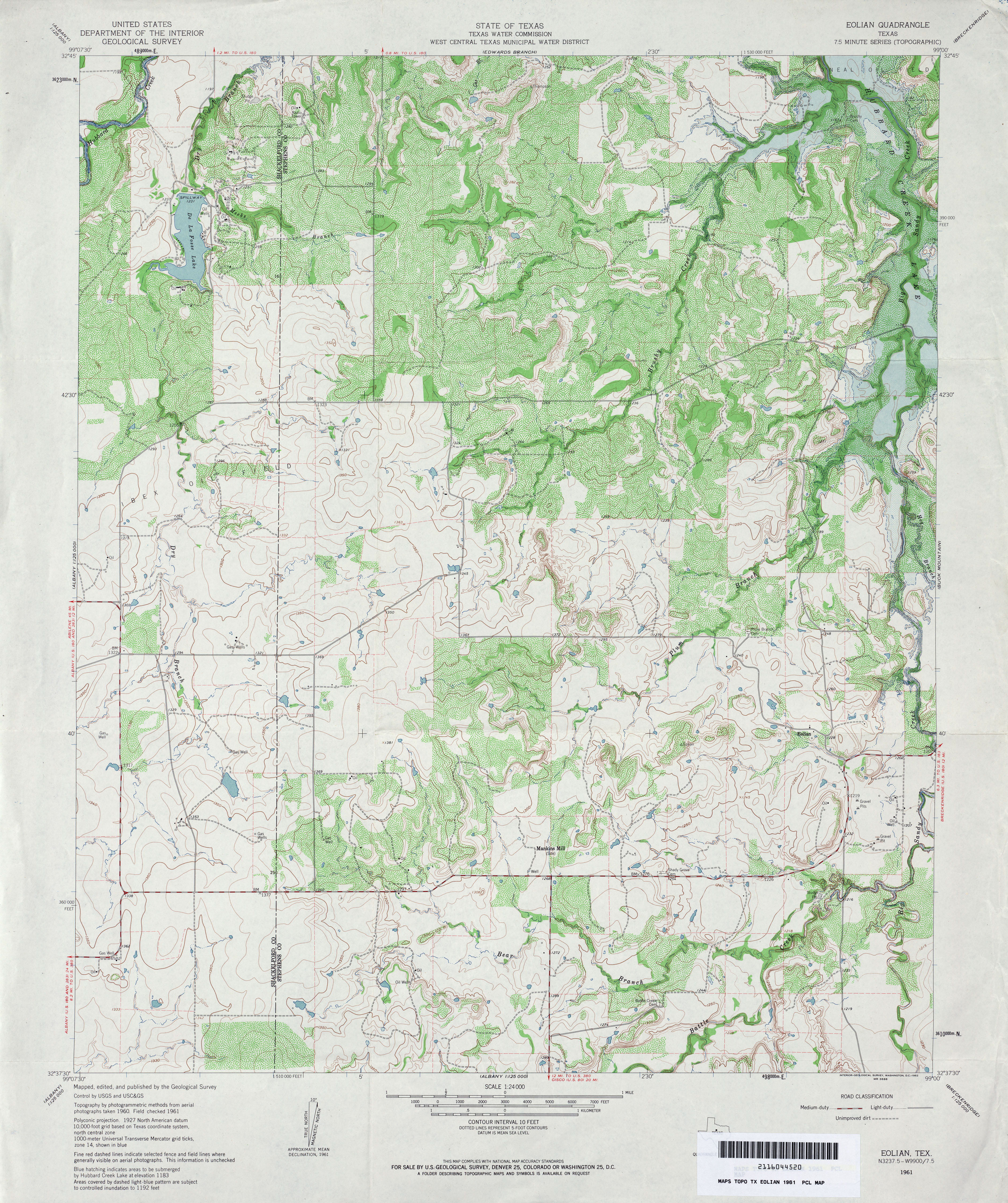
- Eolian 1:24,000 1961 (5MB)
- Eolian 1:24,000 1987 (4.4MB)
- Eolian 1:24,000 2008 (14.4MB) [GeoPDF]
- Eolian 1:24,000 2012 (23MB) [GeoPDF]
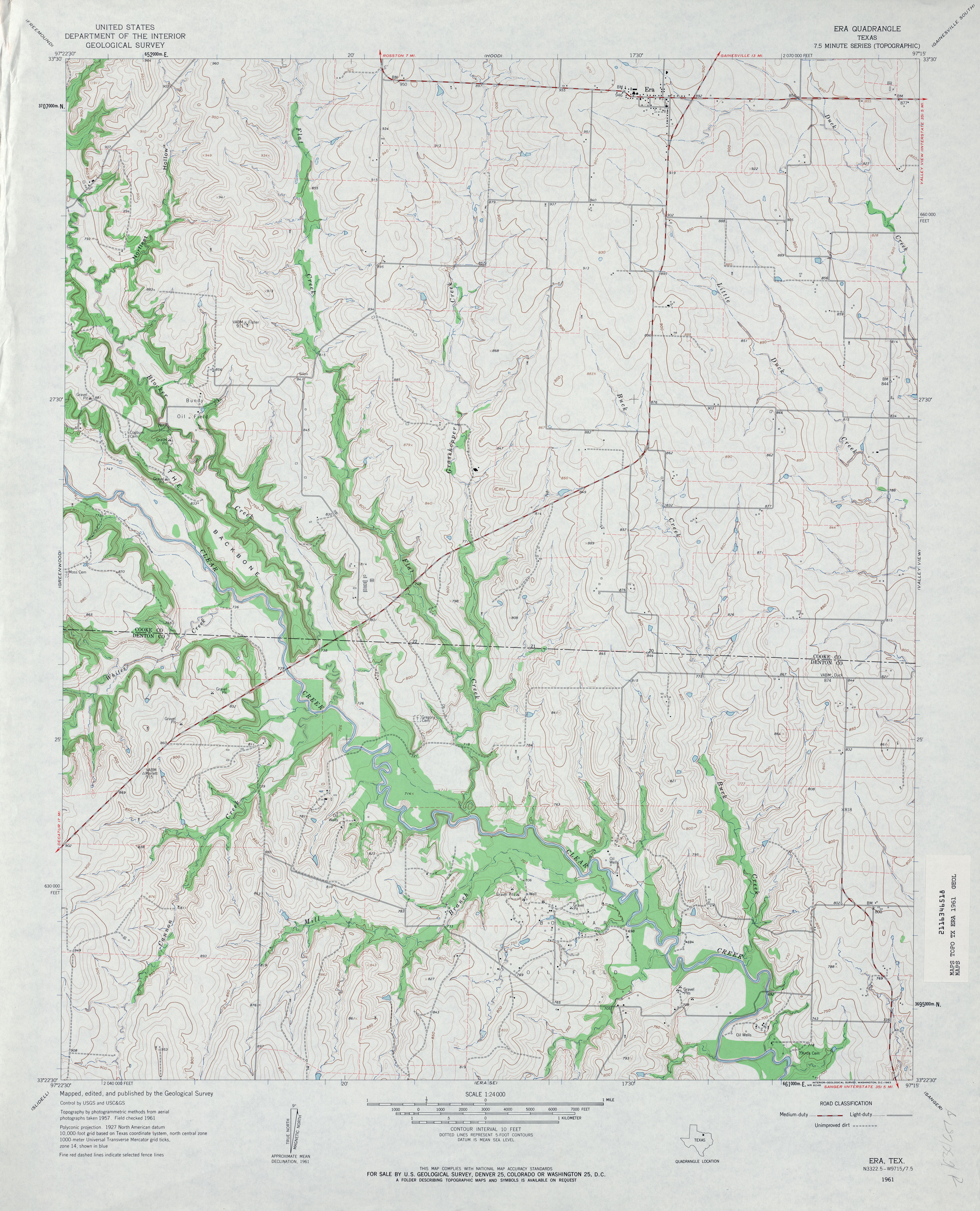
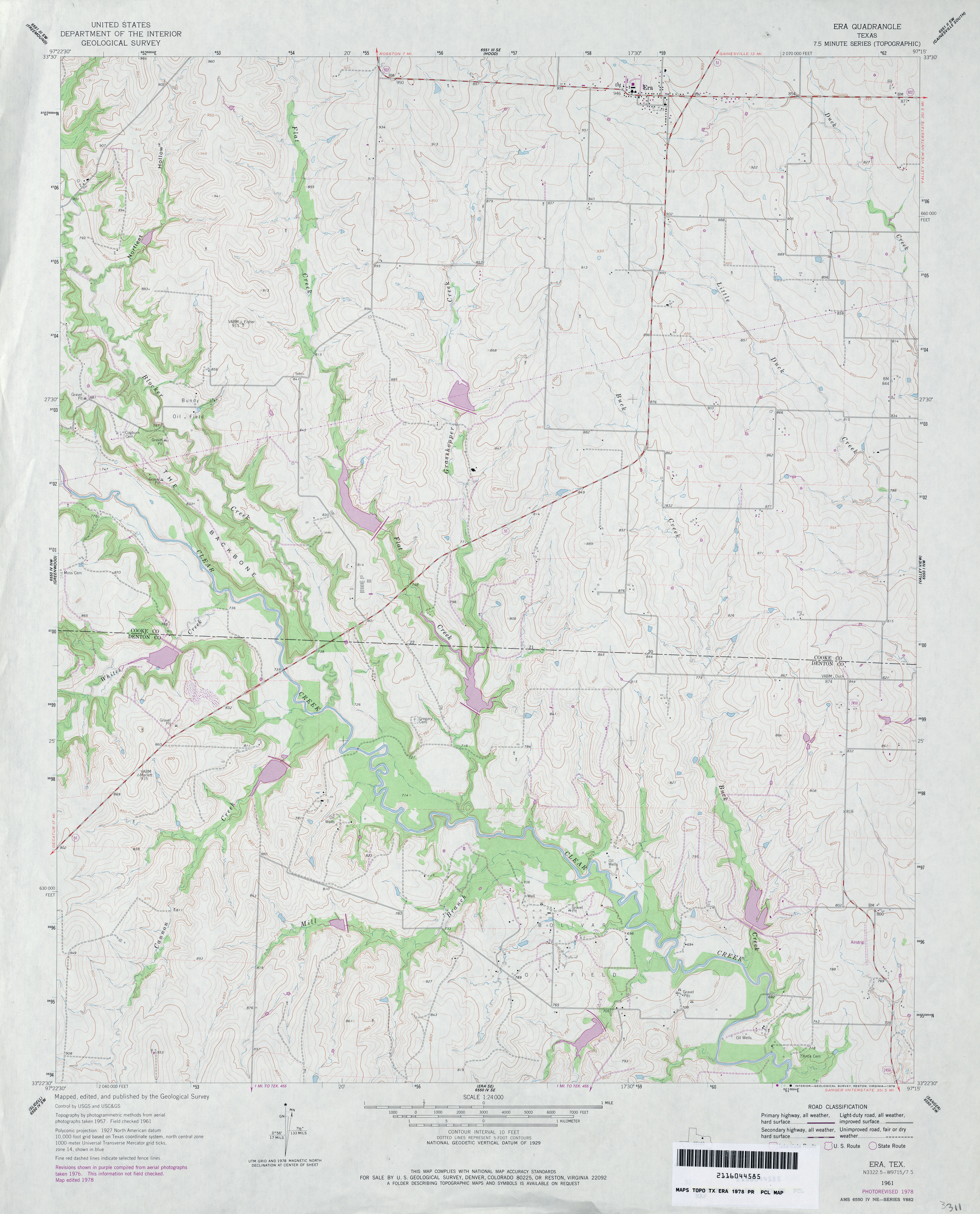
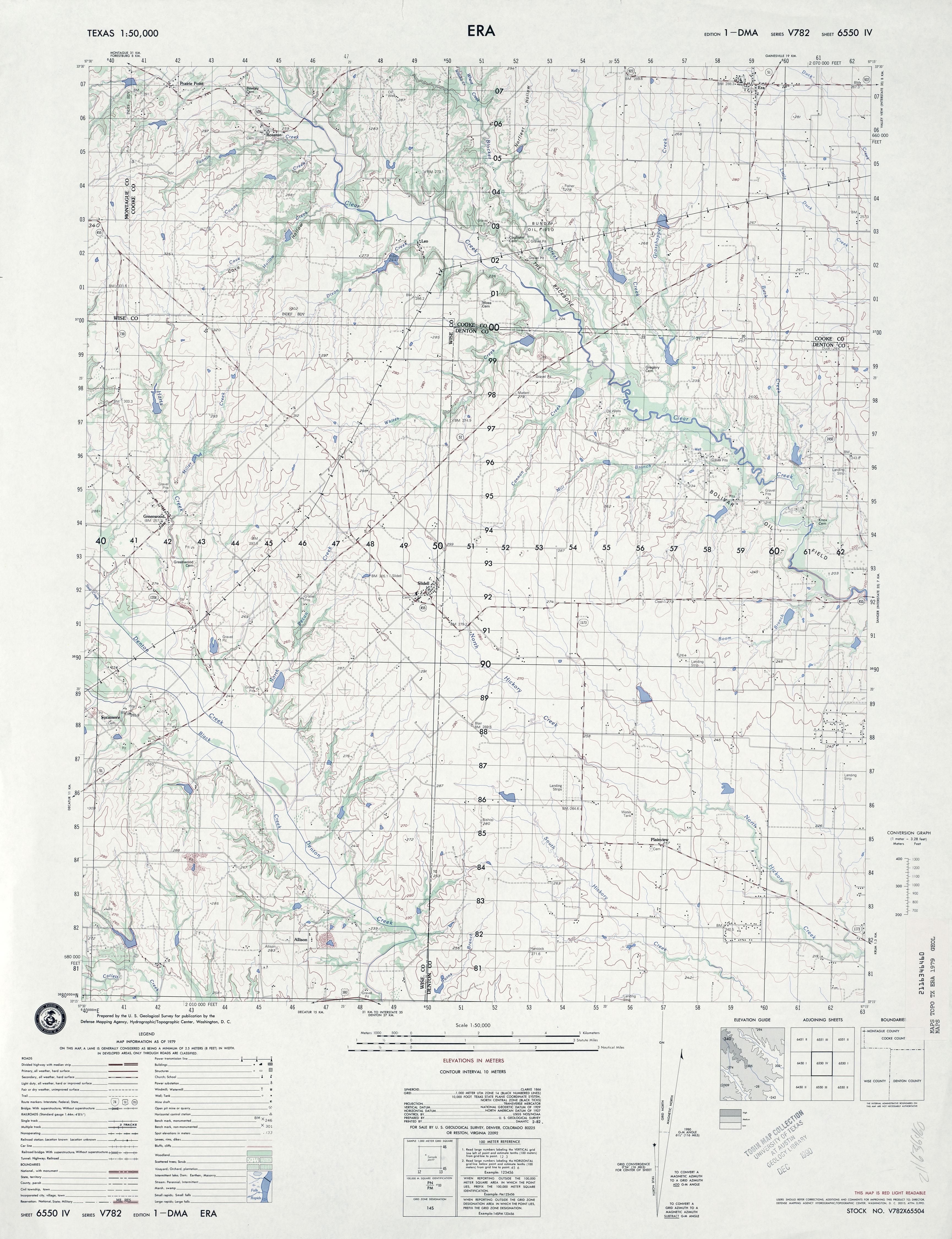
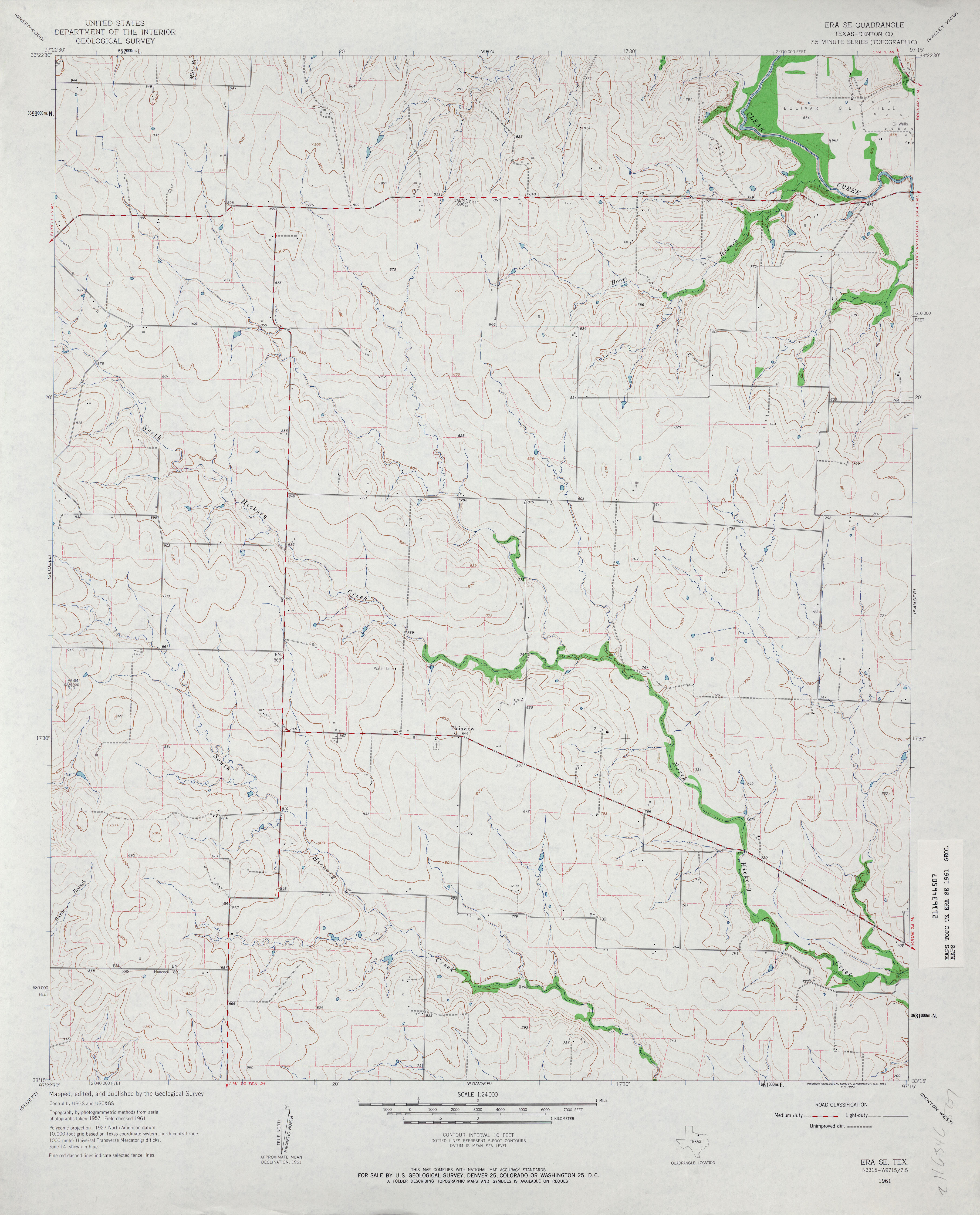
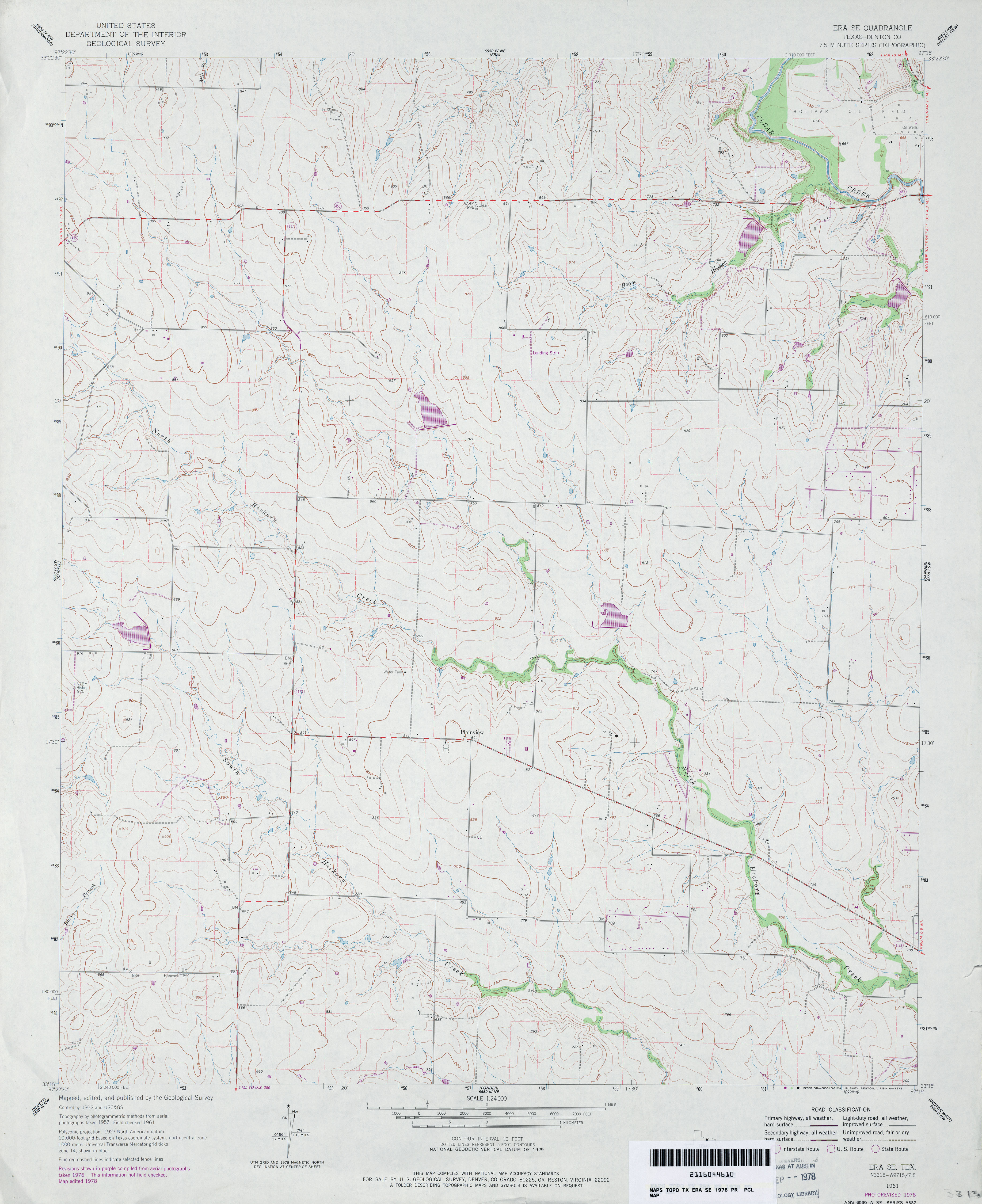
- Era 1:24,000 1961 (3.9MB)
- Era 1:24,000 1978 (3.6MB)
- Era 1:50,000 1979 (3.3MB) U.S. Defense Mapping Agency, Series V782.
- Era 1:24,000 2008 (11.7MB) [GeoPDF]
- Era 1:24,000 2013 (16.4MB) [GeoPDF]
- Era SE (Denton County) 1:24,000 1961 (3.2MB)
- Era SE (Denton County) 1:24,000 1978 (3.4MB)
- Era SE 1:24,000 2008 (9.6MB) [GeoPDF]
- Era SE 1:24,000 2013 (15.1MB) [GeoPDF]
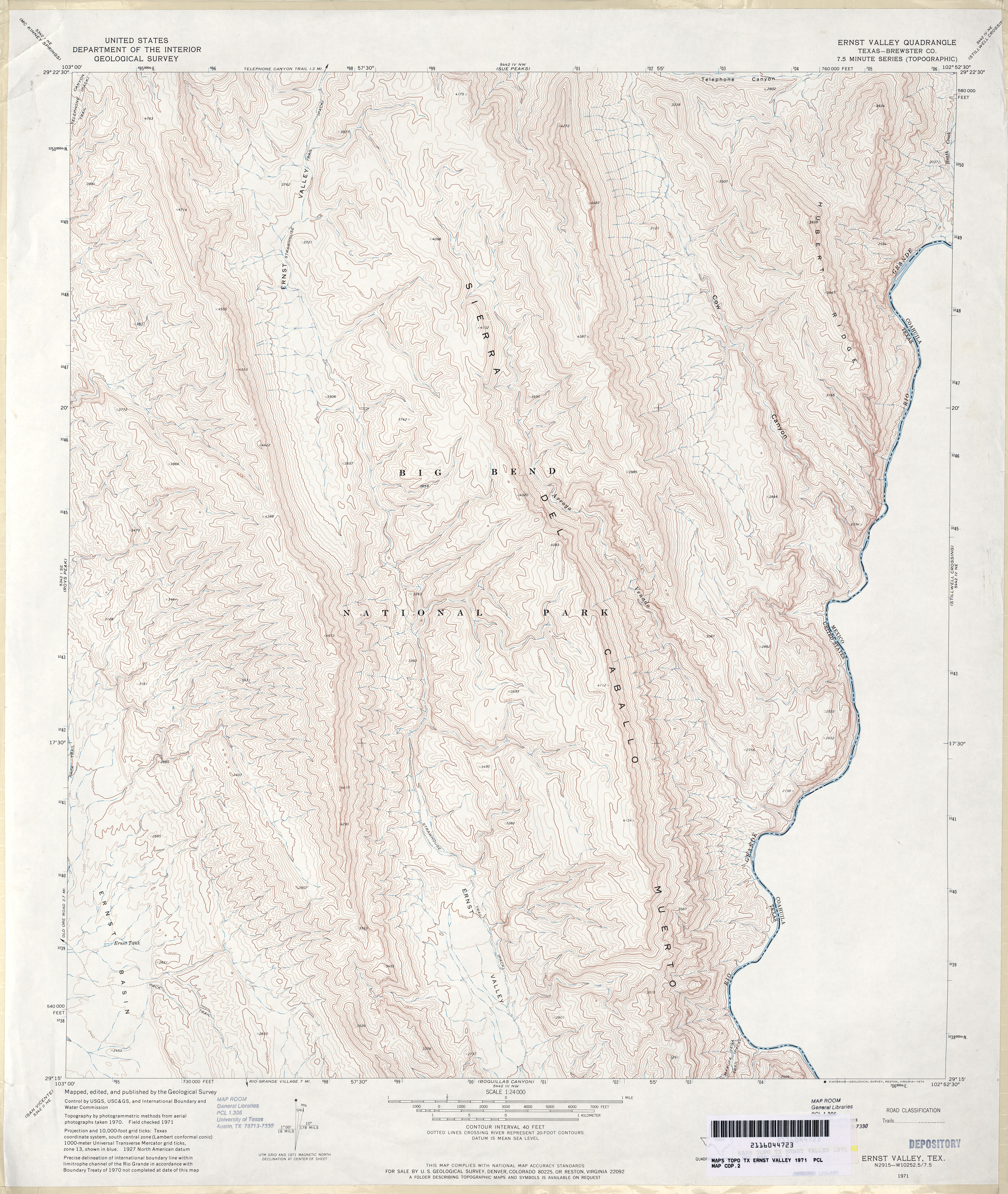
- Ernst Valley (Brewster County) 1:24,000 1971 (5.2MB)
- Ernst Valley 1:24,000 2008 (23.4MB) [GeoPDF]
- Ernst Valley 1:24,000 2013 (28.1MB) [GeoPDF]
- Escobares (Starr County) 1:62,500 1938 (3.5 MB) U.S. Army Corps of Engineers. Tactical Map
- Escobas (Zapata County) 1:24,000 1980 (4.2MB)
- Escobas 1:24,000 2008 (22.8MB) [GeoPDF]
- Escobas 1:24,000 2013 (25.9MB) [GeoPDF]
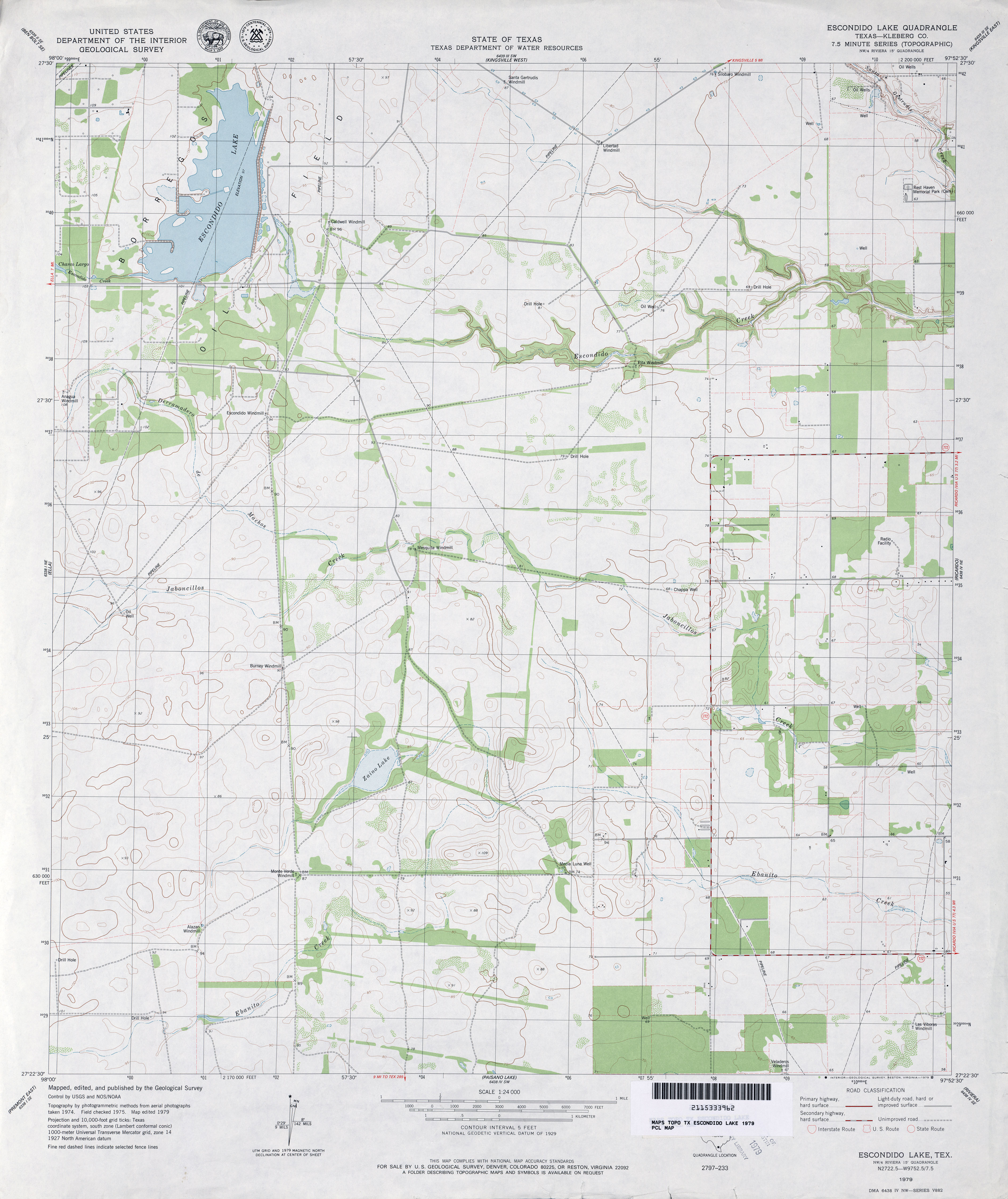
- Escondido Lake (Kleberg County) 1:24,000 1979 (3.1MB)
- Escondido Lake 1:24,000 2009 (15.5MB) [GeoPDF]
- Escondido Lake 1:24,000 2013 (19.8MB) [GeoPDF]
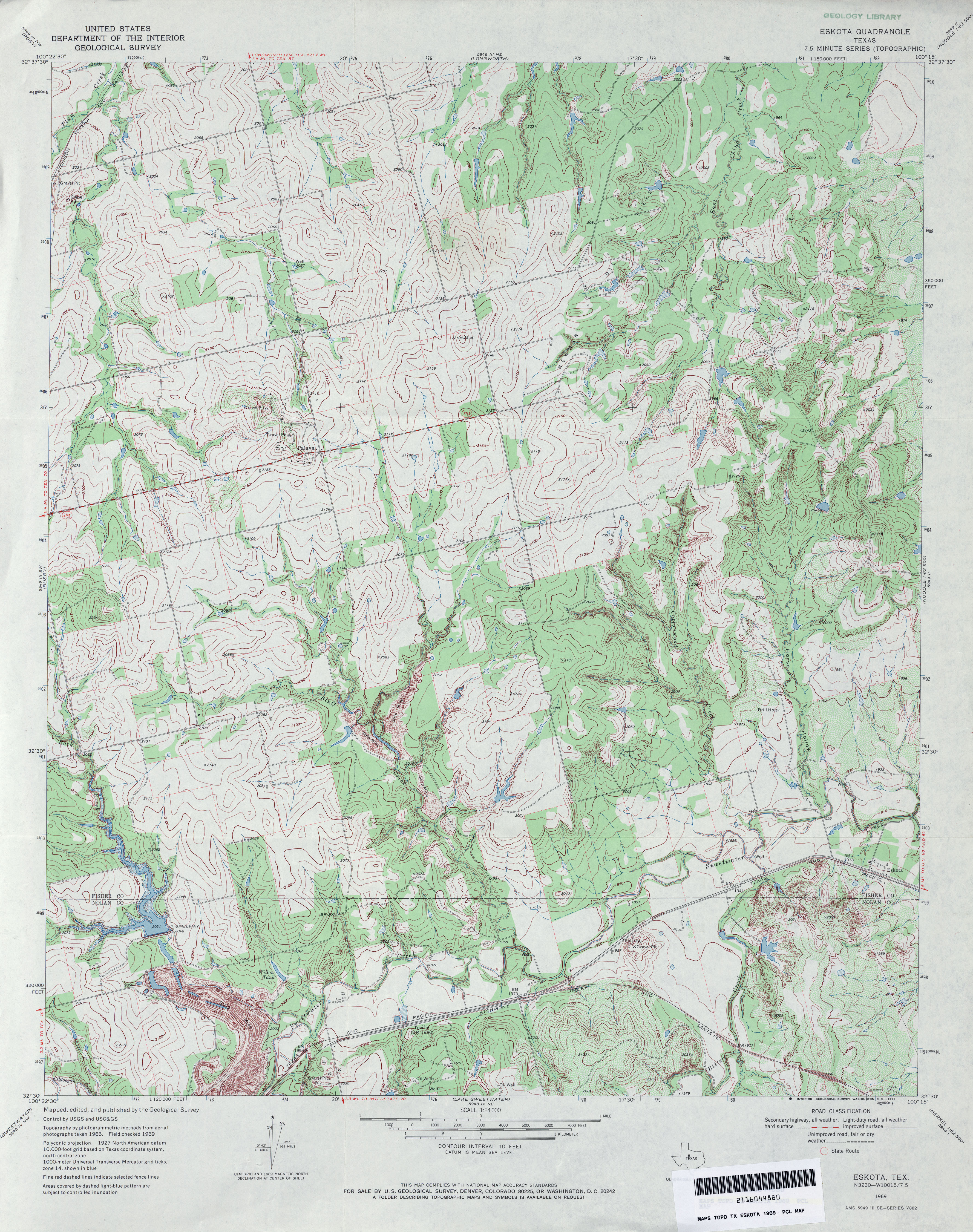
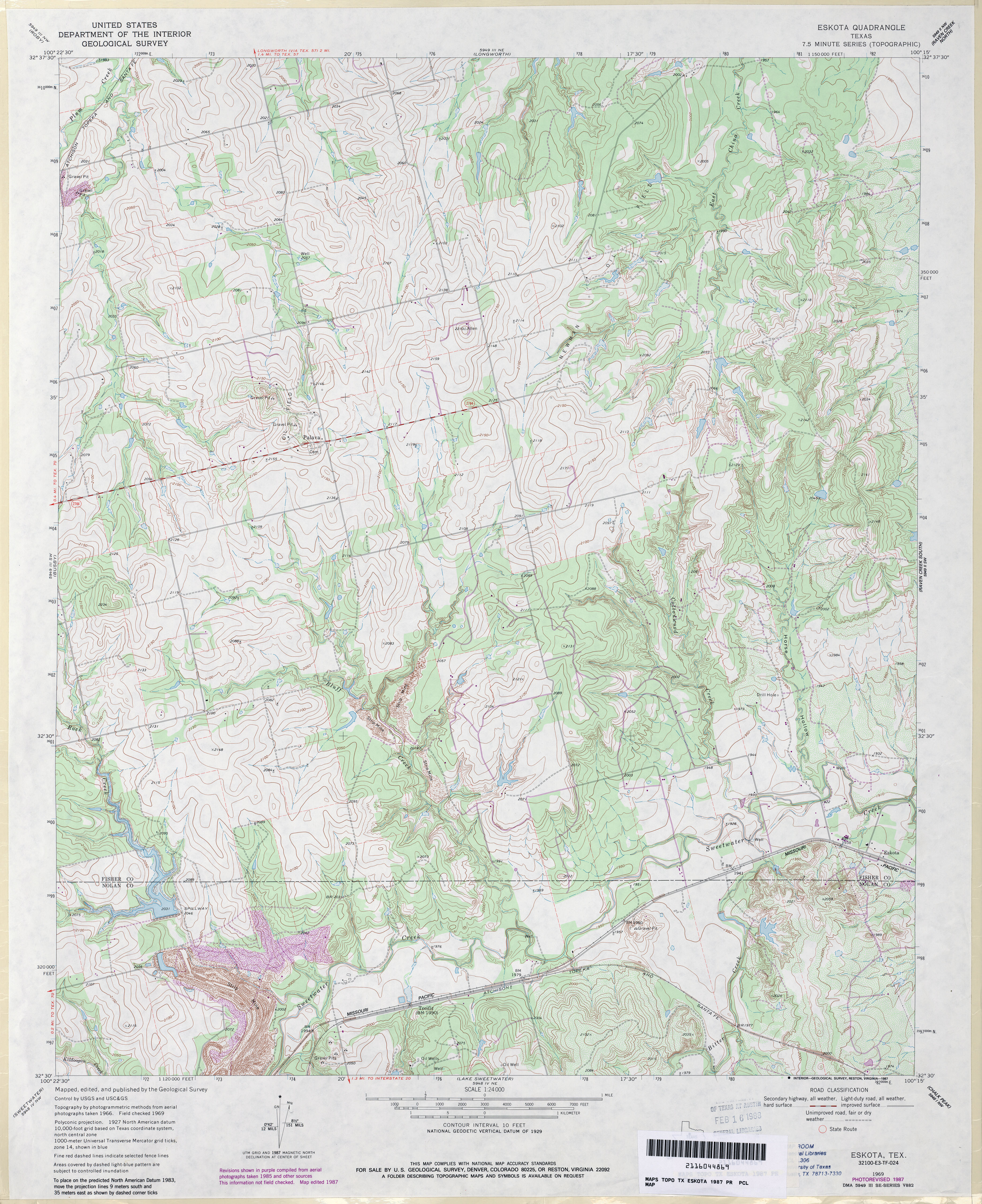
- Eskota 1:24,000 1969 (4.8MB)
- Eskota 1:24,000 1987 (4.6MB)
- Eskota 1:24,000 2008 (15.2MB) [GeoPDF]
- Eskota 1:24,000 2012 (24.3MB) [GeoPDF]
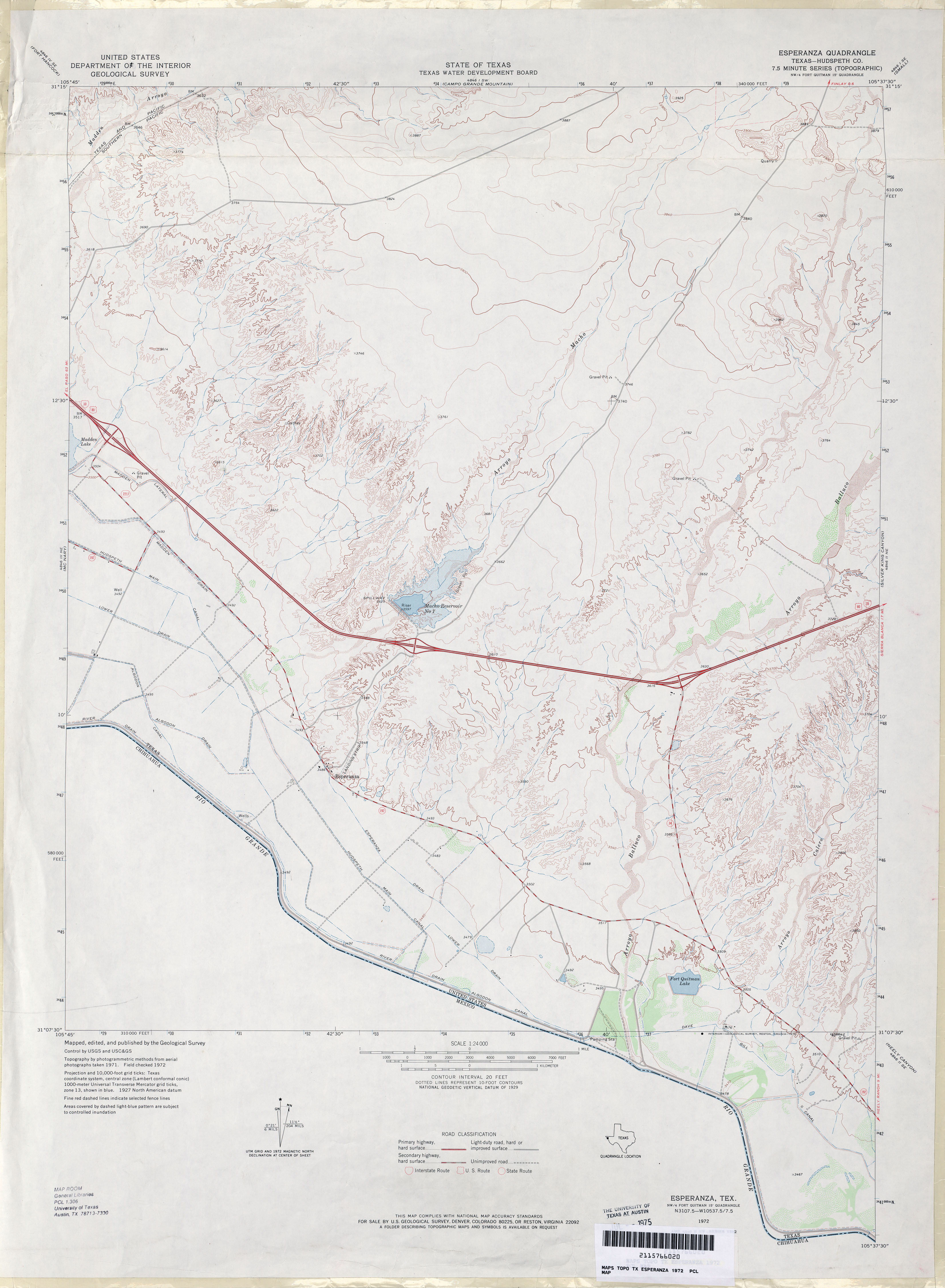
- Esperanza (Hudspeth County) 1:24,000 1972 (2.6MB)
- Esperanza 1:24,000 2008 (26.3MB) [GeoPDF]
- Esperanza 1:24,000 2013 (25.4MB) [GeoPDF]
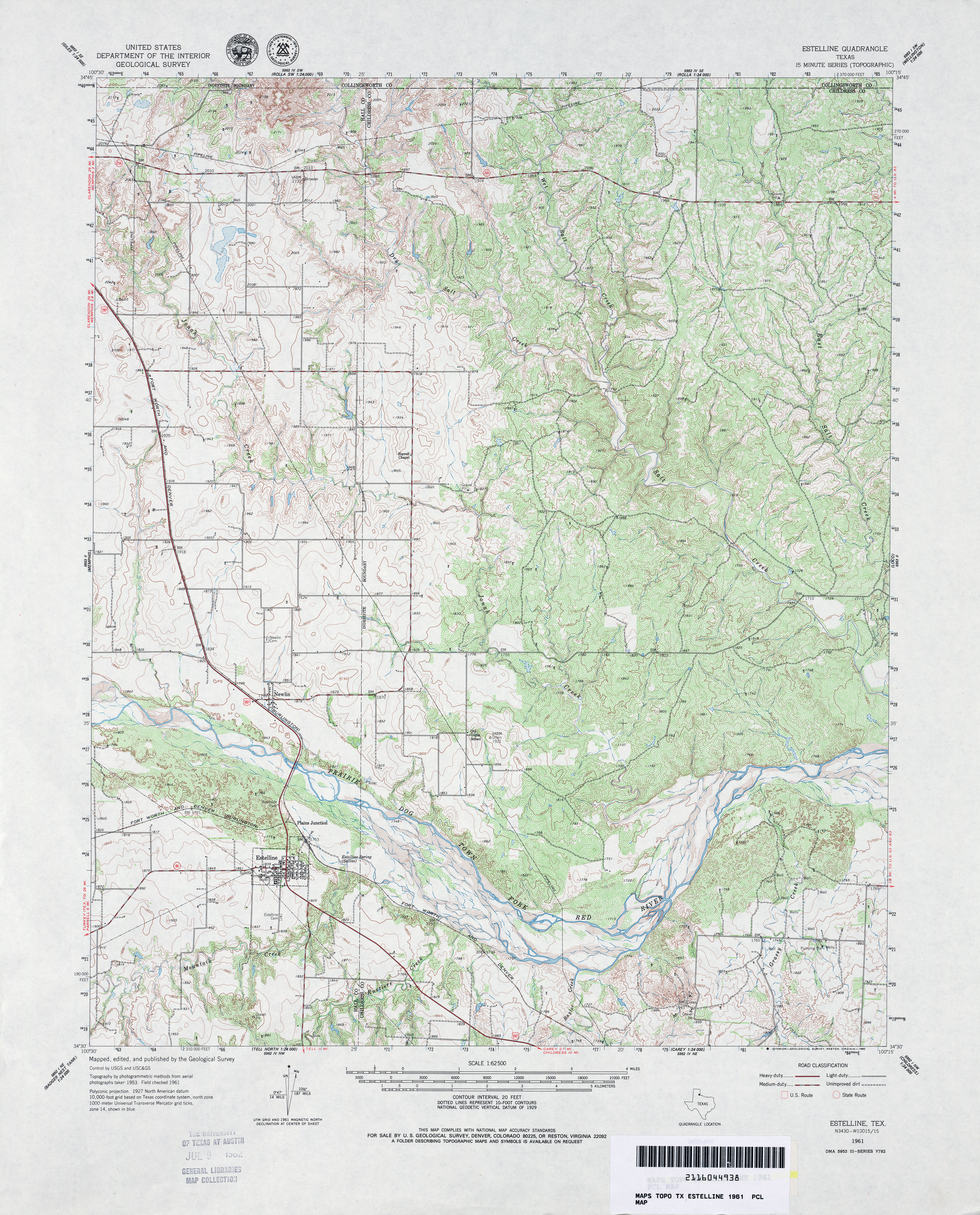
- Estelline 1:62,500 1961 (5.2MB)
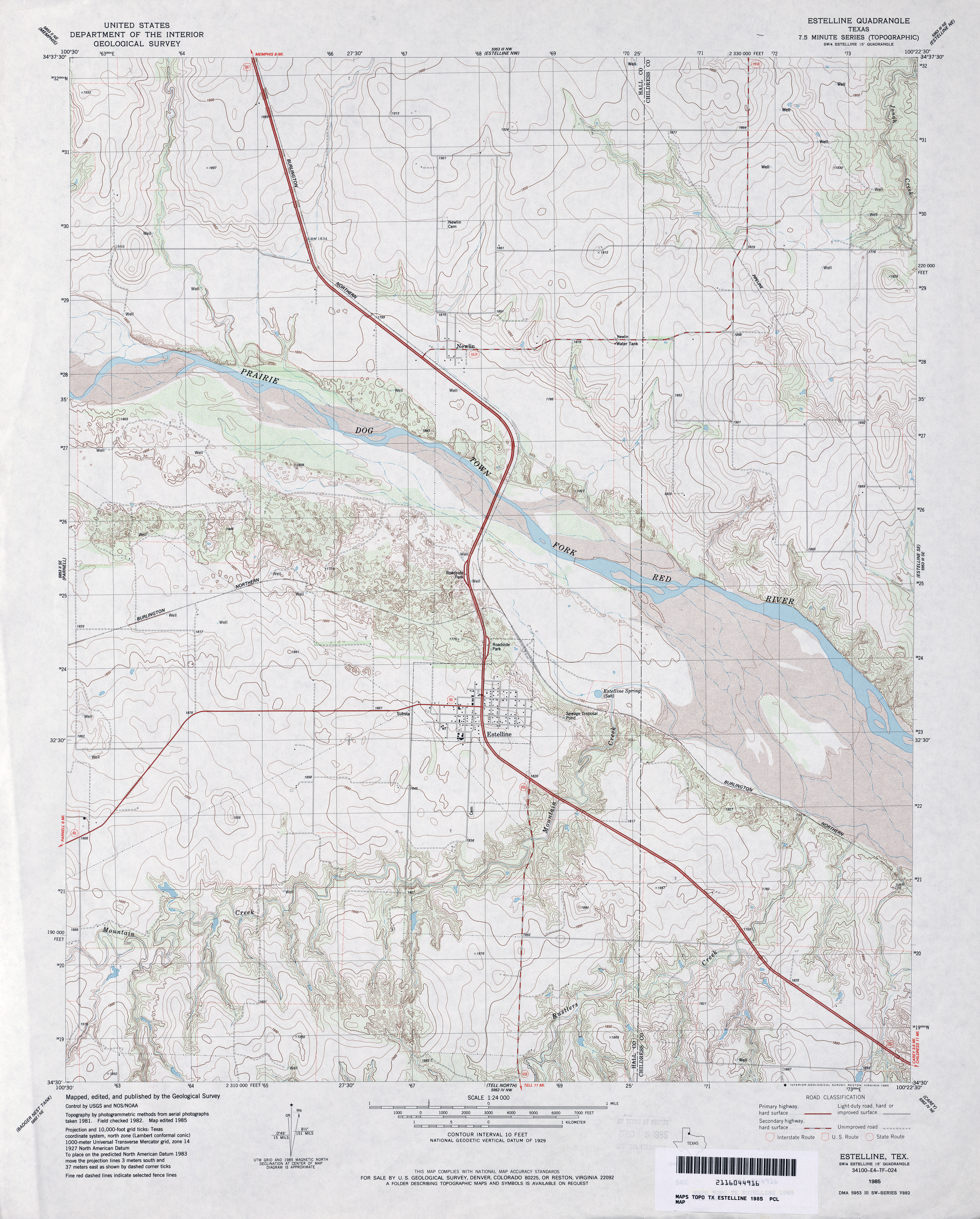
- Estelline 1:24,000 1985 (4.3MB)
- Estelline 1:24,000 2008 (12.1MB) [GeoPDF]
- Estelline 1:24,000 2012 (18.7MB) [GeoPDF]
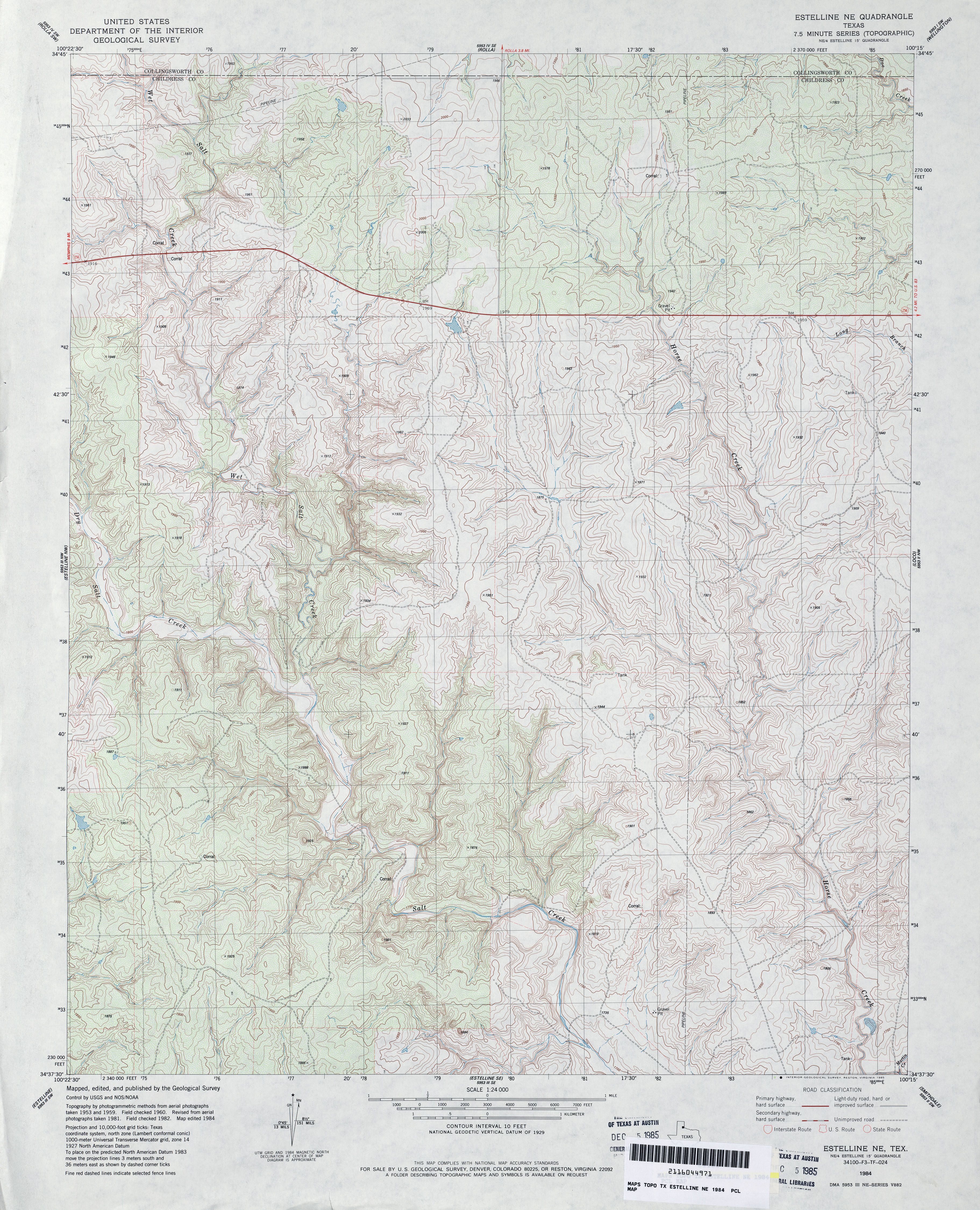
- Estelline NE 1:24,000 1984 (5.1MB)
- Estelline NE 1:24,000 2008 (16.3MB) [GeoPDF]
- Estelline NE 1:24,000 2013 (21.6MB) [GeoPDF]
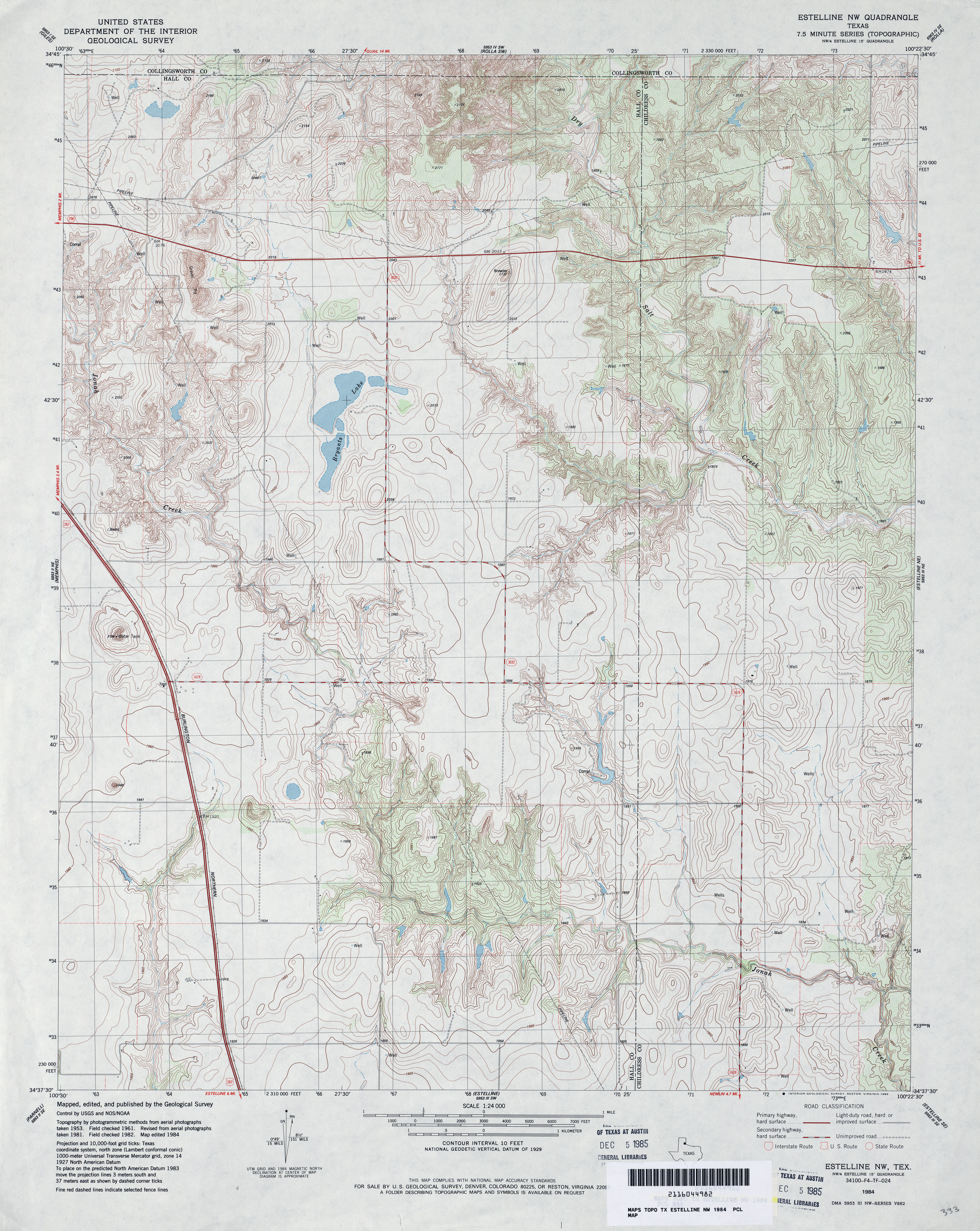
- Estelline NW 1:24,000 1984 (4.8MB)
- Estelline NW 1:24,000 2008 (12.2MB) [GeoPDF]
- Estelline NW 1:24,000 2012 (19.7MB) [GeoPDF]
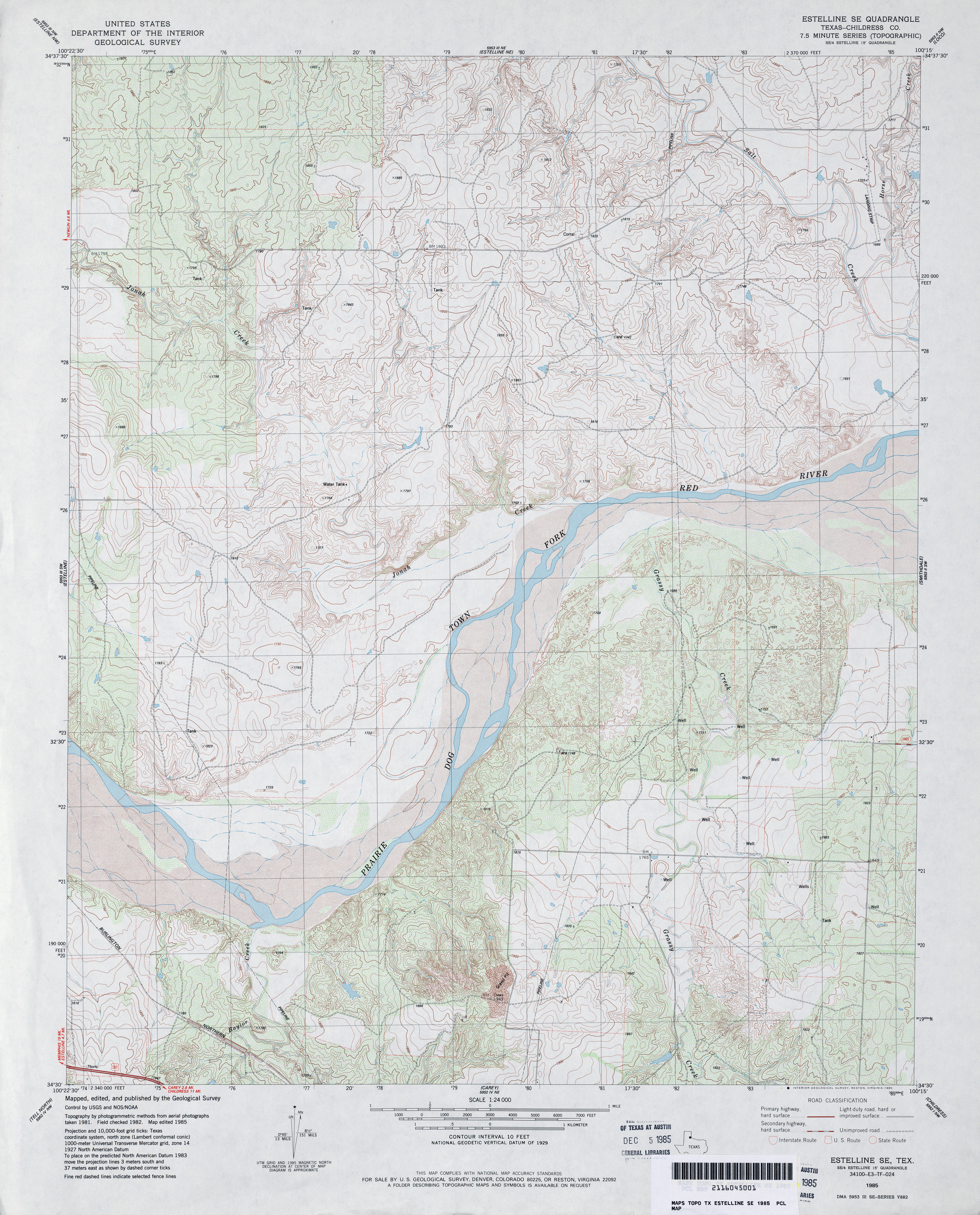
- Estelline SE (Childress County) 1:24,000 1985 (4.9MB)
- Estelline SE 1:24,000 2008 (13.8MB) [GeoPDF]
- Estelline SE 1:24,000 2013 (19MB) [GeoPDF]
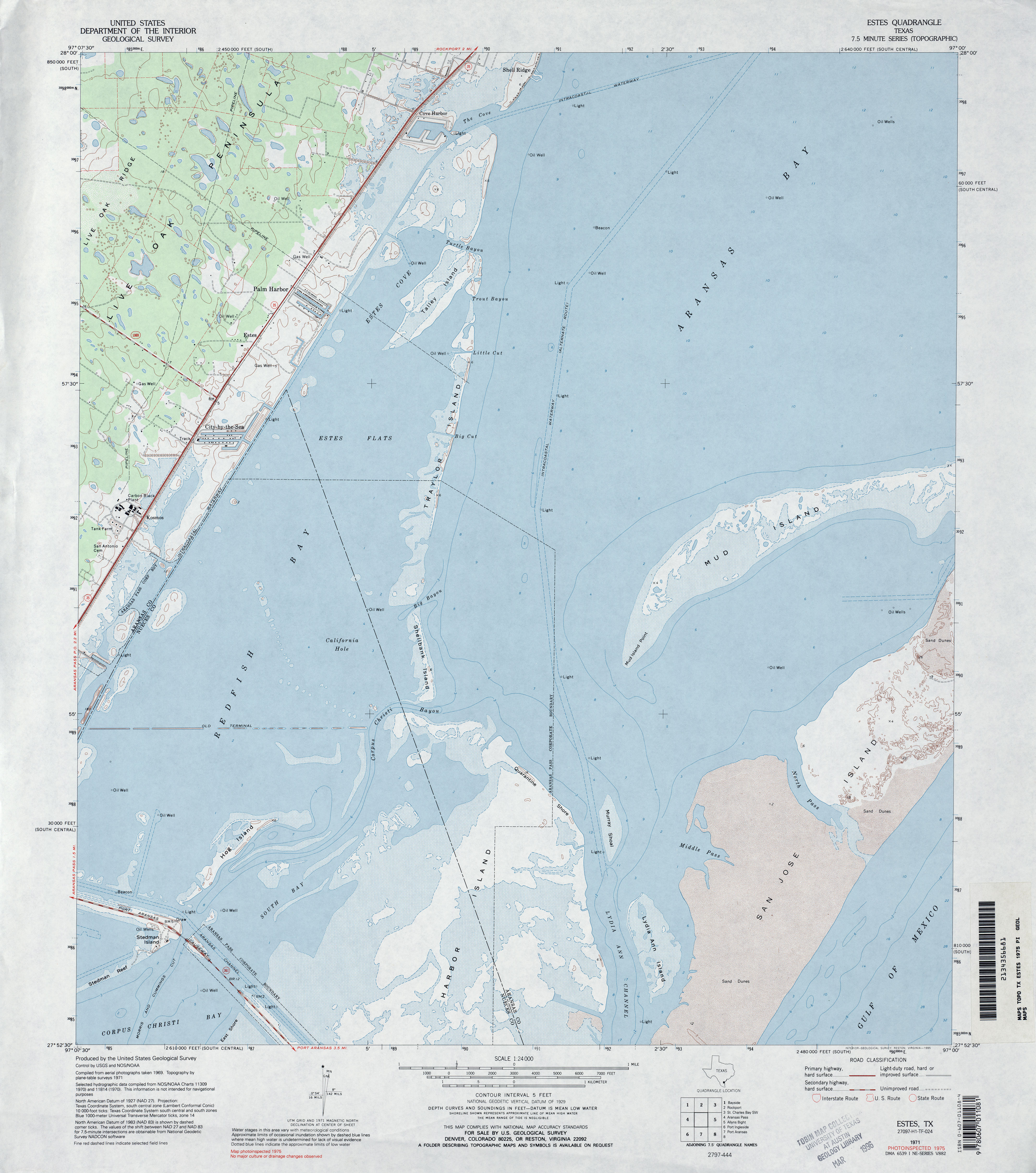
- Estes 1:24,000 1954 (2.7MB)
- Estes 1:24,000 1971 (3.4MB)
- Estes 1:24,000 1975 (3.5MB)
- Estes 1:24,000 2008 (3.4MB) Texas Natural Resources Information System (TNRIS). [pdf]
- Estes 1:24,000 2008 (14.4MB) [GeoPDF]
- Estes 1:24,000 2013 (22.2MB) [GeoPDF]
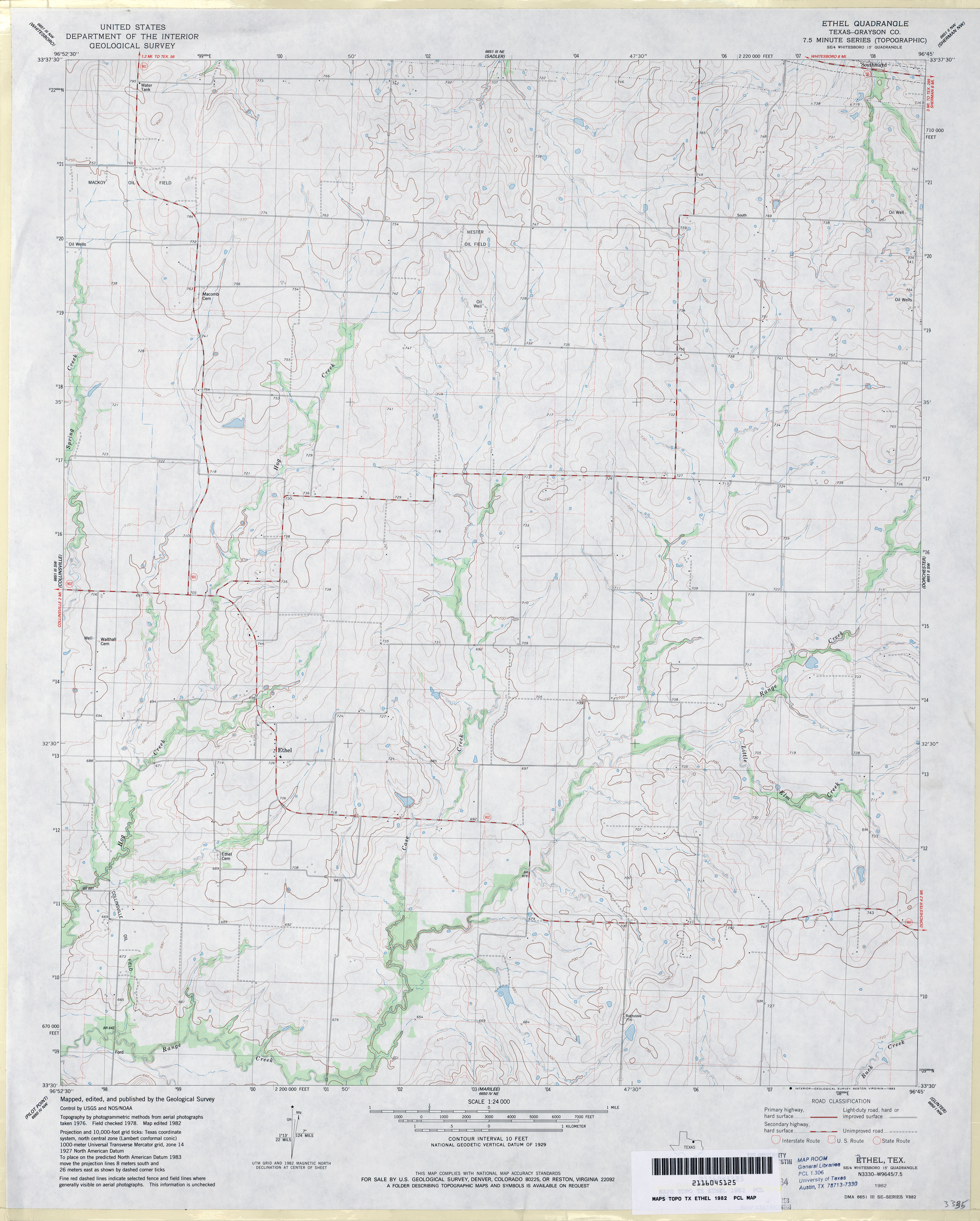
- Ethel (Grayson County) 1:24,000 1982 (3.1MB)
- Ethel 1:24,000 2008 (10.0MB) [GeoPDF]
- Ethel 1:24,000 2013 (16.2MB) [GeoPDF]
- Etoile North 1:24,000 1984 (4.7MB)
- Etoile North 1:24,000 2008 (2.5MB) Texas Natural Resources Information System (TNRIS). [pdf]
- Etoile North 1:24,000 2009 (24.8MB) [GeoPDF]
- Etoile North 1:24,000 2013 (26.7MB) [GeoPDF]
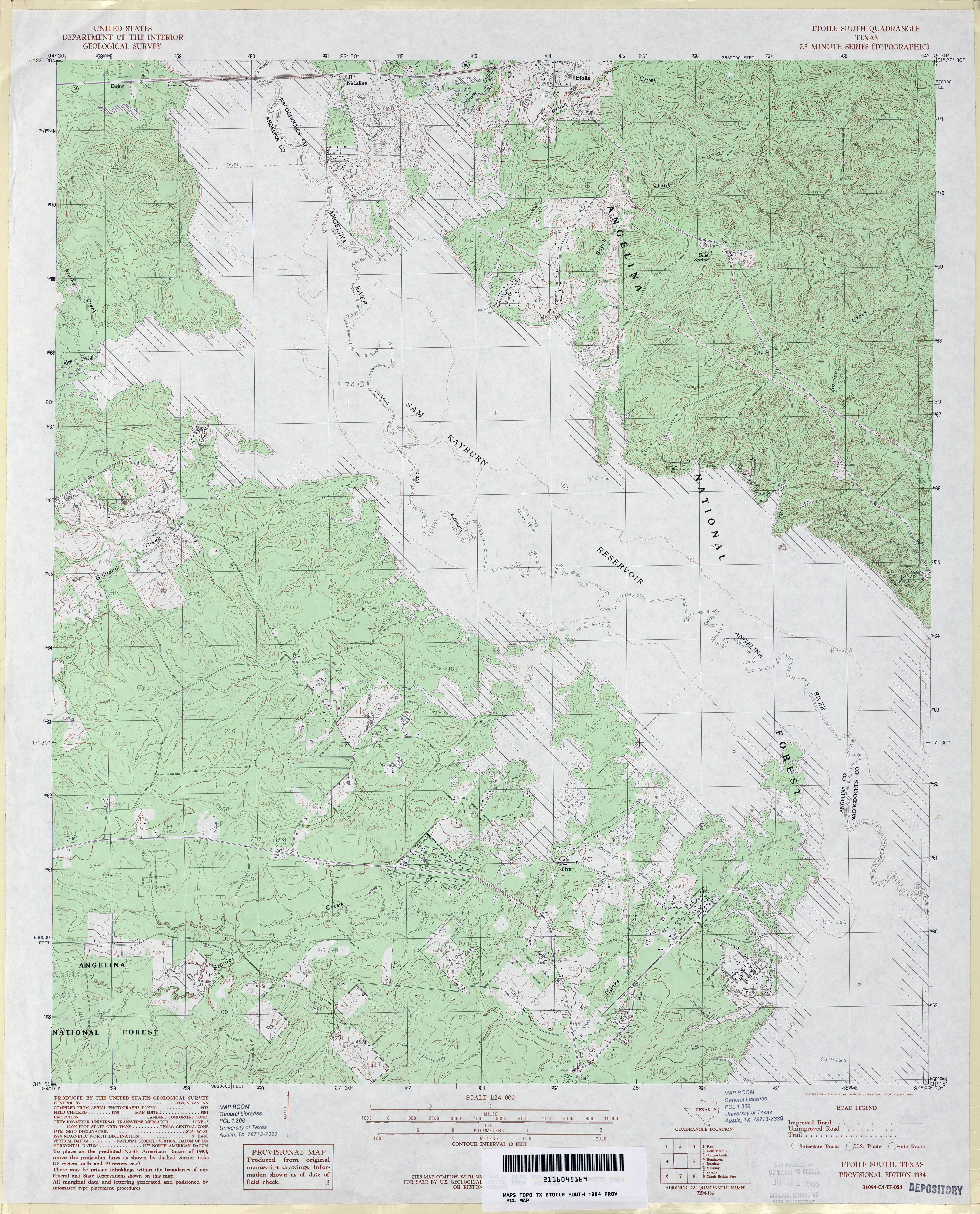
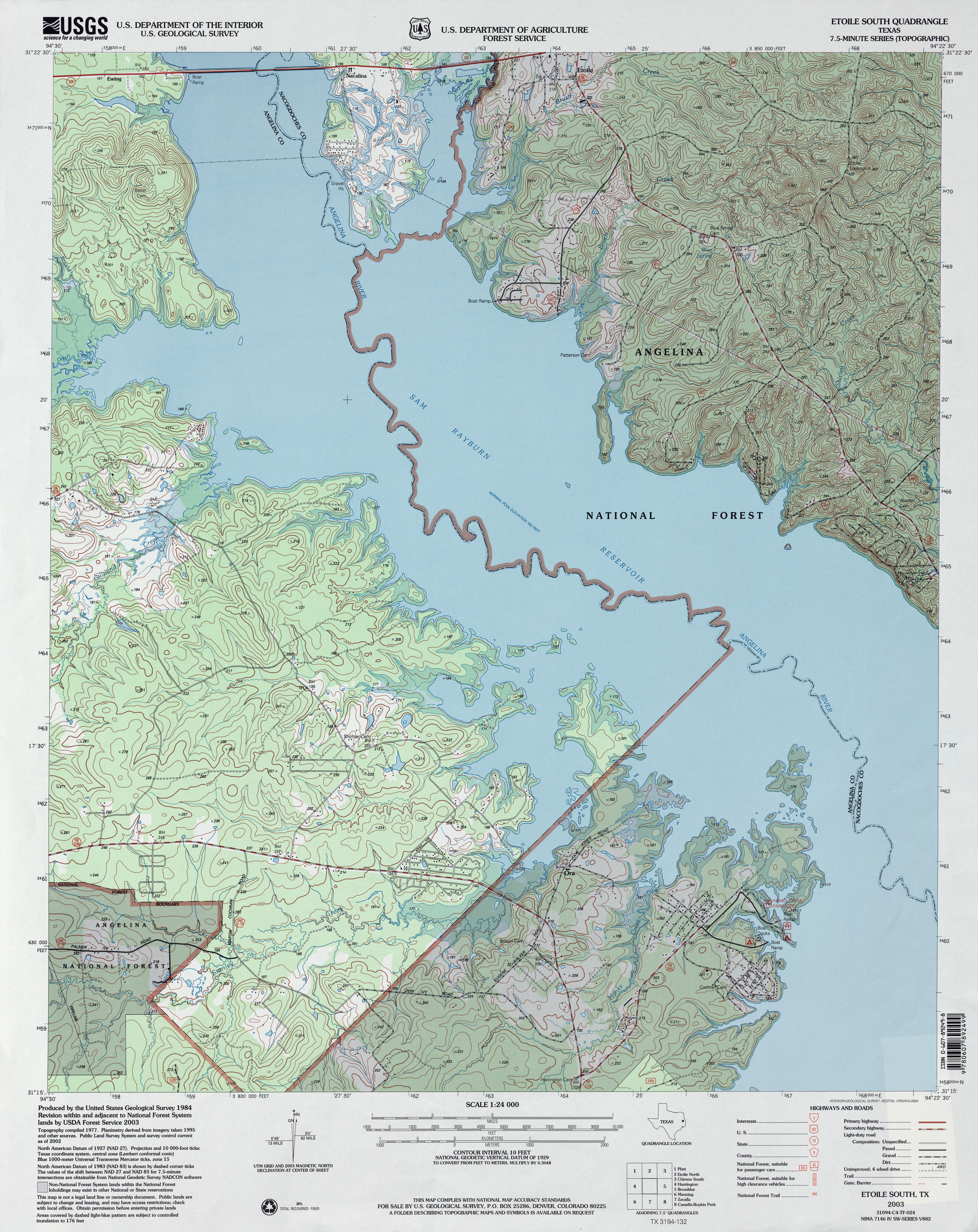
- Etoile South 1:24,000 1984 (4.4MB)
- Etoile South 1:24,000 2003 (4.7MB)
- Etoile South 1:24,000 2008 (2.4MB) Texas Natural Resources Information System (TNRIS). [pdf]
- Etoile South 1:24,000 2009 (20.9MB) [GeoPDF]
- Etoile South 1:24,000 2013 (25.4MB) [GeoPDF]
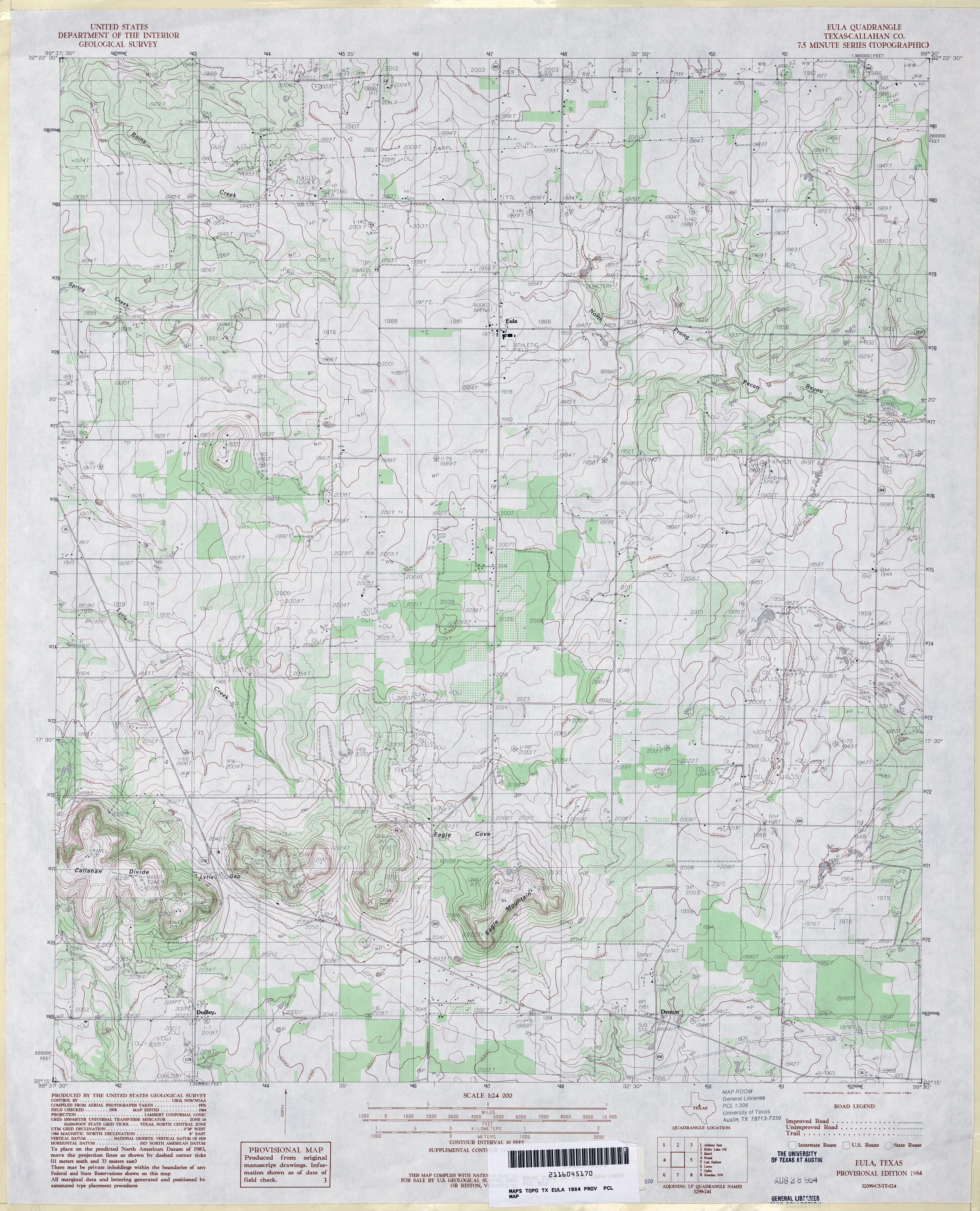
- Eula (Callahan County) 1:24,000 1984 (4MB)
- Eula 1:24,000 2012 (20.4MB) [GeoPDF]
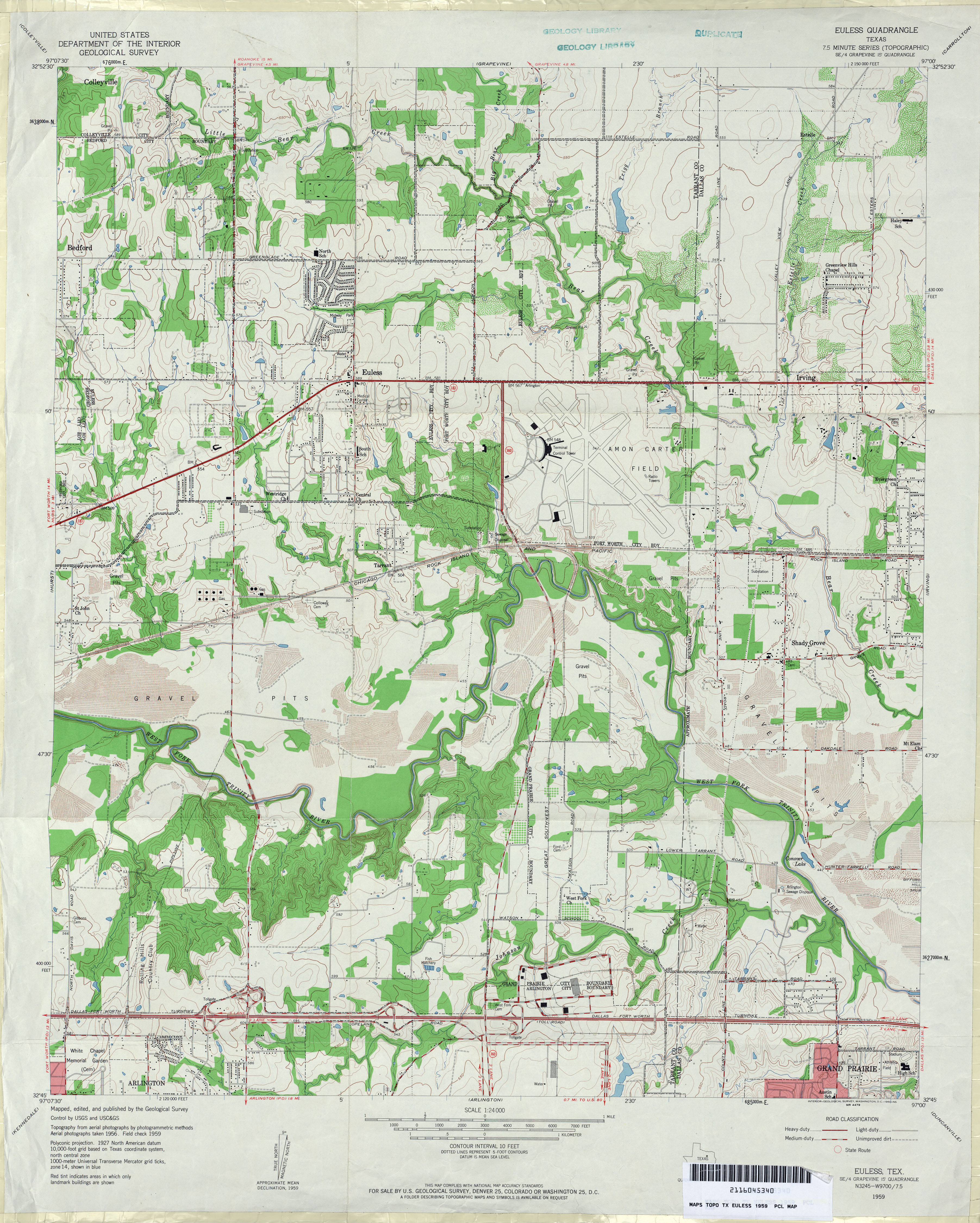
- Euless 1:24,000 1959 (4.2MB)
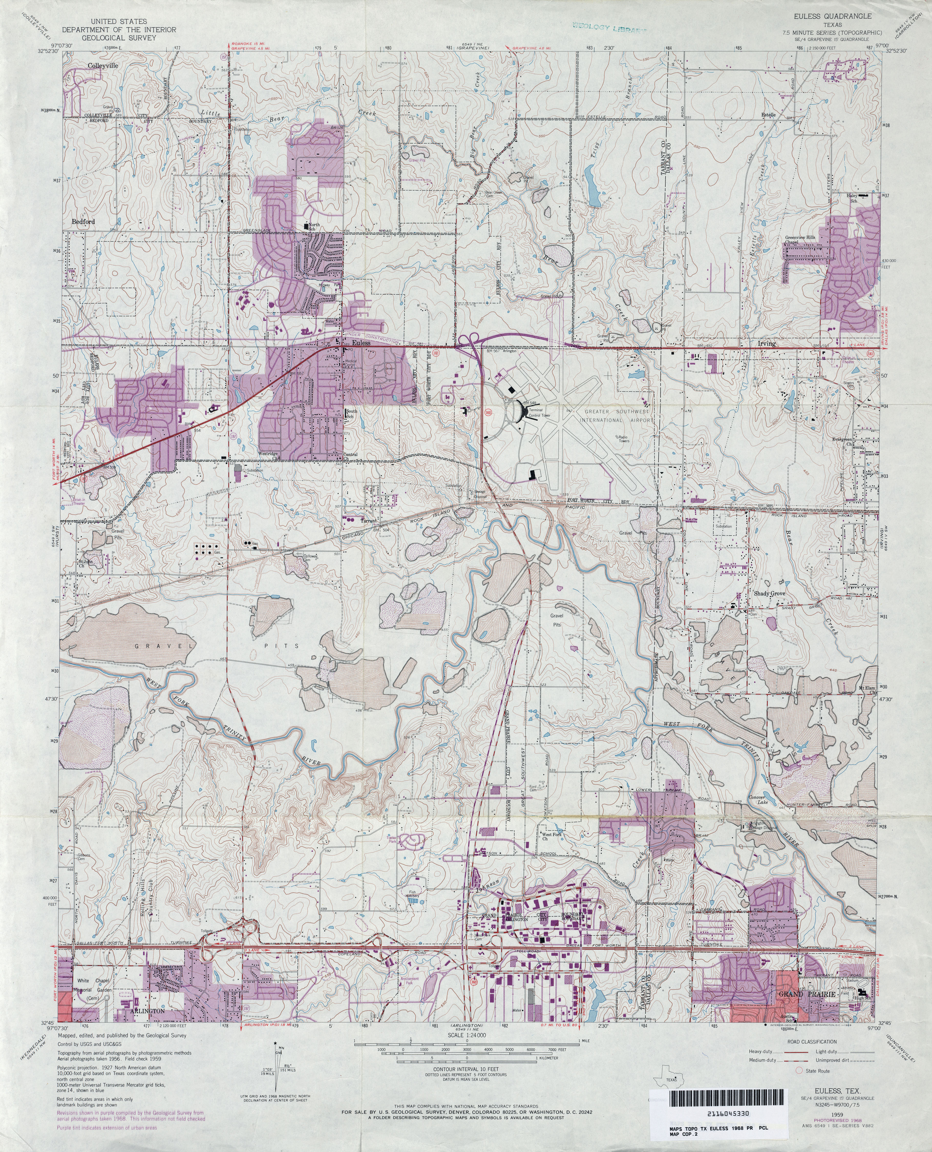
- Euless 1:24,000 1968 (4.2MB)
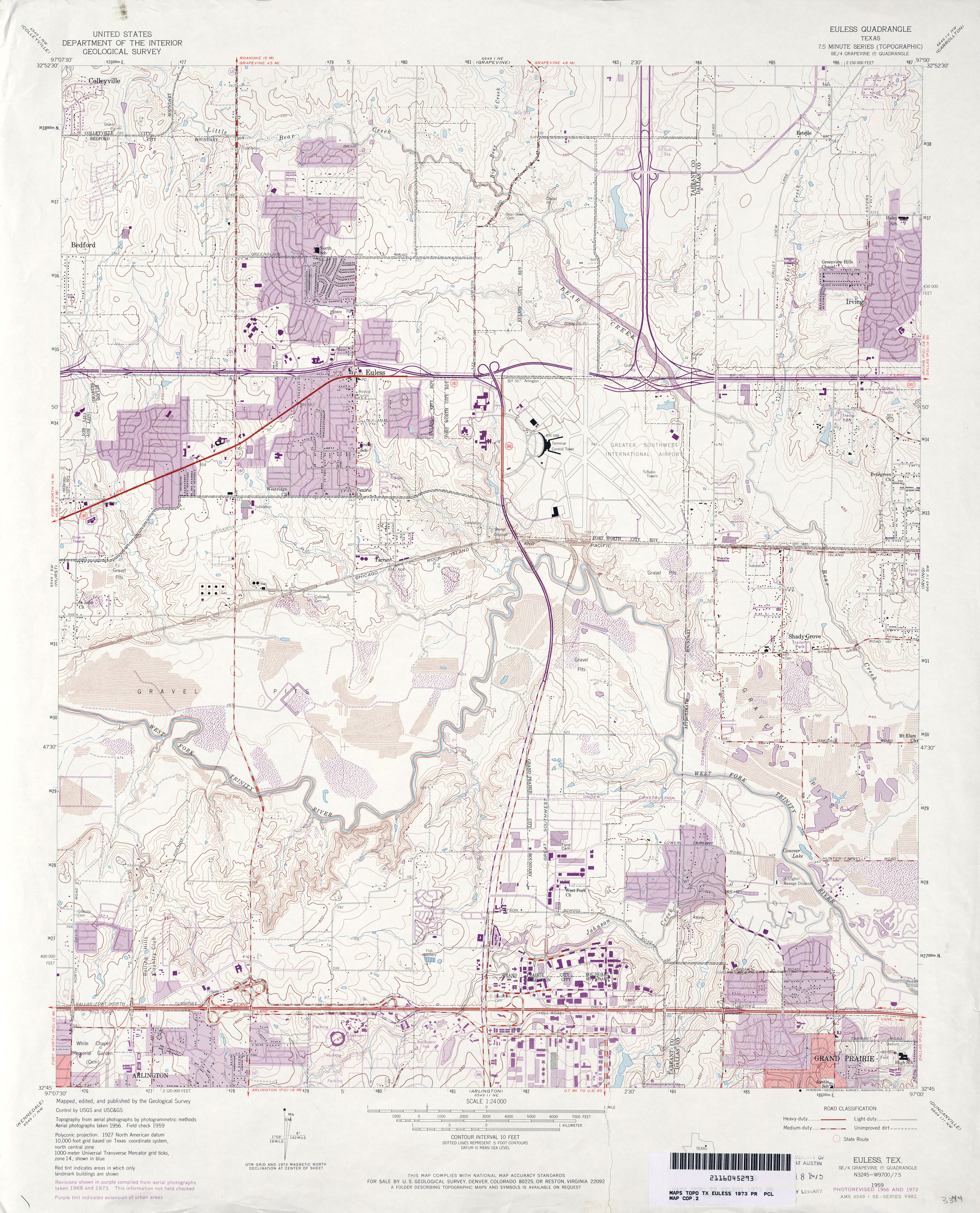
- Euless 1:24,000 1973 (4.4MB)
- Euless 1:24,000 1981 (4.8MB)
- Euless 1:24,000 1995 (5MB)
- Euless 1:24,000 2008 (20.8MB) [GeoPDF]
- Euless 1:24,000 2013 (25.3MB) [GeoPDF]
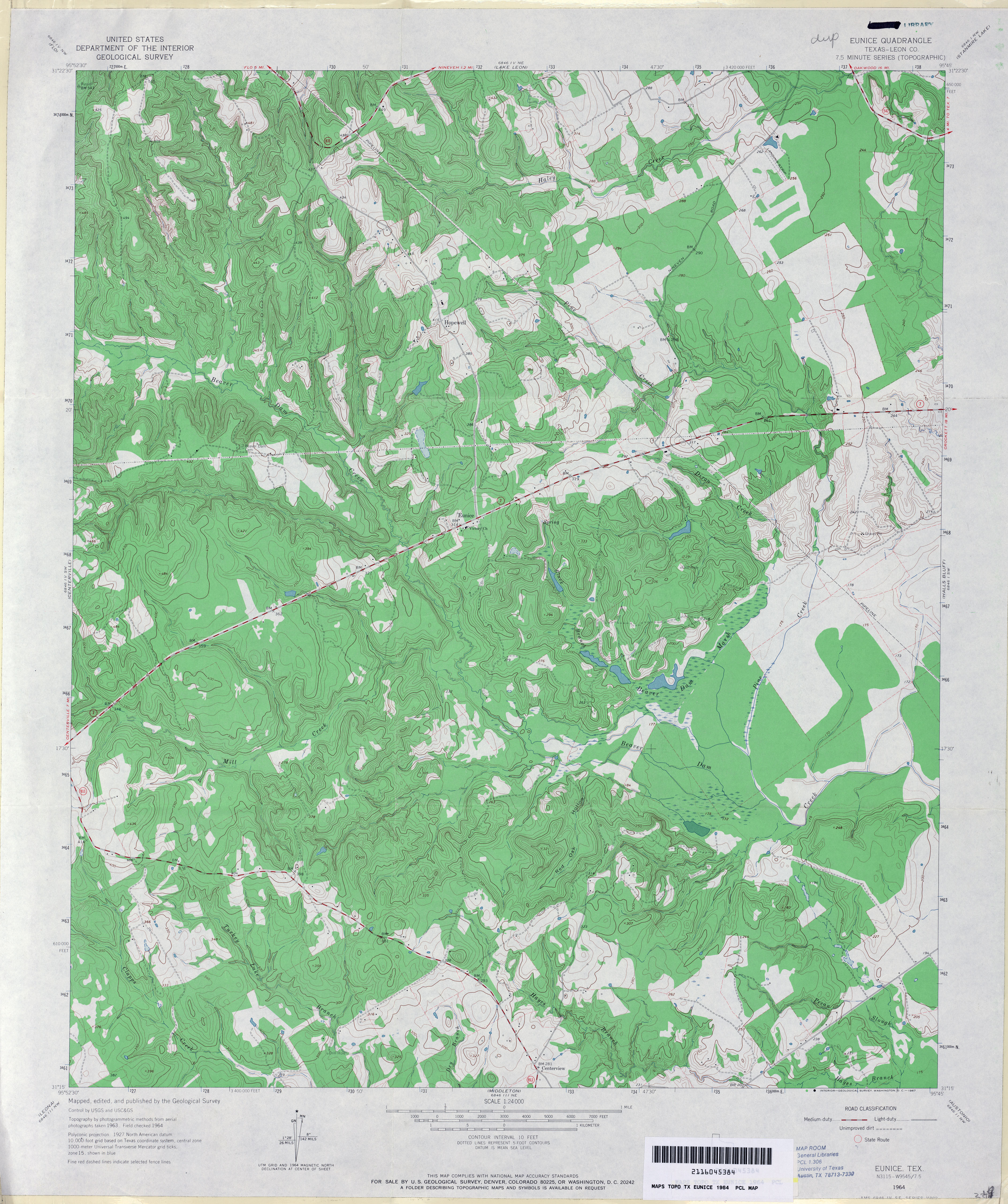
- Eunice (Leon County) 1:24,000 1964 (4.5MB)
- Eunice 1:24,000 2009 (23.3MB) [GeoPDF]
- Eunice 1:24,000 2013 (25.5MB) [GeoPDF]
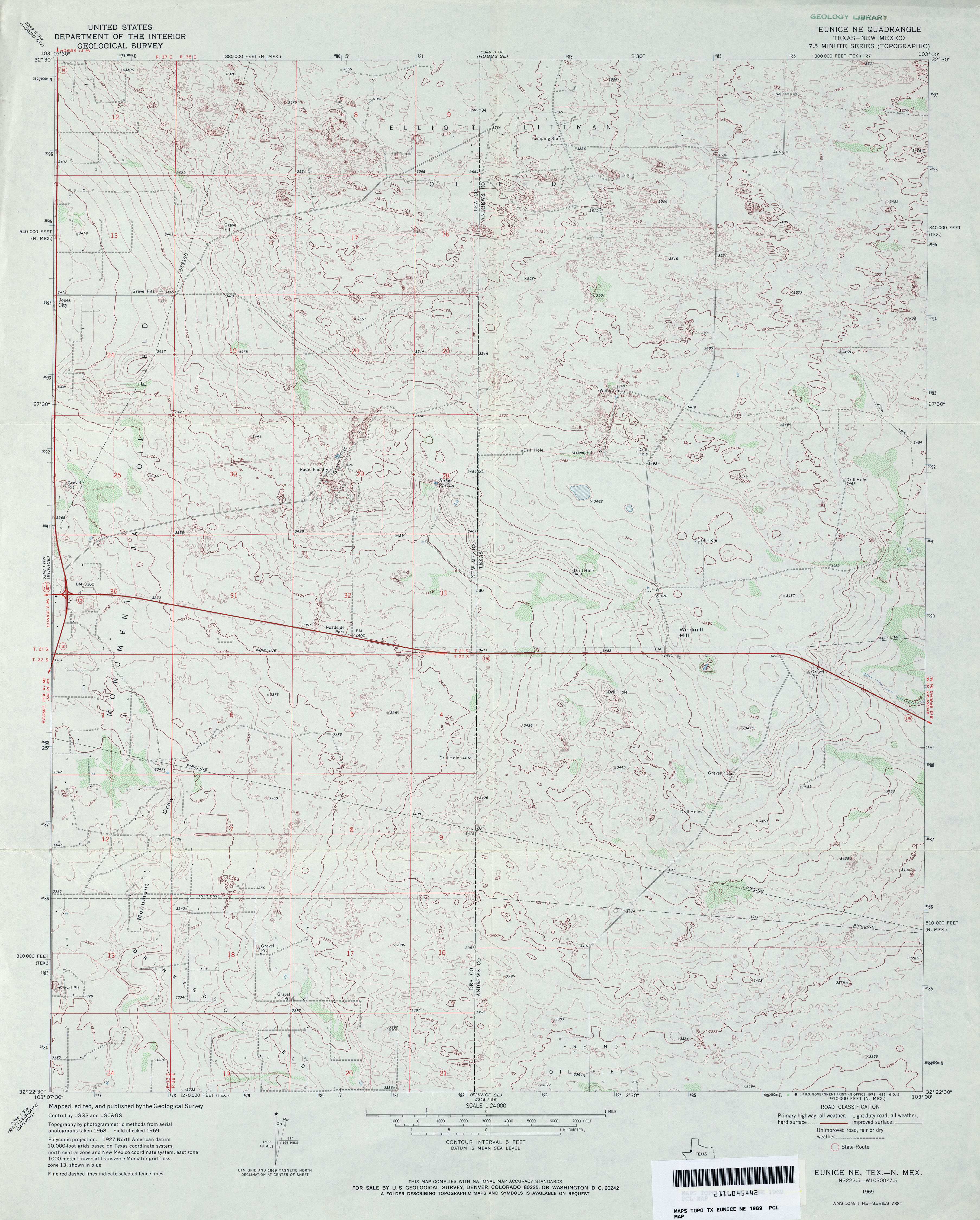
- Eunice NE 1:24,000 1969 (3.6MB)
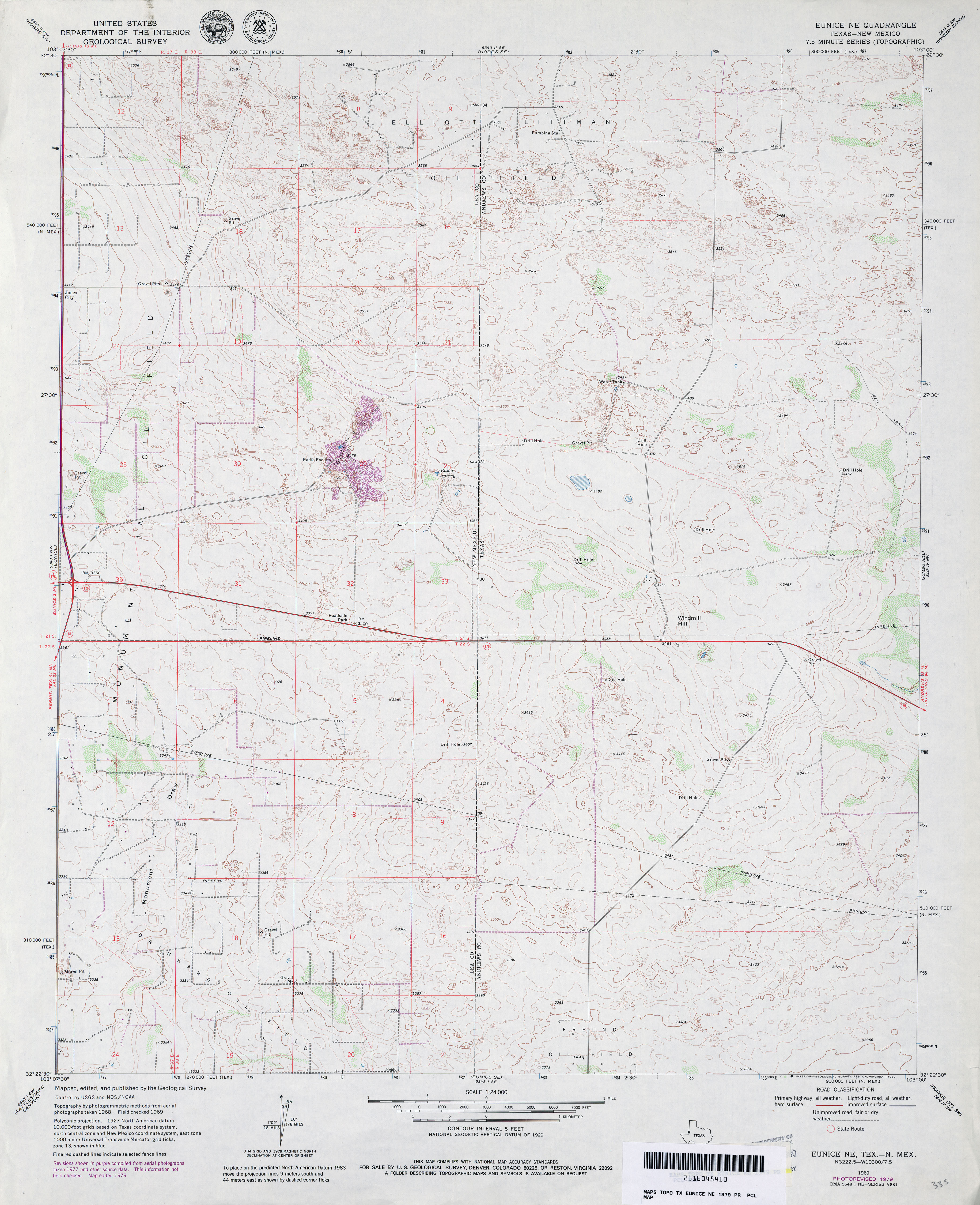
- Eunice NE 1:24,000 1979 (3.4MB)
- Eunice NE 1:24,000 2009 (18.5MB) [GeoPDF]
- Eunice NE 1:24,000 2012 (19.4MB) [GeoPDF]
- Eunice SE 1:24,000 1969 (3.6MB)
- Eunice SE 1:24,000 1979 (3.6MB)
- Eunice SE 1:24,000 2009 (20.1MB) [GeoPDF]
- Eunice SE 1:24,000 2012 (21.6MB) [GeoPDF]
- Evadale 1:24,000 1984 (3.4MB)
- Evadale 1:24,000 2009 (23.6MB) [GeoPDF]
- Evadale 1:24,000 2013 (23.2MB) [GeoPDF]
- Evans 1:24,000 1984 (4.3MB)
- Evans 1:24,000 2012 (27.5MB) [GeoPDF]
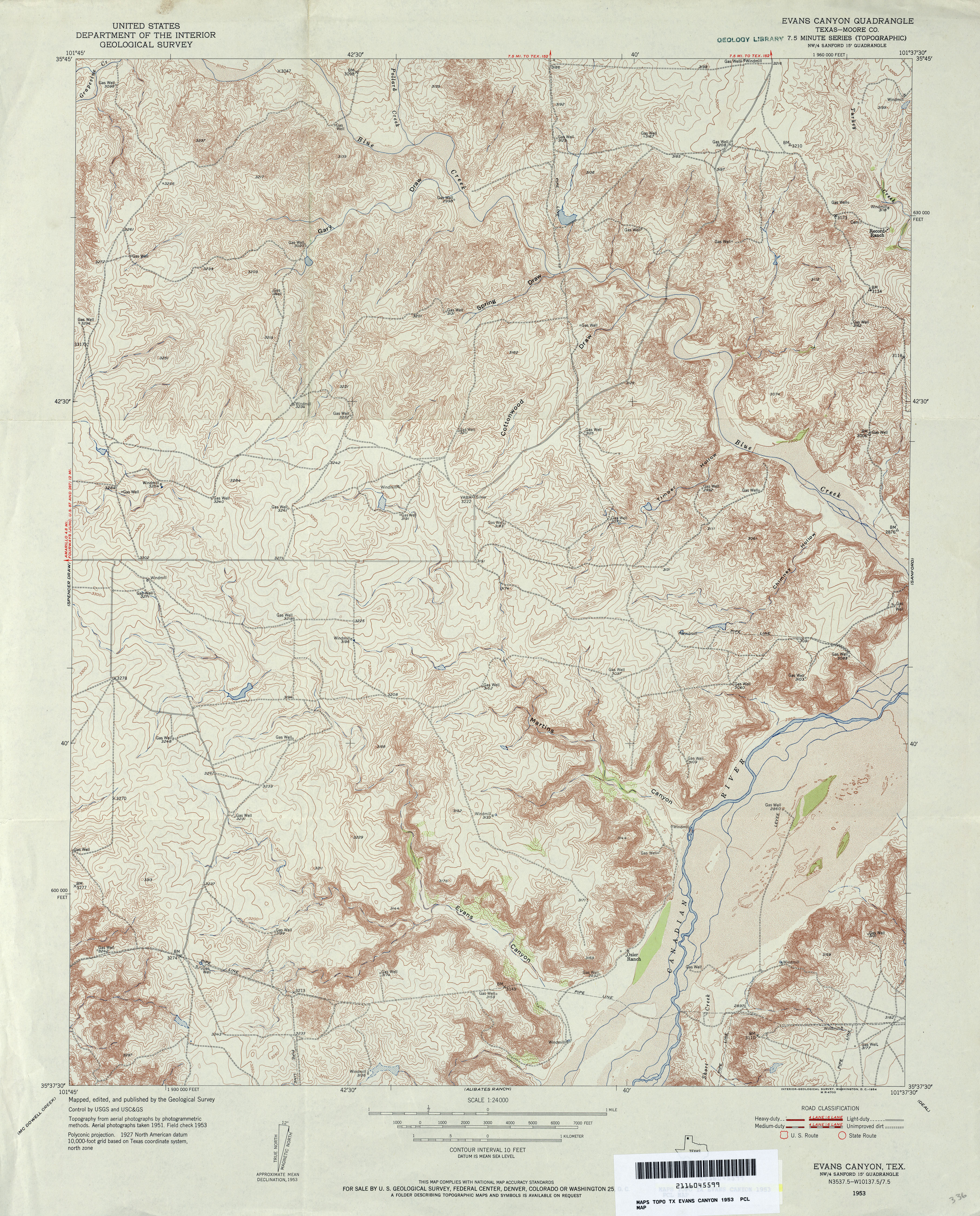
- Evans Canyon (Moore County) 1:24,000 1953 (5.5MB)
- Evans Canyon (Moore County) 1:24,000 1970 (4.7MB)
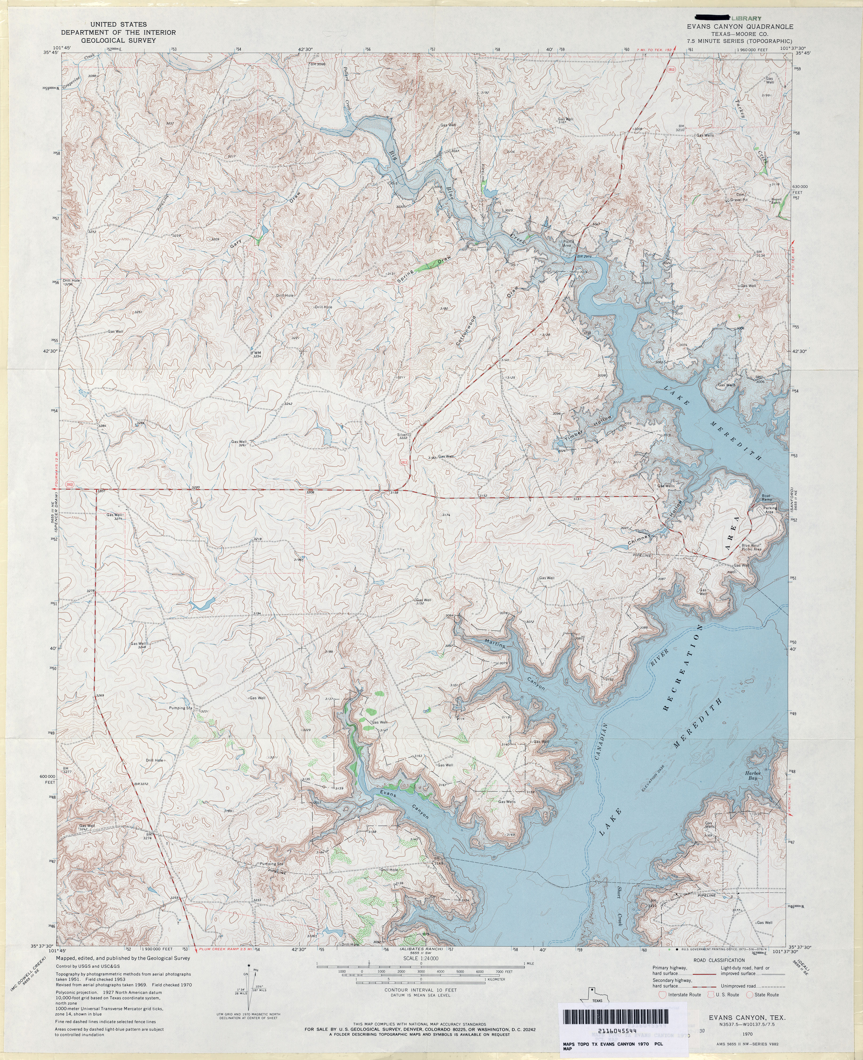
- Evans Canyon 1:24,000 2008 (16.8MB) [GeoPDF]
- Evans Canyon 1:24,000 2012 (23.2MB) [GeoPDF]
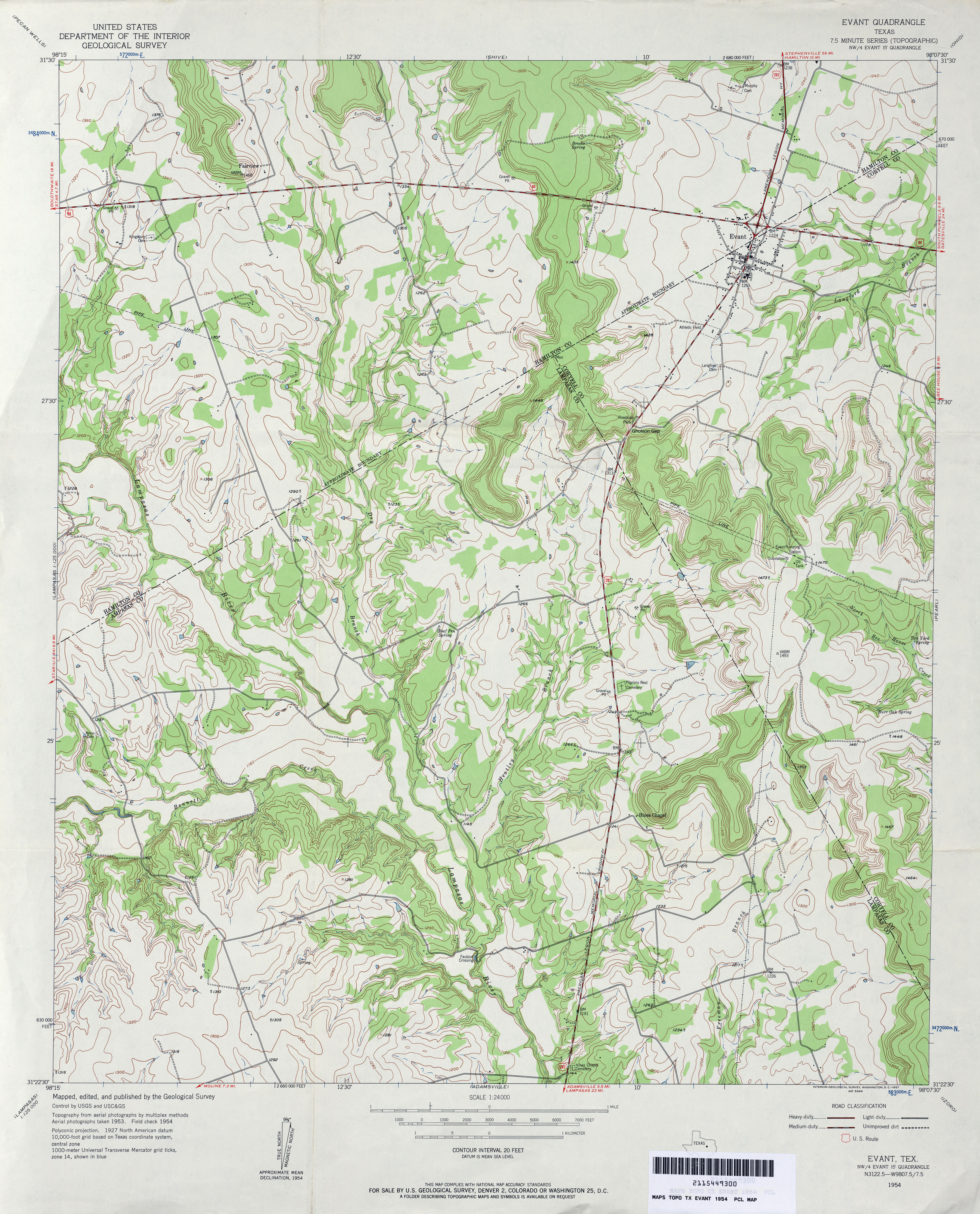
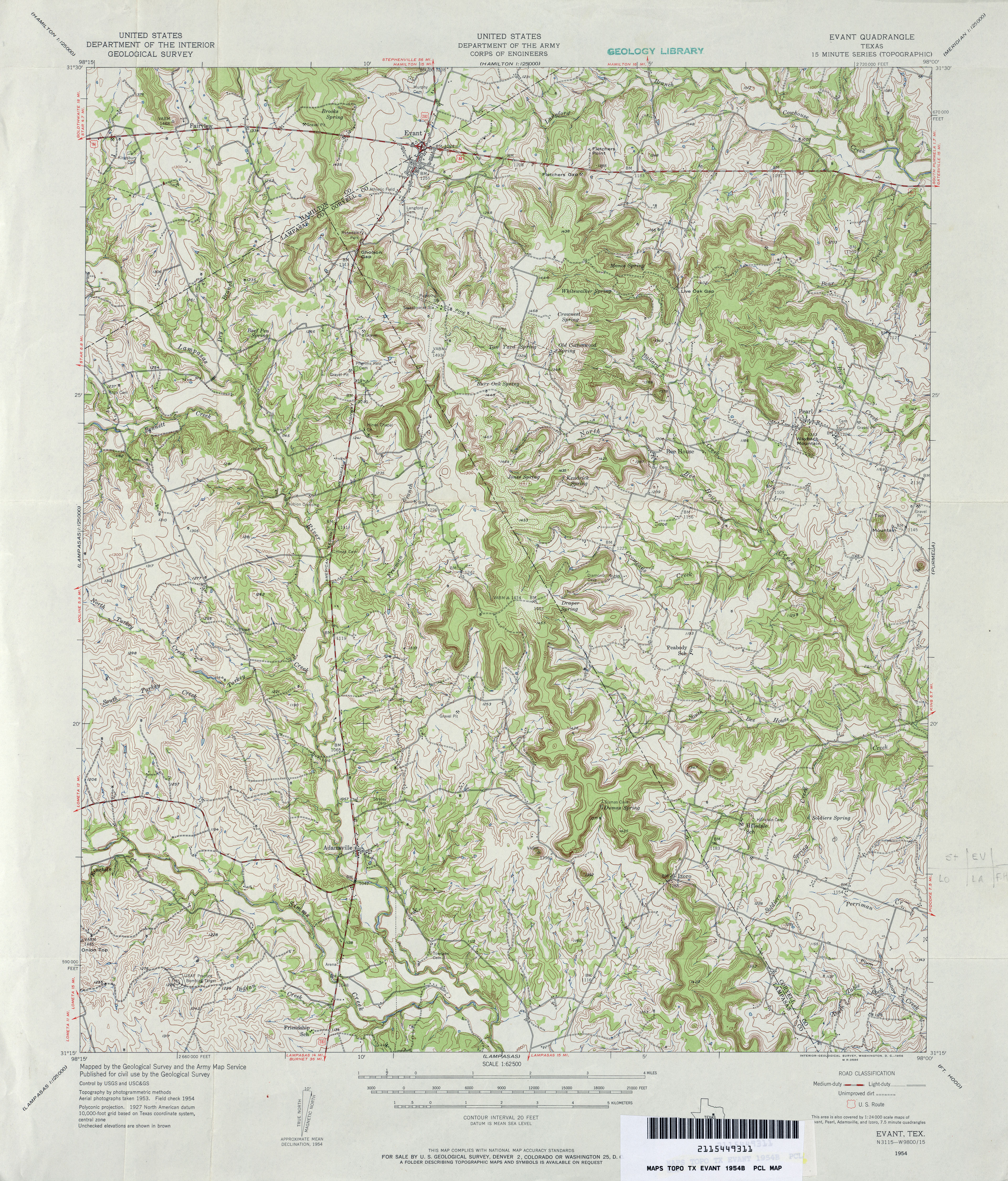
- Evant 1:24,000 1954 (4.1MB)
- Evant 1:62,500 1954 (5.7MB)
- Evant 1:24,000 1979 (3.8MB)
- Evant 1:24,000 2012 (21.9MB) [GeoPDF]
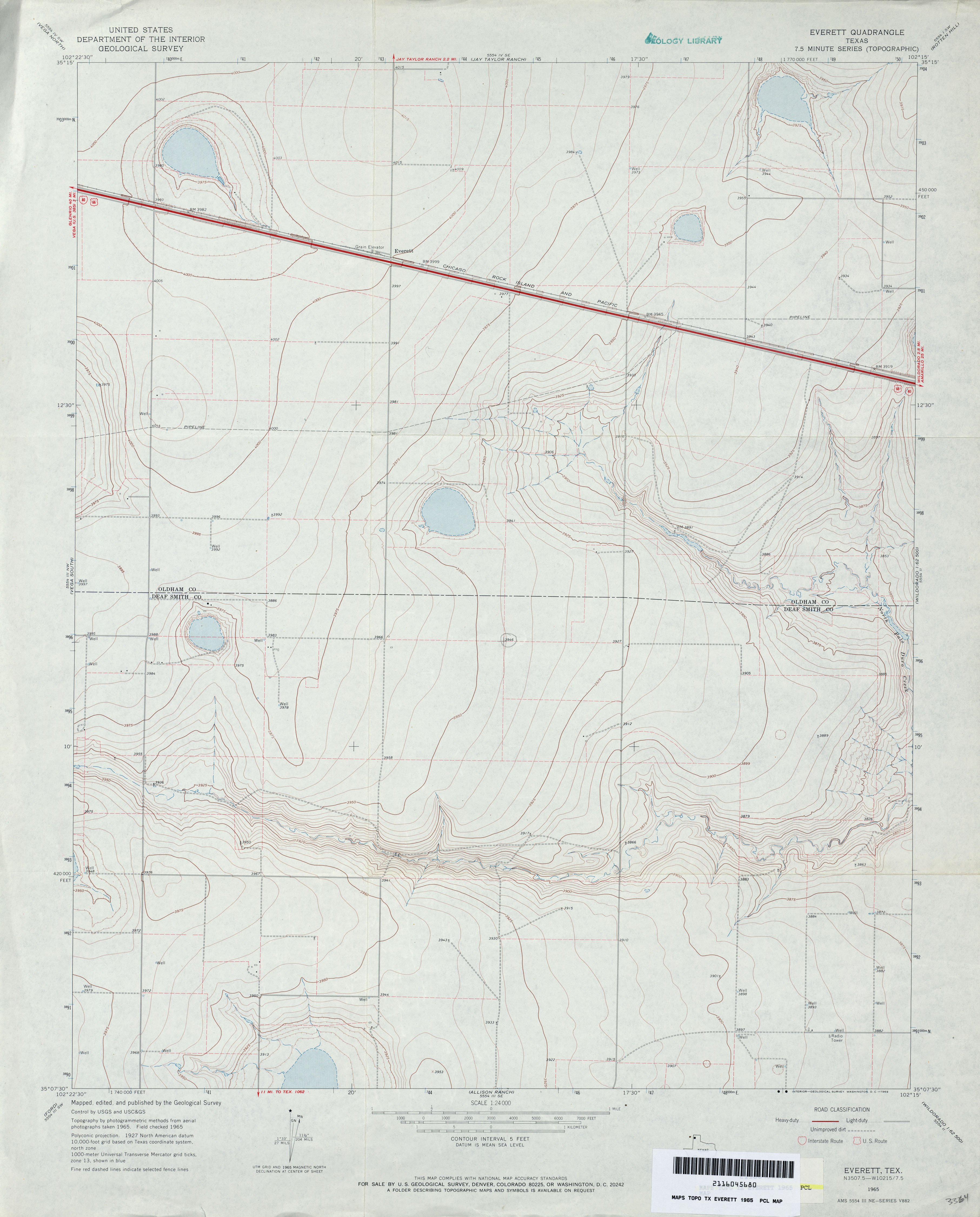
- Everett 1:24,000 1965 (2.8MB)
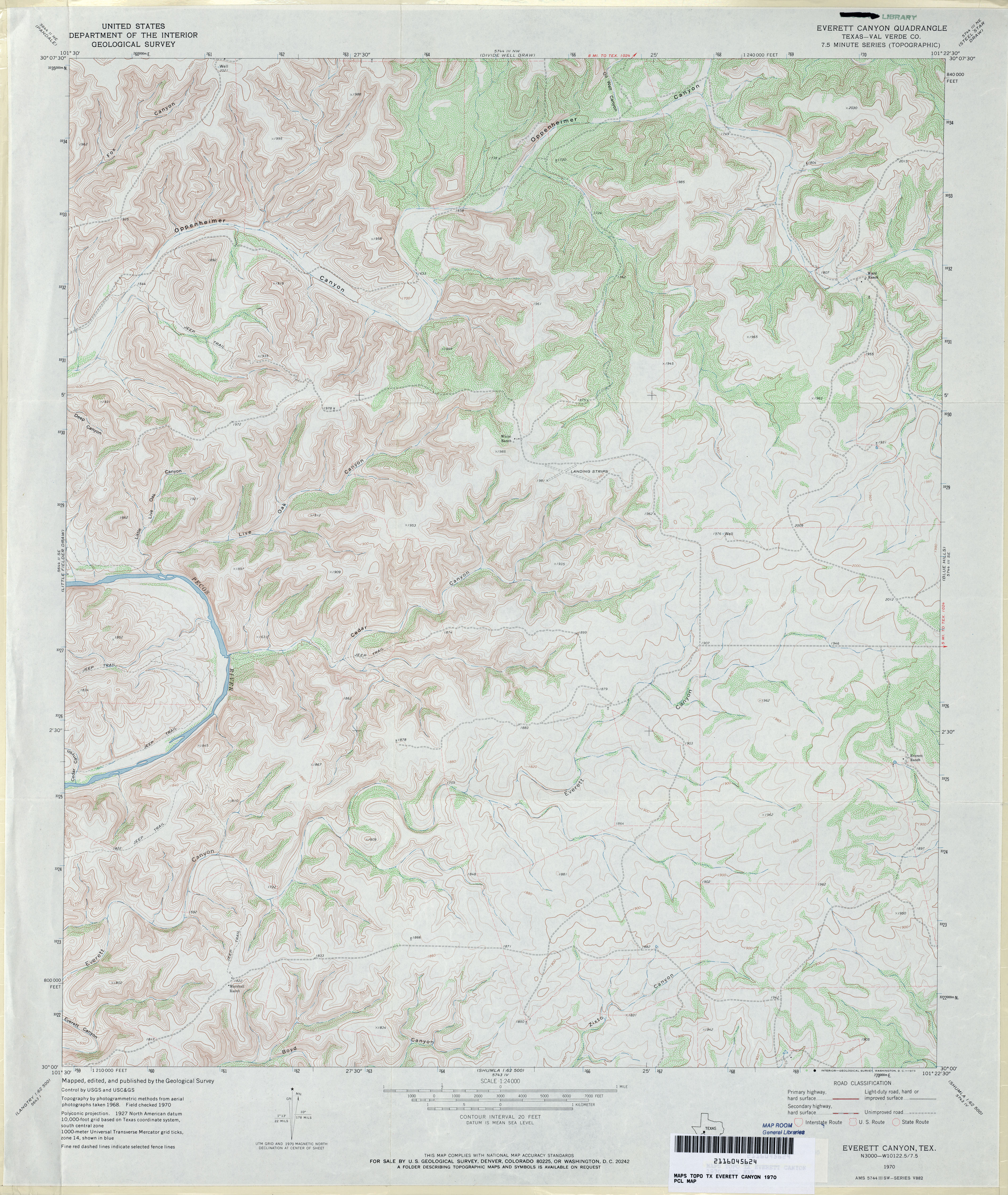
- Everett Canyon (Val Verde County) 1:24,000 1970 (4.6MB)
- Everett 1:24,000 2008 (7.0MB) [GeoPDF]
- Everett 1:24,000 2012 (13.6MB) [GeoPDF]
- Everett Canyon 1:24,000 2008 (23.1MB) [GeoPDF]
- Everett Canyon 1:24,000 2012 (35.3MB) [GeoPDF]
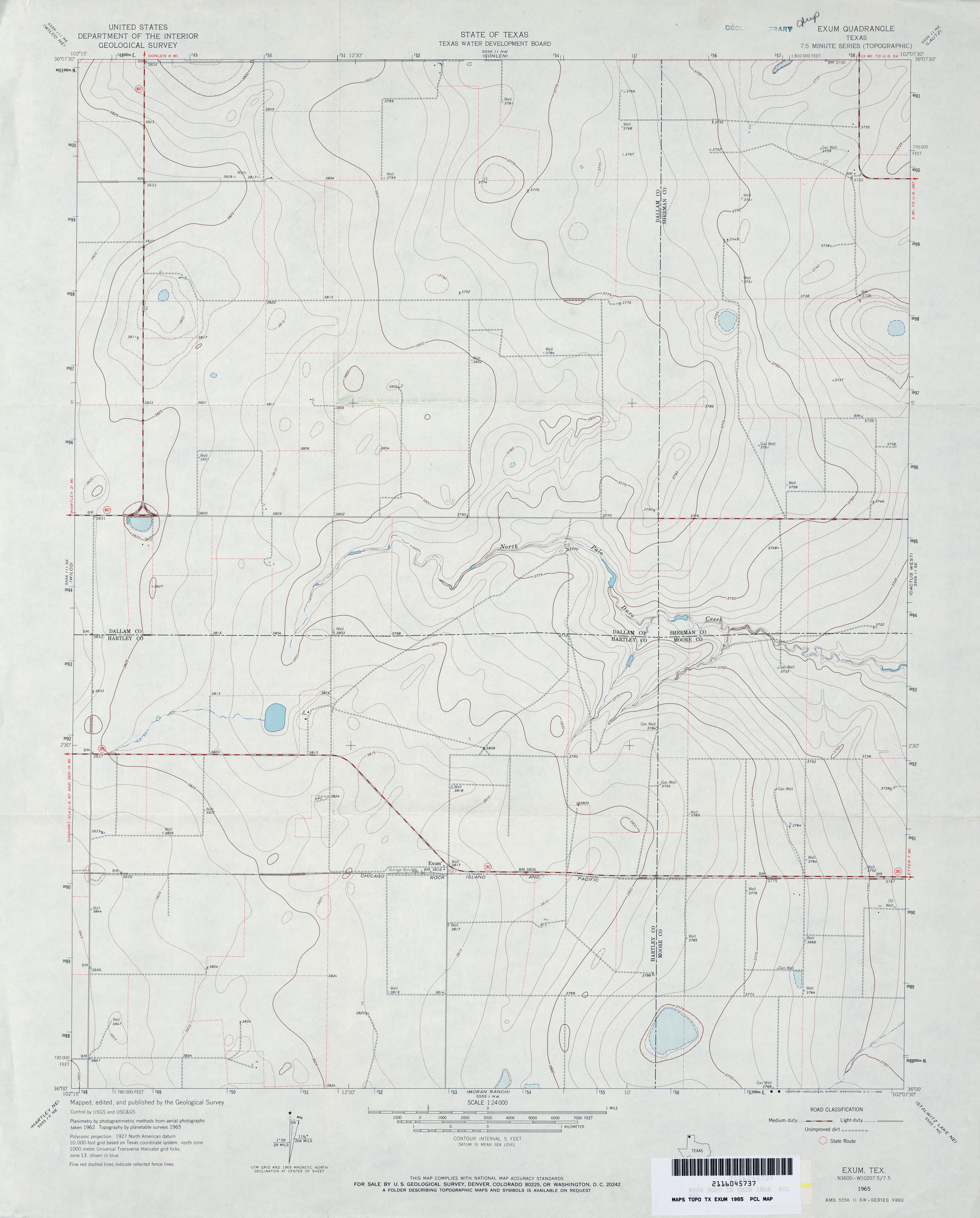
- Exum 1:24,000 1965 (2.4MB)
- Exum 1:24,000 2008 (9.3MB) [GeoPDF]
- Exum 1:24,000 2012 (14MB) [GeoPDF]
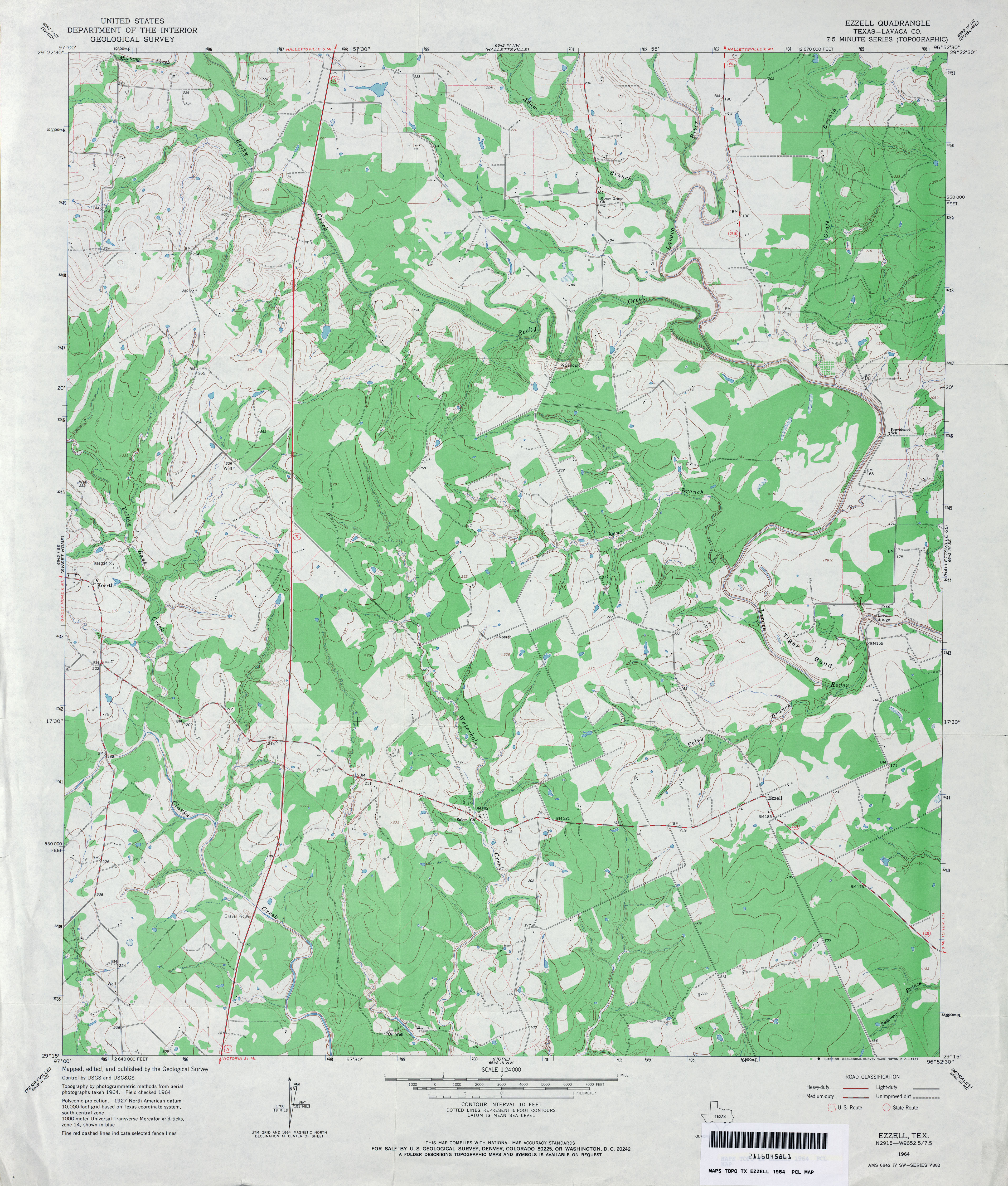
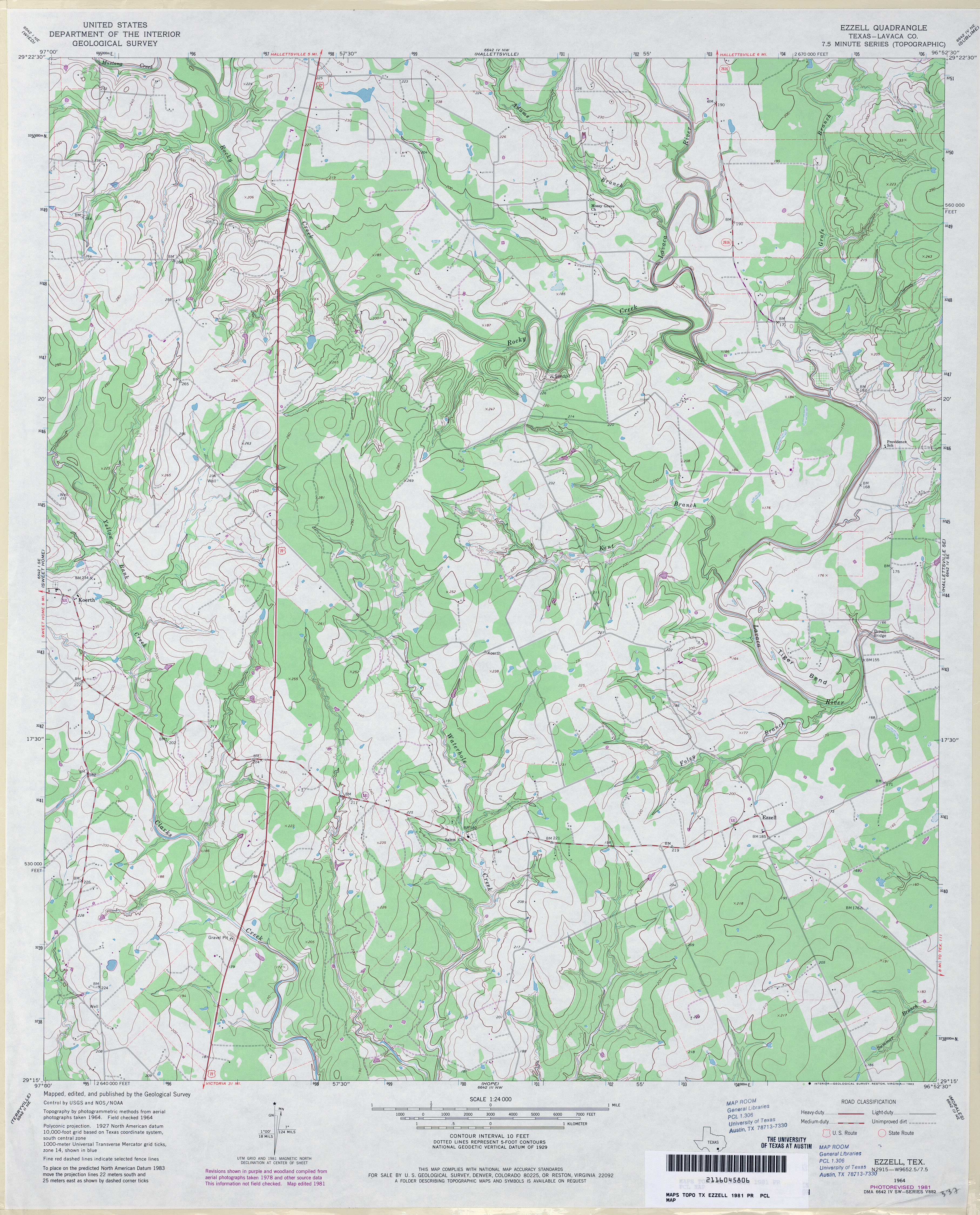
- Ezzell (Lavaca County) 1:24,000 1964 (3.9MB)
- Ezzell (Lavaca County) 1:24,000 1981 (4.1MB)
- Ezzell 1:24,000 2009 (15.7MB) [GeoPDF]
- Ezzell 1:24,000 2013 (25.1MB) [GeoPDF]
Return to the top