Perry-Castañeda Library
Map Collection
Texas Topographic Maps
Maps in this online collection are from the Perry-Castañeda Library, Walter Geology Library and Dolph Briscoe Center for American History at the University of Texas at Austin as well as the Texas State Library. All maps on this site were published by the U.S. Geological Survey unless otherwise noted and are in the public domain. The date given for each map is the date of latest survey. The Geographic Names Information System allows searches of geographic names to determine which map sheets they appear on. Indexes are available for Texas - East and Texas - West for the 1:24,000 map series. Maps published prior to 1923 are on the Texas Historical Topographic Map Index. More information about these maps is available on the Topographic Maps Home Page.Note: To fully view the GeoPDF files use Adobe Reader as your default PDF viewer or download the files and open them within Adobe Reader.
A, B, C, D, E, F, G, H, I, J, K, L, M, N, O, P, Q, R, S, T, U, V, W, X, Y, Z
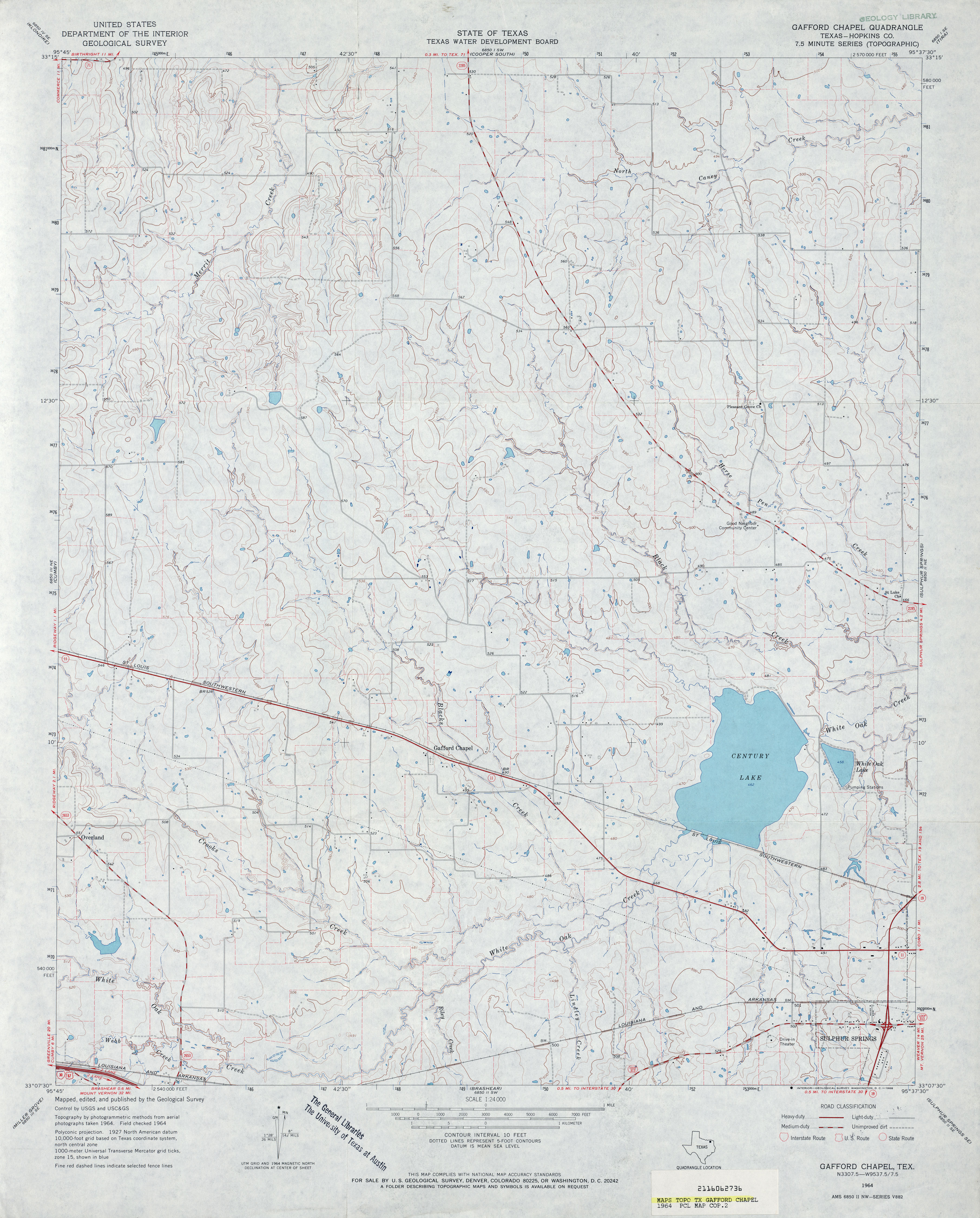
- Gafford Chapel (Hopkins County) 1:24,000 1964 (3.5MB)
- Gafford Chapel 1:24,000 2008 (15.4MB) [GeoPDF]
- Gafford Chapel 1:24,000 2013 (20.2MB) [GeoPDF]
- Gail (Borden County) 1:24,000 1969 (4.2MB)
- Gail 1:24,000 2008 (15.8MB) [GeoPDF]
- Gail 1:24,000 2012 (23.5MB) [GeoPDF]
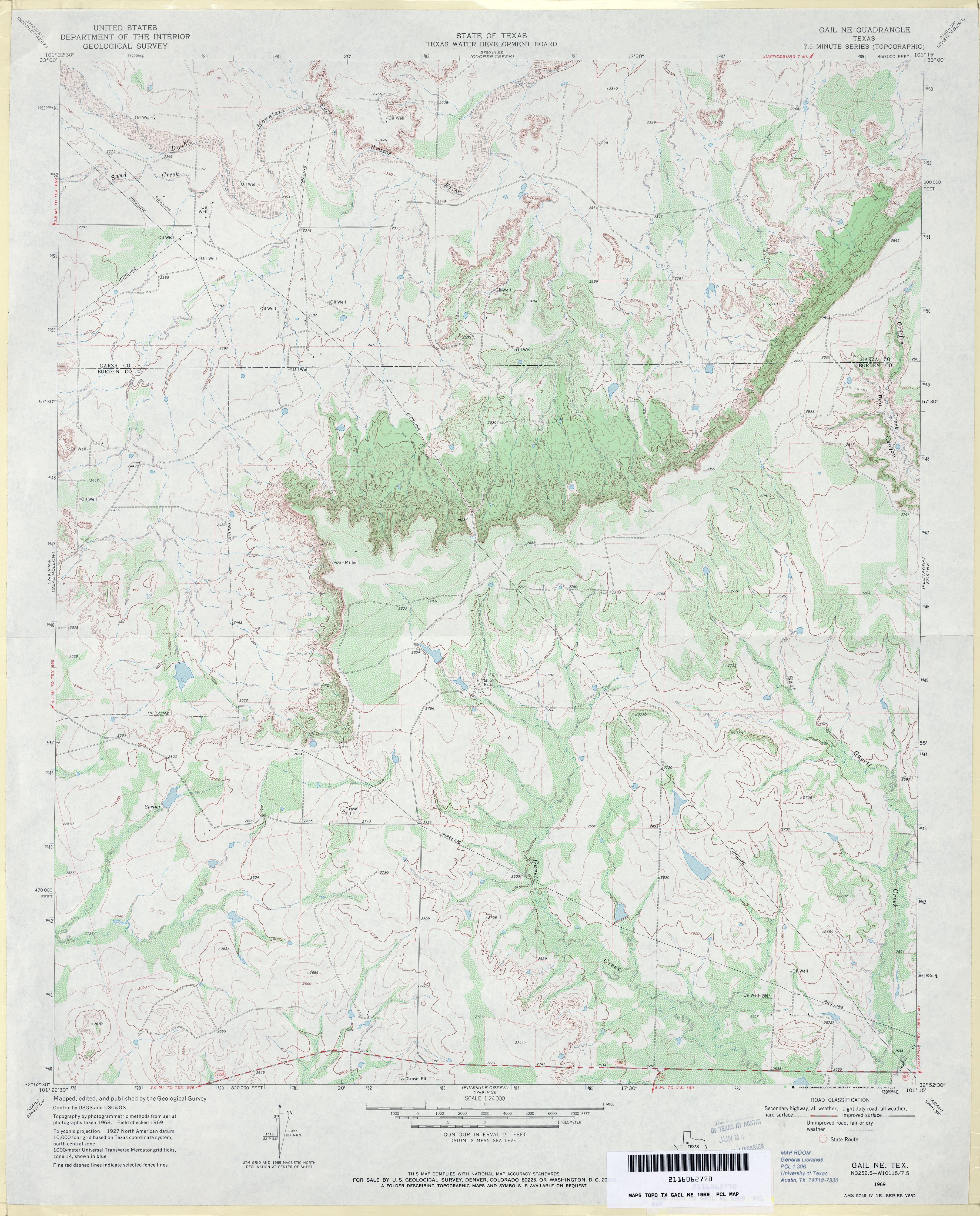
- Gail NE 1:24,000 1969 (3.9MB)
- Gail NE 1:24,000 2008 (17.4MB) [GeoPDF]
- Gail NE 1:24,000 2012 (25.8MB) [GeoPDF]
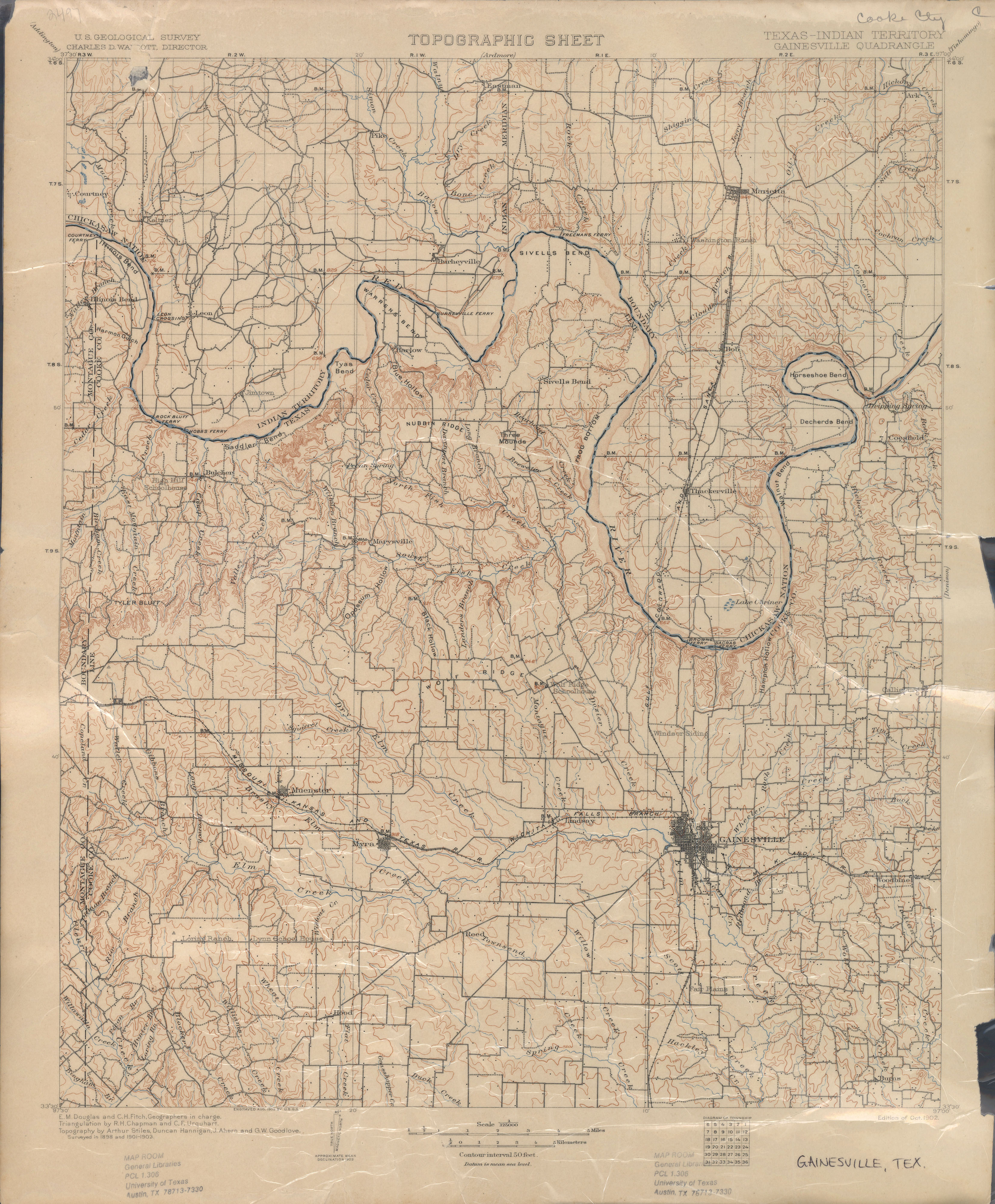
- Gainesville 1:125,000 1902 (3.3 MB)
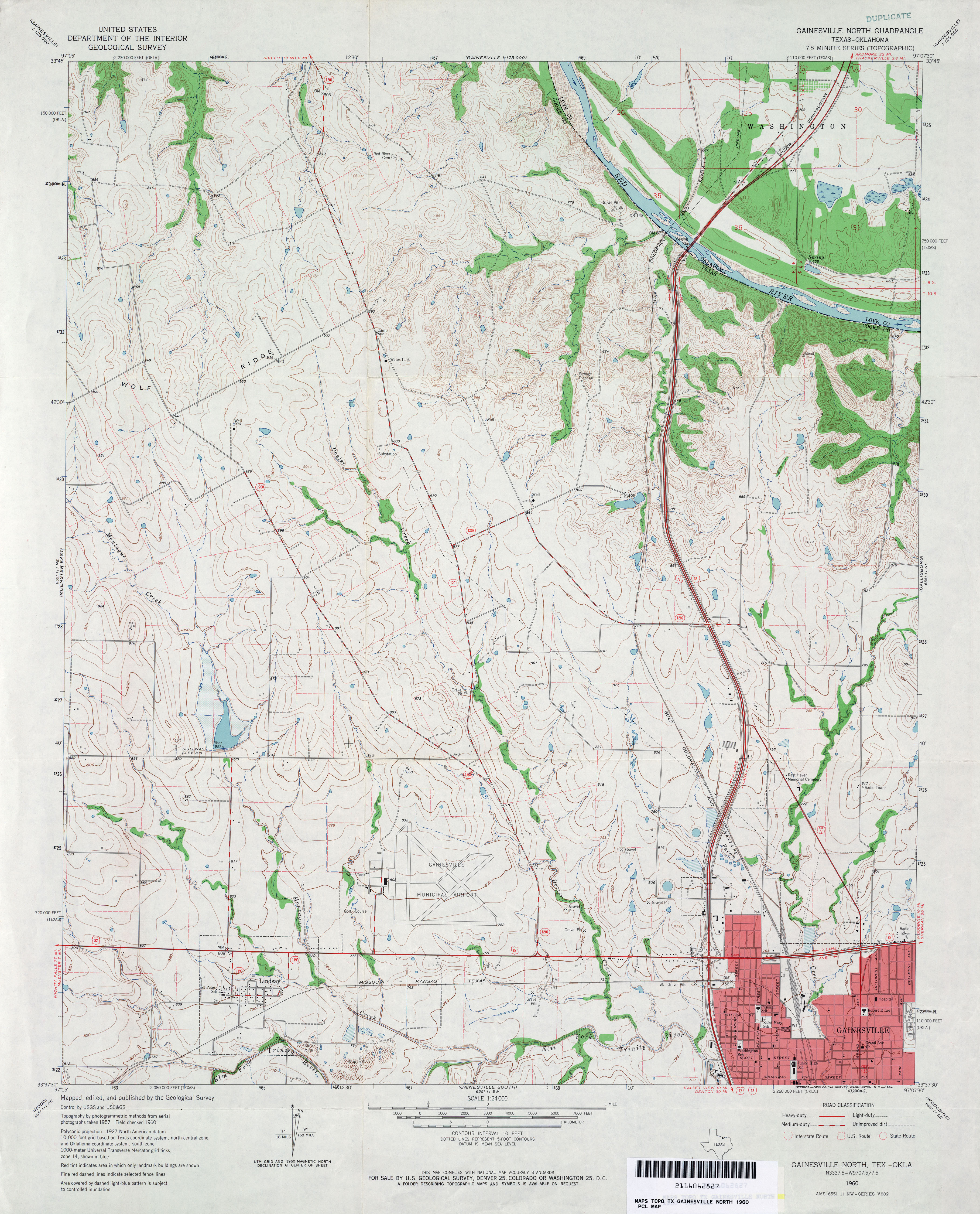
- Gainesville North 1:24,000 1960 (4MB)
- Gainesville North 1:24,000 1978 (3.9MB)
- Gainesville North 1:24,000 2008 (12.2MB) [GeoPDF]
- Gainesville North 1:24,000 2013 (19MB) [GeoPDF]
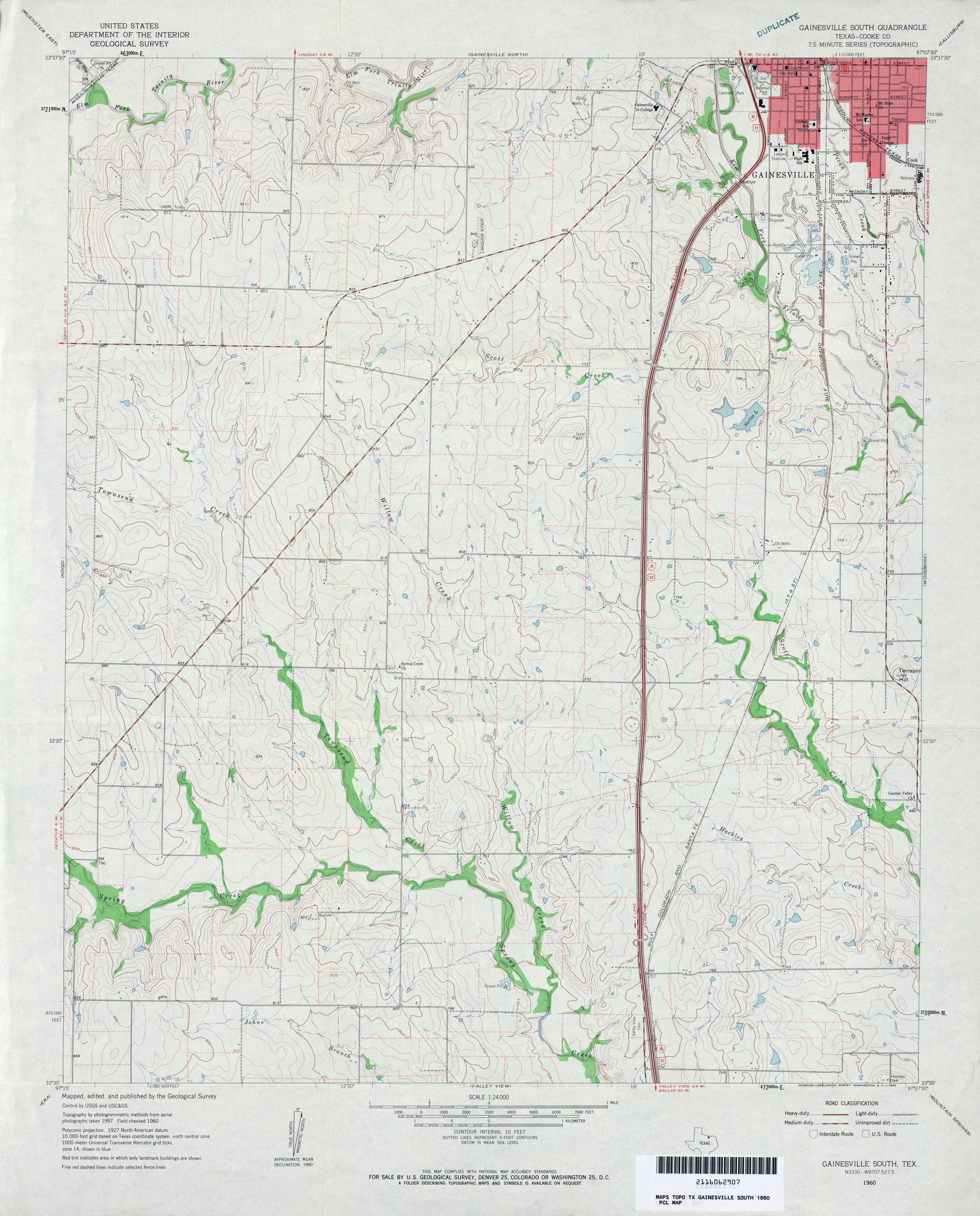
- Gainesville South (Cooke County) 1:24,000 1960 (3.5MB)
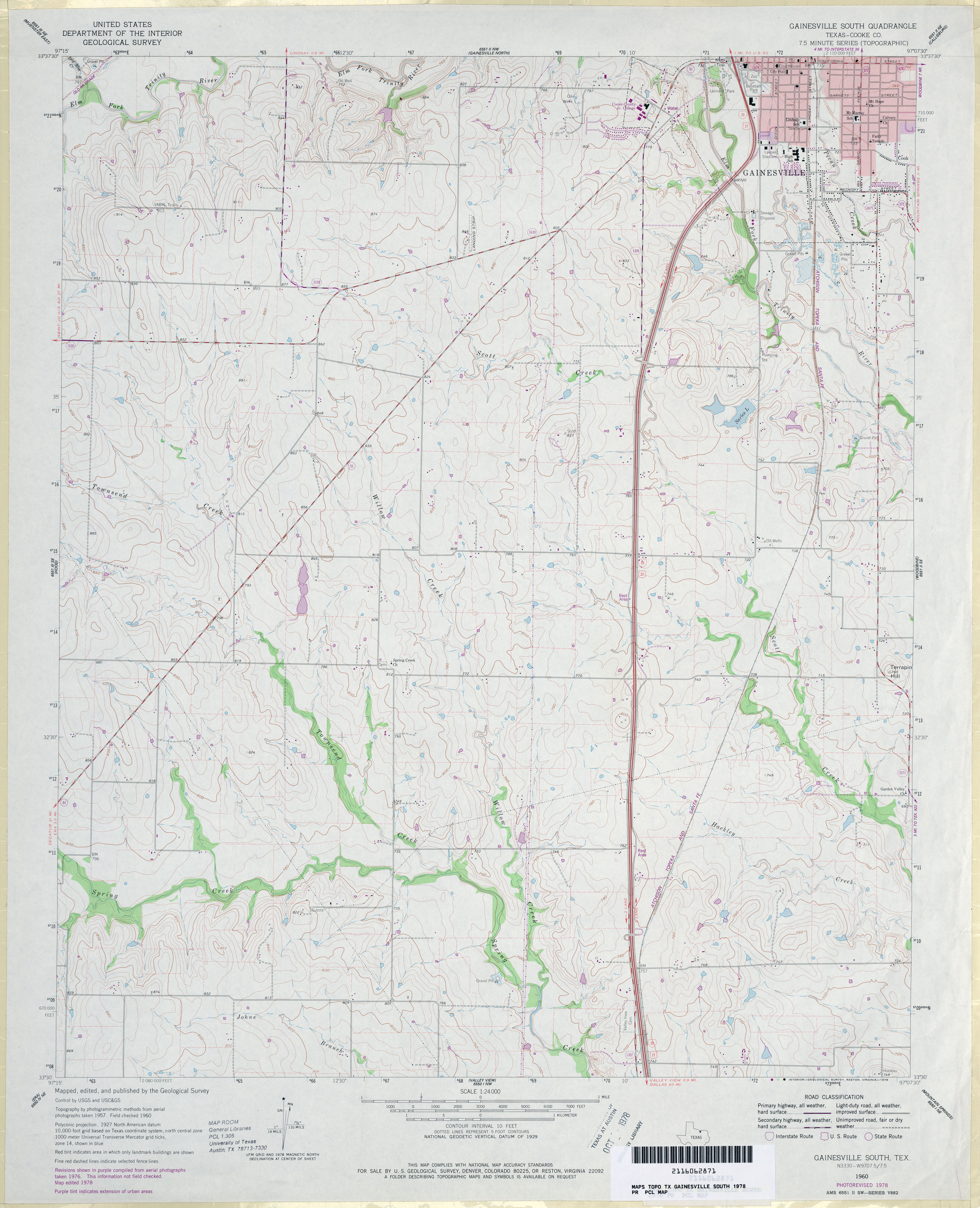
- Gainesville South (Cooke County) 1:24,000 1978 (3.5MB)
- Gainesville South 1:24,000 2008 (10.6MB) [GeoPDF]
- Gainesville South 1:24,000 2013 (16.9MB) [GeoPDF]
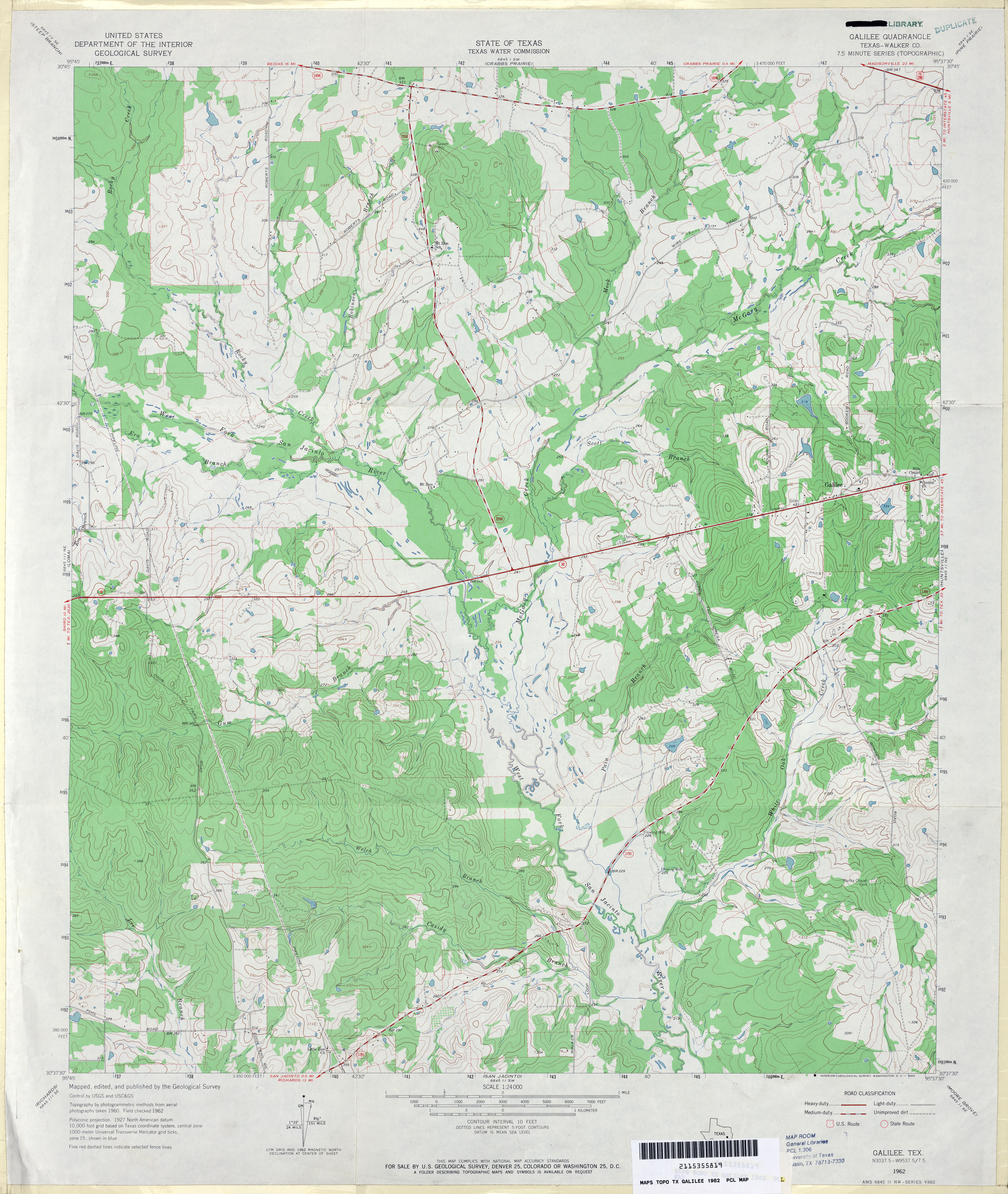
- Galilee (Walker County) 1:24,000 1962 (4MB)
- Galilee 1:24,000 2009 (21.9MB) [GeoPDF]
- Galilee 1:24,000 2013 (20.6MB) [GeoPDF]
- Galloway 1:24,000 1983 (3.8MB)
- Galloway 1:24,000 2009 (21.5MB) [GeoPDF]
- Galloway 1:24,000 2013 (25.5MB) [GeoPDF]
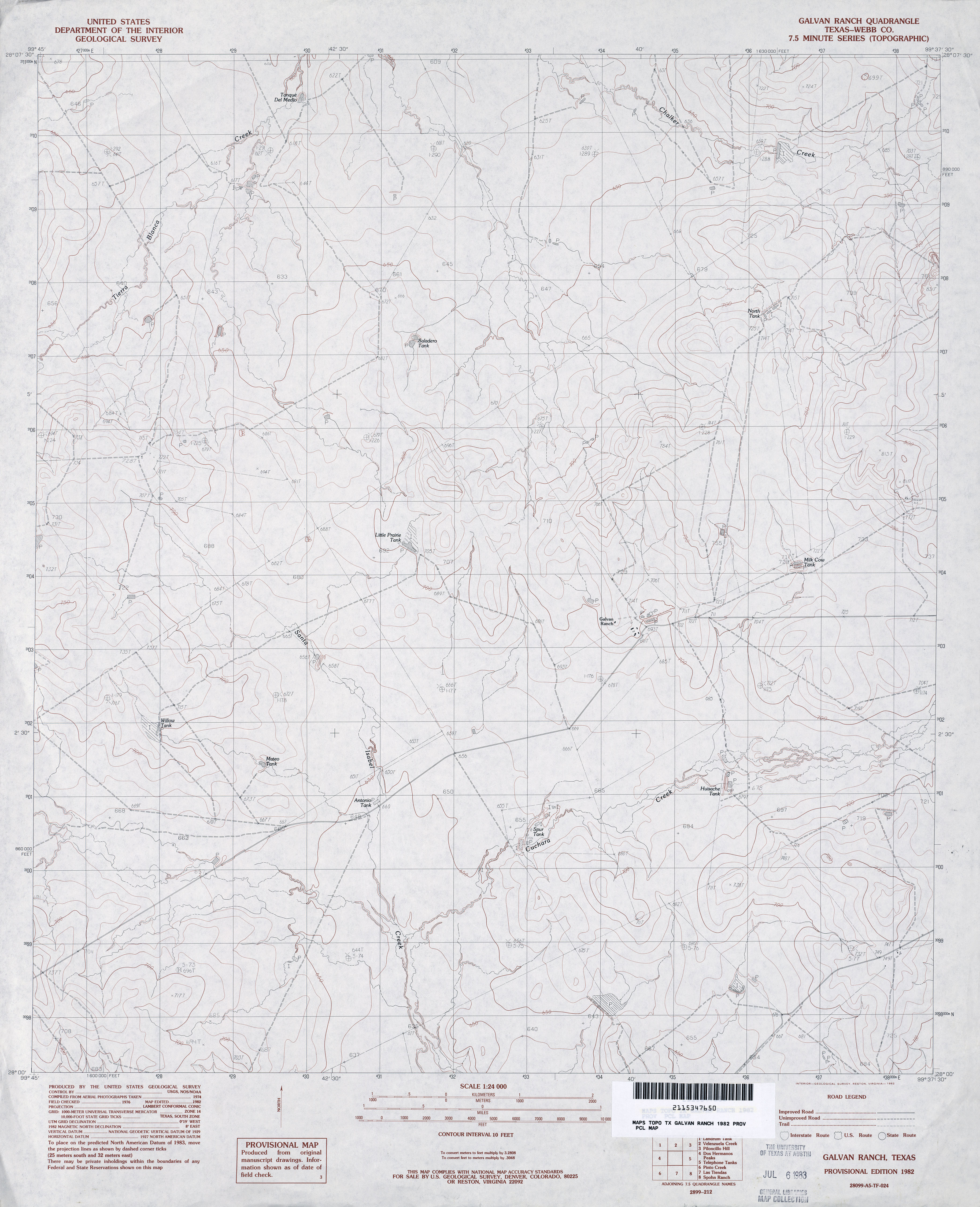
- Galvan Ranch (Webb County) 1:24,000 1982 (3.2MB)
- Galvan Ranch 1:24,000 2008 (18.1MB) [GeoPDF]
- Galvan Ranch 1:24,000 2013 (26.7MB) [GeoPDF]
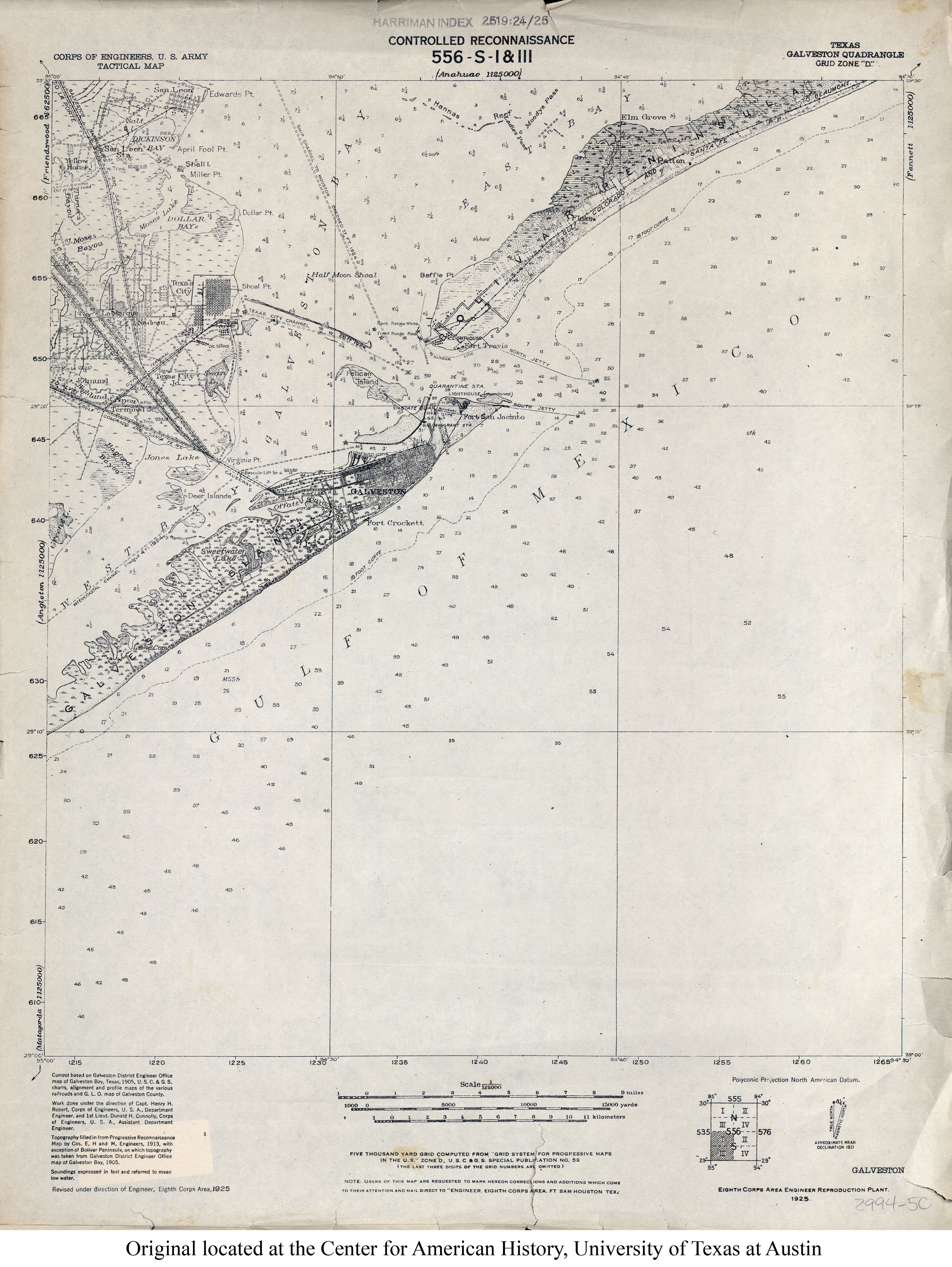
- Galveston 1:125,000 1925 (2.9MB) U.S. Army. Corps of Engineers. Tactical Map
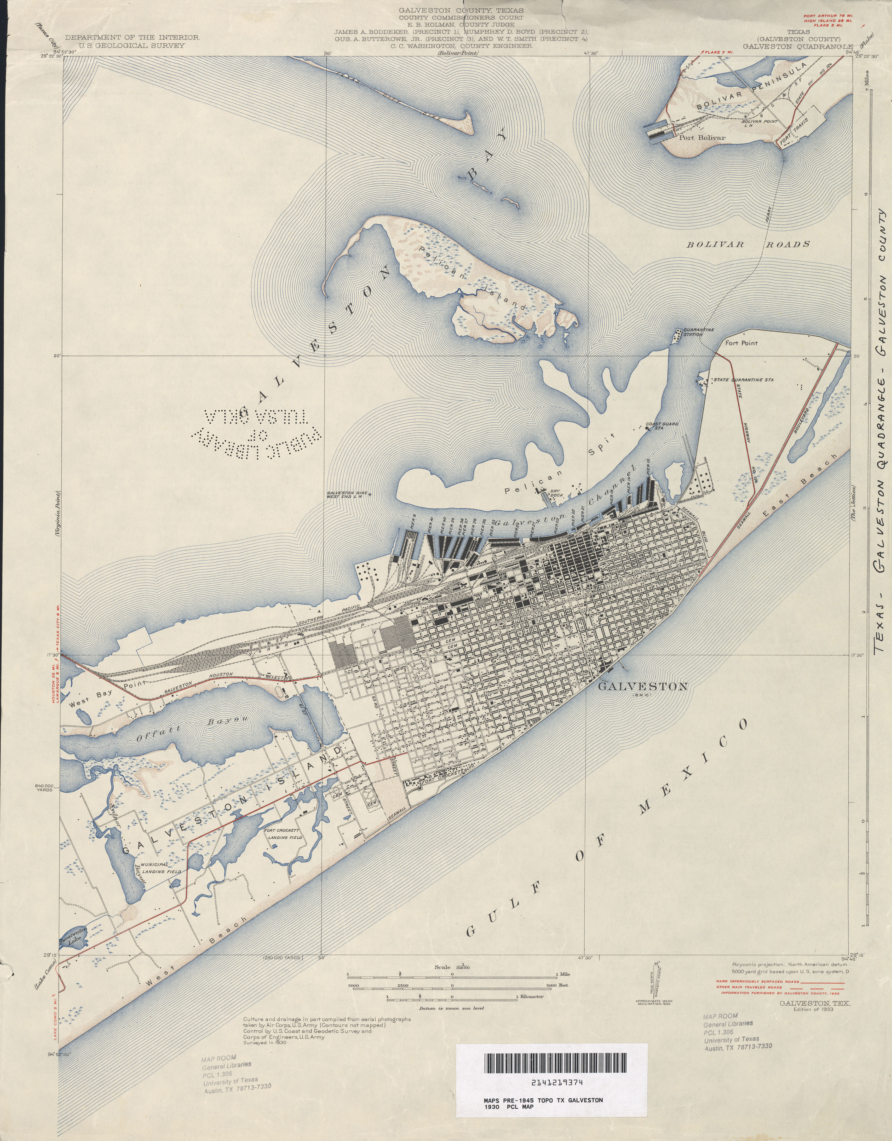
- Galveston (Galveston County) 1:31,680 1930 survey, 1933 overprint (3.6 MB)
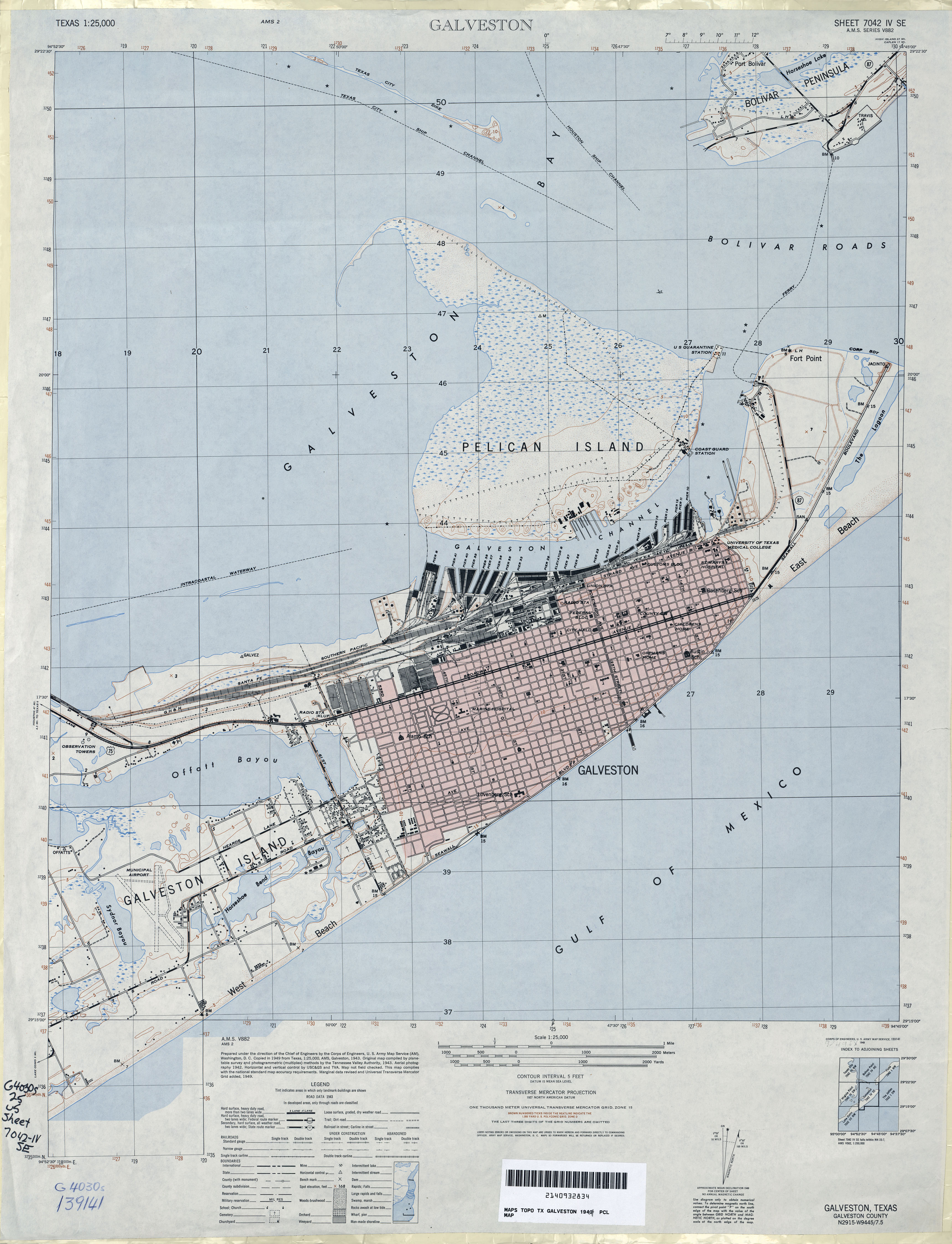
- Galveston 1:25,000 1949 (3MB) U.S. Army Map Service, Series V882.
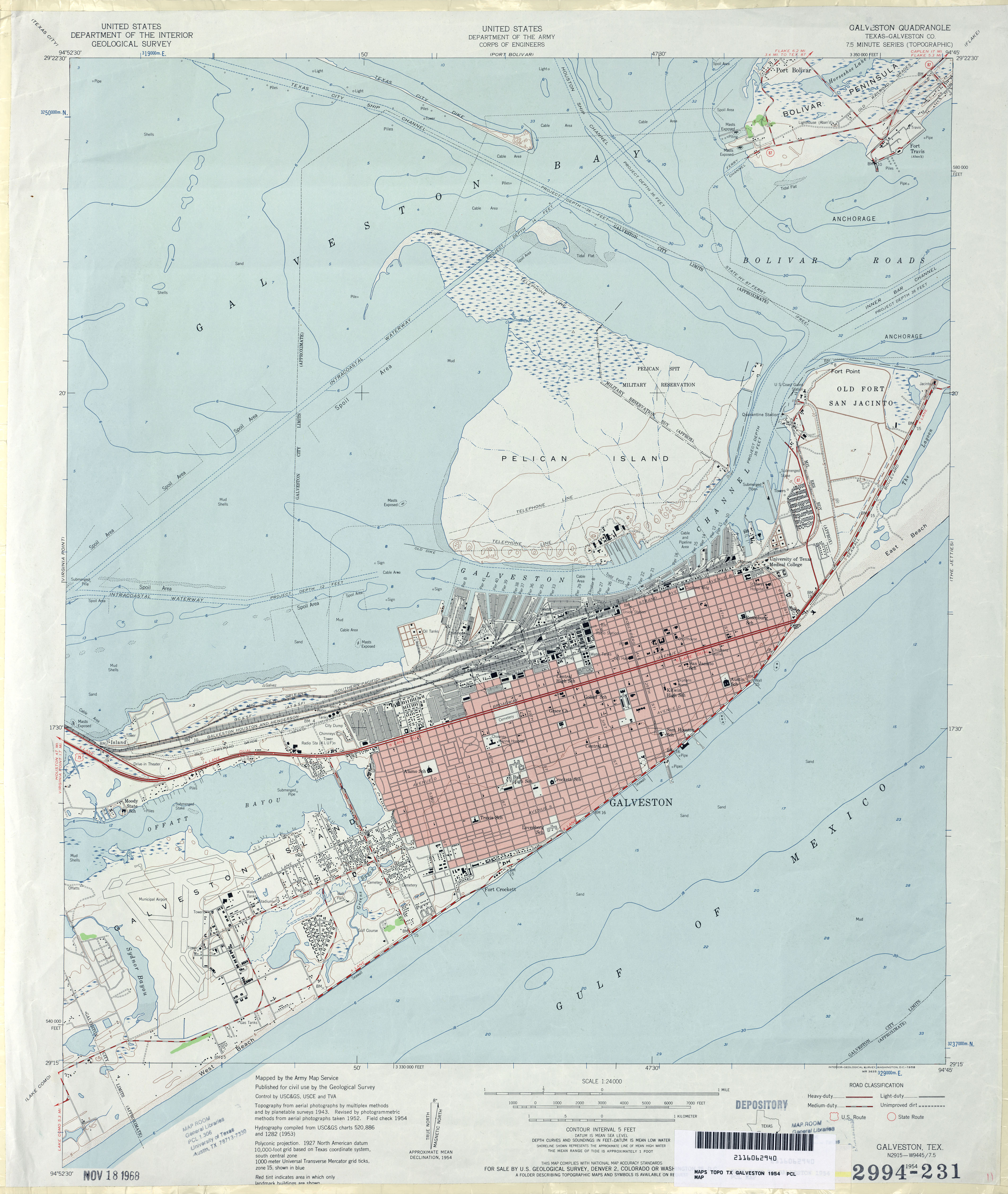
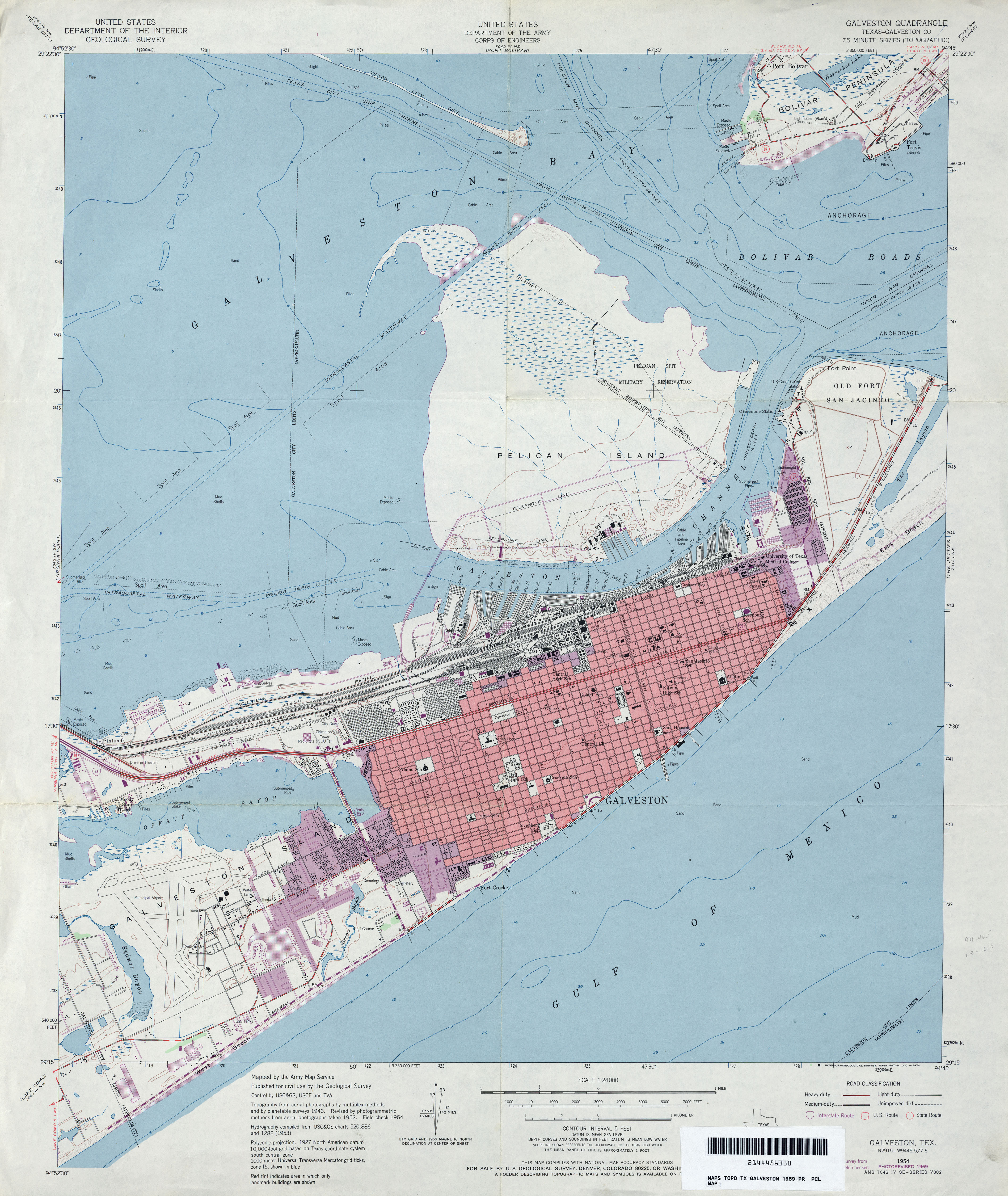
- Galveston (Galveston County) 1:24,000 1954 (3.2MB)
- Galveston (Galveston County) 1:24,000 1969 (3.5MB)
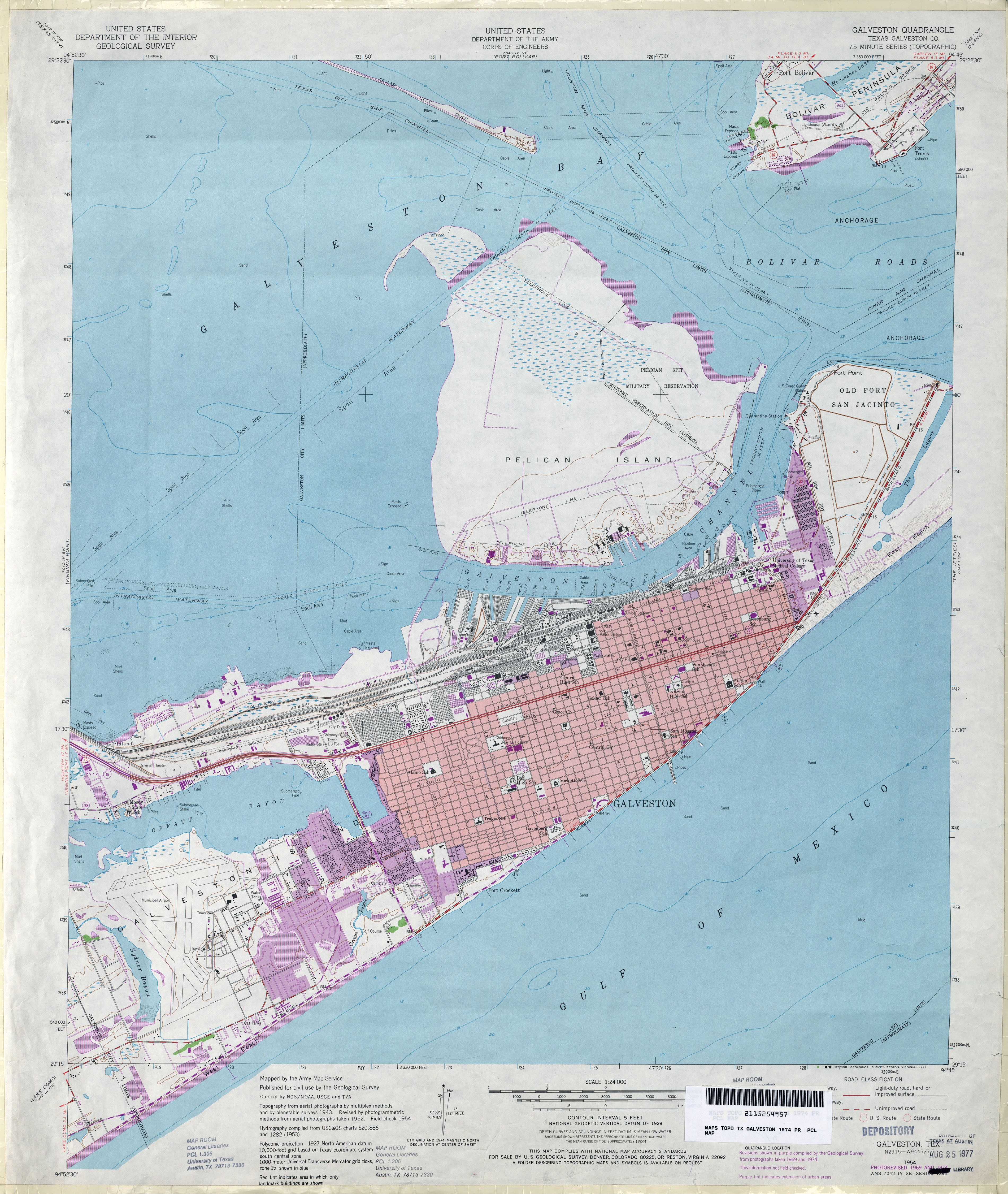
- Galveston (Galveston County) 1:24,000 1974 (3.6MB)
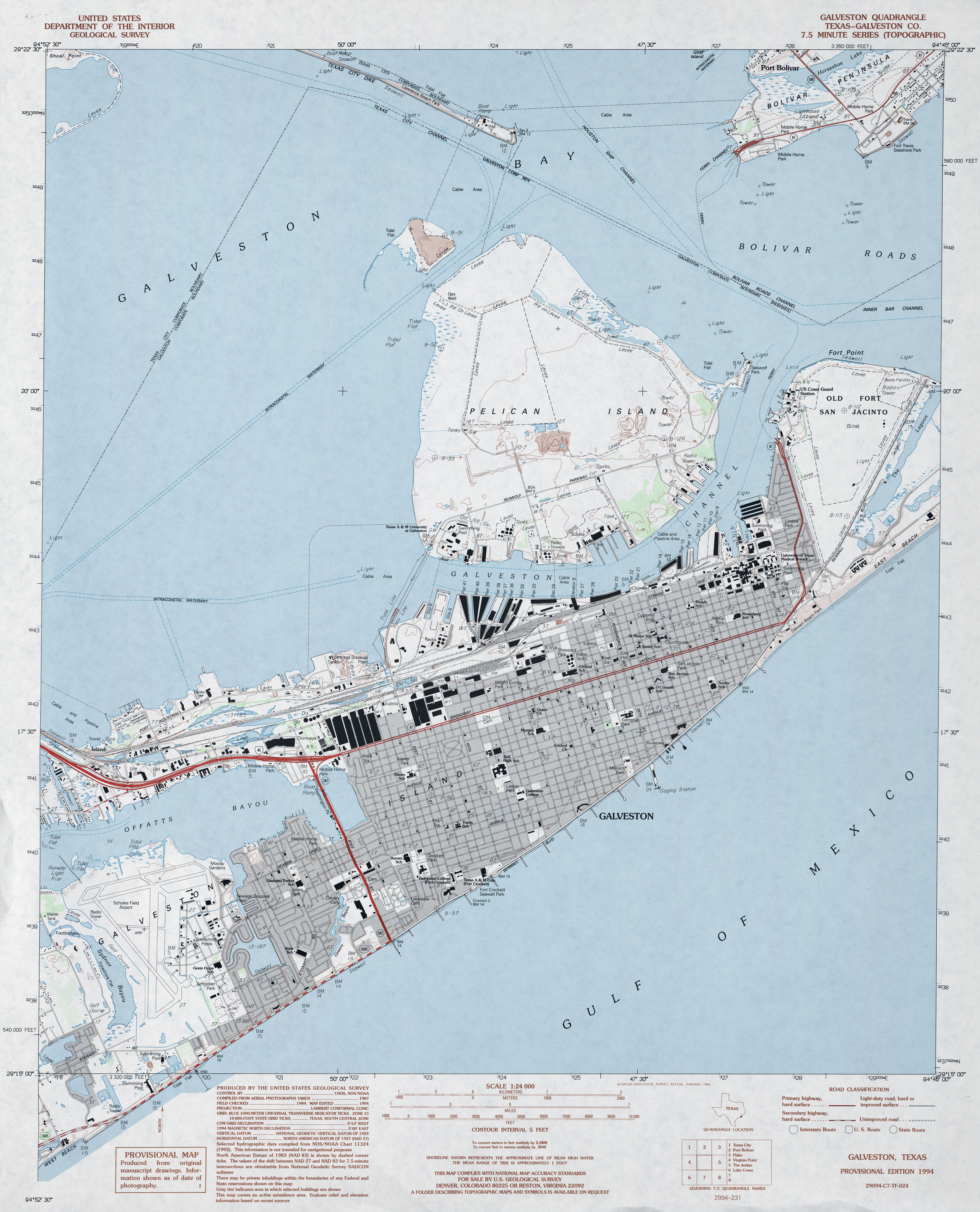
- Galveston (Galveston County) 1:24,000 1994 (3.3MB)
- Galveston 1:24,000 2008 (2MB) Texas Natural Resources Information System (TNRIS). [pdf]
- Galveston 1:24,000 2009 (13.0MB) [GeoPDF]
- Galveston 1:24,000 2013 (18.8MB) [GeoPDF]
- Galveston OE S 1:24,000 2008 (304KB) Texas Natural Resources Information System (TNRIS). [pdf]
- Galveston OE S 1:24,000 2009 (13.1MB) [GeoPDF]
- Galveston OE S 1:24,000 2013 (11.3MB) [GeoPDF]
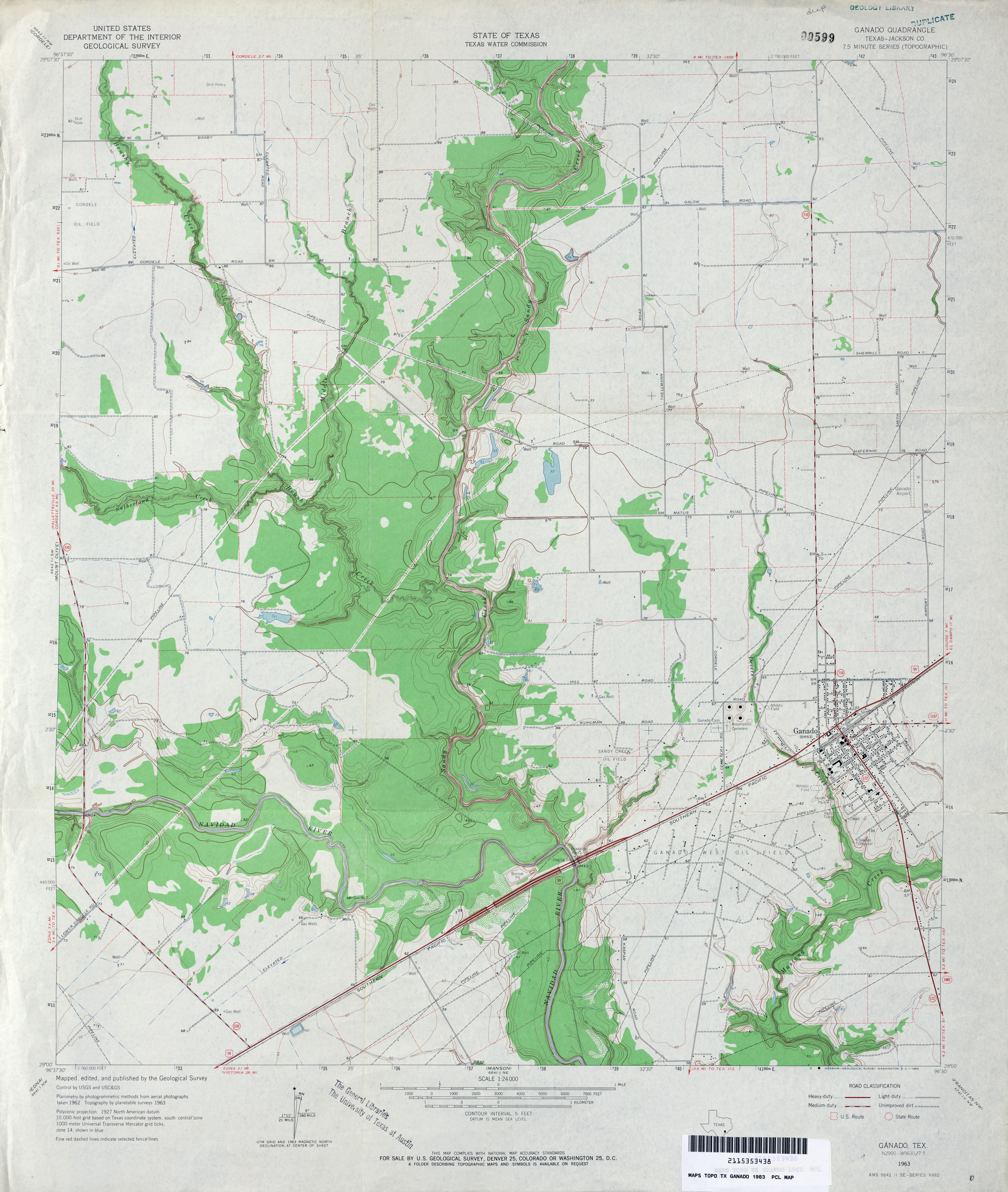
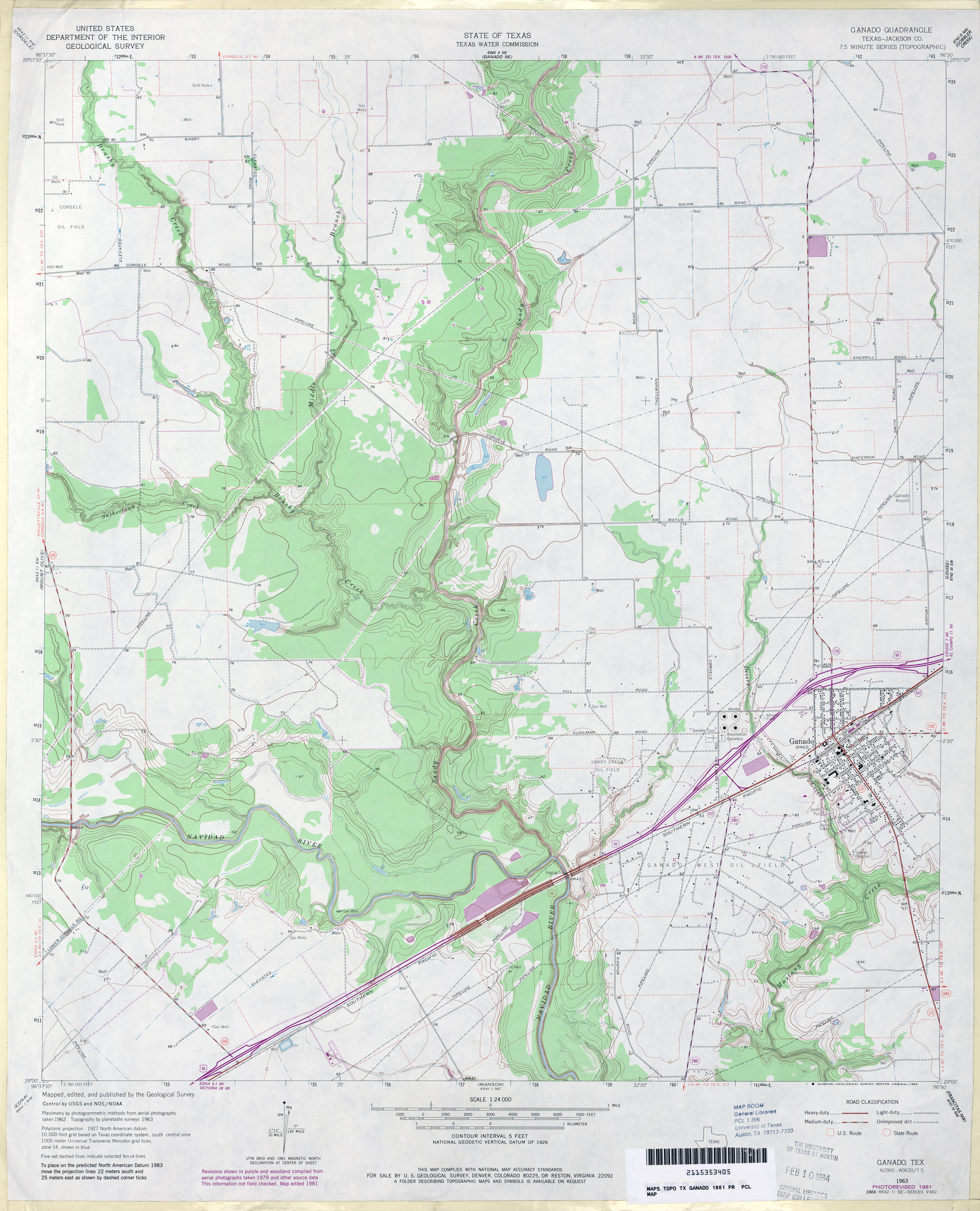
- Ganado (Jackson County) 1:24,000 1963 (3.5MB)
- Ganado (Jackson County) 1:24,000 1981 (3.4MB)
- Ganado 1:24,000 2009 (13.1MB) [GeoPDF]
- Ganado 1:24,000 2013 (21MB) [GeoPDF]
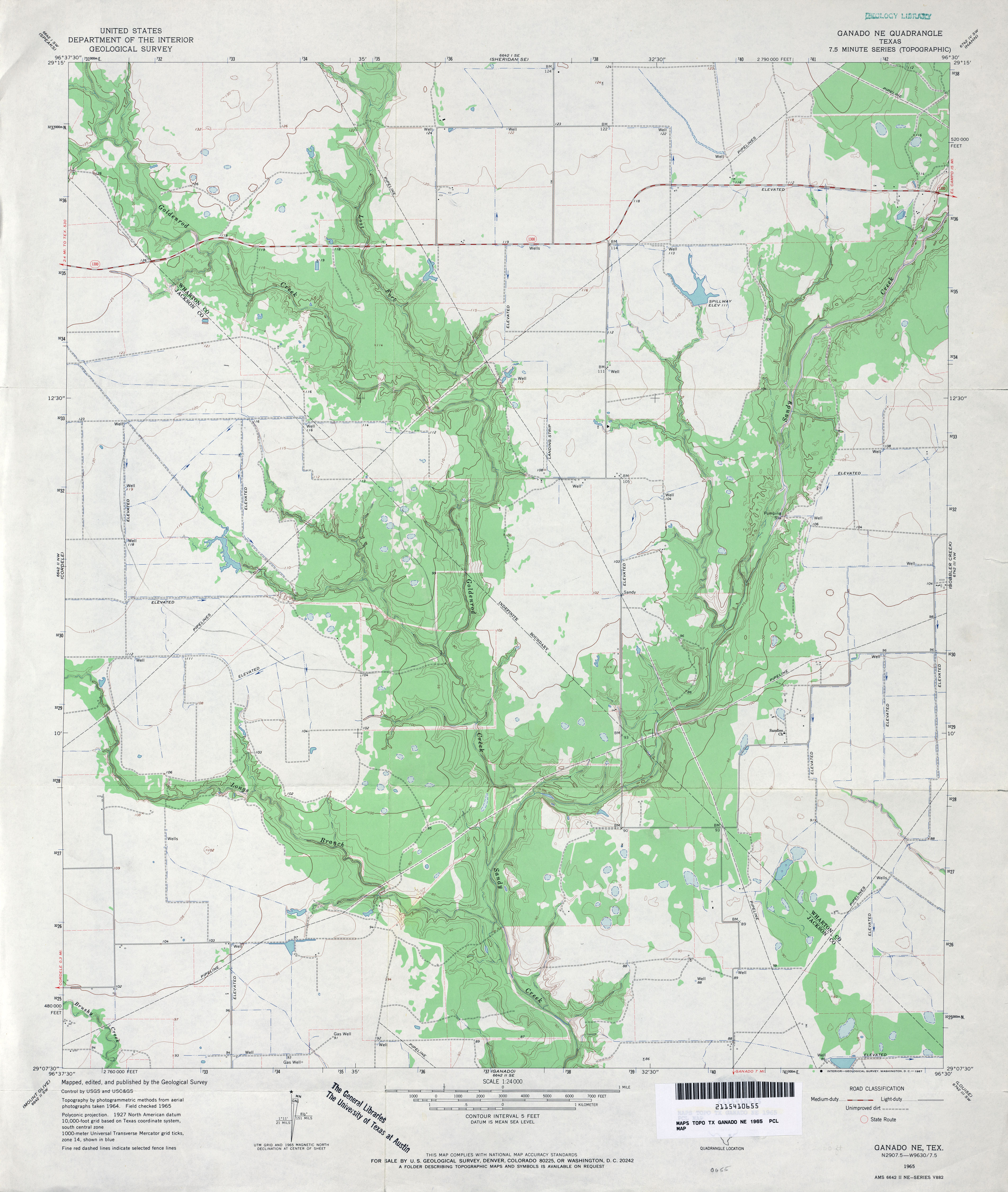
- Ganado NE 1:24,000 1965 (3.2MB)
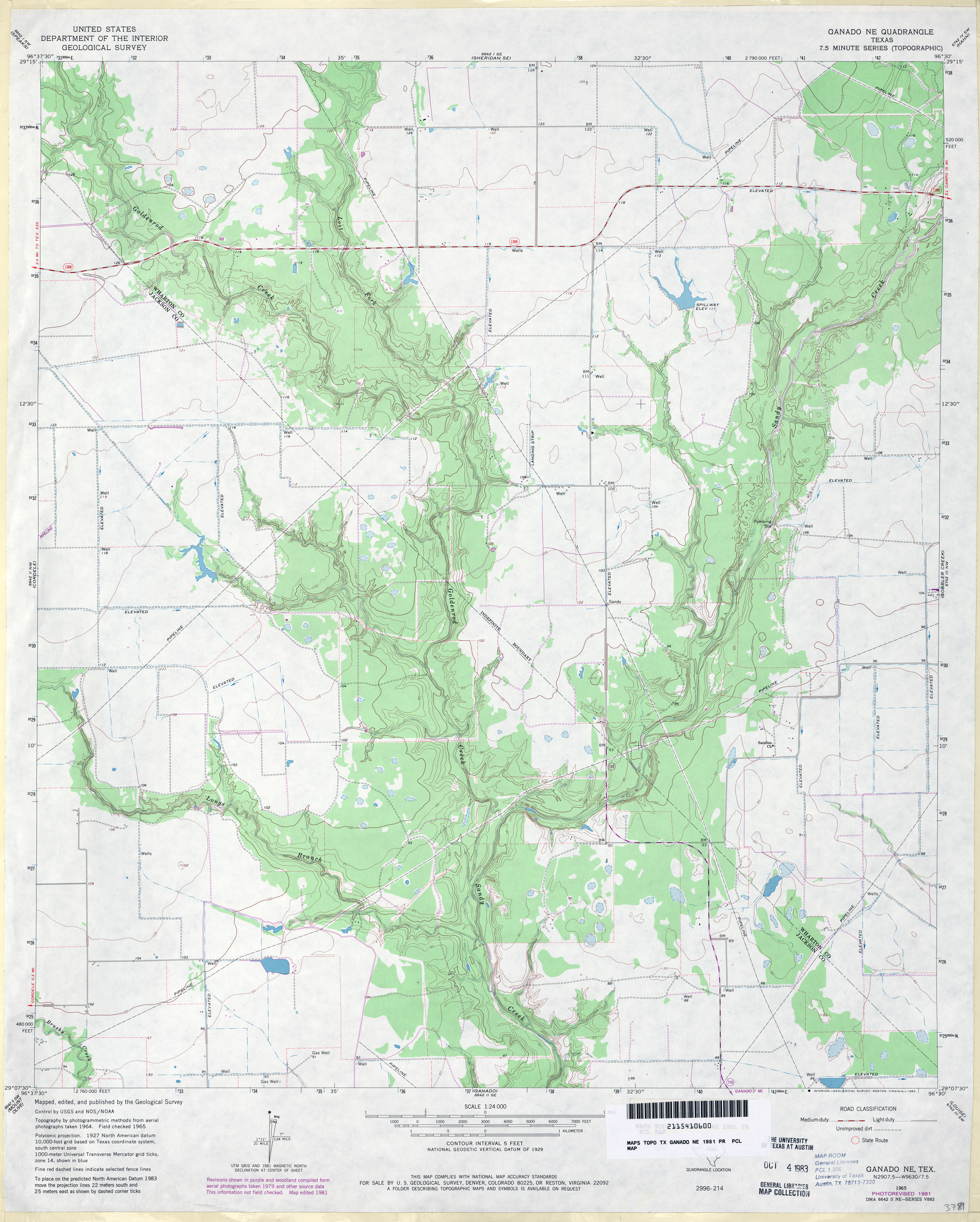
- Ganado NE 1:24,000 1981 (3.2MB)
- Ganado NE 1:24,000 2009 (13.1MB) [GeoPDF]
- Ganado NE 1:24,000 2013 (22MB) [GeoPDF]
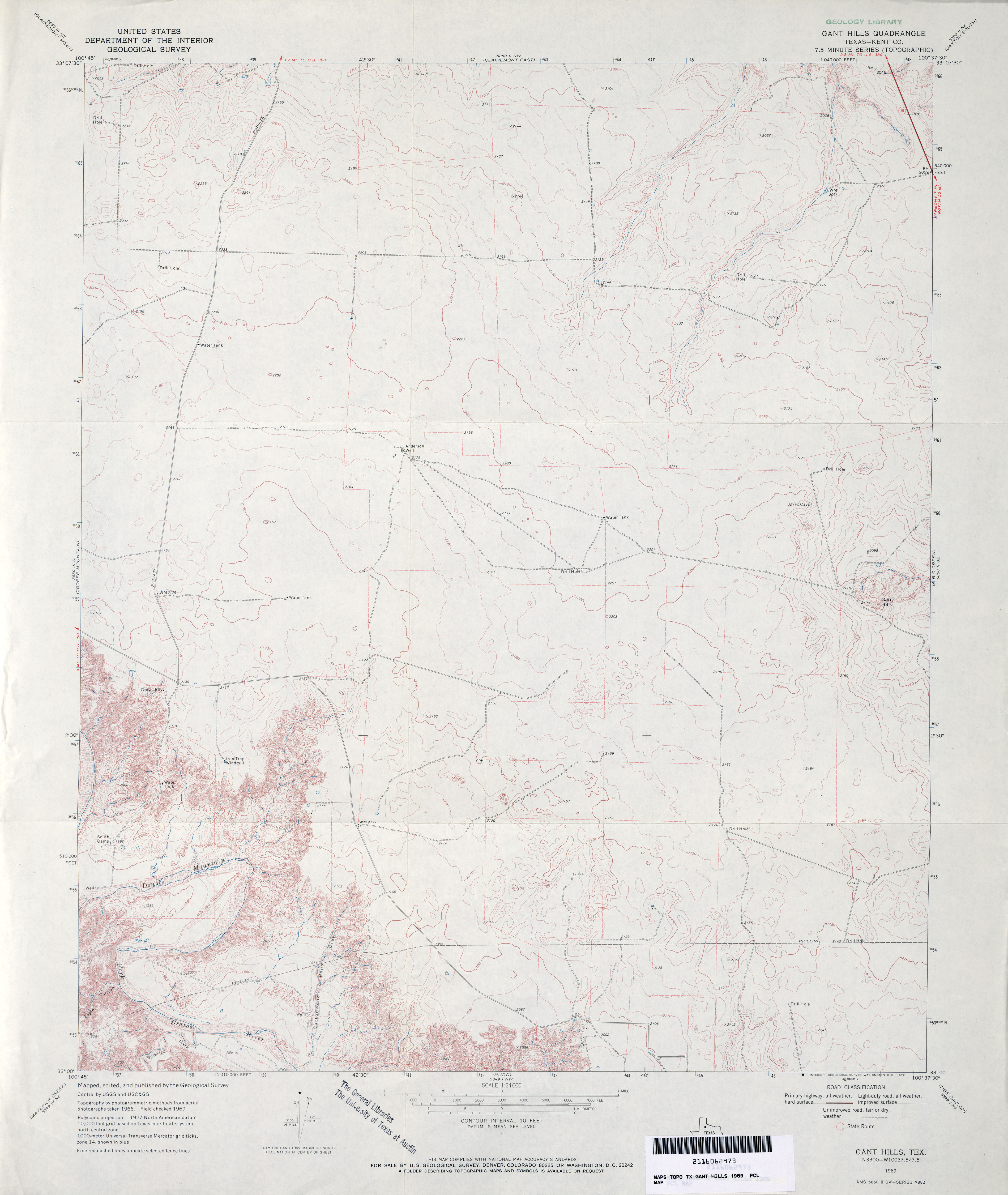
- Gant Hills (Kent County) 1:24,000 1969 (2.9MB)
- Gant Hills 1:24,000 2008 (13.4MB) [GeoPDF]
- Gant Hills 1:24,000 2012 (20.1MB) [GeoPDF]
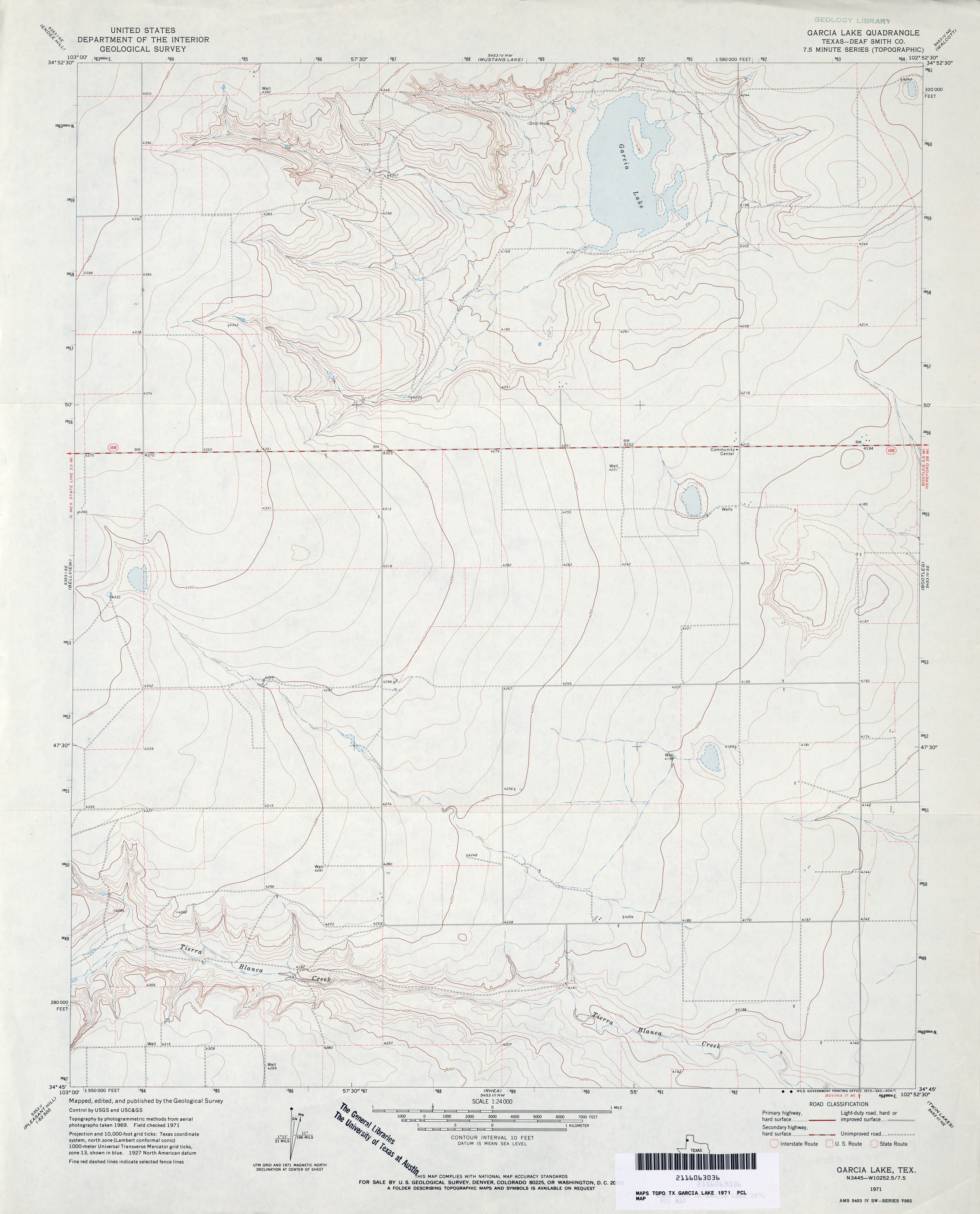
- Garcia Lake (Deaf Smith County) 1:24,000 1971 (2.7MB)
- Garcia Lake 1:24,000 2008 (9.4MB) [GeoPDF]
- Garcia Lake 1:24,000 2012 (12.9MB) [GeoPDF]
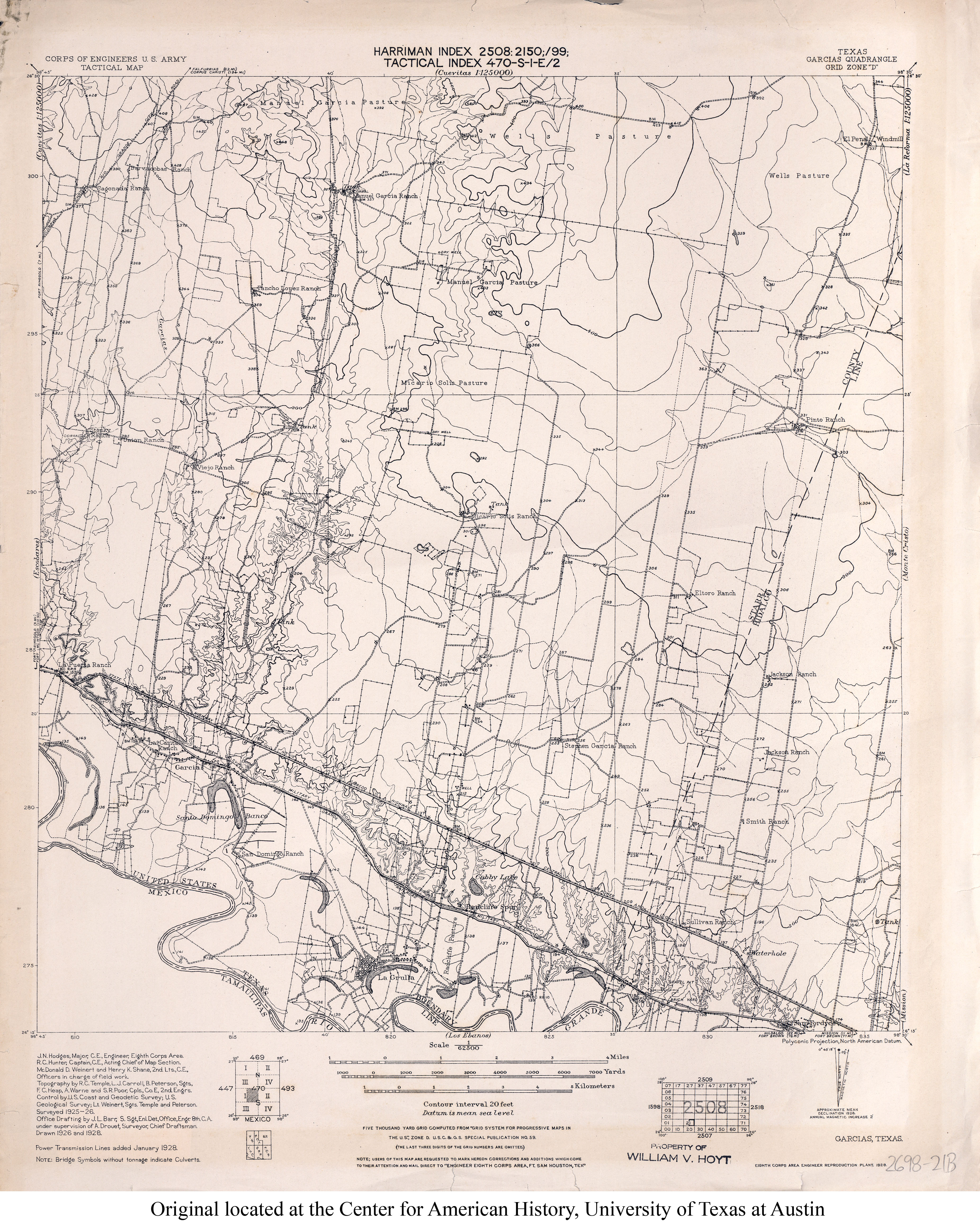
- Garcias 1:62,500 1928 (3.9MB) U.S. Army. Corps of Engineers. Tactical Map
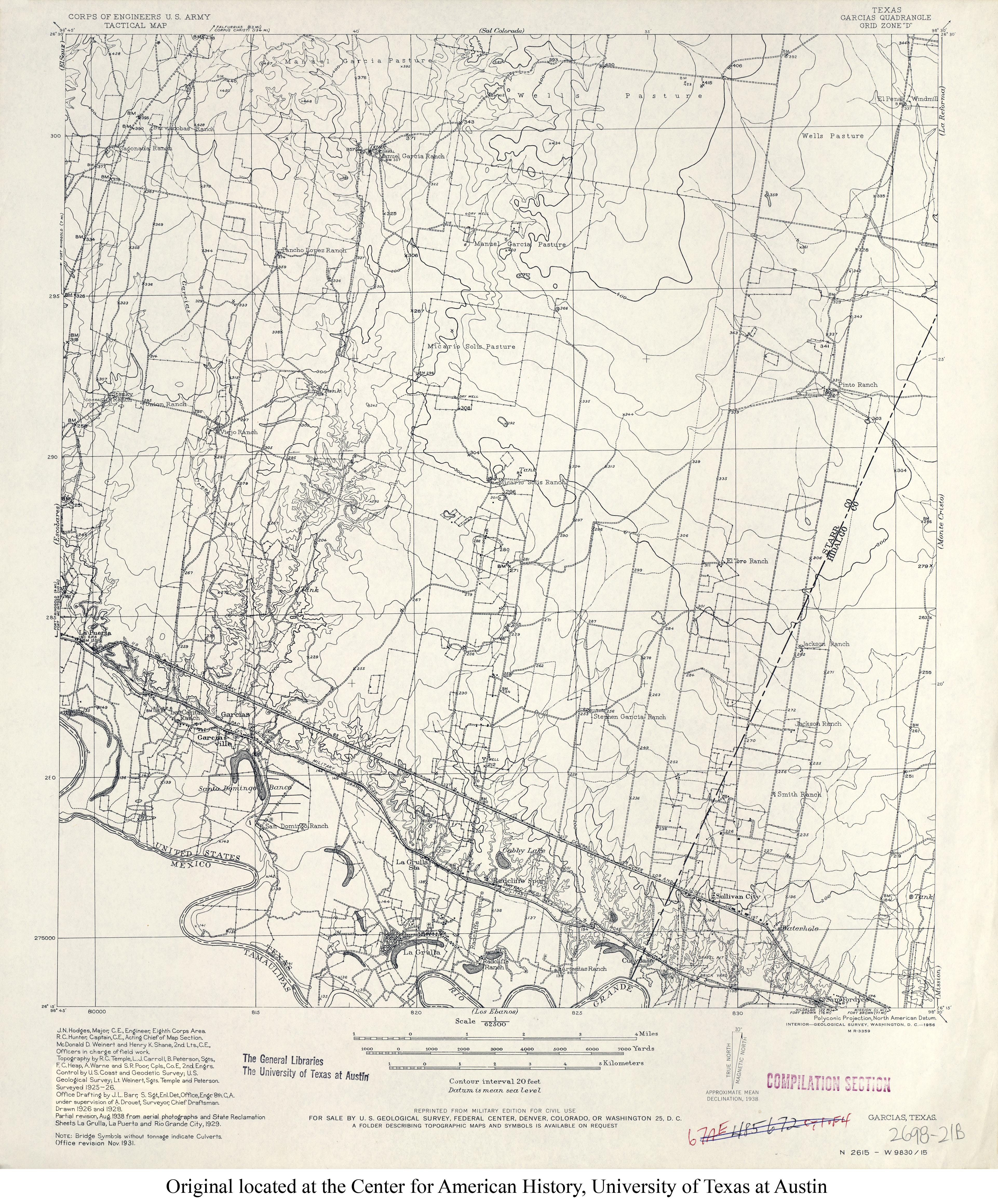
- Garcias 1:62,500 1931 (4MB) U.S. Army. Corps of Engineers. Tactical Map
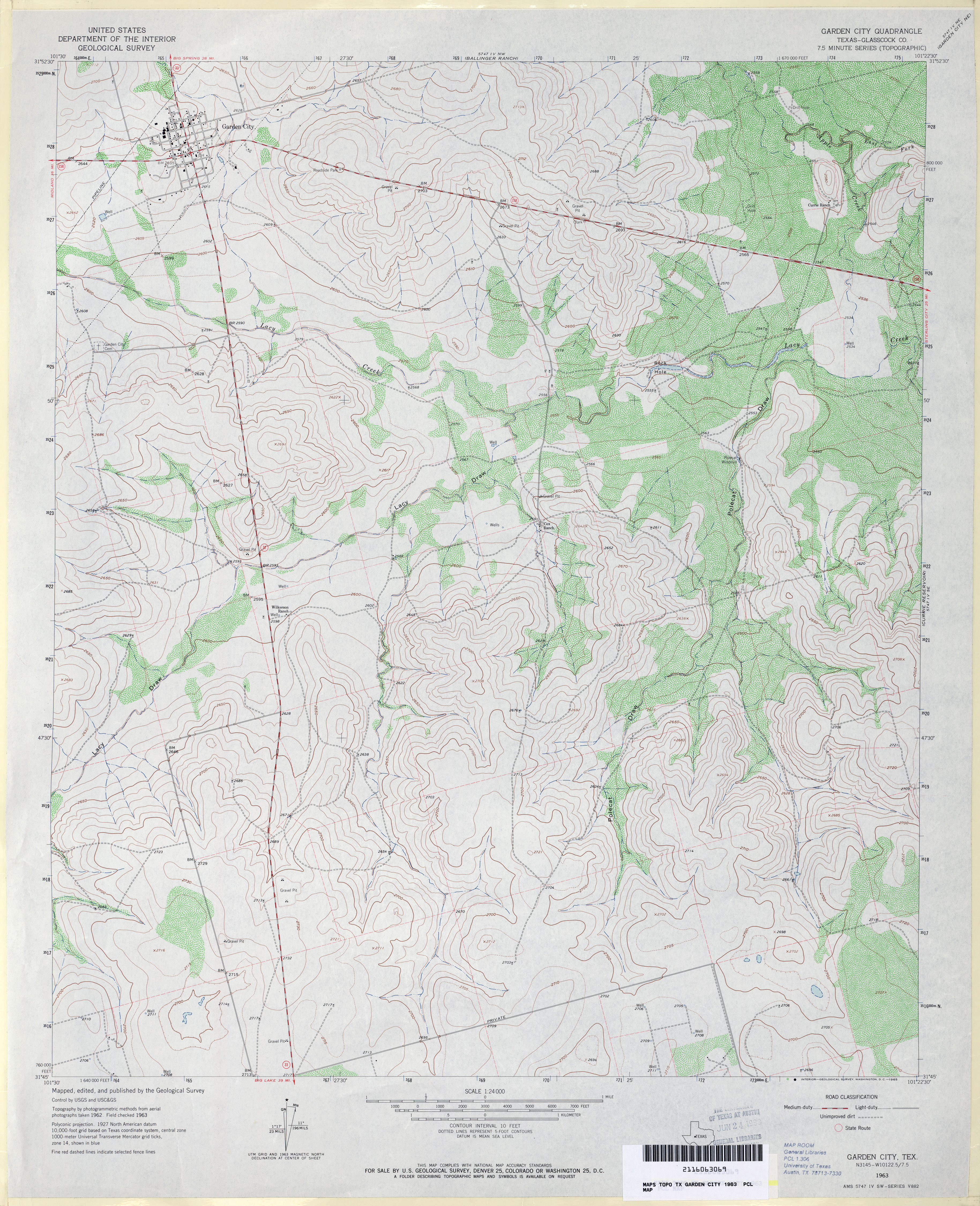
- Garden City (Glasscock County) 1:24,000 1963 (4.1MB)
- Garden City 1:24,000 2008 (18.2MB) [GeoPDF]
- Garden City 1:24,000 2012 (23.6MB) [GeoPDF]
- Garden City NE 1:24,000 1963 (4.3MB)
- Garden City NE 1:24,000 2008 (17.1MB) [GeoPDF]
- Garden City NE 1:24,000 2012 (24.1MB) [GeoPDF]
- Garden Springs 1:24,000 1971 (3.7MB)
- Garden Springs 1:24,000 2008 (17.5MB) [GeoPDF]
- Garden Springs 1:24,000 2012 (22.4MB) [GeoPDF]
- Garden Valley 1:24,000 1985 (5MB)
- Garden Valley 1:24,000 2008 (15.3MB) [GeoPDF]
- Garden Valley 1:24,000 2012 (19.8MB) [GeoPDF]
- Gardendale 1:24,000 1968 (2.9MB)
- Gardendale 1:24,000 1974 (2.8MB)
- Gardendale 1:24,000 2008 (19.8MB) [GeoPDF]
- Gardendale 1:24,000 2012 (21.1MB) [GeoPDF]
- Gardendale NW (Andrews County) 1:24,000 1968 (3.1MB)
- Gardendale NW 1:24,000 2008 (16.5MB) [GeoPDF]
- Gardendale NW 1:24,000 2012 (19.3MB) [GeoPDF]
- Gardener Draw (Reagan County) 1:24,000 1970 (2.7MB)
- Gardener Draw 1:24,000 2008 (21.8MB) [GeoPDF]
- Gardener Draw 1:24,000 2013 (26.5MB) [GeoPDF]
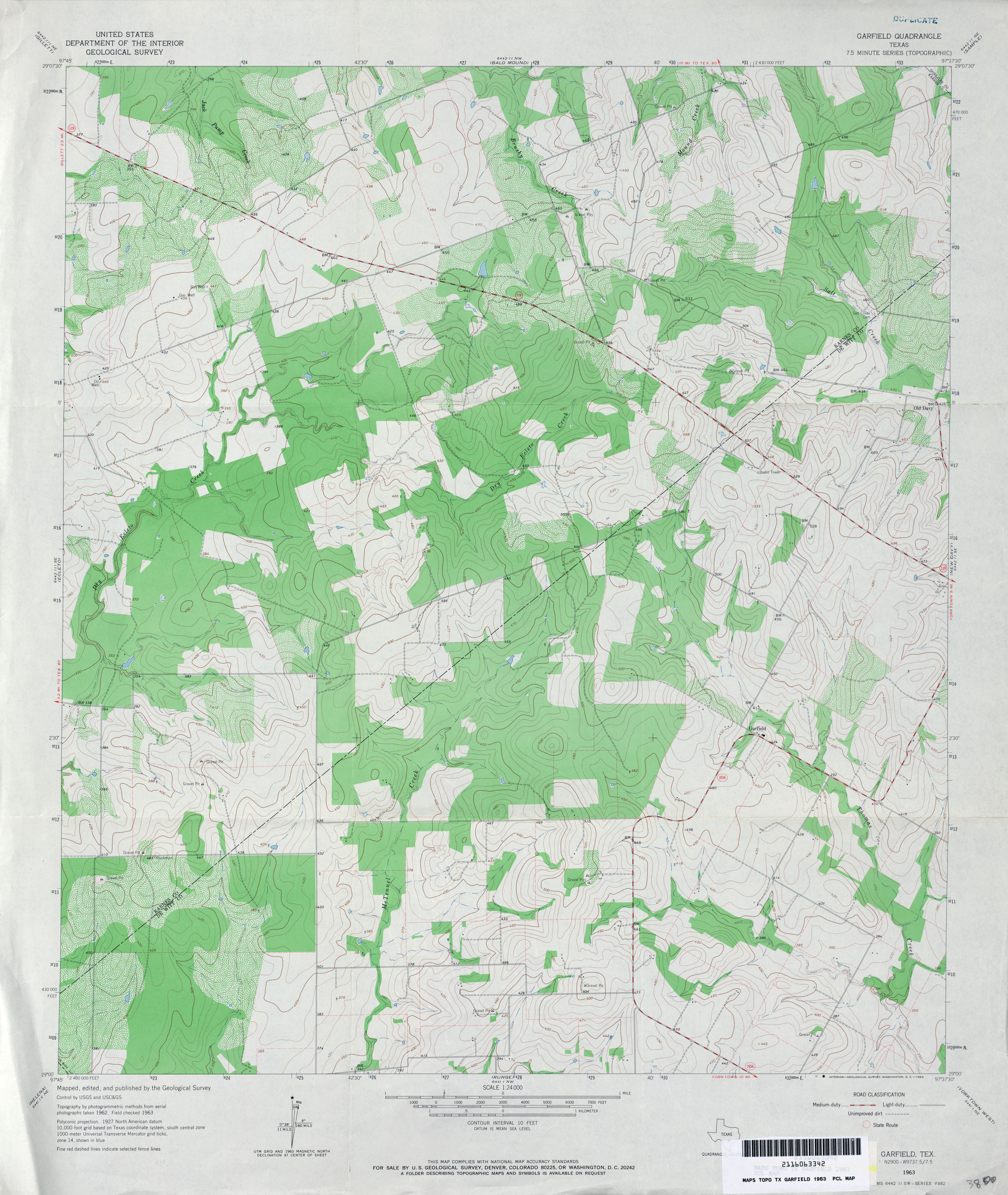
- Garfield 1:24,000 1963 (3.8MB)
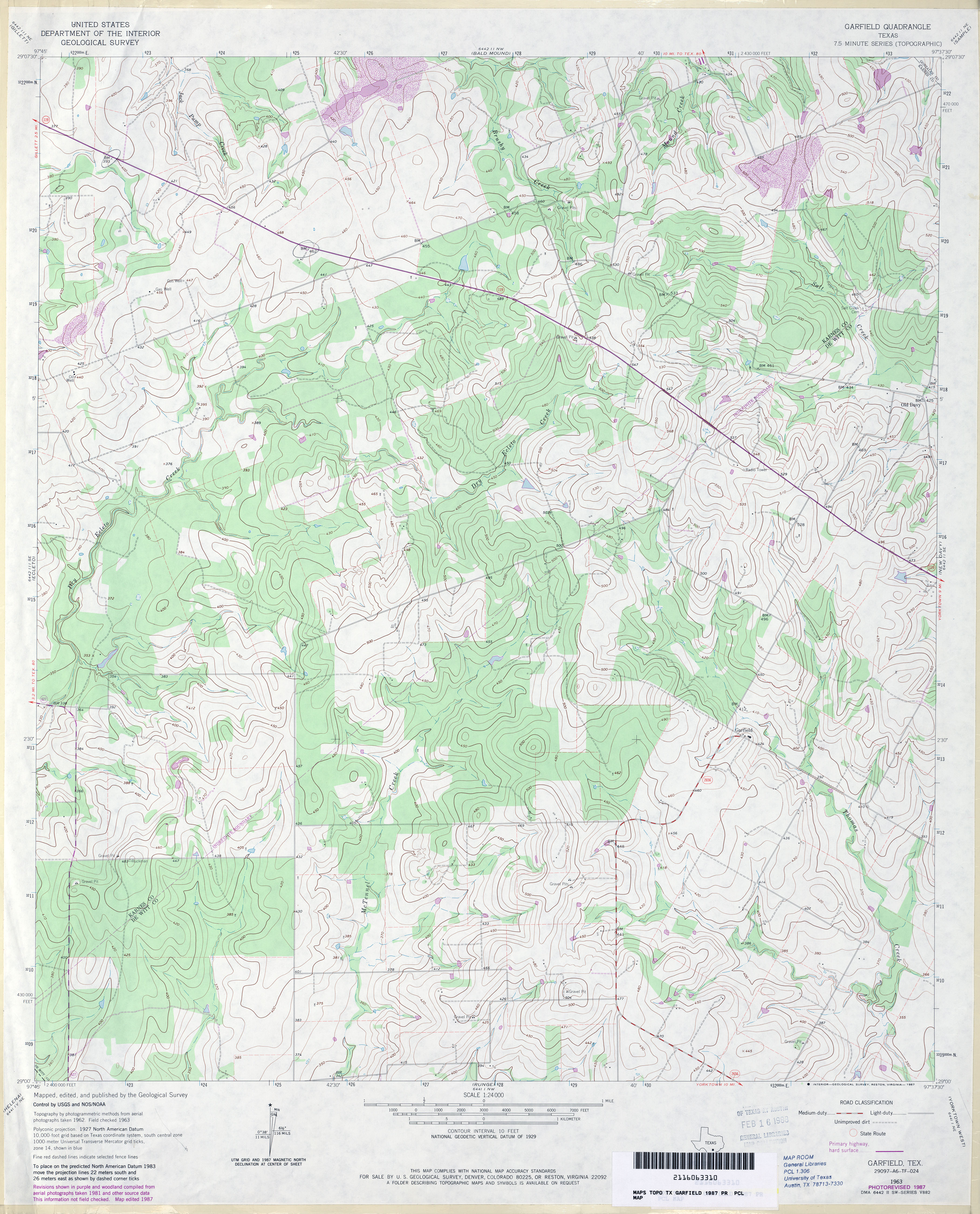
- Garfield 1:24,000 1987 (3.9MB)
- Garfield 1:24,000 2008 (14.9MB) [GeoPDF]
- Garfield 1:24,000 2013 (24.2MB) [GeoPDF]
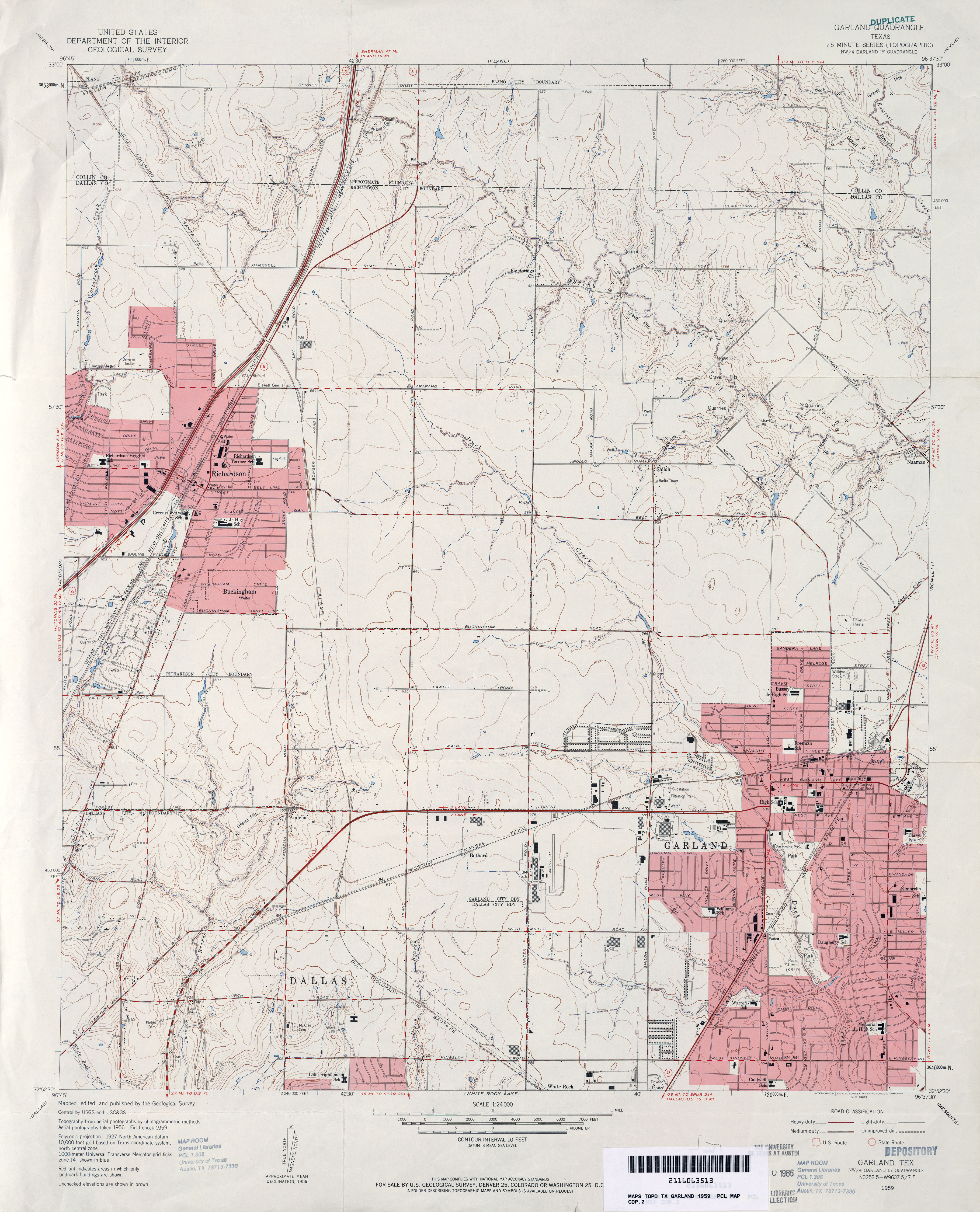
- Garland 1:24,000 1959 (3.7MB)
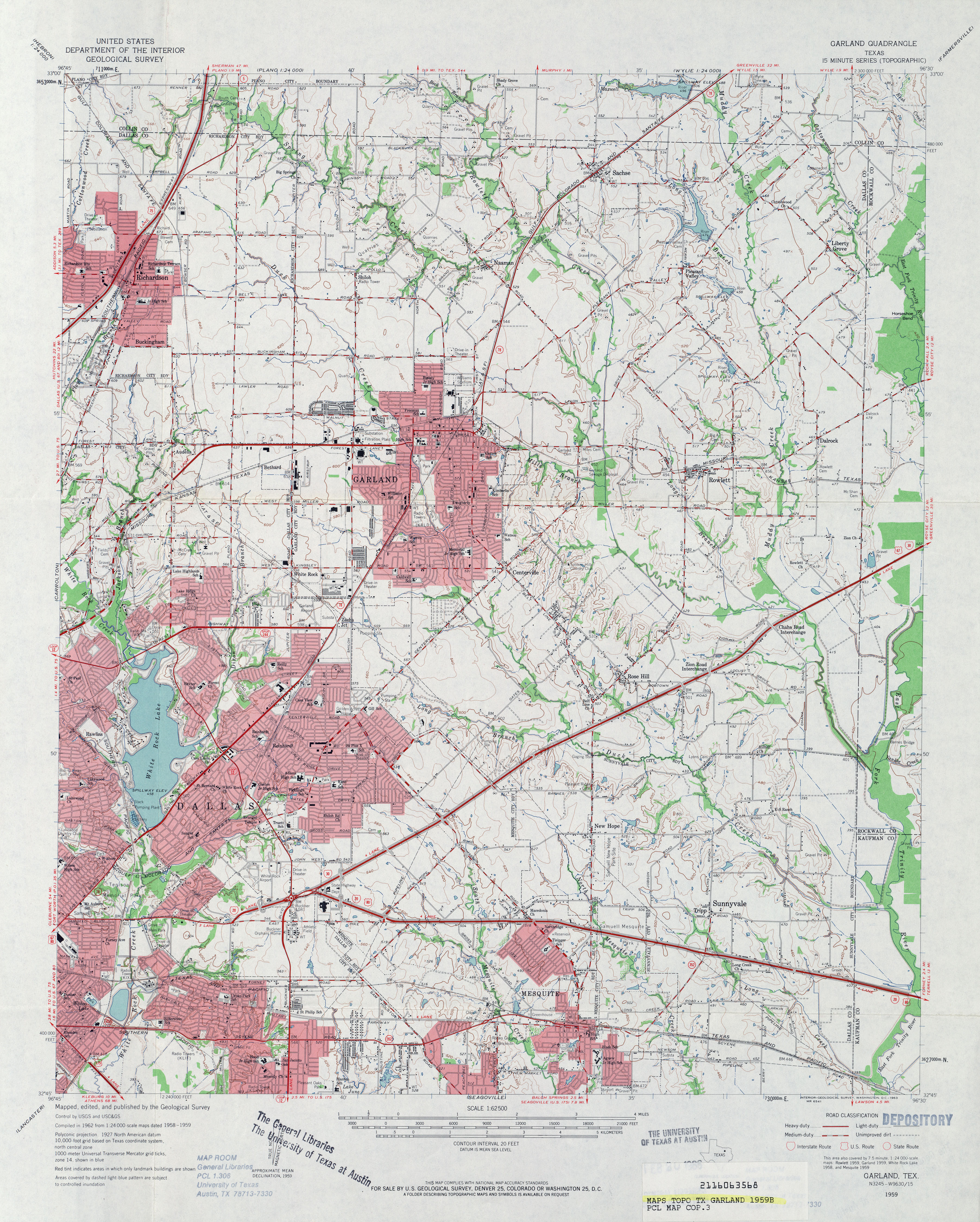
- Garland 1:62,500 1959 (4.6MB)
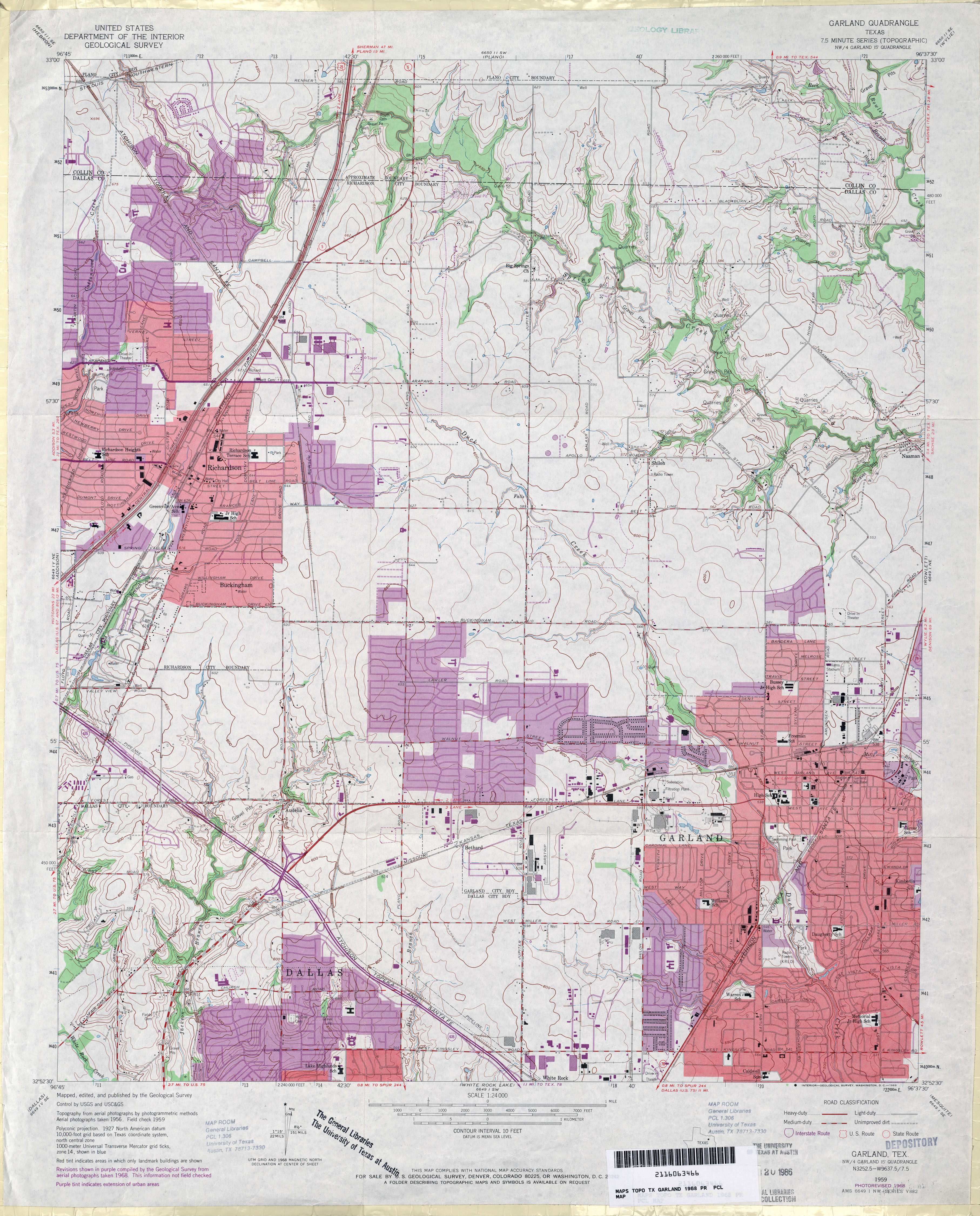
- Garland 1:24,000 1968 (4.2MB)
- Garland 1:24,000 1973 (3.9MB)
- Garland 1:24,000 2008 (21.6MB) [GeoPDF]
- Garland 1:24,000 2012 (26.6MB) [GeoPDF]
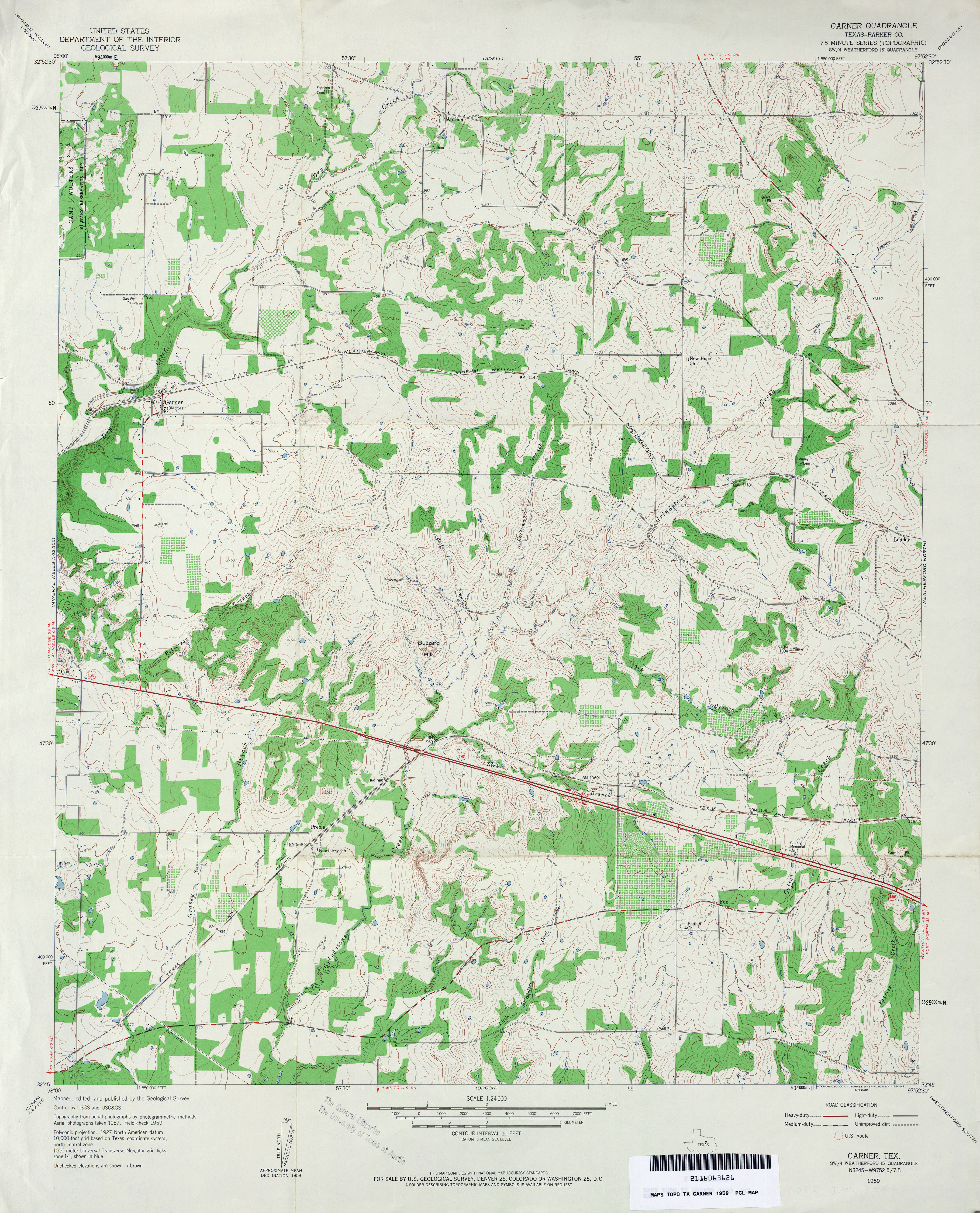
- Garner (Parker County) 1:24,000 1959 (4.2MB)
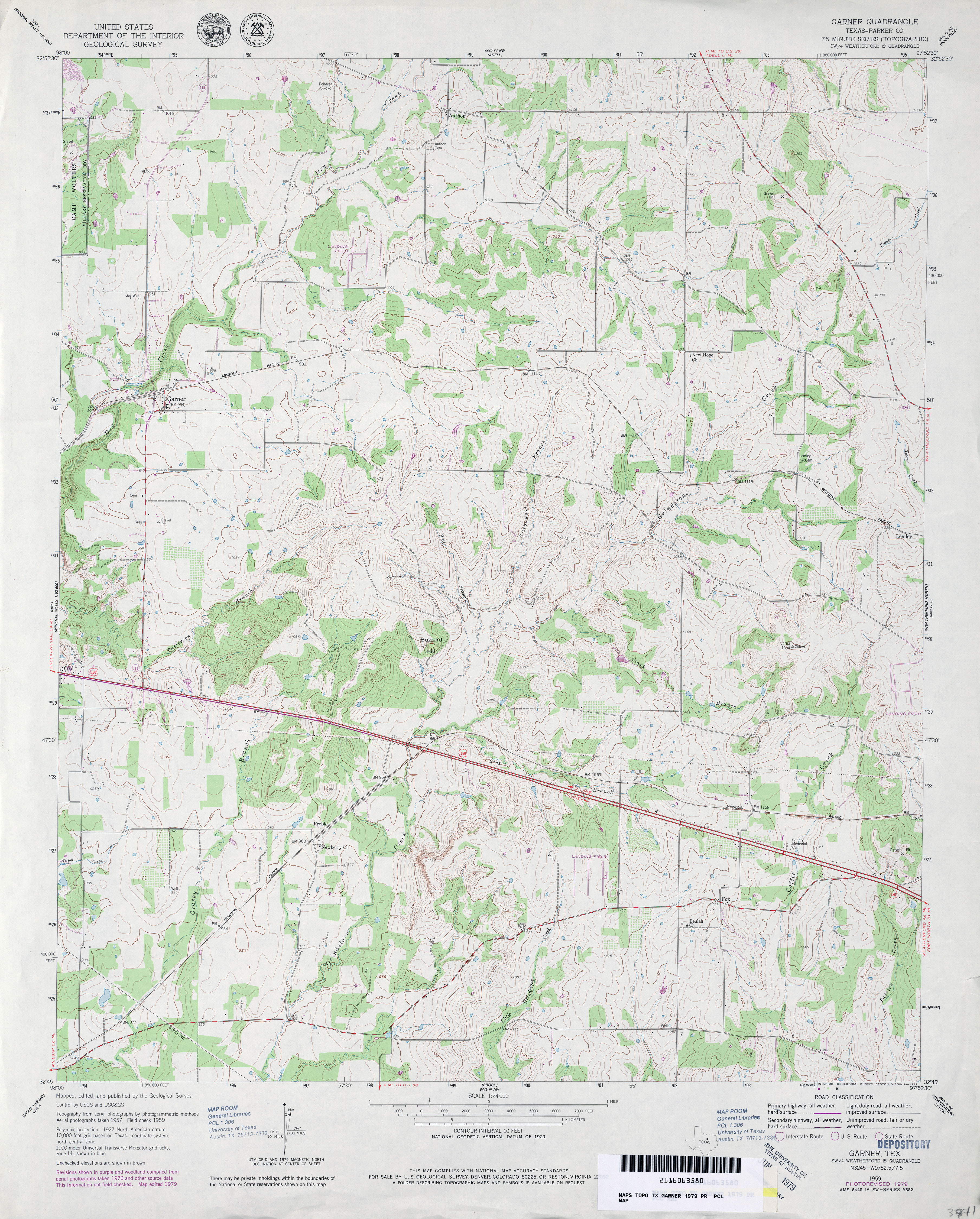
- Garner (Parker County) 1:24,000 1979 (4.1MB)
- Garner 1:24,000 2008 (18.4MB) [GeoPDF]
- Garner 1:24,000 2012 (21.9MB) [GeoPDF]
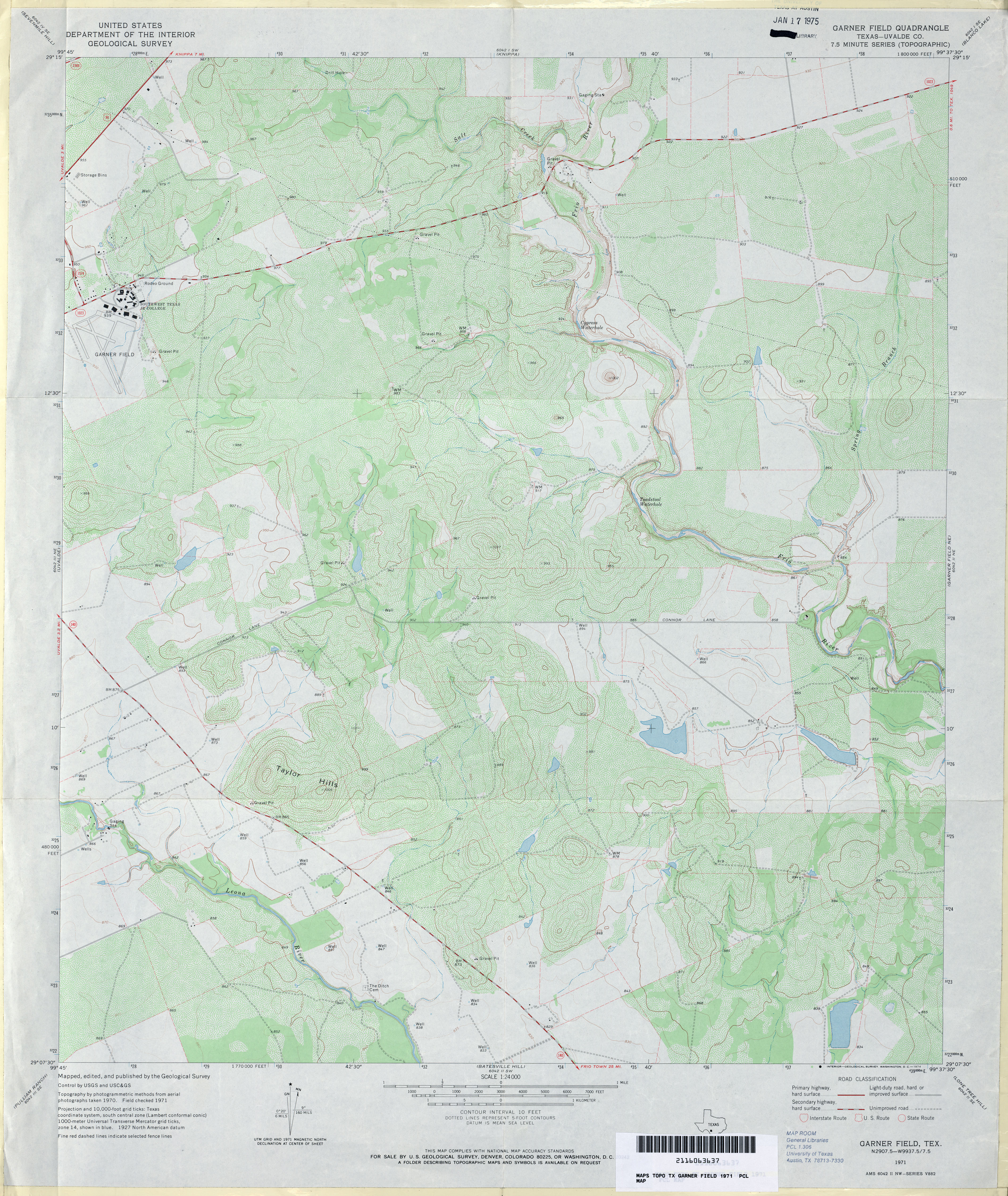
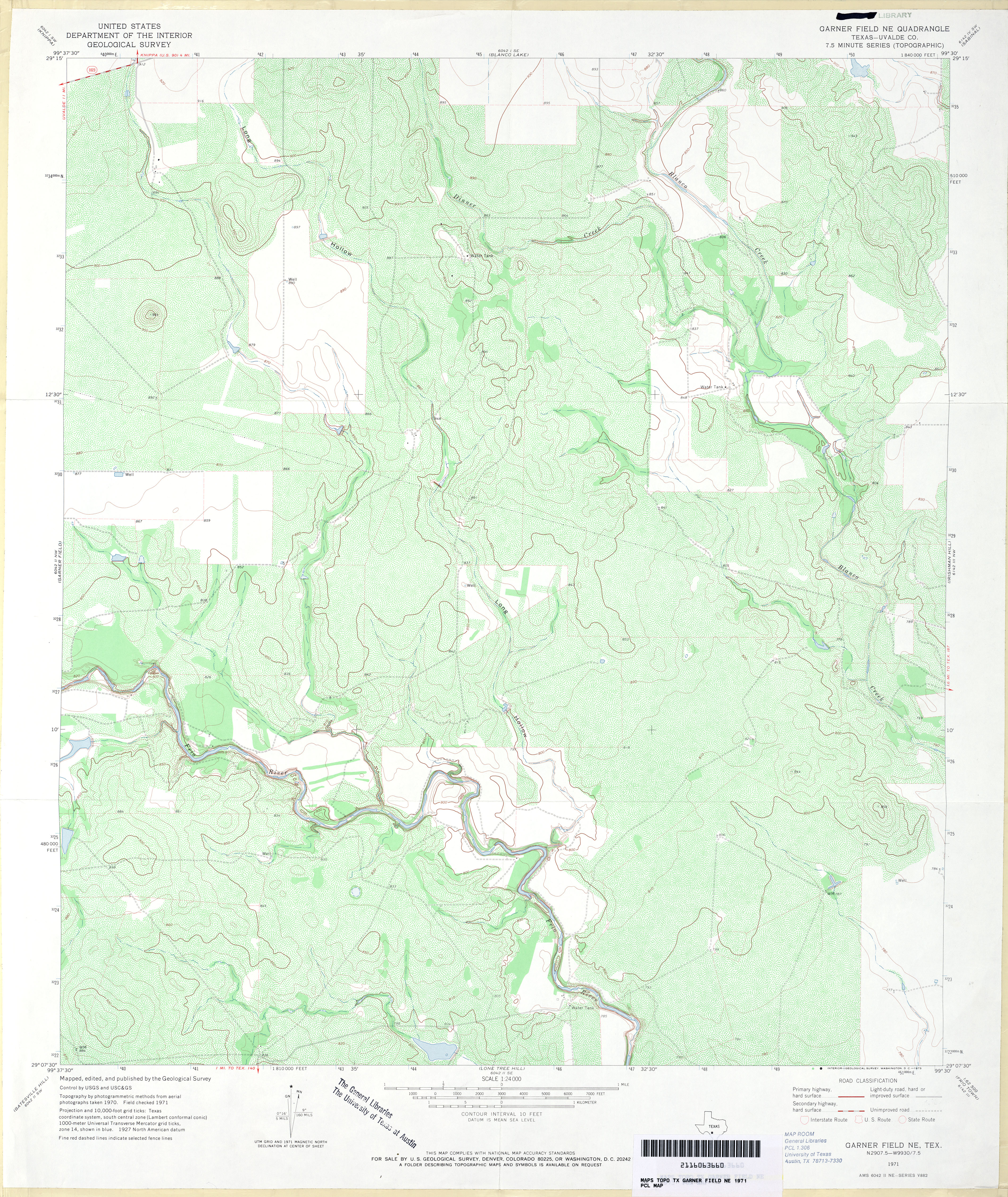
- Garner Field (Uvalde County) 1:24,000 1971 (4.1MB)
- Garner Field 1:50,000 1984 (5.4MB) U.S. Defense Mapping Agency, Series V782.
- Garner Field 1:24,000 2008 (17.4MB) [GeoPDF]
- Garner Field 1:24,000 2013 (22.9MB) [GeoPDF]
- Garner Field NE (Uvalde County) 1:24,000 1971 (5MB)
- Garner Field NE 1:24,000 2008 (18.5MB) [GeoPDF]
- Garner Field NE 1:24,000 2013 (24.8MB) [GeoPDF]
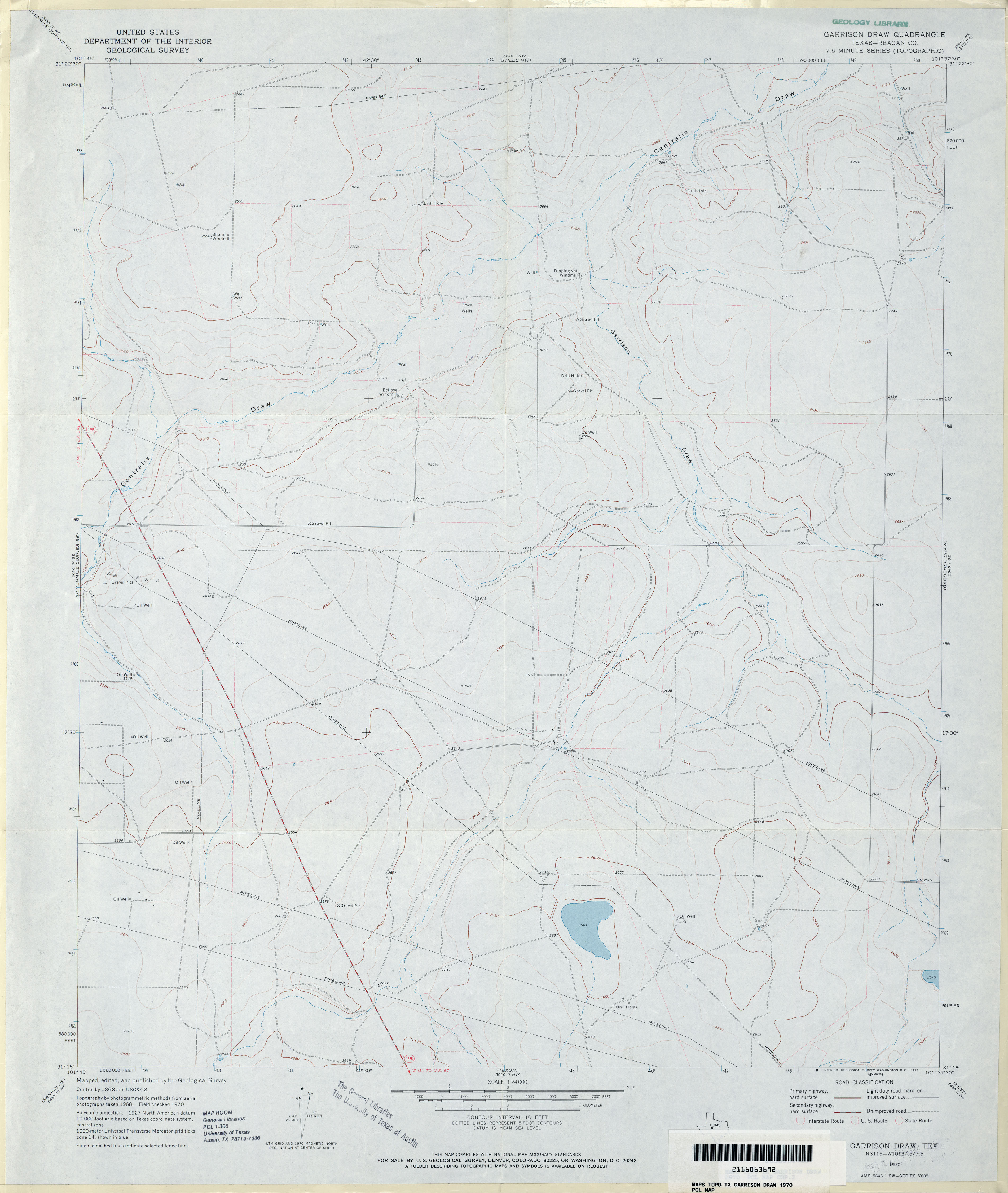
- Garrison Draw (Reagan County) 1:24,000 1970 (2.6MB)
- Garrison Draw 1:24,000 2008 (21.8MB) [GeoPDF]
- Garrison Draw 1:24,000 2012 (27.3MB) [GeoPDF]
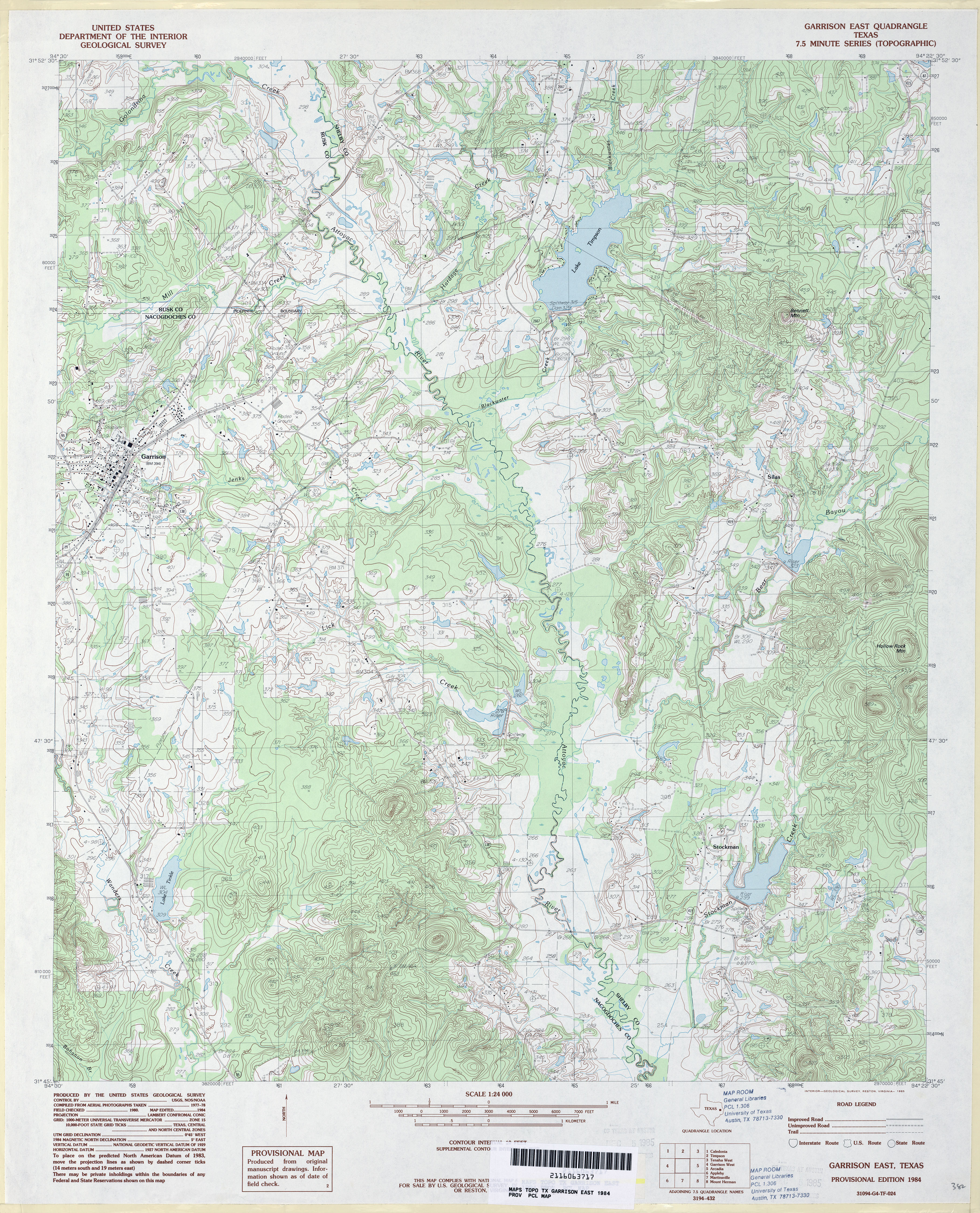
- Garrison East 1:24,000 1984 (5.4MB)
- Garrison East 1:24,000 2009 (21.1MB) [GeoPDF]
- Garrison East 1:24,000 2013 (25MB) [GeoPDF]
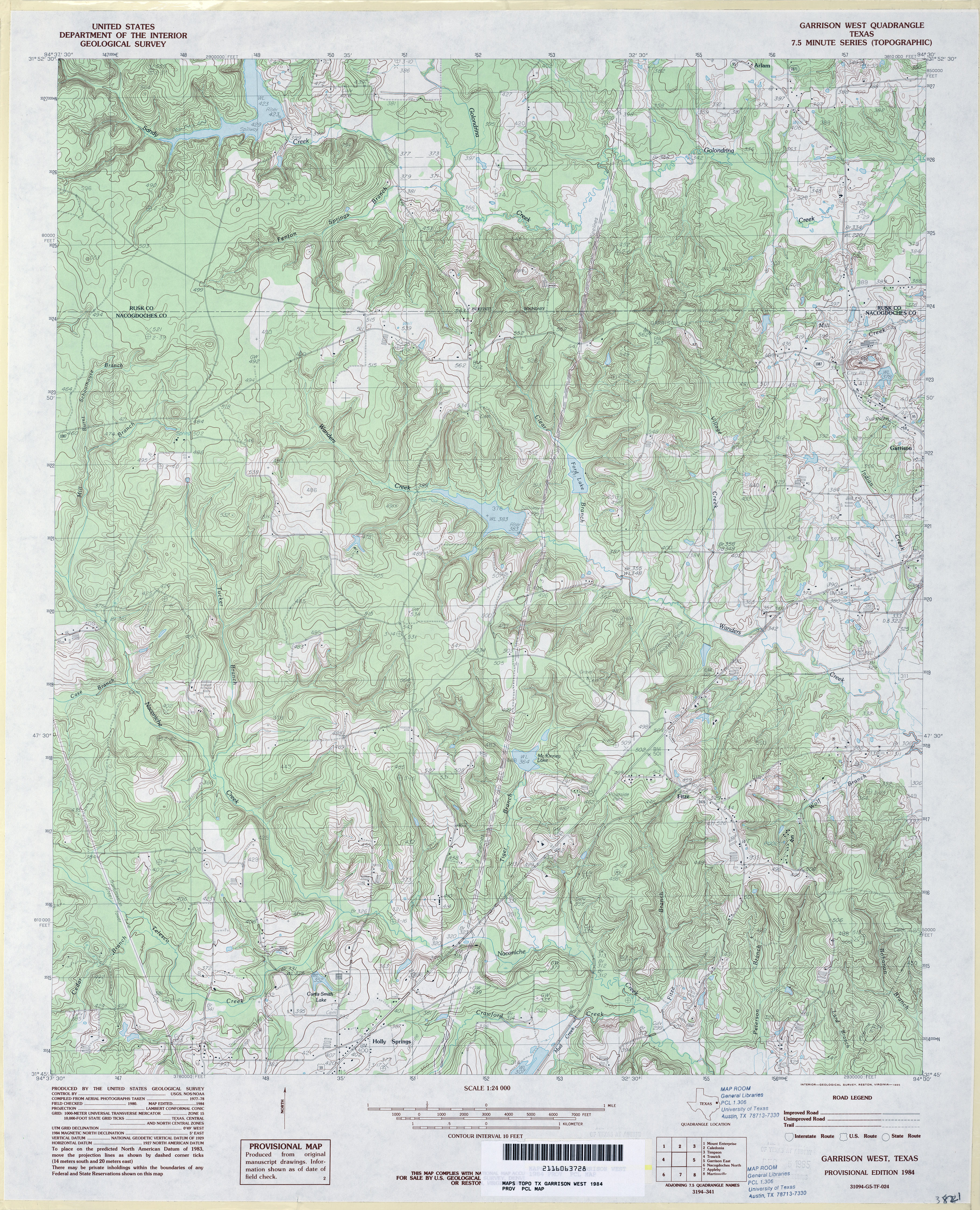
- Garrison West 1:24,000 1984 (5.5MB)
- Garrison West 1:24,000 2009 (23.2MB) [GeoPDF]
- Garrison West 1:24,000 2013 (25.7MB) [GeoPDF]
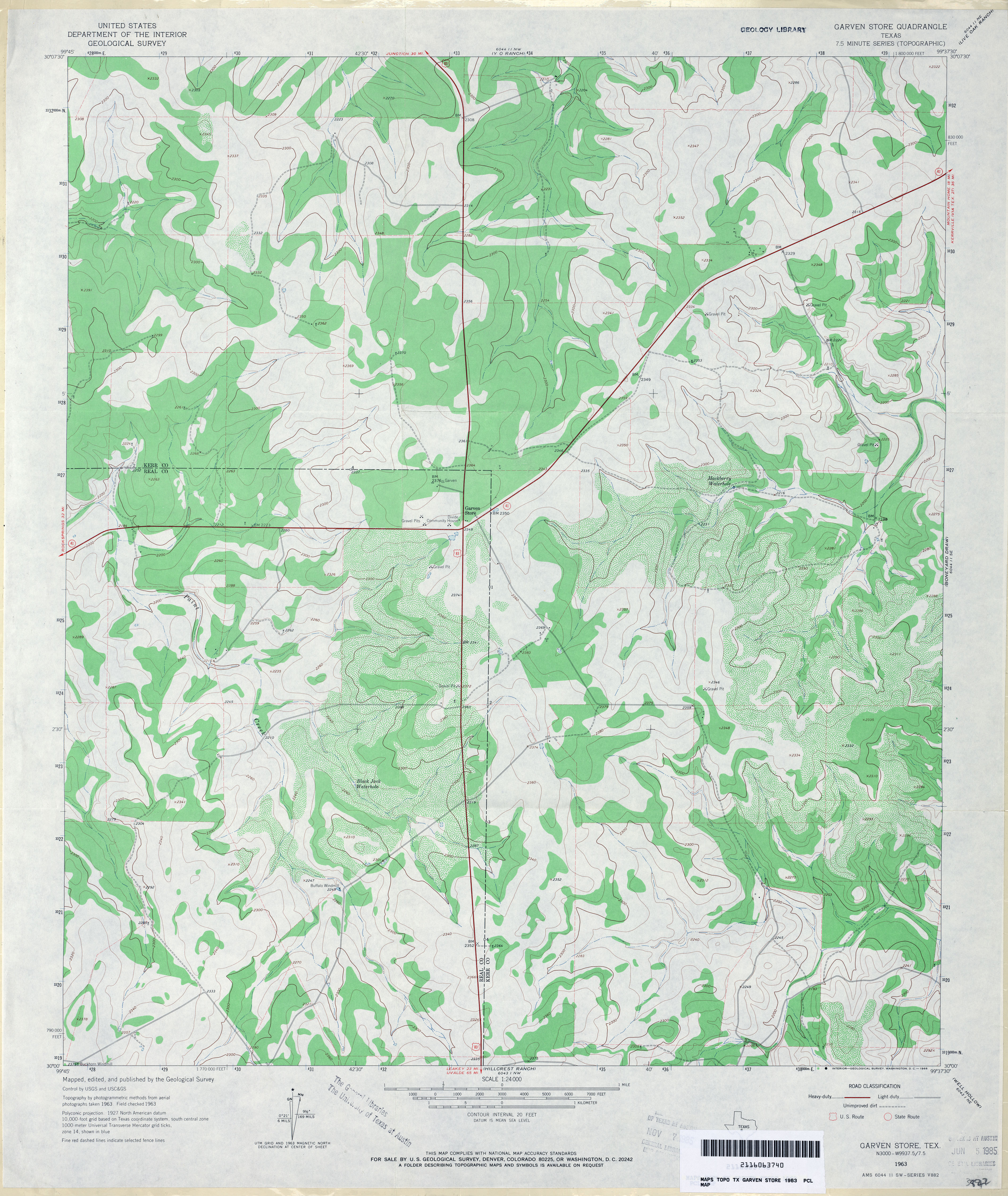
- Garven Store 1:24,000 1963 (3.7MB)
- Garven Store 1:24,000 1987 (3.2MB)
- Garven Store 1:24,000 2008 (18.0MB) [GeoPDF]
- Garven Store 1:24,000 2012 (26.8MB) [GeoPDF]
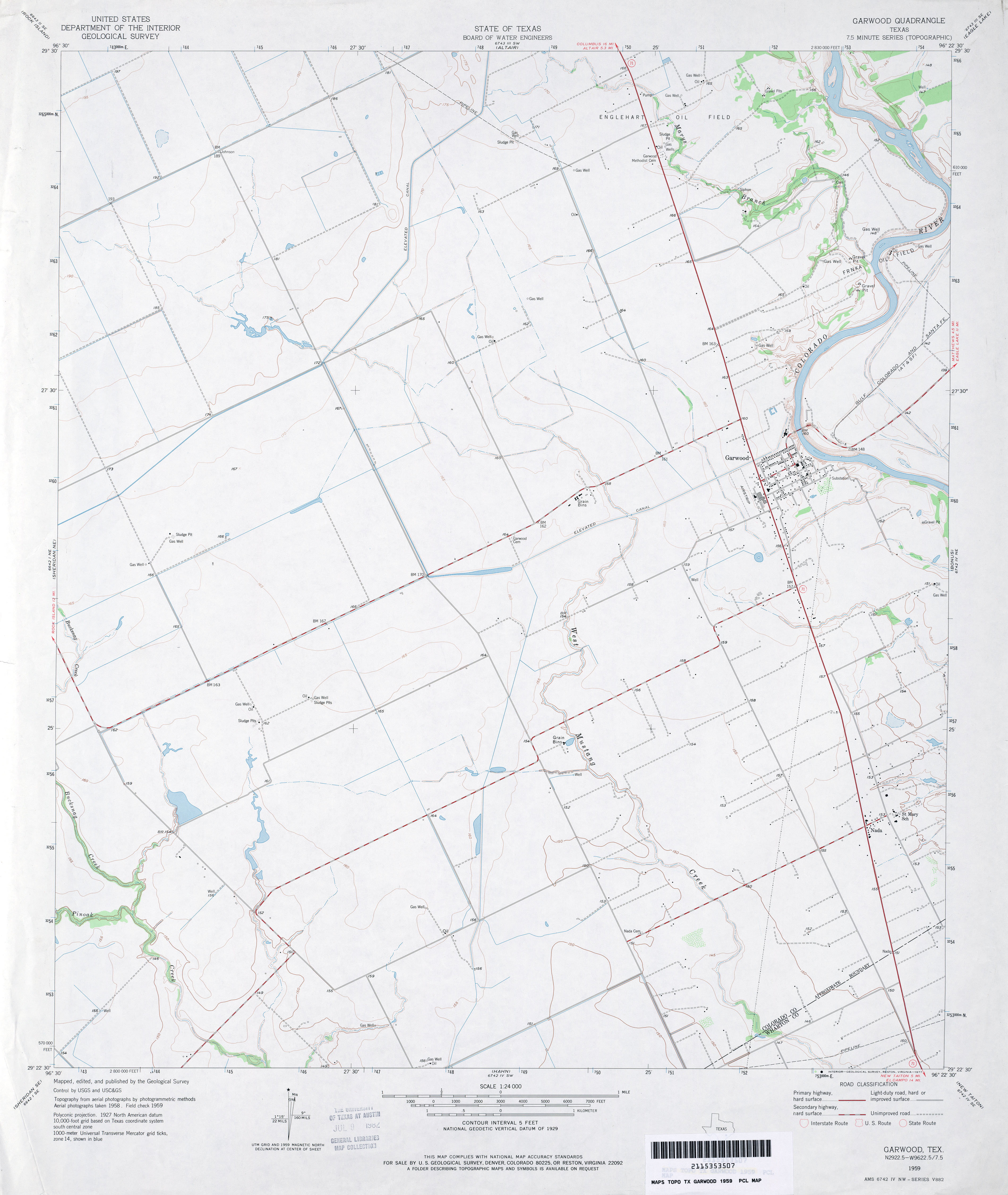
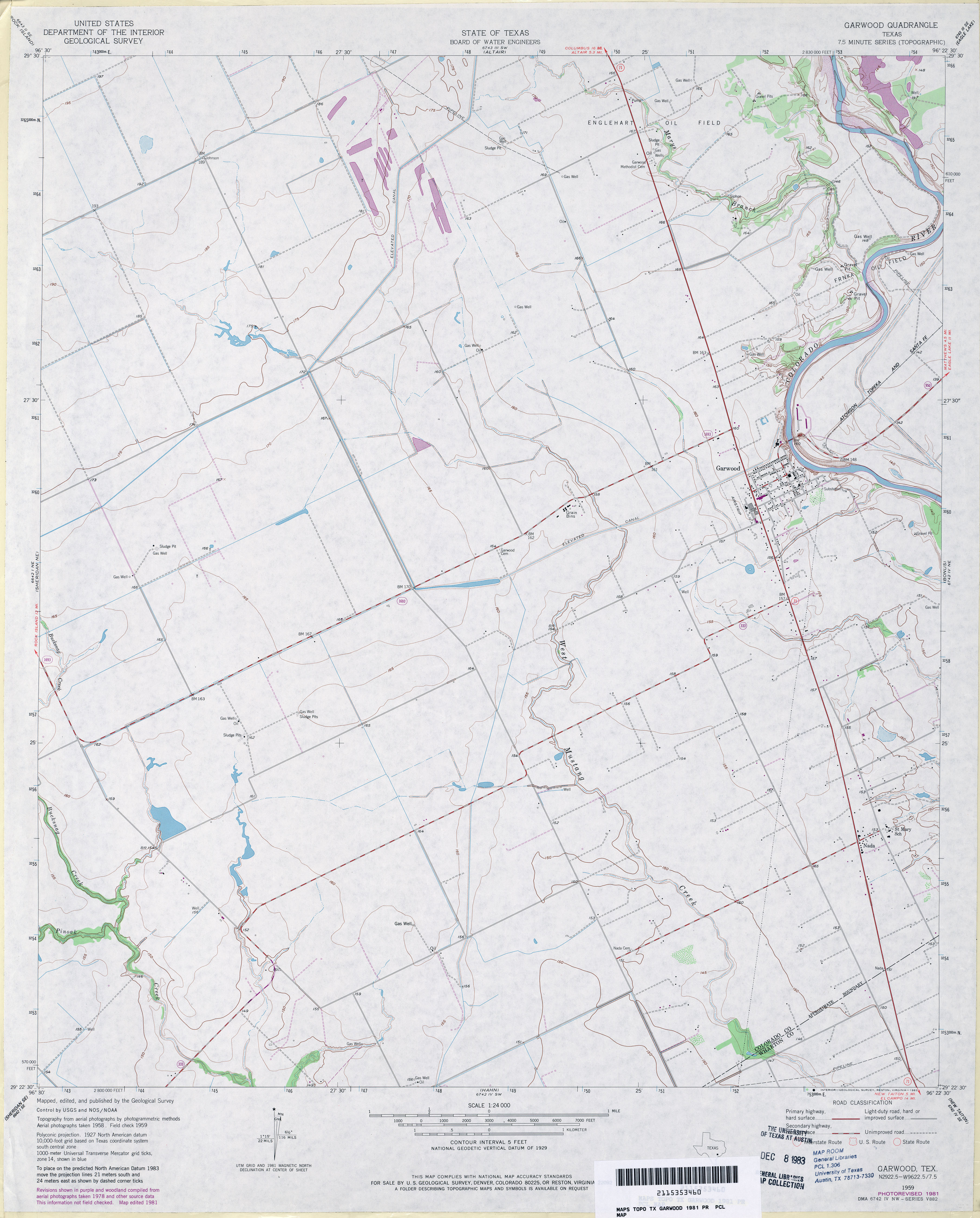
- Garwood 1:24,000 1959 (2.5MB)
- Garwood 1:24,000 1981 (2.9MB)
- Garwood 1:24,000 2008 (10.3MB) [GeoPDF]
- Garwood 1:24,000 2013 (17.8MB) [GeoPDF]
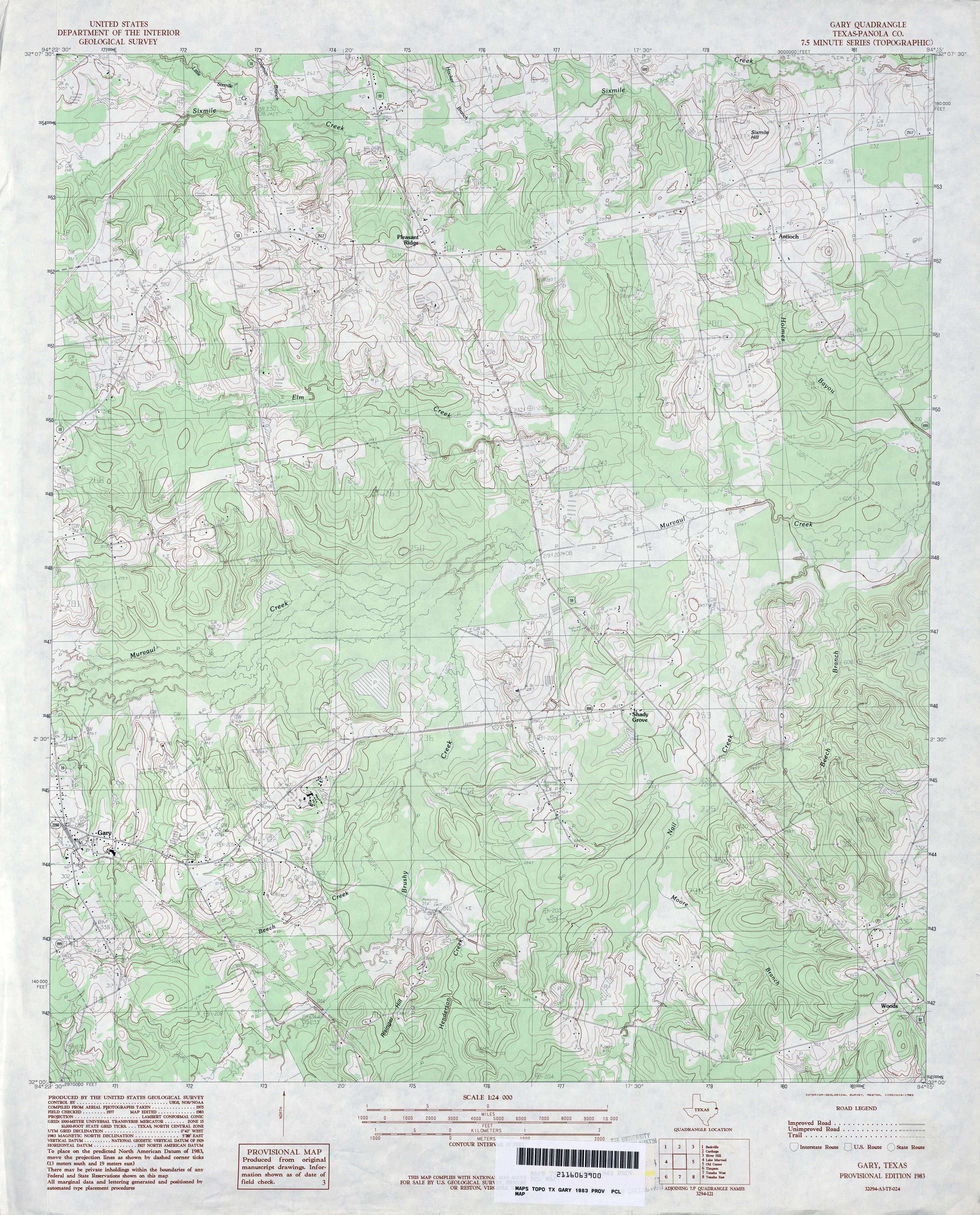
- Gary (Panola County) 1:24,000 1983 (4.2MB)
- Gary 1:24,000 2009 (21.3MB) [GeoPDF]
- Gary 1:24,000 2013 (24.4MB) [GeoPDF]
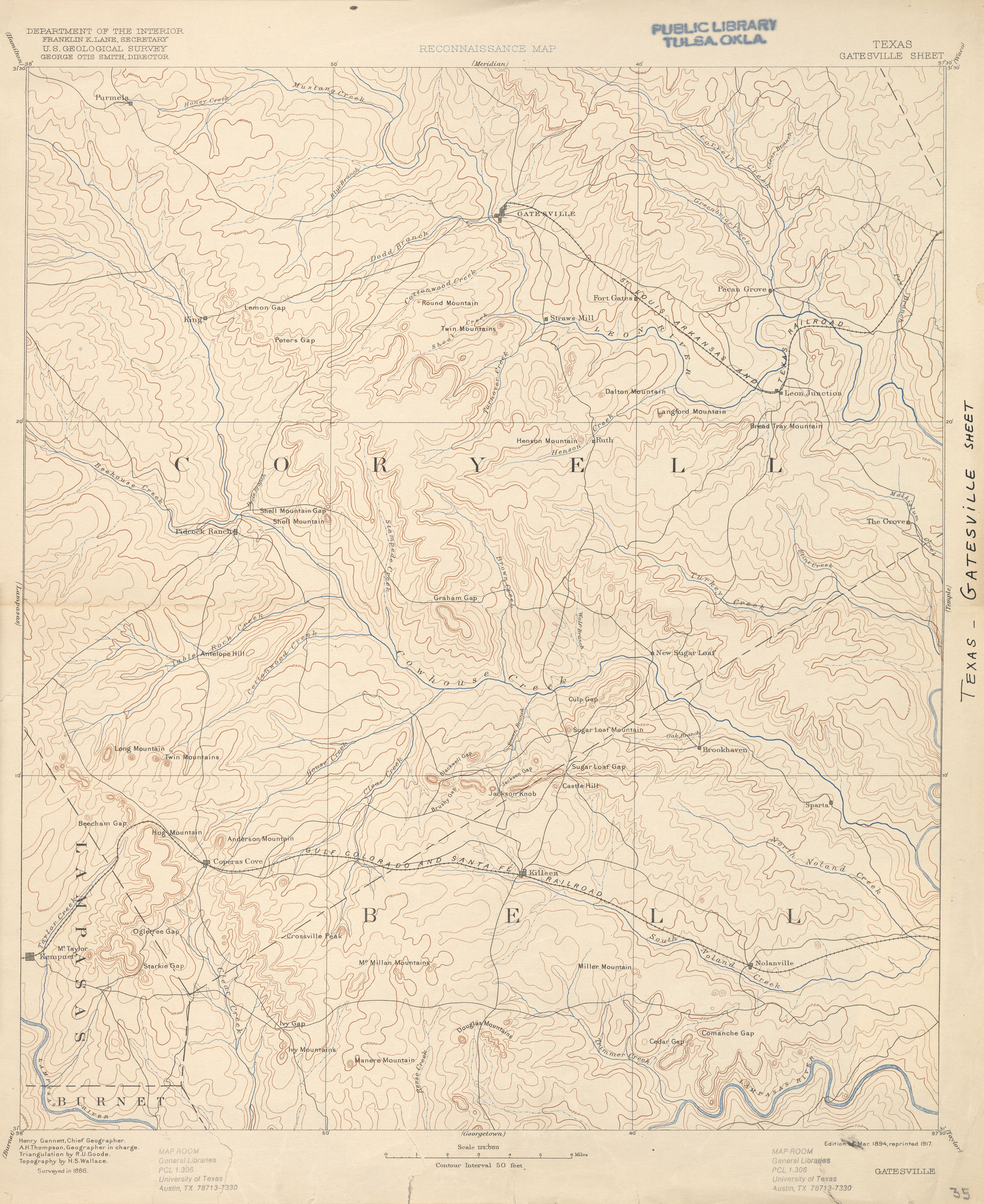
- Gatesville 1:125,000 1886 (2.8 MB)
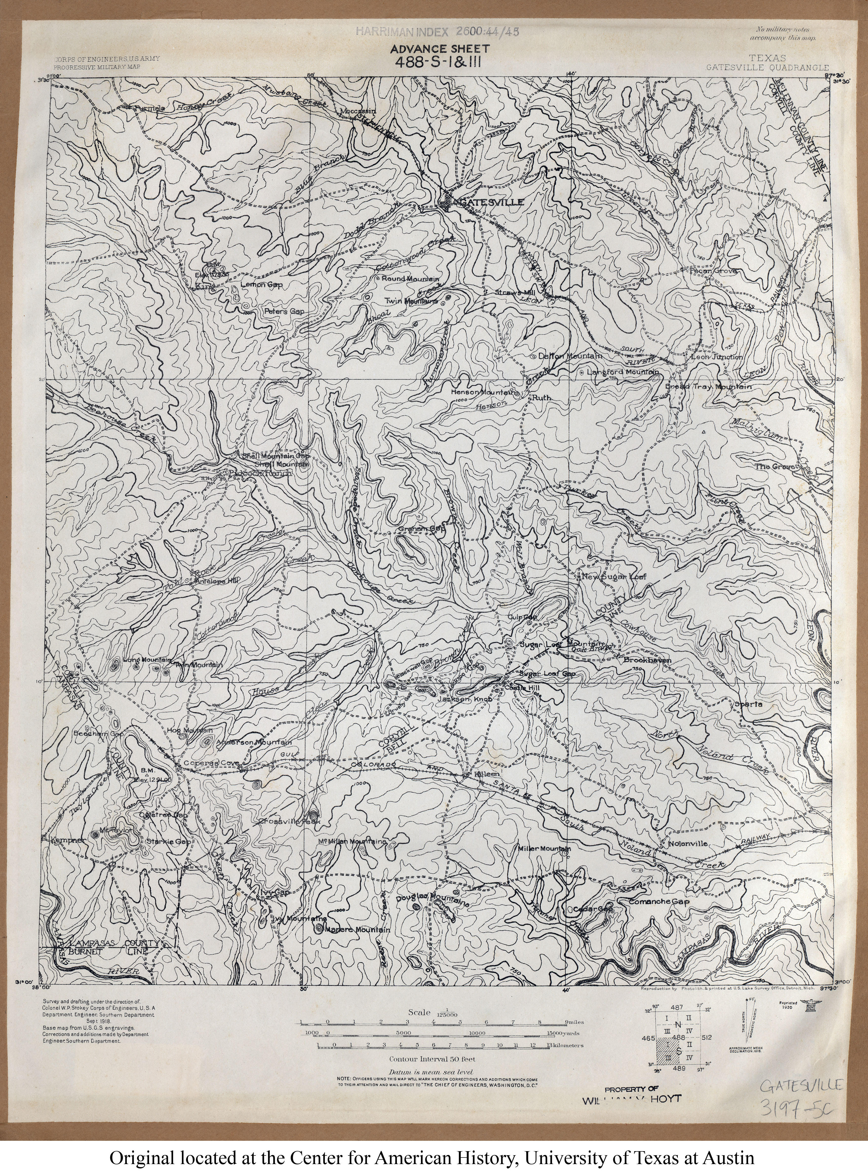
- Gatesville 1:125,000 1918 (4.1MB) U.S. Army. Corps of Engineers. Progressive Military Map
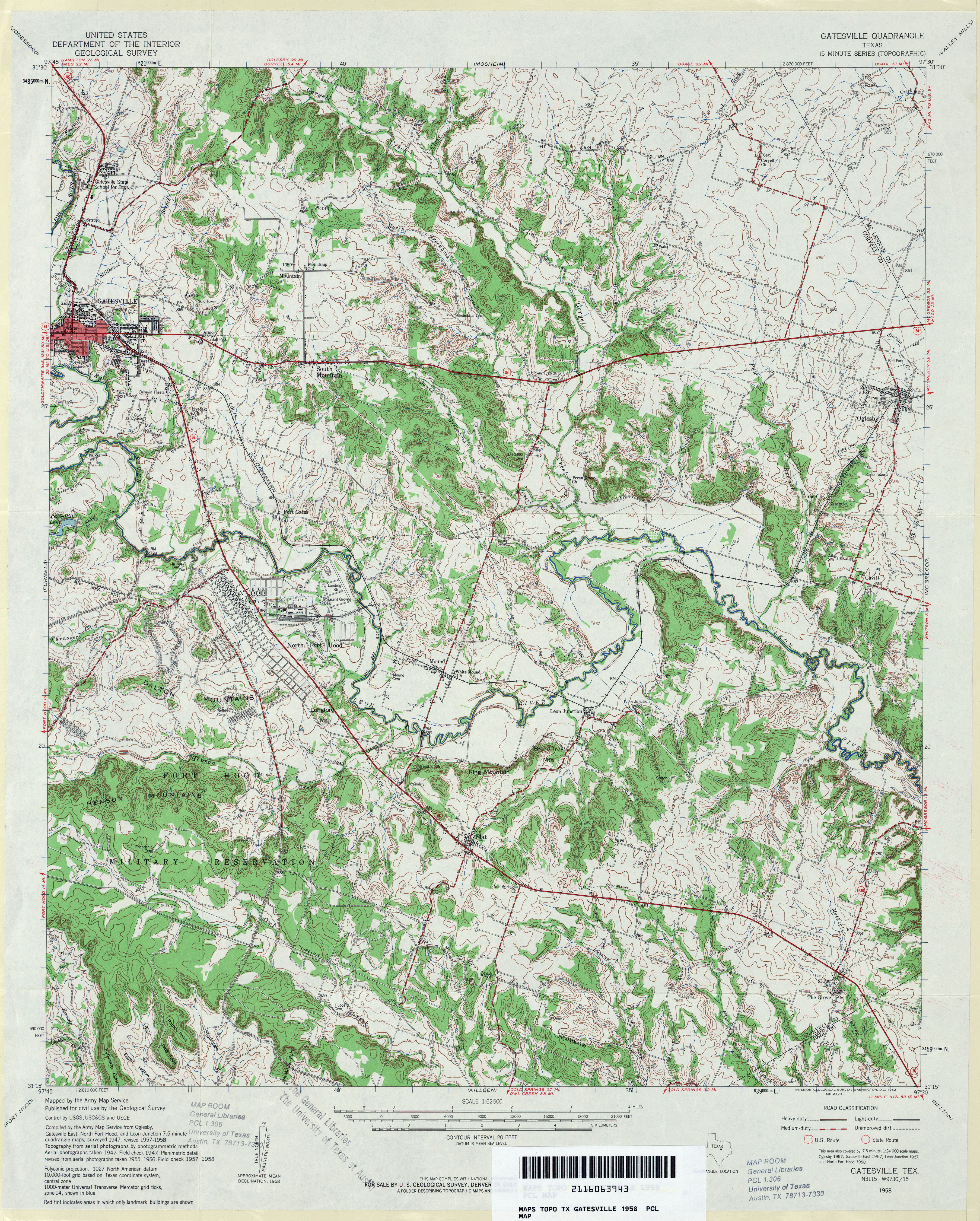
- Gatesville 1:24,000 1958 (5.6MB)
- Gatesville 1:50,000 1993 (4.6MB) U.S. Defense Mapping Agency, Series V782.
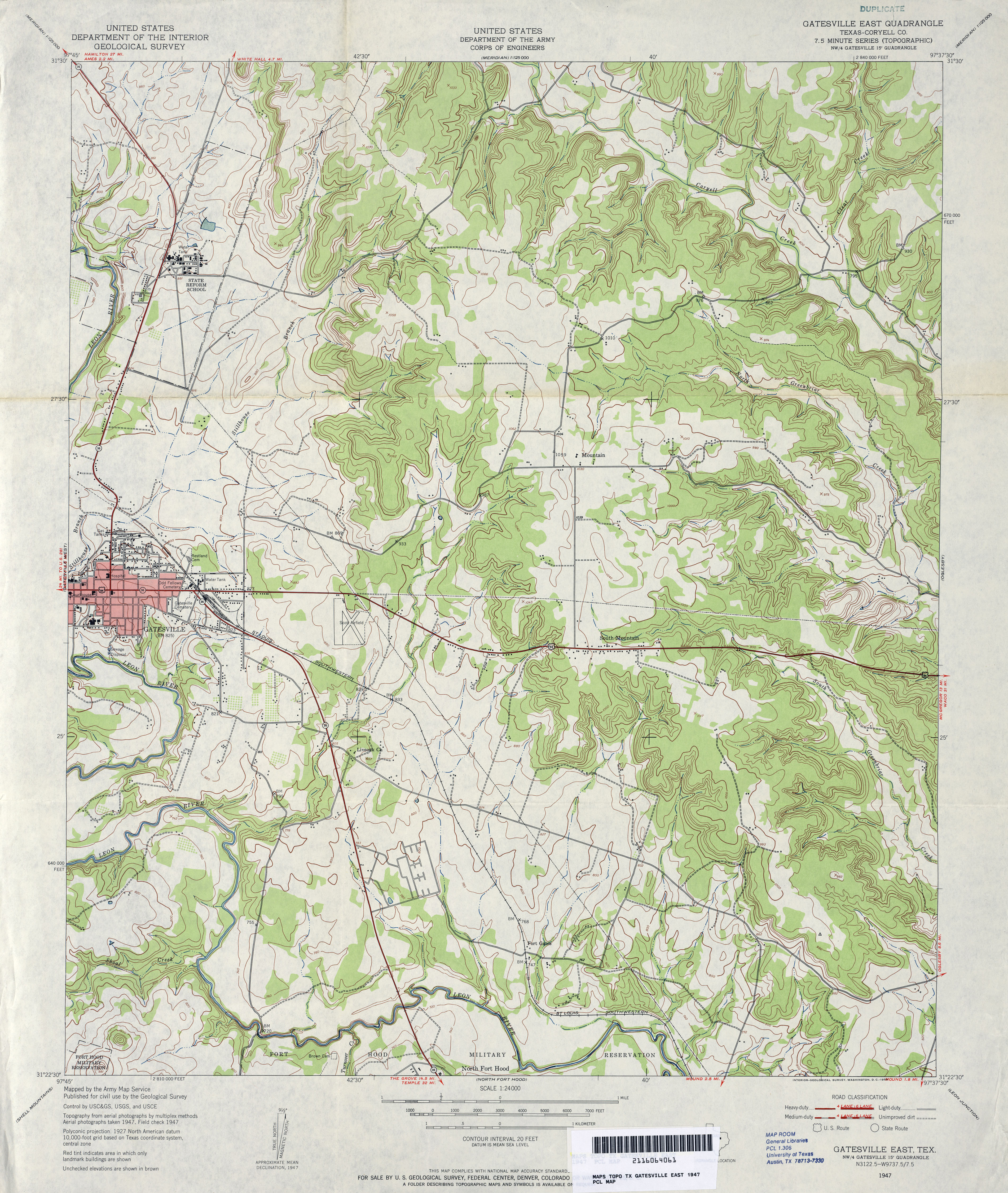
- Gatesville East (Coryell County) 1:24,000 1947 (4.3MB)
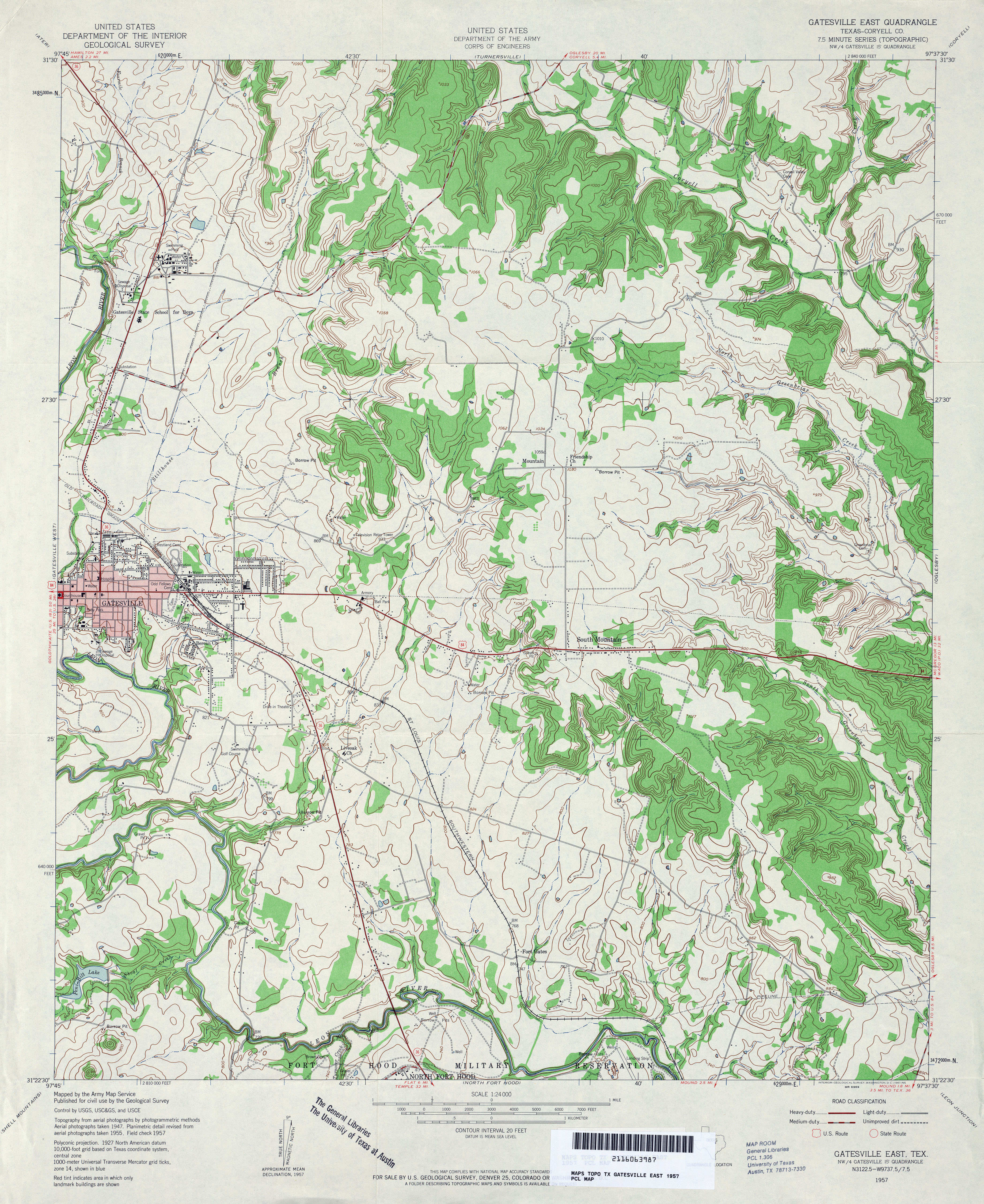
- Gatesville East (Coryell County) 1:24,000 1957 (4.6MB)
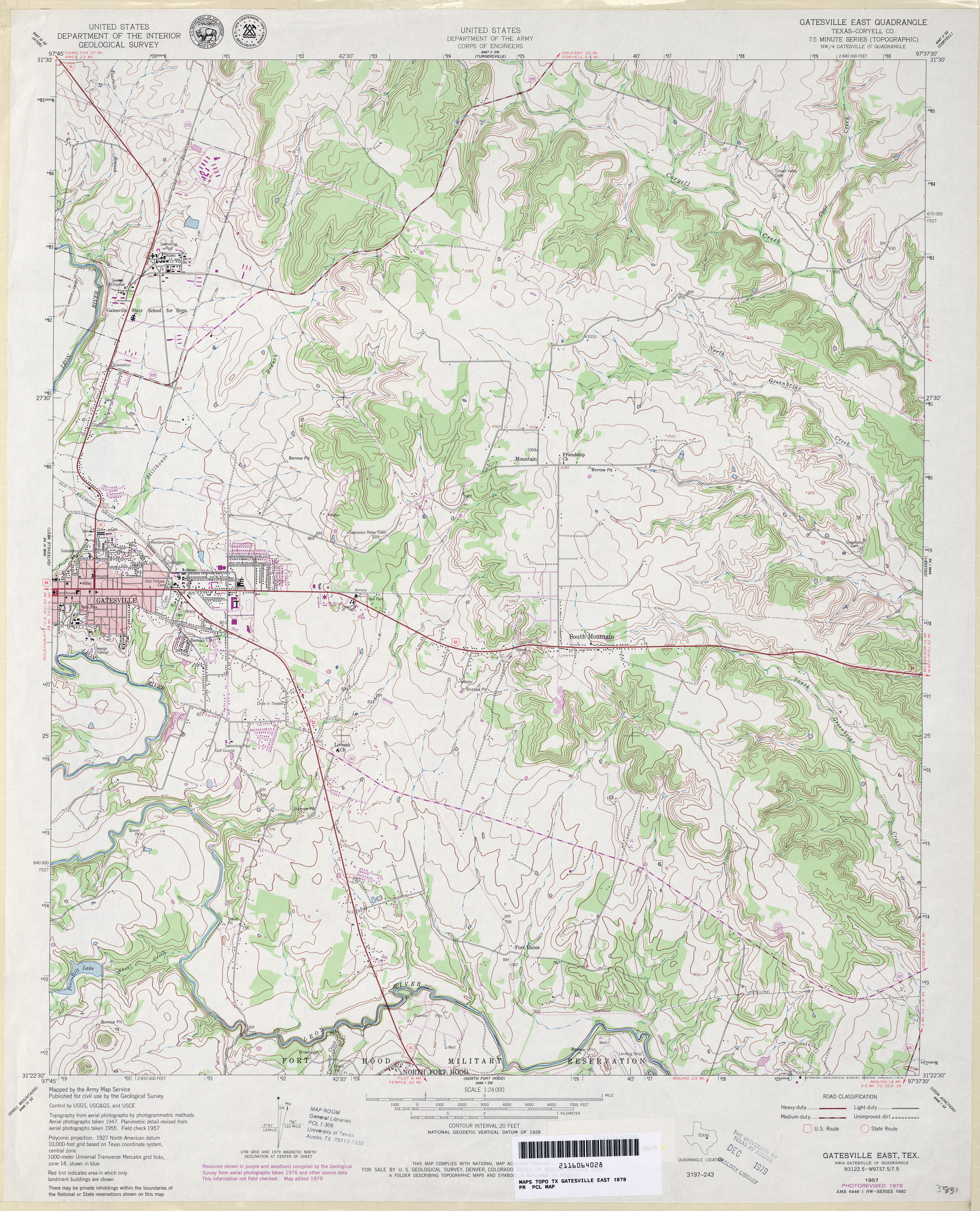
- Gatesville East (Coryell County) 1:24,000 1979 (4.4MB)
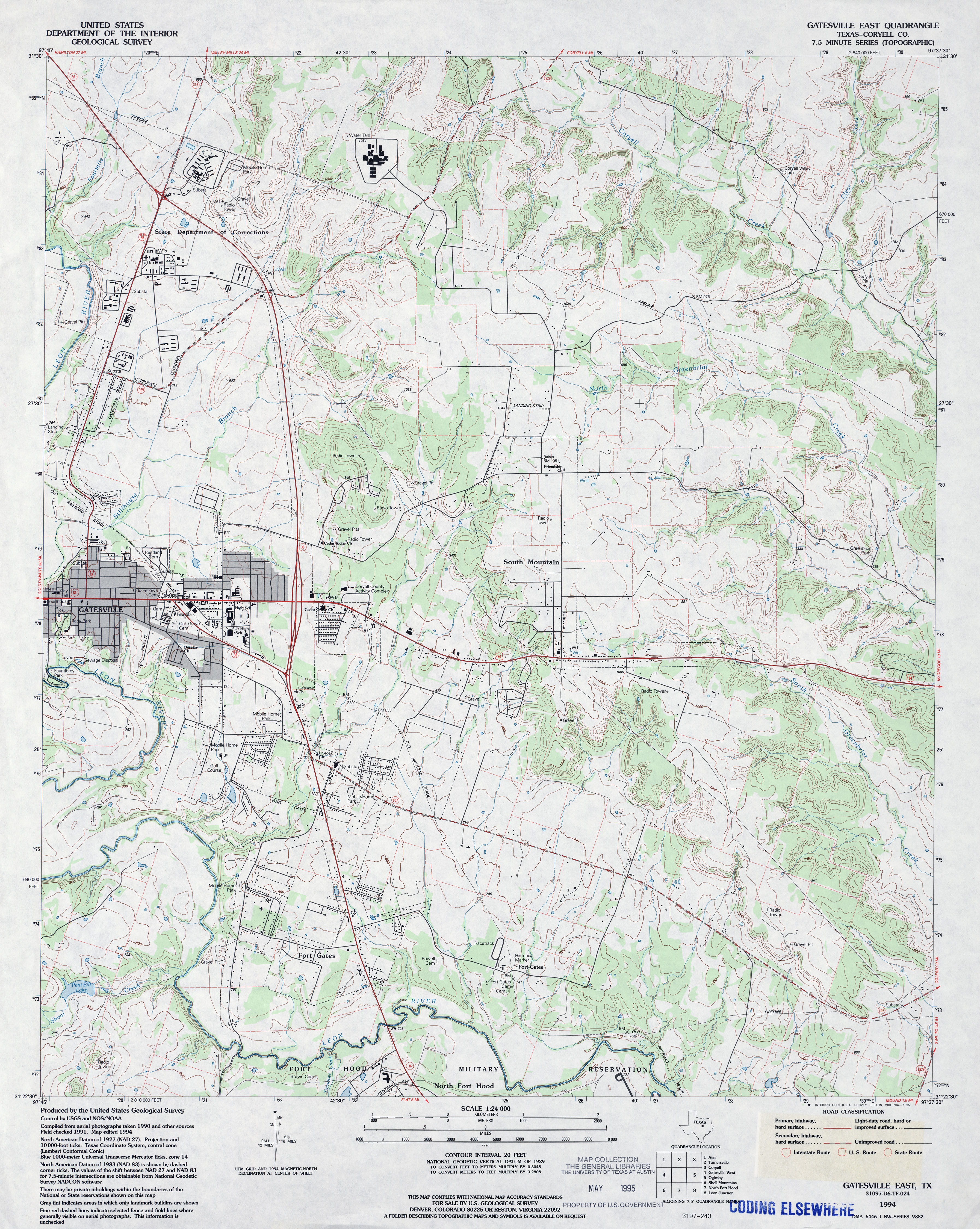
- Gatesville East (Coryell County) 1:24,000 1994 (4.6MB)
- Gatesville East 1:24,000 2008 (16.7MB) [GeoPDF]
- Gatesville East 1:24,000 2012 (22.4MB) [GeoPDF]
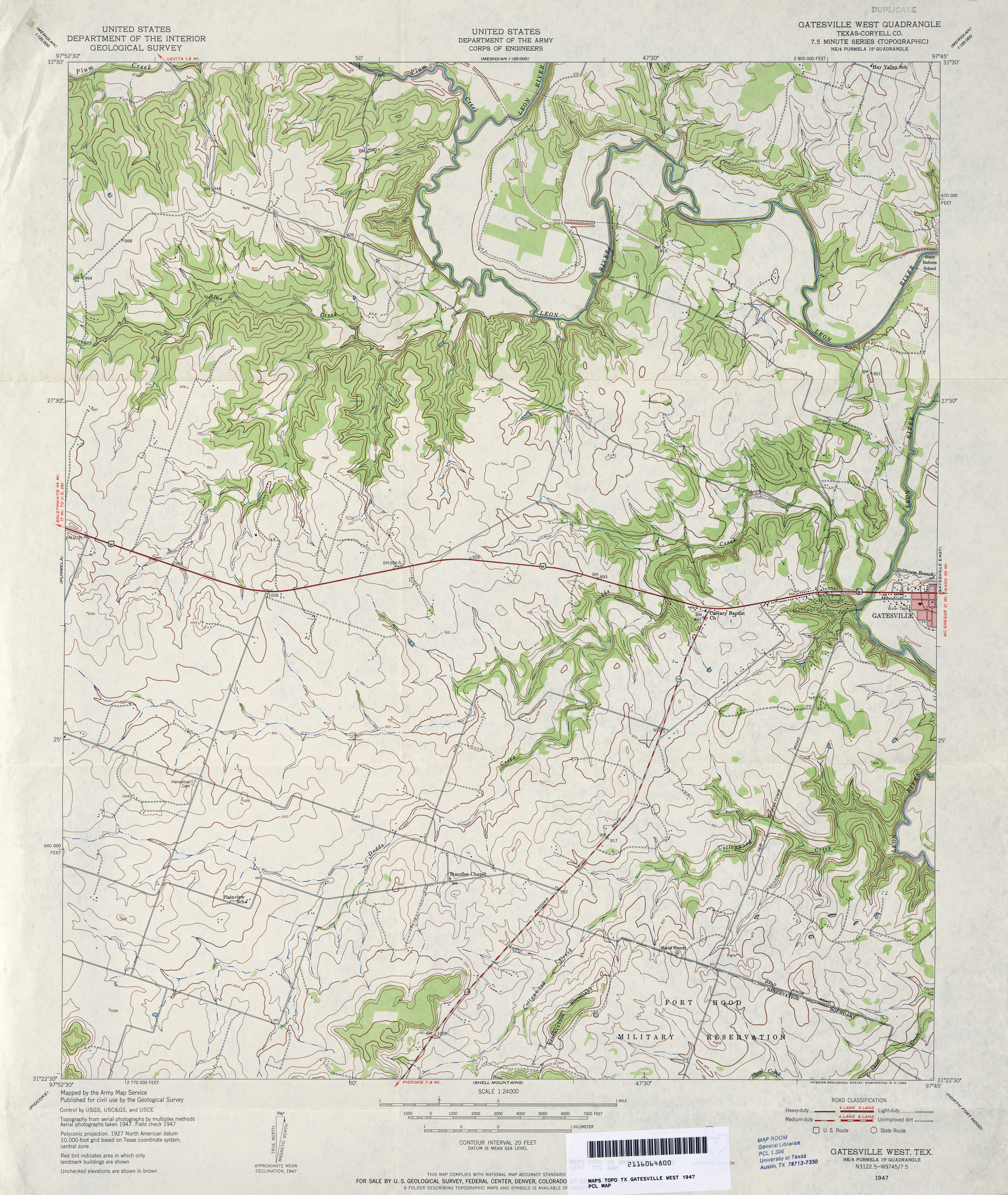
- Gatesville West (Coryell County) 1:24,000 1947 (4MB)
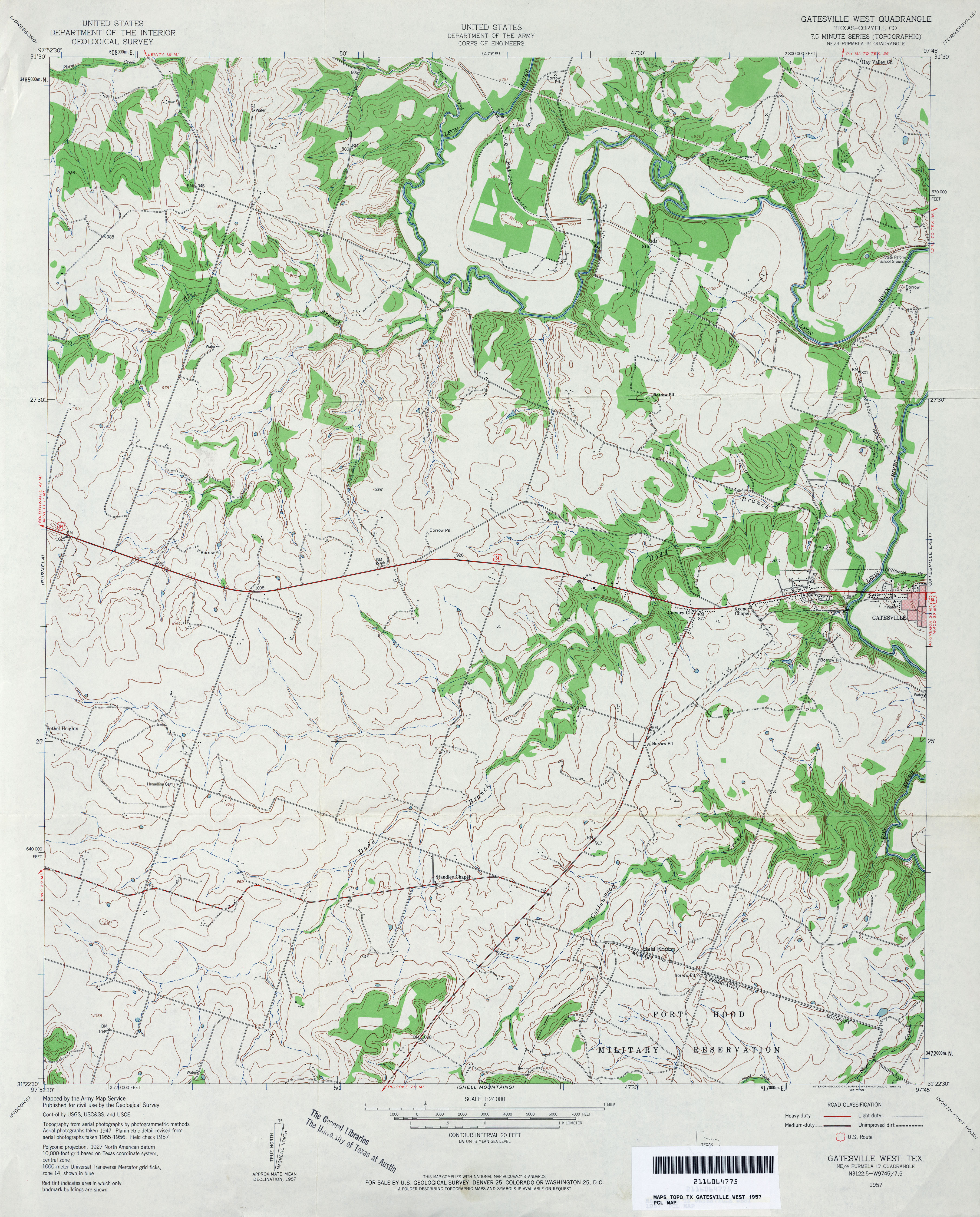
- Gatesville West (Coryell County) 1:24,000 1957 (3.9MB)
- Gatesville West (Coryell County) 1:24,000 1979 (4MB)
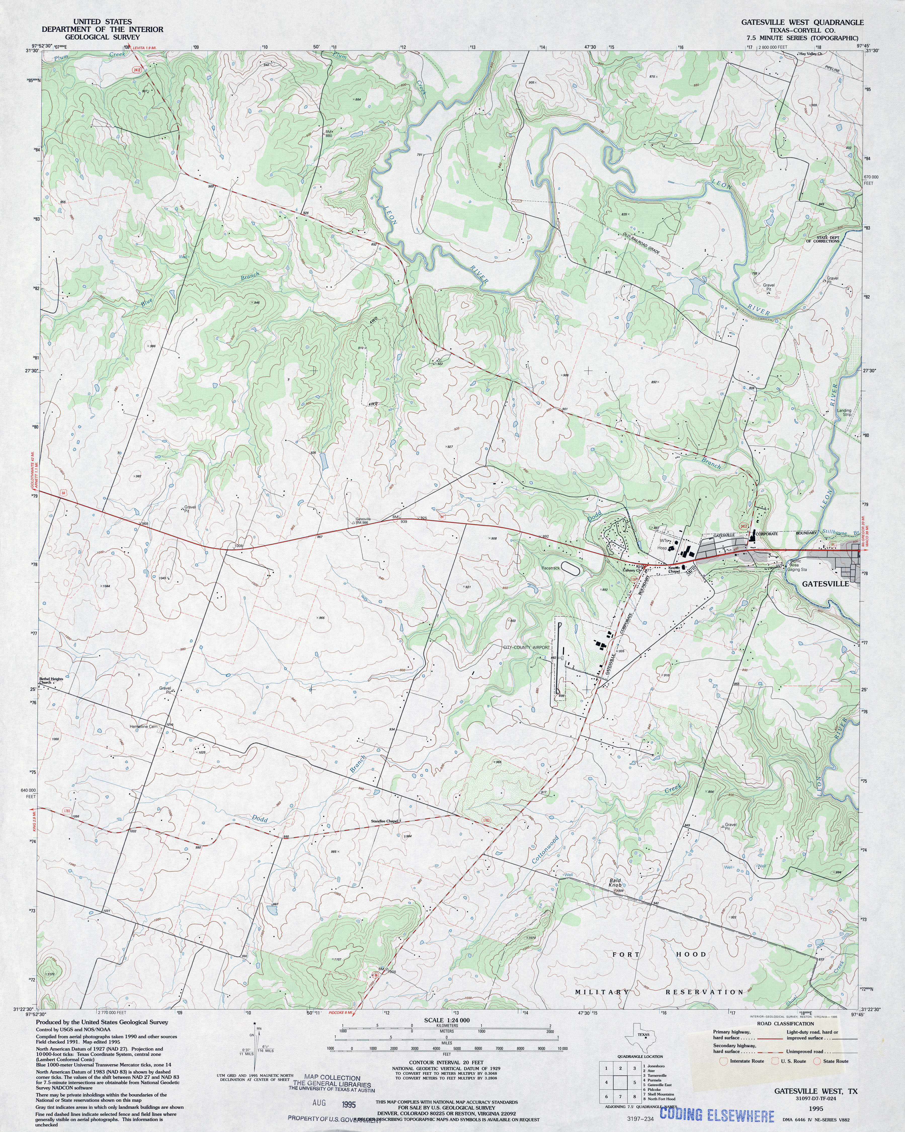
- Gatesville West (Coryell County) 1:24,000 1995 (3.7MB)
- Gatesville West 1:24,000 2008 (14.6MB) [GeoPDF]
- Gatesville West 1:24,000 2012 (20.1MB) [GeoPDF]
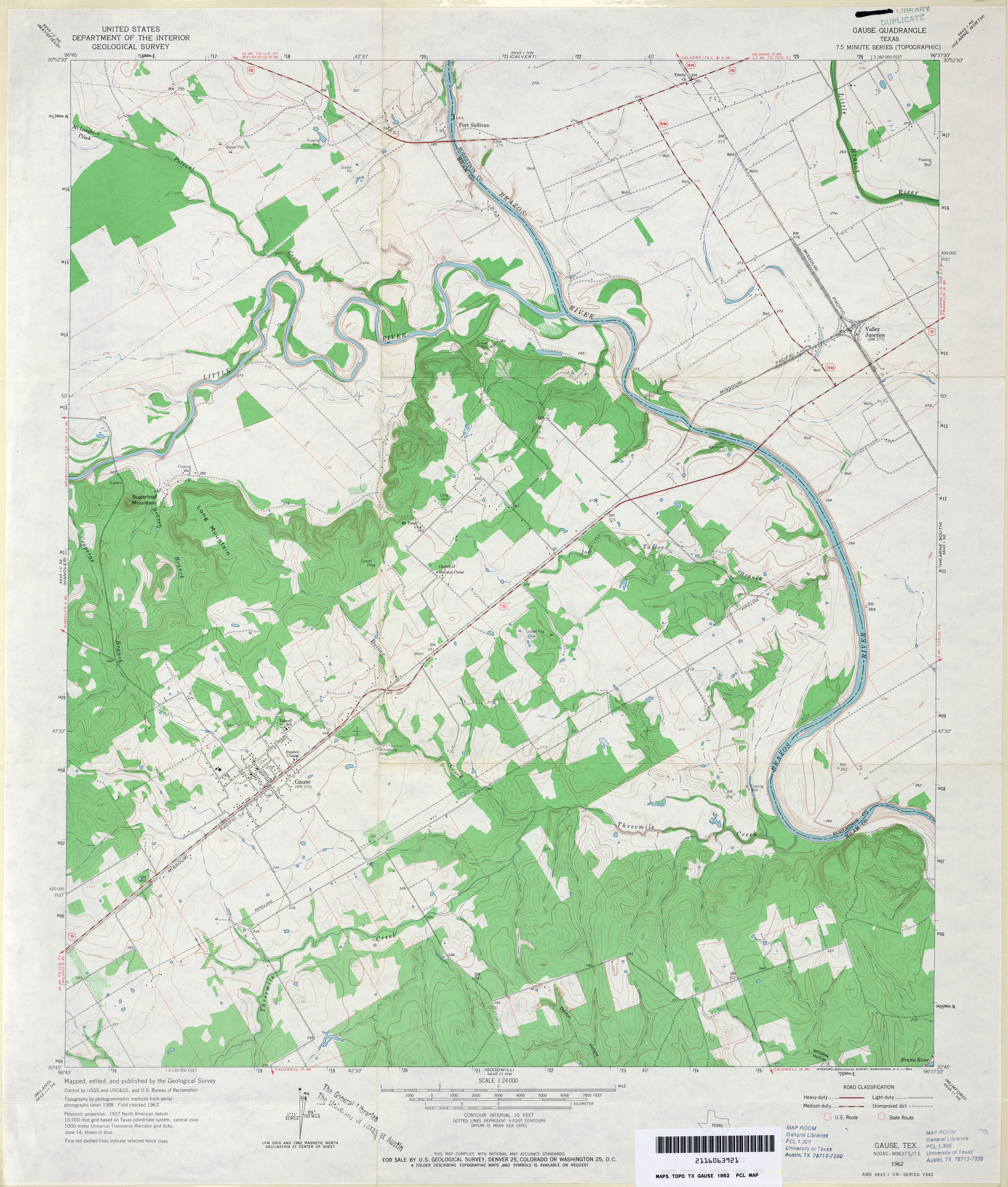
- Gause 1:24,000 1962 (3.6MB)
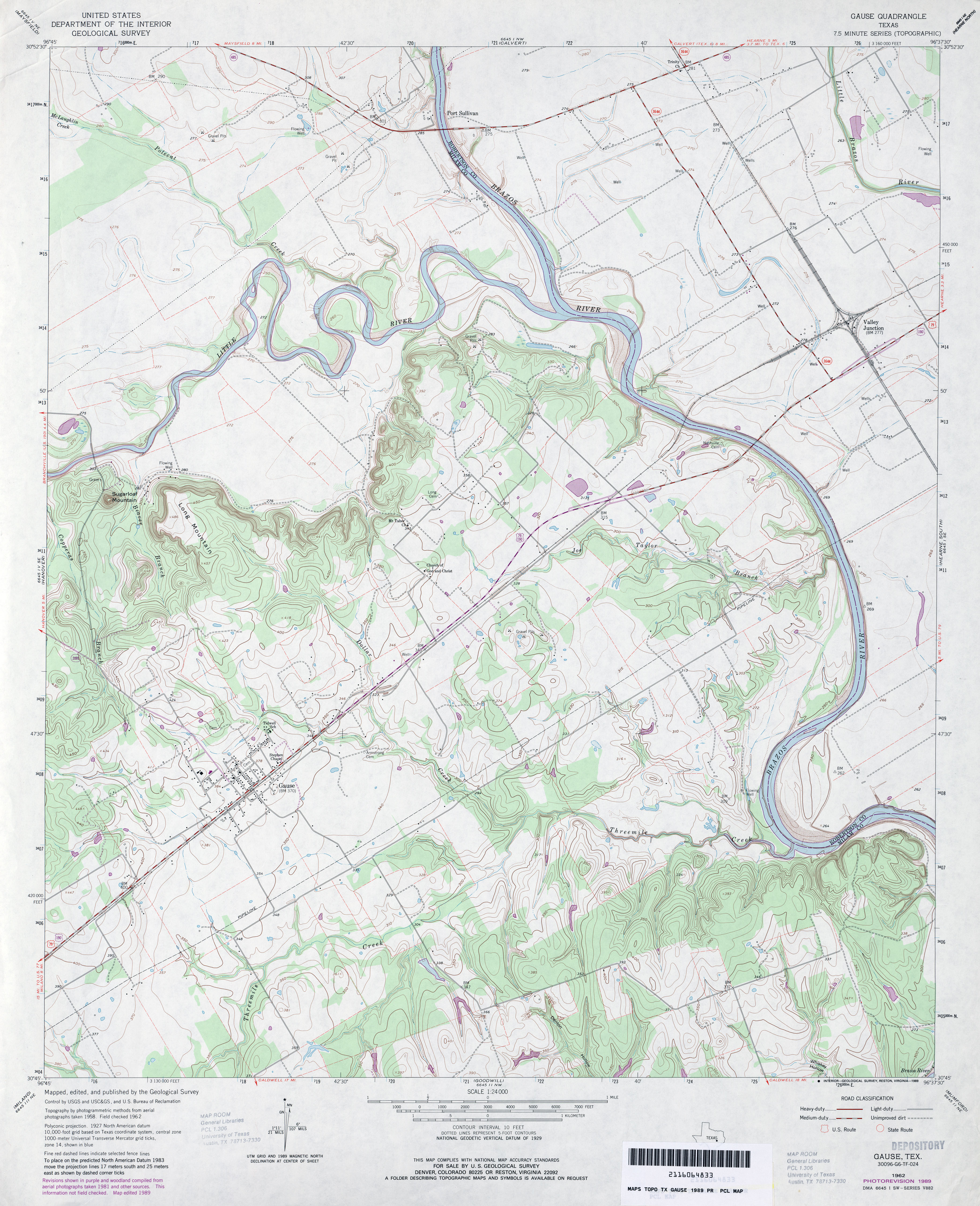
- Gause 1:24,000 1989 (3.9MB)
- Gause 1:24,000 2008 (14.9MB) [GeoPDF]
- Gause 1:24,000 2013 (22.2MB) [GeoPDF]
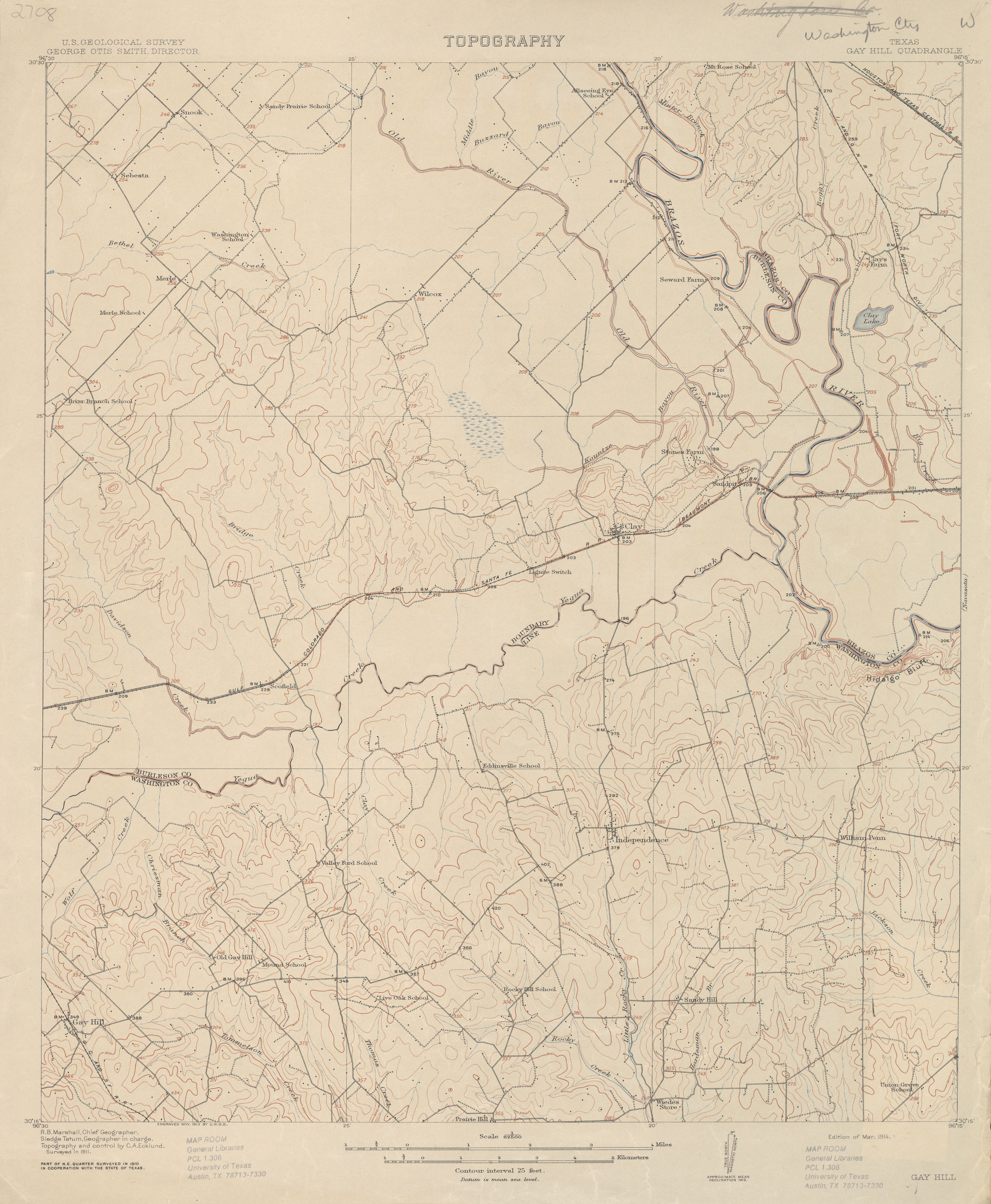
- Gay Hill 1:62,500 1911 (2.5 MB)
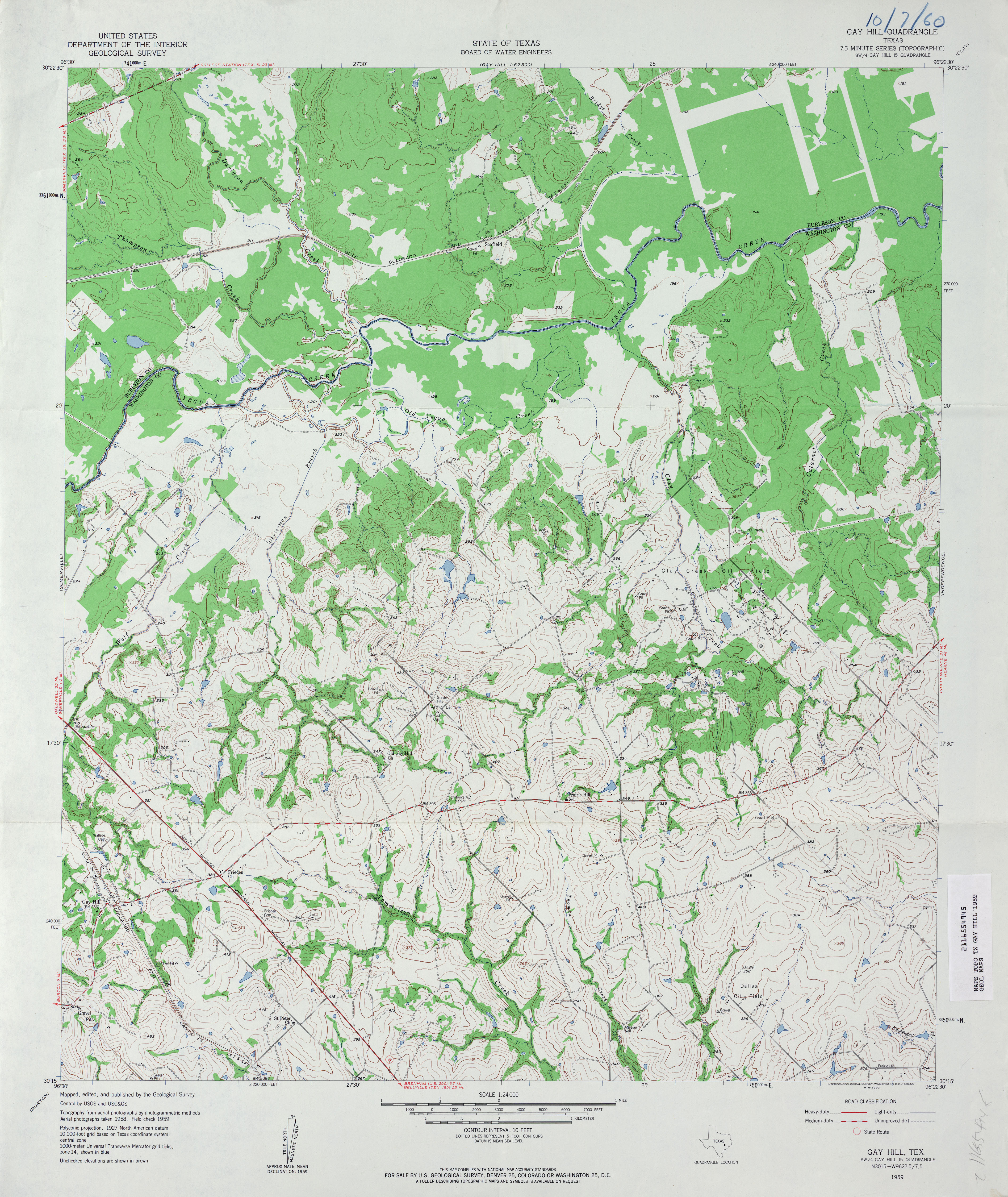
- Gay Hill 1:24,000 1959 (4.3MB)
- Gay Hill 1:24,000 1988 (4MB)
- Gay Hill 1:24,000 2008 (13.7MB) [GeoPDF]
- Gay Hill 1:24,000 2013 (23.6MB) [GeoPDF]
- Gaylord 1:24,000 1972 (3.5MB)
- Gaylord 1:24,000 2008 (10.3MB) [GeoPDF]
- Gaylord 1:24,000 2012 (16.9MB) [GeoPDF]
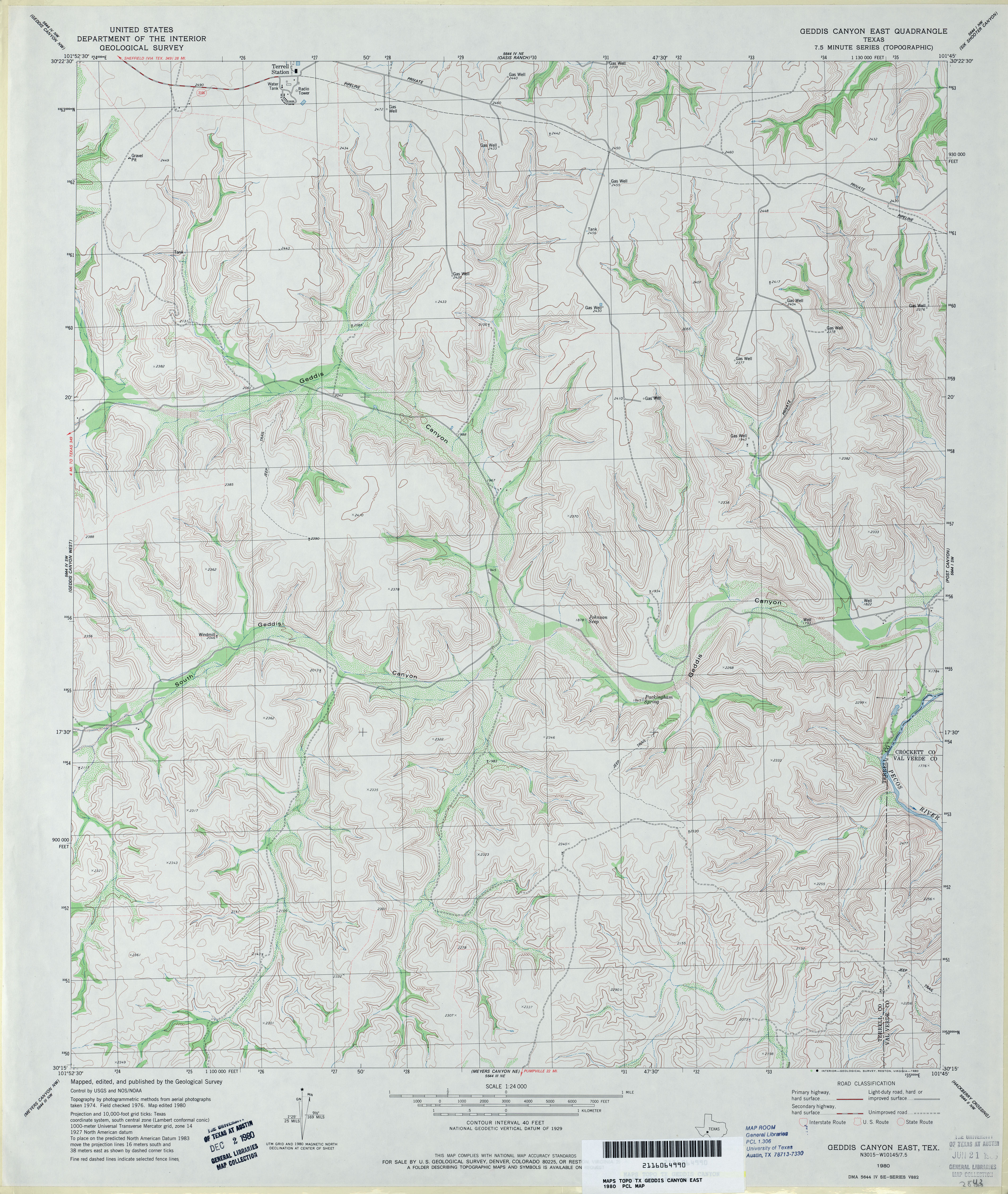
- Geddis Canyon East 1:24,000 1980 (4.3MB)
- Geddis Canyon East 1:24,000 2008 (27.2MB) [GeoPDF]
- Geddis Canyon East 1:24,000 2012 (32.5MB) [GeoPDF]
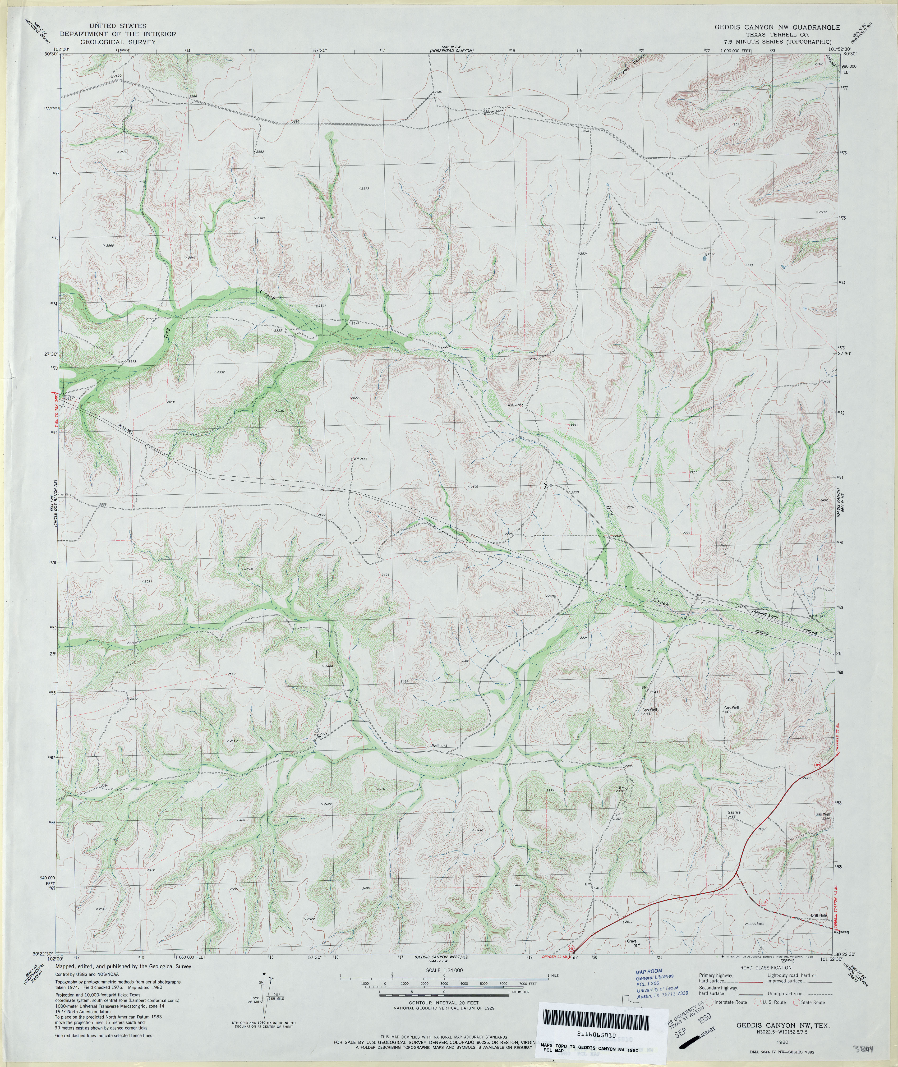
- Geddis Canyon NW (Terrell County) 1:24,000 1980 (3.6MB)
- Geddis Canyon NW 1:24,000 2008 (23.7MB) [GeoPDF]
- Geddis Canyon NW 1:24,000 2012 (30.9MB) [GeoPDF]
- Geddis Canyon West (Terrell County) 1:24,000 1980 (4.2MB)
- Geddis Canyon West 1:24,000 2008 (24.9MB) [GeoPDF]
- Geddis Canyon West 1:24,000 2012 (31.9MB) [GeoPDF]
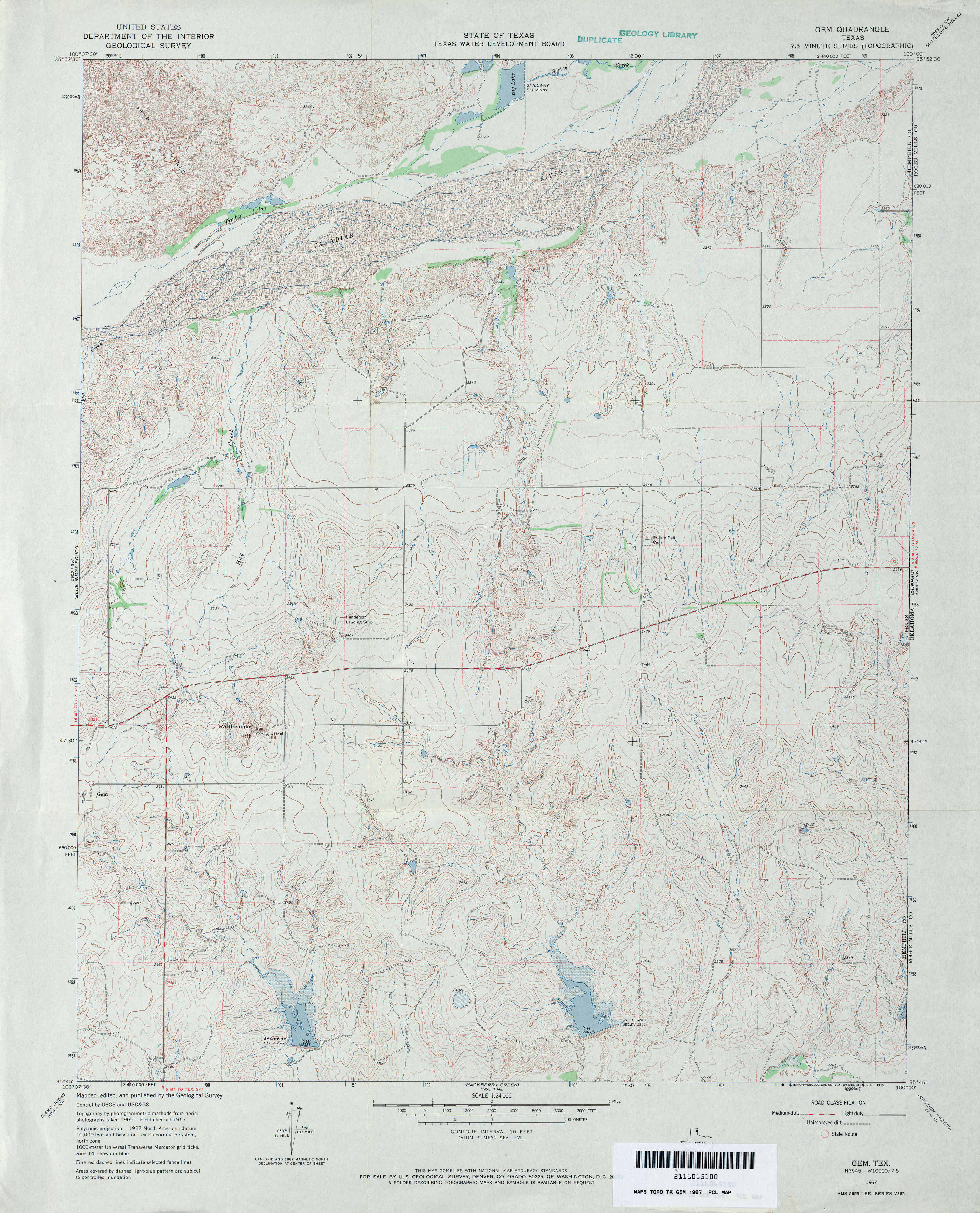
- Gem 1:24,000 1967 (4.2MB)
- Gem 1:24,000 2008 (14.1MB) [GeoPDF]
- Gem 1:24,000 2012 (18.1MB) [GeoPDF]
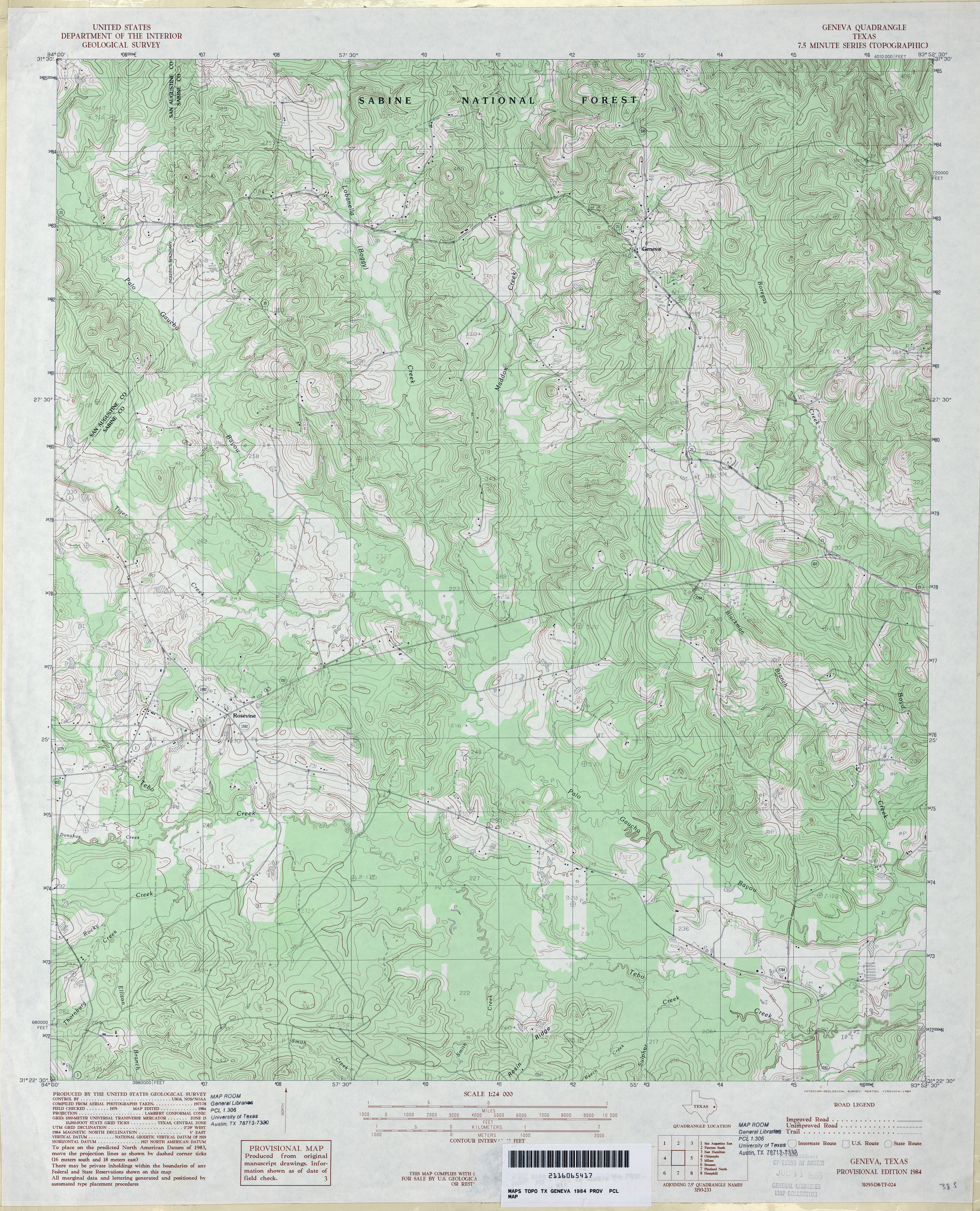
- Geneva 1:24,000 1984 (5.1MB)
- Geneva 1:24,000 2008 (24.4MB) [GeoPDF]
- Geneva 1:24,000 2012 (26.7MB) [GeoPDF]
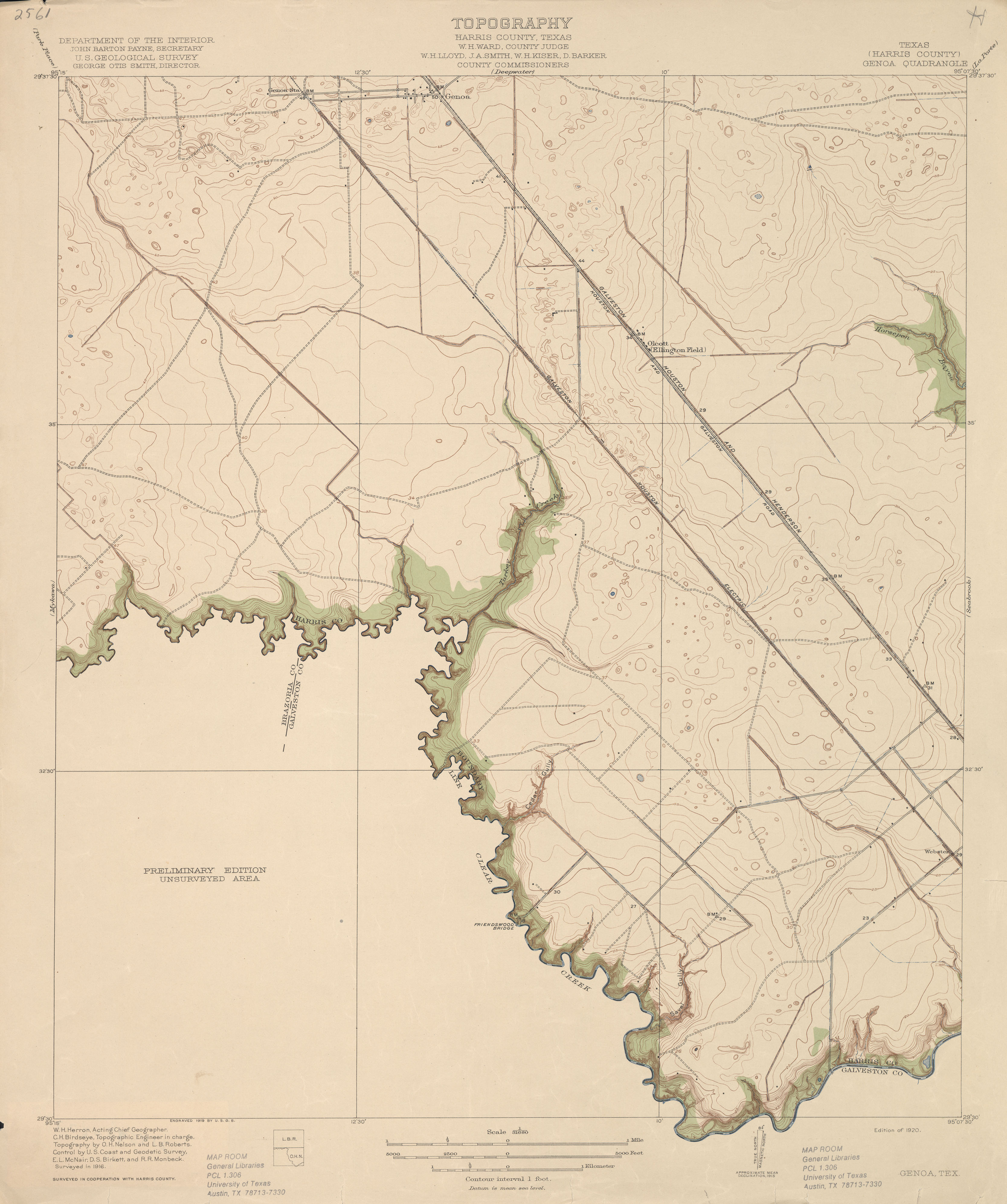
- Genoa (Harris County) 1:31,680 1916 (2.0 MB)
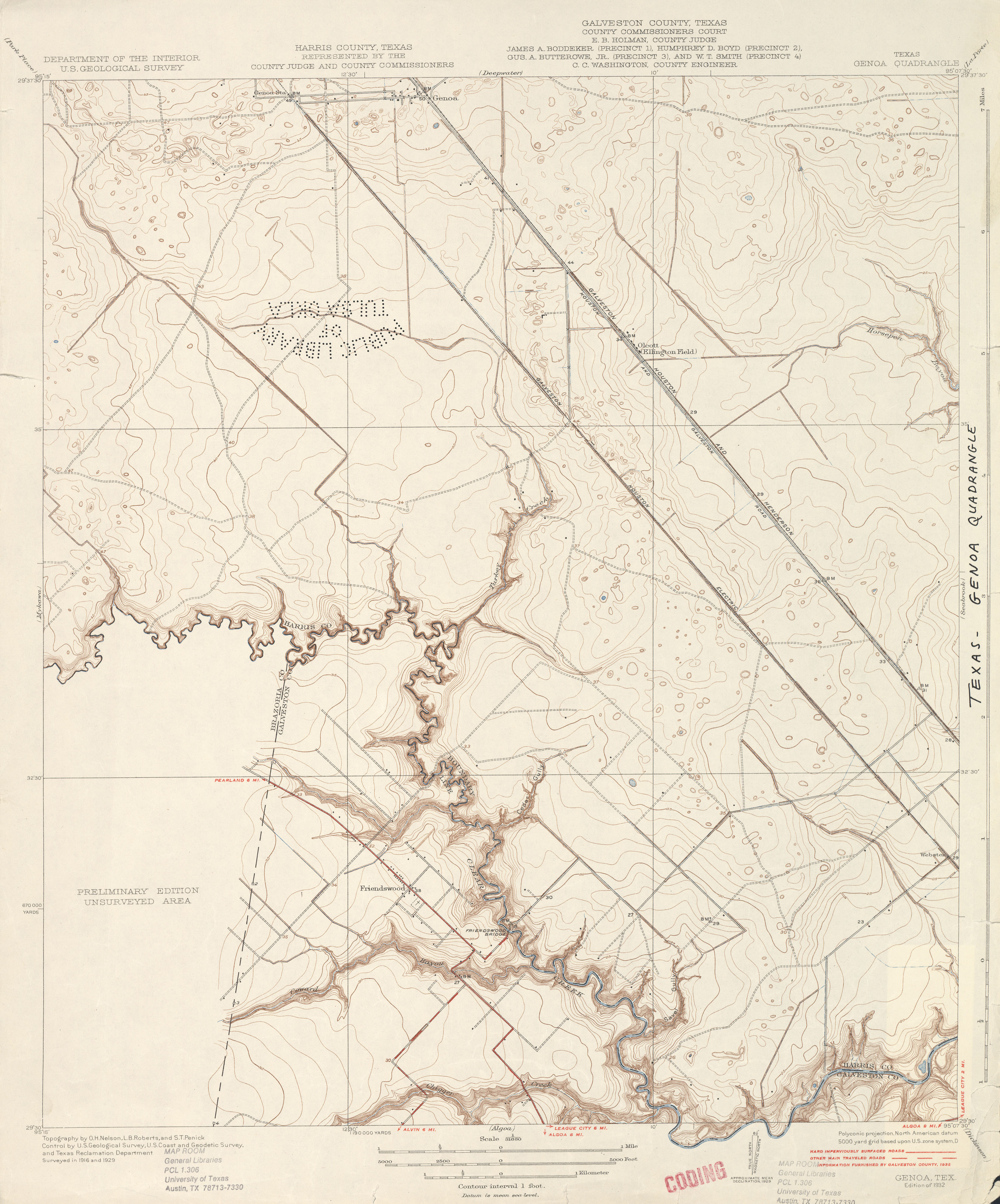
- Genoa 1:31,680 1929 survey, 1932 overprint (2.4 MB)
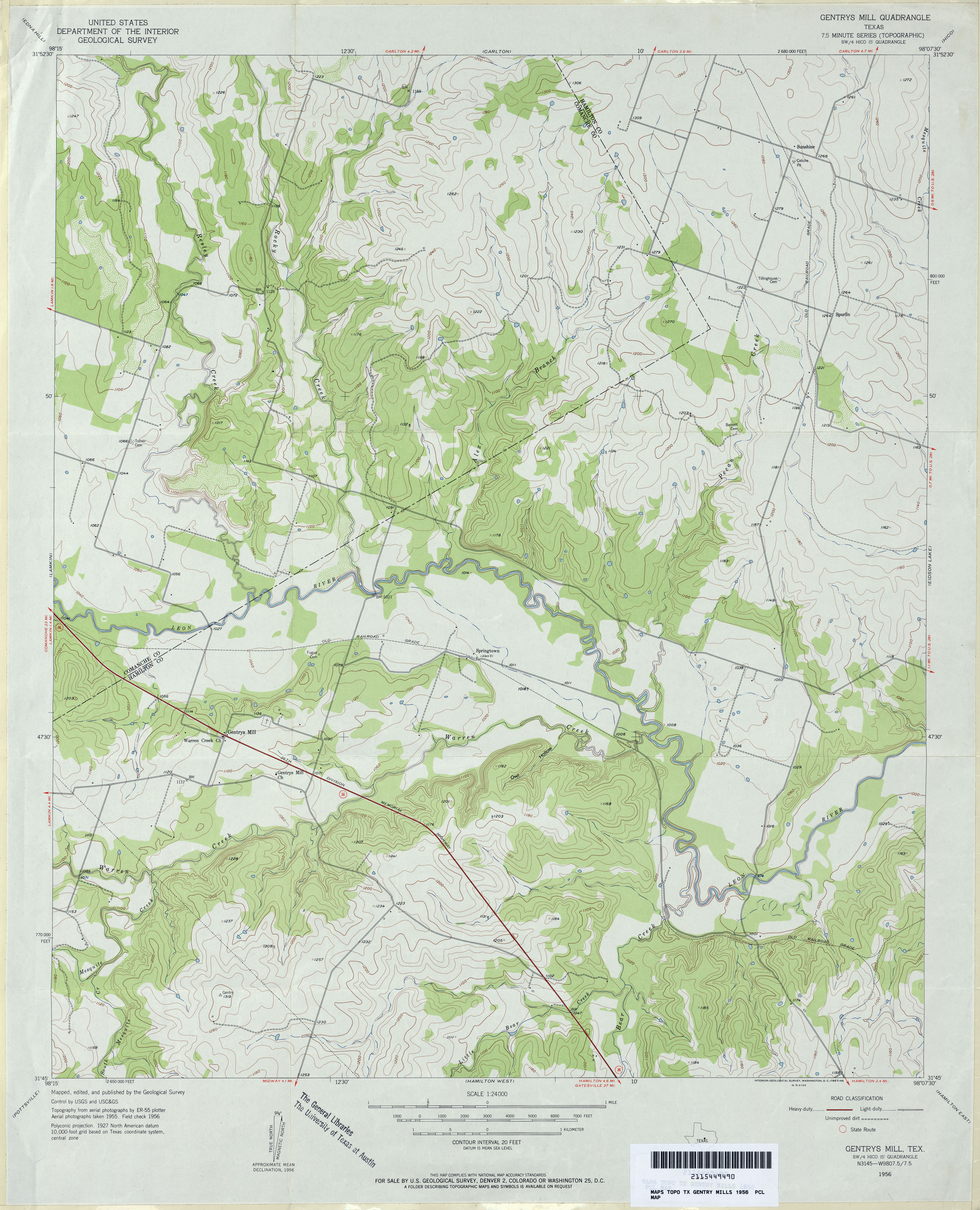
- Gentrys Mill 1:24,000 1956 (3.5MB)
- Gentrys Mill 1:24,000 2008 (17.0MB) [GeoPDF]
- Gentrys Mill 1:24,000 2012 (21.4MB) [GeoPDF]
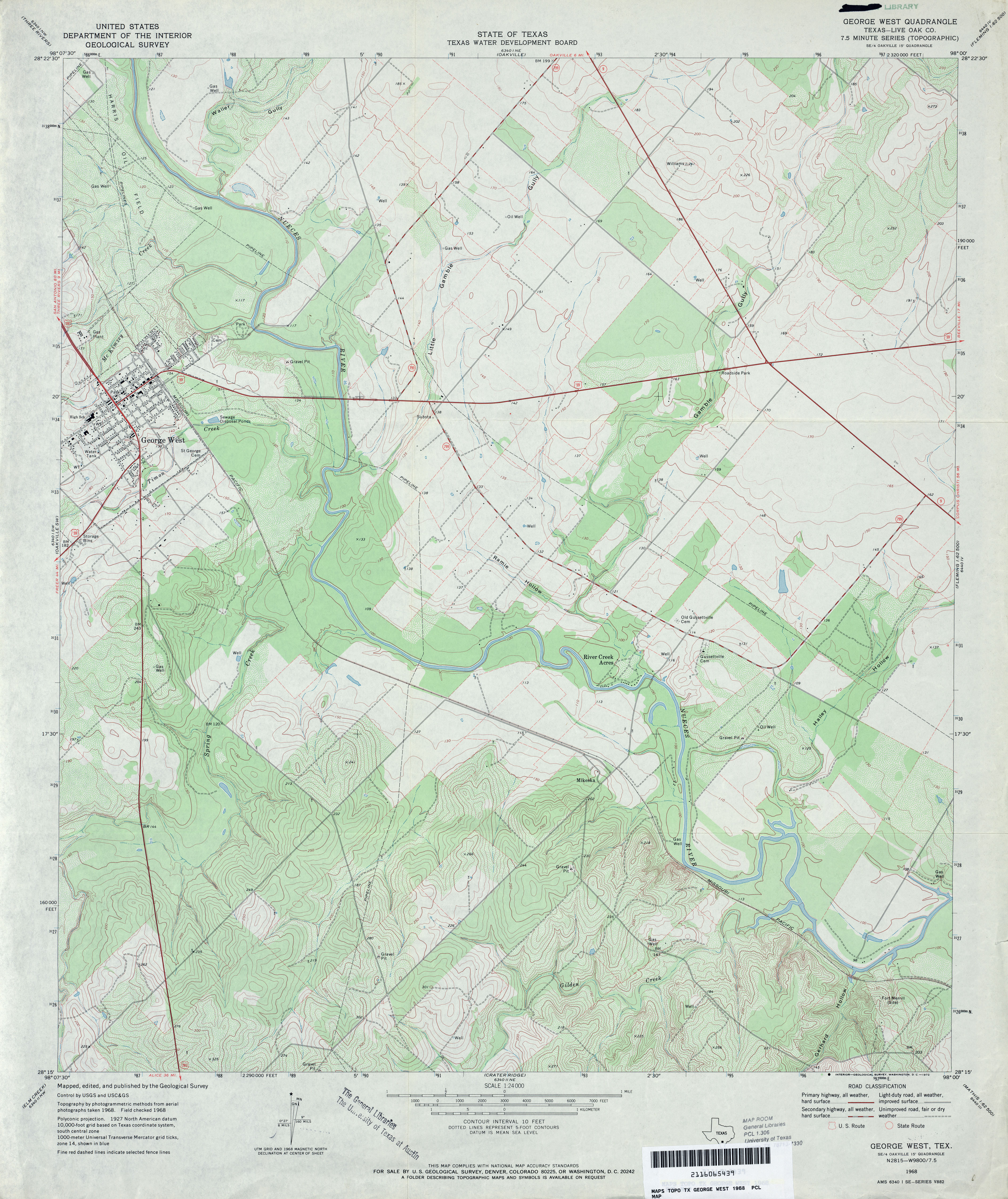
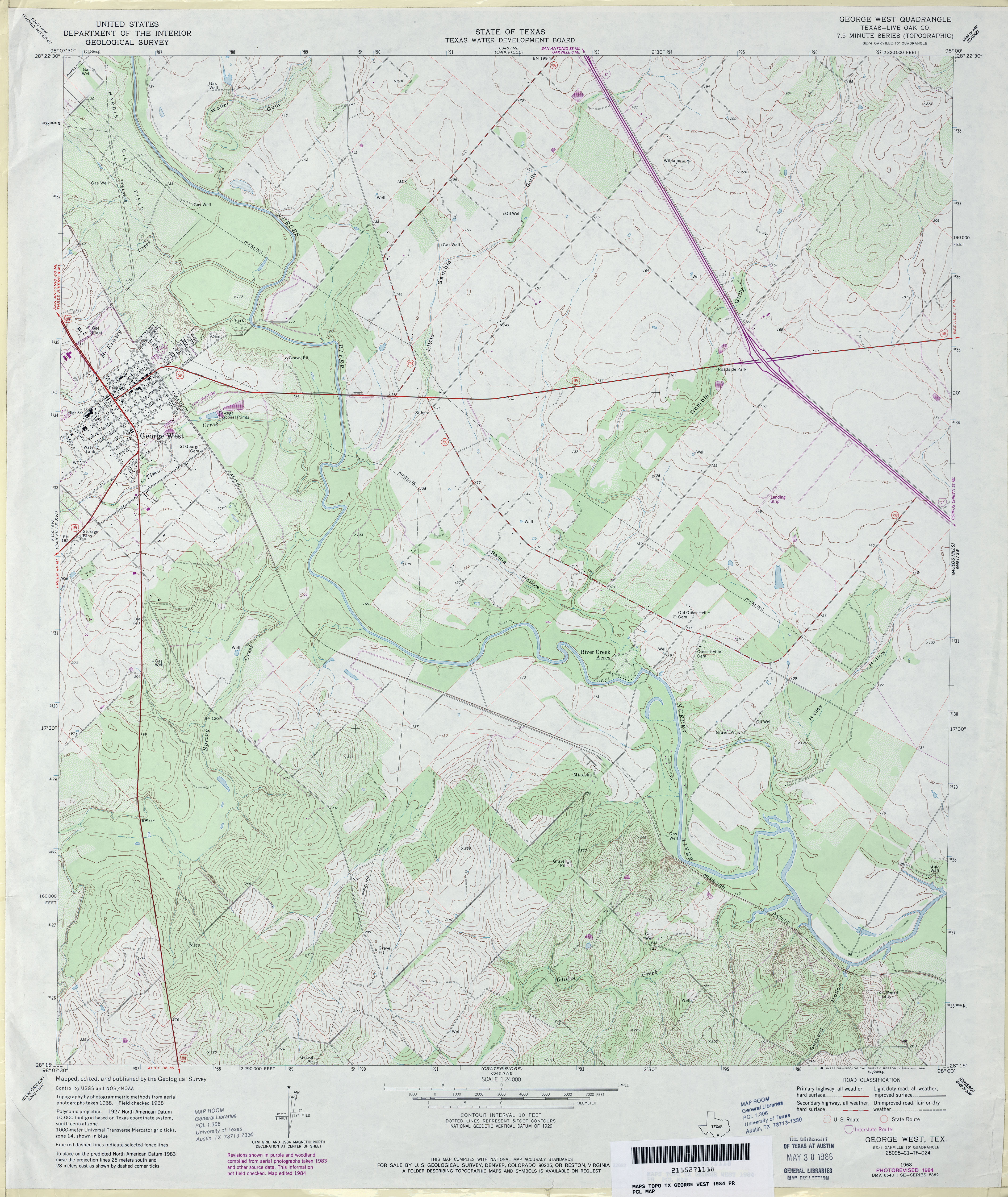
- George West (Live Oak County) 1:24,000 1968 (4.2MB)
- George West (Live Oak County) 1:24,000 1984 (4.2MB)
- George West 1:24,000 2009 (14.4MB) [GeoPDF]
- George West 1:24,000 2013 (20.5MB) [GeoPDF]
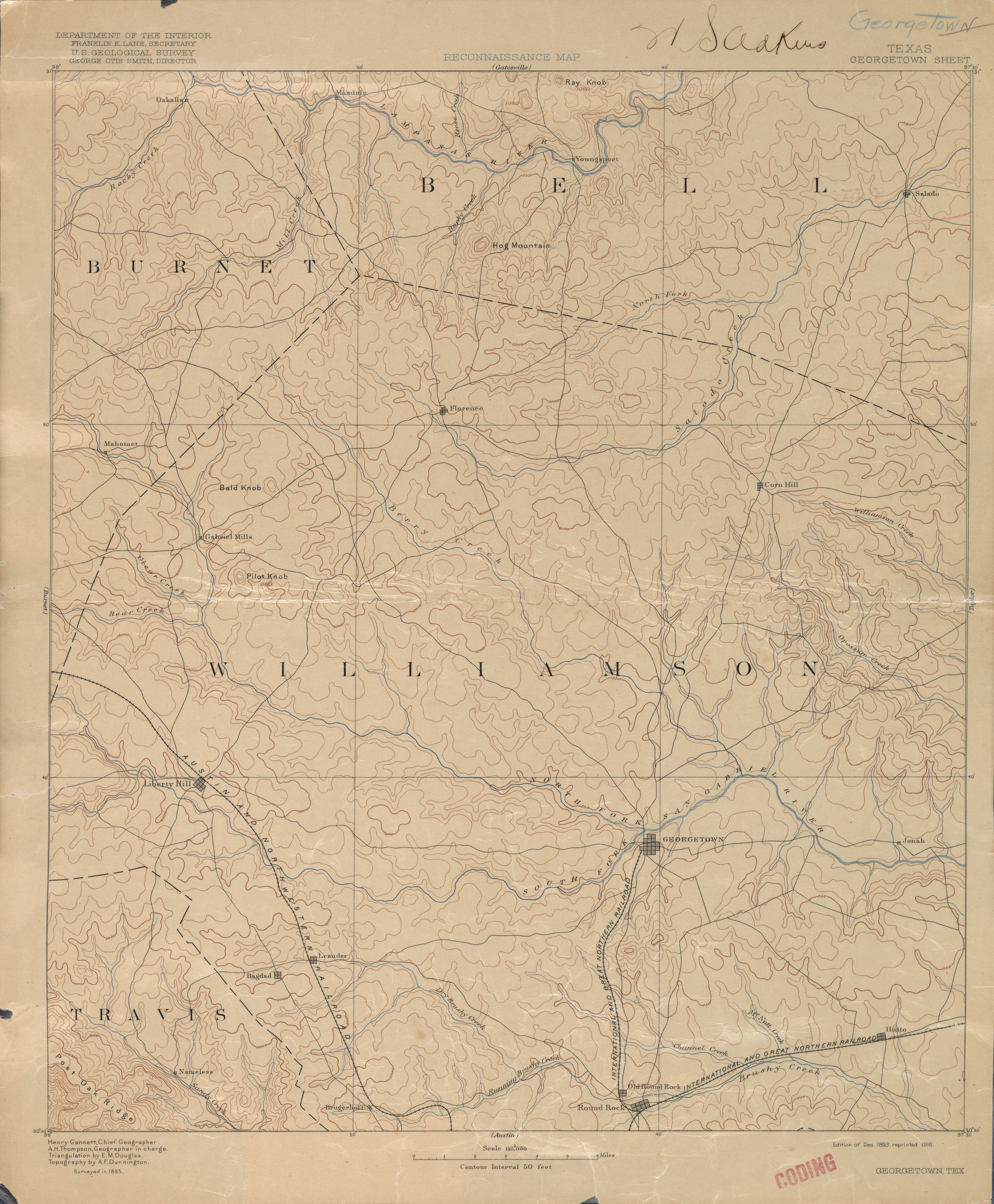
- Georgetown 1:125,000 1885 (2.3 MB)
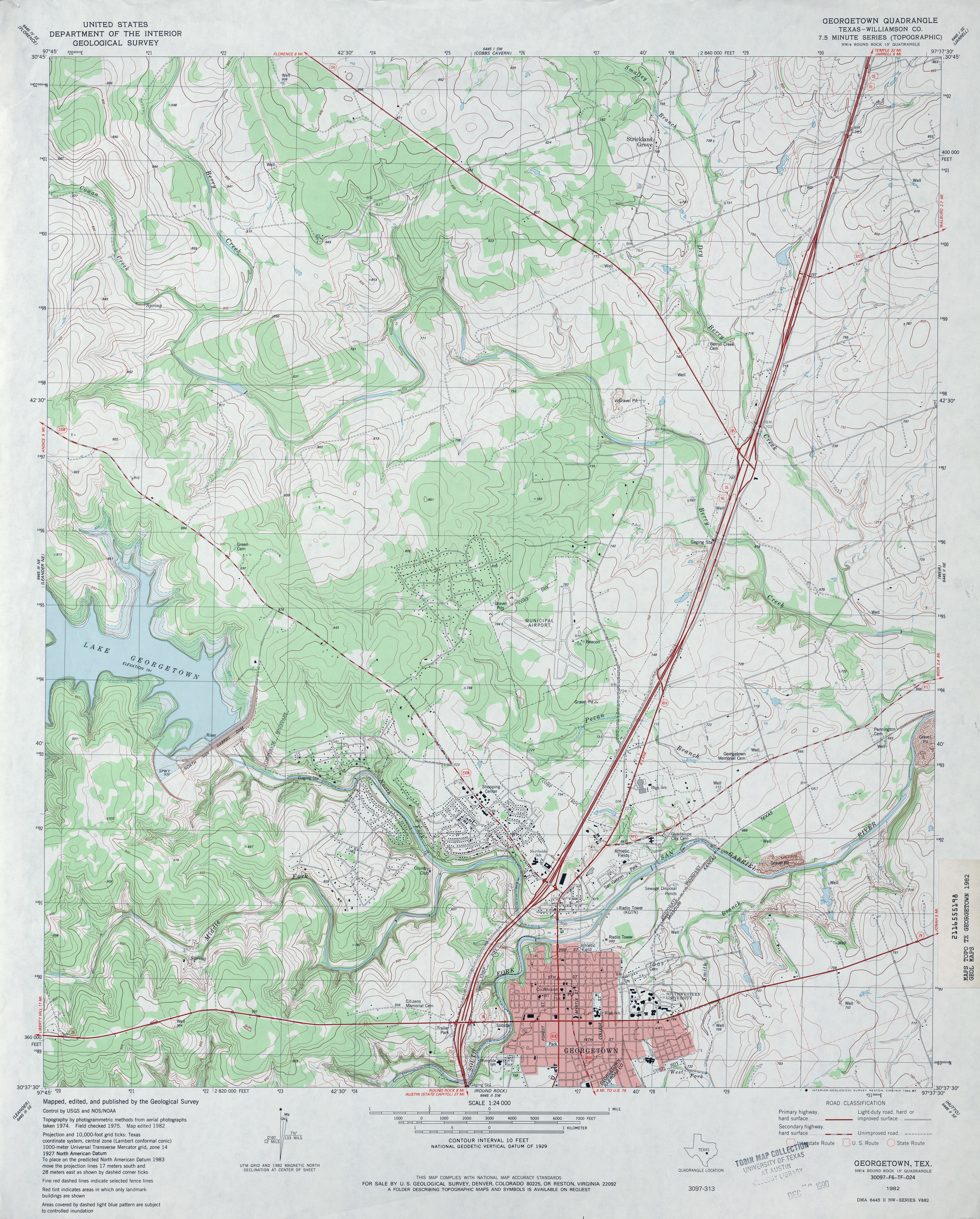
- Georgetown (Williamson County) 1:24,000 1982 (4.3MB)
- Georgetown ( 1:24,000 2008 (17.5MB) [GeoPDF]
- Georgetown 1:24,000 2013 (25.8MB) [GeoPDF]
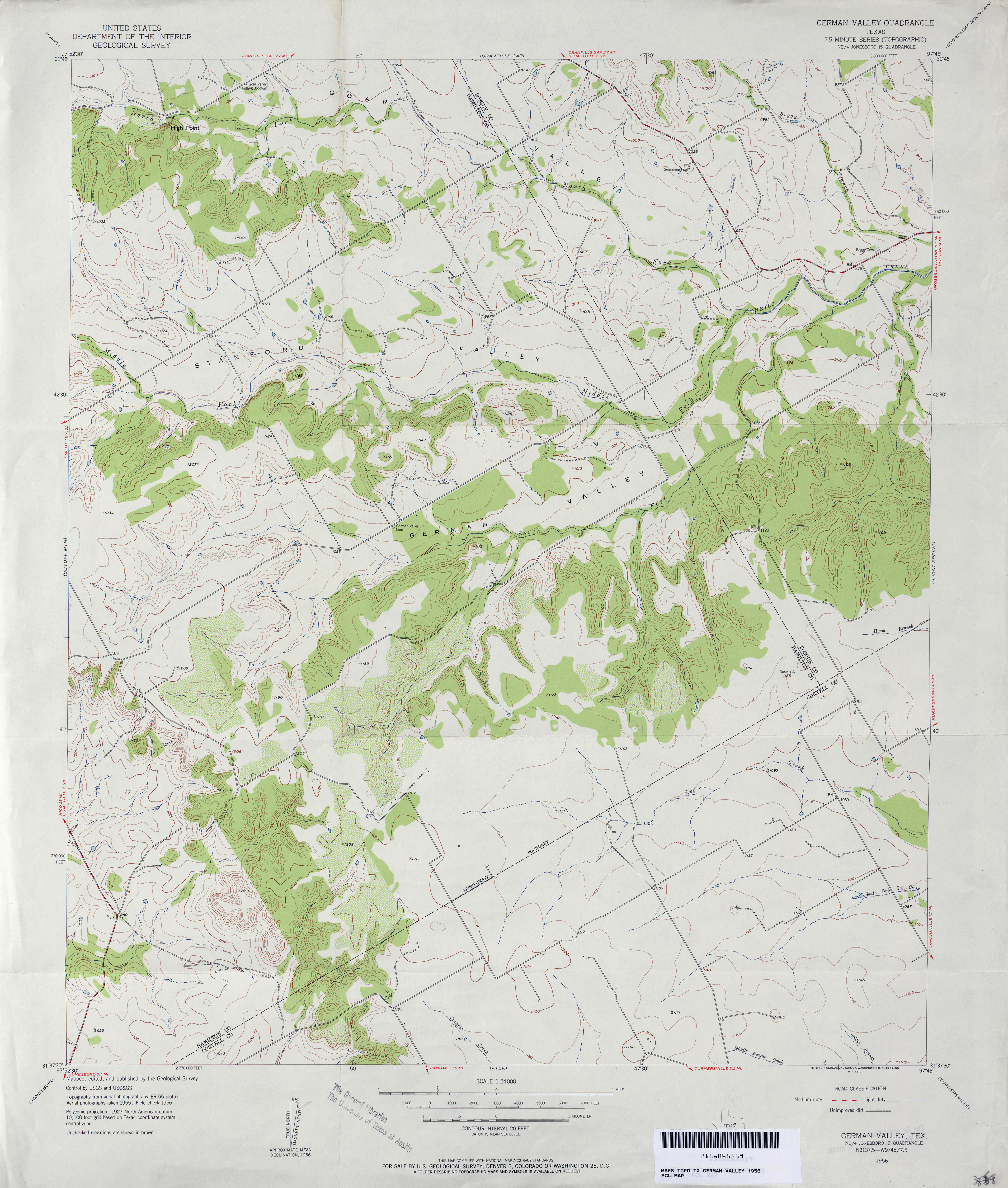
- German Valley 1:24,000 1956 (3.5MB)
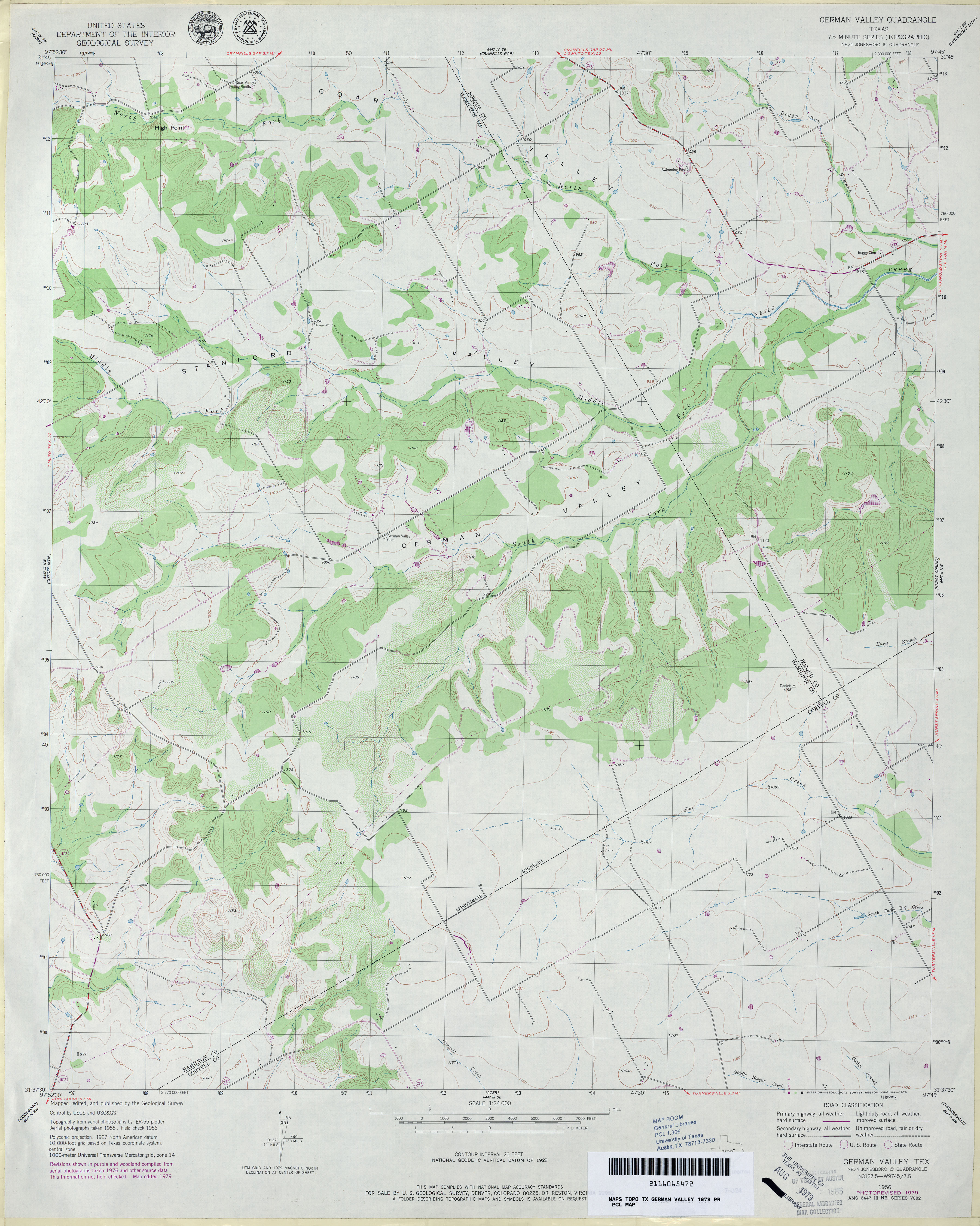
- German Valley 1:24,000 1979 (3.3MB)
- German Valley 1:24,000 2008 (15.3MB) [GeoPDF]
- German Valley 1:24,000 2012 (20MB) [GeoPDF]
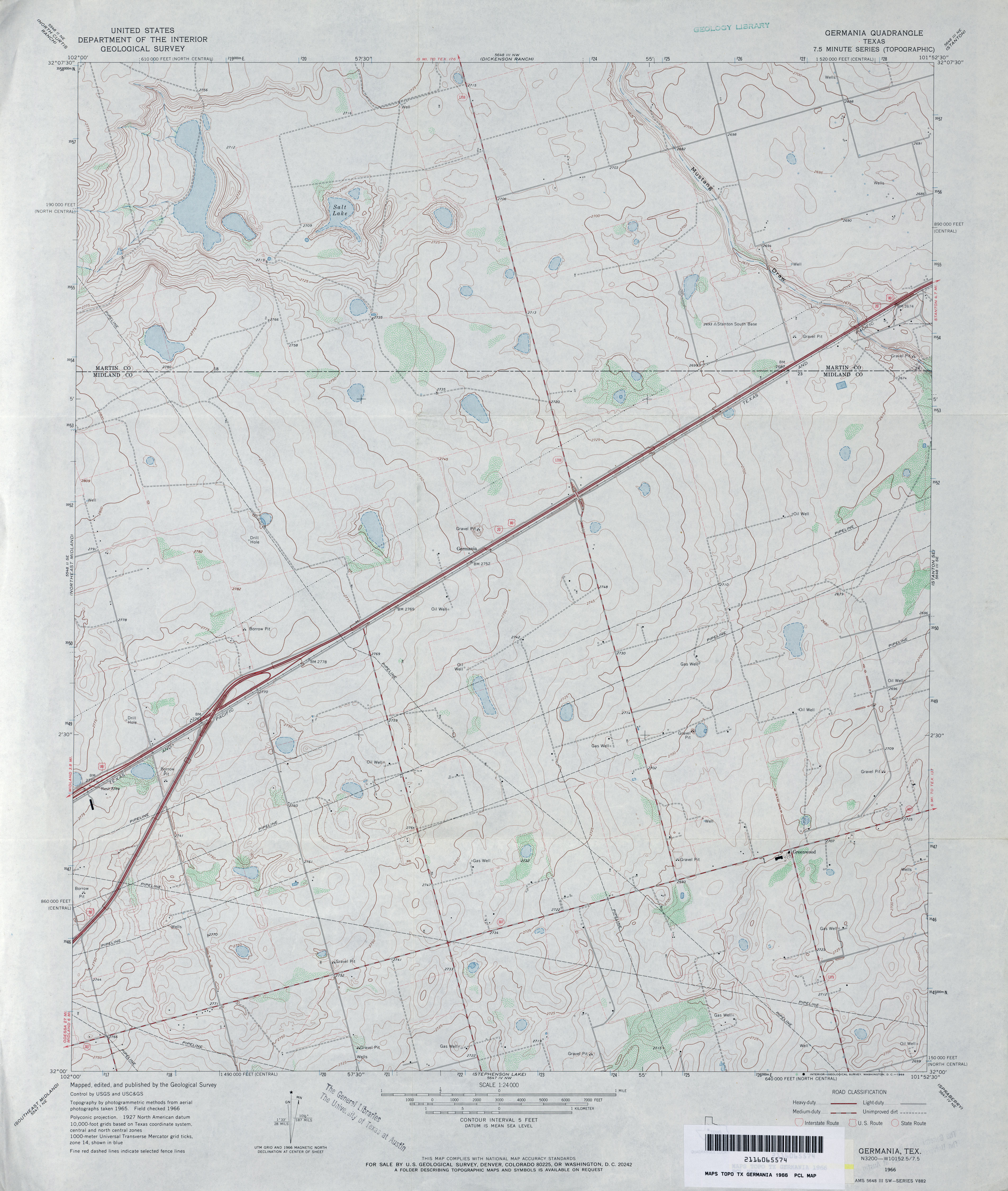
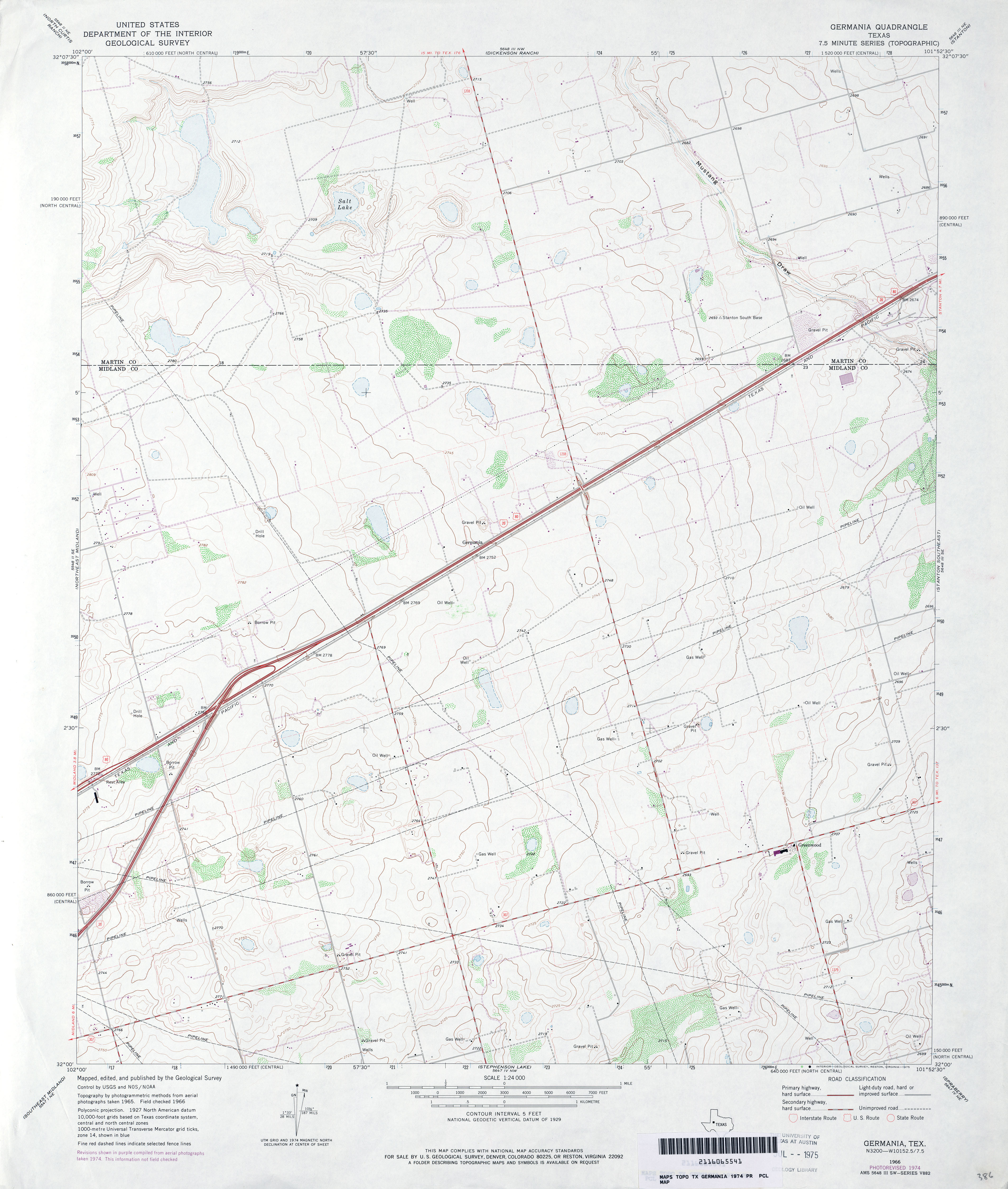
- Germania 1:24,000 1966 (3.2MB)
- Germania 1:24,000 1974 (3.2MB)
- Germania 1:24,000 2008 (14.5MB) [GeoPDF]
- Germania 1:24,000 2012 (21.7MB) [GeoPDF]
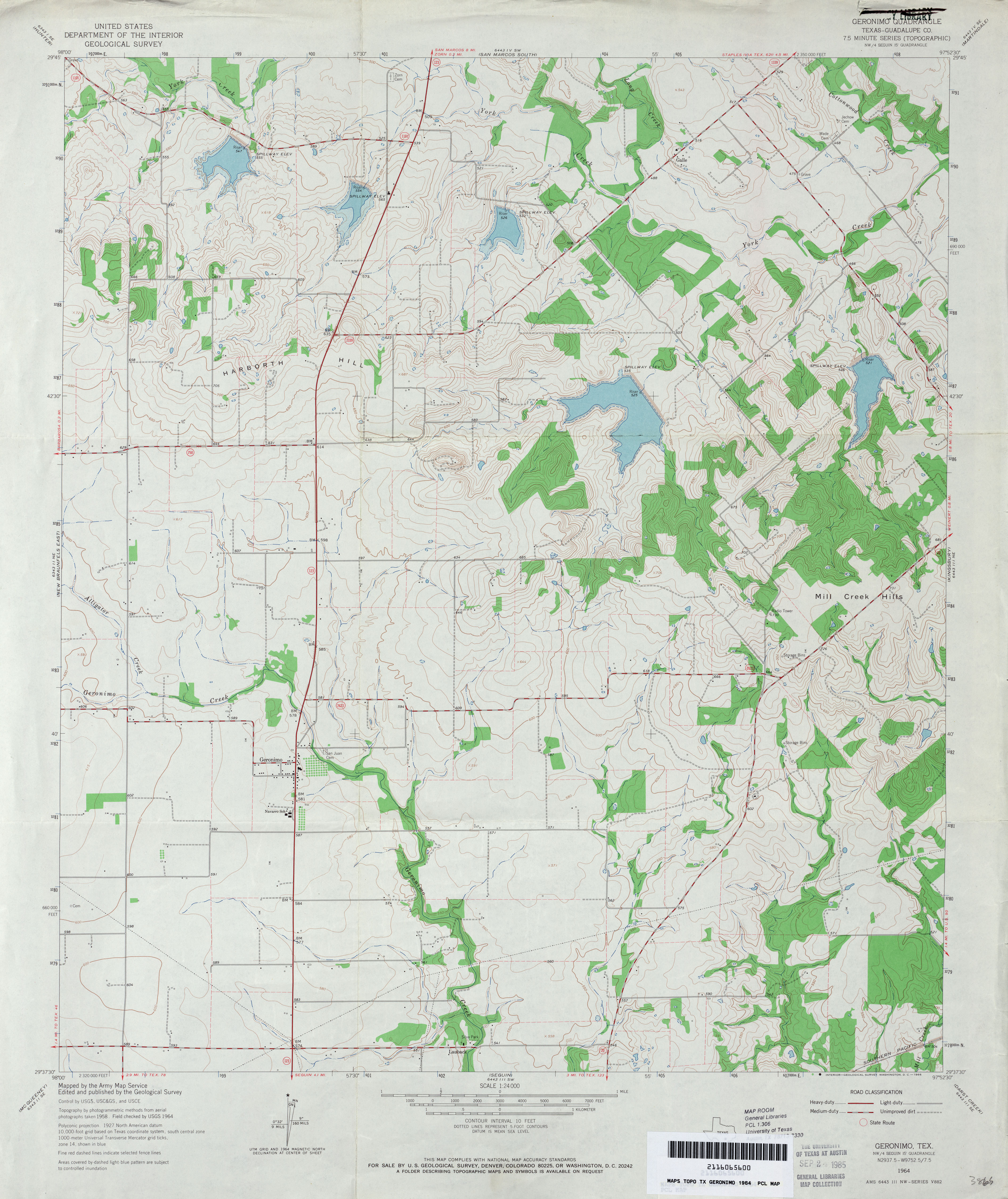
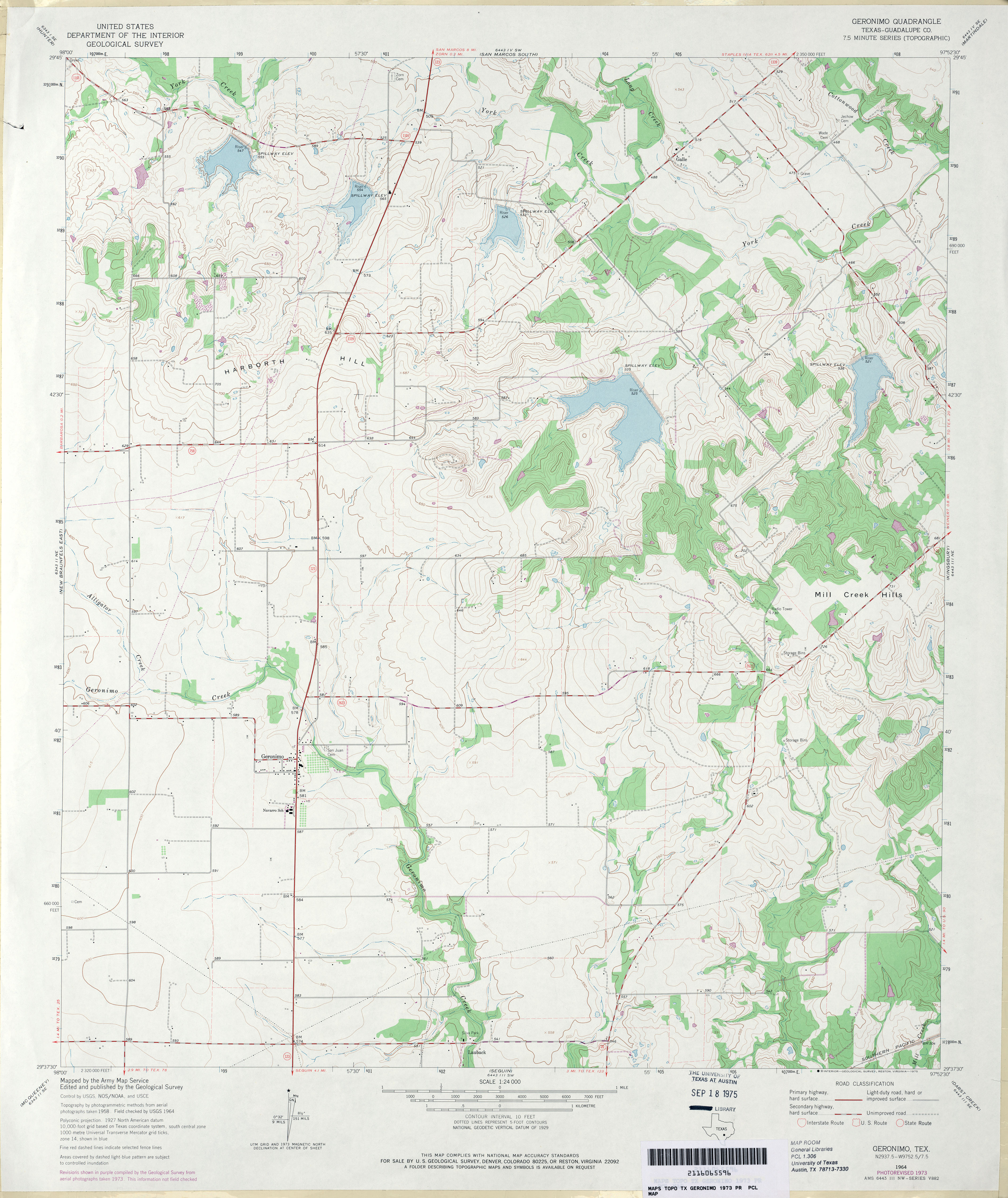
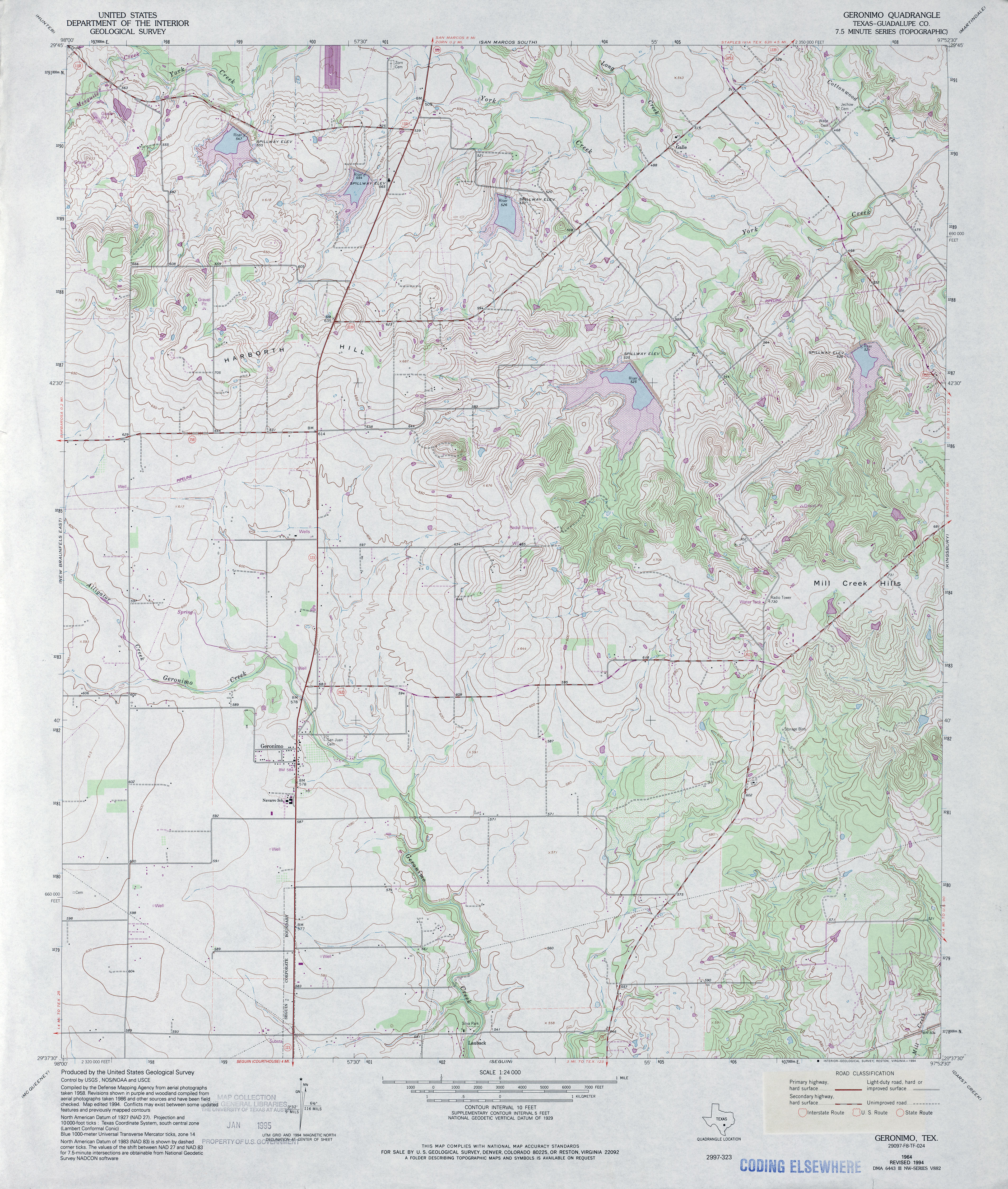
- Geronimo (Guadalupe County) 1:24,000 1964 (3.5MB)
- Geronimo (Guadalupe County) 1:24,000 1973 (3.6MB)
- Geronimo (Guadalupe County) 1:24,000 1994 (4.5MB)
- Geronimo 1:24,000 2008 (12.9MB) [GeoPDF]
- Geronimo 1:24,000 2013 (20.4MB) [GeoPDF]
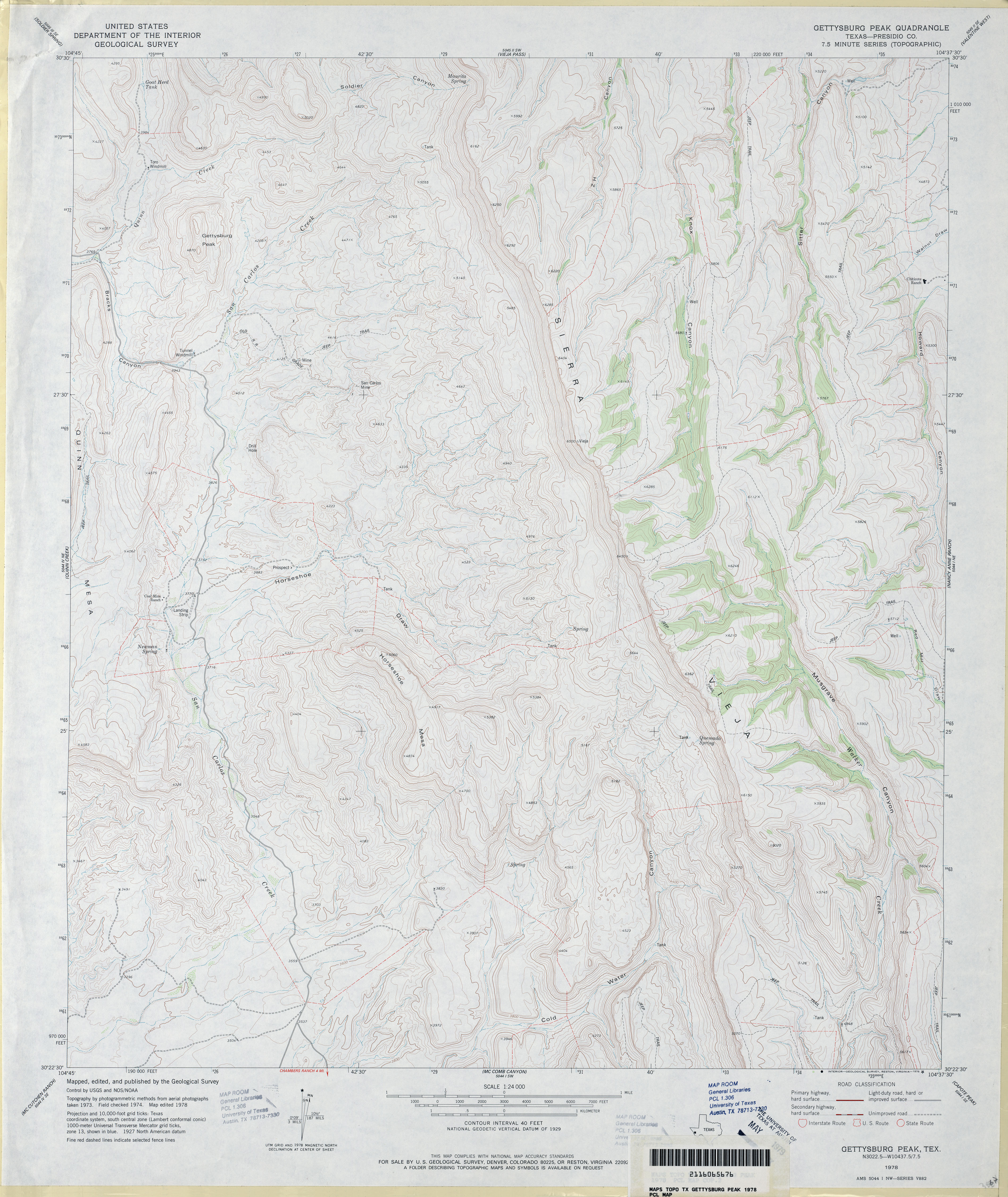
- Gettysburg Peak (Presidio County) 1:24,000 1978 (3.9MB)
- Gettysburg Peak 1:24,000 2008 (17.8MB) [GeoPDF]
- Gettysburg Peak 1:24,000 2012 (22.3MB) [GeoPDF]
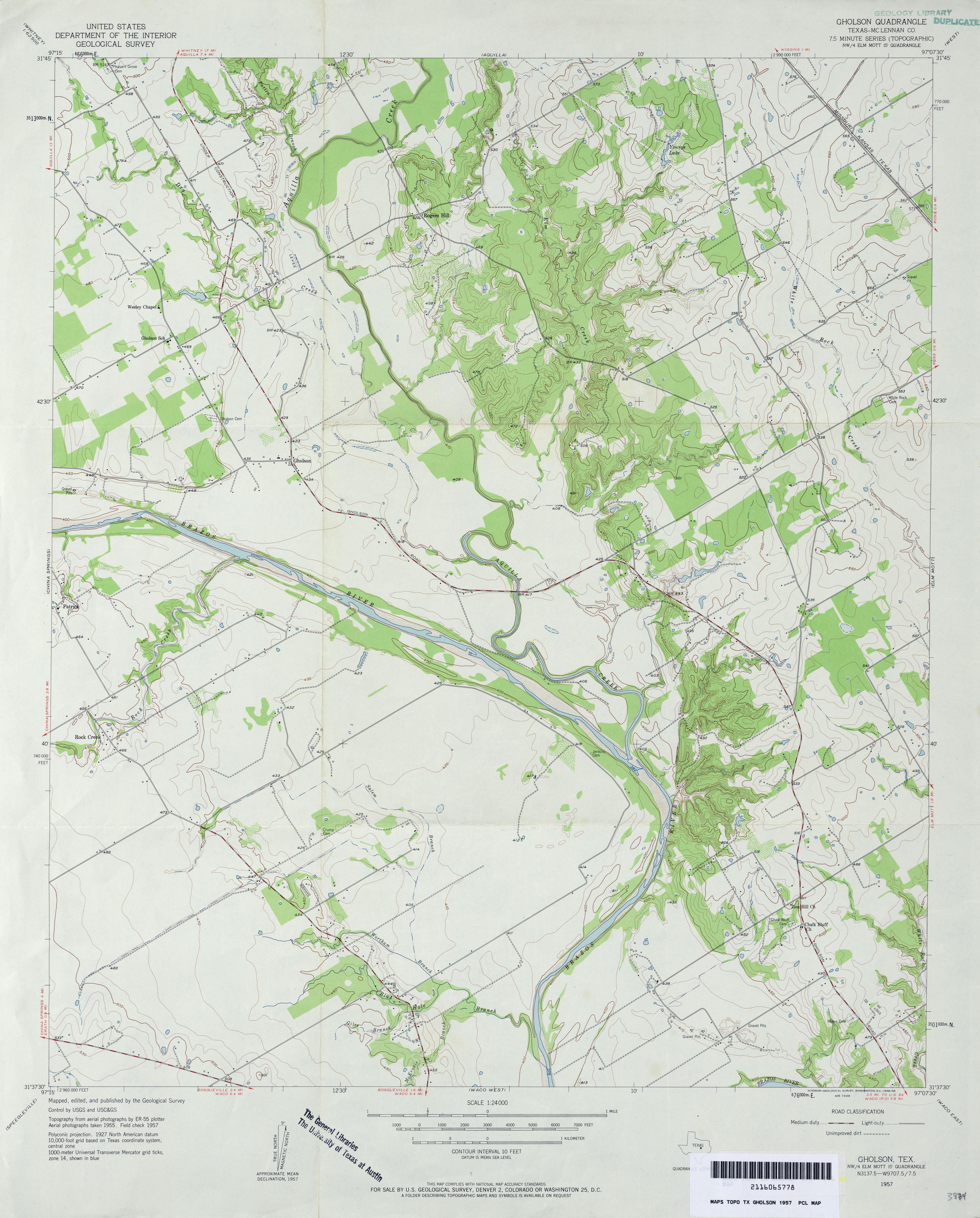
- Gholson (McLennan County) 1:24,000 1957 (3.3MB)
- Gholson (McLennan County) 1:24,000 1970 (3.1MB)
- Gholson (McLennan County) 1:24,000 1975 (3.7MB)
- Gholson 1:24,000 2008 (15.5MB) [GeoPDF]
- Gholson 1:24,000 2012 (20.5MB) [GeoPDF]
- Ghost Hill 1:24,000 1964 (4.2MB)
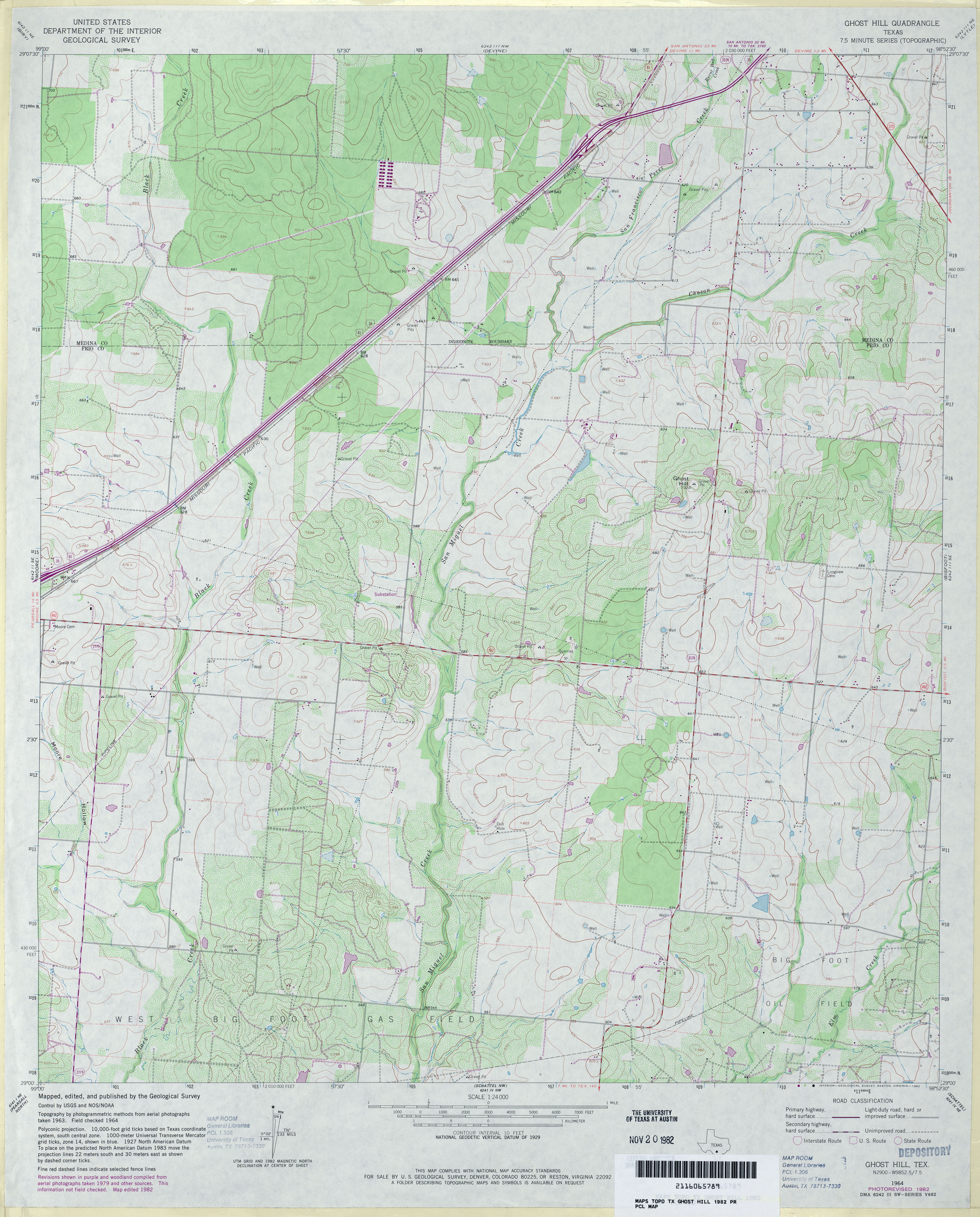
- Ghost Hill 1:24,000 1982 (4.1MB)
- Ghost Hill 1:24,000 2008 (14.4MB) [GeoPDF]
- Ghost Hill 1:24,000 2013 (21MB) [GeoPDF]
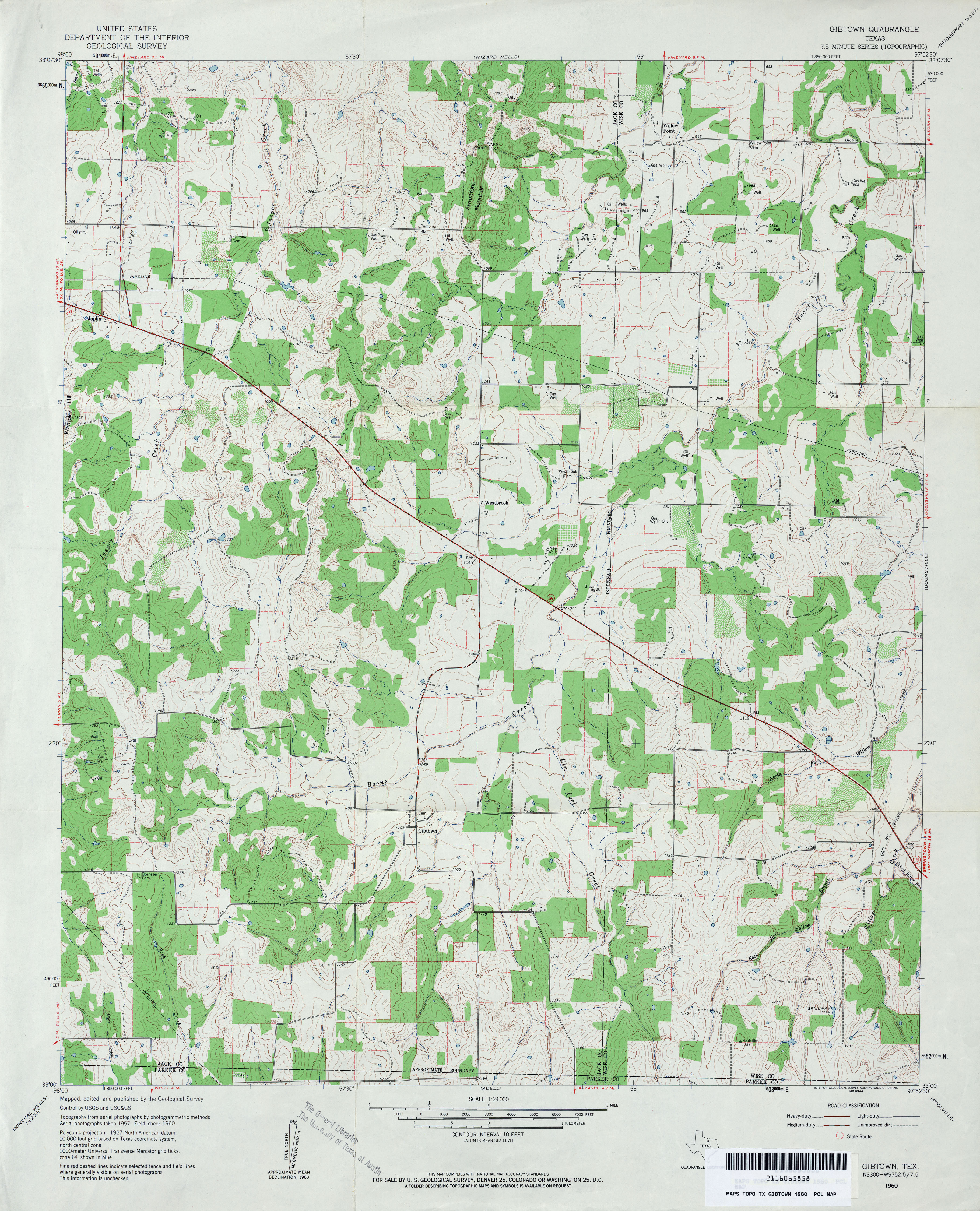
- Gibtown 1:24,000 1960 (4.2MB)
- Gibtown 1:24,000 2008 (19.2MB) [GeoPDF]
- Gibtown 1:24,000 2013 (22.1MB) [GeoPDF]
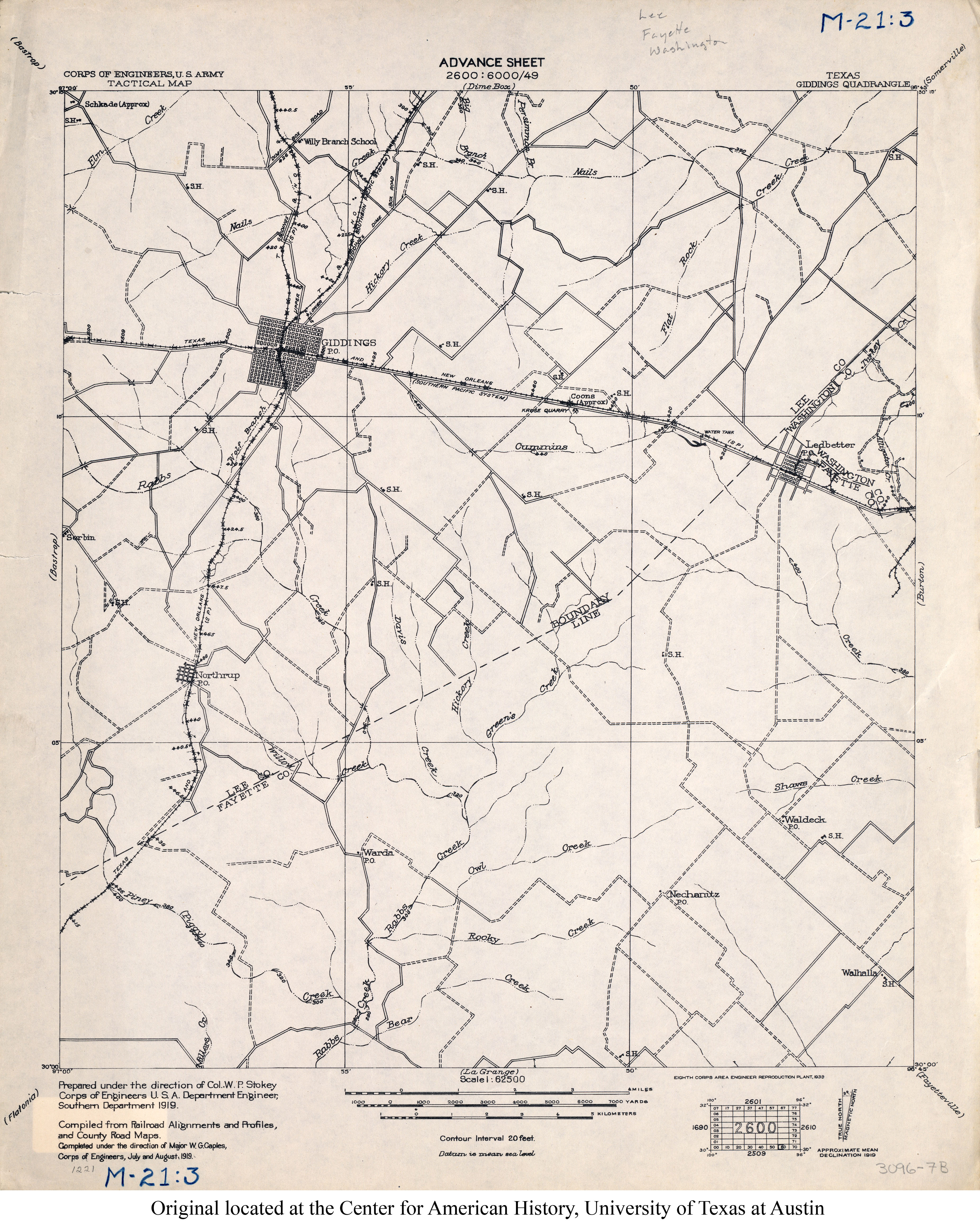
- Giddings 1:62,500 1919 (3MB)
- Giddings (Lee County) 1:24,000 1958 (4.2MB)
- Giddings (Lee County) 1:24,000 1988 (4.1MB)
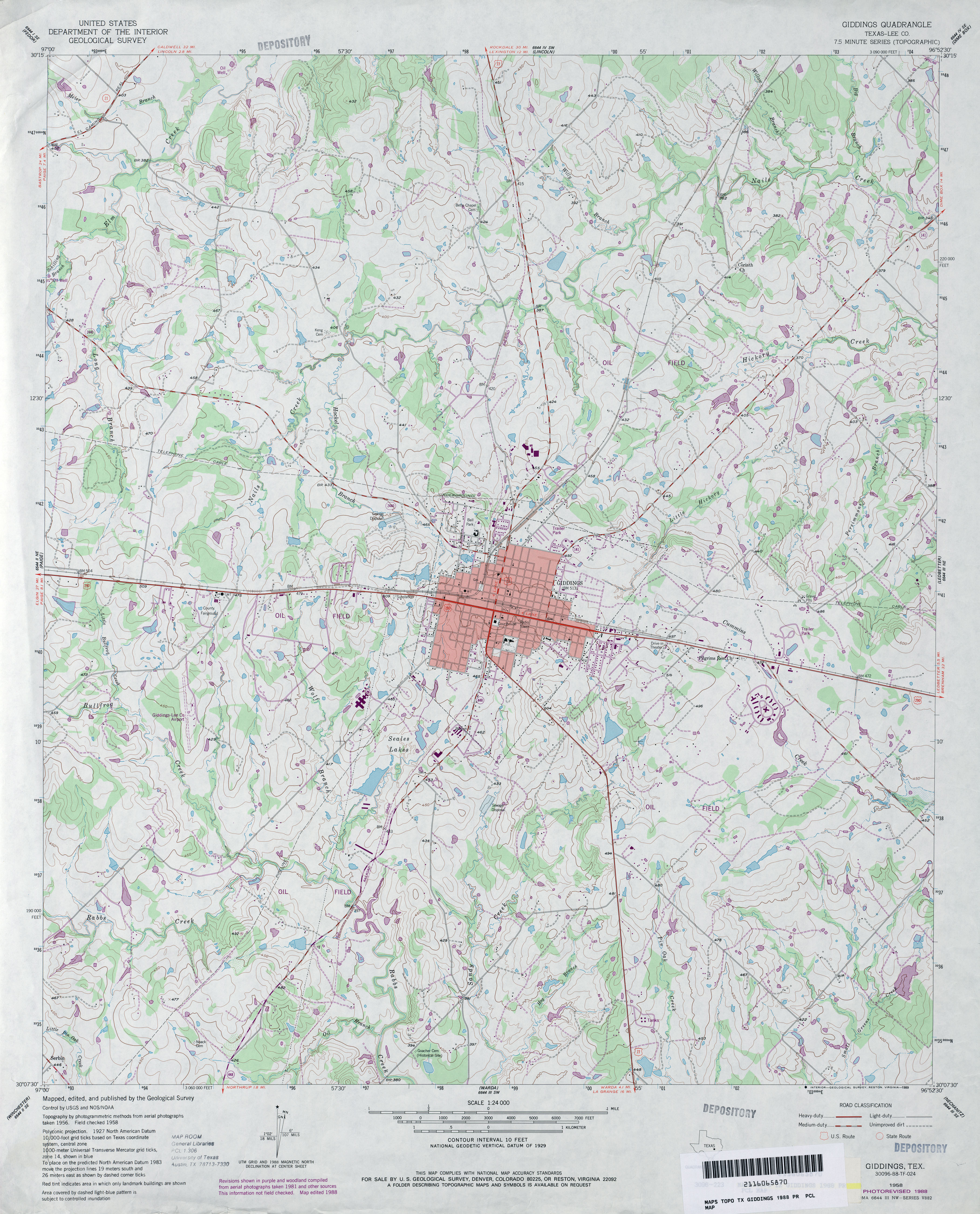
- Giddings 1:24,000 2008 (14.9MB) [GeoPDF]
- Giddings 1:24,000 2013 (24.3MB) [GeoPDF]
- Giles 1:24,000 1963 (3.9MB)
- Giles 1:24,000 1982 (4.5MB)
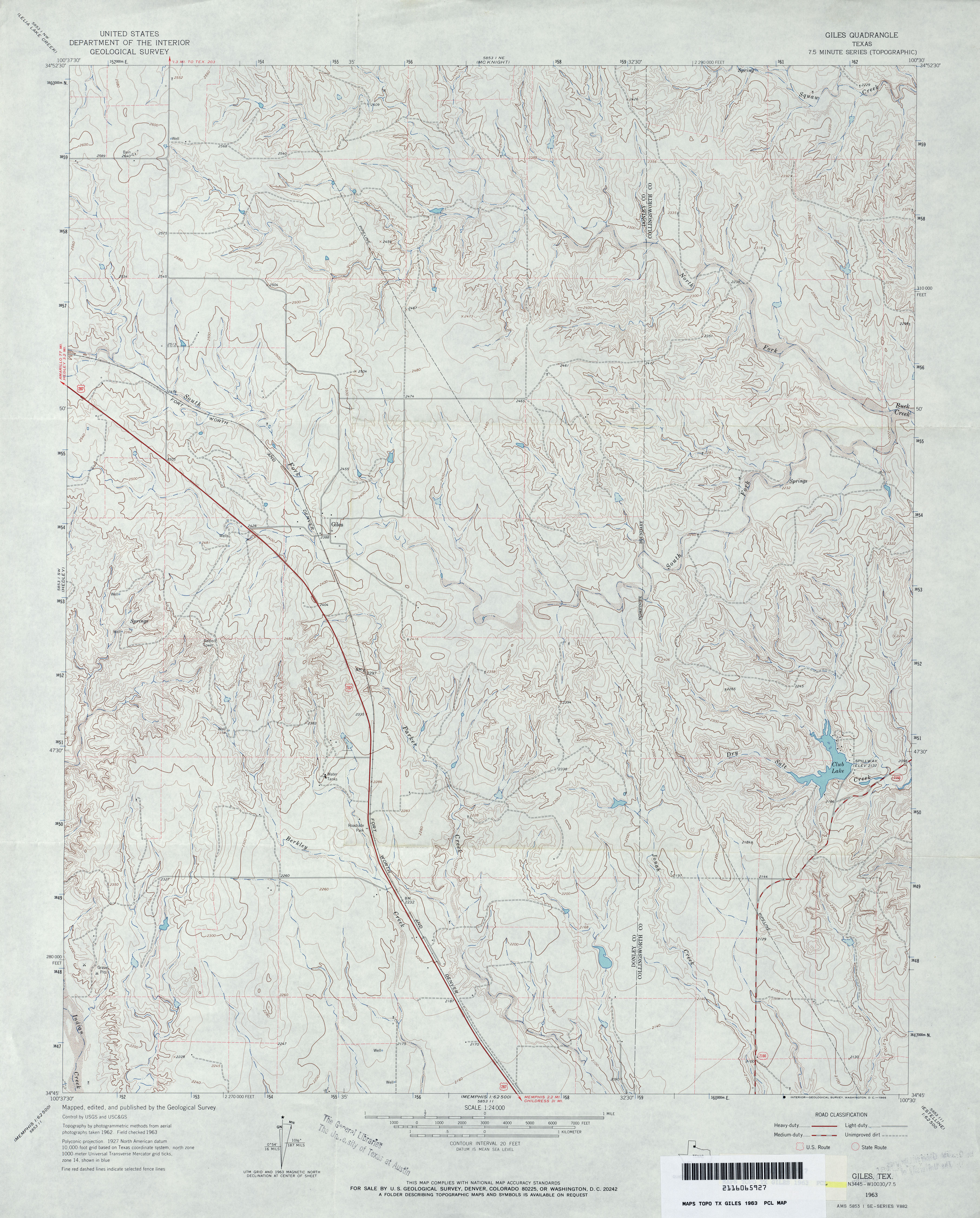
- Giles 1:24,000 2008 (15.7MB) [GeoPDF]
- Giles 1:24,000 2012 (22.4MB) [GeoPDF]
- Gillett 1:24,000 1961 (5.2MB)
- Gillett 1:24,000 1987 (3.8MB)
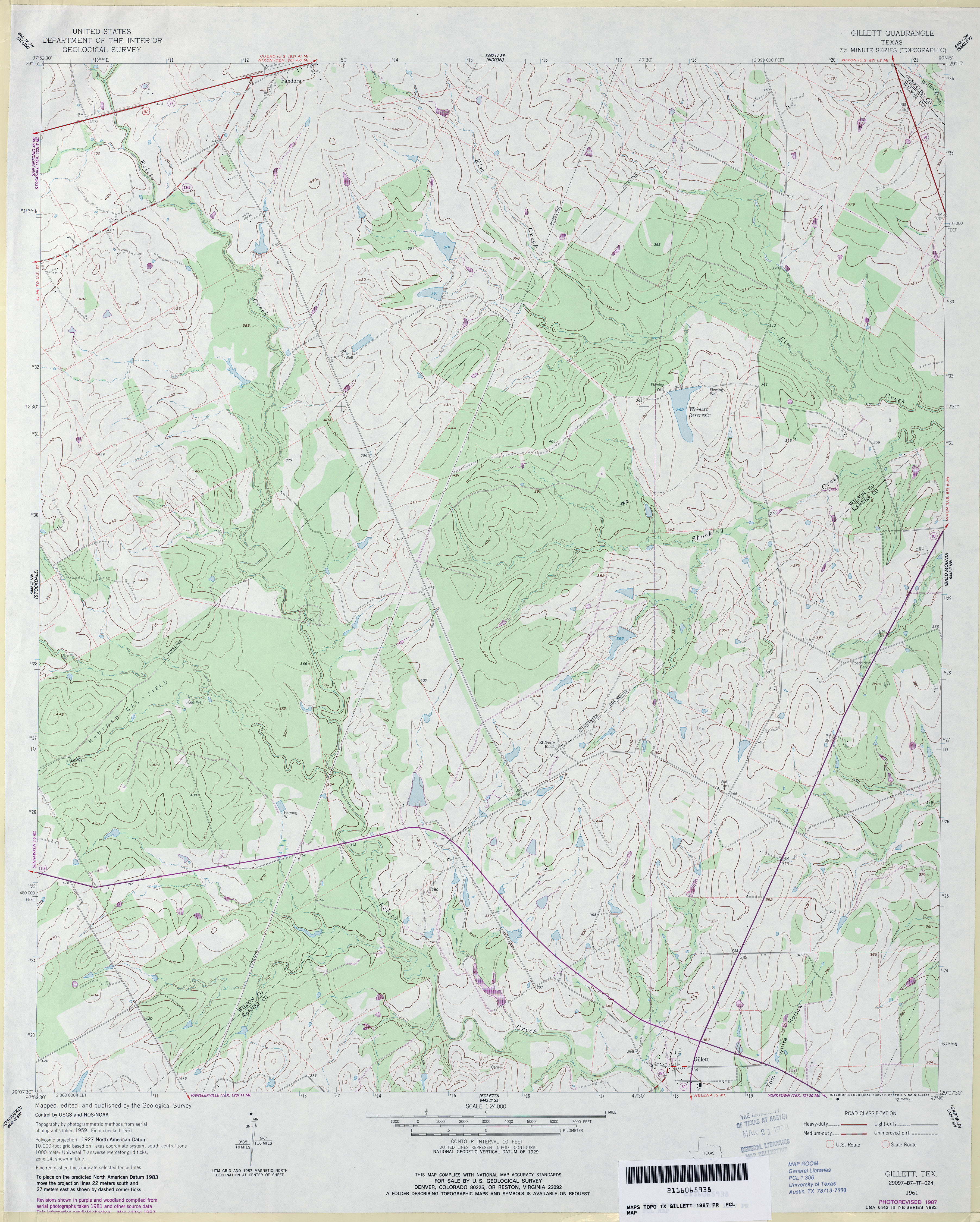
- Gillett 1:24,000 2008 (15.7MB) [GeoPDF]
- Gillett 1:24,000 2013 (25.8MB) [GeoPDF]
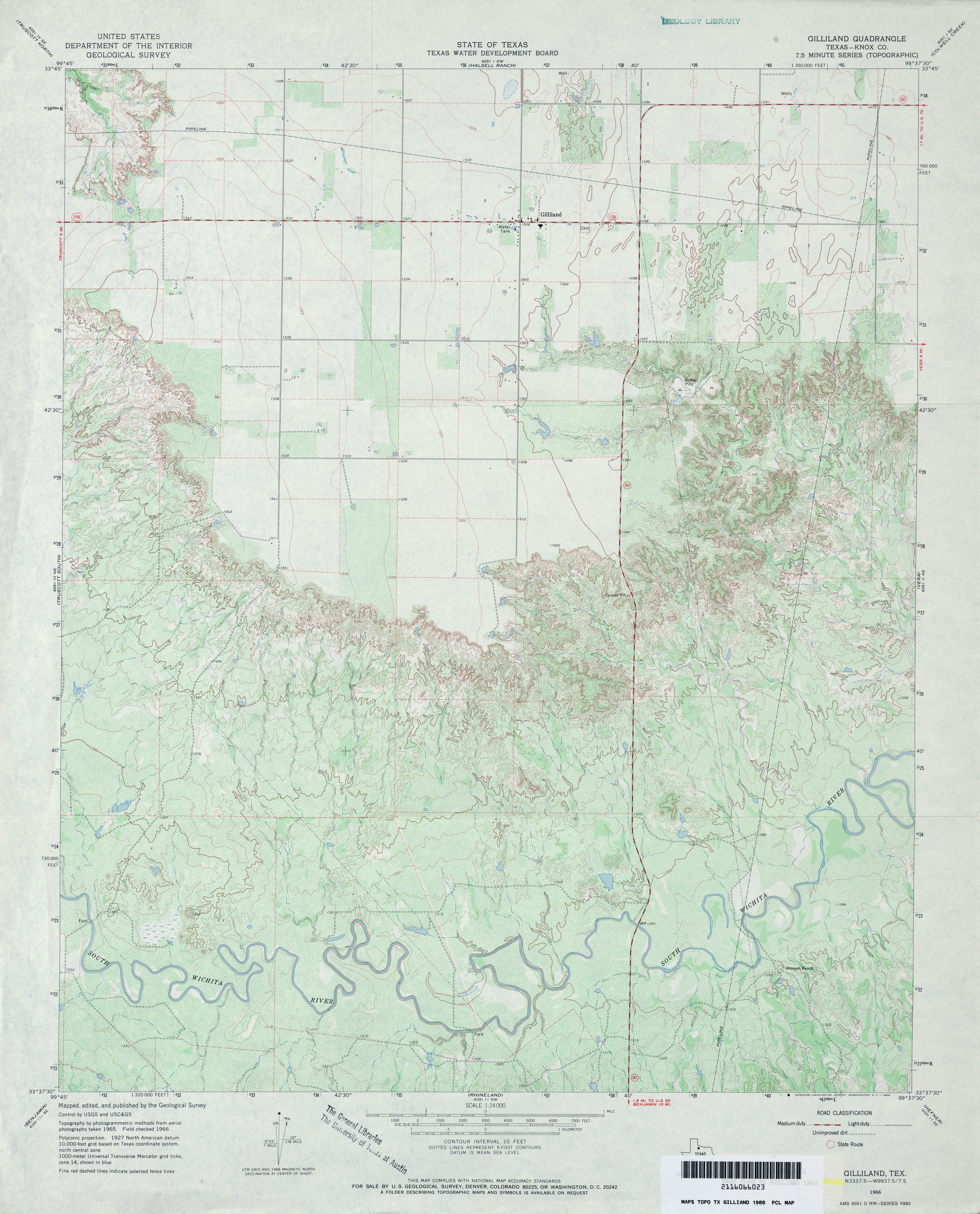
- Gilliland (Knox County) 1:24,000 1966 (4.1MB)
- Gilliland 1:24,000 2008 (14.8MB) [GeoPDF]
- Gilliland 1:24,000 2013 (22.7MB) [GeoPDF]
- Gilliland Peak (Brewster County) 1:24,000 1983 (4.2MB)
- Gilliland Peak 1:24,000 2008 (23.6MB) [GeoPDF] 3
- Gilliland Peak 1:24,000 2012 (26.9MB) [GeoPDF]
- Gillis Ranch (Val Verde County) 1:24,000 1972 (4.5MB)
- Gillis Ranch 1:24,000 2008 (21.9MB) [GeoPDF]
- Gillis Ranch 1:24,000 2013 (33.9MB) [GeoPDF]
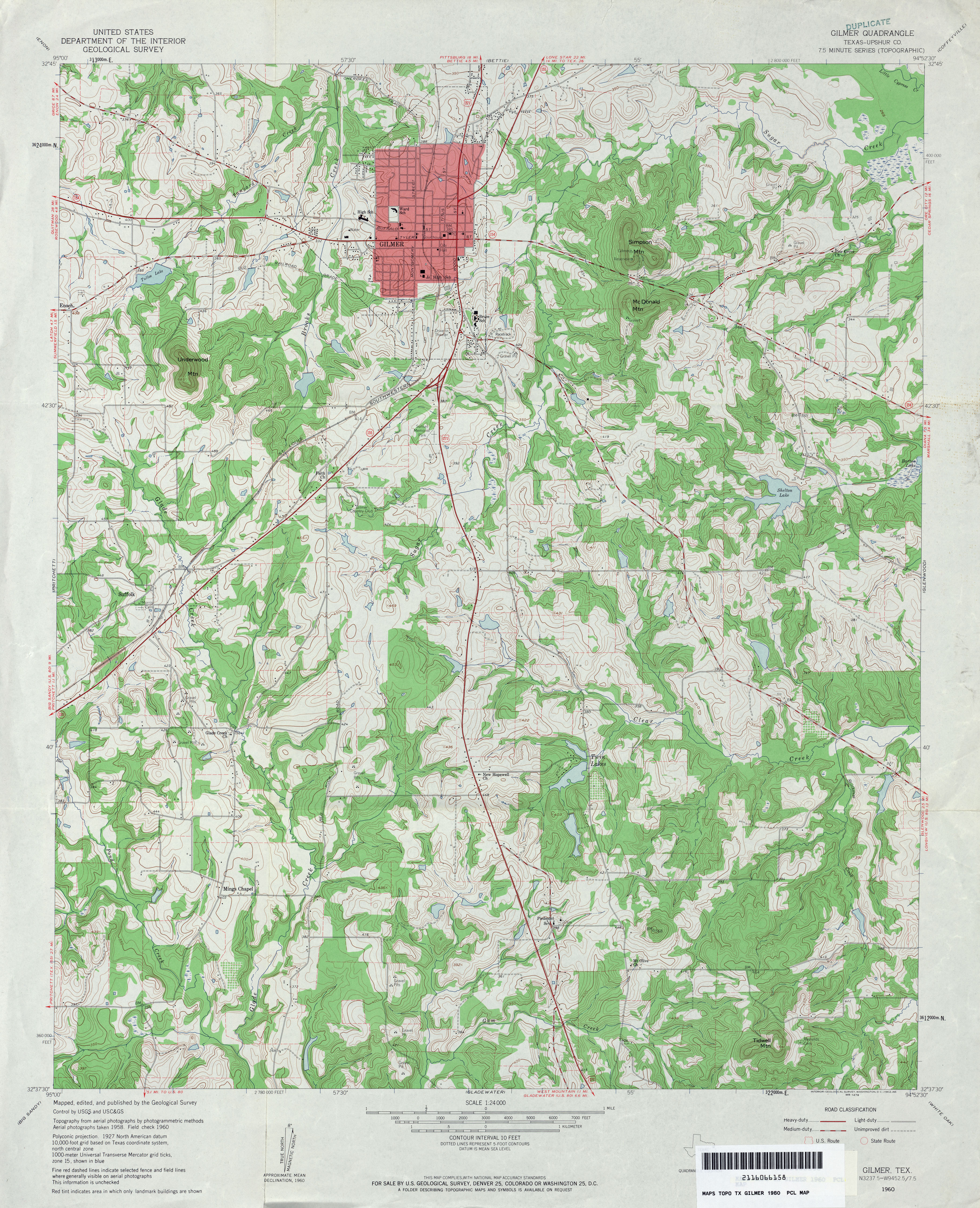
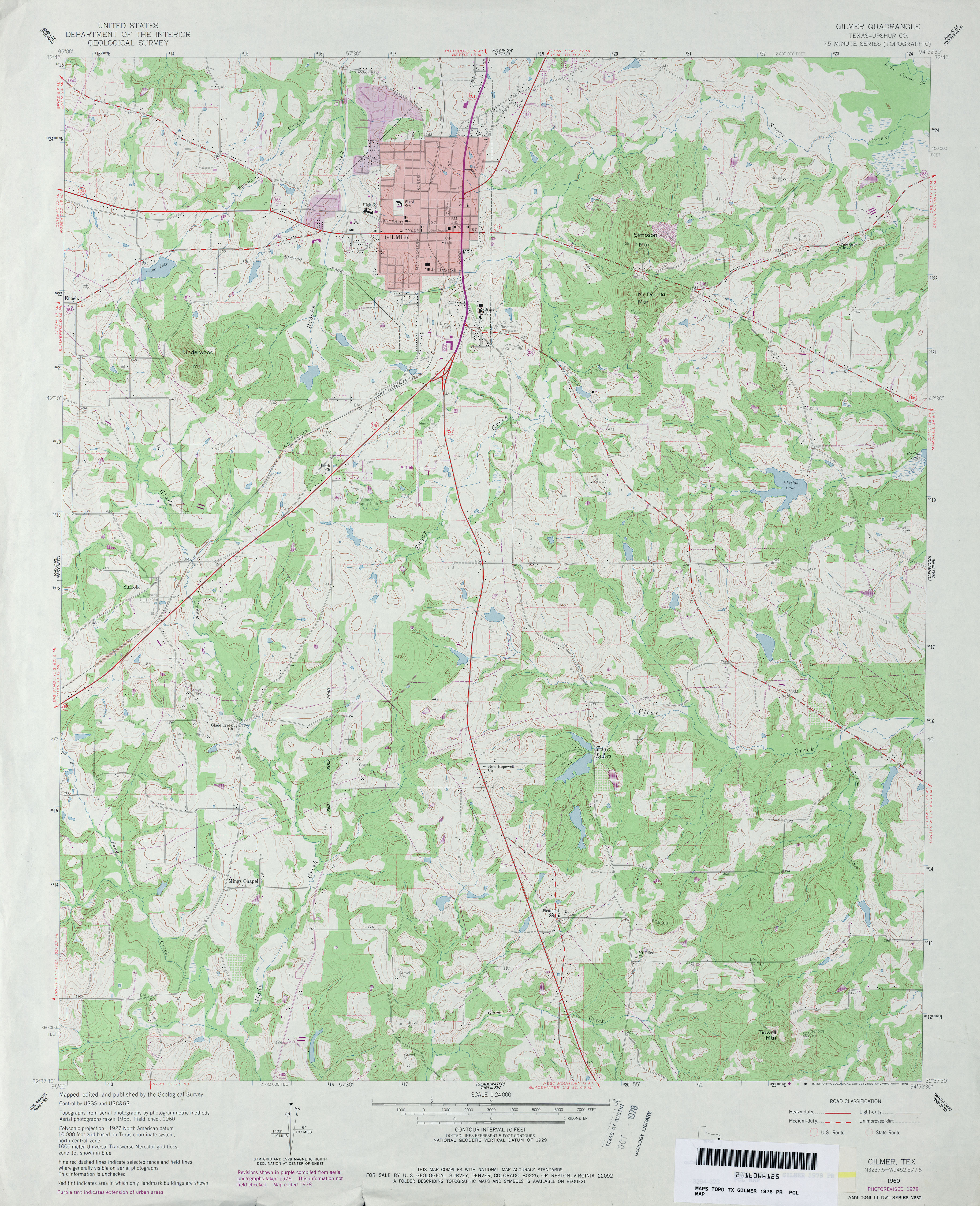
- Gilmer (Upshur County) 1:24,000 1960 (4.9MB)
- Gilmer (Upshur County) 1:24,000 1978 (4.3MB)
- Gilmer 1:24,000 2009 (21.2MB) [GeoPDF]
- Gilmer 1:24,000 2013 (25.3MB) [GeoPDF]
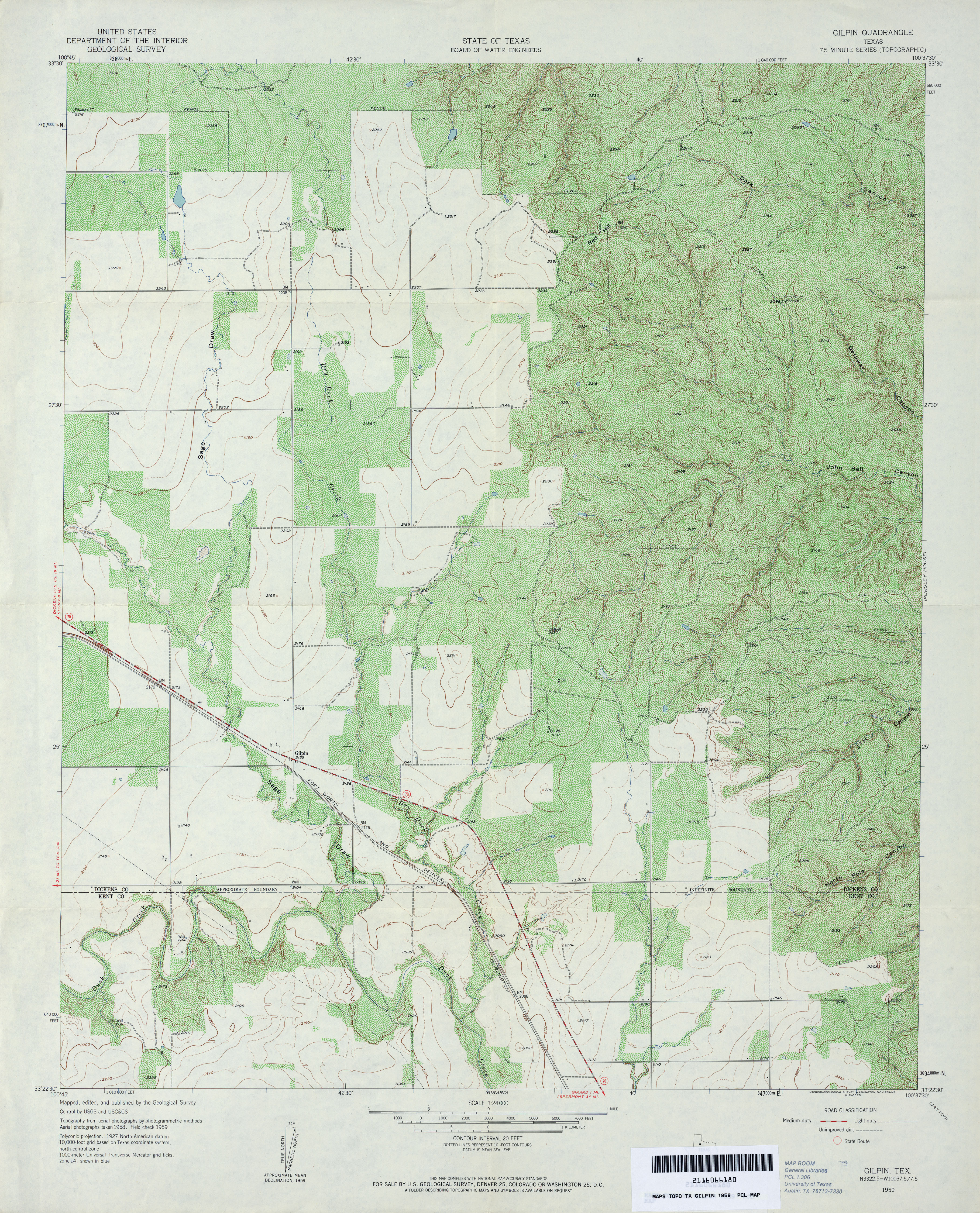
- Gilpin 1:24,000 1959 (5.2MB)
- Gilpin 1:24,000 2008 (16.6MB) [GeoPDF]
- Gilpin 1:24,000 2012 (21.8MB) [GeoPDF]
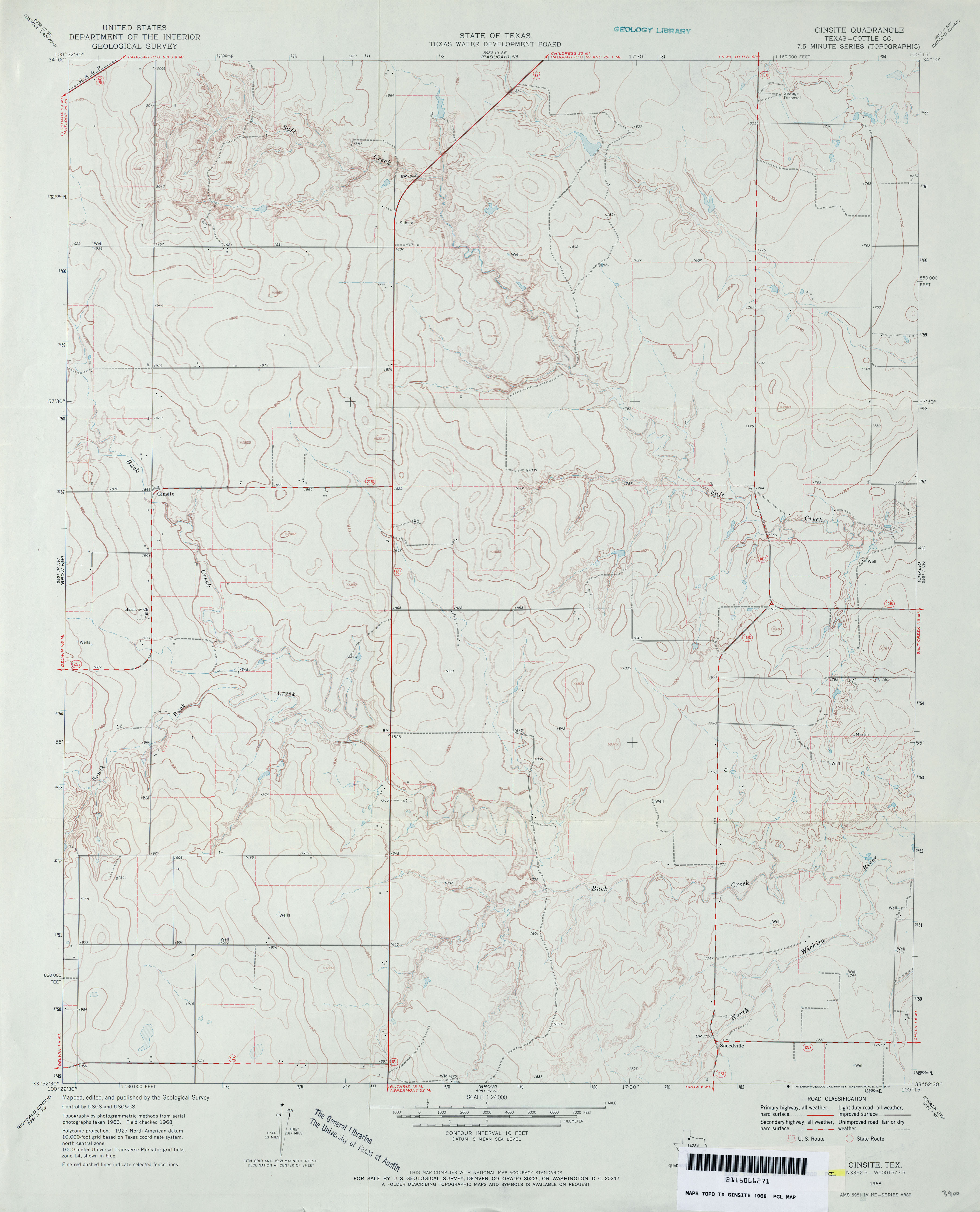
- Ginsite (Cottle County) 1:24,000 1968 (2.6MB)
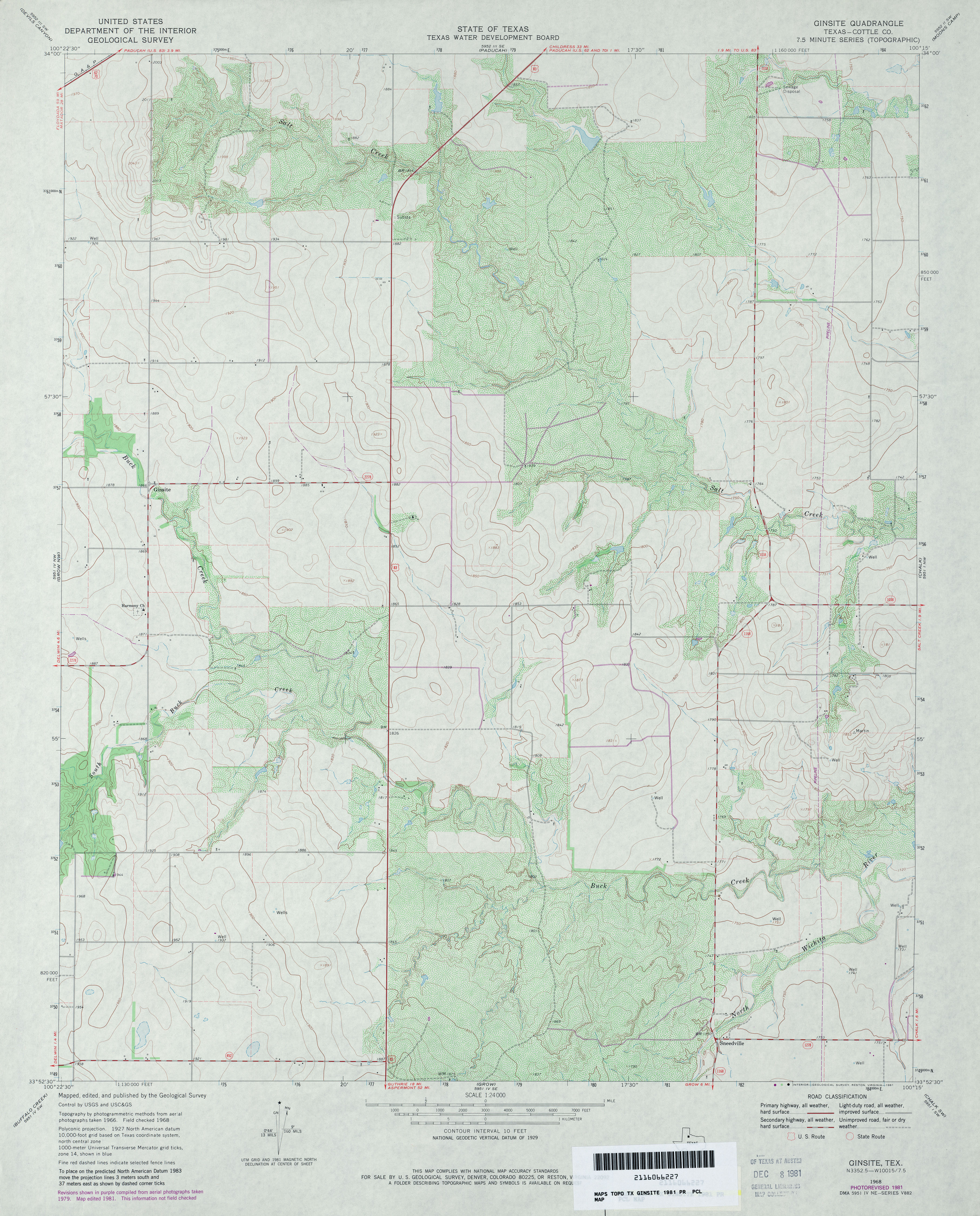
- Ginsite (Cottle County) 1:24,000 1981 (3.7MB)
- Ginsite 1:24,000 2008 (11.4MB) [GeoPDF]
- Ginsite 1:24,000 2012 (17.3MB) [GeoPDF]
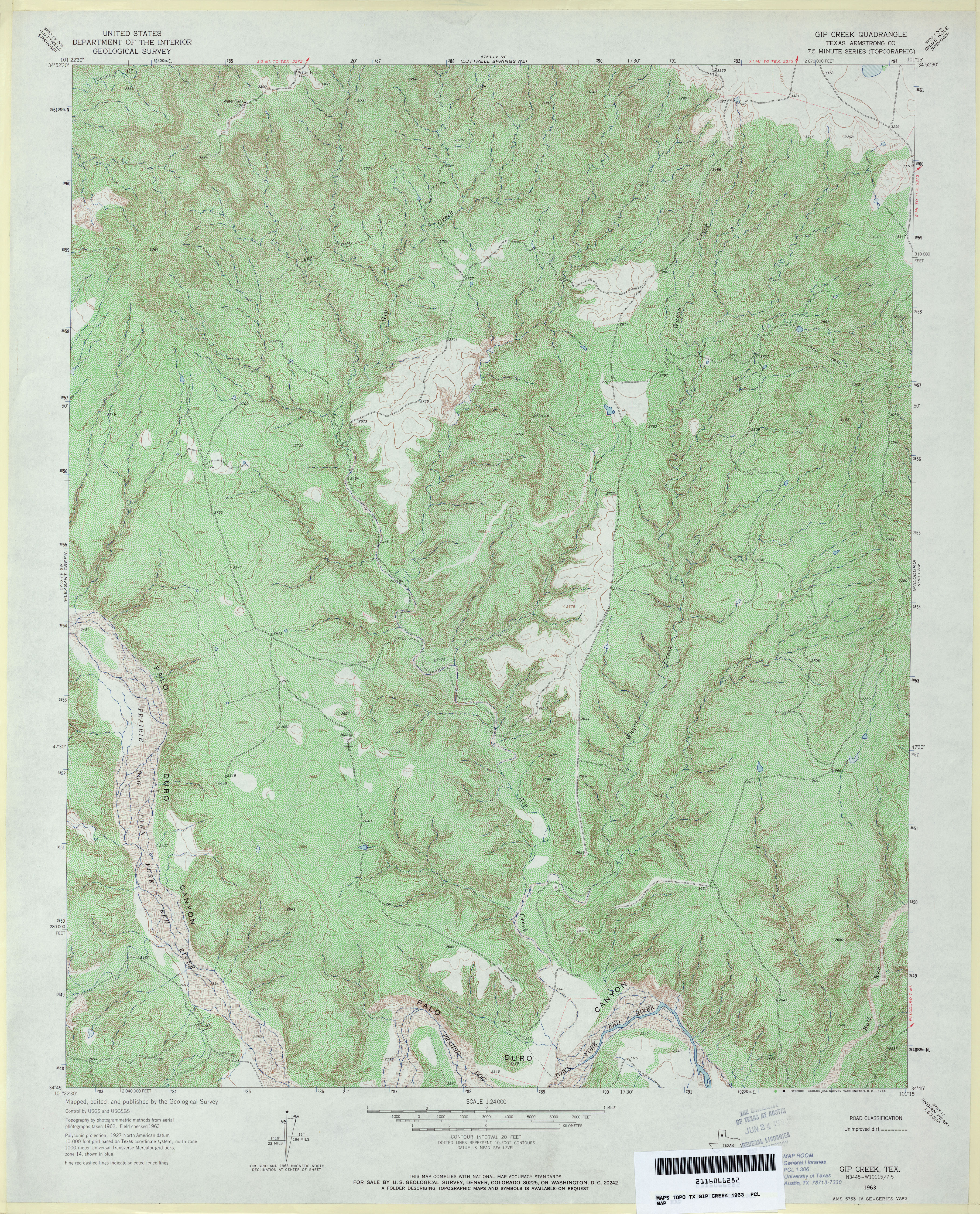
- Gip Creek (Armstrong County) 1:24,000 1963 (6.6MB)
- Gip Creek 1:24,000 2012 (31.3MB) [GeoPDF]
- Girard (Kent County) 1:24,000 1959 (4.4MB)
- Girard 1:24,000 2008 (13.0MB) [GeoPDF]
- Girard 1:24,000 2012 (18.5MB) [GeoPDF]
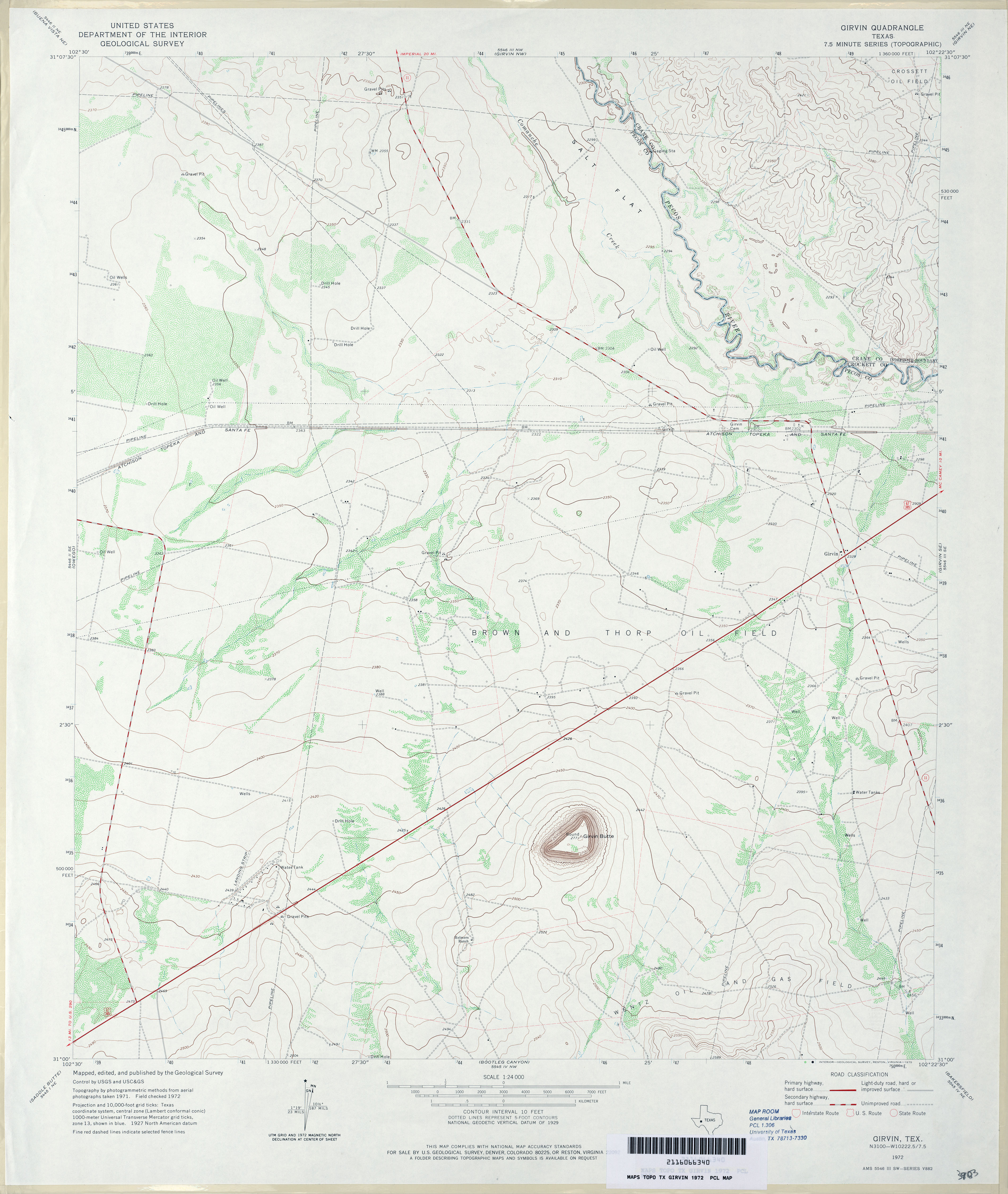
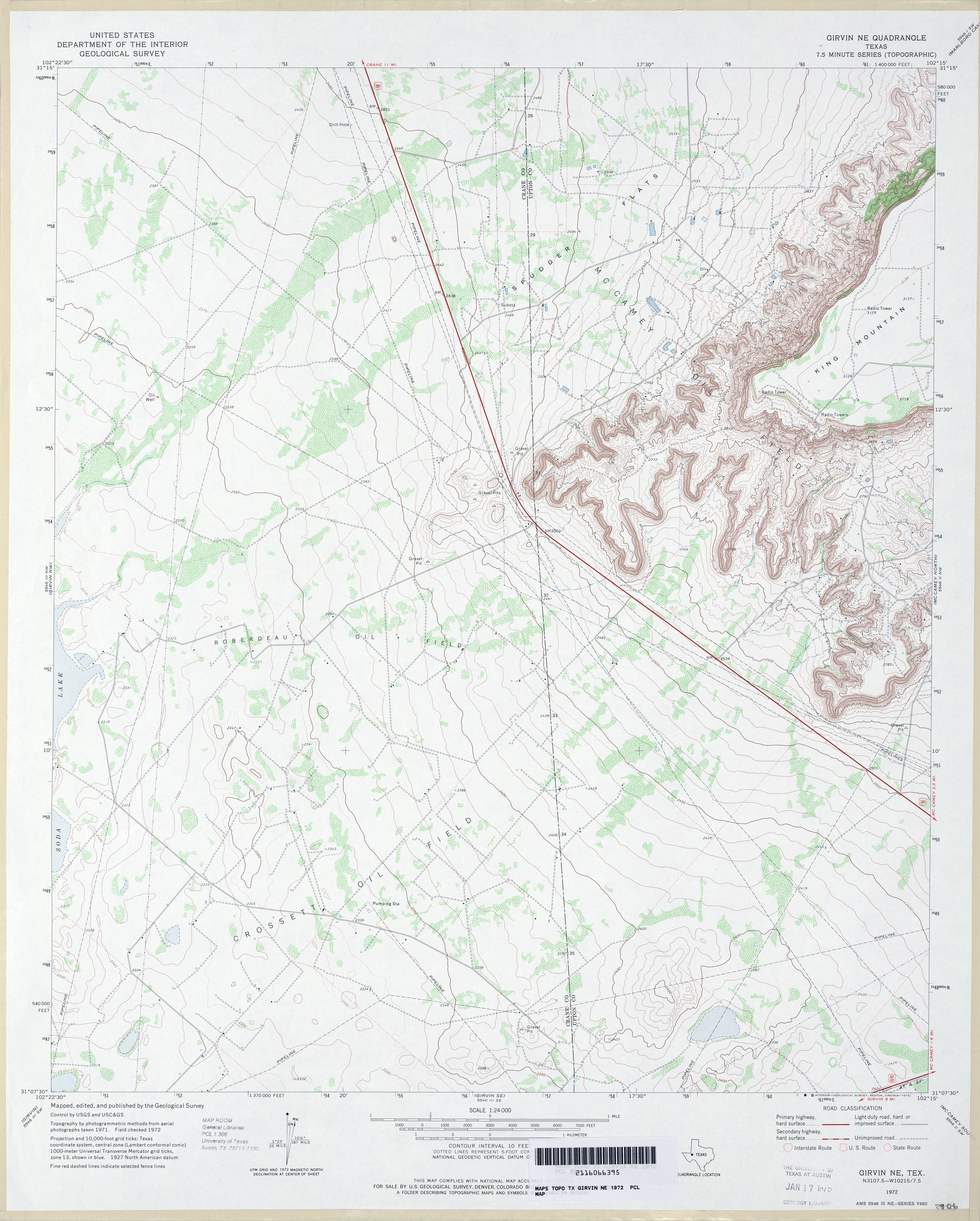
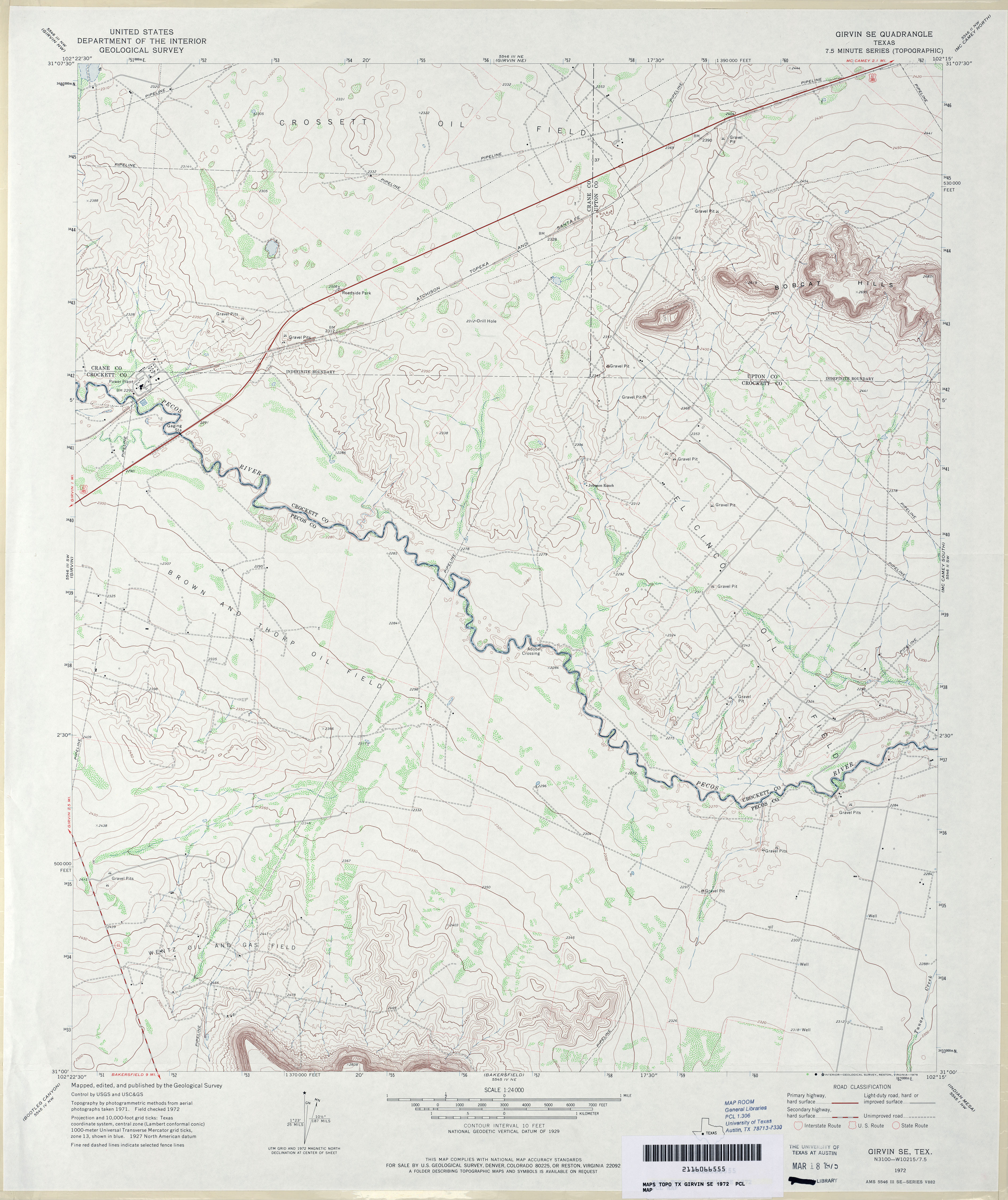
- Girvin 1:24,000 1972 (3.1MB)
- Girvin 1:24,000 2008 (21.6MB) [GeoPDF]
- Girvin 1:24,000 2012 (24.9MB) [GeoPDF]
- Girvin NE 1:24,000 1972 (3.4MB)
- Girvin NE 1:24,000 2008 (23.6MB) [GeoPDF]
- Girvin NE 1:24,000 2012 (26.5MB) [GeoPDF]
- Girvin NW 1:24,000 1972 (2.6MB)
- Girvin NW 1:24,000 2008 (22.1MB) [GeoPDF]
- Girvin NW 1:24,000 2012 (24.9MB) [GeoPDF]
- Girvin SE 1:24,000 1972 (3.5MB)
- Girvin SE 1:24,000 2008 (22.2MB) [GeoPDF]
- Girvin SE 1:24,000 2012 (26.5MB) [GeoPDF]
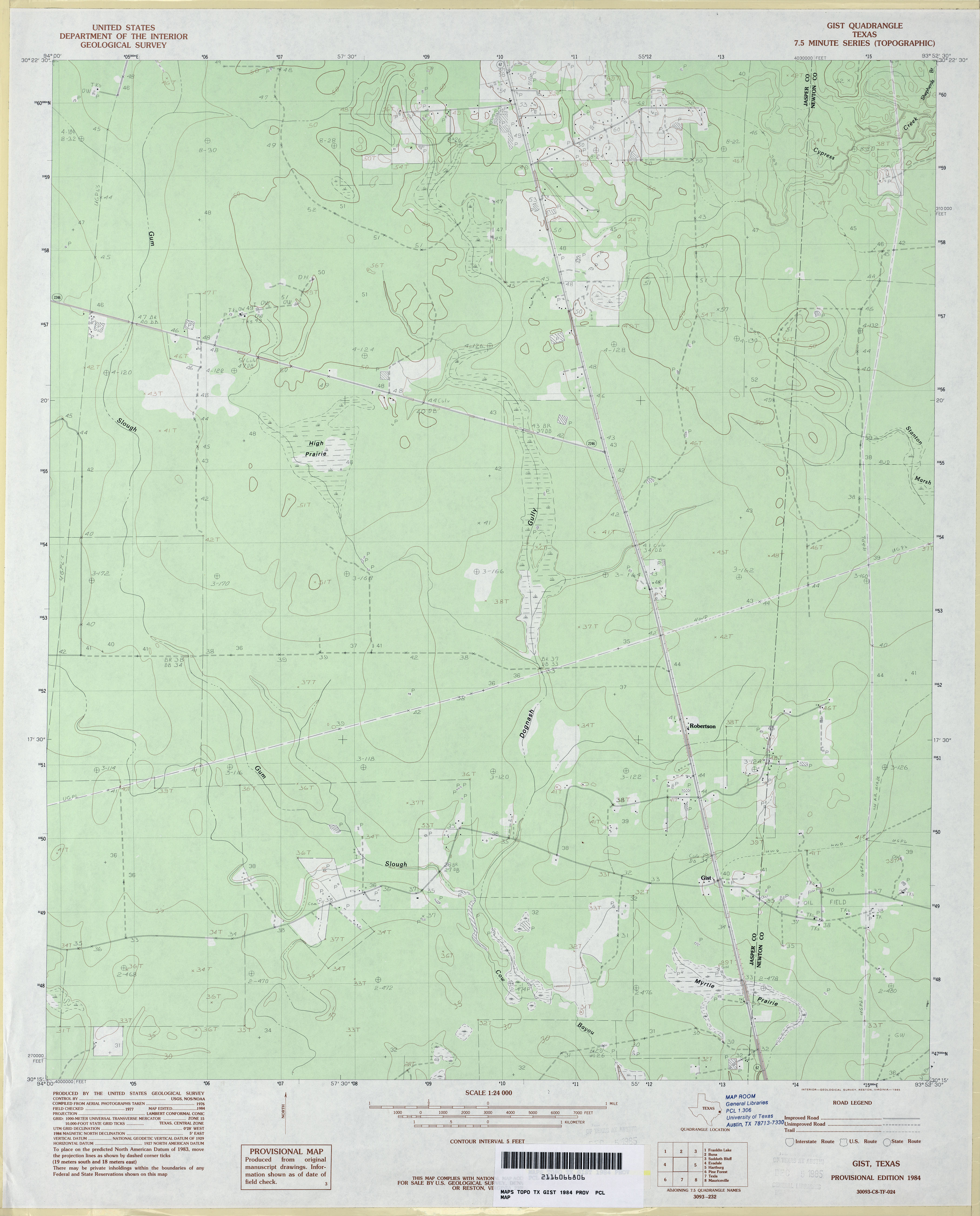
- Gist 1:24,000 1984 (2.6MB)
- Gist 1:24,000 2009 (23.3MB) [GeoPDF]
- Gist 1:24,000 2012 (21.5MB) [GeoPDF]
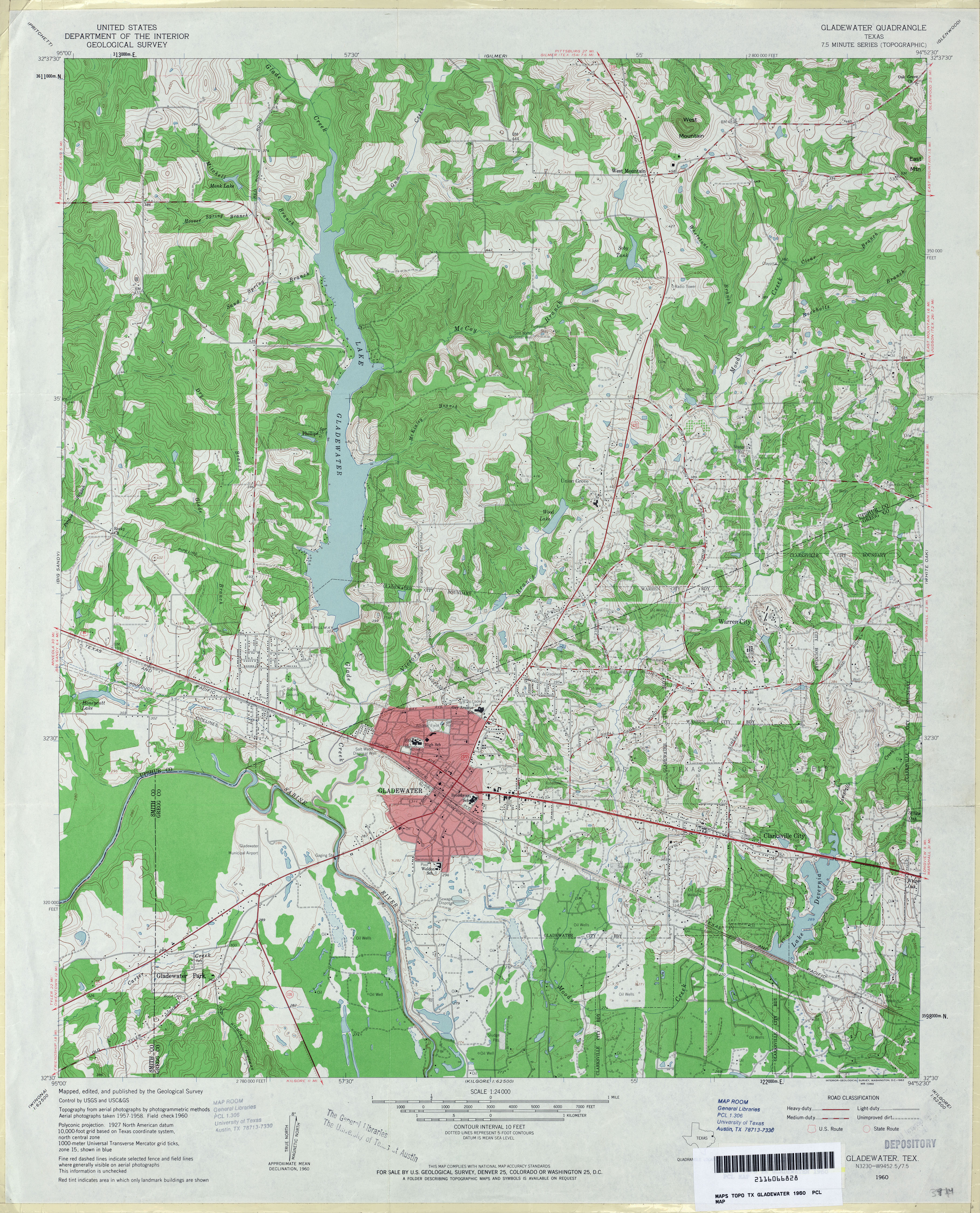
- Gladewater 1:24,000 1960 (5MB)
- Gladewater 1:24,000 2008 (22.8MB) [GeoPDF]
- Gladewater 1:24,000 2013 (26.2MB) [GeoPDF]
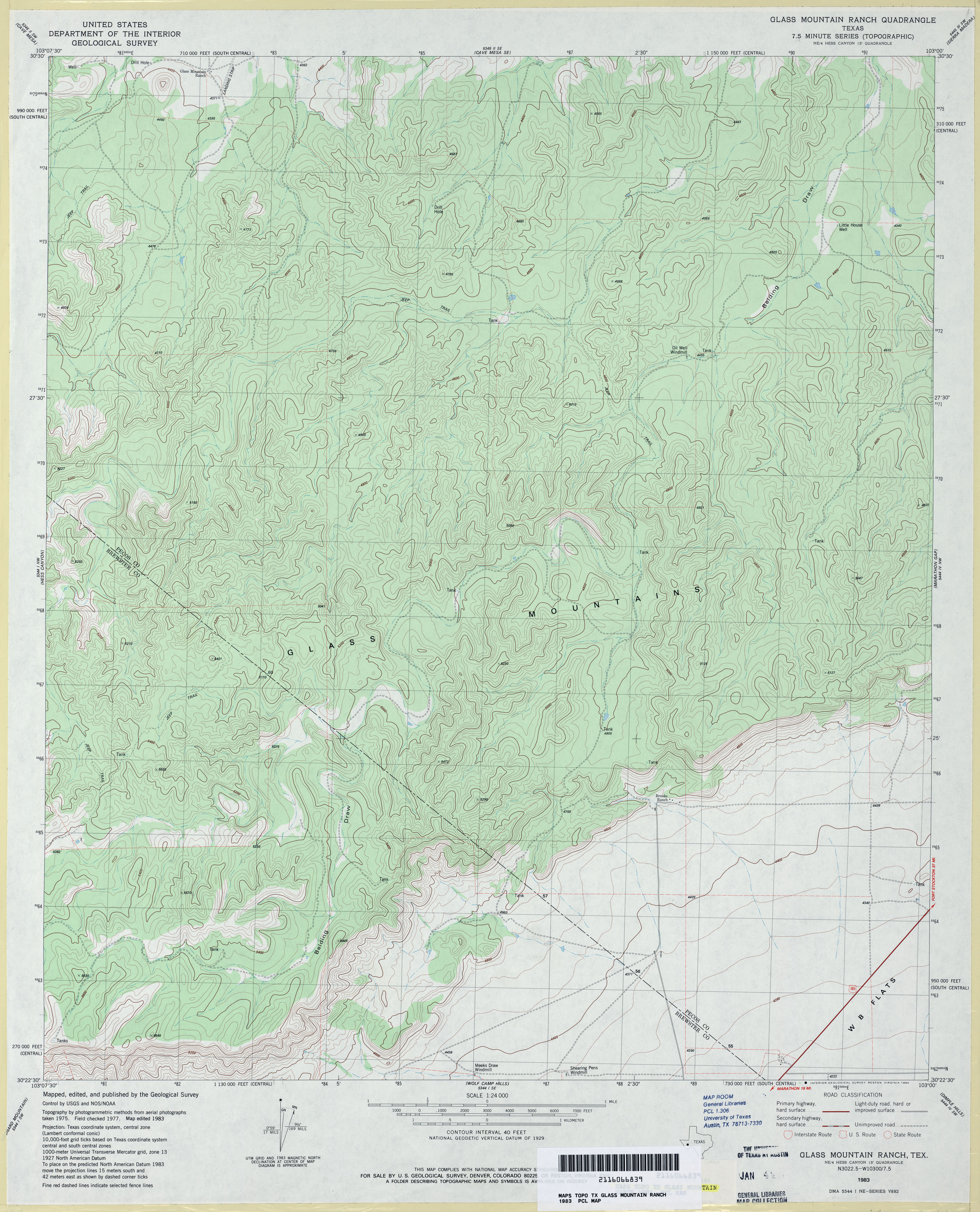
- Glass Mountain Ranch 1:24,000 1983 (4.1MB)
- Glass Mountain Ranch 1:24,000 2008 (27.3MB) [GeoPDF]
- Glass Mountain Ranch 1:24,000 2012 (31MB) [GeoPDF]
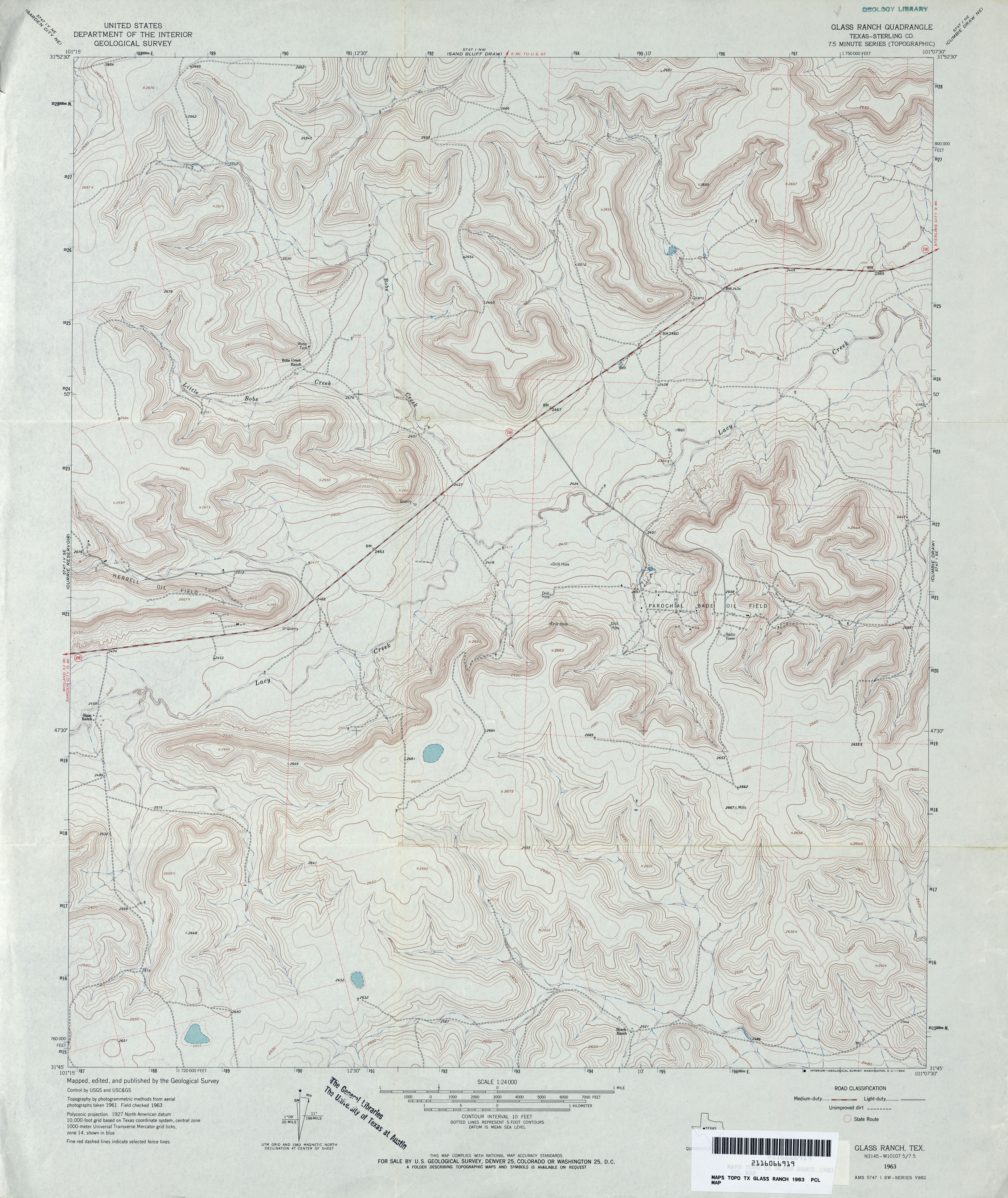
- Glass Ranch (Sterling County) 1:24,000 1963 (4.2MB)
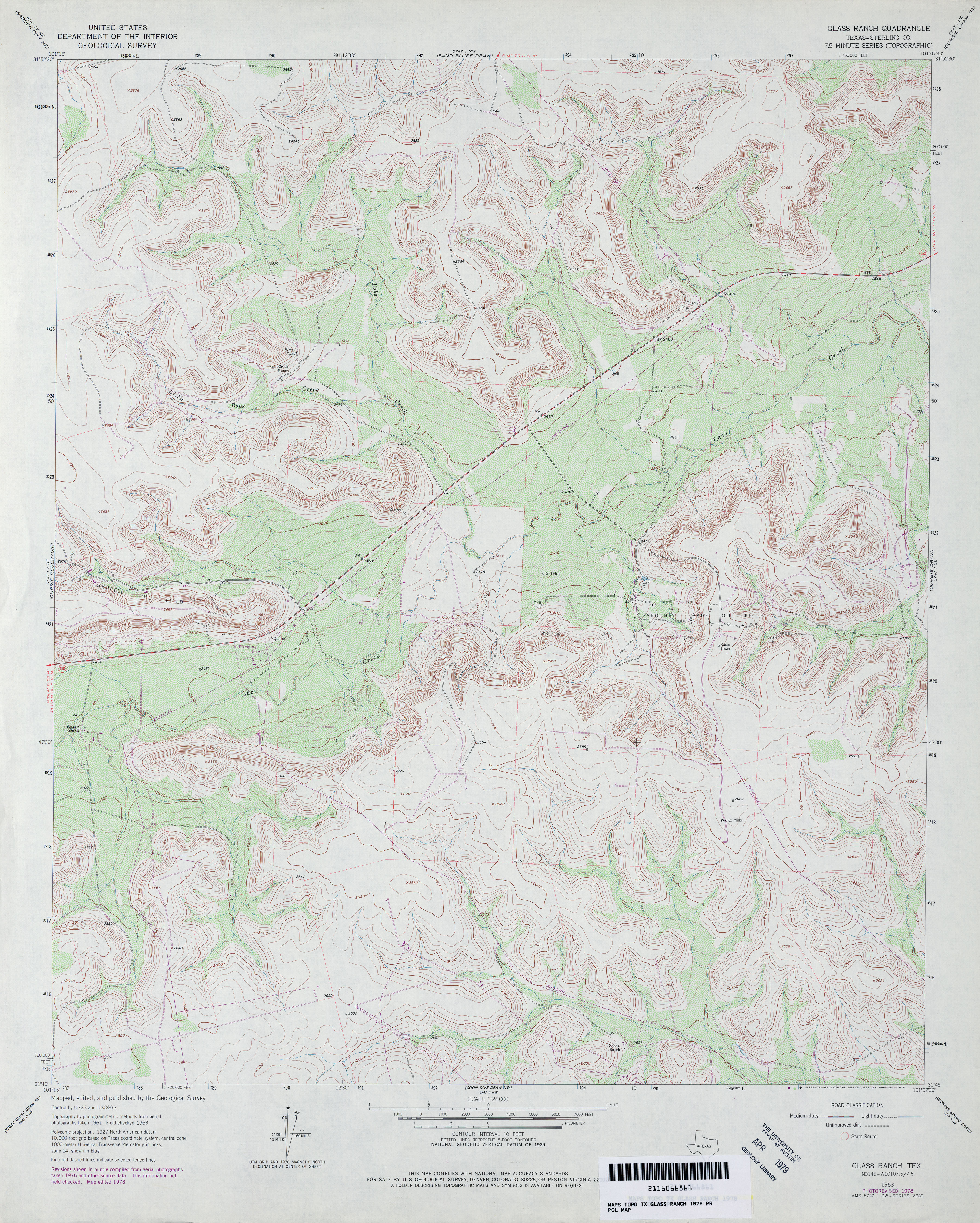
- Glass Ranch (Sterling County) 1:24,000 1978 (5MB)
- Glass Ranch 1:24,000 2008 (22.1MB) [GeoPDF]
- Glass Ranch 1:24,000 2012 (24.9MB) [GeoPDF]
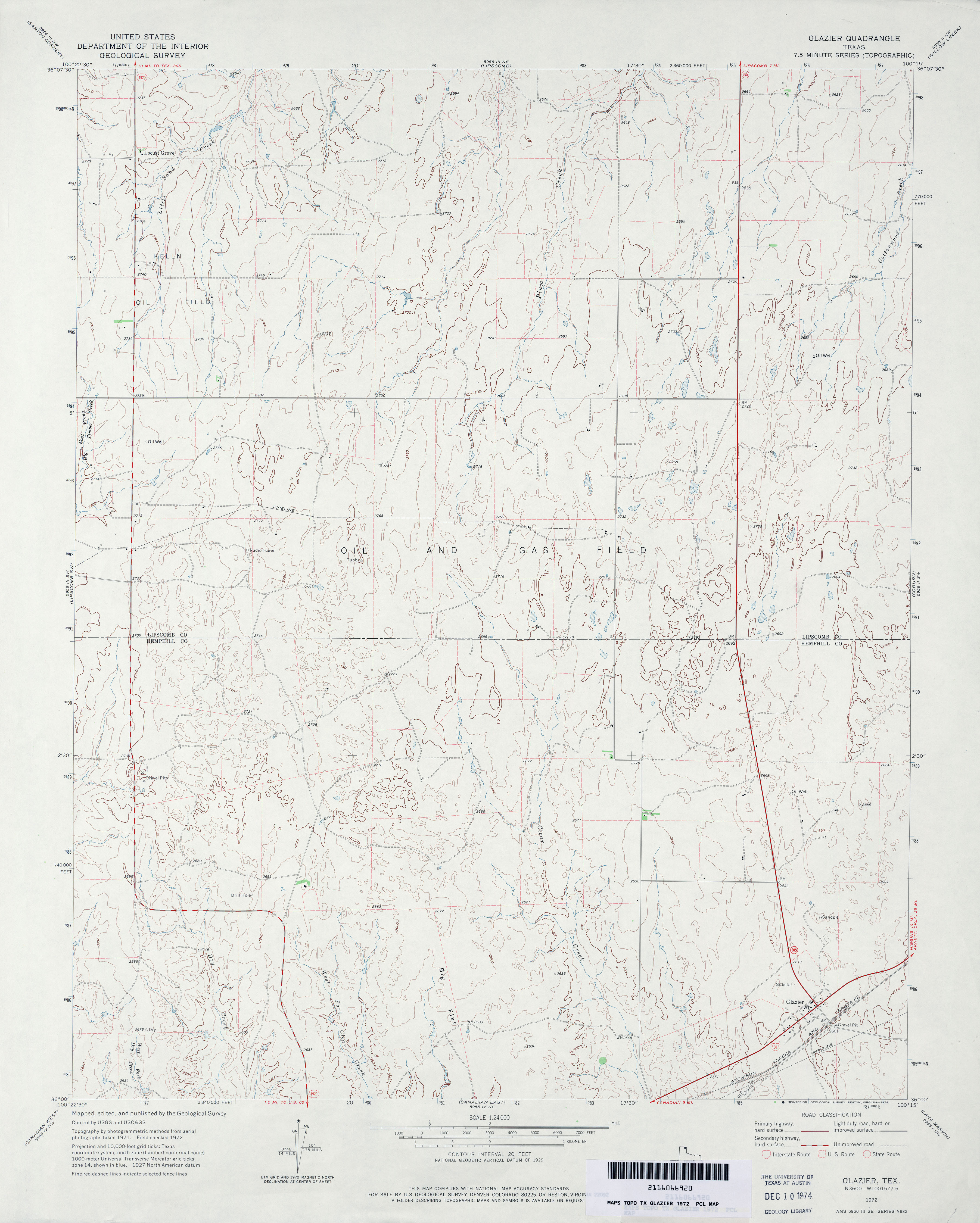
- Glazier 1:24,000 1972 (3MB)
- Glazier 1:24,000 2008 (10.0MB) [GeoPDF]
- Glazier 1:24,000 2012 (16.3MB) [GeoPDF]
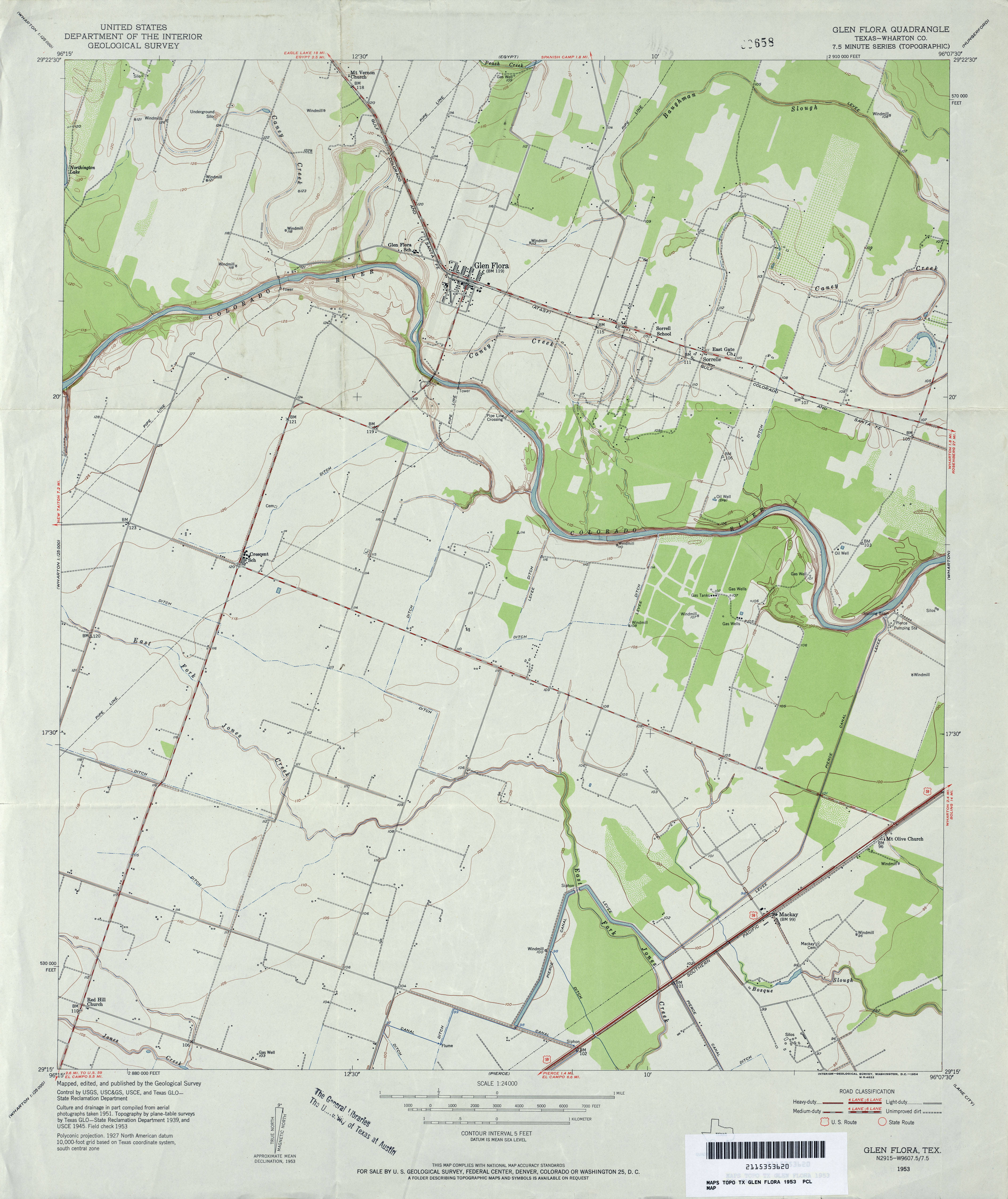
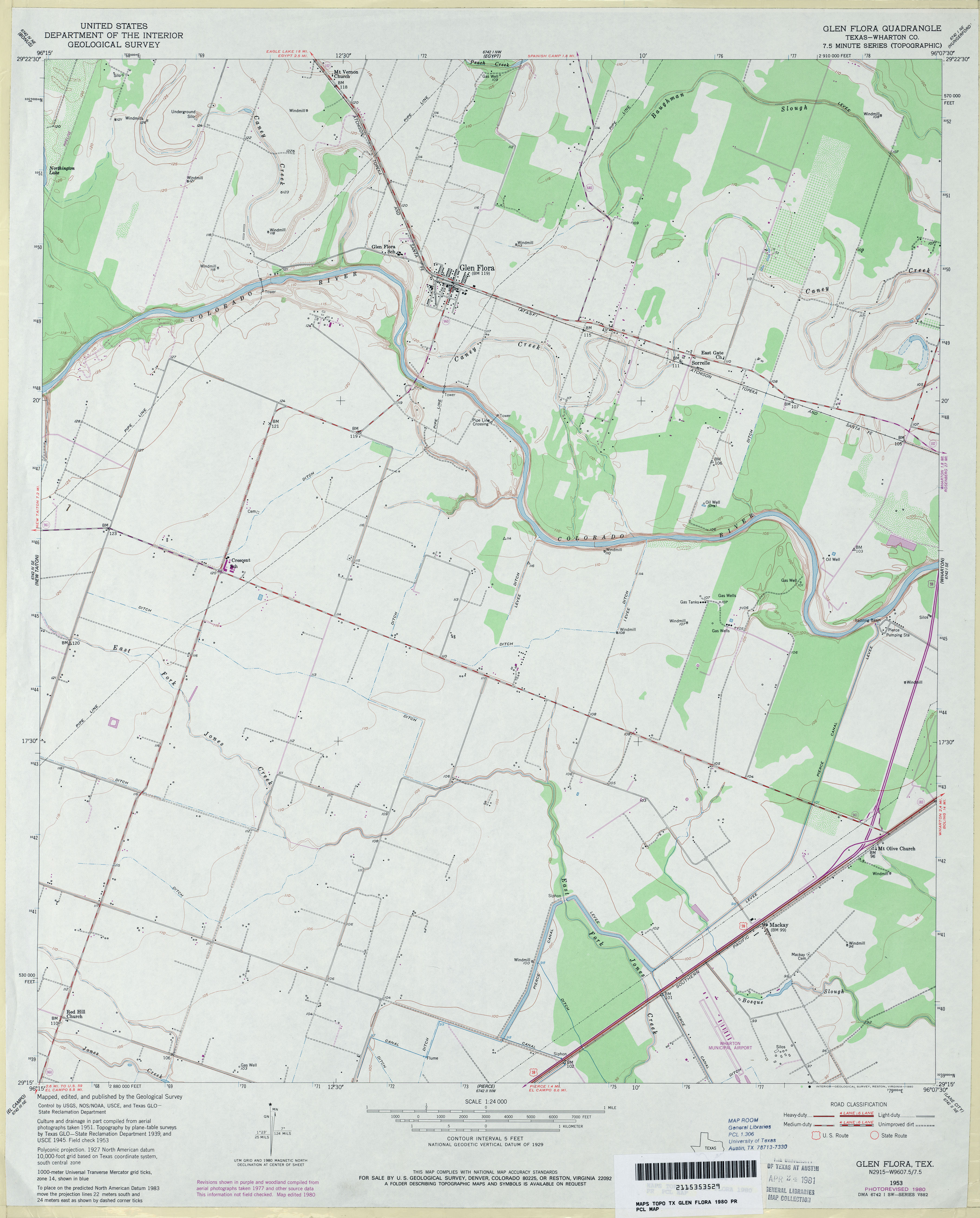
- Glen Flora (Wharton County) 1:24,000 1953 (3MB)
- Glen Flora (Wharton County) 1:24,000 1980 (2.8MB)
- Glen Flora 1:24,000 2008 (10.6MB) [GeoPDF]
- Glen Flora 1:24,000 2013 (17.7MB) [GeoPDF]
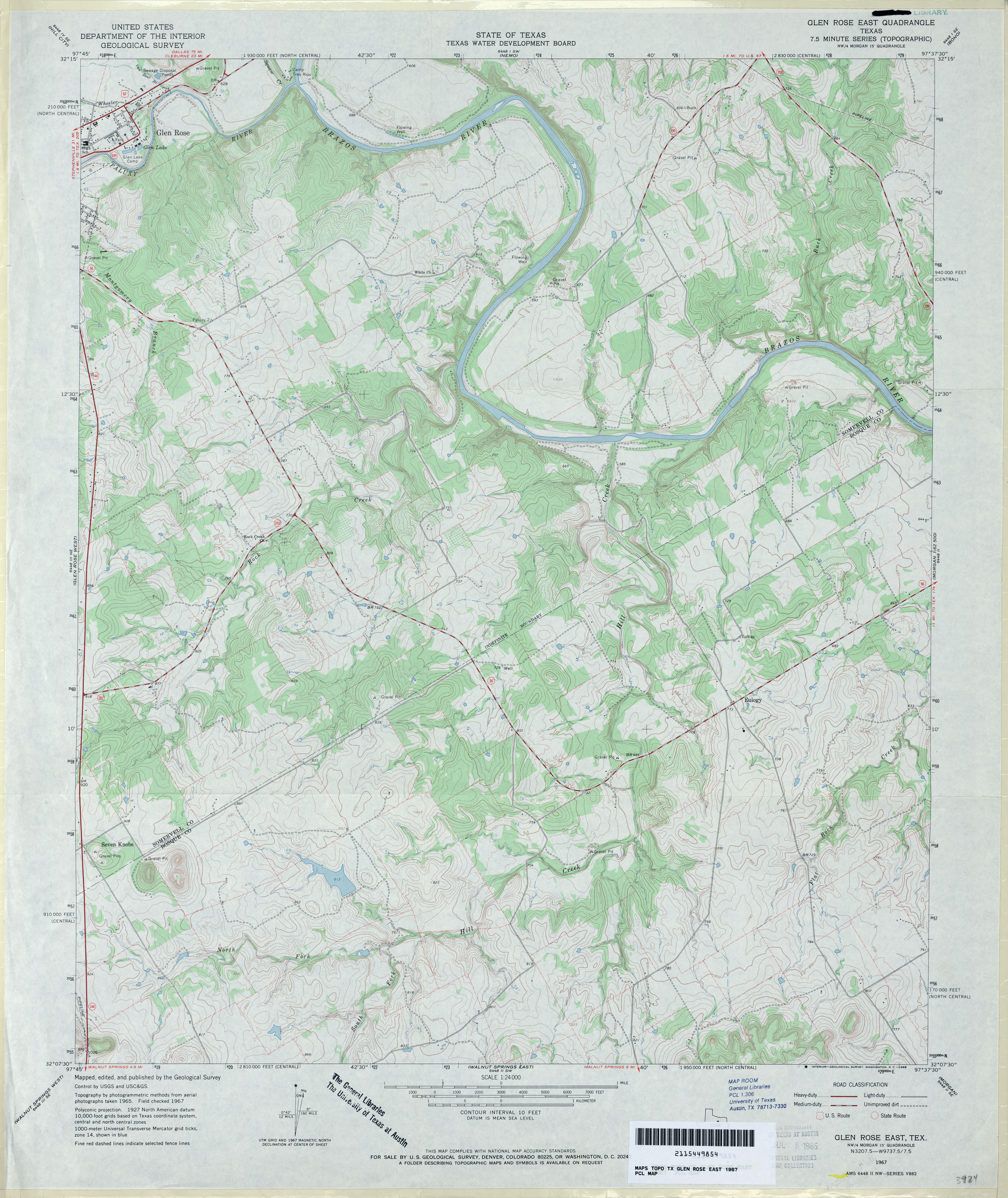
- Glen Rose East 1:24,000 1967 (4.1MB)
- Glen Rose East 1:24,000 2008 (17.1MB) [GeoPDF]
- Glen Rose East 1:24,000 2012 (22.4MB) [GeoPDF]
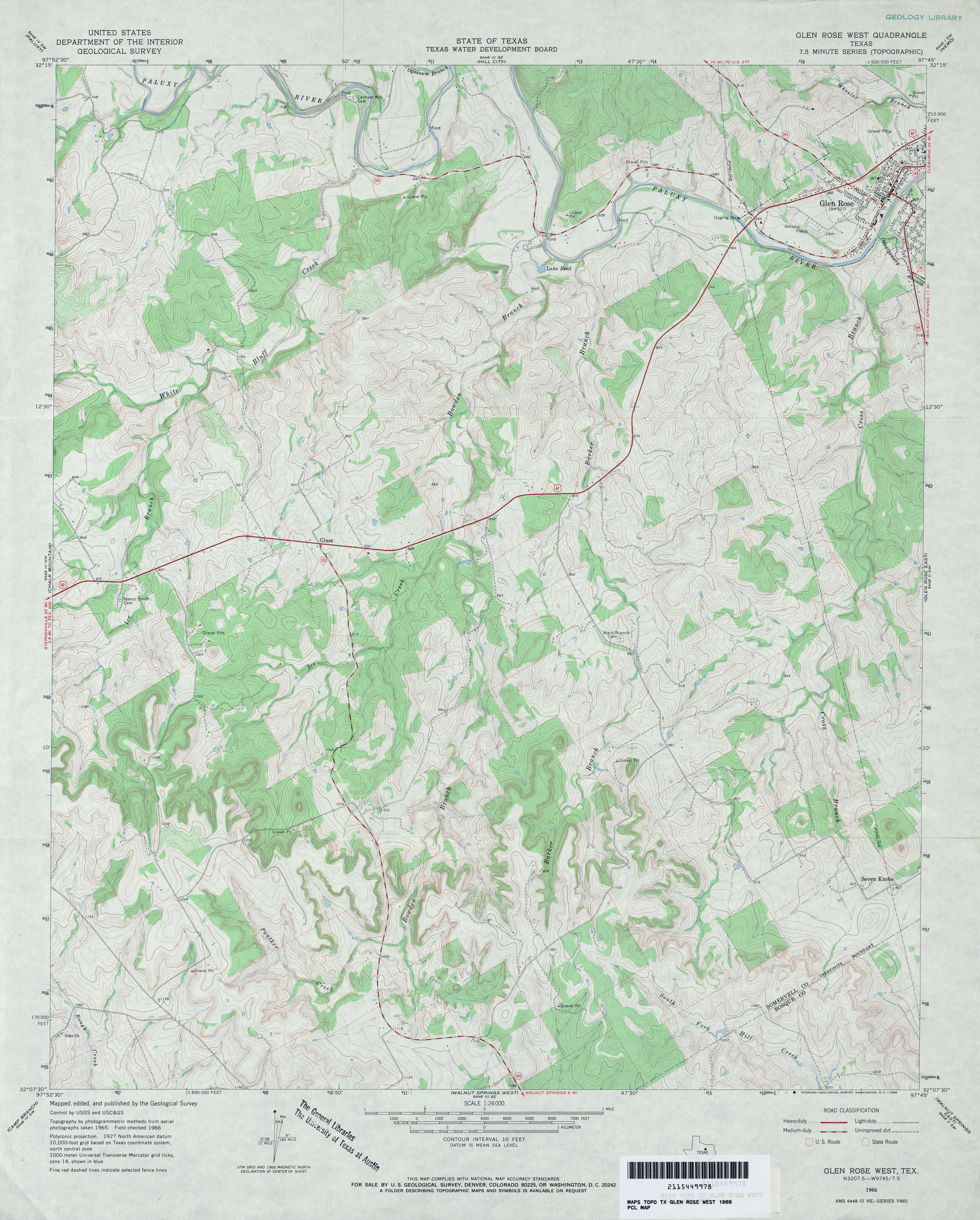
- Glen Rose West 1:24,000 1966 (4.3MB)
- Glen Rose West 1:24,000 1979 (5.6MB)
- 1:24,000 2008 (20.3MB) [GeoPDF]
- Glen Rose West 1:24,000 2012 (25.5MB) [GeoPDF]
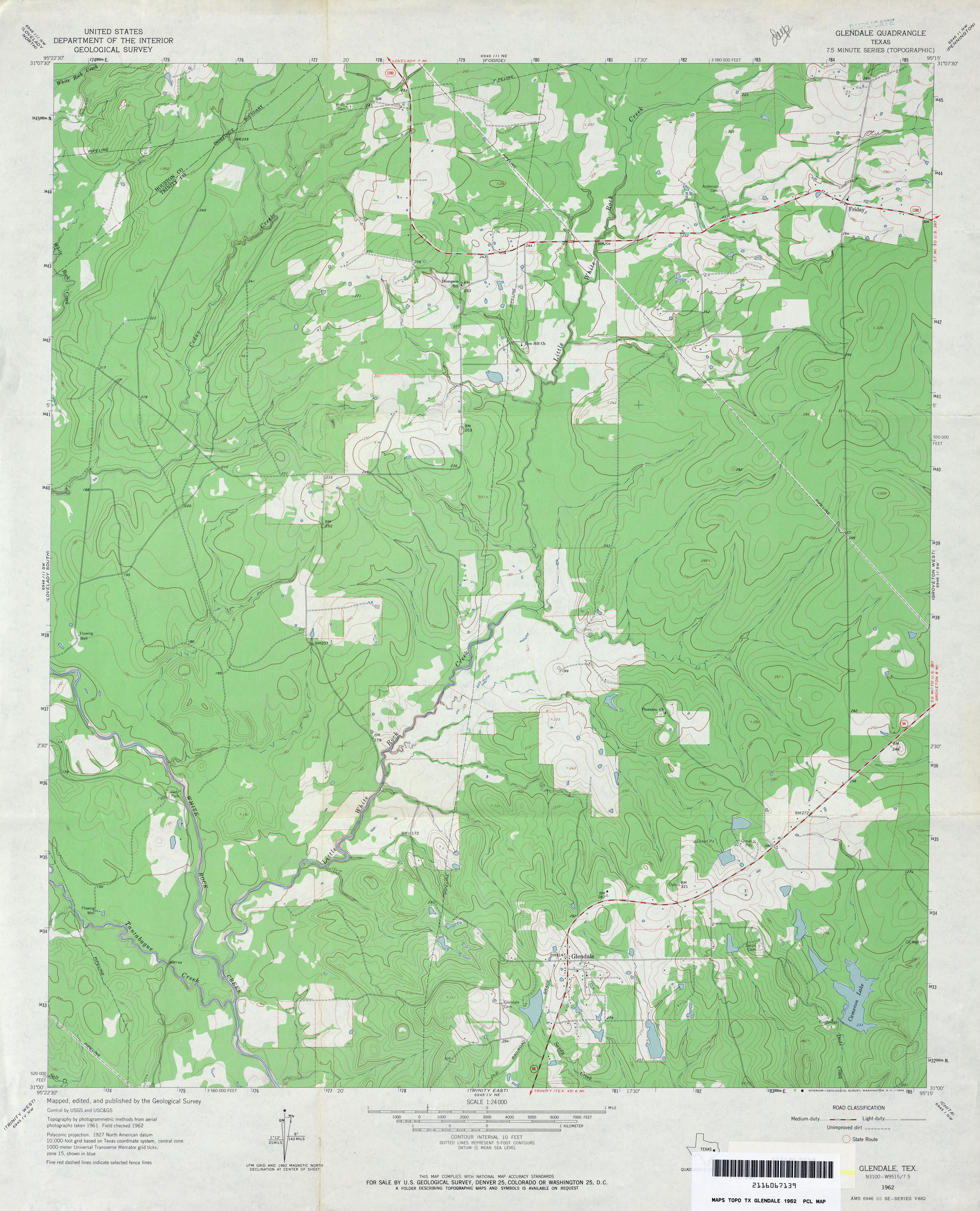
- Glendale 1:24,000 1962 (3.5MB)
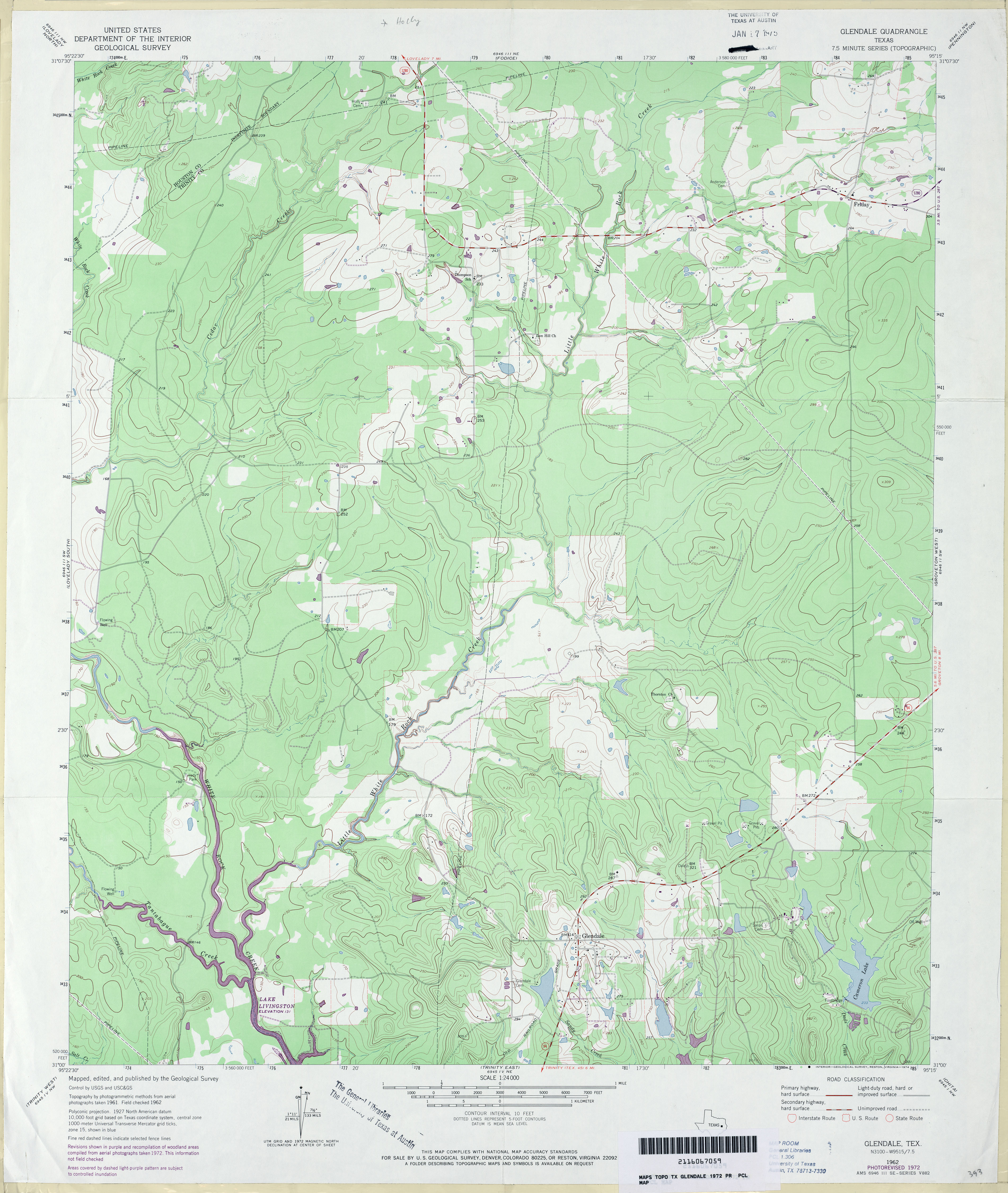
- Glendale 1:24,000 1972 (3.6MB)
- Glendale 1:24,000 2009 (24.3MB) [GeoPDF]
- Glendale 1:24,000 2013 (26.1MB) [GeoPDF]
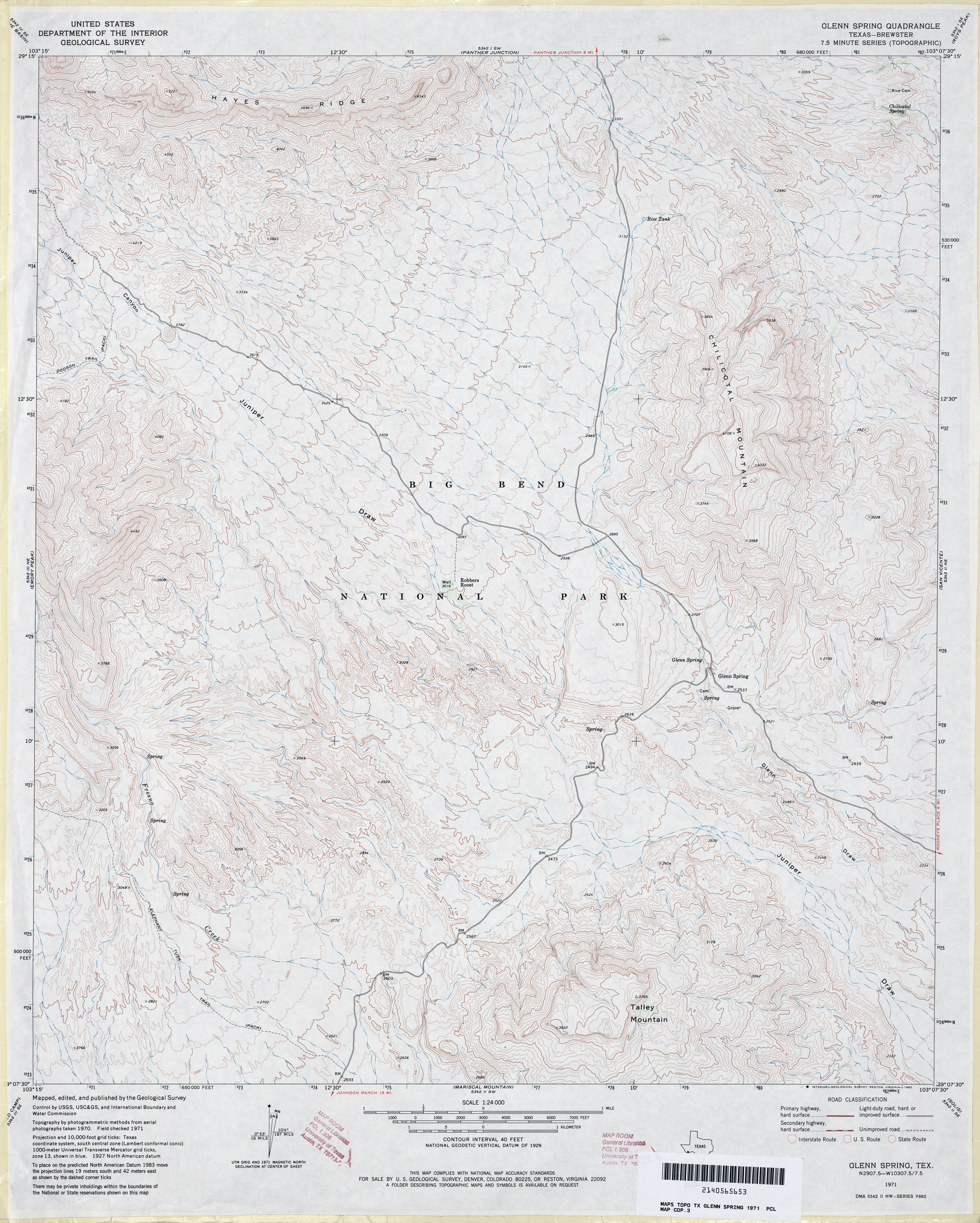
- Glenn Spring (Brewster County) 1:24,000 1971 (4.4MB)
- Glenn Spring 1:24,000 2008 (23.3MB) [GeoPDF]
- Glenn Spring 1:24,000 2012 (25.7MB) [GeoPDF]
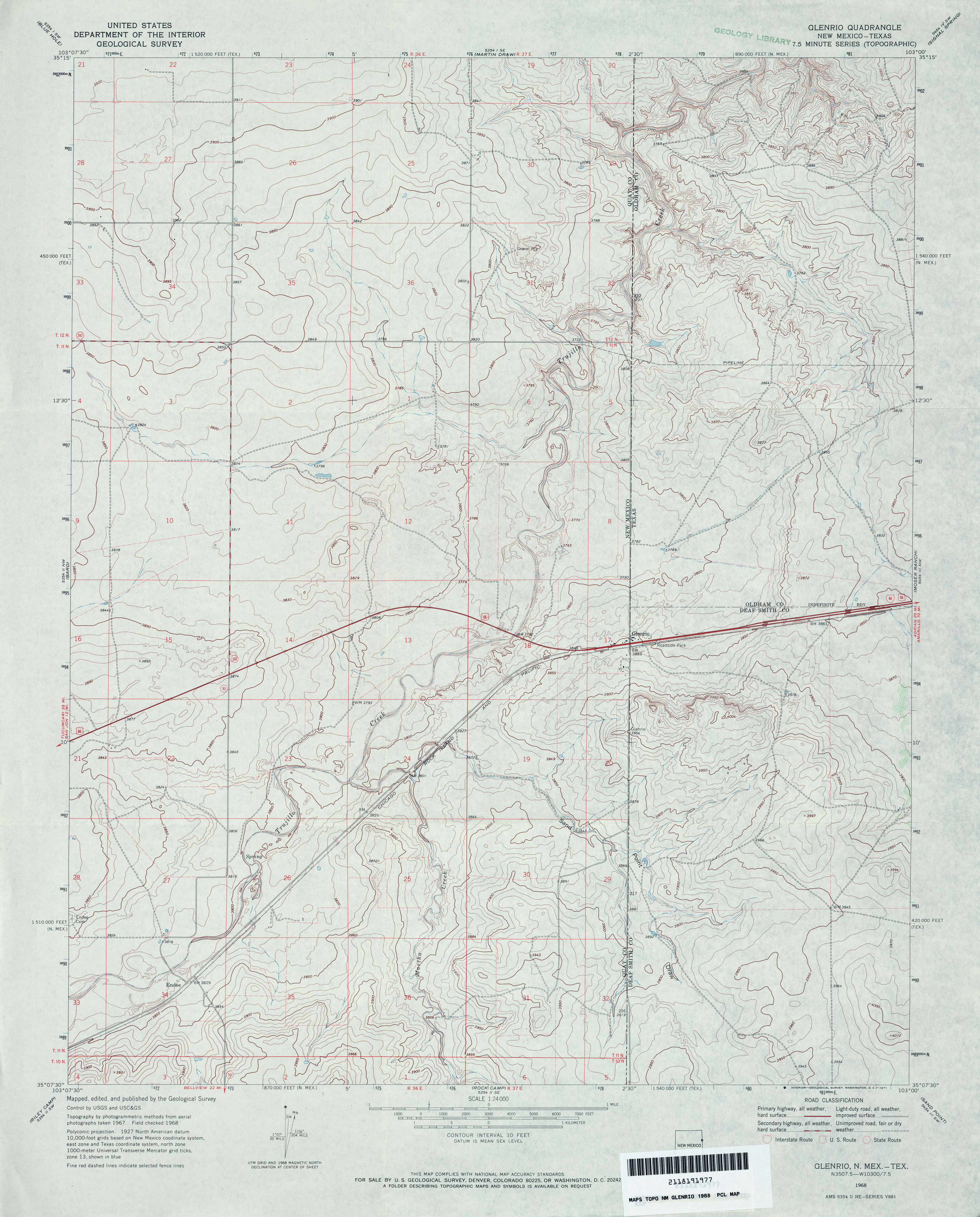
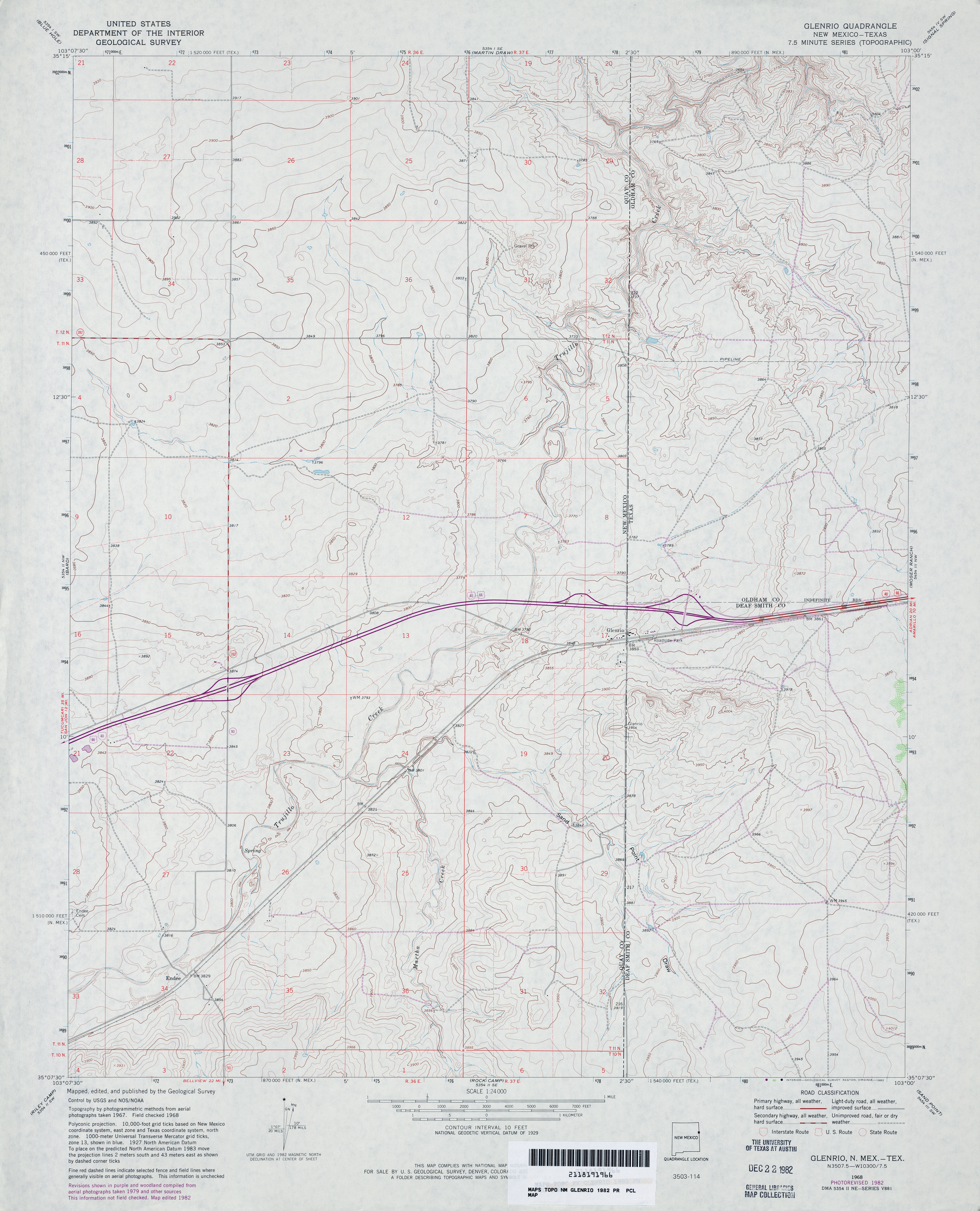
- Glenrio 1:24,000 1968 (3.6MB)
- Glenrio 1:24,000 1982 (3.4MB)
- Glenrio [New Mexico, Texas] 1:24,000 2009 (20.7MB) [GeoPDF]
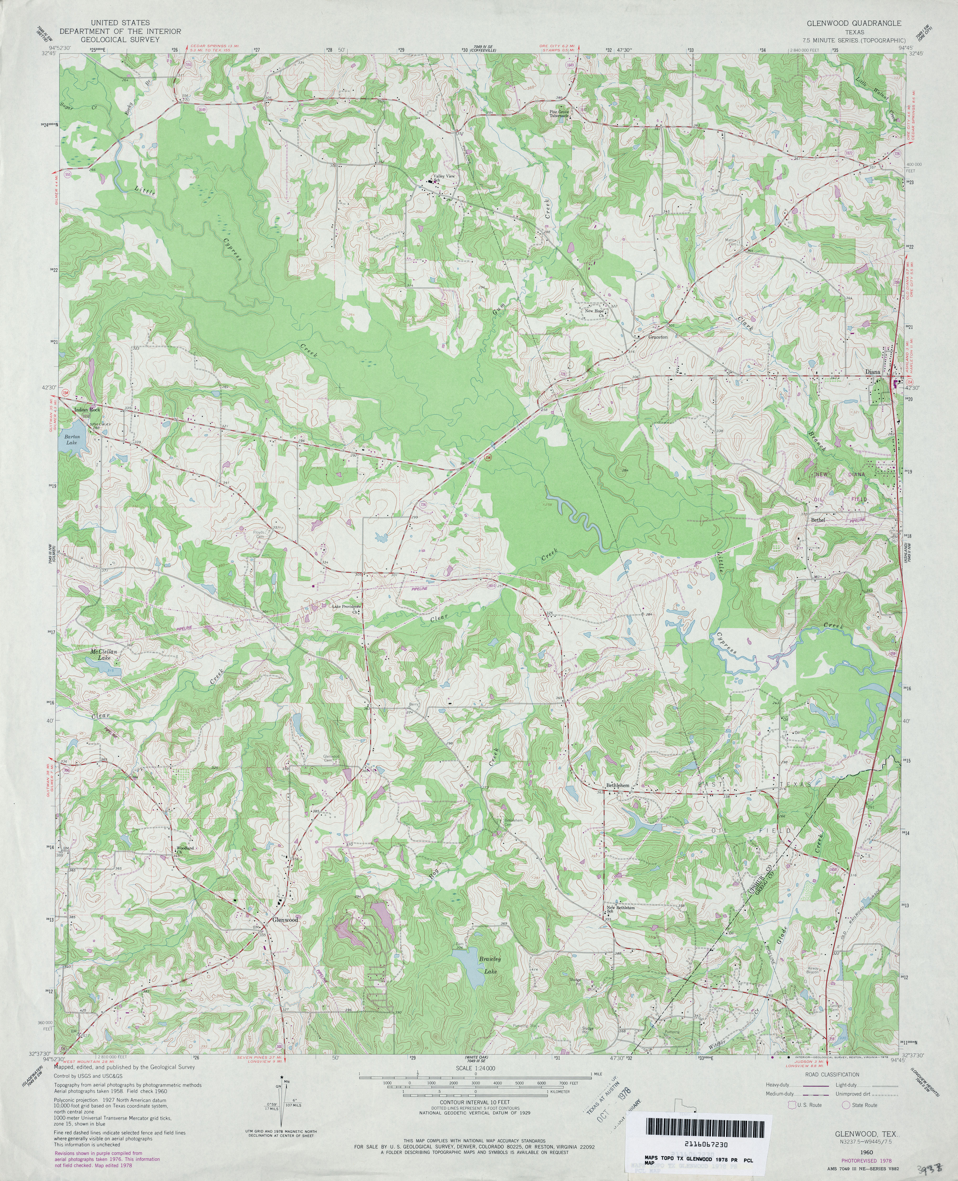
- Glenwood 1:24,000 1960 (4.6MB)
- Glenwood 1:24,000 1978 (4.4MB)
- Glenwood 1:24,000 2009 (21.1MB) [GeoPDF]
- Glenwood 1:24,000 2013 (24.5MB) [GeoPDF]
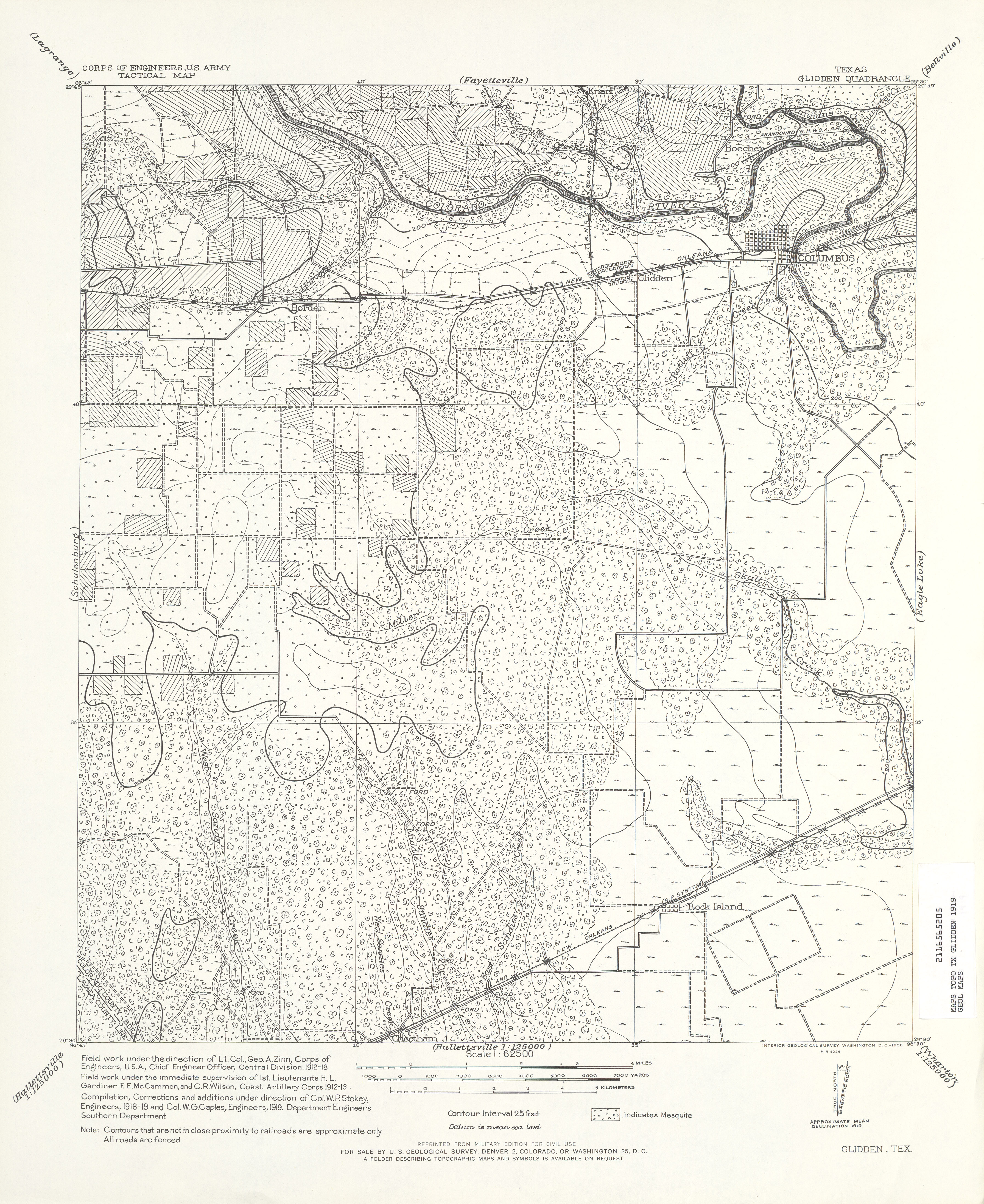
- Glidden 1:62,500 1919 (4.6 MB) U.S. Army. Corps of Engineers. Tactical Map
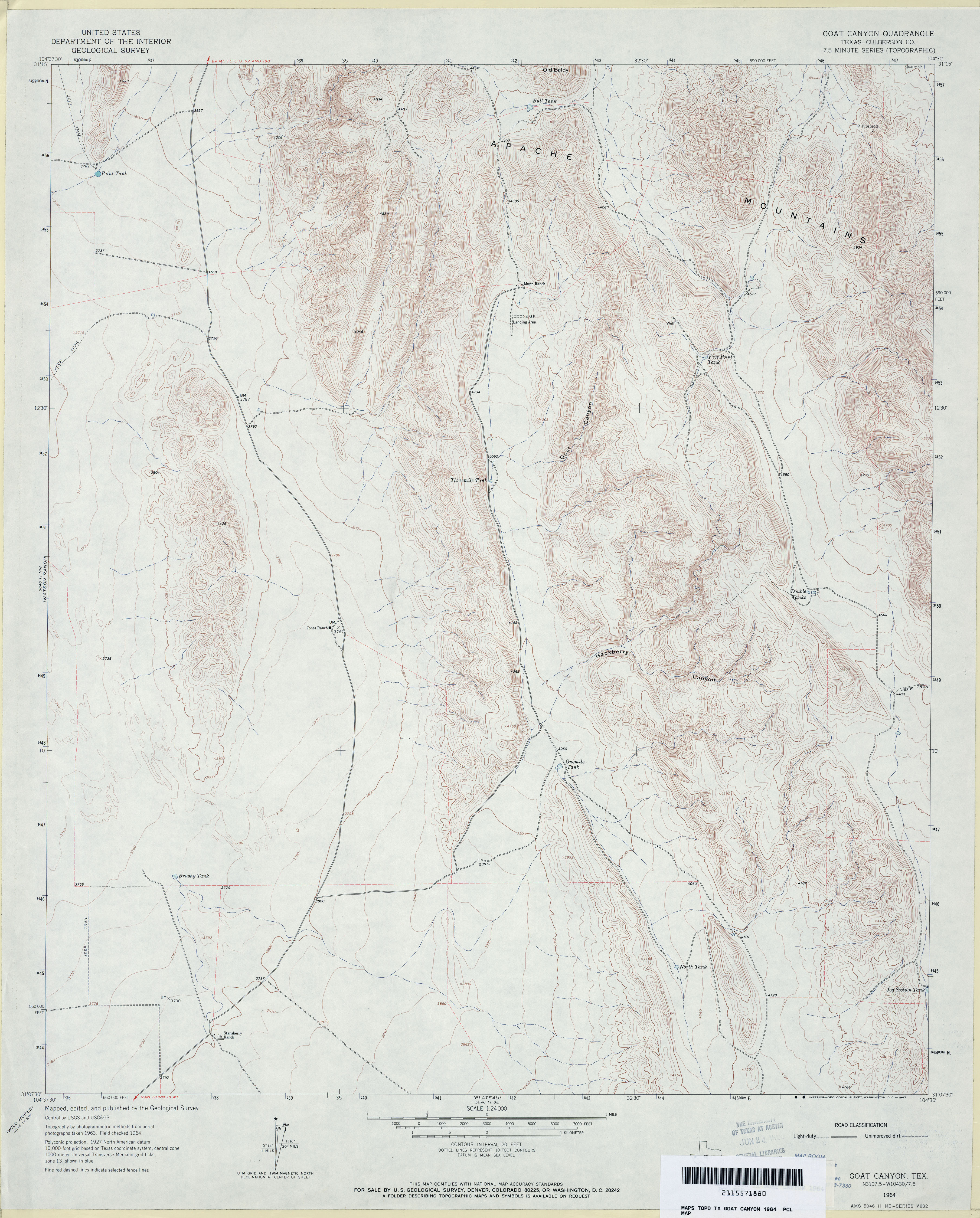
- Goat Canyon (Culberson County) 1:24,000 1964 (3.7MB)
- Goat Canyon 1:24,000 2008 (25.3MB) [GeoPDF]
- Goat Canyon 1:24,000 2012 (24.7MB) [GeoPDF]
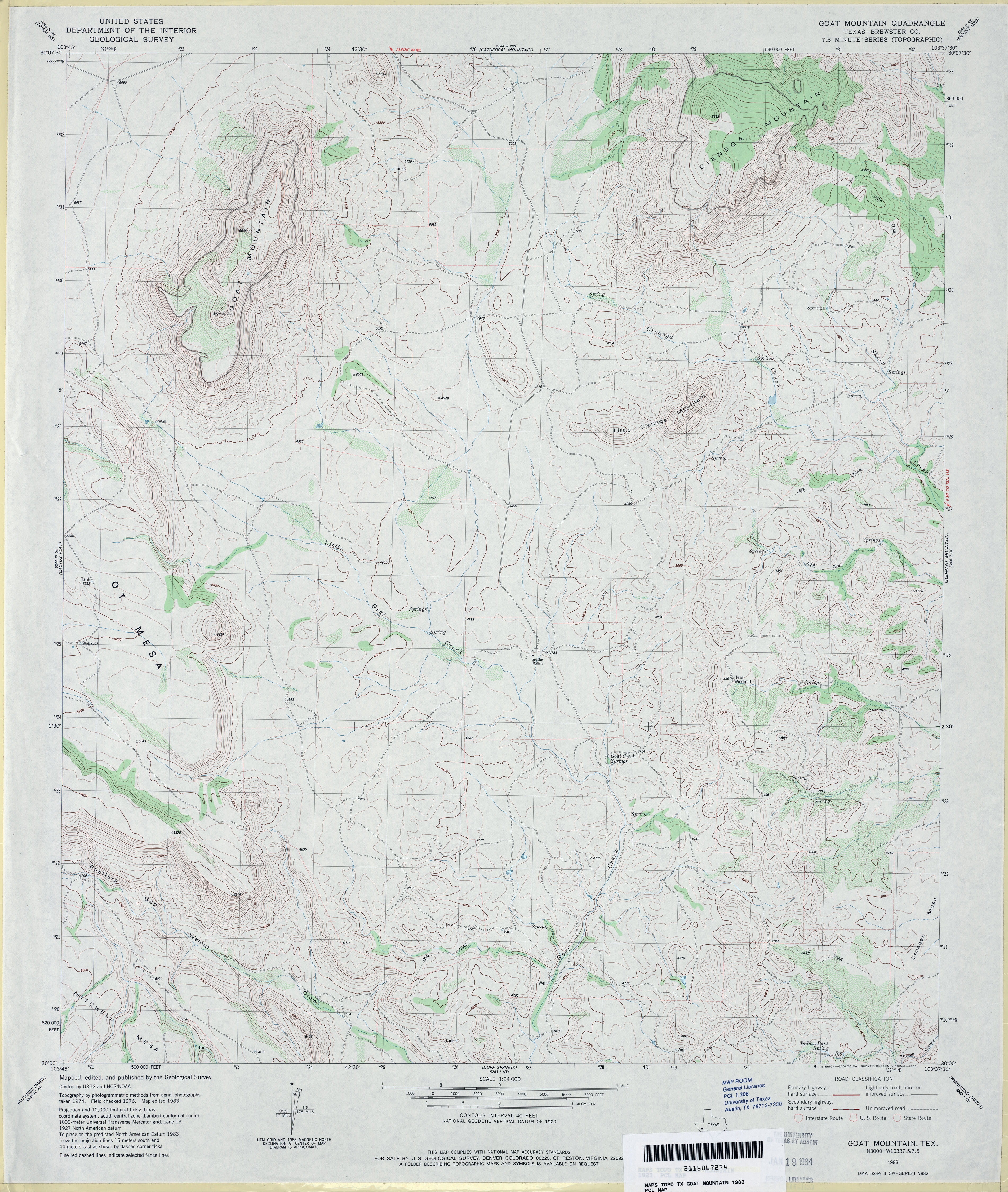
- Goat Mountain (Brewster County) 1:24,000 1983 (4.2MB)
- Goat Mountain 1:24,000 2008 (17.7MB) [GeoPDF]
- Goat Mountain 1:24,000 2012 (20.9MB) [GeoPDF]
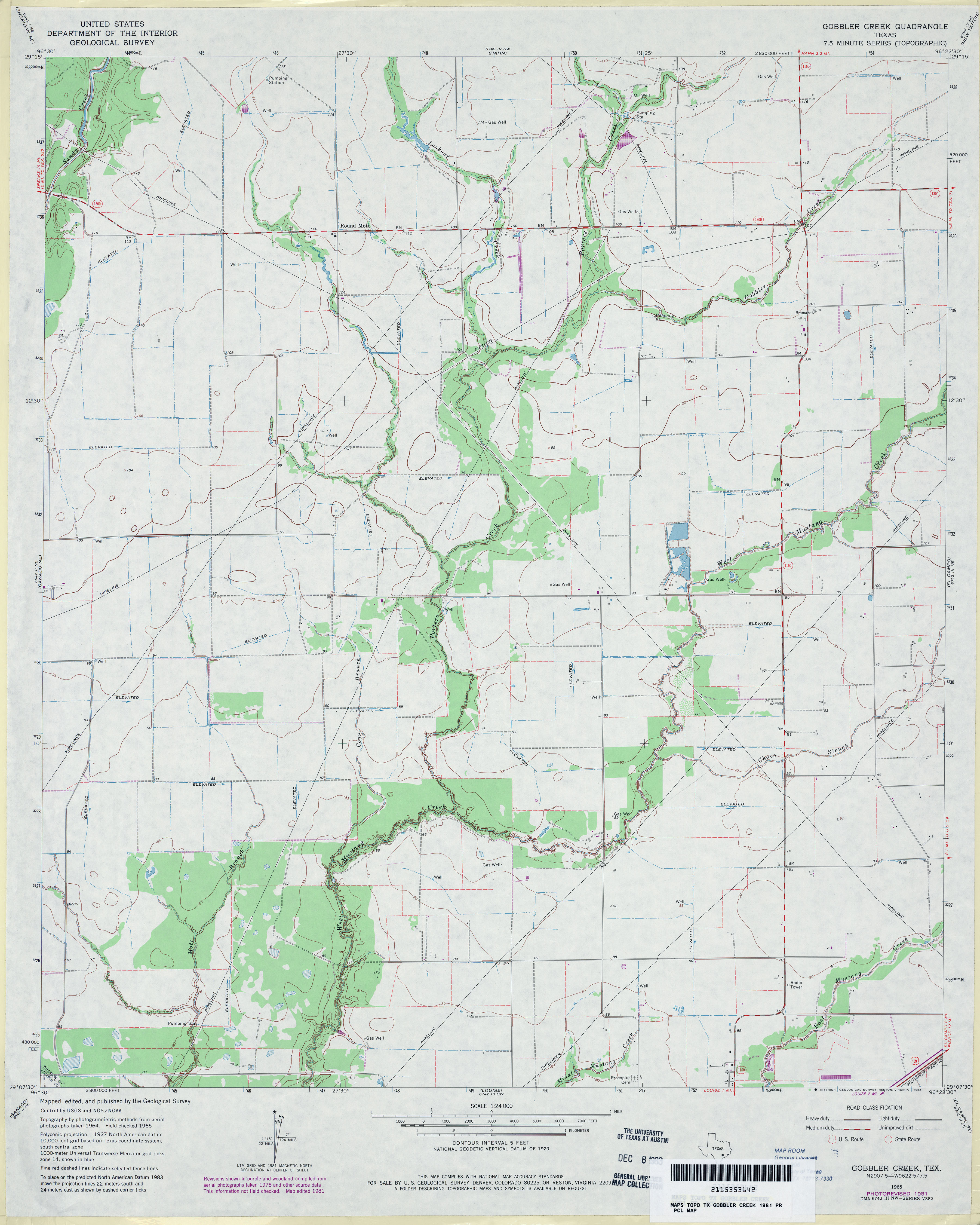
- Gobbler Creek 1:24,000 1965 (2.9MB)
- Gobbler Creek 1:24,000 1981 (3MB)
- Gobbler Creek 1:24,000 2009 (11.0MB) [GeoPDF]
- Gobbler Creek 1:24,000 2013 (17.4MB) [GeoPDF]
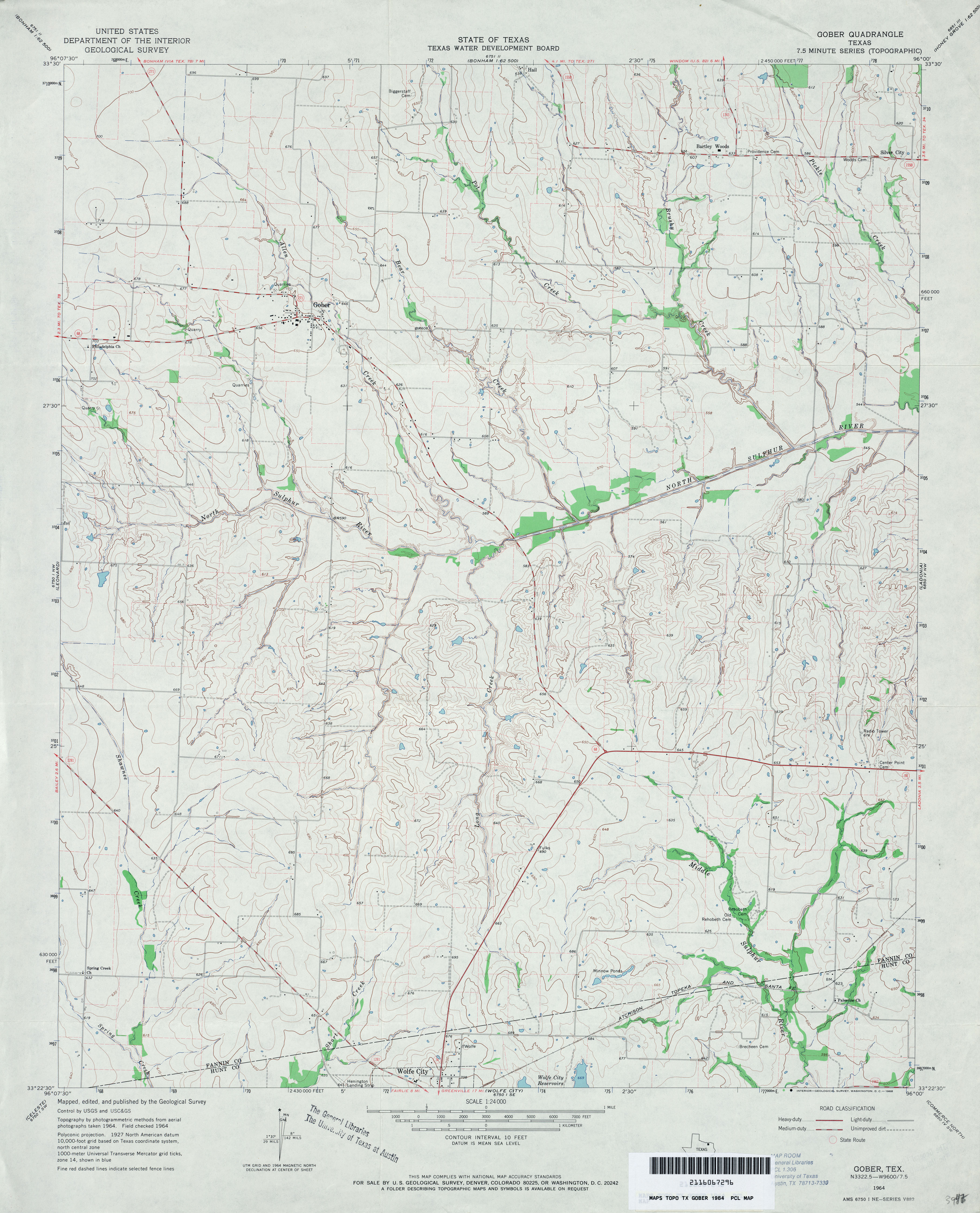
- Gober 1:24,000 1964 (3.5MB)
- Gober 1:24,000 2008 (11.6MB) [GeoPDF]
- Gober 1:24,000 2013 (19.5MB) [GeoPDF]
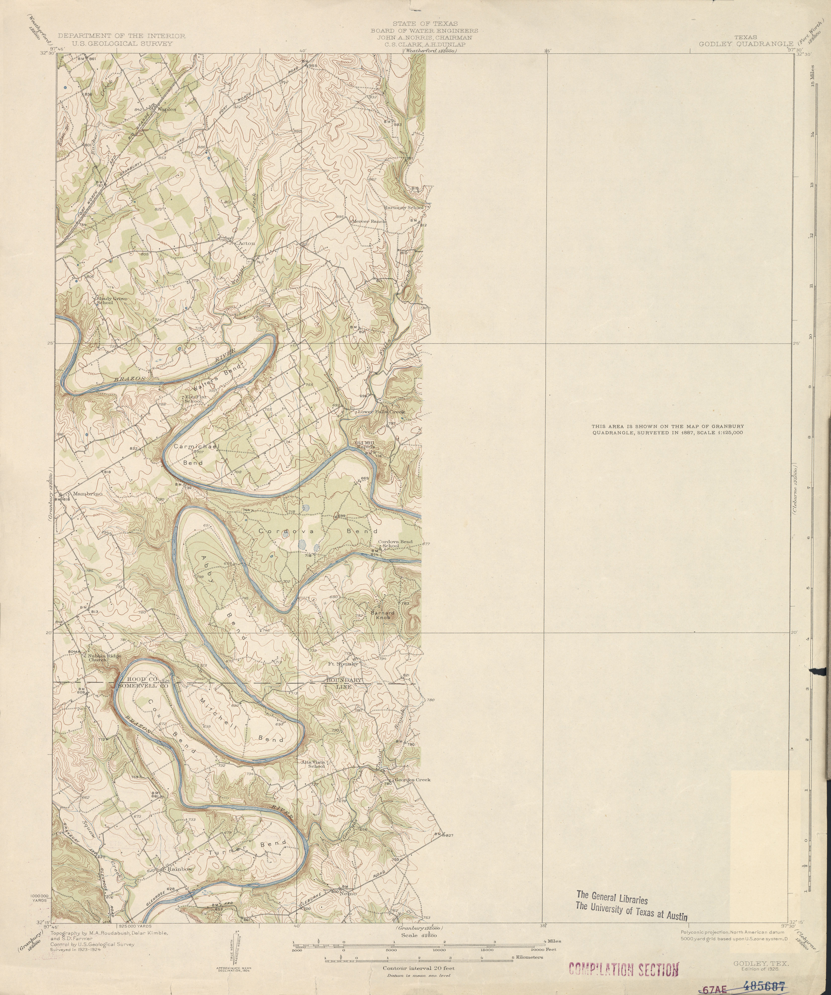
- Godley 1:62,500 1924 (2.3 MB)
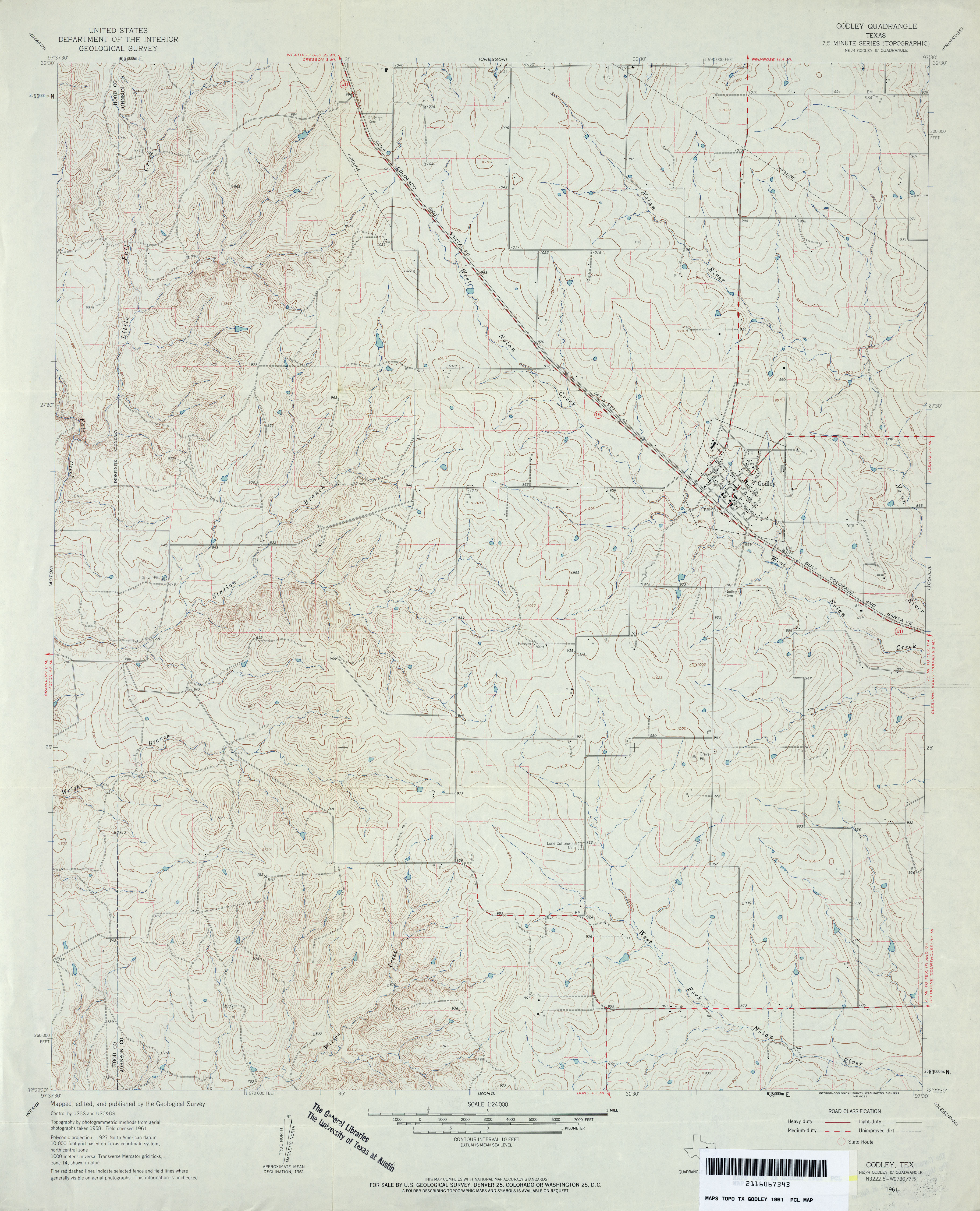
- Godley 1:24,000 1961 (4MB)
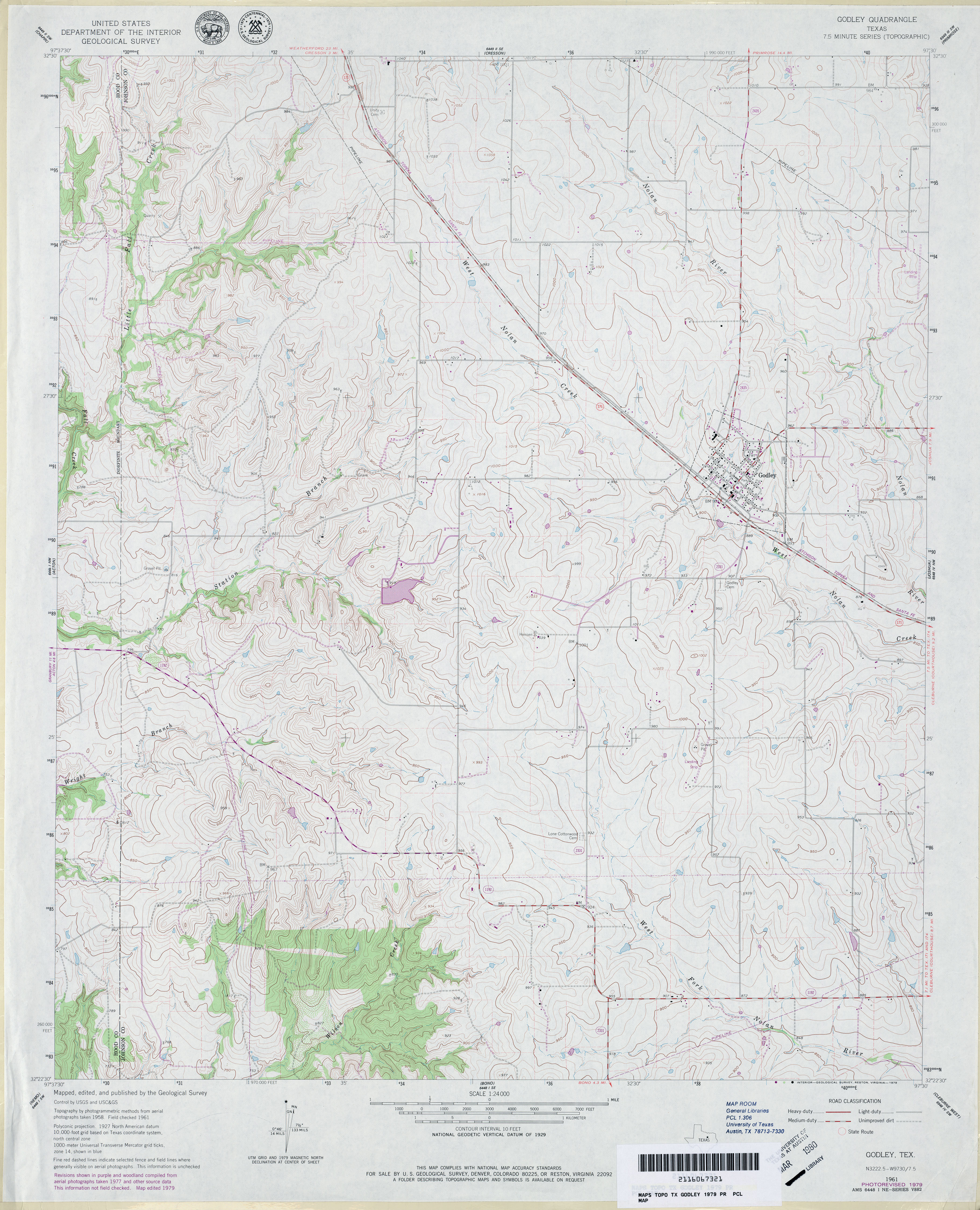
- Godley 1:24,000 1979 (3.9MB)
- Godley 1:24,000 2008 (14.0MB) [GeoPDF]
- Godley 1:24,000 2012 (20.1MB) [GeoPDF]
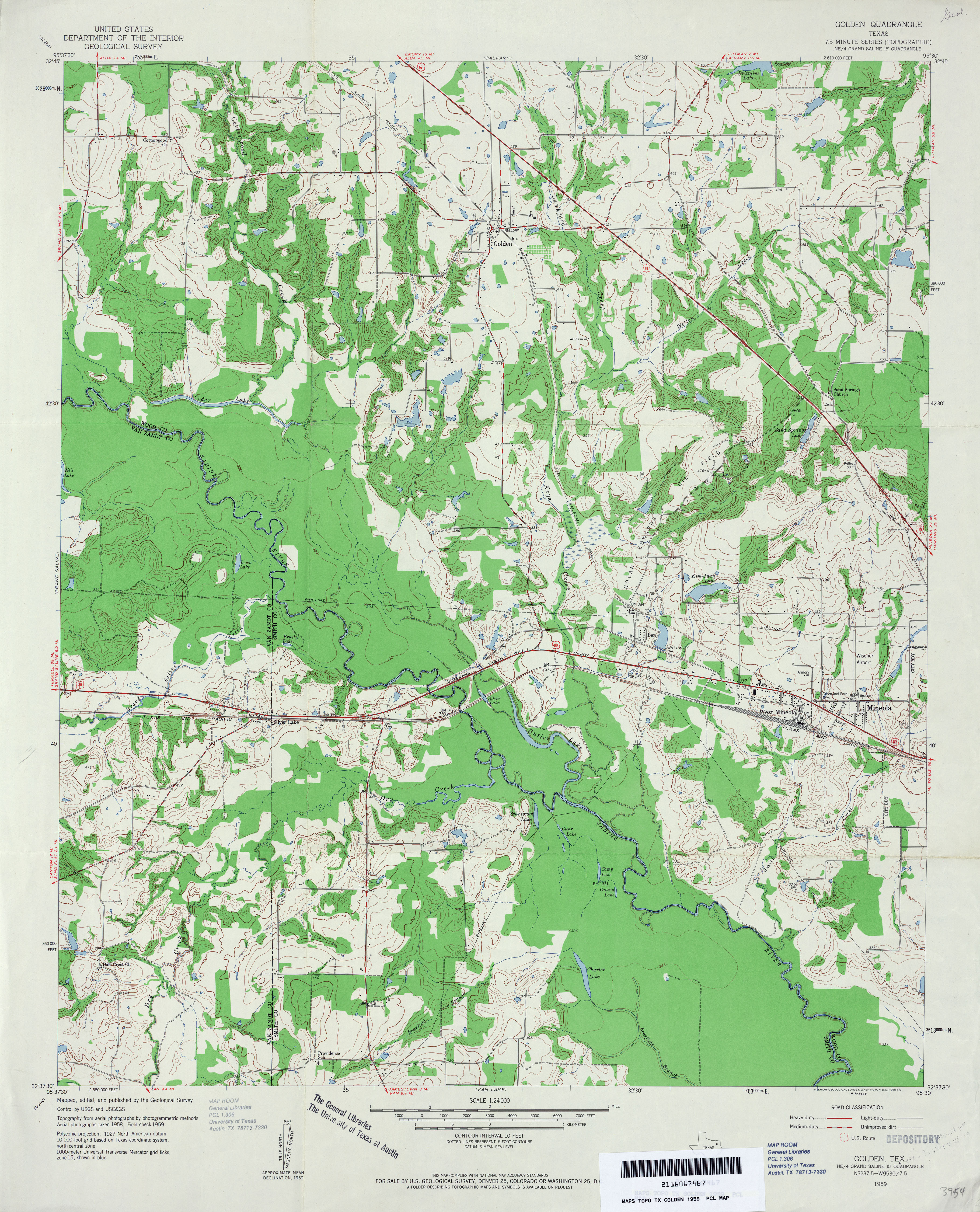
- Golden 1:24,000 1959 (4.3MB)
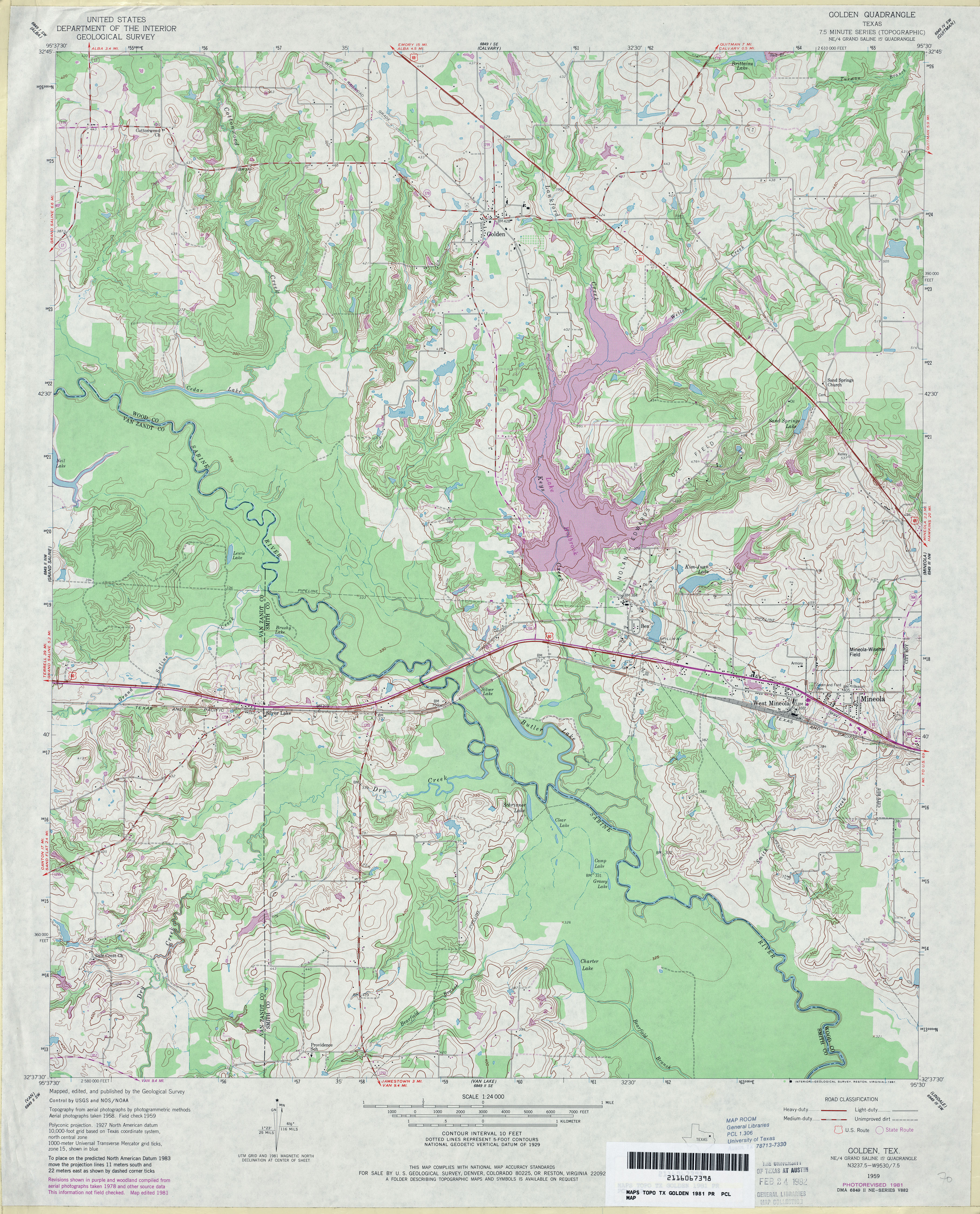
- Golden 1:24,000 1981 (4.7MB)
- Golden 1:24,000 2009 (20.3MB) [GeoPDF]
- Golden 1:24,000 2012 (24.9MB) [GeoPDF]
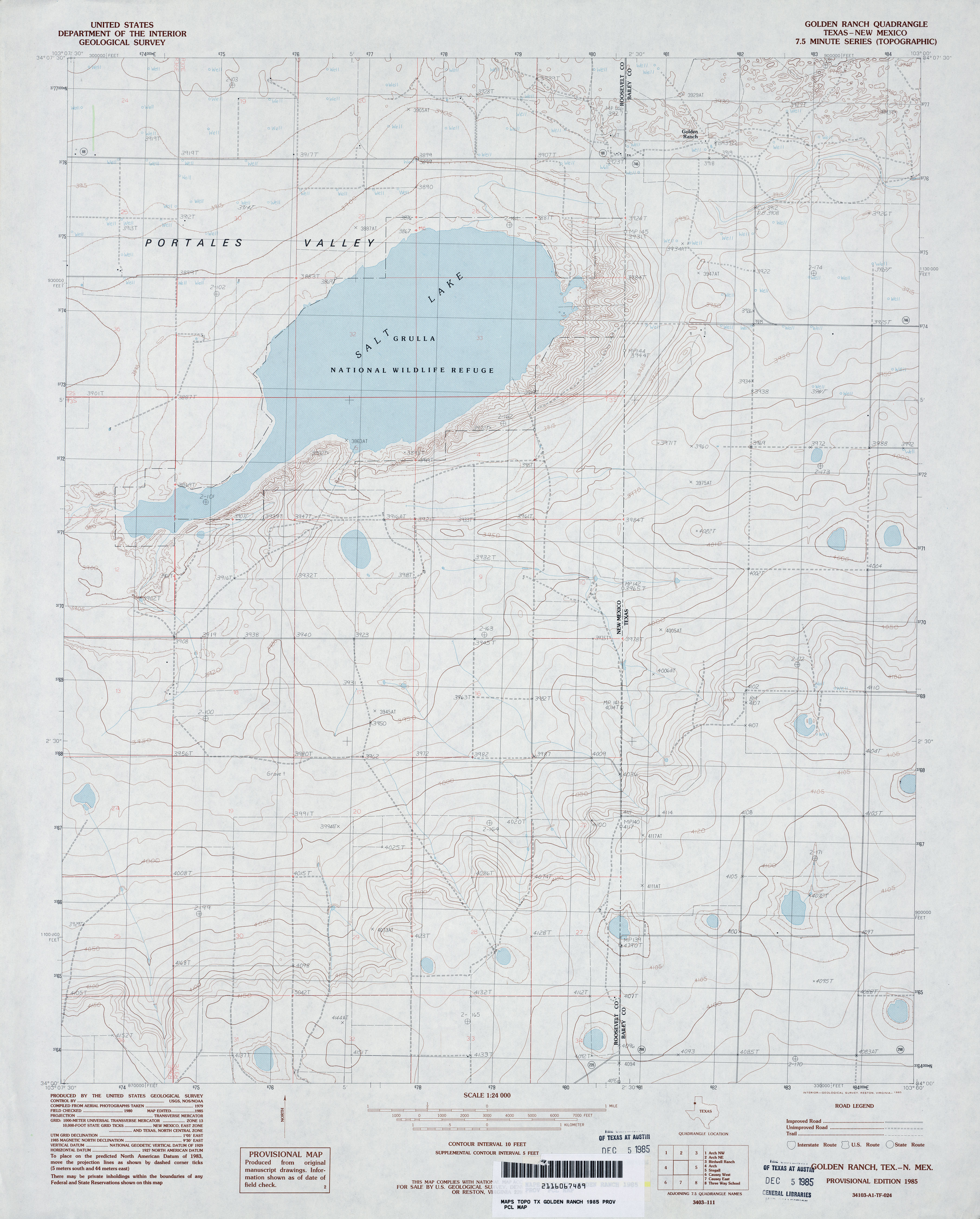
- Golden Ranch 1:24,000 1985 (3.3MB)
- Golden Ranch [Texas, New Mexico] 1:24,000 2009 (18.2MB) [GeoPDF]
- Golden Ranch 1:24,000 2012 (21.5MB) [GeoPDF]
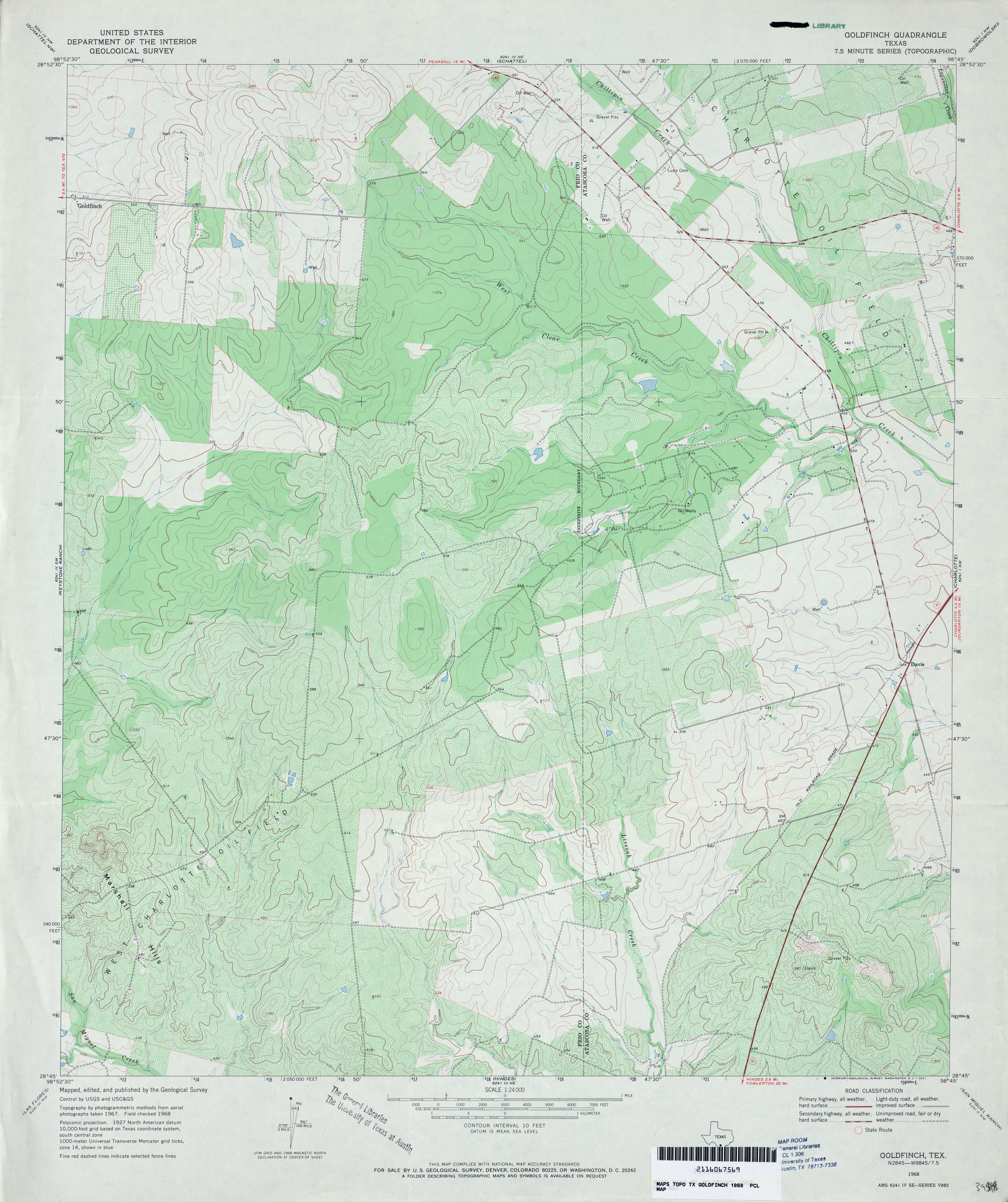
- Goldfinch 1:24,000 1968 (4.2MB)
- Goldfinch 1:24,000 1982 (4.5MB)
- Goldfinch 1:24,000 2008 (15.5MB) [GeoPDF]
- Goldfinch 1:24,000 2012 (22.4MB) [GeoPDF]
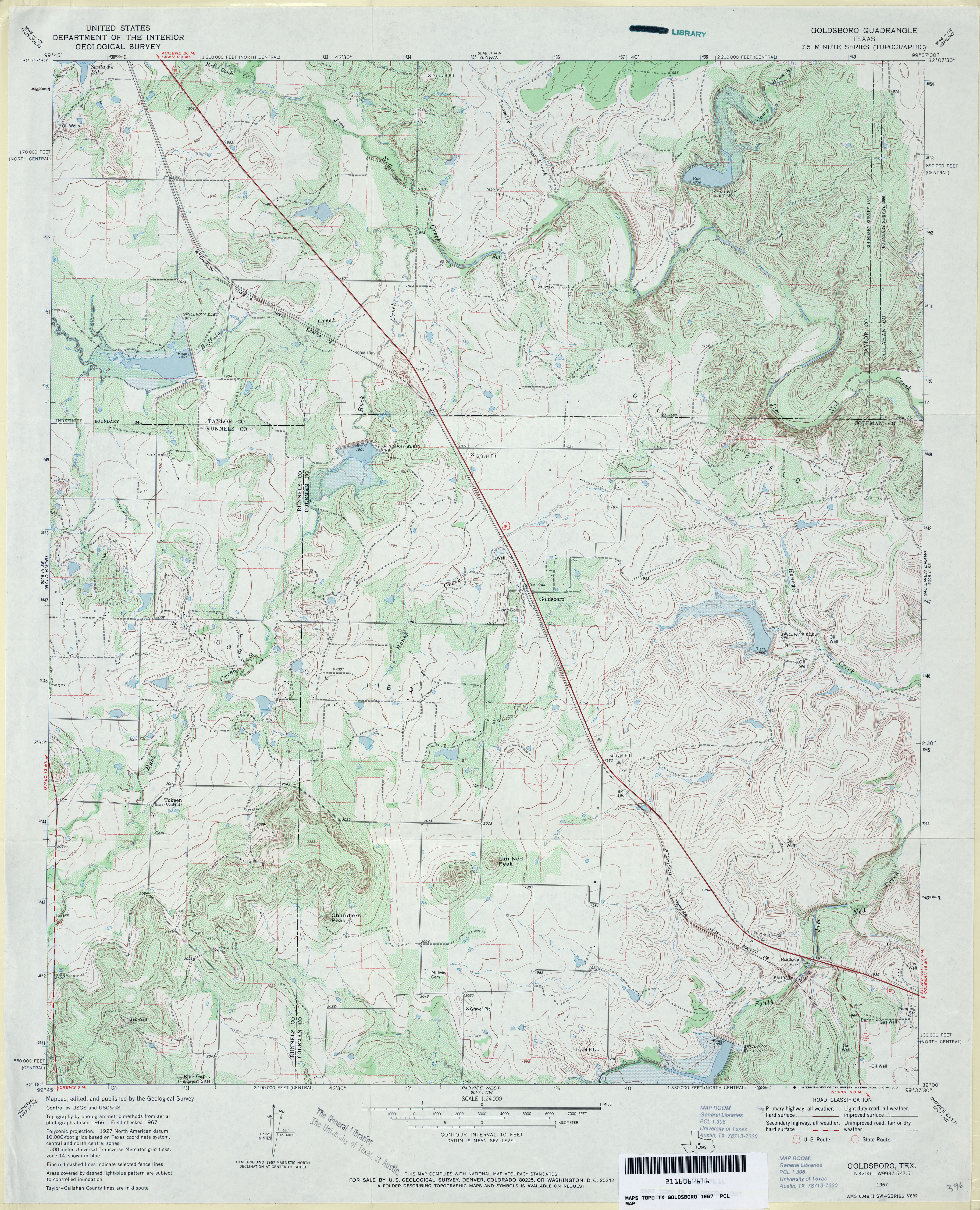
- Goldsboro 1:24,000 1967 (4.6MB)
- Goldsboro 1:24,000 2008 (15.9MB) [GeoPDF]
- Goldsboro 1:24,000 2012 (22.9MB) [GeoPDF]
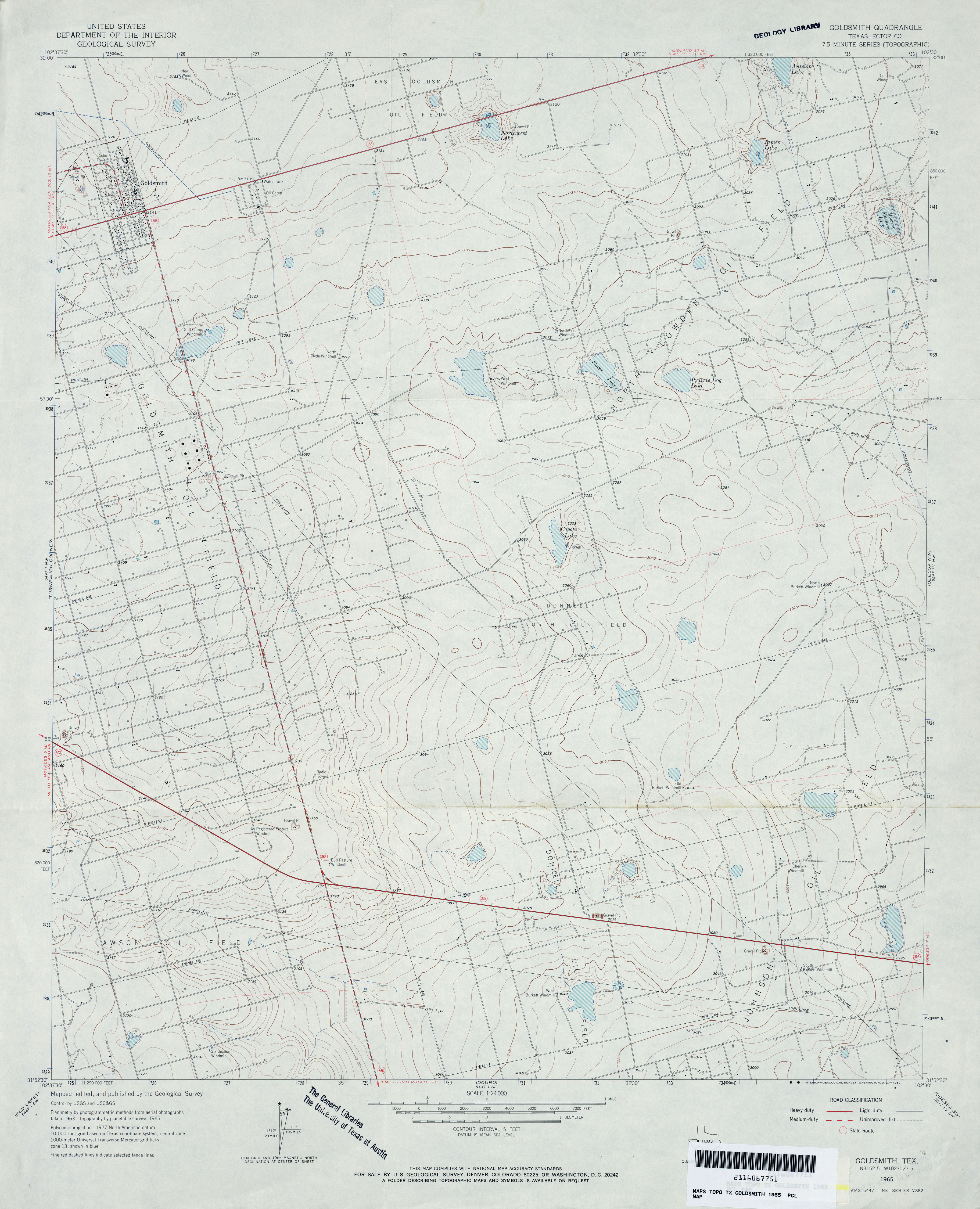
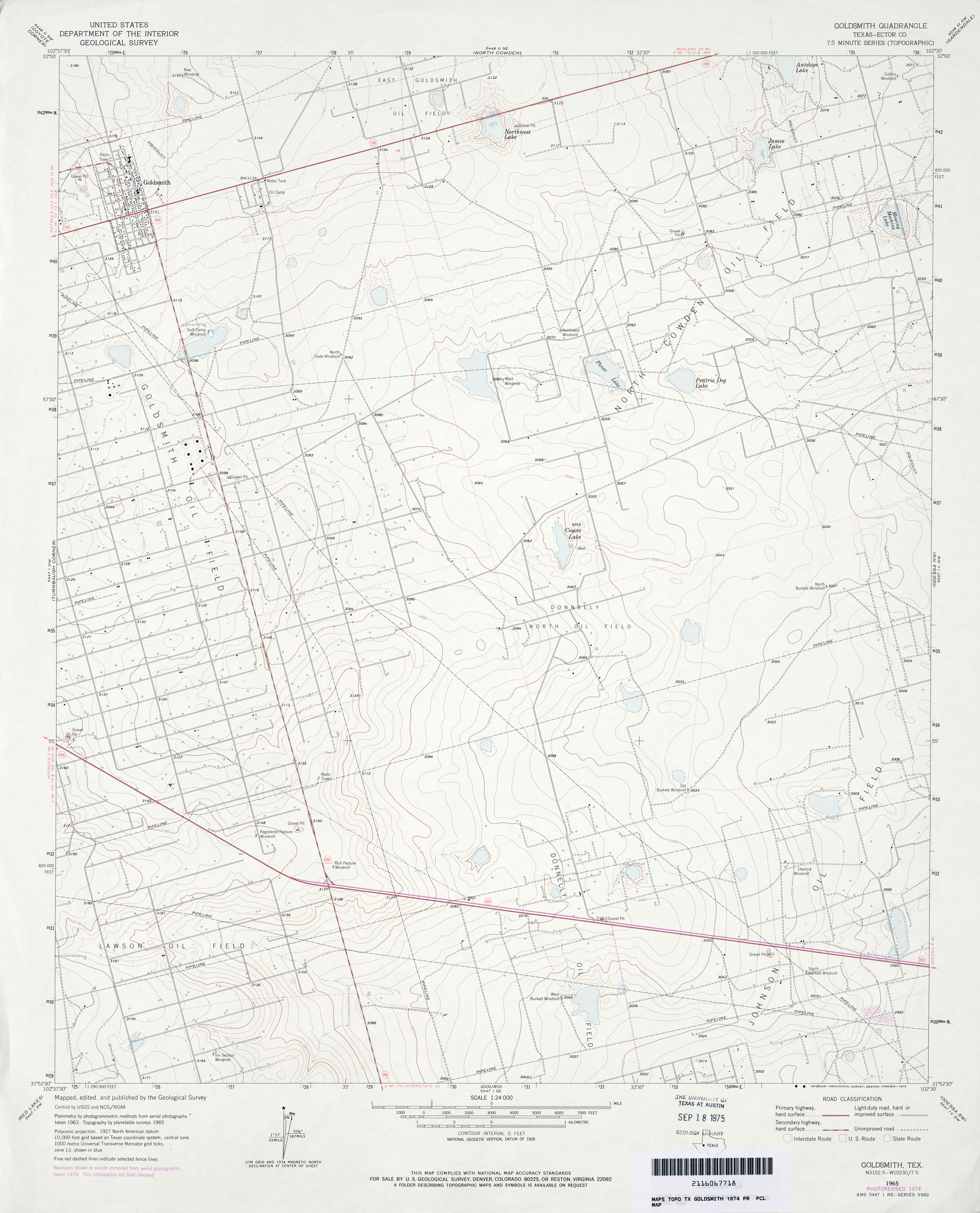
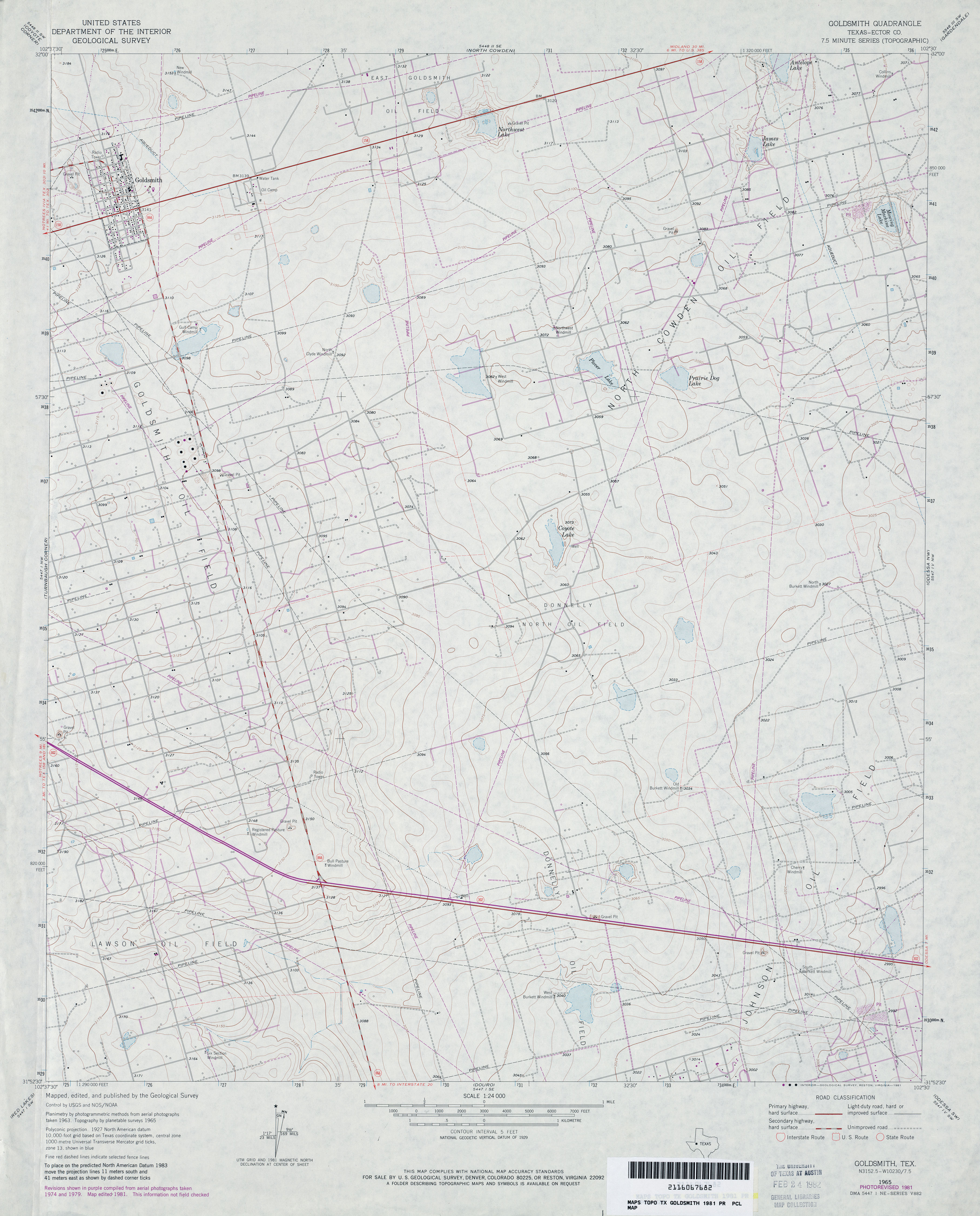
- Goldsmith (Ector County) 1:24,000 1965 (3.1MB)
- Goldsmith (Ector County) 1:24,000 1974 (2.8MB)
- Goldsmith (Ector County) 1:24,000 1981 (3.3MB)
- Goldsmith 1:24,000 2008 (20.7MB) [GeoPDF]
- Goldsmith 1:24,000 2012 (20MB) [GeoPDF]
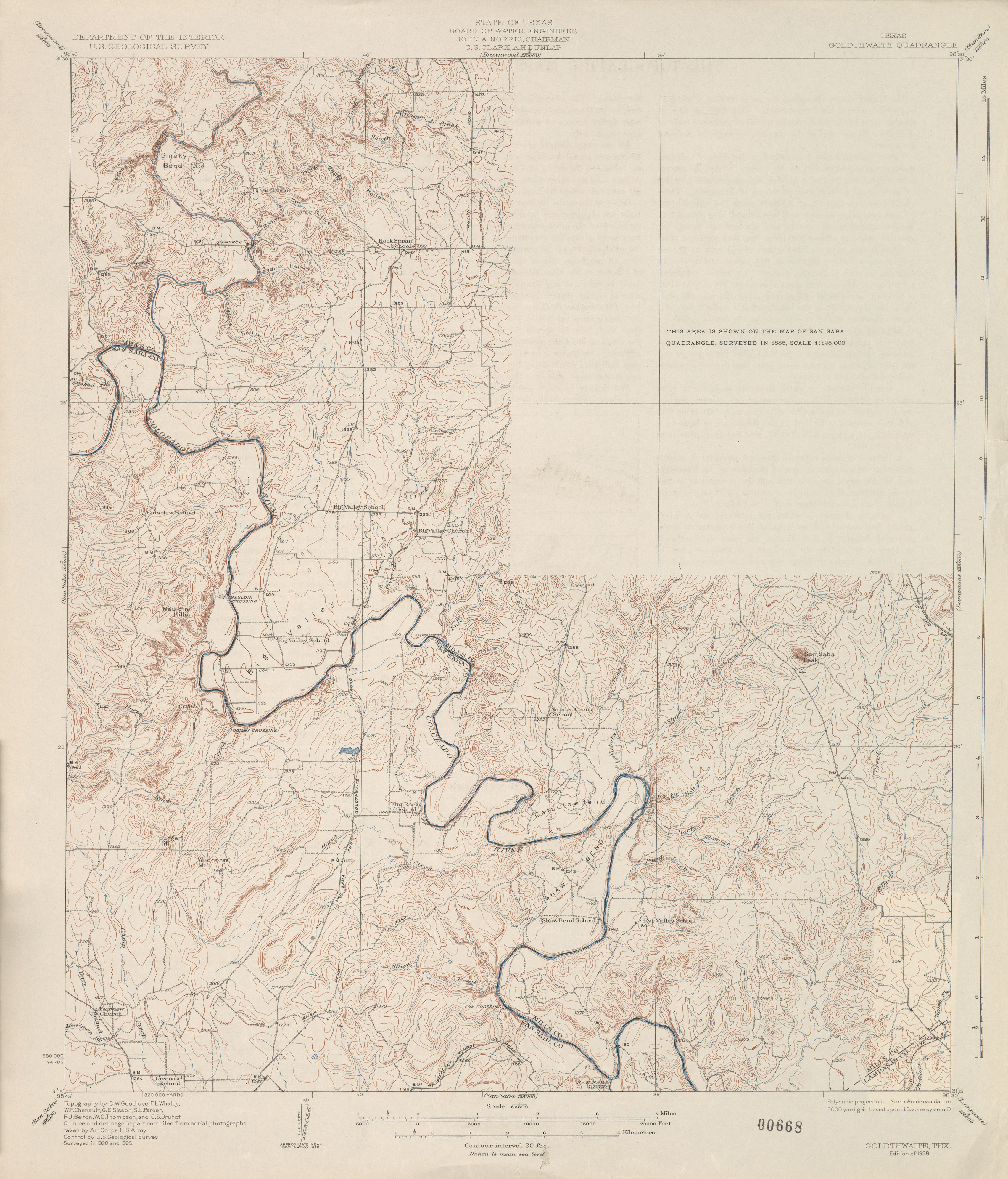
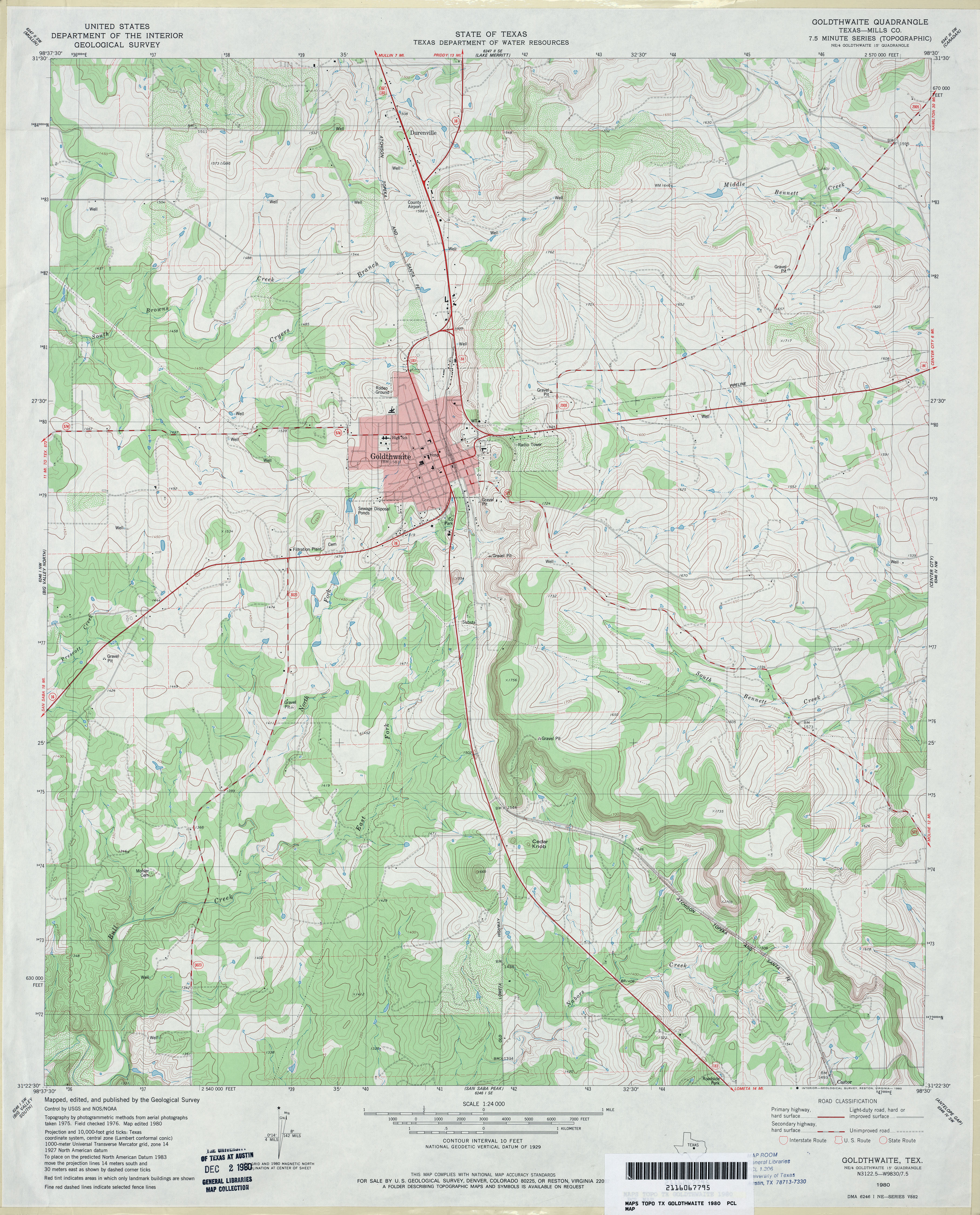
- Goldthwaite 1:62,500 1925 (3.0 MB)
- Goldthwaite 1:62,500 1948 (4.6MB)
- Goldthwaite (Mills County) 1:24,000 1980 (4.3MB)
- Goldthwaite 1:24,000 2008 (16.7MB) [GeoPDF]
- Goldthwaite 1:24,000 2013 (22MB) [GeoPDF]
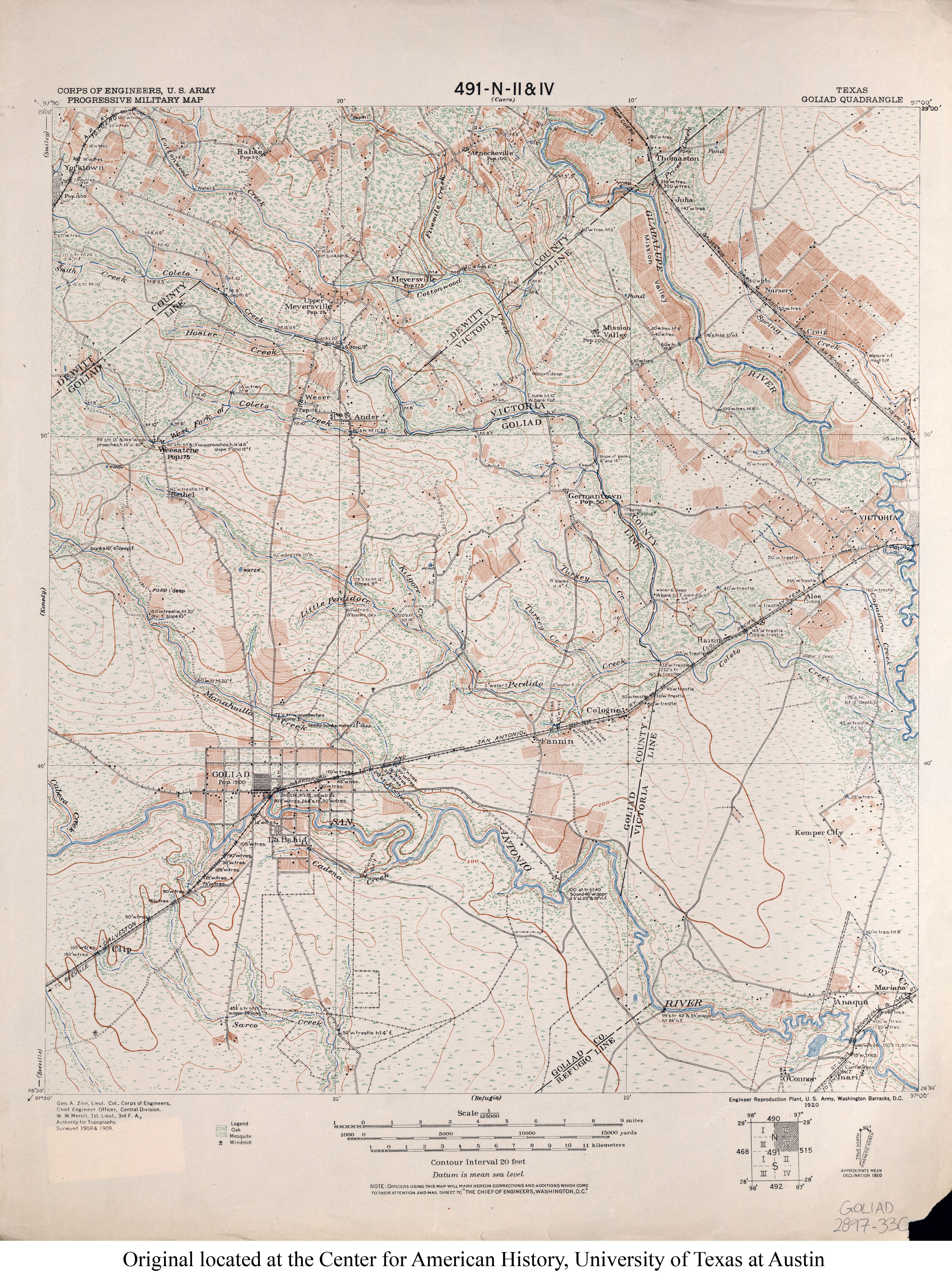
- Goliad 1:125,000 1909 (4.5MB) U.S. Army. Corps of Engineers. Progressive Military Map
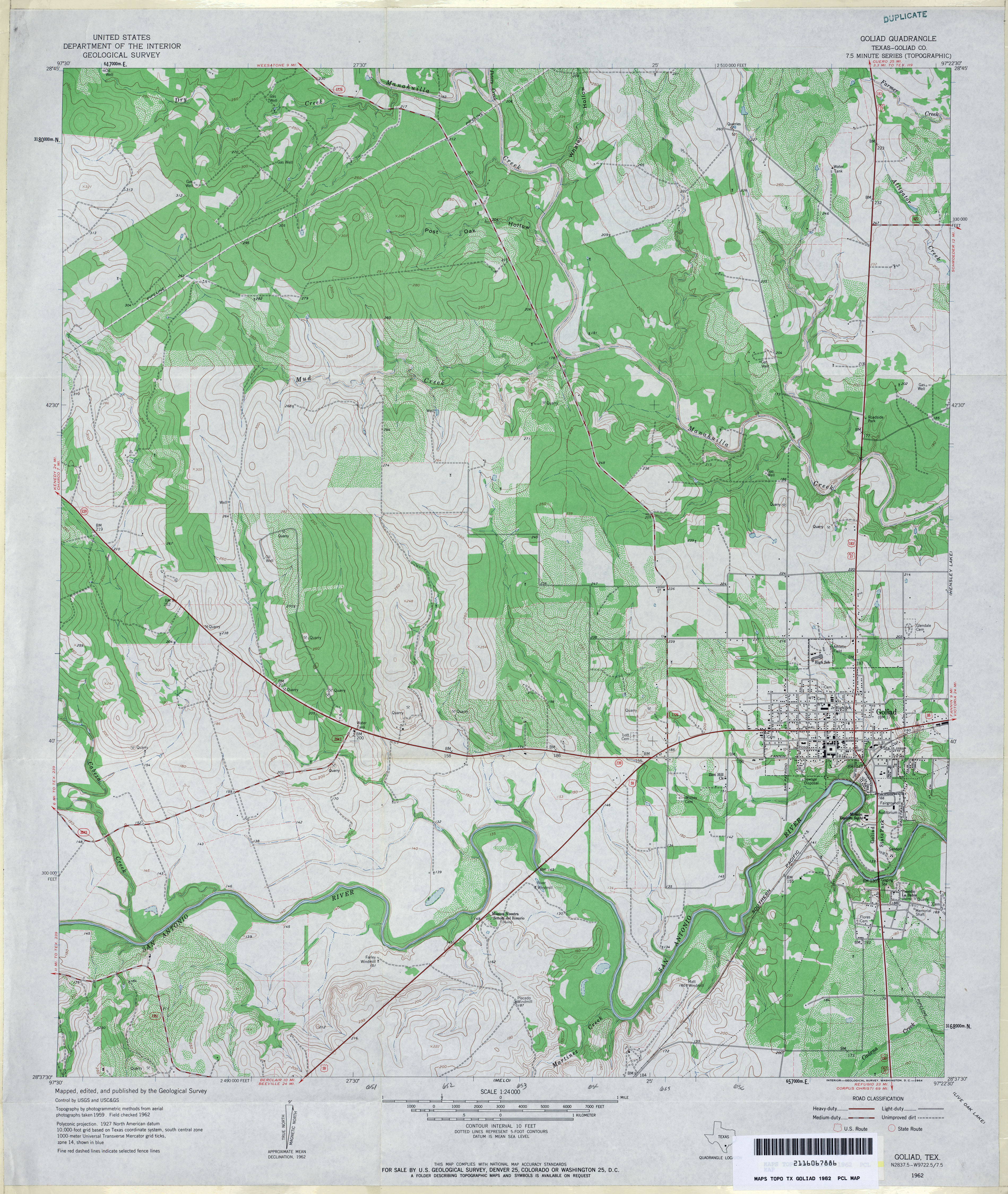
- Goliad (Goliad County) 1:24,000 1962 (4.4MB)
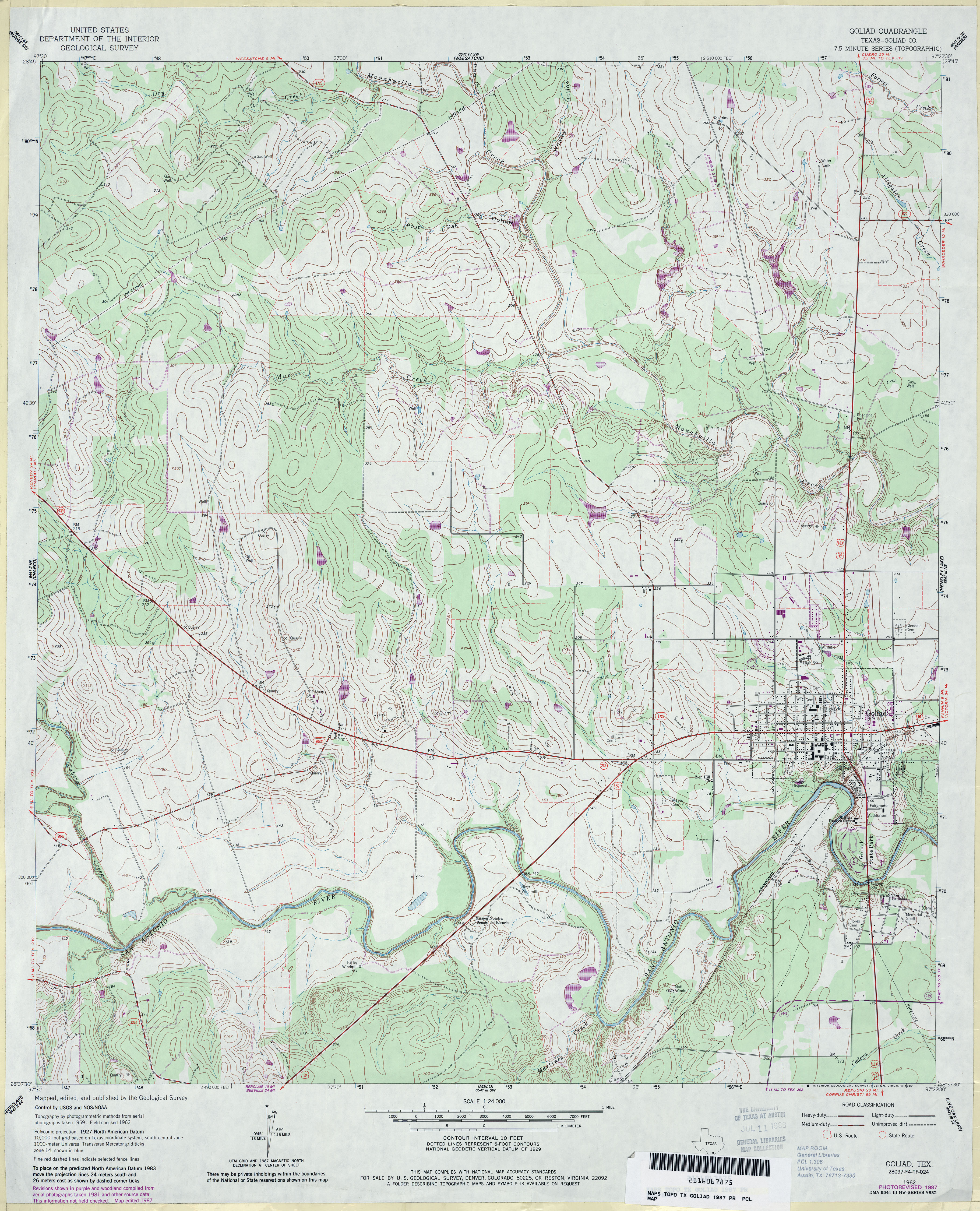
- Goliad (Goliad County) 1:24,000 1987 (4.5MB)
- Goliad 1:24,000 2009 (15.1MB) [GeoPDF]
- Goliad 1:24,000 2013 (22.7MB) [GeoPDF]
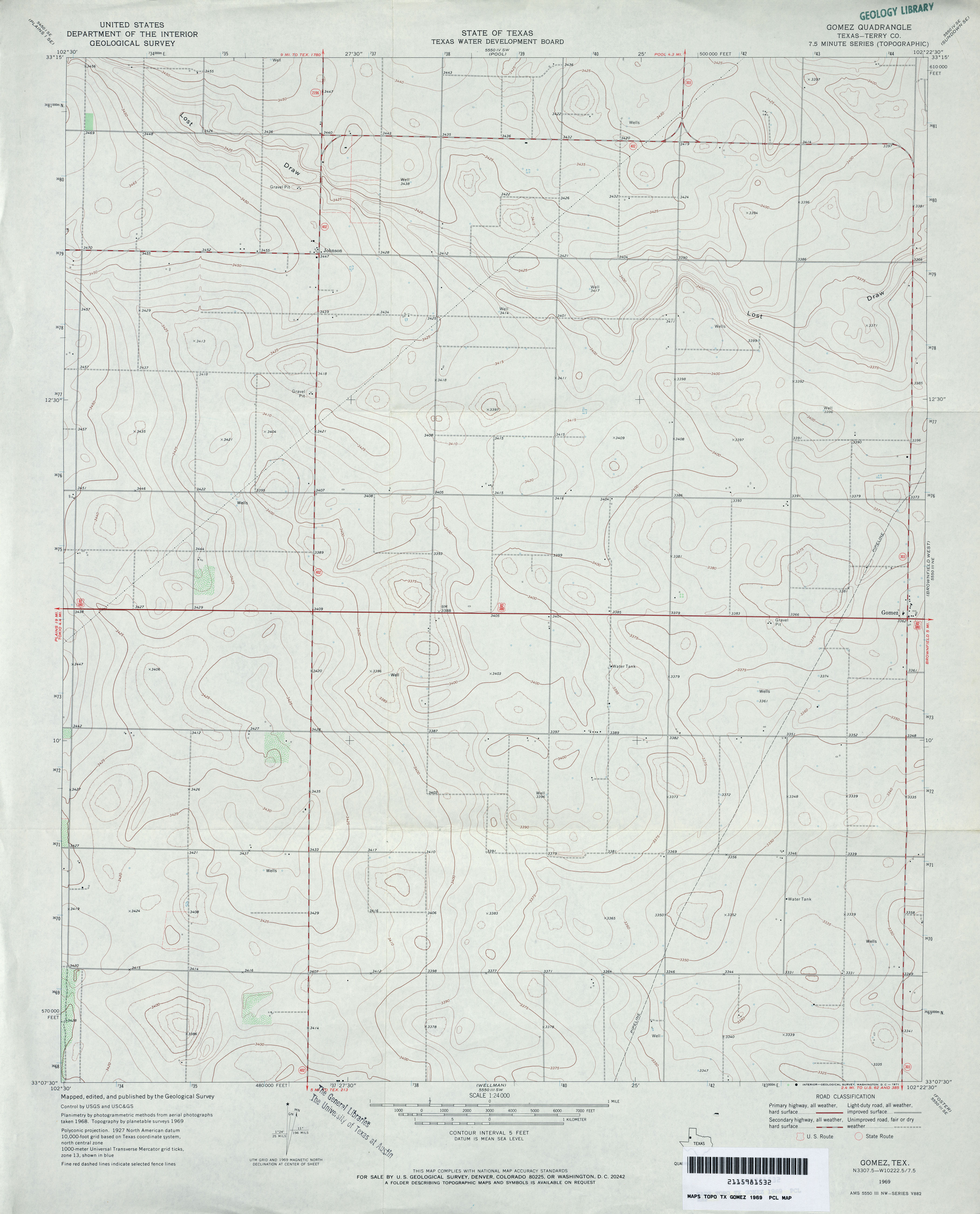
- Gomez (Terry County) 1:24,000 1969 (2.7MB)
- Gomez 1:24,000 2008 (9.1MB) [GeoPDF]
- Gomez 1:24,000 2012 (15.5MB) [GeoPDF]
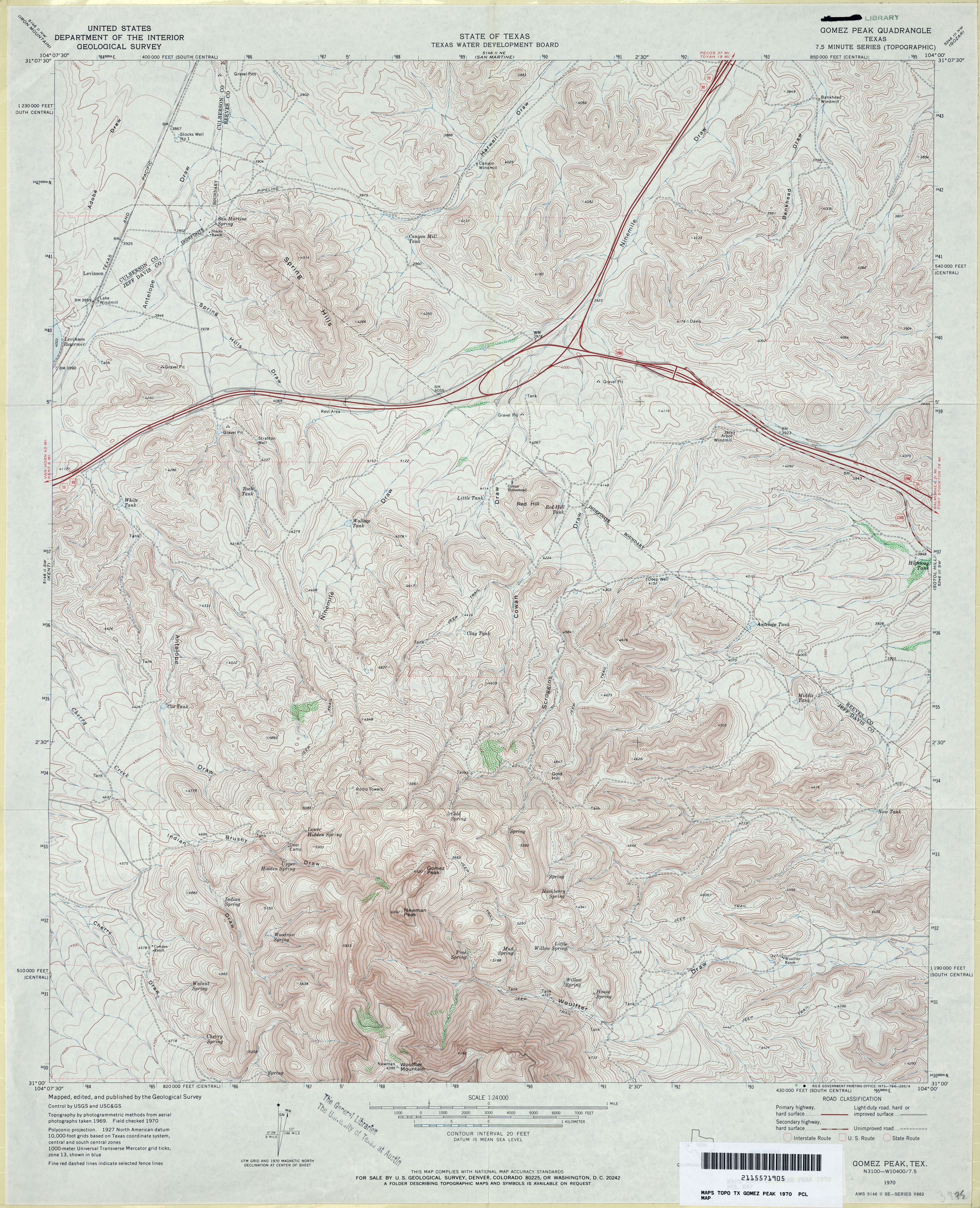
- Gomez Peak 1:24,000 1970 (5.5MB)
- Gomez Peak 1:24,000 2008 (24.1MB) [GeoPDF]
- Gomez Peak 1:24,000 2013 (24MB) [GeoPDF]
- Gonzales North (Gonzales County) 1:24,000 1962 (4.4MB)
- Gonzales North (Gonzales County) 1:24,000 1981 (4.4MB)
- Gonzales North 1:24,000 2008 (13.6MB) [GeoPDF]
- Gonzales North 1:24,000 2013 (23.6MB) [GeoPDF]
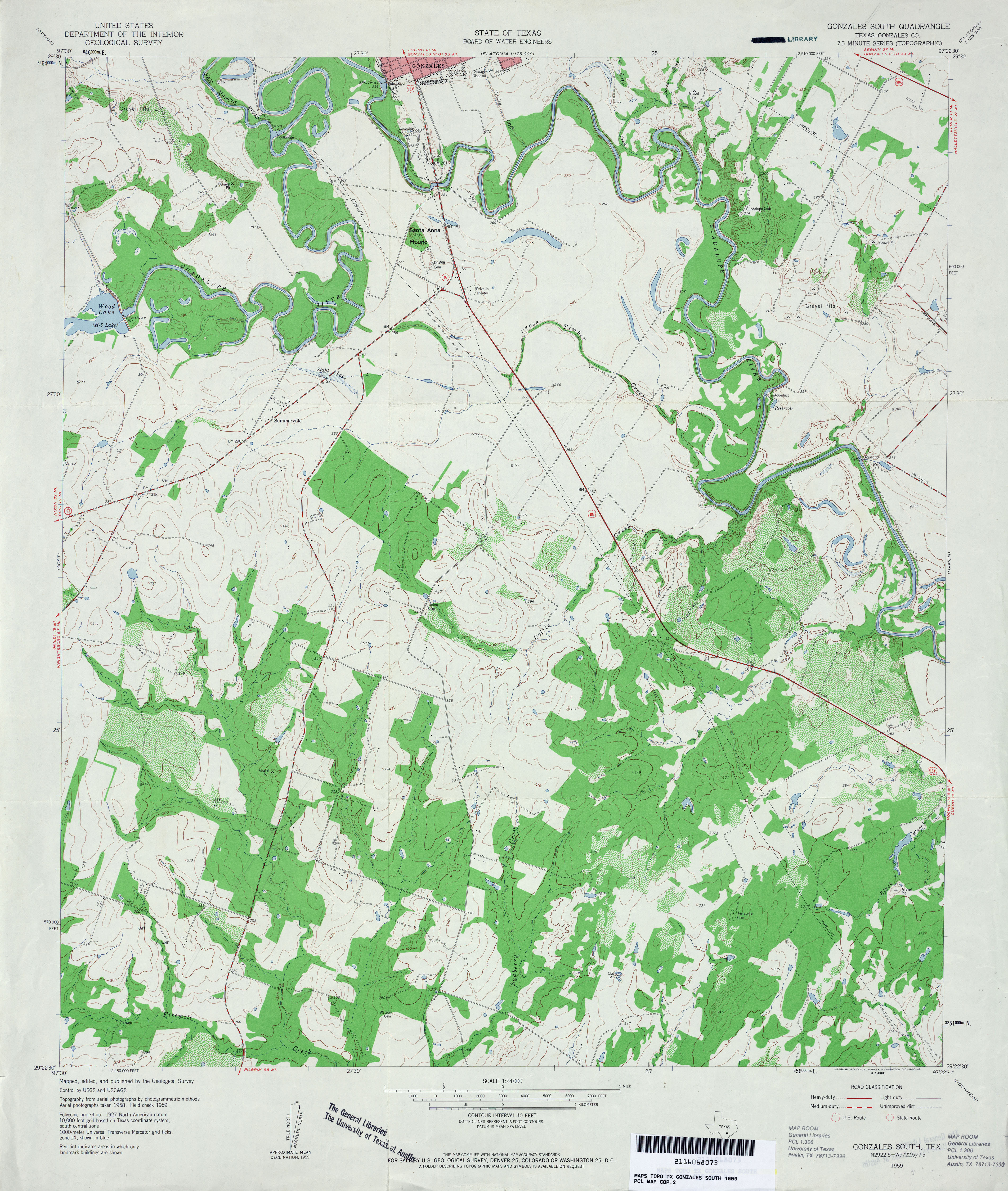
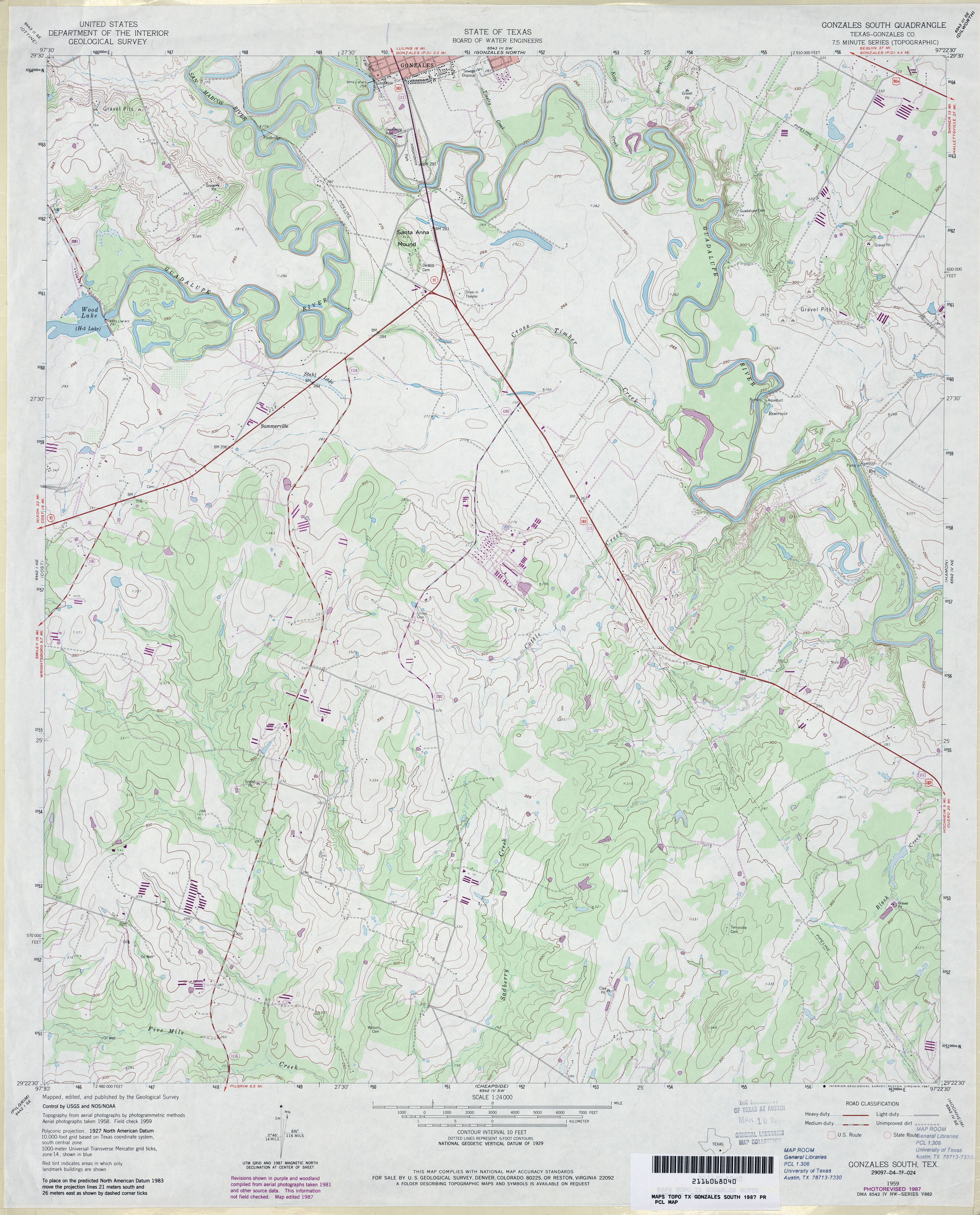
- Gonzales South (Gonzales County) 1:24,000 1959 (4MB)
- Gonzales South (Gonzales County) 1:24,000 1987 (3.8MB)
- Gonzales South 1:24,000 2008 (12.0MB) [GeoPDF]
- Gonzales South 1:24,000 2013 (22.8MB) [GeoPDF]
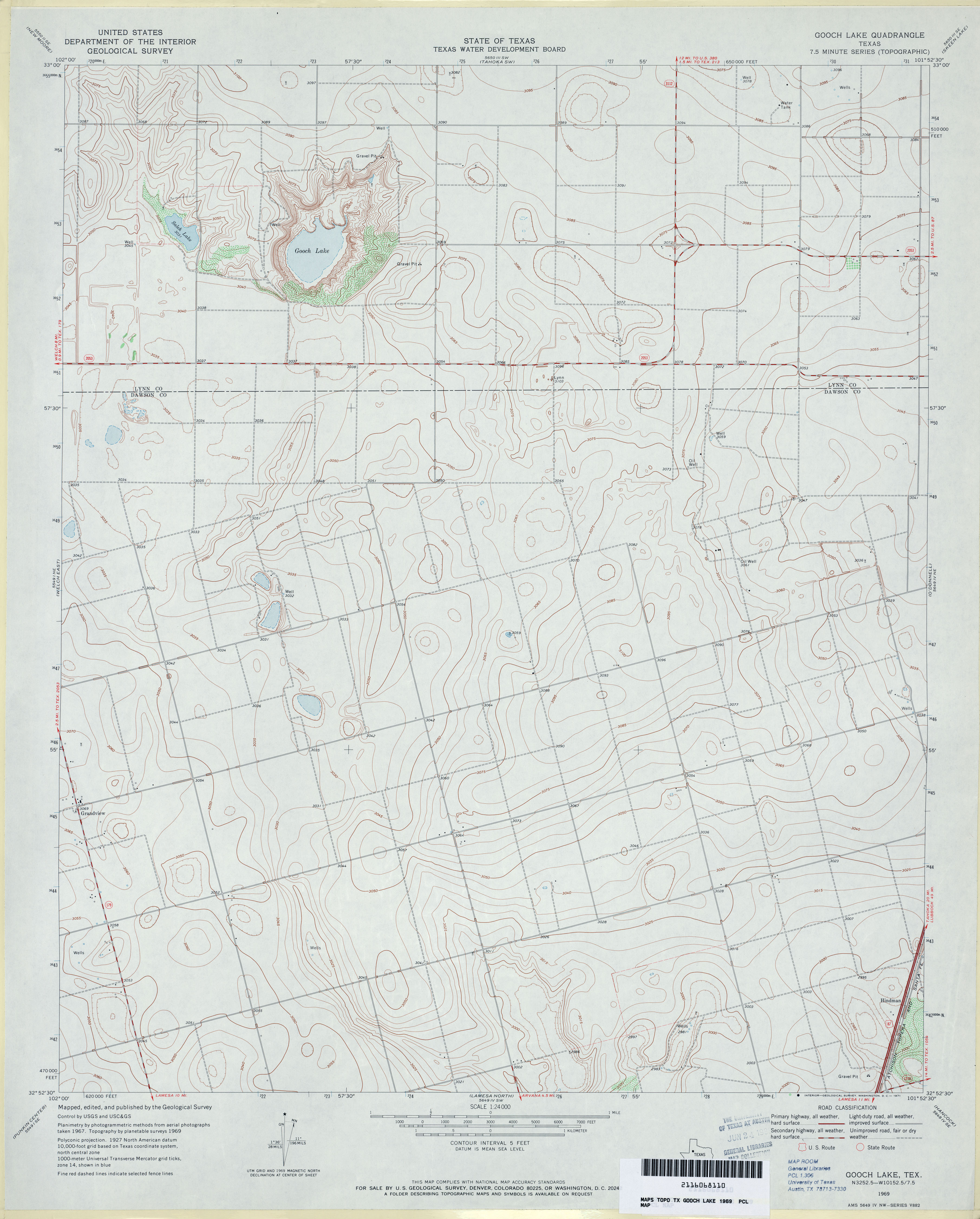
- Gooch Lake 1:24,000 1969 (3MB)
- Gooch Lake 1:24,000 2008 (9.0MB) [GeoPDF]
- Gooch Lake 1:24,000 2012 (15.3MB) [GeoPDF]
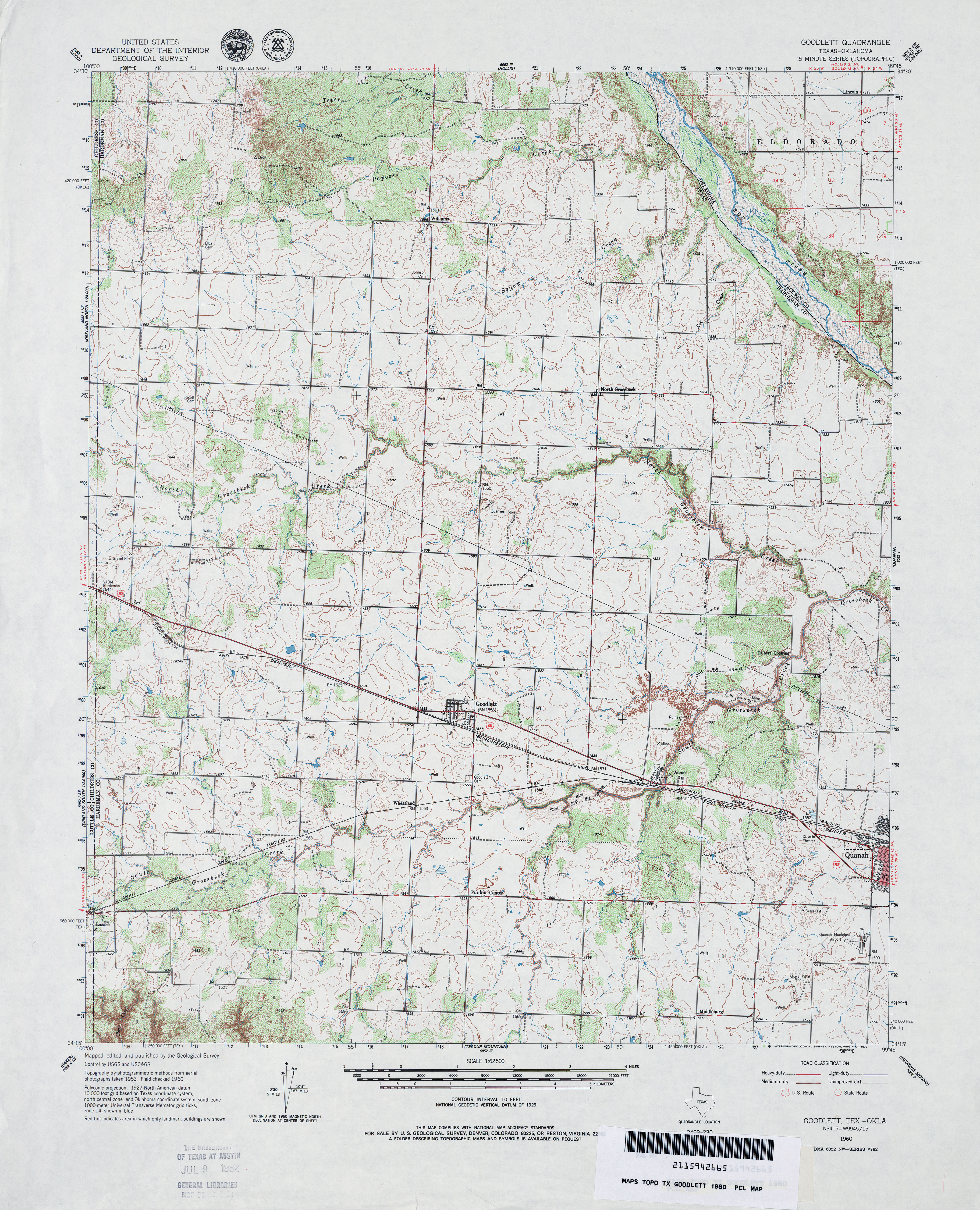
- Goodlett 1:62,500 1960 (4.6MB)
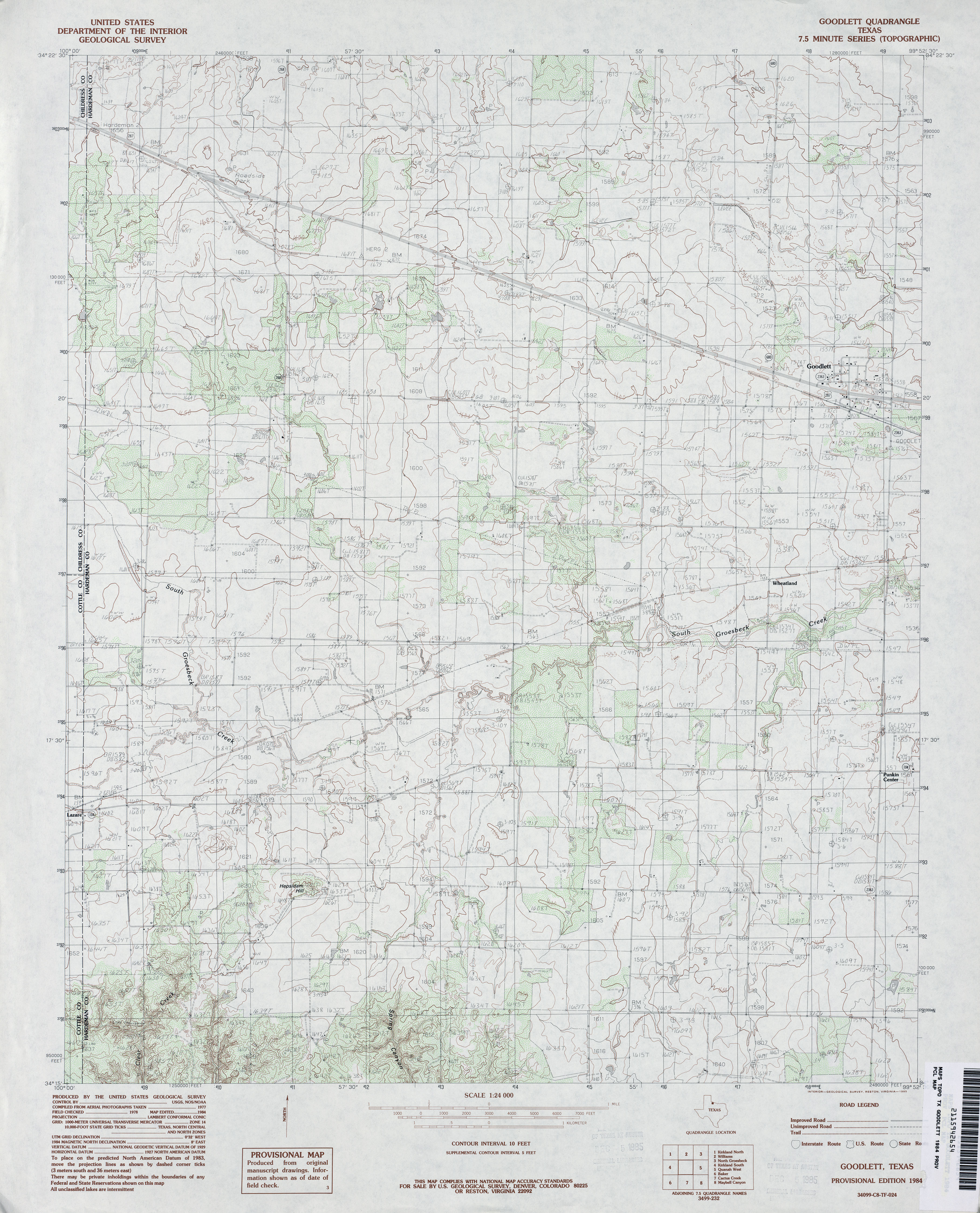
- Goodlett 1:24,000 1984 (3.8MB)
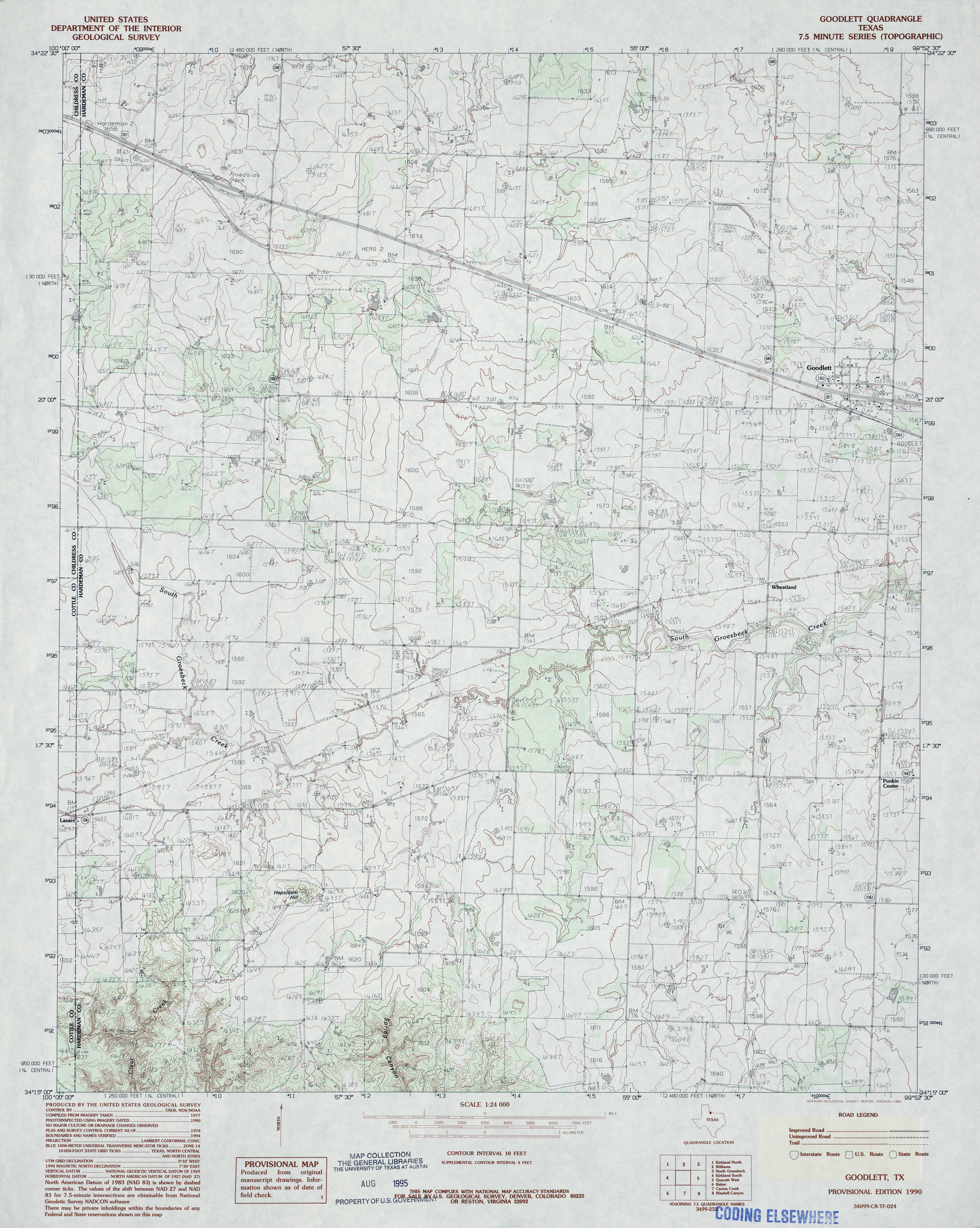
- Goodlett 1:24,000 1990 (3.9MB)
- Goodlett 1:24,000 2008 (10.9MB) [GeoPDF]
- Goodlett 1:24,000 2012 (17.7MB) [GeoPDF]
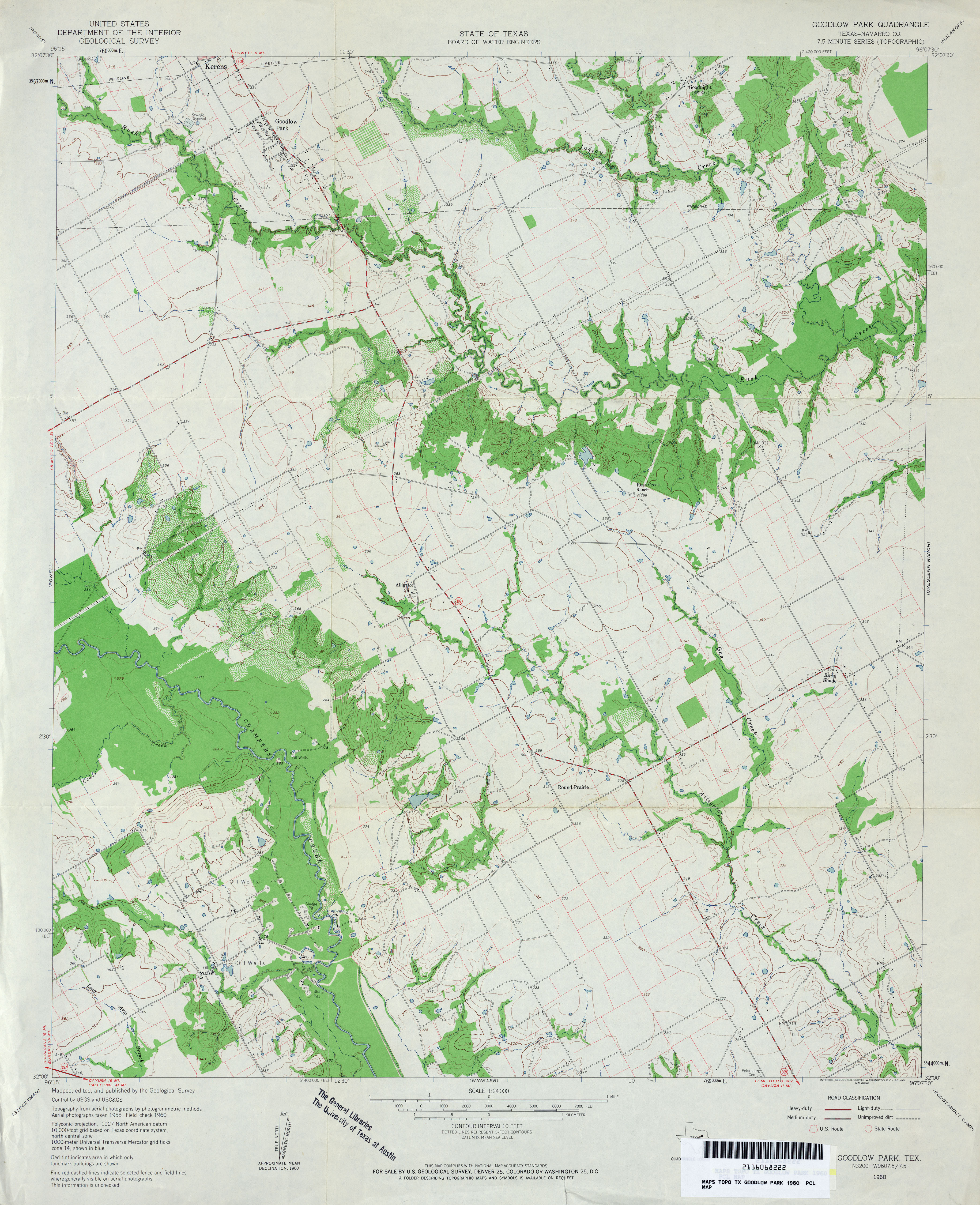
- Goodlow Park (Navarro County) 1:24,000 1960 (3.9MB)
- Goodlow Park 1:24,000 2008 (14.1MB) [GeoPDF]
- Goodlow Park 1:24,000 2012 (19.4MB) [GeoPDF]
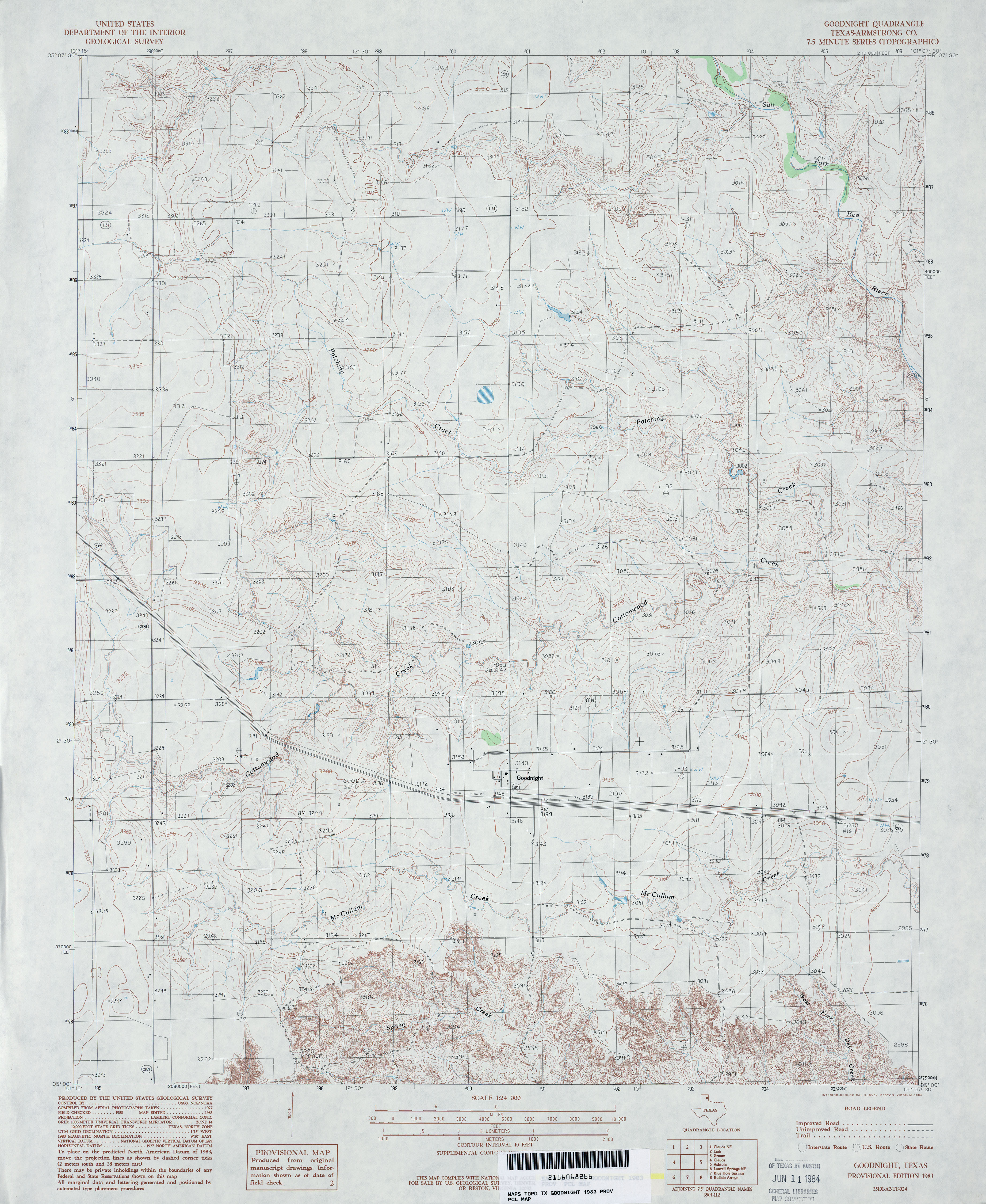
- Goodnight (Armstrong County) 1:24,000 1983 (4MB)
- Goodnight 1:24,000 2008 (10.6MB) [GeoPDF]
- Goodnight 1:24,000 2012 (17.9MB) [GeoPDF]
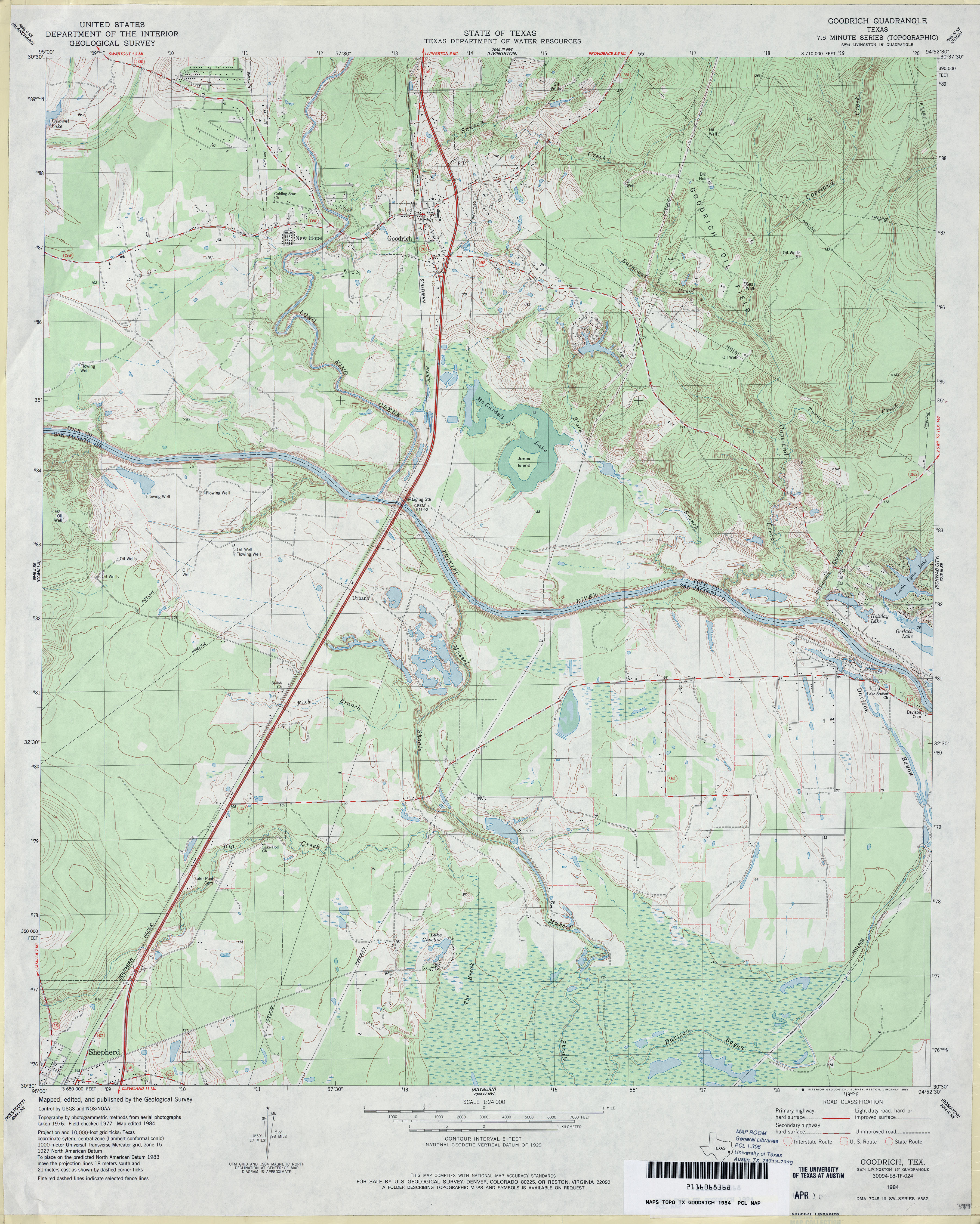
- Goodrich 1:24,000 1984 (4.3MB)
- Goodrich 1:24,000 2009 (21.6MB) [GeoPDF]
- Goodrich 1:24,000 2013 (22.9MB) [GeoPDF]
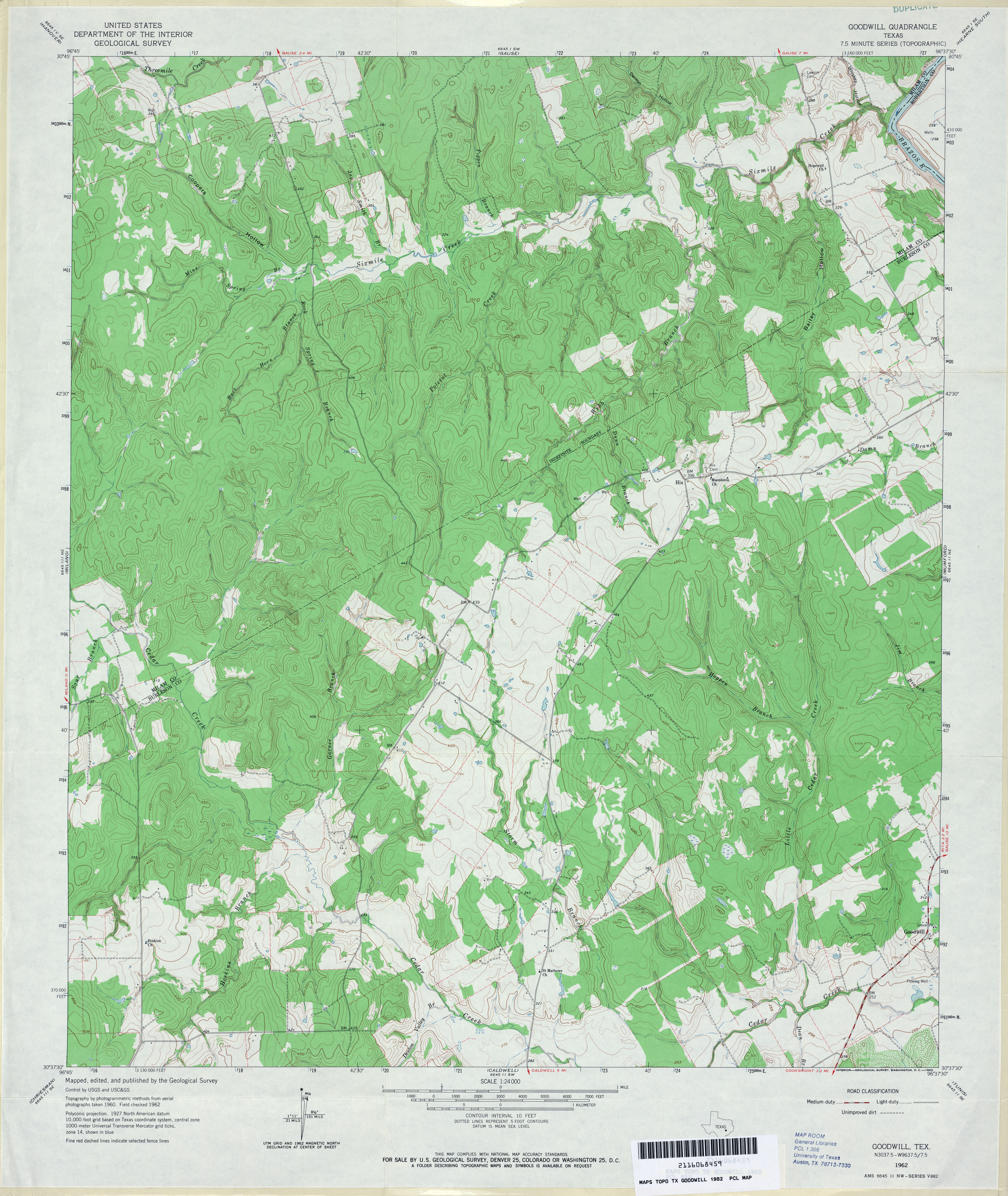
- Goodwill 1:24,000 1962 (4.3MB)
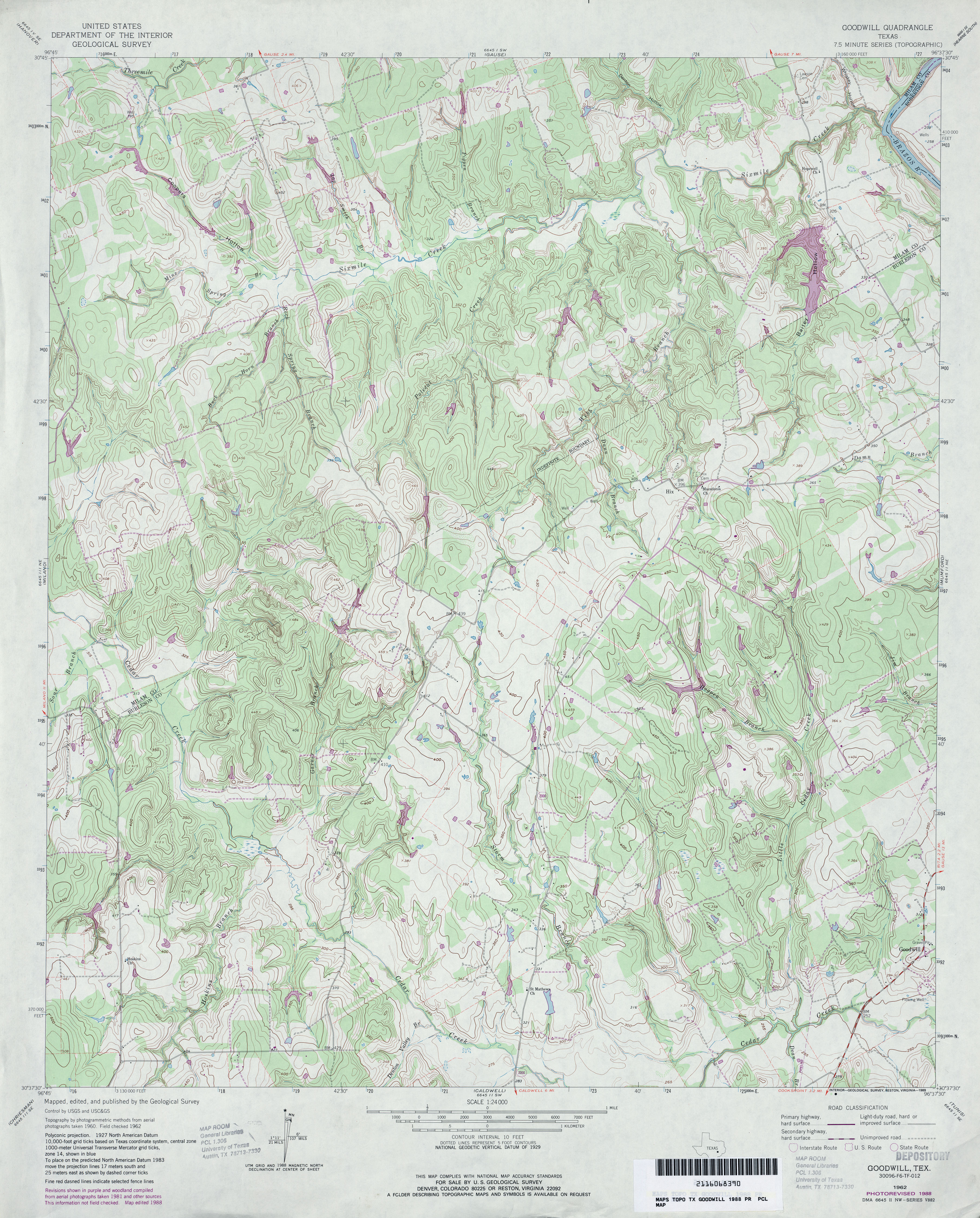
- Goodwill 1:24,000 1988 (4.6MB)
- Goodwill 1:24,000 2008 (16.0MB) [GeoPDF]
- Goodwill 1:24,000 2013 (26.1MB) [GeoPDF]
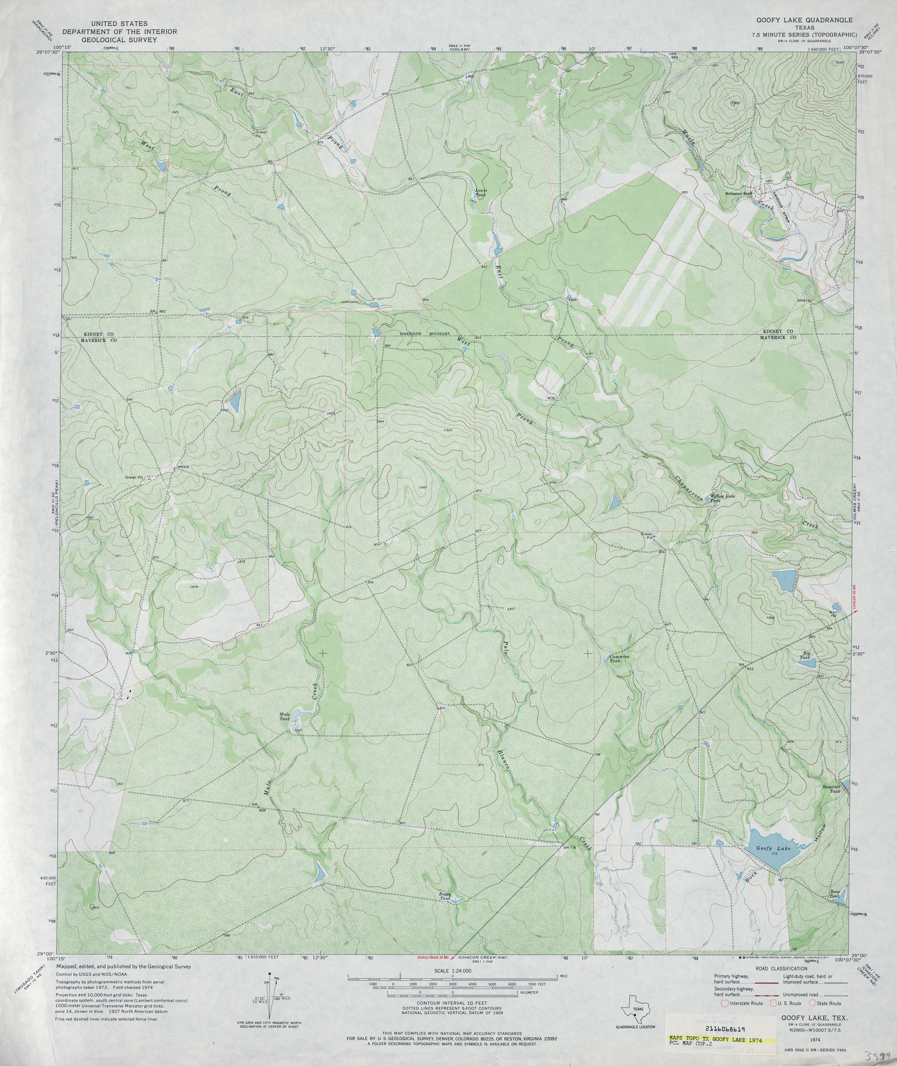
- Goofy Lake 1:24,000 1974 (4.1MB)
- Goofy Lake 1:24,000 2008 (21.7MB) [GeoPDF]
- Goofy Lake 1:24,000 2012 (31.7MB) [GeoPDF]
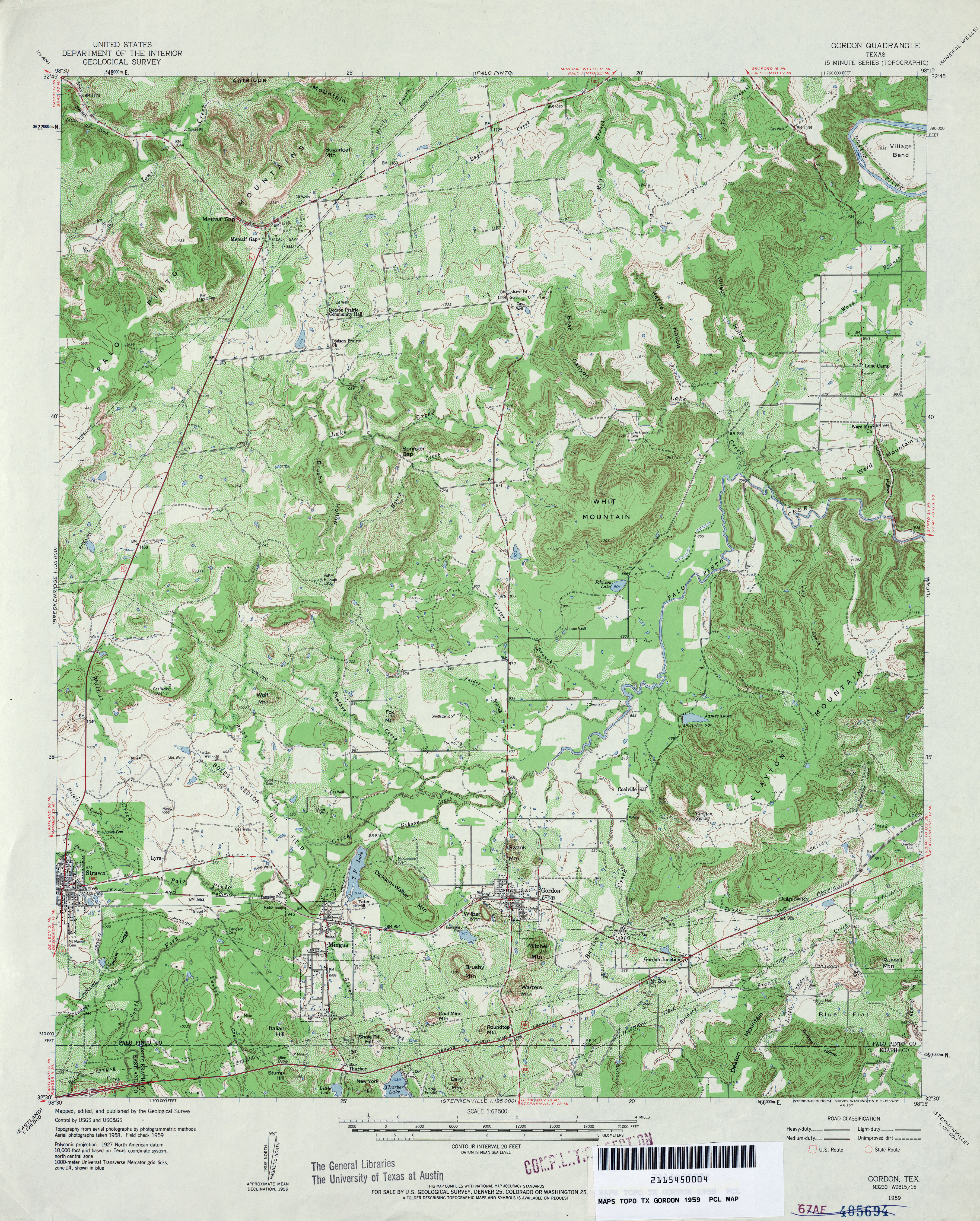
- Gordon 1:62,500 1959 (5.4MB)
- Gordon 1:24,000 1984 (4.4MB)
- Gordon 1:24,000 2008 (19.2MB) [GeoPDF]
- Gordon 1:24,000 2012 (24.2MB) [GeoPDF]
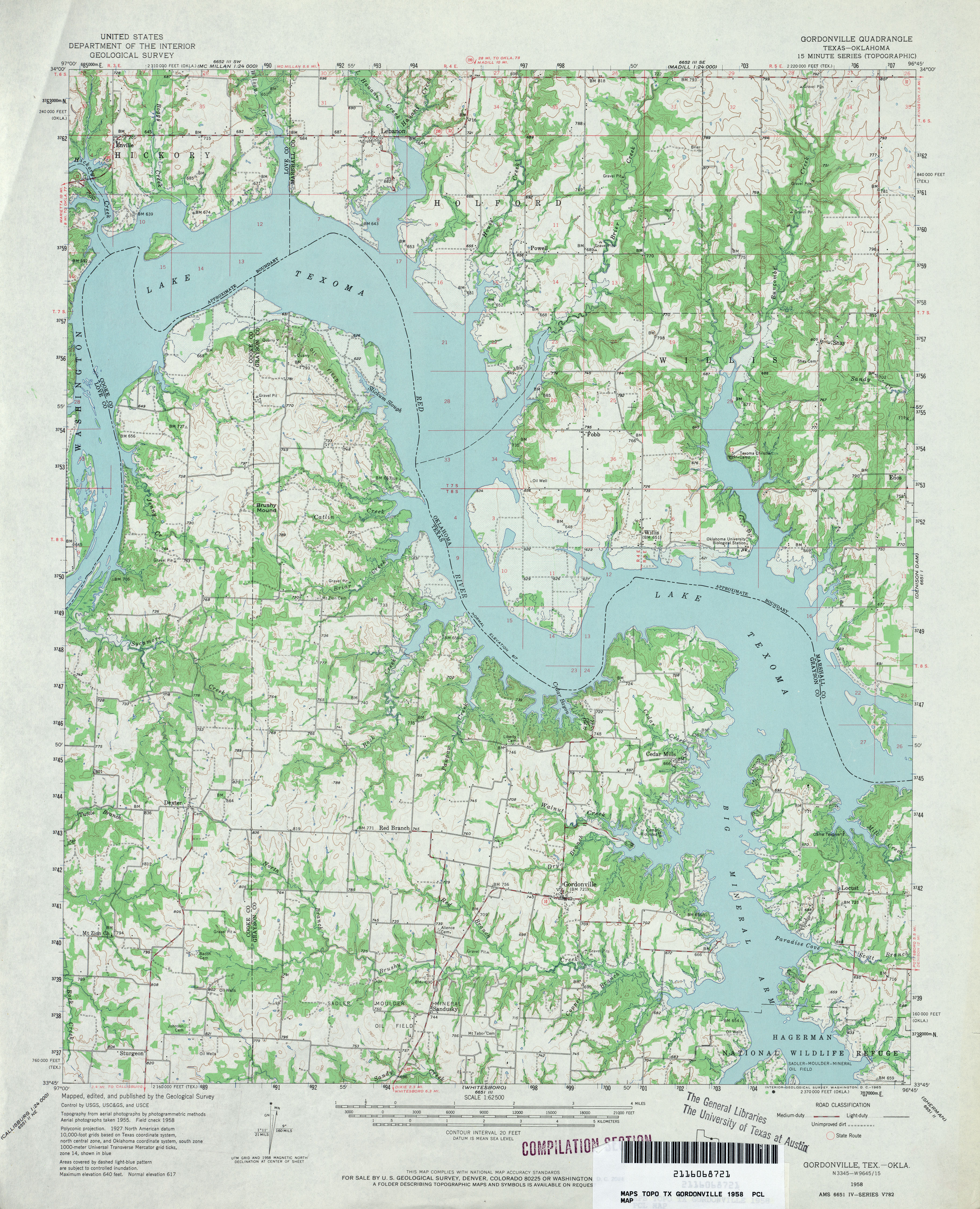
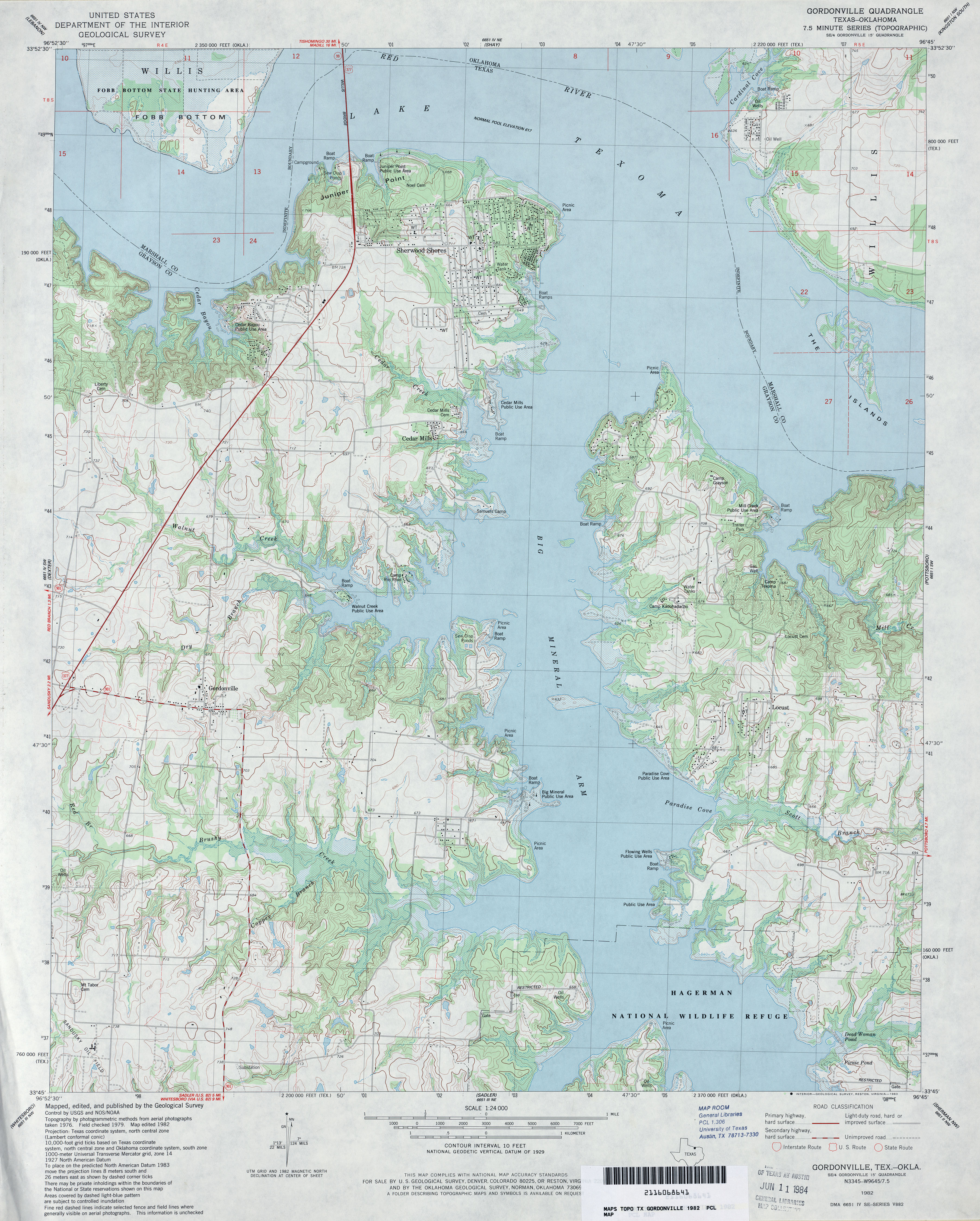
- Gordonville 1:62,500 1958 (4.3MB)
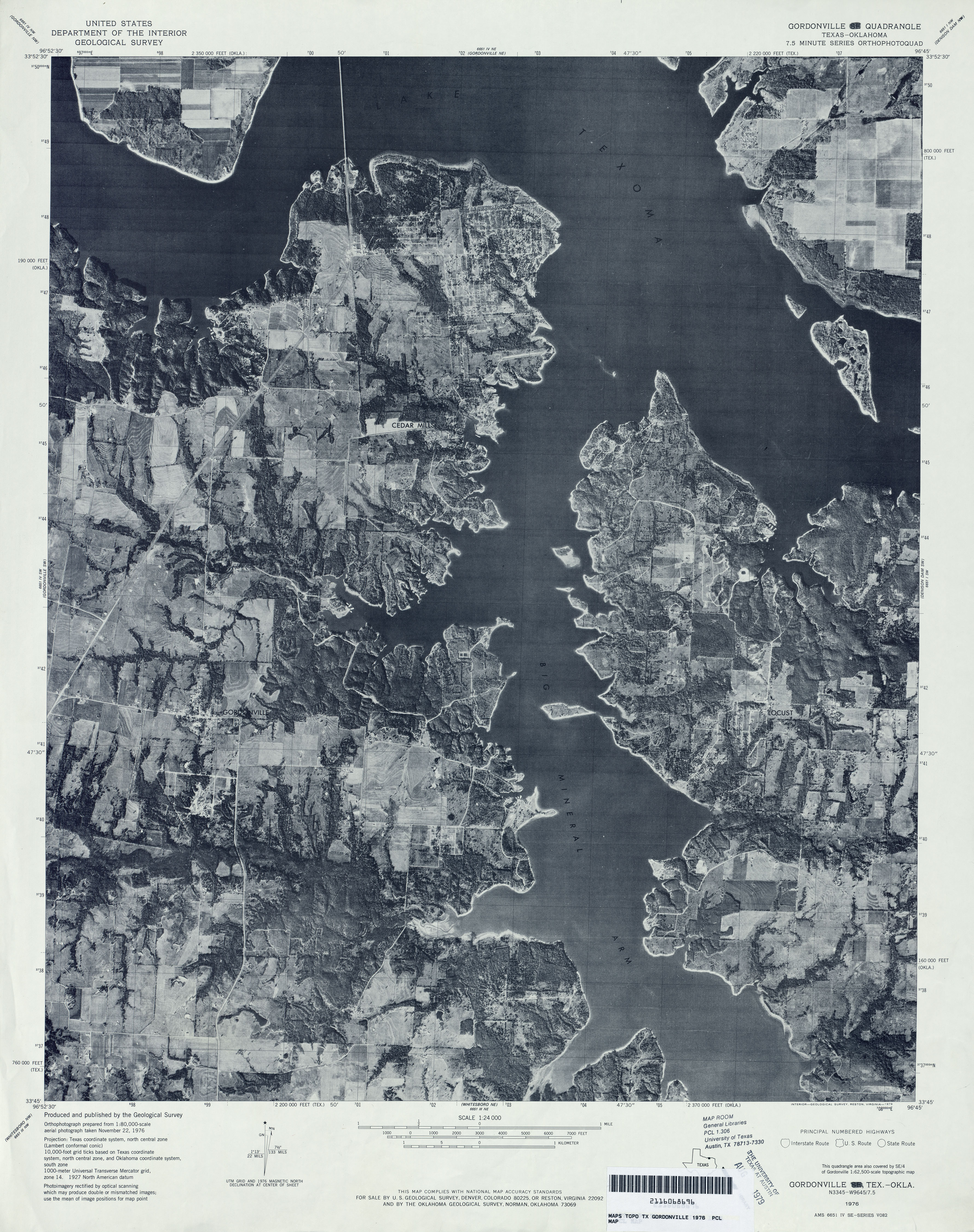
- Gordonville 1:24,000 1976 (4.5MB) 7.5 Minute Series Orthophotoquad.
- Gordonville 1:24,000 1982 (4.2MB)
- Gordonville 1:24,000 2008 (14.9MB) [GeoPDF]
- Gordonville 1:24,000 2013 (22.4MB) [GeoPDF]
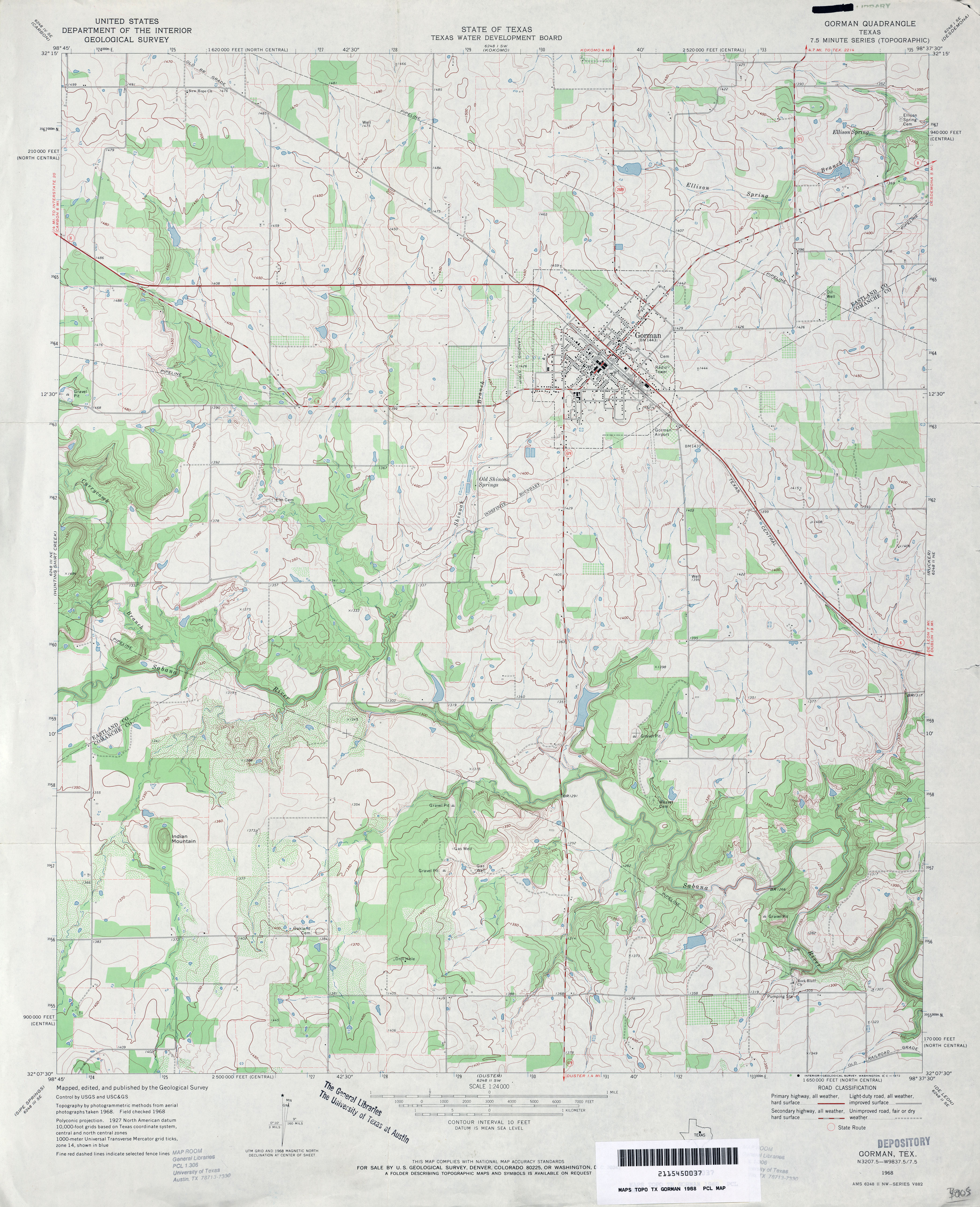
- Gorman 1:24,000 1968 (3.8MB)
- Gorman 1:24,000 2008 (13.9MB) [GeoPDF]
- Gorman 1:24,000 2012 (19.4MB) [GeoPDF]
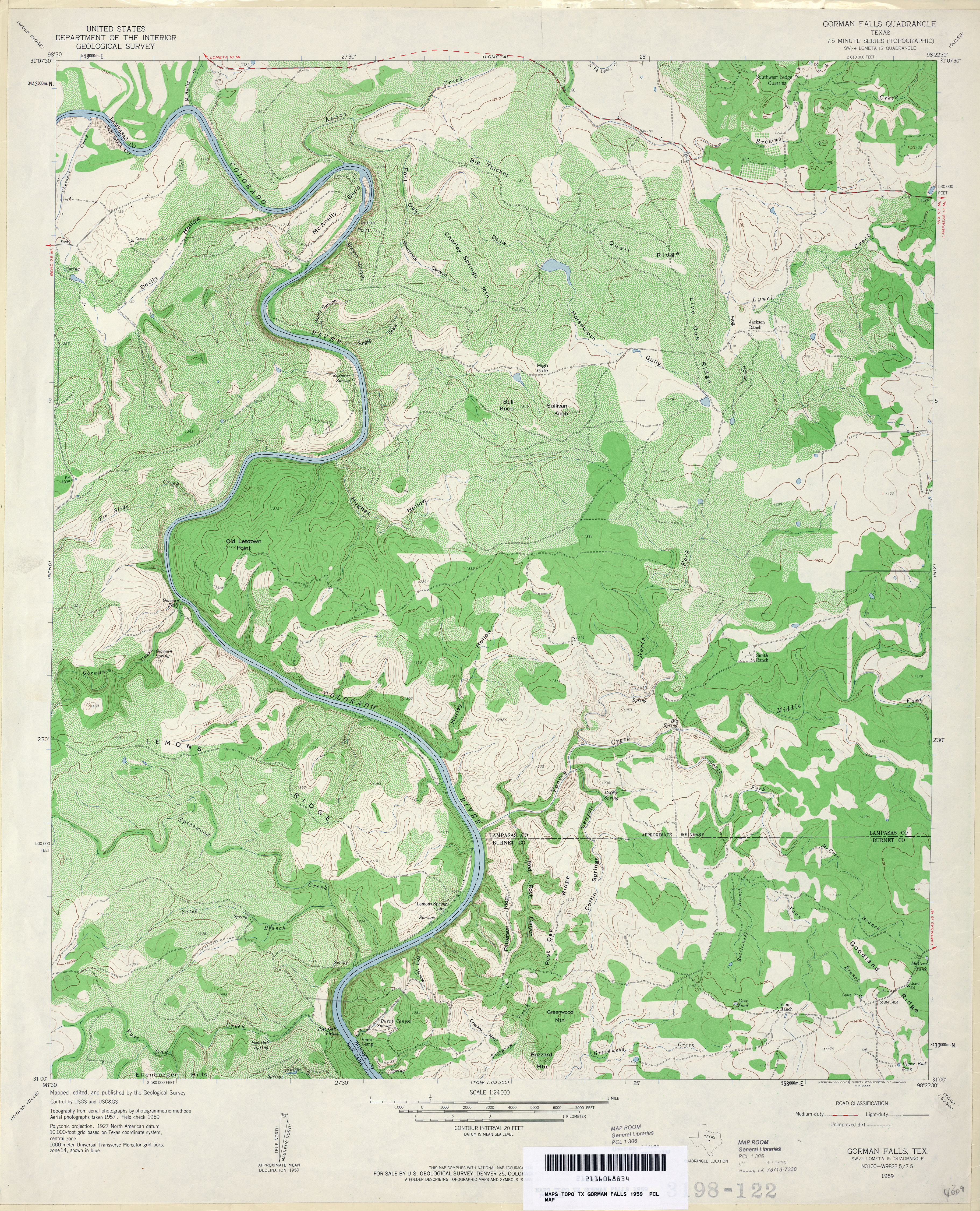
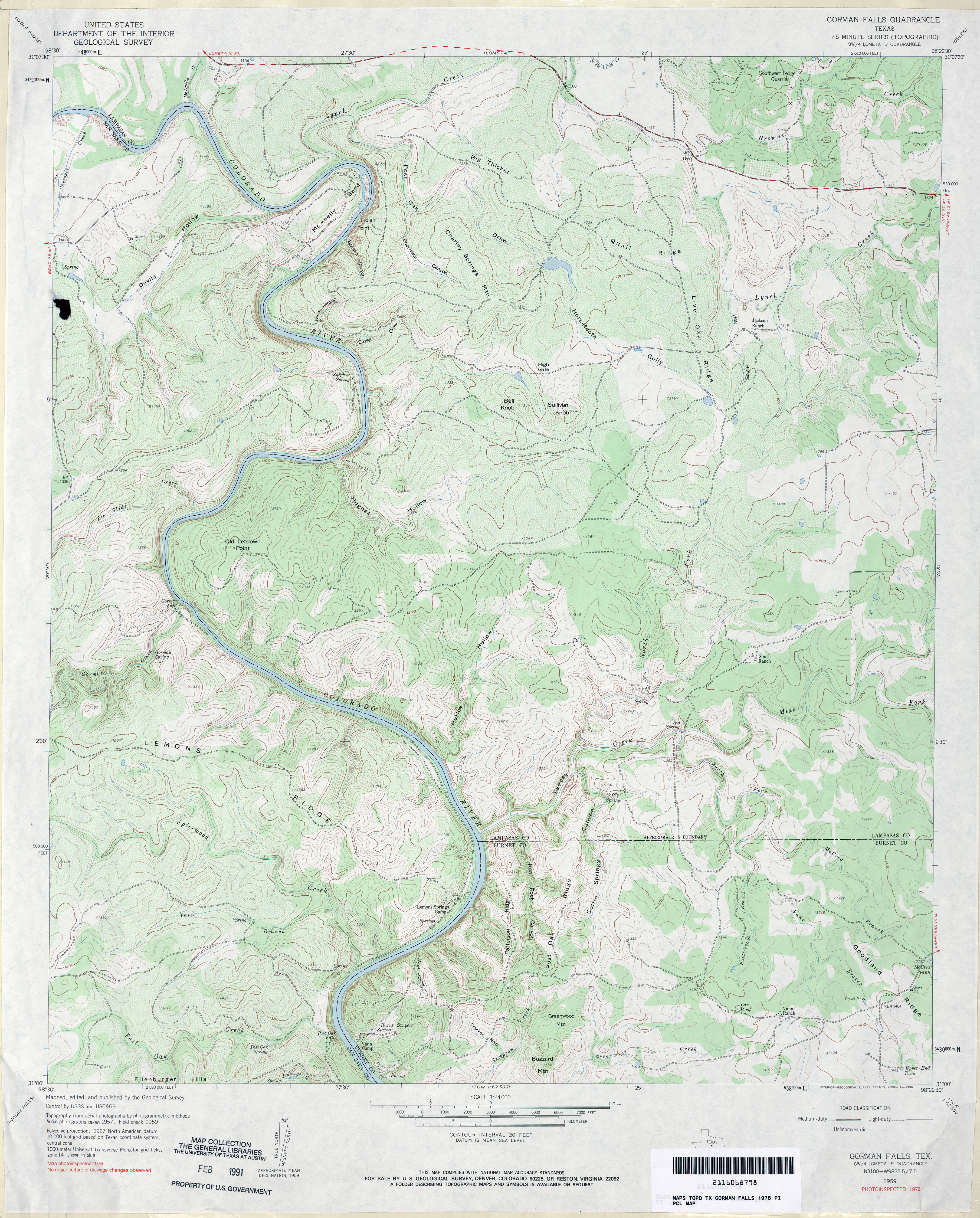
- Gorman Falls 1:24,000 1959 (5.3MB)
- Gorman Falls 1:24,000 1976 (4.7MB)
- Gorman Falls 1:24,000 2008 (21.3MB) [GeoPDF]
- Gorman Falls 1:24,000 2013 (27.4MB) [GeoPDF]
- Gouldbusk (Coleman County) 1:24,000 1962 (3.8MB)
- Gouldbusk 1:24,000 2008 (15.8MB) [GeoPDF]
- Gouldbusk 1:24,000 2012 (18.6MB) [GeoPDF]
- Gozar (Reeves County) 1:24,000 1970 (3.2MB)
- Gozar 1:24,000 2008 (18.3MB) [GeoPDF]
- Gozar 1:24,000 2013 (18.7MB) [GeoPDF]
- Graford East (Palo Pinto County) 1:24,000 1984 (4.6MB)
- Graford East 1:24,000 2008 (17.8MB) [GeoPDF]
- Graford East 1:24,000 2012 (21.5MB) [GeoPDF]
- Graford West (Palo Pinto County) 1:24,000 1984 (4.5MB)
- Graford West 1:24,000 2008 (18.4MB) [GeoPDF]
- Graford West 1:24,000 2012 (23MB) [GeoPDF]
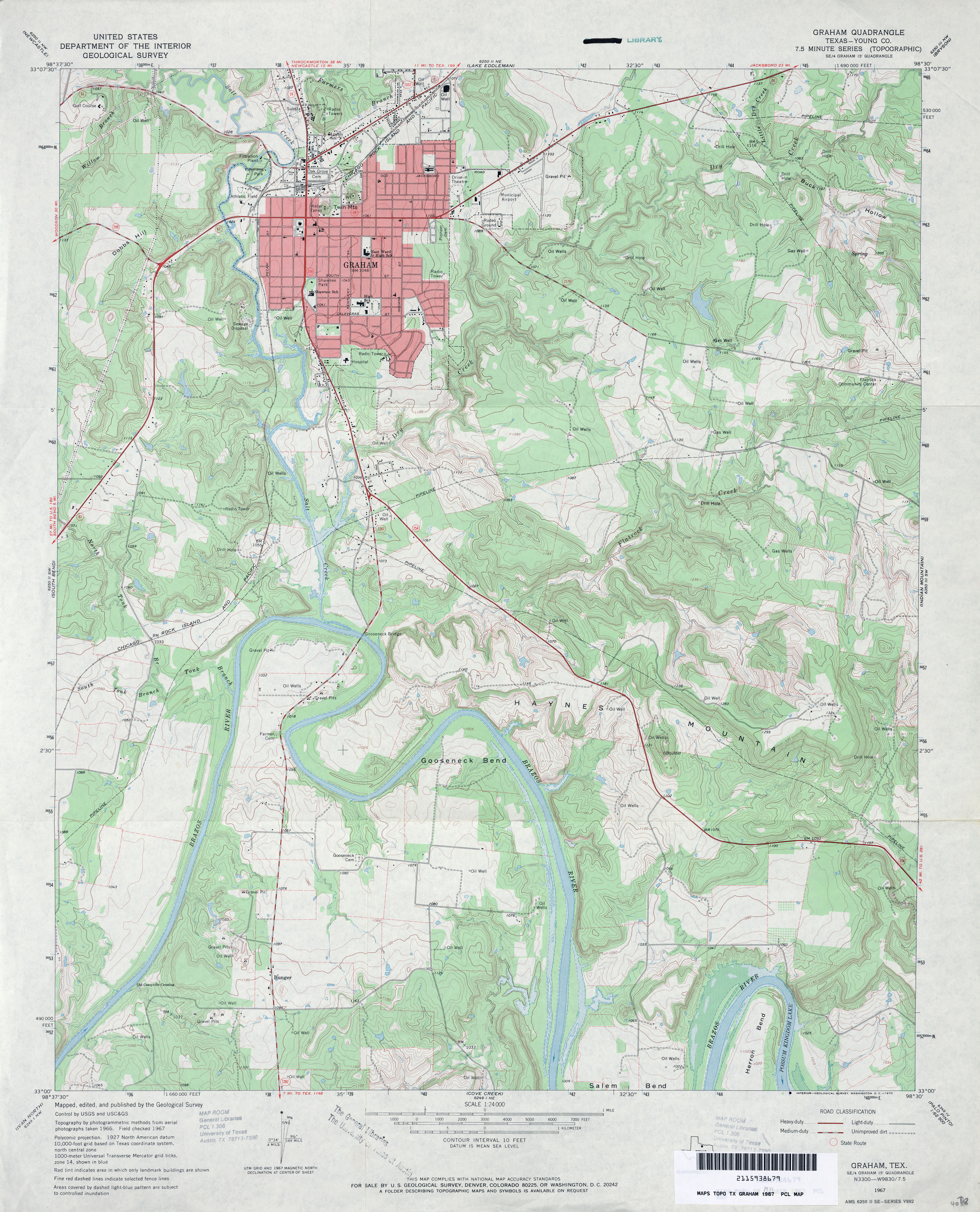
- Graham (Young County) 1:62,500 1925 (2.3 MB)
- Graham (Young County) 1:24,000 1971 (4.3MB)
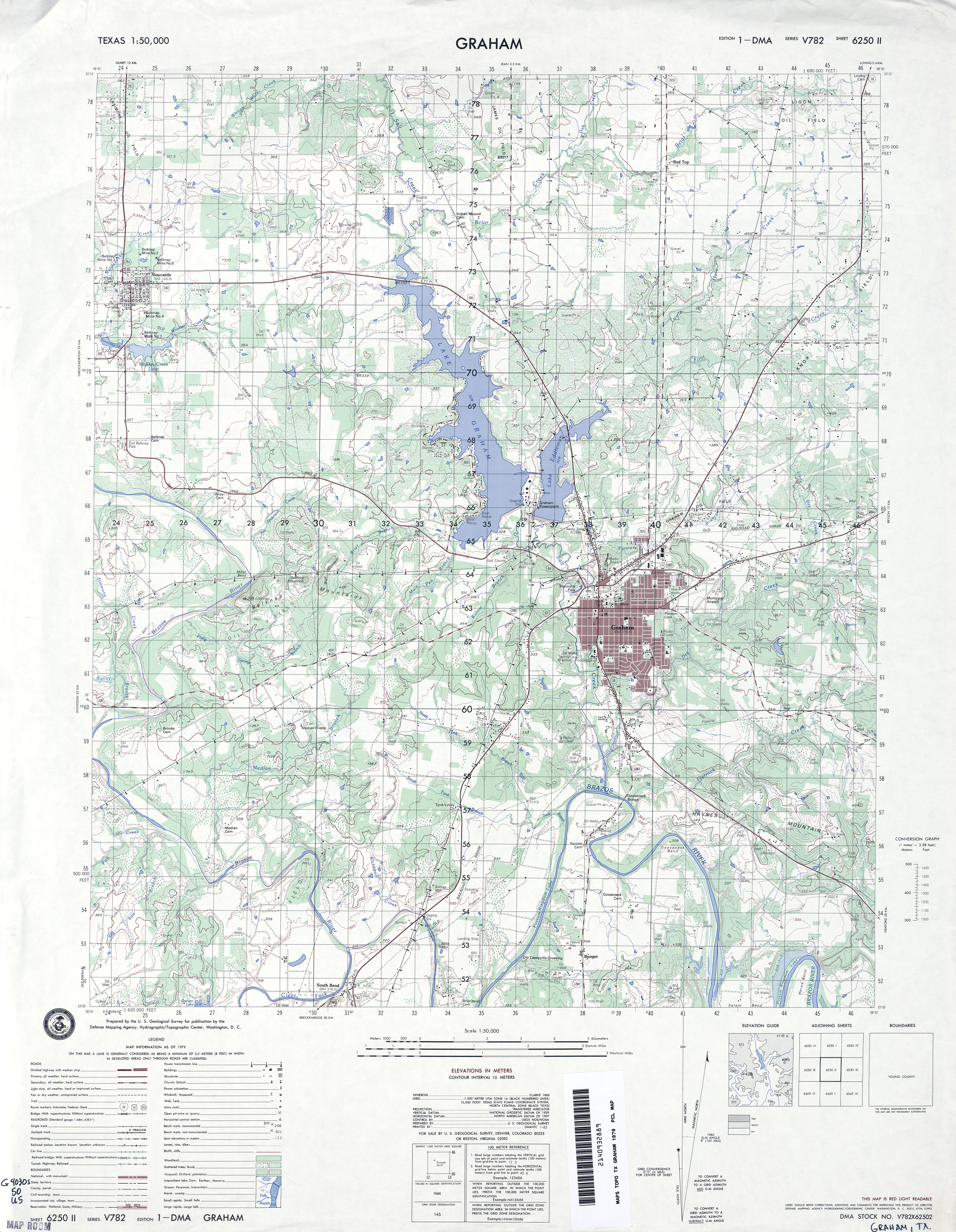
- Graham 1:50,000 1979 (4.1MB) U.S. Defense Mapping Agency, Series V782.
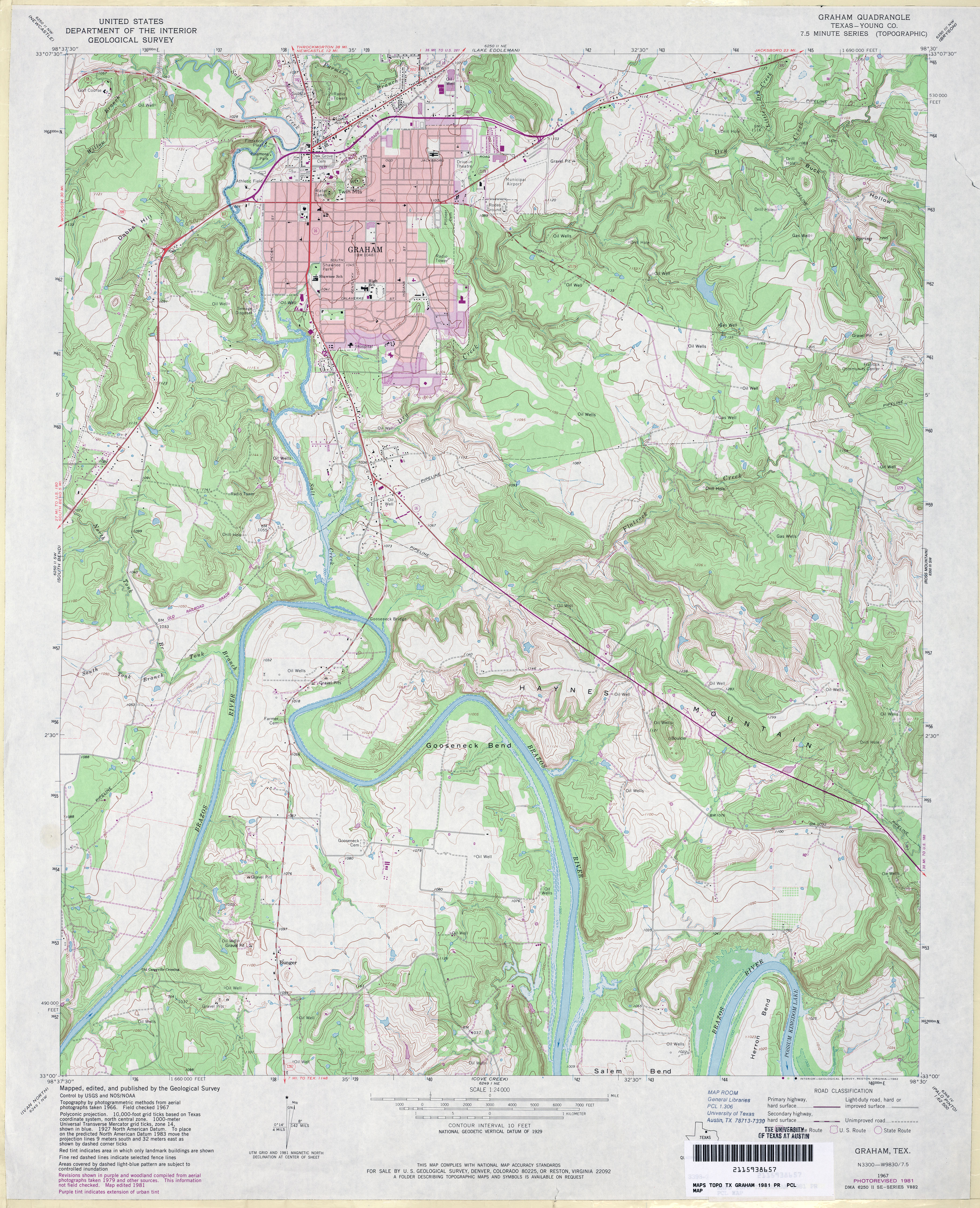
- Graham (Young County) 1:24,000 1981 (5MB)
- Graham 1:24,000 2008 (19.2MB) [GeoPDF]
- Graham 1:24,000 2012 (24.3MB) [GeoPDF]
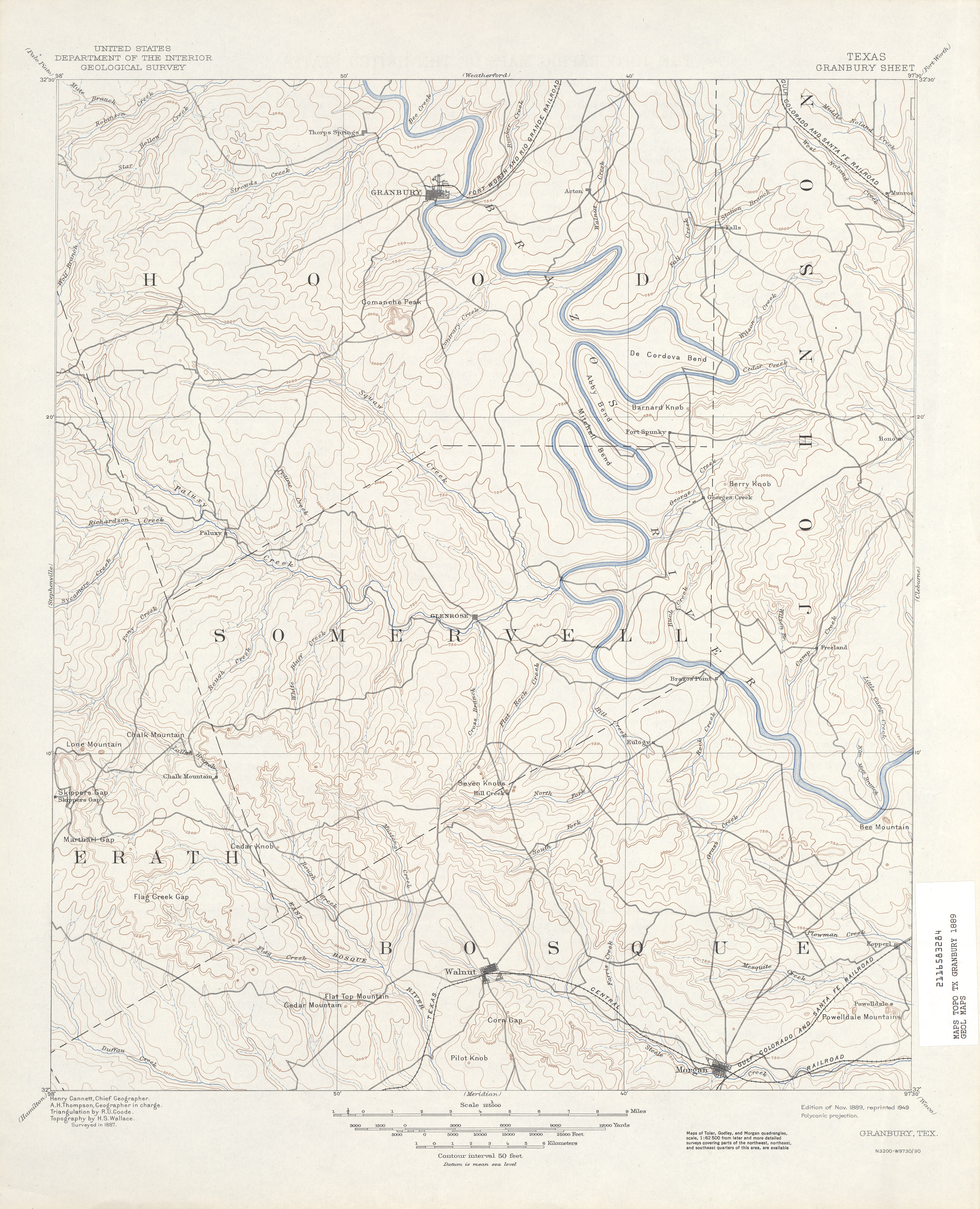
- Granbury 1:125,000 1887 (4.3 MB)
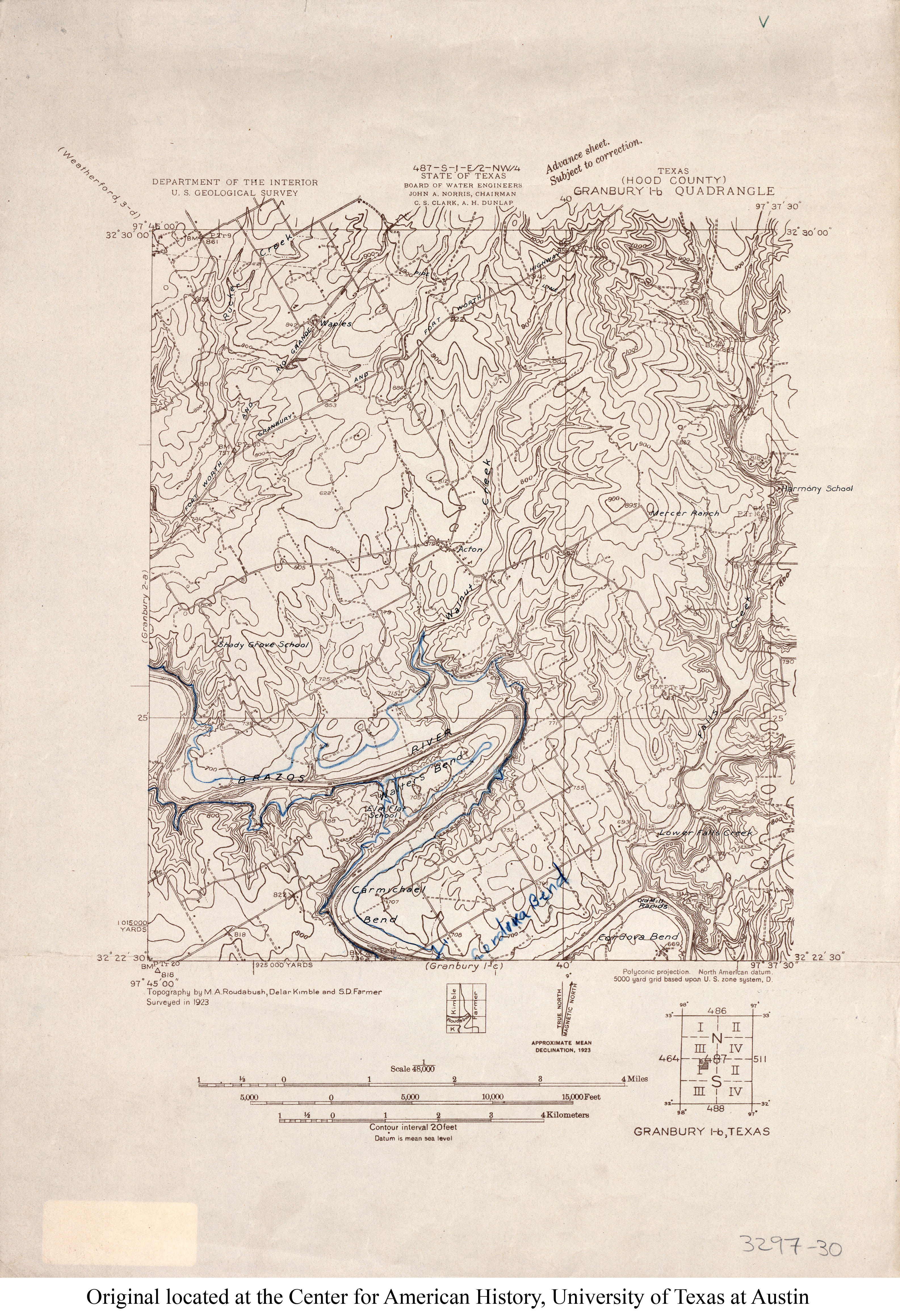
- Granbury 1b (Hood County) 1:48,000 1923 (3.3MB)
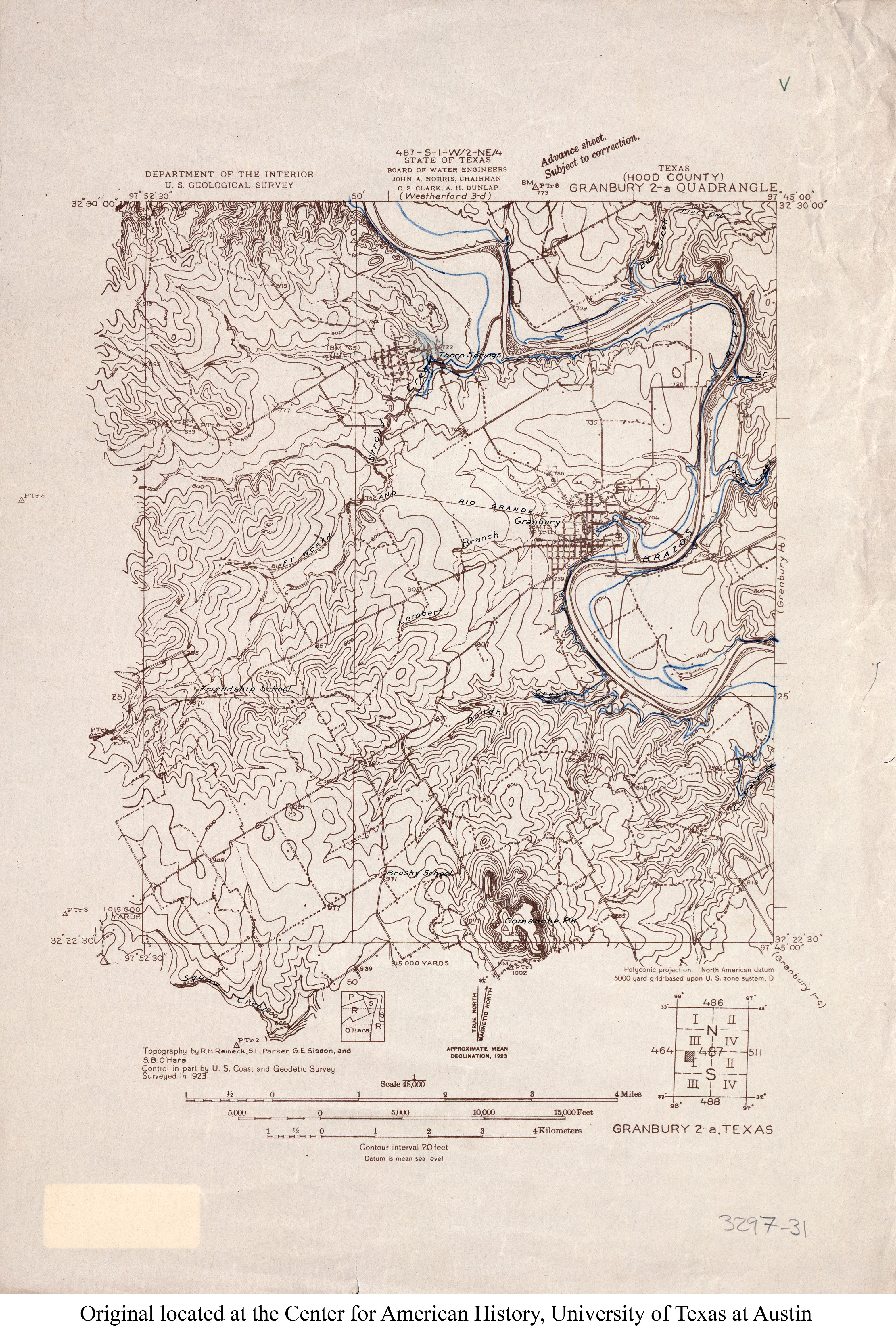
- Granbury 2a (Hood County) 1:48,000 1923 (3.3MB)
- Granbury (Hood County) 1:24,000 1961 (3.9MB)
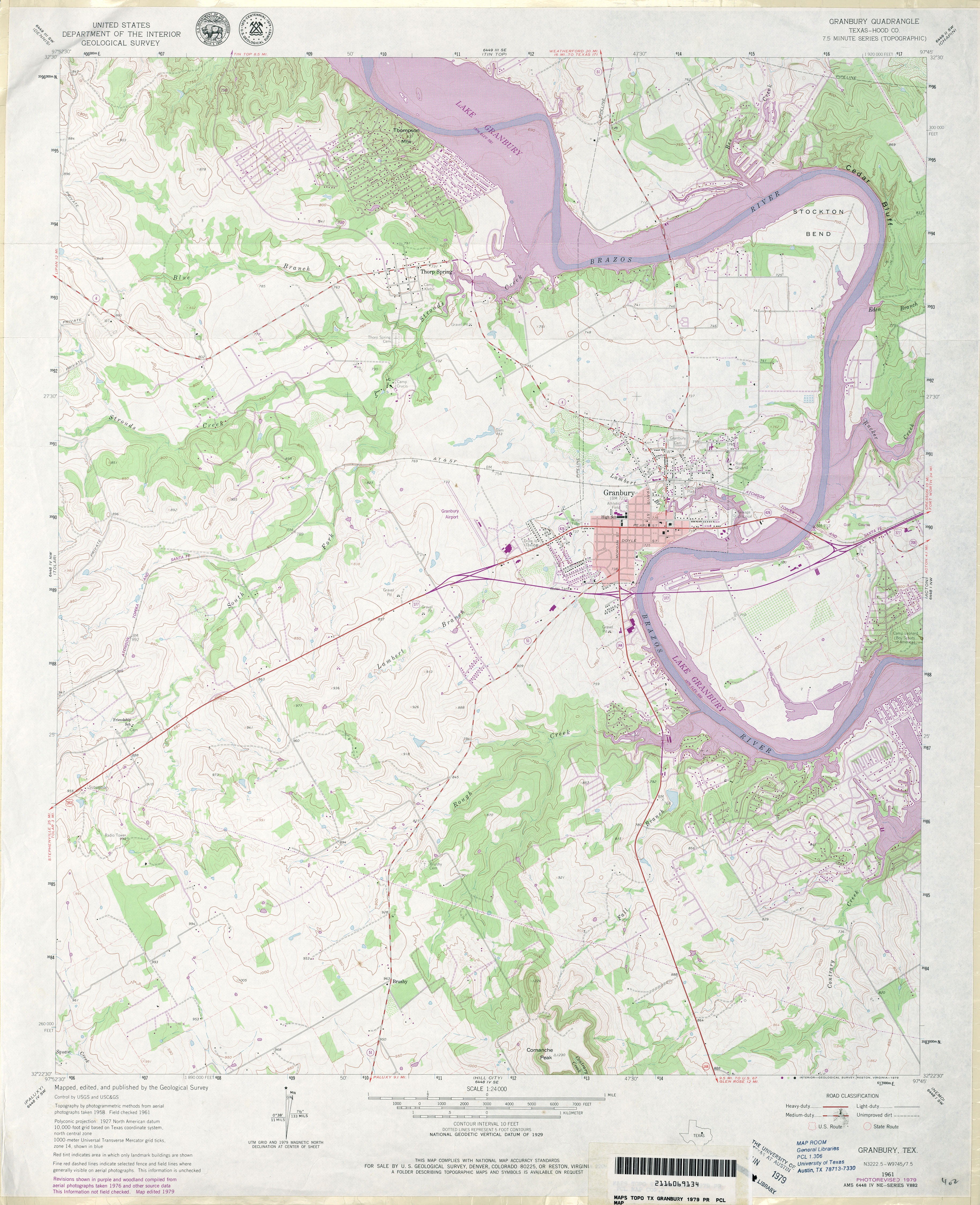
- Granbury (Hood County) 1:24,000 1979 (4.4MB)
- Granbury 1:24,000 2008 (18.0MB) [GeoPDF]
- Granbury 1:24,000 2013 (23.4MB) [GeoPDF]
- Grand Bluff 1:24,000 1983 (3.6MB)
- Grand Bluff 1:24,000 2009 (22.2MB) [GeoPDF]
- Grand Bluff 1:24,000 2013 (24.7MB) [GeoPDF]
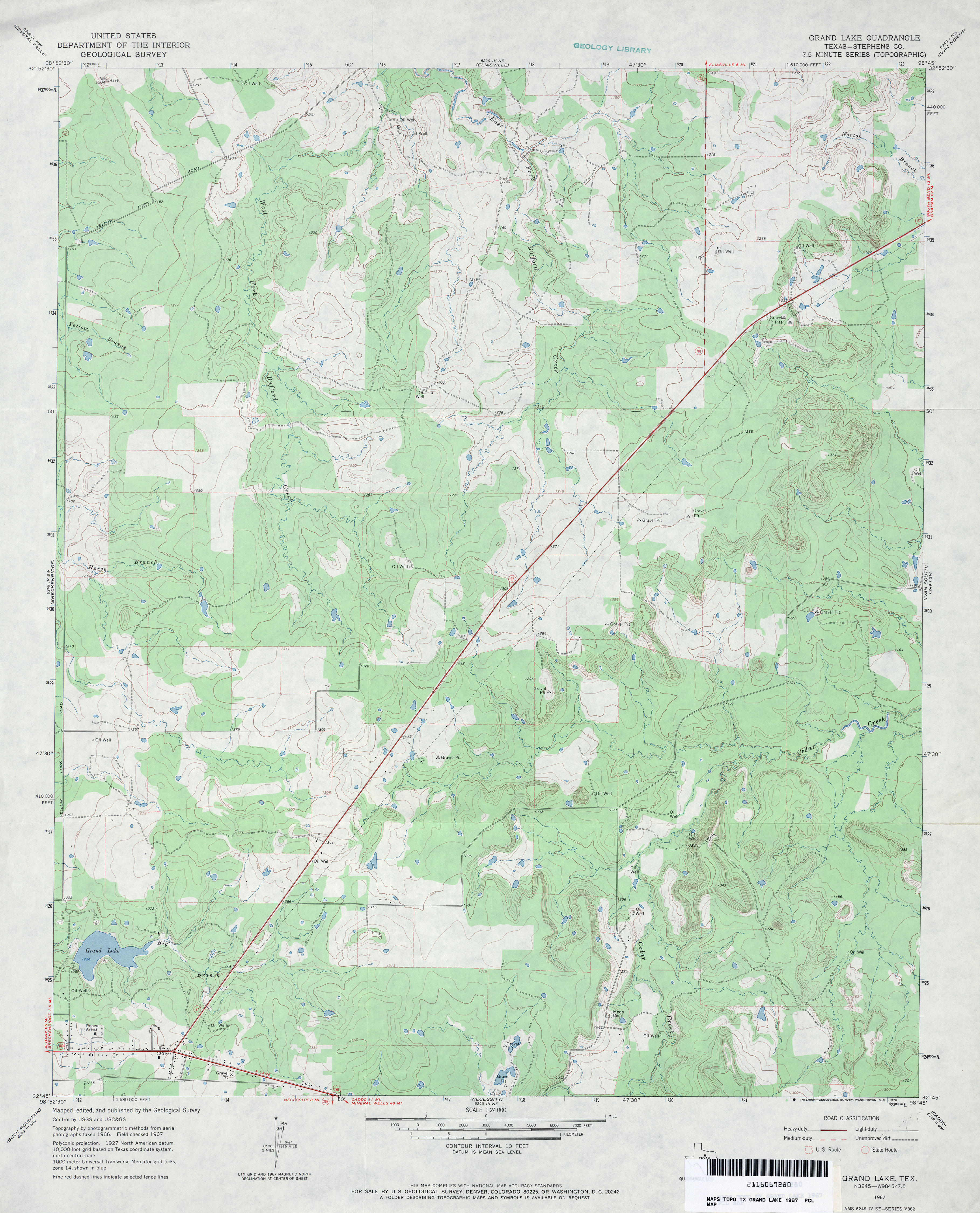
- Grand Lake (Stephens County) 1:24,000 1967 (3.5MB)
- Grand Lake (Stephens County) 1:24,000 1981 (3.7MB)
- Grand Lake 1:24,000 2008 (17.2MB) [GeoPDF]
- Grand Lake 1:24,000 2012 (22.6MB) [GeoPDF]
- Grand Saline 1:24,000 1959 (4.2MB)
- Grand Saline 1:62,500 1959 (4.9MB)
- Grand Saline 1:24,000 1981 (4.6MB)
- Grand Saline 1:24,000 2009 (19.9MB) [GeoPDF]
- Grand Saline 1:24,000 2012 (23.3MB) [GeoPDF]
- Grandfalls 1:24,000 1969 (2.9MB)
- Grandfalls 1:24,000 1981 (3.1MB)
- Grandfalls 1:24,000 2008 (25.4MB) [GeoPDF]
- Grandfalls 1:24,000 2013 (27.1MB) [GeoPDF]
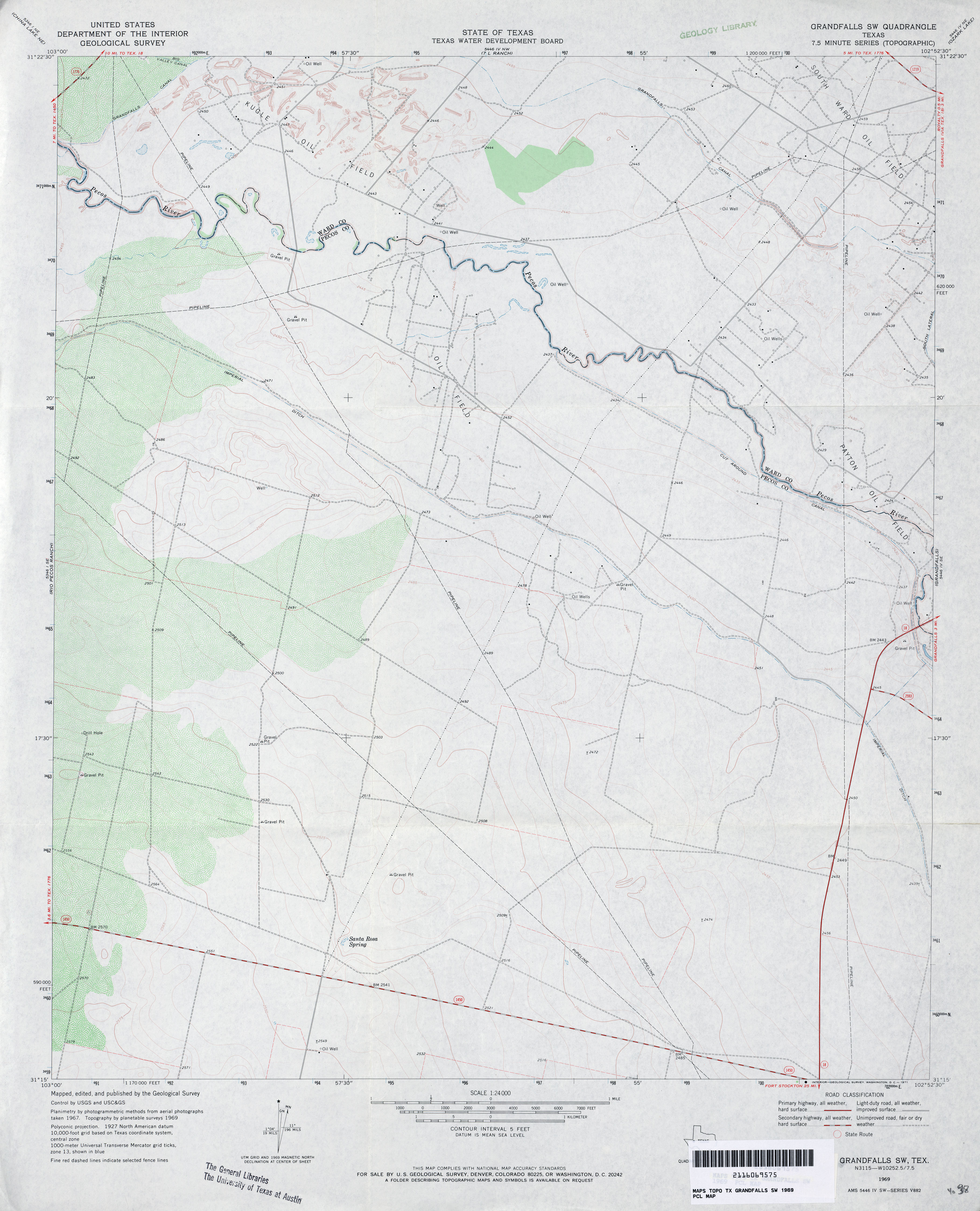
- Grandfalls SW 1:24,000 1969 (2.7MB)
- Grandfalls SW 1:24,000 2008 (24.6MB) [GeoPDF]
- Grandfalls SW 1:24,000 2012 (26.2MB) [GeoPDF]
- Grandfield 1:24,000 2008 (14.0MB) [GeoPDF]
- Grandfield 1:24,000 2012 (16.3MB) [GeoPDF]
- Grandview 1:24,000 1961 (3.8MB)
- Grandview 1:24,000 1978 (4.1MB)
- Grandview 1:24,000 2008 (14.4MB) [GeoPDF]
- Grandview 1:24,000 2012 (19.7MB) [GeoPDF]
- Grandview School 1:24,000 1966 (2.7MB)
- Grandview School 1:24,000 2008 (8.3MB) [GeoPDF]
- Grandview School 1:24,000 2012 (15.1MB) [GeoPDF]
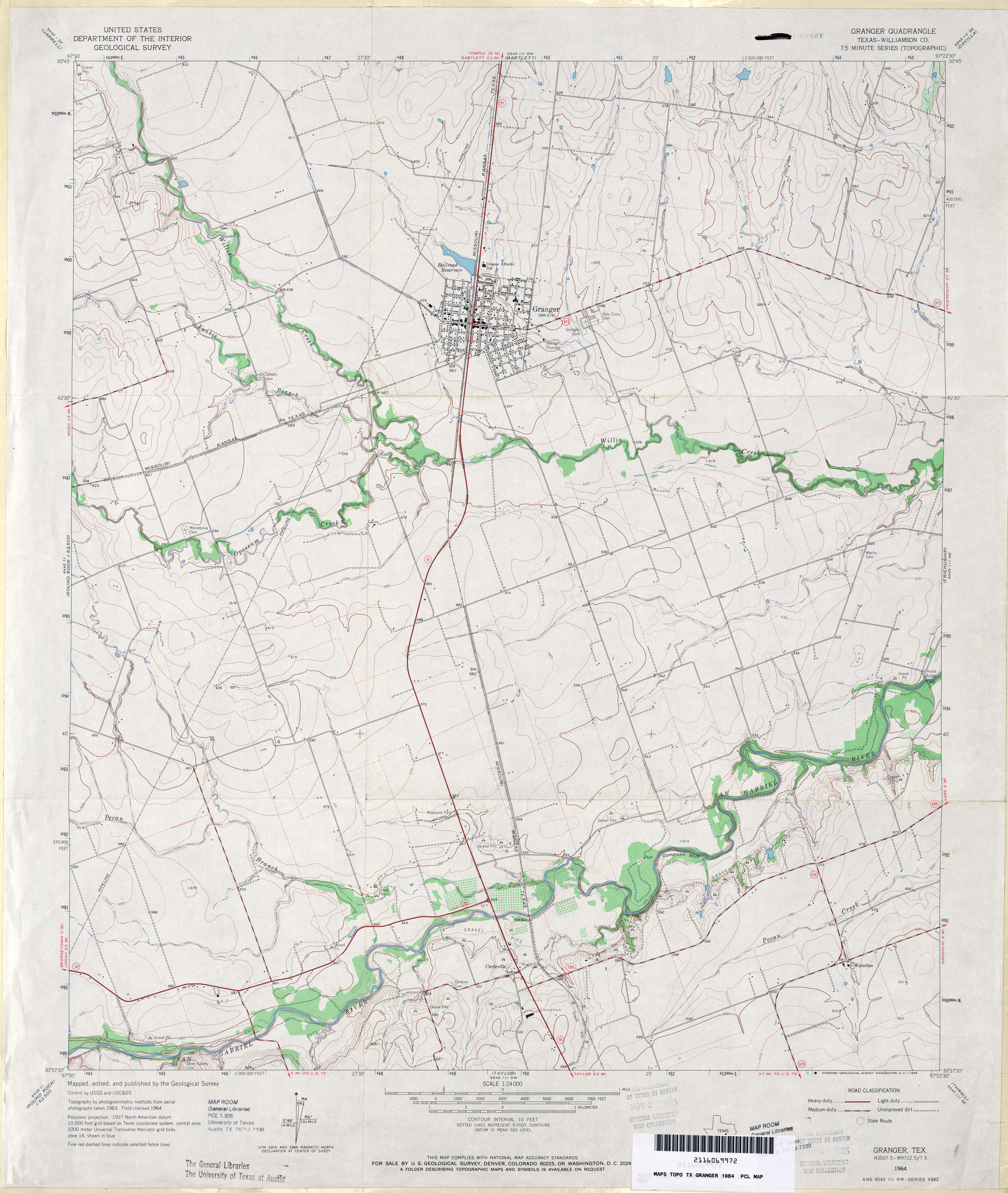
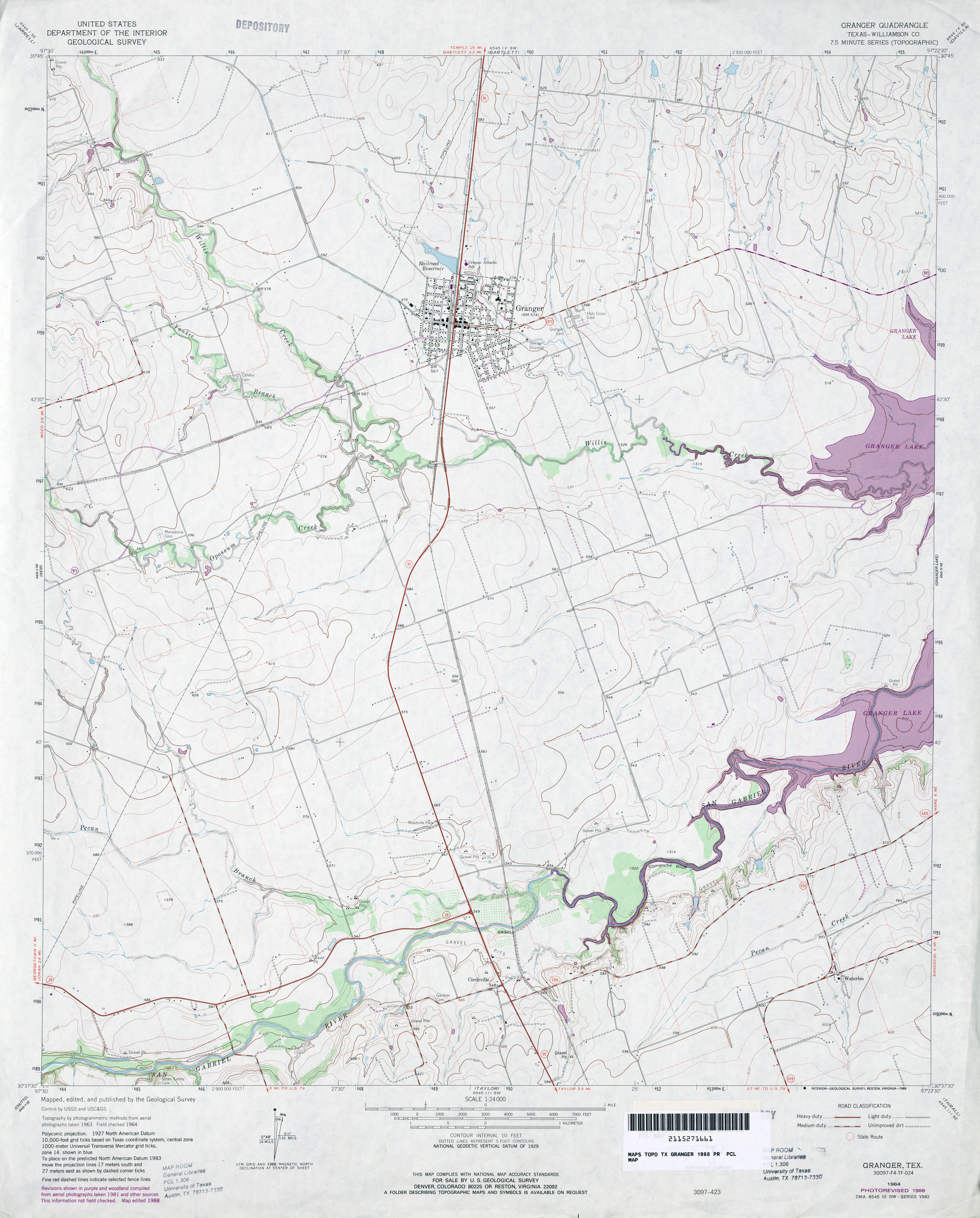
- Granger (Williamson County) 1:24,000 1964 (3.6MB)
- Granger (Williamson County) 1:24,000 1988 (3.3MB)
- Granger 1:24,000 2008 (10.8MB) [GeoPDF]
- Granger 1:24,000 2013 (17.2MB) [GeoPDF]
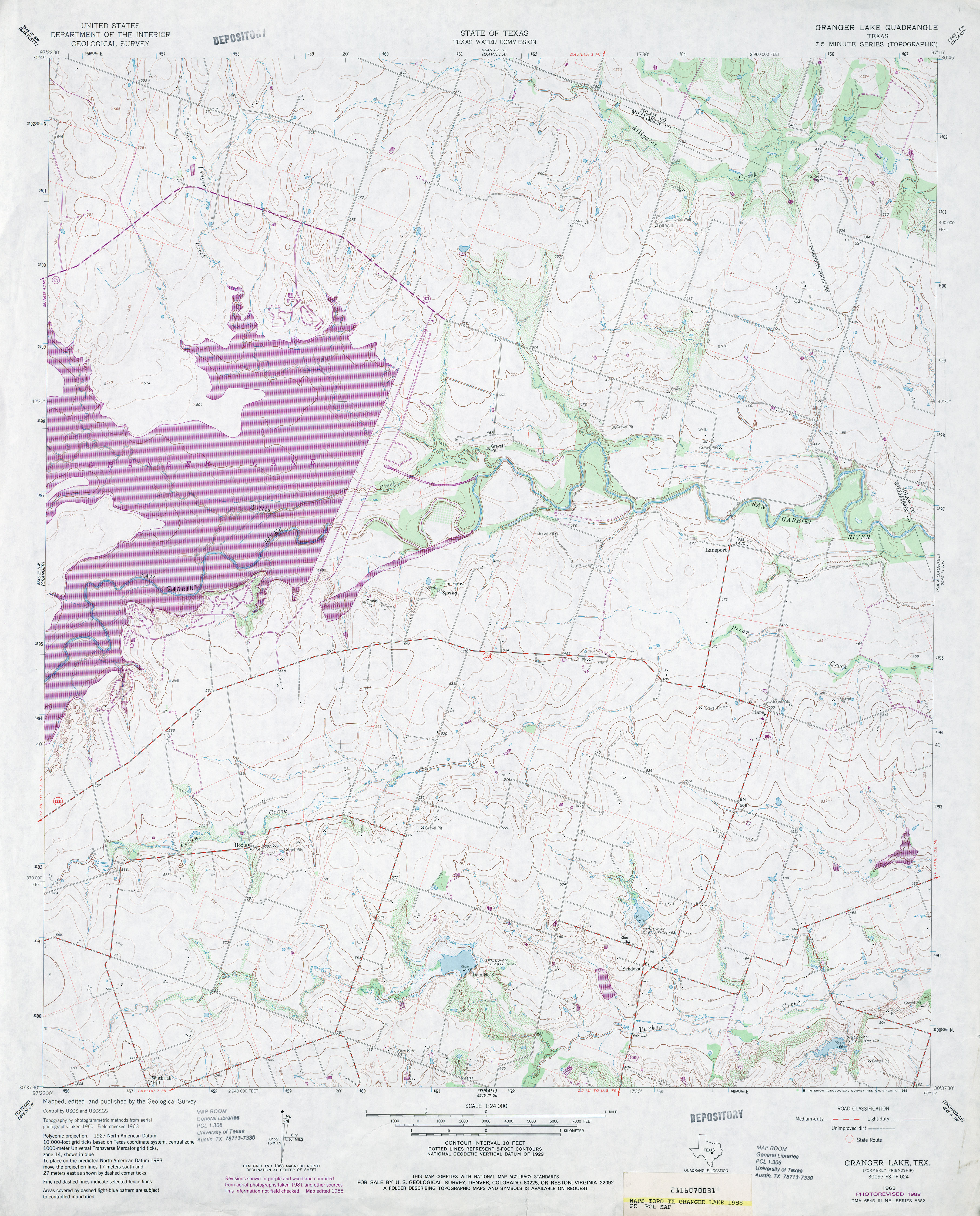
- Granger Lake 1:24,000 1988 (4.1MB)
- Granger Lake 1:24,000 2008 (11.4MB) [GeoPDF]
- Granger Lake 1:24,000 2013 (19.7MB) [GeoPDF]
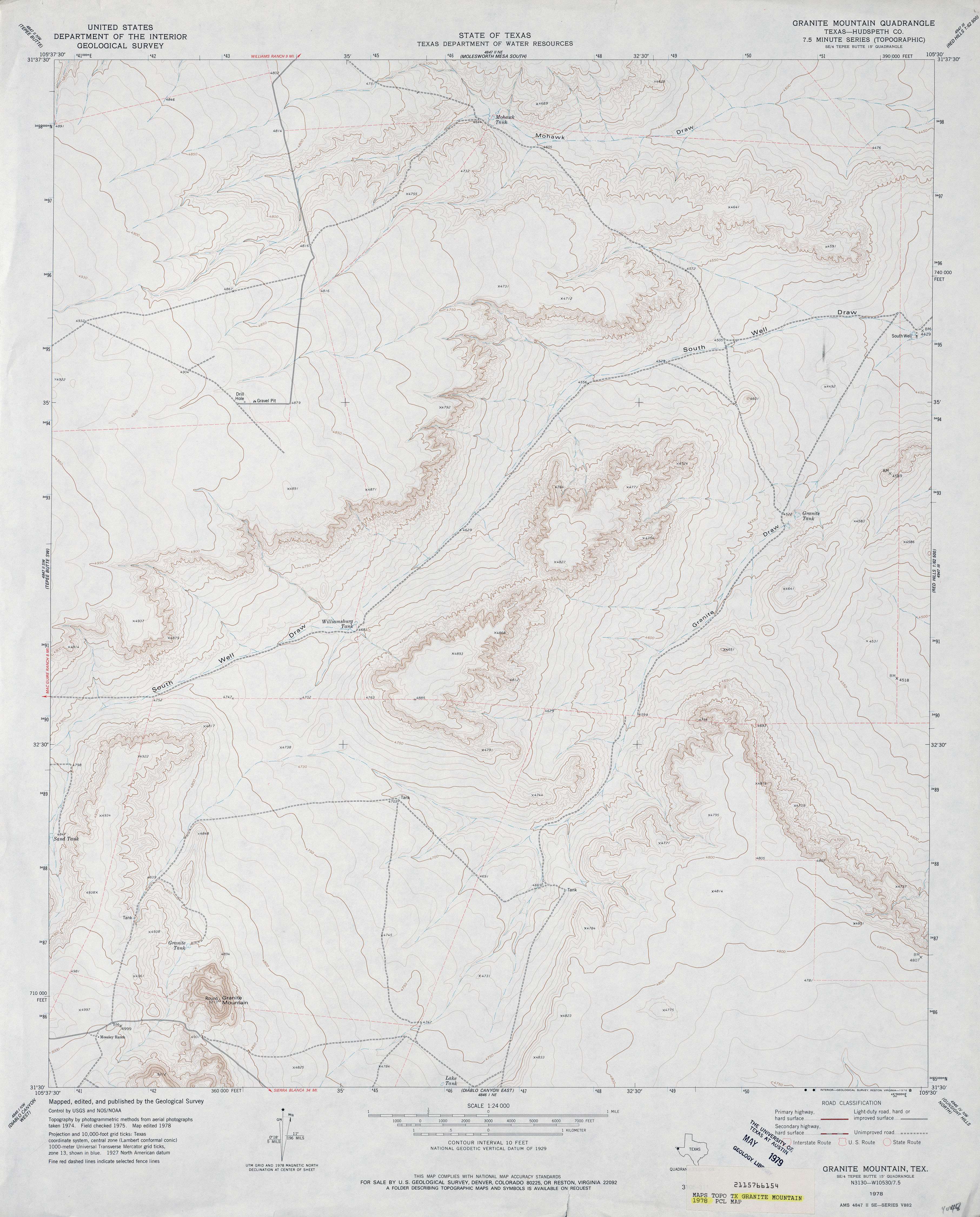
- Granite Mountain (Hudspeth County) 1:24,000 1978 (3.2MB)
- Granite Mountain 1:24,000 2008 (16.3MB) [GeoPDF]
- Granite Mountain 1:24,000 2013 (23.6MB) [GeoPDF]
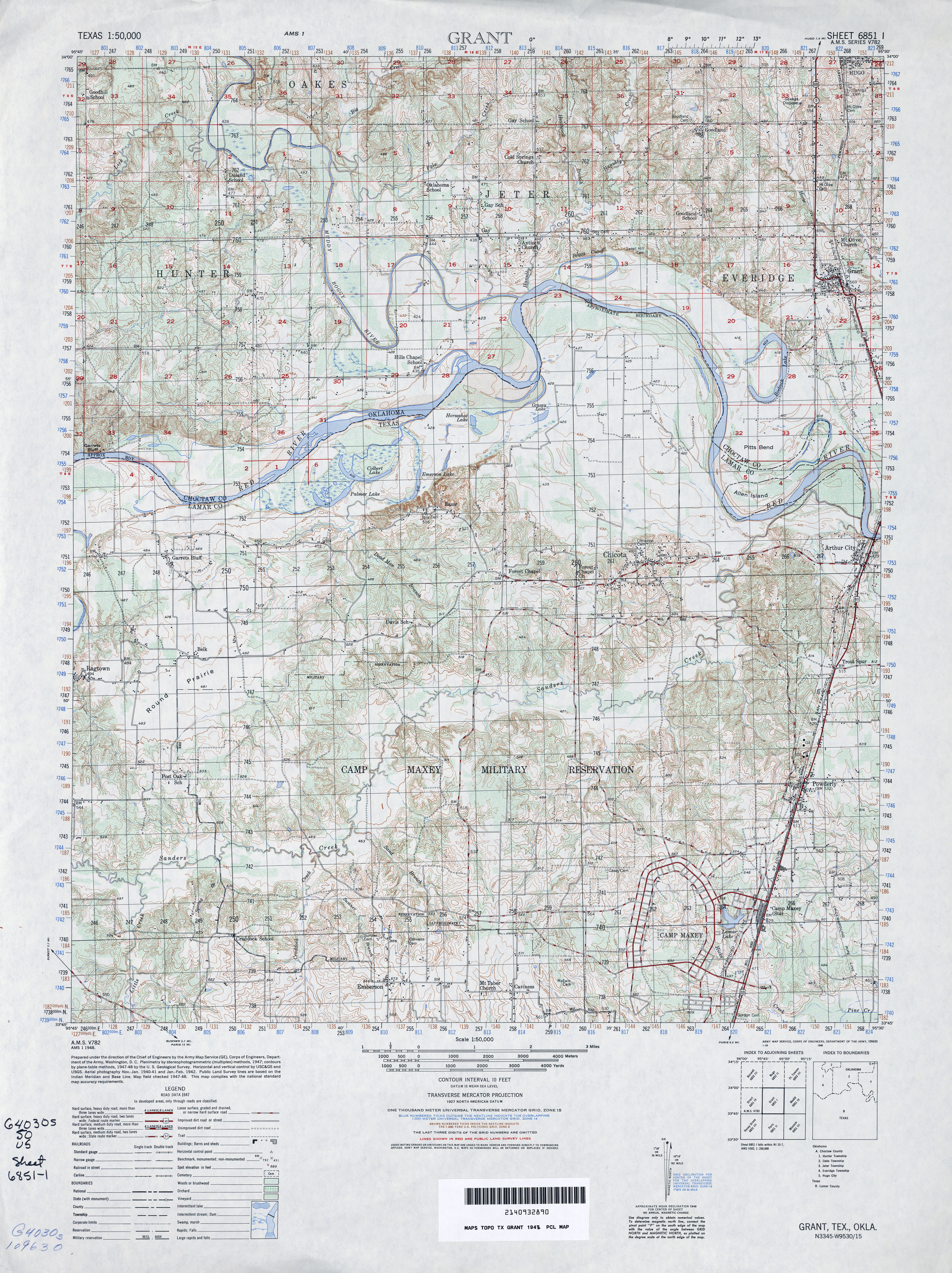
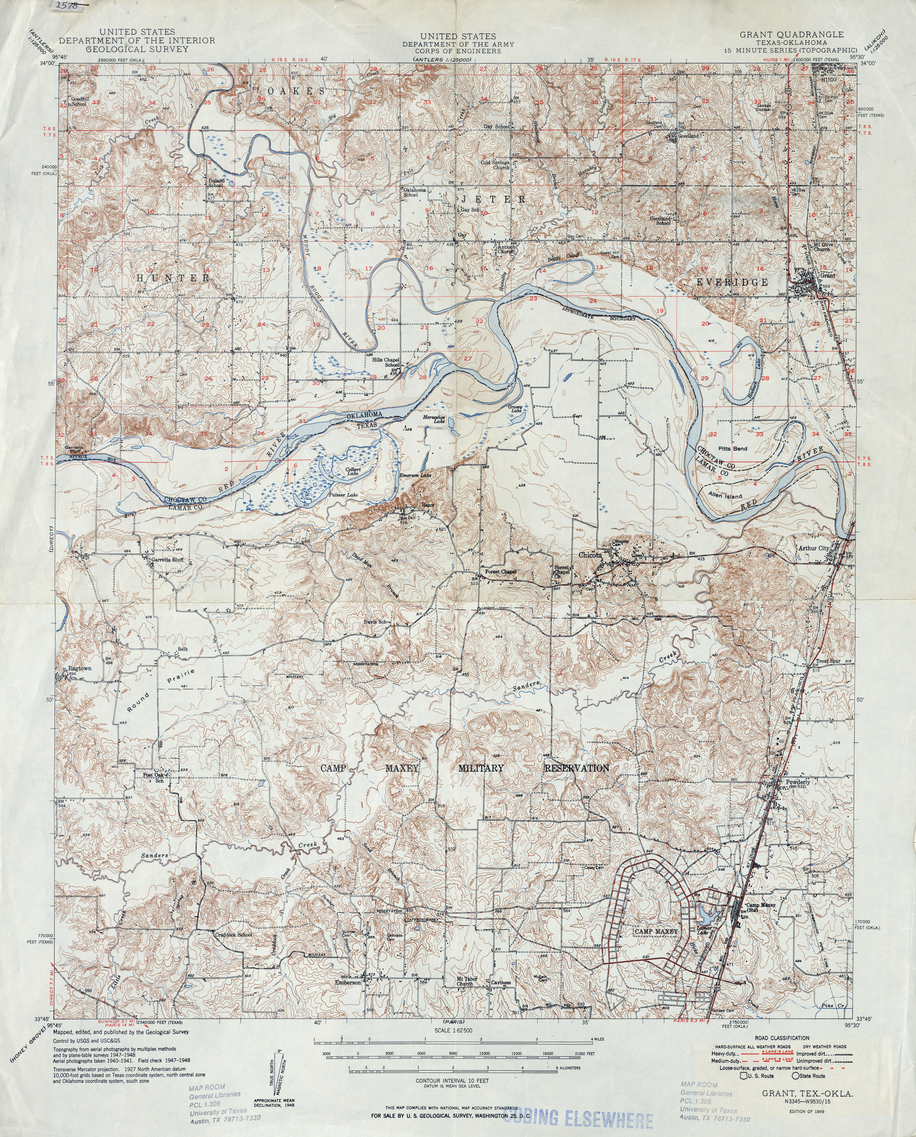
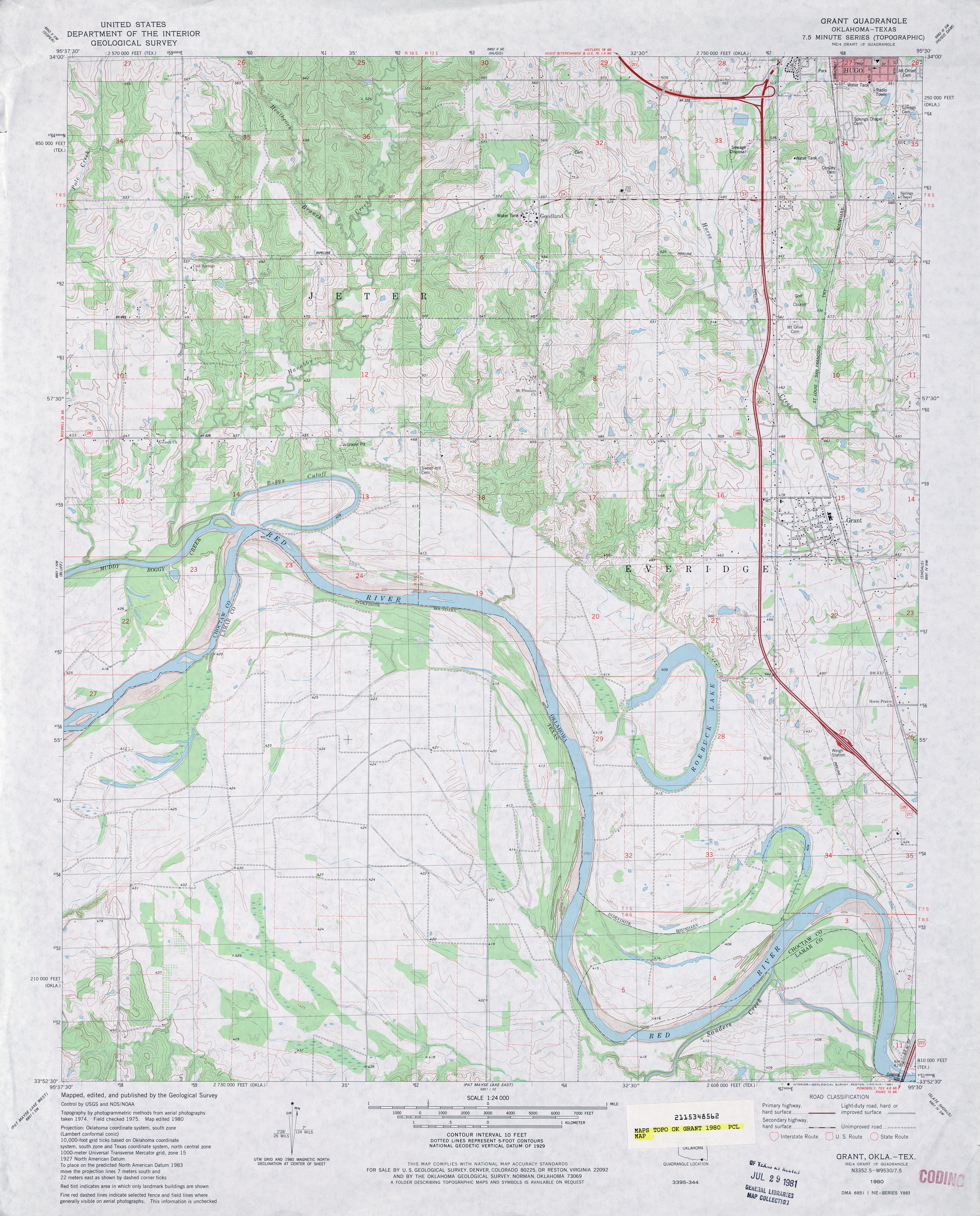
- Grant 1:50,000 1948 (5.5MB) U.S. Army Map Service, Series V782.
- Grant 1:62,500 1948 (5.9MB)
- Grant 1:24,000 1980 (4.3MB)
- Grant 1:24,000 2012 (25.8MB) [GeoPDF]
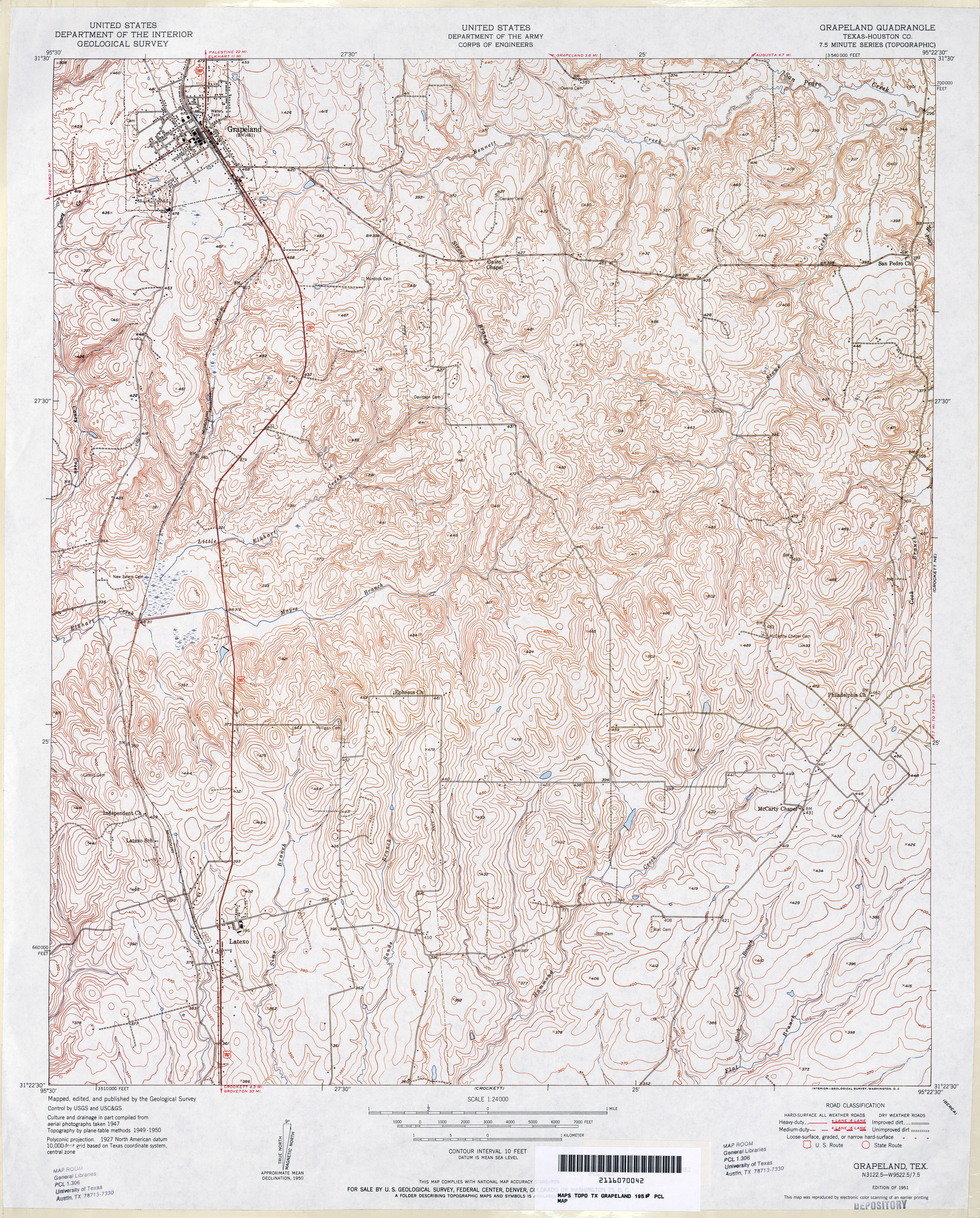
- Grapeland (Houston County) 1:24,000 1950 (6.3MB)
- Grapeland 1:24,000 2009 (22.2MB) [GeoPDF]
- Grapeland 1:24,000 2013 (23.5MB) [GeoPDF]
- Grapevine 1:62,500 1926 (3.6MB)
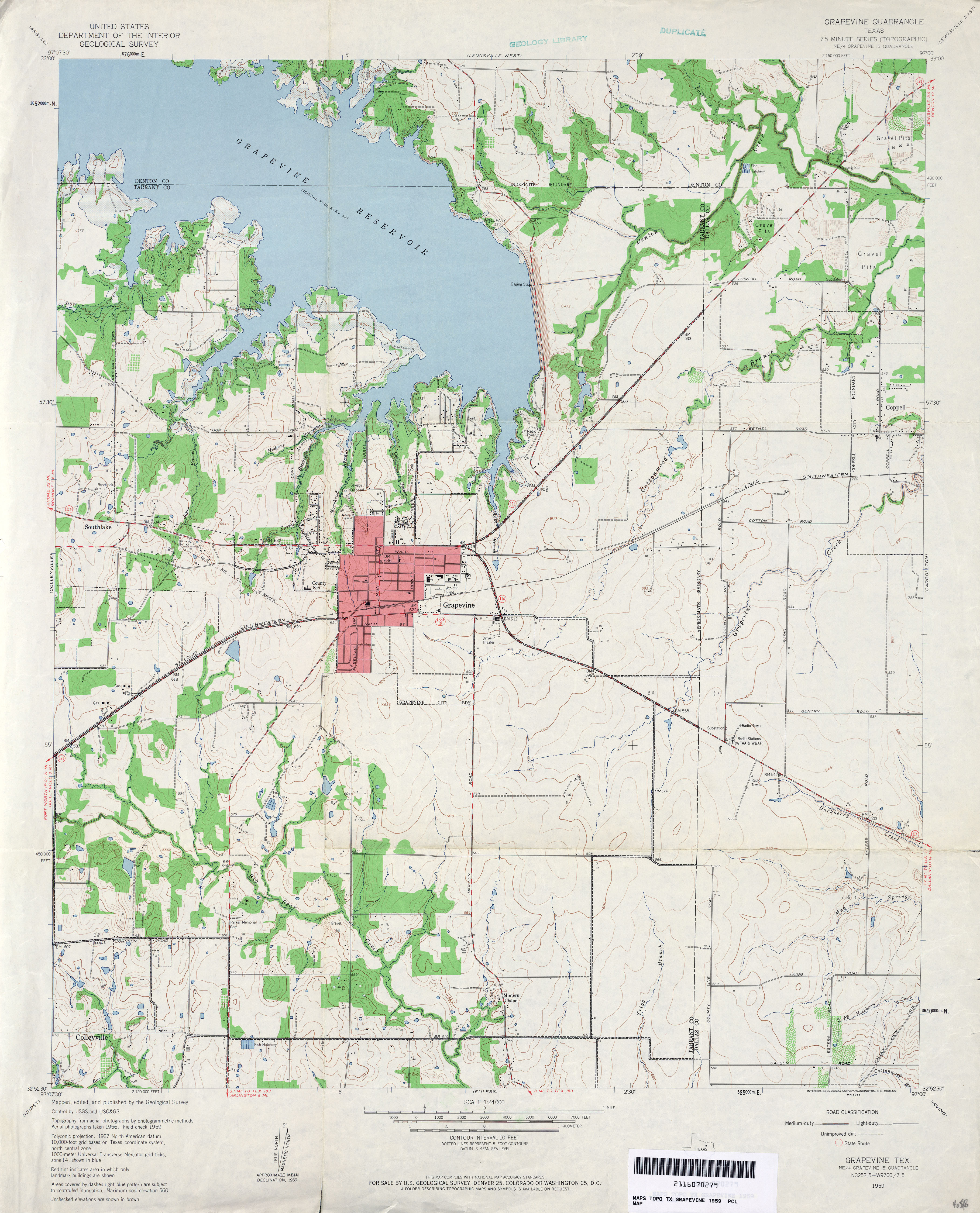
- Grapevine 1:24,000 1959 (3.5MB)
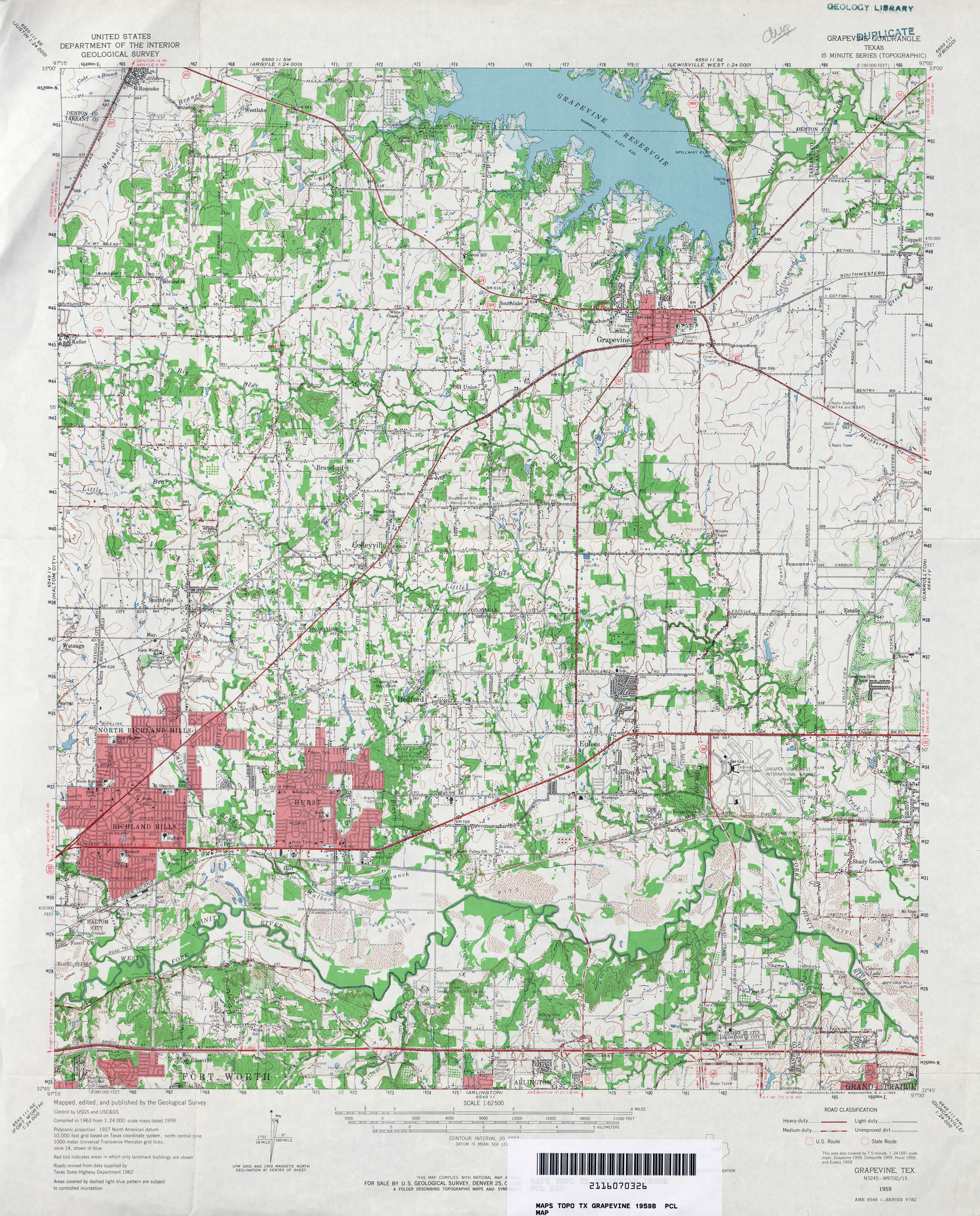
- Grapevine 1:62,500 1959 (4.9MB)
- Grapevine 1:24,000 1968 (3.6MB)
- Grapevine 1:24,000 1973 (3.6MB)
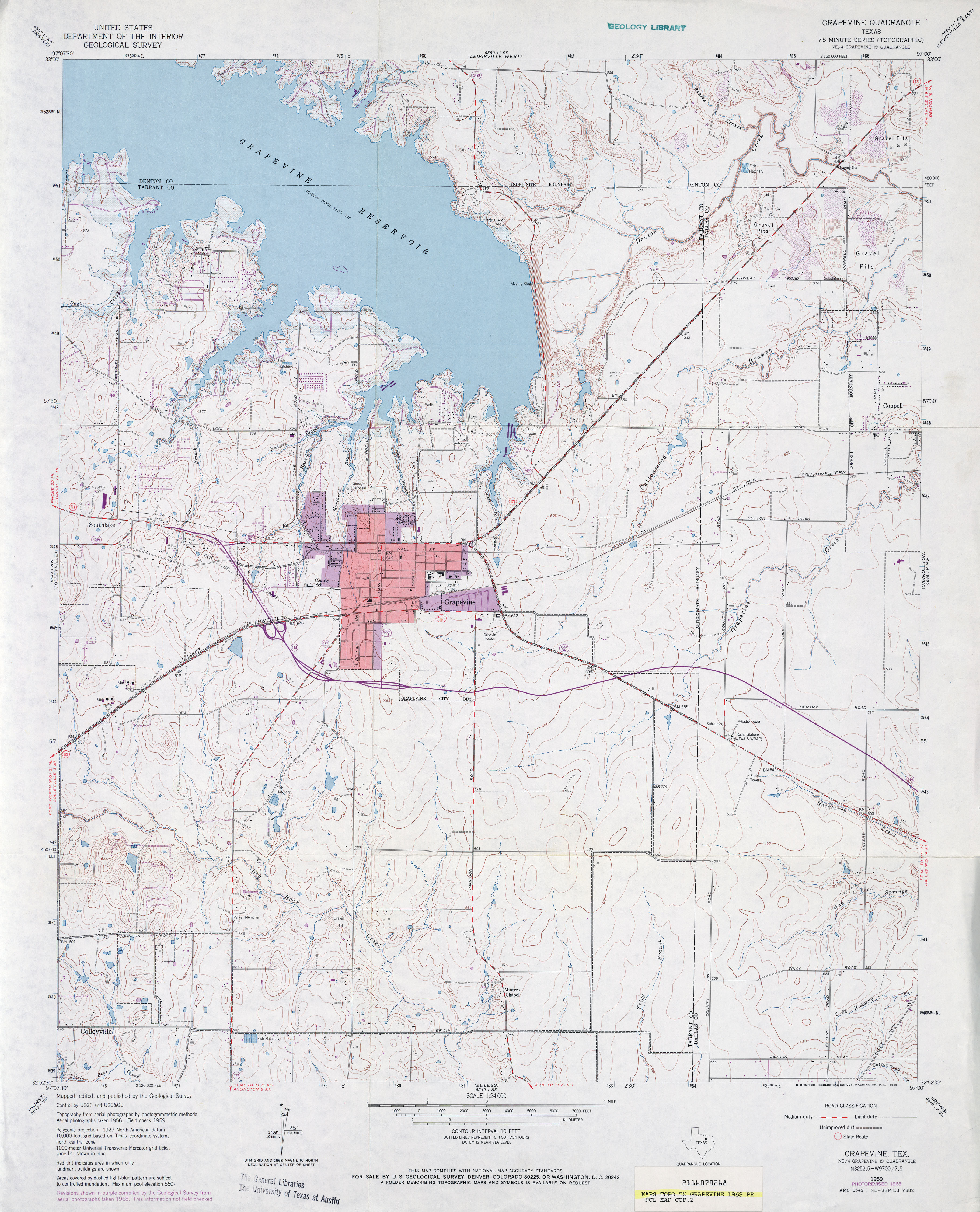
- Grapevine 1:24,000 1981 (4.2MB)
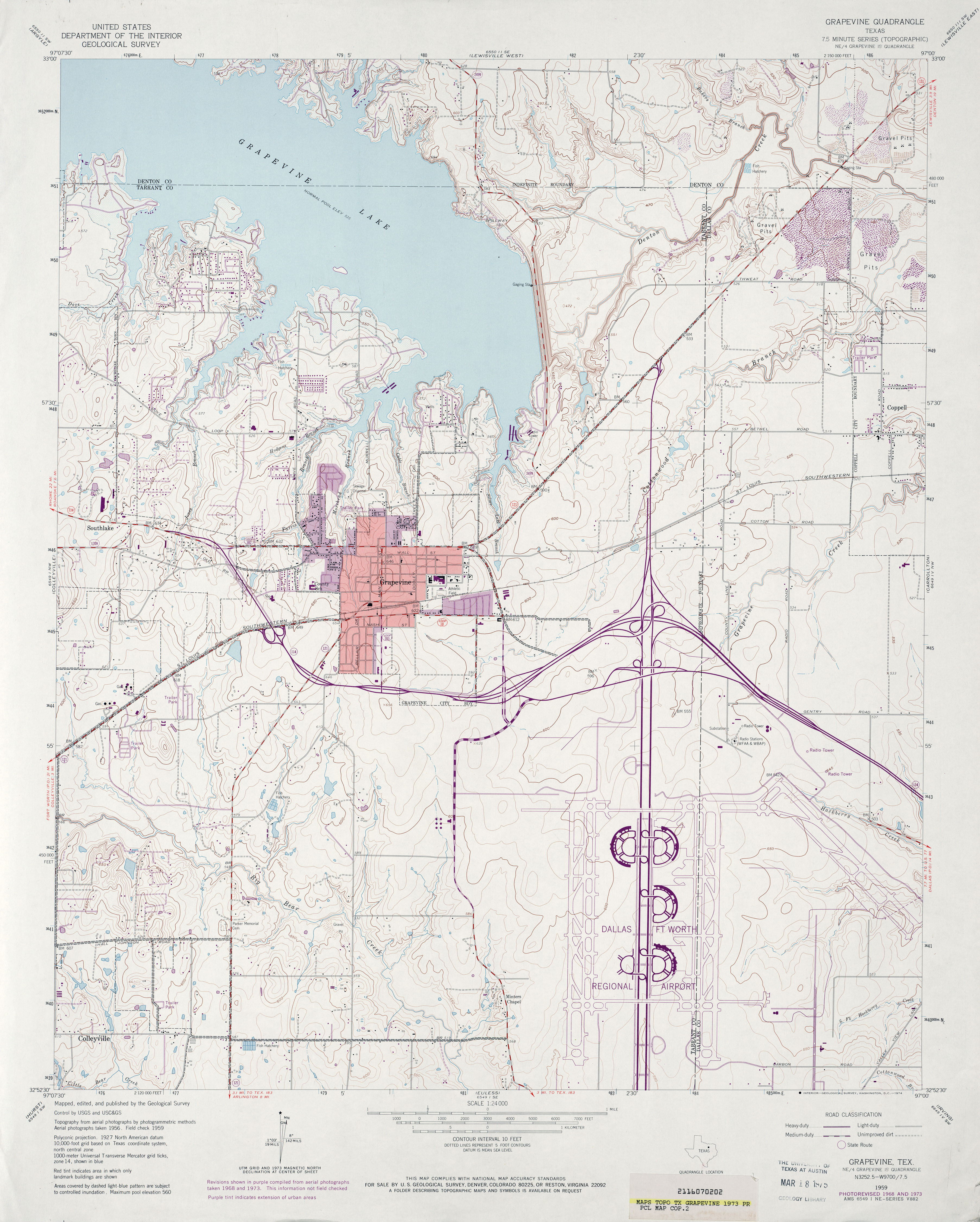
- Grapevine 1:24,000 2008 (17.9MB) [GeoPDF]
- Grapevine 1:24,000 2012 (23.4MB) [GeoPDF]
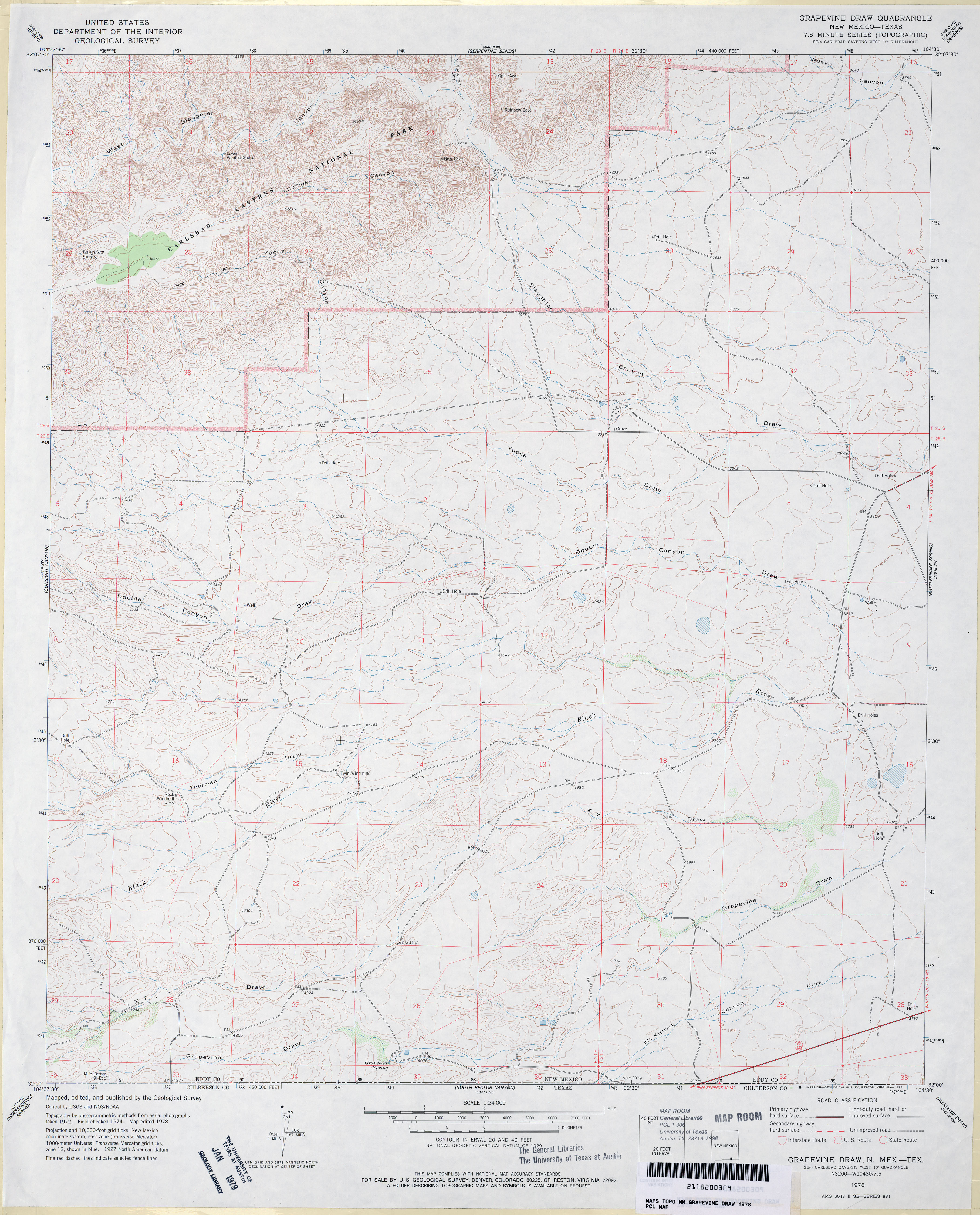
- Grapevine Draw 1:24,000 1978 (3.6MB)
- Grapevine Draw [New Mexico, Texas] 1:24,000 2009 (24.5MB) [GeoPDF]
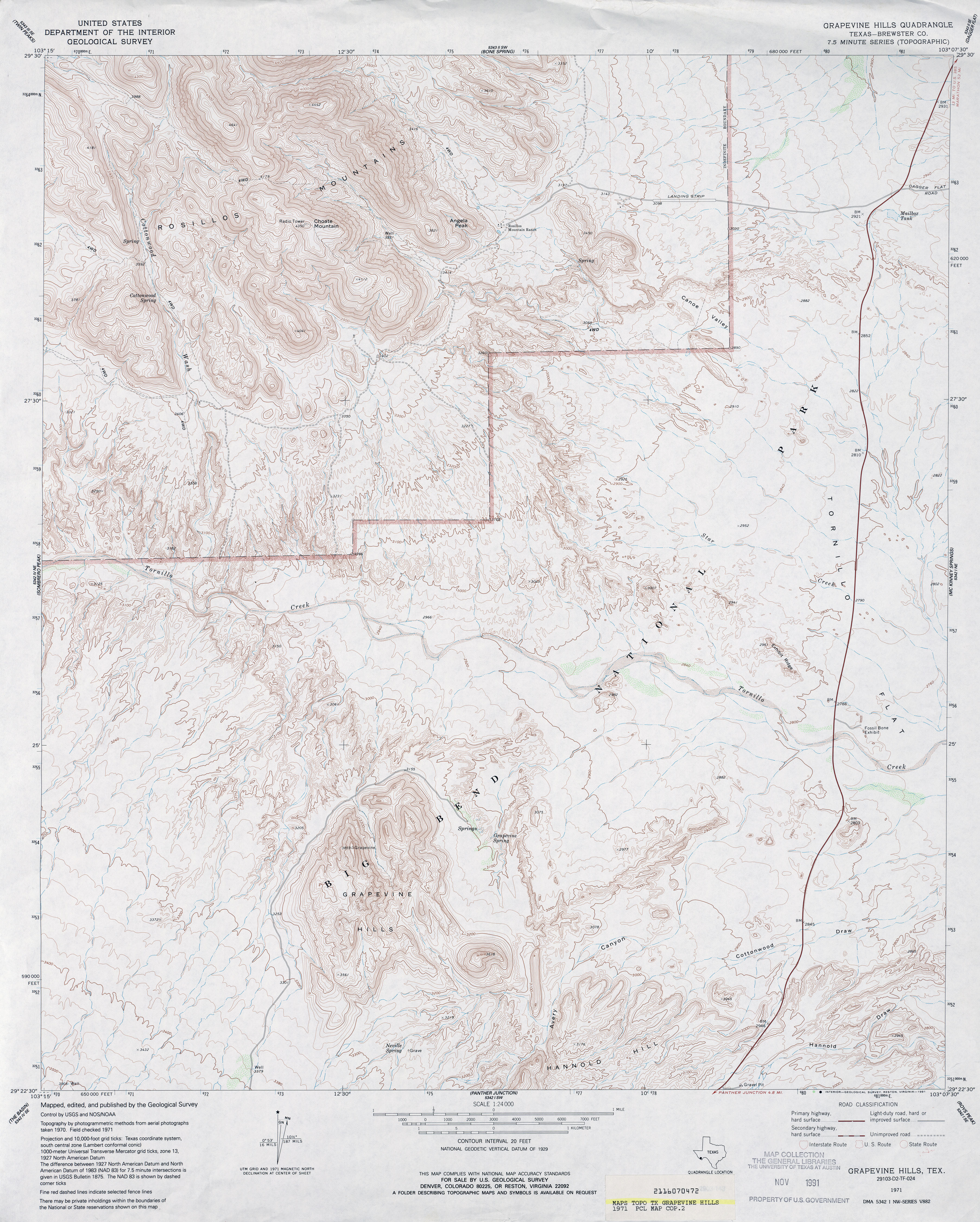
- Grapevine Hills (Brewster County) 1:24,000 1971 (4.5MB)
- Grapevine Hills 1:24,000 2008 (23.8MB) [GeoPDF]
- Grapevine Hills 1:24,000 2013 (25.8MB) [GeoPDF]
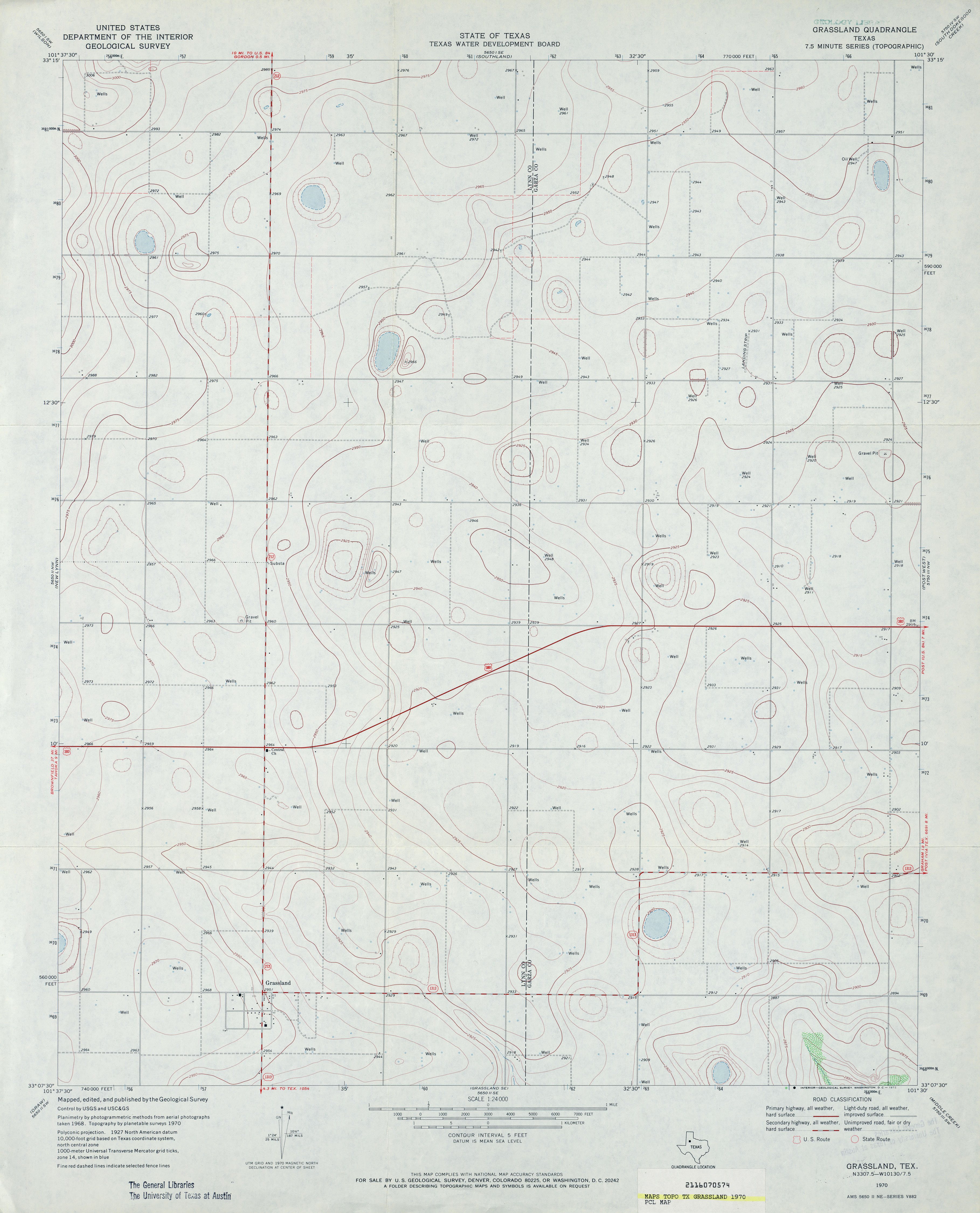
- Grassland 1:24,000 1970 (2.5MB)
- Grassland 1:24,000 2008 (11.7MB) [GeoPDF]
- Grassland 1:24,000 2012 (15.8MB) [GeoPDF]
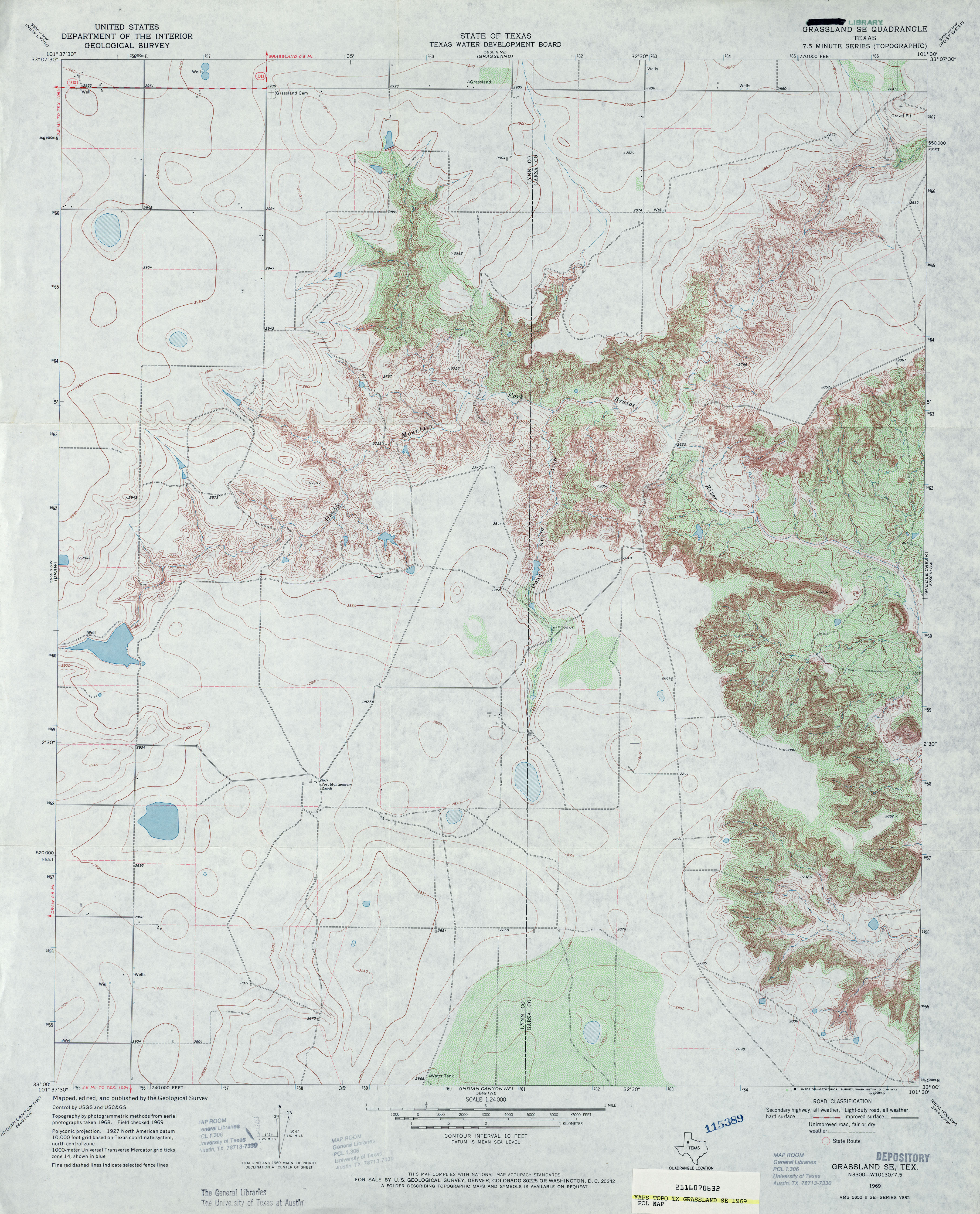
- Grassland SE 1:24,000 1969 (4.1MB)
- Grassland SE 1:24,000 2008 (16.2MB) [GeoPDF]
- Grassland SE 1:24,000 2012 (21.7MB) [GeoPDF]
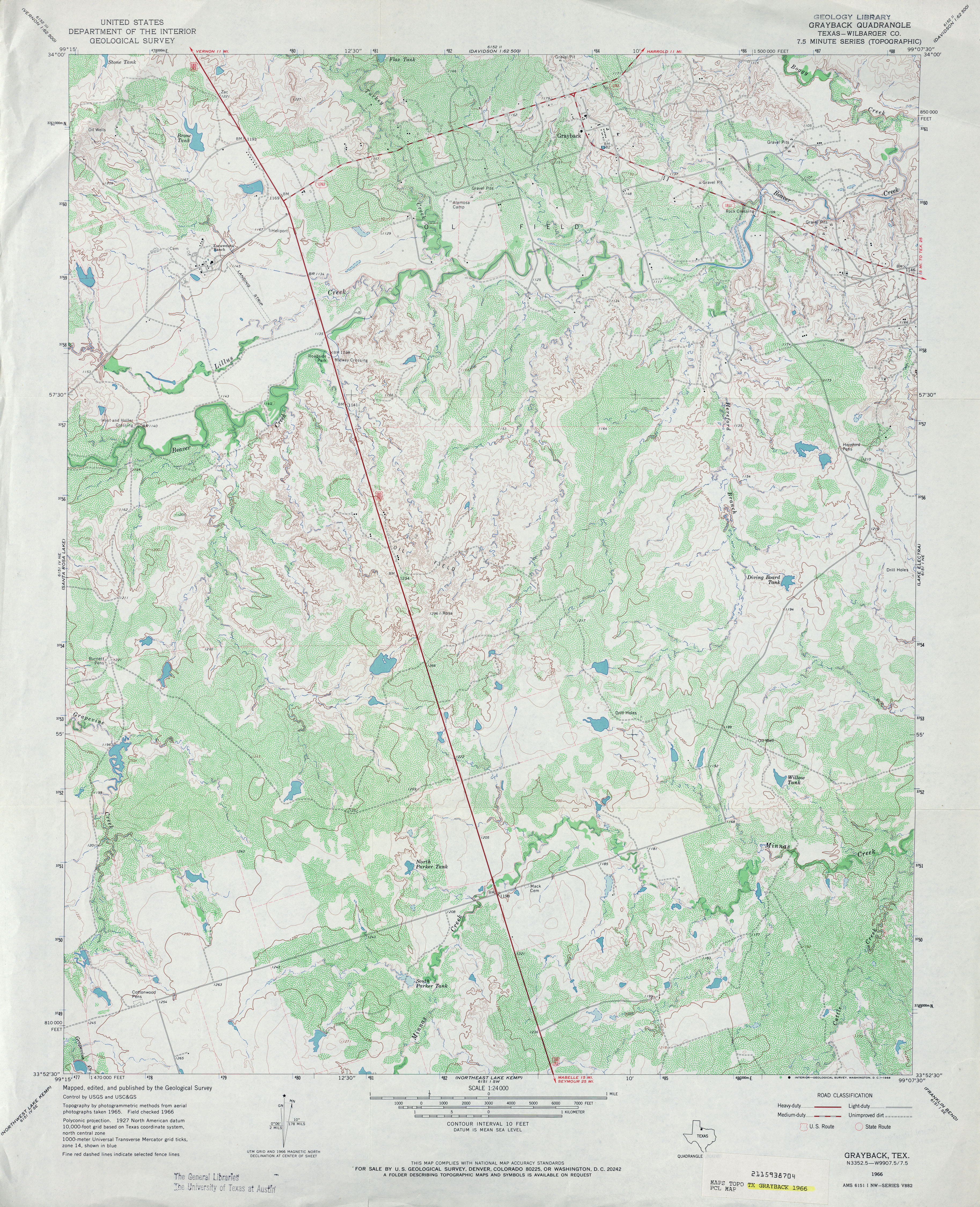
- Grayback (Wilbarger County) 1:24,000 1966 (4.7MB)
- Grayback 1:24,000 2008 (12.6MB) [GeoPDF]
- Grayback 1:24,000 2012 (18.7MB) [GeoPDF]
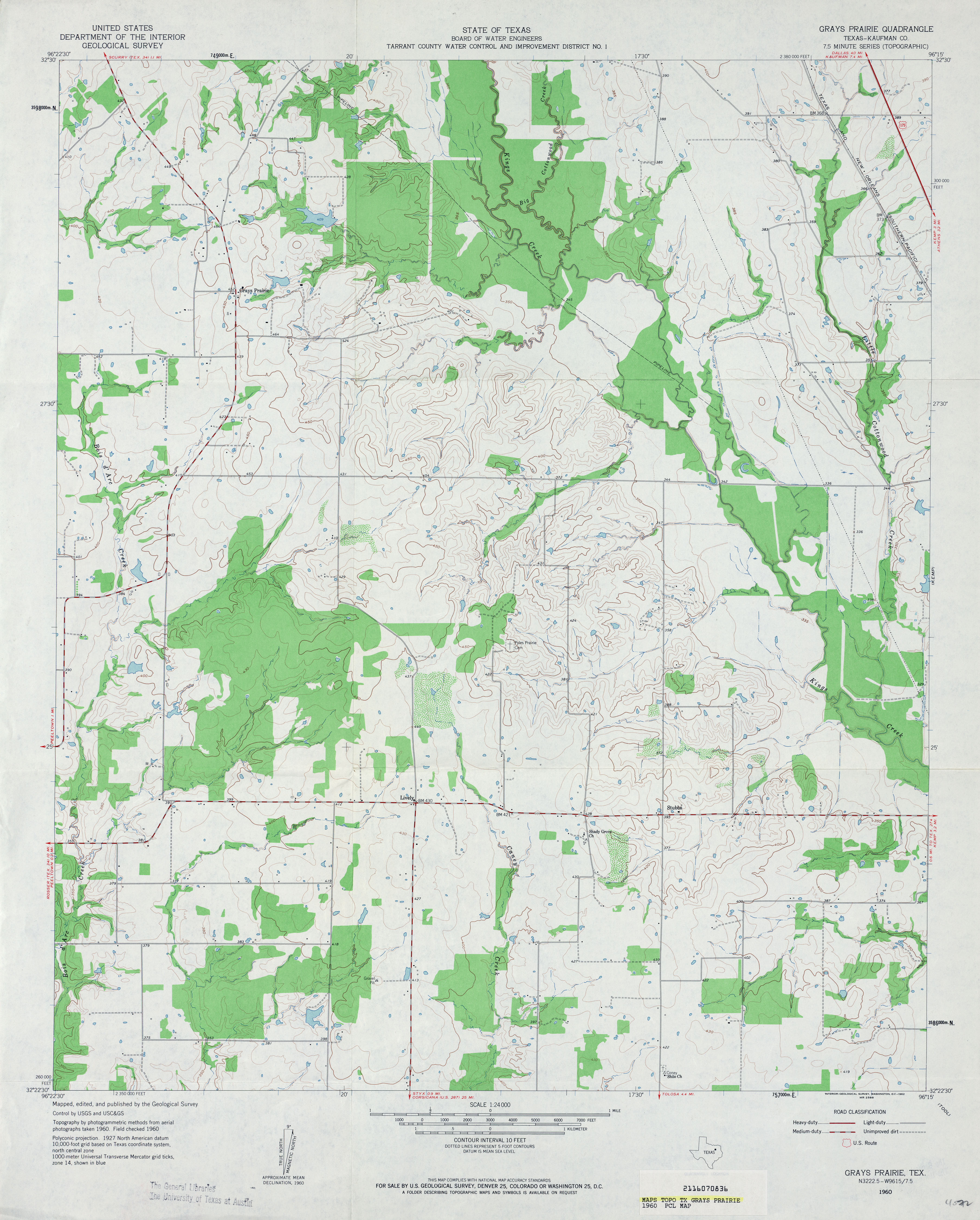
- Grays Prairie (Kaufman County) 1:24,000 1960 (3.3MB)
- Grays Prairie (Kaufman County) 1:24,000 1978 (3.3MB)
- Grays Prairie 1:24,000 2008 (15.9MB) [GeoPDF]
- Grays Prairie 1:24,000 2012 (21.1MB) [GeoPDF]
- Grayton Lake (Hudspeth County) 1:24,000 1963 (3.3MB)
- Grayton Lake 1:24,000 2008 (20.6MB) [GeoPDF]
- Grayton Lake 1:24,000 2013 (24.1MB) [GeoPDF]
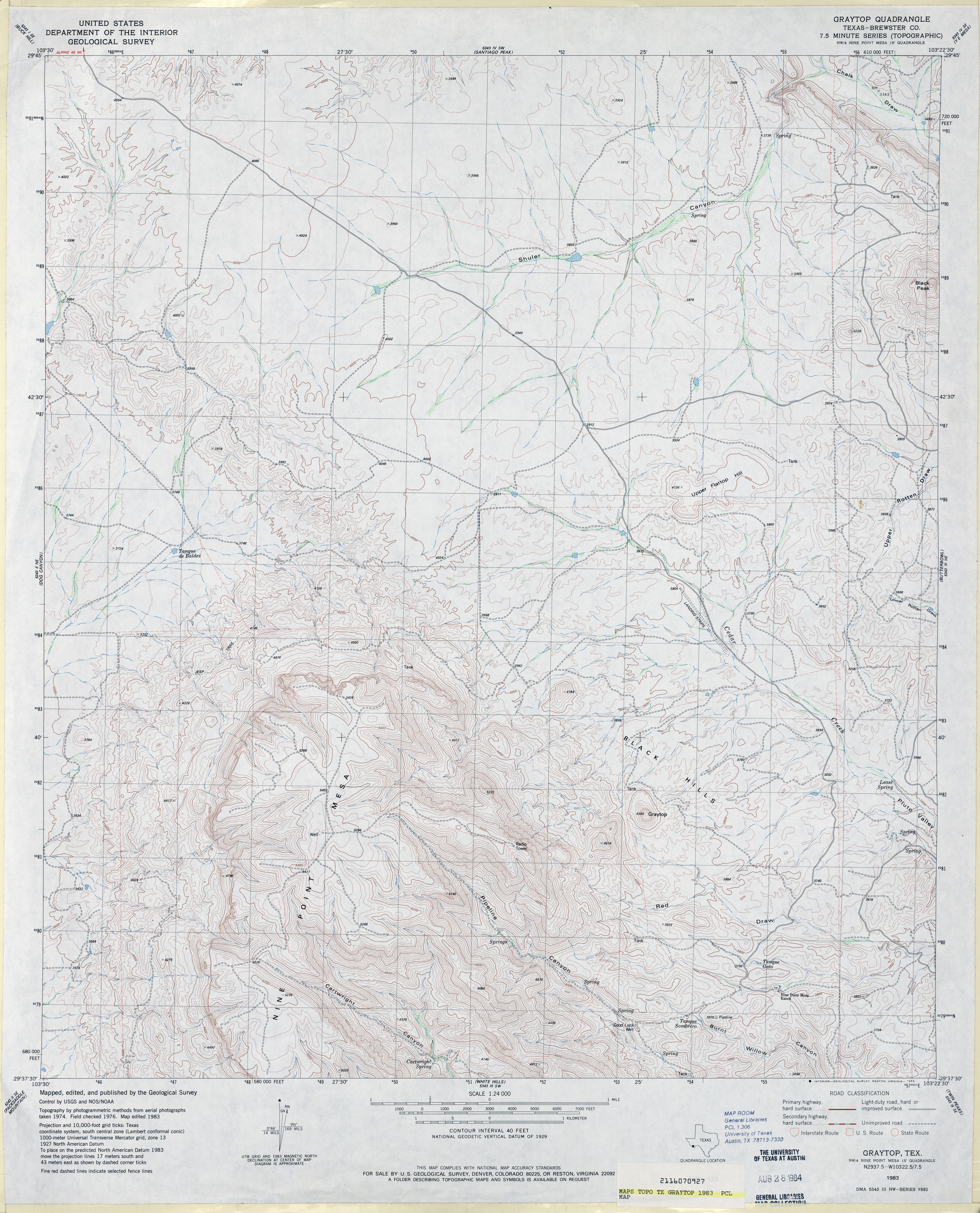
- Graytop (Brewster County) 1:24,000 1983 (4.2MB)
- Graytop 1:24,000 2008 (22.9MB) [GeoPDF]
- Graytop 1:24,000 2012 (24.3MB) [GeoPDF]
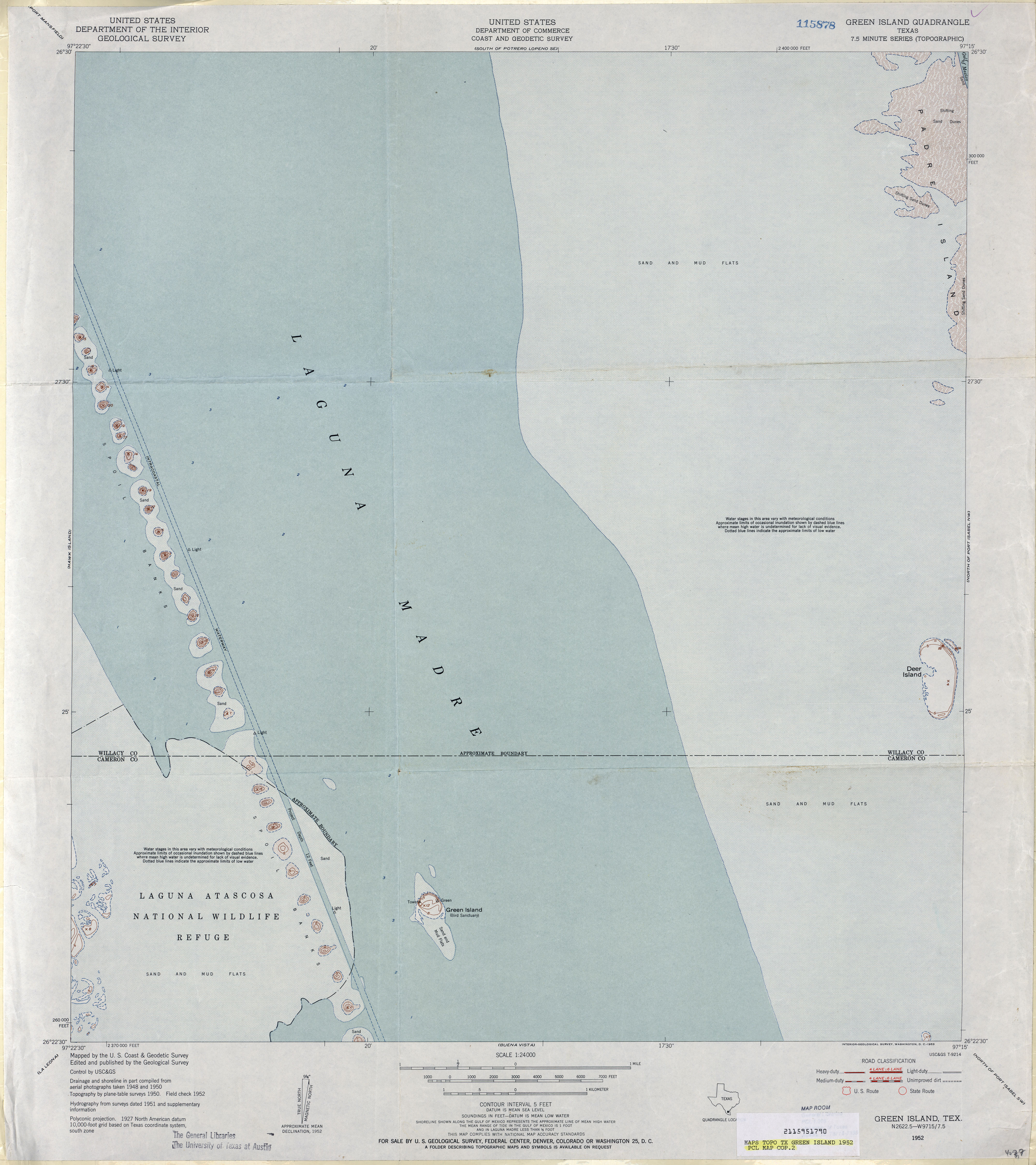
- Green Island 1:24,000 1952 (2.7MB)
- Green Island 1:24,000 2008 (23.3MB) [GeoPDF]
- Green Island 1:24,000 2012 (13.1MB) [GeoPDF]
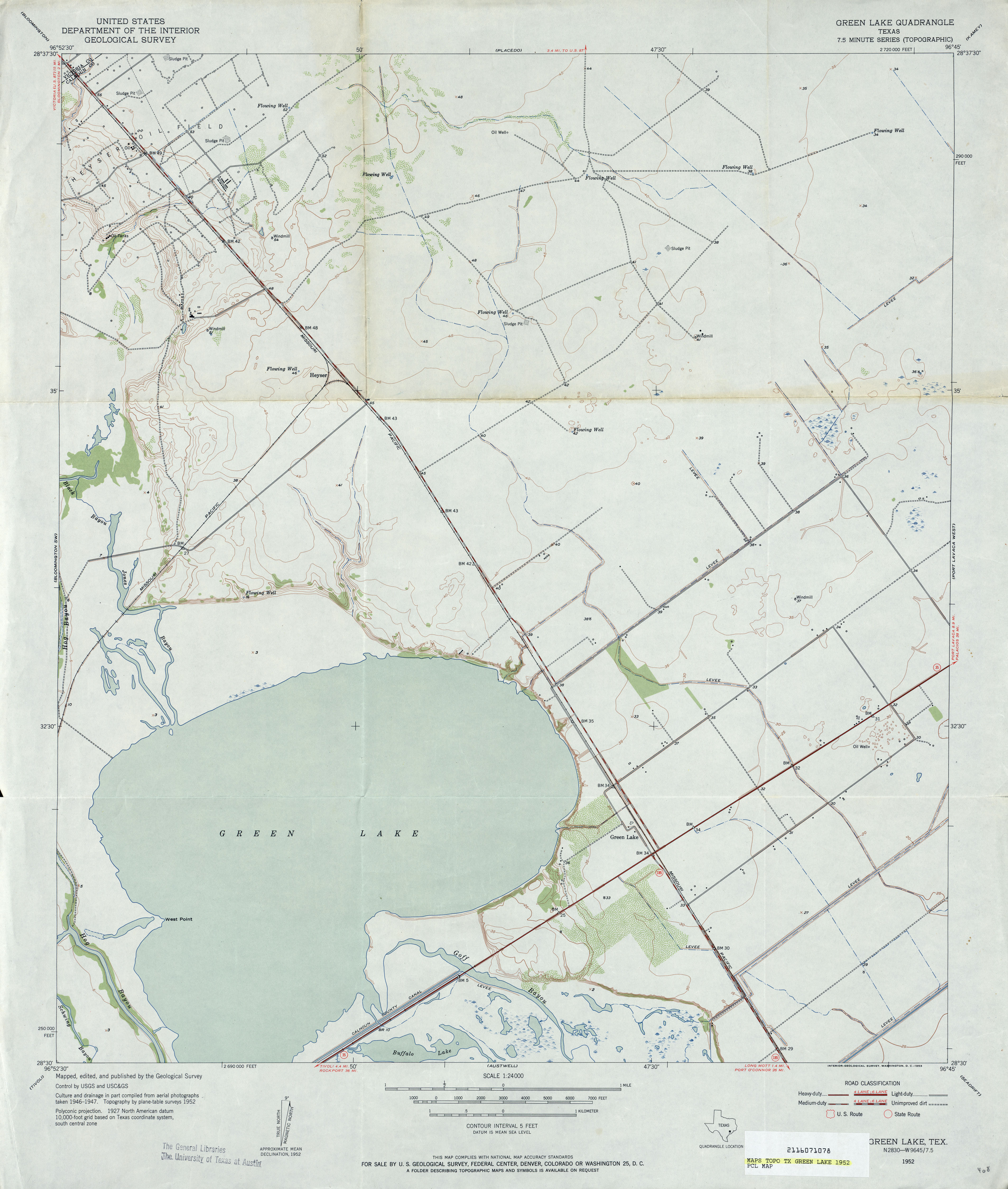
- Green Lake 1:24,000 1952 (2.7MB)
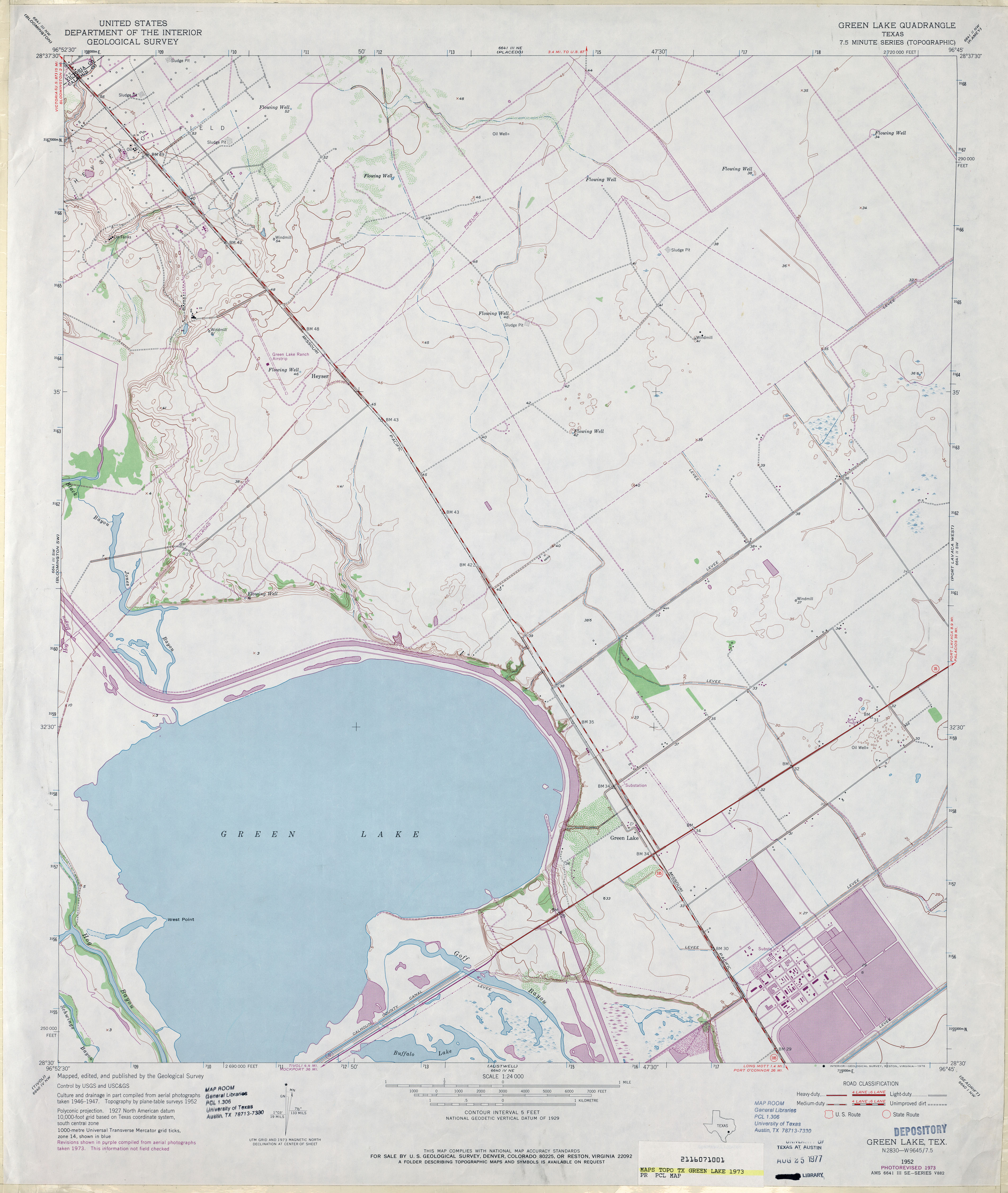
- Green Lake 1:24,000 1973 (3MB)
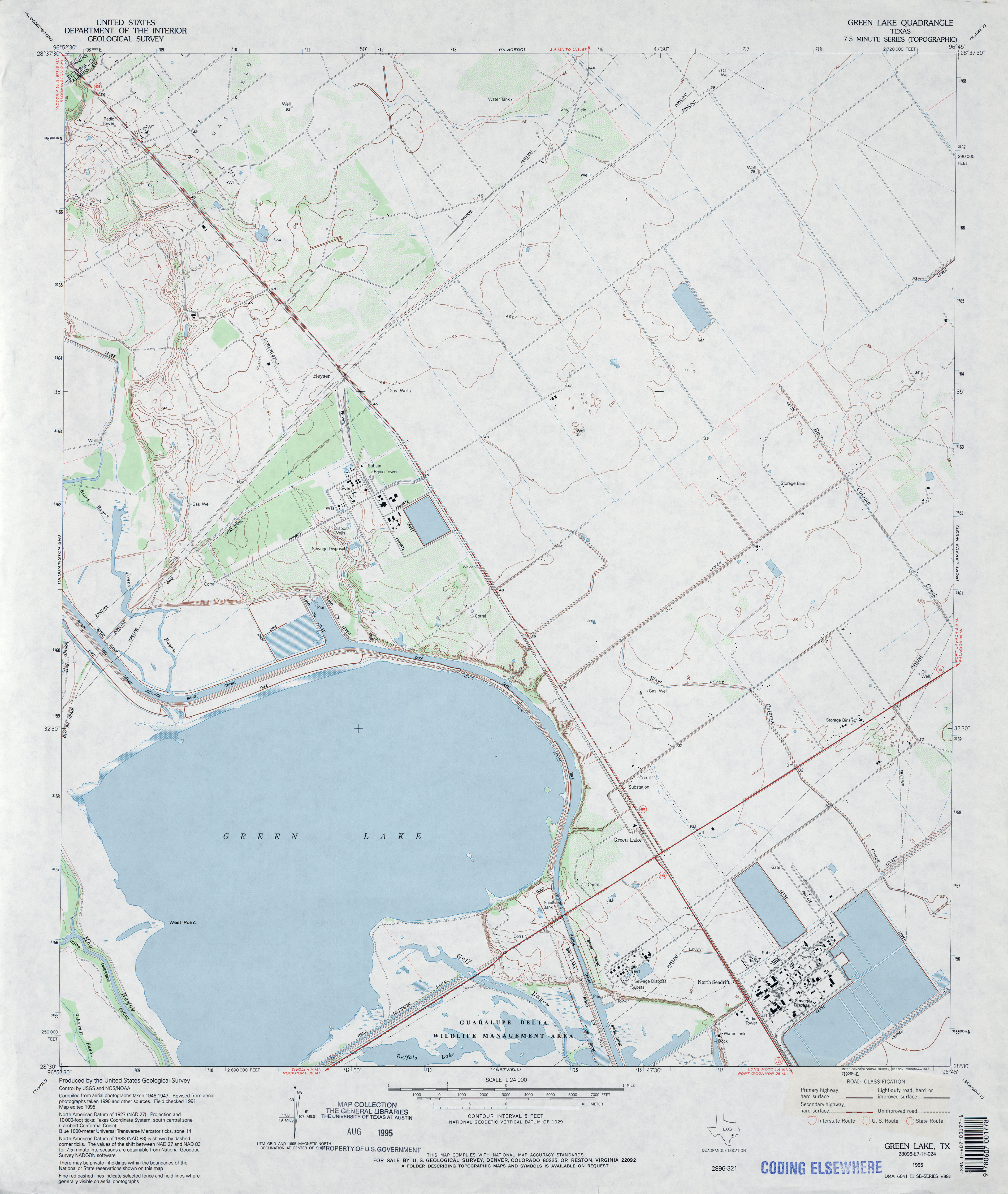
- Green Lake 1:24,000 1995 (3.2MB)
- Green Lake 1:24,000 2009 (11.2MB) [GeoPDF]
- Green Lake 1:24,000 2013 (18MB) [GeoPDF]
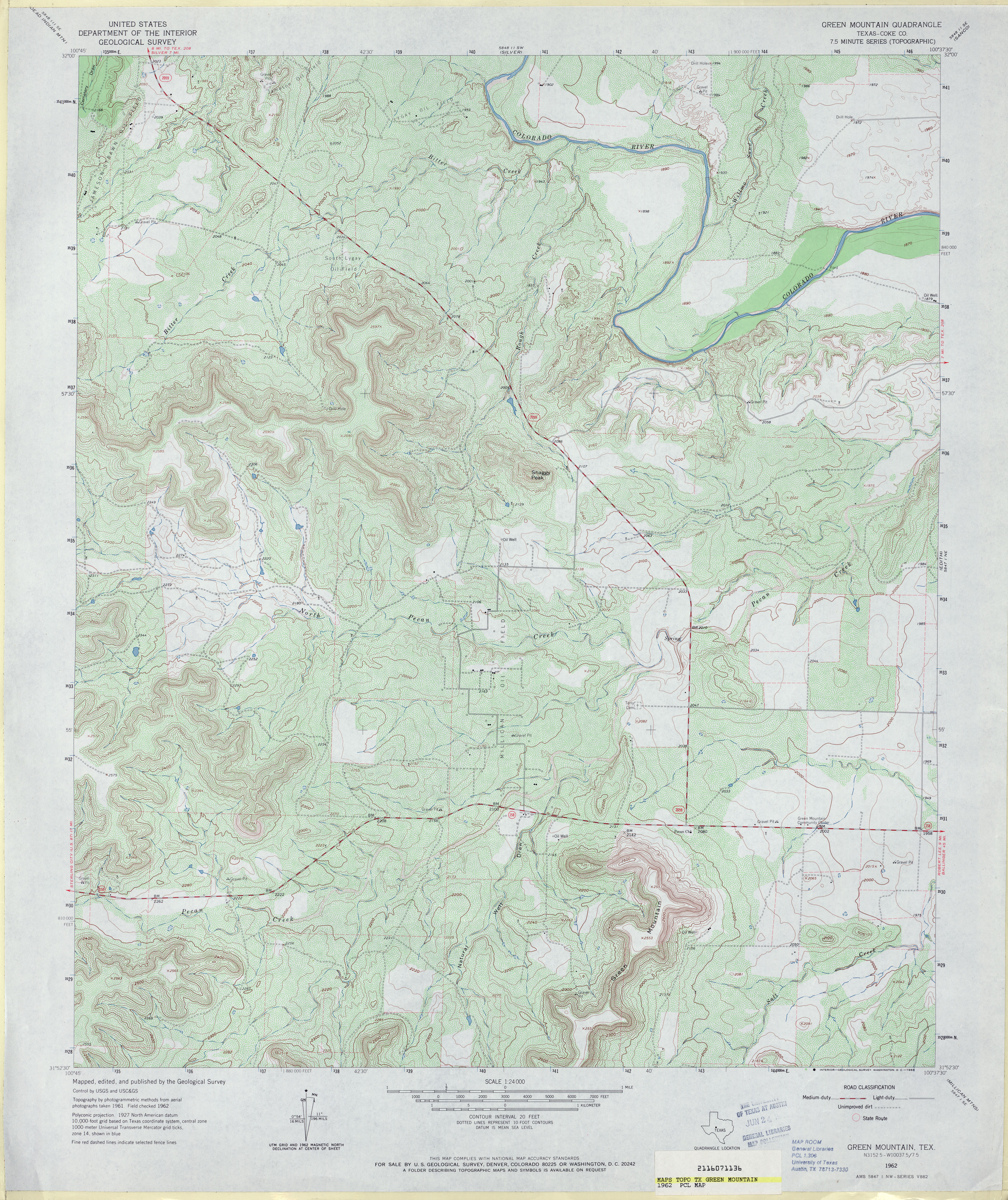
- Green Mountain (Coke County) 1:24,000 1962 (4.9MB)
- Green Mountain (Coke County) 1:24,000 1987 (5.4MB)
- Green Mountain 1:24,000 2008 (24.2MB) [GeoPDF]
- Green Mountain 1:24,000 2013 (29.6MB) [GeoPDF]
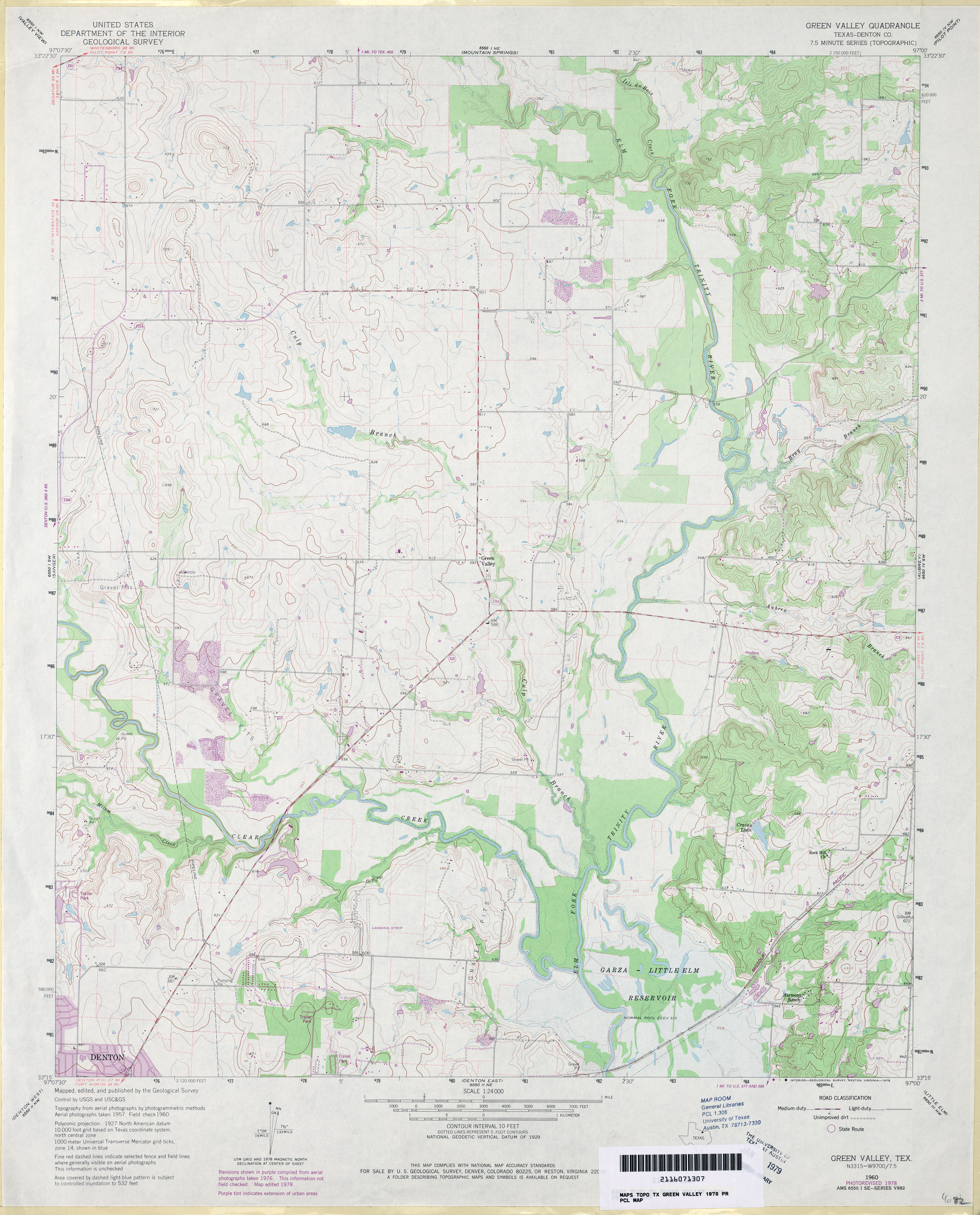
- Green Valley (Denton County) 1:24,000 1960 (3.8MB)
- Green Valley (Denton County) 1:24,000 1978 (3.7MB)
- Green Valley 1:24,000 2008 (13.8MB) [GeoPDF]
- Green Valley 1:24,000 2013 (20.4MB) [GeoPDF]
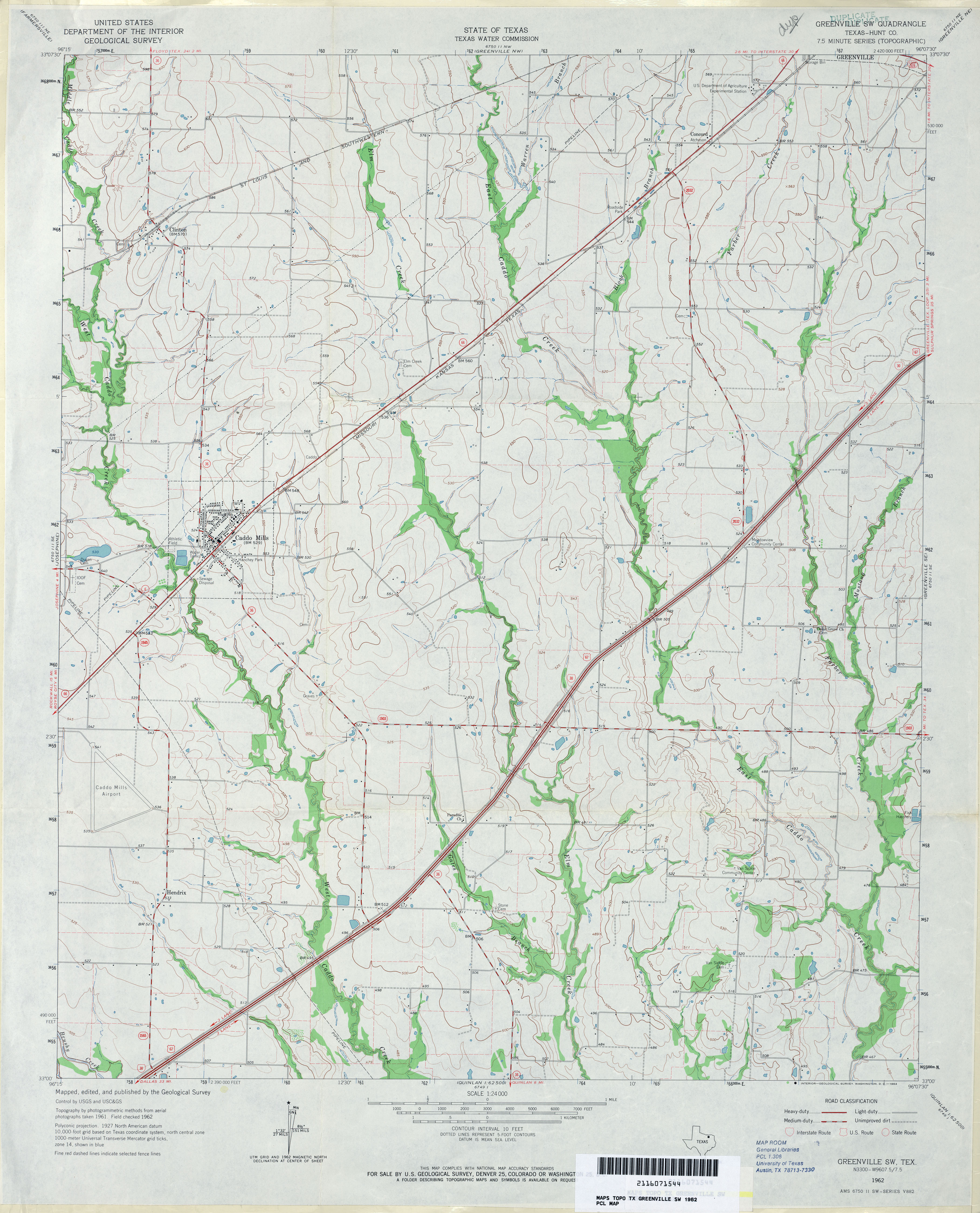
- Greenville NE (Hunt County) 1:24,000 1963 (3.8MB)
- Greenville NE 1:24,000 2008 (13.3MB) [GeoPDF]
- Greenville NE 1:24,000 2013 (19.9MB) [GeoPDF]
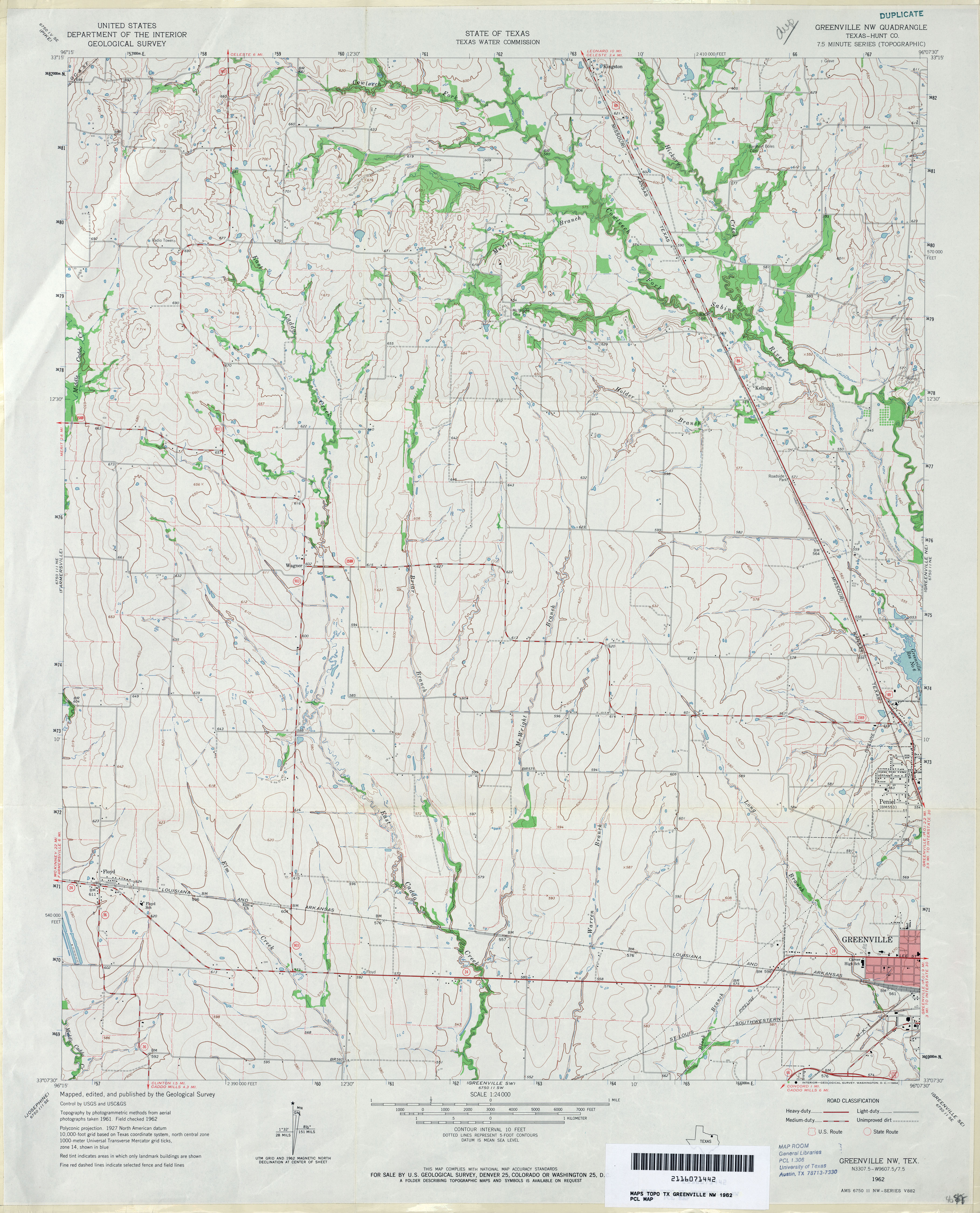
- Greenville NW (Hunt County) 1:24,000 1962 (3.6MB)
- Greenville NW 1:24,000 2008 (13.4MB) [GeoPDF]
- Greenville NW 1:24,000 2013 (19.4MB) [GeoPDF]
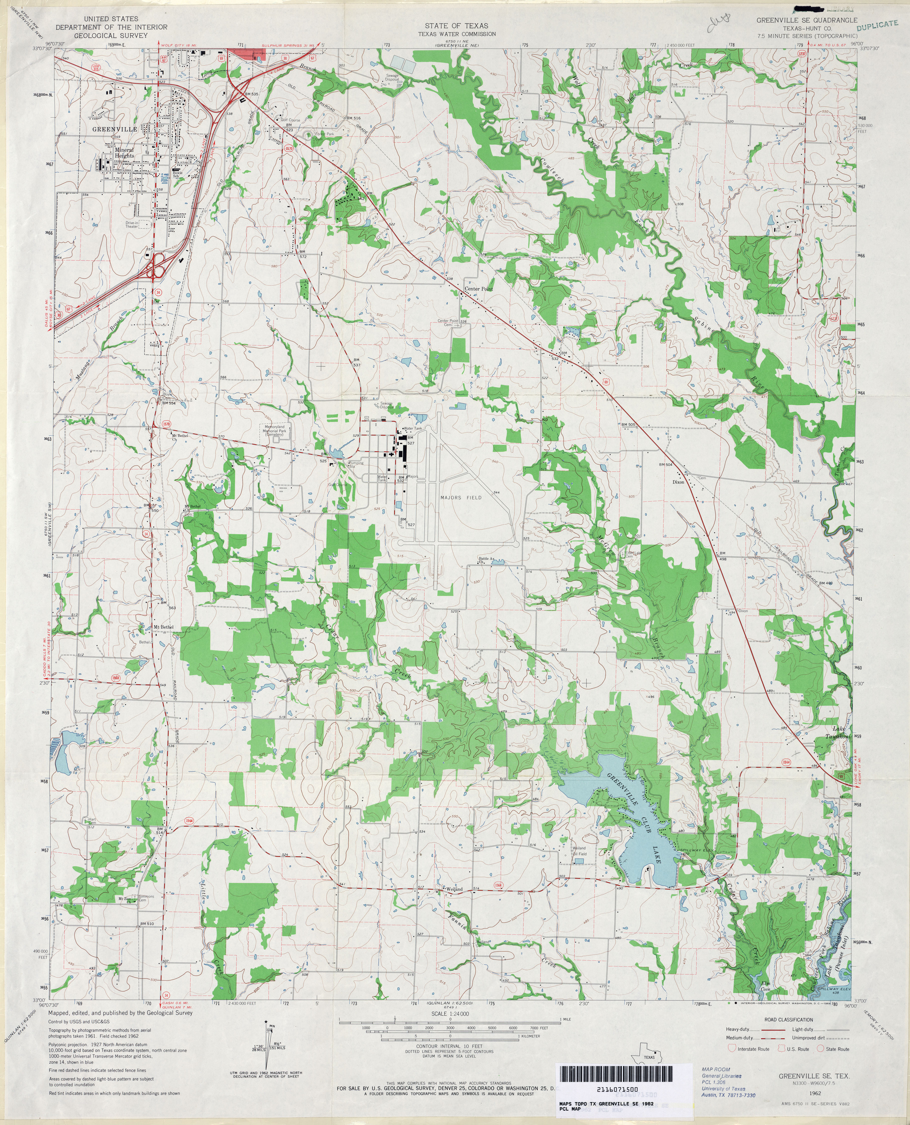
- Greenville SE (Hunt County) 1:24,000 1962 (3.5MB)
- Greenville SE 1:24,000 2008 (16.2MB) [GeoPDF]
- Greenville SE 1:24,000 2013 (21.8MB) [GeoPDF]
- Greenville SW (Hunt County) 1:24,000 1962 (3.5MB)
- Greenville SW 1:24,000 2008 (13.5MB) [GeoPDF]
- Greenville SW 1:24,000 2013 (19.2MB) [GeoPDF]
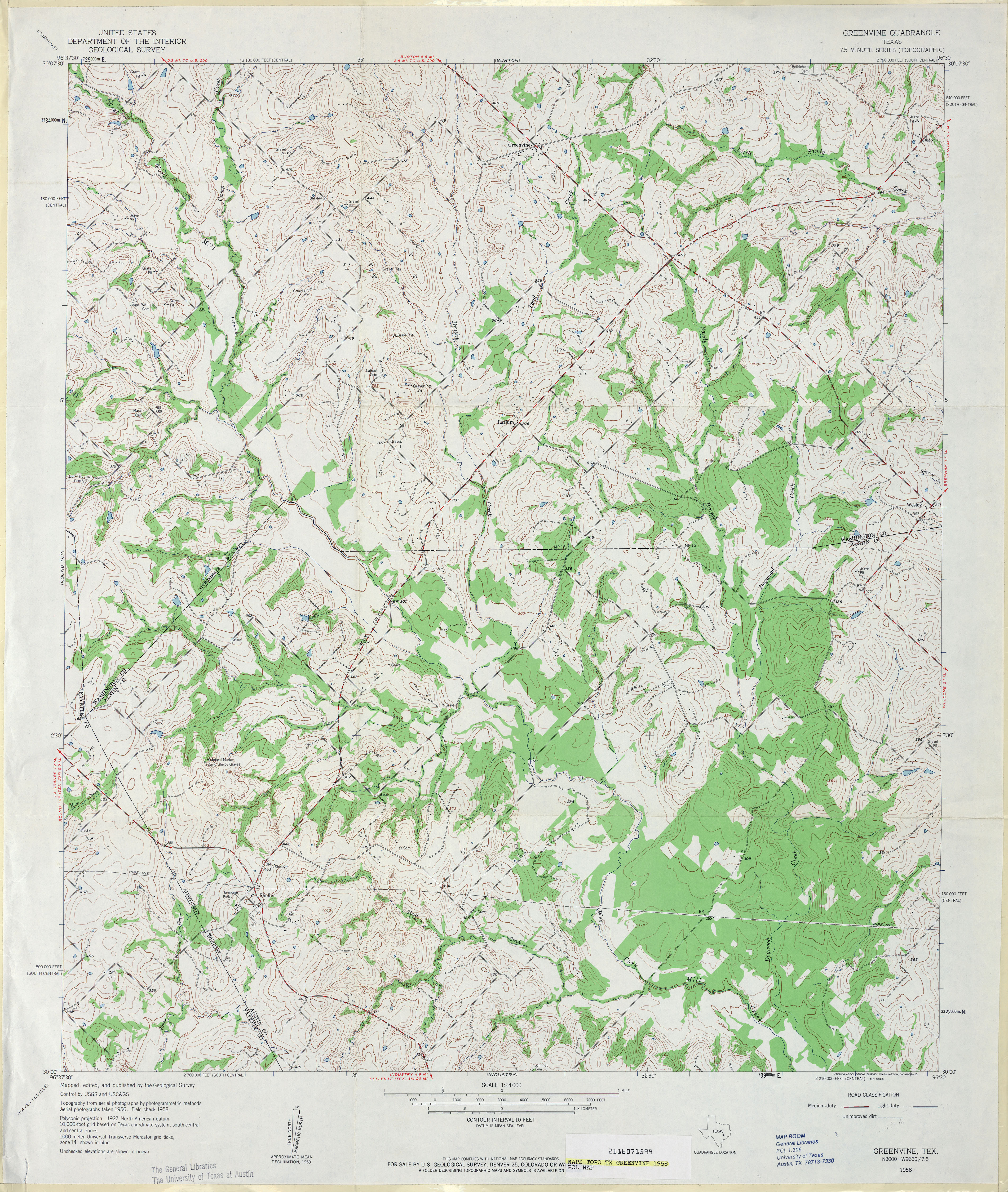
- Greenvine 1:24,000 1958 (4.7MB)
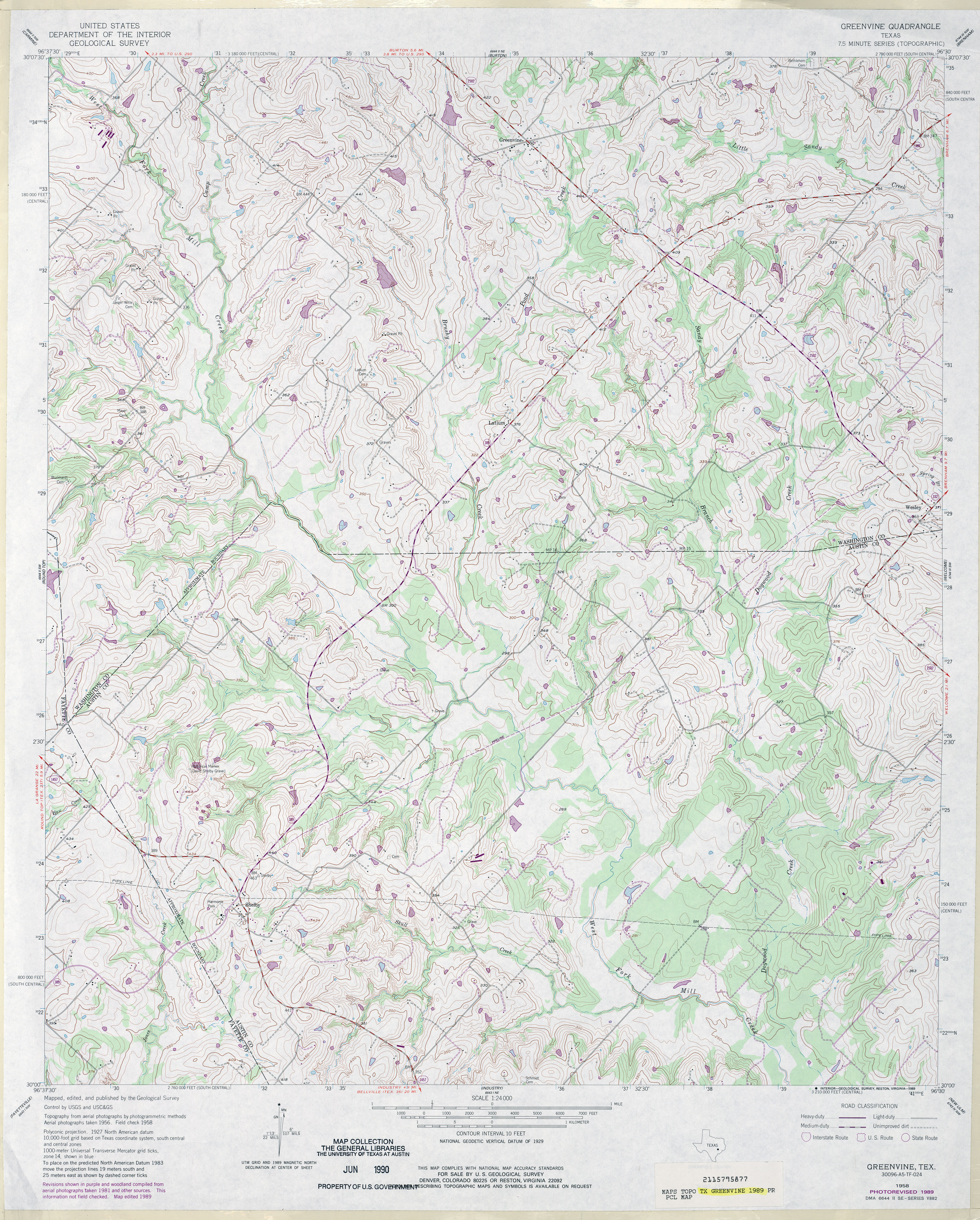
- Greenvine 1:24,000 1989 (4.8MB)
- Greenvine 1:24,000 2008 (13.9MB) [GeoPDF]
- Greenvine 1:24,000 2013 (23.8MB) [GeoPDF]
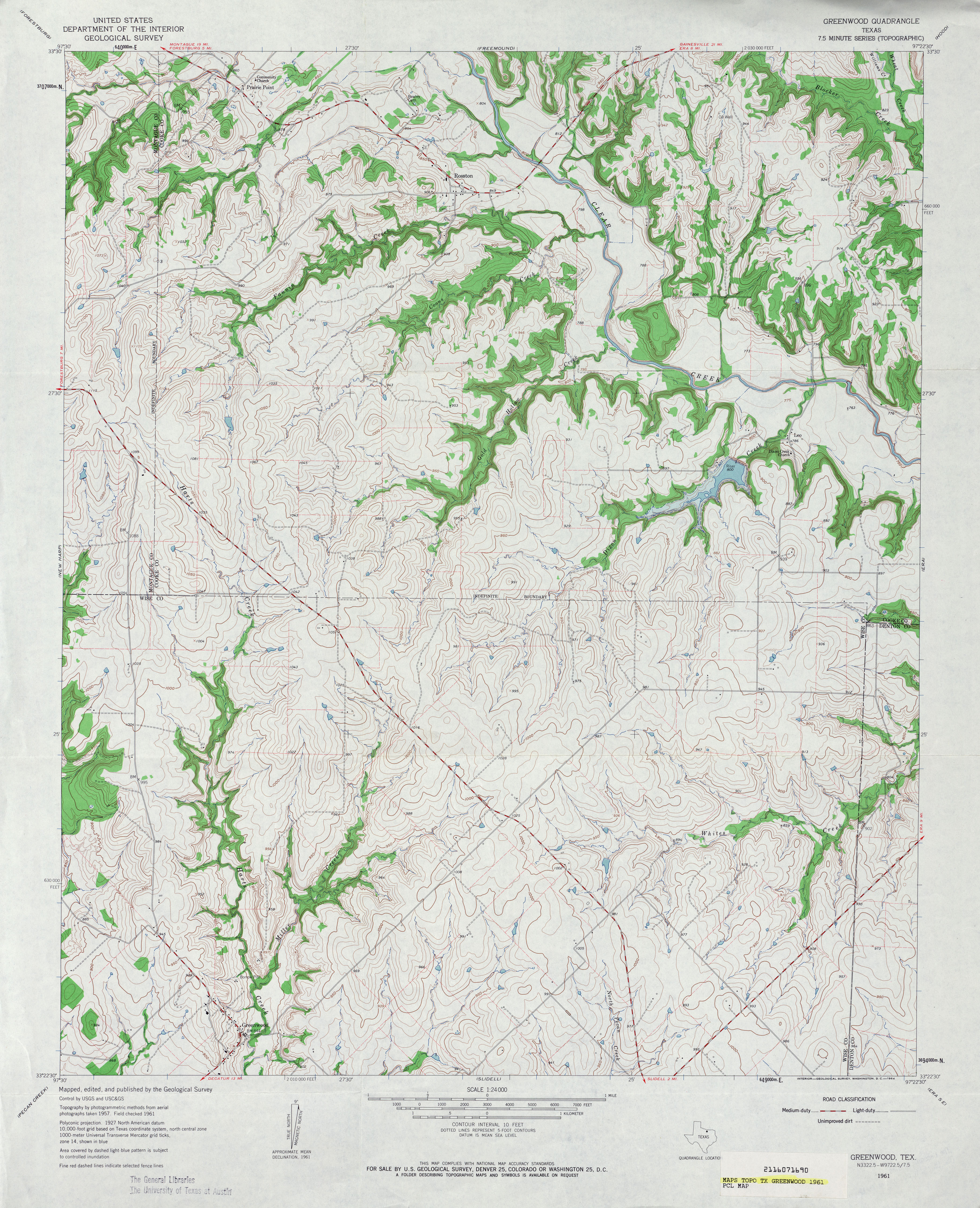
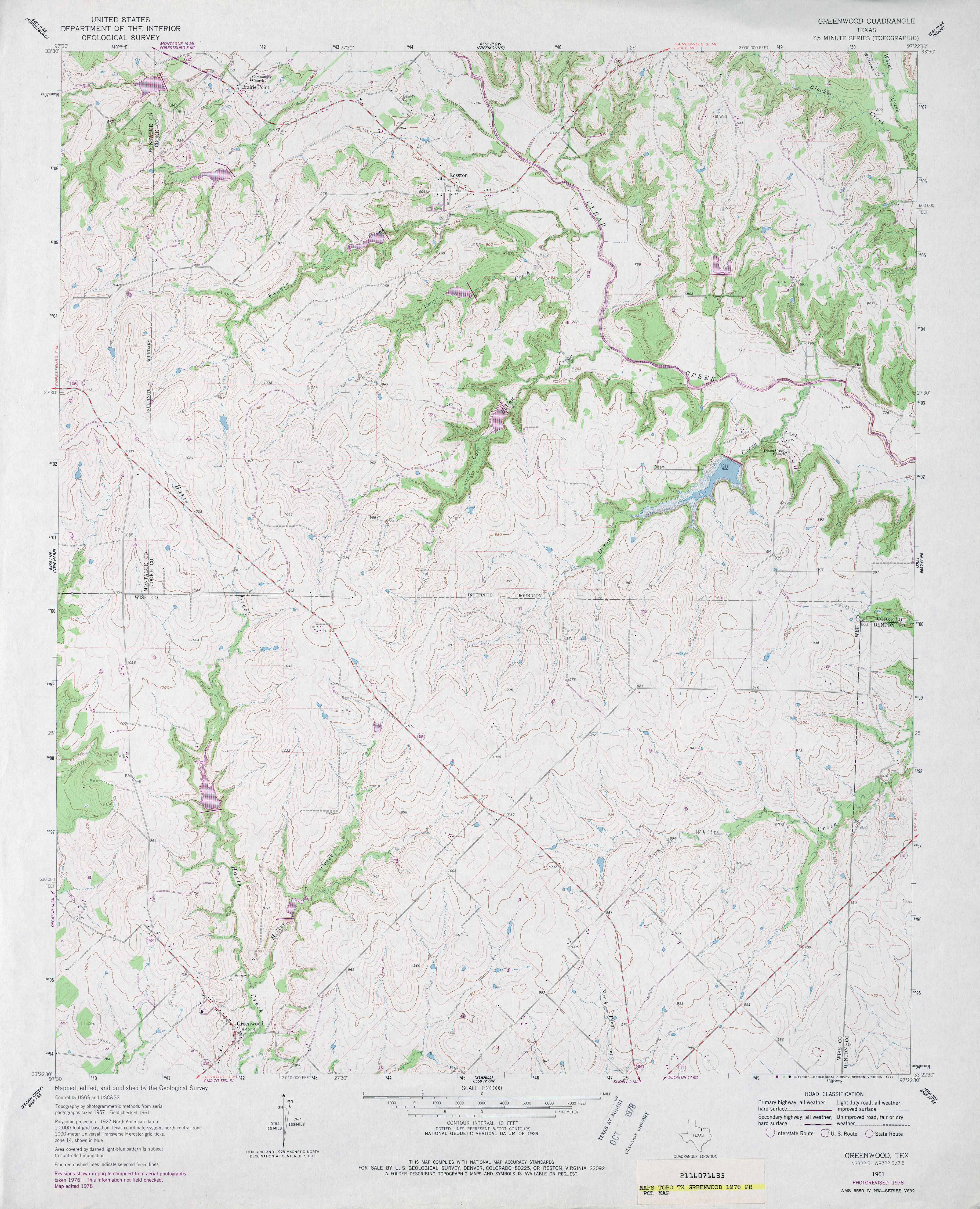
- Greenwood 1:24,000 1961 (4.7MB)
- Greenwood 1:24,000 1978 (4.2MB)
- Greenwood 1:24,000 2009 (13.5MB) [GeoPDF]
- Greenwood 1:24,000 2013 (17.8MB) [GeoPDF]
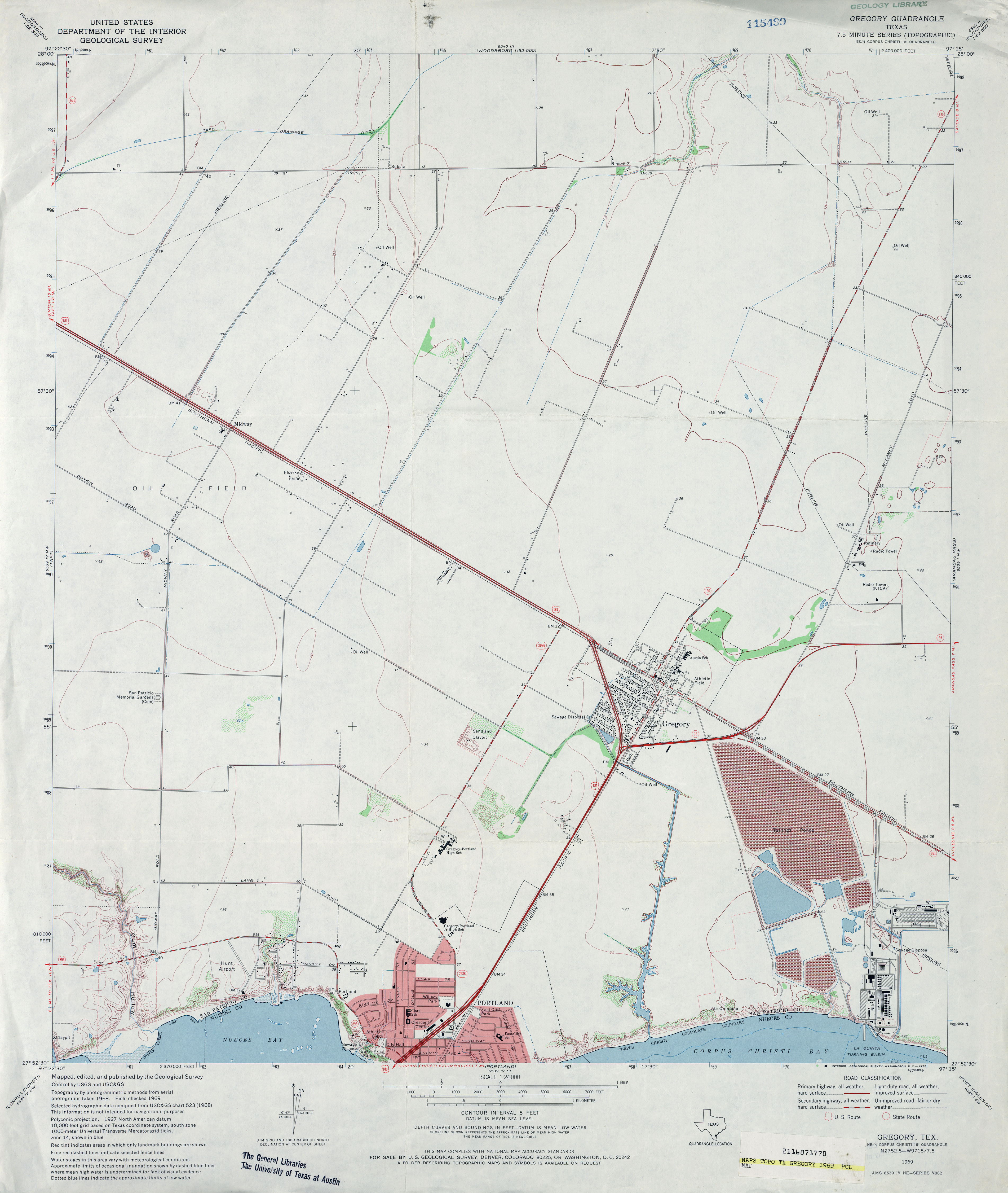
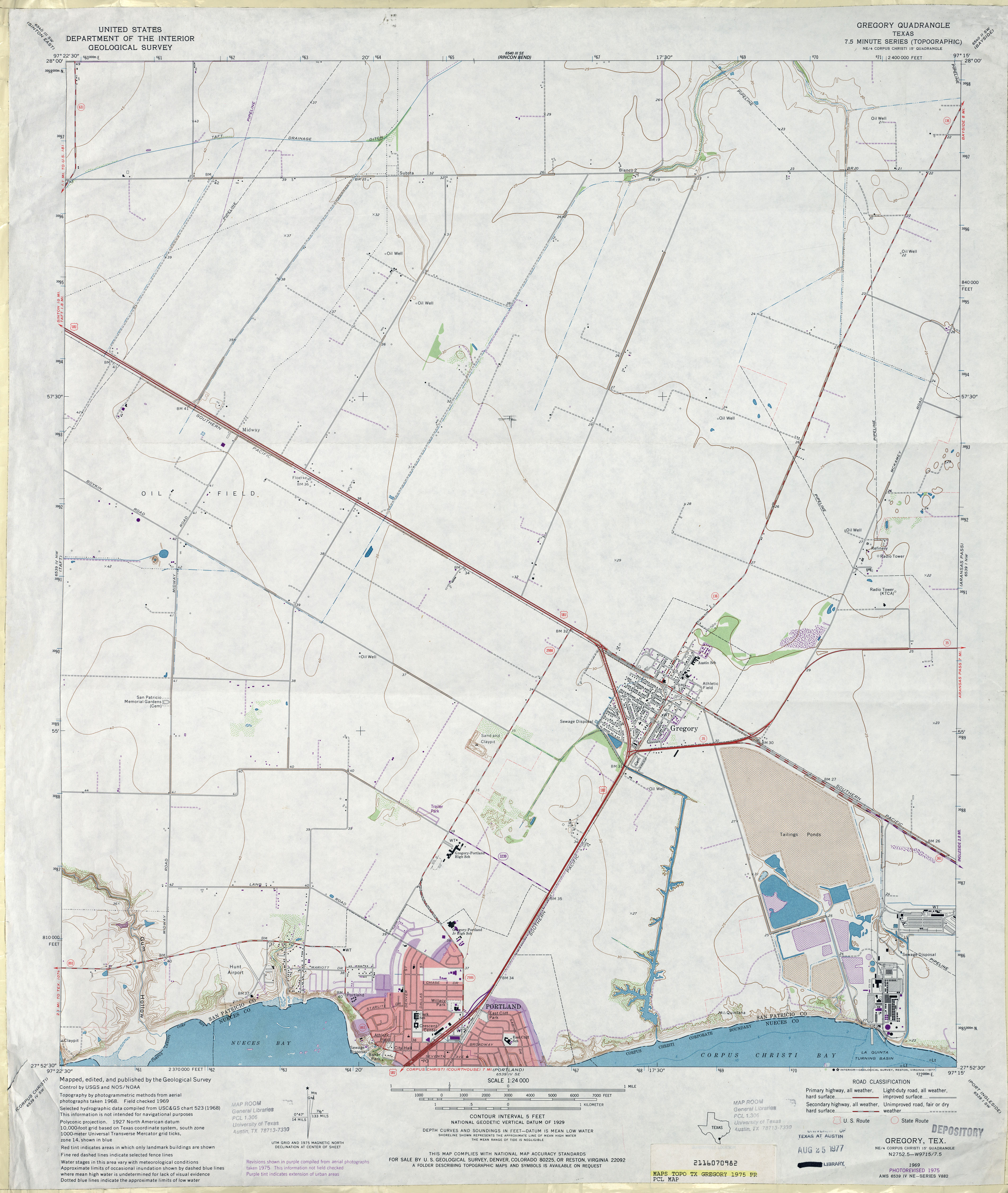
- Gregory 1:24,000 1969 (2.8MB)
- Gregory 1:24,000 1975 (2.9MB)
- Gregory 1:24,000 2008 (9.7MB) [GeoPDF]
- Gregory 1:24,000 2013 (14.4MB) [GeoPDF]
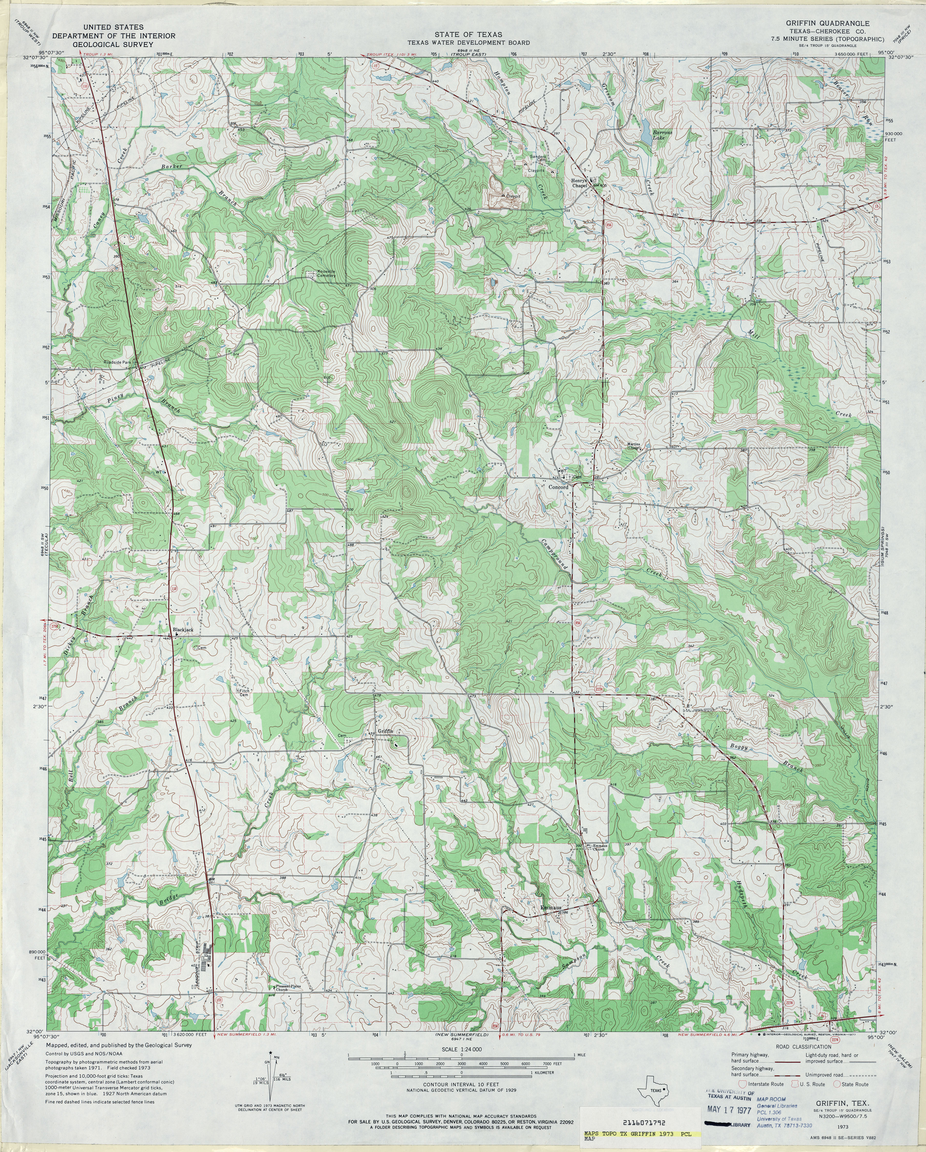
- Griffin (Cherokee County) 1:24,000 1973 (4.8MB)
- Griffin 1:24,000 2009 (19.8MB) [GeoPDF]
- Griffin 1:24,000 2012 (23.8MB) [GeoPDF]
- Griffin Ranch (Donley County) 1:24,000 1962 (5.5MB)
- Griffin Ranch 1:24,000 2008 (17.3MB) [GeoPDF]
- Griffin Ranch 1:24,000 2012 (22MB) [GeoPDF]
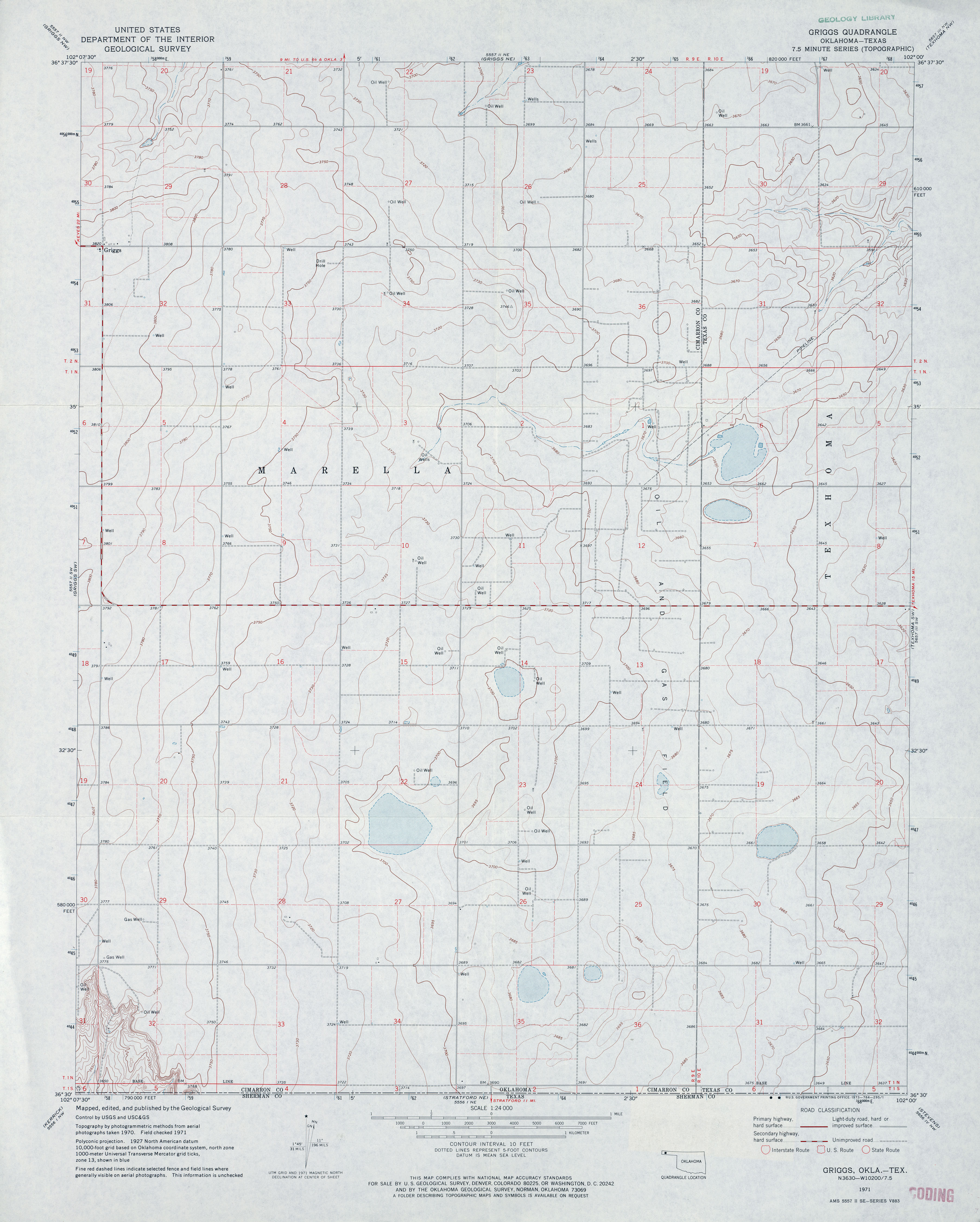
- Griggs 1:24,000 1971 (2.8MB)
- Griggs 1:24,000 2012 (12.8MB) [GeoPDF]
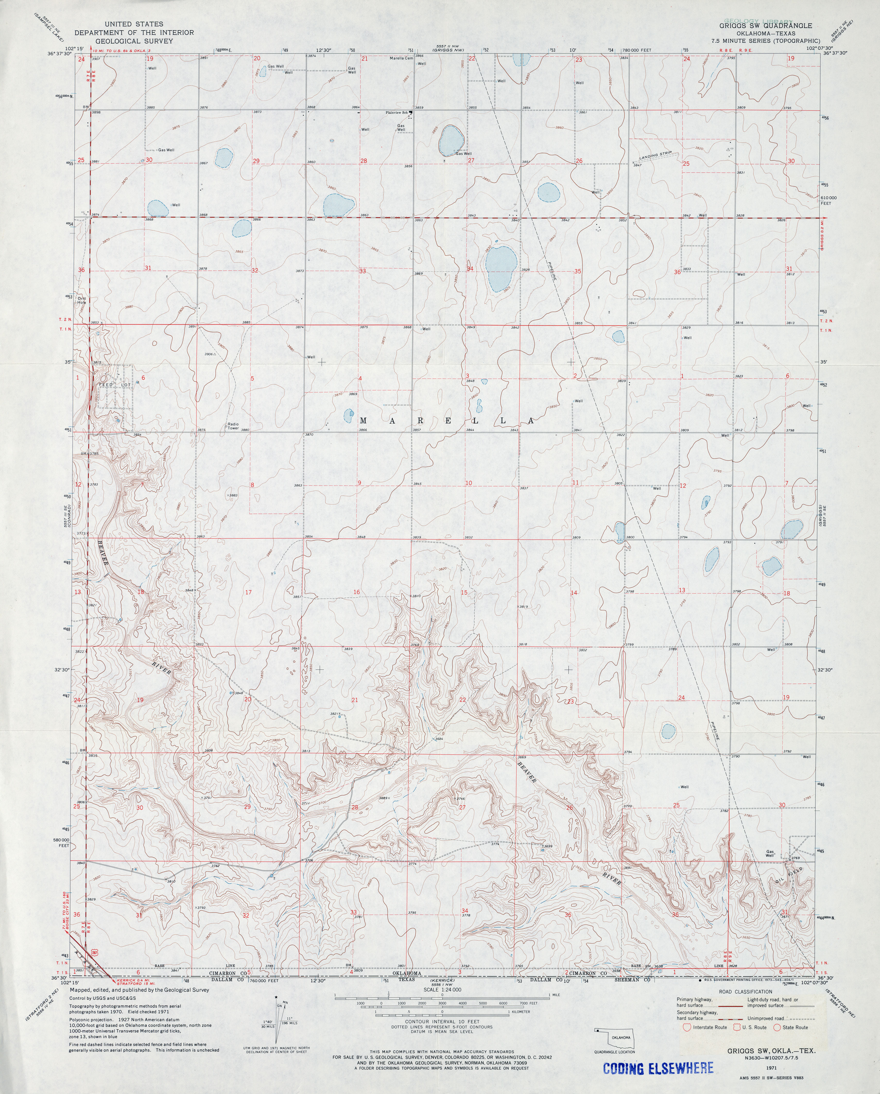
- Griggs SW 1:24,000 1971 (3MB)
- Griggs SW 1:24,000 2012 (15.2MB) [GeoPDF]
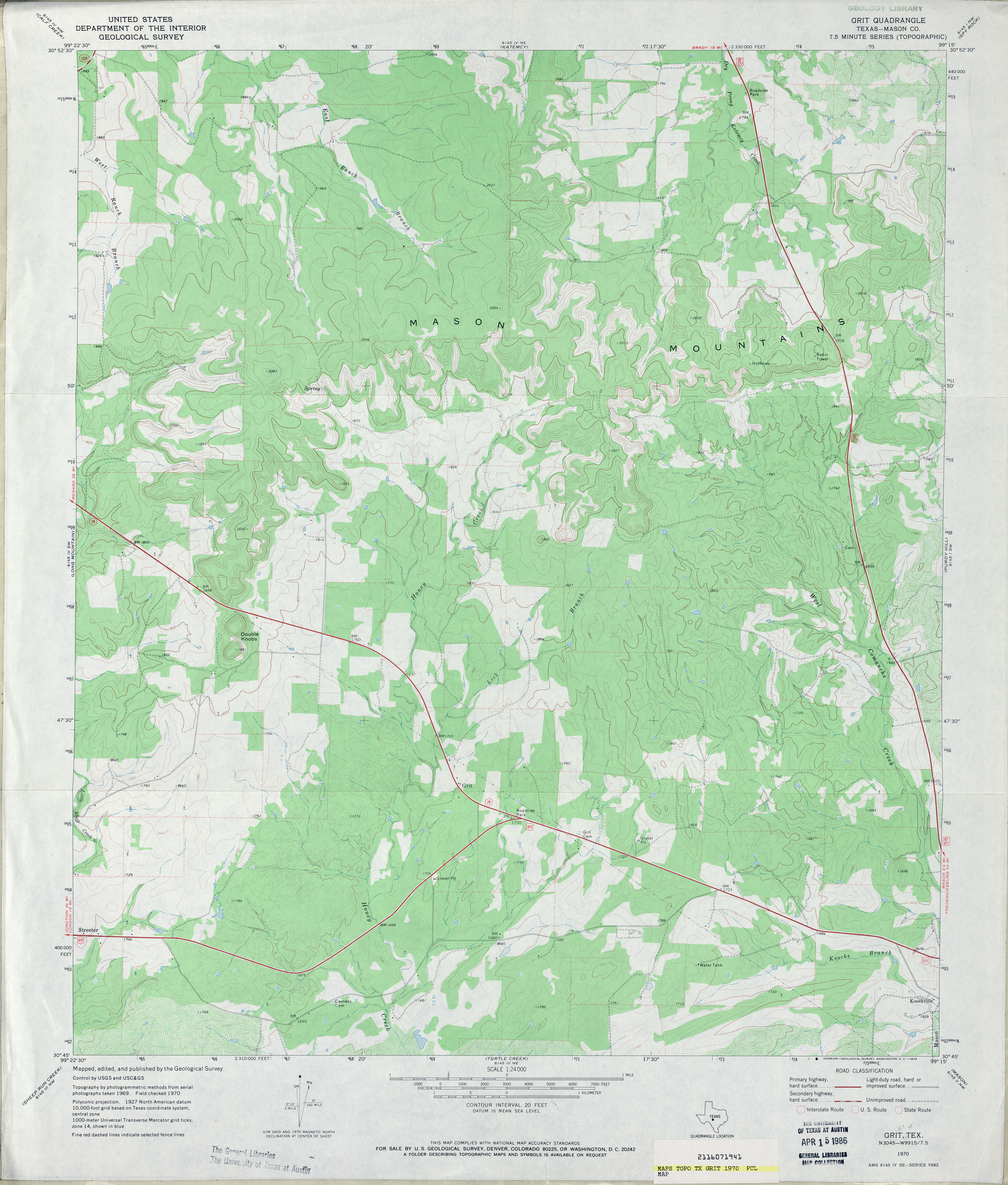
- Grit (Mason County) 1:24,000 1970 (3.5MB)
- Grit 1:24,000 2008 (23.1MB) [GeoPDF]
- Grit 1:24,000 2012 (24.4MB) [GeoPDF]
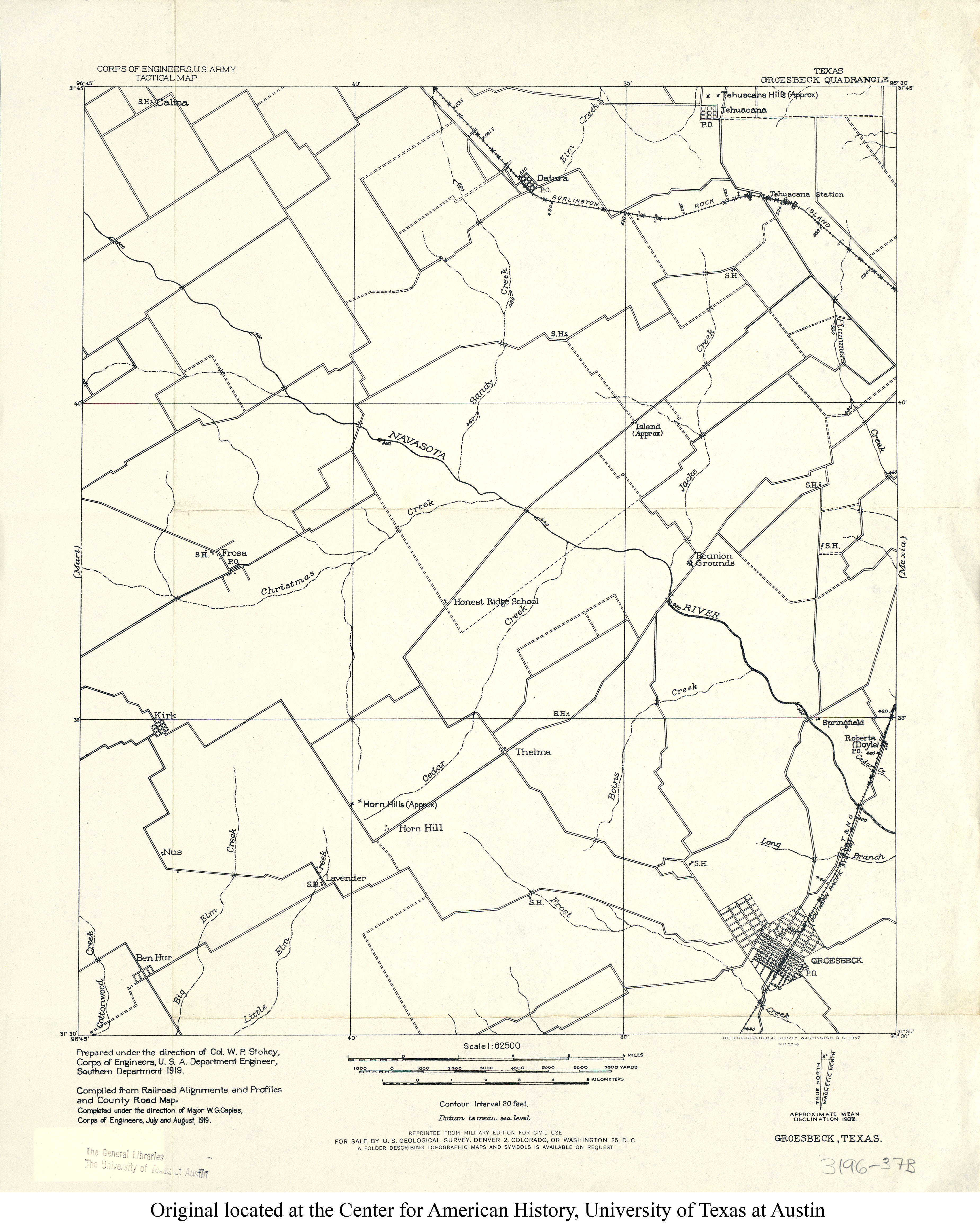
- Groesbeck 1:62,500 1919 (2.3MB)
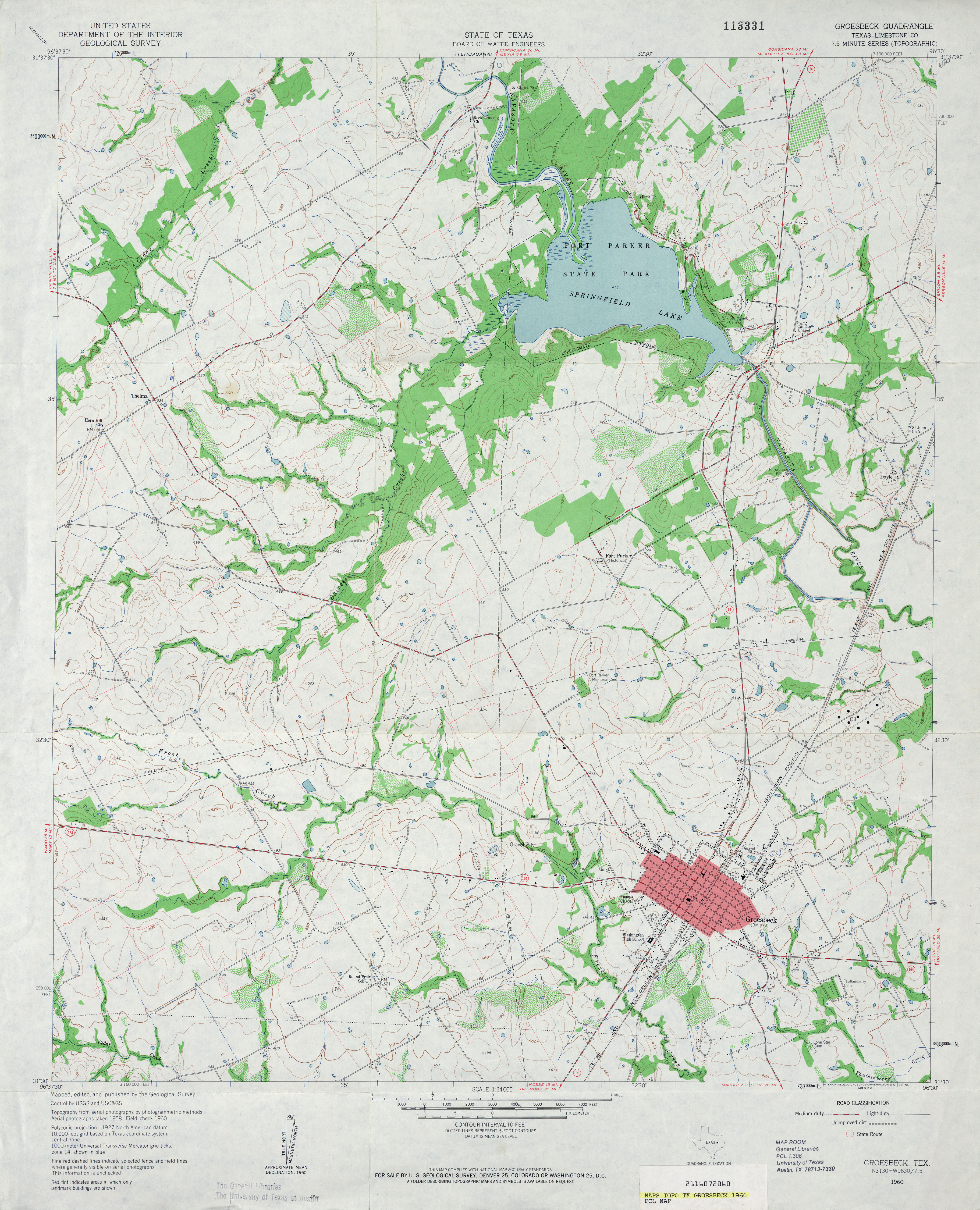
- Groesbeck (Limestone County) 1:24,000 1960 (3.8MB)
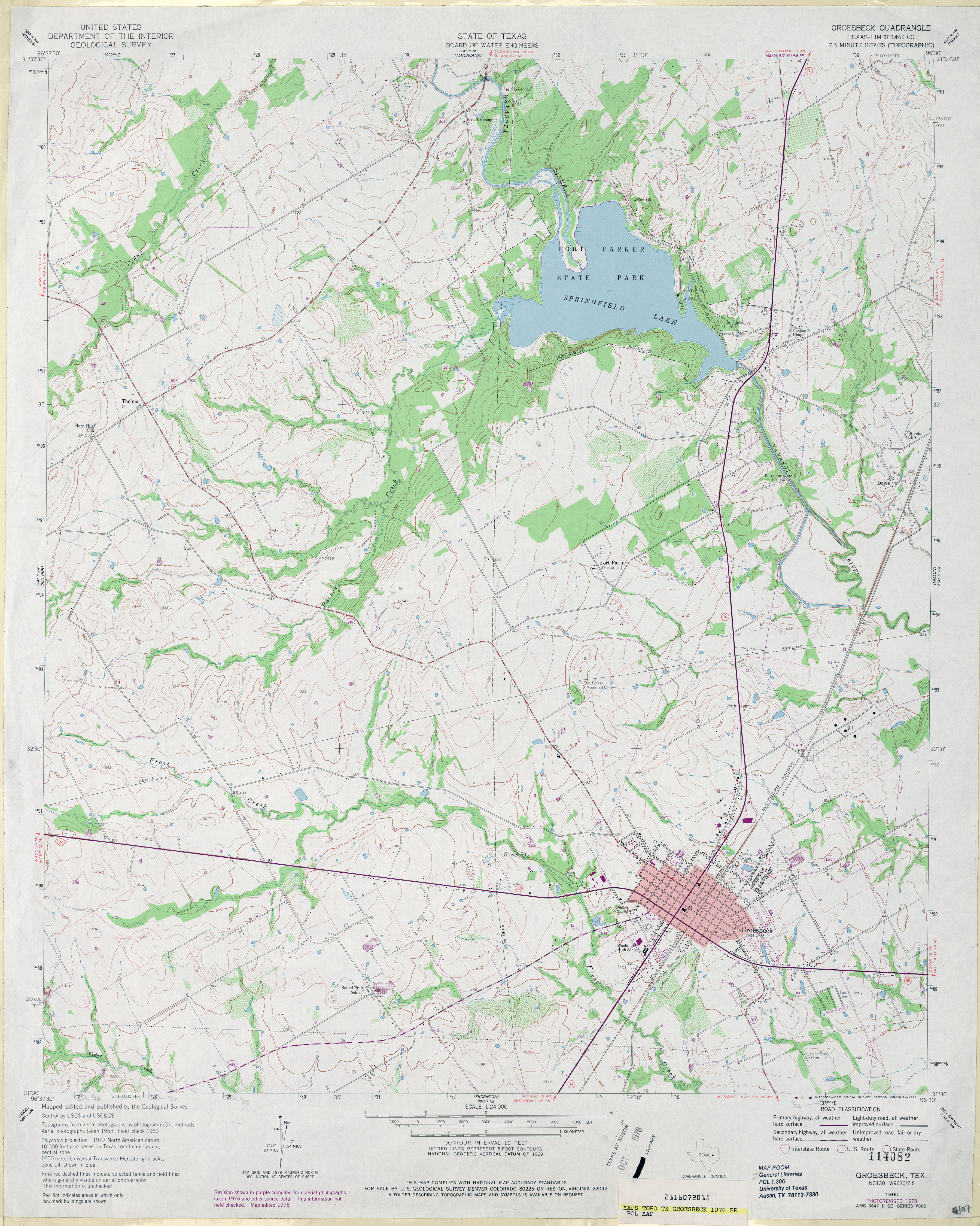
- Groesbeck (Limestone County) 1:24,000 1978 (4MB)
- Groesbeck 1:24,000 2008 (16.5MB) [GeoPDF]
- Groesbeck 1:24,000 2013 (21MB) [GeoPDF]
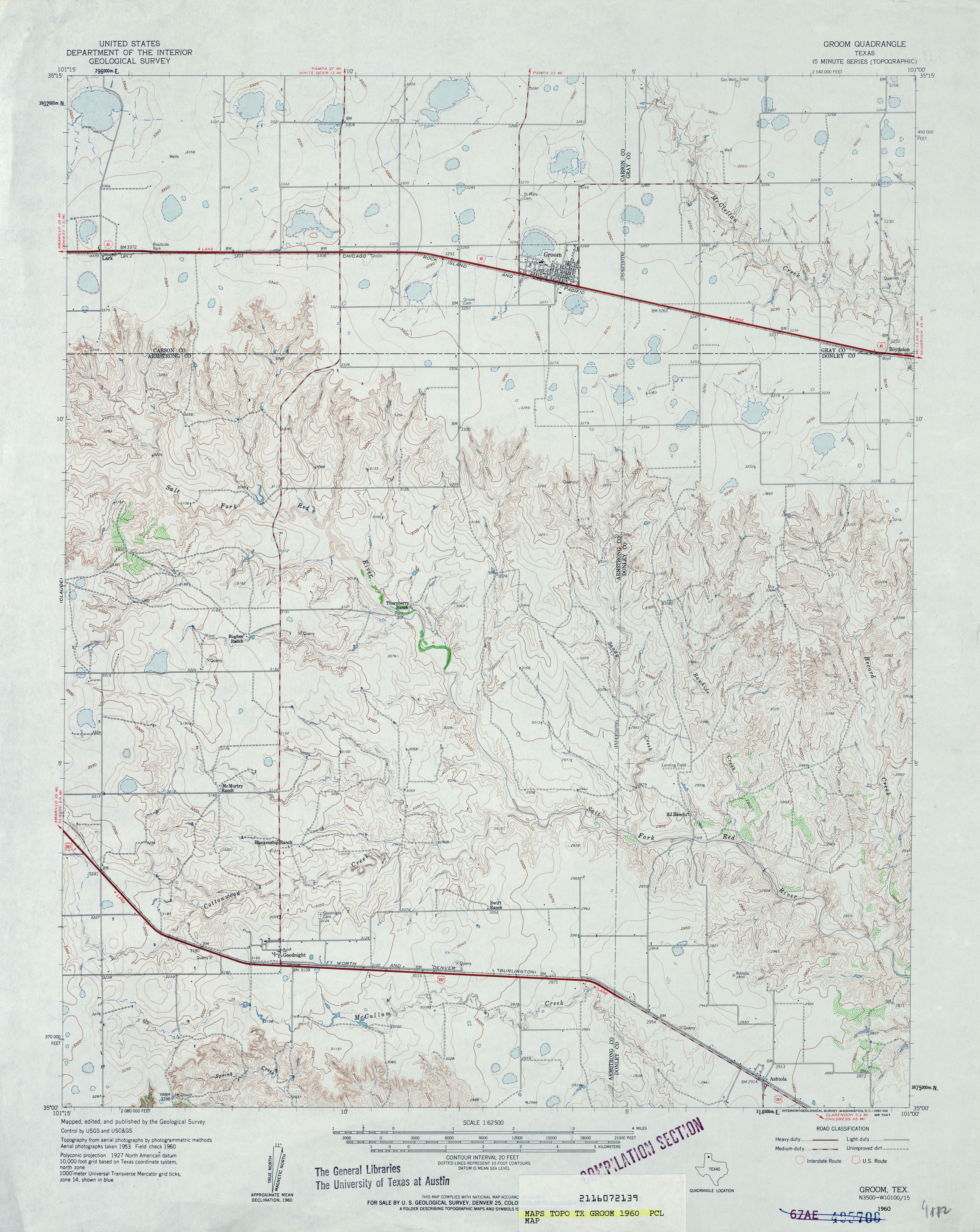
- Groom 1:62,500 1960 (4MB)
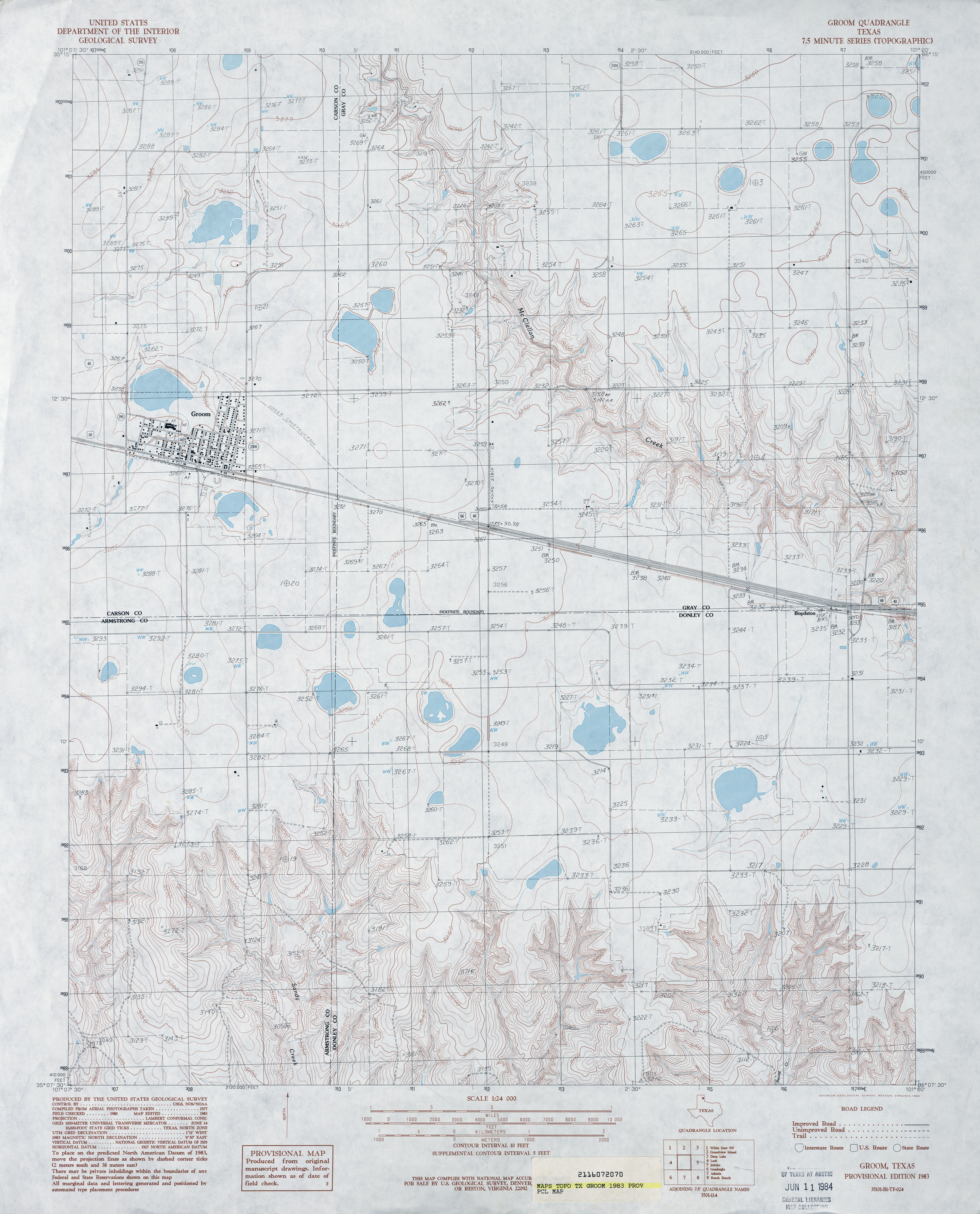
- Groom 1:24,000 1983 (3.7MB)
- Groom 1:24,000 2009 (10.8MB) [GeoPDF]
- Groom 1:24,000 2012 (16.3MB) [GeoPDF]
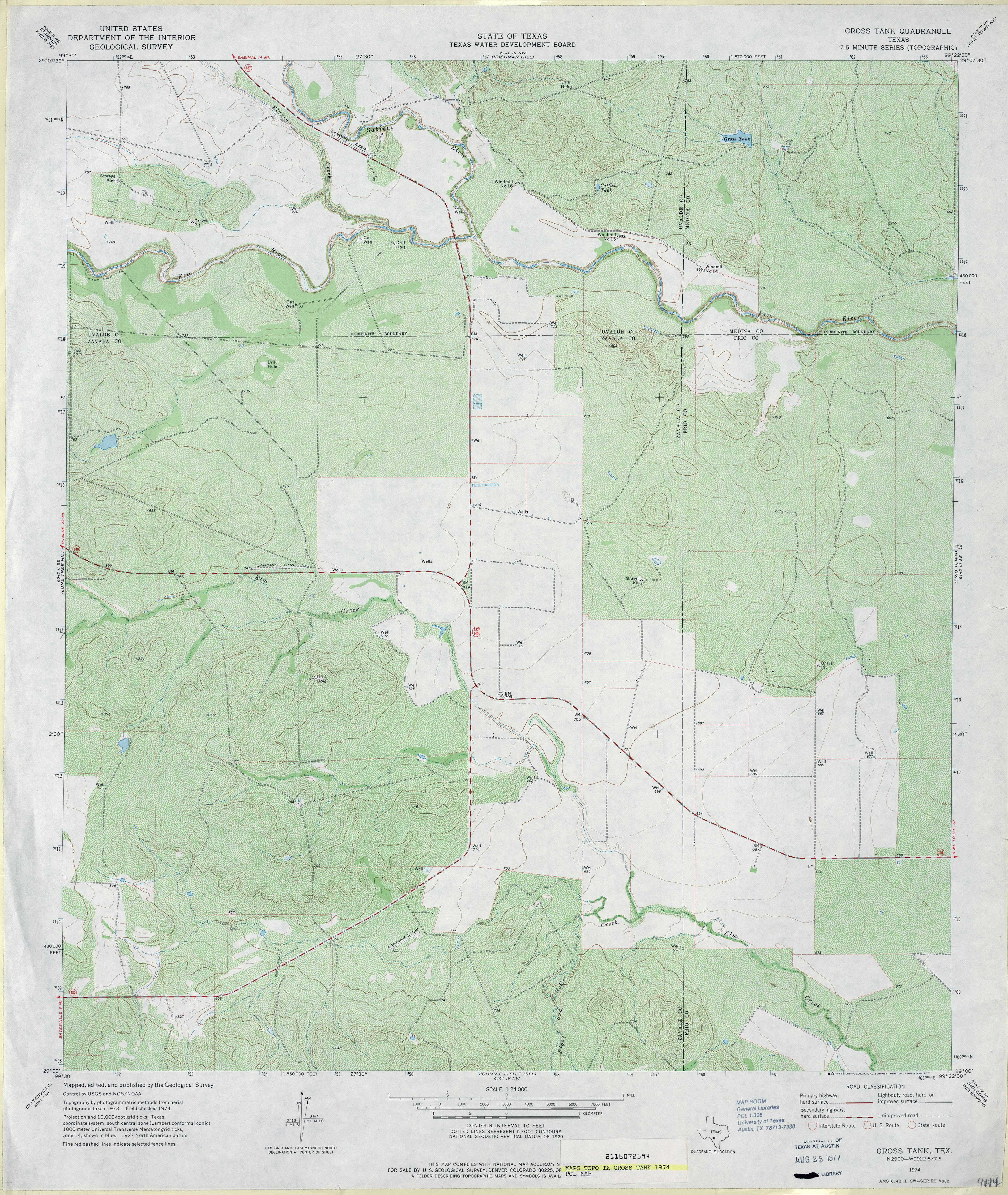
- Gross Tank 1:24,000 1974 (4.7MB)
- Gross Tank 1:24,000 2008 (16.9MB) [GeoPDF]
- Gross Tank 1:24,000 2013 (23.4MB) [GeoPDF]
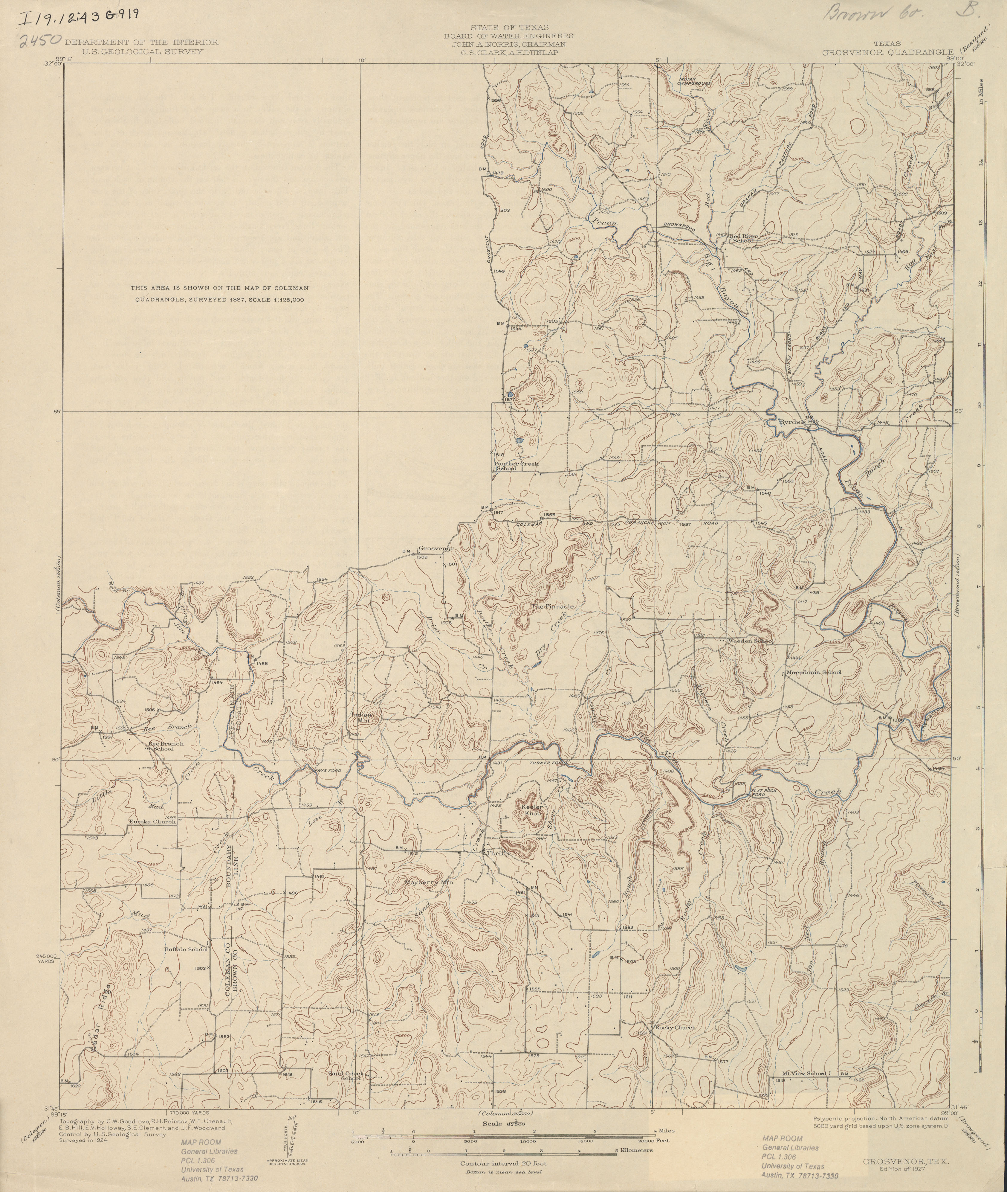
- Grosvenor 1:62,500 1924 (2.5 MB)
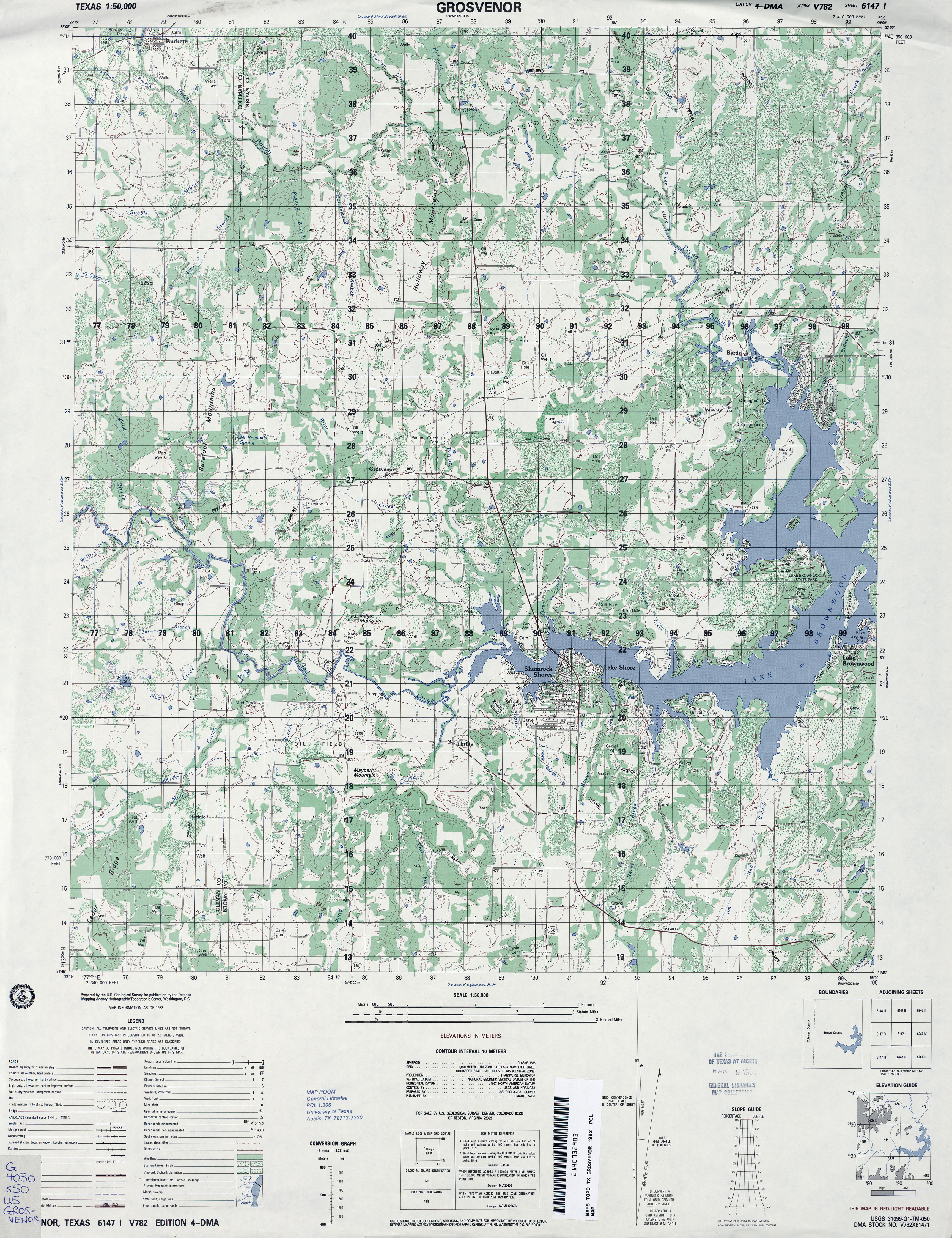
- Grosvenor 1:50,000 1983 (4.4MB) U.S. Defense Mapping Agency, Series V782.
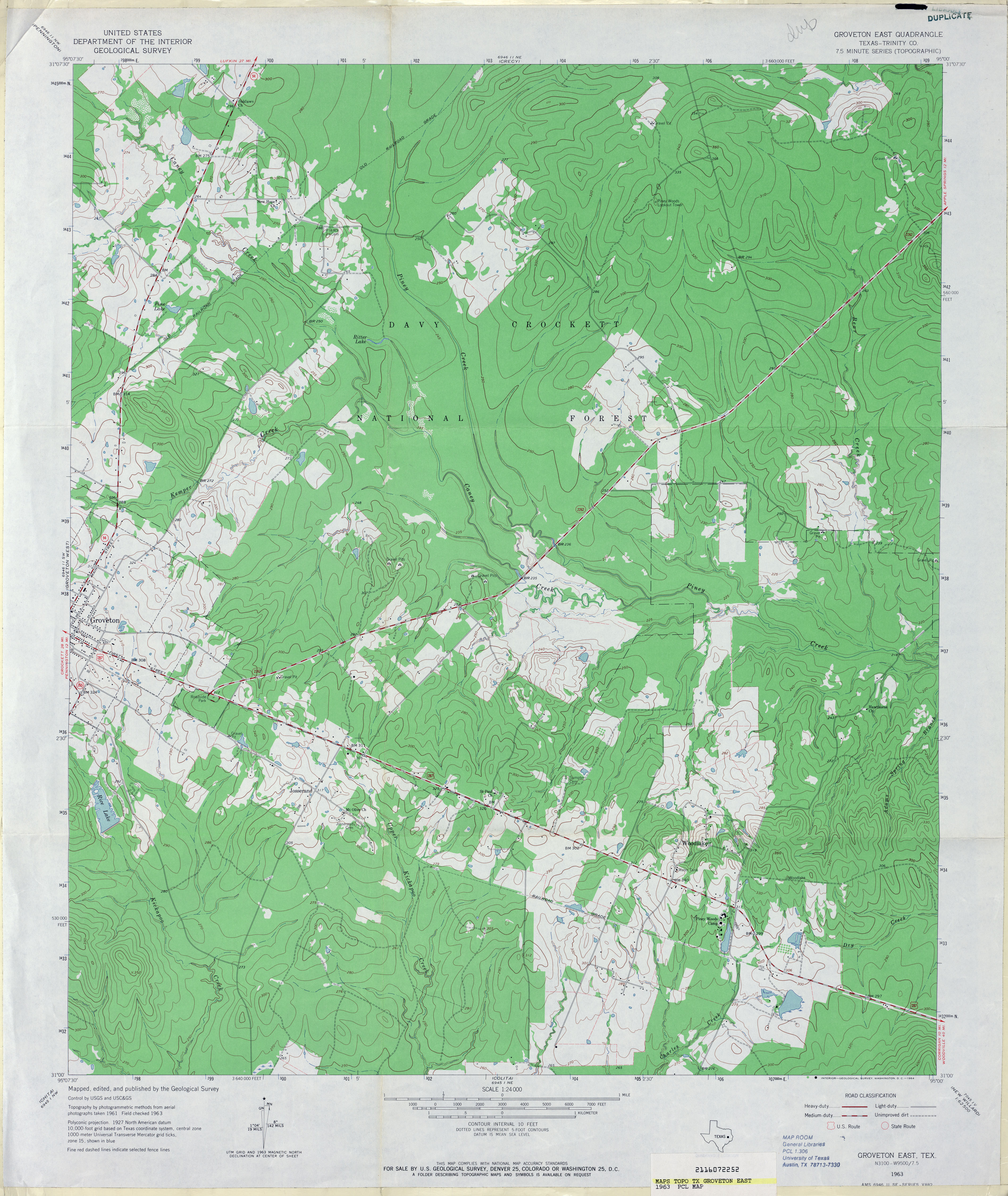
- Groveton East (Trinity County) 1:24,000 1963 (3.9MB)
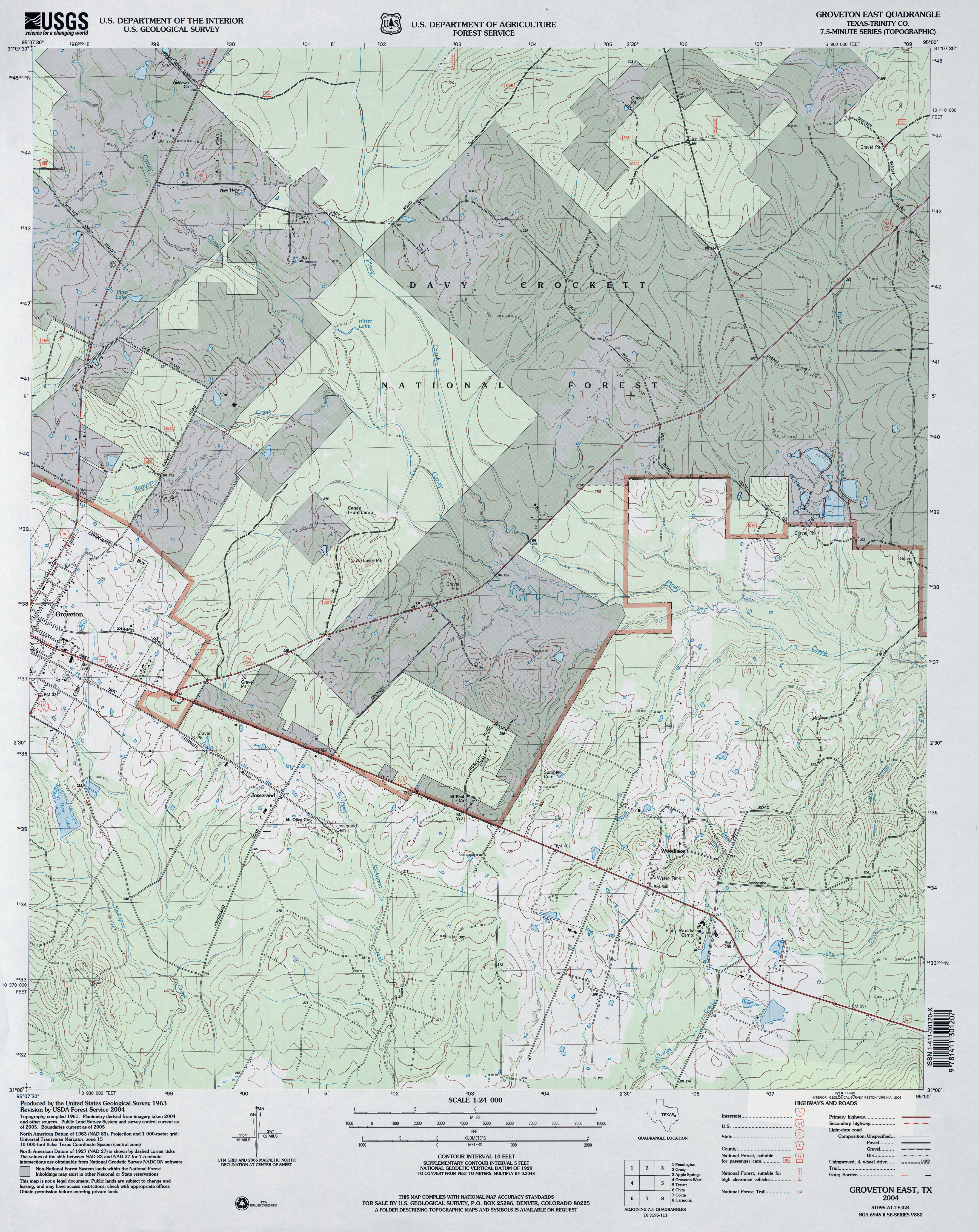
- Groveton East (Trinity County) 1:24,000 2004 (4.2MB)
- Groveton East 1:24,000 2009 (23.1MB) [GeoPDF]
- Groveton East 1:24,000 2013 (25.9MB) [GeoPDF]
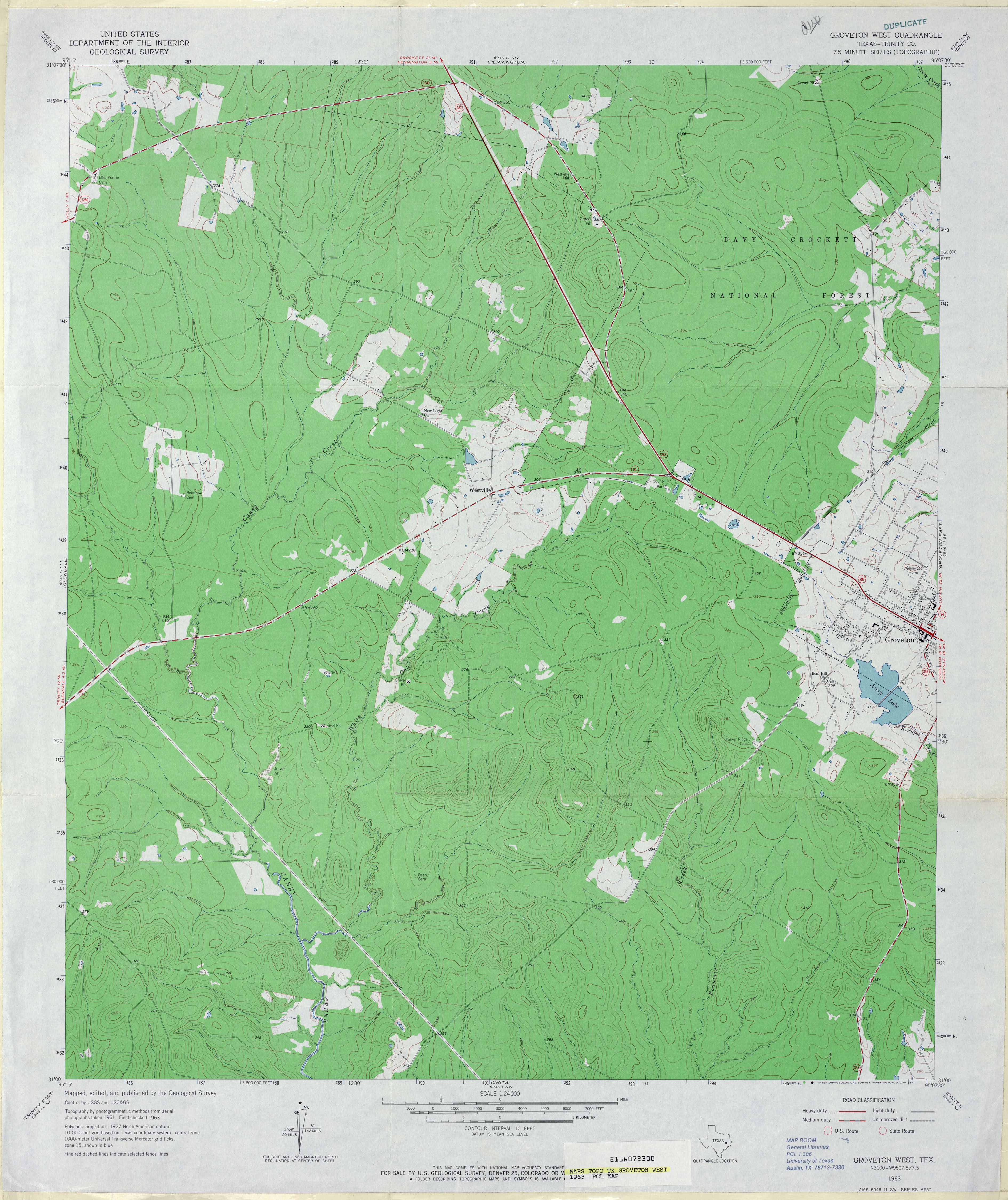
- Groveton West (Trinity County) 1:24,000 1963 (3.6MB)
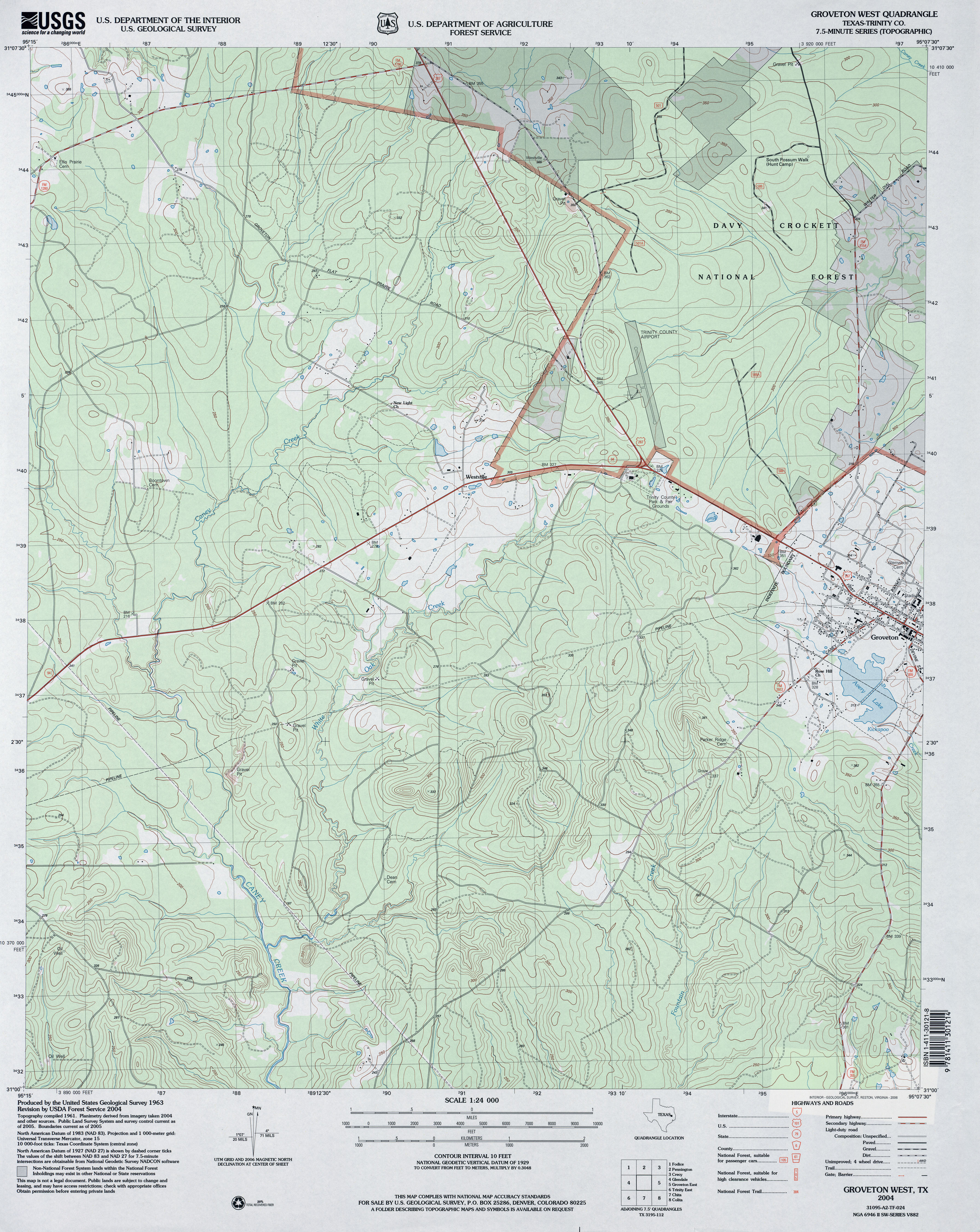
- Groveton West (Trinity County) 1:24,000 2004 (4.2MB)
- Groveton West 1:24,000 2009 (24.3MB) [GeoPDF]
- Groveton West 1:24,000 2013 (26.3MB) [GeoPDF]
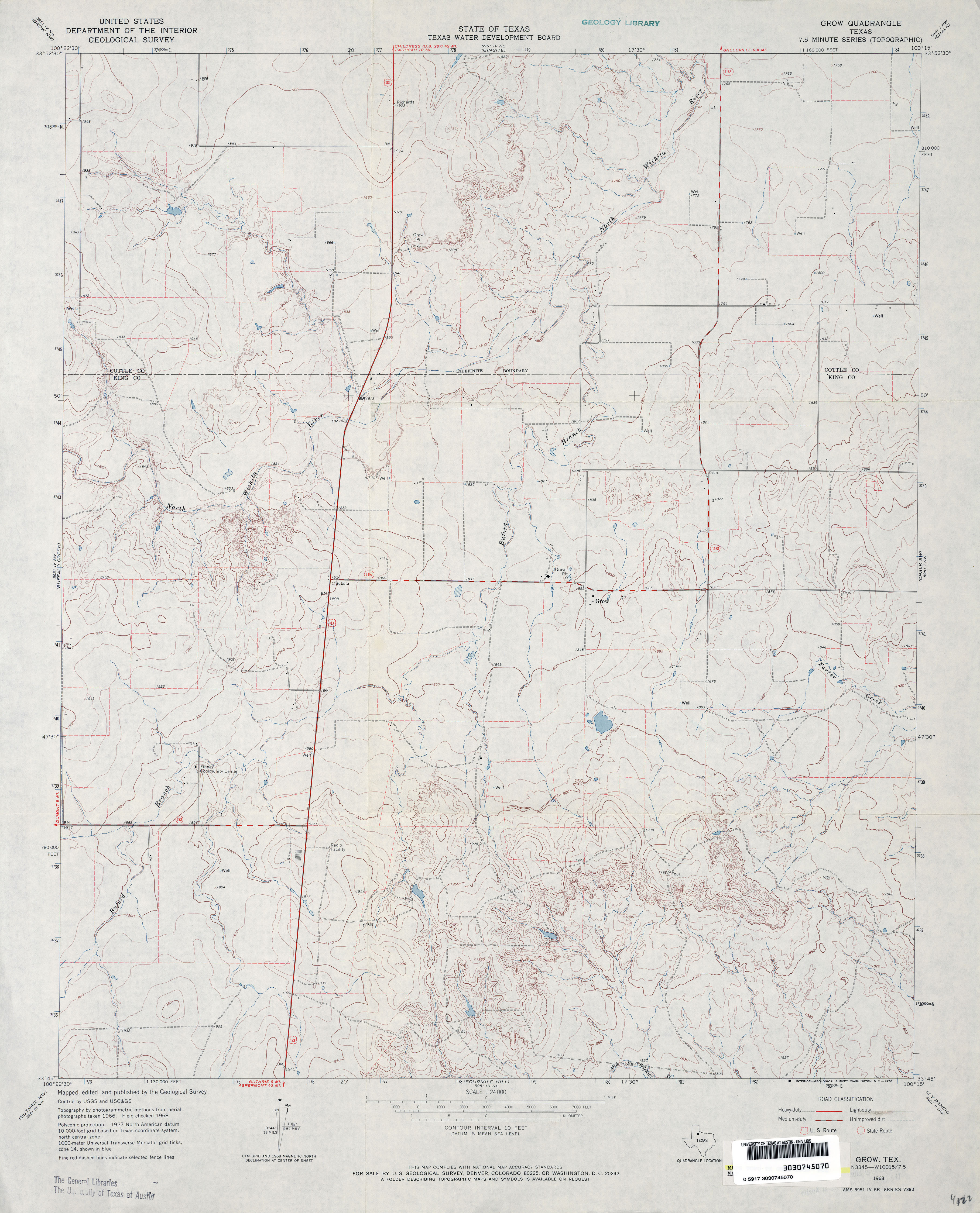
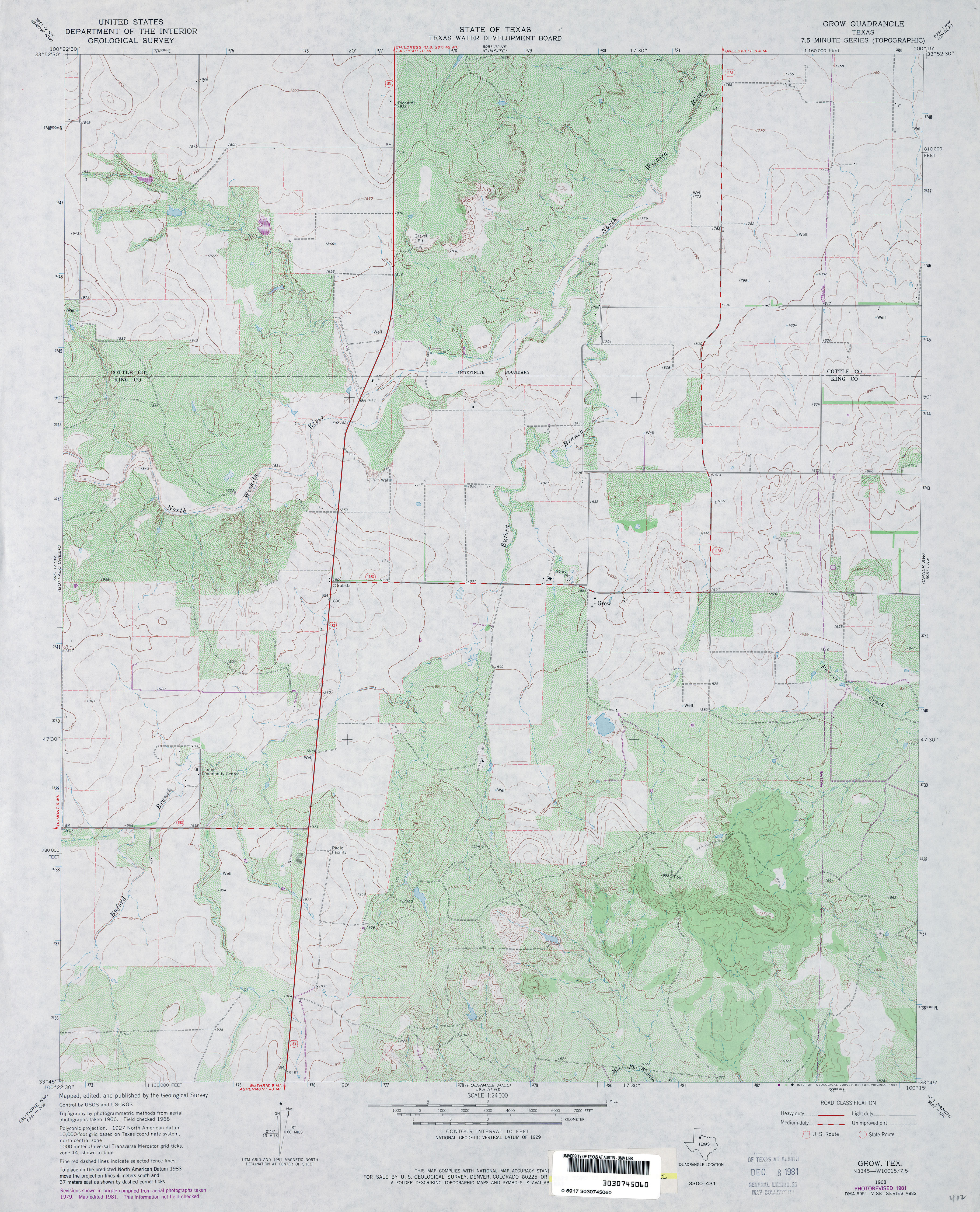
- Grow 1:24,000 1968 (3.3MB)
- Grow 1:24,000 1981 (4.1MB)
- Grow 1:24,000 2008 (12.1MB) [GeoPDF]
- Grow 1:24,000 2012 (18.4MB) [GeoPDF]
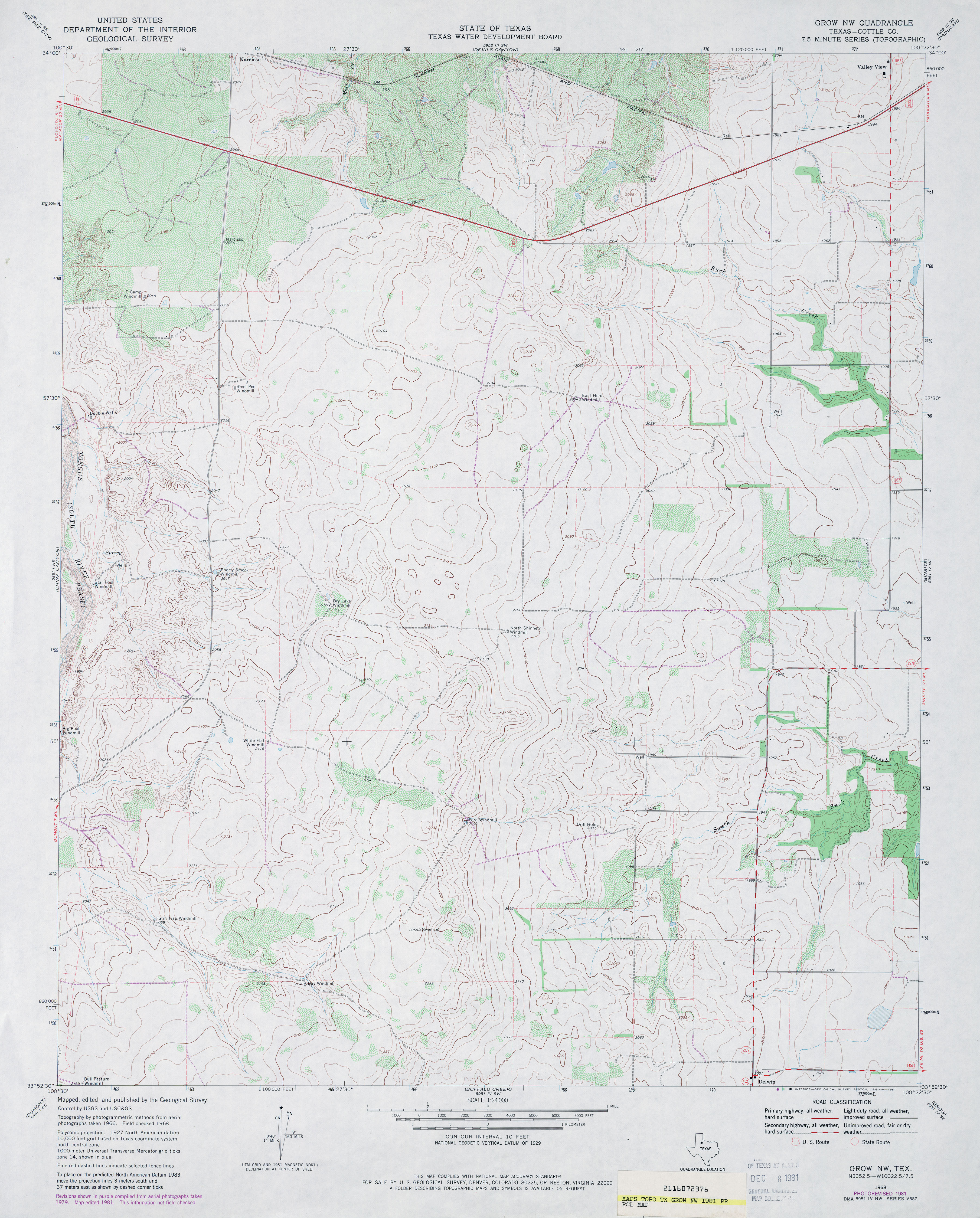
- Grow NW (Cottle County) 1:24,000 1968 (3.2MB)
- Grow NW (Cottle County) 1:24,000 1981 (3.6MB)
- Grow NW 1:24,000 2012 (17.9MB) [GeoPDF]
- Gruver (Hansford County) 1:24,000 1973 (2.6MB)
- Gruver 1:24,000 2008 (8.6MB) [GeoPDF]
- Gruver 1:24,000 2012 (15.5MB) [GeoPDF]
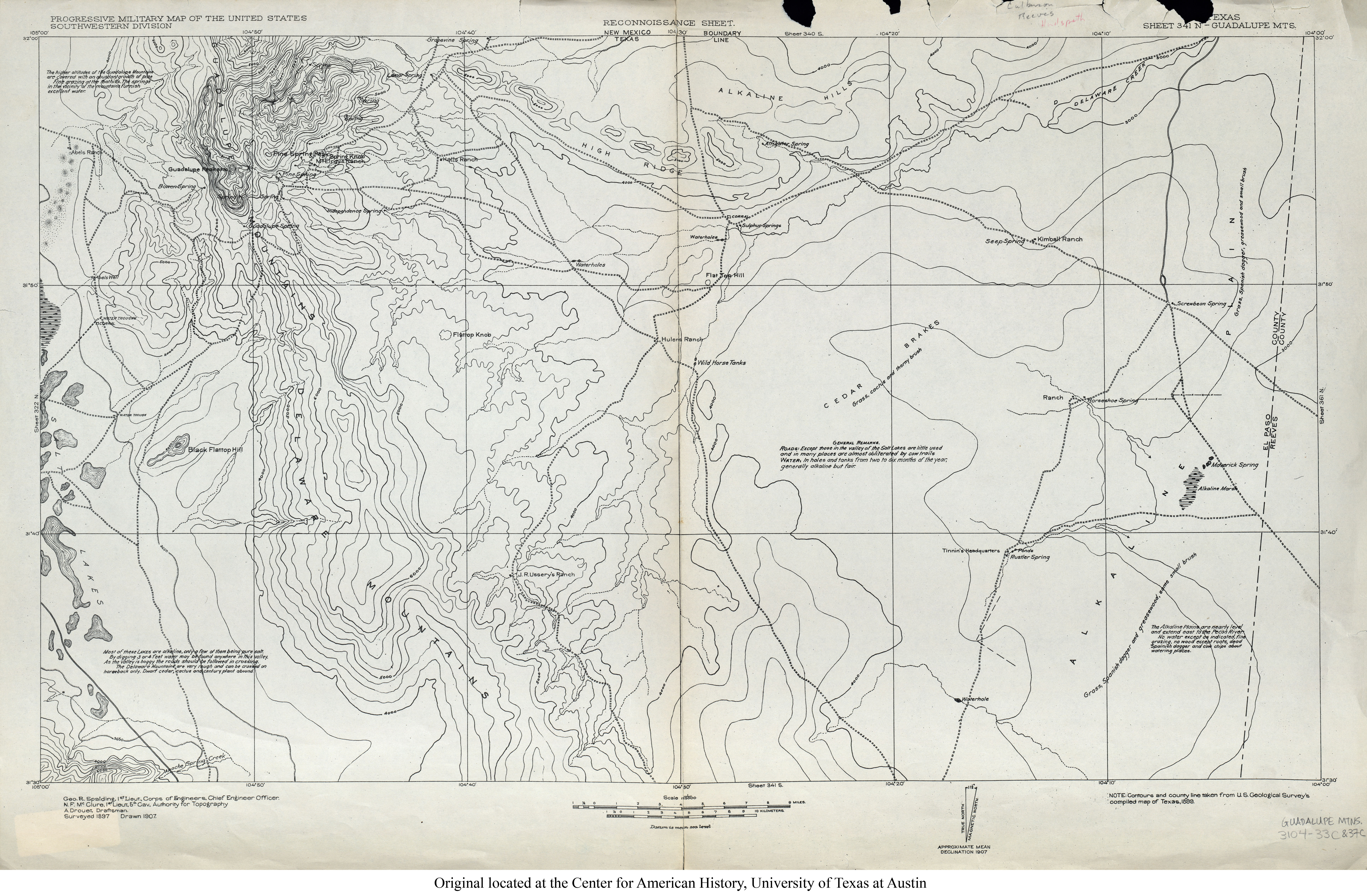
- Guadalupe Mts 1:125,000 1897 (5.8MB) U.S. Army. Corps of Engineers. Progressive Military Map
- Guadalupe Pass (Culberson County) 1:24,000 1973 (3.9MB)
- Guadalupe Pass 1:24,000 2012 (23.4MB) [GeoPDF]
- Guadalupe Peak 1:62,500 1933 survey, 1940 overprint (3.6 MB)
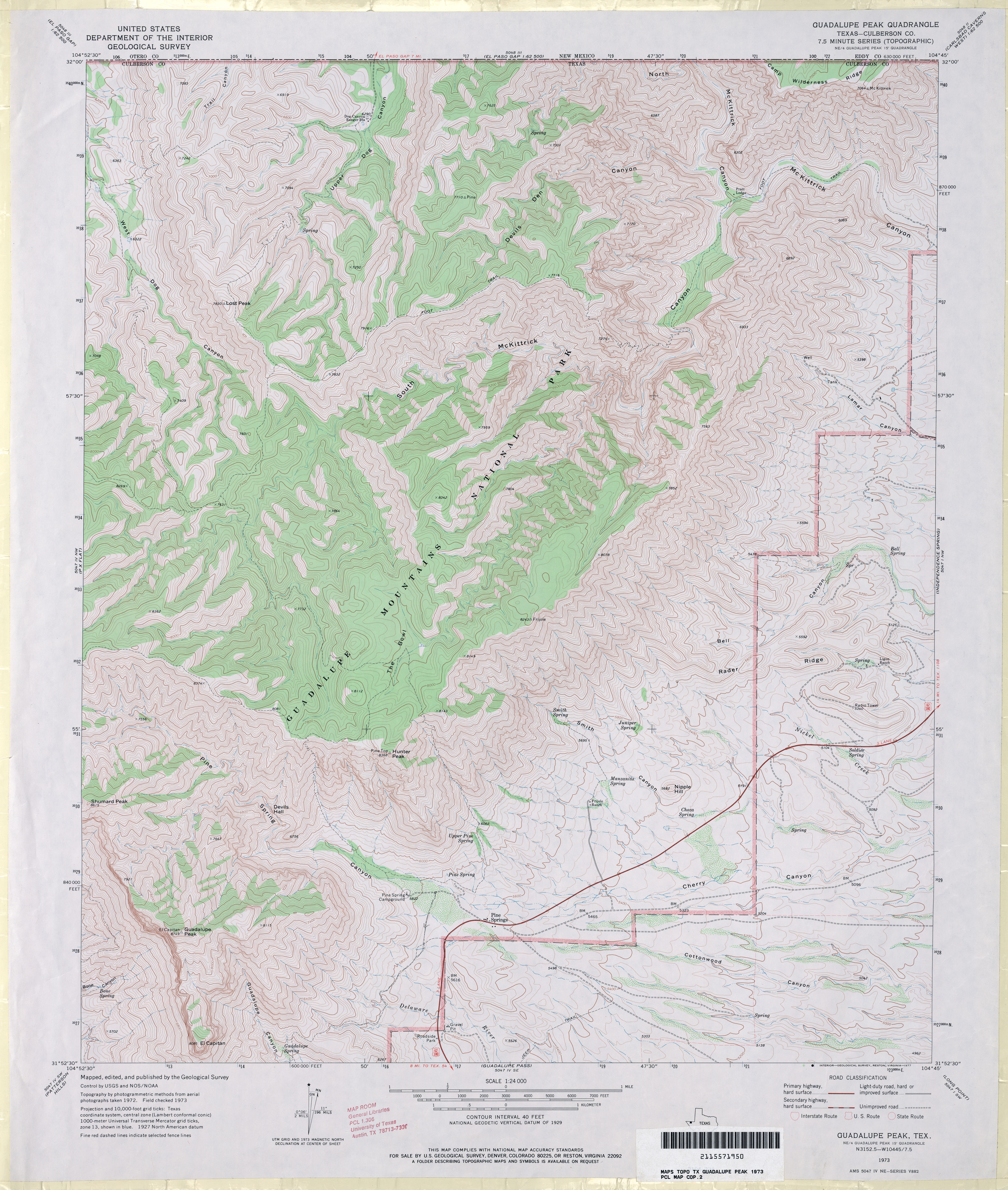
- Guadalupe Peak (Culberson County) 1:24,000 1973 (4.9MB)
- Guadalupe Peak 1:24,000 2013 (28.2MB) [GeoPDF]
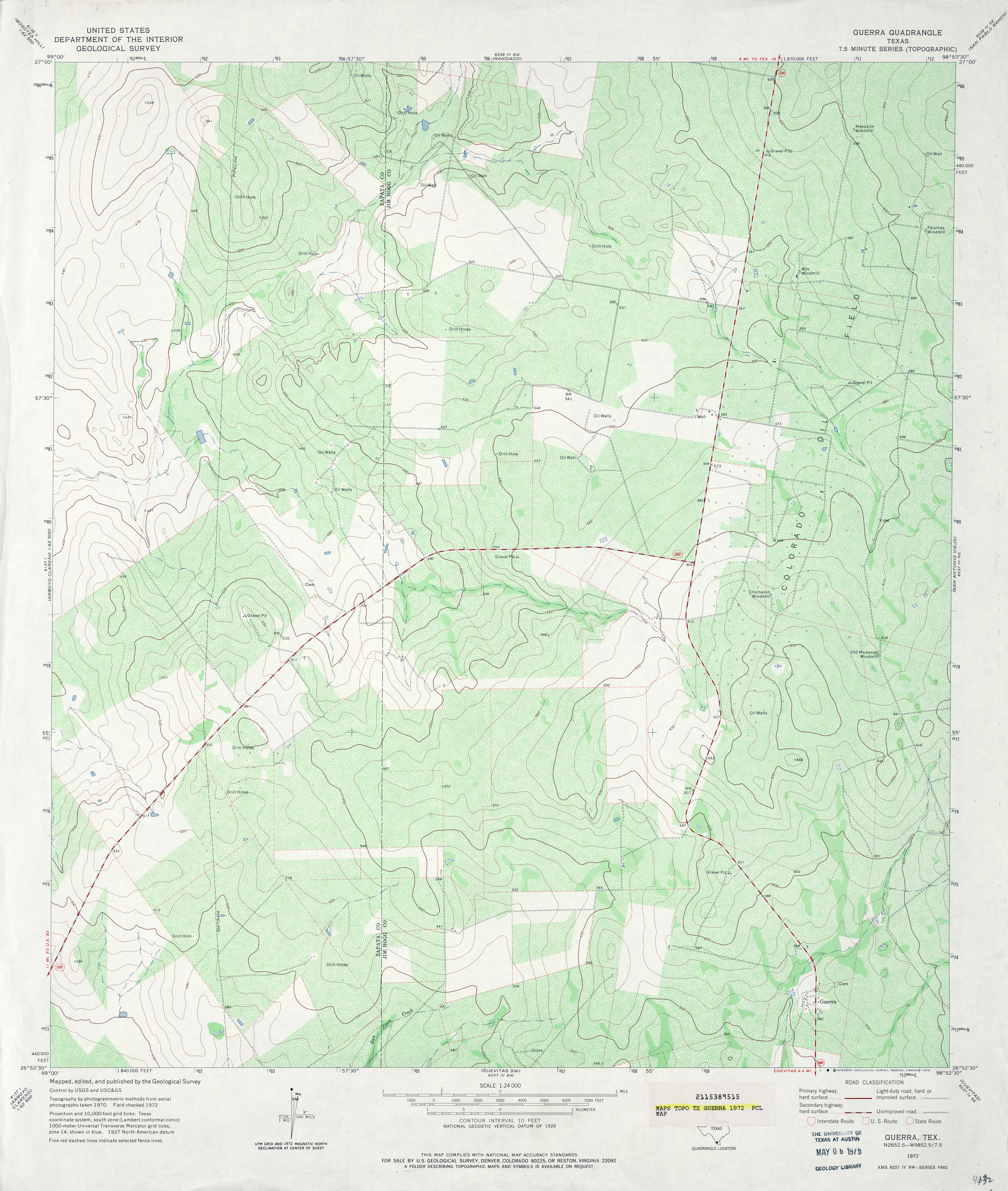
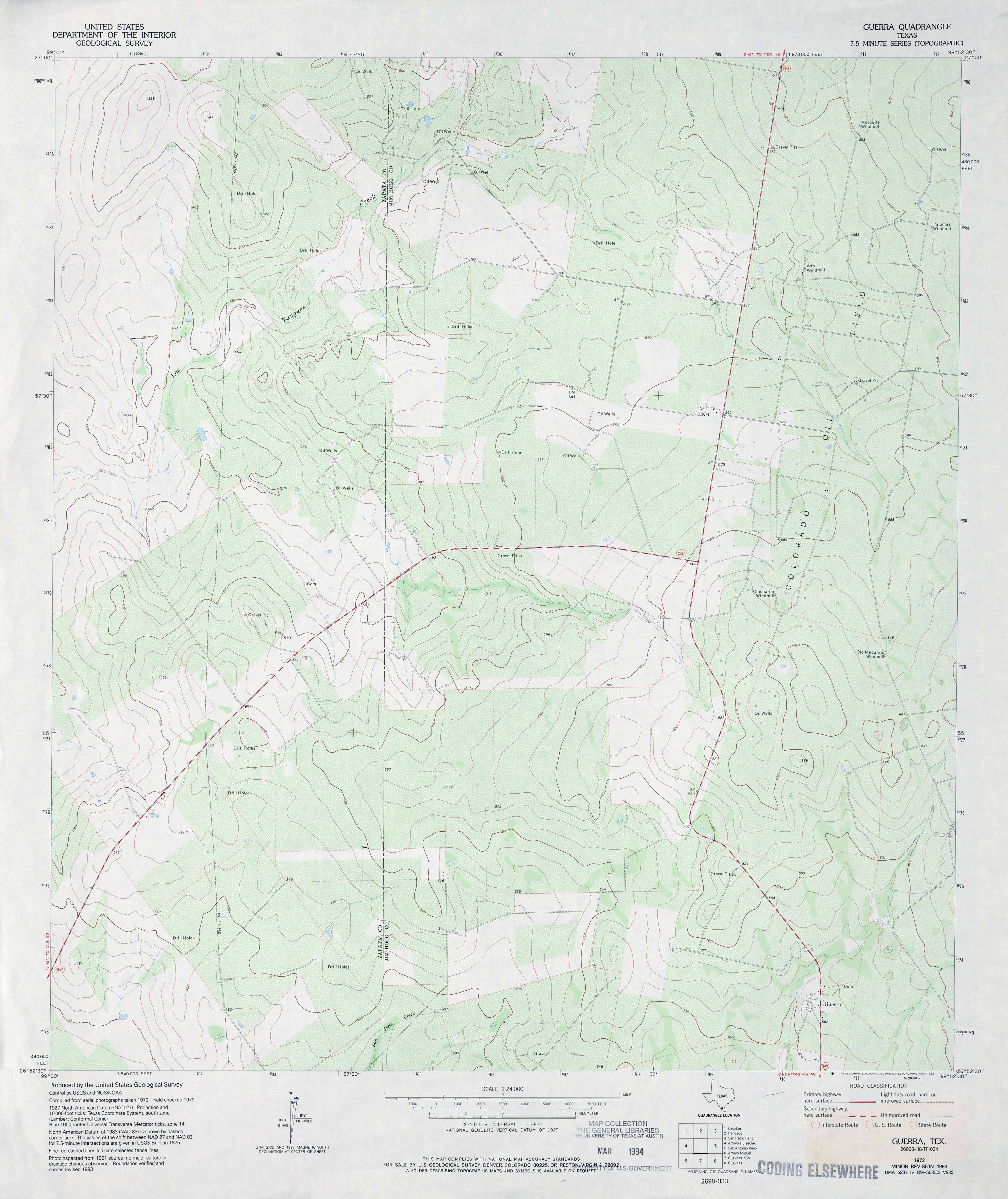
- Guerra 1:24,000 1972 (4.8MB)
- Guerra 1:24,000 1993 (3.8MB)
- Guerra 1:24,000 2008 (22.8MB) [GeoPDF]
- Guerra 1:24,000 2012 (25.6MB) [GeoPDF]
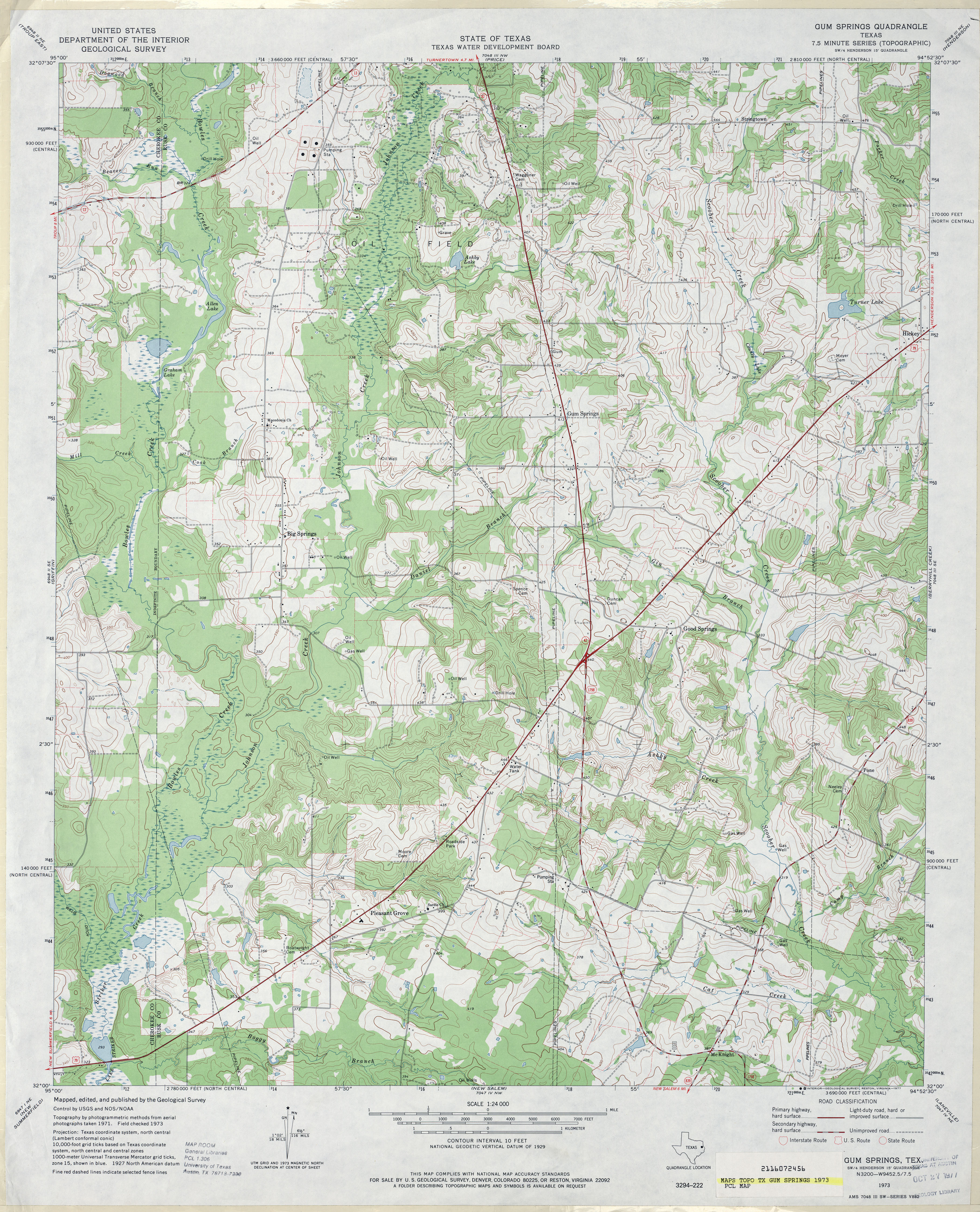
- Gum Springs 1:24,000 1973 (4.6MB)
- Gum Springs 1:24,000 2009 (21.6MB) [GeoPDF]
- Gum Springs 1:24,000 2013 (24.4MB) [GeoPDF]
- Gunsight Canyon [New Mexico, Texas] 1:24,000 2009 (25.6MB) [GeoPDF]
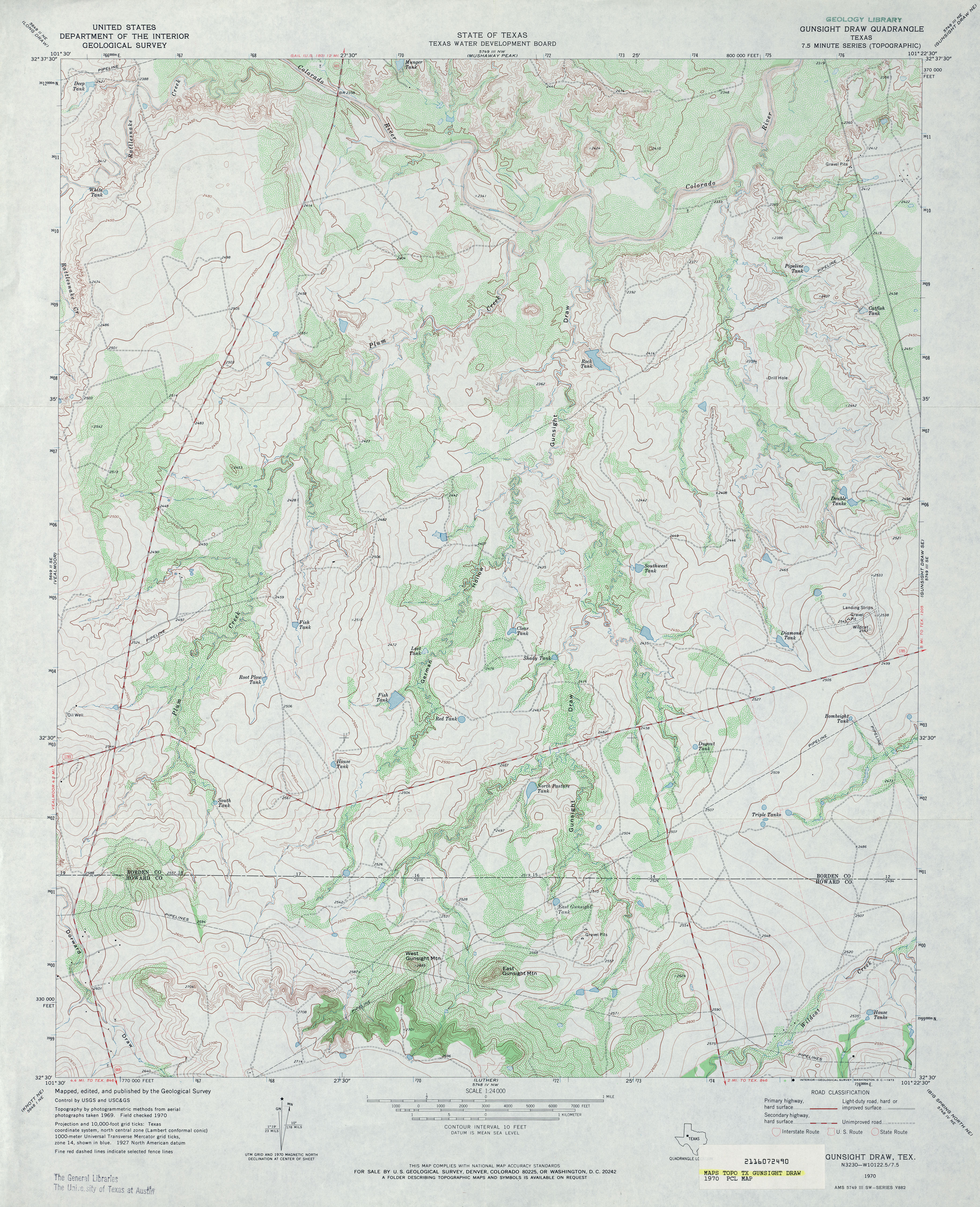
- Gunsight Draw 1:24,000 1970 (4.5MB)
- Gunsight Draw 1:24,000 2008 (16.0MB) [GeoPDF]
- Gunsight Draw 1:24,000 2012 (23.3MB) [GeoPDF]
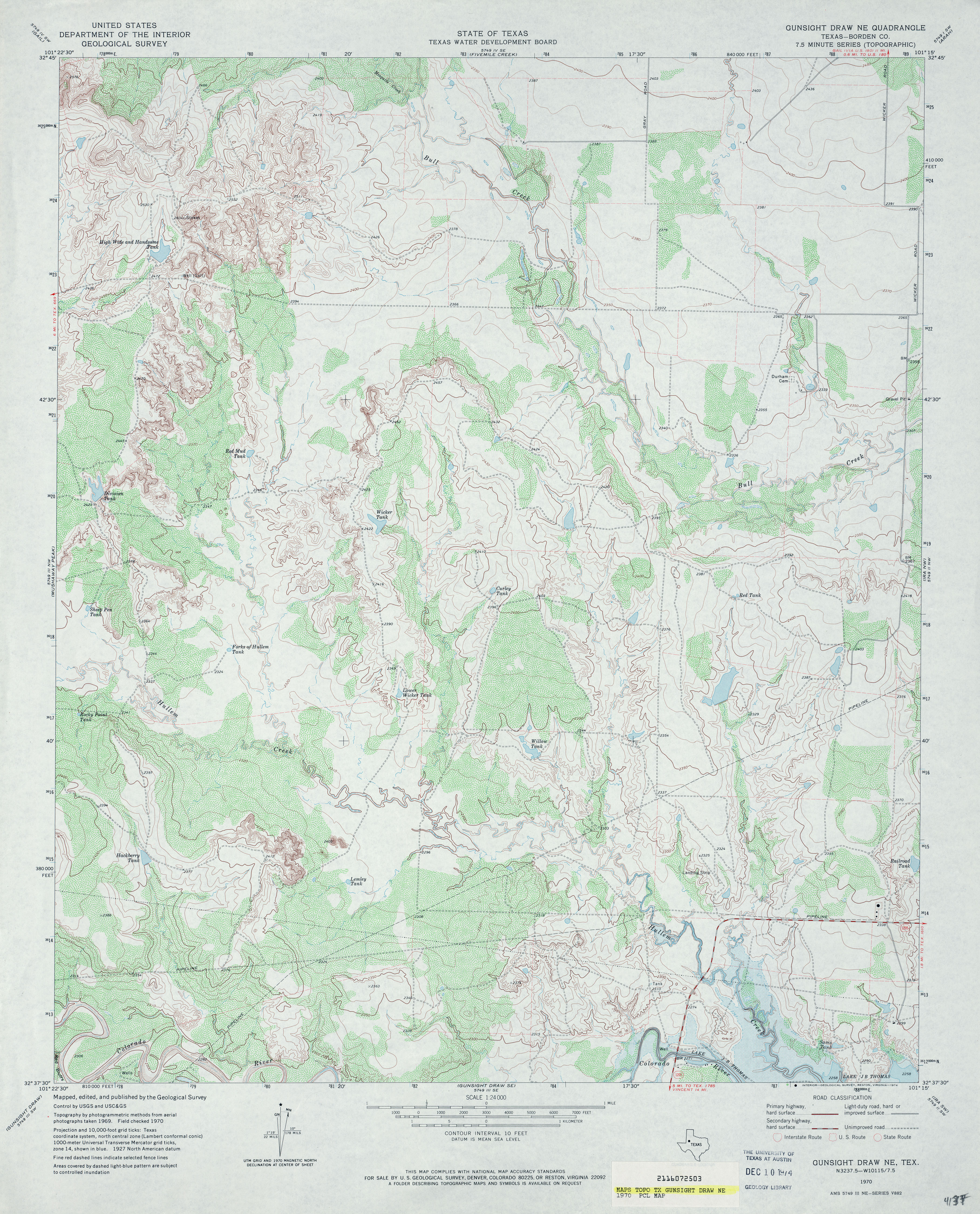
- Gunsight Draw NE (Borden County) 1:24,000 1970 (4.4MB)
- Gunsight Draw NE 1:24,000 2008 (15.6MB) [GeoPDF]
- Gunsight Draw NE 1:24,000 2012 (22.1MB) [GeoPDF]
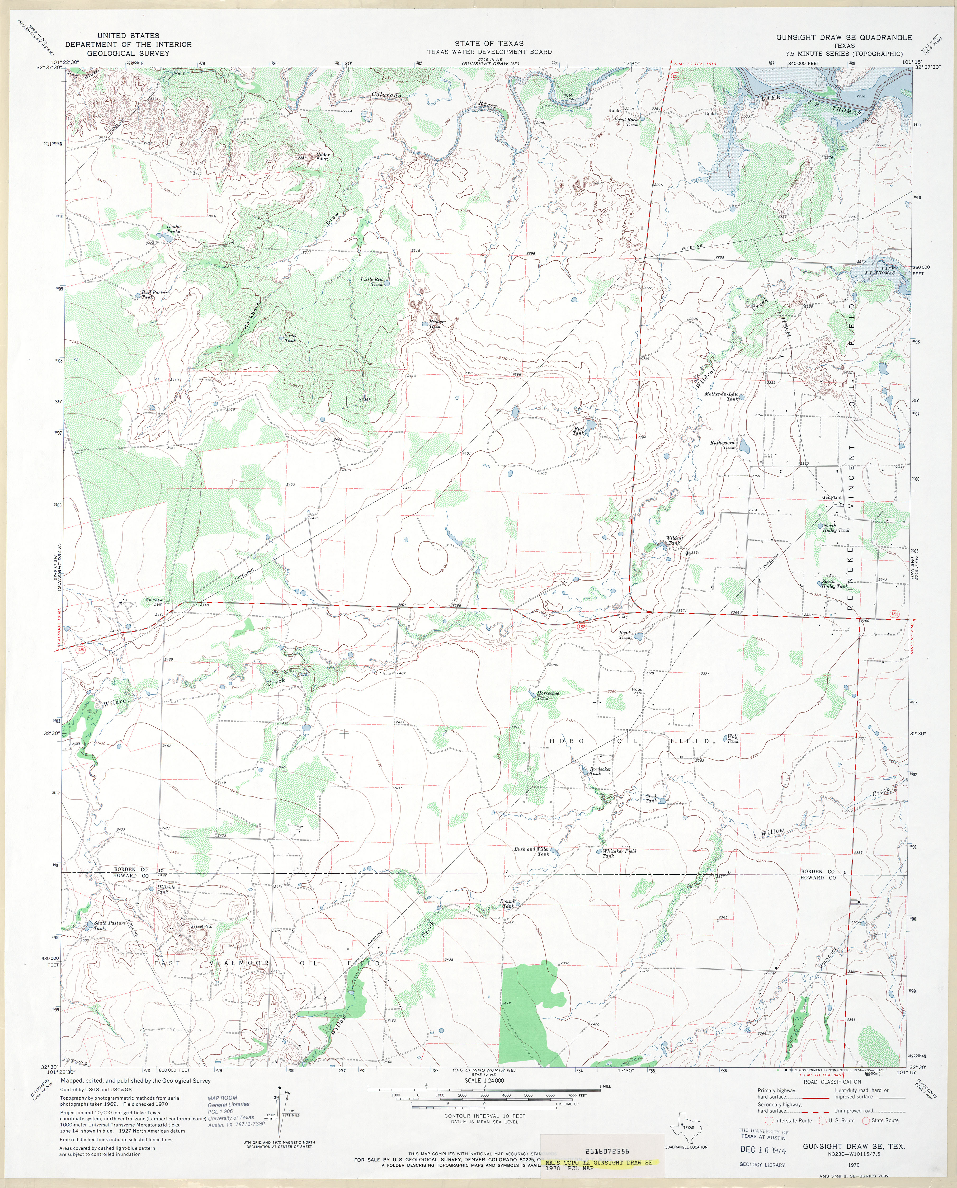
- Gunsight Draw SE 1:24,000 1970 (3.4MB)
- Gunsight Draw SE 1:24,000 2008 (14.8MB) [GeoPDF]
- Gunsight Draw SE 1:24,000 2012 (22.7MB) [GeoPDF]
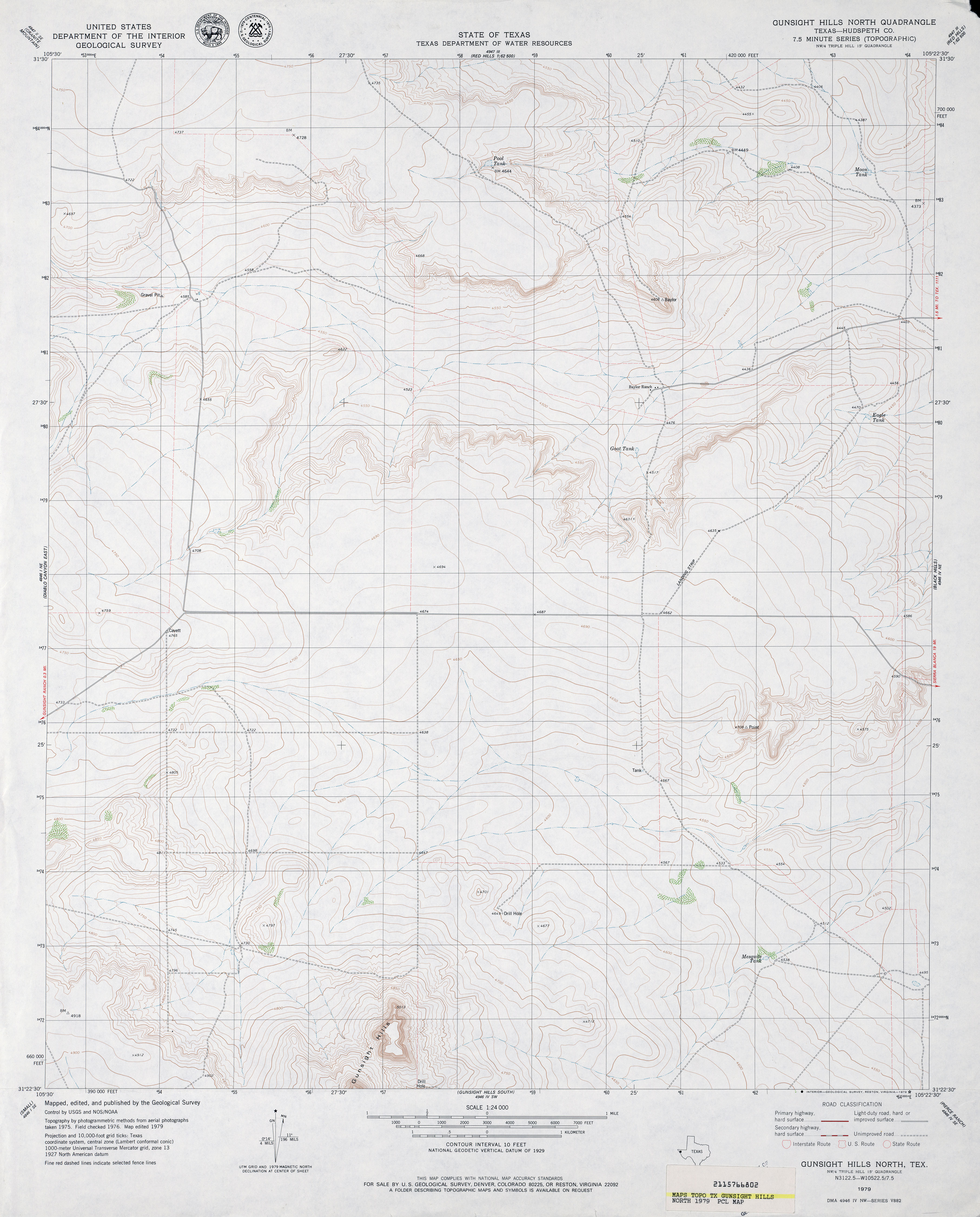
- Gunsight Hills North (Hudspeth County) 1:24,000 1979 (3.1MB)
- Gunsight Hills North 1:24,000 2008 (17.8MB) [GeoPDF]
- Gunsight Hills North 1:24,000 2012 (23.4MB) [GeoPDF]
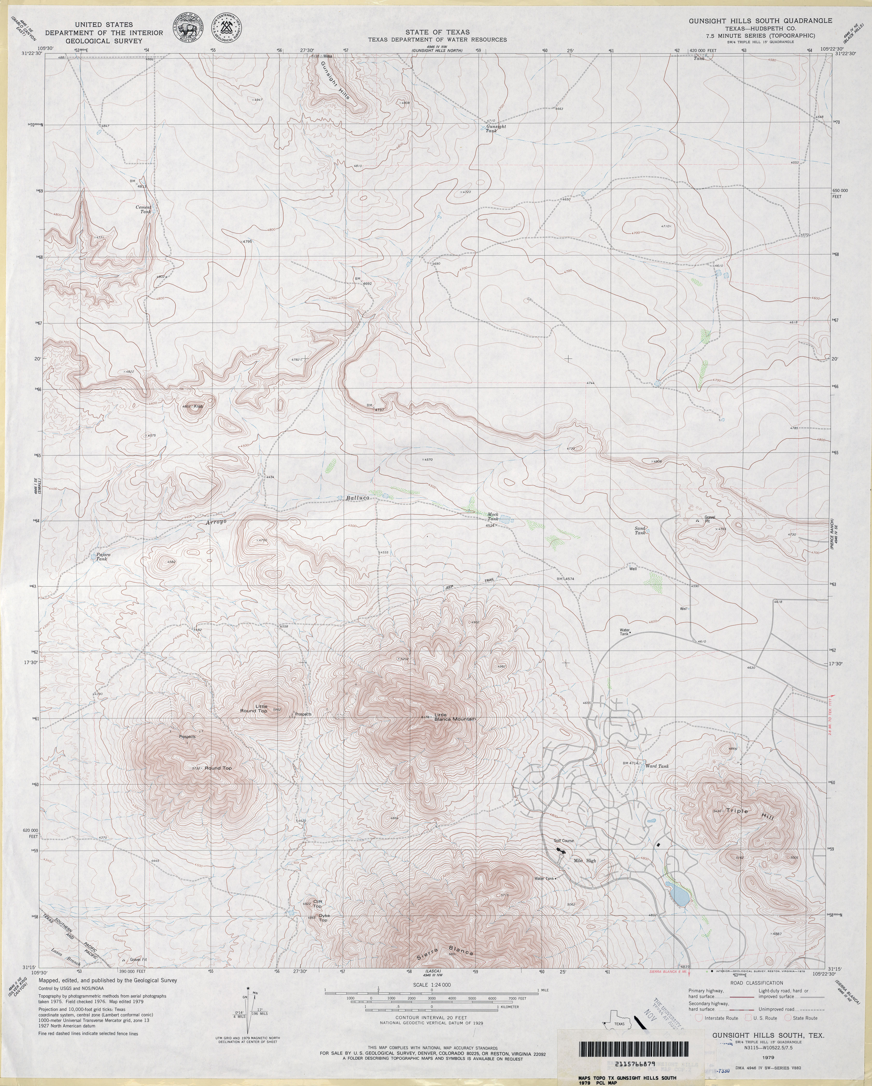
- Gunsight Hills South (Hudspeth County) 1:24,000 1979 (3.5MB)
- Gunsight Hills South 1:24,000 2008 (18.9MB) [GeoPDF]
- Gunsight Hills South 1:24,000 2013 (25.5MB) [GeoPDF]
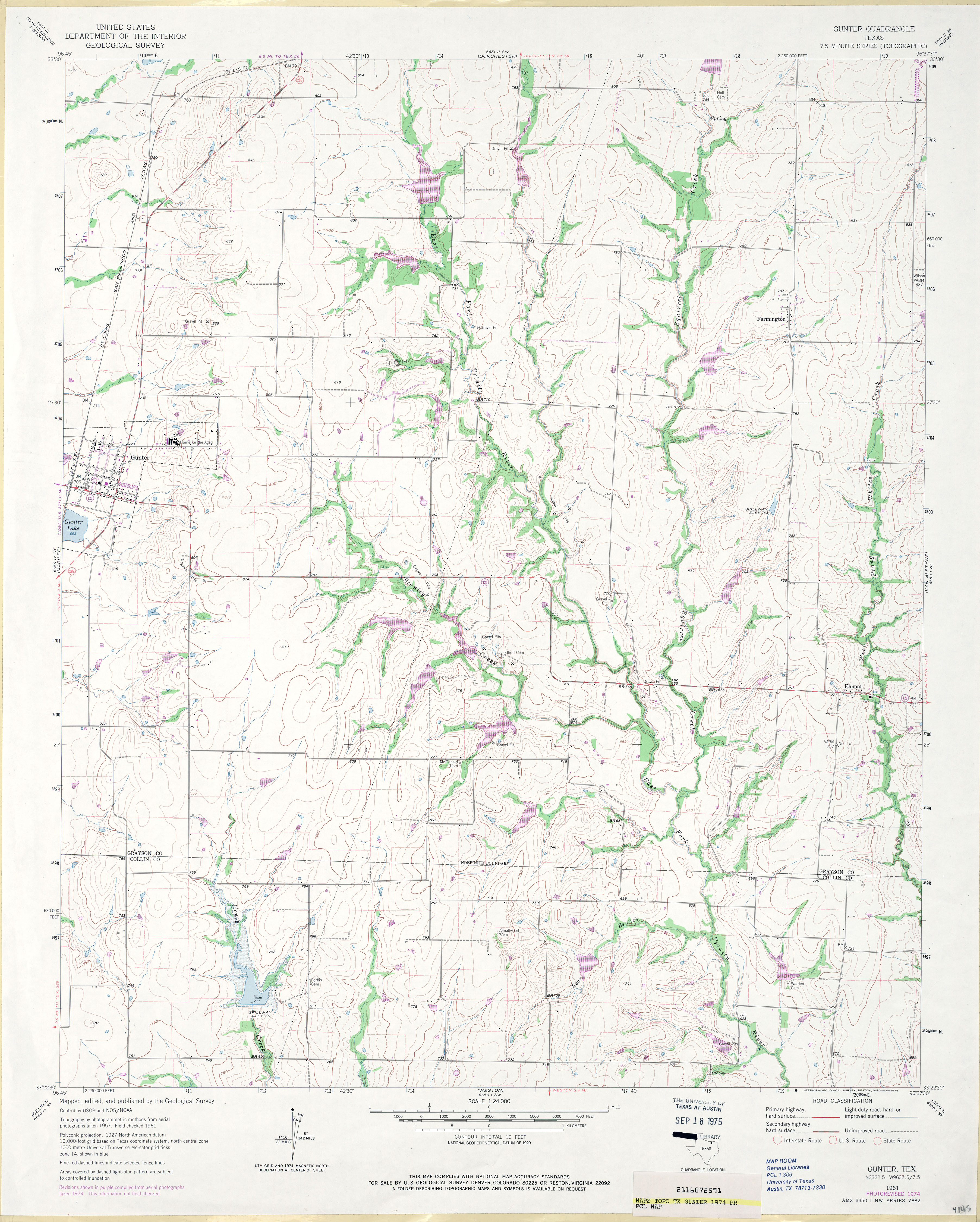
- Gunter 1:24,000 1961 (3MB)
- Gunter 1:24,000 1974 (3.6MB)
- Gunter 1:24,000 2008 (12.7MB) [GeoPDF]
- Gunter 1:24,000 2013 (17.9MB) [GeoPDF]
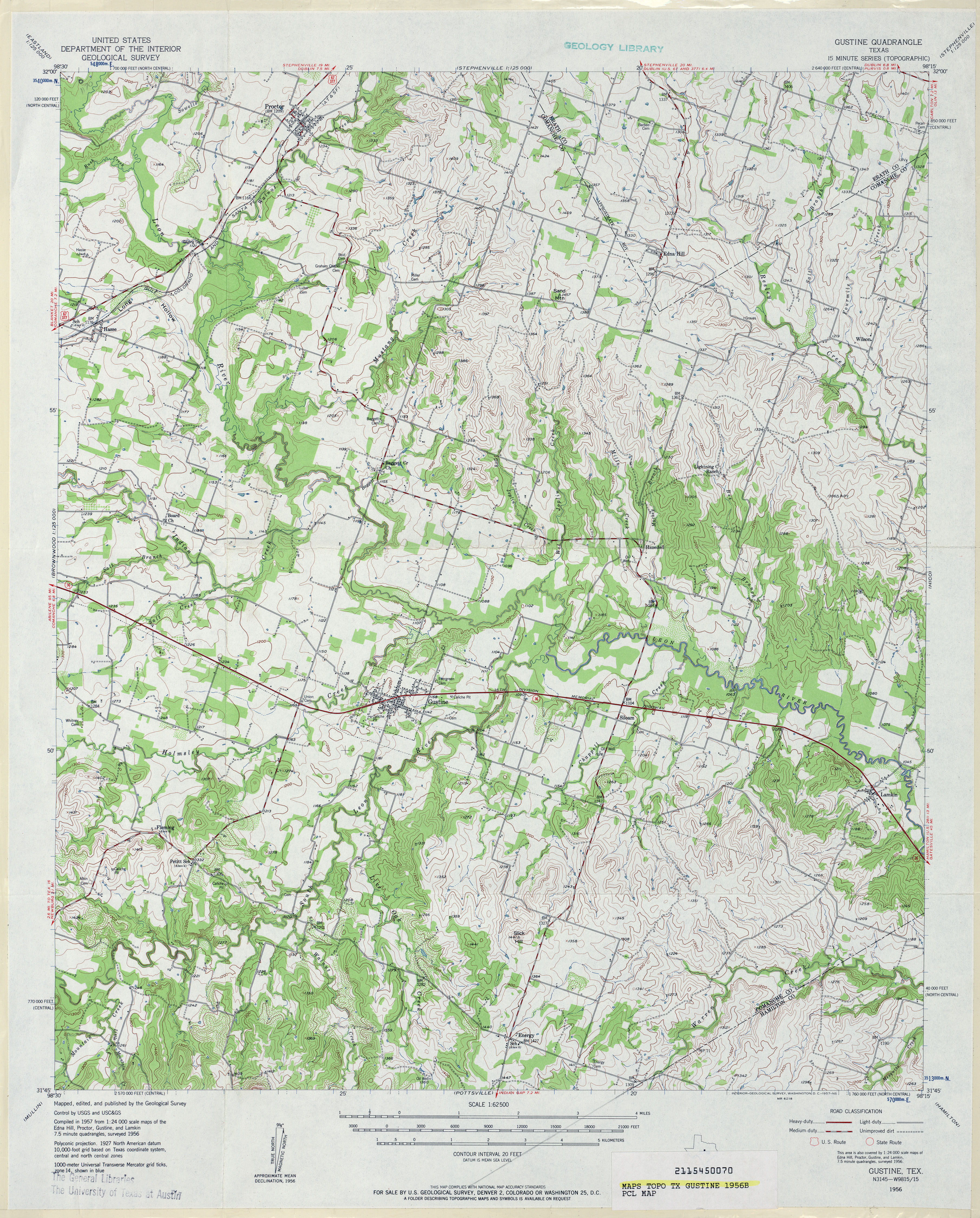
- Gustine 1:62,500 1956 (4.9MB)
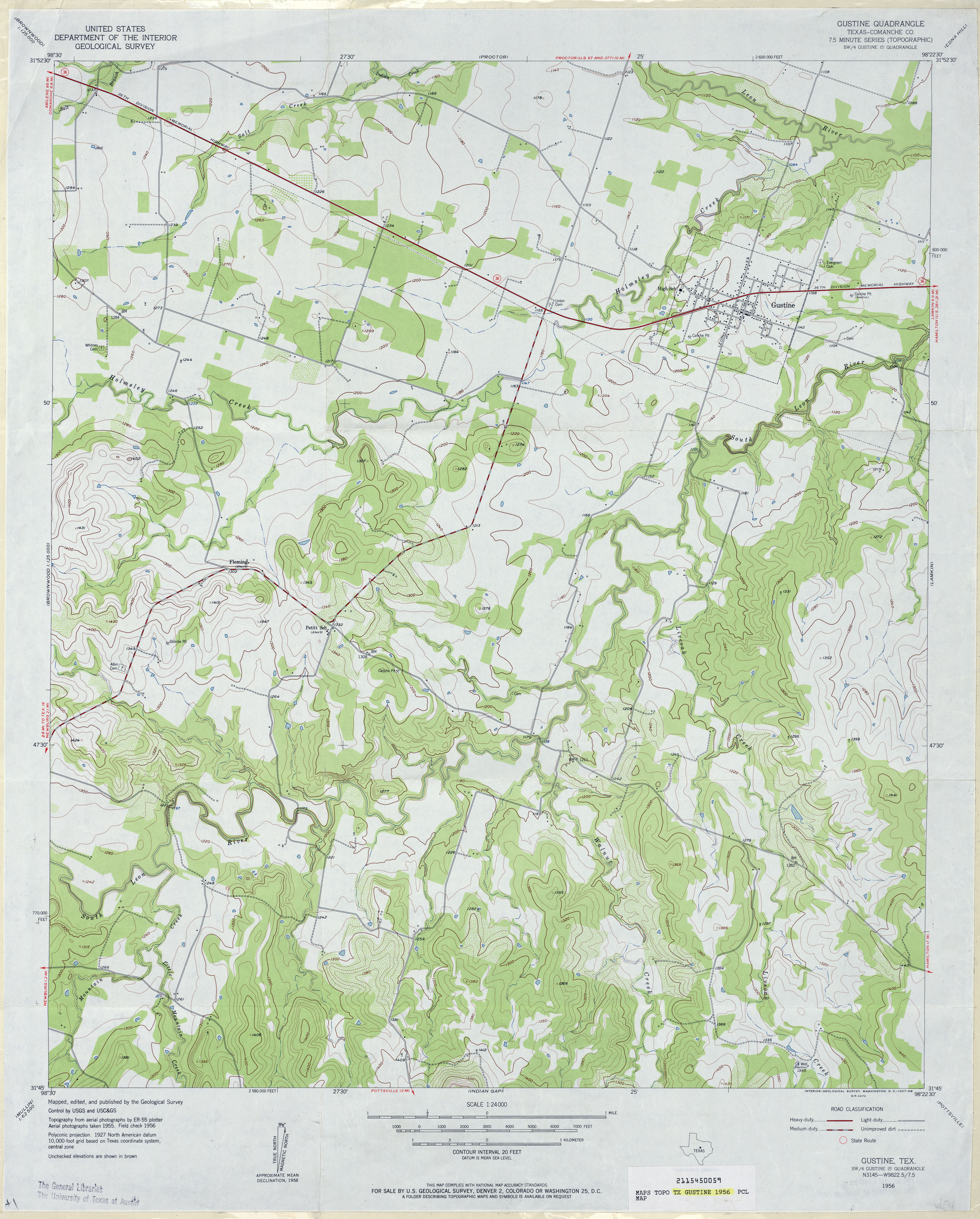
- Gustine (Comanche County) 1:24,000 1956 (3.5MB)
- Gustine 1:24,000 2008 (14.5MB) [GeoPDF]
- Gustine 1:24,000 2012 (20.1MB) [GeoPDF]
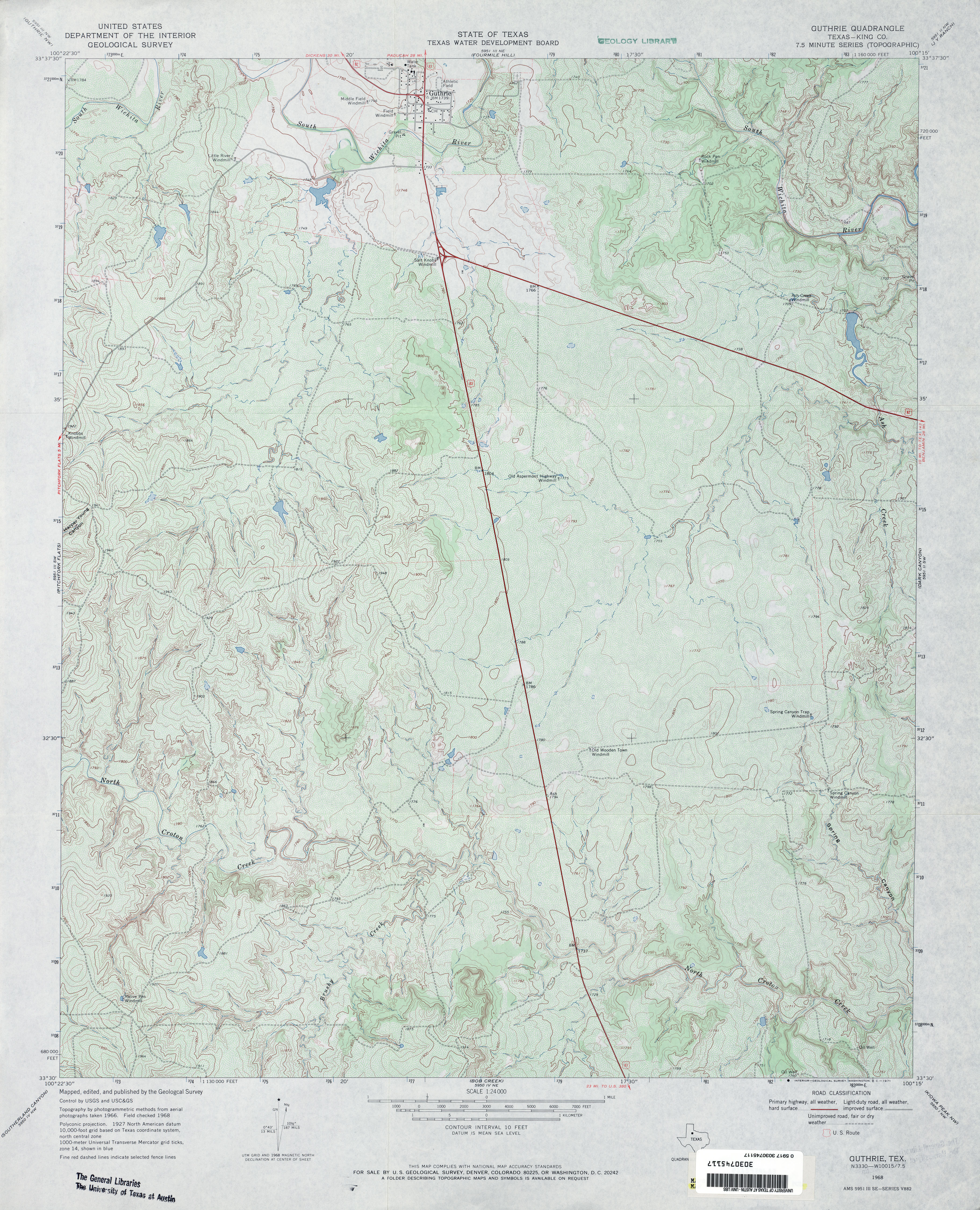
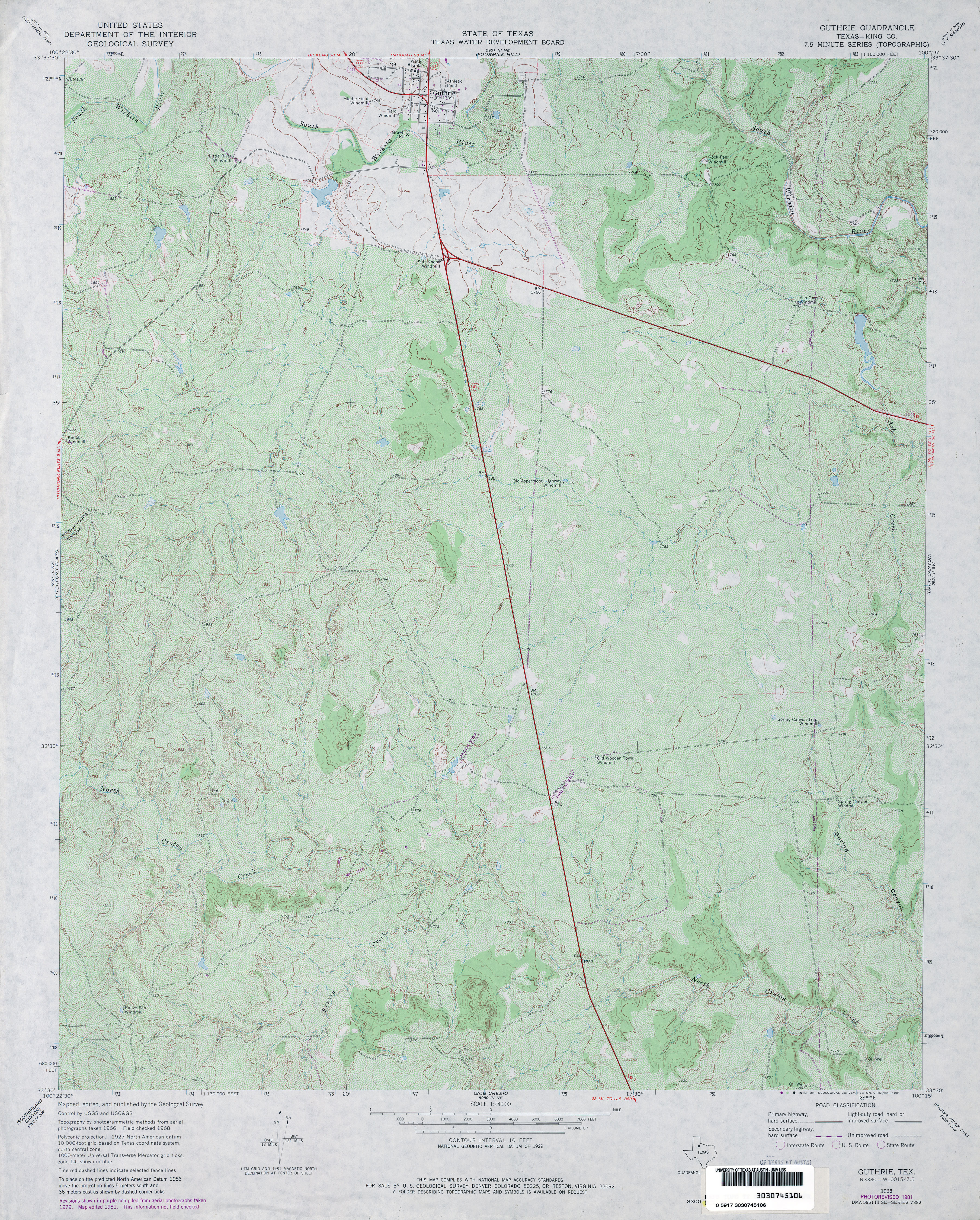
- Guthrie (King County) 1:24,000 1968 (4.4MB)
- Guthrie (King County) 1:24,000 1981 (5.4MB)
- Guthrie 1:24,000 2008 (13.2MB) [GeoPDF]
- Guthrie 1:24,000 2012 (20MB) [GeoPDF]
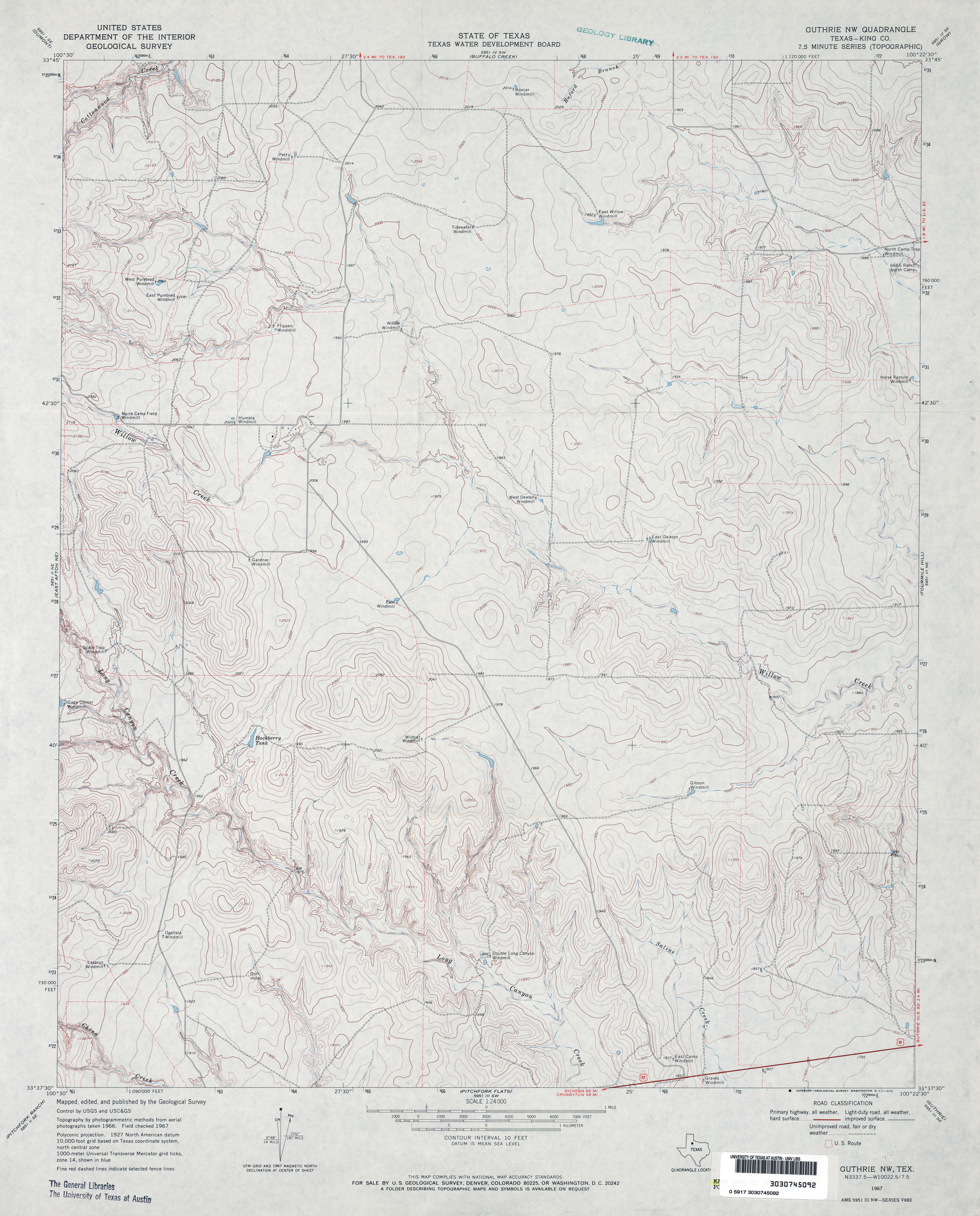
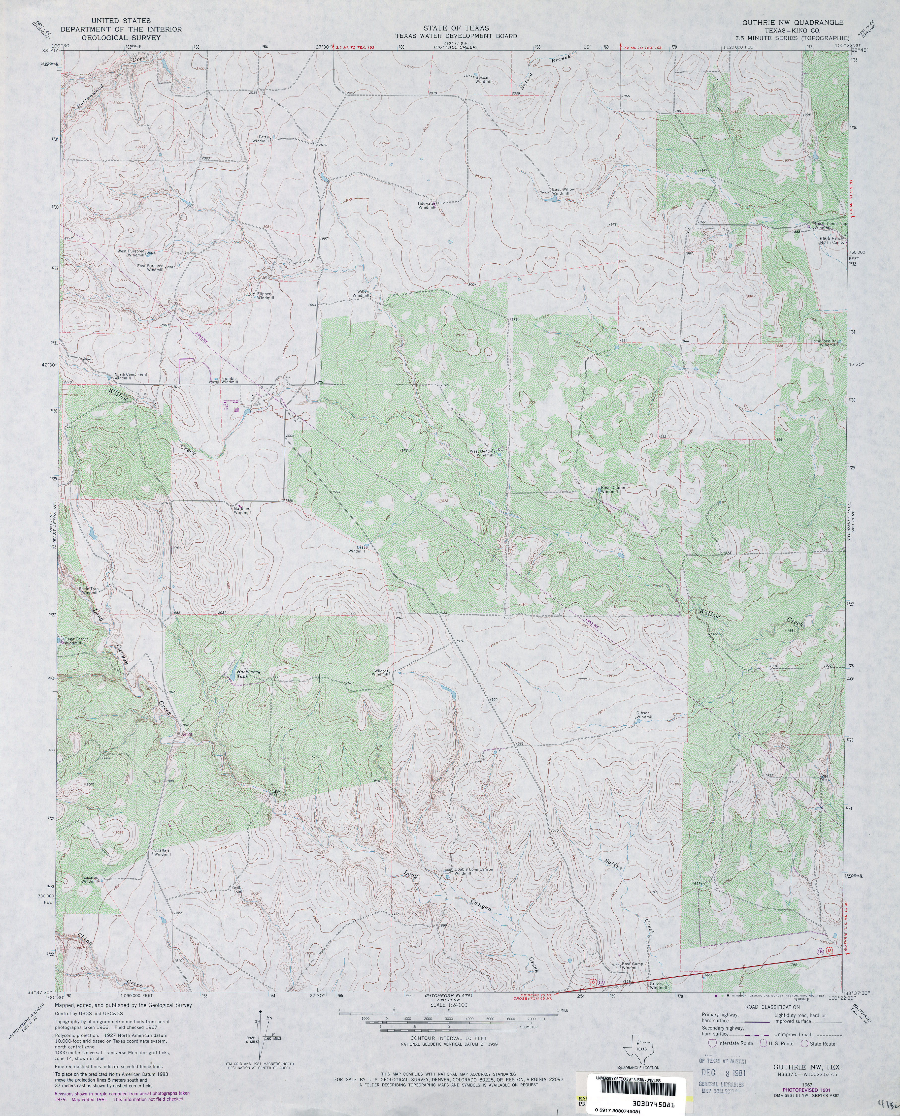
- Guthrie NW (King County) 1:24,000 1967 (3.5MB)
- Guthrie NW (King County) 1:24,000 1981 (4.3MB)
- Guthrie NW 1:24,000 2008 (11.2MB) [GeoPDF]
- Guthrie NW 1:24,000 2012 (16.8MB) [GeoPDF]
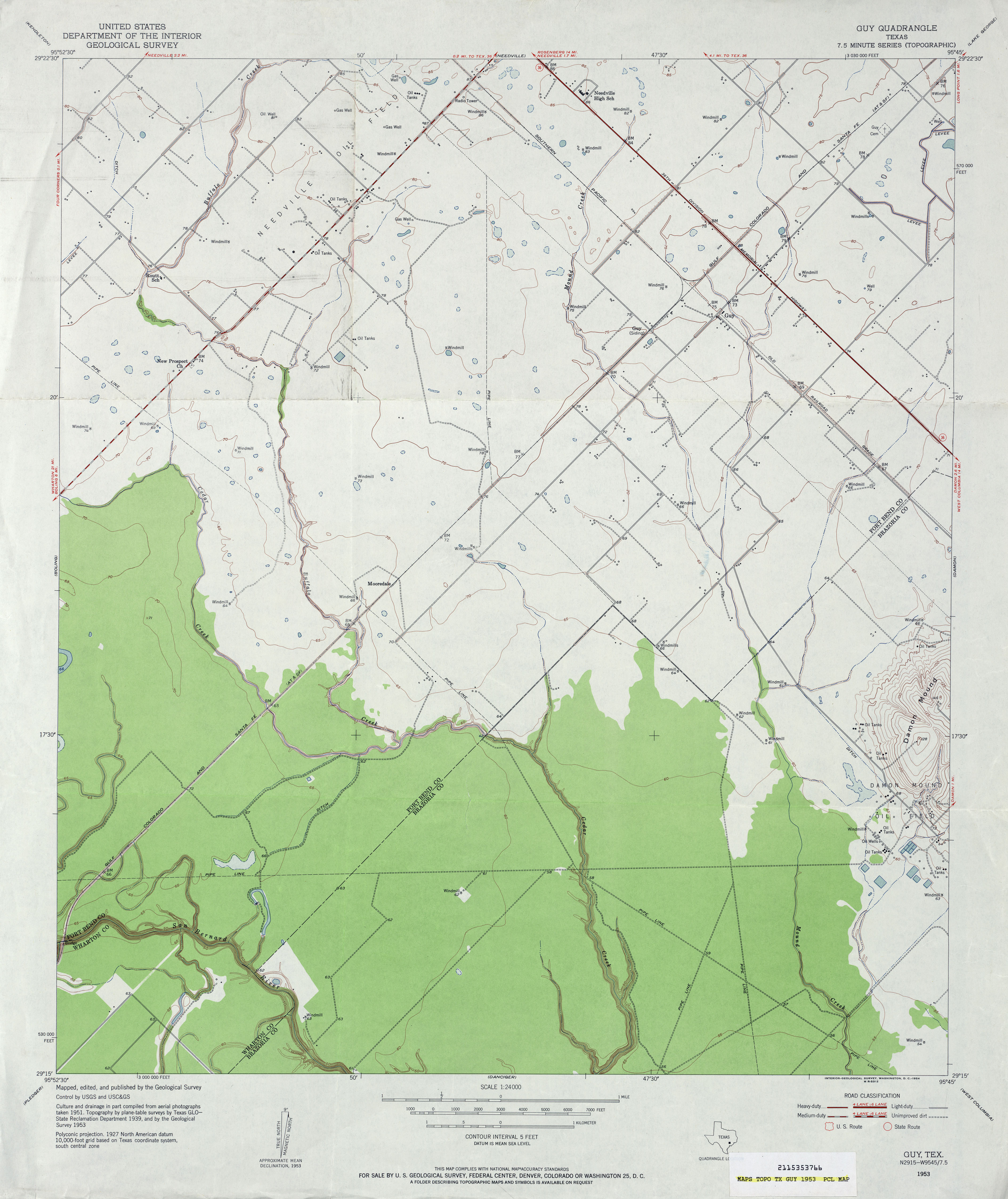
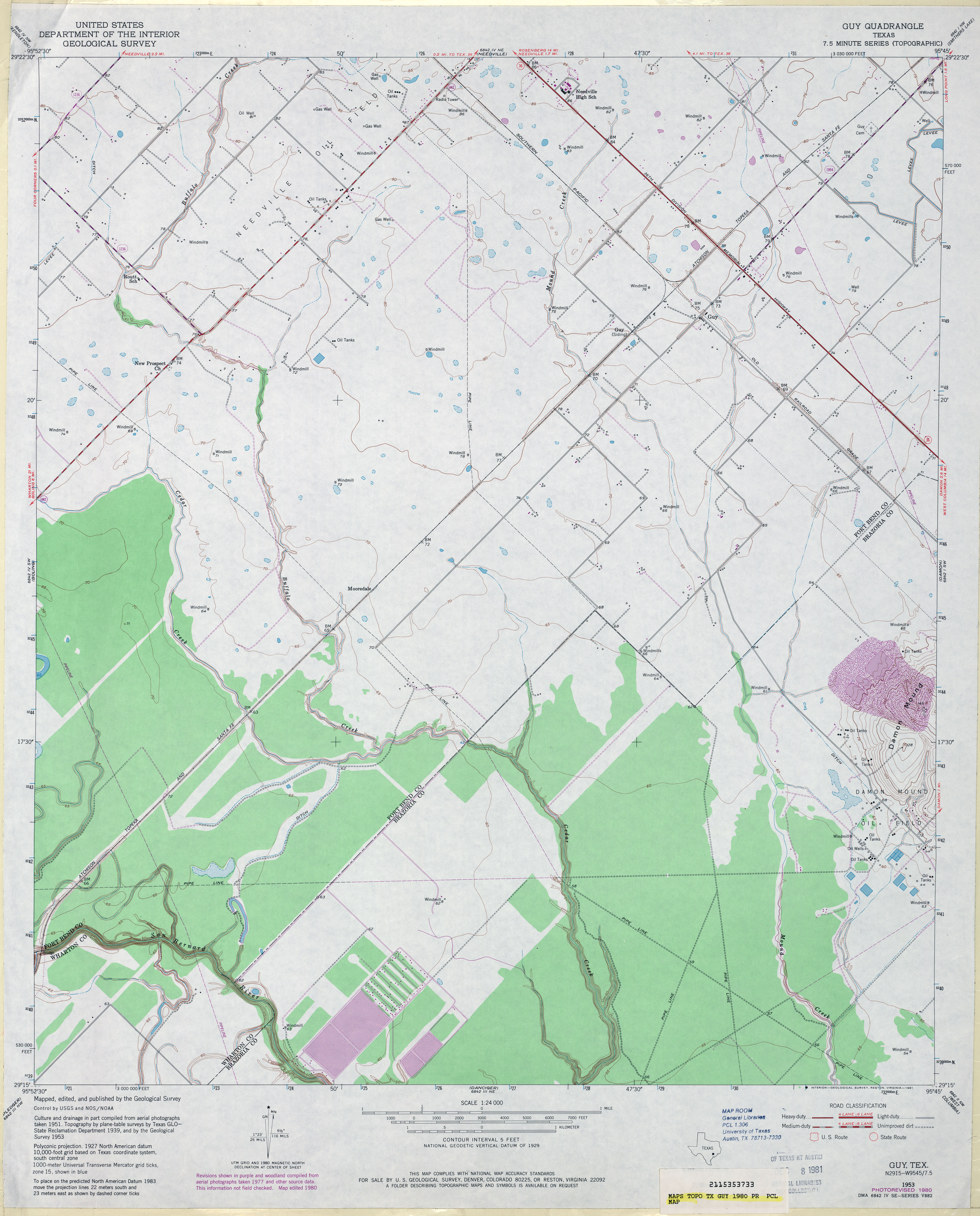
- Guy 1:24,000 1953 (2.9MB)
- Guy 1:24,000 1980 (3MB)
- Guy 1:24,000 2009 (15.4MB) [GeoPDF]
- Guy 1:24,000 2013 (18MB) [GeoPDF]
Return to the top