Perry-Castañeda Library
Map Collection
Texas Topographic Maps
Maps in this online collection are from the Perry-Castañeda Library, Walter Geology Library and Dolph Briscoe Center for American History at the University of Texas at Austin as well as the Texas State Library. All maps on this site were published by the U.S. Geological Survey unless otherwise noted and are in the public domain. The date given for each map is the date of latest survey. The Geographic Names Information System allows searches of geographic names to determine which map sheets they appear on. Indexes are available for Texas - East and Texas - West for the 1:24,000 map series. Maps published prior to 1923 are on the Texas Historical Topographic Map Index. More information about these maps is available on the Topographic Maps Home Page. Note: To fully view the GeoPDF files use Adobe Reader as your default PDF viewer or download the files and open them within Adobe Reader.
A, B, C, D, E, F, G, H, I, J, K, L, M, N, O, P, Q, R, S, T, U, V, W, X, Y, Z
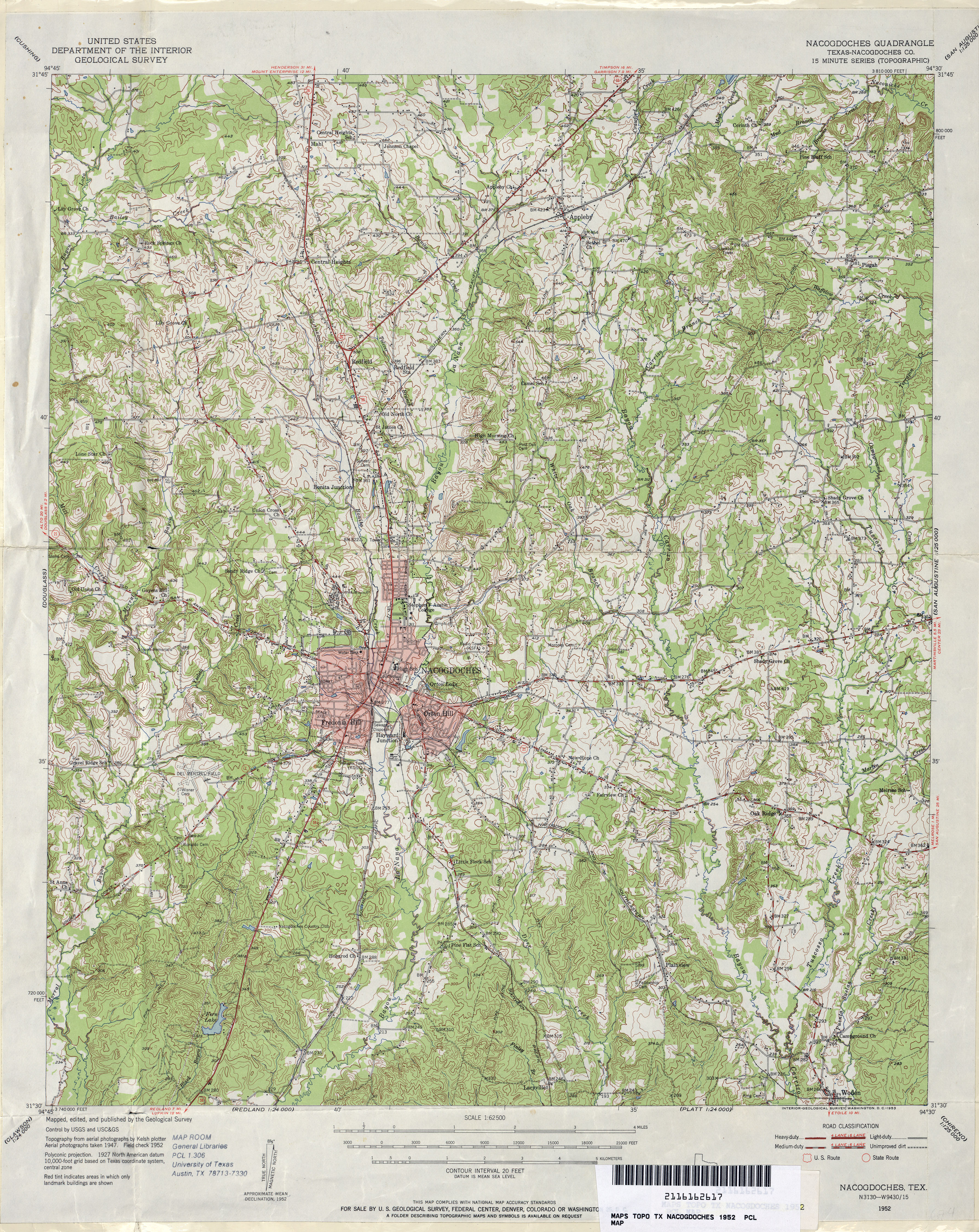
- Nacogdoches (Nacogdoches County) 1:62,500 1952 (5.7MB)
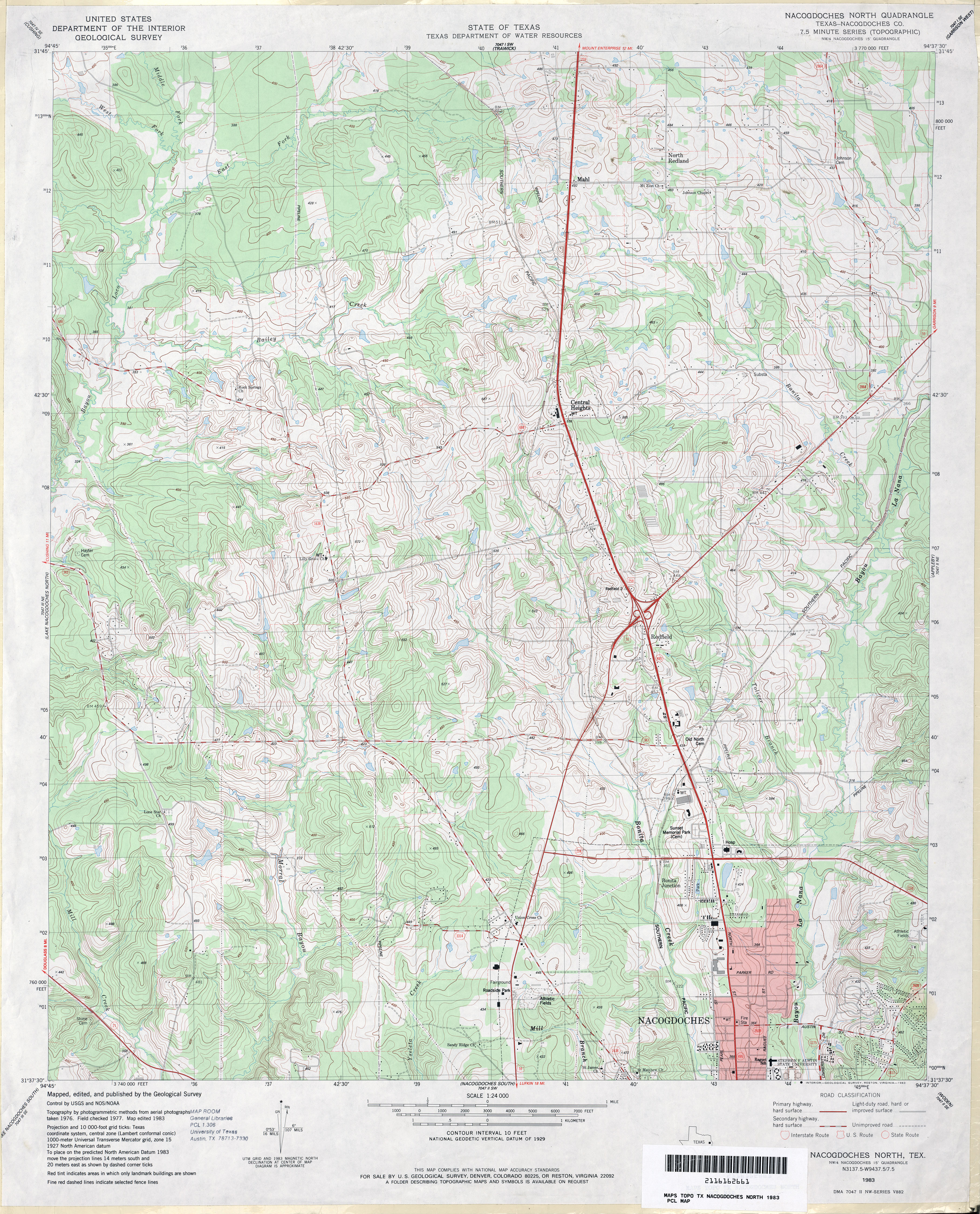
- Nacogdoches North (Nacogdoches County) 1:24,000 1983 (5MB)
- Nacogdoches North 1:24,000 2009 (21.1MB) [GeoPDF]
- Nacogdoches North 1:24,000 2013 (25.1MB) [GeoPDF]
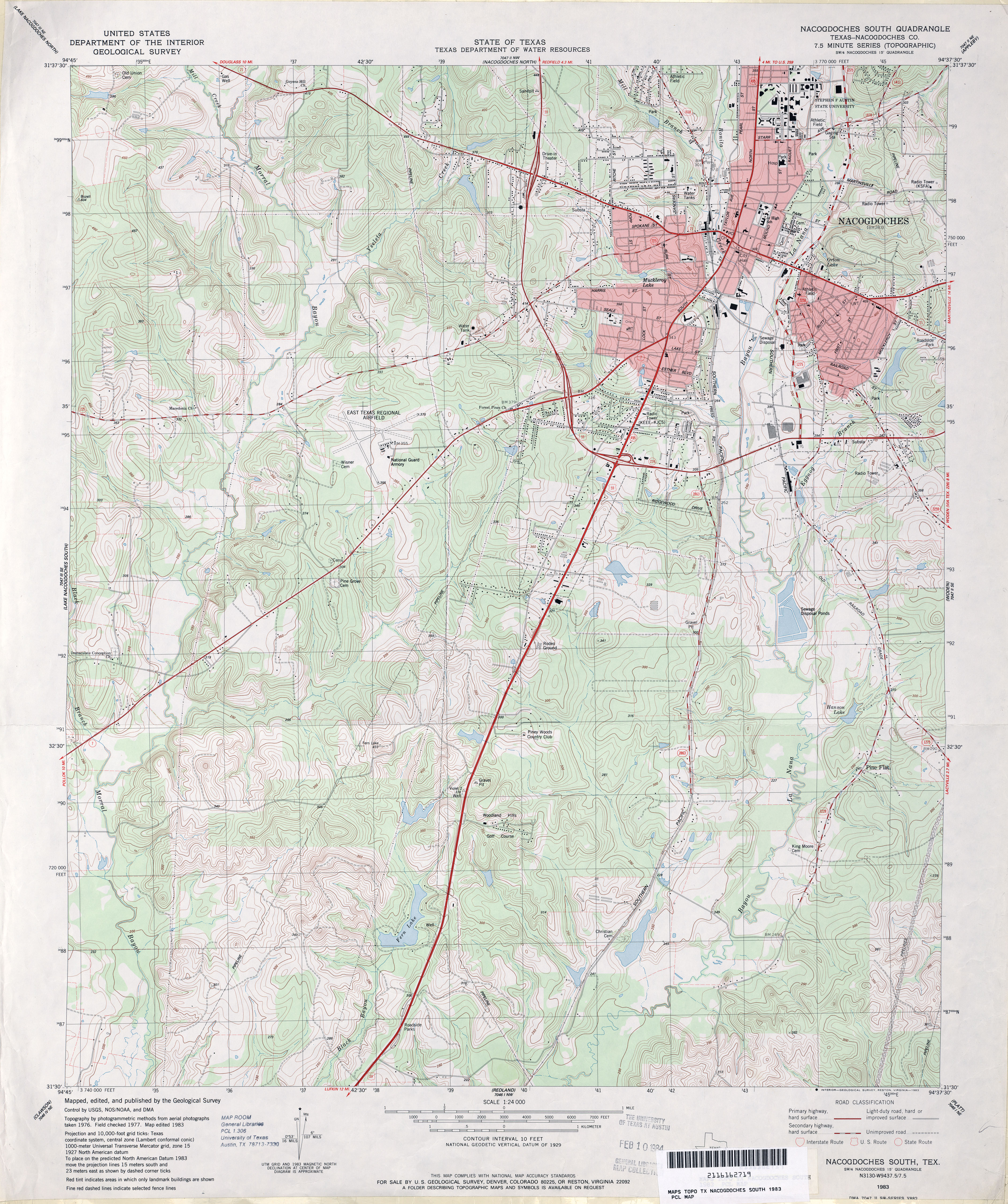
- Nacogdoches South (Nacogdoches County) 1:24,000 1983 (4.8MB)
- Nacogdoches South 1:24,000 2008 (2.3MB) Texas Natural Resources Information System (TNRIS). [pdf]
- Nacogdoches South 1:24,000 2009 (24.3MB) [GeoPDF]
- Nacogdoches South 1:24,000 2013 (27.2MB) [GeoPDF]
- Nameless 1:24,000 1962 (4.3MB)
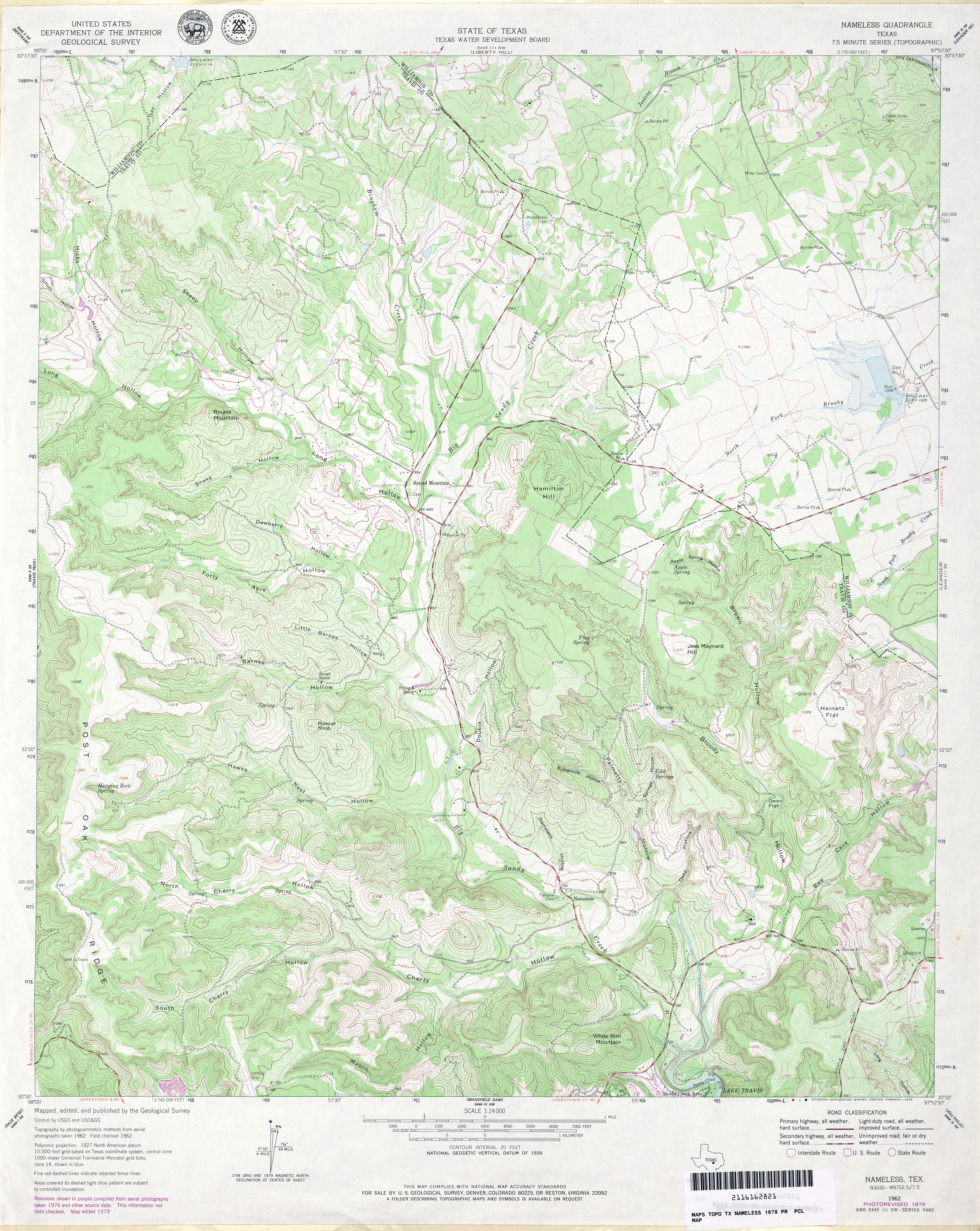
- Nameless 1:24,000 1979 (5MB)
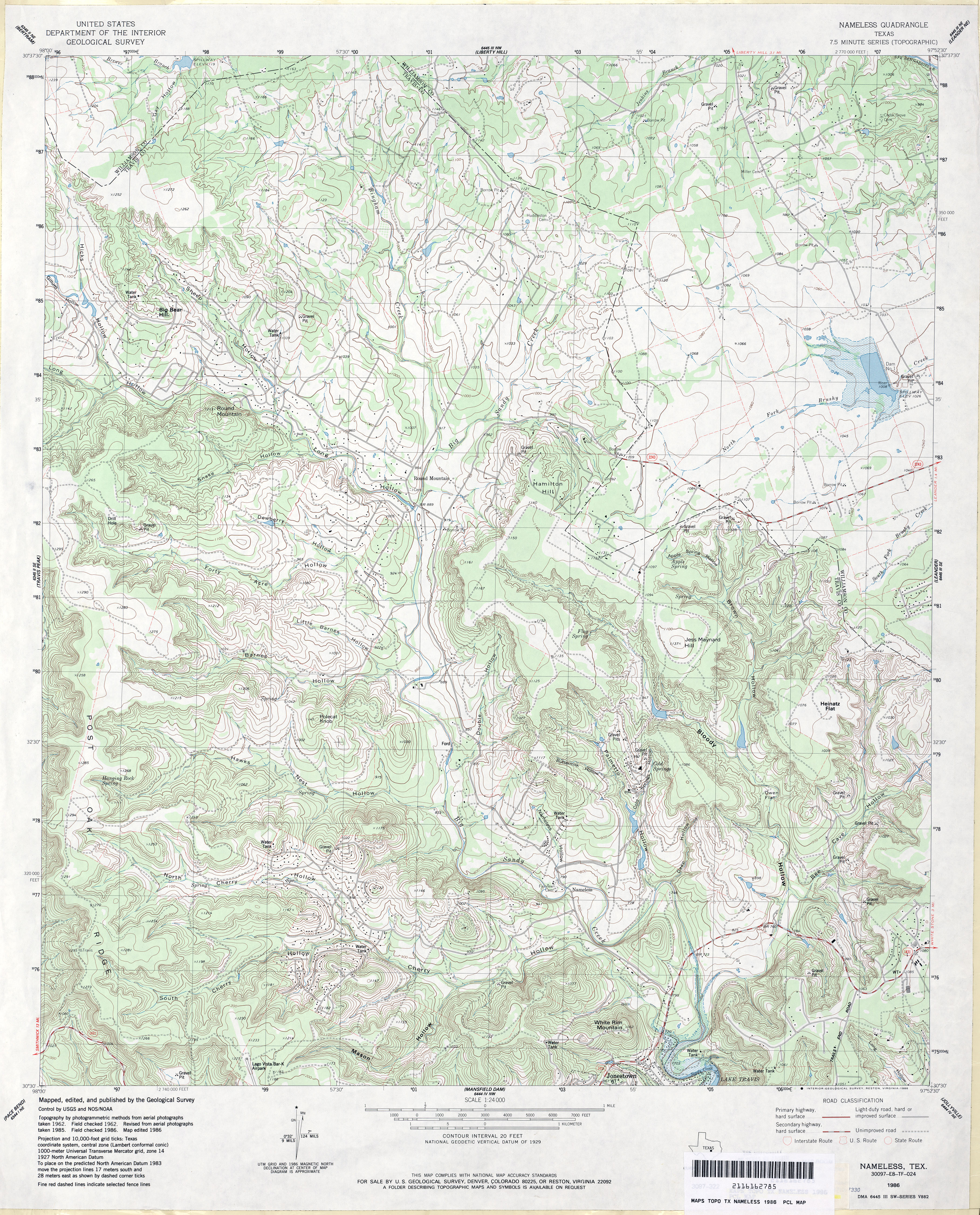
- Nameless 1:24,000 1986 (5.3MB)
- Nameless 1:24,000 2008 (19.5MB) [GeoPDF]
- Nameless 1:24,000 2013 (29.7MB) [GeoPDF]
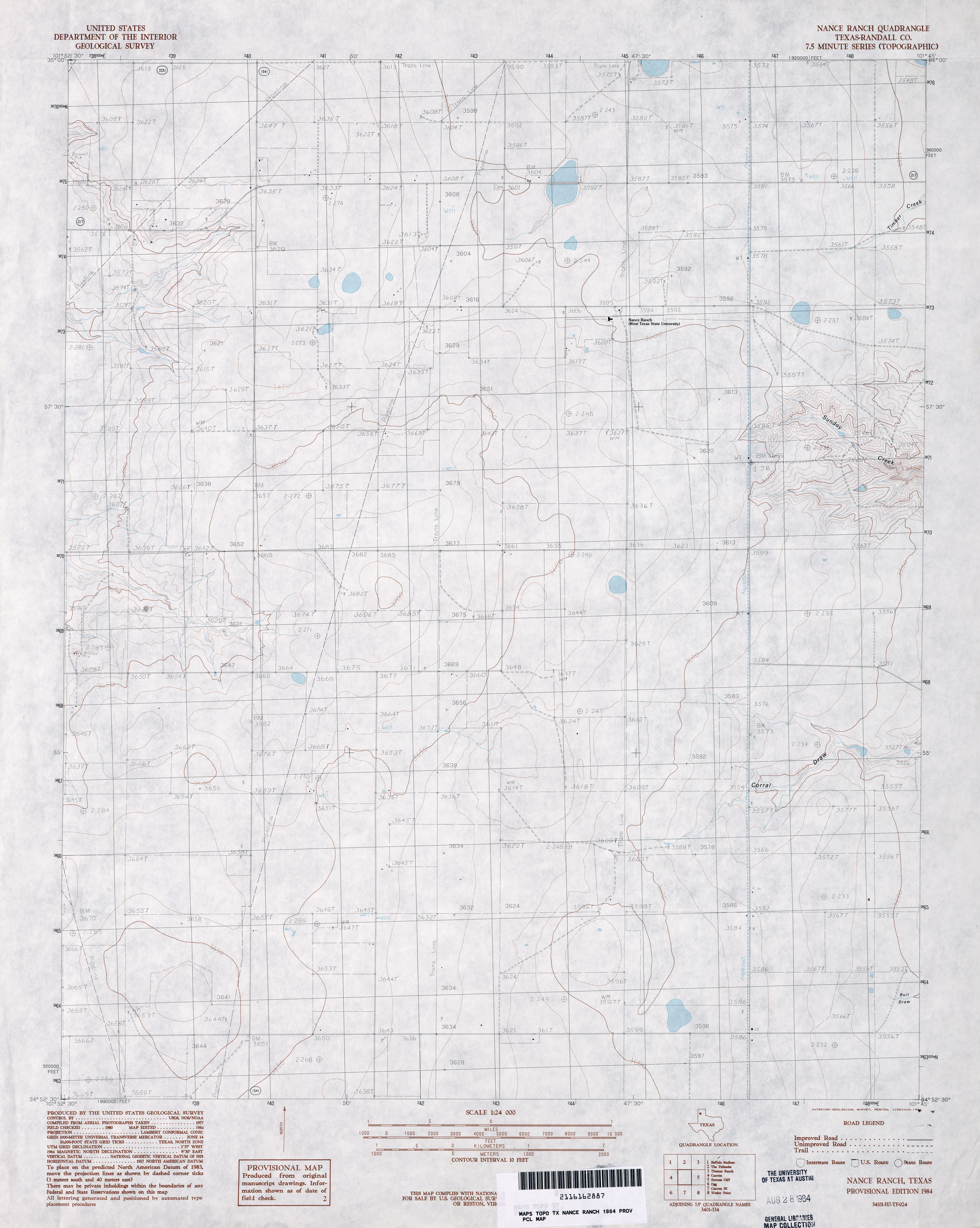
- Nance Ranch (Randall County) 1:24,000 1984 (2.8MB)
- Nance Ranch 1:24,000 2008 (7.0MB) [GeoPDF]
- Nance Ranch 1:24,000 2012 (14.3MB) [GeoPDF]
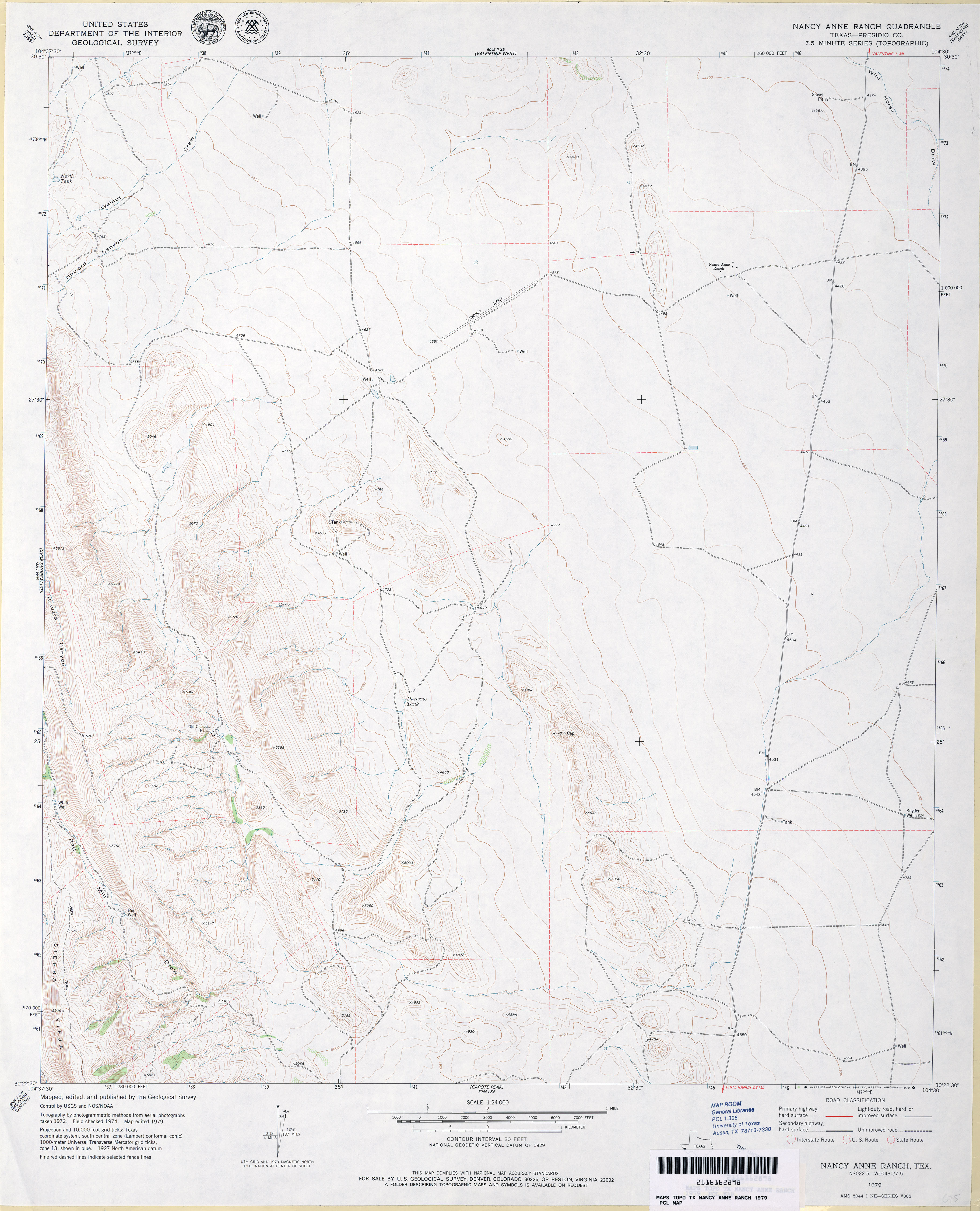
- Nancy Anne Ranch (Presidio County) 1:24,000 1979 (3MB)
- Nancy Anne Ranch 1:24,000 2008 (17.2MB) [GeoPDF]
- Nancy Anne Ranch 1:24,000 2012 (21.5MB) [GeoPDF]
- Naples 1:24,000 1965 (4.7MB)
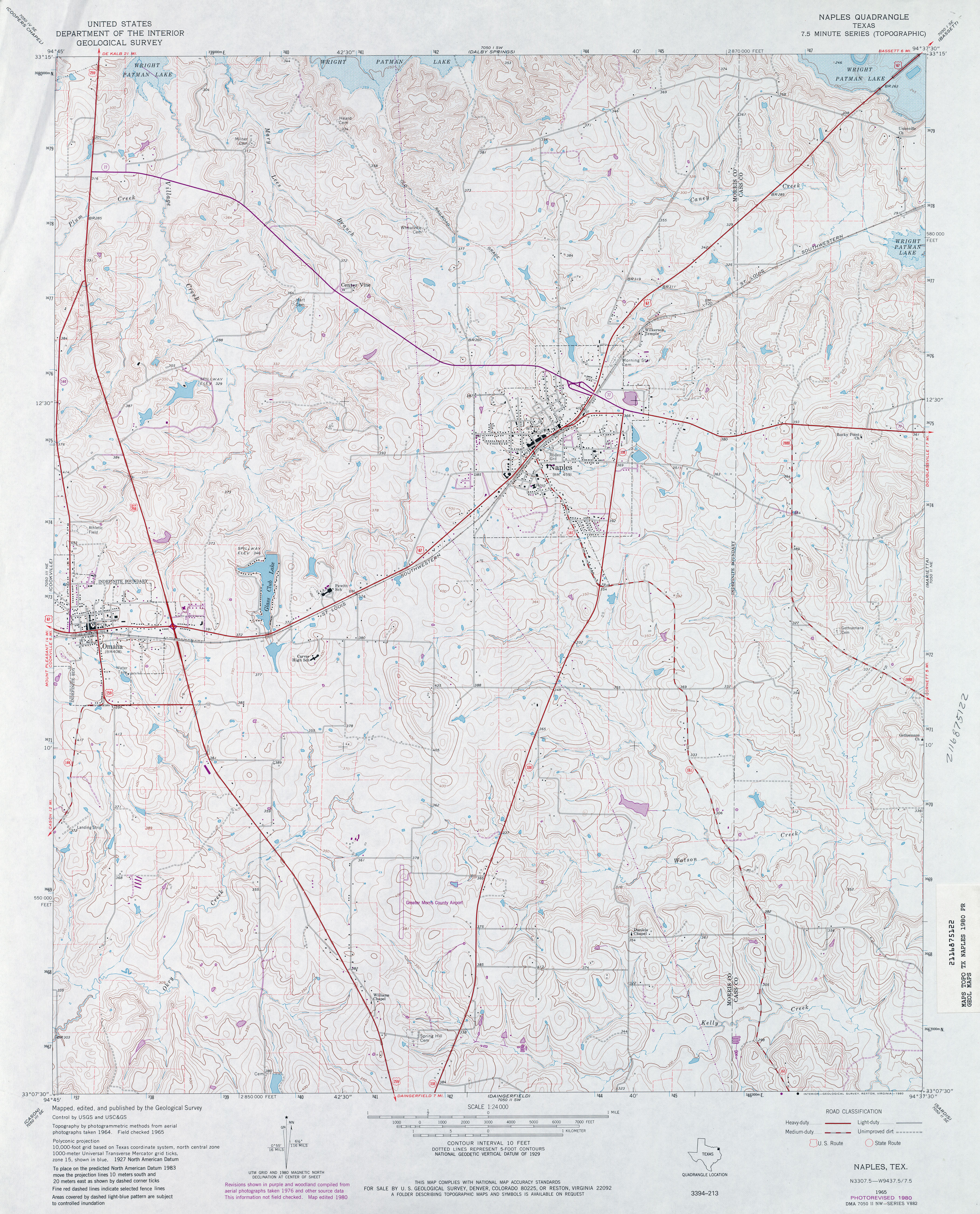
- Naples 1:24,000 1980 (4.5MB)
- Naples 1:24,000 2009 (16.5MB) [GeoPDF]
- Naples 1:24,000 2012 (23.9MB) [GeoPDF]
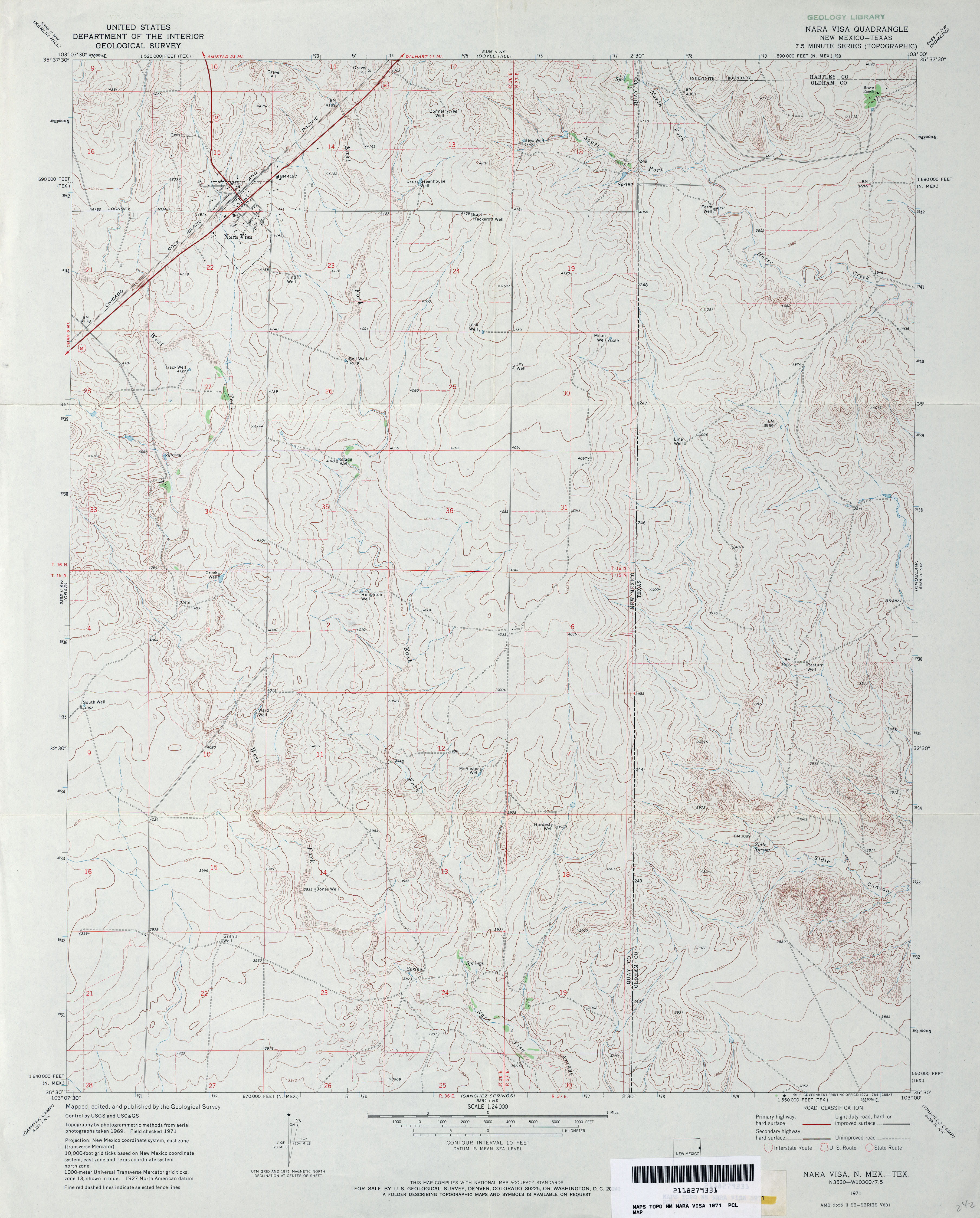
- Nara Visa 1:24,000 1971 (3.8MB)
- Nara Visa [New Mexico, Texas] 1:24,000 2009 (21.8MB) [GeoPDF]
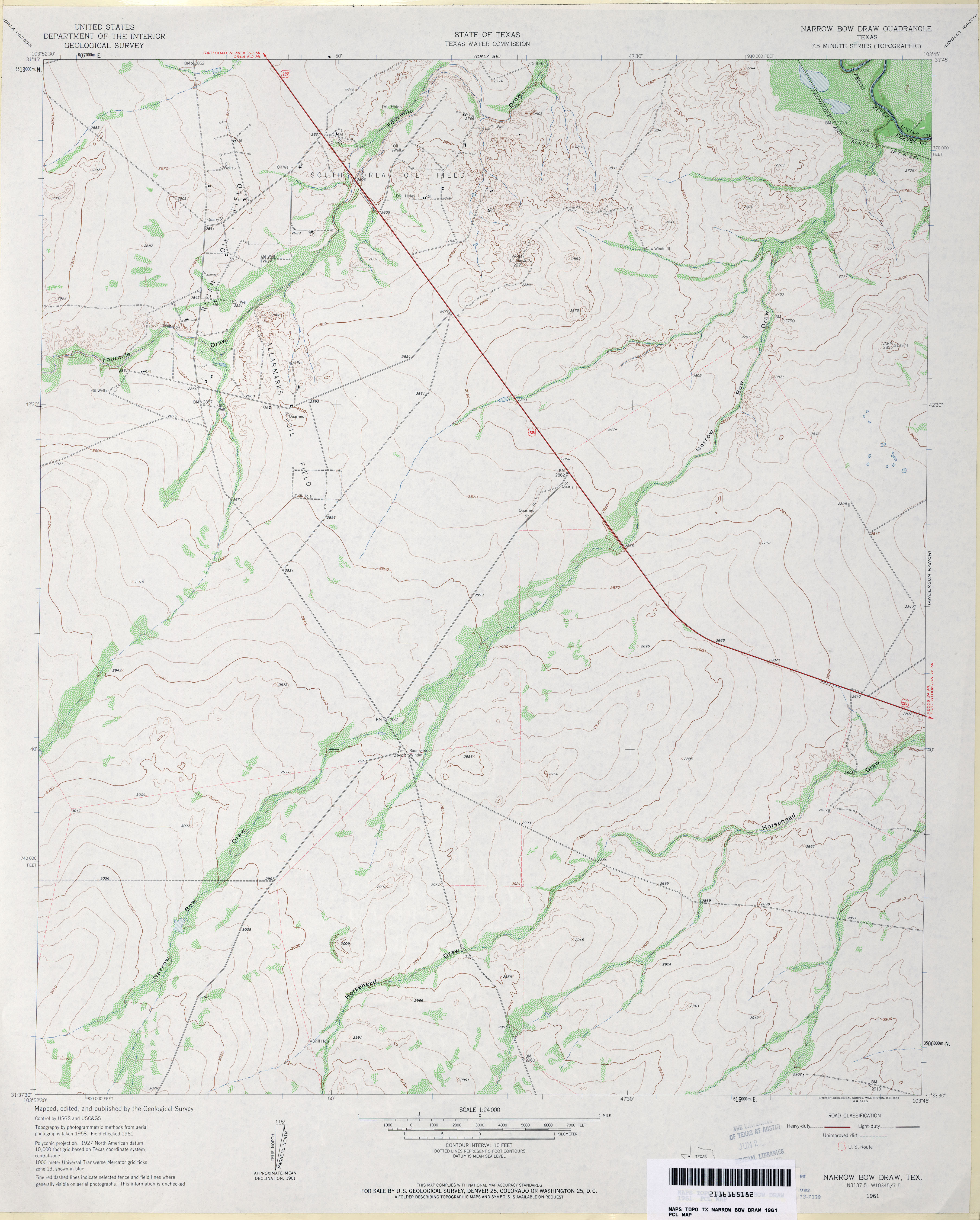
- Narrow Bow Draw 1:24,000 1961 (3MB)
- Narrow Bow Draw 1:24,000 2008 (17.8MB) [GeoPDF]
- Narrow Bow Draw 1:24,000 2013 (23.4MB) [GeoPDF]
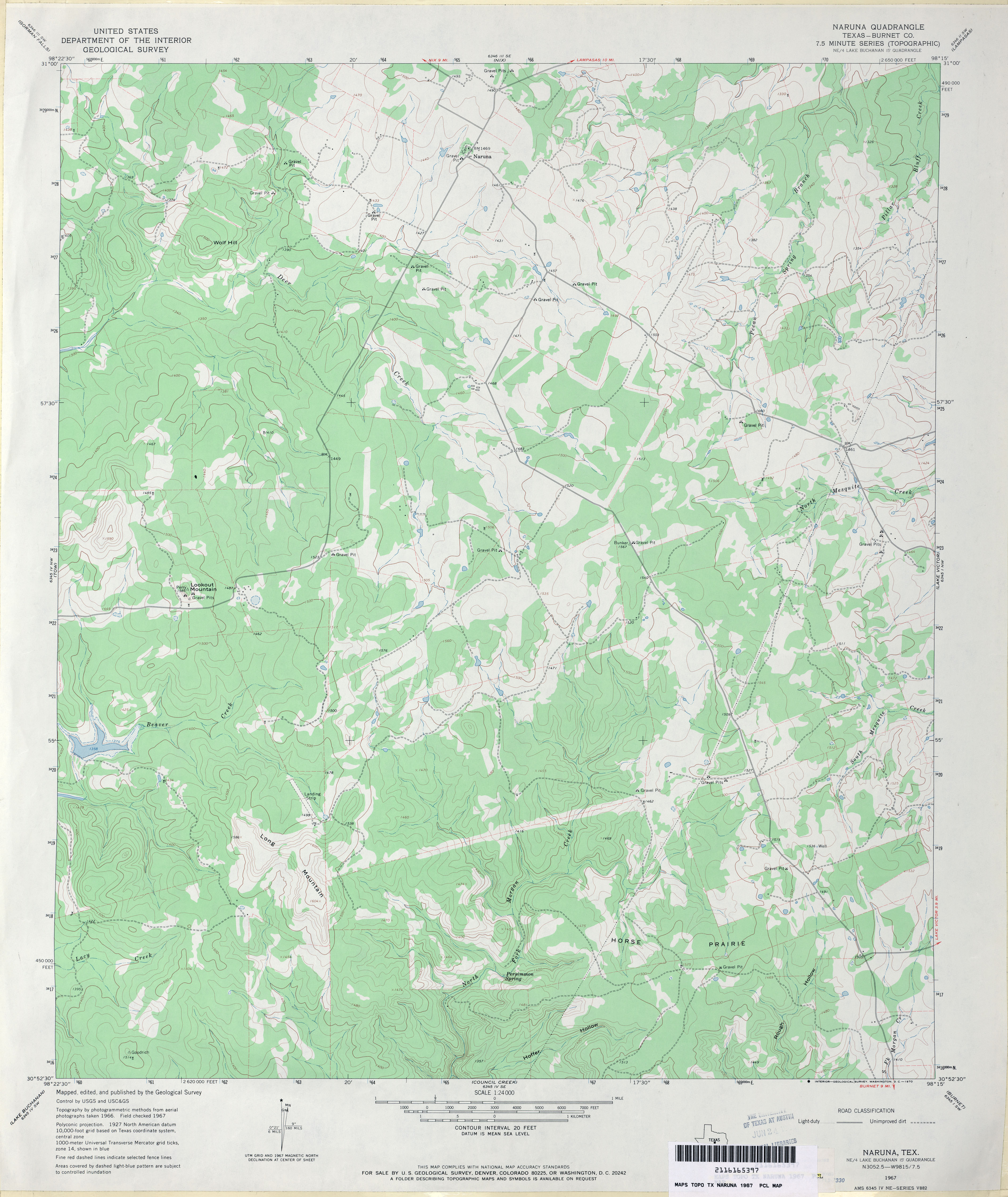
- Naruna (Burnet County) 1:24,000 1967 (3.3MB)
- Naruna 1:24,000 2012 (25.3MB) [GeoPDF]
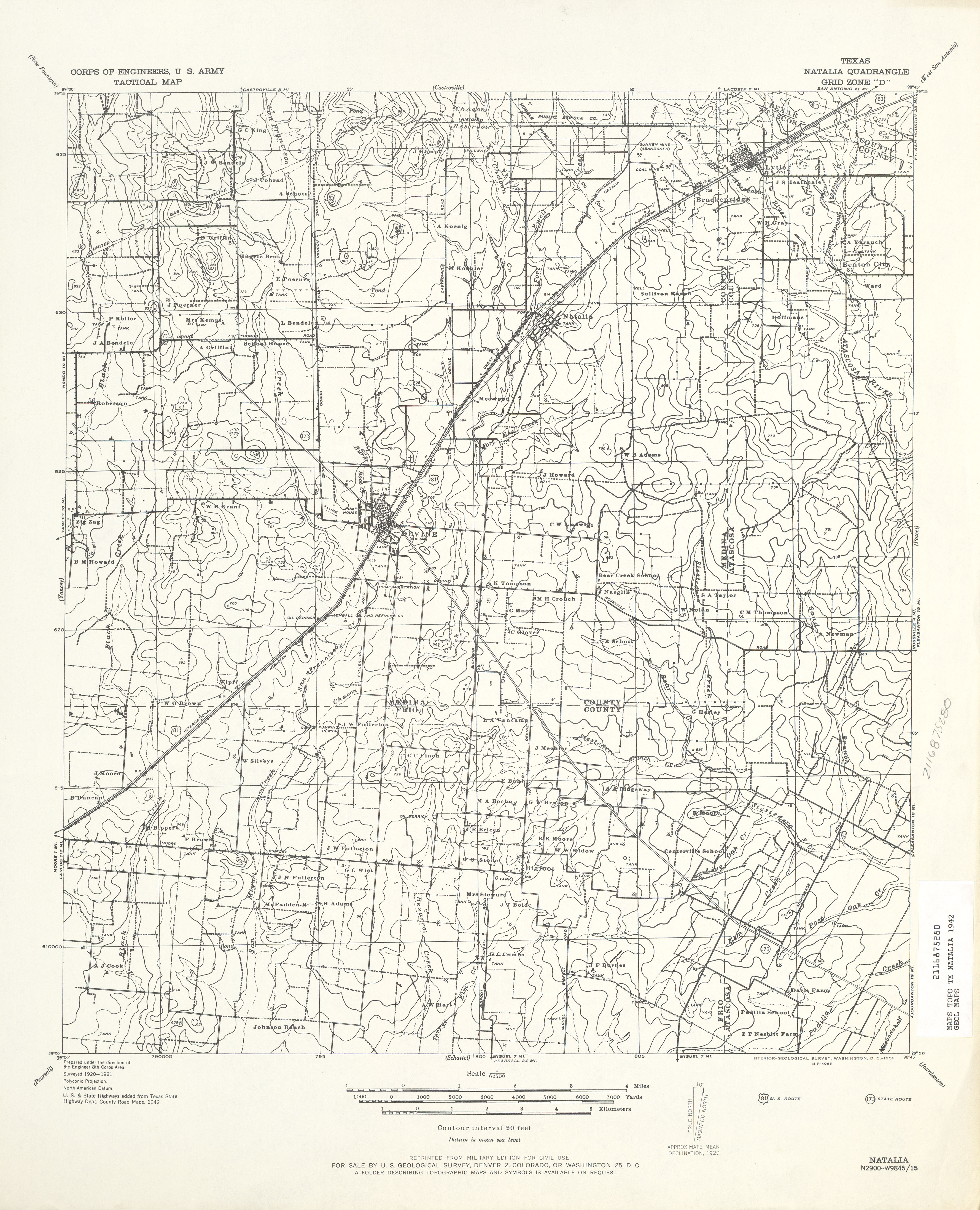
- Natalia 1:62,500 1942 (4.0 MB) U.S. Army. Corps of Engineers. Tactical Map
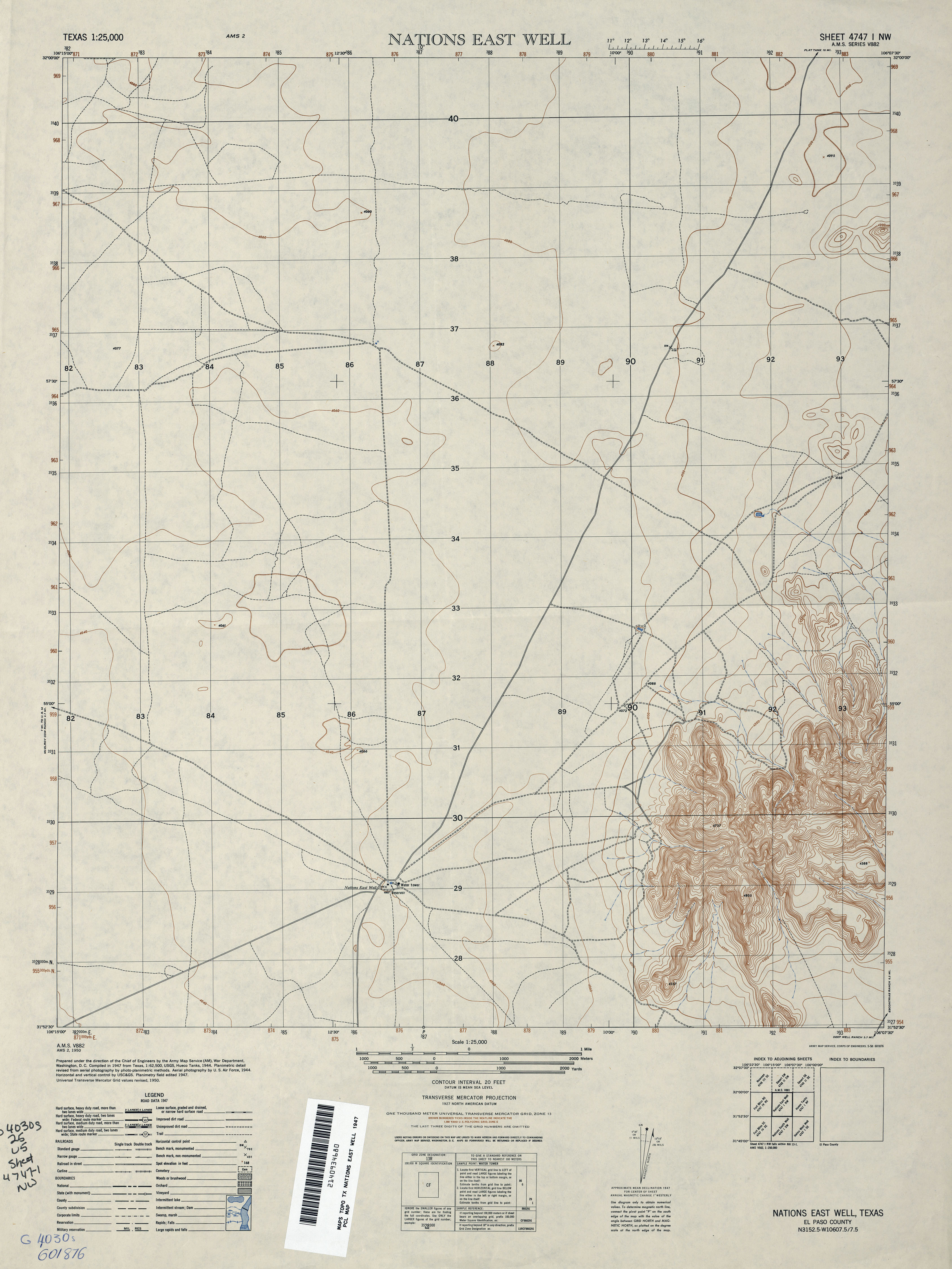
- Nations East Well 1:25,000 1947 (2.5MB) U.S. Army Map Service, Series V882
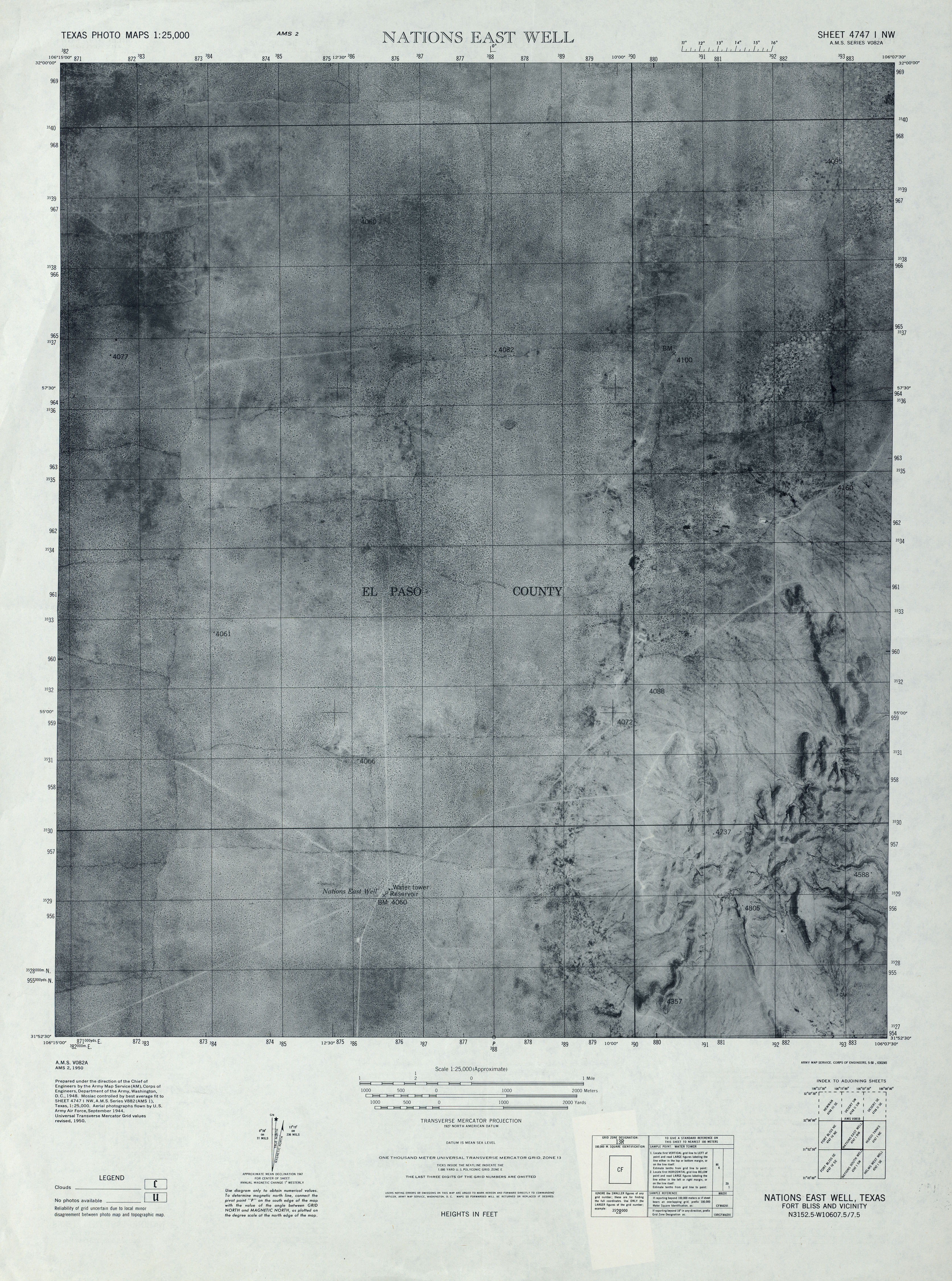
- Nations East Well 1:25,000 1947 (3.8MB) U.S. Army Map Service, Series V082A, Texas Photo Maps
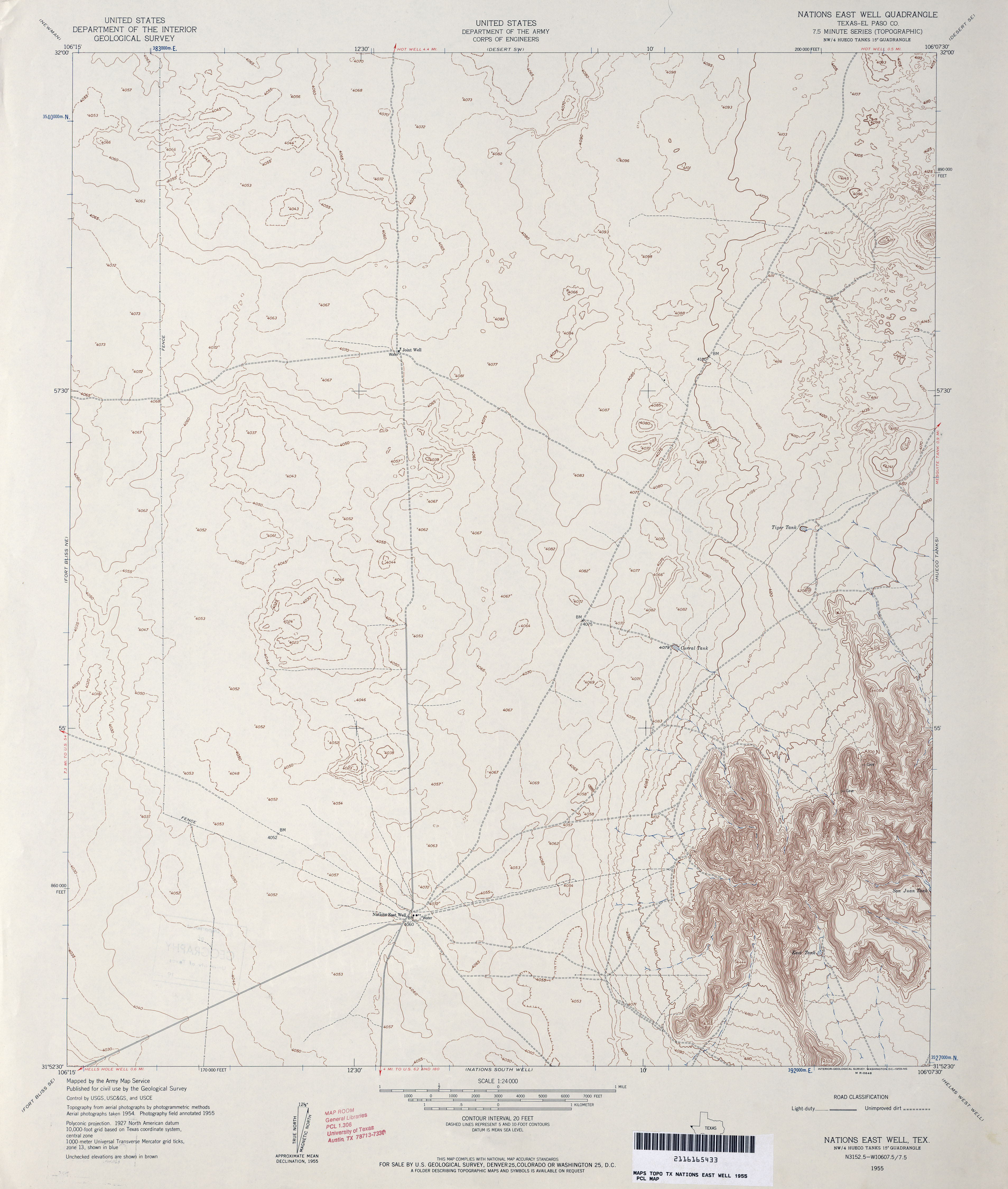
- Nations East Well (El Paso County) 1:24,000 1955 (3MB) U.S. Department of the Army Corps of Engineers
- Nations East Well (El Paso County) 1:24,000 1973 (3.1MB) U.S. Department of the Army Corps of Engineers
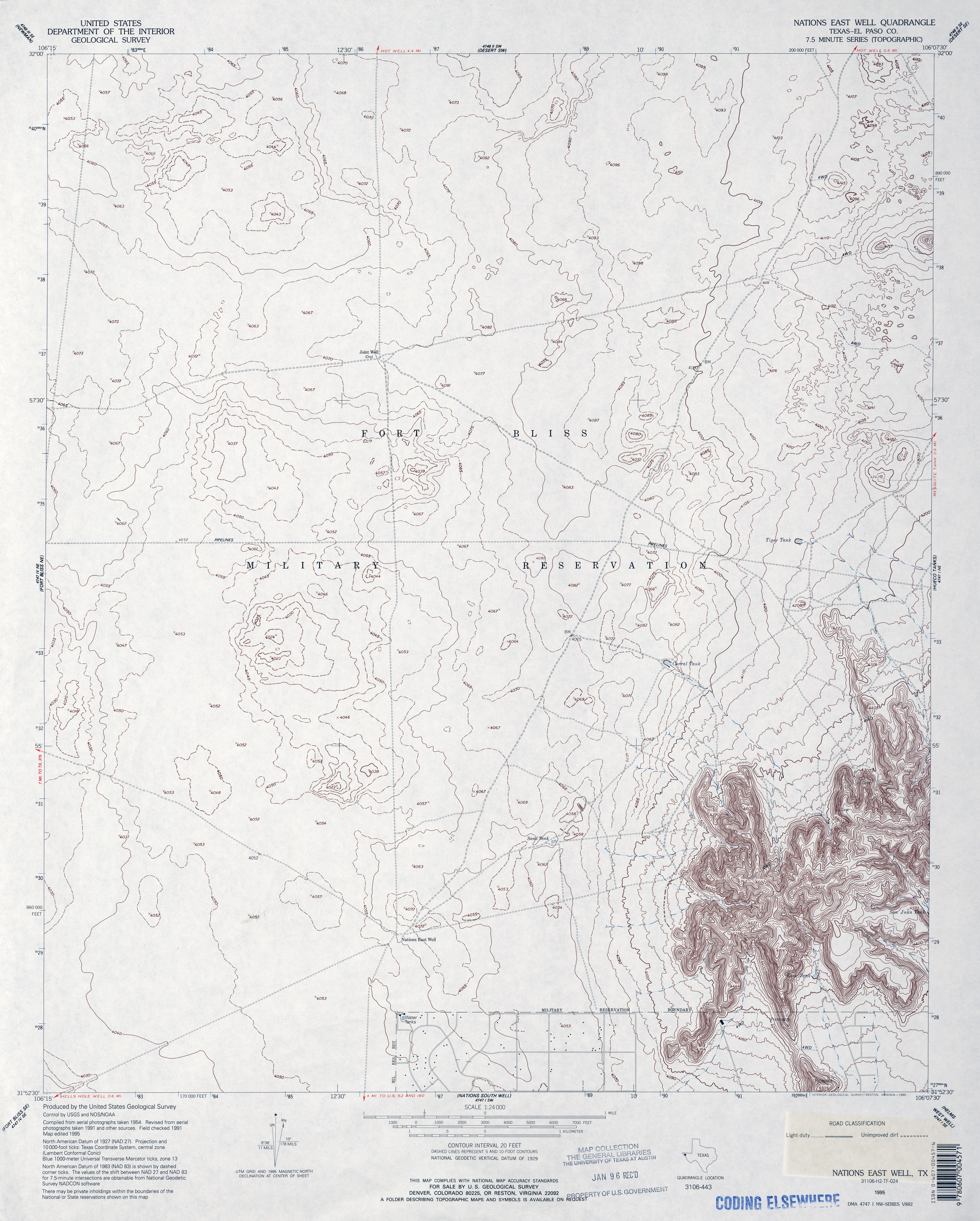
- Nations East Well (El Paso County) 1:24,000 1995 (3.3MB)
- Nations East Well 1:24,000 2008 (18.7MB) [GeoPDF]
- Nations East Well 1:24,000 2012 (27.2MB) [GeoPDF]
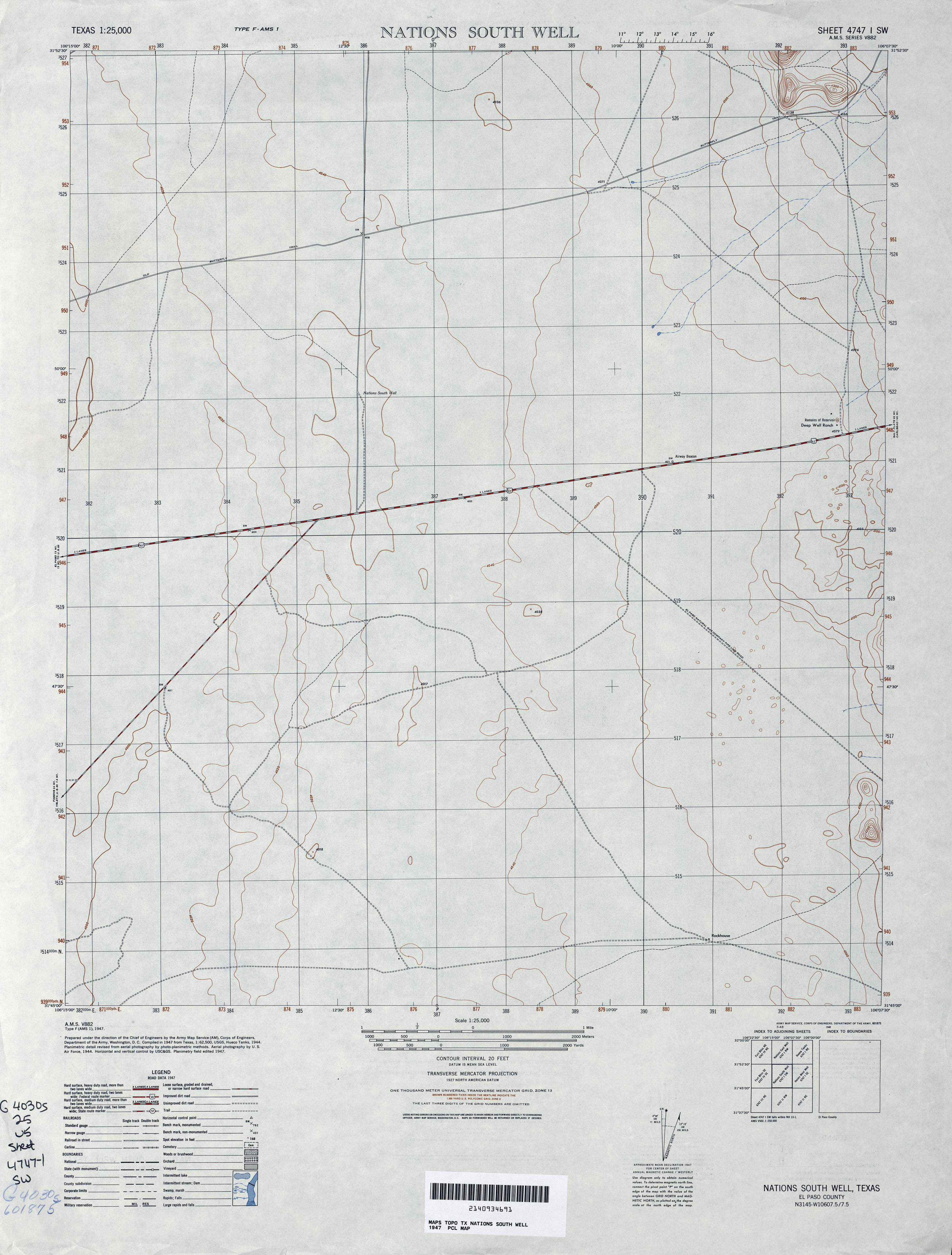
- Nations South Well 1:25,000 1947 (2.3MB) U.S. Army Map Service, Series V882
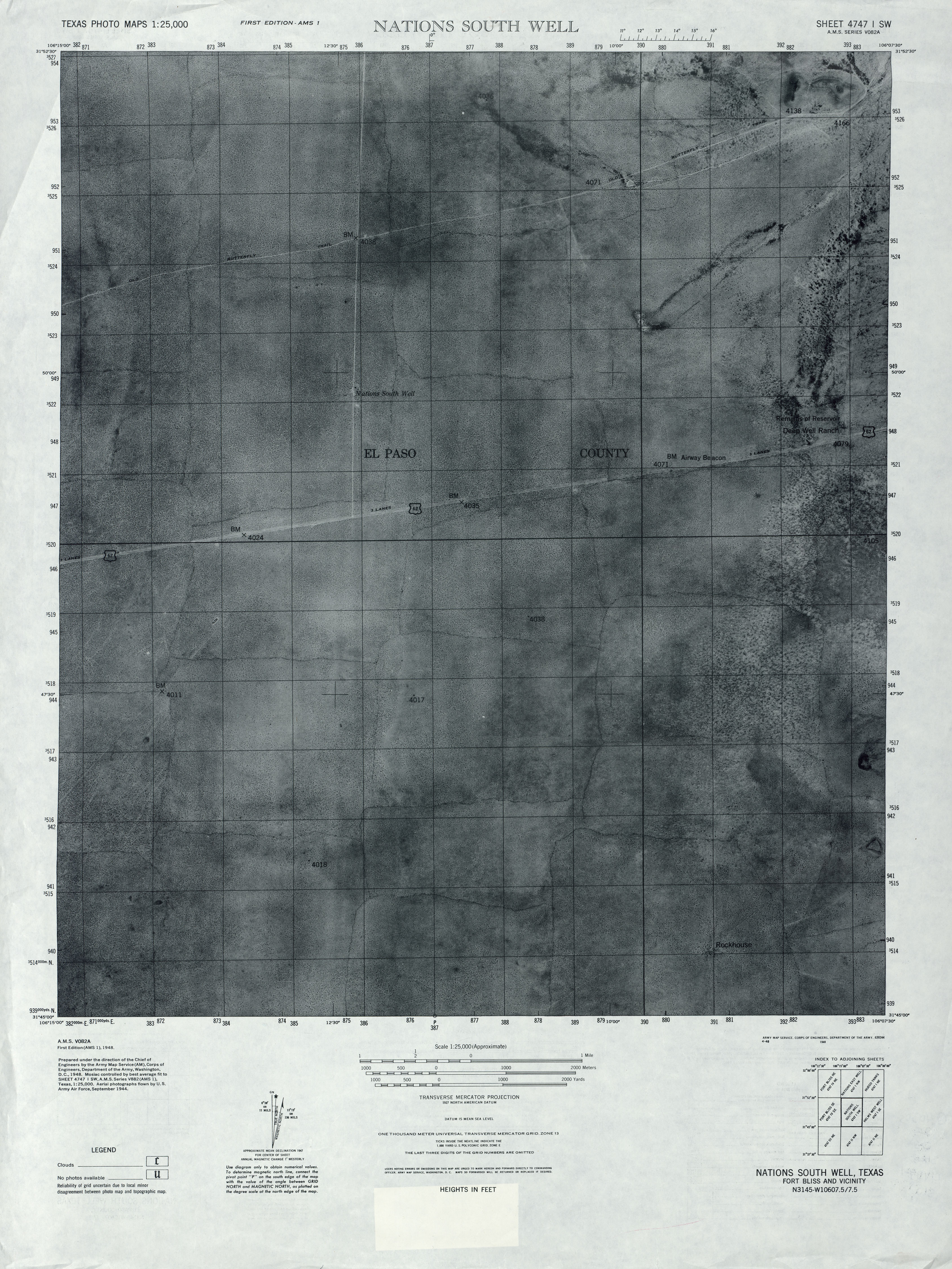
- Nations South Well 1:25,000 1947 (3.7MB) U.S. Army Map Service, Series V082A, Texas Photo Maps
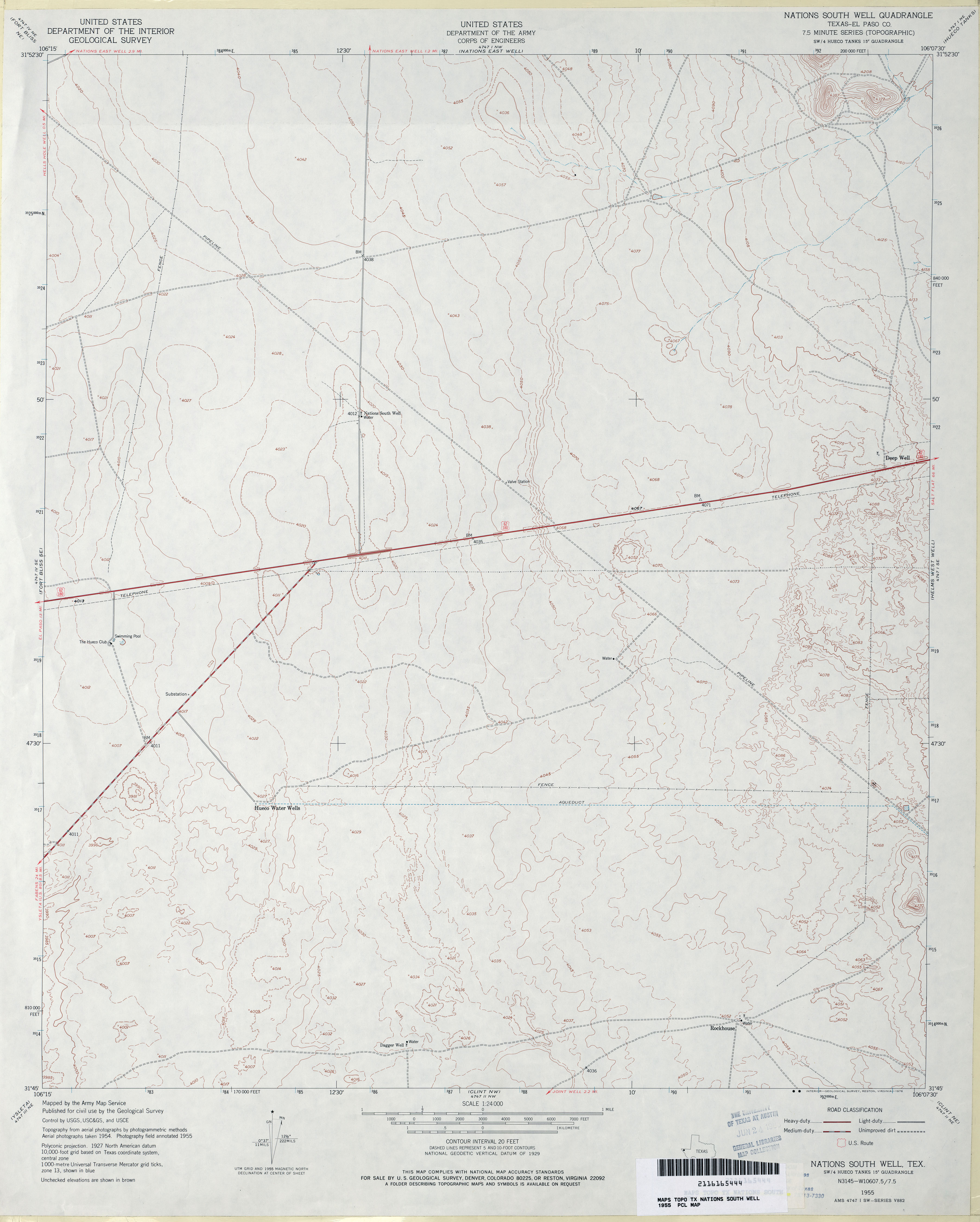
- Nations South Well (El Paso County) 1:24,000 1955 (2.5MB)
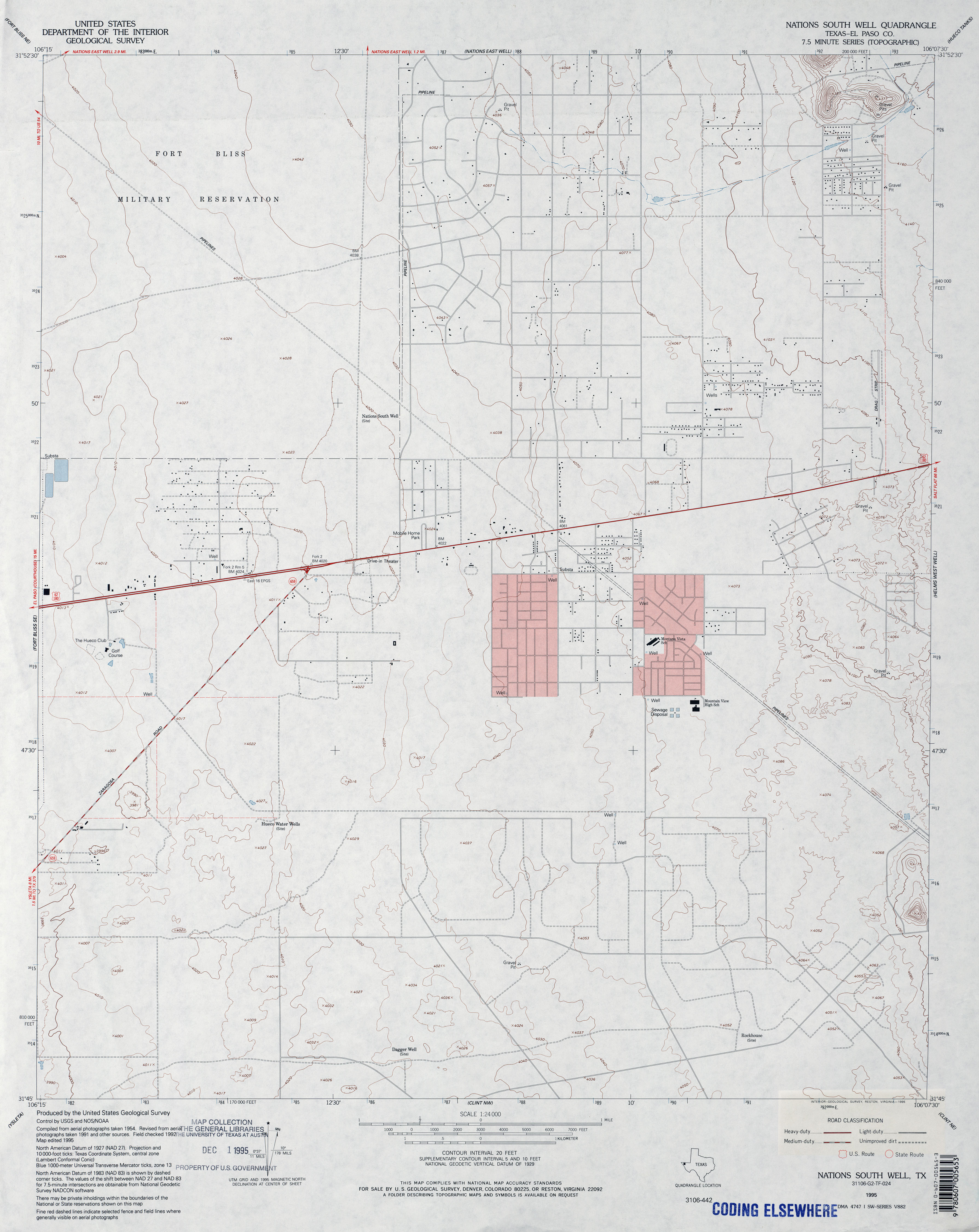
- Nations South Well (El Paso County) 1:24,000 1995 (2.5MB)
- Nations South Well 1:24,000 2008 (17.9MB) [GeoPDF]
- Nations South Well 1:24,000 2012 (24.4MB) [GeoPDF]
- Natural Dam Lake 1:24,000 1966 (2.9MB)
- Natural Dam Lake 1:24,000 2008 (15.2MB) [GeoPDF]
- Natural Dam Lake 1:24,000 2012 (19.1MB) [GeoPDF]
- Navasota 1:62,500 1912 (3.2 MB)
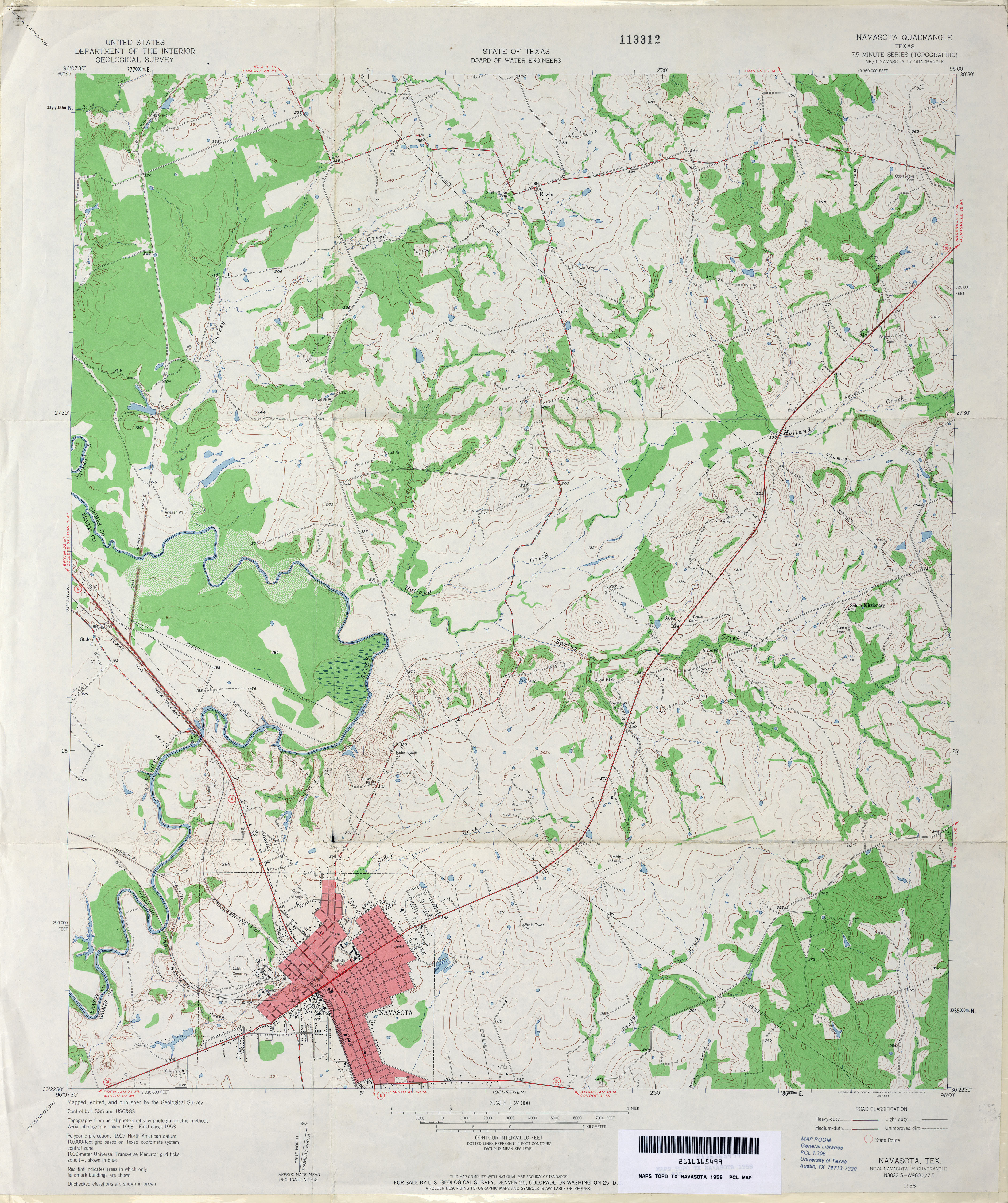
- Navasota 1:24,000 1958 (4.1MB)
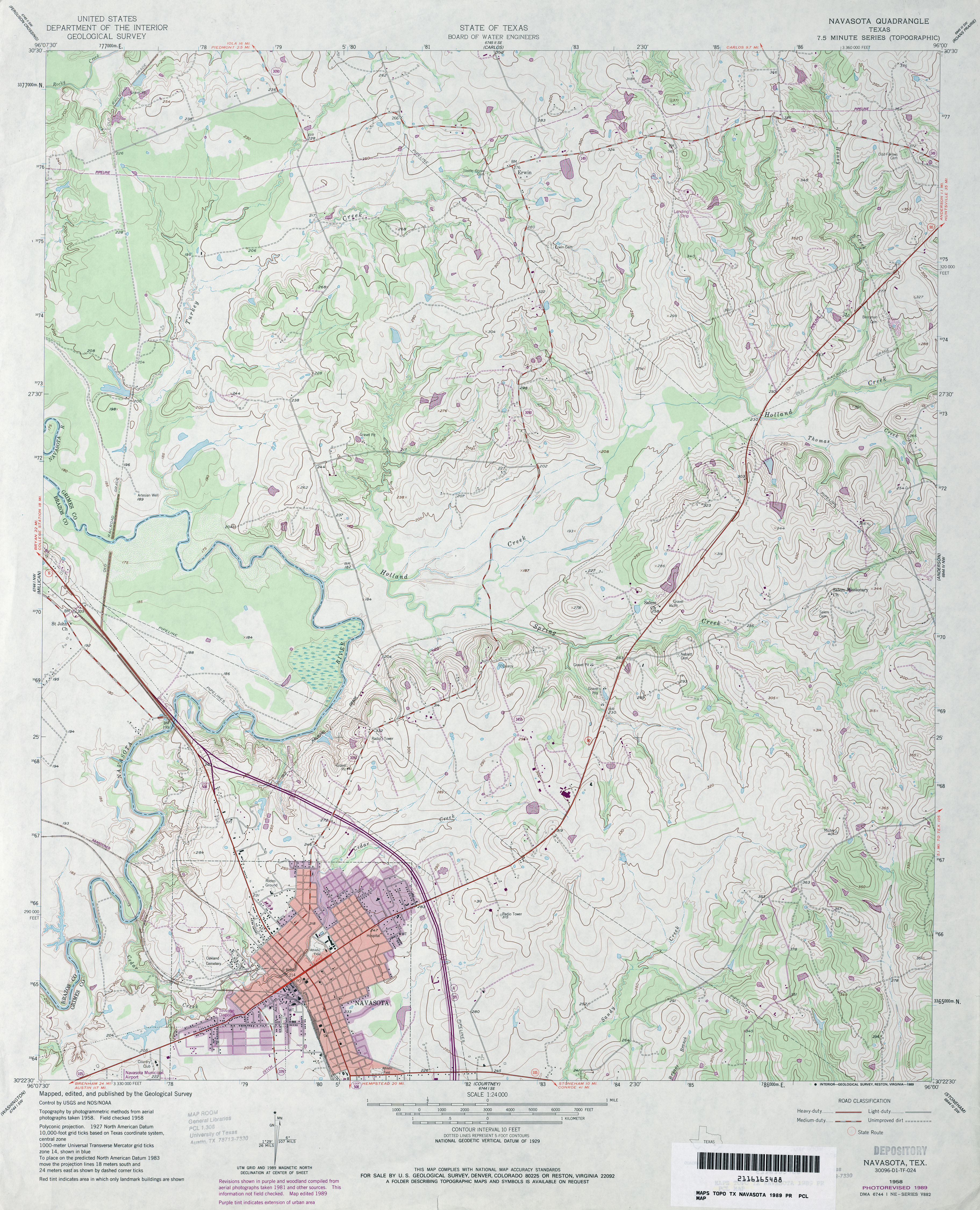
- Navasota 1:24,000 1989 (4.3MB)
- Navasota 1:24,000 2009 (15.0MB) [GeoPDF]
- Navasota 1:24,000 2013 (23.9MB) [GeoPDF]
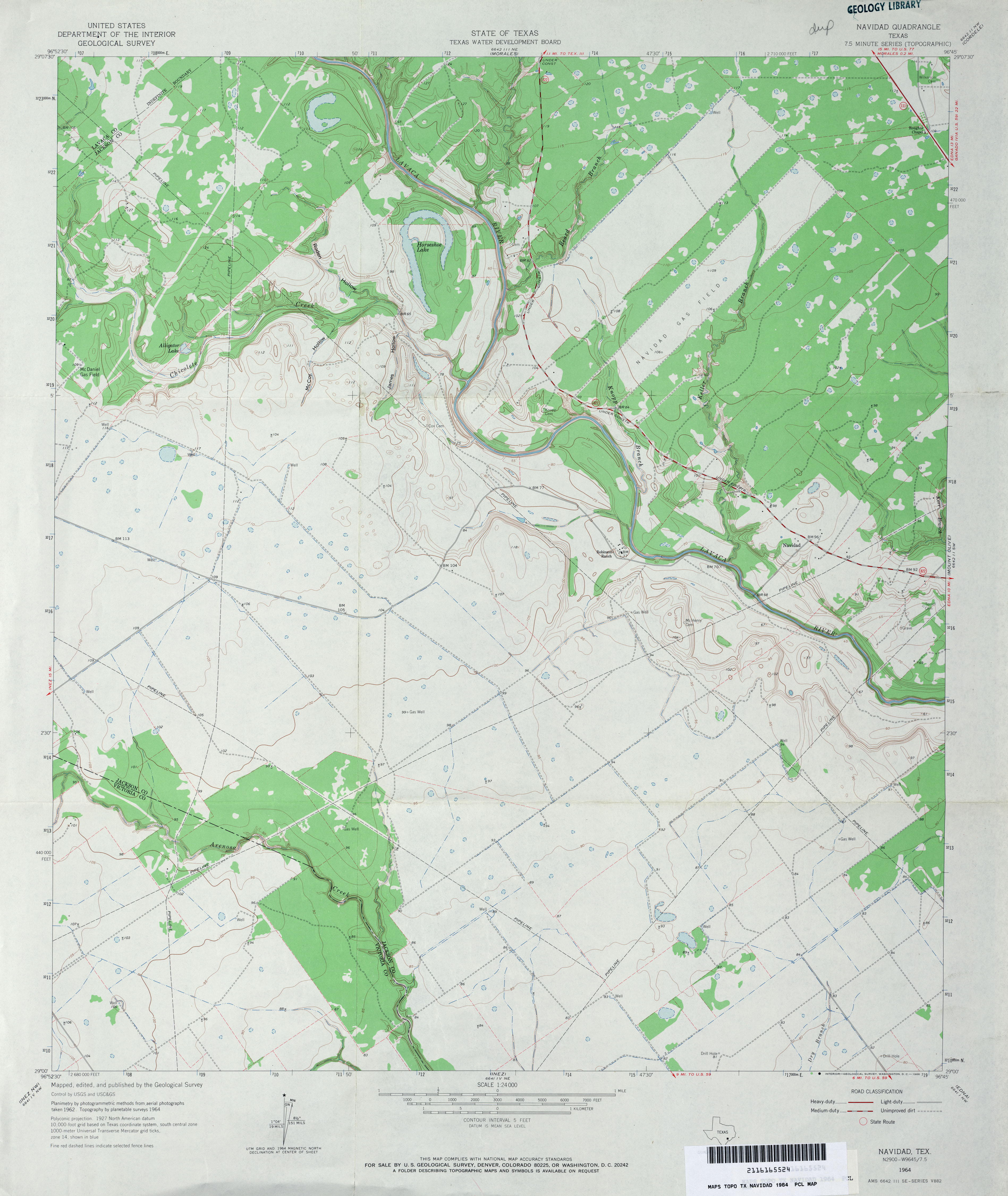
- Navidad 1:24,000 1964 (3.2MB)
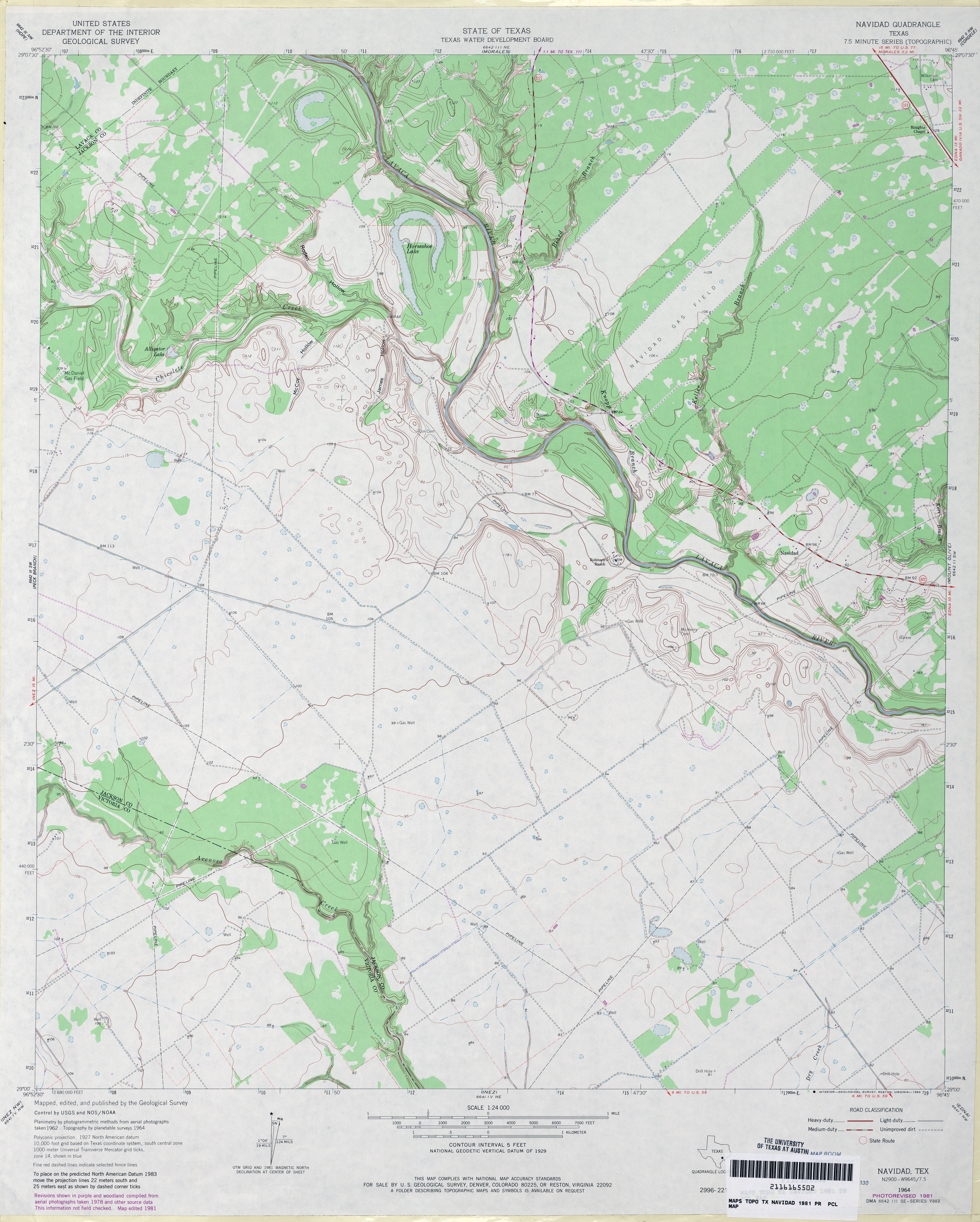
- Navidad 1:24,000 1981 (3.4MB)
- Navidad 1:24,000 2009 (14.3MB) [GeoPDF]
- Navidad 1:24,000 2013 (22.2MB) [GeoPDF]
- Nazareth (Castro County) 1:24,000 1965 (3MB)
- Nazareth 1:24,000 2008 (8.2MB) [GeoPDF]
- Nazareth 1:24,000 2012 (13.4MB) [GeoPDF]
- Nazareth NW 1:24,000 1966 (2.8MB)
- Nazareth NW 1:24,000 1980 (2.7MB)
- Nazareth NW 1:24,000 2008 (8.4MB) [GeoPDF]
- Nazareth NW 1:24,000 2012 (13MB) [GeoPDF]
- Nazareth SW (Castro County) 1:24,000 1965 (2.6MB)
- Nazareth SW 1:24,000 2008 (8.0MB) [GeoPDF]
- Nazareth SW 1:24,000 2012 (12.7MB) [GeoPDF]
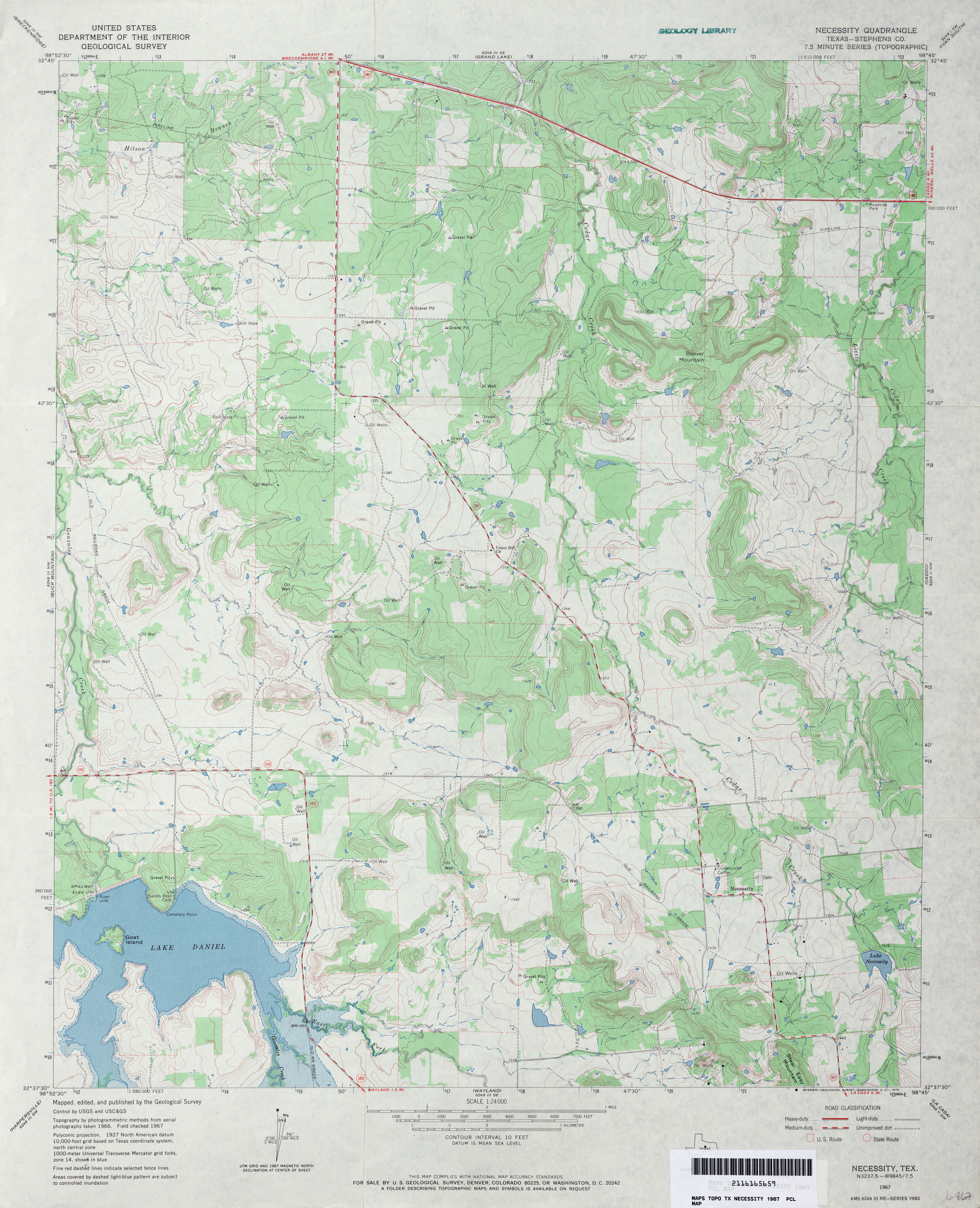
- Necessity (Stephens County) 1:24,000 1967 (3.8MB)
- Necessity 1:24,000 2008 (18.0MB) [GeoPDF]
- Necessity 1:24,000 2012 (22.7MB) [GeoPDF]
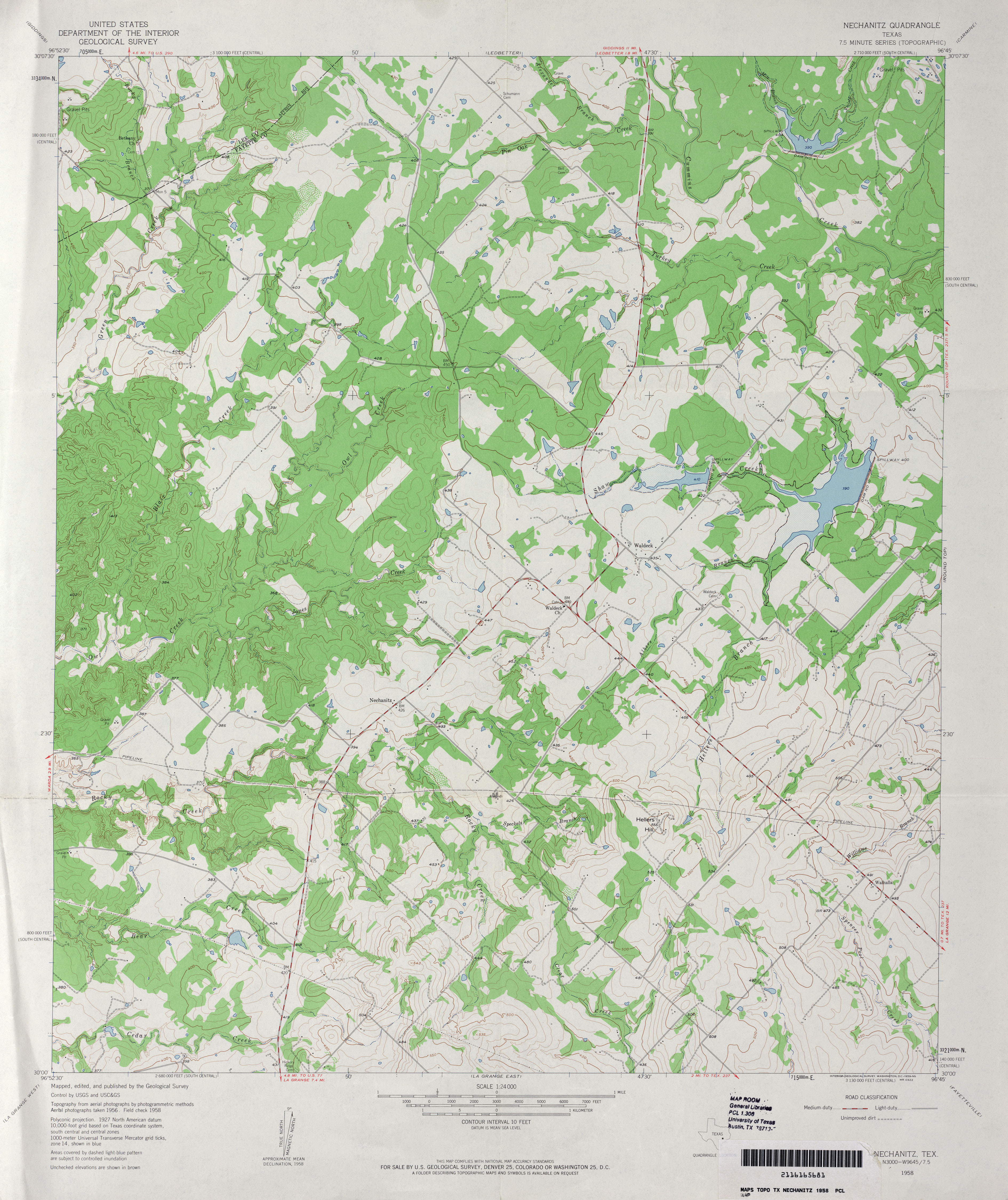
- Nechanitz 1:24,000 1958 (3.6MB)
- Nechanitz 1:24,000 1989 (4MB)
- Nechanitz 1:24,000 2008 (15.6MB) [GeoPDF]
- Nechanitz 1:24,000 2013 (24.1MB) [GeoPDF]
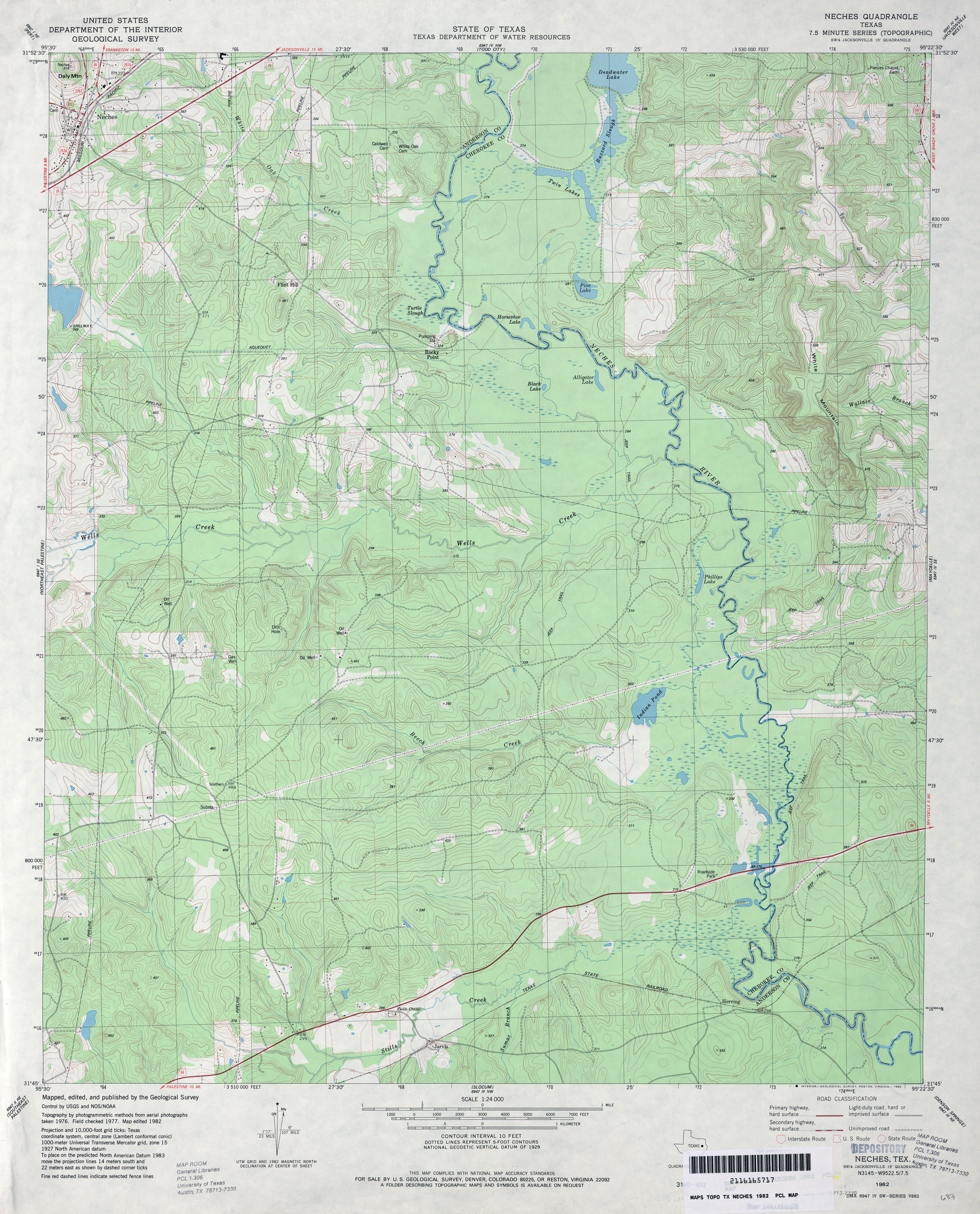
- Neches 1:24,000 1982 (4MB)
- Neches 1:24,000 2009 (23.5MB) [GeoPDF]
- Neches 1:24,000 2013 (25MB) [GeoPDF]
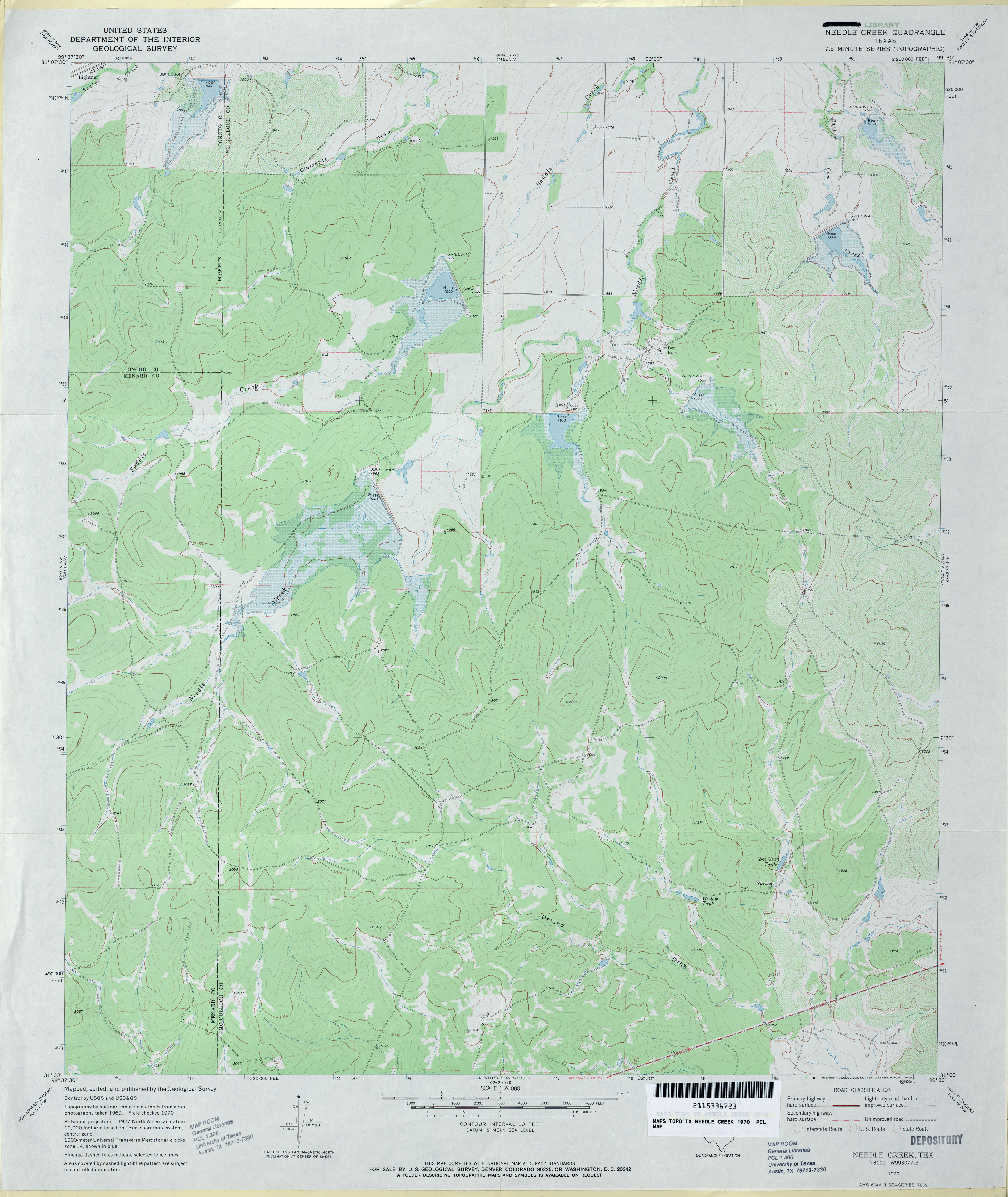
- Needle Creek 1:24,000 1970 (3.4MB)
- Needle Creek 1:24,000 2013 (25.2MB) [GeoPDF]
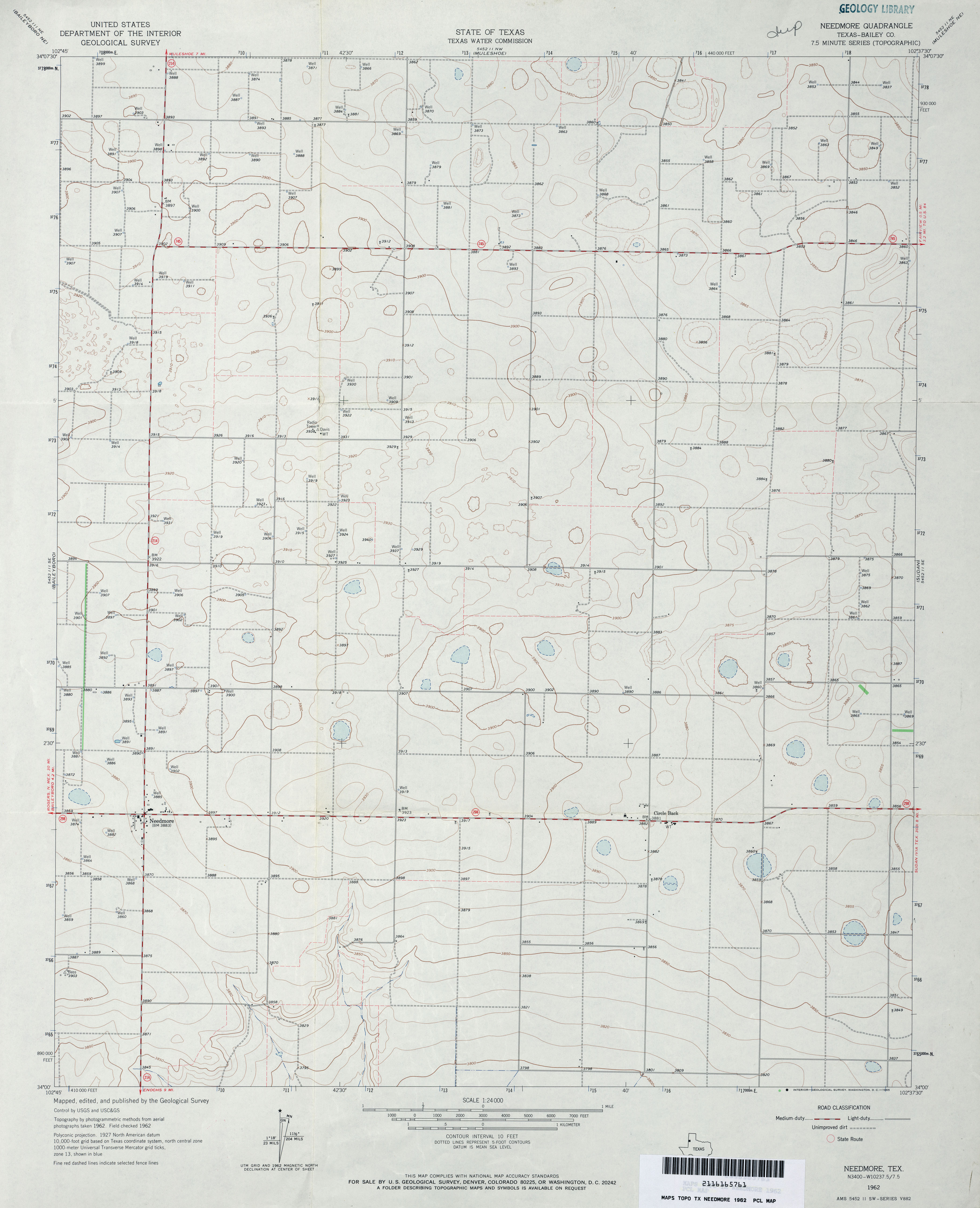
- Needmore (Bailey County) 1:24,000 1962 (2.5MB)
- Needmore 1:24,000 2008 (9.9MB) [GeoPDF]
- Needmore 1:24,000 2012 (14.3MB) [GeoPDF]
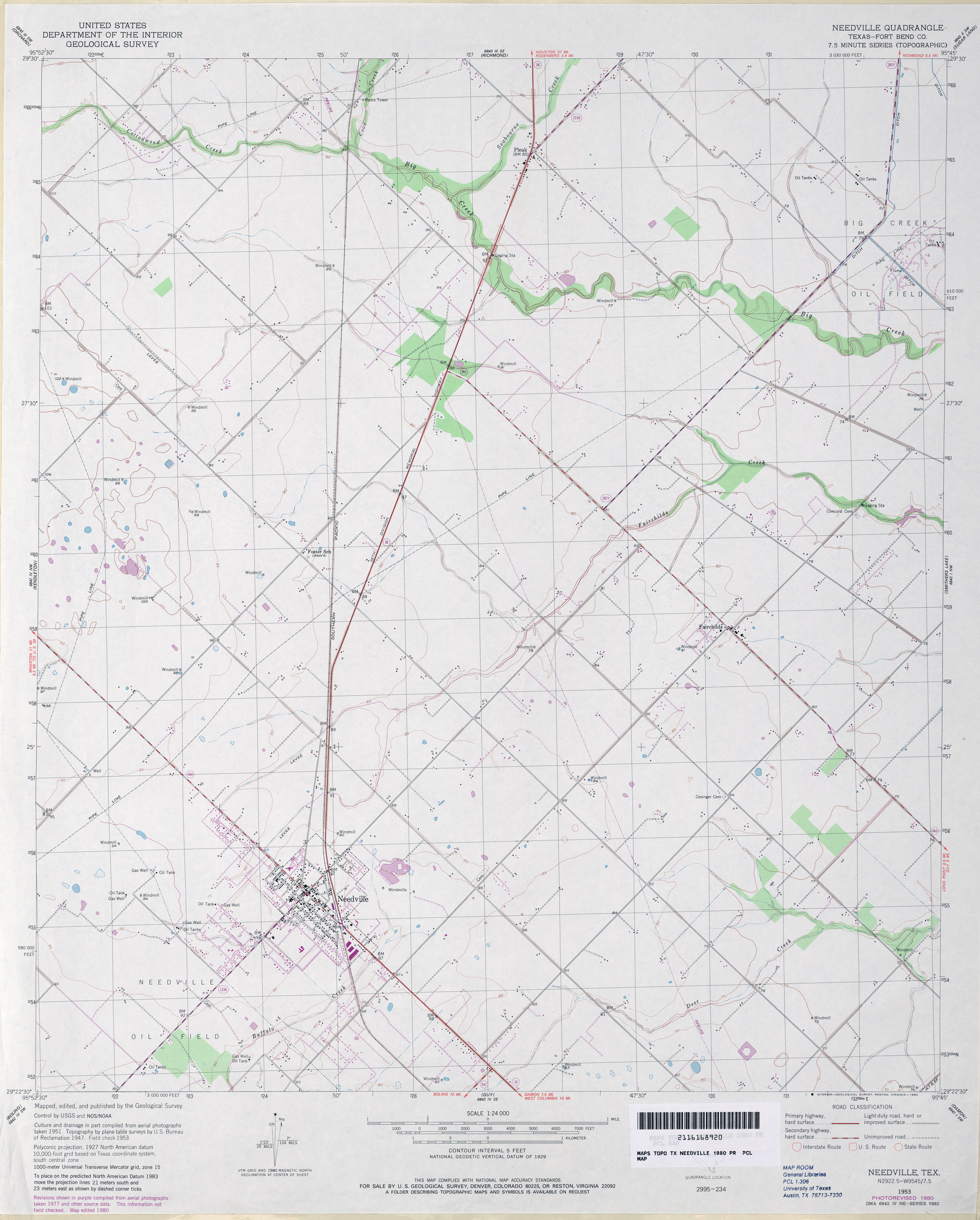
- Needville (Fort Bend County) 1:24,000 1953 (2.7MB)
- Needville (Fort Bend County) 1:24,000 1980 (2.9MB)
- Needville 1:24,000 2009 (12.2MB) [GeoPDF]
- Needville 1:24,000 2013 (16.8MB) [GeoPDF]
- Neely Arroyo 1:24,000 2008 (22.0MB) [GeoPDF]
- Neely Arroyo 1:24,000 2013 (25MB) [GeoPDF]
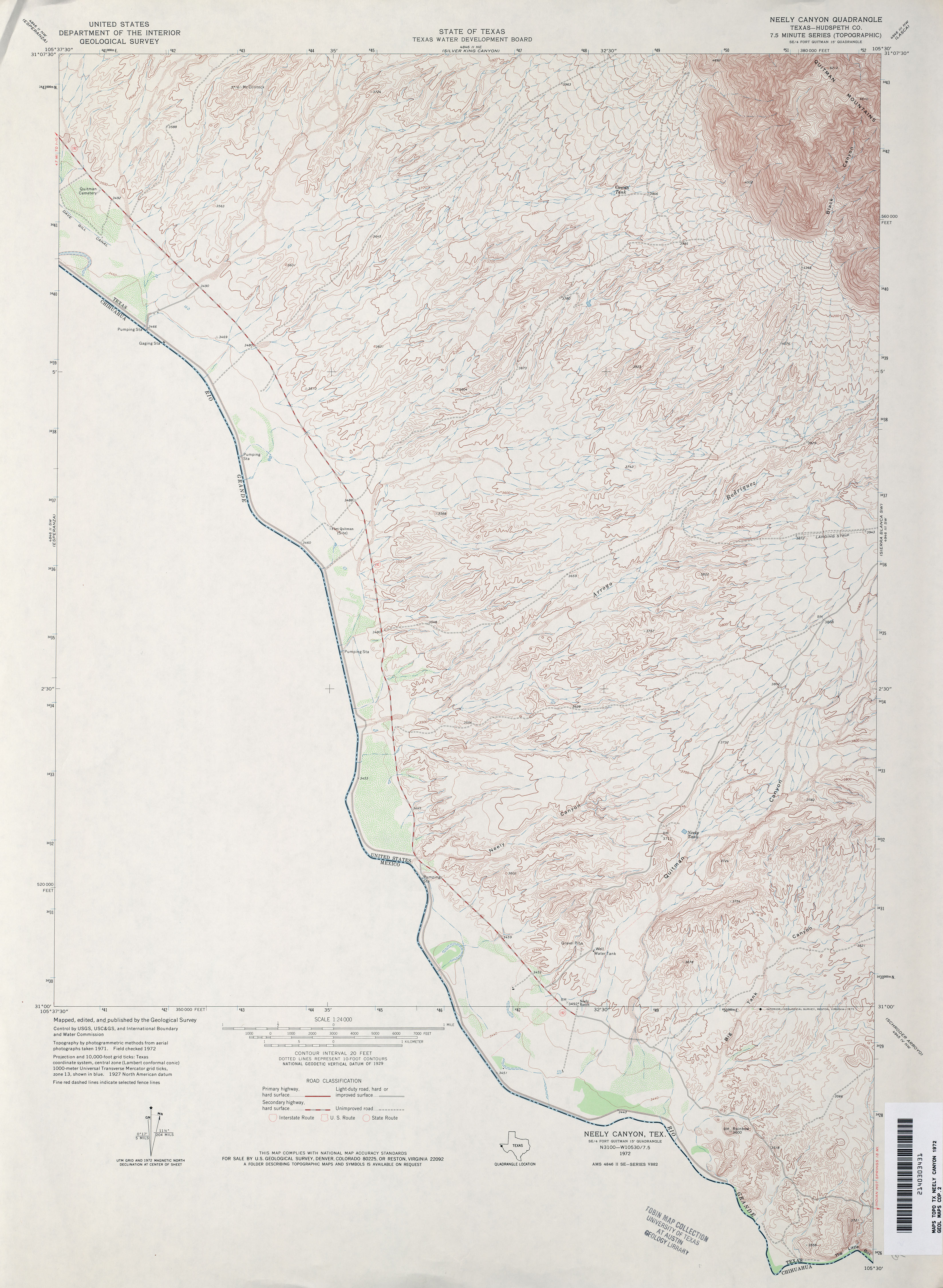
- Neely Canyon (Hudspeth County) 1:24,000 1972 (3.3MB)
- Neely Canyon OE 1:24,000 2008 (17.9MB) [GeoPDF]
- Neely Canyon OE 1:24,000 2012 (13.4MB) [GeoPDF]
- Negley 1:24,000 1951 (3MB)
- Negley 1:24,000 2008 (18.4MB) [GeoPDF]
- Negley 1:24,000 2013 (23.2MB) [GeoPDF]
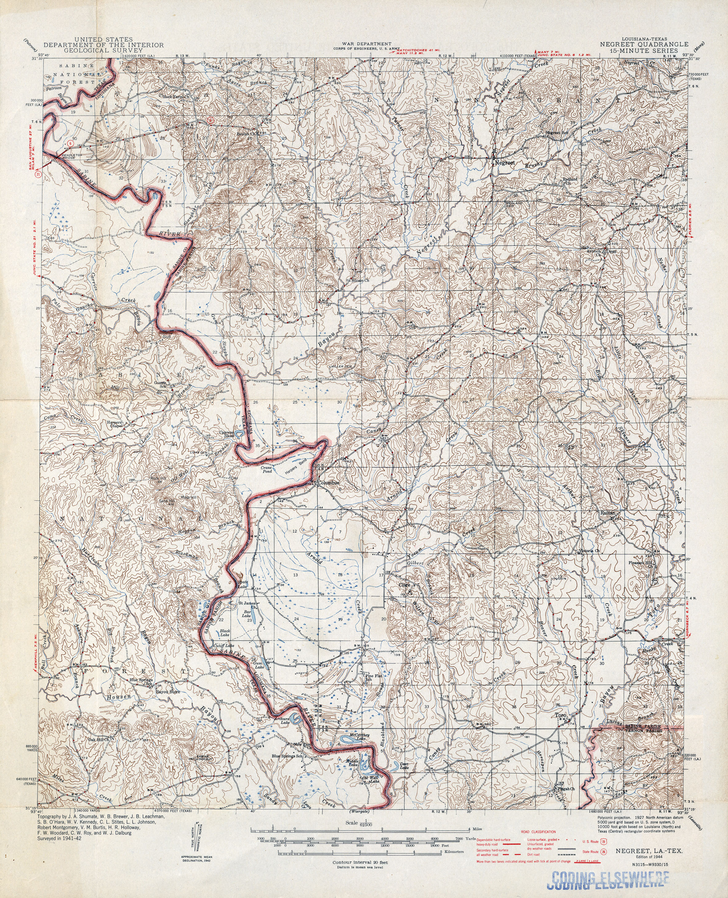
- Negreet [Louisiana, Texas] 1:62,500 1942 (2.9MB)
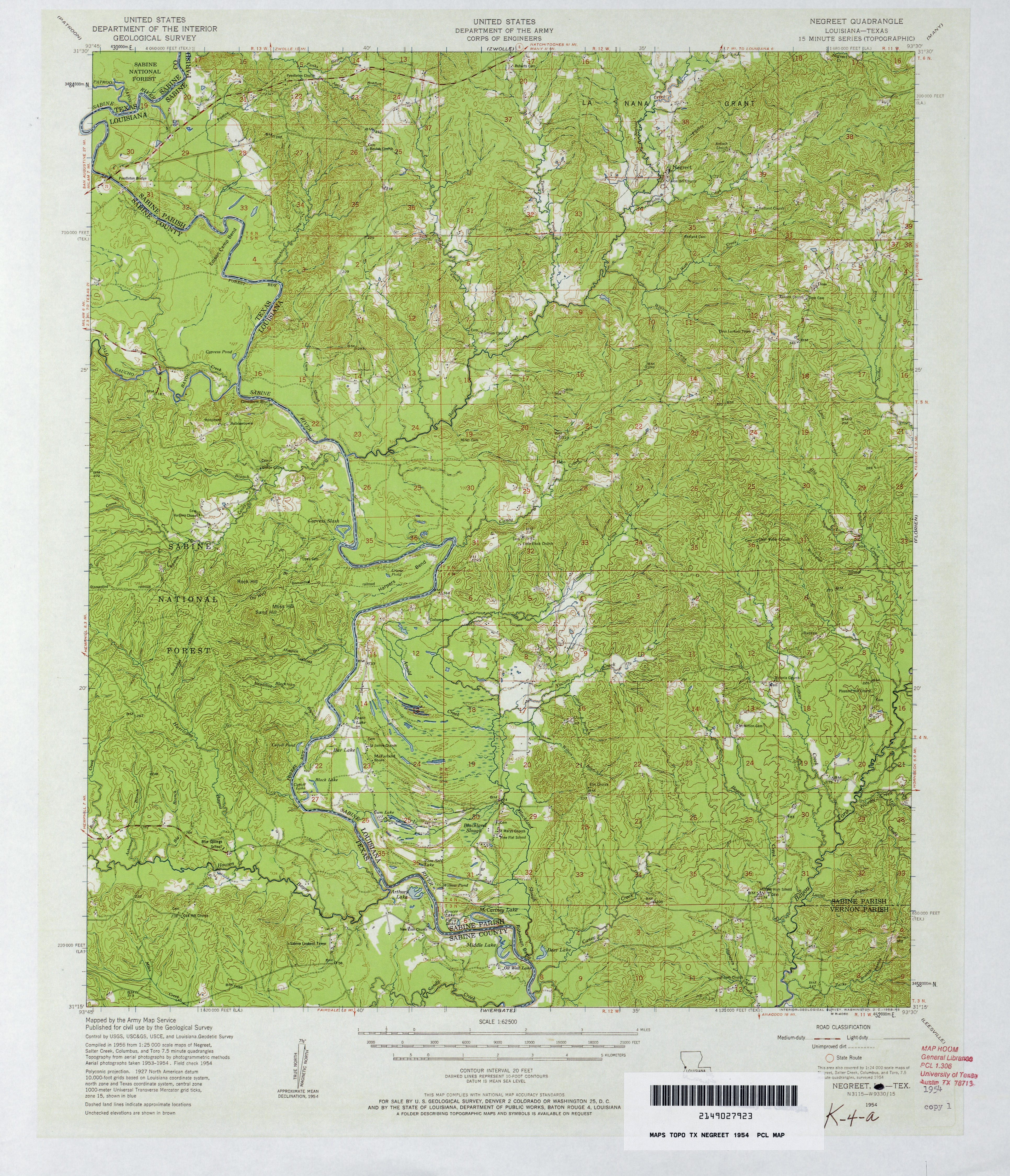
- Negreet 1:62,500 1954 (4.6MB)
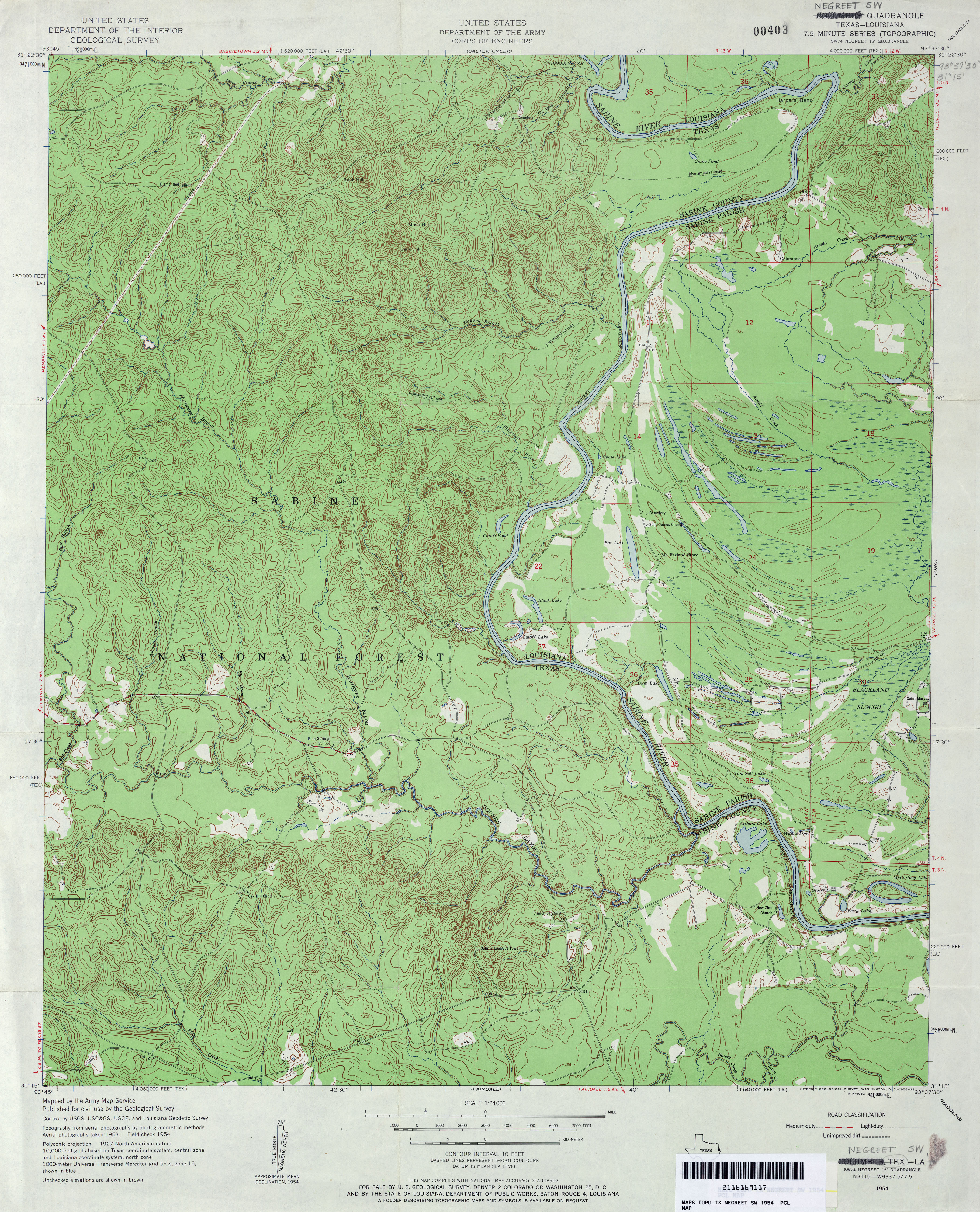
- Negreet SW 1:24,000 1954 (5.2MB) U.S. Department of the Army Corps of Engineers
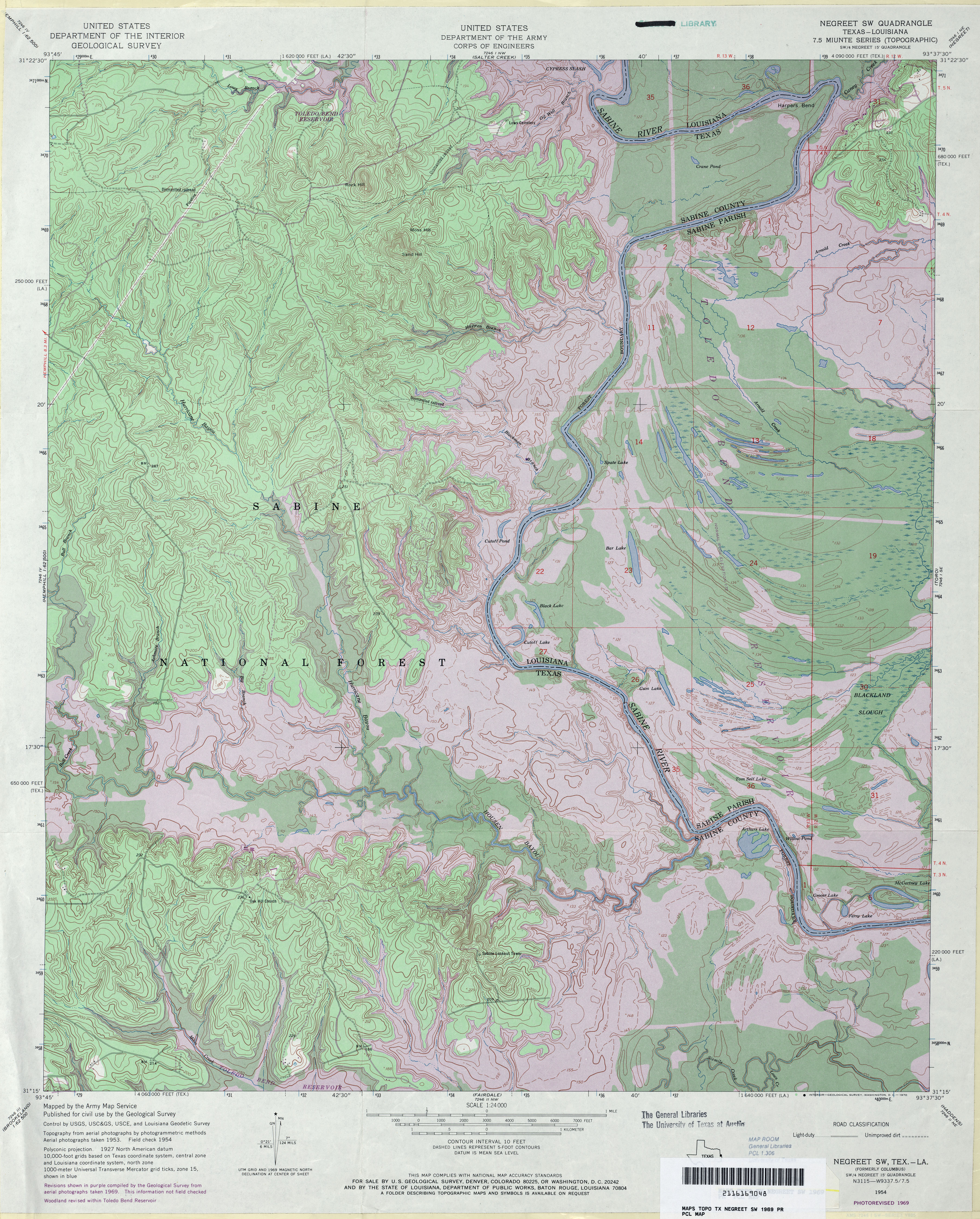
- Negreet SW 1:24,000 1969 (6.8MB) U.S. Department of the Army Corps of Engineers
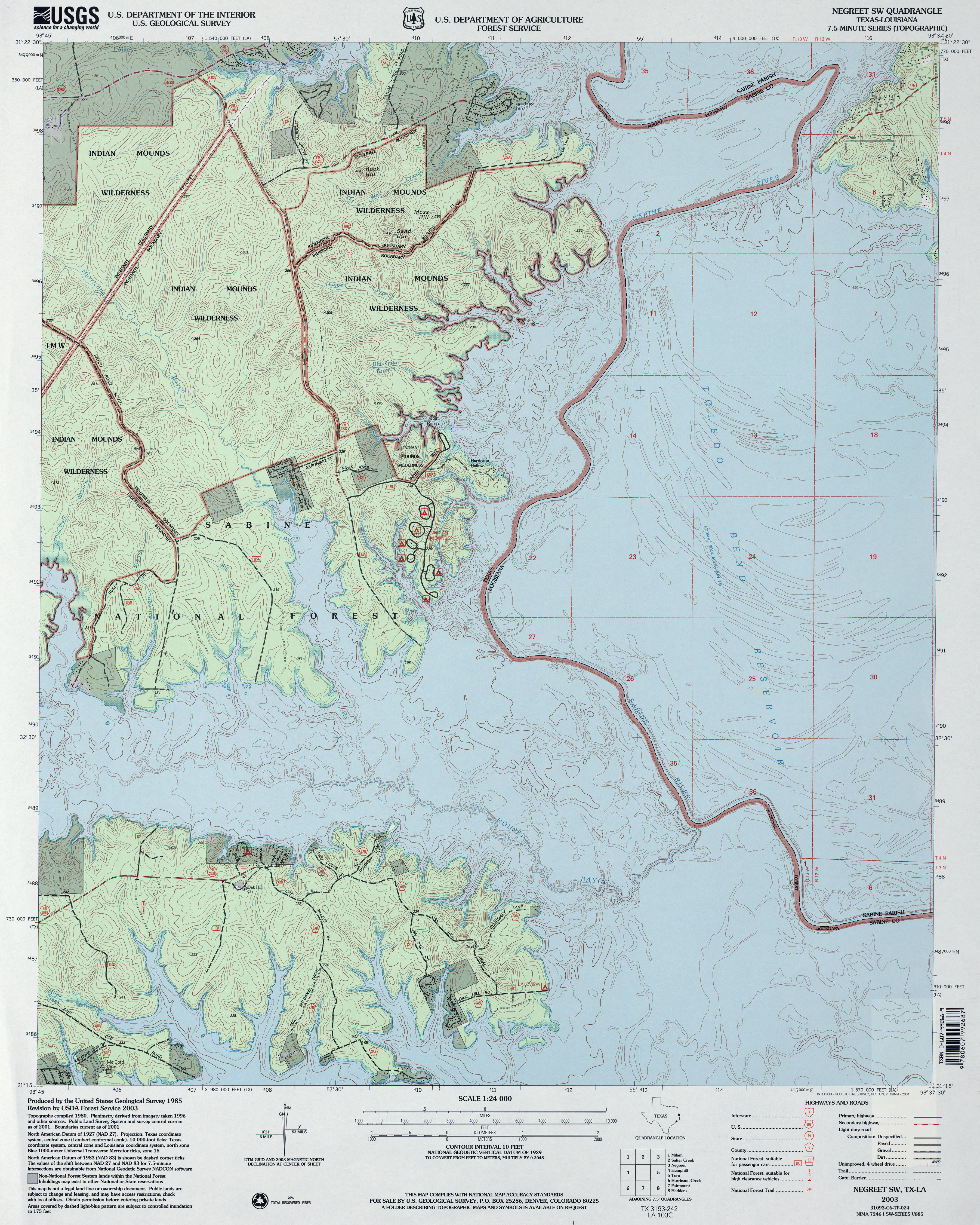
- Negreet SW 1:24,000 2003 (4.7MB) U.S. Department of Agriculture, Forest Service
- Negreet SW 1:24,000 2009 (14.5MB) [GeoPDF]
- Negreet SW 1:24,000 2012 (19.8MB) [GeoPDF]
- Neinda (Jones County) 1:24,000 1965 (2.9MB)
- Neinda 1:24,000 2008 (10.5MB) [GeoPDF]
- Neinda 1:24,000 2012 (17.2MB) [GeoPDF]
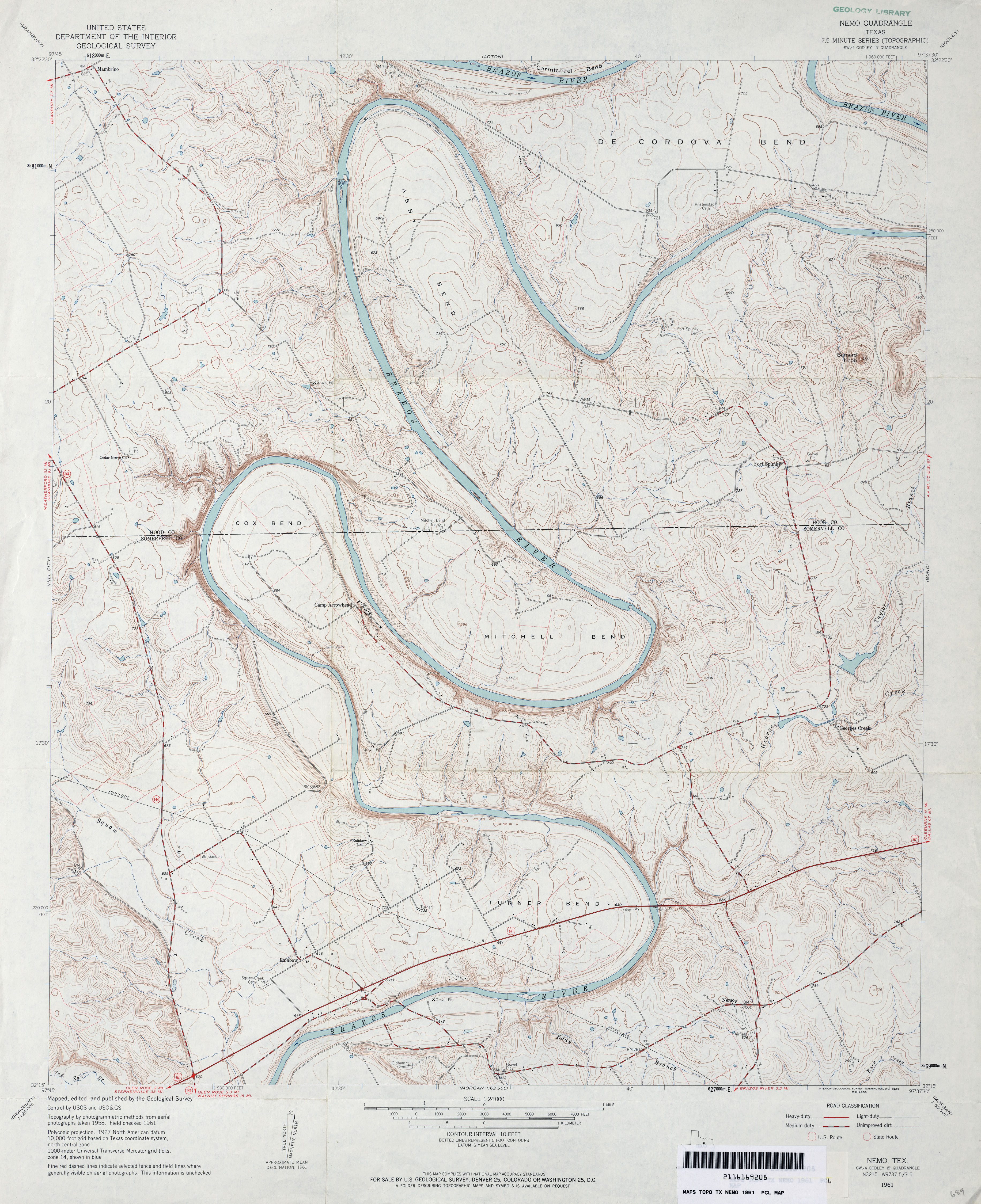
- Nemo 1:24,000 1961 (4.3MB)
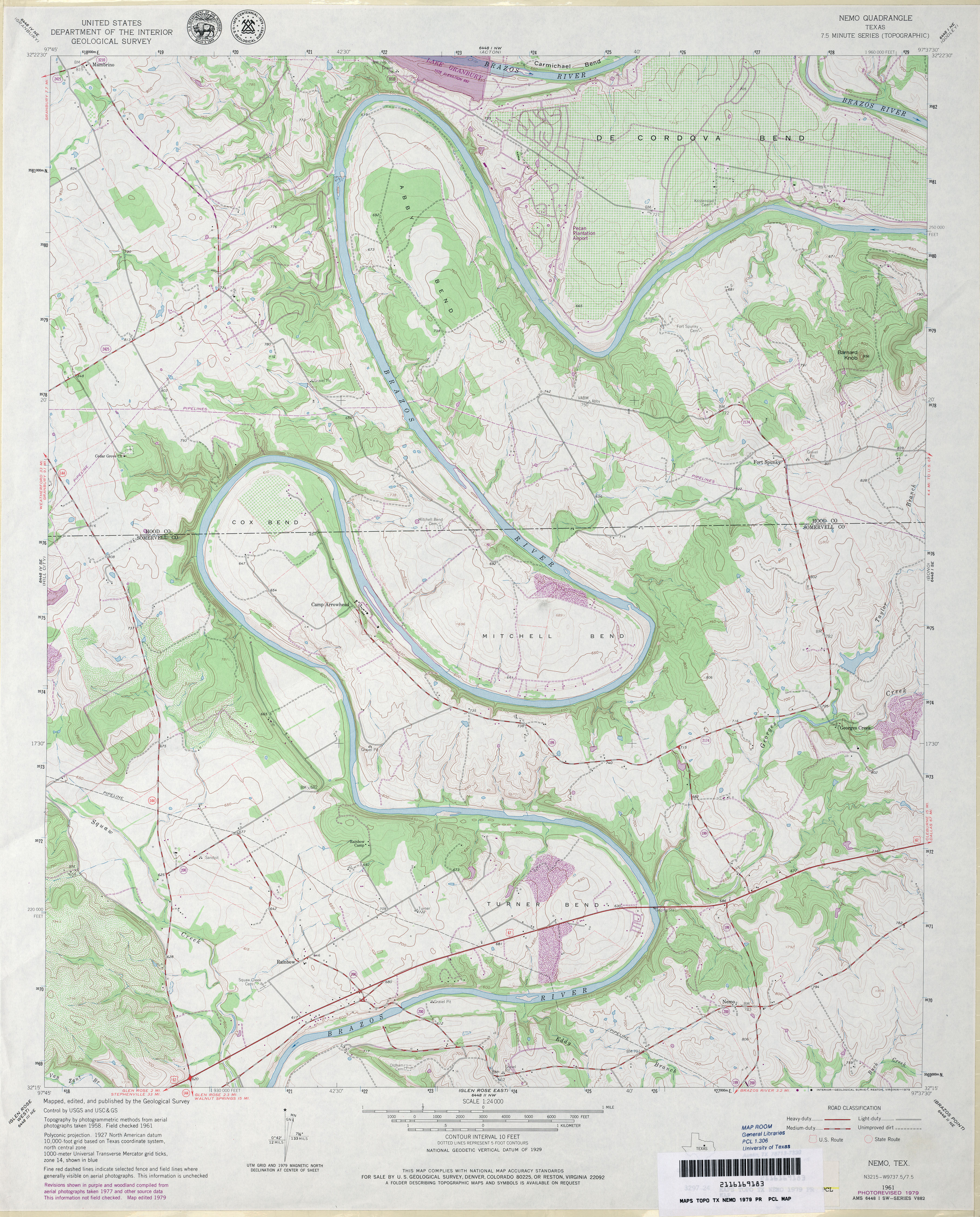
- Nemo 1:24,000 1979 (4.4MB)
- Nemo 1:24,000 2008 (18.7MB) [GeoPDF]
- Nemo 1:24,000 2013 (23.2MB) [GeoPDF]
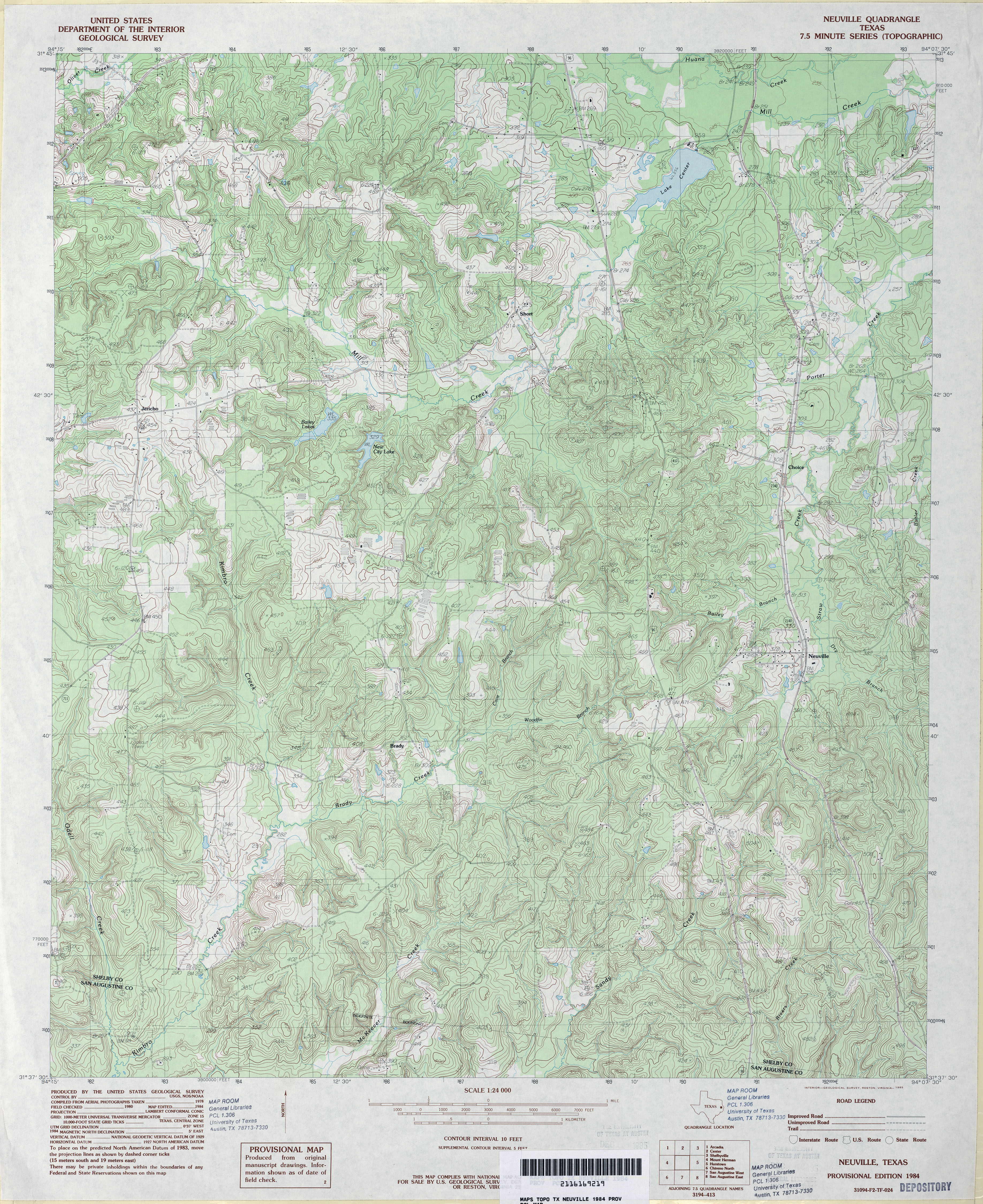
- Neuville 1:24,000 1984 (5.7MB)
- Neuville 1:24,000 2009 (23.7MB) [GeoPDF]
- Neuville 1:24,000 2013 (26.4MB) [GeoPDF]
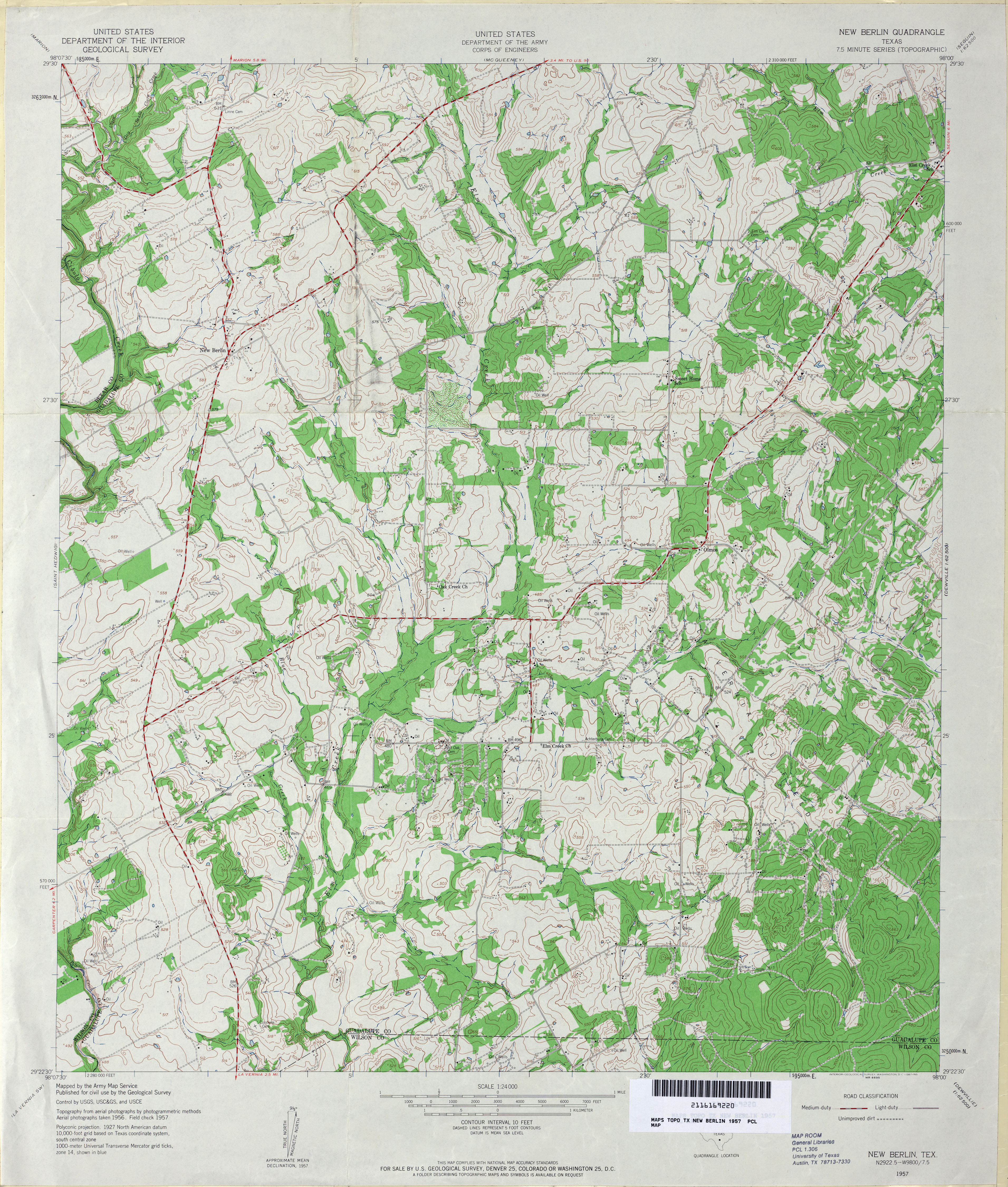
- New Berlin 1:24,000 1957 (4.8MB) U.S. Department of the Army Corps of Engineers
- New Berlin 1:24,000 2008 (14.9MB) [GeoPDF]
- New Berlin 1:24,000 2013 (22.7MB) [GeoPDF]
- New Boston 1:62,500 1906 (3.3 MB)
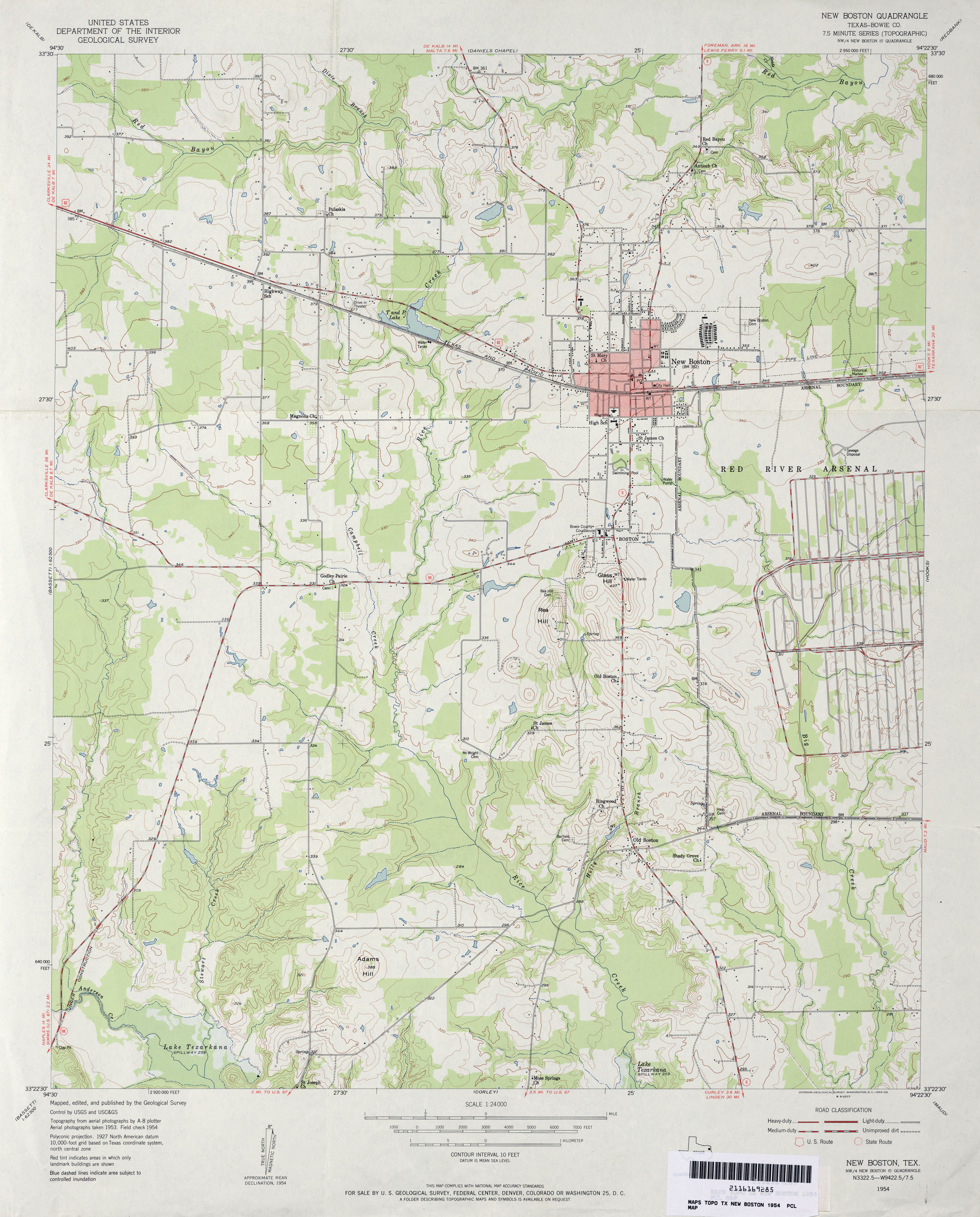
- New Boston (Bowie County) 1:24,000 1954 (3.4MB)
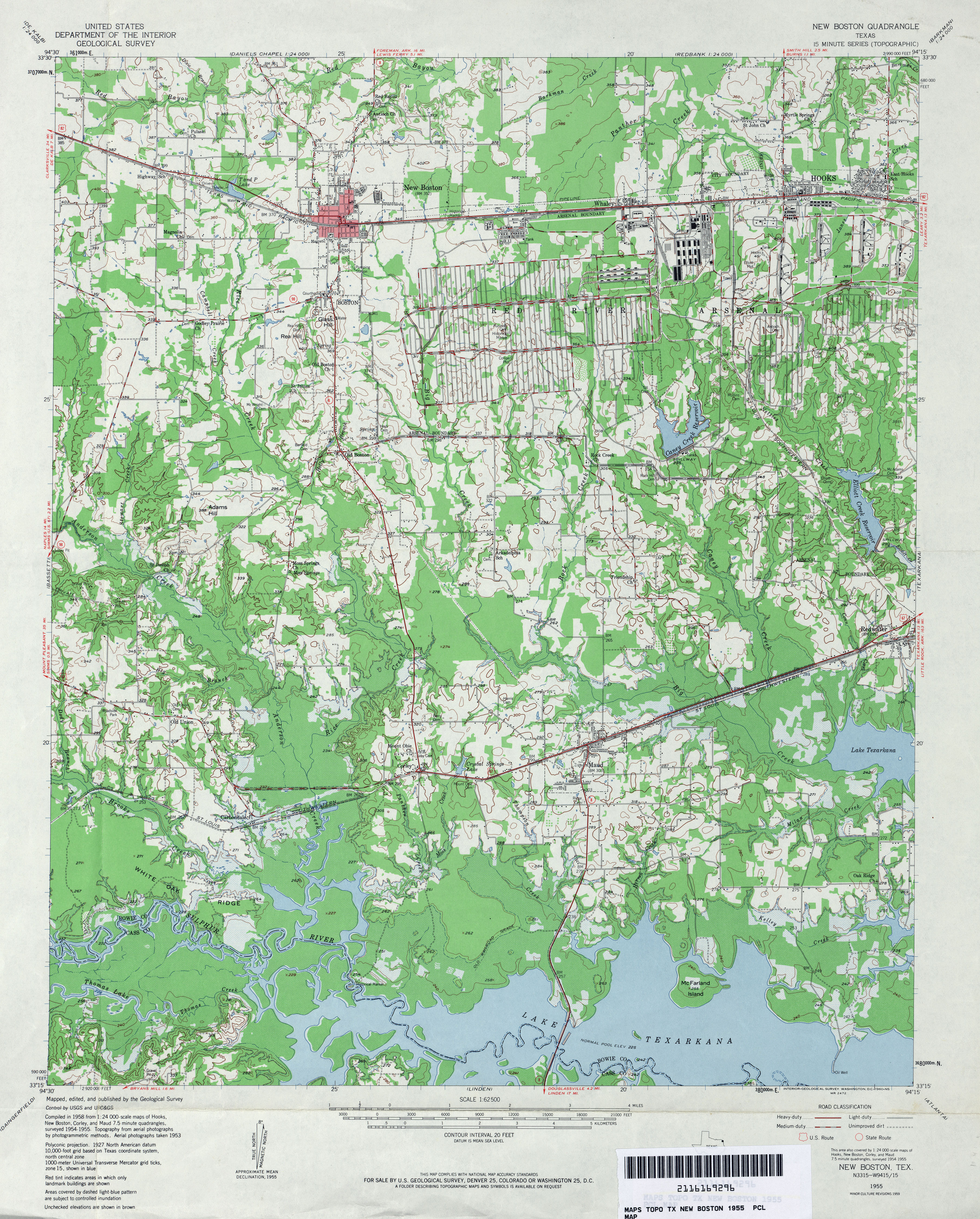
- New Boston 1:62,500 1955 (4.6MB)
- New Boston (Bowie County) 1:24,000 1970 (3.3MB)
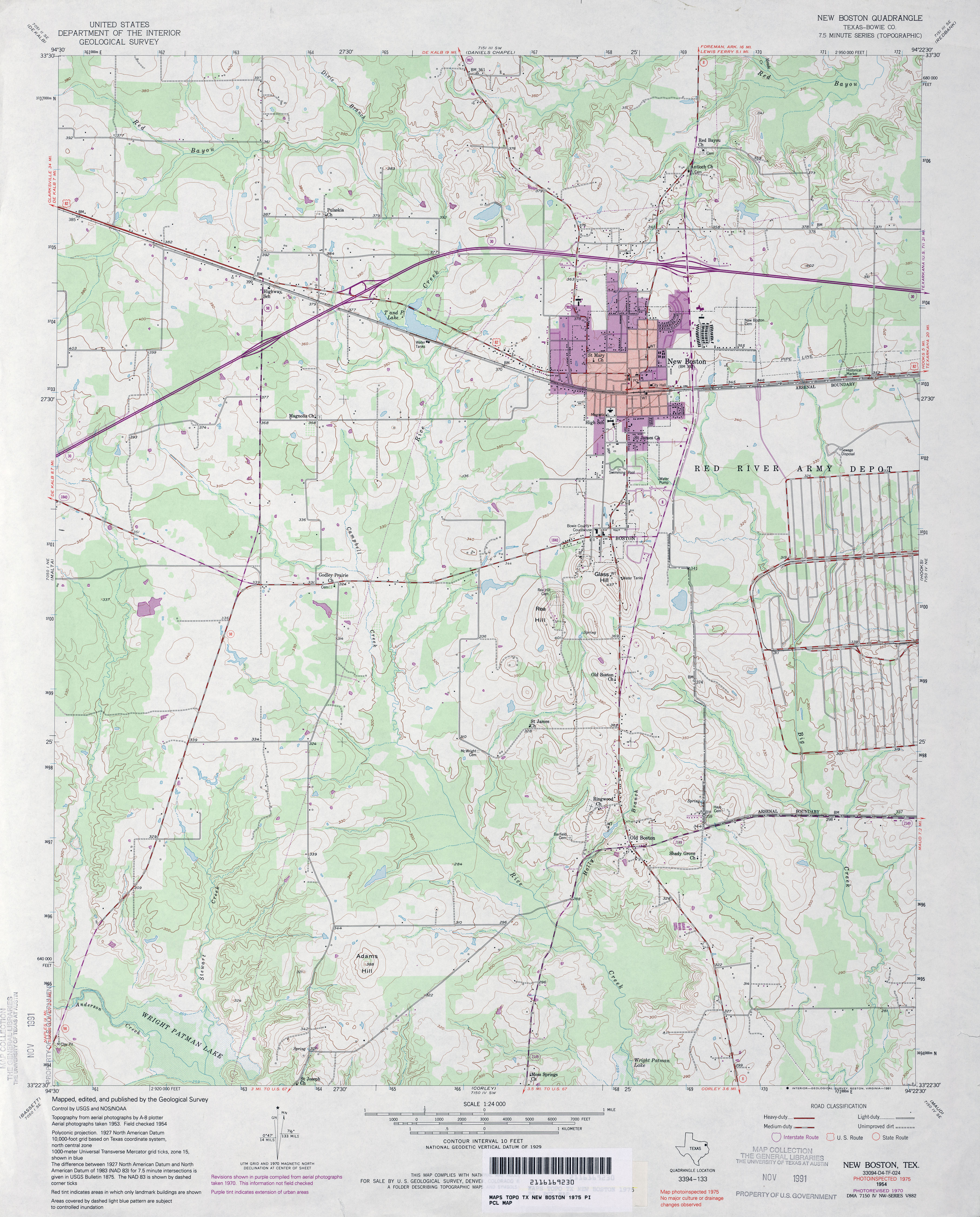
- New Boston (Bowie County) 1:24,000 1975 (3.7MB)
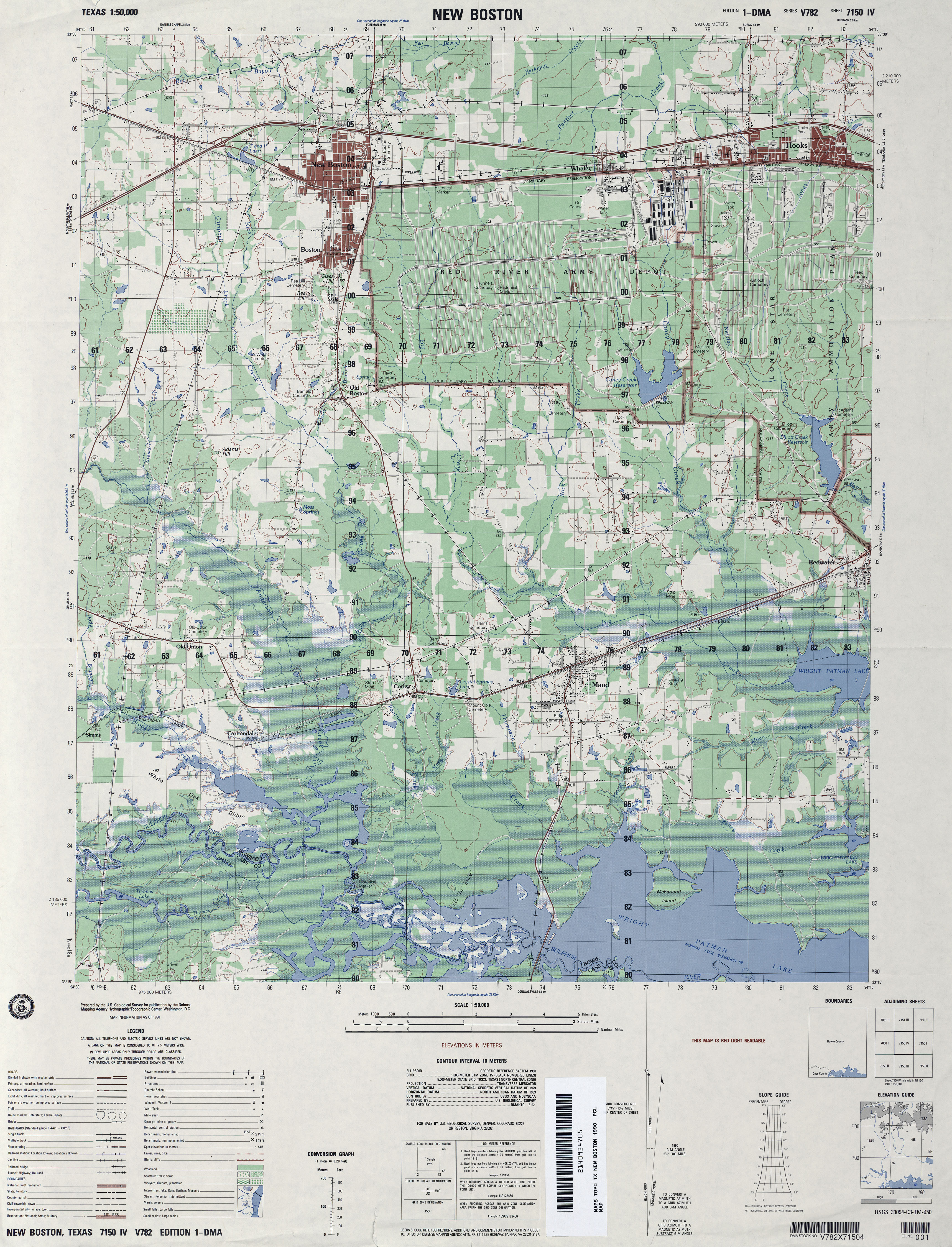
- New Boston 1:50,000 1990 (4.1MB) U.S. Defense Mapping Agency, Edition 1-DMA, Series V782
- New Boston 1:24,000 2009 (16.3MB) [GeoPDF]
- New Boston 1:24,000 2012 (20.6MB) [GeoPDF]
- New Braunfels 1:62,500 1916 (3.8MB) U.S. Army. Corps of Engineers. Progressive Military Map
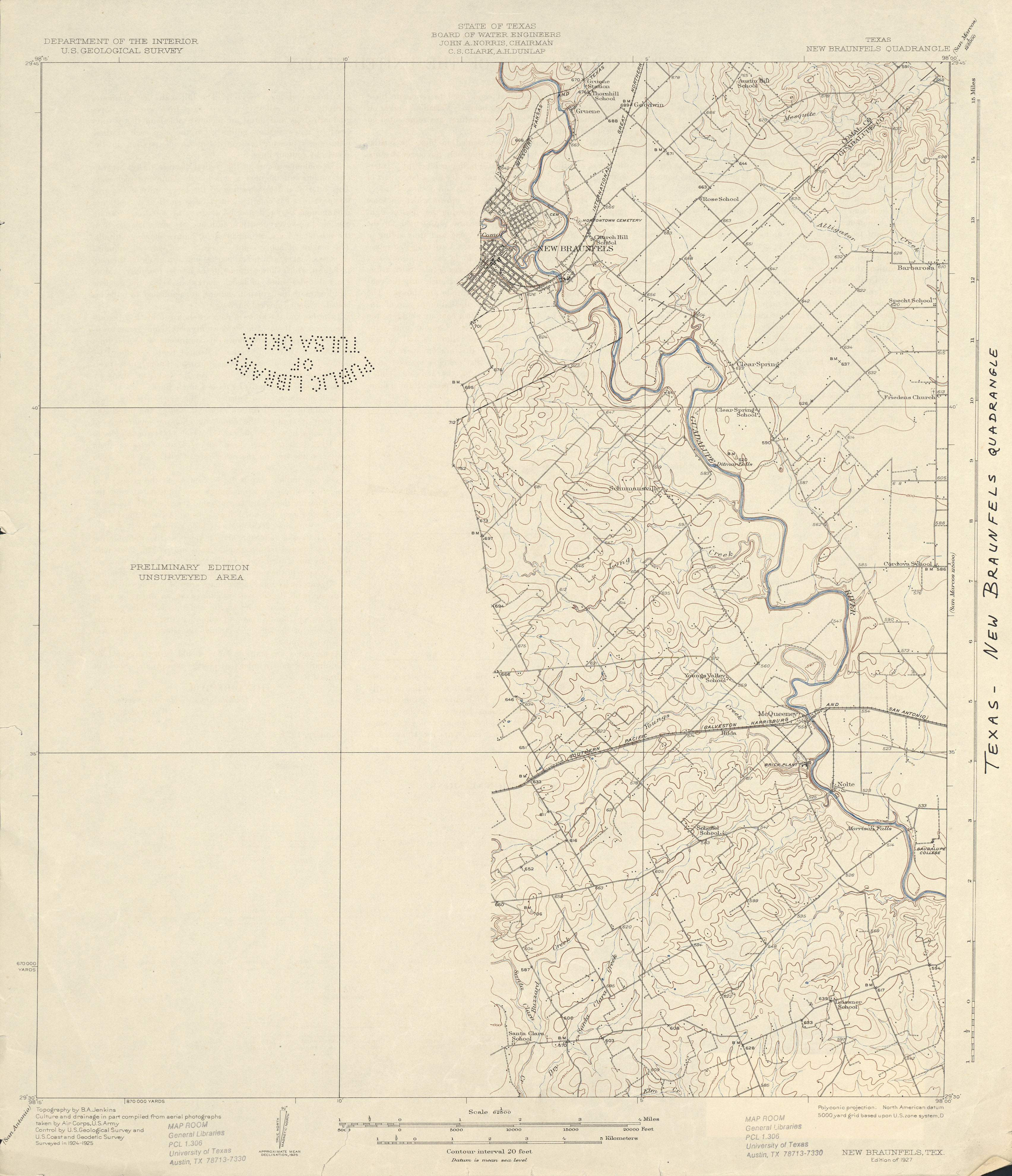
- New Braunfels 1:62,500 1925 (2.4 MB)
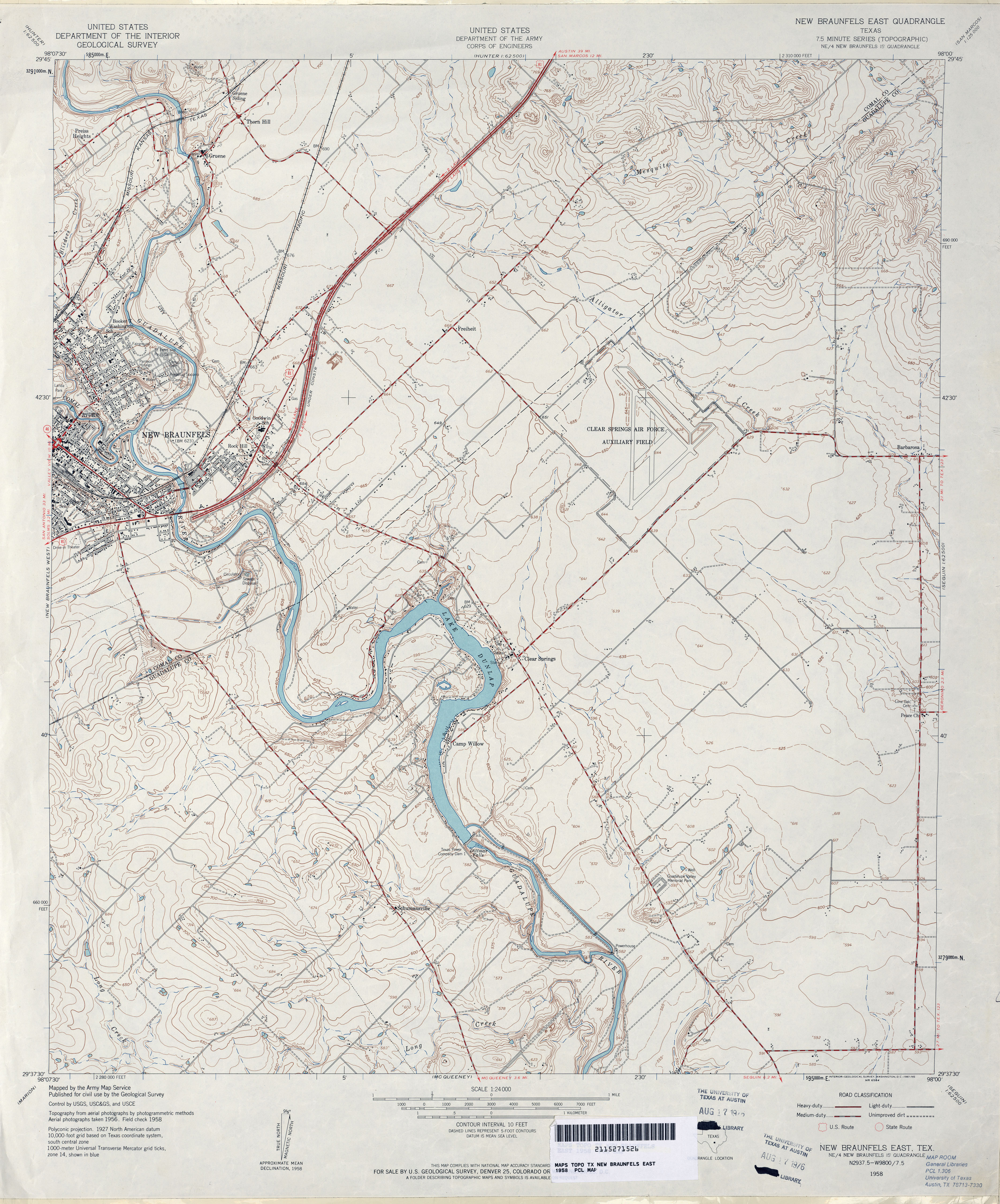
- New Braunfels East 1:24,000 1958 (4.2MB) U.S. Department of the Army Corps of Engineers
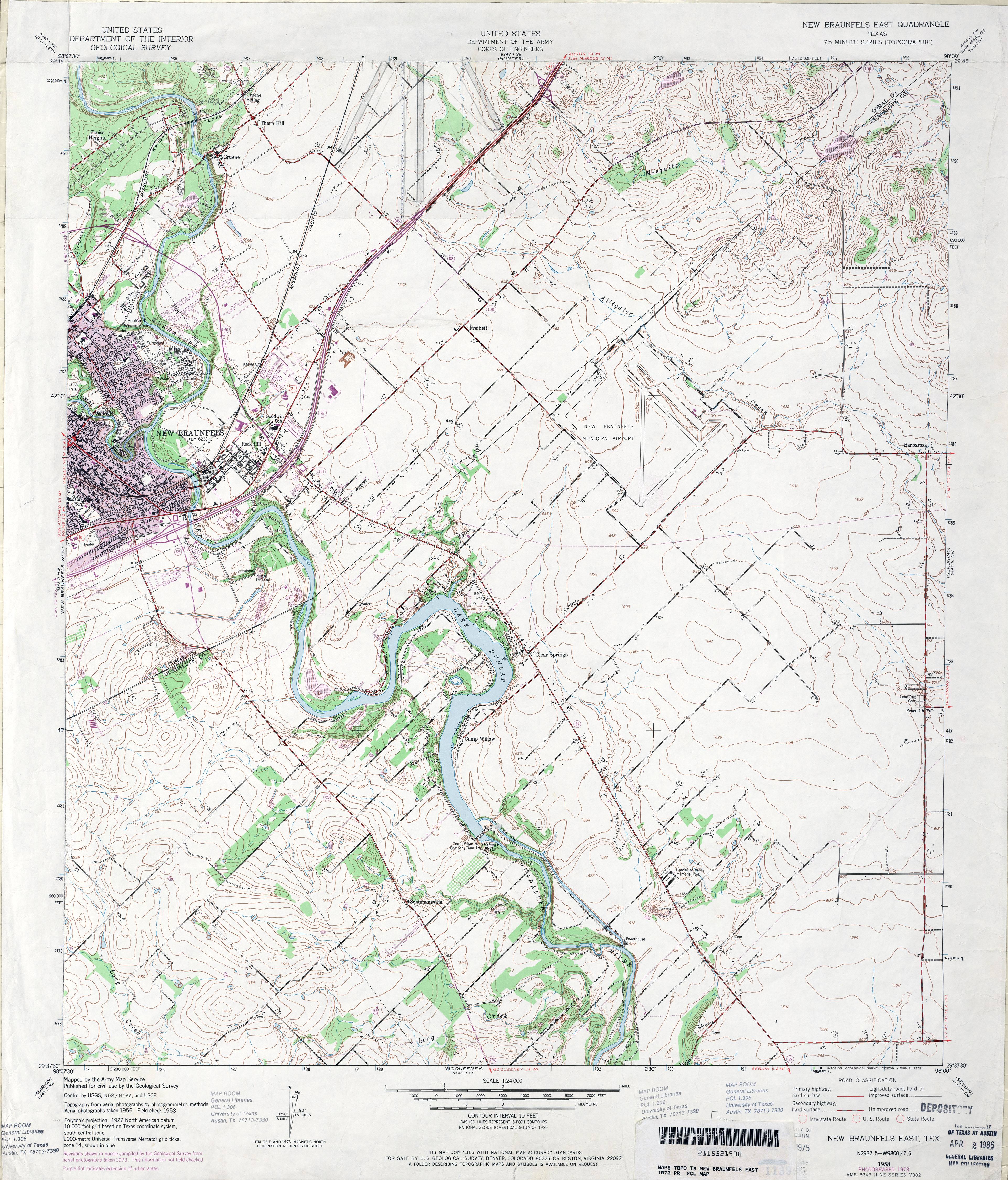
- New Braunfels East 1:24,000 1973 (4.8MB) U.S. Department of the Army Corps of Engineers
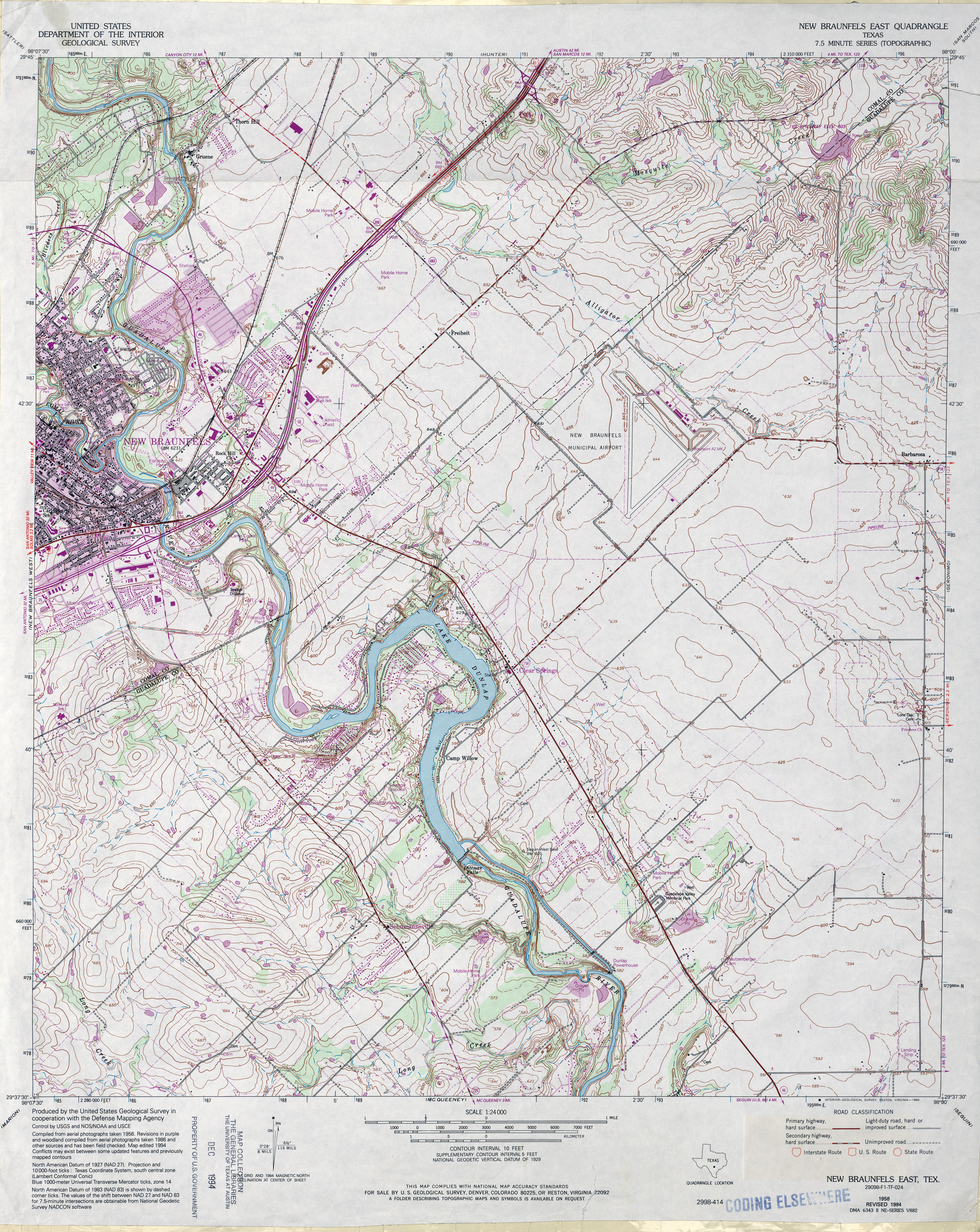
- New Braunfels East 1:24,000 1994 (5.2MB)
- New Braunfels East 1:24,000 2008 (14.1MB) [GeoPDF]
- New Braunfels East 1:24,000 2013 (22.6MB) [GeoPDF]
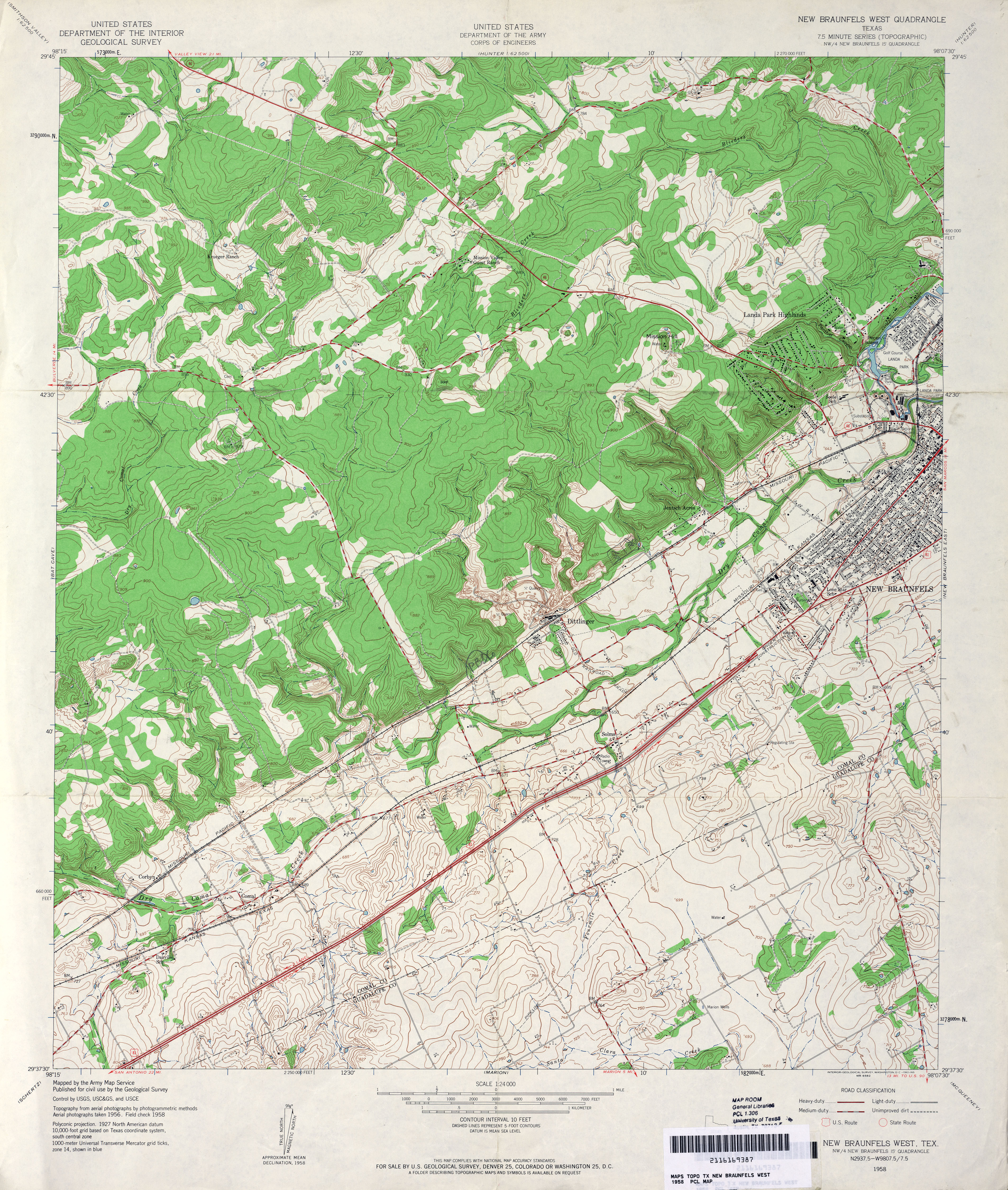
- New Braunfels West 1:24,000 1958 (5.1MB) U.S. Department of the Army Corps of Engineers
- New Braunfels West 1:24,000 1973 (5.6MB) U.S. Department of the Army Corps of Engineers
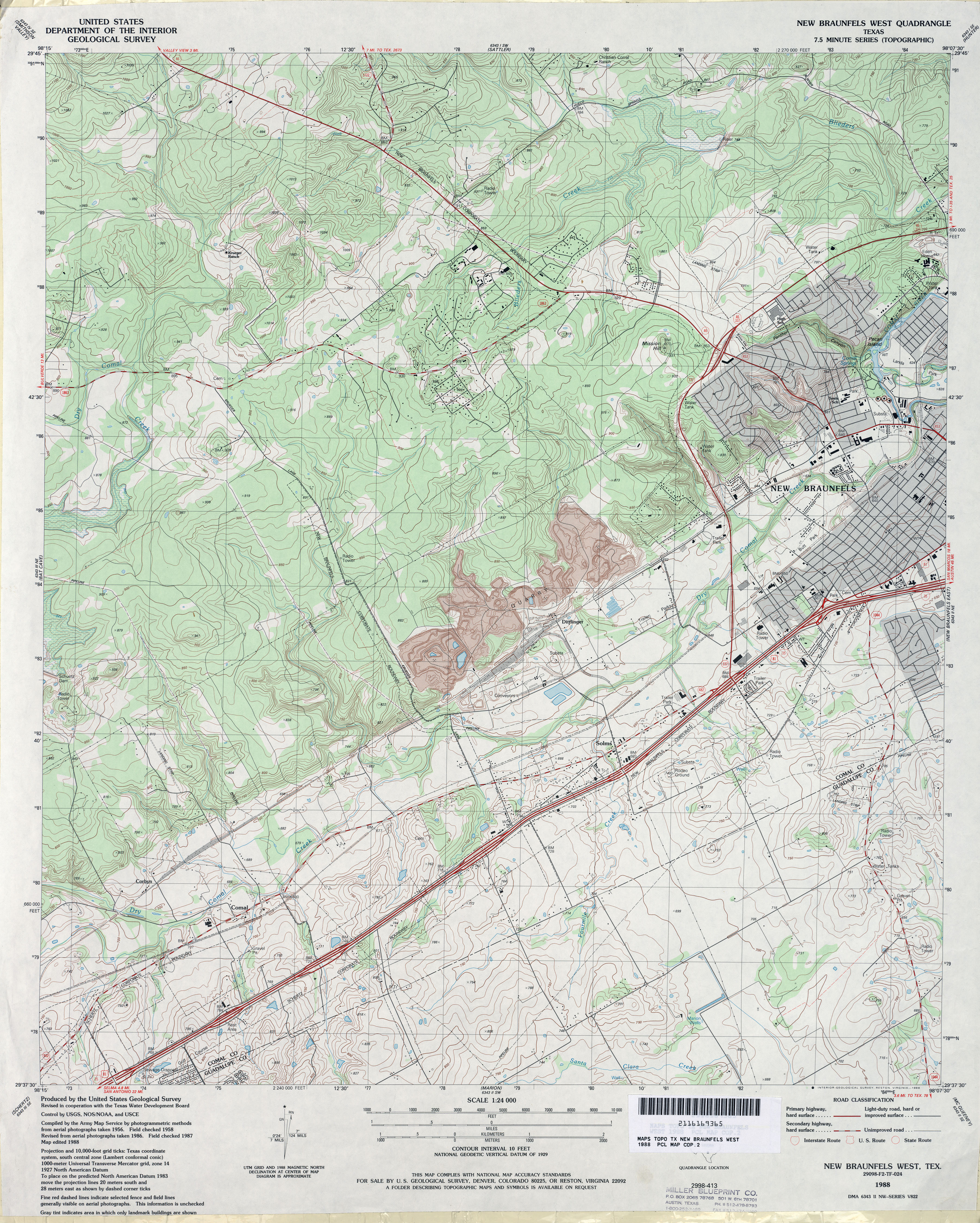
- New Braunfels West 1:24,000 1988 (4.9MB)
- New Braunfels West 1:24,000 2008 (17.4MB) [GeoPDF]
- New Braunfels West 1:24,000 2013 (25.6MB) [GeoPDF]
- New Davy 1:24,000 1961 (4.1MB)
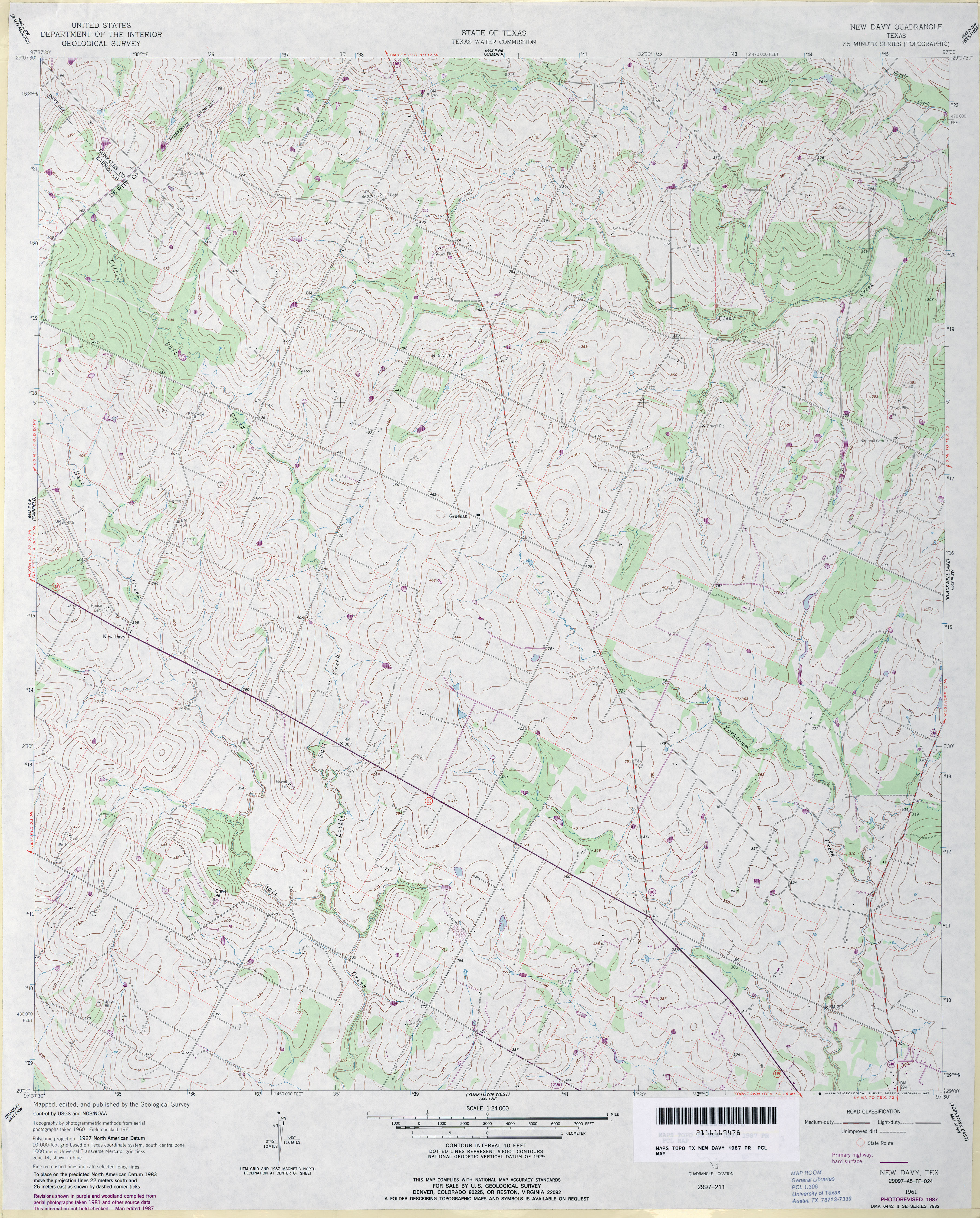
- New Davy 1:24,000 1987 (4.2MB)
- New Davy 1:24,000 2009 (11.3MB) [GeoPDF]
- New Davy 1:24,000 2013 (21.1MB) [GeoPDF]
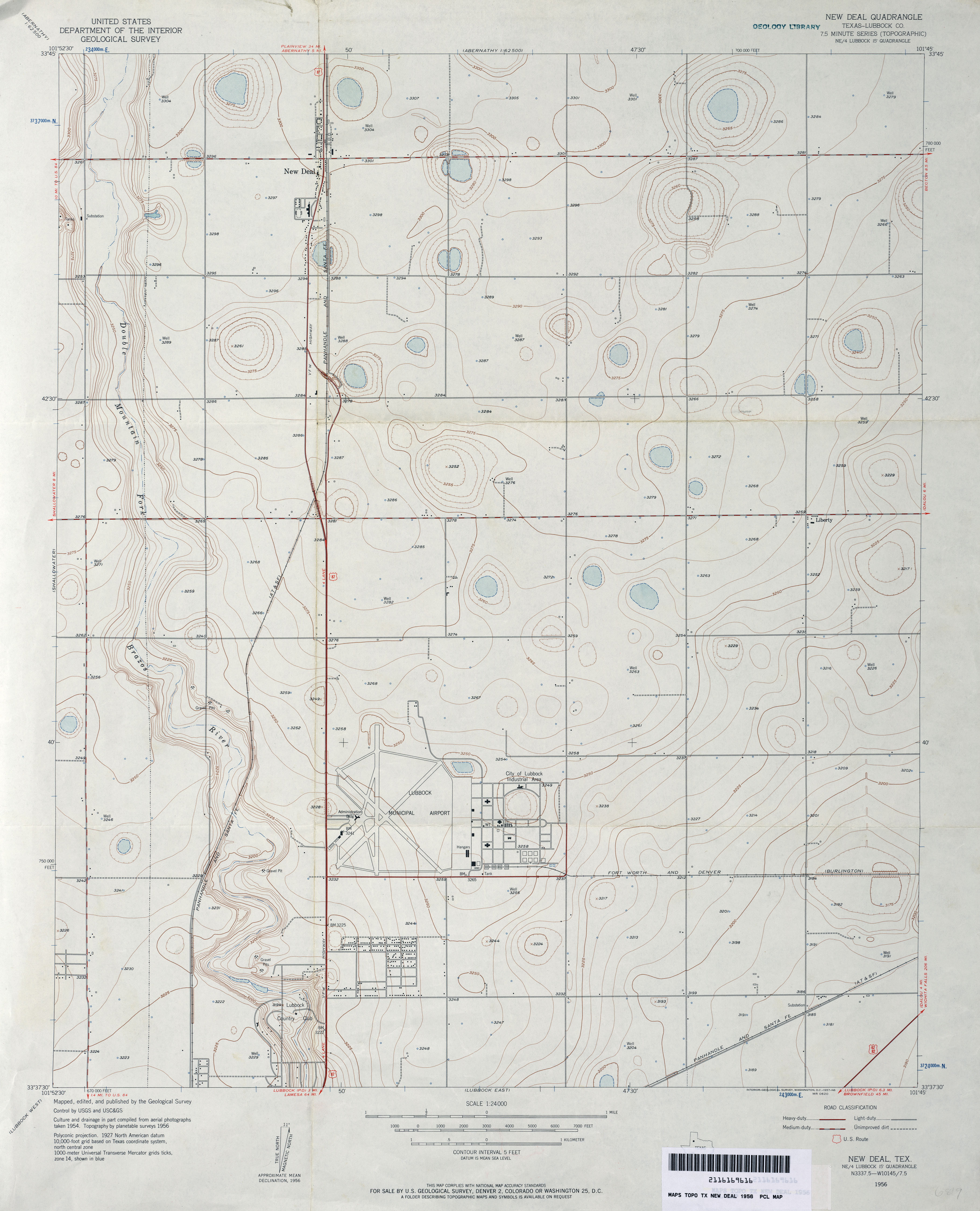
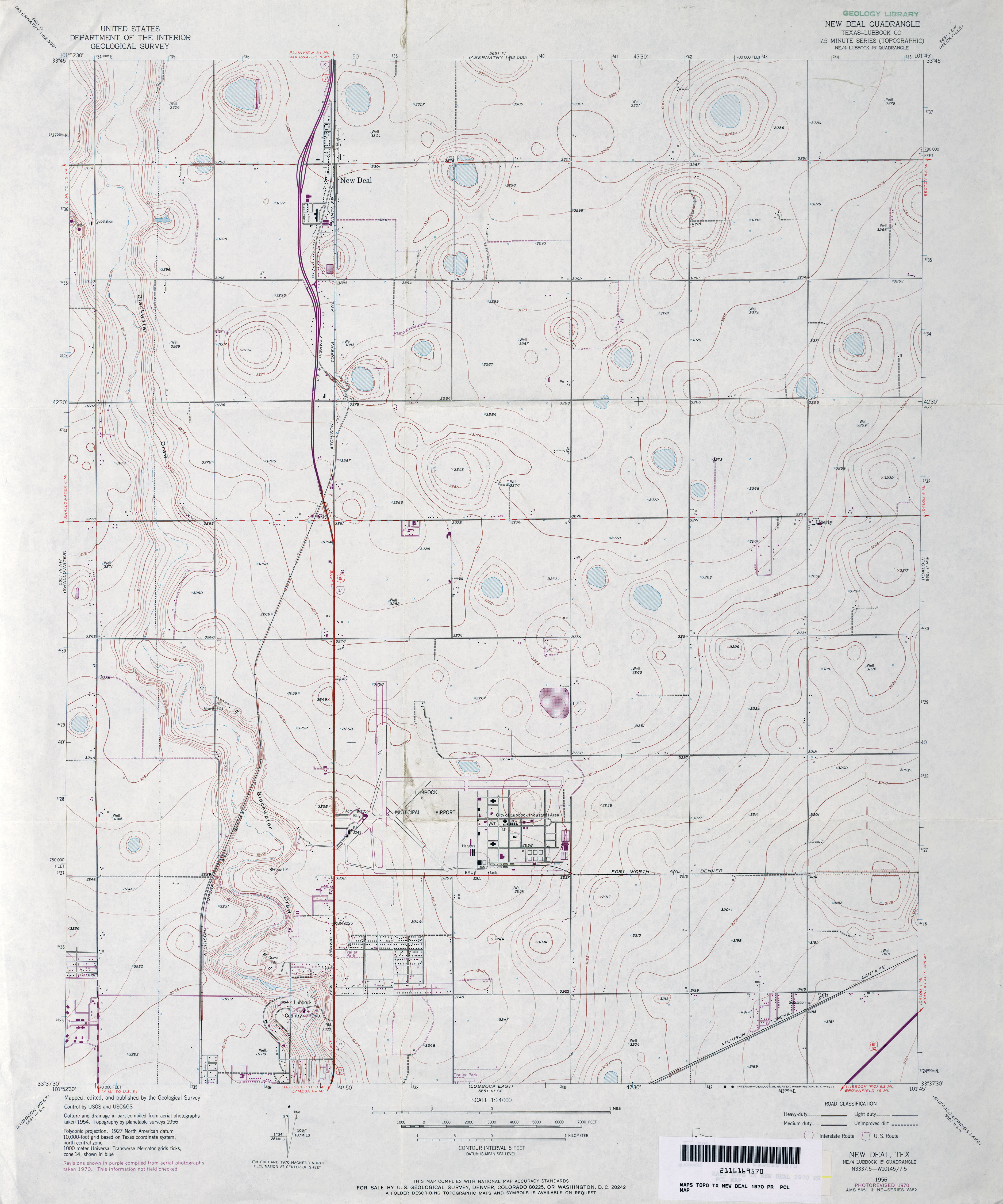
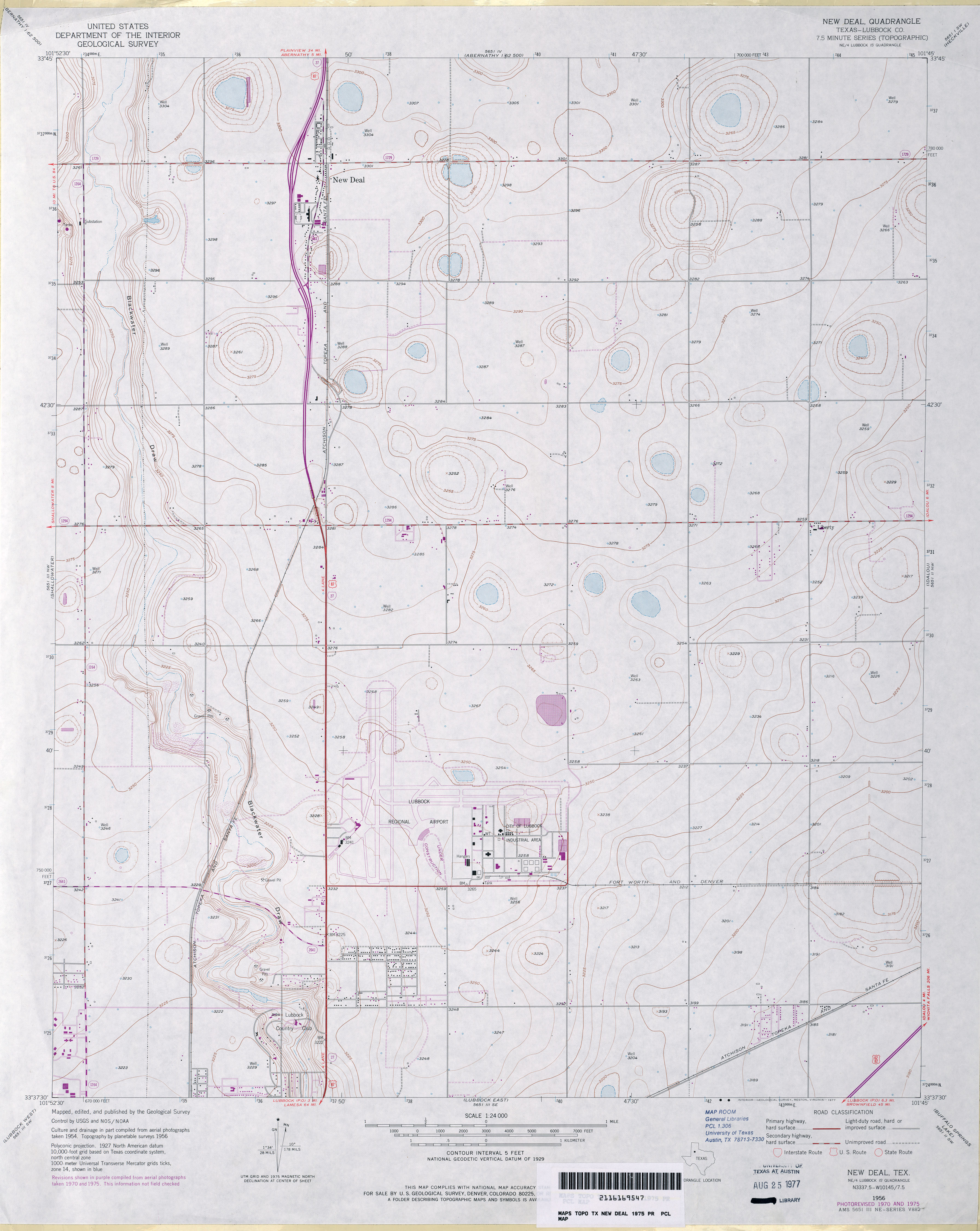
- New Deal (Lubbock County) 1:24,000 1956 (2.7MB)
- New Deal (Lubbock County) 1:24,000 1970 (2.9MB)
- New Deal (Lubbock County) 1:24,000 1975 (2.8MB)
- New Deal 1:24,000 2008 (10.9MB) [GeoPDF]
- New Deal 1:24,000 2012 (16.7MB) [GeoPDF]
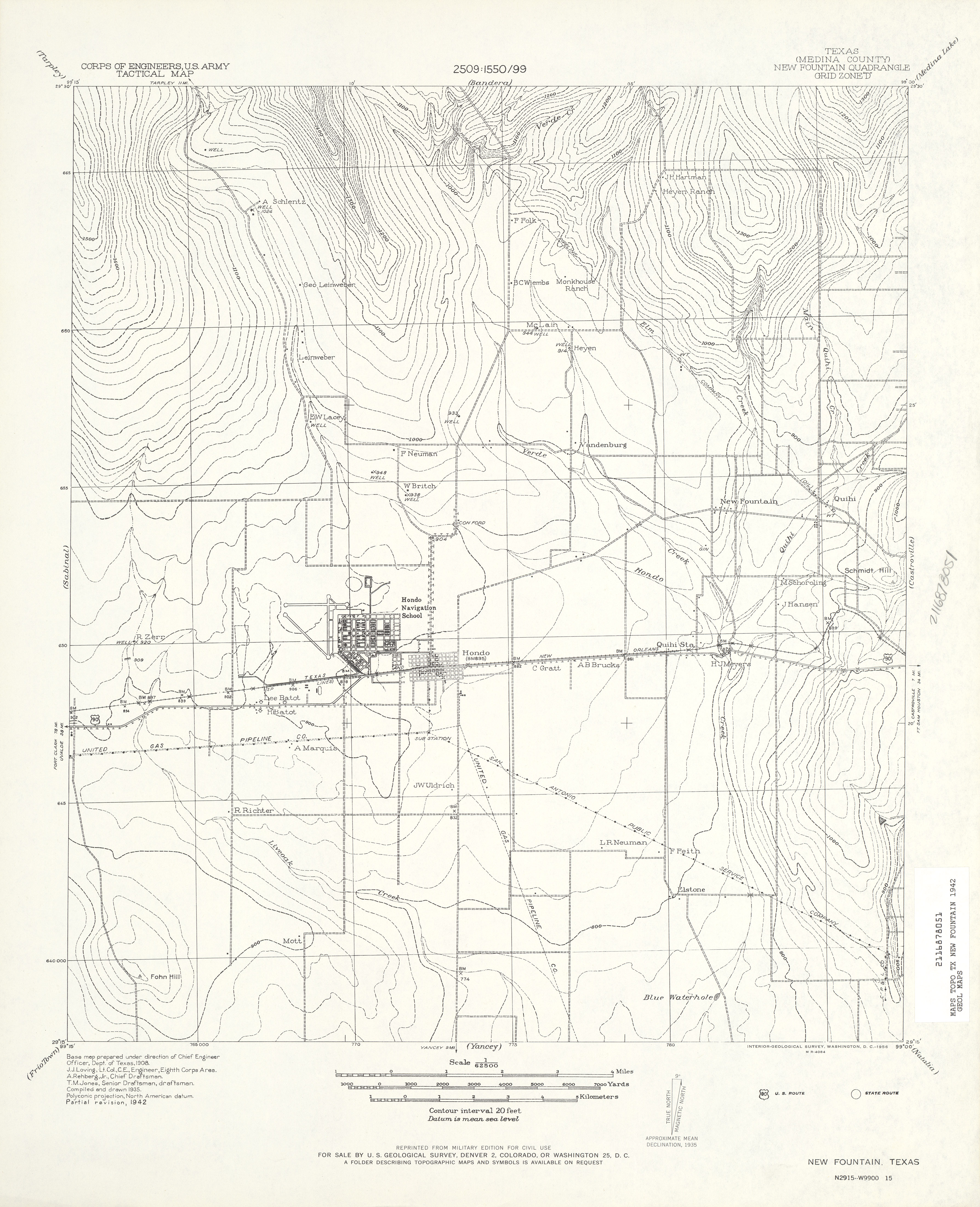
- New Fountain (Medina County) 1:62,500 1942 (3.4 MB) U.S. Army. Corps of Engineers. Tactical Map
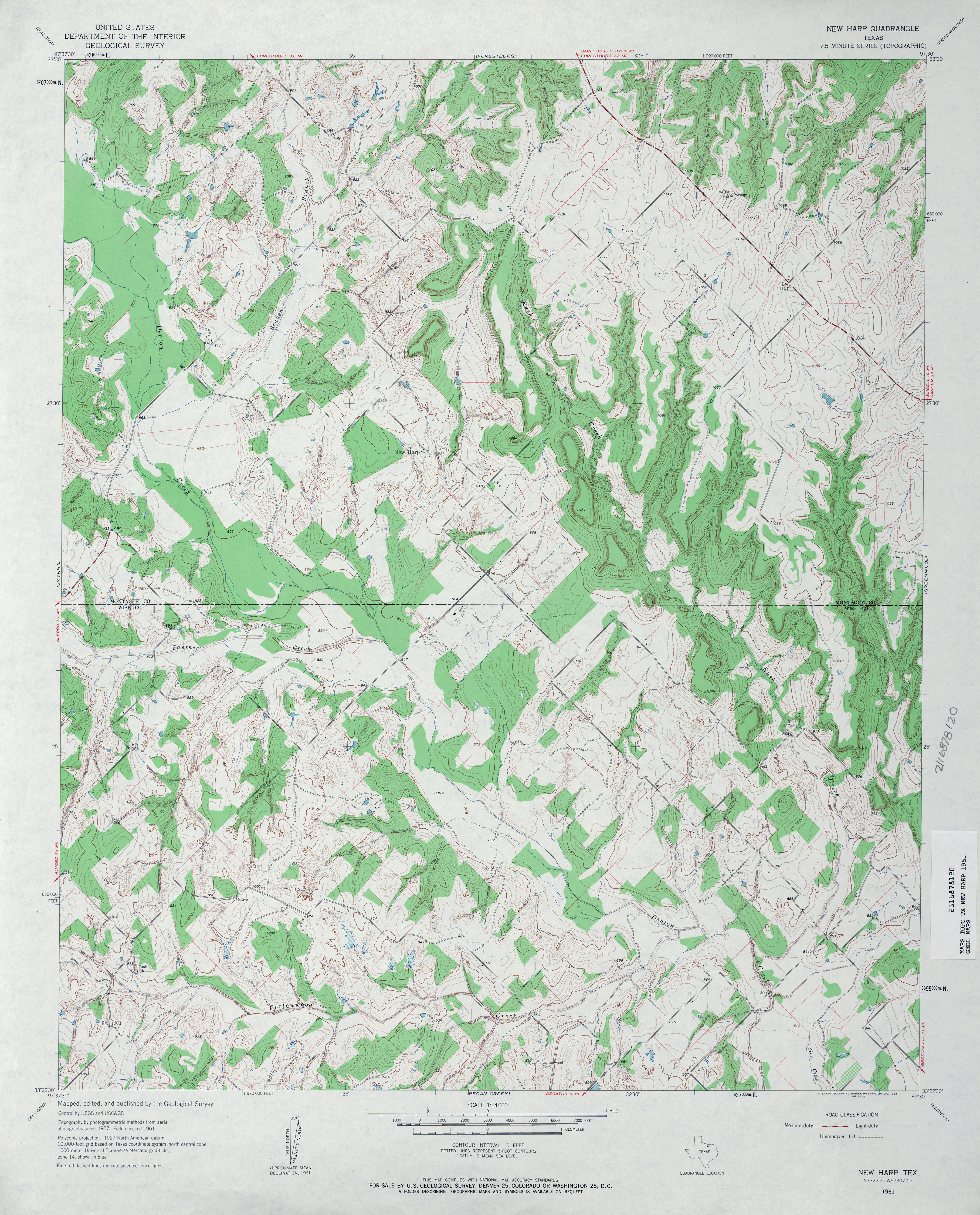
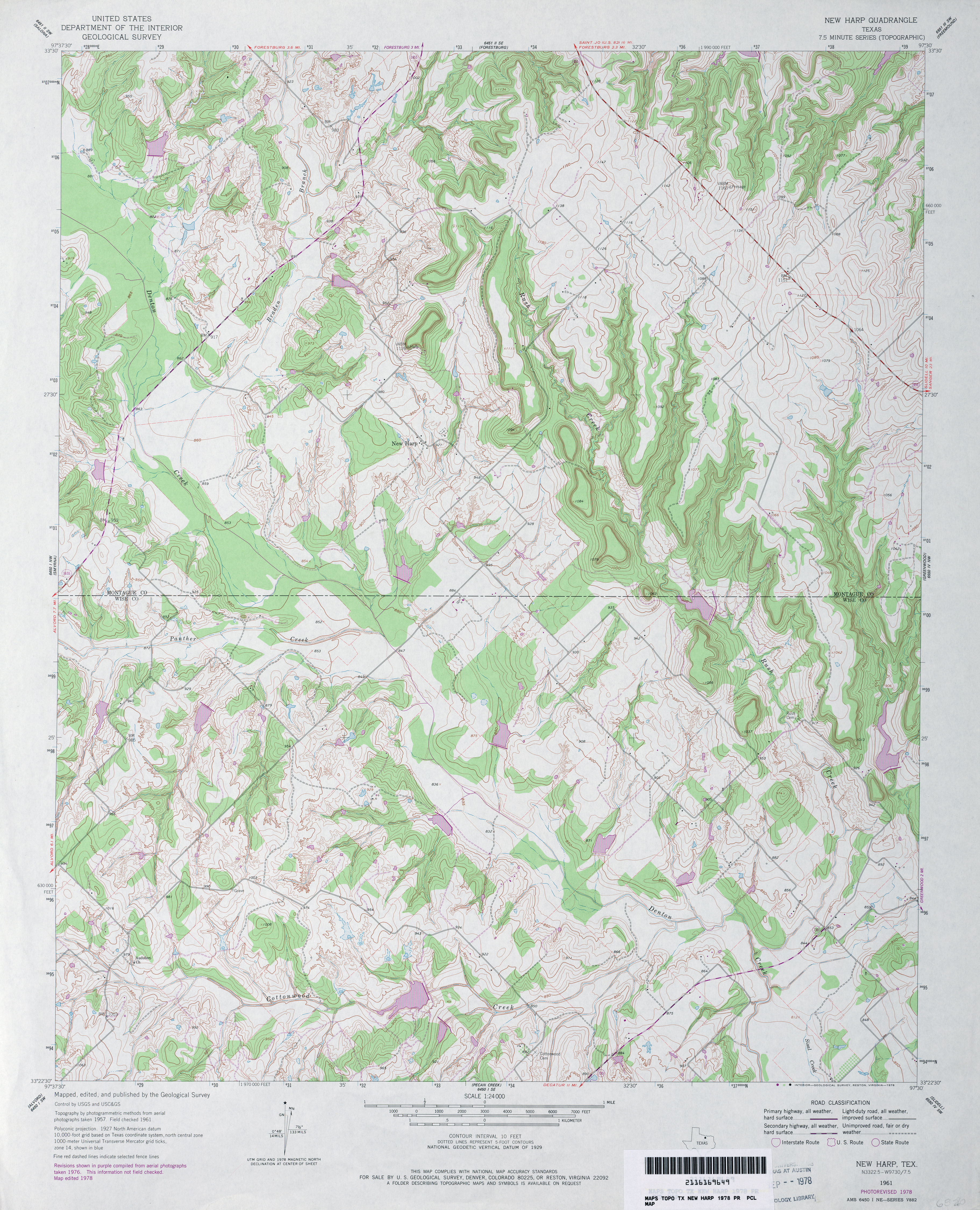
- New Harp 1:24,000 1961 (4.4MB)
- New Harp 1:24,000 1978 (4.9MB)
- New Harp 1:24,000 2008 (16.5MB) [GeoPDF]
- New Harp 1:24,000 2013 (20.8MB) [GeoPDF]
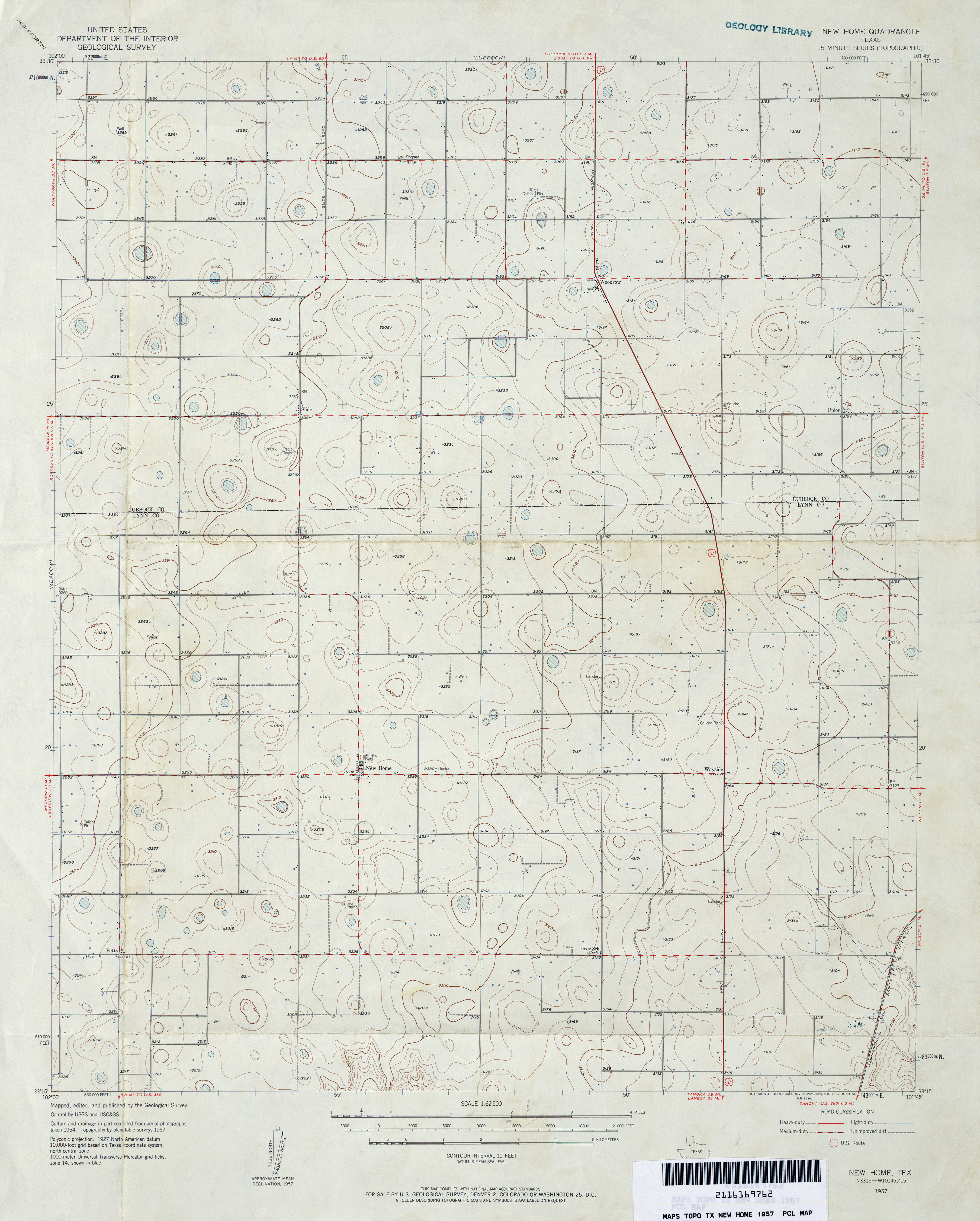
- New Home 1:62,500 1957 (3MB)
- New Home 1:24,000 1976 (2.6MB) 7.5 Minute Series Orthophotoquad
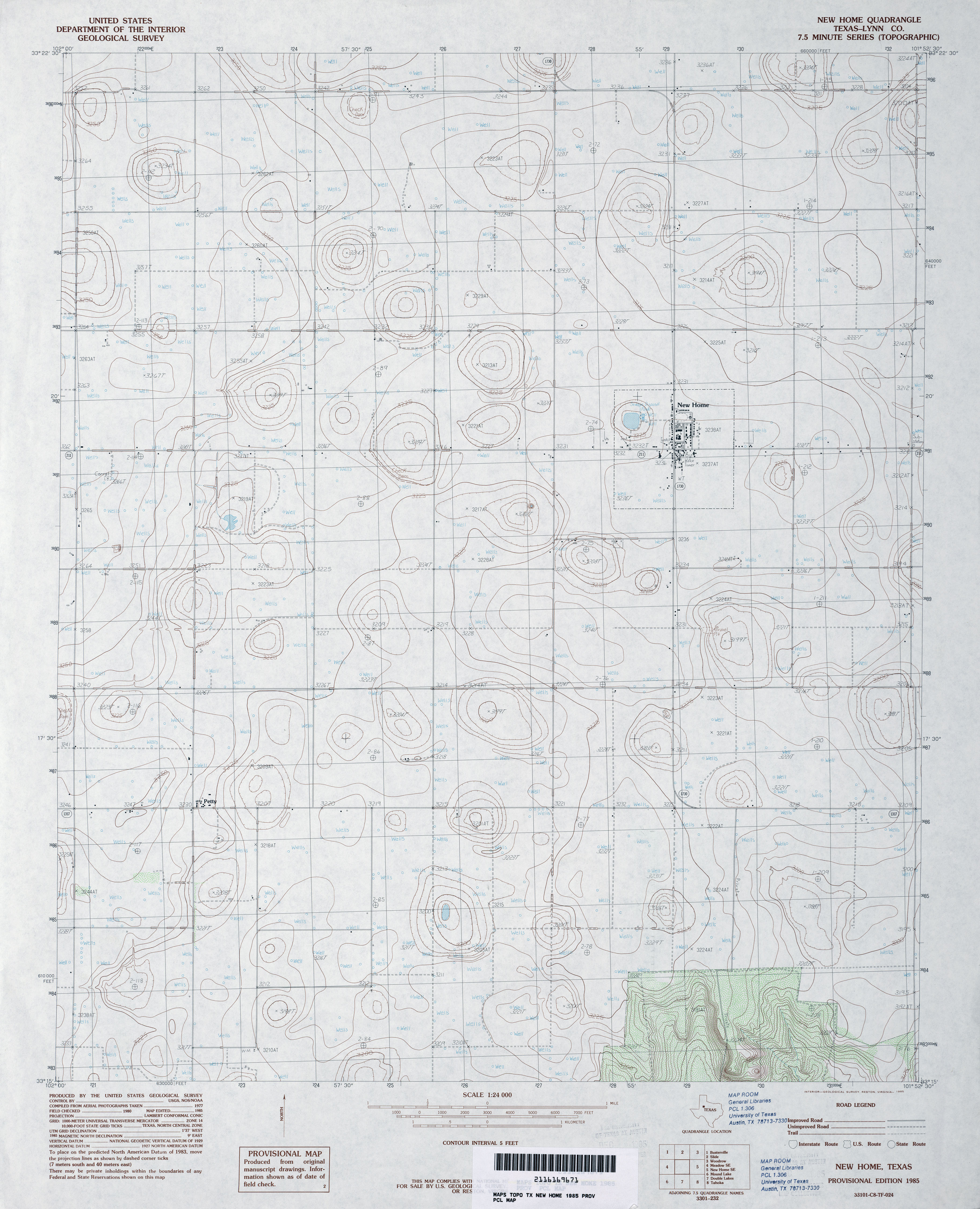
- New Home (Lynn County) 1:24,000 1985 (3.1MB)
- New Home 1:24,000 2008 (10.3MB) [GeoPDF]
- New Home 1:24,000 2012 (15.9MB) [GeoPDF]
- New Home NE 1:24,000 1976 (2.7MB) 7.5 Minute Series Orthophotoquad
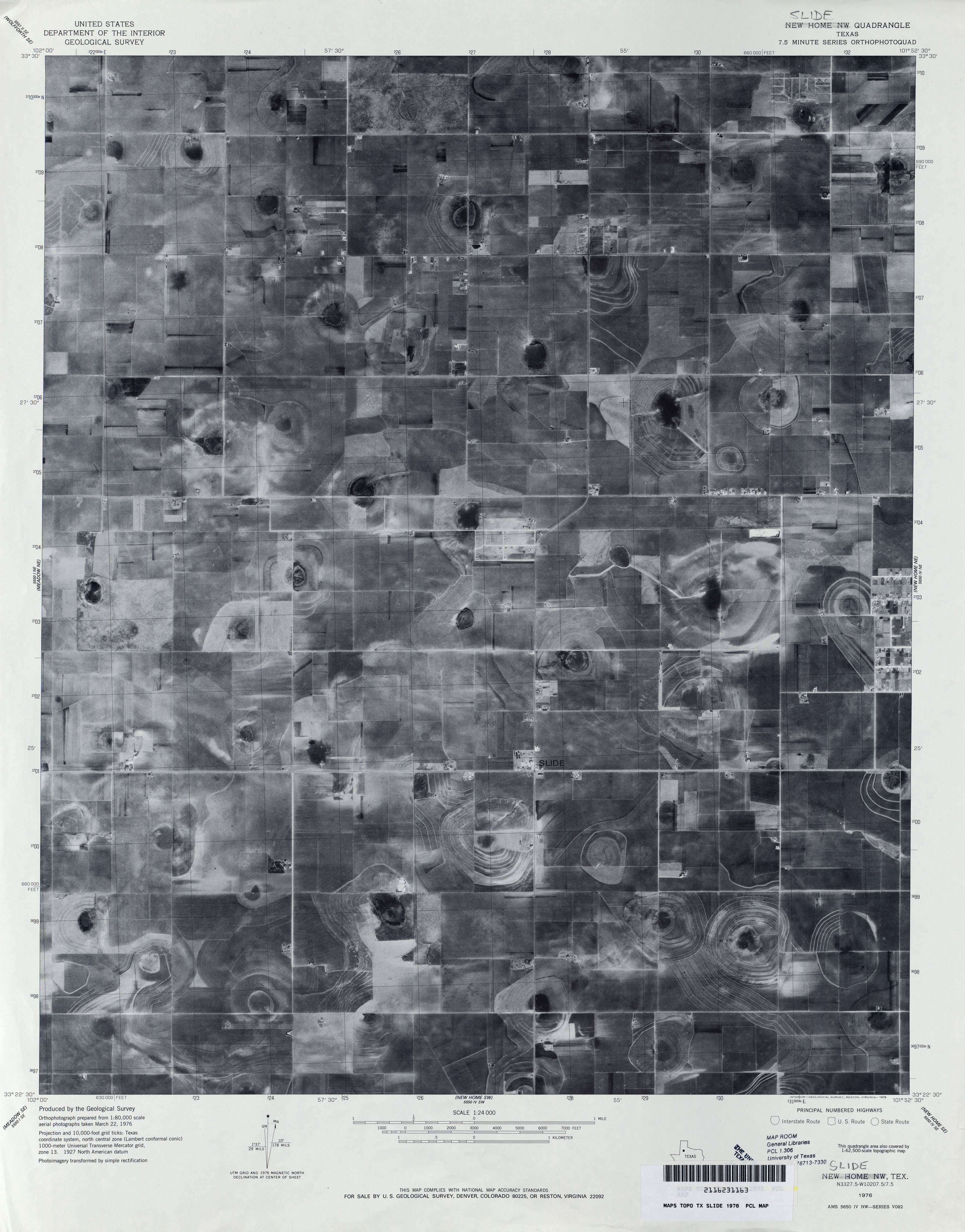
- New Home NW 1:24,000 1976 (2.6MB) 7.5 Minute Series Orthophotoquad
- New Home SE 1:24,000 1976 (2.6MB) 7.5 Minute Series Orthophotoquad
- New Home SE (Lynn County) 1:24,000 1985 (3.2MB)
- New Home SE 1:24,000 2008 (9.9MB) [GeoPDF]
- New Home SE 1:24,000 2012 (15.7MB) [GeoPDF]
- New Hope 1:24,000 1965 (5MB)
- New Hope 1:24,000 2009 (20.0MB) [GeoPDF]
- New Hope 1:24,000 2013 (24.5MB) [GeoPDF]
- New Lynn (Lynn County) 1:24,000 1970 (2.5MB)
- New Lynn 1:24,000 2008 (11.4MB) [GeoPDF]
- New Lynn 1:24,000 2012 (14.7MB) [GeoPDF]
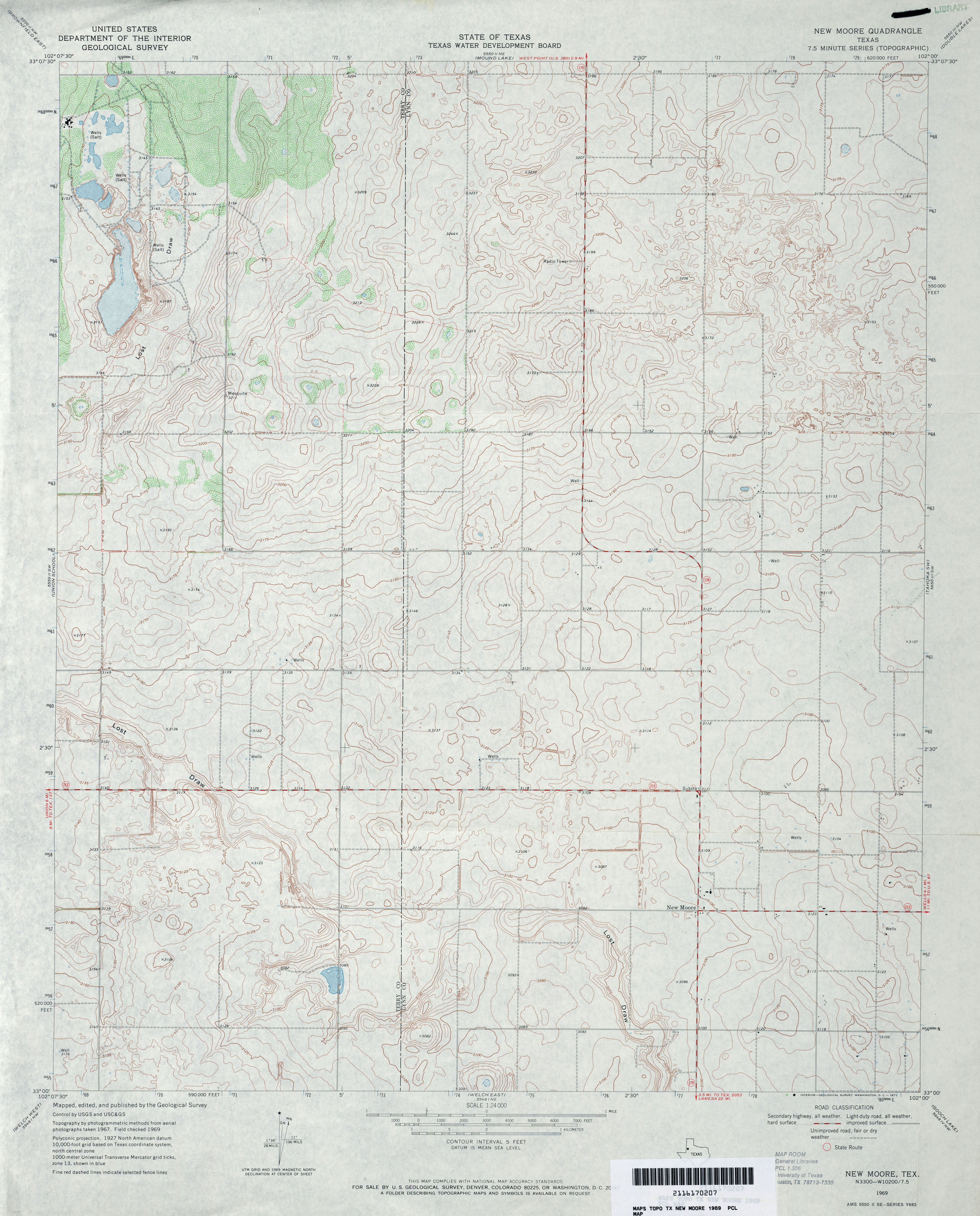
- New Moore 1:24,000 1969 (3.5MB)
- New Moore 1:24,000 2008 (10.0MB) [GeoPDF]
- New Moore 1:24,000 2012 (16MB) [GeoPDF]
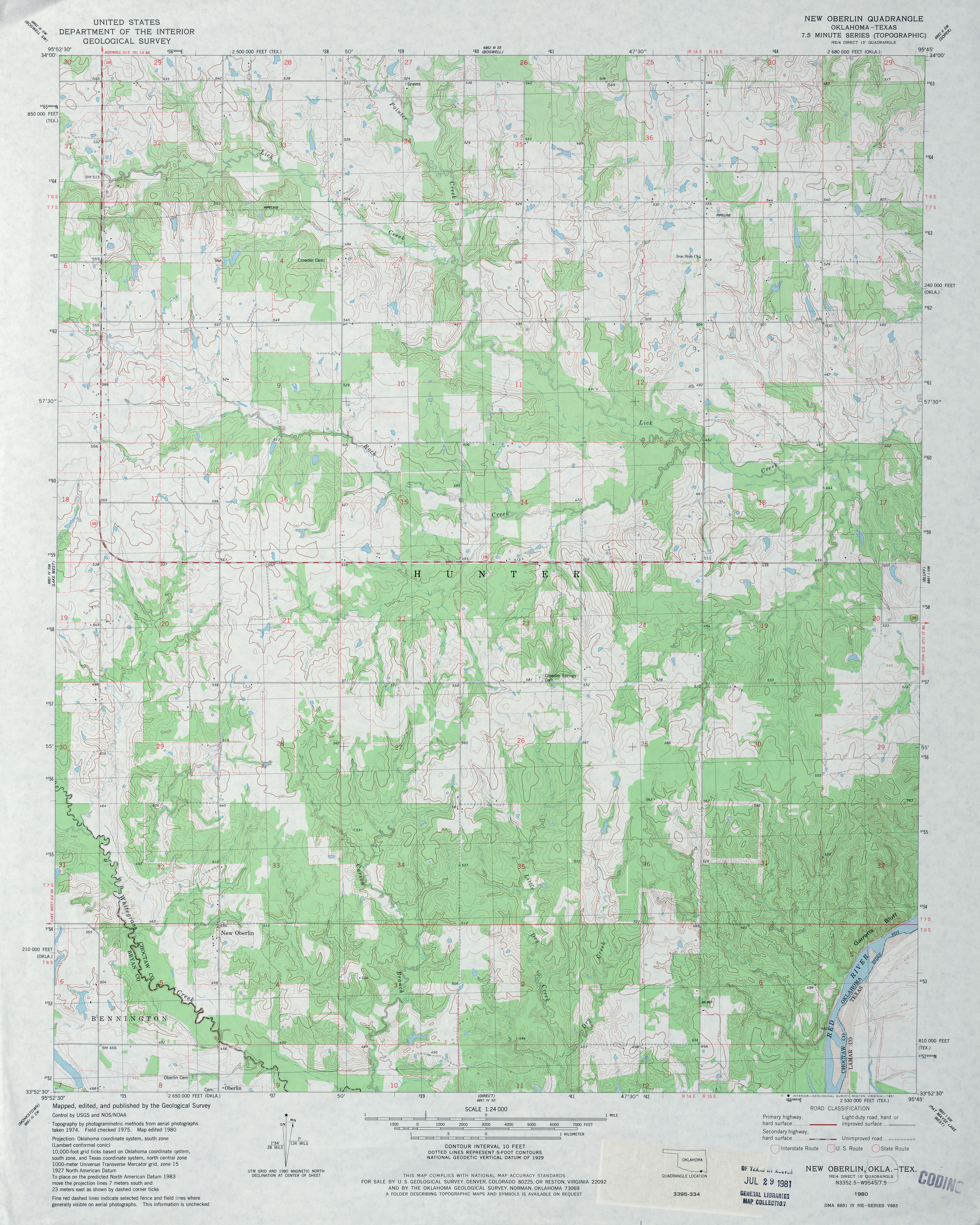
- New Oberlin 1:24,000 1980 (4.3MB)
- New Oberlin 1:24,000 2008 (20.3MB) [GeoPDF]
- New Oberlin 1:24,000 2012 (24.9MB) [GeoPDF]
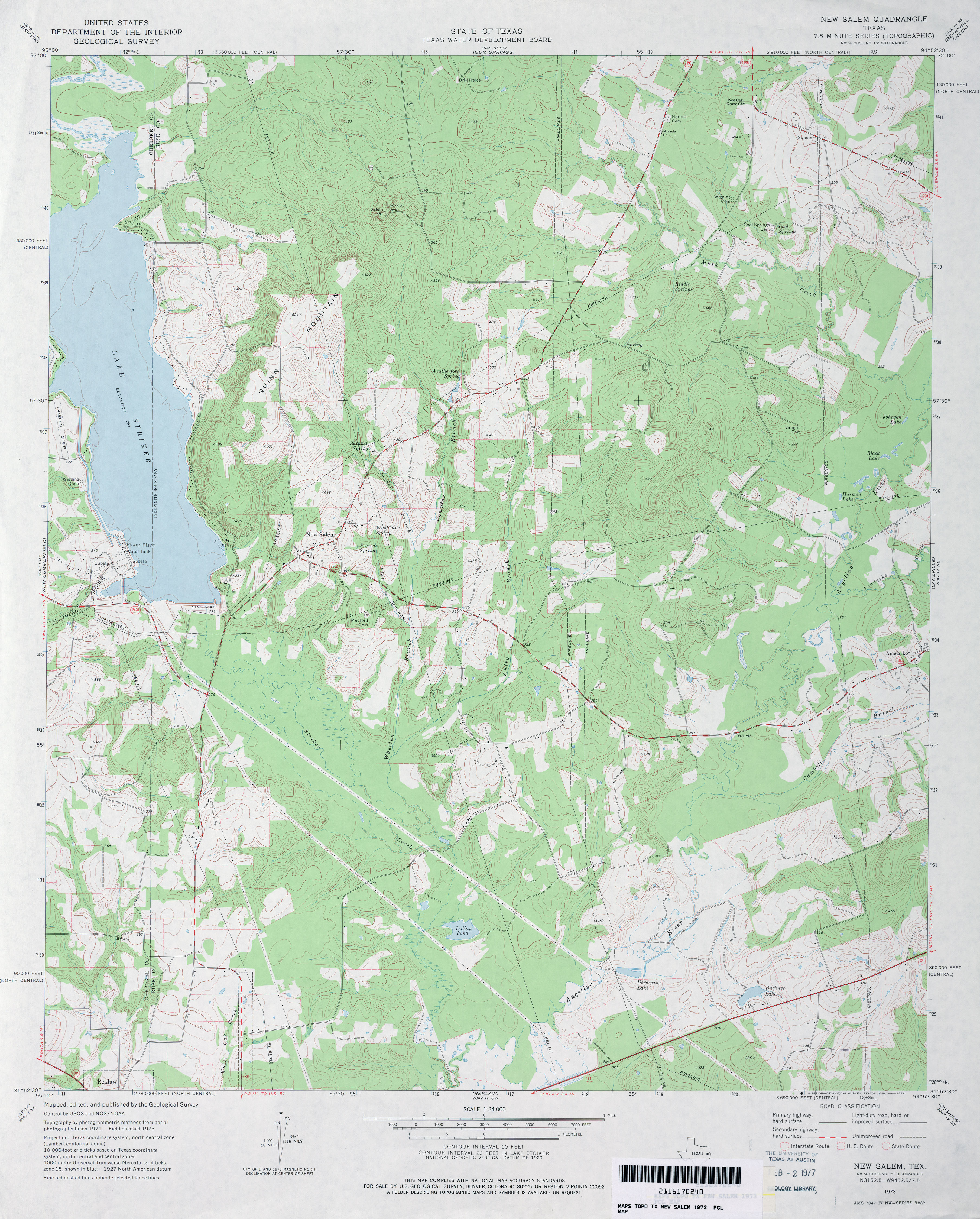
- New Salem 1:24,000 1973 (4MB)
- New Salem 1:24,000 2009 (20.8MB) [GeoPDF]
- New Salem 1:24,000 2013 (24.9MB) [GeoPDF]
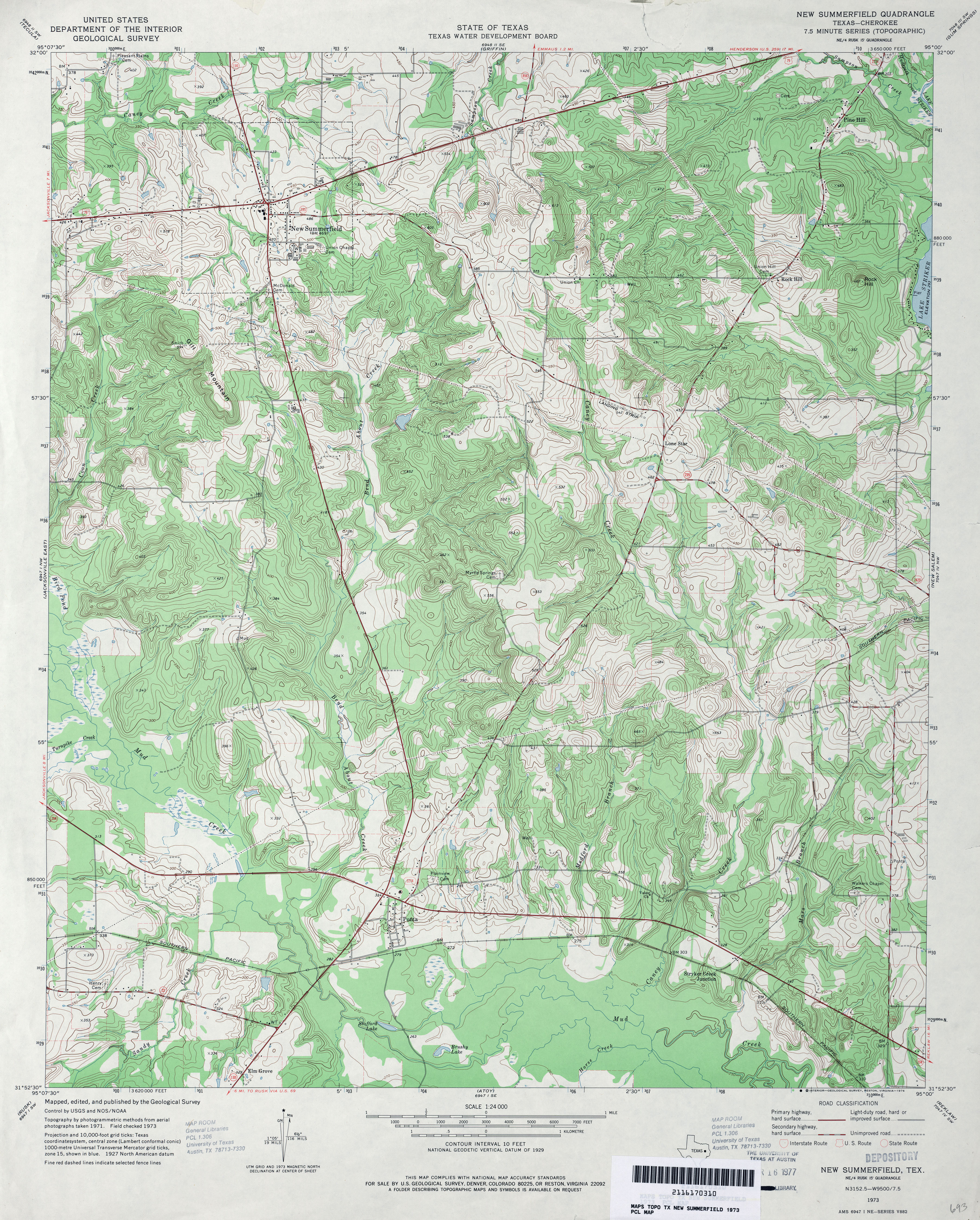
- New Summerfield 1:24,000 1973 (5MB)
- New Summerfield 1:24,000 2009 (21.5MB) [GeoPDF]
- New Summerfield 1:24,000 2013 (25.4MB) [GeoPDF]
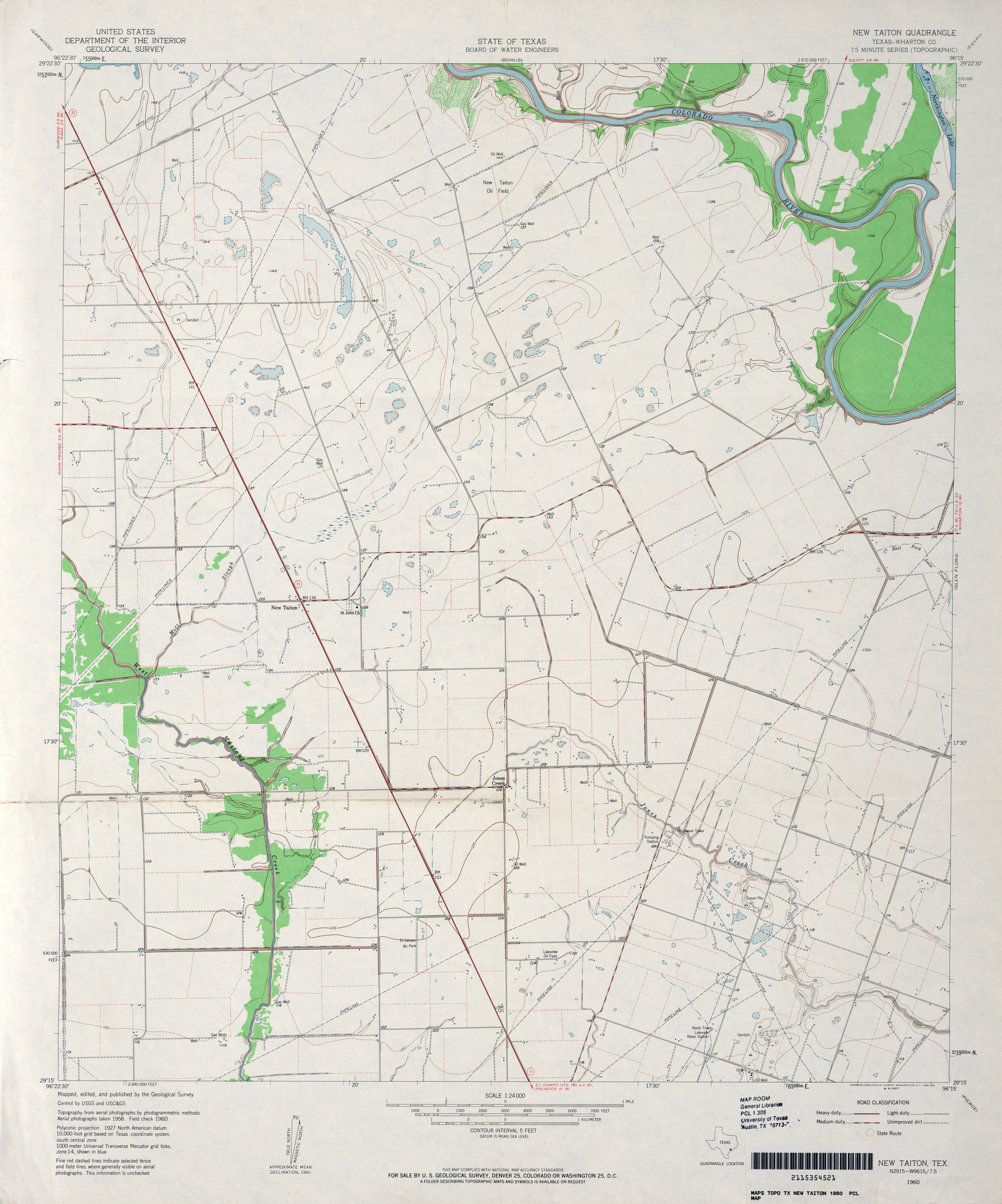
- New Taiton (Wharton County) 1:24,000 1960 (2.9MB)
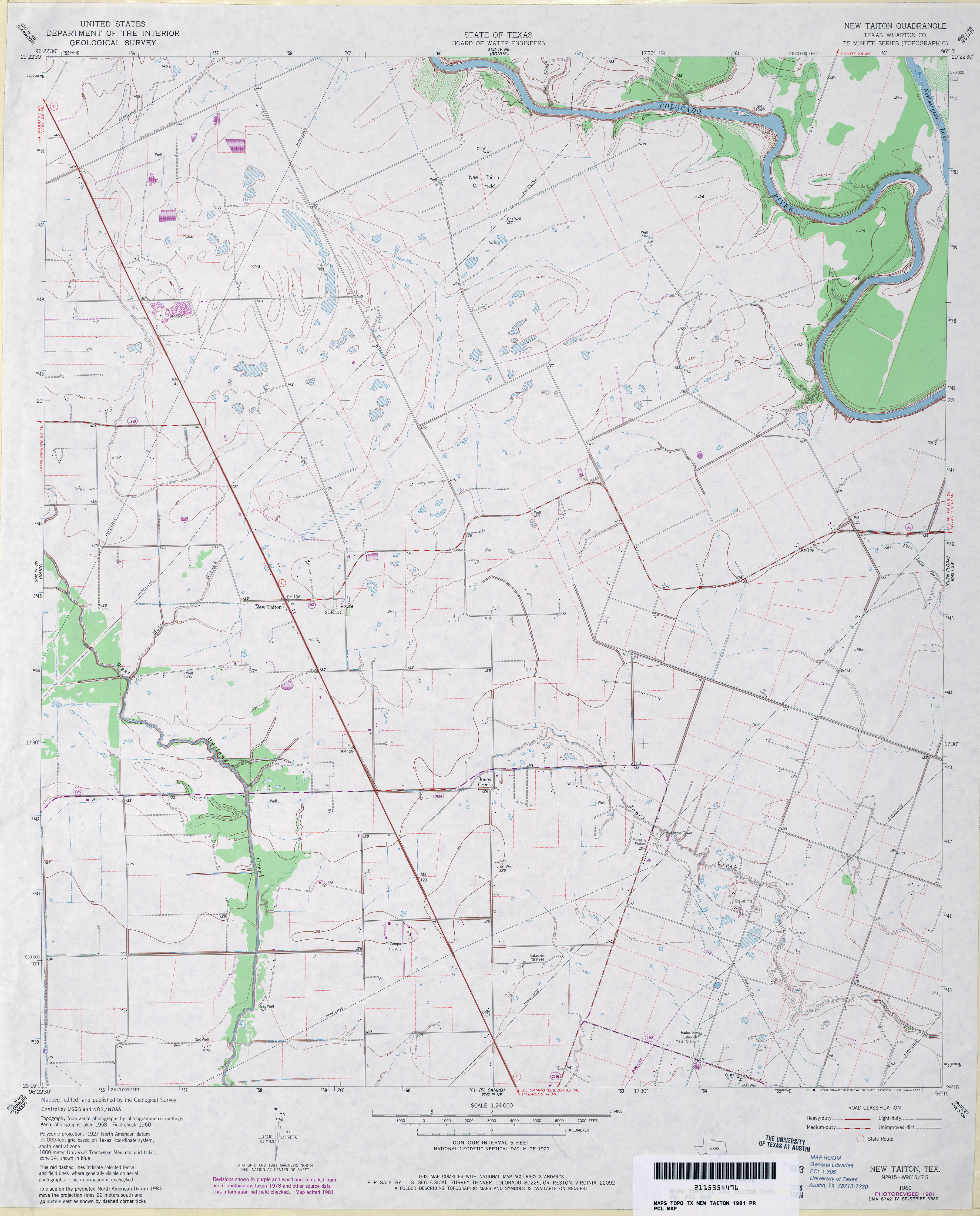
- New Taiton (Wharton County) 1:24,000 1981 (3MB)
- New Taiton 1:24,000 2009 (9.9MB) [GeoPDF]
- New Taiton 1:24,000 2013 (17.2MB) [GeoPDF]
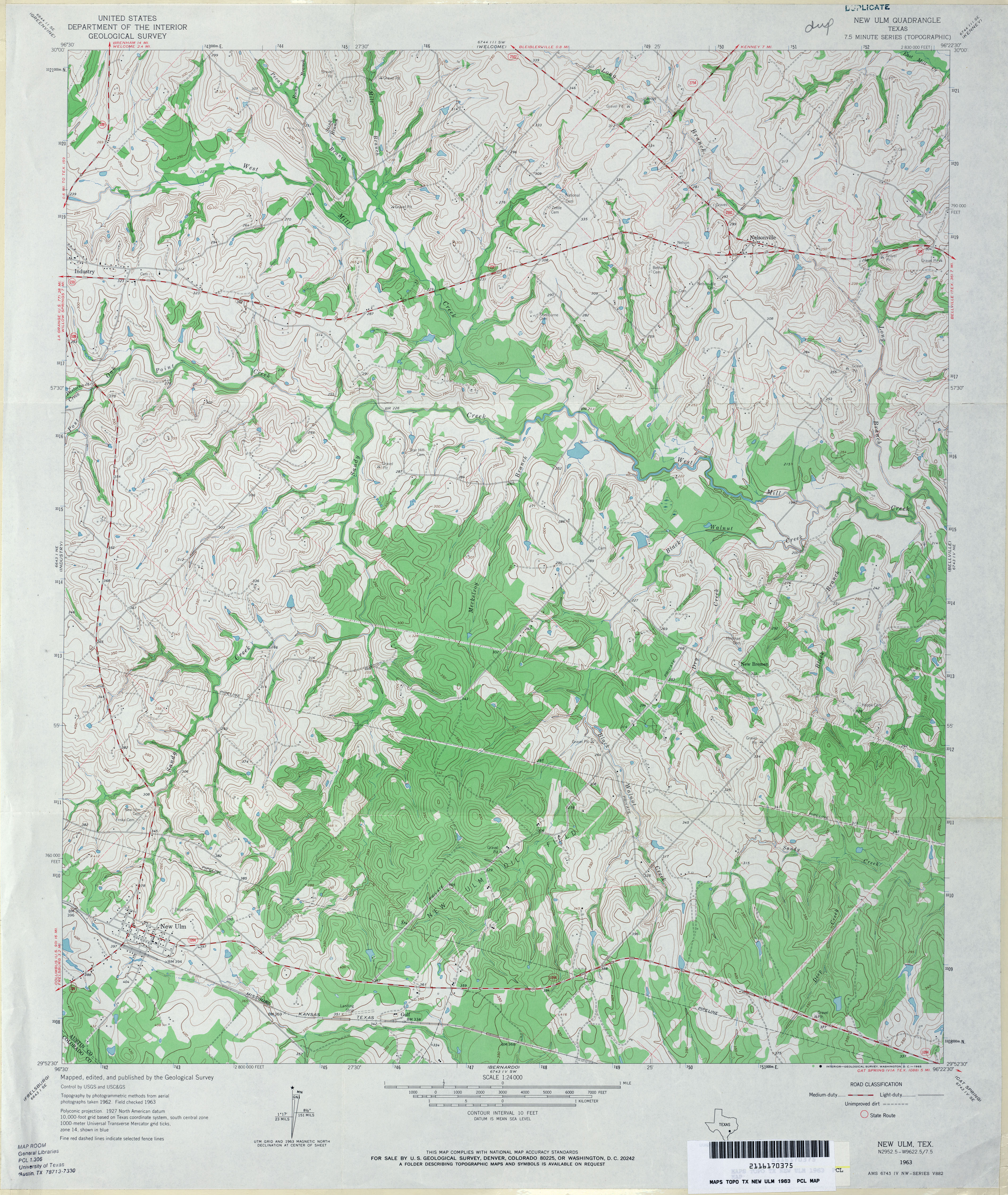
- New Ulm 1:24,000 1963 (4.8MB)
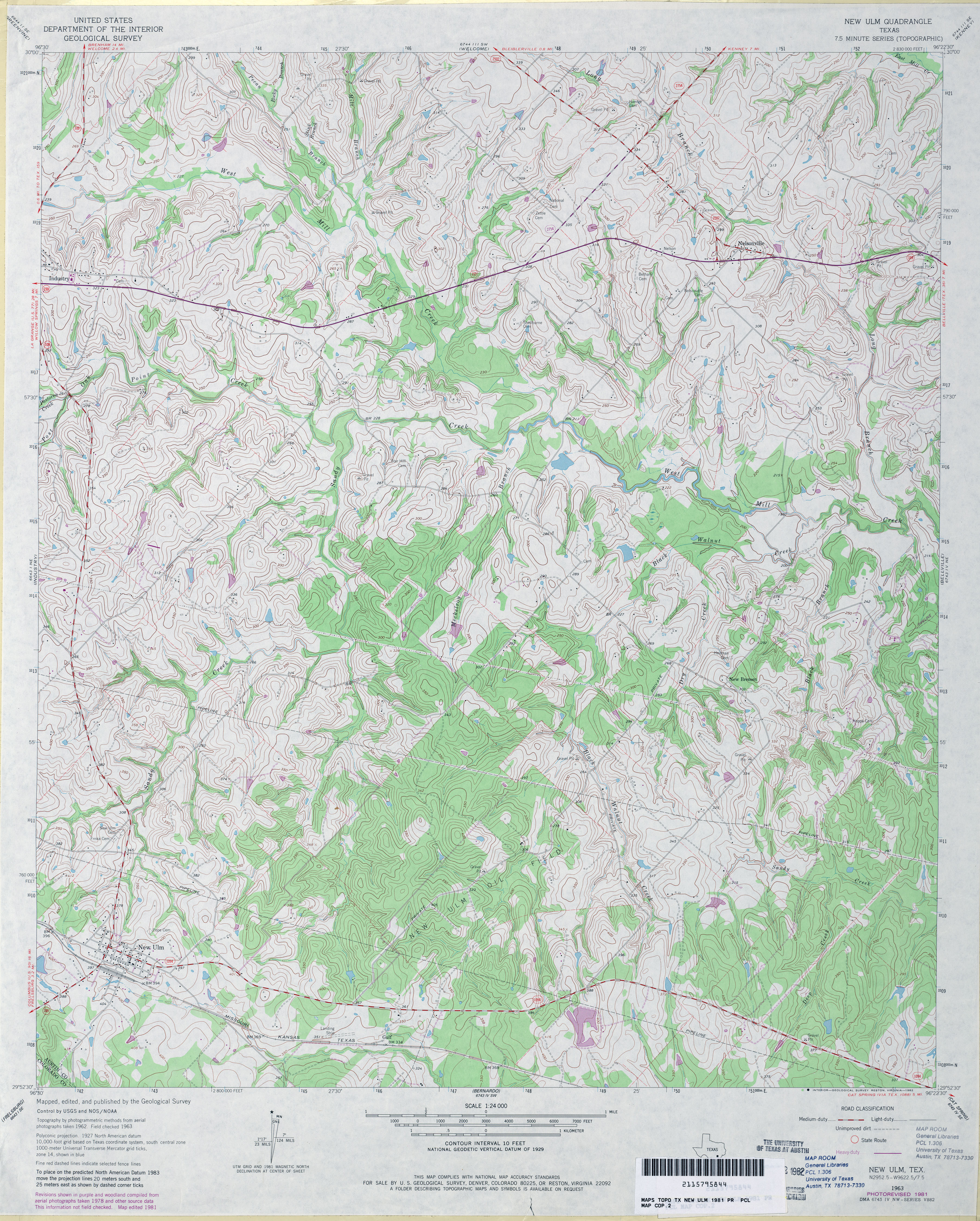
- New Ulm 1:24,000 1981 (5.2MB)
- New Ulm 1:24,000 2008 (16.0MB) [GeoPDF]
- New Ulm 1:24,000 2013 (23.6MB) [GeoPDF]
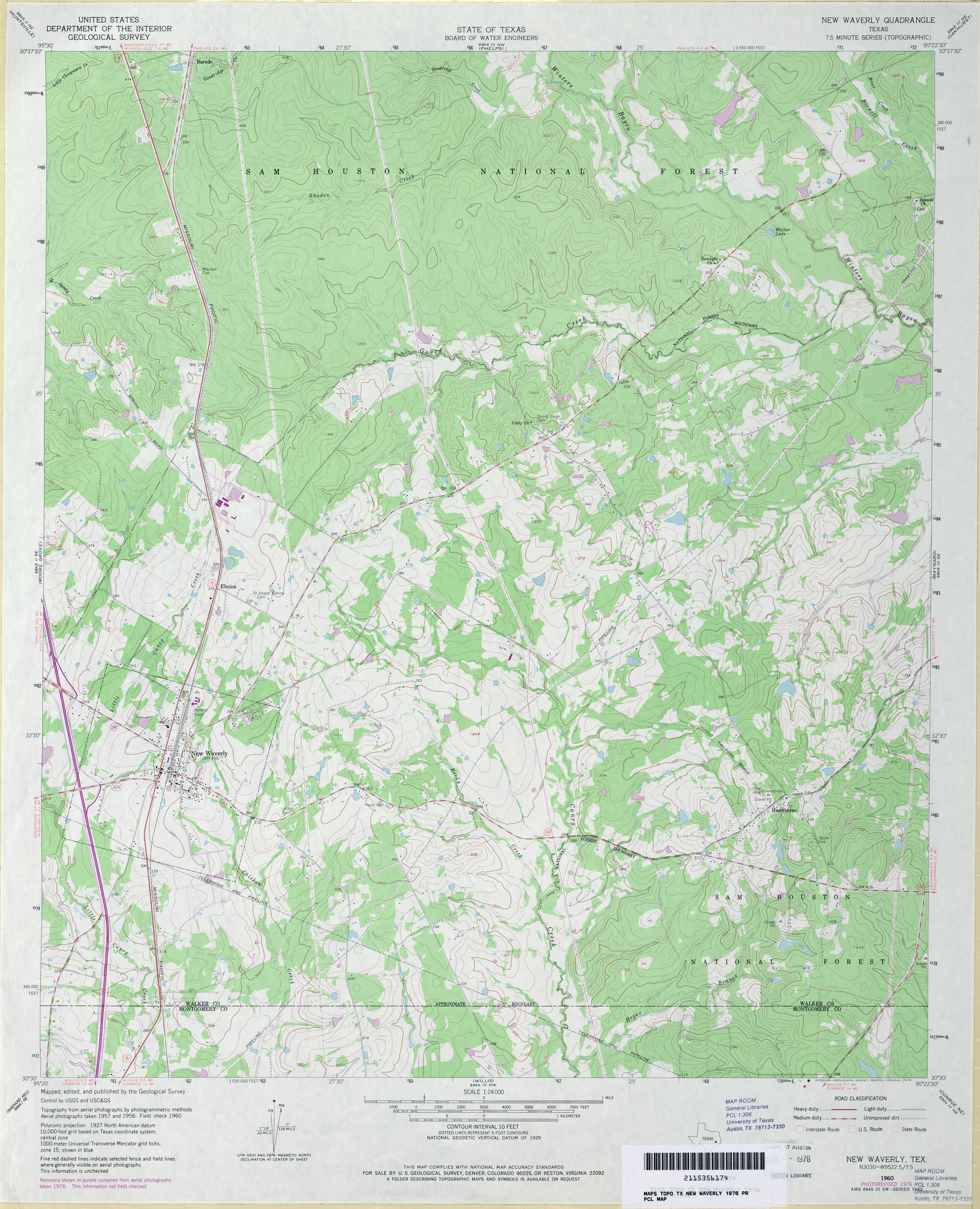
- New Waverly 1:24,000 1960 (4.1MB)
- New Waverly 1:24,000 1976 (3.9MB)
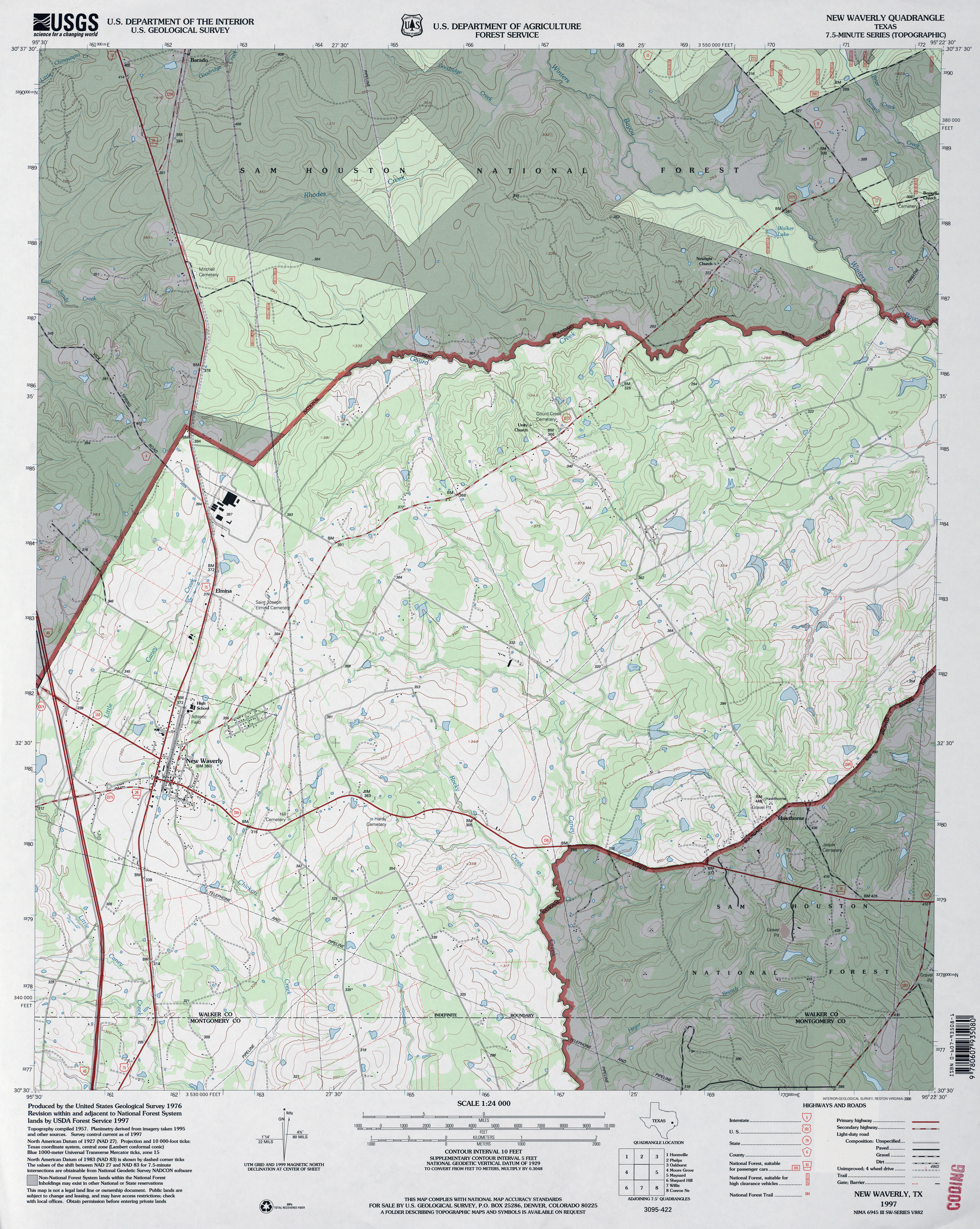
- New Waverly 1:24,000 1997 (4.4MB)
- New Waverly 1:24,000 2009 (22.8MB) [GeoPDF]
- New Waverly 1:24,000 2013 (22MB) [GeoPDF]
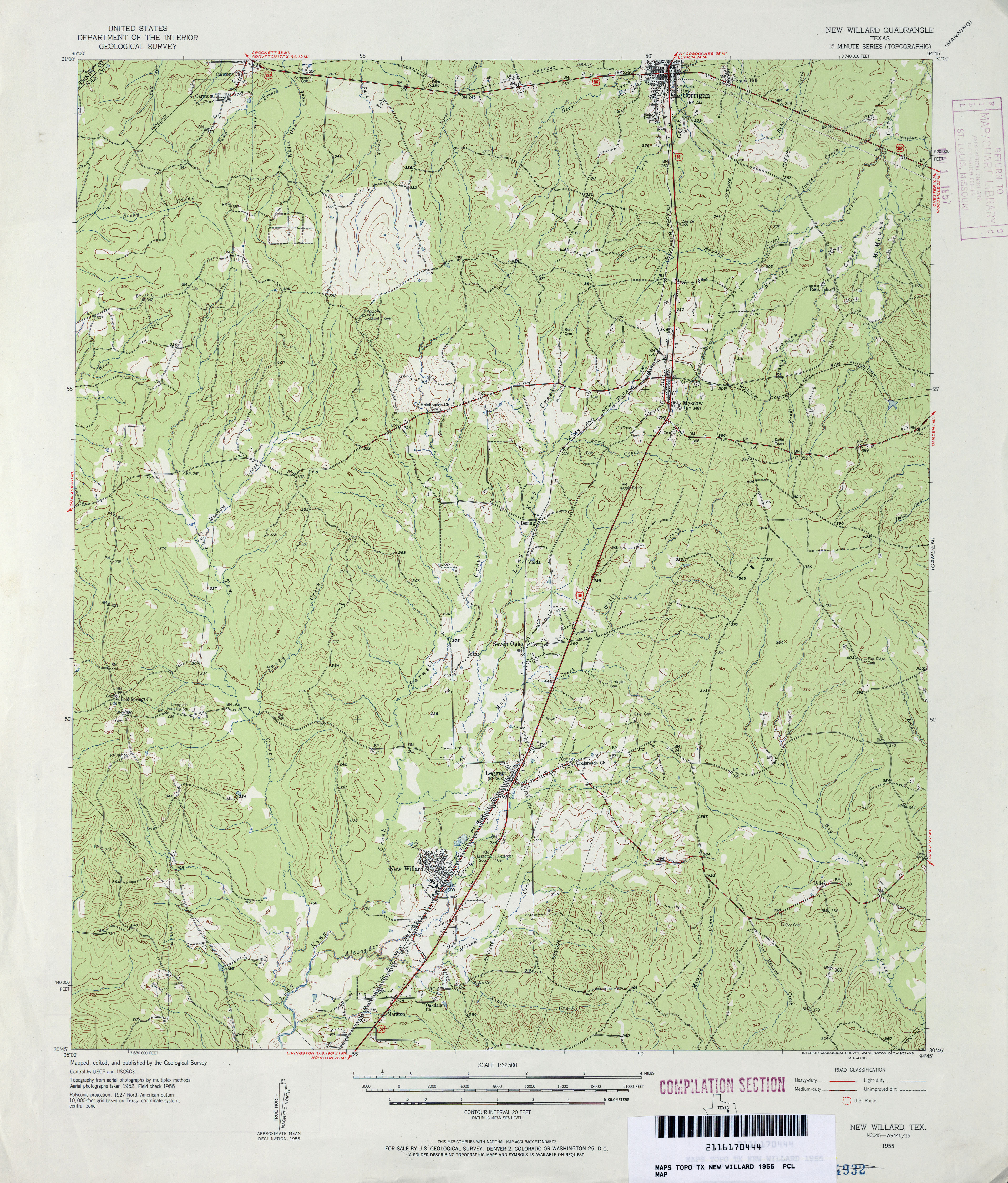
- New Willard 1:62,500 1955 (4.5MB)
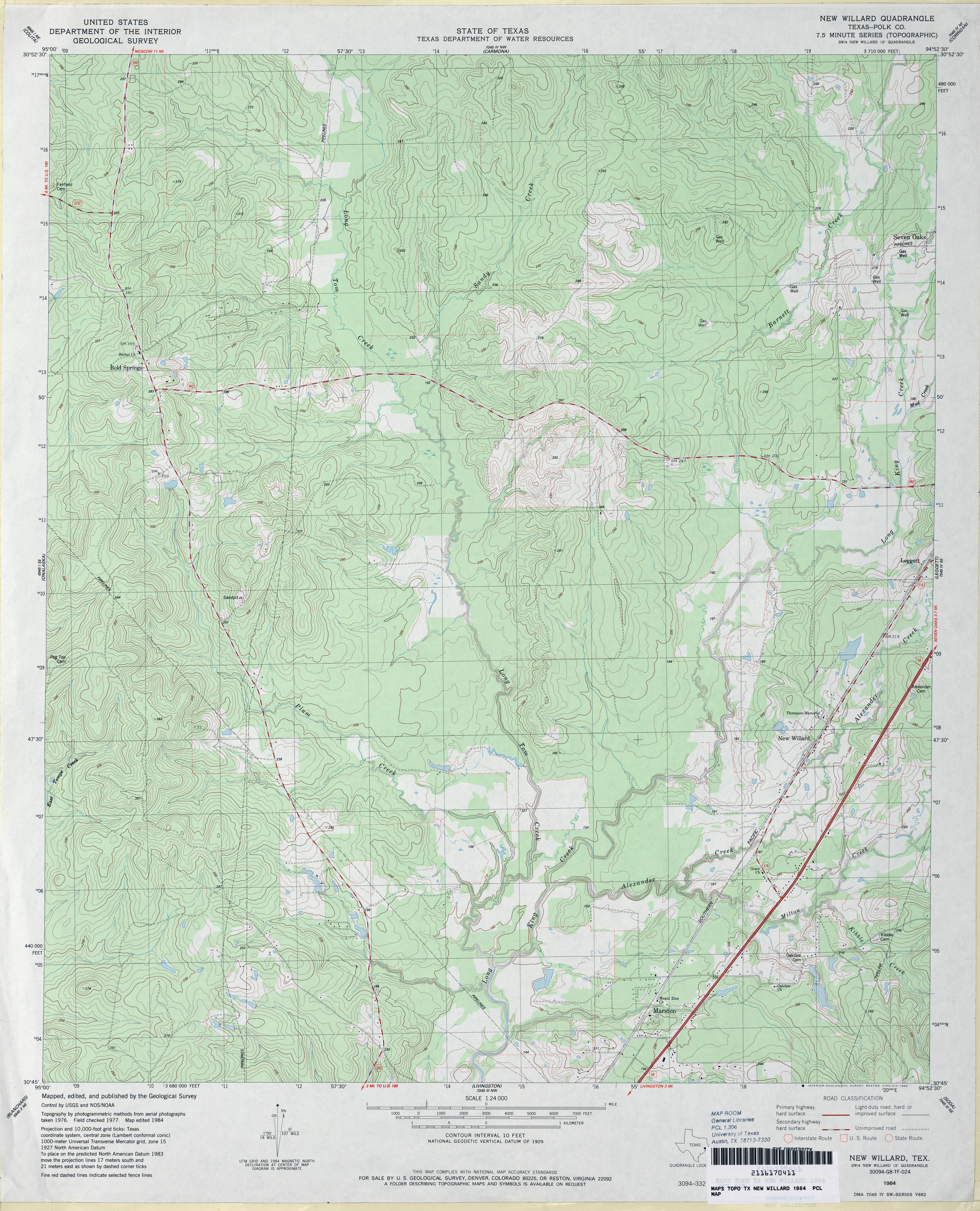
- New Willard 1:24,000 1984 (4.3MB)
- New Willard 1:24,000 2009 (23.7MB) [GeoPDF]
- New Willard 1:24,000 2013 (24.2MB) [GeoPDF]
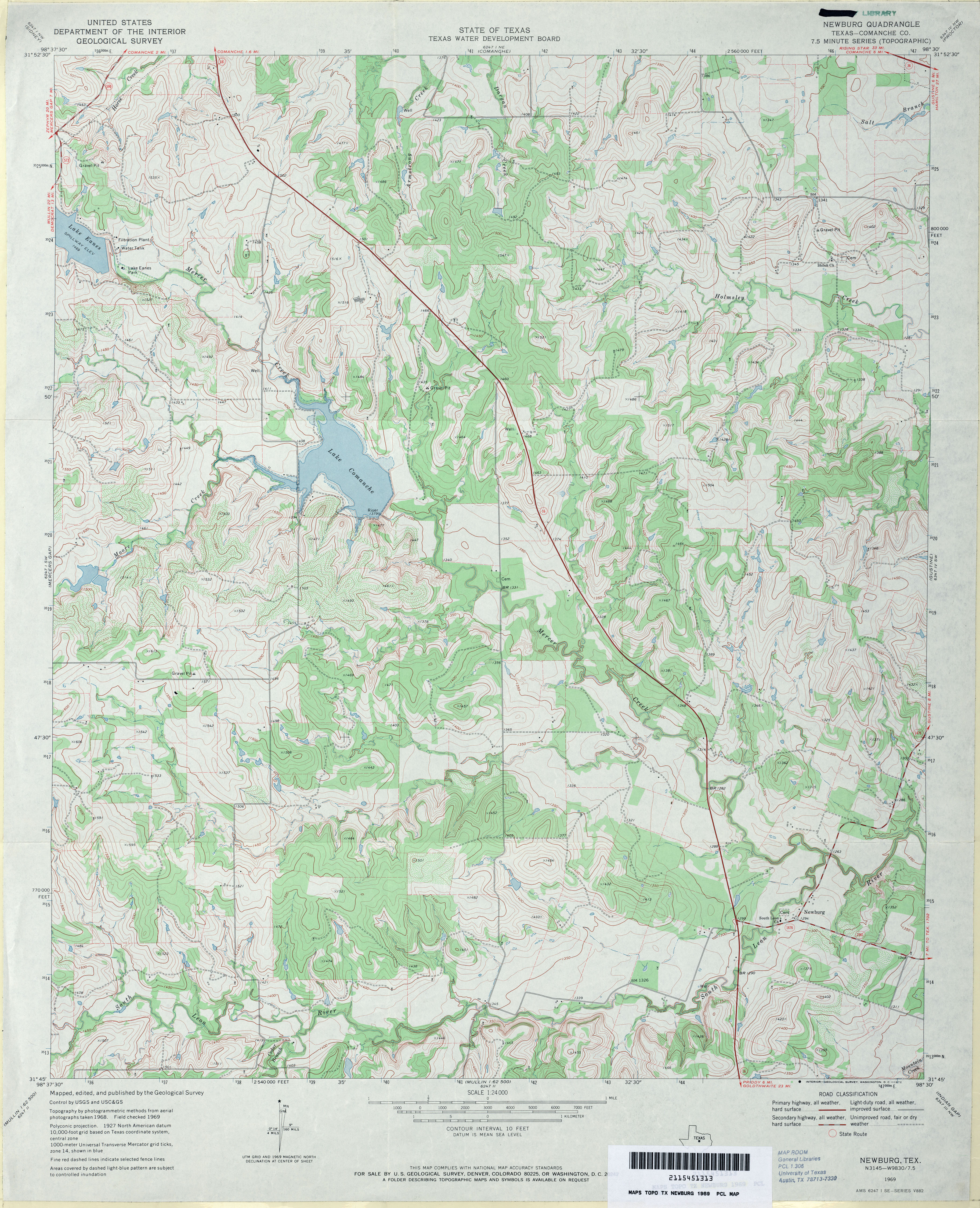
- Newburg (Comanche County) 1:24,000 1969 (4.5MB)
- Newburg 1:24,000 2013 (19.9MB) [GeoPDF]
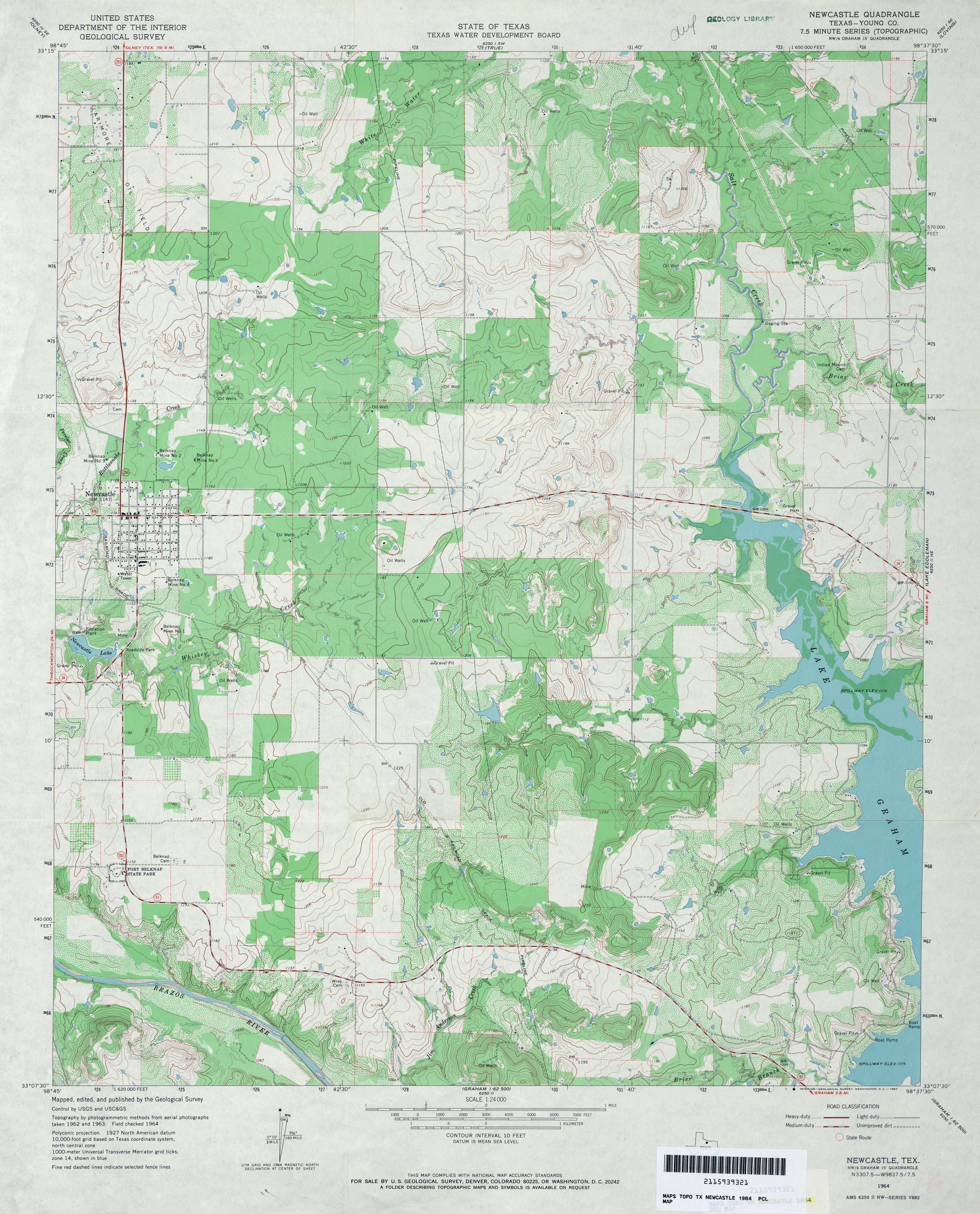
- Newcastle (Young County) 1:24,000 1964 (4.2MB)
- Newcastle (Young County) 1:24,000 1981 (3.9MB)
- Newcastle 1:24,000 2008 (17.2MB) [GeoPDF]
- Newcastle 1:24,000 2013 (20.4MB) [GeoPDF]
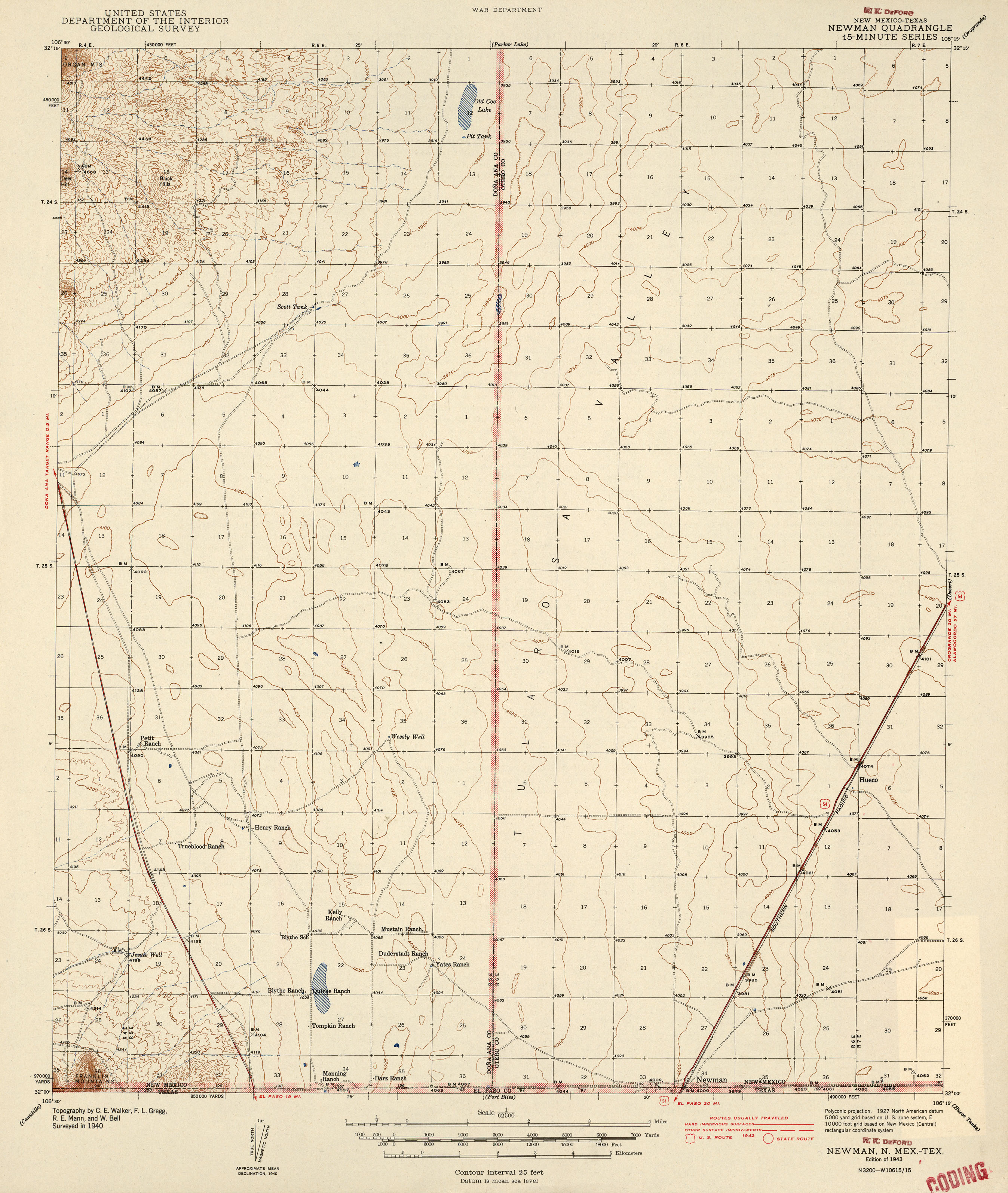
- Newman [New Mexico, Texas] 1:62,500 1942 (2MB)
- Newman [New Mexico, Texas] 1:62,500 1942 (2MB)
- Newman 1:24,000 1955 (2.9MB)
- Newman [New Mexico, Texas] 1:24,000 2009 (26.4MB) [GeoPDF]
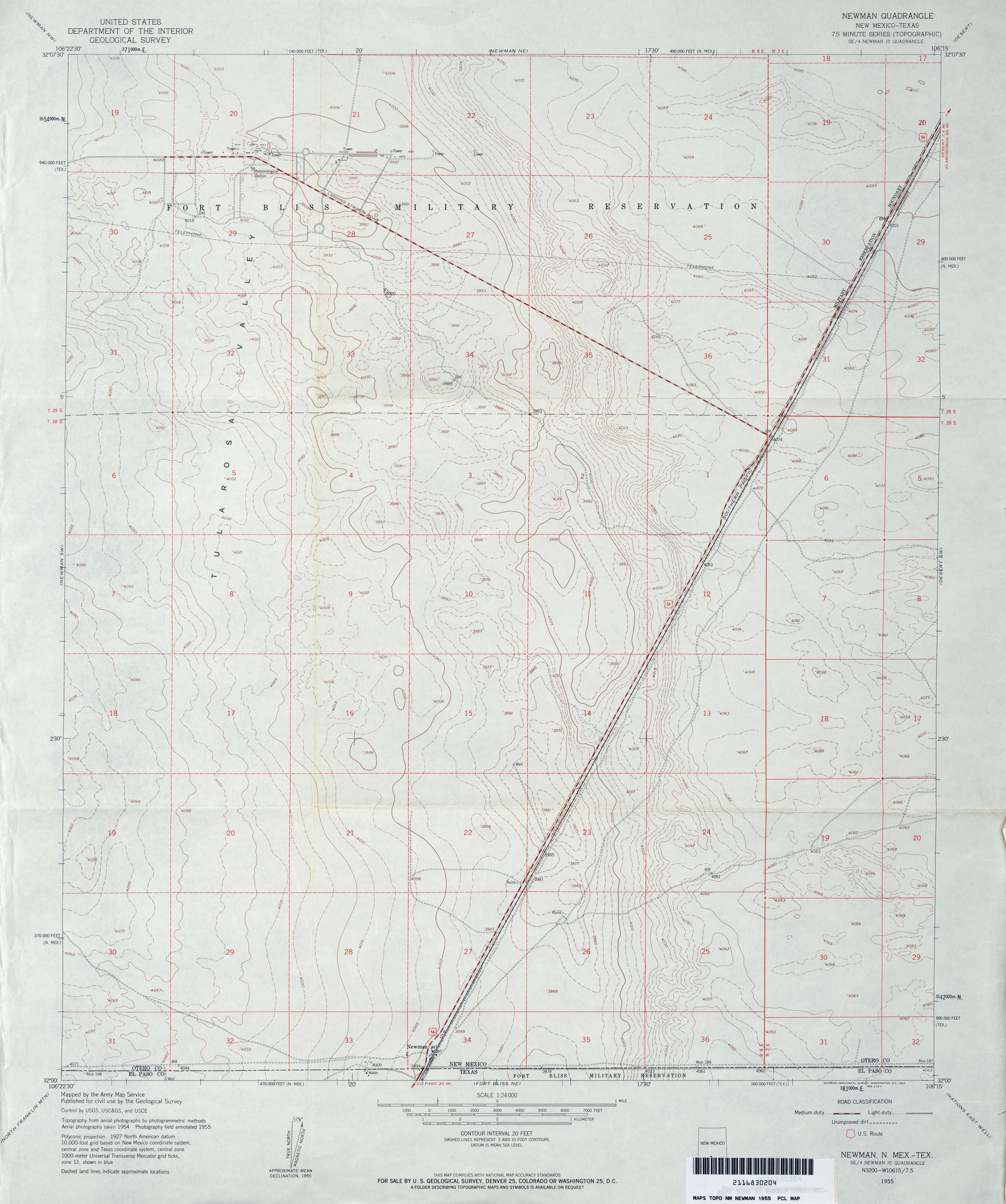
- Newman SW 1:24,000 1955 (3.5MB)
- Newman SW 1:24,000 2010 (29.8MB) [GeoPDF]
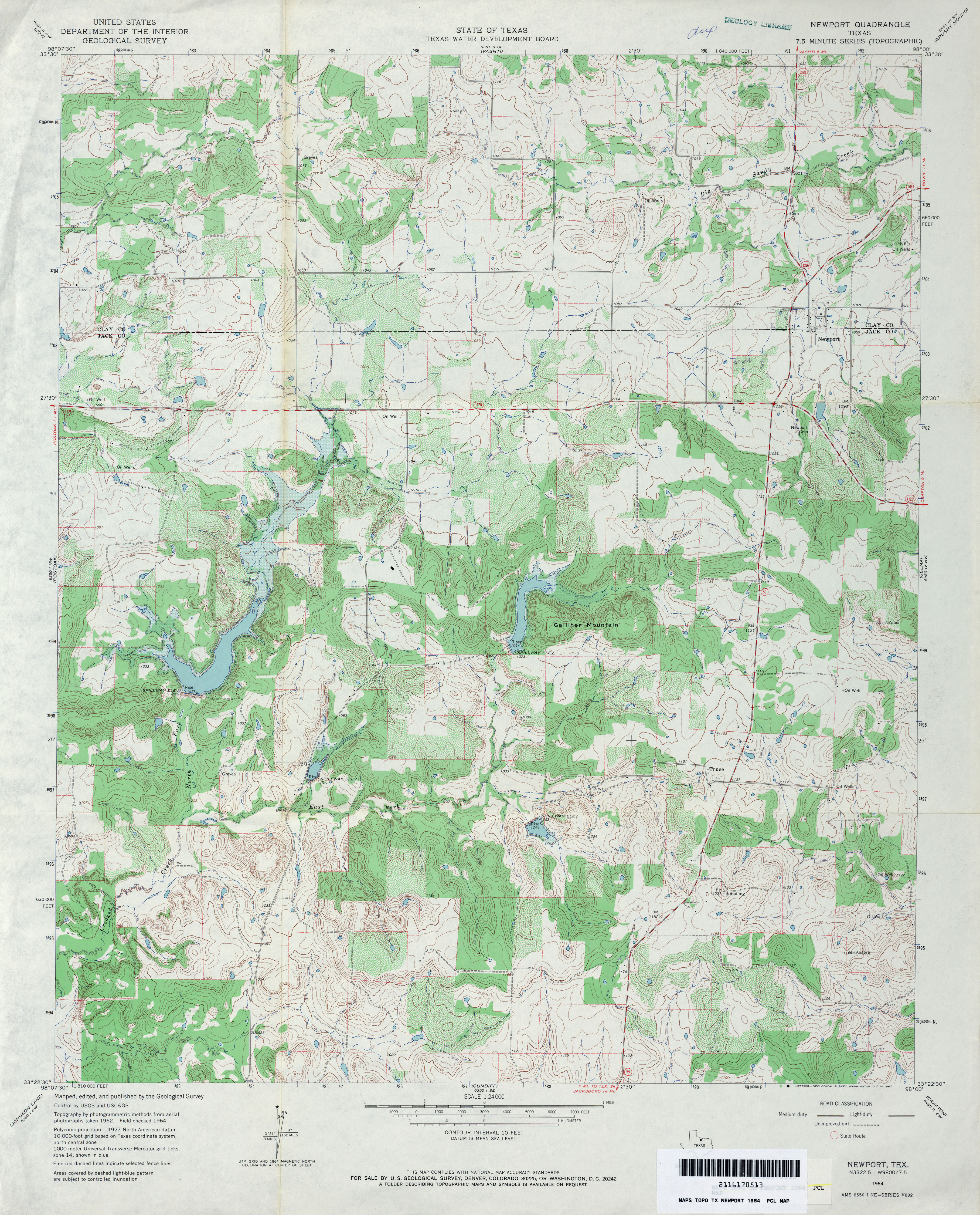
- Newport 1:24,000 1964 (4.6MB)
- Newport 1:24,000 2008 (18.0MB) [GeoPDF]
- Newport 1:24,000 2012 (19.4MB) [GeoPDF]
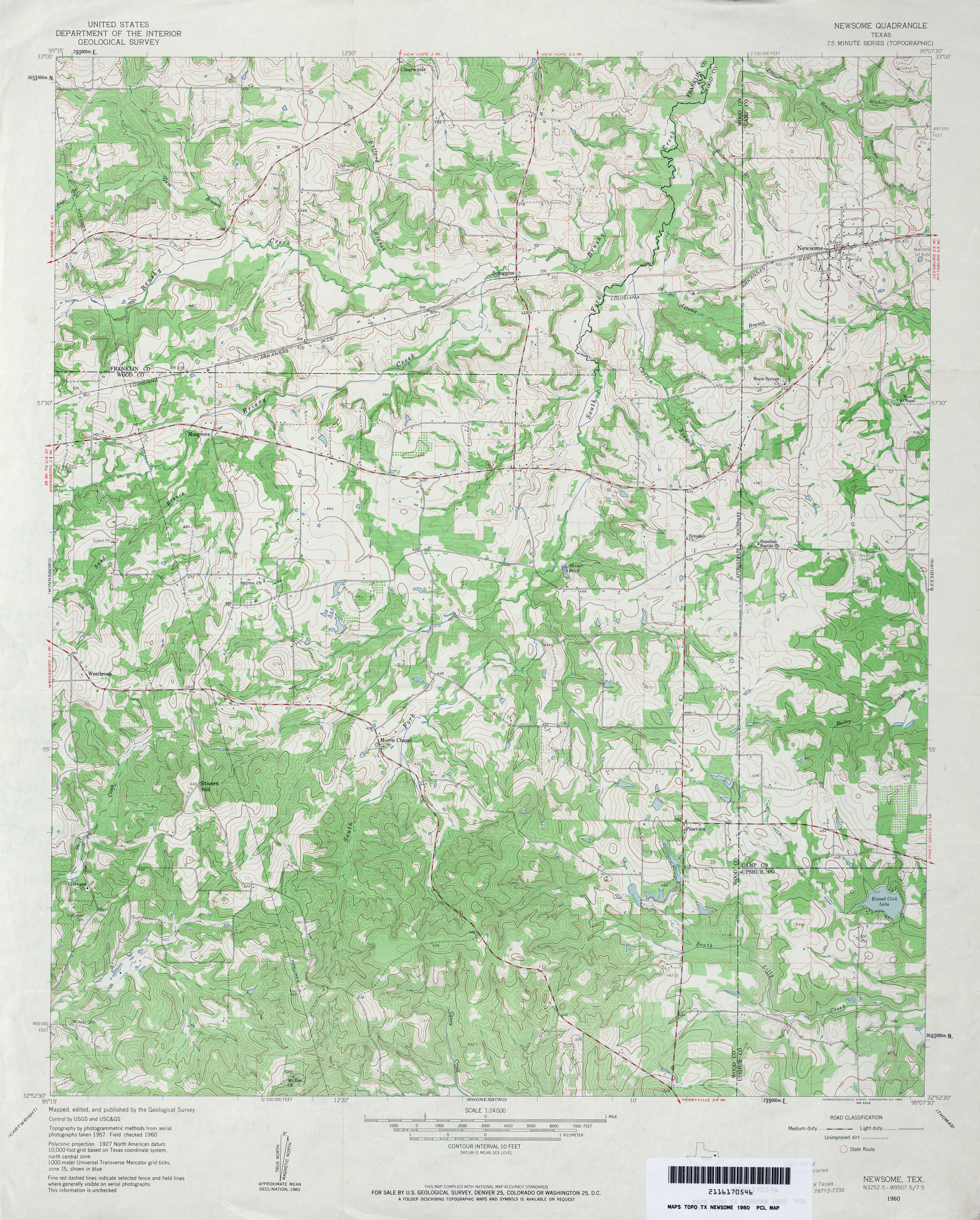
- Newsome 1:24,000 1960 (4.7MB)
- Newsome 1:24,000 2009 (21.6MB) [GeoPDF]
- Newsome 1:24,000 2012 (25MB) [GeoPDF]
- Newton East (Newton County) 1:24,000 1984 (4.1MB)
- Newton East 1:24,000 2009 (25.0MB) [GeoPDF]
- Newton East 1:24,000 2012 (24MB) [GeoPDF]
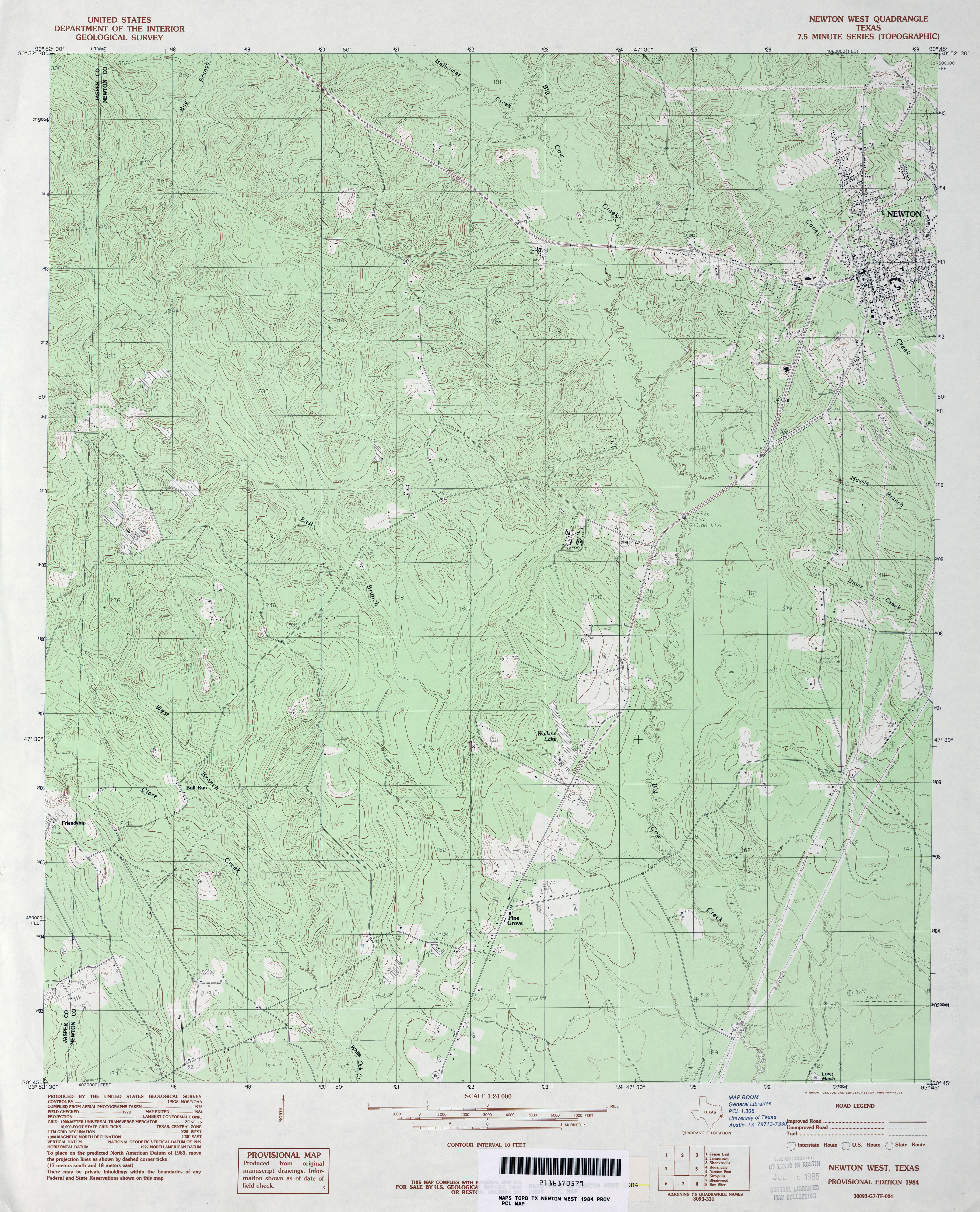
- Newton West 1:24,000 1984 (4.5MB)
- Newton West 1:24,000 2009 (24.9MB) [GeoPDF]
- Newton West 1:24,000 2012 (23.1MB) [GeoPDF]
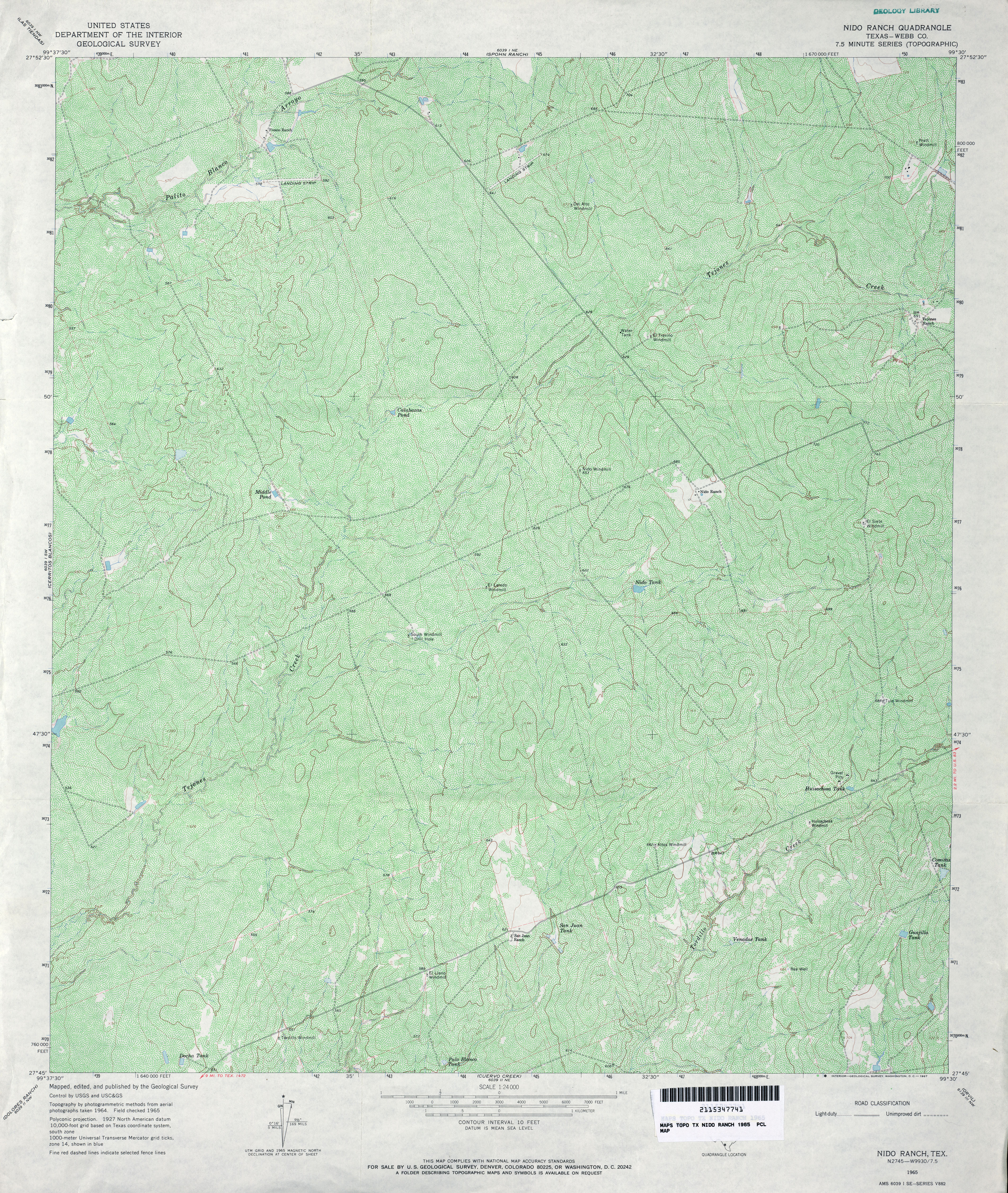
- Nido Ranch (Webb County) 1:24,000 1965 (6.3MB)
- Nido Ranch 1:24,000 2008 (18.3MB) [GeoPDF]
- Nido Ranch 1:24,000 2013 (25.7MB) [GeoPDF]
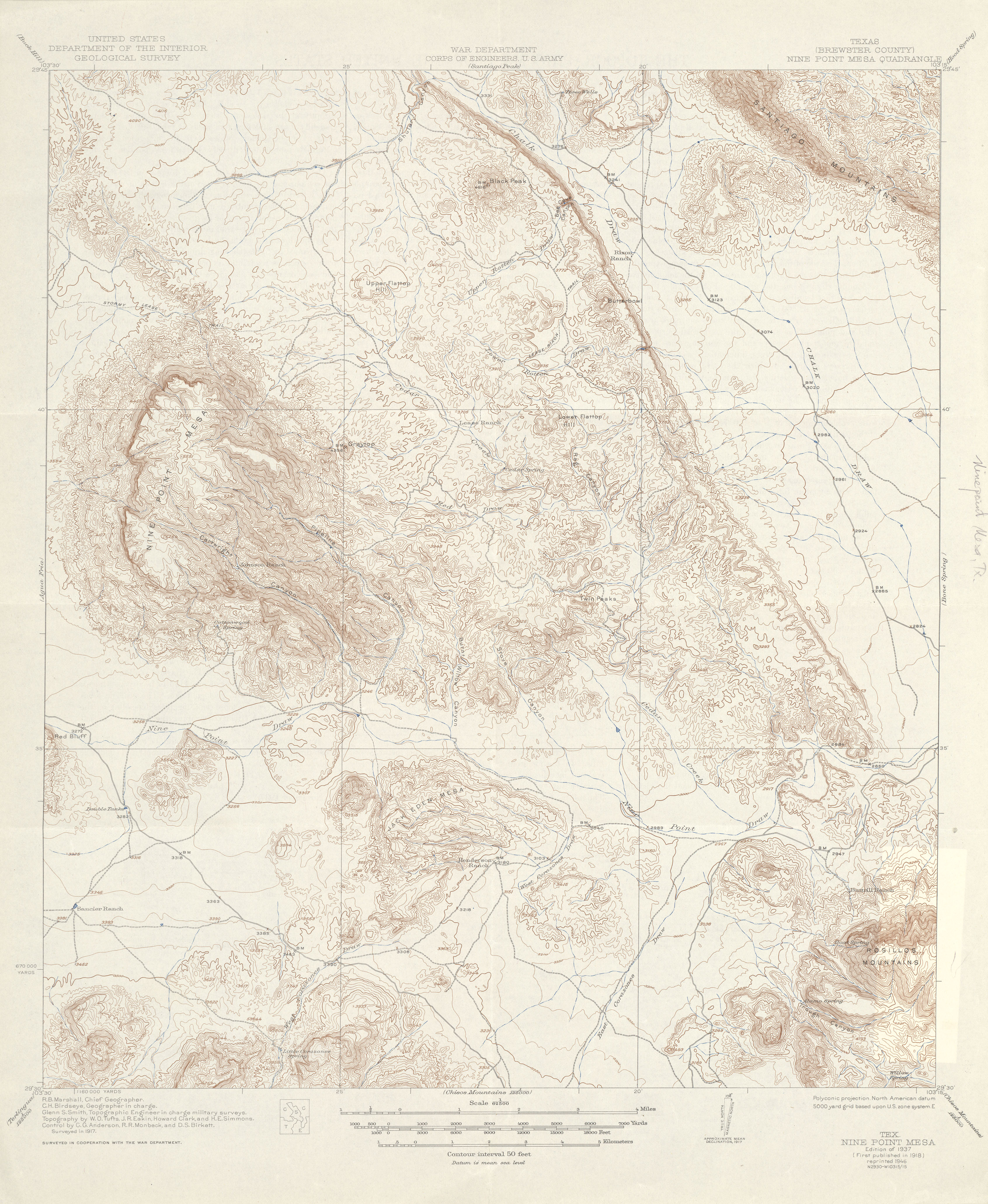
- Nine Point Mesa (Brewster County) 1:62,500 1917 (4.0 MB)
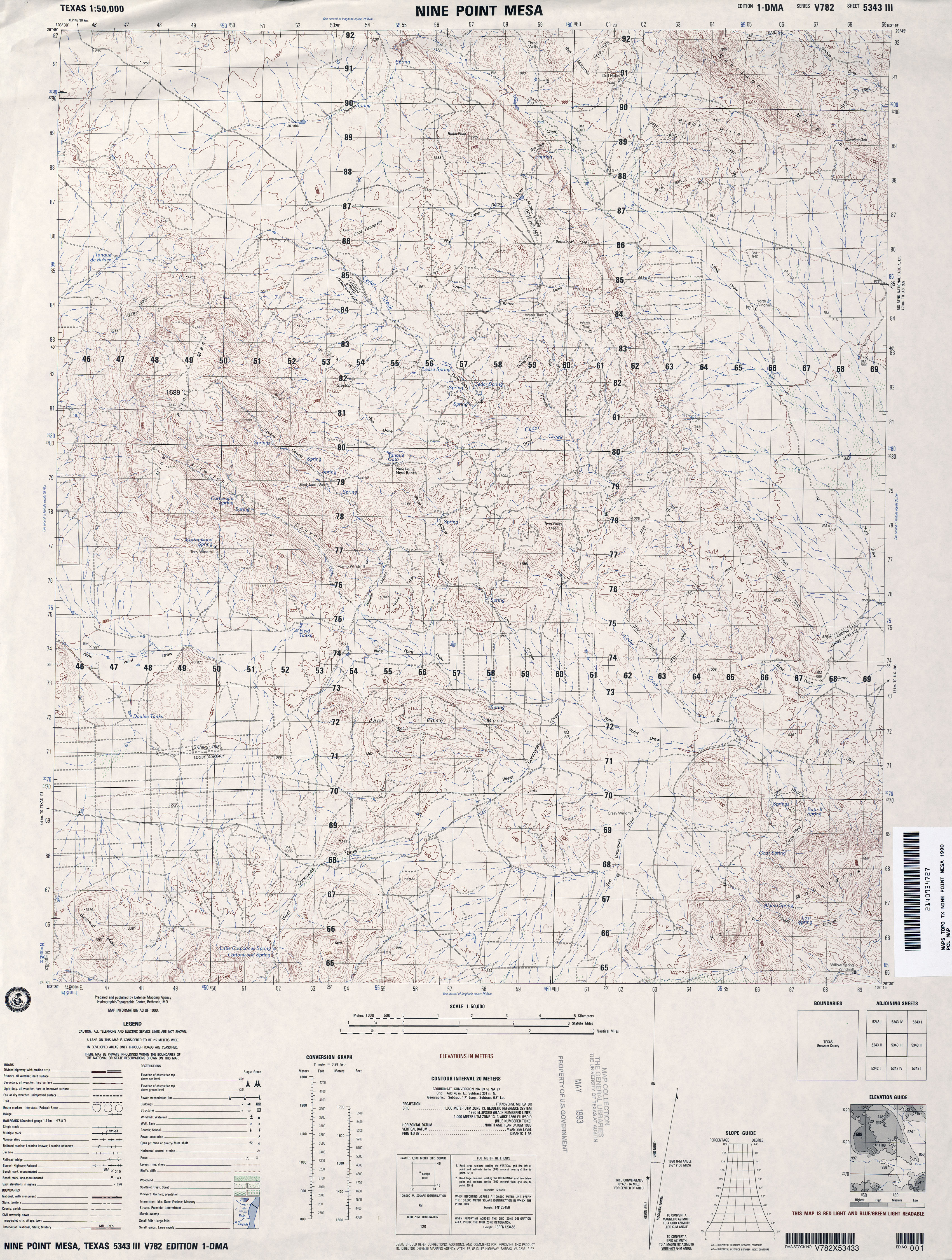
- Nine Point Mesa 1:50,000 1990 (4.3MB) U.S. Defense Mapping Agency, Edition 1-DMA, Series V782
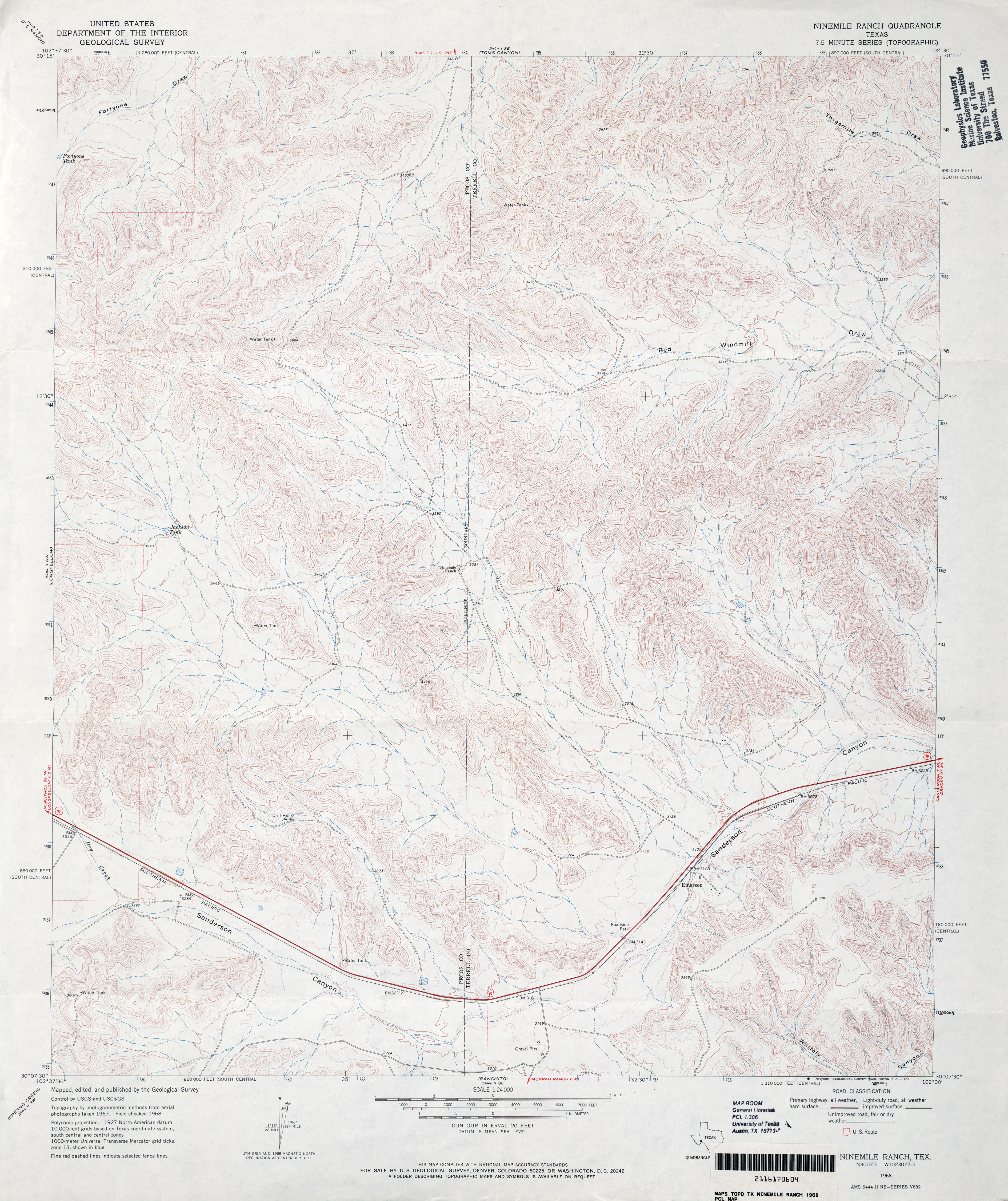
- Ninemile Ranch 1:24,000 1968 (4.4MB)
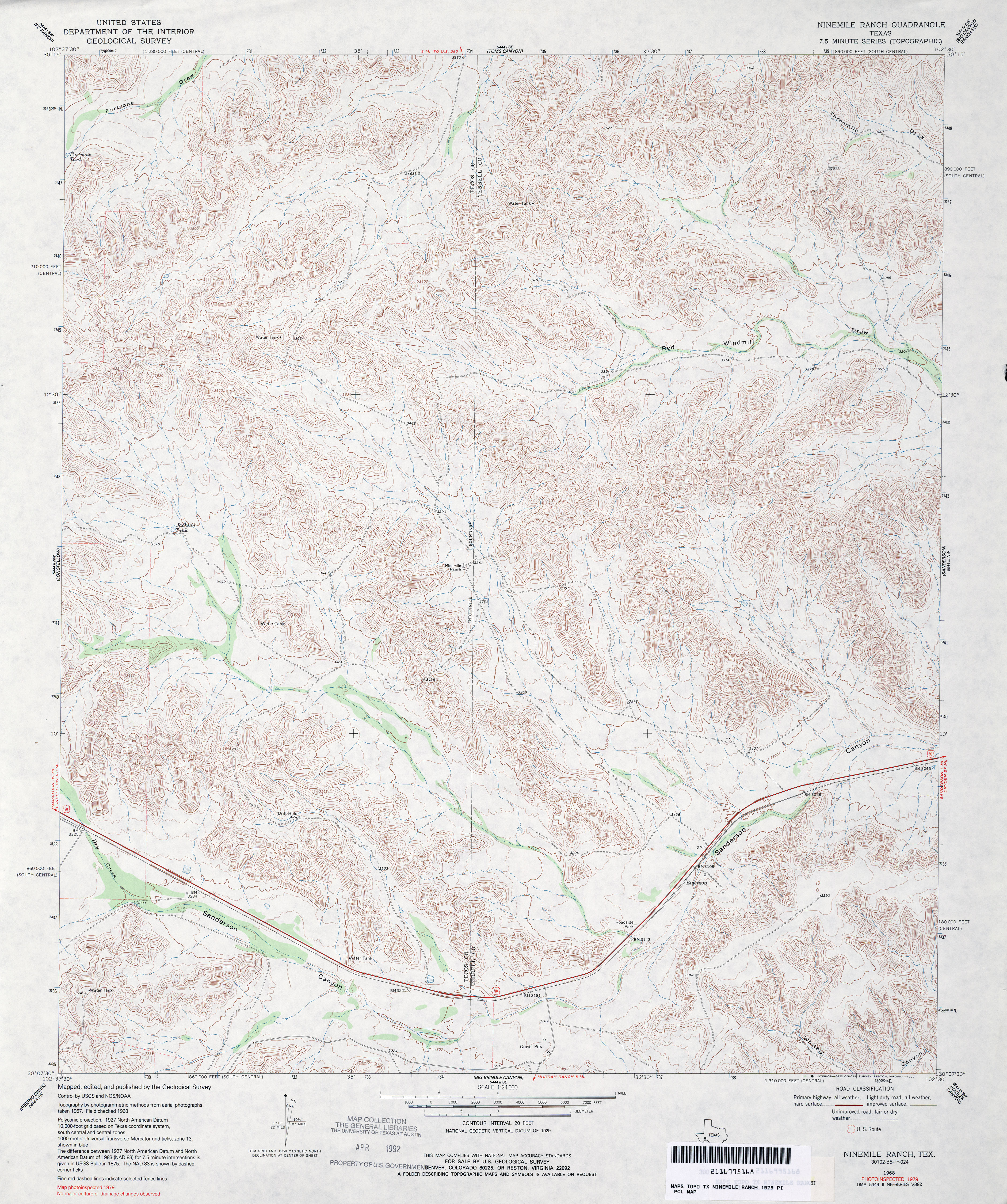
- Ninemile Ranch 1:24,000 1979 (5.2MB)
- Ninemile Ranch 1:24,000 2008 (25.8MB) [GeoPDF]
- Ninemile Ranch 1:24,000 2012 (32.5MB) [GeoPDF]
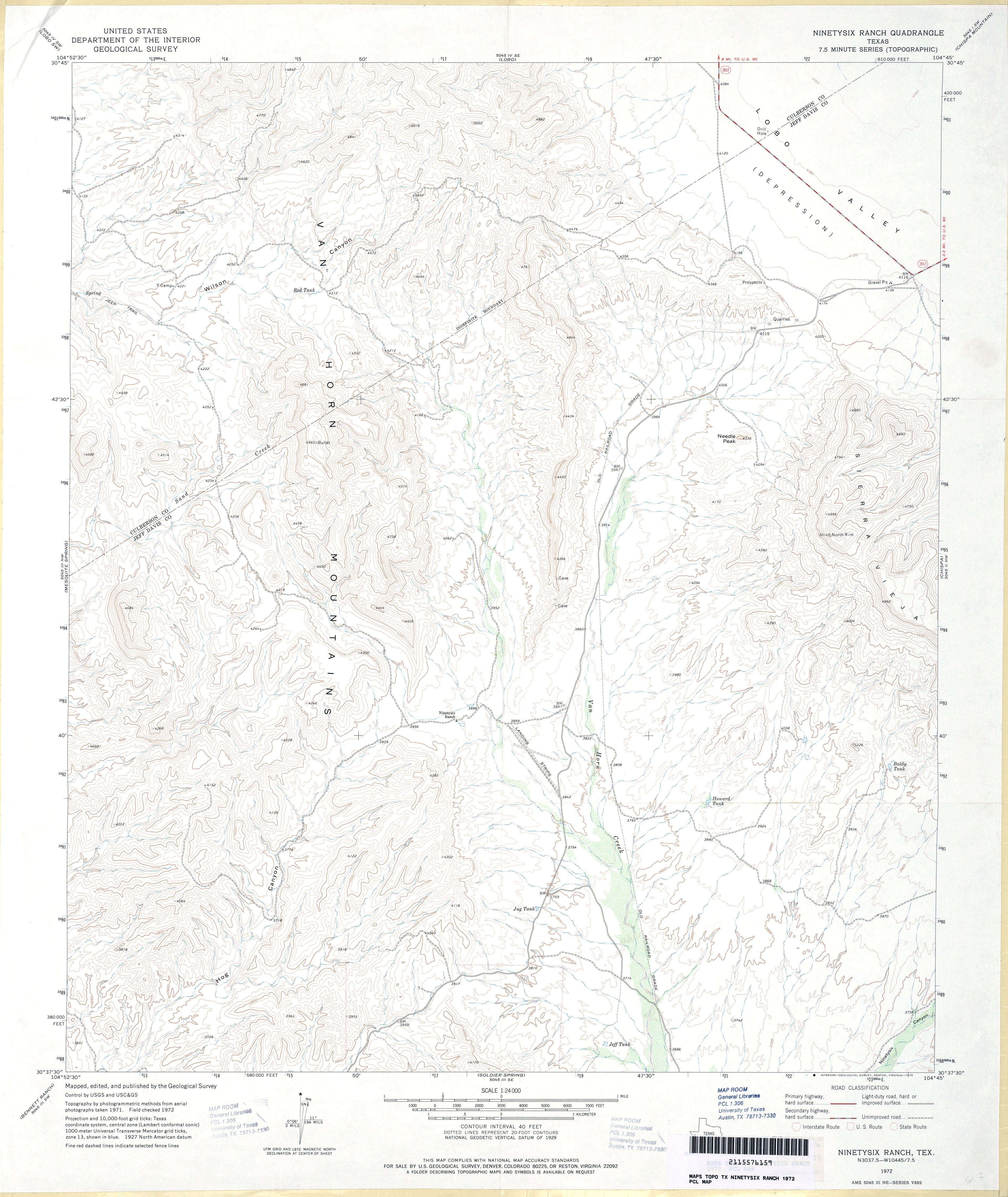
- Ninetysix Ranch 1:24,000 1972 (3.7MB)
- Ninetysix Ranch 1:24,000 2008 (18.9MB) [GeoPDF]
- Ninetysix Ranch 1:24,000 2012 (23.8MB) [GeoPDF]
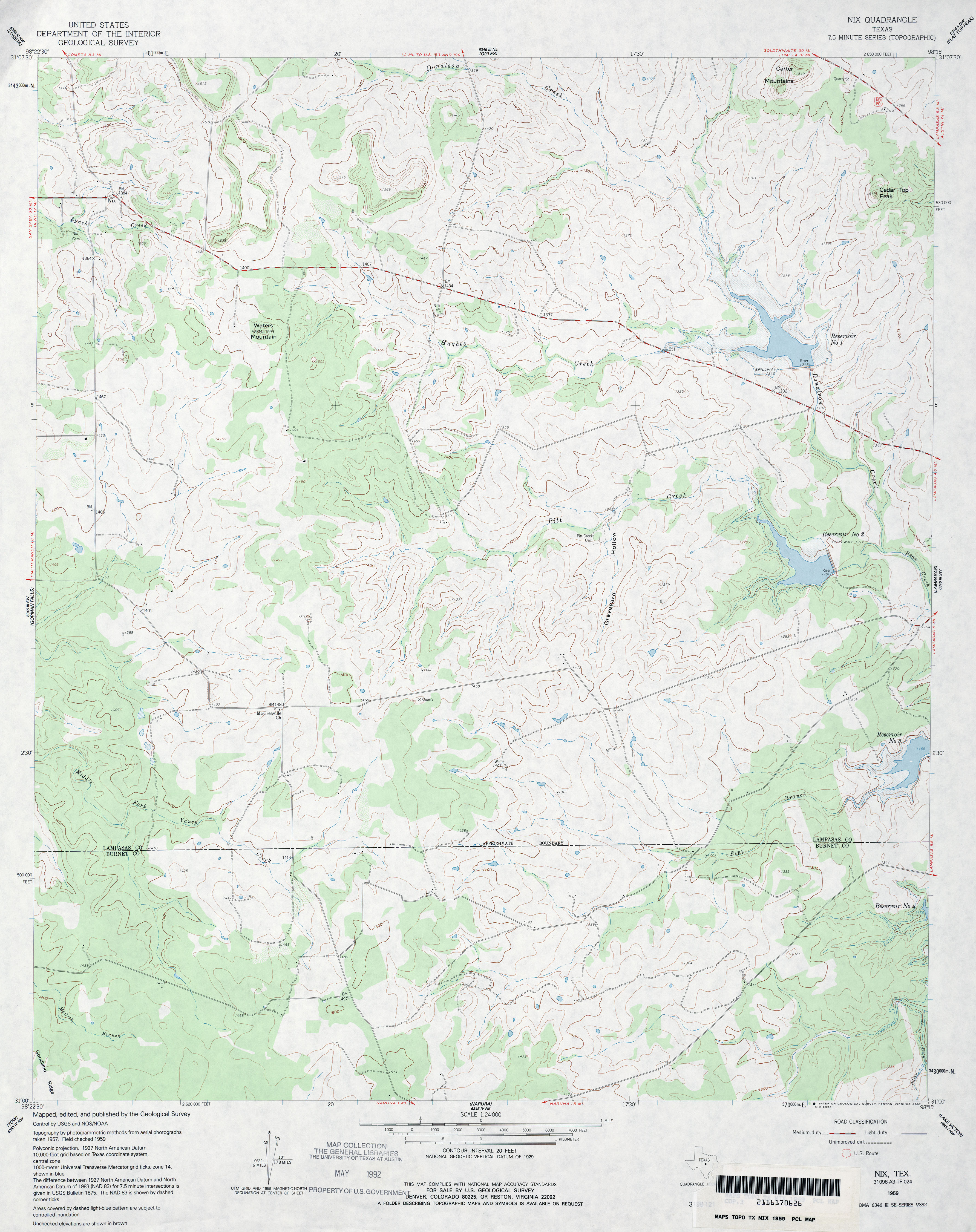
- Nix 1:24,000 1959 (3.3MB)
- Nix 1:24,000 2012 (23.2MB) [GeoPDF]
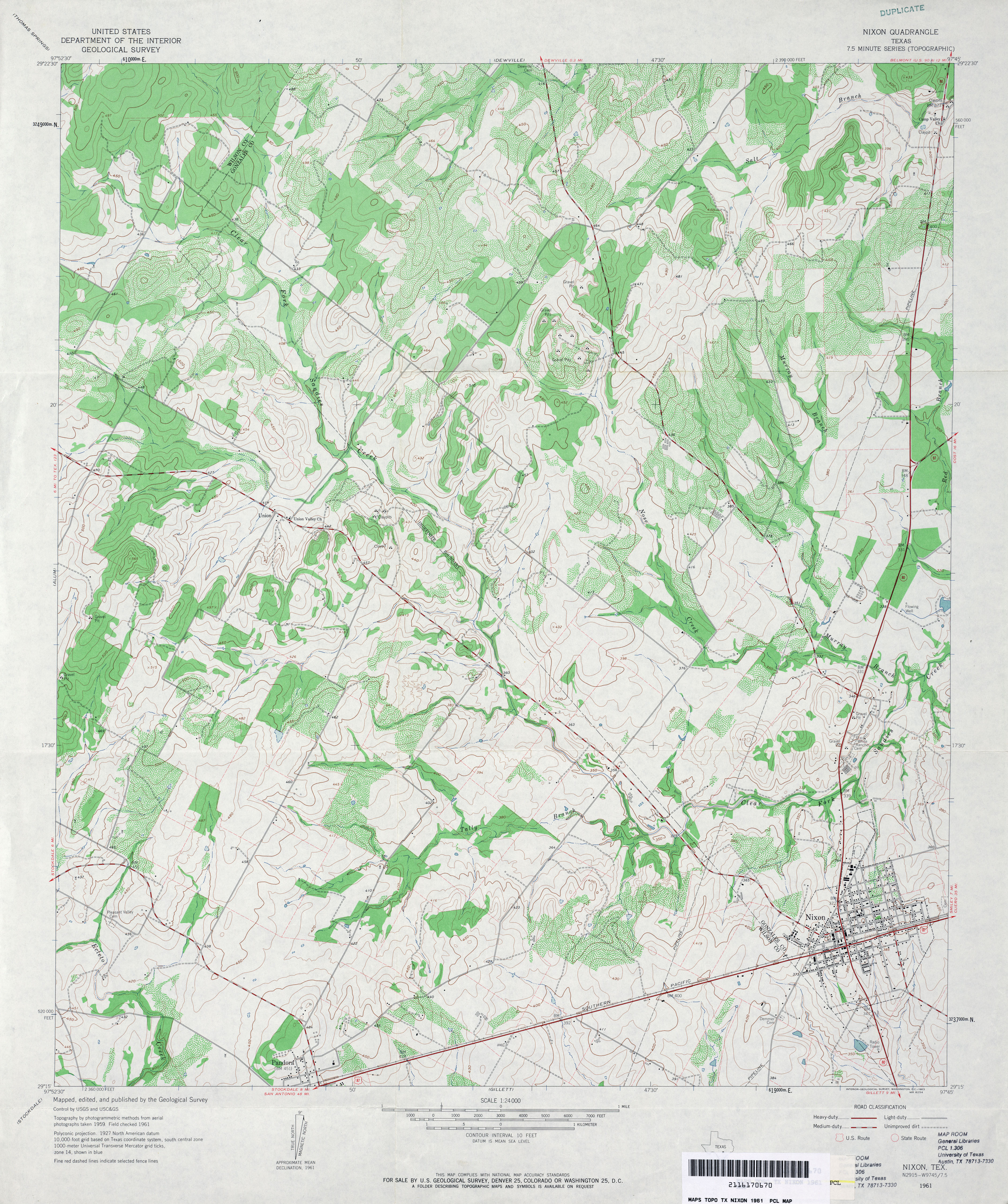
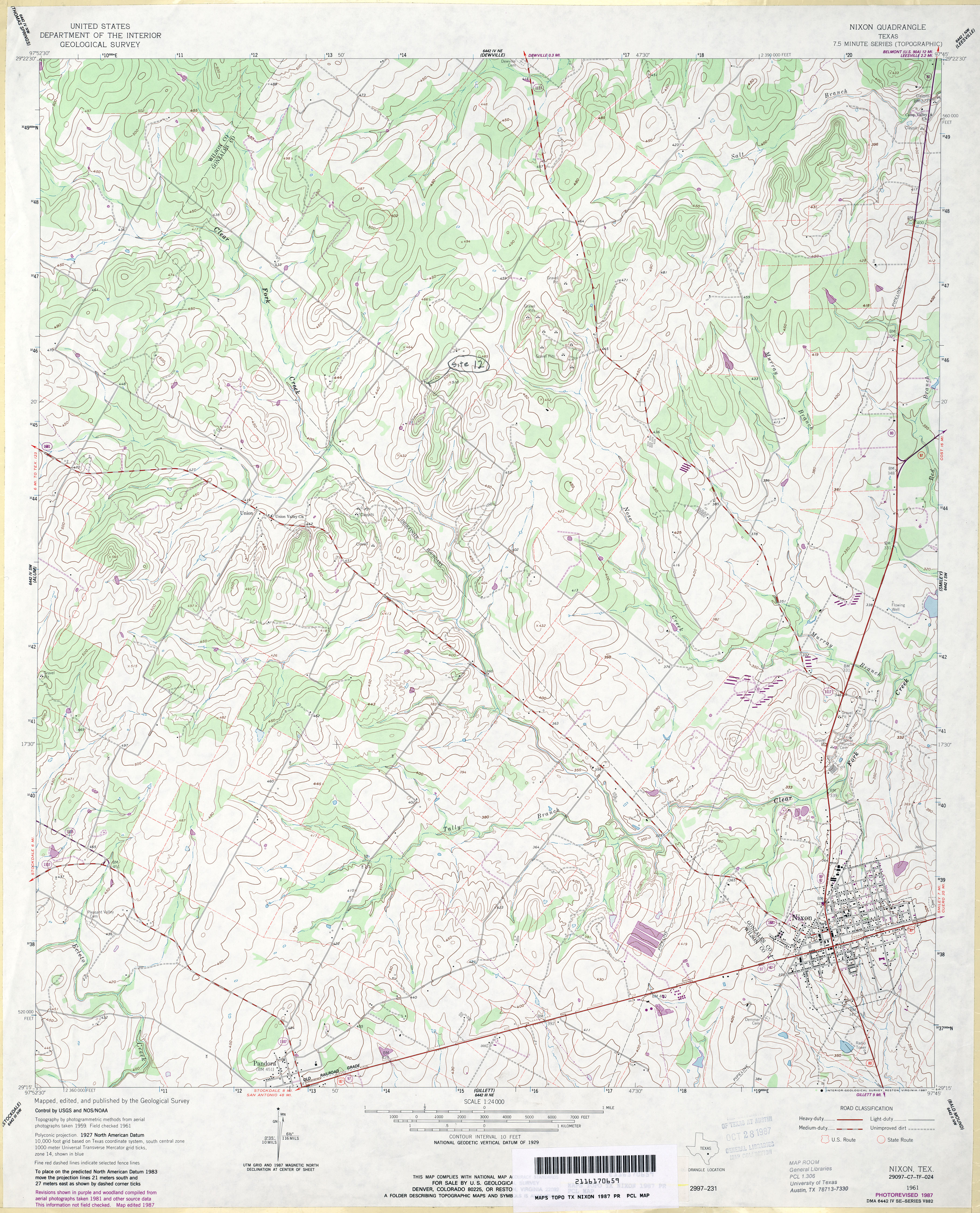
- Nixon 1:24,000 1961 (4.5MB)
- Nixon 1:24,000 1987 (4.2MB)
- Nixon 1:24,000 2008 (14.6MB) [GeoPDF]
- Nixon 1:24,000 2013 (25.5MB) [GeoPDF]
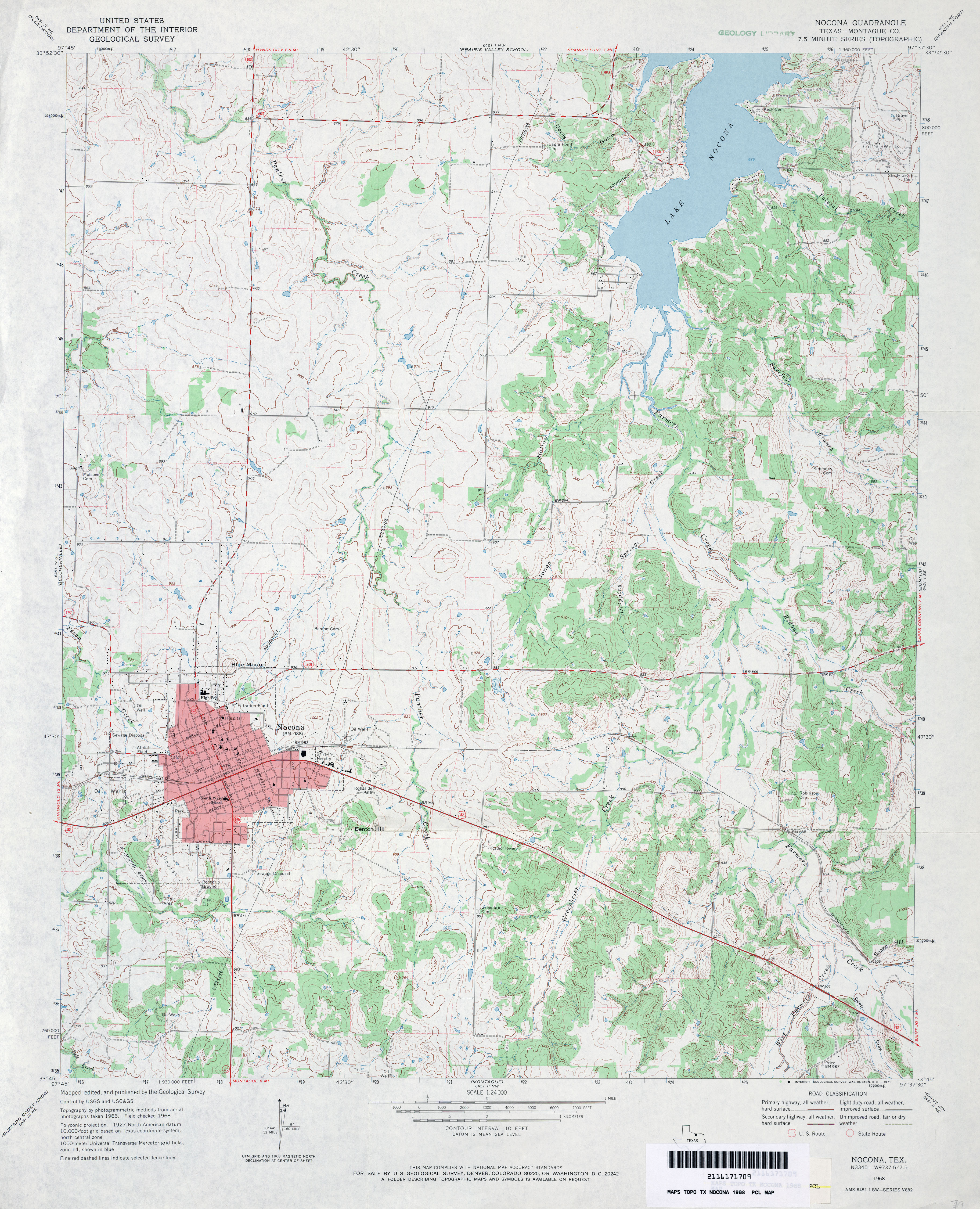
- Nocona (Montague County) 1:24,000 1968 (4.3MB)
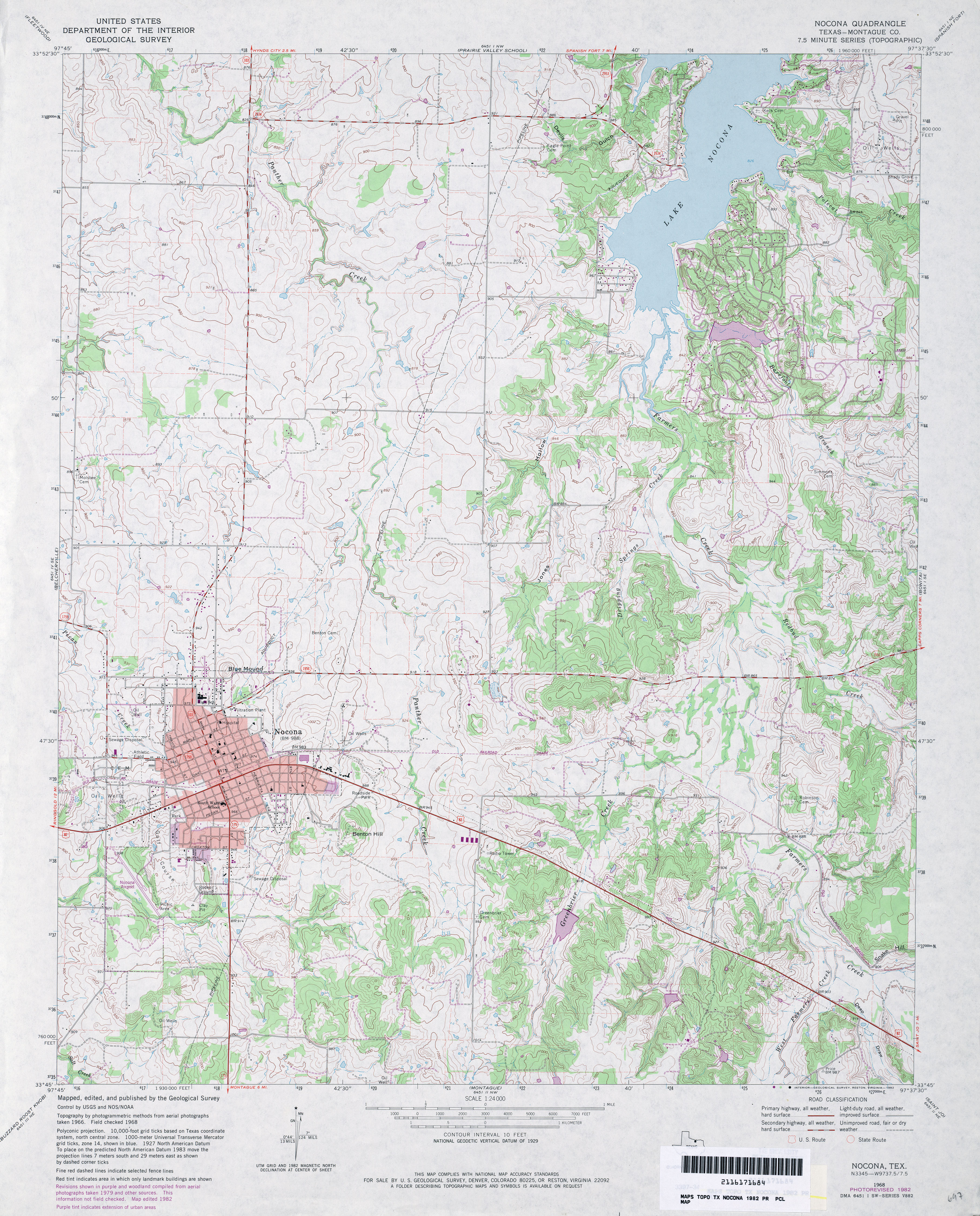
- Nocona (Montague County) 1:24,000 1982 (4.6MB)
- Nocona 1:24,000 2008 (15.7MB) [GeoPDF]
- Nocona 1:24,000 2013 (20.7MB) [GeoPDF]
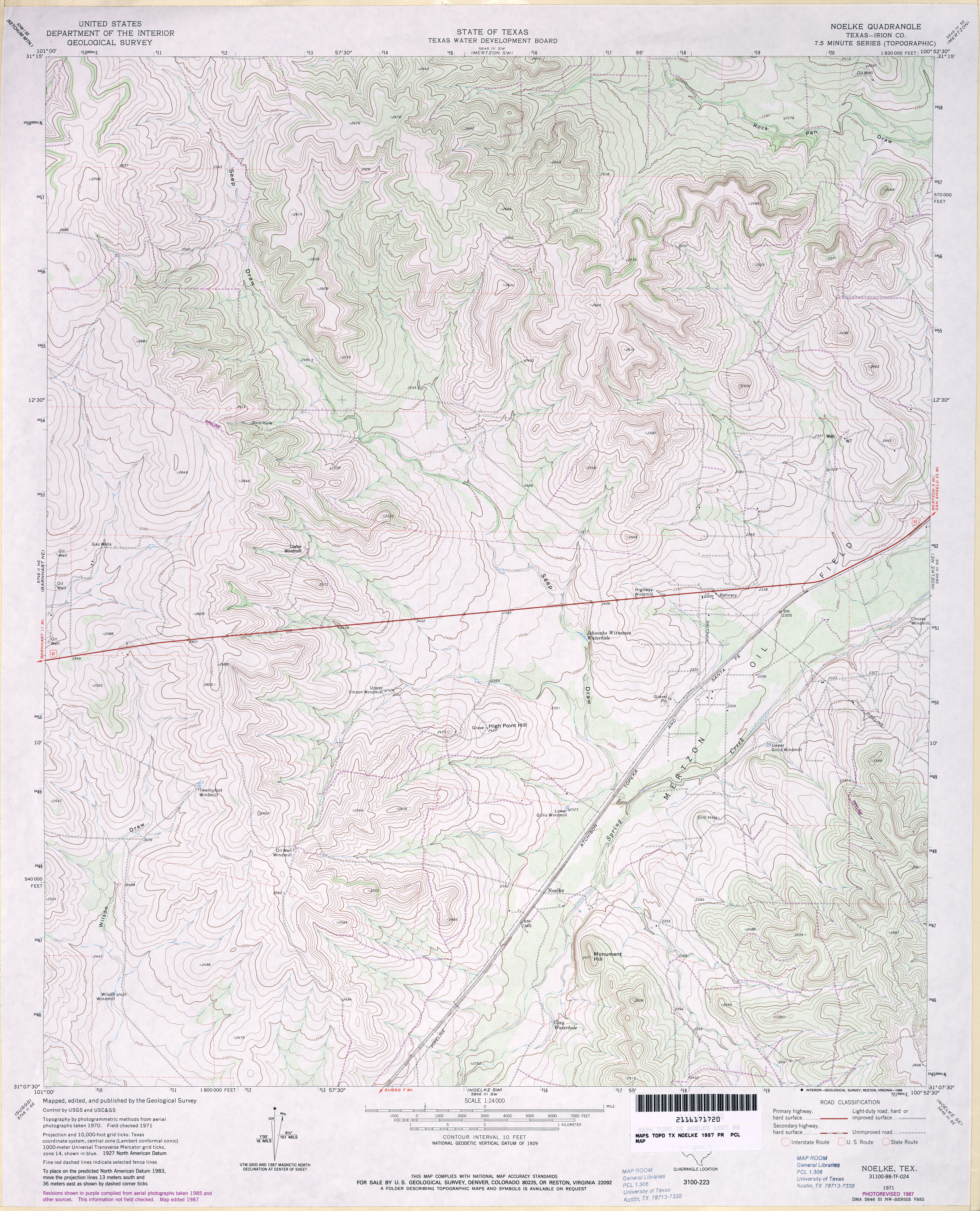
- Noelke (Irion County) 1:24,000 1971 (4.7MB)
- Noelke (Irion County) 1:24,000 1987 (4.6MB)
- Noelke 1:24,000 2008 (25.3MB) [GeoPDF]
- Noelke 1:24,000 2012 (29.4MB) [GeoPDF]
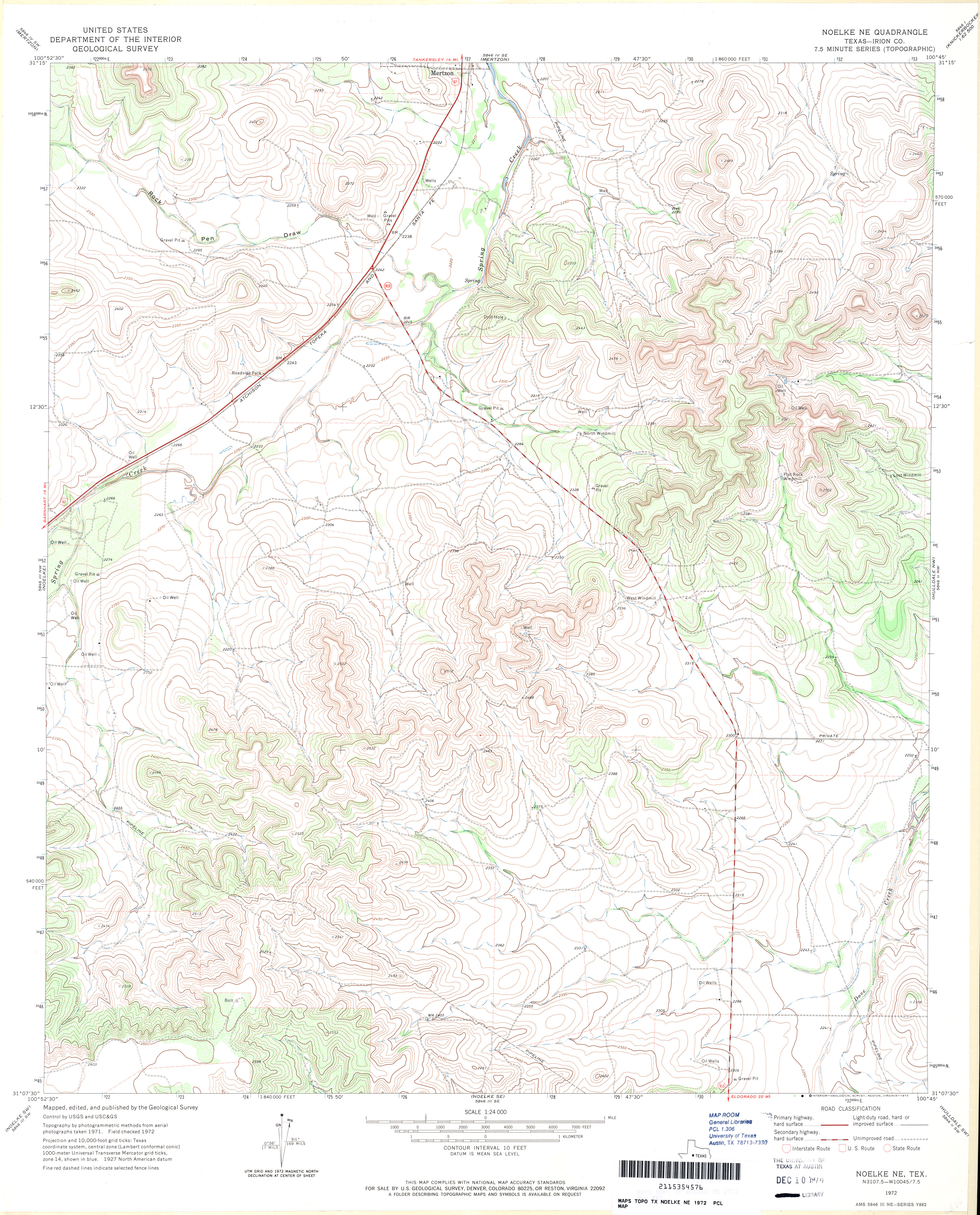
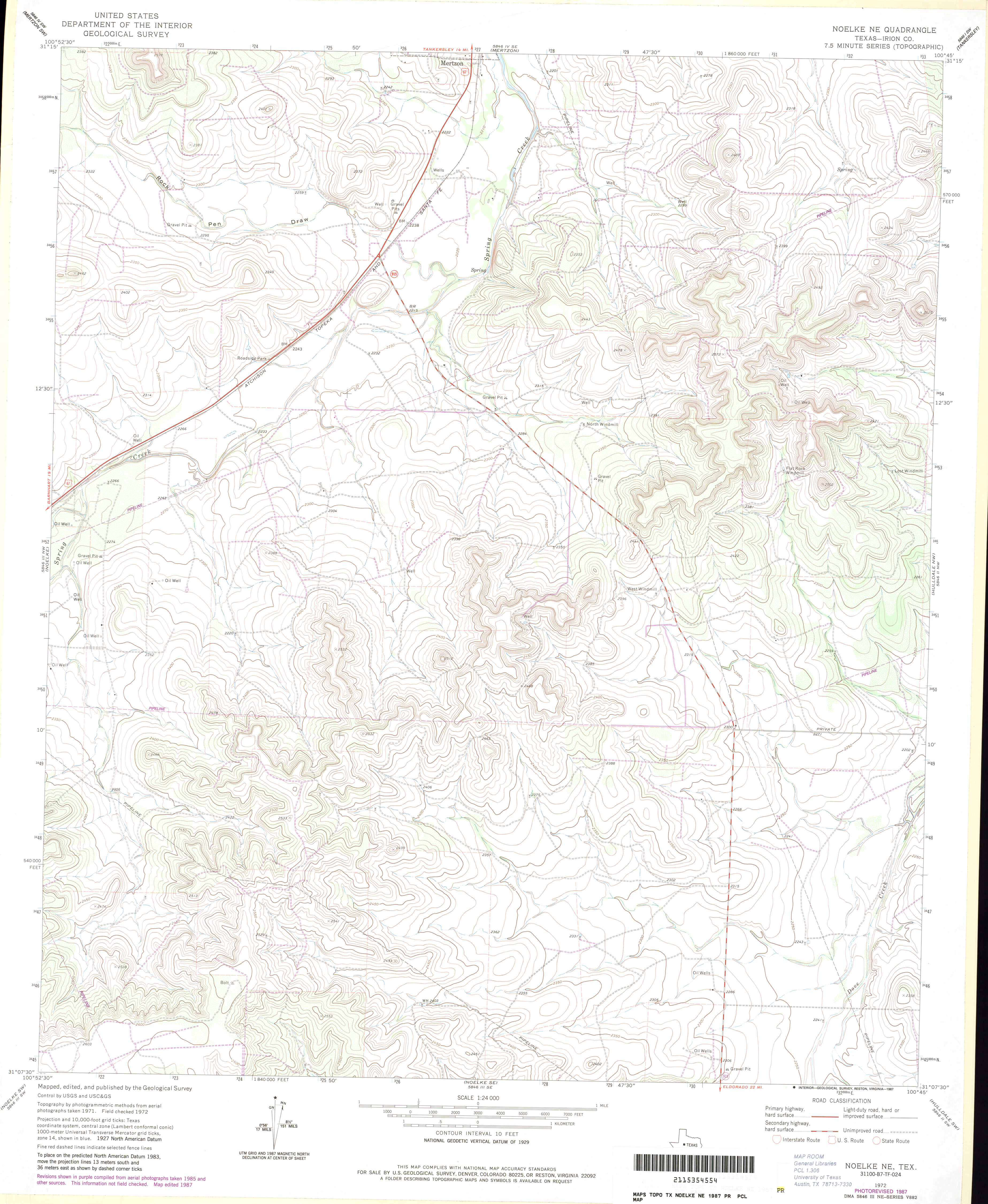
- Noelke NE (Irion County) 1:24,000 1972 (4.6MB)
- Noelke NE (Irion County) 1:24,000 1987 (3.8MB)
- Noelke NE 1:24,000 2008 (24.4MB) [GeoPDF]
- Noelke NE 1:24,000 2012 (28.7MB) [GeoPDF]
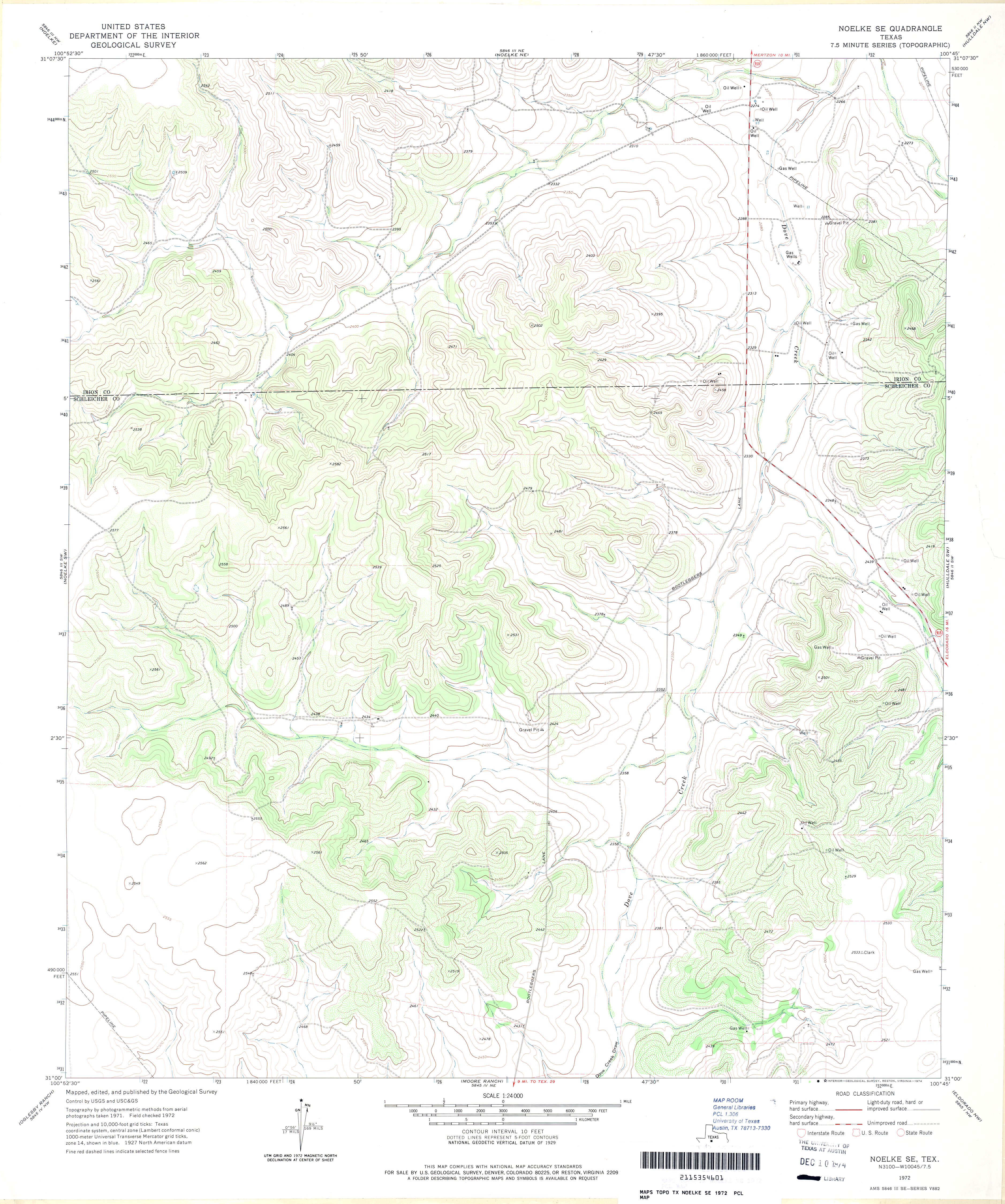
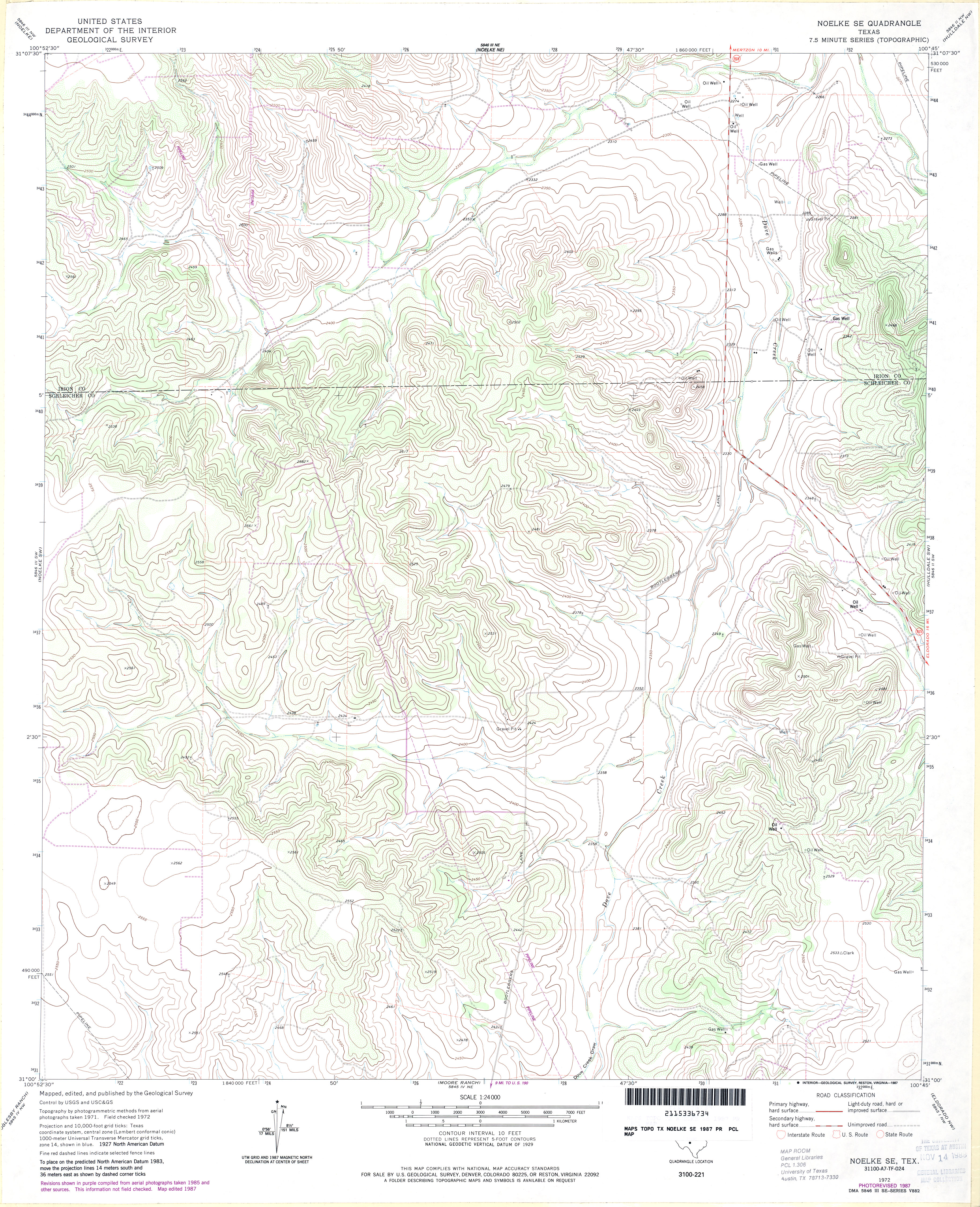
- Noelke SE 1:24,000 1972 (3.9MB)
- Noelke SE 1:24,000 1987 (4.4MB)
- Noelke SE 1:24,000 2008 (23.6MB) [GeoPDF]
- Noelke SE 1:24,000 2012 (28.8MB) [GeoPDF]
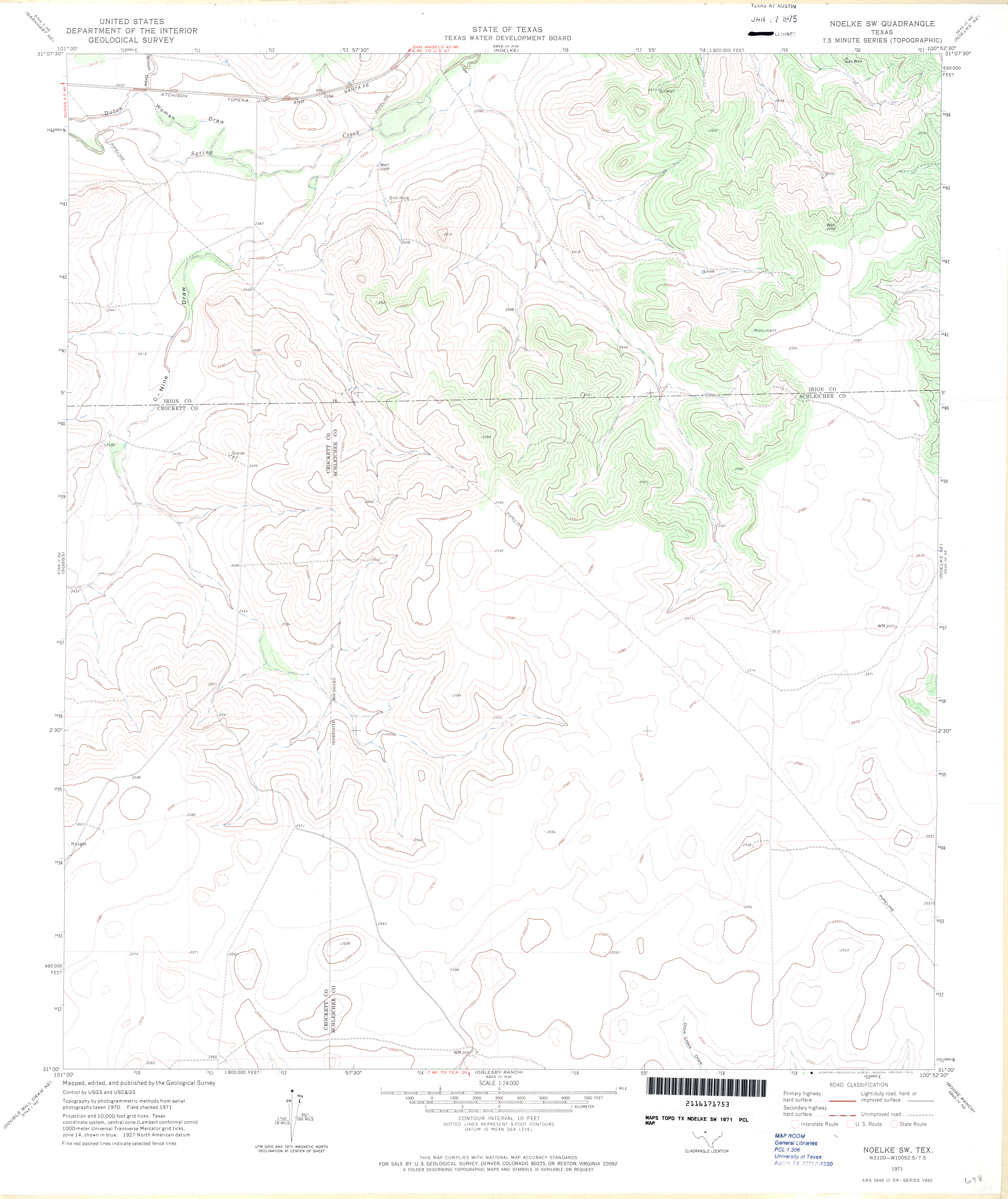
- Noelke SW 1:24,000 1971 (2.9MB)
- Noelke SW 1:24,000 1987 (3MB)
- Noelke SW 1:24,000 2008 (18.8MB) [GeoPDF]
- Noelke SW 1:24,000 2012 (23.9MB) [GeoPDF]
- Nolan 1:24,000 1984 (3.9MB)
- Nolan 1:24,000 2012 (24.2MB) [GeoPDF]
- Nolanville (Bell County) 1:24,000 1947 (4.4MB) U.S. Department of the Army Corps of Engineers
- Nolanville (Bell County) 1:24,000 1958 (4.3MB)
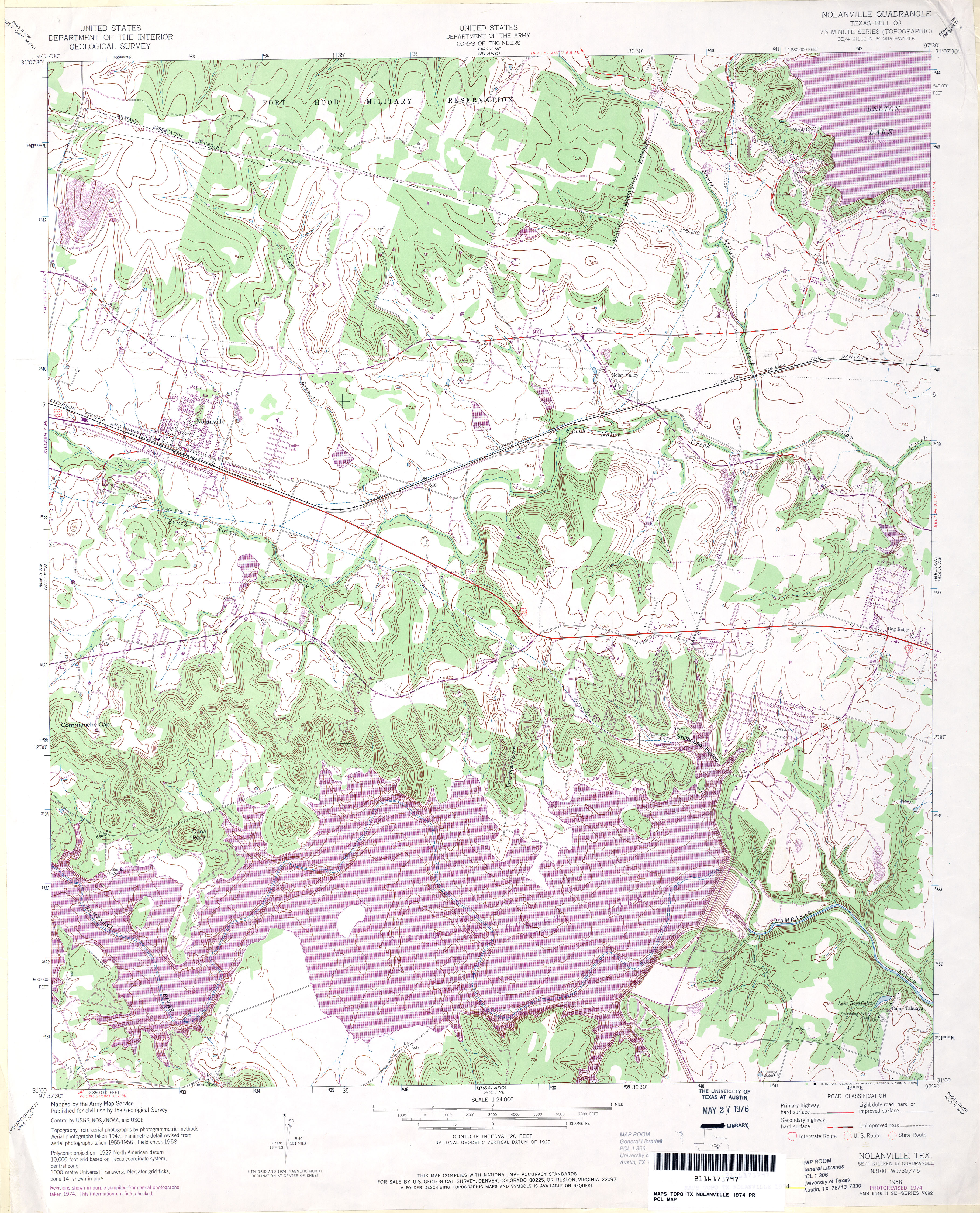
- Nolanville (Bell County) 1:24,000 1974 (5.2MB)
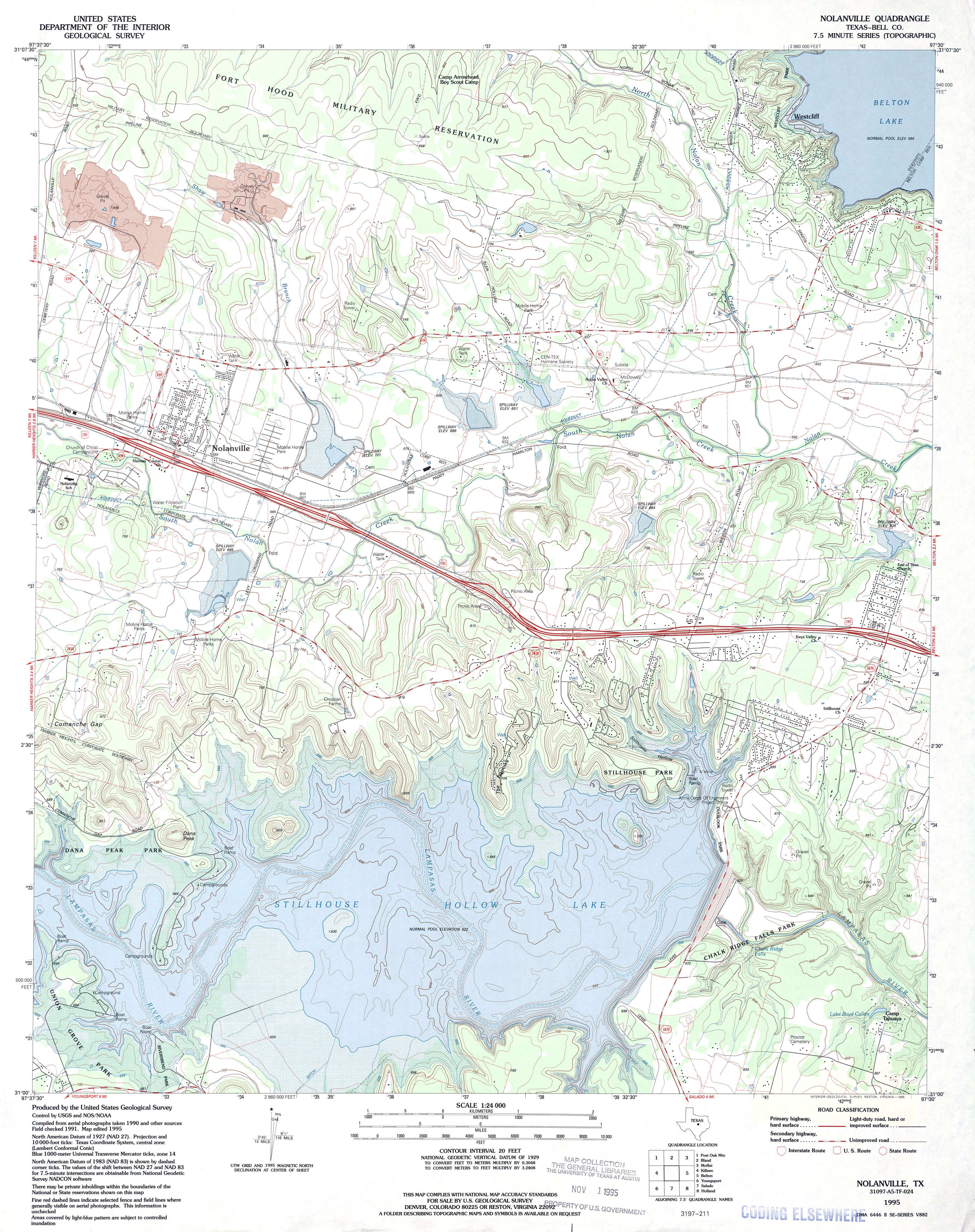
- Nolanville (Bell County) 1:24,000 1995 (4.5MB)
- Nolanville 1:24,000 2008 (16.7MB) [GeoPDF]
- Nolanville 1:24,000 2013 (23.2MB) [GeoPDF]
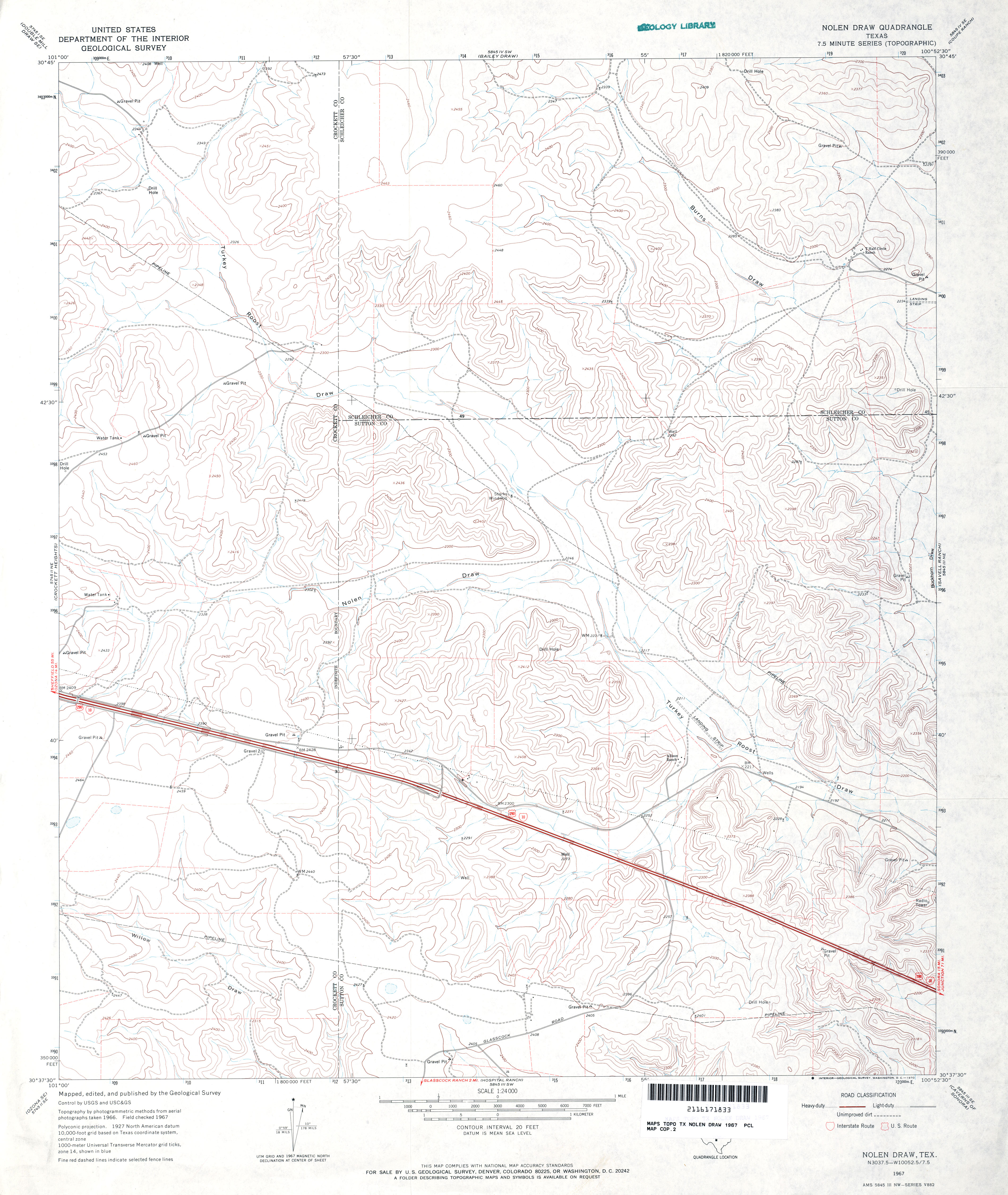
- Nolen Draw 1:24,000 1967 (3.5MB)
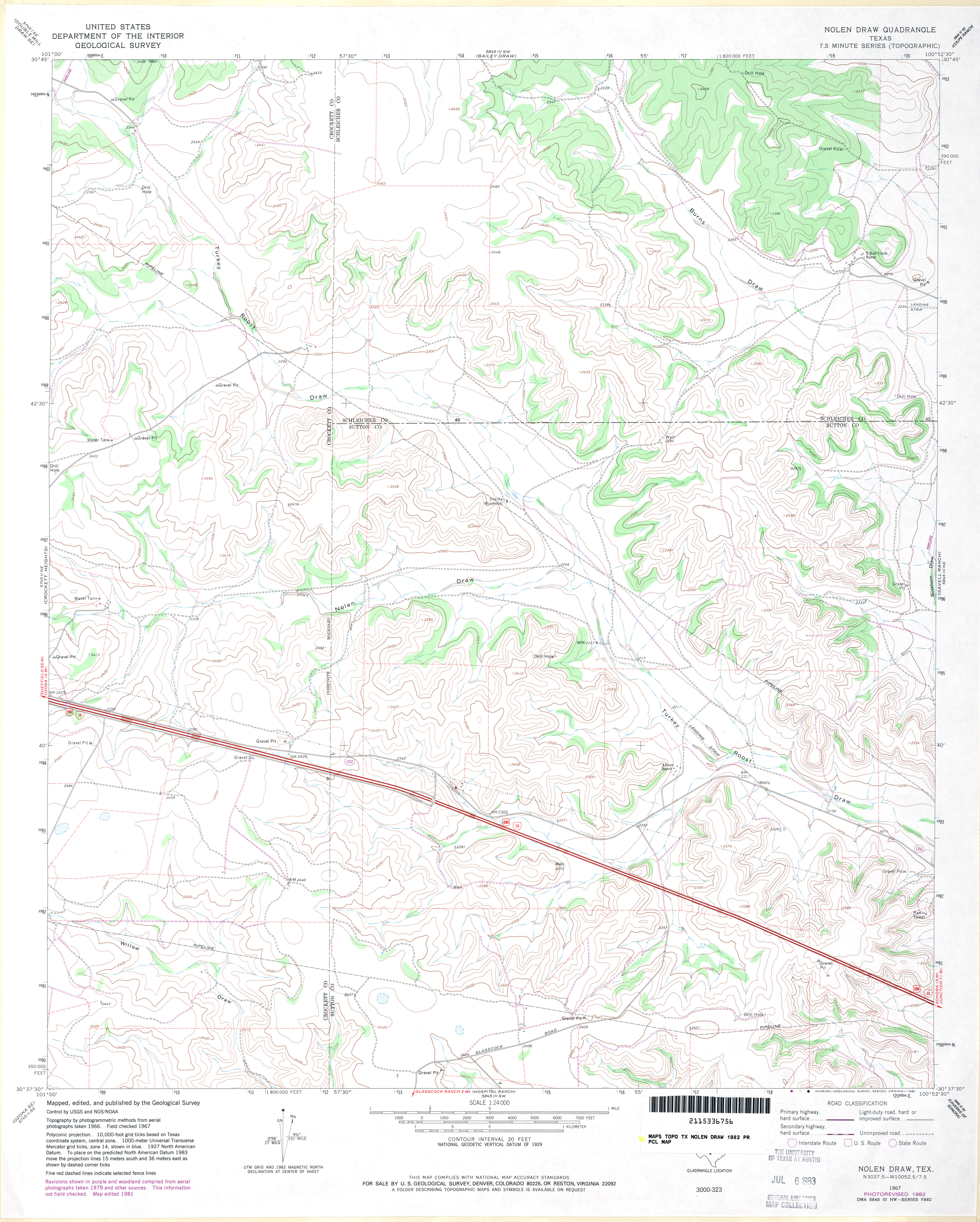
- Nolen Draw 1:24,000 1982 (3.5MB)
- Nolen Draw 1:24,000 2008 (24.0MB) [GeoPDF]
- Nolen Draw 1:24,000 2012 (29.7MB) [GeoPDF]
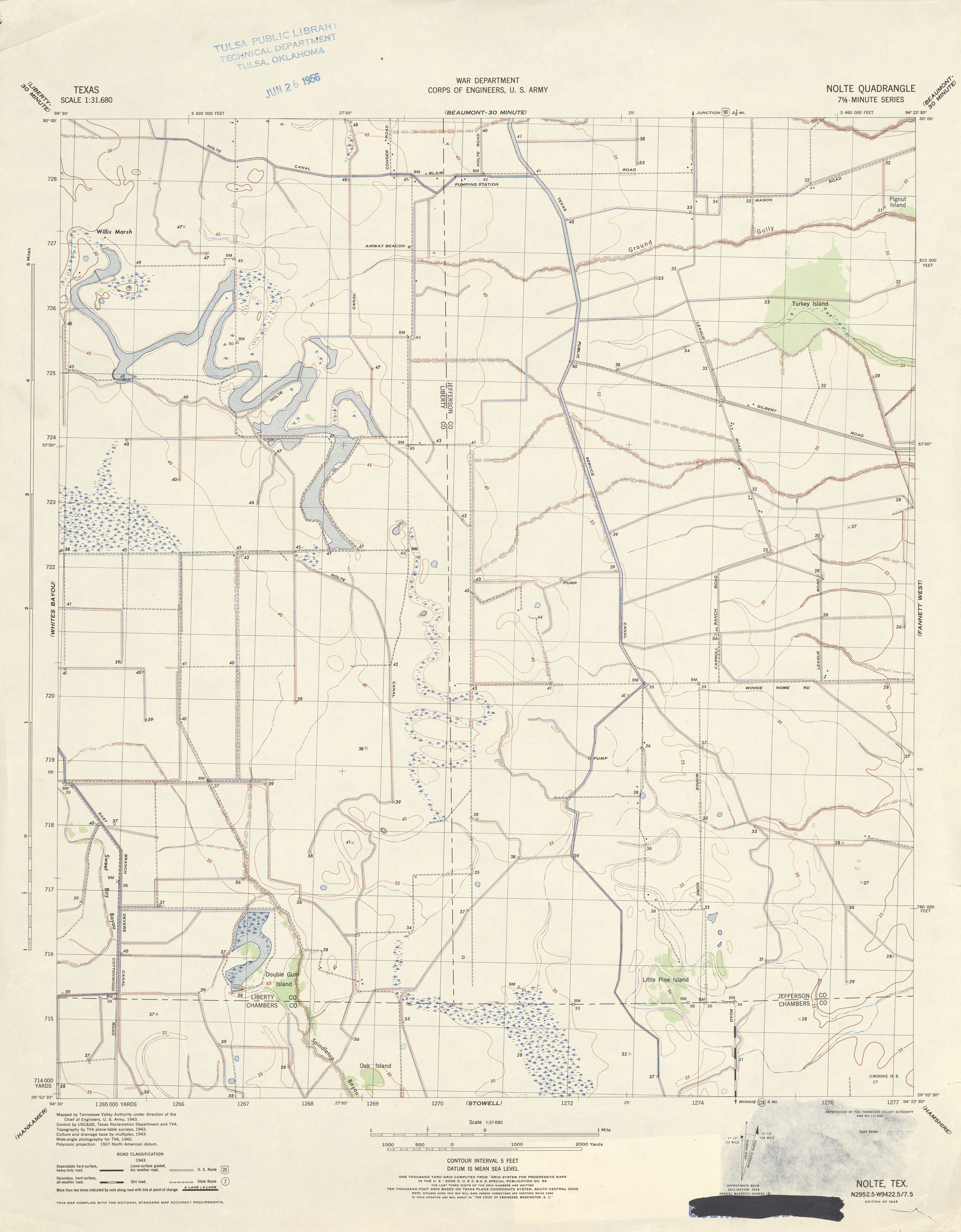
- Nolte 1:31,680 1943 (2.5 MB) Tennessee Valley Authority
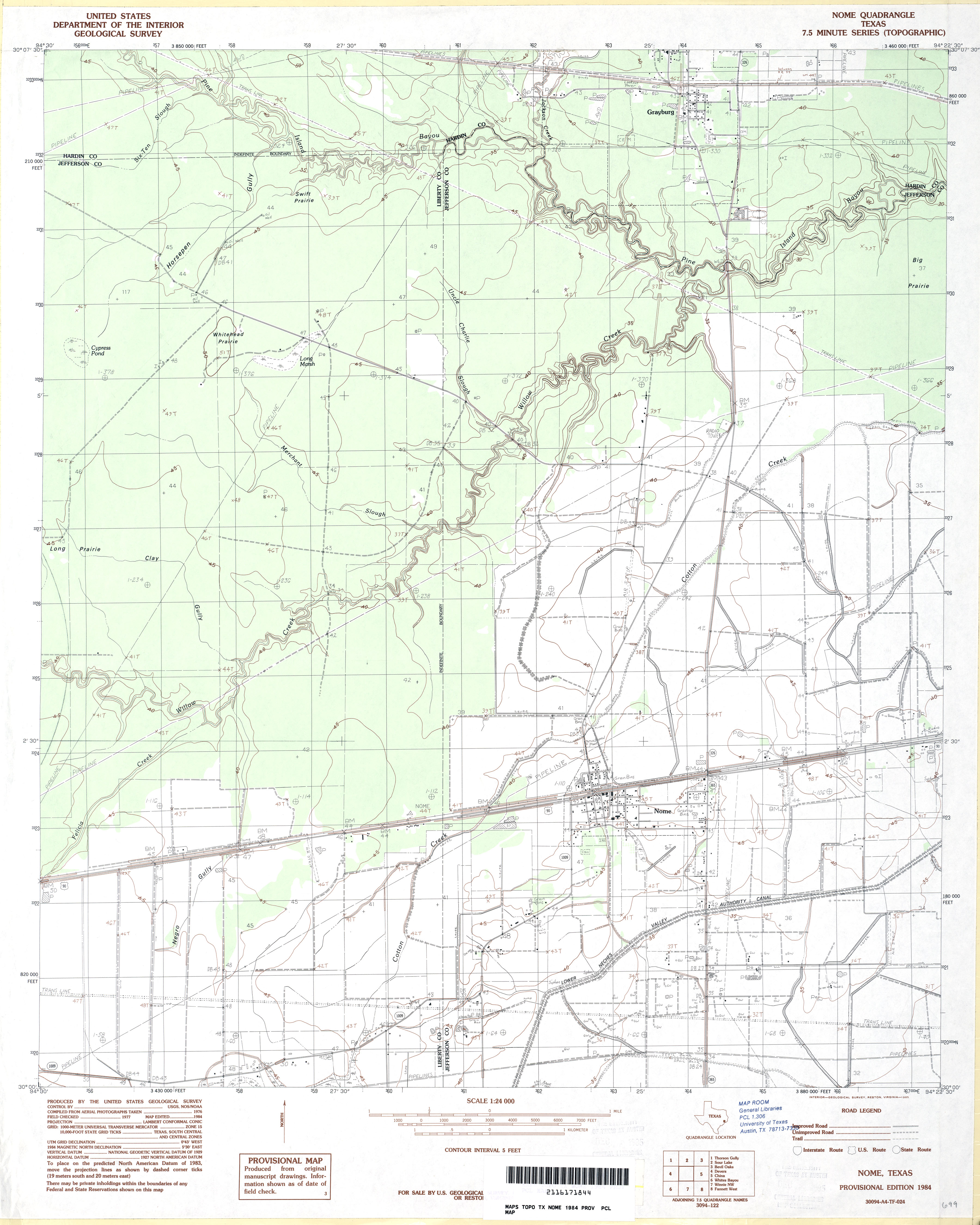
- Nome 1:24,000 1984 (2.8MB)
- Nome 1:24,000 2009 (19.0MB) [GeoPDF]
- Nome 1:24,000 2013 (20.7MB) [GeoPDF]
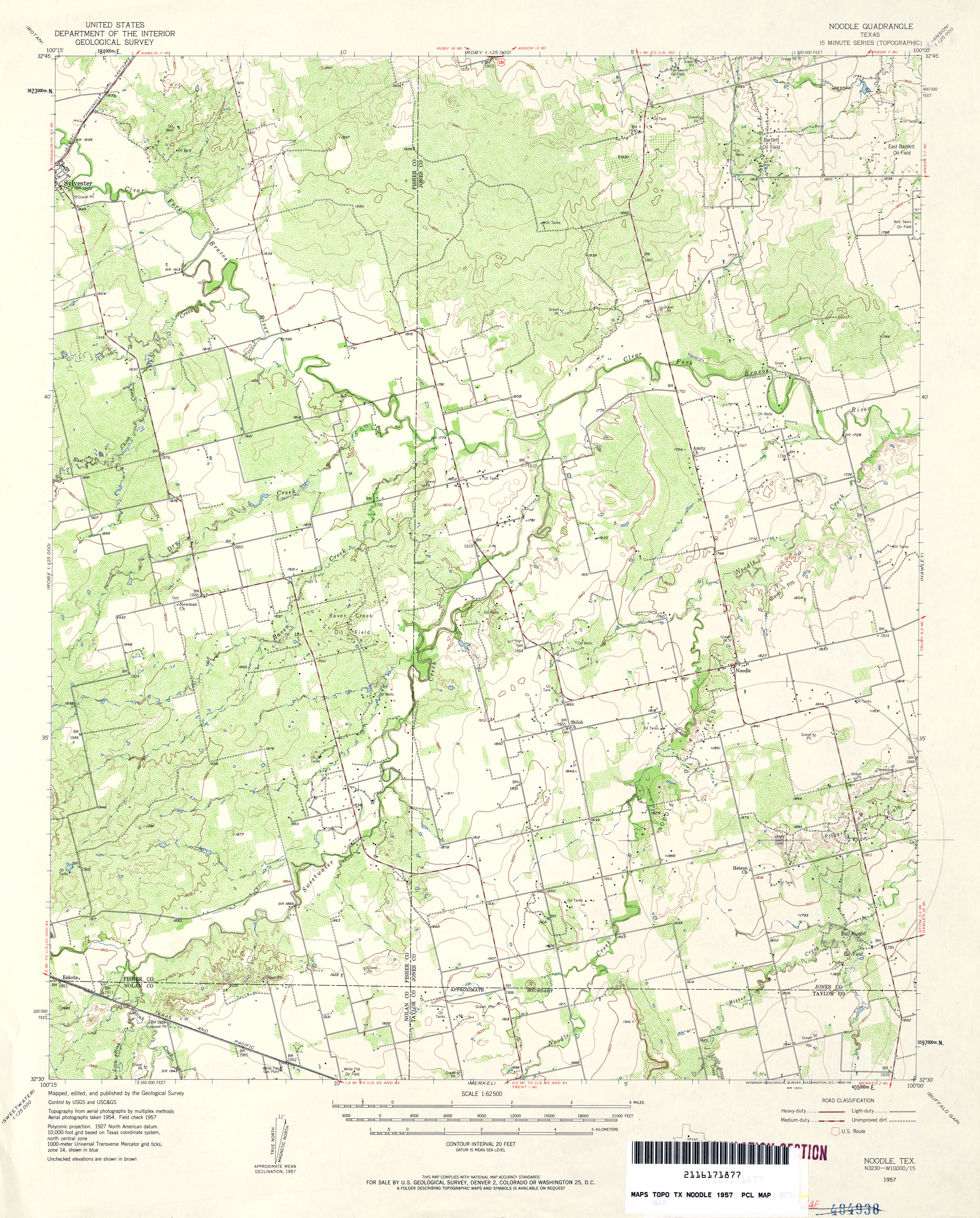
- Noodle 1:62,500 1957 (4.6MB)
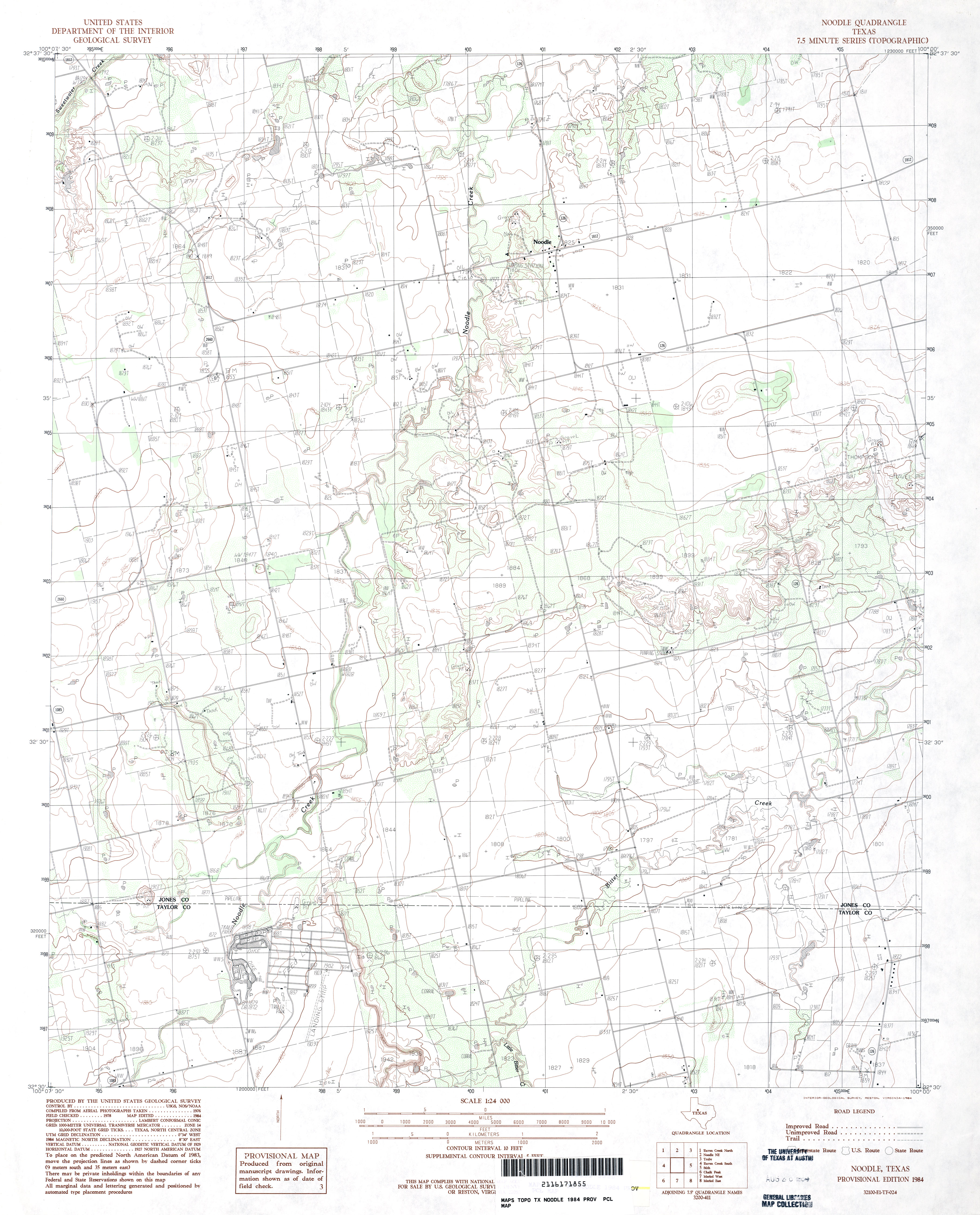
- Noodle 1:24,000 1984 (3.2MB)
- Noodle 1:24,000 2008 (11.1MB) [GeoPDF]
- Noodle 1:24,000 2012 (18.4MB) [GeoPDF]
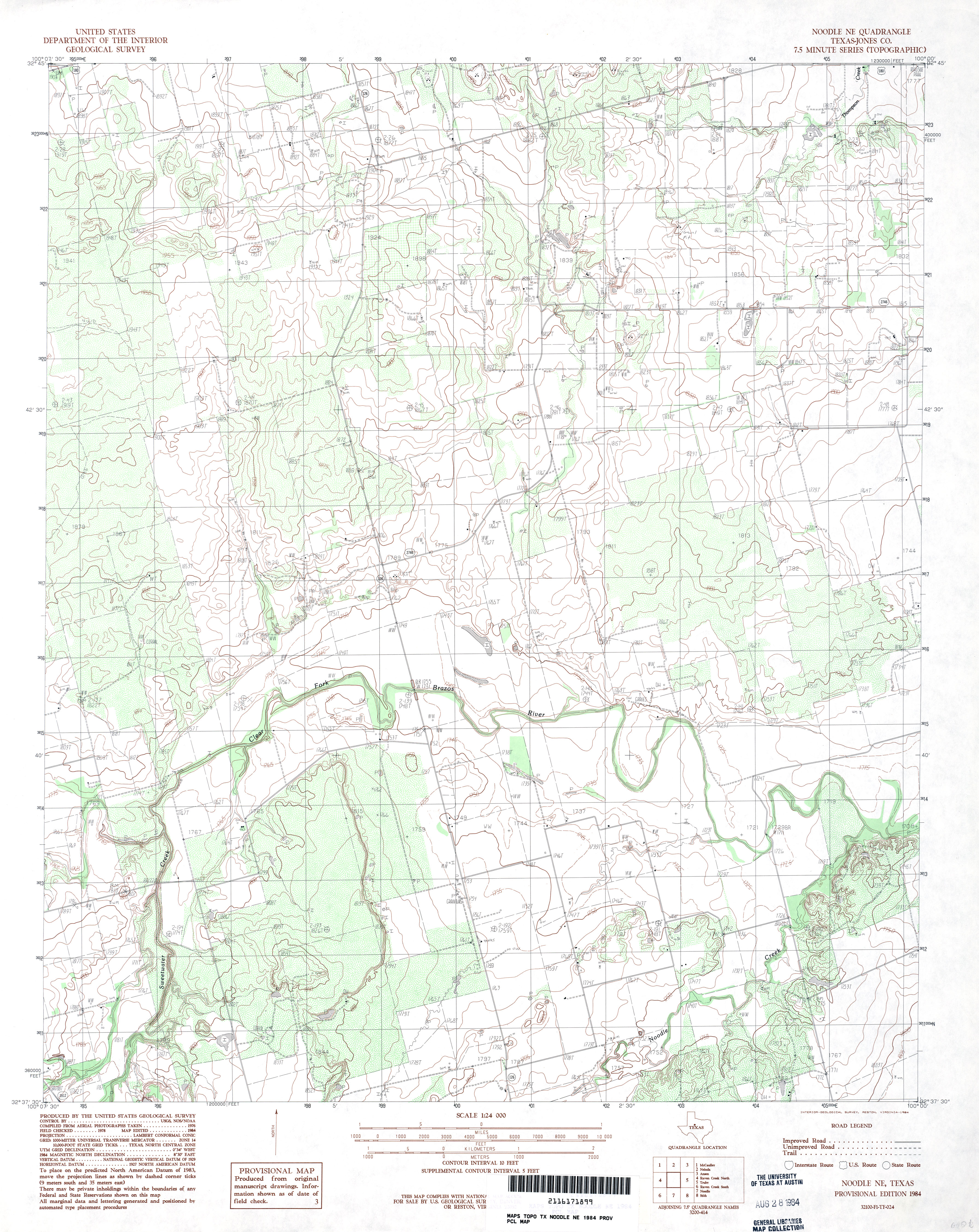
- Noodle NE (Jones County) 1:24,000 1984 (3.8MB)
- Noodle NE 1:24,000 2008 (13.2MB) [GeoPDF]
- Noodle NE 1:24,000 2012 (20.2MB) [GeoPDF]
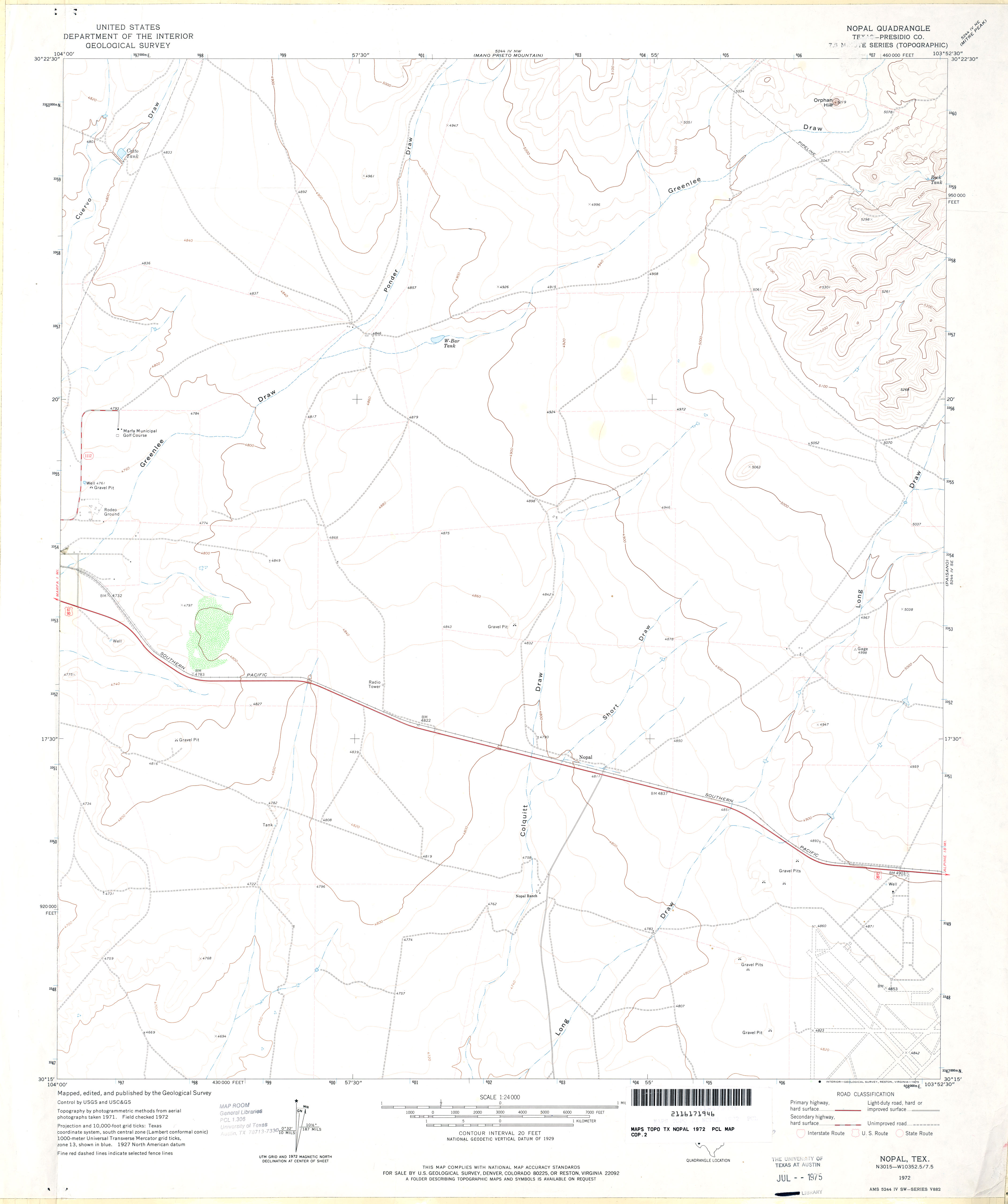
- Nopal (Presidio County) 1:24,000 1972 (1.8MB)
- Nopal 1:24,000 2008 (14.2MB) [GeoPDF]
- Nopal 1:24,000 2012 (21MB) [GeoPDF]
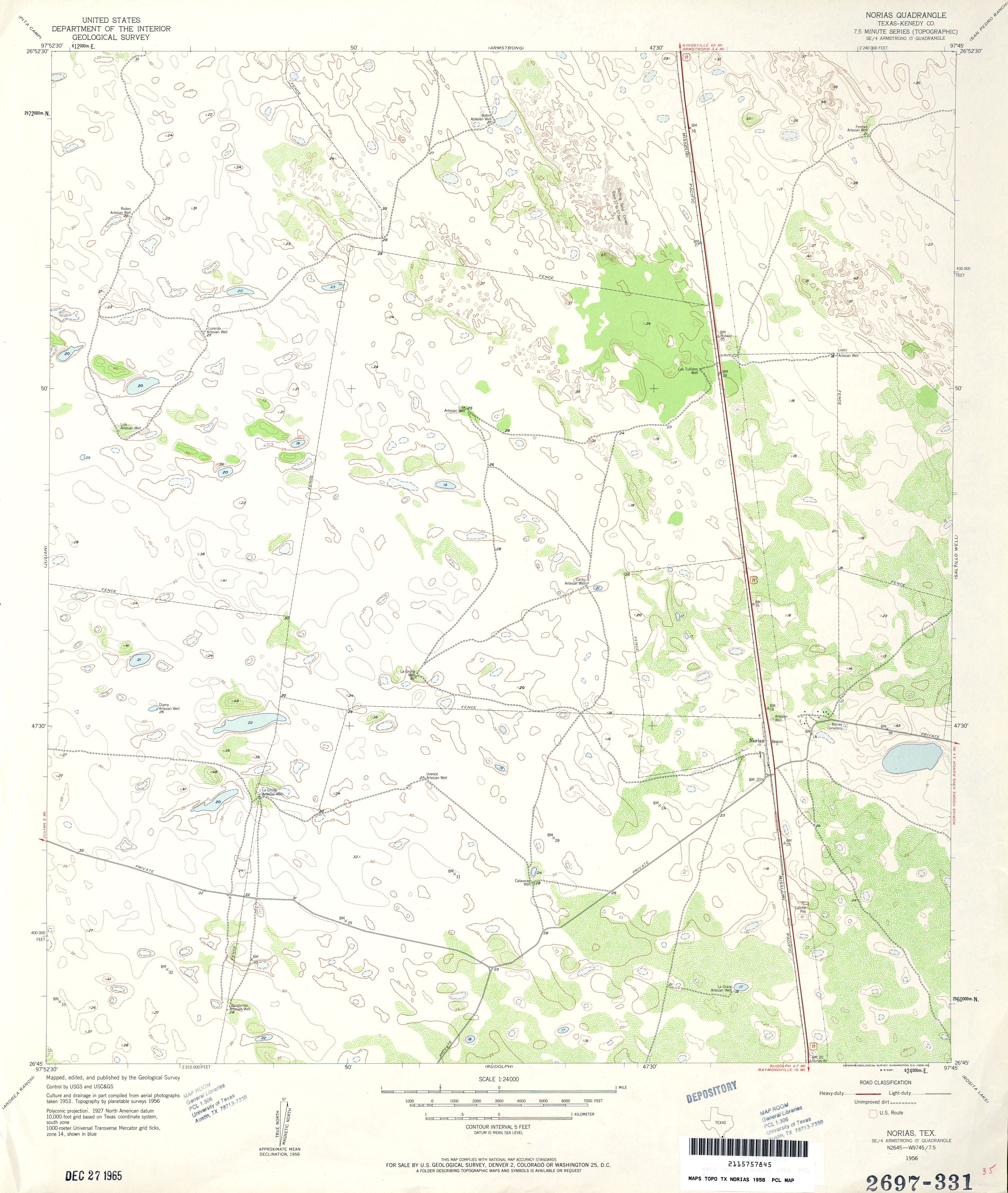
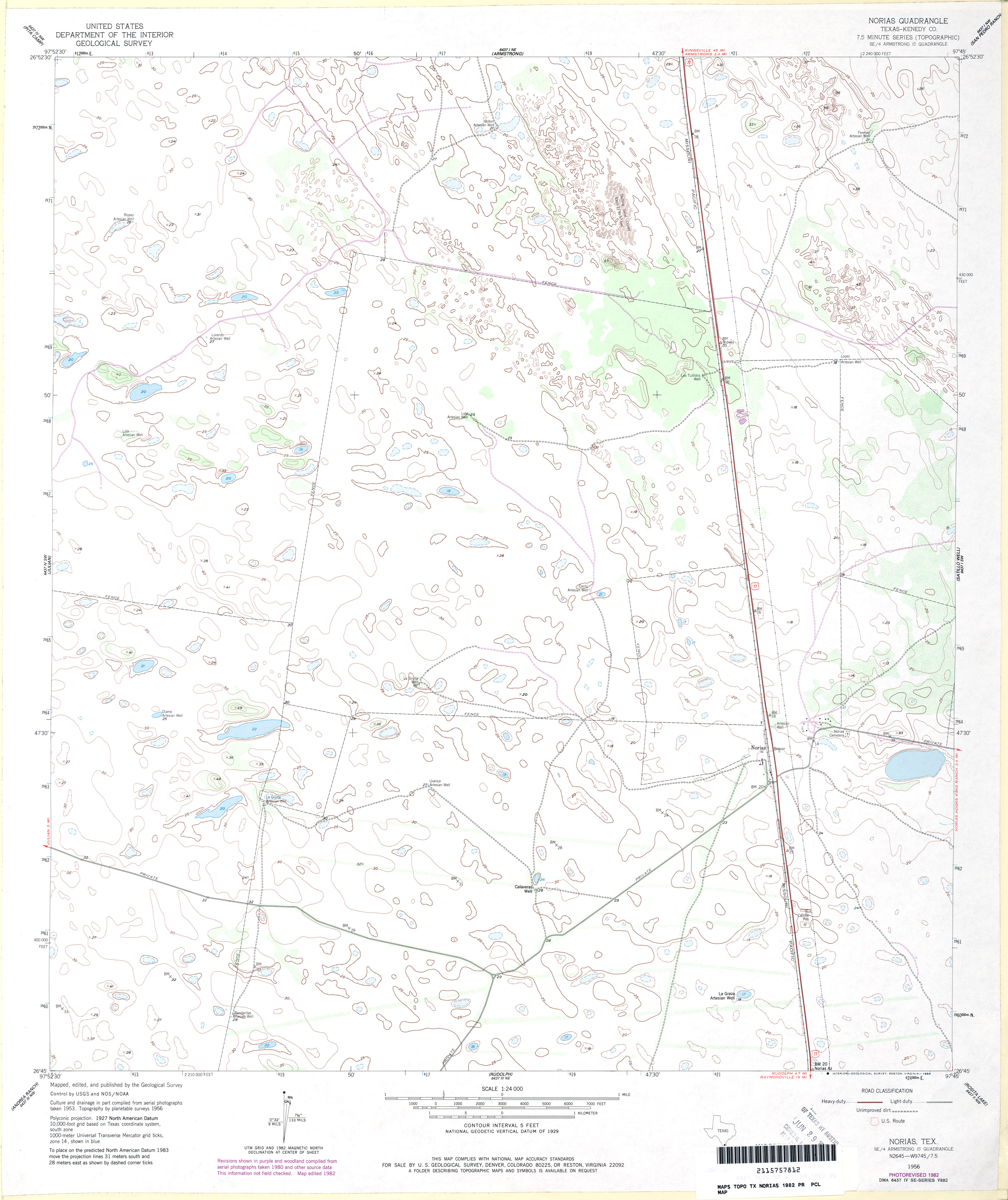
- Norias (Kenedy County) 1:24,000 1956 (3.2MB)
- Norias (Kenedy County) 1:24,000 1982 (2.7MB)
- Norias 1:24,000 2009 (16.1MB) [GeoPDF]
- Norias 1:24,000 2013 (20.3MB) [GeoPDF]
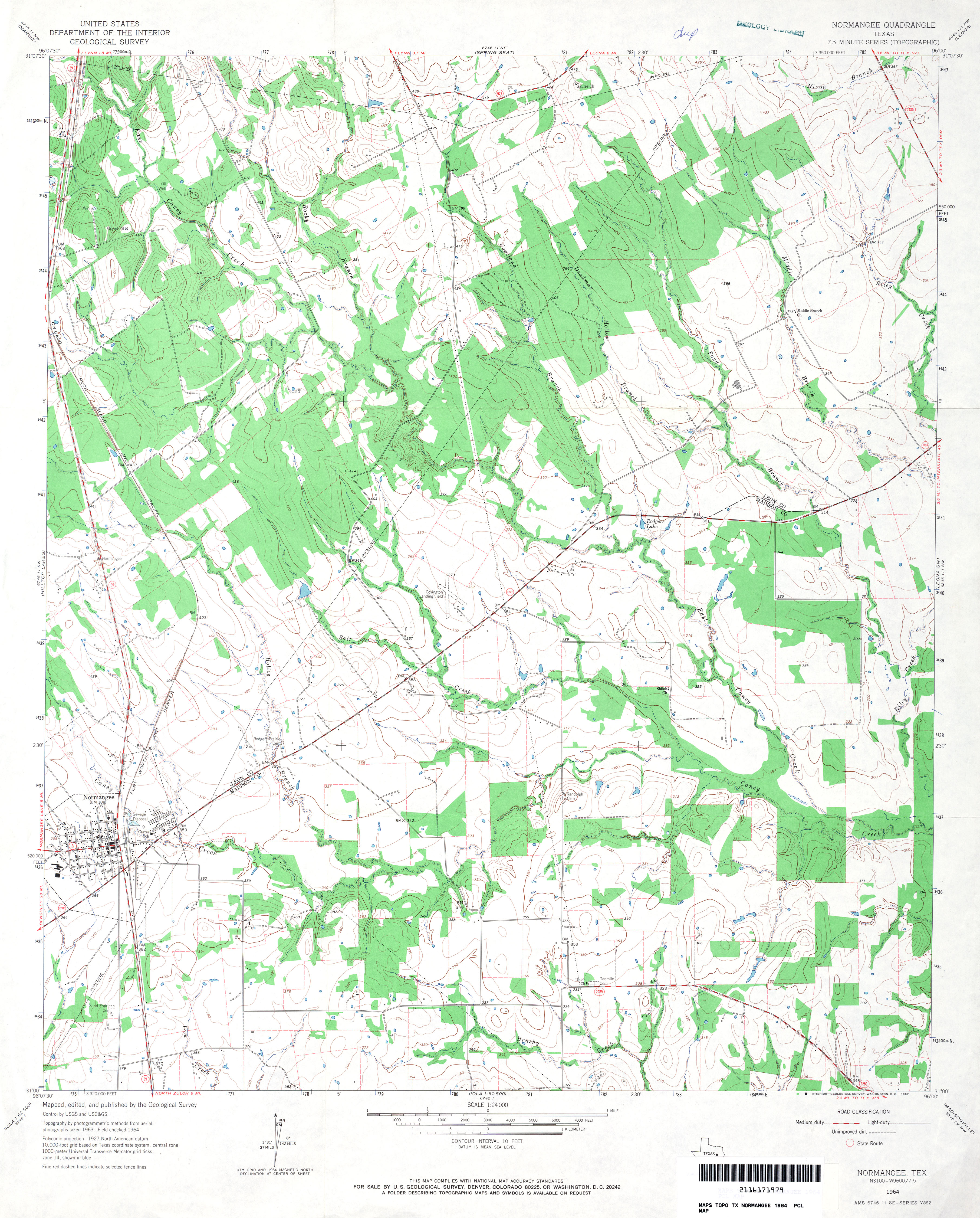
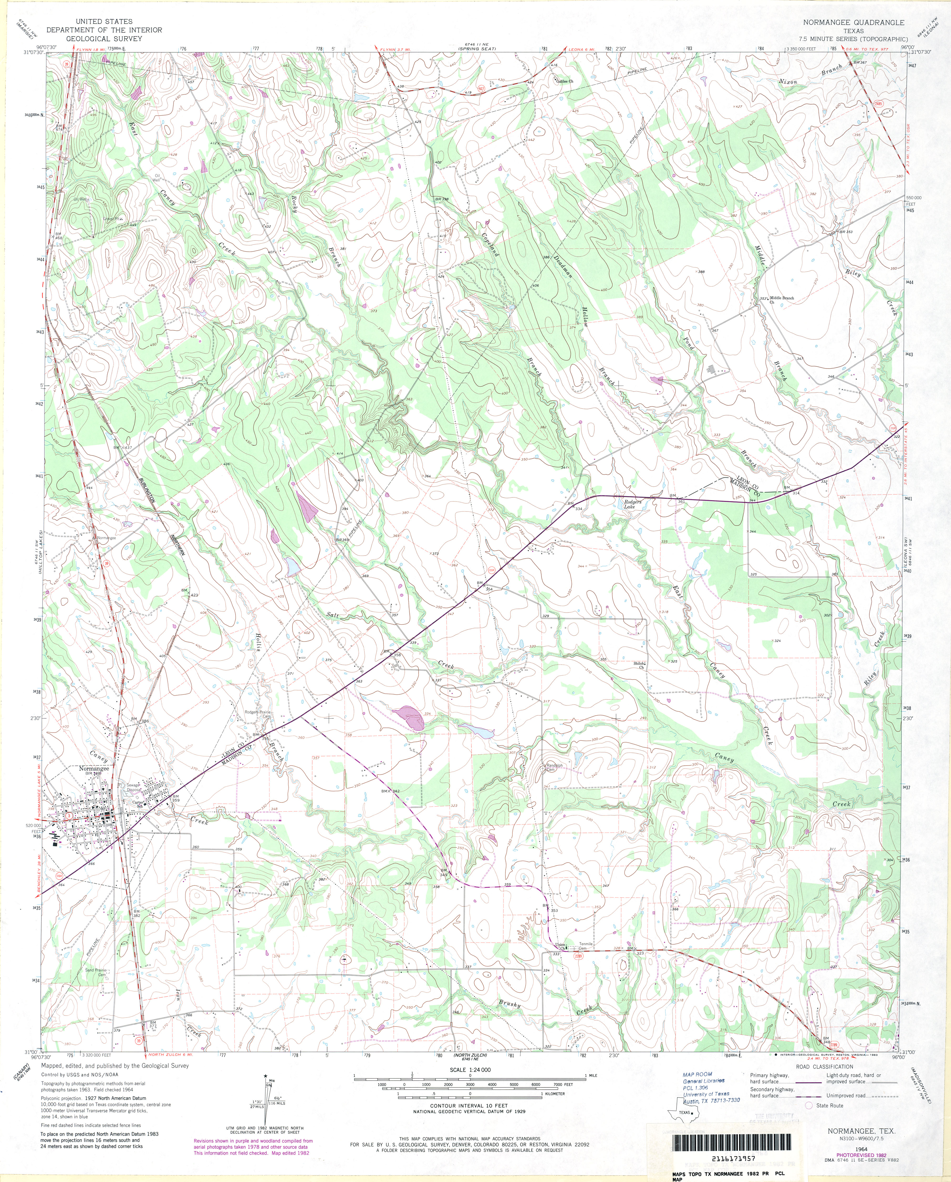
- Normangee 1:24,000 1964 (3.7MB)
- Normangee 1:24,000 1982 (3.6MB)
- Normangee 1:24,000 2009 (15.1MB) [GeoPDF]
- Normangee 1:24,000 2013 (21.5MB) [GeoPDF]
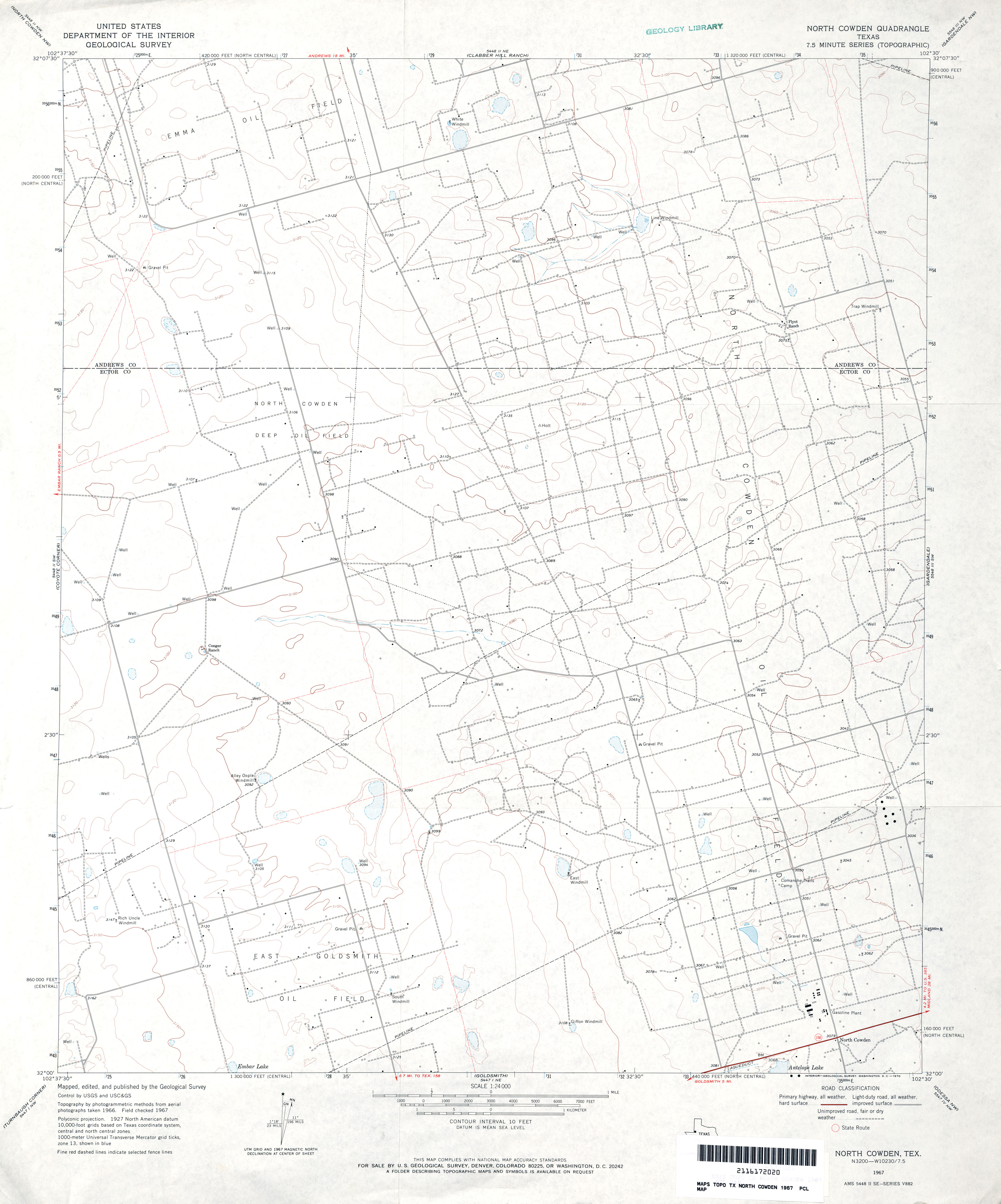
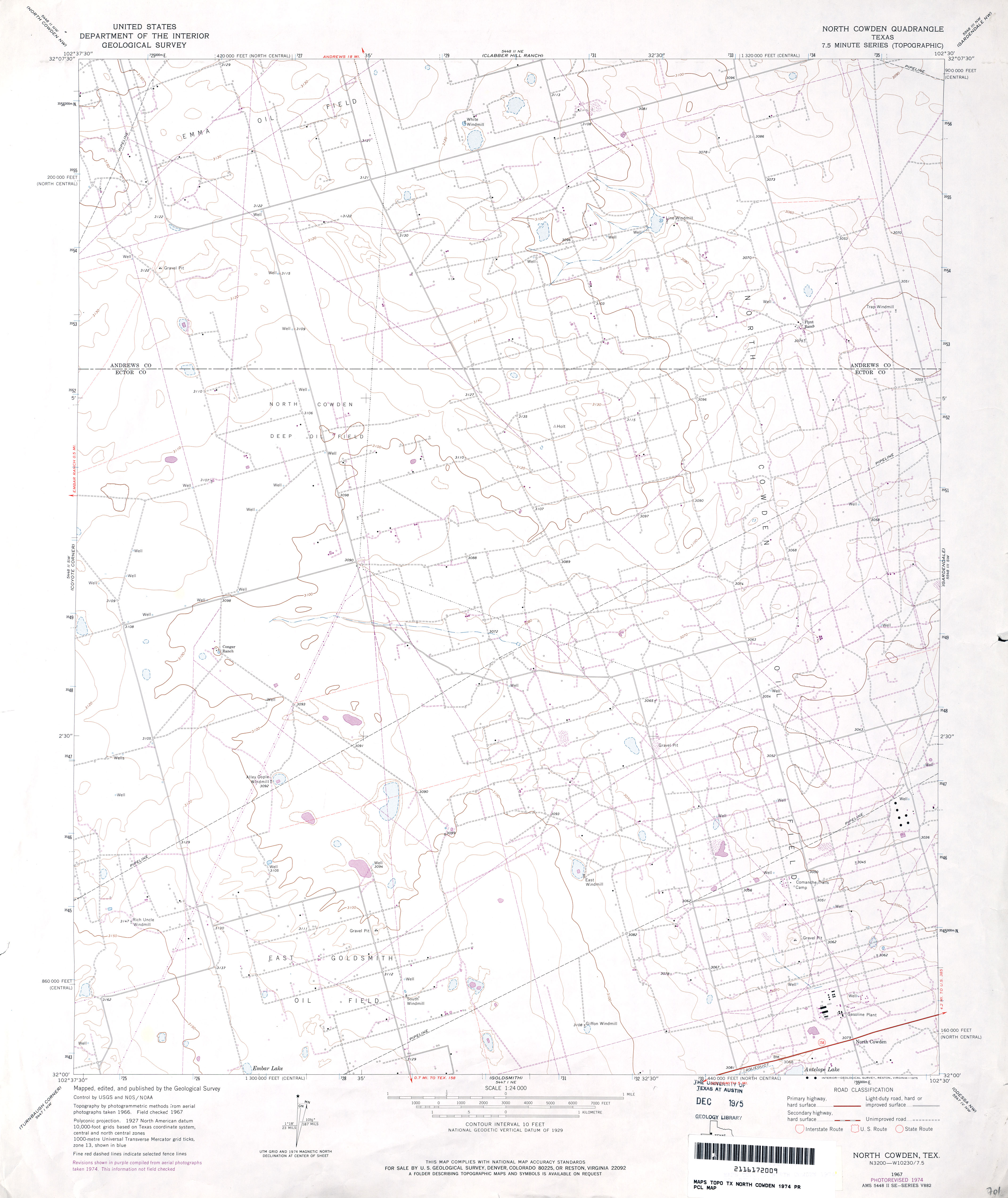
- North Cowden 1:24,000 1967 (2.5MB)
- North Cowden 1:24,000 1974 (2.6MB)
- North Cowden 1:24,000 2008 (19.4MB) [GeoPDF]
- North Cowden 1:24,000 2012 (19.5MB) [GeoPDF]
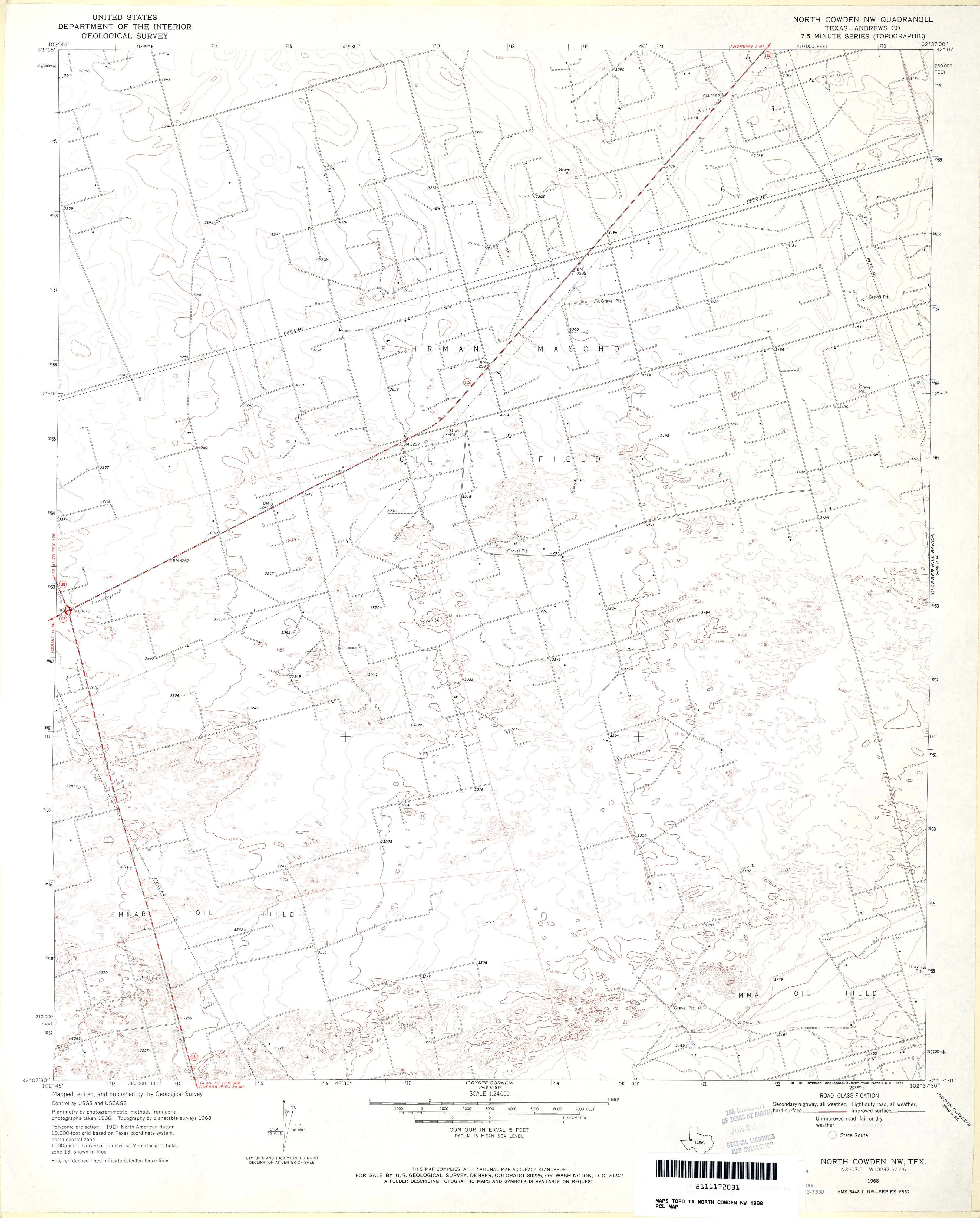
- North Cowden NW (Andrews County) 1:24,000 1968 (2.6MB)
- North Cowden NW 1:24,000 2008 (17.9MB) [GeoPDF]
- North Cowden NW 1:24,000 2012 (21.8MB) [GeoPDF]
- North Curtis Ranch (Martin County) 1:24,000 1966 (2.3MB)
- North Curtis Ranch 1:24,000 2008 (13.9MB) [GeoPDF]
- North Curtis Ranch 1:24,000 2012 (18MB) [GeoPDF]
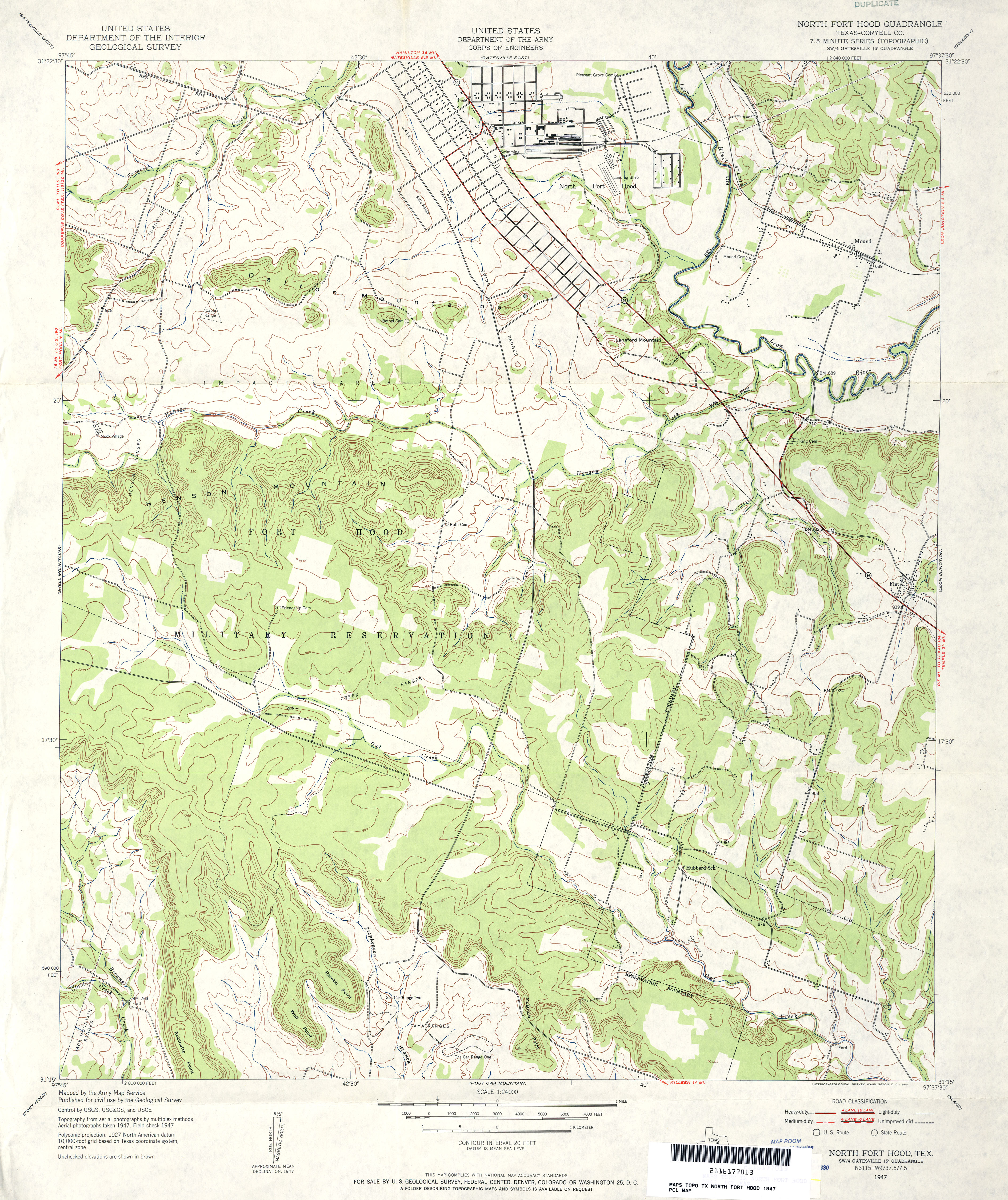
- North Fort Hood (Coryell County) 1:24,000 1947 (4.2MB)
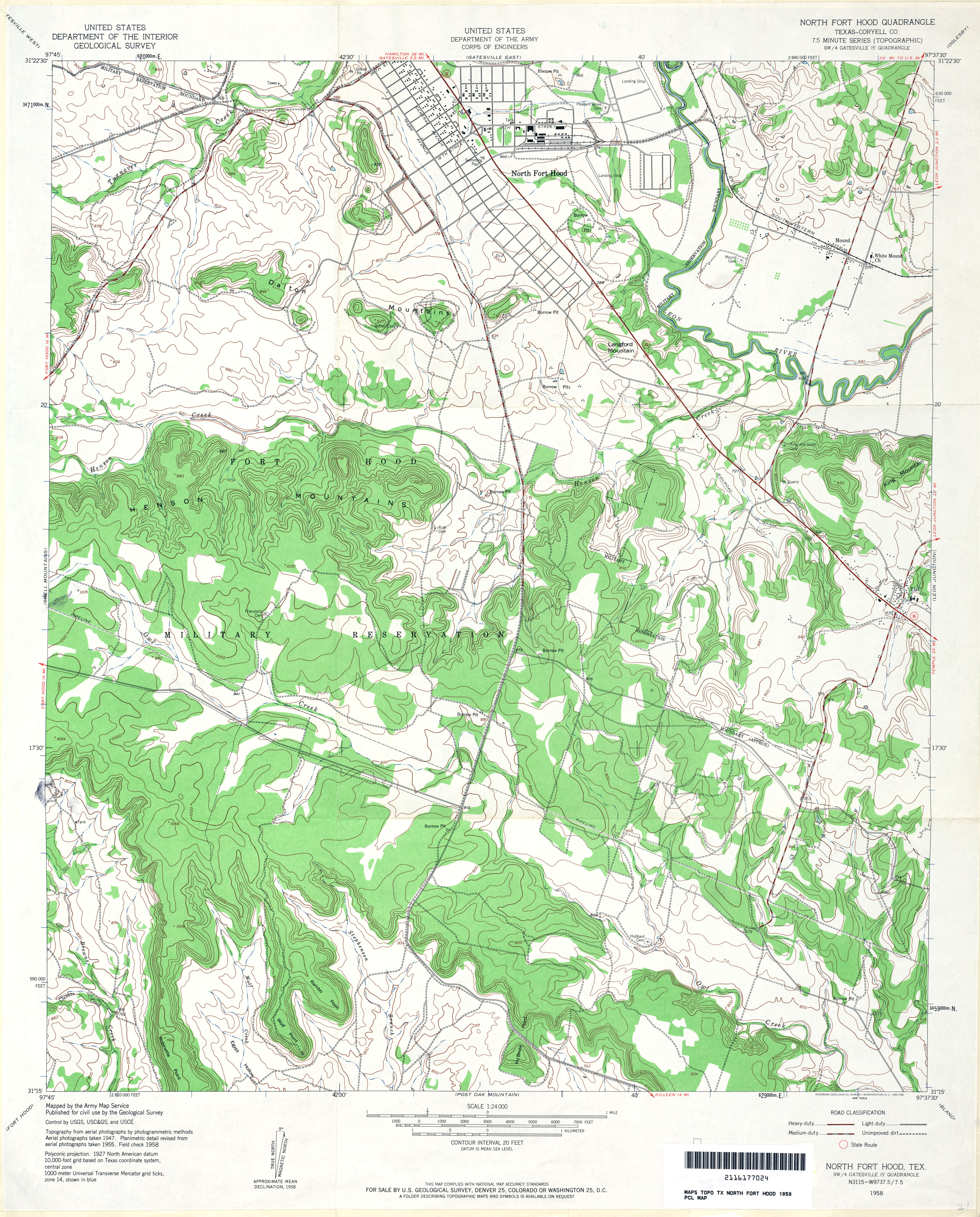
- North Fort Hood (Coryell County) 1:24,000 1958 (4.4MB)
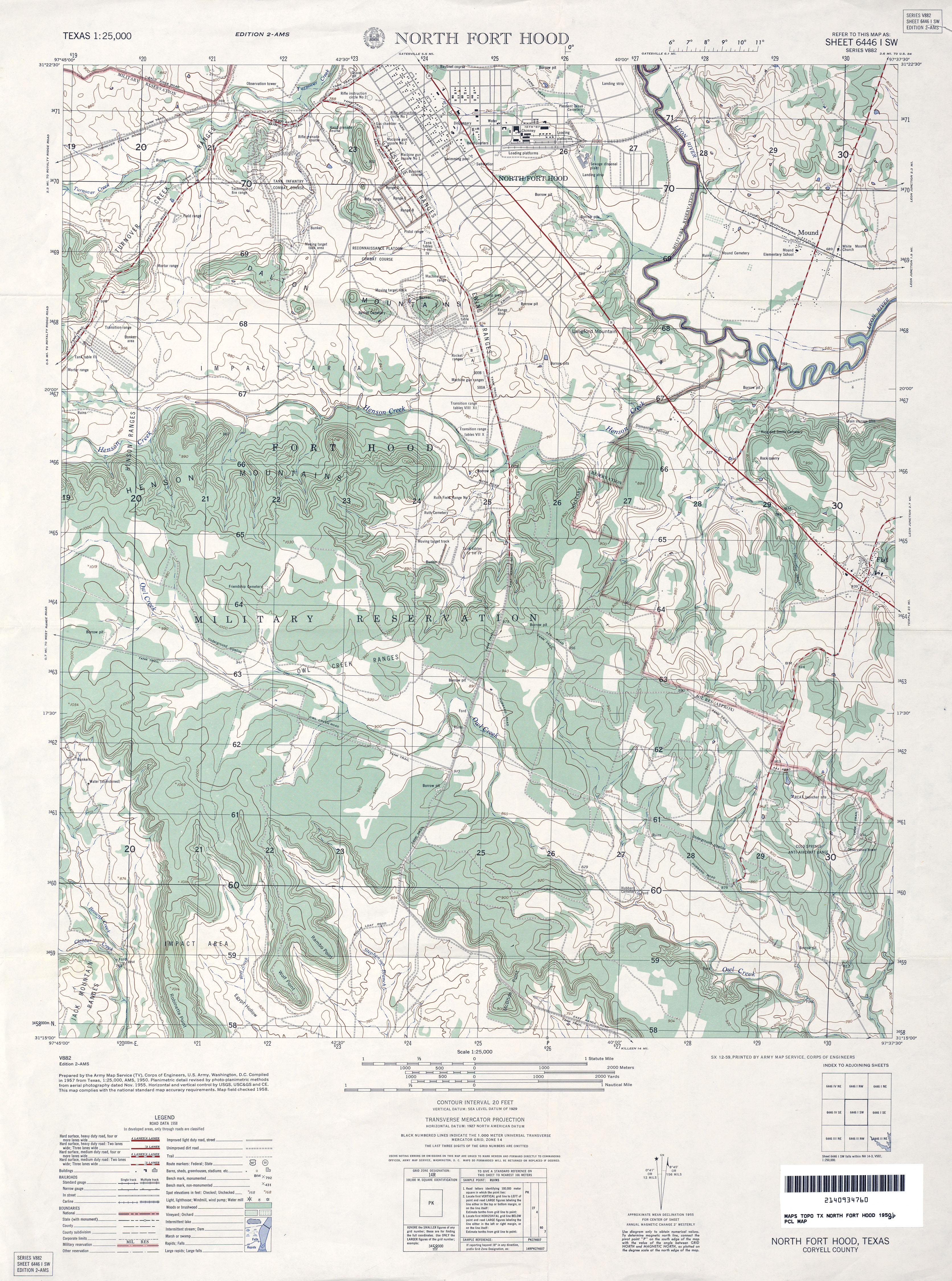
- North Fort Hood 1:25,000 1958 (4.5MB) U.S. Army Map Service, Edition 2-AMS, Series V882
- North Fort Hood (Coryell County) 1:24,000 1994 (3.6MB)
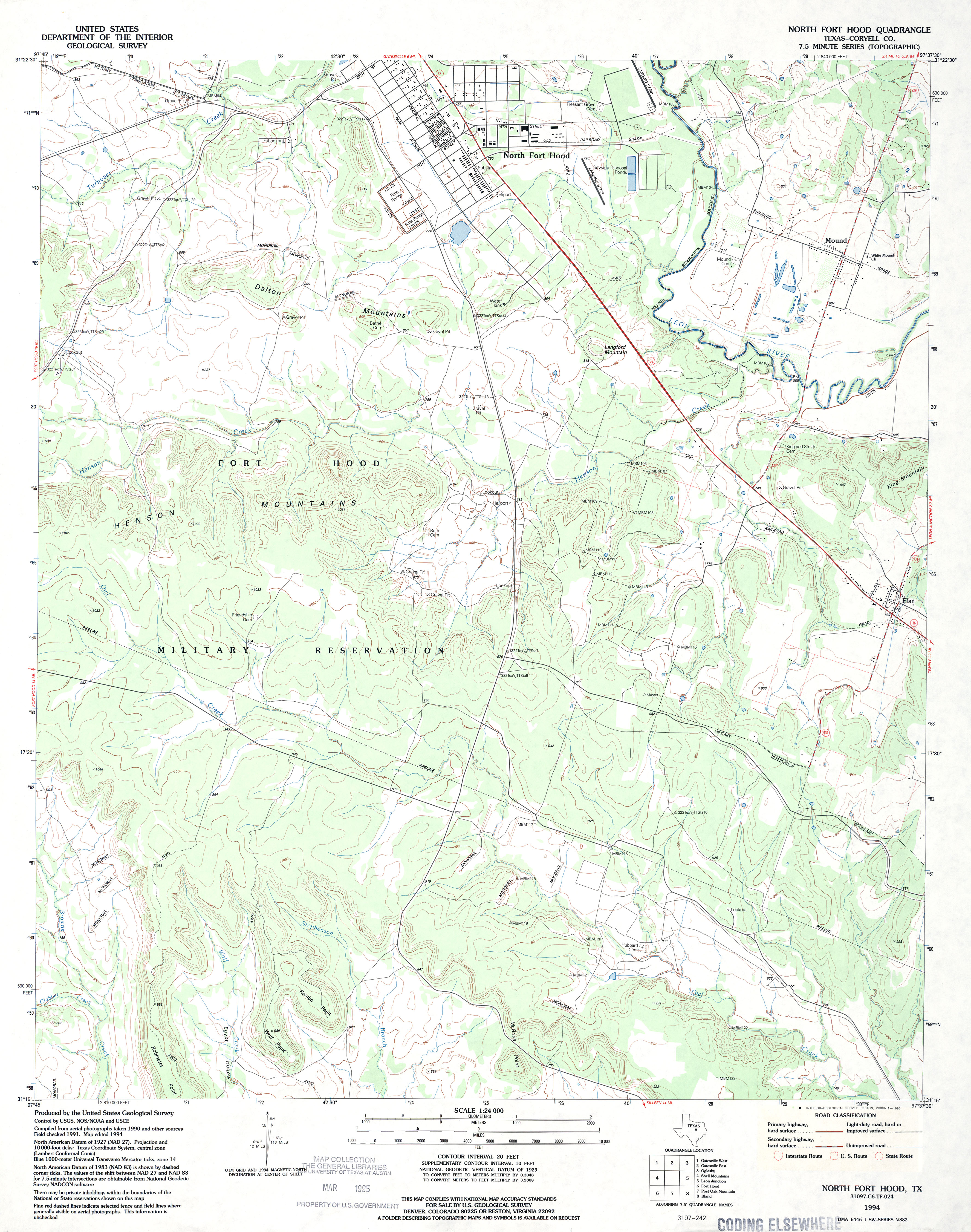
- North Fort Hood 1:24,000 2008 (16.1MB) [GeoPDF]
- North Fort Hood 1:24,000 2012 (22.4MB) [GeoPDF]
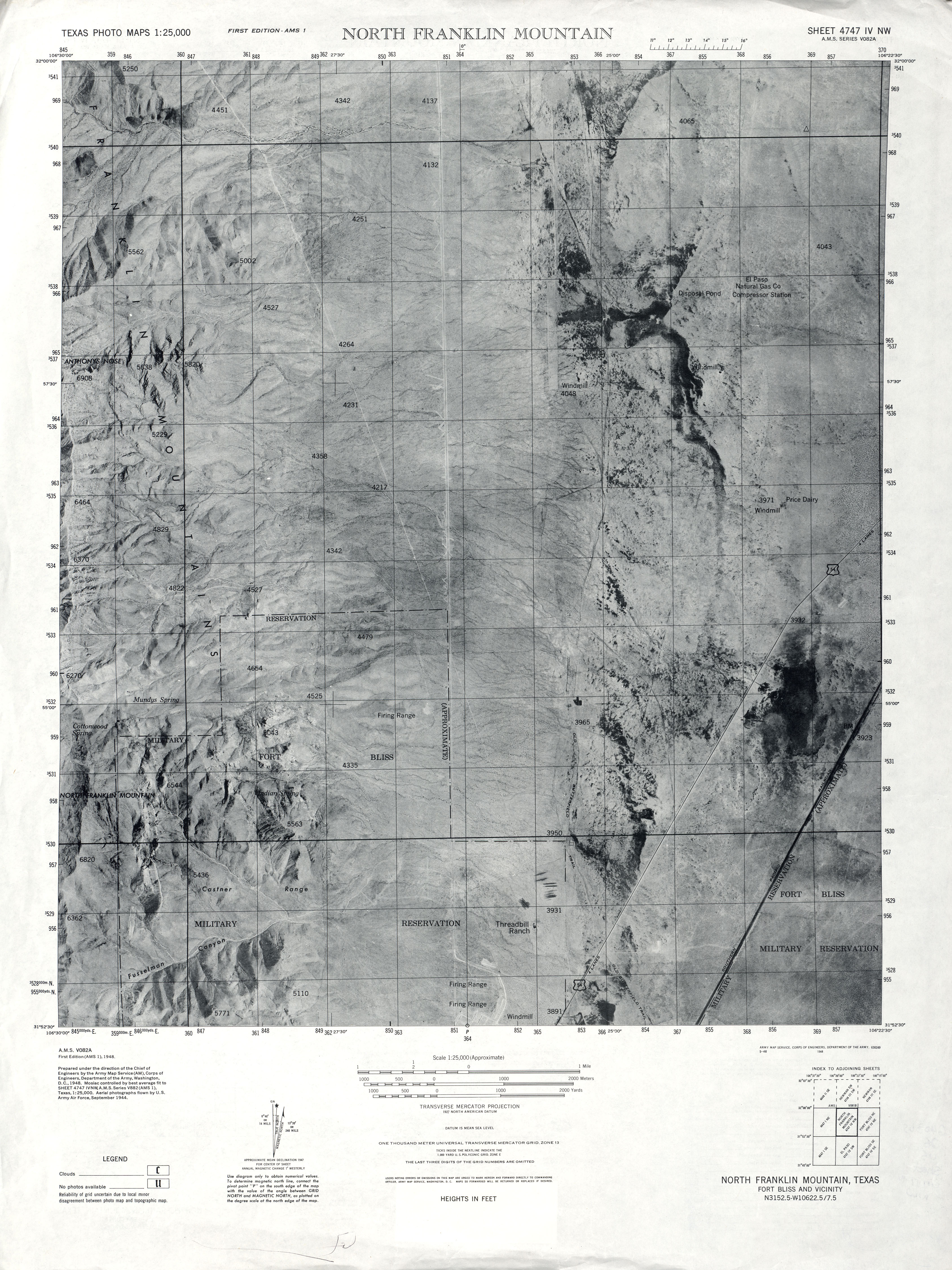
- North Franklin Mountain 1:25,000 1944 (3.2MB) U.S. Army Map Service, Edition AMS-1, Series V082A. Texas Photo Maps
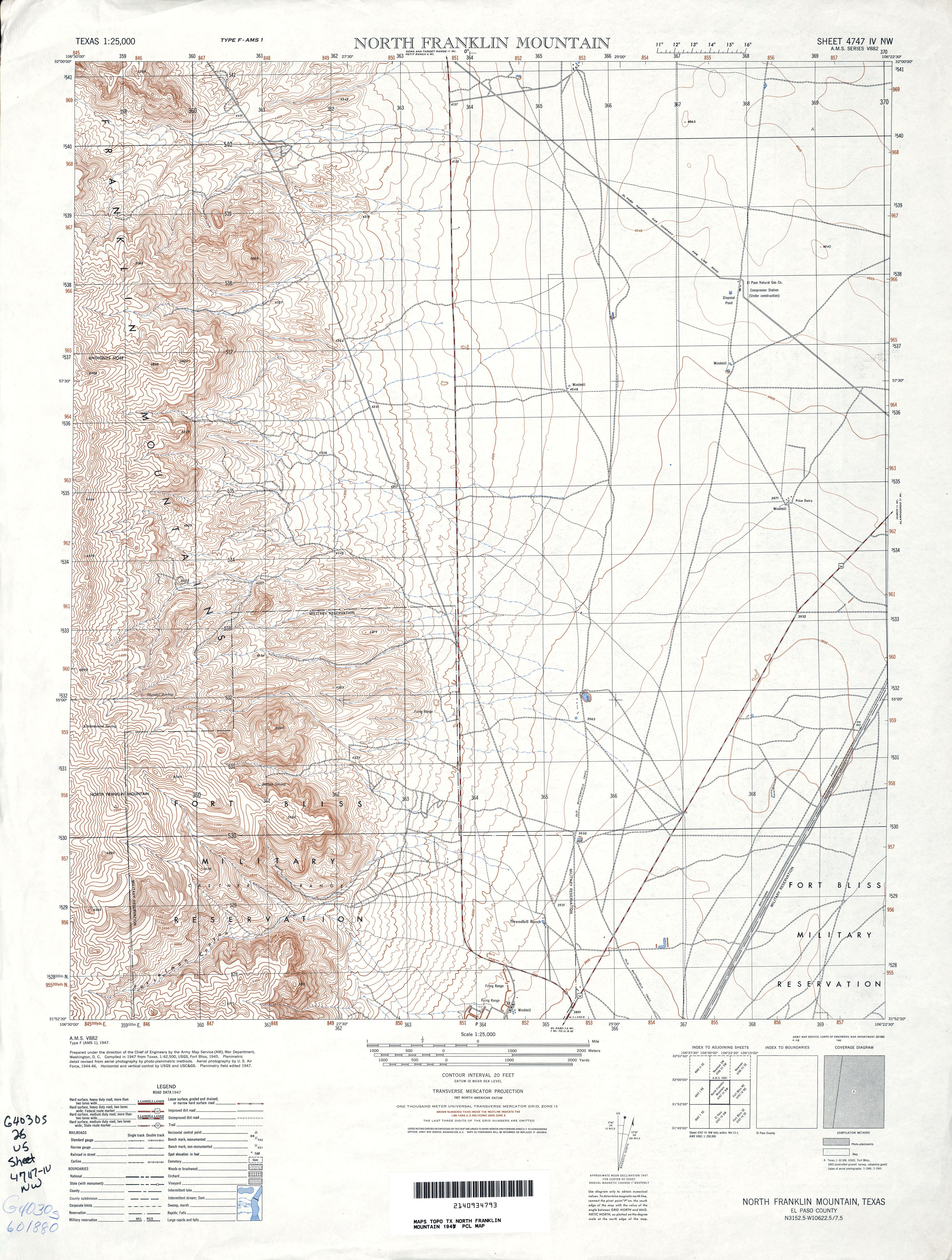
- North Franklin Mountain 1:25,000 1947 (4.1MB) U.S. Army Map Service, Series V882
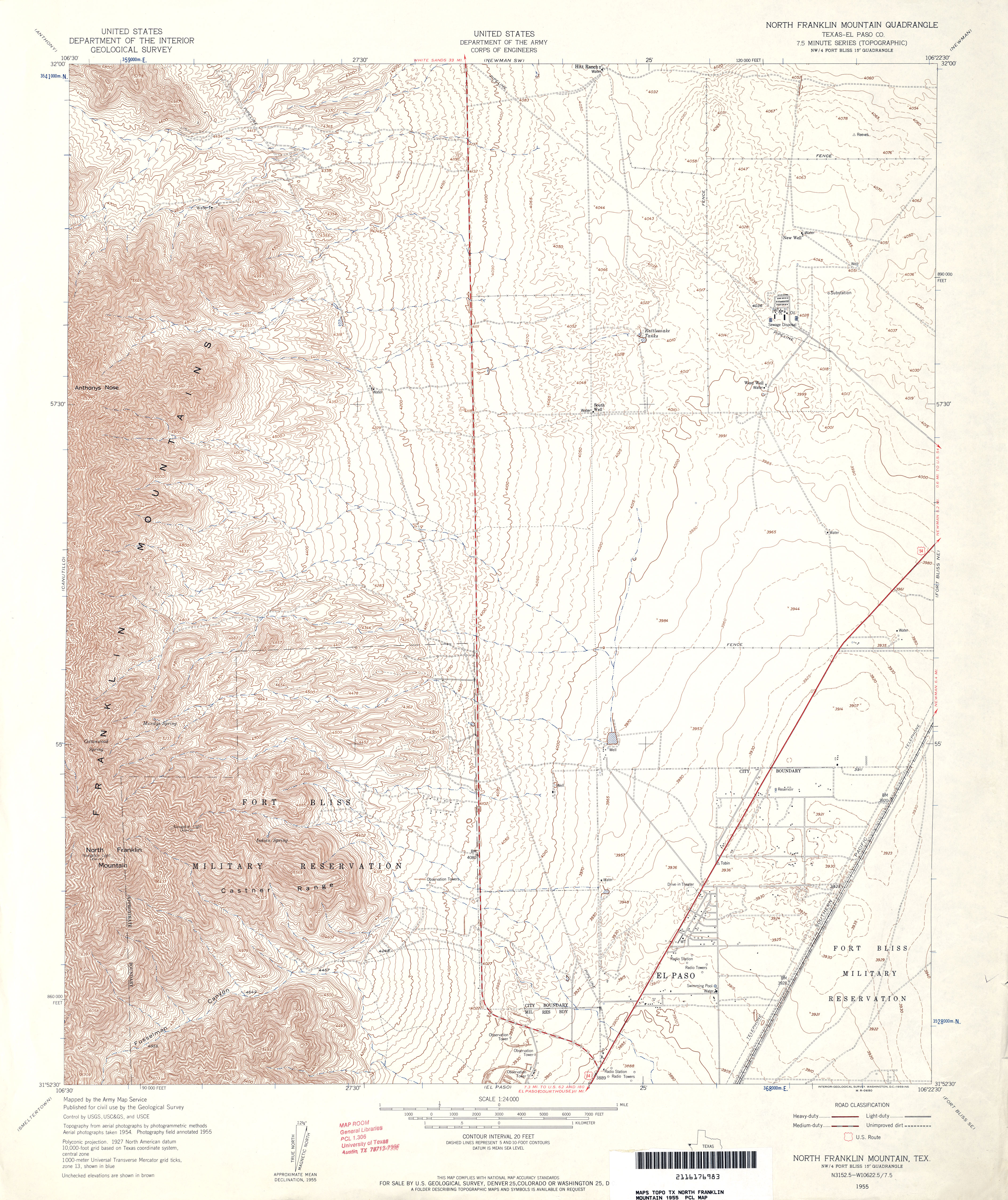
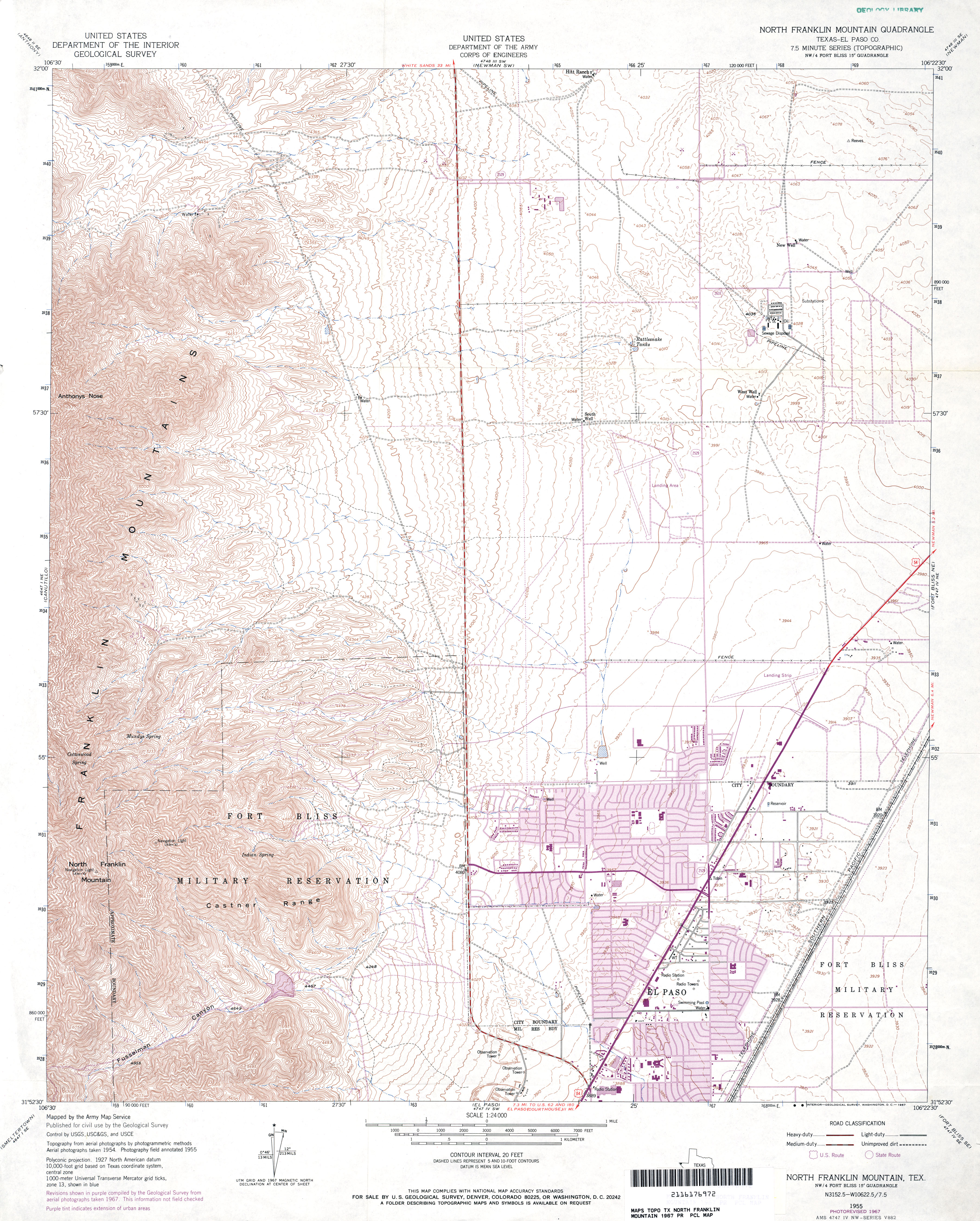
- North Franklin Mountain (El Paso County) 1:24,000 1955 (5MB) U.S. Department of the Army Corps of Engineers
- North Franklin Mountain (El Paso County) 1:24,000 1967 (4.8MB) U.S. Department of the Army Corps of Engineers
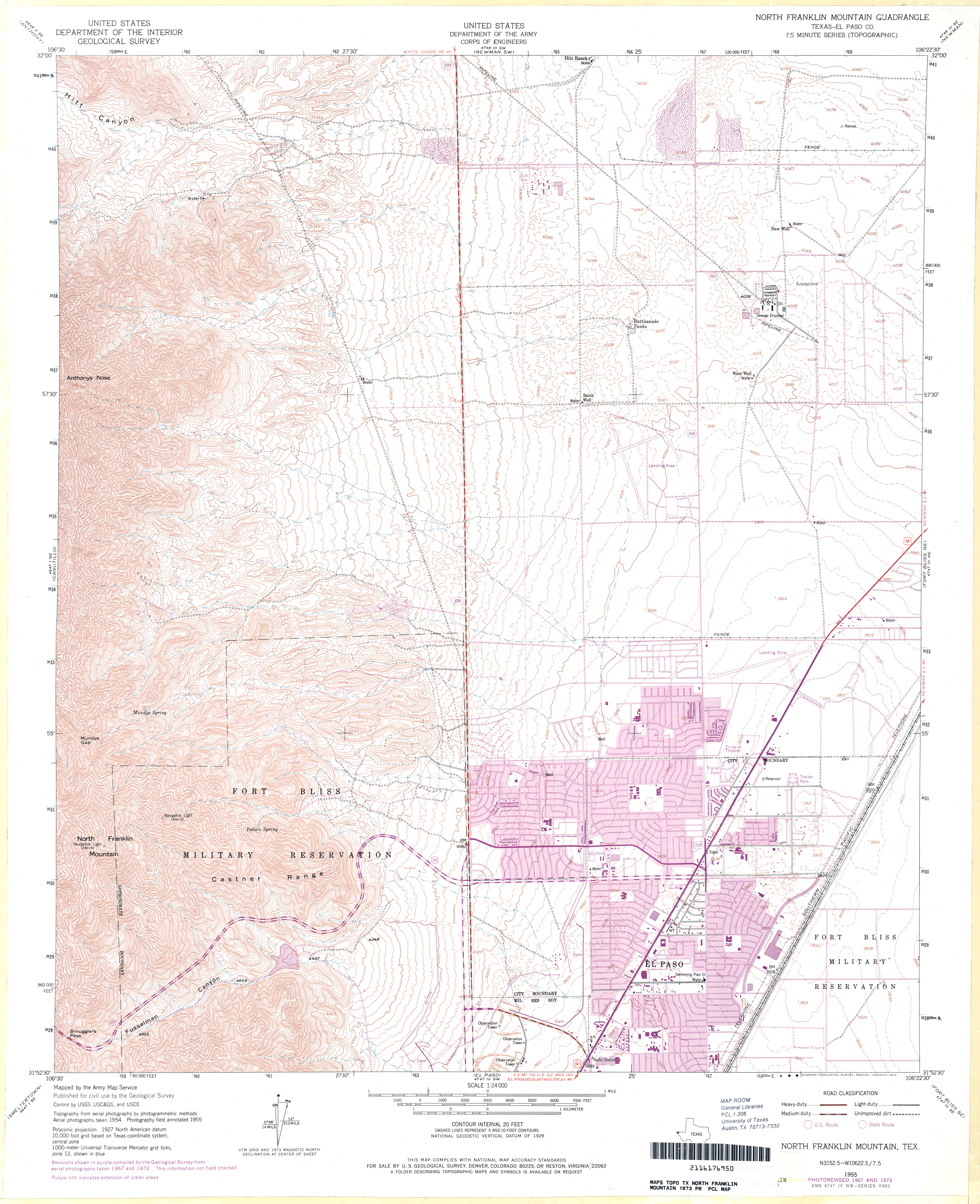
- North Franklin Mountain (El Paso County) 1:24,000 1973 (4.8MB) U.S. Department of the Army Corps of Engineers
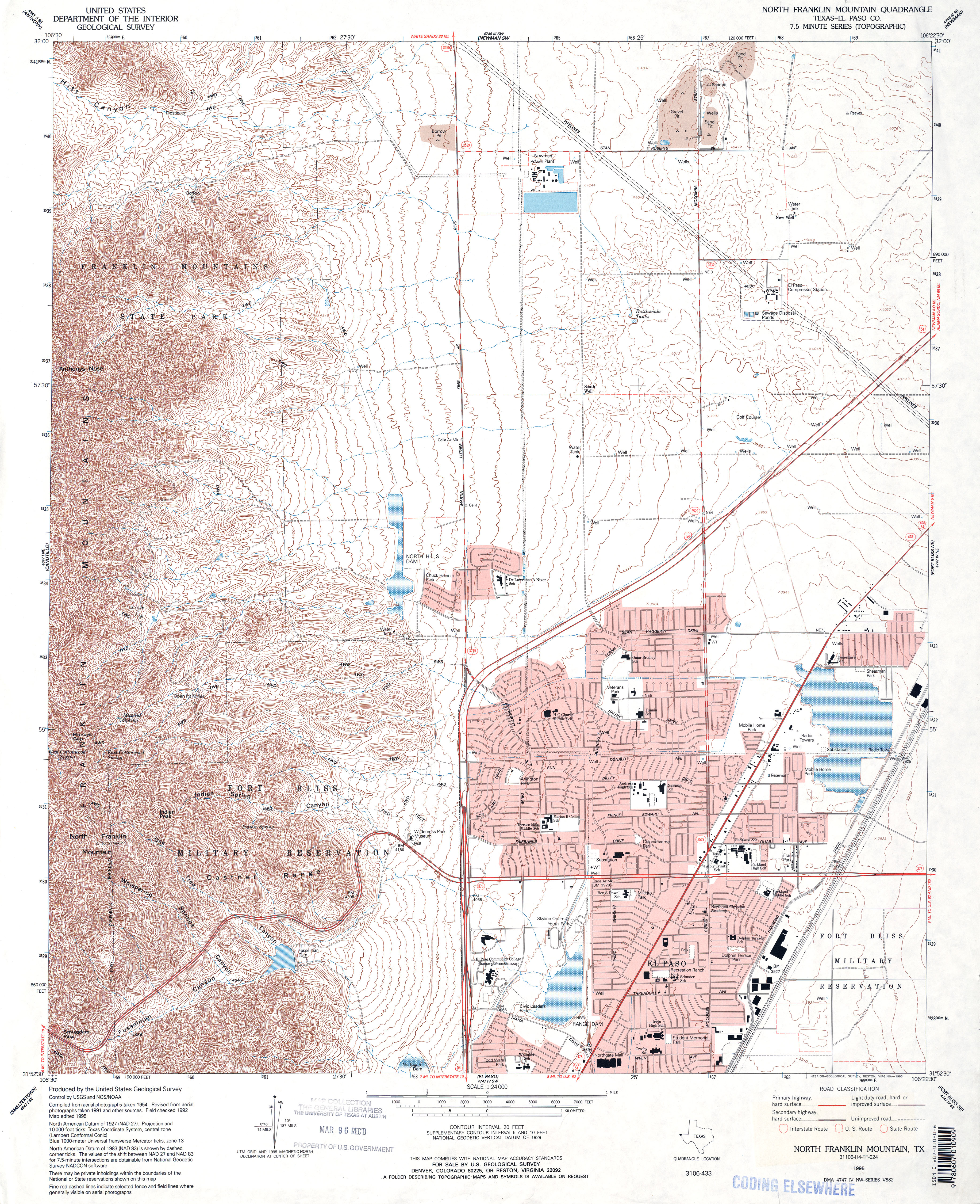
- North Franklin Mountain (El Paso County) 1:24,000 1995 (5.6MB)
- North Franklin Mountain 1:24,000 2008 (21.0MB) [GeoPDF]
- North Franklin Mountain 1:24,000 2012 (27.5MB) [GeoPDF]
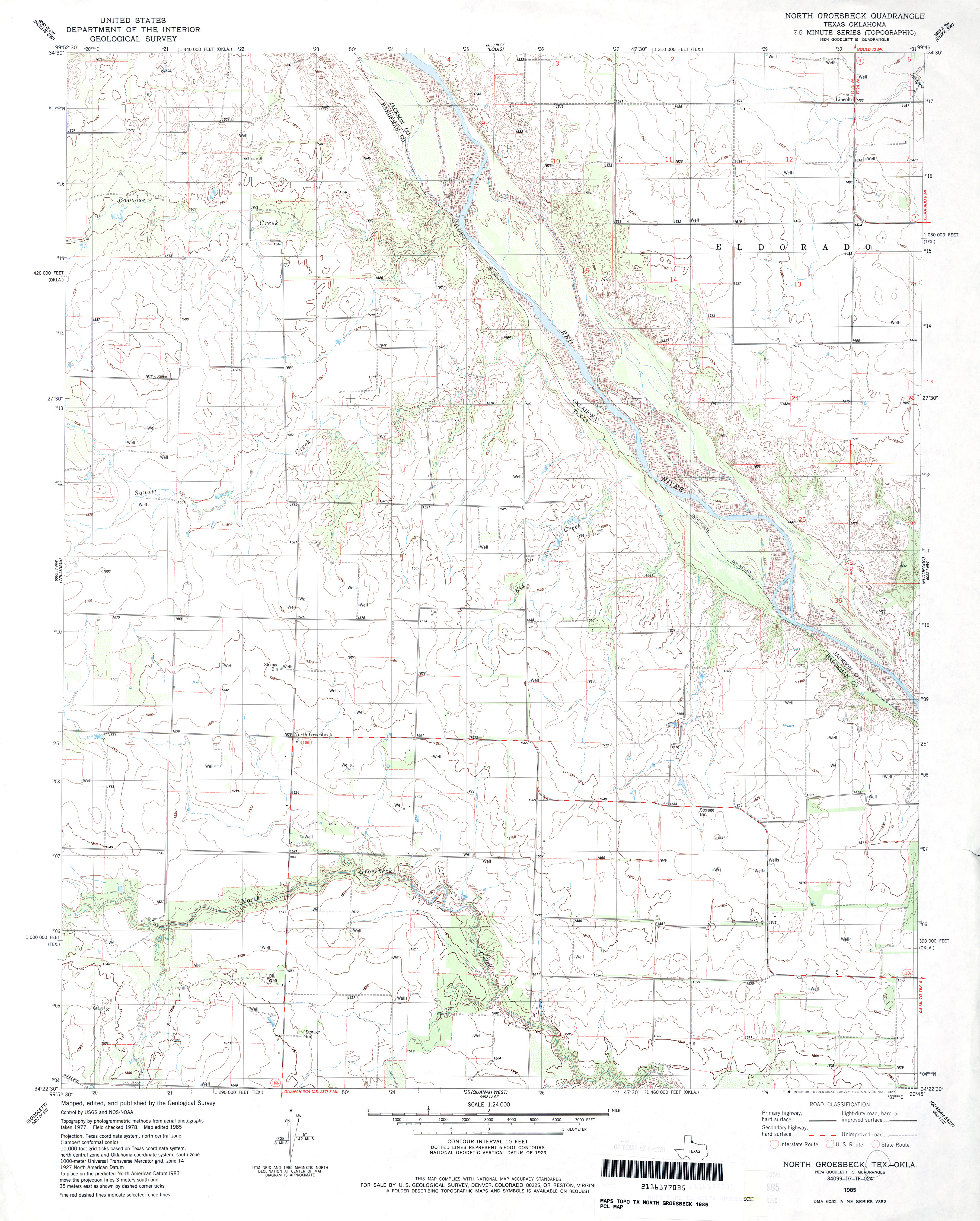
- North Groesbeck 1:24,000 1985 (3.4MB)
- North Groesbeck 1:24,000 2008 (11.1MB) [GeoPDF]
- North Groesbeck 1:24,000 2012 (18.5MB) [GeoPDF]
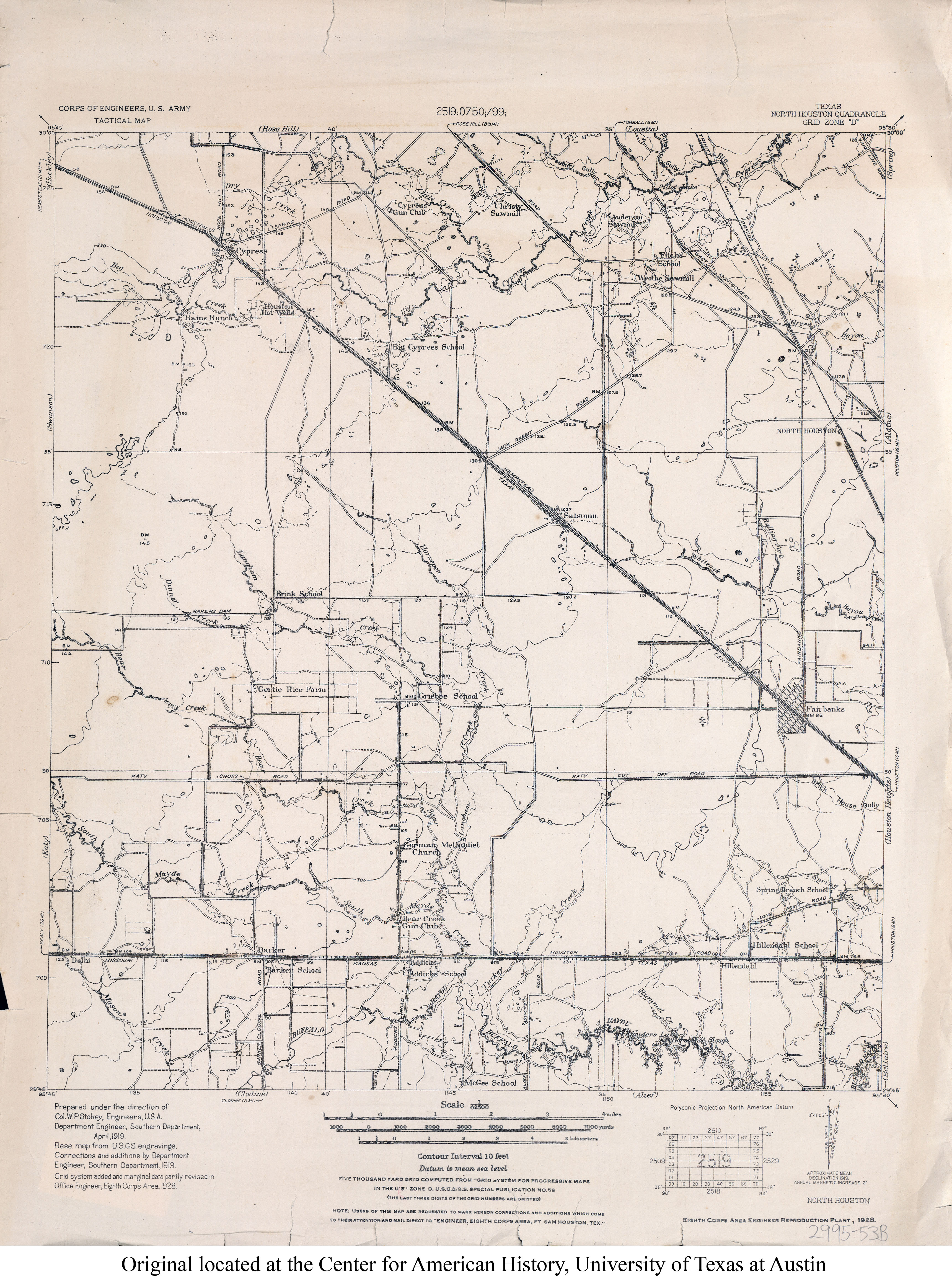
- North Houston 1:62,500 1928 (3.2MB) U.S. Army. Corps of Engineers. Tactical Map
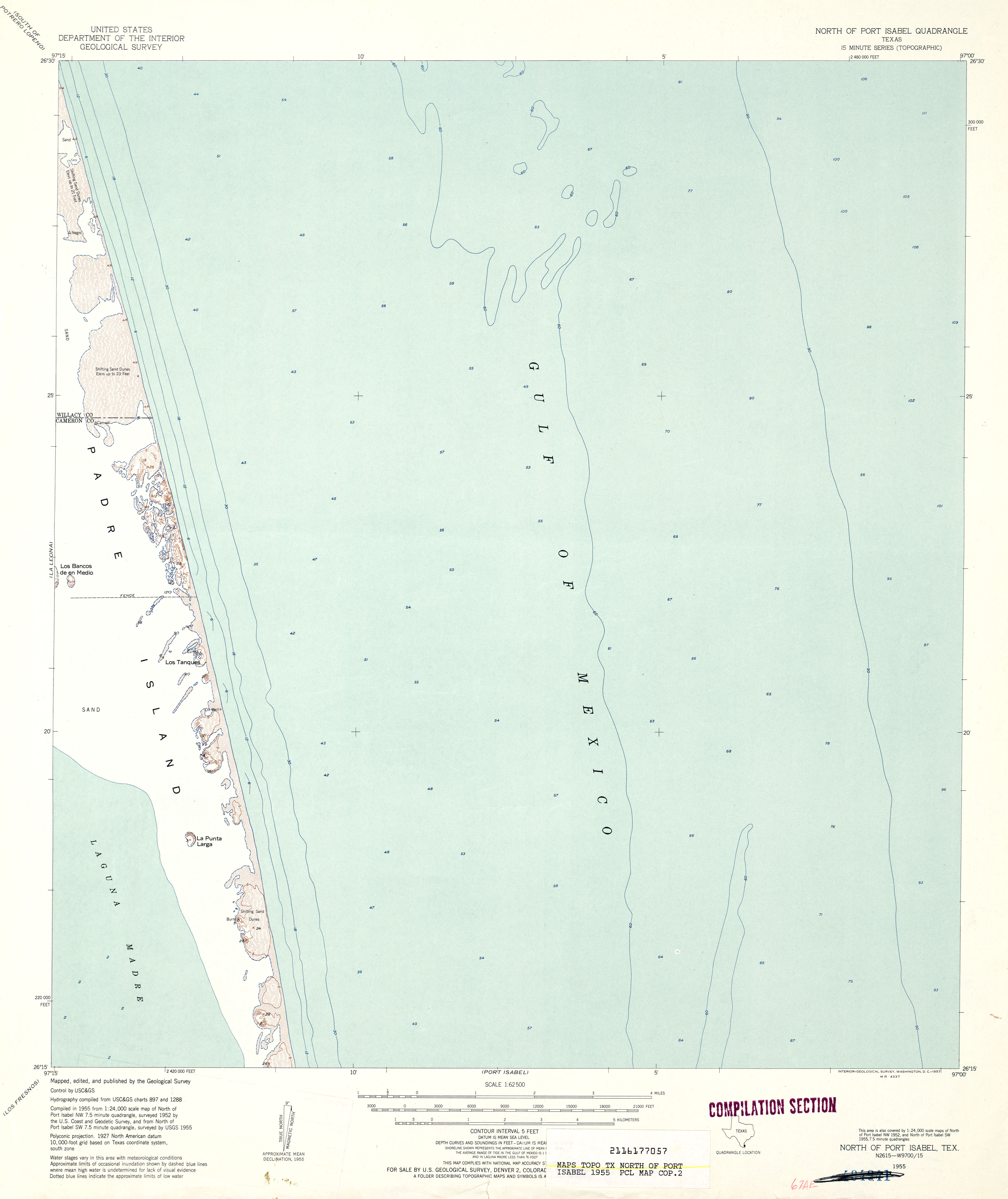
- North of Port Isabel 1:62,500 1955 (2.1MB)
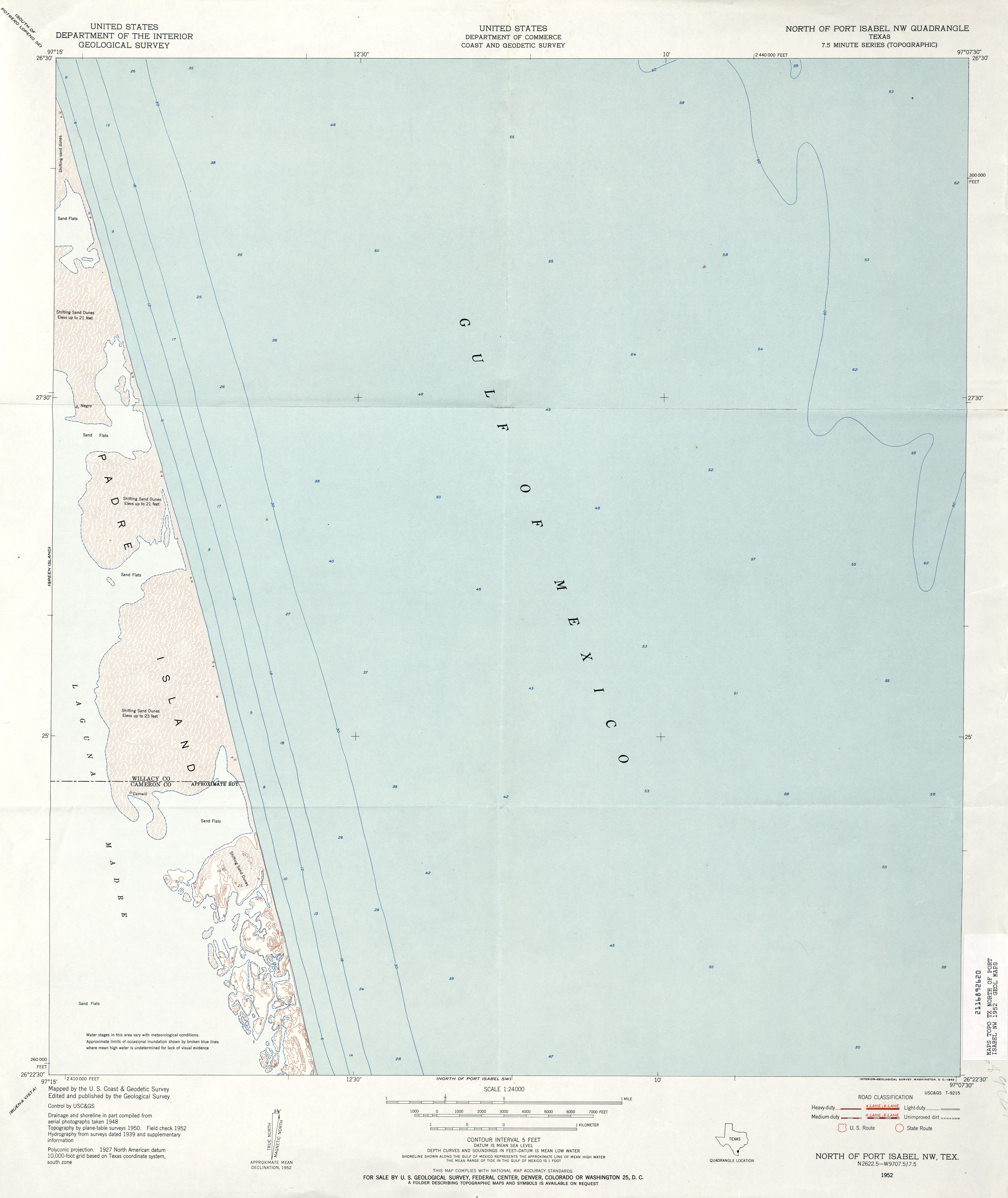
- North of Port Isabel NW 1:24,000 1952 (2.3MB)
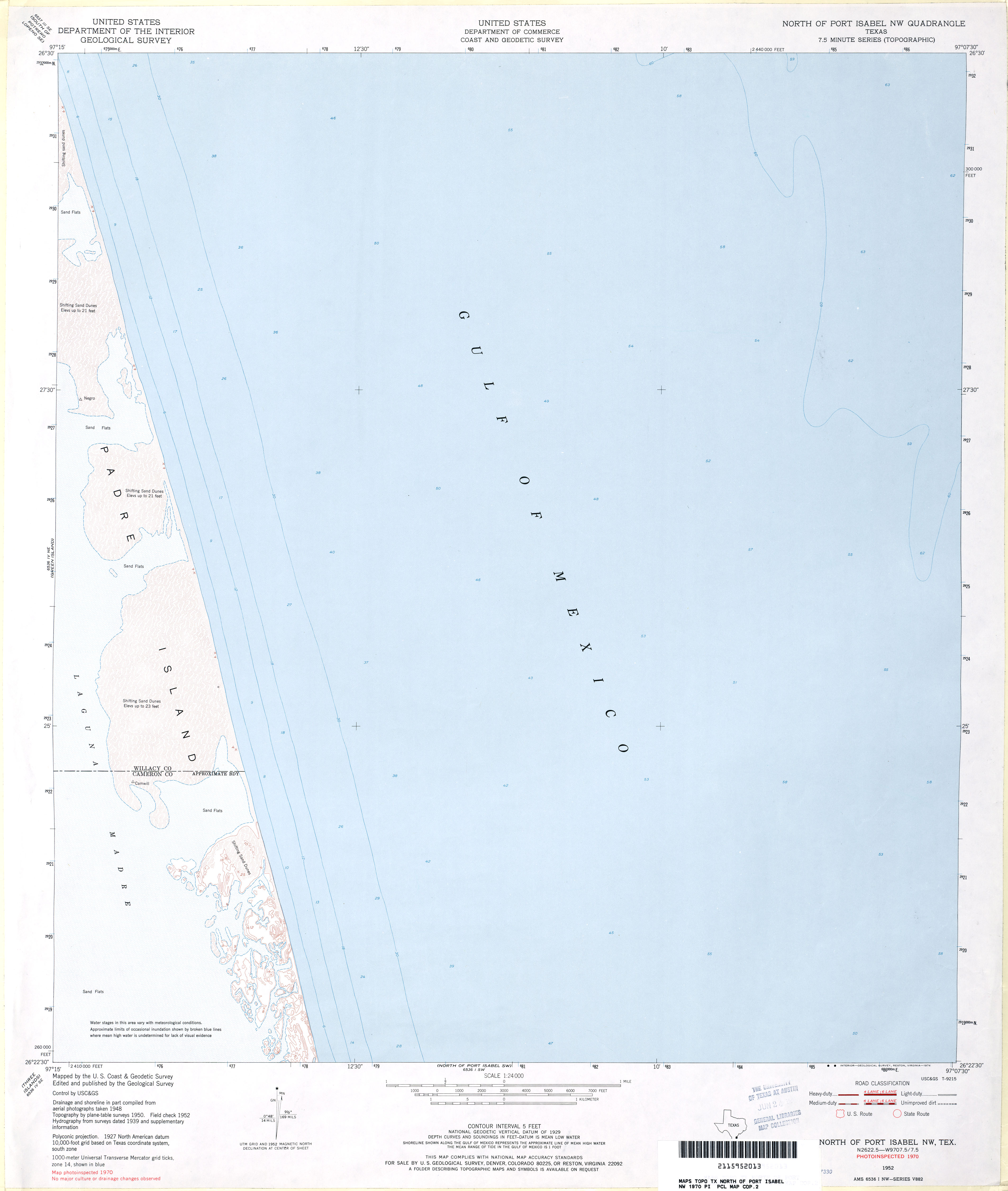
- North of Port Isabel NW 1:24,000 1970 (2MB)
- North of Port Isabel NW 1:24,000 2008 (29.5MB) [GeoPDF]
- North of Port Isabel NW 1:24,000 2013 (13.9MB) [GeoPDF]
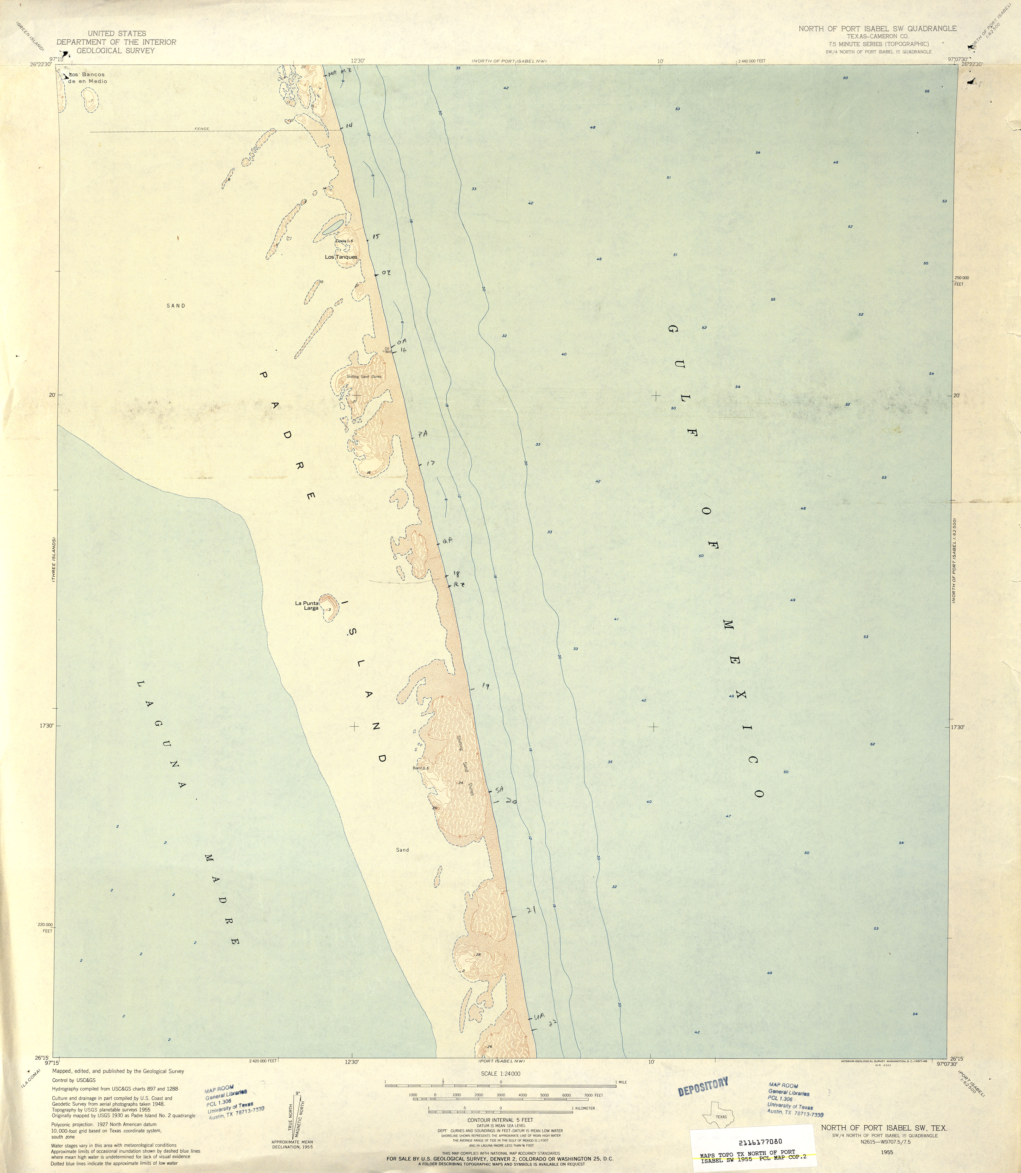
- North of Port Isabel SW (Cameron County) 1:24,000 1955 (2.7MB)
- North of Port Isabel SW (Cameron County) 1:24,000 1982 (2.6MB)
- North of Port Isabel SW 1:24,000 2008 (31.8MB) [GeoPDF]
- North of Port Isabel SW 1:24,000 2013 (14.1MB) [GeoPDF]
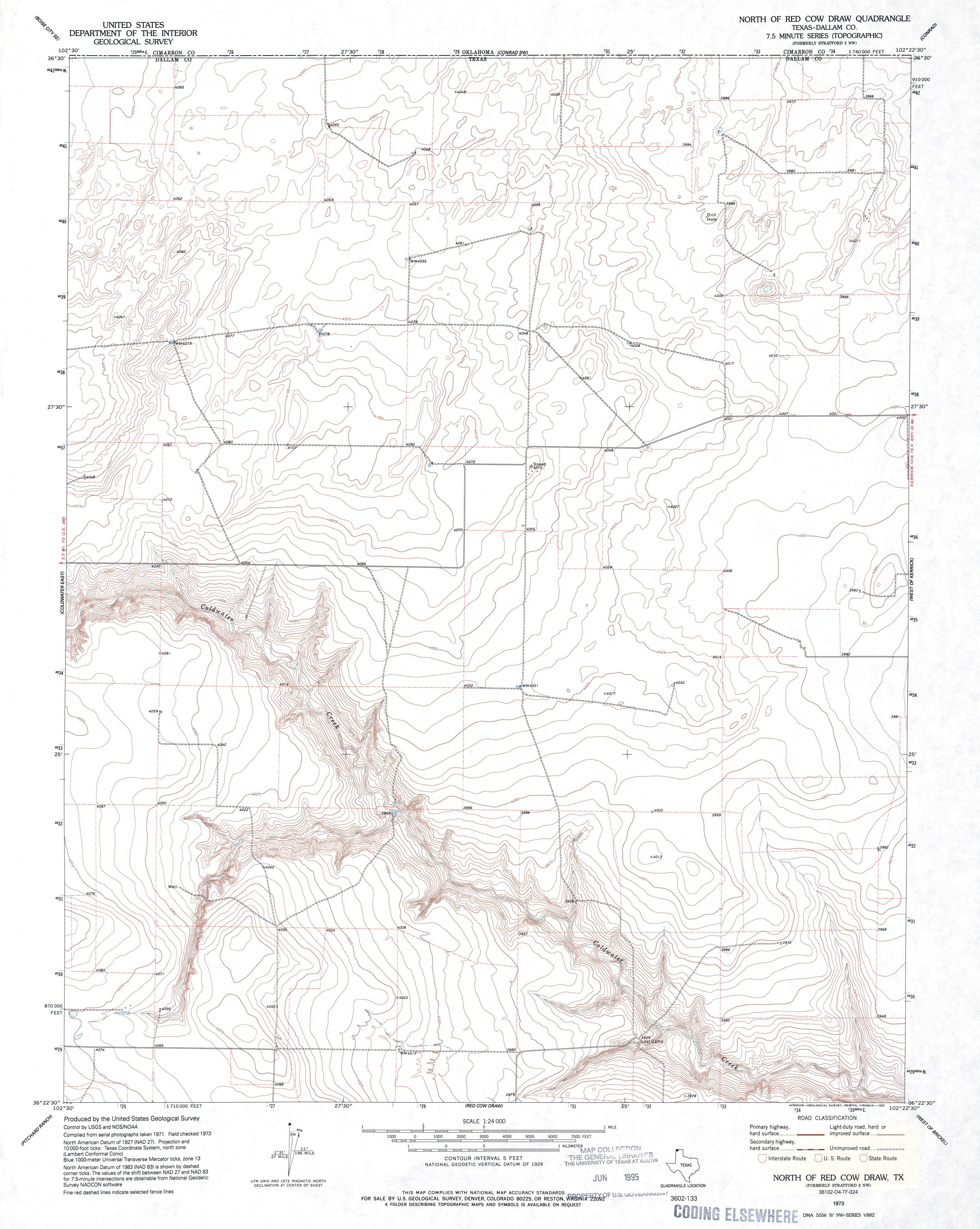
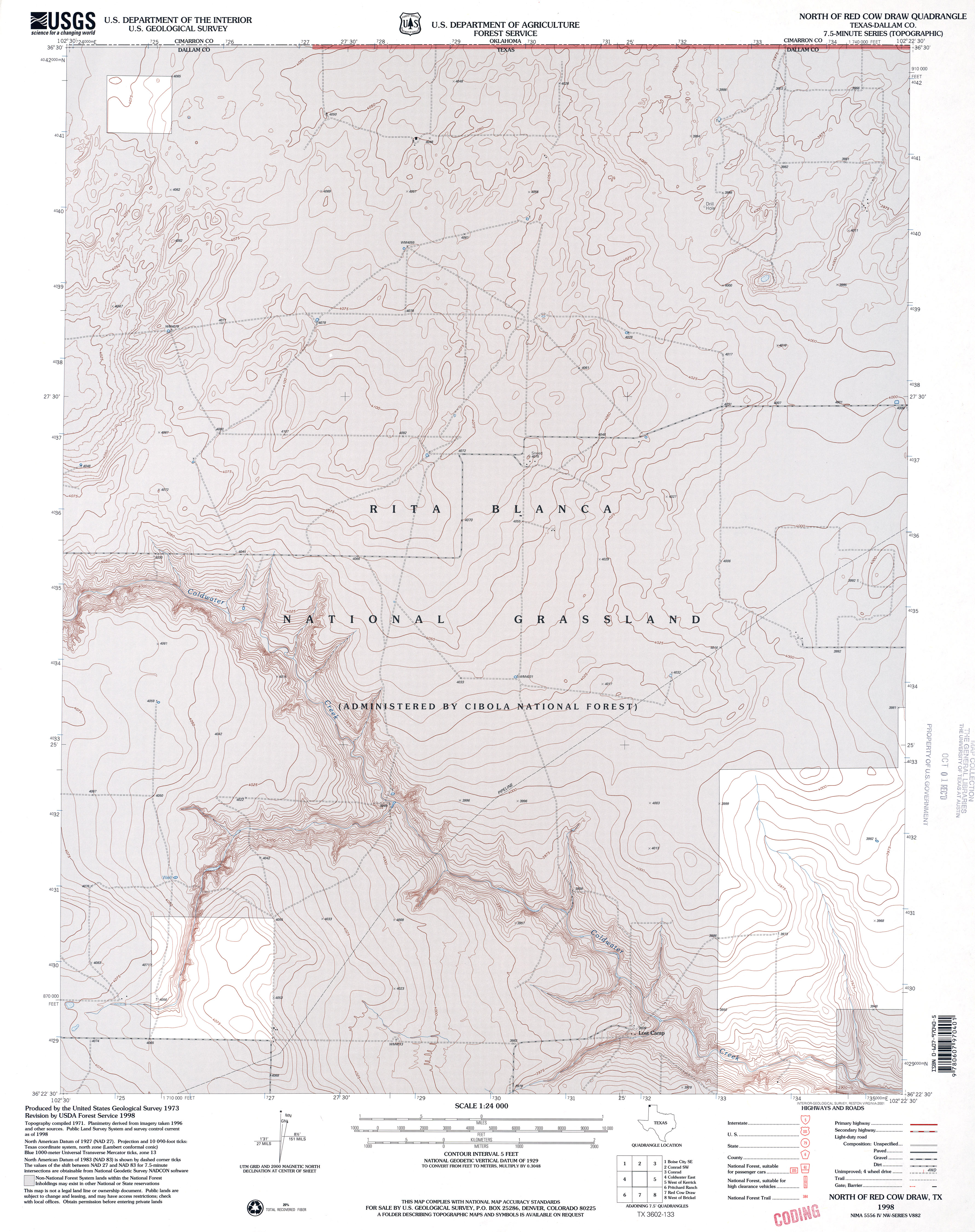
- North of Red Cow Draw (Dallam County) 1:24,000 1973 (3.1MB)
- North of Red Cow Draw (Dallam County) 1:24,000 1998 (3.9MB)
- North of Red Cow Draw 1:24,000 2009 (11.9MB) [GeoPDF]
- North of Red Cow Draw 1:24,000 2012 (14.9MB) [GeoPDF]
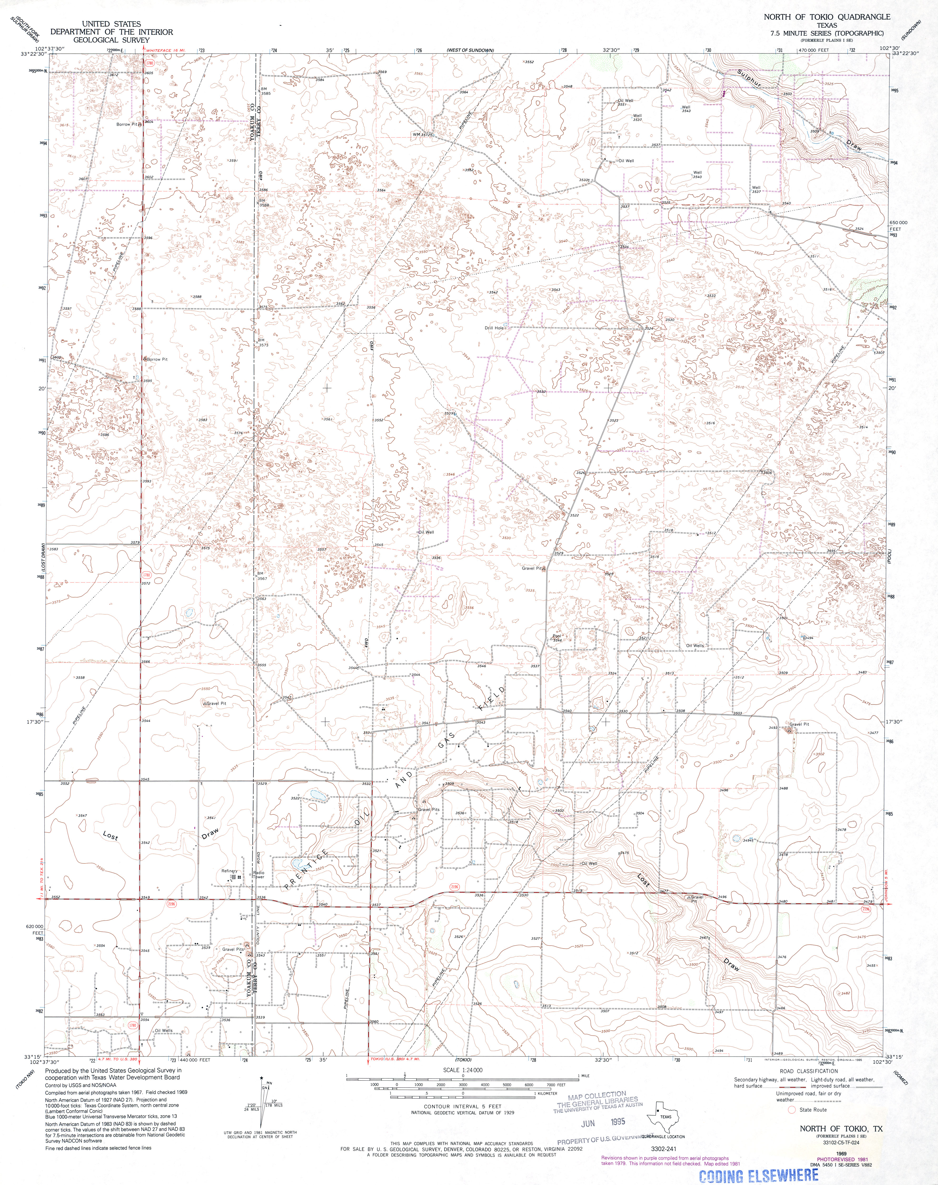
- North of Tokio 1:24,000 1981 (3.3MB)
- North of Tokio 1:24,000 2008 (13.7MB) [GeoPDF]
- North of Tokio 1:24,000 2012 (18.3MB) [GeoPDF]
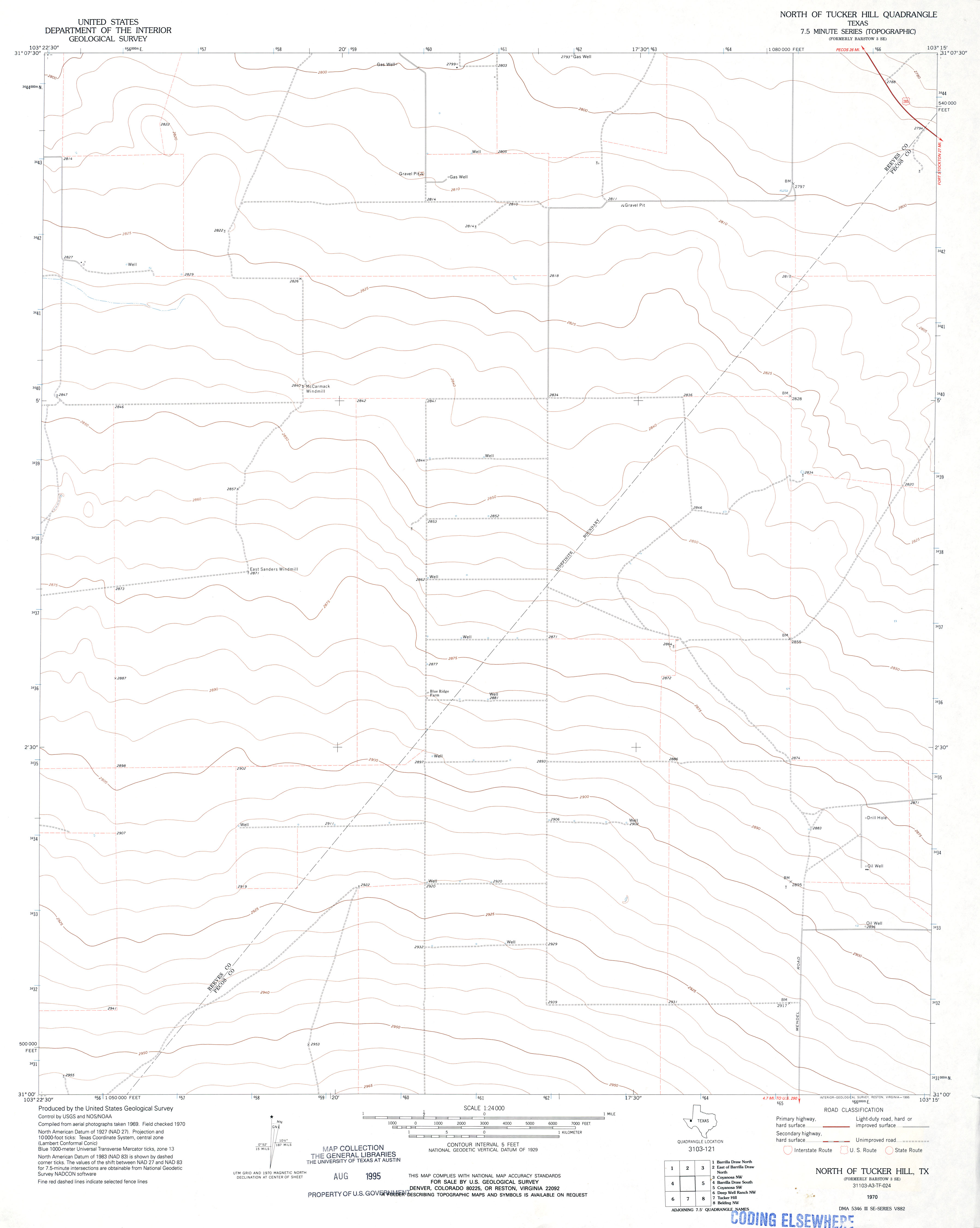
- North of Tucker Hill 1:24,000 1970 (1.6MB)
- North of Tucker Hill 1:24,000 2008 (21.8MB) [GeoPDF]
- North of Tucker Hill 1:24,000 2012 (29.9MB) [GeoPDF]
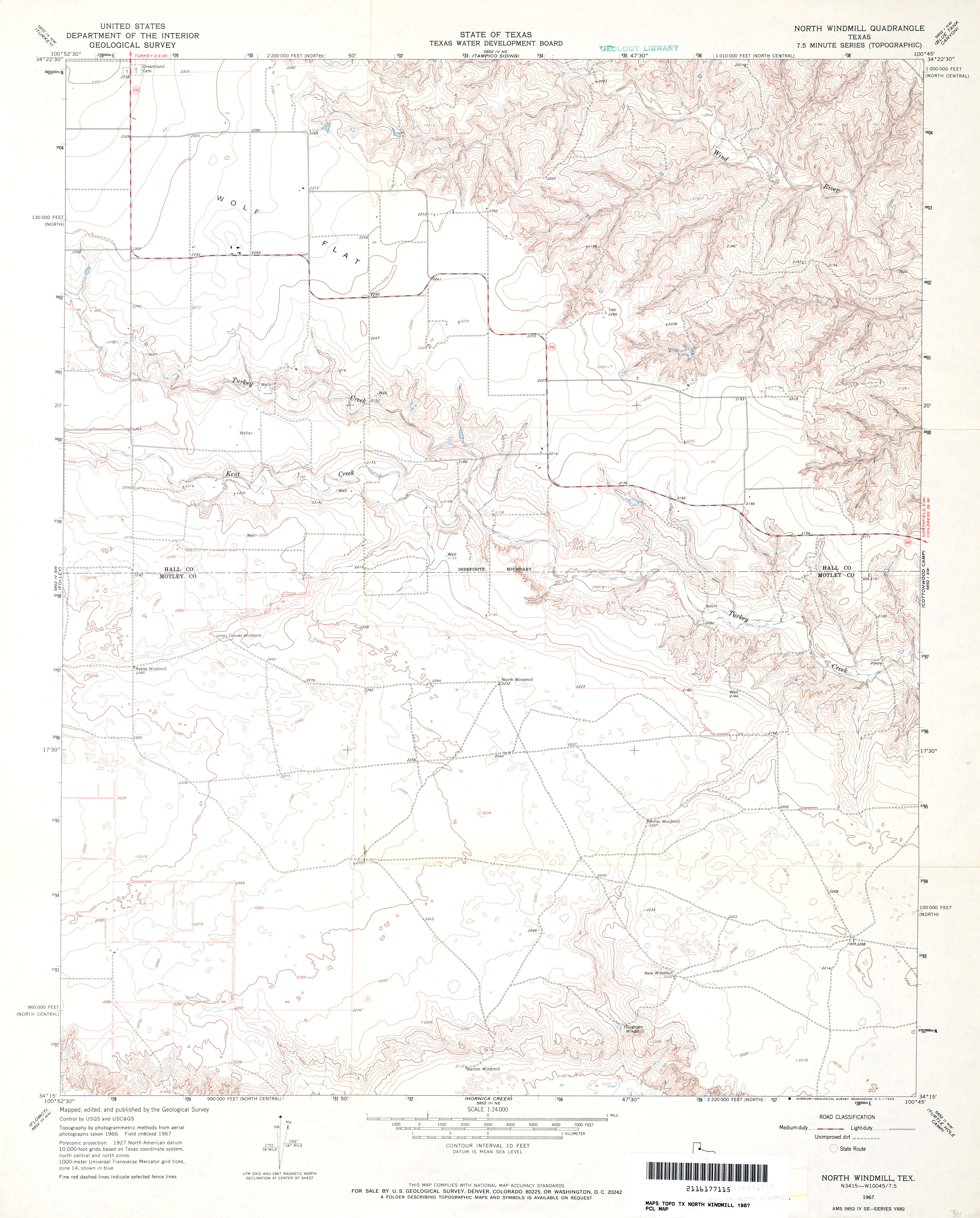
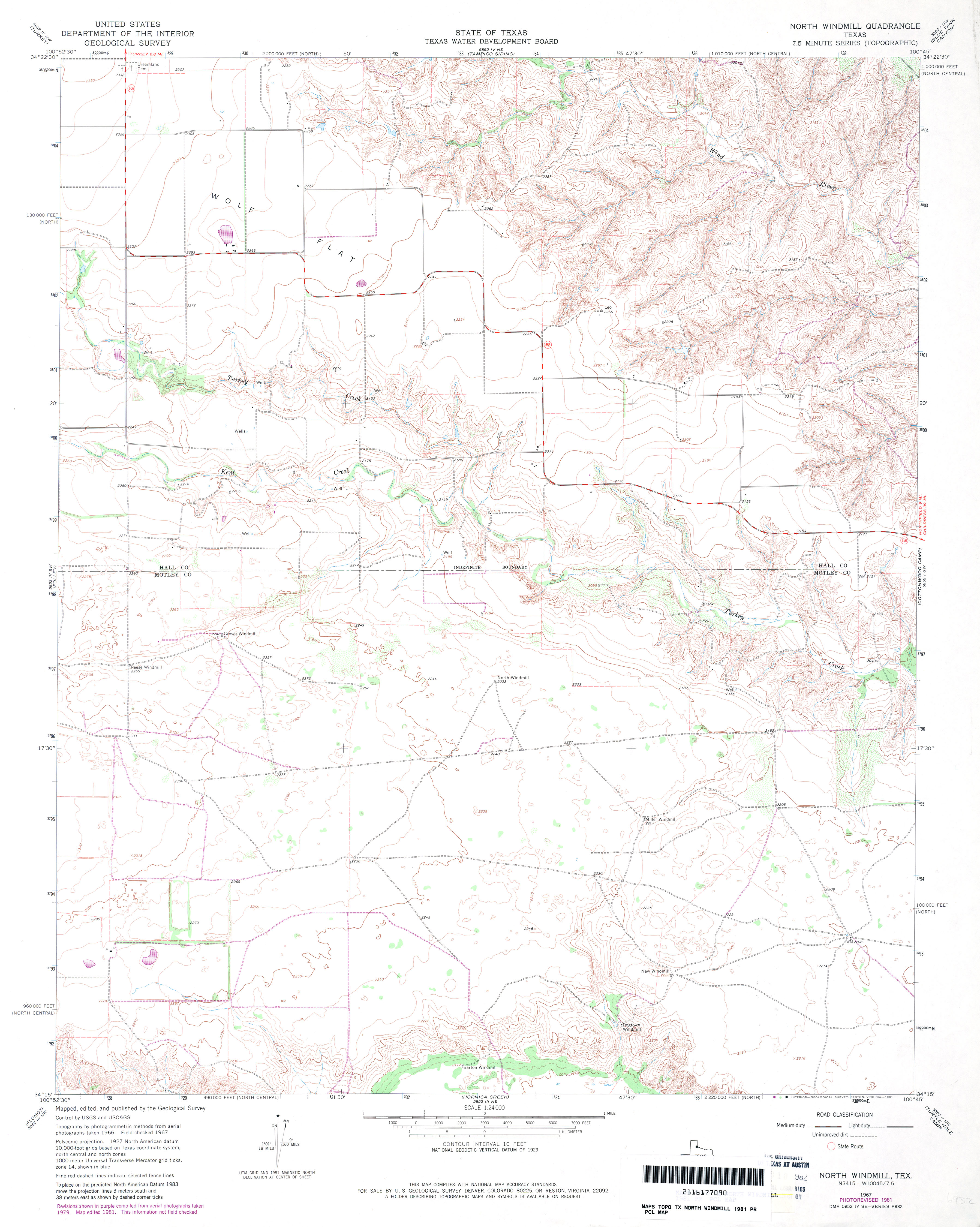
- North Windmill 1:24,000 1967 (3.4MB)
- North Windmill 1:24,000 1981 (3.3MB)
- North Windmill 1:24,000 2009 (15.0MB) [GeoPDF]
- North Windmill 1:24,000 2012 (19.9MB) [GeoPDF]
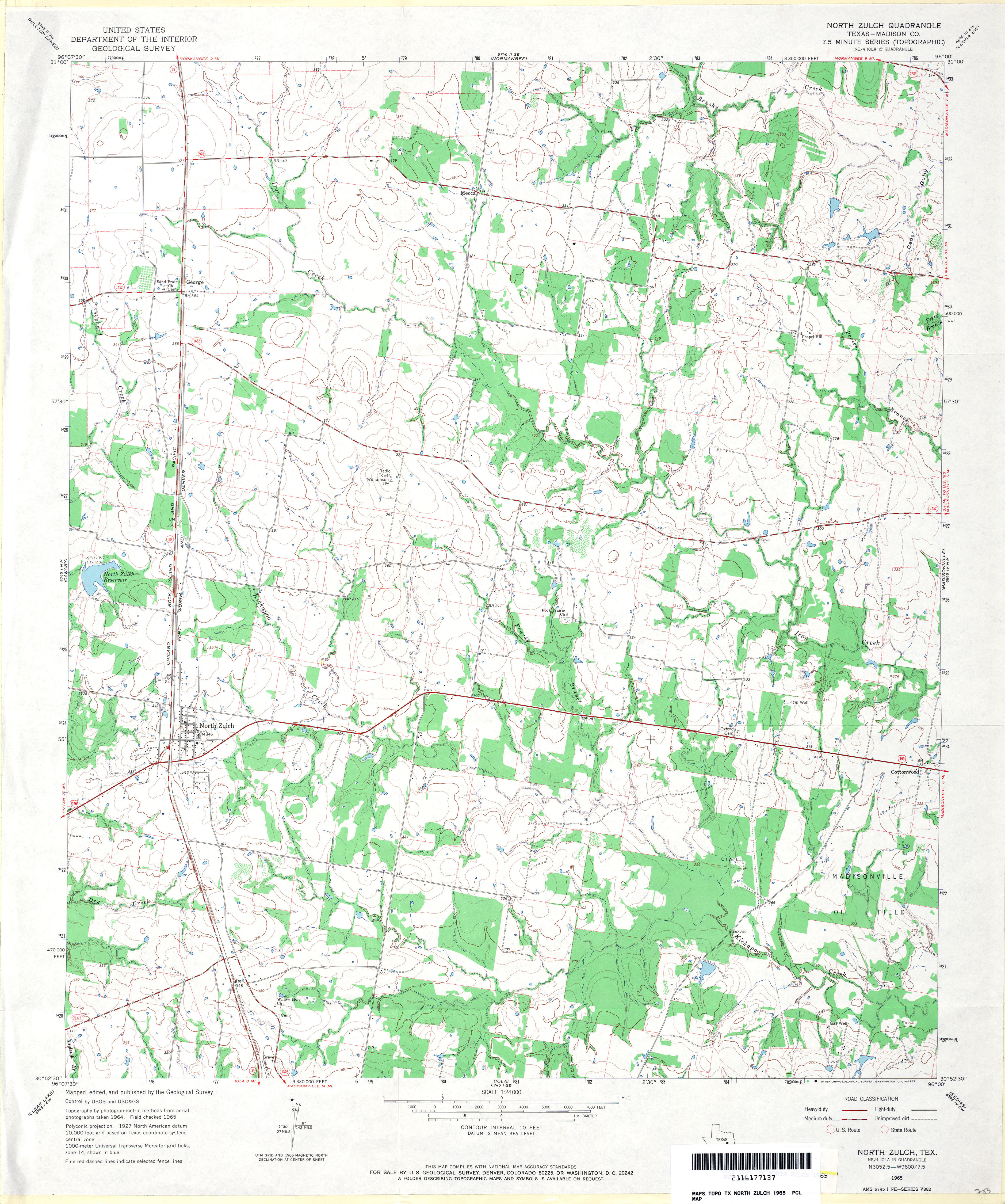
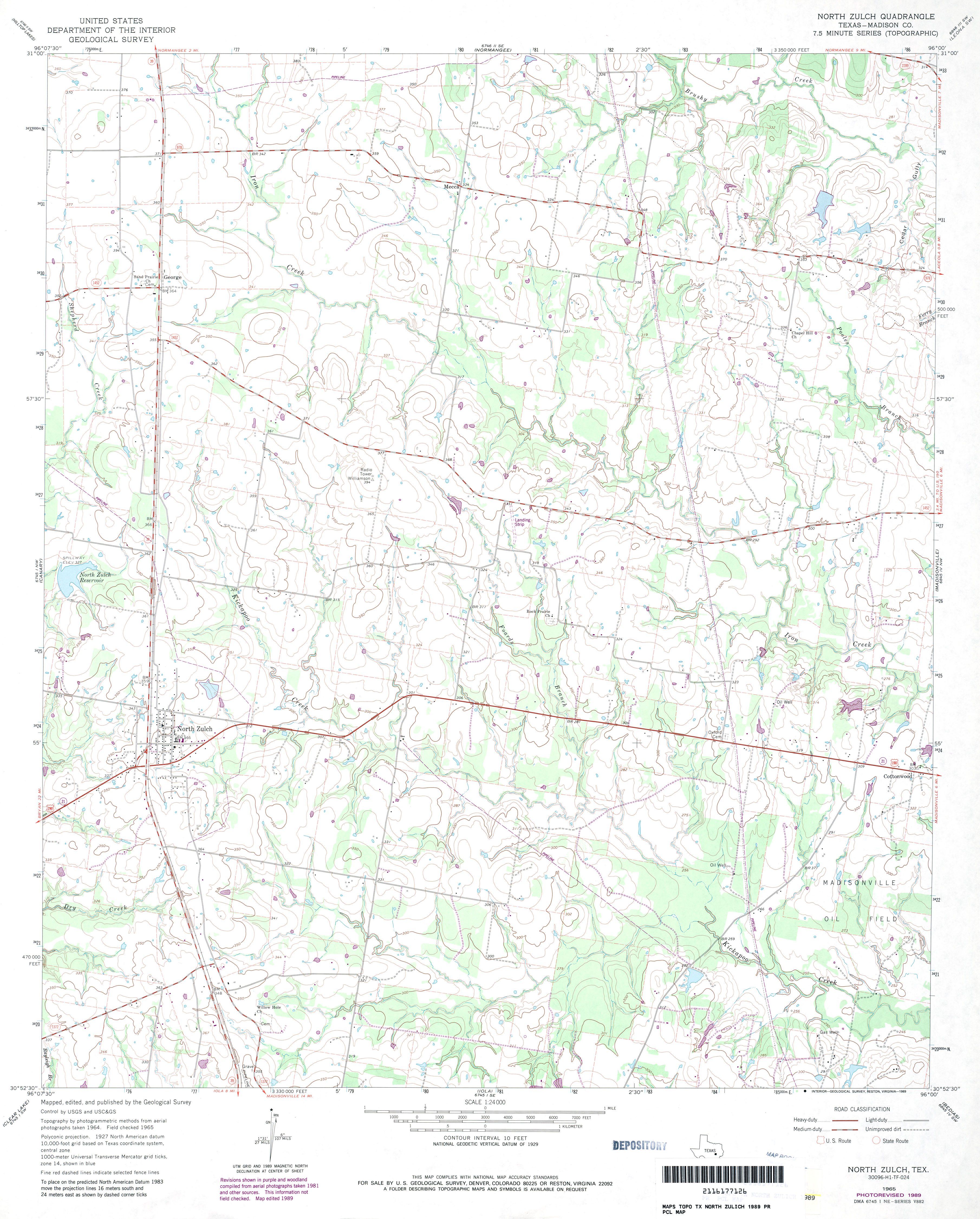
- North Zulch (Madison County) 1:24,000 1965 (3.9MB)
- North Zulch (Madison County) 1:24,000 1989 (3.4MB)
- North Zulch 1:24,000 2009 (15.0MB) [GeoPDF]
- North Zulch 1:24,000 2013 (21.8MB) [GeoPDF]
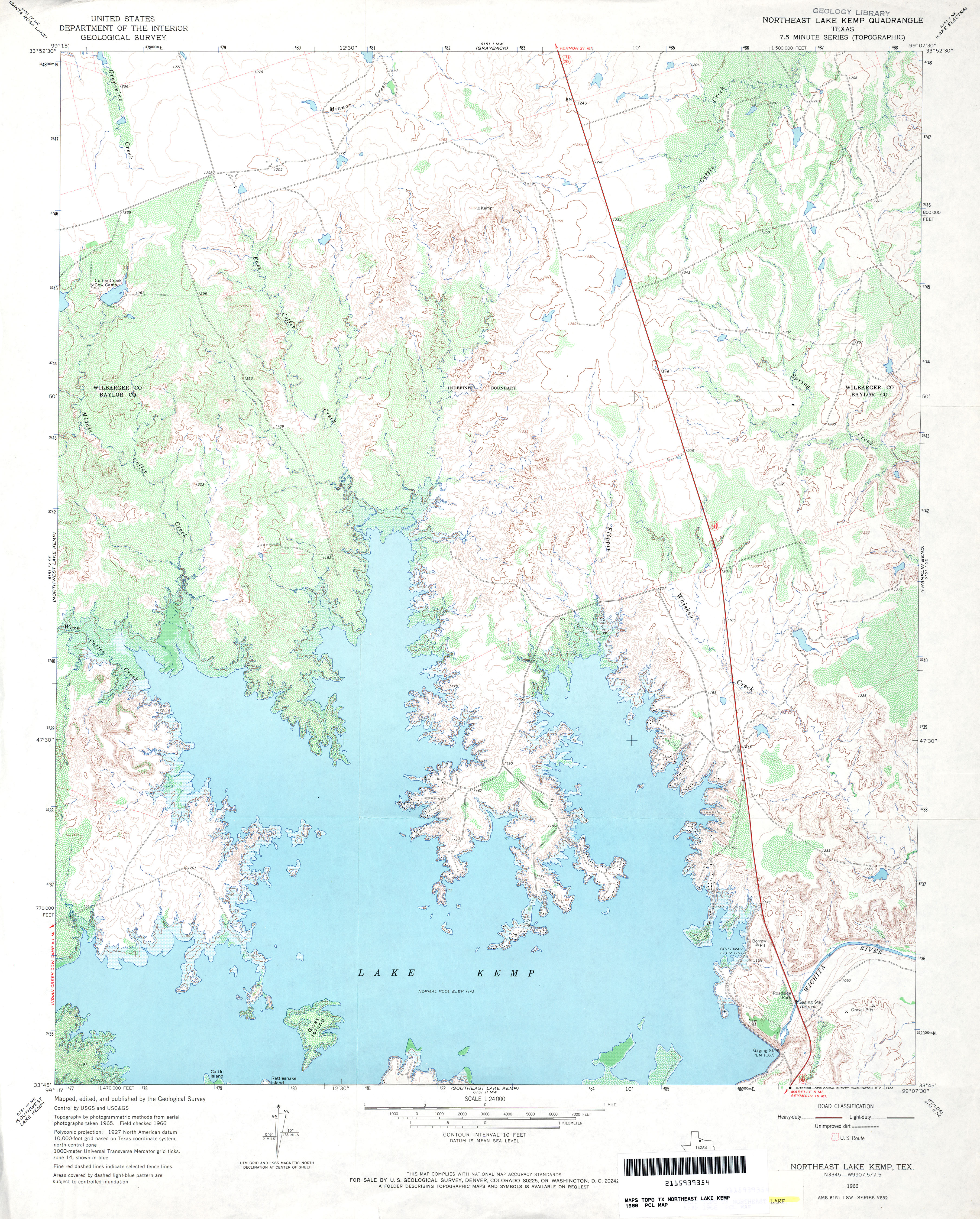
- Northeast Lake Kemp 1:24,000 1966 (4.1MB)
- Northeast Lake Kemp 1:24,000 2008 (11.5MB) [GeoPDF]
- Northeast Lake Kemp 1:24,000 2012 (19.5MB) [GeoPDF]
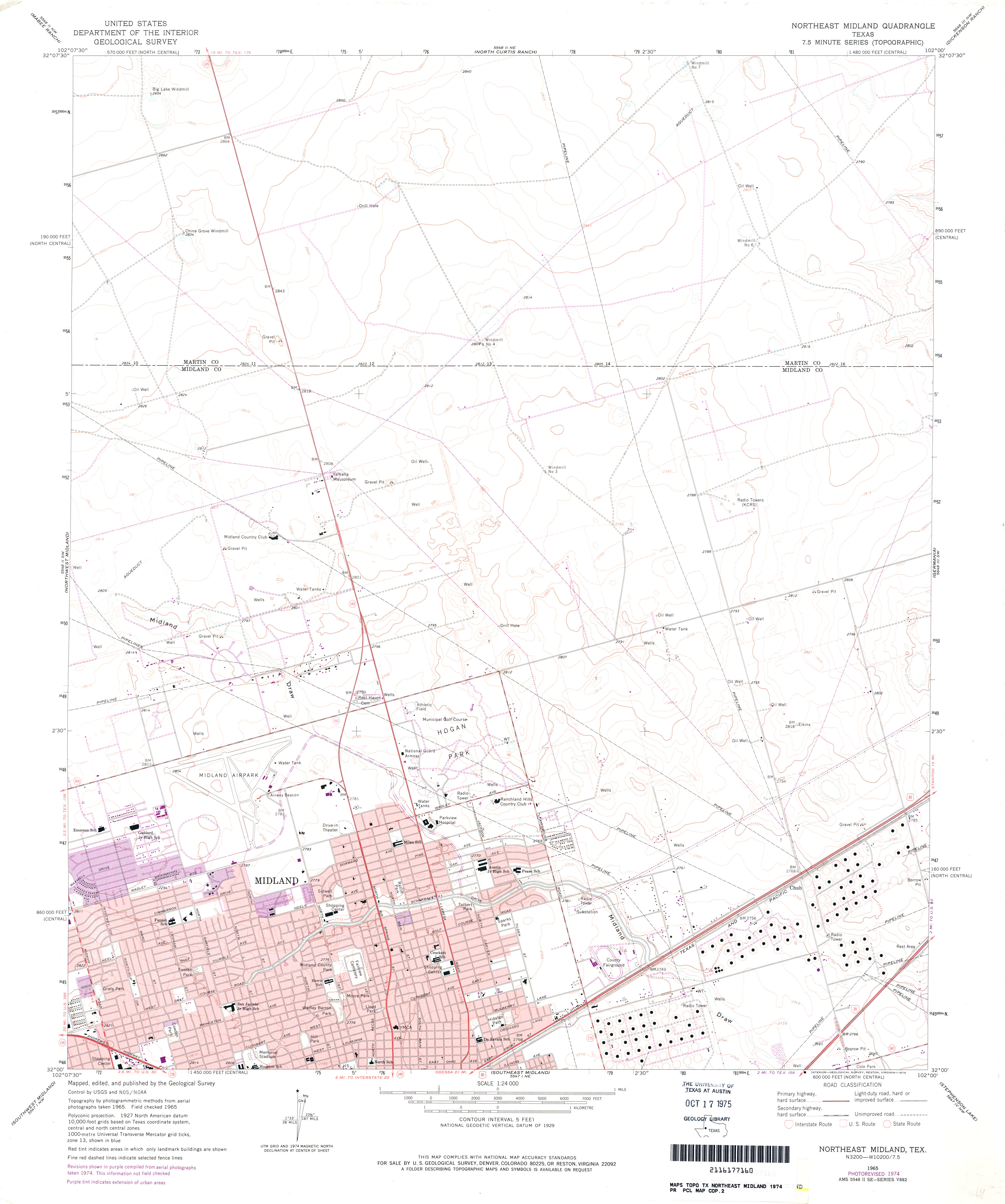
- Northeast Midland 1:24,000 1965 (3MB)
- Northeast Midland 1:24,000 1974 (2.6MB)
- Northeast Midland 1:24,000 2008 (18.6MB) [GeoPDF]
- Northeast Midland 1:24,000 2012 (21MB) [GeoPDF]
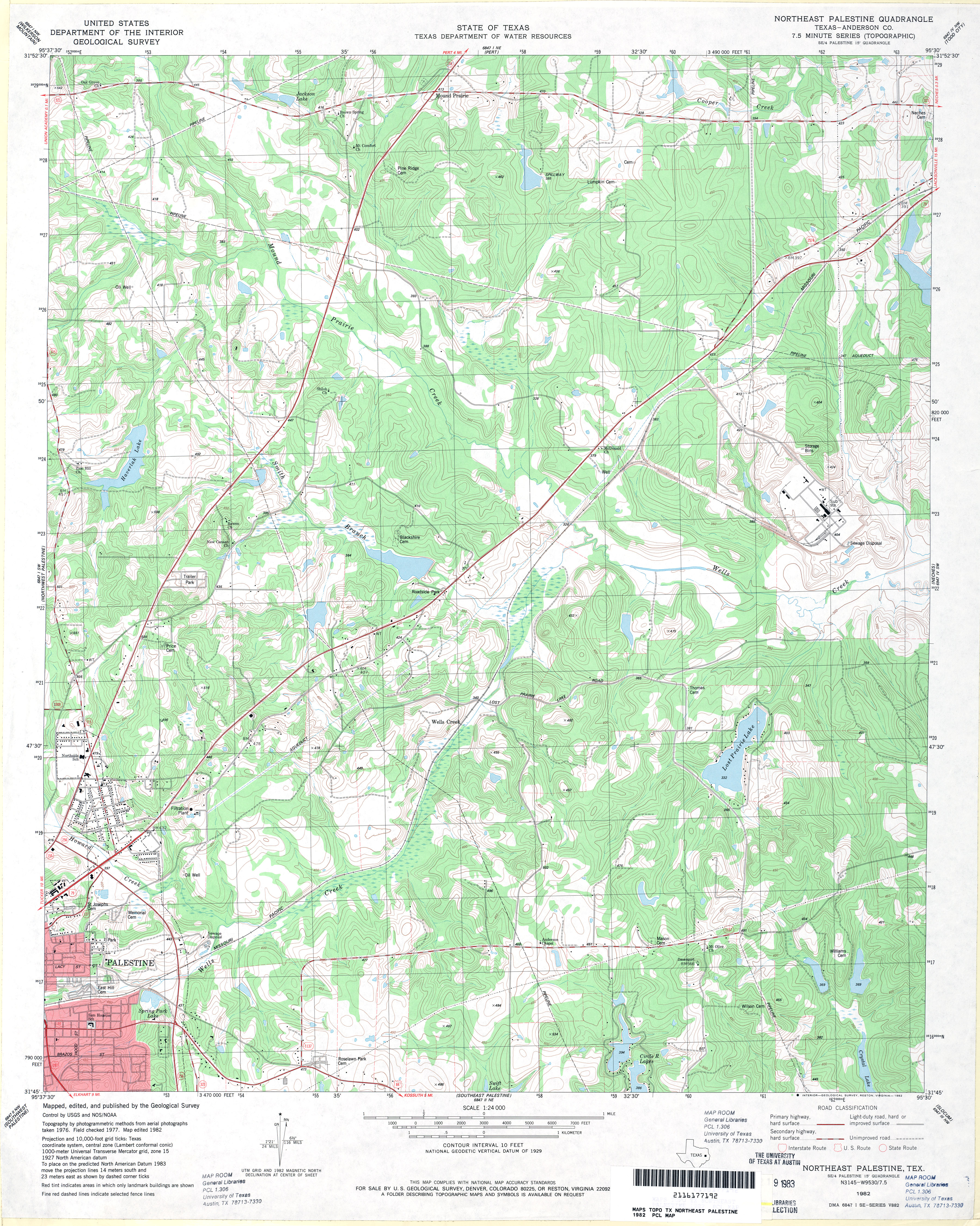
- Northeast Palestine (Anderson County) 1:24,000 1982 (4.8MB)
- Northeast Palestine 1:24,000 2009 (23.3MB) [GeoPDF]
- Northeast Palestine 1:24,000 2013 (25.2MB) [GeoPDF]
- Northfield 1:24,000 1967 (5MB)
- Northfield 1:24,000 1981 (4.9MB)
- Northfield 1:24,000 2008 (17.1MB) [GeoPDF]
- Northfield 1:24,000 2012 (22.2MB) [GeoPDF]
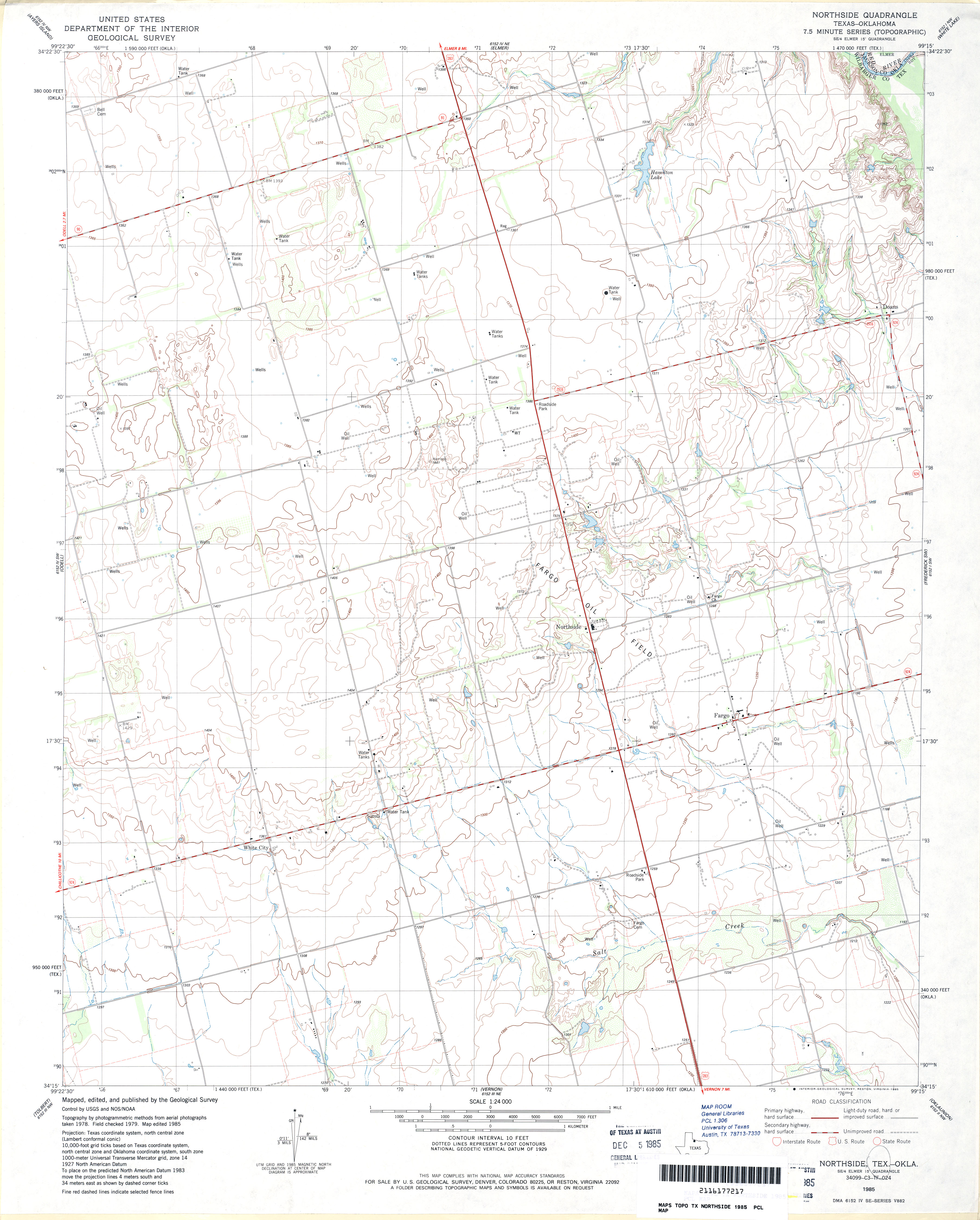
- Northside 1:24,000 1985 (2.9MB)
- Northside 1:24,000 2008 (9.0MB) [GeoPDF]
- Northside 1:24,000 2012 (15.6MB) [GeoPDF]
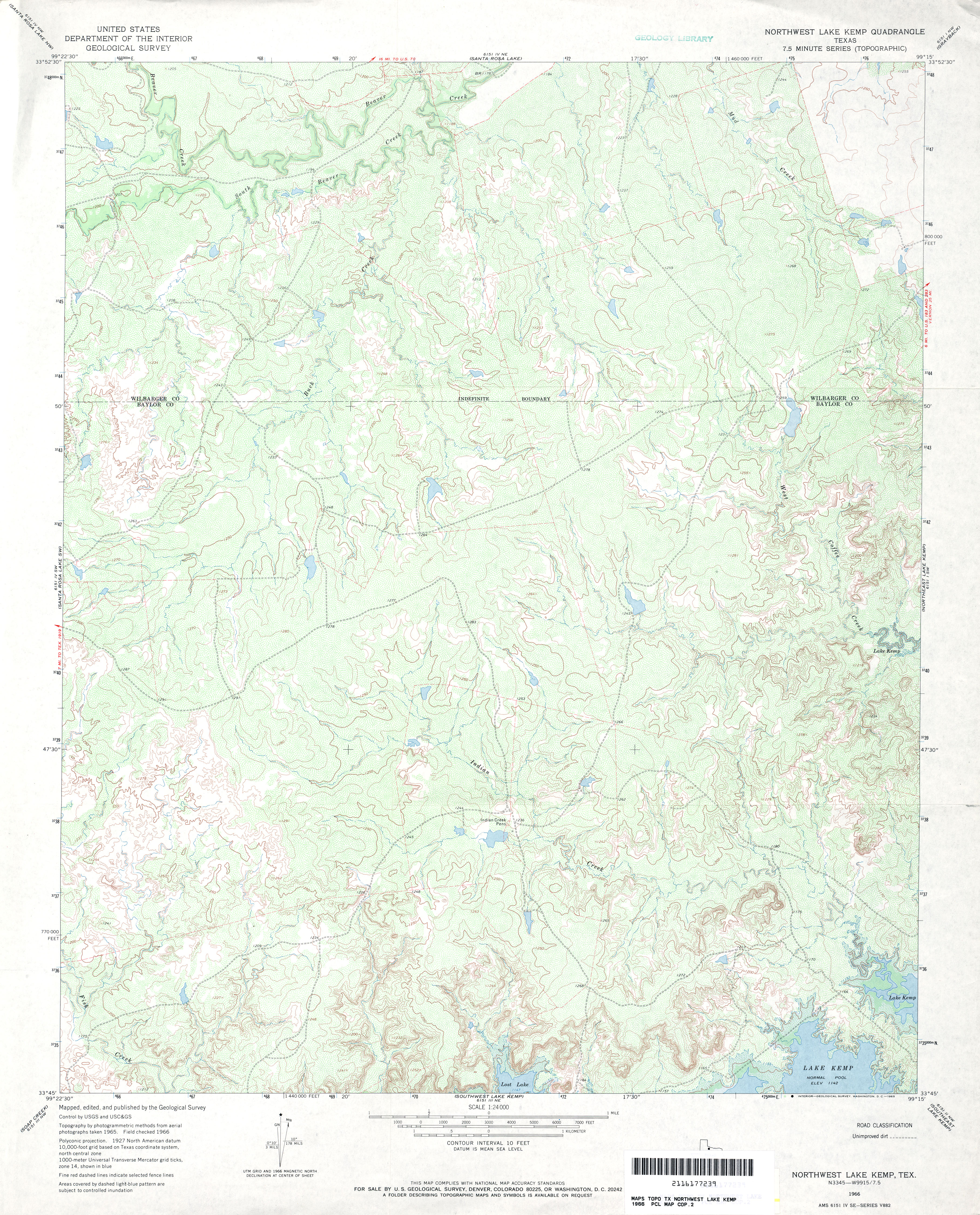
- Northwest Lake Kemp 1:24,000 1966 (4.7MB)
- Northwest Lake Kemp 1:24,000 2008 (14.4MB) [GeoPDF]
- Northwest Lake Kemp 1:24,000 2013 (20.7MB) [GeoPDF]
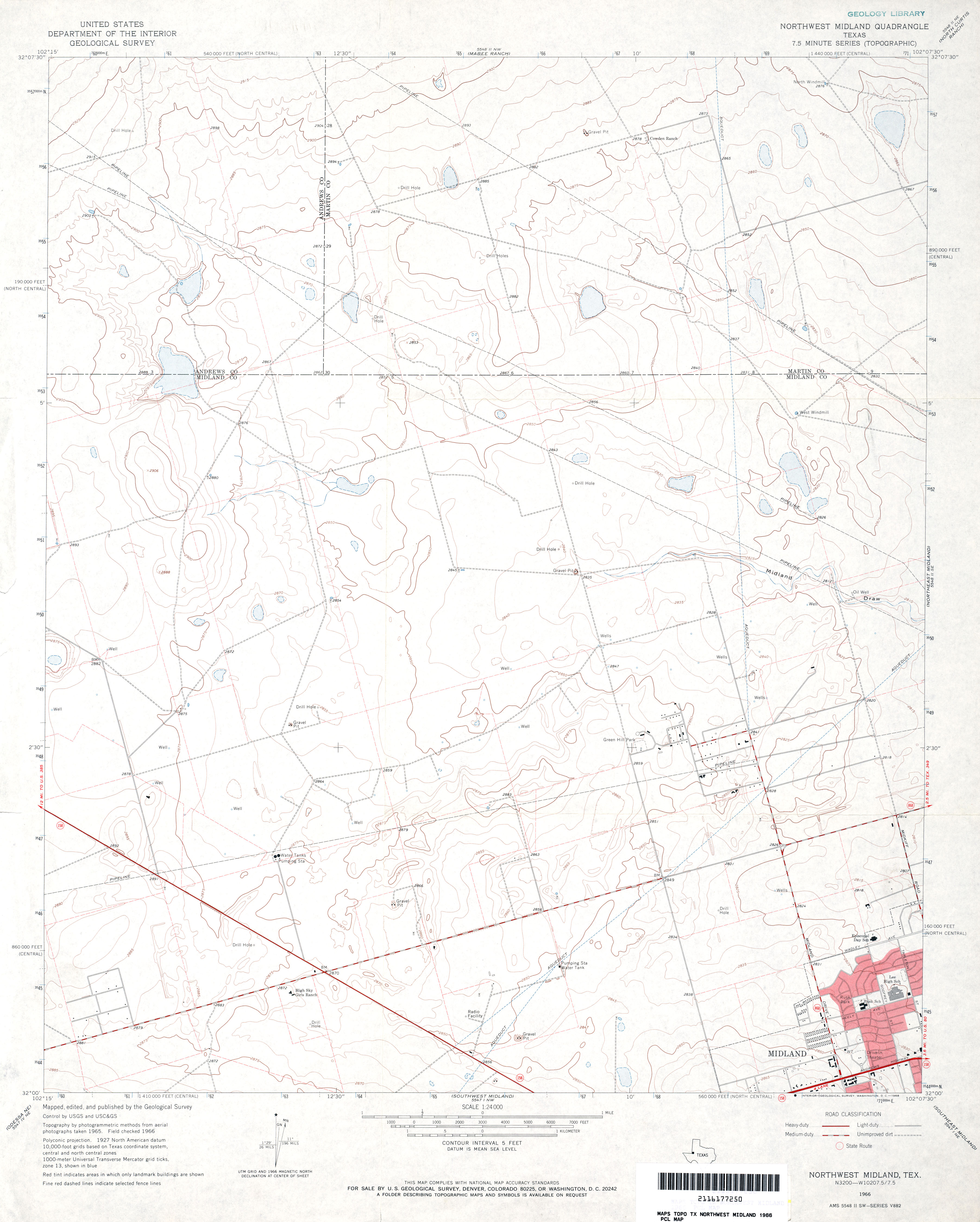
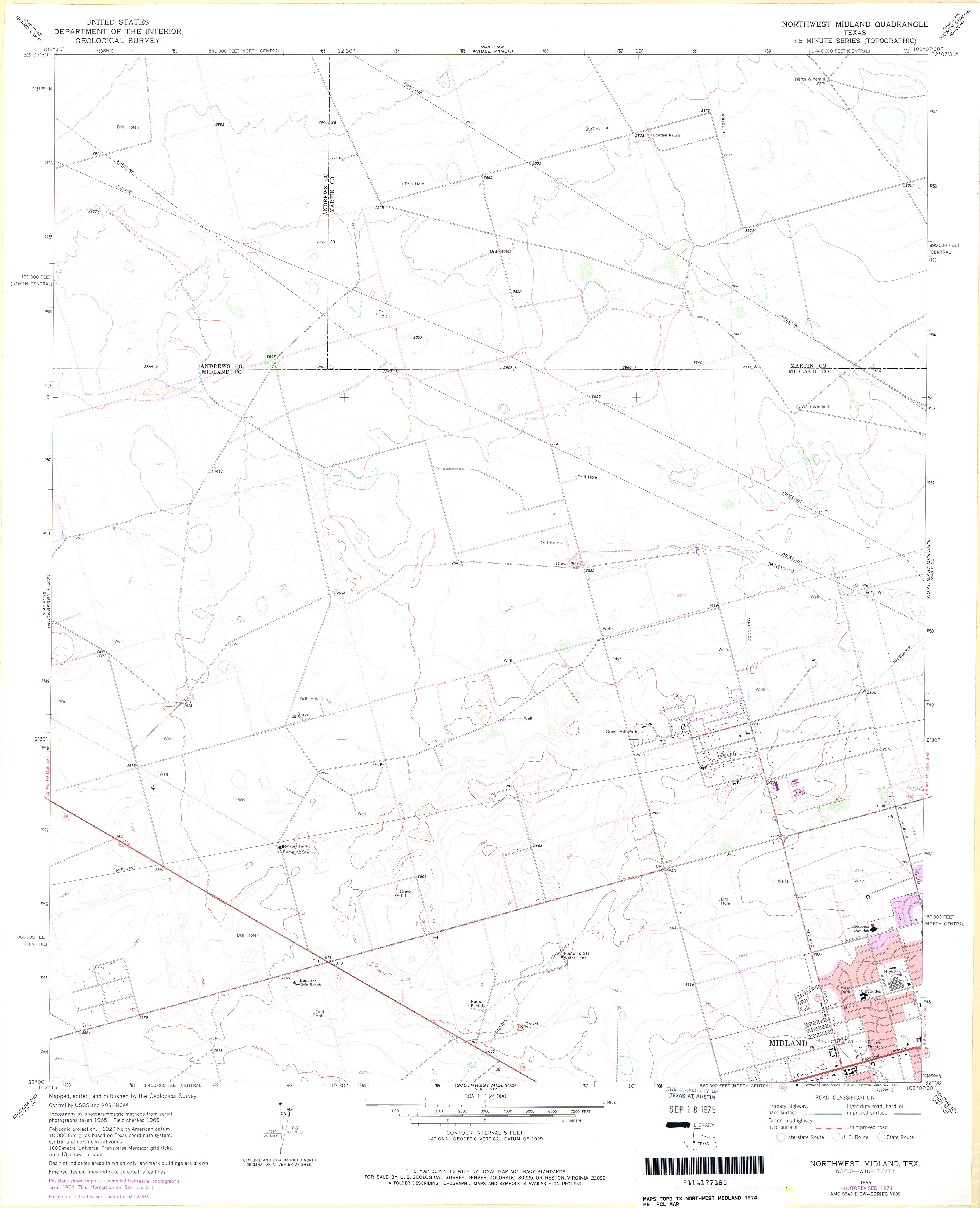
- Northwest Midland 1:24,000 1966 (2.6MB)
- Northwest Midland 1:24,000 1974 (2MB)
- Northwest Midland 1:24,000 2008 (18.6MB) [GeoPDF]
- Northwest Midland 1:24,000 2012 (19.8MB) [GeoPDF]
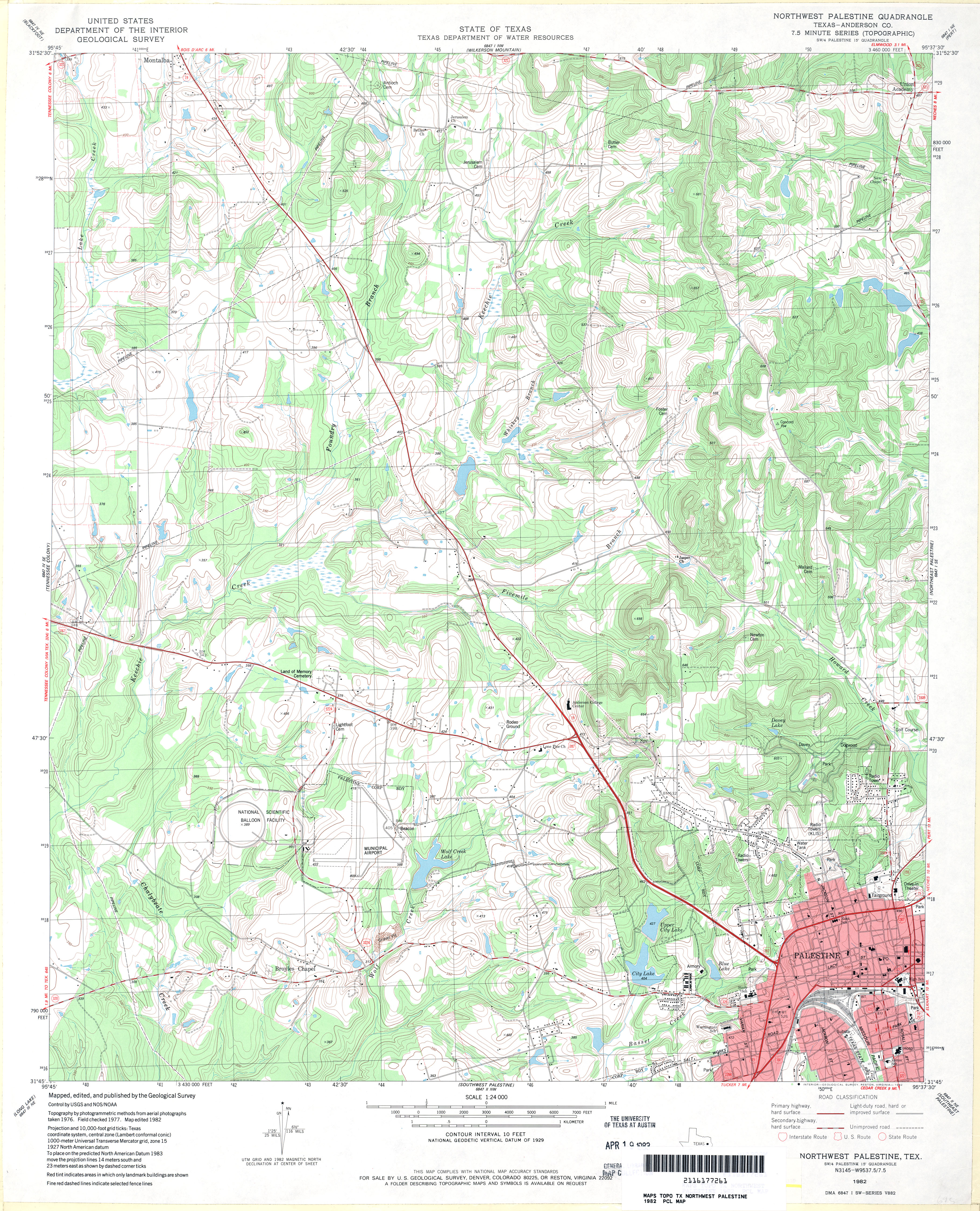
- Northwest Palestine (Anderson County) 1:24,000 1982 (4.9MB)
- Northwest Palestine 1:24,000 2009 (22.3MB) [GeoPDF]
- Northwest Palestine 1:24,000 2013 (25.1MB) [GeoPDF]
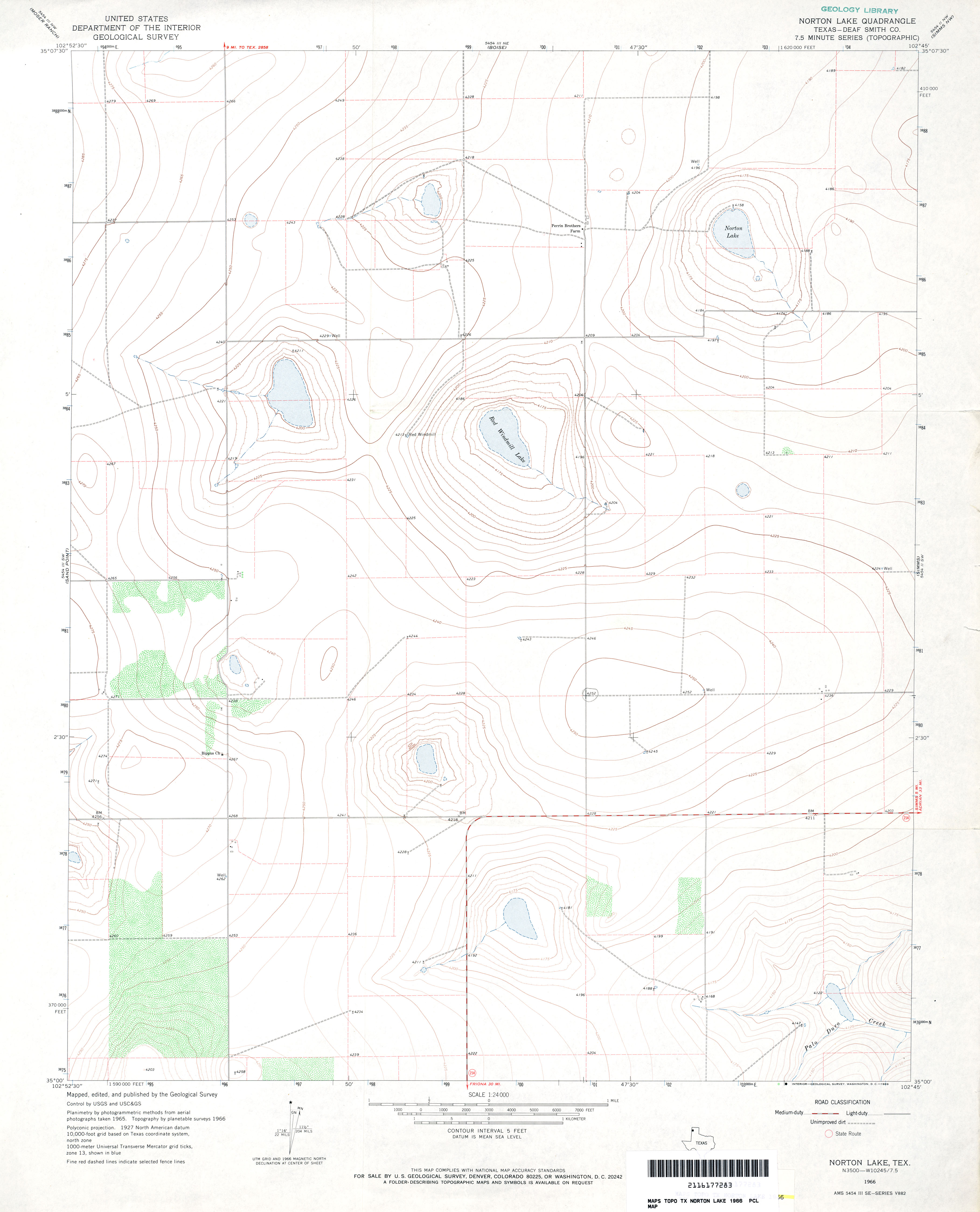
- Norton Lake (Deaf Smith County) 1:24,000 1966 (2.2MB)
- Norton Lake 1:24,000 2008 (7.1MB) [GeoPDF]
- Norton Lake 1:24,000 2012 (11.8MB) [GeoPDF]
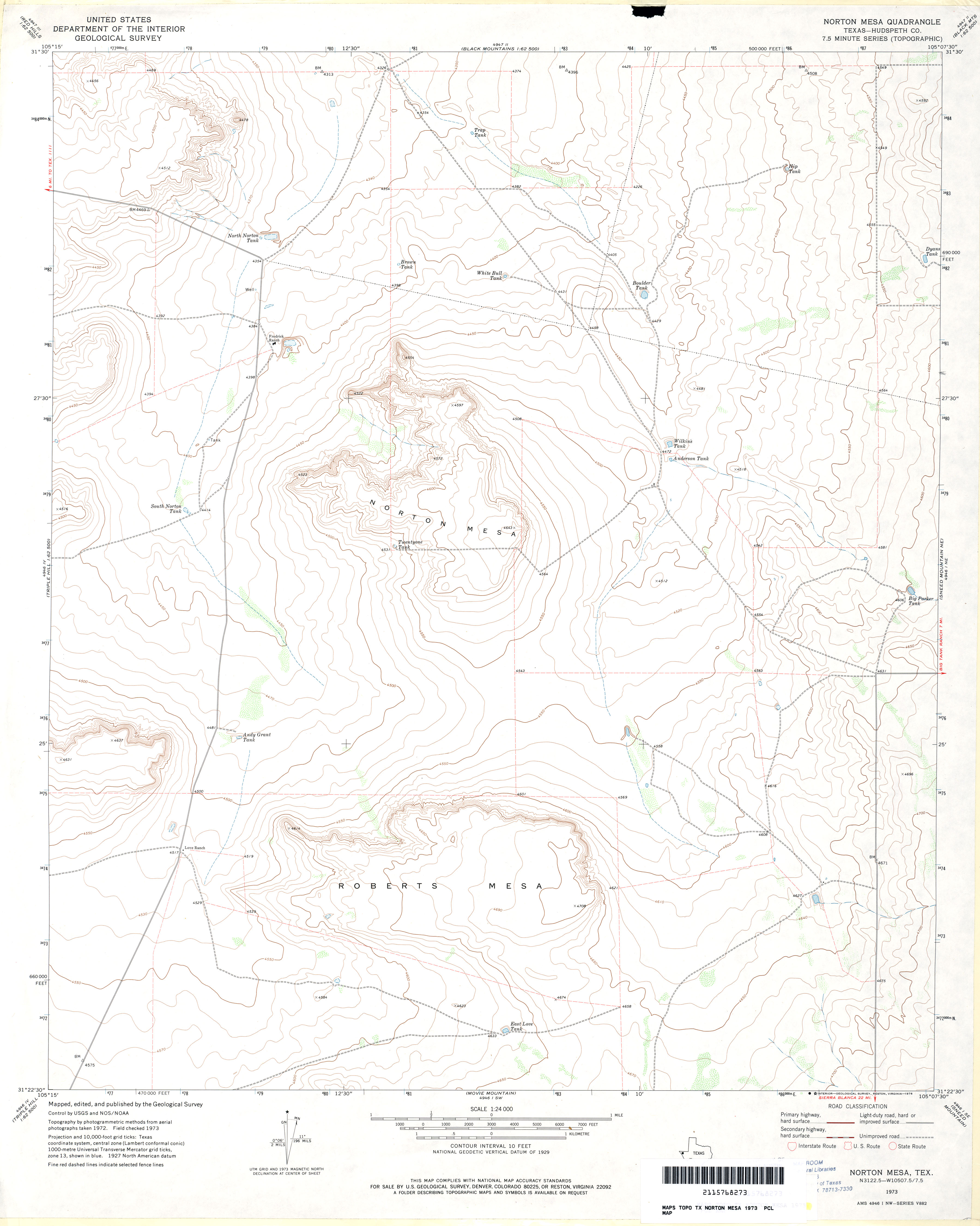
- Norton Mesa (Hudspeth County) 1:24,000 1973 (2.5MB)
- Norton Mesa 1:24,000 2008 (17.2MB) [GeoPDF]
- Norton Mesa 1:24,000 2012 (21.9MB) [GeoPDF]
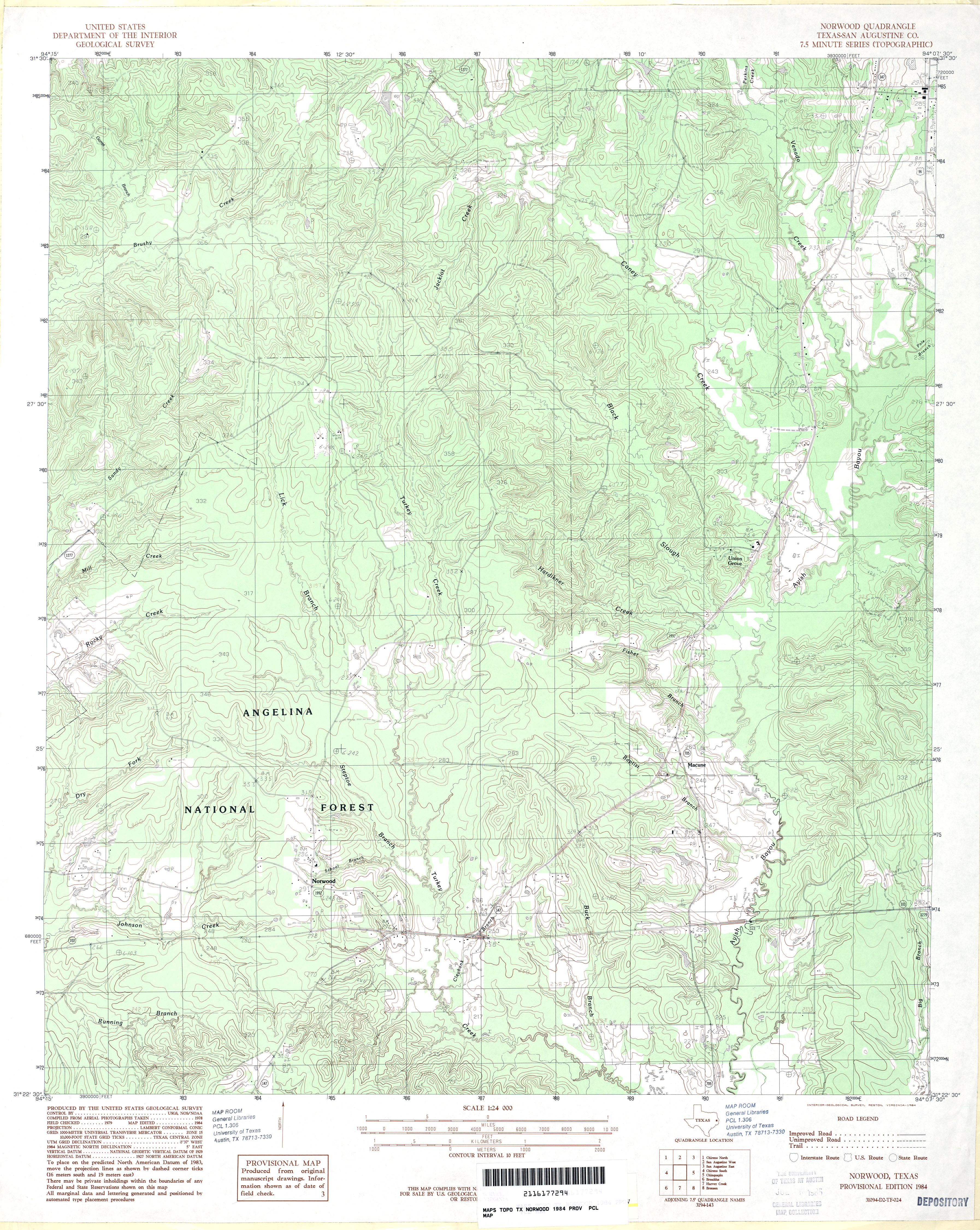
- Norwood (San Augustine County) 1:24,000 1984 (4.4MB)
- Norwood (San Augustine County) 1:24,000 2003 (5.3MB)
- Norwood 1:24,000 2008 (2.7MB) Texas Natural Resources Information System (TNRIS). [pdf]
- Norwood 1:24,000 2009 (24.9MB) [GeoPDF]
- Norwood 1:24,000 2013 (26.4MB) [GeoPDF]
- Notrees 1:24,000 1971 (2.9MB)
- Notrees 1:24,000 2008 (20.0MB) [GeoPDF]
- Notrees 1:24,000 2012 (23.2MB) [GeoPDF]
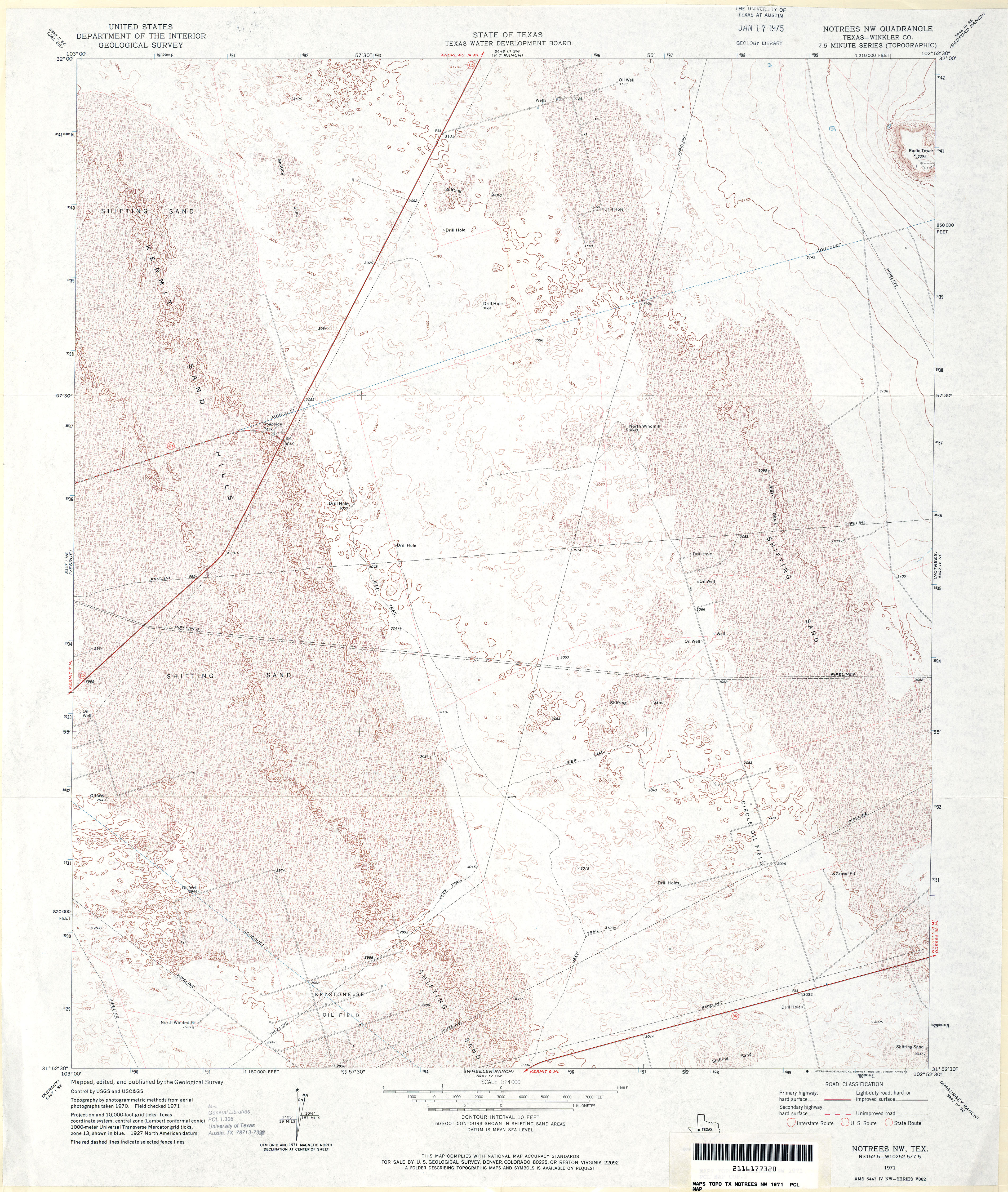
- Notrees NW (Winkler County) 1:24,000 1971 (5.1MB)
- Notrees NW 1:24,000 2008 (21.8MB) [GeoPDF]
- Notrees NW 1:24,000 2012 (23.1MB) [GeoPDF]
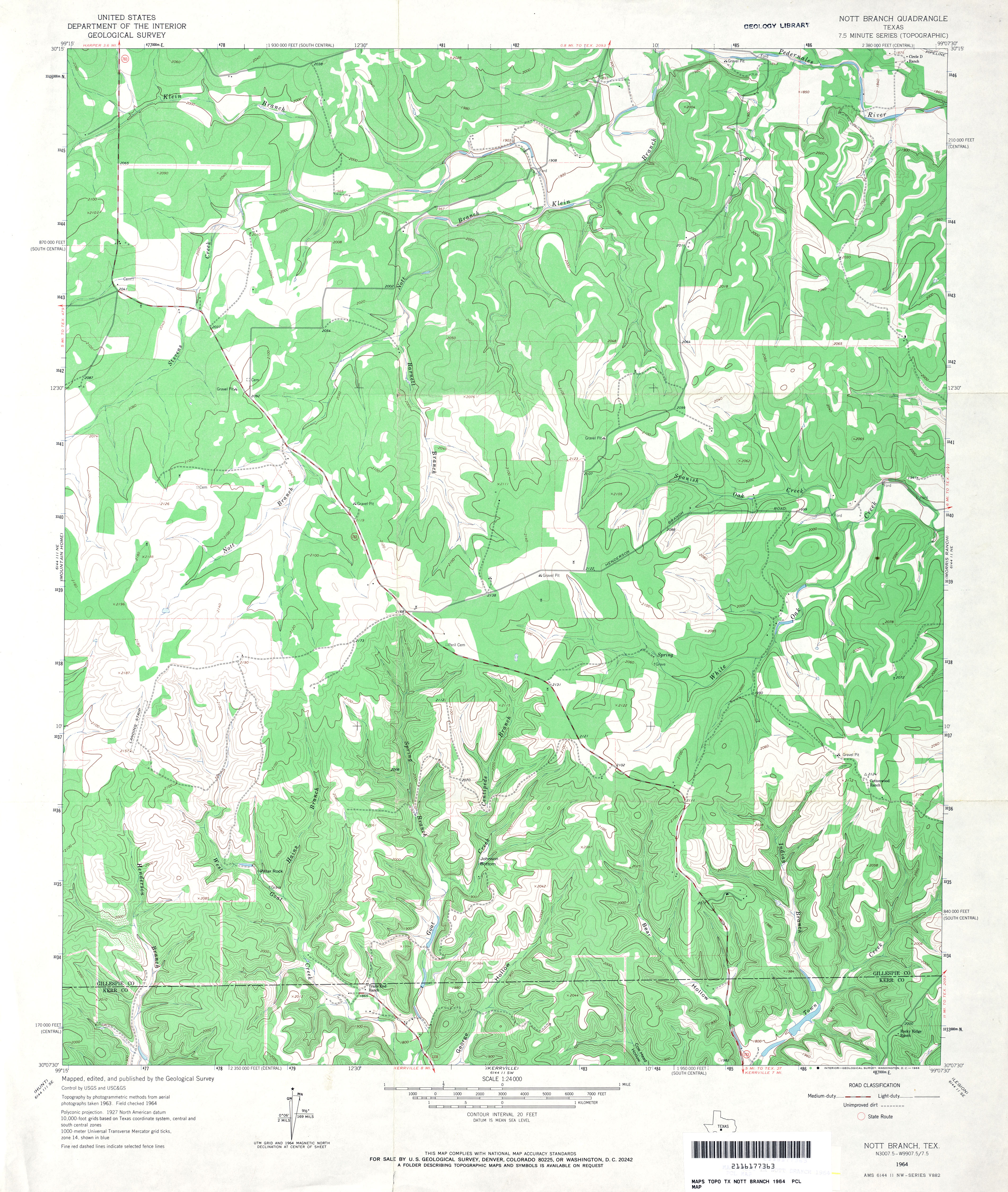
- Nott Branch 1:24,000 1964 (4.3MB)
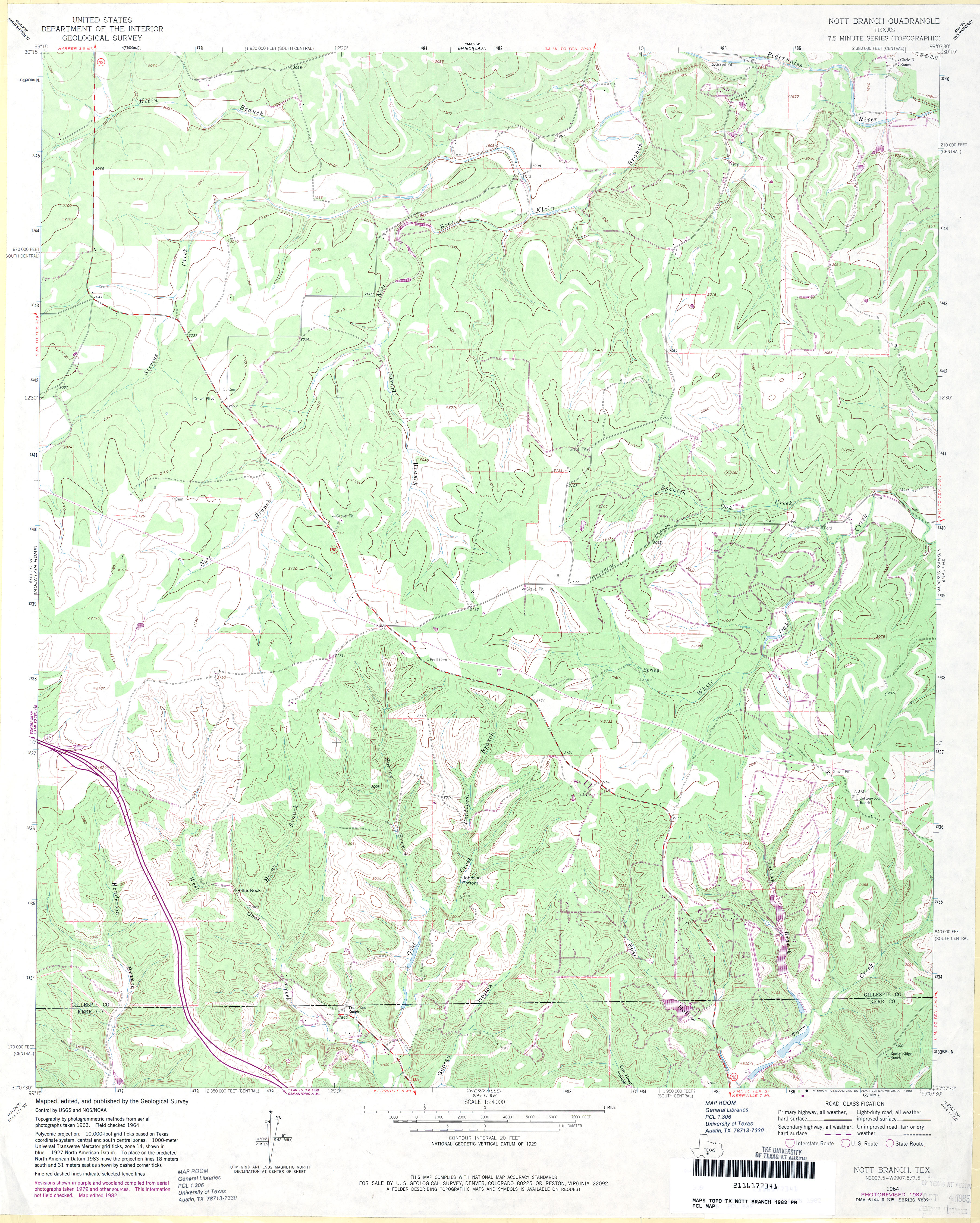
- Nott Branch 1:24,000 1982 (4.1MB)
- Nott Branch 1:24,000 2012 (27.4MB) [GeoPDF]
- Novice East (Coleman County) 1:24,000 1967 (3.8MB)
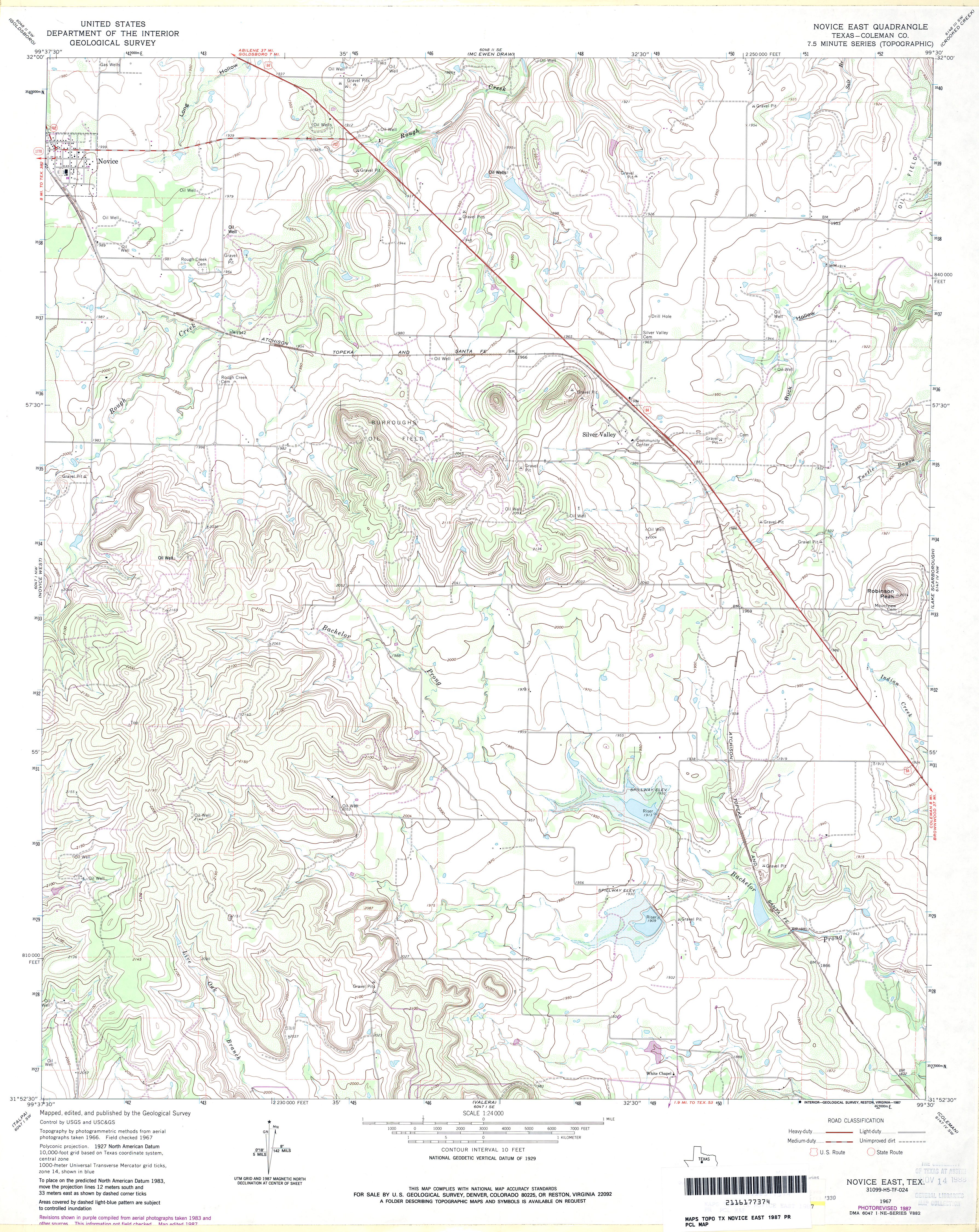
- Novice East (Coleman County) 1:24,000 1987 (4.1MB)
- Novice East 1:24,000 2013 (23.1MB) [GeoPDF]
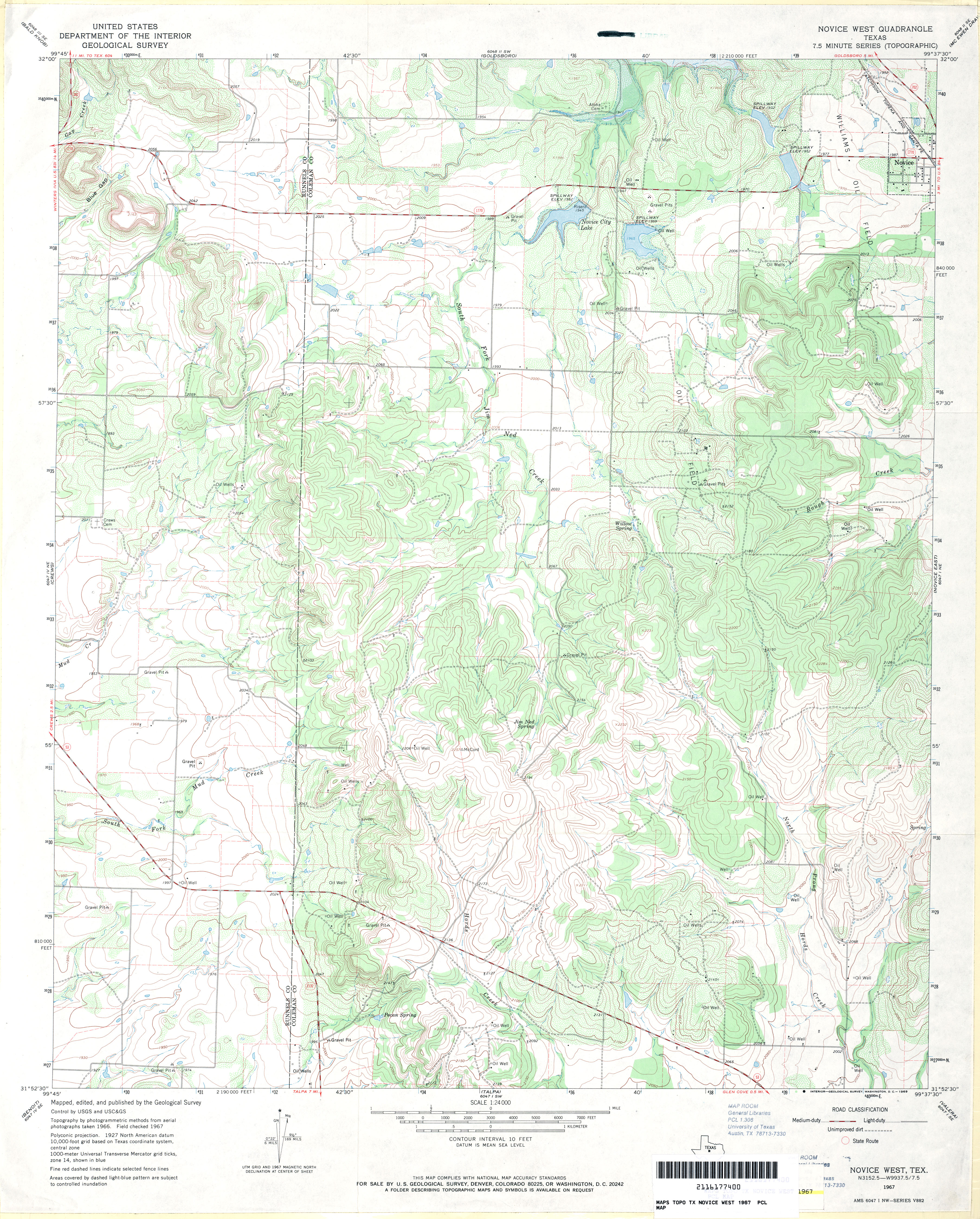
- Novice West 1:24,000 1967 (4.3MB)
- Novice West 1:24,000 2013 (25MB) [GeoPDF]
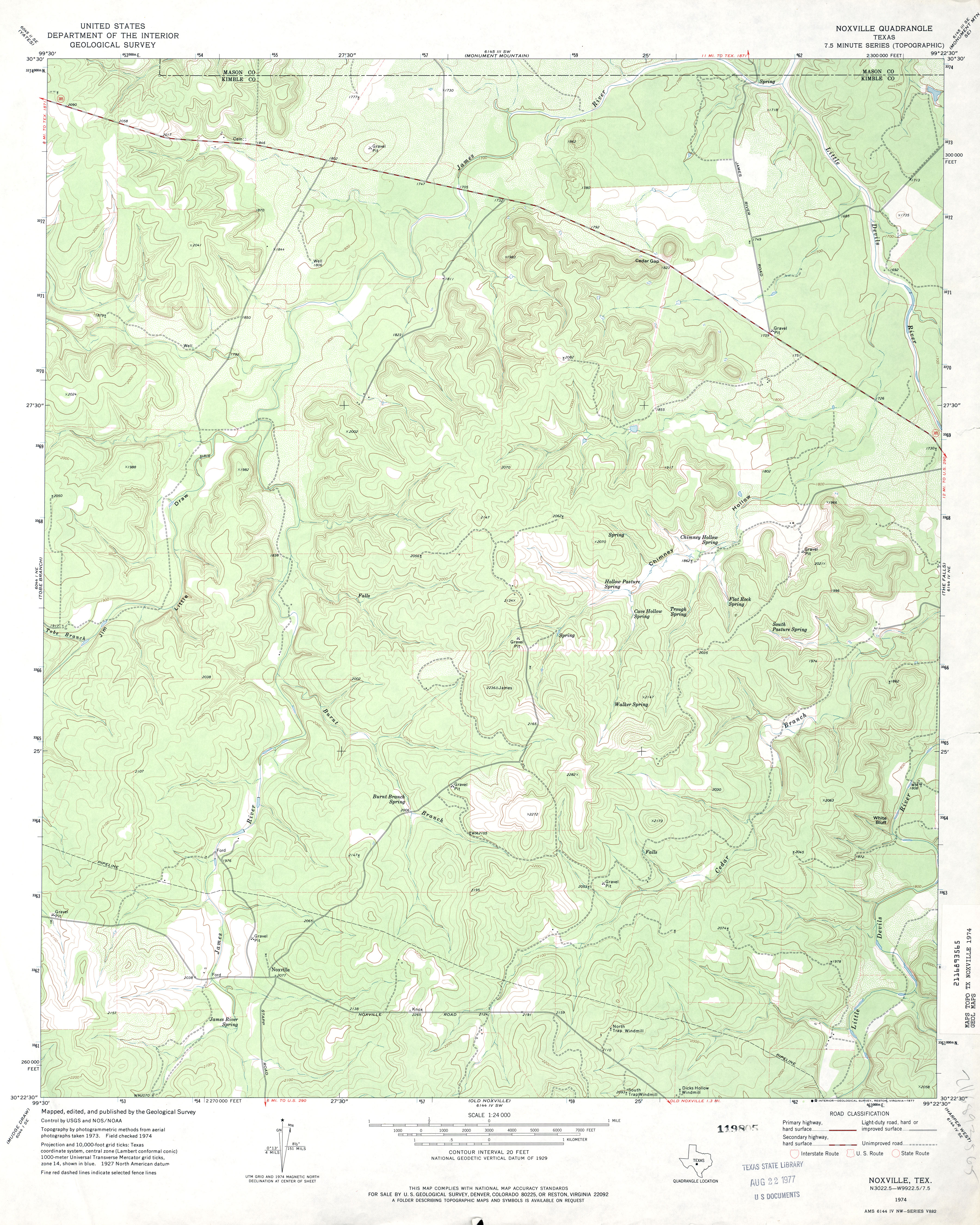
- Noxville 1:24,000 1974 (3.9MB)
- Noxville 1:24,000 2012 (30MB) [GeoPDF]
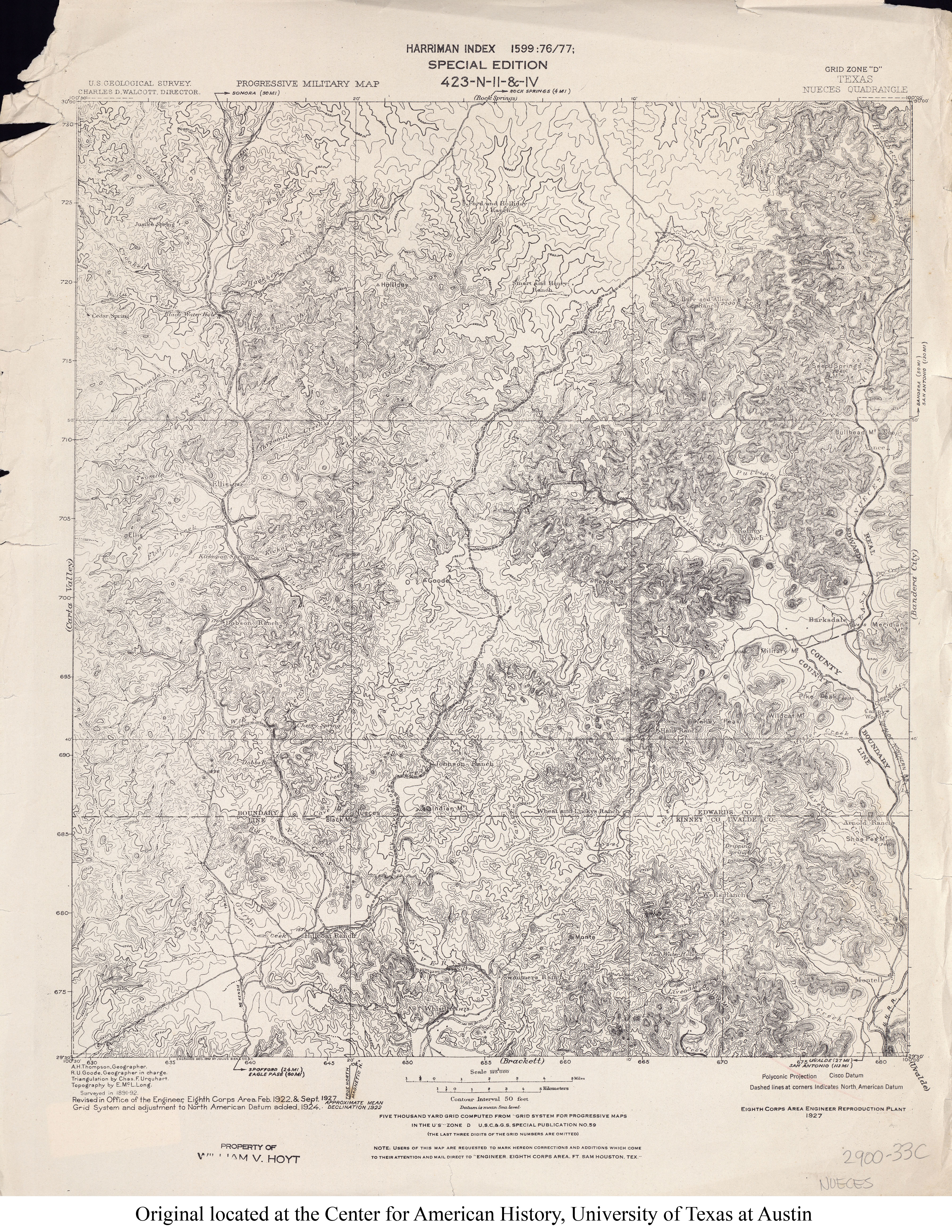
- Nueces (Edwards, Kinney and Uvalde Counties) 1:125,000 1892 (6.8 MB)
- Nueces 1:125,000 1927 (5.4MB)
- Nueces River 1:125,000 1918 (4.3MB) U.S. Army. Corps of Engineers. Progressive Military Map
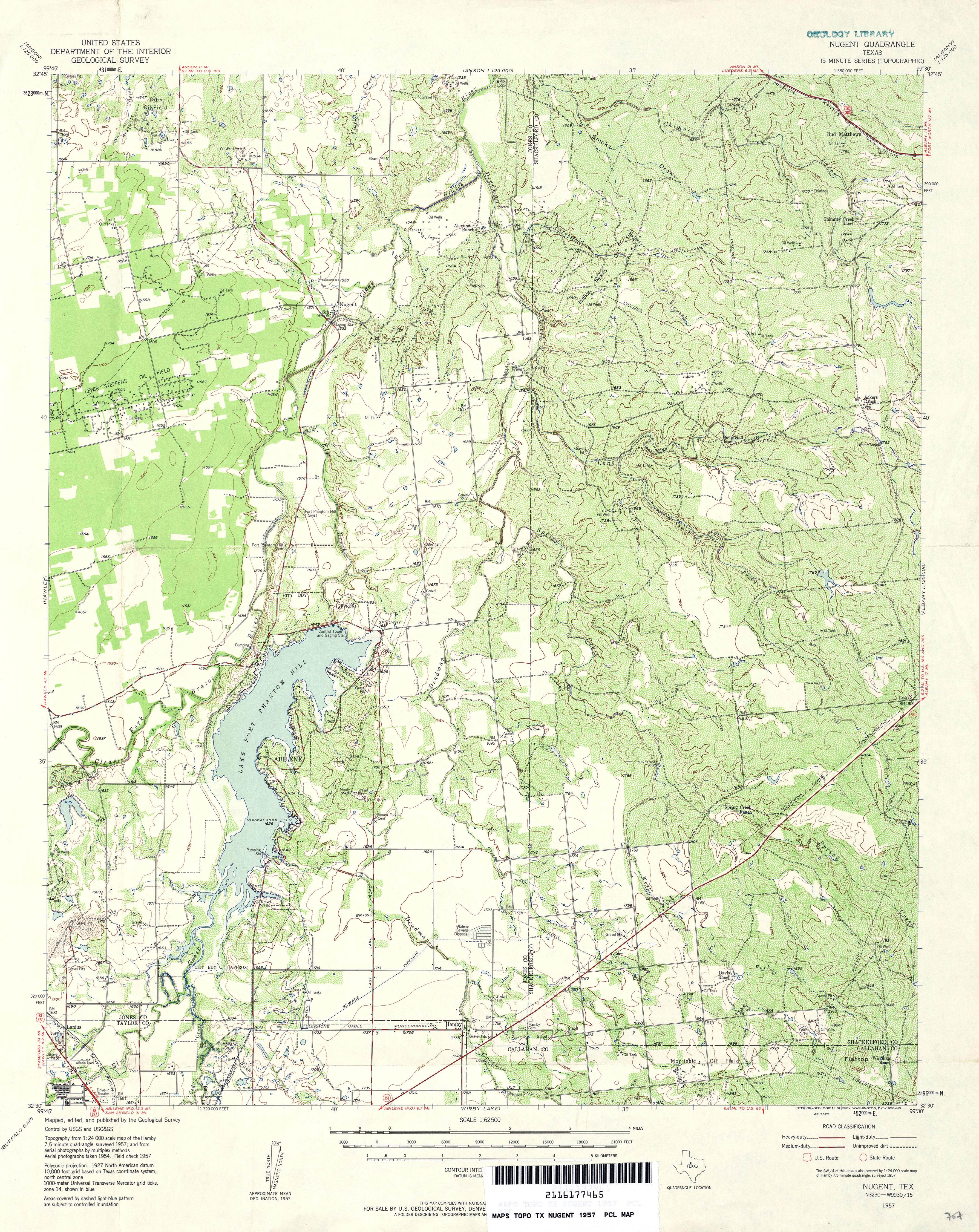
- Nugent 1:62,500 1957 (5.4MB)
- Nugent (Jones County) 1:24,000 1984 (3.6MB)
- Nugent 1:24,000 2008 (15.7MB) [GeoPDF]
- Nugent 1:24,000 2012 (20.8MB) [GeoPDF]
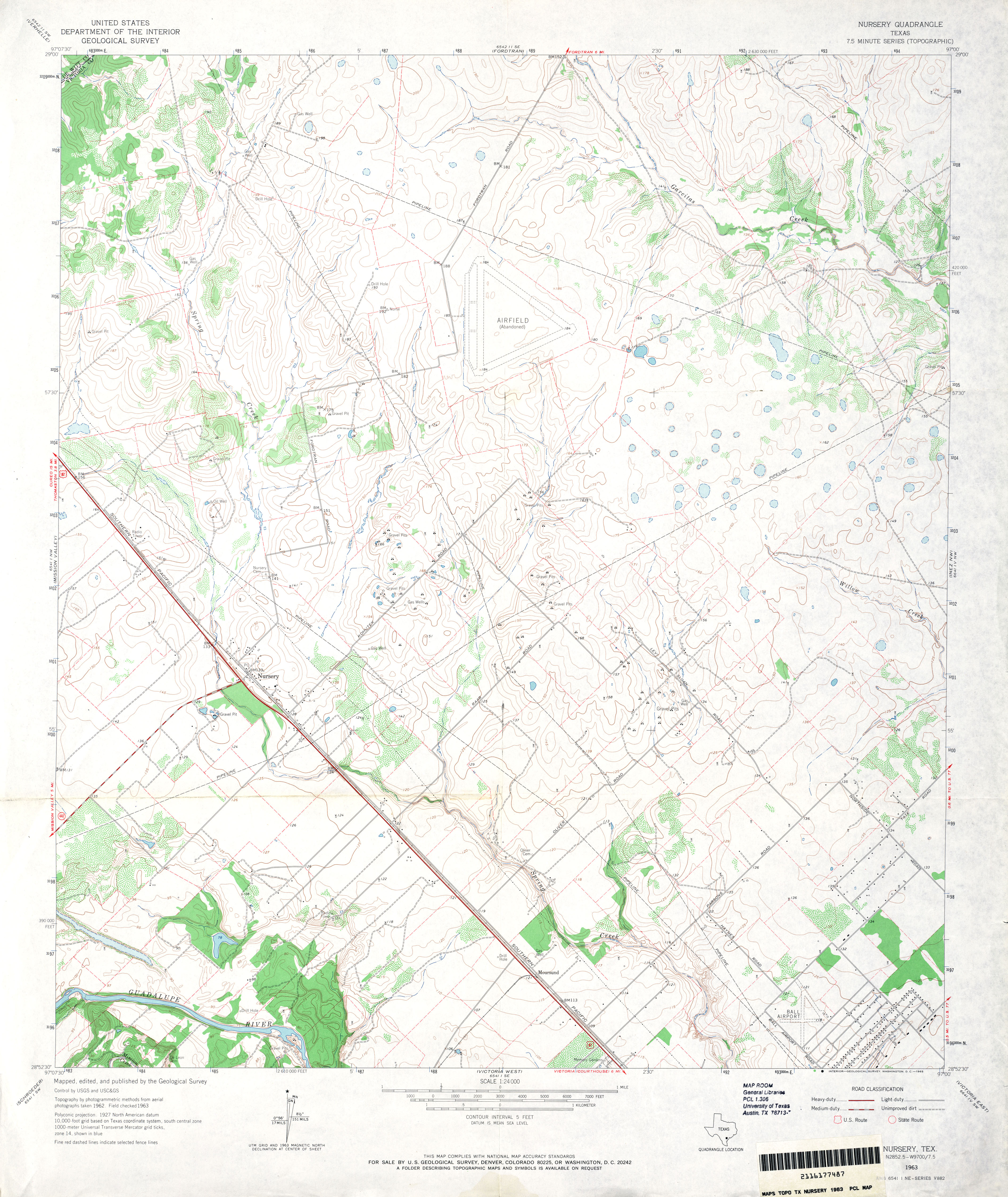
- Nursey 1:24,000 1963 (3.8MB)
- Nursey 1:24,000 1987 (3.8MB)
- Nursery 1:24,000 2009 (13.5MB) [GeoPDF]
- Nursey 1:24,000 2013 (23.1MB) [GeoPDF]
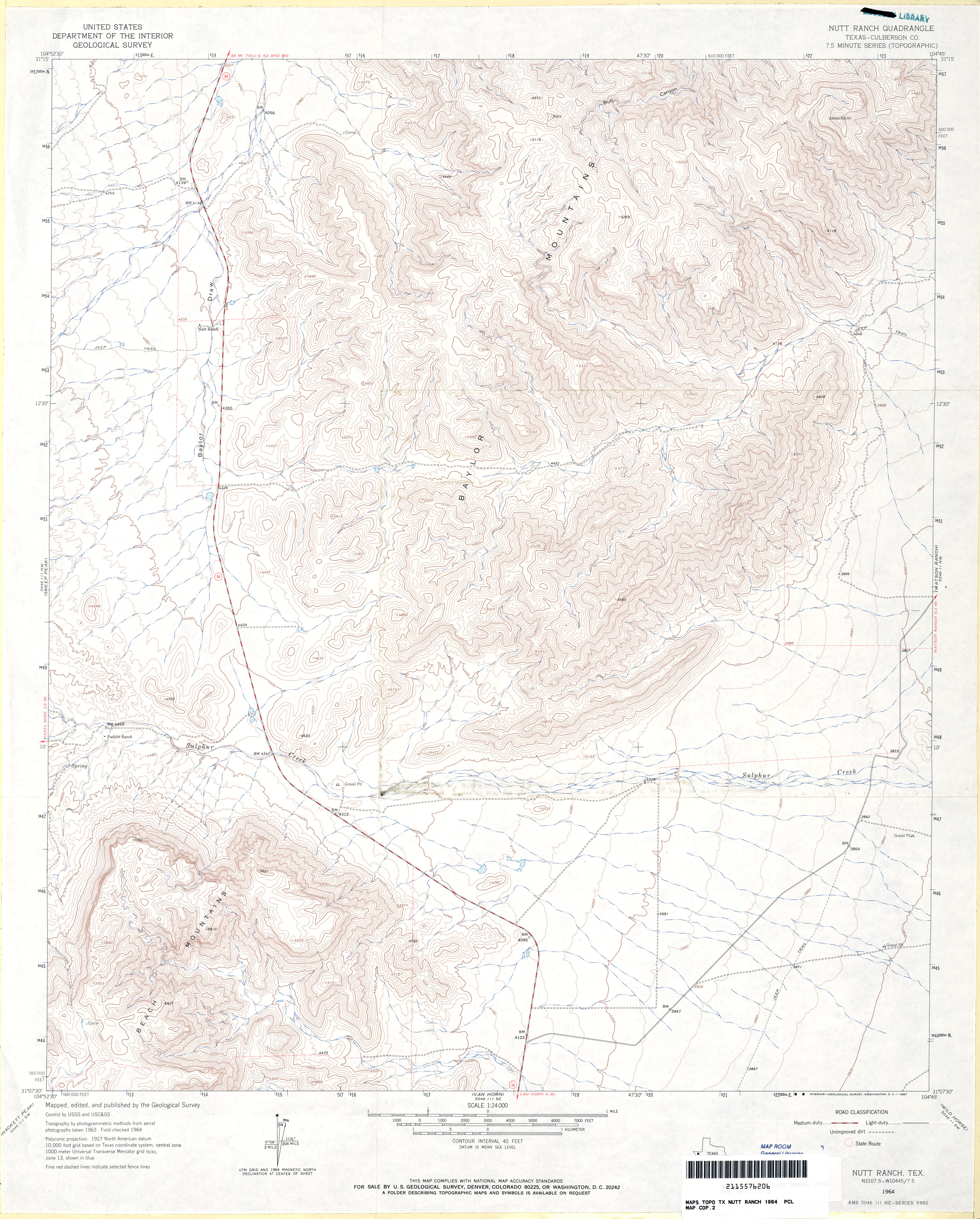
- Nutt Ranch (Culberson County) 1:24,000 1964 (4.2MB)
- Nutt Ranch 1:24,000 2008 (21.2MB) [GeoPDF]
- Nutt Ranch 1:24,000 2013 (23.3MB) [GeoPDF]
Return to the top