Perry-Castañeda Library
Map Collection
Texas Topographic Maps
Maps in this online collection are from the Perry-Castañeda Library, Walter Geology Library and Dolph Briscoe Center for American History at the University of Texas at Austin as well as the Texas State Library. All maps on this site were published by the U.S. Geological Survey unless otherwise noted and are in the public domain. The date given for each map is the date of latest survey. The Geographic Names Information System allows searches of geographic names to determine which map sheets they appear on. Indexes are available for Texas - East and Texas - West for the 1:24,000 map series. Maps published prior to 1923 are on the Texas Historical Topographic Map Index. More information about these maps is available on the Topographic Maps Home Page. Note: To fully view the GeoPDF files use Adobe Reader as your default PDF viewer or download the files and open them within Adobe Reader.
A, B, C, D, E, F, G, H, I, J, K, L, M, N, O, P, Q, R, S, T, U, V, W, X, Y, Z
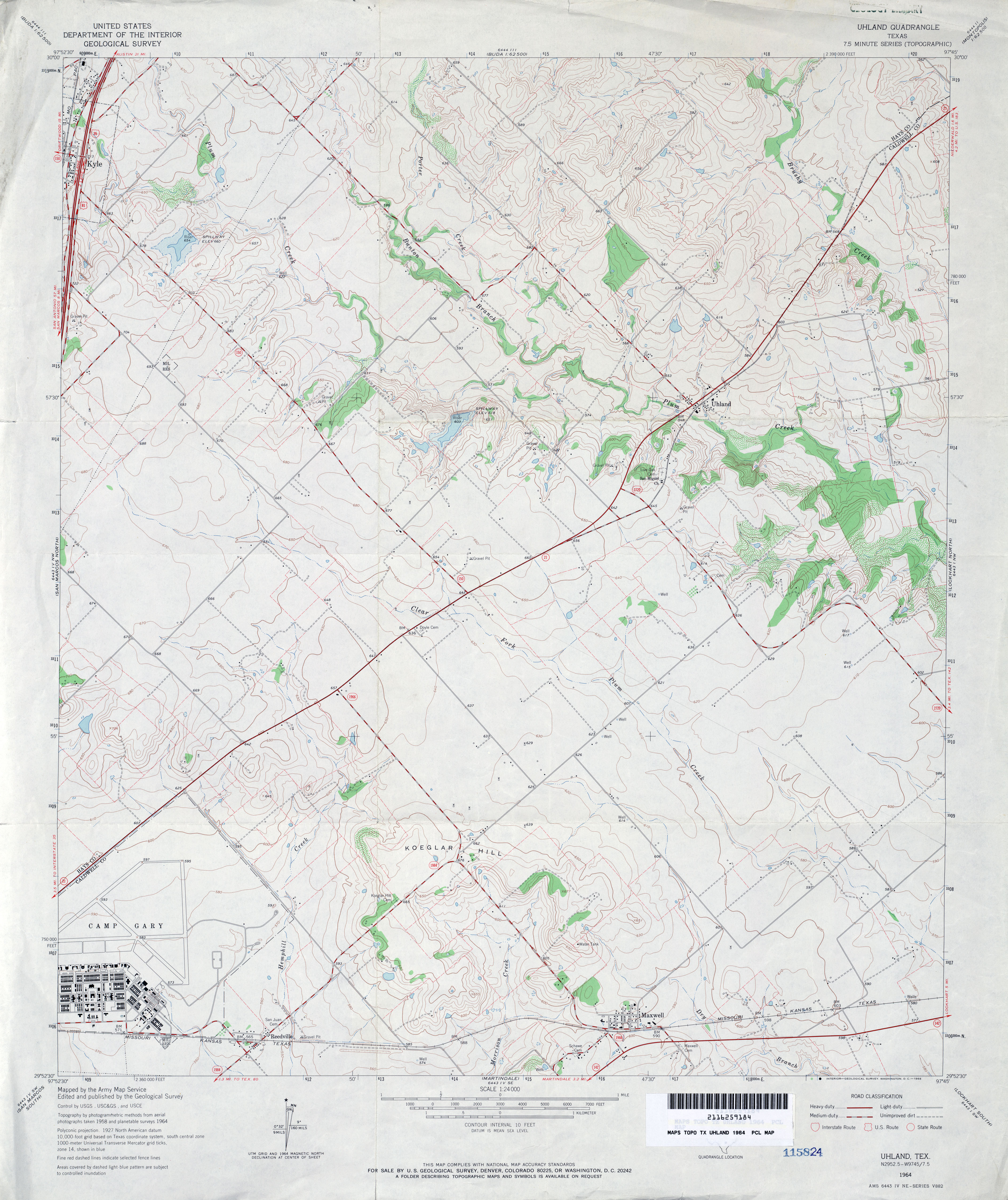
- Uhland 1:24,000 1964 (3.6MB)
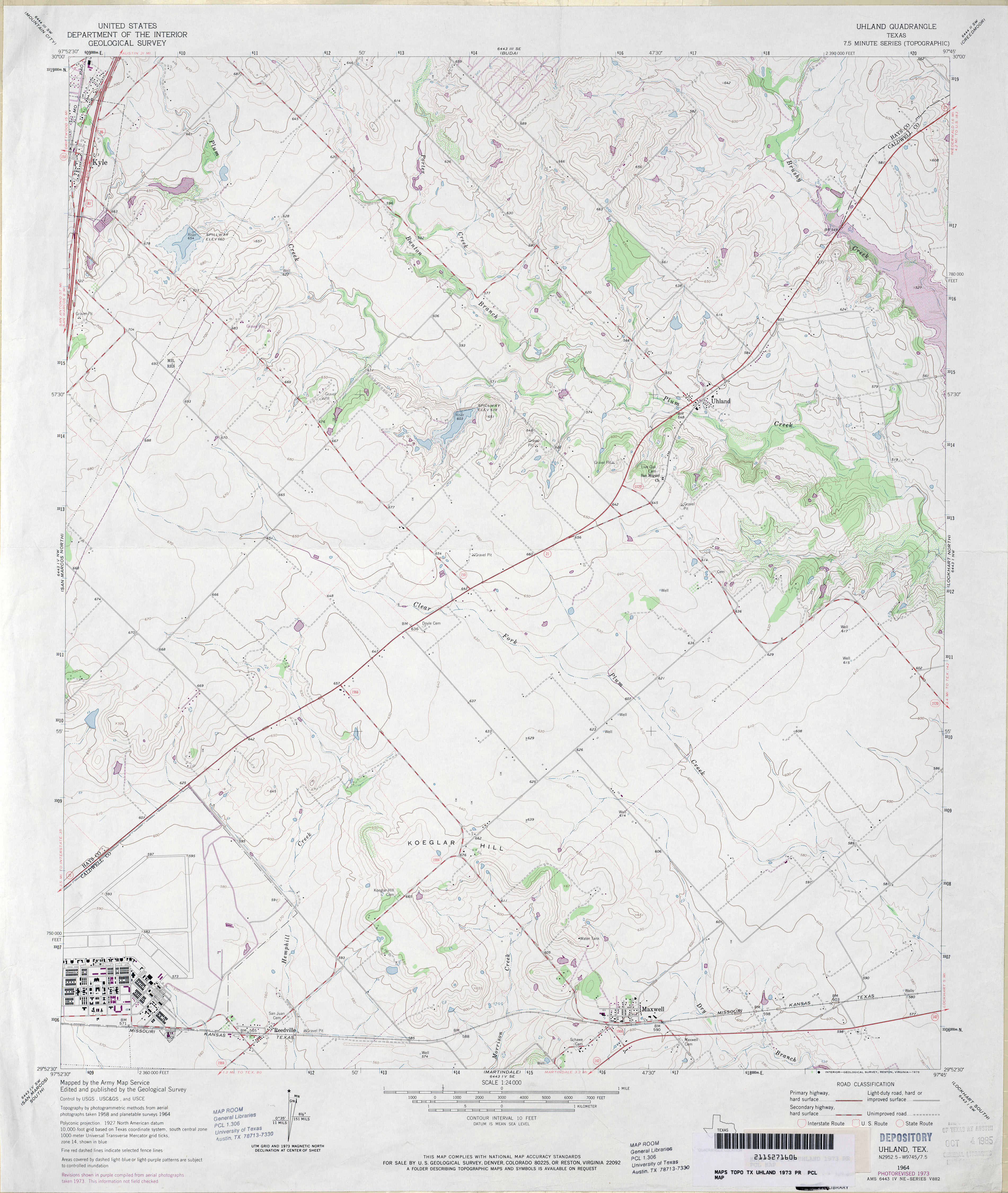
- Uhland 1:24,000 1973 (3.3MB)
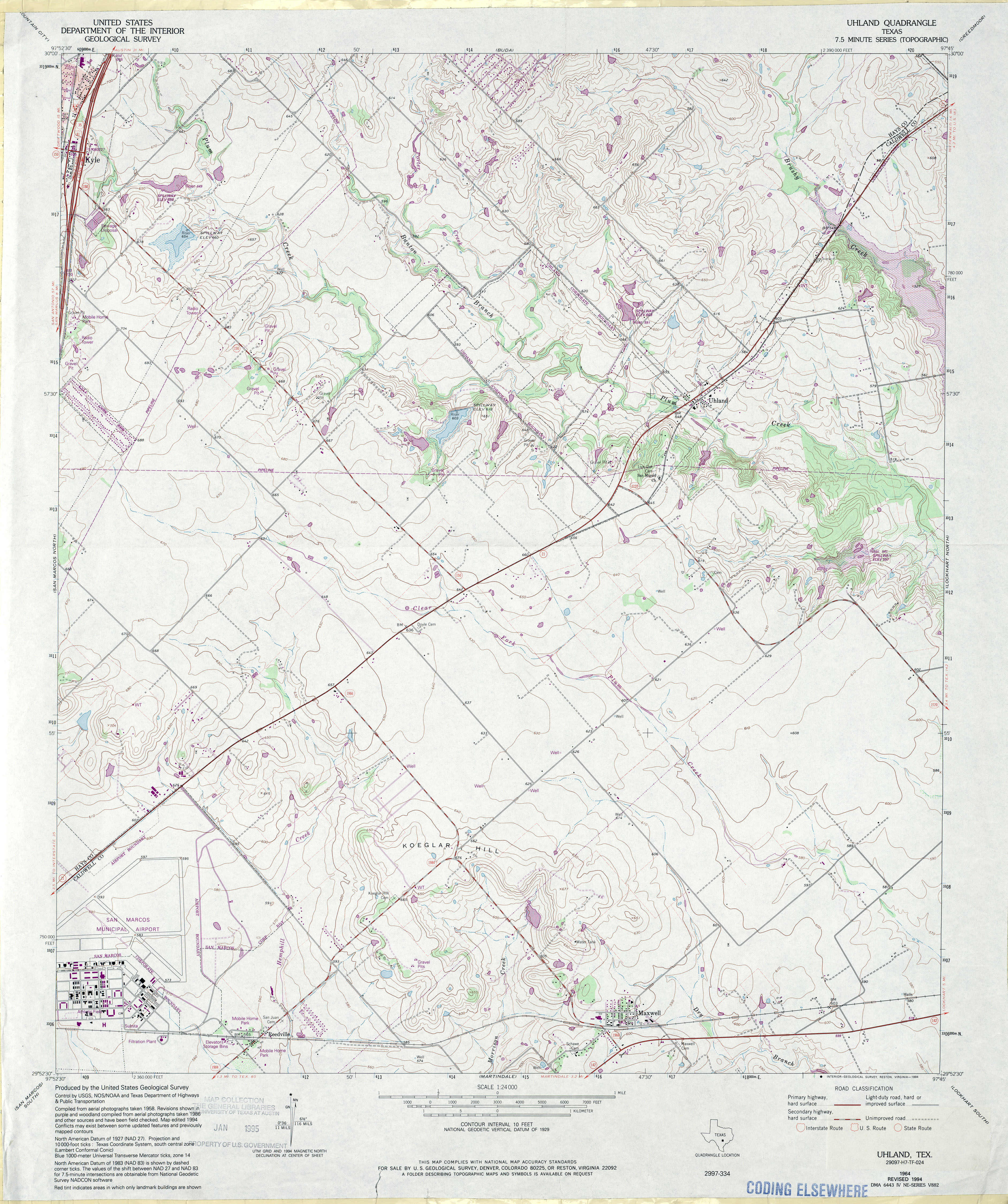
- Uhland 1:24,000 1994 (4.4MB)
- Uhland 1:24,000 2013 (21.5MB) [GeoPDF]
- Umbarger (Randall County) 1:24,000 1984 (3MB)
- Umbarger 1:24,000 2008 (9.1MB) [GeoPDF]
- Umbarger 1:24,000 2012 (15.2MB) [GeoPDF]
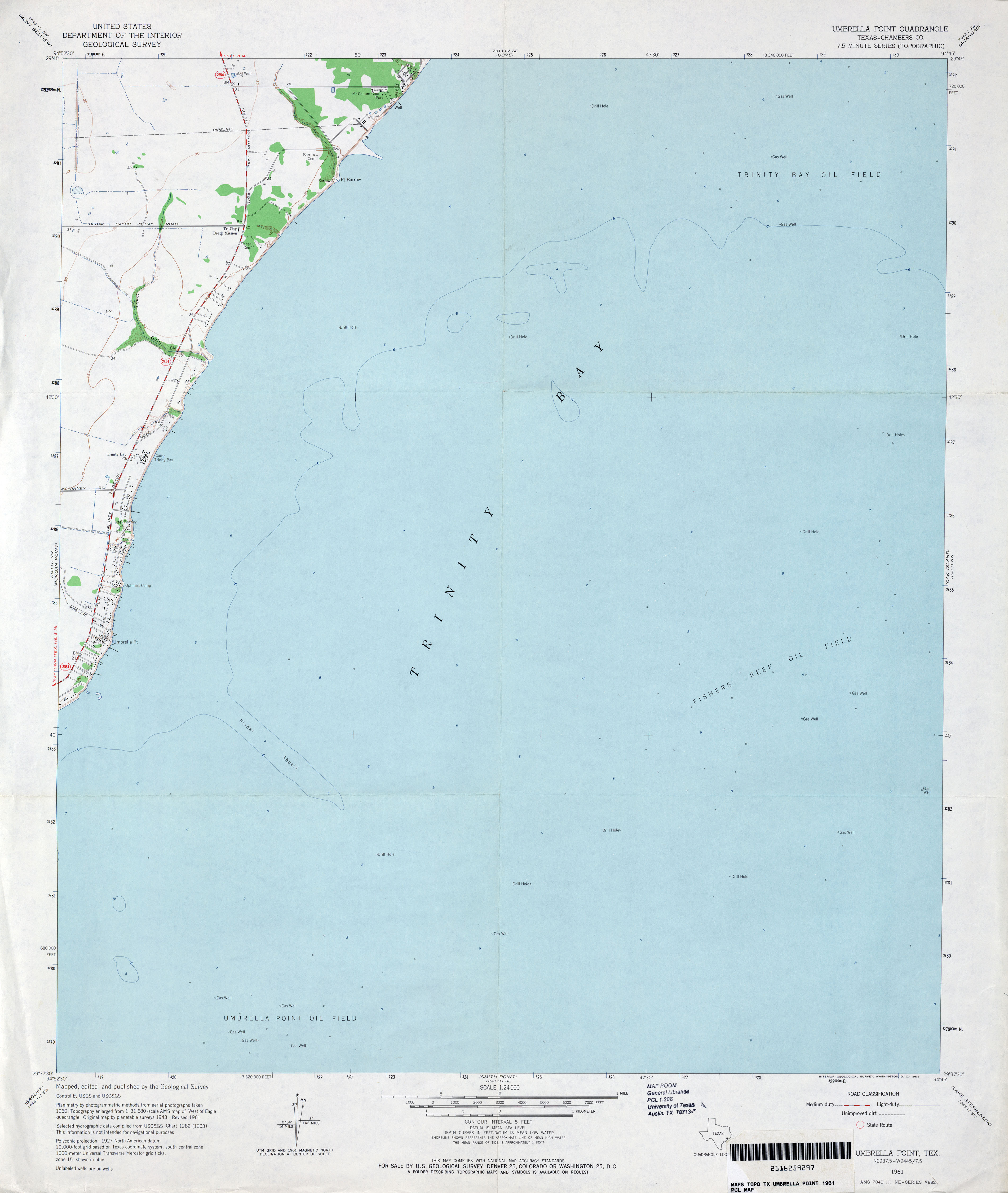
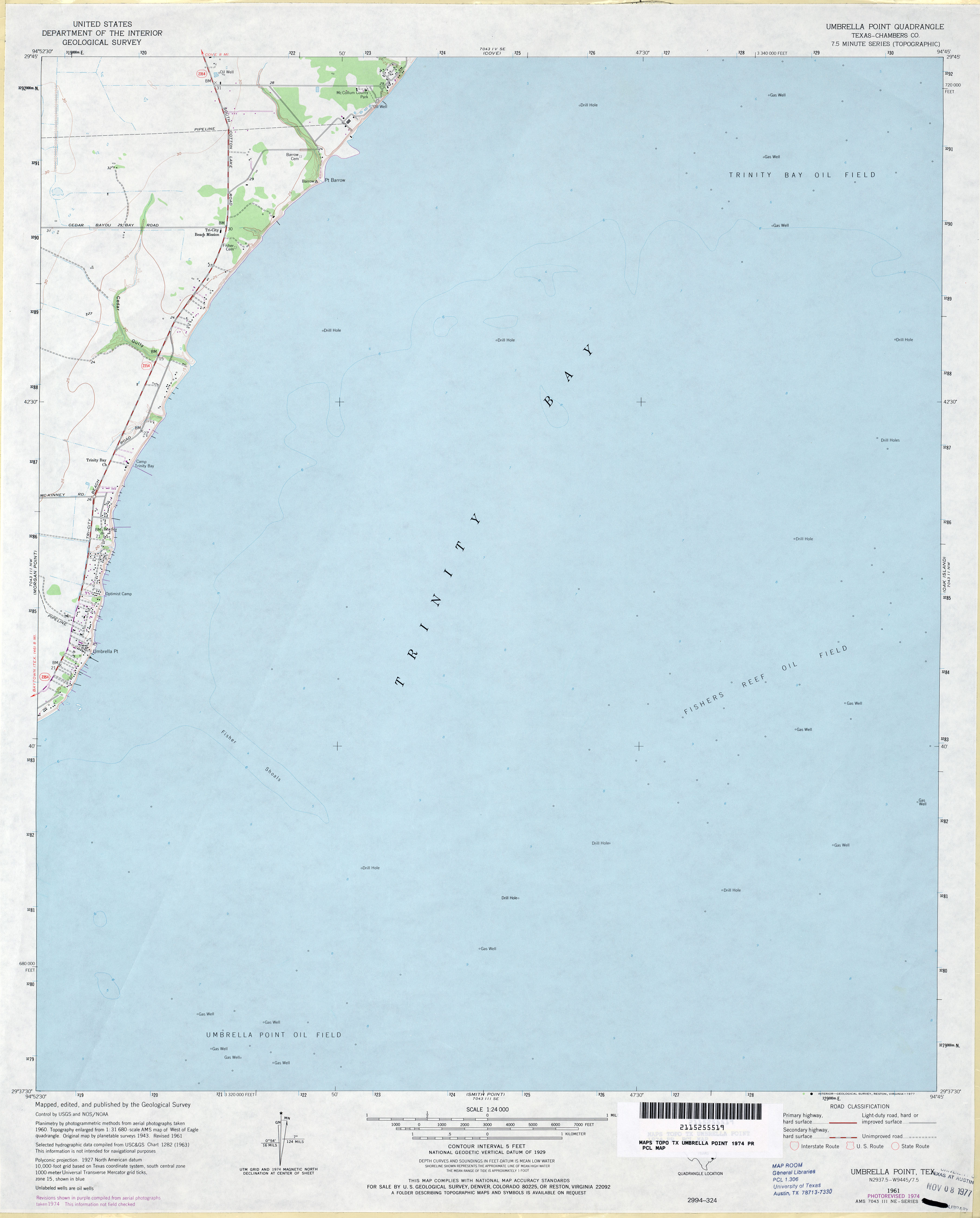
- Umbrella Point (Chambers County) 1:24,000 1961 (2MB)
- Umbrella Point (Chambers County) 1:24,000 1974 (1.8MB)
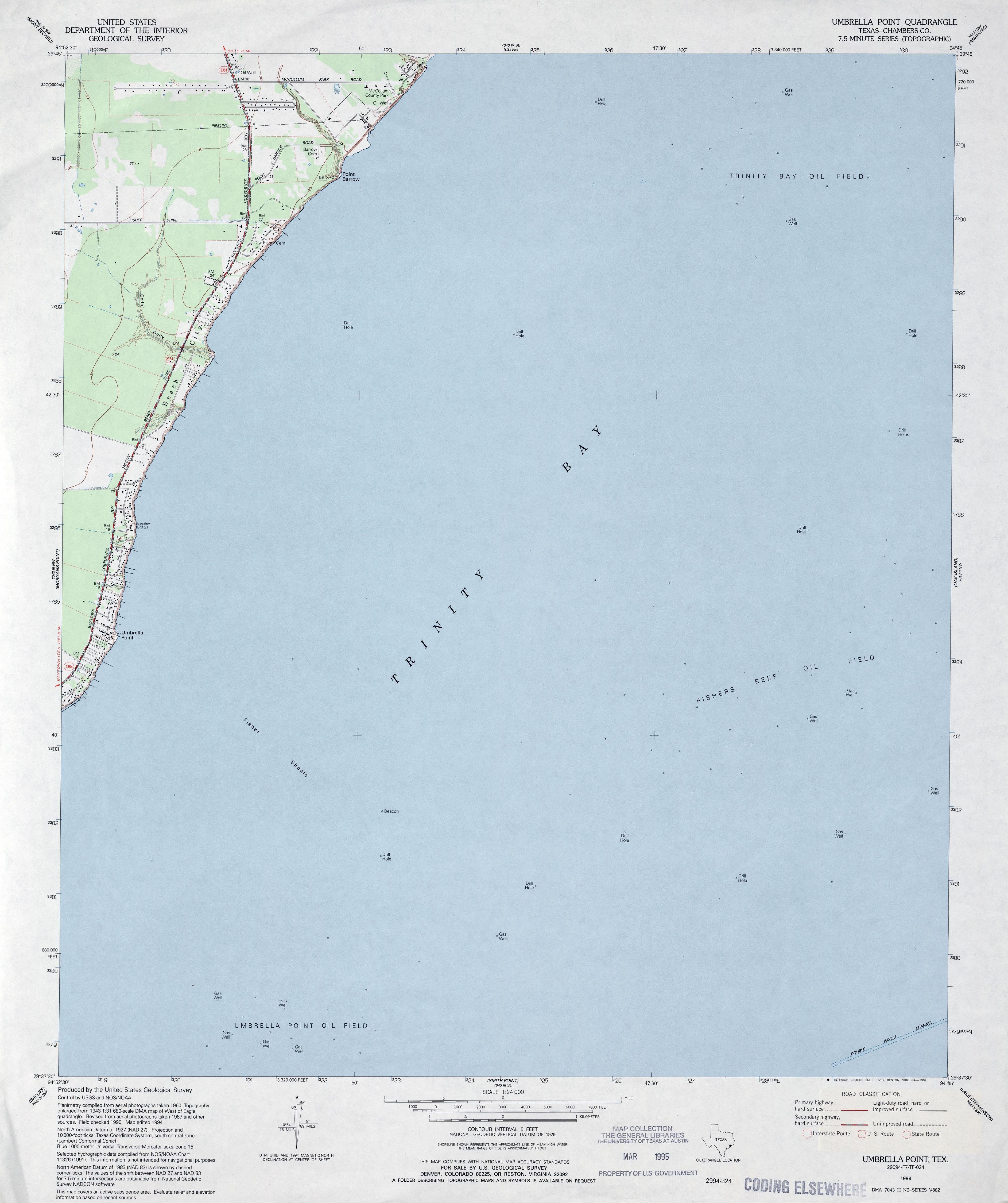
- Umbrella Point (Chambers County) 1:24,000 1994 (2.1MB)
- Umbrella Point 1:24,000 2009 (7.8MB) [GeoPDF]
- Umbrella Point 1:24,000 2013 (15.3MB) [GeoPDF]
- Underwood (Hale County) 1:24,000 1985 (3.2MB)
- Underwood 1:24,000 2008 (10.2MB) [GeoPDF]
- Underwood 1:24,000 2012 (14.7MB) [GeoPDF]
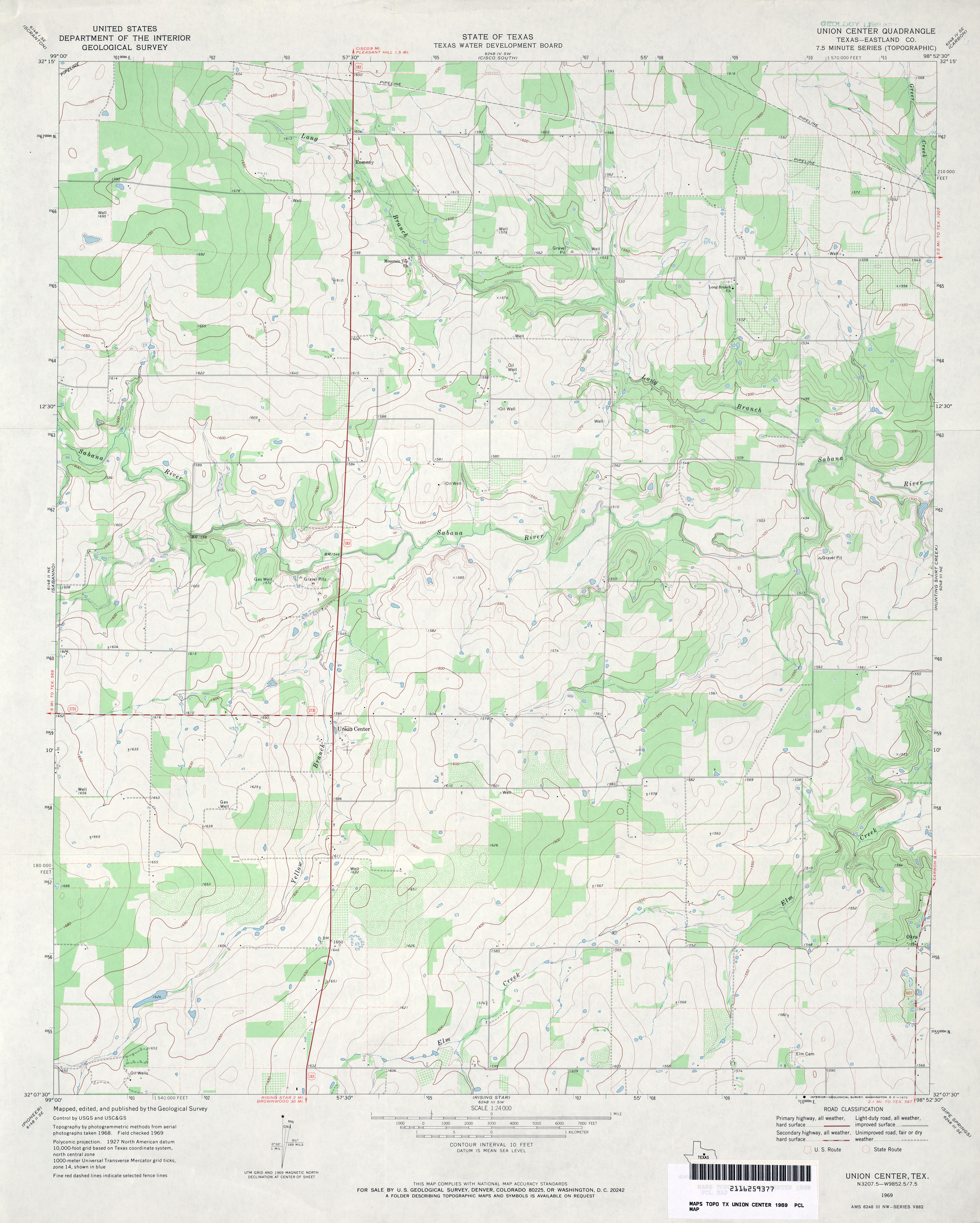
- Union Center (Eastland County) 1:24,000 1969 (3.1MB)
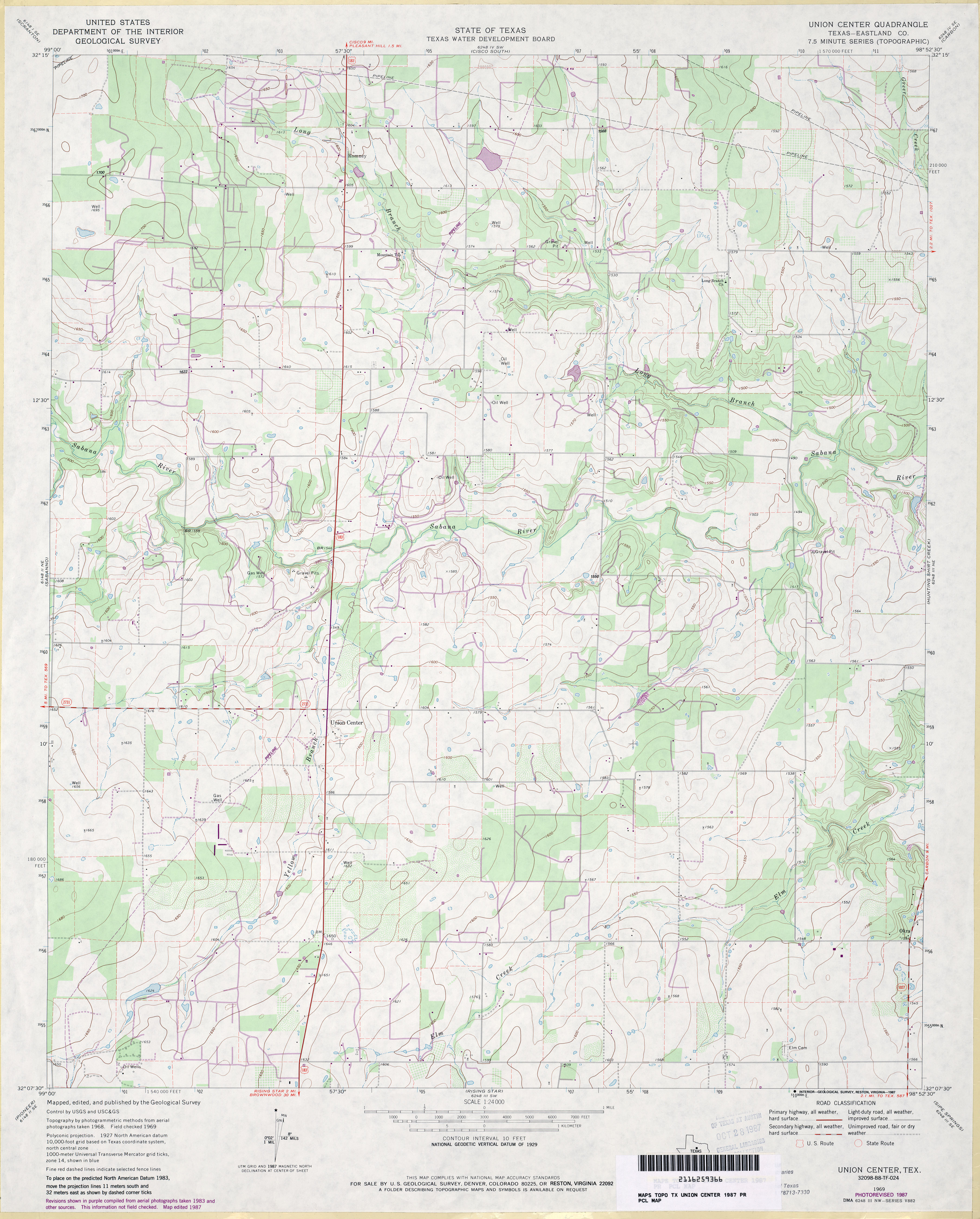
- Union Center (Eastland County) 1:24,000 1987 (3.3MB)
- Union Center 1:24,000 2008 (13.8MB) [GeoPDF]
- Union Center 1:24,000 2012 (18.2MB) [GeoPDF]
- Union High 1:24,000 1965 (4.1MB)
- Union High 1:24,000 2008 (15.8MB) [GeoPDF]
- Union High 1:24,000 2013 (21.1MB) [GeoPDF]
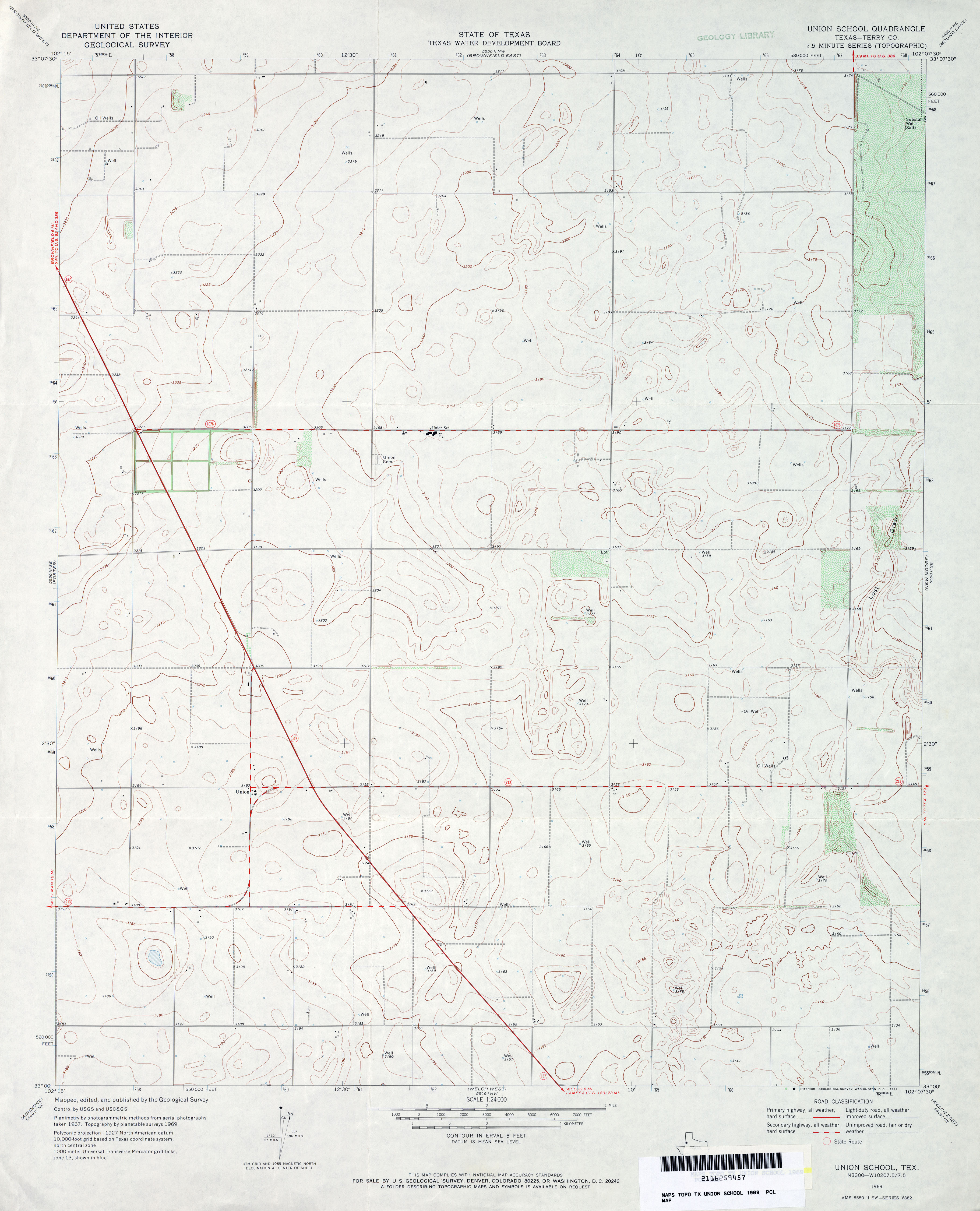
- Union School (Terry County) 1:24,000 1969 (2.8MB)
- Union School 1:24,000 2008 (9.2MB) [GeoPDF]
- Union School 1:24,000 2012 (16MB) [GeoPDF]
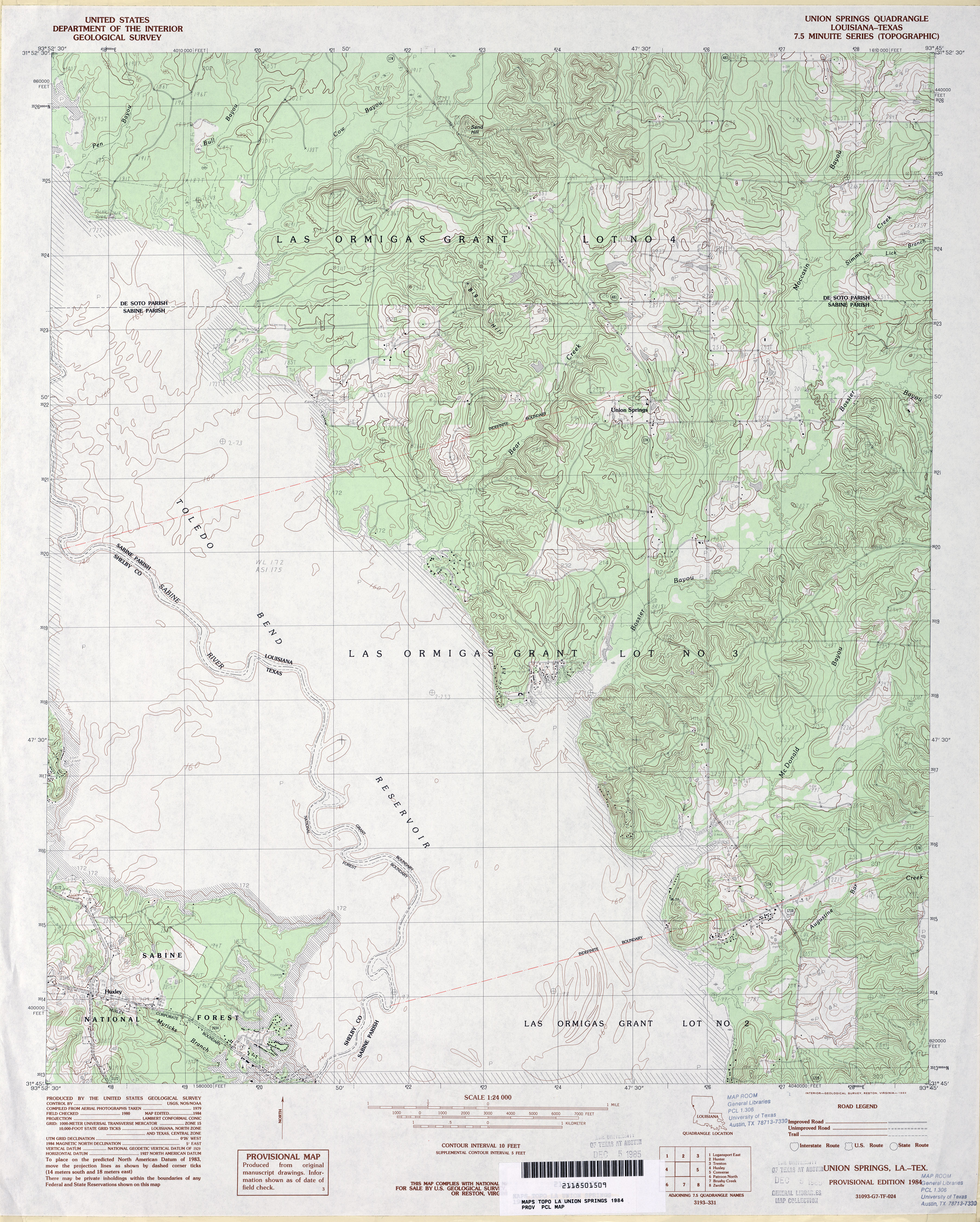
- Union Springs 1:24,000 1984 (4.4MB)
- Union Springs 1:24,000 2009 (25.8MB) [GeoPDF]
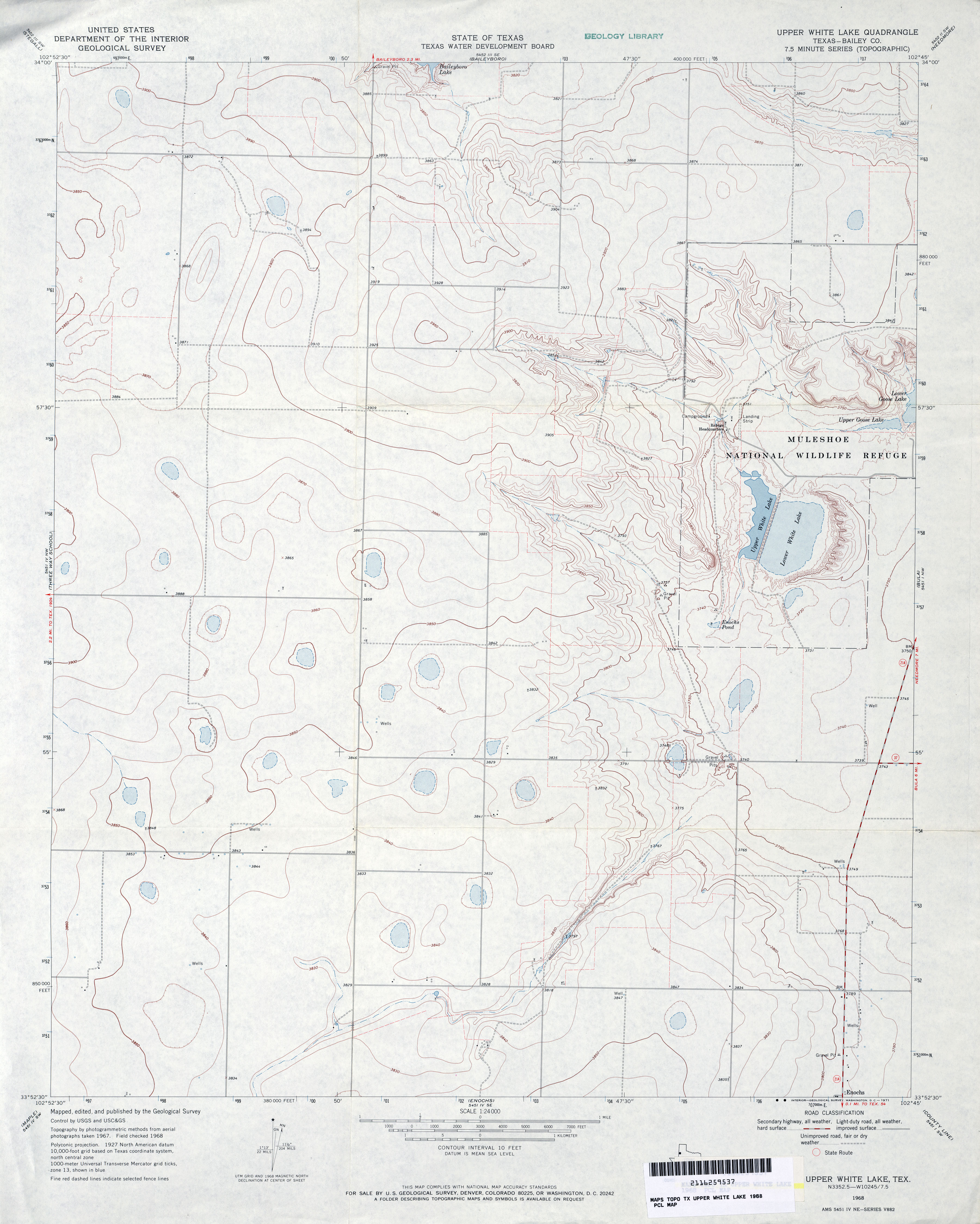
- Upper White Lake (Bailey County) 1:24,000 1968 (2.7MB)
- Upper White Lake (Bailey County) 1:24,000 1980 (2.7MB)
- Upper White Lake 1:24,000 2008 (10.4MB) [GeoPDF]
- Upper White Lake 1:24,000 2012 (15MB) [GeoPDF]
- Utley 1:24,000 1982 (4.5MB)
- Utley 1:24,000 2008 (14.6MB) [GeoPDF]
- Utley 1:24,000 2013 (24.9MB) [GeoPDF]
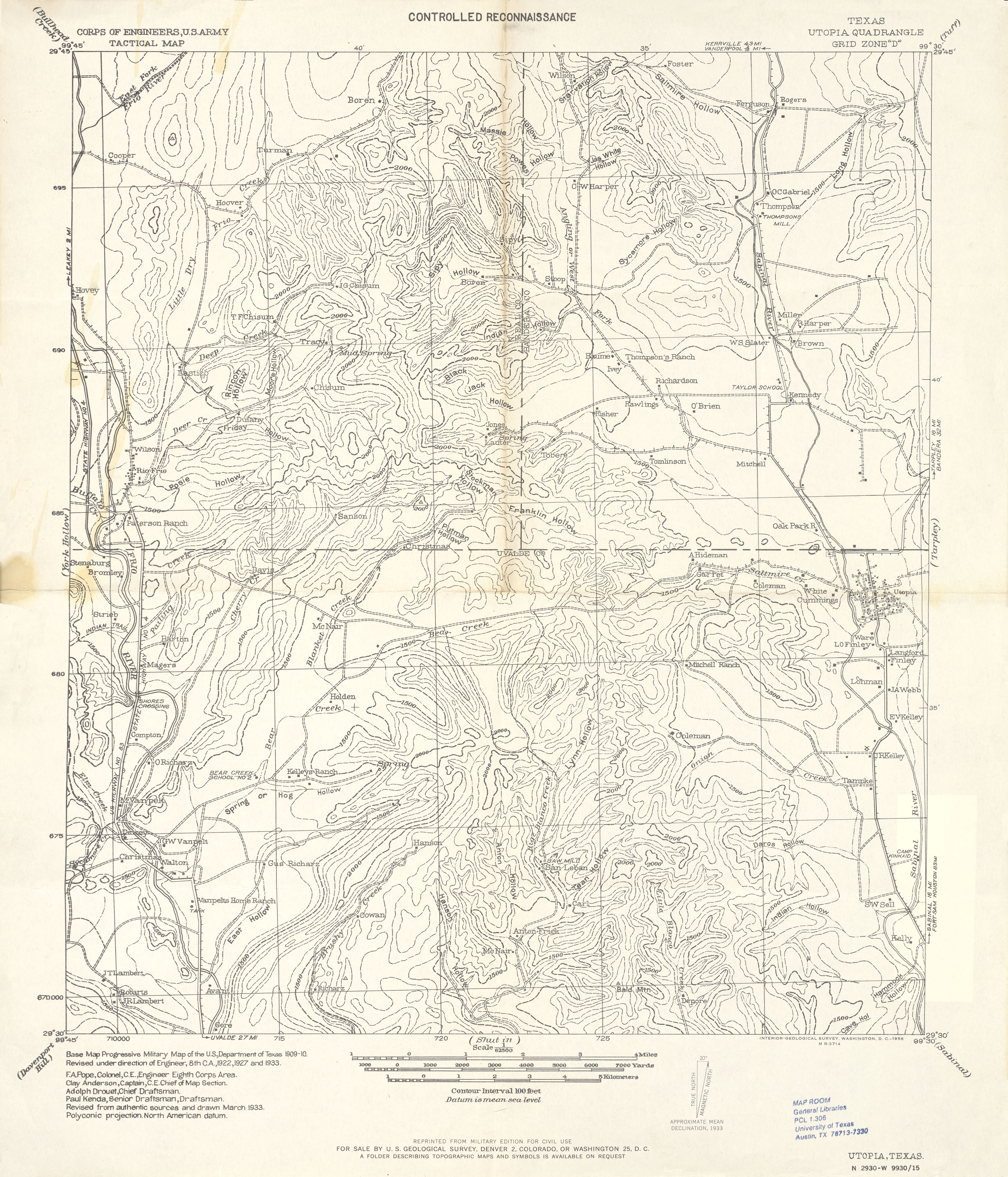
- Utopia 1:62,500 1933 (3.2 MB) U.S. Army Corps of Engineers. Tactical Map
- Utopia 1:24,000 2008 (21.2MB) [GeoPDF]
- Utopia 1:24,000 2013 (27.4MB) [GeoPDF]
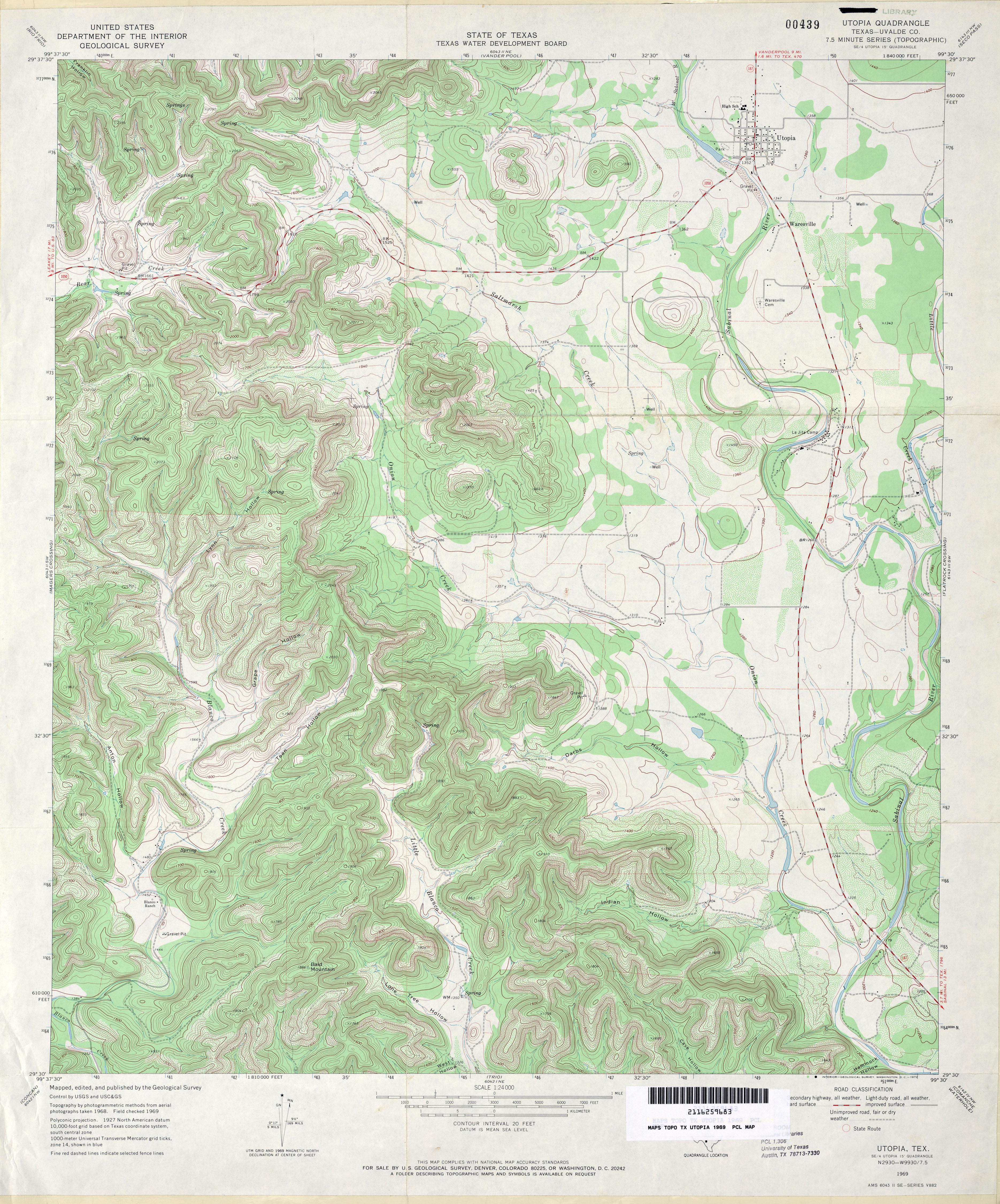
- Utopia (Uvalde County) 1:24,000 1969 (5.3MB)
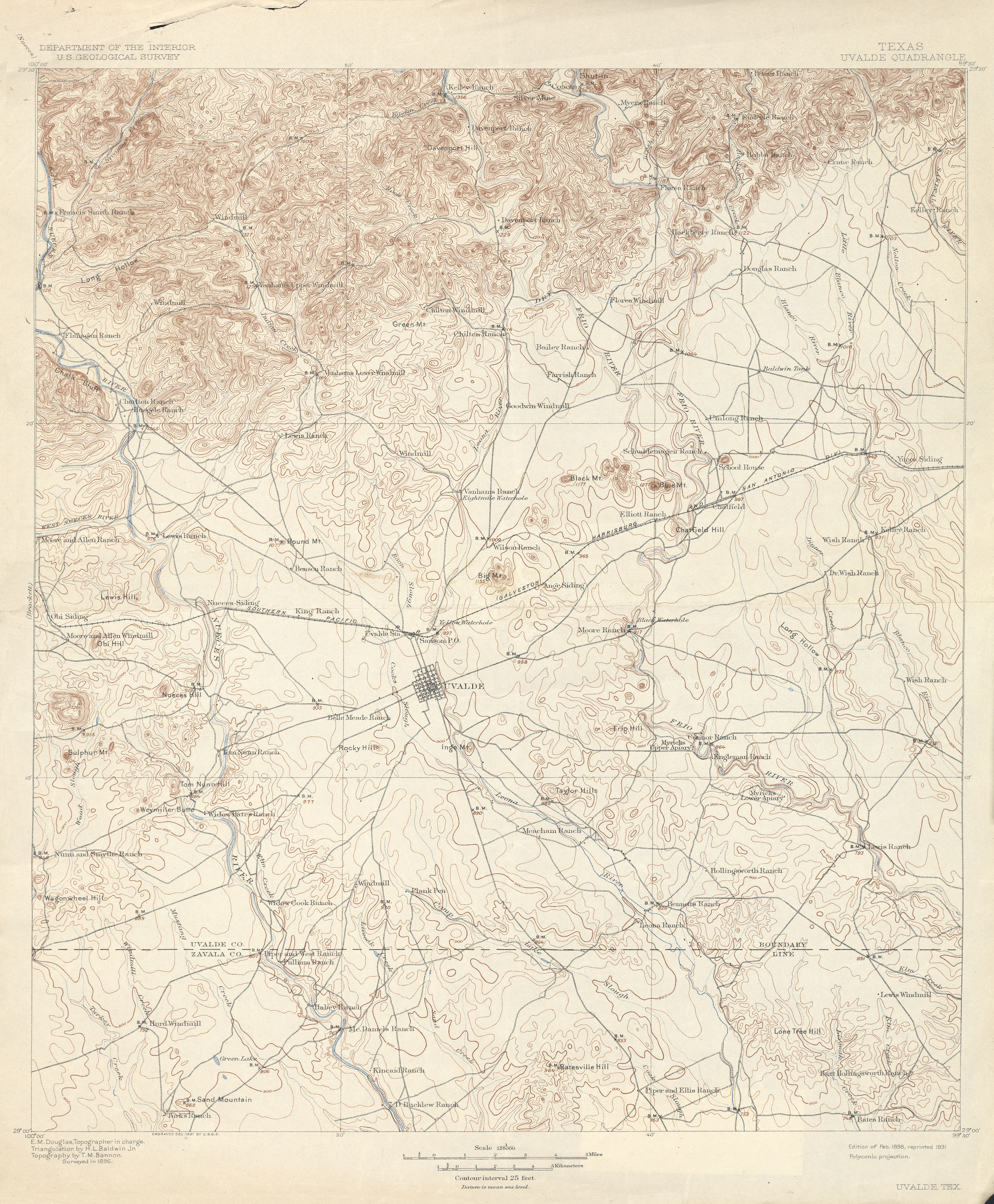
- Uvalde 1:125,000 1896 (4.0 MB)
- Uvalde 1:125,000 1922 (5.4MB)
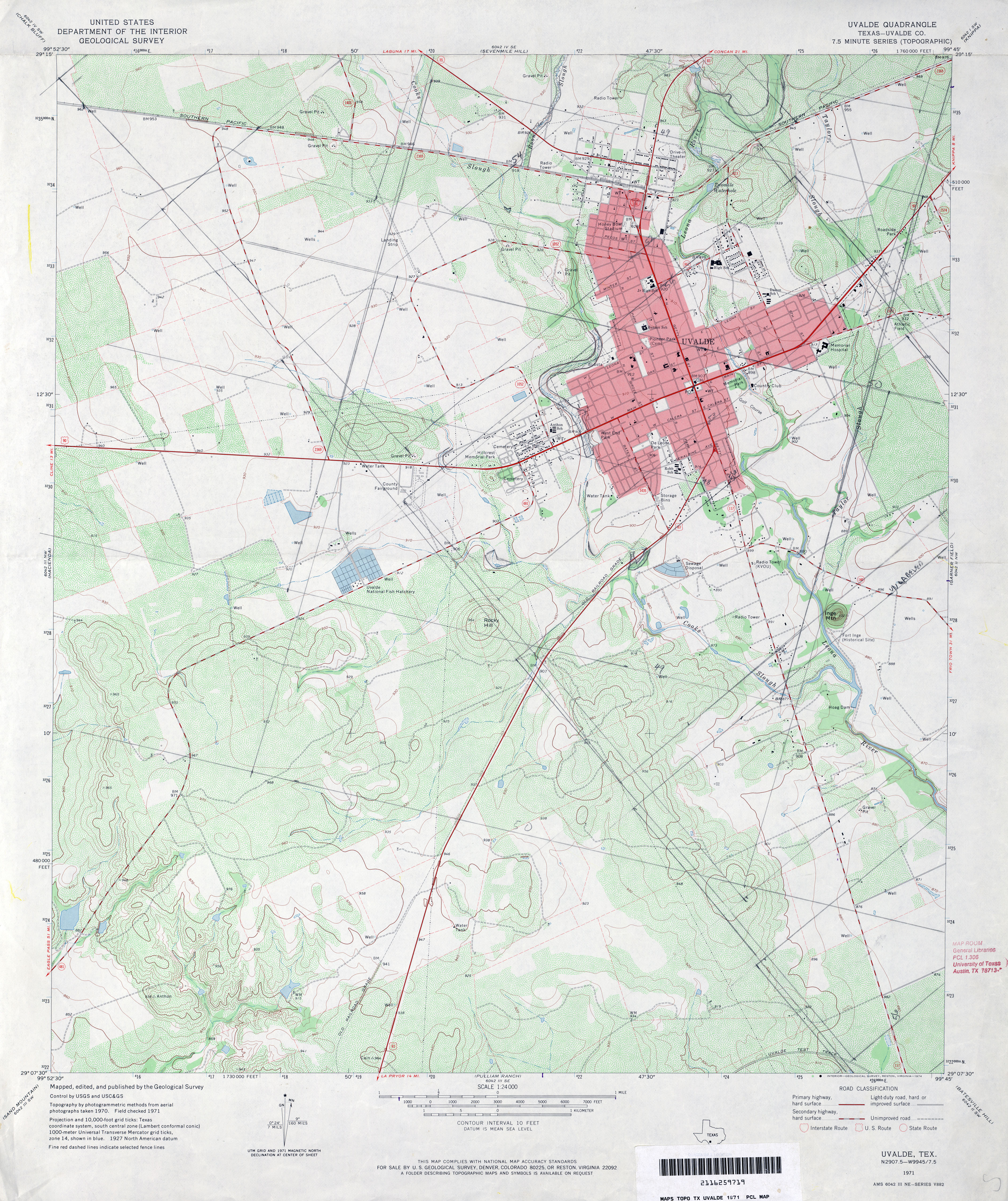
- Uvalde (Uvalde County) 1:24,000 1971 (4.3MB)
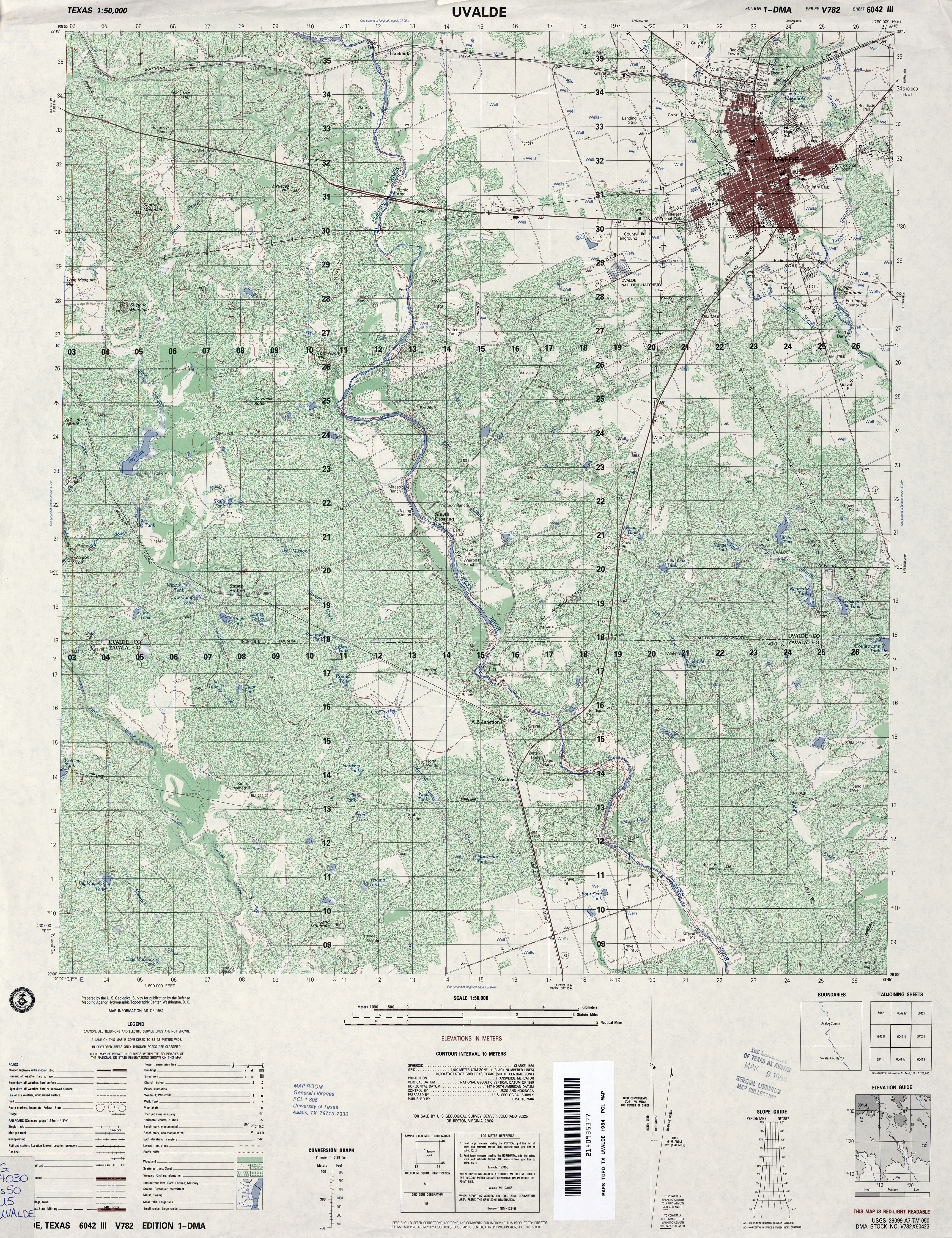
- Uvalde 1:50,000 1984 (5.8MB) U.S. Defense Mapping Agency, Edition 1-DMA, Series V782
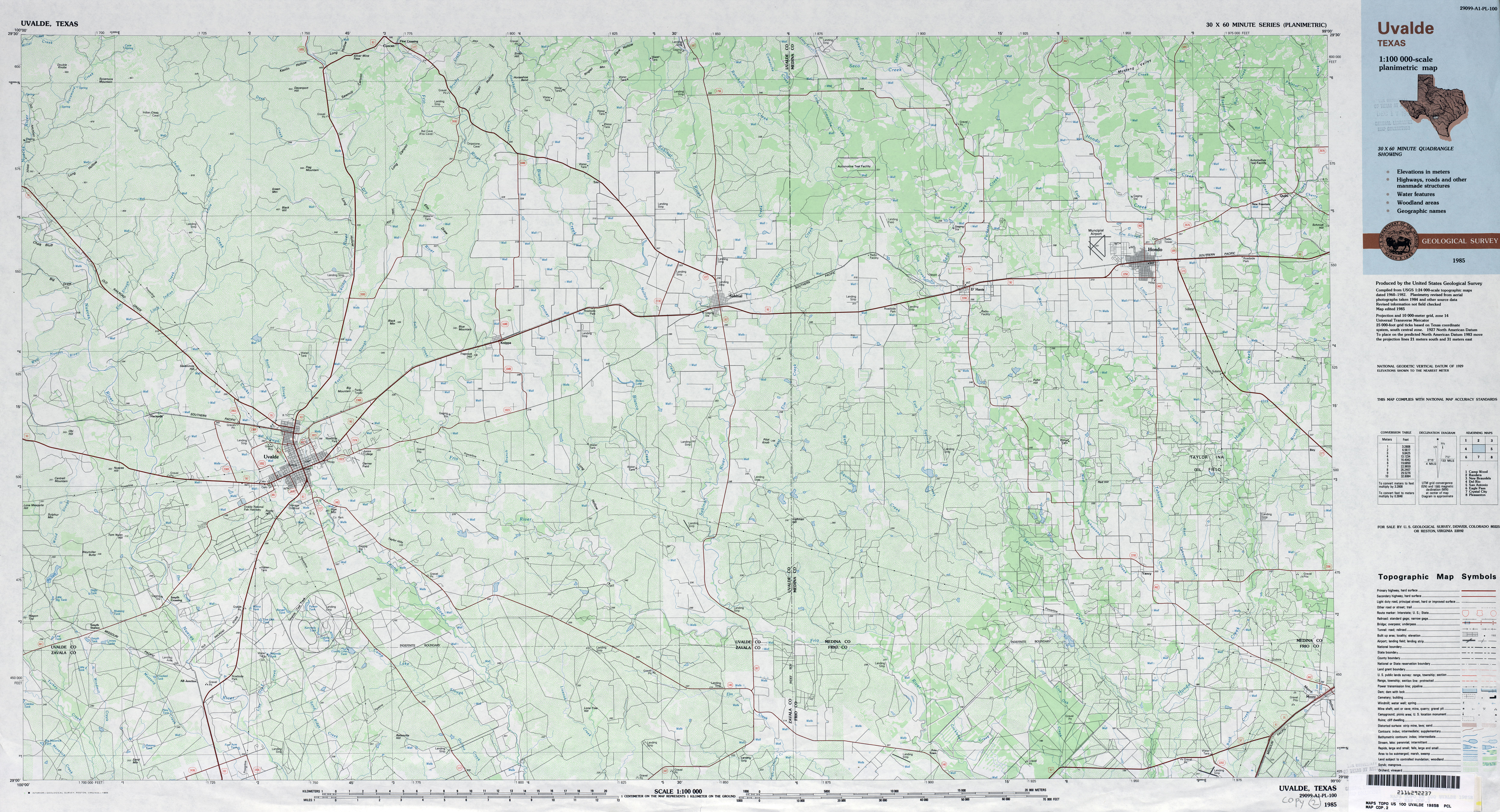
- Uvalde 1:100,000 1985 (7MB) Planimetric Map
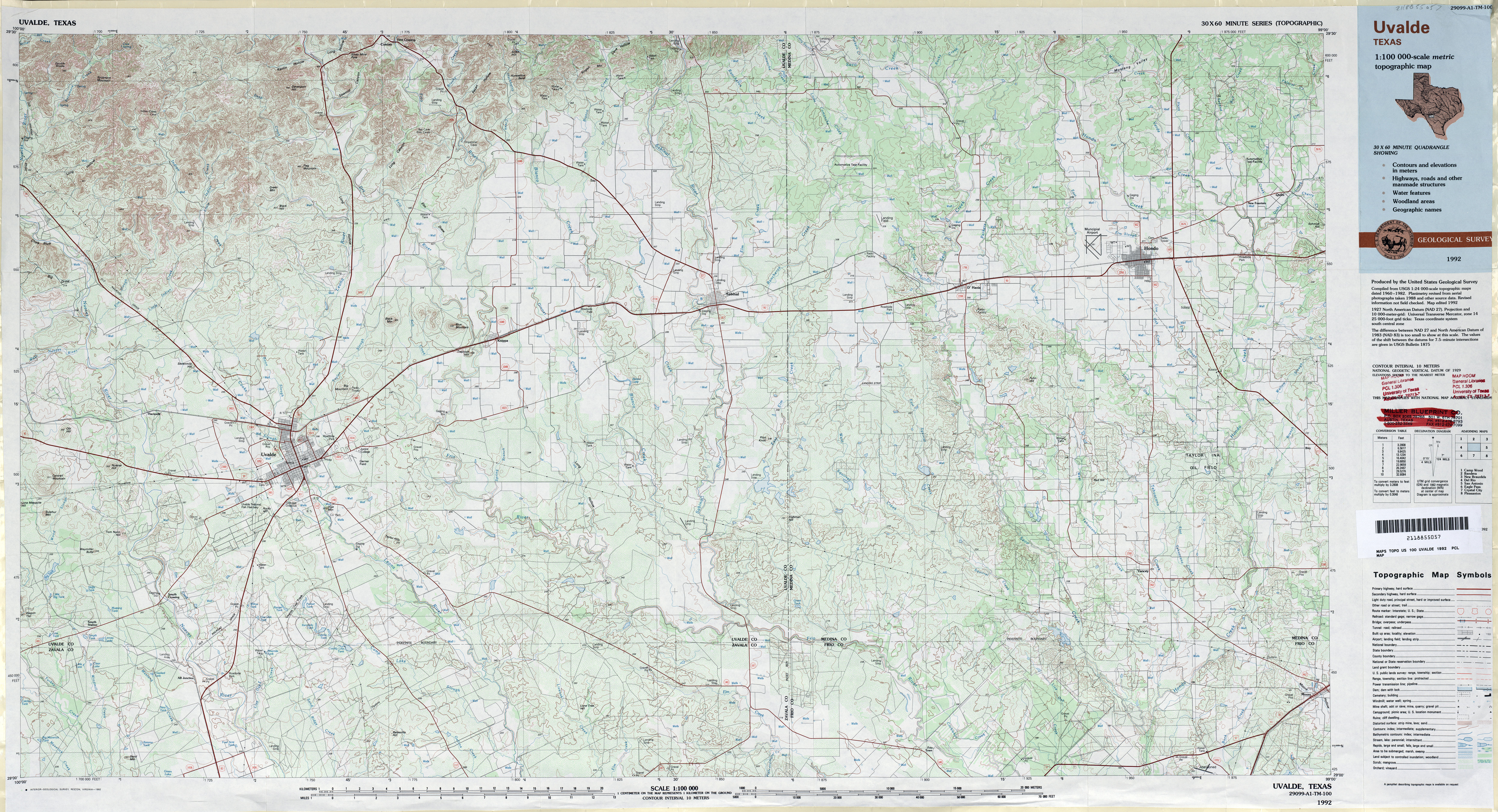
- Uvalde 1:100,000 1992 (8.5MB)
- Uvalde 1:24,000 2008 (14.9MB) [GeoPDF]
- Uvalde 1:24,000 2013 (23MB) [GeoPDF]